On May 14, 2023 a washout along Washington’s SR504 below the Johnston Ridge Observatory closed vehicle access for the foreseeable future. We’d visited the observatory in August 2013 (post) and had planned on revisiting this July. While the washout made driving to the observatory impossible the trails in the area were not impacted. The shortest route was to start at the Hummocks Trailhead and take the Boundary Trail from its intersection with the Hummocks Trail to the observatory. We actually had this hike on our 2024 schedule for July so we swapped those (hoping that the road is repaired before then).
This would also be our second visit to The Hummocks having hiked the 2.5-mile loop in May of 2014 (post) before hiking a longer loop around Coldwater Lake. From the trailhead we set off on the left most trail (next to the large signboards).

 While the loop did come in at 2.5-miles it was a little over 3/4 of a mile to the Boundary Trail.
There were a lot more flowers (and green vegetation) along the trail than there had been during our May hike.
 Lupine

 One of several ponds along the trail.
Interpretive signs, trail guide markers, and “Student Stops” are located throughout the loop.
 A “Student Stop” marker surrounded by dwarf lupine. We aren’t sure what the these meant or what program they are related to.
 An interpretive sign along the trail facing some of the hummocks.
 Penstemon
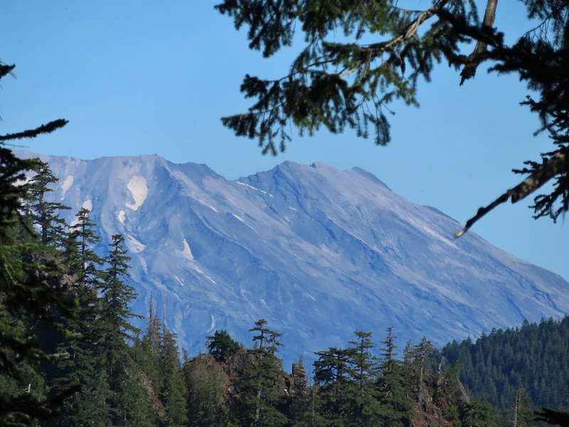
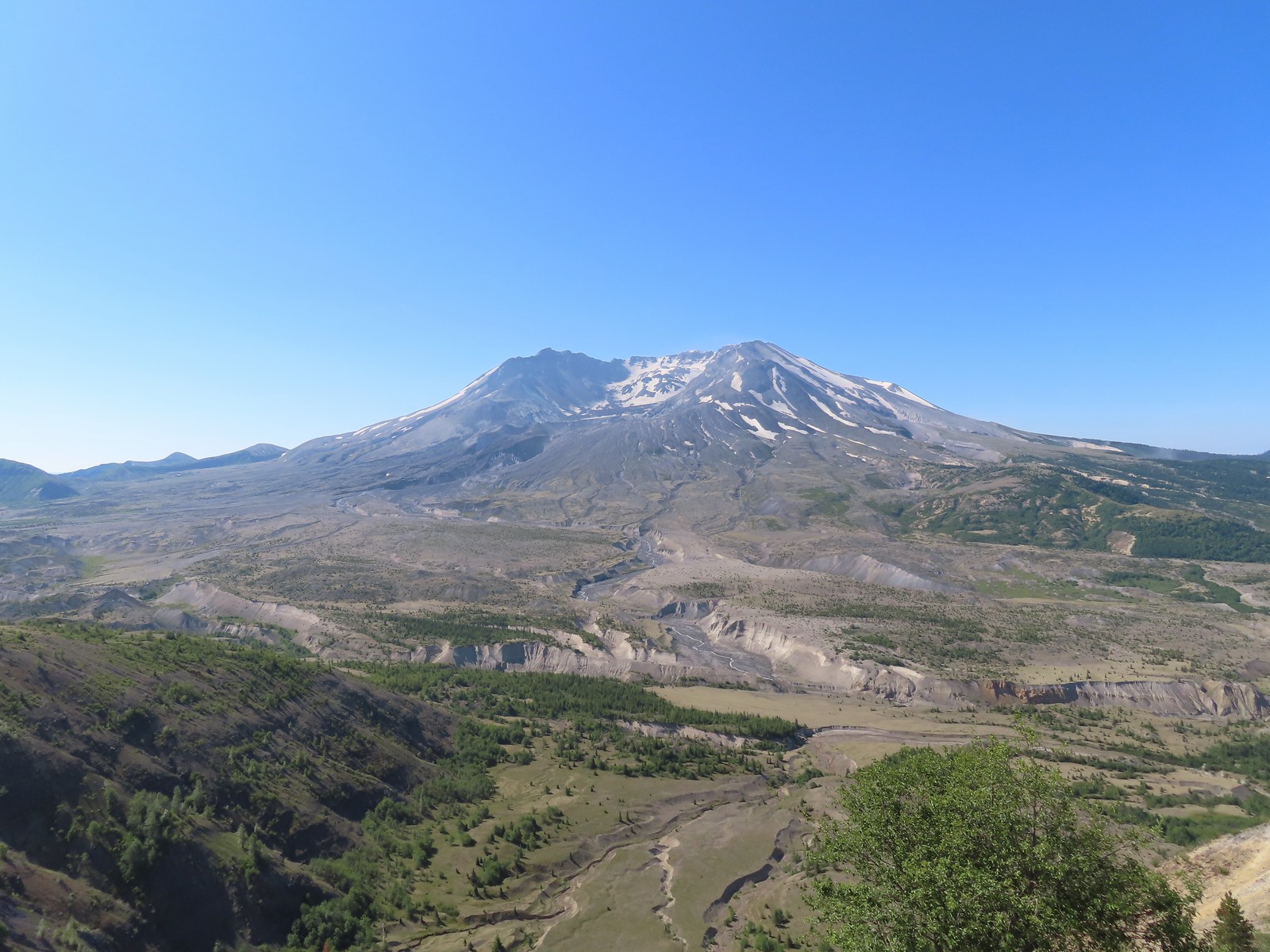
 Mt. St. Helens as we neared the Boundary Trail junction.
 Trail guide marker #3 and an interpretive sign at the junction.
We turned left onto the Boundary Trail which began as a level path passing by more hummocks.
 The lower left map shows the current closure area and open trails. In a nutshell, all the trails are open but everything off-trail to the side facing SR504 is currently closed.
 The views of Mt. St. Helens were great.
 The trail began to climb as it squeezed between a gap in the hillsides ahead.
 View back to the hummocks from the gap.
 Trees in the gap.
 After exiting the gap we got another good view of the mountain before the trail veered left turning away from the mountain.
After another short level stretch the trail began to climb in earnest. While the climb never felt very steep the trail netted 1400′ of elevation gain over the next 3 miles to reach the parking lot at Johnston Ridge.
 Heading away from Mt. St. Helens to start the climb.
 Dwarf lupine was profuse below the ridge.
 Scouler’s bluebell

 Thimbleberry blossoms
 Castle Peak above Castle Lake with Spud Mountain to the right and the North Fork Toutle River below.
 Horned lark
 Tiger lily
 Savannah sparrow
 Heading back toward Mt. St. Helens.
 The North Fork Toutle River flowing between Spud Mountain (left) and Elk Rock (right).
 Castle Peak and Castle Lake
 Elk Rock on the left and Coldwater Lake on the right.
 Coldwater Lake
 Mountain bluebird.

 At one point quite a bit of dust? kicked up from the South Fork Toutle River canyon.
The trail contoured along the hillside, occasionally entering a stand of trees or losing sight of the mountain behind a ridge.

 Cardwell’s penstemon


A little over 2 3/4-miles from the Hummocks-Boundary Trail junction we came to a viewpoint at a ridge end where we could see Coldwater Peak and the top of Mt. Adams.
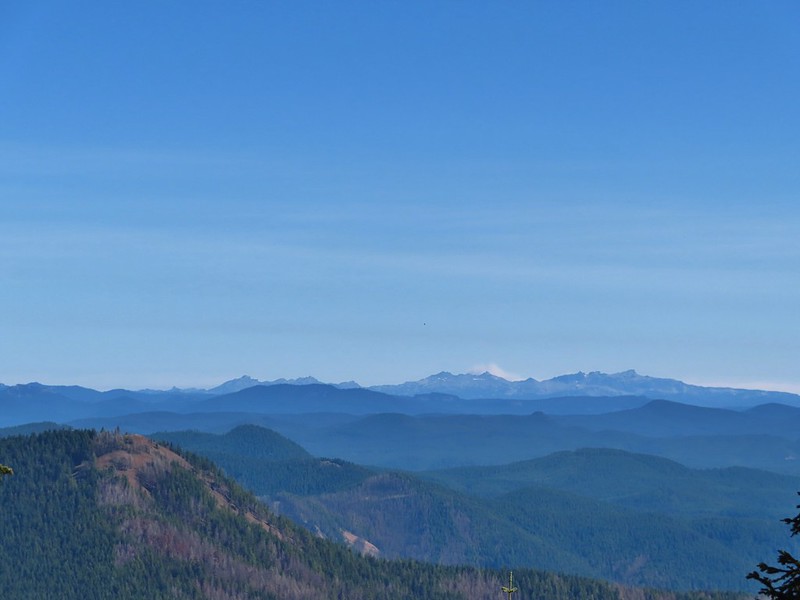
 Coldwater Peak with Mt. Adams to the far right of the photo. The hiker ahead to the left of Coldwater Peak was from Belgium. He was here on work but using the weekends to explore the area. We would see him two more times, once from the observatory as he continued on the Boundary Trail and then as we were exiting the trailhead. He had done a loop using the Coldwater Trail (post) which by our calculations would have been at least 16-miles and that is assuming he didn’t detour to Coldwater Peak.
 Mt. Adams from the viewpoint on our way back. The angle of the Sun earlier caused the mountain to look pretty washed out.
 Mt. St. Helens from the viewpoint.
 Variable-leaf collomia
 The Loowit Viewpoint on the ridge ahead.
 Paintbrush covered hillside.
The Loowit Viewpoint is located along SR504. The Boundary Trail passes by the viewpoint 3/4 of a mile from the Johnston Ridge Observatory.
 Mt. St. Helens from the Loowit Viewpoint.
 Mt. St. Helens crater.
As we continued on from the viewpoint we were under the watchful eye of some nosey locals.

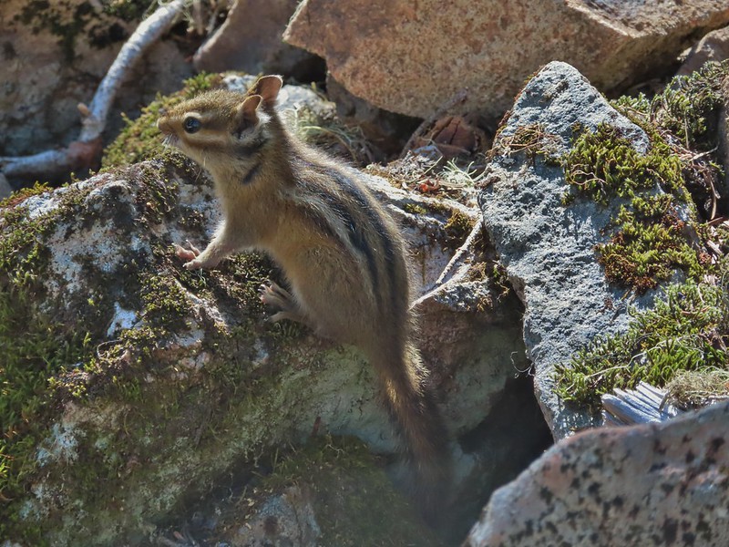
 Golden mantled-ground squirrel. These brazen con-artists often convince visitors they would starve without humans help. While this is definitely not the case and wildlife really shouldn’t be fed it happens all too frequently. (They are awfully cute though.)
The closer we came to the observatory the more paintbrush we began seeing.
 A single plant.
 A lot of paintbrush.


 Daisies and paintbrush
 Penstemon, yarrow, and Scouler’s woolyweed along with the paintbrush.
 Paintbrush and penstemon along the trail.
The Boundary Trail turns to a paved path across from the parking lot for the observatory following the parking entrance road for approximately 450′.


 Passing by the Johnston Ridge Observatory.

 Before and after photos of the 1980 eruption.
We followed the Eruption Trail uphill to a mountain identifier then down the other side to rejoin the Boundary Trail.

 Mt. Adams peaking over the ridges with Spirit Lake also visible (center).
 Spirit Lake
 The mountain identifier ahead on the left.

 We could see where the repair work was happening on SR504 from this trail.
 The rounded peak to the right is Goat Mountain (post).
 Goat Mountain with a few patches of snow still showing up.
 Rock Arch near Coldwater Peak.
 Memorial for the lives lost in the 1980 eruption.
 Junction with the Boundary Trail.
The views and flowers were so nice that we decided to continue on the Boundary Trail for a bit. The trail had been slowly losing elevation and after a little over a half mile neared a saddle where more elevation would have been lost. We decided to turn around there since shortly after climbing up from the saddle on the far side the trail would lose sight of Mt. St. Helens as it passed behind the ridge for a bit.

 Pussypaws


 Another view of the washout.


 Our turn around spot. You can see the trail on far side of the saddle veering left behind the ridge.
 Coldwater Peak from our turnaround spot.
We headed back to the Hummocks Trail, sticking to the Boundary Trail the entire way.
 The Johnston Ridge Observatory from the trail. We hadn’t realized how much elevation we’d lost until we turned around.
 Castle Peak and Spud Mountain on the left and the observatory above some colorful cliffs.

 Penstemon
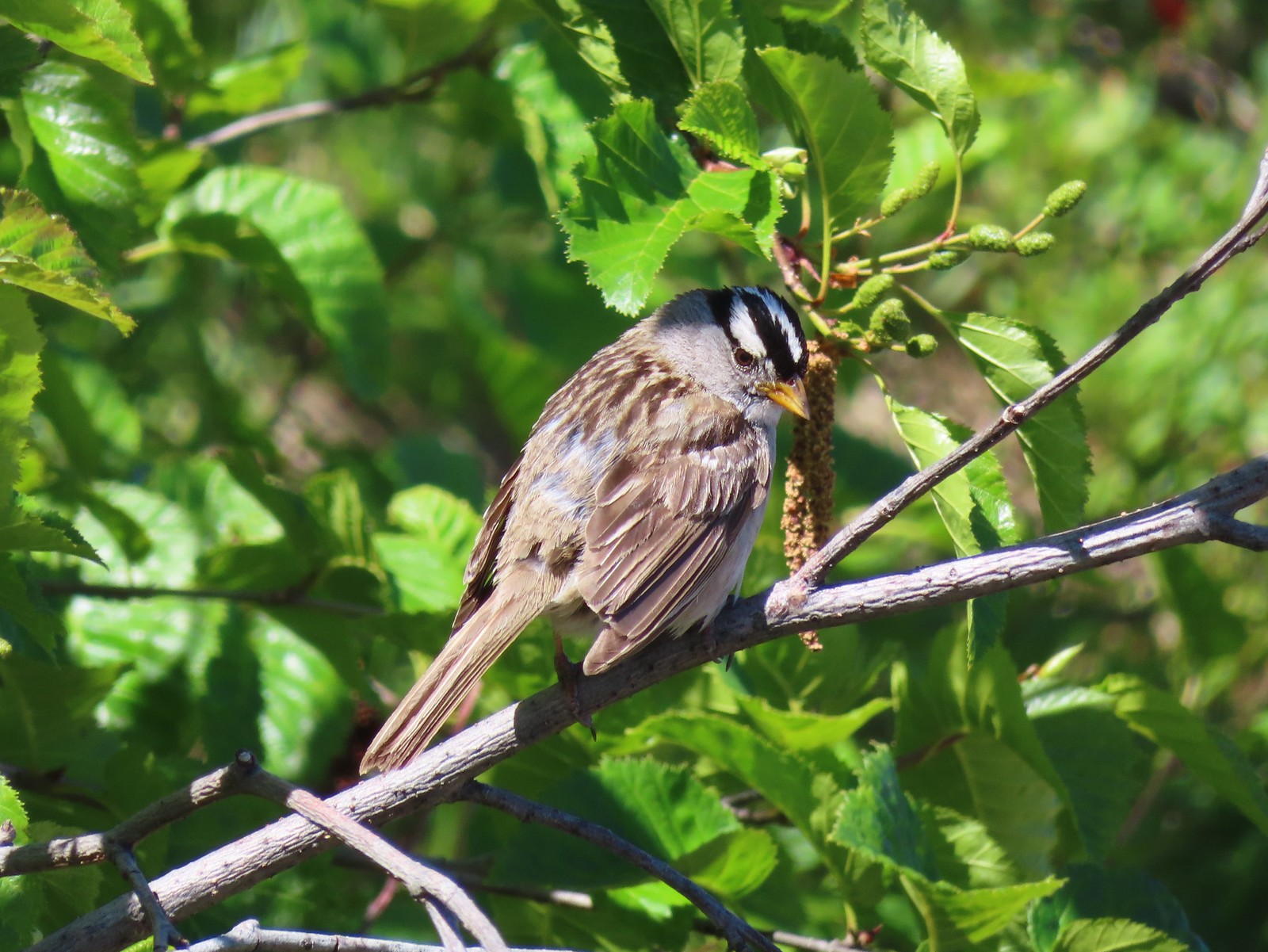 White crowned sparrow
 Boundary Trail leaving the Loowit Viewpoint.
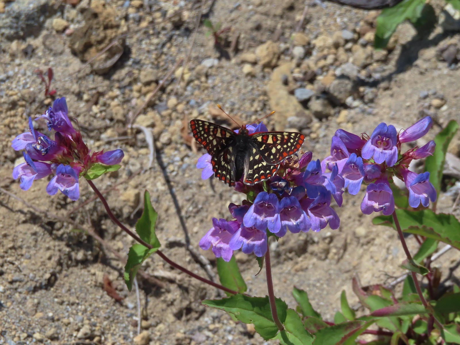 Snowberry checkerspot on penstemon.

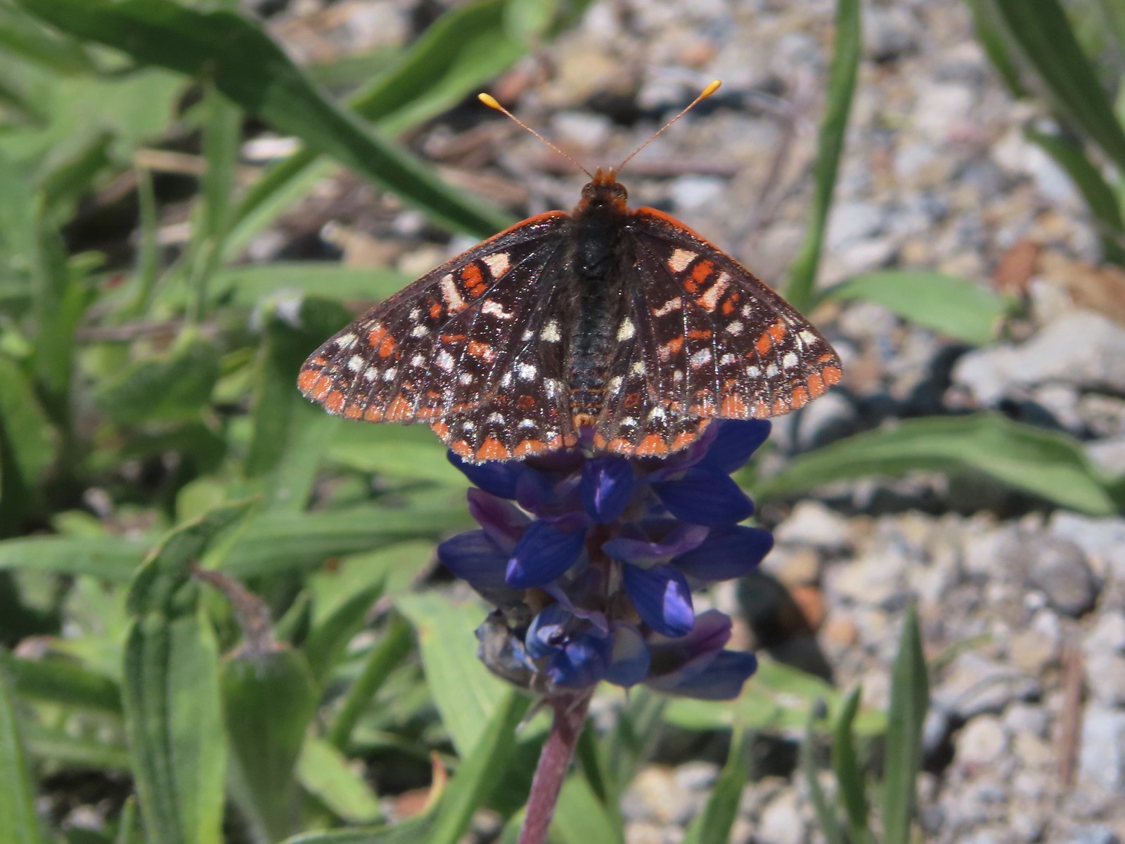 Another checkerspot, this time on lupine.

 Cedar waxwings
When we arrived back at the Hummocks Trail we turned left to finish that loop.


 Mt. St. Helens and the North Fork Toutle River.
Between it having been 9 years since we’d hiked this trail and the difference in the time of year the scenery was very different.

 The same view in May 2014.

 Same spot, different angle 2014.
 Monkeyflower
 Maybe a yellow-rumped warbler.
 Caterpillar

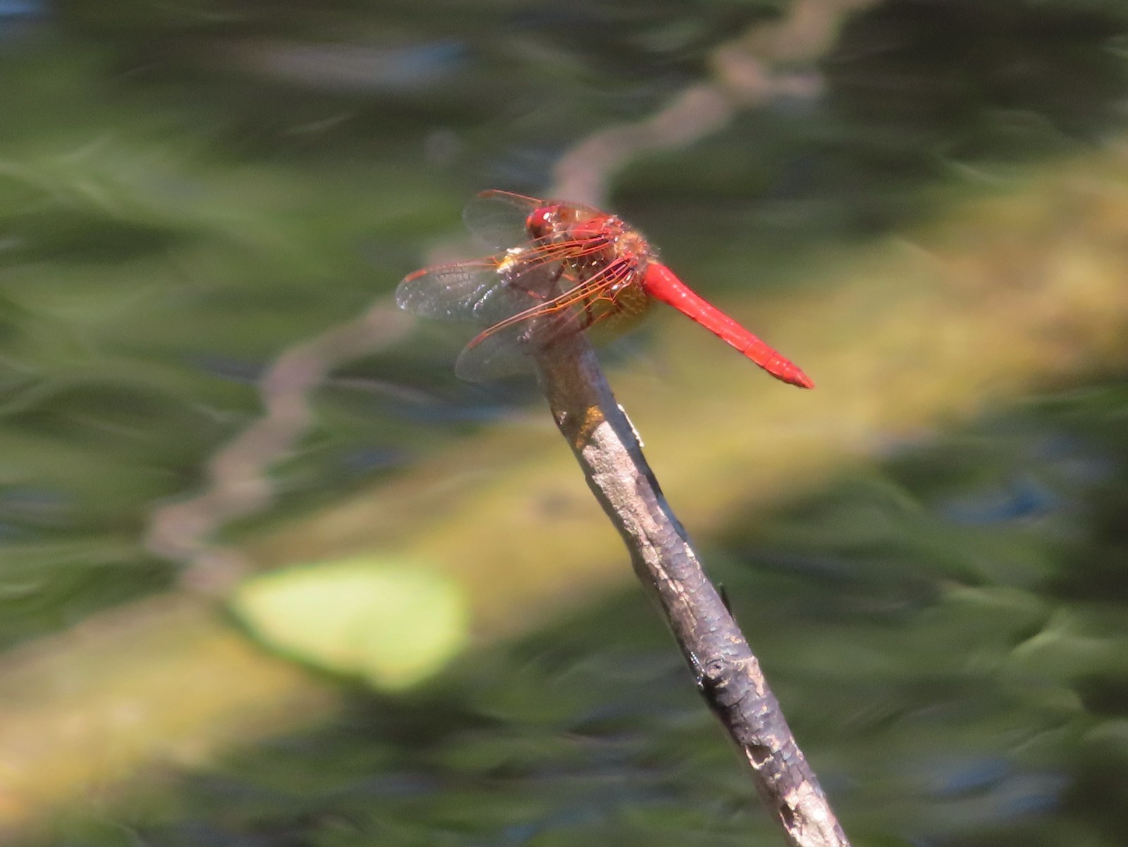 Dragonfly
 Pearly everlasting
 Arriving back at the Hummocks Trailhead.
The hike came in at 12.5 miles with just under 2000′ of cumulative elevation gain.

This turned out to be the perfect day for this hike. The weather was pleasant, the views and flowers great, and the road closure provided solitude at the observatory. In addition to the Belgian hiker we passed a couple near the small viewpoint on the way to the observatory. We passed a few more people on the way back but nearly half of those were volunteers with the Mt. St. Helens Institute. The only thing that the hike lacked was any larger wildlife. It was one of the only hikes we could recall at the mountain where we didn’t see at least one deer, elk or mountain goat. Maybe next time. Until then Happy Trails!
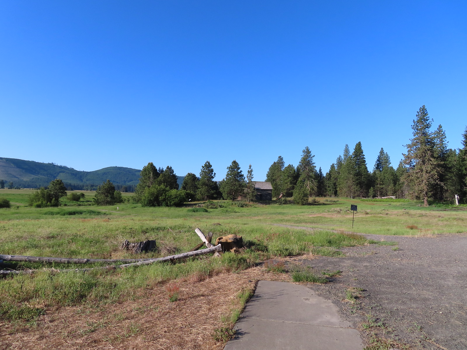
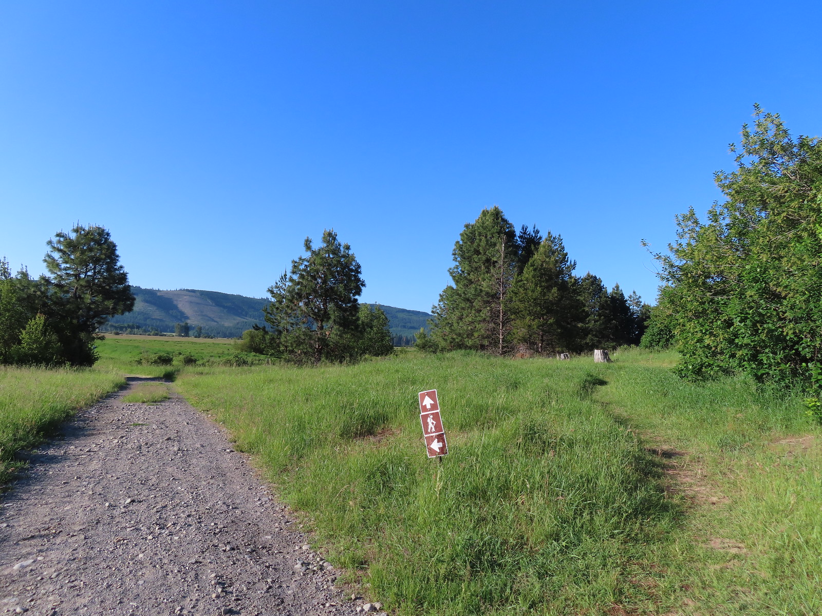 The path to the cabin on the right.
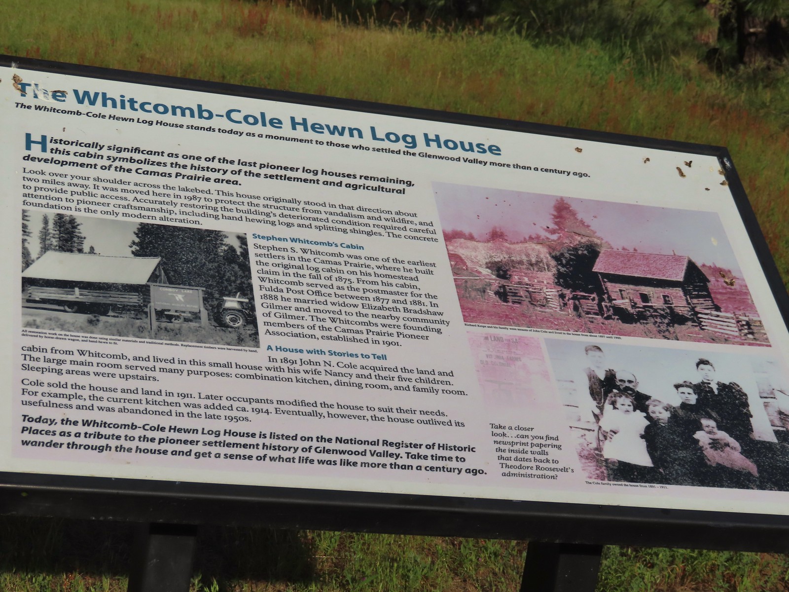 Built in 1875 the cabin was moved from its original location in 1987.

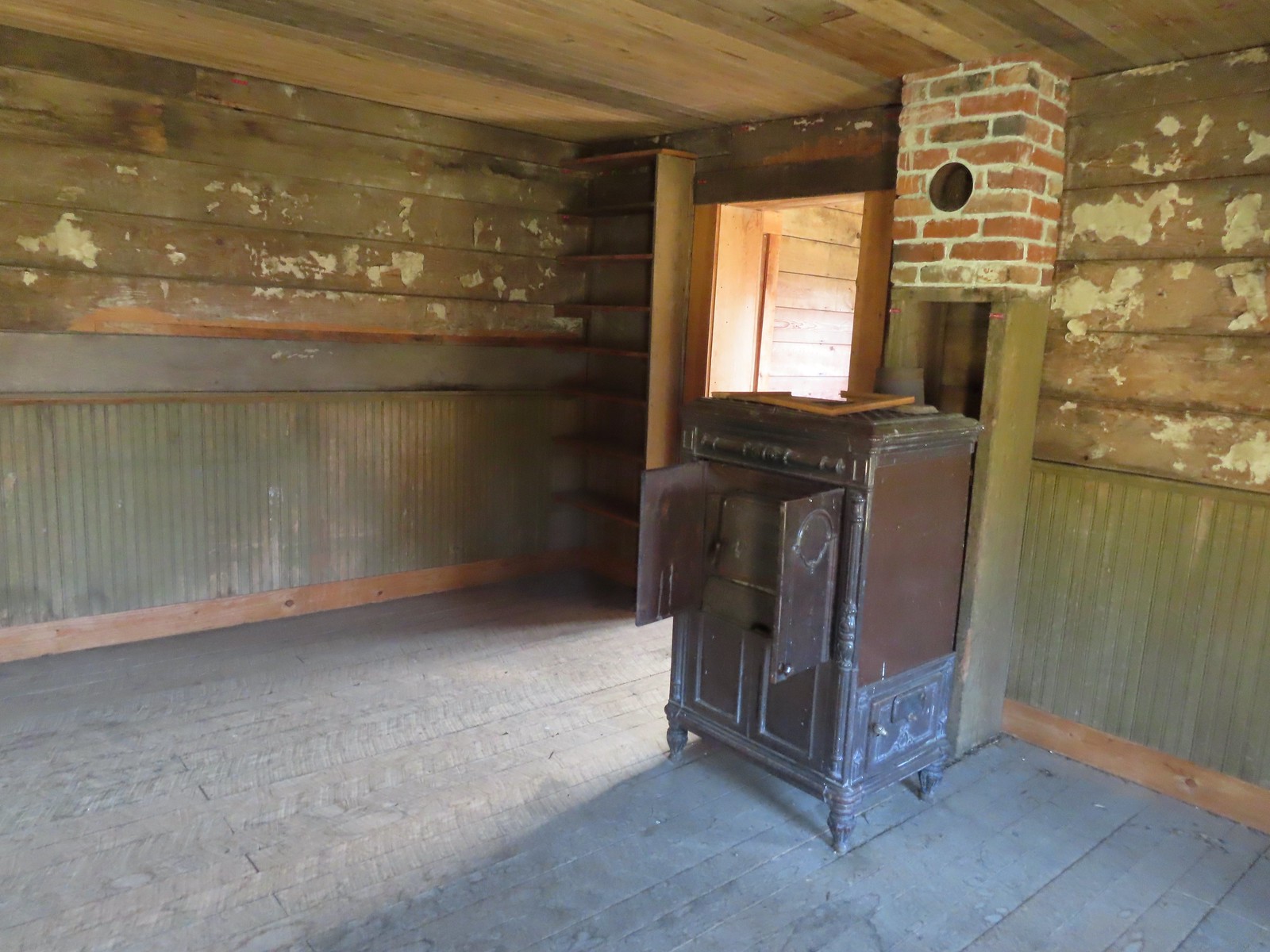
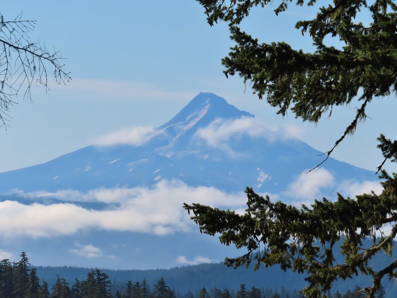
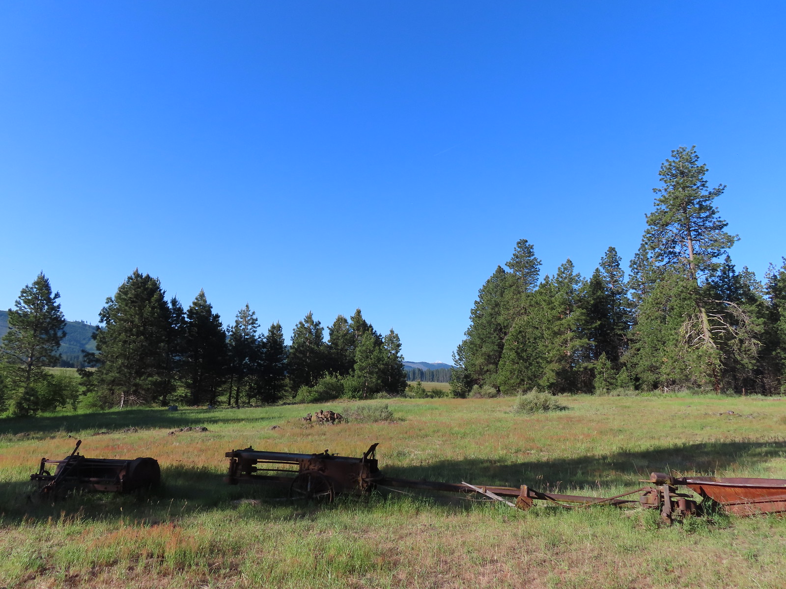 The snowy top of Mt. Hood from the cabin.

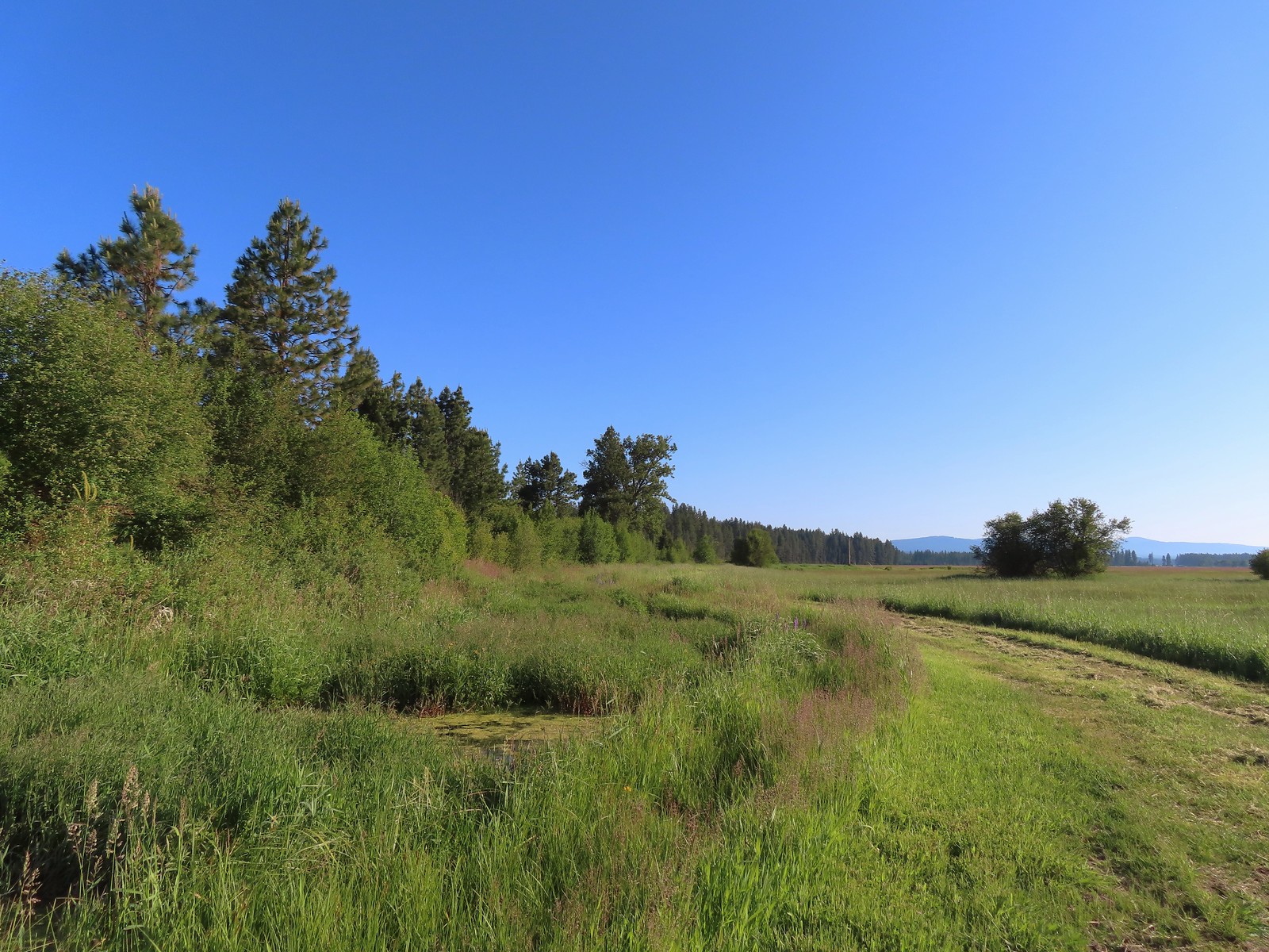
 There was a lot of monkeyflower in and along the ditch.
 Lupine along the ditch.
 Lazuli bunting
 Robin
Robin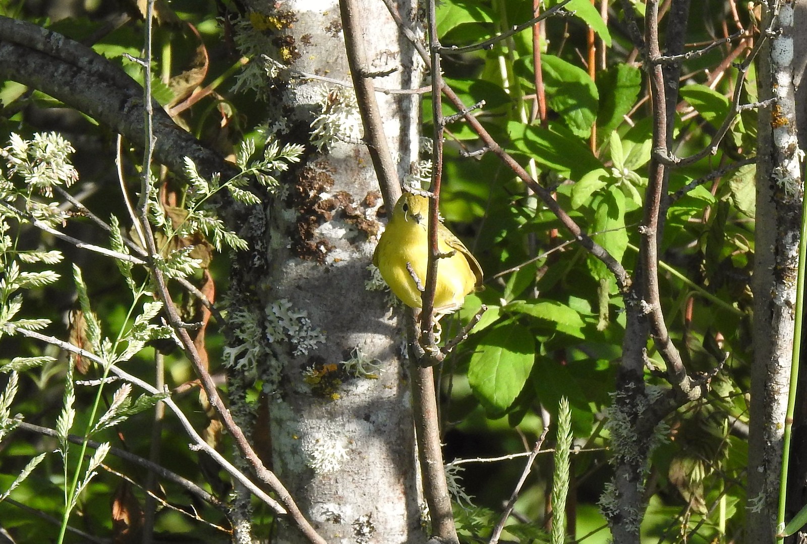 Yellow warbler (according to the Merlin app).
 Red-winged blackbird
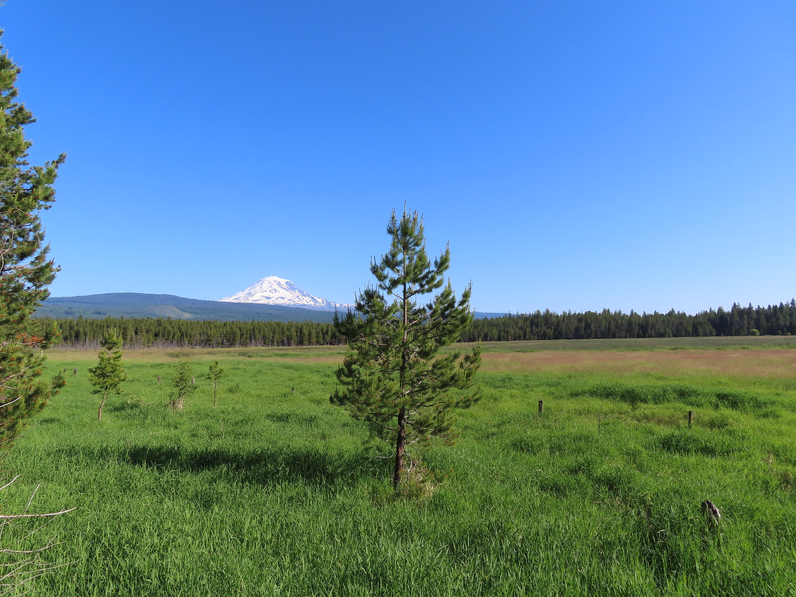
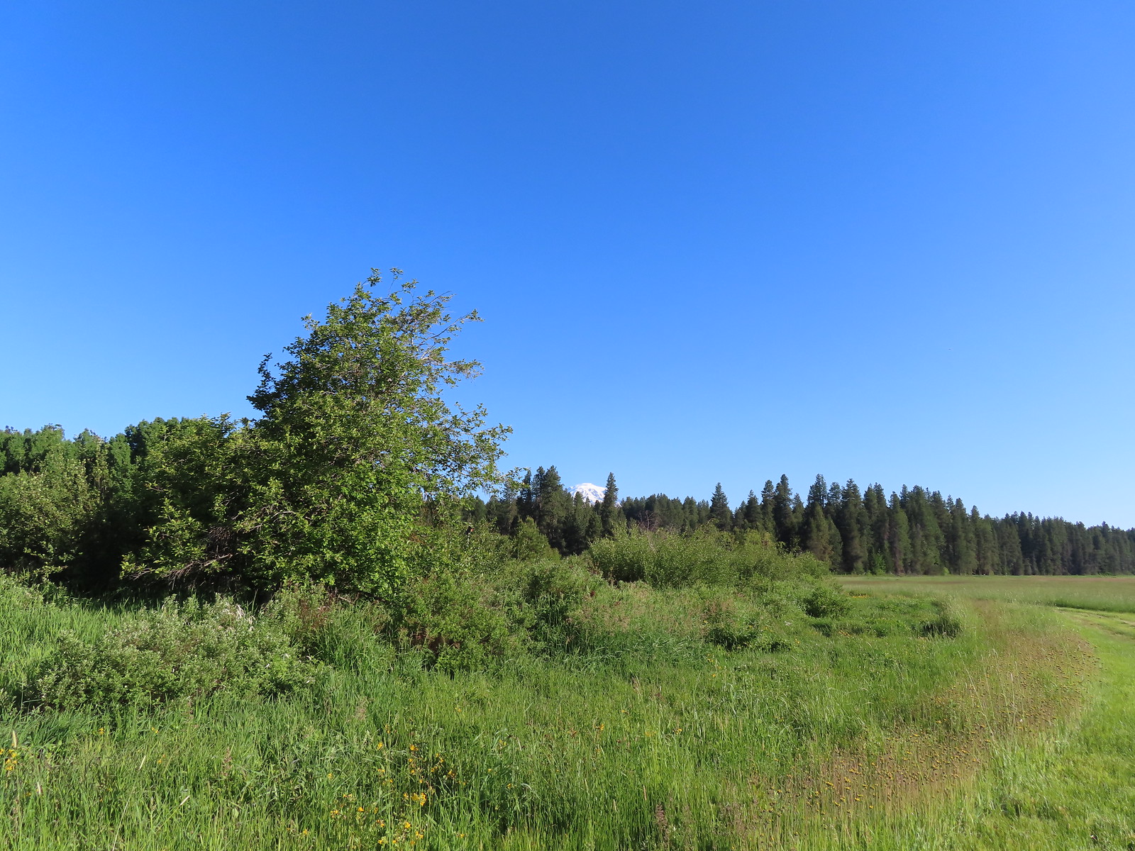 The top of Mt. Adams above the trees.

 Swallow
 Western bluebirds

 Honeysuckle
 Columbine
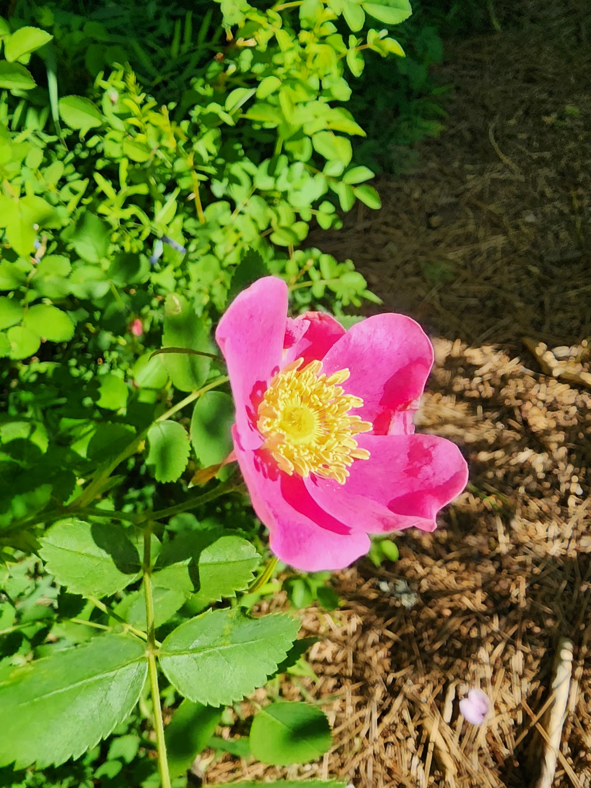 Rose
Rose



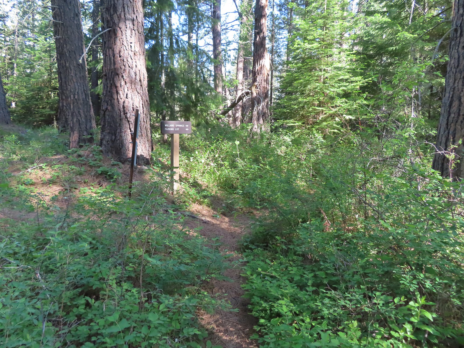
 Continuation of the Willard Springs Trail behind the sign.



 We hung around long enough that this warbling vireo came to check on us.


 Willard Sprins hidden in the vegetation. We could hear them better then we could see them.
 A healthy lupine near the springs.
 Cat’s ear lily
 Hitchhiker
 Lupine along the trail.
 Golden-mantled ground squirrel
 Swallowtail
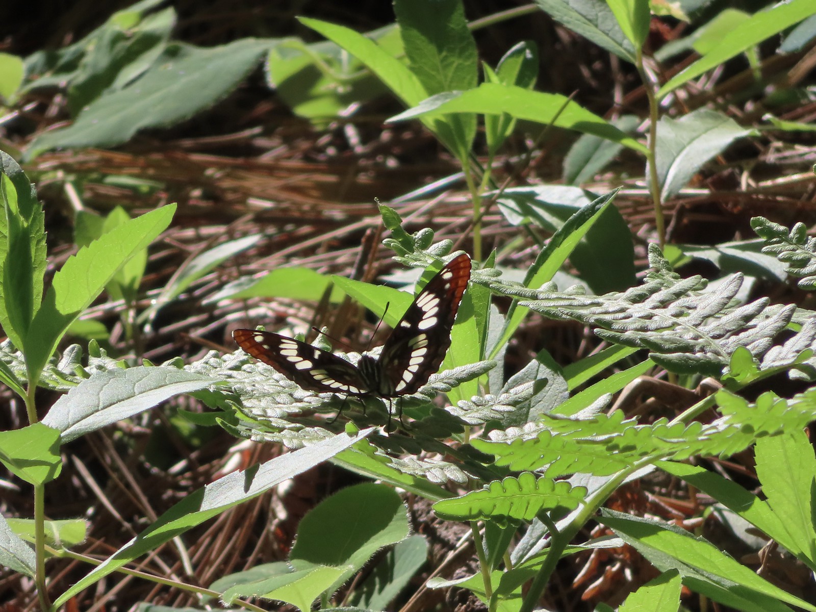 Lorquin’s admiral
 Arriving back at the refuge headquarters.
 Trail map at the trailhead.


 There were lots of phantom orchids blooming along the lower sections of the hike.
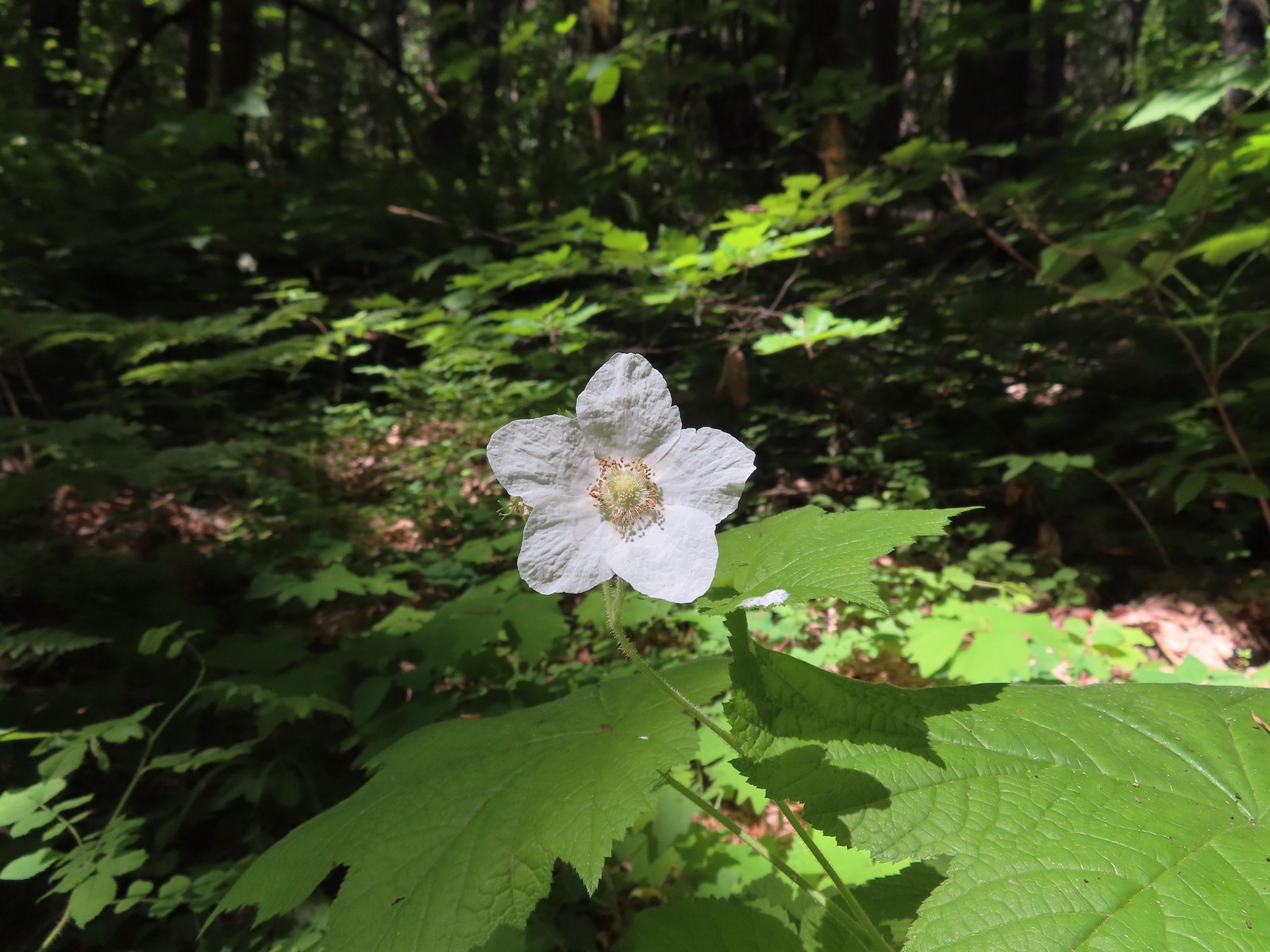 Thimbleberry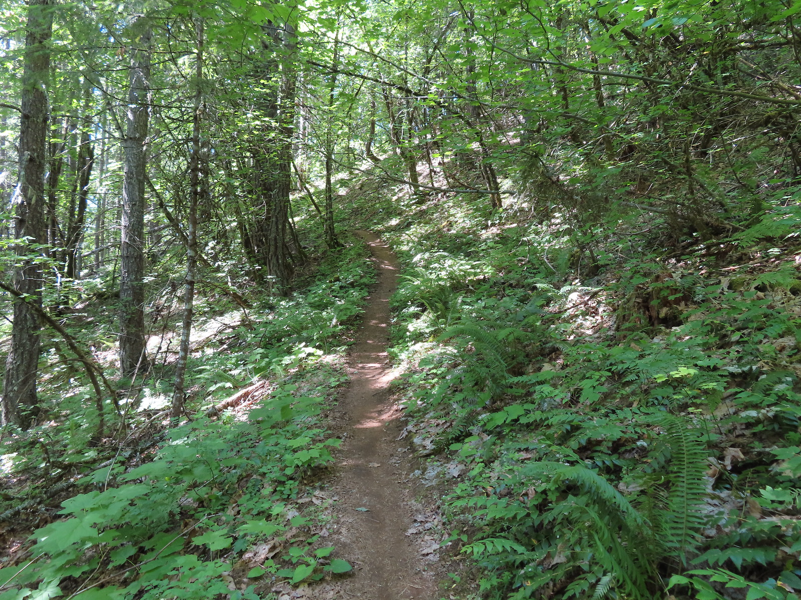
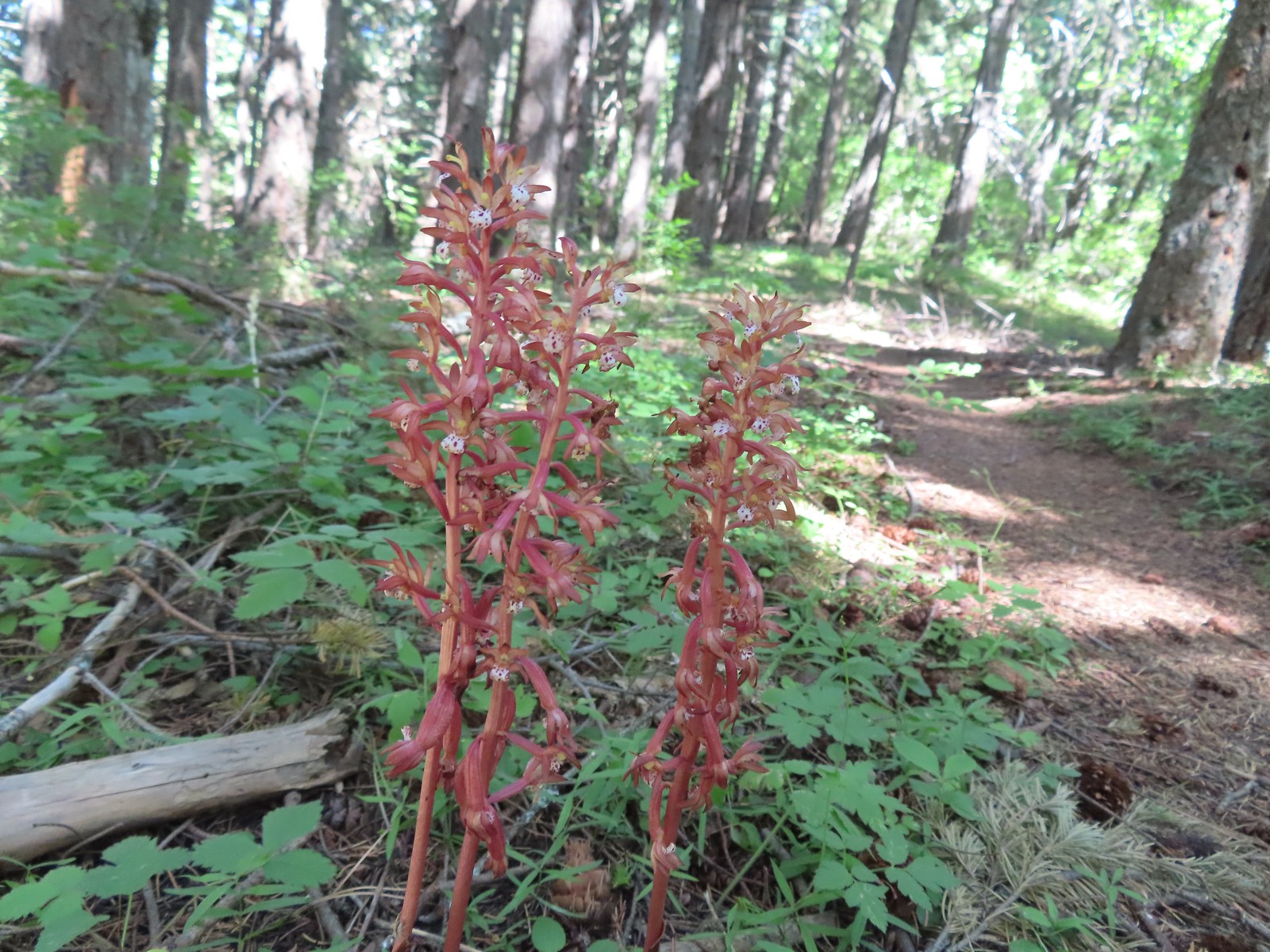 Spotted coralroot was also plentiful.
 Wallflower


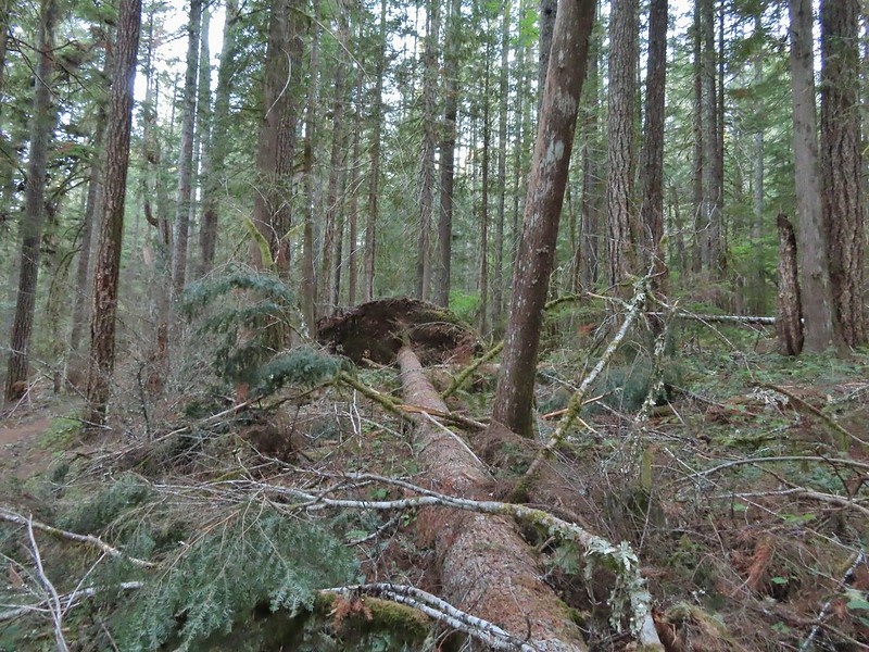
 One of only two trees that were down over the trail, both were easily manageable.
 The one small stream crossing.
 There was enough sunlight getting through to really heat up the trail.
 While there wasn’t much there we did occasionally see poison oak throughout most of the lower 2/3rds of the hike.
 Sign above the switchbacks warning mountain bikers that they were ahead.
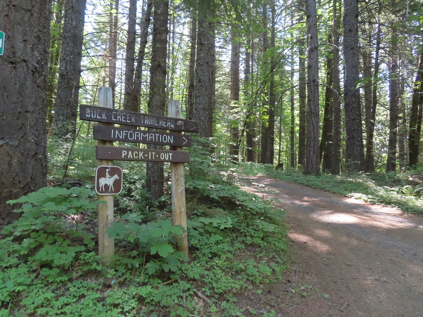
 Buck Creek Trail to the left near the roads end.
 More spotted coralroot.

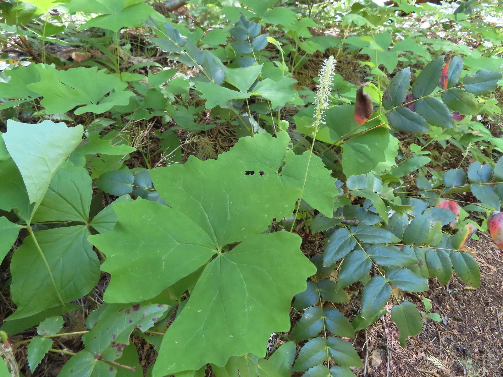 Vanilla leaf
 Queen’s cup
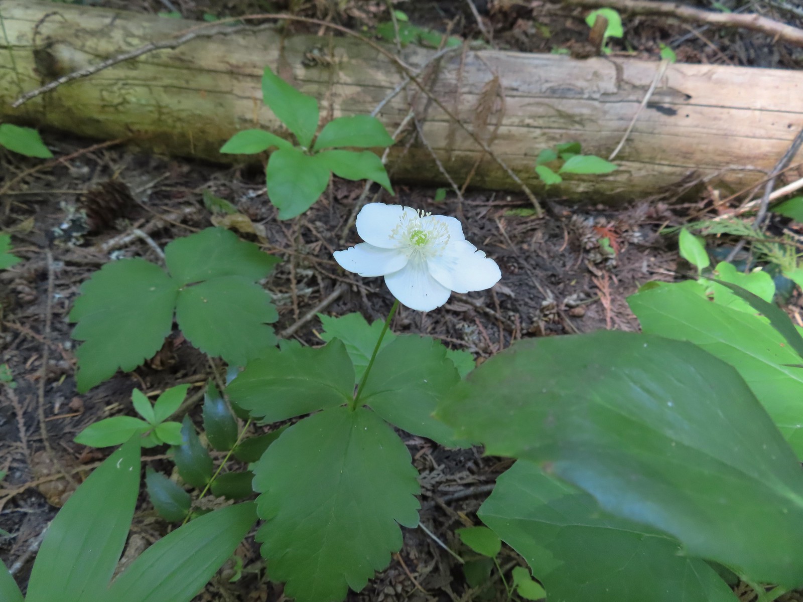 Anemone
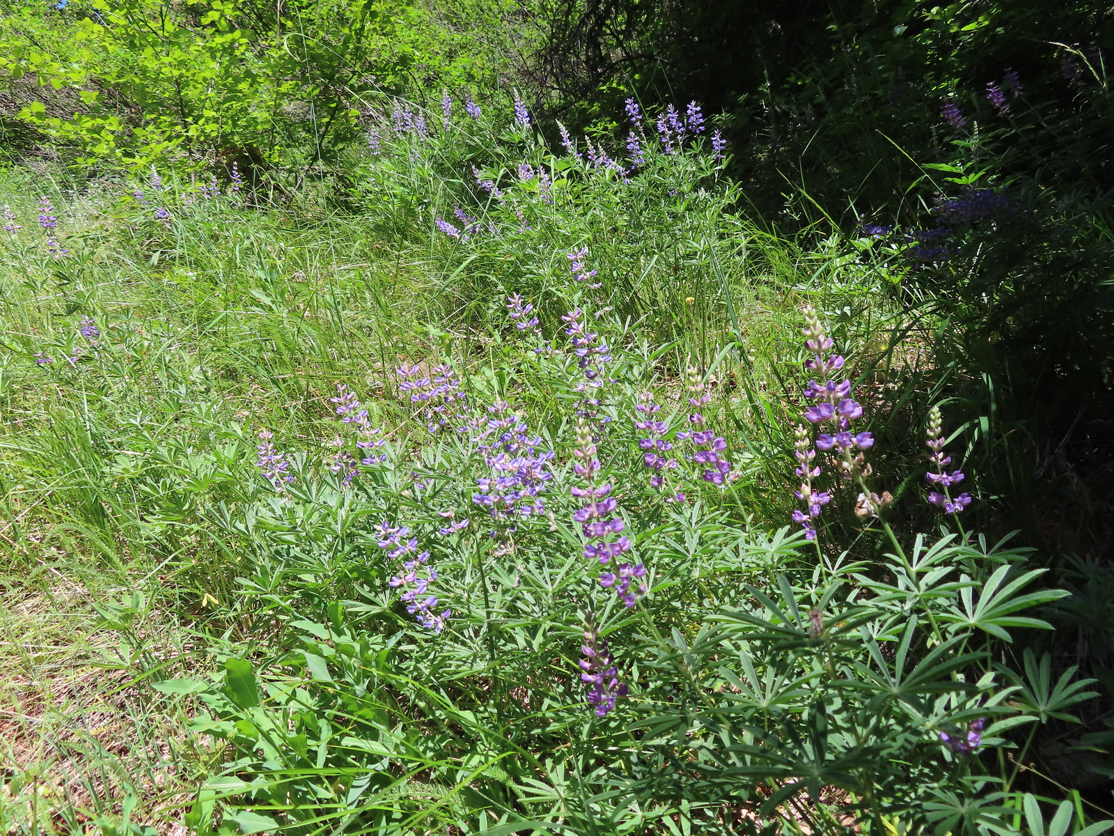 Lupine
 Mt. Hood from the Buck Creek Trail.
 Mt. Hood
 Cedar hairstreak on yarrow.
 Paintbrush, lupine, penstemon, and balsamroot.
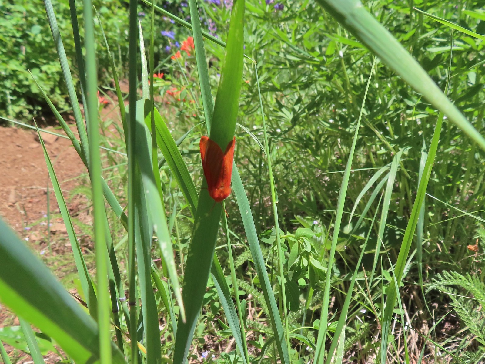 Moth
Moth Penstemon
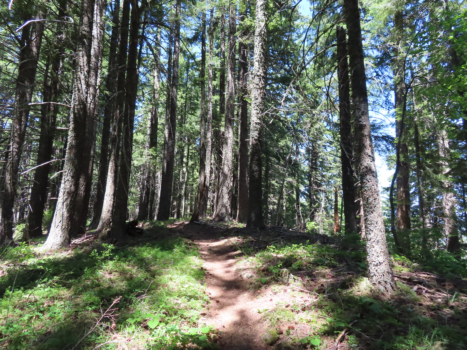 Gaining the ridge.
 Paintbrush
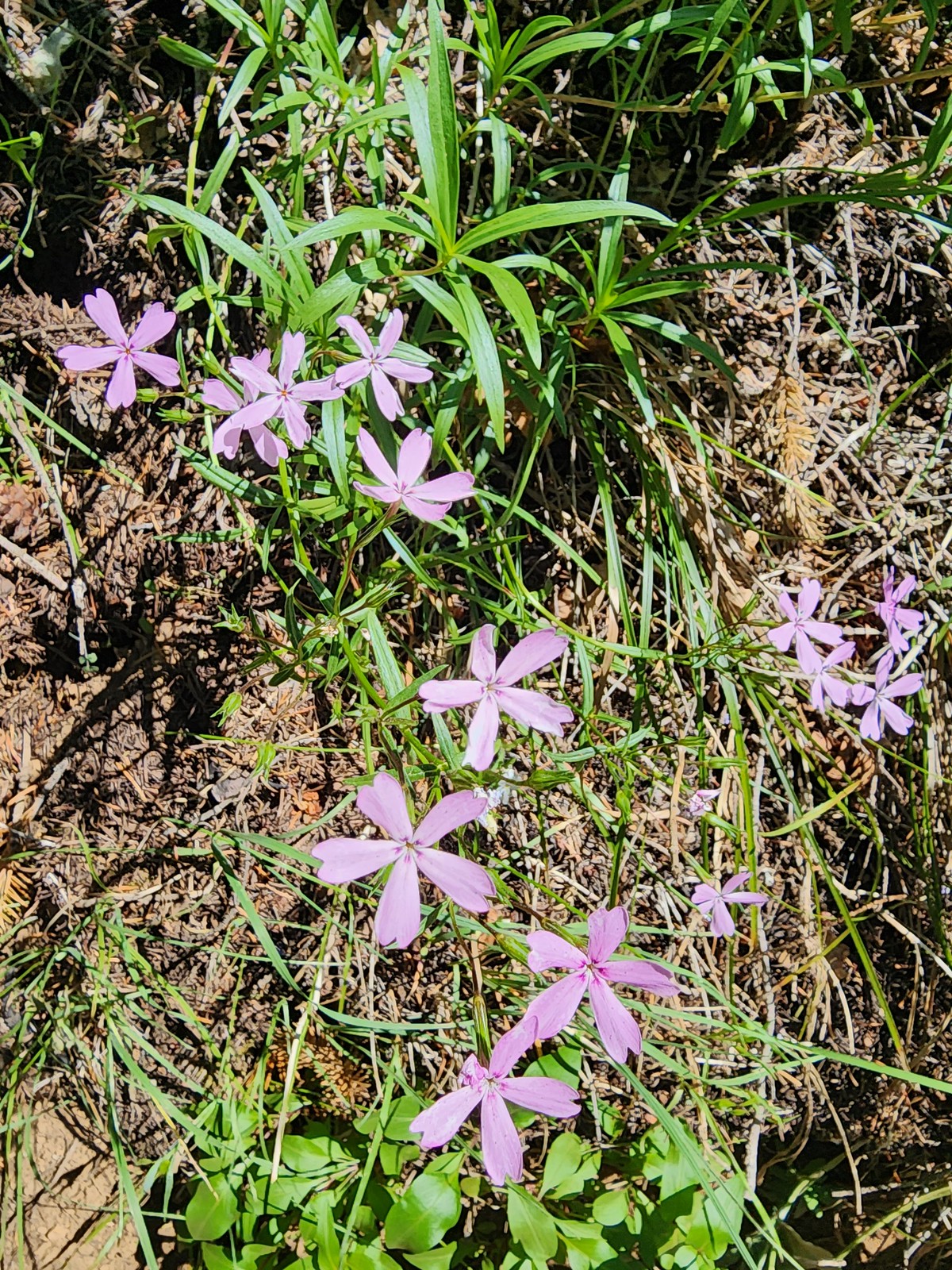 Showy phlox
 Approaching the start of the final climb.
 Sub-alpine mariposa lily
 Showy phlox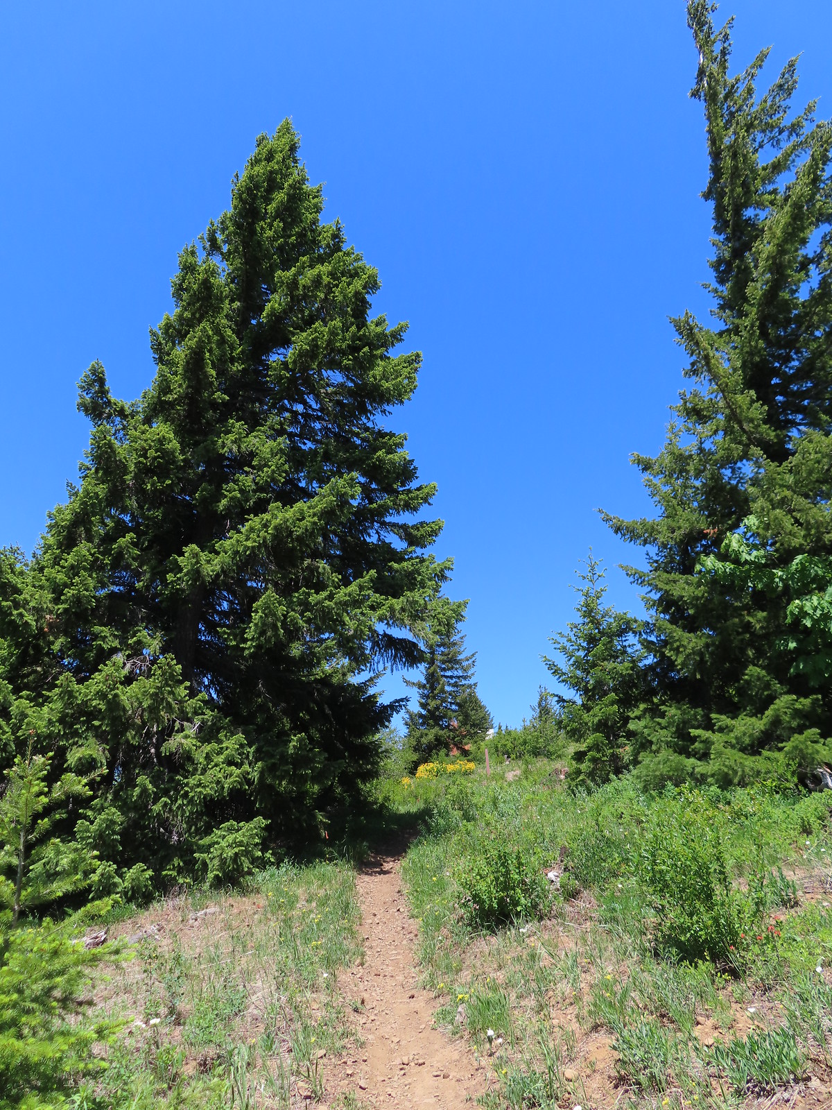
 Road N-1600.

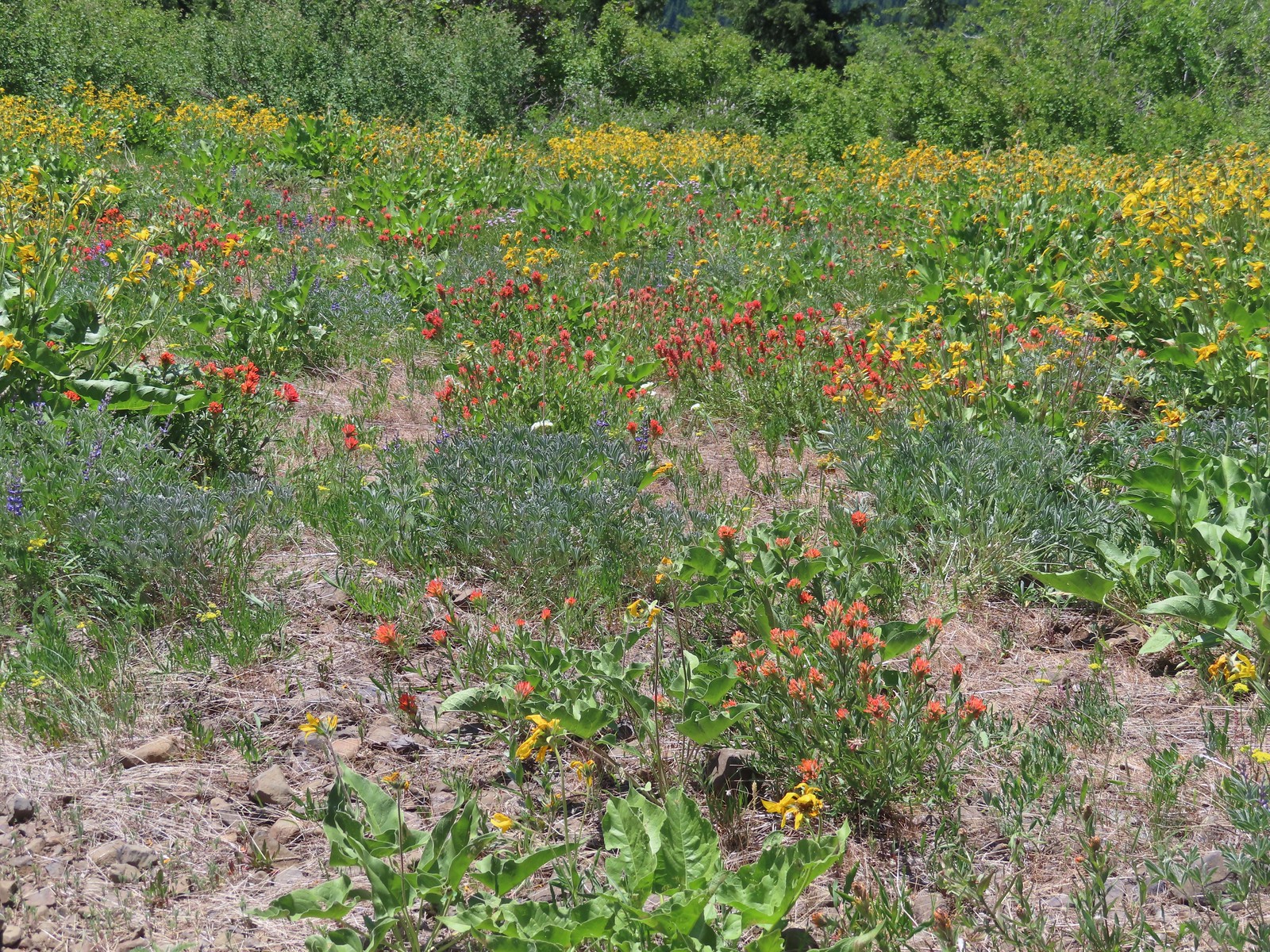
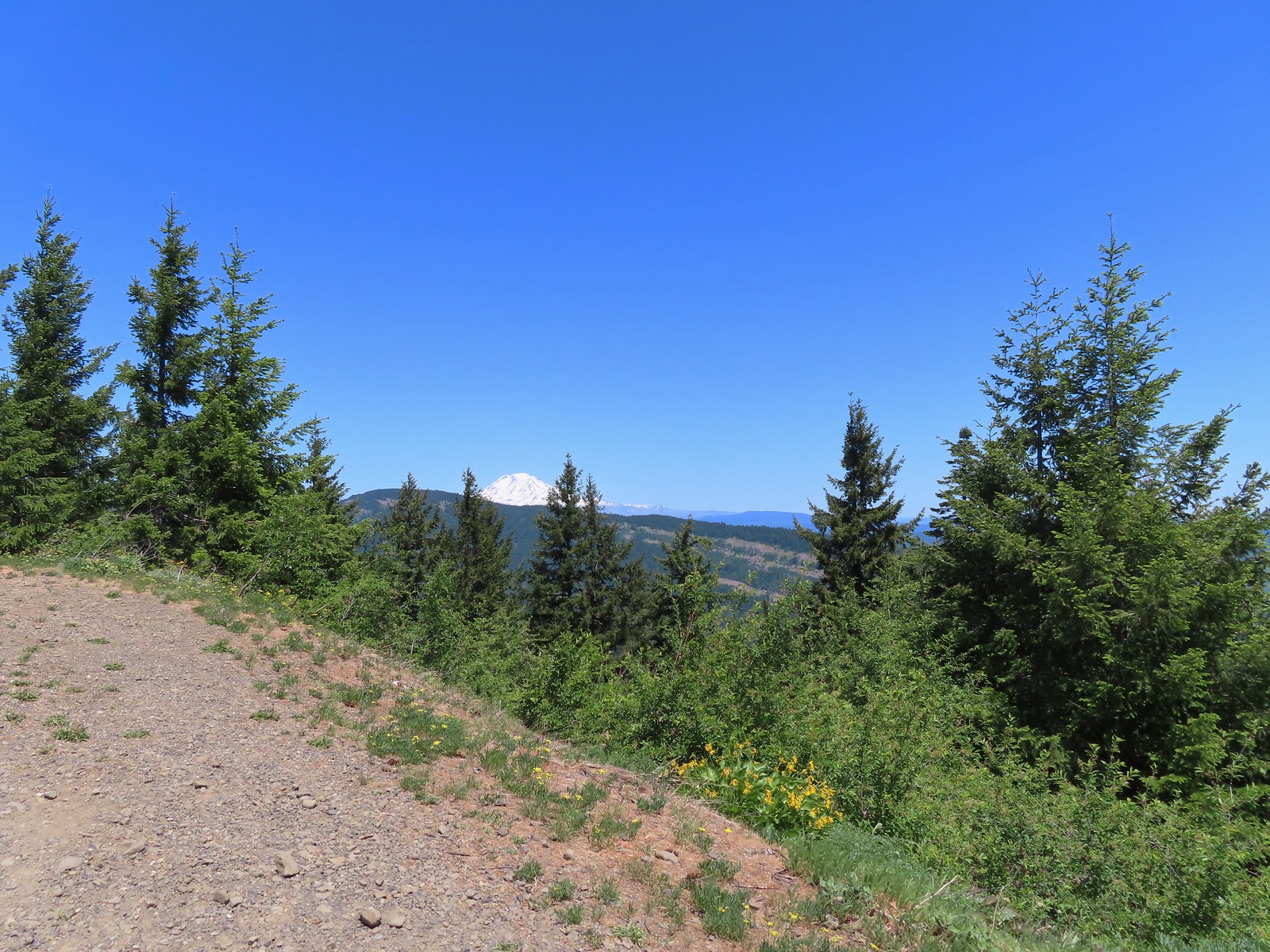
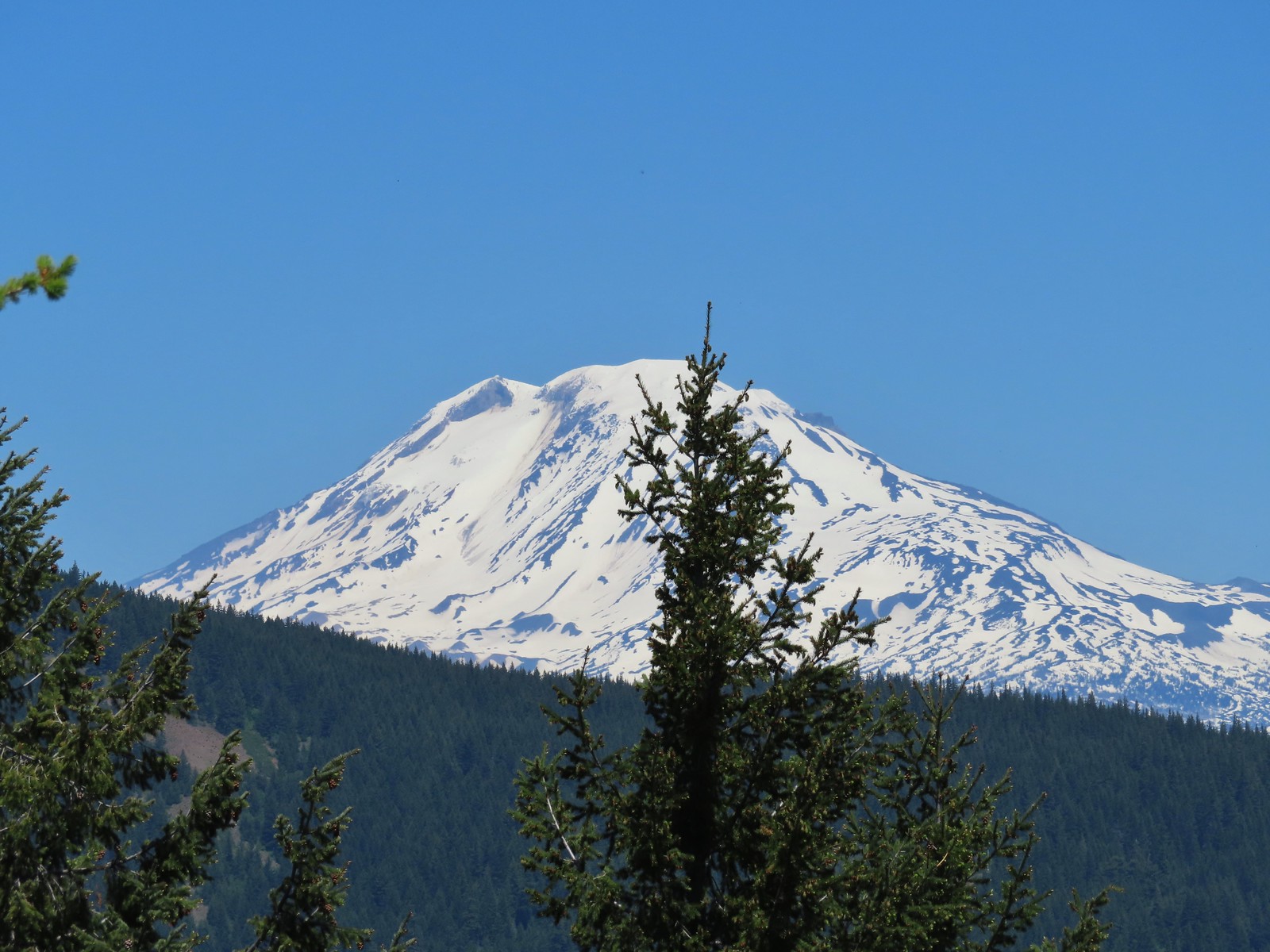

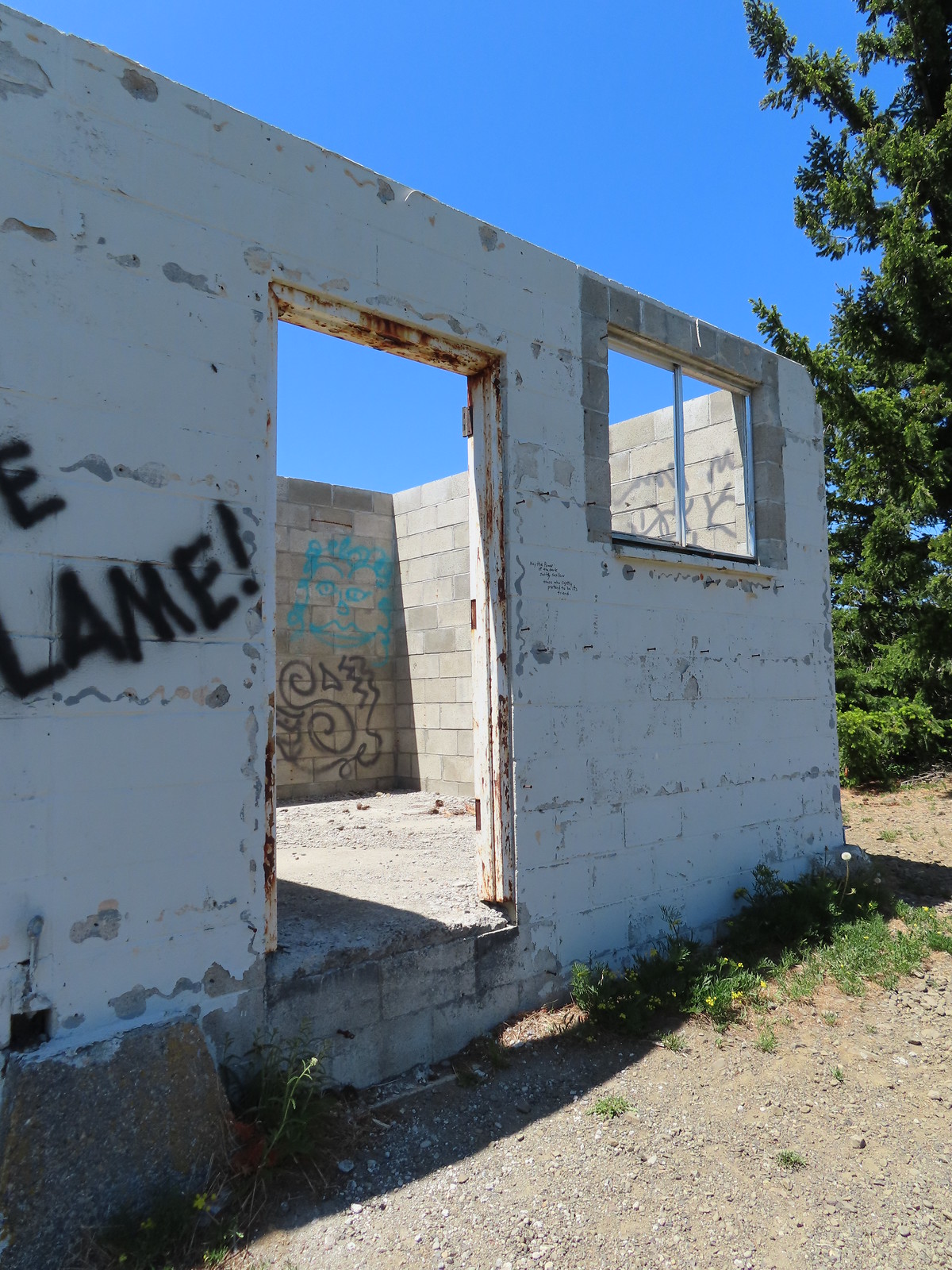 Unfortunate amount of graffiti on the old shed.
 Mt. Hood and balsamroot.
 Mt. Hood
 Oregon sunshine
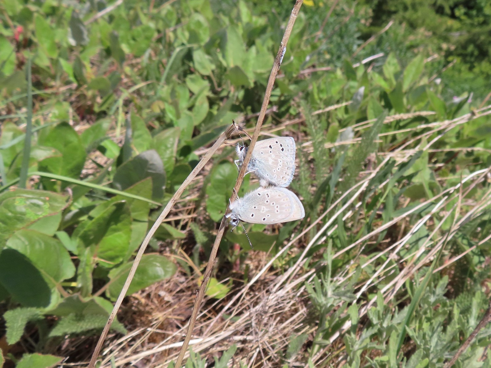 Boisduval blues
 Duskywing
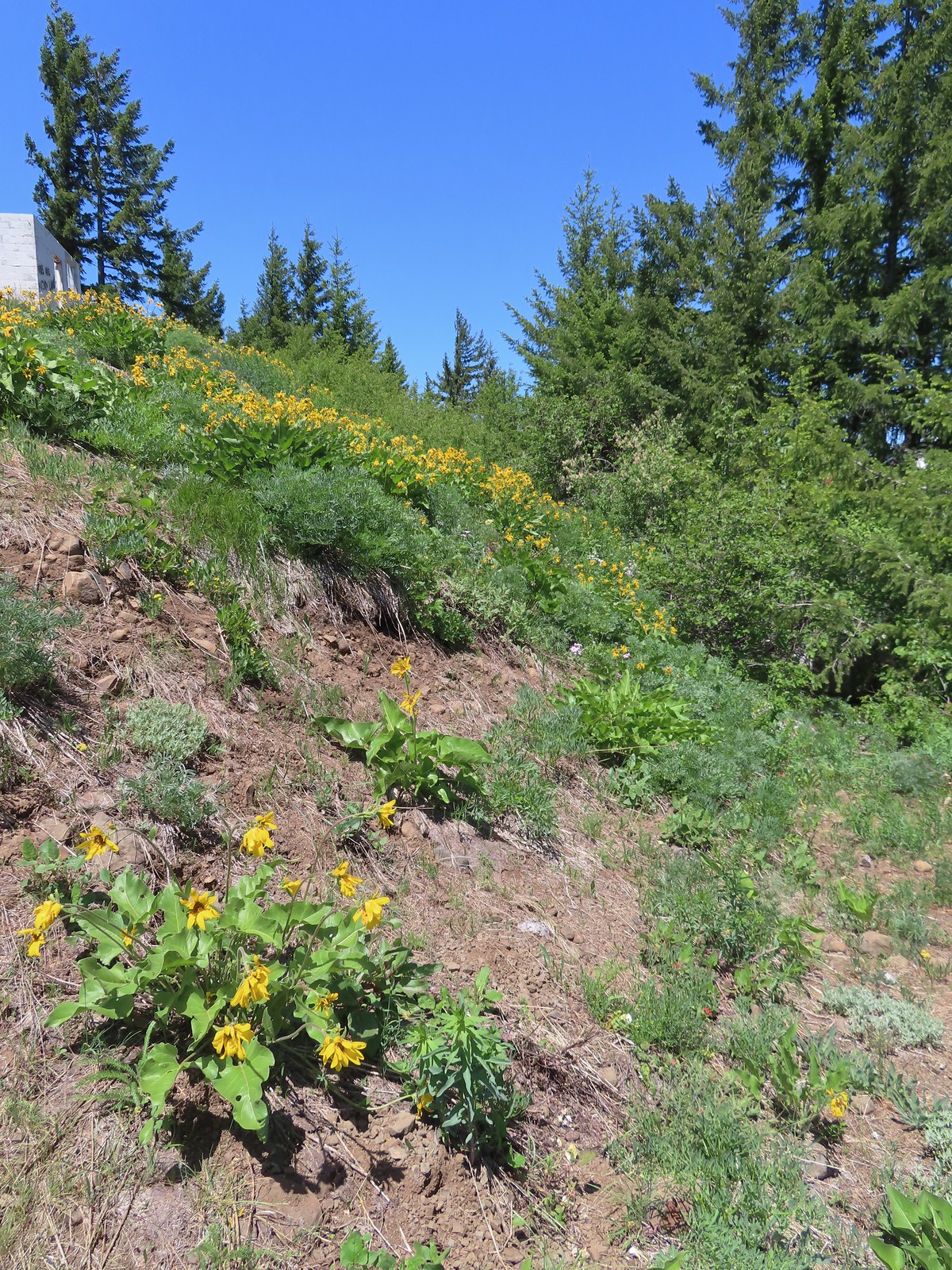 Balsamroot
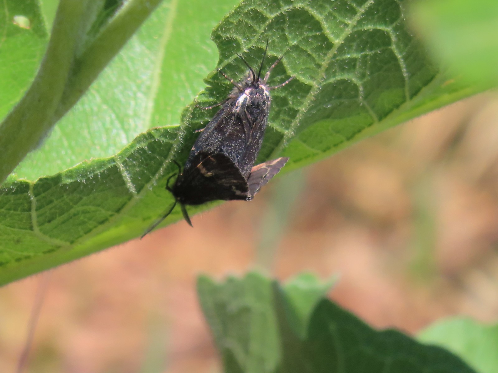 Moths
Moths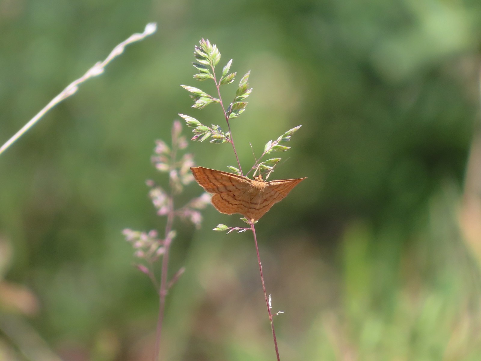 Moth
Moth Lupine
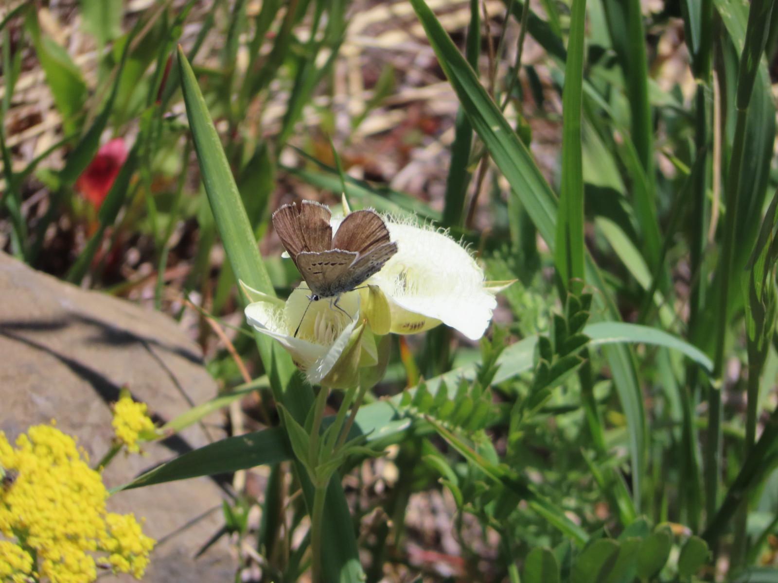 Butterfly on cat’s ear lily.
 Woodland stars
 Paintbrush
 Blue-head gilia
 Ookow
Ookow Winecup clarkia
 Mountain lady slipper

 The Mountain View Trail is named so because of the view of Mt. Hood, which on this morning was hiding behind the clouds on the left side of the photo.
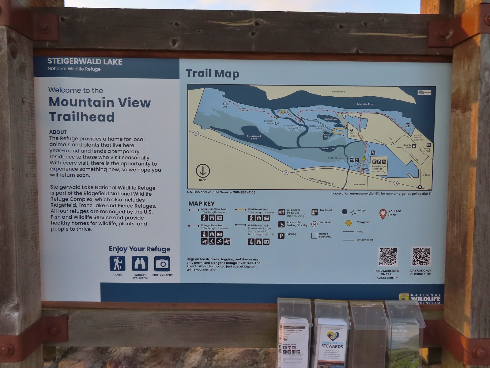 Map and information at the trailhead.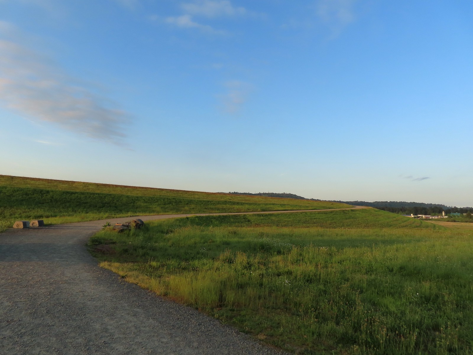
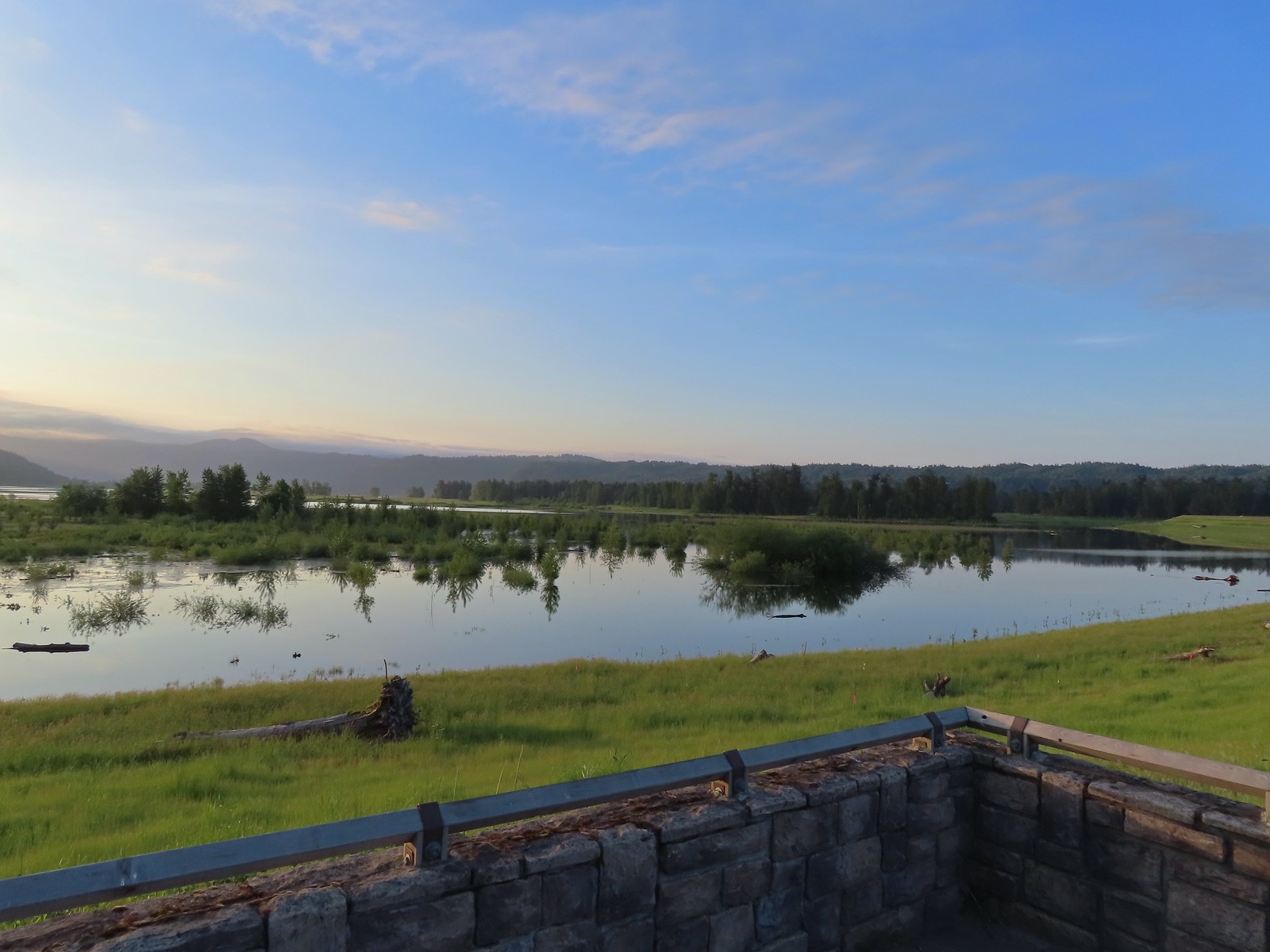 View to the East.
 Looking West toward Washougal.
 Mallards
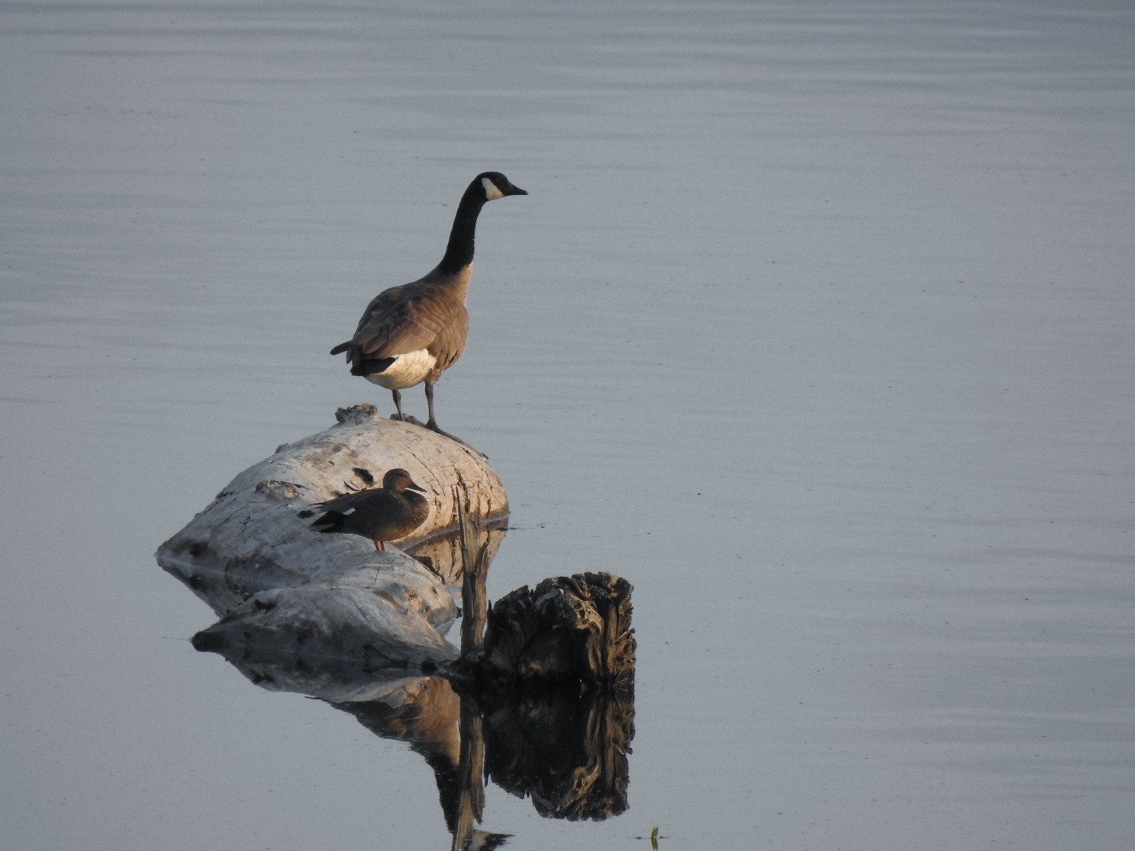 A duck and a goose sharing a log.
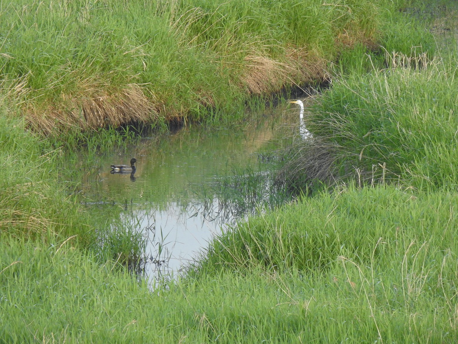 A mallard and an egret in a channel to the West.
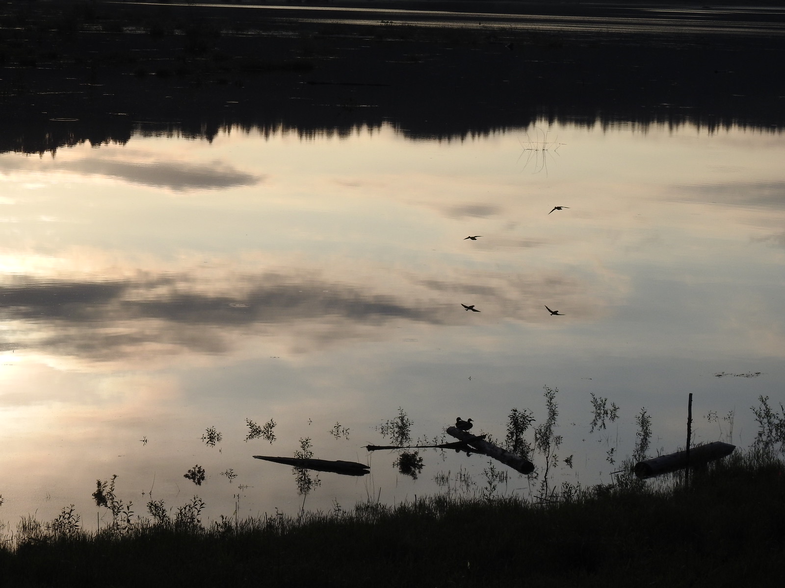 Ducks flying over the wetlands casting clear reflections.
 Water dripping from a mallards bill.
 One of several rabbits we spotted to the West.
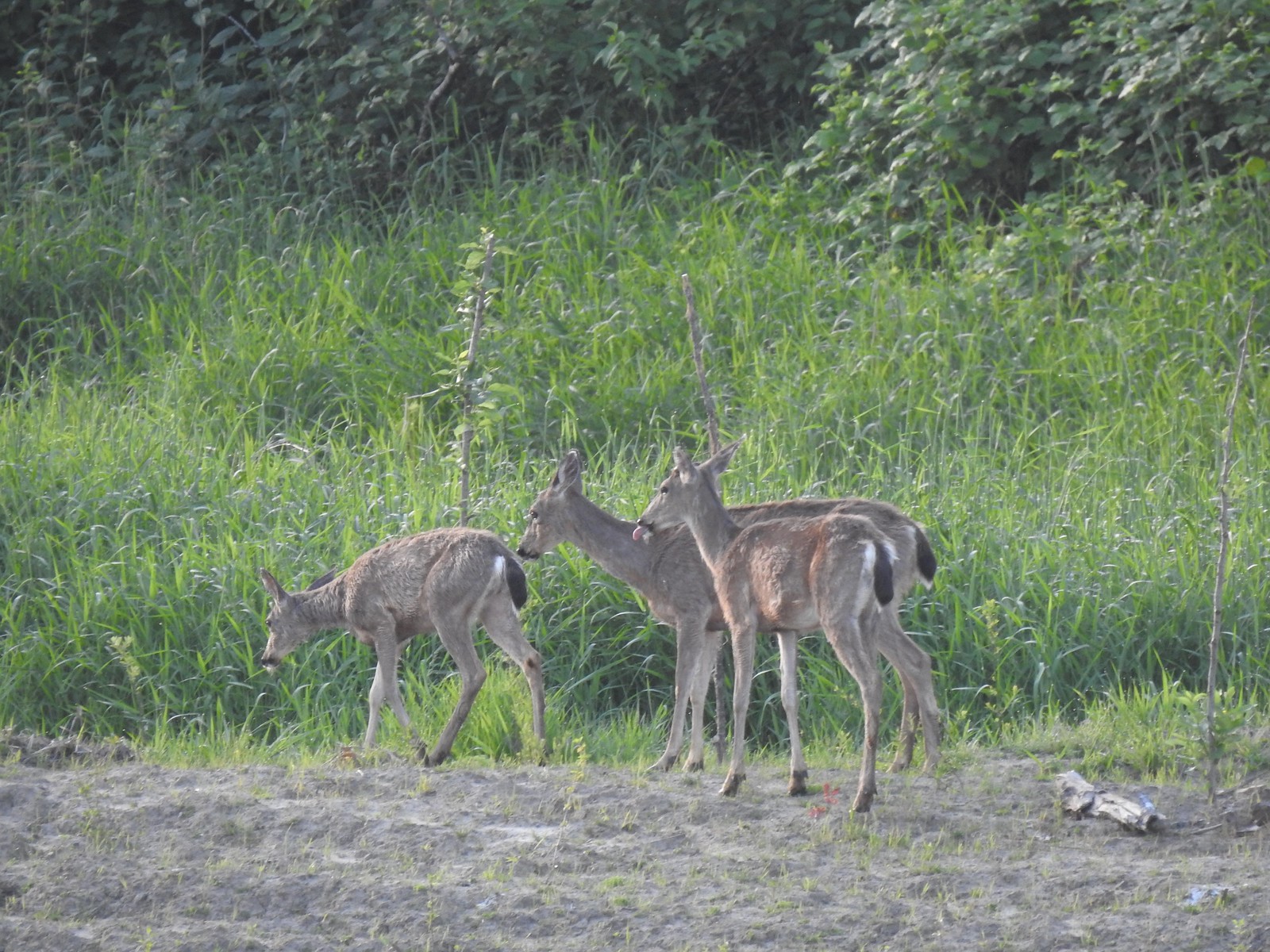 Deer across the wetlands. (The young buck may have been sticking his tongue out at us.)
 Families of geese.
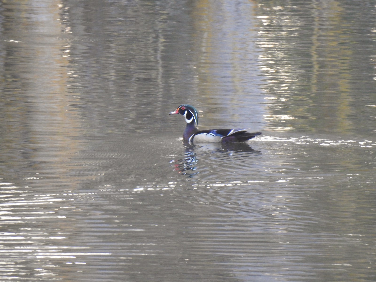 Wood duck mallard
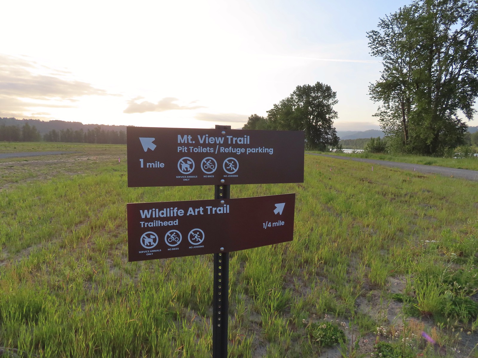 Trail sign at the junction with the Refuge River Trail.
 Sparrow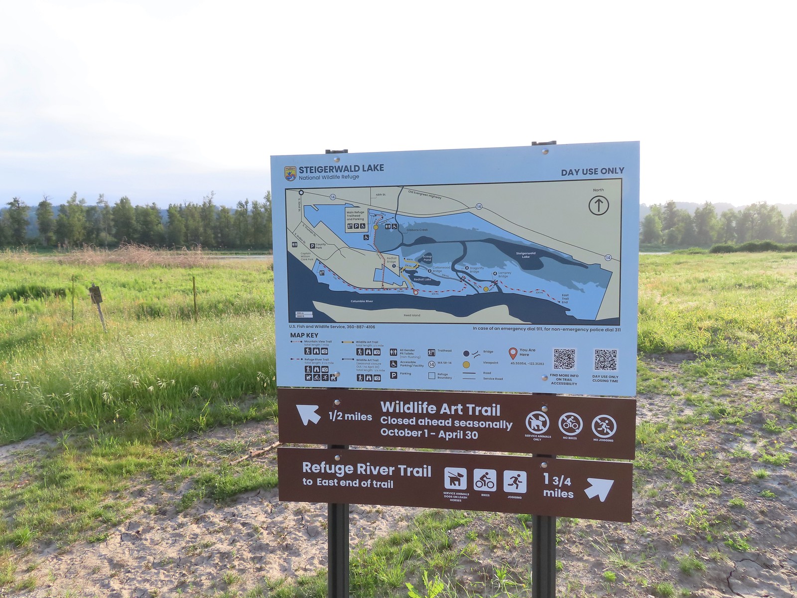
 Coming in for a landing.
 Red Tail Lake to the right of the Wildlife Art Trail.
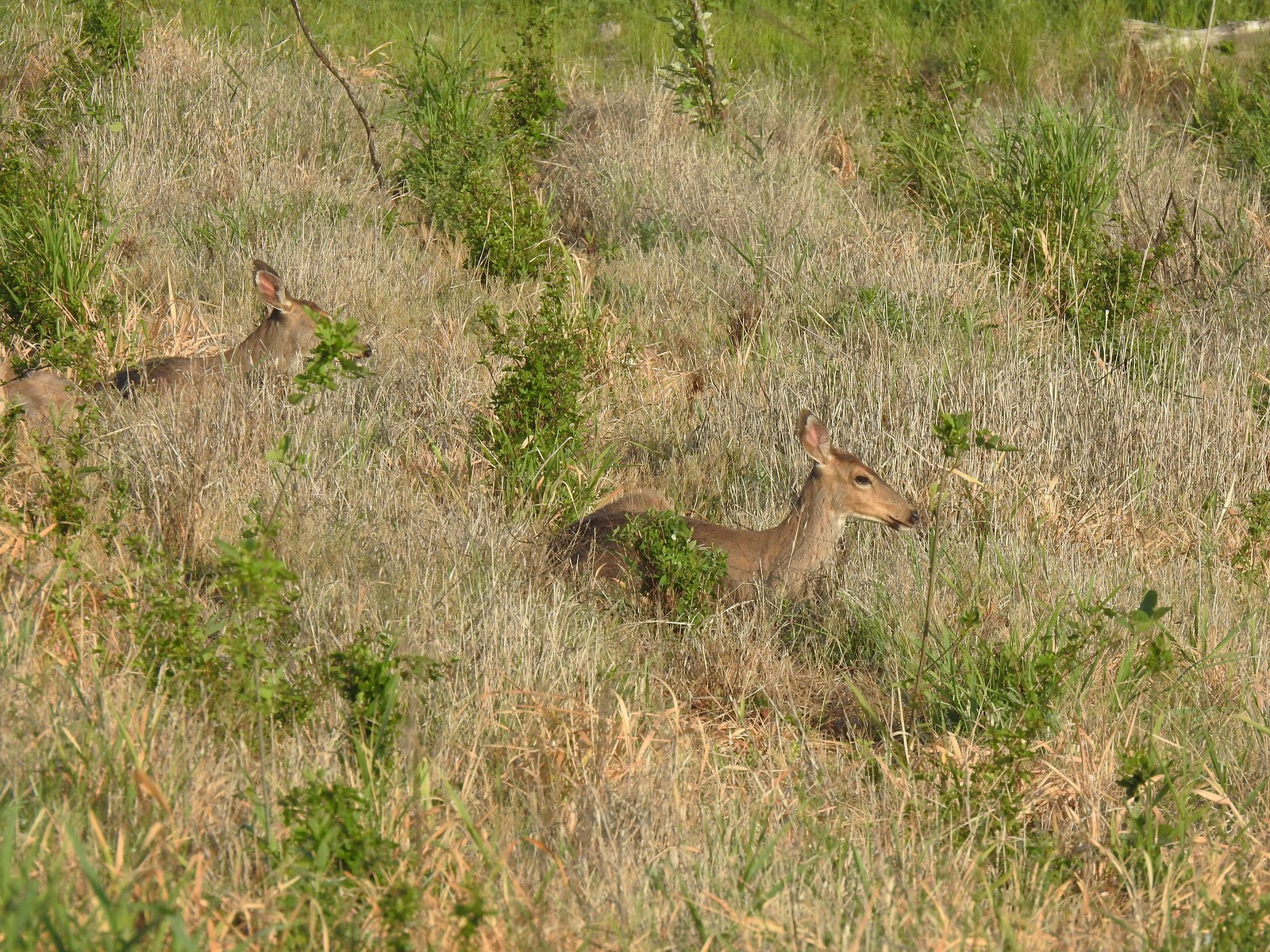 Pretty sure these are the same three we saw from the Mountain View Trail.
 This deer laying along the shore of Red Tail Lake was new though.
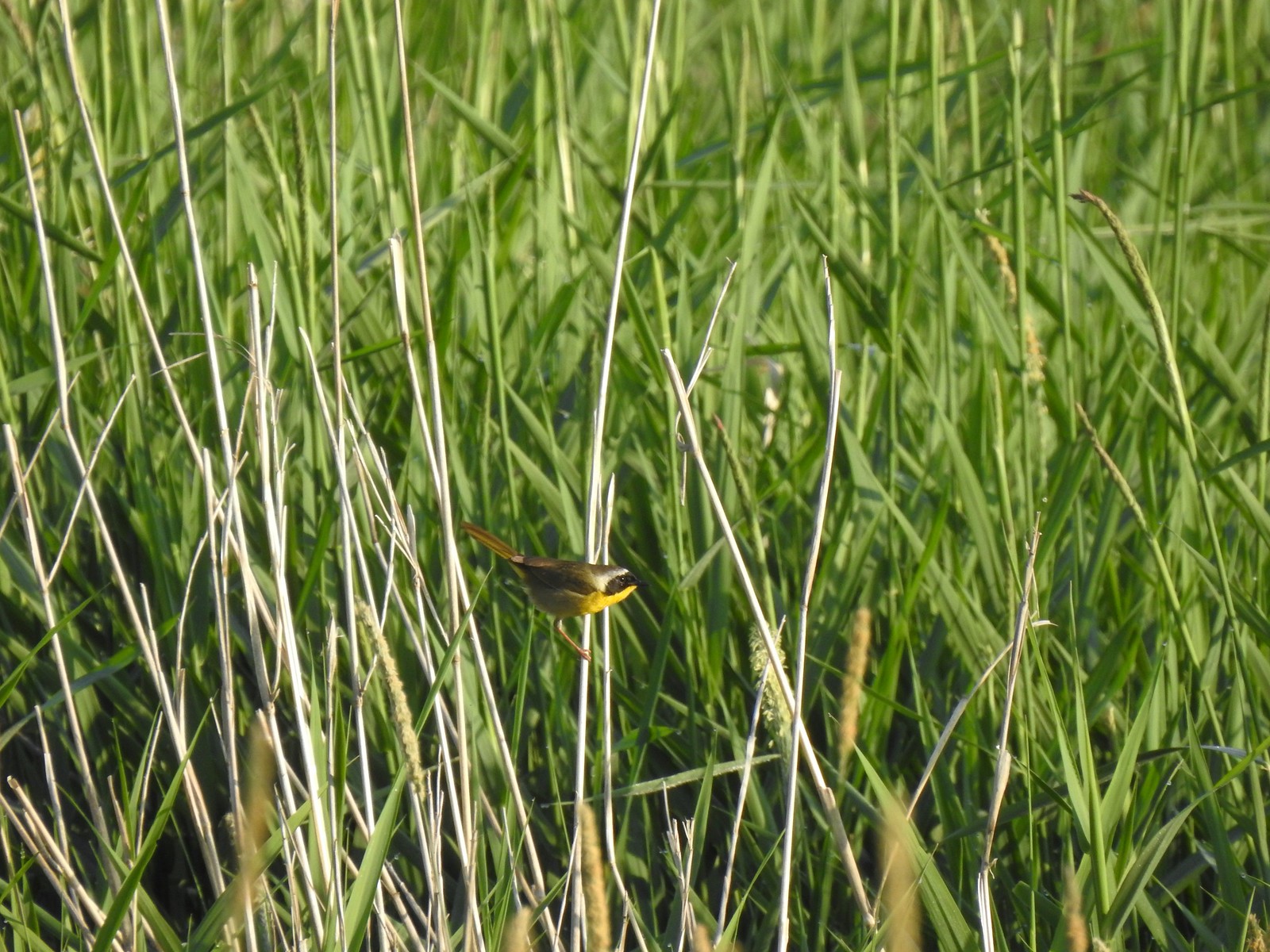 Common yellow throat
 One of many great blue herons that we watched fly overhead throughout the day.
 The Wildlife Art Trail passing around Redtail Lake.
 Gibbons Creek is in that grass somewhere with at least one deer.
 Killdeer along Redtail Lake.
 Turns out the deer laying on the lake shore wasn’t alone.
 Roses
Roses Purple martins
 Just beyond the Cottonwood Bridge the trail forks. To the right is the seasonal section of the loop open May 1st through September 30th. The left-hand fork dead-ends in a tenth of a mile overlooking the wetlands.
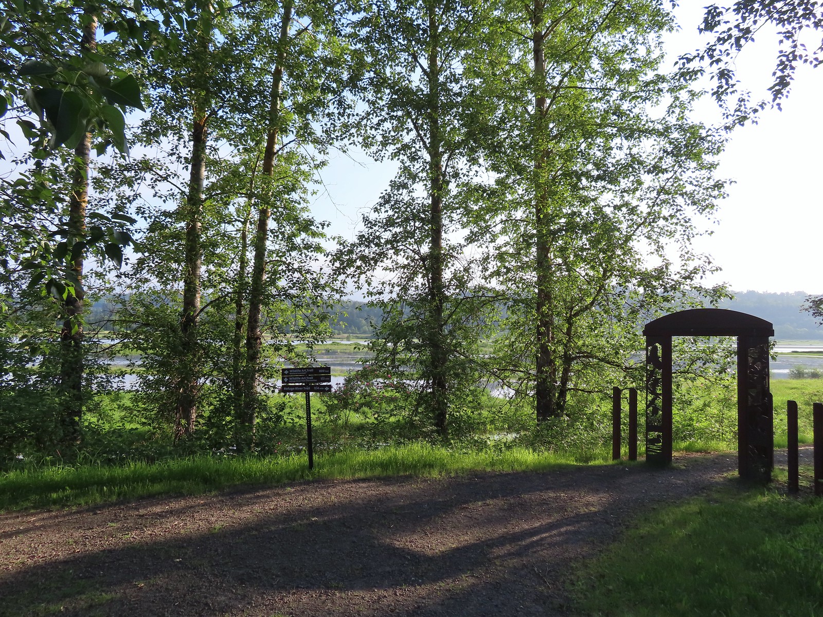 We headed left to the overlook before continuing on the loop.
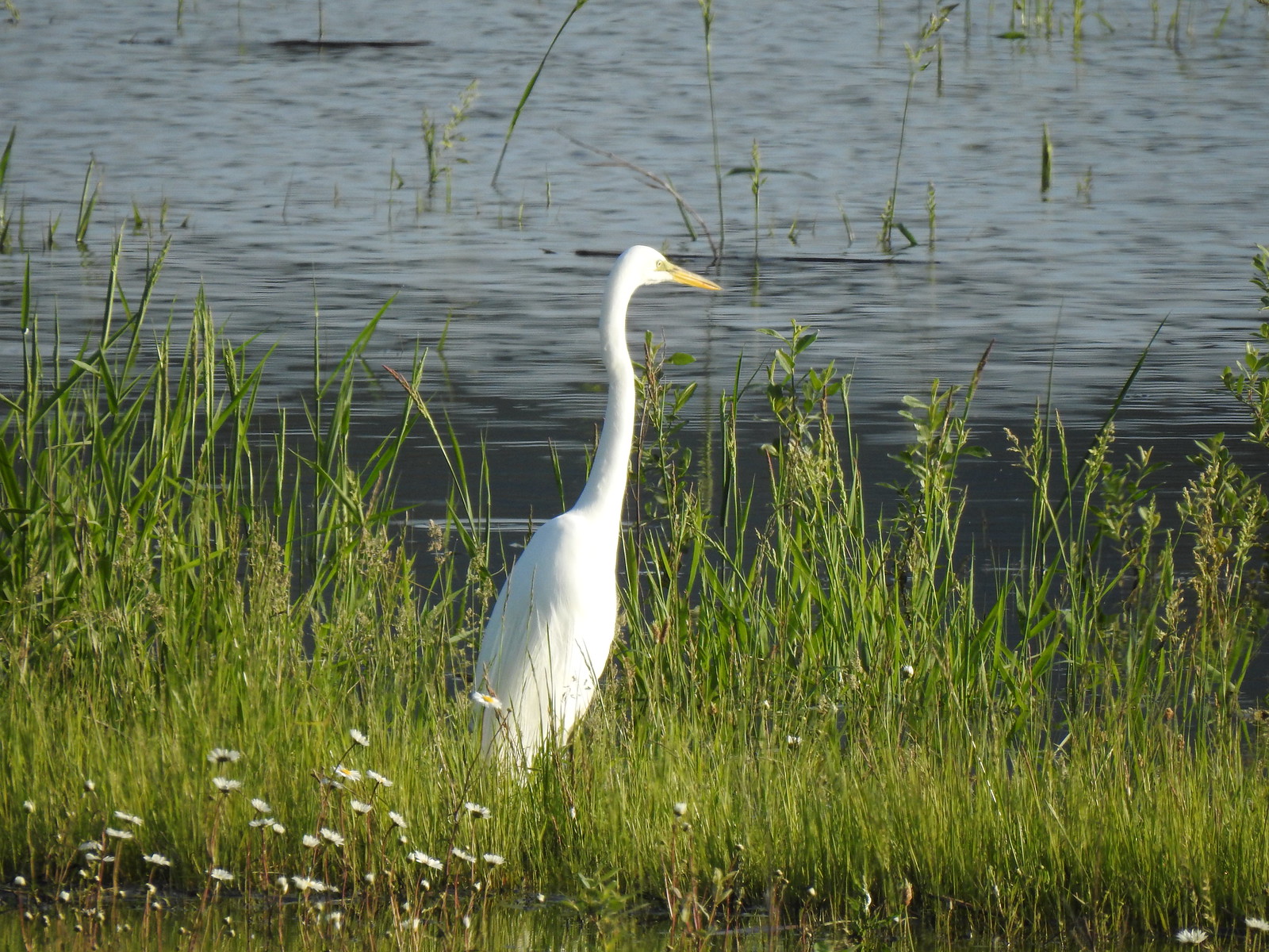 Egret at Scaup Pond.
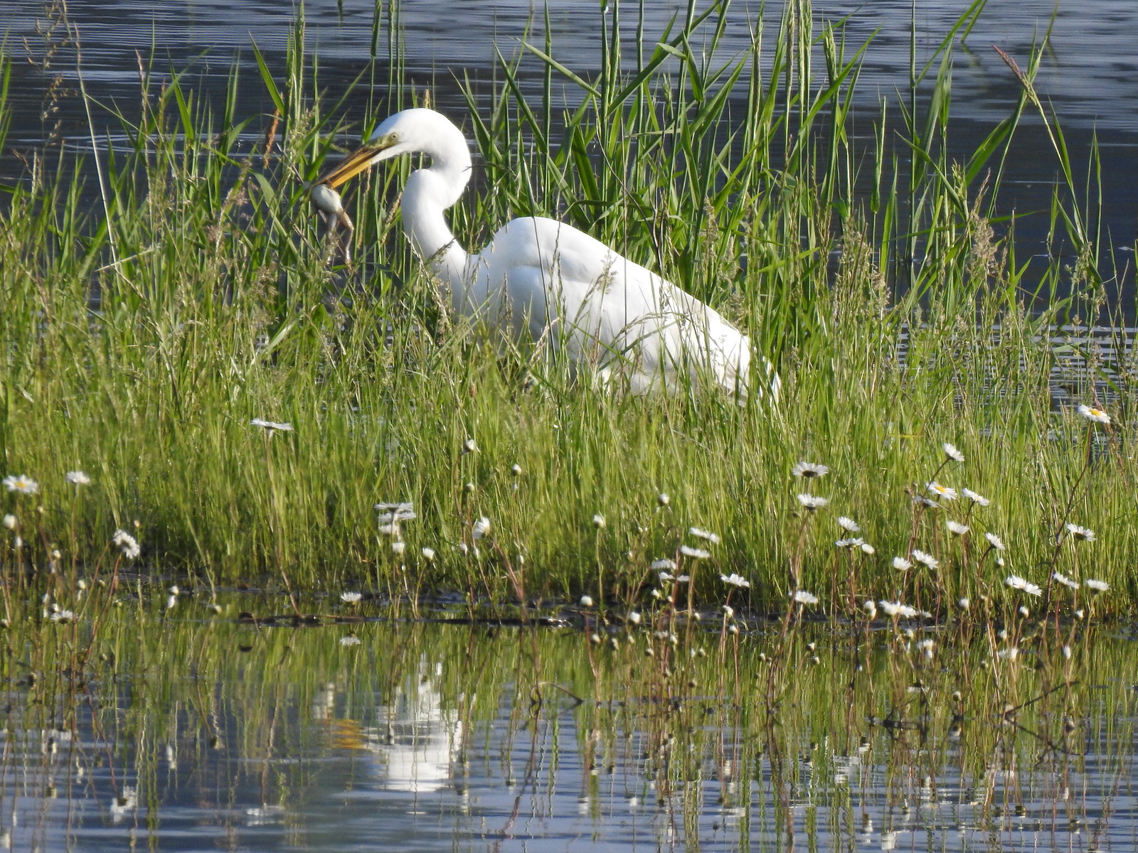 Egret with a frog meal.
 Mushrooms
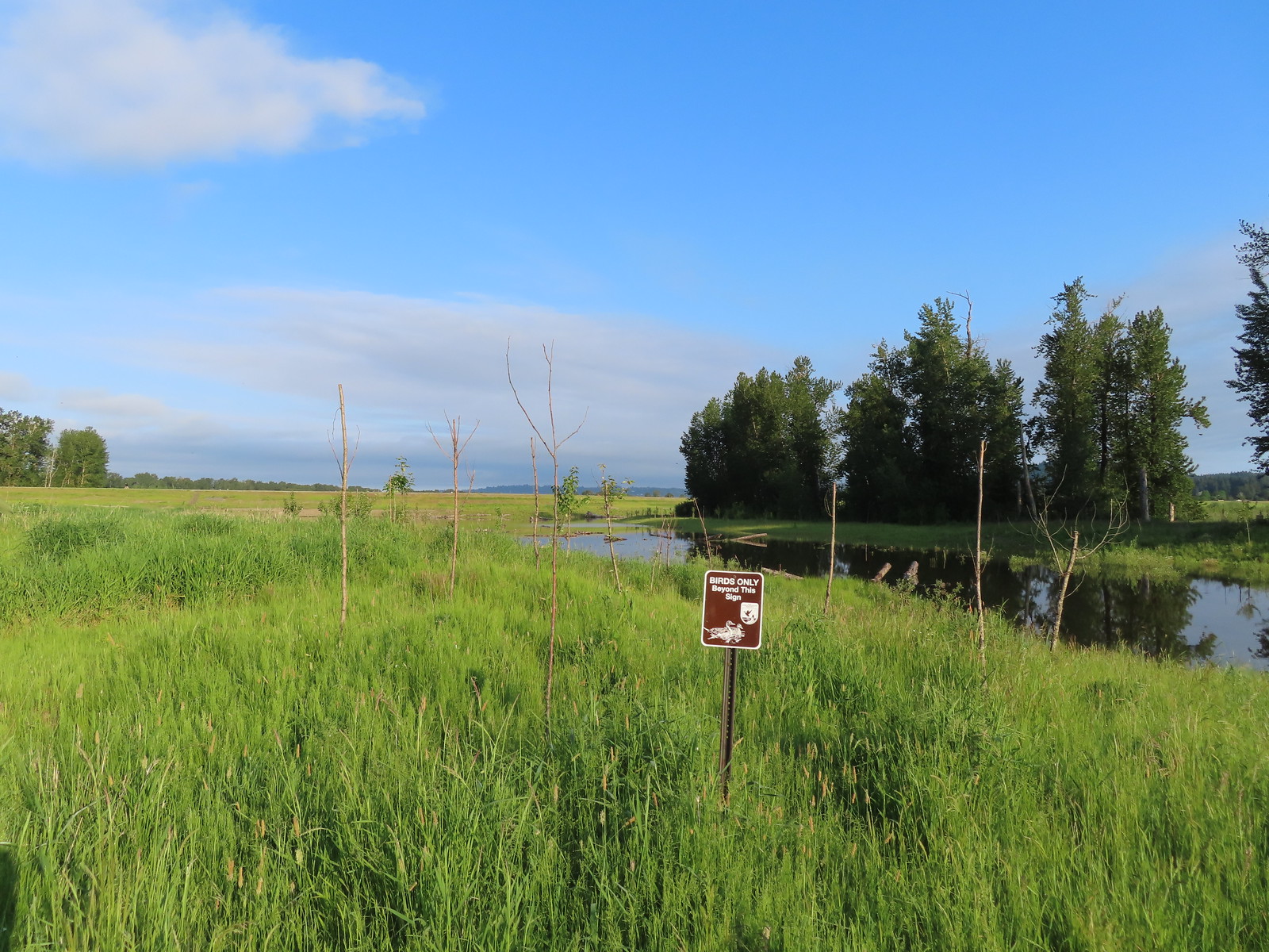 We got a kick out of the “Birds Only Beyond This Sign”.
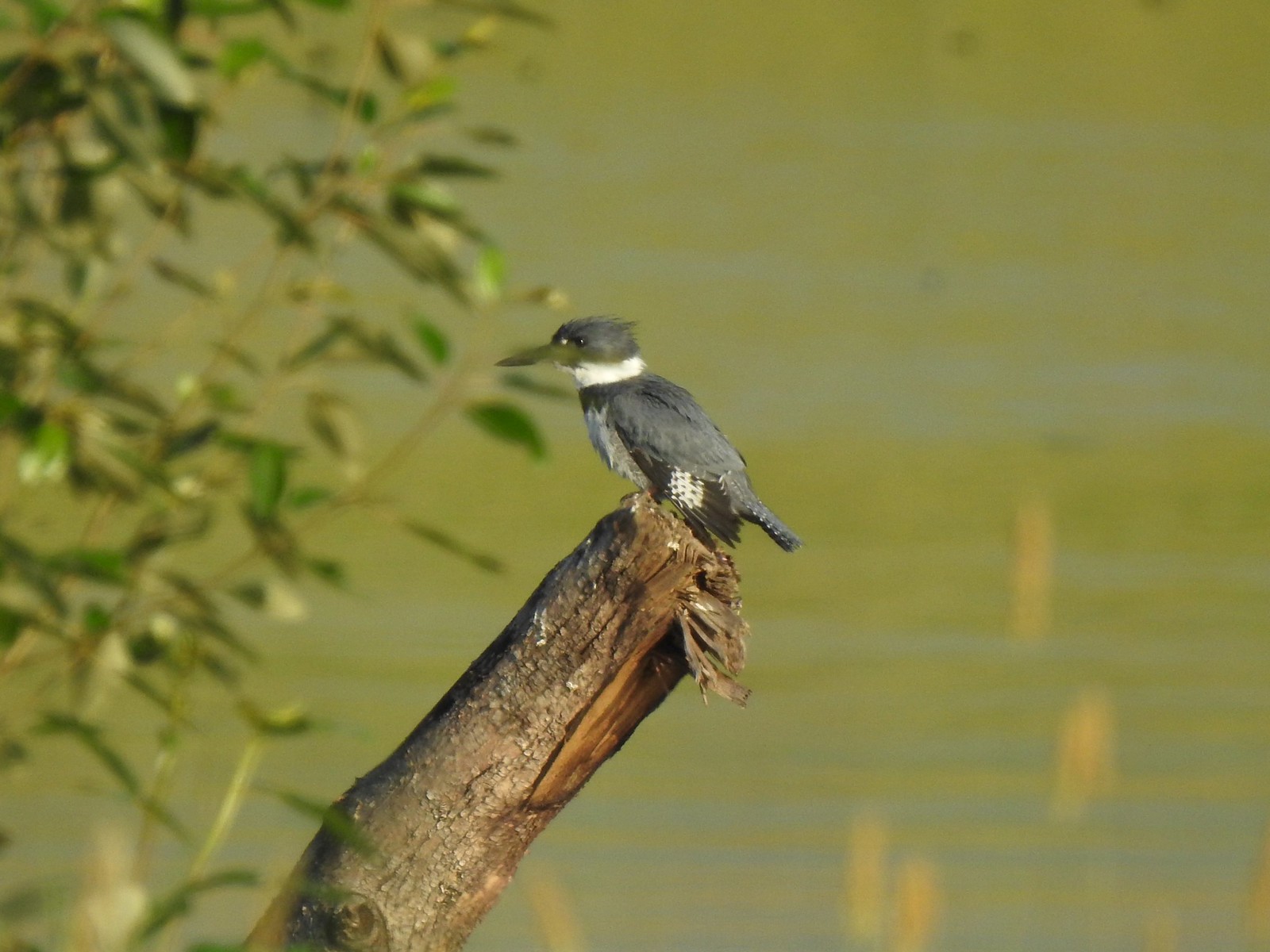 Kingfisher
 We’ve only seen two bitterns on our hikes and both times we only spotted them as they flew off from the grassy cover that they’d been hiding in so I was pretty disappointed when I realized I’d been duped, but kudos to the artist because it looked real at first glance to me.

 You have something in your teeth.
 Spotted towhee
 At least two deer in the grass.
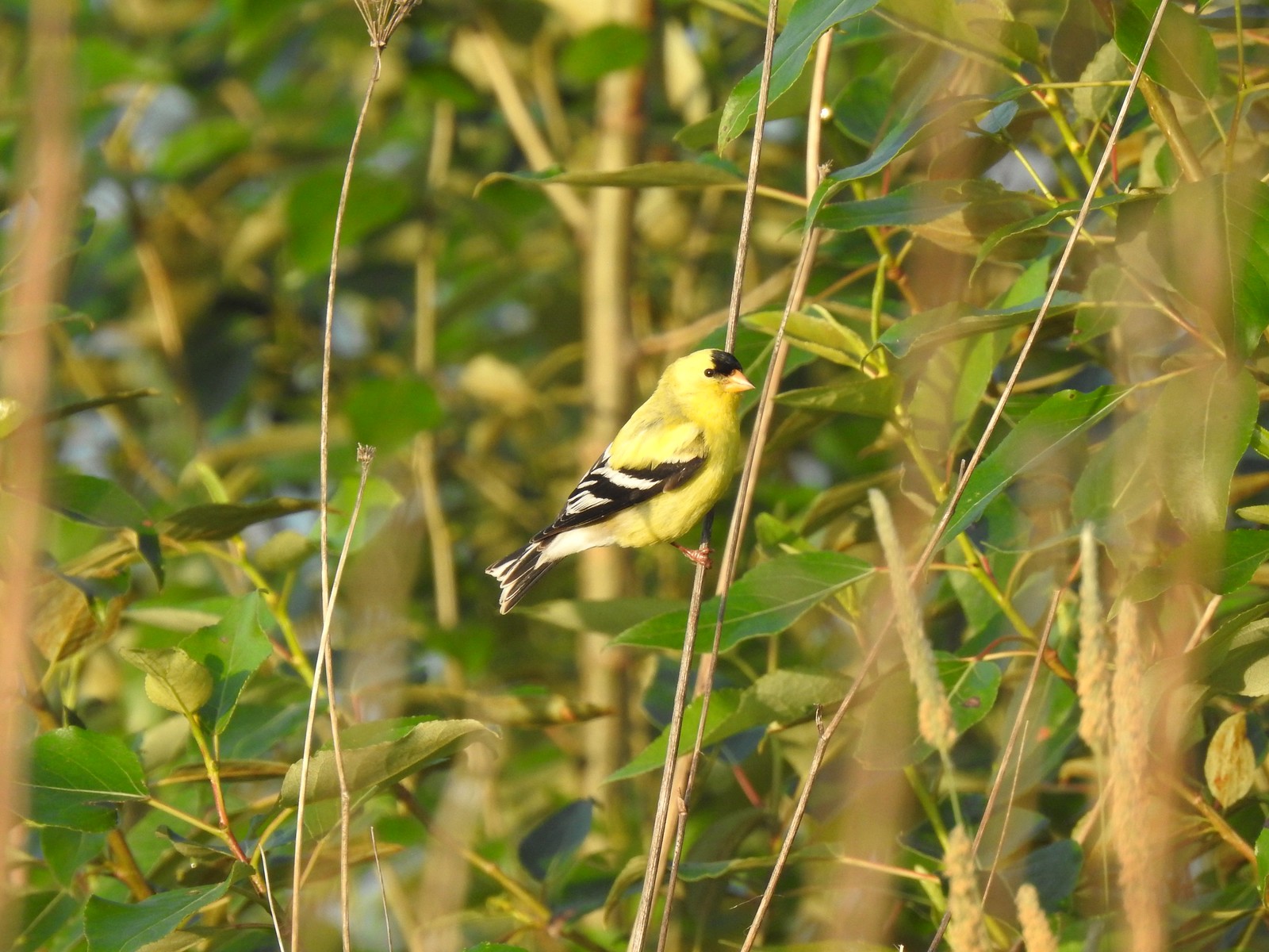
 Another American goldfinch.


 Spotted sandpiper
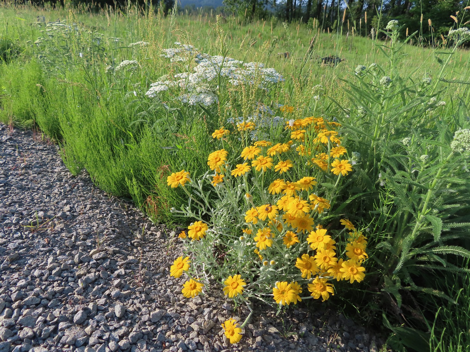 Oregon sunshine and yarrow
 The Columbia River ahead.
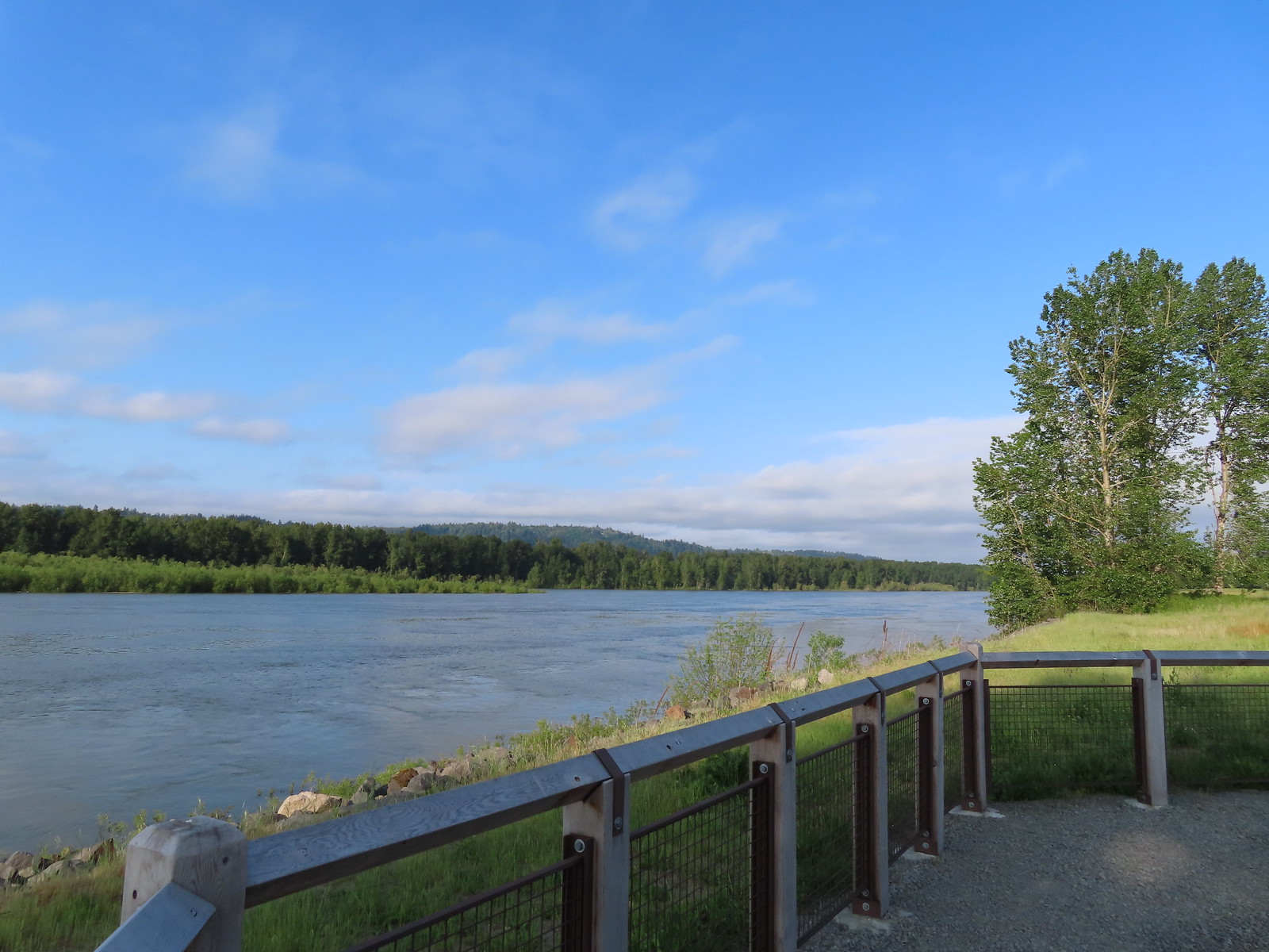 Viewpoint along the Columbia River.
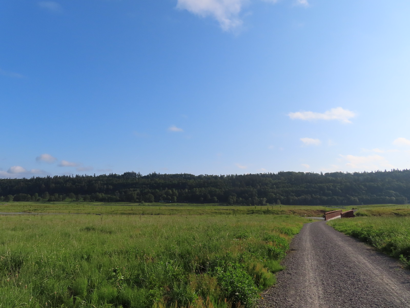 Approaching the Lampray Brdige.
 Looking back from across the bridge there was a bald eagle in the dead snag along the river.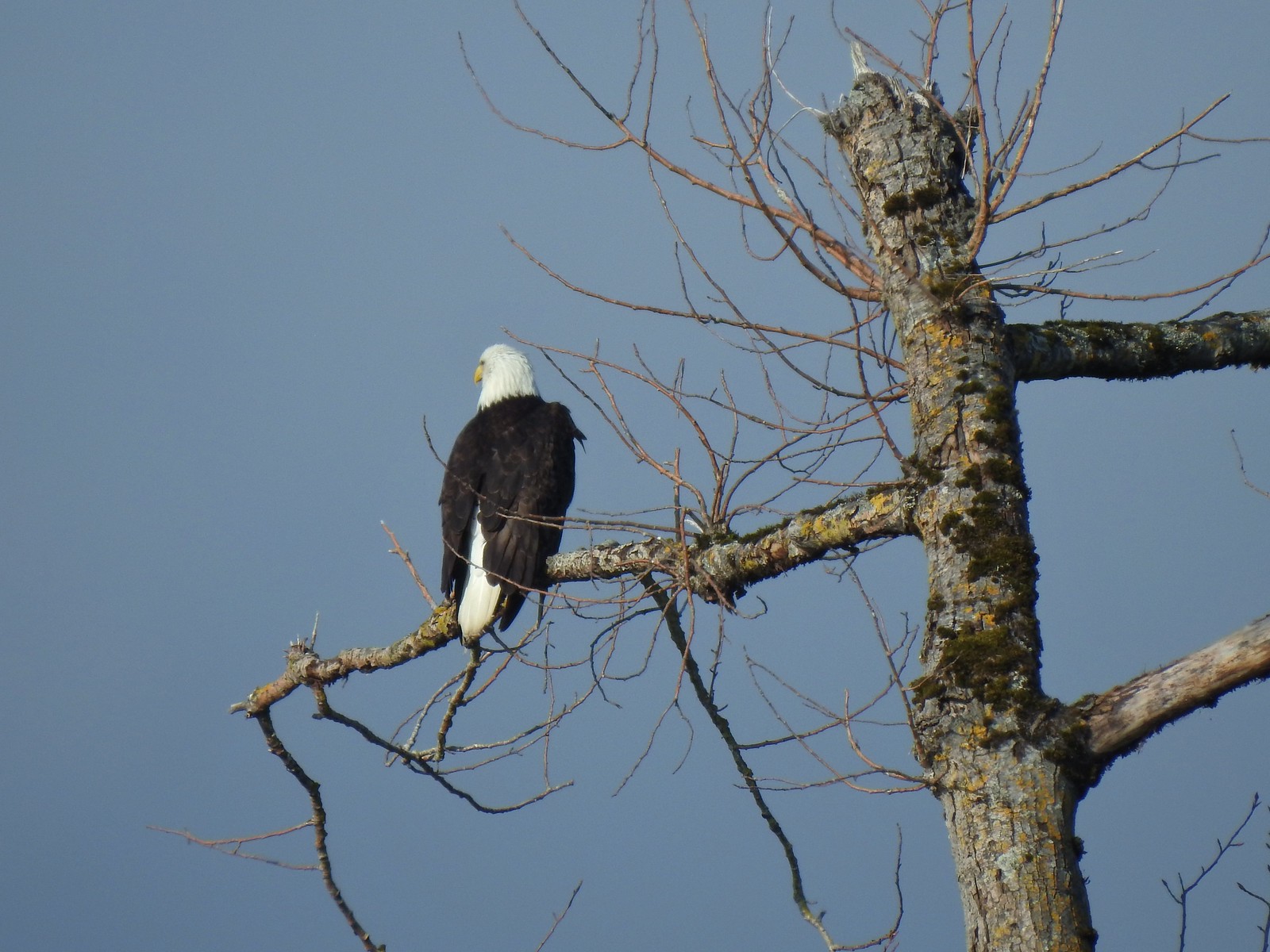
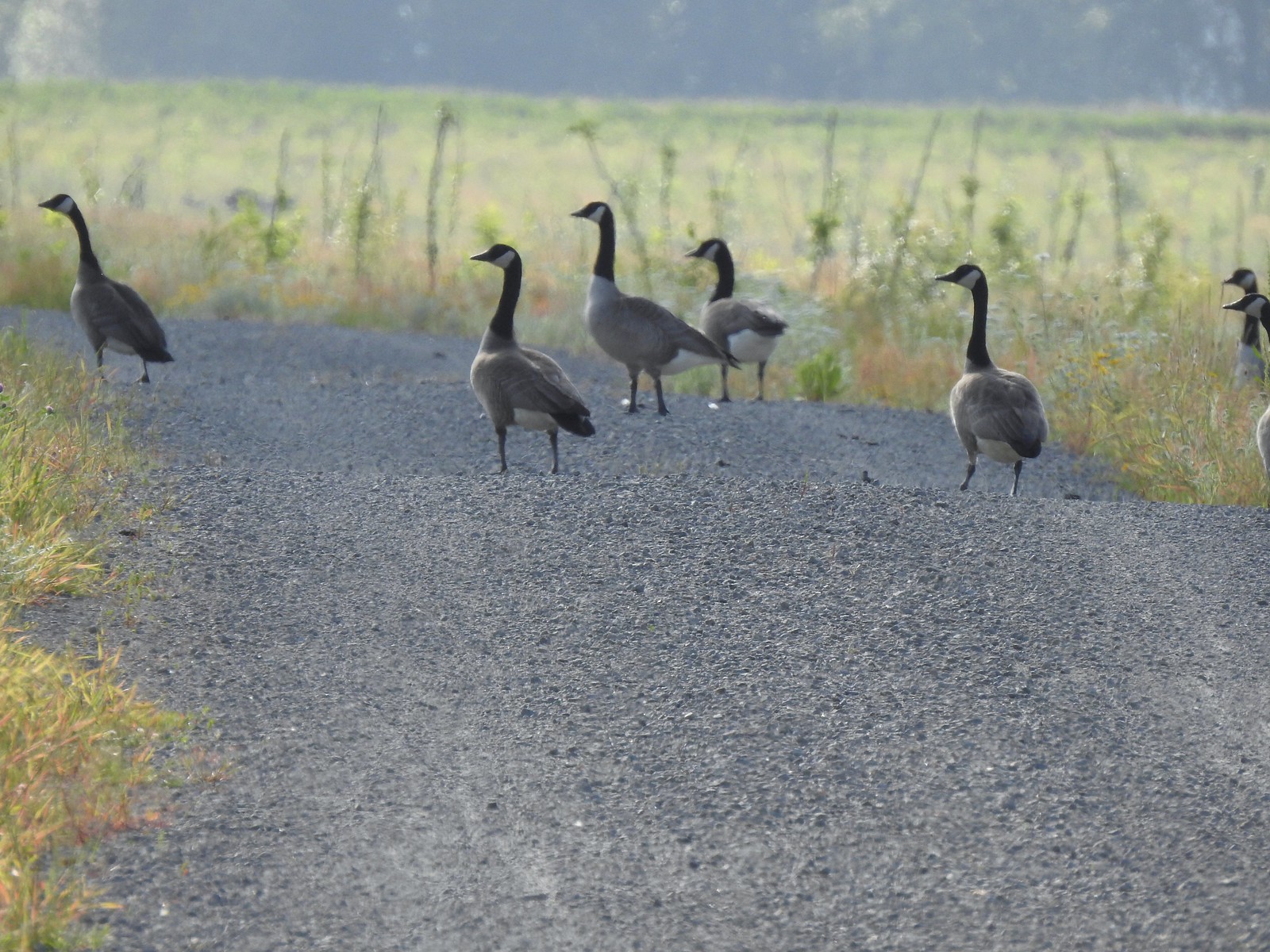 There were lots of geese along this section of trail.
 Red clover in some Oregon sunshine
 Another spotted sandpiper
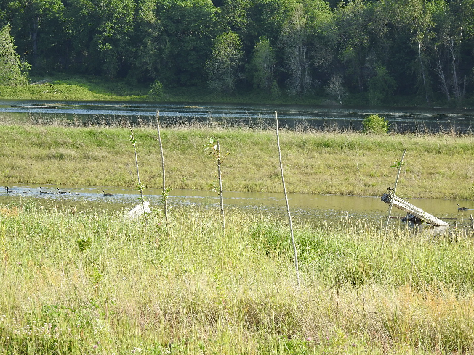 Steigerwald Lake in the distance with a family of geese and crow on a log in the near channel.
 End of the trail.
 It was about 8:15am when we turned around and it was already feeling fairly warm, but there was relief on the way in the form of some clouds coming in from the Pacific.
 Savannah sparrow
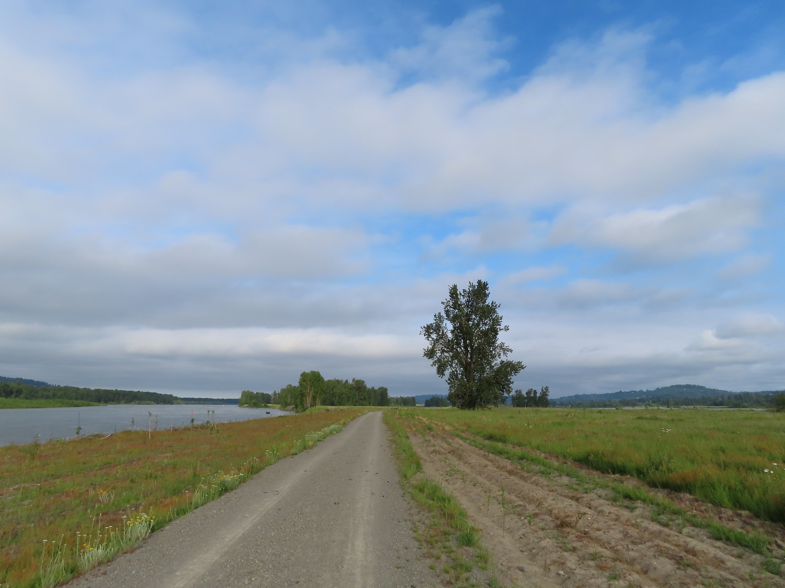 Here come the clouds.
 Double the eagles.
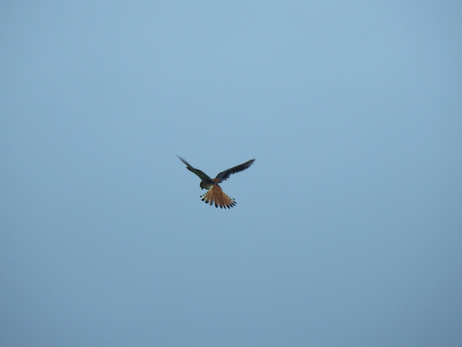 For the second week in a row we got to watch an American Kestral on the hunt.
 Arriving back at the Dragon Fly Bridge and the junction with the Wildlife Art Trail.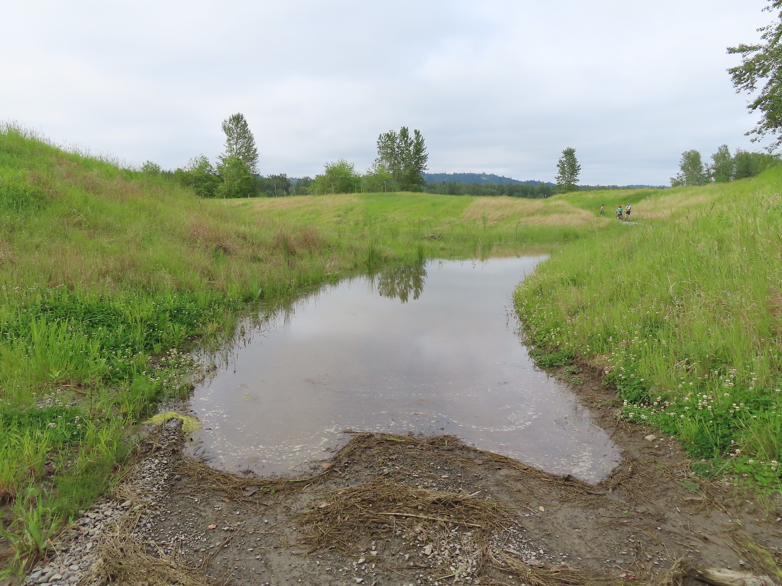

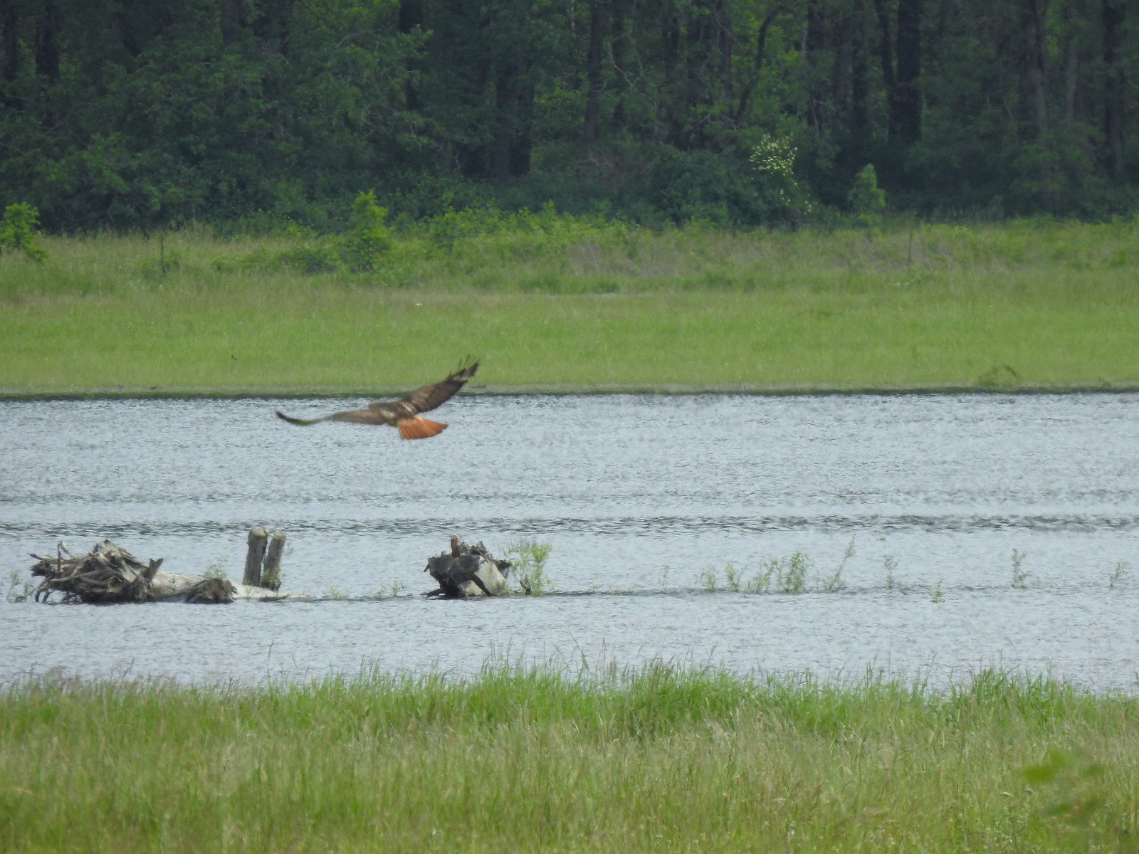 Red tailed hawk
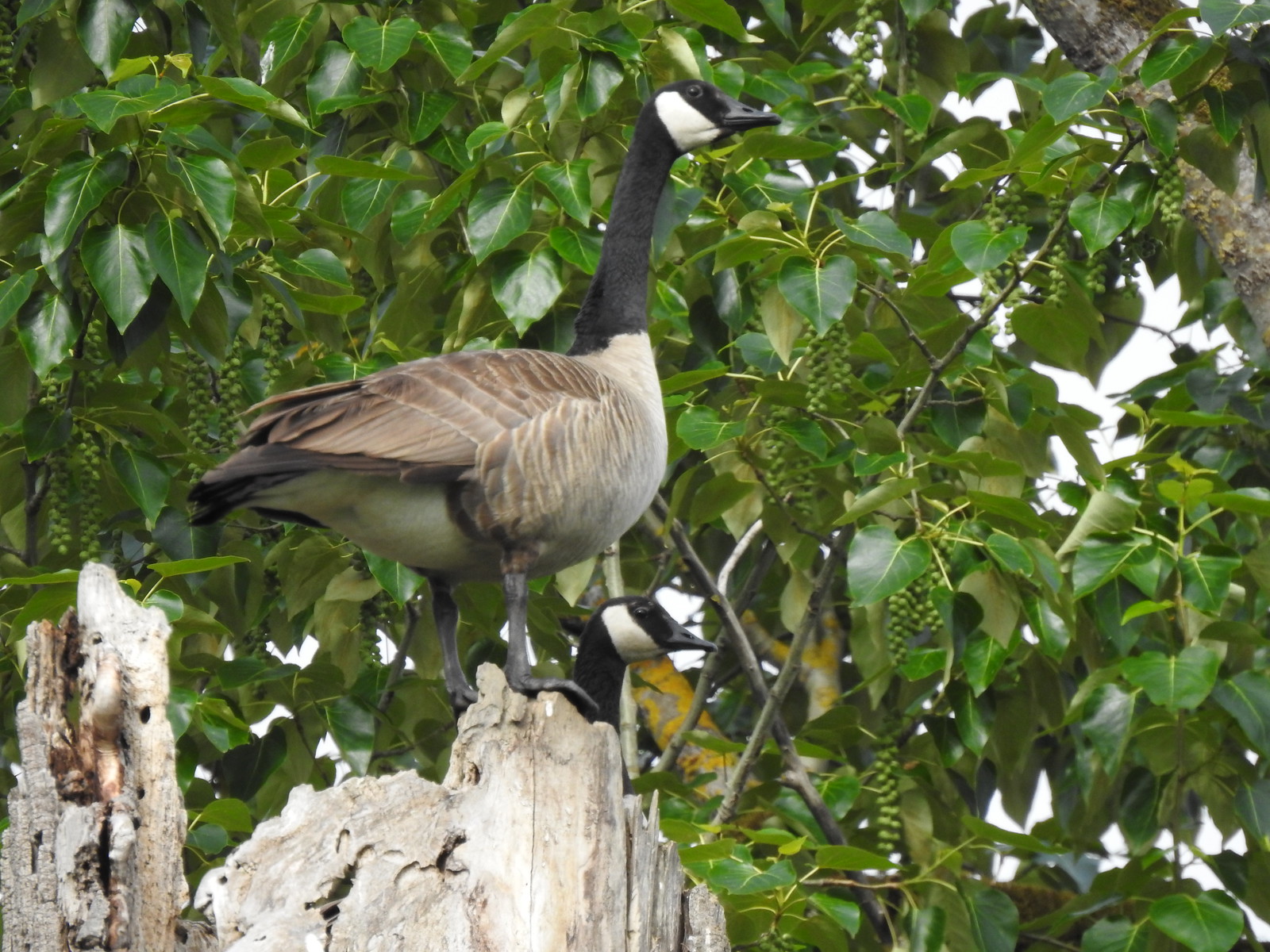 Geese nesting atop a snag.
 More deer in the grass along Gibbons Creek.
 Egret at Redtail Lake.
 Great blue heron at Redtail Lake.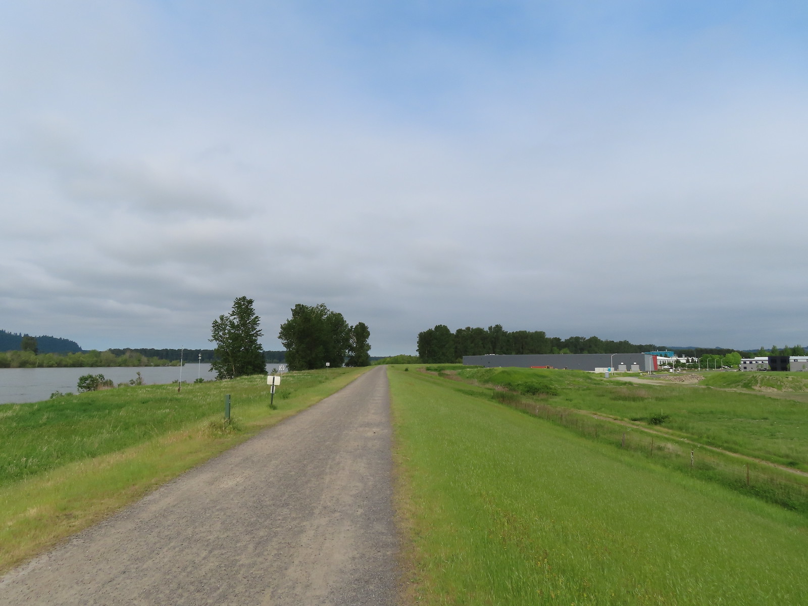
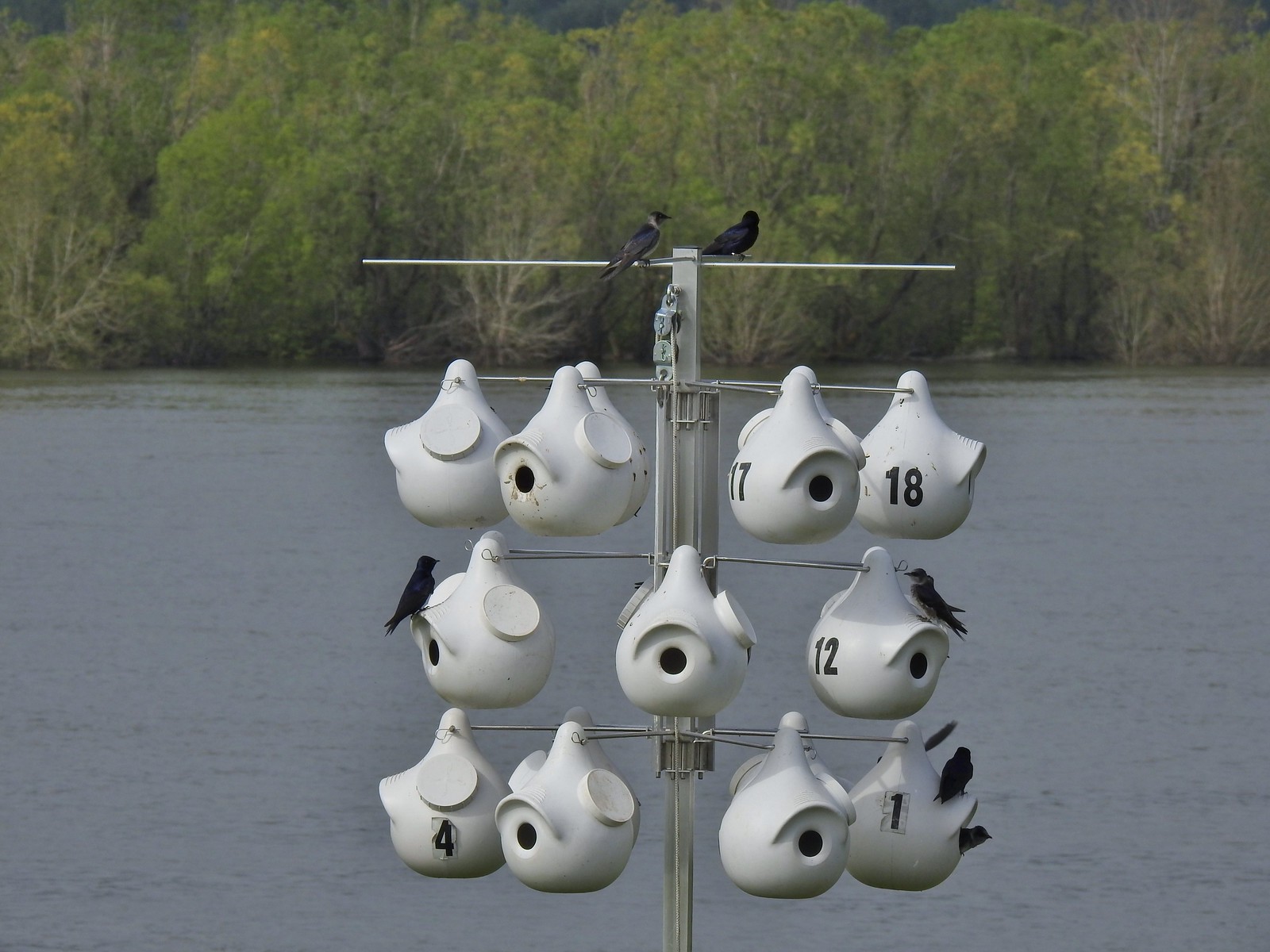 Purple martins
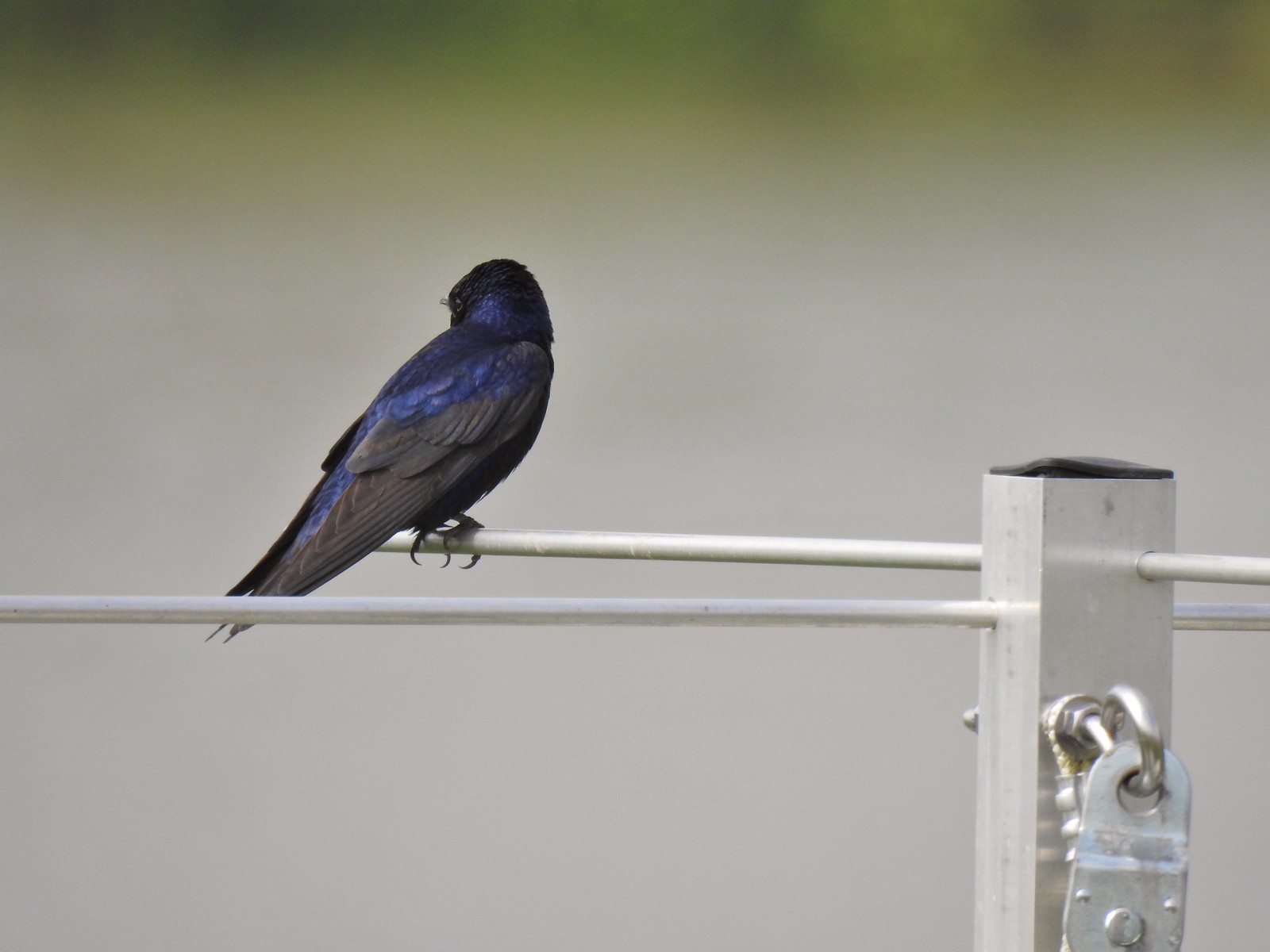 When the light catches the feathers right it’s obvious where the purple martin’s name comes from.
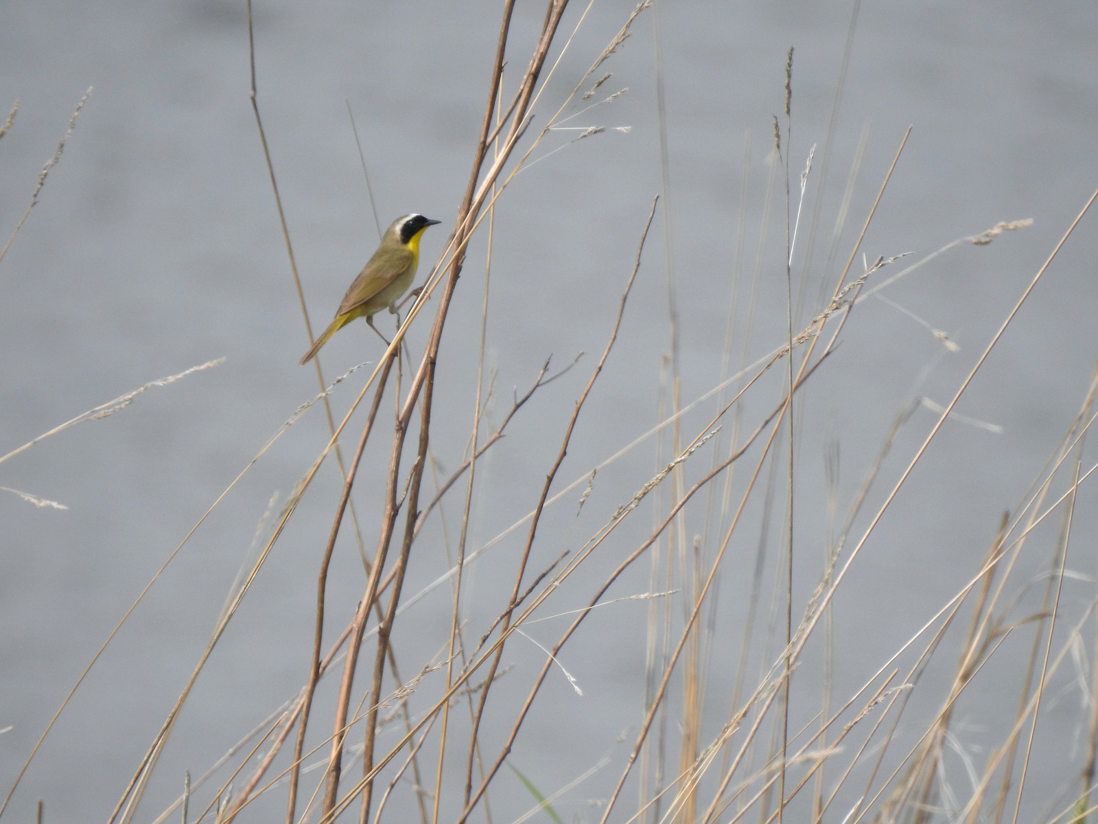 Common yellowthroat
 House finch
 A mile from the Mountain View Trail we arrived at the refuge boundary with Captain William Clark Park.
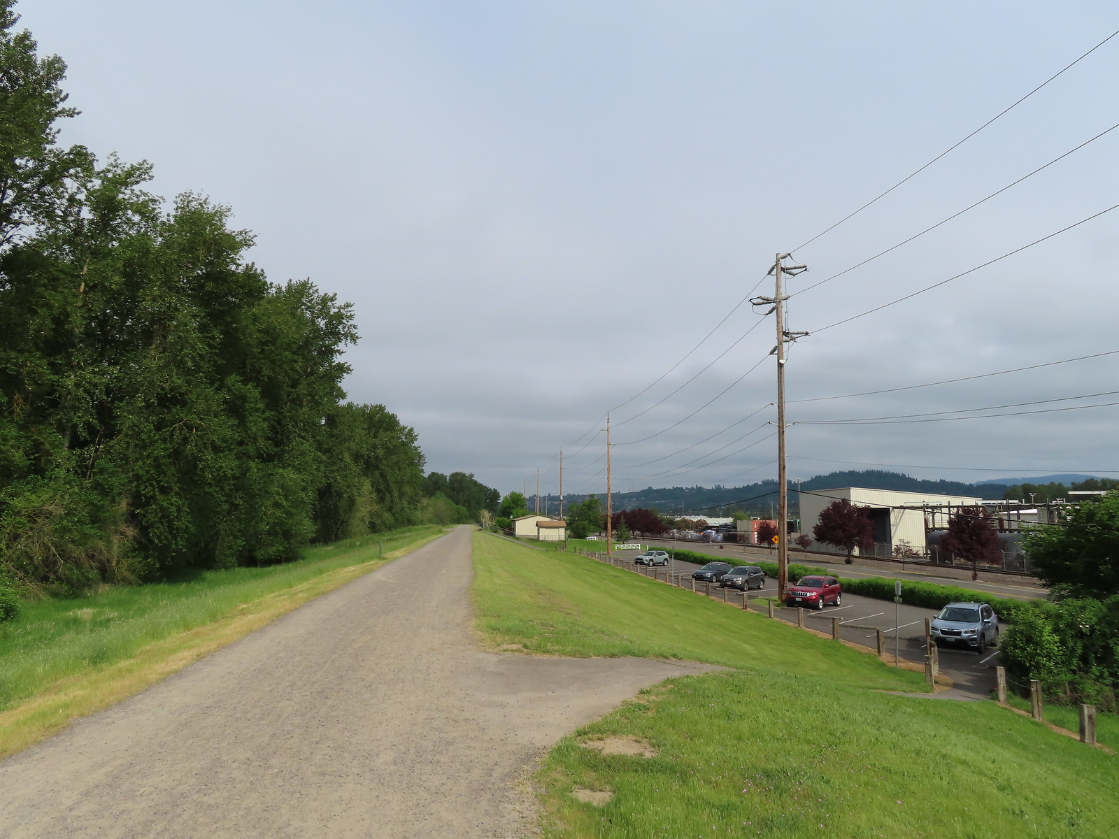 The trail follows a dike to Steamboat Landing.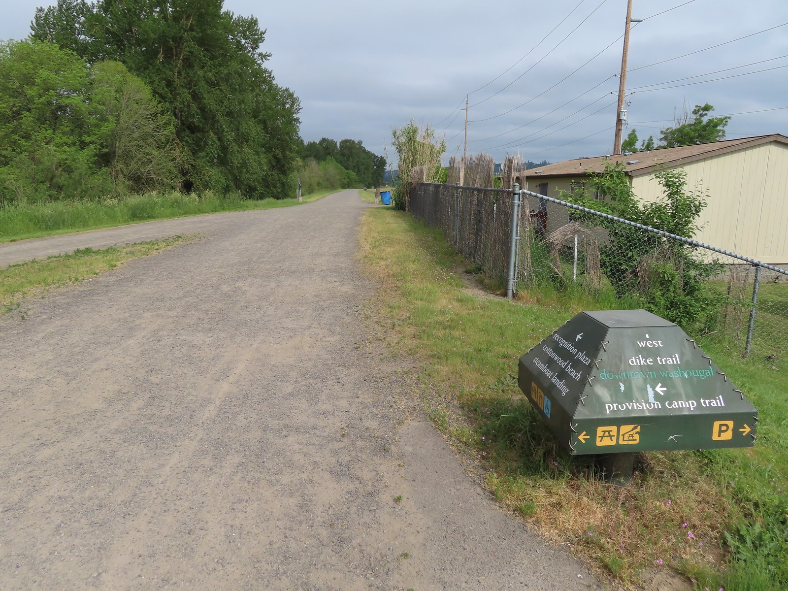
 The Provision Camp Trail


 Northern flicker
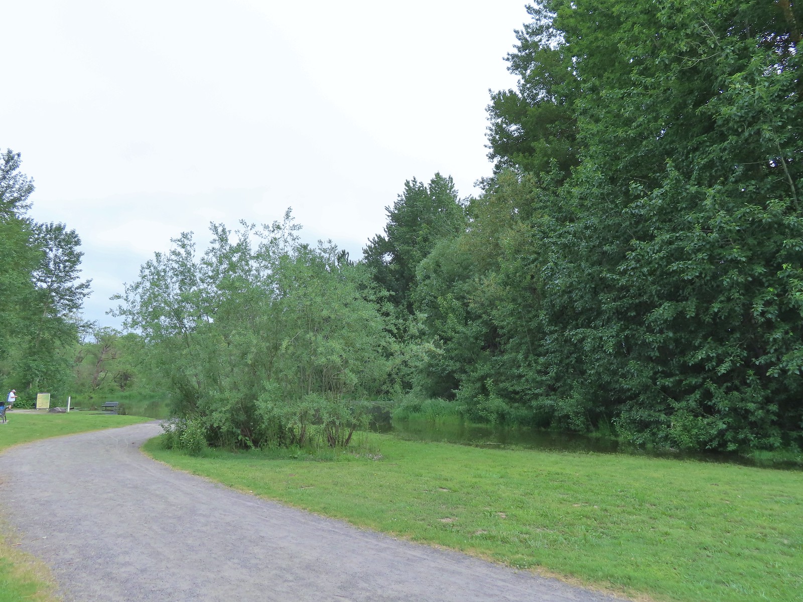 Flooded trail ahead.
 Black headed grosbeak
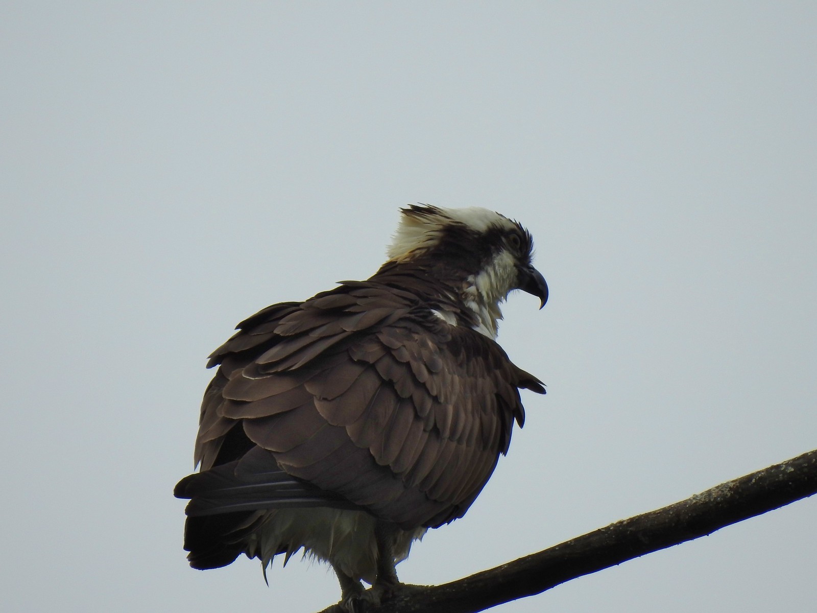 Osprey
 Back on the dike.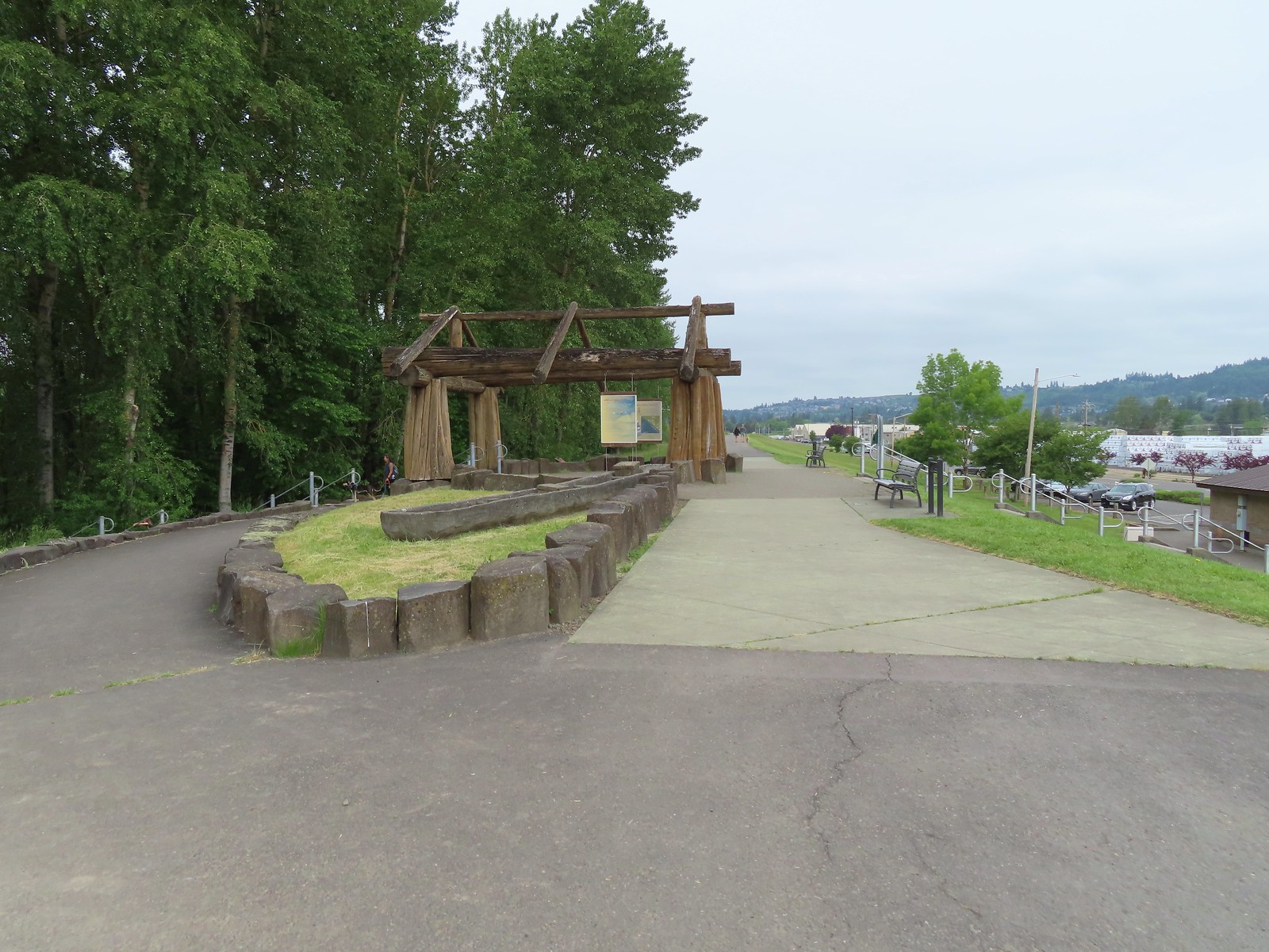
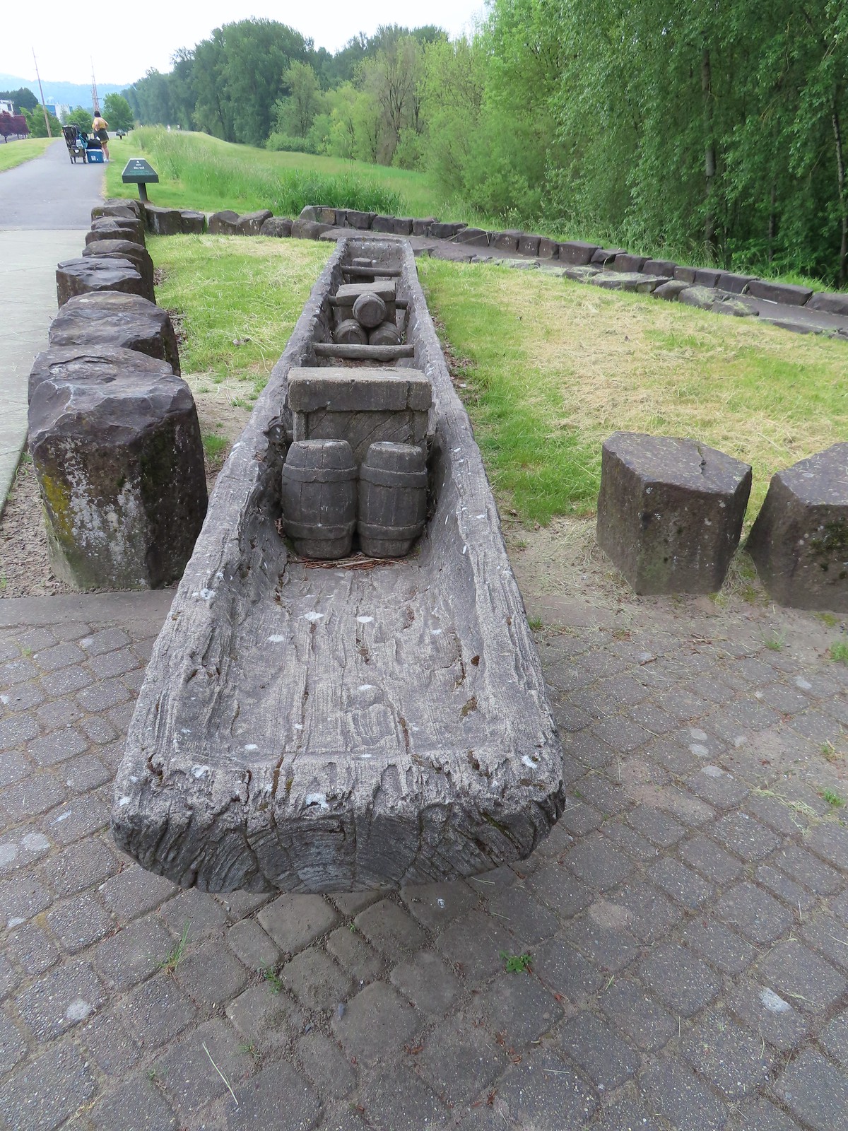

 The flooded section of trail from above.
 Turtles!
 Another turtle
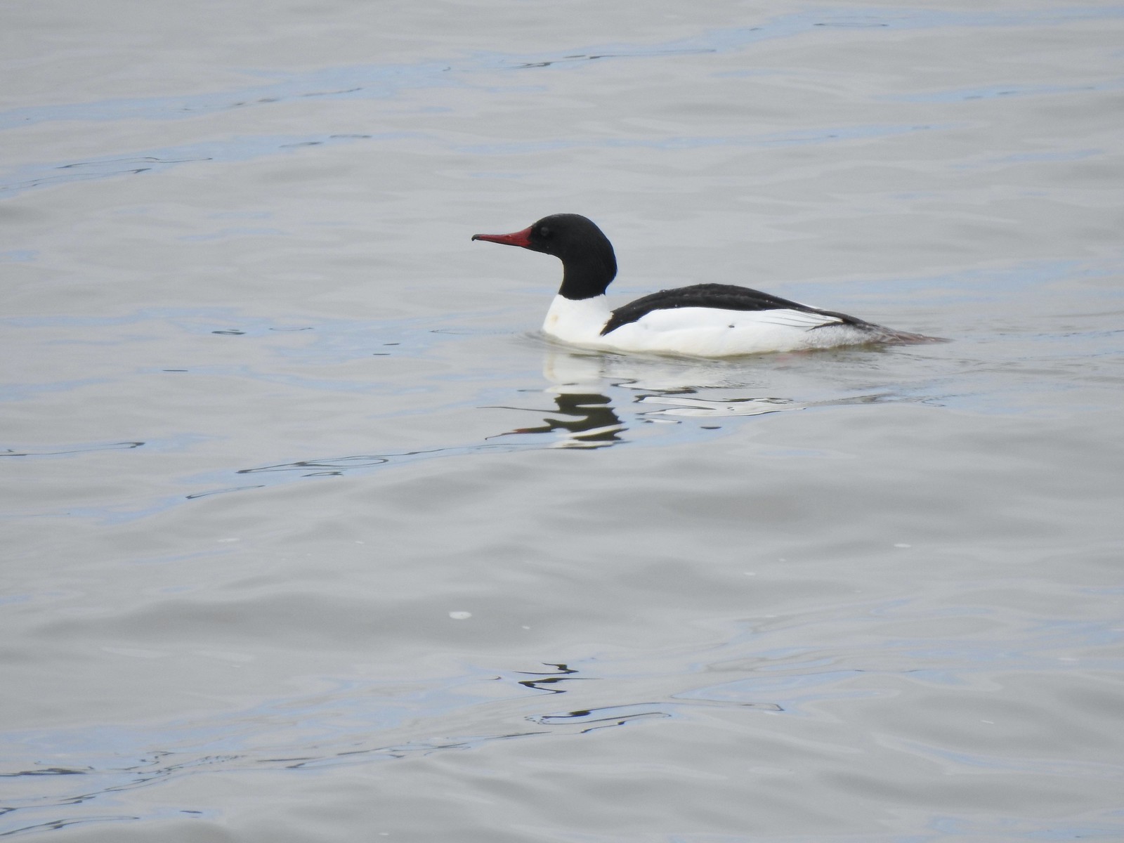 Common merganser
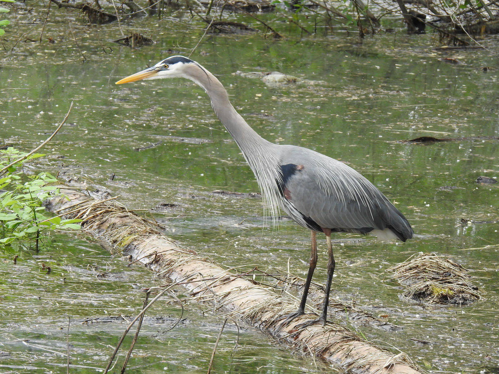 Great blue heron
 Steamboat Landing
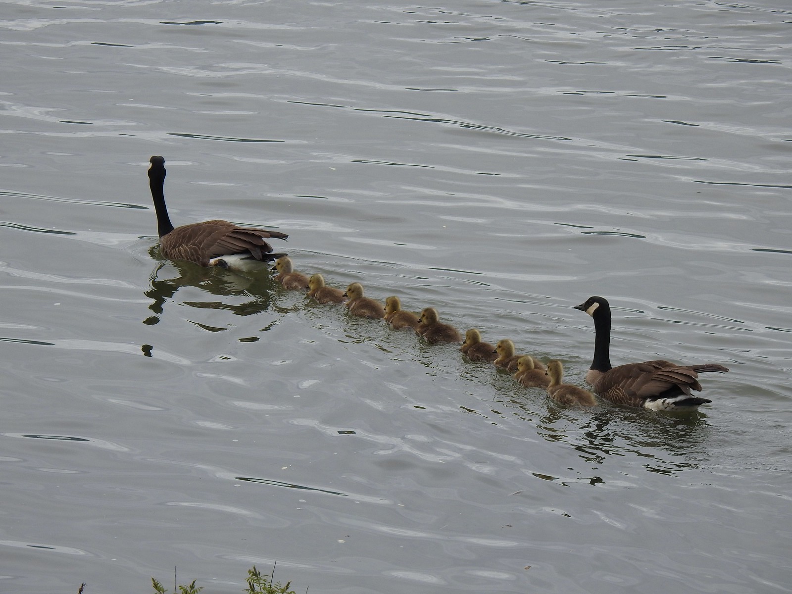 A family of geese out for a float.
 The large “hump” ahead is Larch Mountain (
 Grainy proof of Mt. Hood’s existence.
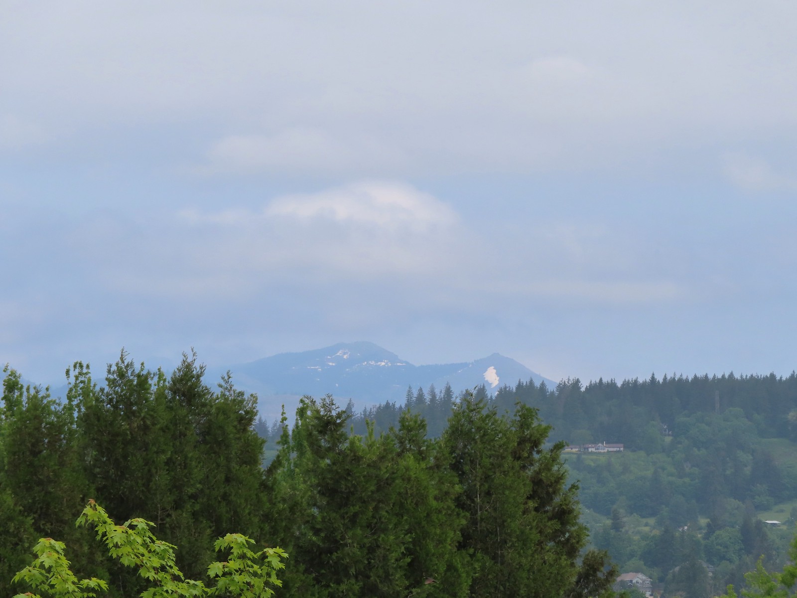 Silver Star Mountain (
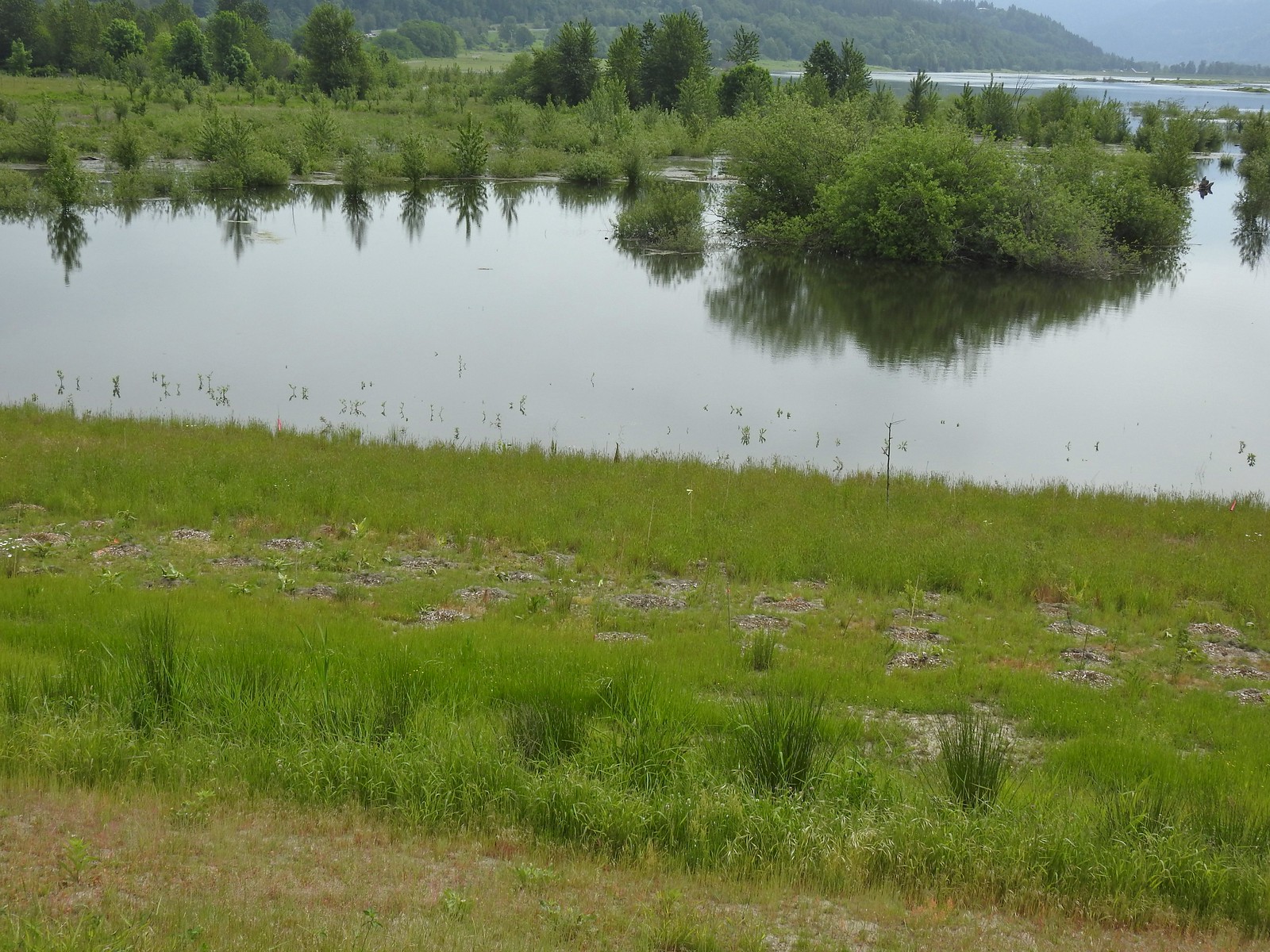 The American bittern in the grass.

 We’d been the first car in the lot that morning.


 The Riley Camp Trail (Trail 64) on the opposite side of FR 23.

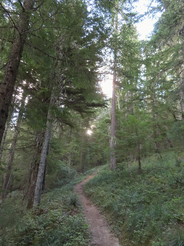


 We weren’t aware that the Forest Service was employing wilderness greeters.
 May I see your self-issued permit?
 The trail was in pretty good shape with just a few downed trees to step over/under.
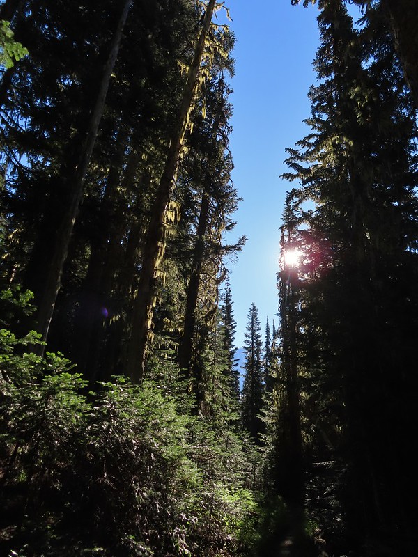 First look at Mt. Adams through the trees.


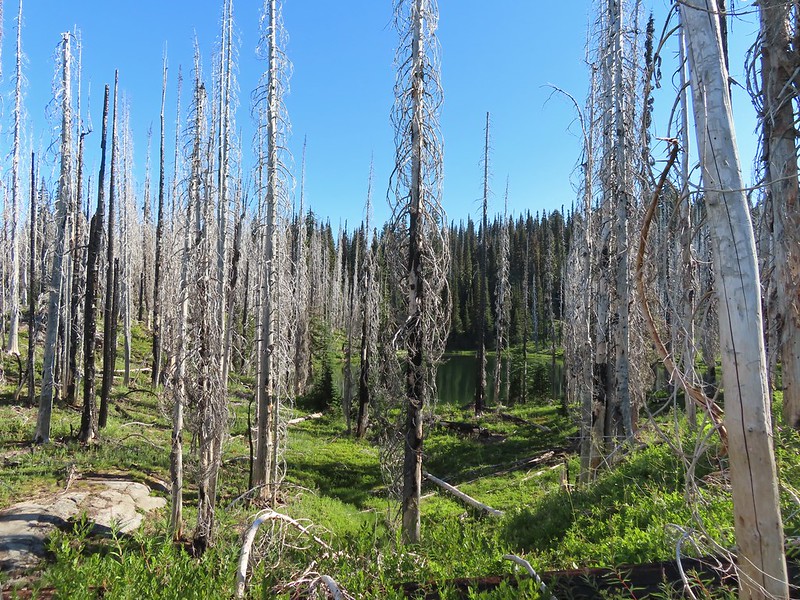 Luna Lake
 Aster
Aster

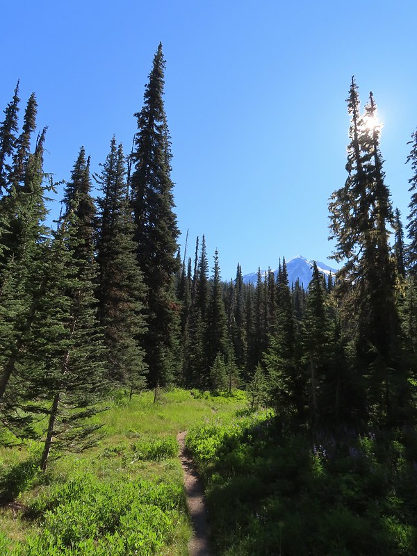 More Mt. Adams.
 Paintbrush and lupine

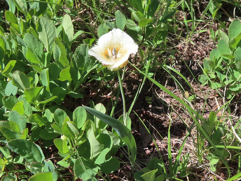 Sub-alpine mariposa lily
 Riley Creek along the trail.
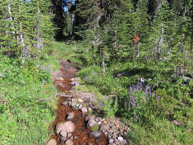 Riley Creek at the crossing.
 A trail sign up ahead at the junction.
 PCT marker on the tree.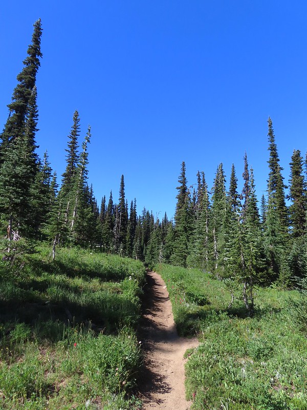
 Riley Creek below the PCT crossing.
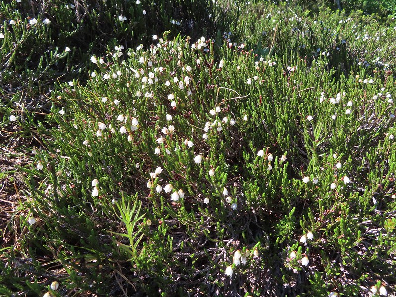 White mountain heather
 A nice paintbrush
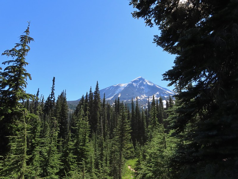 Mt. Adams behind us as we headed south.
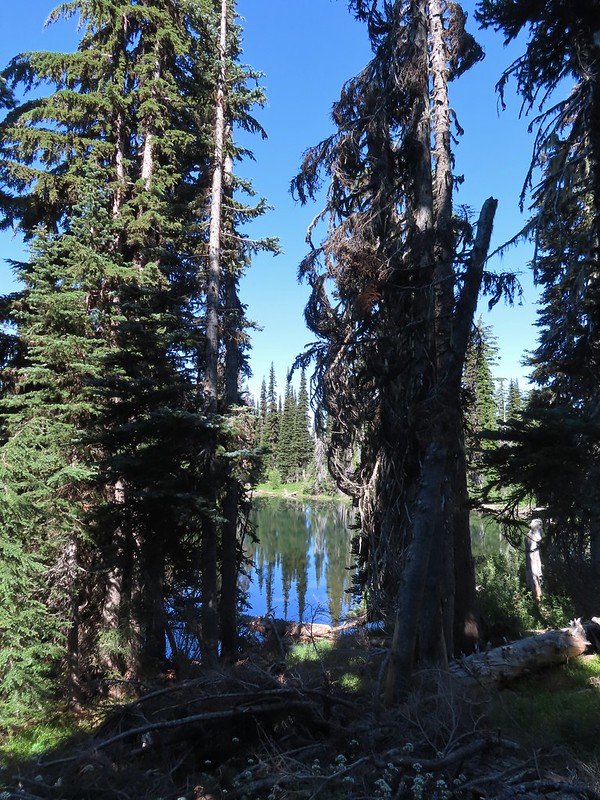 Sheep Lake
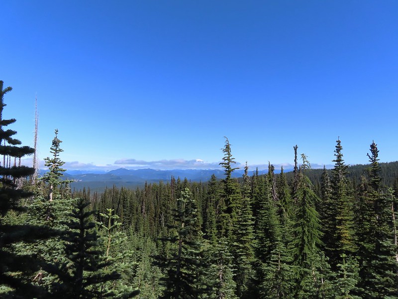 Mt. Rainier behind a line of clouds.
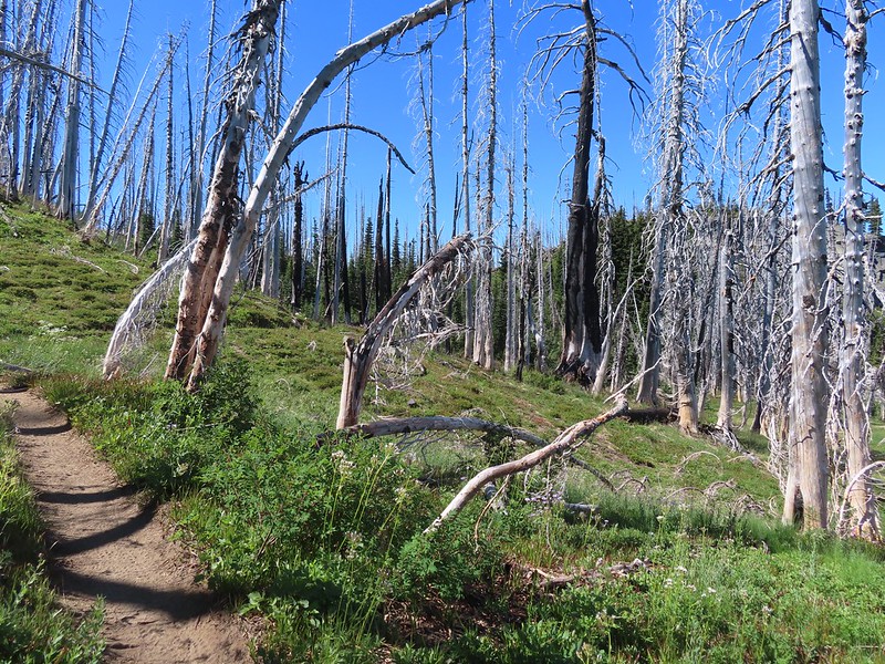 Burnt Rock behind the snags left over from the 2012 Cascade Creek Fire.
 Alpine false dandelion
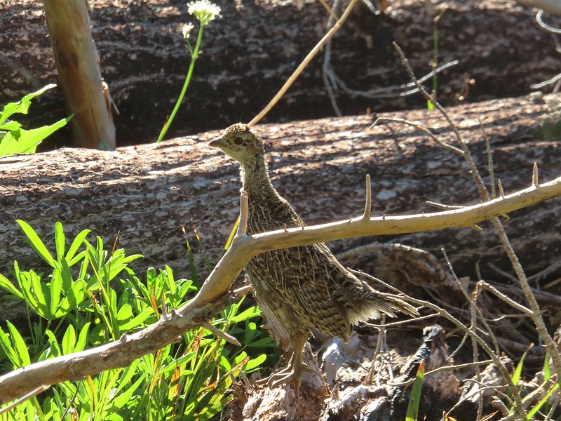 Grouse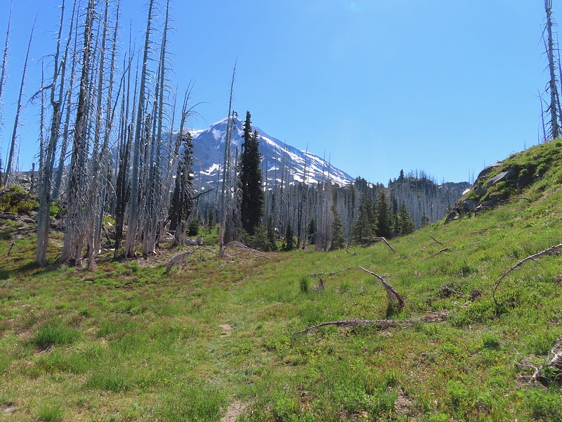

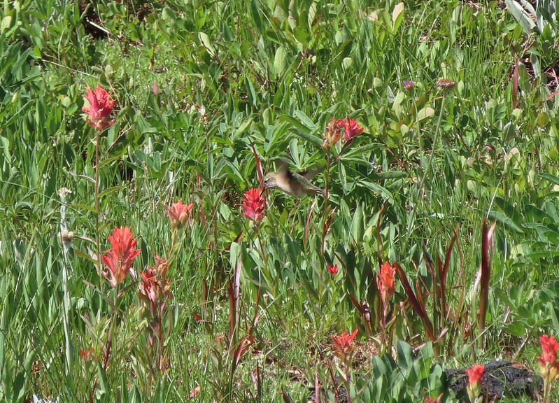 Hummingbird visiting paint.
 Mountain heather

 On the final pitch.
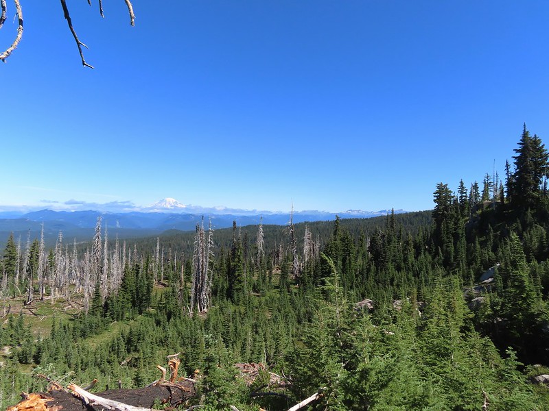 Mt. Rainier and Goat Rocks
 Phlox
Phlox Almost there.
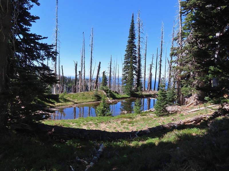 Not Crystal Lake, just a pretty little tarn nearby.
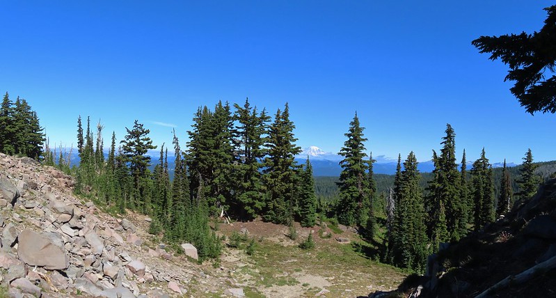 Mt. Rainier
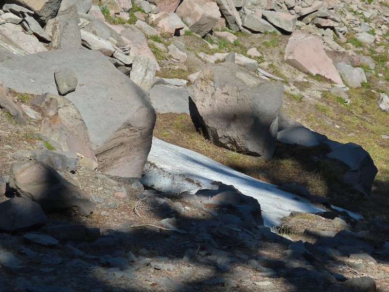 Just a bit of snow left around 6300′.
 The little tarn we’d passed.
 While not big Crystal Lake was deep.
 View down from the rocky ridge on the south side of the lake.
 The rocky ridge along the south side of the lake.
 We continued a tenth of a mile beyond the lake for a dramatic view of Mt. Adams.
 We could hear a waterfall below on Riley Creek.
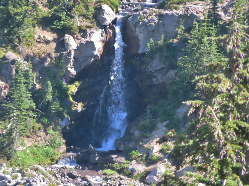 Zoomed in on the waterfall below.
 Crystal Lake from above.
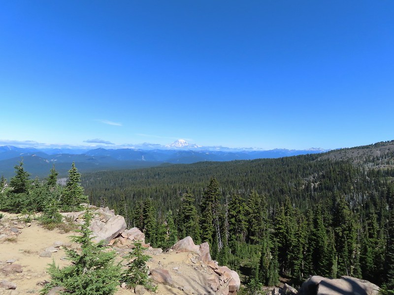 Mt. Rainier with Goat Rocks to the right.
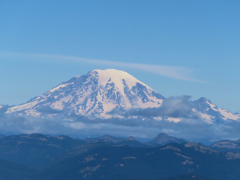 Mt. Rainier
 Some of Goat Rocks.
 Golden-mantled grounds squirrel
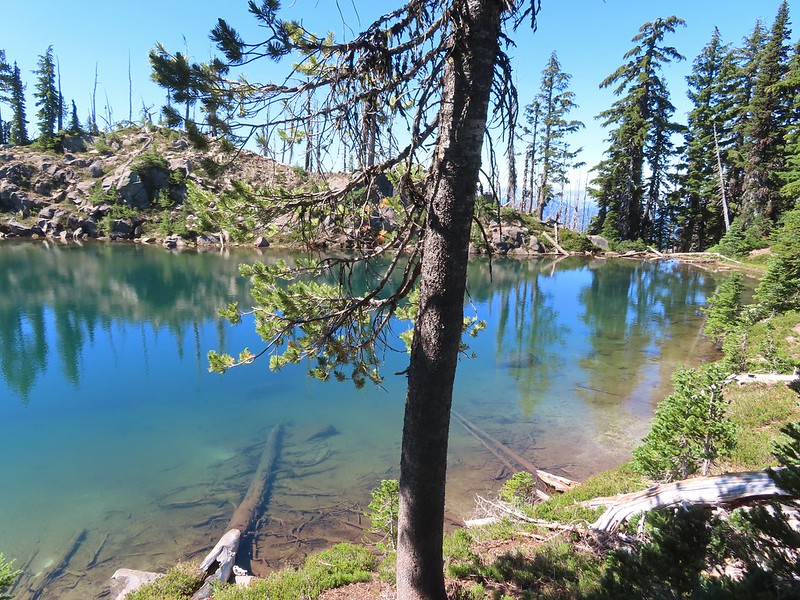


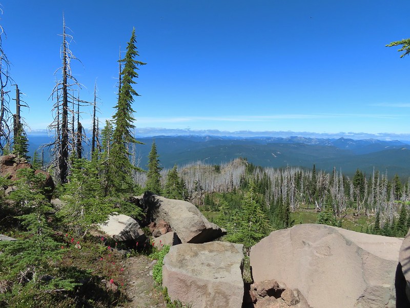 Getting ready to drop down.
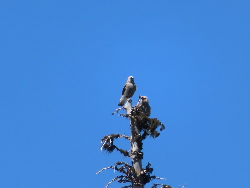 Clark’s nutcrackers
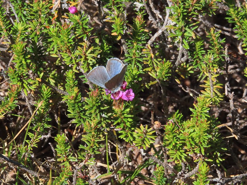 Butterfly on mountain heather.
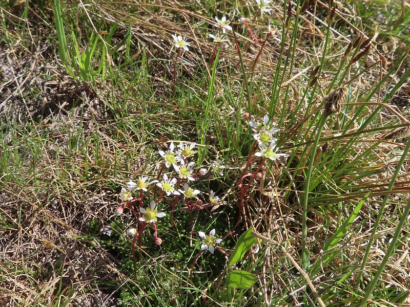 Saxifrage
 Violet
 Alpine speedwell
 A checkerspot
 A crescent
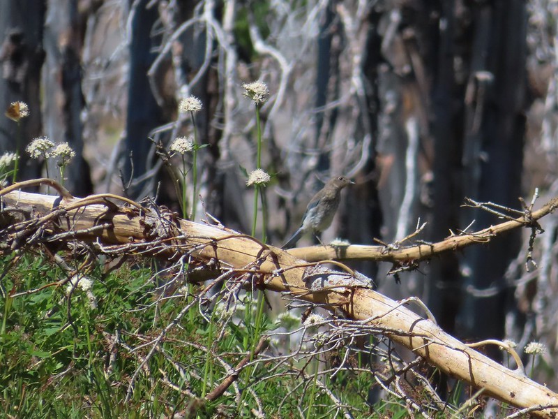 Mountain bluebird
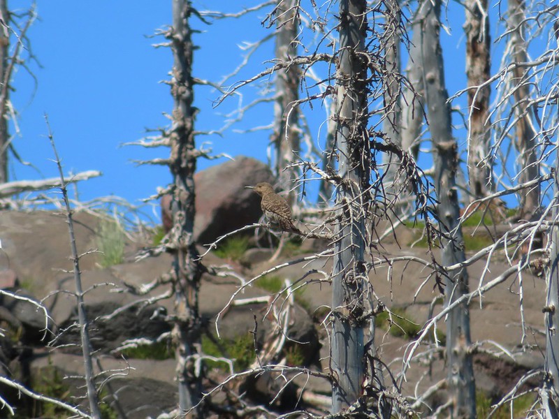 Northern flicker
 I’m guessing a warbler of some sort. We saw quite a few of these little yellow birds but had a hard time actually getting a photo.
 Mt. Adams from the PCT.
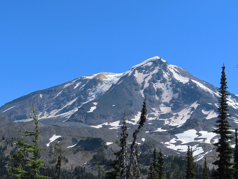
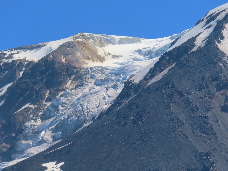 Adams Glacier
 Riley Creek at the PCT crossing.
 Wildflowers along the PCT.
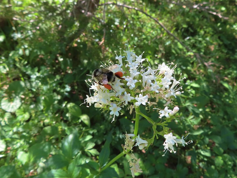 Bee on valerian
 Butterfly on valerian
 Another butterfly on valerian
 Looking back at Mt. Adams from the Riley Camp Trail.
 Passing through Riley Creek Meadows.
 Gentian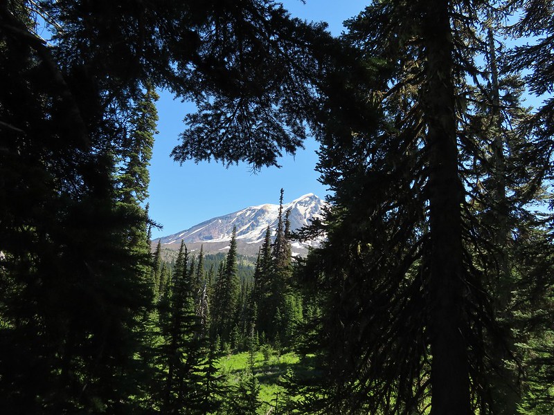
 We only saw a couple of beargrass blooms.
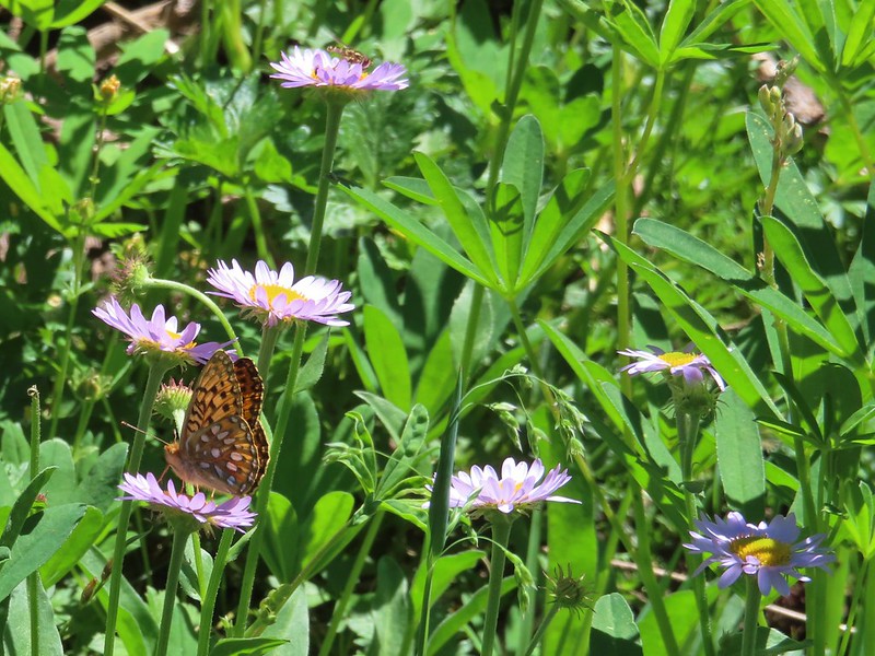 Pollinators on fleabane.
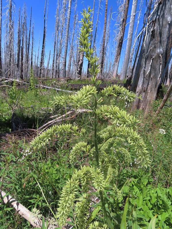 False hellebore
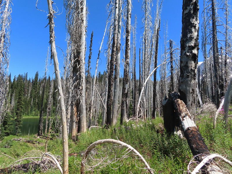 Luna Lake and Mt. Adams from the trail.


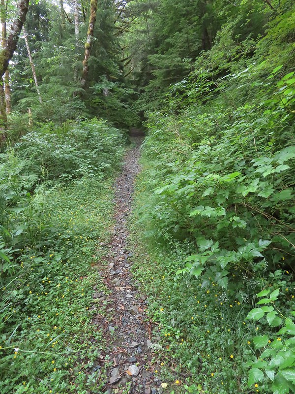 Overgrown roadbed that is now the Starway Trail.
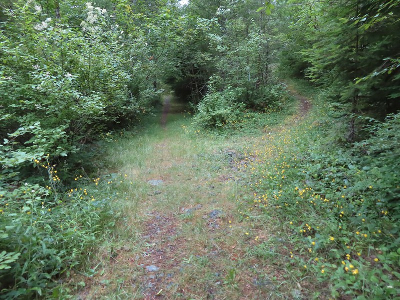 The fork with the Starway Trail to the right.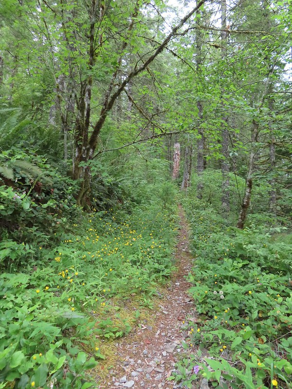
 Scouler’s bluebells
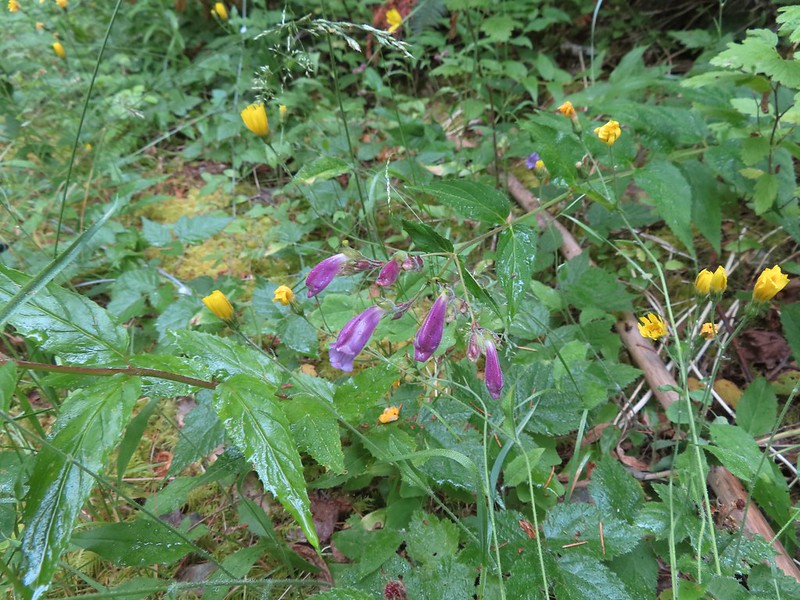 Beardstongue
 Paintbrush
 Taken from the first switchback this gives a little reference for how steep the trail was.
 Pictures never do justice to just how steep trails are.
 Almost to the bench.
 Level trail!
 Inside out flower
 The trail starting to steepen again.
 The first set of what appeared to be fairly recently built switchbacks.
 Approaching the little meadow.
 A little bit of blue overhead through the fog.
 Tiger lily
 Paintbrush
 Wood rose
 Thimbleberry
 Into the trees to look for a log.
 Silver Star Mountain
 Bunchberry
 Our first view of Mt. St. Helens
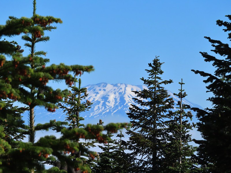 Zoomed in on Mt. St. Helens.
 Arriving below Point 3977.
 Point 3977
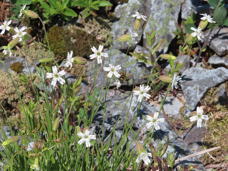 Pollinator on catchfly
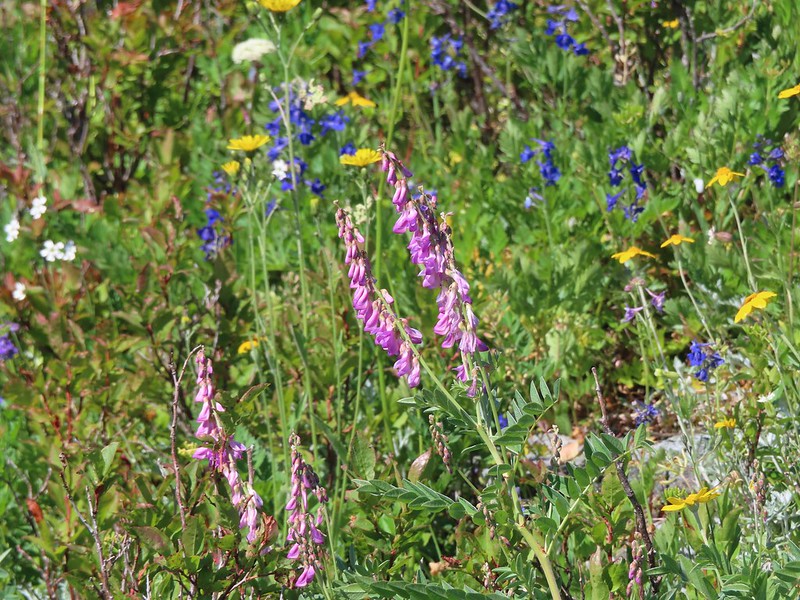 The pink vetch was very bright.
 Silver Star Mountain from the trail below Point 3977.
 Rose
Rose Wildflowers on Point 3977.
 Bluebells of Scotland
 Sub alpine mariposa lily
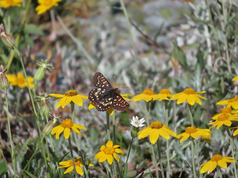 Checkerspot on Oregon sunshine
 Lots of purple larkspur amid the other flowers.
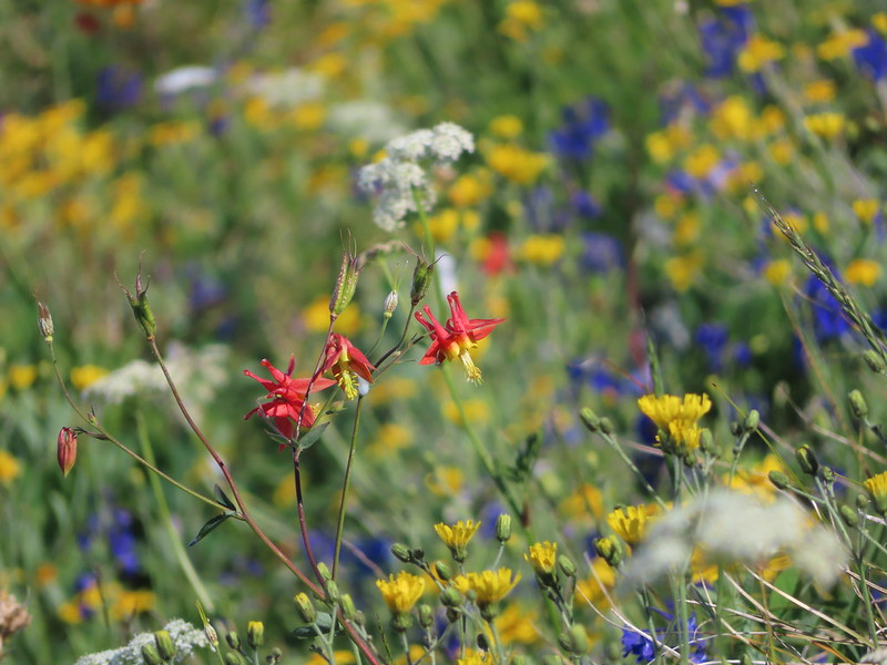 A few columbine were hiding in the mix.
 Violet
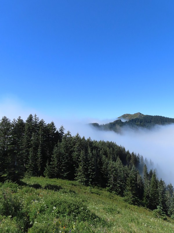 Starting down.
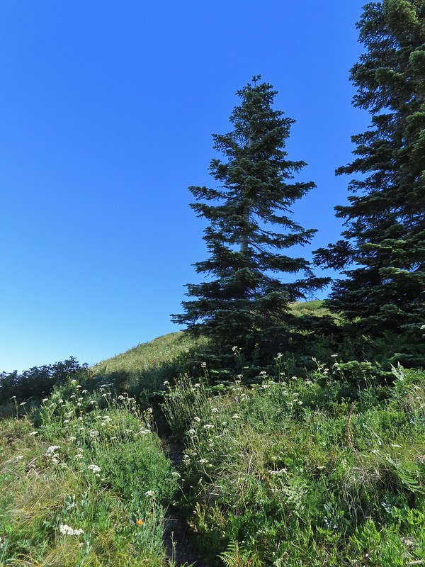 Looking back up.
 Stars on the trees marked the Starway Trail at times.
 Pinesap emerging from the ground.
 A cairn at the end of this brief level section marked the start of another steep descent. By this time we’d lost enough elevation to be back in the clouds.
 Part of the elevation loss was to drop below some interesting rock outcrops.
 Fully back in the fog.
 Time to climb again.
 Big root balls.
 Trail sign near the Bluff Mountain Trail junction.
 Final pitch to the Bluff Mountain Trail.
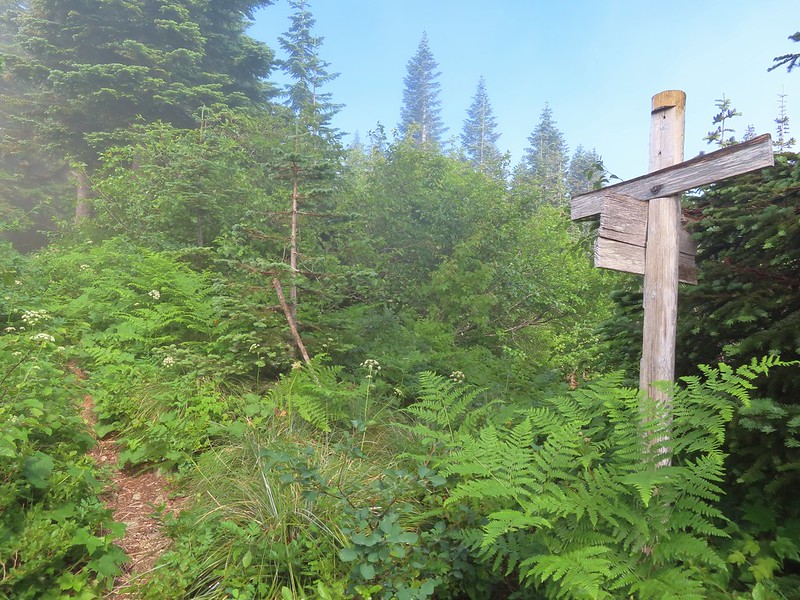 On the Bluff Mountain Trail at the junction.

 Lots of nice wildflowers along the Bluff Mountain Trail.
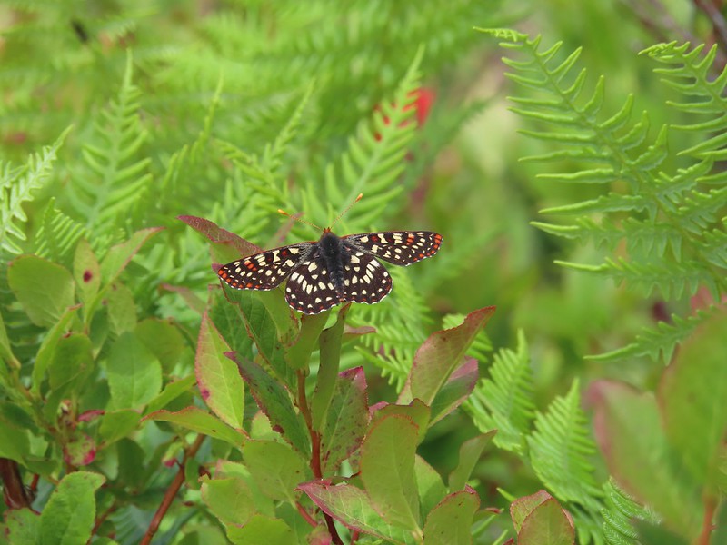 Another checkerspot
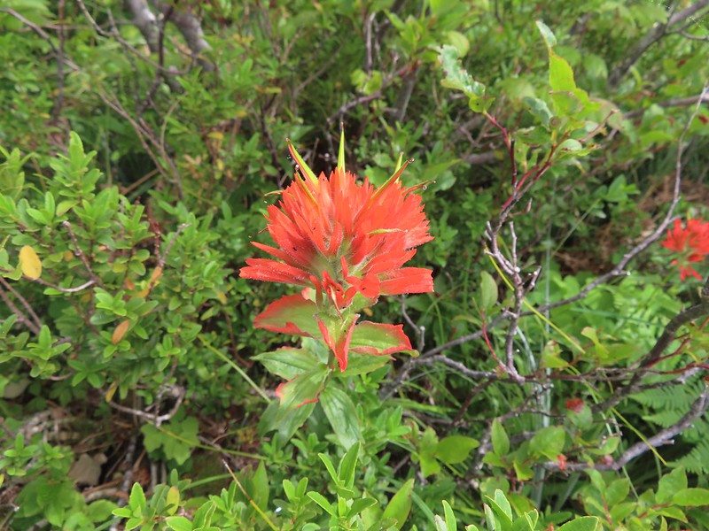 Paintbrush
 Penstemon
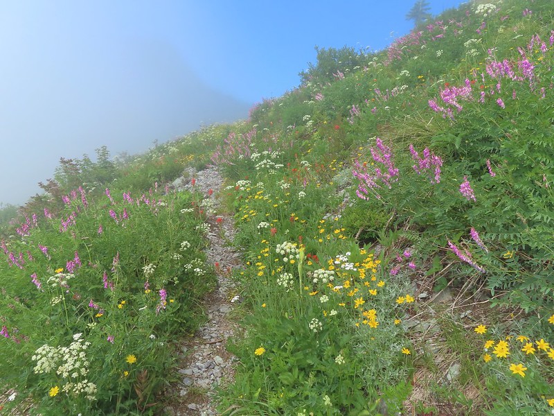 We just couldn’t quite shake the fog.
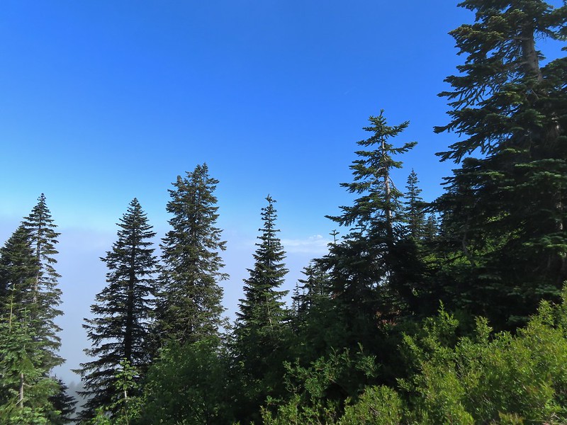 First sighting of Mt. Rainier.
 Mt. St. Helens to the left with Mt. Rainier to the right.
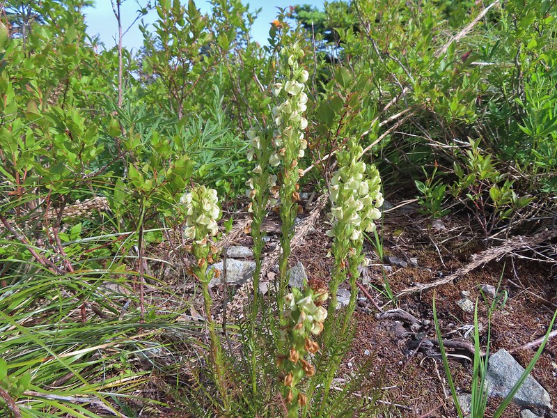 Coiled lousewort
 Lupine
 Getting closer to Silver Star.
 Crab spider on fleabane
 Spirea along the trail.
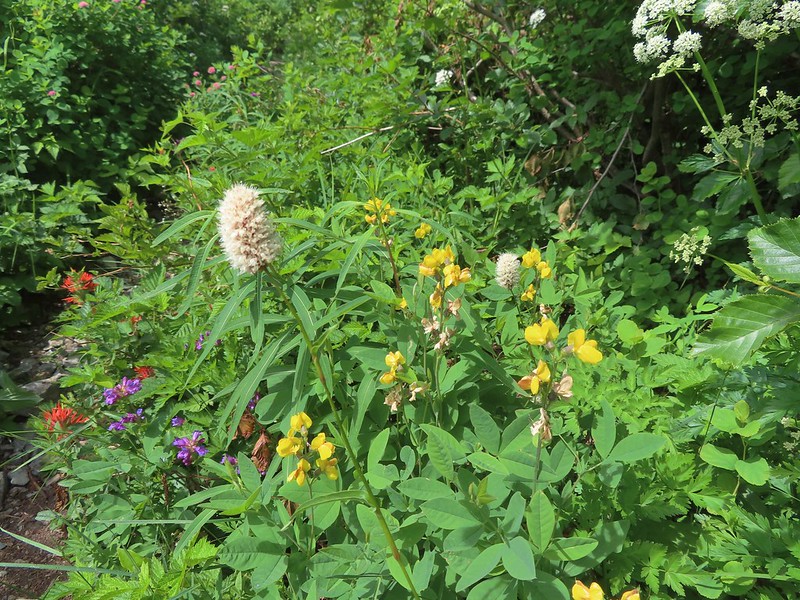 Bistort and mountain goldenbanner
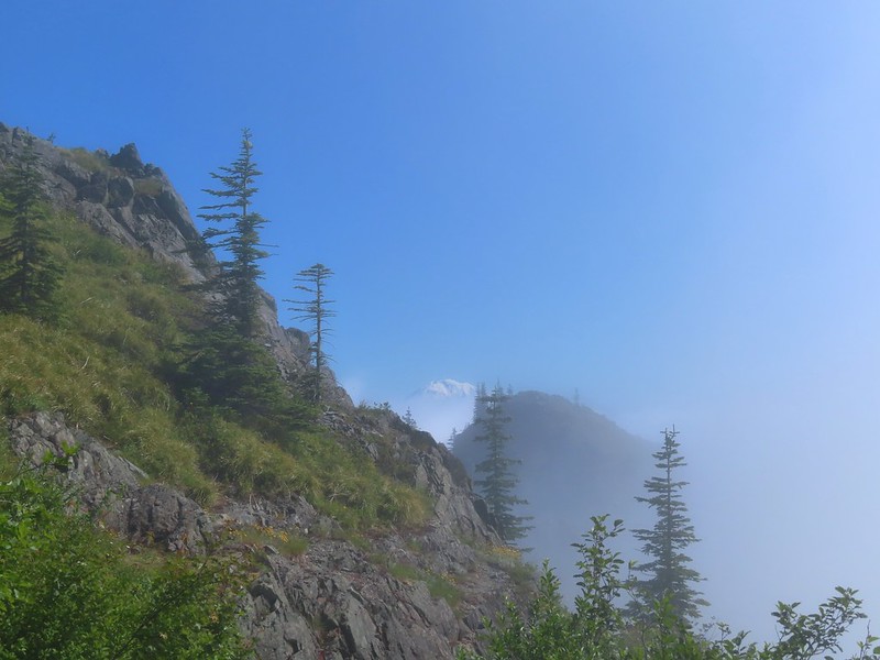 First Mt. Adams sighting.
 A crescent on bistort.
 Penstemon
 Wallflower with beetle.
 Passing below Silver Star Mountain.
 Mt. Hood
 Rock arch below Silver Star’s summit.
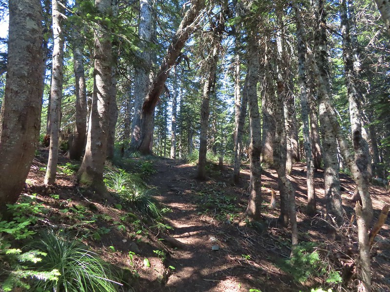
 Fading avalanche lily.
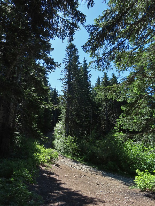 The old roadbed.
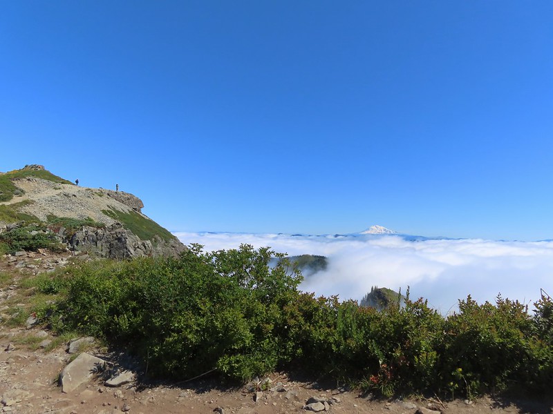 The summit to the left with Mt. Adams in the distance.
 Mt. Hood to the right at the saddle.
 Mt. St. Helens, Mt. Rainier, and Mt. Adams.
 Goat Rocks (between Mt. Rainier and Mt. Adams)
 Mt. Hood and Mt. Jefferson
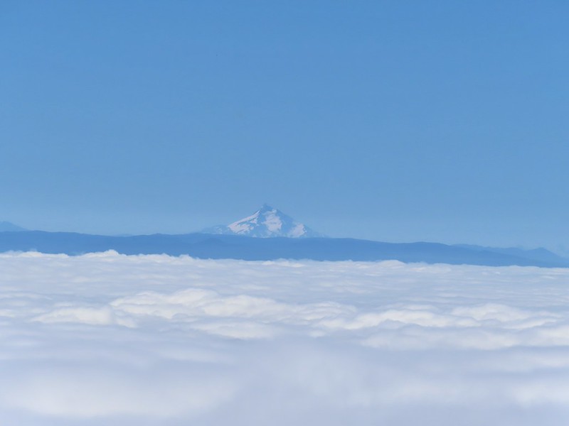 Mt. Jefferson. If you enlarge and look closely you can also make out Three Fingered Jack and the North Sister to the far right.
 Swallowtail
 Sturgeon Rock
 Wildflowers at the summit.
 Bug at the summit.
 Point 3977 is the the island surrounded by clouds.
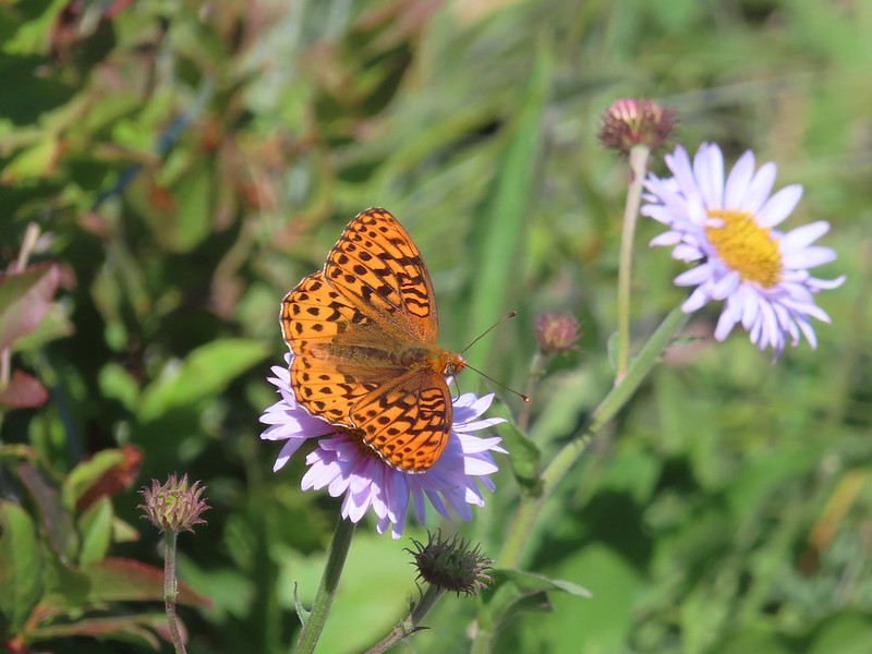
 The only beargrass bloom we saw all day.
 The talus slope.
 Pikas are not easy to spot.
 On alert.
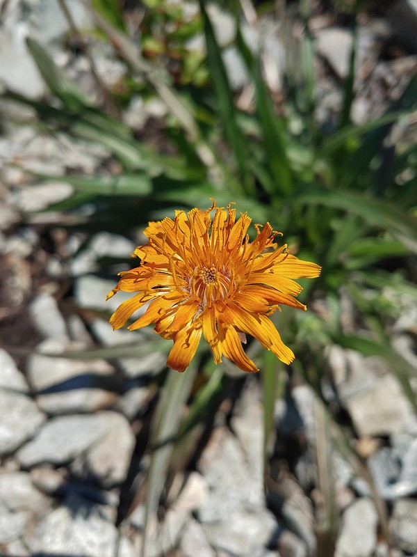 Orange agoseris
 Ladybug
 Making the steep climb back up to Point 3977.
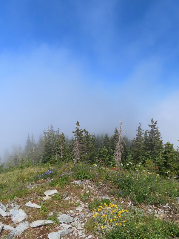 Looking toward Mt. St. Helens and Mt. Rainier.
 Looking toward Silver Star.
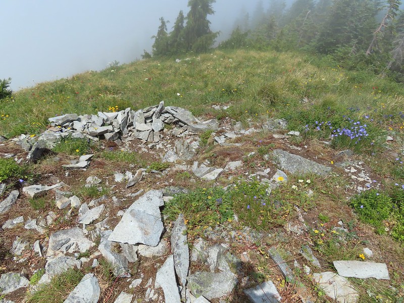 Possibly a Native American vision quest pit.
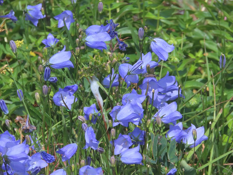 Bluebells of Scotland with at least three visible insects.
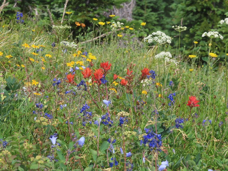 Some bright paintbrush.
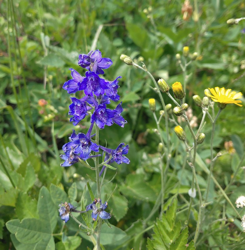 Larkspur
 A brief appearance by Silver Star’s summit.
 Sorry knees.
 Mock orange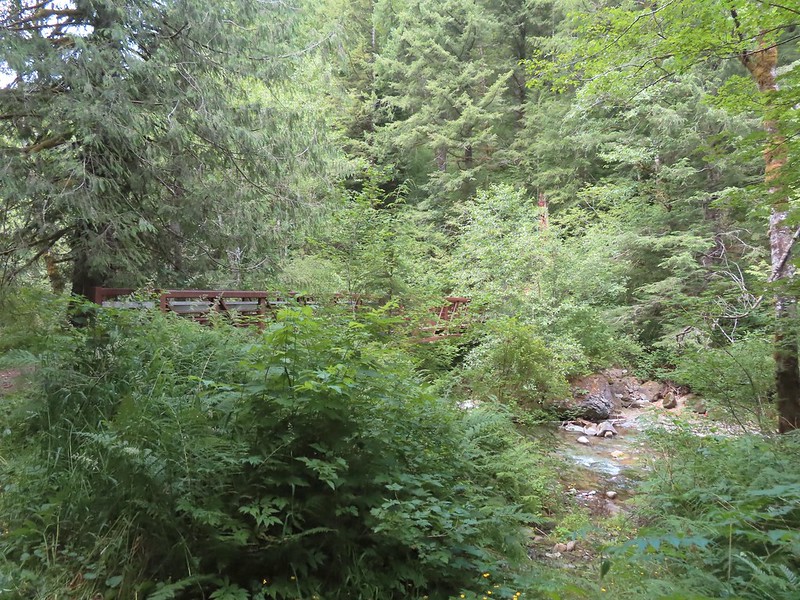
 A little blue sky in the afternoon.
 Salmonberries along FR 4107. I may have eaten a few as well as some red huckleberries along the lower portion of the Starway Trail.
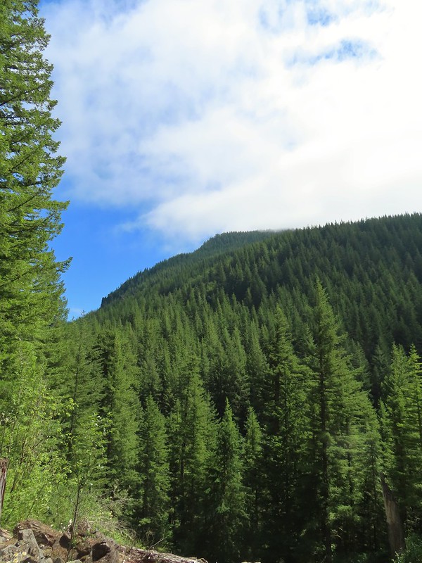 Looking back at the hillside the Starway Trail climbs from FR 4107.

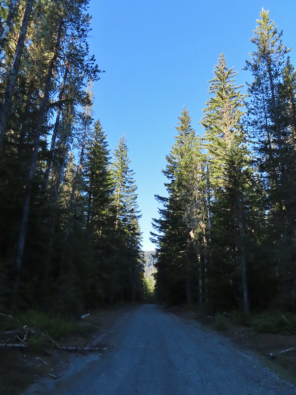 FR 8123

 It appeared the trail had been rerouted at least a couple of times to cross this dry creek bed.


 Fence at the boundary for the Research Area.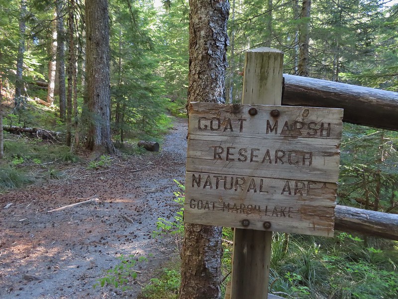
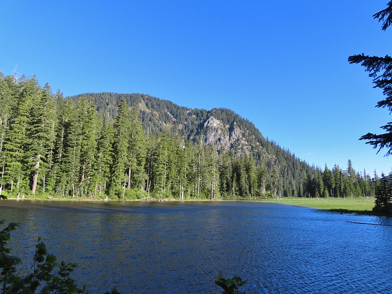 Goat Mountain and Goat Marsh Lake.
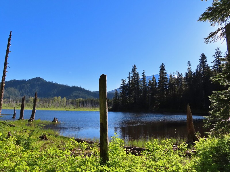 Mt. St. Helens
 Trillium
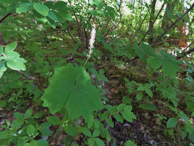 Vanilla leaf

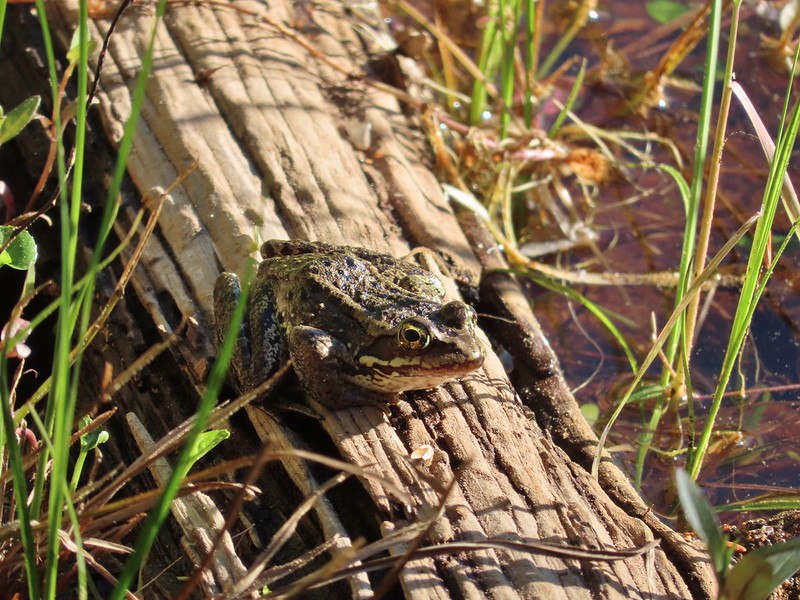 Frog on a log.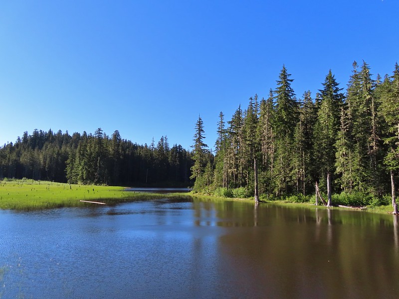
 The two cow elk in the middle of the grassy area.

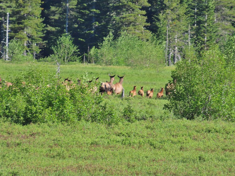 Calves lined up, this one is a bit blurry due to them moving and the amount of zoom used.
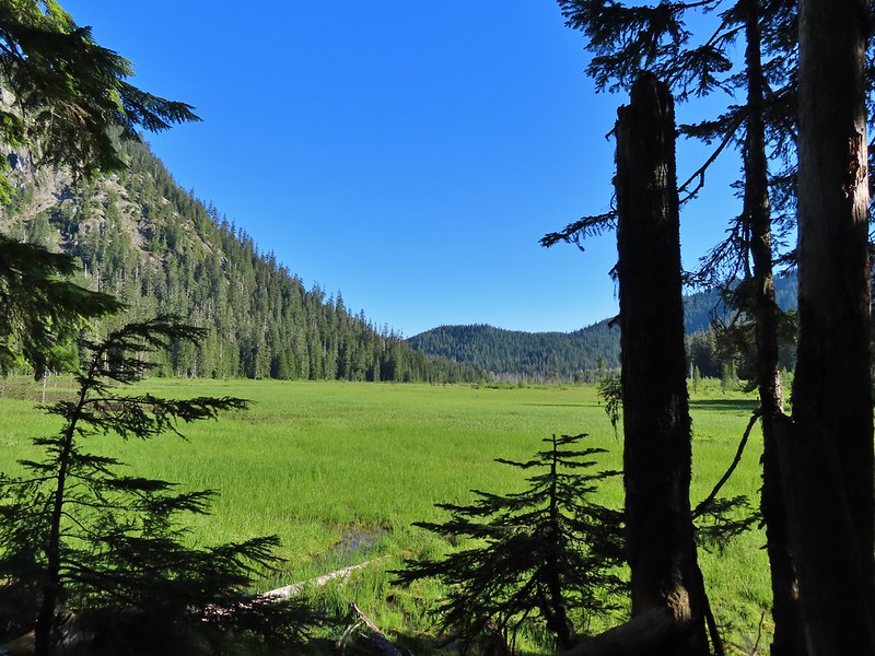 The elk herd not zoomed in.
 Zoomed
 Coralroot
 Goat Mountain
 Avalanche lilies
 Mt. St. Helens
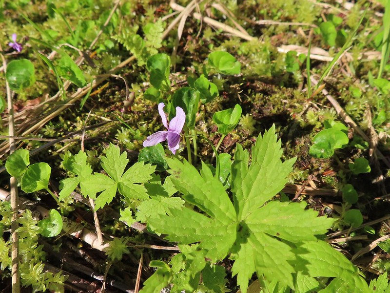 Marsh violet
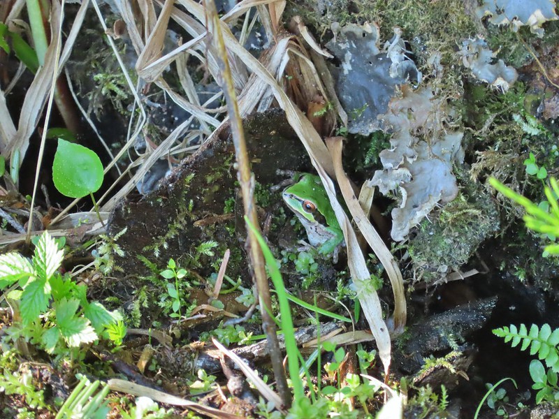 Frog under a log.
 Salmonberry
 Sign near the end of the trail.
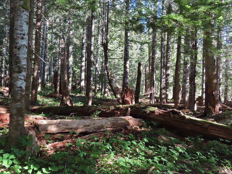 At the end of the trail.
 Beaver lodge
 Duck and ducklings
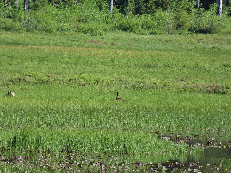 Geese out in the grass.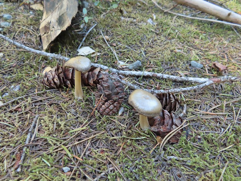

 The road crossing.
 In the campsite trying to decide which way to go.
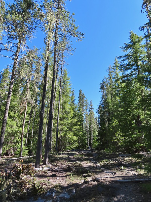 Once we found it the trail was pretty obvious, at least for a while.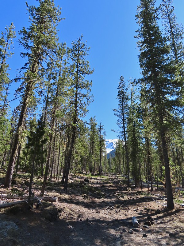


 Gray jay with a snack.
 Western tanager. Right after this photo he flew straight at us snatching an insect out of mid-air.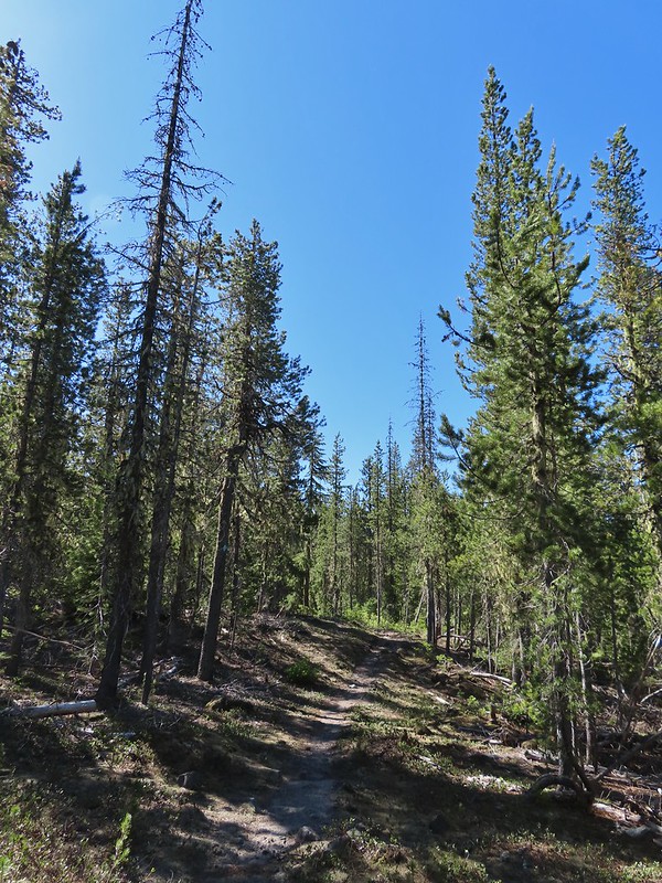

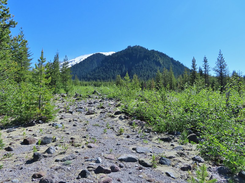 Butte Camp Dome in front of Mt. St. Helens.
 Crossing another dry bed.
 Where is the trail?
 In one of the creek beds. We were using the GPS along with looking for cairns and/or flagging.
 Goat Mountain
 You can’t really make them out in the photo but there is a pink flag and a blue diamond (on a downed tree) near the edge of the green trees.
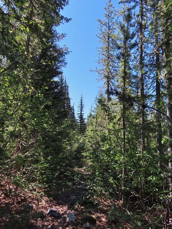 There was another short brushy section before the forest opened up.
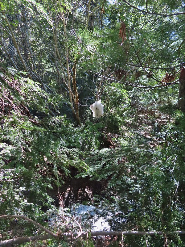 One of the strangest snow sightings we’ve come across.
 My theory was bigfoot hung this.

 The NOHRSC estimated 2″-3.9″ of snow and that seemed to be about right.
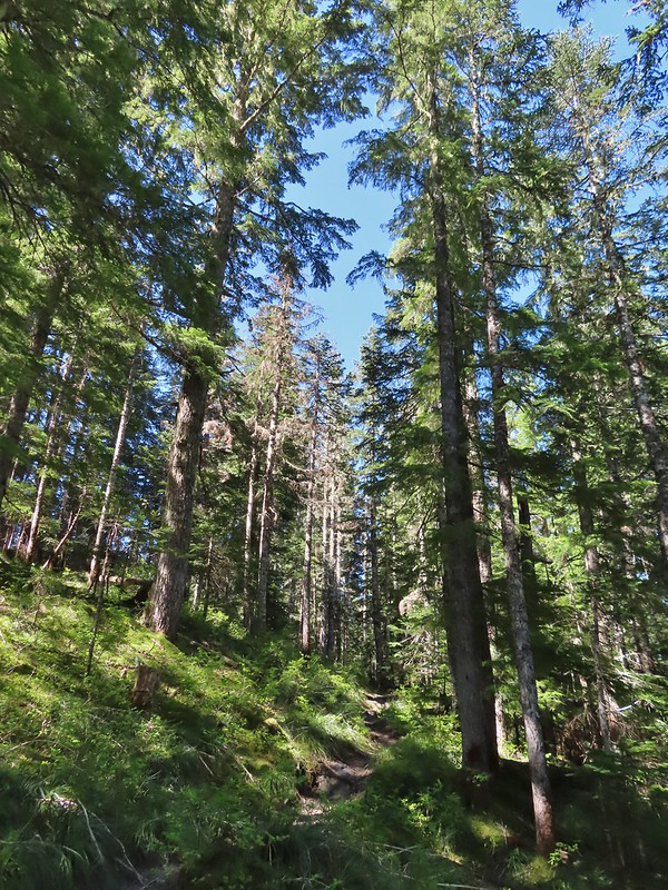
 Looking back at the junction from the Toutle Trail. The post with no sign is the continuation of the Toutle while the trail on the left is the ski trail.

 Last years beargrass.
 Strawberry
 Phlox
Phlox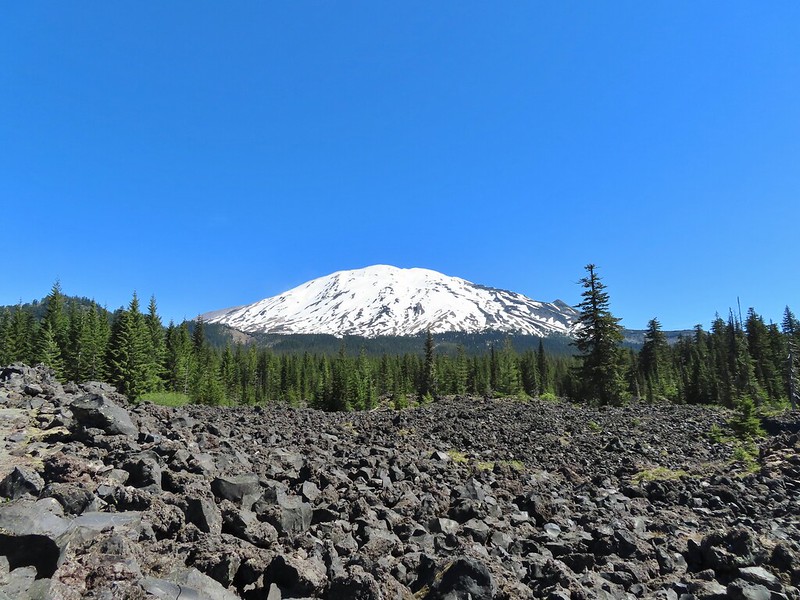
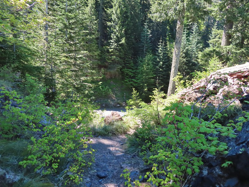 FR 81 below the trail.
 Trail sign at the trailhead.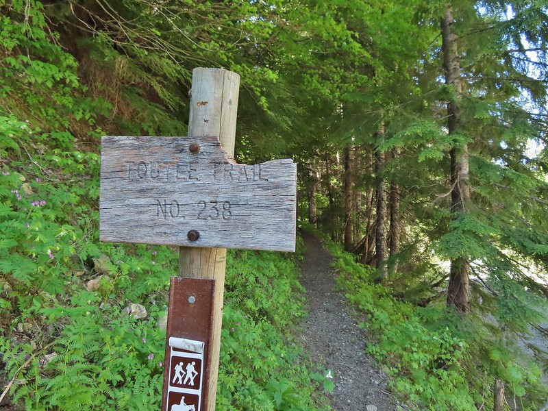
 Raven flyover
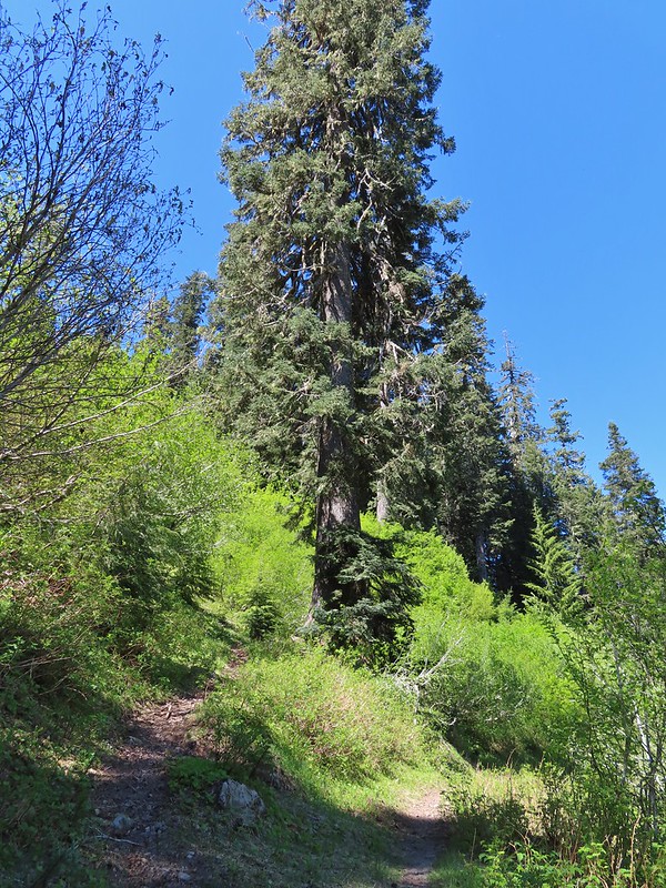 The fork.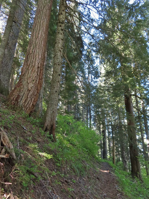
 One of several side creeks we crossed.
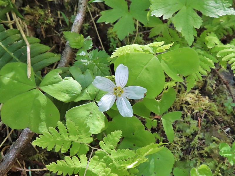
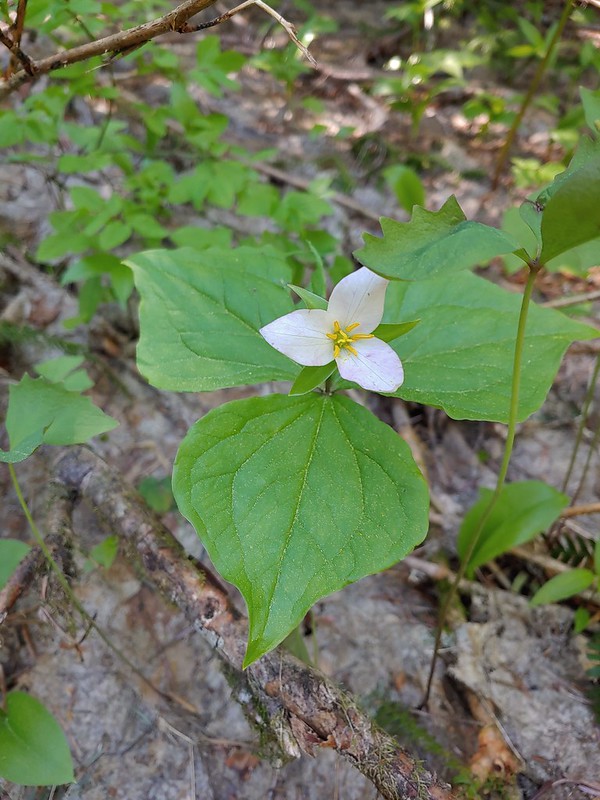 Trillium
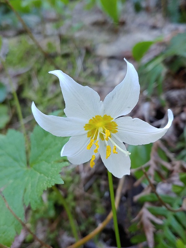 Avalanche lily
 Violet
 Goat Mountain beyond McBride Lake.
 Sourgrass
 Valerian
 Solomonseal
 Saxifrage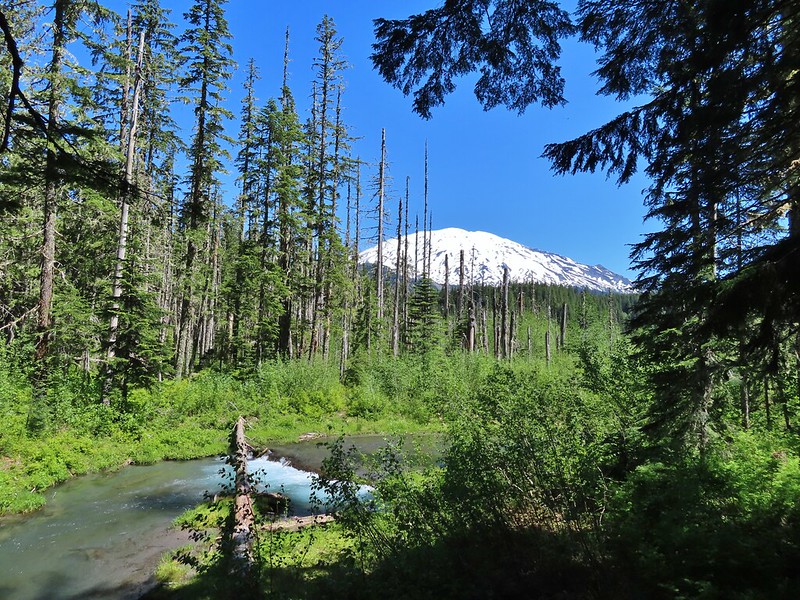


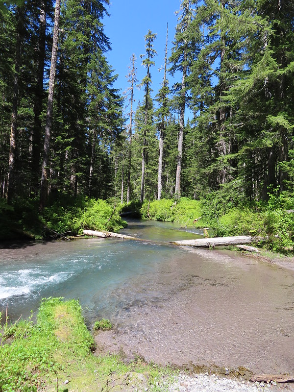 Kalama River from the road bed.
 The Blue Lake Horse Trail on the far side of FR 81.
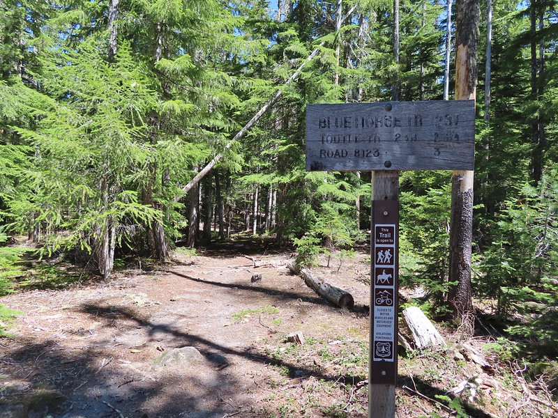 The sign did show FR 8123 which was the road the trailhead was on so that fed into us not realizing our mistake at first.
 An orange diamond on a tree ahead.
 Where we left the horse trail.
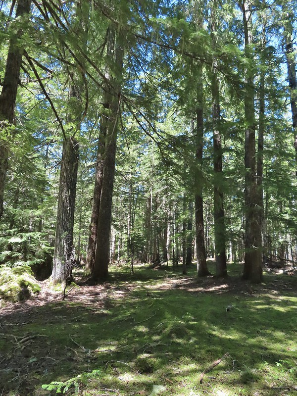 Typical terrain for the cross-country walk.
 It seems like every time we go off-trail we come across a mylar balloon. We’ve really come to despise those things. We packed it and the ribbon out.
 The trickiest part was crossing this dry stream bed but we fortunately came to it at a spot that was perfect for crossing.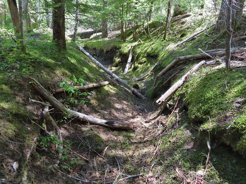
 FR 8123
 Coming up to the Goat Marsh Lake Trailhead (and our car) on FR 8123.


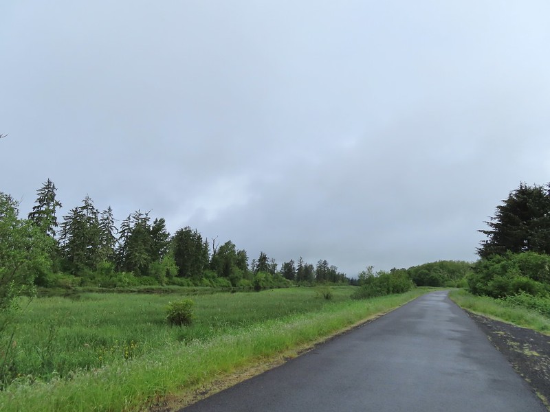
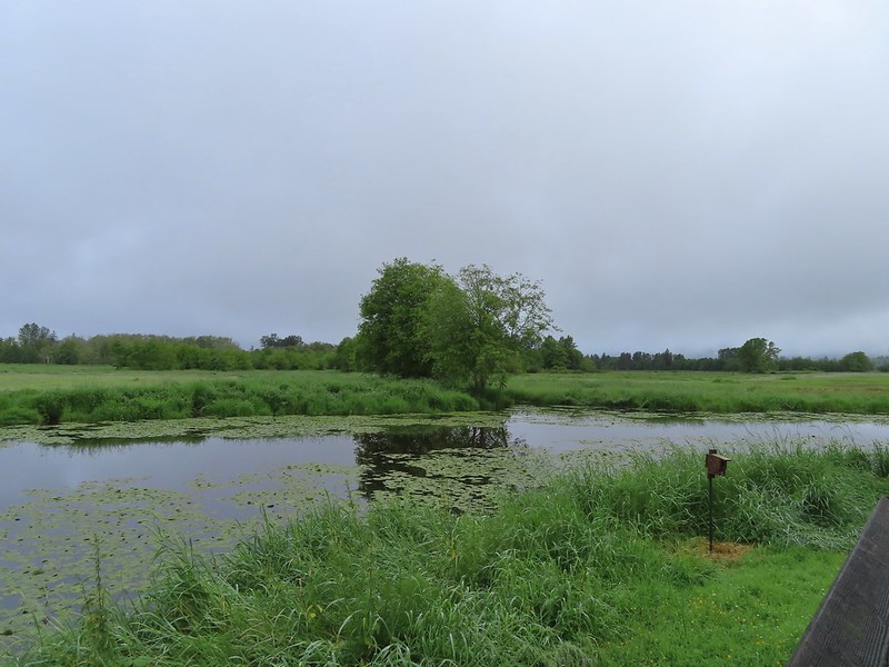 A damp and cloudy morning.
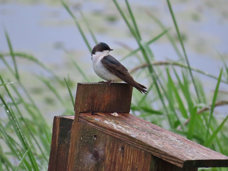 Swallow
 Indian Jack Slough and the garage from Refuge HQ.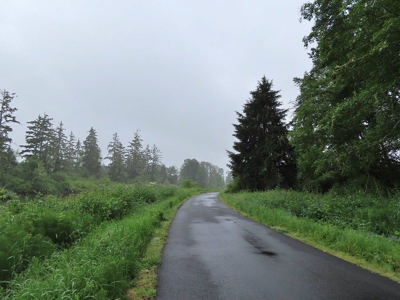
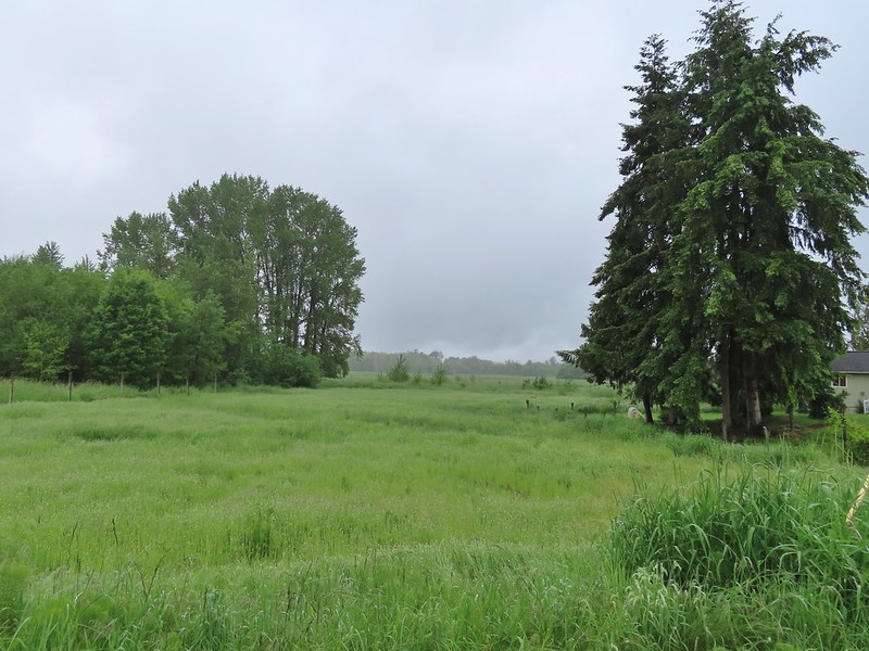
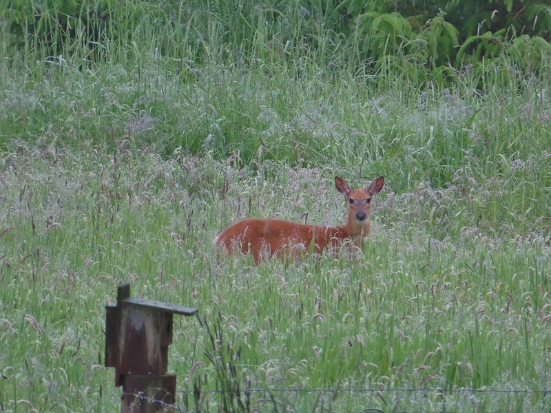
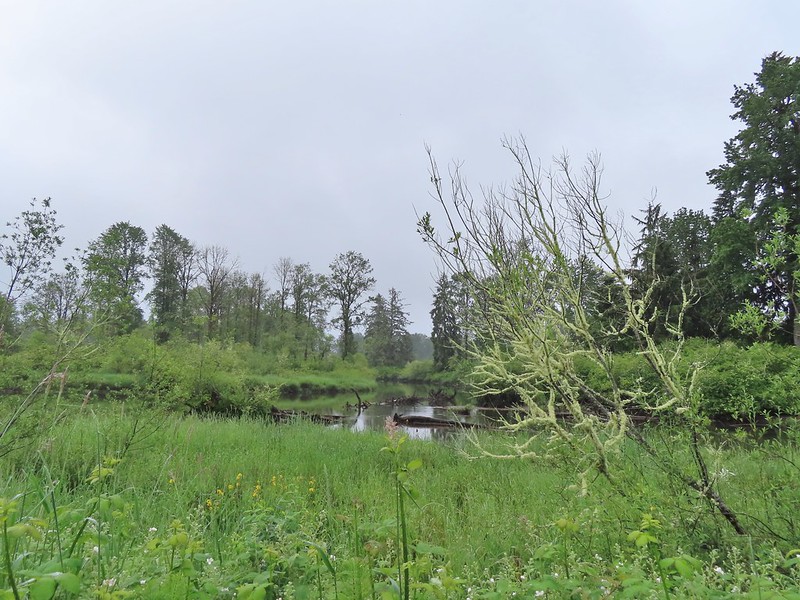 Elochoman Slough
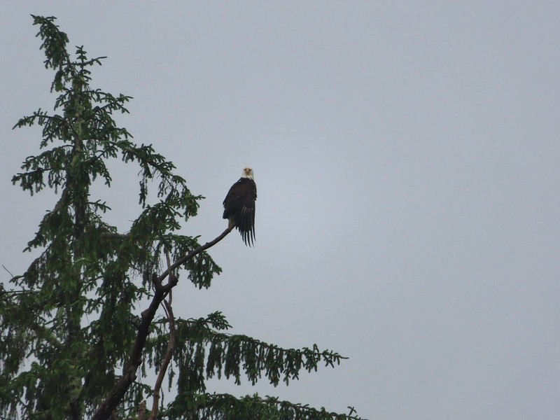
 The first of many bald eagles we spotted (atop the dead tree across the slough).
 Working on drying out.
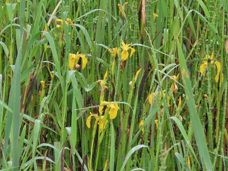 Lots of non-native yellow flag iris in the area.
 Little birds such as this sparrow were everywhere but rarely sat still.
 A different eagle waiting to dry.
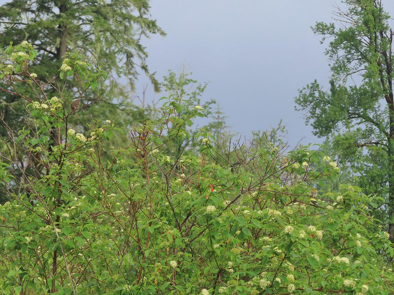 There are at least 5 birds in the tree including four goldfinches.
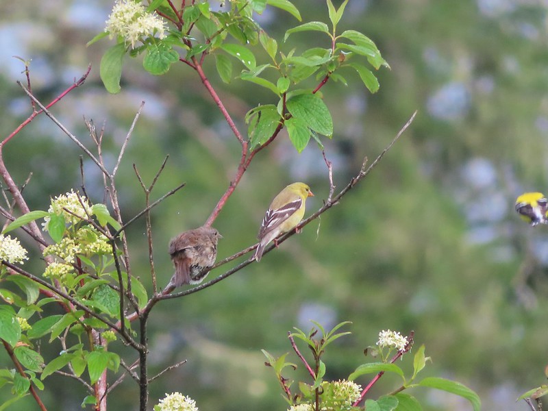 A male goldfinch takes off.
 The morning clouds were starting to break up as forecasted.
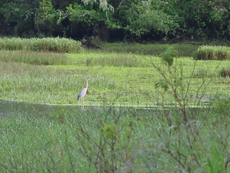 One of many great blue herons.

 A male wood duck.
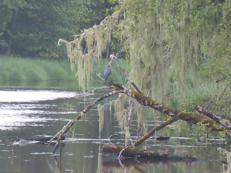 Another great blue heron with the female wood duck on the log below.
 The first of several osprey.
 Cattle in a field along the road.
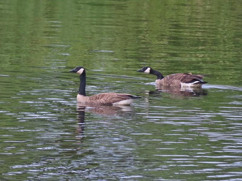 Geese
Geese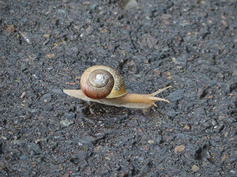 Snail crossing the road.
 Maybe a yellow warbler. I had to use the digital zoom to get between the branches so it’s not the clearest photo.
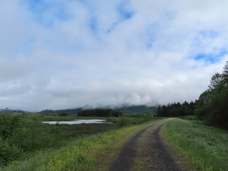
 There was a pole with a bunch of bird nests hung from it near the start of the trail. We’d never seen one like it before.
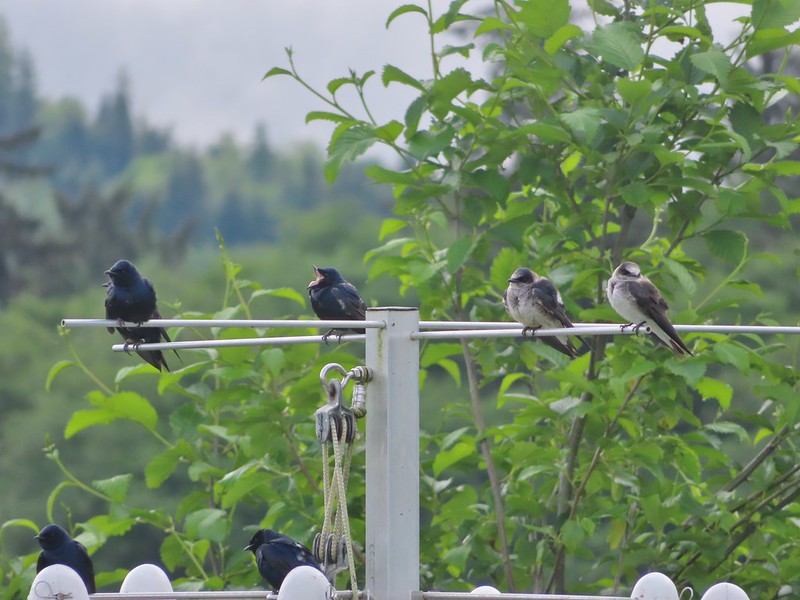
 Bald eagle in the same area.
 Slug on lupine
 A different type of lupine.
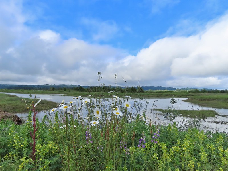 Lupine, daisies and yellow gland-weed.
 Bumble bee needing to dry out.


 A look at the white tail. He gave us a better look but in that one he was also doing his business so we stuck with this uncentered, slightly blurry version.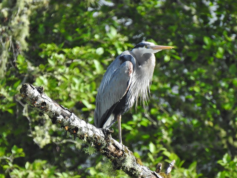

 Guessing marsh wren.
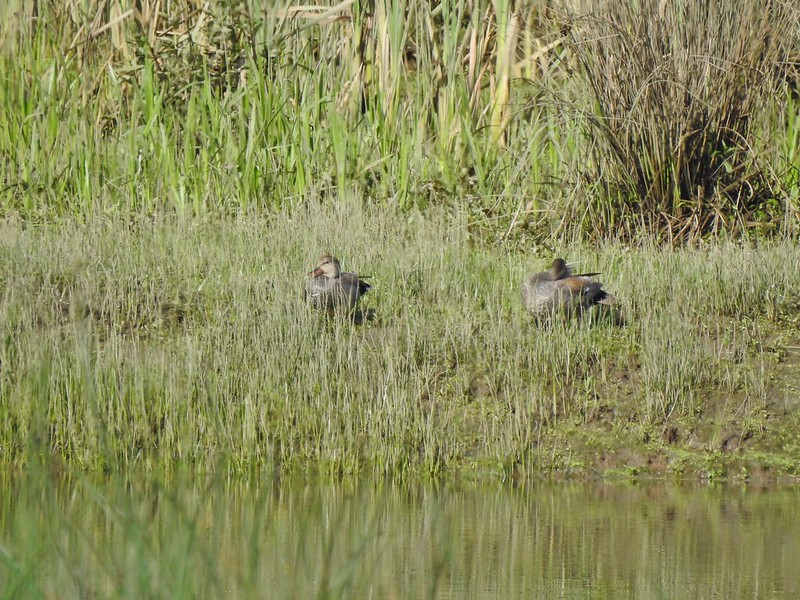 Ducks
Ducks Goose with goslings.
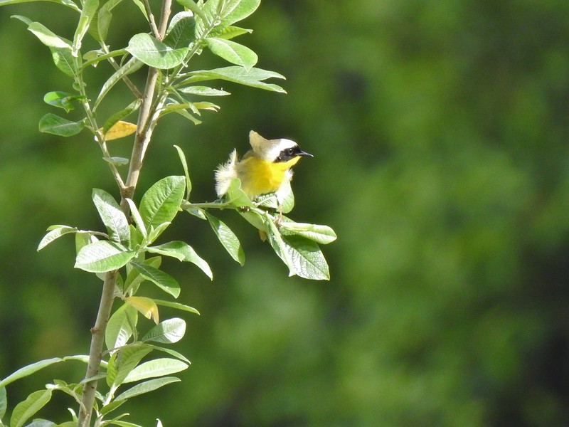 Common yellow throat.
 Male gadwall?
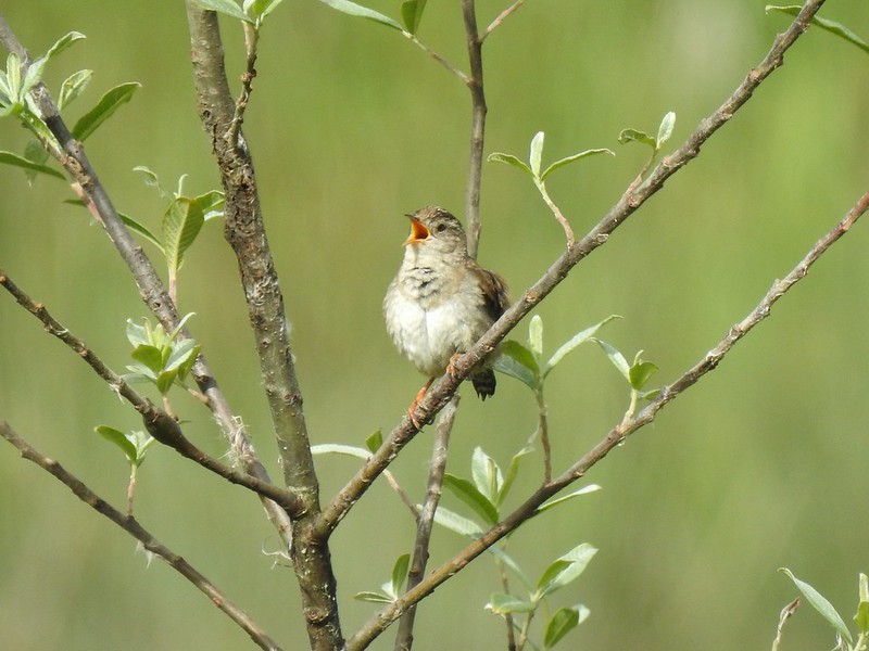 There was pretty much non-stop bird song throughout the day.
 Traffic on the Columbia River.
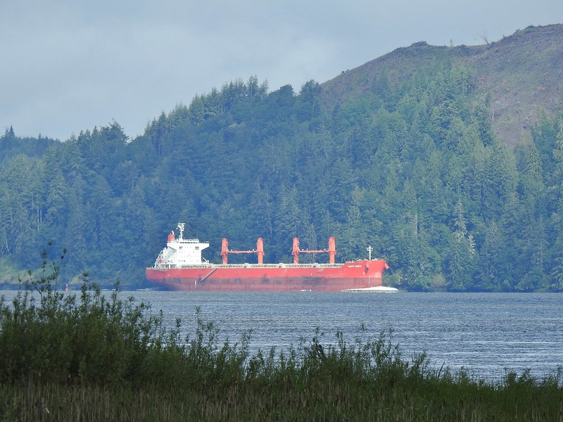 The Santa Maria on the Columbia.
 Female brown-headed cowbird?
 Flowers along the levee.
 American robin
 Red-winged blackbird chasing a heron.

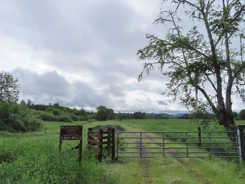 Note the sign does not indicate that you cannot reach the HQ from the road, it simply says it is 5 miles round trip. Online it adds that hikers must exit the trail the way they entered.
 Roses along the road.
 Muskrat
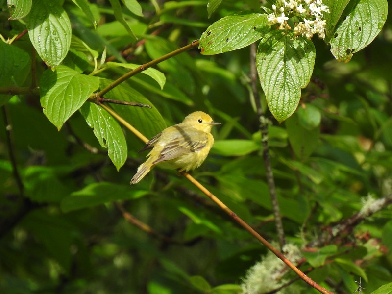 Warbler
 Osprey
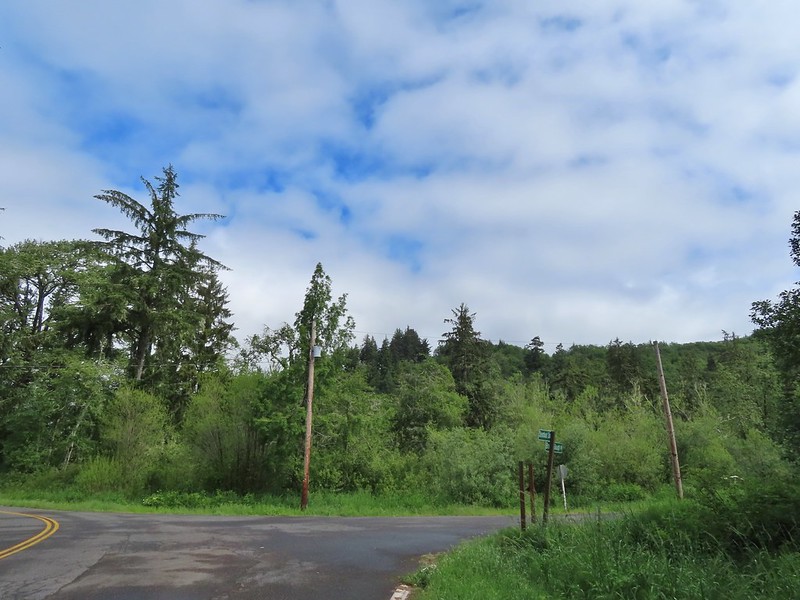 Brooks Slough Road junction.
 Another eagle sitting near the top of the first tall tree on the far side of the slough.
 Interesting shrub along the road.
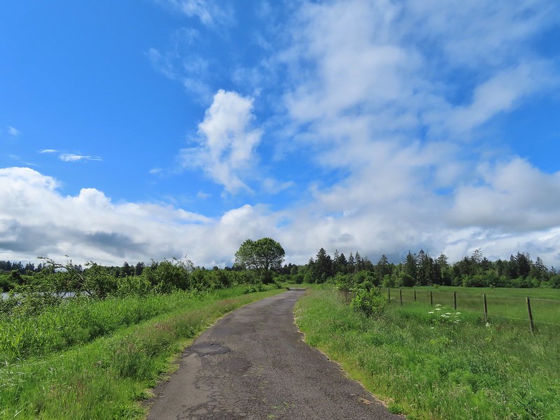 The partly sunny skies had indeed materialized.
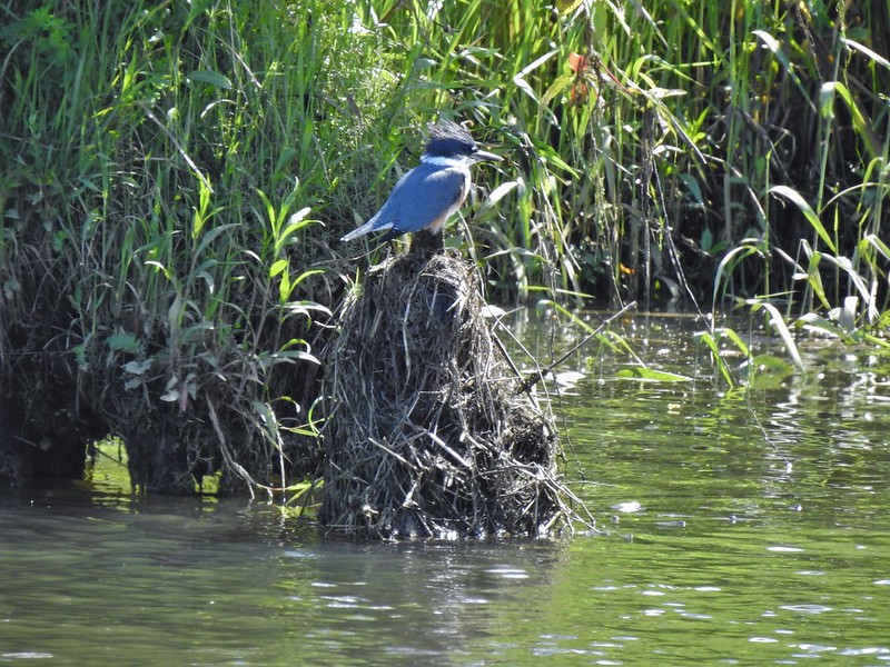 Kingfisher
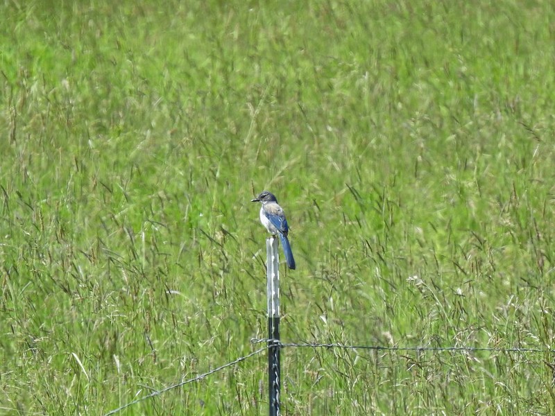 California scrub jay
 White pelicans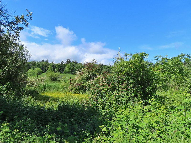
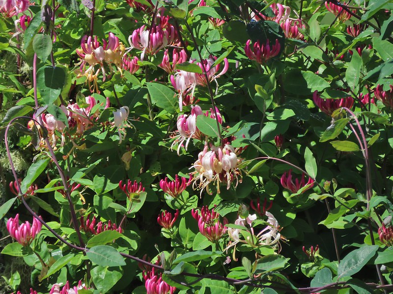 Some sort of ornamental shrub/tree but it had cool flowers.
 Turkey vulture
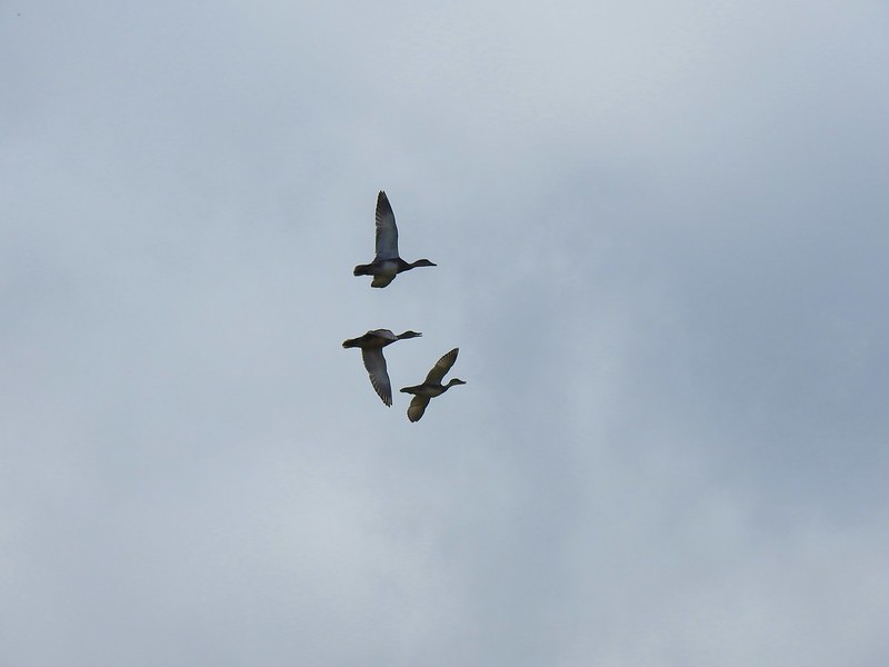 Couldn’t tell what type of ducks they were.
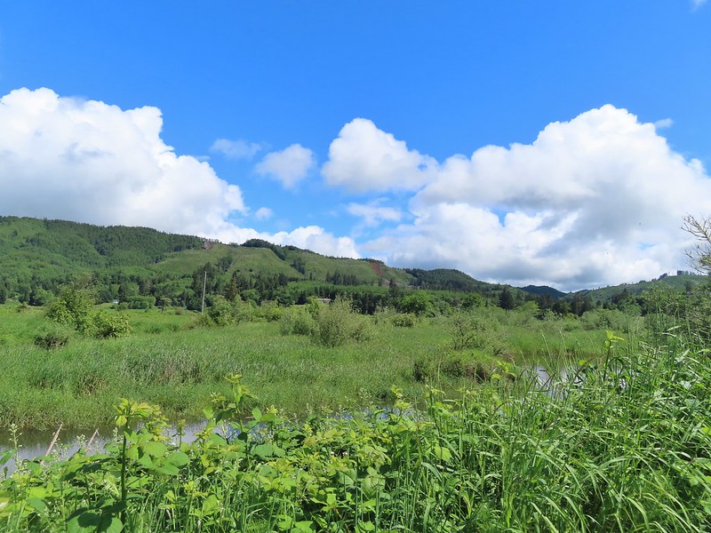 Alger Creek somewhere in the grass flowing into Brooks Slough.
 Pond on the other side of the road.
 Black pheobe?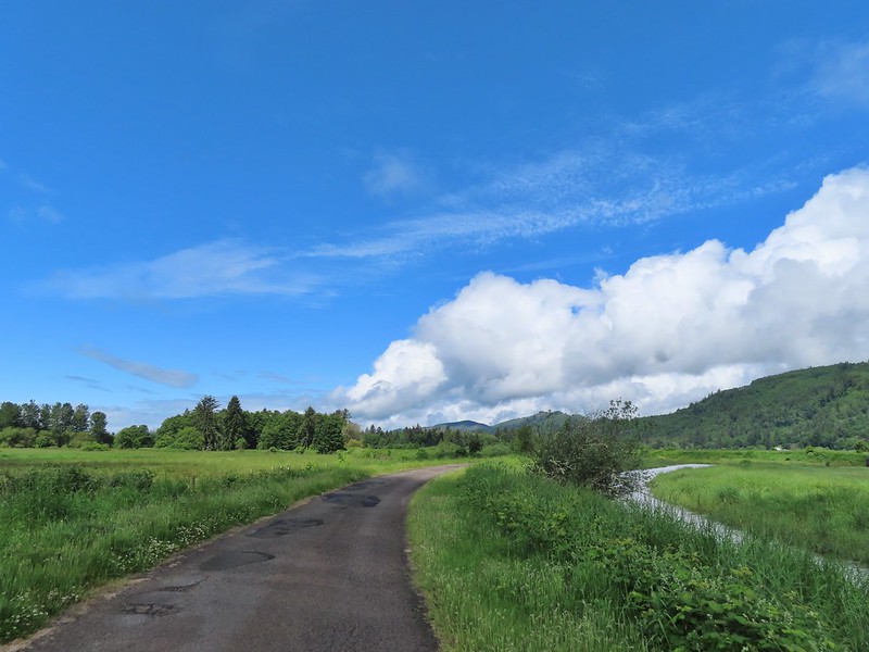
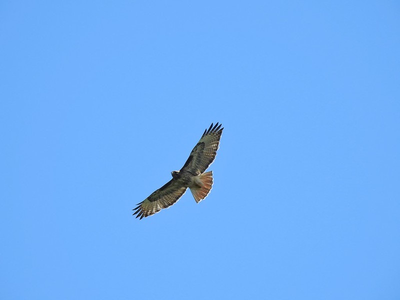 Red-tailed hawk
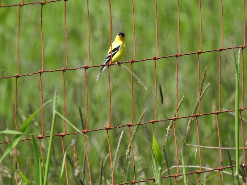 American goldfinch
 Swallowtail
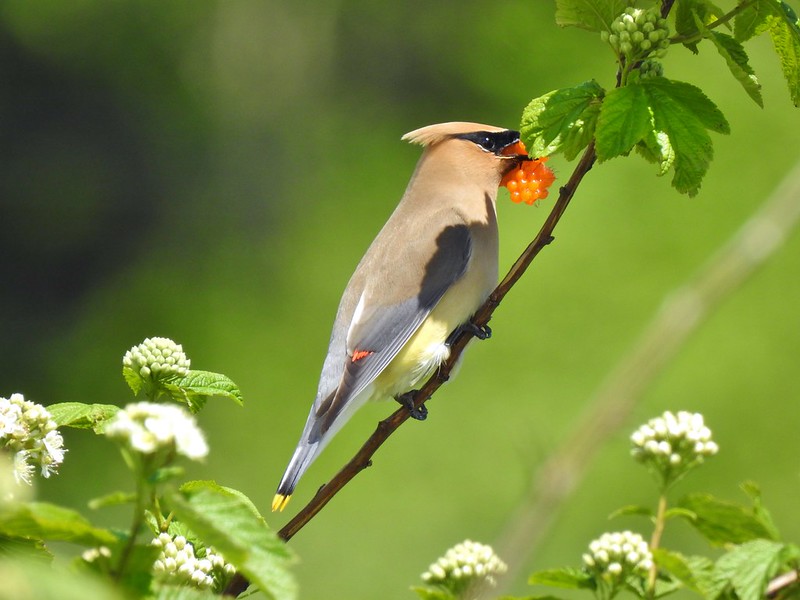 Cedar waxwing with a salmonberry.
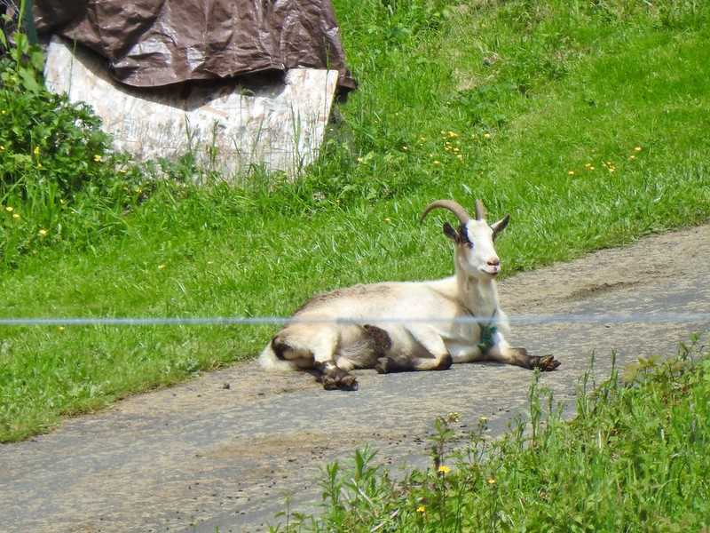 Goat lounging in a driveway across the highway. There had actually been a black goat in nearly the same spot on our first pass.
 Caterpillar
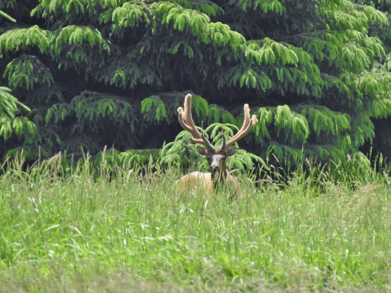
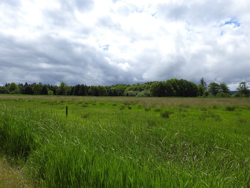 The elk is in the center of the photo near the tree line.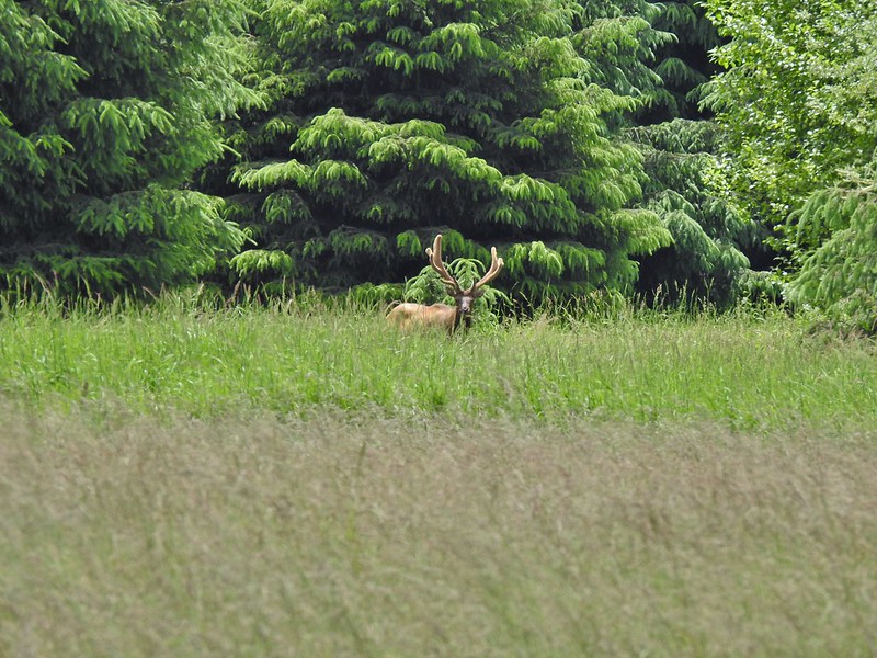
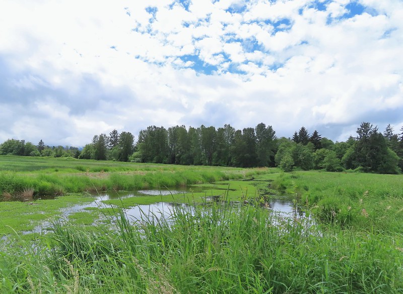


 Here is a not so decent picture of the egrets.
 One of the bitterns in flight.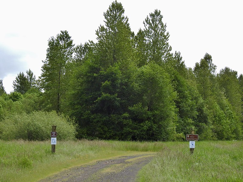


 Heather spotted this garter snake along Center Road. Another animal to add to the days list.
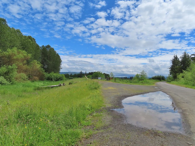 Back at the White-tail Trail.
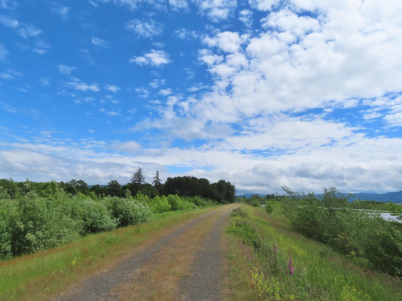 It had cooled down again which provided some relief as we trudged back.
 A second turtle
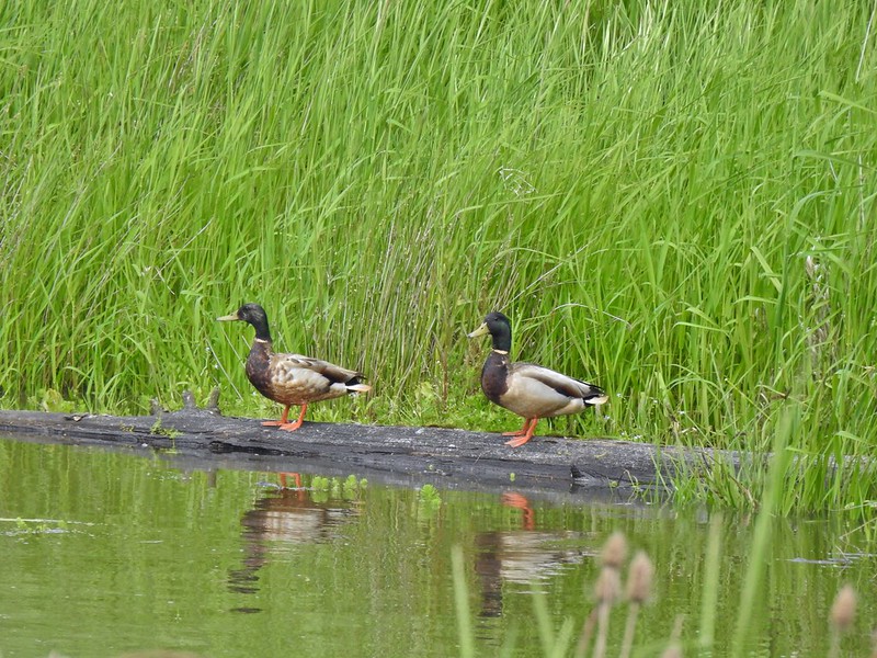 Mallards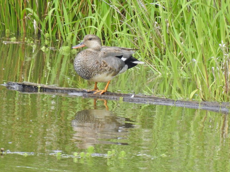
 Way more water in the afternoon.
 Another kingfisher. It was in the same tree as the heron had been earlier that morning when we were watching the bucks.
 Family swim
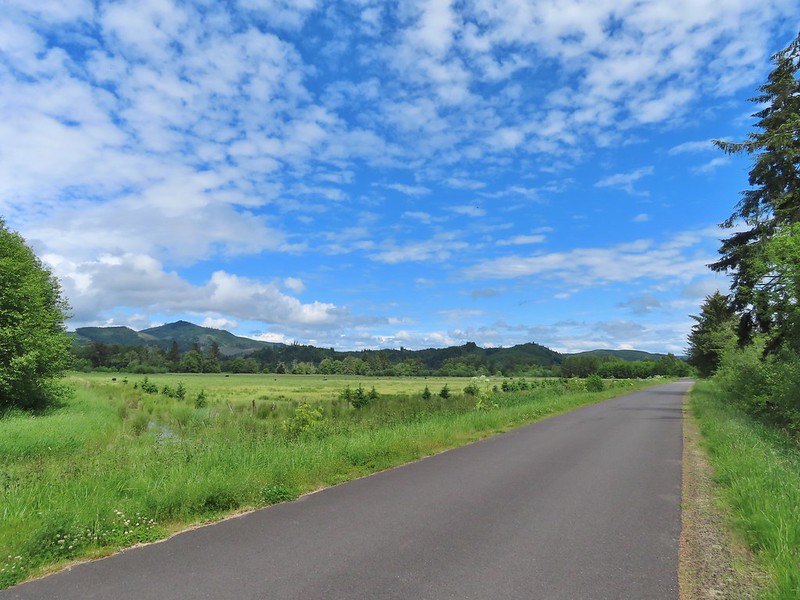 By Steamboat Slough Road we had all kinds of blisters/hotspots on our feet.
 Arriving back at the refuge HQ.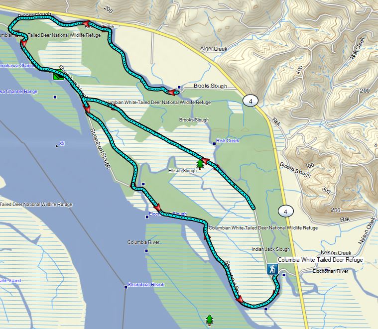


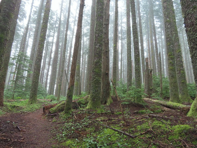
 Dropping into the forest.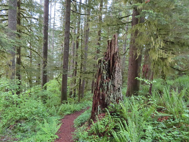
 Anemone
 Vanilla leaf
 Baneberry


 Quite a few snails and slugs along the trail.
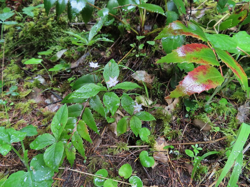 Starflower


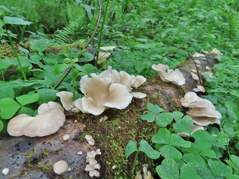
 Some of the logs had had tiles and ropes placed on them to help avoid slipping.
 Surprisingly this was the only rough-skinned newt we spotted all day.
 Foam flower
 Inside-out flower
 There were some huge nursery logs in the forest here.
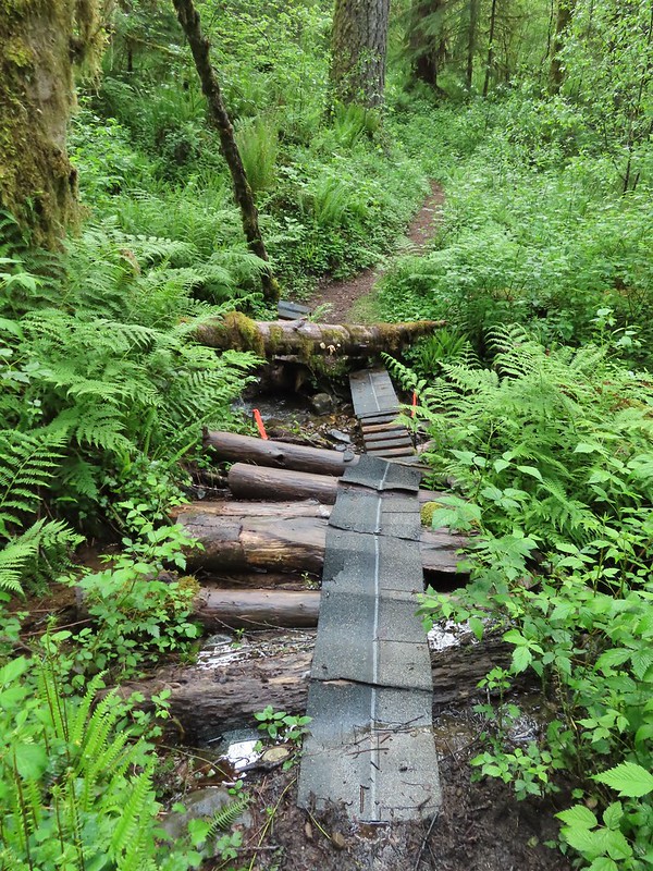 A good example of a makeshift crossing.
 Most of the flowers were white or pale pink but this salmonberry blossom added a splash of bright color.


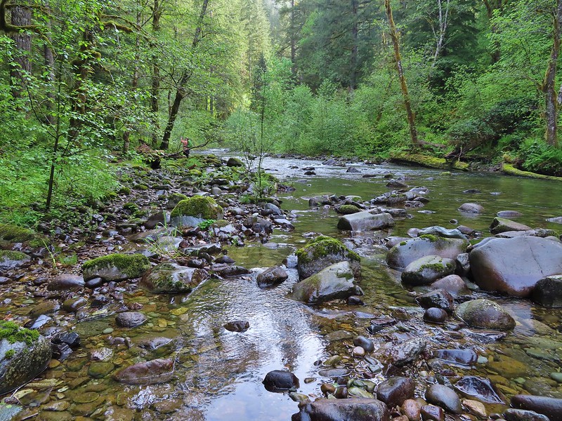
 Violets
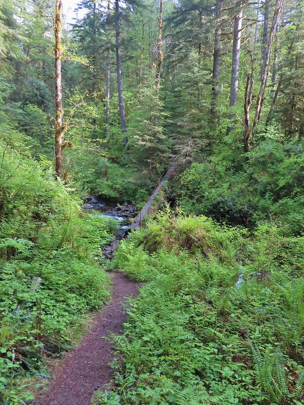 This was an interesting log/bridge.
 Millipedes were everywhere but this one was a color we hadn’t seen before.
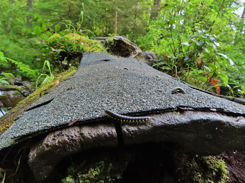 These were the ones we were seeing all over.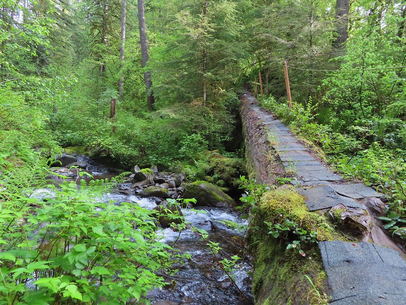
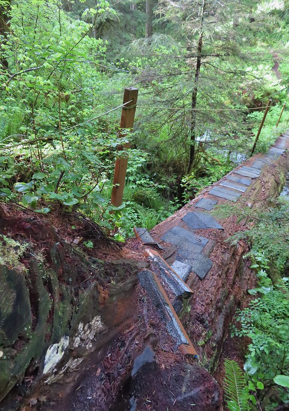 The dismount was a little awkward but doable.
 Star-flowered solmonseal catching a moment of sunlight.
 Fairybells
 Solomonseal
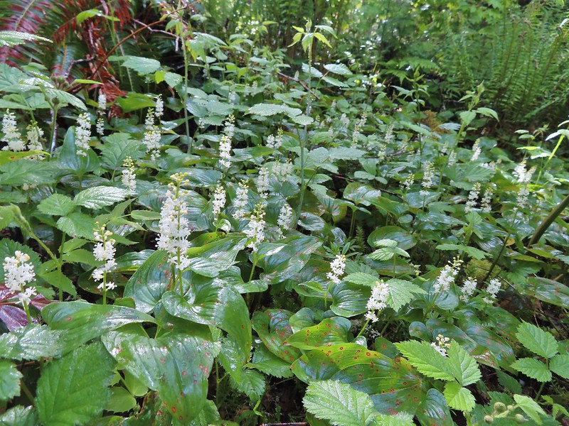 False lily of the valley
 Moss and lichens
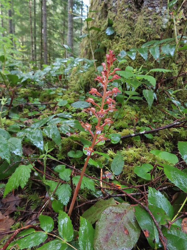 Spotted coralroot
 Bunchberry
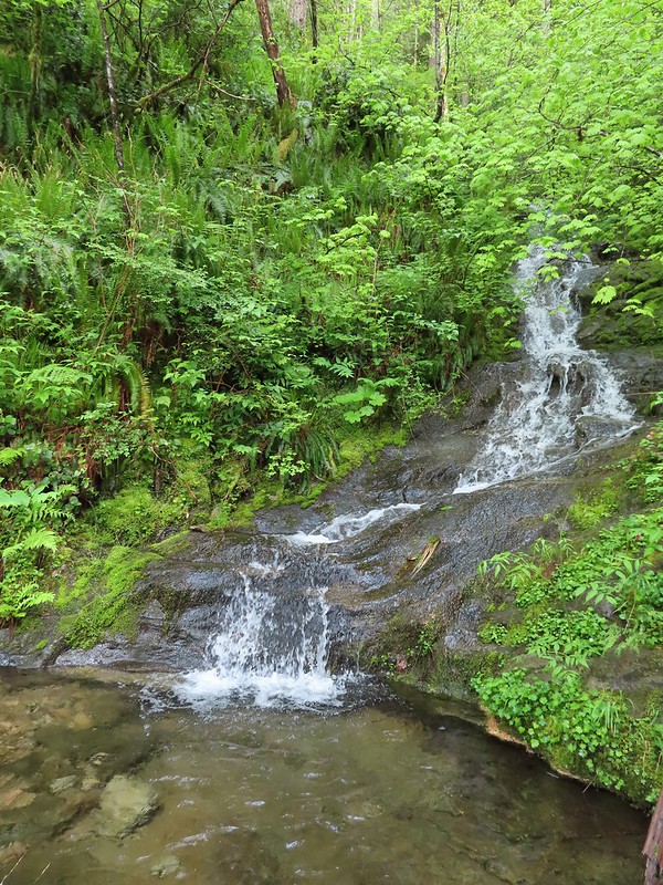 Small fall along the trail.
 Did I mention millipedes were everywhere?
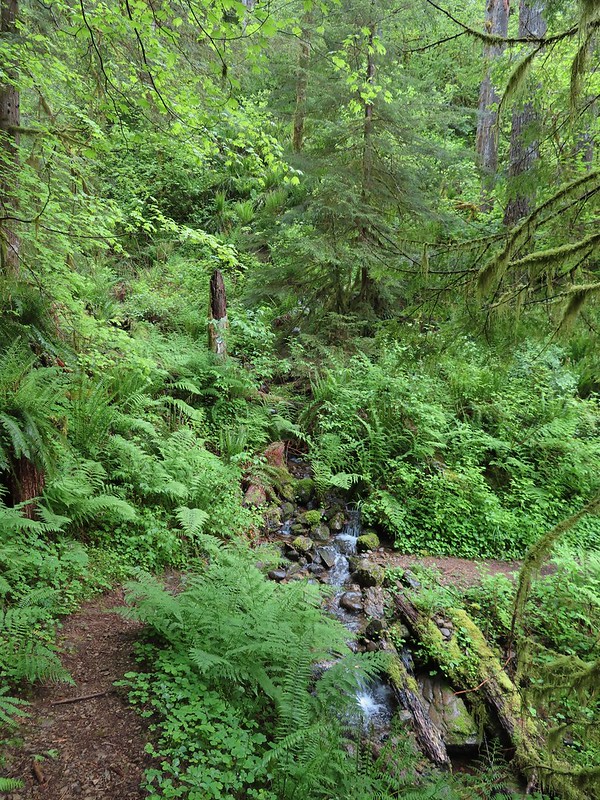 Another creek crossing.
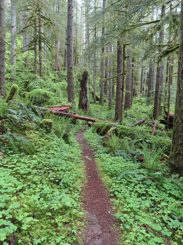

 The reroute
 This was one of the log crossings that looked too slick and high to warrant an attempt so we forded here. The water was ankle deep and we crossed easily.
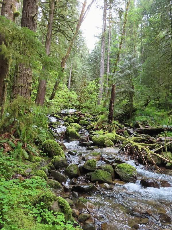 We forded just above the larger rocks in the middle of the creek.
 The lower of the two cascades.
 The upper cascade.
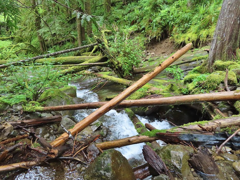 Looking across the old crossing you can see where some of the hillside was washed out.
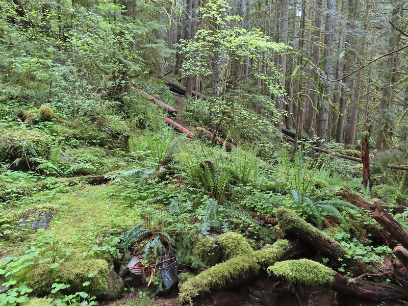 Looking back at the trail from the creek. The large downed tree was the one that was too wide to climb over.
 Most of the downed trees were like this although there was one that required ducking pretty low.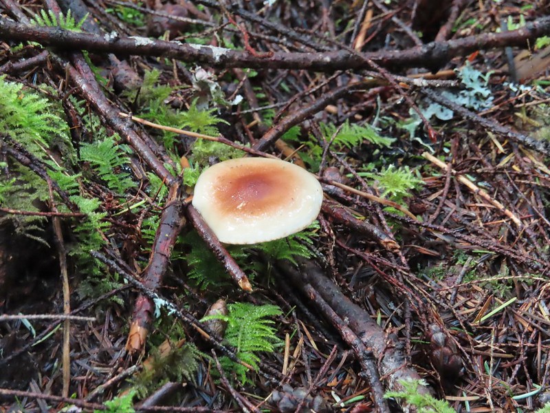
 We could hear the songs of wrens throughout the hike but only caught flitting glimpses of the little singers.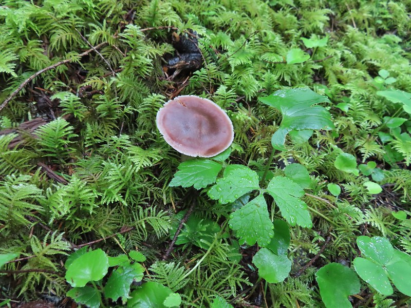
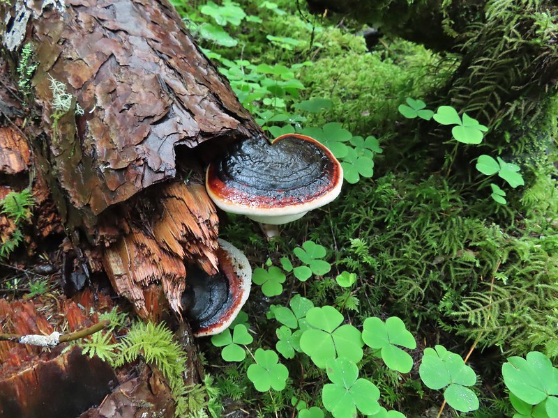

 Two of the footbridges were in a state like this. It held but we had to watch our step to not only avoid the holes but also the millipedes.
 This was another ford/rock hop. There was a log serving as the bridge but it also looked slick. The rope in the picture was connected to the log and I almost didn’t see it (both times by).
 Deep pool near the crossing.

 First view through the trees.
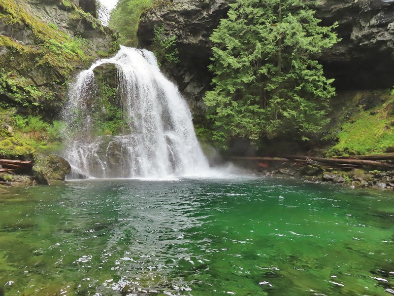 The pool was a beautiful green.
 More cascades and clear pools were located downstream.
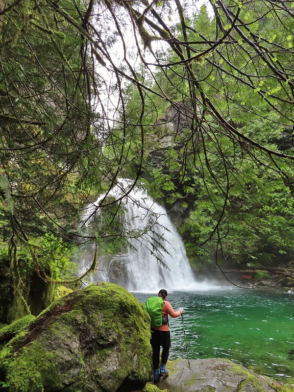 Heather taking in the view.
 Since I was already wet from the fords I waded out in the calf deep creek to get a different angle.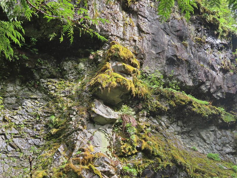
 The right fork heading on toward Mount Mitchell.
 A really long nursery log spanning across this whole depression.
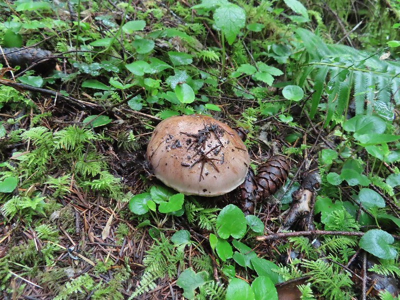
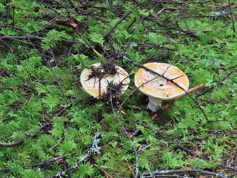 Camouflaged mushrooms.
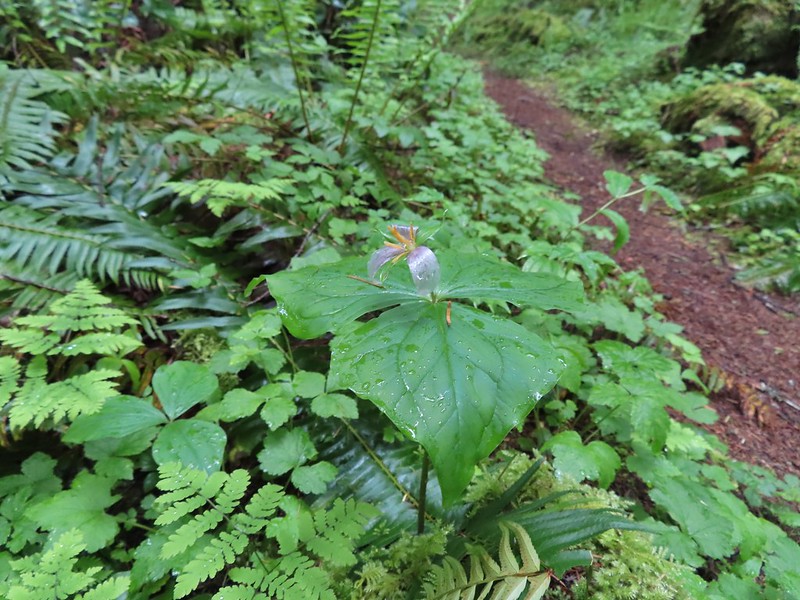 The only trillium that still had its petals.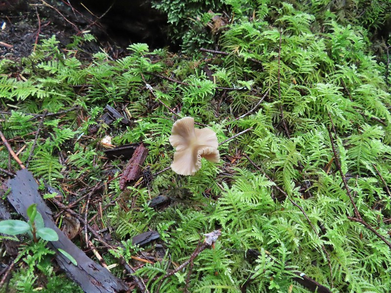
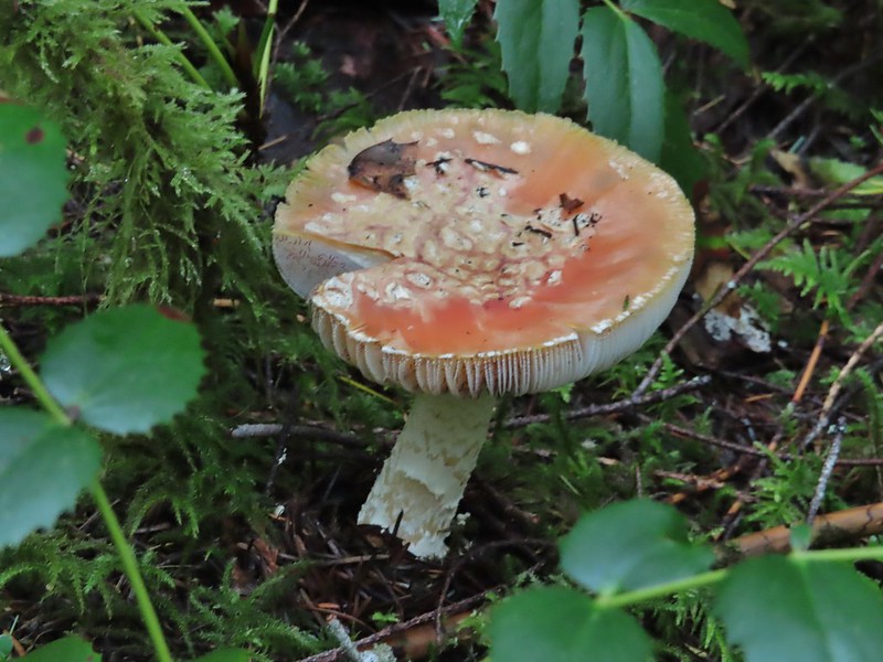 It looked like someone took a slice of this mushroom.
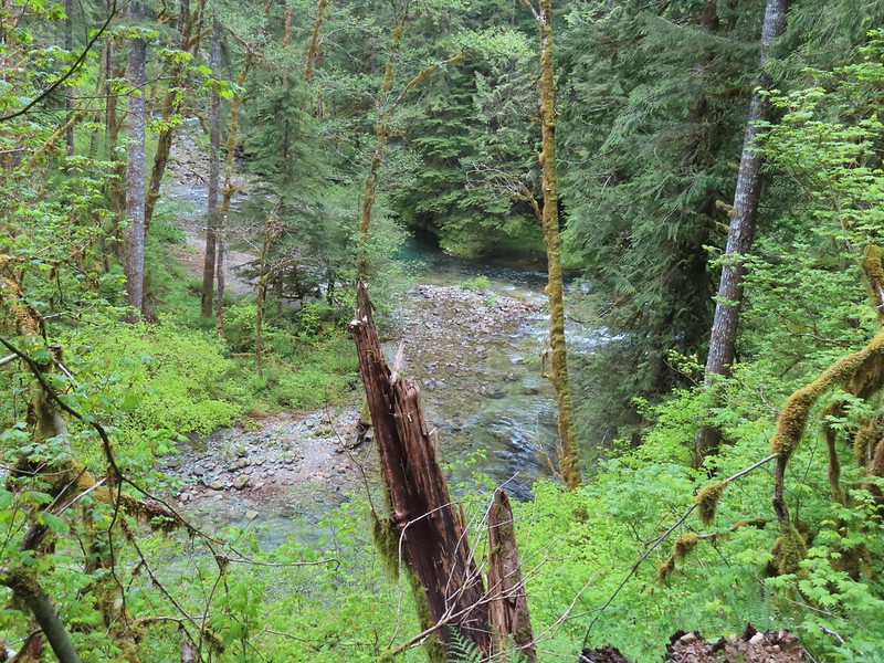 There weren’t too many views of North Siouxon Creek from the trail but this was a nice one.
 Sour grass
 Youth-on-age
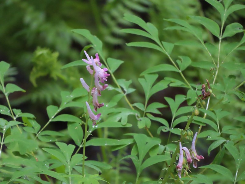 Scouler’s corydalis
 Candy flower


 Rowena Plateau and Tom McCall Point (


 A blurry heron along the river.
 Acorn woodpecker
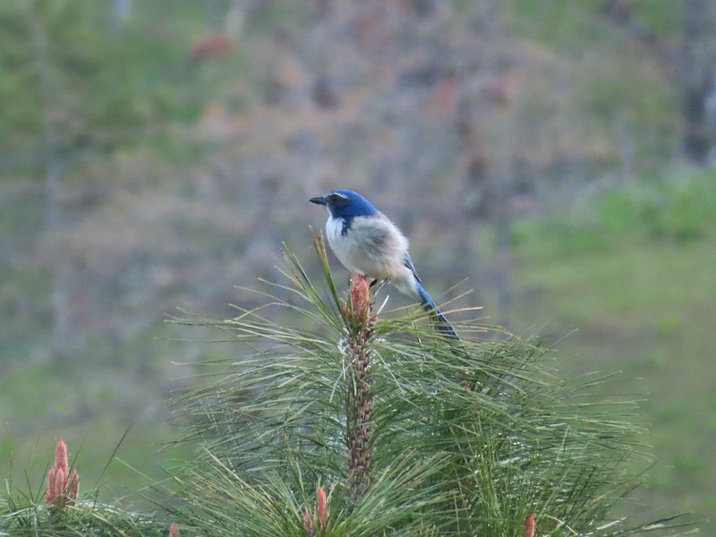 Scrub jay
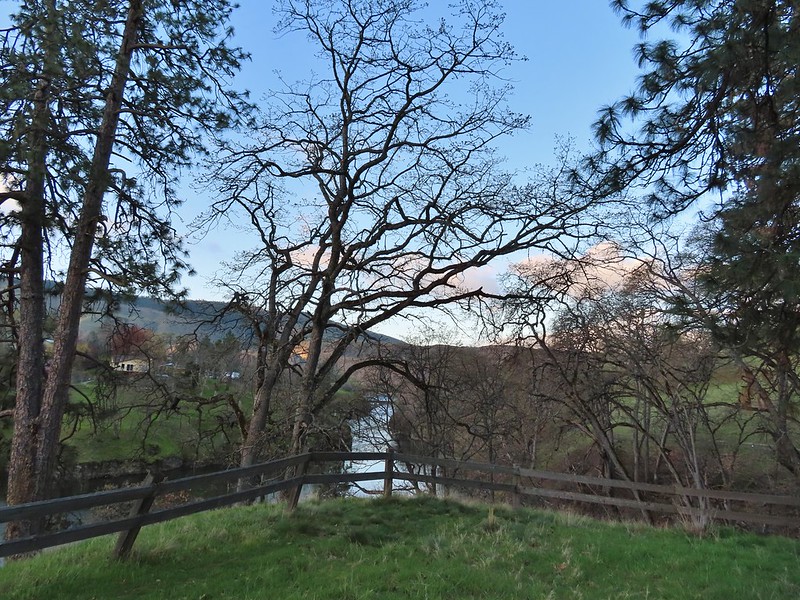 View from the picnic table.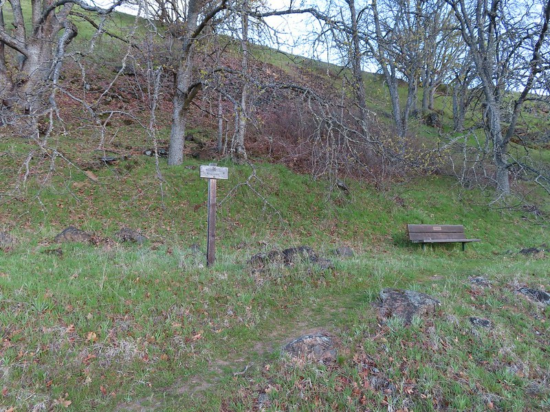
 This trail was not paved.
 Woodland-stars
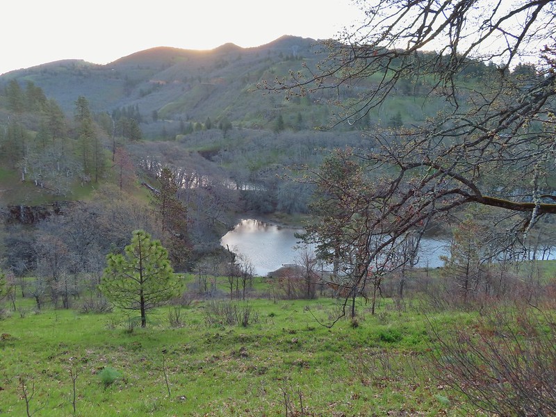 View from a bench at the end of the trail.
 Mallards on the water below.

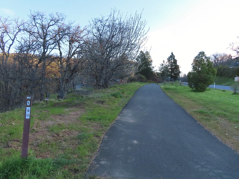 Starting at mile 0.
 Keep your eyes out for poison oak which was prevalent along the trail. Luckily the trail is nice and wide so avoiding it was easy enough.
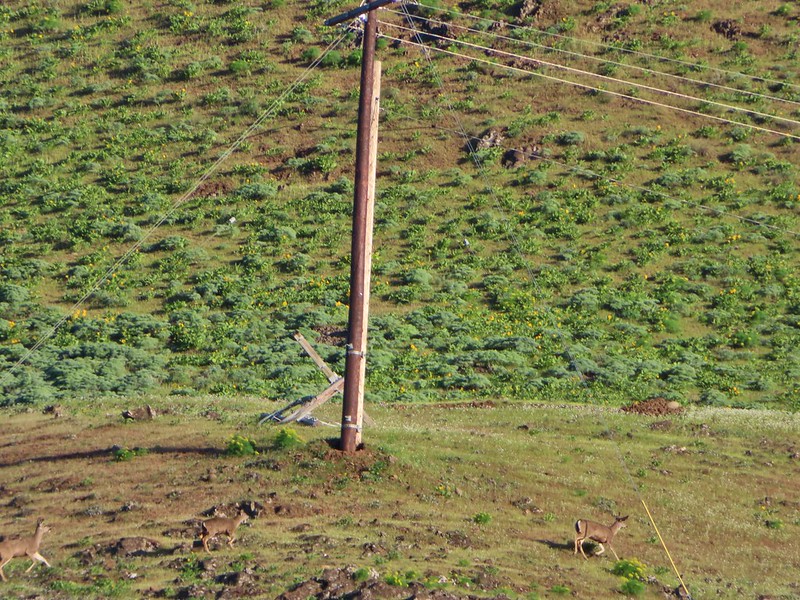 Heather spotted these three deer across the river.
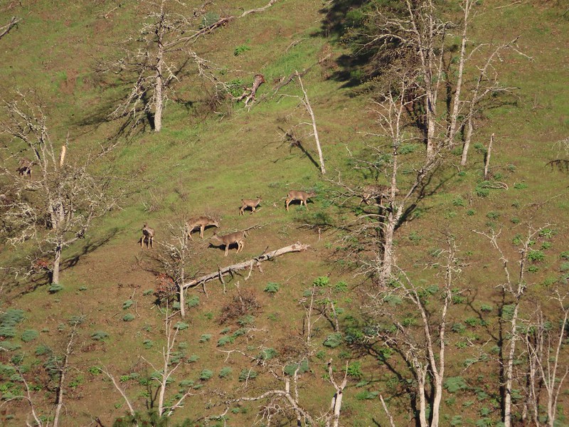 Another group of deer.
 Bald eagle
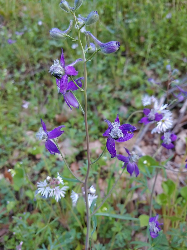 Larkspur and woodland-stars
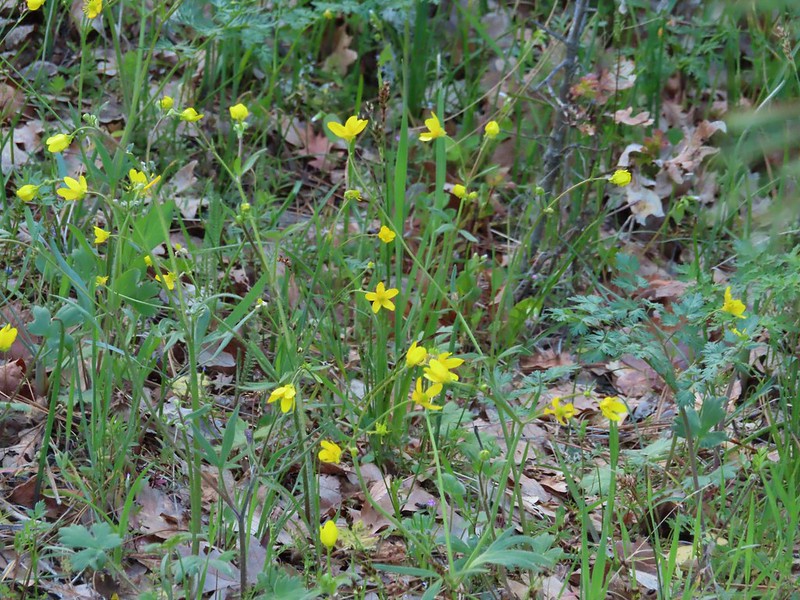 Buttercups
 Pacific hound’s tongue
 Milepost 1
 Saxifrage
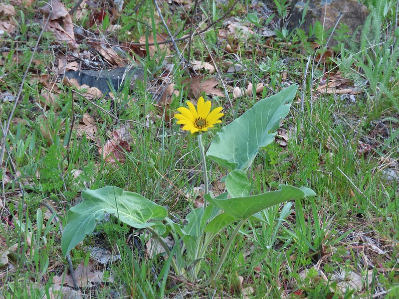 Balsamroot
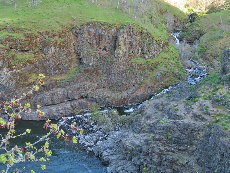 Silvas Creek


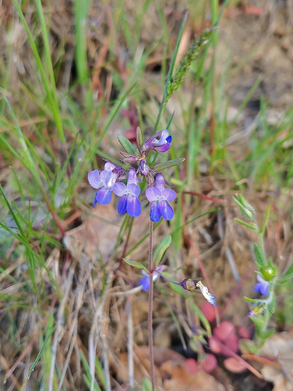 Blue-eyed Mary



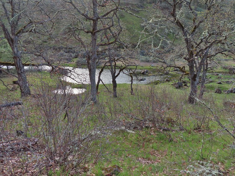 Seasonal pool along the trail.
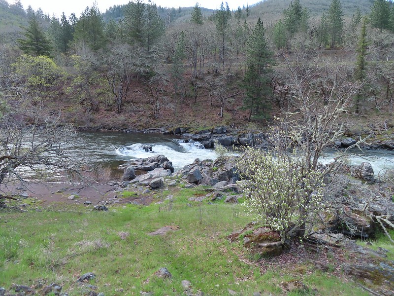
 Common mergansers

 Popcorn flower
 Columbia desert parsley
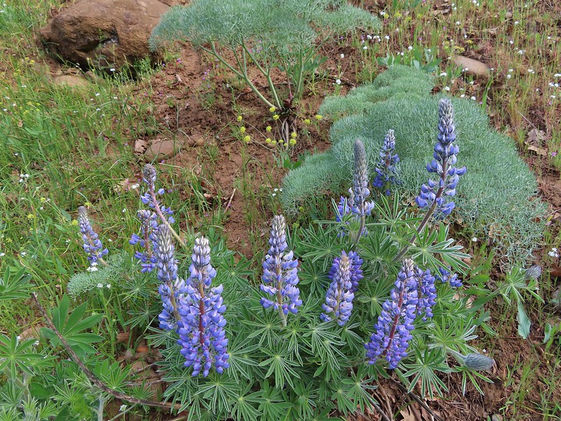 Lupine
 Balsamroot
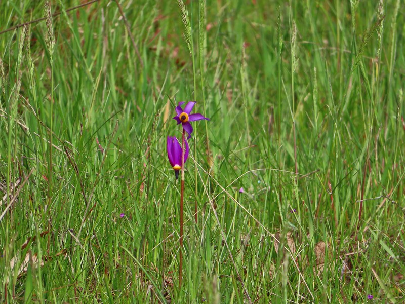 Shooting stars
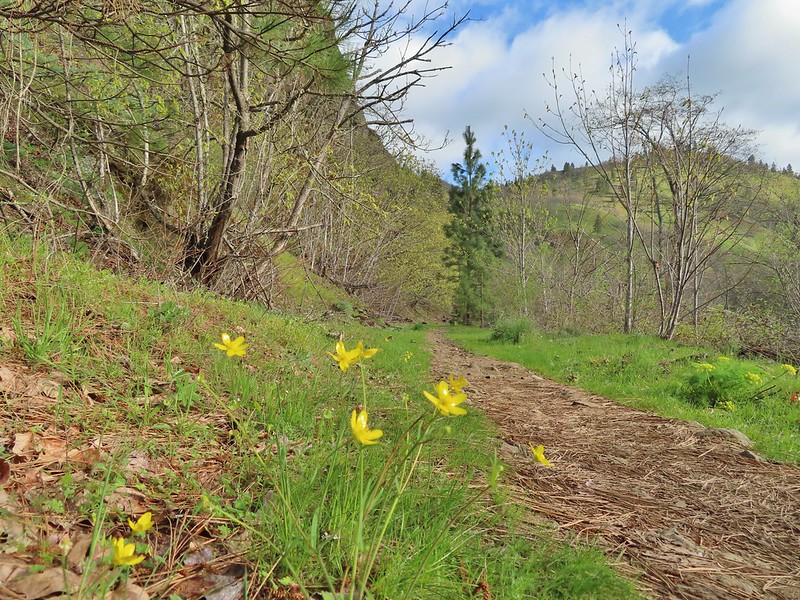 Buttercups
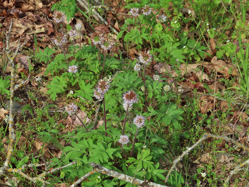 Waterleaf
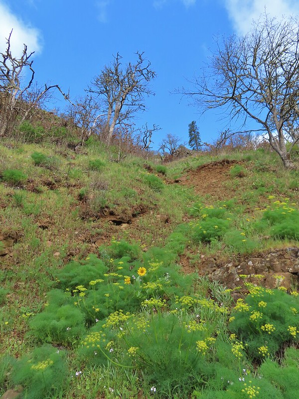 A balsamroot amid pungent desert parsley
 Big-leaf maple trees lining the trail.
 Big-leaf maple blossoms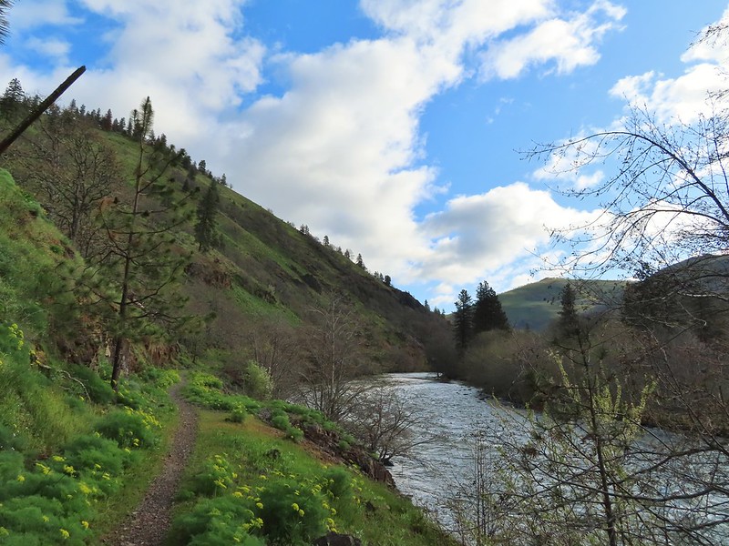
 Gold stars
 Larkspur, poison oak, and buttercups
 Spotted towhee
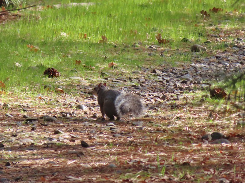 Squirrel
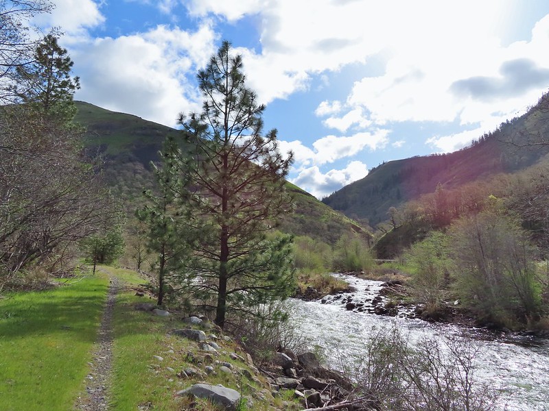 Dillacort Canyon
 Red-stem storksbill

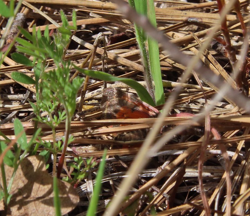 Couldn’t get a good look at this small moth but it was pretty.
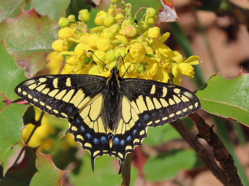 Anise swallowtail
 Sara’s orangetip
 Grass widow
 Slender phlox
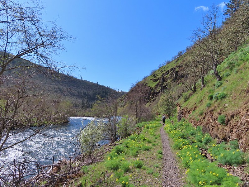 Heading back.
 Immature bald eagle
 Propertius duskywing – Erynnis propertius
 The mergansers had moved to the near bank.
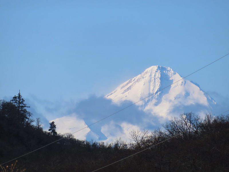
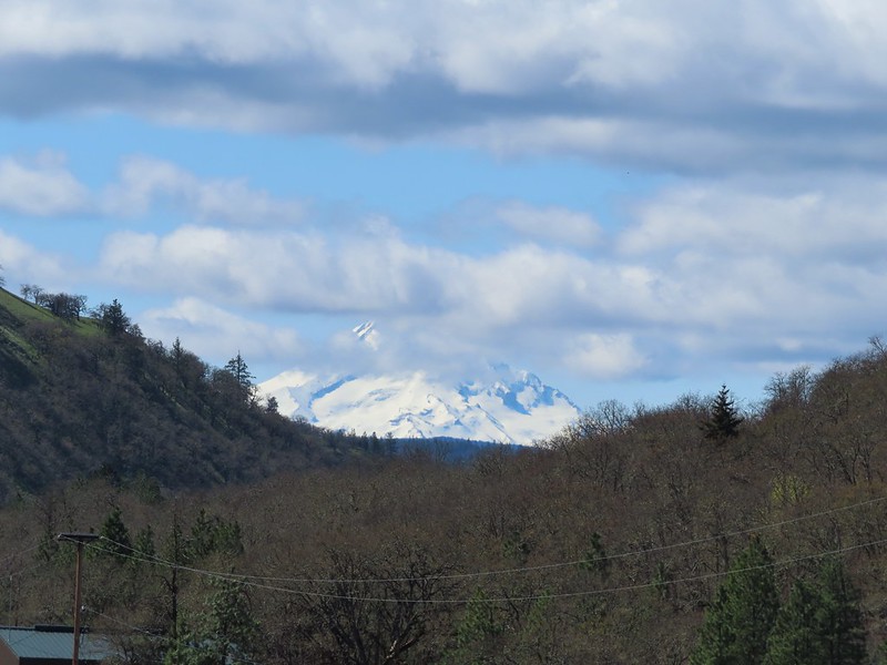 Hood behind some clouds.
 Ground squirrel
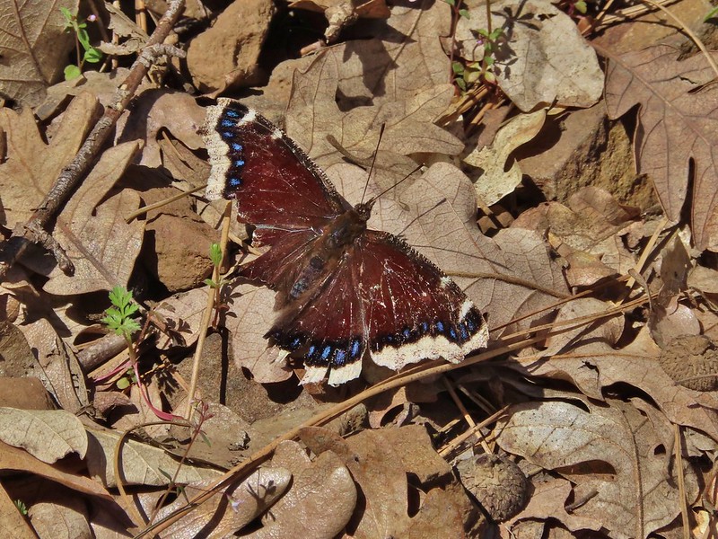 Mourning cloak
 Lizard

 Arriving back at the Lyle Trailhead.