Categories
Bend/Redmond Central Oregon Hiking Oregon Trip report

Boyd, Arnold, Hidden Forest, and Pictograph Caves (sort of)

Our hike along French Creek Ridge (post) officially kicked off our July vacation it was the following day that we left home and headed for Central Oregon. We were ultimately heading to the Strawberry Mountains but we stopped in Bend to visit Heather’s parents and also to check out a few of the caves off China Hat Road. (Whenever visiting caves please be aware of White-Nose Syndrome and help protect bats.)

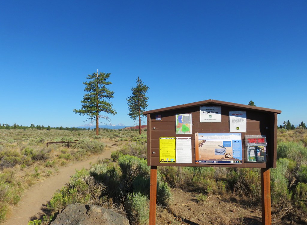
Our first stop was Boyd Cave.
IMG_8788

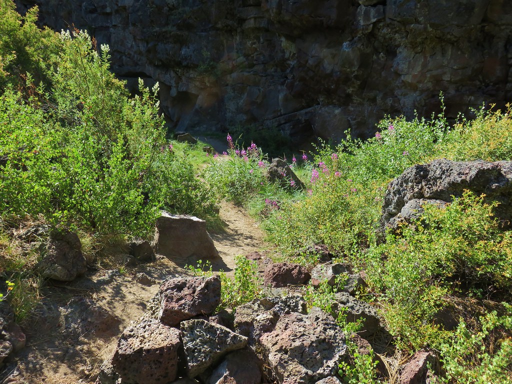
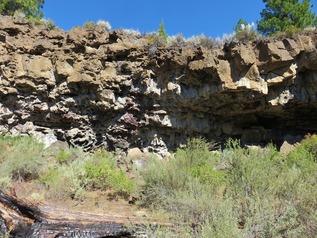
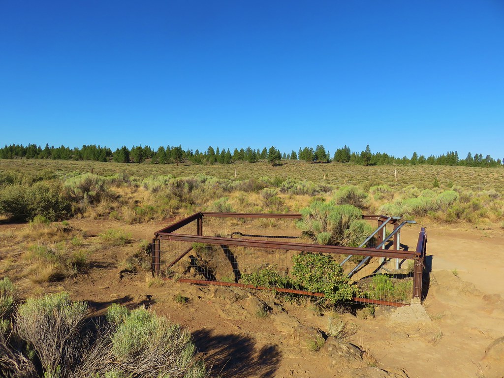
A short dirt path from the day use area led to the railed entrance of the lava tube.
IMG_8791

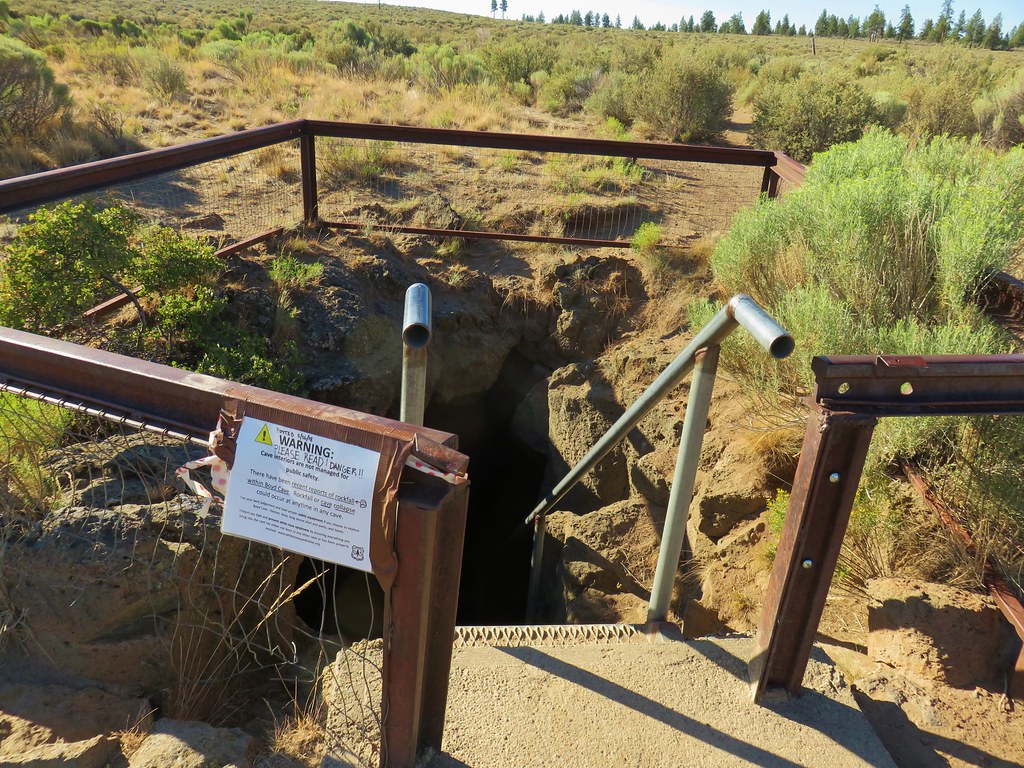
There was a rockfall warning at the entrance dated 5/26/18.
IMG_8792

We proceeded with caution down into the cave.
IMG_8795

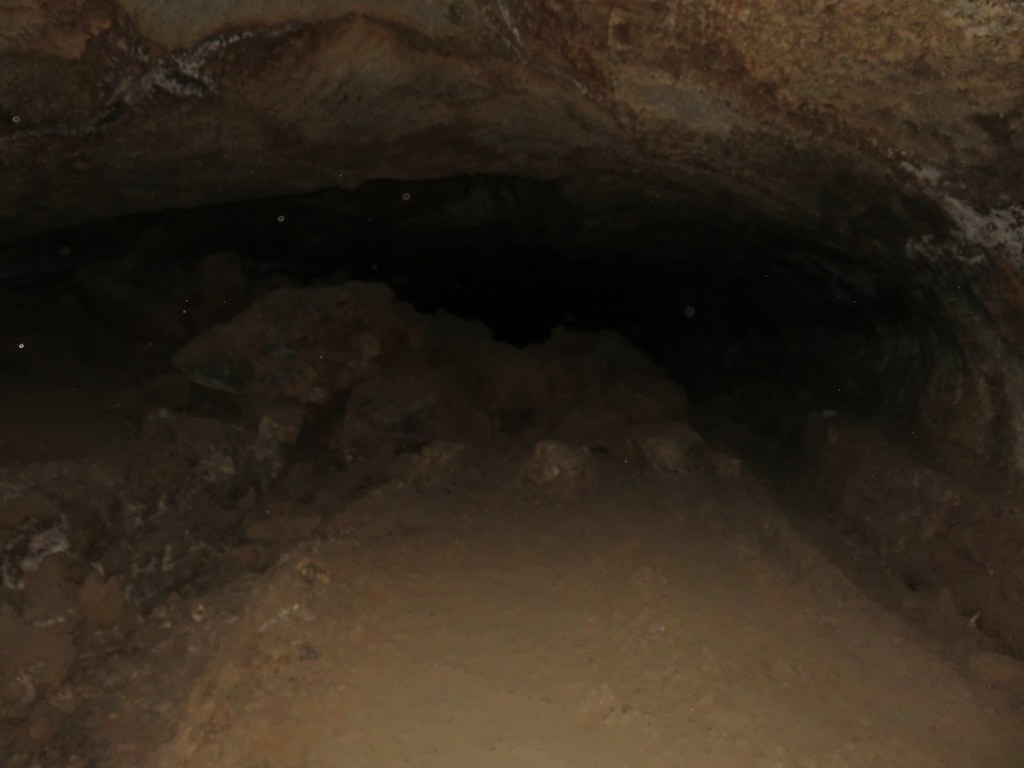
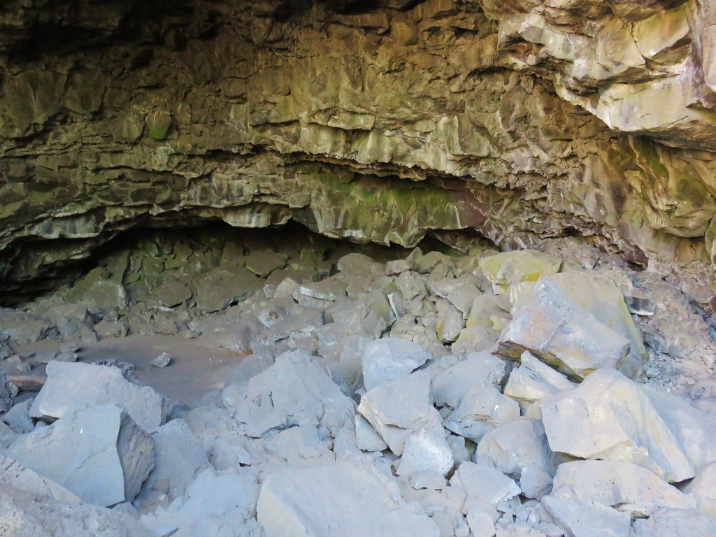
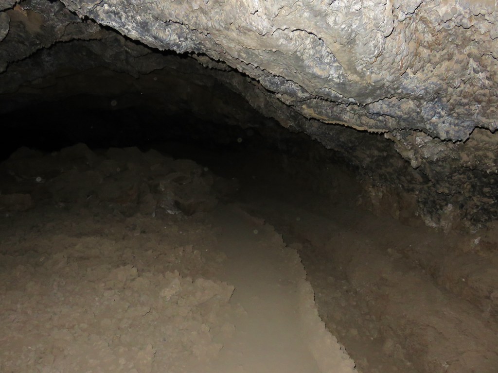
The cave was spacious with varying terrain on the cave floor.
IMG_8799

IMG_8803

IMG_8804

The cave extends for about half a mile to the left from the entrance and a very short distance to the right.
IMG_8815

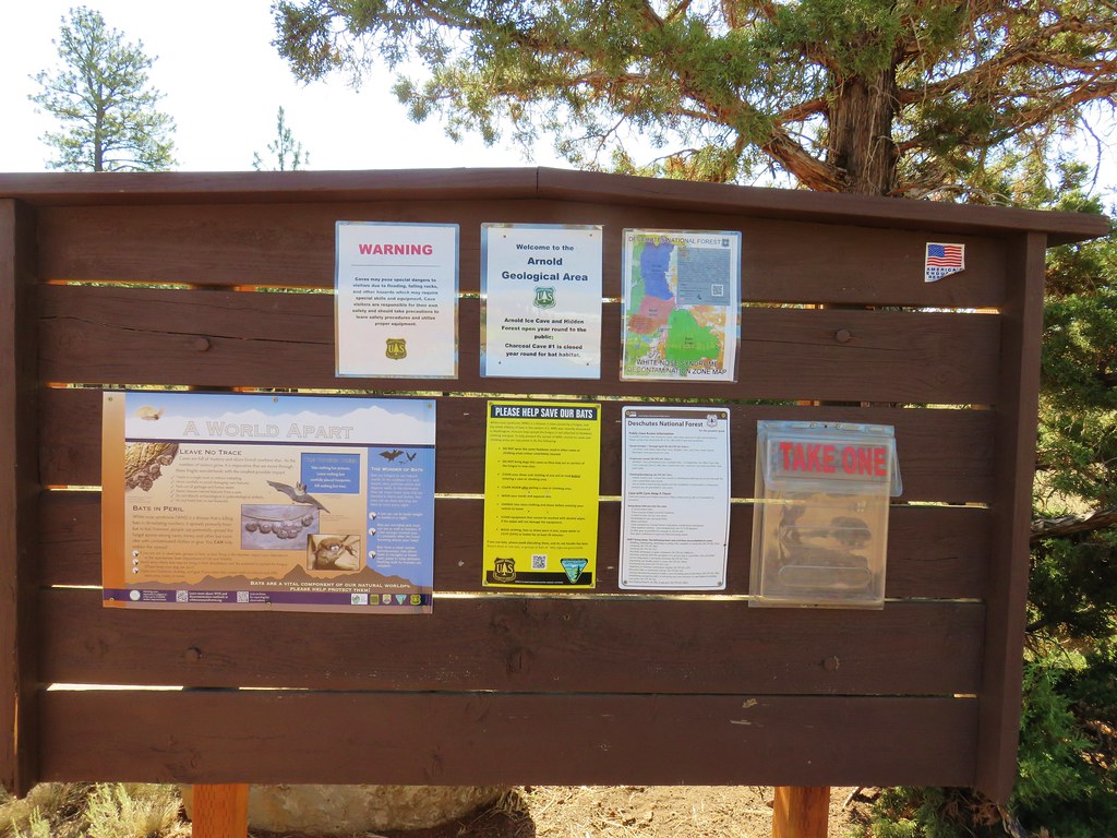
We explored as quickly as the terrain allowed given the warning at the entrance and then headed for our next stop at Arnold Ice Cave. To reach the parking area from Boyd Cave we continued east on China Hat Rd. an additional 3.1 miles and turned right onto FR 300 for half a mile to a parking area at a signboard.
IMG_8816

The entrance to Arnold Ice Cave is located just beyond and to the left of the parking area.
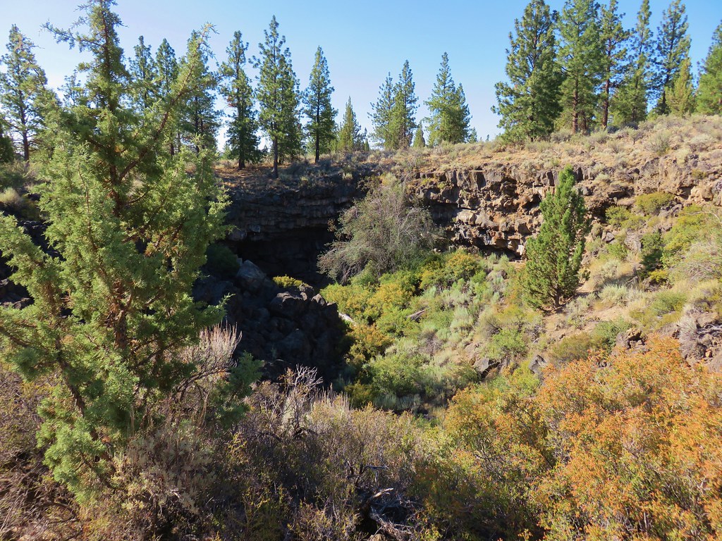
IMG_8817

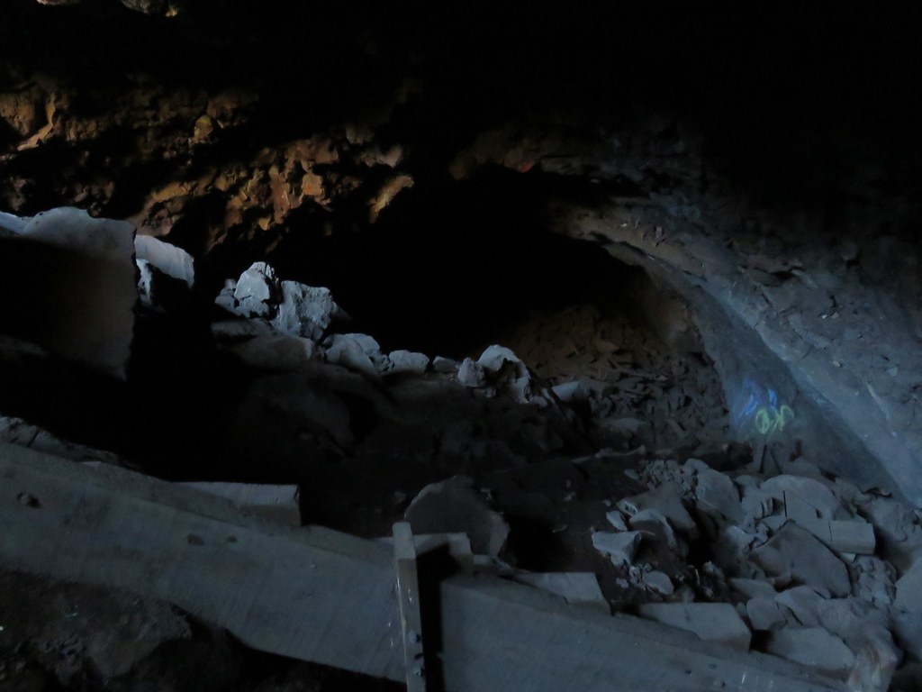
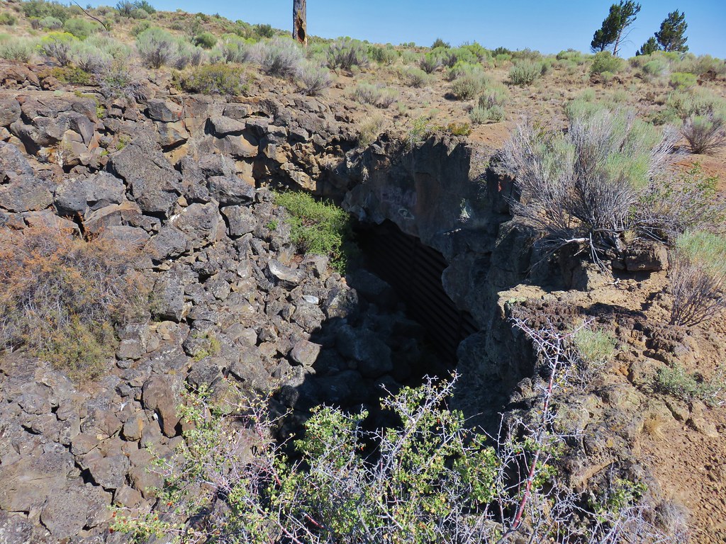
A path led down to the entrance where a semi-steep scramble past the remains of a staircase led down to the cave floor.
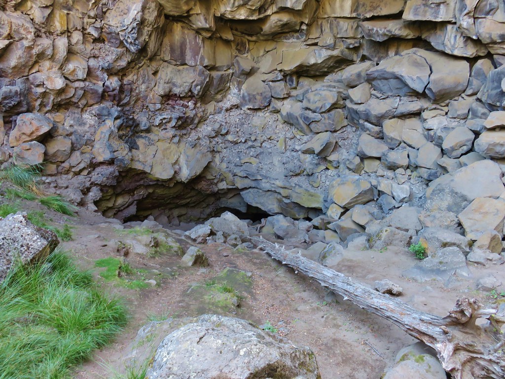
IMG_8819

IMG_8829

In the early half of the 1900’s ice from the cave was harvested for use by locals but that ended with the advent of refrigeration and since then at least a half-mile of the cave has become inaccessible as the ice has reclaimed that portion. It was too warm for any ice in the accessible part of the cave during our visit but there were some interestingly colored rocks along the ceiling.
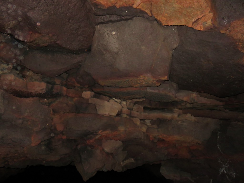
IMG_8824

The cave extended just far enough to lose the light of the entrance before forcing us to turn around and climb back out.
IMG_8826

IMG_8831

A more interesting cave (at least nowadays) was our next goal. Hidden Forest Cave is approximately a quarter mile from Arnold Ice Cave. To reach the cave we followed a dirt track south from Arnold Ice Cave.
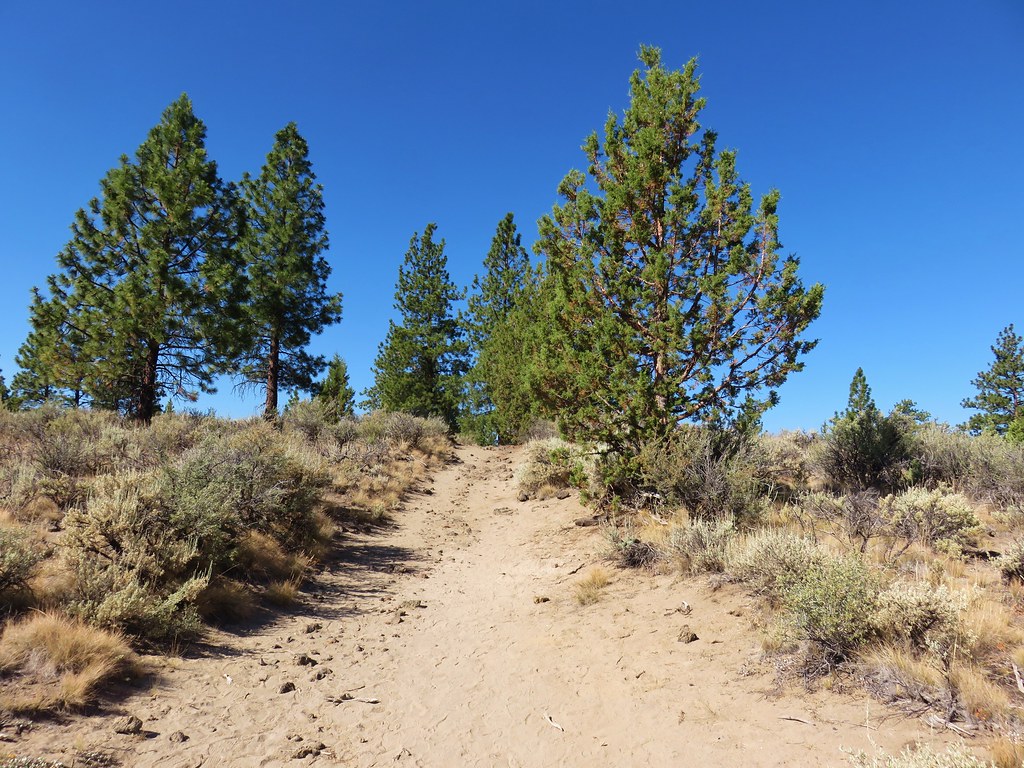
IMG_8835

This path quickly passed to the left of a pit where we kept straight on what became a narrower footpath after crossing another old roadbed. Soon we passed a second pit on our right.
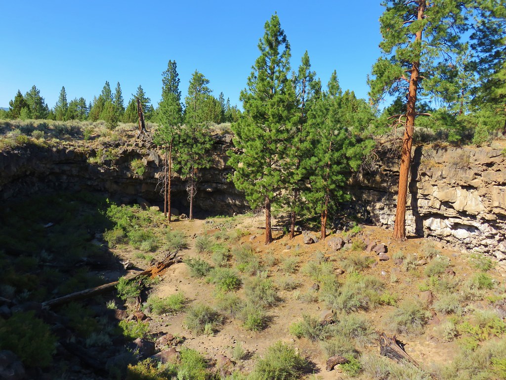
IMG_8838

We kept close to the rim of this pit on the left then shortly after passing the second pit we crossed a second sandy roadbed and arrived alonside a third pit.
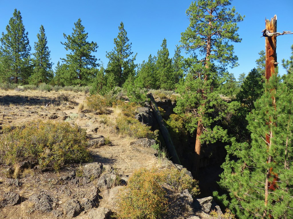
IMG_8840

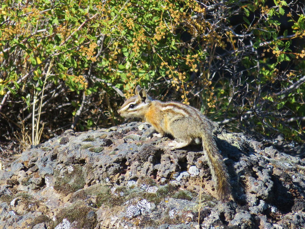
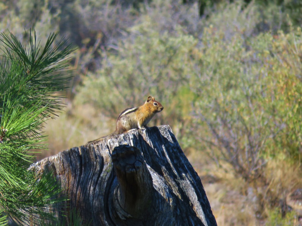
The entrance to Hidden Forest Cave lay at the NE end of the pit but the way down into the pit lay at the opposite end. We walked along the rim past a really colorful tree trunk and met a few of the locals.
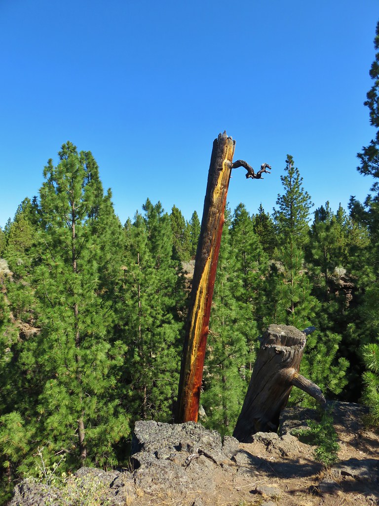
IMG_8846

IMG_8842

IMG_8843

IMG_8844

We followed a path down into the pit where we found a few wildflowers blooming.
IMG_8848

IMG_8849

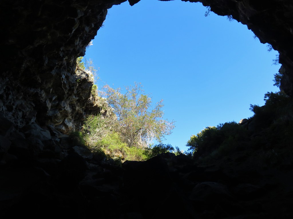
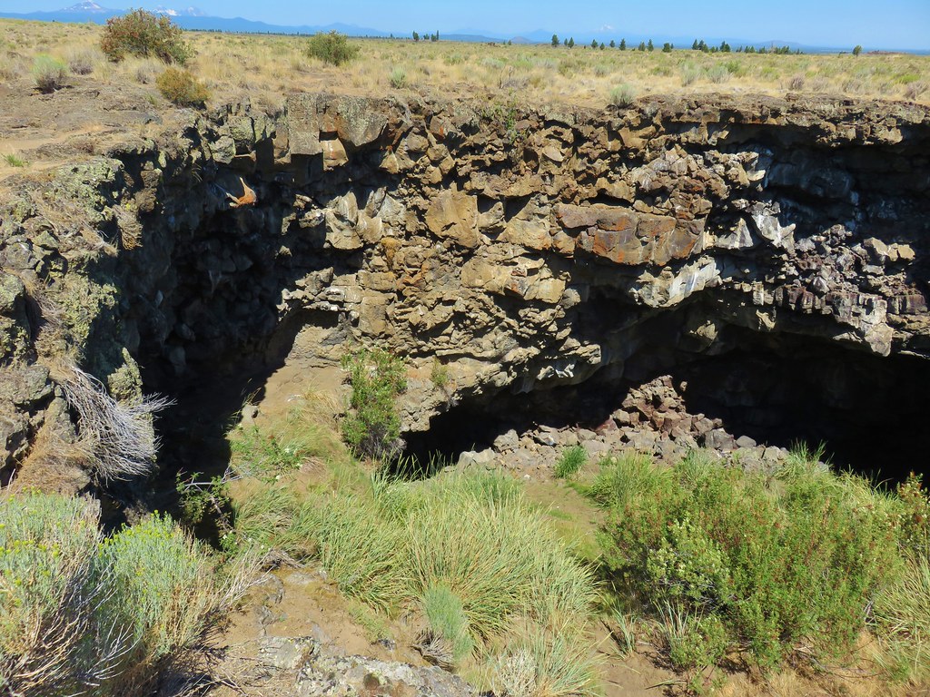
At the far end of the pit was the entrance to the cave.
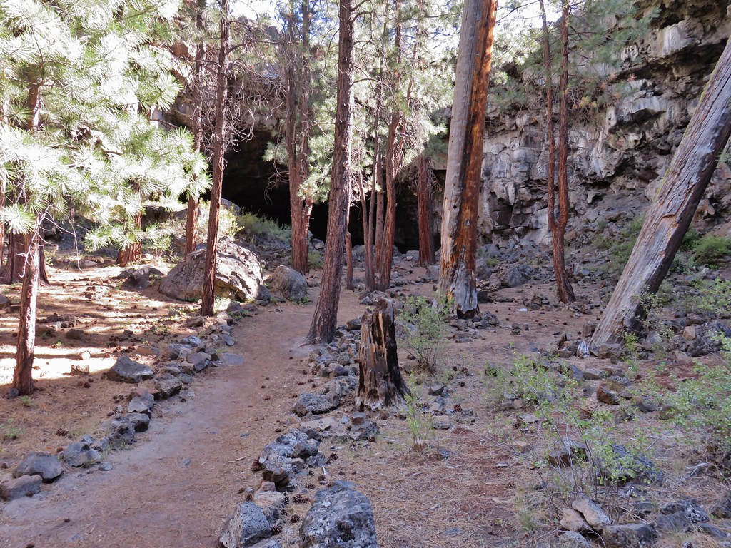
IMG_8855

IMG_8857

The cave was a fairly short scramble to a small opening.
IMG_8859

Climbing out of this opening brought us to the floor of the second pit we had passed.
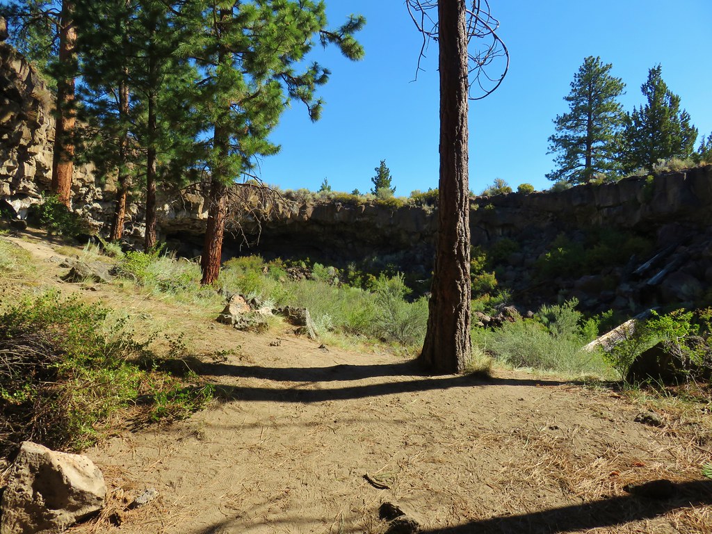
IMG_8860

IMG_8861

After exploring this “hidden forest” we returned through the passage and headed back to our car.
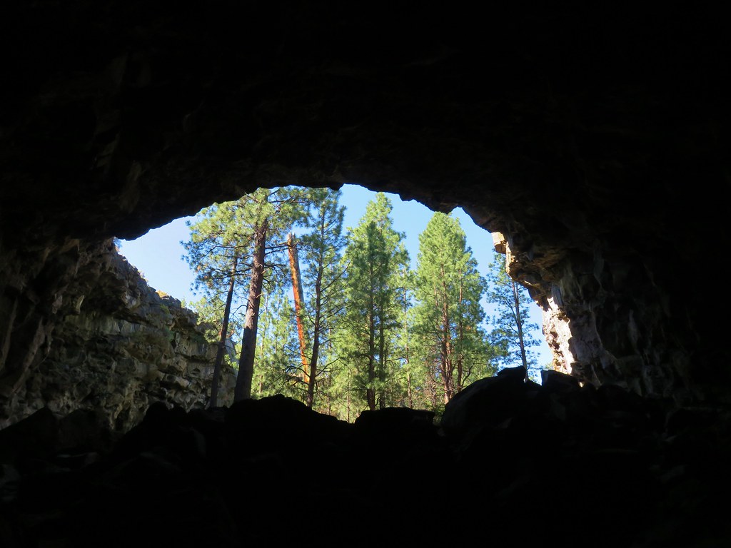
IMG_8863

Our final stop for the day was along the closed Wind Cave entrance road. The small parking area is located along FR 200 which was just over a half-mile back along China Hat Road from FR 300 (2.5 miles east of the Boyd Cave entrance road). A stop sign on the north side of China Hat Road marks the correct road.
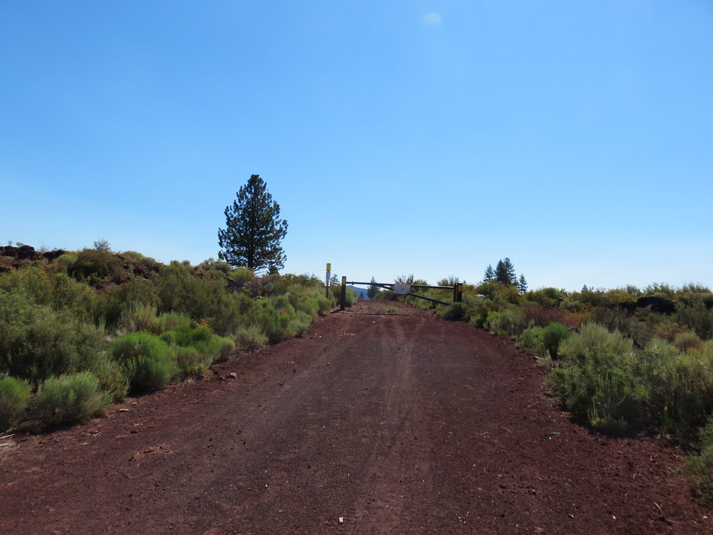
IMG_8865

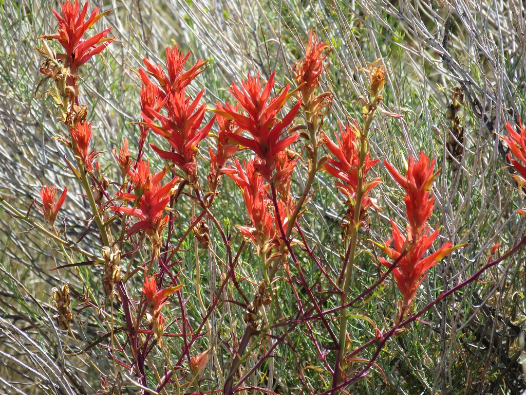
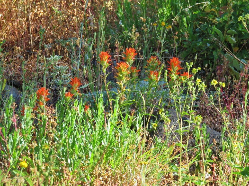
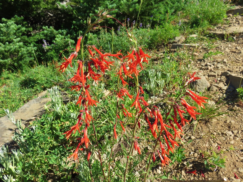
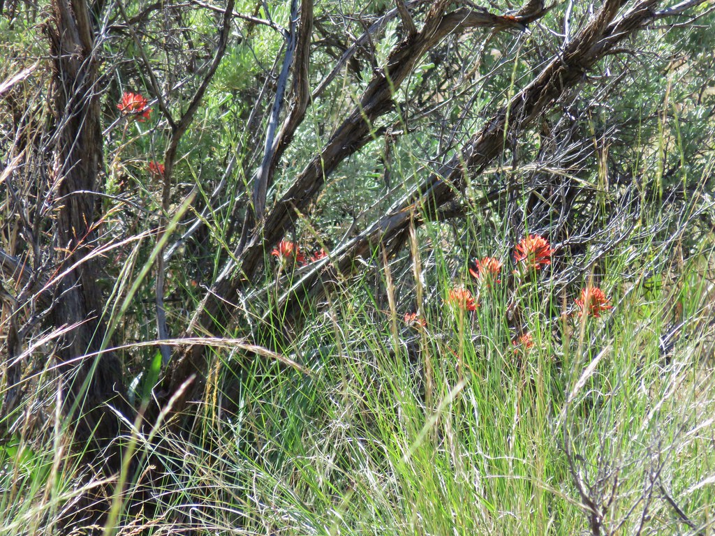
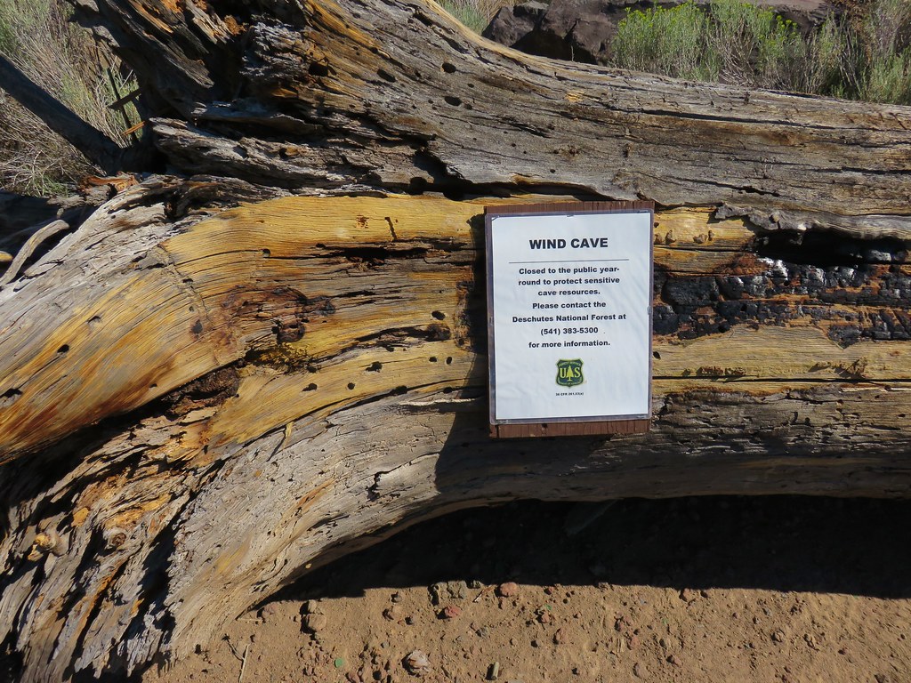
Wind Cave is closed year round to the public for bats but we hoped to visit Pictograph Cave which according to our guidebook and everything we could find online was only closed from October 15th – May 1st. In order to reach Pictograph Cave we followed the closed road for half a mile to the Wind Cave Parking area. Along the road we spotted some really bright Indian Paintbrush amid the sagebrush.
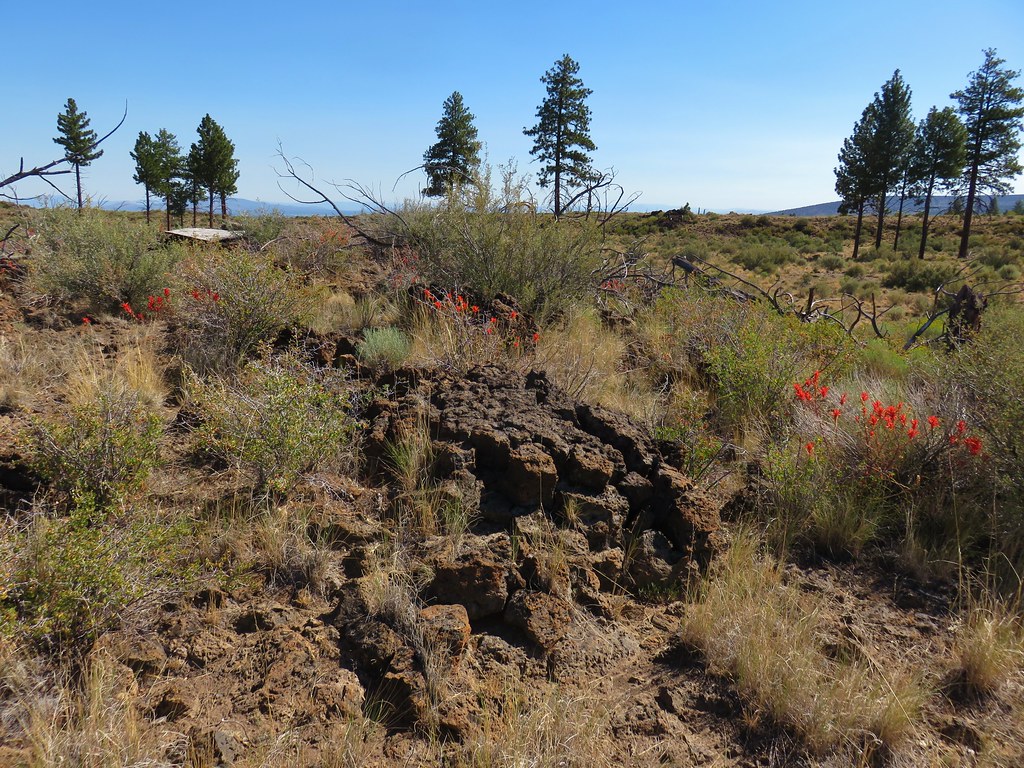
IMG_8867

IMG_8869

We also found the Bat Cave but there was no sign of Batman.
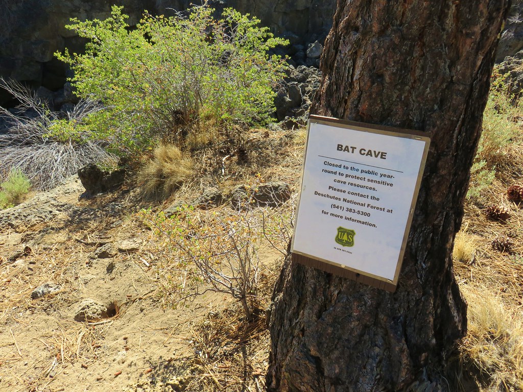
IMG_8873

IMG_8874

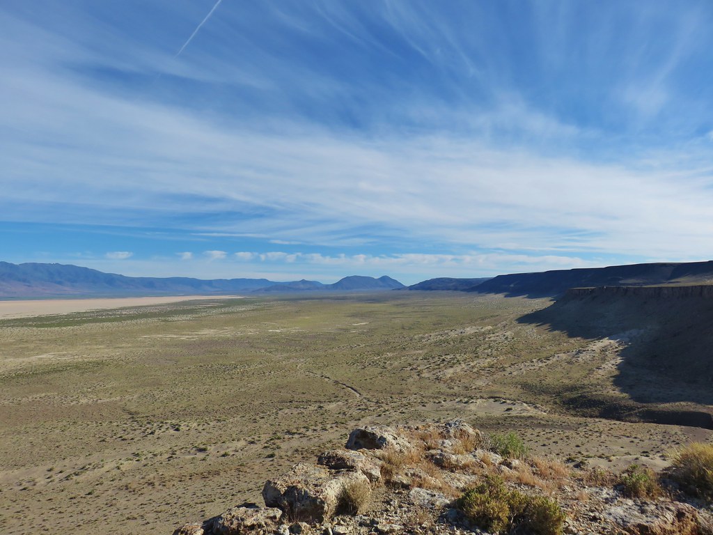
There was also a nice view of the snowy Cascades across the sagebrush of the high desert.
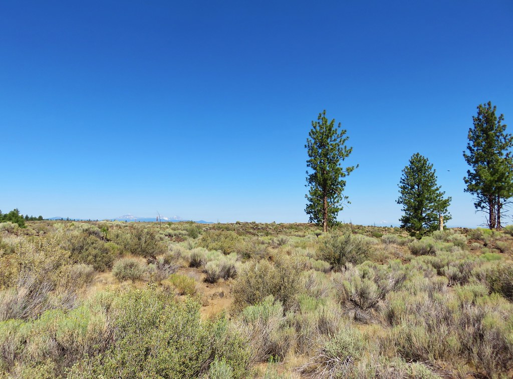
IMG_8875

We arrived at the gated Wind Cave where our guidebook directed us to “..continue NE on the sandy double track road..”.
IMG_8876

IMG_8877

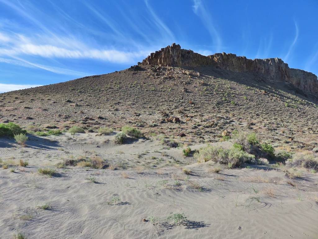
This is where our day began to get really interesting. The correct sandy double track was blocked by the log where the Wind Cave closure sign was attached as well as several boulders. A second sandy double track led directly north from Wind Cave past the covered entrance to its skylight.
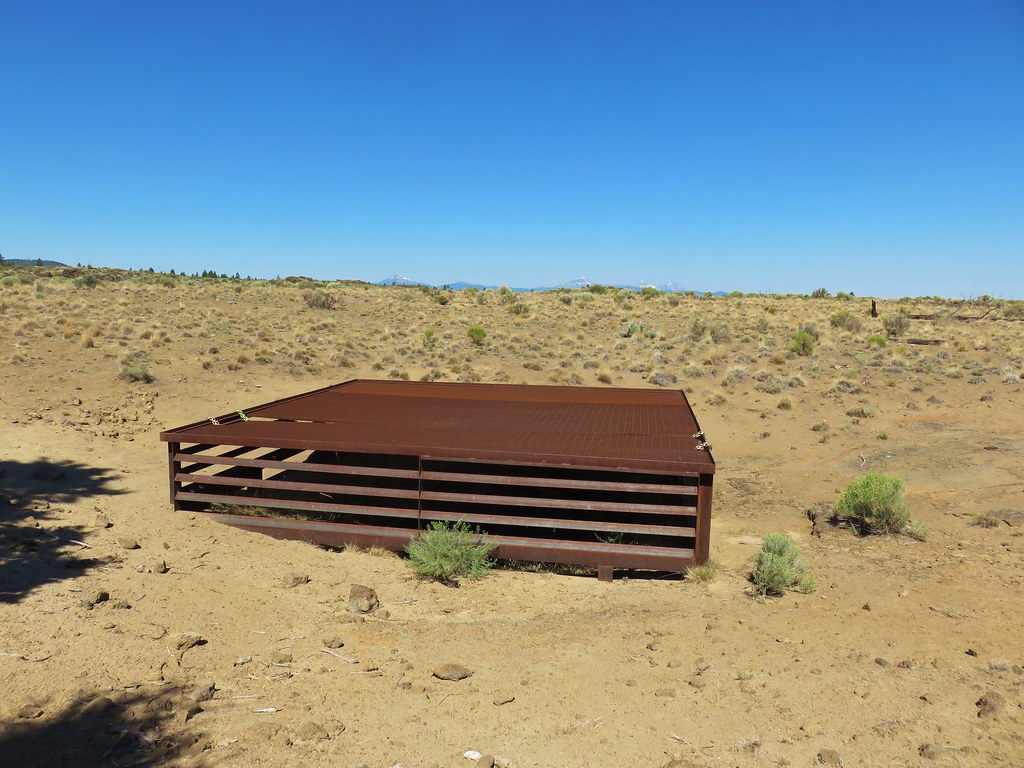
IMG_8880

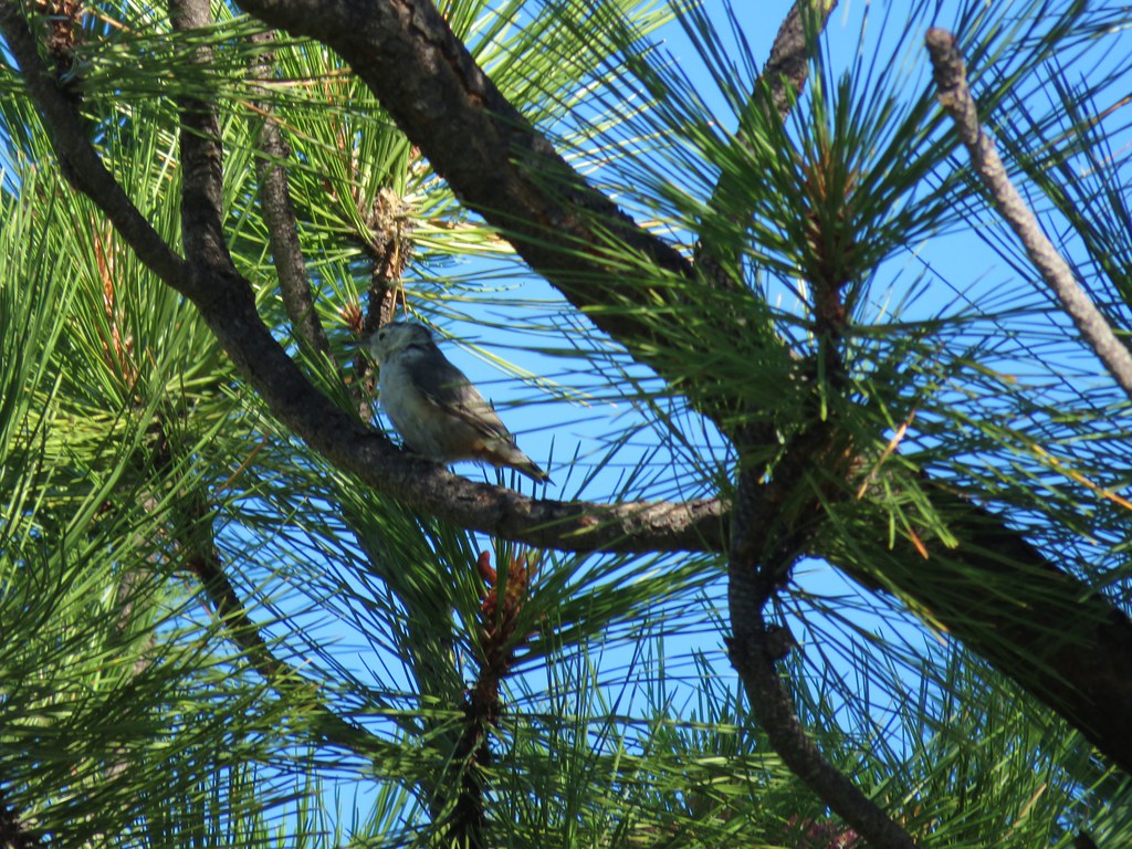
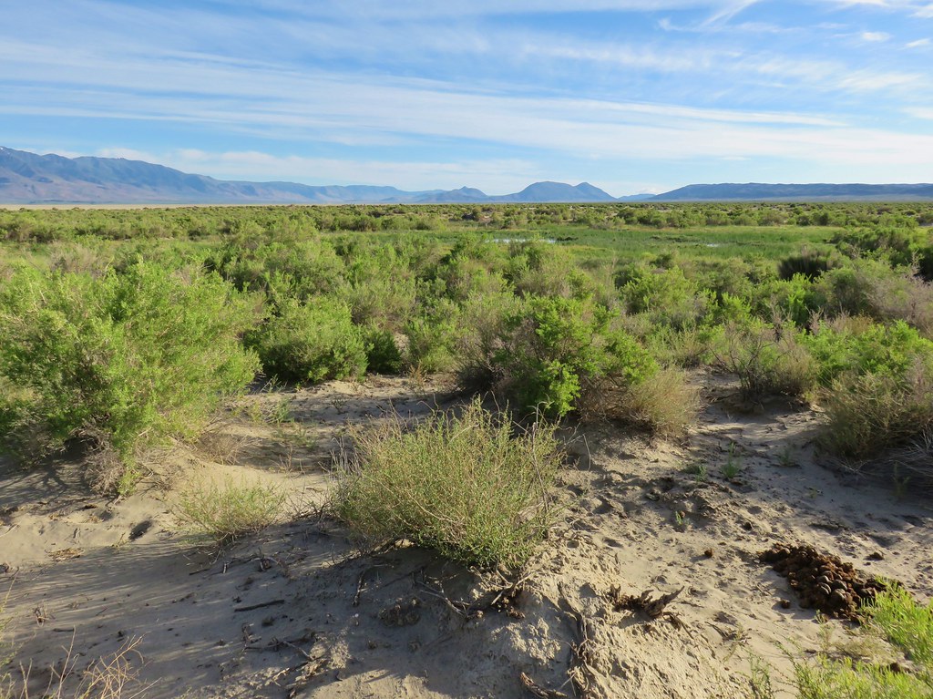
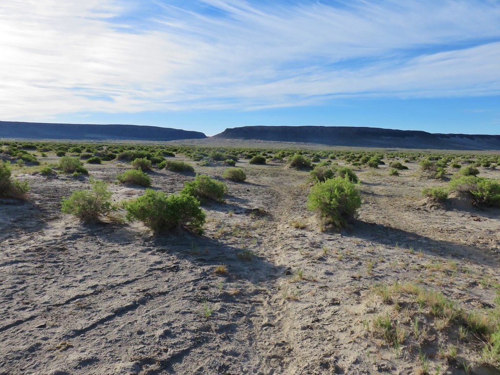
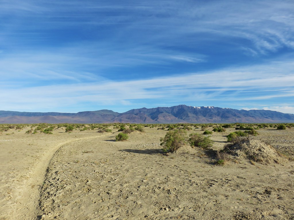
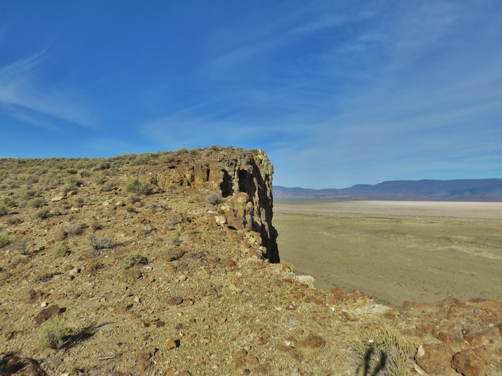
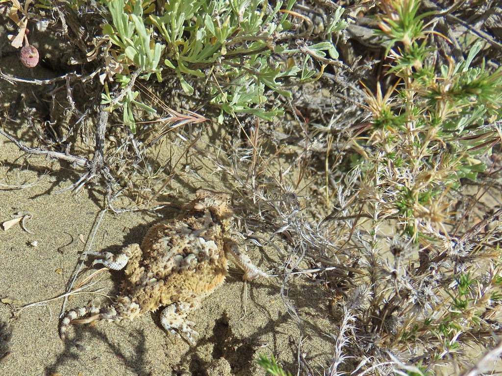
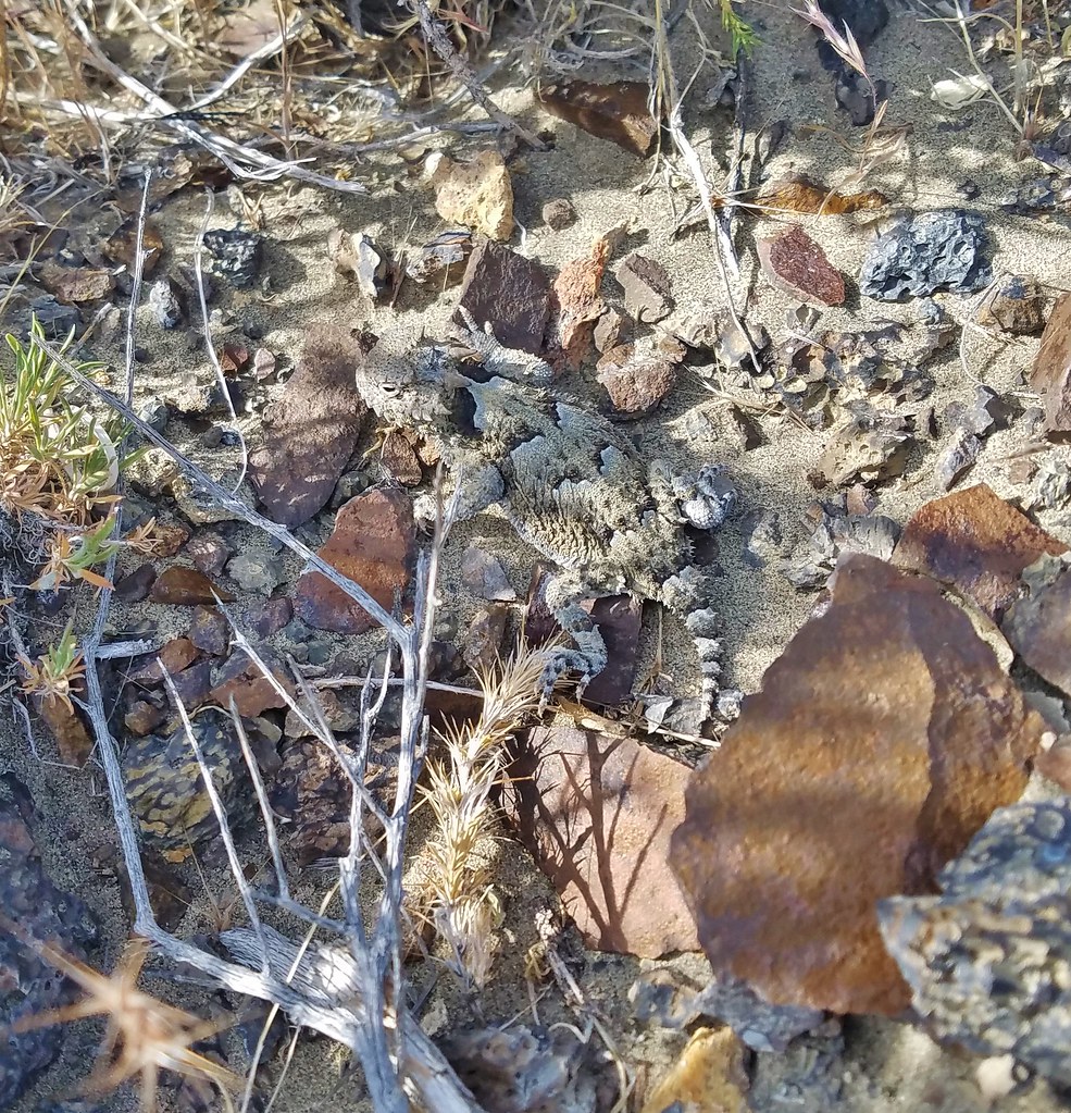
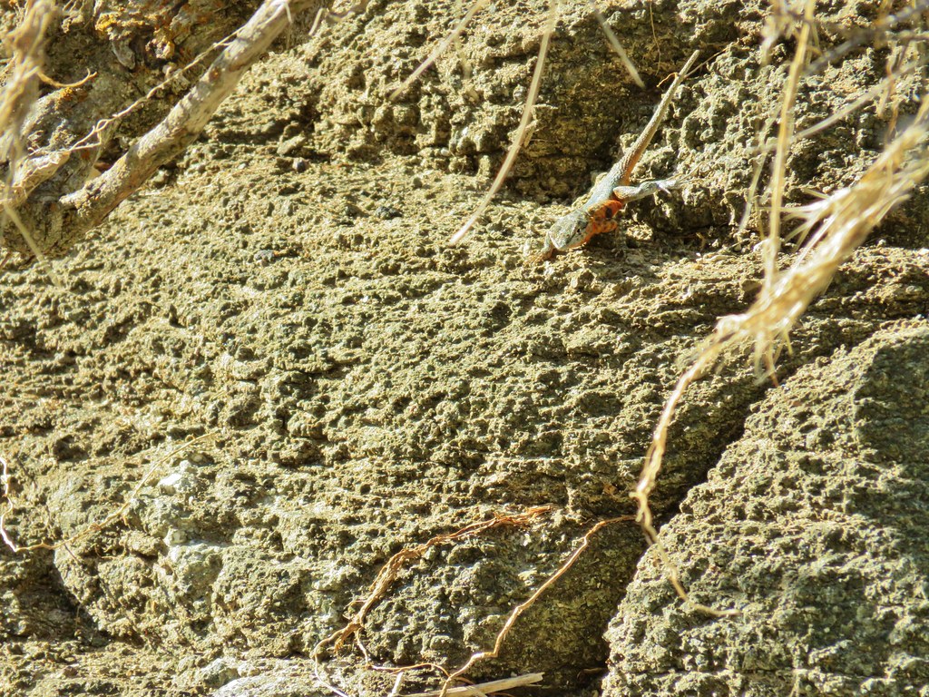
We hadn’t seen the correct track and hadn’t paid enough attention to the N versus NE direction this track was heading in and we just kept walking. We were supposed to follow the double track for approximately .7 miles to a gate with a railroad tie. After passing through the gate we were supposed to veer left and quickly pass through another barbwired fence before passing between two signed caves. The guidebook also said that if we crested a rise and could see the Cascade Mountains we’d gone too far. That last part had us really confused because we had been able to see the mountains the whole time as we followed the track we’d chosen. There was another set of footprints in the sand though so we followed them as the track became fainter. The scenery was nice and we spotted several birds including a few hawks and Heather noticed a pygmy short horned lizard.
IMG_8881

IMG_8882

After about fifteen minutes we’d completely lost the track and footprints and realized we’d done something wrong. I should have set up a waypoint on our GPS marking the cave location but hadn’t so using it was no real help. Luckily Heather had signal just long enough to pull it up on Google Maps on her phone. We used her phone to navigate towards the caves location but it wasn’t ideal. First off it was a lot harder to see exactly where we were in relation to the cave location using the phone vs the Garmin and secondly locations on Google Maps are not always correct (sometimes they are way off). We had already gone a little over half a mile and we wandered for another .9 miles in a wide arc in the direction shown on the phone before seeing what looked like it might be a cave near a barb wired fence.
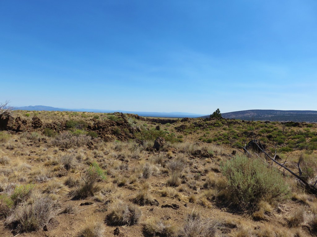
IMG_8886

It didn’t seem to match the description in the book but it was near the point shown on Google so we headed over to check it out.
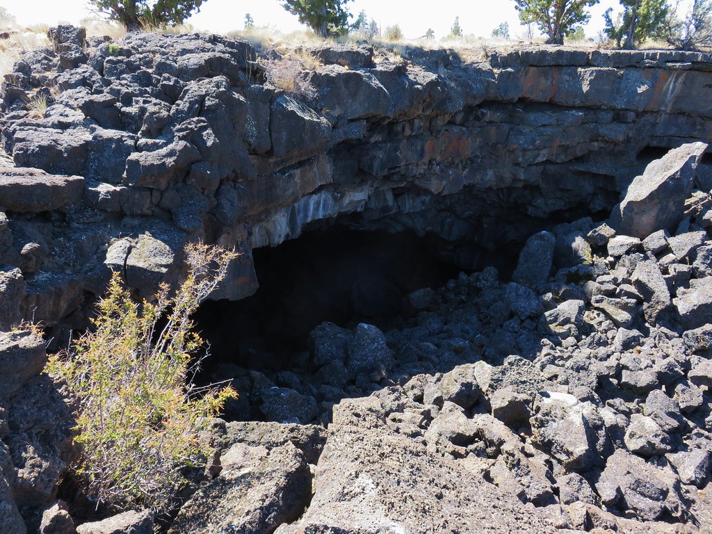
IMG_8888

It turned out to be a very shallow overhang.
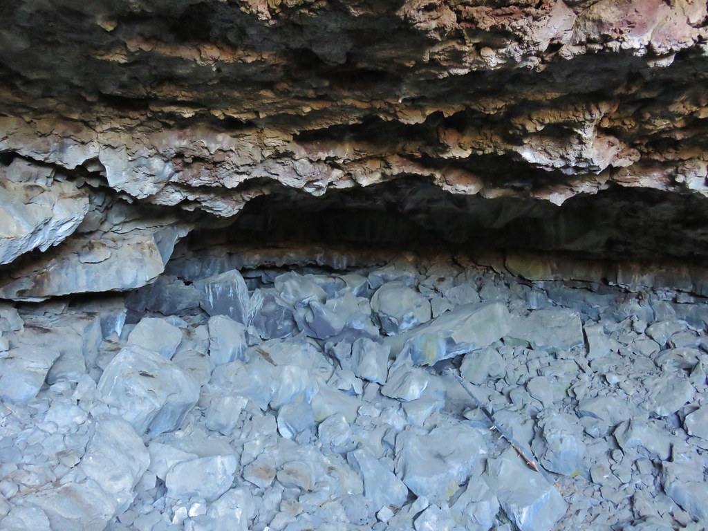
IMG_8890

At some point Heather’s phone ran out of power so we were once again left with only the Garmin which was still no help in this case. The immediate area we were in had several promising looking features and we wandered to the NE a bit checking possibilities. I finally spotted what appeared to be two sets of short sign posts amid the sagebrush way off in the distance. We headed over to check them out since the book had mentioned such signs. As we approached the nearest pair we spotted a large pit.
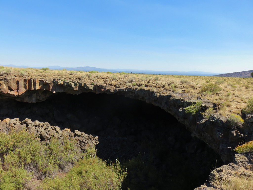
IMG_8894

IMG_8895

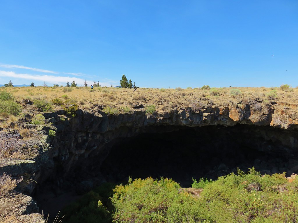
That was the SW opening with no way down. Just across from it was the NE pit which is the explore-able one only the restrictive sign indicated that the cave was now closed year round to protect bat habitat.
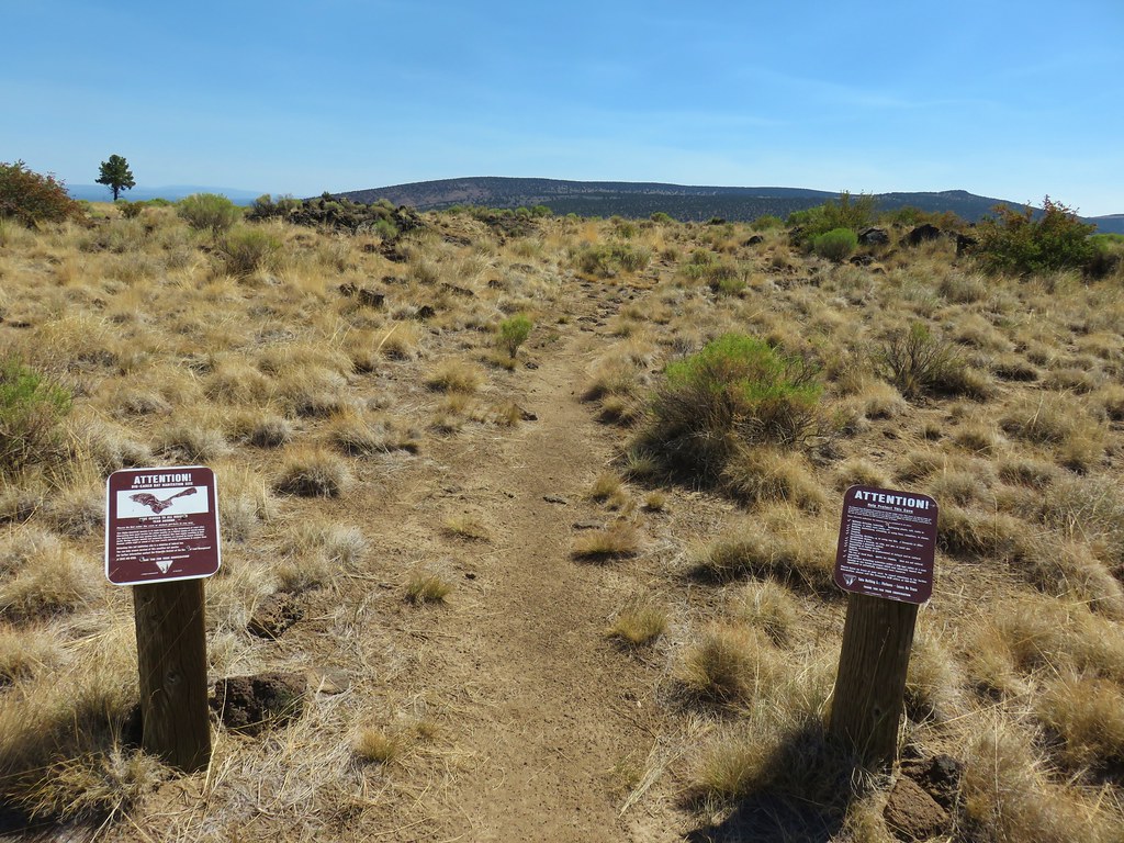
IMG_8899

We stopped at the pits edge honoring the closure sign and were not able to pick out the pictographs near the right hand tunnel. At the time we weren’t entirely certain that these were indeed Pictograph Cave due to year round closure and not having followed the directions to get there.
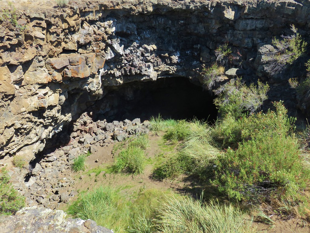
IMG_8900

IMG_8901

We were hot and dusty and had hiked two and a half miles on what was supposed to be a 2.4 mile hike. At least from the cave we were able follow the guidebook directions backwards. We followed a dirt track SSE for .4 miles where we arrived at a railroad tie gate. Before passing through the fence we followed another track east now not being able to remember if after passing through the gate the guidebook had said veer left or right (we had left the book in the car opting to rely on pictures taken with the now dead cell phone). After a short distance we decided that we were on a wild goose chase and the pits we had seen must have been Pictograph Cave. We hiked back to the gate and passed through continuing on the sandy track. We soon ran into a family who asked us if this was the way to Pictograph Cave. We said we thought so explaining that we’d taken a wrong turn and come in form another direction, but there were two signed pits along the track. We continued on eventually arriving back at the Wind Cave turnaround where we discovered how we’d missed the correct sandy track.

We walked back along the road to our car and began to head back toward Bend. We had been hoping to go to the High Desert Museum after the hikes. Despite having spent a lot more time hiking to Pictograph Cave we still would have had 4 plus hours to spend there but two things happened on the drive back, a fire broke out near Bessie Butte along China Hat Road and our battery warning light came on. The fire was far enough off the road that it wasn’t closed yet as we passed by the first firetrucks on scene. Luckily the fire was controlled quickly and didn’t become a major incident.

The battery light was more of an issue. It was Sunday so many places weren’t open and all our user manual said was to stop driving immediately and call a dealer. That wasn’t an option on a forest service road with a fire nearby so we drove into Bend and stopped at the Toyota dealer but they didn’t have any mechanics on duty and couldn’t help. Next we tried a Valvoline Instant Oil but their battery tester was dead. From there we stopped at Baxter Auto where the store clerk was able to test the battery which was low, but that wasn’t necessarily the problem. It could be any number of things related to the electrical system but without a mechanic to check we couldn’t be sure. We then drove to a second Valvoline where, even though it was a long shot, we replaced the battery in hopes that it might work. It didn’t which meant it was likely the alternator. Our vacation plans were suddenly in flux.

We decided to rent a car Monday morning and go ahead with our planned backpacking trip and then we would try and get the car fixed at the end of the week when we returned. Thankfully Heather’s parents offered to take the car in Monday morning for us though and have any necessary repairs done while we were away.

With the plan set we reserved a rental to be picked up at 7:30 from Enterprise and then we realized that we hadn’t remembered our water filter. It was getting close to closing time for the few stores that were still open on a Sunday evening and Heather ran out to Big 5 in hopes of picking up a spare filter. They didn’t have any in stock so she wound up with Potable Aqua Water Purification Tablets. We hadn’t used the tablets before so this was going to be interesting. It was starting out to be quite the memorable vacation. Happy Trails!
Flickr: Boyd, Arnold, Hidden Forest, and Pictograph Caves

Categories
Bull of the Woods/Opal Creek Hiking Old Cascades Oregon Trip report

French Creek Ridge

**Note the 2020 Beachie Creek Fire burned the area covered by this hike.**

After visiting the Bull of the Woods Wilderness on our previous hike we paid a visit to the neighboring Opal Creek Wilderness. Our choice of trail was the French Creek Ridge Trail staring at the west trailhead. We had been to this trailhead before when we headed east from the trailhead to Phantom Bridge in 2011. (post) The road to the trailhead was in worse shape than we’d remembered including a short section of narrow road along a steep drop off with some trenching and potholes. It was only a couple hundred feet but it didn’t look like it would take much for that section of FR 2207 to become impassible.

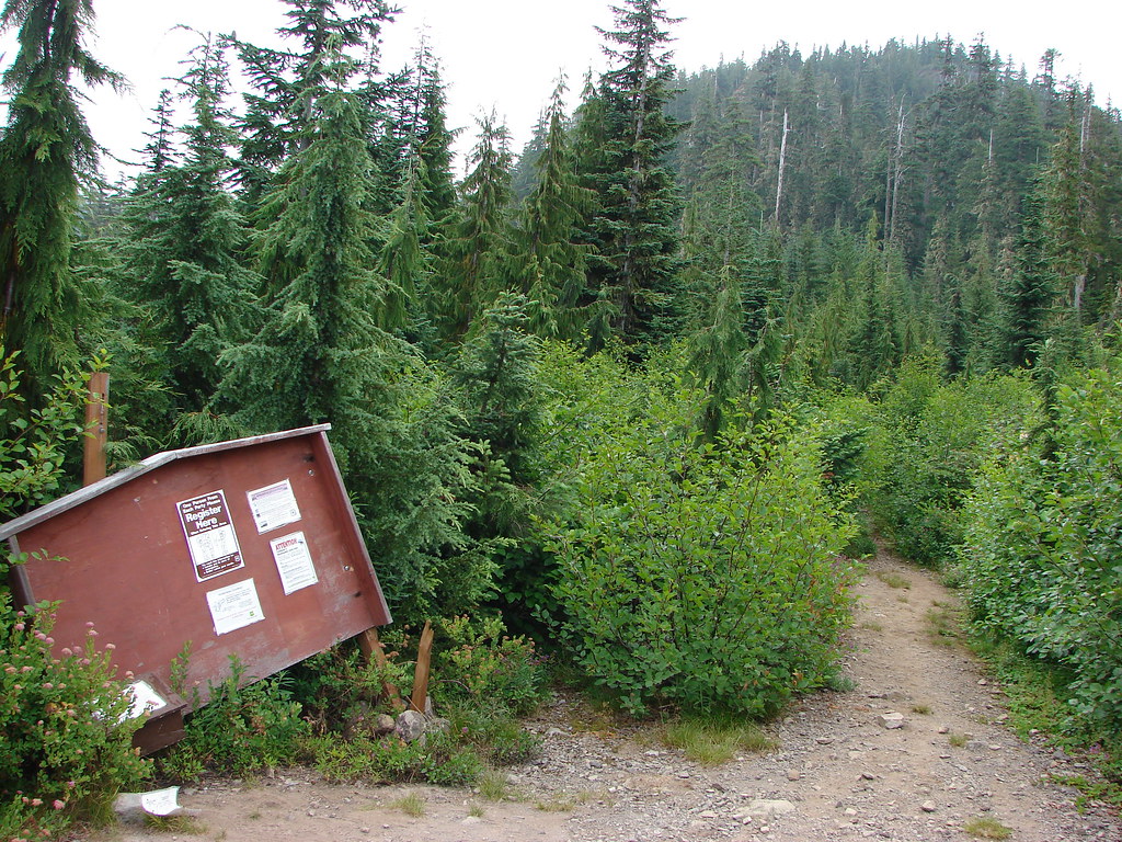
Road 2207 was worse for the ware but that wasn’t the case at the trailhead where the sign board was in better shape than the one that had been present in 2011.
IMG_8579

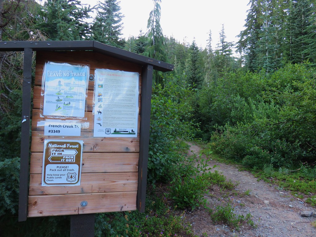
French Creek Ridge Trailhead

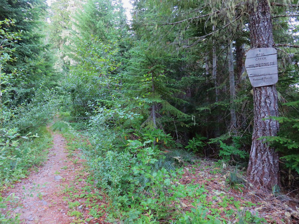
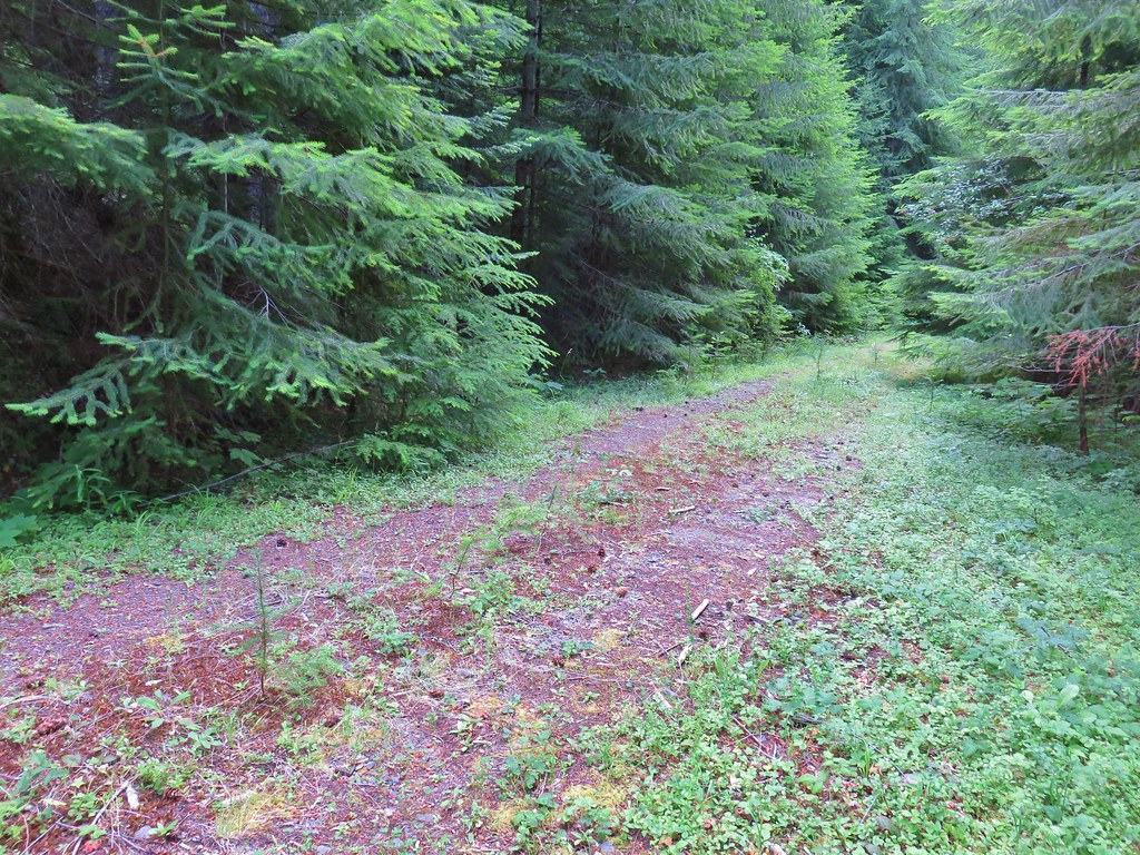
We headed down the trail following an old roadbed into the Opal Creek Wilderness.
IMG_8582

The lightly used trail suffers a bit from a lack of maintenance but there were some signs that the first bit of trail had seen some recent brush removal.
IMG_8589

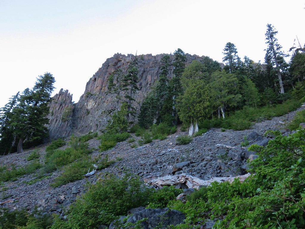
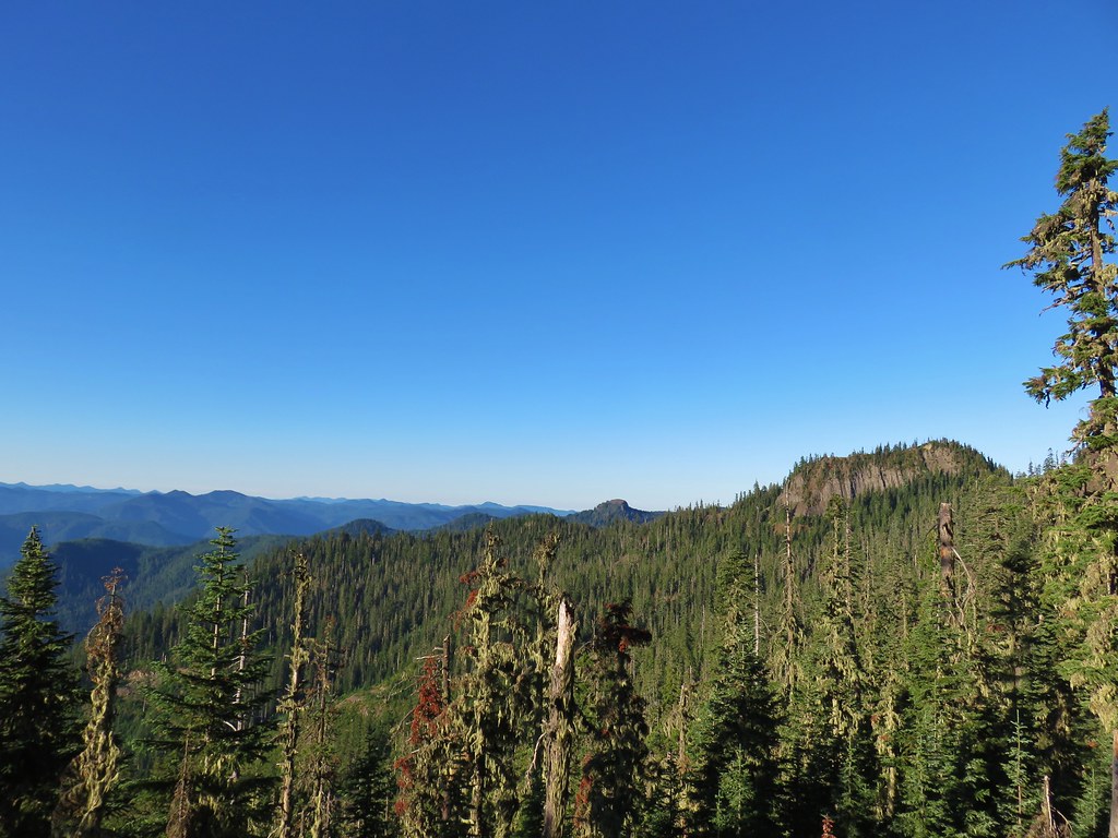
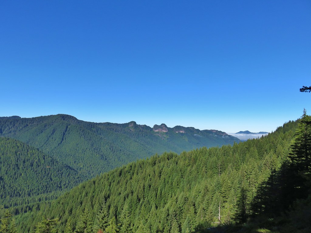
The trail passes the Marten Buttes on the north side of the ridge beneath some impressive basalt cliffs. Along this stretch were some open views across the Opal Creek Wilderness.
IMG_8596

IMG_8598

IMG_8599

IMG_8604

When the trail was crossing over talus slopes it passed through a mixed forest with a few remaining wildflowers.
IMG_8609

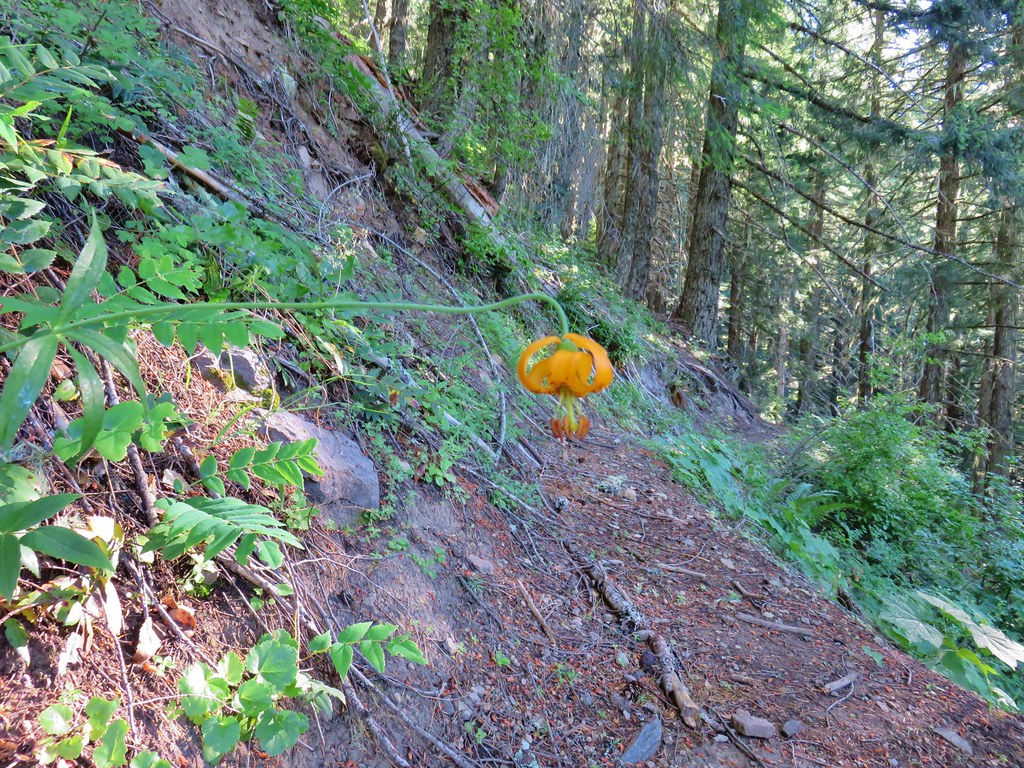
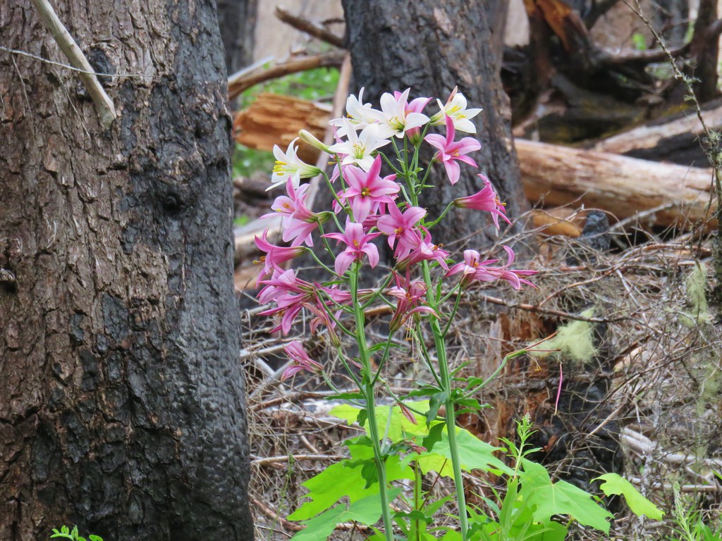
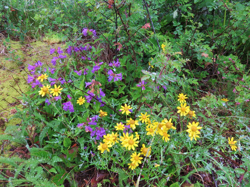
IMG_8611Washington lilies

IMG_8774Penstemon

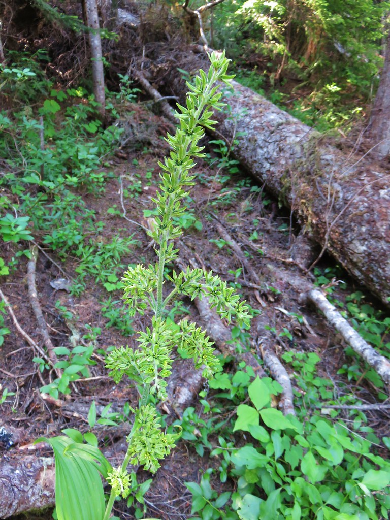
IMG_8782False hellebore

After a mile and a half we crossed over a saddle to the south side of the ridge. Looking back to the west we could see one of the Marten Buttes.
IMG_8638

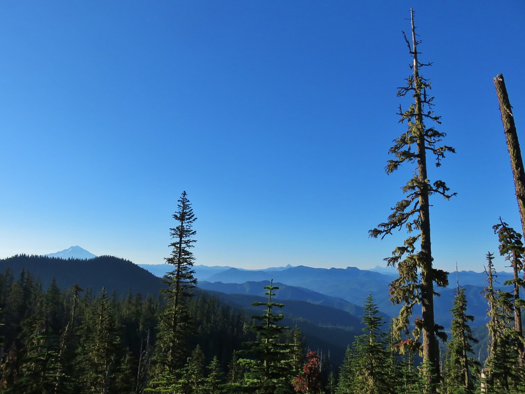
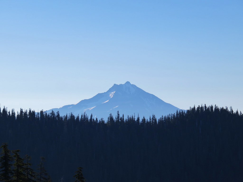
Views from this side of the ridge also included several Cascade peaks.
IMG_8646

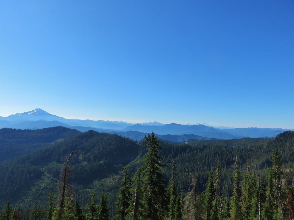
IMG_8644Mt. Jefferson

IMG_8635Mt. Washington, Broken Top and the Three Sisters with Coffin Mountain in the foreground.
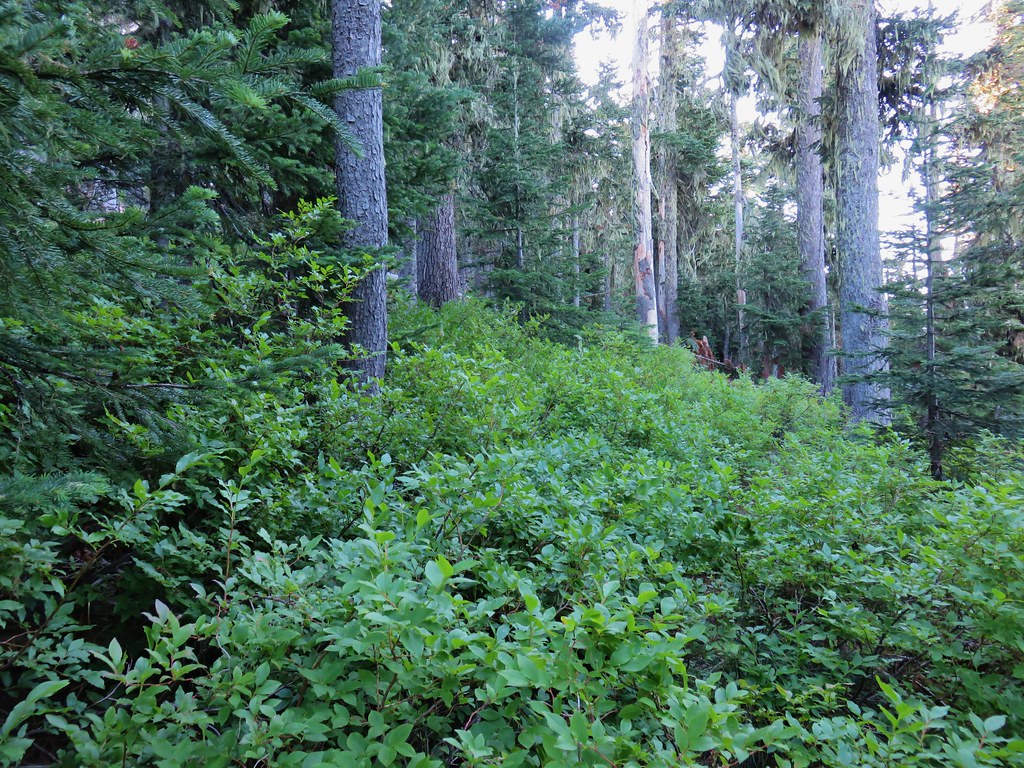
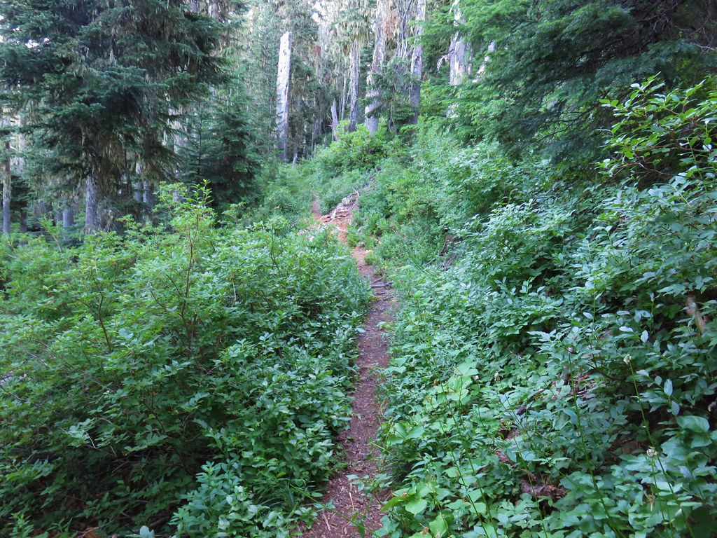
The brushing out of the trail only covered a bit of the trail at the beginning and now it was a bit more overgrown when it wasn’t passing through the rockier sections.
IMG_8647

Luckily much of the trail did pass through rocky sections as it bounced from the south to north side of the ridge then back to the south again.
IMG_8673

IMG_8682

IMG_8685

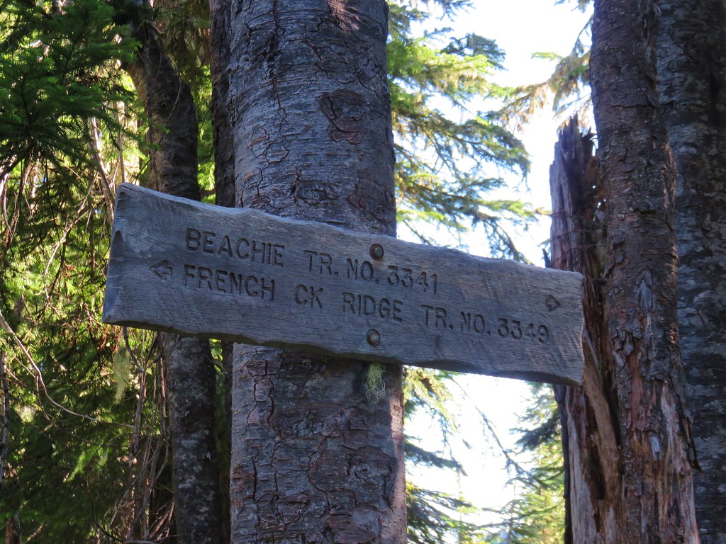
After approximately 2.75 miles we arrived at a signed junction with the Beachie Trail.
IMG_8692

IMG_8690

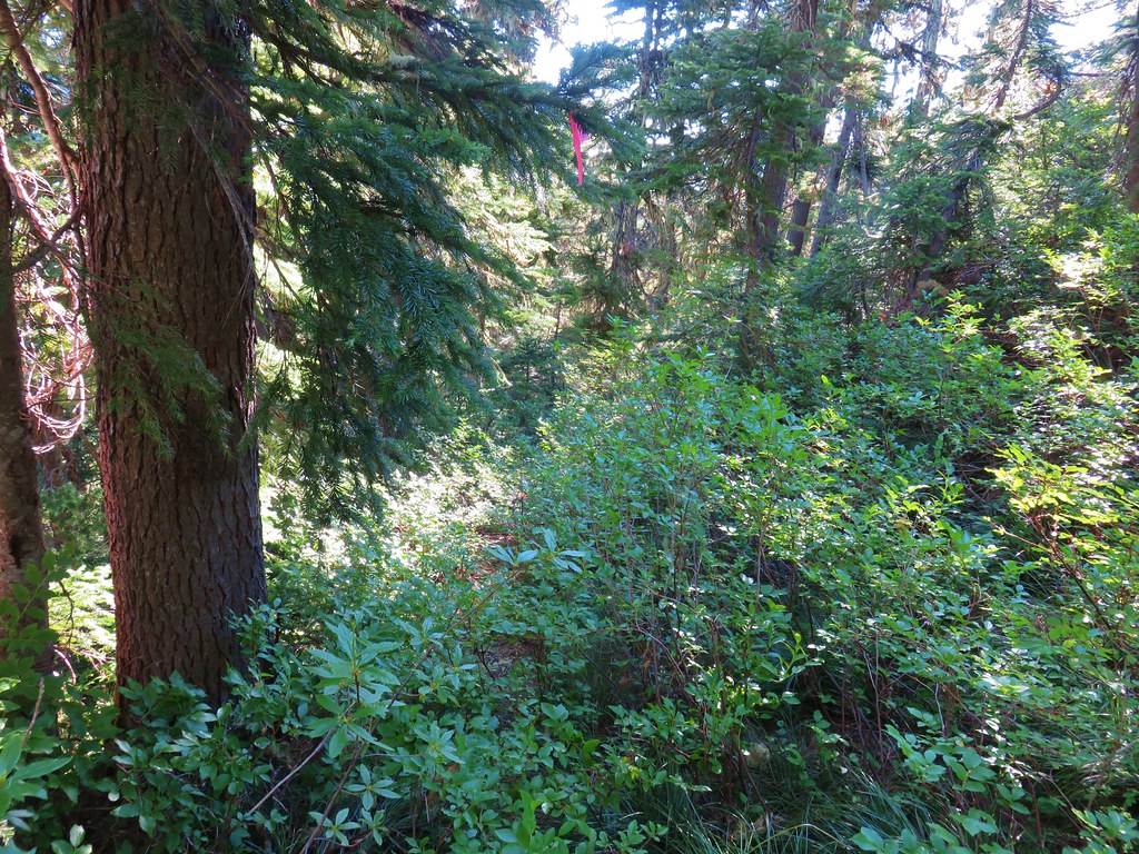
We took the left fork and followed the Beachie Trail steeply downhill for a little over a quarter mile before climbing an additional quarter mile back to the ridge top. This section was extremely overgrown but well marked by pink flagging.
IMG_8695

IMG_8710

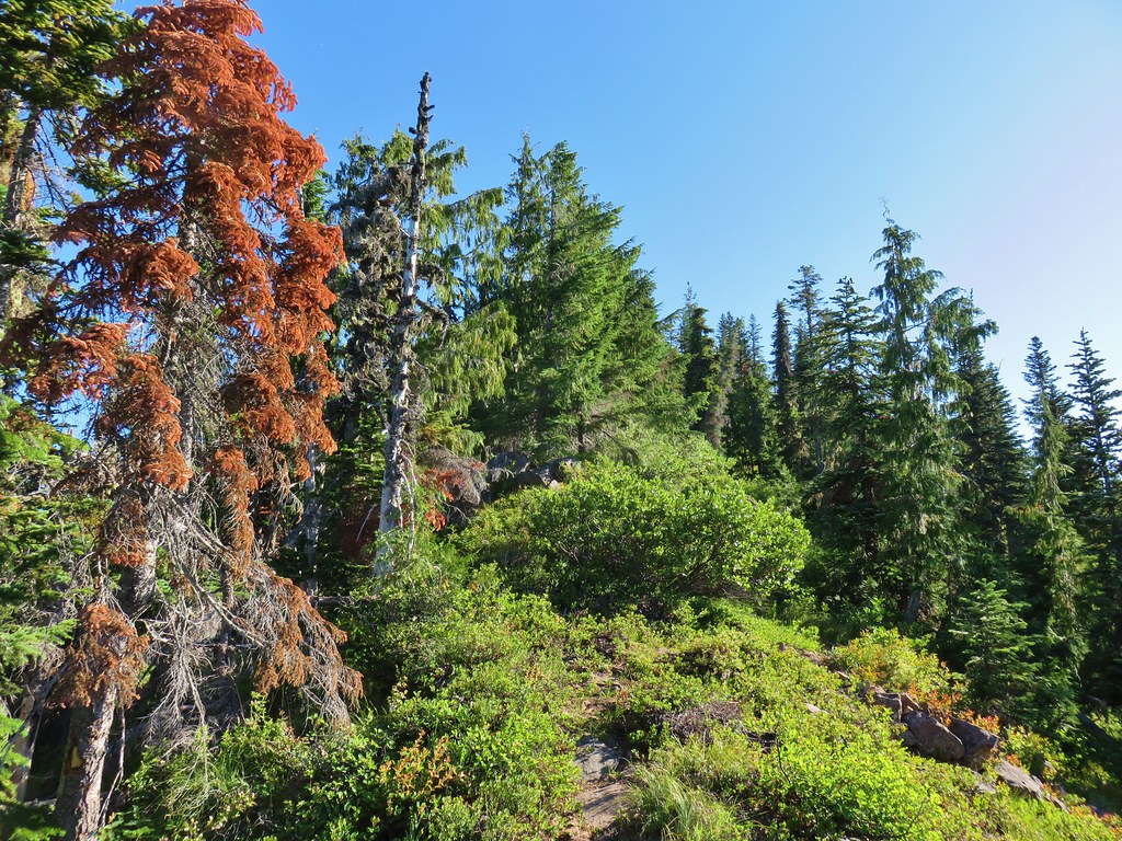
We then followed the trail uphill along the ridge for another .7 miles. The official trail bypasses the summit of Mount Beachie but not by much and a short bushwack led us to the small flat summit.
IMG_8736

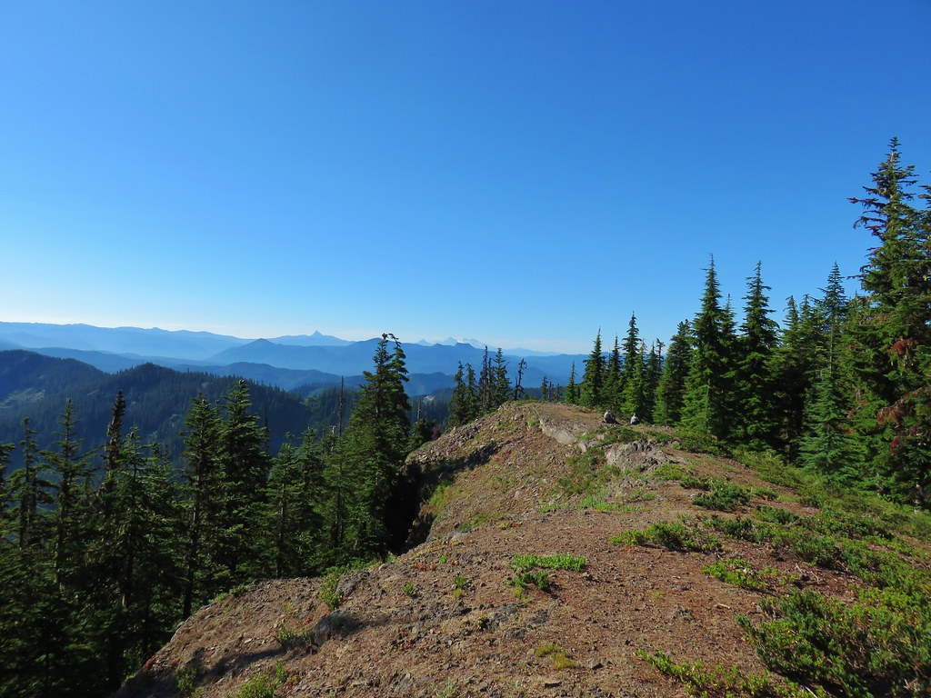
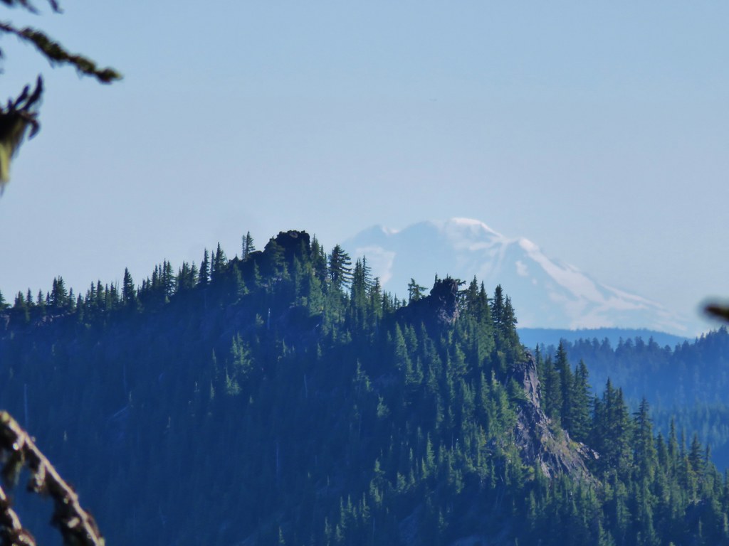
Smoke from wildfires made for a hazy view but with the naked eye peaks from Mt. Adams south to Diamond Peak were visible except for Mt. Hood which was hidden behind Battle Ax Mountain in the Bull of the Woods Wilderness (post)
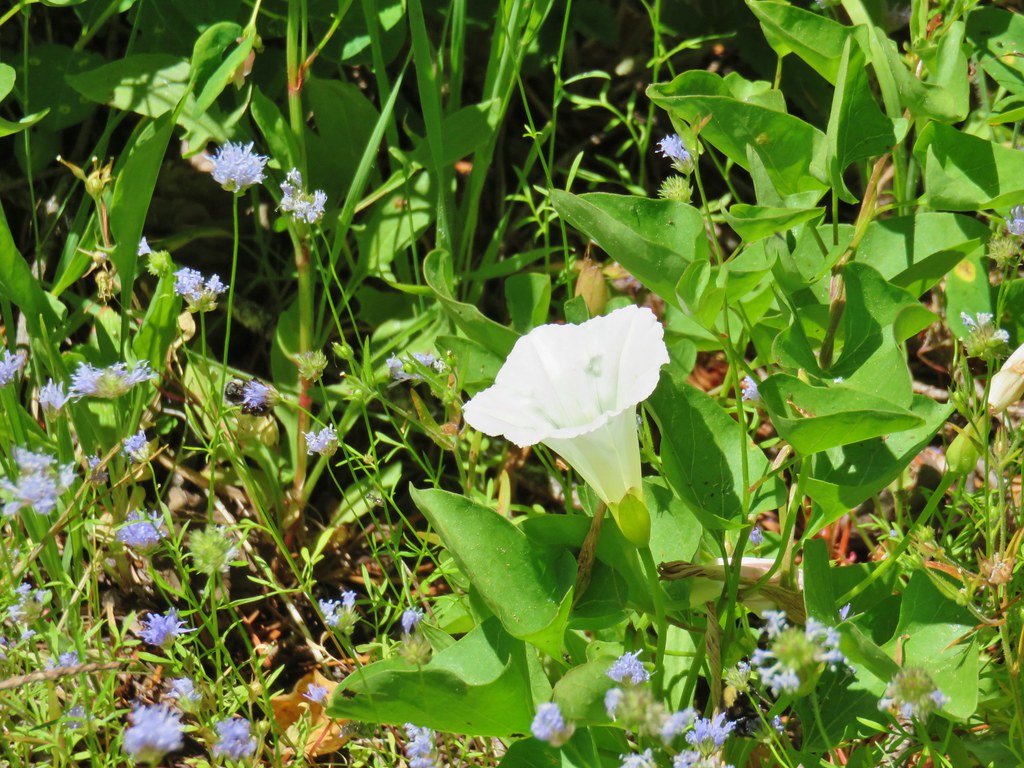
IMG_8730Mt. Adams

IMG_8724

IMG_8728Battle Ax Mountain
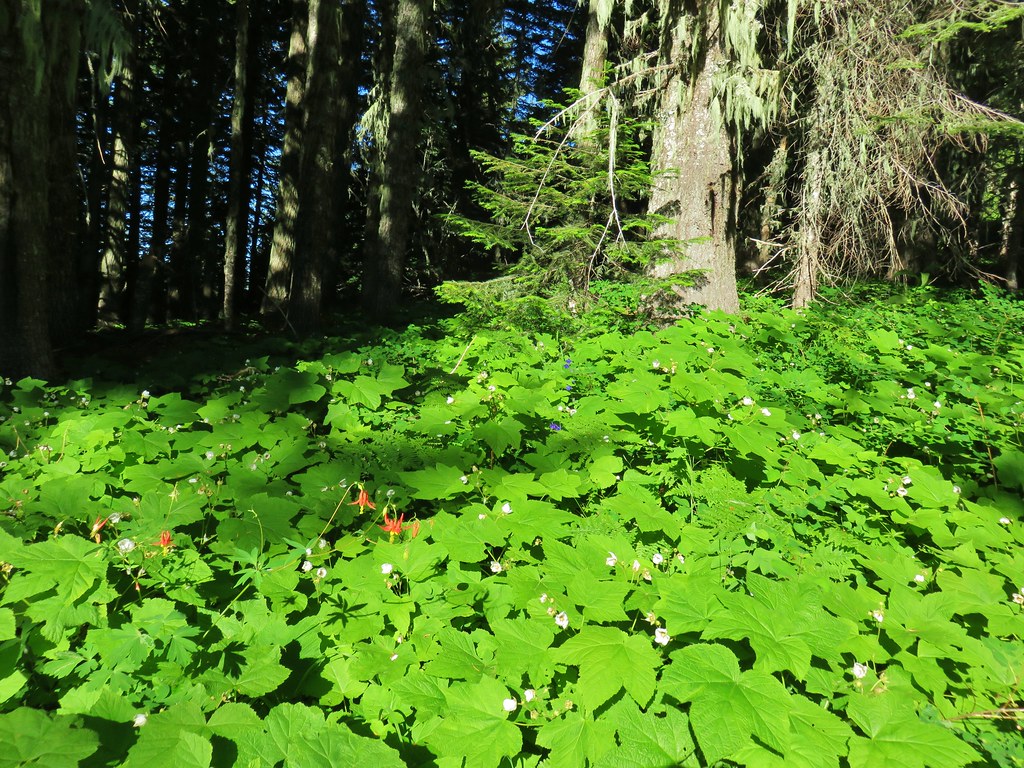
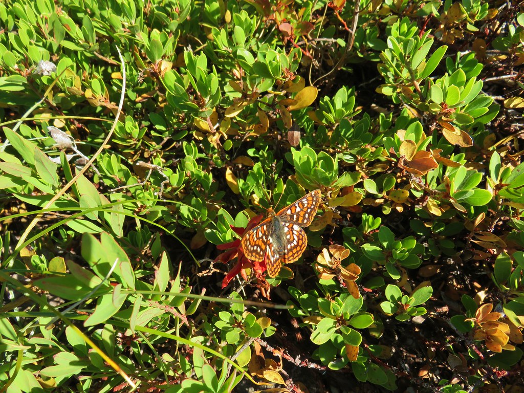
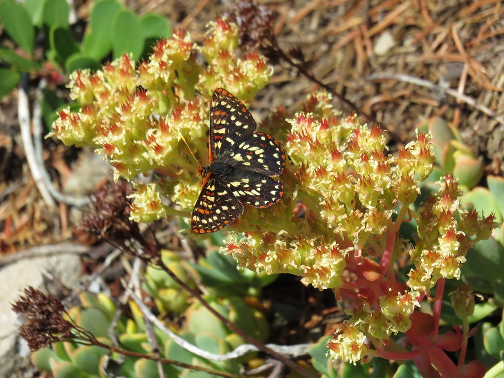
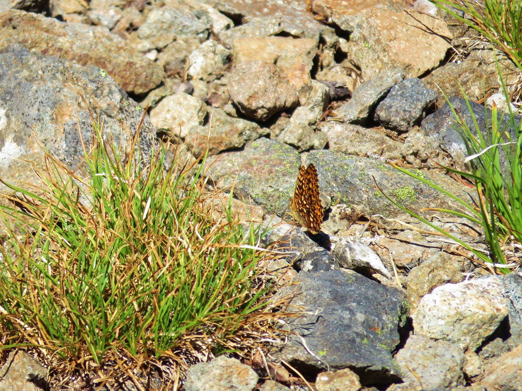
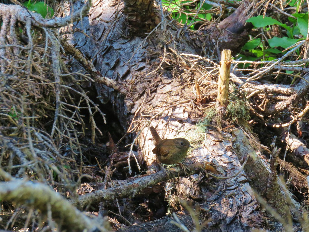
We sat at the summit for a bit before heading back. On the return trip the butterflies were out and so was a friendly wren who posed for a bit before disappearing into the forest.
IMG_8705

IMG_8767

IMG_8777

IMG_8762

The round trip was approximately 8 miles with just under 2000′ of cumulative elevation gain. Most of the flowers were past so an early July visit would likely be better timing for those. There were a few mosquitoes present making stopping in the trees a bad idea but they were less of a bother along the open rocky slopes. A nice trail and one that you’re likely to have all to yourself. Happy Trails!

Flickr: French Creek Ridge

Categories
Hiking McKenzie River Old Cascades Oregon Trip report

Horsepasture Mountain
After our last two hikes coming from Matt Reeder’s 101 Hikes in the Majestic Mount Jefferson Region we went back to work on our goal of completing all of the featured hikes in William L. Sullivan’s 100 Hikes guidebooks. We are just over 75% through his 100 Hikes in the Central Oregon Cascades 4th edition and had our eyes set on checking off one more with a visit to the former lookout site atop Horsepasture Mountain.

The hike up Horsepasture Mountain provided a bit of a logistical challenge for a couple of reasons. First is our self imposed guideline of trying not to spend more time in the car than we do on the trail and the 1.4 mile length of the Horsepasture Mountain Trail meant we’d need to come up with some additional trail time. The second issue was the continued closure of a section of Forest Road 1993 which adds nearly 45 minutes to the drive to the Horsepasture Trailhead. Prior to the closure the drive to that trailhead would still have been over two and a half hours but with the detour Google put the time at three hours and fifteen minutes. We also have a rule against driving over three hours to any trailheads for day hikes so I began looking for alternatives. A little online research led me to a solution, the Saddle Trail which is part of the O’Leary Trail Complex.
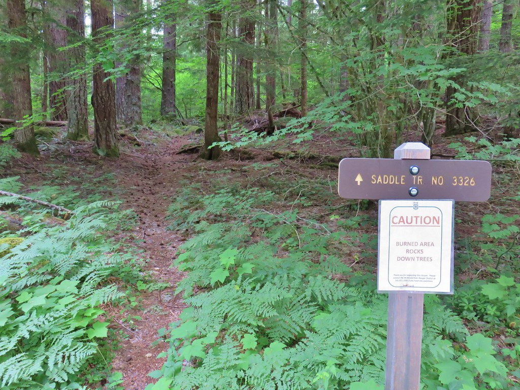
The trail begins at the East Fork Upper Trailhead which brought the drive time from Salem under two and half hours. We parked at a small pullout on the right side of FR 1993 across from the signed Saddle Trail.
IMG_8169

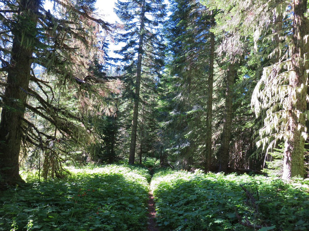
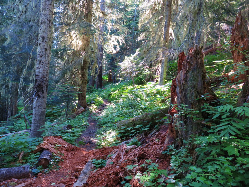
There was a caution sign on the post regarding a burn area but that was referencing portions of the O’Leary Trail Complex burned in 2017 which did not include either the Saddle Trail or the Horsepasture Mountain Trail. We were facing a nearly 1700′ climb over the next two miles to a junction at Horsepasture Saddle. Luckily the trail was well graded and in good shape as it switchbacked up through a green forest.
IMG_8172

IMG_8187

IMG_8191

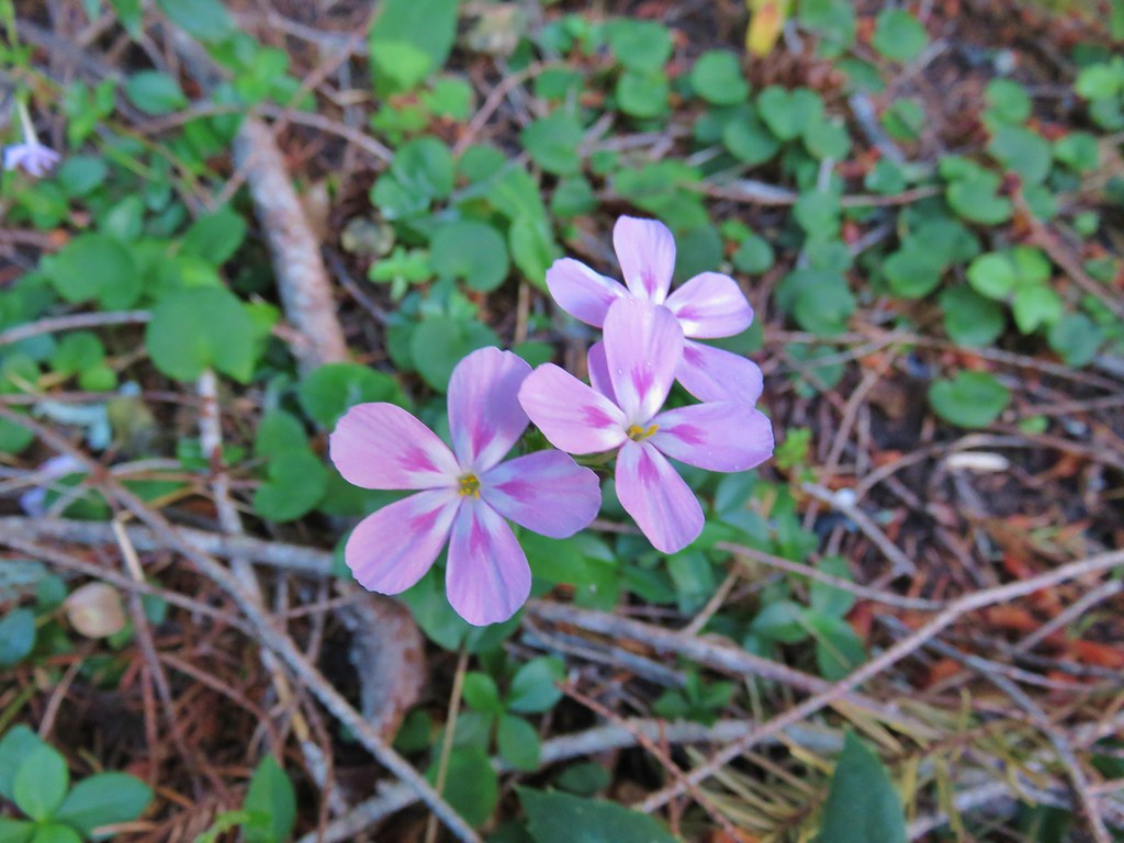
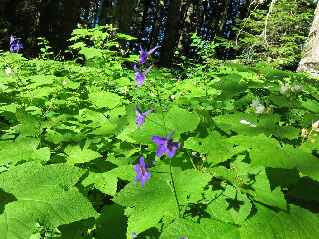
Wildflowers in the forest included a few washington lilies, penstemon, northern phlox and tiger lilies along with the typical group of white flowers.
IMG_8182

IMG_8204

IMG_8197

IMG_8207

As far as markers went on this trail it did cross closed Forest Road 590 after .4 miles and passed a single rocky viewpoint near the 1.75 mile mark.
IMG_8179

IMG_8218

IMG_8220

Near its end the Saddle Trail passed through a small meadow with a few remaining wildflowers.
IMG_8227

IMG_8231

IMG_8236

IMG_8420

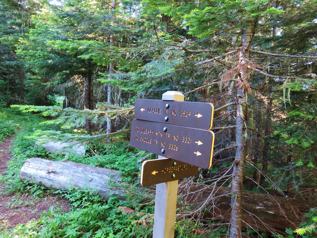
The trail ended at a signed three way junction with the Olallie Trail.
IMG_8240

Here we turned right passing through thimbleberry bushes for a little over 100 yards to a four-way junction.
IMG_8242

IMG_8247

IMG_8243

IMG_8257

IMG_8258

We turned onto the Horsepasture Mountain Trail which climbed gradually at first.
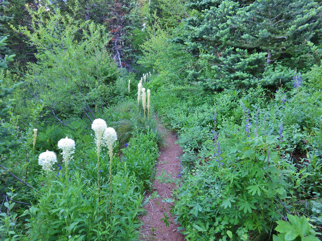
IMG_8260

IMG_8272

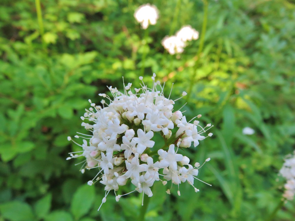
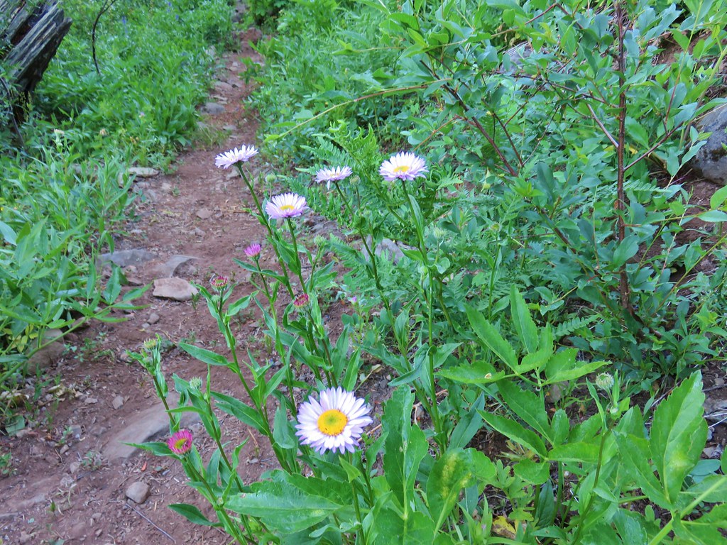
Flowers here included lupine, lousewort, wallflower, valerian, and fleabane.
IMG_8269

IMG_8273

IMG_8279

IMG_8263

IMG_8280

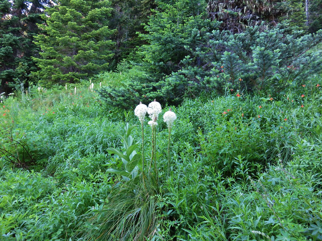
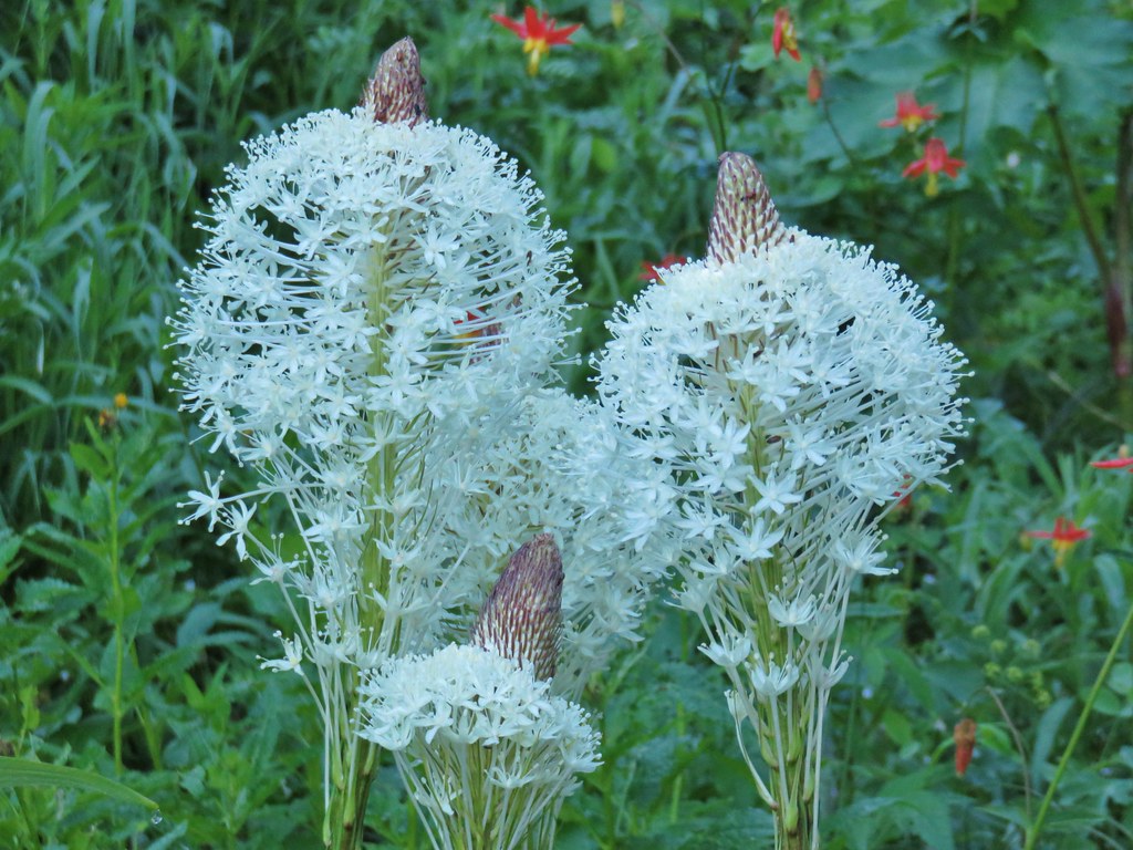
After nearly three quarters of a mile of gradual climbing the trail steepened as it climbed through meadows with beargrass. It wasn’t quite the beargrass display we had been hoping for but there were some nice blooms along the way.
IMG_8285

IMG_8288

IMG_8290

Other flowers in these meadows included coneflower, owls clover, and cat’s ear lilies.
IMG_8283

IMG_8289

IMG_8291

After 1.2 miles the Horsepasture Mountain Trail began to climb the mountain’s south side through a drier wildflower meadow.
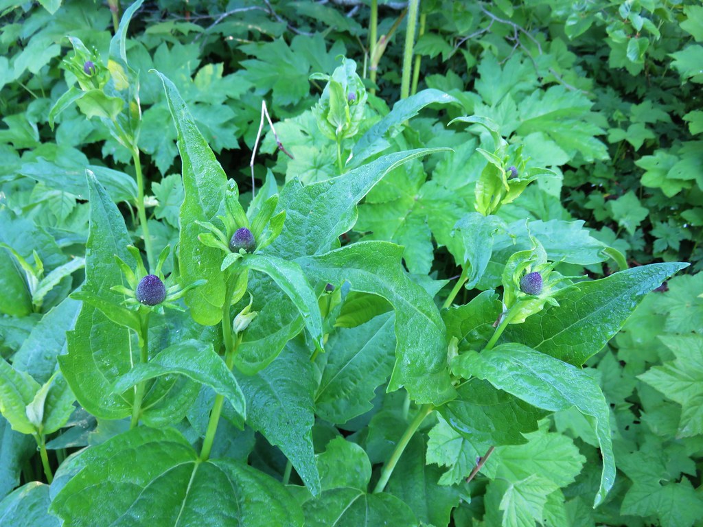
IMG_8300

The Three Sisters and Mt. Bachelor were visible to the east as was snowy Diamond Peak to the south.
IMG_8304Middle Sister

IMG_8323Three Sisters and Mt. Bachelor

IMG_8326Diamond Peak

There was a nice variety of wildflowers on display.
IMG_8402

IMG_8309

IMG_8312

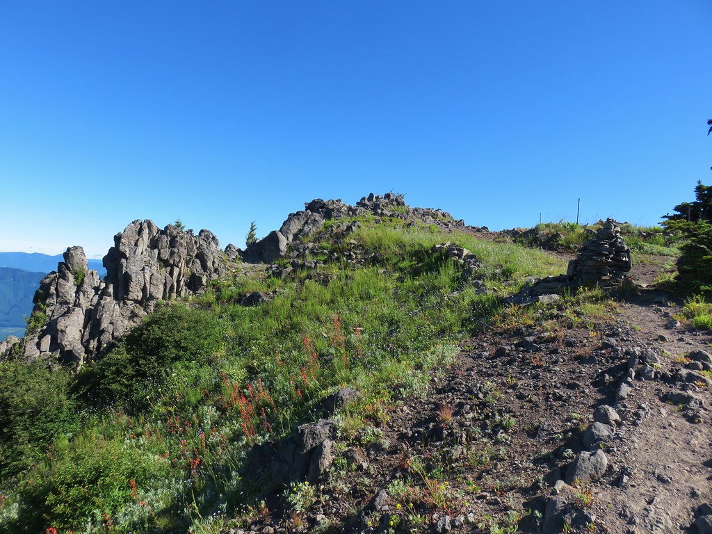
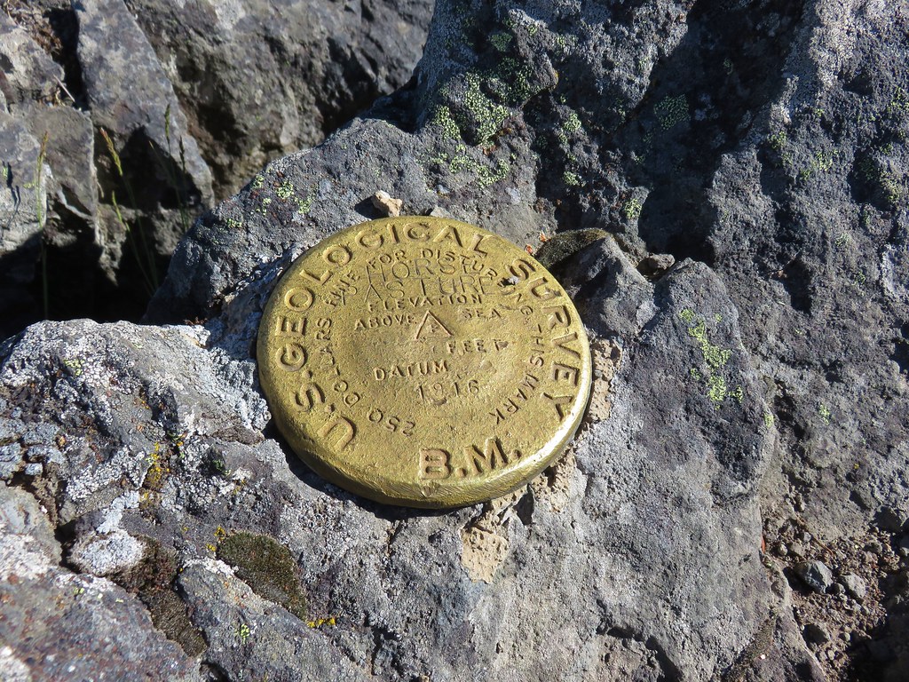
A large cairn and remains of the old lookout marked the summit.
IMG_8332

IMG_8336

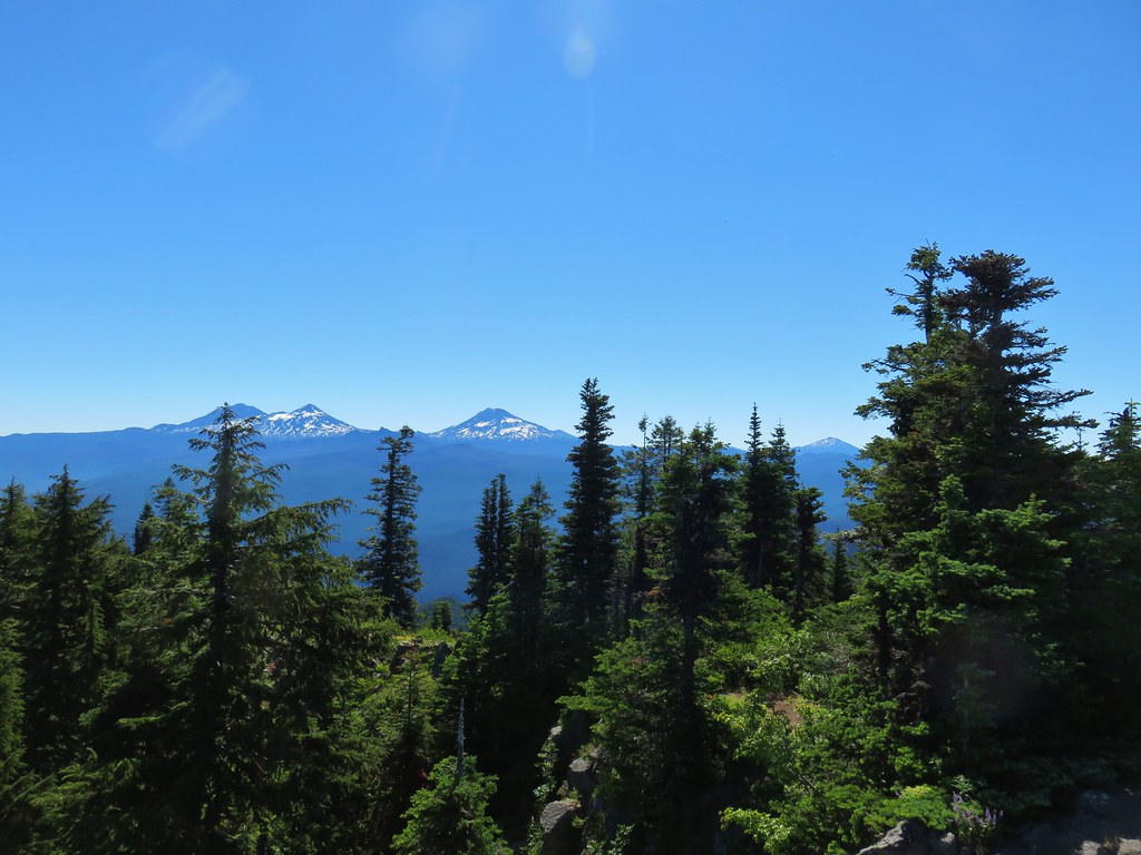
The view from the summit included Cascade peaks from Mt. Hood to the barely visible tip of Mt. Thielsen.
IMG_8337Mt. Hood, Mt. Jefferson, Three Fingered Jack, and Mt. Washington.

IMG_8381The Three Sisters (with the top of Broken Top over South Sister’s southern shoulder) and Mt. Bachelor.

IMG_8345Diamond Peak(Mt. Thielsen is out there too)

IMG_8385Cowhorn Mountain on the left and the tip of Mt. Thielsen to the right.
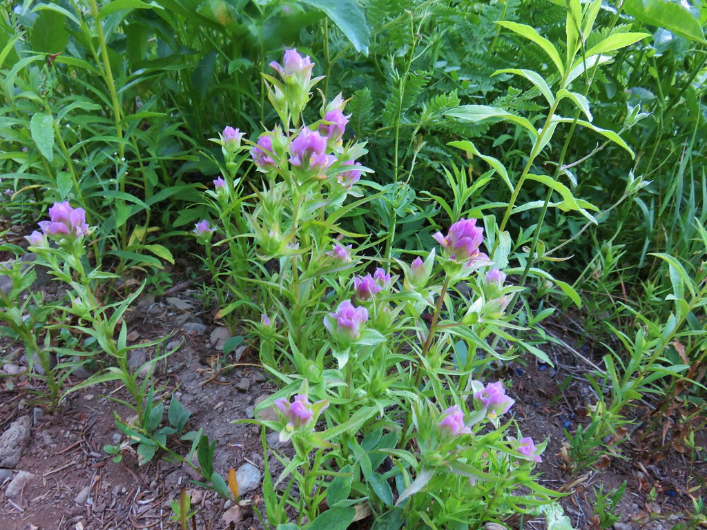
We took a nice long break at the summit enjoying the views and the flowers. Birds and insects were our only company.
IMG_8353

IMG_8356

IMG_8368

IMG_8388

IMG_8359

IMG_8363

IMG_8352

IMG_8400

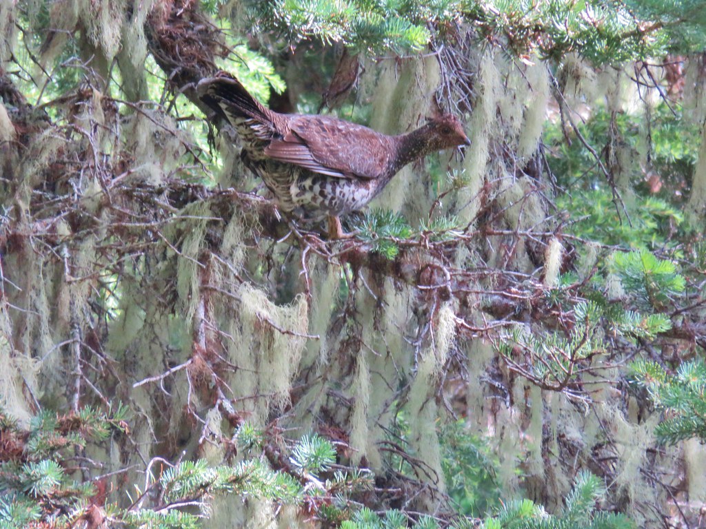
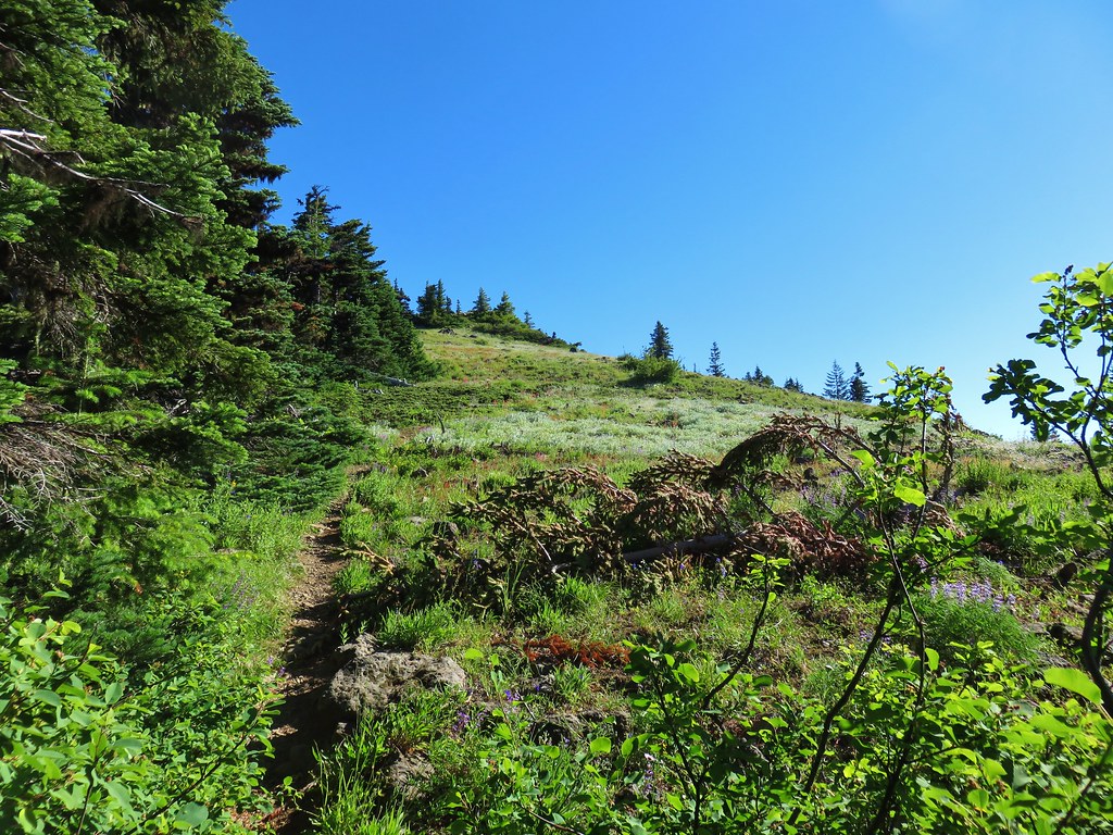
The only negative was seeing the fire scars left in the Three Sisters Wilderness from the awful 2017 fire season. We returned the way we’d come passing two other sets of hikers making their way up the Horsepasture Mountain Trail. We also ran into a family of grouse. A single chick flew across the trail then mama landed in the trail.
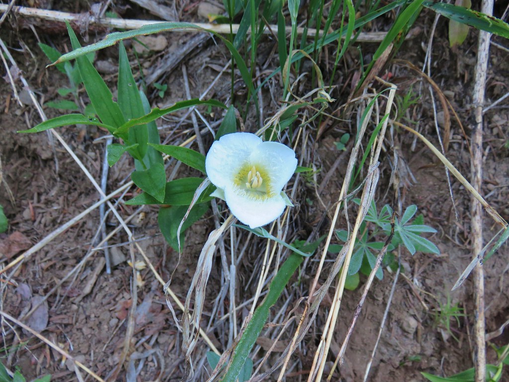
IMG_8408

Her display of feathers and her posturing let us know that she had other chicks in the area so we stopped and waited until two more flew across the trail.
IMG_8411

She then flew up into a tree to let us pass. The remainder of the hike was uneventful as we descended the Saddle Trail back to the trailhead. The seven mile hike and extended stay on the summit kept us within our driving to hiking time ratio but more importantly the hike had been really nice. Good views and wildflowers combined with solitude made for another great day in the Willamette National Forest. Happy Trails!

Flickr: Horsepasture Mountain

Categories
Hiking Middle Santiam Old Cascades Oregon Trip report

Browder Ridge Trail to Heart Lake

It has become a tradition to spend the first half of our 4th of July hiking. This year we revisited the rocky viewpoint on Browder Ridge which we had previously hiked to via the Gate Creek Trail on 9/18/2012 (post). This time around we decided to start at the Browder Ridge Trailhead based on Matt Reeder’s hike description in his 101 Hikes in the Majestic Mount Jefferson Region guidebook.

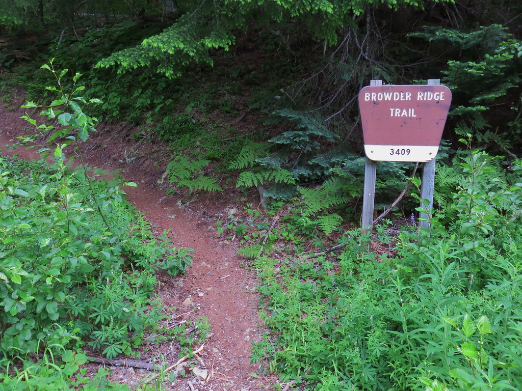
The Browder Ridge Trail set off from paved Forest Road 15 near a small parking area.
IMG_7732

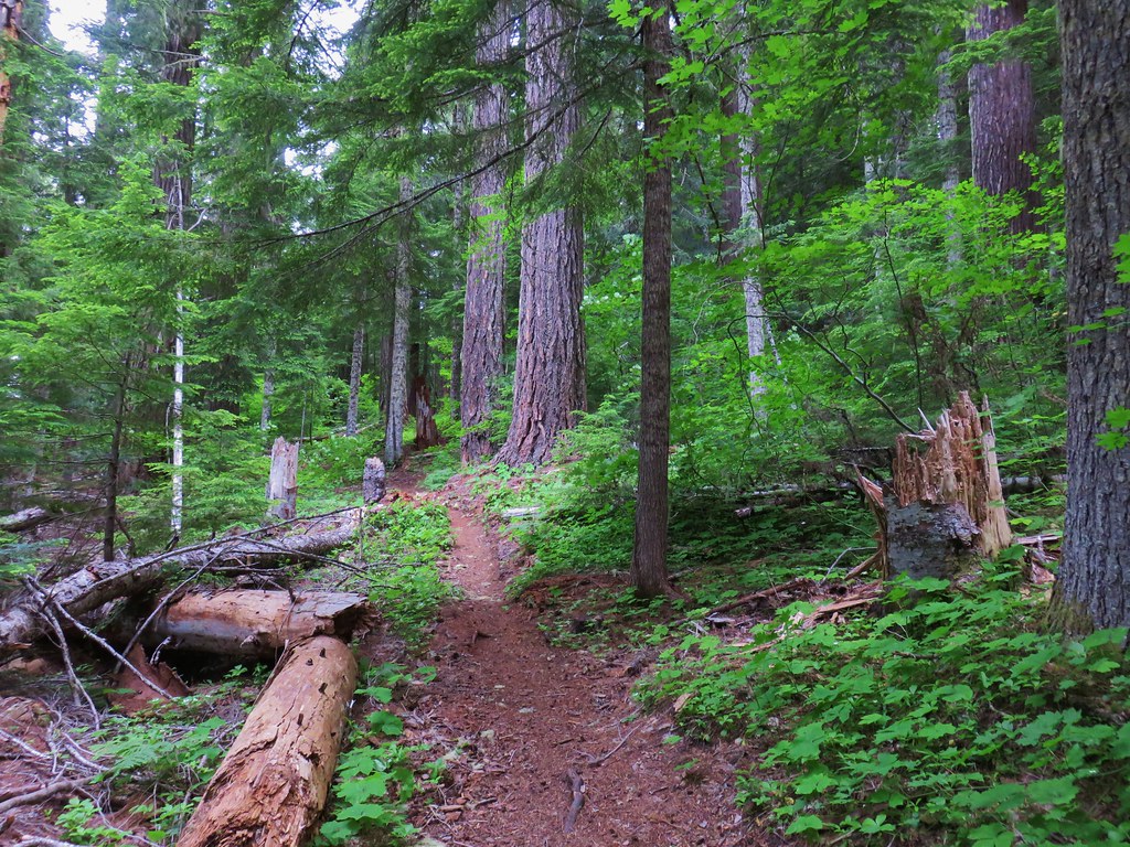
The trail climbed gently through a forest for the first half mile before steepening as it entered a series of large meadows.
IMG_7735

IMG_7738

IMG_7753

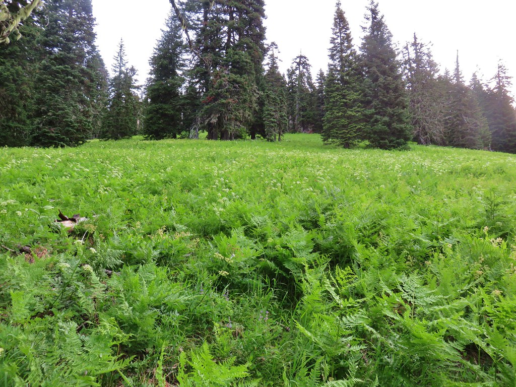
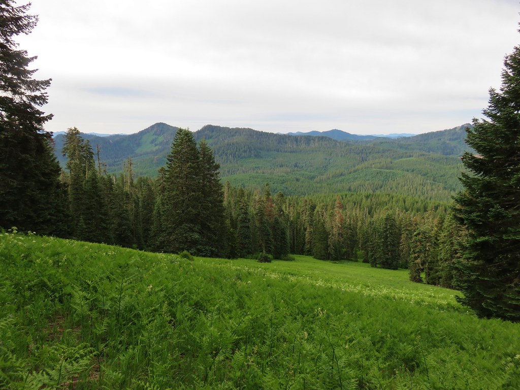
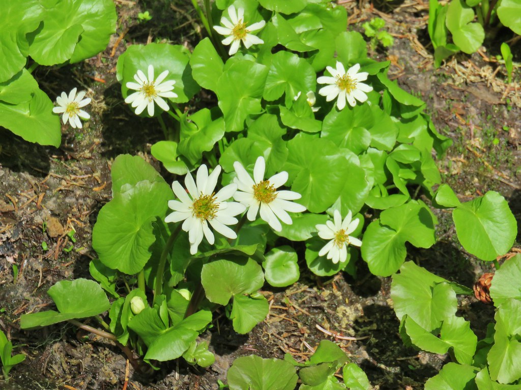
These lower meadows were filled with ferns and a smattering of wildflowers.
IMG_7758

IMG_7759Cone flower and columbine

IMG_7761Tiger lily
IMG_7764

IMG_7770

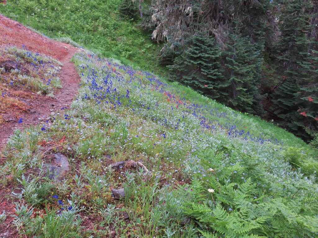
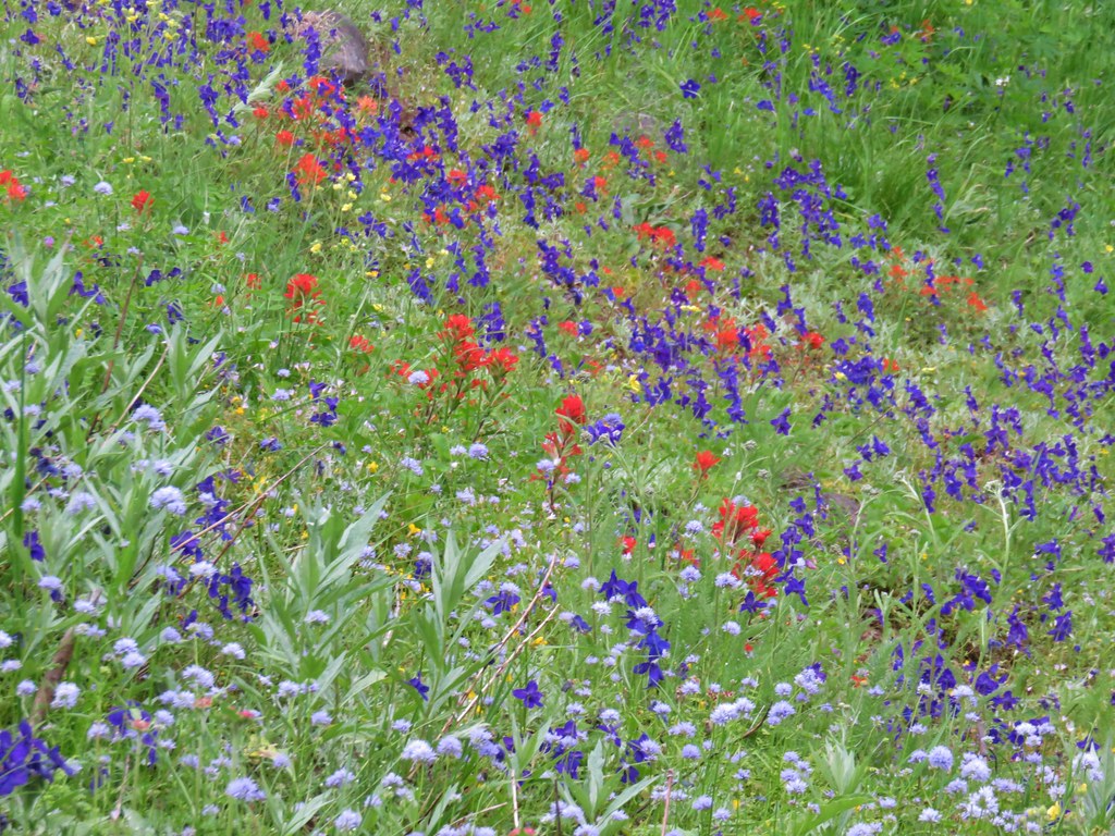
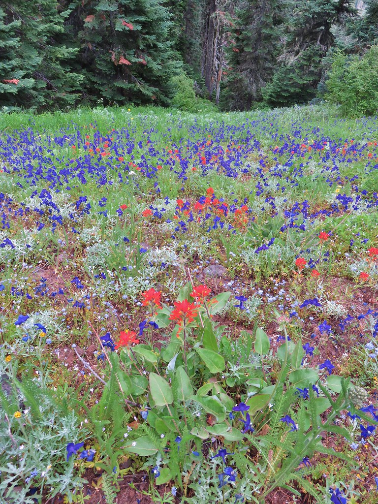
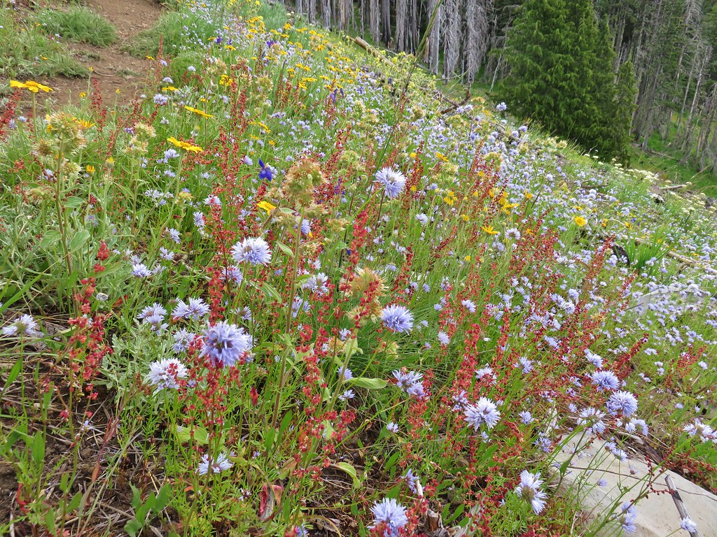
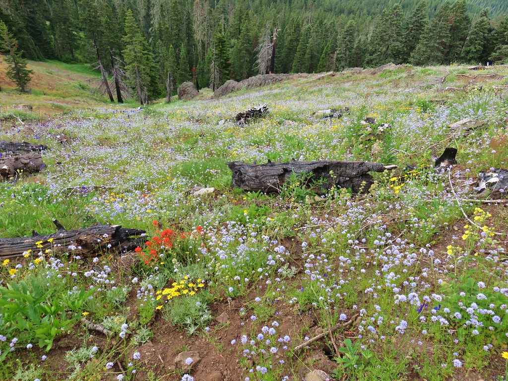
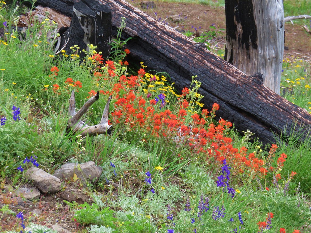
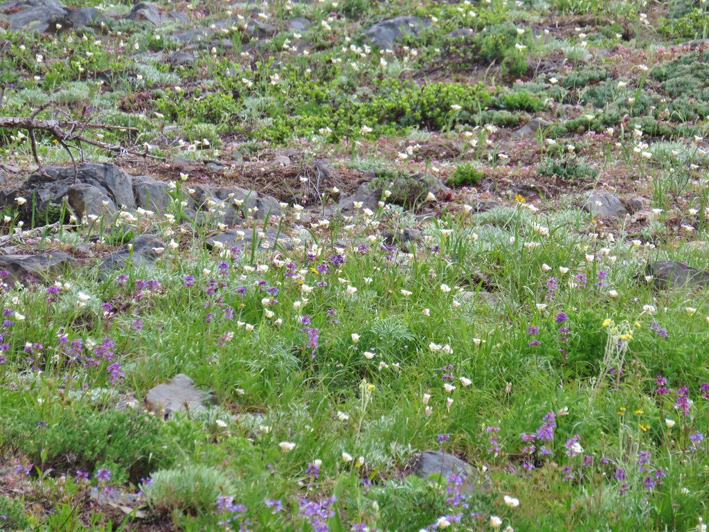
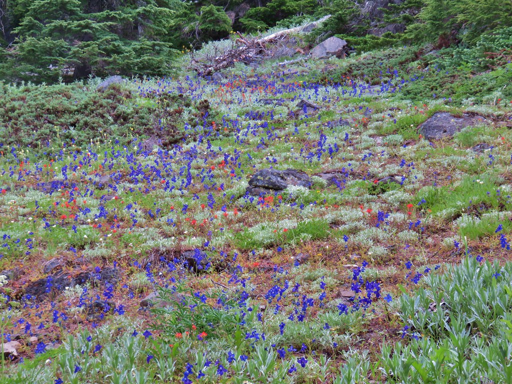
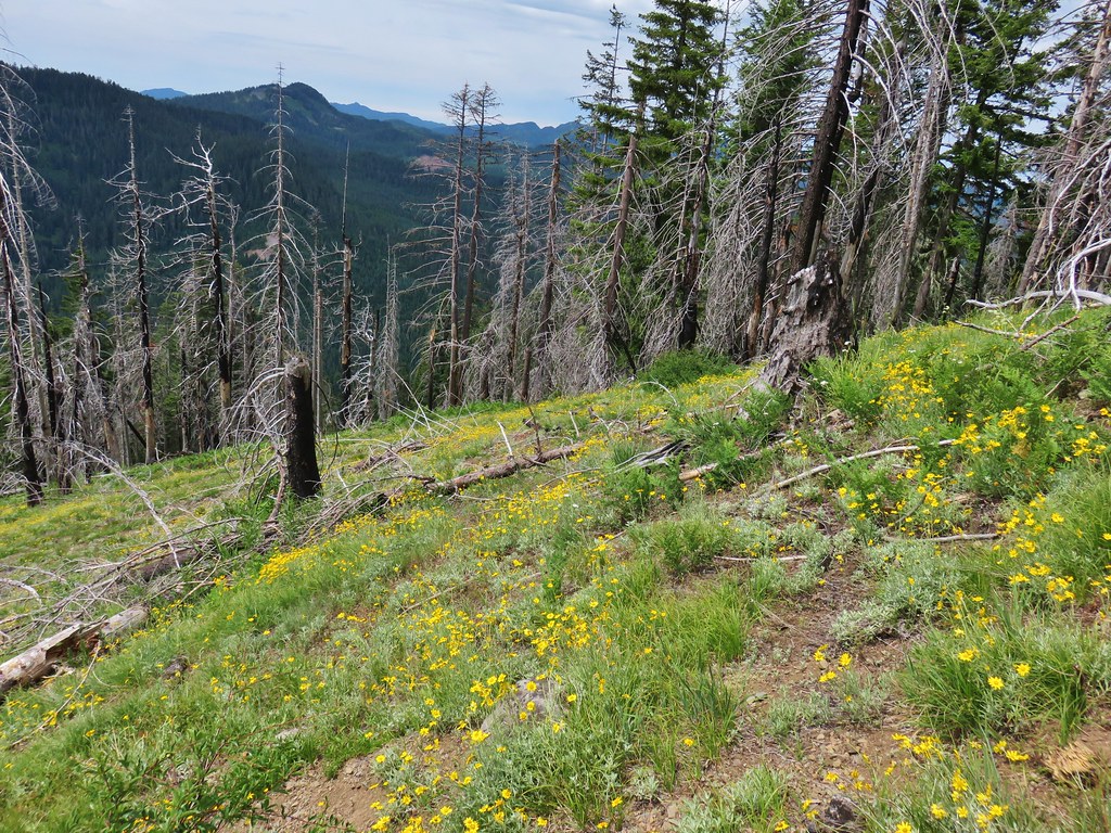
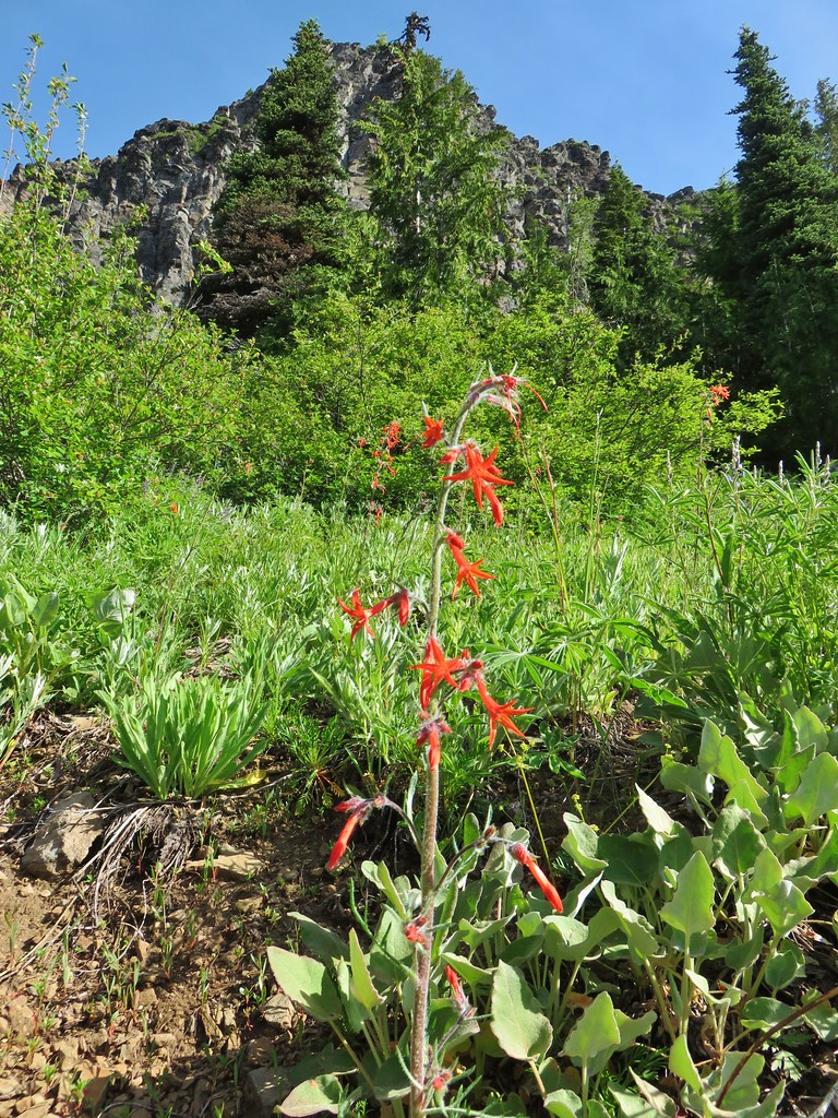
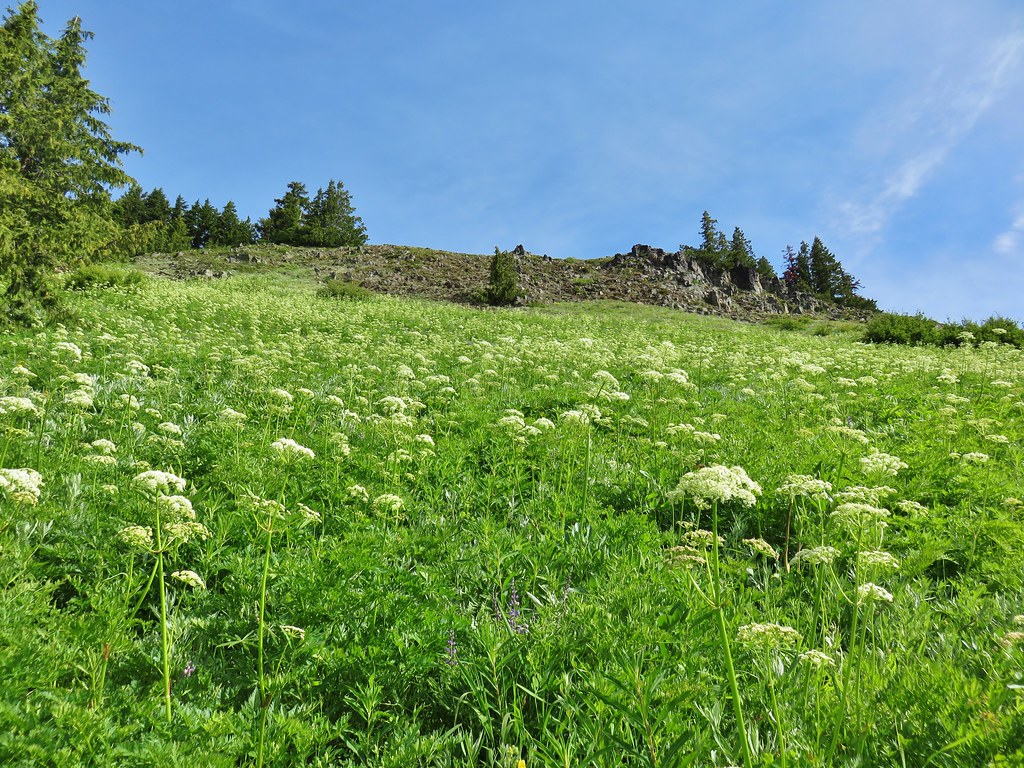
After two sets of switchbacks the trail began to traverse SE along the hillside below the ridge top. The wildflower display really picked up along this traverse. Purple larkspur, red paintbrush, blue gilia, and white cat’s ear lilies joined several varieties of yellow wildflowers to paint the hillside with color.
IMG_7786

IMG_7787

IMG_7790

IMG_7800

IMG_7819

IMG_7822

IMG_7827

IMG_7831

IMG_7858

IMG_8115

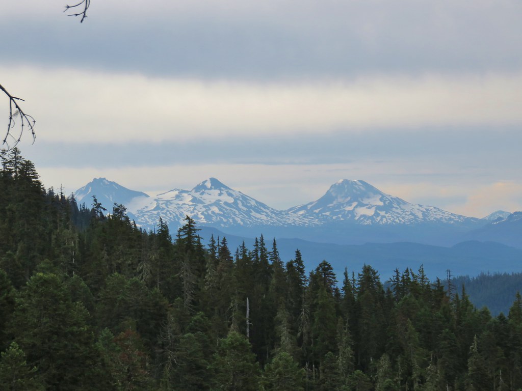
The Three Sisters could be seen at times as the trail alternated between forest and meadows.
IMG_7812

IMG_7807

IMG_7828

The flower combinations always seemed to be a little different in each of the meadows. At the 3 mile mark the trail entered a short stretch of burned forest along the ridge top.
IMG_7892

Just beyond the four mile mark there was a short side trail to a rocky viewpoint.
IMG_7904

IMG_7906

Beyond the viewpoint the trail climbed gradually for three tenths of a mile to its end at an unsigned junction with the Gate Creek and Heart Lake Trails.
IMG_7912

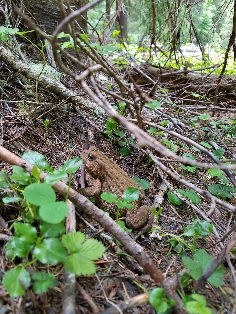
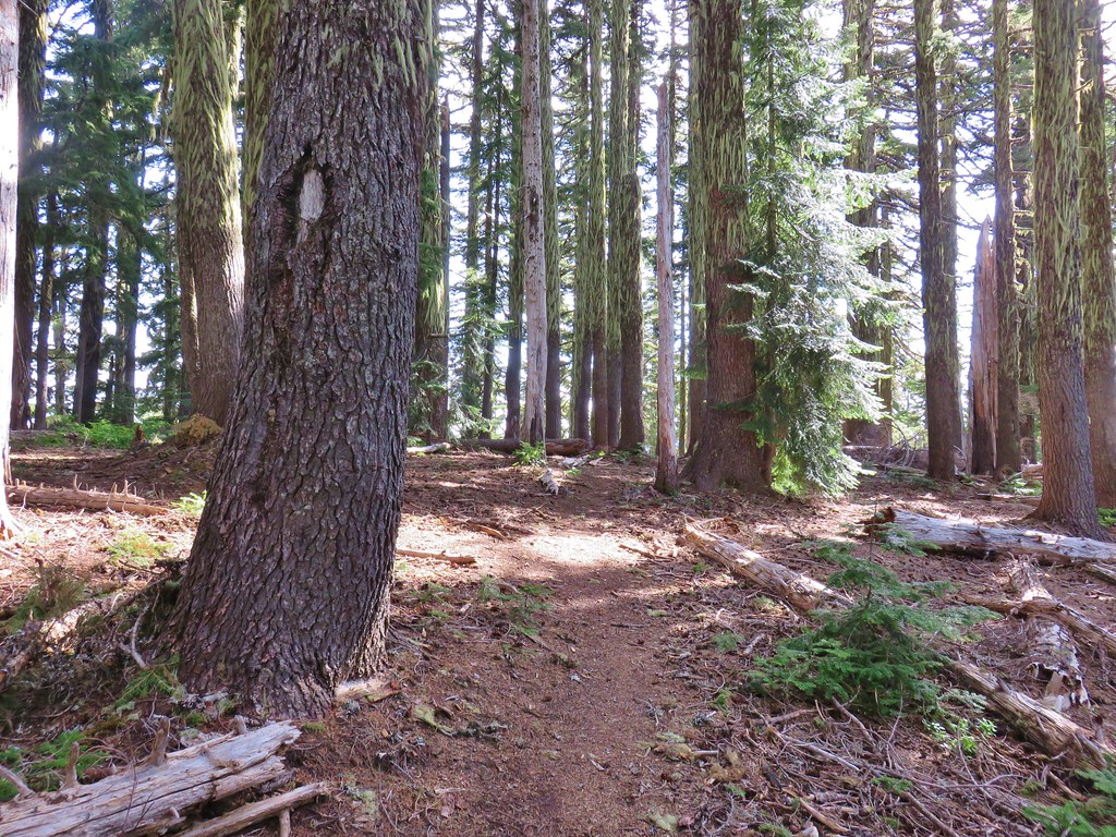
Here we turned left regaining the ridge crest in the forest where we encountered the first downed trees of the hike and a huge cascade toad.
IMG_7927

20180704_113516

The Heart Lake Trail then dropped over the ridge to the NE passing beneath some basalt cliffs through another wildflower meadow.
IMG_7928

IMG_7935

IMG_7962

The trail climbed through the meadow to a forested saddle a mile from the trail junction.
IMG_7963

The saddle is the official end of the Heart Lake Trail. Here we faced a choice, we could turn left on the unofficial continuation of the Heart Lake Trail and climb up the rocky ridge crest to a summit viewpoint or we could attempt to visit Heart Lake. Heart Lake was a little under three quarter miles to the north and 750′ below the saddle. In the guidebook Reeder used the terms “not for the faint of heart” and “hell on the knees” to describe the trip down to the lake on the abandoned portion of trail. Heather had been dealing with a calf strain and it had been acting up on the hike so she decided against the side trip but I was feeling adventurous. She would head up to the summit and wait for me there so we set a time that she should expect me to meet up with her. I gave myself an hour and a half figuring that we typically hike at a 2 – 2.5 mile per hour pace and the round trip to Heart Lake should have only been about 1.5 miles.

I set off downhill from the saddle on a well defined trail.
IMG_7965

In the first quarter of a mile the trail dropped into a basin losing 150′ at a not too steep grade. Being on the north facing side of the ridge at an elevation of 5400′ meant that there was still a decent amount of snow in this area though.
IMG_7967

I quickly lost the tread so I turned to the Forest Service Map loaded on the GPS unit in an attempt to re-find the trail. Unfortunately this was one of those instances where the location of the trail on the map is inaccurate. Reeder had included a GPS track on the topographic map in the guidebook but I’d left that with Heather so I didn’t immediately realize that the Forest Service map was wrong. The Forest Service map showed the trail passing through a meadow (where I found some marsh marigolds and shooting stars).
IMG_7974

IMG_7975

IMG_7972

At the far end of the meadow I spotted a couple of old fire rings amid the trees which made me think that maybe I was on the right track but less than 20 yards from the meadow I came to a line of impassable cliffs. Using the GPS I wandered to the right then back to the left several times looking for where the trail might possibly be. According to the GPS I had crossed and recrossed the trail multiple times but there was no way anyone was getting down that cliff. I was just about to give up when I suddenly remembered to use my brain. I thought I remembered that the track in the guidebook spent most of the time to the left of a creek and when I zoomed out a bit on the GPS I could see a creek to my left. I decided to bushwack over toward the head of the creek to see if I might be able to find something there. I could also see that the trail on the Forest Service map crossed the creek further downstream so if nothing else I might be able to follow the creek down to that point. As I neared the creek the forest opened up and I was able to spot what appeared to be a blaze on a tree on the opposite side.
IMG_7979

I crossed the creek on a log and sidehilled my way down past the blaze where I once again spotted trail.
IMG_7981

Once I had re-found the trail it was easy enough to follow. The tread was faint but visible with little blowdown and there were some remains of pink flagging to assist me.
IMG_7986

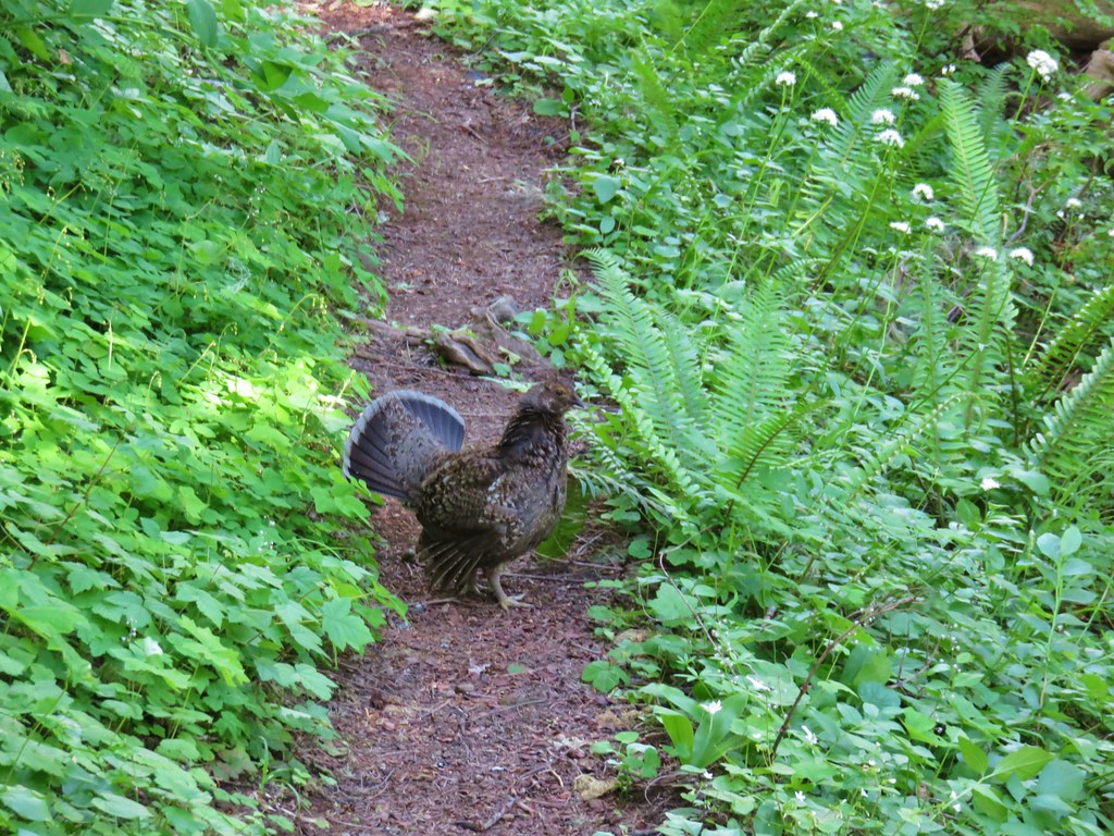
I disturbed a family of grouse as I descended.
IMG_7984

It was quite a descent too! This was one steep trail which mostly just headed straight down a ridge-line for about a quarter mile before beginning to level out as it neared a large meadow to the south of Heart Lake.
IMG_7987

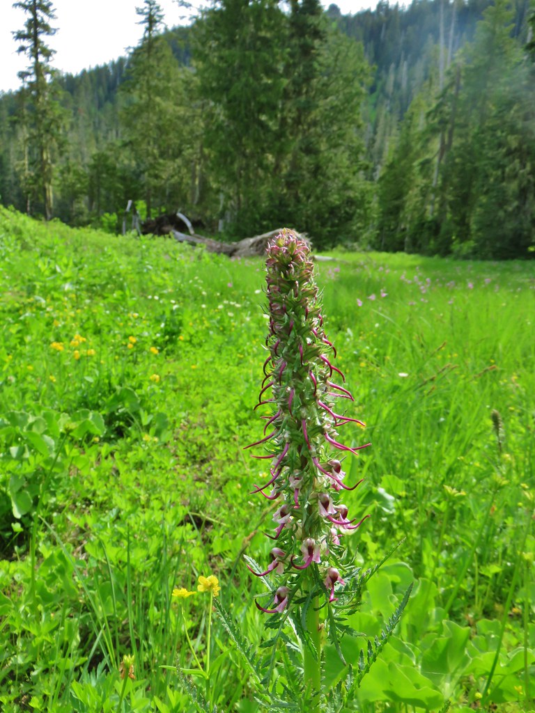
Elephant head flowers bloomed in the marshy meadow along with some other wildflowers.
IMG_7990

IMG_7994

IMG_7995

The area was damp but I was able to find enough dry spots to make my way down to Heart Lake.
IMG_8003

IMG_8008

IMG_8009

The old trail shown on the map had passed around the lake on its west side to a campsite on the northern end. I found a brushy path that I was able to follow through more marshy meadows and a tangle of trees to that campsite.
IMG_8019

IMG_8012

IMG_8016

Due to all the wandering around I had done in the basin looking for the trail it had taken me nearly 40 minutes to reach the campsite which was 1.2 miles from the saddle. I wasn’t sure how long it was going to take me to climb back up so I didn’t stay at the campsite long before heading back. The climb back up was brutal but it only took me a half an our to reach the saddle but I still had a .3 mile climb up the ridge before I reached Heather.
IMG_8023

I managed to make it with a little under 15 minutes to spare. The meadow at the summit didn’t have quite the impressive flower display as the lower meadows had had but the view was nice even though it was a bit hazy.
IMG_8033Mt. Hood, Mt. Jefferson and Three Fingered Jack

IMG_8070Mt. Jefferson

IMG_8030Mt. Washington, the Three Sisters, and Mt. Bachelor

IMG_8040Diamond Peak to the south

IMG_8041Diamond Peak

IMG_8044Owls clover

IMG_8045Penstemon

IMG_8047Orange agoseris

IMG_8055Phlox

After catching my breath we headed back returning the way we’d come. On the way back several flowers were now open making the view a little different.
IMG_8098Lewis flax

IMG_8096Jacob’s ladder

IMG_8120Candyflower

The pollinators were also now busy doing their things.
IMG_8123

IMG_8116

IMG_8088

IMG_8097

We only encountered 8 other people, all on our way back to the car, which was surprising to us given how great the wildflowers were. We both preferred this approach to the shorter Gate Creek Trail, but to be fair it was a different time of year. Either way the views at the top are great and for those wanting some extra adventure there’s the option to visit Heart Lake. All in all another great hike in the Pacific Northwest. Happy Trails!

Flickr: Browder Ridge Trail and Heart Lake

Categories
Bull of the Woods/Opal Creek Hiking Old Cascades Oregon Trip report

Elk Lake Creek – Bull of the Woods Wilderness

**Note a portion of this hike burned in the 2021 Bull Complex.**

While we continue to work on completing all of the featured hikes in William L. Sullivan’s guidebooks we occasionally take a break from that pursuit and take a hike recommended from another source. Our recent hike along the Elk Lake Creek Trail was one such outing.

Using Matt Reeder’s “101 Hikes in the Majestic Mount Jefferson Region” we drove to the northern end of the Elk Lake Creek Trail.
Elk Lake Creek Trailhead

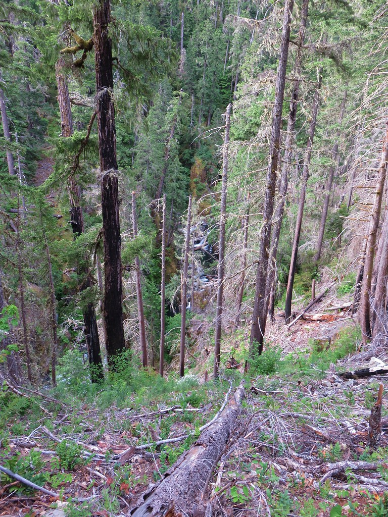
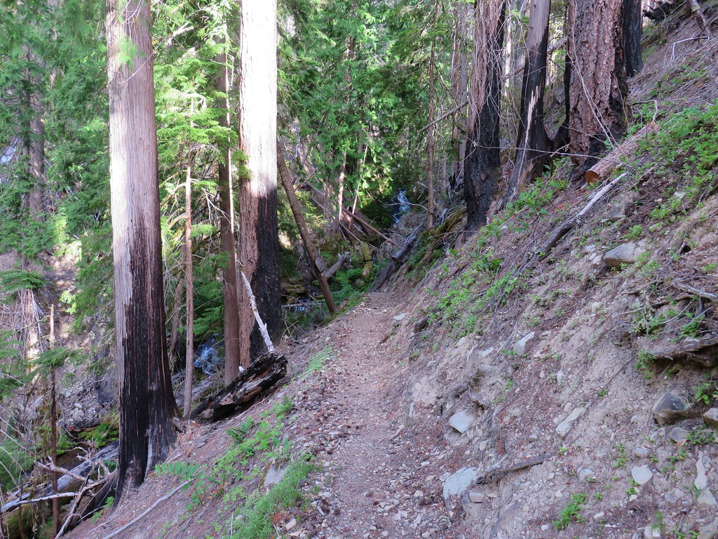
After a short forested section the trail traversed a burnt hillside above Elk Lake Creek.
Elk Lake Creek Trail

Washington Lilies above the Elk Lake Creek Trail

Washington lilies

Elk Lake Creek

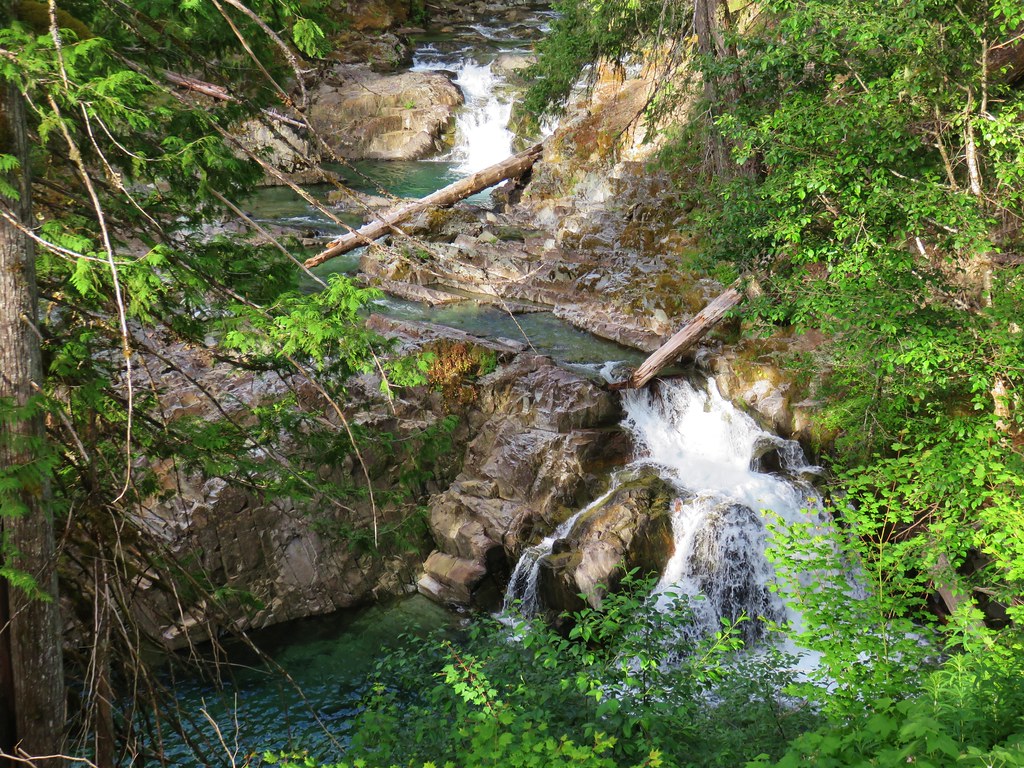
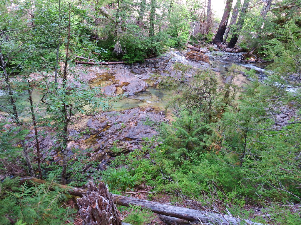
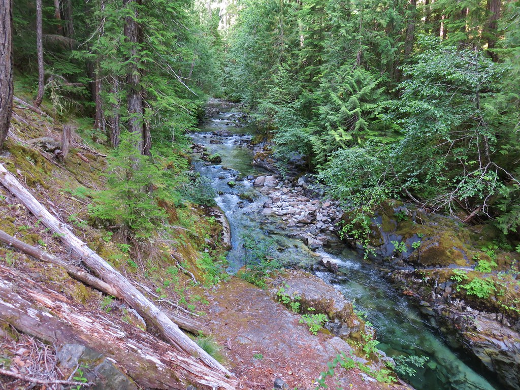
As the gap between the creek and trail narrowed we passed a pair of small waterfalls leading into green pools. A small amount of bushwhacking was required to get the best views.
Elk Lake Creek

Elk Lake Creek

The burned section ended just before entering the Bull of the Woods Wilderness near Pine Cone Creek at the 1.1 mile mark.
Elk Lake Creek Trail

Elk Lake Creek Trail entering the Bull of the Woods Wilderness

Pine Cone Creek

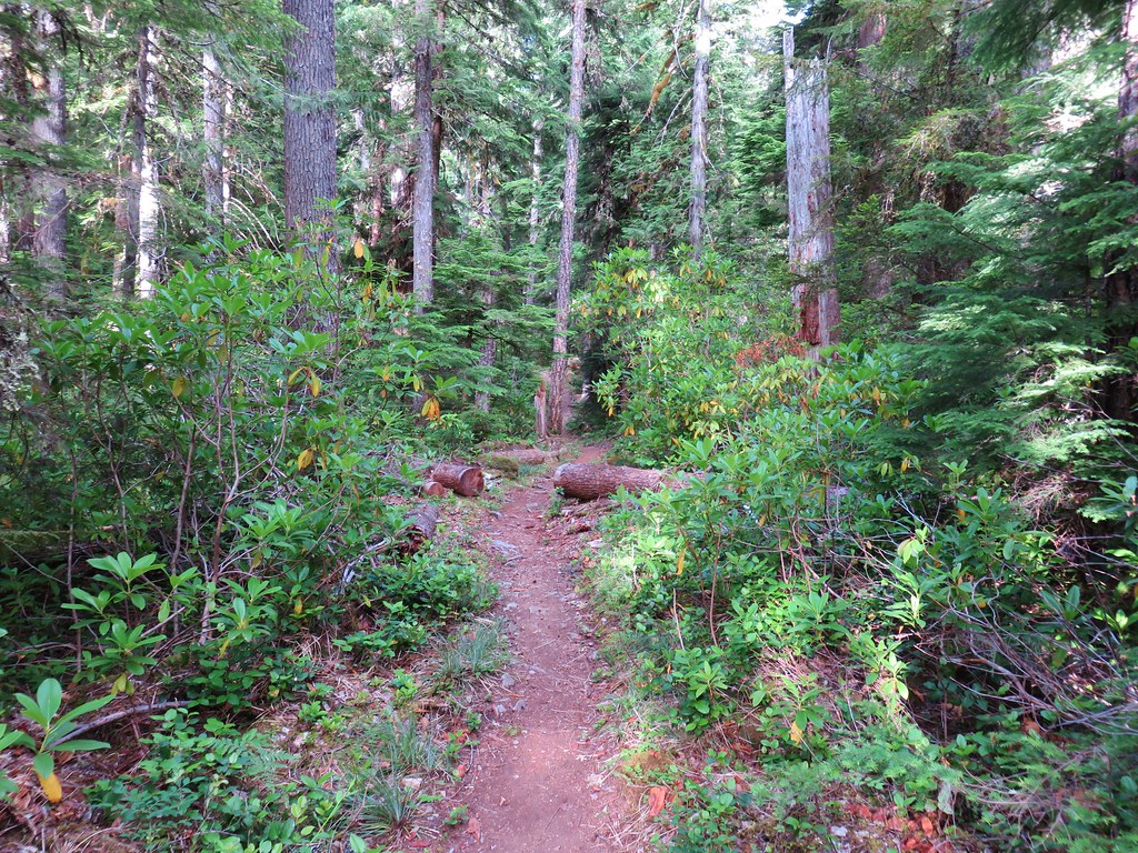
Beyond Pine Cone Creek the trail entered a fir forest with rhododendron and ripening huckleberries.
Elk Lake Creek Trail

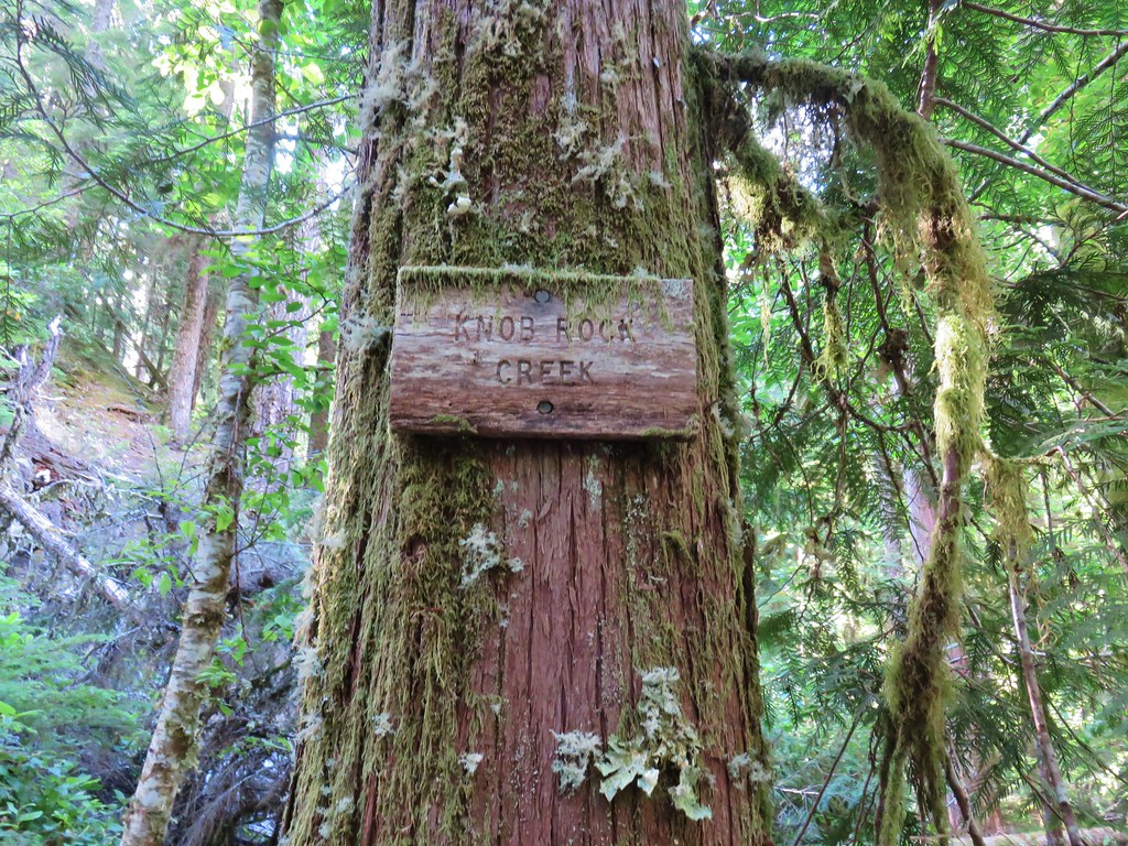
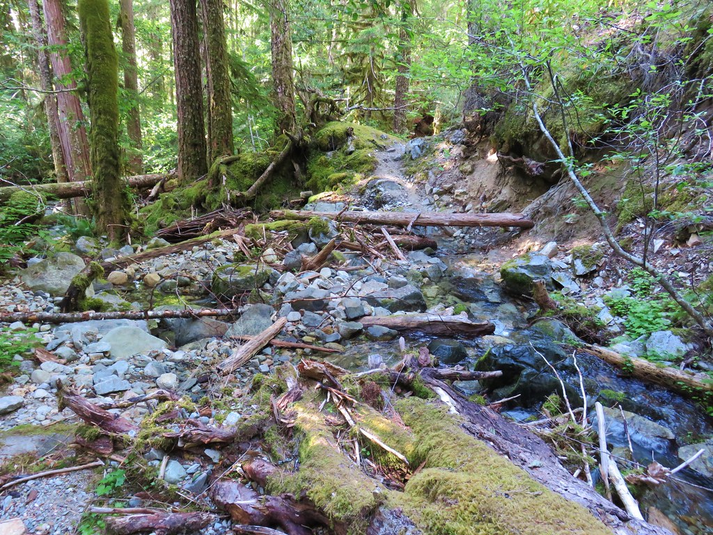
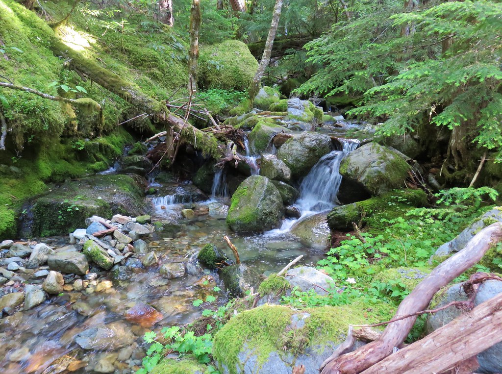
Just before the two mile mark we arrived at a crossing of Knob Rock Creek.
Sign for Knob Rock Creek

Knob Rock Creek

Knob Rock Creek

Just around a ridge end from Knob Rock Creek was Welcome Creek which had a couple of nice little waterfalls.
Welcome Creek

Waterfall on Welcome Creek

Waterfall on Welcome Creek

A short climb from Welcome Creek brought us to a junction with the Welcome Lakes Trail.
Welcome Lakes Trail

Welcome Lakes Trail sign

That trail climbs 2000′ in three miles through mostly burned forest to Welcome Lakes, a trip for another time. We stayed straight on the Elk Lake Creek Trail (Trail 559).
Elk Lake Creek Trail

From the junction the trail descended for two tenths of a mile to a ford of Elk Lake Creek. We had originally planned to do this hike last June but the high snow pack had left creek running high well into June making the fords of Elk Lake Creek dangerous. With a much lower snow pack this year the ford was only knee deep and not swift.
Elk Lake Creek ford

Elk Lake Creek

Elk Lake Creek ford

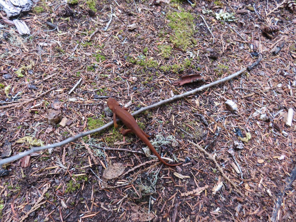
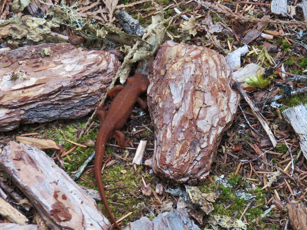
On the far side of the creek I nearly stepped on a rough skinned newt. He high tailed it off the trail and tried to disguise himself as a piece of bark.
Rough skinned newt

Rough skinned newt

For the next three quarters of a mile the trail passed through old-growth forest just a bit away from the creek but it was always within earshot and often eye sight.
Elk Lake Creek Trail

Elk Lake Creek

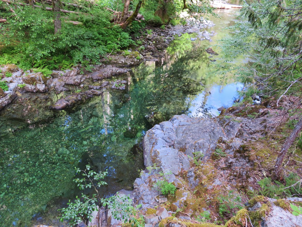
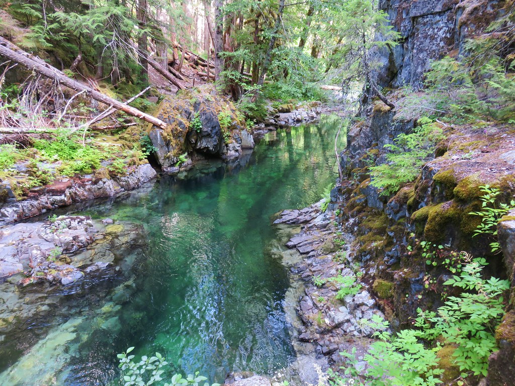
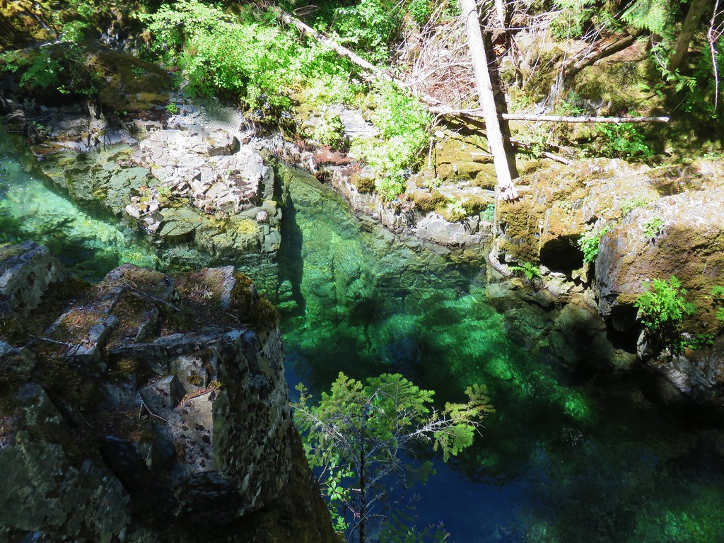
Just over 3.25 miles from the trailhead the trail arrived at a viewpoint above an emerald pool.
Elk Lake Creek

Emerald Pool

Emerald Pool on Elk Lake Creek

Emerald Pool

We spent a good deal of time marveling at the colors here on the creek before continuing on. Beyond the emerald pool a small section of trail had been claimed by a stream.
Elk Lake Creek Trail

We reached the second knee deep ford of Elk Lake Creek 0.4 miles from the pool.
Elk Lake Creek

On the far side, the trail became a bit brushy as it continued near the creek skirting a hillside of rocks.
Elk Lake Creek Trail

Hillside above the Elk Lake Creek Trail

As soon as we were past the rock fields the trail reentered the forest.
Elk Lake Creek Trail

We faced another ford near the 5 mile mark, this time of Battle Creek.
Battle Creek

Battle Creek

Just two tenths of a mile later we had reached our original goal – the junction with the Mother Lode Trail (Trail 558).
Elk Lake Creek Trail junction with the Mother Lode Trail

Mother Lode Trail

The Elk Lake Creek Trail continued from the junction and would have eventually brought us to Elk Lake after nearly another 4 miles but continuing from the junction meant climbing up a ridge. Instead of turning back here though we decided to hike a short distance up the Mother Lode Trail to visit Mother Lode Creek. This looked to involve much less climbing so off we went to yet another ford of Battle Creek.
Battle Creek

We soon entered forest burned in the 2010 View Lake Fire Complex and after a half mile on this trail came to a junction with the now abandoned Geronimo Trail.
Mother Lode Trail junction with the abandoned Geronimo Trail

What appeared to be a homemade sign marked that trail and its tread was still visible heading uphill into the burn.
Old Geronimo Trail

Mother Lode Creek was just a short distance away and we hiked down to it before turning back.
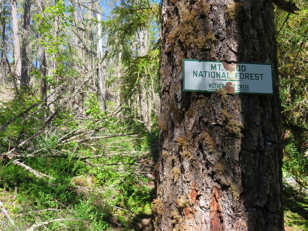
Sign for Mother Lode Creek

Mother Lode Creek

We returned the way we’d come stopping again at the emerald pool which was now in the sunlight. We watched fish swimming in the clear water for a bit before continuing on.
Emerald pool

Emerald Pool on Elk Lake Creek

Fish

The hike was a little over 11.5 miles with approximately 1500′ of total elevation gain and 5 fords (I forded Mother Lode Creek to get a picture of its sign). One of the things we really enjoyed about the hike was that there were several “attractions” along the way with the small waterfalls, the emerald pool, and the old-growth forest in general. There were a few mosquitoes around but one spraying of DEET seemed to keep most of them at bay. This makes for a great early summer hike as long as the water levels make the fords possible. Happy Trails!

Flickr: Elk Lake Creek

Categories
Coastal Range Hiking Oregon Trip report

4 County Pt., Sunset Rest Area, Saddle Mt., & Soapstone Lake

For the most part the weather had been cooperating with us this year but that wasn’t the case on our most recent outing. Admittedly I had not rechecked the forecast the night before but just a couple of days earlier the predication was for mostly sunny skies and a high in the mid to upper 70s. It had been cloudy all week in Salem so when those clouds broke up in the afternoon the day before our hikes I took that as a sign that the earlier forecast was still correct. It was a little cloudier than expected as we left Salem the morning of our hikes and as we headed west on Highway 26 from Beaverton we started to notice a little moisture on the windshield.

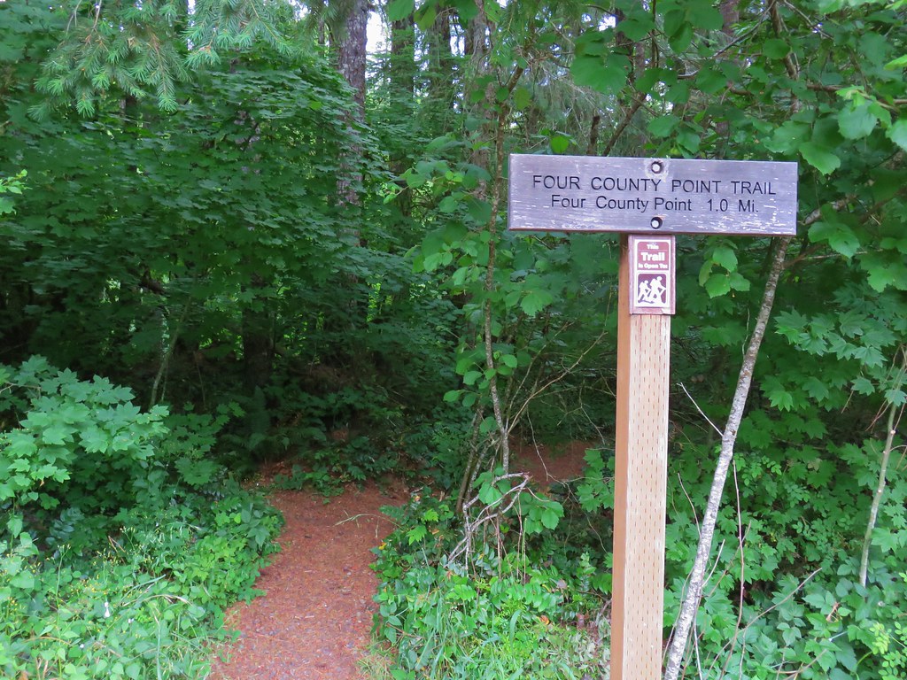
Our first stop for the day was at a small pullout on the north side of Highway 26 between mile posts 34 and 35. The Four County Point Trail begins here at a trail sign.
IMG_7278

The trail quickly came to a fork and a post with no signage.
IMG_7302

Left is the way to Four Corner Point so we took that fork and hike through a green forest (such a contrast after a week in Central and SE Oregon. The trail was between the highway on the left and North Fork Wolf Creek on the right.
IMG_7280

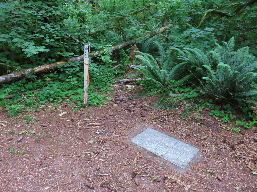
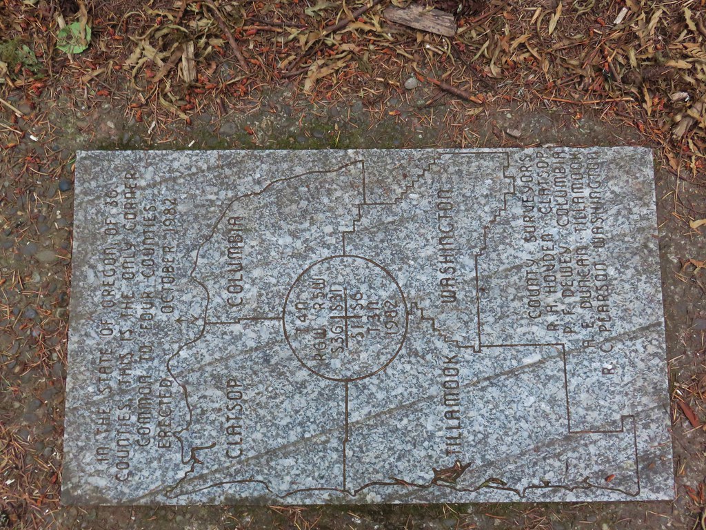
Between the highway being that close and a nearby public shooting range (which was busy even before 7am) this wasn’t exactly a tranquil hike but it ended at an interesting location, the meeting point of four counties: Clatsop, Columbia, Tillamook, and Washington.
IMG_7293

IMG_7294

Although the sign indicates that the trail length is a mile it’s closer to .8 miles to the plaque making it a nice warm up or leg stretcher. The noise and a visible clear cut did detract from the enjoyment.

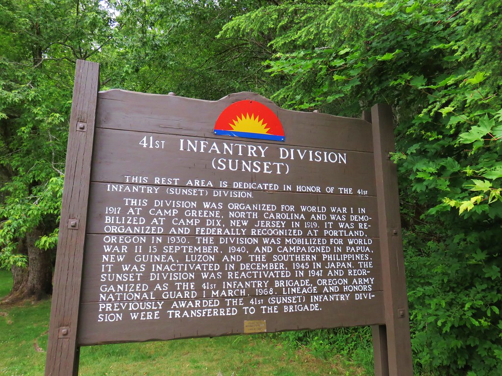
Our next stop was just an additional six miles west of the pullout at the Sunset Rest Area.
IMG_7308

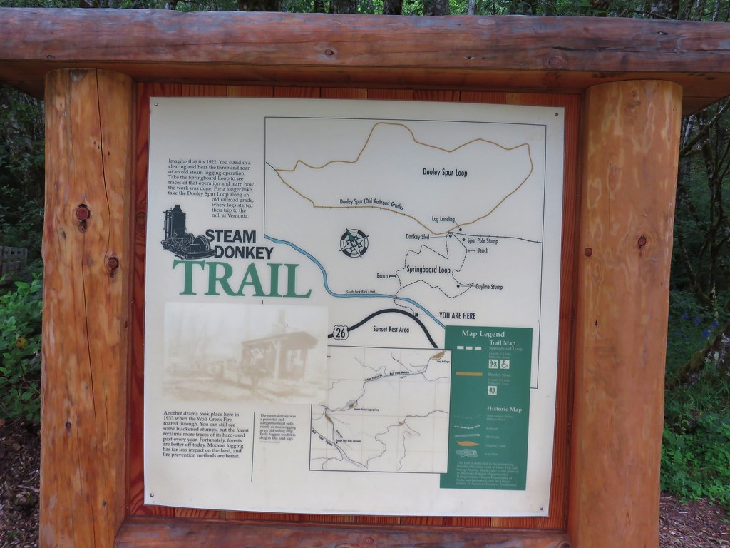
Here the Steam Donkey Trail offered two possible loop options.
IMG_7309

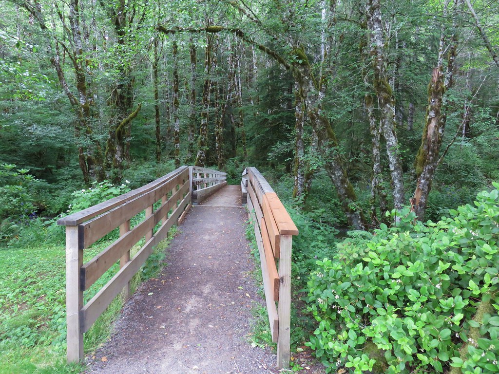
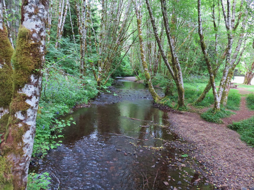
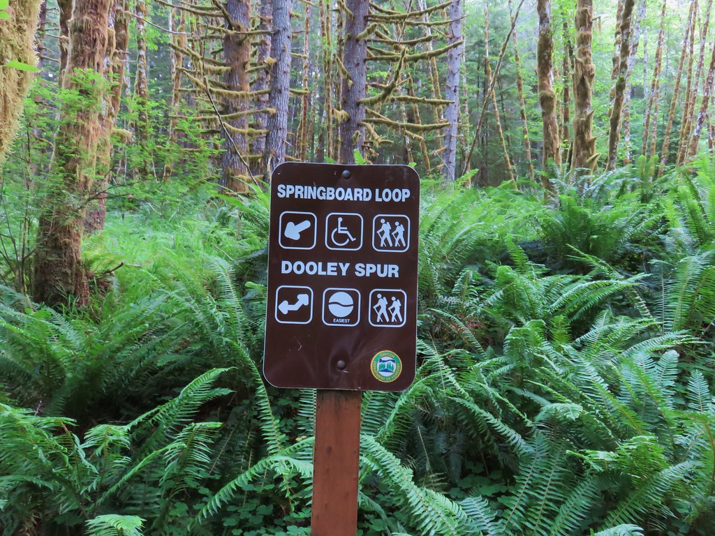
Both options are short so we did both the Springboard Loop and the Dooley Spur Loop which basically form a figure eight. The trail crossed South Fork Rock Creek on a footbridge before reaching the start of the Springboard Loop.
IMG_7311

IMG_7314

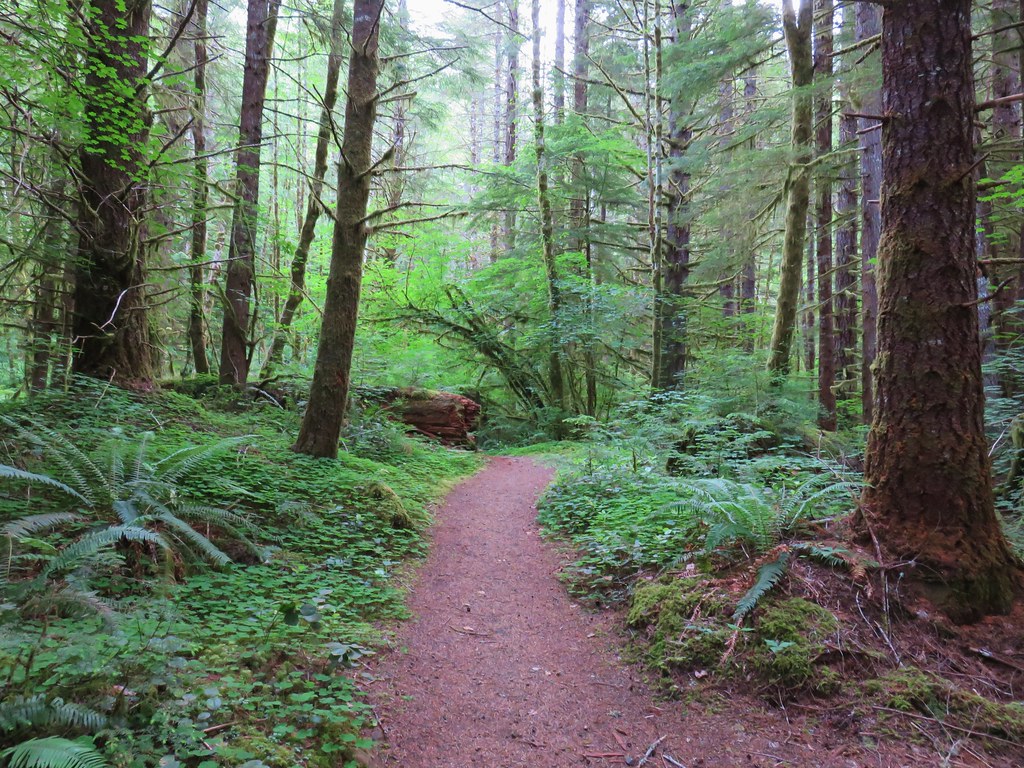
We opted to do the loop counter clockwise so we headed right through another lush green forest.
IMG_7317

With the Springboard Loop only being .3 miles long we quickly arrived at a four way junction with the Dooley Spur Loop.
IMG_7319

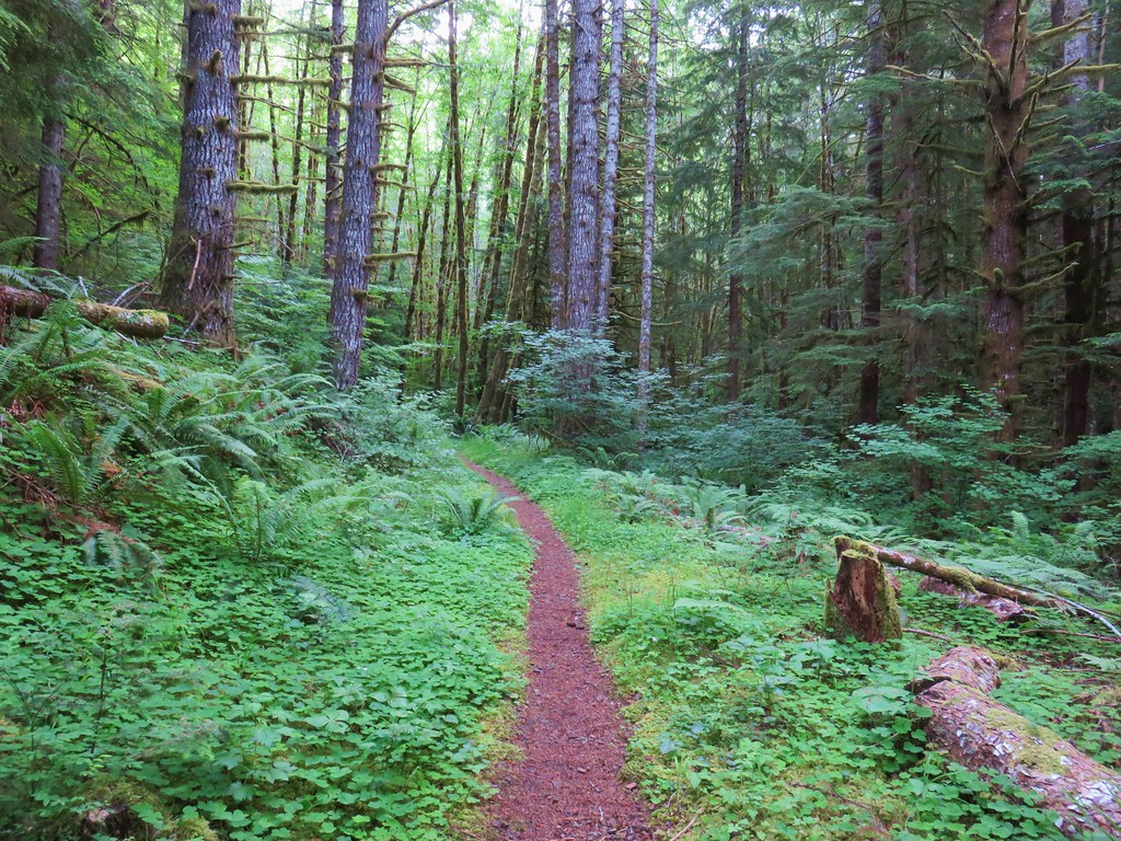
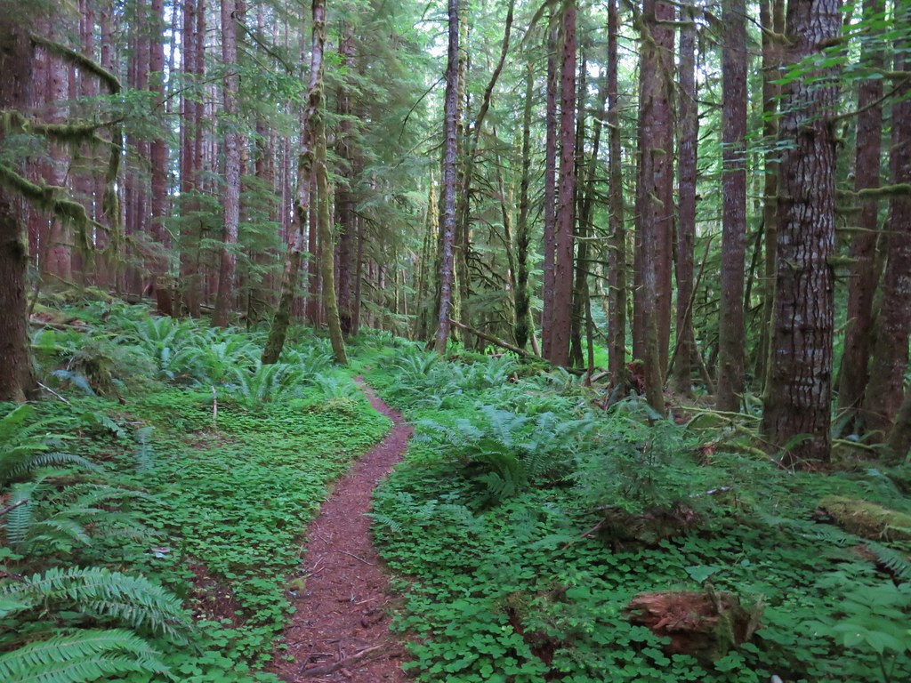
We turned right again for this .5 mile loop.
IMG_7320

IMG_7323

This was another nice leg stretcher and was much quieter than the Four County Point Trail and with options for .3 or .8 mile loops would be a good hike for youngsters.

Our third stop of the day was for the only trail we had previously hiked, Saddle Mountain (post). Although it had been cloudy at our first two stops it hadn’t been raining and there had been one or two glimpses of blue sky so we were hopeful as we turned off Highway 26 near milepost 10 following the Saddle Mountain sign. The further along the 7 mile paved entrance road we went the wetter things got. When we arrived at the trailhead parking area there was a steady drizzle falling.
IMG_7328

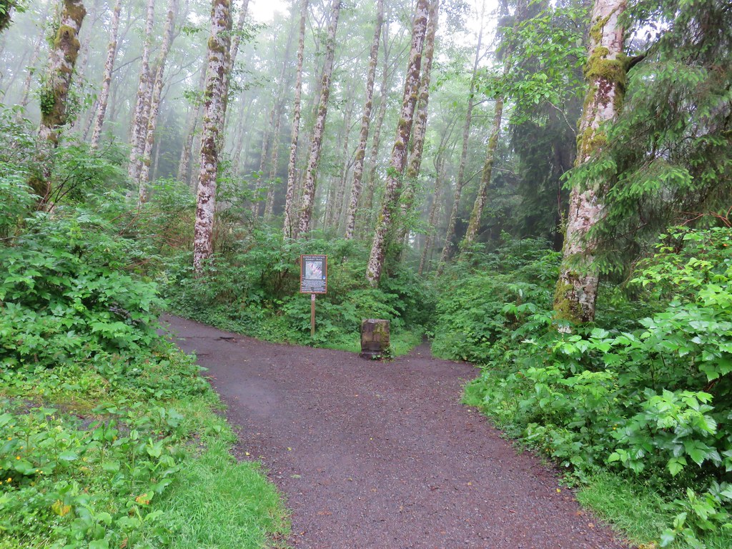
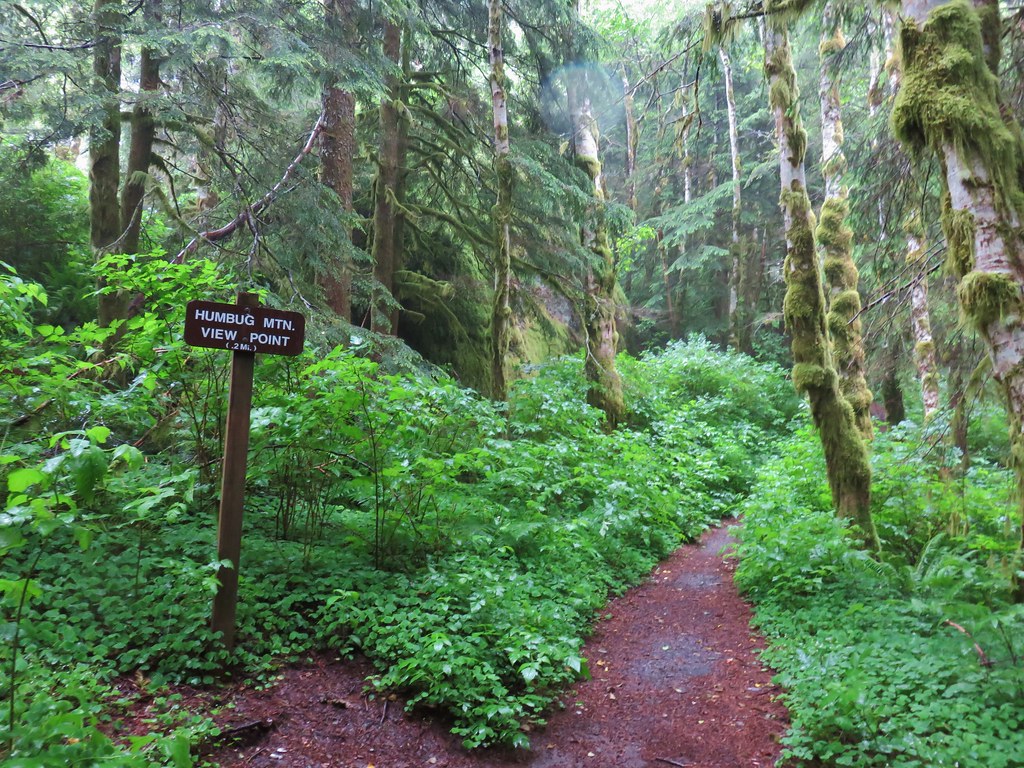
We set off uphill hoping that perhaps by the time we got to the summit the conditions would improve. At the .2 mile mark we turned right on the signed Humbug Mountain View Point spur trail.
IMG_7331

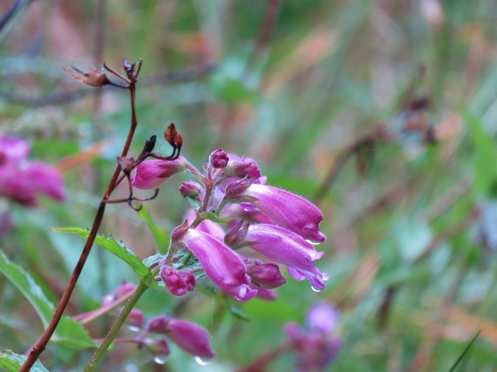
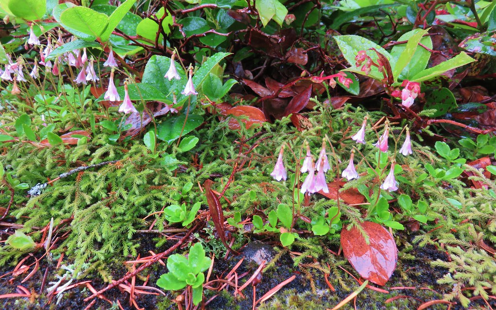
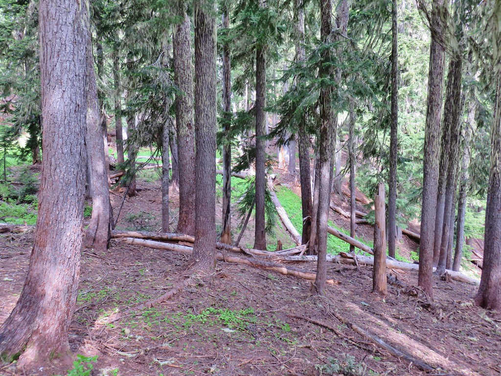
We didn’t expect a view given the conditions, but we’d been out to the viewpoint on our first visit plus we figured a little extra time spent down below gave that much more time for the weather to improve. There were indeed no views at the end of the .2 mile spur trail but we did see a few nice flowers along the way.
IMG_7345

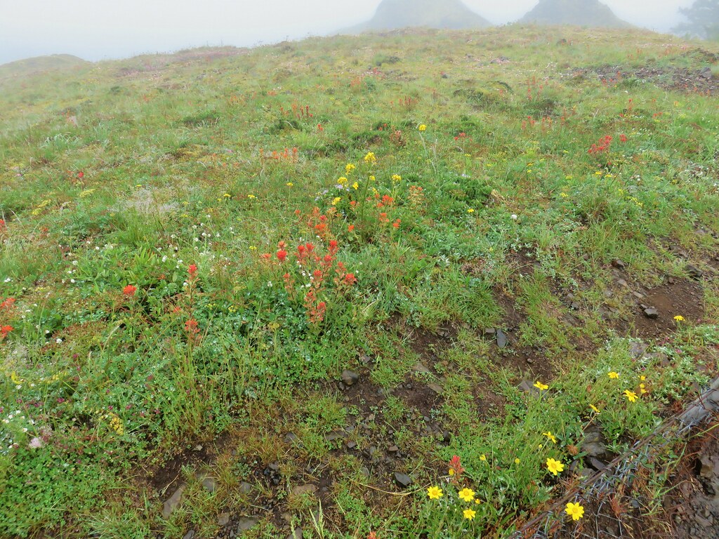
IMG_7333Paintbrush

IMG_7335Tiger lily
IMG_7336Penstemon

IMG_7343Twin flower

IMG_7338

IMG_7337

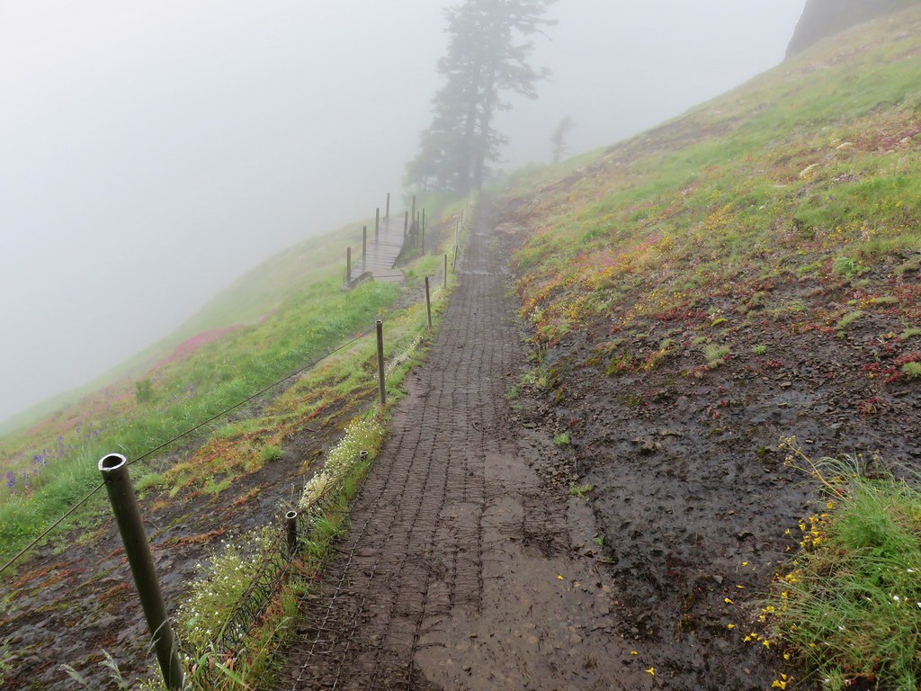
We returned to the Saddle Mountain Trail and continued up into the drizzle and fog.
IMG_7350

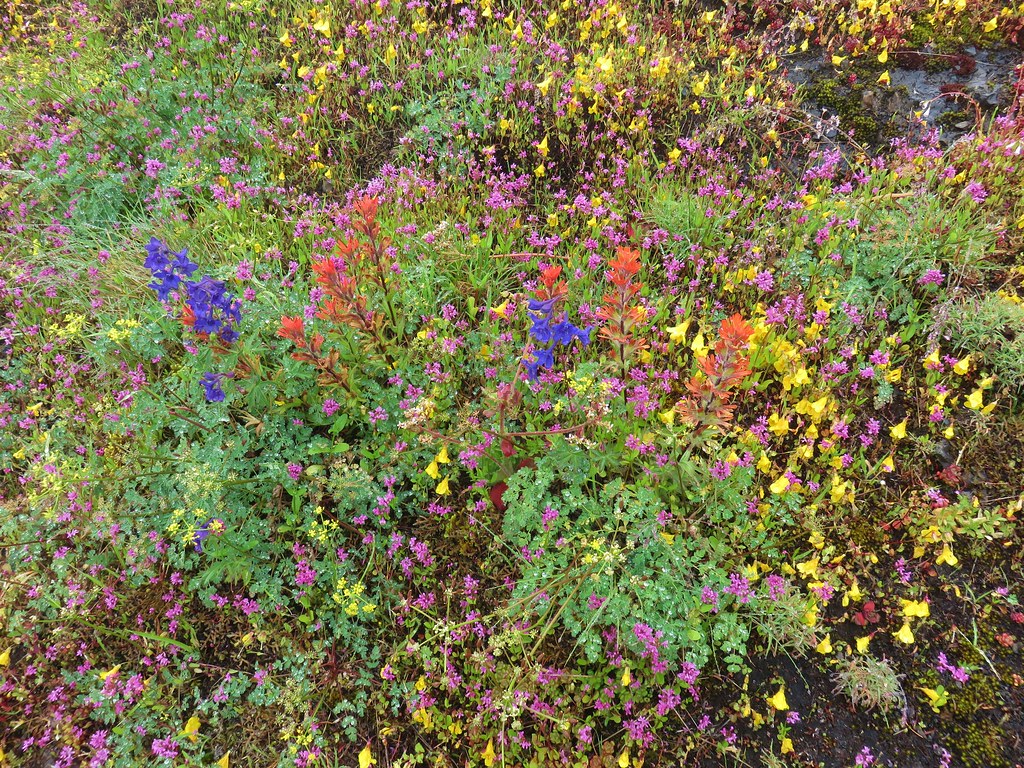
Our first visit had been on June 1st, 2013 which had been a few weeks too early for many of the flowers. It had also been a cloudy day so we were hoping that this time we would not only hit the flowers closer to peak but also have better views. The views were by far worse, but the flowers were so much better. Unfortunately the foggy, wet conditions limited sight and the ability to fully capture the beauty of the wildflower show along the 2.5 mile climb to the summit but here are a few of the highlights.
IMG_7348Checkermallow

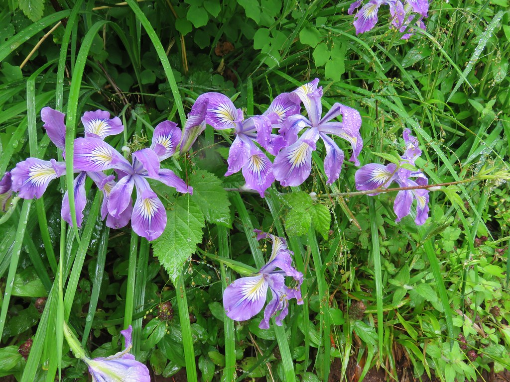
IMG_7364Wild iris

IMG_7391

IMG_7394Larkspur

IMG_7398

IMG_7401

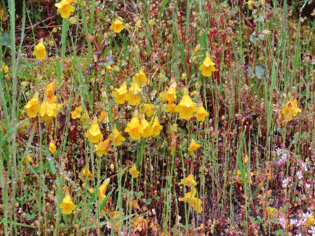
IMG_7403Monkeyflower

IMG_7409

IMG_7417

IMG_7418

IMG_7420Plectritis

IMG_7436Old man’s whiskers

IMG_7442Columbine

IMG_7449

IMG_7450

IMG_7452

IMG_7456Wallflower

IMG_7470Larkspur

Having done the two other hikes we had gotten a little later start here than we normally would have so there were several people already at the summit when we arrived. A good breeze was bring moisture right up the hillside from the NW making it extra damp on top.
IMG_7460Summit view

We didn’t stay long and were soon heading back down the steep, slick trail.
IMG_7429

After our SE Oregon vacation, where we more often than not encountered no other hikers on the trails, the number of people trudging up Saddle Mountain on our way down was mind boggling. The place was a zoo despite the less than ideal weather. We had toyed with the idea of making this our last hike of the day instead of second to last and boy were we glad we hadn’t. We made our way back to the trailhead as quickly as possible given the slick conditions and seemingly stopping ever two minutes to let another uphill group go by.

We drove back to Highway 26 and turned west once more heading for our final stop of the day. Six tenths of a mile from the Saddle Mountain turnoff we took a left leaving Highway 26 in favor of Highway 53. We followed this highway 4.7 miles to a sign for the Soapstone Lake Trail where we turned left onto a gravel road for .4 miles to the trailhead. The weather here was markedly better here than it had been at Saddle Mountain.
IMG_7481

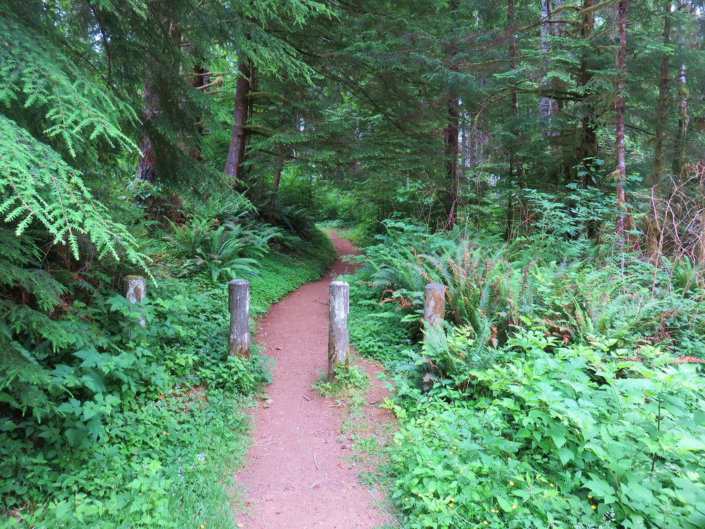
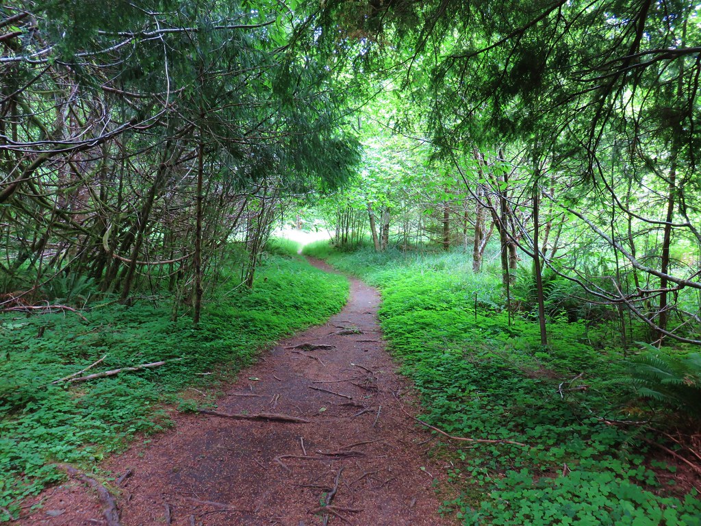
The Soapstone Lake Trail starts along the path of an old roadbed.
IMG_7483

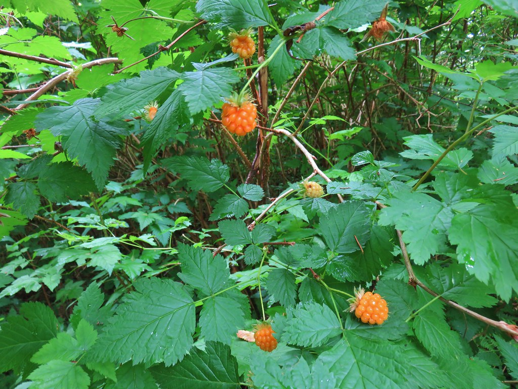
Ripe salmonberries (and a few huckleberries) lined the trail.
IMG_7488

Near a meadow at the .6 mile mark the trail left the old road bed.
IMG_7495

On the far side of the meadow the trail crossed Soapstone Creek on a footbridge.
IMG_7496

IMG_7498

The trail then climbed a ridge for .3 miles to the start of a loop around the lake.
IMG_7501

IMG_7507

The trail to the left went downhill while the right hand fork went uphill. We decided to go left in order to end the loop on a downhill instead of a climb. The trail quickly crossed Soapstone Creek again and made its way around the east side of the lake.
IMG_7508

IMG_7511

IMG_7512

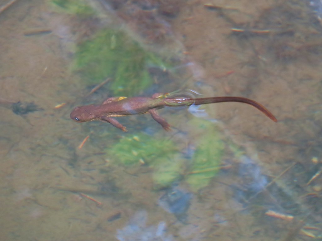
At then south end of the lake the trail crossed a swampy area on a boardwalk where we spotted several rough skinned newts in the water.
IMG_7515

IMG_7517

The loop continued around the west side of the lake, but here the trail climbed above and a little away from the water.
IMG_7521

After passing a large camp site the trail descended to the start of the .8 mile loop and we returned the way we’d come. This had been another nice, short hike (2.8 miles total) that would be good for kids. The four hikes combined had only come to 10.4 miles with Saddle Mountain accounting for half of that total (and nearly all the elevation gain for the day). All in all it had turned out to be a pretty good day despite the disappointing weather on Saddle Mountain. C’est la vie as they say. Happy Trails!

Flickr: Four County Point, Sunset Rest Area, Saddle Mt. & Soapstone Lake

Categories
Bend/Redmond Central Oregon Hiking Oregon Trip report

Cove Palisades State Park – SE Oregon Vacation Day 8

After spending the night in Bend it was finally time to head home. We had one final hike planned before we drove back to Salem though. For the final hike of our vacation we headed north of Bend to the Cove Palisades State Park.

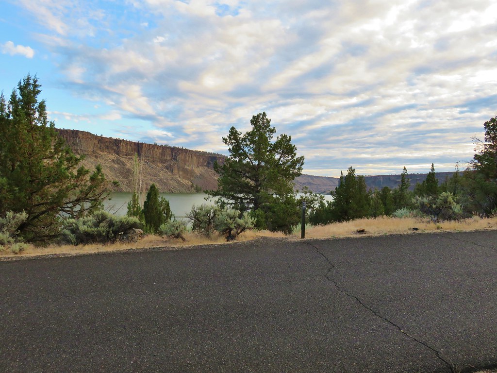
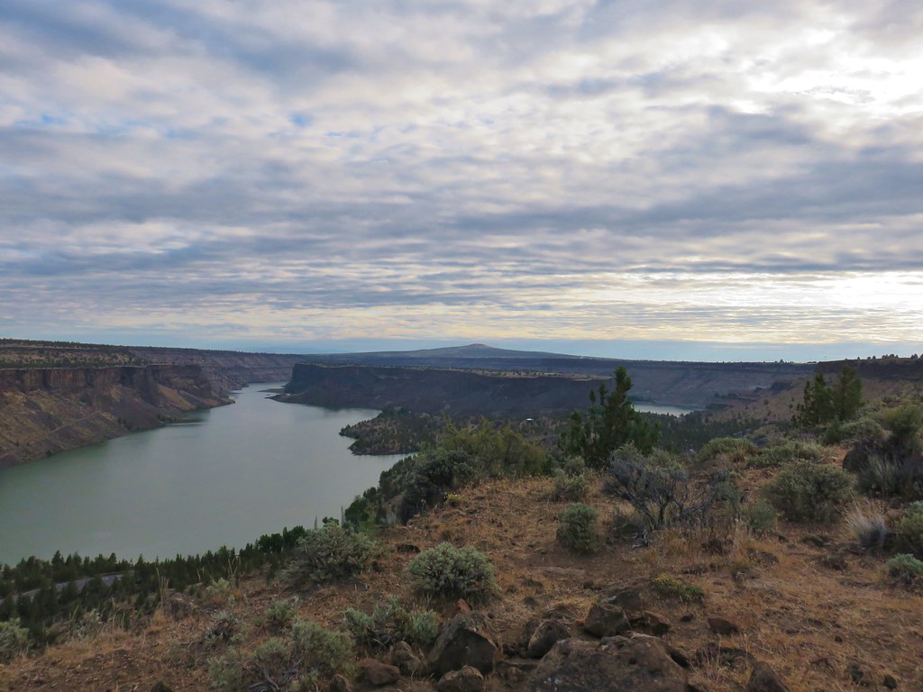
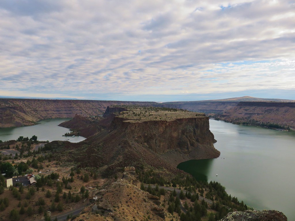
The park is home to the man made Lake Billy Chinook which fills a canyon behind the Round Butte Dam. Three rivers converge here, the Crooked, Metolius, and the Deschutes. We didn’t do it on purpose but by hiking here we wound up starting and ending our vacation with hikes near the Deschutes.

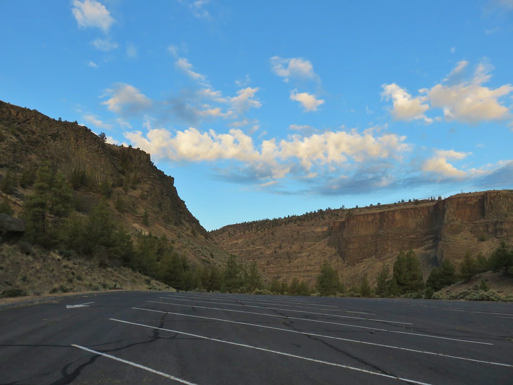
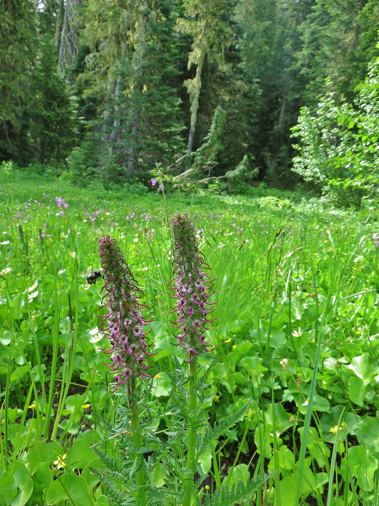
We started our hike from the Lower Deschutes Day Use Area which according to a signboard didn’t open until 7am. I hadn’t been able to find that information on the park website so we had arrived just before 6am. Luckily the gate was open and the automated permit booth was operating. There was also a second sign stating that parking was prohibited between the hours of 10pm and 5am so we went ahead and parked in the large, empty lot.
IMG_7129

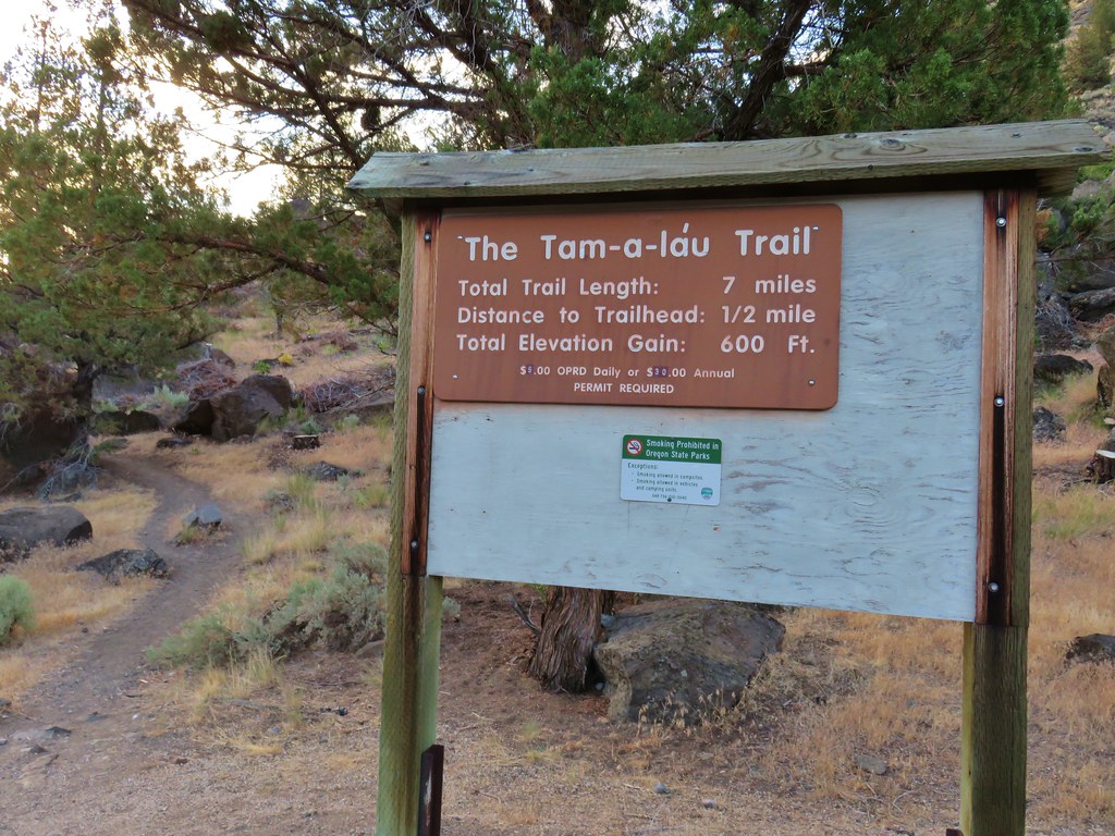
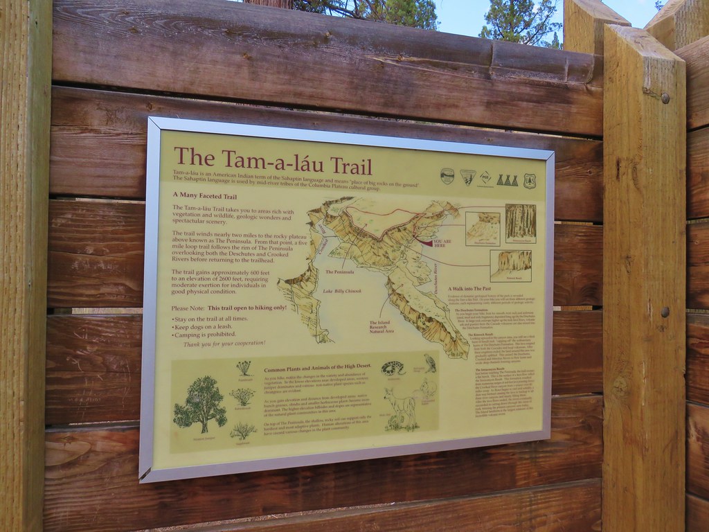
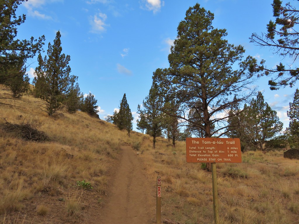
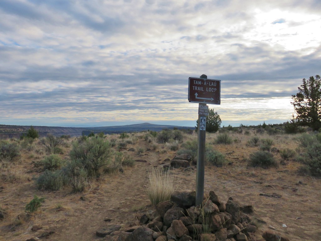
We were going to hike the Tam-A-Lau Trail which actually officially starts at a trailhead near the campground but a half mile connector trail started at the eastern end of the day use area.
IMG_7127

The connector trail crossed over the day use entrance road then a short while later it crossed the main road through the park before arriving at the trailhead.
IMG_7132

IMG_7133

IMG_7134

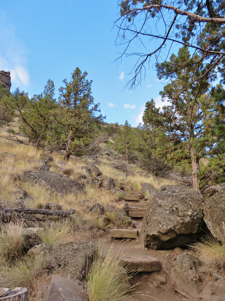
From this trailhead the Tam-A-Lau Trail climbed just over a mile to the rim of the canyon and the start of a loop atop the plateau.
IMG_7136

IMG_7141

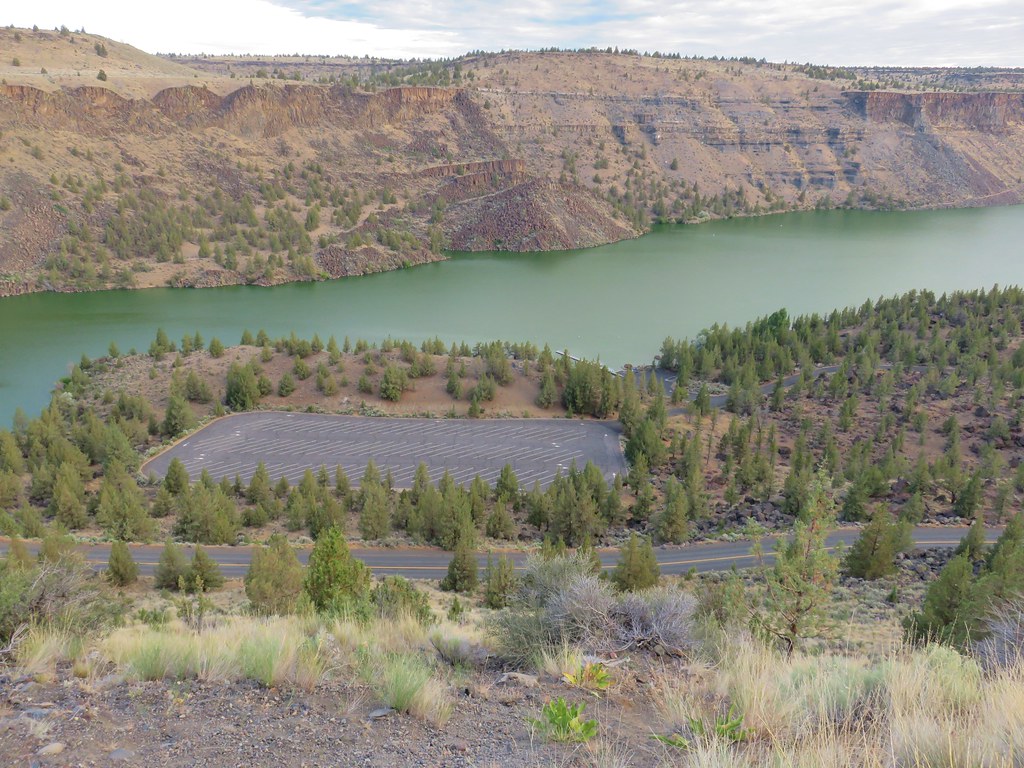
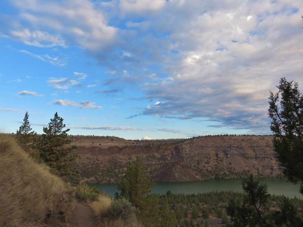
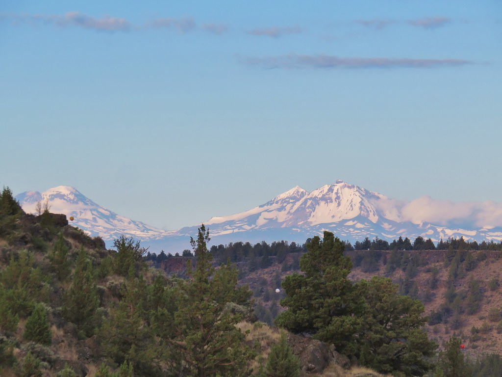
As we climbed the views got better, both of the Deschutes arm of Lake Billy Chinook and of Mt. Jefferson which appeared above the far side of the canyon.
IMG_7158

IMG_7143

IMG_7146

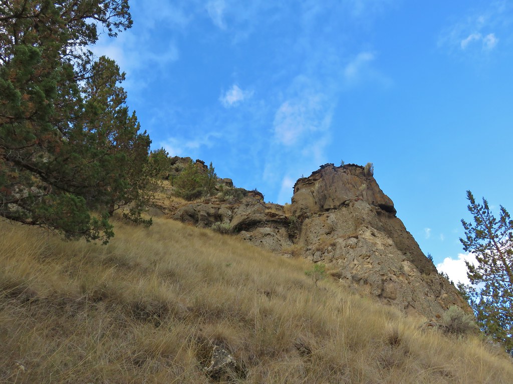
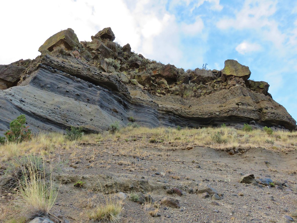
The trail also passed some nice rock formations revealing the various layers of the canyon.
IMG_7147

IMG_7156

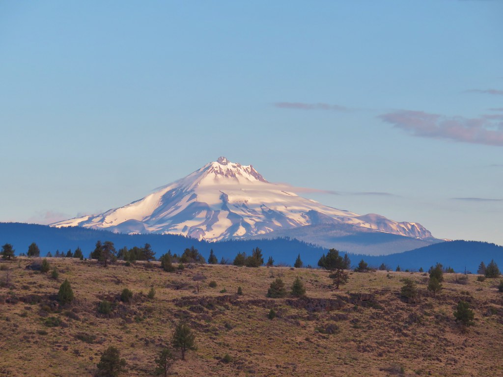
Near the top of the rim Mt. Jefferson was entirely visible and several other Cascade peaks could be seen.
IMG_7166

IMG_7164The Three Sisters

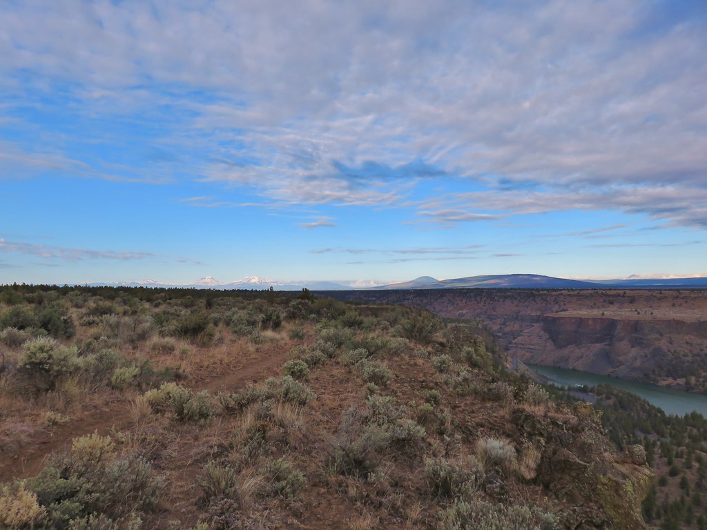
At the start of the loop we took the left hand fork which followed the rim of the canyon north.
IMG_7170

IMG_7172

As we continued north more mountains emerged to the SW.
IMG_7201Mt. Bachelor, Broken Top, The Three Sisters, and Three Fingered Jack.

The only major Cascade missing was Mt. Washington which was hidden behind Black Butte and Green Ridge.
IMG_7174

After 1.25 miles of the loop we reached the tip of the plateau which looked out to “The Island”. Despite it’s name The Island isn’t surrounded by water but it is a separated portion of the plateau.
IMG_7217

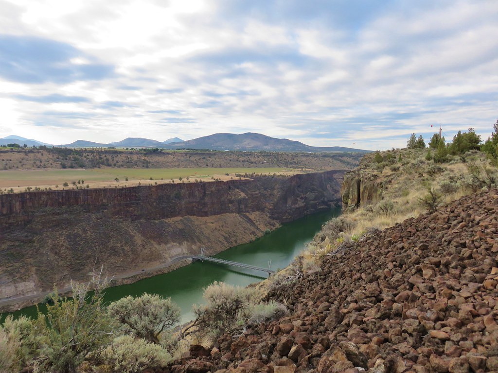
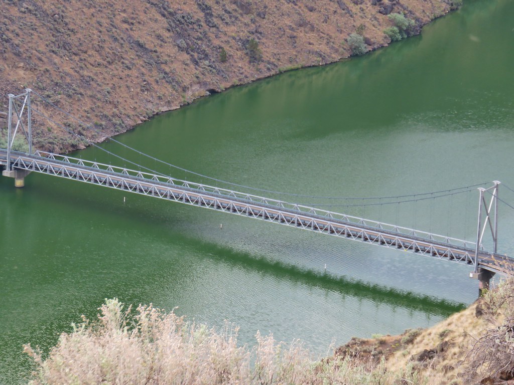
To the right of The Island the Crooked River arm flows in to merge with the Deschutes. From the tip of the plateau the trail followed the rim above the Crooked River arm for another 1.1 miles before turning inland across the plateau to complete the loop. From this section we had a good view of the bridge over the Crooked River arm.
IMG_7241

IMG_7242

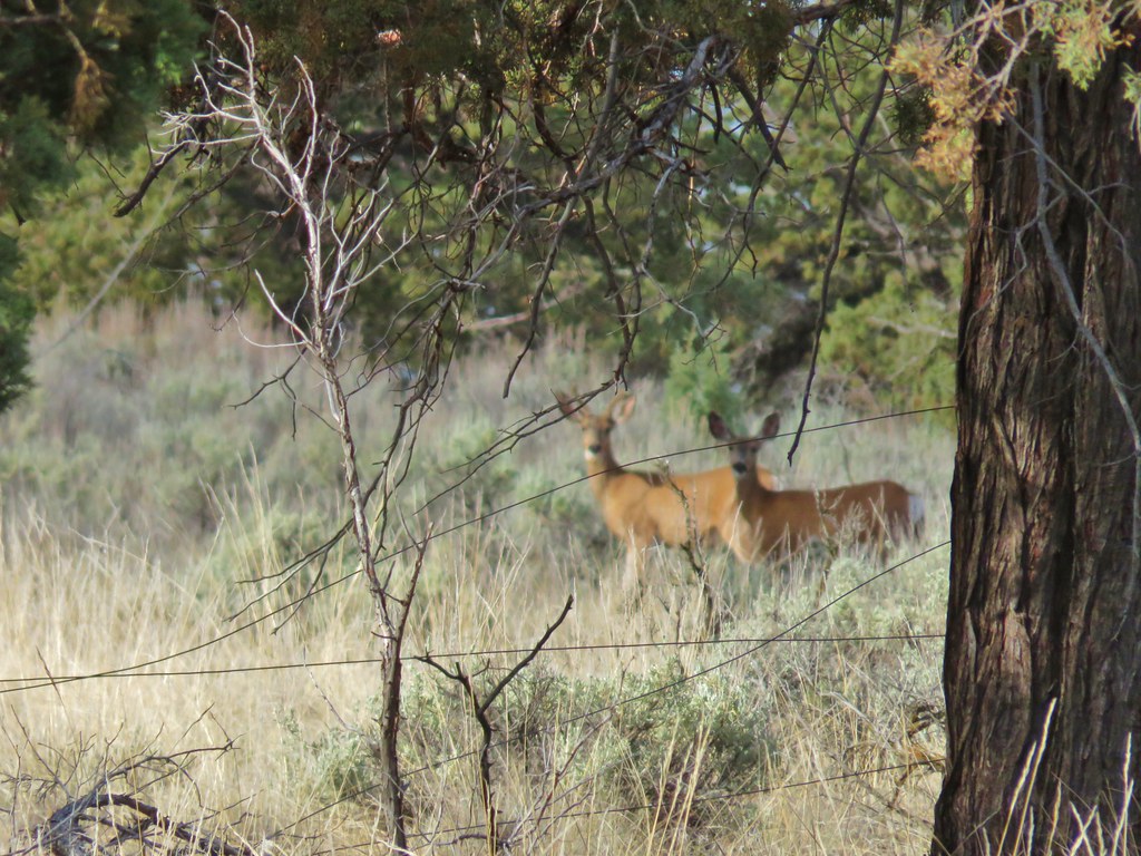
Shortly after turning inland we spotted a group of deer on the far side of a fence.
IMG_7252

IMG_7259(the camera deciding the fence was more interesting than the deer)

It was 1.3 miles across the plateau where we headed back down to the campground and then on to the day use area where the number of cars had double to two including ours. (A third arrived while we were loading up.) The relatively short hike was a good way to end the vacation and put a cap on 8 days of hiking. We’re not done with SE Oregon yet and we’re looking forward to our next visit. Happy Trails!

Flickr: Cove Palisades State Park

Categories
Hiking Oregon SE Oregon Trip report

Borax Hot Springs, Big Sand Gap, and Pike Creek – SE Oregon Vacation Day 6

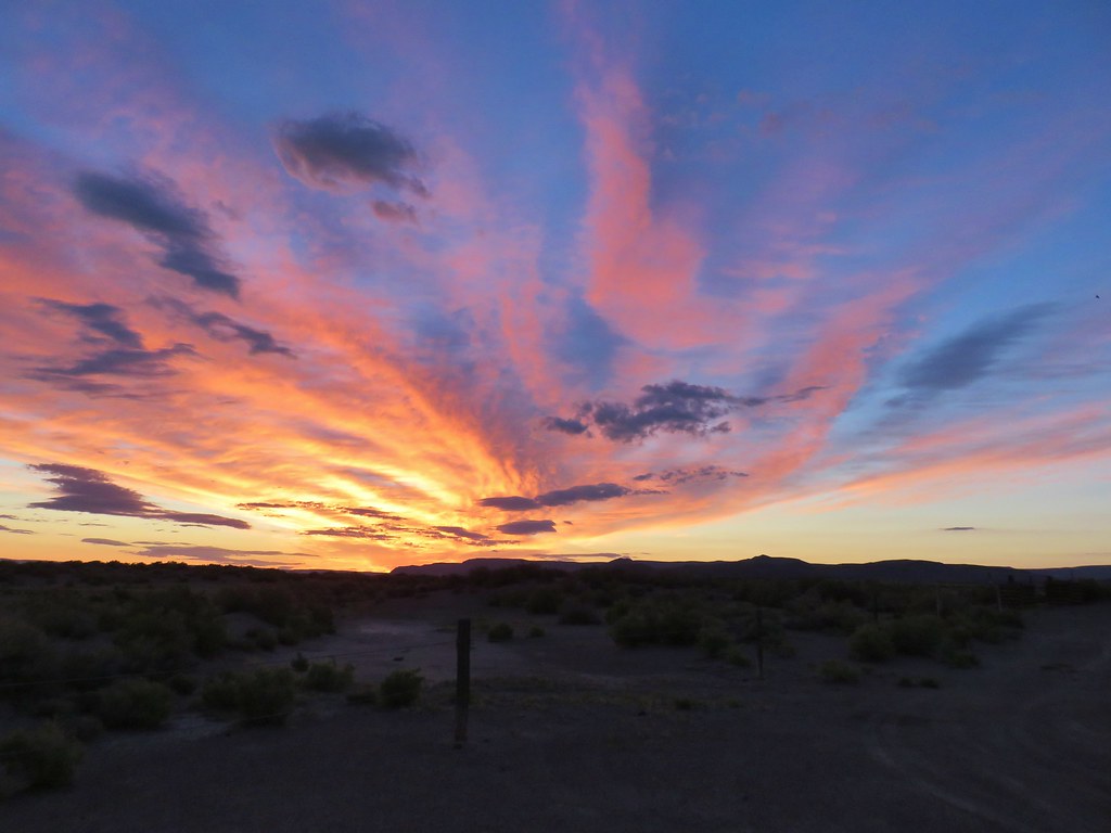
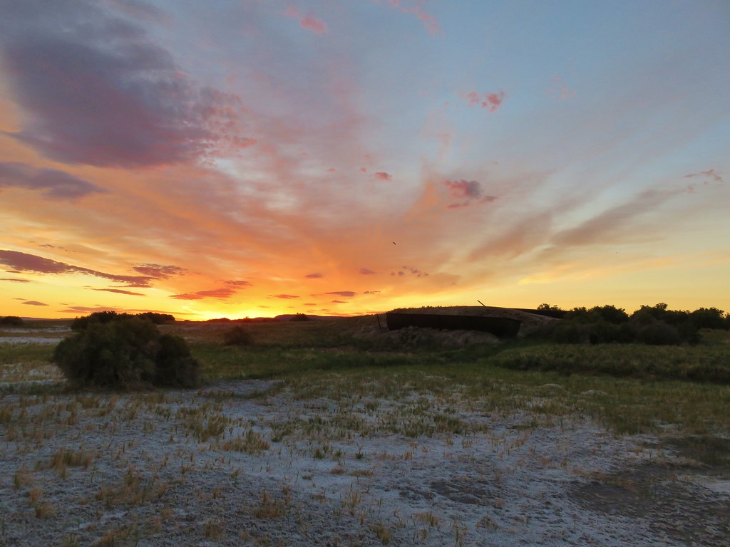
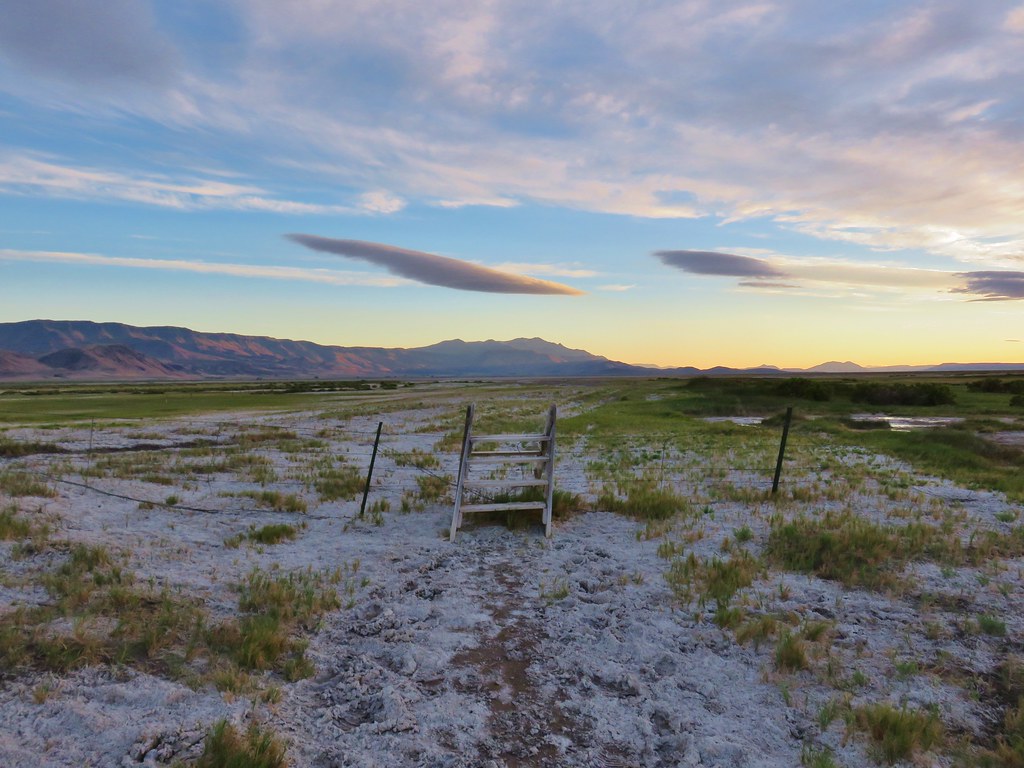
Day 6 of our vacation was the day we began our journey home. Of course we had some hiking to do along the way.  We had three hikes planned along the East Steens Road on the way to Burns from Fields.  We were still operating on Mountain Time so we wound up awake before dawn and were leaving Fields Station as the sun began rising.  It was the first morning where we got to see a good desert sunrise.
IMG_6539

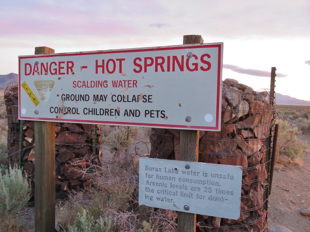
Our first stop was at Borax Hot Springs which was just a five and a half mile drive away so we arrived while the spectacular sunrise show was still in full swing. After passing a warning sign on the road in we parked at a fence with a closed gate.
IMG_6547

IMG_6548

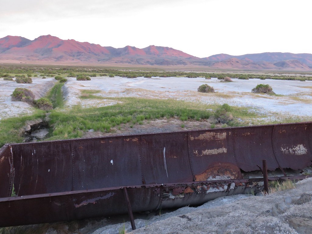
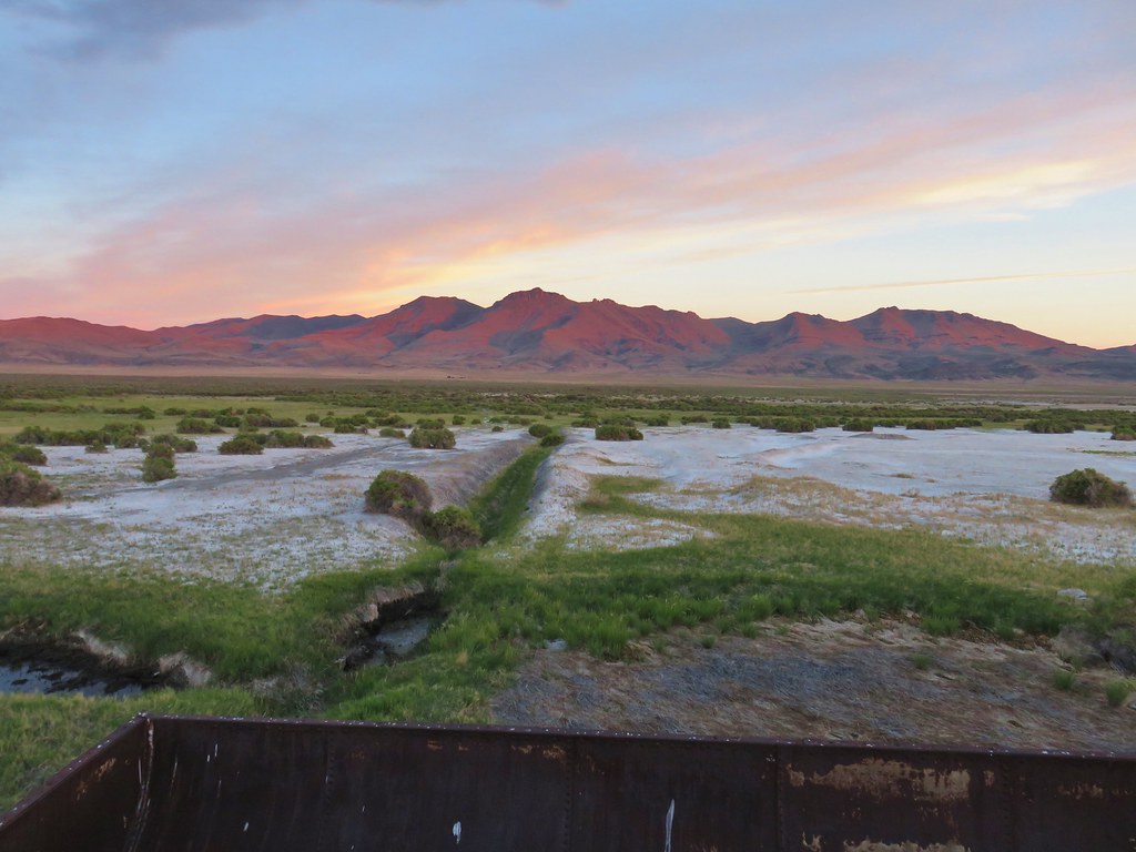
Now owned by the Nature Conservancy the area was once used to collect sodium borate crusts which were dissolved to make borax. We followed an old road bed for a half a mile past a pair of large vats used in that process to Borax Lake.
IMG_6561

IMG_6562

IMG_6570

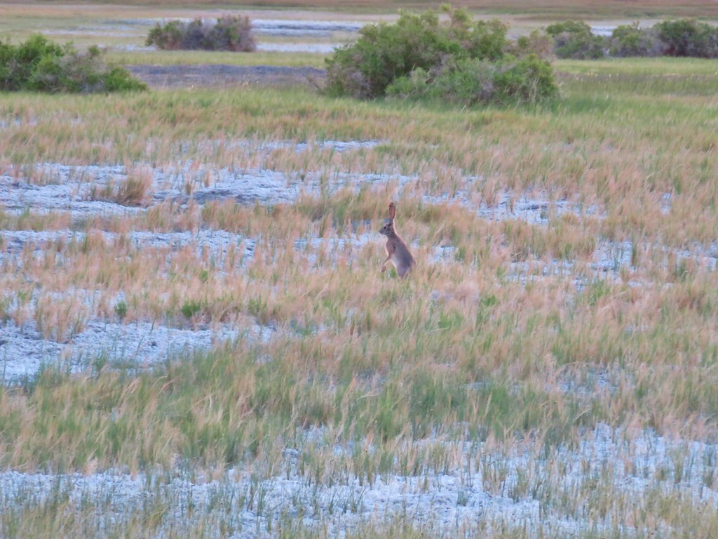
We saw a couple of jack rabbits along the way.
IMG_6566

Borax Lake has an arsenic level 25 times acceptable levels and is considered fatal to humans. The only creatures able to survive in the lake are the Borax Lake chub that can withstand those levels.
Borax Lake

IMG_6573

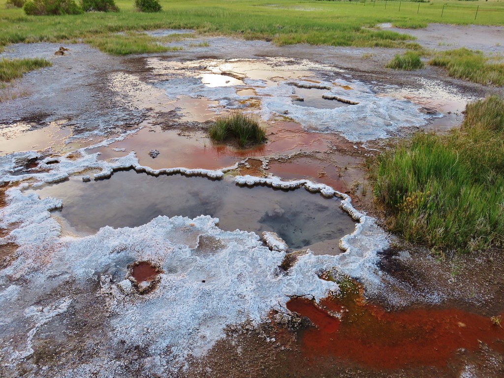
We continued following the road beyond the lake which now passed a series of bubbling hot springs on the right.
IMG_6575

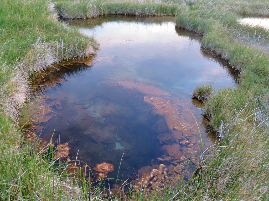
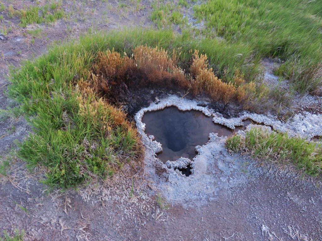
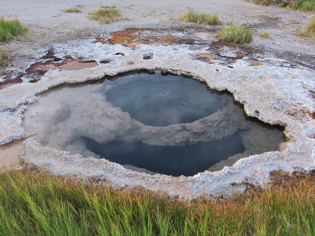
The springs varied in size and colors making each one we passed interesting in its own way.
IMG_6577

IMG_6579

IMG_6584

IMG_6588

IMG_6593

IMG_6598

A half mile from Borax Lake we crossed a fence to the final series of pools.
IMG_6599

IMG_6600

IMG_6603

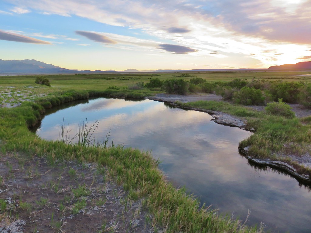
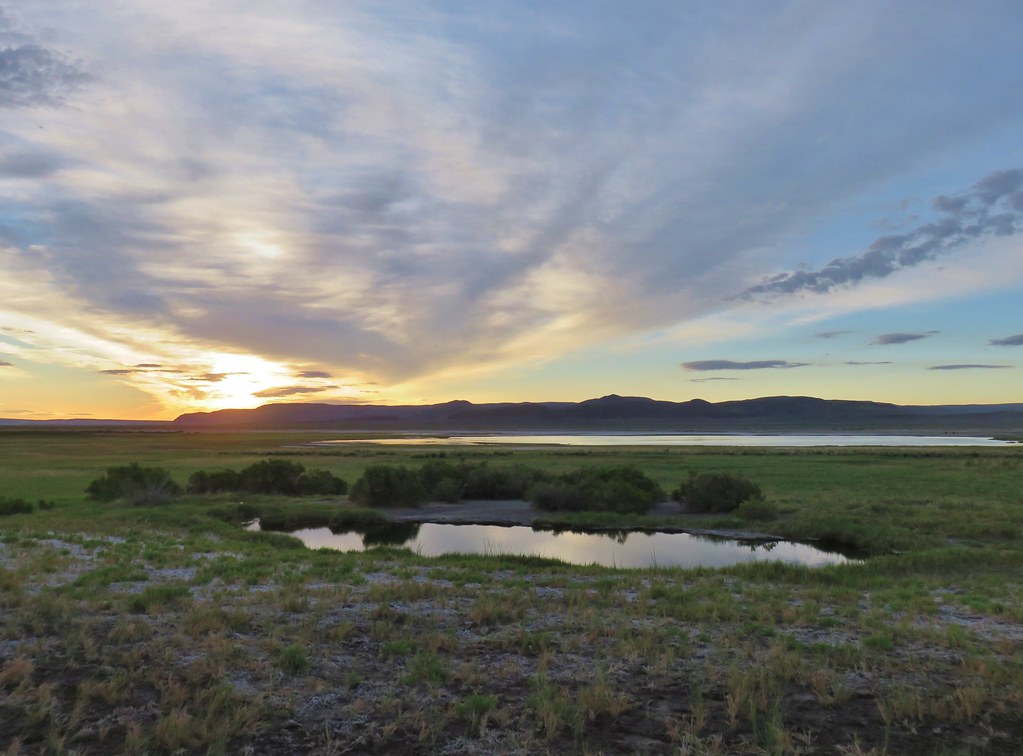
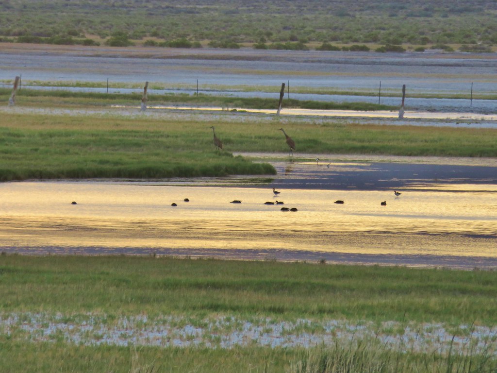
We turned back where the road veered left at the last pools. Here Alvord Lake could be seen in the distance where numerous birds were enjoying the arsenic free water.
IMG_6607

IMG_6608

We headed back the way we’d come returning to our car and heading back towards East Steens Road. As we drove along the power line road used to reach the trailhead we spotted something furry along the right side. It was a badger! It took off running but paused briefly to look back at us when I stopped to try and take a picture. It was too quick though and disappeared into the sagebrush. We knew there were badgers in the area but never expected to see one.

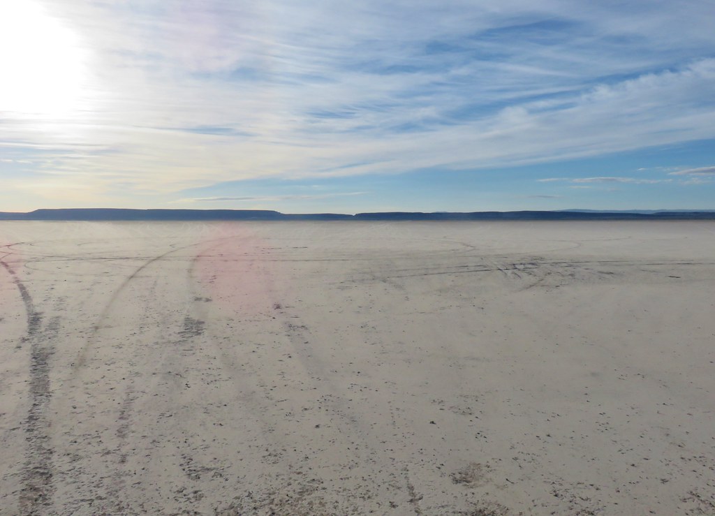
We got back onto East Steens Road and headed north. At some point our low tire pressure light came on which given the roads we’d been on up to that point wasn’t all that unexpected. We turned right at a sign for Frog Springs where we turned down a bumpy .2 mile road to a parking area and restrooms. This was the way to our next hike but also gave us an opportunity to look at the tires. The left rear was a little suspect but I also checked the gas cap which didn’t seem tightened all the way and can also cause that light to come on. The other possibility was the spare tire. We decided to continue on since if it was the gas cap it could take several miles for the light to go off. From there we followed an even bumpier road a tenth of a mile to the playa of the Alvord Desert.
IMG_6615

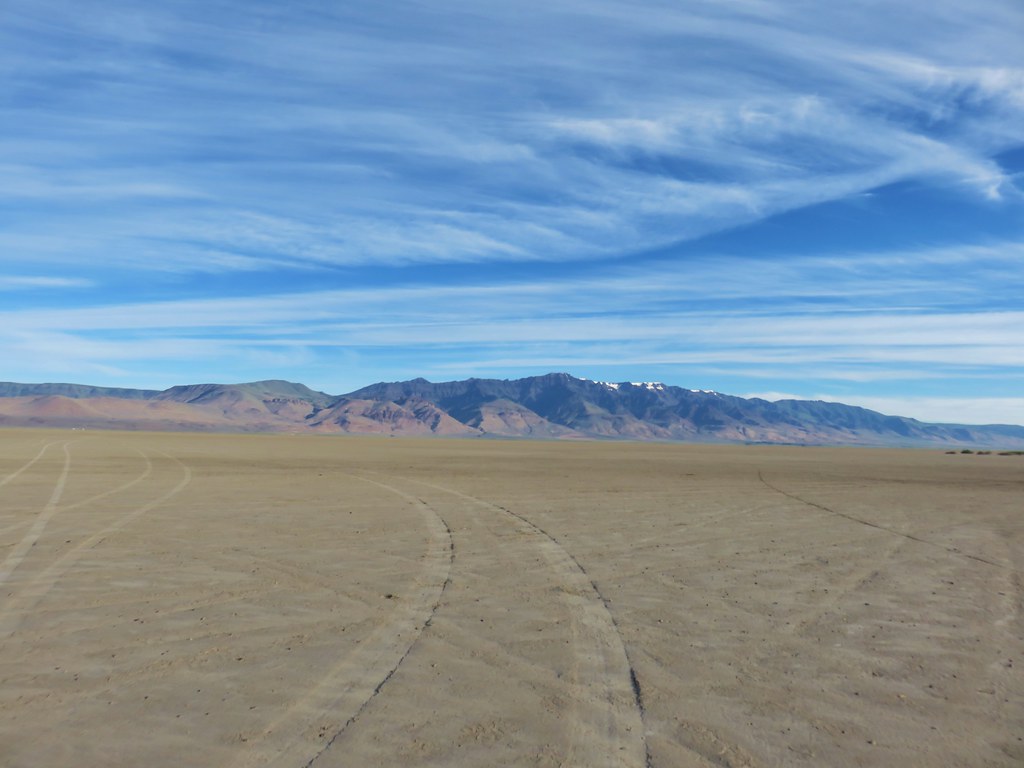
Our next hike began on the other side of this ancient lake bed five and a half miles away. I had set up a way point on our GPS unit for the approximate location that our guidebook suggested we park at for the hike to Big Sand Gap. I turned the unit on and we drove across the playa with Steens Mountain in our rear view mirror.
IMG_6617

The only trails to Big Sand Gap are wild horse trails made by the Kiger mustangs as they visit a marshy spring near the edge of the playa. The hike description we were following called for a .3 mile hike left around the spring before following the horse trails into the gap. That was easier said then done as the spring was not visible at ground level and it was only described as a slight rise to the left.
IMG_6619

Big Sand Gap on the other hand was much easier to locate ahead of us.
IMG_6622

We did our best to locate the spring but got pulled a little too far right by some pink flagging on some greasewood bushes and wound up on the wrong side of the marshy area.
IMG_6626

It was okay though as the wild horses had made a clear path on this side of the spring as well.
IMG_6628

IMG_6630Steens Mountain from a horse trail.

There was in fact a confusion of horse trail but we simply kept our eyes on Big Sand Gap and took which ever trail seemed most direct at that moment. Approximately 1.6 miles from the spring we reached the gap.
IMG_6639

IMG_6640

Here we turned right and headed up a fairly steep slope toward the rim of the cliff.
IMG_6641

We had to go behind a rock outcrop and work our way up to a higher point where the views of the Alvord Desert below and Steens Mountain beyond were amazing.
IMG_6645

IMG_6658

IMG_6650

IMG_6651

IMG_6652

On our climb up we’d both noticed a horse trail on the next hillside over that at least appeared a little less steep. We decided to follow that trail back down.
IMG_6659

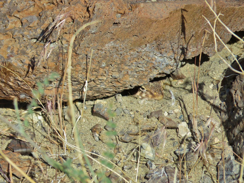
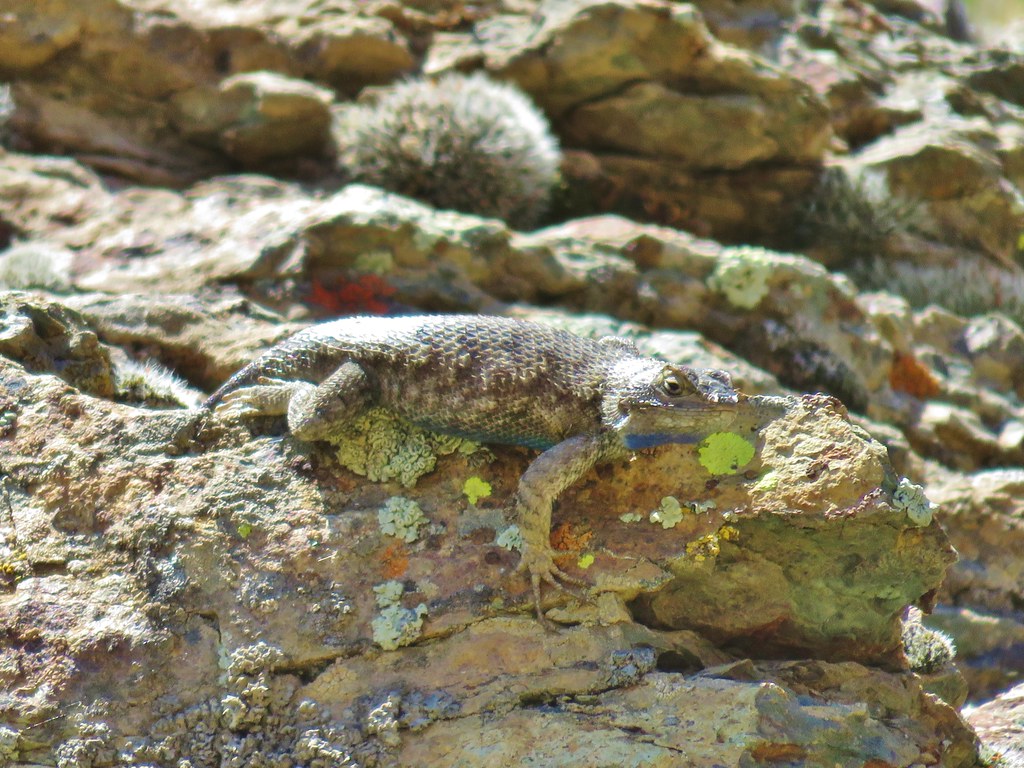
Near the bottom of this trail we cut cross country toward the opening of Big Sand Gap and started seeing lizards.
IMG_6672

IMG_6676

20180614_081403

From the gap we could see our car and decided that we would try and take a slightly more direct route back instead of skirting the spring. Extending a line from our car across the desert to Steens Mountain we were able to find an identifiable peak that we would be able to see even when we lost sight of our car.

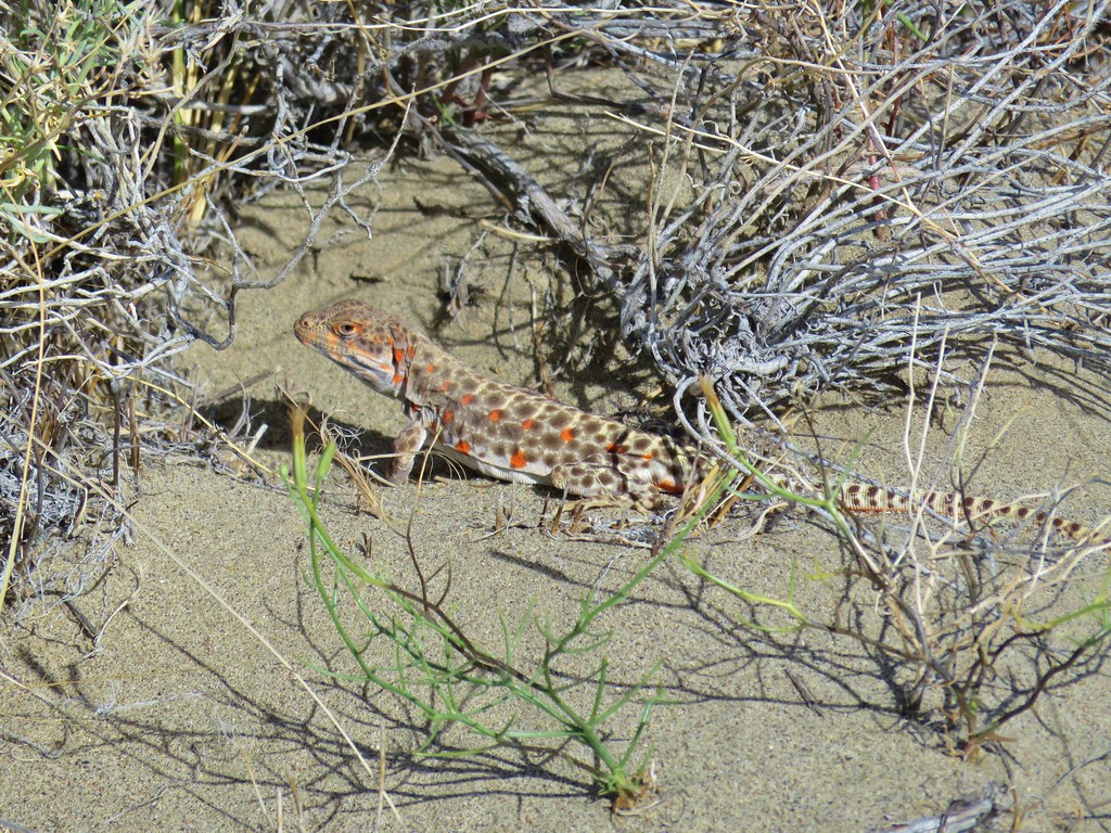
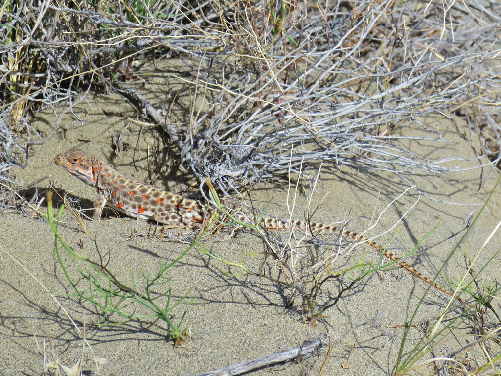
With our bearing identified we set off but quickly got side tracked by some leopard lizards. We saw a couple and one was nice enough to pose for a while.
IMG_6705

IMG_6707

In addition to the lizards we saw a few hardy desert wildflowers.
IMG_6661

20180614_083107

IMG_6643

Our heading was good and we were able to go almost directly to our car completing the hike in just under 5 miles. We drove back across the playa with our low pressure light still on and returned to East Steens Road. We turned right and continued north for 2.3 miles to Alvord Hot Springs where we picked up a $5 permit for the Pike Creek Trail and then continued north an additional 2.2 miles to a signed turnoff on the left for Pike Creek.
IMG_6914

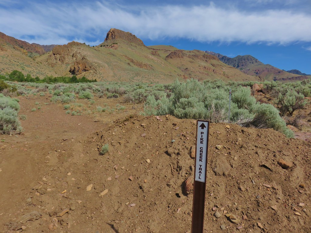
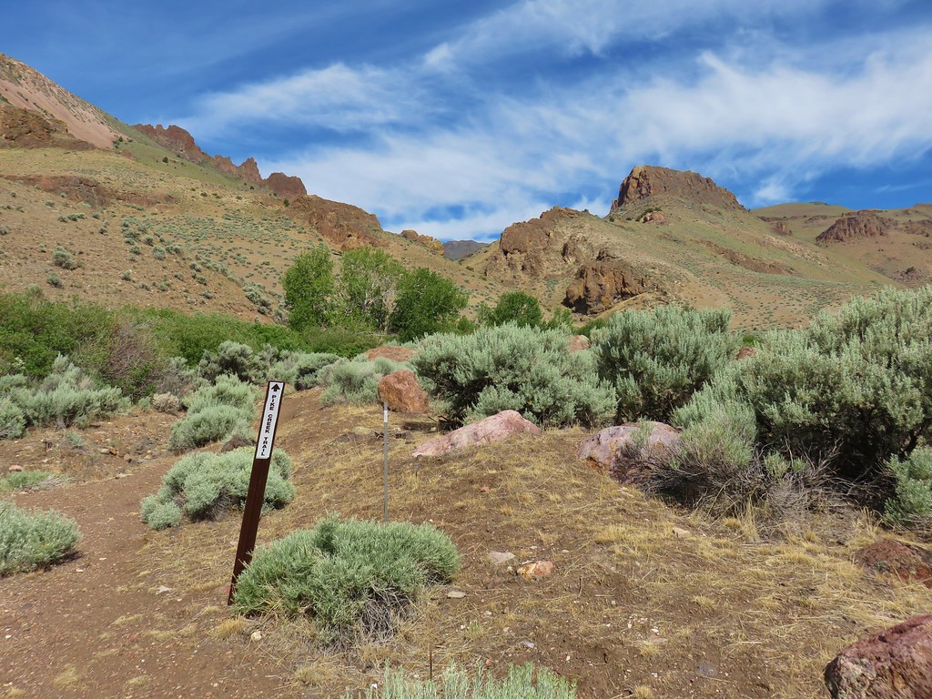
The half mile road to the trailhead was really rough and we quickly wished we had parked back at the sign so when we reached a spot where we were able to park off the road we did so and hiked the final short distance following posts for the Pike Creek Trail.
IMG_6711

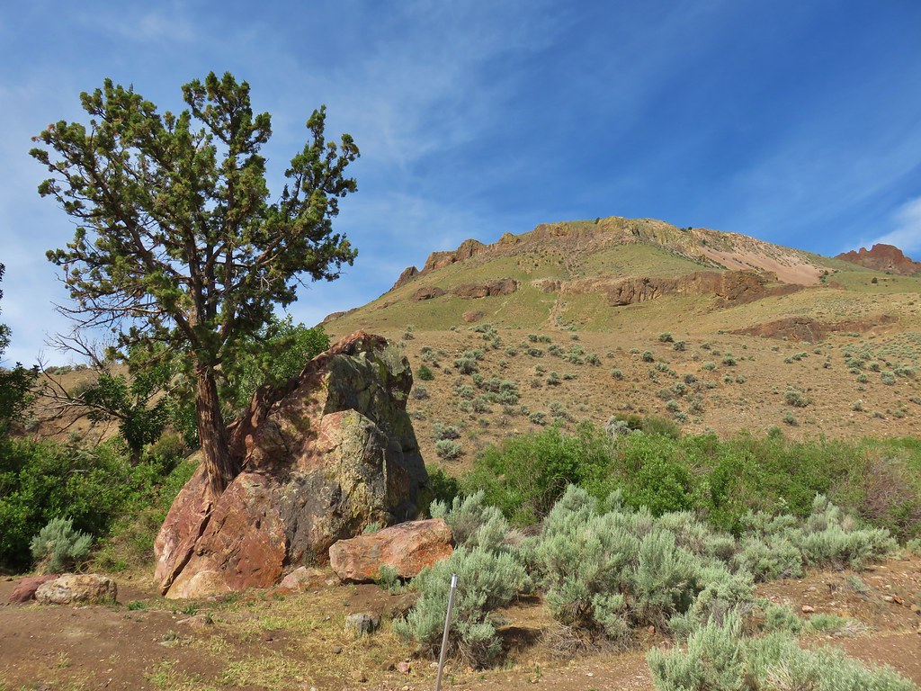
The well marked route followed a closed roadbed to the Pike Creek Campground, where a juniper was growing out of a split rock, and then across Pike Creek.
IMG_6714

IMG_6715

IMG_6717

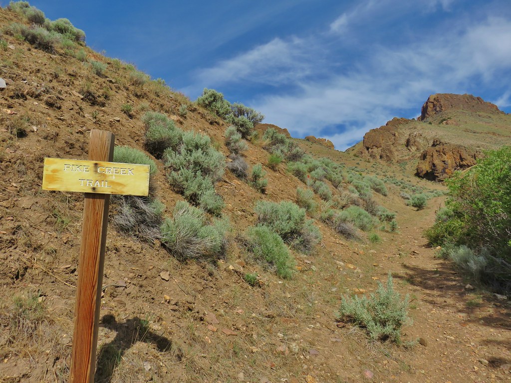
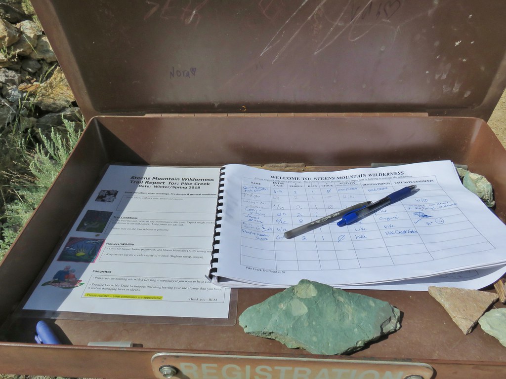
A wooden trail sign awaited on the far side of the creek where we followed an old mining road uphill to a registration box.
IMG_6719

IMG_6725

IMG_6728

After signing in we continued uphill on the old roadbed toward Steens Mountain.
IMG_6758

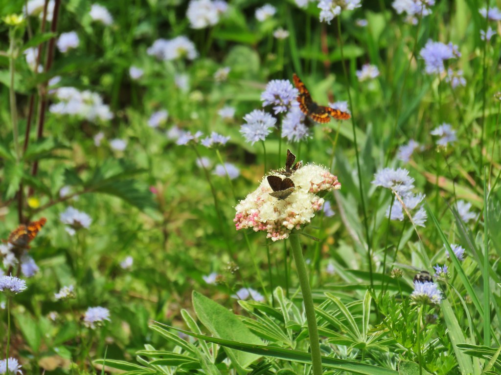
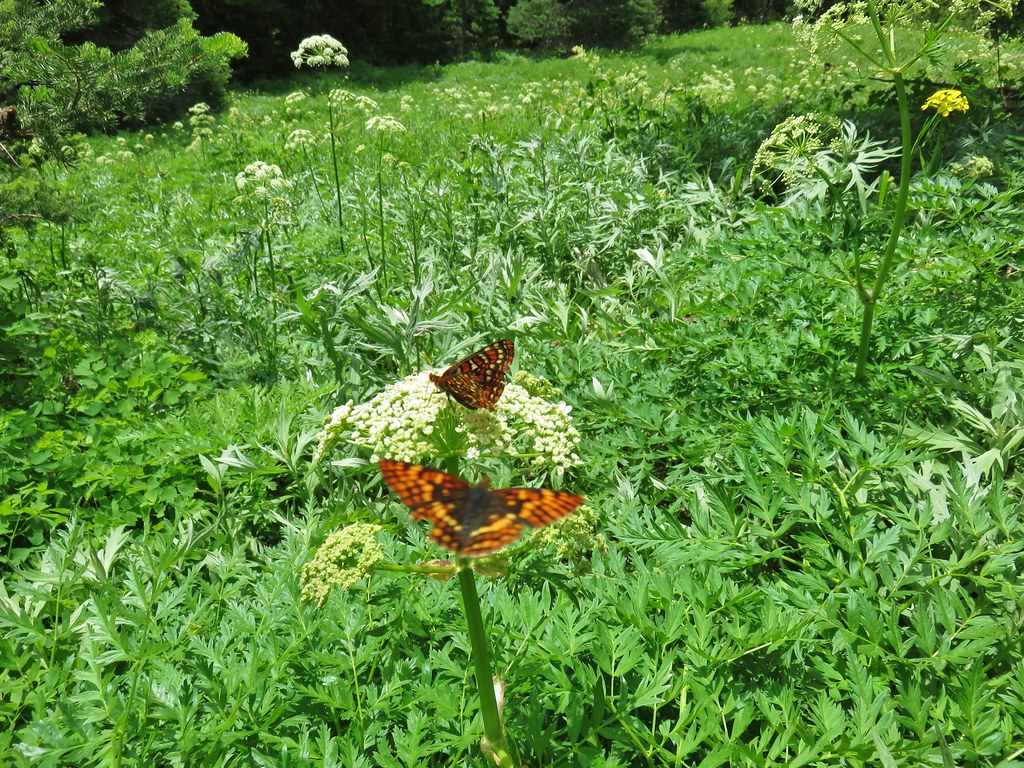
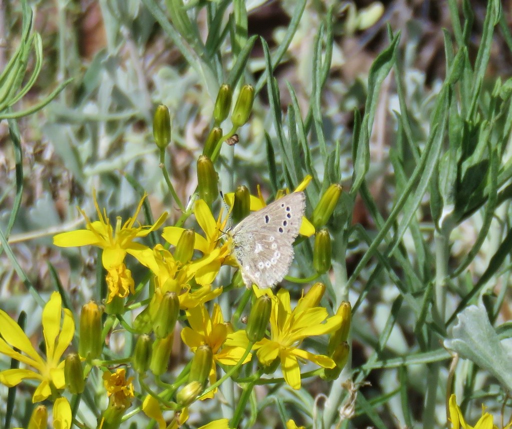
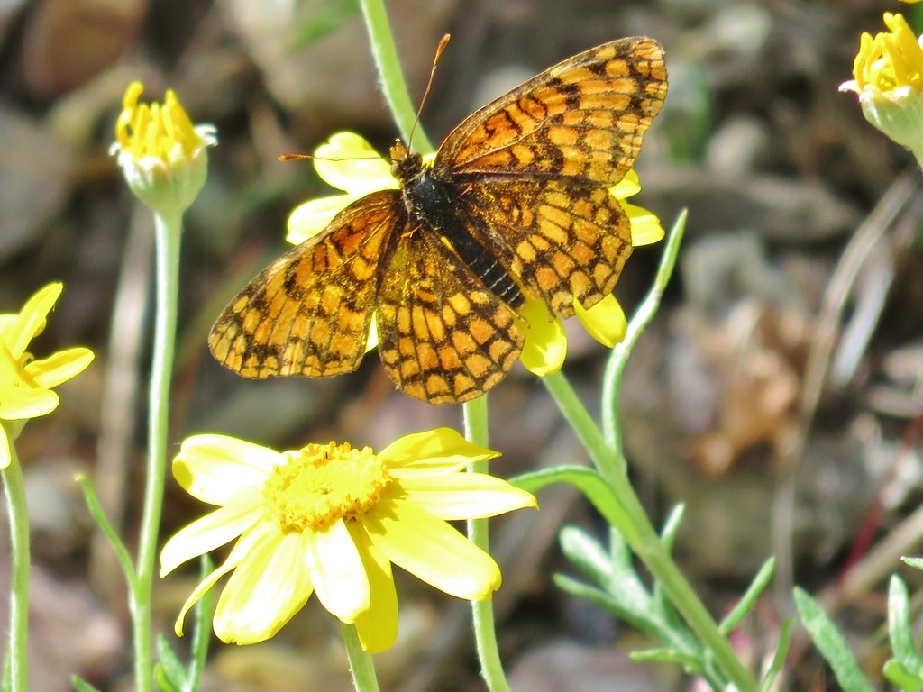
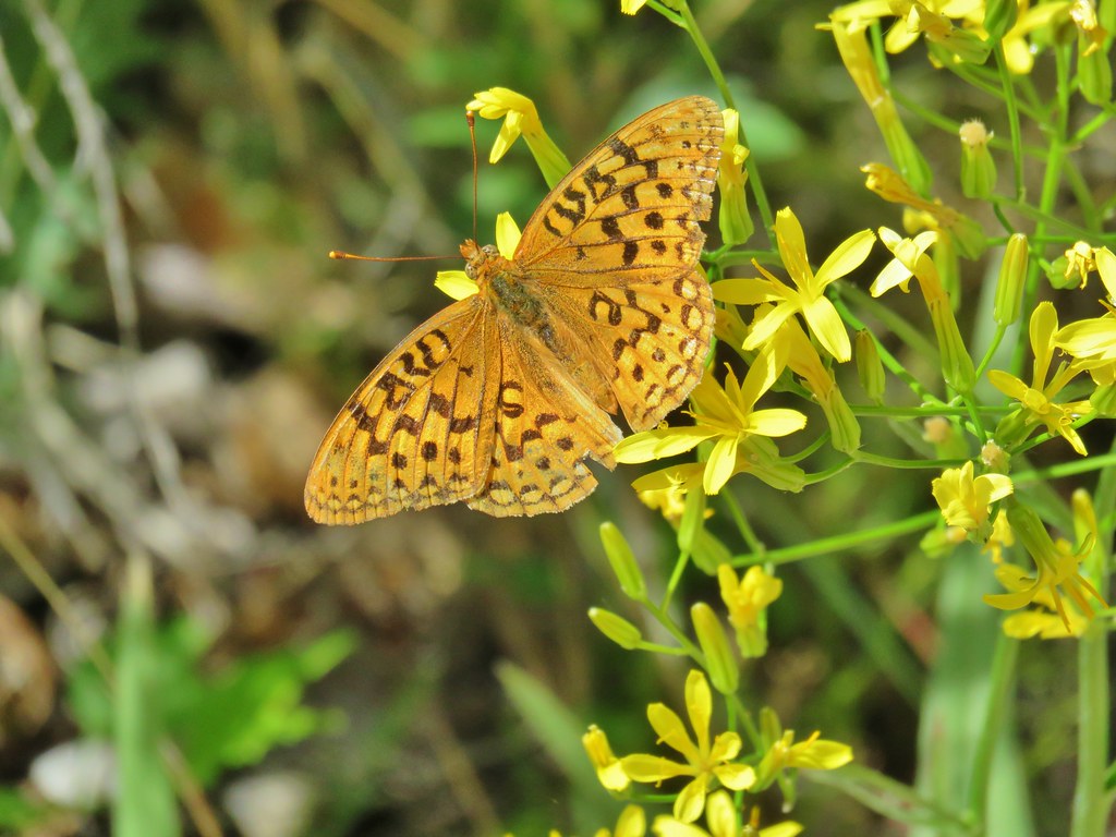
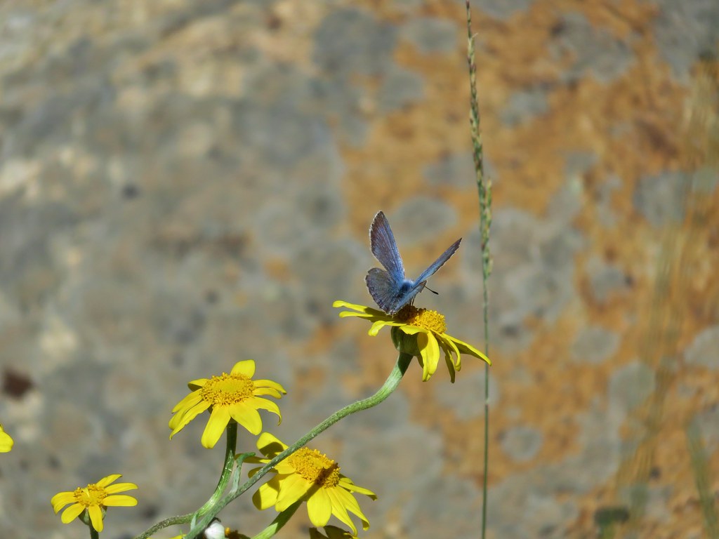
As we hiked along we were surprised at the number and variety of butterflies along the trail.
IMG_6748

IMG_6737

IMG_6744

IMG_6771

IMG_6787

Pike Creek was quite a ways below the trail and mostly hidden by the green vegetation it supported.
IMG_6761

IMG_6759

Just over a mile from the campground we passed into the Steens Mountain Wilderness, making this the 36th different designated wilderness area we’d visited in Oregon.
IMG_6781

Shortly after entering the wilderness area the trail crossed Pike Creek again and then began to climb away once more. Steens Mountain continued to grow closer ahead of us and behind us we could see the Alvord Desert and Big Sand Gap on the other side.
IMG_6796

IMG_6808

IMG_6810

We had left the old mining road behind at the crossing where a mine shaft and nearly hidden dynamite shed remain.
IMG_6798Mine shaft

IMG_6784Hidden dynamite shed

The trail now climbed via a series of switchbacks up the canyon. We entertained ourselves by looking for different butterflies amid the flowers.
IMG_6820

IMG_6823

IMG_6892

Butterflies weren’t the only interesting insects that we saw during the hike.
IMG_6754

IMG_6848

20180614_120152

IMG_6910

After a little over a mile and a half of climbing since the second crossing we arrived at our turn around spot, the first of three forks of the creek.
IMG_6860

The views just before the creek were a little better than at the creek itself but there were some convenient rocks to sit on under the cover of a juniper tree which provided some nice cool shade while we had a snack and watched even more butterflies.
IMG_6843

IMG_6844

IMG_6845

IMG_6878

IMG_6880

We returned the way we’d come under the watchful eye of a local.
IMG_6901

At 5.8 miles round trip this was the longest of the three hikes that day and definitely the one with the most elevation gain.

We once again checked our tires which seemed to still look the same under the eyeball test so when we reached East Steens Road we once again headed north on our way to Burns. It was just after 3pm when we arrived in Burns and we headed straight for the Les Schwab Tire Center to have them check things out. They confirmed that the left rear tire was a little low so we had them pull it off and do a more thorough check. It turned out that it wasn’t the rocks that had done us in but a small nail which I am convinced was placed in the road by the badger.

After being taken care of by the good folks at Les Schwab (free of charge) we checked into the Silver Spur Motel for the night. In the morning we had another hiked planned then we’d be off to Bend for another visit with Heather’s parents. Happy Trails!

Flickr: Borax Hot Springs, Big Sand Gap, and Pike Creek

Categories
Hiking Oregon SE Oregon Trip report

Pillars of Rome and Chalk Basin – SE Oregon Vacation Day 5

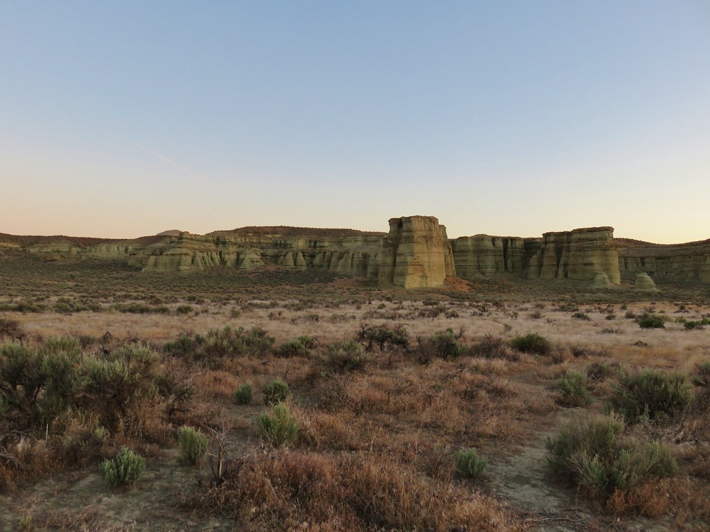
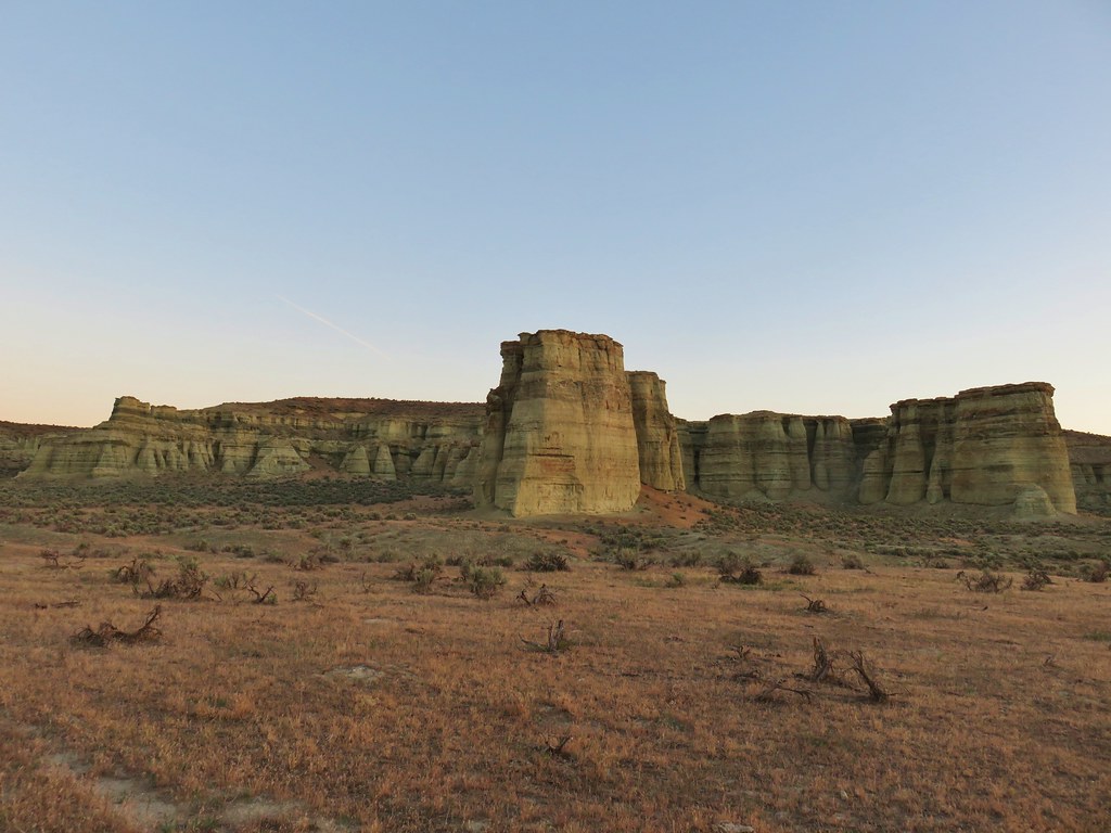
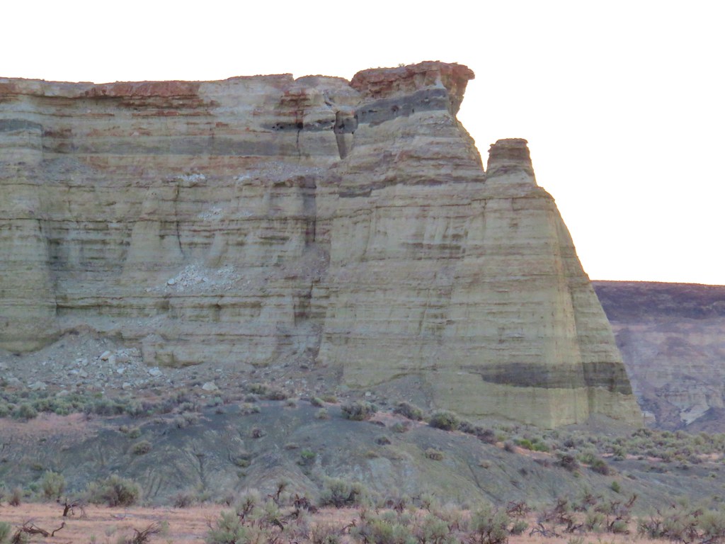
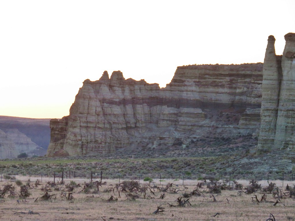
On day 5 we said goodbye to Jordan Valley and headed west on Highway 95 to Rome where we made a brief detour to visit the Pillars of Rome. The sun was still rising when we arrived so our lighting wasn’t great for photos but the interesting rock formation here were a taste of what we’d be seeing later during our hike at Chalk Basin.
IMG_6270

IMG_6272

IMG_6274

IMG_6279

IMG_6283

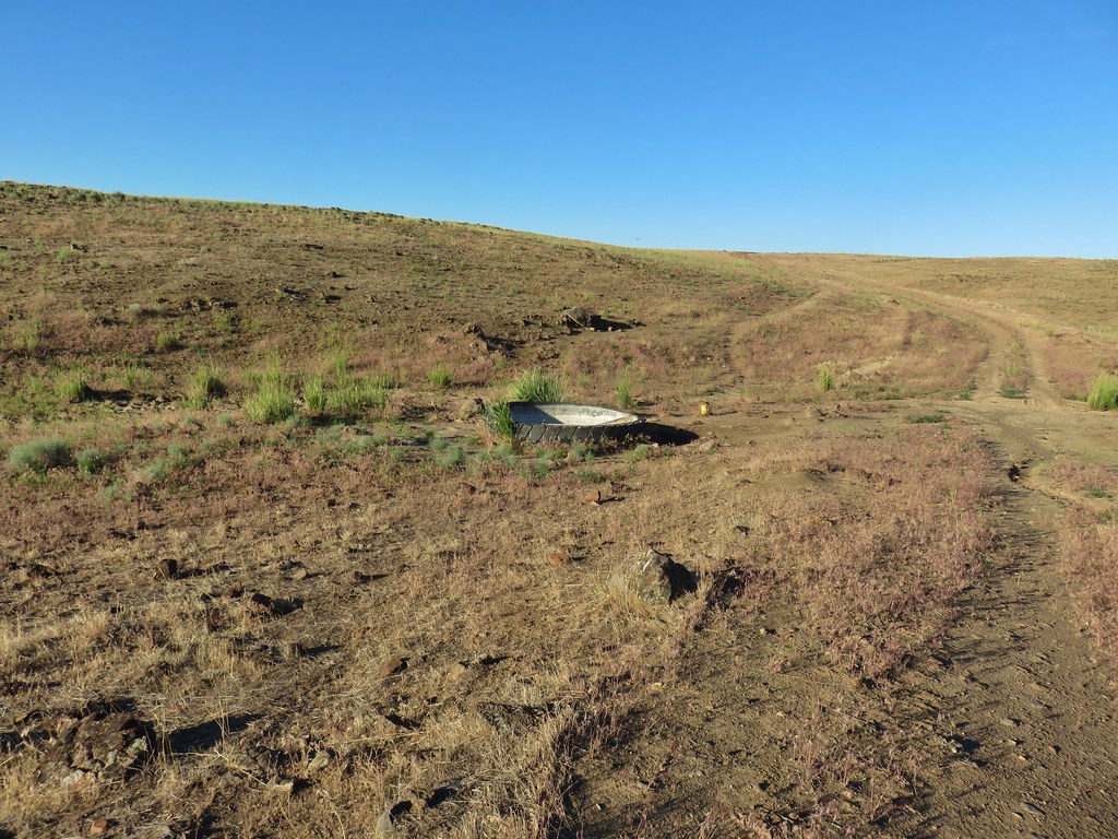
After visiting the pillars we returned to the highway and followed our guidebooks directions to Chalk Basin. The description of the drive calls for a high clearance vehicle and I would add you need all wheel drive at a minimum. The final 16.6 miles of the drive were by far the worst we’ve driven. A theme was developing on this trip and we once again parked before the recommended starting point. This time we parked .9 miles from where the guidebook suggested at an old tire that had been converted to a water trough.
IMG_6288

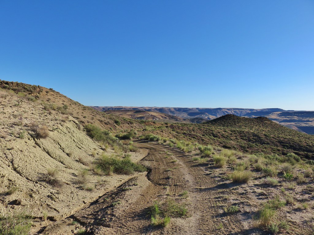
There are no trails at Chalk Basin but after walking the .9 miles we turned right at an x junction onto an even worse old roadbed and headed down into Chalk Basin.
IMG_6306

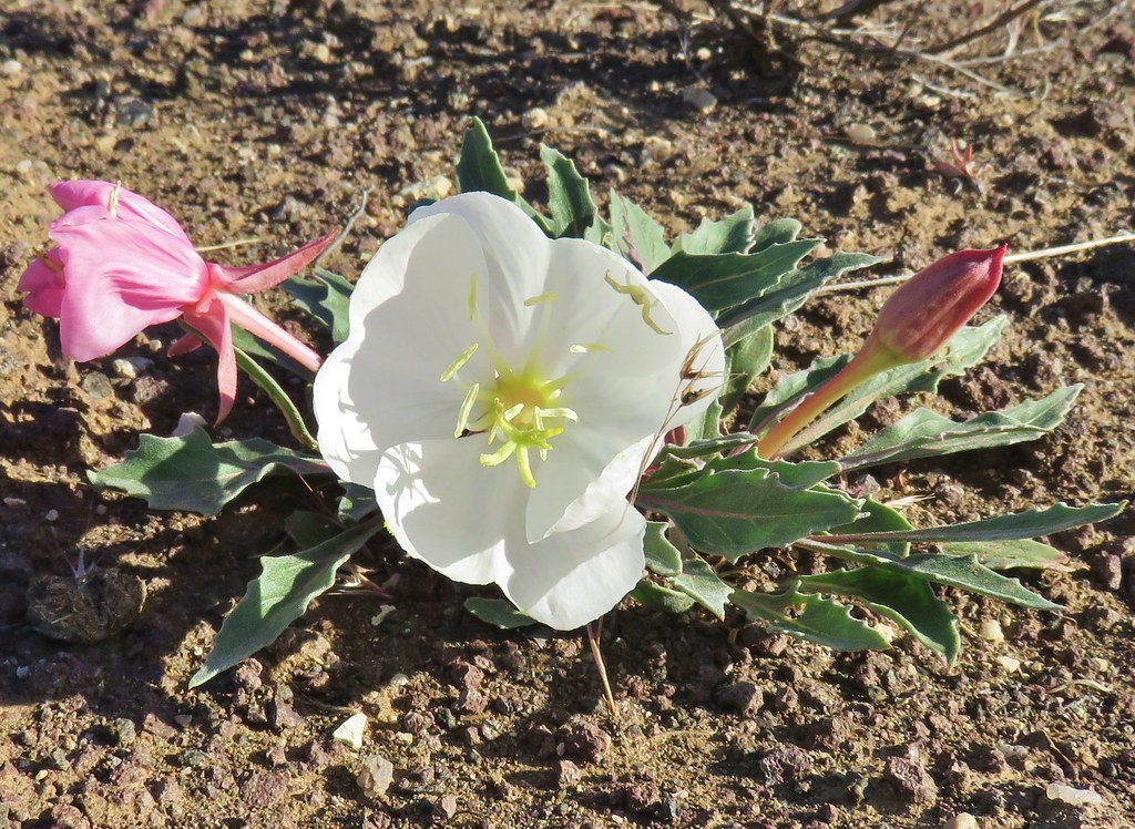
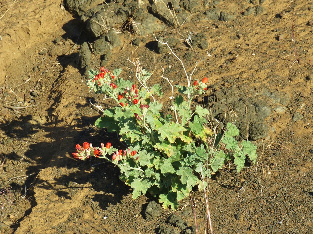
There were some tire tracks present, I can only assume they were from OHVs, as we followed the road for 1.2 miles to a fork. Along the way we passed some tufted evening primroses and an orange globe mallow.
IMG_6313

IMG_6316

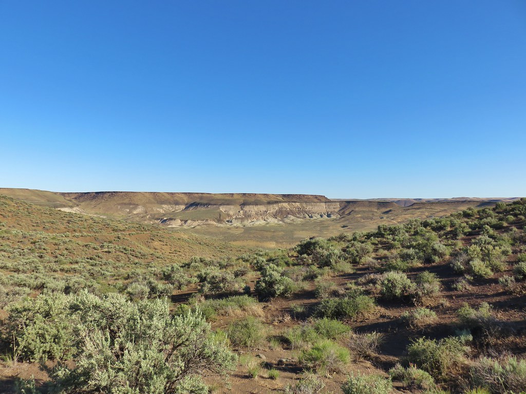
Across the basin we had a view of some mini painted hills.
IMG_6321

IMG_6323

IMG_6326

We veered right at the fork and in a tenth of a mile came to a crossing of a dry wash.
IMG_6331

IMG_6332

We turned right here and headed down the wash.
IMG_6333

IMG_6337

We followed this wash for .7 miles to a drop off at a dry waterfall. It was an interesting hike through the wash which it turned out was not entirely dry.
IMG_6341Side blotched lizard

IMG_6353Wildflowers in the wash

IMG_6357Smooth stemmed blazing star

IMG_6361Monkeyflower
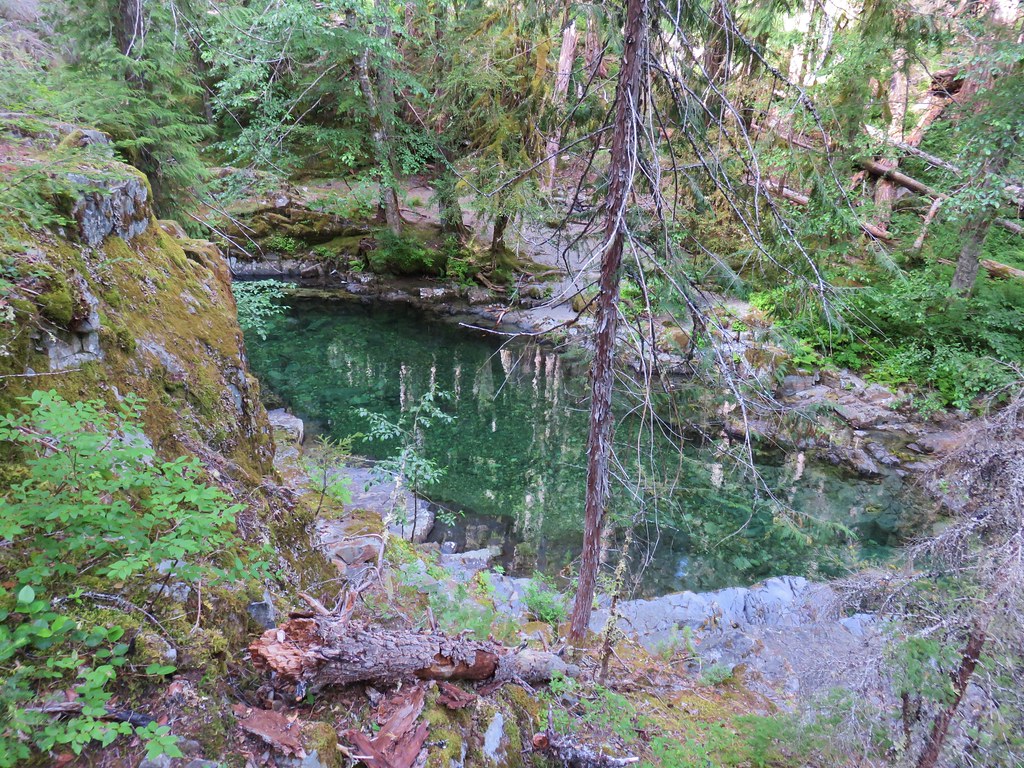
IMG_6364End of the water in the wash
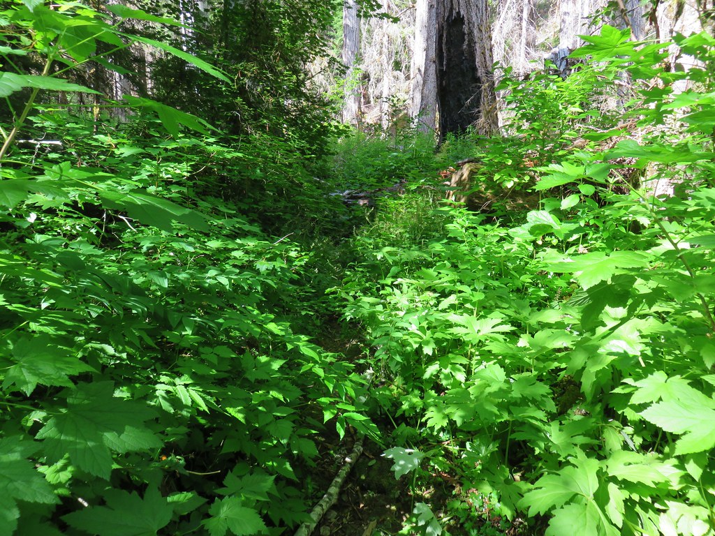
IMG_6373Above the dry waterfall

Following our guidebook we backtracked 100 feet and climbed out of the wash up the gentlest slope to the south.
IMG_6376

When we crested the hill we could see the canyon we had been in winding its way toward the Owyhee River Canyon.
IMG_6384

We continued south heading for another large dry wash, this one running north/south.
IMG_6385

We headed for that wash passing a group of smooth, rounded protrusions.
IMG_6388

As we were dropping into this wash the one and only snake we would see on our whole trip passed between us heading uphill. It was a decently sized garter snake, not one of the areas many rattlesnakes. Heather never even saw it and it disappeared into the sagebrush. Soon after a small side blotched lizard raced into a different bush, then a much larger lizard raced out of that same area and up onto some rocks.
IMG_6394

IMG_6399

We were supposed to follow this wash for another .7 miles, staying left at forks, to the head of the wash. We passed some interesting rock formations along the way but somewhere along the line we took one left fork too many.
IMG_6409

IMG_6406

IMG_6413

We didn’t realize it at first as we had been trying to only take the most obvious left hand forks. When we reached the end of the wash we headed cross country toward the lowest point we could see which happened to be a little to the south of a large rock fin.
IMG_6414

IMG_6415

If we had been in the correct spot we would have crested a ridge at the edge of a rim just to the NE of a feature known as the Yellow Knoll. Instead when we reached the top of the ridge the Yellow Knoll was still quite a ways to the south.
IMG_6419Yellow Knoll with the Yellow Dome to its left.

IMG_6428Yellow Knoll

IMG_6426Yellow Dome

We followed the ridge up and down a little under half a mile to the Yellow Knoll. The views form the ridge were great as we made our way over.
IMG_6422

IMG_6429

IMG_6432

We eventually made it over to the Yellow Knoll and hiked to a viewpoint atop it.
IMG_6437

IMG_6442

IMG_6443

IMG_6444

IMG_6445

IMG_6446

After checking out the view from Yellow Knoll we headed for Yellow Dome and climbed to its top.
IMG_6457

IMG_6460

The view from Yellow Dome was even more impressive as the Owyhee River flowed past rows of chalk pillars.
IMG_6469

IMG_6473

IMG_6482

After admiring that view we headed back past Yellow Knoll and followed the canyon rim for half a mile before striking off cross country following a dry stream bed in a westerly direction.
IMG_6511

IMG_6513

20180613_094605_stitch

This dry stream ran past the water trough that we’d parked at so all we had to do was keep that on our left and it would lead us back to our waiting car.
IMG_6518
Dry stream bed (indentation) on the left with Steens Mountain in the distance.

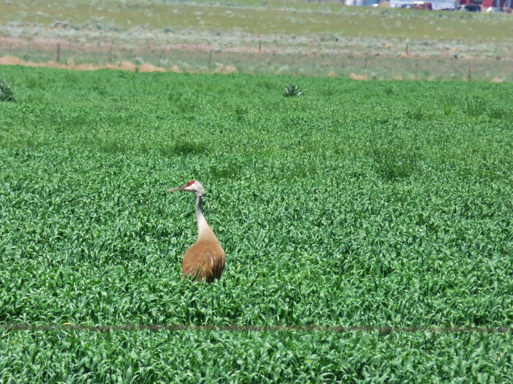
Following the stream bed worked perfectly and we were soon back on the horrible road after a spectacular 6.9 mile hike at Chalk Basin. After surviving the road we took Highway 78 north to East Steens Road where we turned left toward Fields. The road is paved for the first 10.9 then turns to gravel for the next 42.3 miles before turning pack to pavement. The views of Steens Mountain and the Alvord Desert along this drive were amazing and we did stop once when we spotted a pair of sandhill cranes in a field.
IMG_6532

IMG_6527

IMG_6525

When we arrived at Fields Station we checked on the availability of a room. Fortunately there was one available for the night so we checked in. The room was actually a large front room with a bed, table, chairs, refrigerator/freezer and a coffee maker, a bathroom, and another bedroom in the back. After getting settled we went over to the store/cafe and ordered bacon cheeseburgers and a couple of their famous milkshakes before the cafe closed at 4pm. I had a 3C – Coffee, Chocolate, and Caramel and Heather had a combination of Raspberry and Chocolate. They lived up to the hype. We had a full day of hiking ahead of us before we started our journey home so we turned in early (a little extra early now that we were back on Pacific Standard Time instead of Mountain Time). Happy Trails!

Flickr: Pillars of Rome and Chalk Basin

Categories
Hiking Idaho Oregon Trip report

Jump Creek Falls and Three Forks – SE Oregon Vacation Day 4

Day four of our vacation was to be our first hike in Idaho followed by a visit to Three Forks on the Owyhee River south of Jordan Valley. When we wound up in Caldwell, ID on day 2 we had decided to stay the night there on day 3 as well since the hike at Jump Creek Falls was relatively close and then we could go back to our original plan of staying in Jordan Valley after hiking at Three Forks. This caused our driving time for day 3 to be nearly seven and a half hours but shaved off some of the driving time for day 4. We had also decided that after one night in Jordan Valley we would try staying at Fields Station the following night. This was going to be a bit of a leap of faith because we couldn’t reach anyone at Fields Station but Heather left a Facebook message so we didn’t know if there would be a room available, but that was a problem for another day.

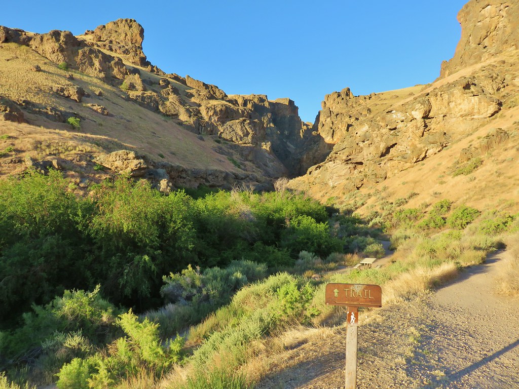
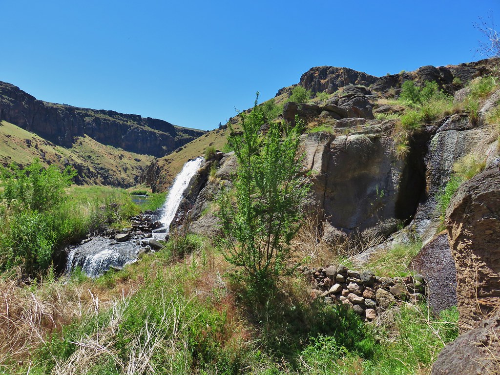
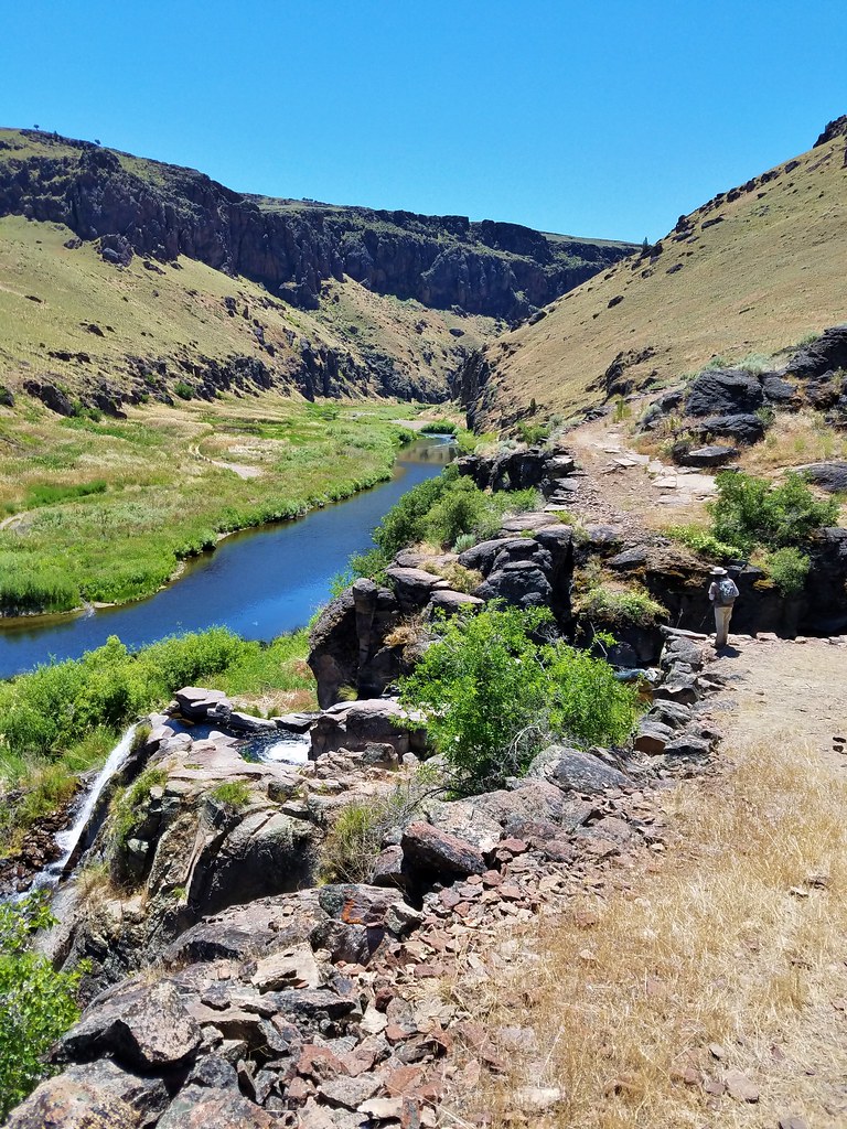
We took advantage of the free breakfast at the motel then headed for Jump Creek for a quick .7 mile round trip to visit Jump Creek Falls. From researching the hike it was apparent that this is a popular area for people to hang out and play in the water so an early visit on a weekday seemed like a good way to possibly avoid the crowds. It worked as we were the only car at the trailhead when we arrived.
IMG_6035

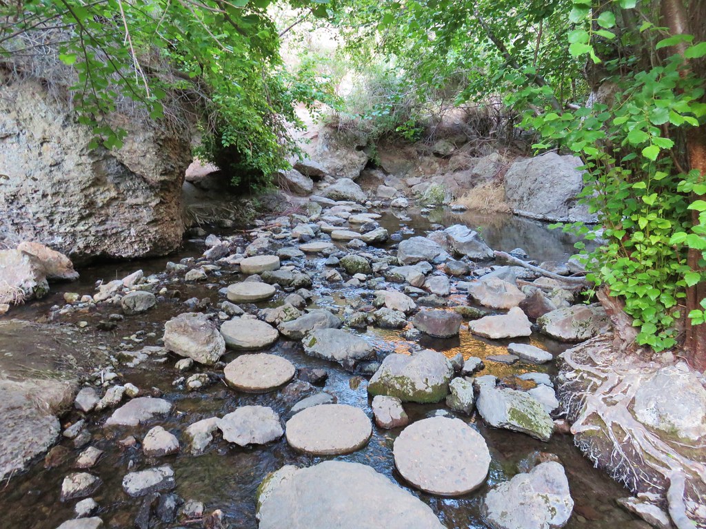
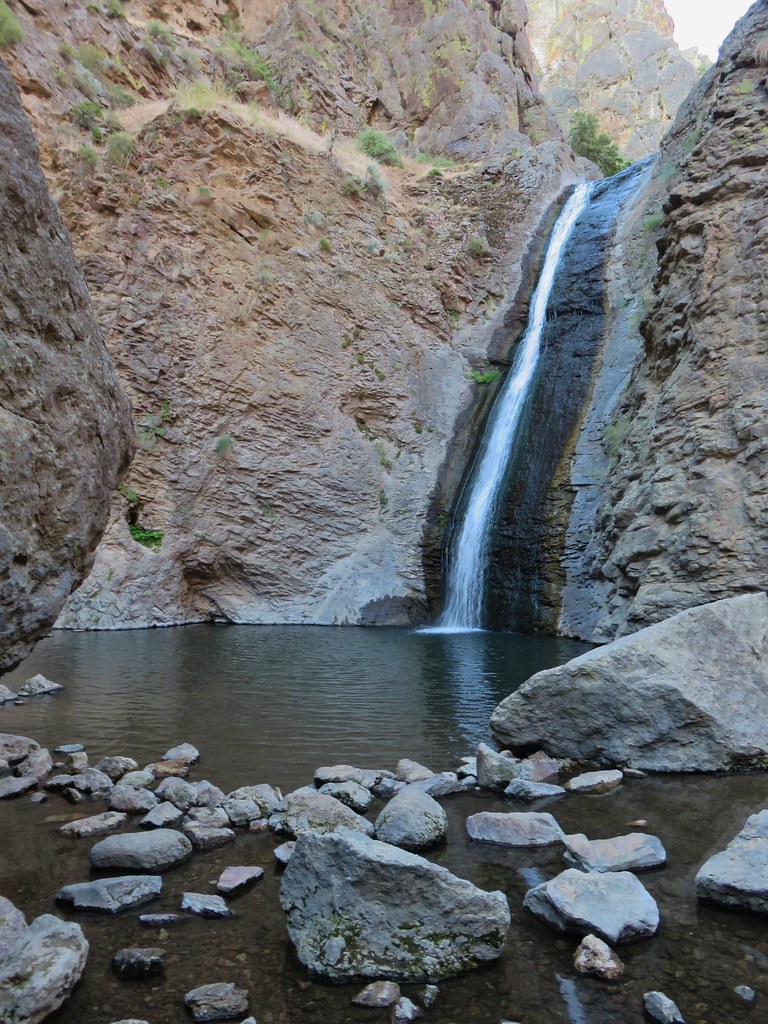
The trail follows the brush lined creek (watch for poison ivy) into Jump Creek Canyon crossing the creek on stepping stones.
IMG_6039

IMG_6041

IMG_6042

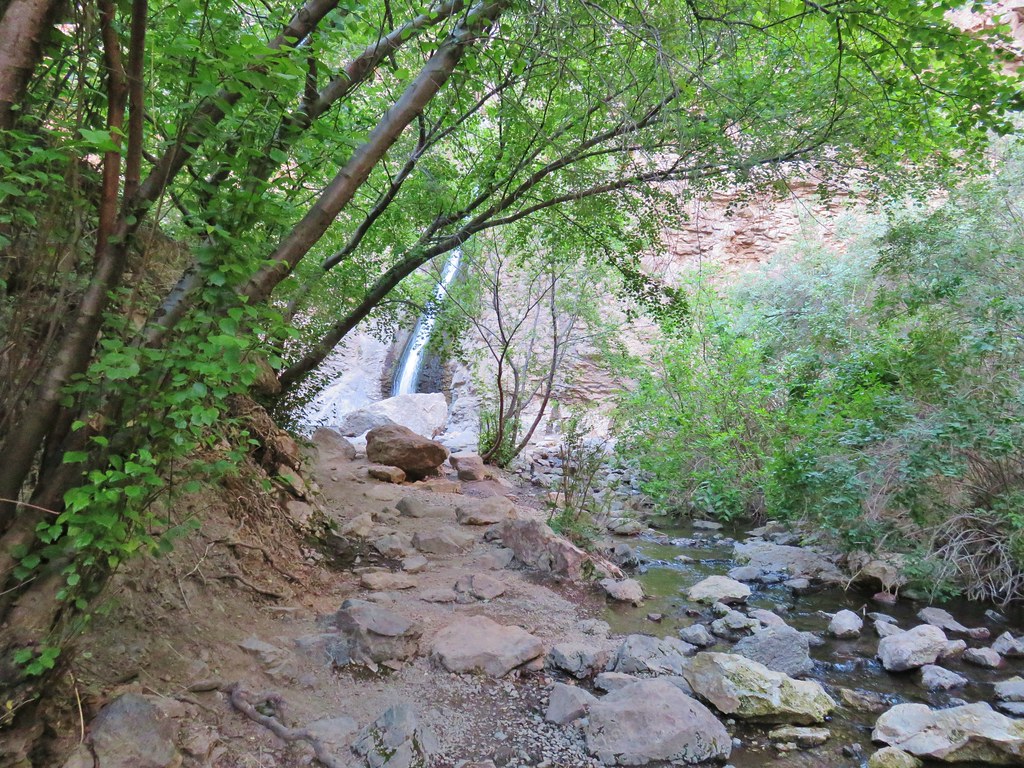
Evidence of the areas popularity was everywhere (people stink sometimes) reinforcing our thoughts about an early morning mid-week visit. The short trail ended at the waterfall.
IMG_6046

IMG_6048

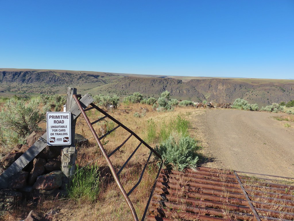
After admiring the falls we returned to the car and headed for Jordan Valley where we planned on stopping for gas and inquiring about a room for the night. It was a good thing we asked about the room while we were filling up (the gas station is also the motel office) since road construction was starting up on Highway 78 and the rooms were filling up. After getting a room reserved we followed signs from Jordan Valley to Three Forks for a total of thirty four and a half miles to the rim of the Owyhee Canyon next to a corral.
IMG_6072

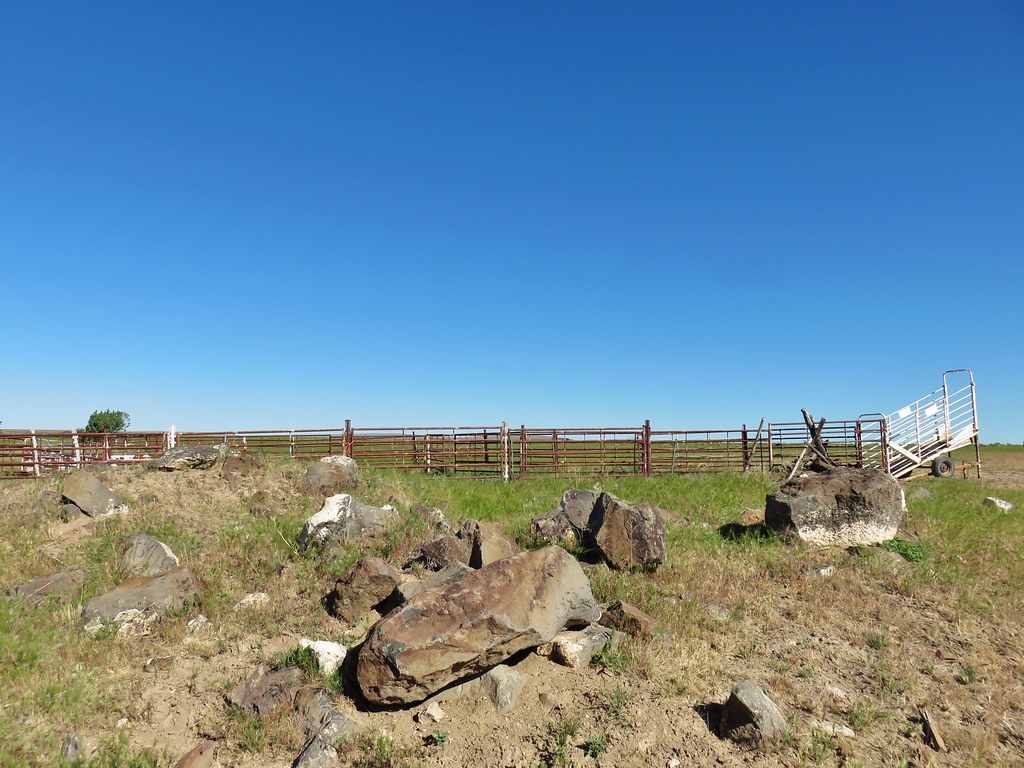
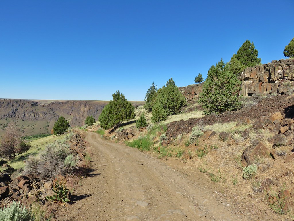
The first 22 miles had been good gravel but the final 14+ was a rutted mess with occasional cows. We once again opted for a road walk instead of more bad roads and parked by the corral.
IMG_6069

It was just under a mile and a half down the road which we were glad we didn’t try and drive, but a couple of brave souls had taken their campers down to the river.
IMG_6076

IMG_6073

This was another “no official” trail hike and the only signboard was for boaters.
IMG_6085

William Sullivan describes two options in his “100 Hikes/Travel Guide for Eastern Oregon”. One being an out and back and the other a bushwacking loop requiring two fords of the Owyhee River. (Both options require fording the North Fork Owyhee.)

The first thing we did was head for the boat ramp which is where the second ford would be if we tried the loop option. We wanted to check on the viability of that ford before we wound up there later and found it was too difficult to cross. It was a good thing that we did as the water level was high enough that it would have most likely required a swim which we could do, but we didn’t have any waterproof bags to keep our gear dry during such a swim.
IMG_6099

With our plan now set we headed back along the access road to the North Fork Owyhee. From the map in our guidebook it looked like the correct place to ford the river was near its confluence with the Owyhee River.
IMG_6104

It was certainly shallow enough at that spot with the water only calf deep so we headed across. The far shore proved to be thick with vegetation including some nasty nettles that we attempted to fight our way through only to find another small channel of water that effectively thwarted any attempt to continue. We made our way back to the spot where we had forded and crossed back to the road. Heather explored a little further up the road and found a few campsites along the North Fork as well as another possible spot to ford.
IMG_6107

The ford here was slightly deeper but we were able to reach the far shore between two trees and climb the low bank here to a small grassy area and then uphill to a cattle trail in the sagebrush.
IMG_6115

We followed cattle trails past butterflies and dragonflys to the Owyhee River where we picked up an ancient wagon route.
IMG_6116

IMG_6120

IMG_6101

IMG_6124

IMG_6129

The old wagon route was occasionally obvious due to the presence of rock embankments. A confusion of faint cattle trails followed the route and we spent most of the time wondering which “trail” was the one we should be on.
IMG_6152

IMG_6154

We passed through a canyon with tall cliffs on both sides.
IMG_6132

IMG_6147

The Owyhee wound through the canyon often reflecting the rocky cliffs above.
IMG_6145

IMG_6134

The canyon widened after a while and we took a short break to have a snack. While we were eating I looked up and noticed a doe on the far bank munching on a bush.
IMG_6162

IMG_6172

IMG_6168

We passed several types of wildflowers as we hiked along.
IMG_6126

IMG_6140

IMG_6150

IMG_6165

IMG_6176

IMG_6177

IMG_6178

As we neared the two mile mark from the North Fork we spotted a waterfall on the far shore.
IMG_6180

IMG_6184

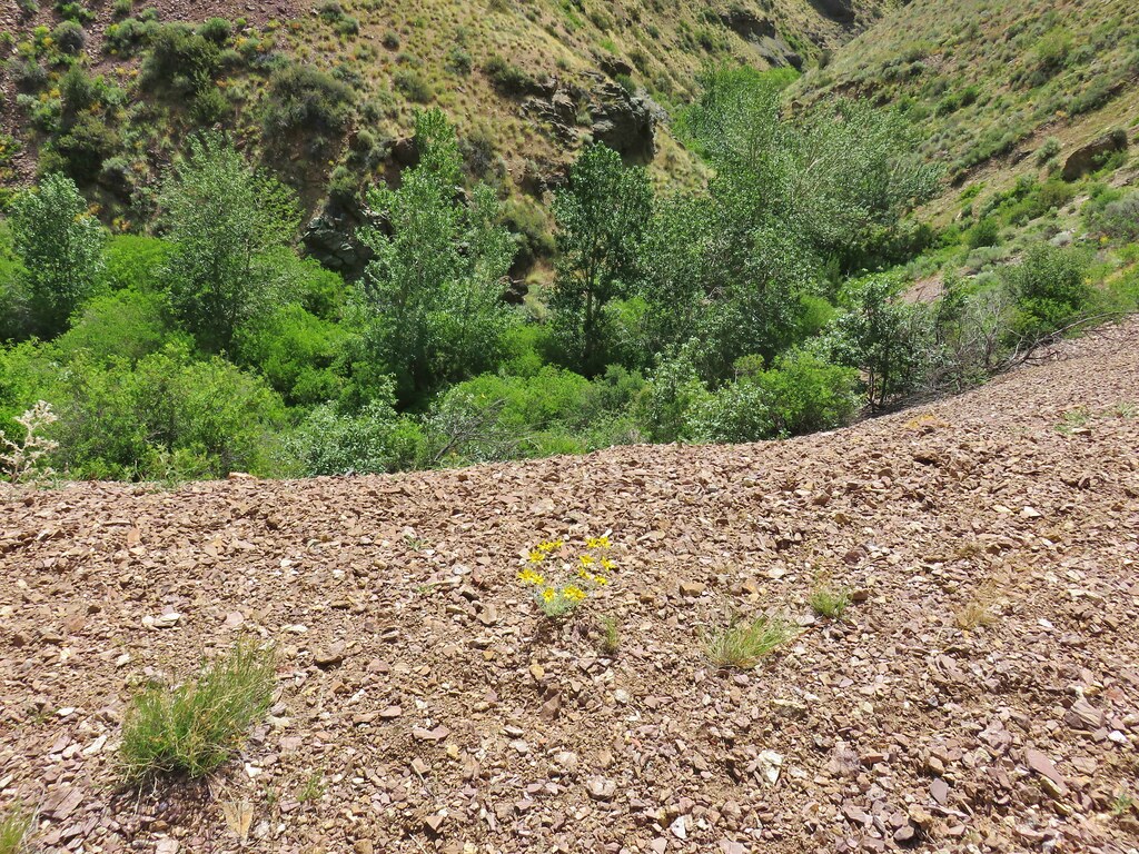
It was actually a series of falls coming from warm springs on the far side and above the largest waterfall was 96 degree pool. The hot springs are on private land which the owners allow hikers to visit at least for now. The guidebook description mentioned fording the river where rocks pinch the trail. We were looking for a faint roadbed on the far shore which we could theoretically follow up to the warm pool. We ran into trouble when we followed the trail all the way to a rock pillar where the trail became flooded.
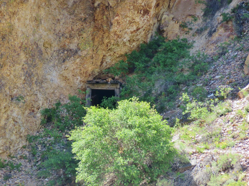
IMG_6181

We had taken the description too literally and hadn’t paid enough attention to the map. If we had looked closer at the map while reading the description we would have realized that the correct ford was about a tenth of a mile before the point we had reached. There was an easy ford where we were though so we headed across thinking we were in the correct spot and that we would find the old road on the other side.
IMG_6188

We wound up wandering around in thick brush searching for the road in vain. When we finally started to get somewhere we were blocked by a good sized body of water and wound up having to make our way back to where we had forded. Our next incorrect move was to get back into the river and head upstream along the bank to the waterfalls thinking that we might be able to climb up from there. You cannot, but we did get a good close up view of several of the falls and saw some nice stream orchids as well.
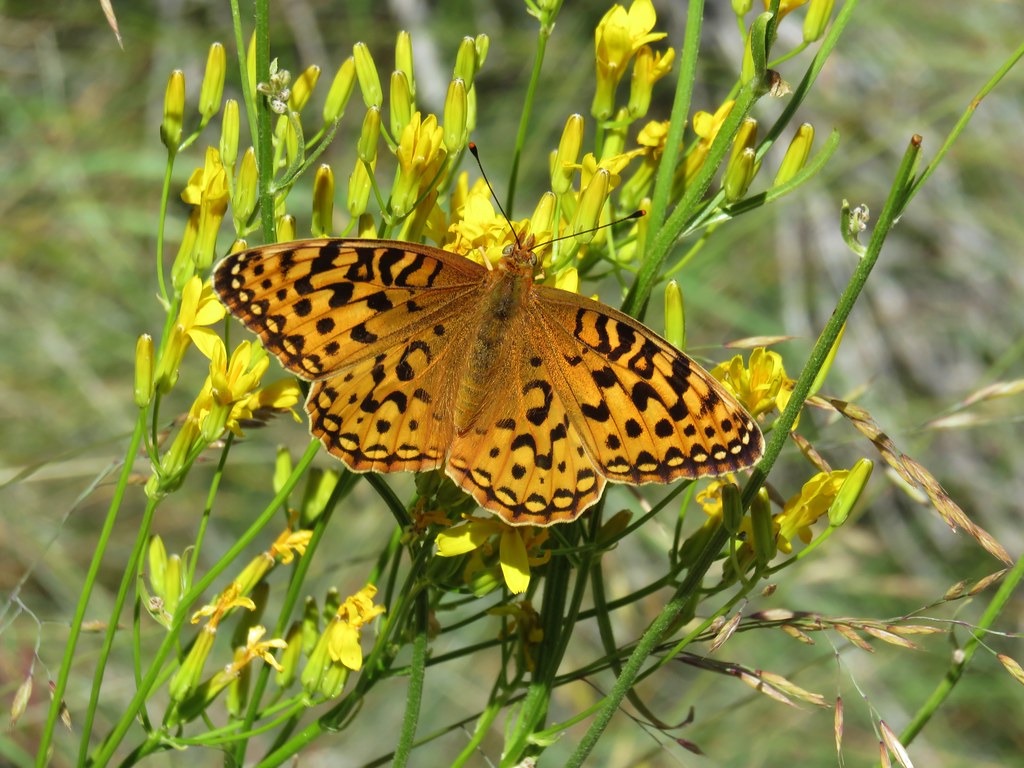
IMG_6193

IMG_6196

IMG_6198

IMG_6200

IMG_6201

IMG_6209

Defeated we recrossed the river and prepared to head back. We could see the old road bed traversing the hillside across the way but were still confused about how to reach it. Then Heather reread the description once more and compared it to the map and realized our mistake. We had spent about 50 minutes trying to reach the road and now we knew why we hadn’t been able to. We decided to give it one more try and forded the river again, this time in the correct spot. It was a little trickier ford but once we were on the other side it was an easy cross country walk up to the old roadbed.
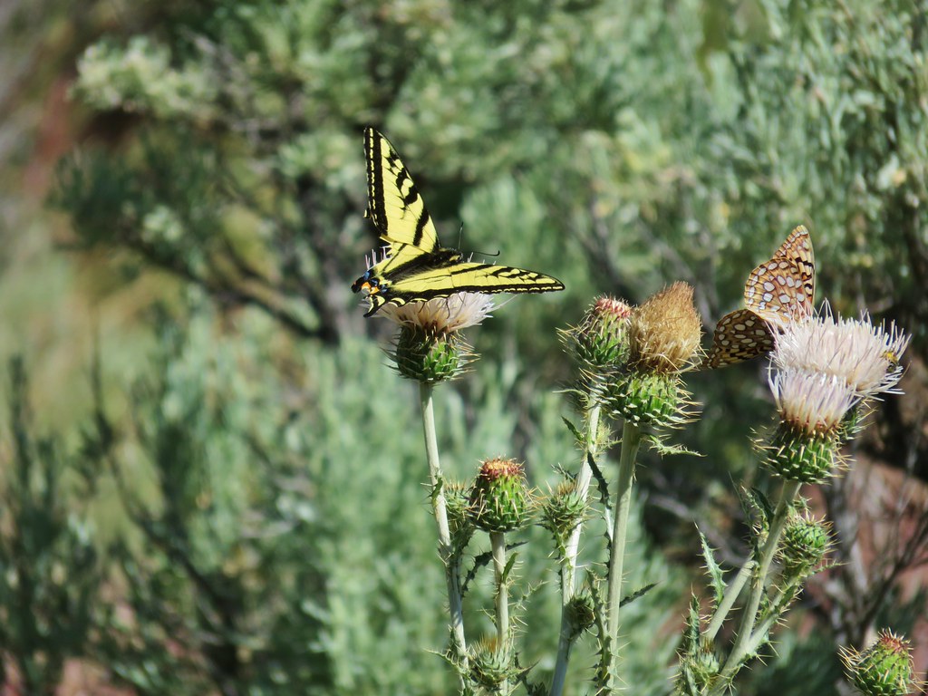
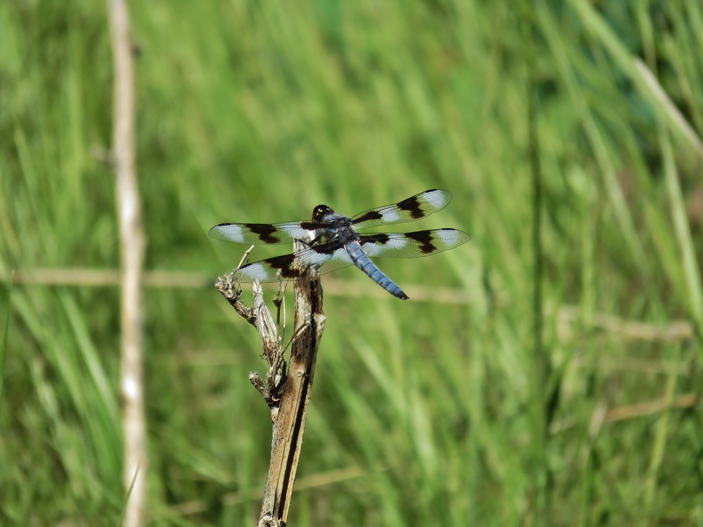
IMG_6218

20180612_130032

A short scramble down brought us to the pool.
IMG_6227

IMG_6235

After a short soak we headed back.
IMG_6241

It was a pretty uneventful return compared to our hike to the hot springs. We did spot a couple of flowers that we’d missed the first time by though, including a nice mariposa lily.
IMG_6254

IMG_6248

The climb up the road in the heat of the day was pretty much awful but it still beat trying to drive down and back up it. The hike wound up being 9.5 miles instead of the 7 to 8 we were expecting but that was due mostly to our wandering around looking for the old road bed. We drove back to Jordan Valley and checked into the Basque Station Motel which turned out to be rather pleasant. It’s short on amenities but the room was clean and comfy as well as surprisingly quiet. We regretted having not stuck to our original plan of staying there instead of in Caldwell. Happy Trails!

Flickr: Jump Creek Falls and Three Forks