Warm weather and possible blue sky prompted us to head out for our February hike the first day we had off. While the very recent weather had been unseasonably warm the Willamette Valley, and especially the Portland area, was still recovering from January’s Winter storm. We had changed our planned January hike due to storm damage in Portland’s Forest Park and found ourselves looking to change our planned February hike now as well.
We had originally planned on visiting some wetlands west of Portland but flooding from the ice storm and heavy rains that followed had left some of those trails flooded. A quick check of the current trail conditions at Forest Park revealed that there were no closures/detours listed for the area of the park we had planned to hike the previous week so that became our Plan B.
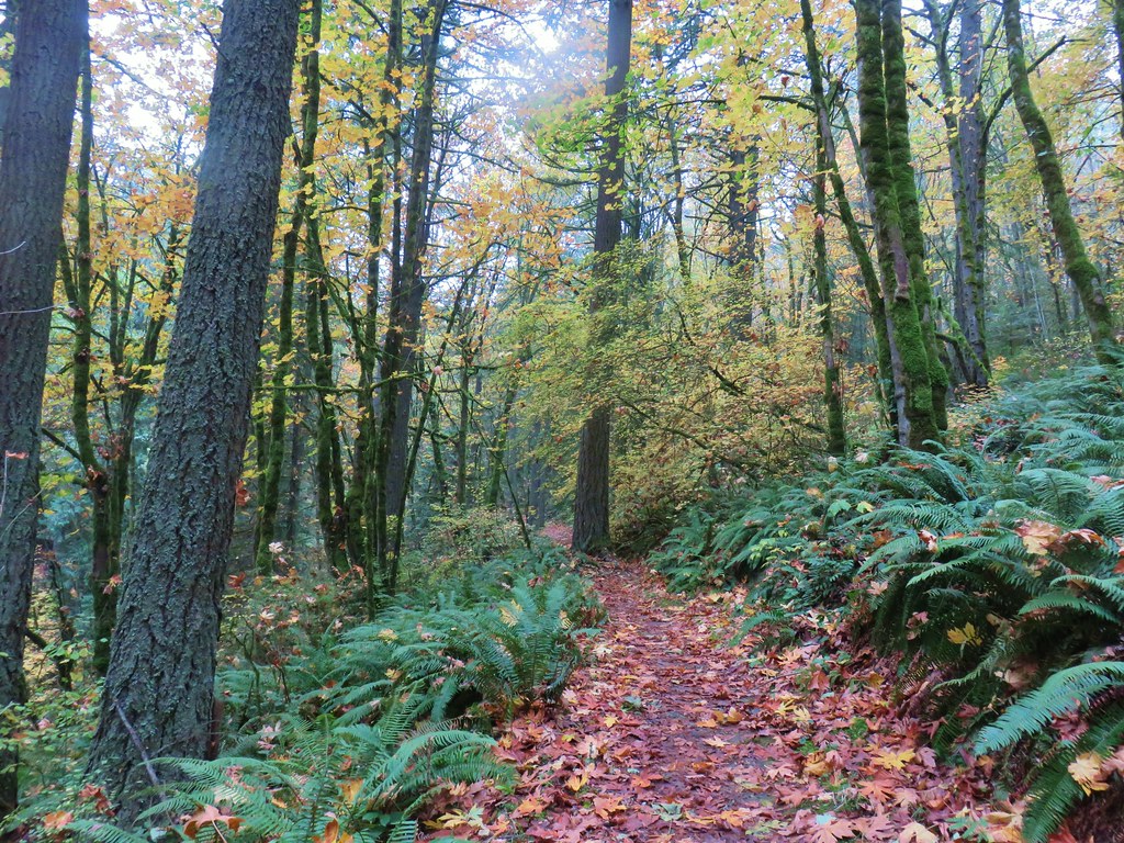
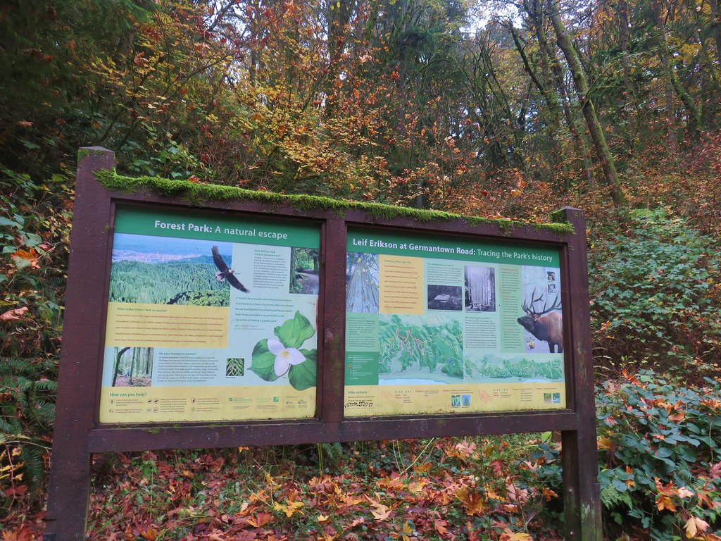
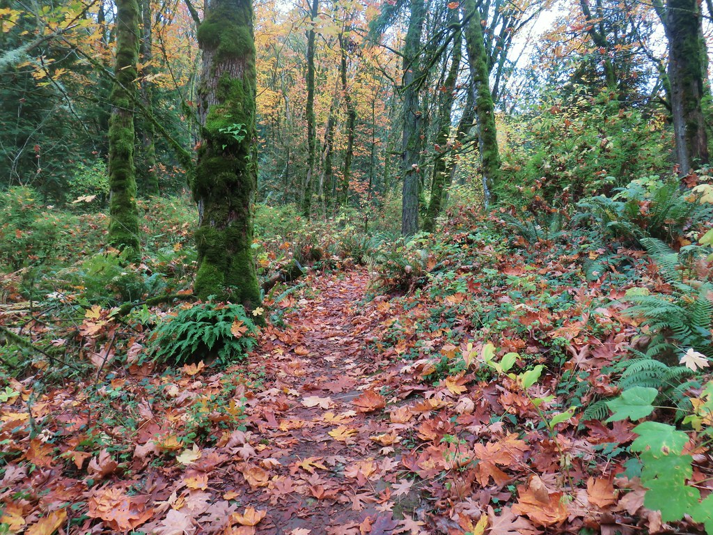
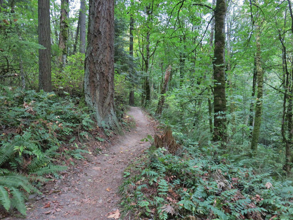
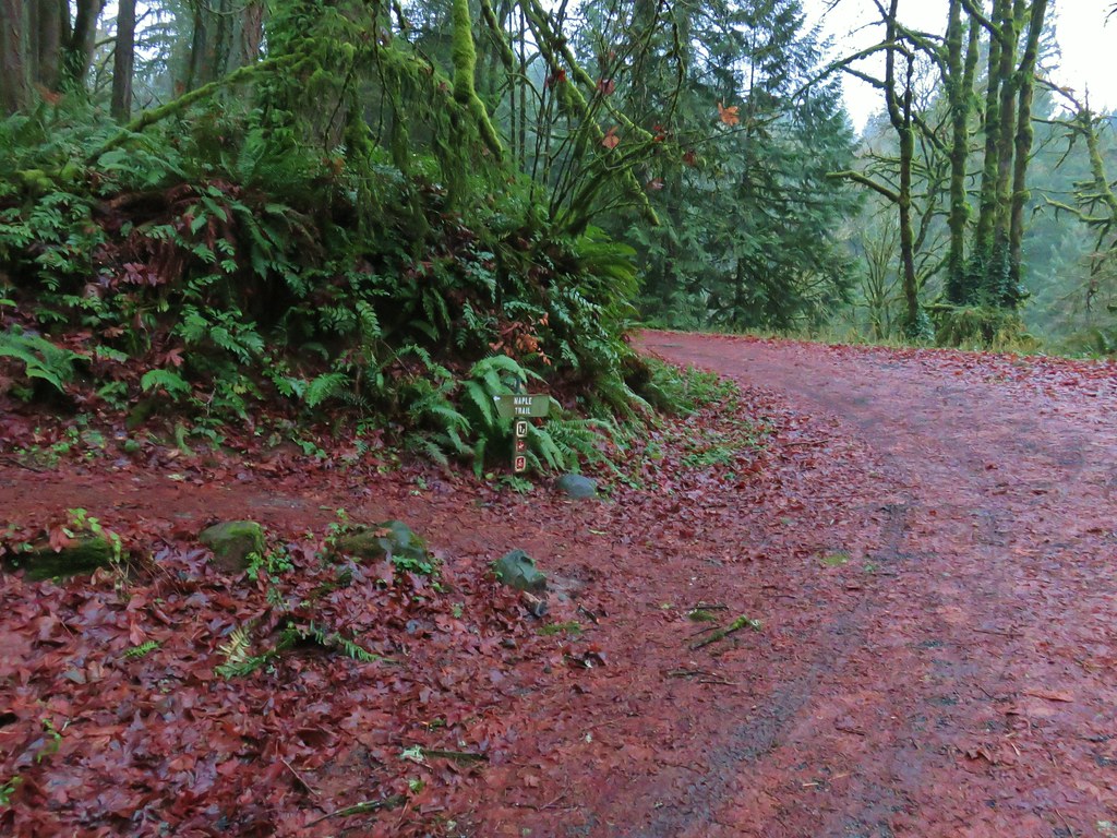
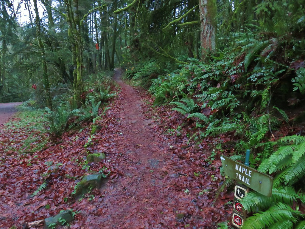
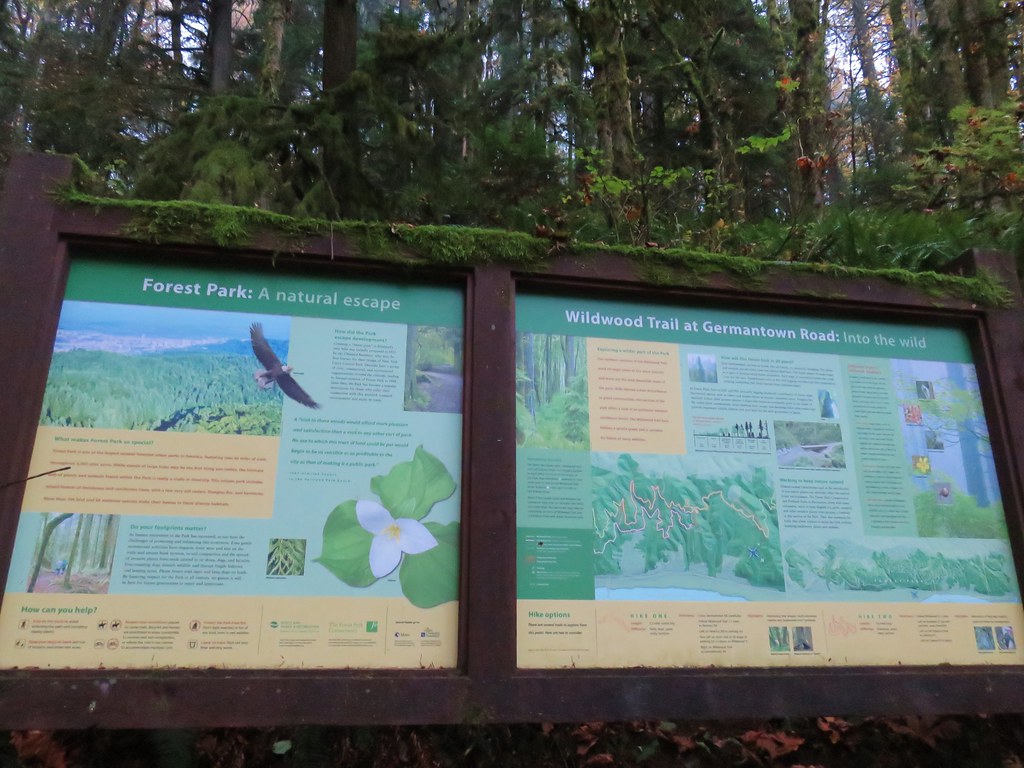
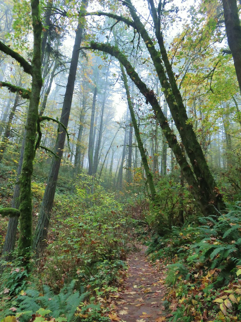
We had hiked in the 5200-acre Forest Park on five previous occasions with each hike including part of the approximately 30-mile Wildwood National Recreation Trail. The trail begins in Washington Park’s Hoyt Arboretum (post) and ends at Newberry Road to the NW. Our previous outings had covered all but approximately 3.3-miles of the Wildwood Trail between the arboretum and Germantown Road (post). A 2022 visit to the Pittock Mansion via the Wildwood Trail (post) connected to the hike from Hoyt Arboretum and to a 2020 loop starting on Leif Erickson Drive from Thurman Street (post). A 2019 loop from the Lower Saltzman Road Trailhead (post) didn’t connect to any of the other hikes leaving a 1.3-mile gap in the Wildwood Trail between the Maple Trail and Nature Trail junctions, and a 2-mile gap between Firelanes 5 and 7A.
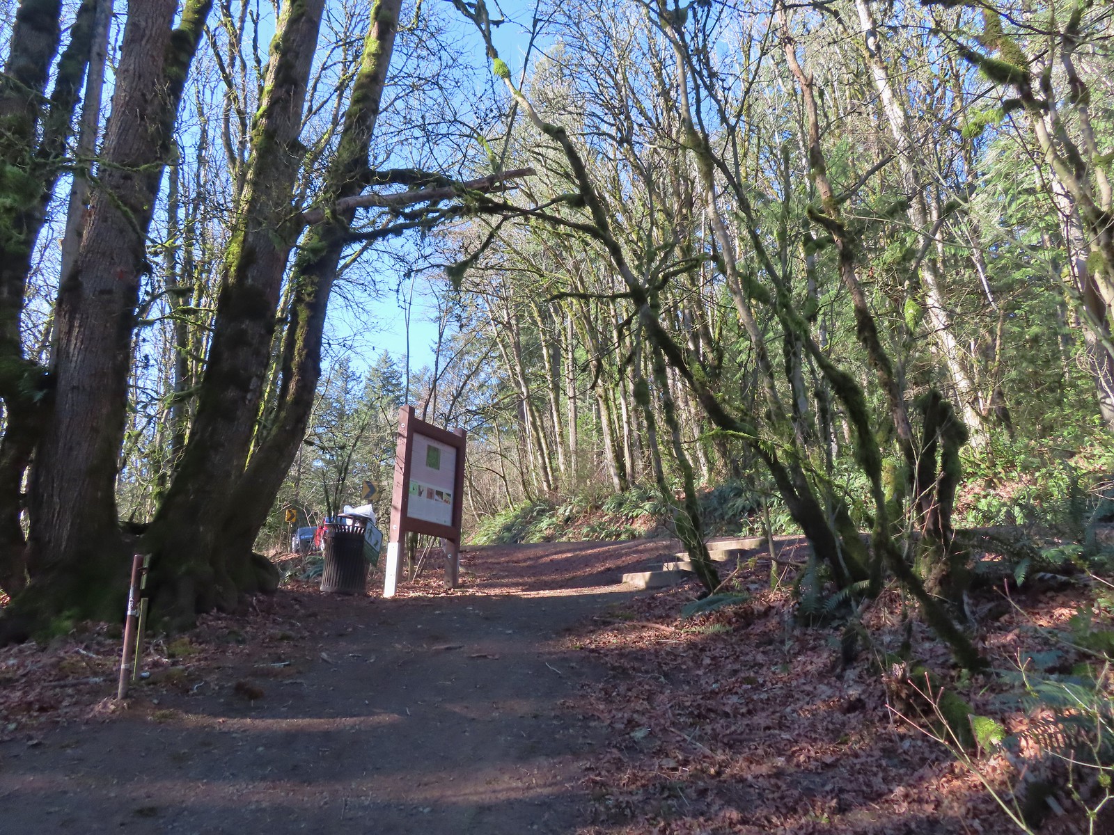
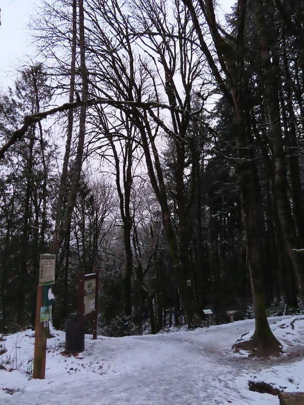
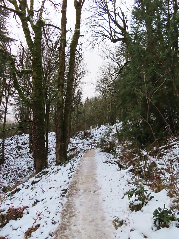
We were missing all of the Wildwood Trail between Germantown Road and Newberry Road though, so that was the goal of today’s hike. We decided to start at the Germantown Road Trailhead as opposed to the Newberry Road Trailhead which was a choice we would regret later. We were the third car at the Germantown Road Trailhead at 7:15am.
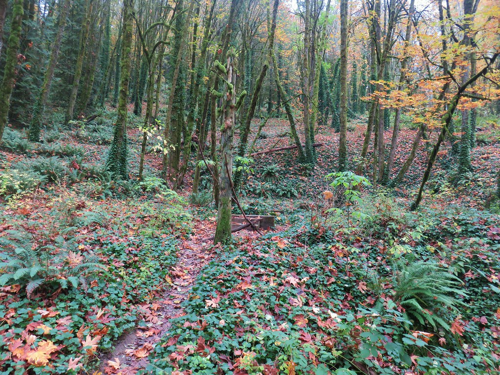
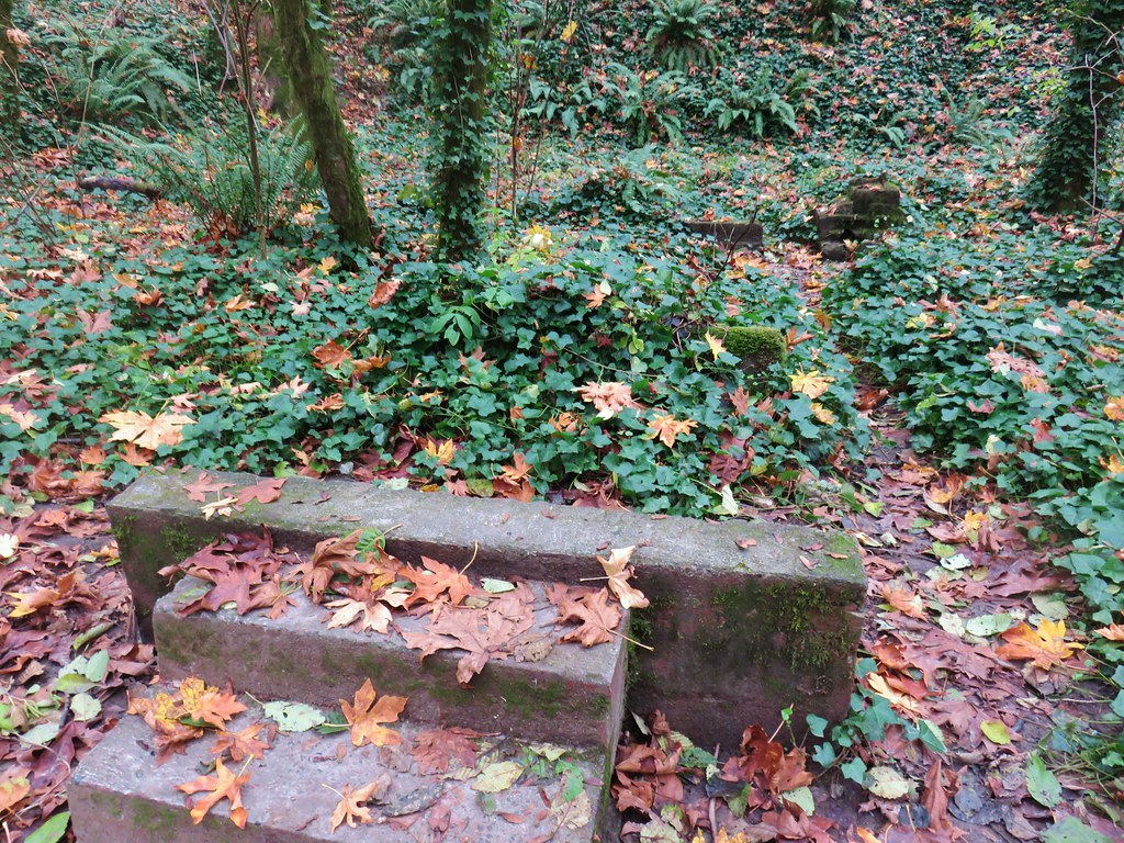
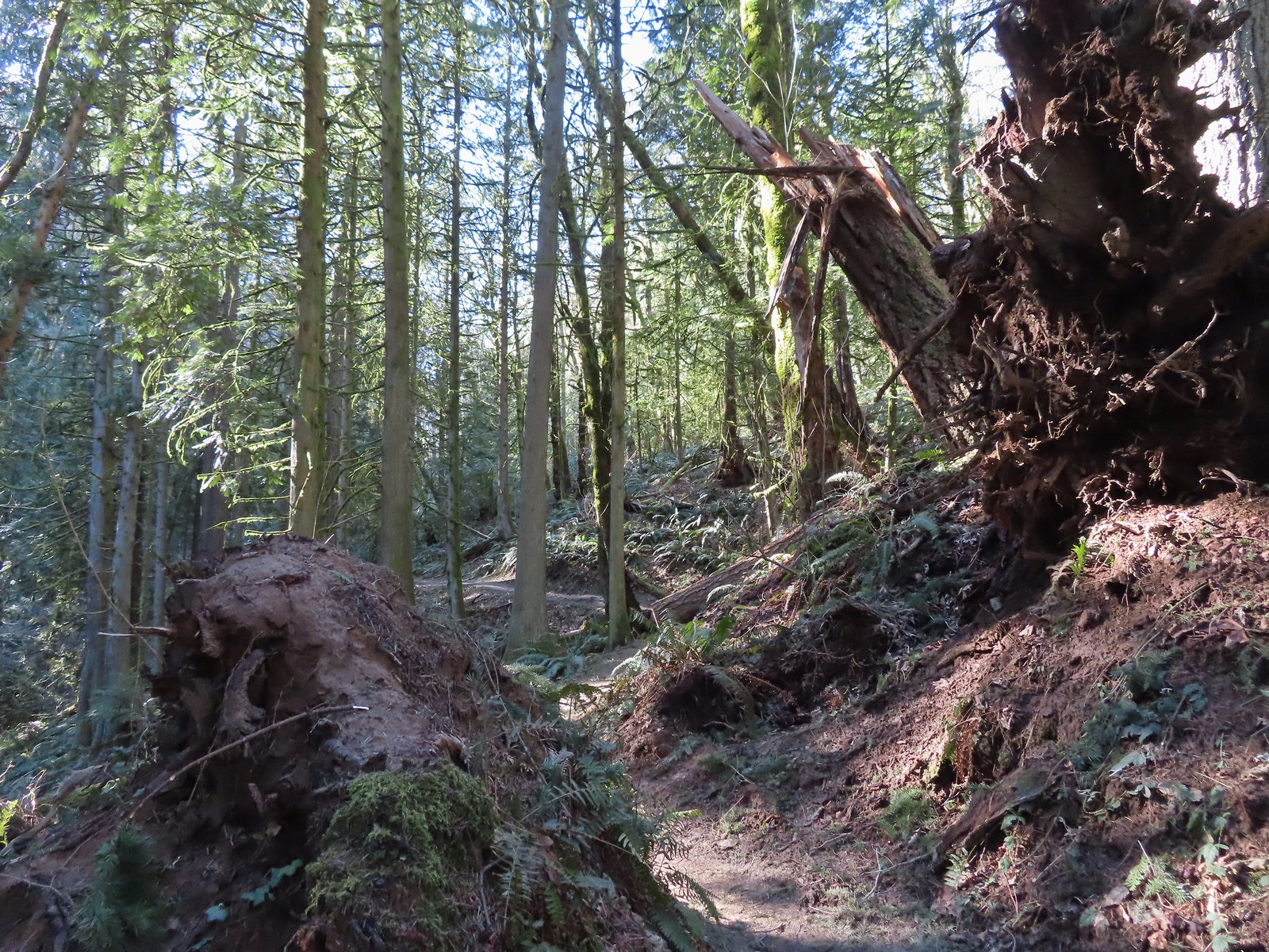
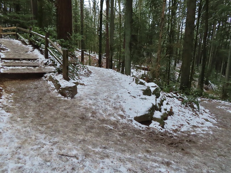
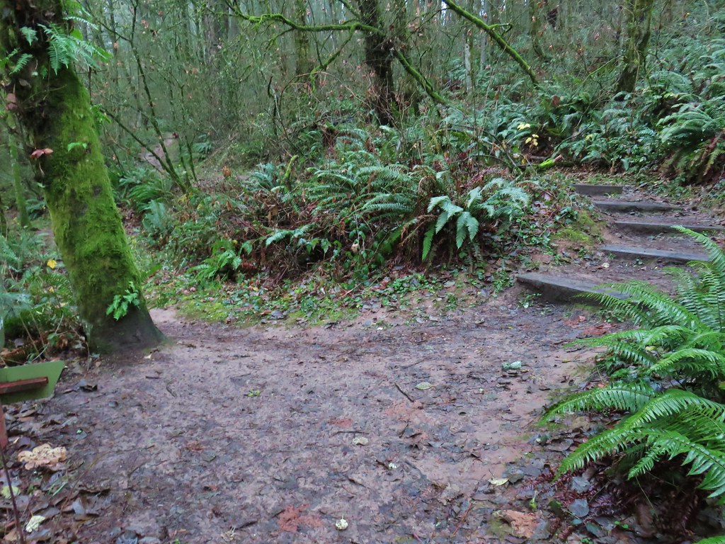
 Some of the damage from the ice storm at the trailhead.
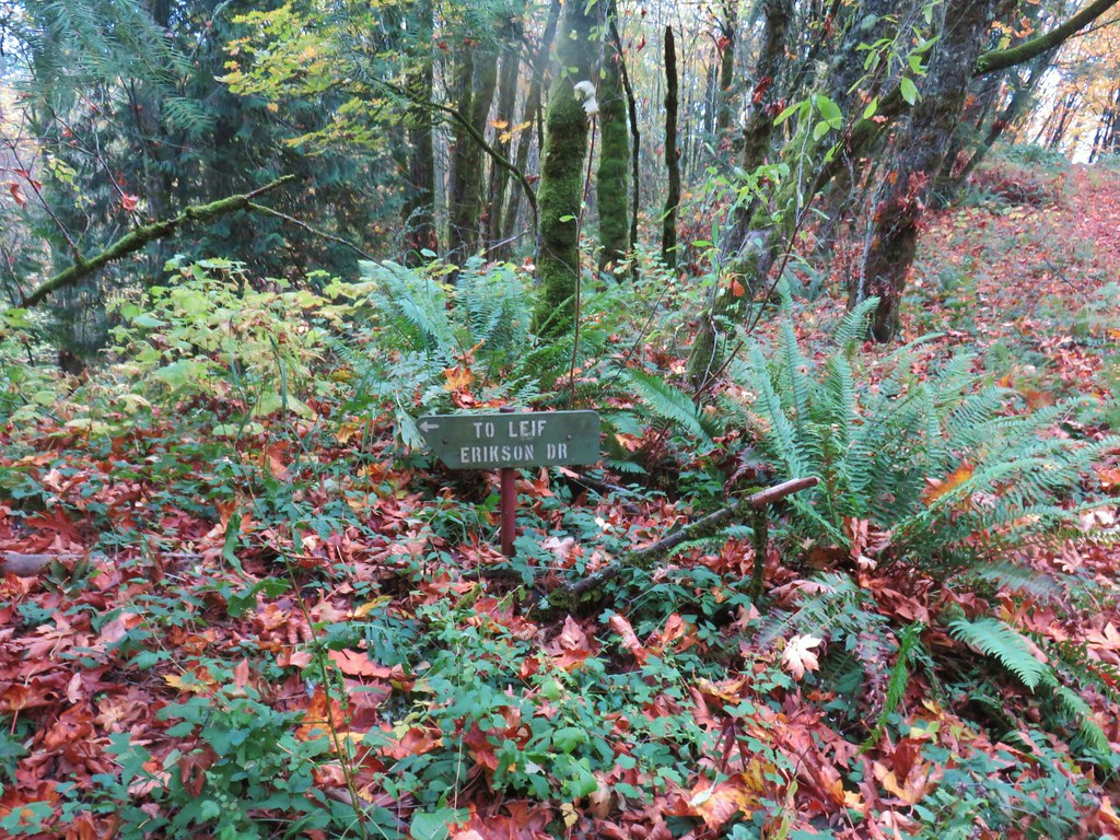
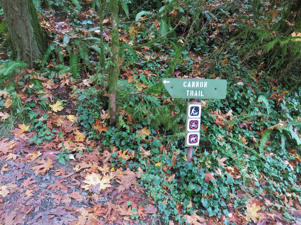
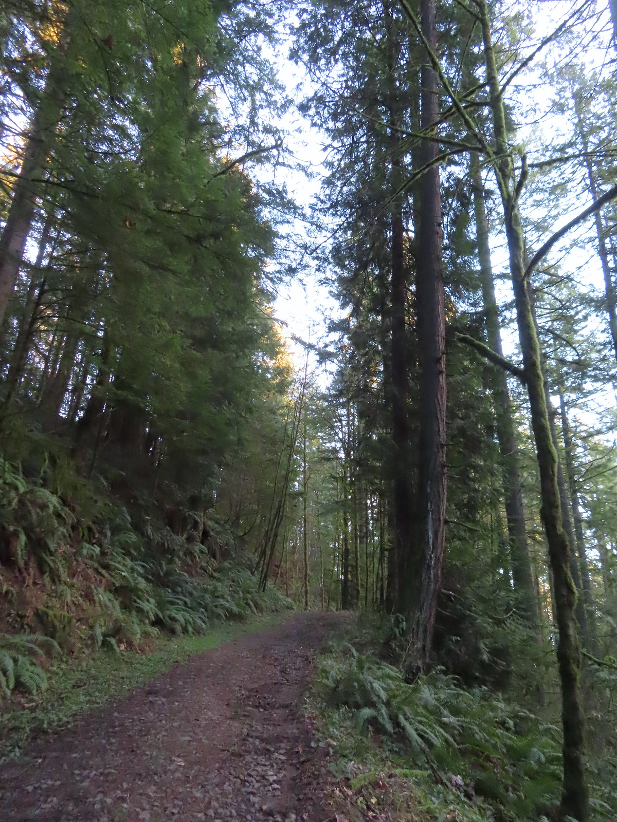
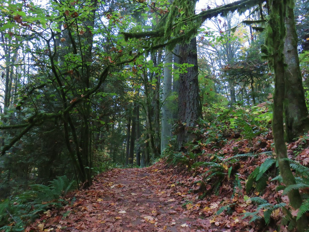
One of the nice things about Forest Park is the numerous loops that are possible off of the Wildwood Trail which allows one to avoid straight out-and-back hikes. There is a price for the loops which is paid in the currency of elevation gain. The route I’d planned for the day included three loops beginning at the trailhead where instead of taking the Wildwood Trail we took the Connector Trail to the Cannon Trail and followed it downhill to the Leif Erickson Drive North Trailhead.
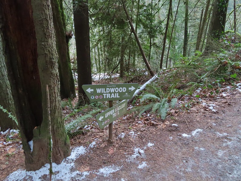
 Sign for the Connector Trail at the trailhead.
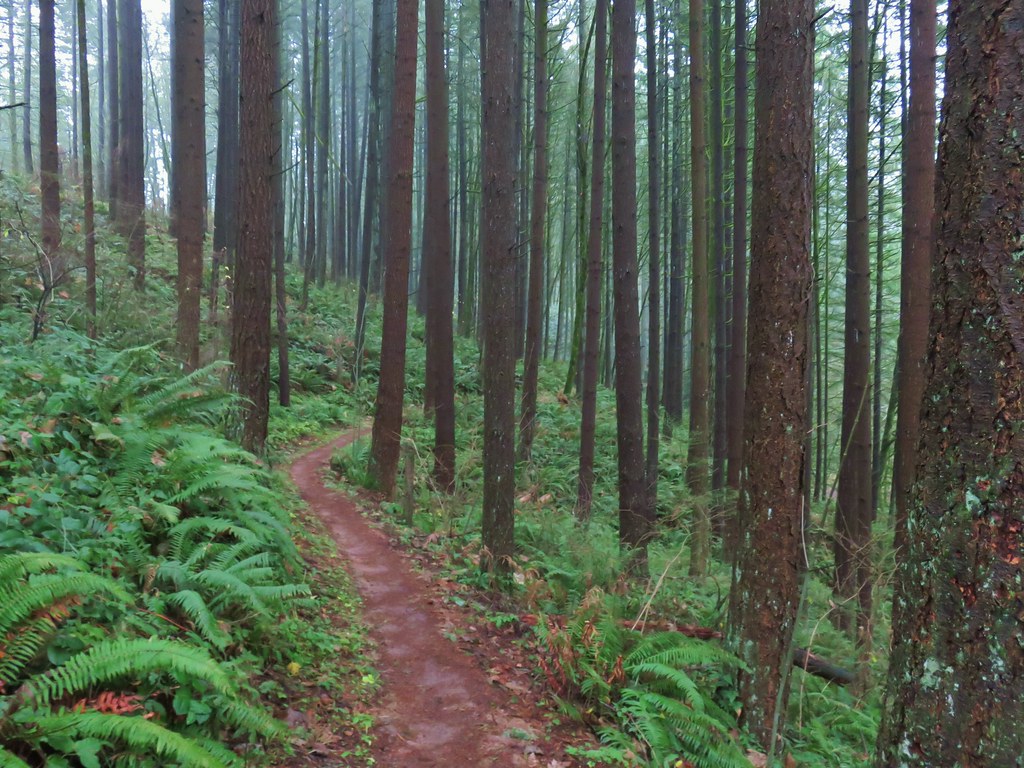
 Cannon Trail
From the Leif Erickson Trailhead we crossed Germantown Road at the gate for Firelane 9 then hiked uphill along the shoulder of Germantown Road just over 100 yards to Firelane 10.
 Firelane 9 across from the trailhead.
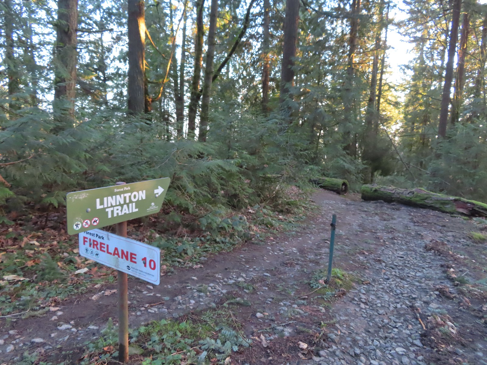
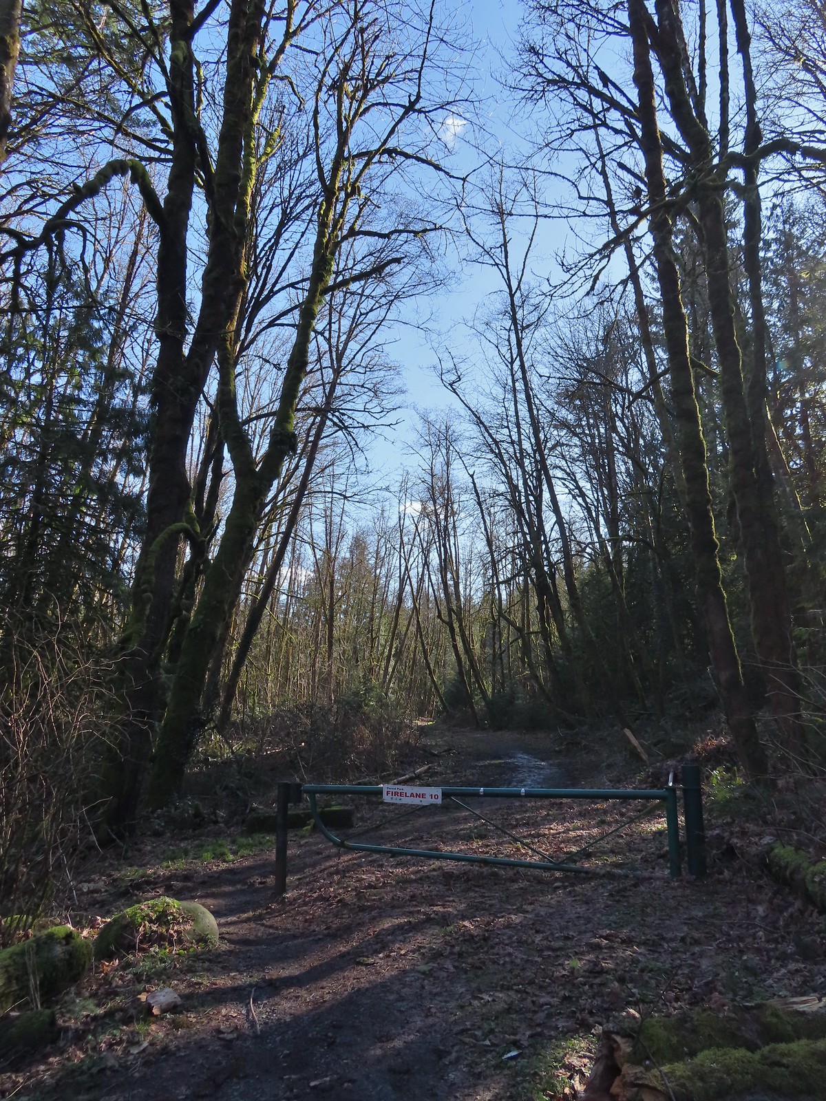
 Firelane 10
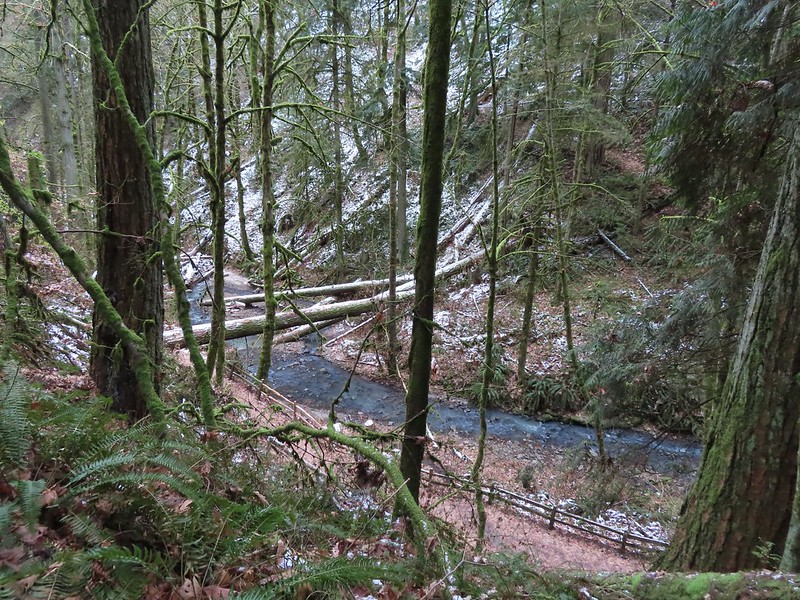
We followed Firelane 10 downhill to a stream crossing then climbed to a junction with the Linnton Trail.

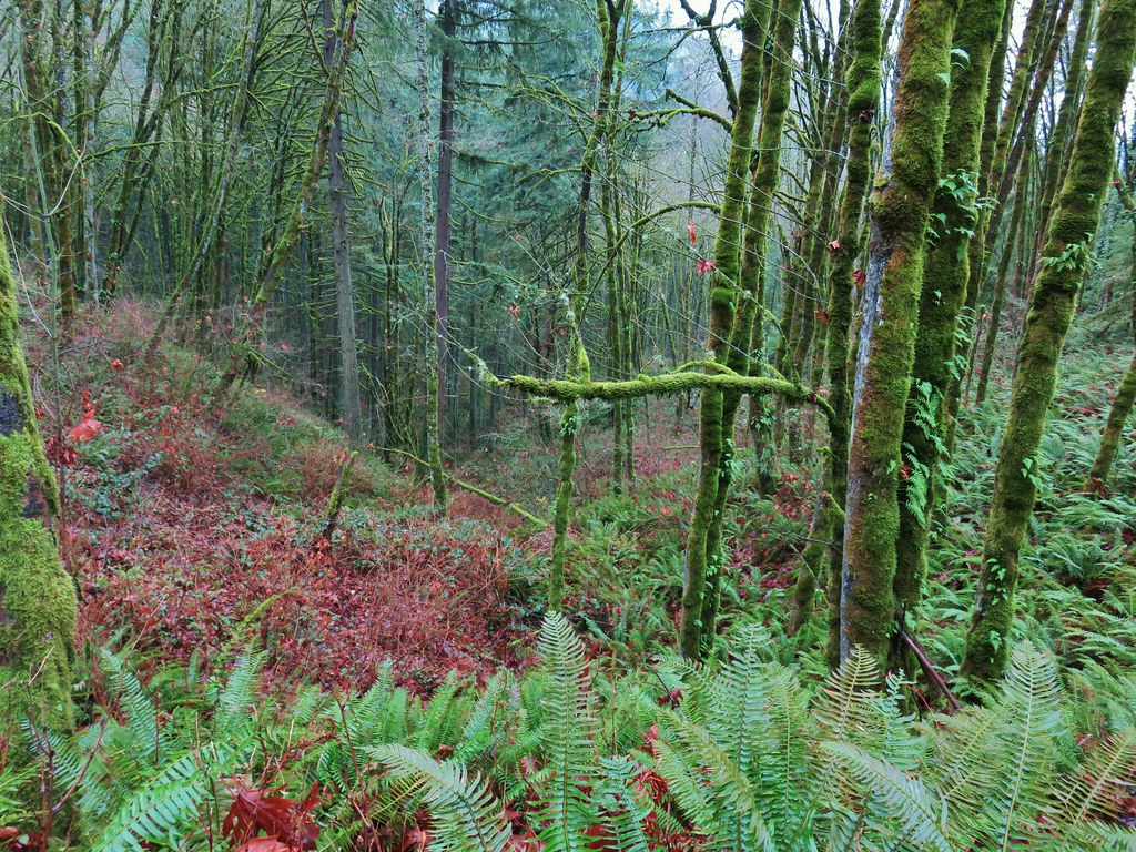
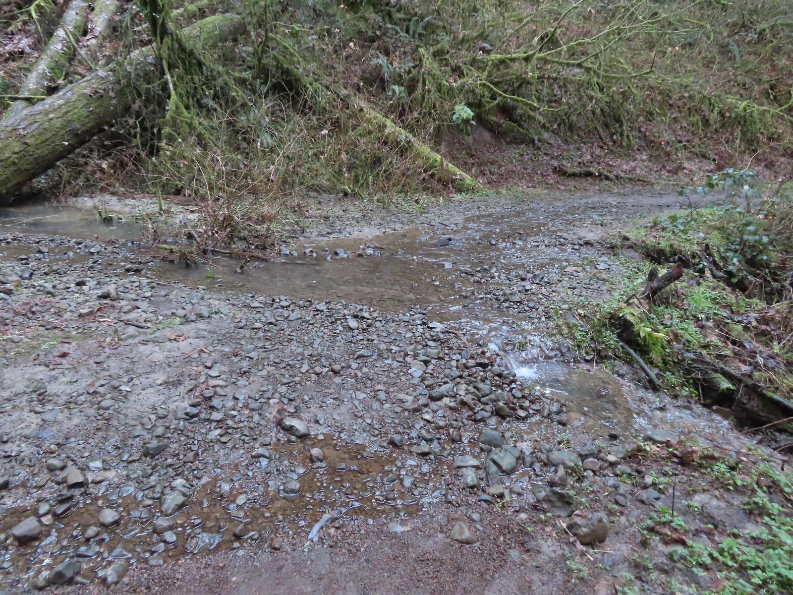 Unsurprisingly the recent weather had most of the stream beds flowing which we hadn’t witnessed on our other visits.
 Heading up to the junction.
 The Linnton Trail heads down a ridge to the Linnton Trailhead.
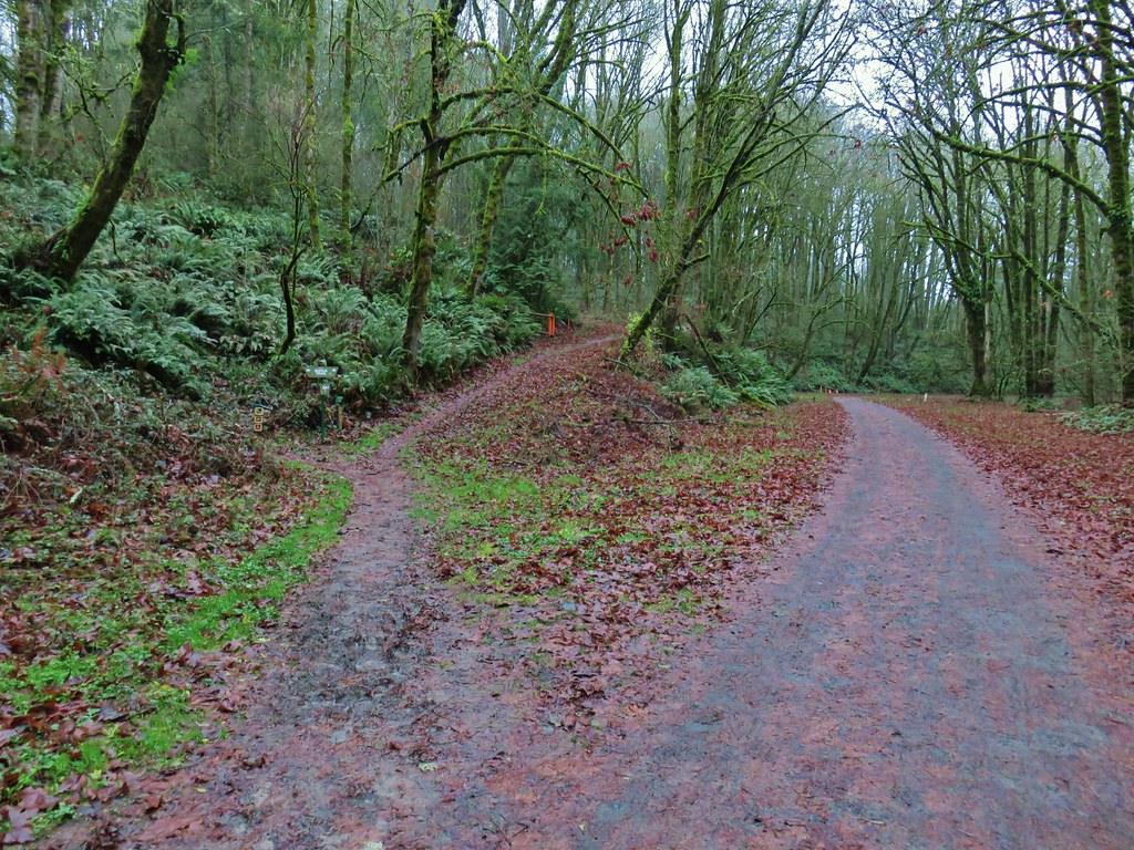
We turned left at the junction sticking to Firelane 10 which climbed back up to the Wildwood Trail. The 1.7-mile detour from the Germantown Trailhead came with an elevation loss of 375′ and gain of 550′.

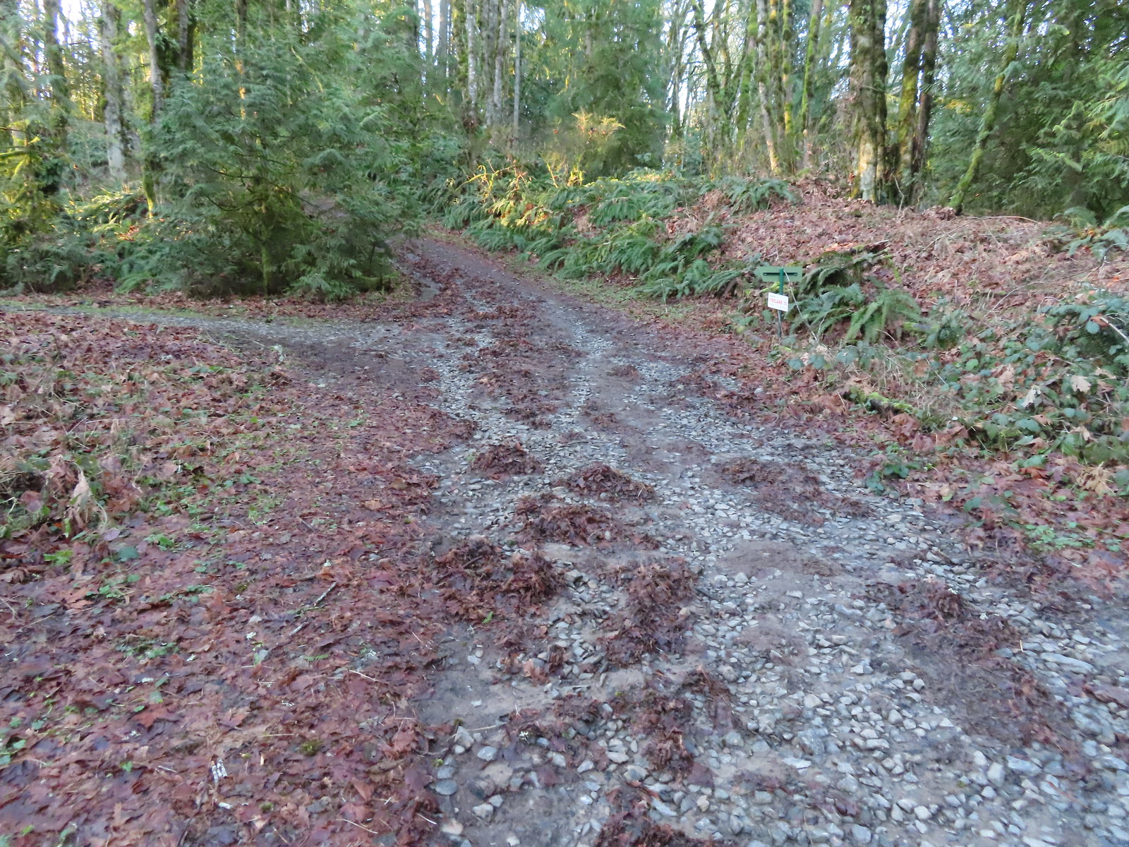 We passed the Keyser Trail which rejoins Firelane 10 just a quarter mile ahead. We stuck to Firelane 10 which climbed very steeply in that quarter mile leading us to believe the Keyser Trail may have been a little more gradual as the map showed it bowing away from Firelane 10 before rejoining.
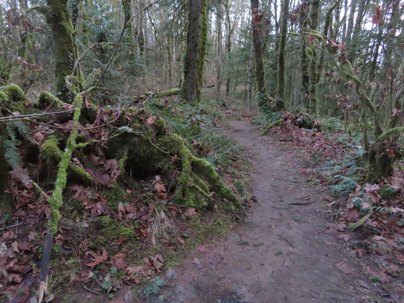
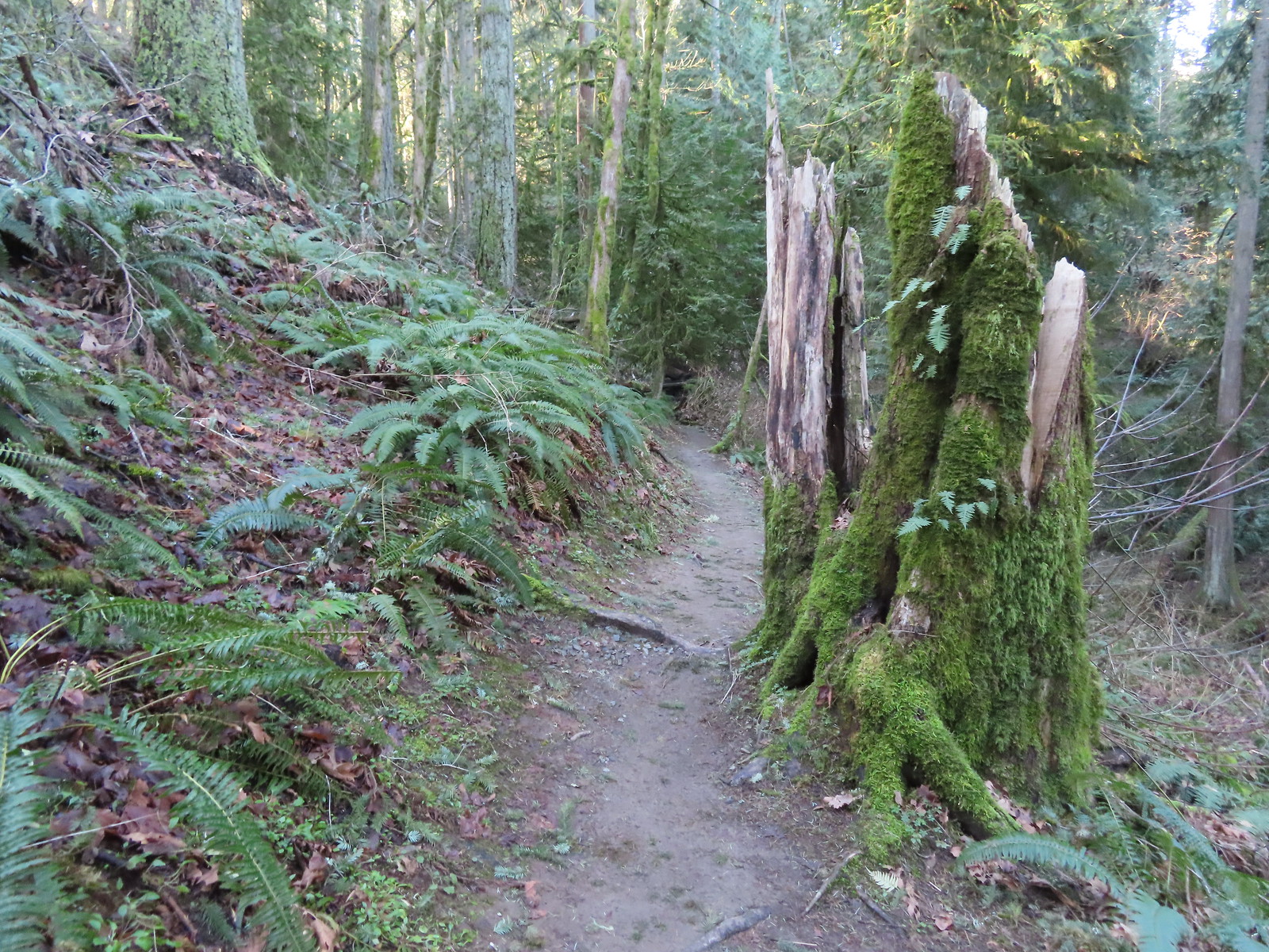
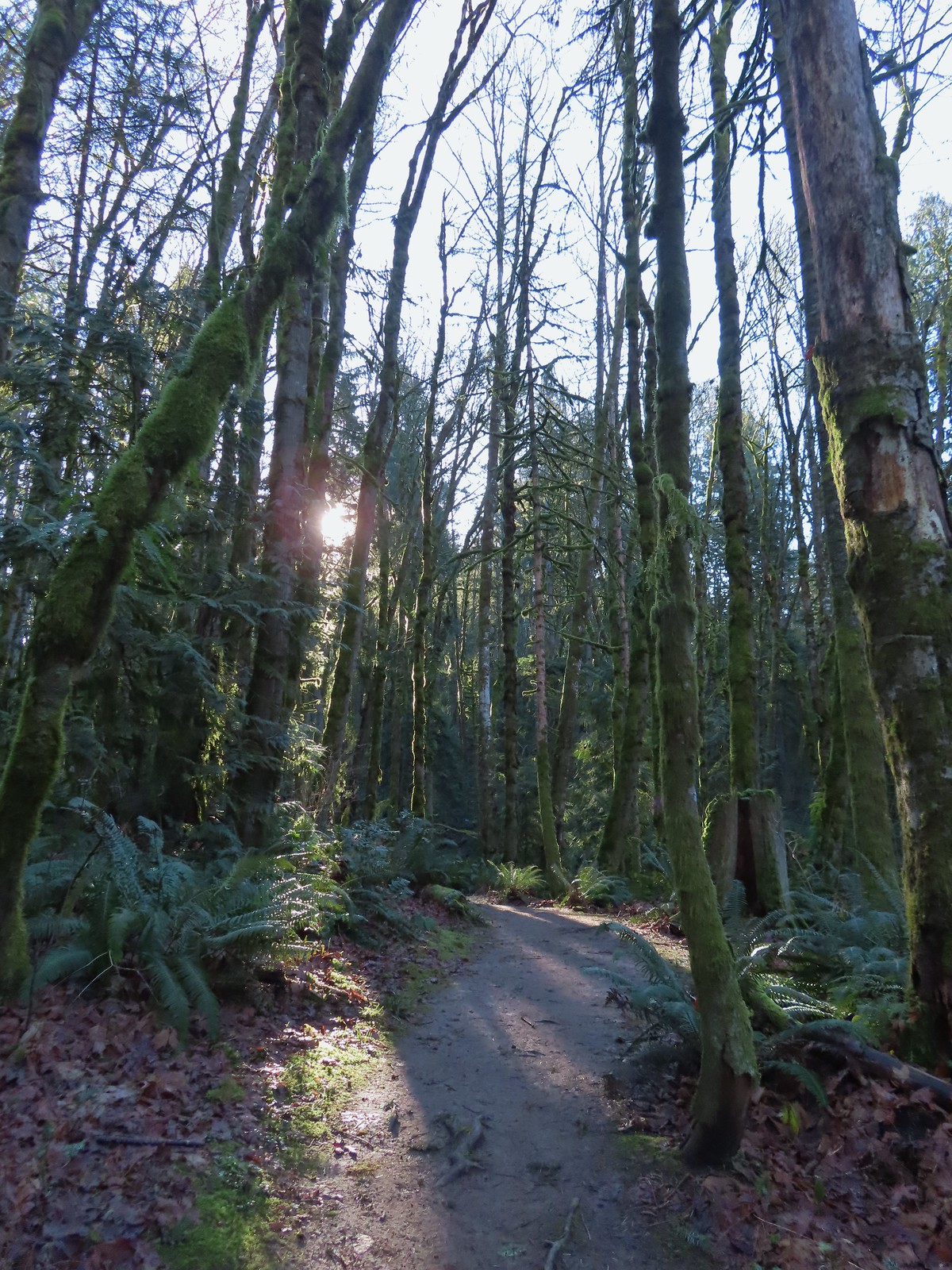
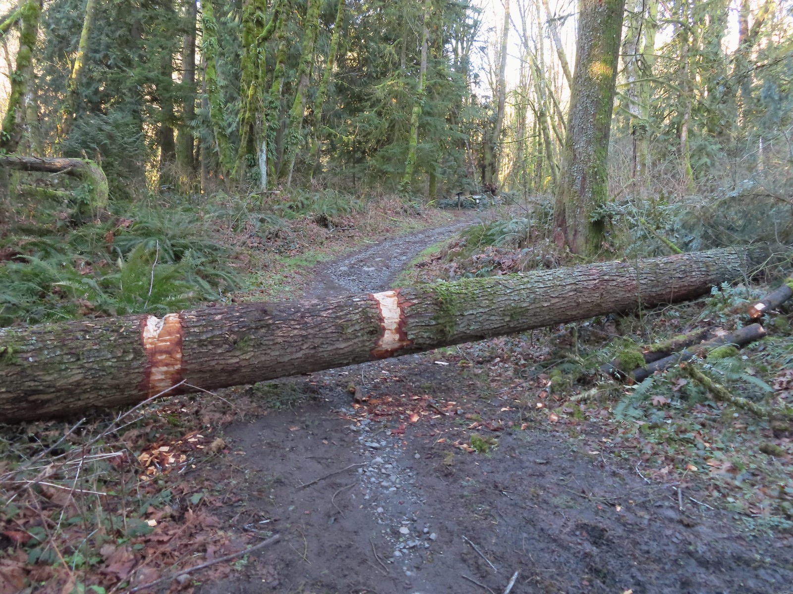 The first of only three trees that were still down over the trails we hiked. In the distance is a Wildwood Trail sign at the junction.
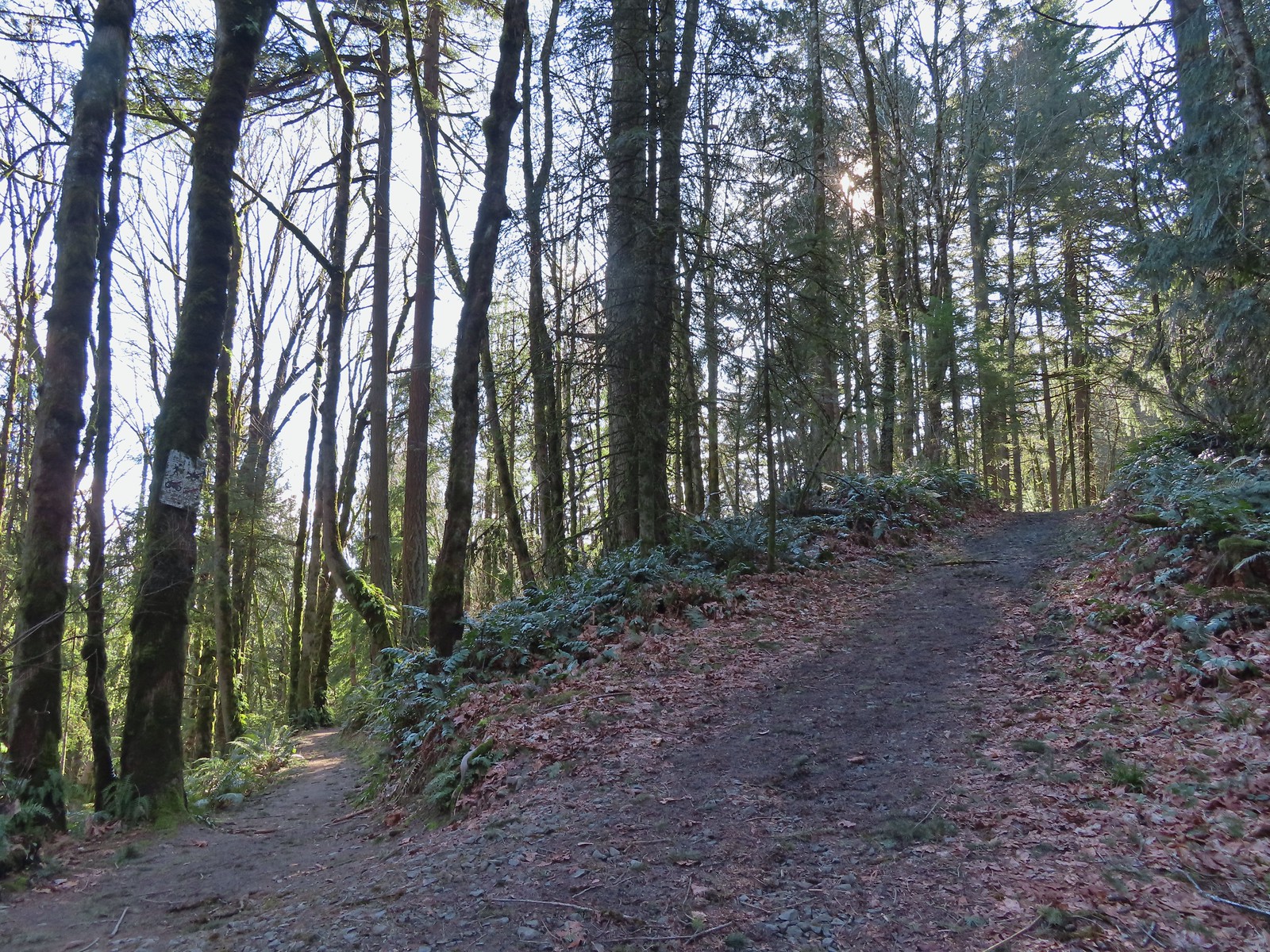
We turned right onto the Wildwood Trail and followed it for just over a mile to the BPA Road.

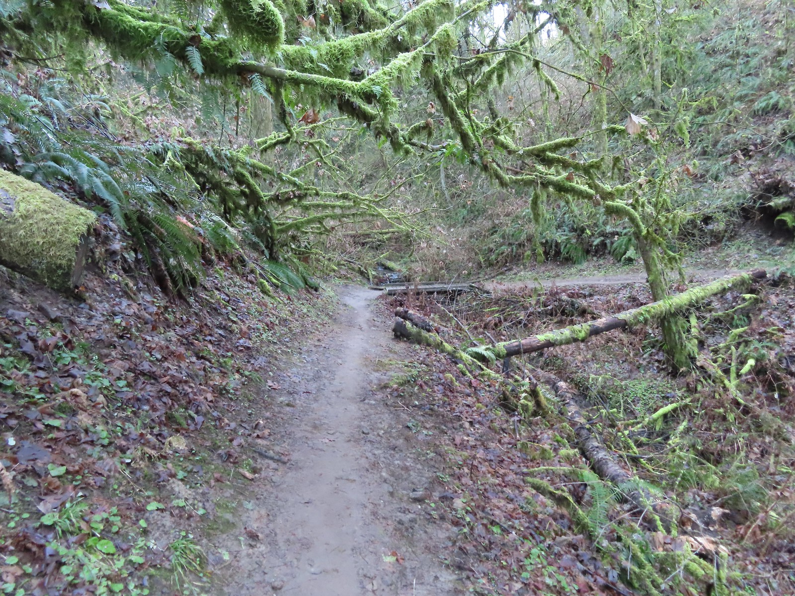
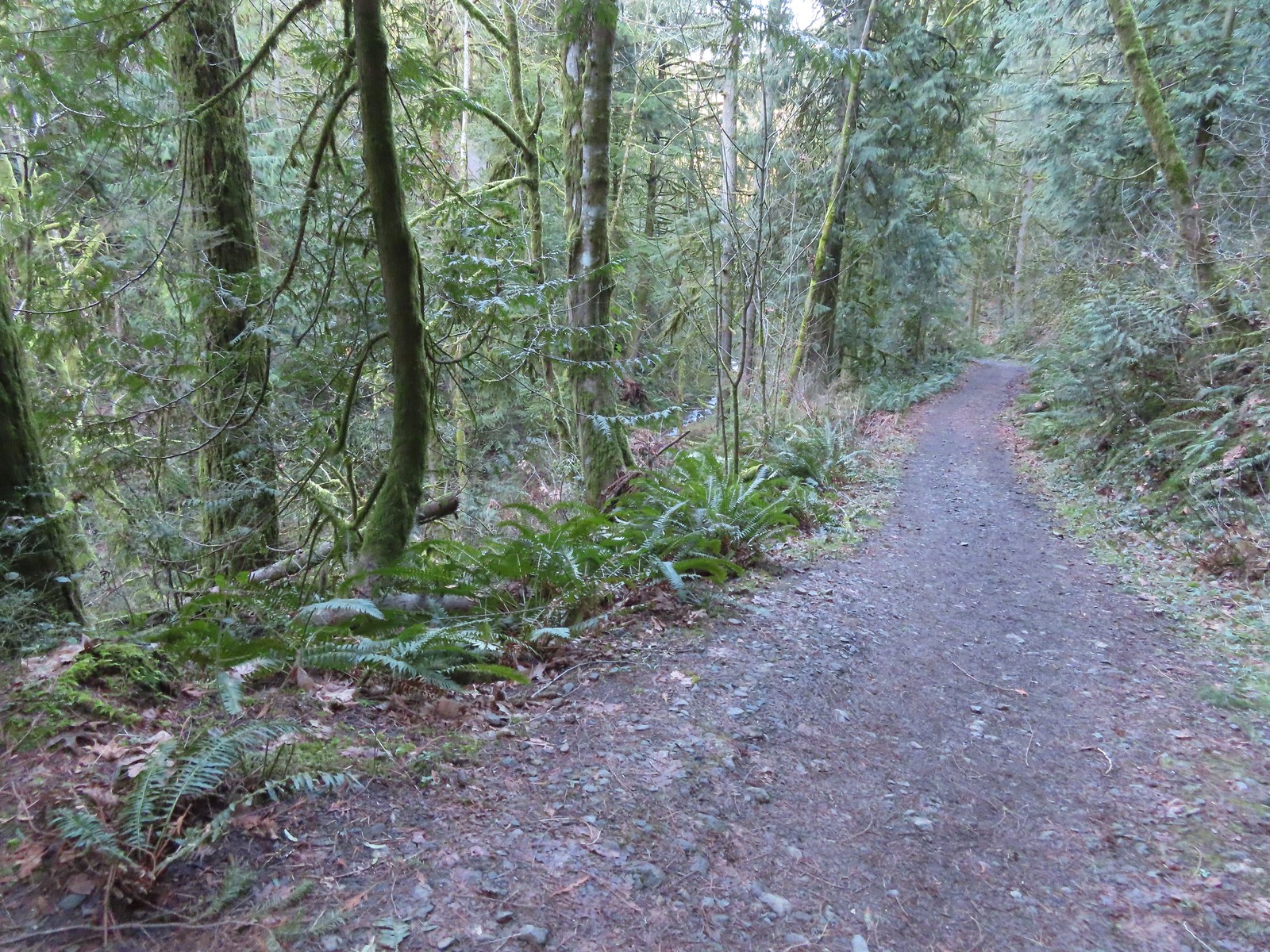
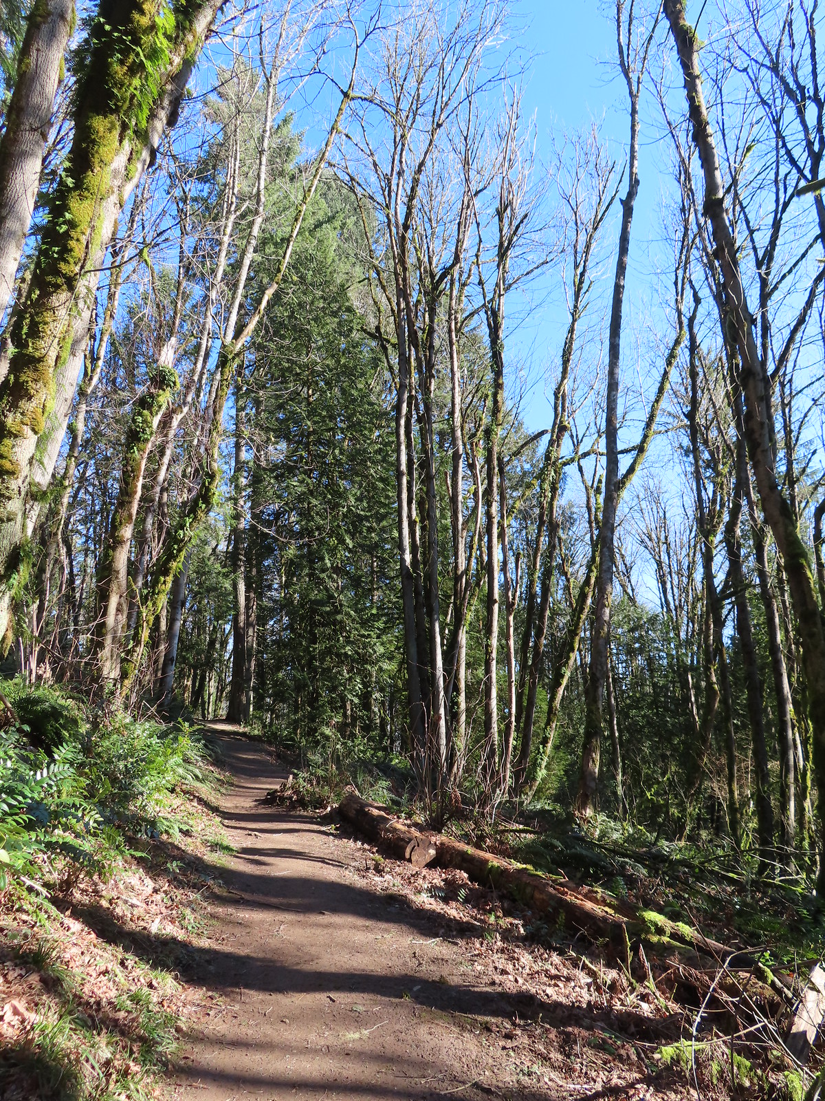
 The trail repeatedly bows into the hillside to cross creek beds.
 We passed three pointers for Newton Road and then crossed Newton Road along this section of the Wildwood Trail. We would be using Newton Road to make another small loop on our way back.
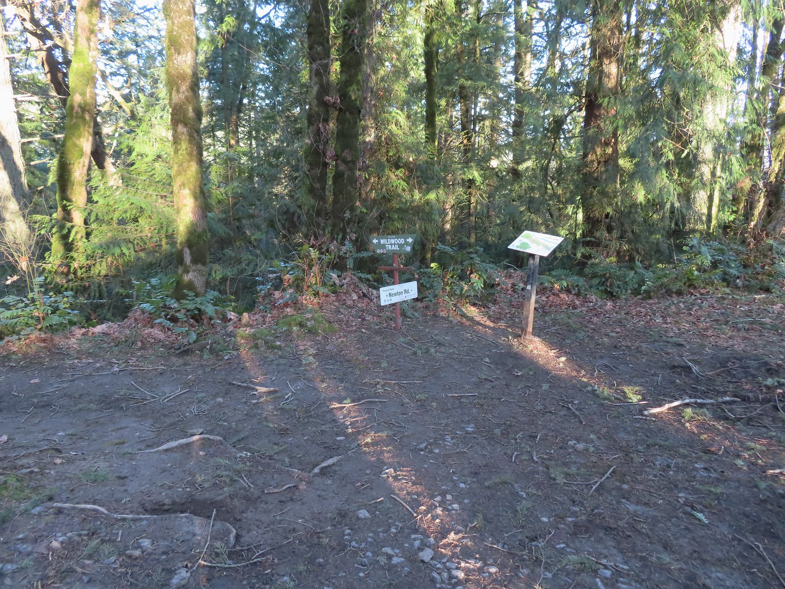 The Wildwood Trail crossing Newton Road.
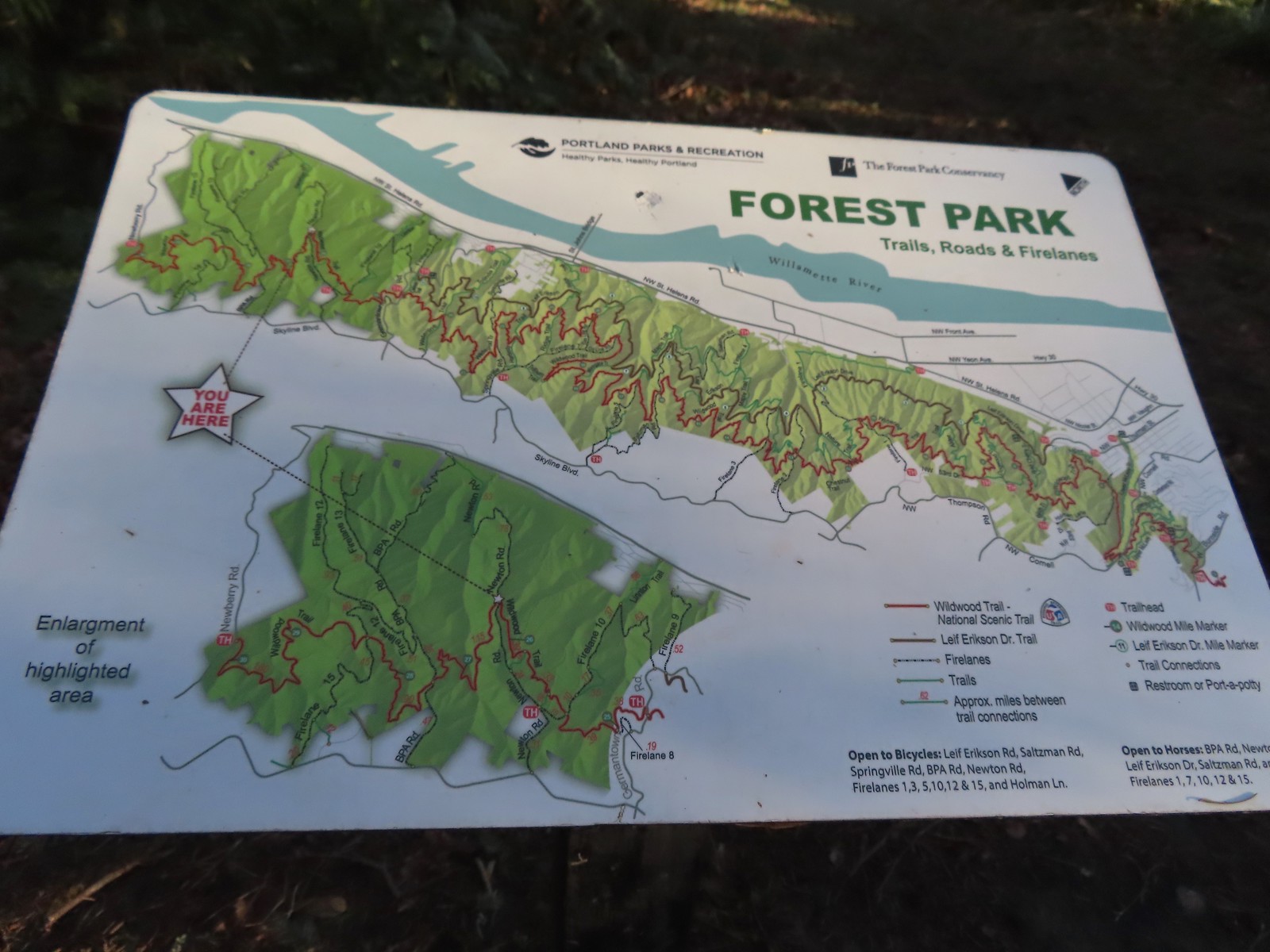 Not all of the junctions have maps, but most of the major ones do to help keep hikers and runners on track (or to give them more ideas).
 Climbing up to the BPA Road crossing.
 The BPA Road heading uphill with the Wildwood Trail we’d just come up to the right.
We turned off of the Wildwood Trail here and took a right onto the BPA Road. After a brief climb the BPA Road dropped to a saddle where Firelane 12 joined from the left at the Fix-the-Hole plaque.
 Firelane 12 on the left.
 The middle of three plaques commemorating the 1999 acquisition of 73-acres that was in danger of being developed.
We turned left onto Firelane 12 and descended for half a mile to Firelane 15 near another unnamed creek.
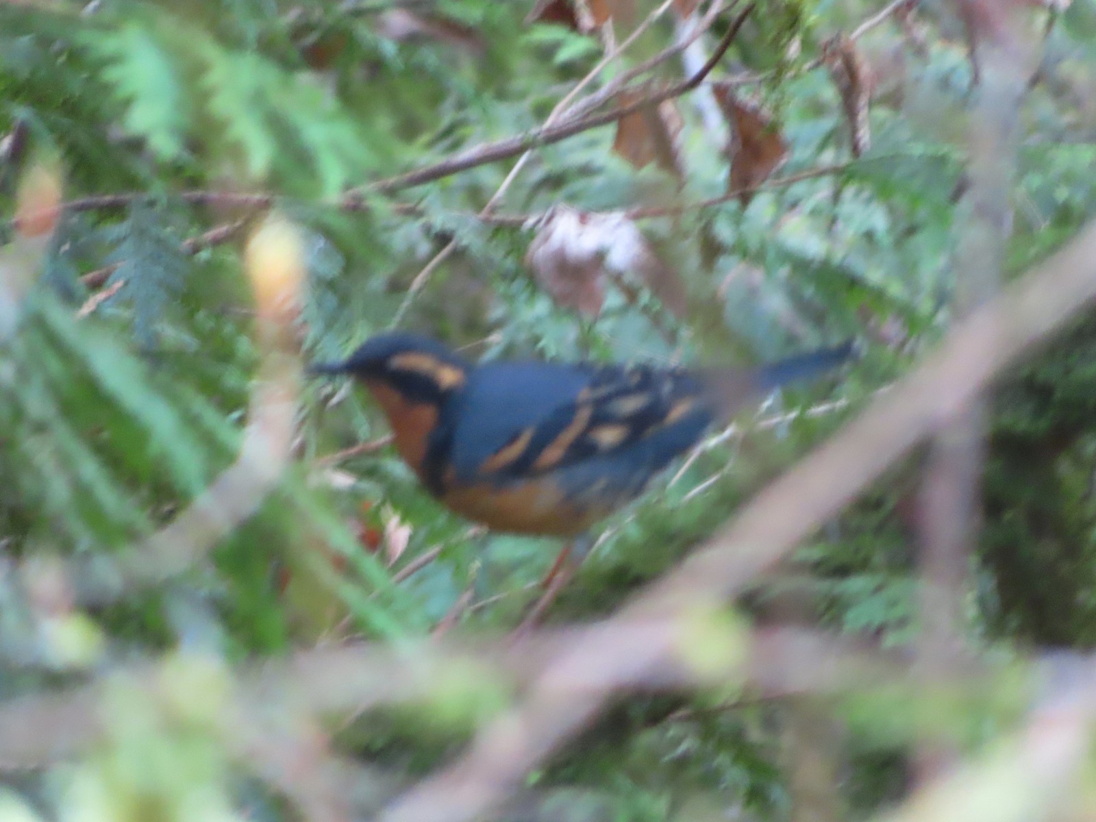 Once again varied thrush 1 – Deryl 0. If I was keeping score, it would probably be something like 179-10.
 Firelane 15 on the left ahead.
We turned left onto Firelane 15 and climbed over 230′ in 0.4-miles to the Wildwood Trail.
 The small creek along Firelane 15.
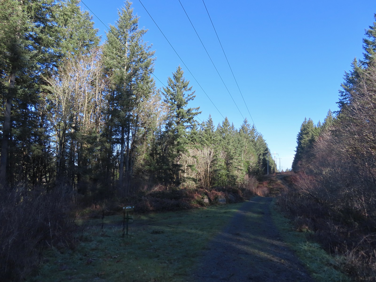
 Blue sky and powerlines above Firelane 15.
 Wildwood Trail crossing Firelane 15.
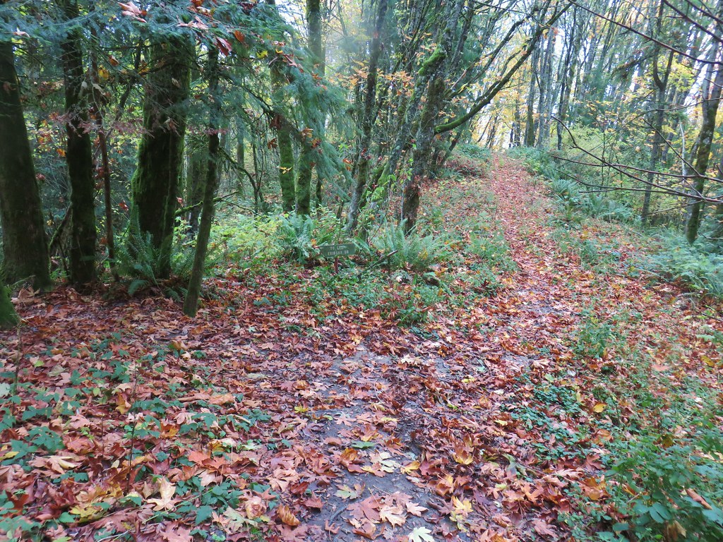
We turned right onto the Wildwood Trail once again and followed it nearly 1.8-miles to its end at Newberry Road. There were no firelanes or side trails along this final stretch of the Wildwood Trail.
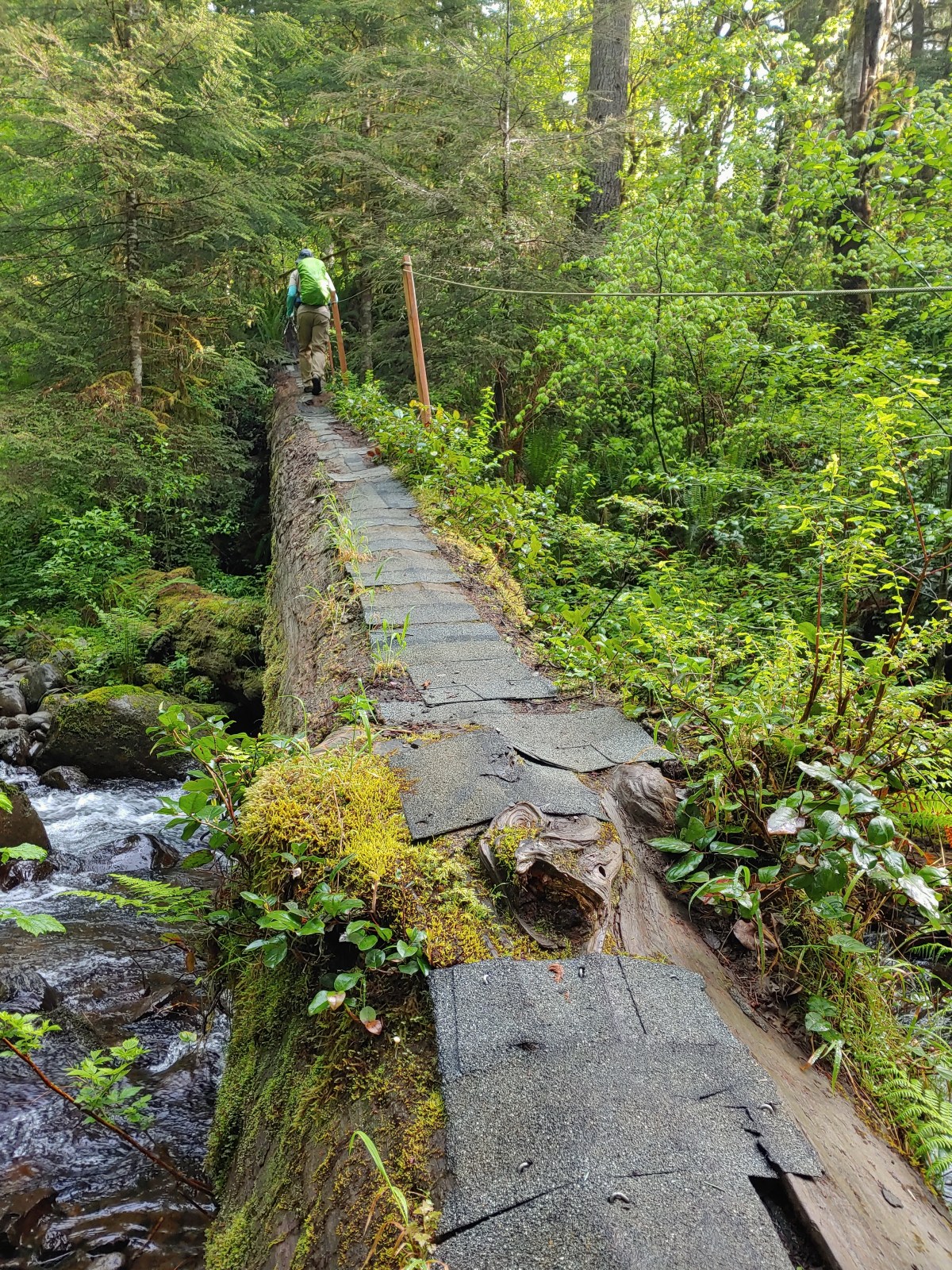
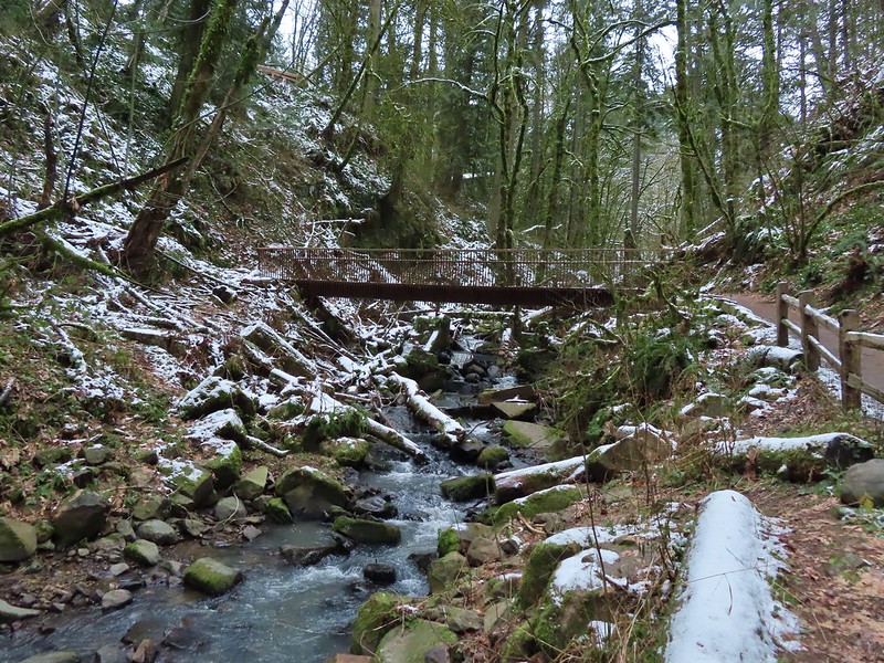
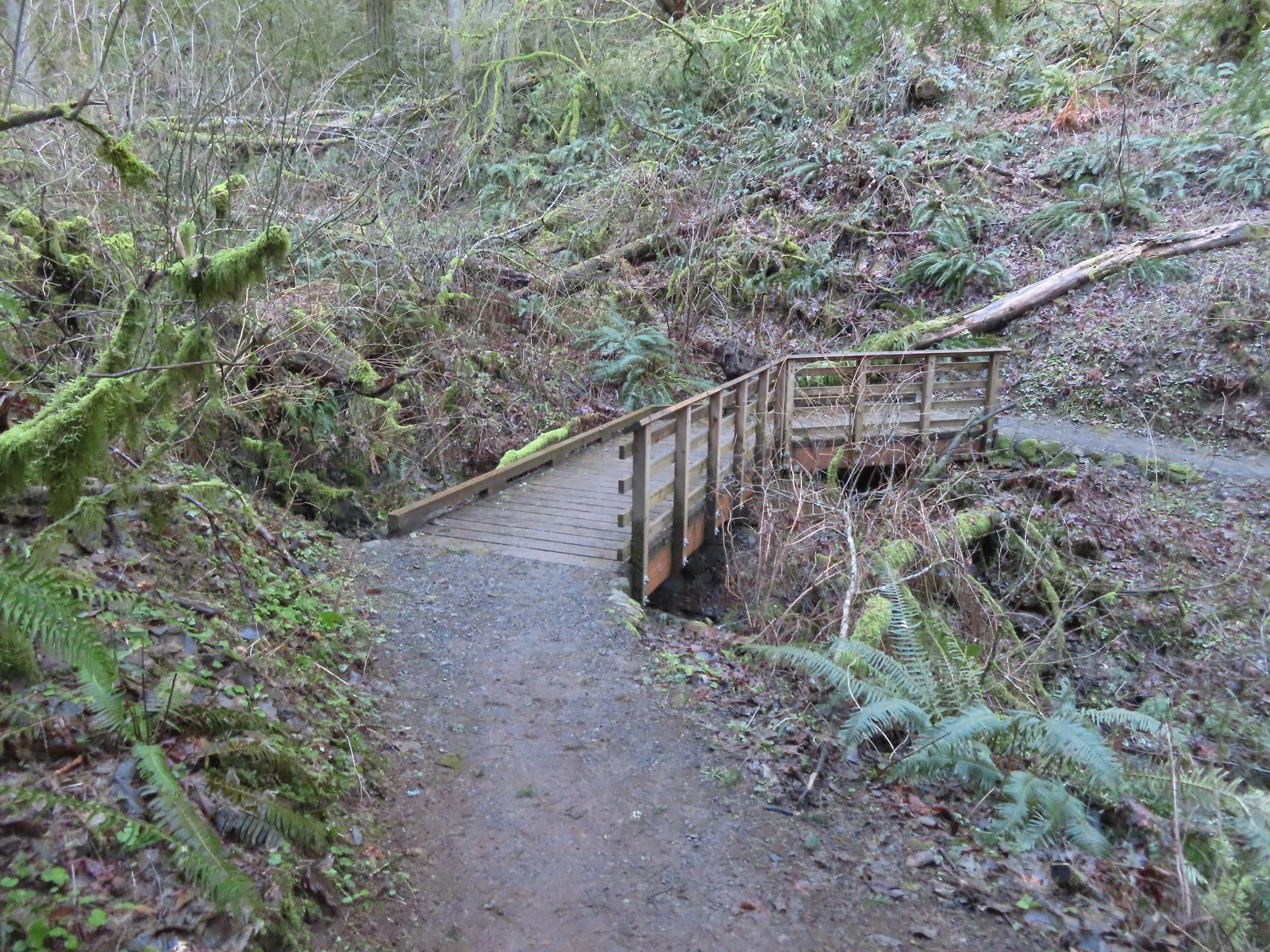 The fanciest bridge we crossed all day.
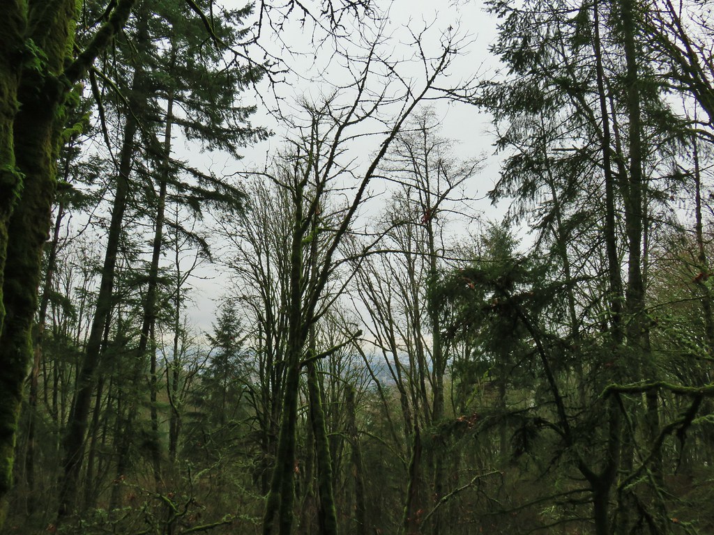
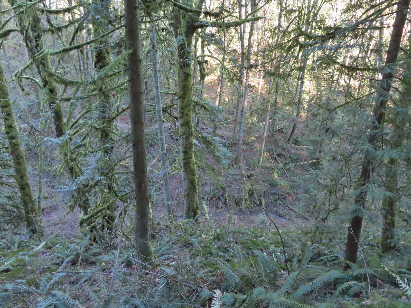 Why is the trail way down there when the road is up above on the far hillside?
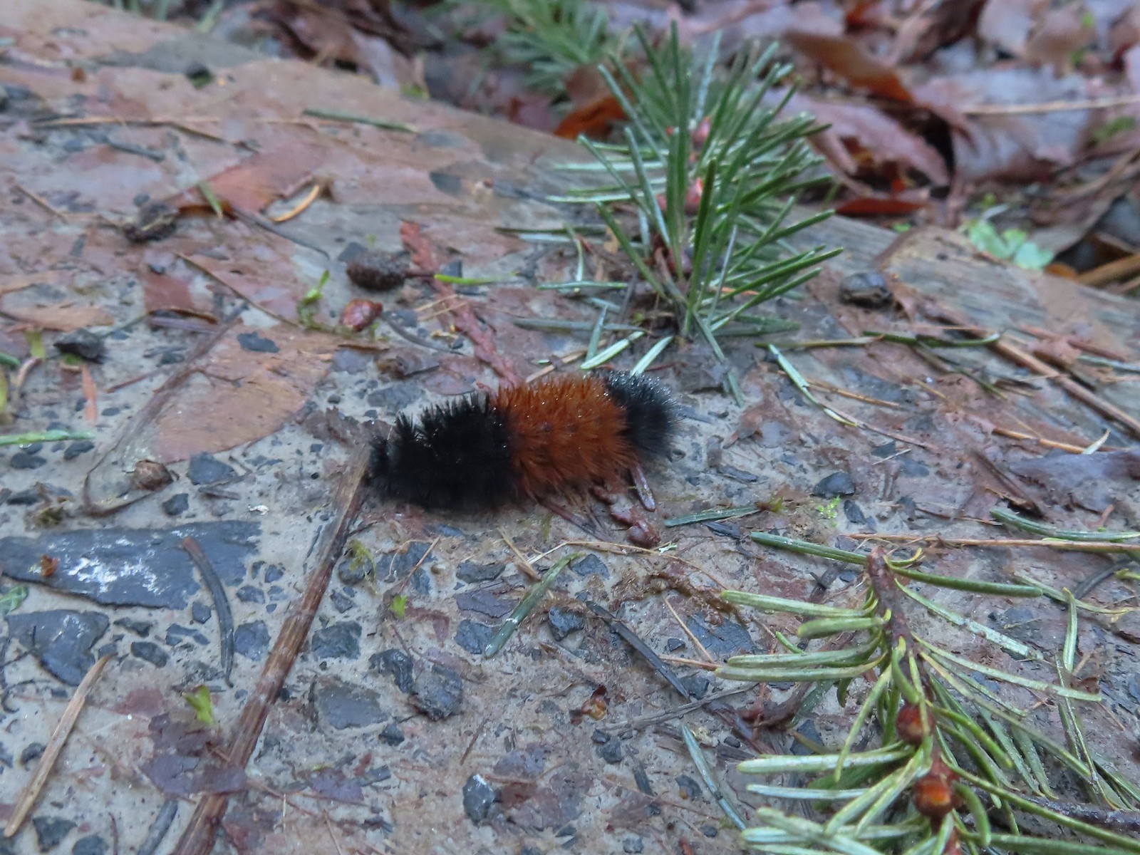 Woolly bear
 Climbing to Newberry Road just to say we made it to the end of the Wildwood Trail.
 Newberry Road Trailhead.
After a brief break at the trailhead we headed back. We stuck to the Wildwood Trail passing both Firelane 15 and the BPA Road. Just under 4-miles from Newberry Road we arrived at Newton Road were we turned right and left the Wildwood Trail.

 Another sub-par bird photo, but it took us quite a while just to spot this woodpecker who was way up in the treetops (and mostly in the shade).

 Crossing Firelane 15.
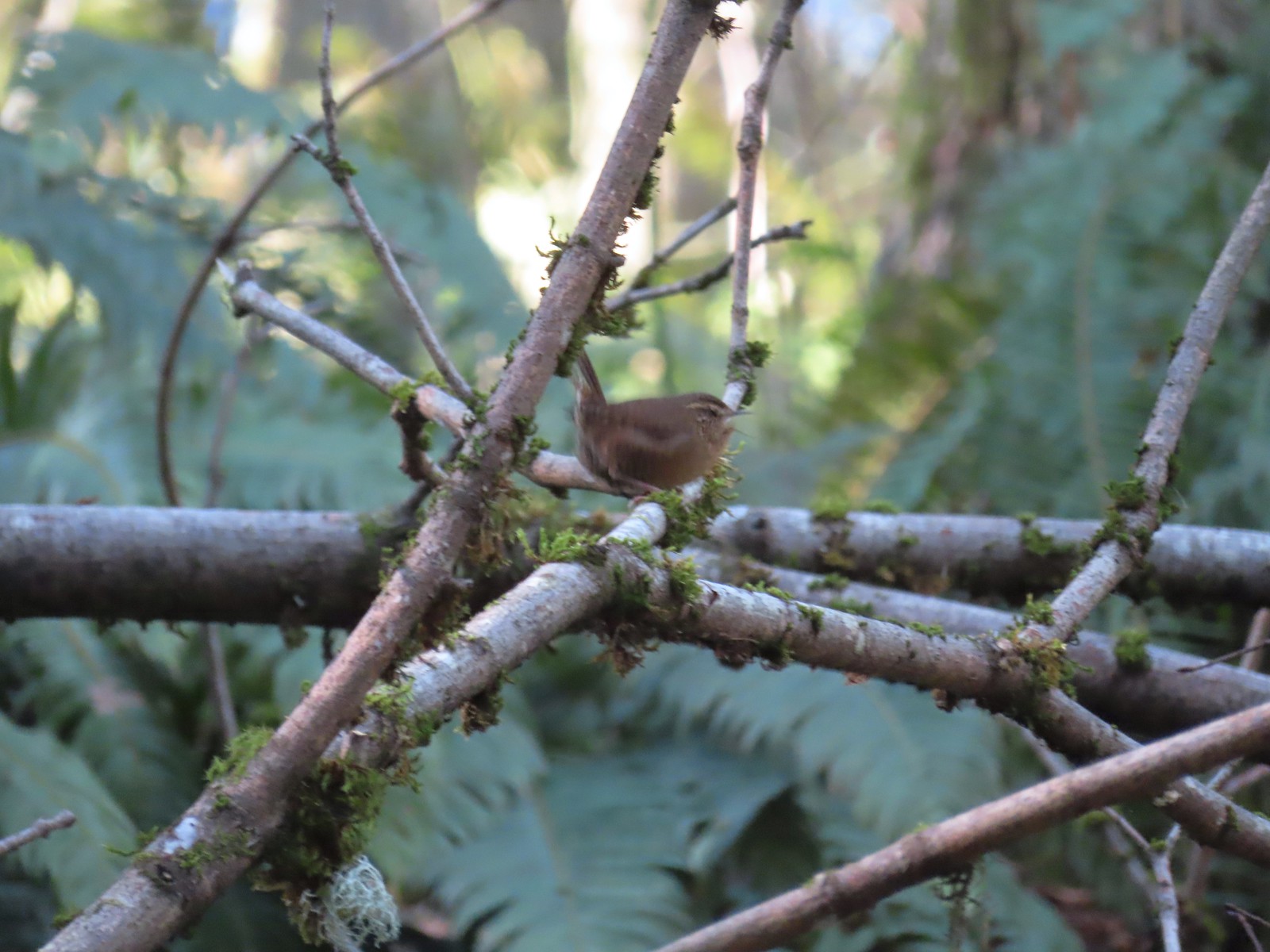 Another blurry bird. This one a wren, one of many we heard but the only one we were able to spot.
 Uprooted trees along the Wildwood Trail.
 Newton Road to the right of the Wildwood Trail.
We turned uphill onto Newton Road and followed it just over half a mile to the Newton Road Trailhead where we paused to use the facilities.
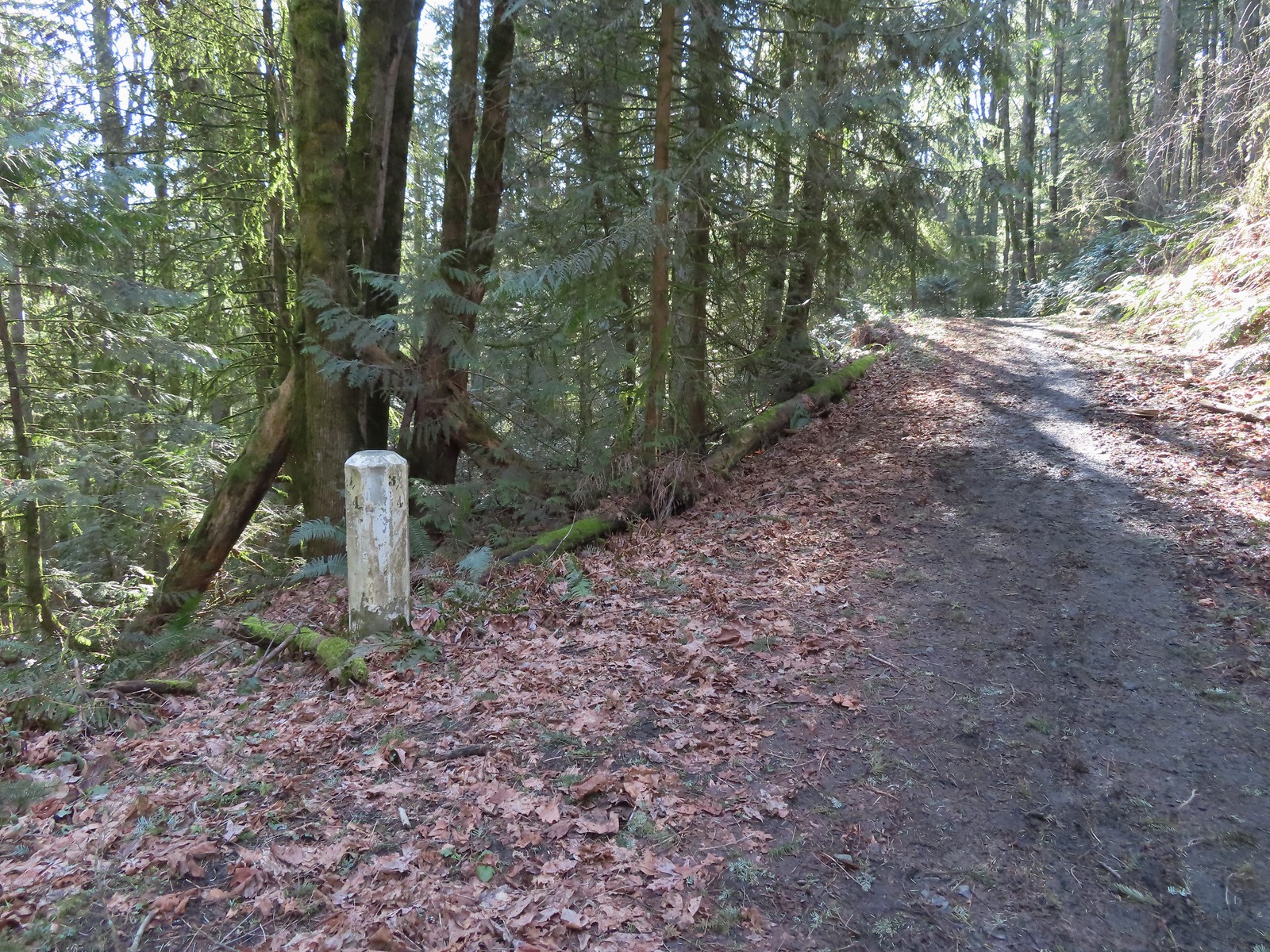 Mile marker along Newton Road.
 Douglas squirrel
 One of several small habitat restoration study areas along Newton Road.
 The Newton Road Trailhead in the distance.
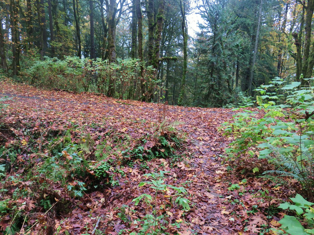
After our break at this trailhead we followed Firelane 10 at the far end of the parking area 0.2-miles to the Wildwood Trail.

It was just over three quarters of a mile on the Wildwood Trail from Firelane 10 to the Germantown Road Trailhead.
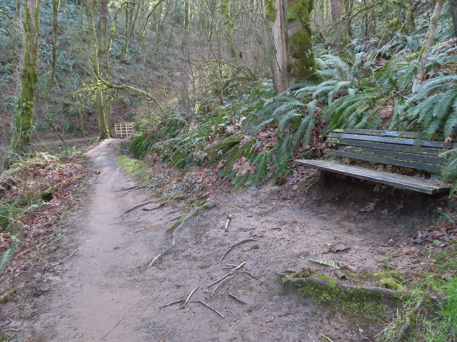 One of only two benches we saw all day.
 Cars parked along Germantown Road in the distance.
According to the Garmin our hike was 12.2 miles with approximately 2200′ of elevation gain. A good challenge for us this early in the year. (Our feet were not too happy with us.)

Despite the challenge it had been a nice hike with excellent weather, and while Forest Park is much busier than many of the trails we visit it never really feels too crowded.
While our experience on the trails had been good we arrived back at our car to find that people had parked along a fence behind us in the parking lot which didn’t leave us enough room to back out from between the cars on either side of us. We hadn’t expected anyone to park there because of the lack of room, but we should have known better. We spent the next half hour or so waiting for the owners of any of the three cars parked around us to return and set us free. (Although the SUV parked on our right was most likely going to be in the same predicament we were.) Fortunately the people that had parked directly behind us returned and we were able to escape. There have been other times I worried about having the car get trapped, but until today it had just been my own paranoia. Hopefully we will choose our parking spots more carefully in the future. Happy Trails!
Flickr: Northern Forest Park


 Big Creek in the morning.
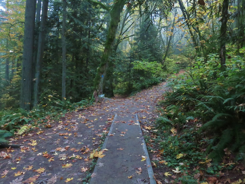
 A short section of the trail was paved.
 At the eastern end of the parking area we came to this new kiosk that is being installed marking the start of the Agate Beach TRACK Trail. There was also a path directly to the parking lot from the kiosk which we used upon our return.
 The tunnel under Highway 101. The stairs at the far end lead up to a city street while the trail makes a hard right to briefly follow the highway back across Big Creek.
 A series of boardwalks crosses the marshy bottomlands of Big Creek.
 While the kiosk was a new work in process there were a number of older looking interpretive signposts. This was one of only a handful that still contained an interpretive sign.
 The bottomlands.

 There were no signs at junctions but for the TRACK Trail stick to the level fork and ignore anything going uphill.
 Further along the trail Big Creek could actually be seen flowing.
 A non-boardwalk section along Big Creek.
 Approximately three quarters of a mile from the kiosk the trail arrived at Big Creek Road at another new signboard.
 The signboard at Big Creek Road didn’t have any information on it yet.
 Stellar’s Jay
 Northern flickers on the picnic shelter.
 Map on the signboard.
 Anderson Creek, the footbridge, and signboard from the roadbed.
 The Forest Park Trail
 A nice sitka spruce forest lined the old roadbed.
 Mushrooms
 Sunlight hitting the trees.
 The Pacific Ocean through the trees near the water towers.
 Passing the water towers.
 The drop to Jeffries Creek.
 Jeffries Creek
 Wood ducks in the wetlands.
 The gate near Fogarty Street.
 The Forest Park Trail from the other side of the gate.

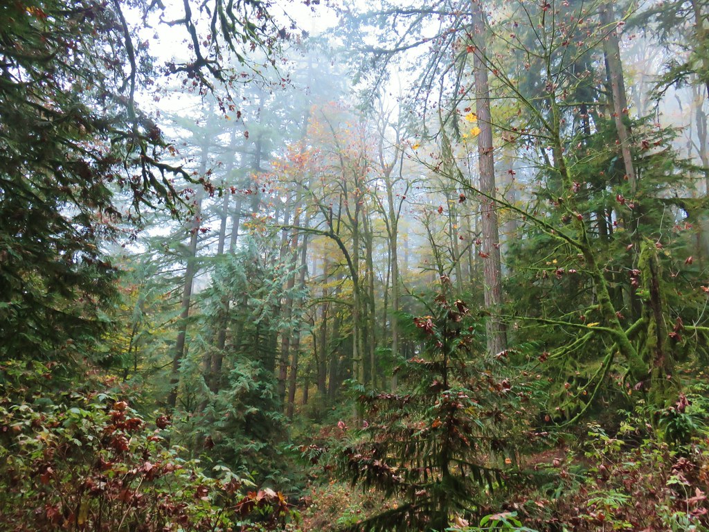
 Morning fog was still burning off at 9:30am.
 A car by the gravel pile to the left with the road coming down the hillside to the right. Interestingly Google Maps labels this as “Burnt Woods Ridge Road” which both Alltrails & Garmin showed as the left-hand fork where our loop would begin. (Google doesn’t show a road there at all but you can see the road in the trees by looking at the aerial view.) Numerous times throughout the hike we relied on comparing the Alltrails Track to the GPS map and our track to that point to determine where we were and which road(s) to take.
 There was some room to park here at the start of the loop (this is not where Google marks the TH) as well as many pullouts along the loop where one could choose to start.

 Heading down into the fog.
 One positive to the fog is that it can create some dramatic Sun rays.
 Vine maple
 Blue sky in the upper left hand corner.
 The road to the right is an example of a road that wasn’t labeled on any map we had.
 Emerging from the fog.
 Looking back through the fog to blue sky and the Sun.
 The only other “hiker” we saw on the loop.
 We couldn’t see it but just over three miles from the start of the loop the road crossed Cline Creek which was the first time we heard what sounded like a decent amount of flowing water.
 A little over a tenth of a mile beyond Cline Creek we left Burnt Woods Forest Road and forked uphill to the left onto Cline Creek Road.
 Arriving at a clearcut. Much of Cline Creek Road was along different clearcuts.
 Mylitta crescent
 Red-tailed hawk soaring over the clearcut.
 Trying to get the red-tailed hawk in flight.
 Lots of Fall colors starting to pop.
 The first signs we’d seen (noticed anyway) were at the Cline Creek/Burnt Woods Ridge Road junction.

 Arriving at the high point which was actually the first good viewpoint being above one of the clearcuts.
 Looking North at more of the Coast Range.
 Theoretically we should have been able to see both Mt. Hood and Mt. Jefferson from here but between haze from the fog and clouds we couldn’t make either out.
 Mt. Jefferson is out there somewhere. The fact that the Cascades have some snow again doesn’t help them stand out in the haze and clouds.
 Yet another unsigned road junction. Sticking to the ridge is the key.
 After crossing a saddle we gained views SE to Mary’s Peak (
 The tower and summit meadow of Mary’s Peak.
 The hard left prior to the steep descent. The road on the far hillside in the clearcut is part of the road Google Maps has labeled as Burnt Ridge Road but doesn’t show on Alltrails or the Garmin maps.
 The end of the loop at the bottom of the hill.
 Long Gulch Lake. The furthest south we hiked was on the trail a short distance after leaving this lake.
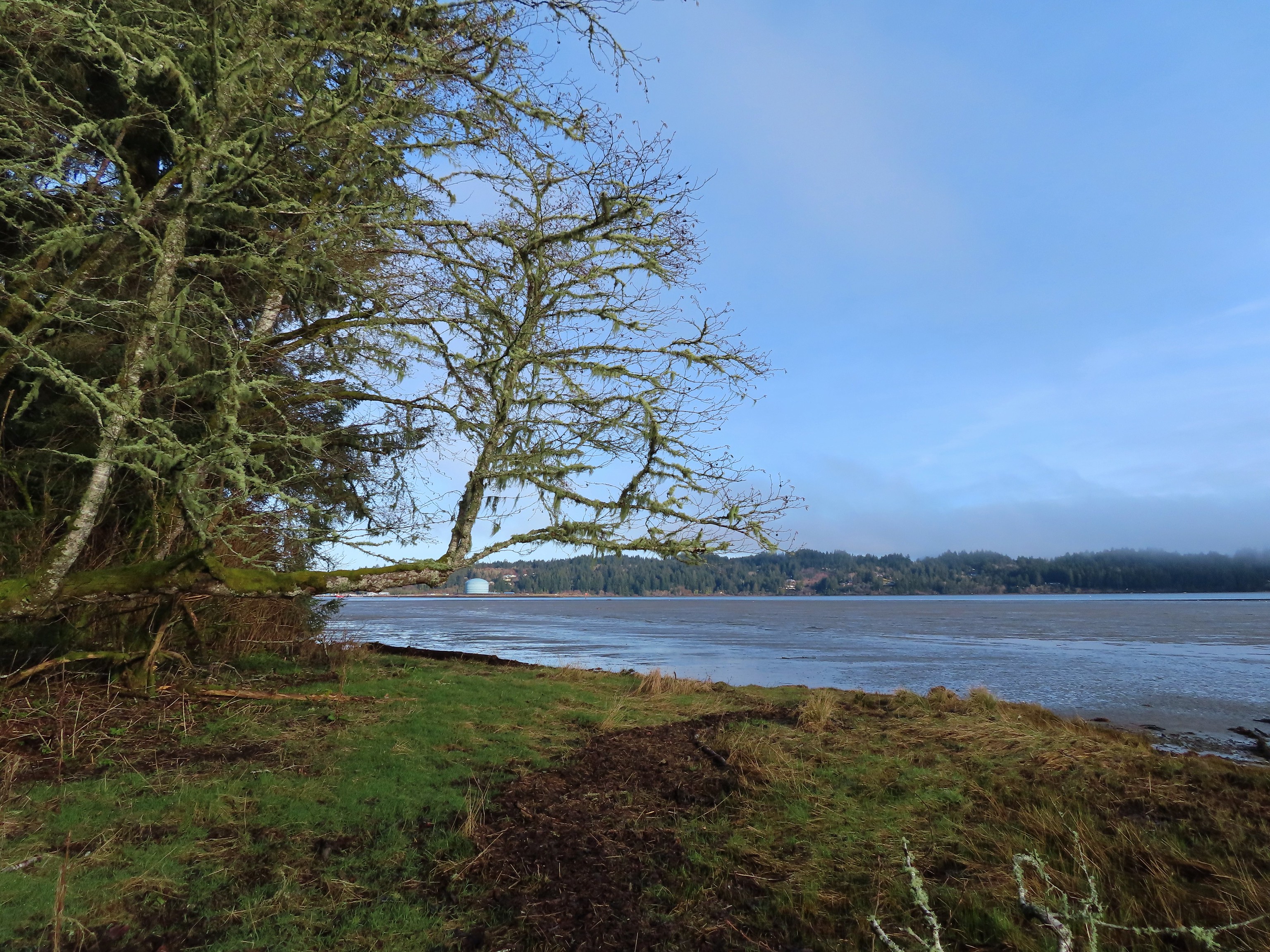 Technically the western most spot we hiked at was the trailhead for this hike, but the Yaquina River was a nicer picture.
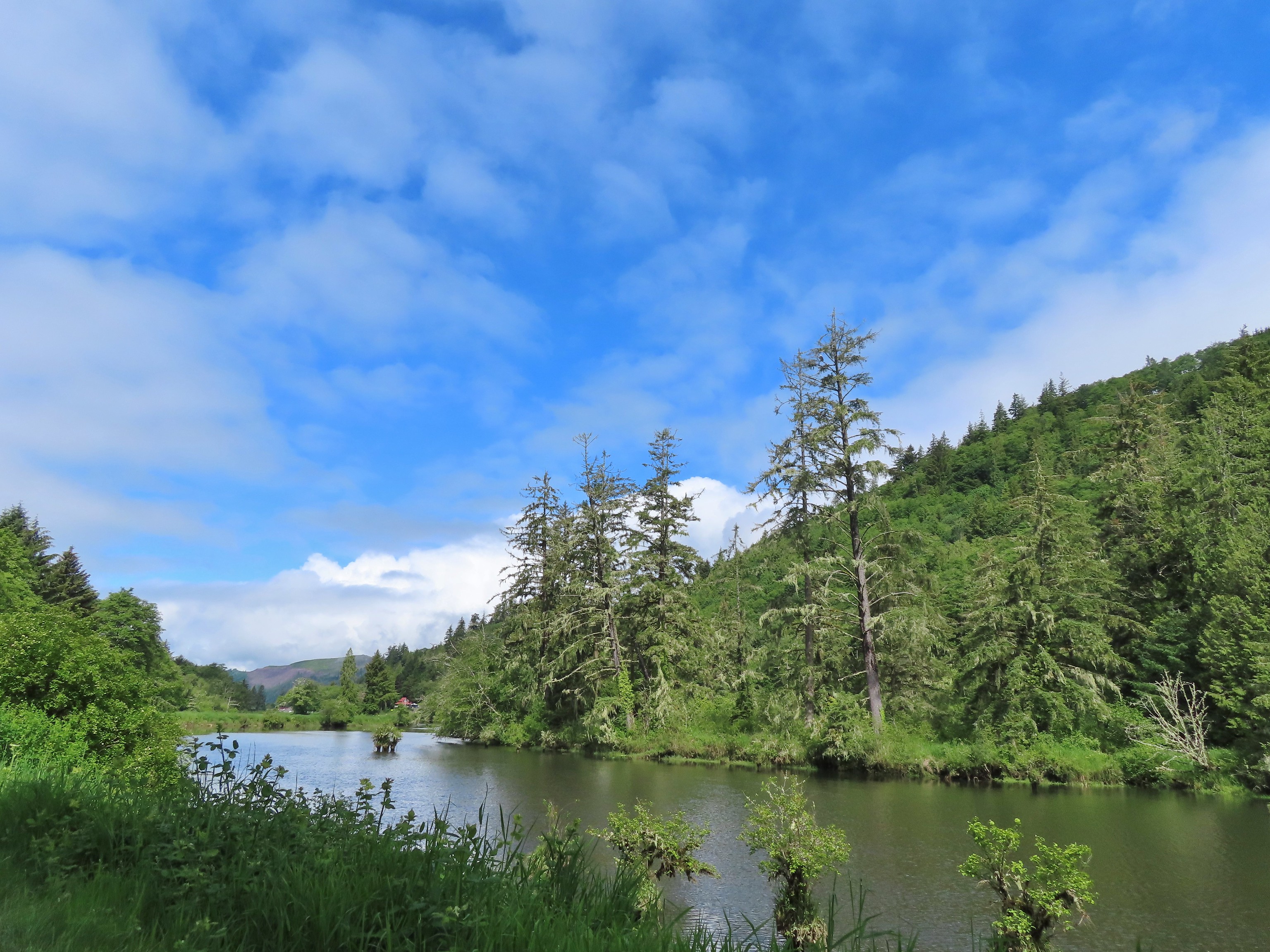 We hit our northernmost point during the stretch of our hike that followed Brooks Slough.
 View of the Wallowa Mountains from our easternmost point.

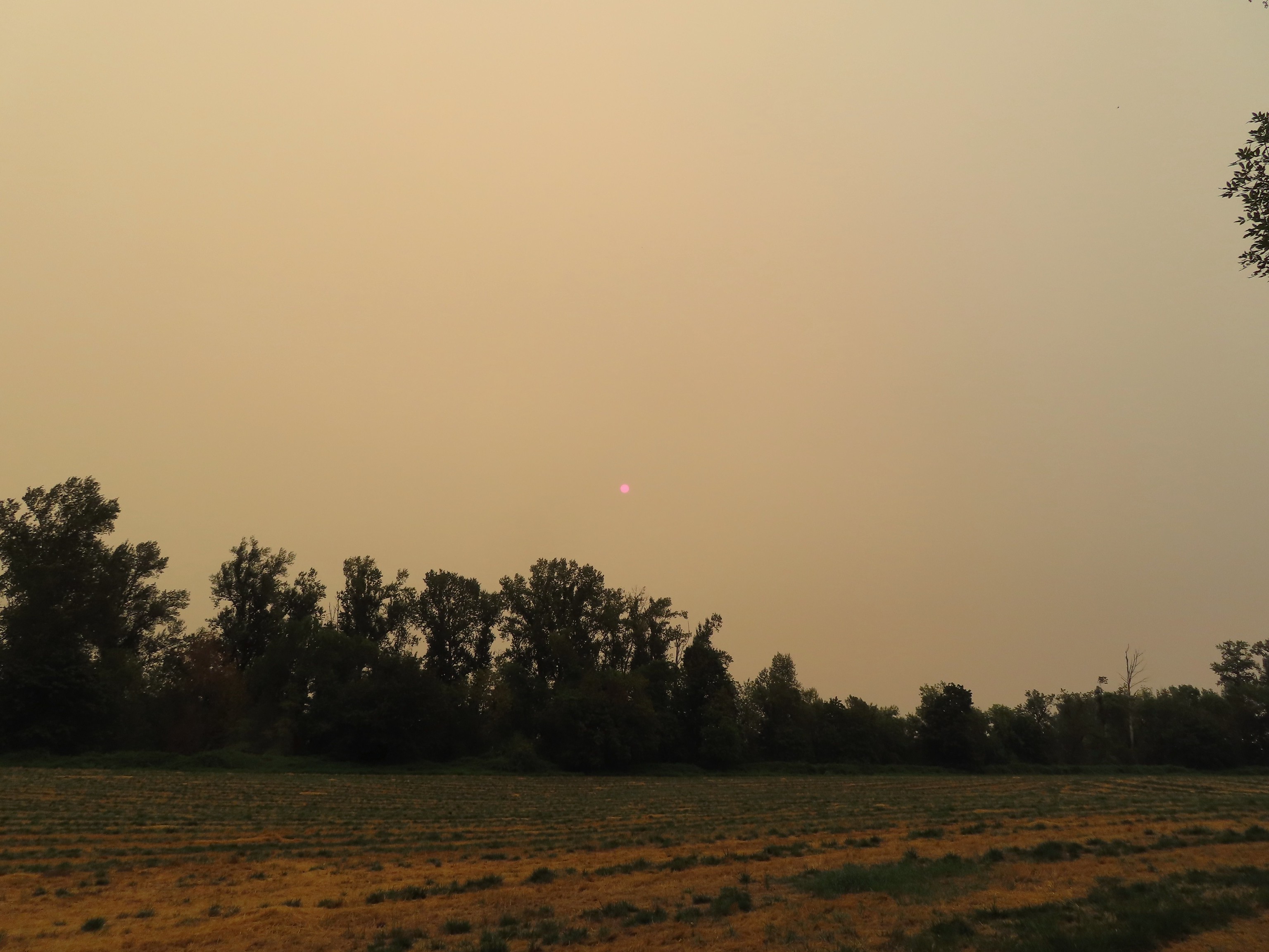 That’s the Sun above the trees.
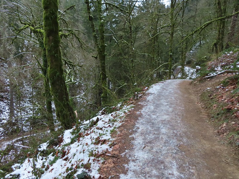
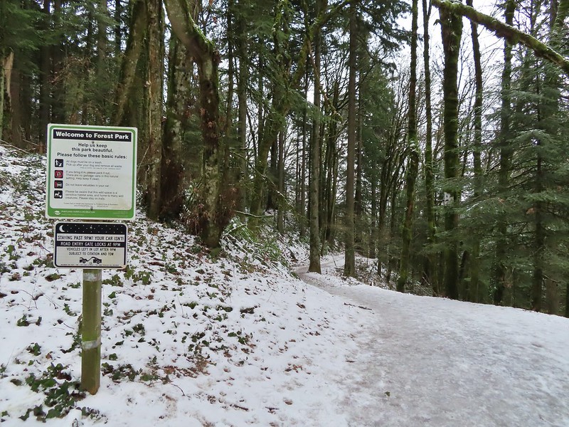
 Iced over snow in Portland’s Forest Park.
 The Crown-Zellerbach Trail, a converted logging road.
 The Klickitat Trail, a converted railroad.
 The Hood River Pipeline Trail.
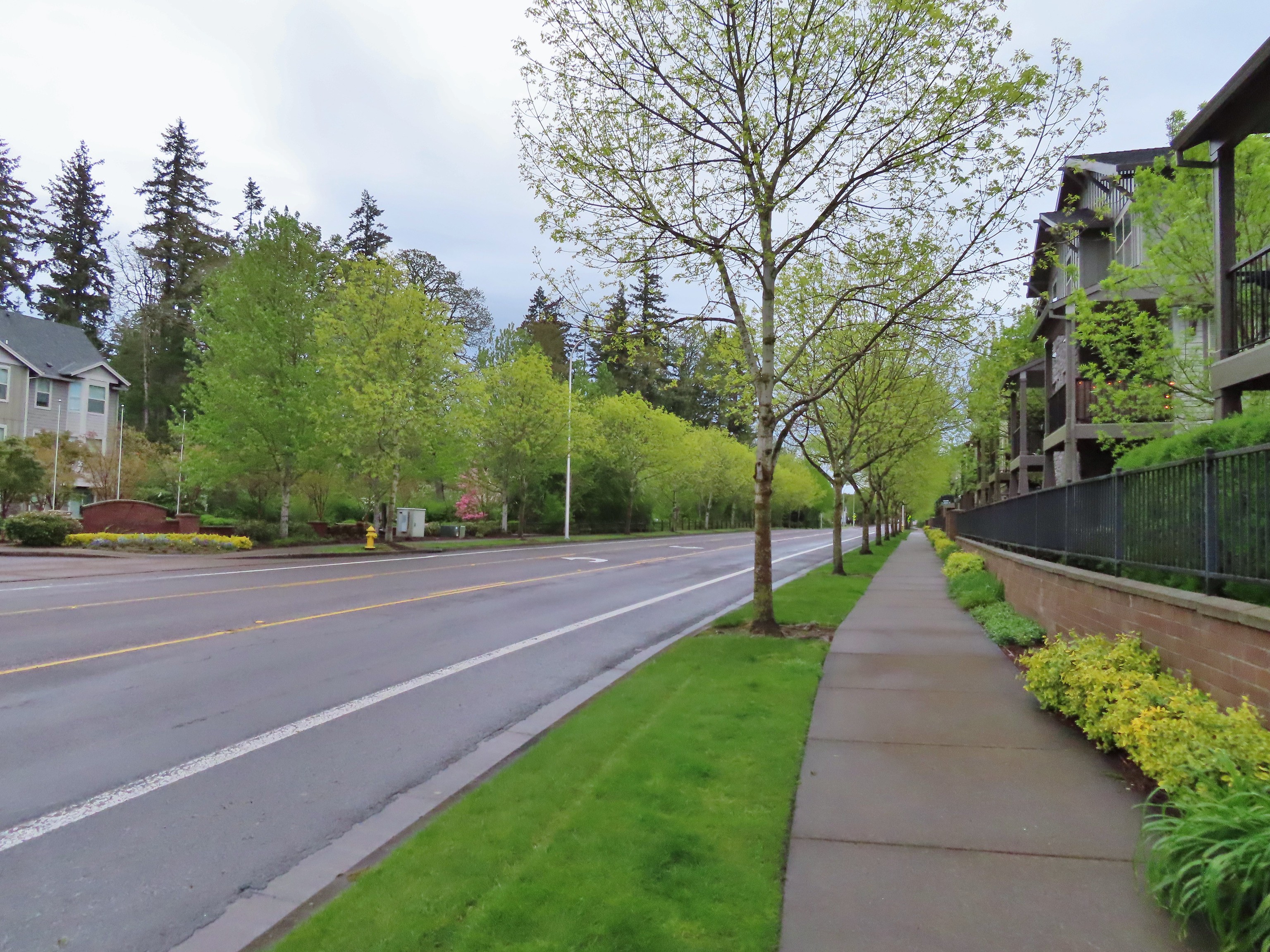 Sidewalk, Rock Creek Trail.
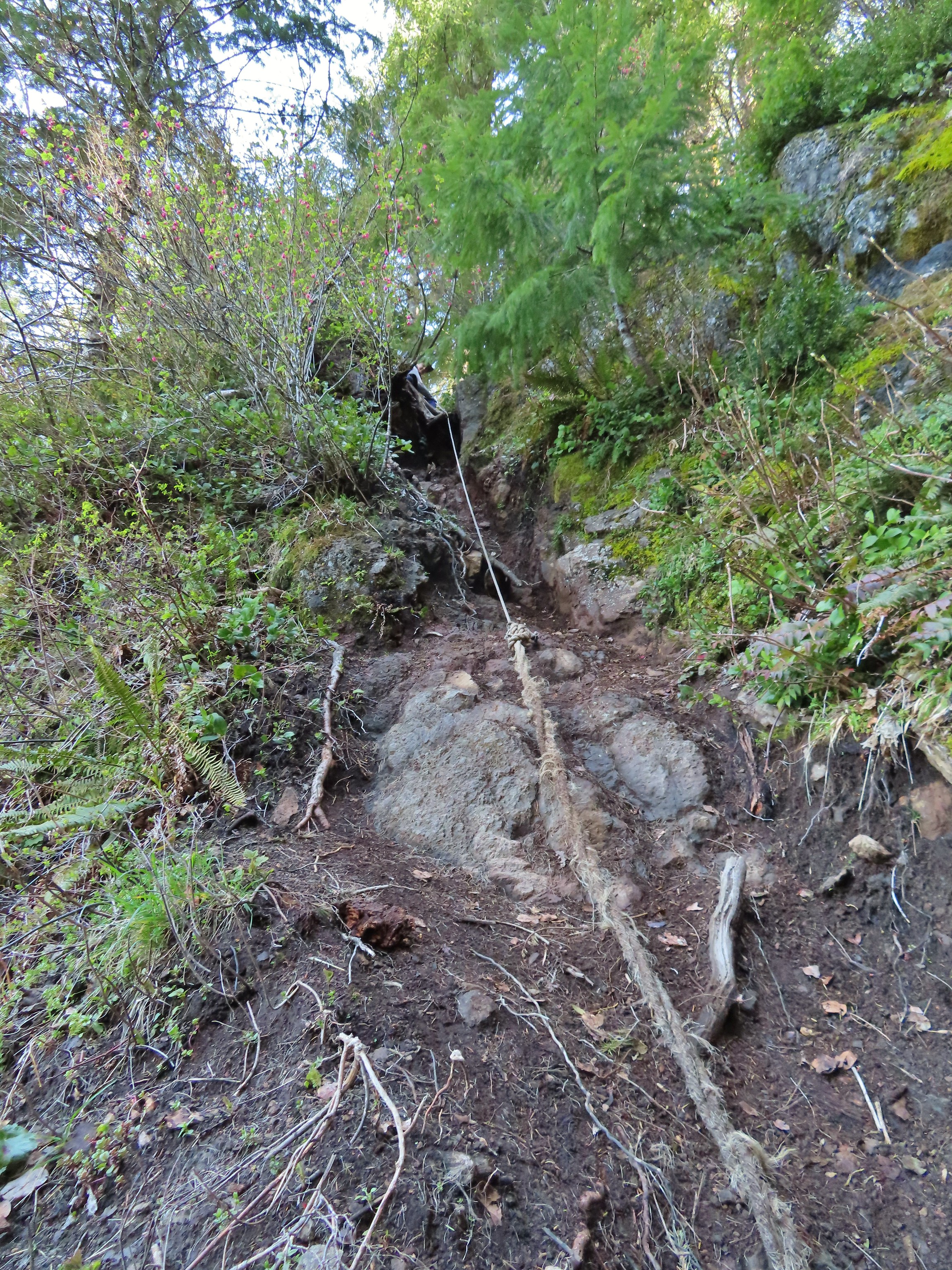 Rope section of the Kings Mountain Trail.
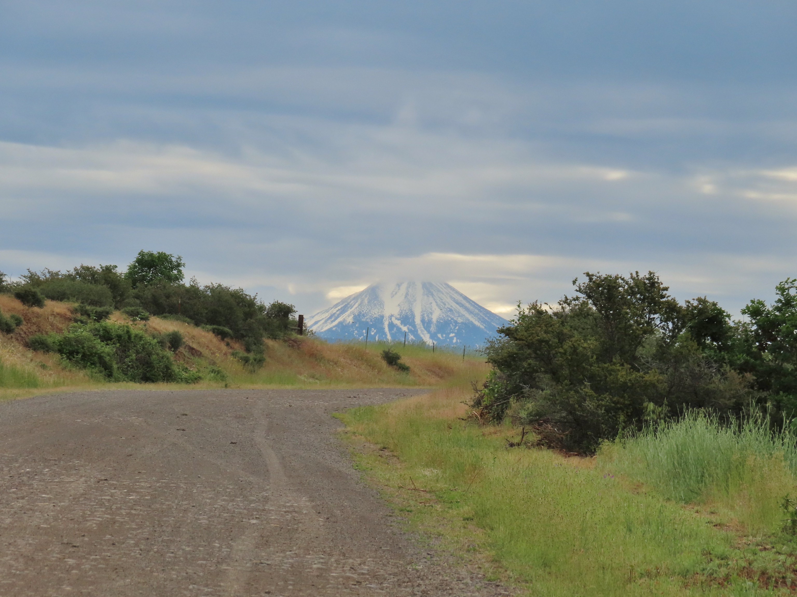 Gravel Road at Denman Wildlife Area.
 Paved Brooks Slough Road, Julia Hansen Butler Wildlife Refuge (it is open to cars).
 Dirt road at Siskiyou Gap.
 Cross-country to Observation Peak.
 Crossing over granite to reach the Devil’s Punchbowl in the Siskiyou Wilderness.
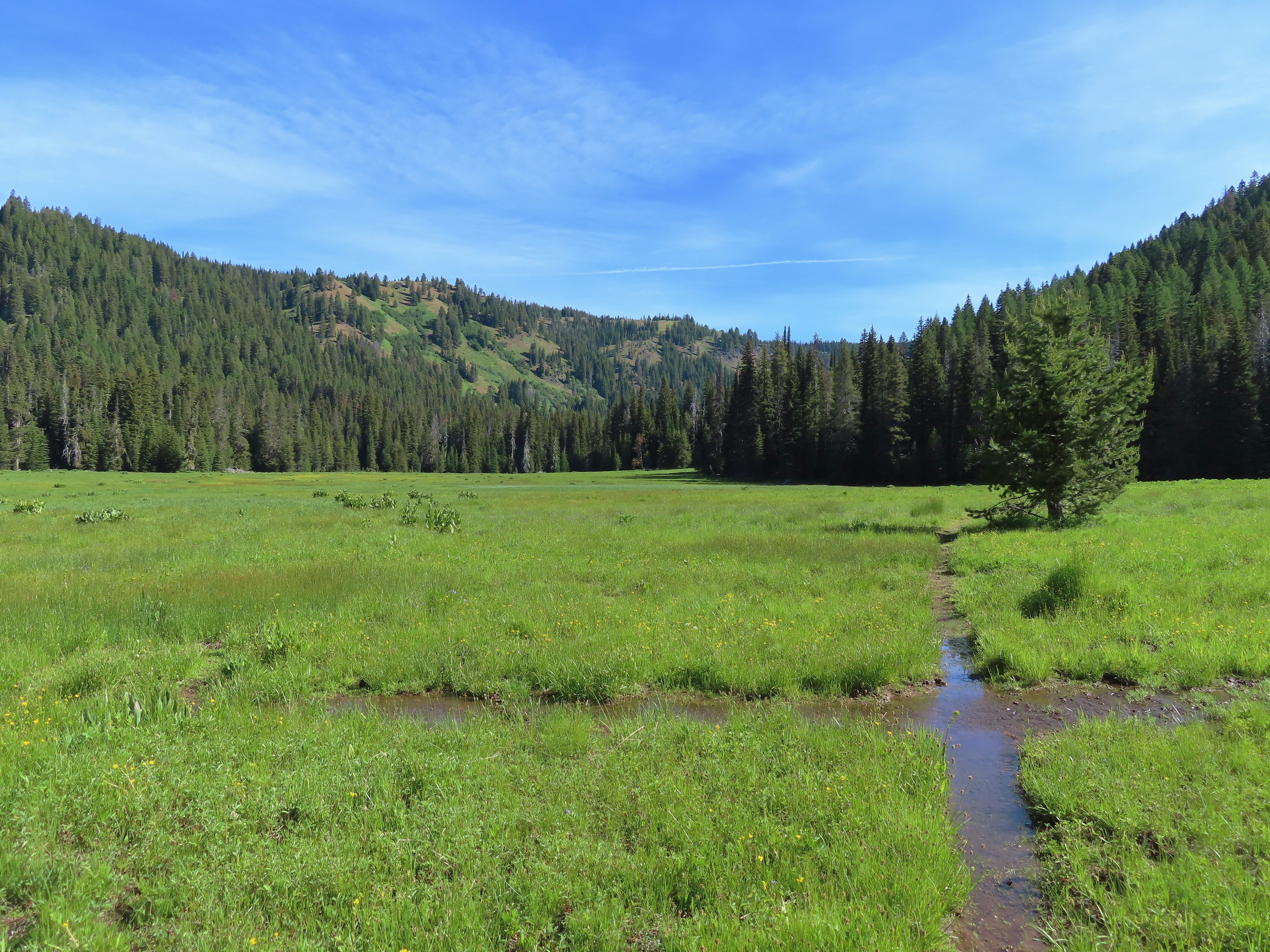 Water covered trail at Catherine Creek Meadows.
 Sandy dirt Mt. Shasta.
 Rock field, Union Peak.
 The remains of the Union Creek Trail.
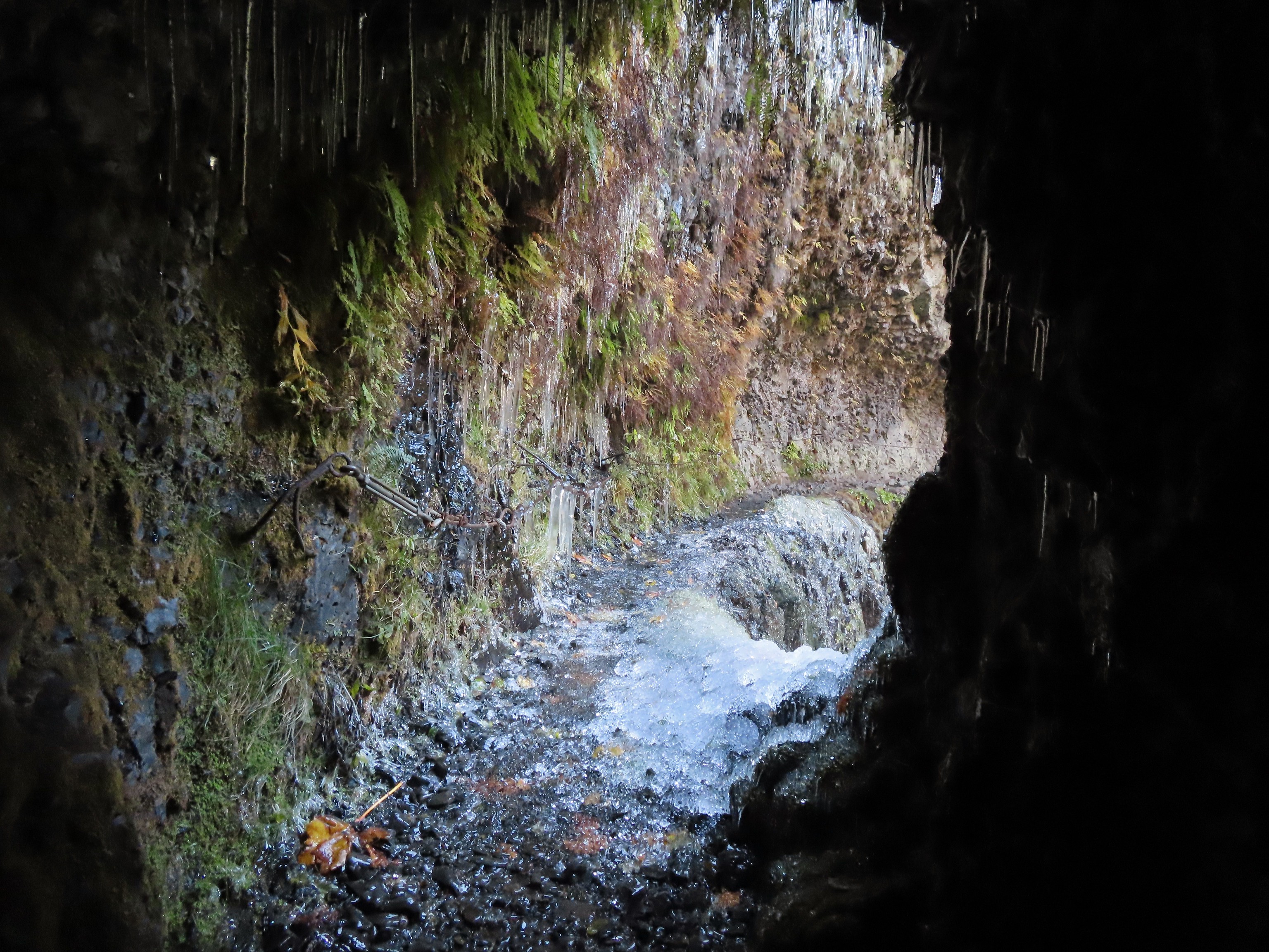 Frozen tunnel on the Eagle Creek Trail.
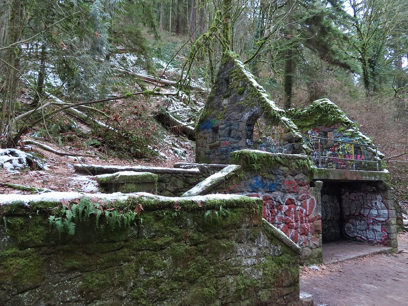
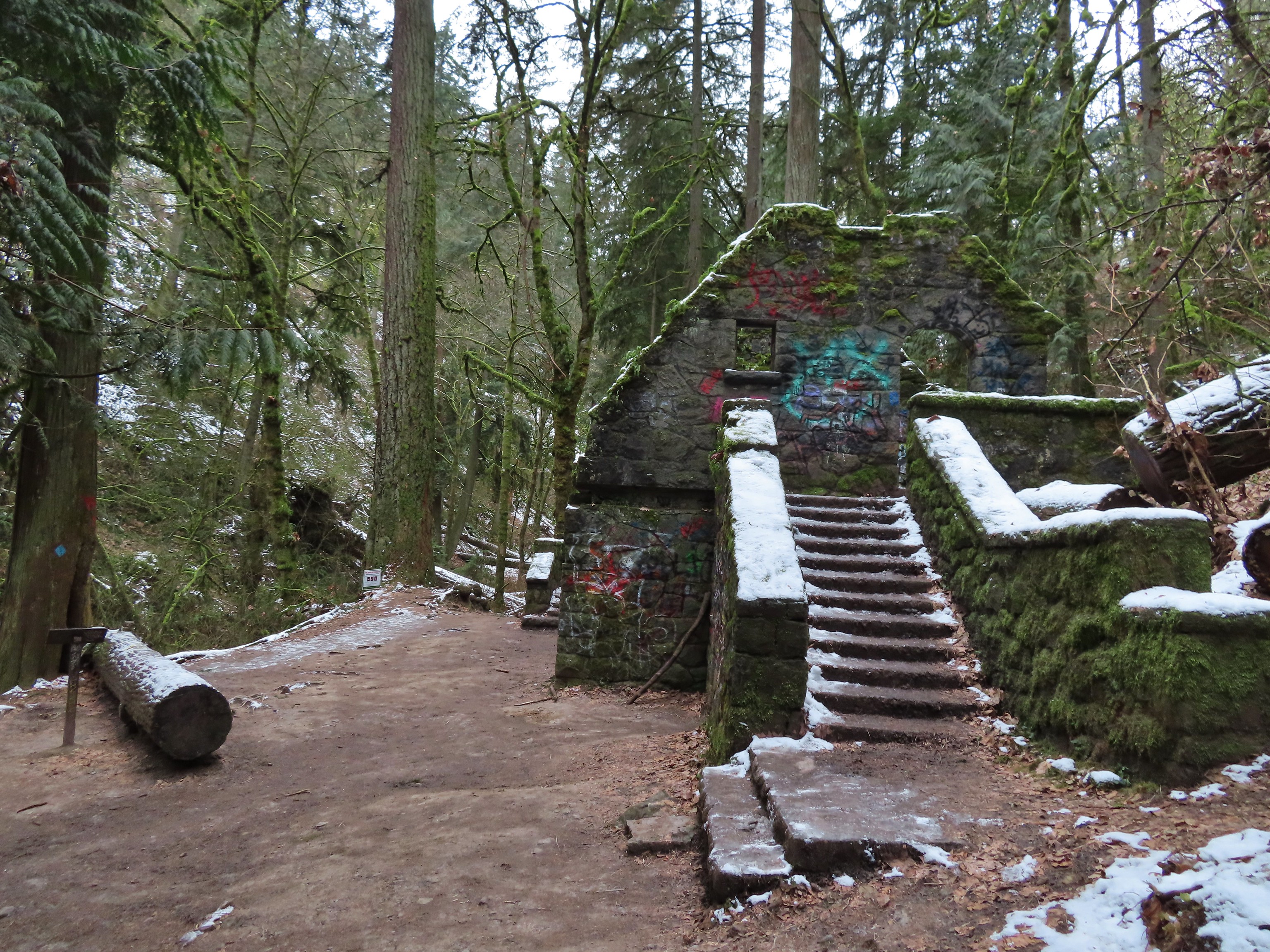 Witch’s Castle – Forest Park, Portland, OR
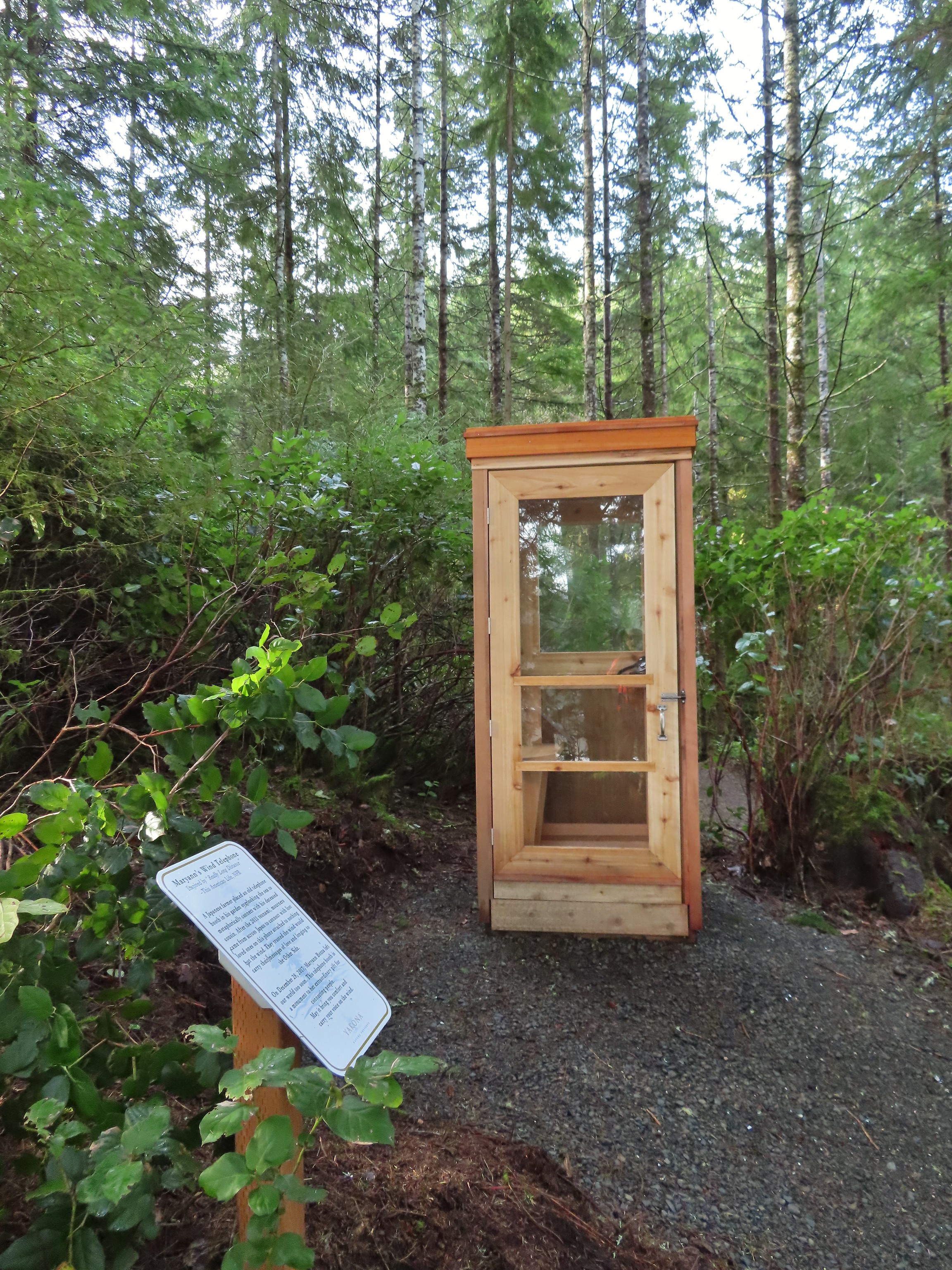 Wind Telephone, Yakona Nature Preserve – Newport, OR
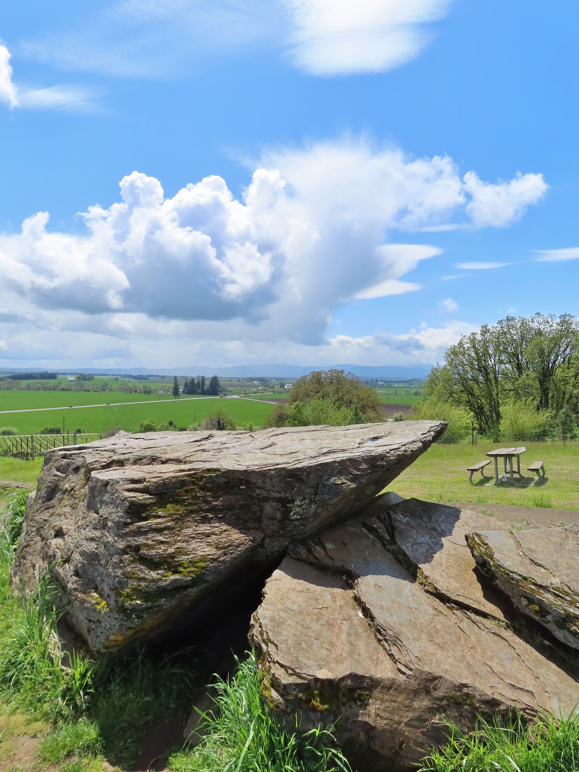 Erratic Rock (
 One of several military bunkers at Ken Denman Wildlife Area – Medford, OR
 Umpqua Hot Springs – Umpqua National Forest, OR
 Illahee Rock Lookout – Umpqua National Forest, OR
 Twin Lakes Shelter – Umpqua National Forest, OR
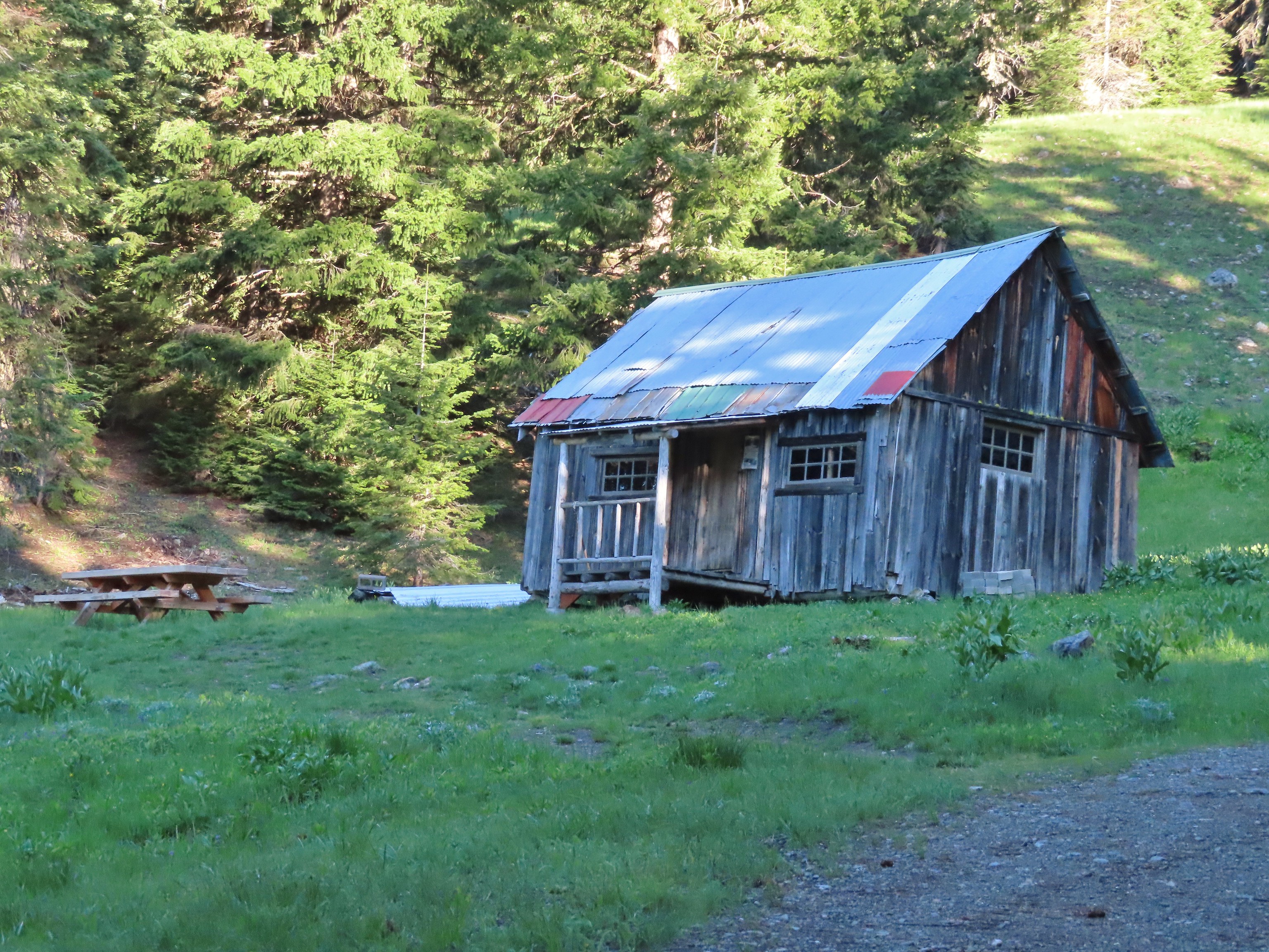 Donomore Cabin – Donomore Meadows, CA
 Mt. Ireland Lookout – Wallowa-Whitman National Forest, OR
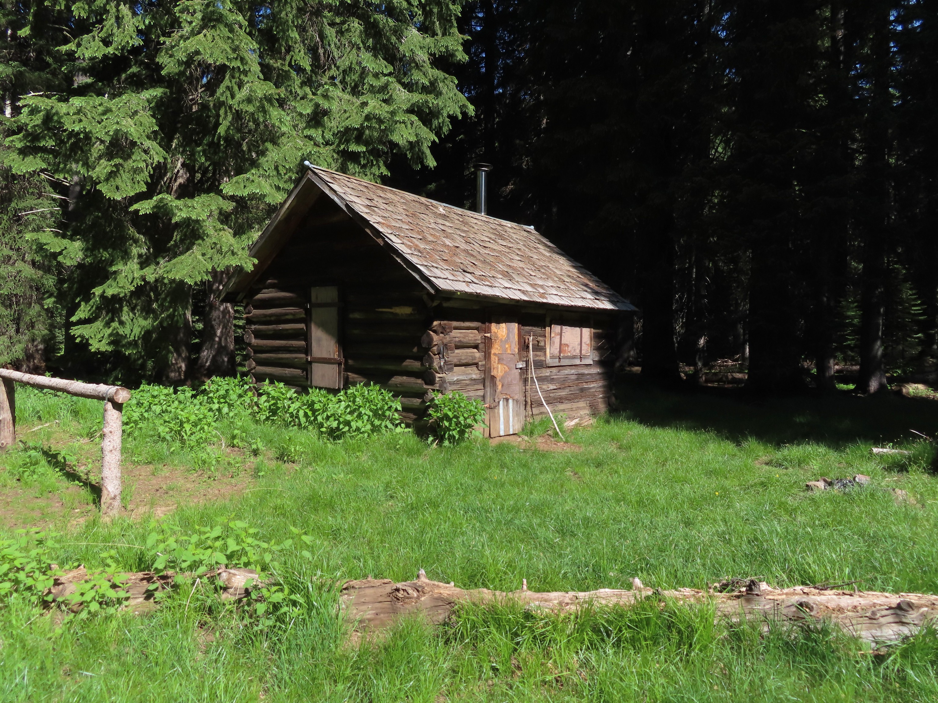 Cabin at Catherine Creek Meadows – Wallowa-Whitman National Forest, OR
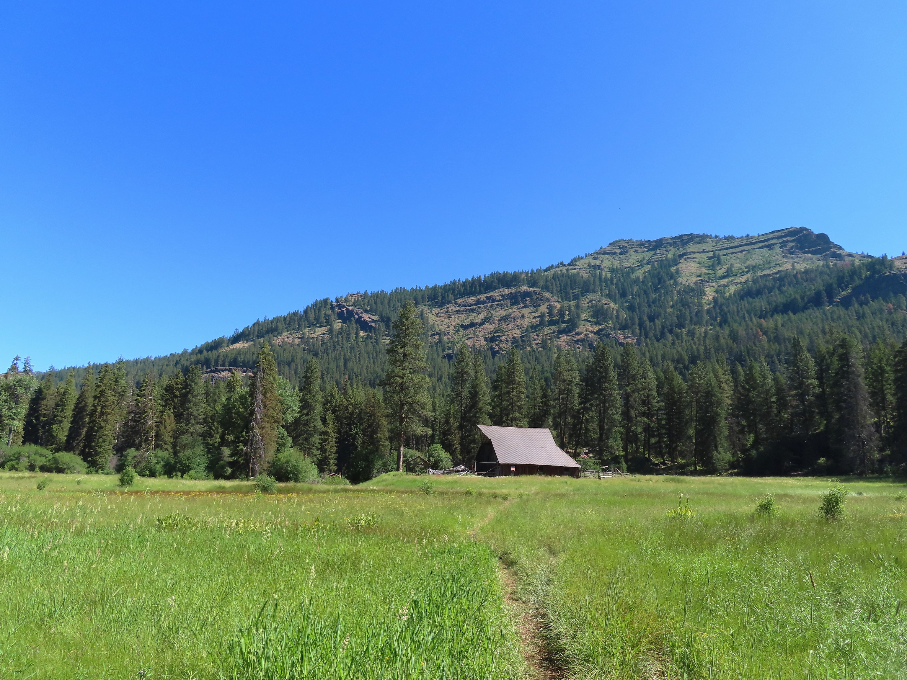 Reds Horse Ranch – Wallowa-Whitman National Forest, OR
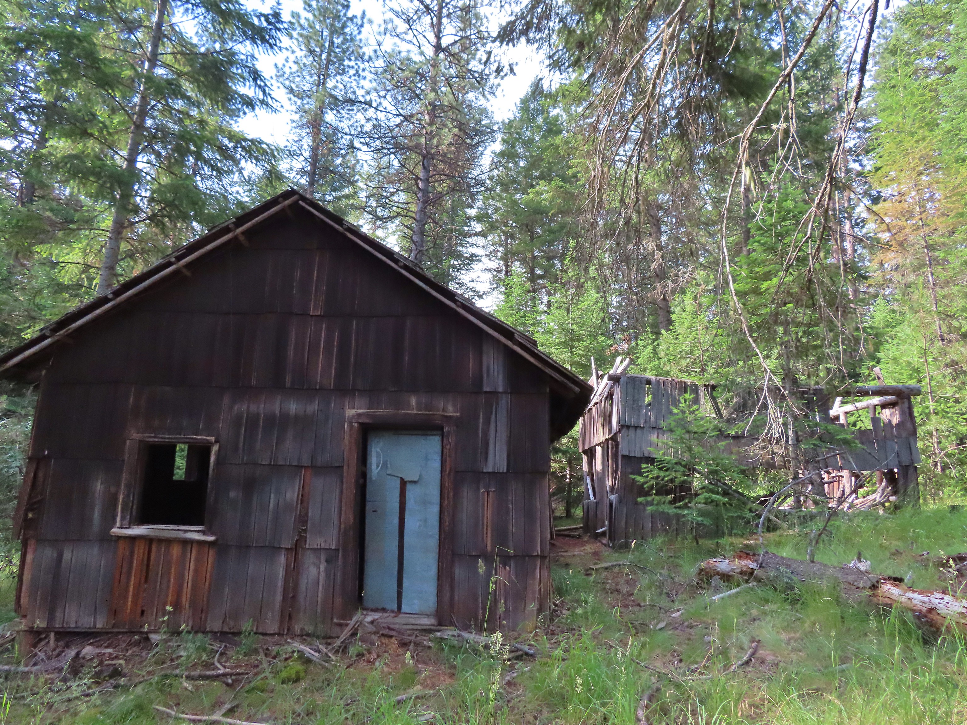 Lodge ruins – Wallowa-Whitman National Forest, OR
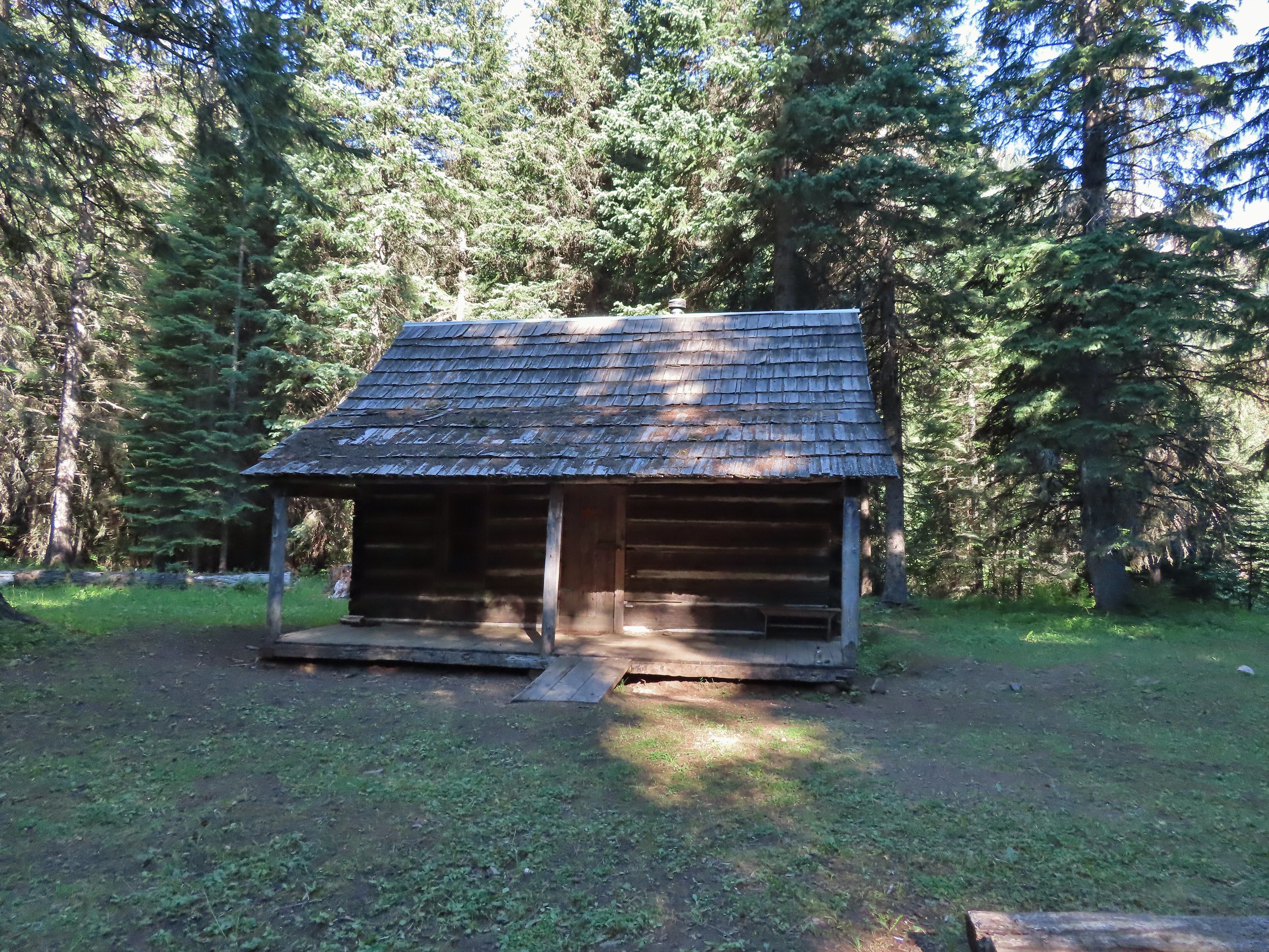 Bear Creek Guard Station – Wallowa-Whitman National Forest, OR
 Gazebo on Tick Hill – Wallowa, OR
 Spring above Southgate Meadows – Mount Shasta Wilderness, CA
 Panther Spring – Mount Shasta Wilderness, CA
 Remnants of the OSU Dean’s house – McDonald Forest, Corvallis, OR
 Talking Water Gardens – Water treatment wetlands, Albany, OR


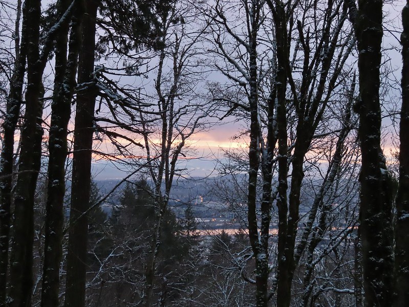 A bank of clouds was sitting directly over Portland but we could see the edge in the distance. We hopped that the clouds would either burn off or move along.


 Junction with the Birch Trail.
 A wren busy pecking at a log.
 Junction with the Aspen Trail. As we descended we left most of the snow, and the icy conditions, behind.
 Holman Lane Junction.
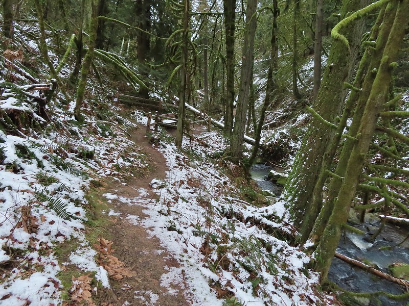
 Balch Creek and the Lower Macleay Trail (Currently closed due to construction.)
 Icicles over Balch Creek.

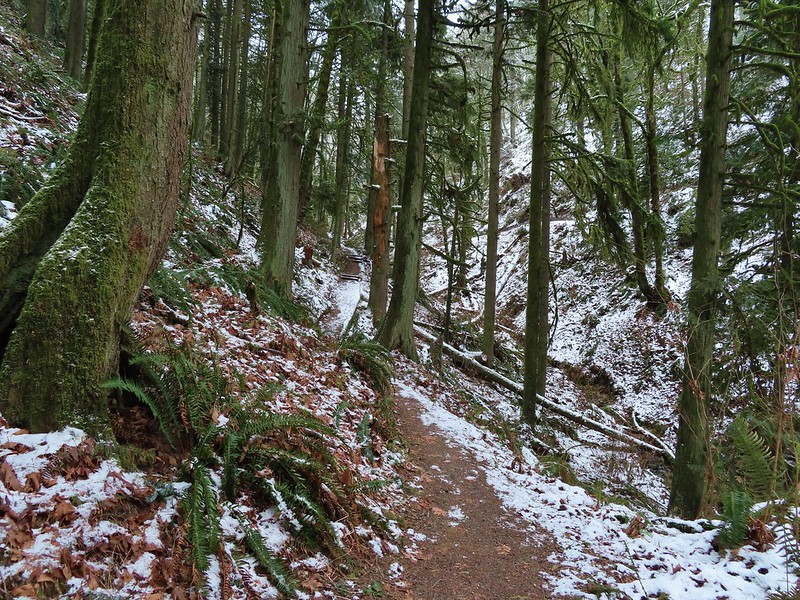
 Going uphill before it got really slick.
 Wilwood Trail at Macleay Park Trailhead.


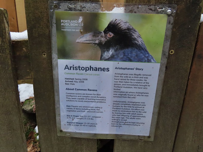
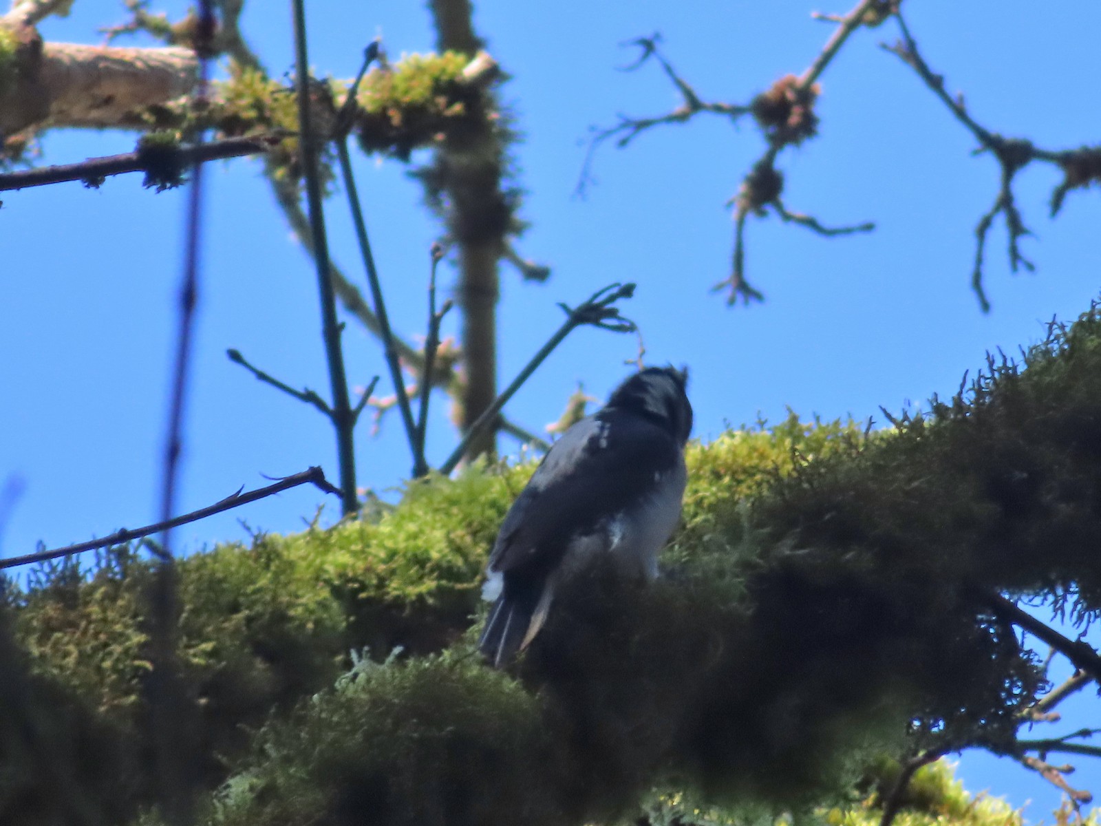
 We took this raven to be the “lookout”.


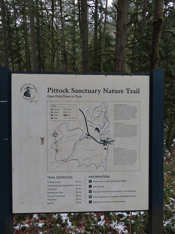
 Bench at the end of the Creek Trail.
 Pond along the Jay Trail,
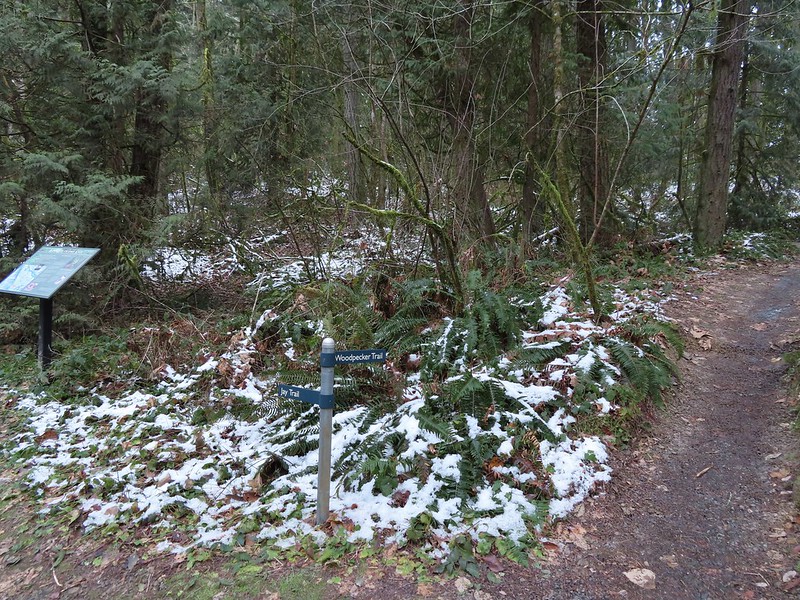 Junction with the Woodpecker Trail.
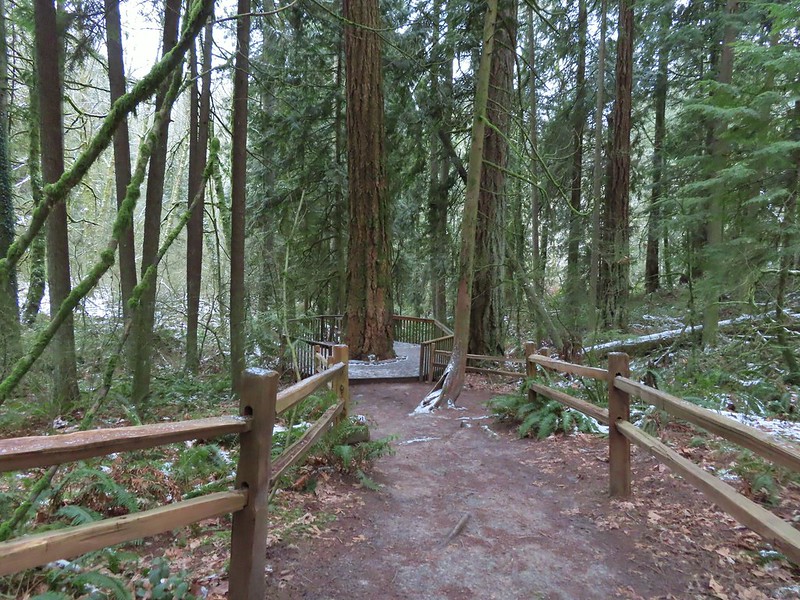 Big Douglas fir.
 I continue to struggle to get a clear photo of a varied thrush.
 Jay Trail junction with the Wren Trail.
 Nearing the pond from the other side.


 Stairs up to the trail junction.
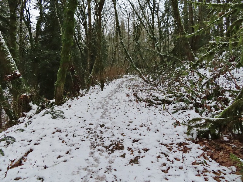

 Baseball sized jelly fungus, the largest we’ve seen.
 Descending to the South Collins Trail.
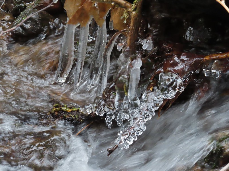 More ice formations.
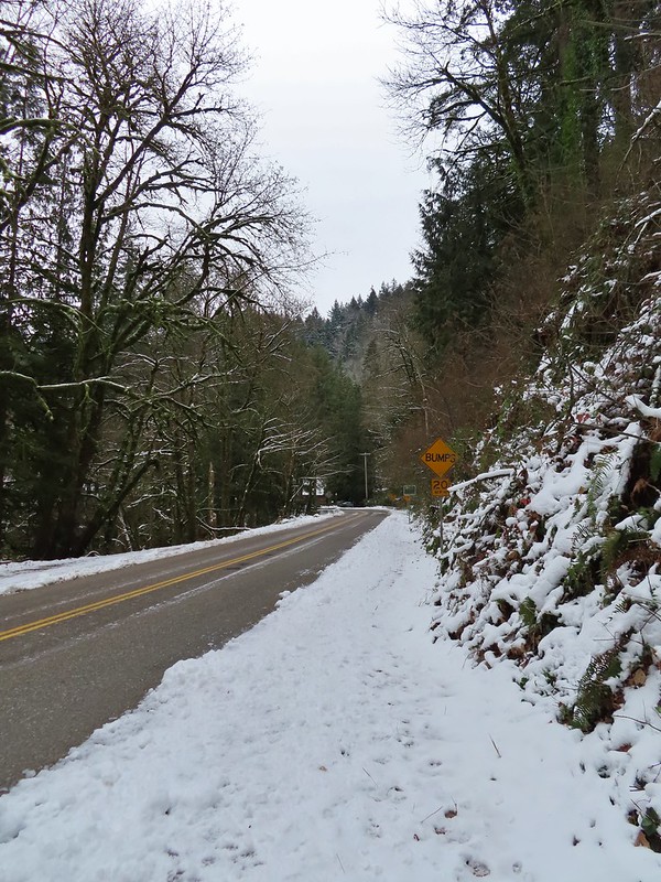

 We planned on returning via the Upper Macleay Trail.
 Heather descending the slick section with a trail runner behind that had attempted to get up the hill but was turning back.
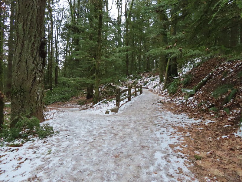 Cumberland Trail junction.

 The trail runner in blue.
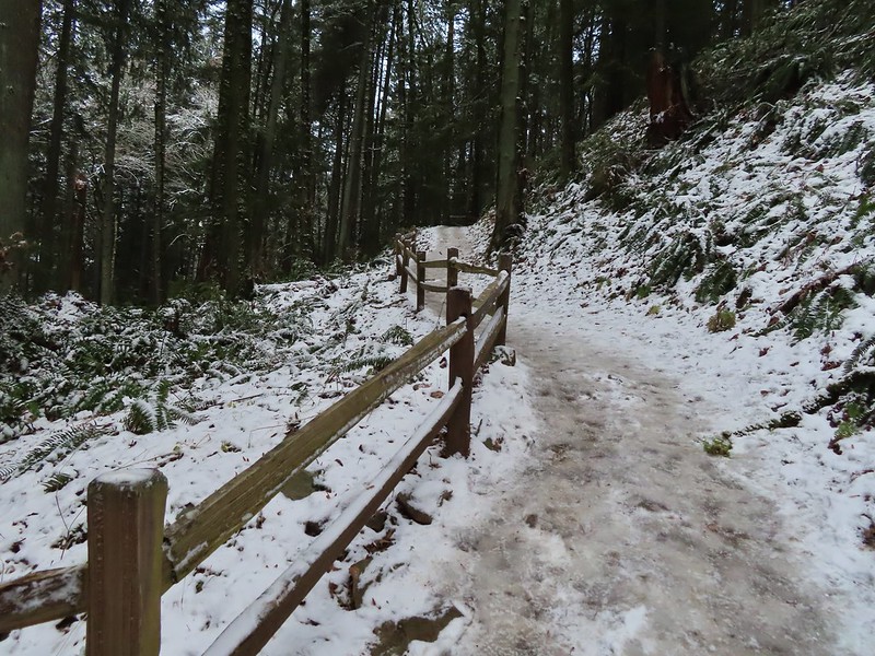
 Heather coming up behind me.
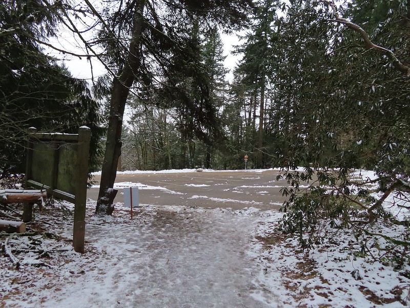 Arriving at the
  Pittock Mansion
 A line of blue sky beyond the cloud cover.
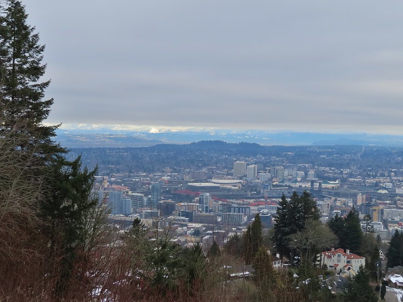 Portland from Pittock Mansion.
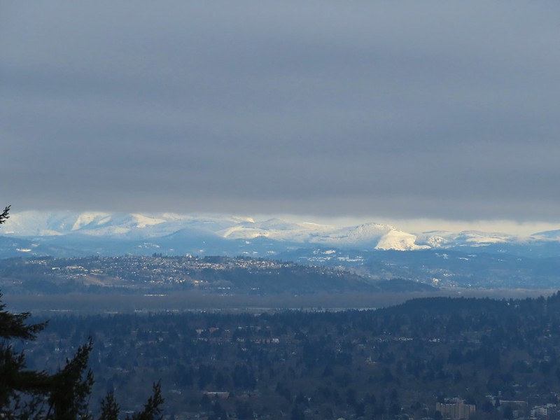 Snowy foothills in the sunlight beyond the Columbia River.

 Entering the Macleay Park Trailhead.
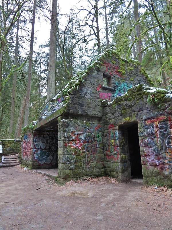 One last look at the Witch’s Castle.
 Holman Lane started out snow and ice free.
 Back to the snow and ice higher up.
 NW 53rd Drive
 Birch Trailhead
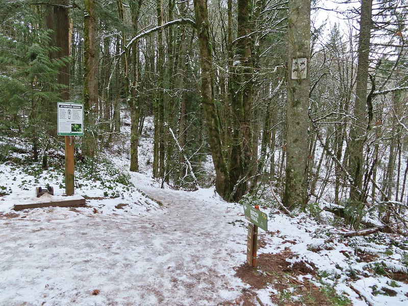 The microspikes went back on before descending the Birch Trail and stayed on for the remainder of the hike.
 Sparrow foraging on the Birch Trail.
 Back to the Wildwood Trail.
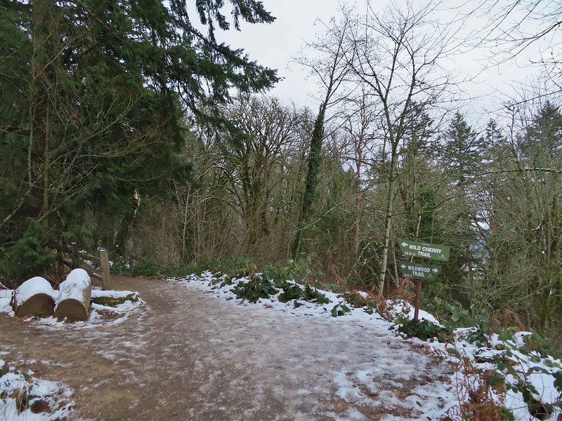 Wild Cherry Trail junction.
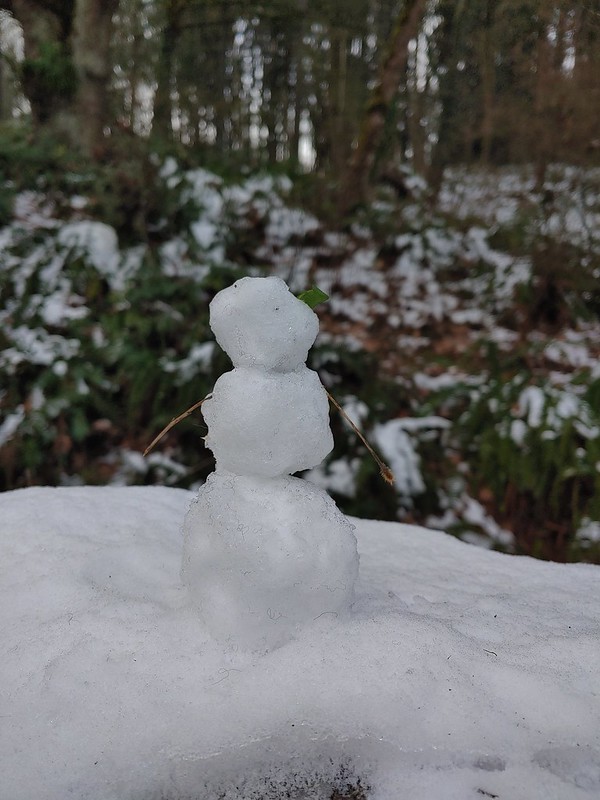 Little snowman near the junction.
 Is that a bit of blue in the sky finally?
 Snowy mushrooms
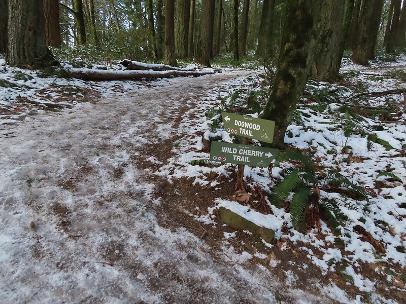
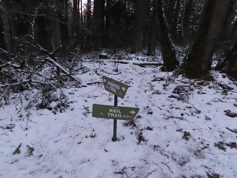
 A break in the clouds provided some blue sky above the Keil/Dogwood Trail junction.
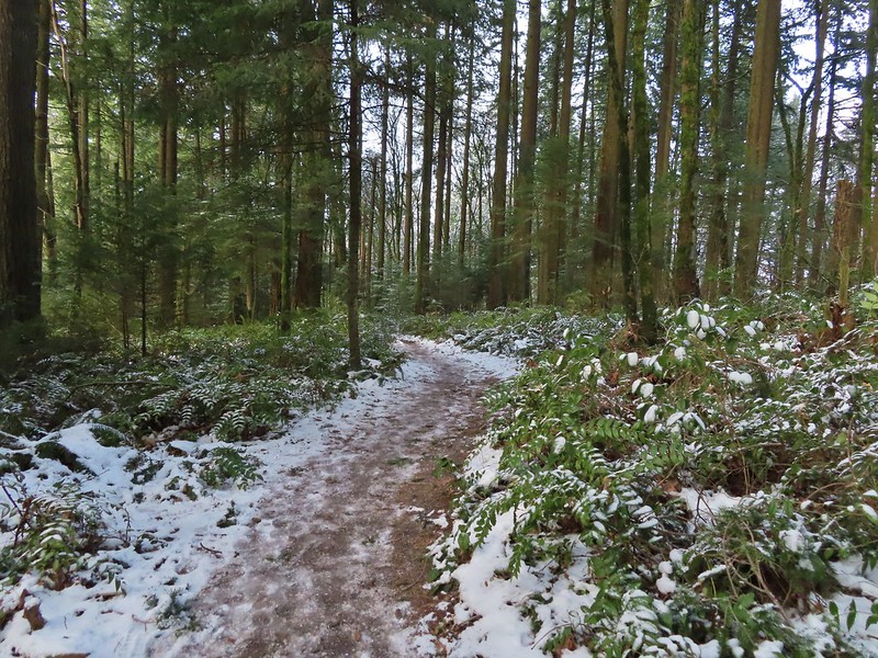
 Woodpecker that wasn’t a bit concerned about my presence.
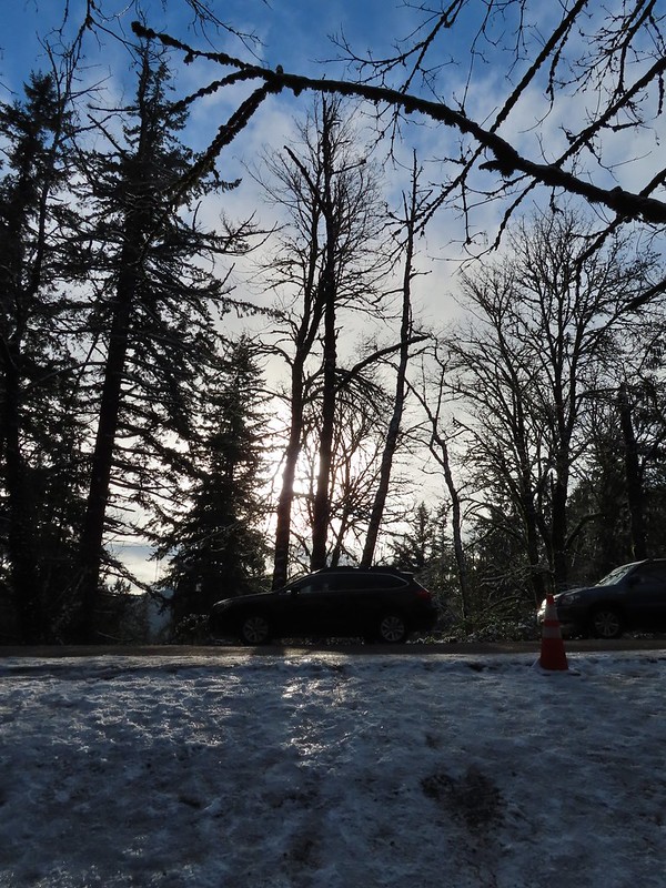 The Subaru waiting for us at the trailhead.
 .
.

 Switchback along the Wild Cherry Trail.
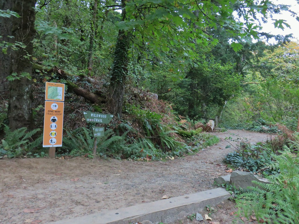


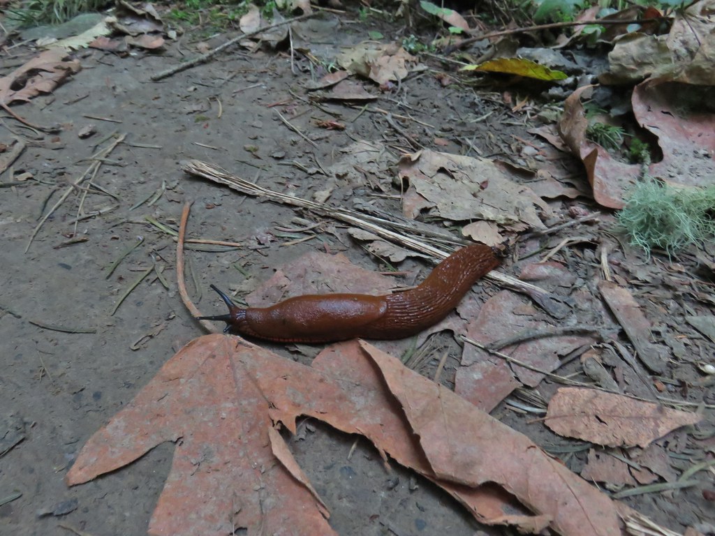 This was the first slug we recall seeing of this color.
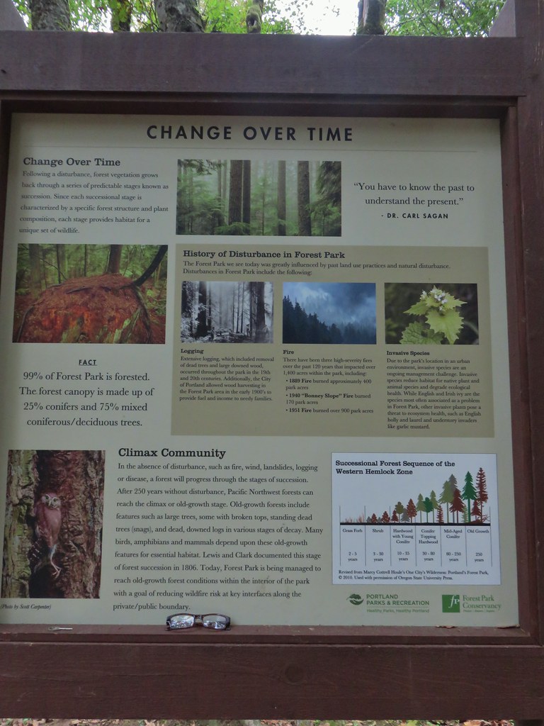 Interpretive sign at the NW 53rd parking area.
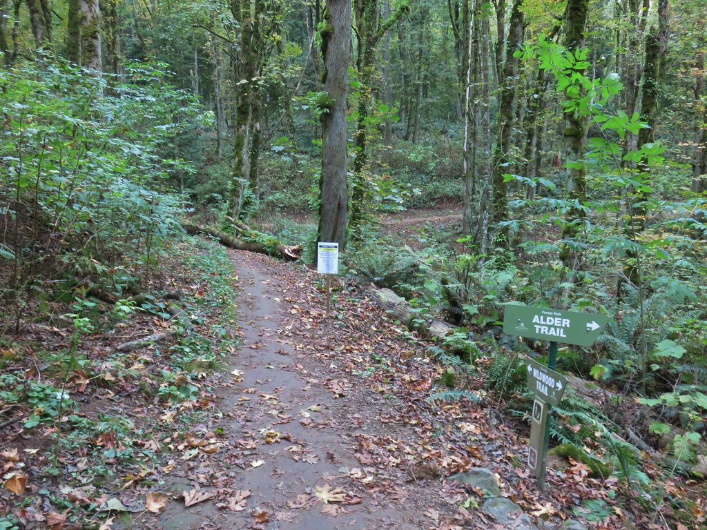


 The bridge damage was not an issue.
 Another bunch of musrhooms.

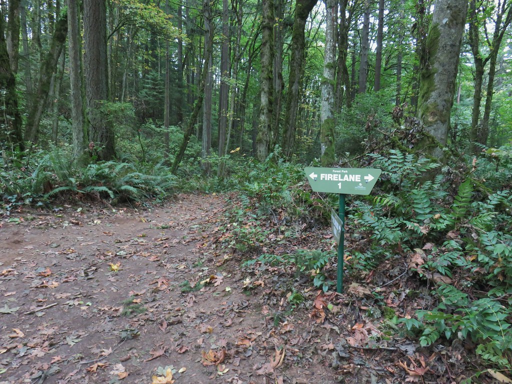 Firelane 1 junction.

 The fork, left was downhill right up.


 Firelane 1
 Somewhere along Leif Erikson there was supposed to be a view of Mt. St. Helens, Mt. Adams and Mt. Hood along the way but the clouds never burned off like the forecast had called for.
 The Alder Trail at Leif Erikson Dr.
 An orange one-way marker along Leif Erikson Drive between the Dogwood and Wild Cherry Trail junctions.
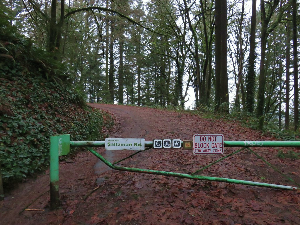


 Bridge over a small stream.
 Heading into a little bit of fog.
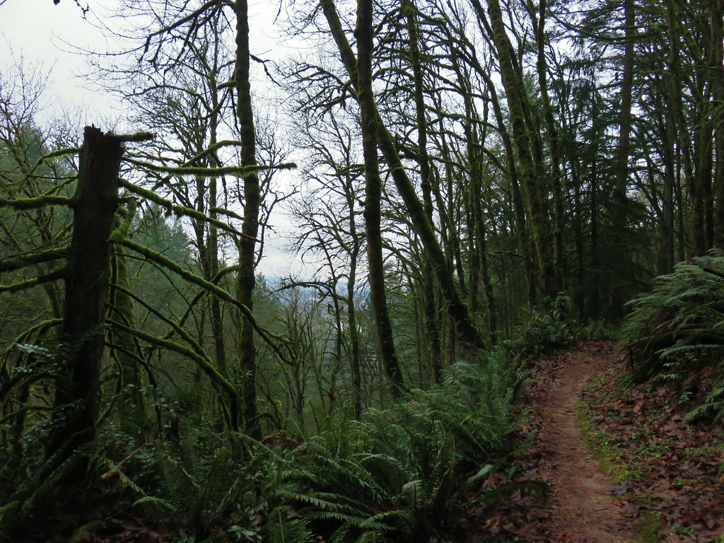 Too cloudy for any real views.


 Saltzman Road at the 2.5 mile mark of the 3.2 mile stretch.
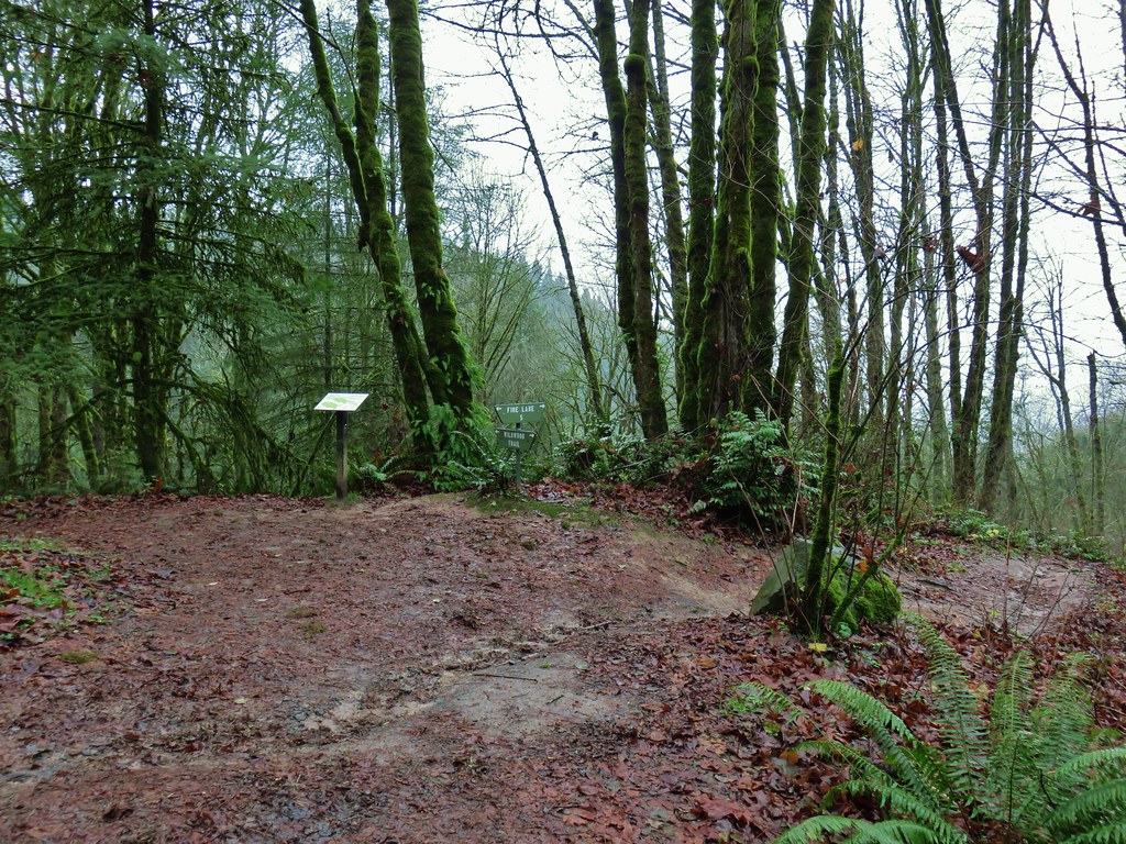

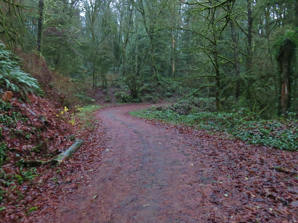
 Aproaching Leif Erikson Drive.
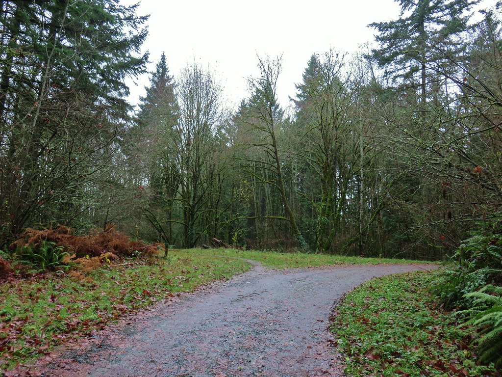


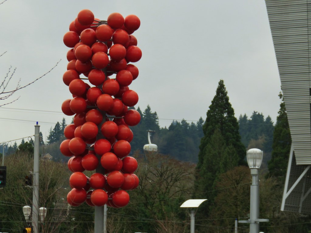
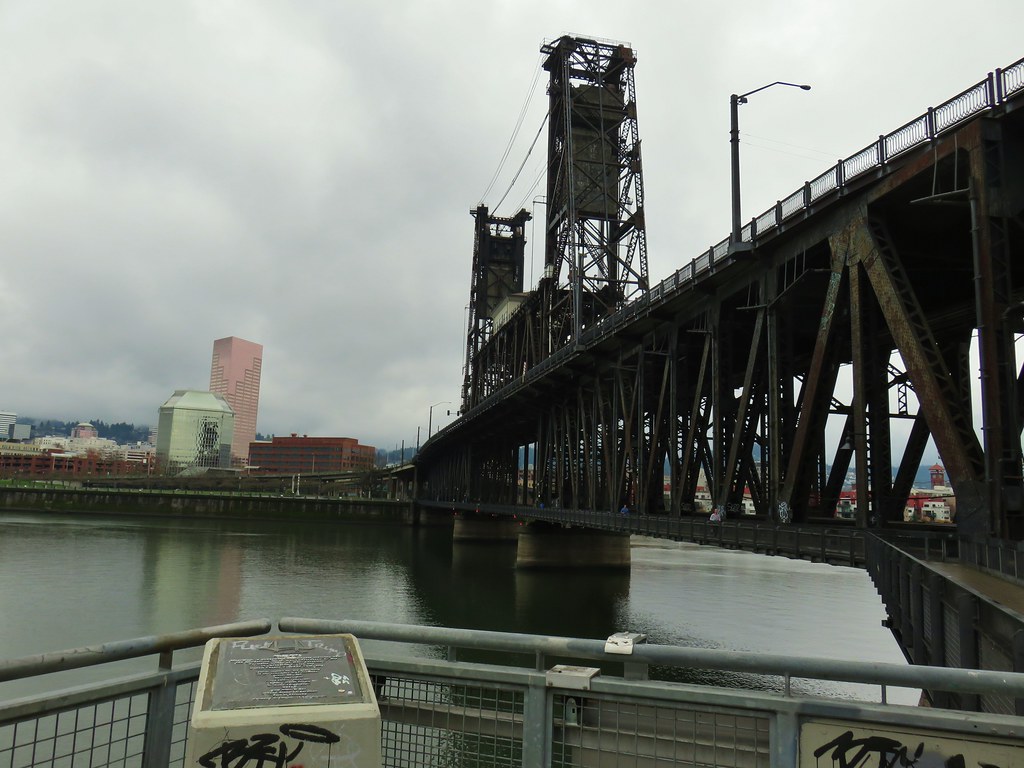
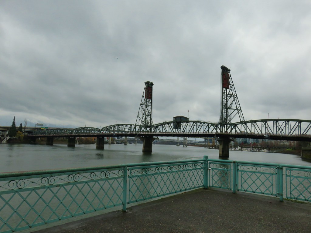 Hawthorn Bridge
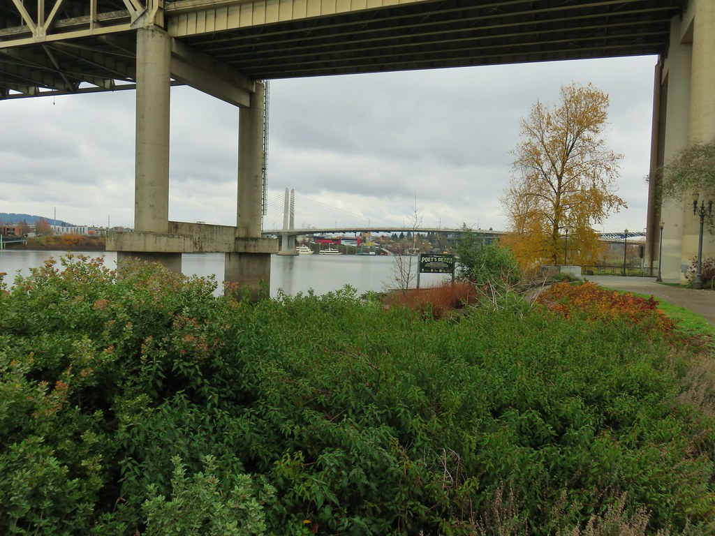


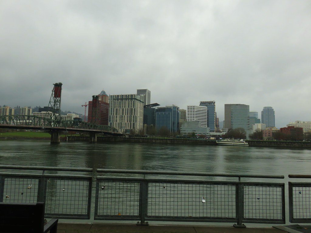
 Marquam Bridge from Tilikum Crossing.
 Tilikum Crossing from the esplanade.
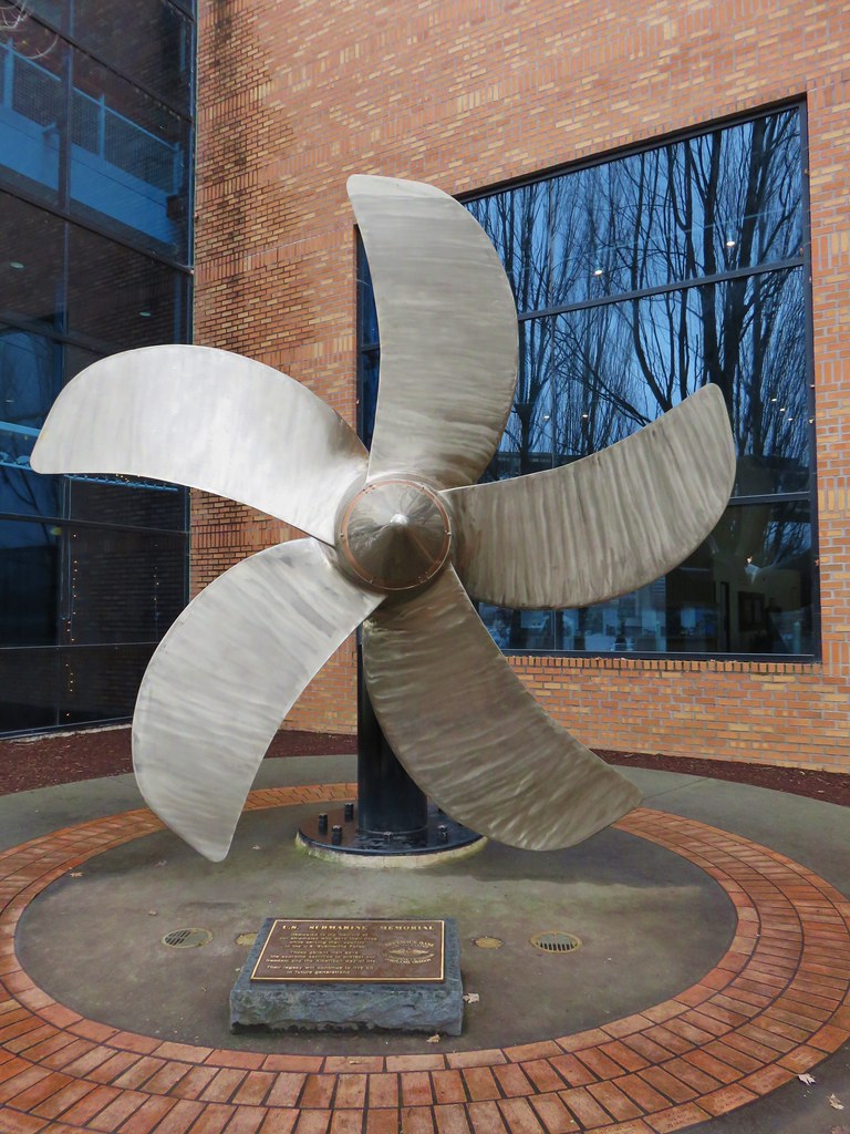 Behind OMSI
 More geese.
 Cormorants
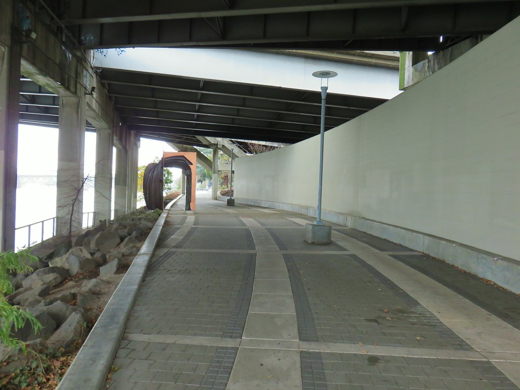


 Waterline Trail junction
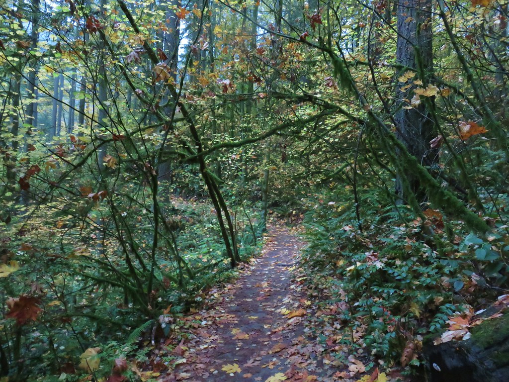
 Map at the Springville Road junction.
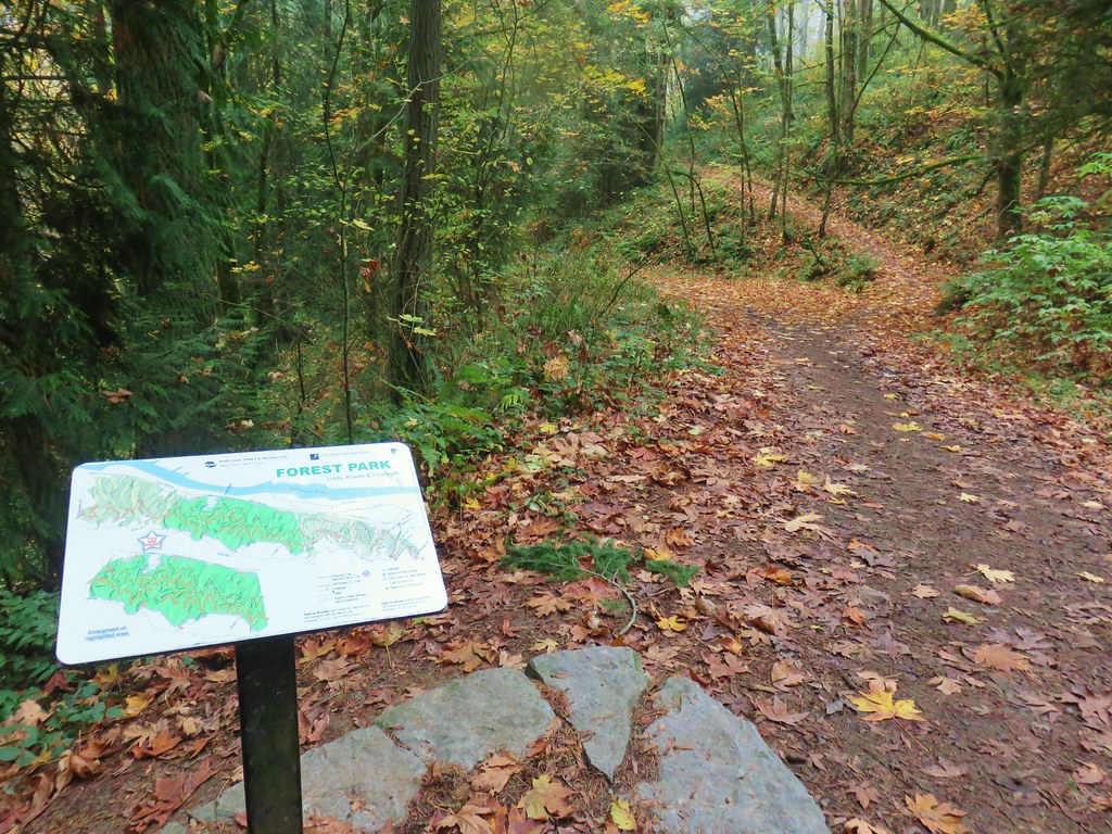
 Ridge Trail junction