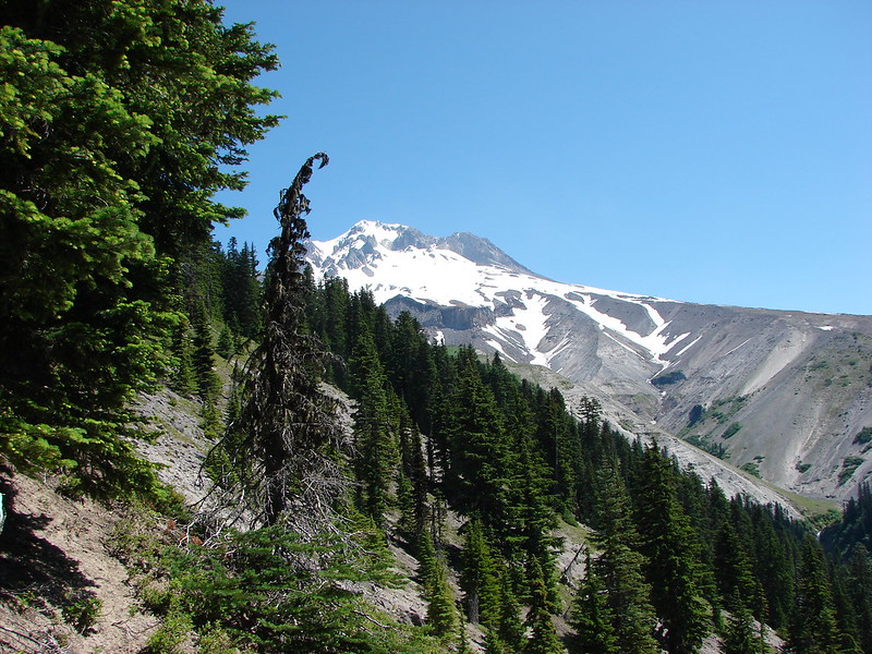
A left leg issue caused me to put hiking on hold for about a month. I was experiencing shifting discomfort and tightness from the piriformis down to the calf. It seemed to be a different location every day and after a couple of weeks the area around my knee was consistently feeling tight. X-rays and an exam showed the knee itself was in good shape structurally, so I’ve been referred to physical therapy. My first PT appointment isn’t until mid-April, but in the meantime the leg has been gradually improving and the orthopedist said I had no restrictions other than to not overdo it.
With that in mind we decided to see how my leg responded to hiking with a multi-stop outing of up to four short hikes in and around the Nehalem River Corridor. The short hikes would allow me to test my leg while allowing us to easily cut the day short if necessary.
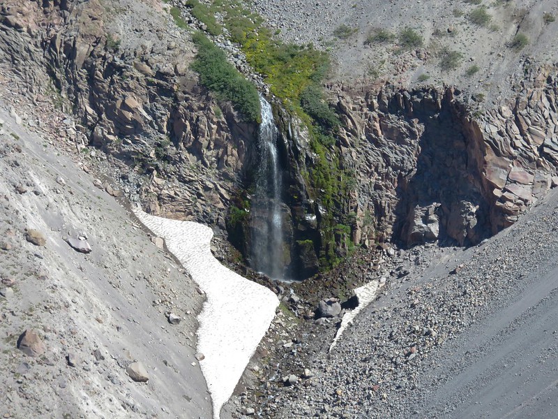
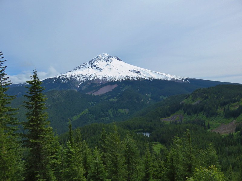
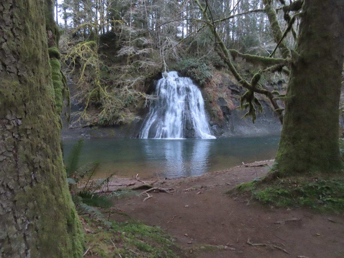
We started our morning with the shortest of the planned hikes, a visit to Umbrella Falls at the Nehalem Fish Hatchery. We had attempted to visit the waterfall in February of 2021 prior to our North Fork Nehalem River hike (post). The hatchery was closed to the public due to COVID restrictions and although walking through to the river would probably have been allowed, we opted to save it for another time. That time was now and we opted to park at the North Fork Nehalem County Park adjacent to the gate at the hatchery entrance which acts as parking for non-disabled anglers.


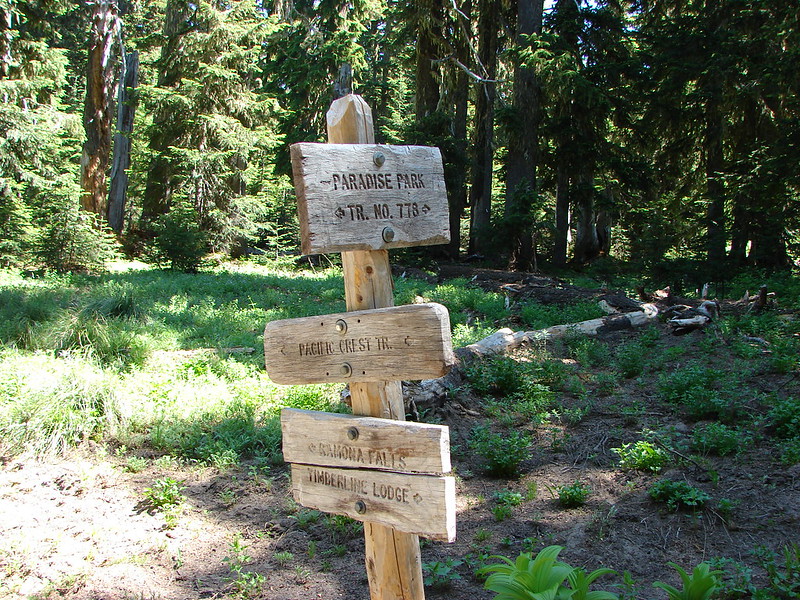
We walked down the entrance road stopping at the rearing ponds to look at some of the fish then continued to the western end of the hatchery to a sign for the Umbrella Falls Trail.


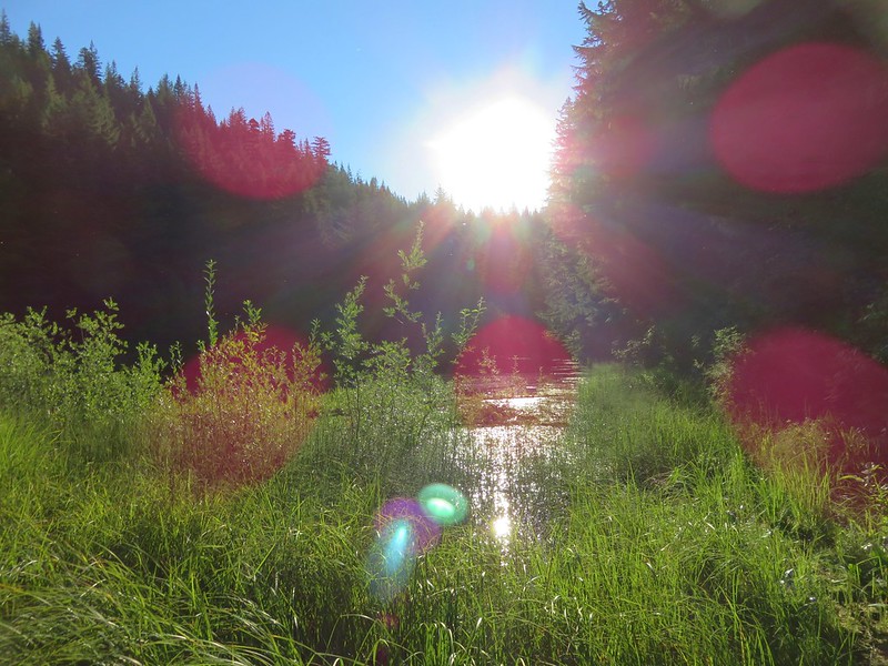
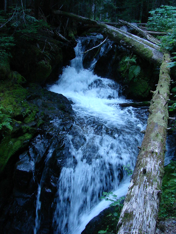
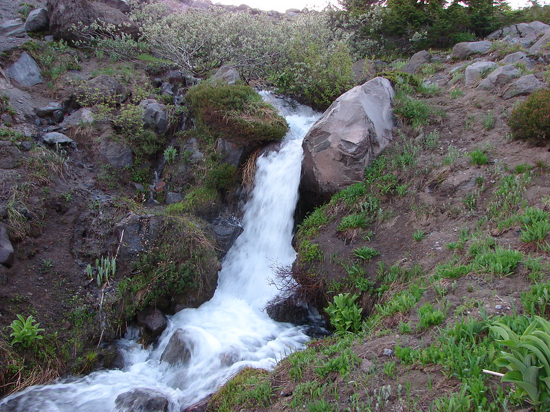
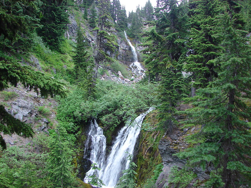
We followed the trail 250 yards to Umbrella Falls across the North Fork Nehalem River.


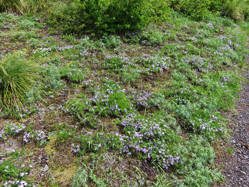
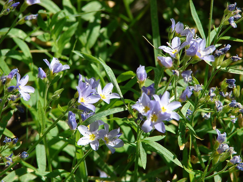
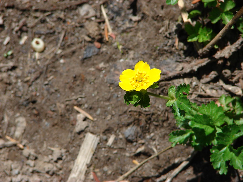
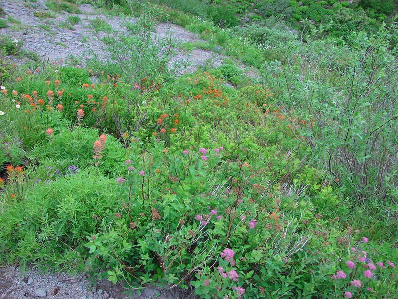
Violets

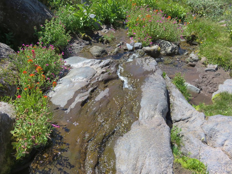
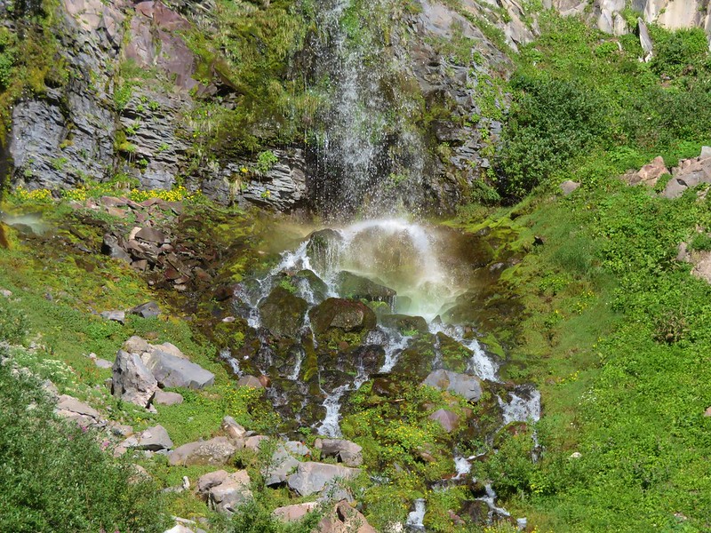
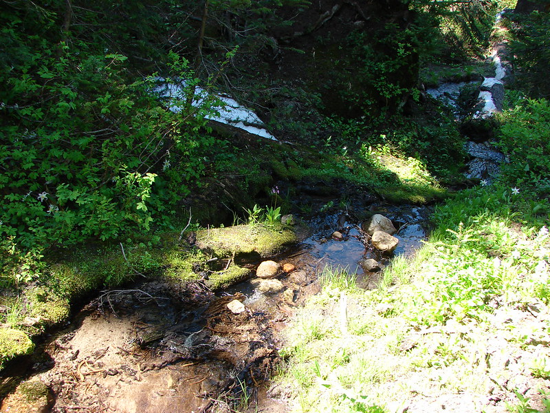
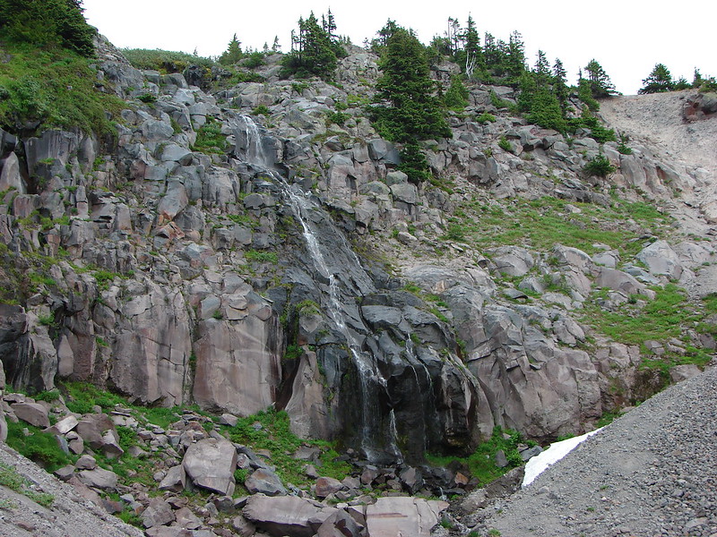
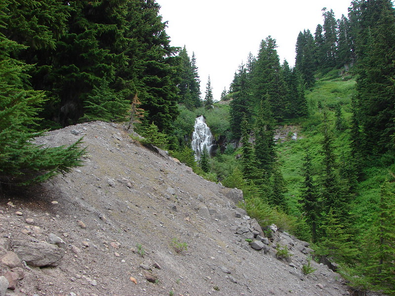
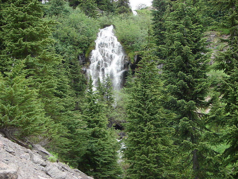
Umbrella Falls

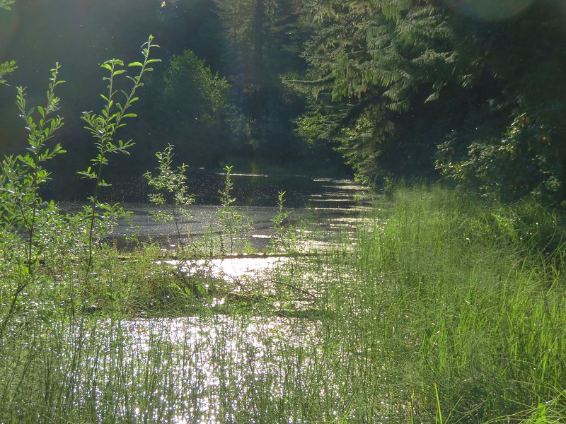
After visiting the falls, we continued on the short loop back to the hatchery and returned to the car.


Trillium

Coltsfoot

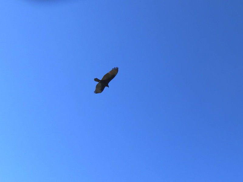
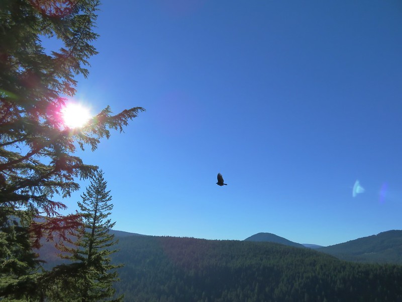
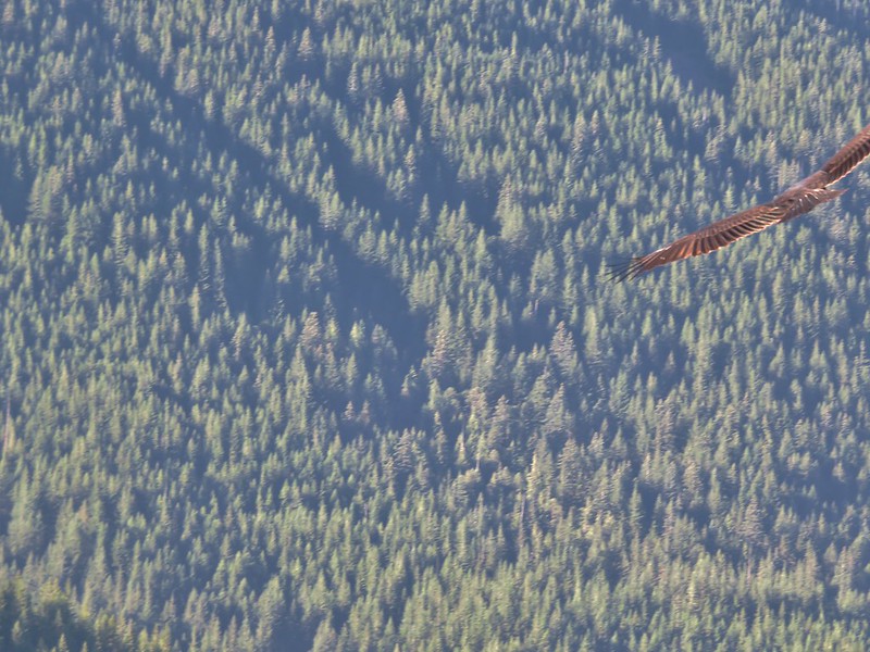
Bald eagle above the hatchery.
This stop was just over three-quarters of a mile. Umbrella Falls is a nice waterfall, and the fish hatchery added quite a bit to see.

My leg felt great during the first stop, so we drove to our next stop at the Nehalem River Dike. There is limited parking along the shoulder of Tideland Road. There is room for a couple of cars at the location linked above. We wound up parking approximately 100 yards to the south along the shoulder to the road.


The gate at the trailhead in the Oregon Hikers Field Guide.
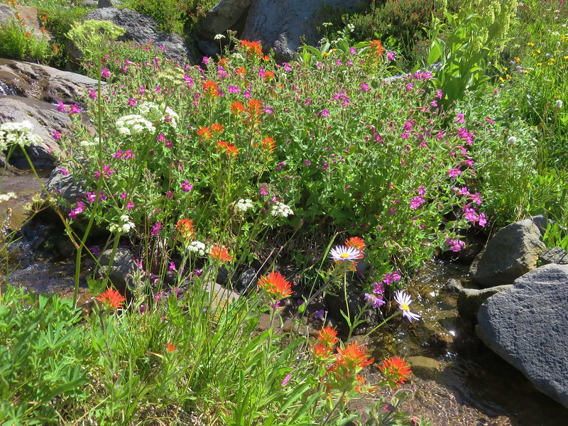
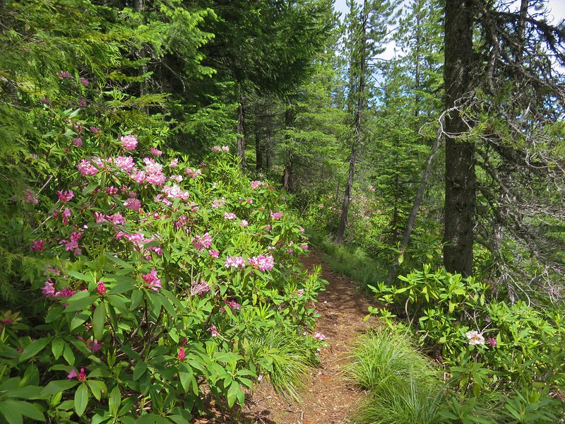
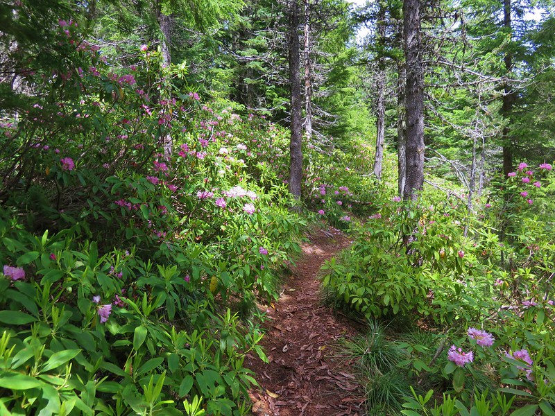
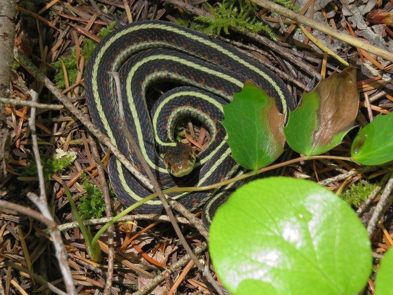
There is a three-quarter mile section of a grassy dike open to hiking. The dike travels between the Nehalem River and the Nehalem Bay wastewater ponds. The draw of the hike is wildlife viewing and we were not disappointed.


Swallows

One of a several great blue herons.

Red-winged blackbird

The city of Nehalem across the river.

Mallards

Scaup

One of the wastewater ponds.

Seal

Common mergansers

Northern shovelers

Great blue heron

End of the dike trail.

Heading back.

Sparrow

Bufflehead

Caterpillar

Bald eagle

Northern flicker

Cormorant
This hike was just over 1.75-miles with nice views and a lot of wildlife which made for an enjoyable hike.

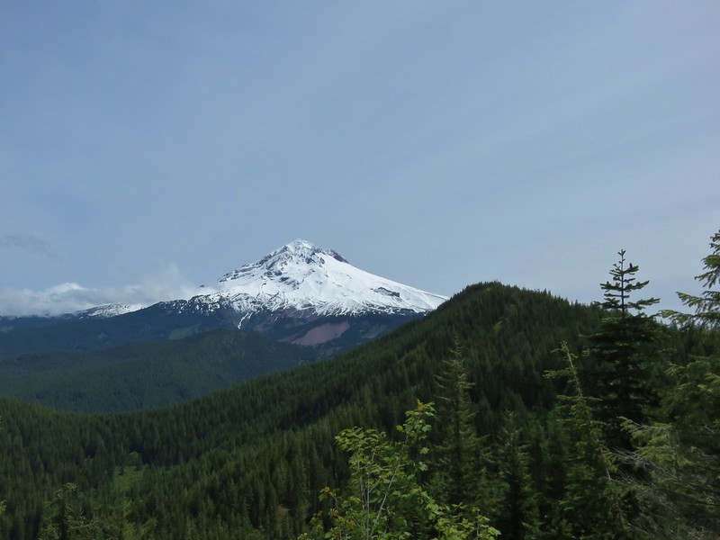
I was still feeling good so when we got back to the car we headed for our third planned stop at the Nehalem Falls Campground. With the campground still closed for the season we parked near the gate at the entrance road.

We walked down the entrance road a tenth of a mile to a sign for the “Hiking Trail”.

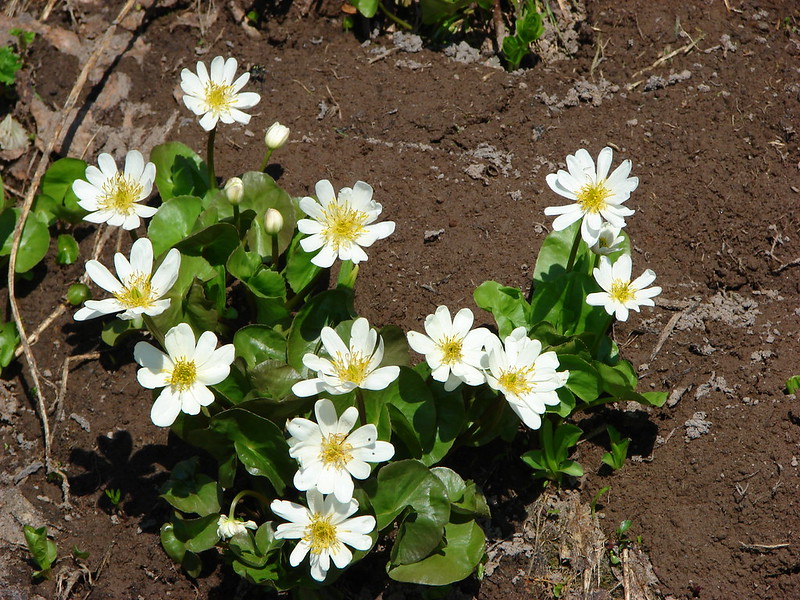
Skunk cabbage

Day use parking area

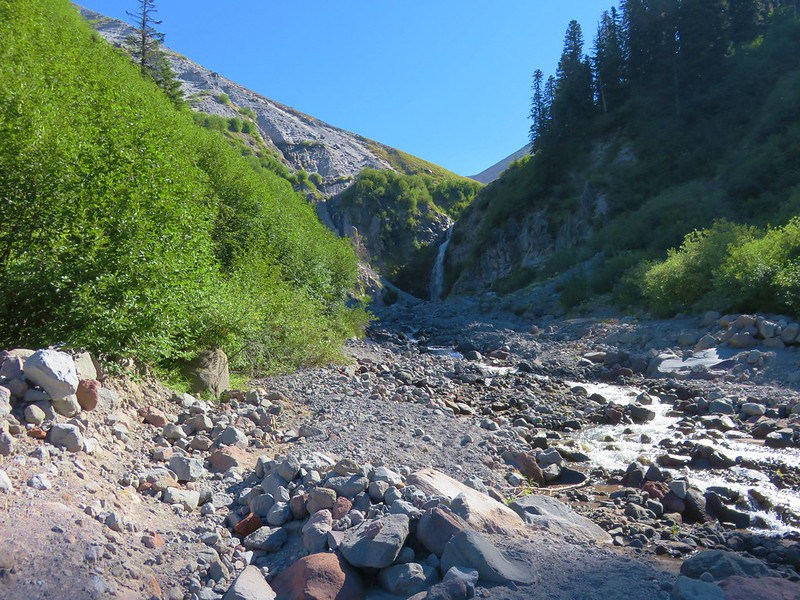
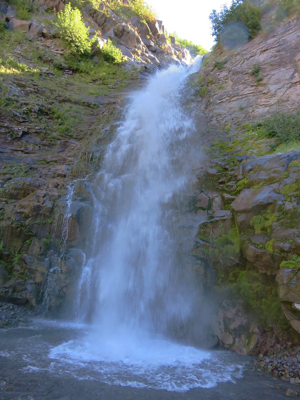
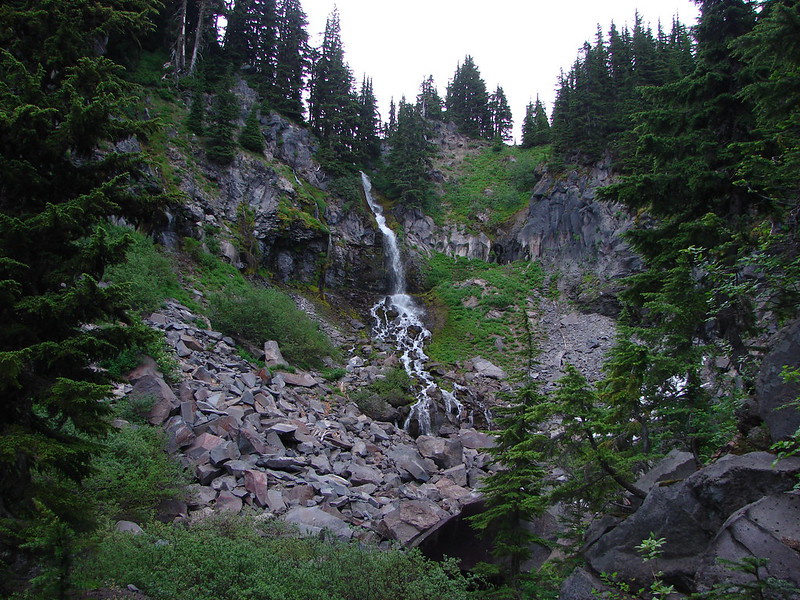
We headed down the trail which quickly drops near the river at Nehalem Falls. These falls are more of a rapid with the tallest drop being just 8′. Depending on the water volume the drop isn’t visible.

Violets


The fish ladder is visible to the far right. At times this too is underwater and not visible.

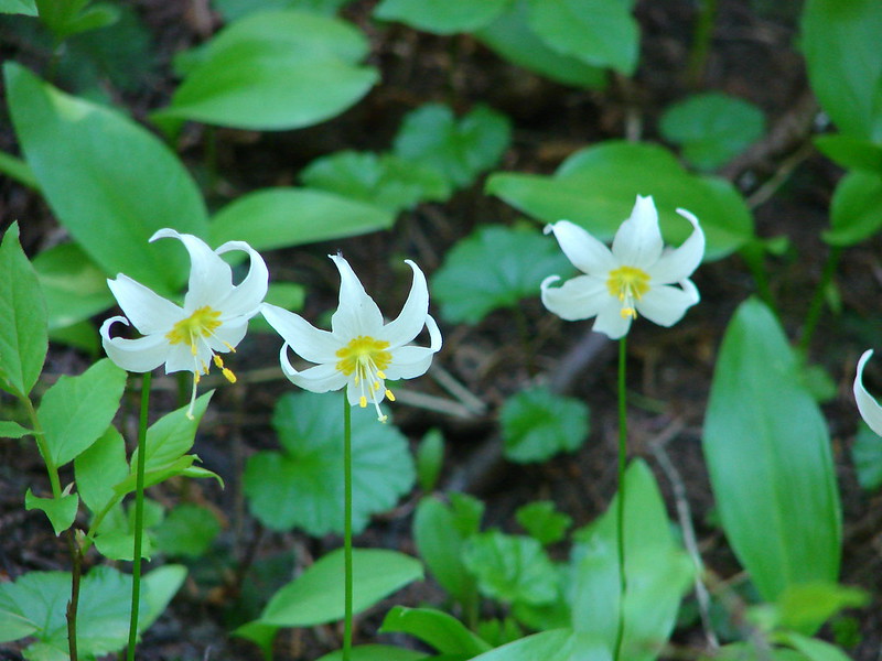
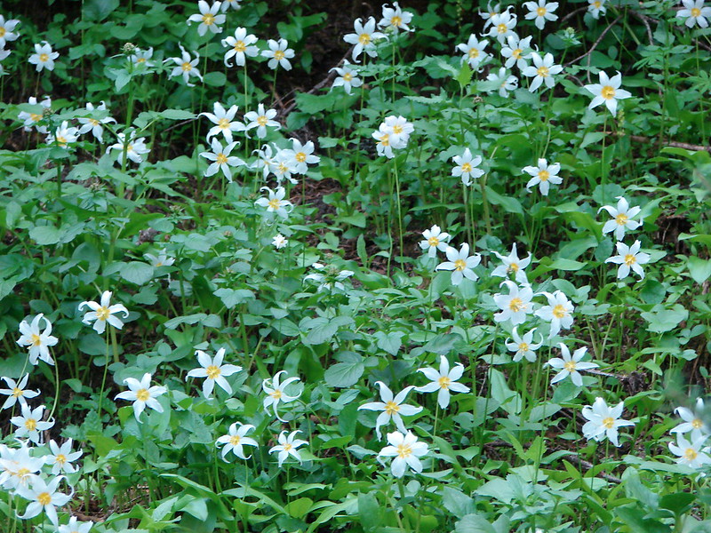
Pink fawn lilies
After visiting the falls, we continued on the hiking trail which loops around the campground in just under a mile.


Bleeding heart


Blackberry blossoms


Trillium

One of several benches along the loop.

Fall Creek

Chestnut-backed chickadee

Toothwort


There were a lot of trilliums along the trail.

The trail dropped us into the campground.
A short walk along the campground road led us back to the day use parking area to complete the loop then we walked back up to our car.

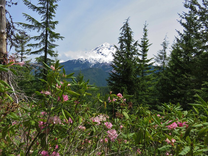
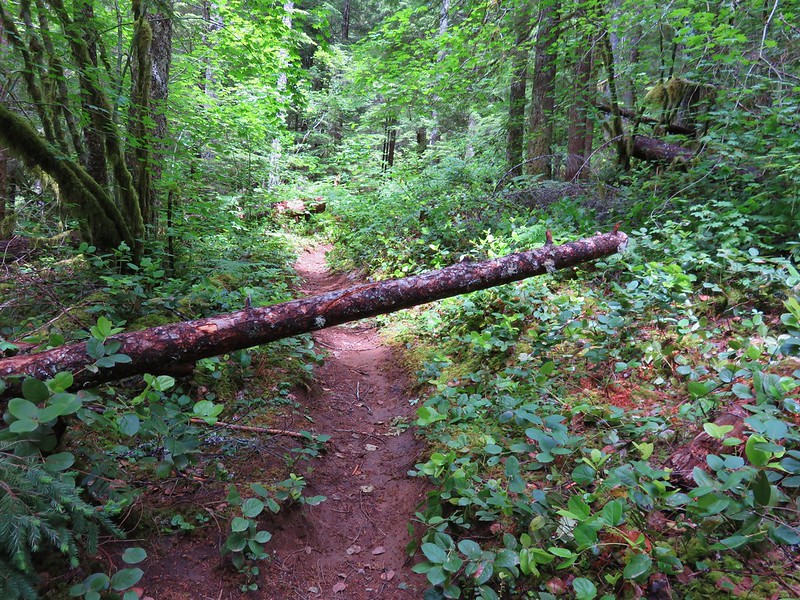
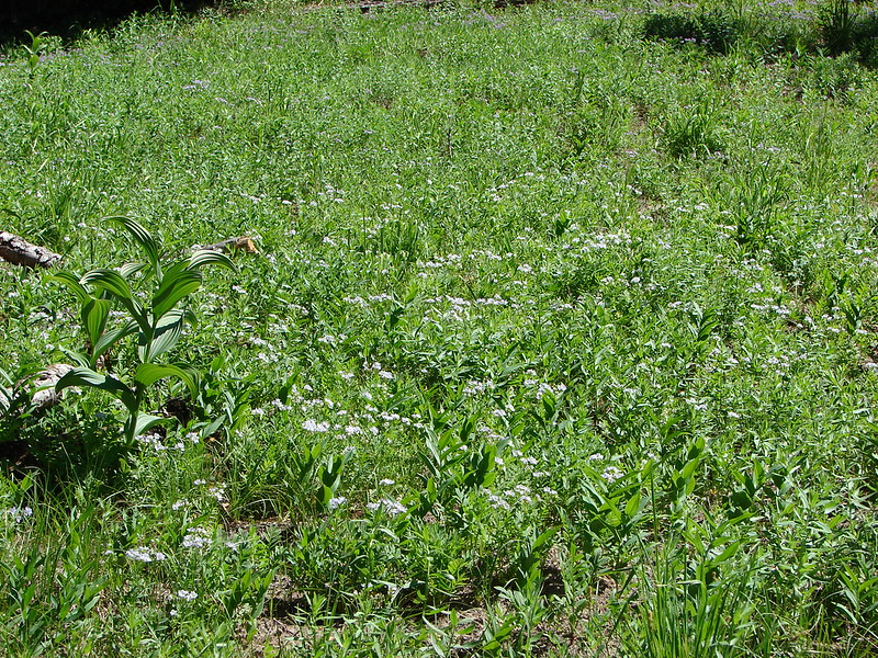
The final hike we had planned was located less than a mile from the Nehalem Falls Campground at Cougar Valley. In 2007 an Oregon Department of Parks and Recreation proposal included development of a 315-acre parcel of land located in Cougar Valley that had been purchased by the State in 2005. Local pushback on the proposal suspended that development and today the tract of land is open for day use only. The abandoned Lost Creek Road serves as what All Trails refers to as the Lost Creek Trail. This “trail” is not officially maintained, at least not frequently.
We parked at the gated roadbed and set off on a grassy track through blackberry bushes.


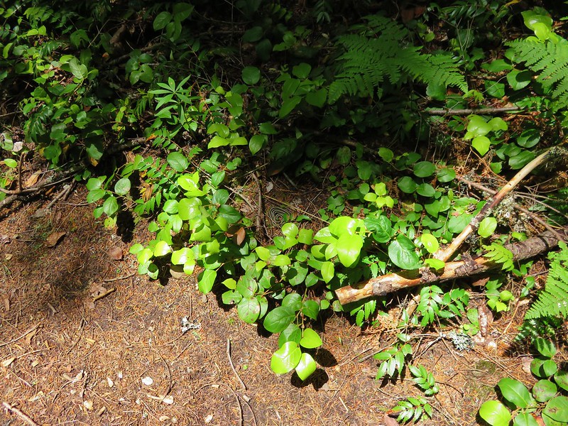
There were dozens of snails along the roadbed.

Maple meadow. The land had previously been the homestead of Cougar Bill and Cougar Marie, mountain line bounty hunters.


Lost Creek below Lost Creek Road.

Lost Creek

Salmonberry

One of two washed out areas along side creeks, possibly from flooding in February 2026.

Pacific wren


Mushroom


Rusted dozer blade
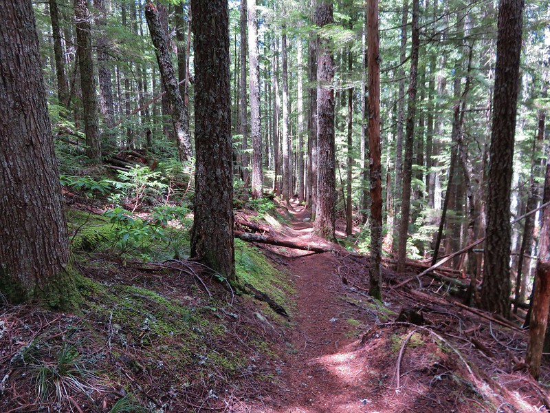
We made it almost a mile and a half before we began to encounter overgown conditions.

After picking our way through the first section we came to an even thicker mass of vegetation and decided to turn around. The old logging road had originally continued a couple more miles, and the roadbed had been accessible to at least the 1.75-mile mark where it crosses Lost Creek. Time has allowed nature to slowly reclaim the roadbed though.

Our turnaround point.
We headed back toward the car but took a short detour 0.4-miles before the trailhead down an old spur road that led to an old bridge over Lost Creek.

The old bridge from Lost Creek Road.

The spur road is on the right heading out Lost Creek Road. Since we were on the way back it was a left for us.

A very rough trail was cut through the blackberry bushes. We came away with quite a few scratches.

I didn’t trust the bridge enough to try stepping on it.

Lost Creek from the edge of the bridge.
After checking out the bridge we fought our way back up through the blackberries and returned to our car.

Our hike in Cougar Valley came in just under three miles and Nehalem Falls had been 1.1-miles.

One note is that we both did wind up with a tick on our long sleeves post hike. With the unusually warm, dry winter all reports indicate they are bad all over the State this year and this was the first time we’d picked any up in the Coast Range. It was a good reminder to always perform a tick check at the end of your hikes.
In all the four stops wound up being 6.6-miles with just 175′ of elevation gain. Here is a look at the relative location of our four stops.

My leg held up surprising well and as I am writing up this trip report the next day it’s still feeling good which is encouraging. Our plan is to take things easy and hopefully the physical therapist will be able to identify whatever the issue is and we’ll go from there. In the meantime, Happy Trails!


 The trails were well marked with plenty of reminders which users were allowed on them.
 Giant white wakerobin (Trillium albidum)
 The only columbine we spotted.
 Fairy lanterns
 In addition to identifying the trails by name, several had mile markers.
 Trillium

 Solomon’s seal
 Toothwort
 Largeleaf sandwort
 Bleeding heart

 Old fungus
 Oregon grape
 The 2.5-mile marker on the Mossy Maple Trail.
 Seasonal closure sign and map at the upper junction with the bike only Yee-Haw Trail.
 Pacific hound’s tongue
 Fairy slippers
 Star flowered solomon’s seal
 Iris
Iris Vetch
Vetch
 Fringecup
 Strawberry
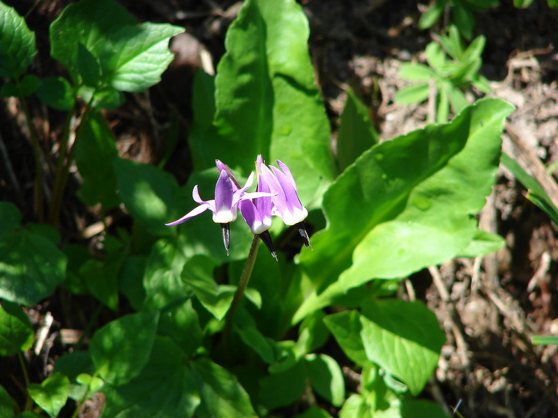
 Shooting star
 Spotted towhee

 Small-flowered woodland-stars
 Checker lily and baby blue eyes (Nemophila menziesii)
 Manroot
 Red-flowering currant
 Dogwood
 On the Cervus Road passing an old quarry on the right.
 The Basalt Rim Trail.
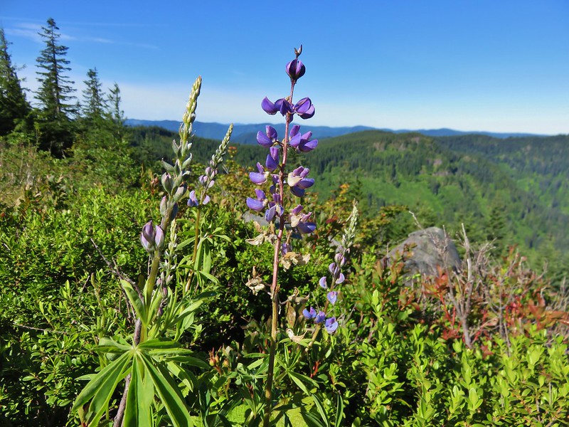
 The lupine is still a week or so away from blooming.
 Basalt columns


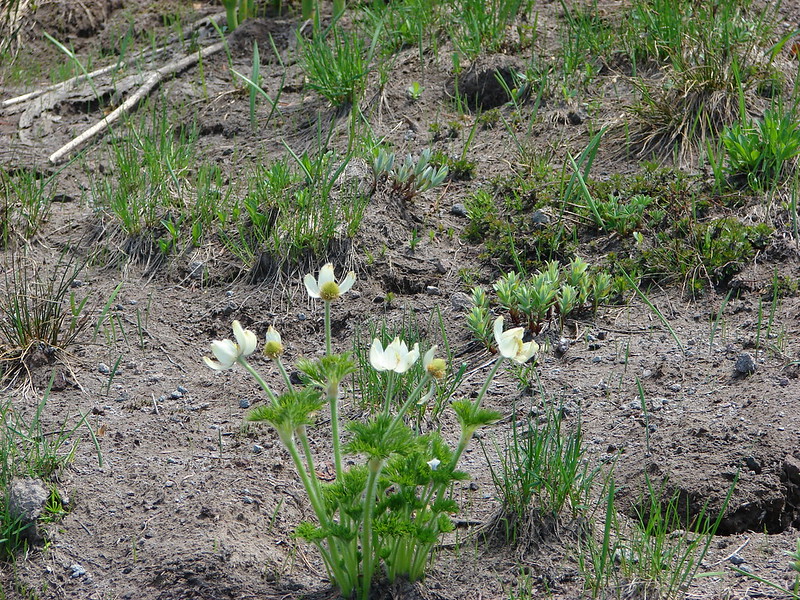
 Fawn lily
 Springfield from the trail.
 There is a short one-way loop at the top.
 Looking down from one of the viewpoints.
 The highest peak to the left in the distance is Mount June (
 Mt. Pisgah (
 Biscuitroot
 Another viewpoint along the loop.
 The peak with two humps is Mount Nebo. With the naked eye we could just make out Tidbits Mountain (
 Camas (and poison oak) near the viewpoint.
 Finishing the loop.
 Stripped coralroot.
 Switchbacks leading down to the Basalt Rim Trail.
 Wren
Wren Violets
 Basalt outcrops
 Ginger
 Arriving back at the Mossy Maple Trail.
 Starflower
 Dunn’s salamander
 Mossy Maple Connector Trail (left).
 The Yee-Haw Trail coming down from the left to the Mossy Maple Connector Trail.
 Buttercups
 Fairy bells
 Meadow near the trailhead.


 Menzies’ larkspur
 Western meadowrue
 Bleeding heart and purple deadnettle
 Completing the loop.
 Faint grassy path.
 Golden crowned sparrow
 A section of obvious trail.
 The faint path disappeared near the fenced off-leash dog area. The AllTrails loop appeared to turn around here, but since we couldn’t see even a faint path leading back around closer to the parking areas we turned around and followed the river back.
 We did find this short section of what appears to have been a paved path in the grass.


 An example of the posts. Every directional arrow, including the far side that you can’t see, was for the “Elk Trail”.
 Cedar along the Elk Trail.
 Candy flower and woodland buttercups
 Picnic tables near Lost Creek.
 Lost Creek
 Not a signed junction so this is the one time we veered right.
 Middle Fork Willamette River.
 I was hoping that there might be a turtle hiding in this photo but alas it does not appear that is the case.
 We veered left here leaving the River Trail briefly to actually get a view of the river.
 We hadn’t noticed the goslings in the grass until seeing the picture of the parents.
 Another look at the river shortly before the River Trail turned away.
 Barrow’s goldeneye
 Left here as right led to a picnic area at the end of the entrance road.
 Signpost at the second junction where we kept right.
 The clouds had been stubborn all morning but by early afternoon they had mostly burned off.
 We stayed left on the trail near the entrance road (across from the

 ADA accessible path to a brushy wildlife viewing spot along a backwater channel.
 Bufflehead and at least three turtles on the logs behind.
 The Lost Creek Trailhead on the far side of the entrance road.


 The trailhead.
 The caution sign was related to some pile burning that the Forest Service had been doing.
 McKenzie River

 Mushrooms
 National Recreation Trail symbol on a tree to the left.


 Private Road sign on Duffy Rd.
 There was quite a bit of witches’ butter fungus along the trail.
 There were a lot of other mushrooms too.
 Unnamed creek crossing.


 Ruby-crowned kinglet. We didn’t see much wildlife on this hike but there were several kinglets flitting among the trees here. This was the only photo of one I managed to get though.
 We had not expected any blue sky so this was a treat. It had rained for most of the drive and sprinkled for a minute shortly after we started hiking, but it had been dry otherwise.
 The trail switching back up a small hill.
 The most significant elevation change was this decent to a footbridge over Lost Creek.
 Coral fungus
 Lost Creek
 The footbridge over Lost Creek was a little over 4.5-miles from the Lower McKenzie Trailhead.
 Lost Creek
 Willamette National Forest Boundary
 Approximately 5.25-miles from the trailhead we crossed Belknap Hot Springs Road.
 Sign for the
 Unnamed seasonal stream.
 Footbridge over Scott Creek.
 Scott Creek
 Mushrooms
 Footbridge over Boulder Creek.
 Highway 126 bridge over Boulder Creek from the footbridge.
 Boulder Creek flowing into the McKenzie River.
 Forest Road 2650.
 Boat ramp at Forest Road 2650.
 The river from Forest Road 2650.

 This short section along the road is just east of Belknap Springs Road.
 Madrones
 A little sunlight on the forest floor.
 Rain shower falling over Lost Creek. It wasn’t raining hard enough to convince me to pull my rain gear back out.
 I spotted Heather with a little over three and a quarter mile left back to the trailhead. (Look for a little orange in the trees ahead and to the right of the trail.)


 Ours was the only car at the trailhead when we got back.
 Red – Clear Lake, June 2014 (