
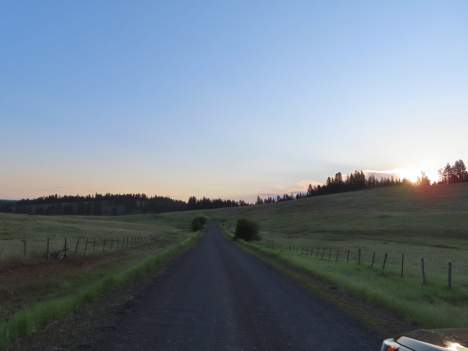
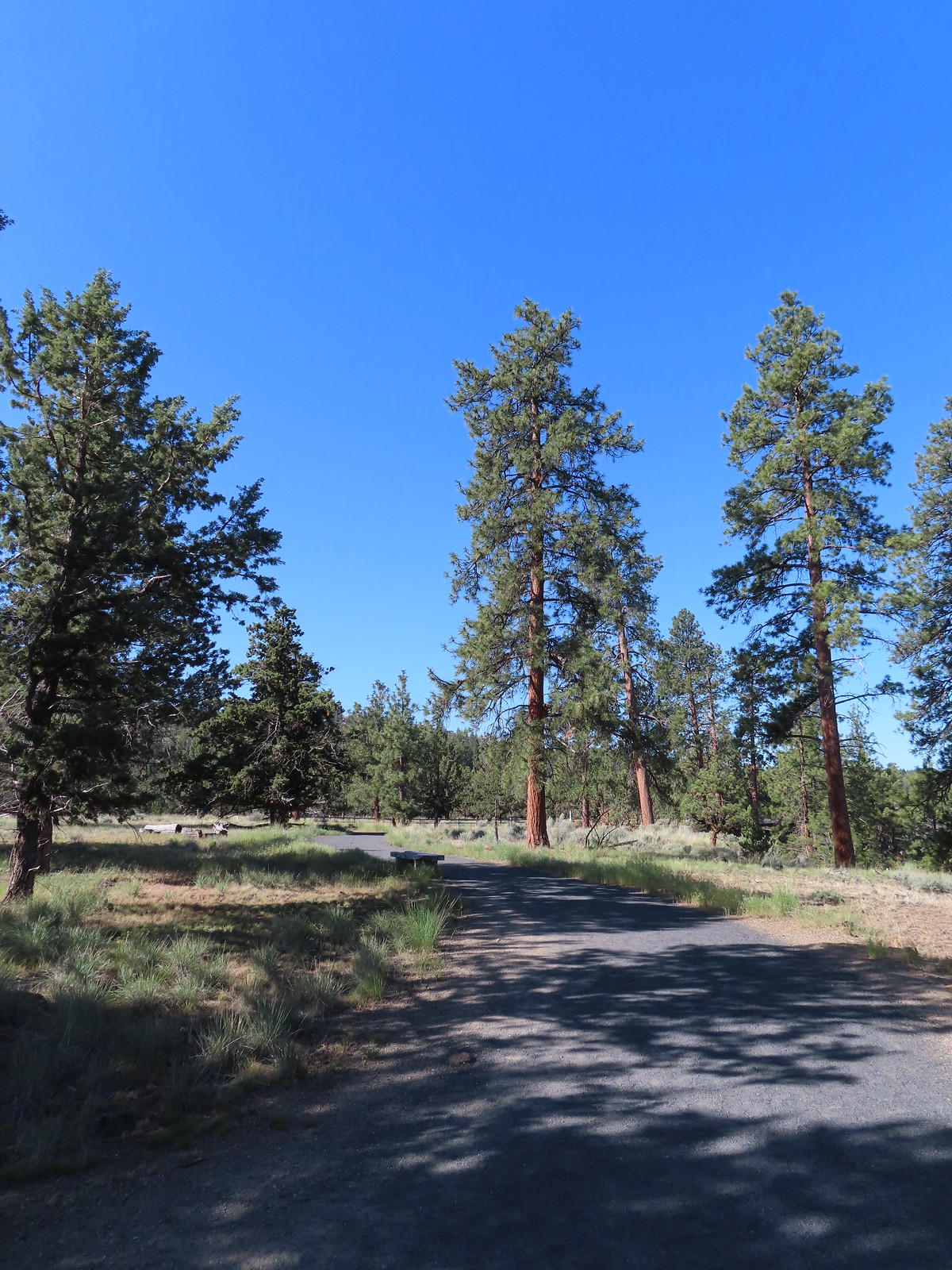
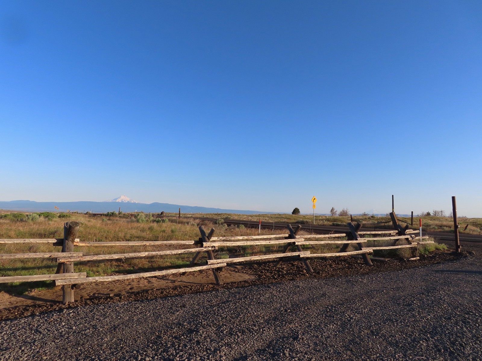
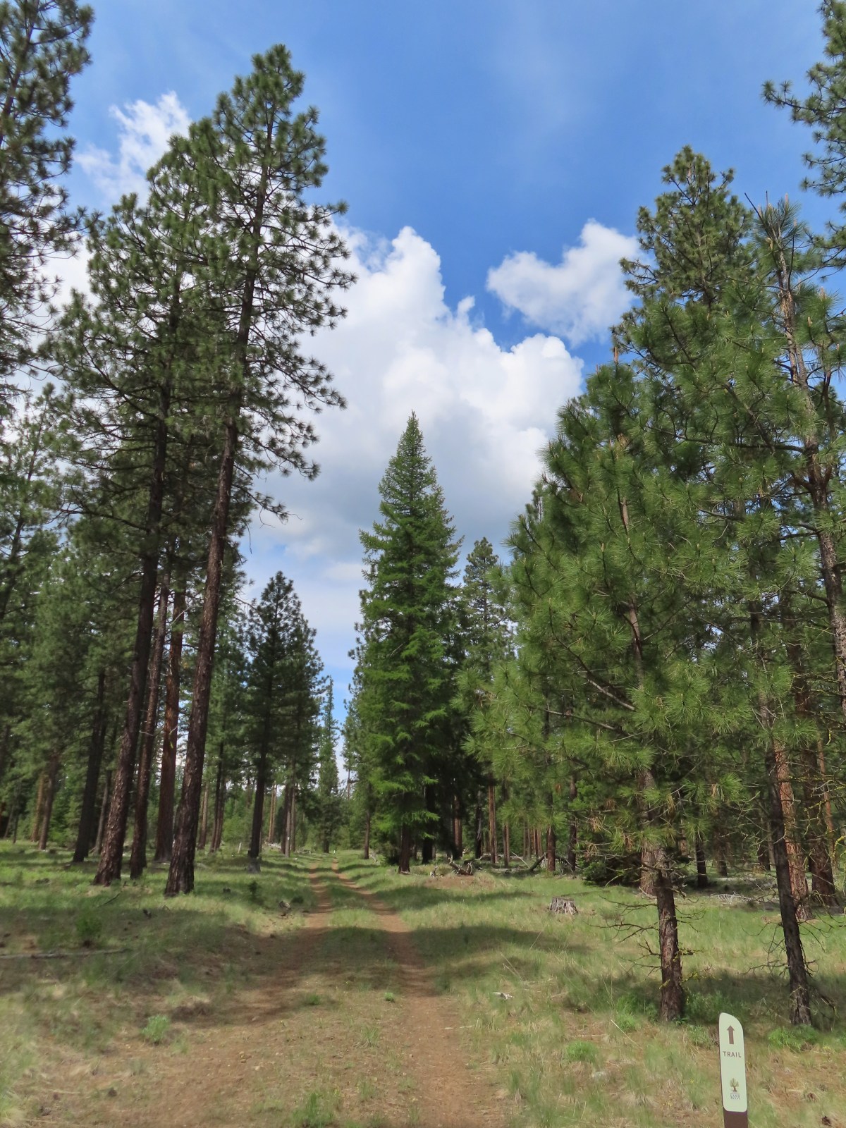
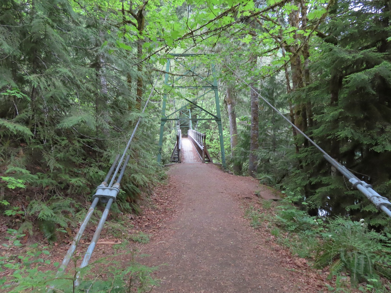
For the final day of hiking on our vacation we had two of Sullivan’s featured hikes on tap, Hells Canyon Reservoir and Hells Canyon Dam. We left our motel in Enterprise and drove the Hells Canyon Scenic Byway to Oxbow. Our first stop was at Copper Creek where a short hike would take us into the Hells Canyon Wilderness.
 The smoke that had moved in the day before was still around.
A small post directed us to the trail.

The next post read “Trail Not Maintained Hazards May Exist”

We weren’t sure what to expect, but we hoped it wouldn’t be another poison ivy filled hike like Wednesday’s hike at Eureka Bar (post) and that we would at least be able to make it to McGraw Creek which was 1.8 miles away.
 Toadflax
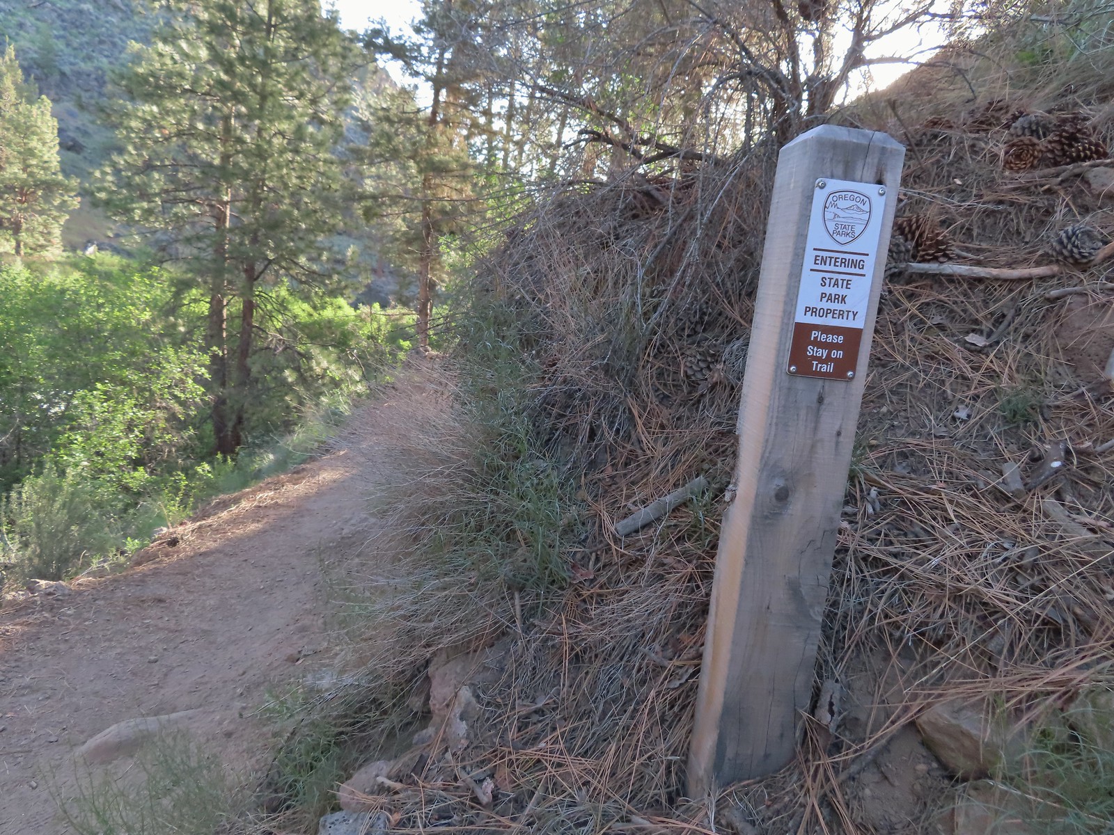
A short distance from the trailhead we entered a signed wilderness study area.

 Fleabane


 There were lots of fish visible in the reservoir.
The tread on the trail wasn’t great but poison ivy wasn’t an issue which was nice.

 Penstemon
 Showy milkweed
After approximately three quarters of a mile we entered the Hells Canyon Wilderness.

At the 0.9-mile mark we crossed Nelson Creek.
 Approaching Nelson Creek.
 Nelson Creek
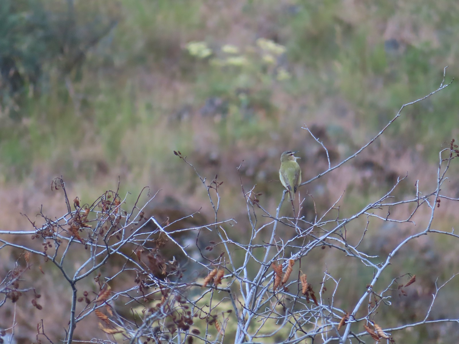 Red-eyed vireo
 Looking up Nelson Creek.
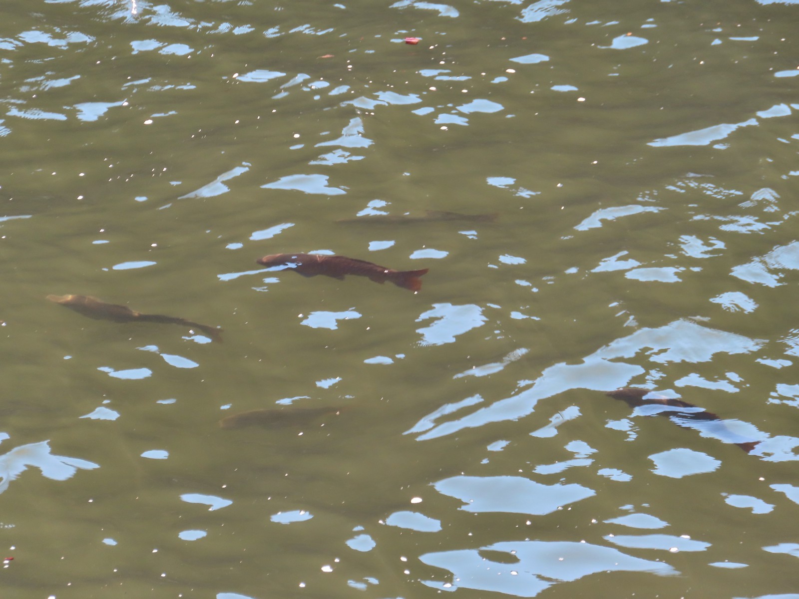 More fish.

 Lazuli bunting
We made it to the outwash plain of McGraw Creek where the trail turned inland.

We made it another 100 yards before coming to a missing section of trail.

We weren’t comfortable with trying to continue. There was a faint path climbing uphill that might have taken us past the missing section but we didn’t feel the need to push it and turned around.
 McGraw Creek

 Lizard
 Common wood nymph
 Moth
Moth
 Cabbage whites
 Lorquin’s admiral
 Copper Creek Trailhead from the trail.
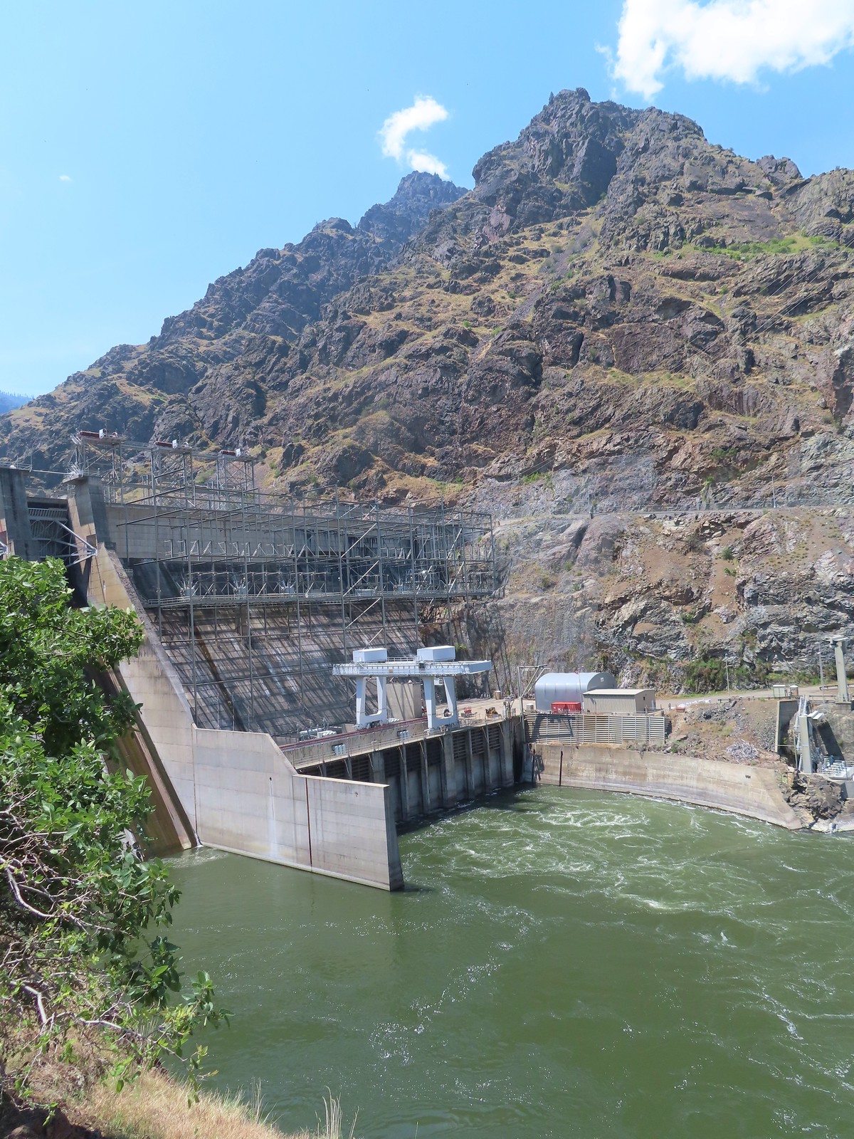
After completing our hike here we drove back to Oxbow and crossed the Snake River into Idaho and headed north to the Hells Canyon Dam. Sullivan’s featured hike here includes two separate options, a 2.4 mile hike to a beach just beyond Stud Creek on the Oregon side of the river and a shorter hike on the Idaho side on the Deep Creek Stairway Trail. This is the only featured hike located in the state of Idaho and we had planned to do this hike first, but the trailhead parking lot was busy with fishermen heading toward the trail. The trail consists of a series of metal stairs and catwalks leading down to the bottom of the dam near Deep Creek and we weren’t too keen on being in a crowd so we drove on across the dam to the Hells Canyon Creek Visitor Center.


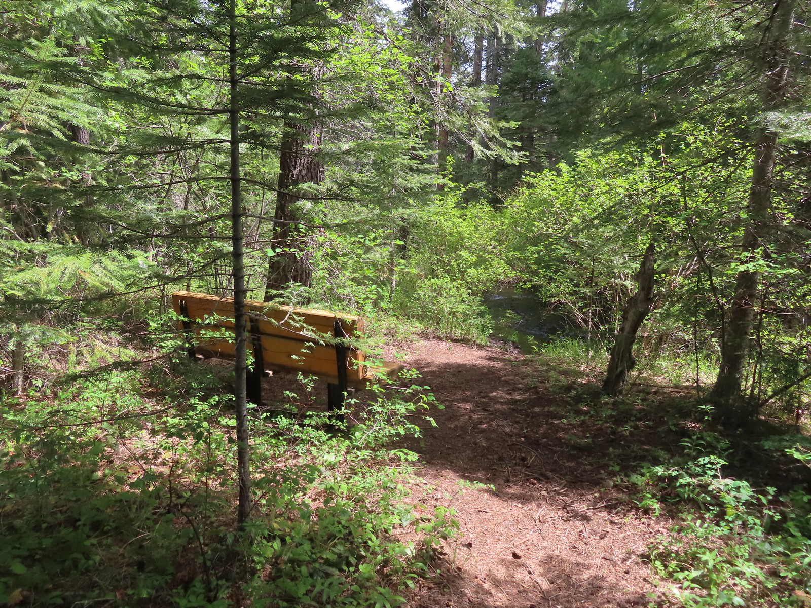
The trail here starts near the boat ramp where an interpretive sign announces the former site of a prehistoric pit house.


 The start of the trail.
This trail was in better shape than the one along Hells Canyon Reservoir, but it was a wild mix of wooden stairs, rocky cliffs, and scenic viewpoints.

 Penstemon


 Western clematis
 We watched an osprey dive for a fish in the river.
 It pulled a small fish out of the water.

 Threadleaf phacelia
 Rafters that had set off from the dam.

 Ant in a sagebrush mariposa lily.
 Monkeyflower and heart-leaved bittercress
 View near Stud Creek.
We didn’t see any water in Stud Creek’s outwash plain but there were a number of differently colored mariposa lilies.


Our turnaround point was a white cobble beach where fish occasionally jumped.
 Cobble Beach near Stud Creek
 Jet boat passing by.
After a short break we returned to the visitor center which we checked out before driving back across the dam.

 Interpretive sign near the visitors center.
 Hells Canyon Creek
 View from the visitors center.
We were still hoping to stop a the Deep Creek Stairway Trail and as luck would have it all but one of the cars that had been at the trailhead when we drove by earlier were gone.
 The empty trailhead parking area.
A short road walk led us to the start of the trail.
 The structure on the right is an old fish trap.

 This was only our second hike in Idaho (Jump Creek Falls was the first), and the first in one of Idaho’s National Forests.
 The Payette National Forest manages this trail.
The trail began by heading briefly down a staircase and then climbing another set of stairs.


 Going up.
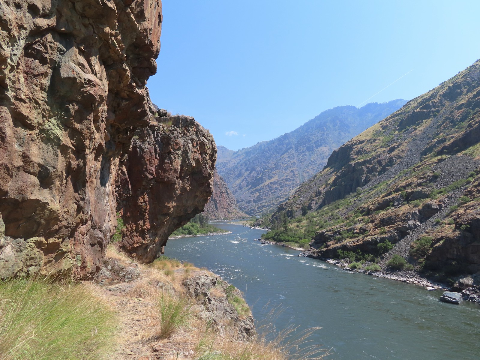
 Snake River from the trail.
 Going back down.
 There were a couple of dirt/rock sections, but the trail was mostly metal stairs and catwalks.
We passed the owner of the remaining car, Ahmed, heading up with a pair of good-sized fish.
 Ahmed’s fishing pole was still out, and you might notice a little red to the left of the structure ahead.
Heather decided not to go all the way down to Deep Creek but I wanted to see it so I followed the trail to its bank.
 There was a very short scramble to get up to the continuation of the trail above the structure along the creek.
 A few patches of snow in the Payette National Forest.
 Deep Creek
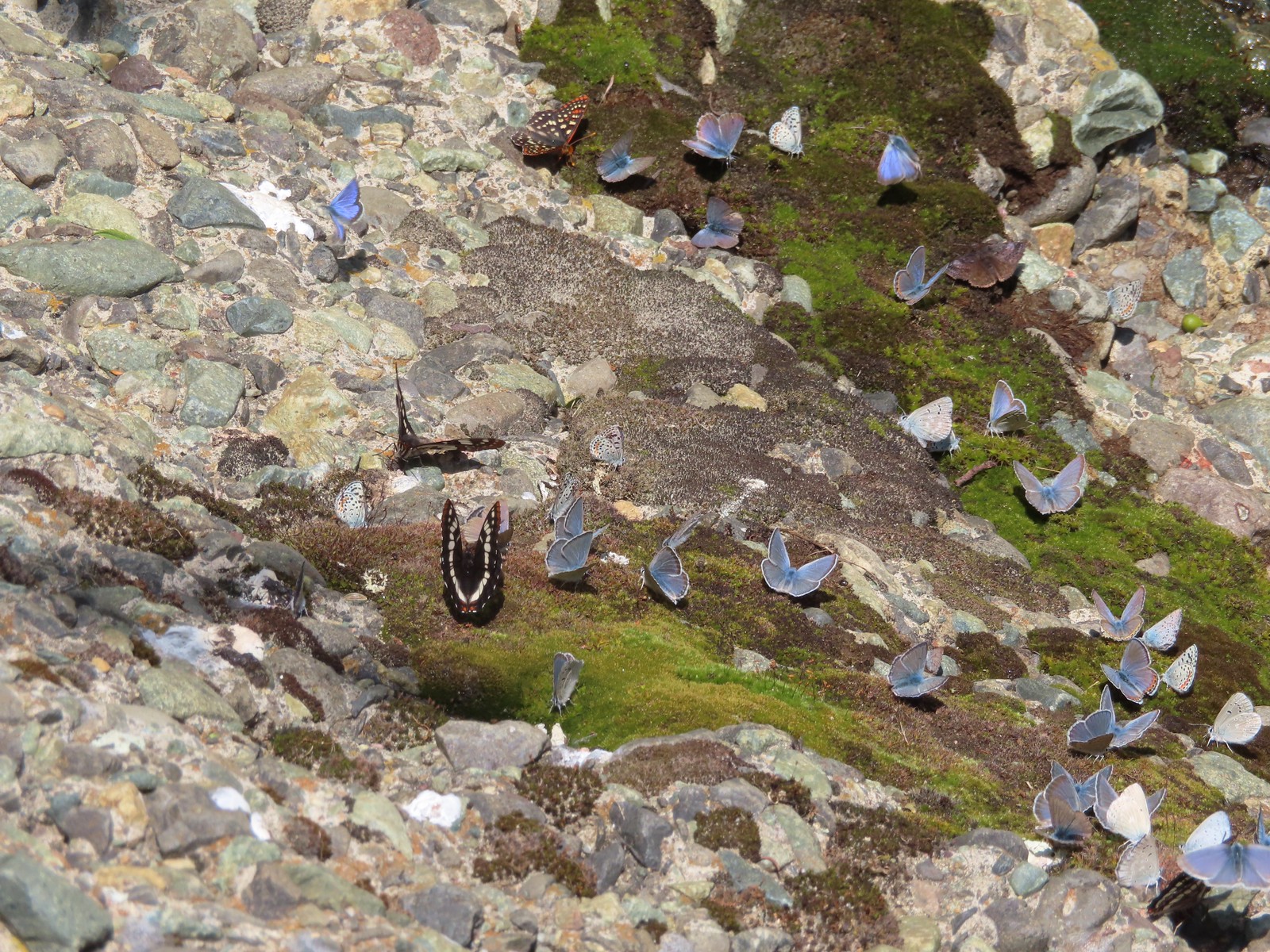
I was greeted at the creek by a rock covered with different butterflies.


It was a hot, tiring climb back up to the car where we changed, grabbed some drinks and snacks, and got ready to drive to Pendleton where we would spend the night before driving back home.

These three hikes came in at 3.7, 2.6, and 1.0 mile respectively. Hells Canyon Reservoir had over 500′ of elevation gain while the final two were under 200′ although the staircase felt like more.


We were thankful that poison ivy was a non-issue on these hikes. They were all enjoyable but given the rough condition of the Hells Canyon Reservoir Trail we wouldn’t recommend that one for kids or inexperienced hikers.
With the vacation hikes now over, we had made just a little progress on finishing 100 featured hikes from one of Sullivan’s Eastern Oregon guidebook editions (post). We had been at 79/100 heading into the vacation whith plans on completing six more but our decision to skip Dug Bar and change the edition that we were focused on meant adding five featured hikes that we hadn’t done and losing a couple that we had. Instead of sitting at 85/100 at the end of the vacation we are currently at 80/100. We’ve already worked the five new featured hikes into our plans over the next 18 months so we are still on track to be finished by the end of 2024. Happy Trails!
Flickr: Hells Canyon Reservoir and Dam


 At least one bull in the herd.
 Buckhorn Lookout

 Hells Canyon
 Tolmie’s onion
 Pale paintbrush
 Larkspur, lupine, and northern mules ears.
 Prairie smoke a.k.a. old man’s whiskers
 Purple sticky geranium
 Paintbrush
 Parsley, larkspur, large flower triteleia, and Tolmie’s onion
 Phlox
Phlox We could have driven the 1.2-miles on FR 780 to the gate but the road was not in good shape and after driving to Eureka Bar the day before we weren’t interested in another rough road.
 Mallow ninebark
 Arnica
 Large flower triteleia

 Gate at the end of the road.
 Marker for the Nez Perce – Nee-Mee-Poo National Historic Trail.

 Columbian lewisia
 Seven Devils in Idaho
 Lupine, yarrow, buckwheat, and scarlet gilia
 Scarlet gilia

 Elkhorn clarkia a.k.a. ragged robin
 Another impressive scarlet gilia.
 Paintbrush, lupine, phacelia, thistle, and scarlet gilia
 Penstemon
 A phlox
 Scabland penstemon
 Threadleaf phacelia
 Penstemon
 Paintbrush
 Lark sparrow
 Cedar waxwing
 Elkhorn clarkia
 Wallflower
 Skullcap
 Nettle-leaf giant hyssop
 Monkeyflower and some tiny white flowers near a seep.
 Buckwheat

 Mylitta crescent
 Rough eyelashweed
 Looking back up the trail.
 At Spain Saddle the road switched to the opposite side of the ridge.
 Bush penstemon
 Another type of penstemon
 White spiraea
 Manyflower tonella
 Owl’s clover
 The viewpoint on the far side of the fence.
 Boat on the Snake River.
 Salsify
 Bindweed
 Thistle with bugs.
 Clouds moving in behind us.
 Prickly pear cactus
 The only poison ivy we saw all hike.
 Eureka Viewpoint ahead to the left.
 Hairy goldenaster
 Fleabane
 Eureka Viewpoint
 Looking back
 Looking down
 Clustered broomrape


 A very small part of the river is visible to the left and more to right.


 Here come the clouds.
 We spotted a rock arch on the way up that we’d missed earlier.
 A closer look at the arch.
 Common wood nymph
 Spotted towhee
 Northern flicker
 The only time we noticed the Imnaha River from the trail.
 Butterfly near the seep.
 Mountain parnassian on yarrow.
 A painted lady butterfly.
 Chipping sparrow
 We could actually smell a little smoke at times on the way back.
 Tiny trumpet
 Hound’s tongue and roses
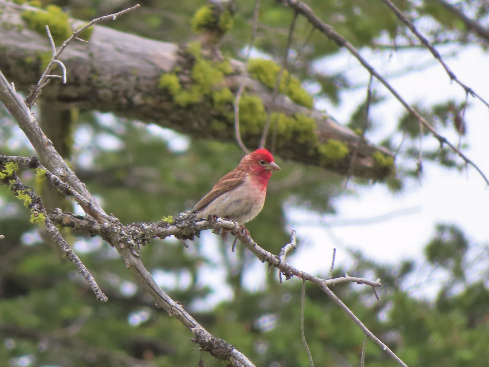 Cassin’s finch
 Western bluebird
 Western tanager
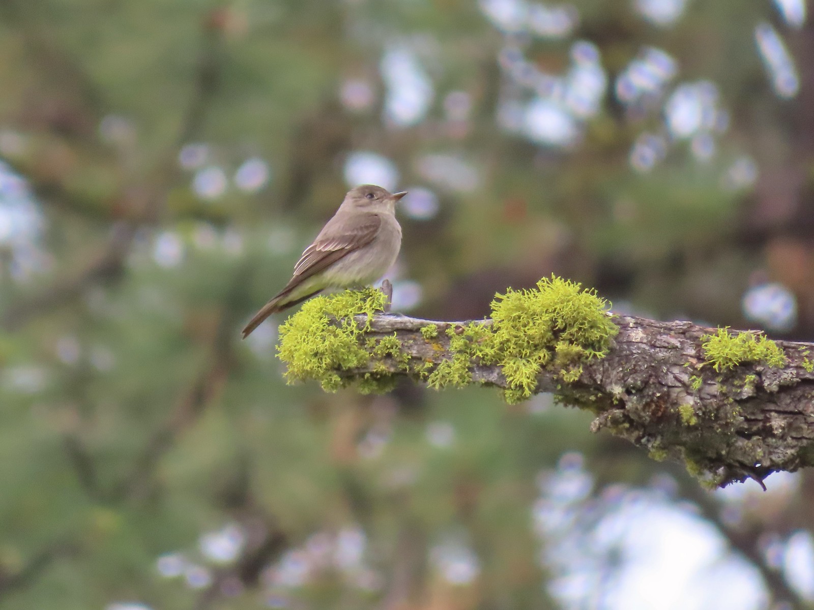 Western wood peewee
 Hairy Indian paintbrush
 Hoary balsamroot
 Mountain bluebird
 The view in the afternoon from the lookout.

 Cow Creek Bridge at the Cow Creek Trailhead.
 Garbage can at the trailhead.

 Penstemon along the trail.
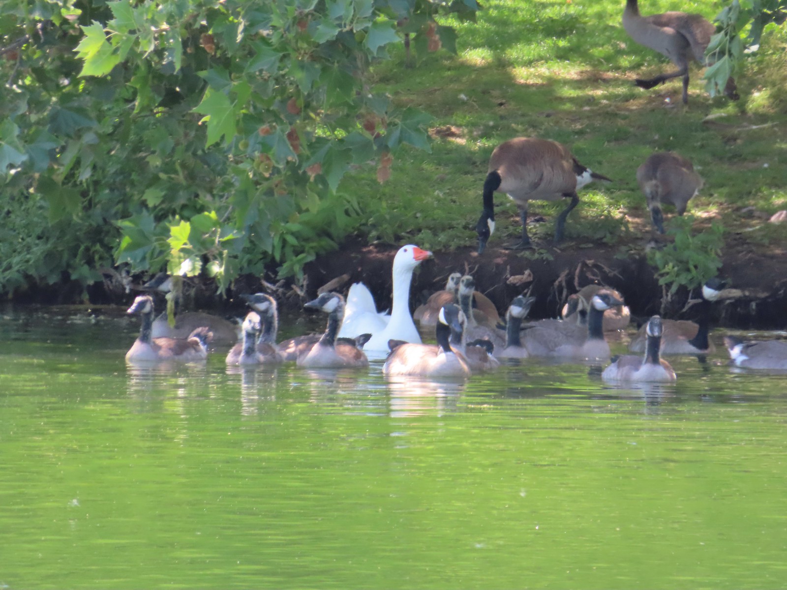
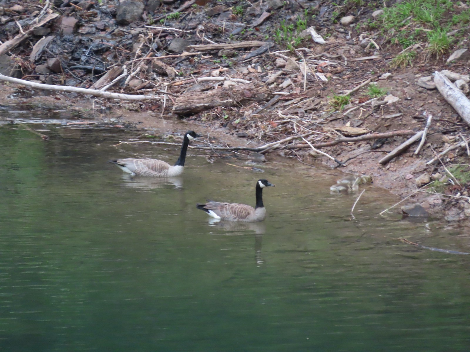
 Geese on the river.
 Cliff swallows
 Moth mullein
 Hawk
Hawk Showy milkweed
 Prickly pear cactus
 Heading into a brushy area.
 Rose
Rose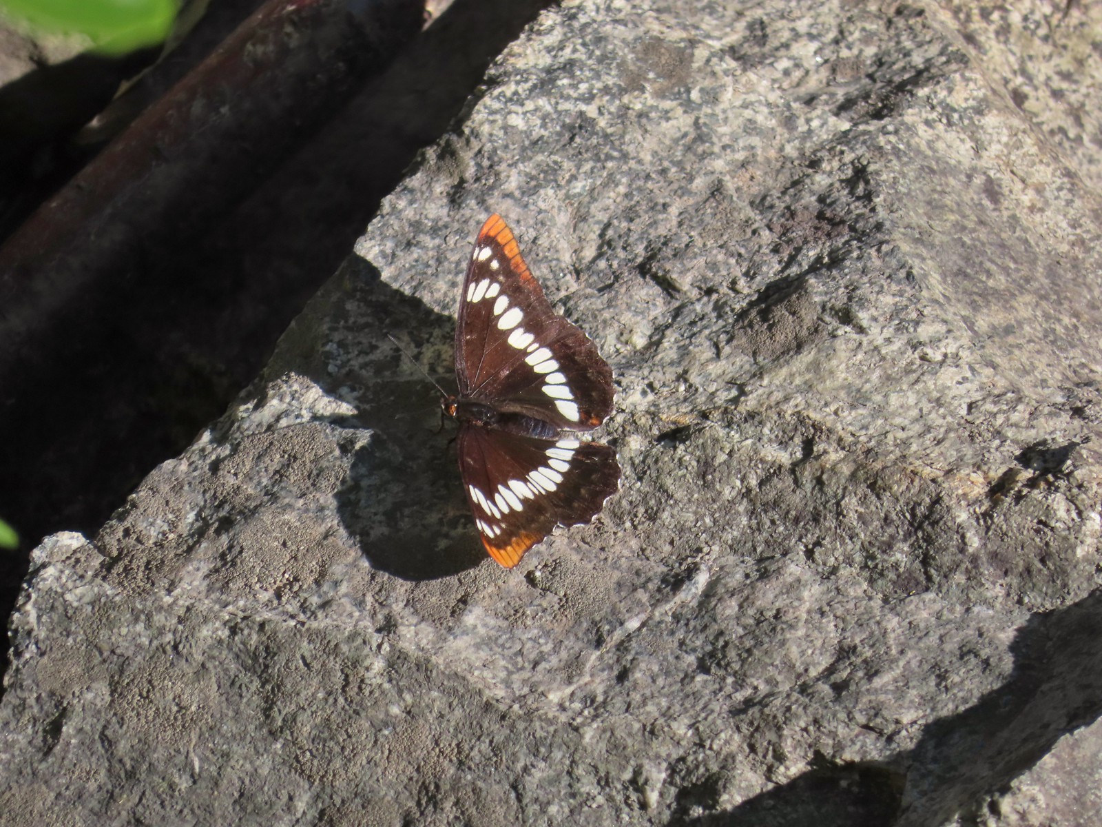 Lorquin’s admiral
 Can you spot the snake?
 The snake heading off the rocks into the brush.
 I cleared this section of trail.
 Sumac along the trail.
 The only marker that Sullivan mentioned along the trail was this pillar on the right at the 2.8-mile mark.
 Painted lady
 St. John’s wort and poison ivy.
 Skullcap
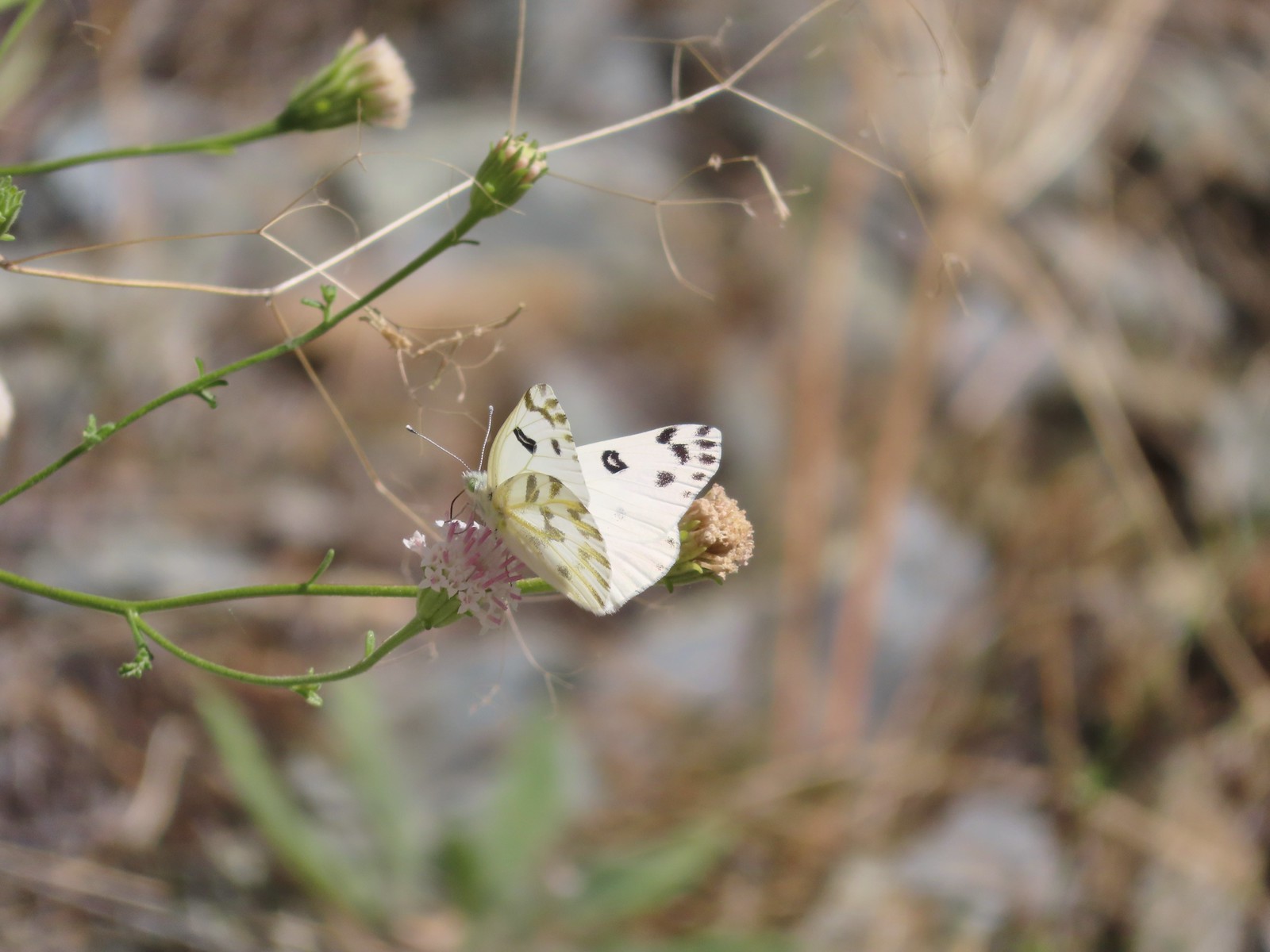 Becker’s white
 Our first view of the Snake River.
 One of several reminders of the mining town at Eureka Bar in the early 1900’s.
 The Mountain Chief Mine across the Imnaha River.
 The Snake River
 Chuckar in the brush across the Imnaha River.
 Eureka Bar
 Skipper on common bugloss.
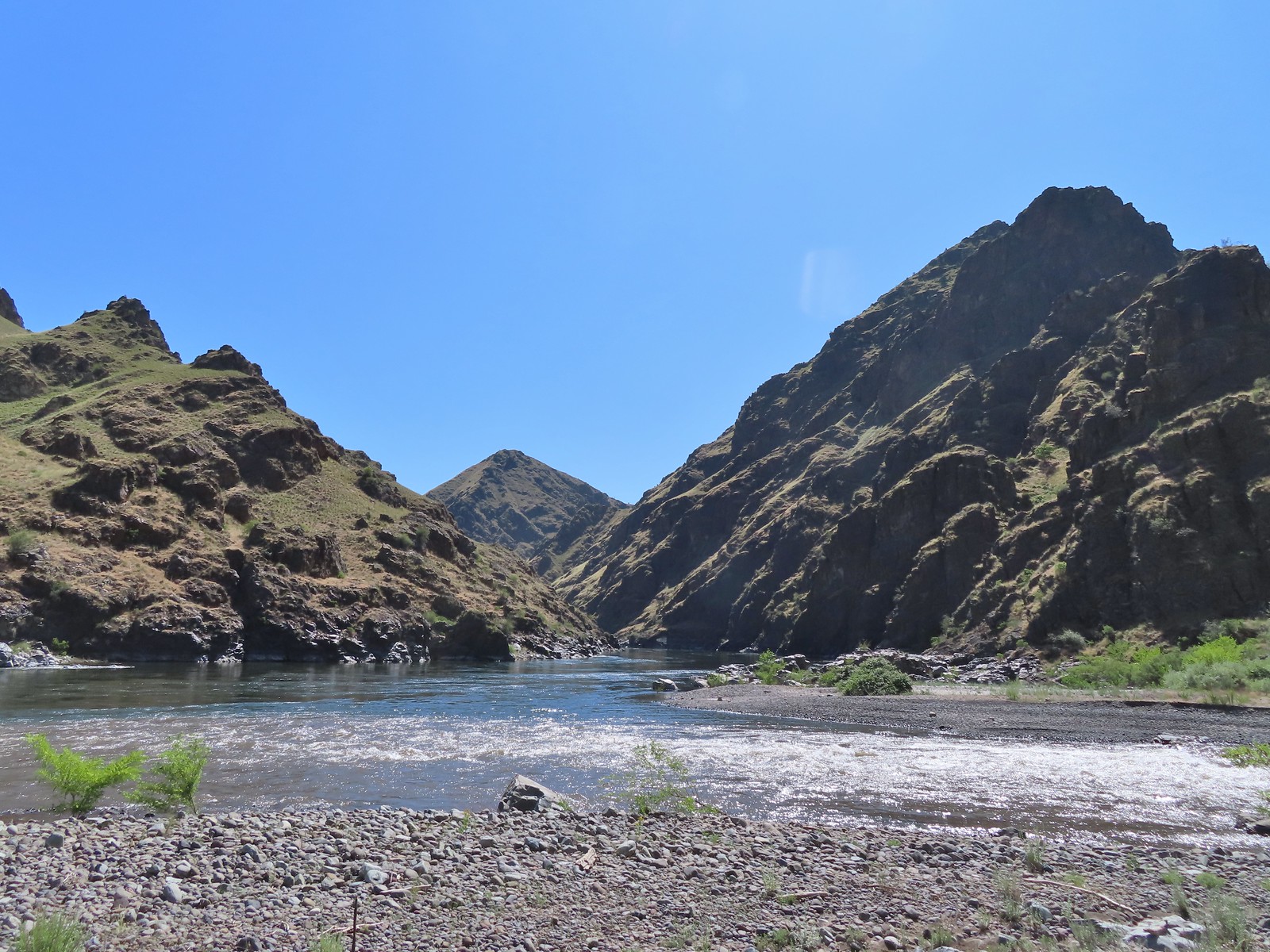 Imnaha River emptying into the Snake.
 Blanketflower
 Bindweed
 Sagebrush mariposa lily
 Another sagebrush mariposa lily
 Fleabane
 Stones where the gold processing mill was going to be.
 Long-leaved ground-cherry (Physalis longifolia)
 Orange globe-mallow
 Orange globe-mallow
 Our turnaround point.
 Another mariposa lily
 Ruins at Eureka Bar.
 Common merganser
 A prickly pear cactus near Eureka Bar.
 Green cricket on poison ivy.
 Lazuli bunting
 Mourning cloak

 We missed all of these prickly pear cacti on the first pass.
 Arriving back at Dug Bar Road.


 Lupine along the trail.

 Interpretive sign along the trail.
 Second from the left is Dug Peak, the pointy peak is Sawtooth Peak, and the round peak to the right is Hurricane Point.
 The trail descended from the hill and leveled out along some trees.
 Yellow warbler
 Brown-headed cowbirds


 Hounds tongue
 Death camas
 Oregon sunshine
 Bench with a view of Point Joseph behind.
 Sunflowers yet to bloom.
 Fiddleneck
 Descending to the highway.

 Old Chief Joseph’s gravesite. His original grave near Wallowa, OR had been looted twice before he was moved here in 1926.
 Wallowa Lake beyond the gravesite of Martha and Frank David McCully.
 A sightseeing robin.
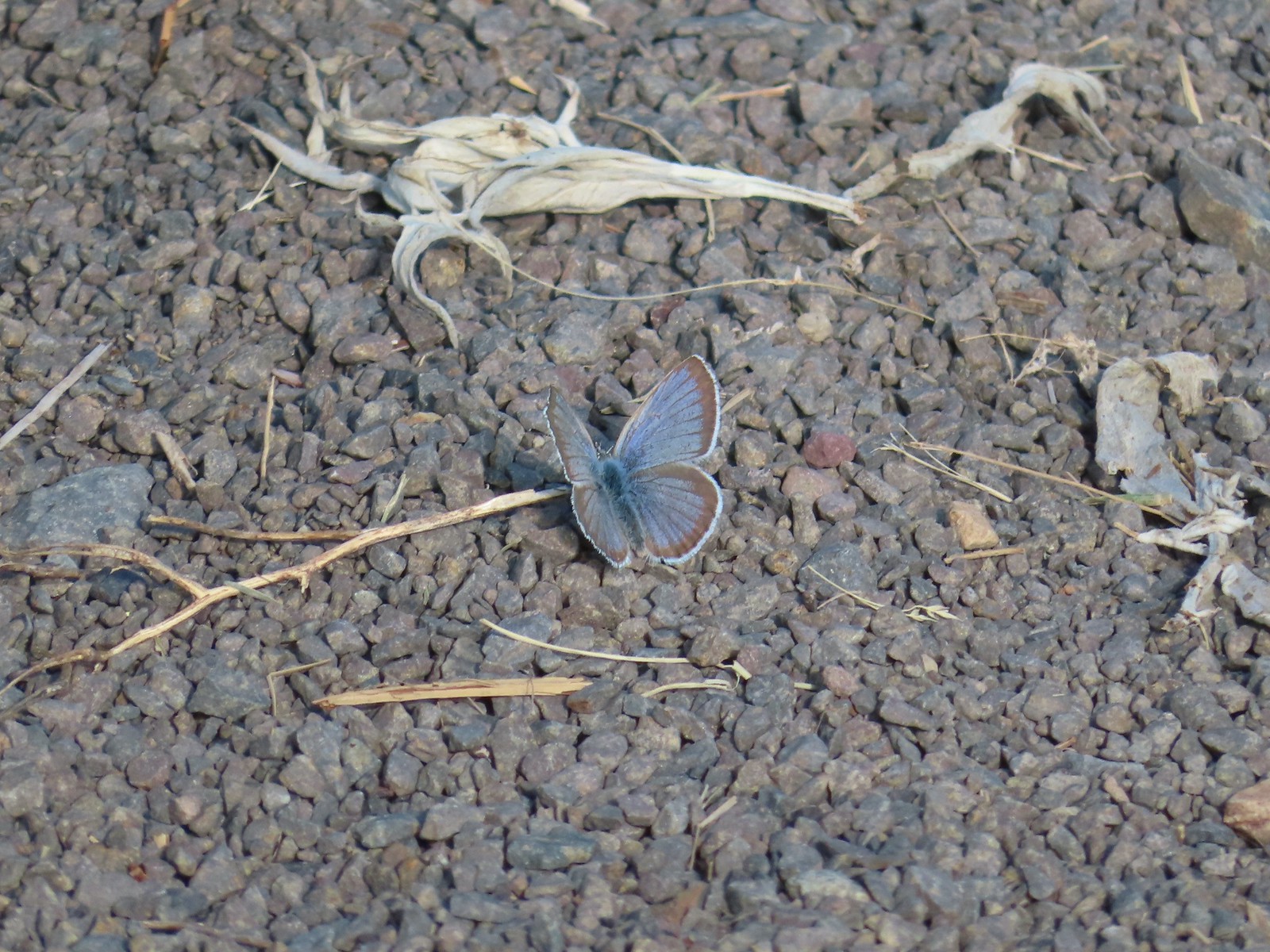 Butterfly on the trail.
 Western stoneseed

 Farmer’s Ditch
 View from the South Main Street Entrance.
 Passing back by Knight’s Pond.
 Some uplift action on the clouds from the trailhead.
 Indian Crossing Trailhead
 Imnaha River at the trailhead.
 Jessica’s stickseed
 Hooked spur violet
 Woodland star
 Valerian
 Arnica

 Violets
 We passed a pack station in the forest on our right.
 Ballhead waterleaf
 Lupine along the trail
 Anemone
 Western meadowrue
 Paintbrush along the trail.
 Larkspur, lupine, and Jessica’s stickseed
 Chipmunk
 A nice patch of lupine.
 Snow patches high up on the ridge.
 The Imnaha River below the trail.
 One of many small unnamed stream crossings.
 Large-flower triteleia
 A ponderosa pine that survived the fire.
 Robin
Robin One of several types of penstemon along the trail.
 We were just sure that there should be elk, deer, or a bear down along the river here.
 There were quite a few of these millipedes in the trail.
 In some cases the creeks had taken over the trail.
 Cinquefoil
 A brushy section of the trail.
 Tall bluebells
 Two-tailed tiger swallowtail


 Blue Hole, not exactly blue this time of year due to the amount of silty snowmelt water swelling the river.
 Wildflowers above the gorge.
 The Imnaha emerging from the gorge into Blue Hole.
 Arnica along the trail.
 Coming up on a small stand of aspen.
 A rockcress
 Juba skipper
 Roundleaf alumroot
 Painted lady on Oregon sunshine.
 Glacier carved rock outcrops provided some excellent views and good habitat for wildflowers.


 Scabland penstemon
 Paintbrush
 Not a flower but very colorful.
 Bush penstemon
 Western tanager
 Western blue clematis
 Brown creeper on a tree trunk.
 Left is Marble Mountain and to the right further back is Honeymoon Summit.
 Larkspur along the trail.
 Heartleaf springbeauty
 Another flooded section of a the trail.
 Western tiger swallowtails on chokecherry.
 Dreamy duskywing
 Threeleaf lewisia
 We were too late for the Brown’s peony blooms.
 Balsamroot and paintbrush
 On the opposite side, with a series of drops, is Rock Creek flowing into the Imnaha.
 The Imnaha River leaving the gorge.
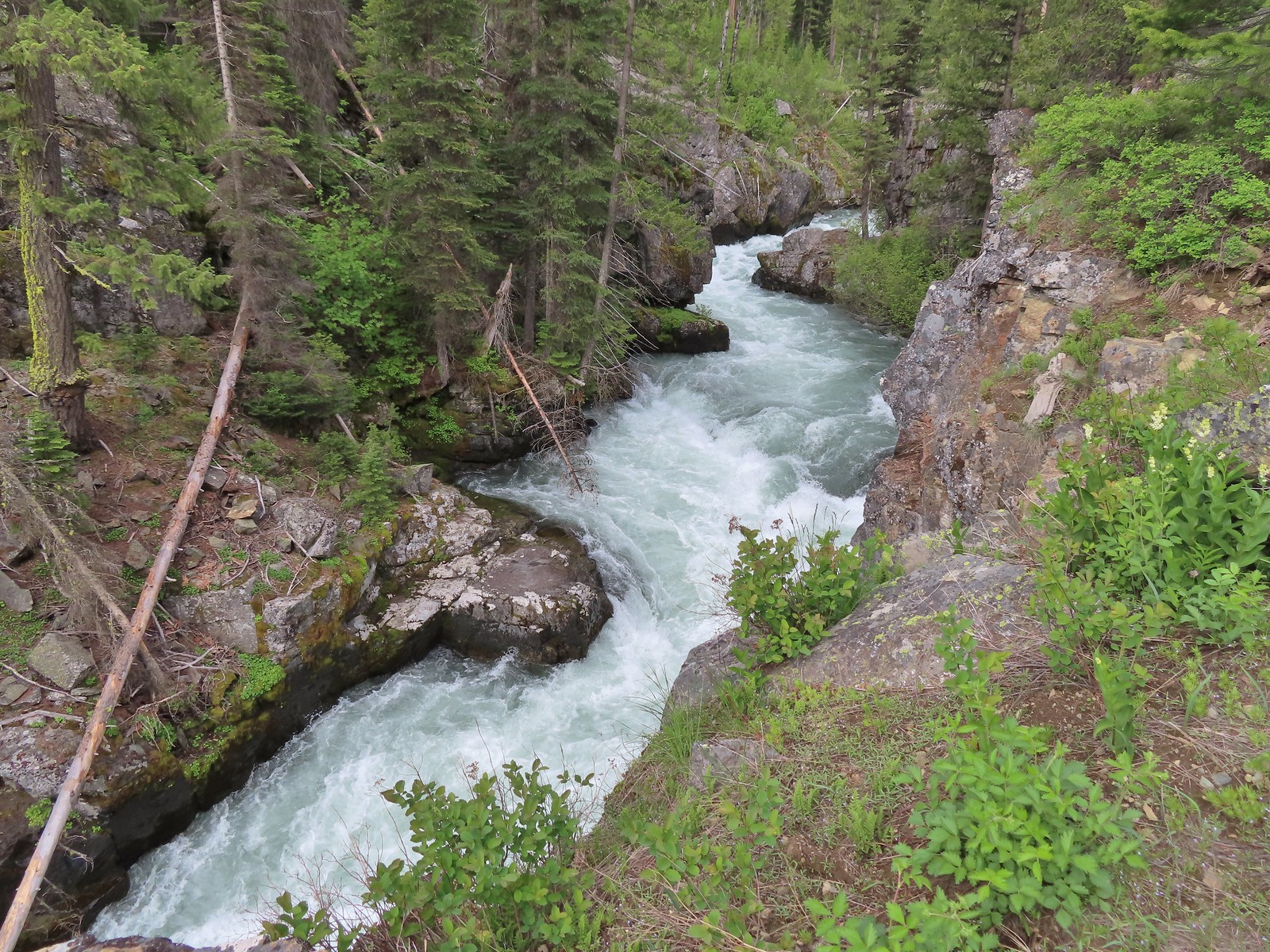
 Rock Creek cascading down through the forest.
 Another creek cascading down.
 Marble Mountain
 Twinberry honeysuckle
 Marsh violet
 Rock outcrop above Imnaha Falls
 I tried going down river first to see if I could get a view back up to the falls, but the water level was into the brush along the riverbank.
 The falls were just upriver from this bench with a couple of campsites.
 The gap in the outcrop.
 Imnaha Falls.
 Utah honeysuckle
 Bee on a dandelion
 Nettle-leaf giant hyssop
 Slender phlox
 Silverleaf phacelia
 Vetch
Vetch
 Osprey, the fishing here must have been good because we’d seen a bald eagle in this area in the morning.
 Fairy slipper
 Arriving back at the trailhead.


 The parking area at the trailhead.
 Signboards at the trailhead.
 Trail map.


 Lake Wallula from the footbridge.
 Eastern kingbird near the boat ramp.
 Post ahead marking the junction with the Lewis and Clark Trail. There is also a deer below the cliffs ahead.
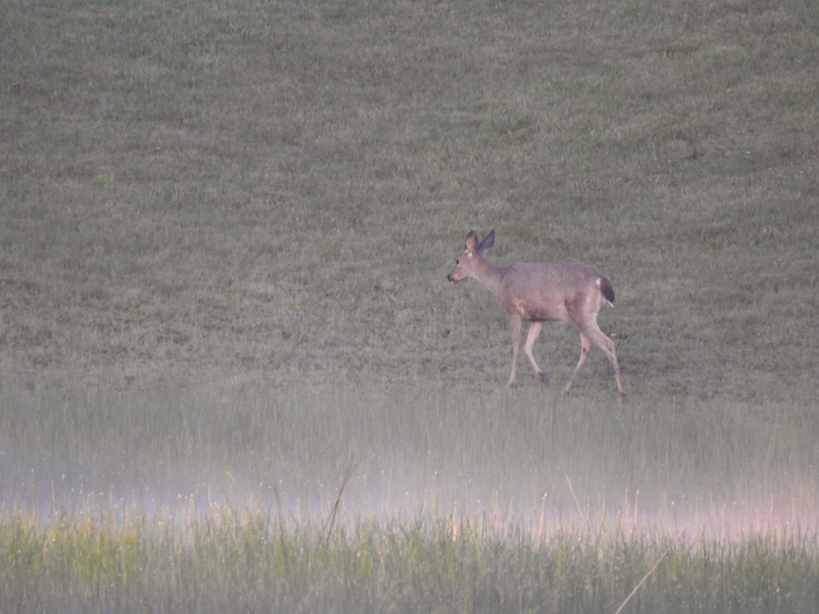
 Zooming in on the doe.
 Lake Wallula
 Raven with an egg it had snatched from some other bird.
 Broad-leaved pepperweed (invasive)
 Initially there were some houses on the left, but they gave way to the Wanaket Wildlife Area.
 Most of the balsamroot was long past done but a few late blooms remained.
 Dove
Dove A fleabane
 Swallow
 Patterns on Lake Wallula
 Western meadowlark signing from atop the cliffs.
 Sign for the Wanaket Wildlife Area
 Lark sparrow
 Box Canyon
 There were a couple of small hills but over all very little elevation gain.
 Another western meadowlark.
 Cormorant
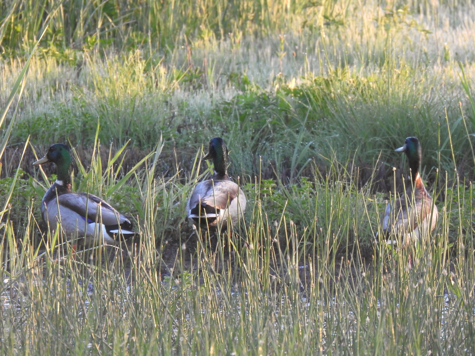
 Mallard
 Showy milkweed and a bunch of bees.
 Trail sign near McNary Beach
 Our rest stop.
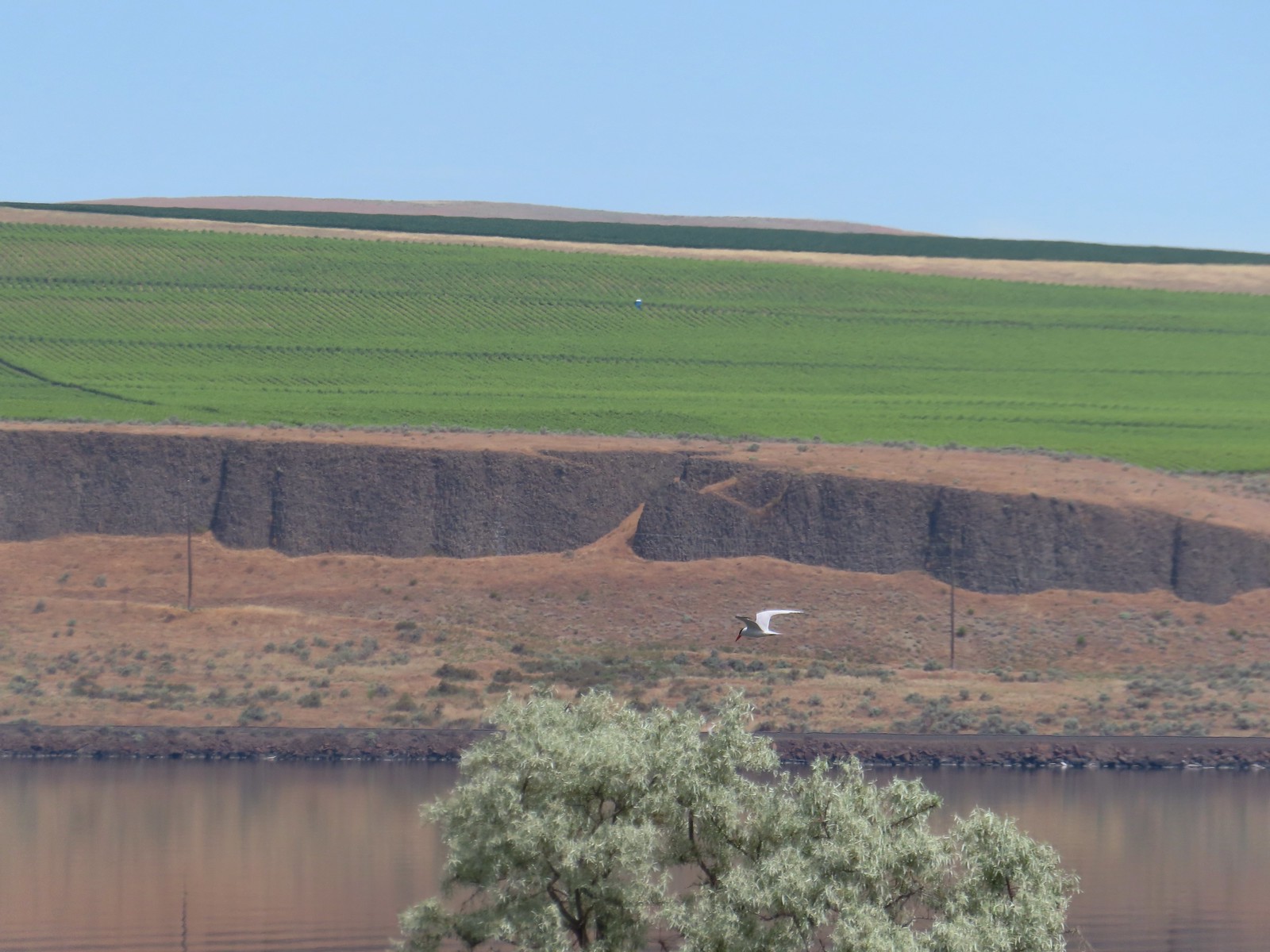 Caspian tern
 Hawk
Hawk Gray hairstreak on tall tumblemustard
 Becker’s white also on tall tumblemustard.
 Boat Rock to the left and behind Hat Rock from the Lewis and Clark Trail.

 One of these is not like the others.

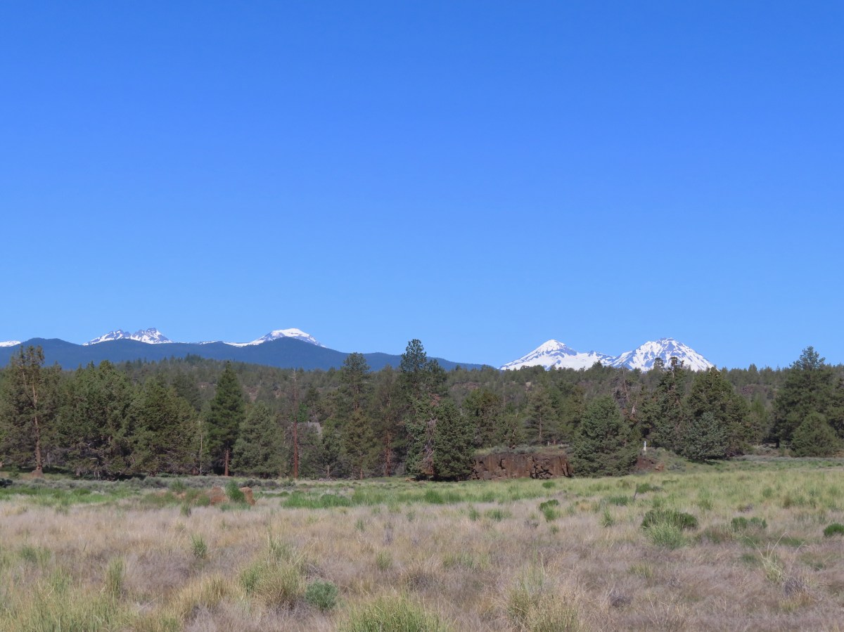

 Mt. Bachelor (
 The start of the Juniper Loop.
 Similar to the Metro Parks we’ve recently visited there were small maps on the trail pointers here.
 Middle and North Sister
 Blurry shot of the deer.
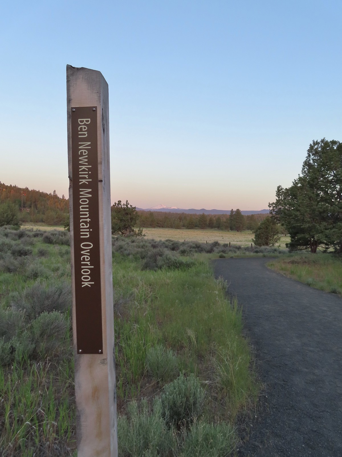
 Mt. Bachelor, Broken Top, and the Three Sisters.
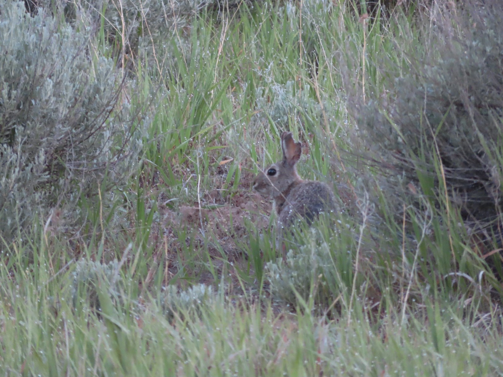 Rabbit
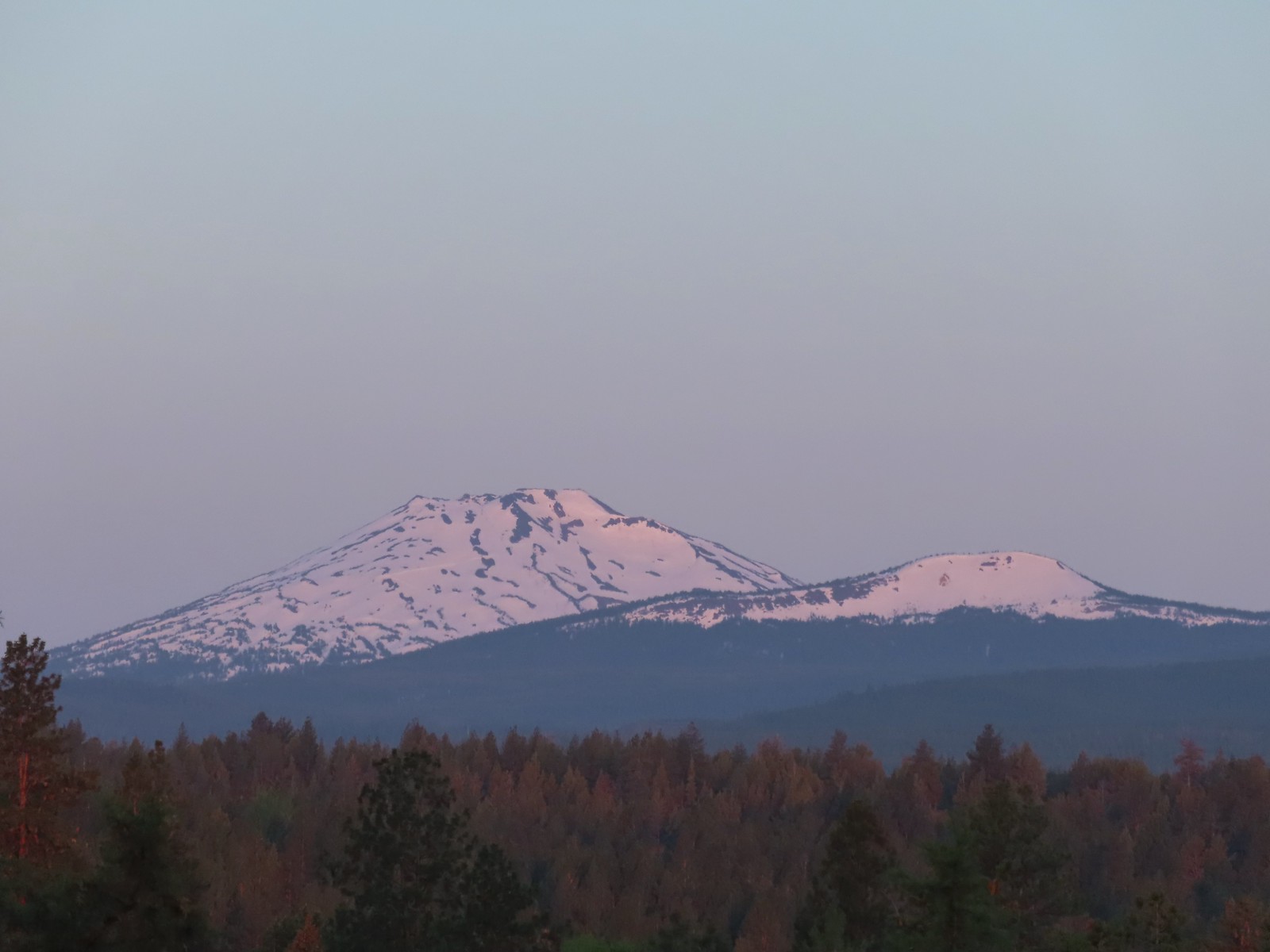 Mt. Bachelor and Tumalo Mountain (
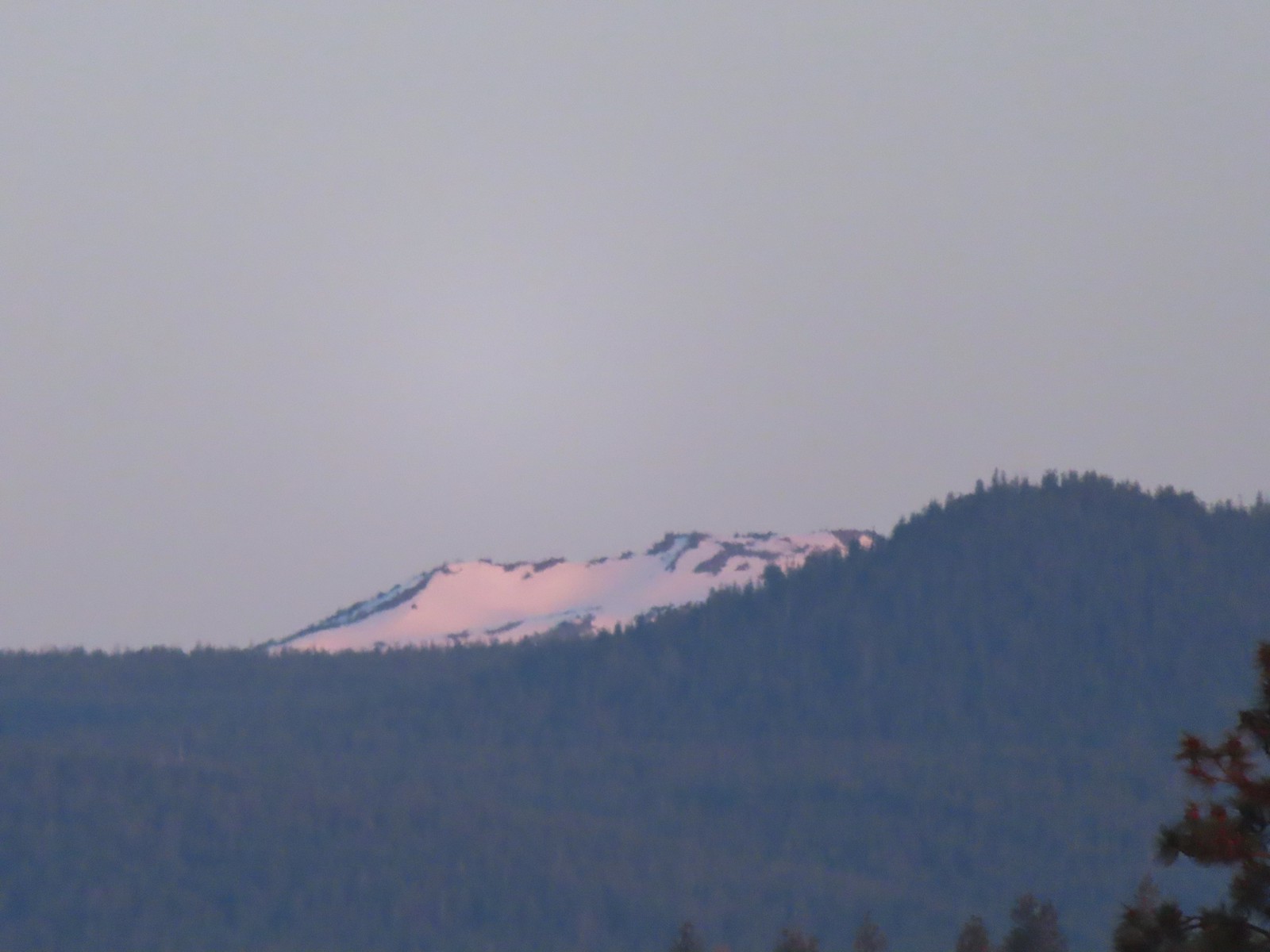 Ball Butte
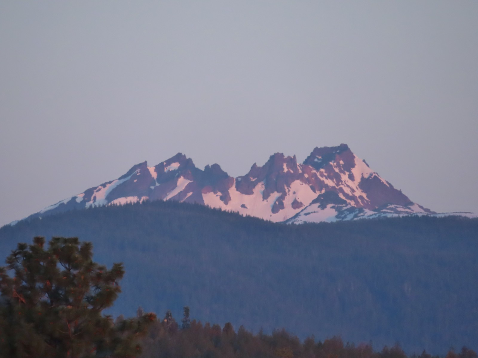 Broken Top (
 South Sister (
 Middle and North Sister
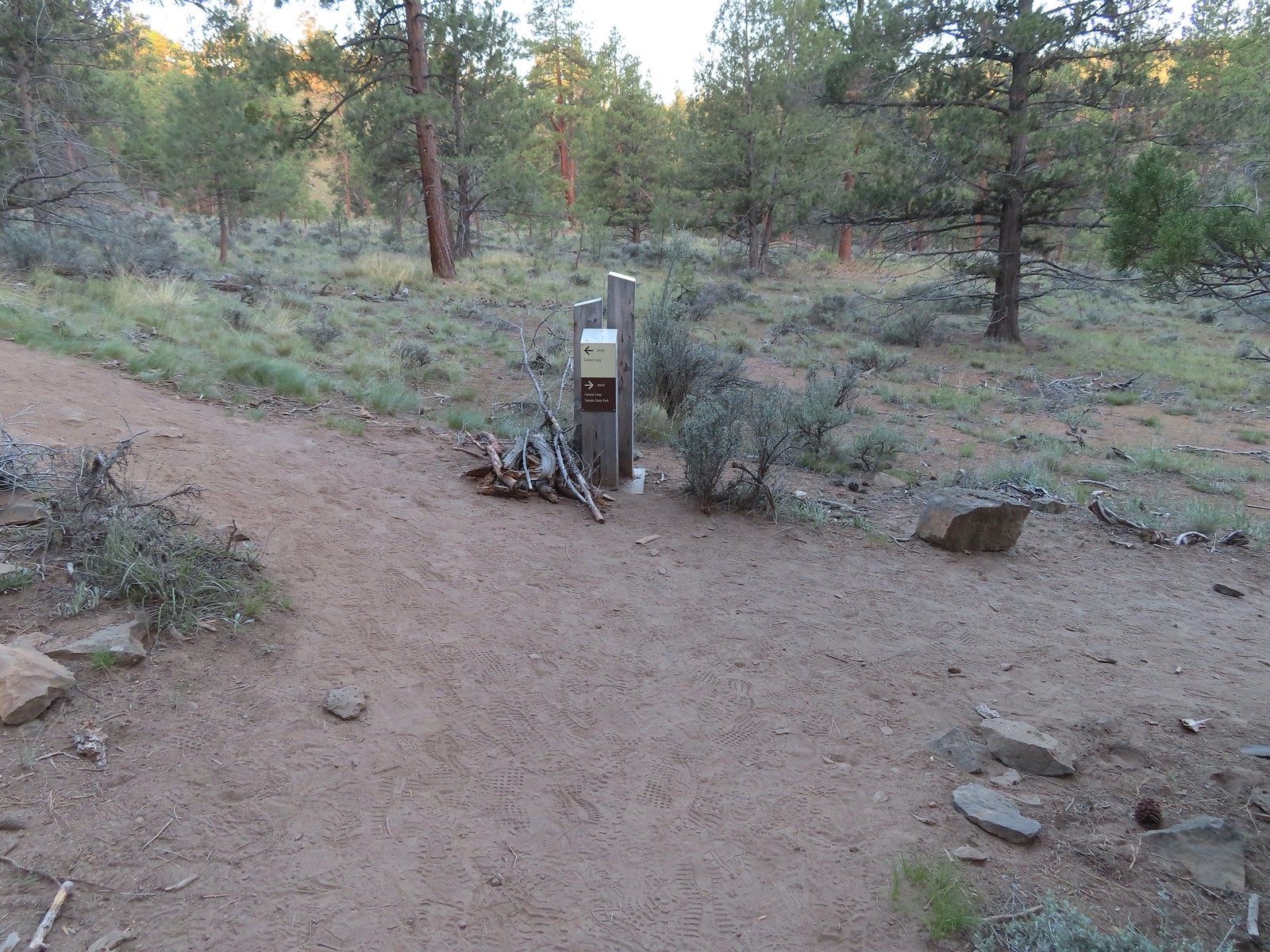
 We passed by the shared Juniper/Sage Flat Trail and continued on the Sage Flat Loop.
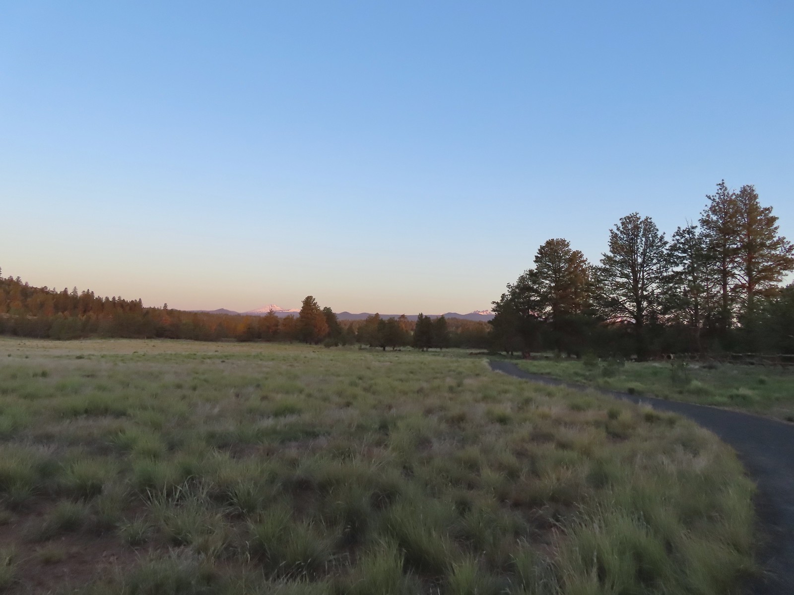 Sageflat Loop
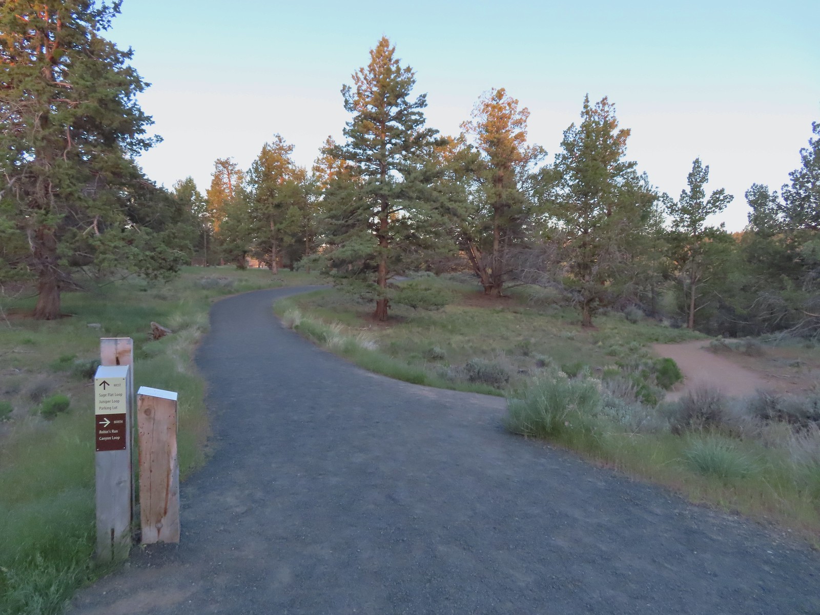
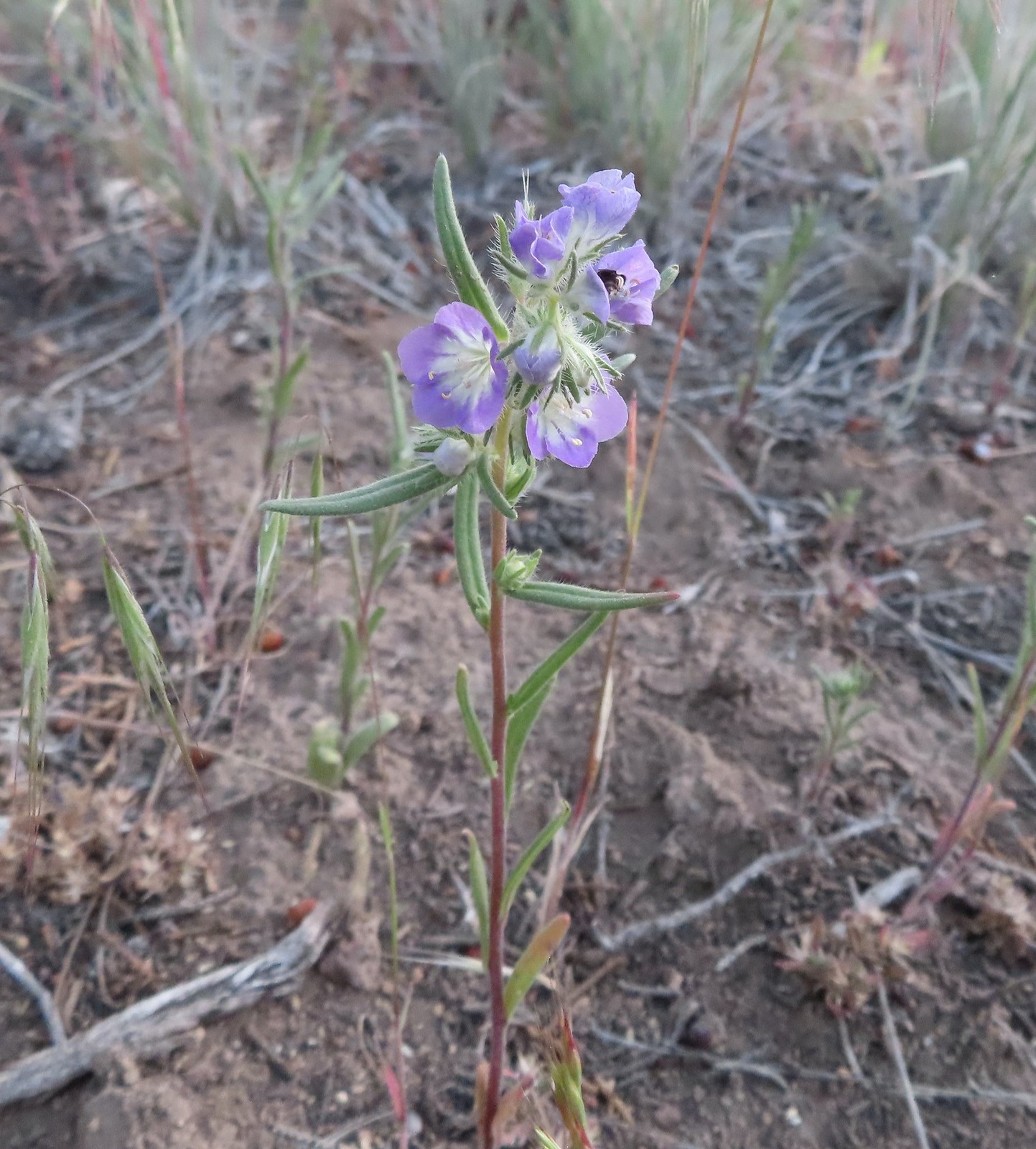 Threadleaf phacelia
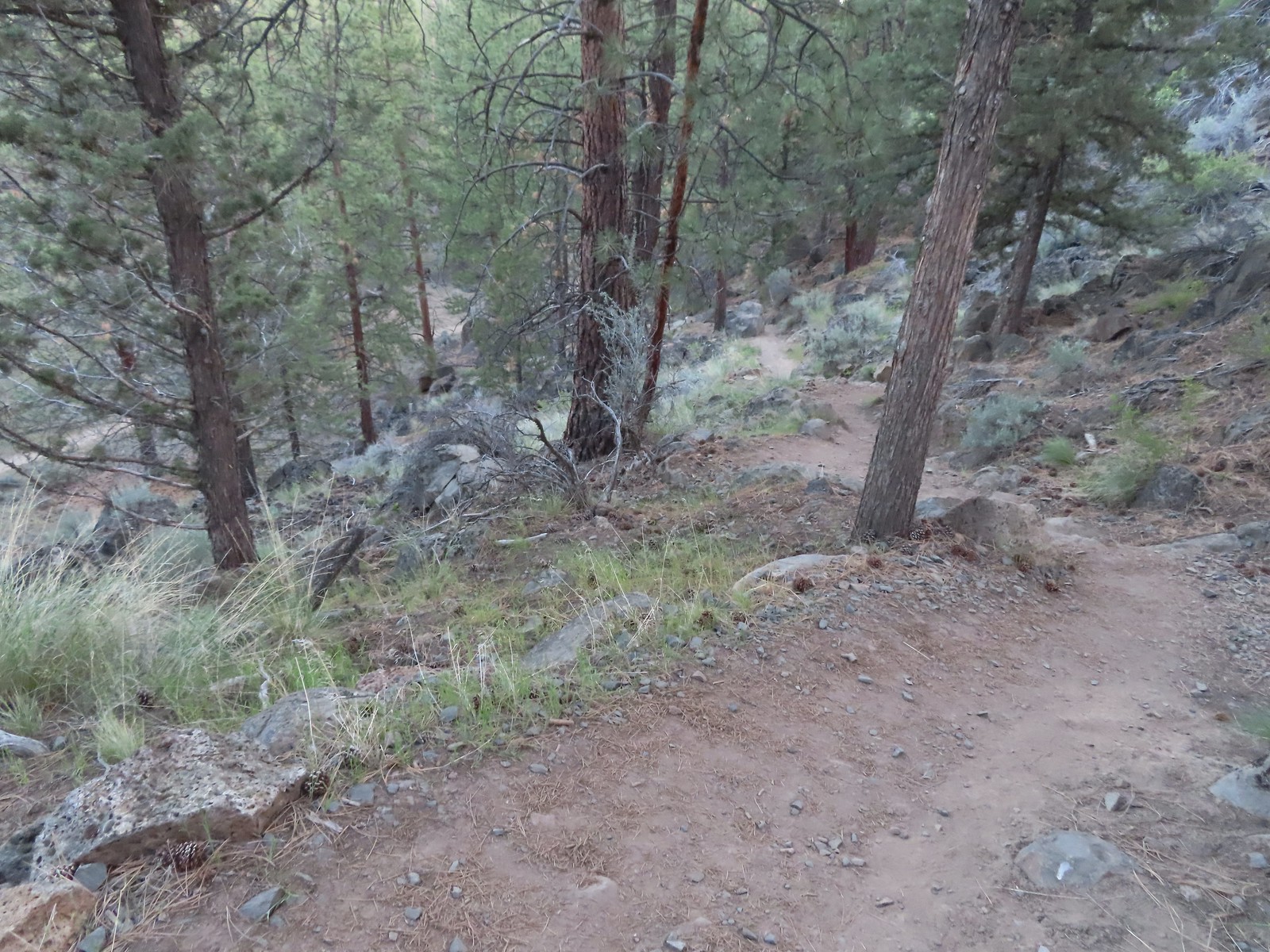
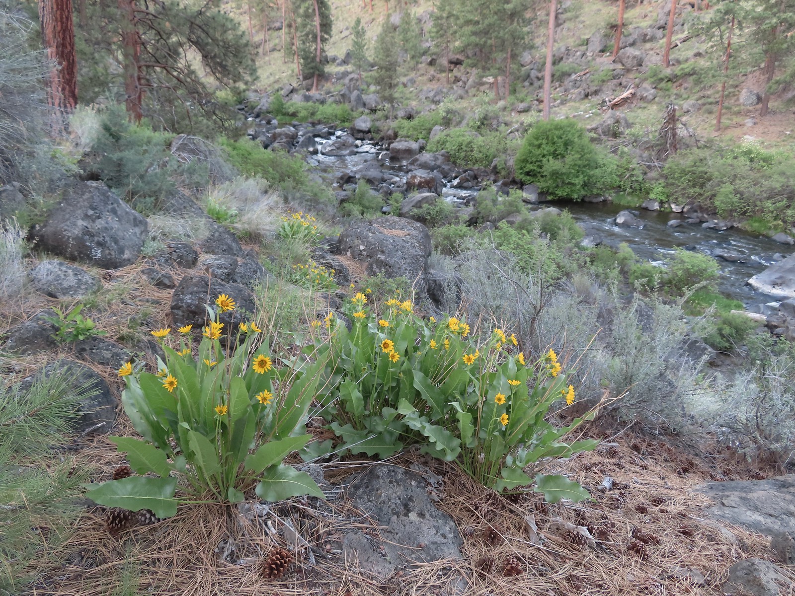 Balsamroot along the Deschutes.


 Robin
Robin Longhorn plectritis
 Blackheaded grosbeak
 Heather waited below while I climbed the outcrop.
 The bench on top.
 The top of the outcrop.

 Western stoneseed
 Larkspur
 I spotted something head into the river from the grass on the near bank here.
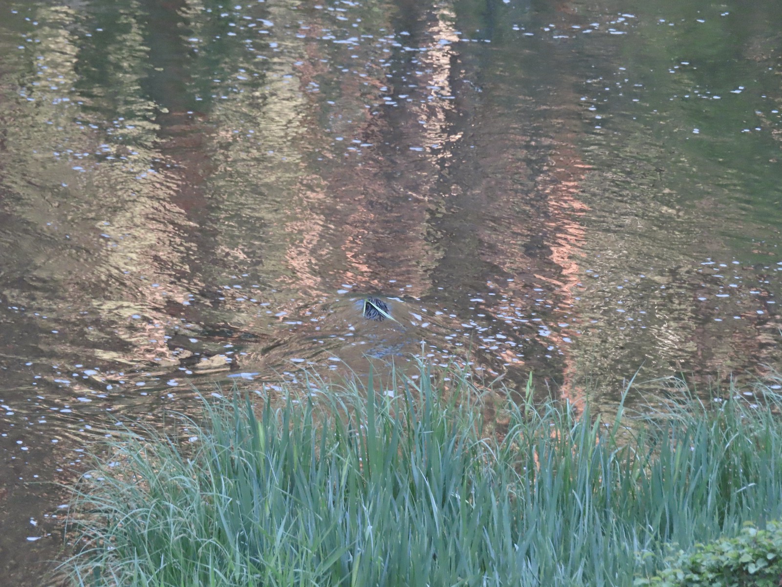 I spotted the grass moving before the animal below which turned out to be a beaver.
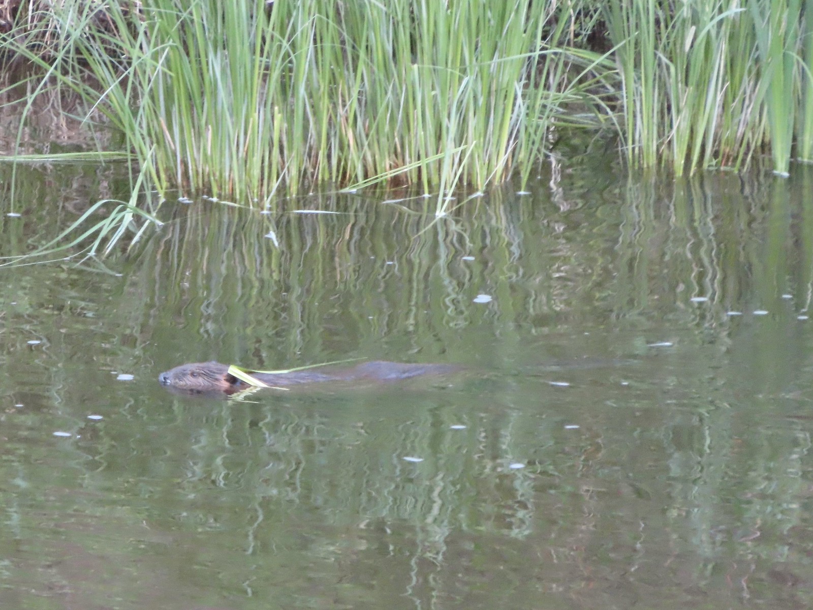 Beaver in the Deschutes River.
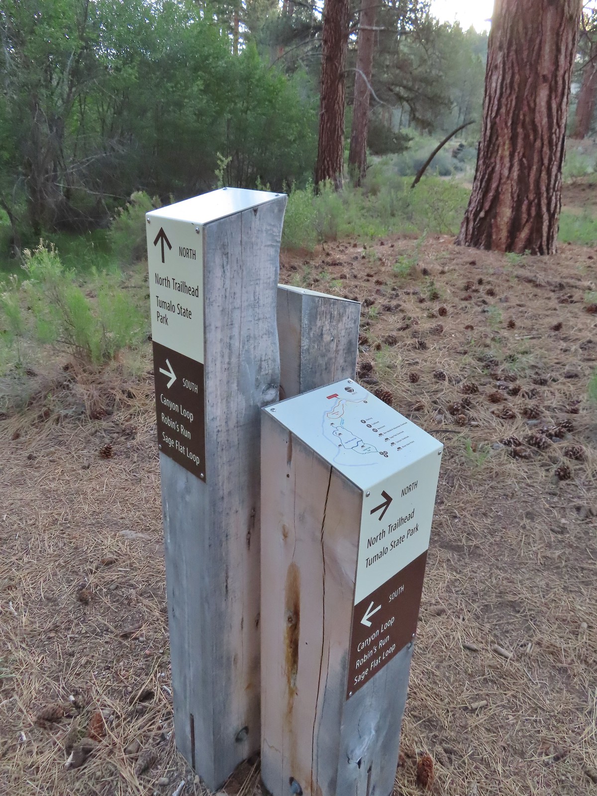 We followed the pointer for Tumalo State Park.
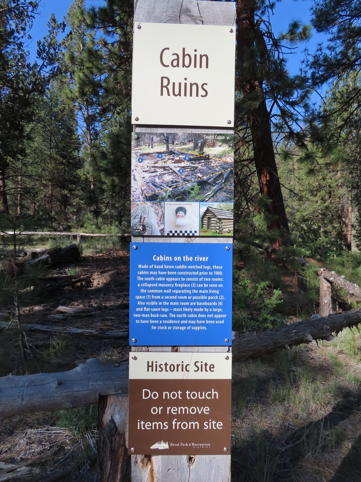
 Cabin ruins
 Western wallflower
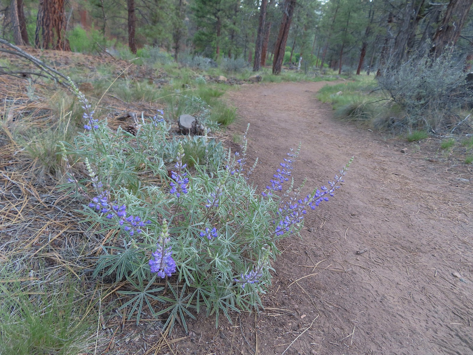 Lupine
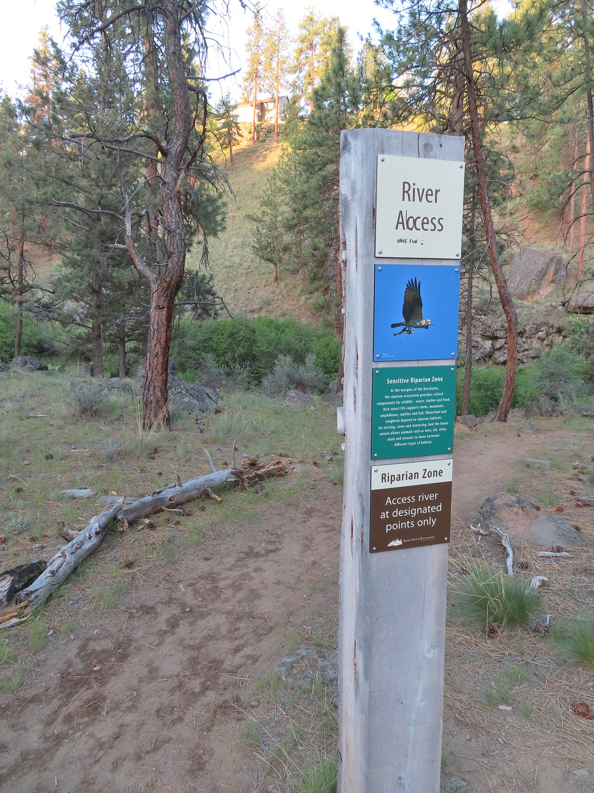
 Another river access point.
 Rockcress, possibly sicklepod.
 The northern boundary of the Riley Ranch Nature Reserve.
 Threadleaf phacelia
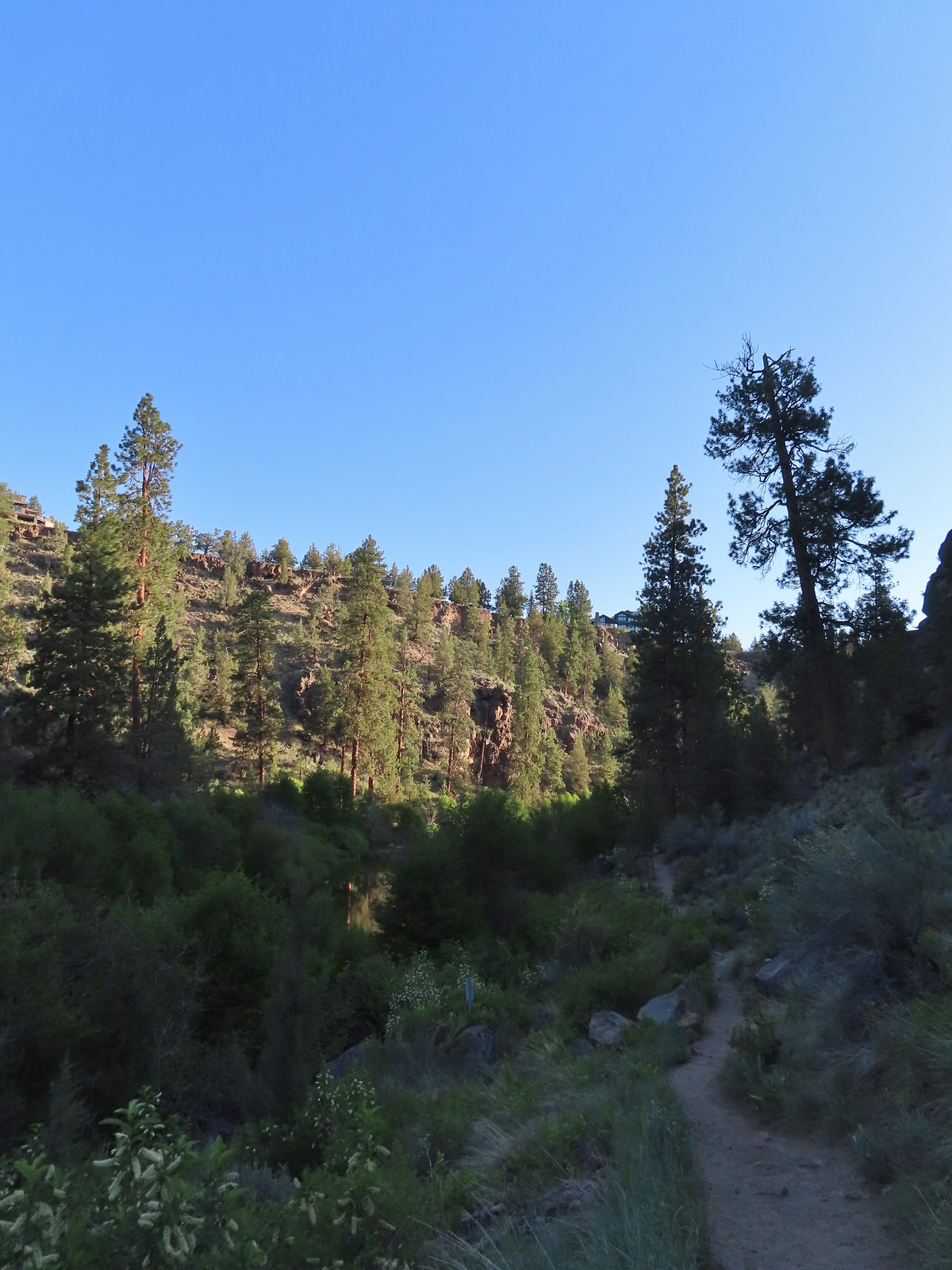
 Tumalo Creek (
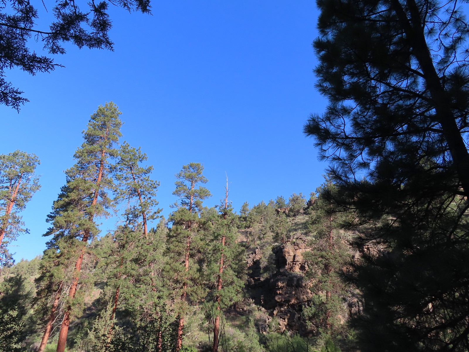

 Crossing into Tumalo State Park.
 Magpie
 Paintbrush
 Mallards
 Penstemon
 A quarter of a mile from the day use area we crossed a road leading to a private bridge crossing the river.
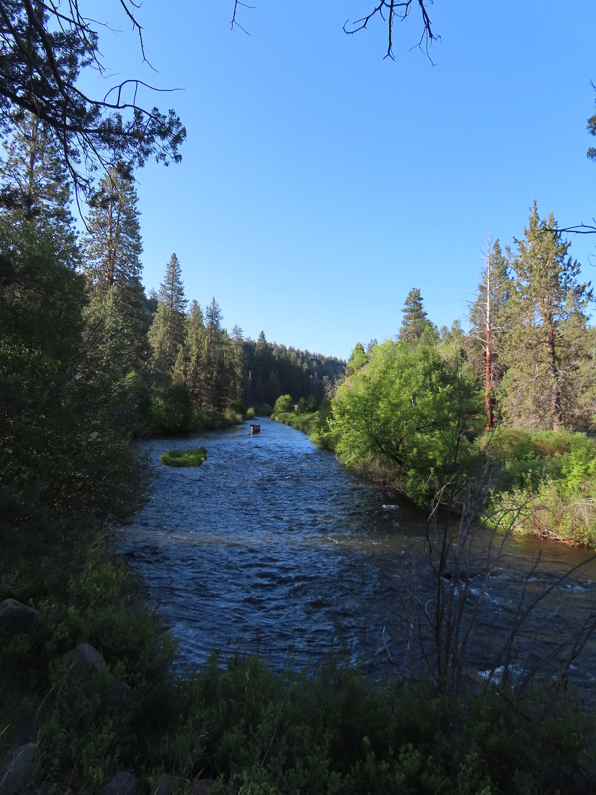 Remains of another bridge in the river.
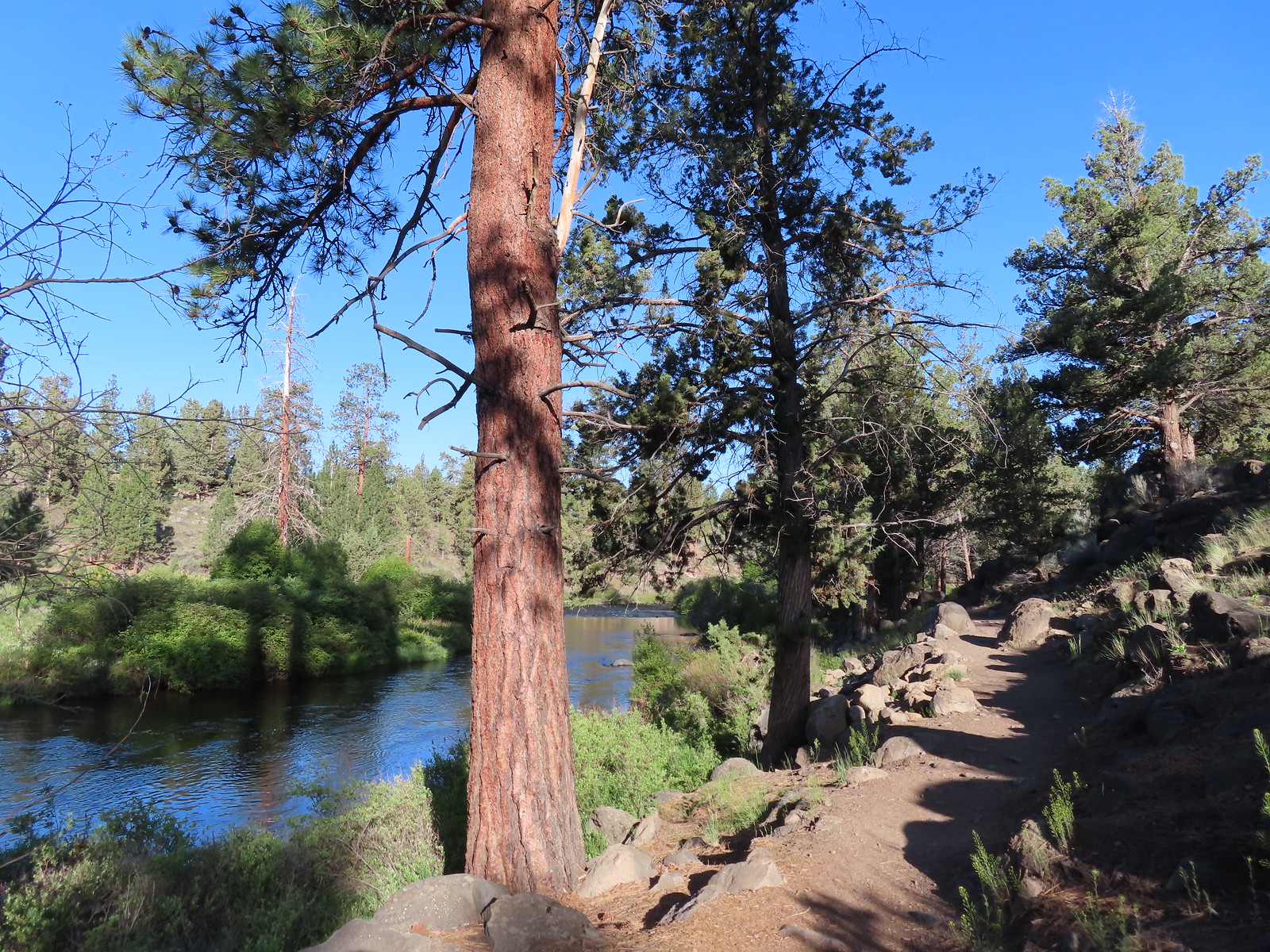
 Tumalo State Park Day Use Area
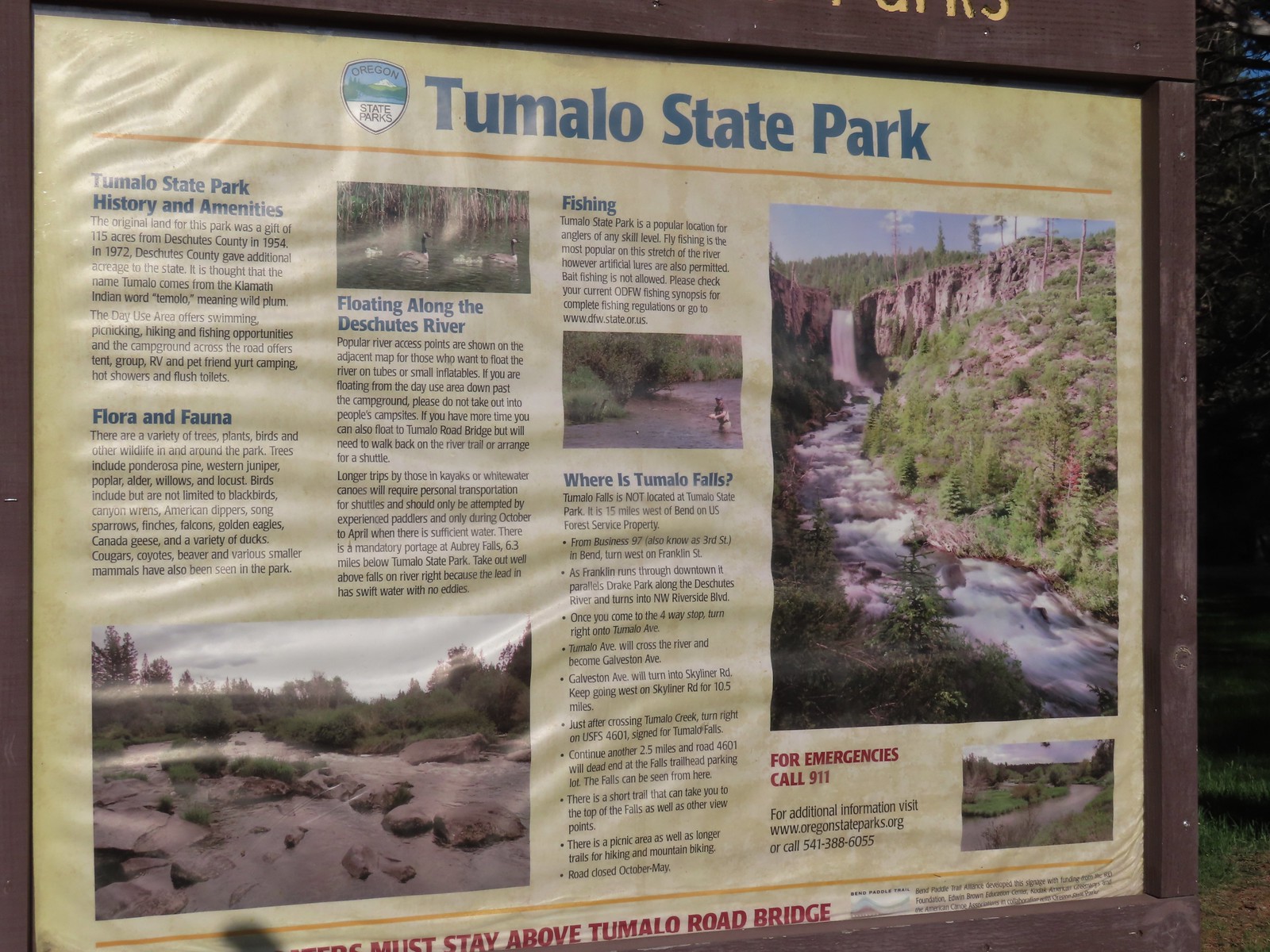
 Deschutes River at the day use area.
 Kingfisher on the bridge remains. (A bit blurry due to being a long way off.)
 A swallow and a pygmy nuthatch.
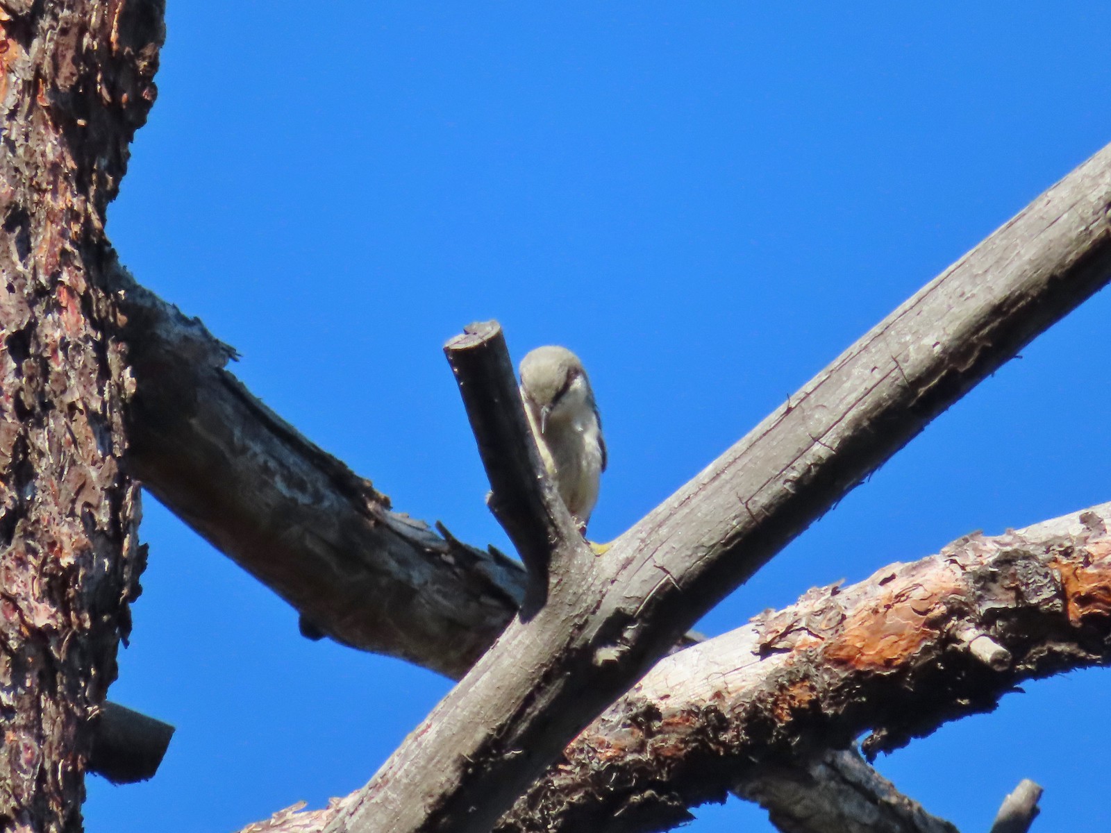 Pygmy nuthatch
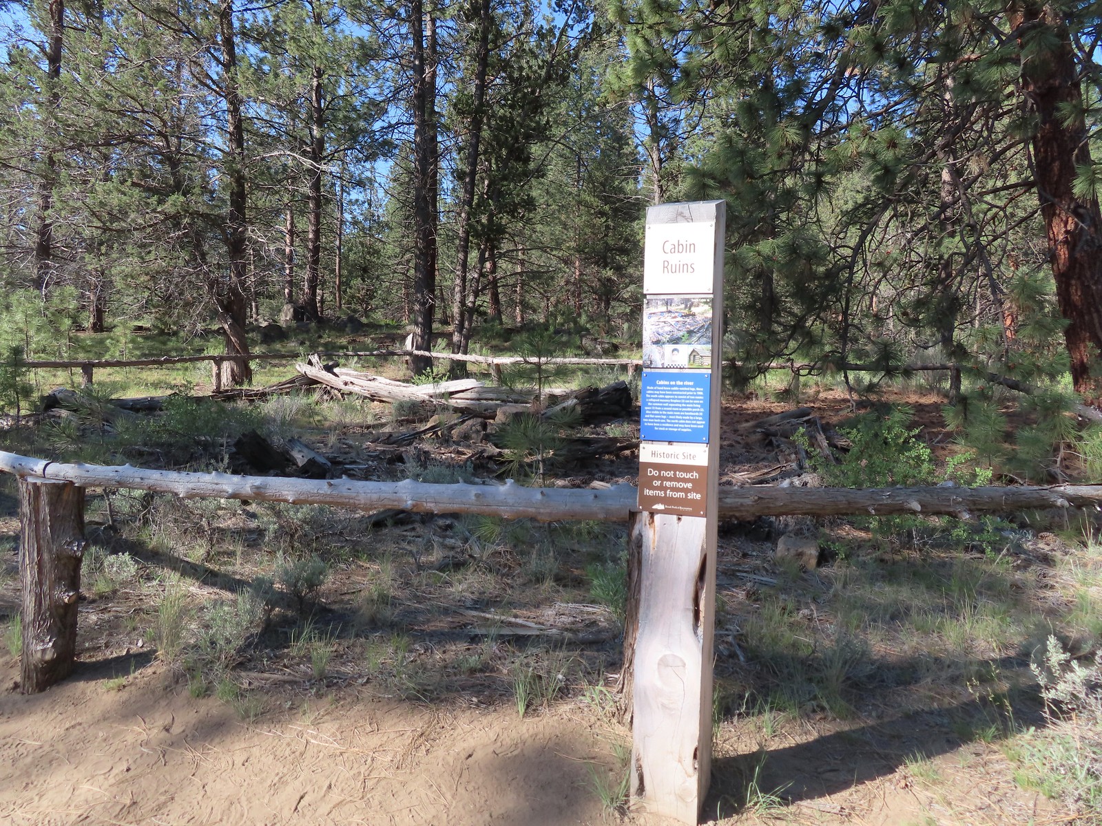
 Bench along the Canyon Loop.
 Northern flicker
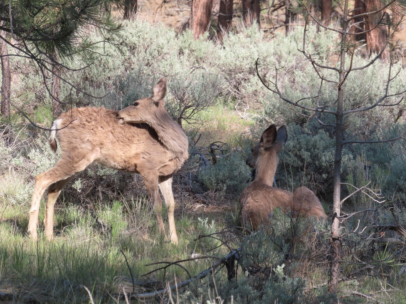
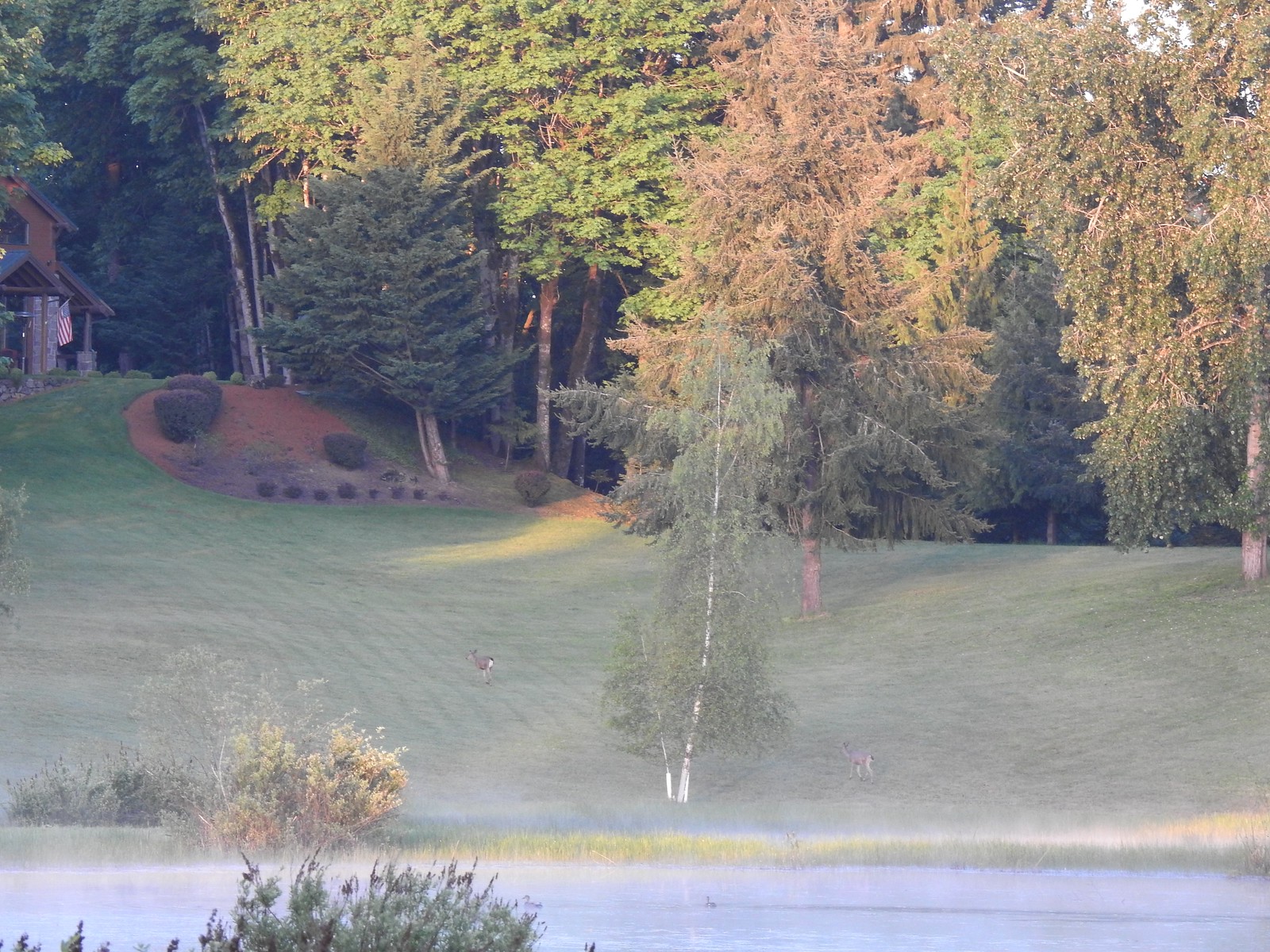
 We were distracted enough by the runners that we failed to notice the deer bedded down to the right of the trail. You can see its ears sticking up here.
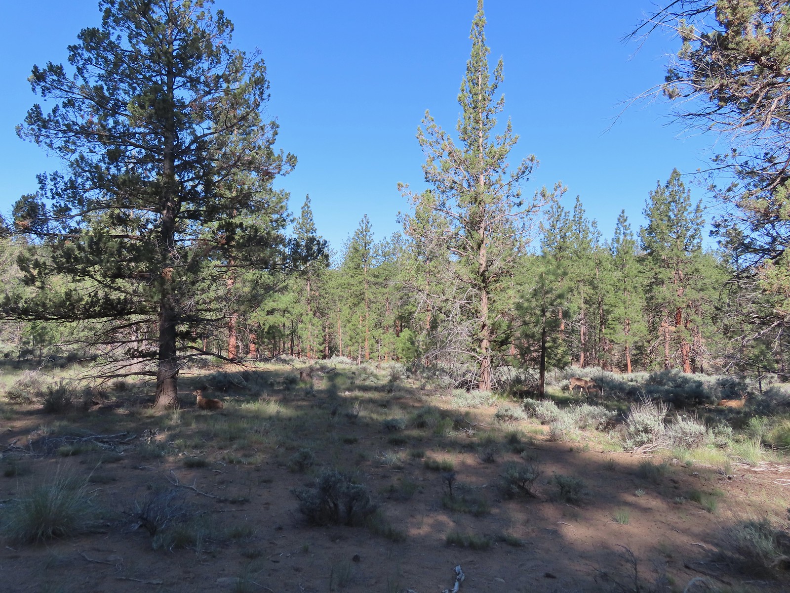 There were at least four deer hanging out here.
 The Sage Flat Loop Trail.
 Spur to the Canyon Overlook.
 Death camas
 Mt. Bachelor and Tumalo Mountain
 Mt. Jefferson
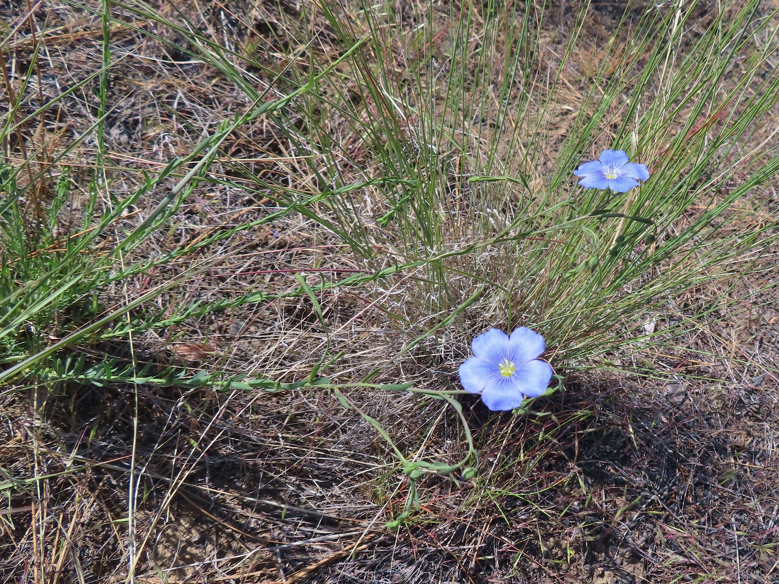 Lewis flax
 Marker for the Sage Flat Overlook.
 Looking back at where the Sage Flat Overlook was.
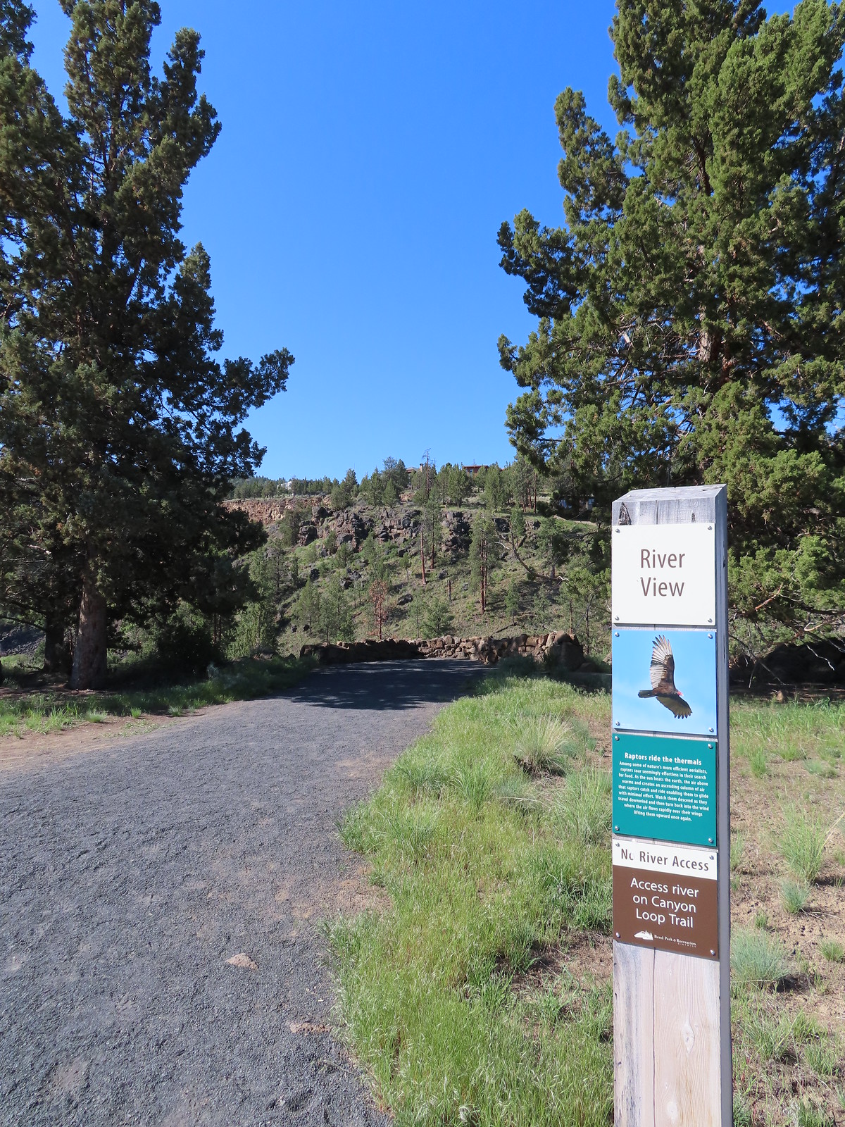

 Lizard near the River Viewpoint.
 The Cascade Mountains
 Black Crater (
 Finishing up the Juniper Loop.
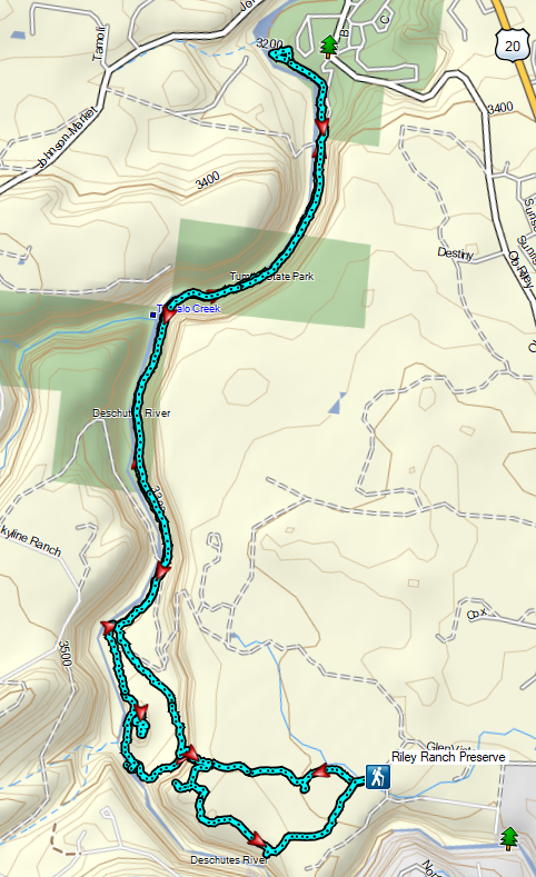


 Mt. Hood and Mt. Adams from the trailhead which is the high point of the hike.
 Mt. Hood
 Cattle sometimes graze in the area and the combination of their hooves with the unmaintained roads makes for some pretty rough surfaces.
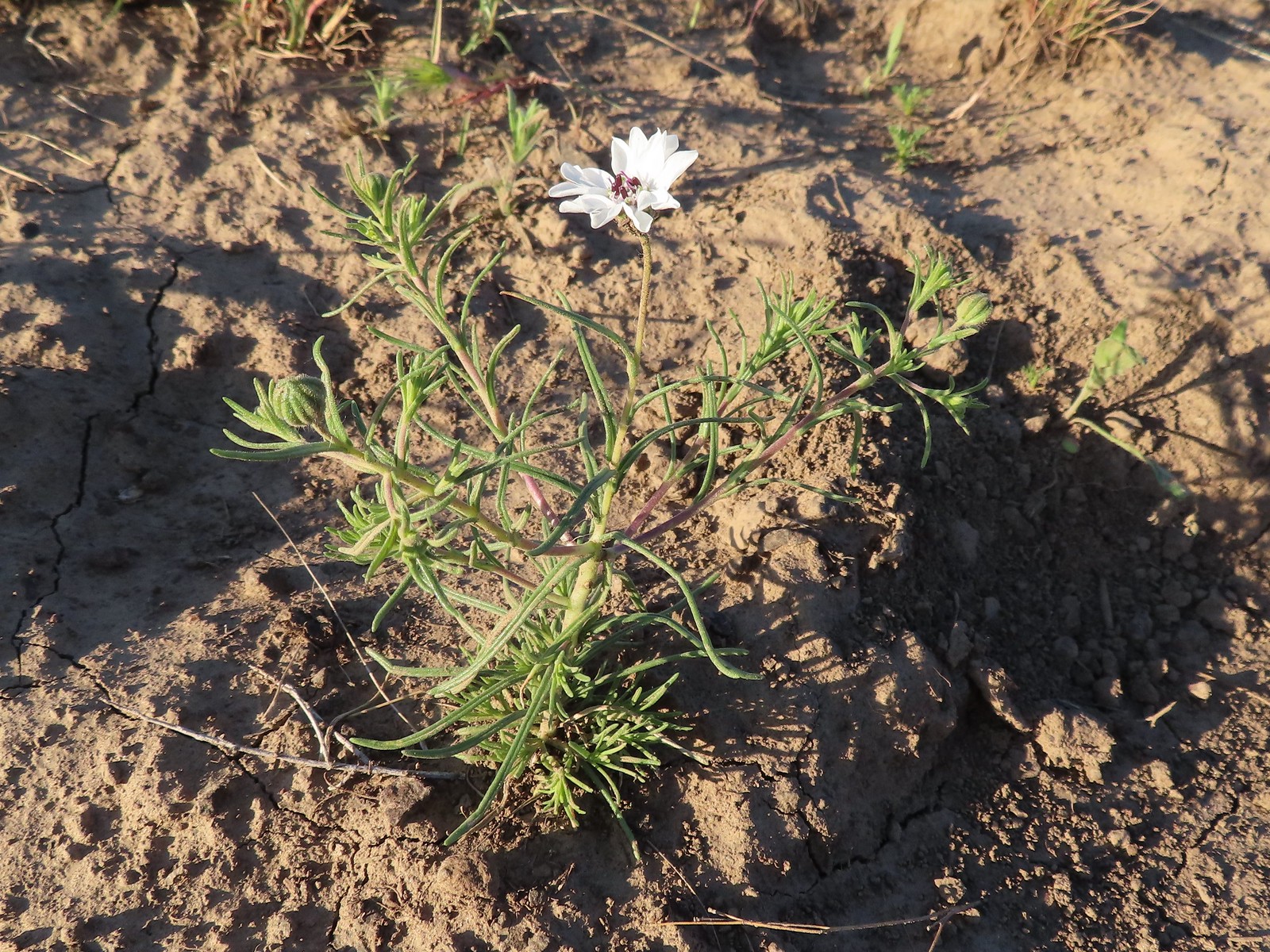 Rough-eyelashweed. There was a lot of this blooming along the road.
 A couple of lomatiums.
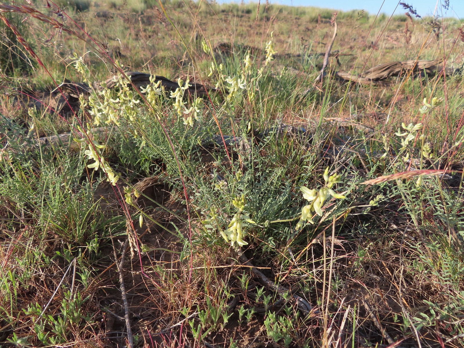 Howell’s milkvetch
 Idaho milkvetch
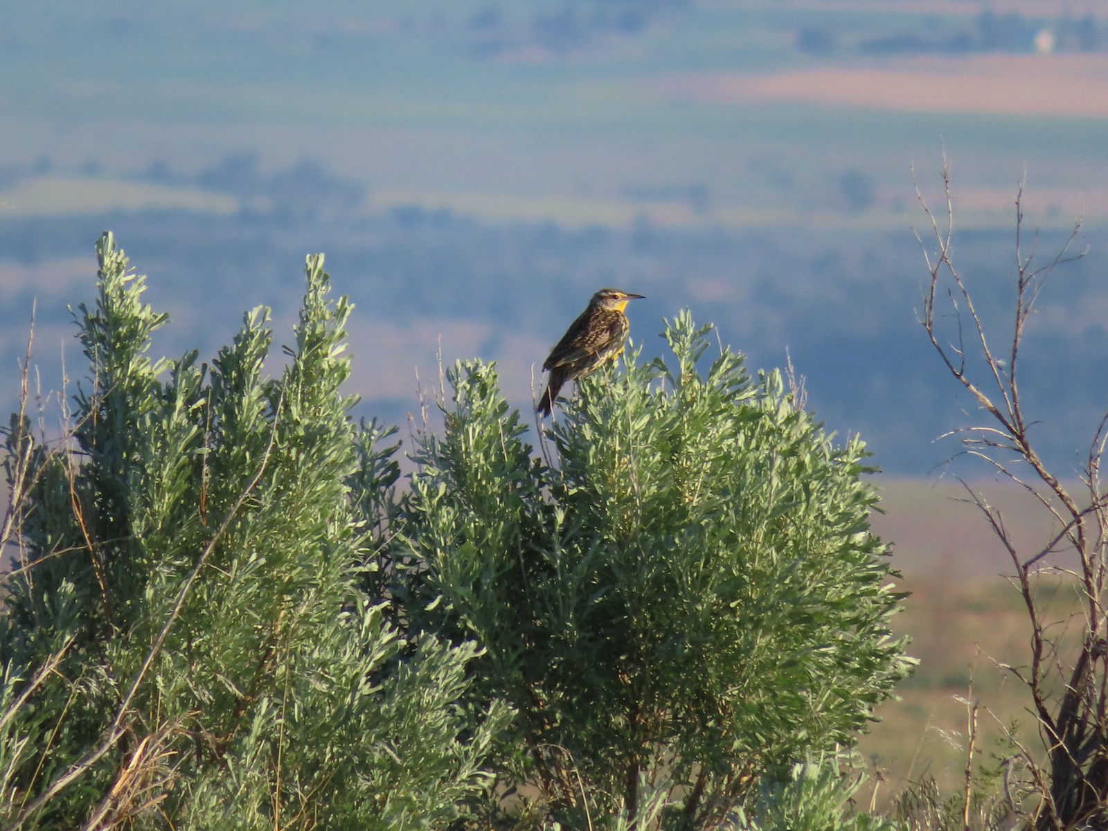 Western meadowlark
 A buckwheat
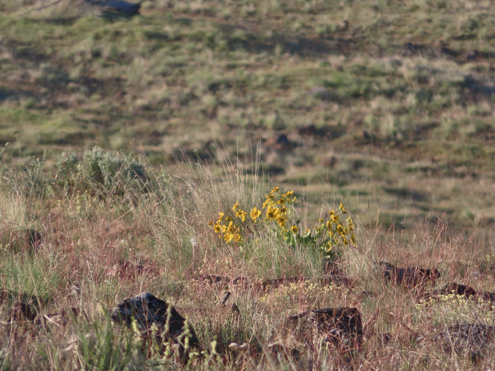 Carey’s balsamroot
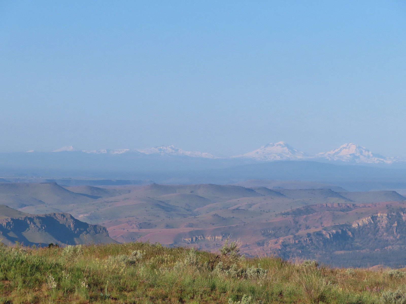 Mt. Bachelor, Broken Top and the Three Sisters
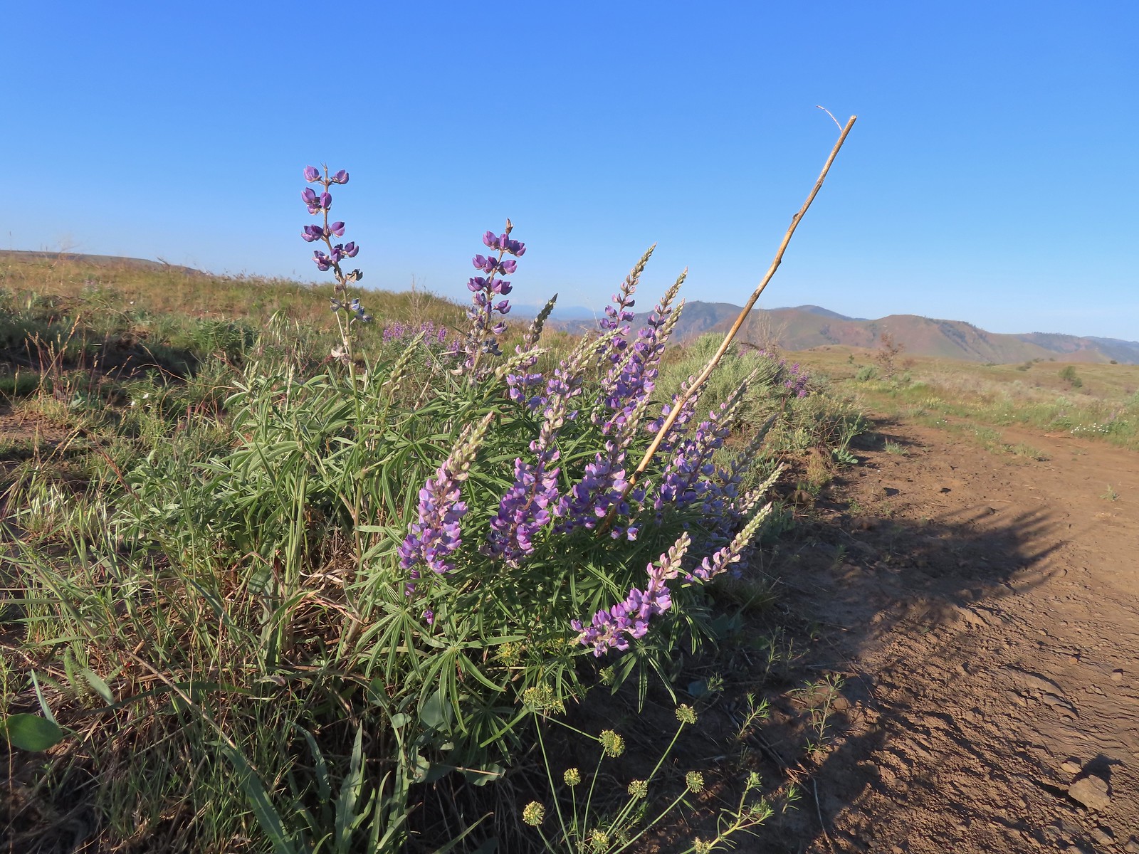 Lupine
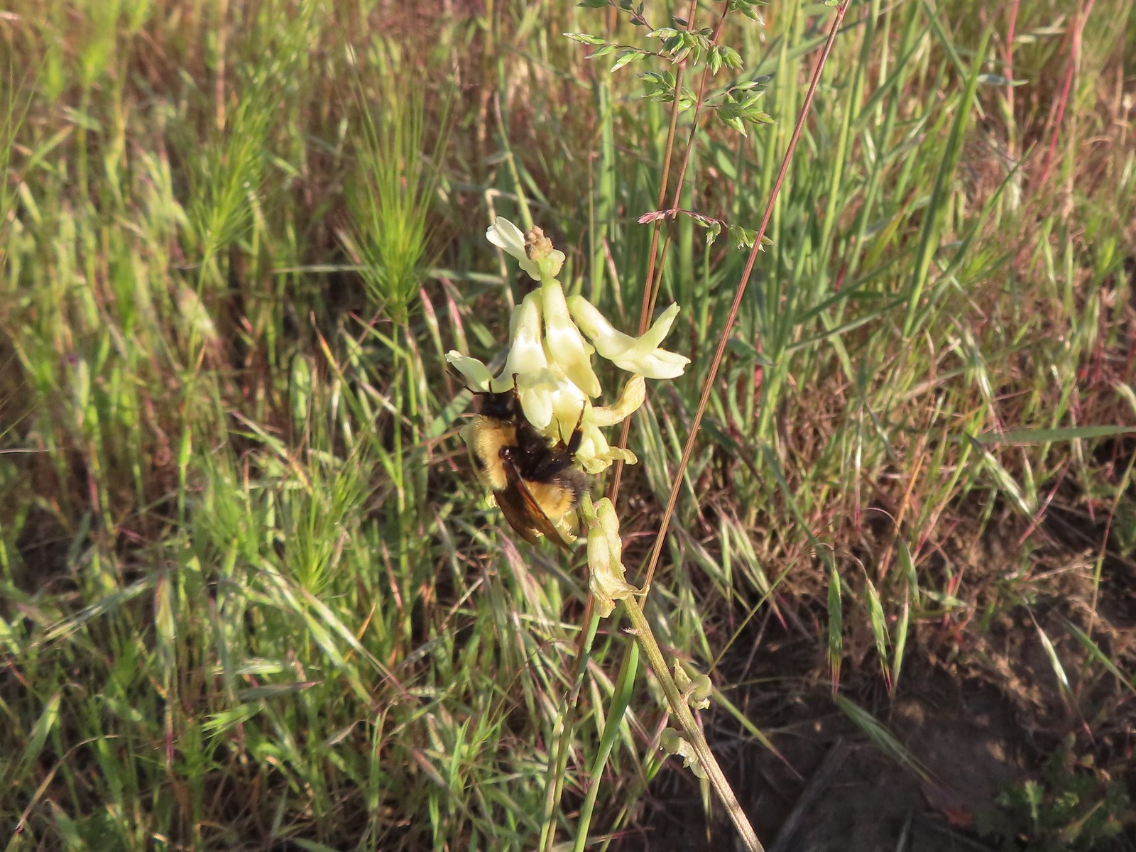 Bumble bee on Howell’s milkvetch
 Lark sparrow
 We spent a lot of time heading toward Mt. Hood.
 Sparrow?
 Mt. Adams
 Mt. Hood
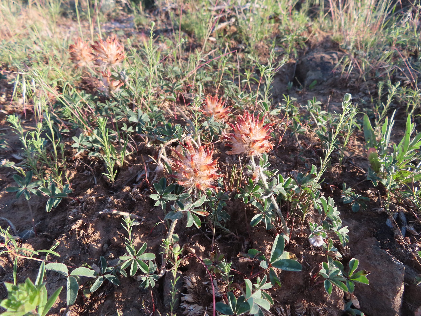 We were a little too late for the large-head clover.
 Western meadowlark giving a performance.
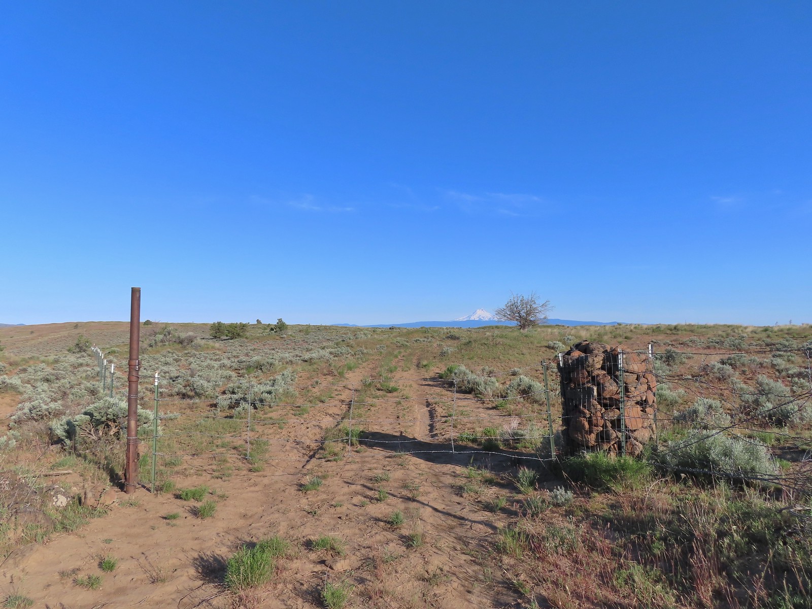 The third gate with Mt. Hood in the distance.
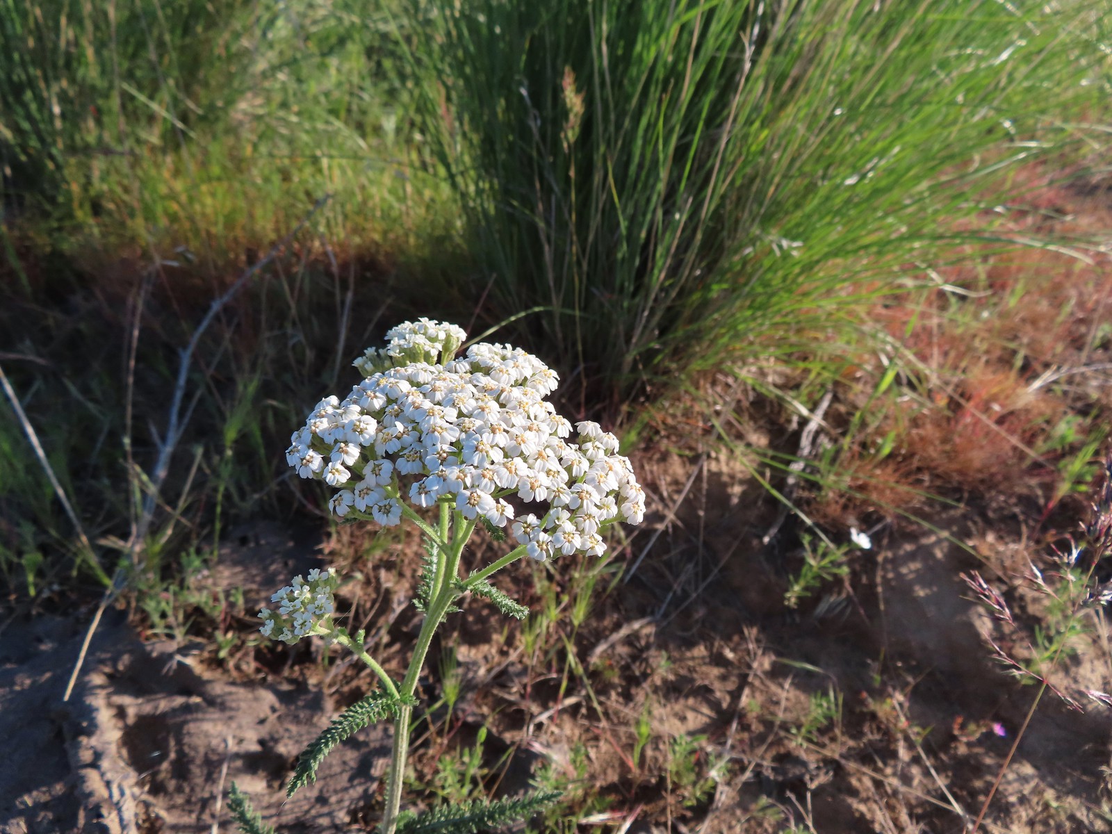 Yarrow
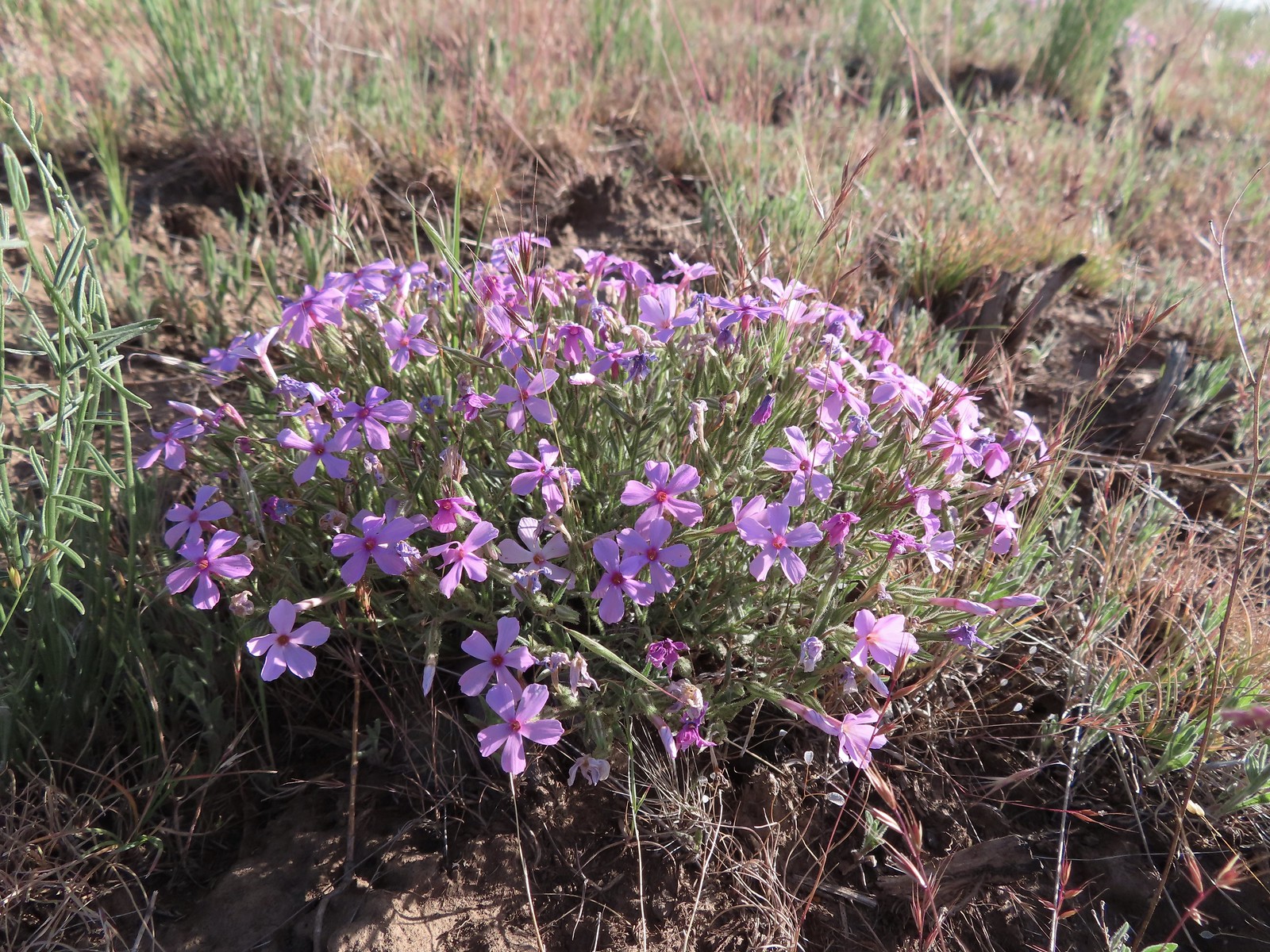 Phlox
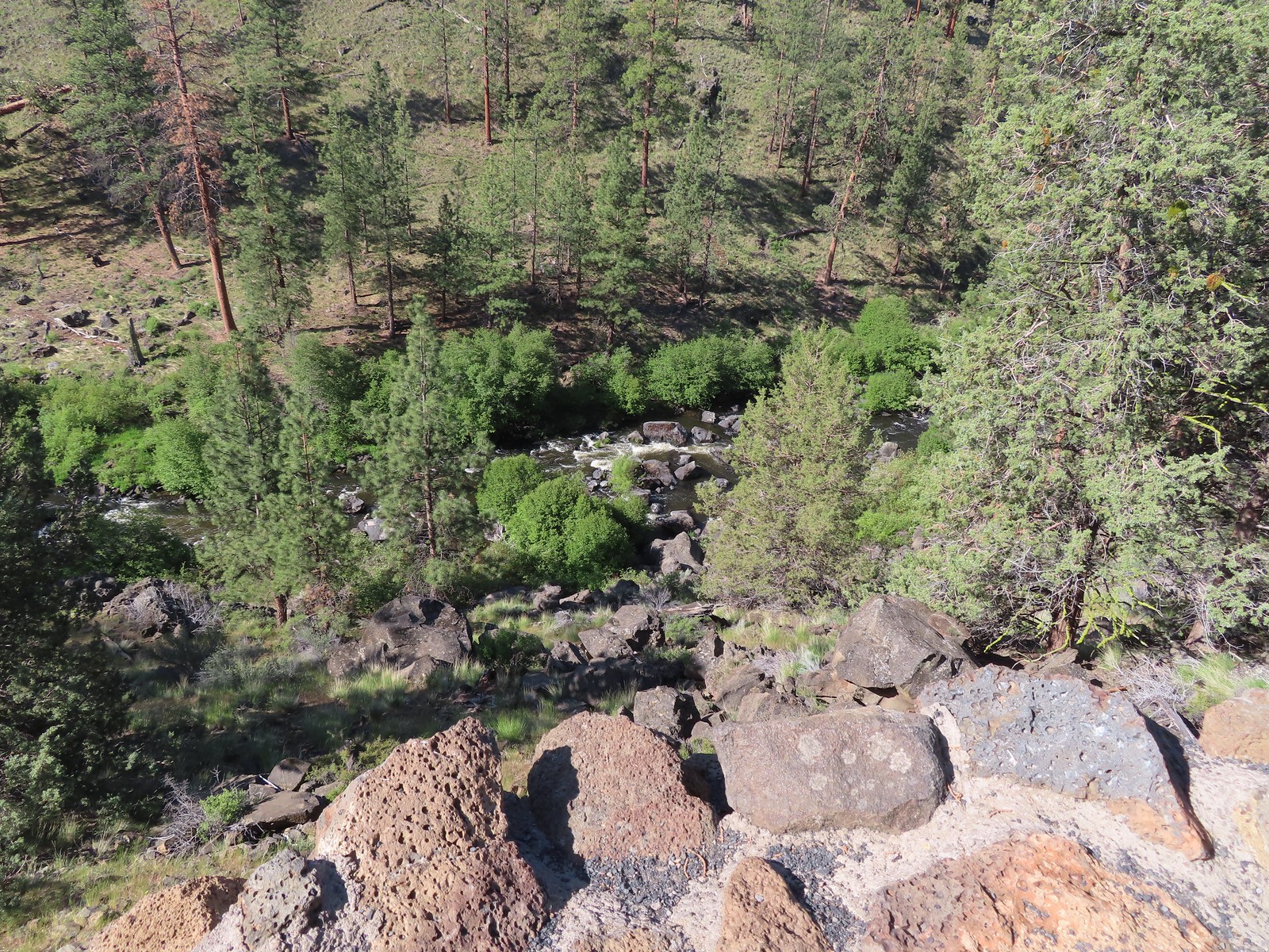
Phlox The Deschutes River winding through the valley below.
 Rough eyelashweed and lupine with Mt. Hood behind.
 Caterpillar
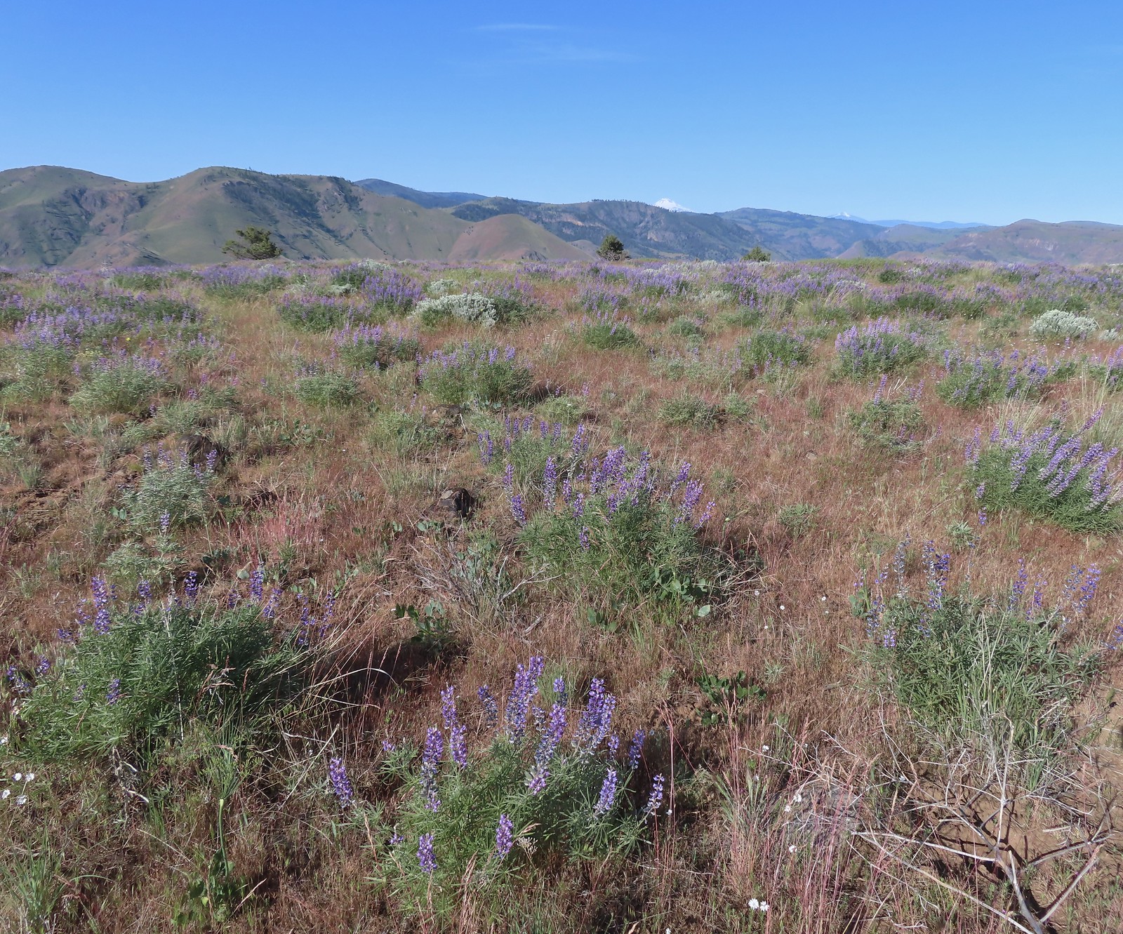 Lupine with Mt. Jefferson in the background.
 Horned lark
 Mt. Jefferson behind the abandoned trailer.
 Mt. Jefferson was hidden at times but this gap in the hills provided a nice view.
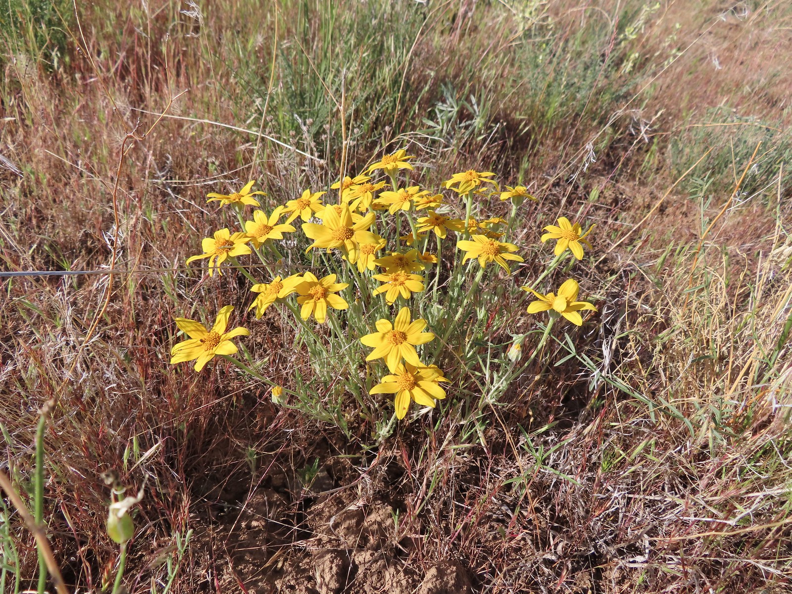 Oregon sunshine
 Skipper
 Mt. Jefferson and Olallie Butte (
 A small watering hole.
 Leaning toward an Acmon blue but not sure.
 Another in the Lycaenidae family.
 Large marble on a fiddleneck.
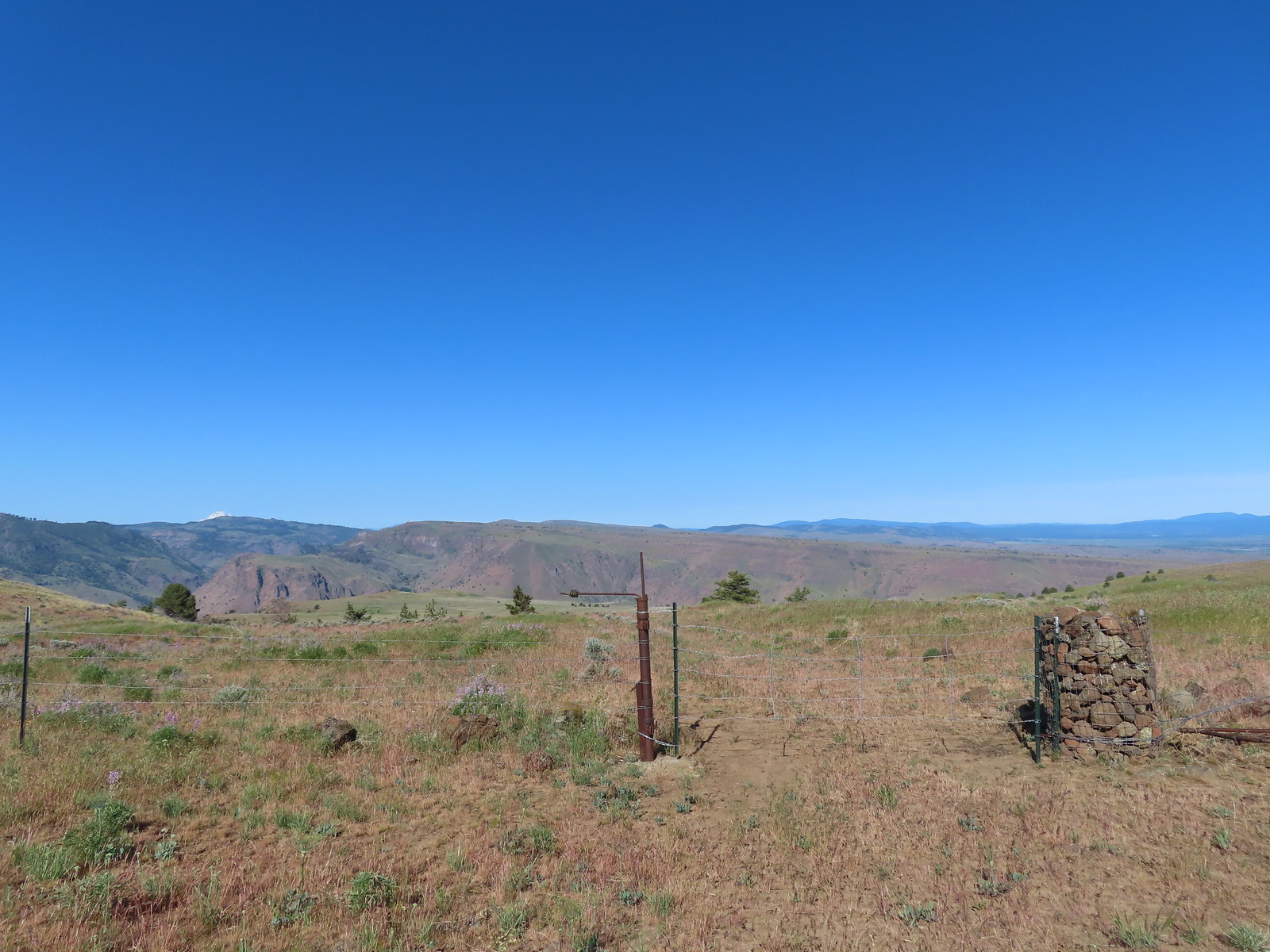 The fourth gate at the 4-way junction.
 Mourning dove
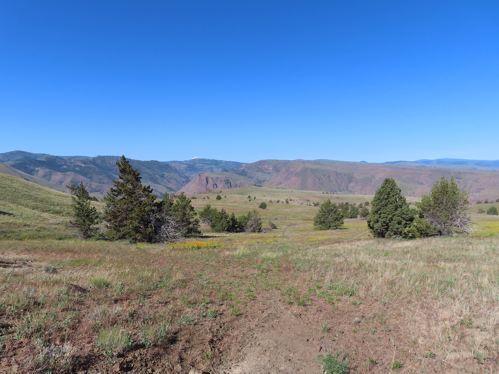 The more “obvious” jeep track curving left.
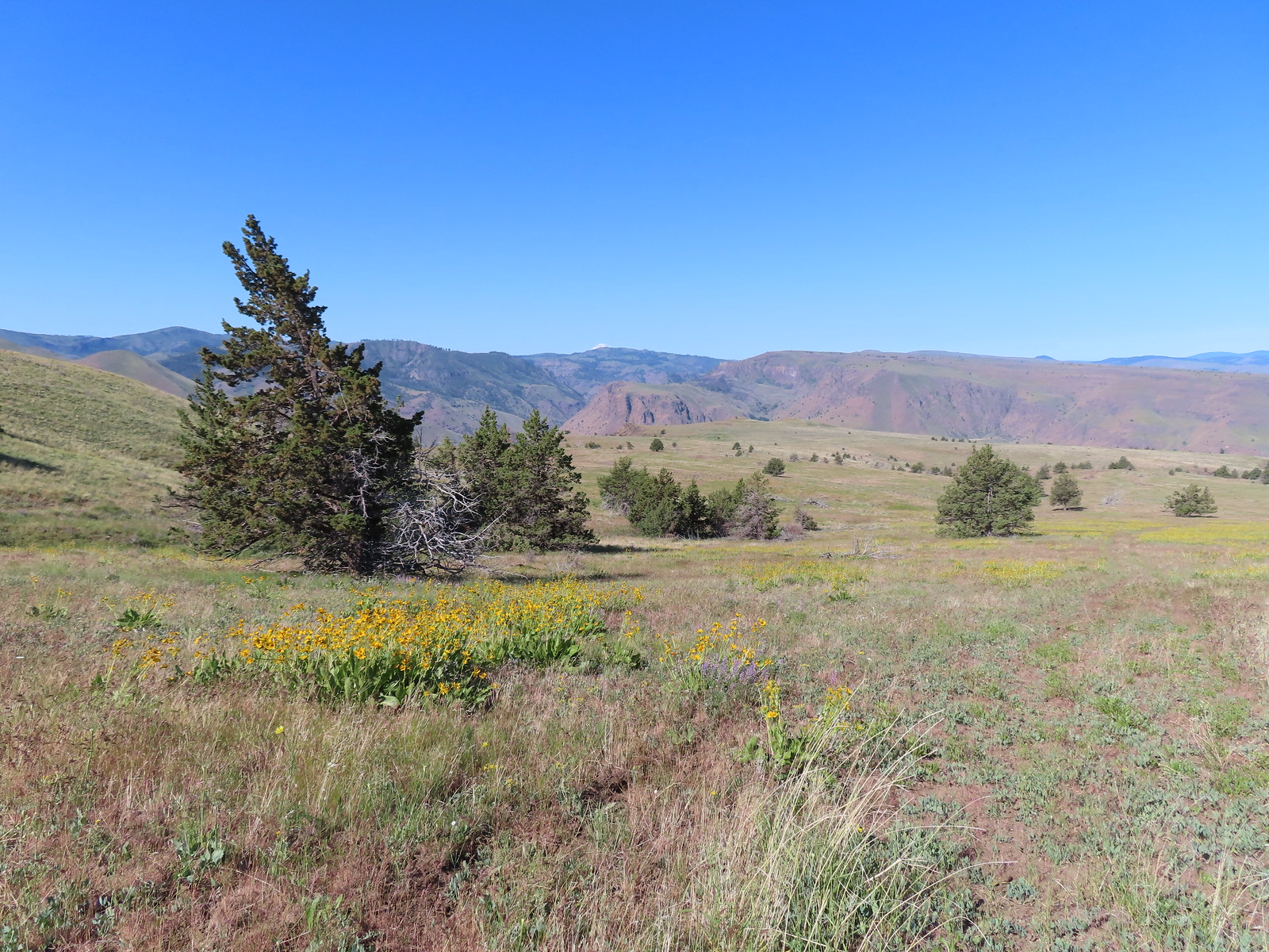 The fainter track angling slightly right.
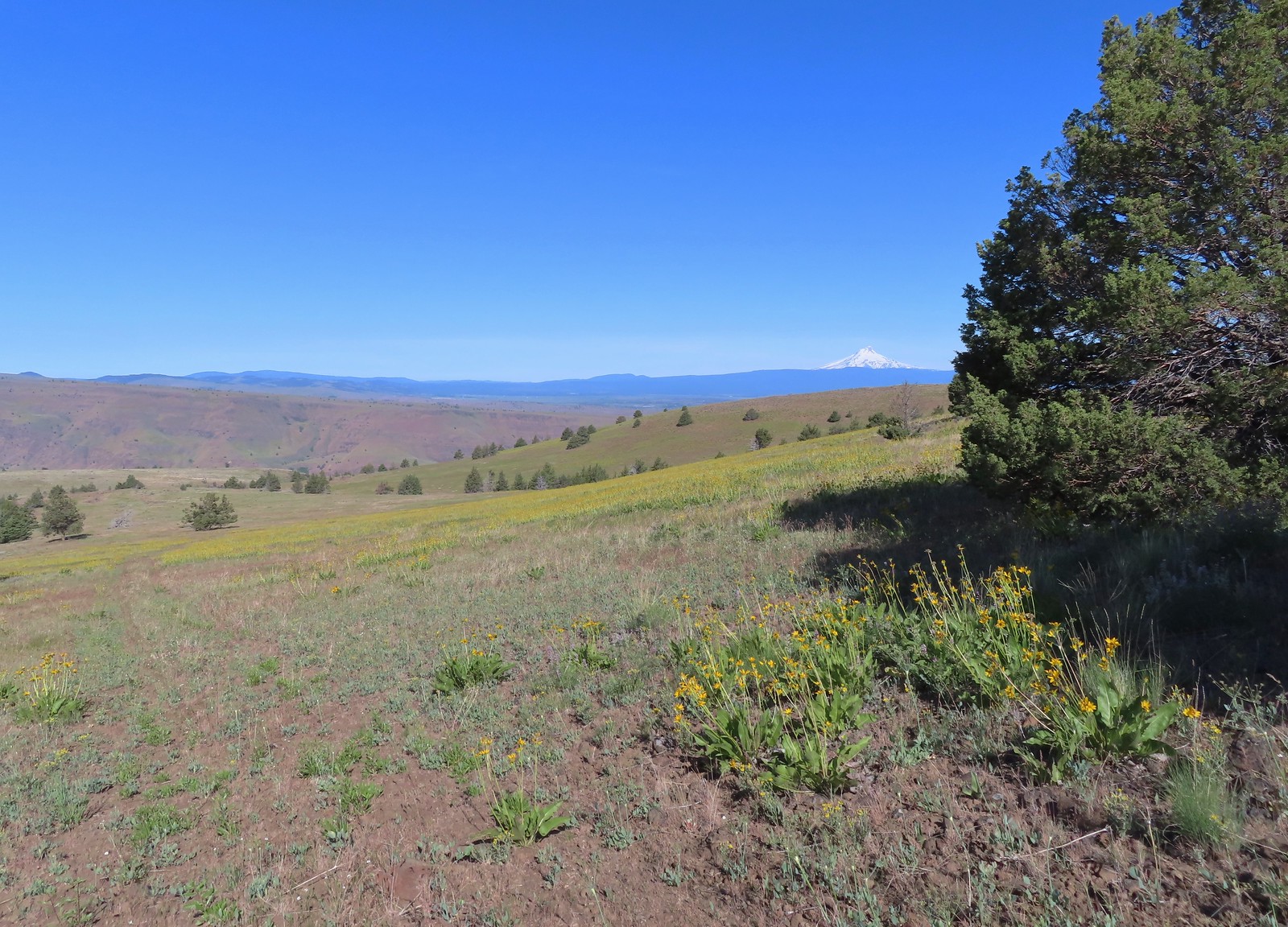
 Ochre ringlet on rougheyelashweed.

 Zerene fritillary
 Zerene fritillary on salsify
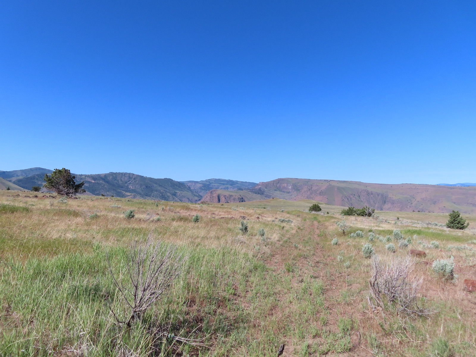 We thought we spied the post and used the camera to zoom in and confirm.
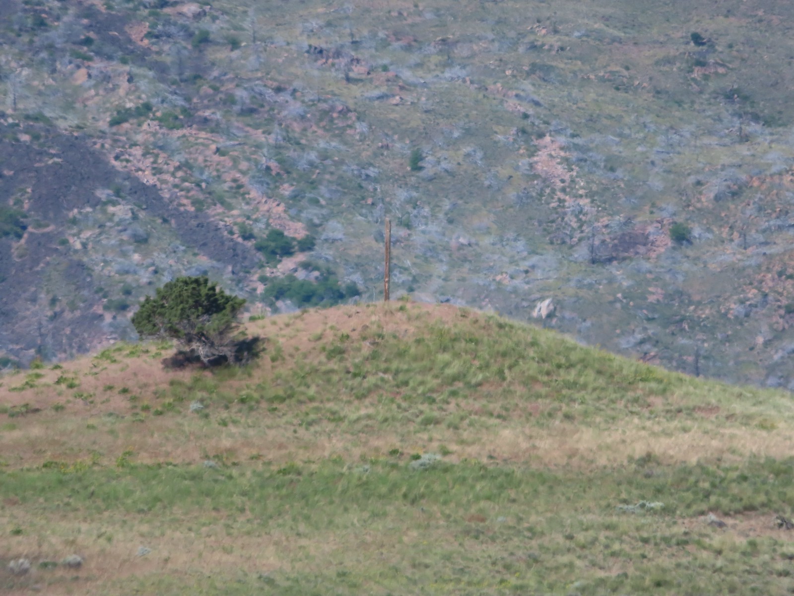 This was the only knoll with a juniper as well as the post.
 Largeflower hawksbeard
 Paintbrush
 To reach Stag Point we had to go cross country, so we looked for the most gradual looking climb.
 Mt. Hood from Stag Point.
 The Deschutes River from Stag Point.
 Mt. Hood and Mt. Adams from Stag Point.
 Looking back over the route we’d come down.
 Ladybug and an Oregon swallowtail.
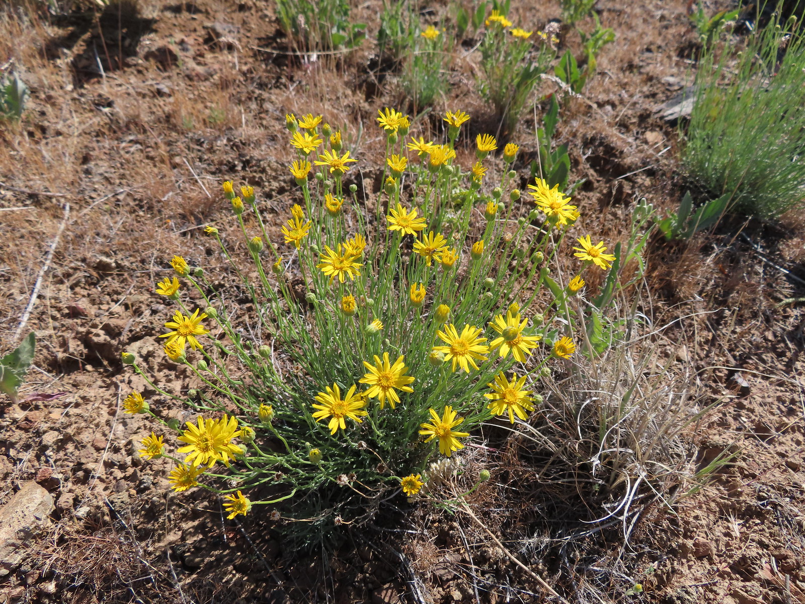 Desert yellow fleabane
 Heading out to the rock outcrop.
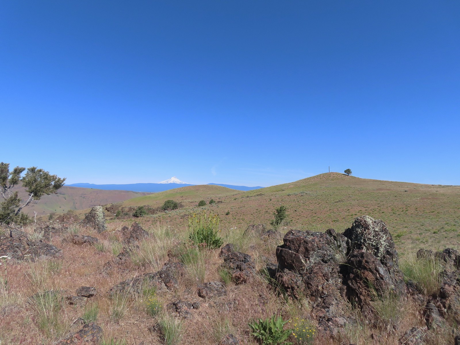 Mt. Hood and Stag Point from the outcrop.
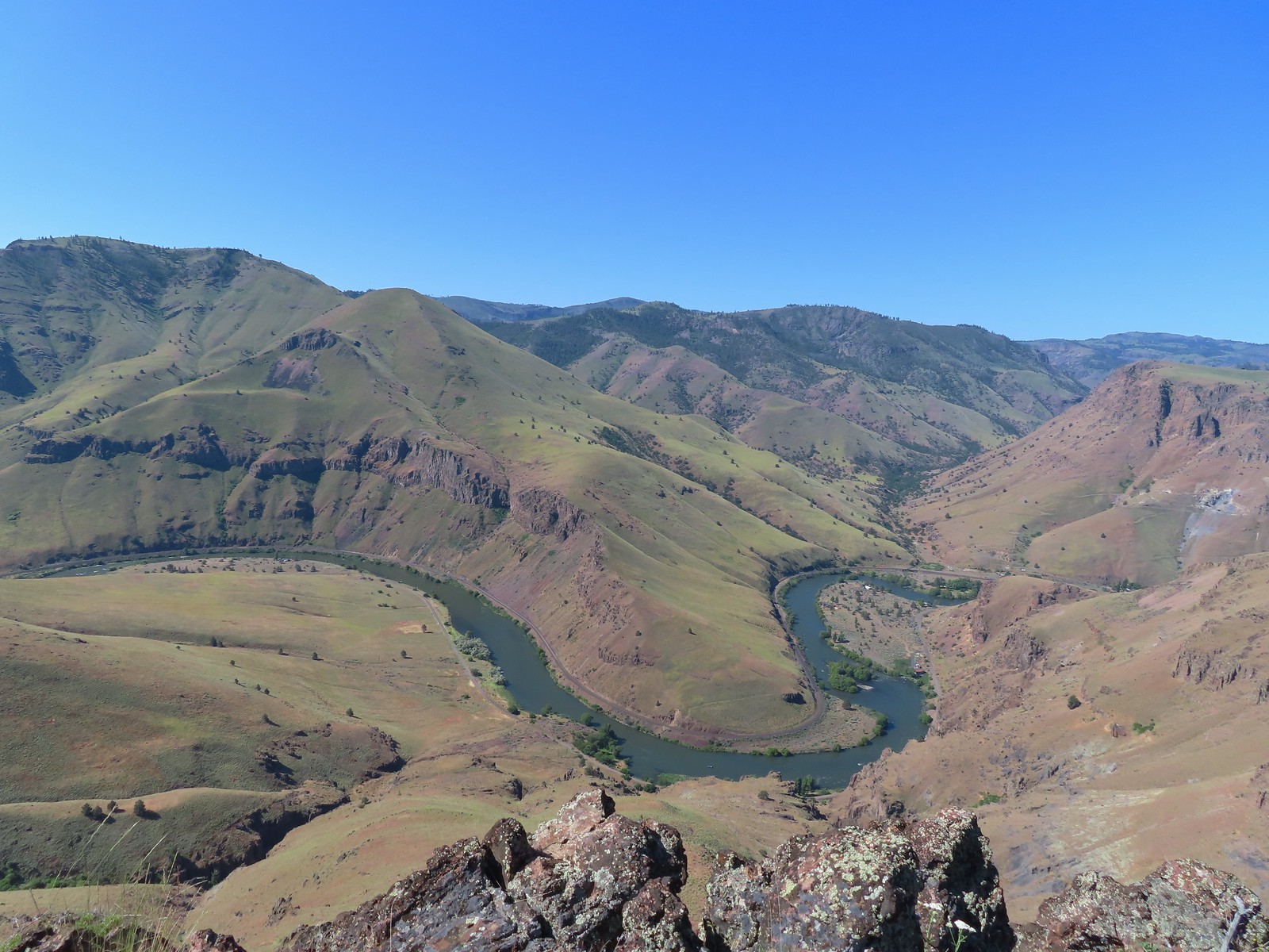 A better view of the Deschutes.
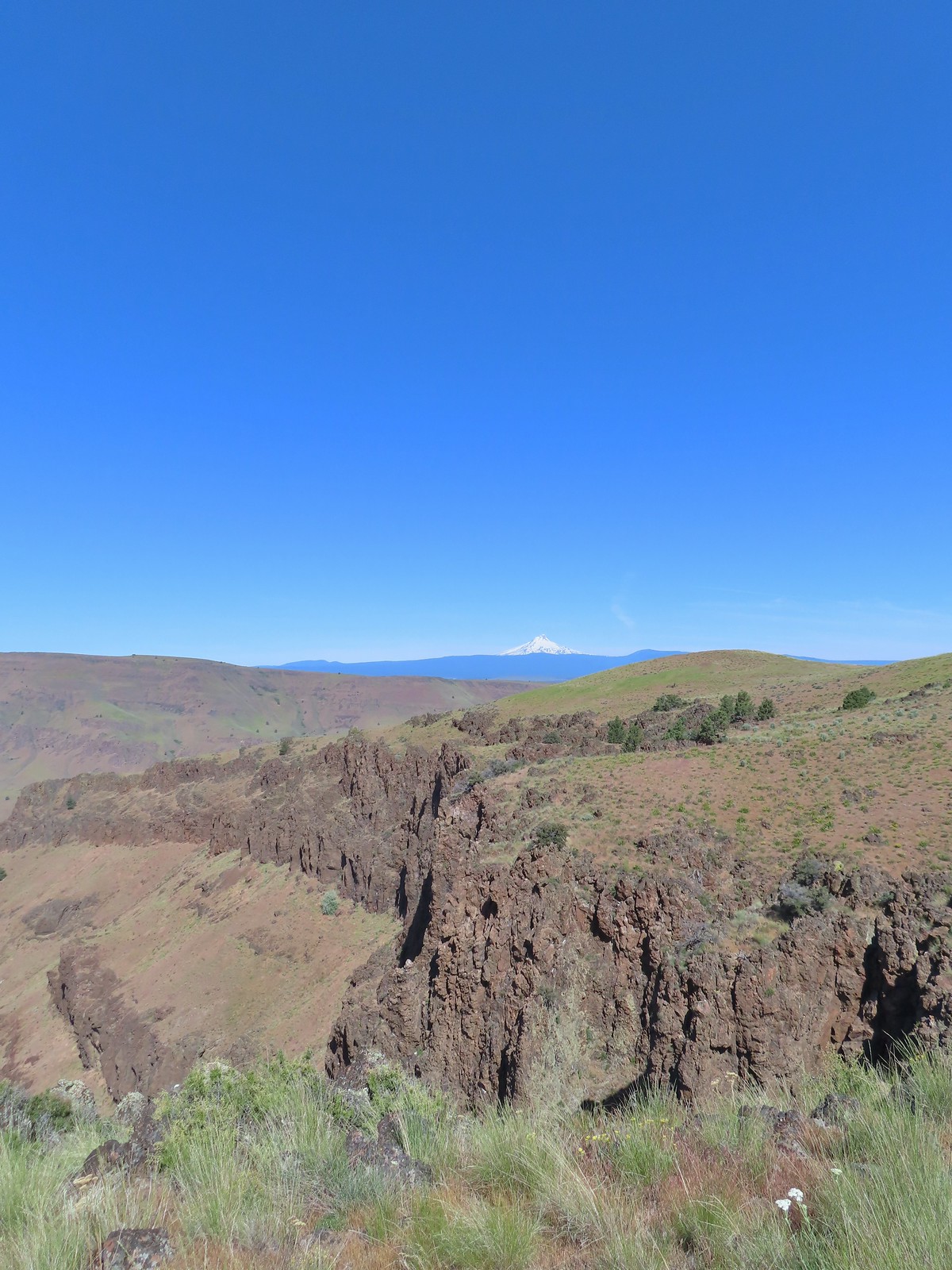 Mt. Hood beyond the cliffs.
 A buckwheat
 Stink bug
 Silverleaf phacelia
 Back on the jeep track.
 Lupine and balsamroot
 The cows had really chewed this section of the jeep track up.
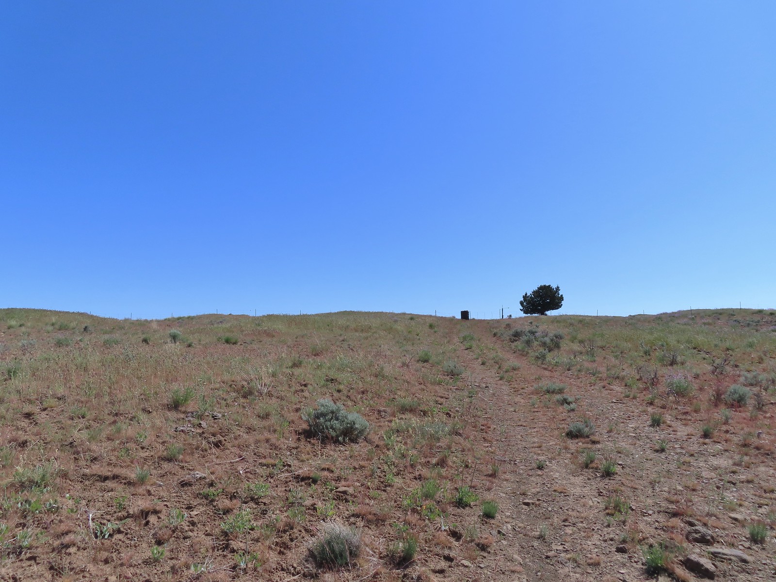 The gate ahead.
 Horned lark guarding the gate.
 Mt. Jefferson and Olallie Butte
 Grand collomia
 Time for some sun.
 A butterfly and fly.
 Three butterflies and a fly.
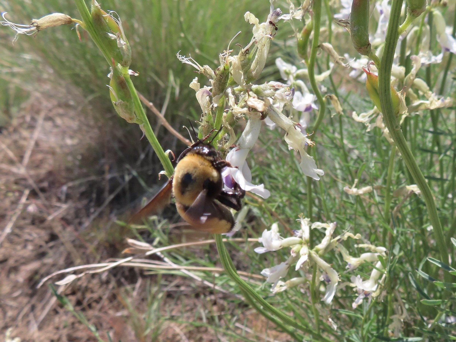 Busy bee
 This swallowtail was a little rough around the edges.
 Another horned lark on lookout.
 Nothing brings fritillary butterflies together like a good pile of scat.
 Another option for another time. We were just happy to have solved that mystery.
 The Radio Towers on the hill were right next to the trailhead.
 The Three Sisters (from this angle it looks like two)
 Three butterflies and a beetle on buckwheat.
 Another mystery was where did the trail from the South Trailhead (just on the other side of the radio towers) connect. We’d missed the track on the right on our first pass, another question answered.
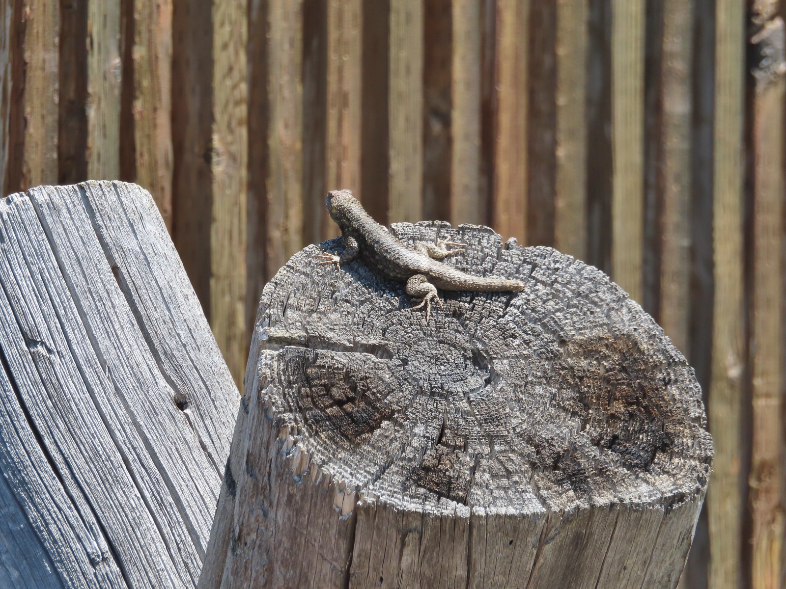 Lizard with half a tail at the trailhead.
 This mountain bluebird was acting odd when we arrived at the gate. It was flying back and forth with something in its mouth. (Mt. Adams is in the background.)


 Our first rhododendron blossom of the year.
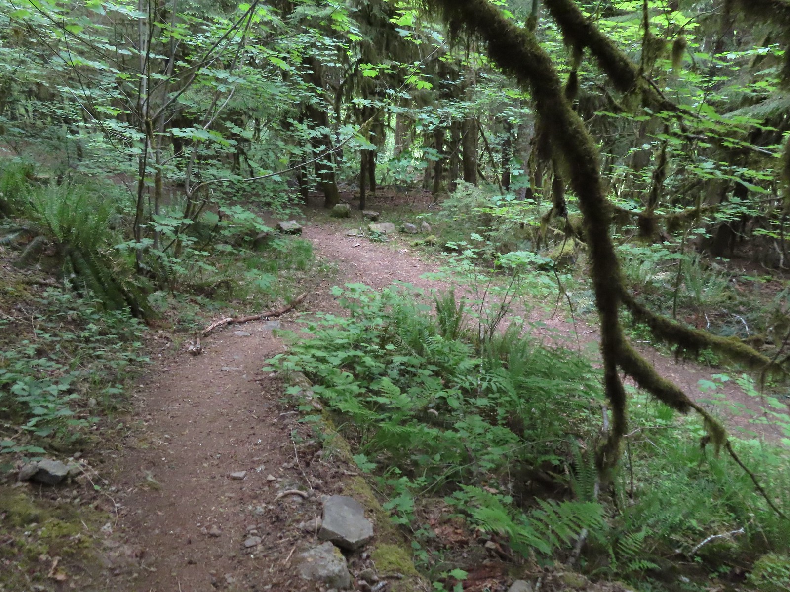 We turned right when the trail met an old logging road.

 Blowout Arm
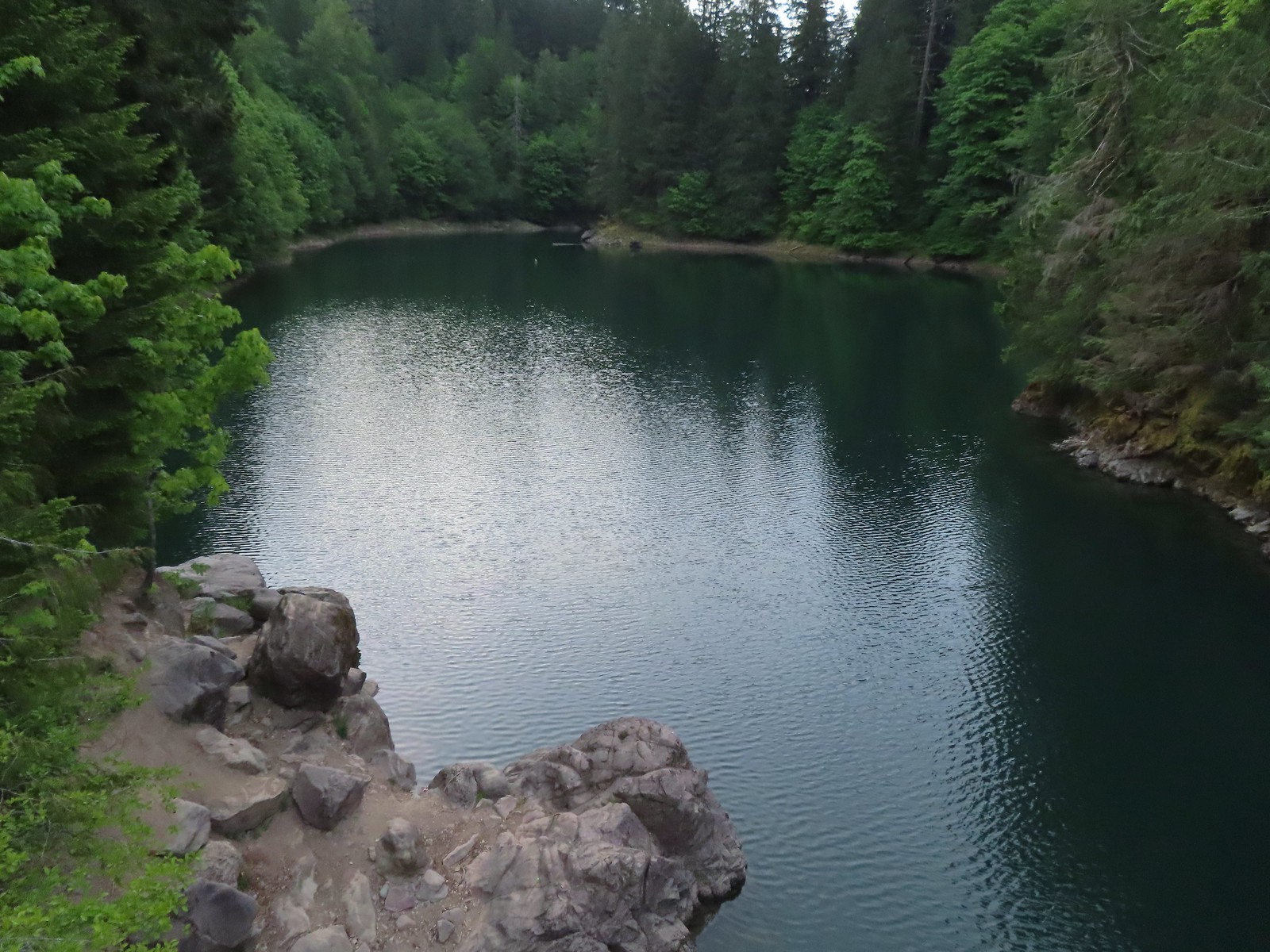 Blowout Creek flowing into Blowout Arm.
 We found our first beargrass on the other side of the bridge.
 Swimmers at Blowout Arm.
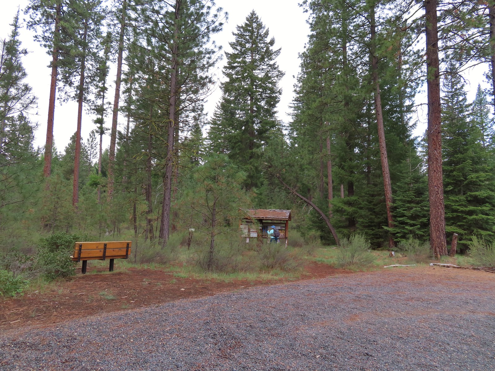
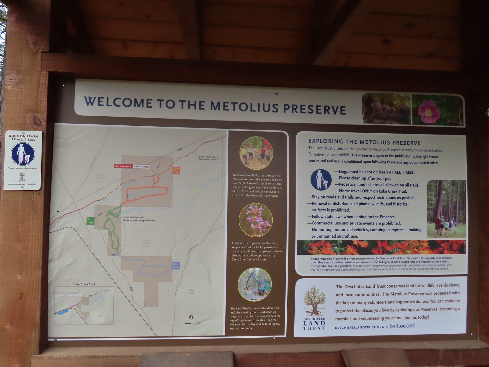
 Sign for the Lake Creek Trail.
 Lake Creek Trail
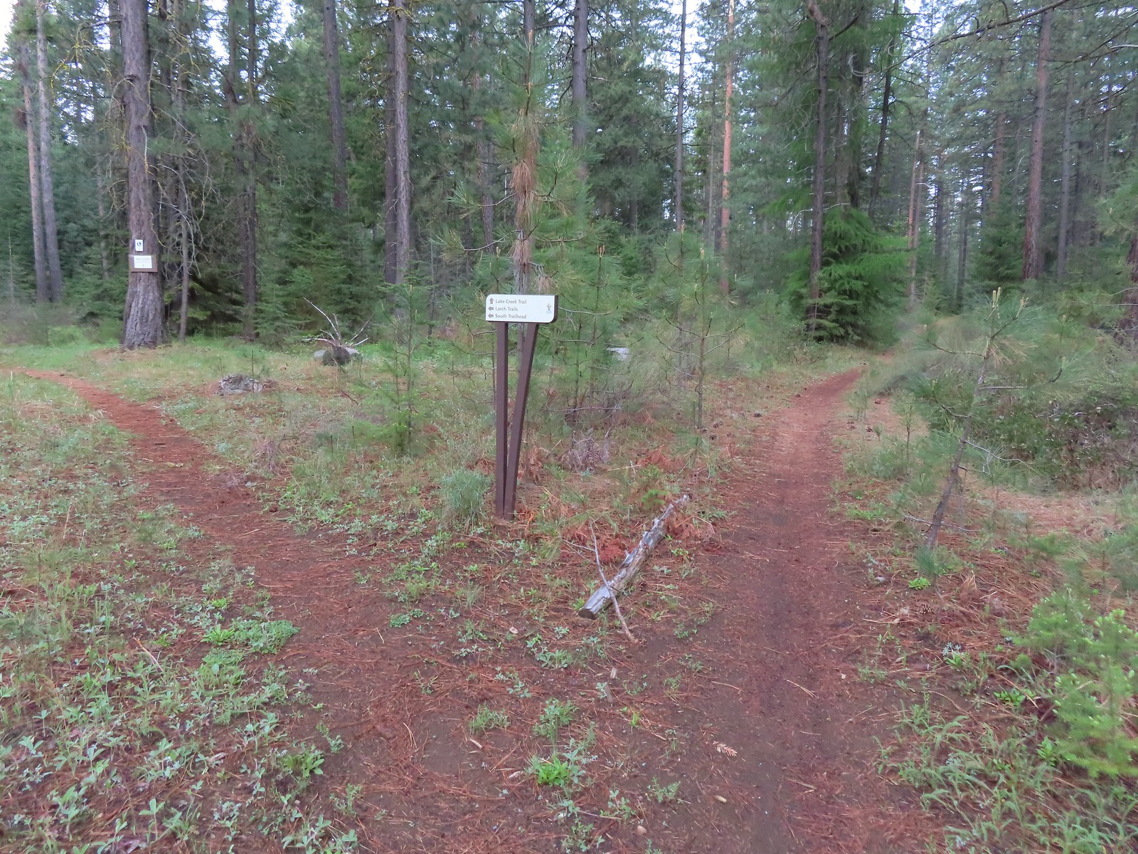 Pointer for the Larch Trails.
 Violets
 Star-flowered solomonseal
 Serviceberry
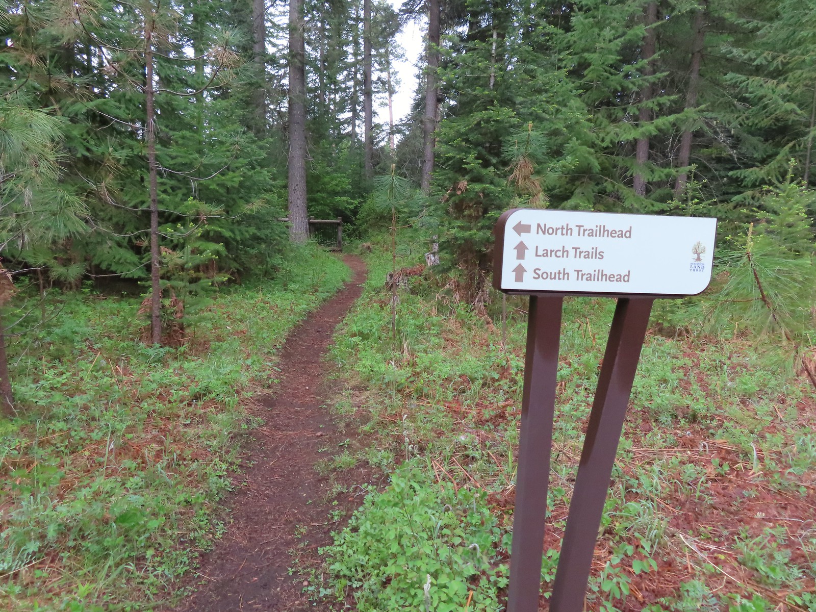

 North Fork Lake Creek

 Middle Fork Lake Creek
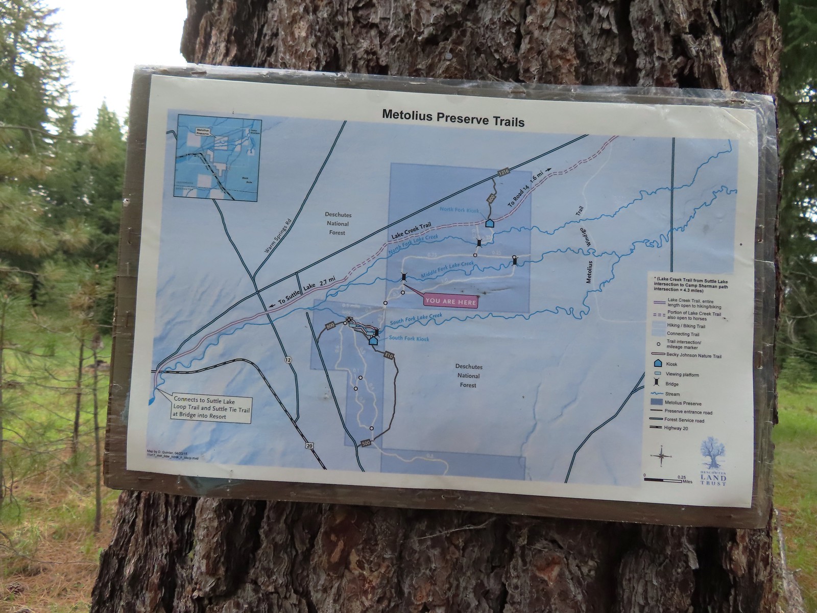 Between the pointers at junctions and a few well-placed maps it was relatively easy to stay on course, as long as we were paying attention.
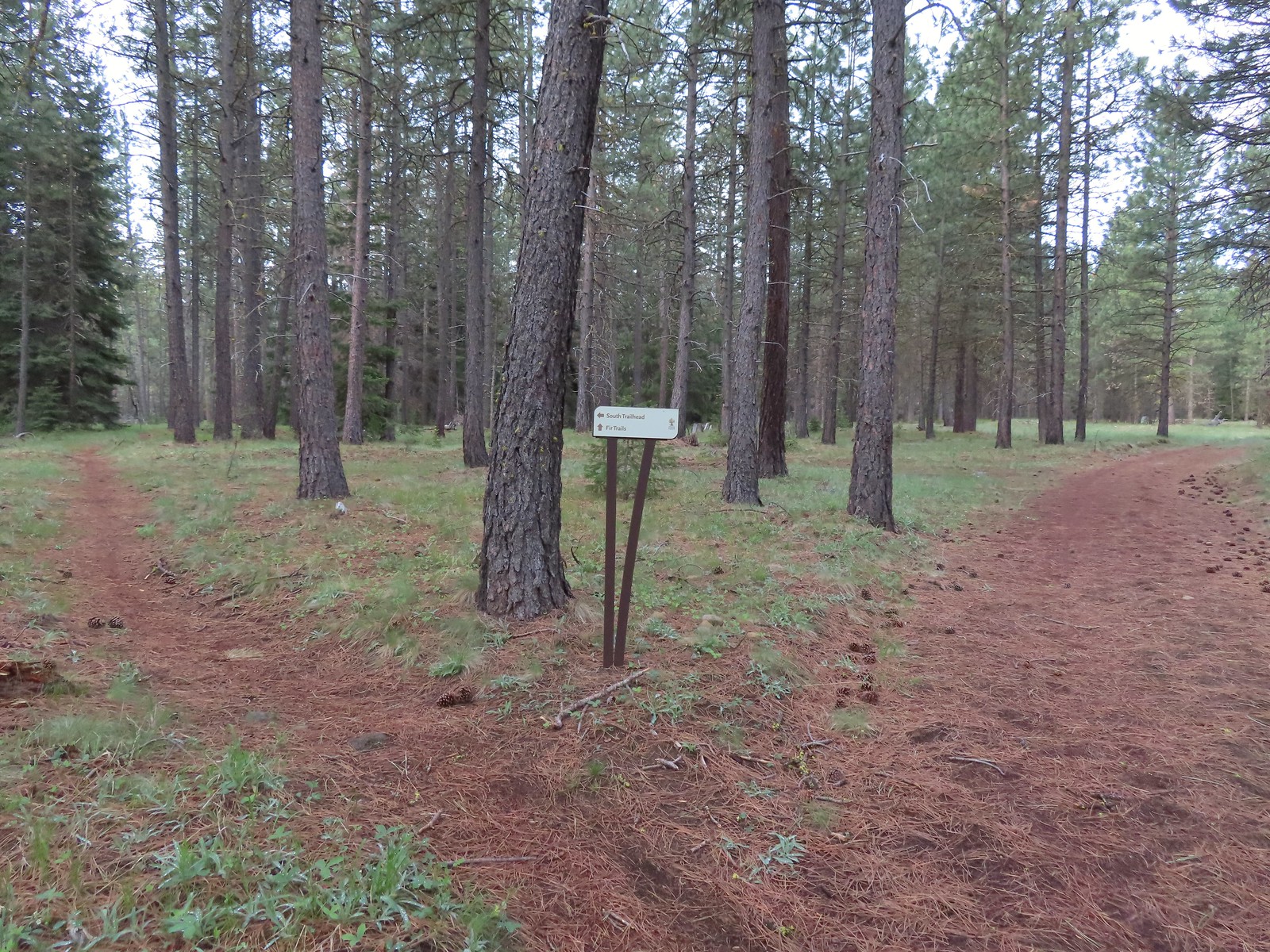 We stayed right again here at the start of the Fir Trails.
 A seasonal tributary of Middle Fork Lake Creek.
 Balsamroot
 Fir Trail reaching a bridge over the South Fork Lake Creek.
 Interpretive sign at the South Fork Lake Creek.
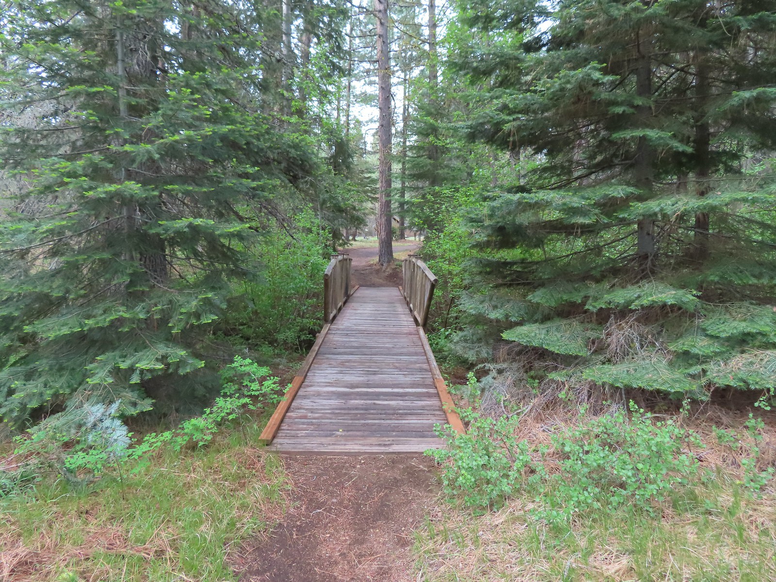 A second footbridge over another branch of the Lake Creek.
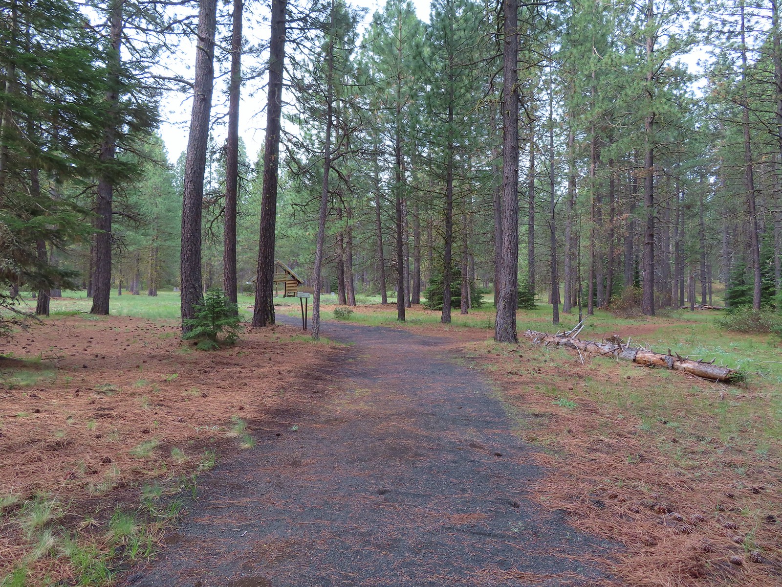
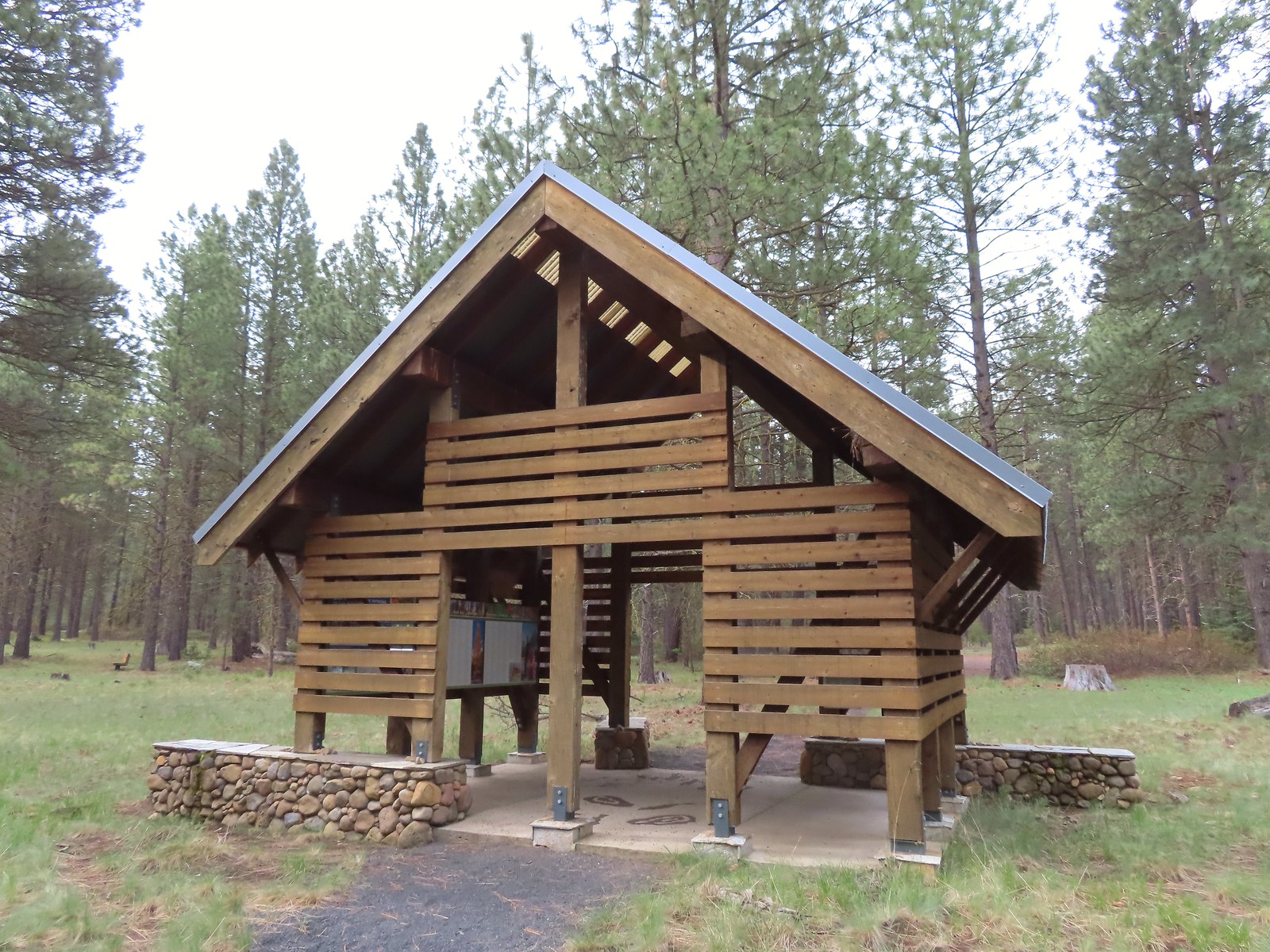 Shelter at the South Trailhead
 The first overlook didn’t have much of a view of the creek but the second one did, along with a nice bench.
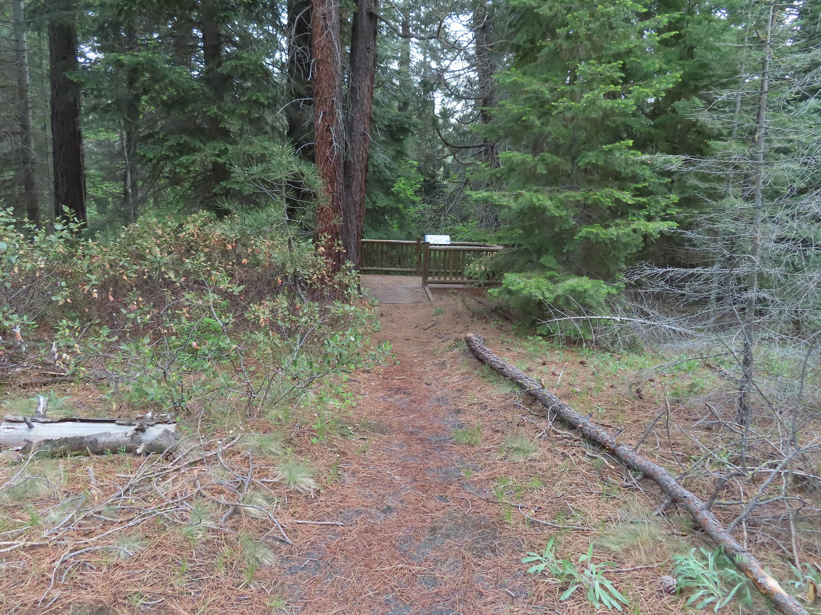 The second overlook.
 Interpretive sign at the second overlook.
 South Fork Lake Creek

 Hound’s tongue with a caterpillar.

 The Fir Trails end at Road 500 (the entrance to the South Trailhead) and the Pine Trails start on the far side.
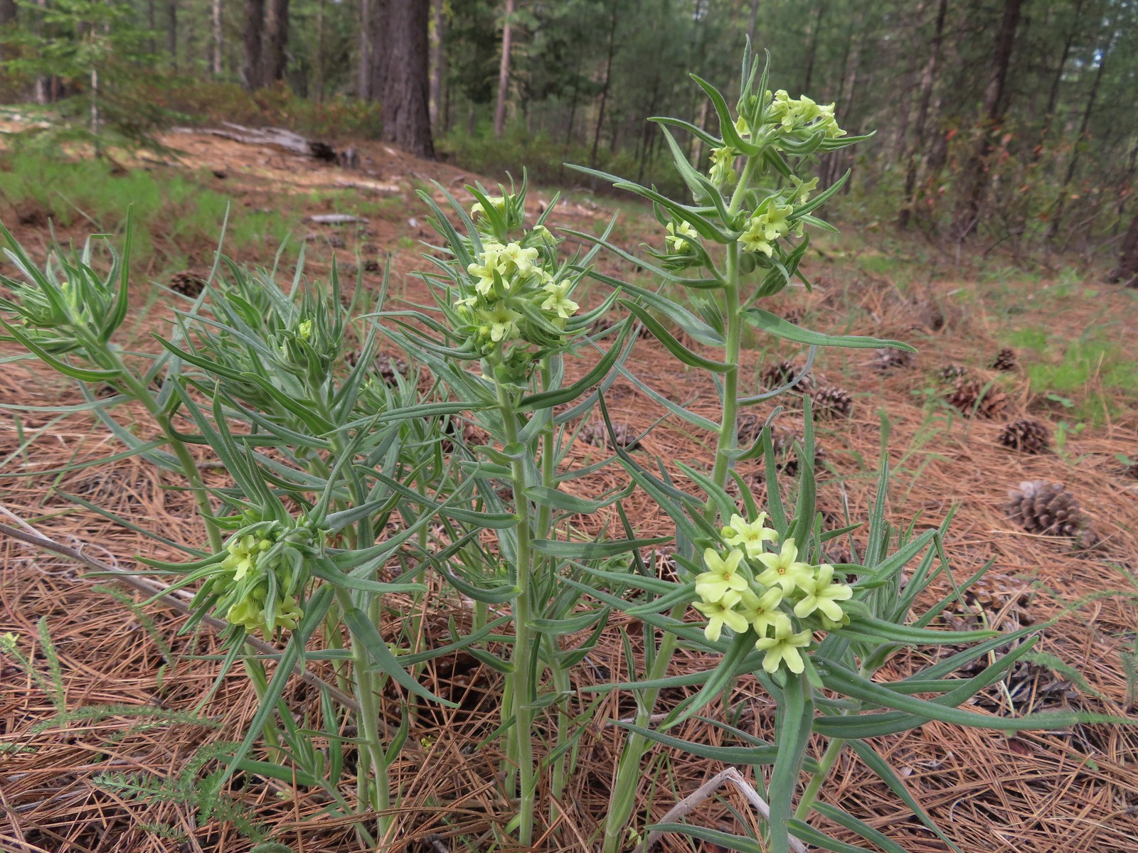 Western stoneseed
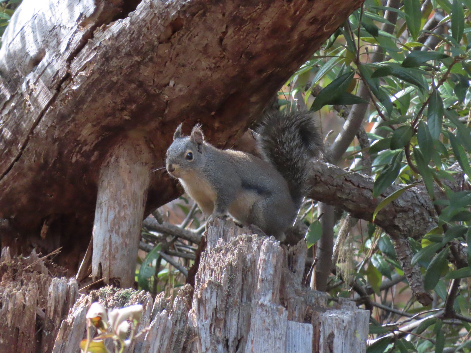 Squirrel
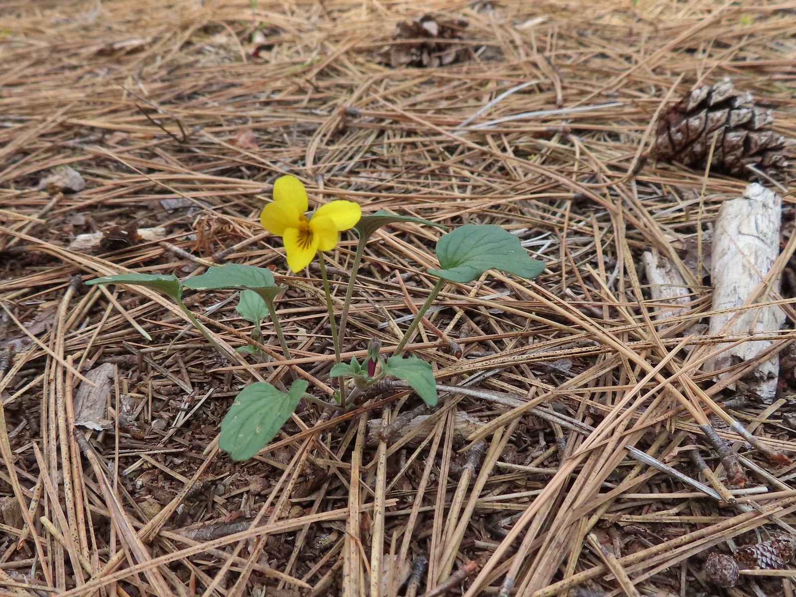 Goosefoot violet
 One of the non-trail roadbeds to the right along the Pine Trails.
 Balsamroot along the Pine Trails.
 There had been some fairly recent thinning happening along the Pine Trails.
 Chirpping sparrows
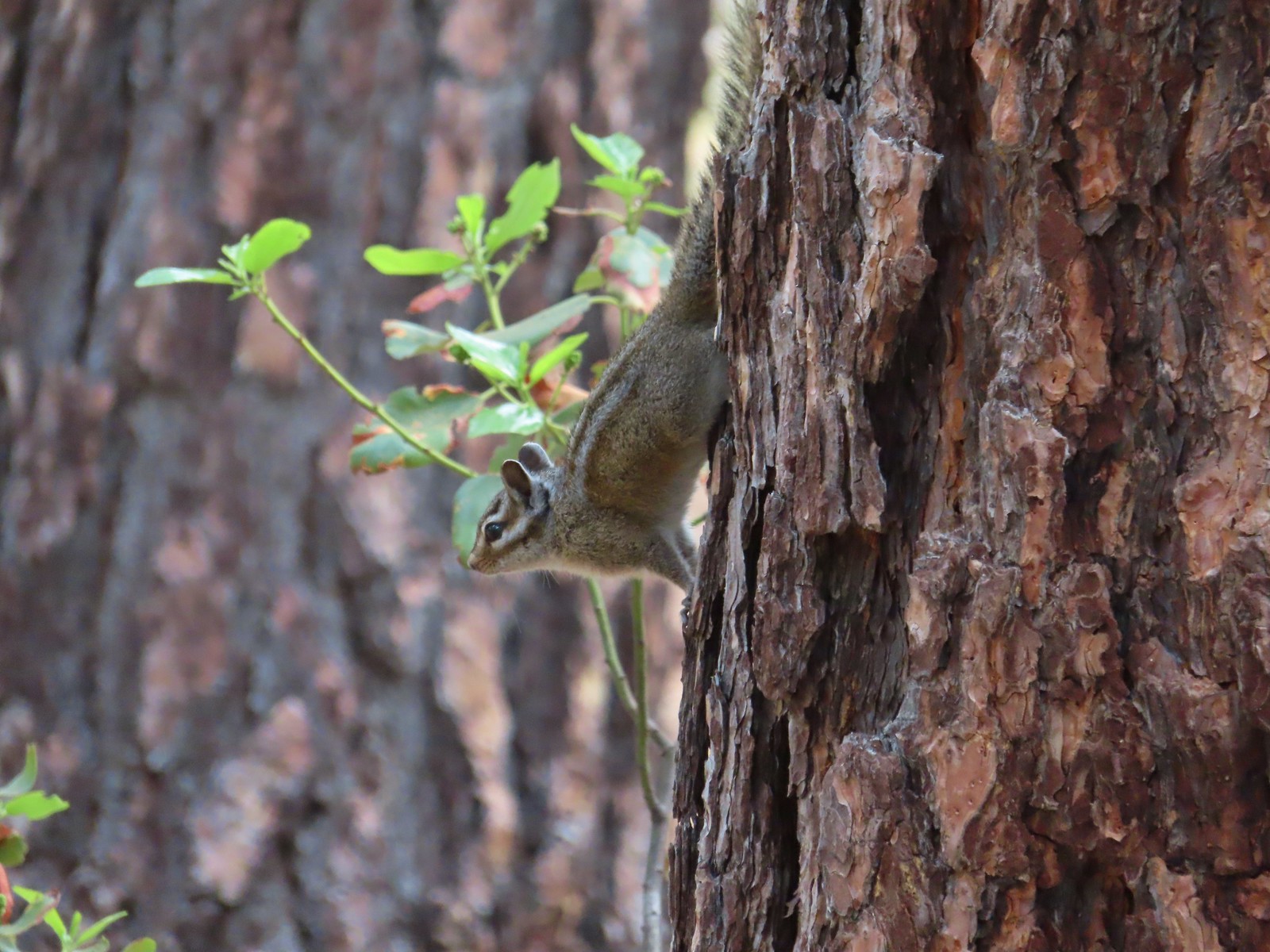 Chipmunks
 Deer along the Fir Trails.
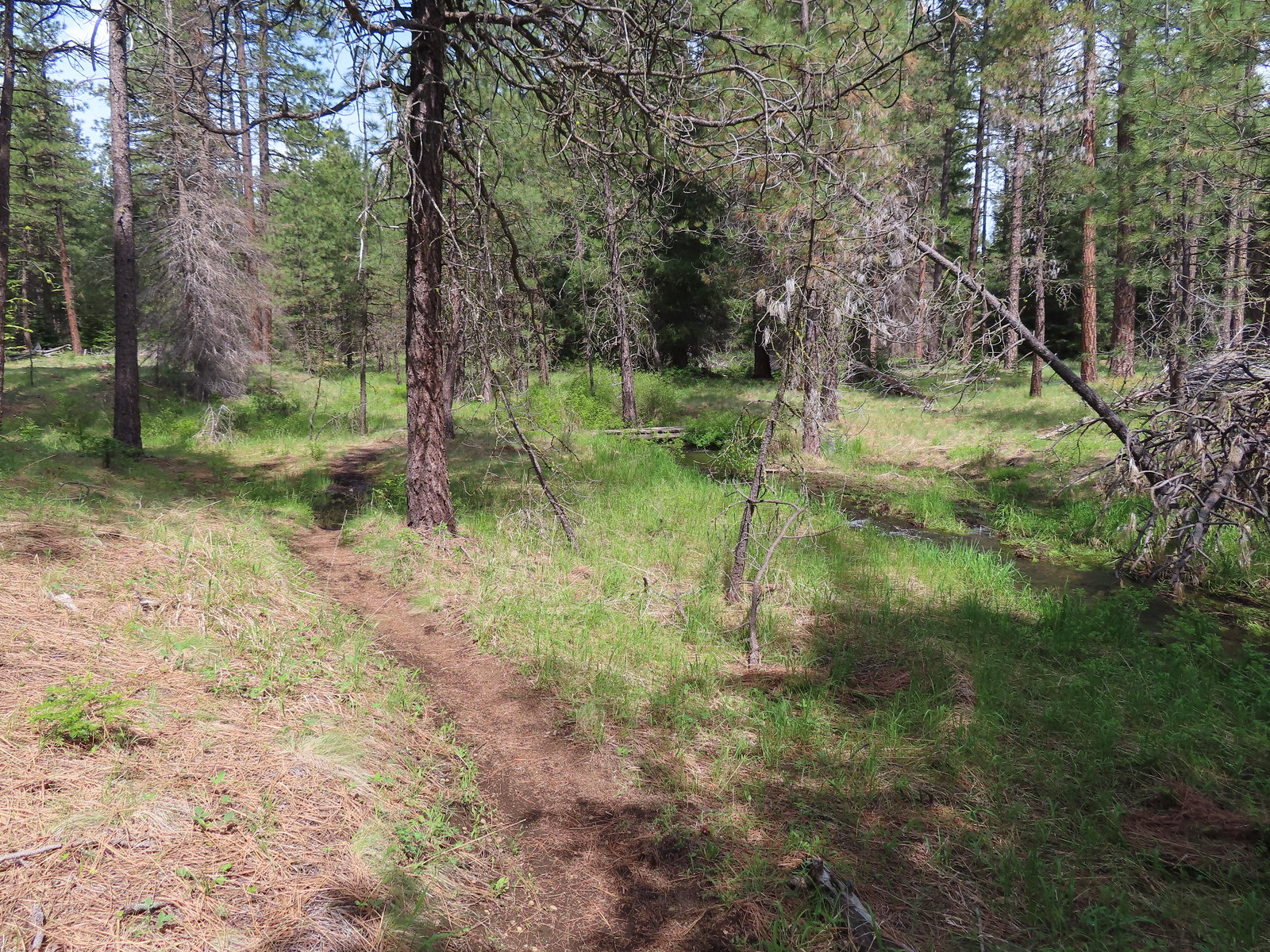 The Fir Trails crossed the seasonal branch on a small footbridge.
 Slender phlox and narrowleaf miner’s-lettuce.

 I took this photo of a swallowtail and then later realized there was a second butterfly on the Oregon grape.
 Lunch
Lunch Bridge over the North Fork Lake Creek.
 Bench along Lake Creek near the North Trailhead.
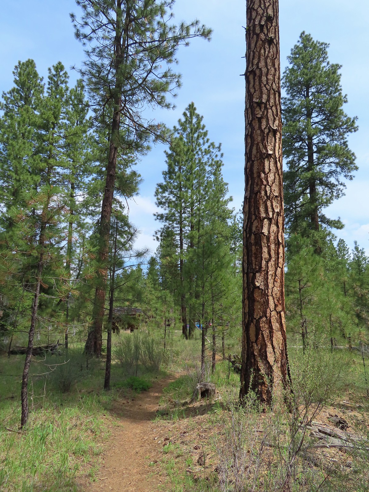 Arriving back at the trailhead.
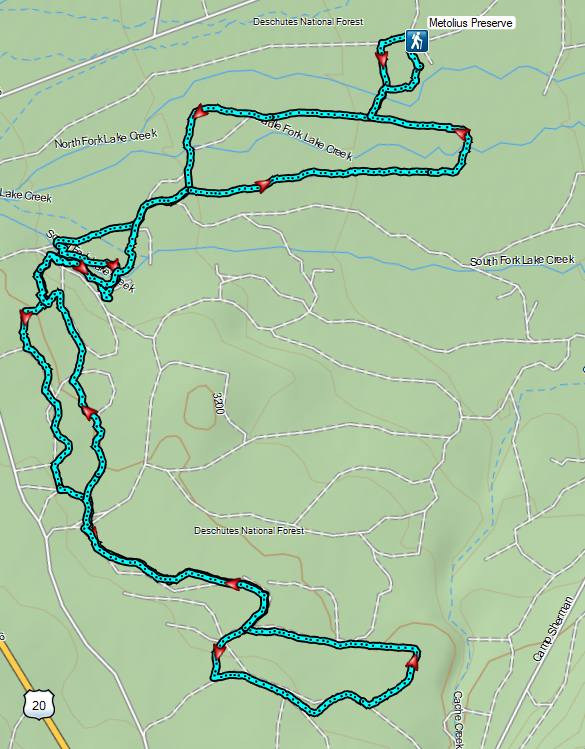
 The refuge is open from dawn to dusk. We arrived at a quarter to six to get an early start and avoid being out during the hottest parts of the day.
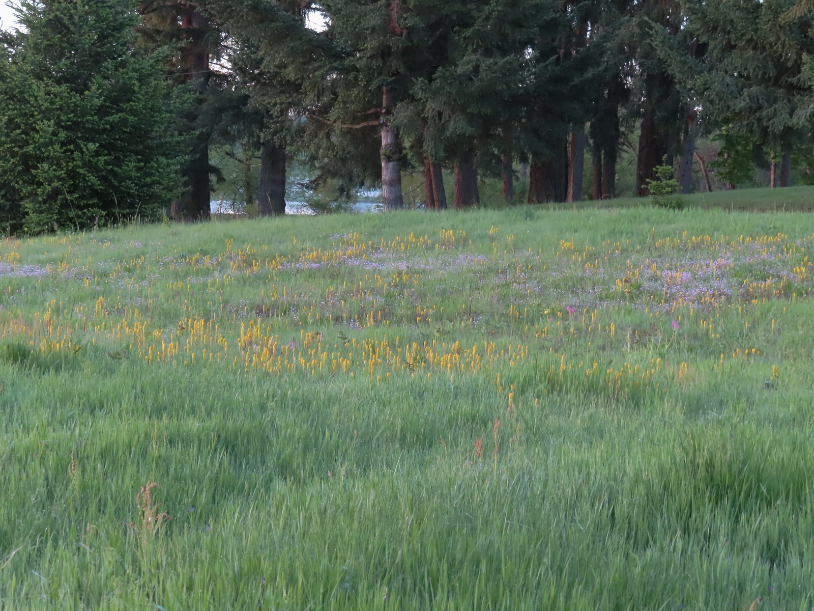 The patch of wildflowers.
 A checker-mallow surrounded by golden paintbrush.
 Plectritis amid the golden paintbrush.
 We had a pretty good view of Mt. Hood.
 Mallards
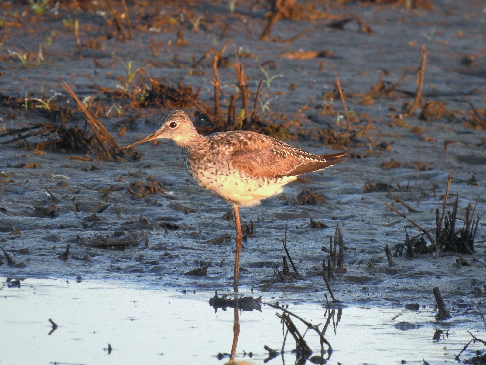 Greater yellowlegs
 Mourning dove
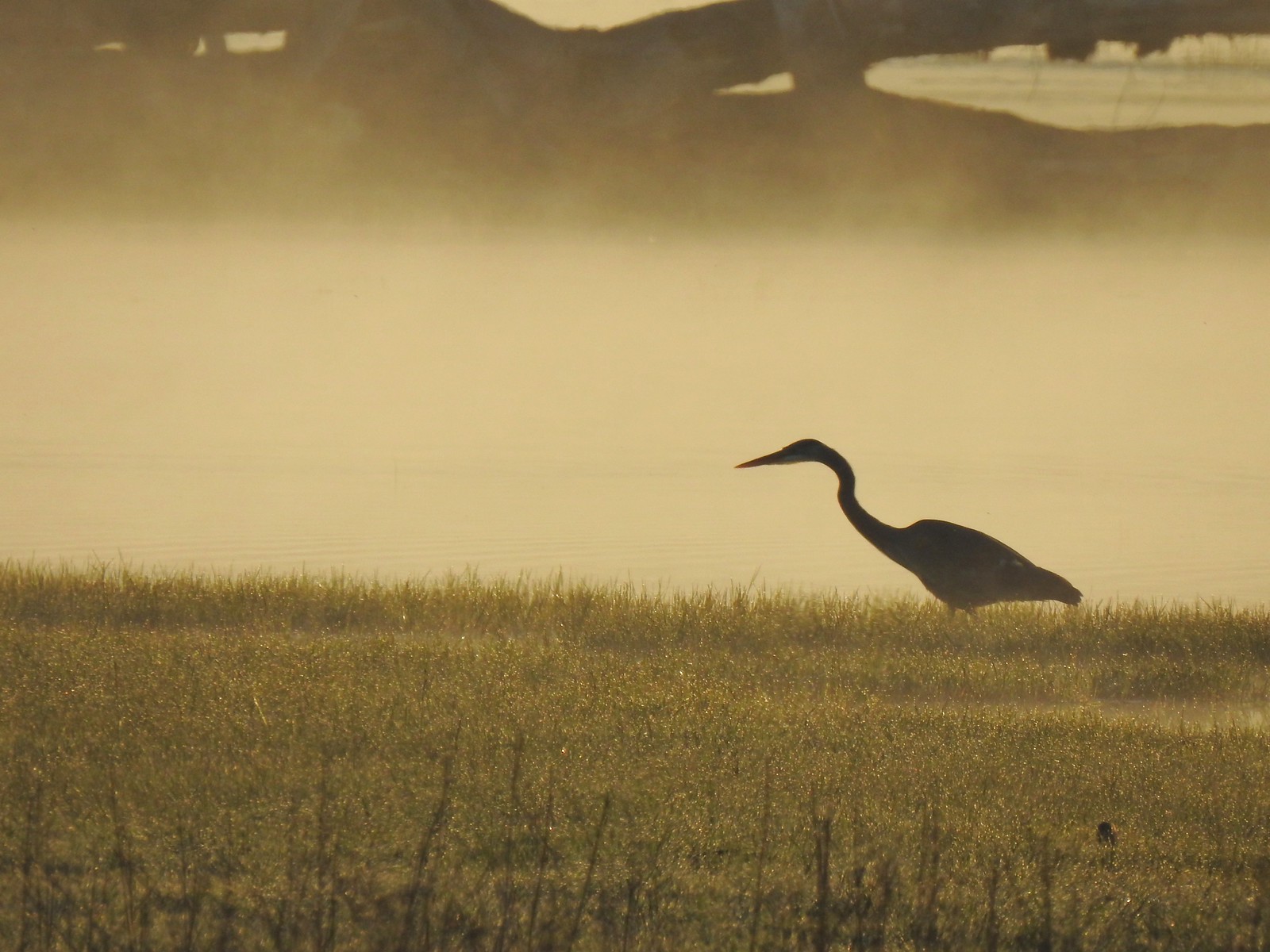 Great blue heron
 An egret and some ducks
 More families of geese
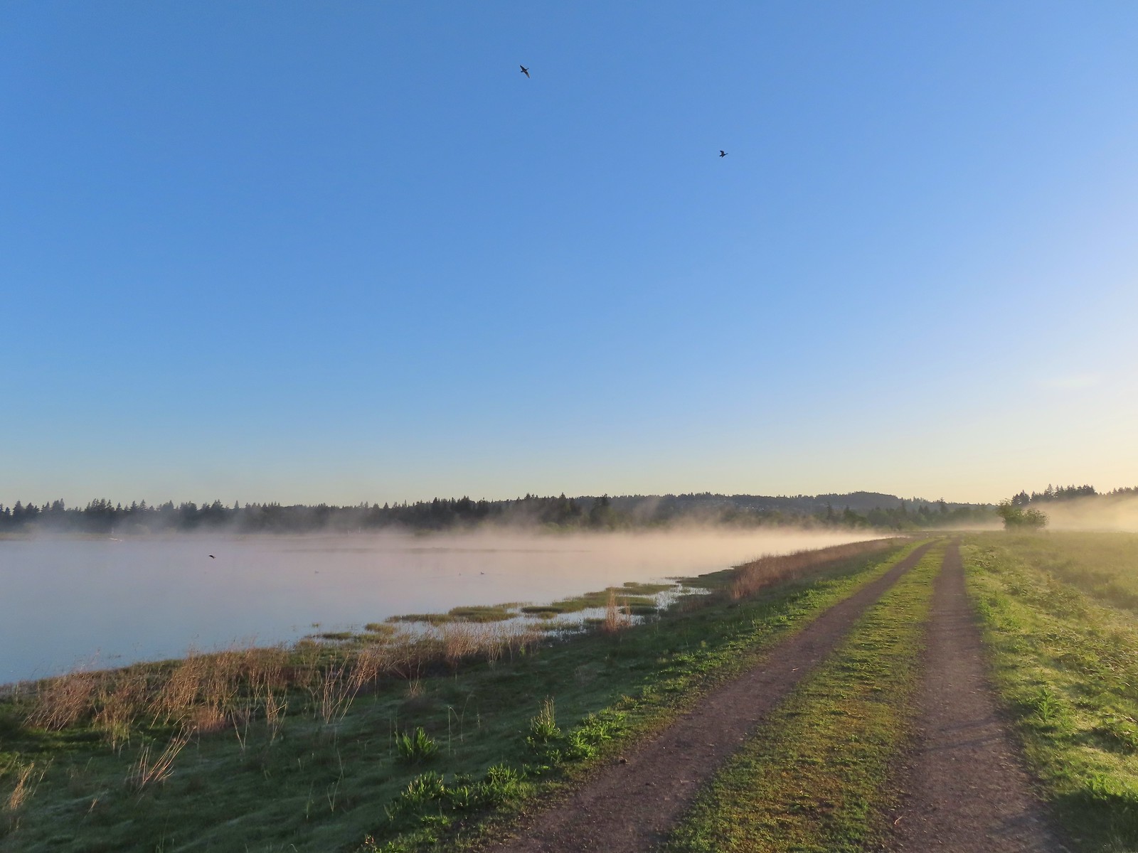 Swallows flying above the Wetland Trail.
 Northern shoveler, scaups (leaning toward greater), and a bufflehead.
 Mallards
 Northern shoveler
 Ruddy duck
 Gadwalls
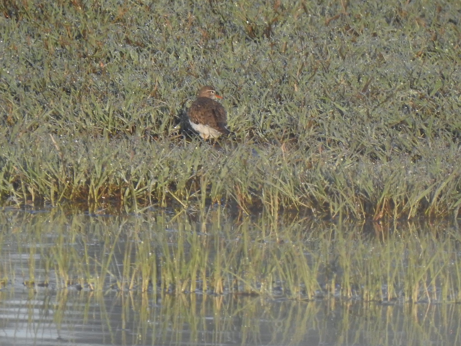 Spotted sandpiper
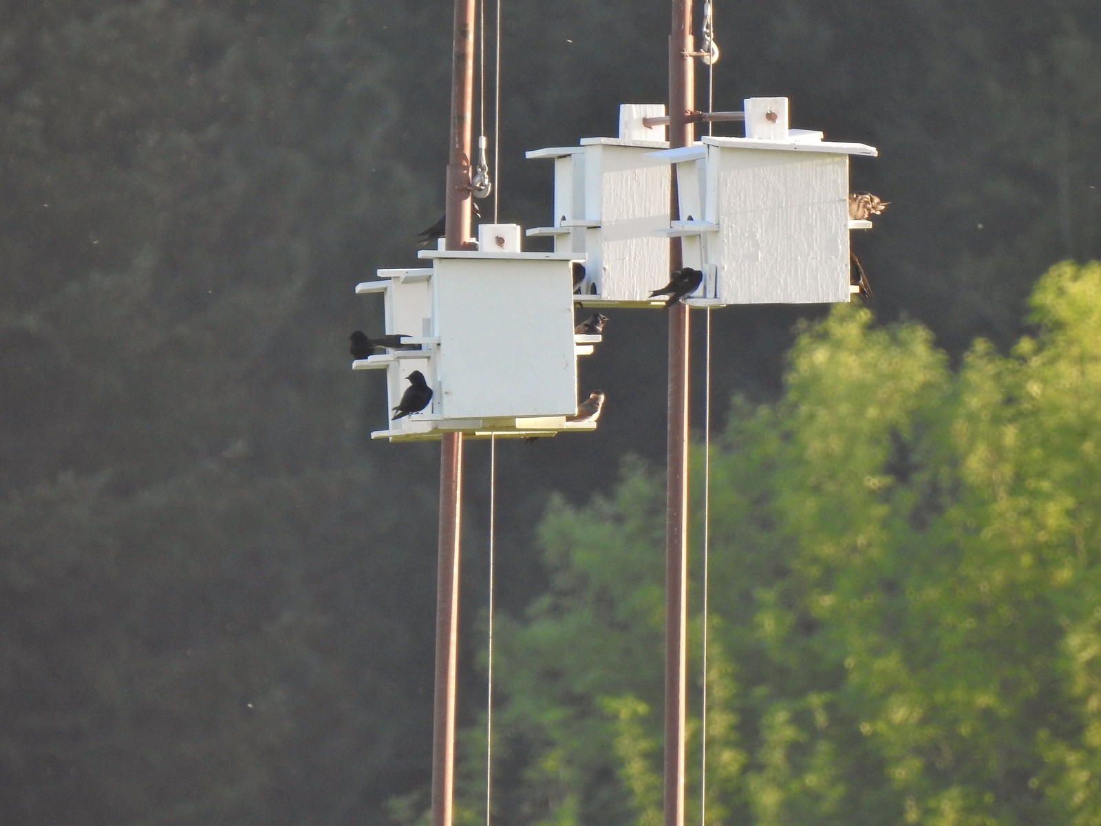 Purple martins
 Killerdeer
 Cinnamon teals
 Nutria, one of several of these non-native rodents that we saw.
 Nap time (or just a late sleeper).
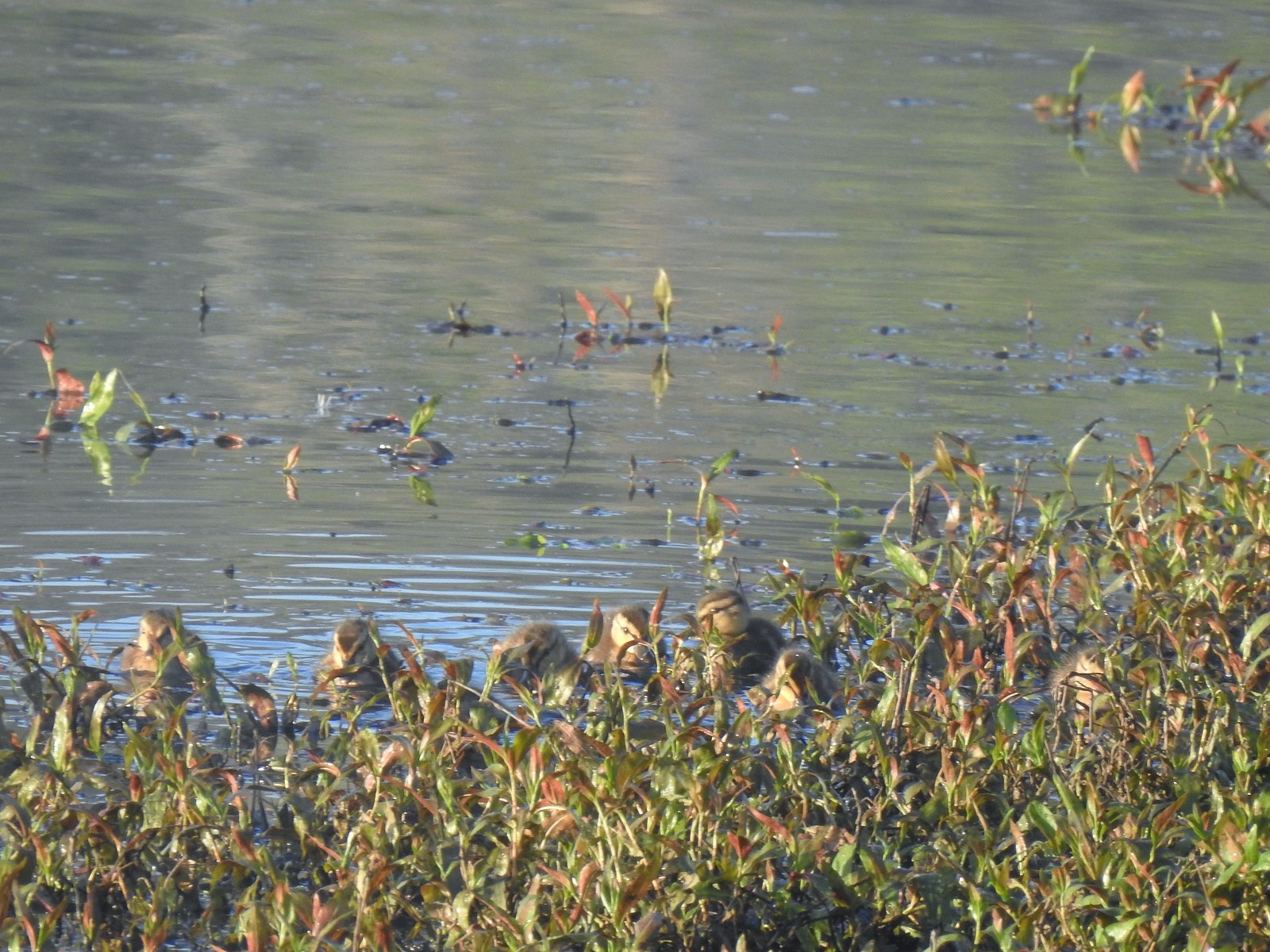 Ducklings
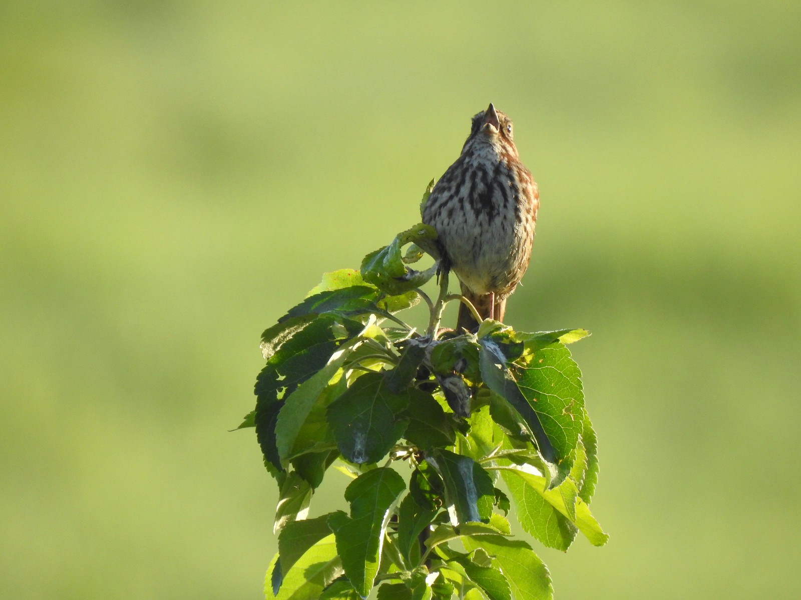 Song sparrow
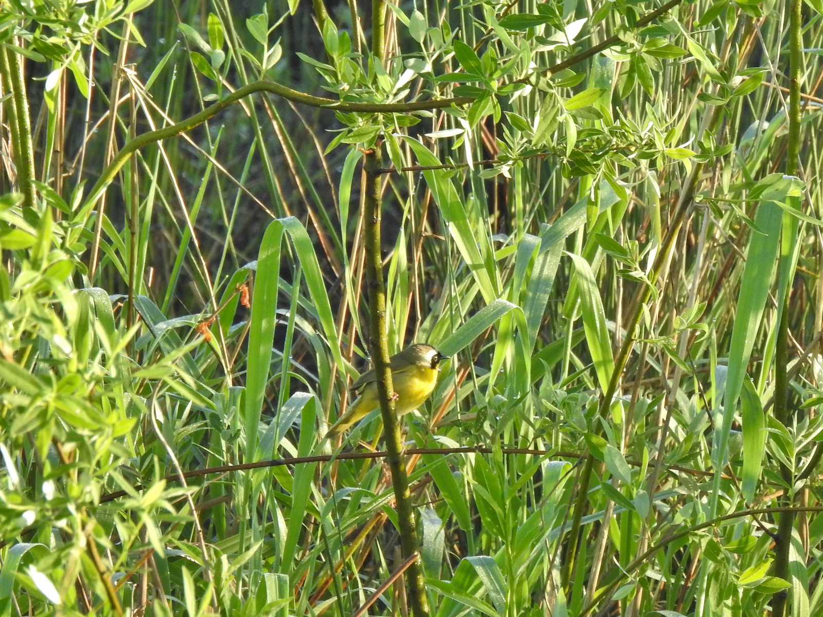 Common yellowthroat
 Wildlife Center
 Great blue heron watching from a little island.

 Anna’s hummingbird
 The same Anna’s hummingbird. When catching light their head/throat is bright pink but appear black when not.
 River Overlook
 Tualatin River
 Robin
Robin The Wetland and River Trails running parallel.
 Spotted towhee
 Rabbit
 Pacific waterleaf
 Violets and fringecup along the River Trail.
 Bleeding heart
 We skipped the spur trail to the Ridgetop Overlook since we’d done that on our previous visit.
 Chicken Creek
 The River Trail meets the Wetland Trail across from the Weland Observation Platform.
 Great white egrets
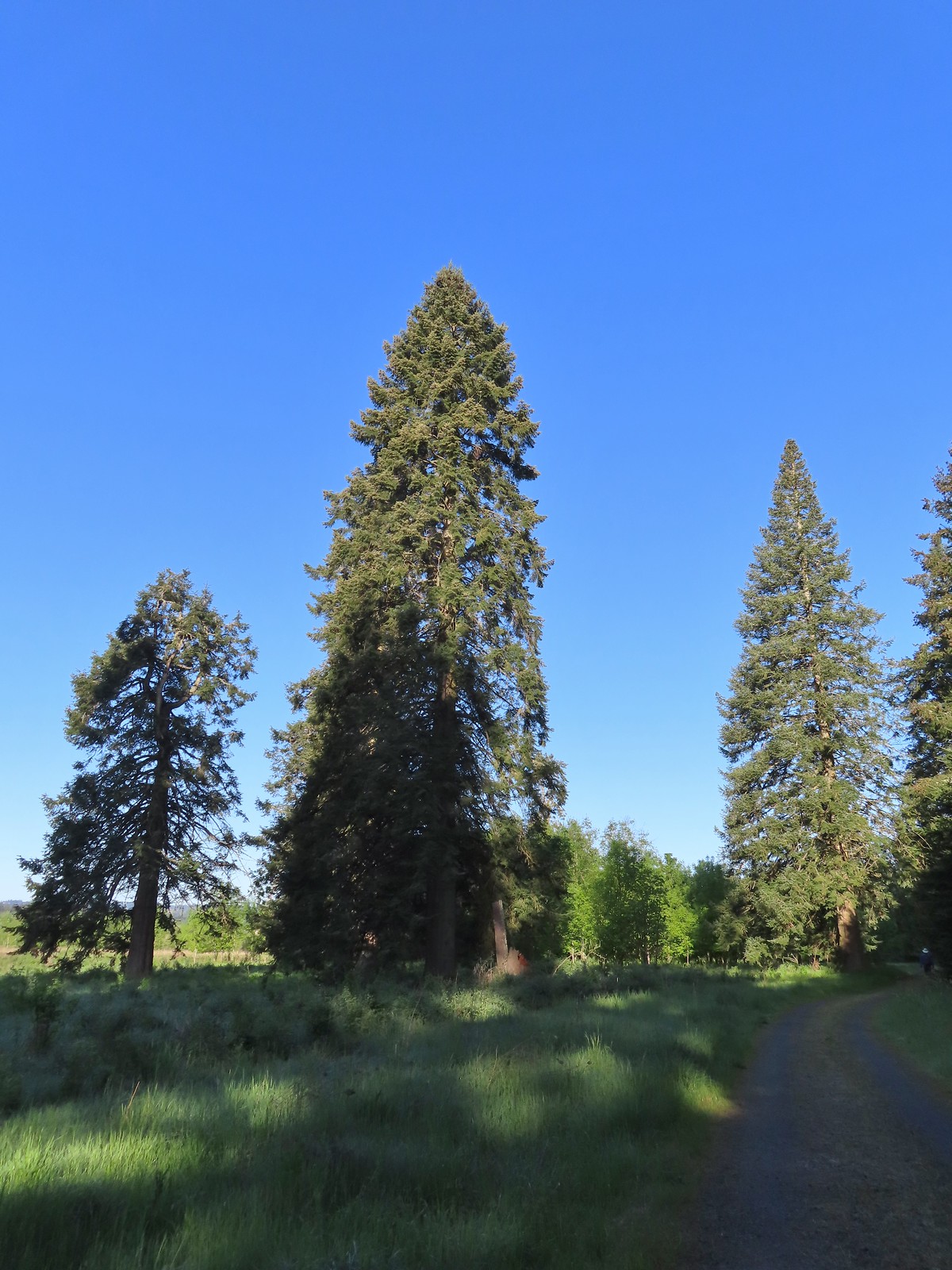 There were some impressively tall trees along this portion of the loop.
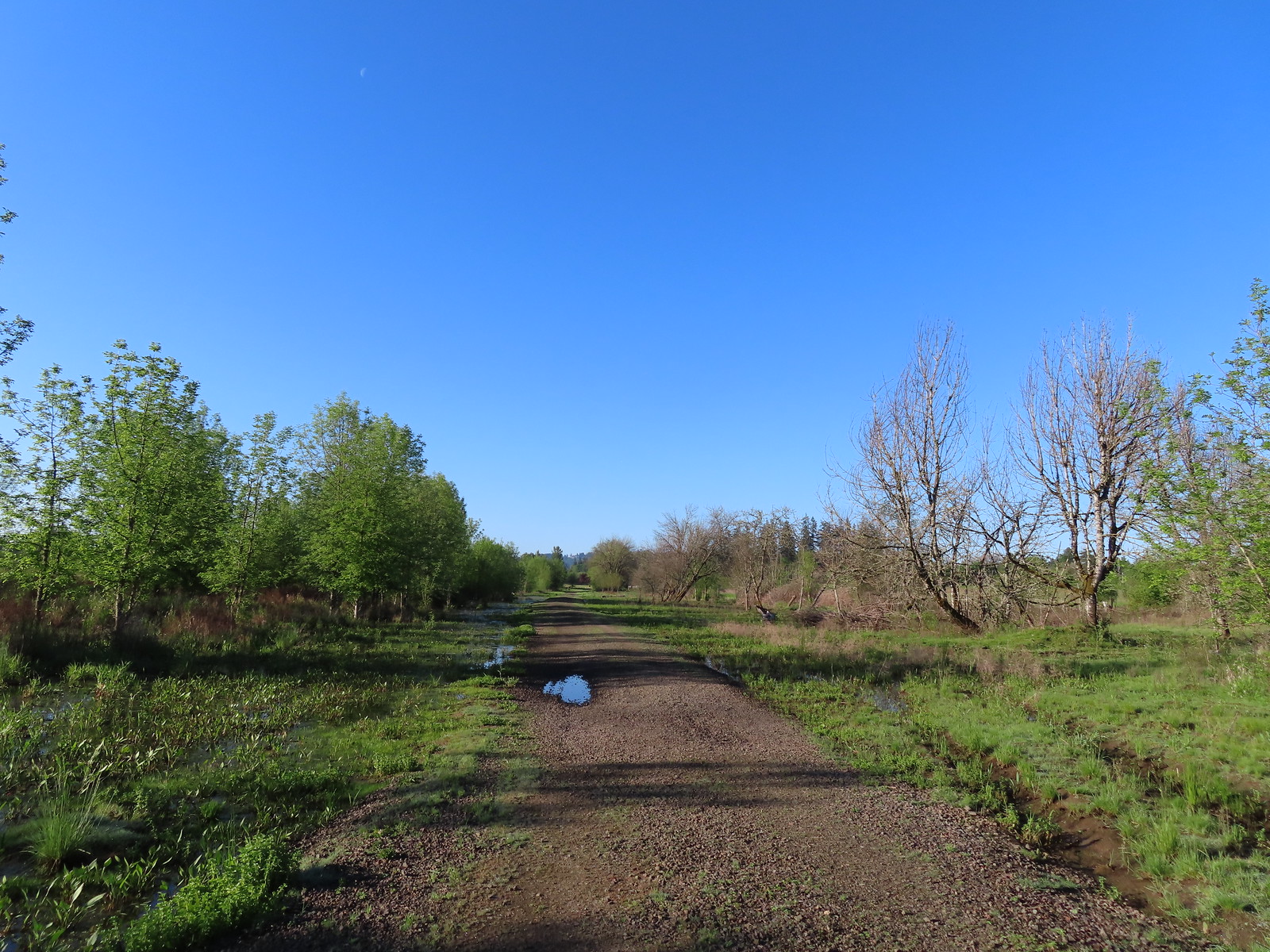
 Another egret
 More egrets across Chicken Creek.
 Red-winged blackbird
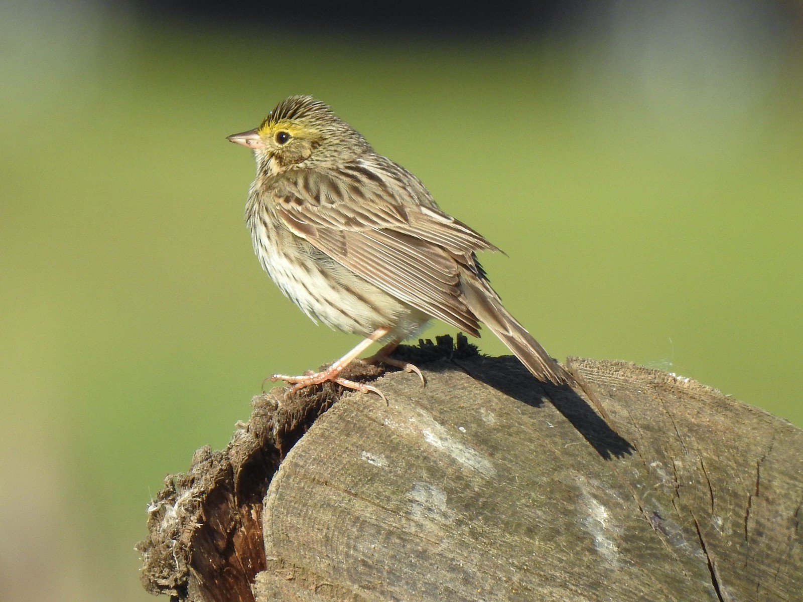 Savannah sparrow
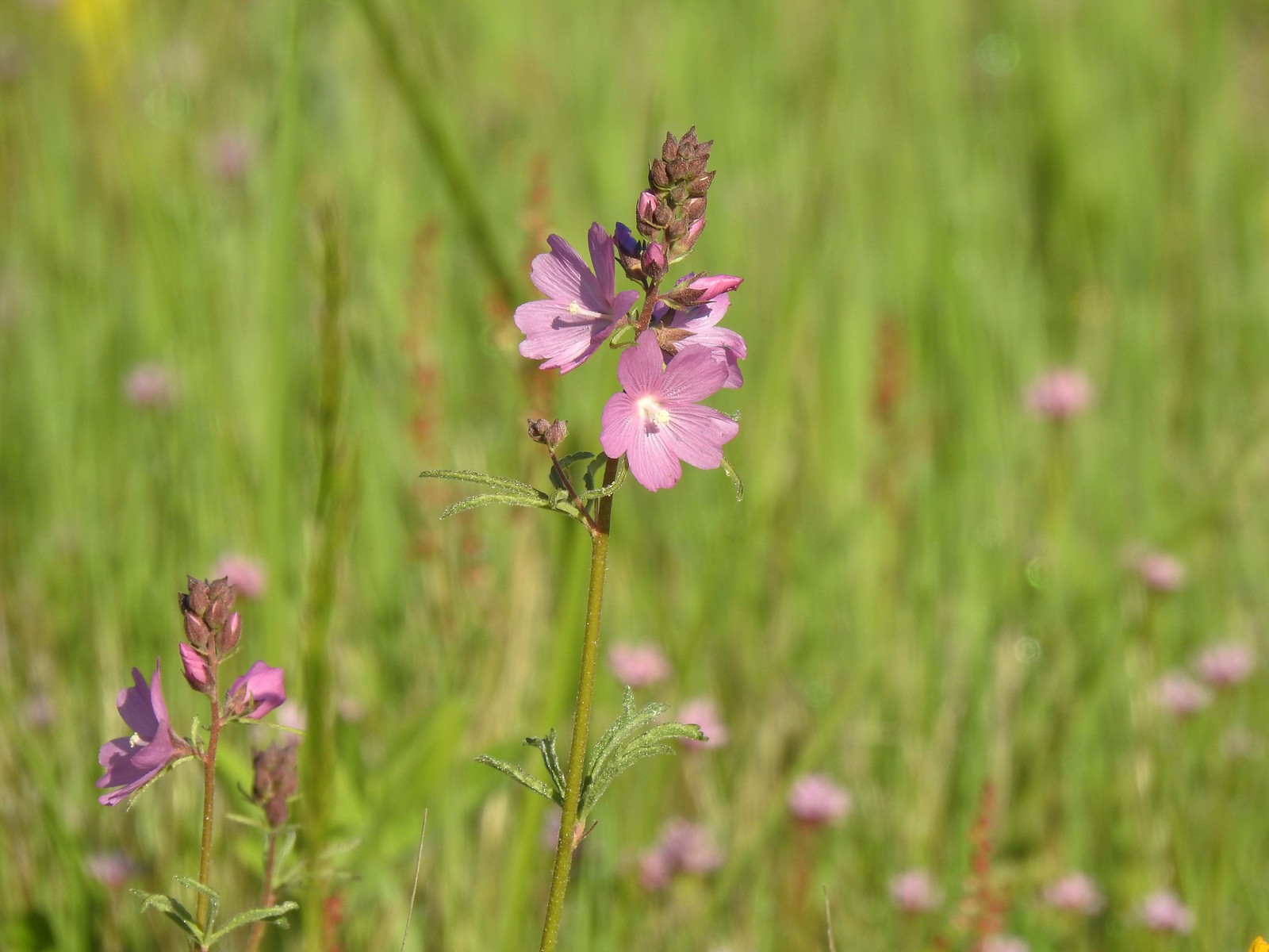 Checker-mallow
 A parsley
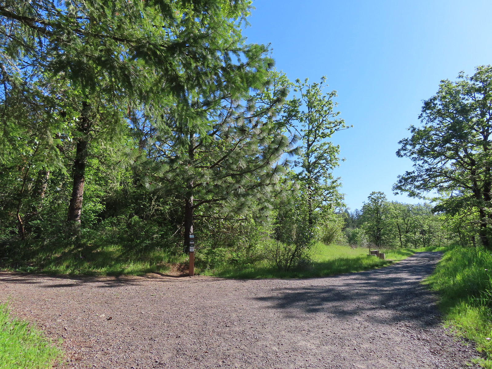
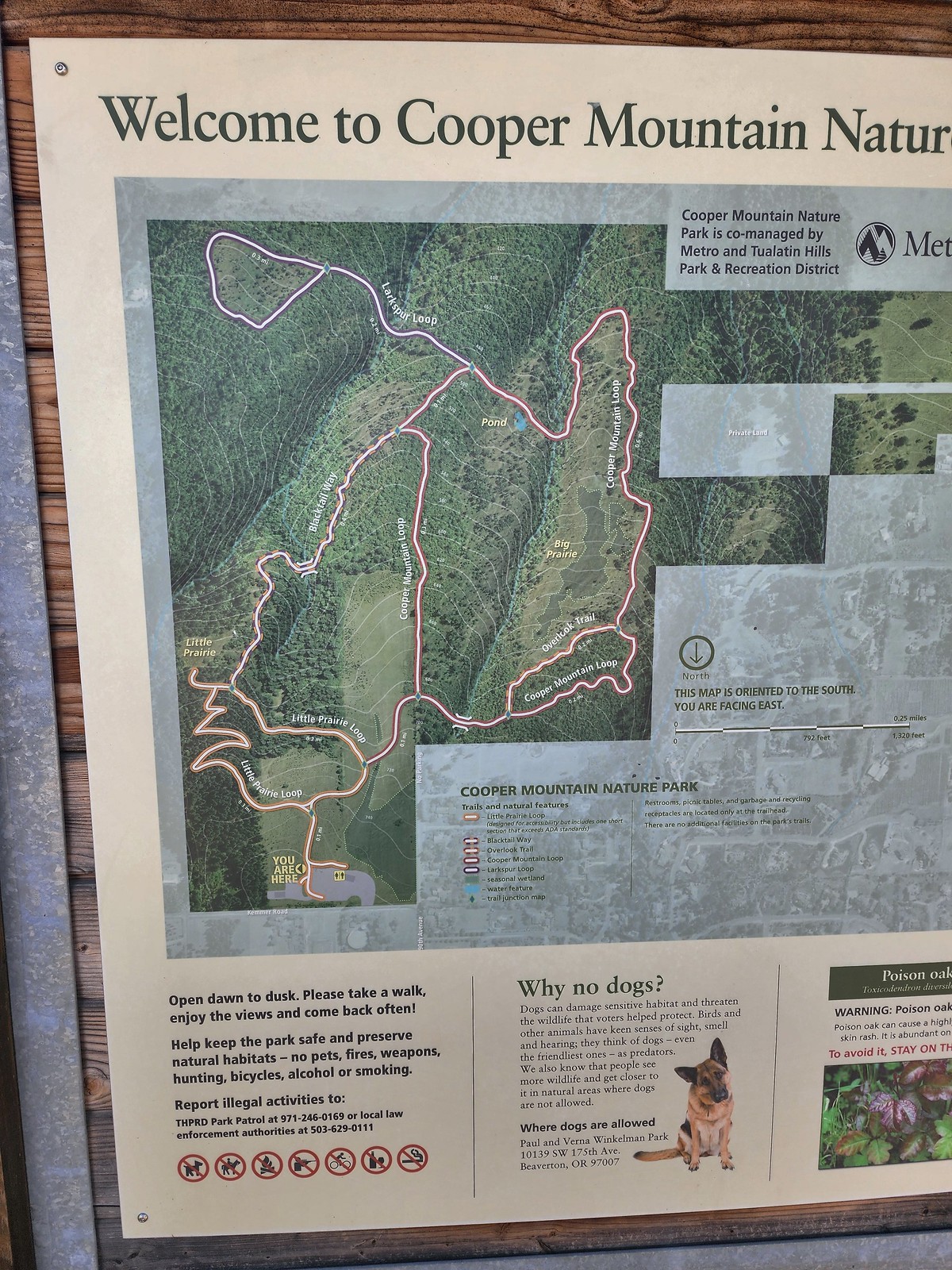 Our planned route was to go right on the Little Prairie Loop to the Cooper Mountain Loop and then stay right on that loop (with a detour to hike the Larkspur Loop) to Blacktail Way. We’d then take Blacktail Way back to the Little Prairie Loop and turn right again to finish that loop and return to the trailhead.
 The view from Cooper Mountain Nature Park.
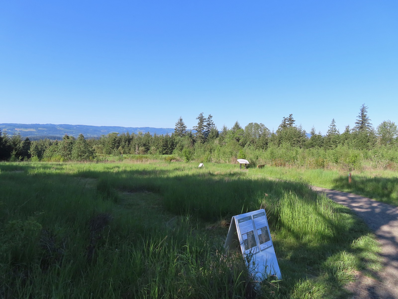
 Metro is currently running an odd little trial with very short “photo loops”. Mowed paths just off the main trails for photography. We took the first loop just to check it out and they were not kidding when they said the surface may be uneven.
 One of two trial photo loops.
 The second trial loop. You can see how short this one is by the signboard just downhill marking its other end.
 There were several interpretive signs and benches along the trails.
 White-crowned sparrow
 Anna’s hummingbird
 Star flower
 As usual Metro had the trail junctions well marked with little maps on top of the posts. This is the Cooper Mountain Loop junction with the lower end of the Outback Trail.
 Camas
Camas
 Tough-leaved iris
 Serviceberry
 Honeysuckle
 Looking back uphill to some wildflowers.
 Monkeyflower
 Tomcat clover
 Spotted towhee
 Bench along a pond filling an old quarry.
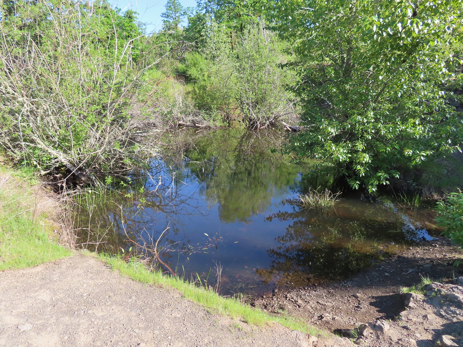 The pond. Red-legged frogs apparently breed here. We didn’t see any frogs but there was a mallard hanging out in the brush.
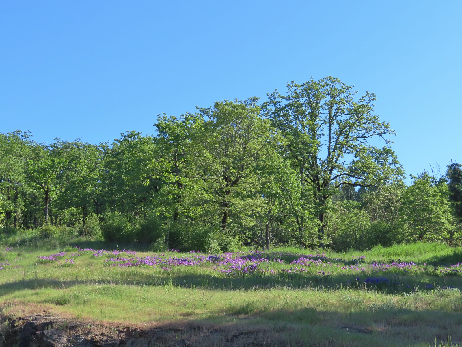 Iris on the hillside above the quarry.
 The Larkspur Loop continuing straight from the Cooper Mountain Loop which turns uphill at the junction.
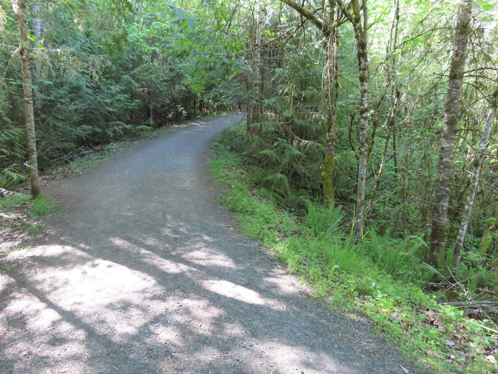 Prior to the loop the Larkspur Loop dips to cross a creek in the trees.
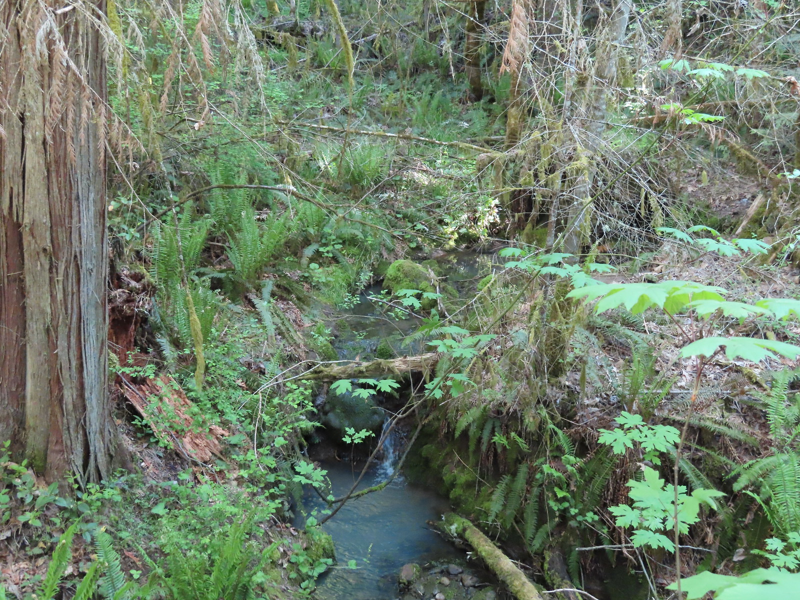 The little creek.
 View from the Larkspur Loop.
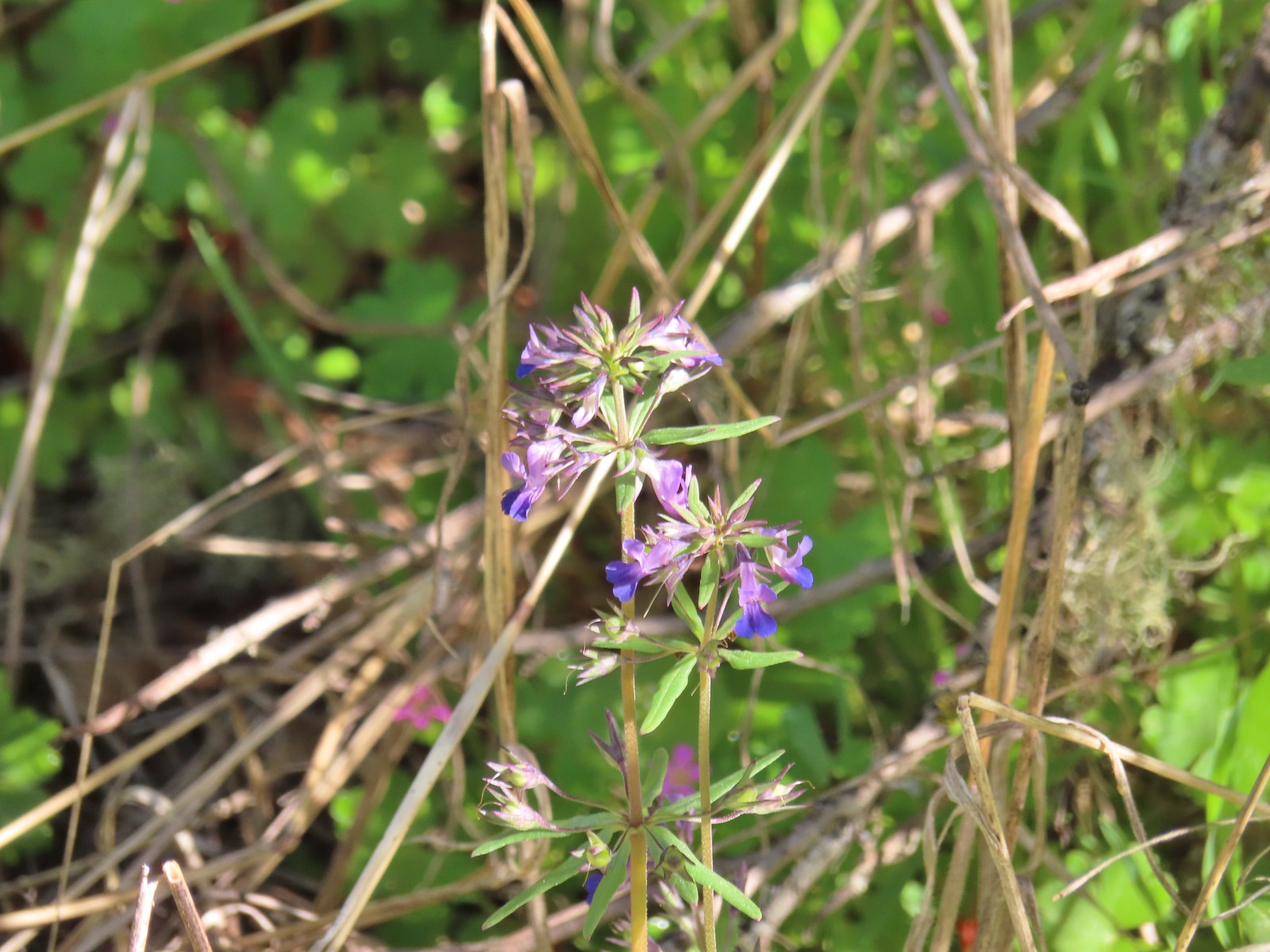 While watching for the larkspur I noticed these giant blue-eyed Mary.
 Blacktail Way to the right.
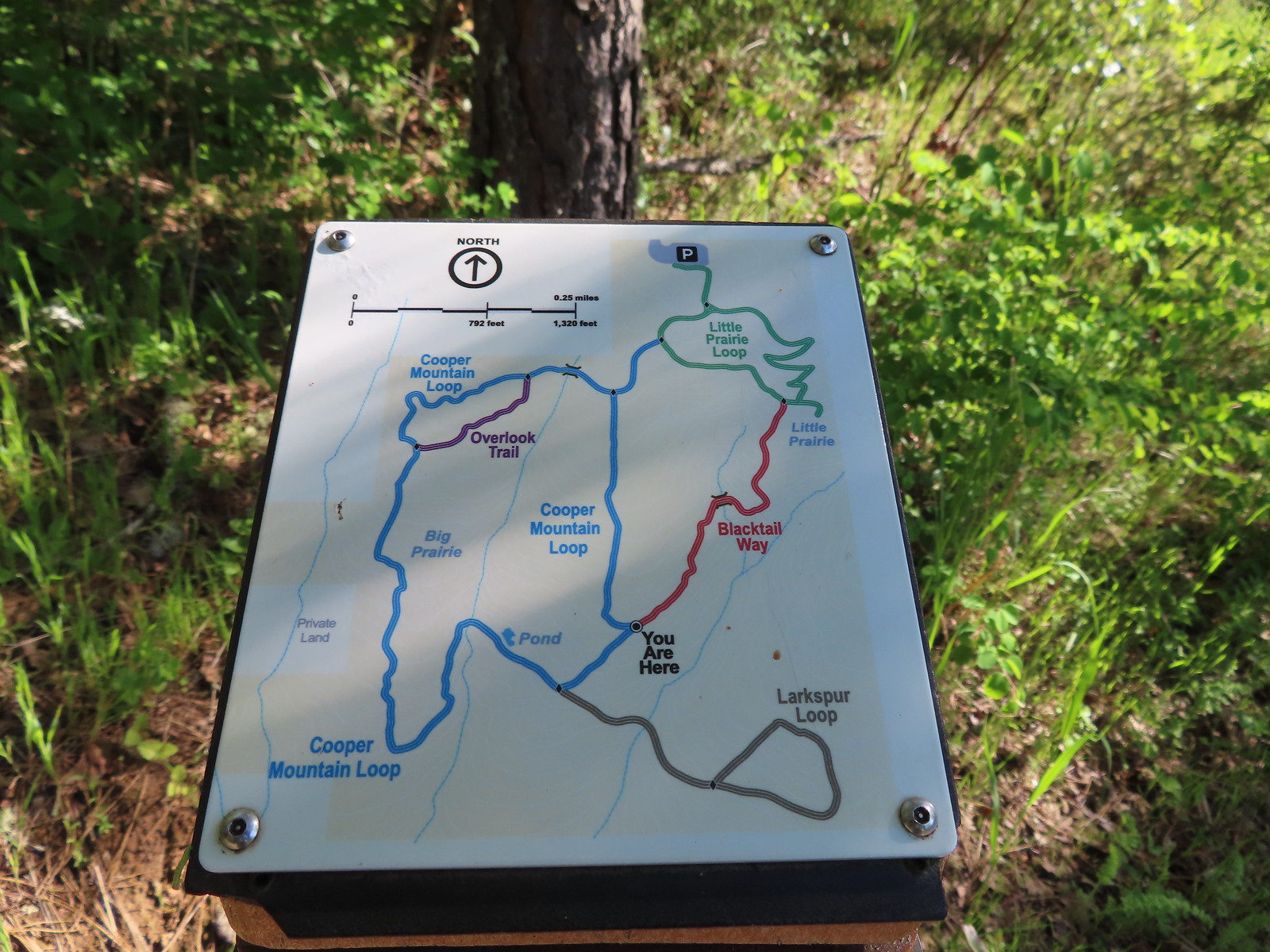 Map at the junction.
 The “earphone” next to the bench here was neat. There was also one at the trailhead and they really allowed you to isolate the sounds of the woods.
 The Little Prairie Loop.
 The pale larkspur also grows in this area but again we were too early.
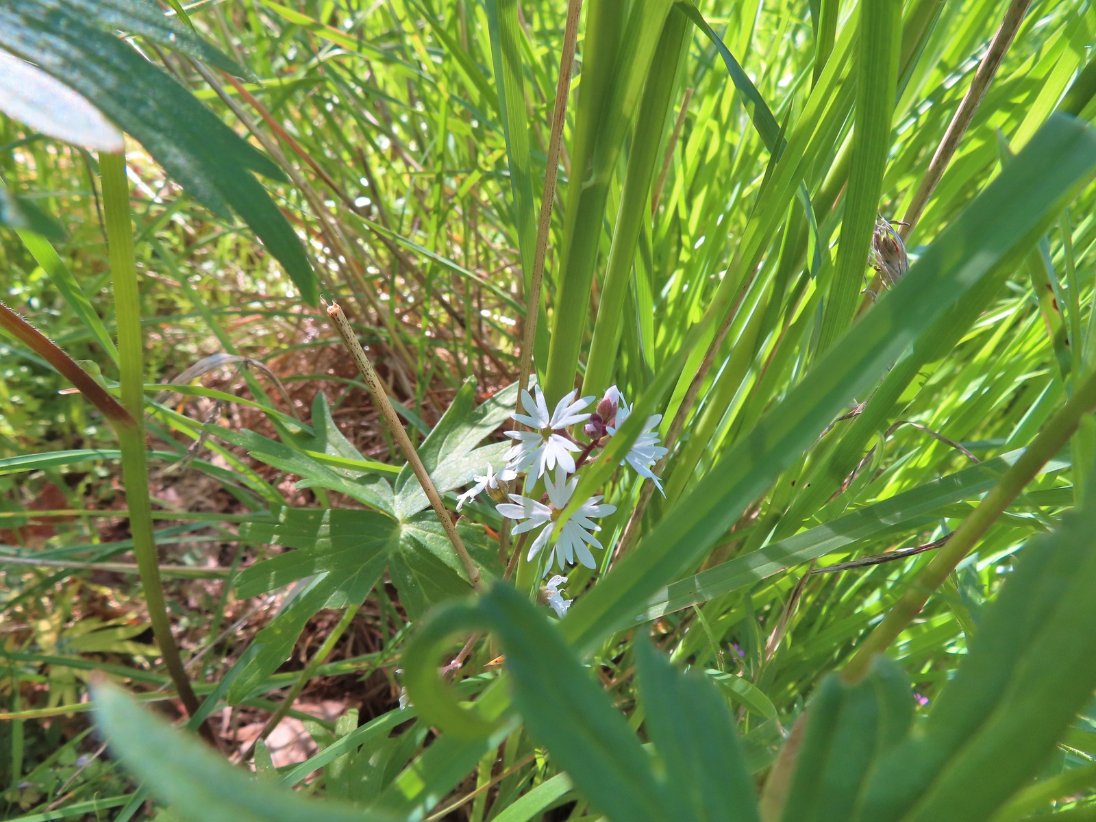 These were the only woodland-stars we spotted.

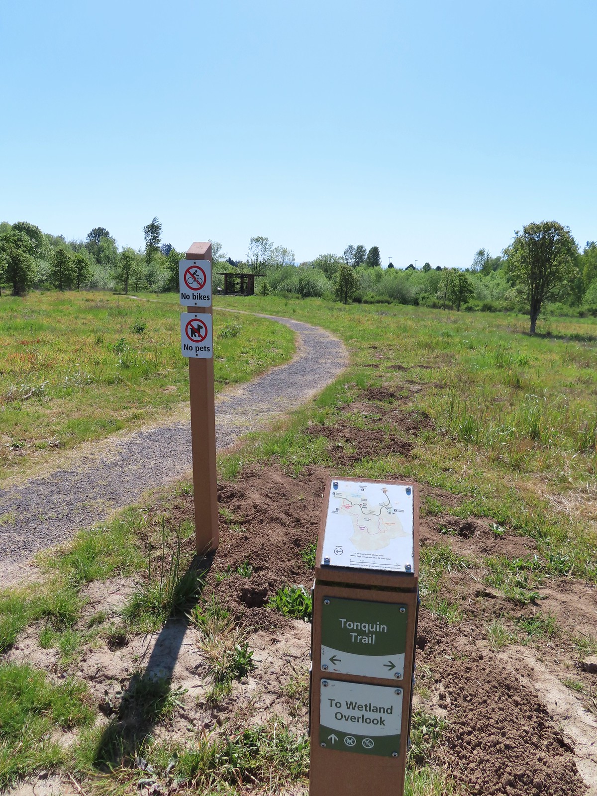
 Heading toward Acron Plaza on the Tonquin Trail.
 Interpretive sign at Acorn Plaza.
 Lupine and buttercups
 Lupine
 Meadow checker-mallow
 The “elder” oak is between 150-200 years old.

 We watched this American Kestral hover on a near vertical line for what felt like quite a while. It eventually dove and attempted to catch something in the grass. We couldn’t tell if it had been successful.

 Mylitta crescent
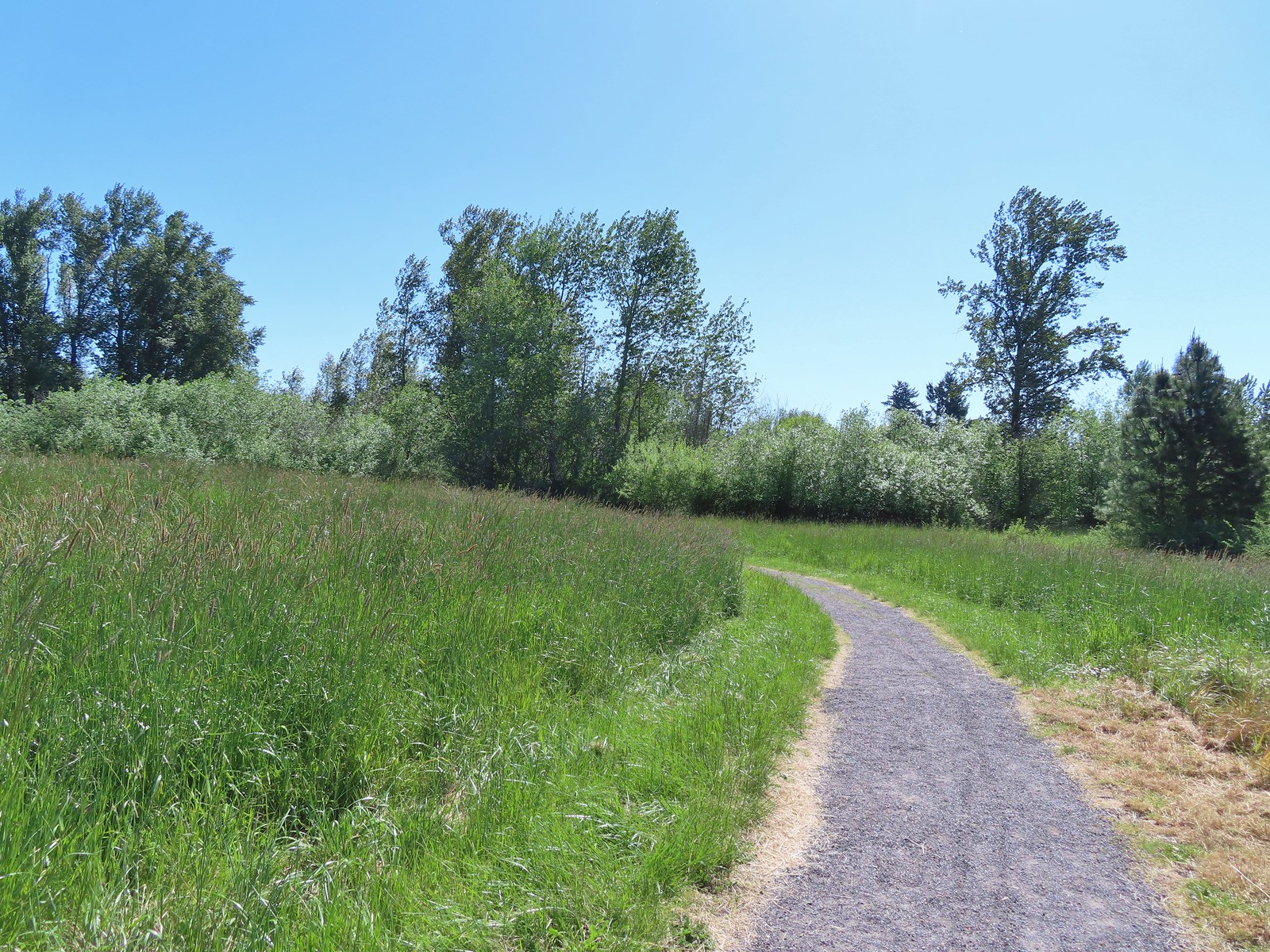
 Footbridge over Arrowhead Creek.

 The Lycaenidae family of butterflies remains a mystery to me. This appears to be an Eastern Tailed Blue based on the ventral spots.
 Snow in the Cascade foothills. If you look really closely behind the bigger snow patch to the far-right, you can just barely make out Mt. Jefferson.
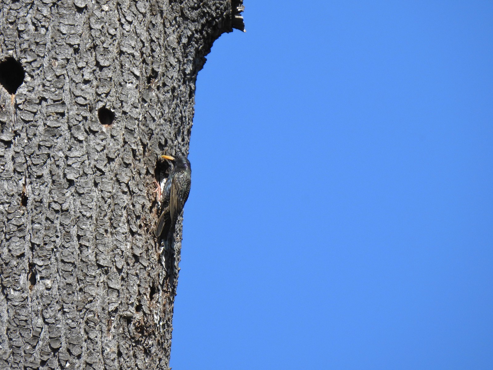 Starling
 Northern flicker
 This scrub jay would not come out from behind the oak leaves.
 There was a lot of candy flower beneath the trees.


 Mushrooms along the Legacy Creek Trail.
 Violets, candy flower and the invasive herb robert (pink).
 Coming up to Coyote Way.
 Back on the Tonquin Trail and heading for the trailhead.


