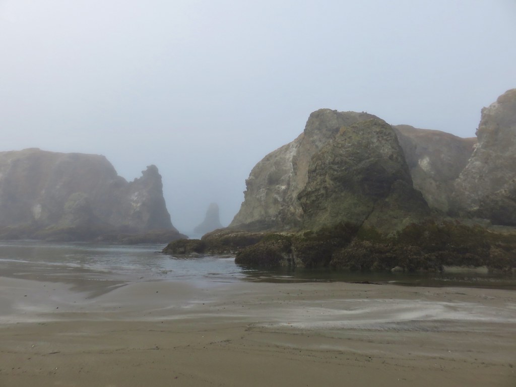
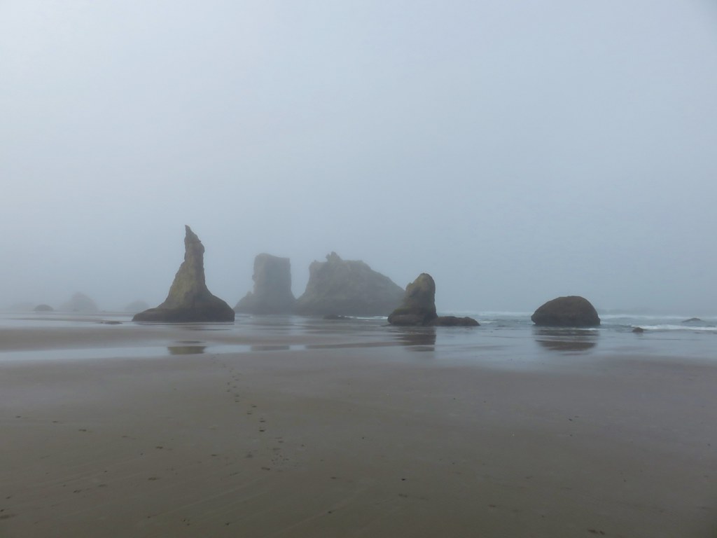
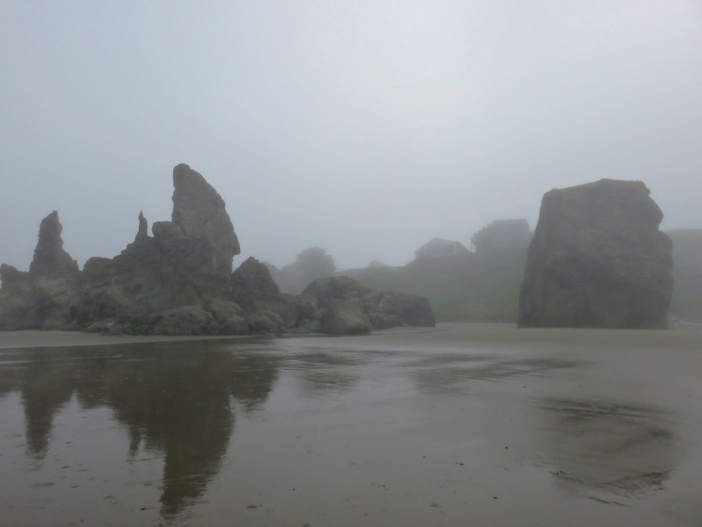
As we approached the final hike of our official “hiking season” (May through October) we were playing a game of cat and mouse with the weather forecast. Our original plan had been a visit to Wahtum Lake between the Columbia Gorge and Mt. Hood but on Wednesday the forecast for Saturday was rain there so we began to look elsewhere. Our November hike (we try and do one a hike month in our “off-season”) was going to be a visit to Cape Perpetua via Amanda’s Trail so we checked the forecast for that area and it simply called for mostly cloudy conditions. We checked again on Thursday and the forecast for these locations had basically swapped and now Wahtum Lake looked better. Another check Friday night called for rain in both areas (more at Wahtum Lake) so we decided to check again in the morning before deciding where we would end up. The forecast the next morning was still calling for rain at both locations but not starting until 11am. With less precipitation expected at Cape Perpetua and views being less of a concern there we headed to Yachats on the Oregon Coast.
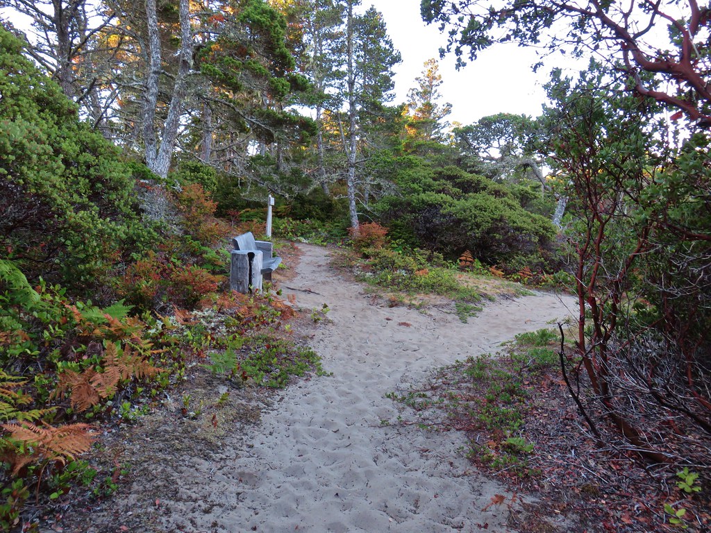
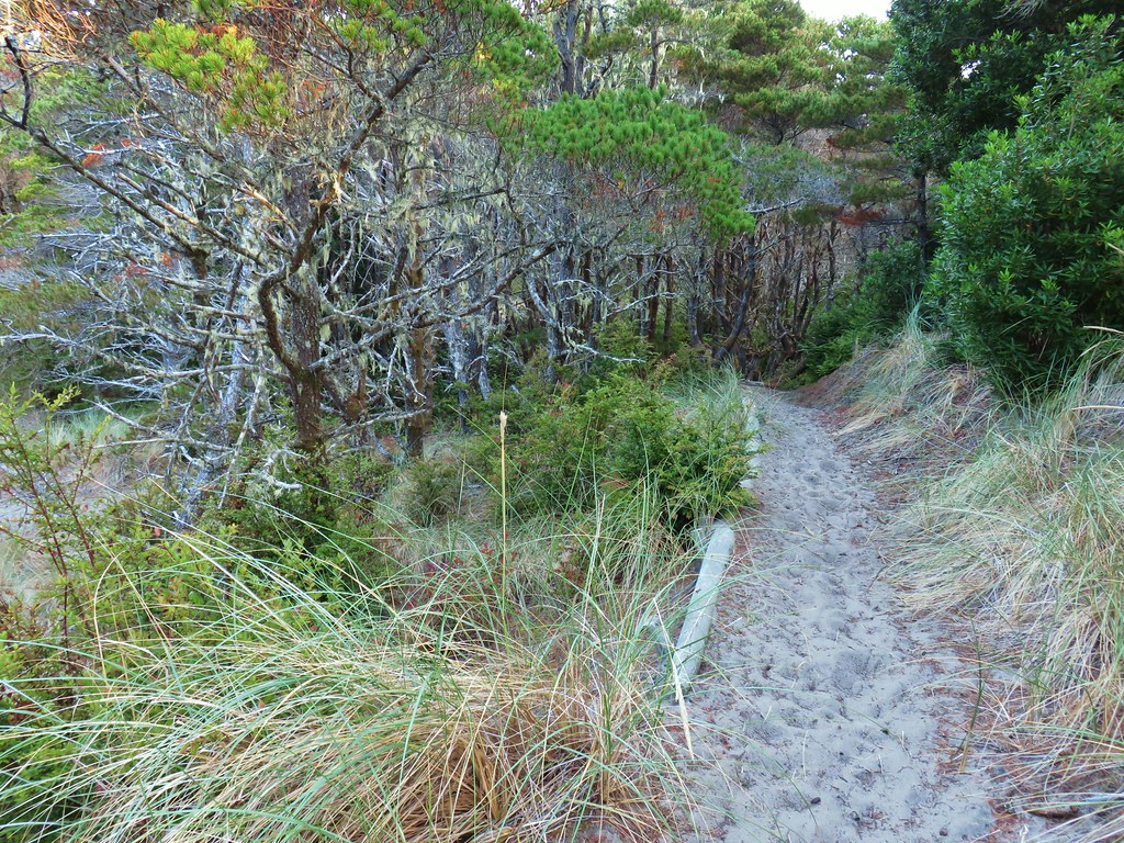
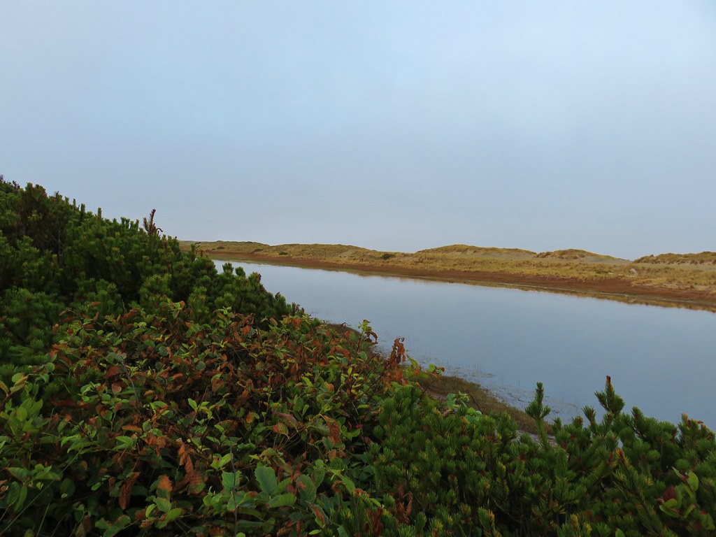
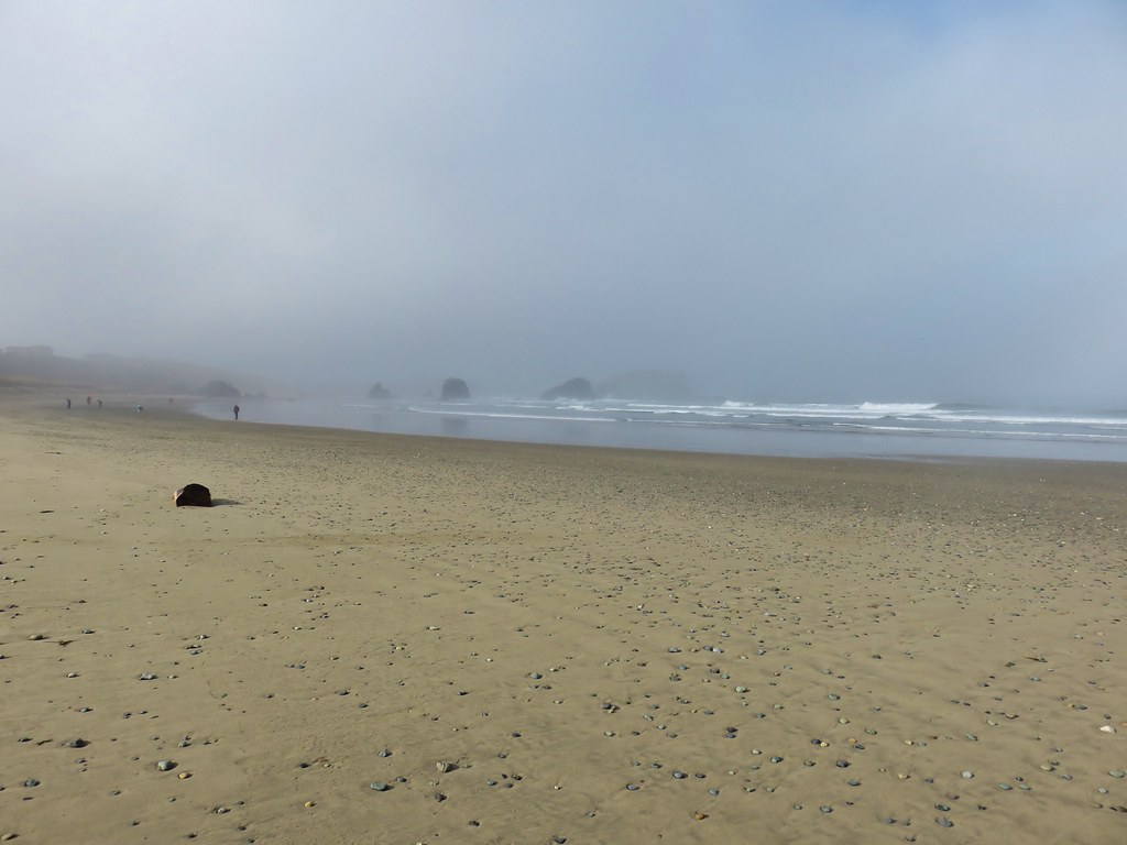
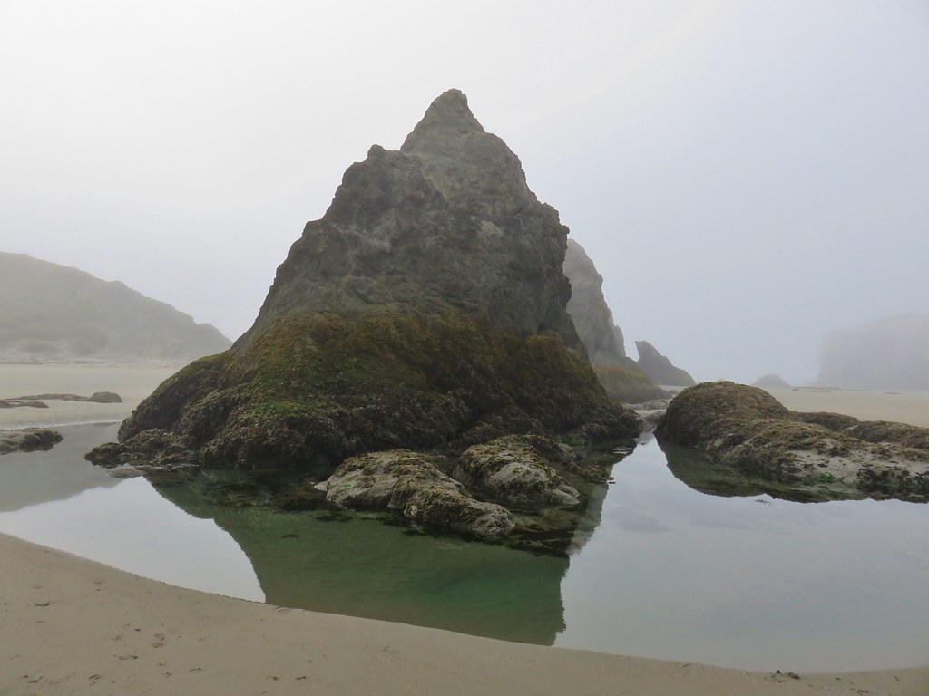
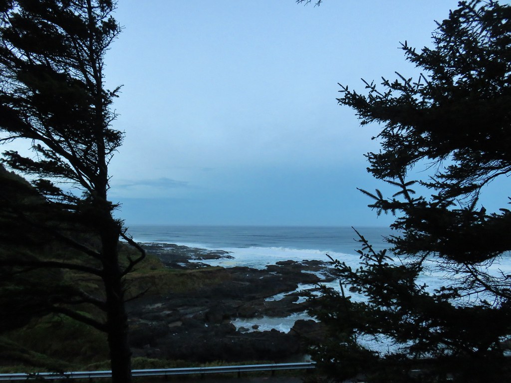
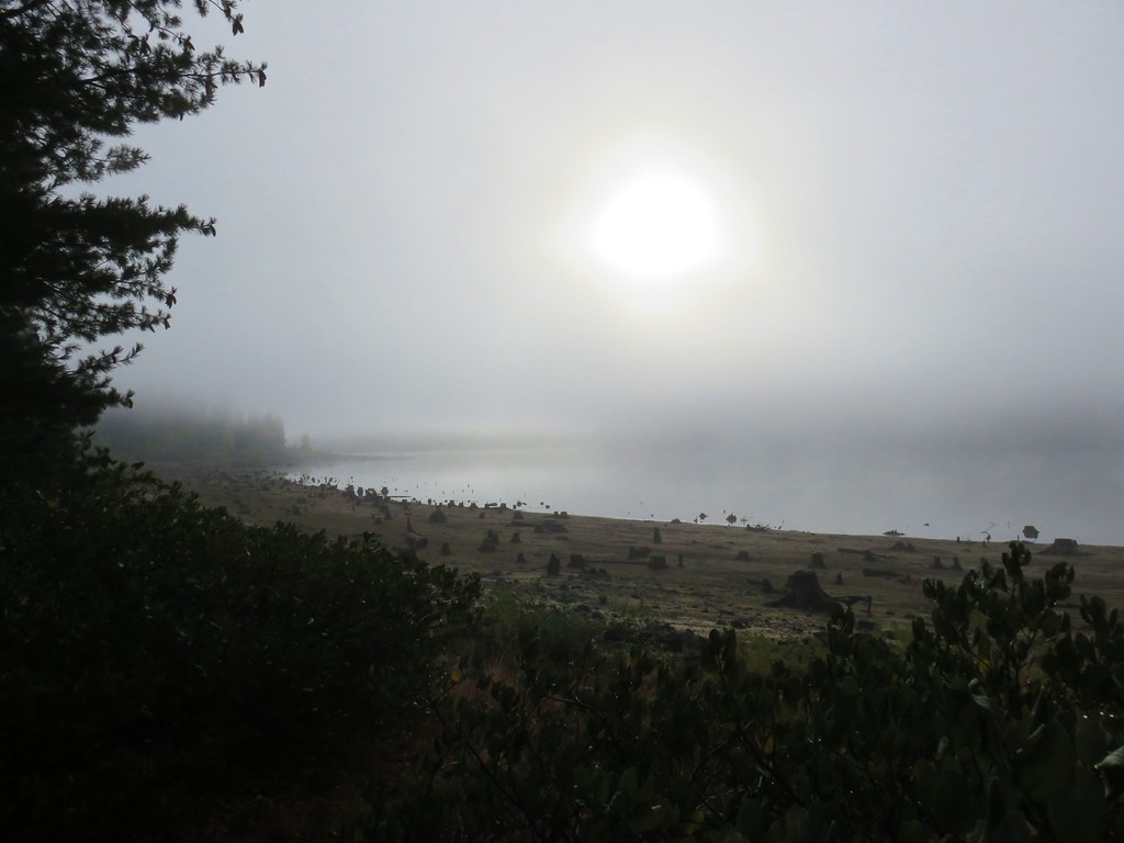
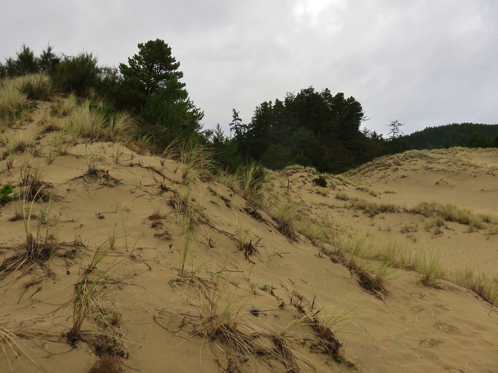
At the southern end of Yachats, after crossing over the Yachats River, we turned right on Ocean View Road which leads to the Yachats Ocean Road State Natural Site. The road passes along the natural site where there are several pullouts before looping back to Highway 101. We parked at a small dirt pullout near the southern end of the natural site and took our time getting going because we’d arrived a little before sunrise.
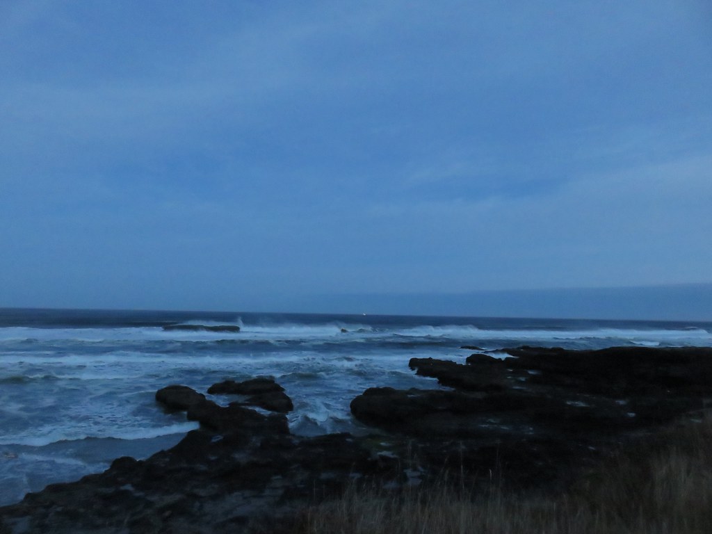
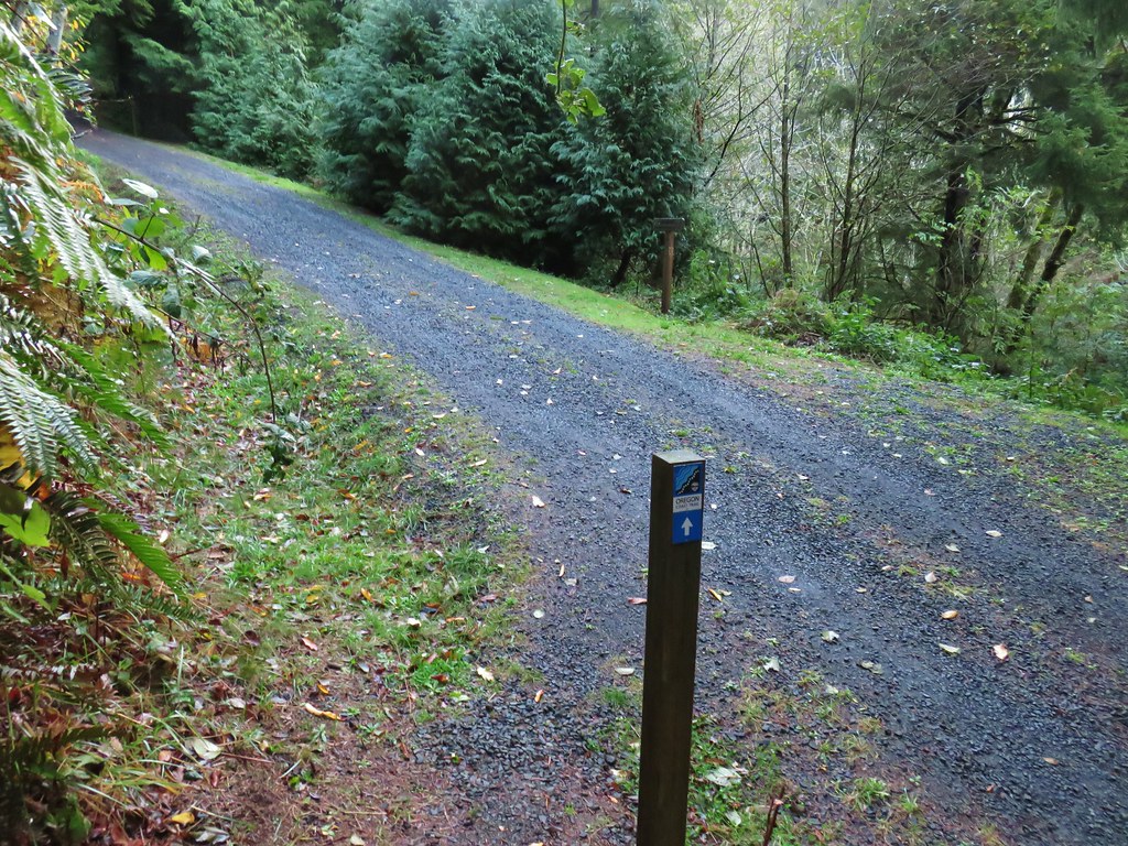
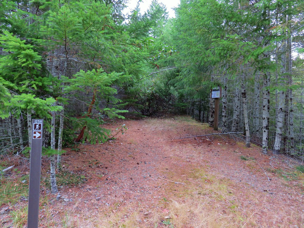
Luckily there was a decent amount of light being provided by the Moon so it didn’t take long before we headed further south along Ocean View Road to a post marking the Oregon Coast Trail (OCT).
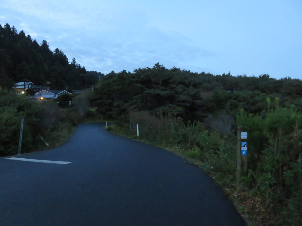
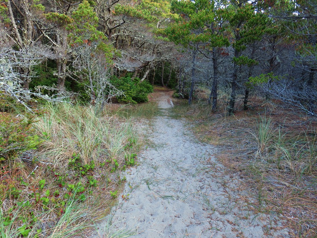
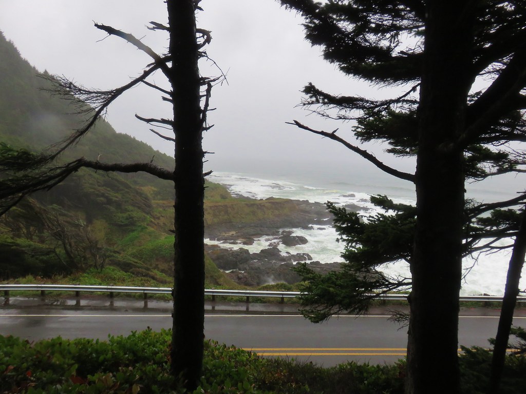
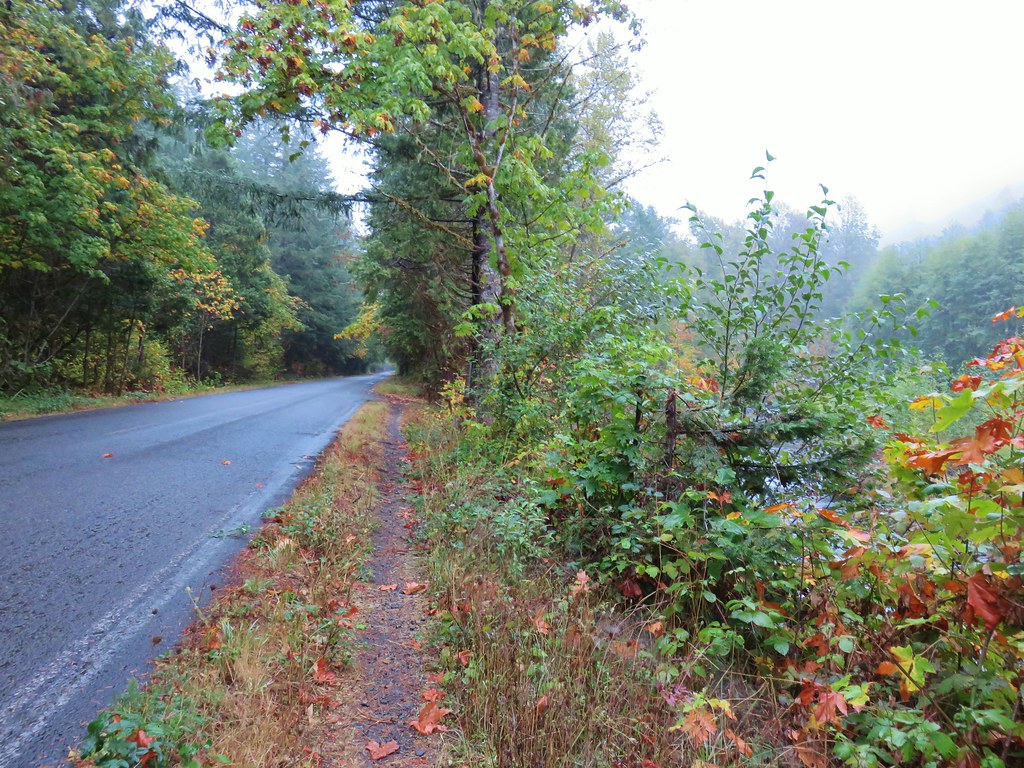
We followed the posts south which brought us to the shoulder of Highway 101.
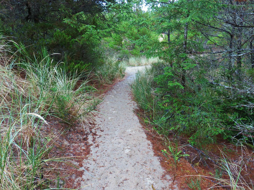
A little under a quarter mile beyond the first OCT post the trail crossed over the highway at Windy Way Street. We then climbed a bit away from the highway before dropping back down to a driveway for a bed and breakfast.
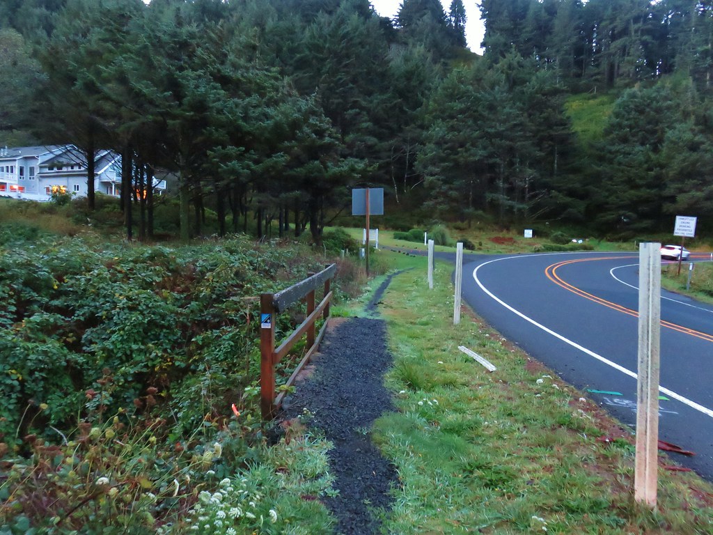
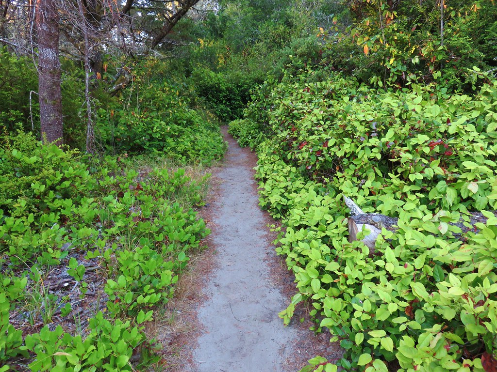
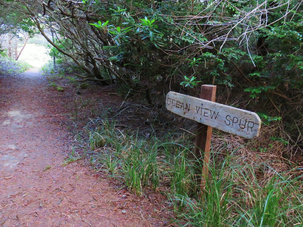
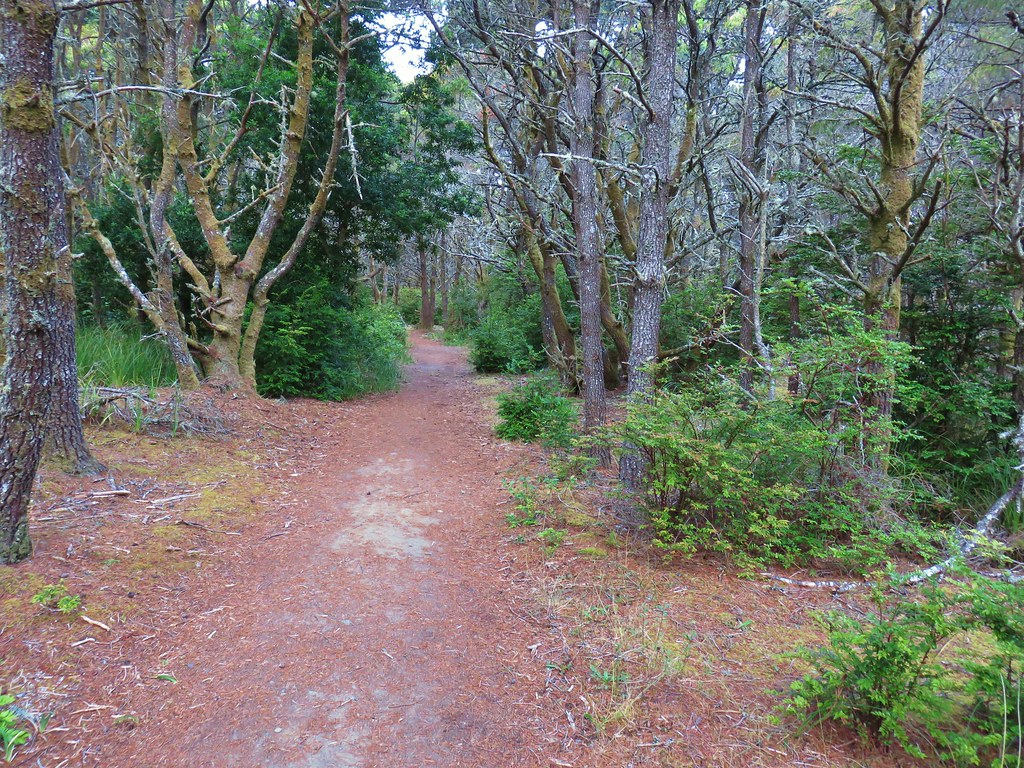
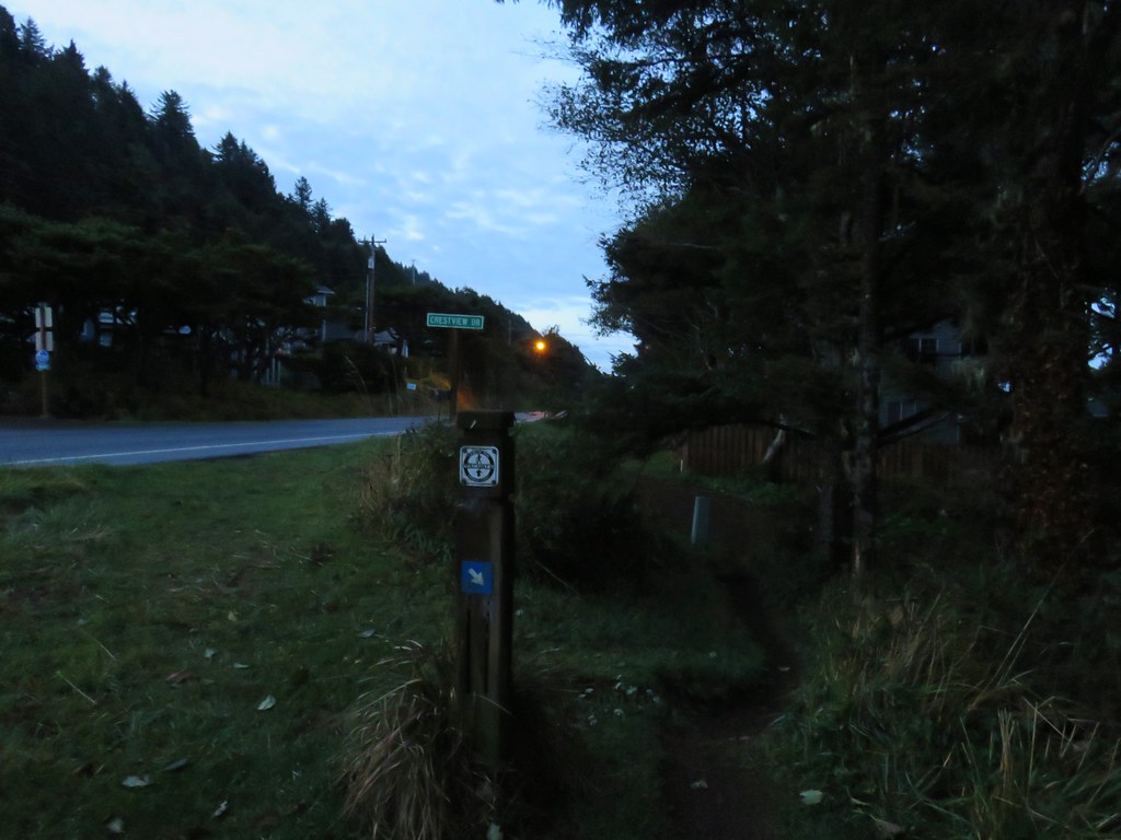
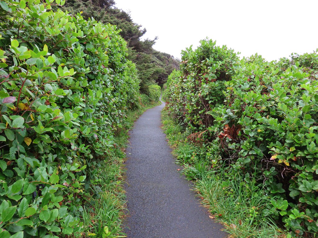
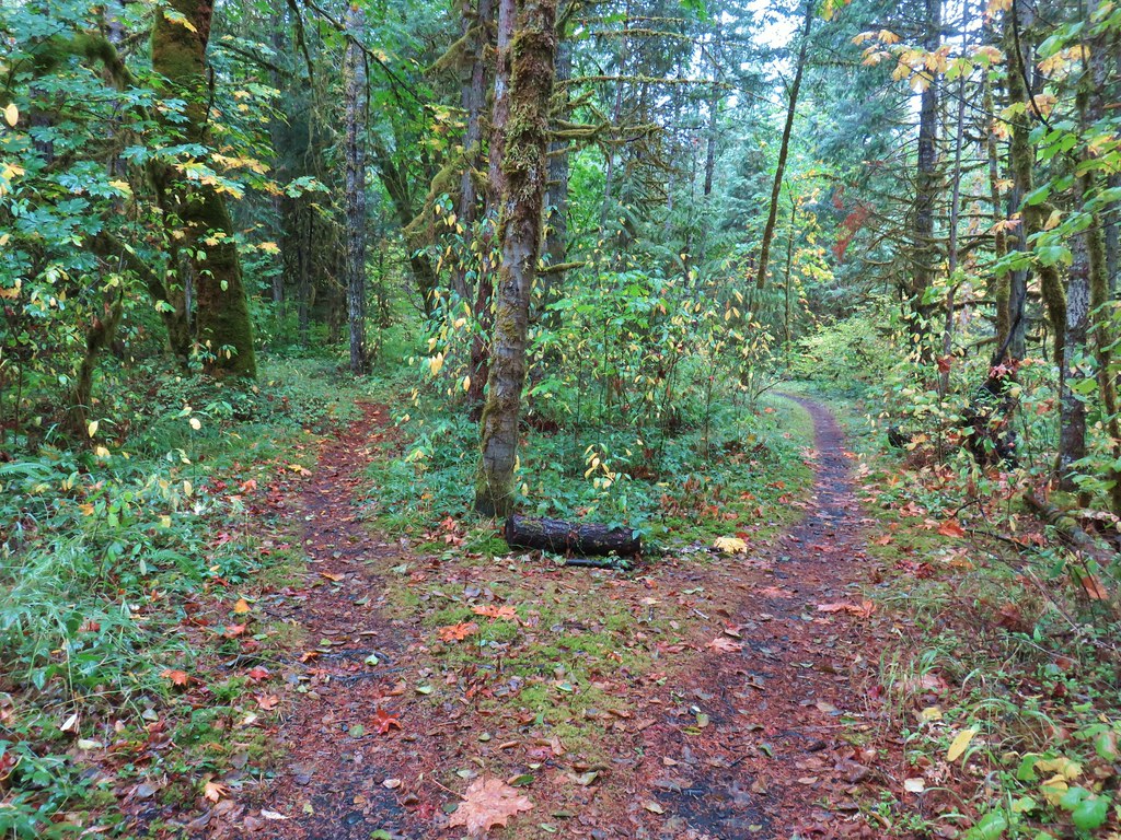
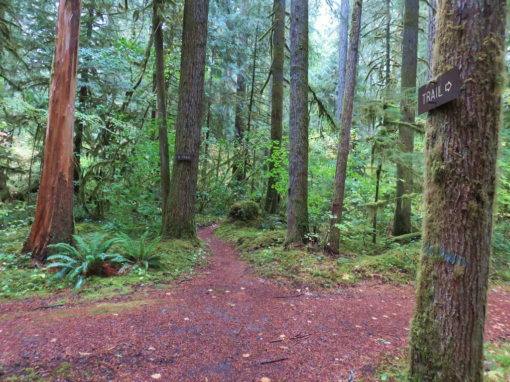
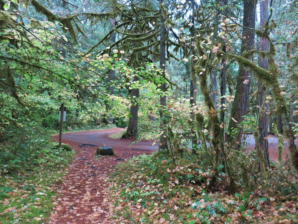
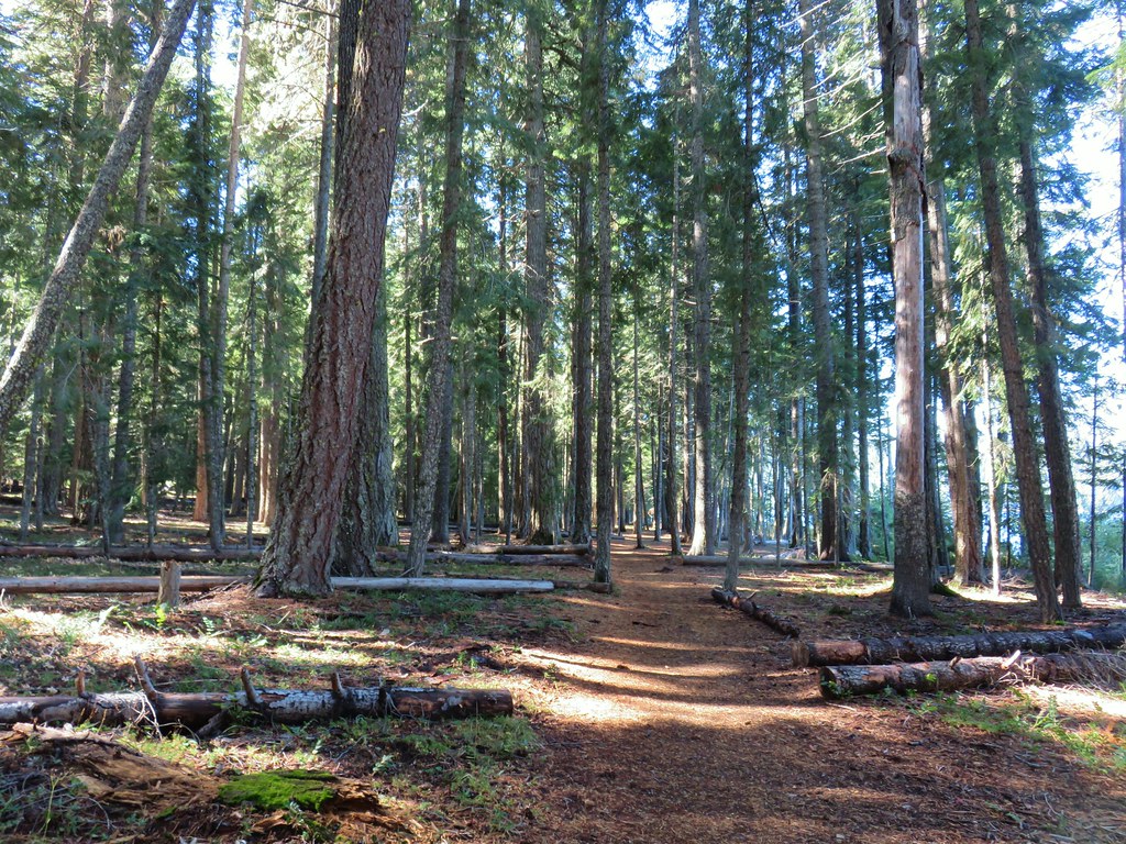
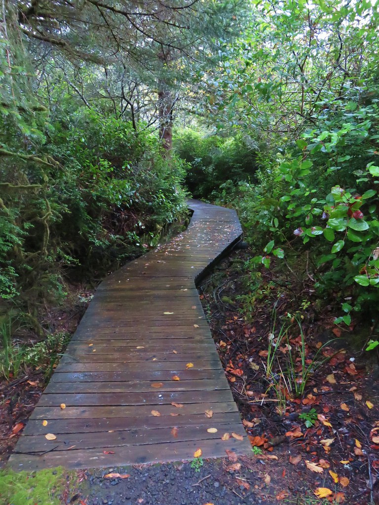
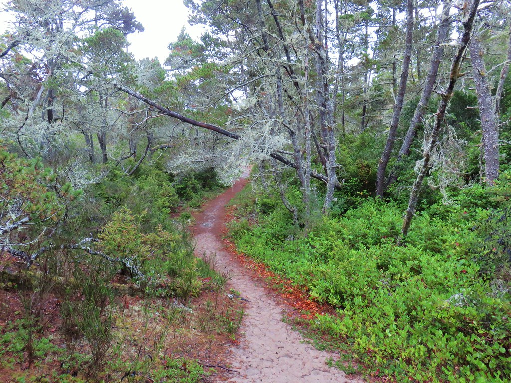
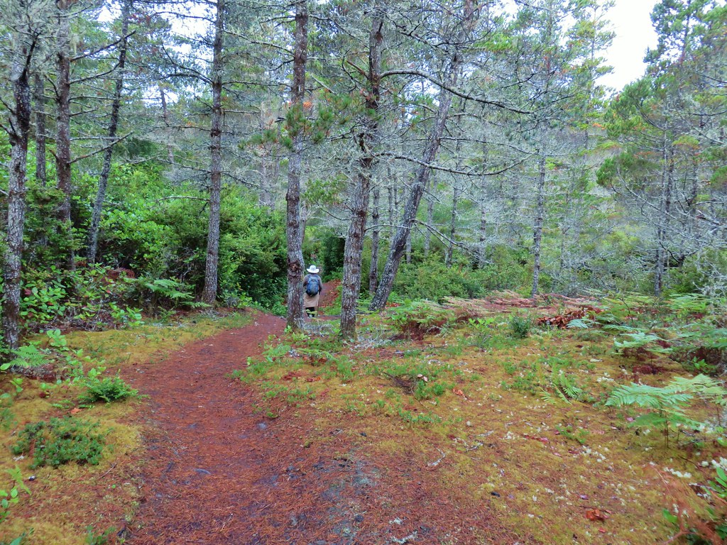
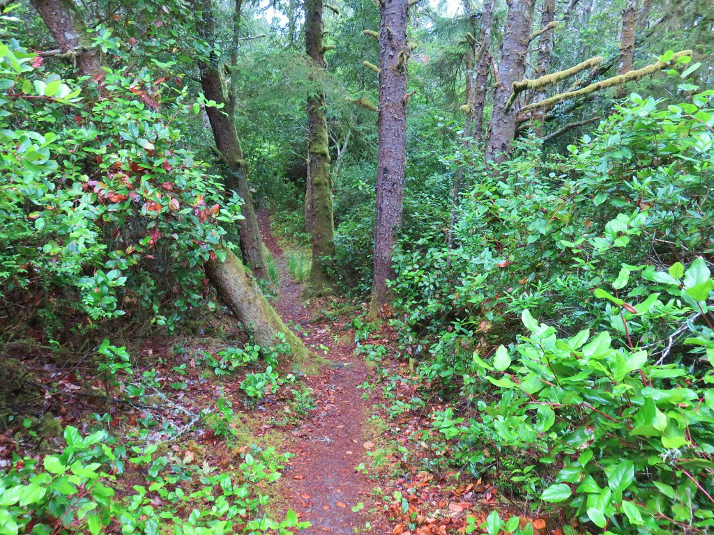
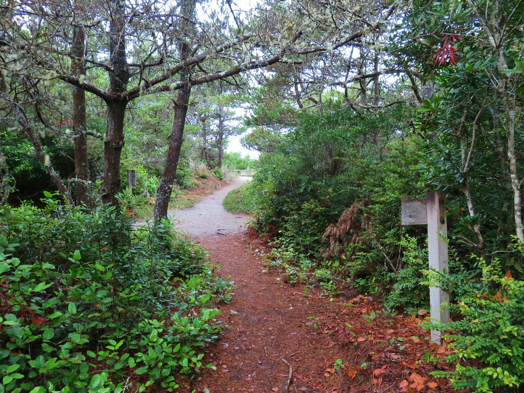
The first sign that this section of the OCT is Amanda’s Trail came on the far side of the B&B when the trail reentered the forest.
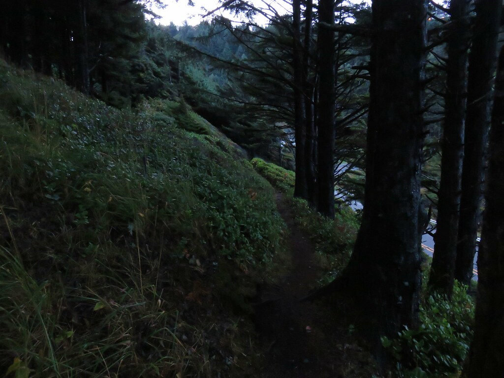
The trail once again climbed away from the highway as it rounded a hillside with a few ocean views.

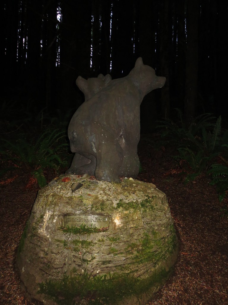
Approximately a half mile from the bed and breakfast we came to a statue of two bears representing an Alsea Indian myth that bears dance when the salmon come. Norman Kittle, whose name is on the statue, along with his wife Joanne were the first private landowners to donate a trail easement in the State of Oregon.
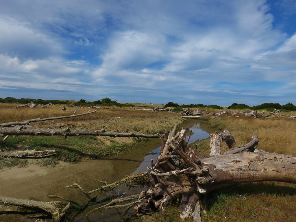
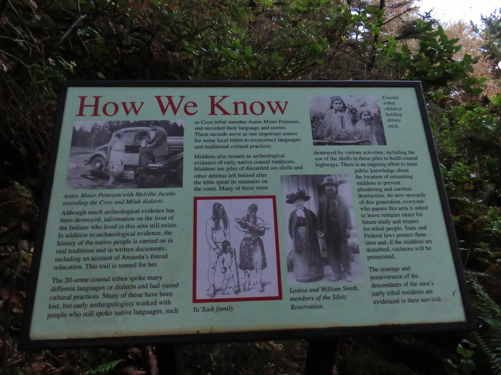
Beyond the bear statue the trail began a slight decent, crossing a gravel road, before arriving at the small grotto with Amanda’s Statue ( a quarter mile from the bears).
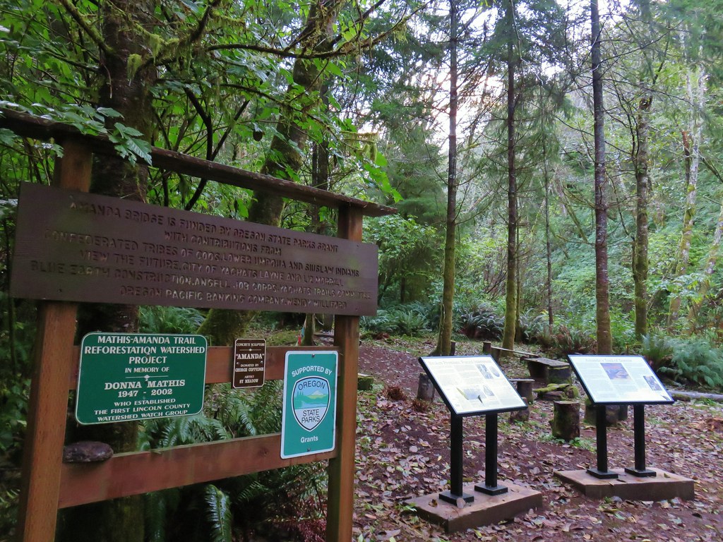

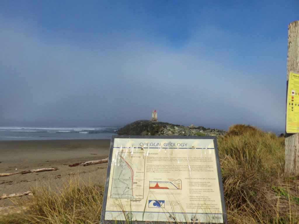
Interpretive signs here told of the blind woman’s forced march to the reservation.
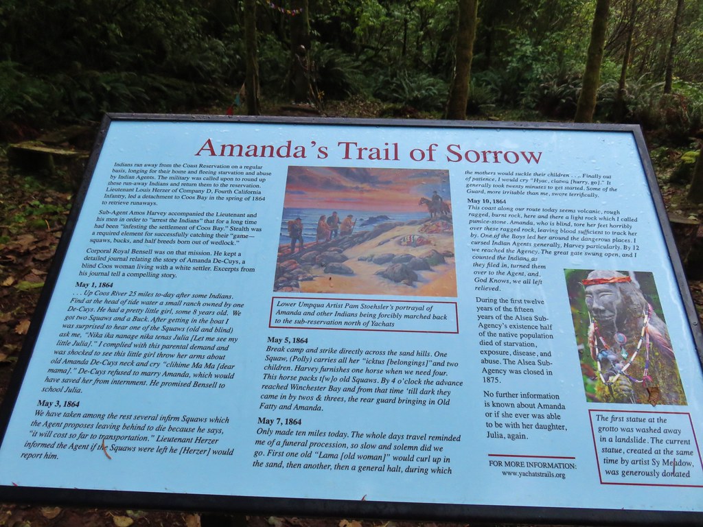
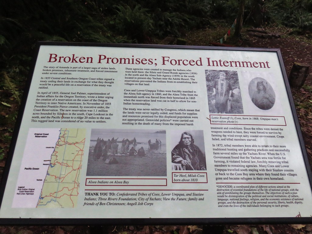
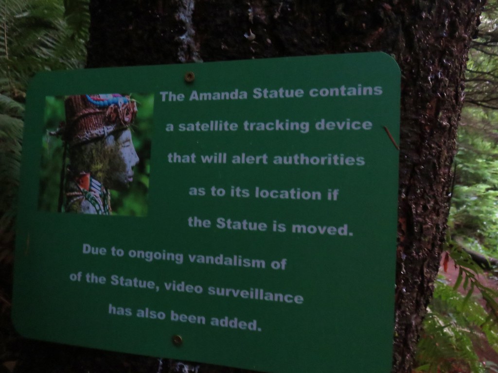
The present statue is not the original statue as it and a nearby footbridge were washed away in a 2016 flood. The current statue is one of two others completed by the same artist and was provided by its owners when the original statue was lost. This version was placed a bit higher to avoid any subsequent floods. Other precautions to protect the statue have been taken as well.
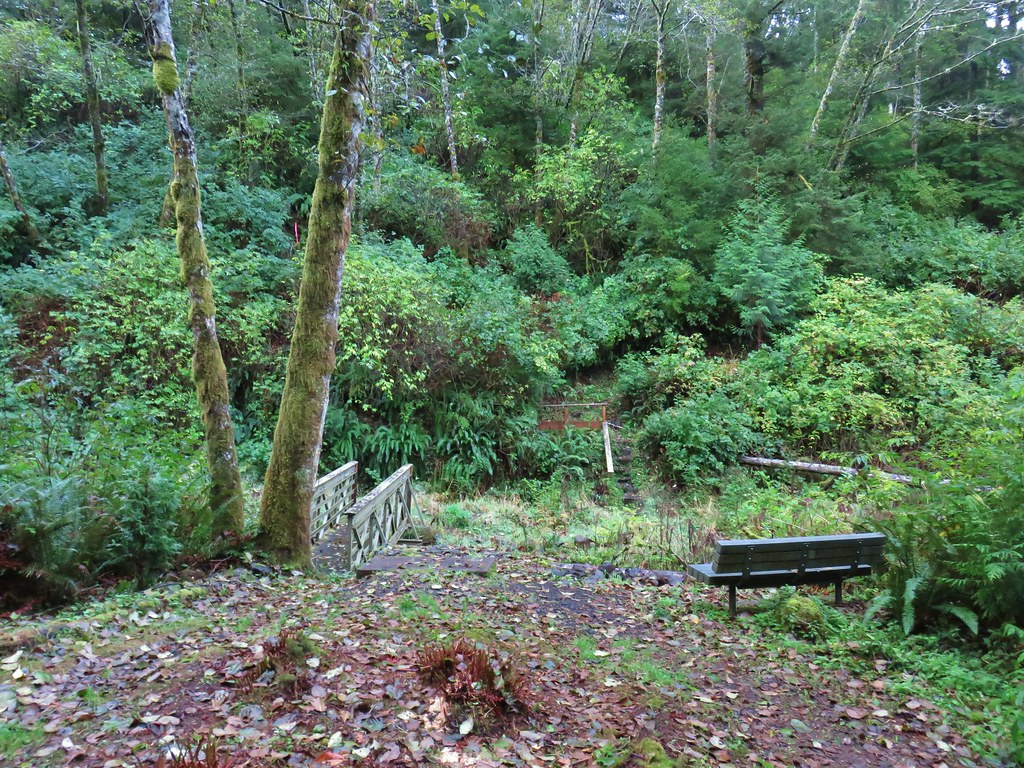
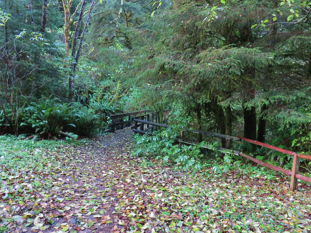
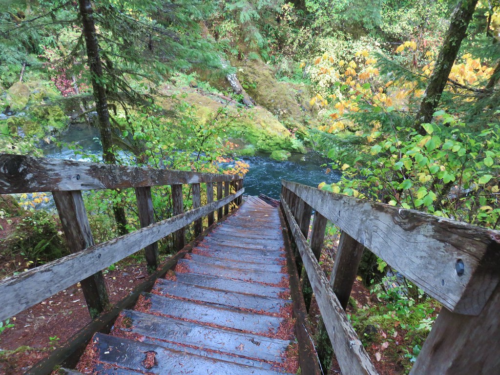
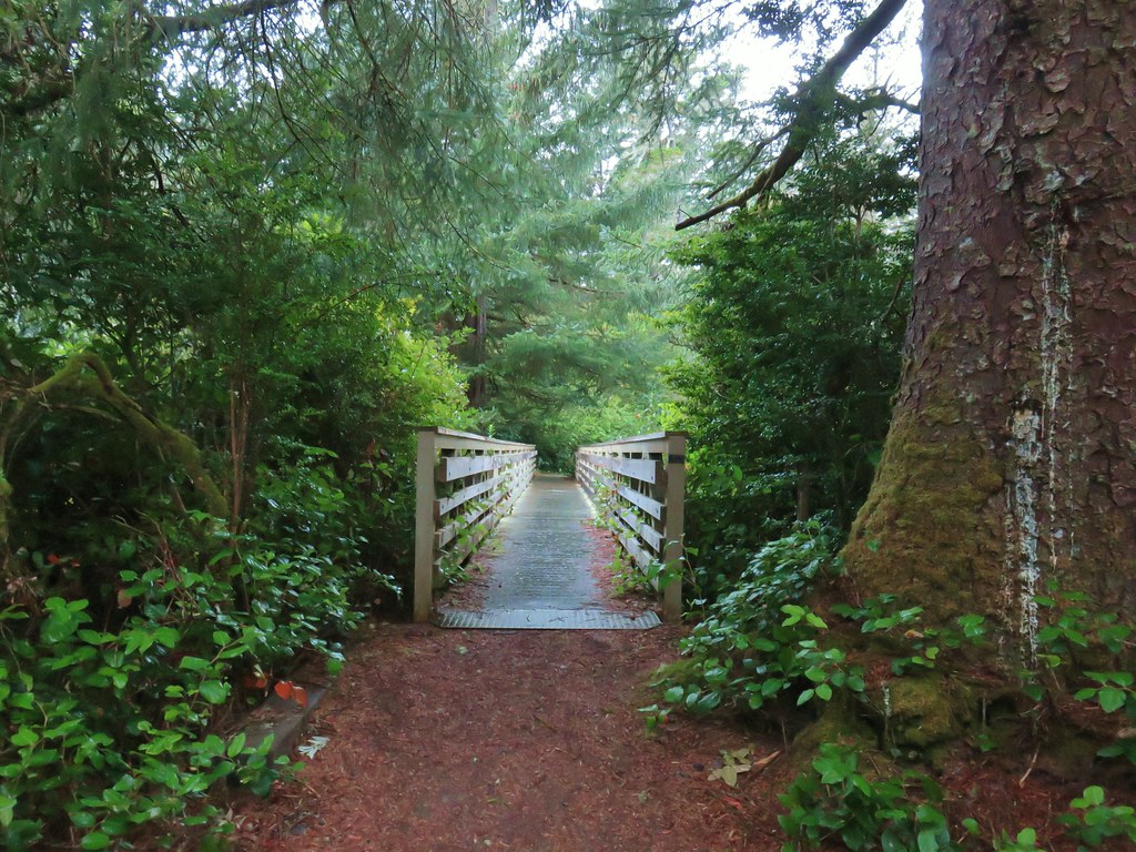
After visiting the statue we continued on across the replaced footbridge.
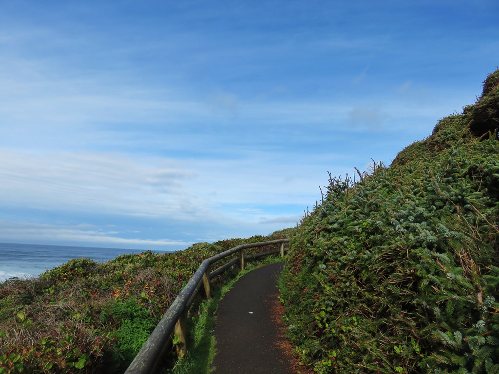
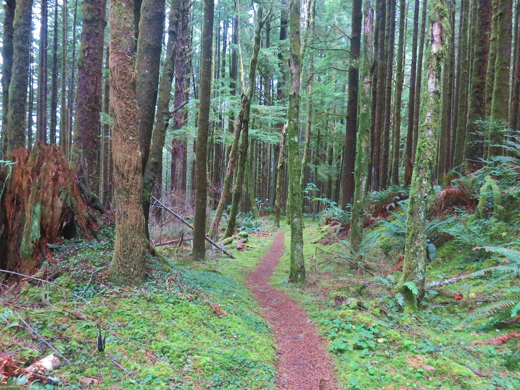
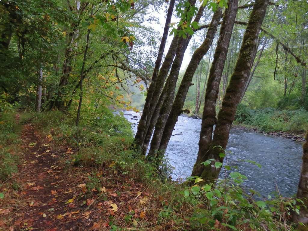
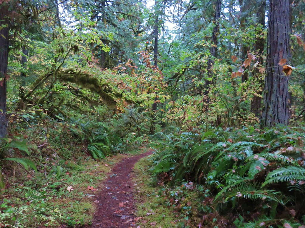
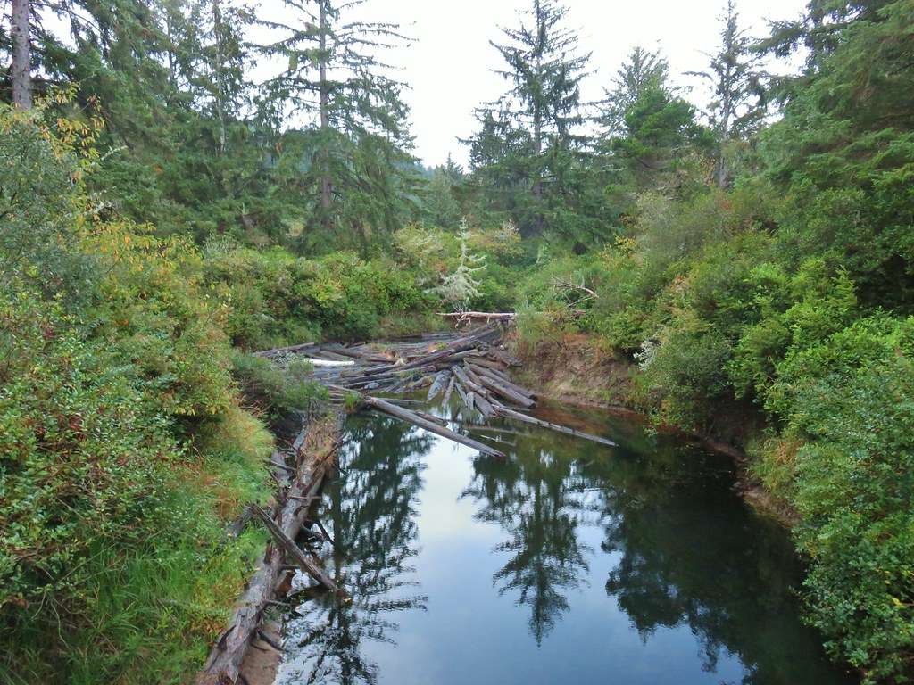
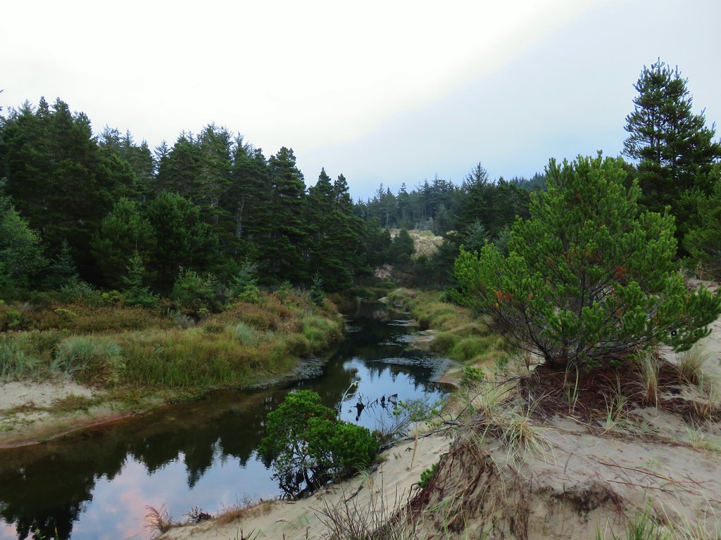
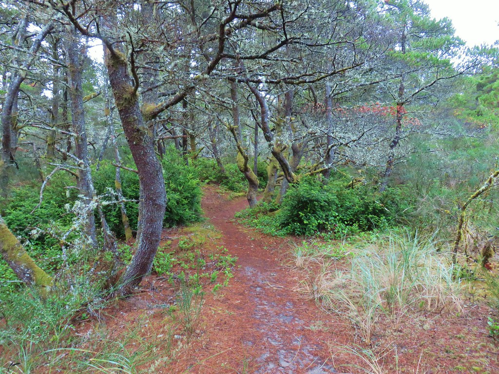
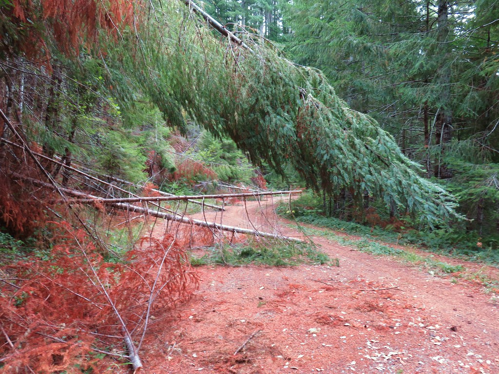
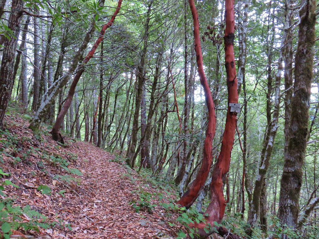
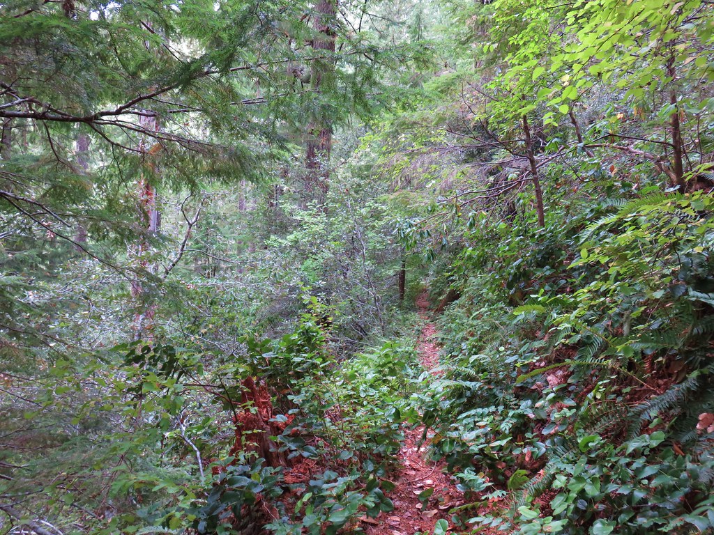
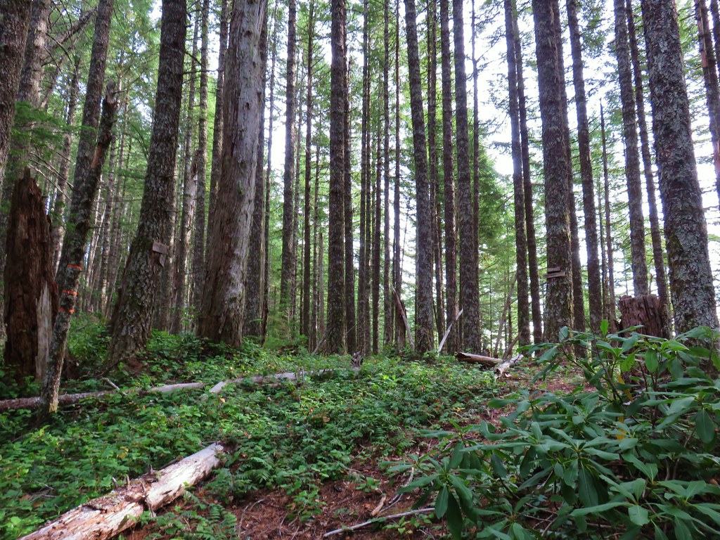
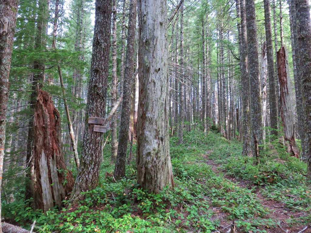
Beyond the creek the trail climbed nearly 750′ as it turned inland up a forested ridge.

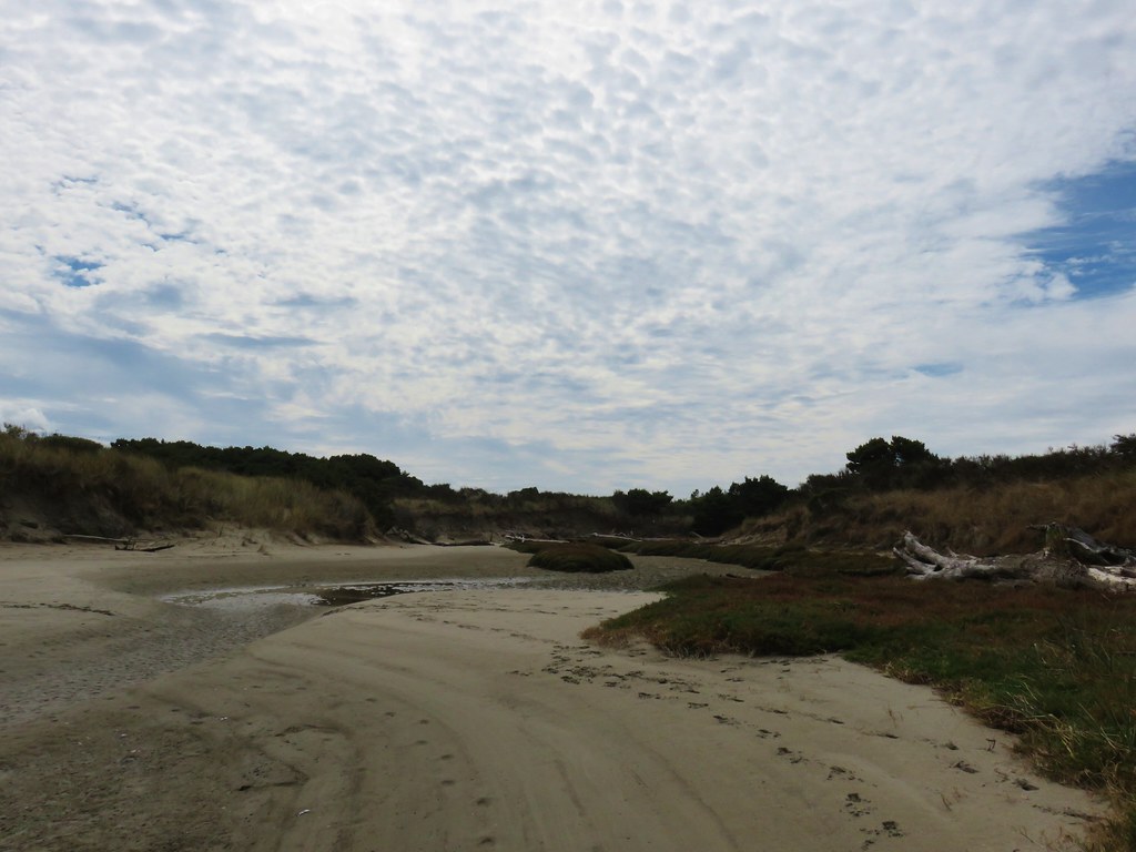
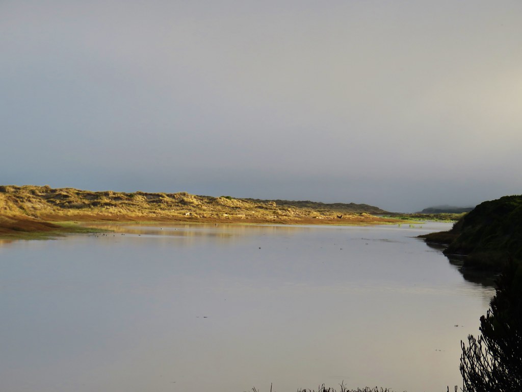
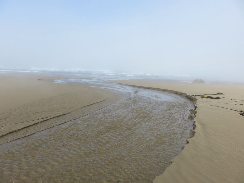
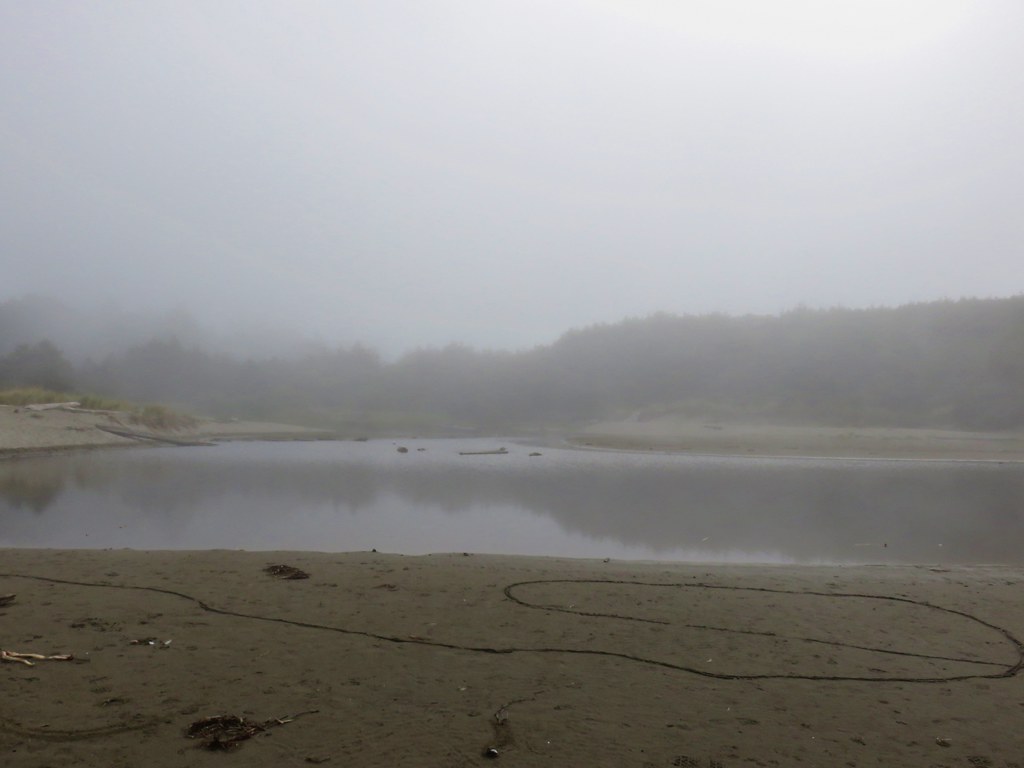
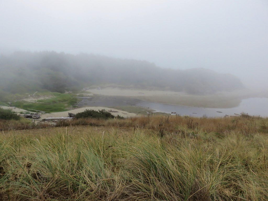
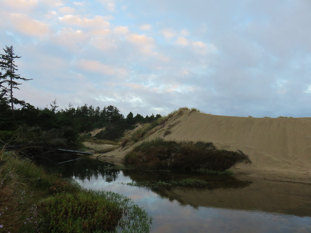
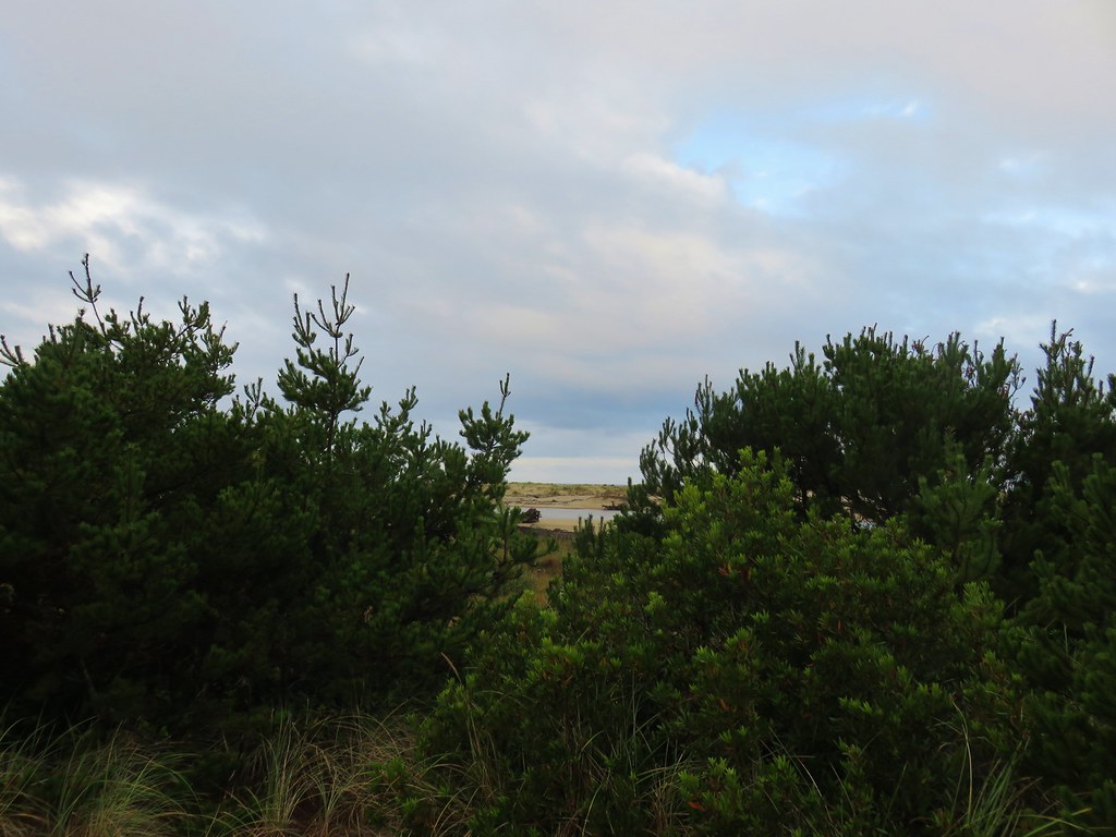
A mile from the bridge we had left the ridge and traversed around a marshy area near the head of North Cape Creek.

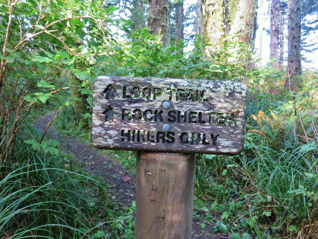
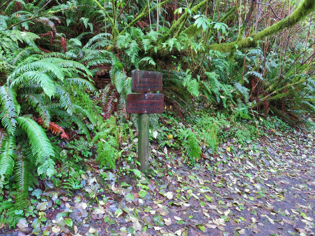
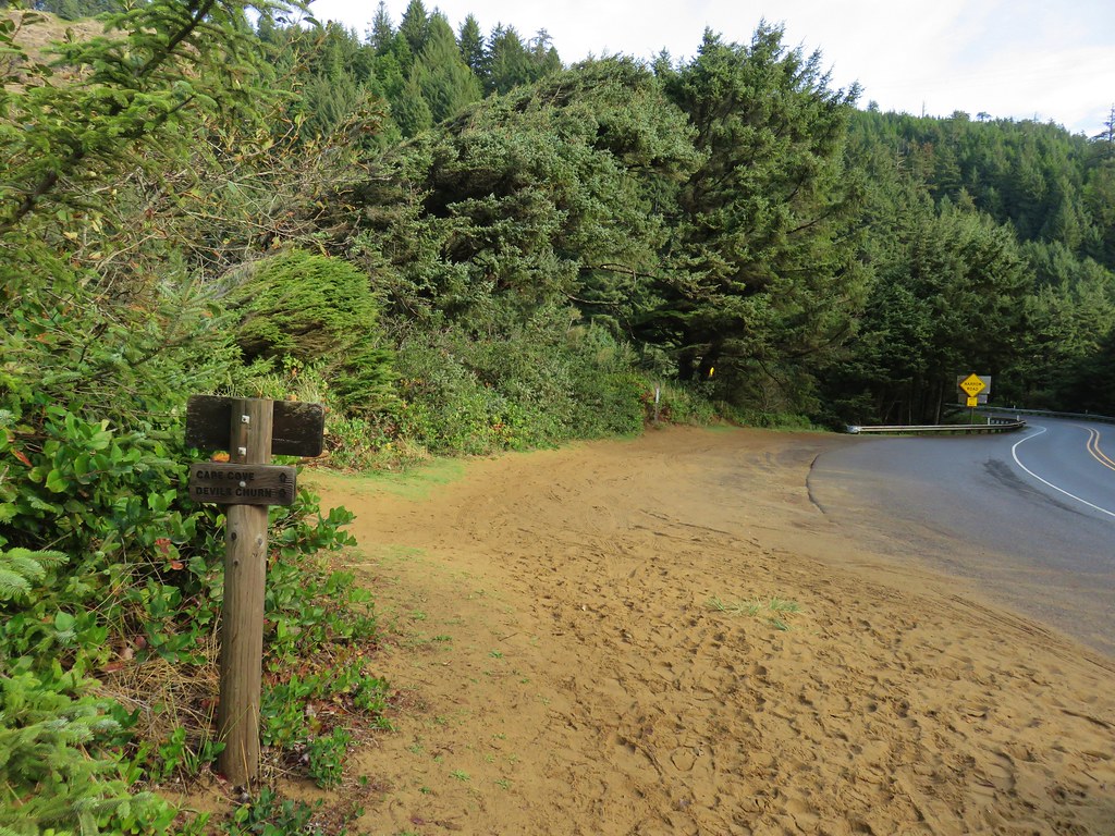
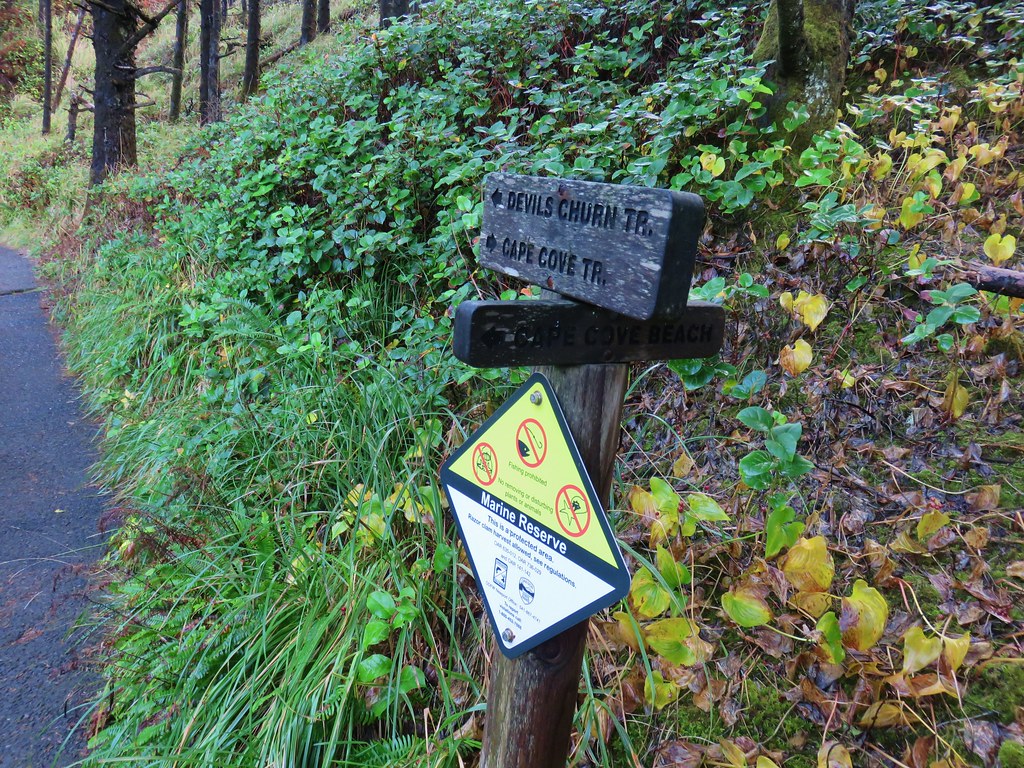
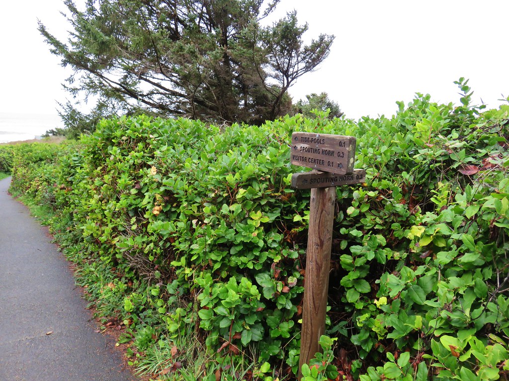
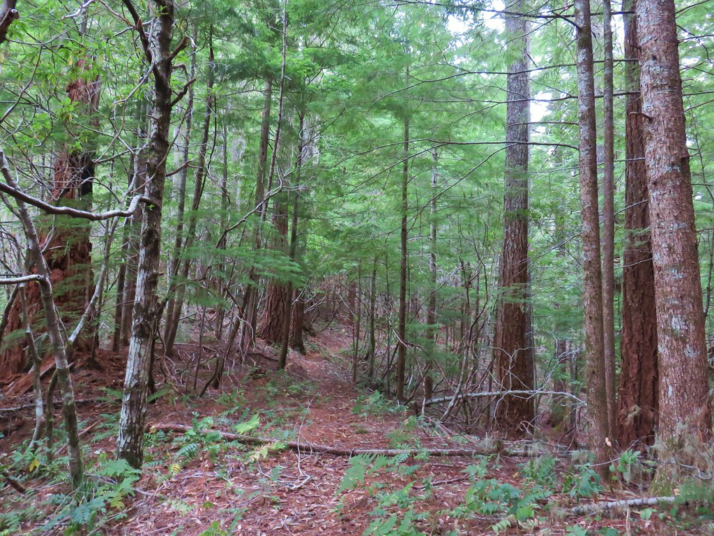
After a little additional climbing on the other side of the creek the trail began to descend along this ridge toward the ocean. A mile and a quarter from North Cape Creek we arrived at a signed junction.
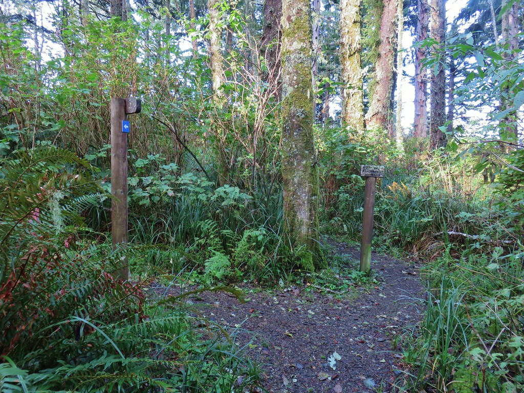
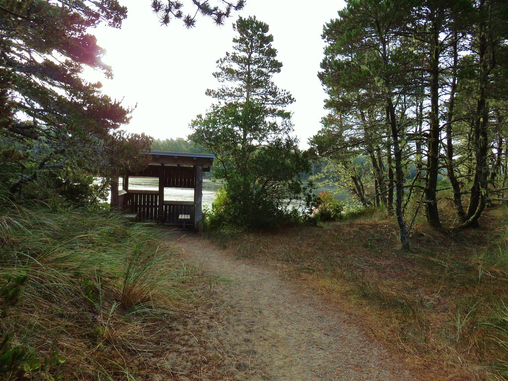
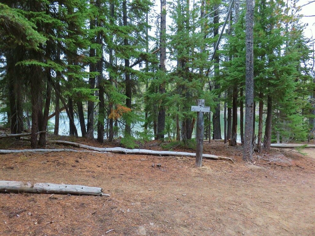
Here we stayed right following pointers for the Stone Shelter on what was now the Whispering Spruce Trail.
We had visited the shelter in 2013 (post) on what was part of the first outing featured in this blog.
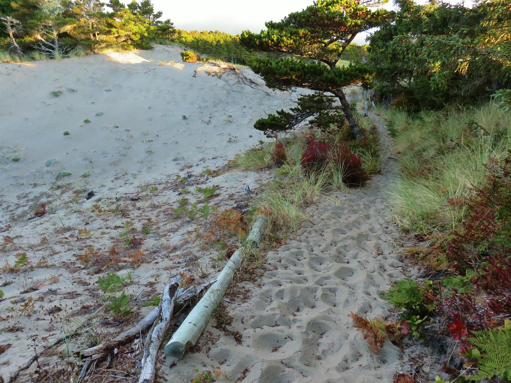
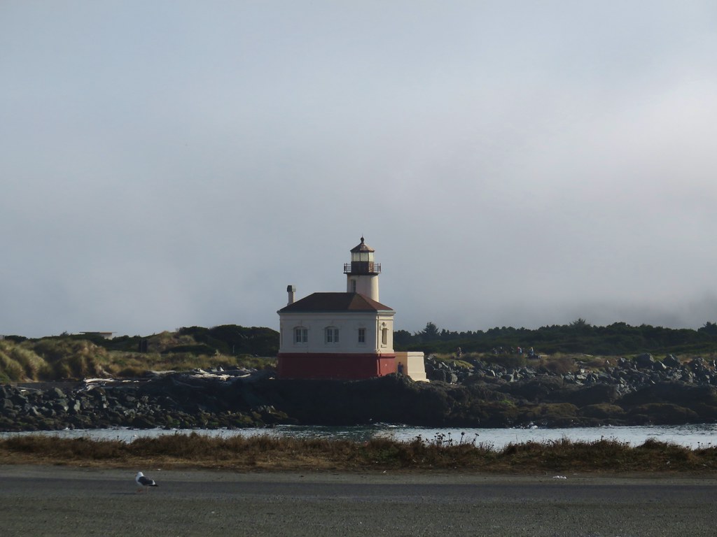
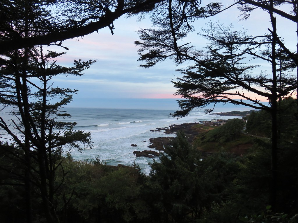
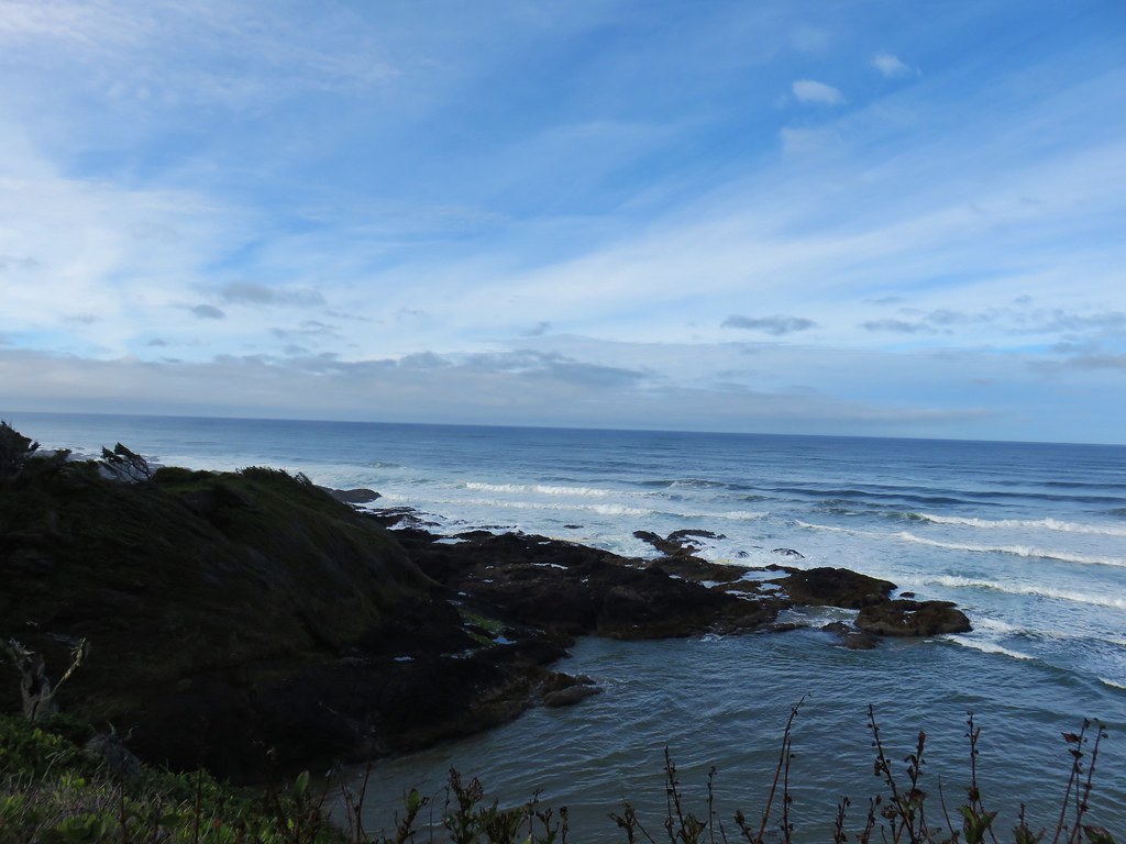
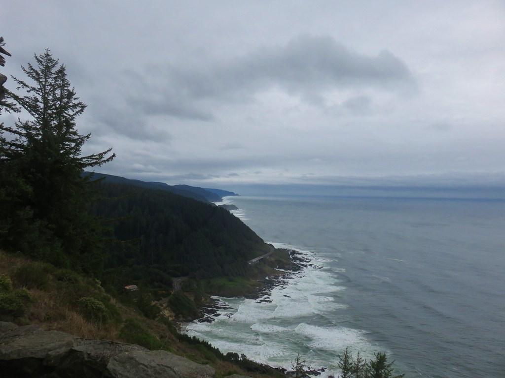
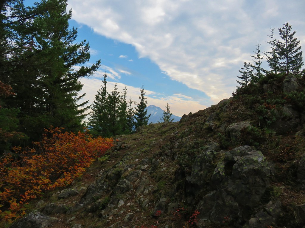
A little less than a quarter mile from the junction we arrived at the shelter.
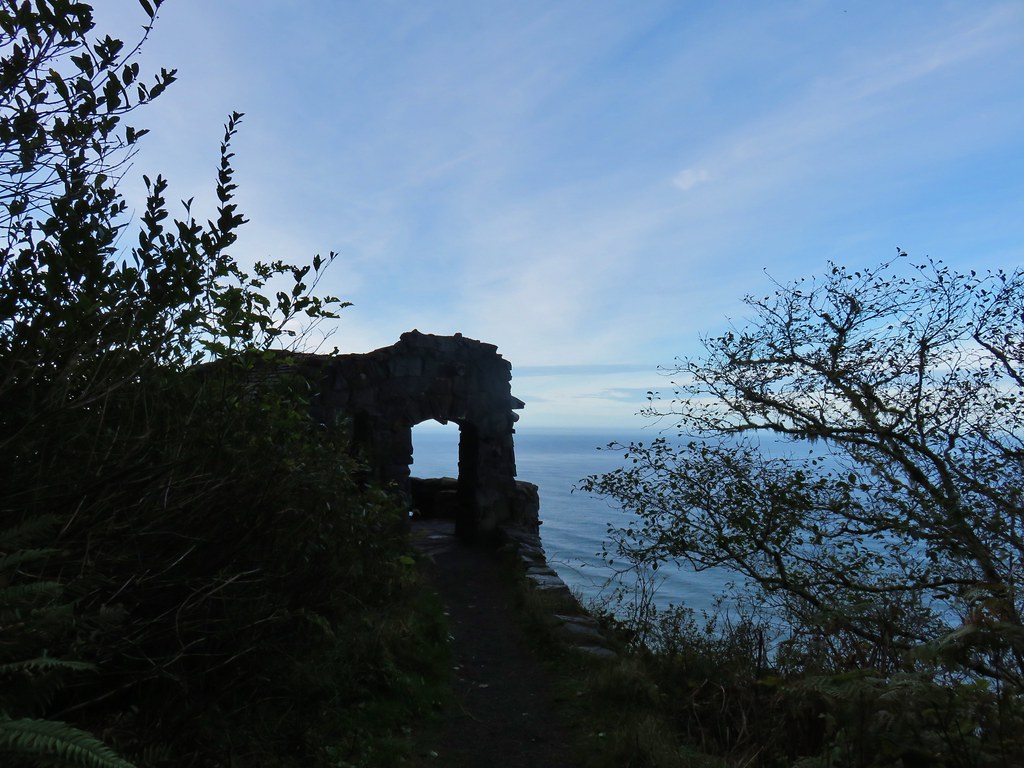
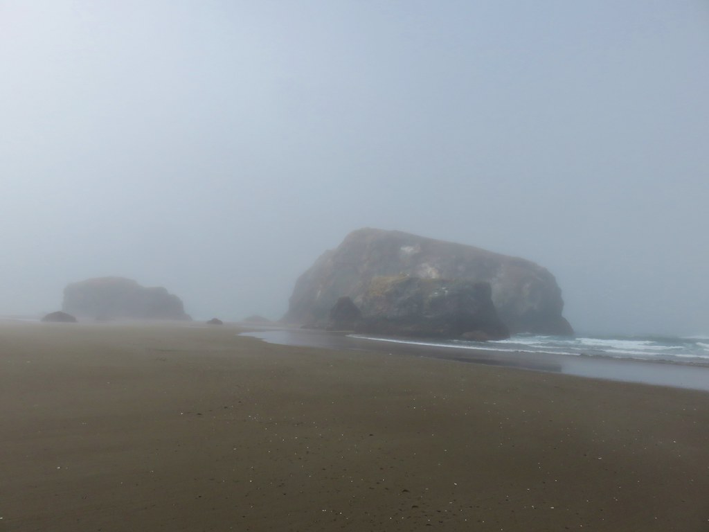
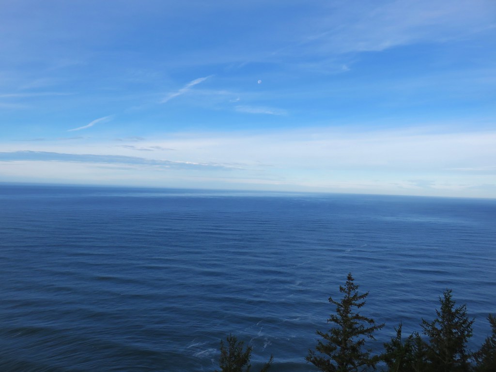
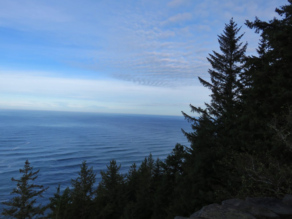
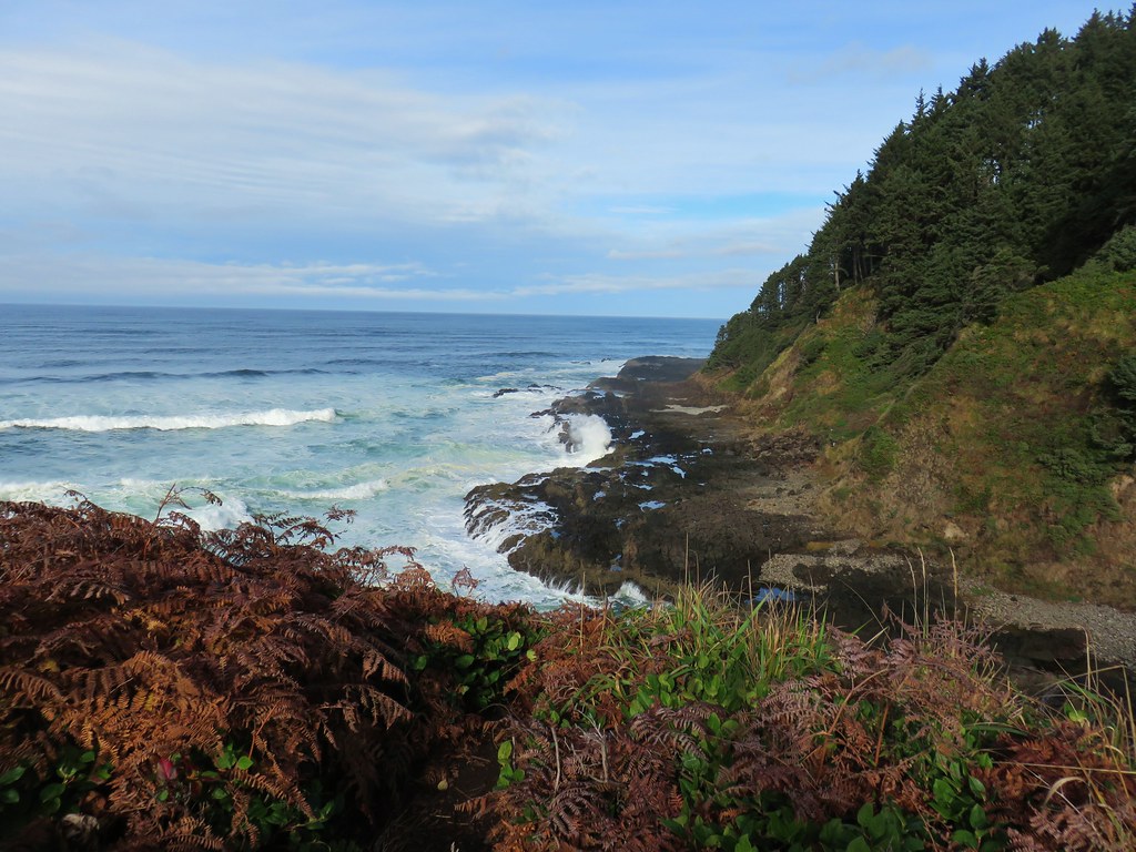
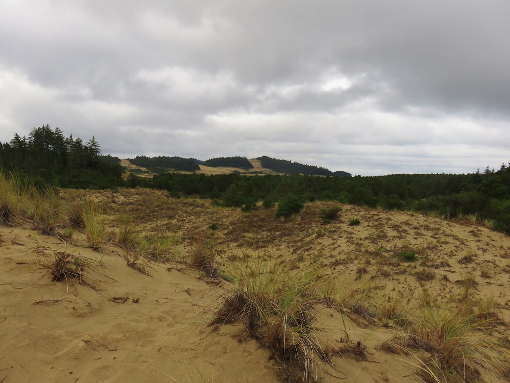
It was a surprisingly nice morning considering the forecast and we were happy to have a good view from the shelter.

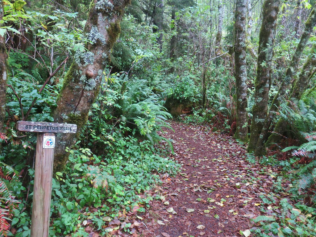
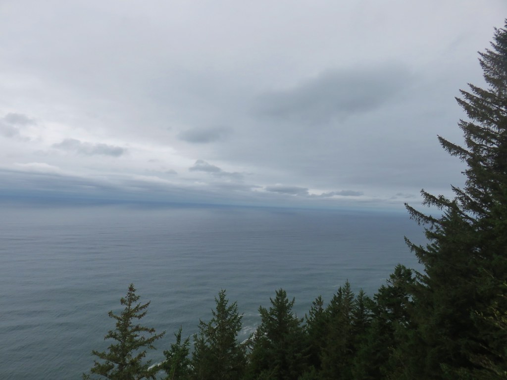
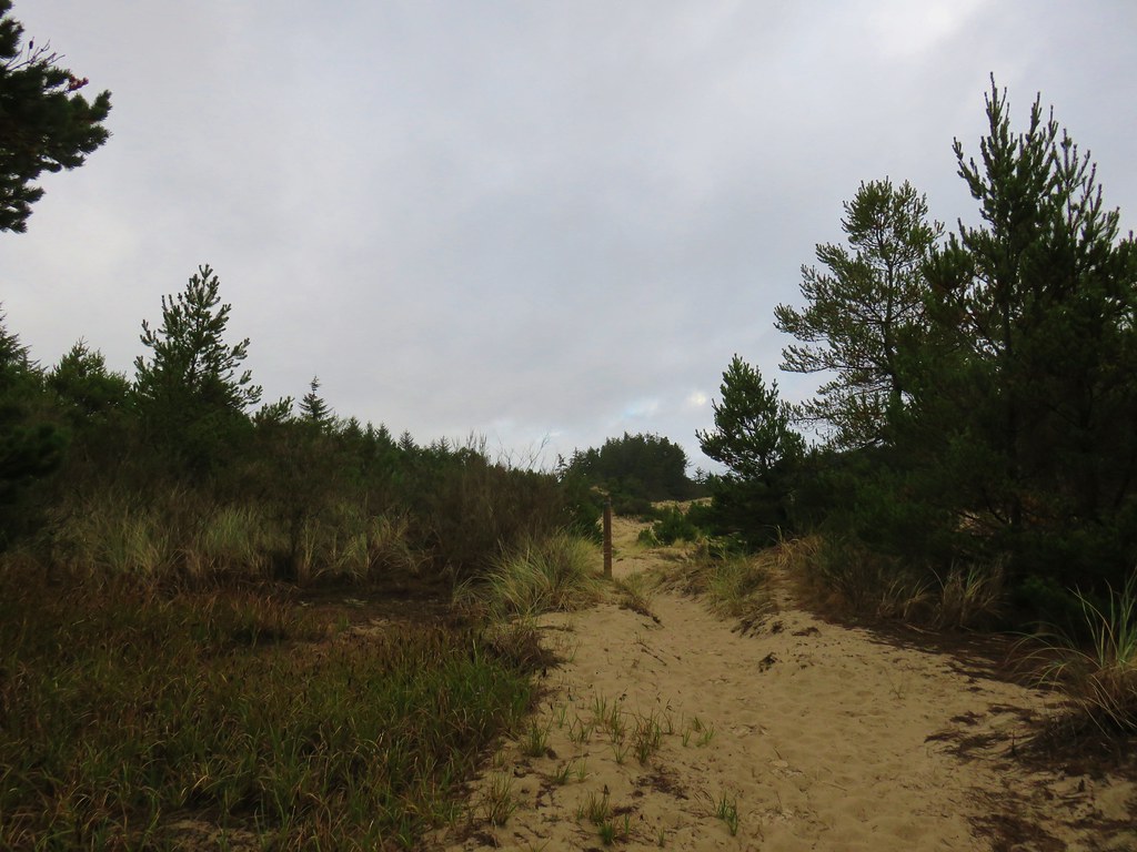
After a brief rest we continued on passing another viewpoint before reaching a junction with the St. Perpetua Trail.
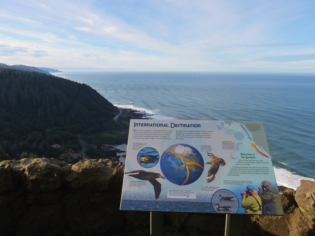

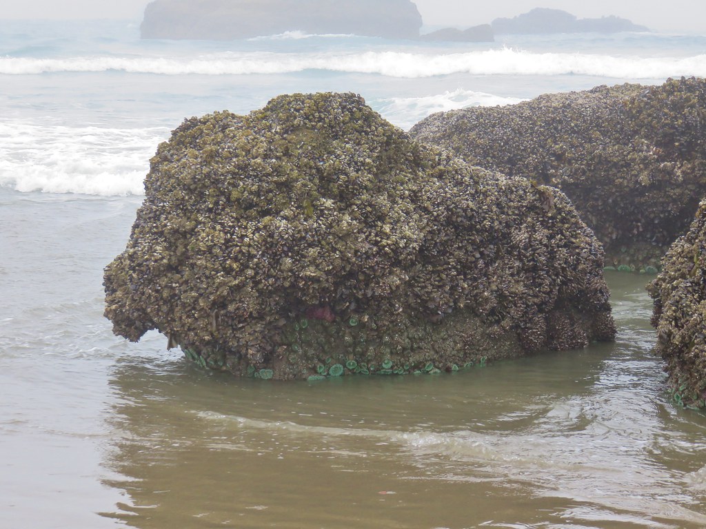
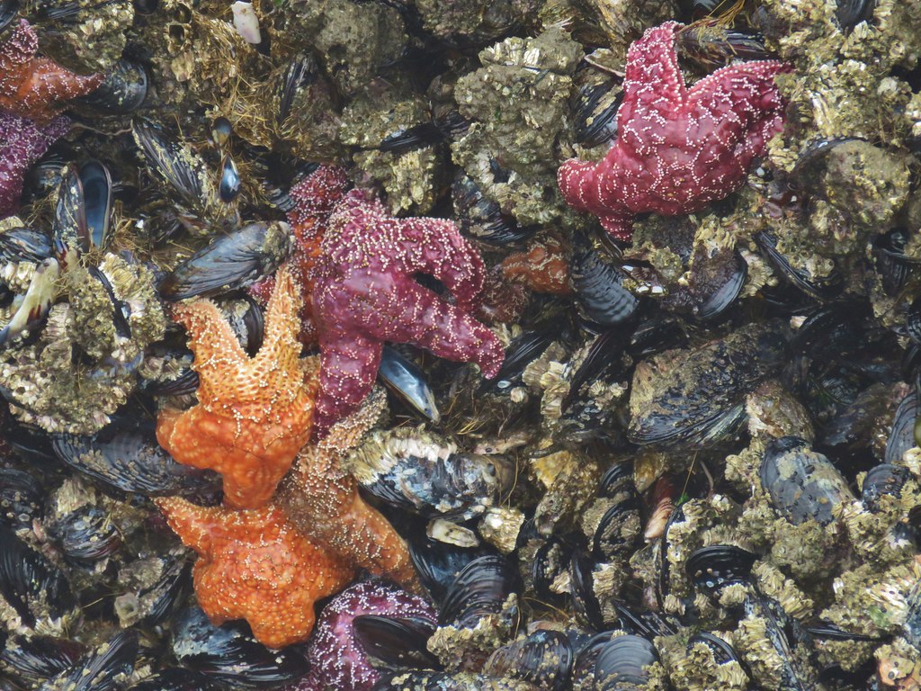
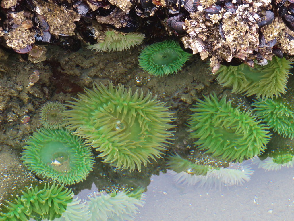
I mentioned that we had visited the stone shelter in 2013 but that had not been our first visit to the Cape Perpetua Scenic Area. In 2010 we had stopped here to visit the tide pools on the way home from a hike in the Drift Creek Wilderness (post). One thing we had not seen on either of our previous trips was the Giant Spruce, a nearly 600 year old State Heritage Tree.
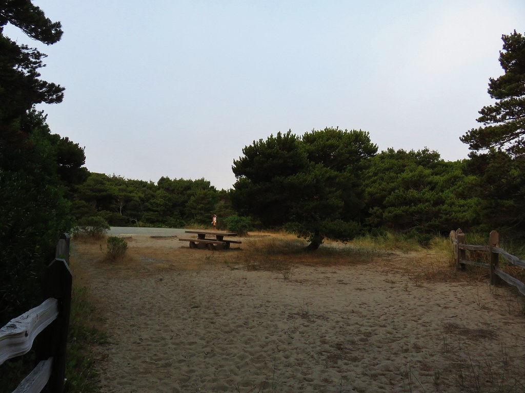
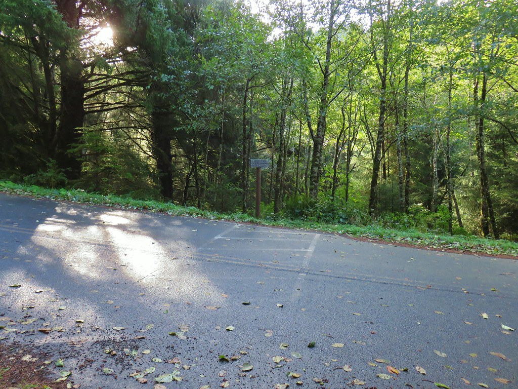
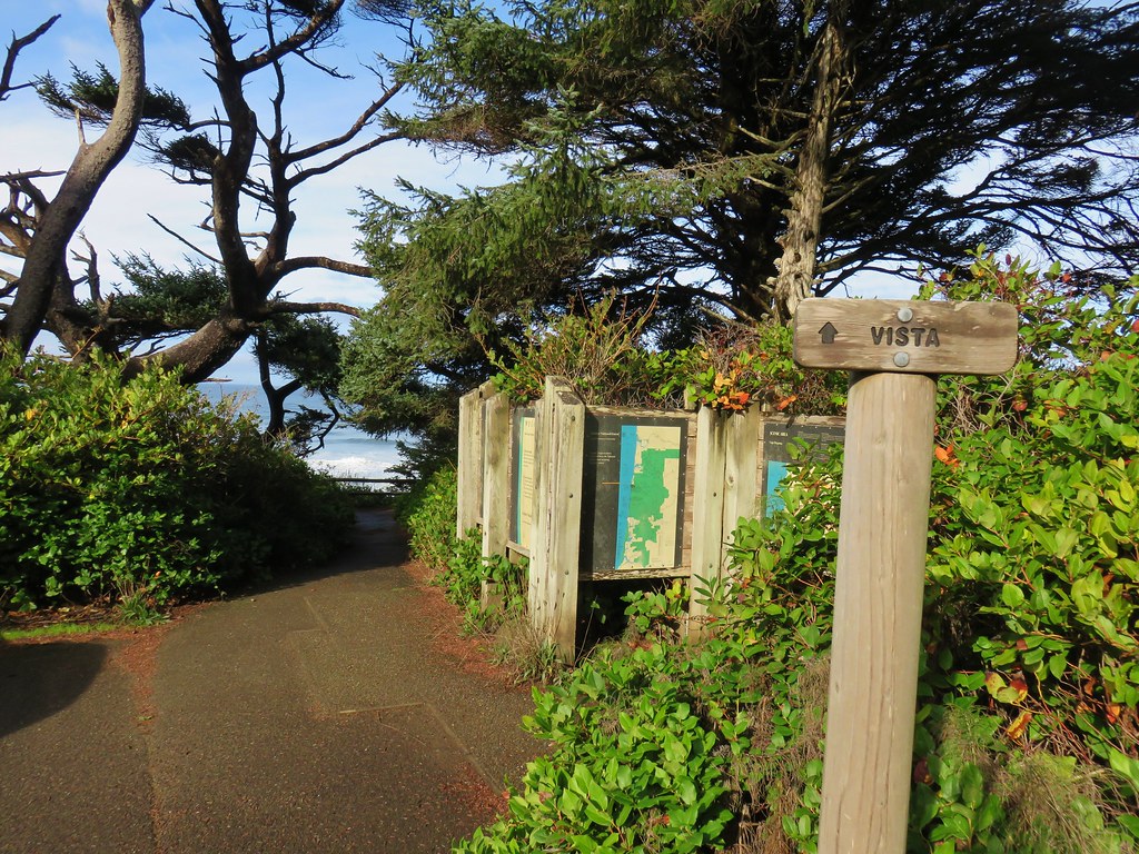
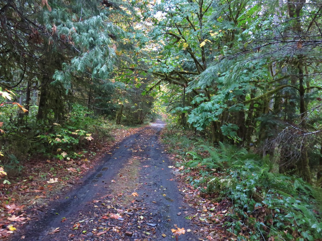
With that goal in mind we took the St. Perpetua Trail downhill toward the Cape Perpetua Campground.
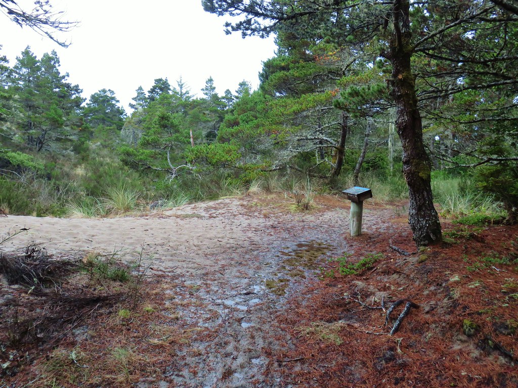
Shortly after crossing Overlook Road, which leads to a trailhead along the Whispering Spruce Loop, we arrived at the campground entrance road.

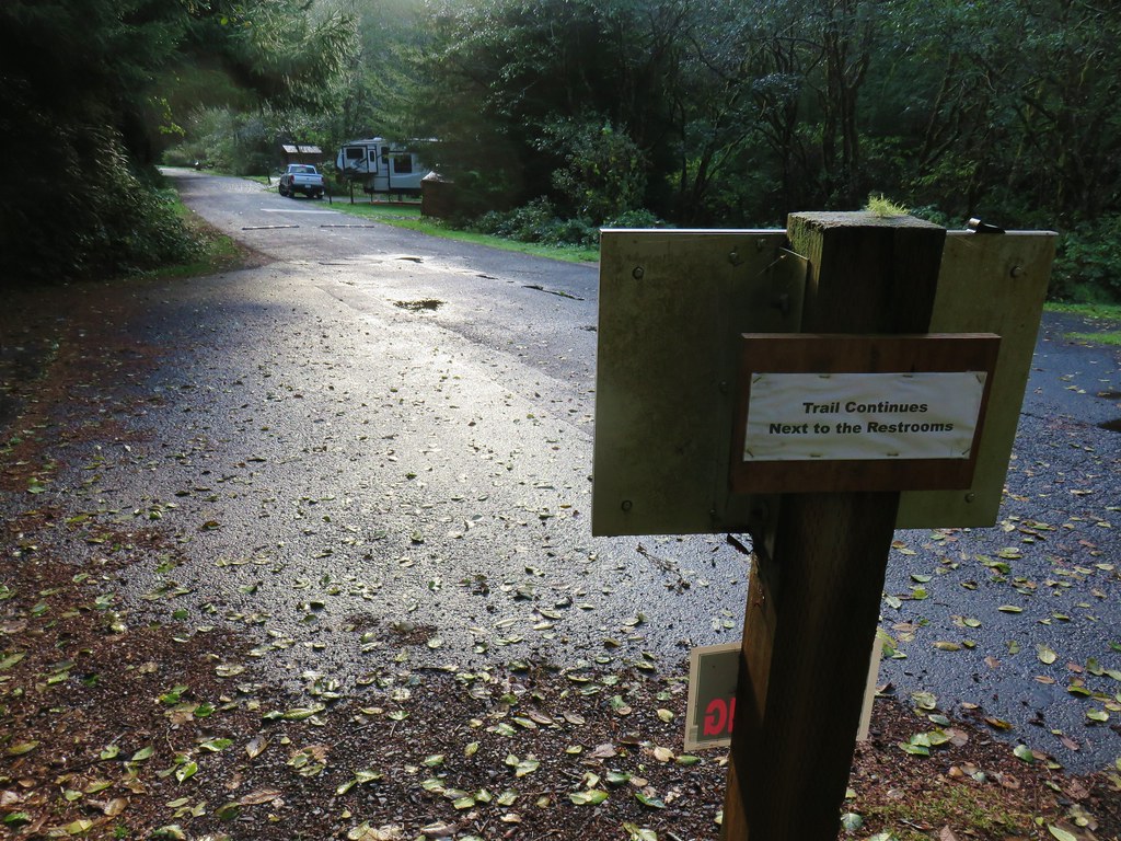
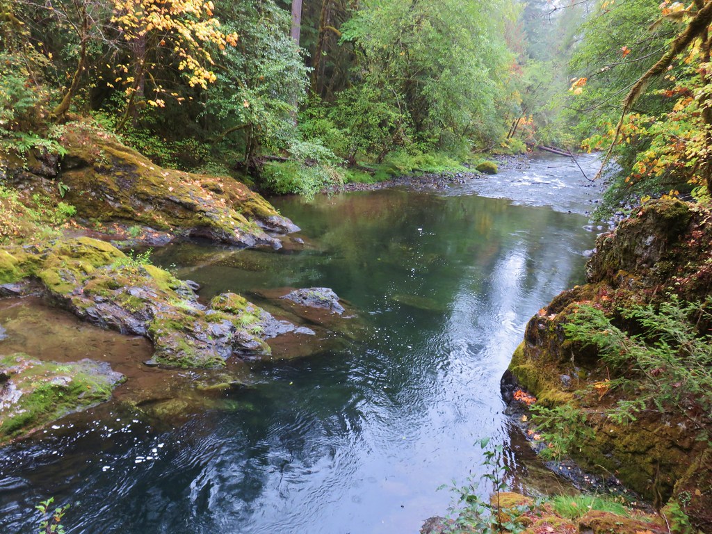
Behind the restrooms the trail continues across Cape Creek.

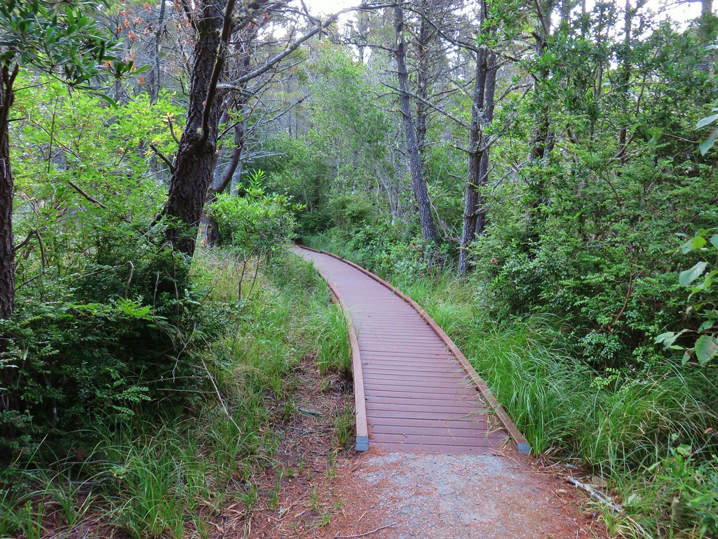
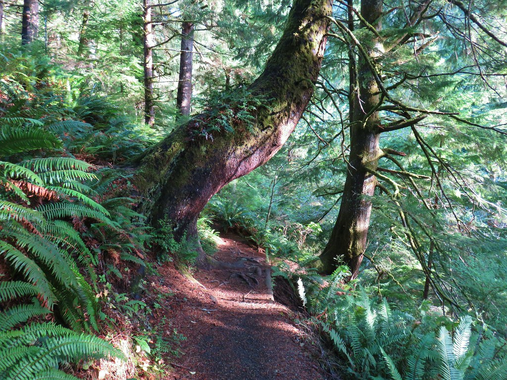
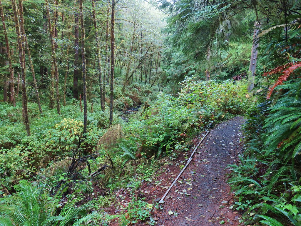
On the far side of the creek we turned left on the Giant Spruce Trail.
This trail followed the creek upstream for .8 miles to the 185′ high tree with a trunk circumference of 40′.
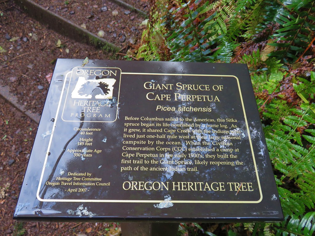

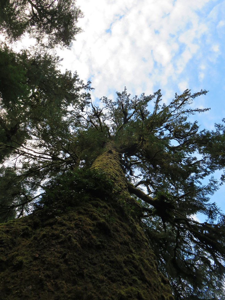
We are always awestruck when we visit any of the giant old trees in person. It’s nearly impossible to capture just how huge they really are in photos. In addition to their size their age always forces us to pause and try and picture the timeline of their growth. This tree would have likely been a sapling at the same time Christopher Columbus was lost looking for a route to Asia.
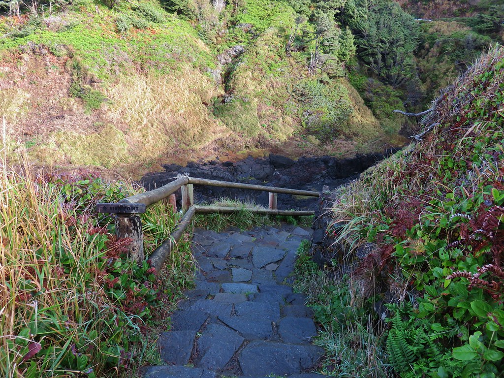
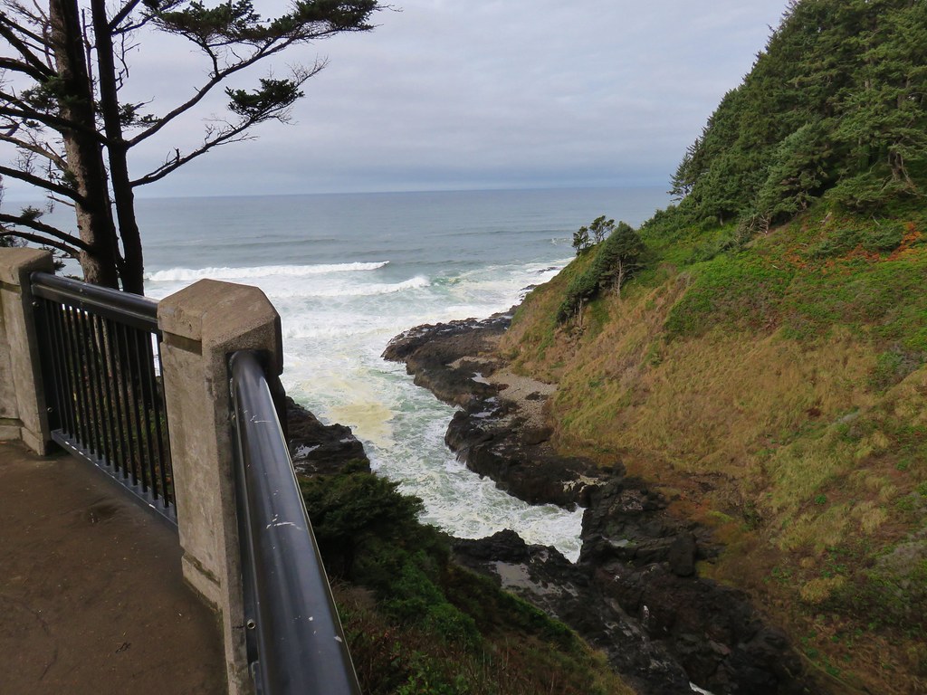
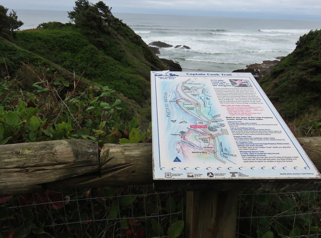
After visiting the tree we returned to the junction near the footbridge at the campground. The weather was holding nicely so we decided to check out the Spouting Horn and Devil’s Churn areas. We followed the Giant Spruce Trail .2 miles to the visitors center where we picked up the Captain Cooks Trails.
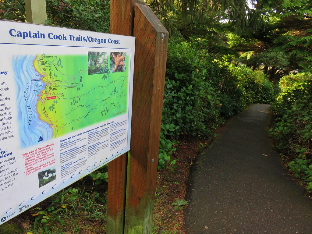
We followed this paved trail under Highway 101 to a viewpoint.
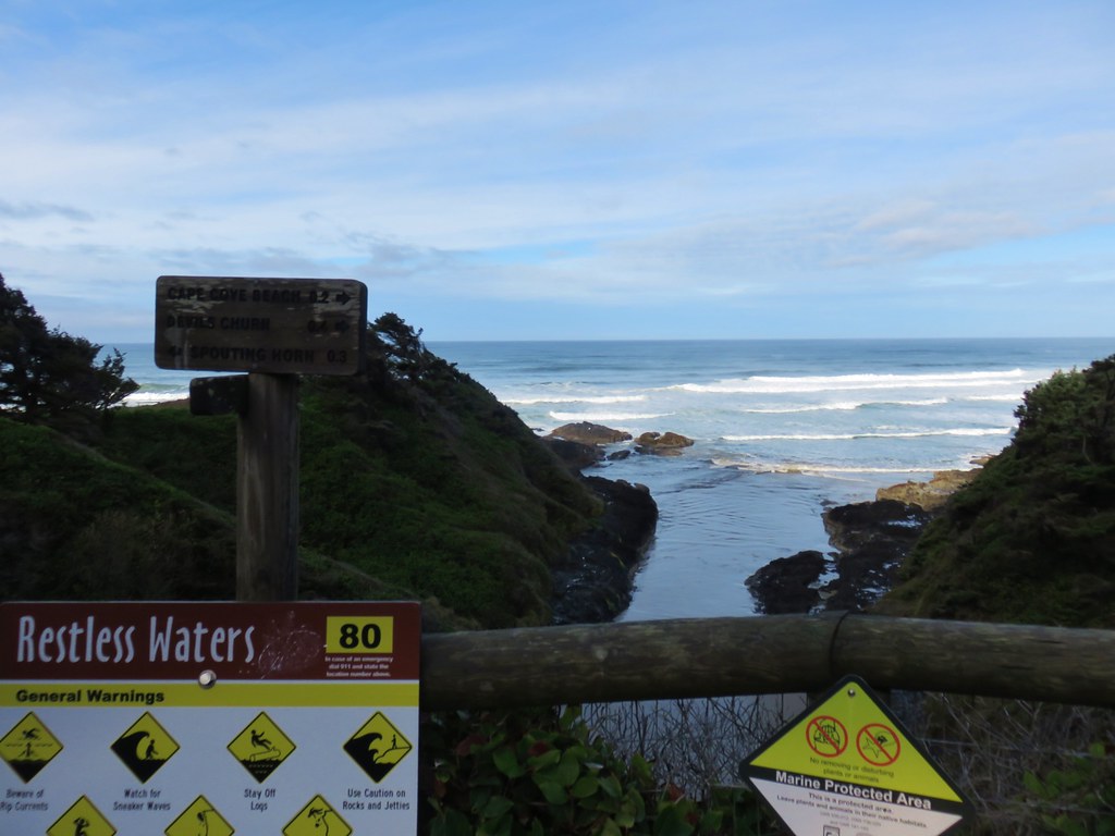
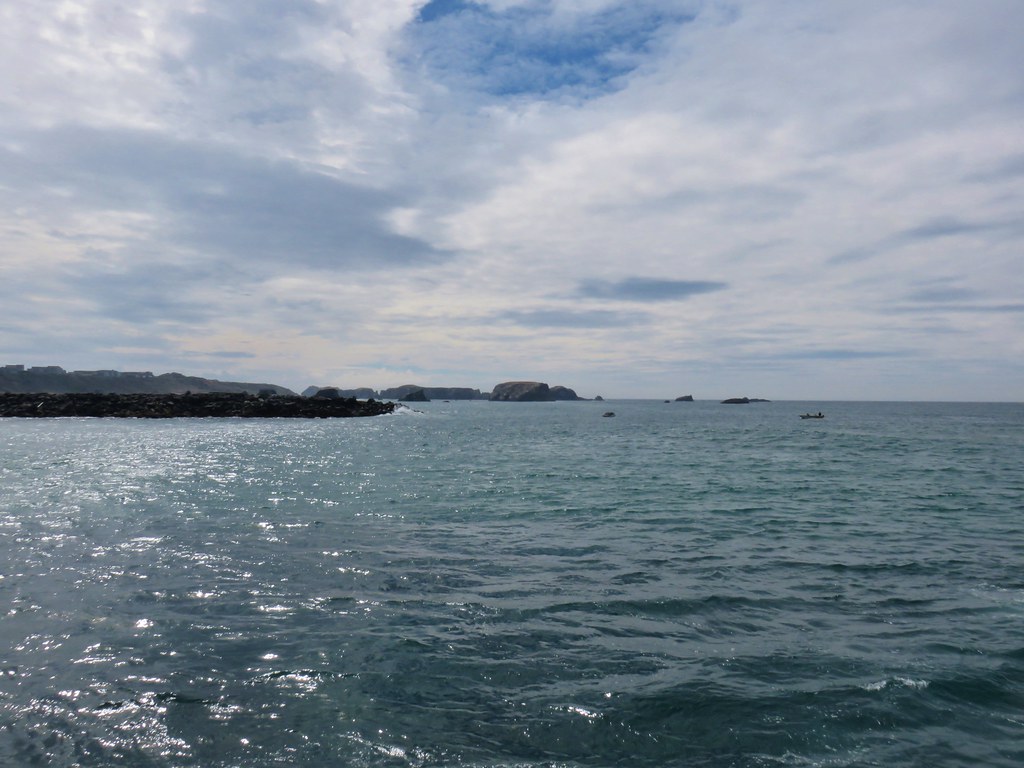
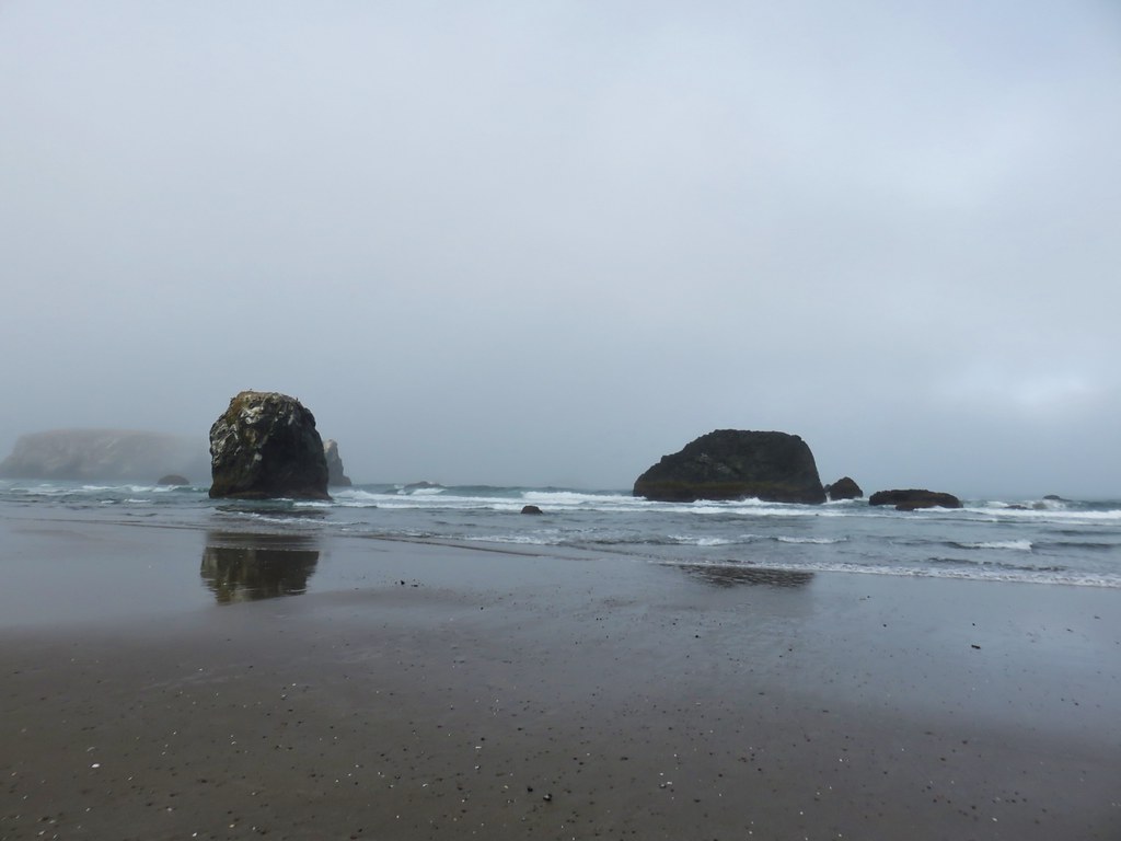
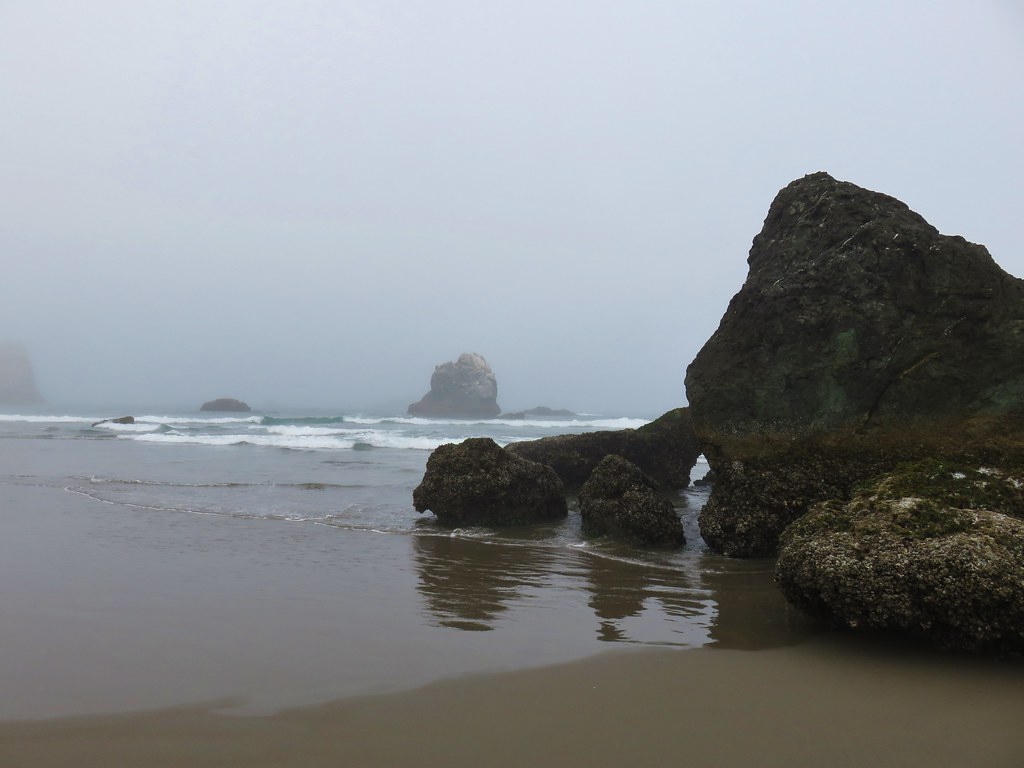
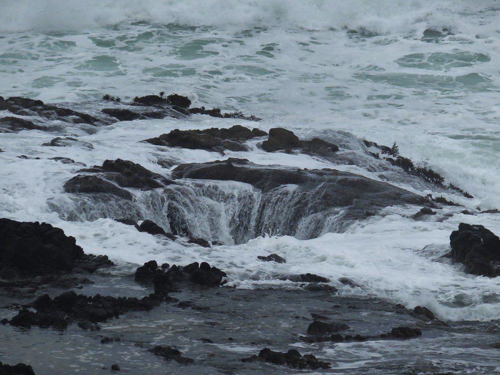
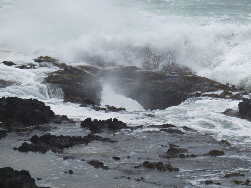
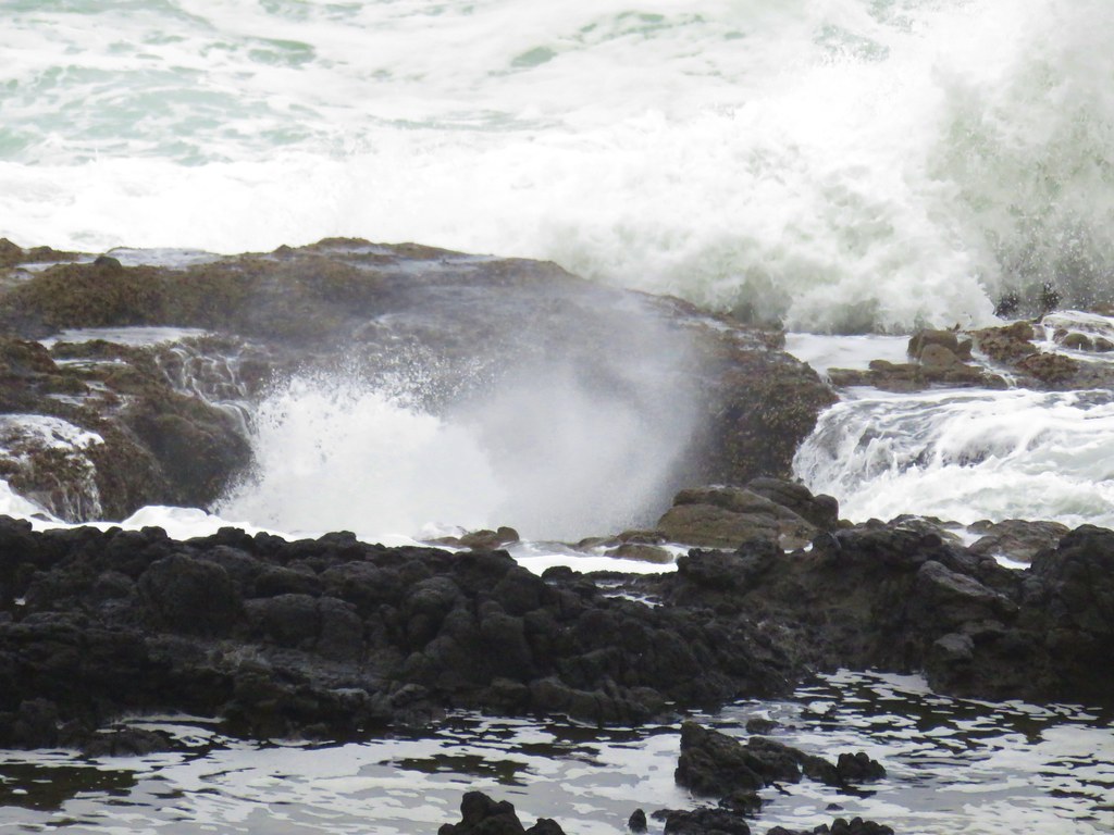
From the viewpoint the Captain Cook Trail went left making a loop with views of the Spouting Horn and Thor’s Well while the Trail of Restless Waters was to the right leading to Devil’s Churn. We decided to visit them in the opposite order of our 2010 visit and went right first. This trail briefly followed the shoulder of the highway past a small parking area and vista before dropping toward the ocean.
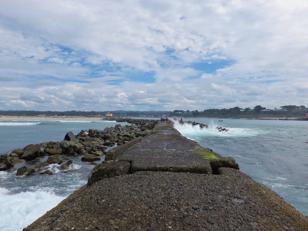
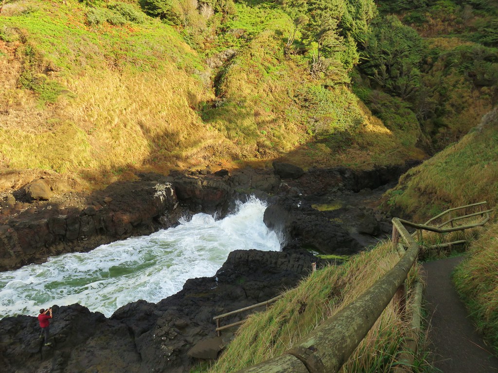
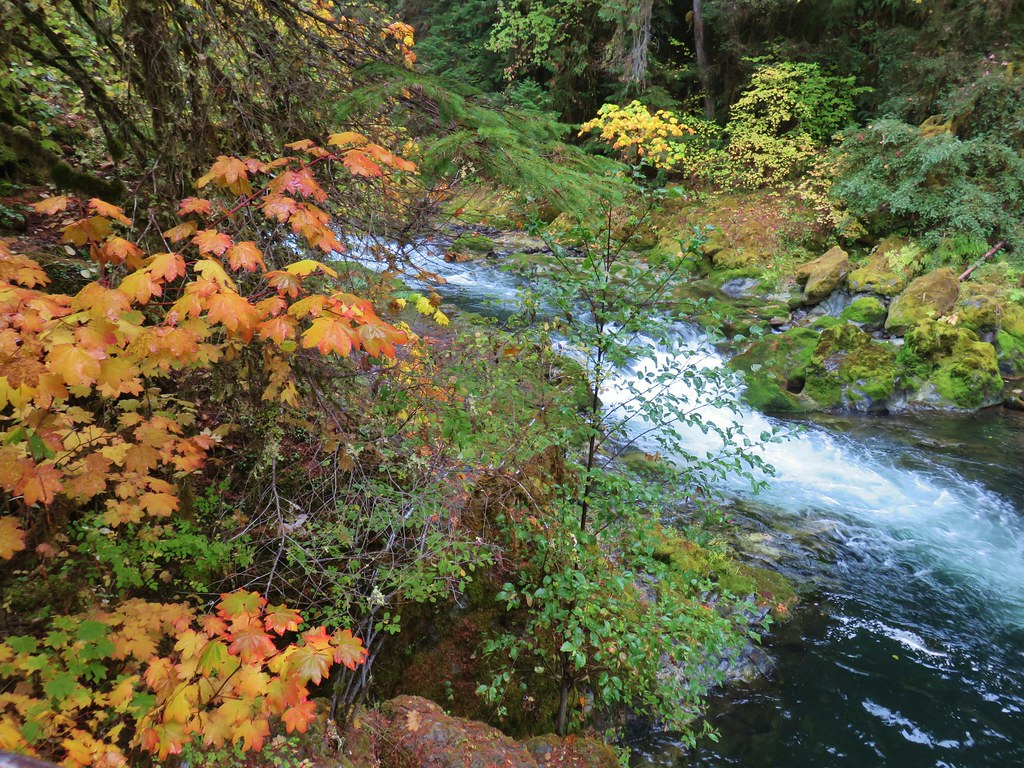
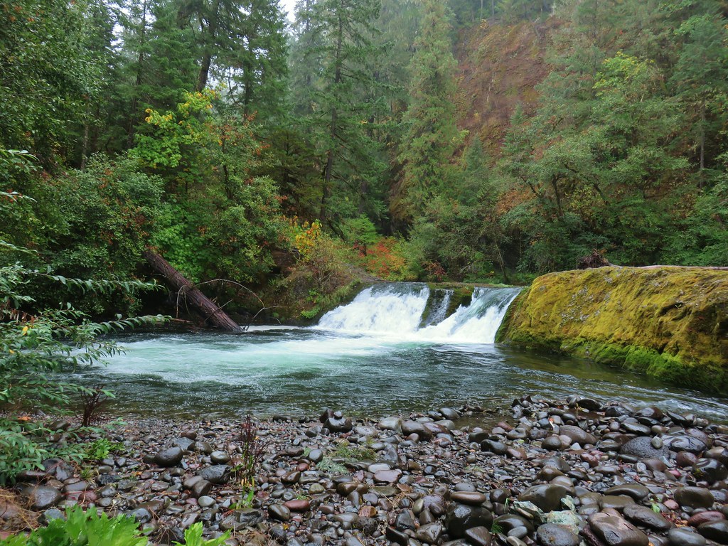
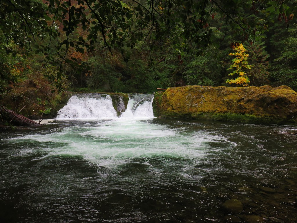
We crossed over Cape Creek and then followed the trail, keeping left at junctions, to a staircase down to Devil’s Churn.


There was some decent wave action going on and we watched if for awhile.

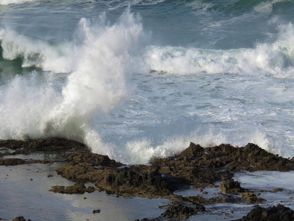
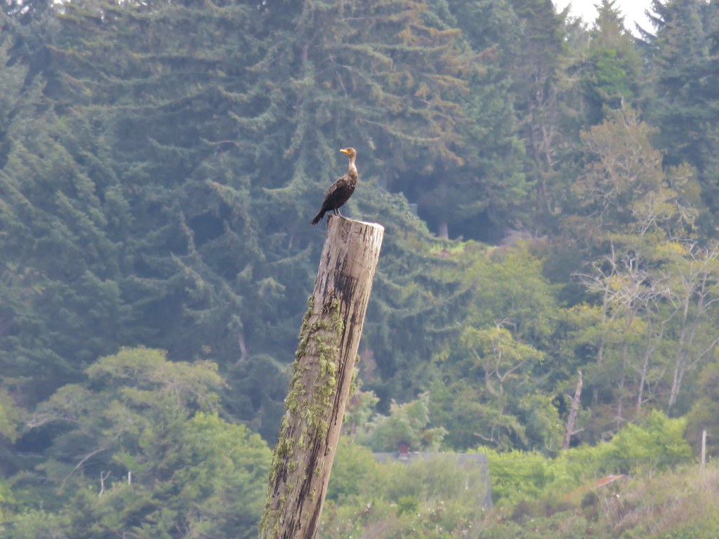
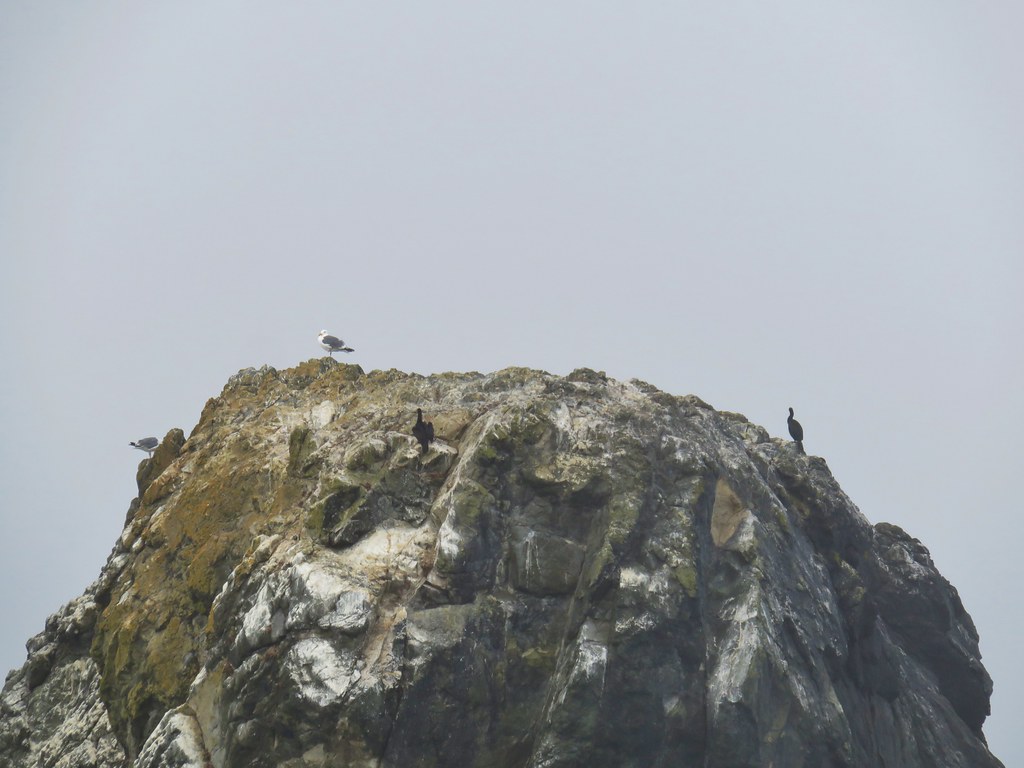
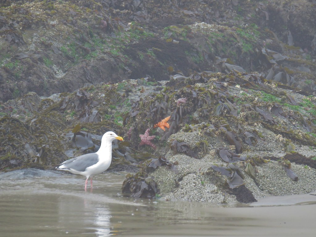
The crashing waves didn’t seem to bother a lone cormorant that was hunting for food in the churn.

Speaking of food after we climbed back up the stairs we continued on a loop above Devil’s Churn to the Devil’s Churn Day Use Area where we wound up buying a lemon muffin from the concession stand there.
After splitting the muffin we completed the loop and returned to the Captain Cook Trail.
We stayed left at a fork in order to complete the loop clockwise.
The tide had been out far enough on our previous visit that the Spouting Horn had not been spouting but today was different.
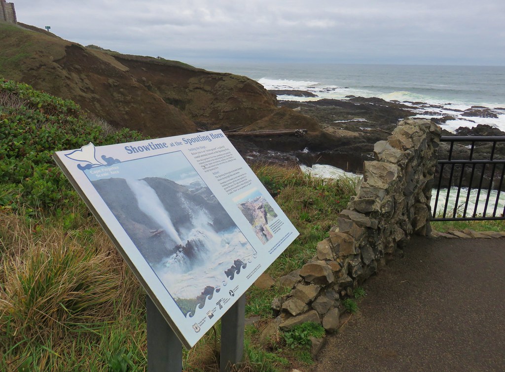
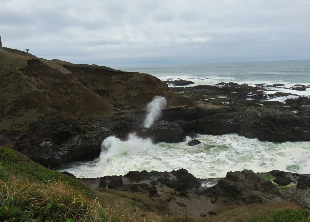
We also hadn’t even noticed Thor’s Well that day but this time we knew what we were looking for and the Ocean was more cooperative.


It was a bit of a zoo with people in the area though so we didn’t stay long and were soon heading back up the St. Perpetua Trail and past the shelter where the view had become much cloudier.
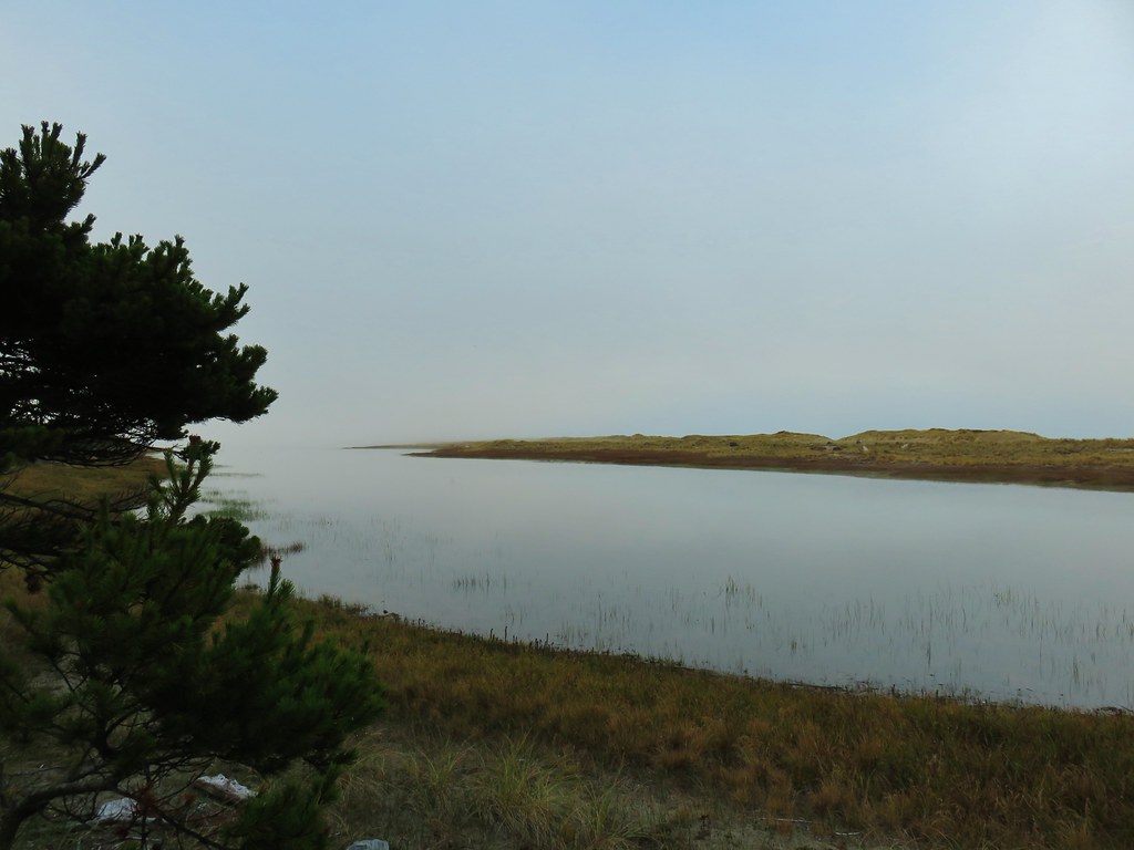
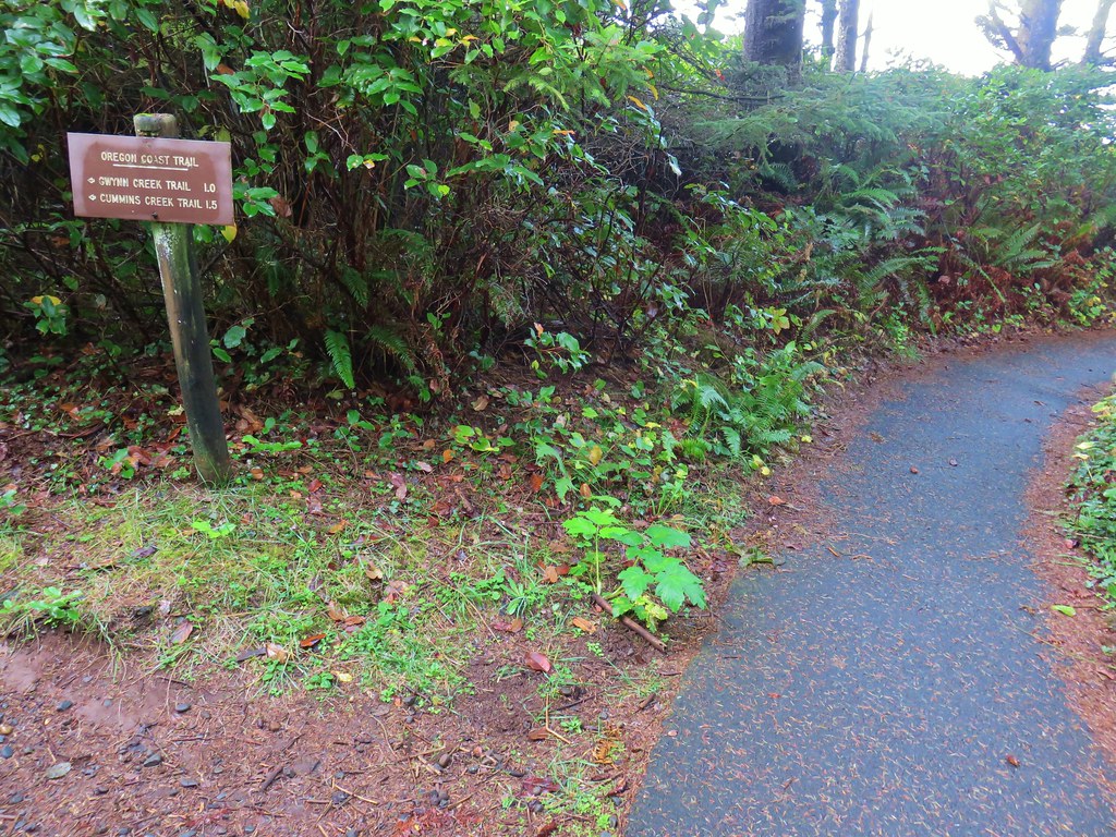
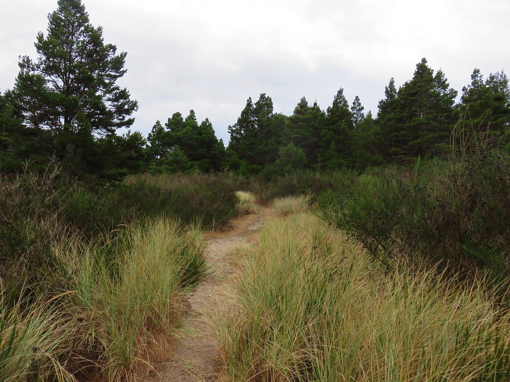
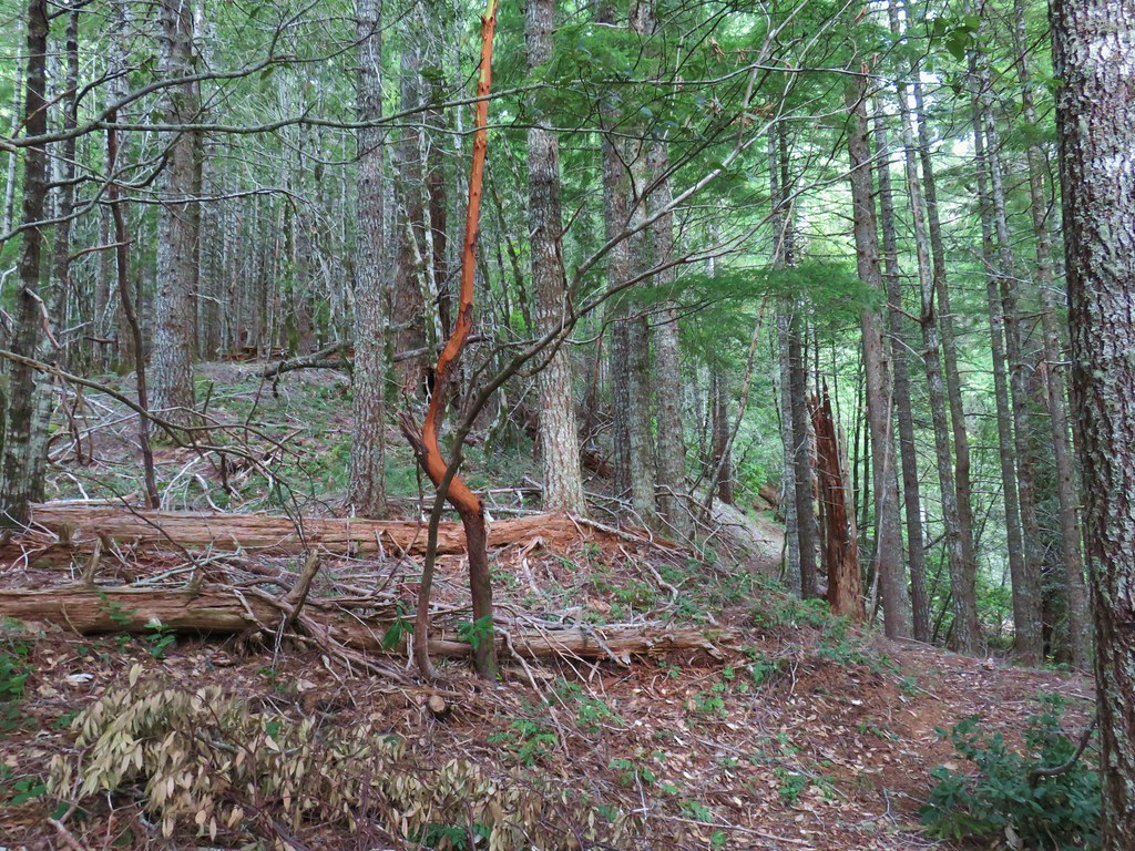
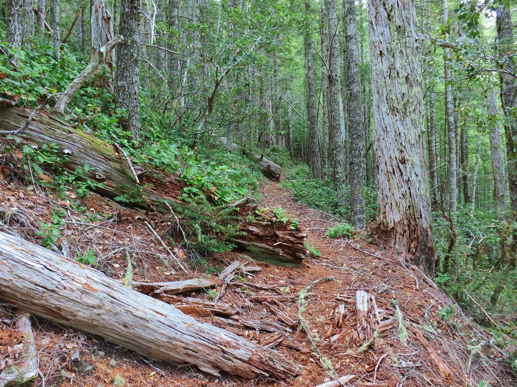
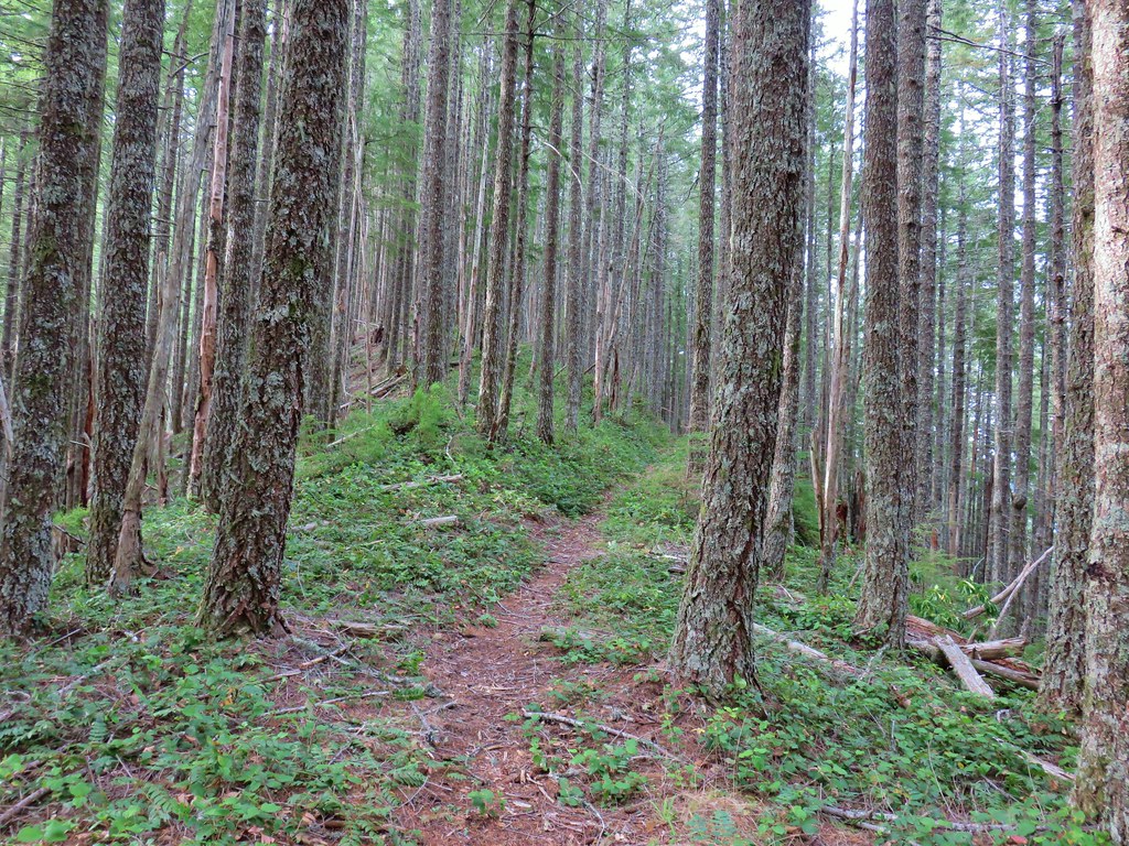
The rain mostly held off as we made the two and a quarter mile horseshoe through the forest along the ridges above North Cape Creek between the shelter and Amanda’s Statue.
By the time we reached the grotto, where we encountered a Boy Scout Troop, a steady light rain was falling. The rain continued to pick up as we made our way back to the Highway 101 crossing south of Yachats.

Overall it had been an excellent day, the rain had held off long enough for us to get some nice views and stay relatively dry without having to put on our rain gear. We got to finish up the trails in the Cape Perpetua Scenic Area and had unintentionally timed it better for the Spouting Horn and Thor’s Well. Oh and we also had that delicious lemon muffin mid-hike so yeah it was a pretty good way to end our 2018 hiking season. We do plan on getting a couple more hikes in this year but from November through April we drop down to just one outing (or so) a month. Happy Trails!
Flickr: Amanda’s Trail to Cape Perpetua


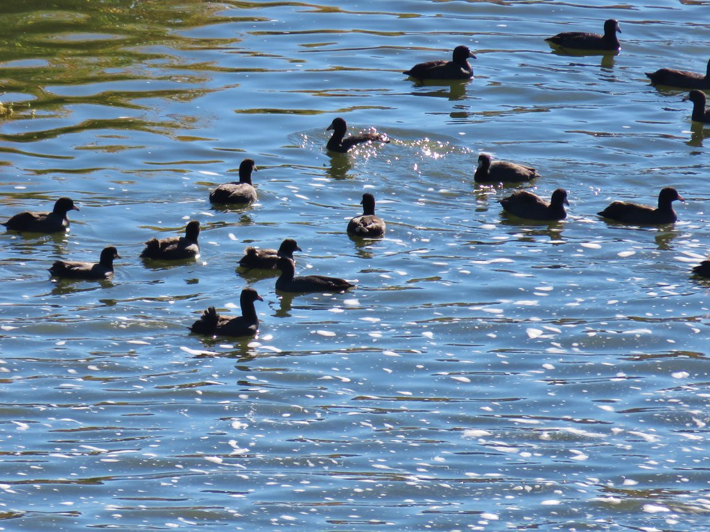 Coots
Coots Scrub jay
 White pelican, coots, and a cormorant
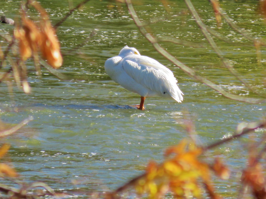 White pelican
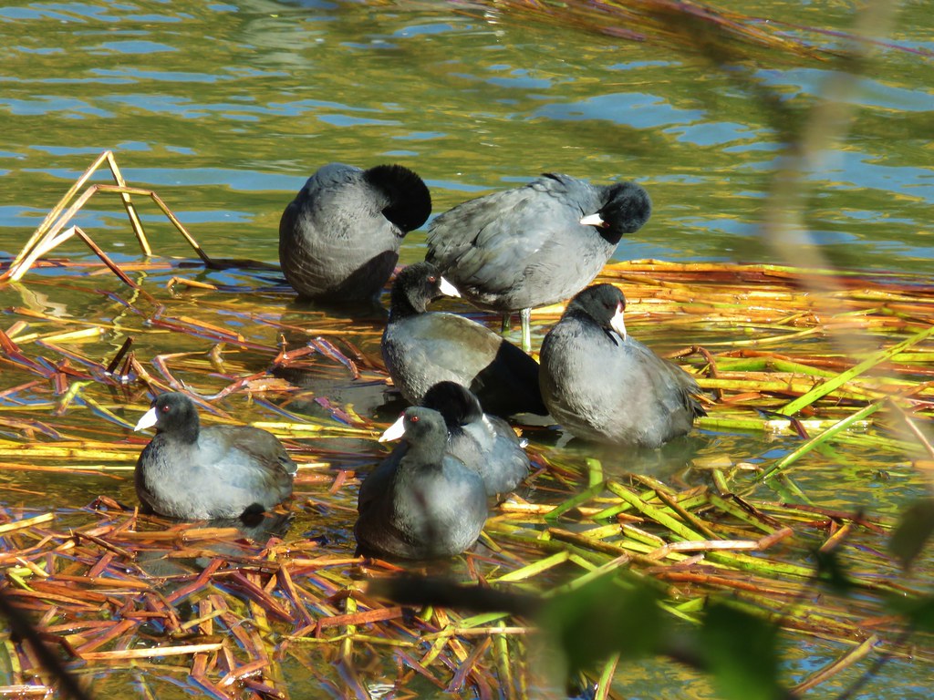 Coots
Coots


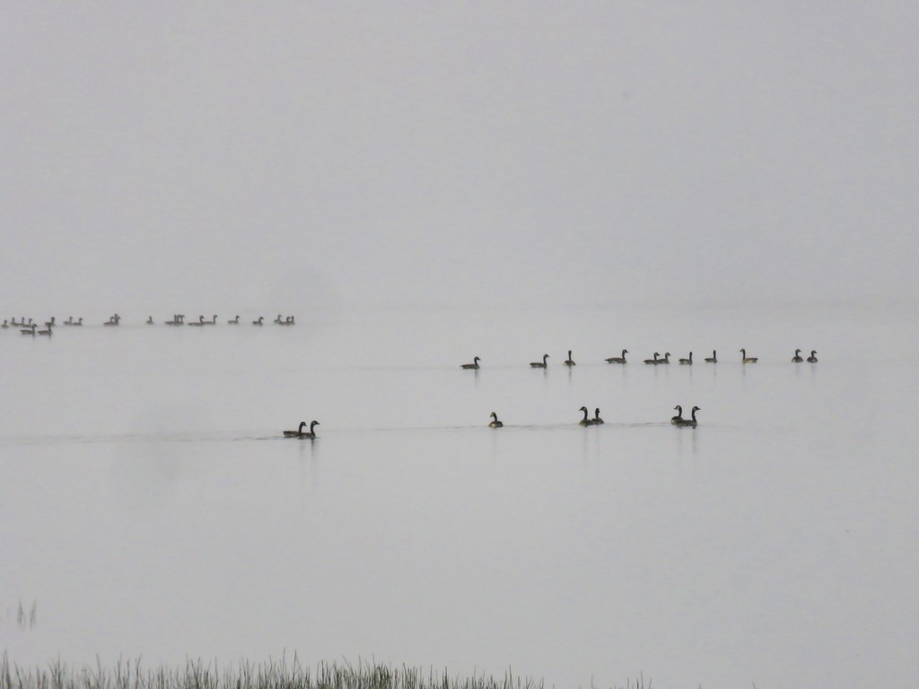
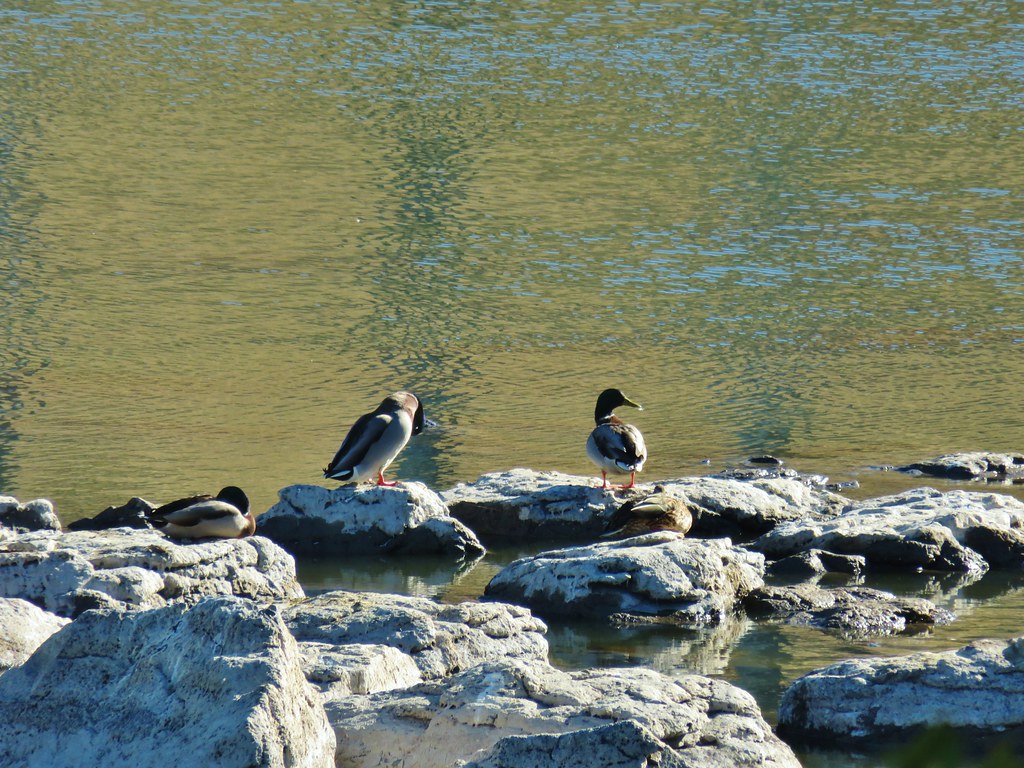
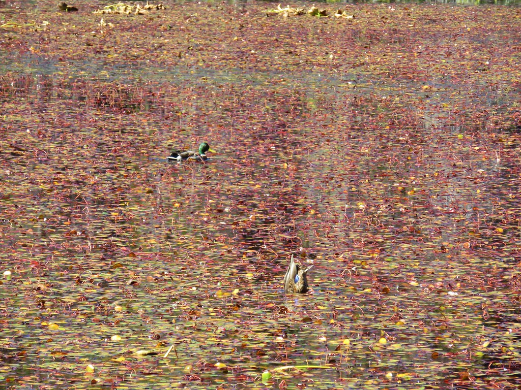
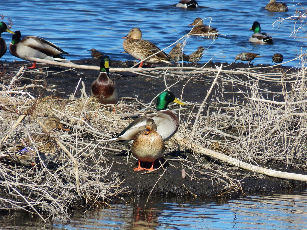 Mallards and other birds
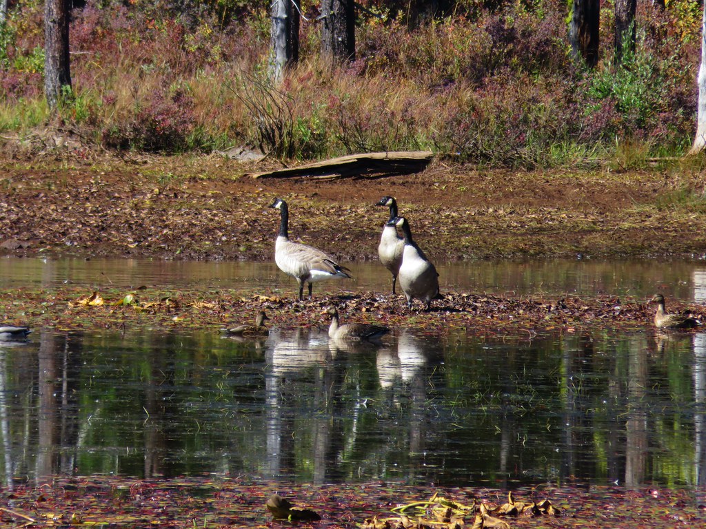
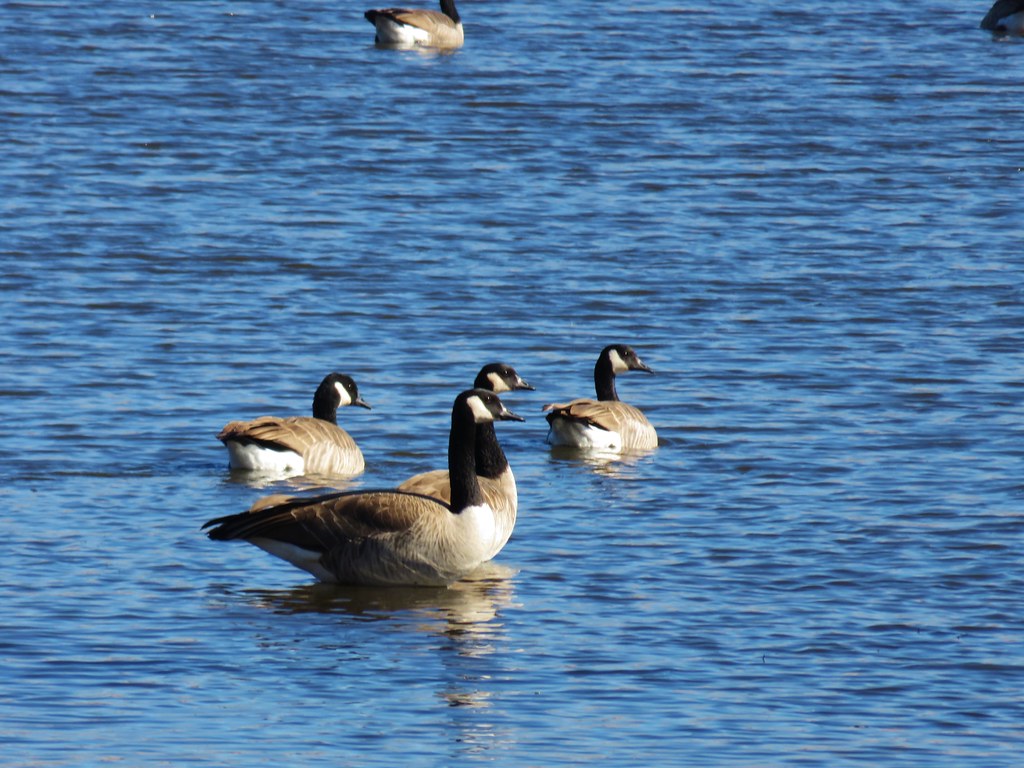 Canada geese
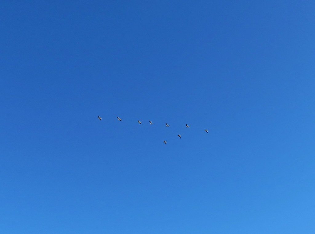 Pelicans in flight
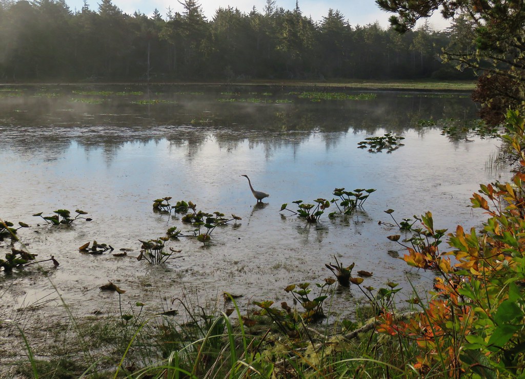
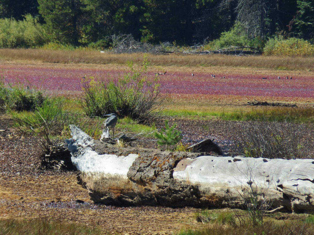
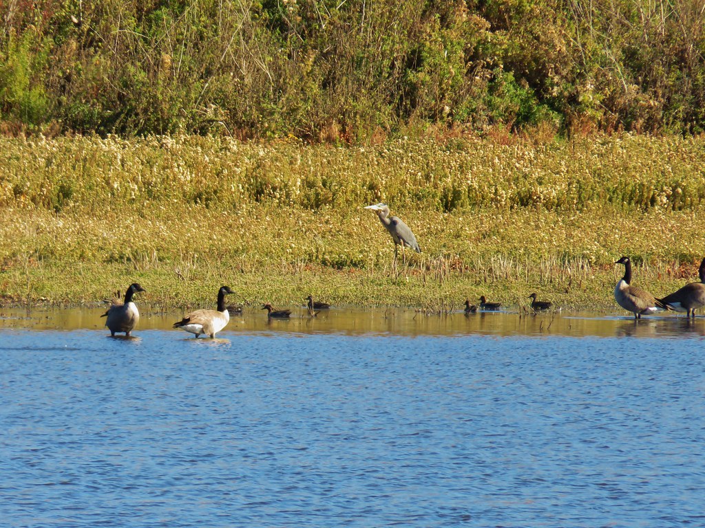 Great blue heron among others
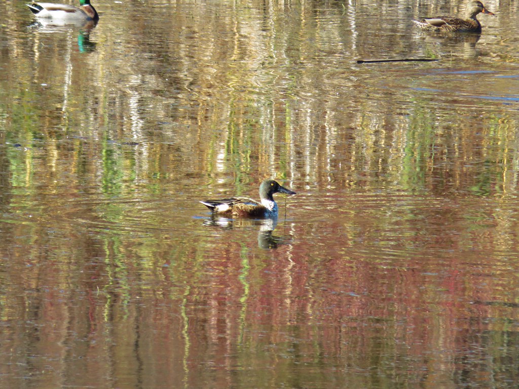 Northern shoveler
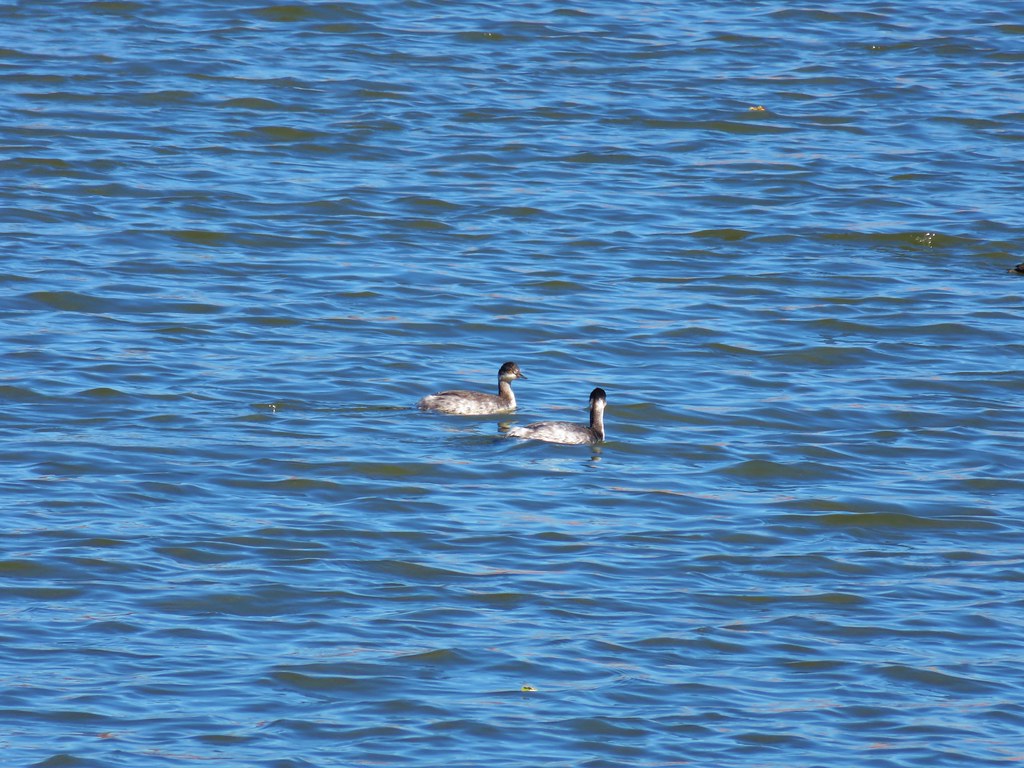 Horned grebes
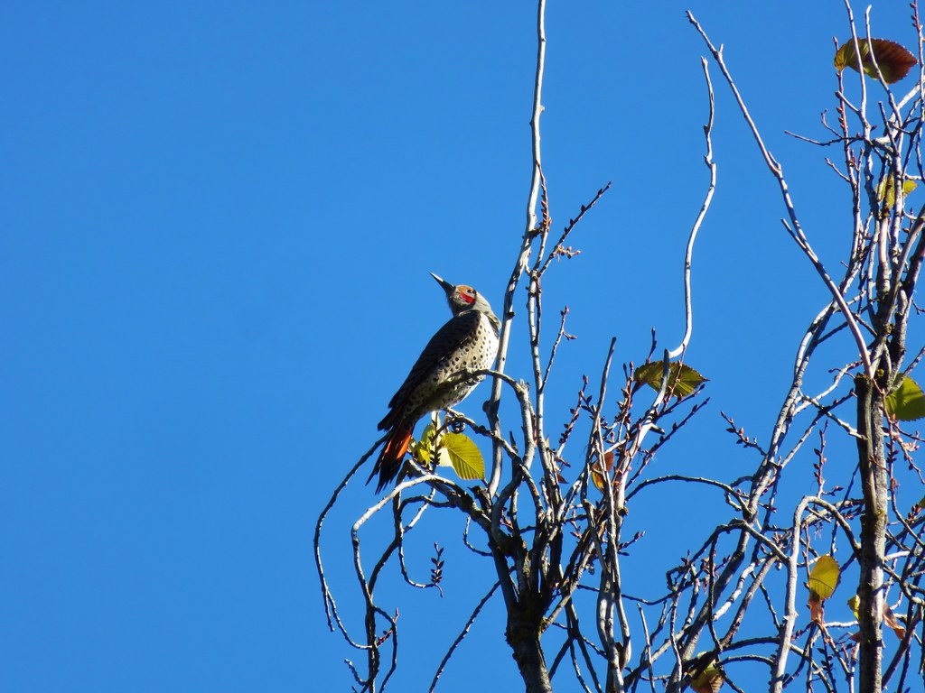 Northern flicker
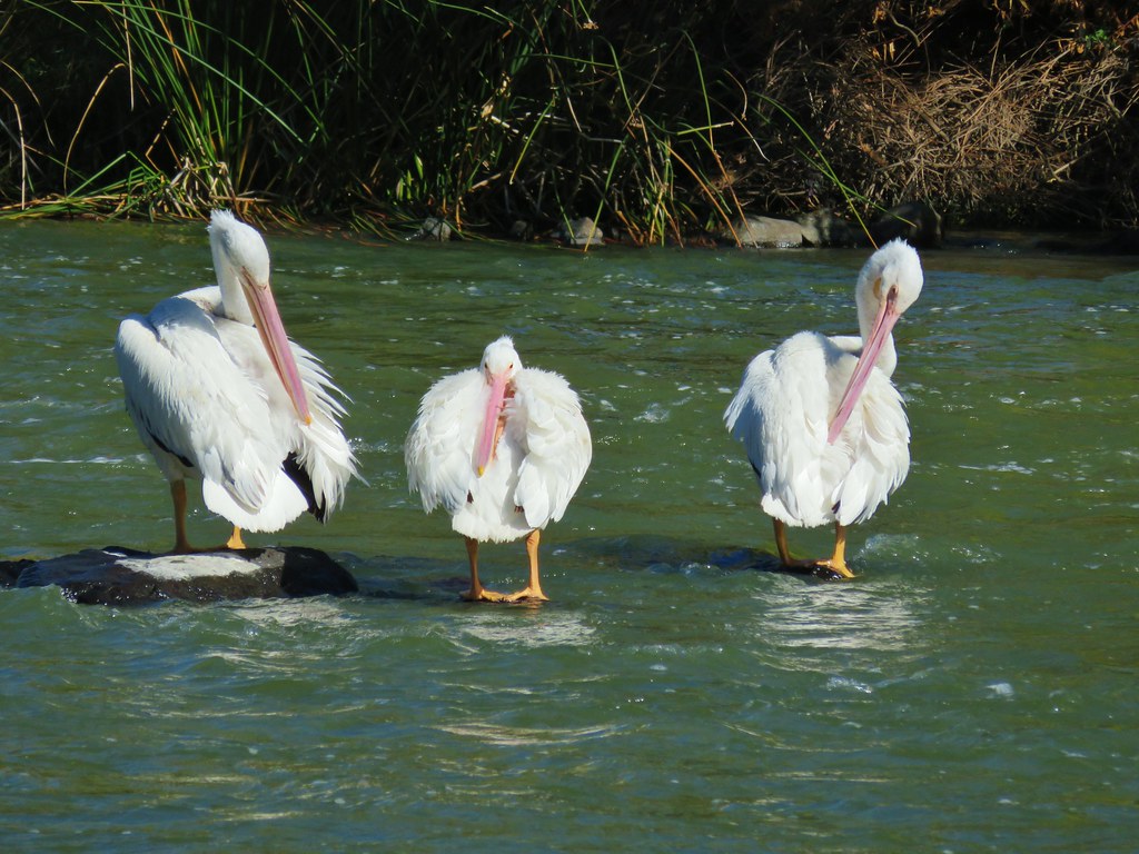 More pelicans
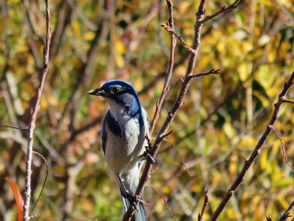 Another jay
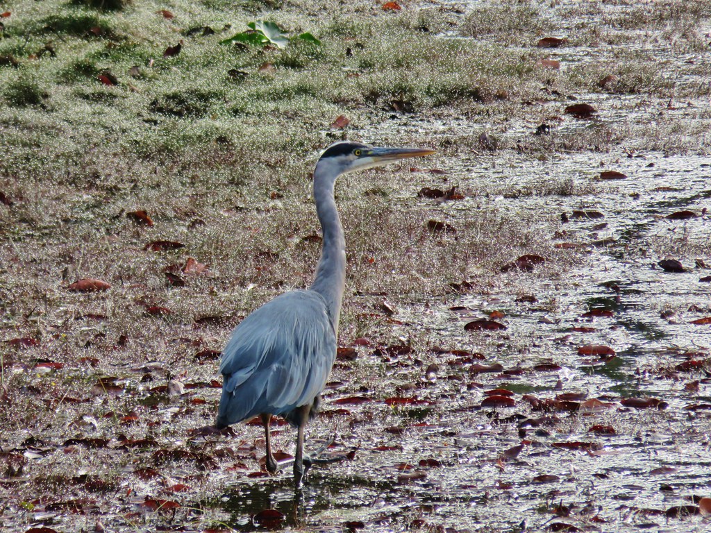
 Great blue heron on the rocks
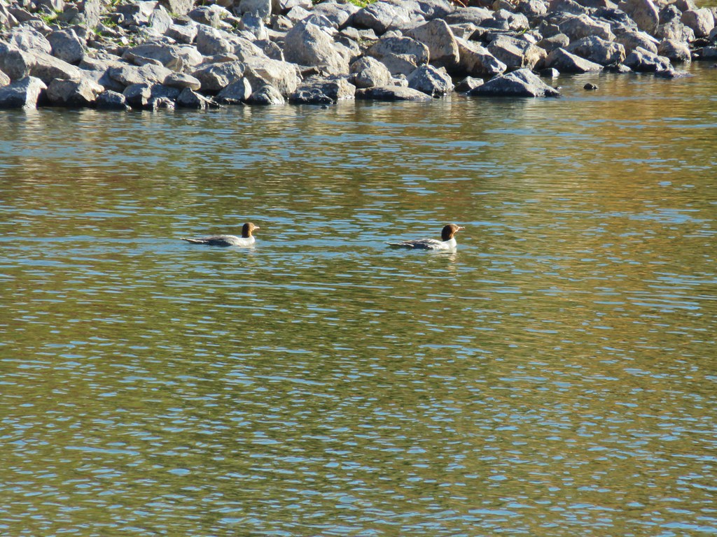
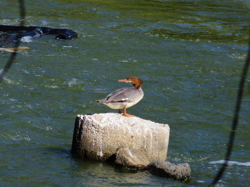 Common merganser
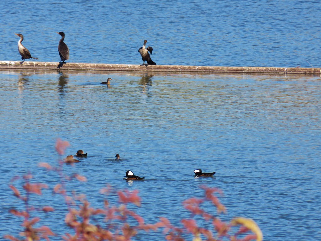 Hooded mergansers (in the foreground)
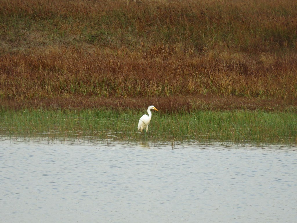
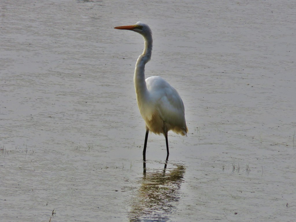
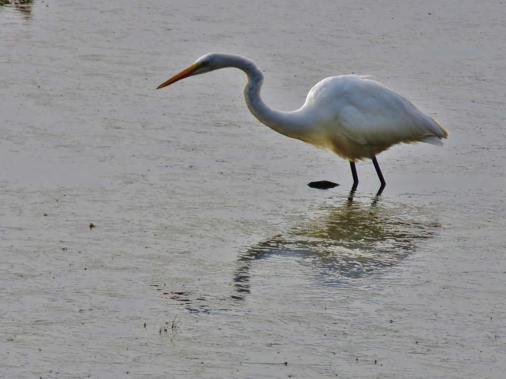
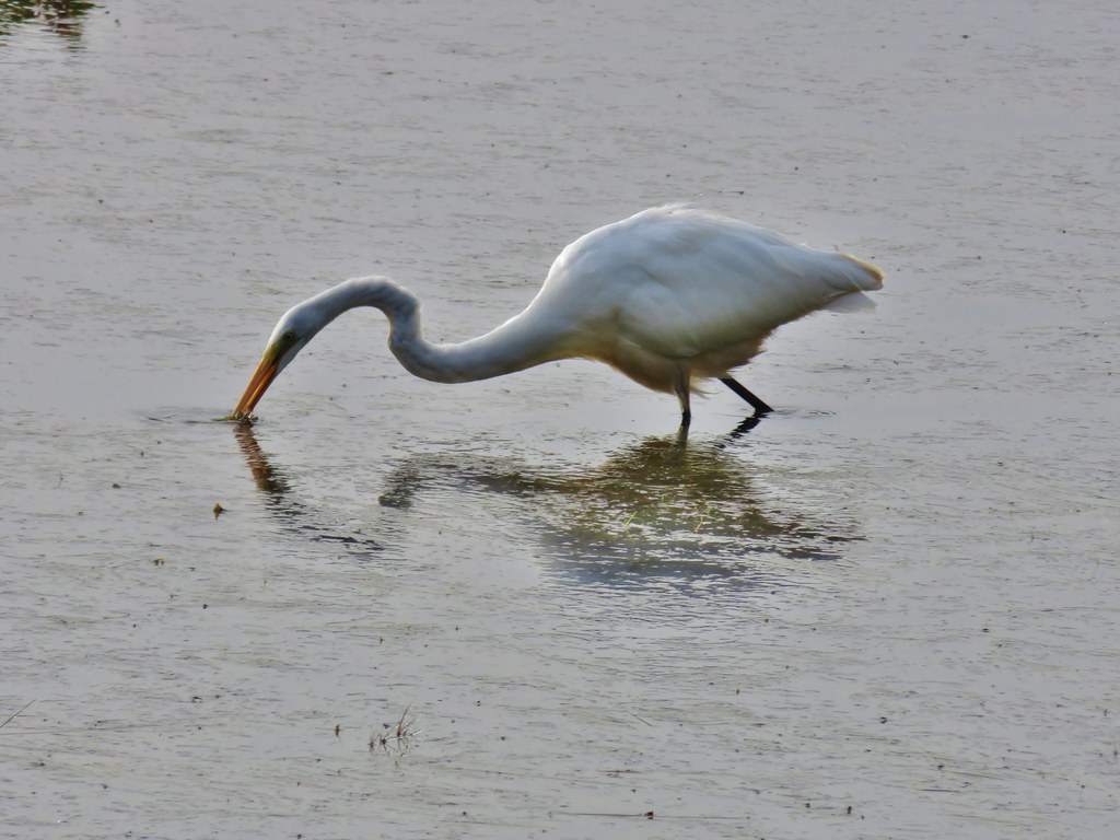
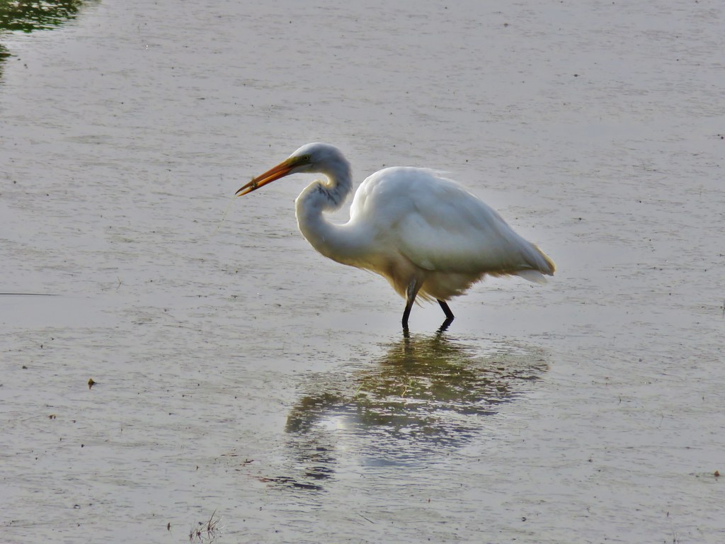
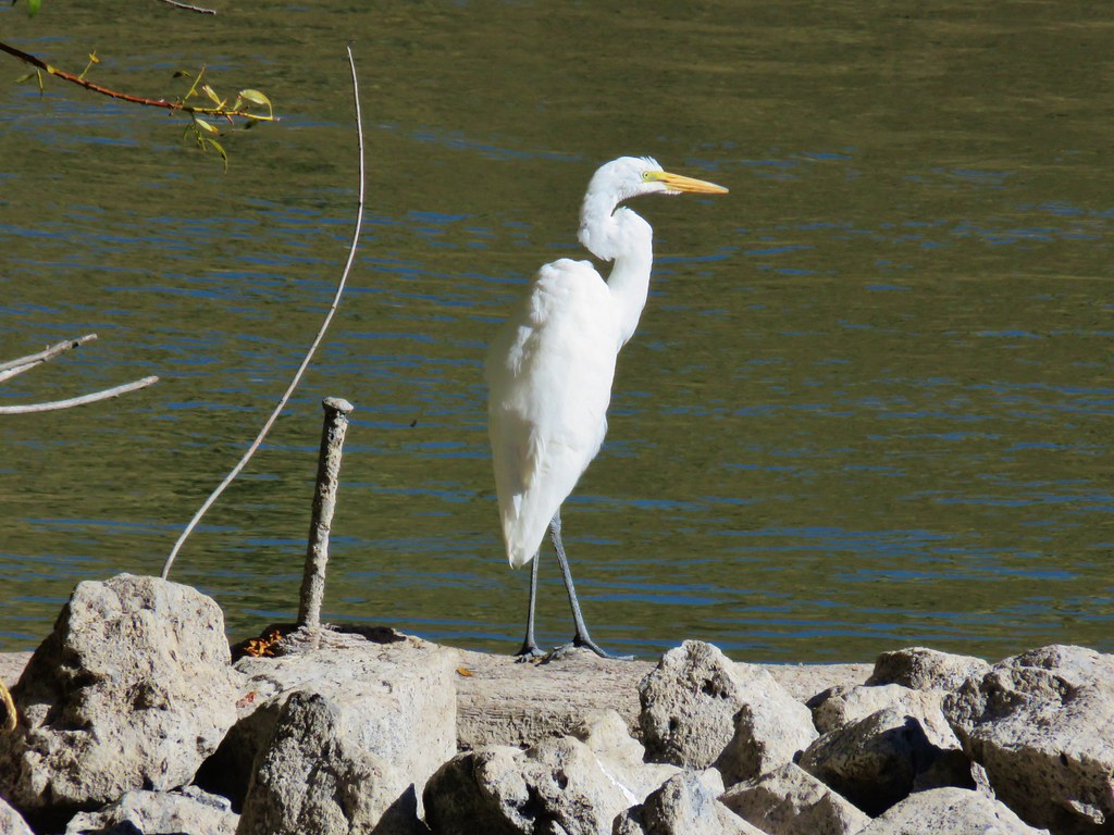 Egret
Egret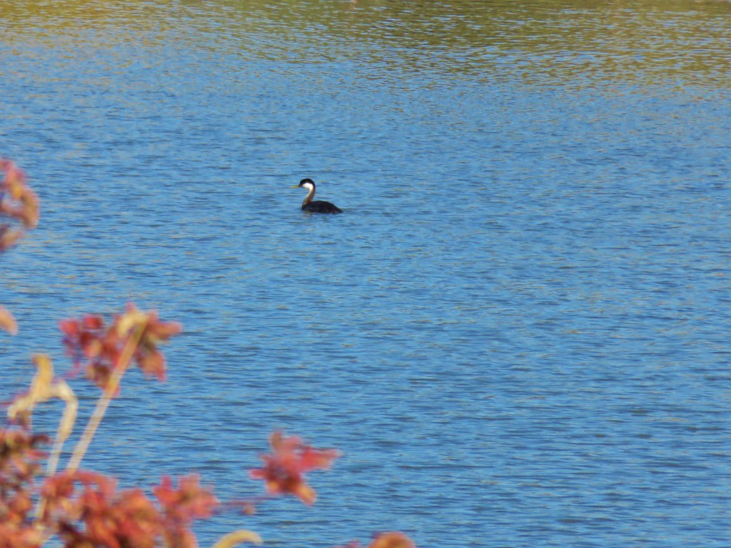 Western grebe


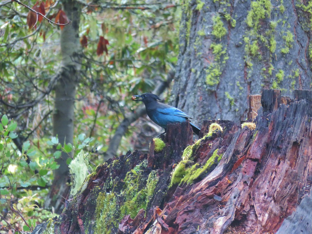 Stellar’s jay
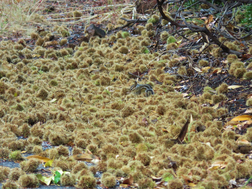 Chipmunk
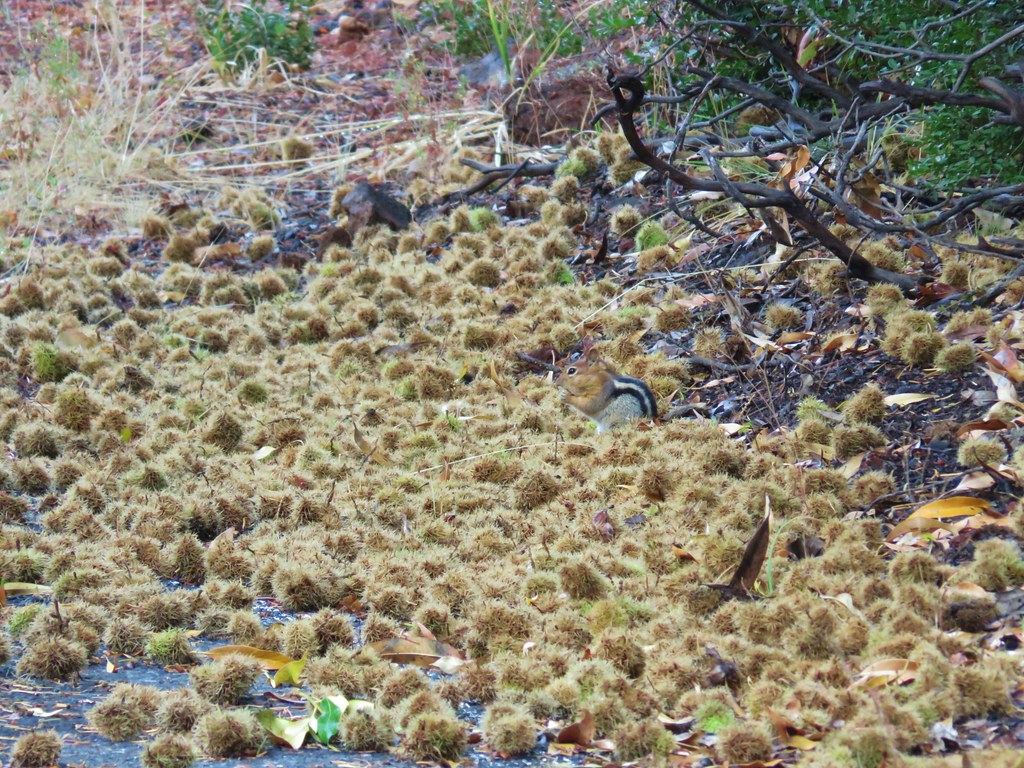 Golden-mantled ground squirrel


 <
<

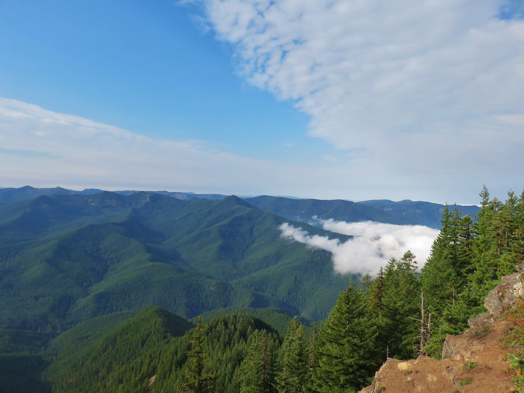
 The rocky ridge
 Mt. St. Helens
 Mt. Rainier
 Mt. Adams

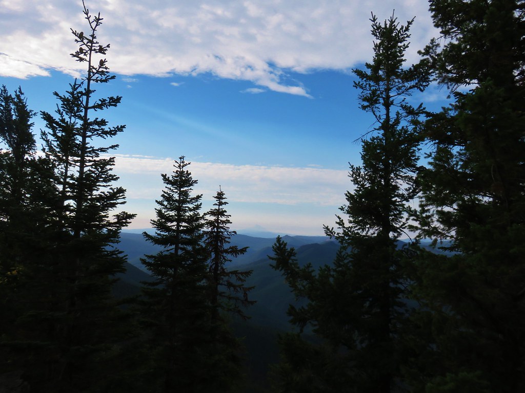 Mt. Jefferson in some haze to the south.
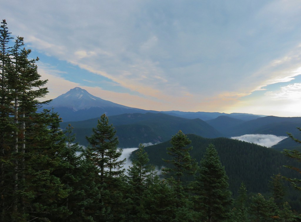 Mt. Hood
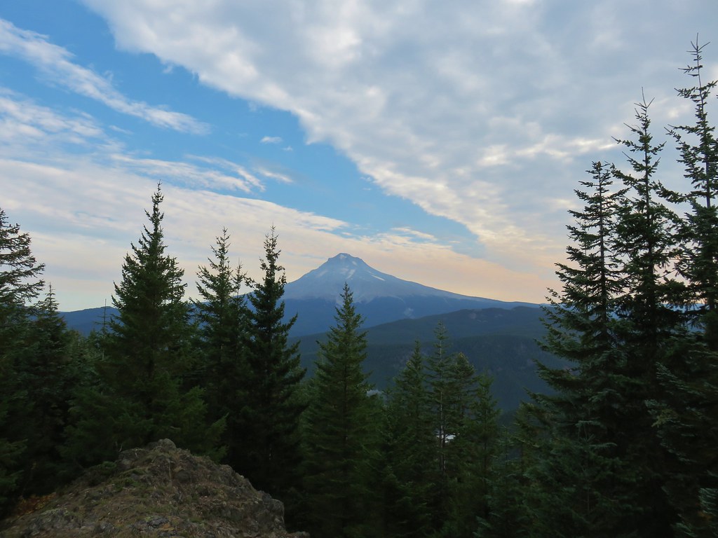
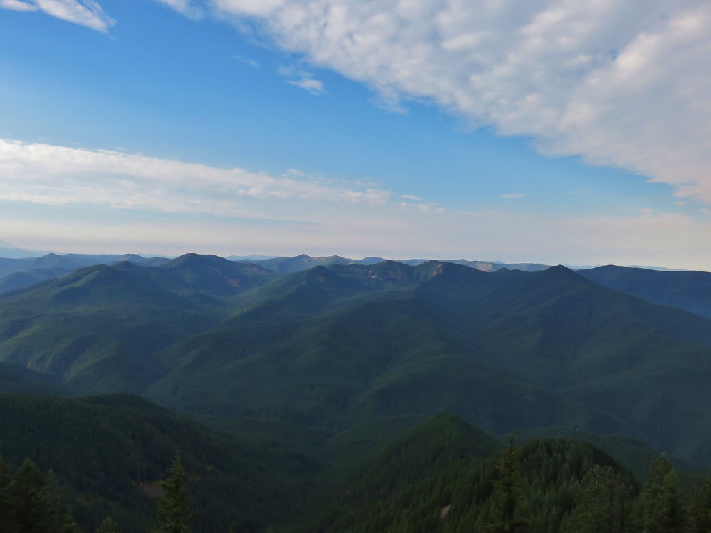 Salmon-Huckleberry Wilderness
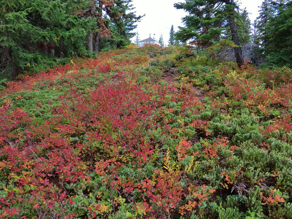
 Clouds coming up the Salmon River Valley
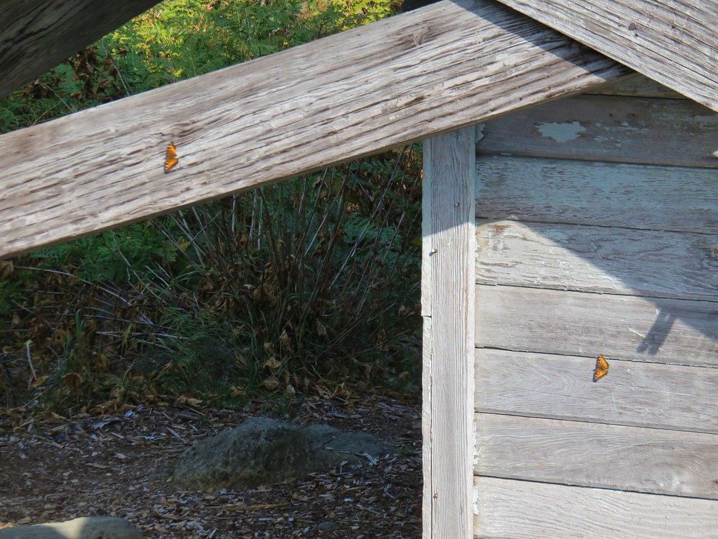 Butterflies on the lookout.
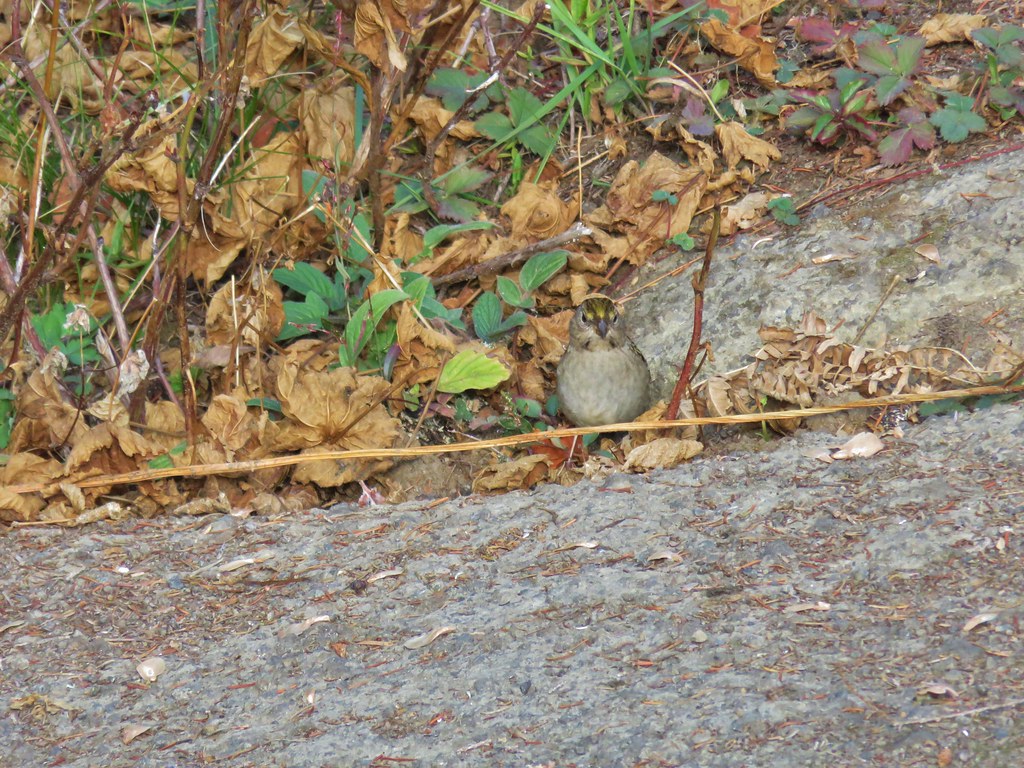 One of several birds foraging in the bushes near the lookout.
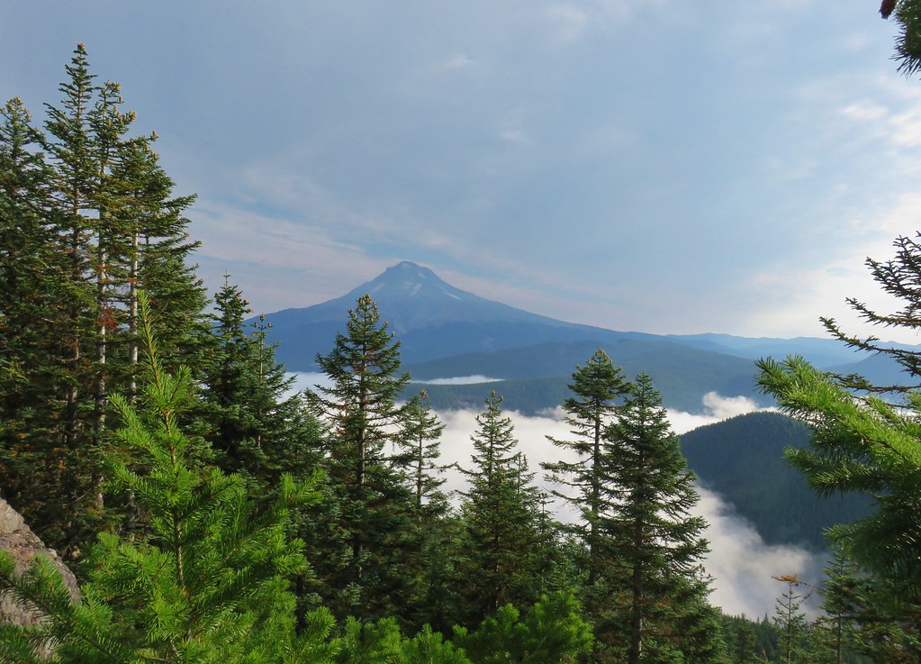


 Redtop Mountain
 Lakeview Mountain (to the right behind clouds)


 Barklow Mountain West Trailhead
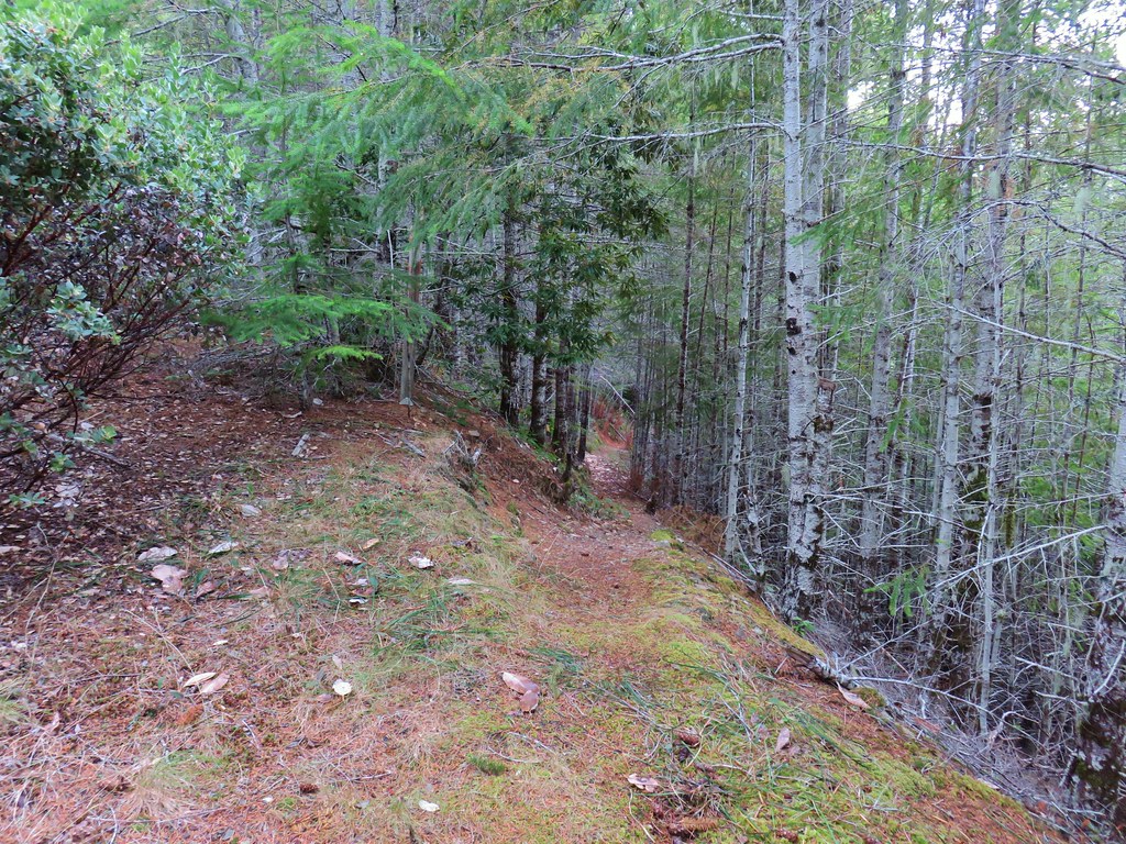


 Grassy Knob is on the horizon just to the left of the near trees.
 Copper Mountain from the lookout site.