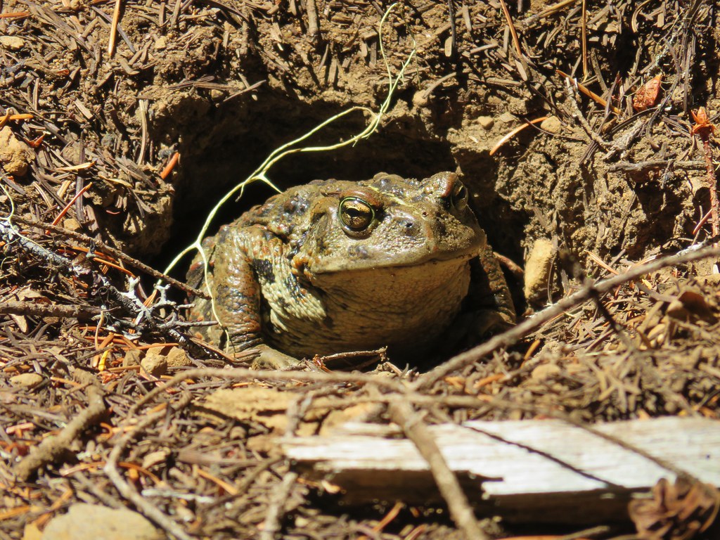
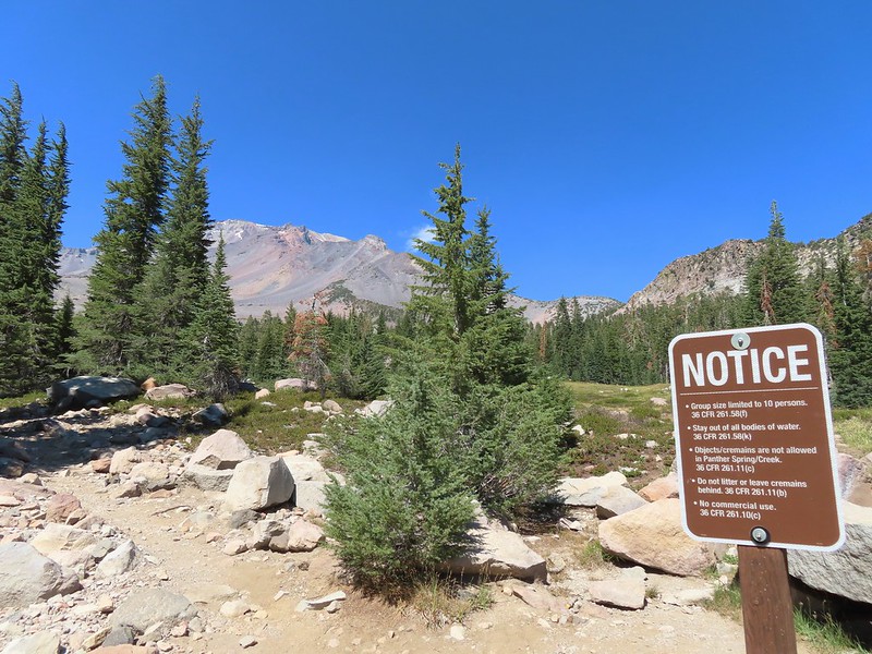
For the second hike of my September vacation I decided to revisit one of our earliest hikes. Our first visit and only previous visit to Duffy Lake (post) had been over 15 years ago and was only our 14th day spent hiking. Since that time I have spent 774 more days on trails. My plan for this outing was to revisit Duffy and Mowich Lakes and to continue on to Jorn Lake which we had visited on a 2016 hike starting from the Marion Lake Trailhead (post). I left open the option to hike up Red Butte depending on the amount of wildfire haze, and how I was feeling.
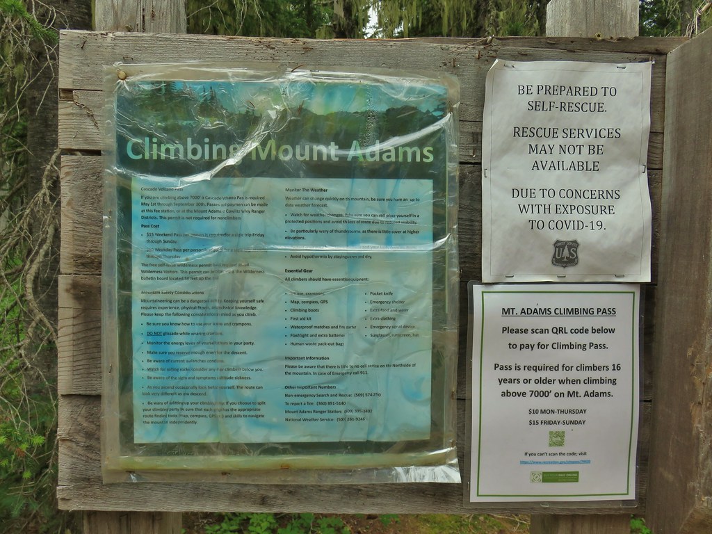
I obtained a Central Cascades Wilderness Day Use Permit for the Duffy Lake Trailhead and arrived shortly before sunrise (I had expected to be delayed by road construction.)

There were already a lot of cars at the trailhead.
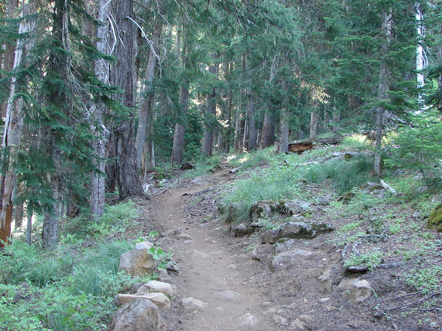
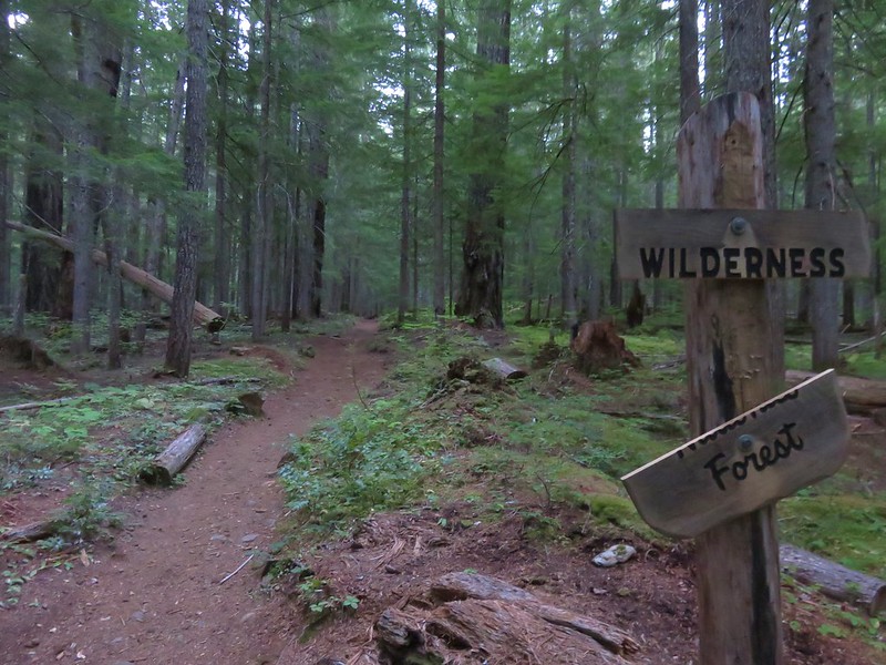
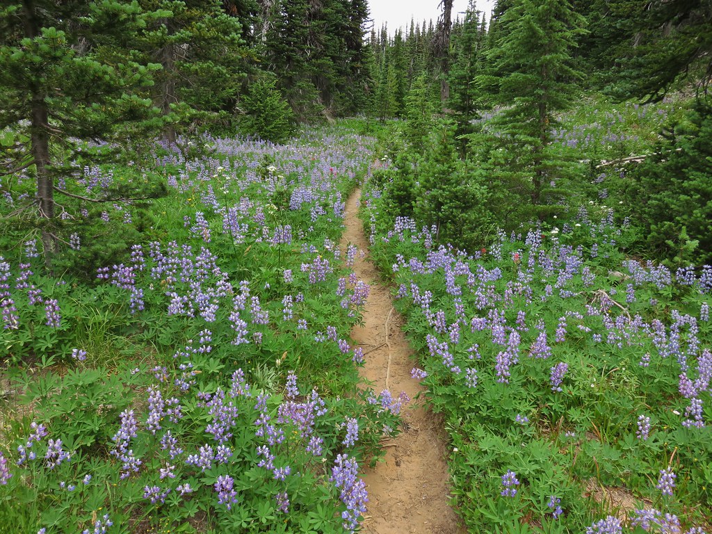
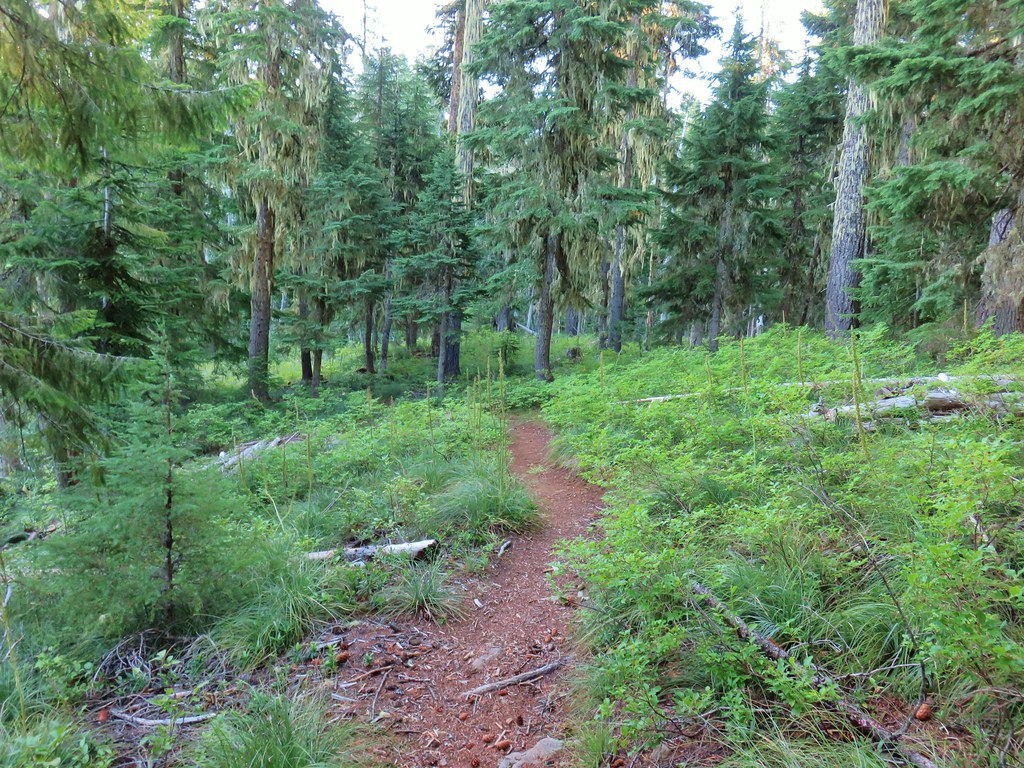
I set off on the Duffy Lake Trail which was quickly joined on the left by the main spur of the Duffy Lake Trail which begins at Big Meadows Horse Camp at the Mt. Jefferson Wilderness boundary.

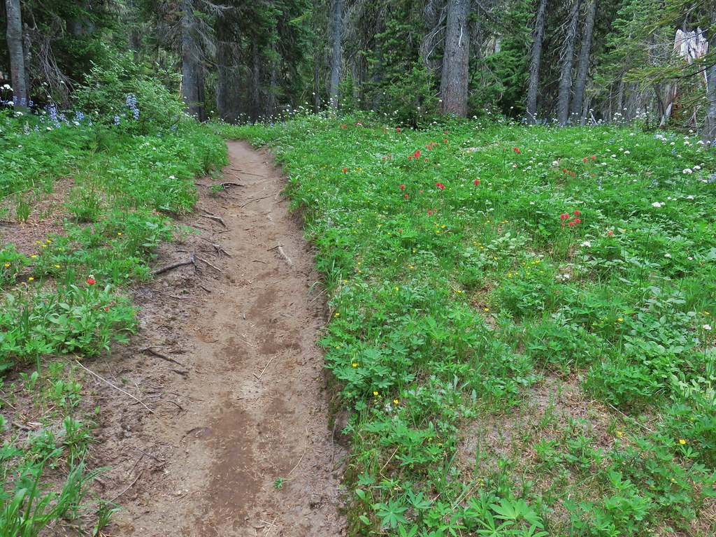
It’s 3.3-miles and 750′ of elevation gain to Duffy Lake from the trailhead which makes for a pretty gentle climb. Both Heather and I prefer to have shorter sections broken up by markers (preferably no more than 1.5-miles) and for this hike I used a couple of trail junctions to do just that. From the junction with the cutoff to Big Meadows Horse Camp it is approximately 1.4-miles to the Turpentine Trail.


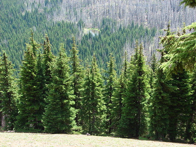
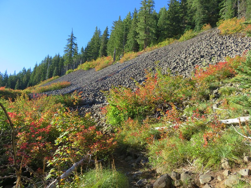
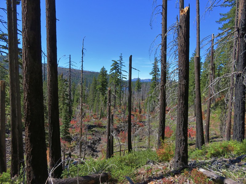
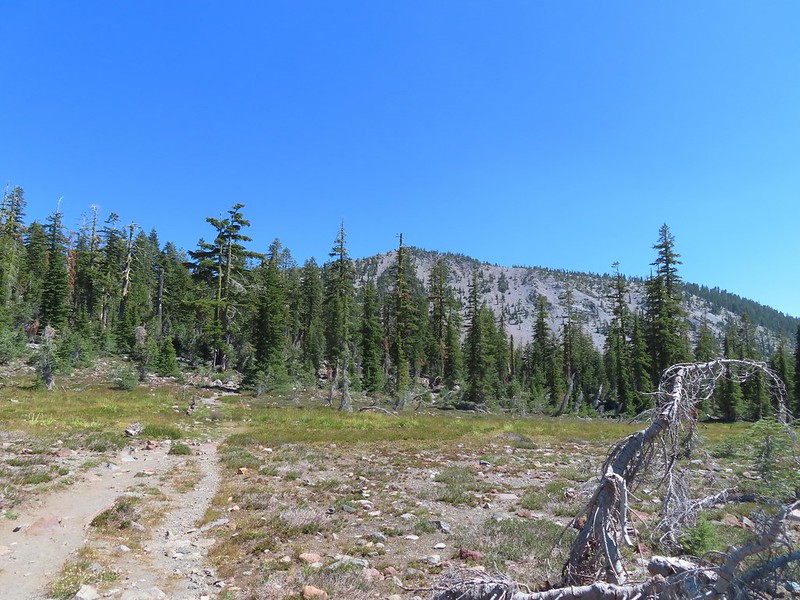
The first of two rock fields along this stretch. I heard a couple of pikas but was unable to spot any of them.


The second rock field.

You can loop back to the trailhead by combining this trail with the Big Meadows Tie Trail which brings you to the Duffy Lake Trail coming from the horse camp about a half mile from the junction near the trailhead. Heather and I did that in 2010, but I opted not to add the additional three quarters of a mile to my day.
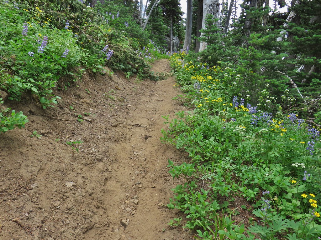
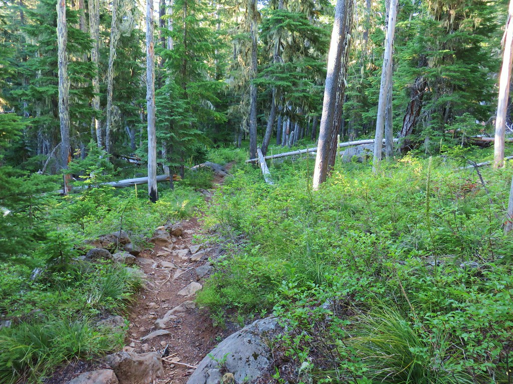
From the junction with the Turpentine Trail it is another mile and a half to the next junction with the Lava Lakes Trail.


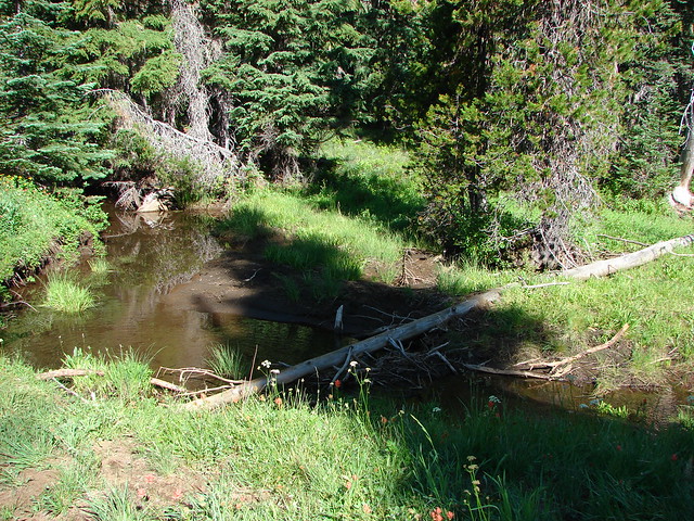
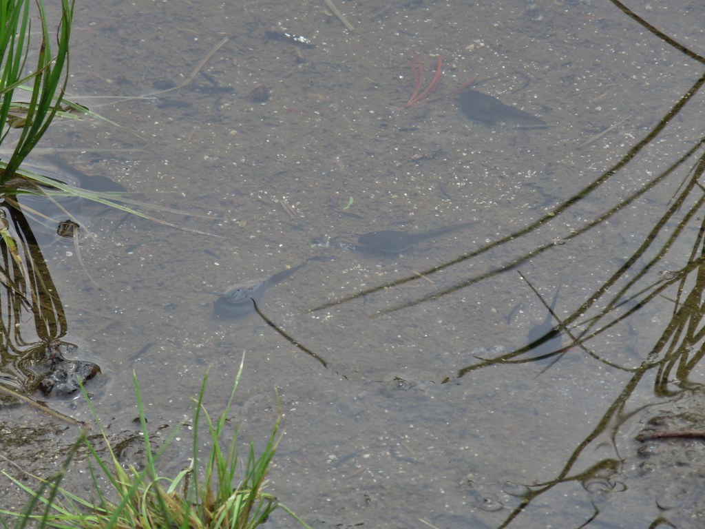
The North Santiam River’s dry bed alongside the trail.

The trail crossing the riverbed.

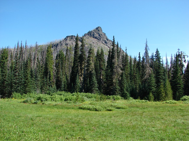
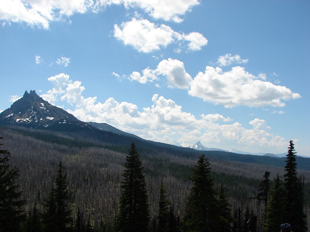
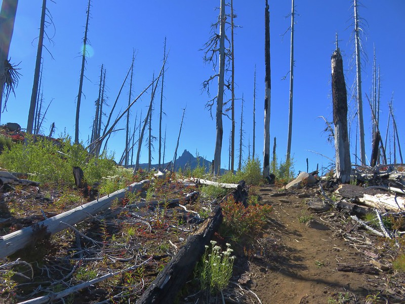
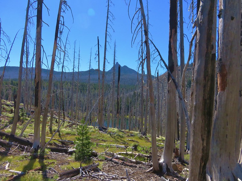
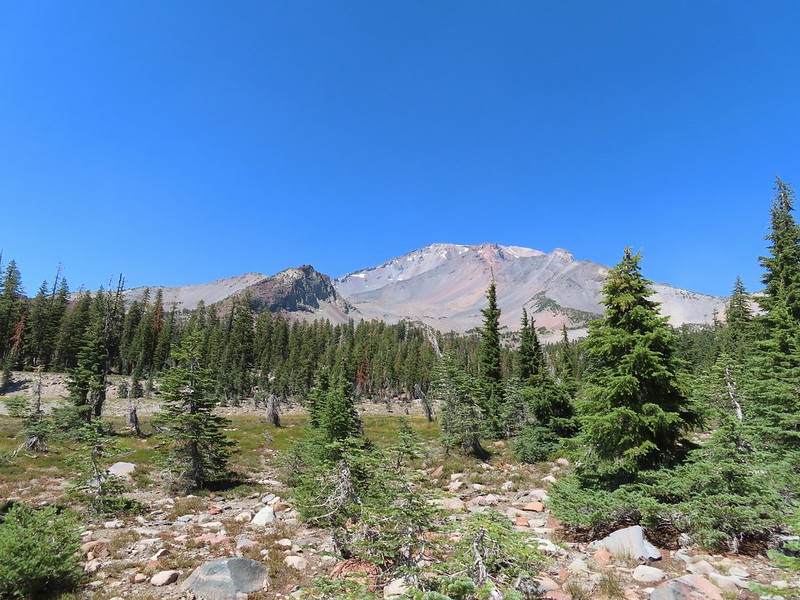
A small part of Duffy Butte visible ahead.

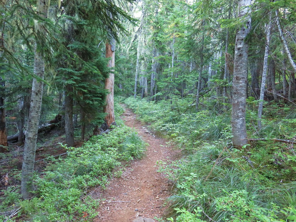
The Lava Lakes Trail connects to the Maxwell Butte Trail (post) 2.8-miles away at Twin Lakes.
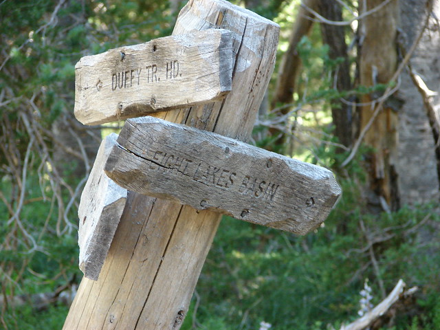
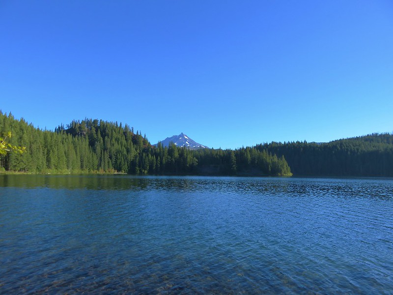
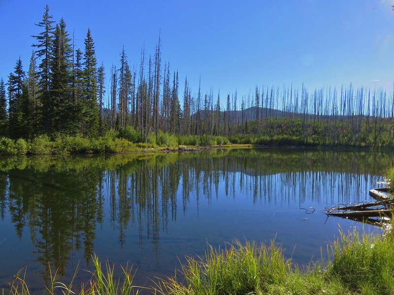
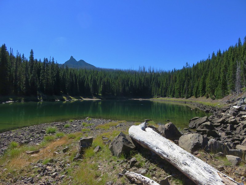
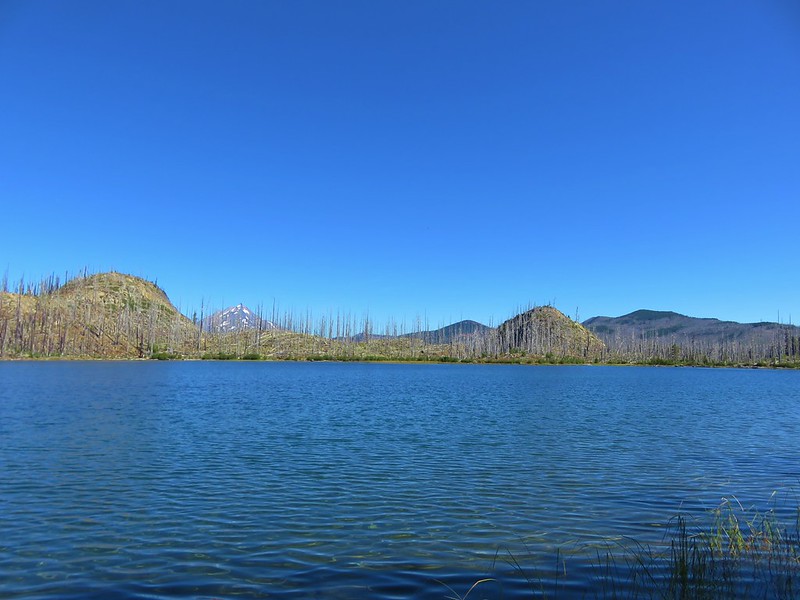
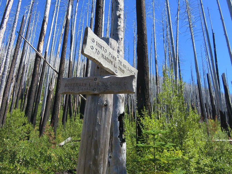
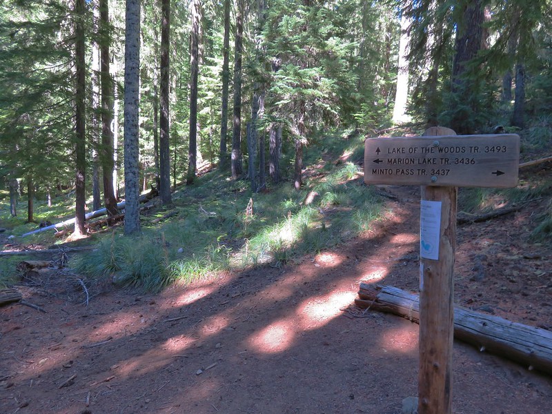
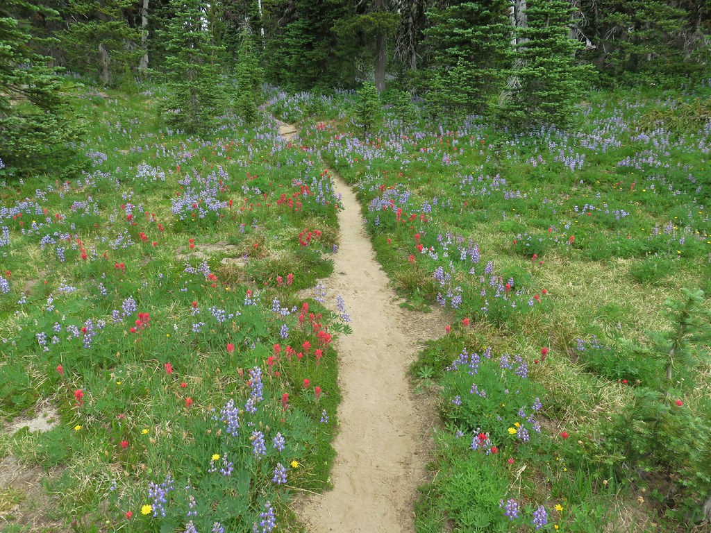
Three tenths of a mile from the Lava Lakes Trail I arrived at a 4-way junction at the SW end of Duffy Lake where a day use area provides a nice view.

Signs at the 4-way junction. The day use area was to the left and the faint 0.4-mile Duffy Prairie Trail forked off to the right.

Day use sign on the tree at the bottom.


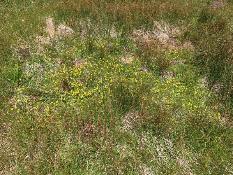
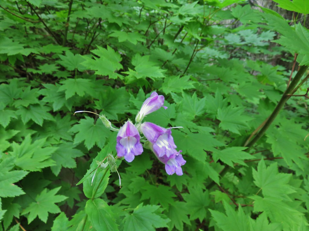
Lousewort

Aster
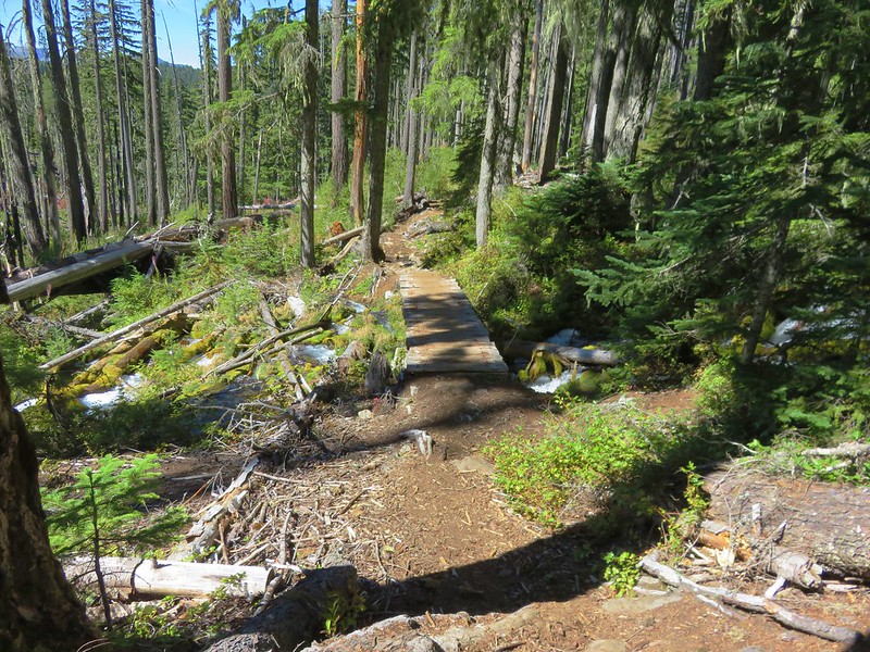
After a quick stop at the day use area I continued along the lake stopping on a footbridge over the outlet which feeds the North Santiam River when the lake is full enough.


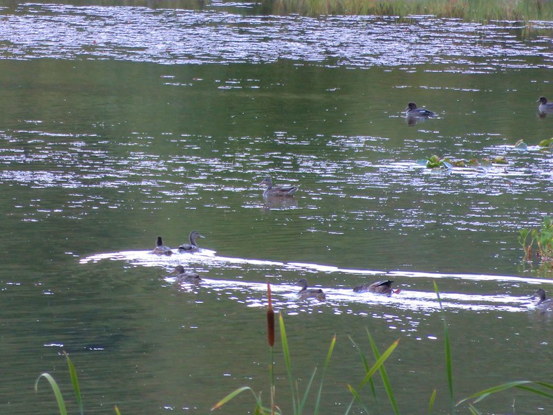
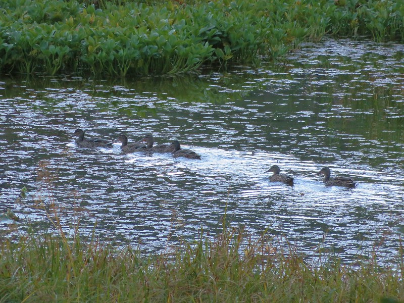
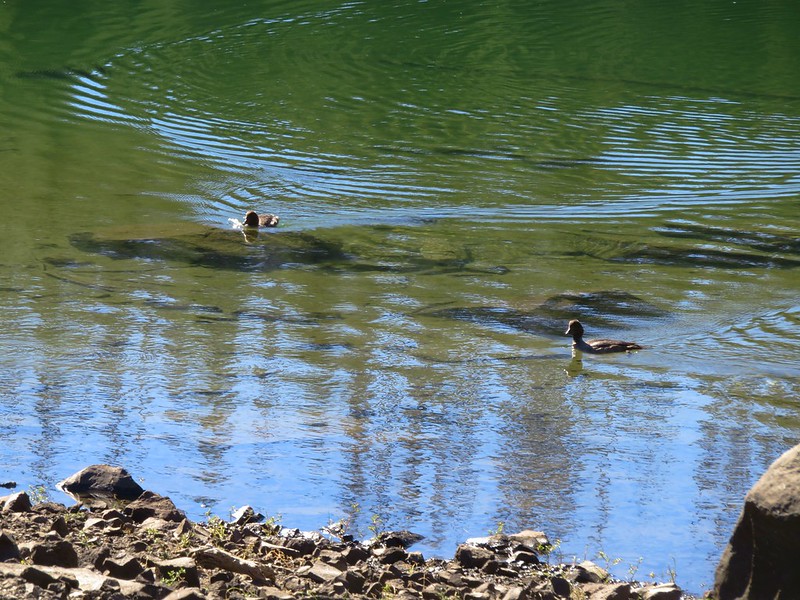
Common merganser
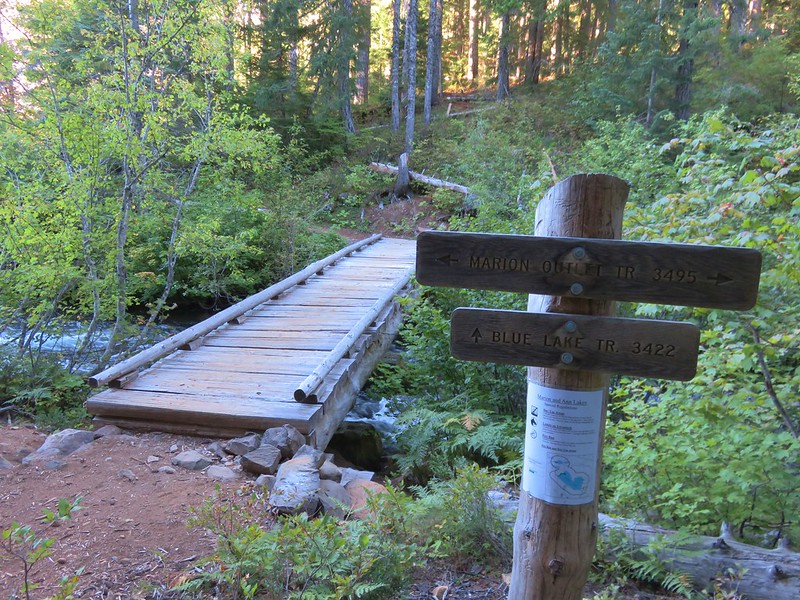
Shortly after crossing the bridge I arrived at a junction with the Blue Lake Trail which marks the end of the Duffy Lake Trail. The Blue Lake Trail is eight miles long with one end a tenth of a mile to the right (east) of the Duffy Lake Trail at a junction with the Duffy Prairie and Santiam Lake Trails and the other end at the Marion Lake Trail. In 2010 we had forked right onto the Duffy Prairie Trail then we took the Santiam Lake Trail to visit Santiam Lake and returned to the Blue Lake Trail via the Dixie Lakes Trail. I knew I wasn’t going to visit Santiam Lake since we had revisited that lake from the Pacific Crest Trail in 2021 (post). I was considering taking the Dixie Lakes Trail on the way back and cutting down here on the Blue Lake Trail though.

For now I continued straight on the Blue Lake Trail passing more great views of Duffy Lake and Butte.

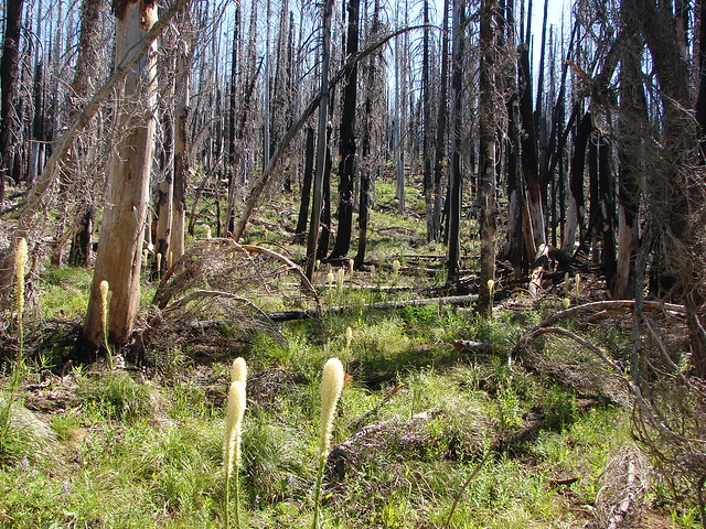
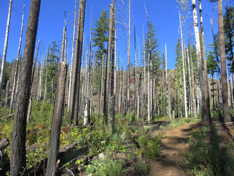
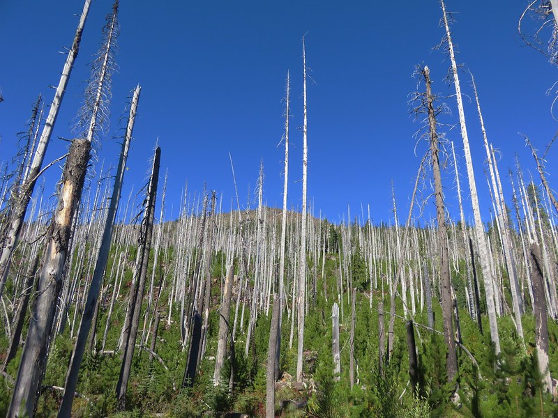
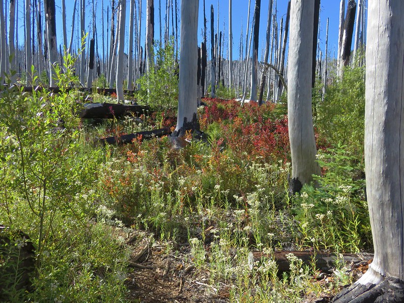
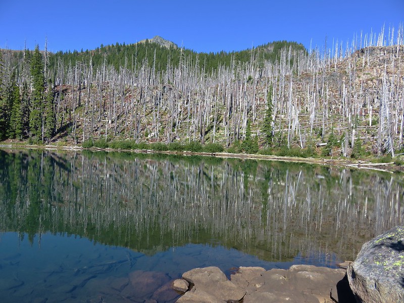
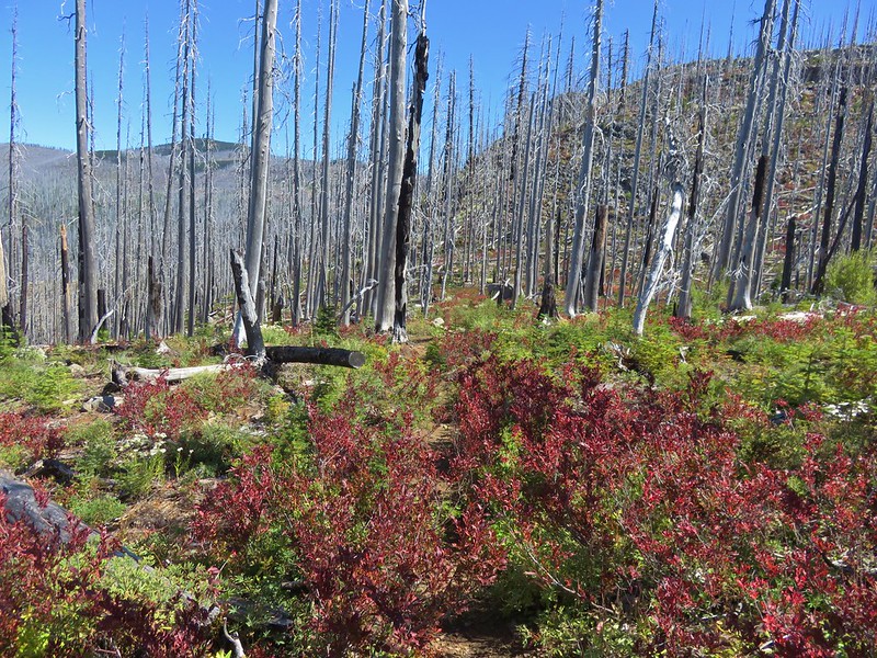
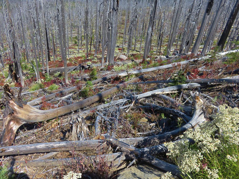
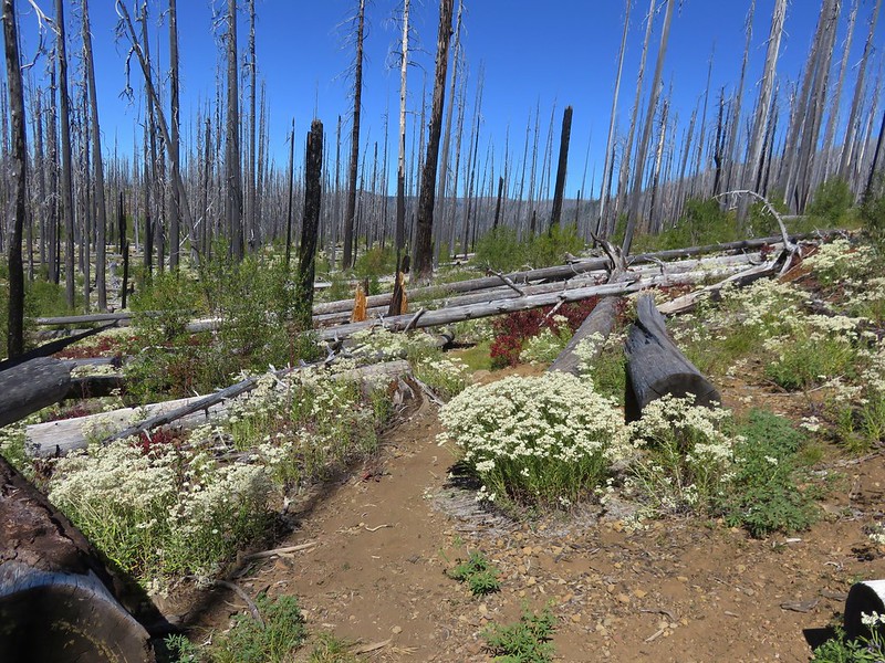
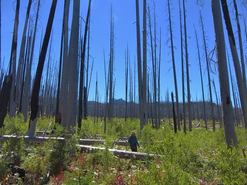
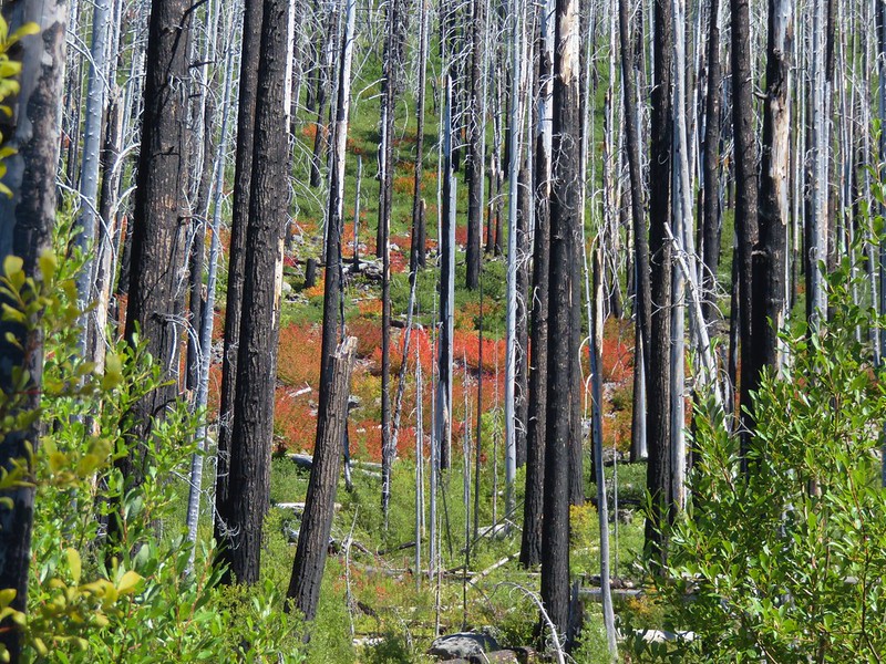
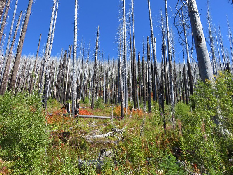
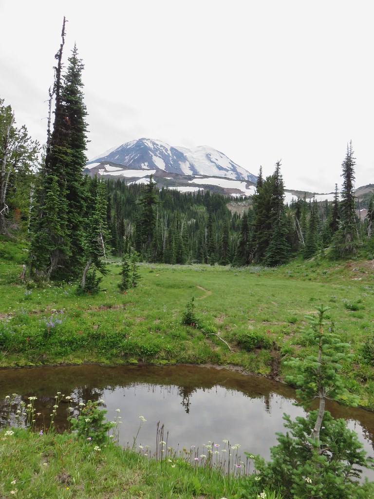
It was just over three quarters of a mile from the Duffy Lake/Blue Lake junction to Mowich Lake which required gaining nearly 300′ of elevation. Along this section the trail passed in and out of the 2003 B&B Fire scar.

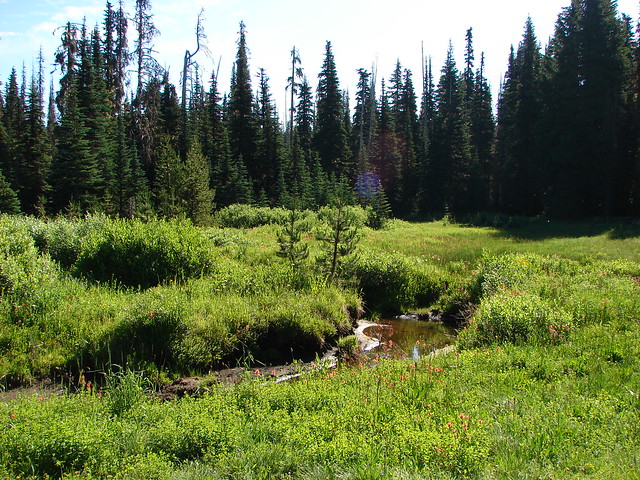
Meadow near the end of Duffy Lake.

Duffy Butte from the fire scar.


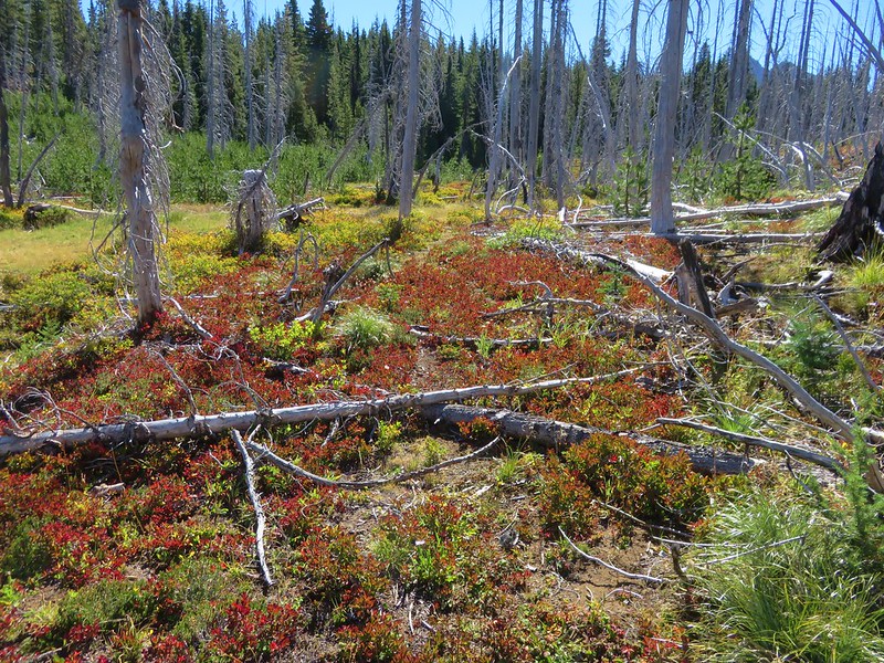
Huckleberry bush

The trail leveled out before arriving at Mowich Lake.

No campfire sign just before the lake. I took the spur to the left which led down to the lake while the Blue Lake Trail continued to the right.

Heading down to Mowich Lake.

Red Butte to the right.

Instead of returning to the trail via the spur I’d come down I decided to follow the lake shore for a bit thinking I would just pop back up on the Blue Lake Trail when another use trail appeared.


American pipit
Opting to follow the lake shore turned out to be a bit of a poor choice. I wasn’t seeing any other use trails and I could see on the map that the Blue Lake Trail veered uphill away from the lake near its middle. After checking my GPS and seeing that I was getting pretty close to where the trail would be turning away, I decided to just turn uphill and bushwack to it.

The trail is up there somewhere.

Found it!

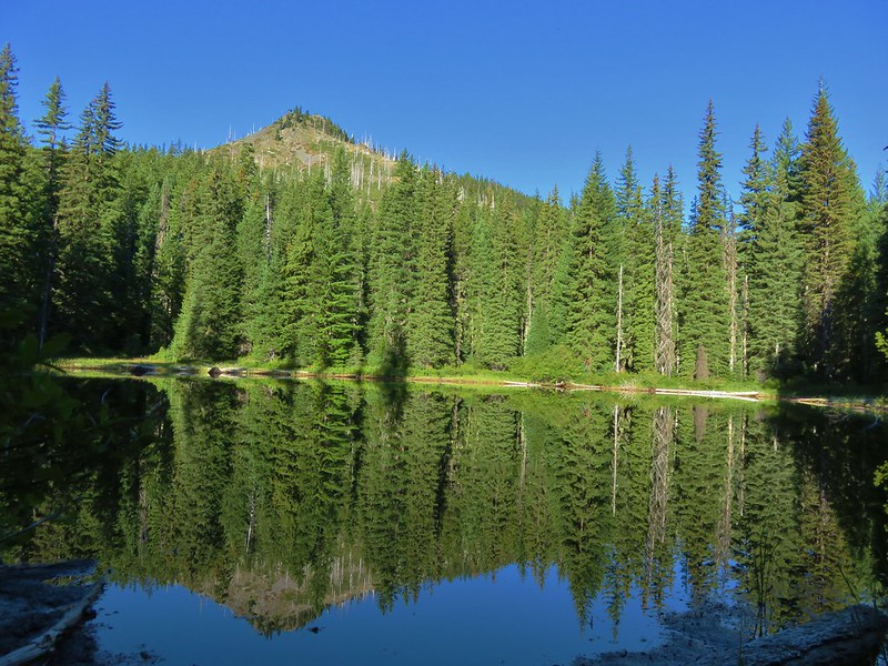
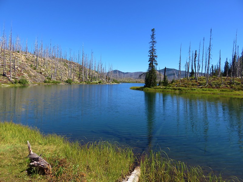
Duffy Butte behind Mowich Lake.
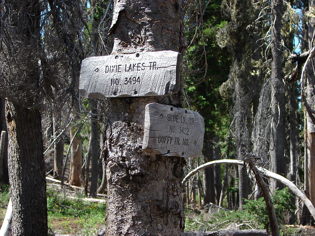
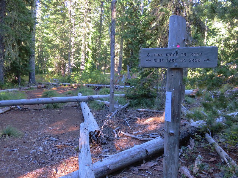
The trail climbed gradually through the fire scar and past the junction with the Dixie Lakes Trail.


It was approximately 0.8-miles between the spur trail down to Mowich Lake and the Dixie Lakes Trail junction.
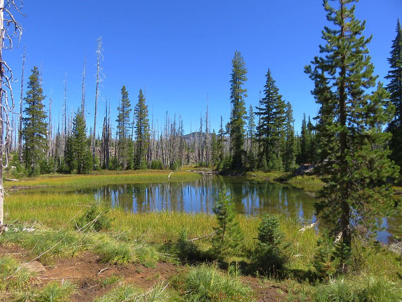
The trail leveled out at the junction and continued a third of a mile to a use trail just before Alice Lake.

Pearly everlasting along the trail.

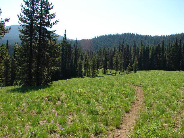
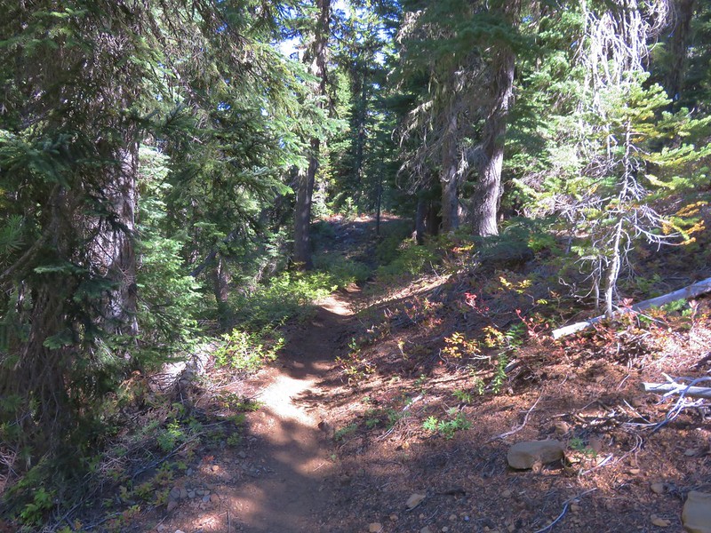
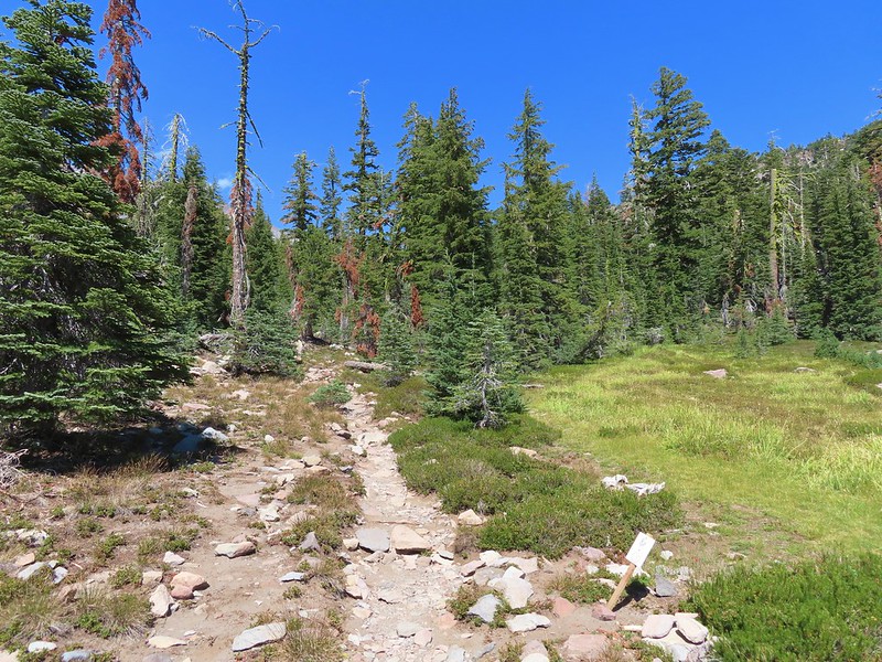
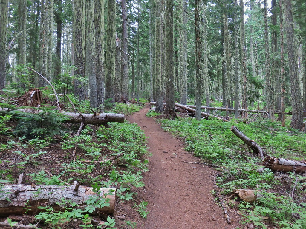
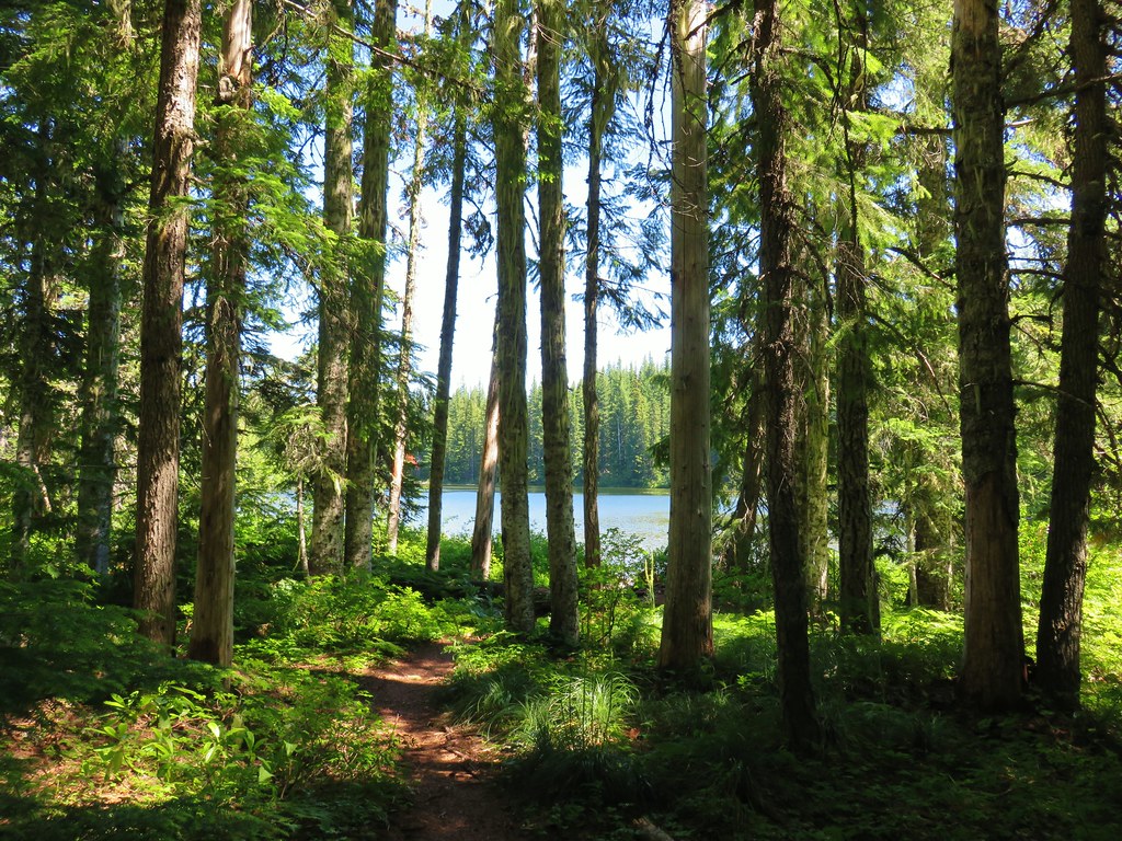
Level trail in unburnt forest.
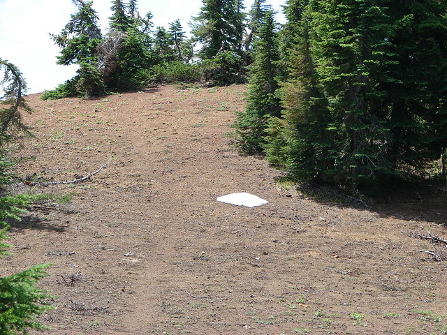
At the use trail I faced the choice of continuing straight to Jorn Lake or detouring up Red Butte. I was feeling up to the 500′, half mile climb and more importantly the visibility was good. The issue I ran into was there were three tents set up nearly on top of the trail. Not wanting to trapse through their camp I cut through the forest and started up the butte hoping to pick up the use trail at some point.


Alice Lake below.

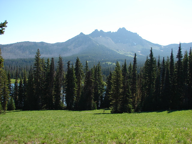
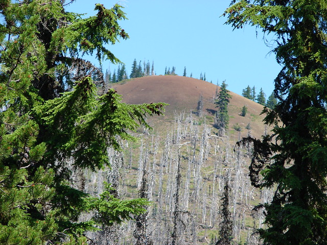
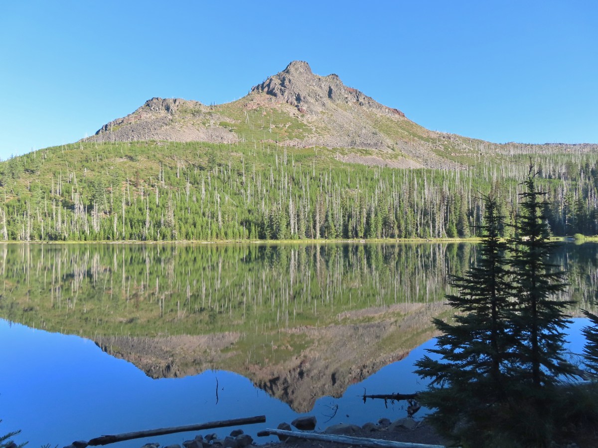
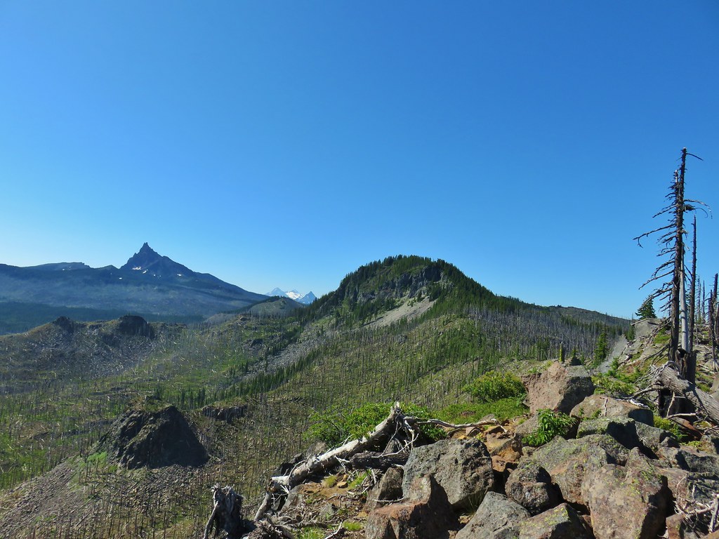
The summit of Red Butte.
After climbing almost two tenths of a mile I spotted the use trail.

The use trail in the dirt area in the middle of the trees.

Following the use trail.

Penstemon

Bumble bee on thistle.

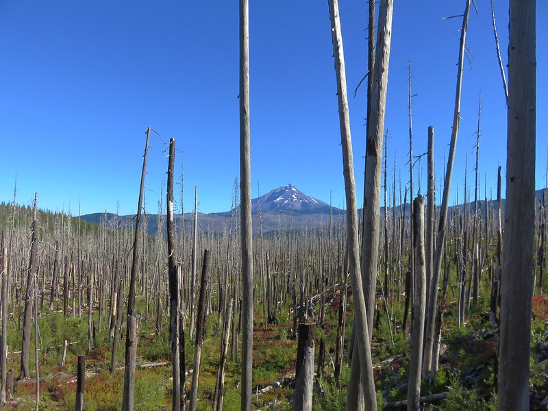
Maxwell Butte from the use trail.

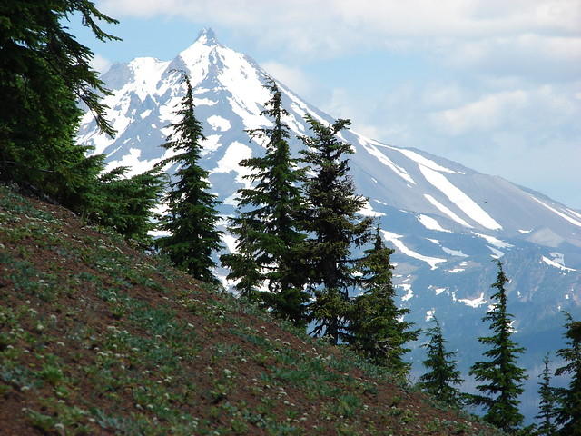
Scott Mountain (post) on the left and Diamond Peak (post) in the distance to the right.

Mt. Jefferson behind the trees.

The summit of Red Butte.
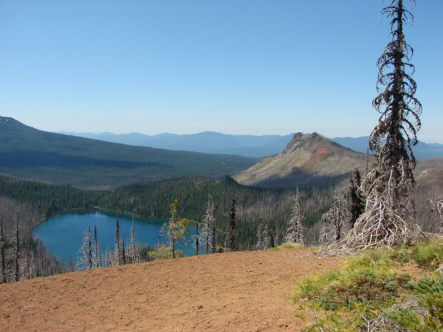
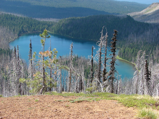
Once I was at the summit I headed south to an overlook of Mowich Lake.

The two Dixie Lakes are visible in the forest to the left of Mowich Lake.

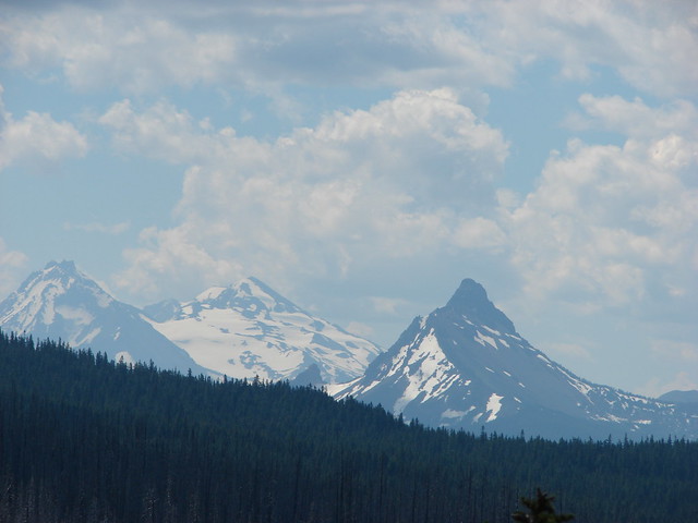
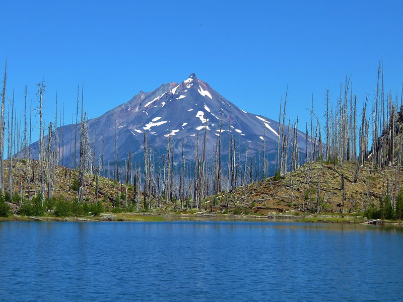
Three Fingered Jack, Mt. Washington, and the Three Sisters.

The Three Sisters behind Mt. Washington.
After admiring the view from this end of the butte I headed back across the summit to get the view to the north.

South Cinder Peak (post) between the trees and Rockpile Mountain to the right of them.

A little scrambling over the downed trees to the left resulted in a great view to the north.

Northern flicker

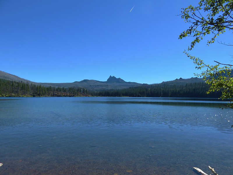
Saddle Mountain and Marion Mountain (post) to the left with Jorn Lake below and Mt. Jefferson in the distance.

Jorn Lake

Mt. Hood peaking up to the left of Mt. Jefferson.

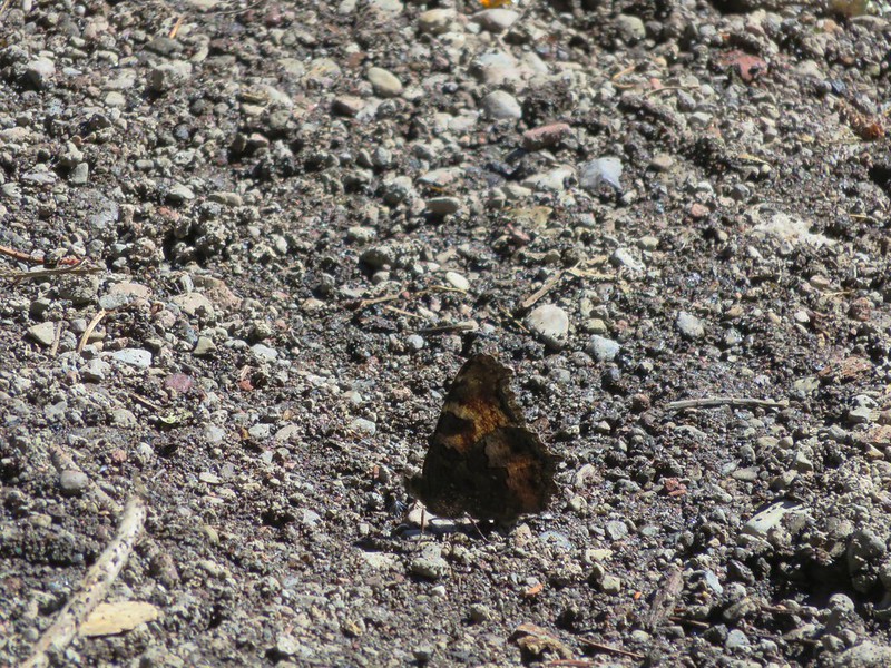
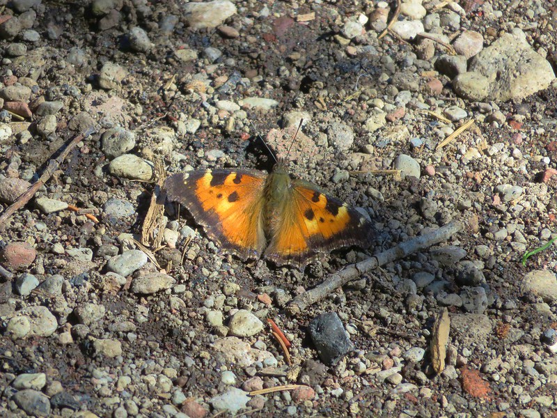
Fritillary on thistle.
After soaking in the view headed back down the trail looking for a little shade to take a break in.

I used this log as a bench to have a snack and change out my socks before following the use trail down to Alice Lake.


Milk kellogia


I passed a little closer to the tents on my way back to the Blue Lake Trail then turned left and headed toward Jorn Lake.

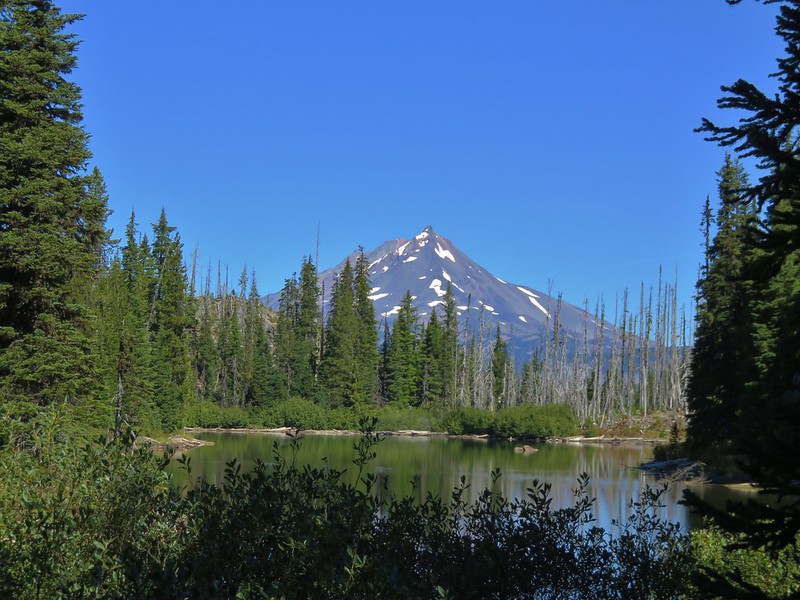
Red Butte across Alice Lake from the Blue Lake Trail.


The tents on the far side of Alice Lake.
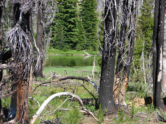
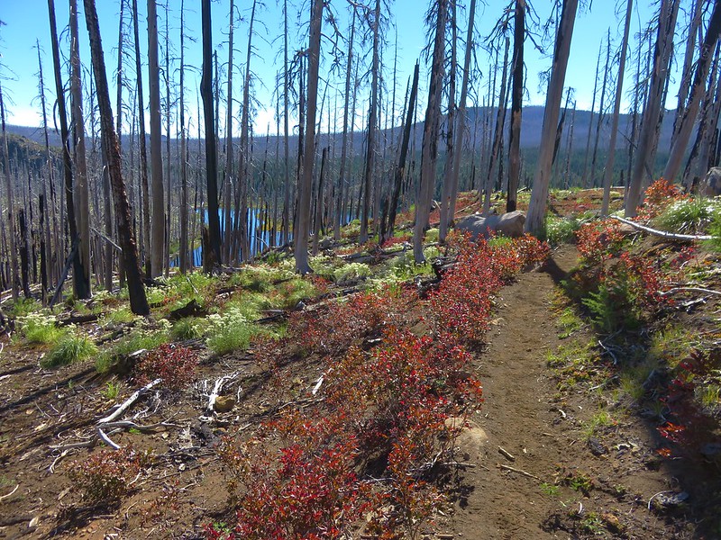
The trail began to descend toward the Eight Lakes Basin losing approximately 200′ in nearly a mile to a junction with the Bowerman Lake Trail near Jorn Lake.


Aster

Green Peak, Saddle Mountain, and Marion Mountain


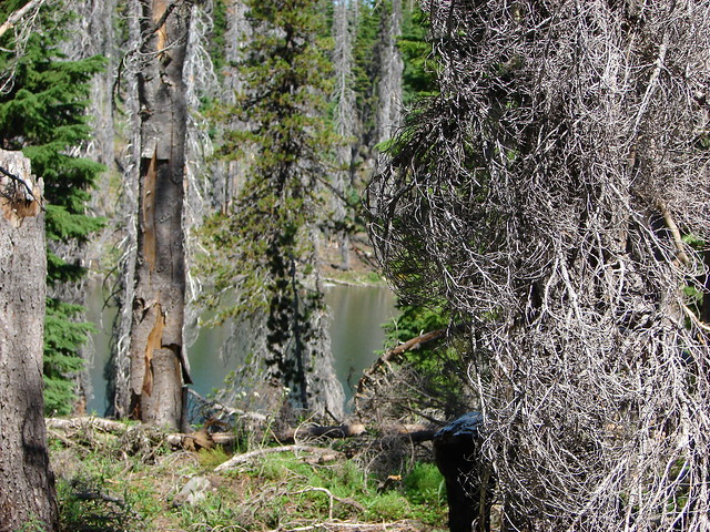
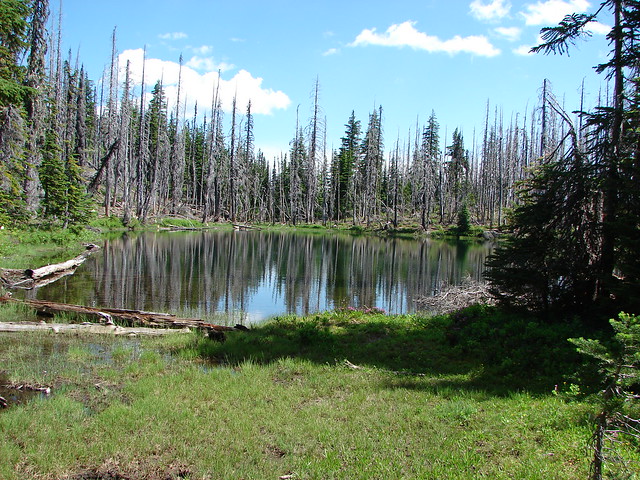
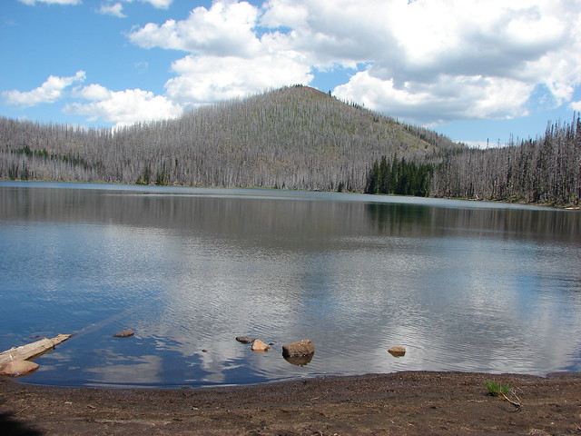
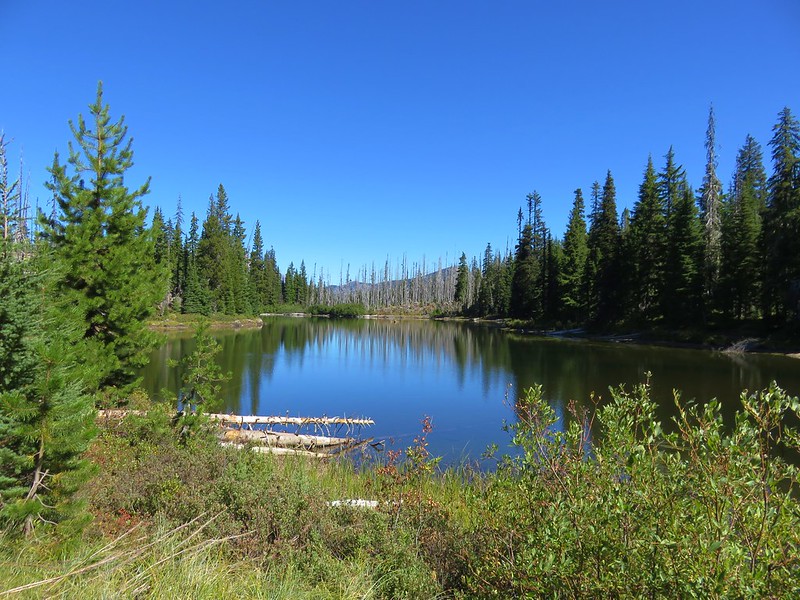
Jorn Lake
I turned right onto the Bowerman Lake trail for a moment then took a use trail down to the lake.


After visiting the lake I headed back up the Blue Lake Trail. Two tenths of a mile from the Bowerman Lake Trail junction I veered downhill on a faint use trail to visit Red Butte Lake.

The top of Three Fingered Jack from the trail.

The use trail.

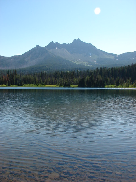
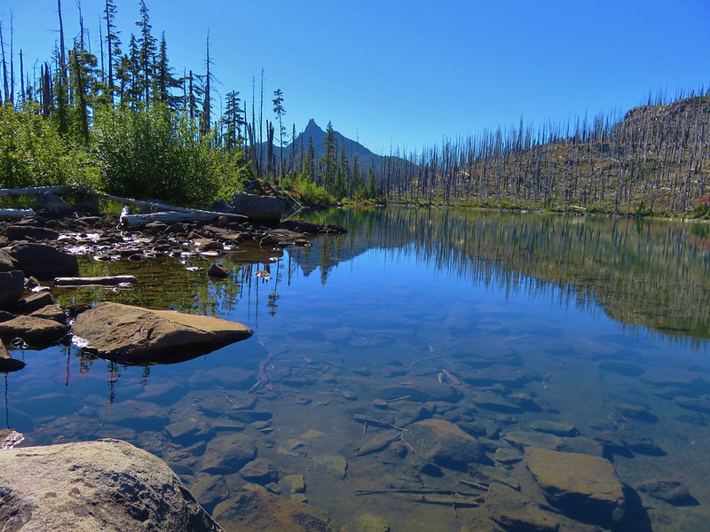
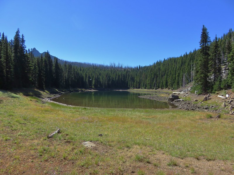
Three Fingered Jack from Red Butte Lake.
From Red Butte Lake I cut back up to the Blue Lake Trail and climbed back up past Alice Lake to the Dixie Lakes Trail junction.

From what little I could see of the Dixie Lakes Trail it appeared to be in good shape, so I veered left and headed for the lakes.


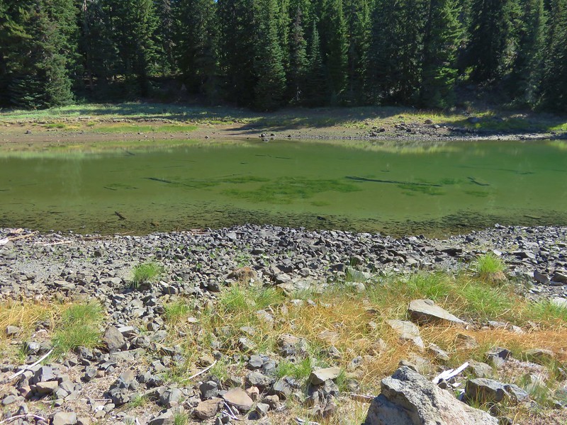
After half a mile I spotted North Dixie Lake through the trees.

I found a good use trail and headed down to the lake for a closer look.

Once again I decided to follow the lakeshore instead of returning to the trail and followed it to the southern end with a good view of Red Butte.


From North Dixie Lake I crossed a meadow and arrived at South Dixie Lake.


Woodpecker

Elk and deer prints in the mud.

It was a lot easier to cut back over to the trail from South Dixie Lake than it had been from Mowich Lake.


Not long after leaving South Dixie Lake the trail began to descend to its junction with the Santiam Lake Trail.

This was the only tree down along the trail which clearly receives maintenance from time to time.

The Three Pyramids (post)


Paintbrush

It was a total of 1.6-miles from the Blue Lake Trail junction to the junction with the Santiam Lake Trail.
I turned right on the Santiam Lake Trail and followed it 0.4-miles to the 3-way junction with the Blue Lake and Duffy Prairie trails.


Unsigned junction with the Duffy Prairie Trail on the left and the Blue Lake Trail on the right.
Since we had taken the Duffy Prairie Trail in 2010 I forked right onto the Blue Lake Trail which descended steeply to the junction with the Duffy Lake Trail in just a tenth of a mile.


The junction with the Duffy Lake Trail.
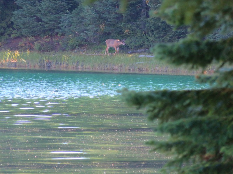
I turned left onto the Duffy Lake Trail and followed it 3.6-miles back to the car. There wasn’t much new to see on the way back. I still wasn’t able to spot any of the pikas I was hearing in the rock fields. Outside of small birds, chipmunks, and squirrels the only other critters I saw were a couple of grouse including one in the trail near the trailhead.

This hike came in at 15.3-miles with a just over 2000′ of cumulative elevation gain.

While most of the hike was on trails that we’d previously hiked I managed to get a small amount of new trail. While we’ve covered a lot of the area around Three Fingered Jack there are still some trails/sections left to explore.

There were a lot of people on the trails here, which was a little surprising given it was a Wednesday in September, but they were pretty spread out so no location that I visited felt crowded outside of the trailhead. The view from Red Butte is a really good one and well worth a visit. Happy Trails!
Flicker: Duffy Lake Trail to Jorn Lake

 Lupine at the trailhead.
 A line of smoke over the Castle Crags (
 Castle Crags
 Green Butte and Mt. Shasta
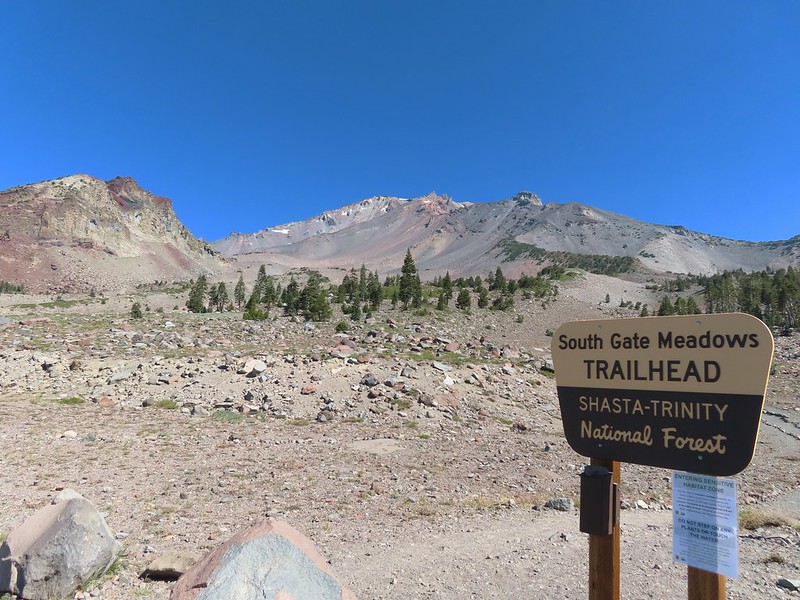
 Common buckeye

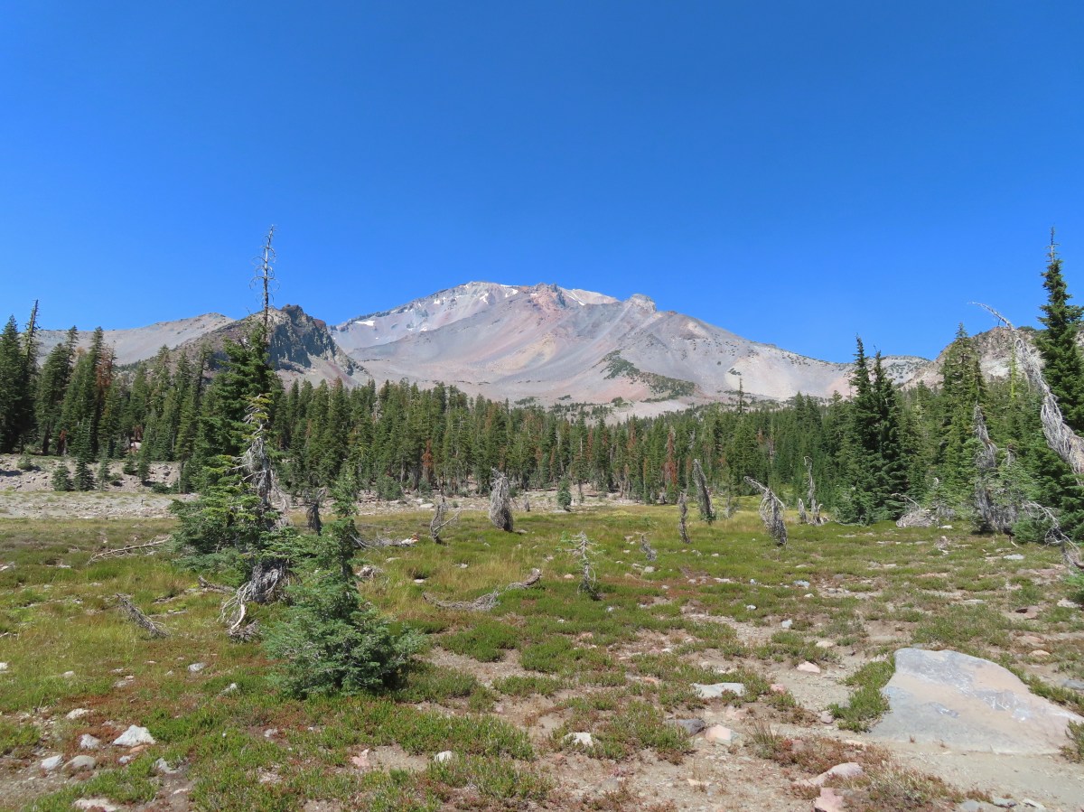
 Red Butte from the pass.
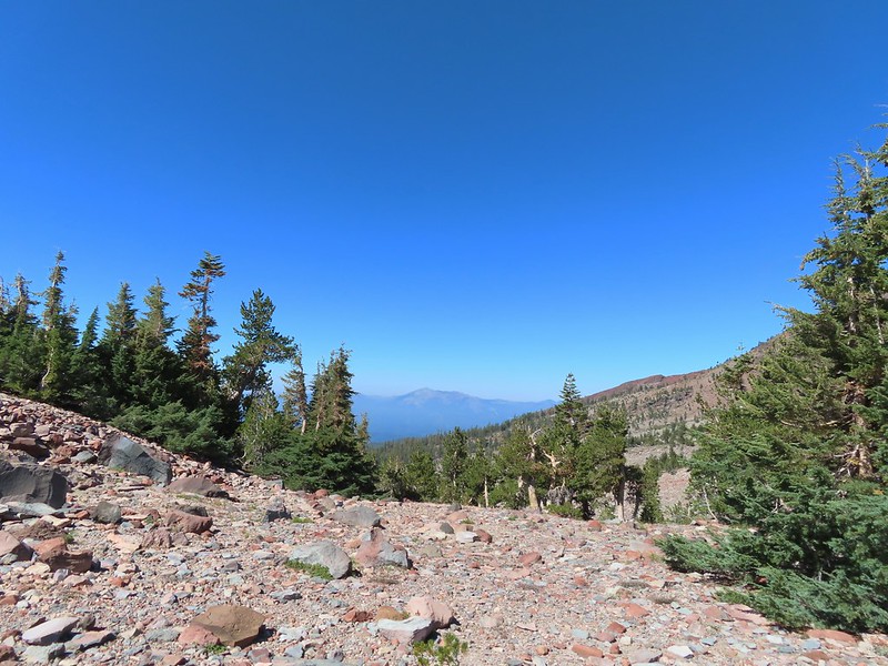 Mount Eddy from the pass.
 Heather standing at the wilderness boundary.
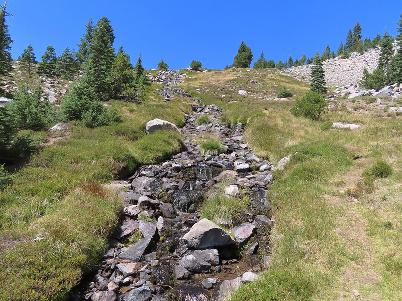
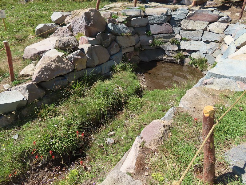
 A dry spring along the trail. Ideally we would have been doing this hike (and trip) in late July for more wildflowers but sometimes the circumstances dictate when and where we wind up.
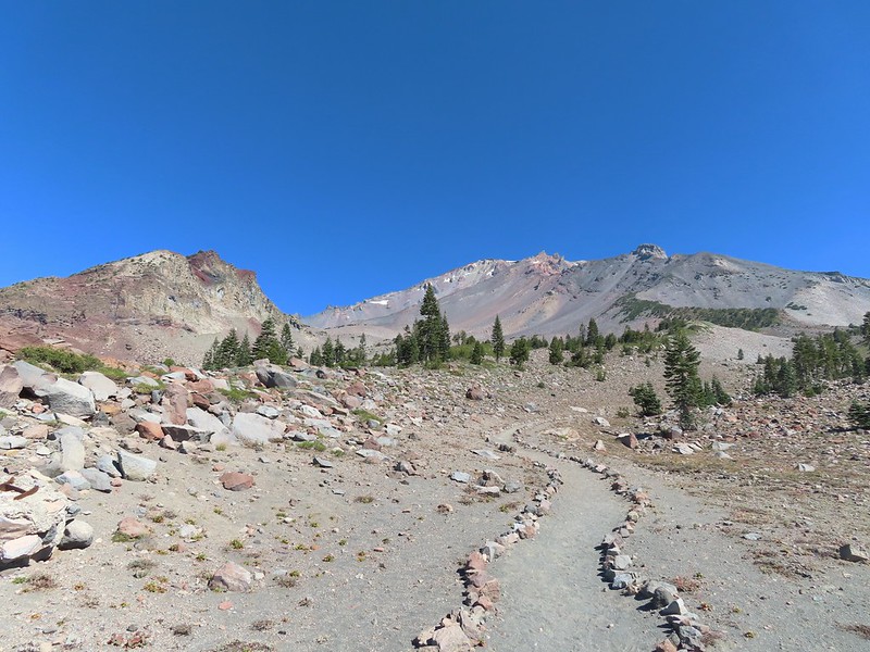
 Approaching The Gate.
 Shastarama Point and Thumb Rock
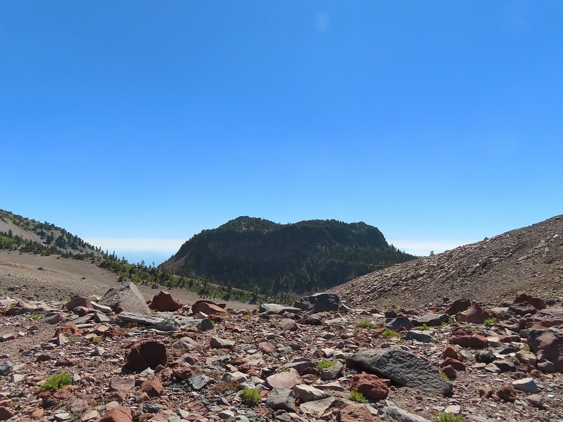
 Gray Butte
 The trail junction near The Gate. The trail to the right would be our return route to make a loop through Panther Meadows, but for now we went left following the pointer for South Gate Meadows.
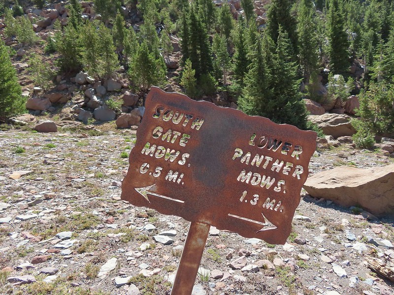


 A paintbrush and aster.
 Penstemon
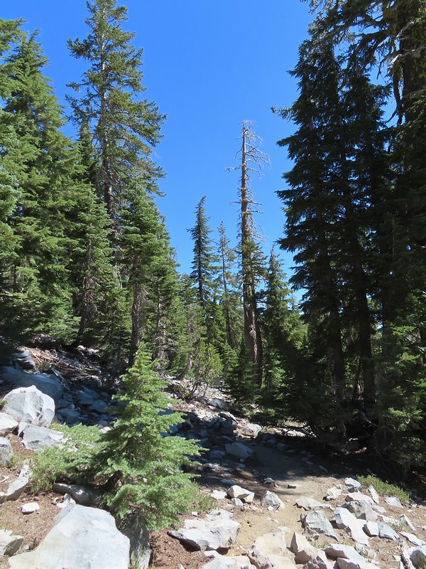
 Some haze to the south but we could make out Lassen Peak which is one we rarely ever get to see.
 Lassen Peak
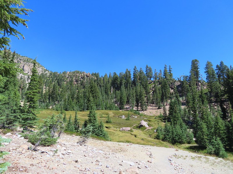

 Primrose monkeyflower
 The use trail crossing the creek.
 In sight of the circular meadow.
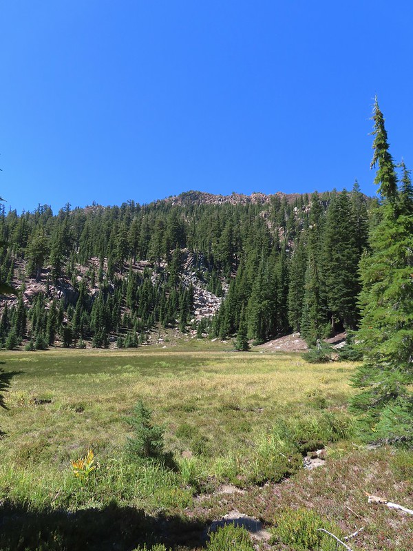
 Marsh grass-of-Parnassus
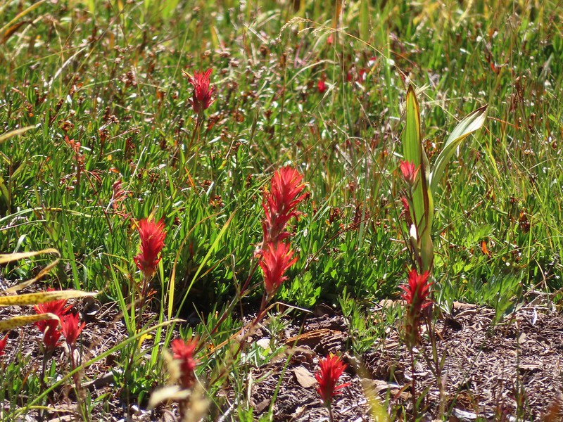 Paintbrush
 Back at the meadows.
 A pair of common buckeyes.
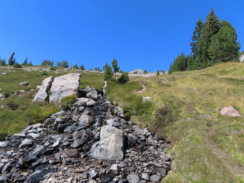
 Primrose monkeyflowers and paintbrush
 Not the “monkeyflower” spring but a smaller one along the way up.
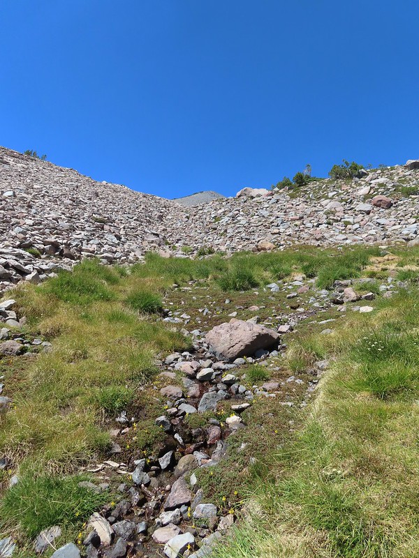 The “monkeyflower” spring.
 A couple of monkeyflowers and a buckeye.
 I climbed a bit above the spring to check out the view.
 Heather arriving at the spring.
 A Clark’s nutcracker also taking a break.
 Two types of monkeyflower and bog St. John’s wort,
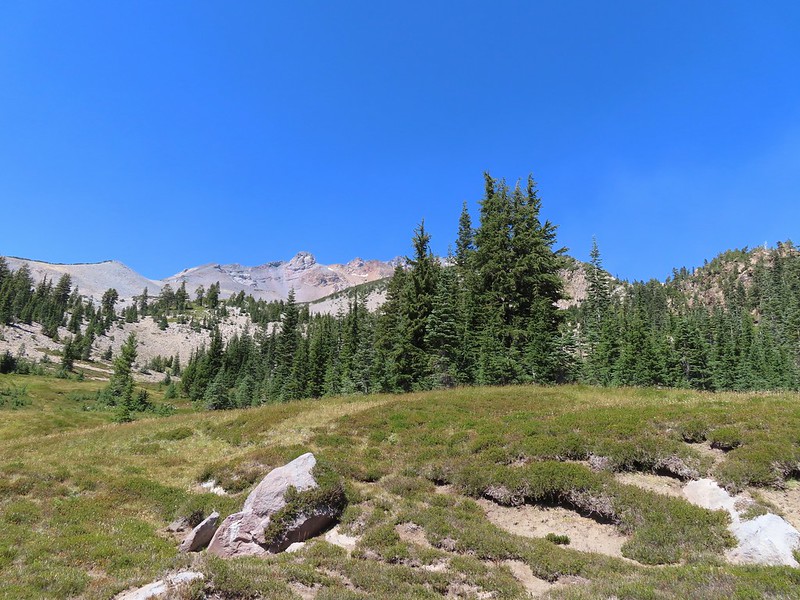 One last pass through South Gate Meadows.
 Red Butte
 Shasta knotweed
 Back at The Gate.
 Mt. Shasta from the trail.
 Red Butte
 Glaciated rock.
 Mt. Shasta and Sargents Ridge.
 Into the forest.
 The trail left the wilderness along the way.
 The junction with Gray Butte behind the trees.
 Another Clark’s nutcracker. They are boisterous birds and other than first thing in the morning we get a kick out of listening to them.
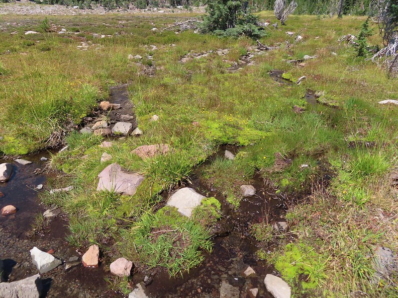 Stream flowing through the meadows.
 Gray Butte from Panther Meadows.


 Picnic tables at the trailhead.
 Beardstongue
 Pearly everlasting next to thimbleberry bushes.
 Not quite ready yet.

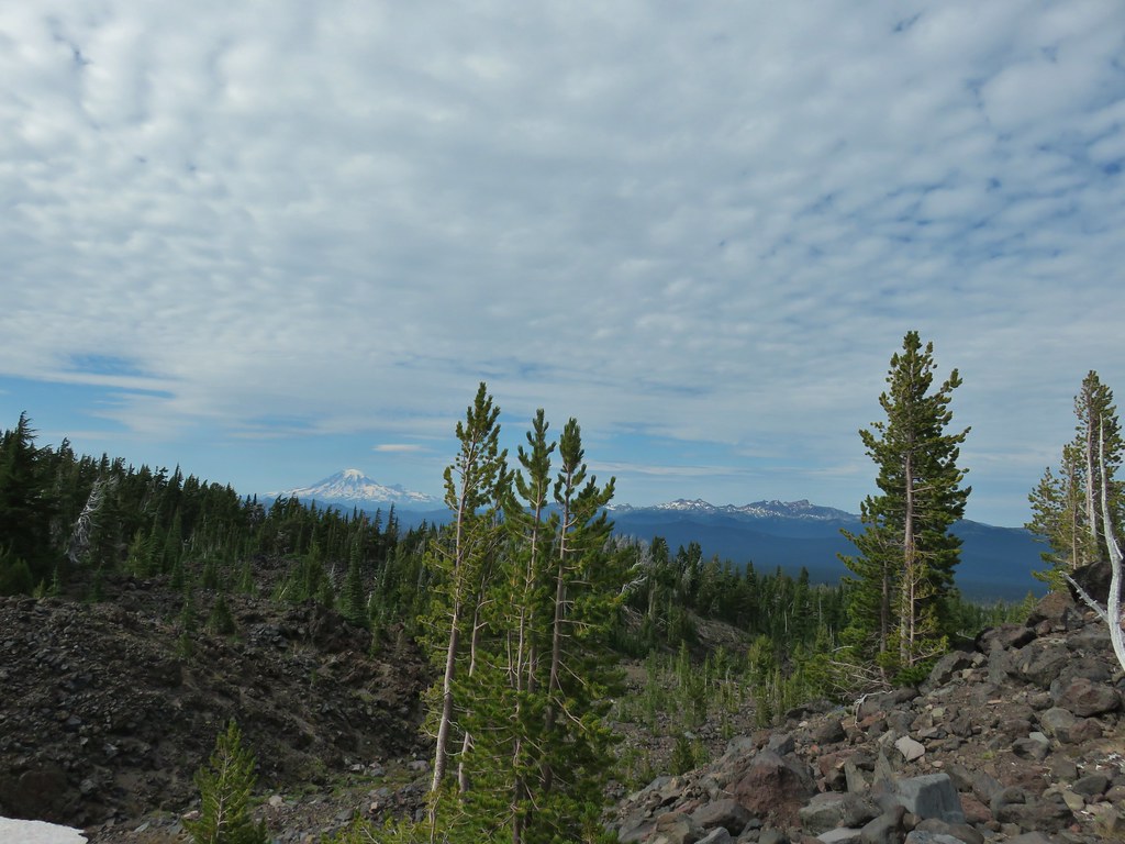
 Mt. Adams
 Goat Rocks (
 Looking down at some of the switchbacks.
 Mt. St. Helens in the distance.
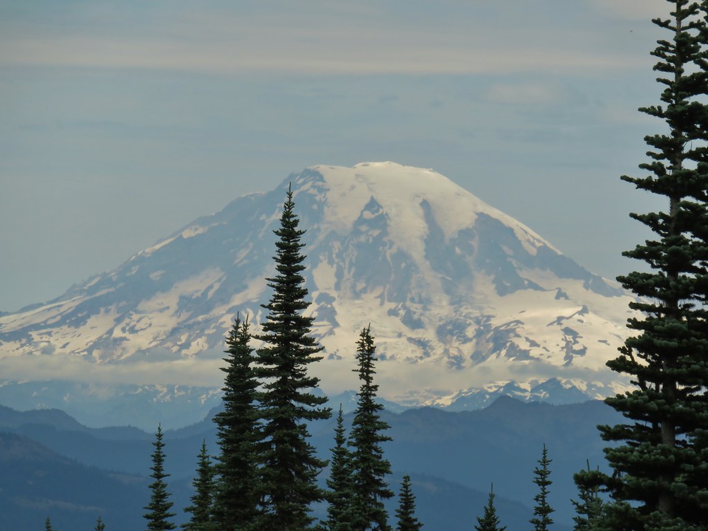
 The top of Mt. Rainier.
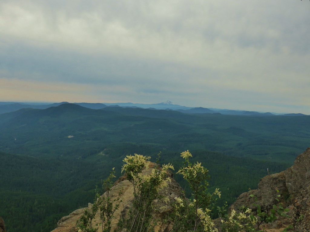 Mt. Hood to the South.
 Mt. St. Helens, Mt. Rainier, Goat Rocks and Mt. Adams.
 Indian Heaven Wilderness
 Looking east over the top of Sleeping Beauty.
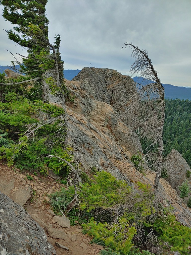 Looking west to the true summit where a lookout once stood.
 Mt. Hood from the foundation of the former lookout.
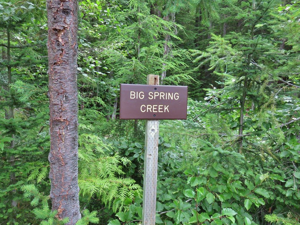 Sign at a pullout along FR 23.
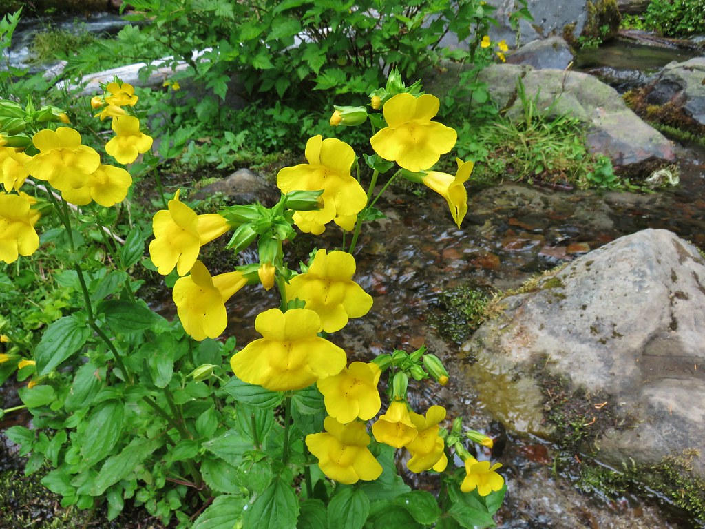 These were huge yellow monkeyflowers.
 Big Spring Creek
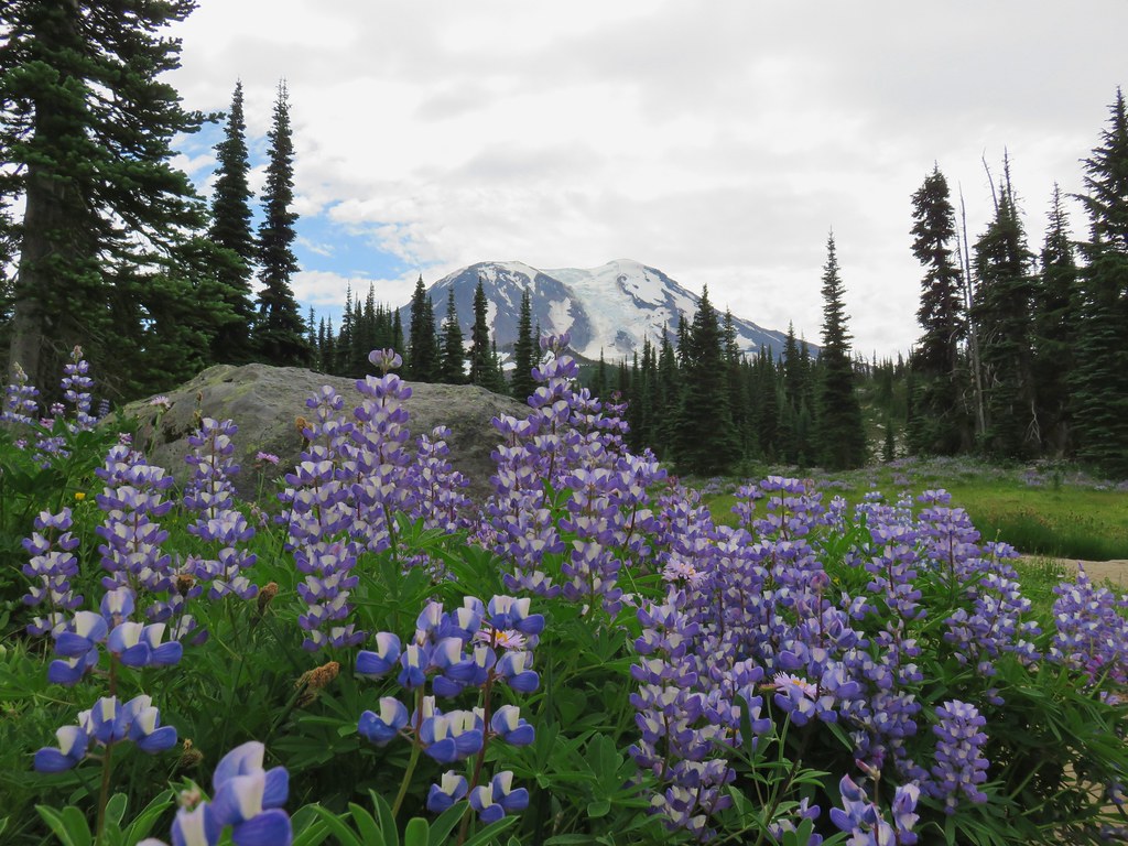
 Lupine along the trail.
 Arnica
 Lousewort
 More lupine along the trail.
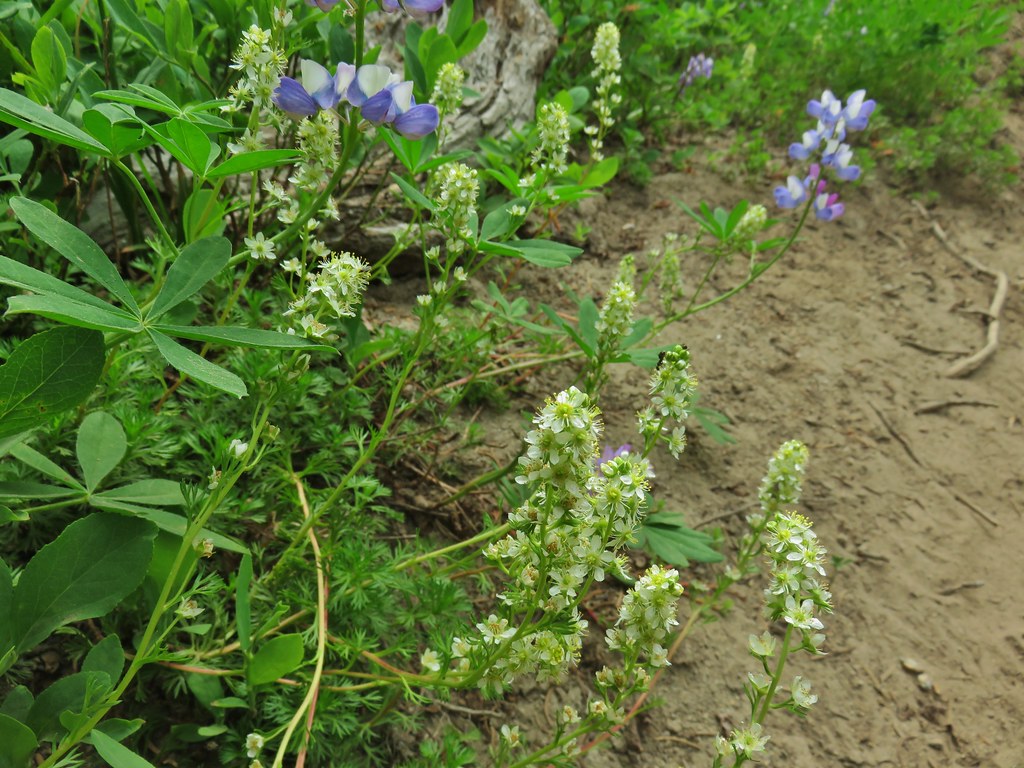 Partridge foot and lupine.
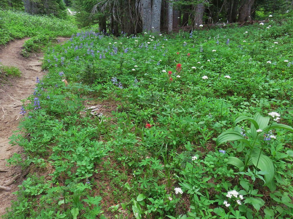 Lupine, paintbrush and valerian.
 Lupine along the trail which sees a good amount of equestrian use.
 Mountain heather.
 Yellow buttercups mixed in with the lupine, paintbrush and valerian.
 Beardstongue, arnica and lupine.
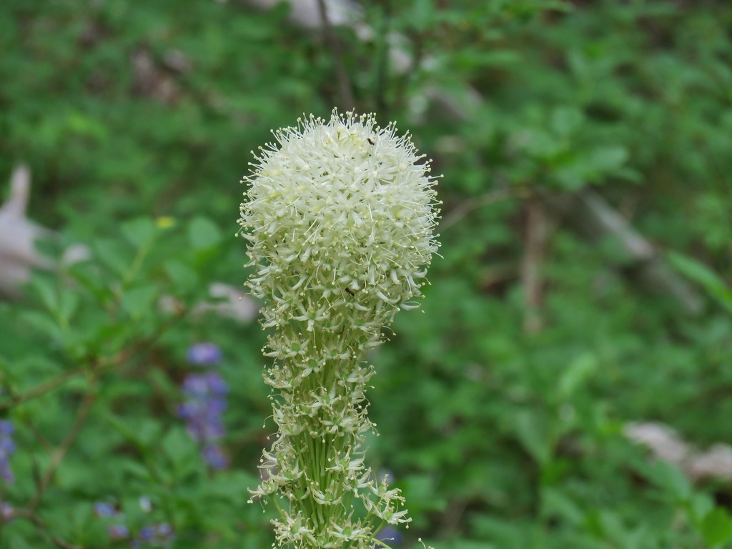 Beargrass
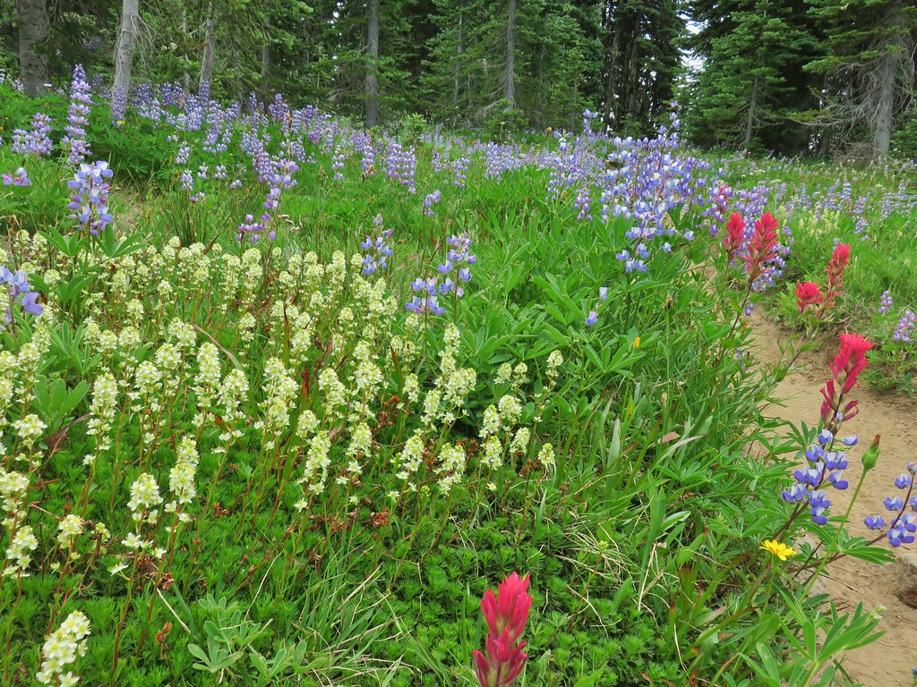


 Lousewort
 Elephants head near the stream.
 Elephants head and a shooting star.

 Mountain heather
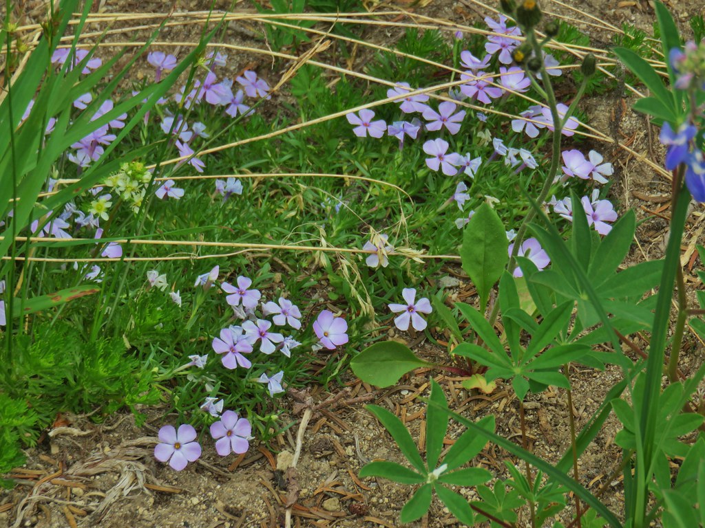 Phlox
Phlox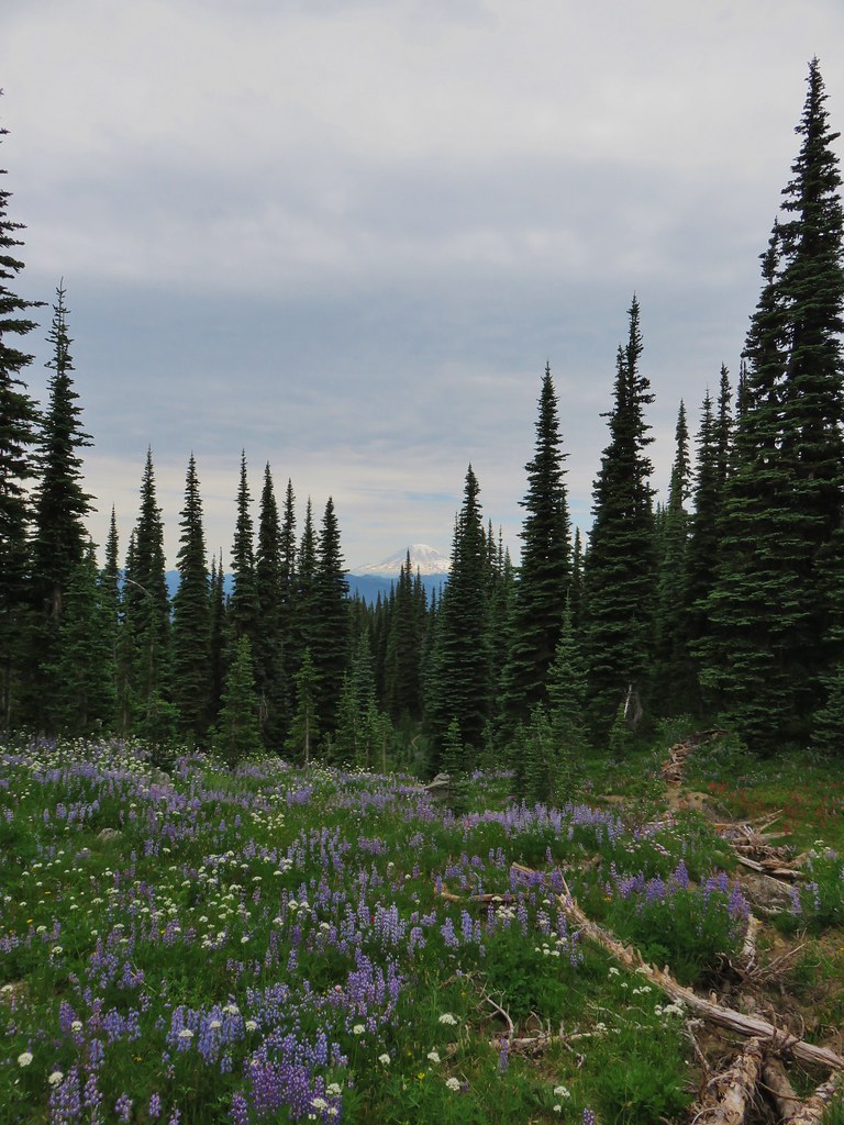
 False hellebore amid the lupine.
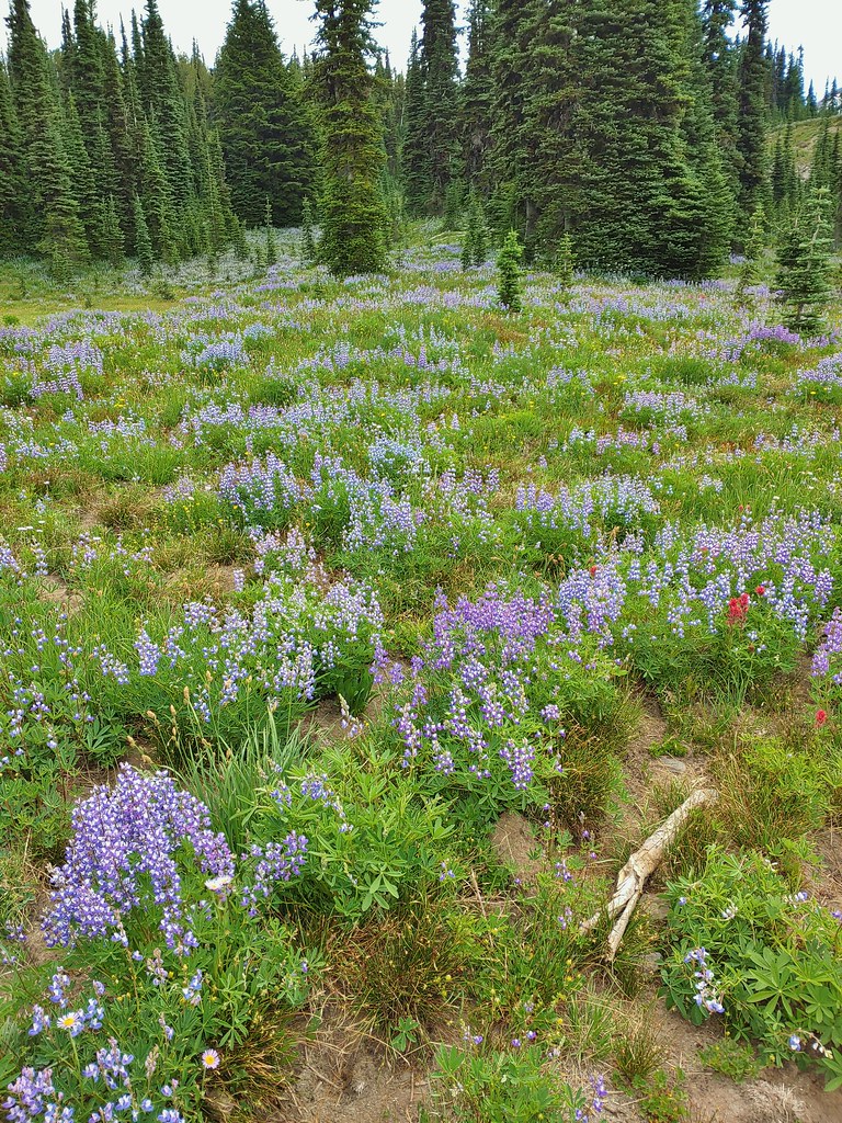
 Paintbrush framed by trees.
 Woolly pussytoes
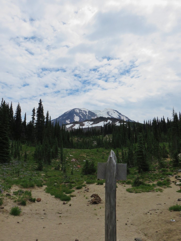


 Cinquefoil
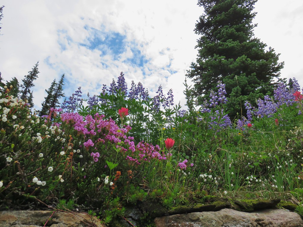 White and pink mountain heather, paintbrush and lupine above the PCT.
 Shooting star
 Violets
 Coming in for a landing on groundsel.
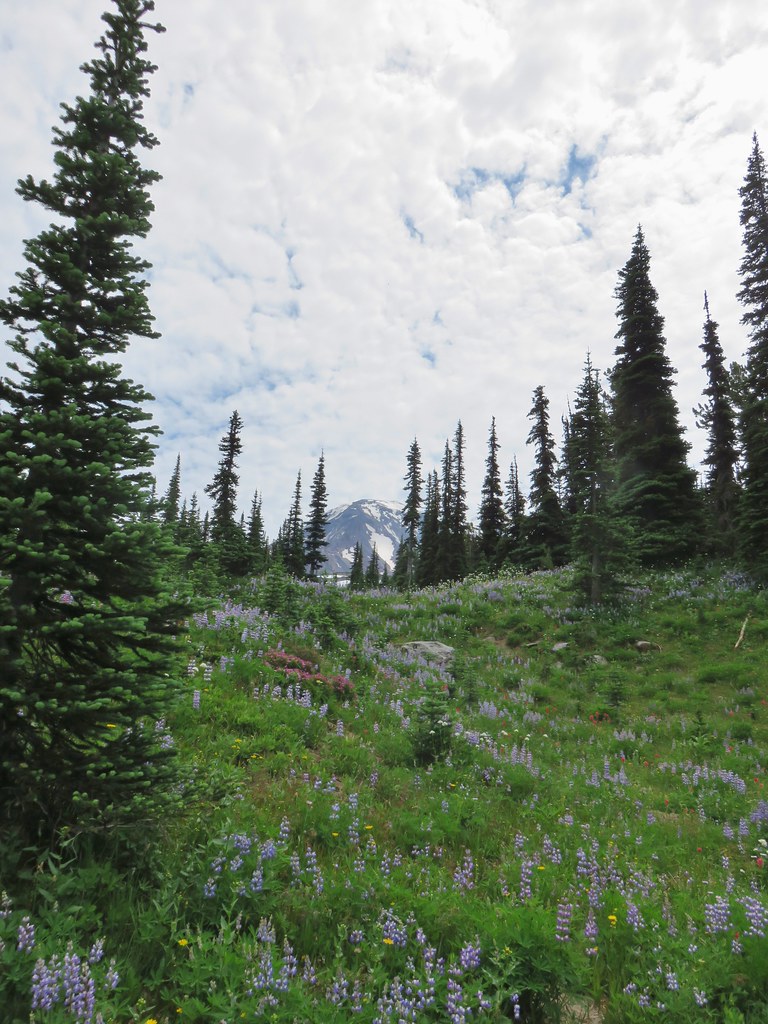
 Aster
Aster
 Goat Rocks
 Aster and white seed heads
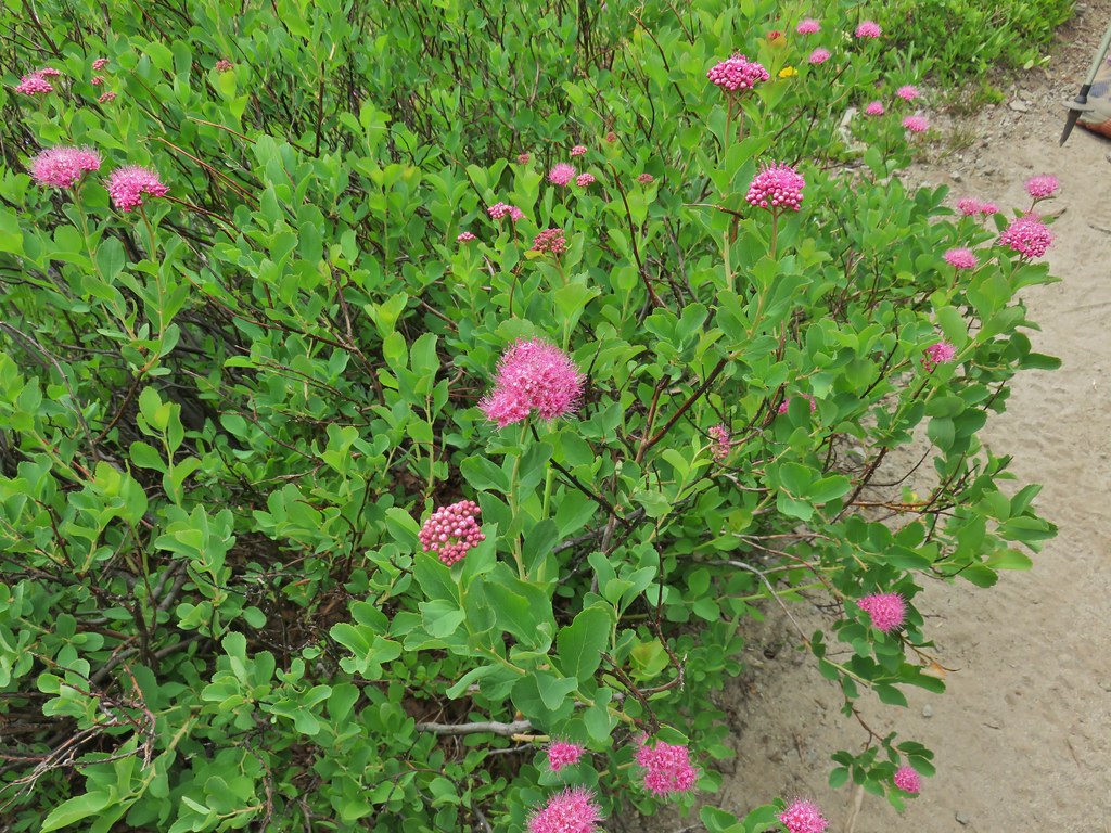 Spirea
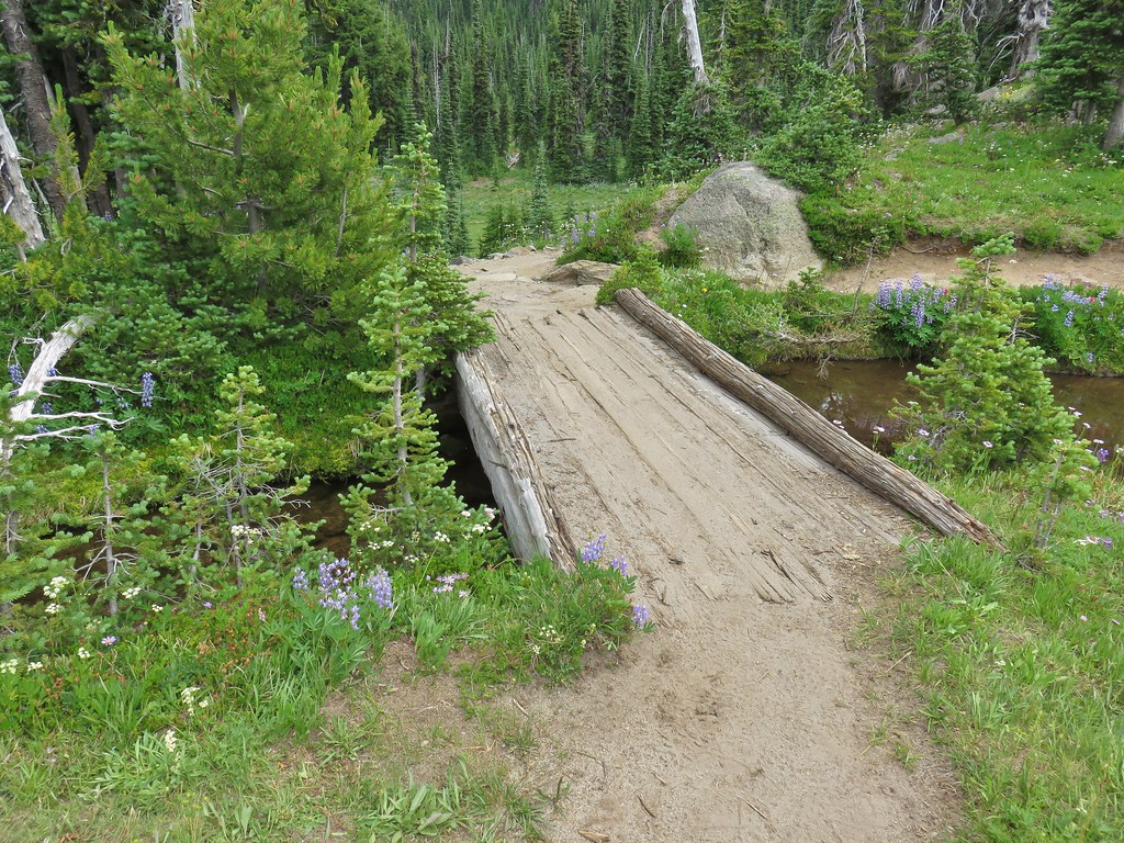
 Killen Creek and Mt. Adams.

 The waterfall from the PCT.
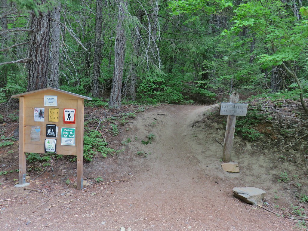
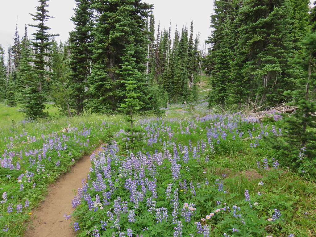 Highline Trail ahead.
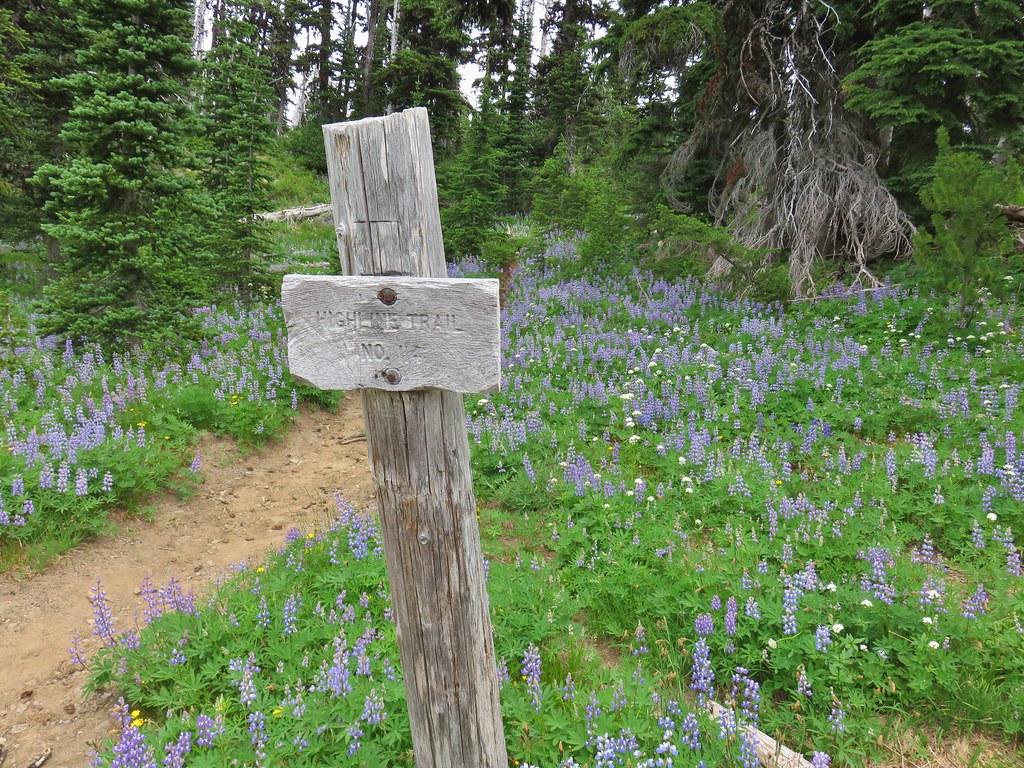

 Yellow arnica along the trail.
 Beargrass in full bloom.
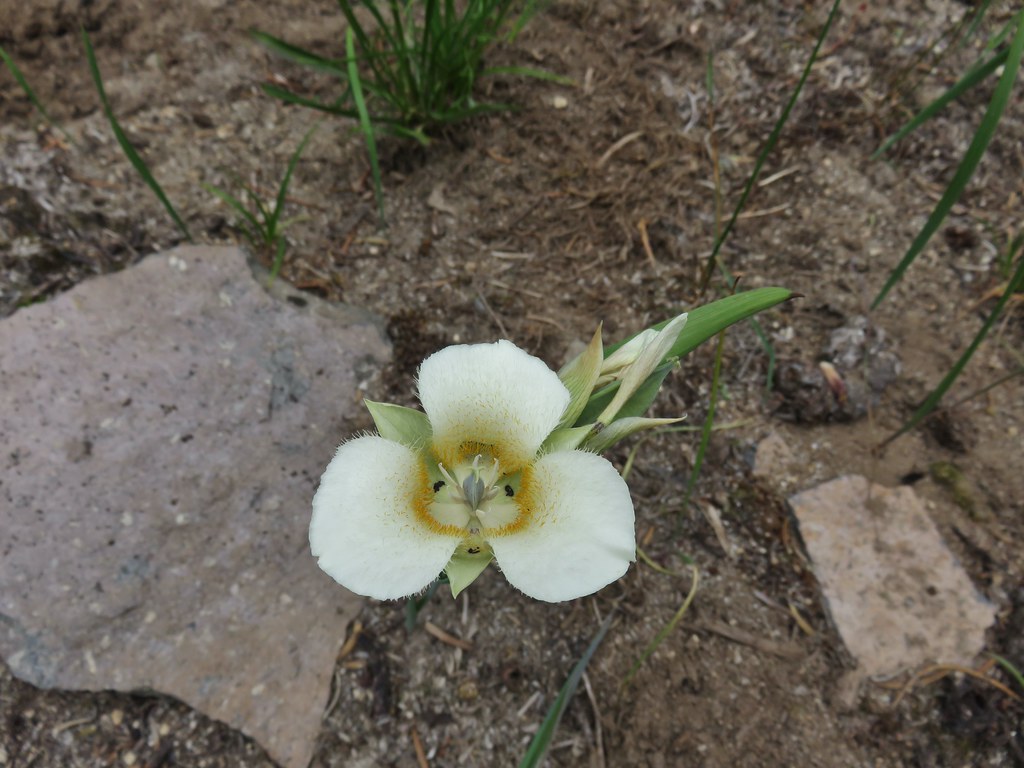 Subalpine mariposa lily
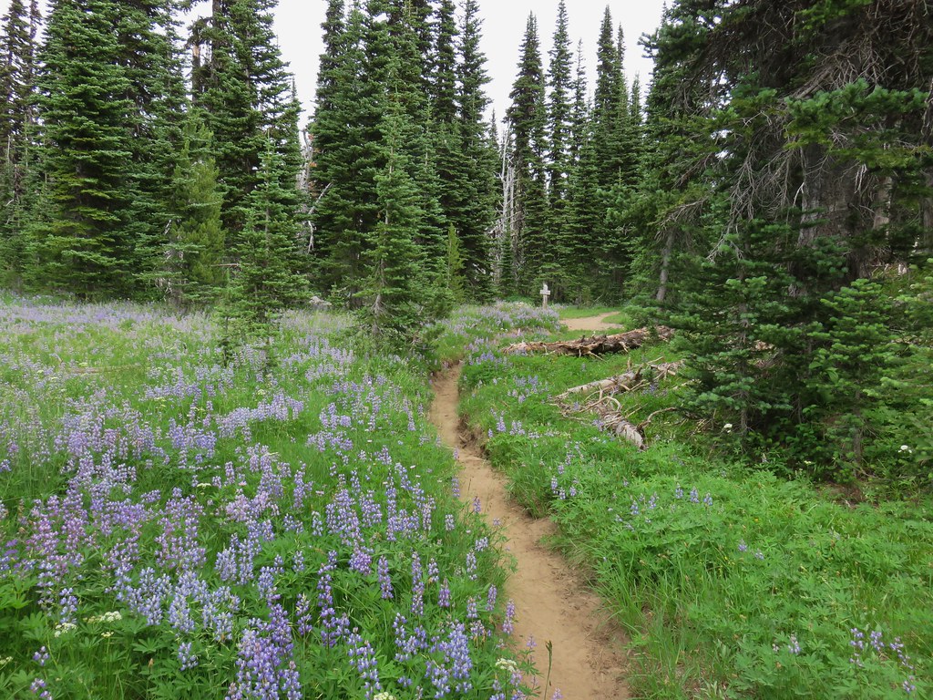
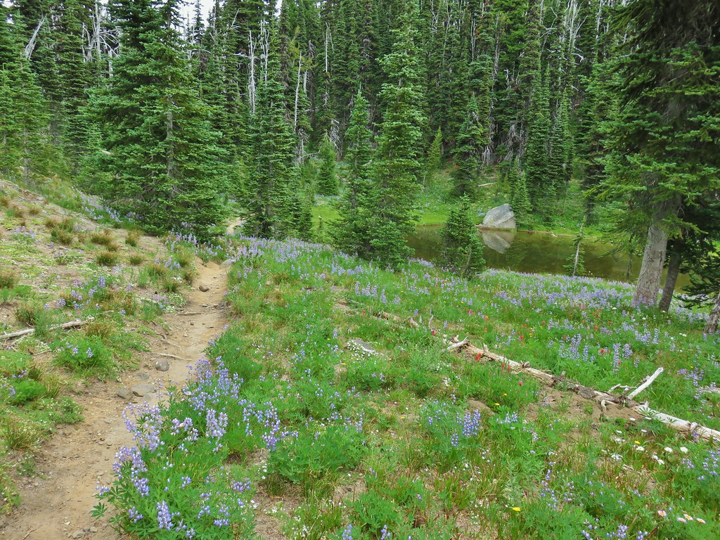
 Look more lupine that way.
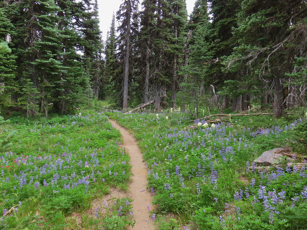 Still tons of flowers.
 Frog near Foggy Flat
 Mt. Adams from Foggy Flat
 Frog in a little stream at Foggy Flat.
 Zoomed in

 Gentian
 Elephants Head
 Monkeyflower and willowherb along the creek.
 Mt. Rainier behind us.
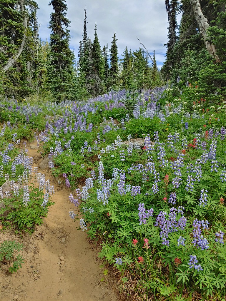
 The trail dropping steeply behind us on one of the steeper sections.
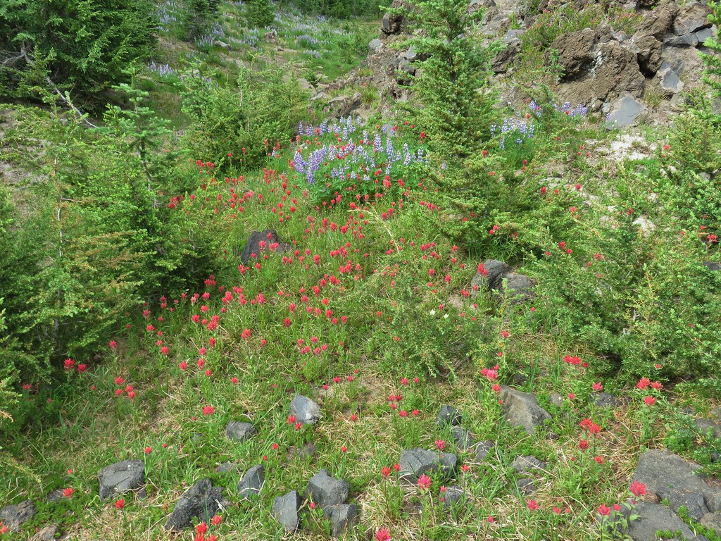 Can you spot the yellow paintbrush?
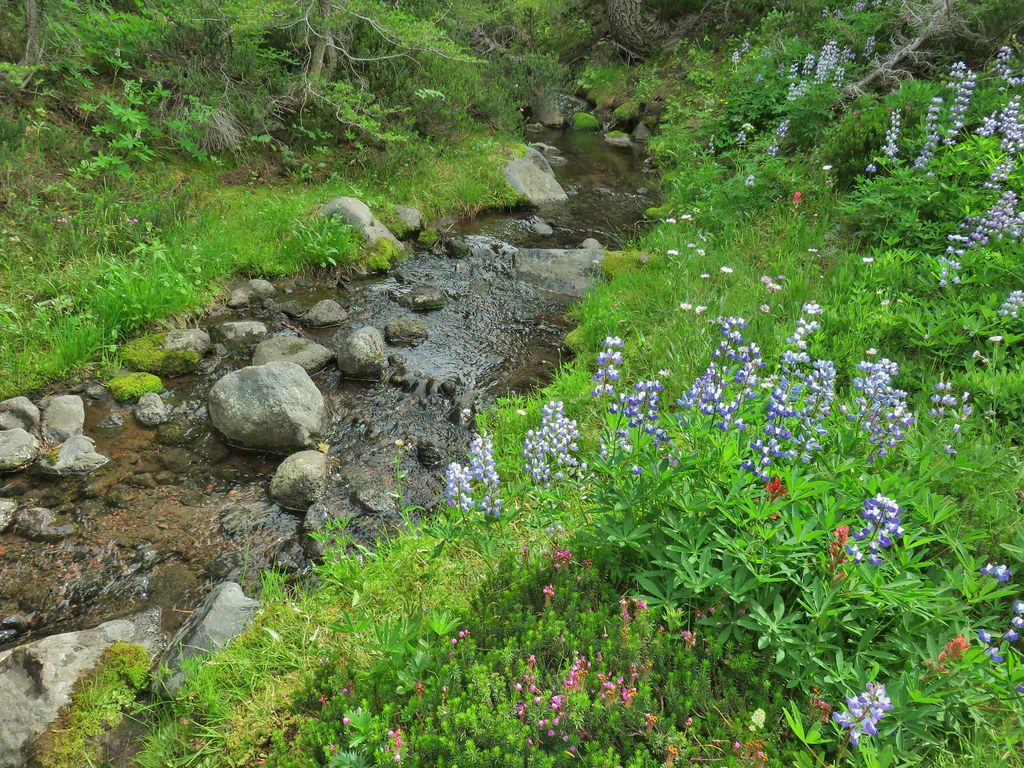


 Buckwheat

 Goat Creek falling from Goat Lake.
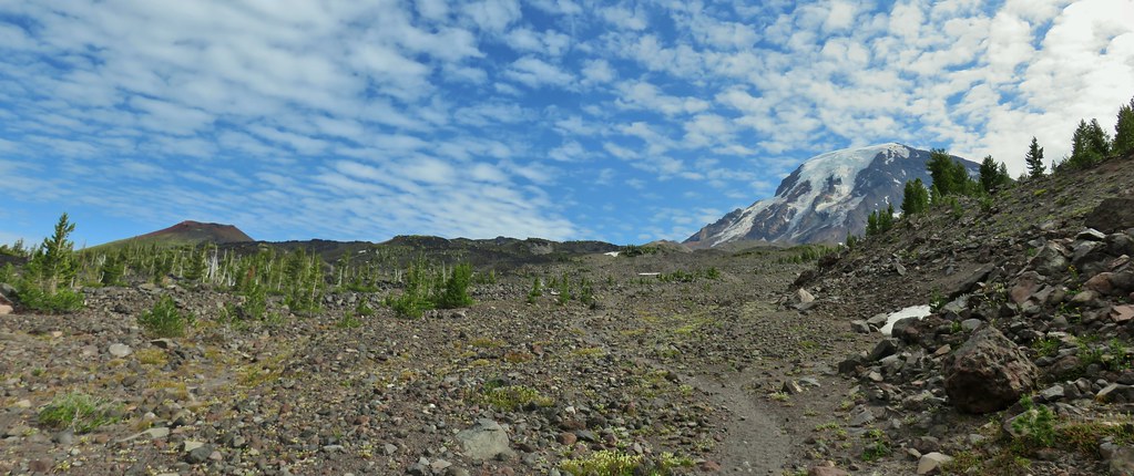 Red Butte and Mt. Adams
 Red Butte, a neat looking cinder cone.
 Flower amid the rocks.
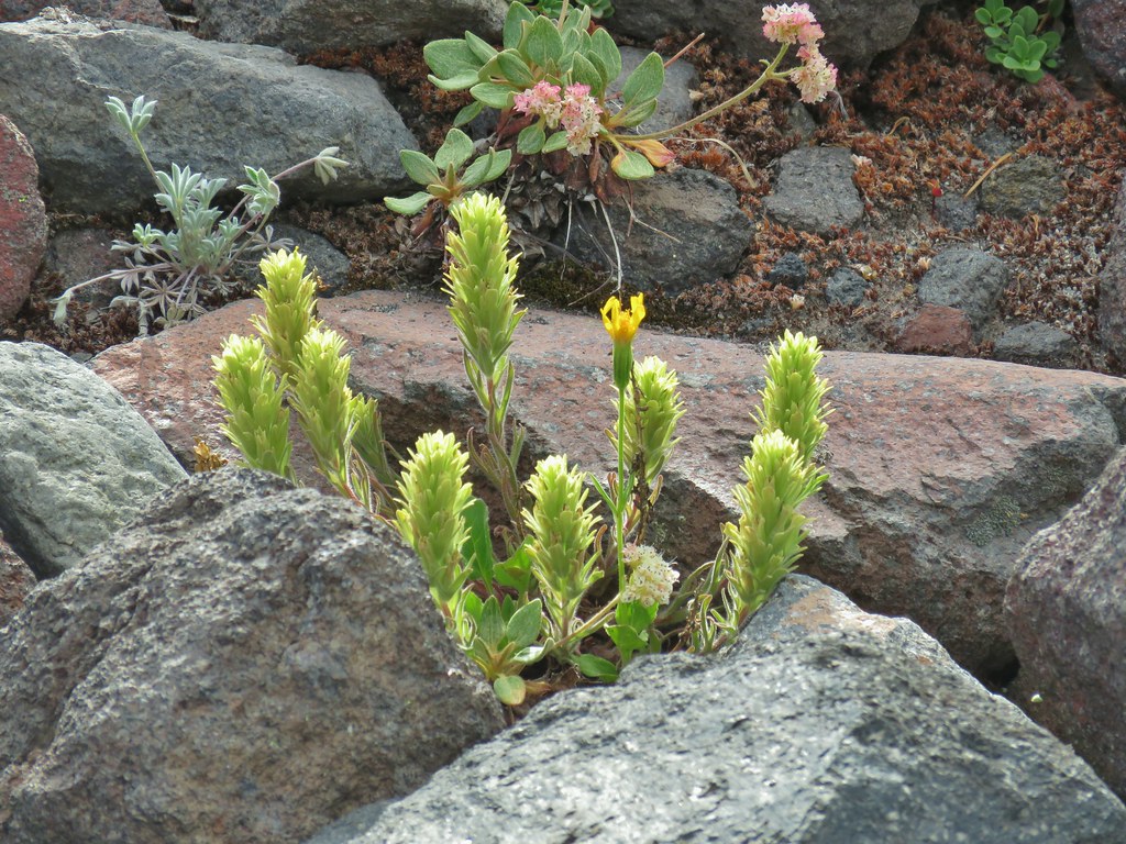
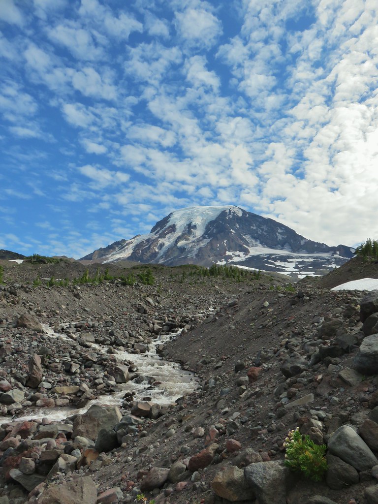


 Paintbrush
 Cutleaf daisy
 Dwarf alpinegold
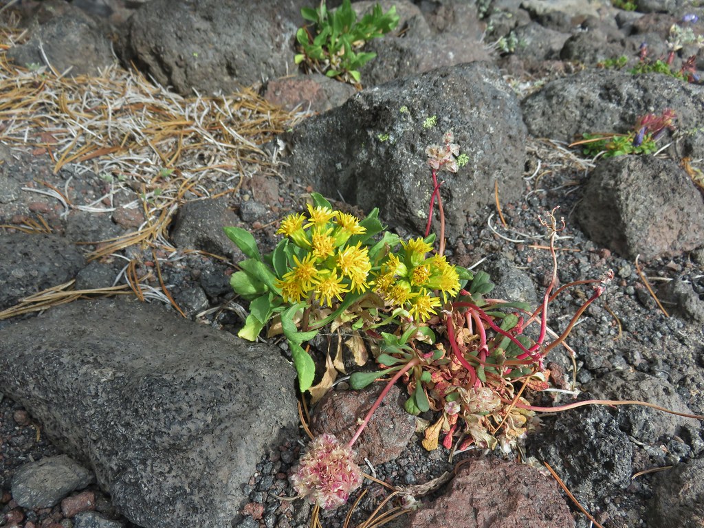 ?
?

 Water in the upper portions of the snowmelt stream.
 The same stream 3 minutes later.
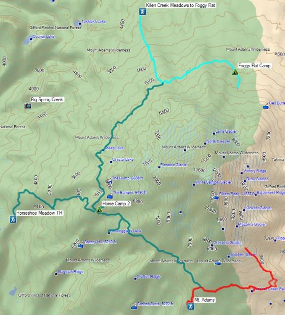

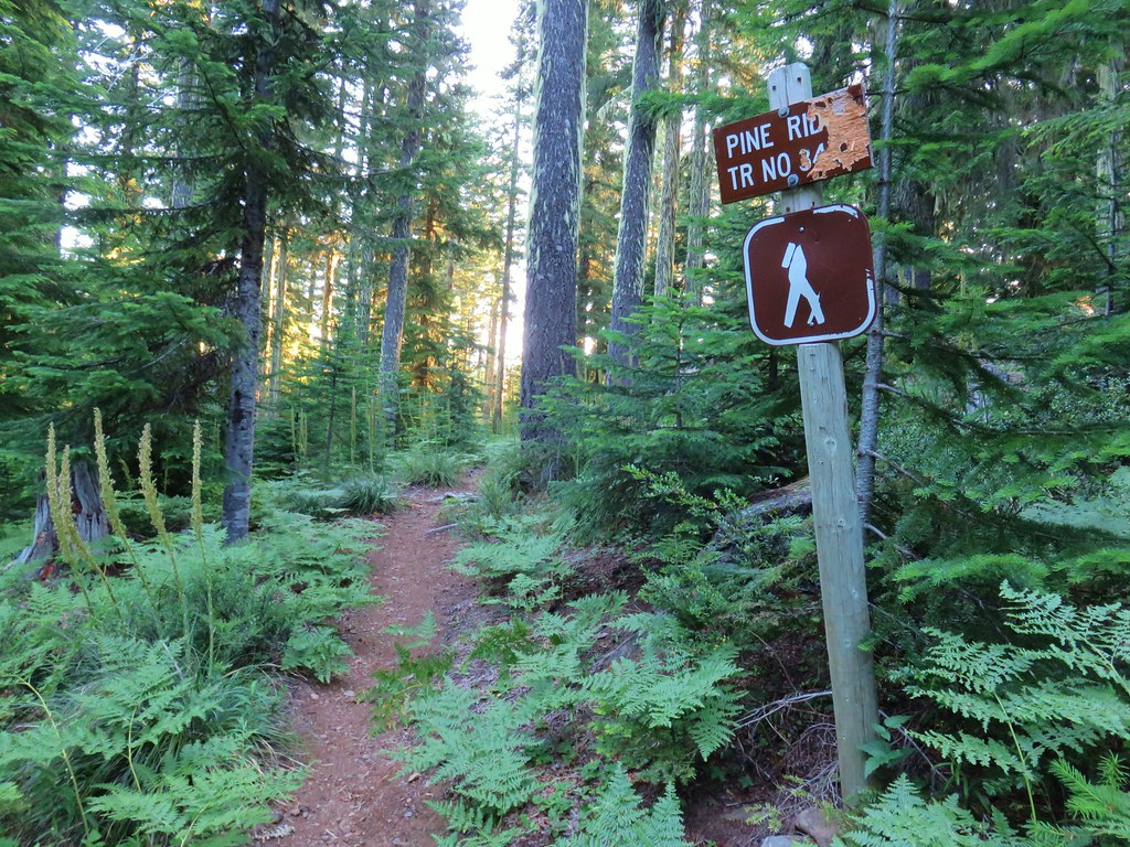


 Turpentine Peak
 Washington lily
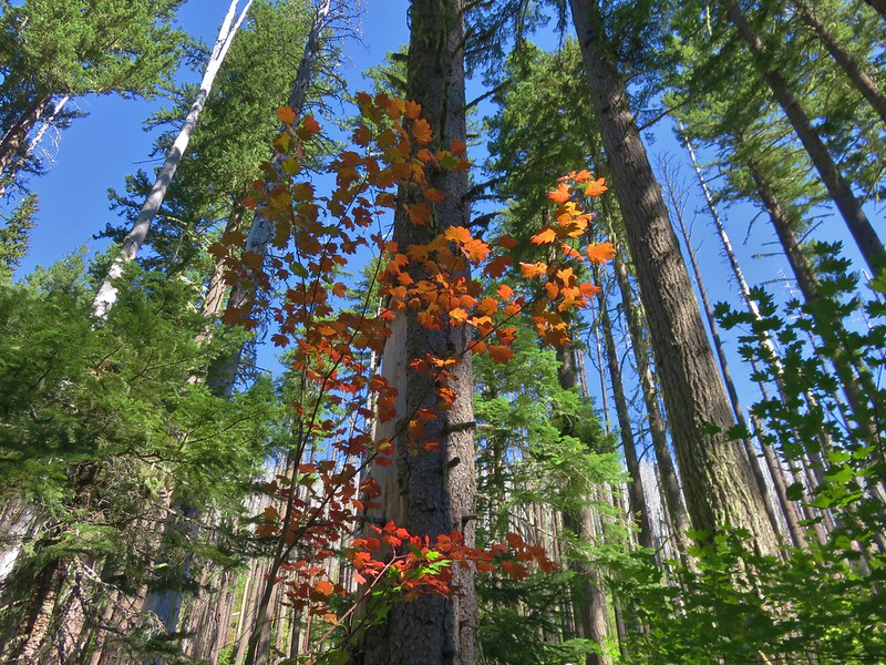
 Unburned forest
 Mt. Jefferson from the Pine Ridge Trail.
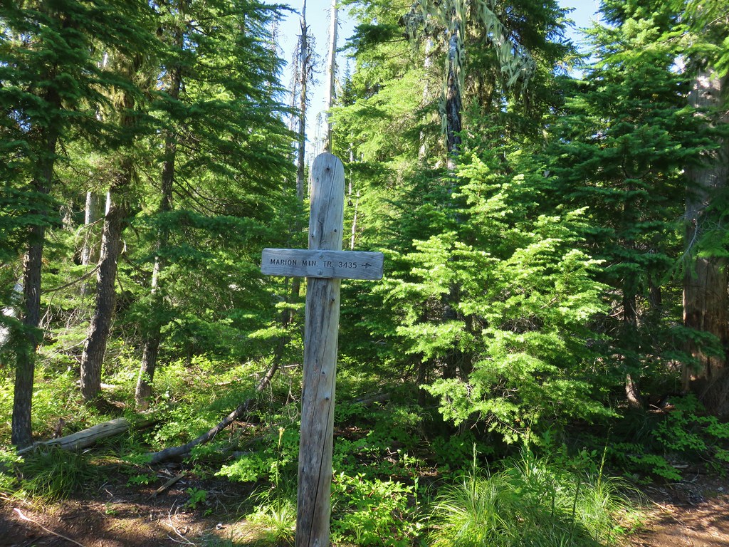
 Mt. Jefferson and Marion Lake (
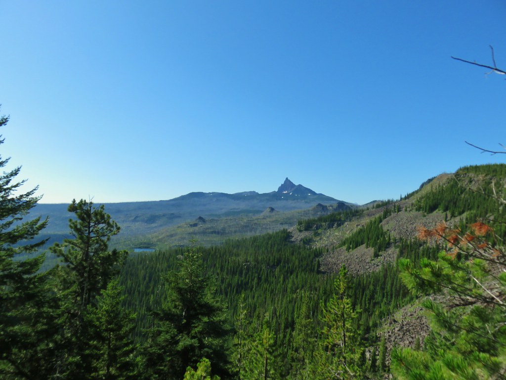 Three Fingered Jack
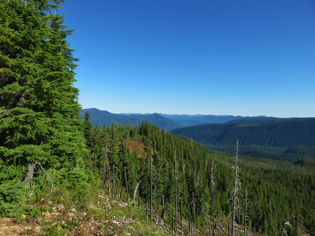 The cinder viewpoint from Marion Mountain.

 Three Fingered Jack
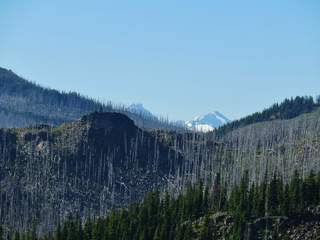 Tops of the Three Sisters.
 Coffin Mountain (
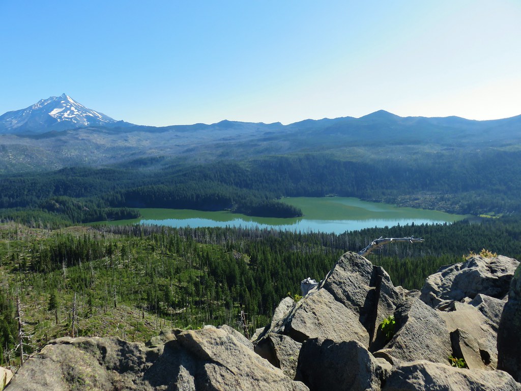 South Cinder Peak is the high point along the ridge.

 The saddle that we didn’t want to drop down to.
 Three Fingered Jack with the Three Sisters and Mt. Washington in the gap.
 The Three Sisters and Mt. Washington beyond Red Butte (
 Jenny and Melis Lake
 Marion Mountain at the end of the ridge.
 Bear Point (
 Turpentine Peak along the ridge.
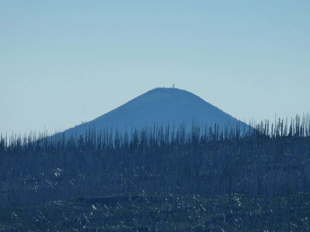 Black Butte (
 Stonecrop
 Prince’s Pine
 Penstemon
 Washington lily


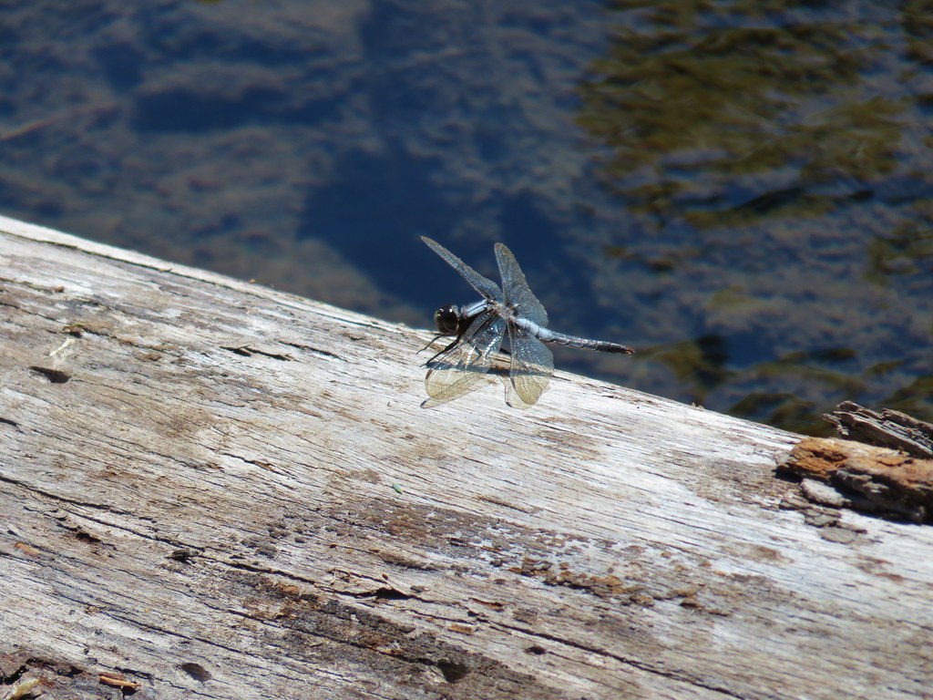 Dragon fly