The arrival of rain showers Wednesday had led us to change our plans into a “Waterfall Wednesday”. Our plan was to visit four or five of Mount Rainier National Park’s waterfalls starting with Narada Falls. With the rain clouds overhead we got a little later start and arrived at the Narada Falls Trailhead just before 6:30am.

Located along the Paradise River a short trail drops 100′ in just over tenth of mile to a viewpoint of the 168′ waterfall.

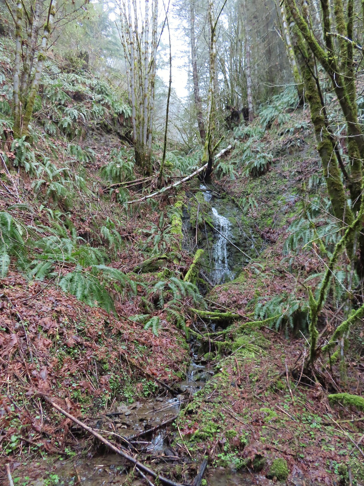
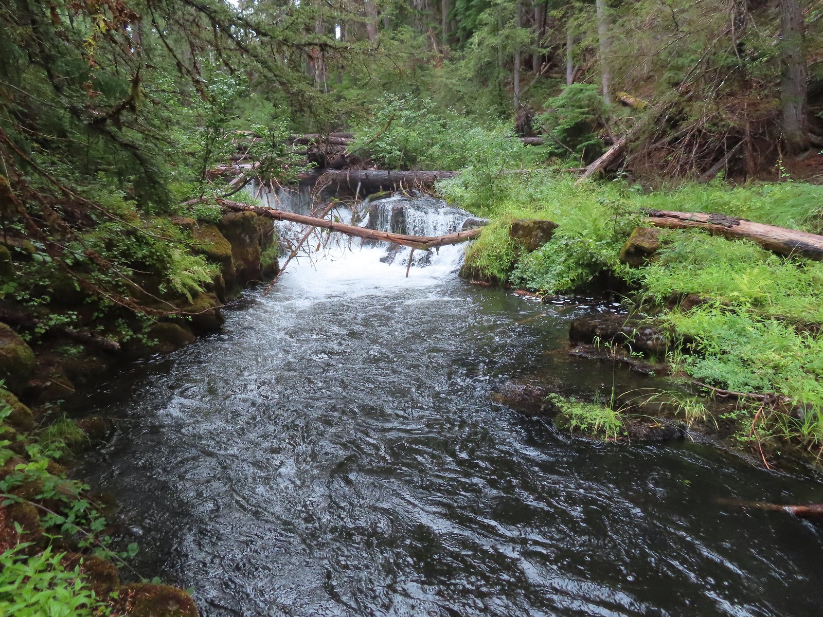
Small cascade above Narada Falls.

The viewpoint below from the top of Narada Falls.

Paradise River

The trail down to the viewpoint. It is possible to connect to the Wonderland Trail a tenth of a mile from the viewpoint allowing for longer hikes to Reflection Lakes or the Longmire Area.


After visiting the viewpoint we returned to our car and continued driving four miles west on Paradise Valley Road to a pullout just before Van Trump Creek.

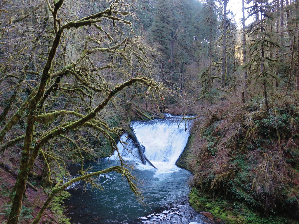
An even shorter trail here led to a viewpoint of Chrstine Falls.

There was no sign for the short, paved path.

The path dropped about 40′ in less than 100 yards to the viewpoint.

Christine Falls
After checking out Chrstine Falls we again traveled west on Paradise Valley Road to the Longmire Area. Here we planned for a more substantial hike to Carter and Madcap Falls along the Wonderland Trail. We could have followed the Wonderland Trail down from Narada Falls to visit these two falls but that was a much steeper section of the trail than coming up from below. This was our second time starting a hike from Longmire. In 2019 we did an excellent Fall hike to Indian Henry’s Hunting Ground (post).

From Longmire we followed a pointer for the Wonderland Trail near the entrance road.


We followed this short 0.1-mile connector to the actual Wonderland Trail where we forked right.

In 2019 we had returned to Longmire via the left-hand fork.
The Wonderland Trail climbed gradually through the forest with occasional glimpses of the Nisqually River for 1.6-miles to the Carter Falls Trailhead.


Red huckleberries


Huckleberries


Starting at the Carter Falls Trailhead makes the hike to Carter and Madcap Falls 2.8-miles with 660′ of elevation gain. According to the Park’s construction schedule this TH was going be closed for repaving/striping on Wednesday, but that didn’t turn out to be the case.
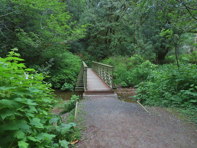
From the Carter Falls Trailhead the Wonderland Trail dropped down to the Nisqually River where it crossed on the river on a single log footbridge.

 Fireweed

Heather was not a big fan of how swiftly and close the river was flowing to the bridge.
Beyond the bridge the trail continued to climb, but now it was following the Paradise River.


There was a relatively short but steep section along this old pipe.

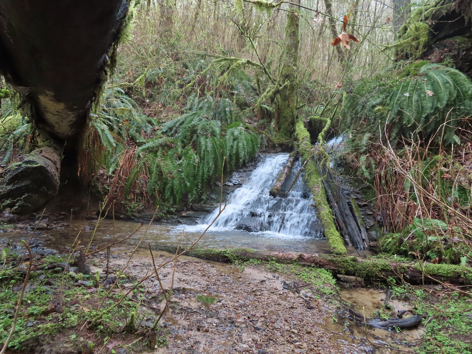
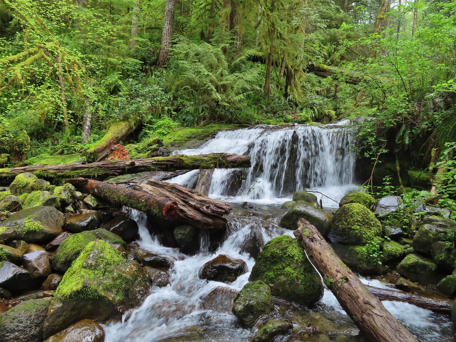
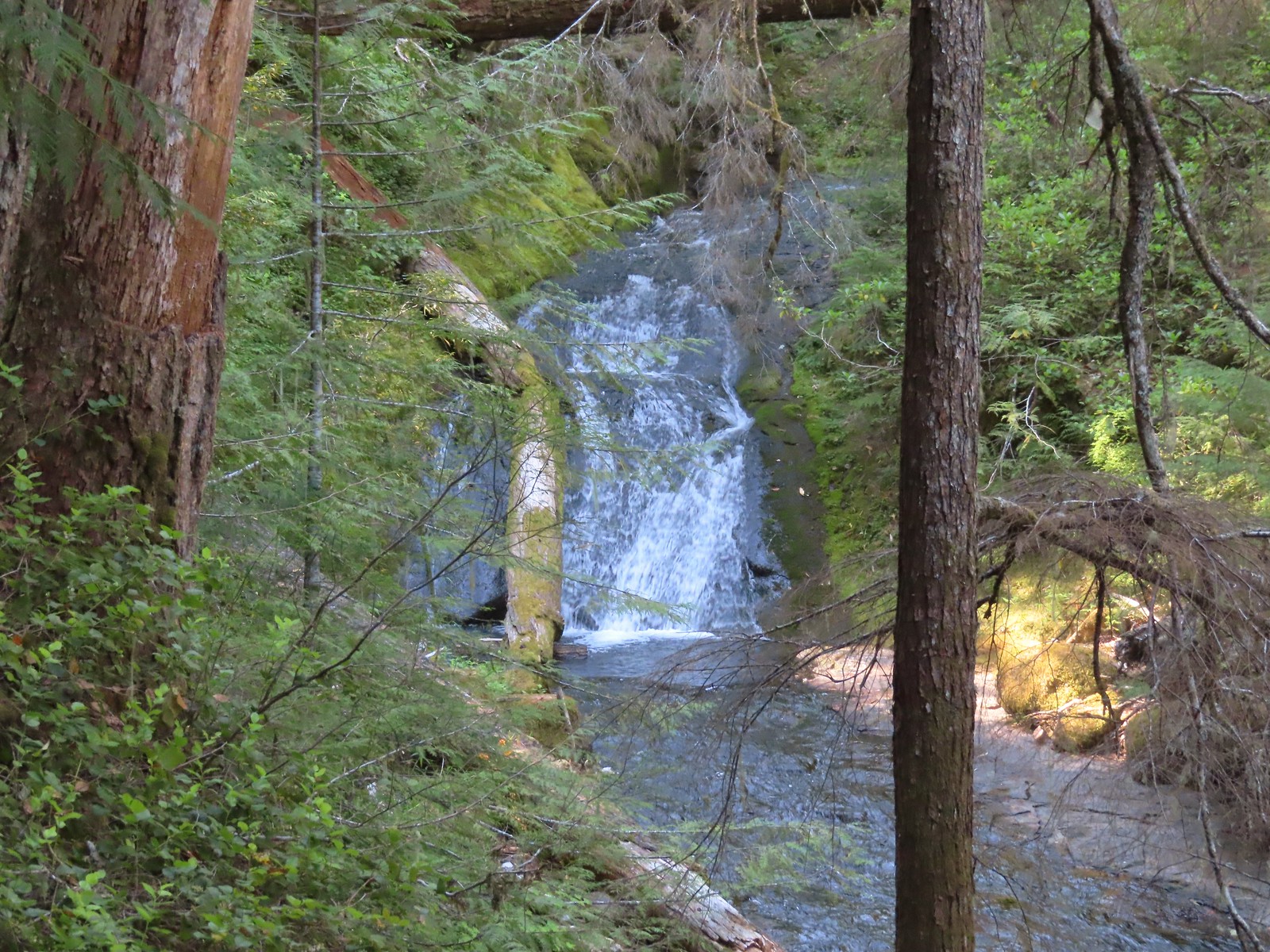
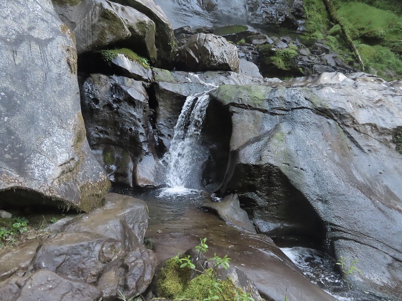
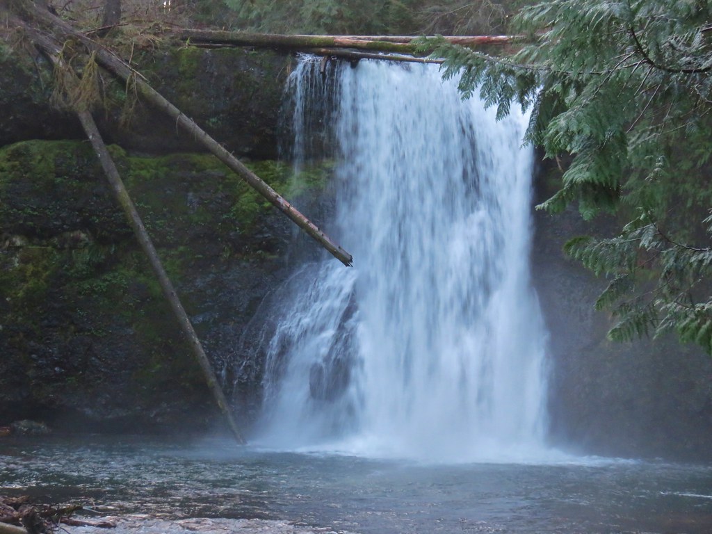
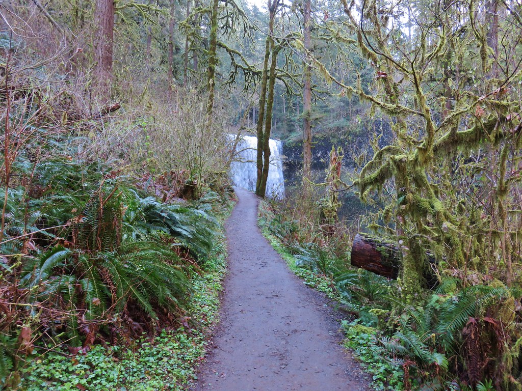
The steps ahead meant that we were close to Carter Falls.

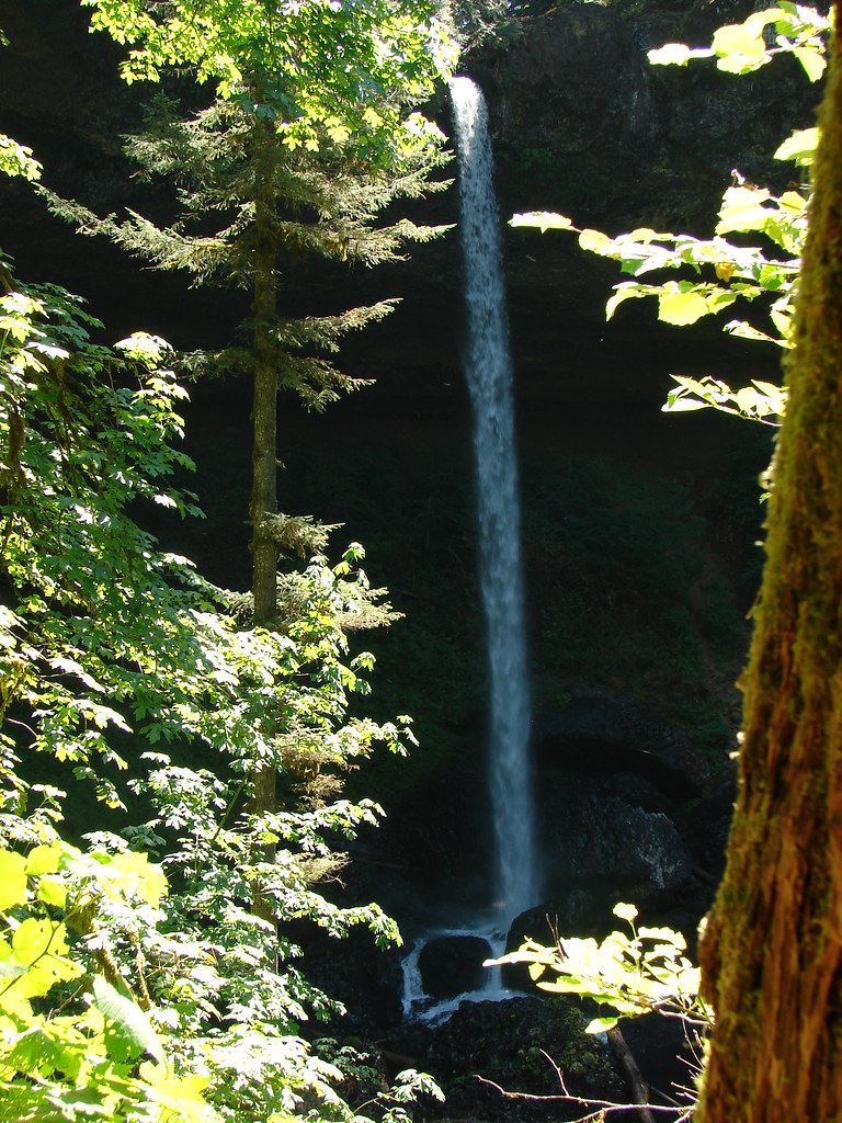
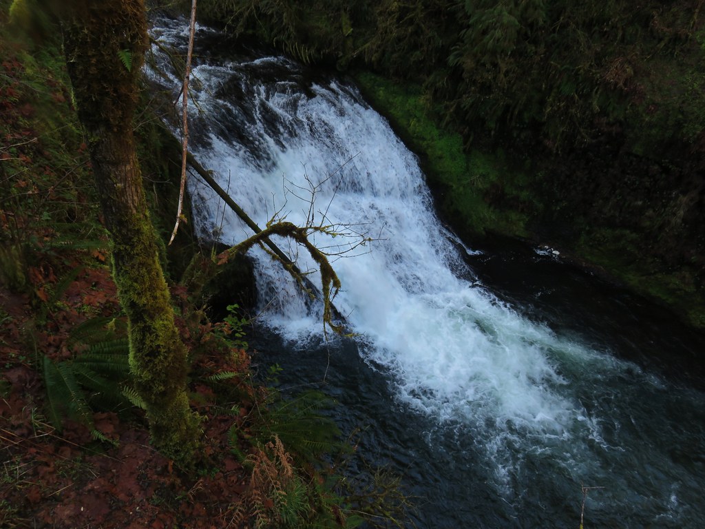
Carter Falls
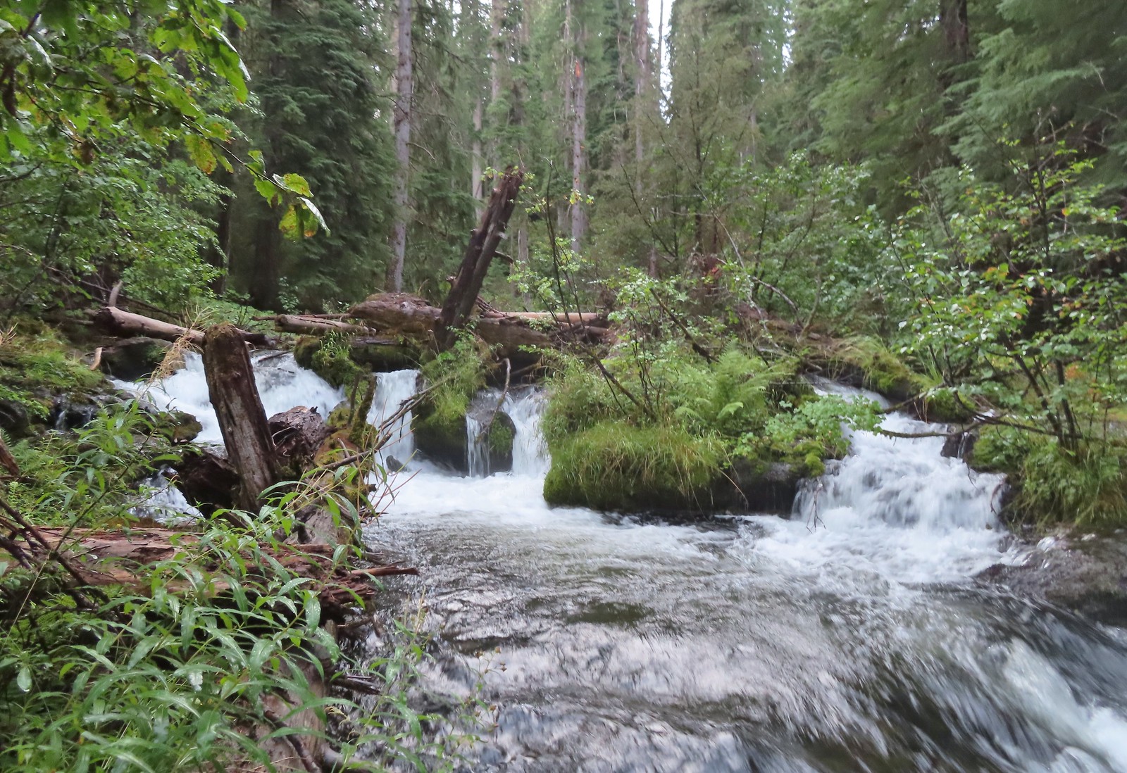
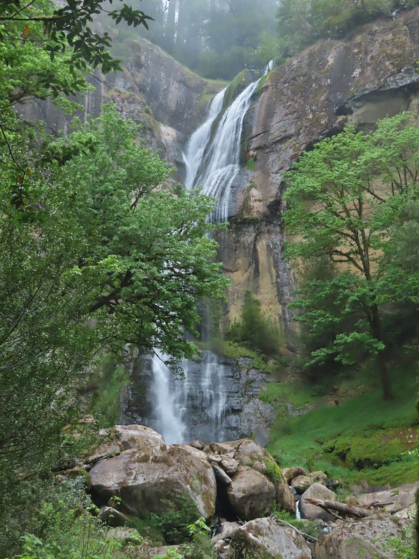
A tenth of a mile beyond Carter Falls the trail arrives at Madcap Falls.


Madcap Falls
We declared victory at Madcap Falls and returned the way we’d come. We had thus far avoided any heavy showers and had just experienced a light mist for most of the morning. As we neared Longmire the rain did pick up but fortunately it wasn’t long before we were back in the car.

The bridge coming from the other directon.

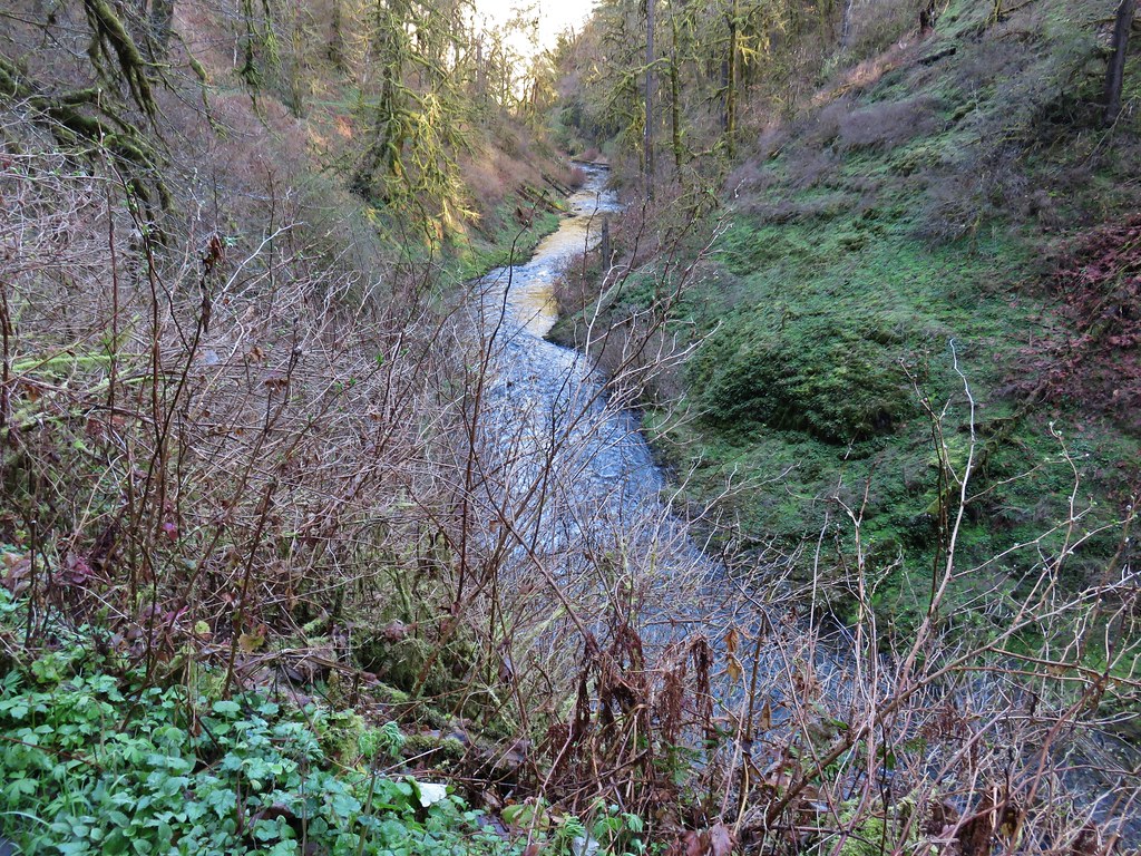
The Paradise River joining the Nisqually River.


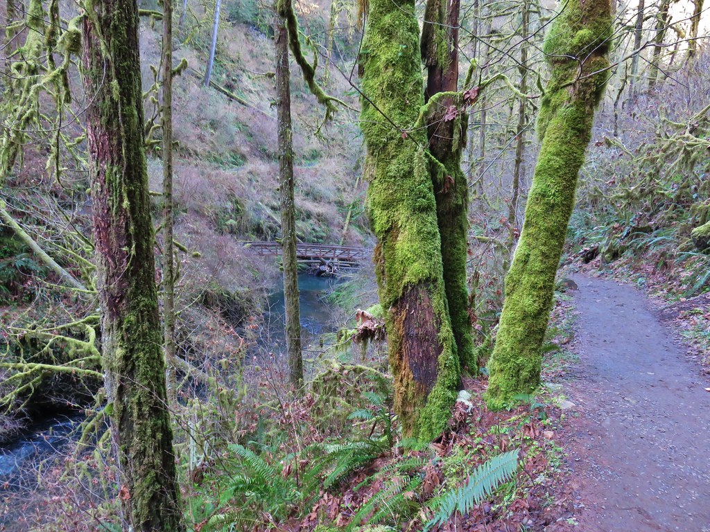
Arriving back at the short connector trail to Longmire.
This hike wound up being 6.2-miles with approximately 1000′ of elevation gain.

We headed back toward Packwood with one more possible stop. Since we weren’t entirely soaked and it was still before Noon we were hoping to find a parking spot at the Grove of the Patriarchs Trailhead so we could visit Silver Falls. (We originally had also been planning on visiting the Grove of the Patriarchs, a stand of giant old growth trees, but the suspension bridge leading to the grove is damaged and that hike is currently closed.)

The busy, but not full, Grove of the Patriarchs Trailhead.

From this trailhead we crossed Stevens Canyon Road following a pointer for the Eastside Trail.


Normally a 3-mile loop is possible here, but ongoing construction had closed part of the loop near the Ohanapecosh Campground.

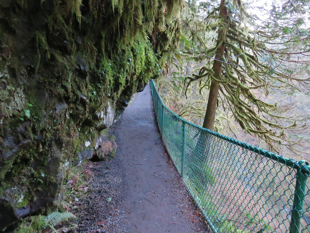
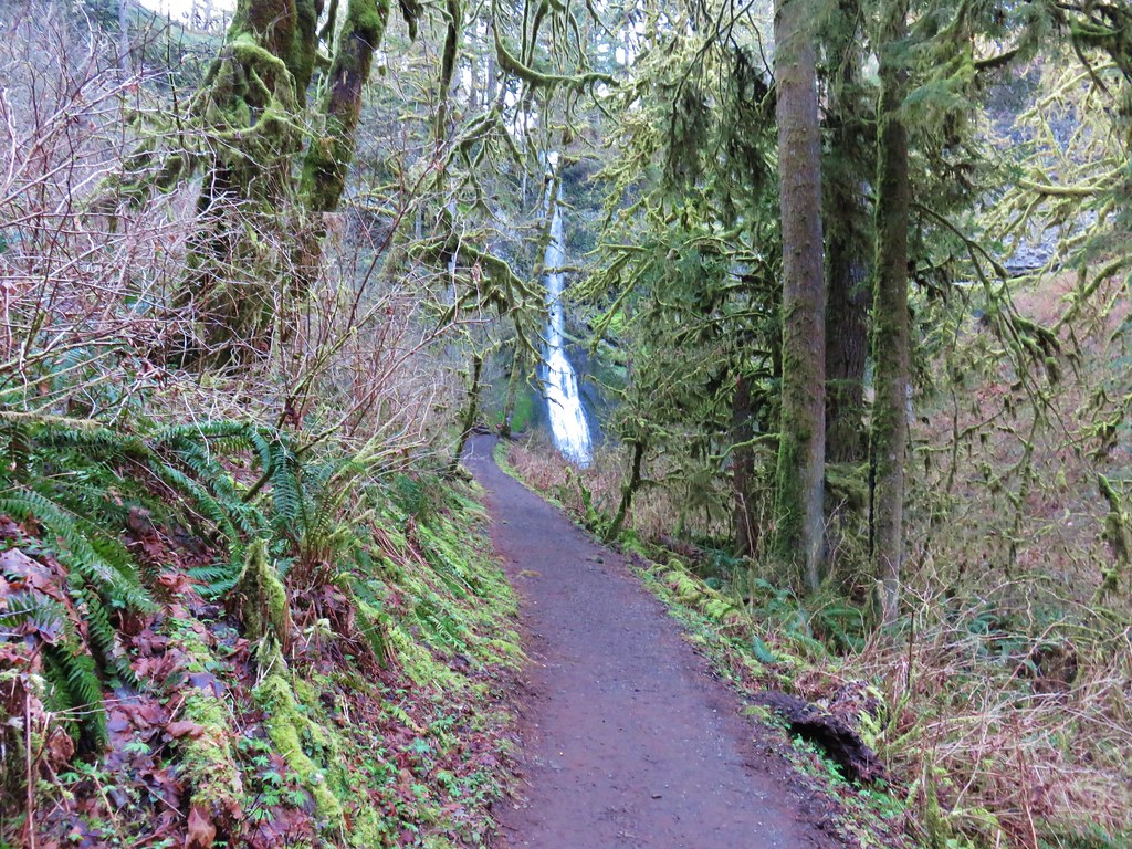
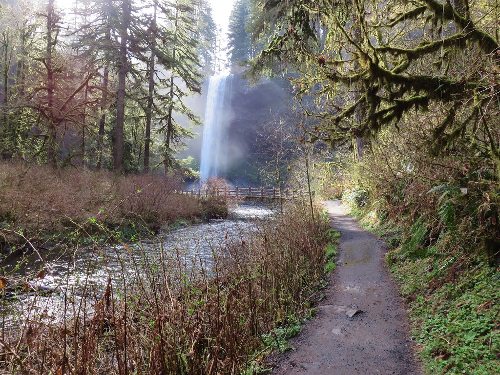
It was raining less here than it had anywhere else all morning allowing for a nice hike down through a beautiful forest.


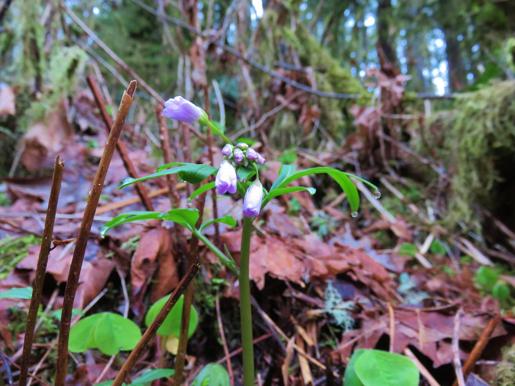
Foam flower

The Ohanapecosh River was spectacularly clear and colorful.


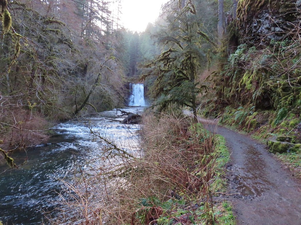
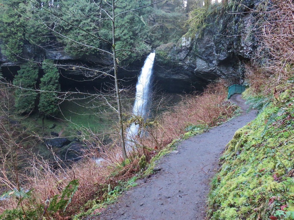
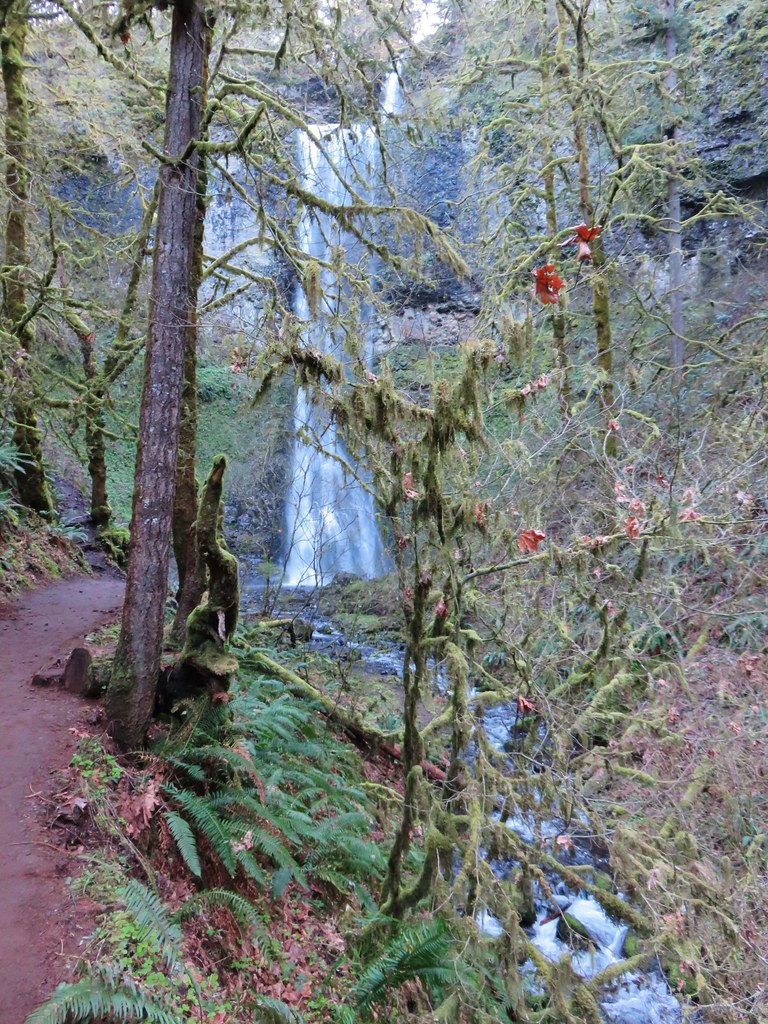
A spur to the left leads to an overlook, but the better view is from the far side of the bridge over the river.

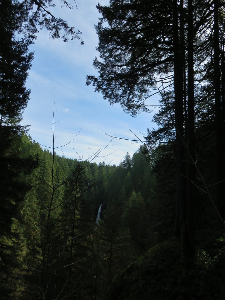
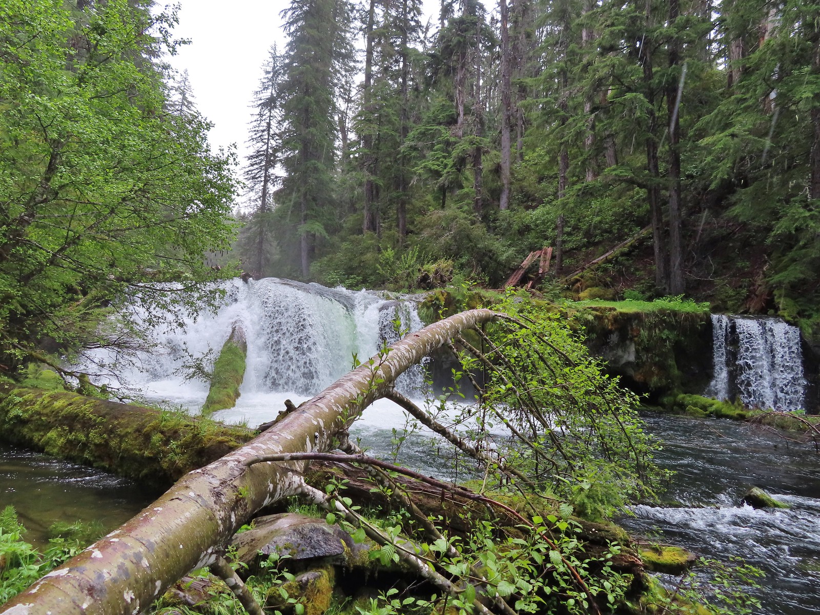
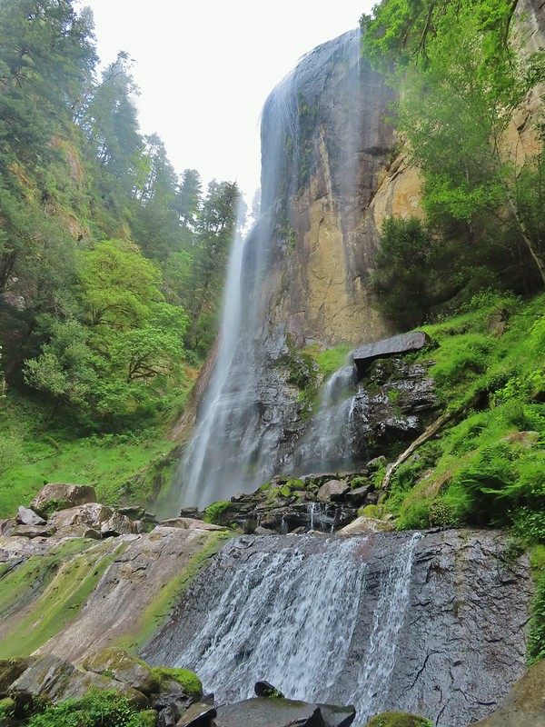
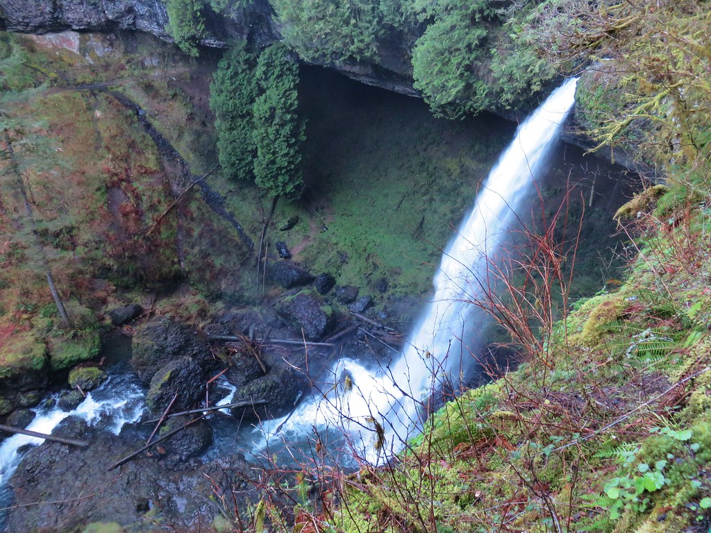
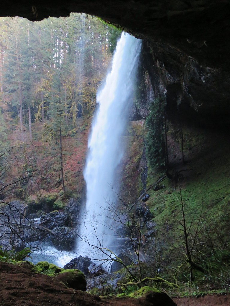
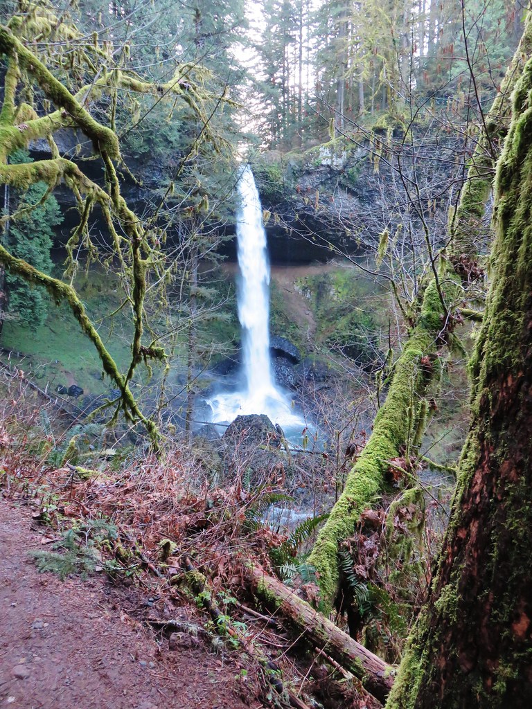
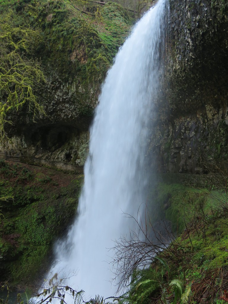
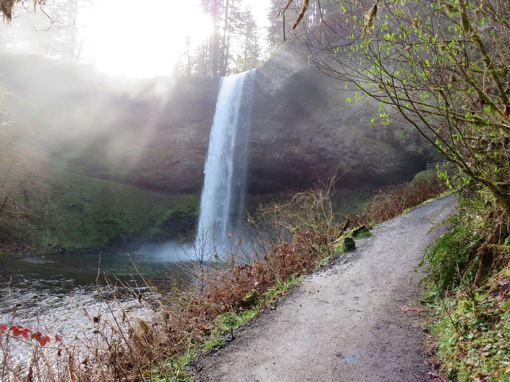
Silver Falls from the overlook.
For the best view skip the overlook and head for the railed section of trail across the river ahead.


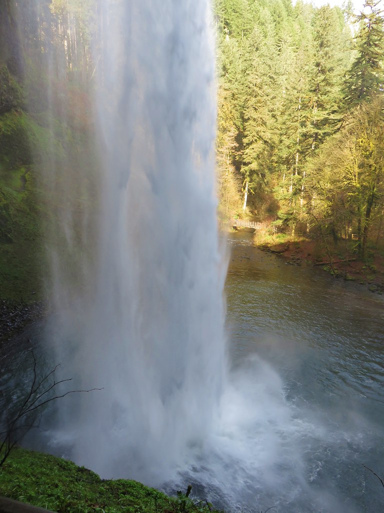
The Ohanapecosh River flowing away from the bridge.

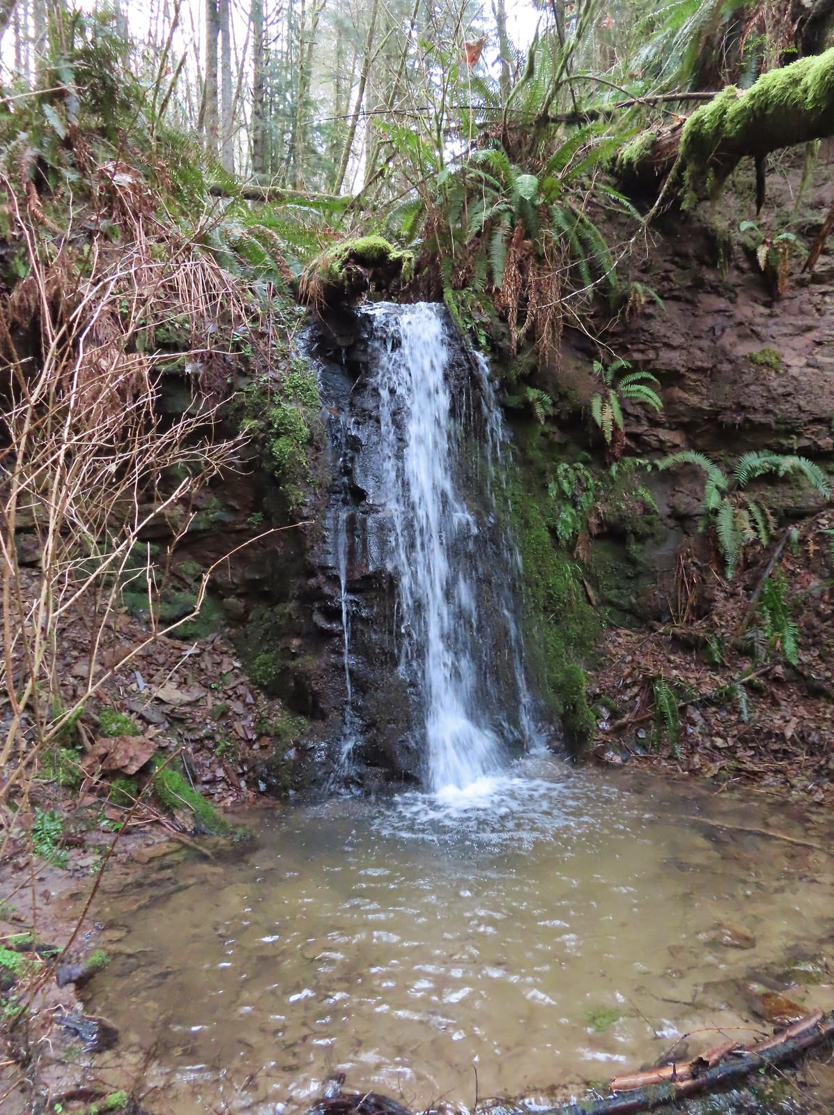
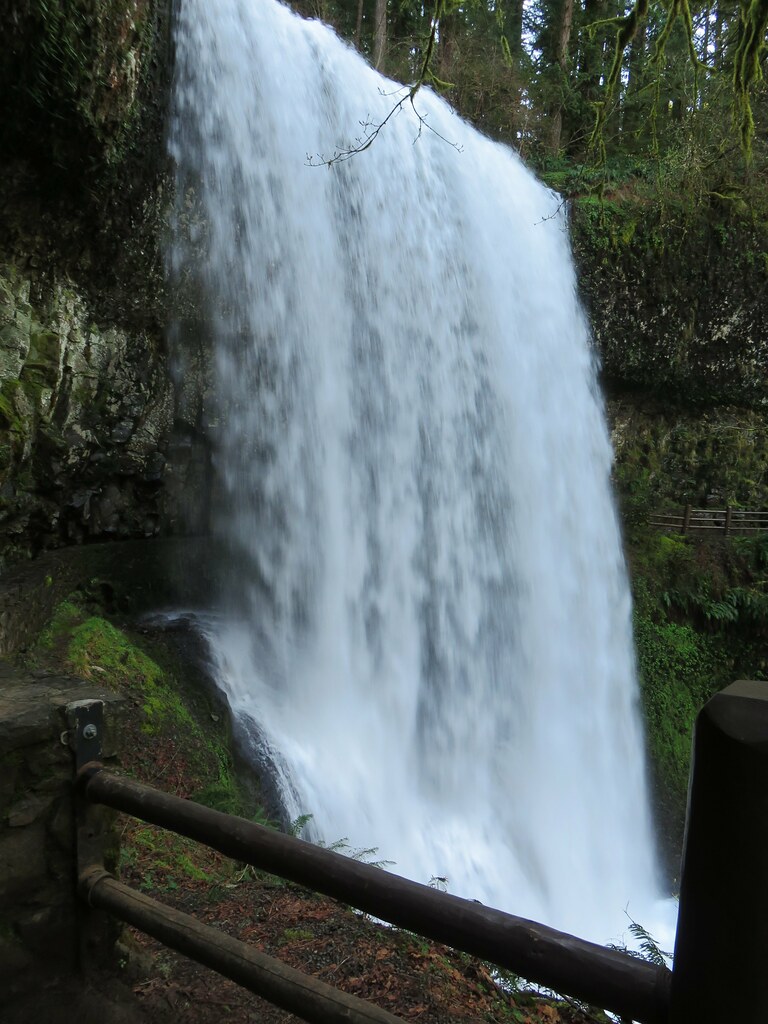
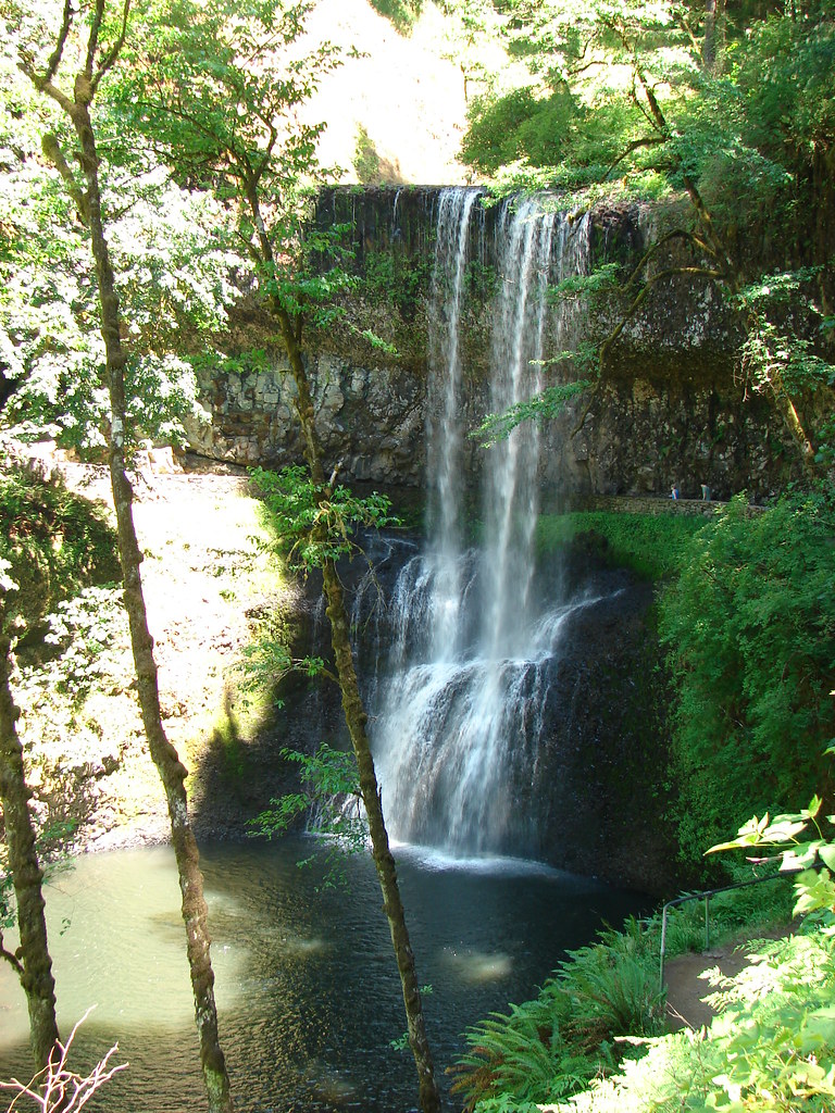
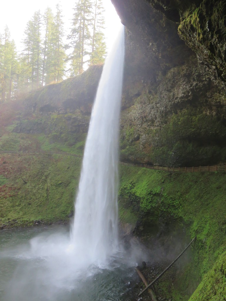
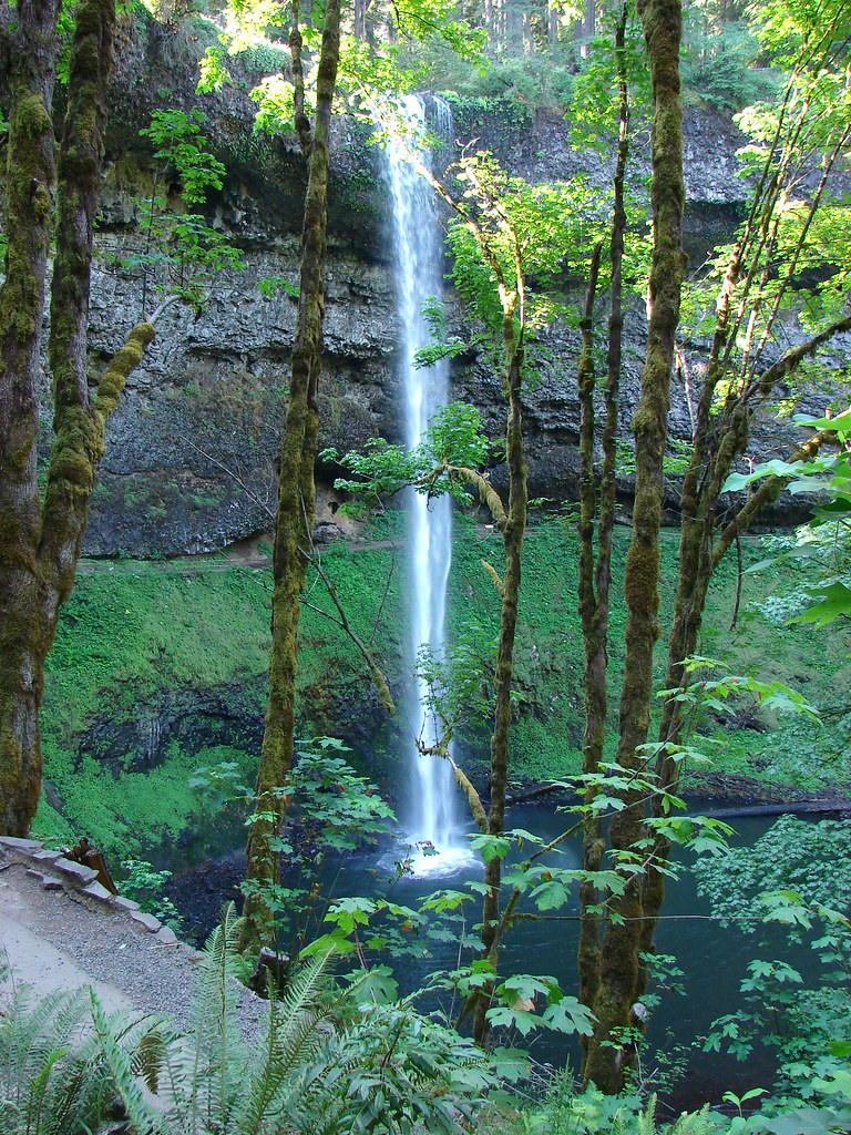
Silver Falls

This was our favorite view just uphill from the bridge.
After admiring this amazing waterfall we headed back the way we’d come. This stop was 1.6-miles and 300′ of elevation gain giving us a total of 8.3-miles and 1550′ of total elevation gain on the day.

All five of these waterfalls were worthy of a visit and this was a perfect day for it. We returned to Packwood and after hanging up our gear to dry we went out for coffee and bakery items from The Mountain Goat Coffee Company which really hit the spot. Happy Trails!

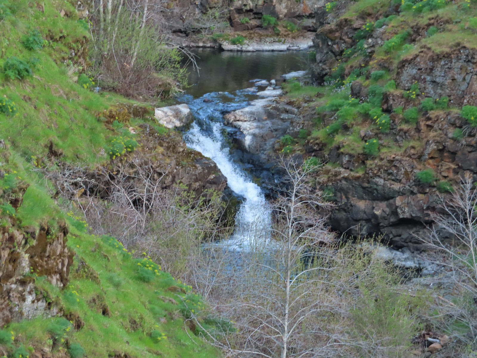


 Unnamed waterfall along Riley Creek in the Mt. Adams Wilderness
 Unnamed waterfall below East Boulder Lake in the Trinity Alps Wilderness.

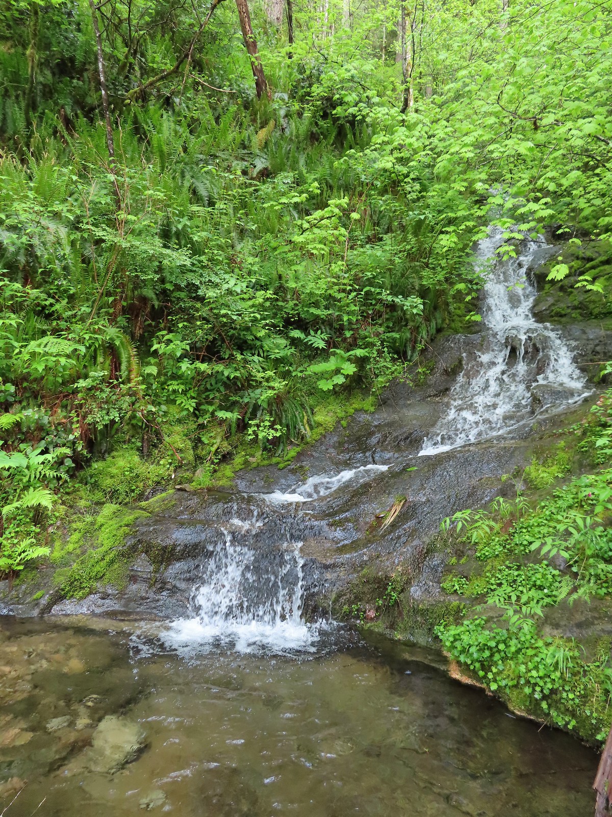
 Cascade on Wahkeena Creek.
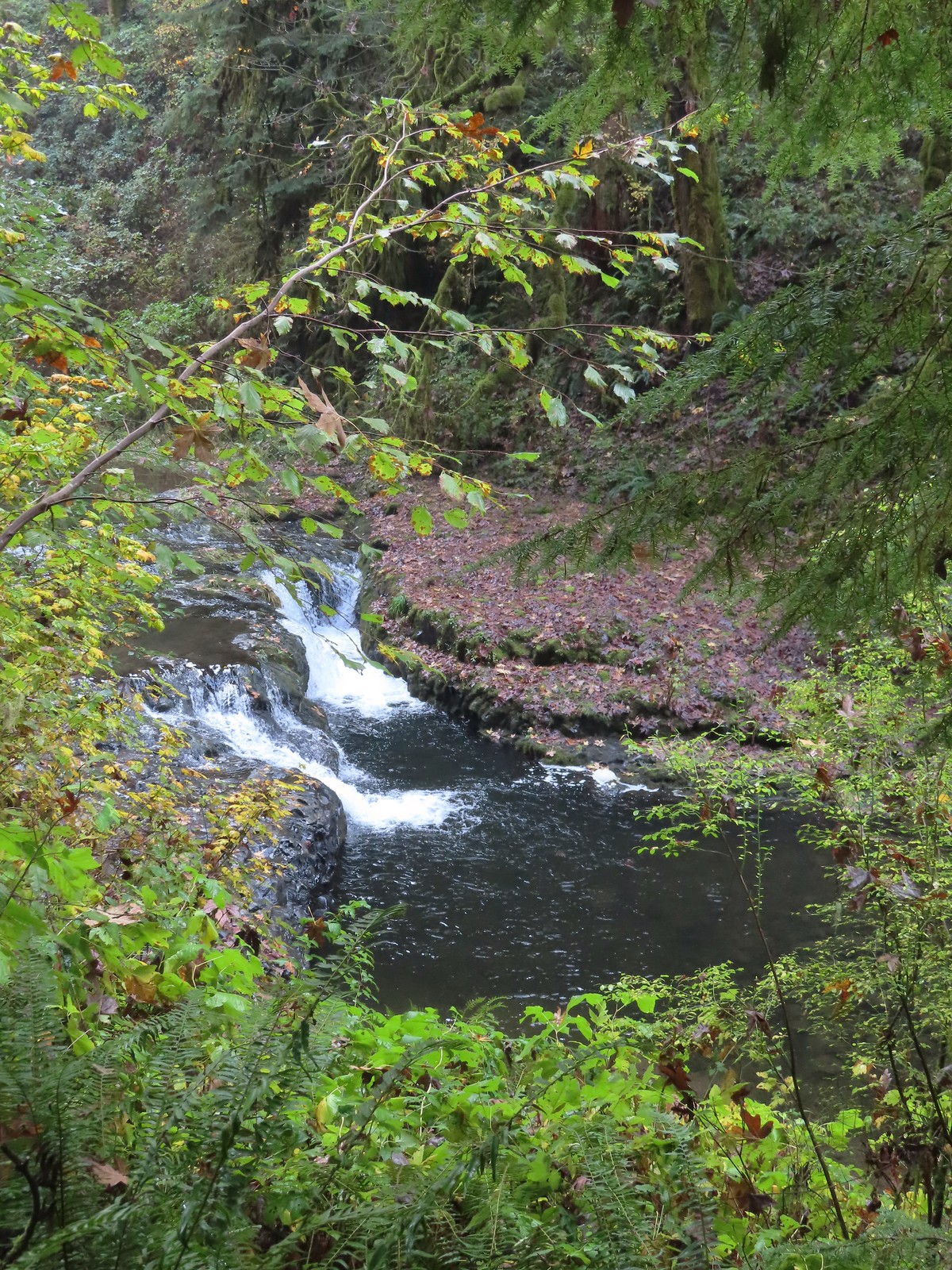 Small cascade along the North Fork Silver Creek.
 Mosier Creek Falls (
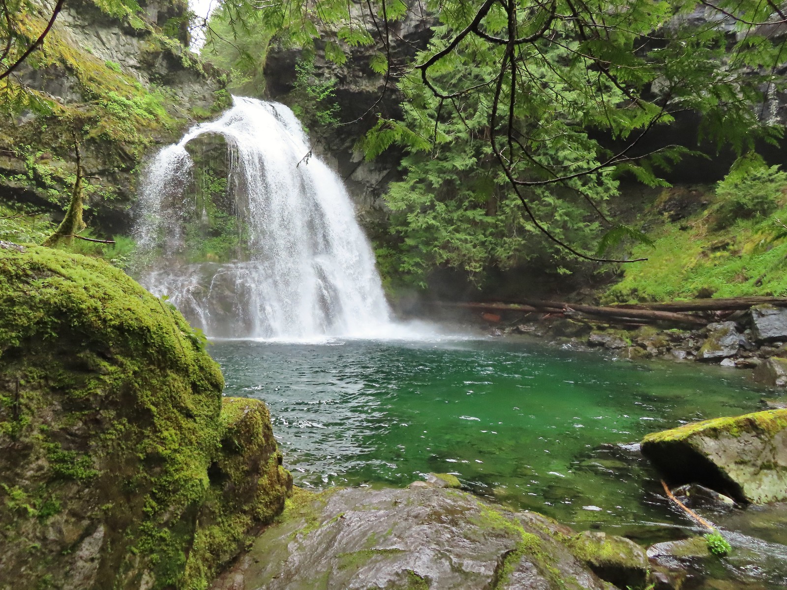 Black Hole Falls (
 Susan Creek Falls
 Toketee Falls
 Surprise Falls
 Columnar Falls
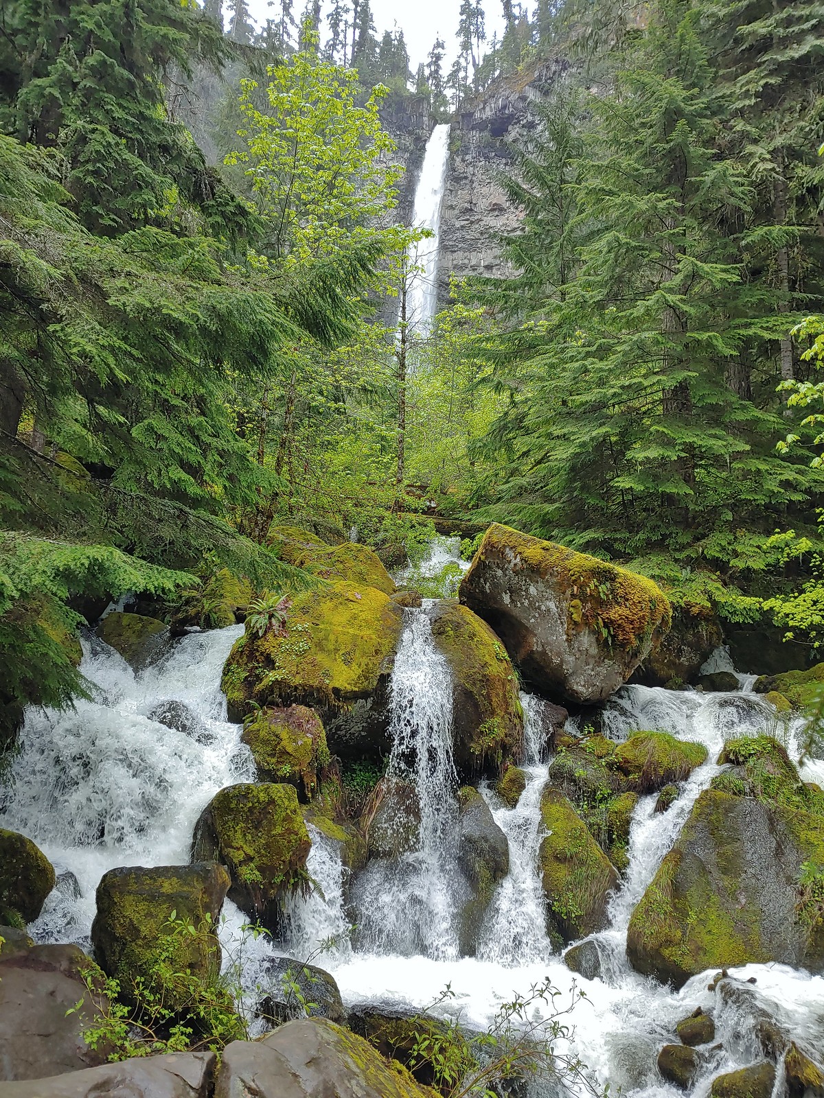 Watson Falls
 Warm Springs Falls
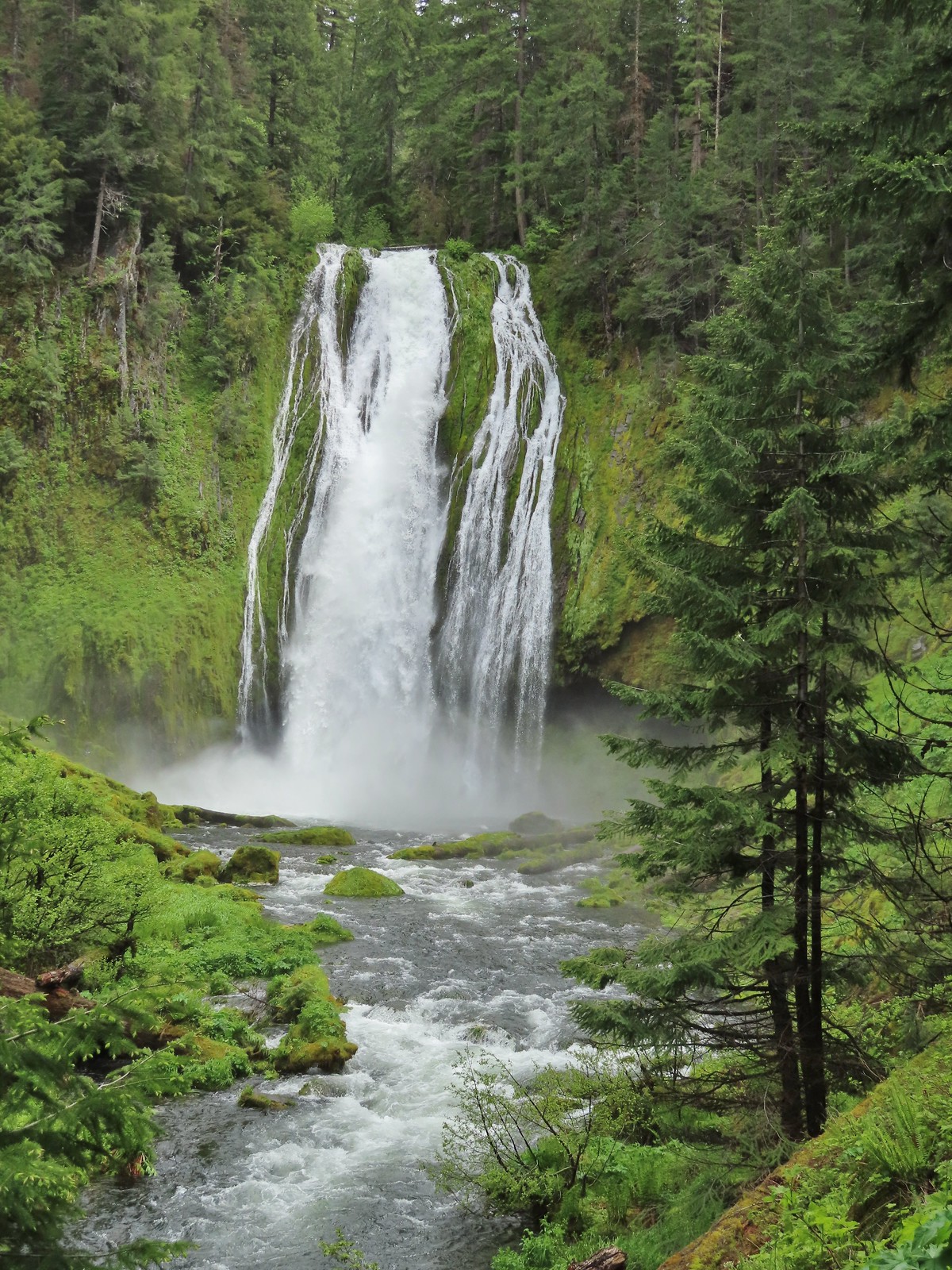 Lemolo Falls
 Alsea Falls
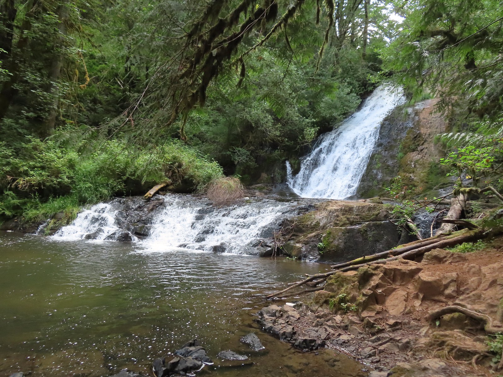 Green Peak Falls
 Yasko Falls
 Hemlock Falls
 Tributary Falls
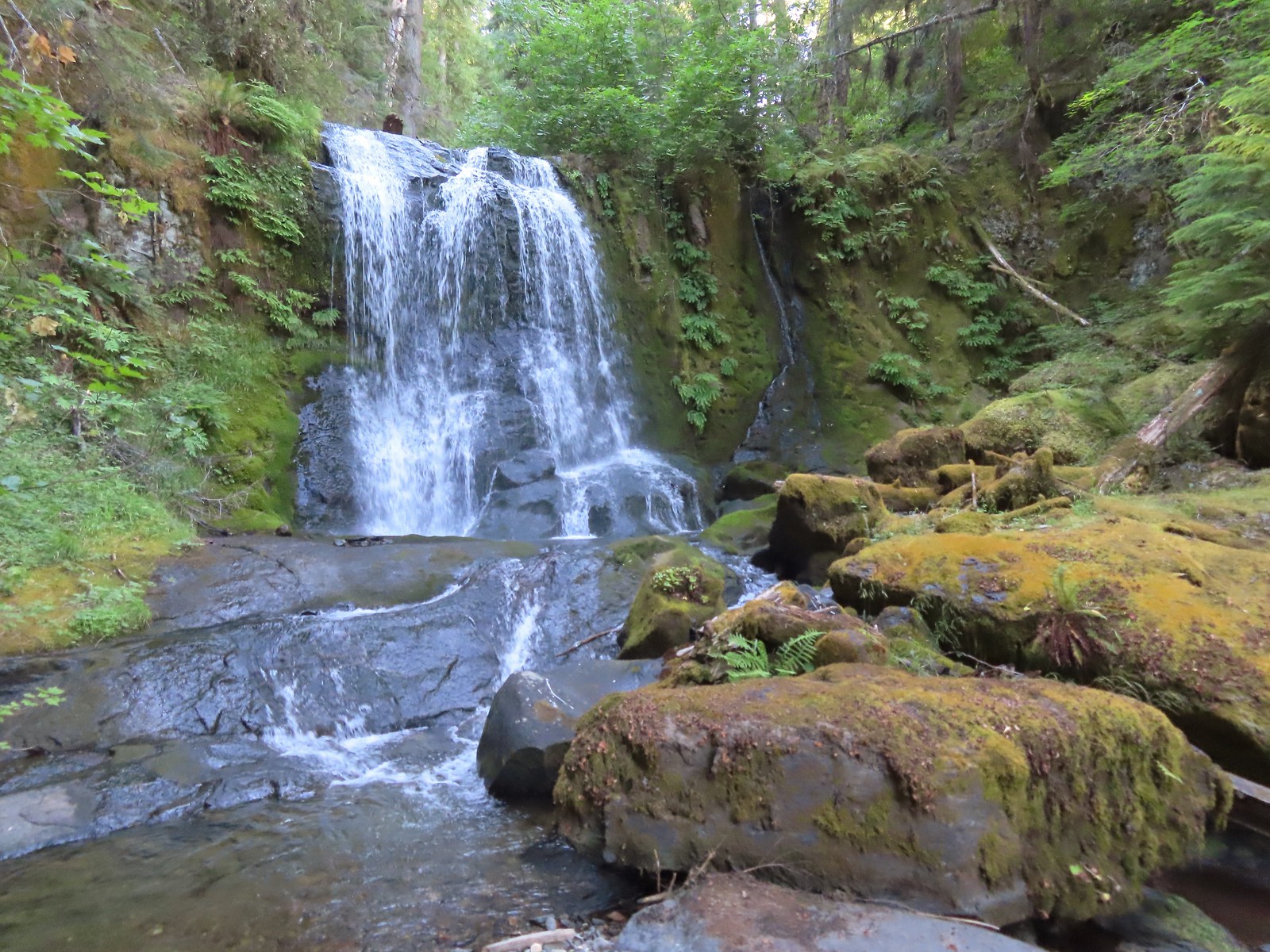 Middle Hemlock Falls
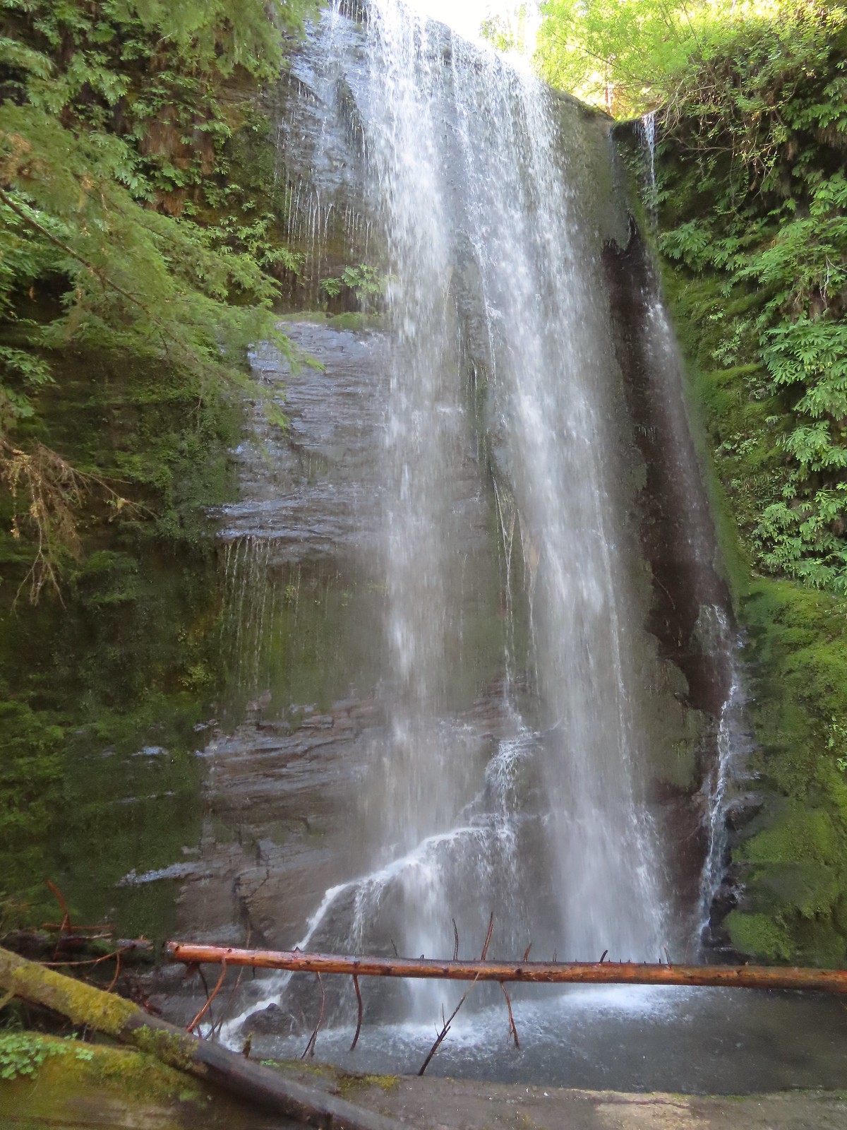 Clover Falls
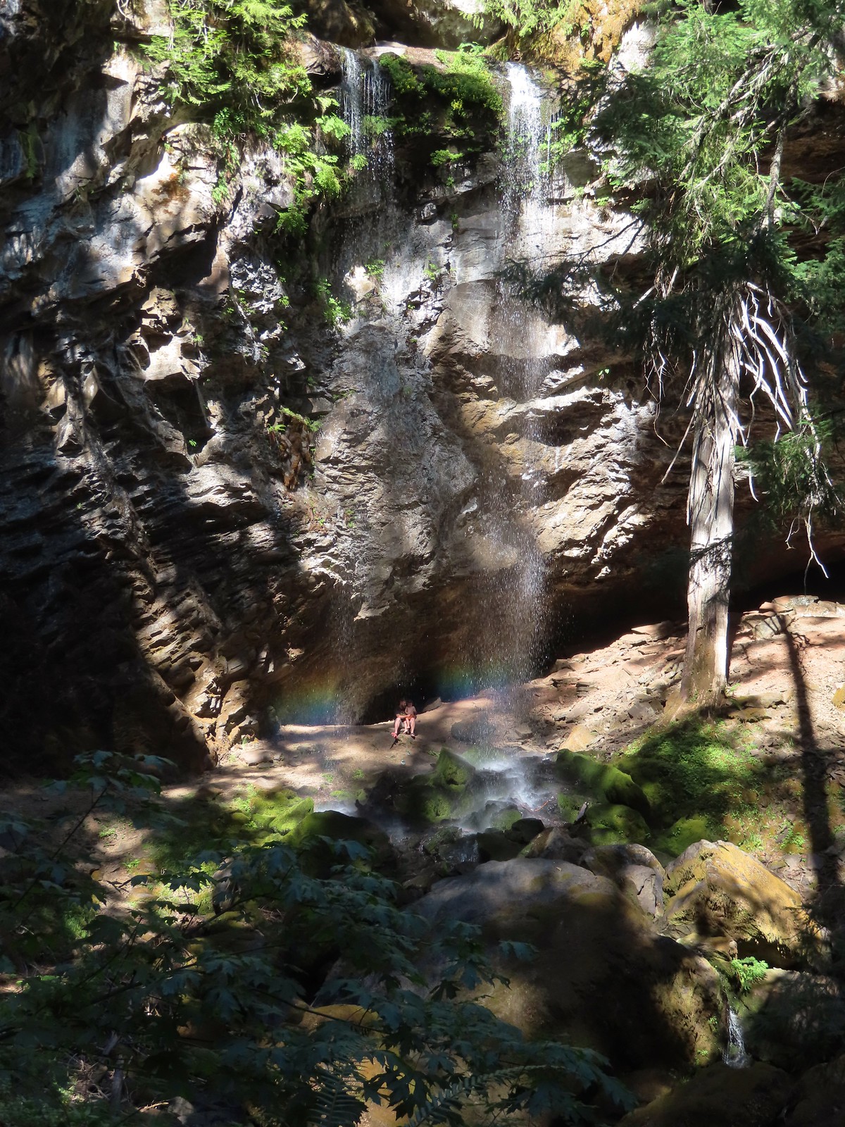 Grotto Falls
 Fall Creek Falls
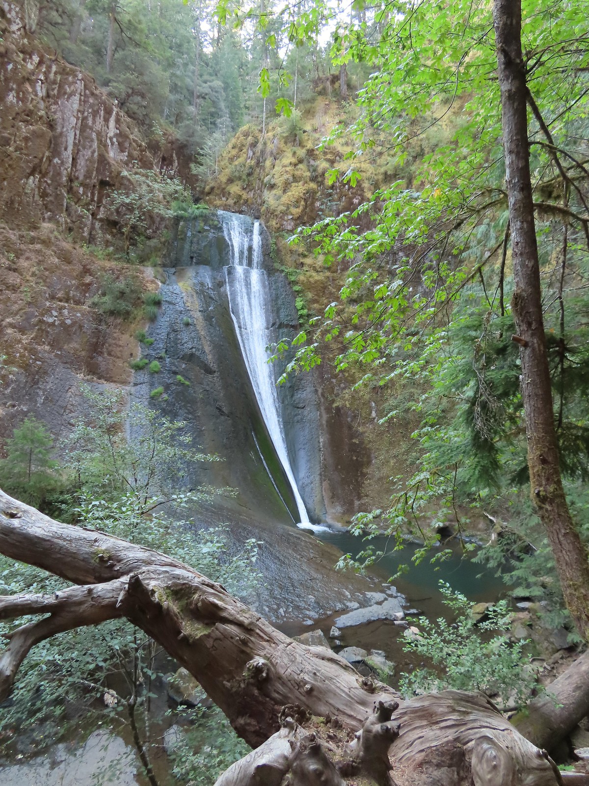 Upper tier of Wolf Creek Falls
 Lower tier of Wolf Creek Falls
 South Umpqua Falls (
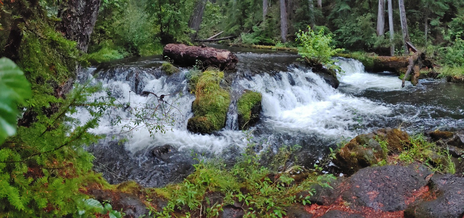 Union Creek Falls (
 Chitwood Creek Falls
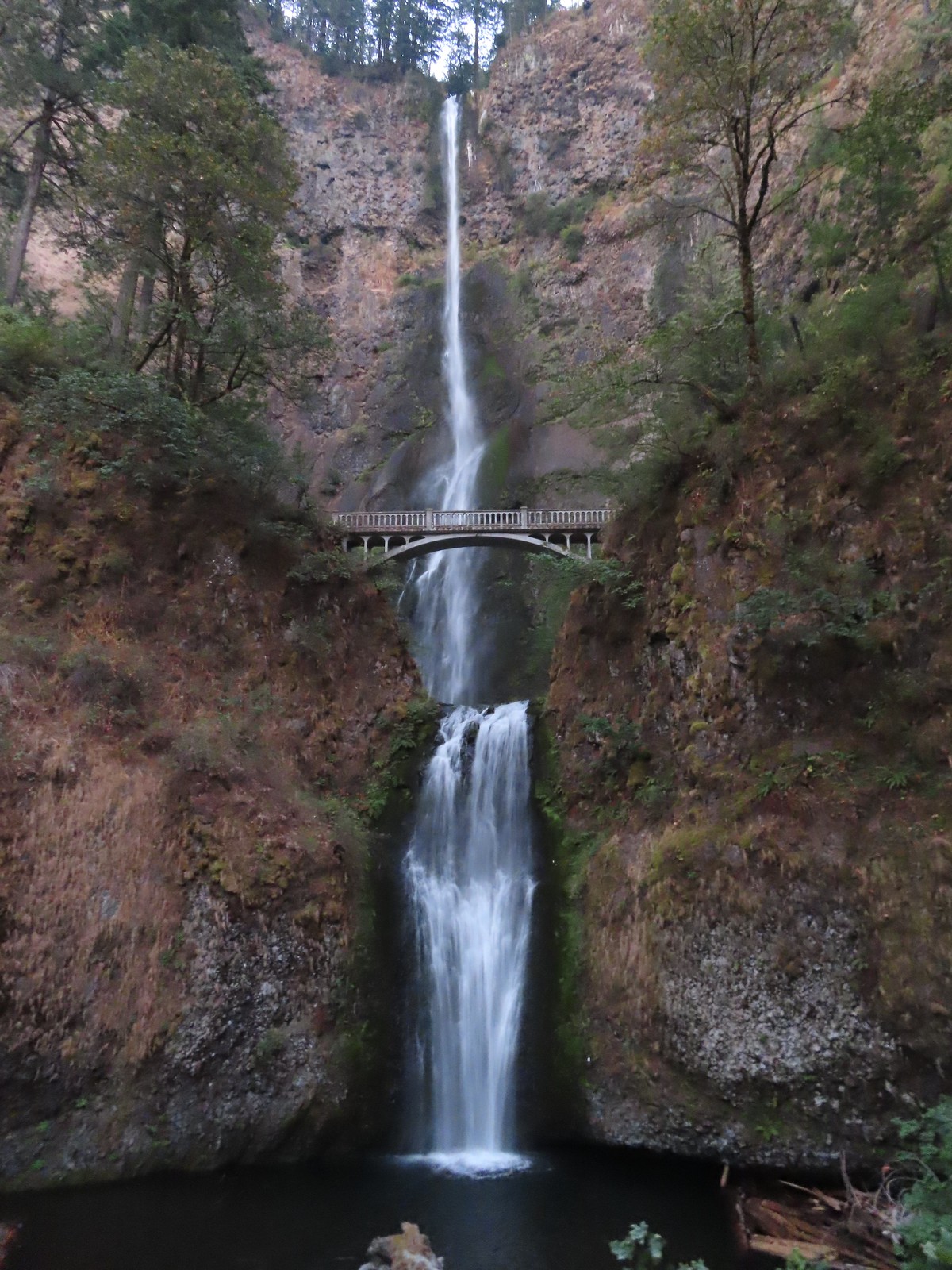 Multnomah Falls
 Lower Dutchman Falls
 Upper Dutchman Falls
 Wiesendanger Falls
 Ecola Falls
 Fairy Falls
 Wahkeena Falls
 Upper North Falls
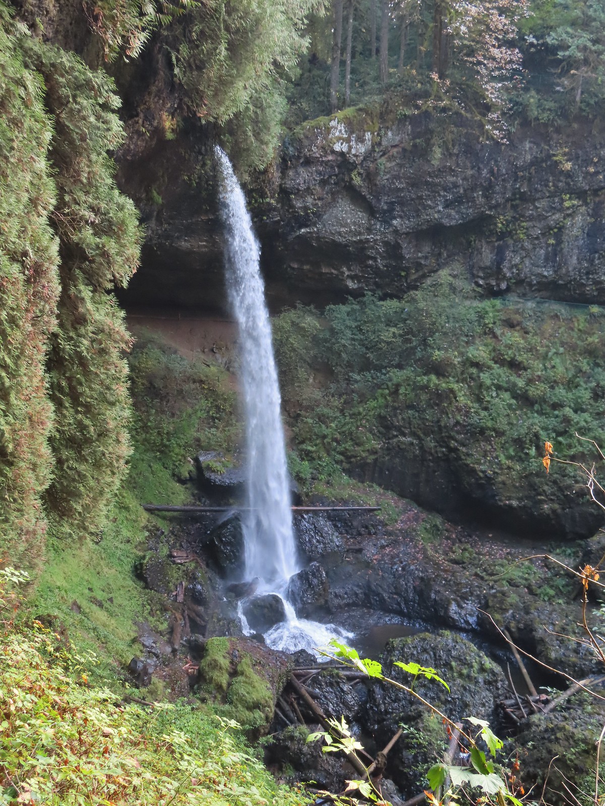 North Falls
 Twin Falls
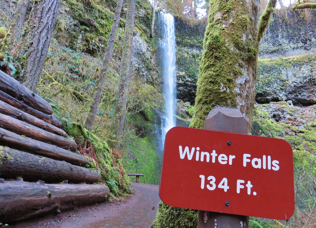
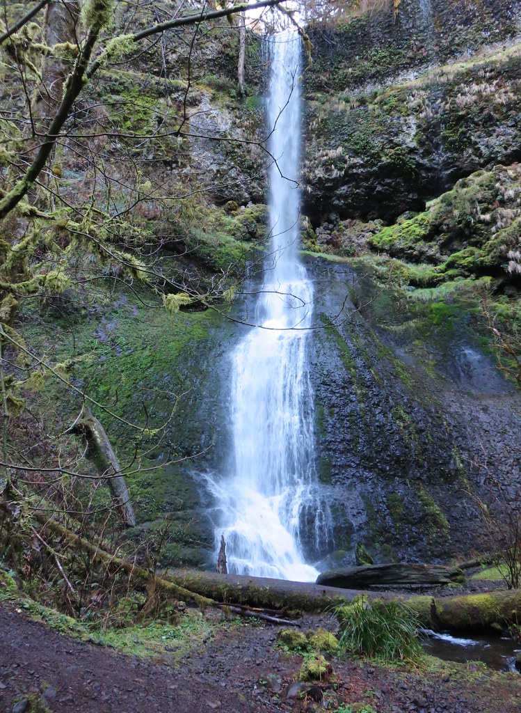
 Winter Falls
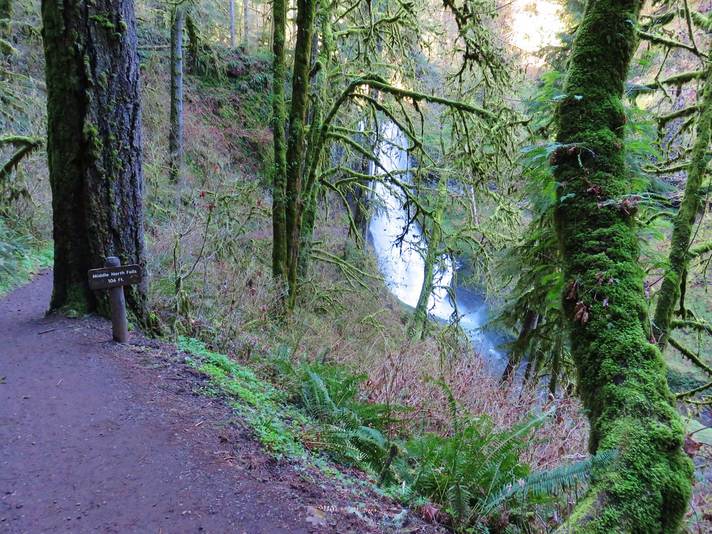
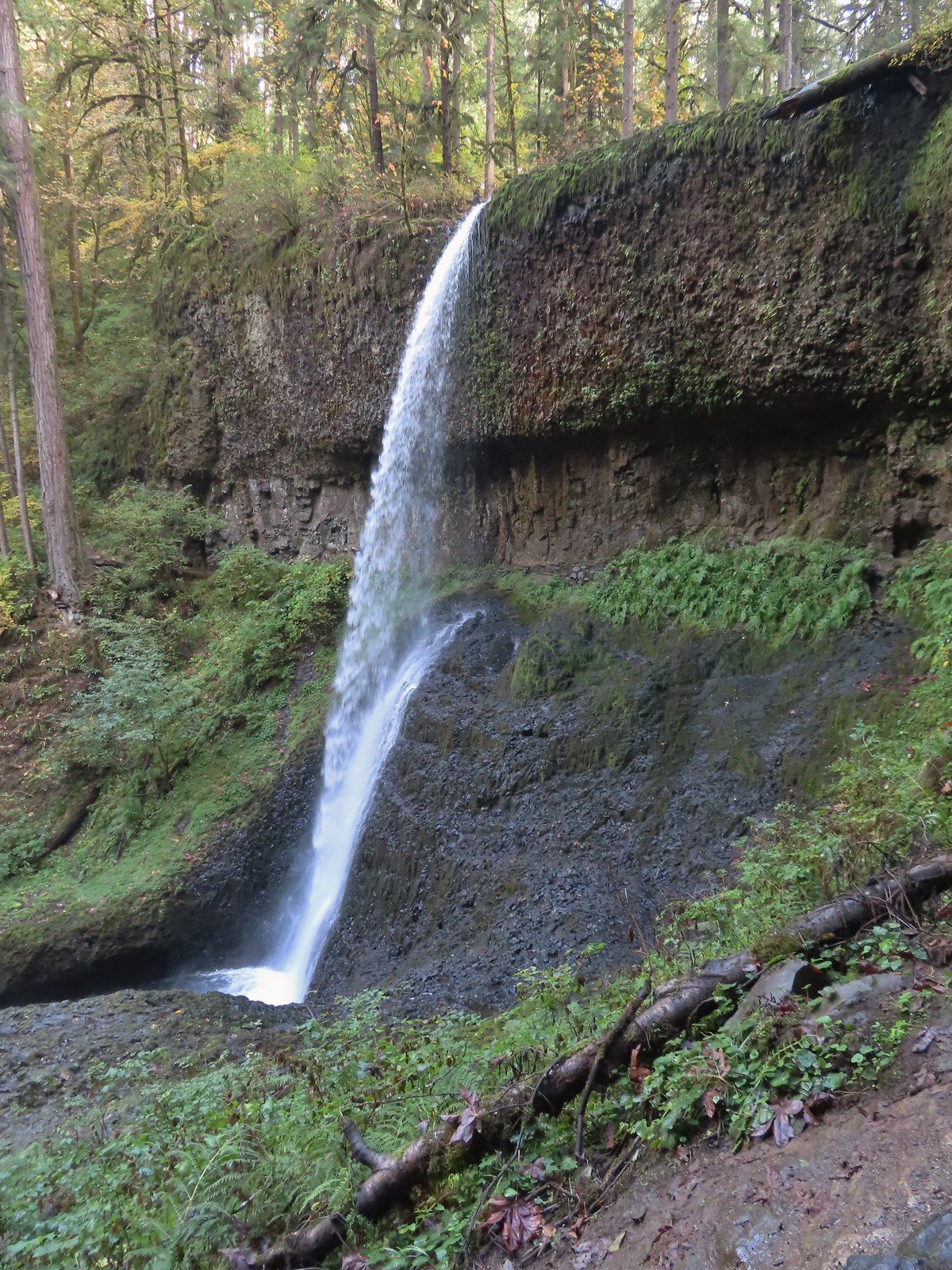 Middle North Falls
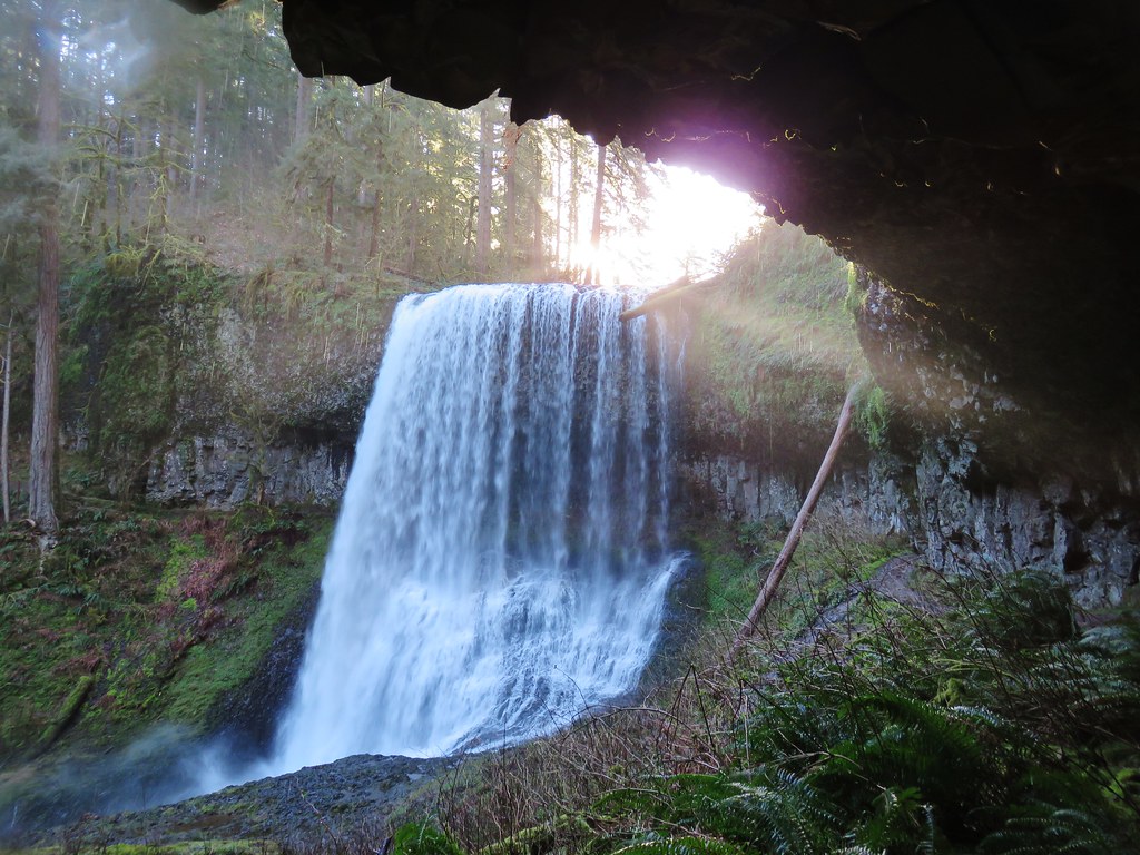
 Drake Falls
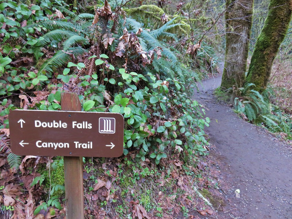
 Double Falls
 Lower North Falls
 Lower South Falls
 South Falls
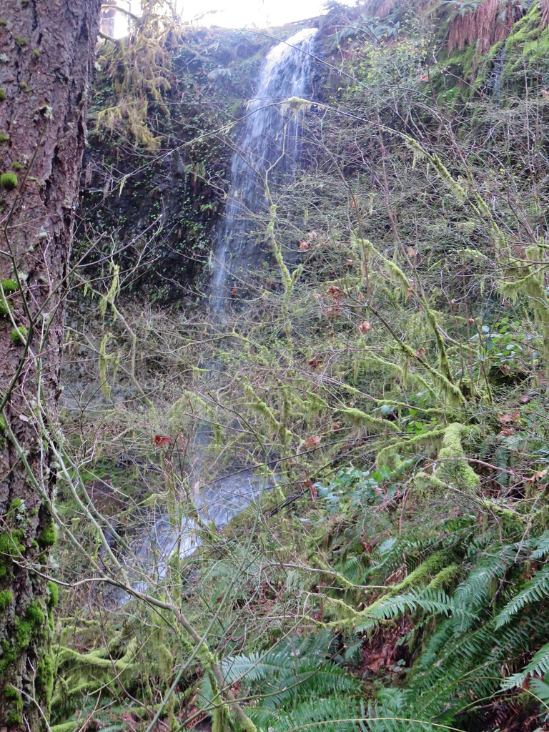
 Sorenson Falls
 Metlako Falls
 Lower Punchbowl Falls
 Punchbowl Falls
 Loowit Falls
 Skoonichuck Falls
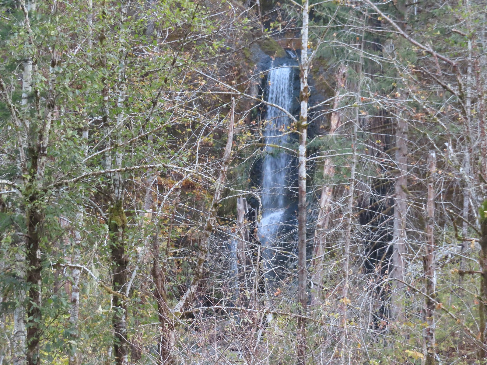 Four Mile Falls
 Tenas Falls
 Wy’East Falls
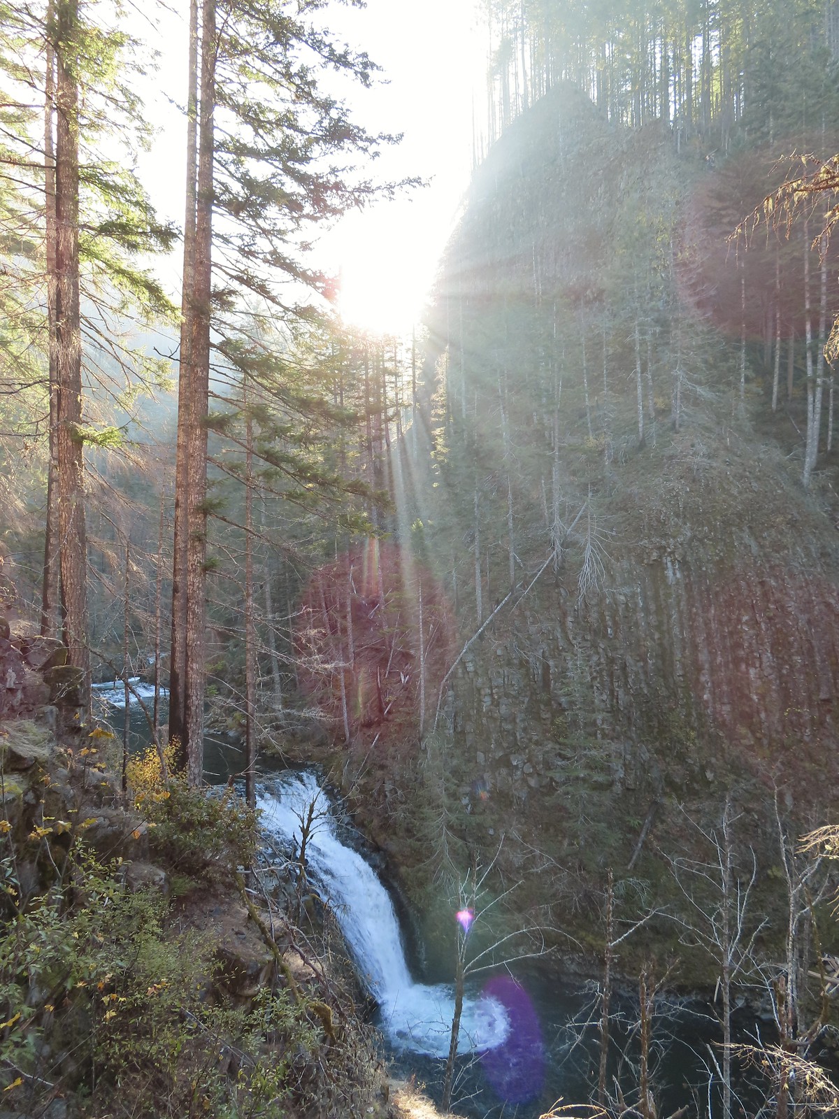 Grand Union Falls
 Tunnel Falls
 Twister Falls
 Seven Mile Falls
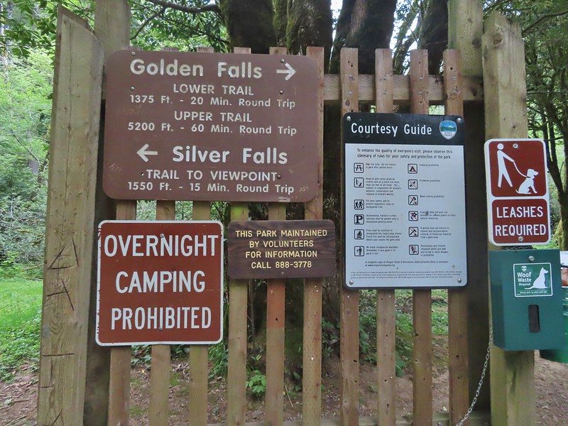


 Rough skinned newt
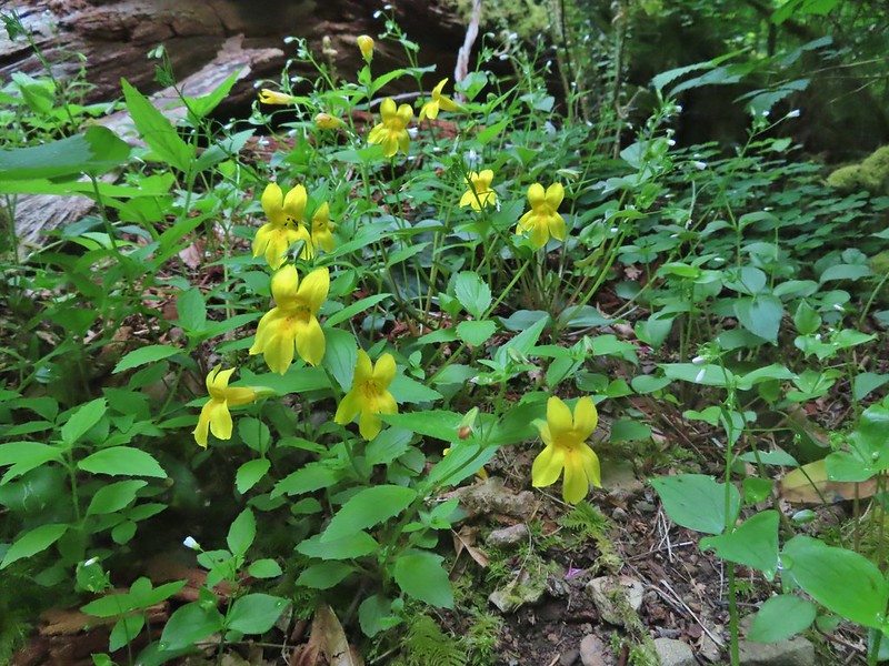 Monkeyflower
 Thimbleberry

 Wren below Golden Falls
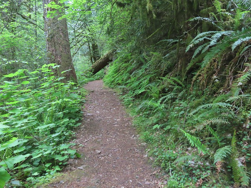
 Columbine
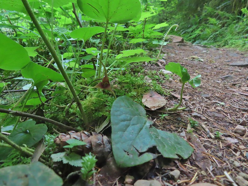 Ginger
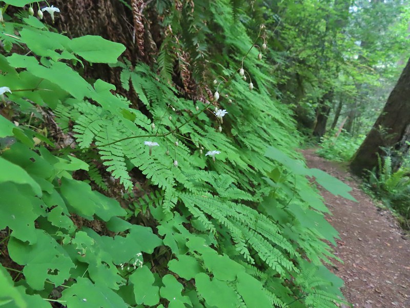 Inside out flower
 Iris
Iris Anemone

 Ouzel
Ouzel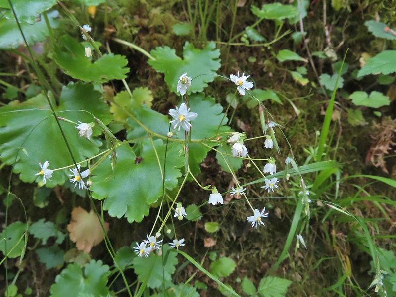 Marshall’s saxifrage

 Plectritis
 Manroot

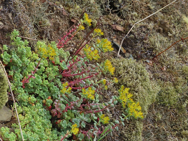 Stonecrop
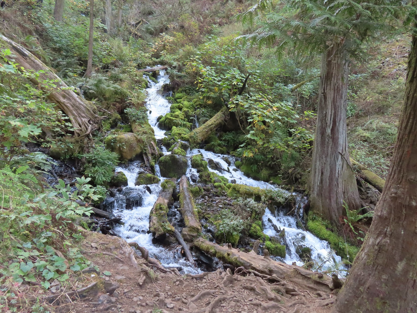
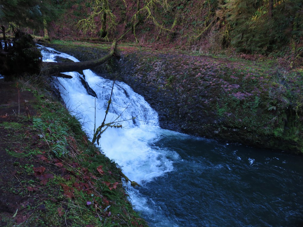
 Upper portion of Golden Falls.
 Glenn Creek above Golden Falls.
 Despite a cloudy morning they stayed high enough to not obstruct the view of the falls.

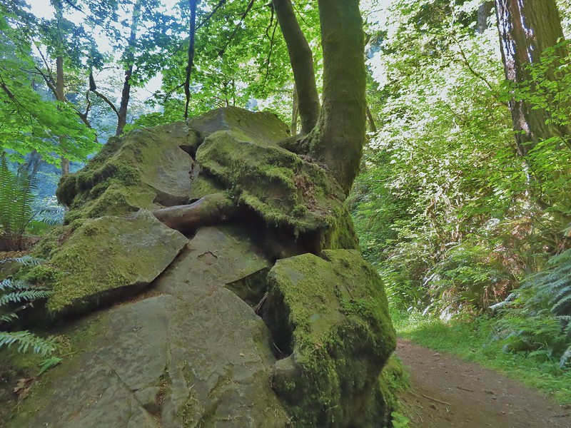 Epic battle between a rock and a tree.
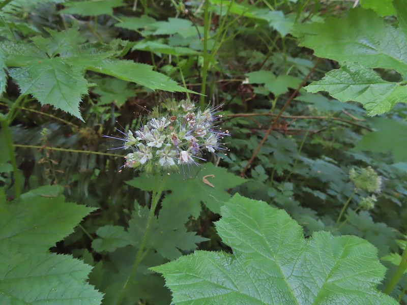 Pacific waterleaf
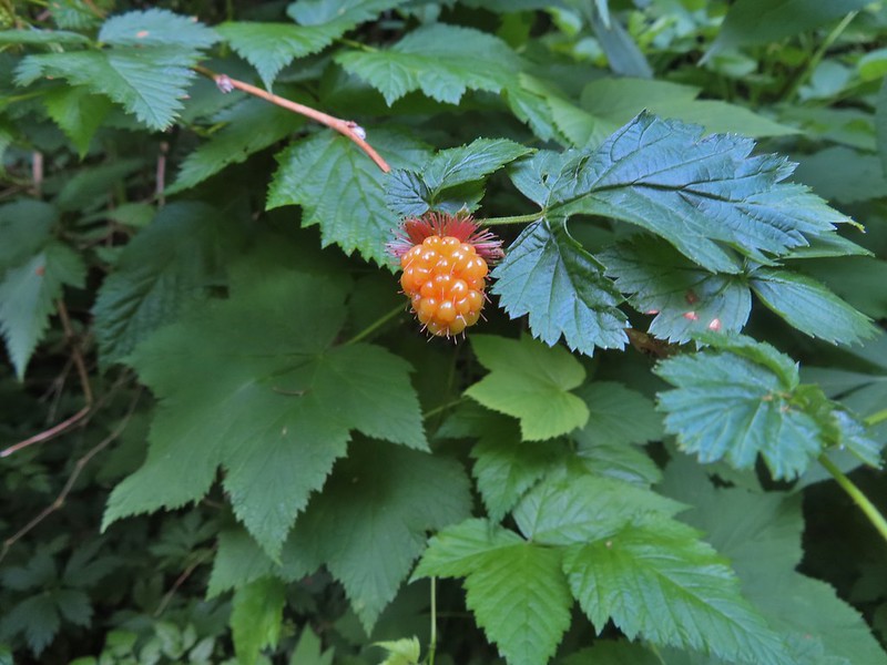

 Larkspur
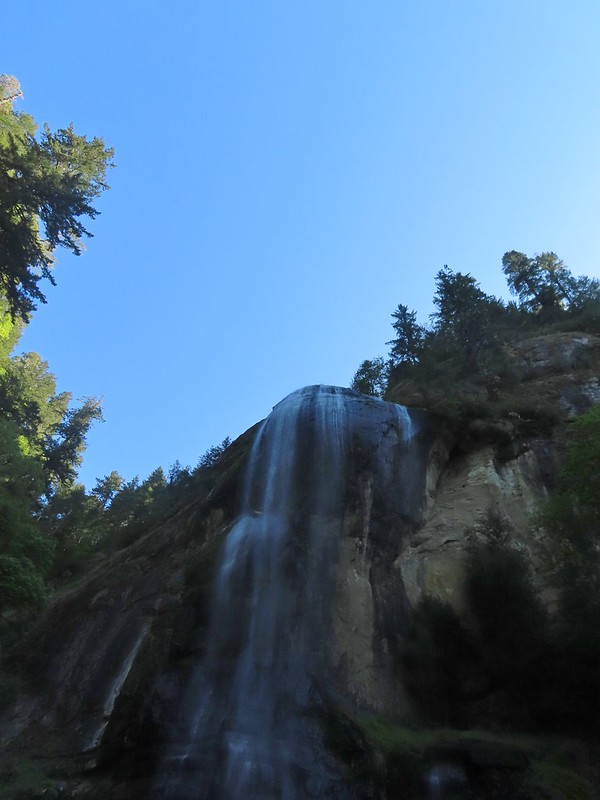
 Ouzel (might be the same one as earlier)


 March 29, 2018
 Toothwort
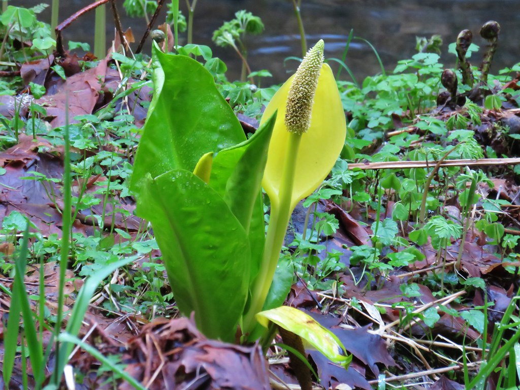 Skunk cabbage
 Salmonberry
 Indian plum


 July 7, 2006
 July 30, 2010
 March 29, 2018
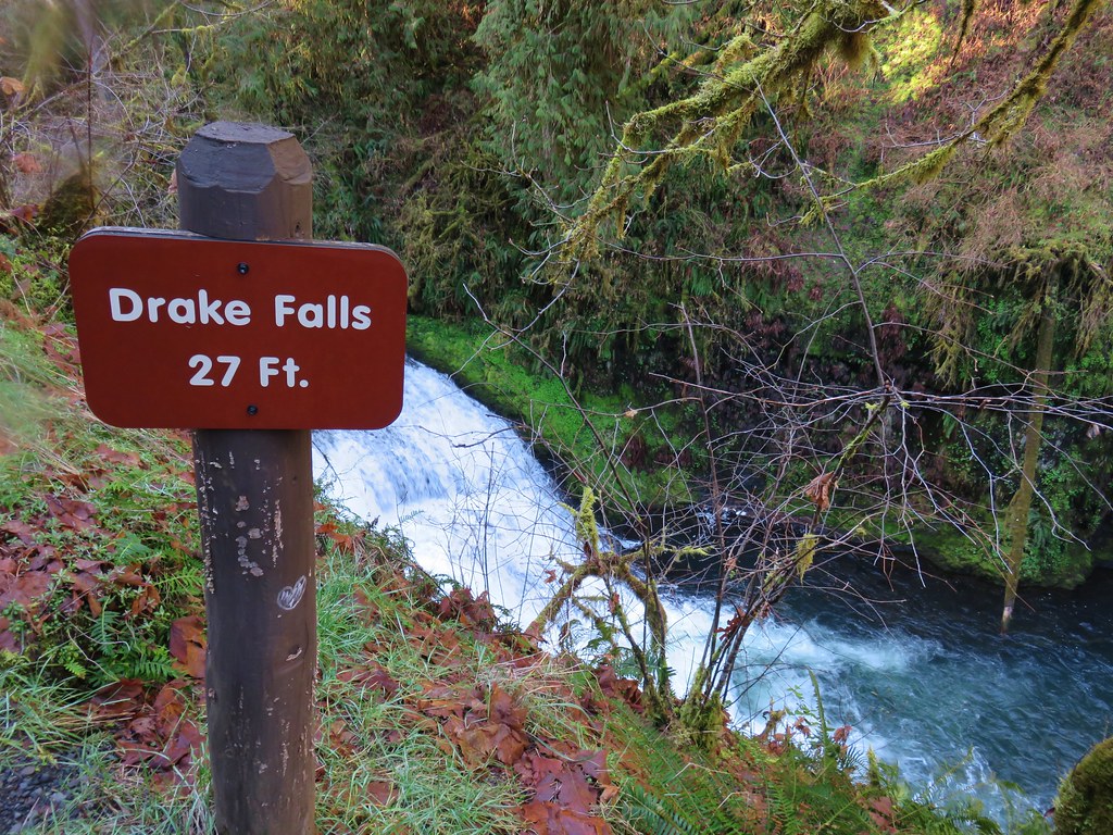
 July 7, 2006
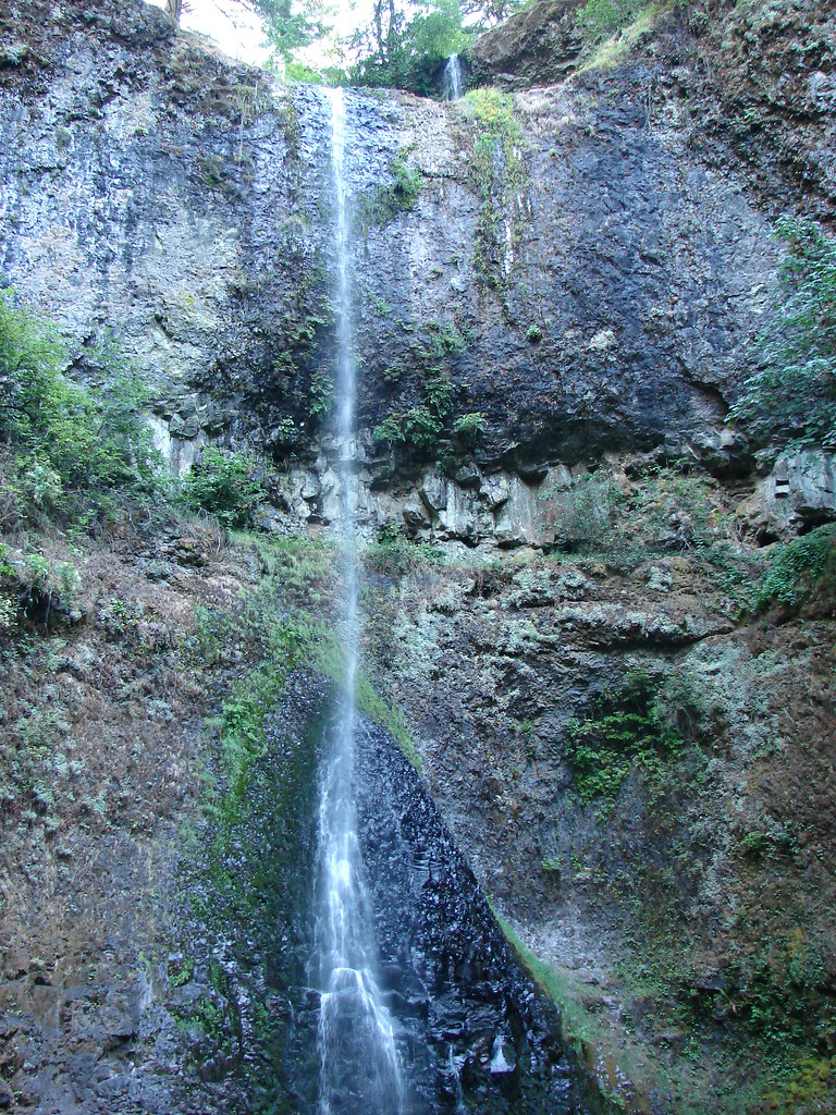 July 30, 2010
 March 29, 2018
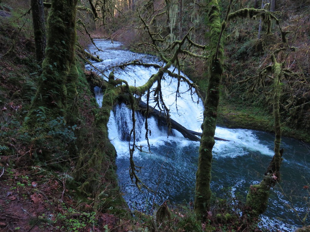


 July 7, 2006
 July 30, 2010
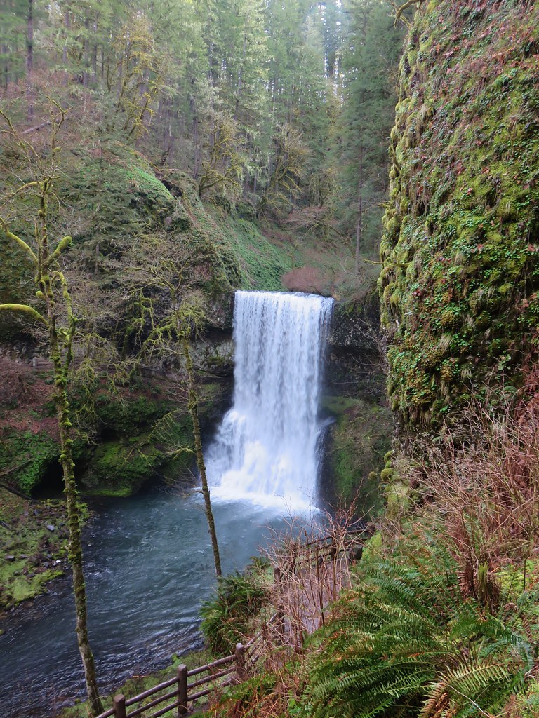 March 29, 2018
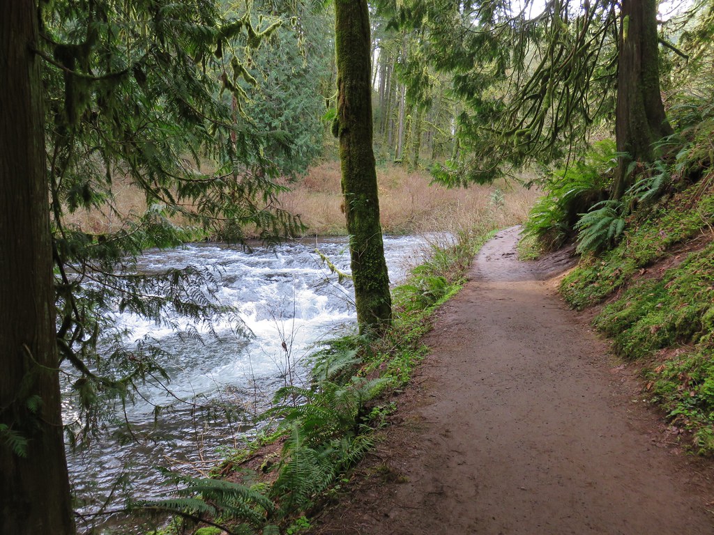
 July 30, 2010
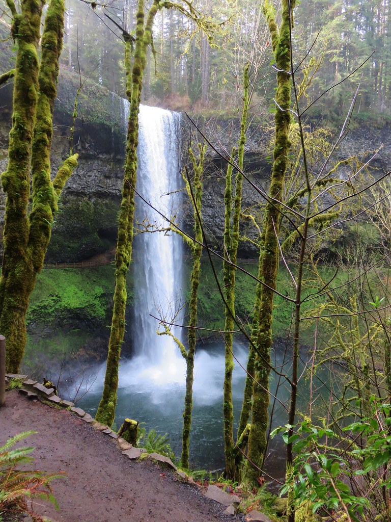 March 29, 2018