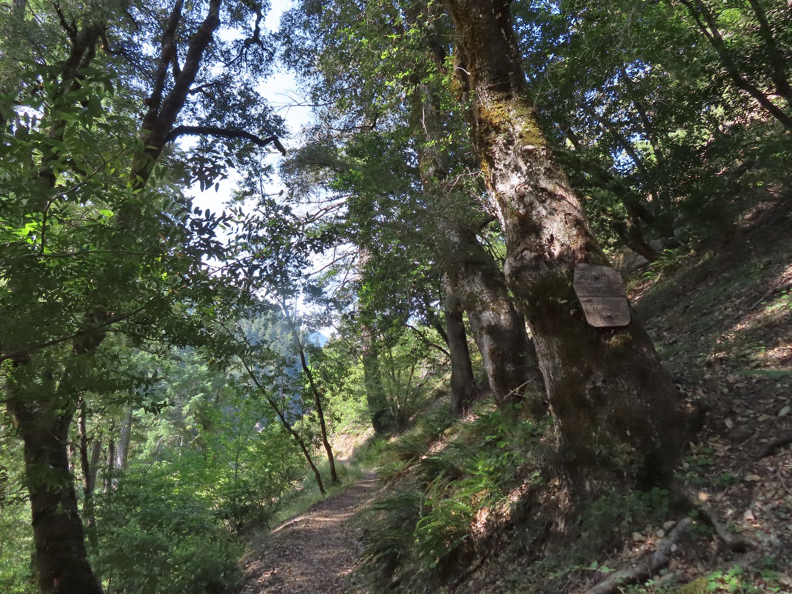
We spent the night in Roseburg after making the long drive from Salem to Marial for a day hike along the Rogue River (post) and on the way home we made a couple of stops. Our plan involved portions of two of Sullivan’s featured hikes. Because we’d done one of the options for each of the hikes we had checked them off our to-do list, but we didn’t want to pass up the chance to do the additional options.
Our first stop involved a short out-and-back to Fern Falls along the North Umpqua Trail. In his Fall Creek Falls hike Sullivan provides two options, the hike to Fall Creek Falls (post) or three stops including Fall Creek Falls, Susan Creek Falls (post), and Fern Falls.
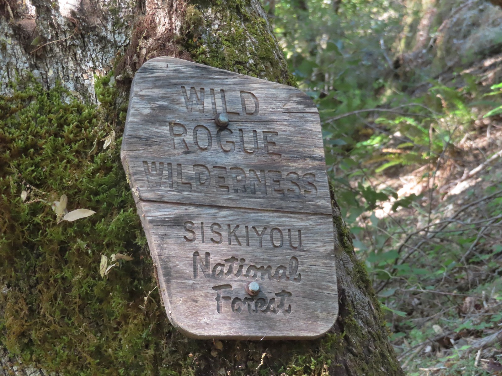
It took a bit of research online to figure out if the section of the North Umpqua Trail to Fern Falls was actually open. The area burned in the 2020 Archie Creek Fire closing the lower sections of the trail. The first few miles are managed by the BLM before the Forest Service takes over at the Umpqua National Forest boundary. The Forest Service has not lifted their closure order but it wasn’t clear whether or not the BLM had reopened their portion. Since there was no information on the BLM site stating that the trail was closed and several people had posted recent trip reports on Alltrails we decided to give it a try and drove to the Swiftwater Trailhead along the North Umpqua River.

There was no closure order posted at the trailhead and a couple of fishermen had beaten us to the parking area so we set off on the trail.

 Fireweed
At the quarter-mile mark we forked right on a spur trail to an interpretive sign overlooking Deadline Falls.


 Deadline Falls
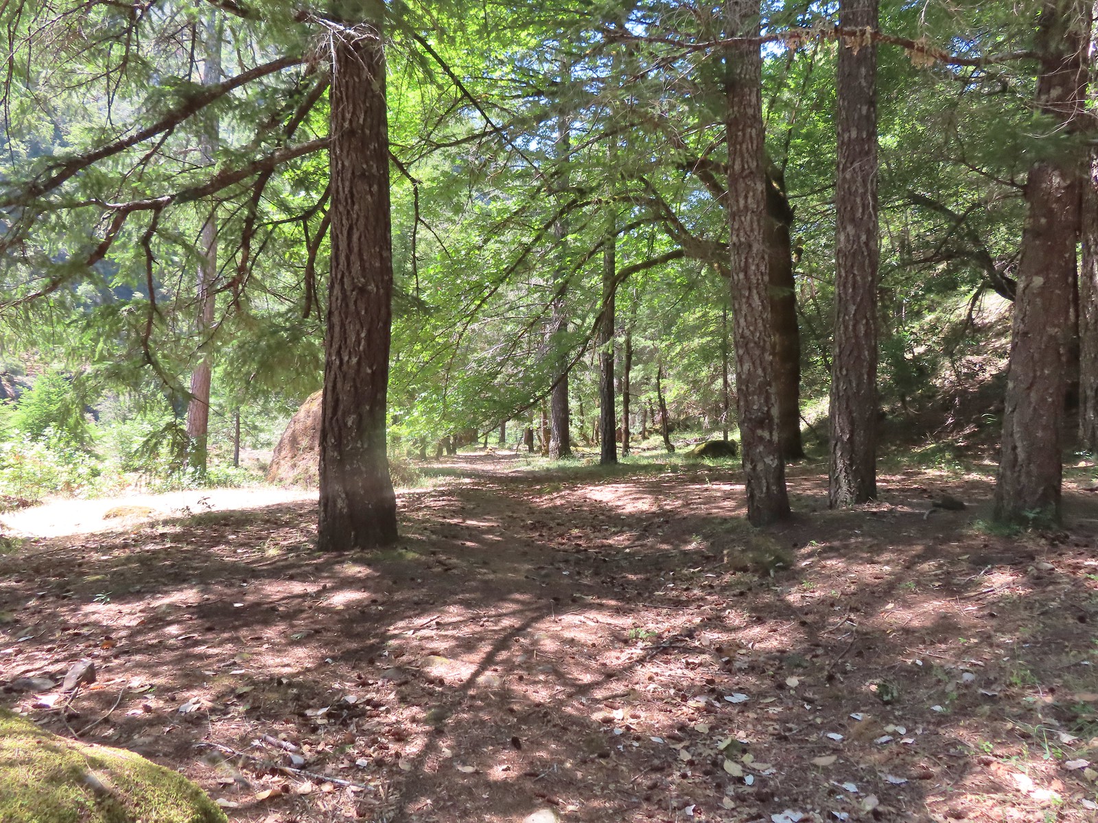
After admiring the falls we returned to the North Umpqua Trail and continued on through the fire scar.
 Signs of ongoing trail work.
 Northern phlox

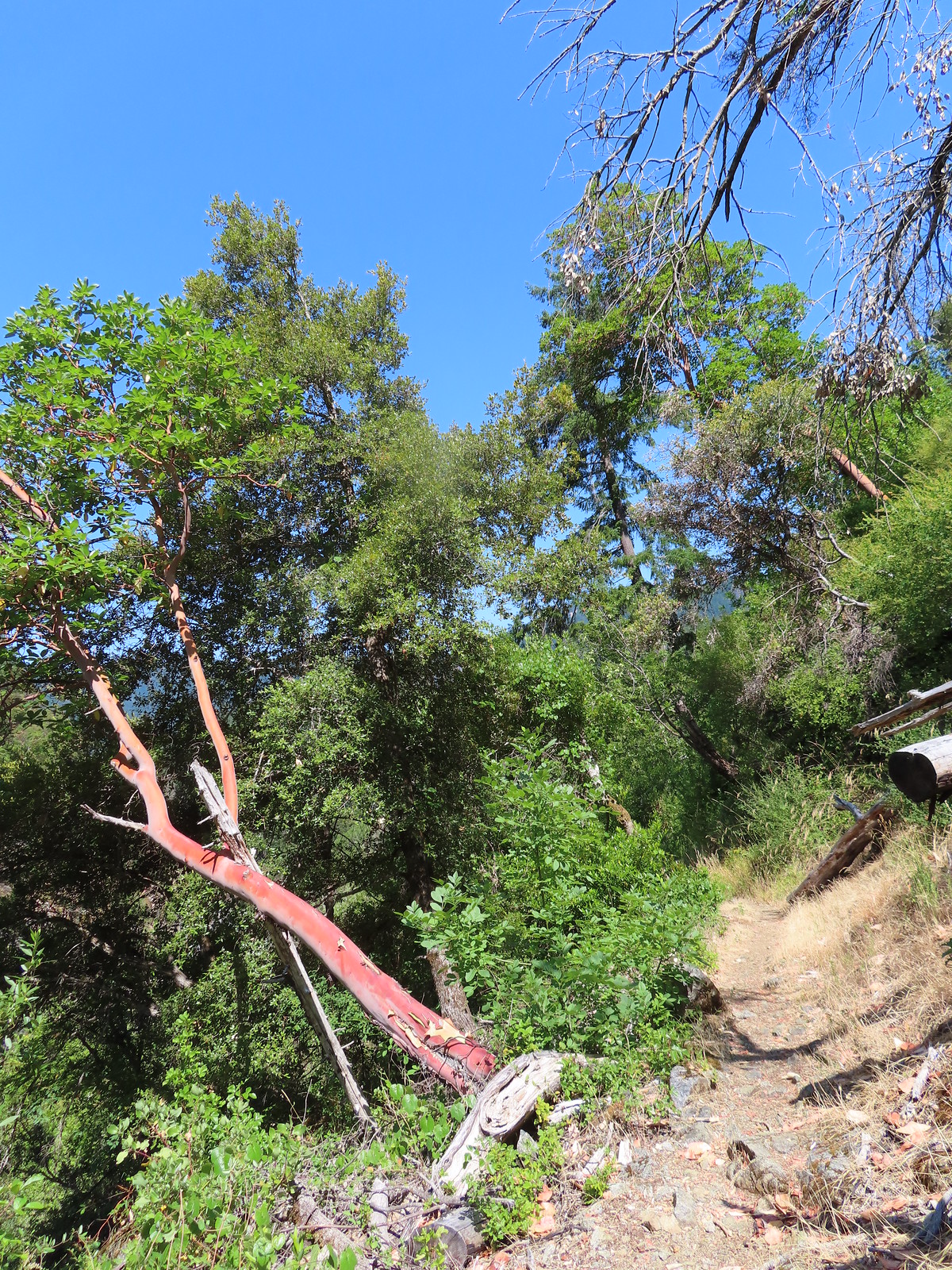
 Remains of a footbridge lost to the Archie Creek Fire.
 The current creek crossing. We joked that this was a prime difference between the BLM and Forest Service. It feels like the Forest Service waits until everything has been repaired (plus a year or two) before reopening trails after a fire while the BLM reopens them once they are passable.
 Self-heal
 The trailing blackberries were ripening along the trail providing us with a nice second breakfast.
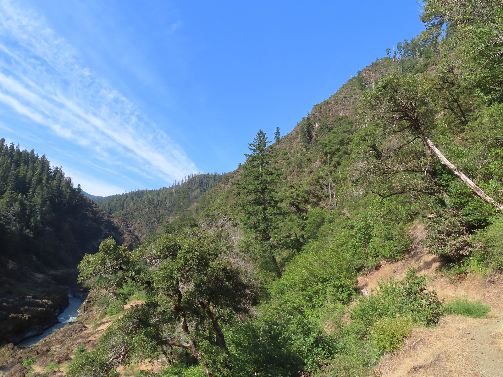
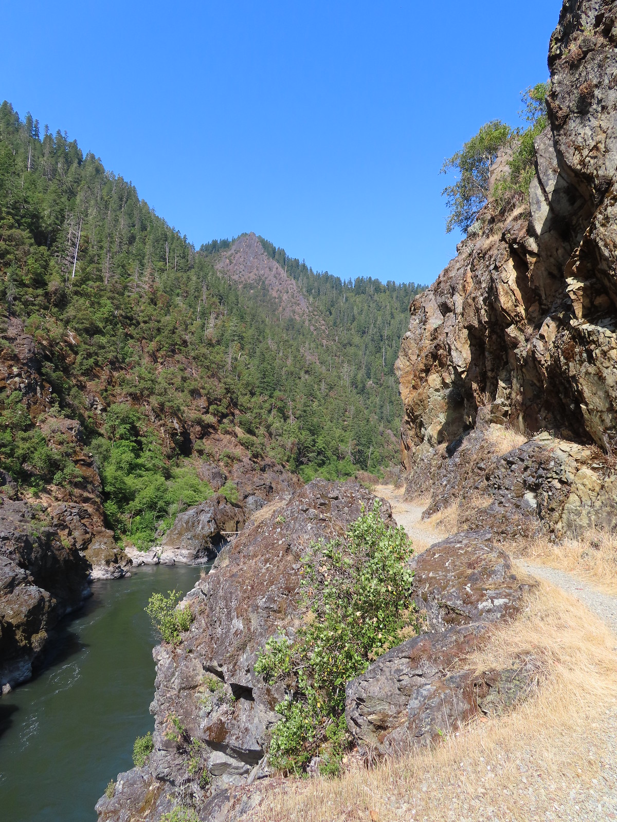
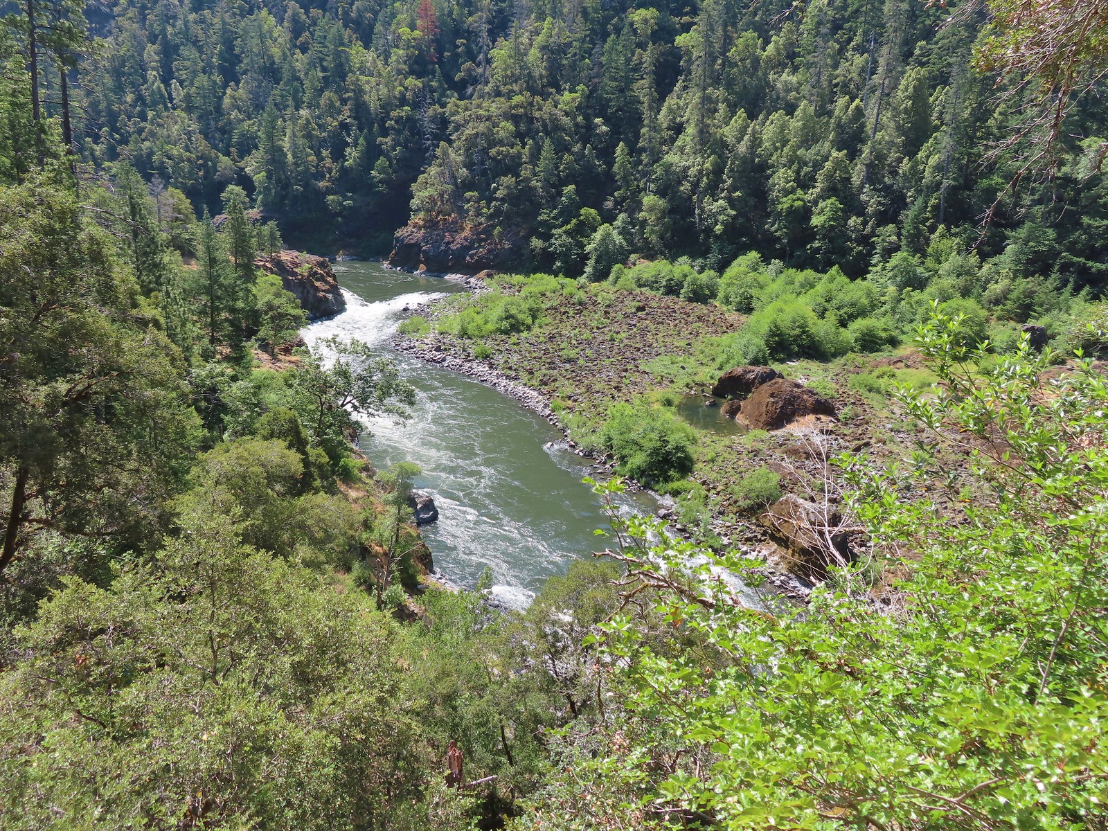
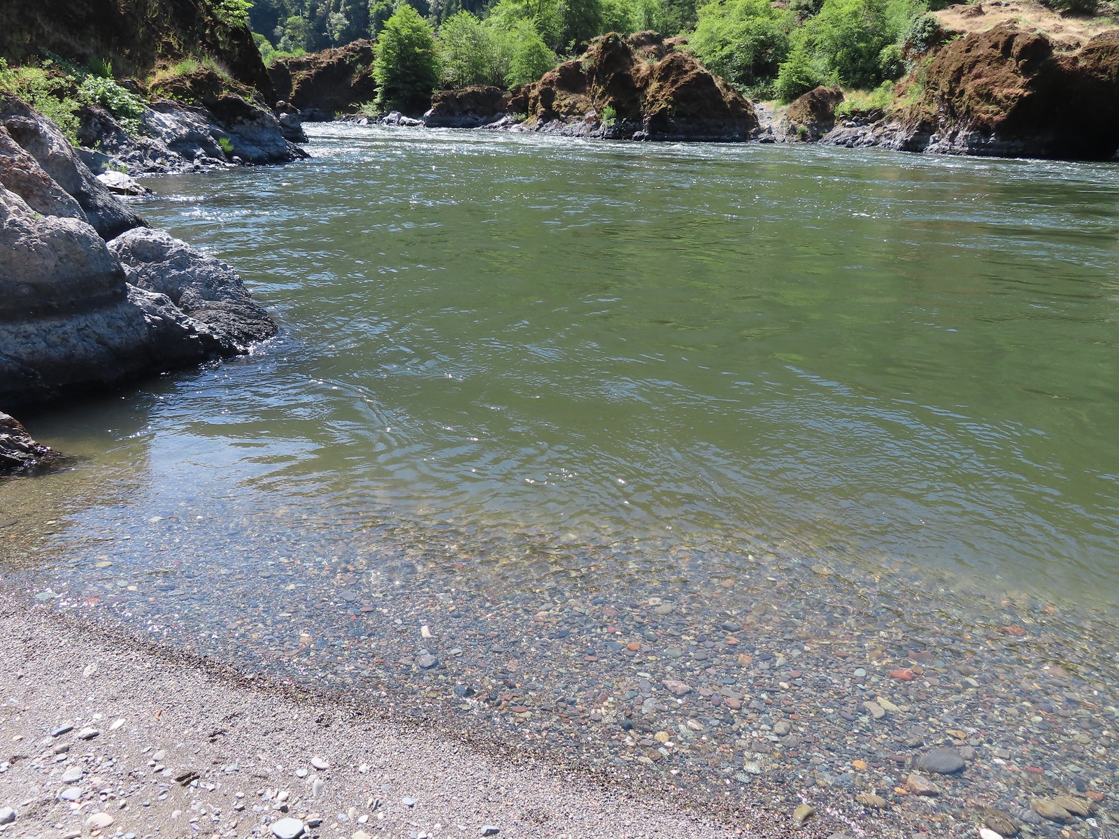
 North Umpqua River from the trail.
 We also spotted a few ripe blackcap raspberries.
 Bleeding heart
 Crab spider on a California harebell.
 Heather was really excited to find ripe thimbleberries too.
 Highway 138 on the far side of the river.
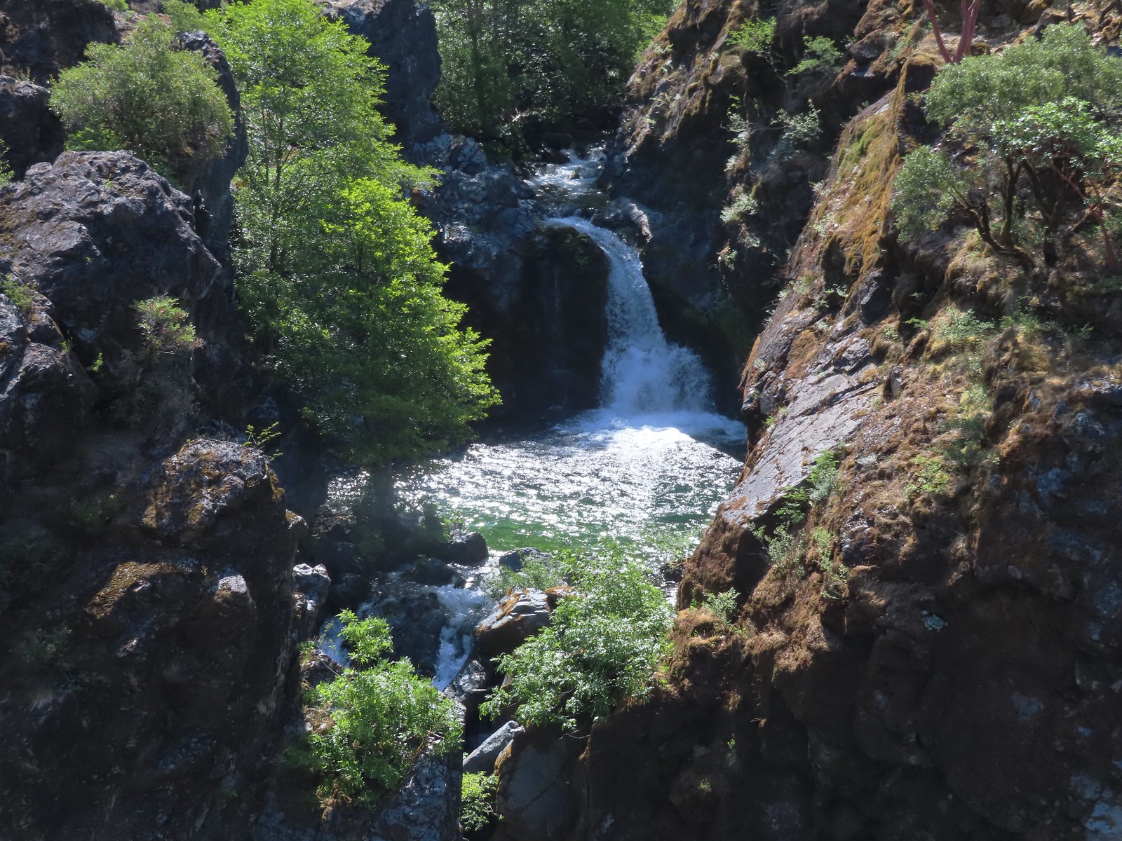
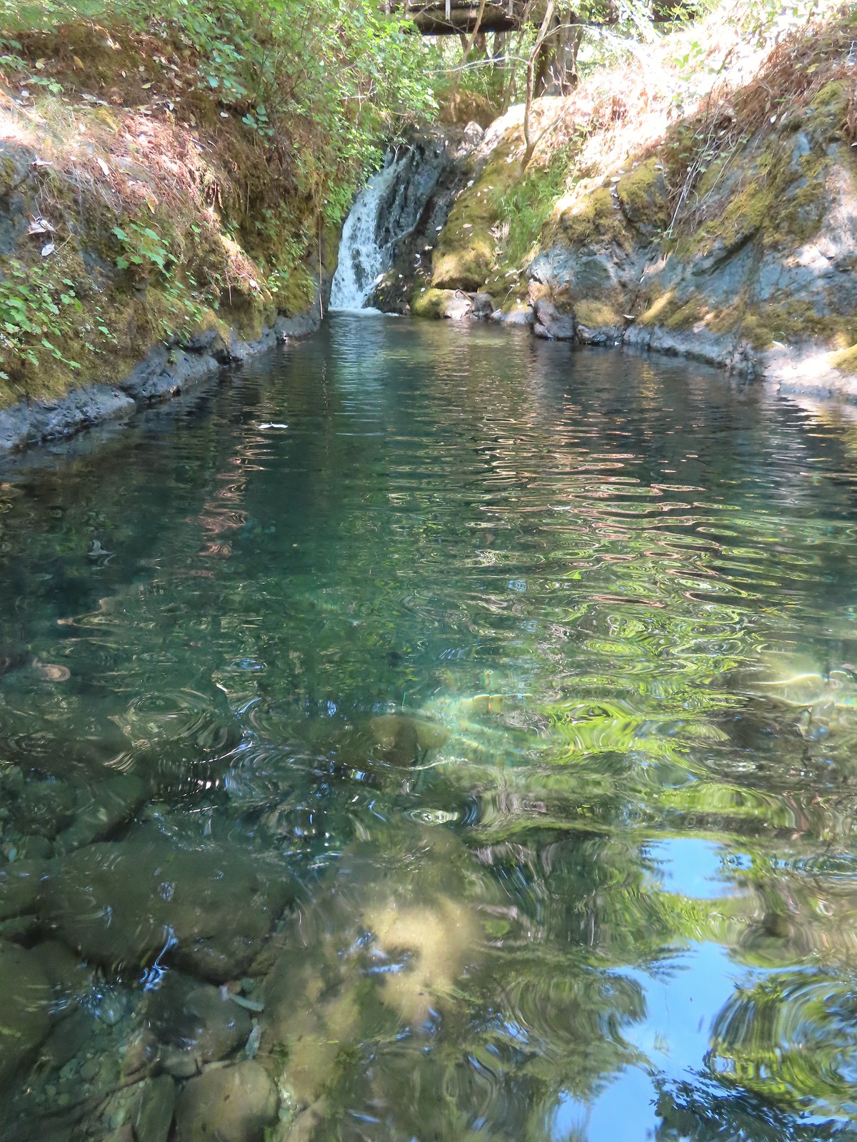
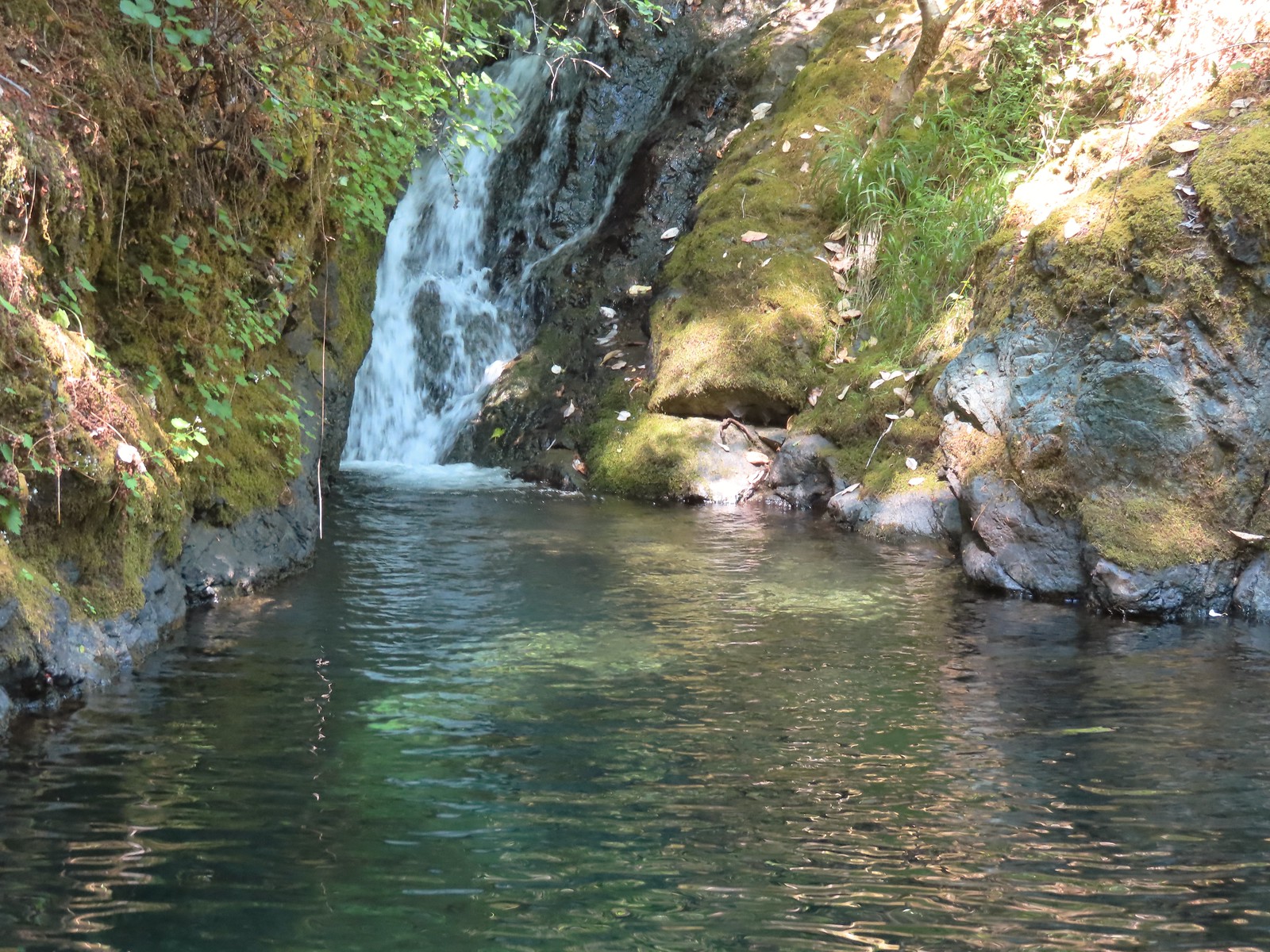
Approximately 1.7 miles from the trailhead we arrived at Fern Falls.

A fallen log dissected the view of the falls, a result of the fire but it was a nice view and a good turn around point.

 Musk monkeyflower
 I managed to pull a ripe salmonberry out of this bush below Fern Falls.
We returned the way we’d come under increasing sunlight. Birds had been singing all morning and with the increased light we were finally able to spot some of them.

 Moth
Moth
 Lazuli bunting
 Black-headed grosbeak
 Unidentified small bird.
 Wren, possibly a house wren.
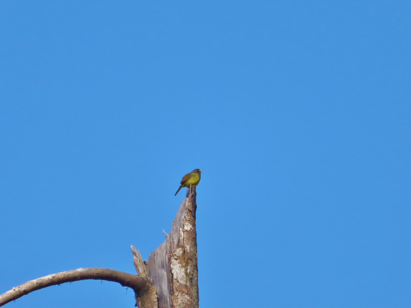 This little one was way up atop a snag. Merlin suggests it’s a Macgillivray’s warbler.
 Woodpecker
 Backside of a Stellar’s jay.
 Raven
Raven
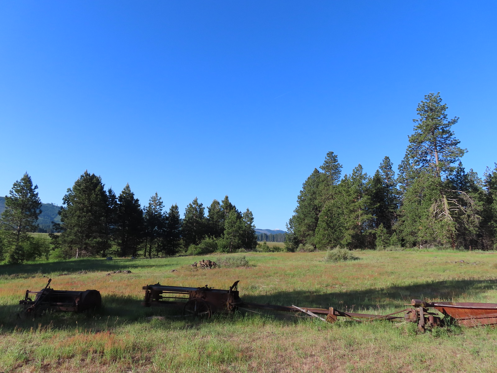
Our hike here came to 3.4 miles with maybe 300′ of elevation gain.

We hopped into the car and drove to our next stop at the Comstock Day Use Area for the BLM managed North Bank Habitat Management Area.

We had visited the area in 2015 starting a loop from the West Access Trailhead. We planned another loop from this trailhead which would share a 1.2-mile section of that earlier loop.

We began by passing a green gate at the NW end (left) of the trailhead parking area and following an old roadbed for 0.1-miles to a fork.


We stayed right on the signed Soggy Bottom Trail.

We followed the Soggy Bottom Trail for 0.7 miles to the Middle Barn.

 Checker-mallow
 Turkey vulture
 We spotted a deer way up on the hillside in the distance.

 Heading down to Soggy Bottom.
 Middle Barn
We stayed right past a road to the barn and continued to the next fork and turned left on the North Gate Trail.
 Soggy Bottom
 Bindweed
 The North Gate Trail ahead on the left.
 North Gate Trail
 Elegant brodiaea
 Common wood nymph
The trail climbed steadily for the first three quarters of a mile passing a grove of cedars near the end of the stretch.


 The cedar grove.

 A little past the cedar grove we passed an old structure on the opposite side of a barbed wire fence.
 On the far side of the structure was a sign for the Wrong Way Trail which looked as though it saw little to no use. The map at the trailhead showed this trail dead-ending in the forest which might explain why.
Beyond the Wrong Way Trail junction the North Gate Trail began a much steeper climb up to a junction at a saddle with the Middle Ridge Trail.

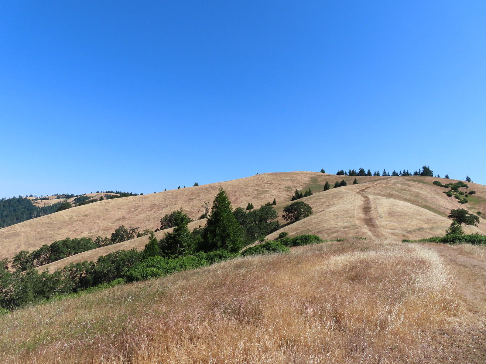
Much of this section was in full sunlight making it a bit of a trudge.
 View from the North Gate Trail.
 Steepest section of the trail but at least there was some shade here.
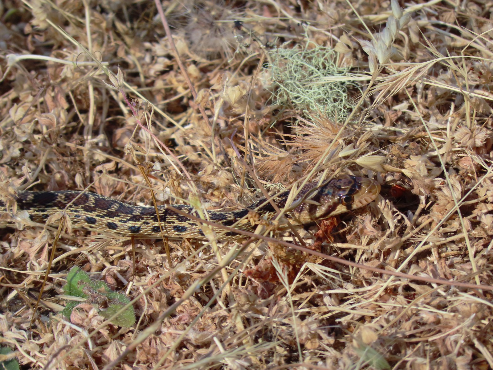
 Gopher snake
 Trail sign at the saddle.
We turned left on the Middle Ridge Trail for 1.2 semi-familiar miles.
 The Middle Ridge Trail.
 View from the Middle Ridge Trail.
 View from the saddle.
 A dip along the ridge.
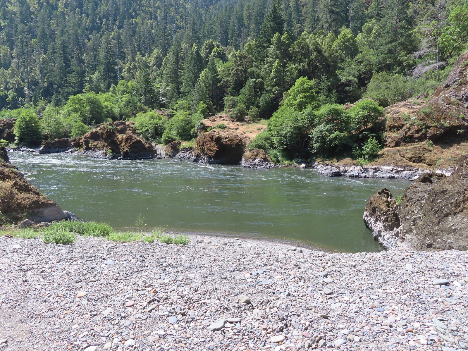
 First view of the North Umpqua River.
 Hawk on a tree.
 A different hawk in flight.
 Elegant brodiaea
 Looking back along the Middle Ridge Trail.
 We remembered this structure in the ground.


Approximately 1.2 miles from the saddle we arrived at a junction with the Thistle Ridge Trail.
 Approaching the junction.
 View back up along the trail.
 Whistlers Bend Reservoir and the North Umpqua River. Despite a bit of haze the view was far better than it had been in 2015.
 The 2015 view on a cloudy June 5th.
We turned onto the Thistle Ridge Trail which led us past a few great madrone trees.


 Ookow
Ookow
 View from the Thistle Ridge Trail. Below is the lower portion of the trail which seemed to be quite a way down.
We quickly realized why it seemed so far down when we came to what we believe may be the steepest section of trail we’ve hiked.
 When you can’t see the bottom of the hill you know it’s steep.
 The trail finally leveled out a bit through a stand of oak trees.
After just under a mile on the Thistle Ridge Trail we came to a junction with the West Barn Road.
 The junction below from the Thistle Ridge Trail.

We turned left again and followed this steepish trail down 0.2 miles to the West Barn.
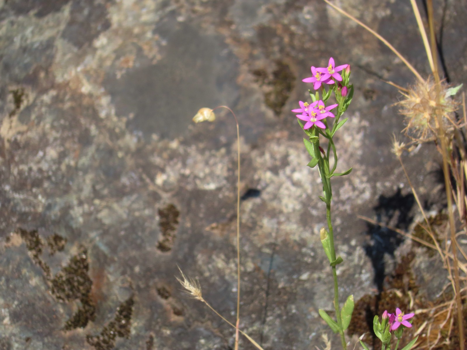
 European centaury (invasive but pretty)
 West Barn
 The West Barn Road was a little muddy in spots.
We followed this road a total of 0.7 miles back to the junction with the Soggy Bottom Trail where we turned right to return to the trailhead.

 Daisies were profuse in some areas.
 We ignored the Deer Hollow Tie Trail that joined on the right.
 The Comstock Day Use Area from the West Barn Road.
Our loop here came to 5 miles with a little over 1000′ of elevation gain, some of which was impressively steep.

The trails here were lined with poison oak at times but they were always wide enough for us to easily keep away from it.
These were a couple of pleasant hikes and made for a nice outing before driving back home to Salem. Happy Trails!
 There were trail pointers at spur roads to ensure we stayed on the right one.
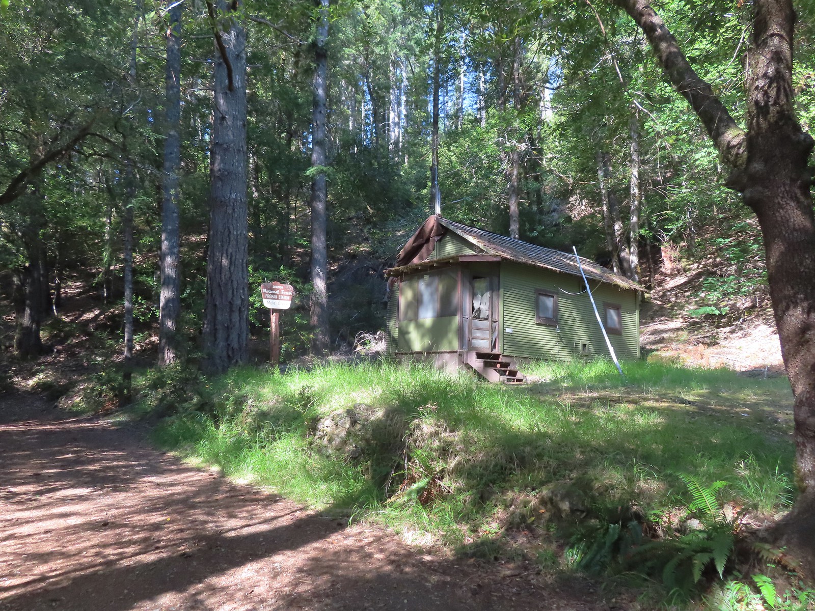
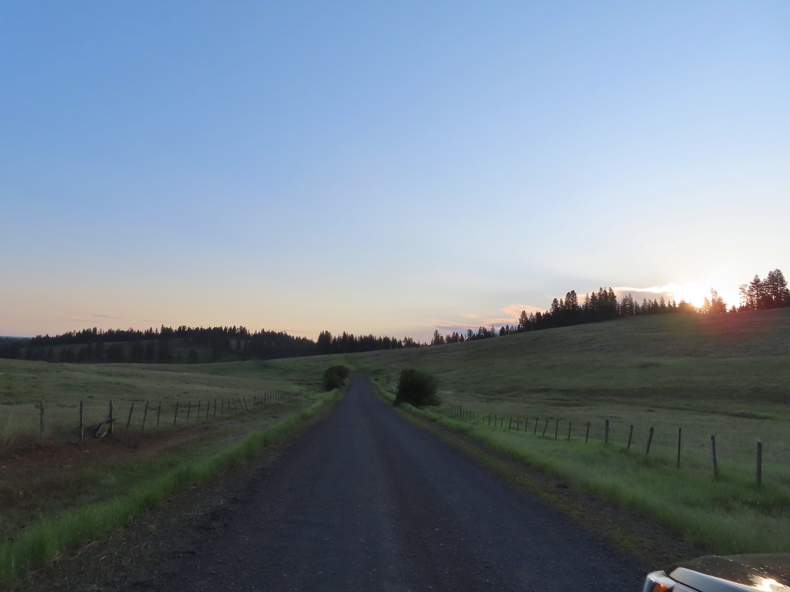
 The trailhead near Marial. I couldn’t find any directions online for this trailhead which is why we used a combination of the BLM’s directions to the ranch and Sullivan’s to the trailhead.
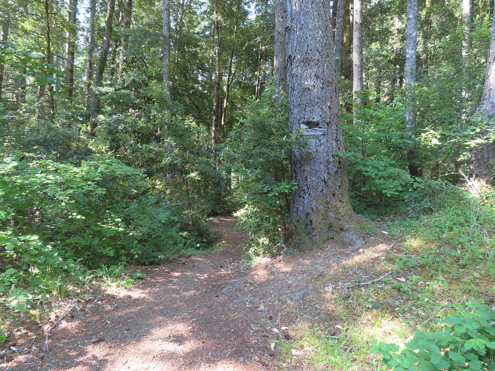

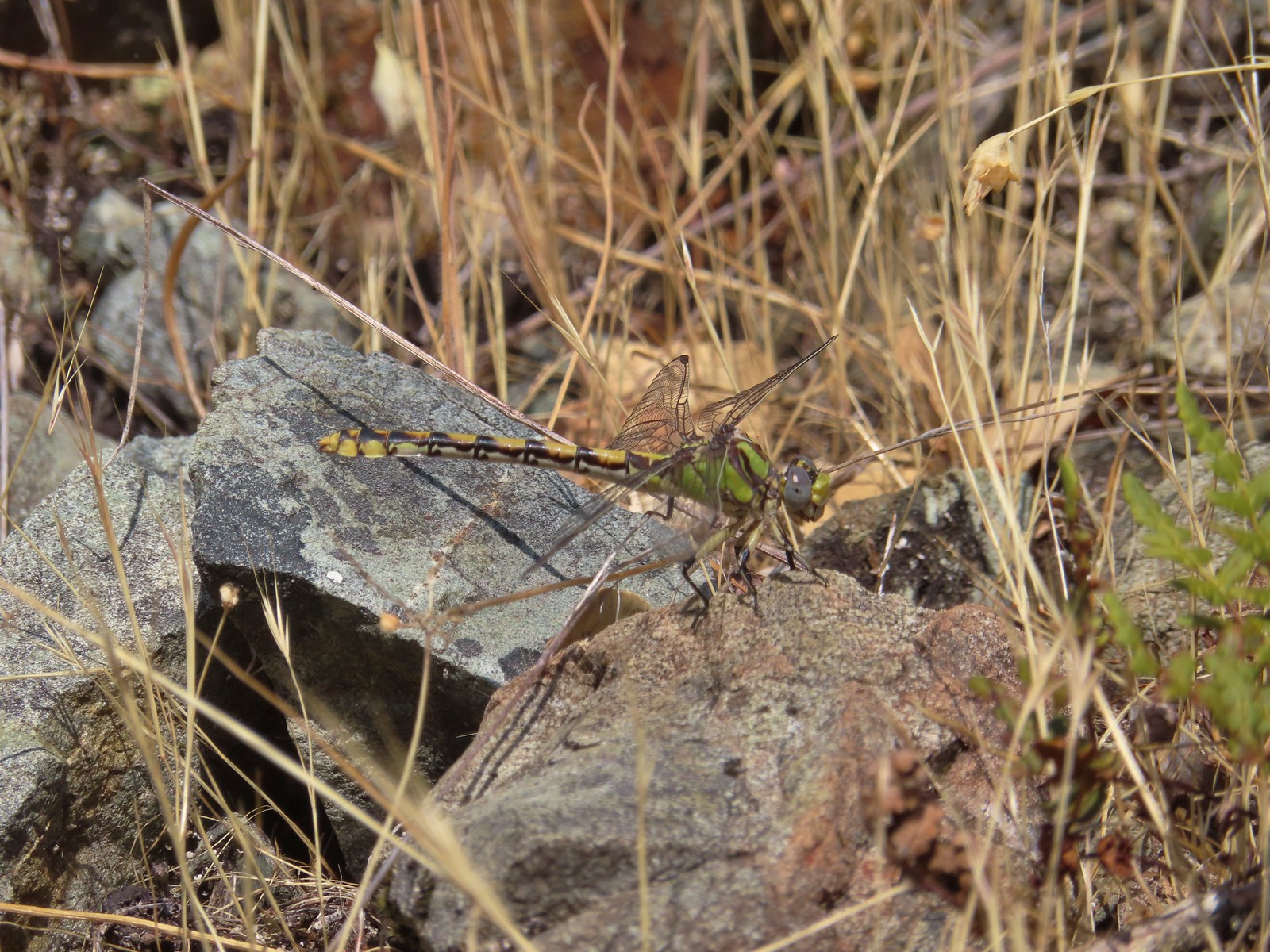 Dragonfly
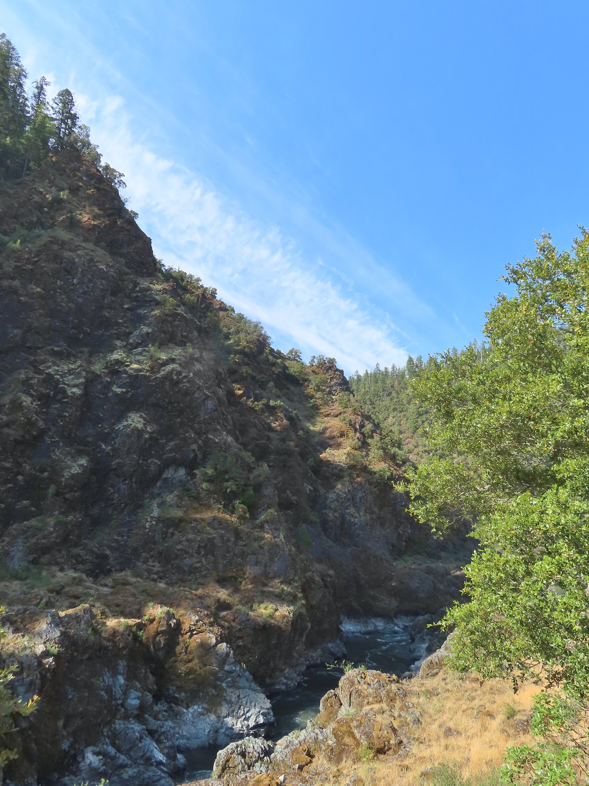
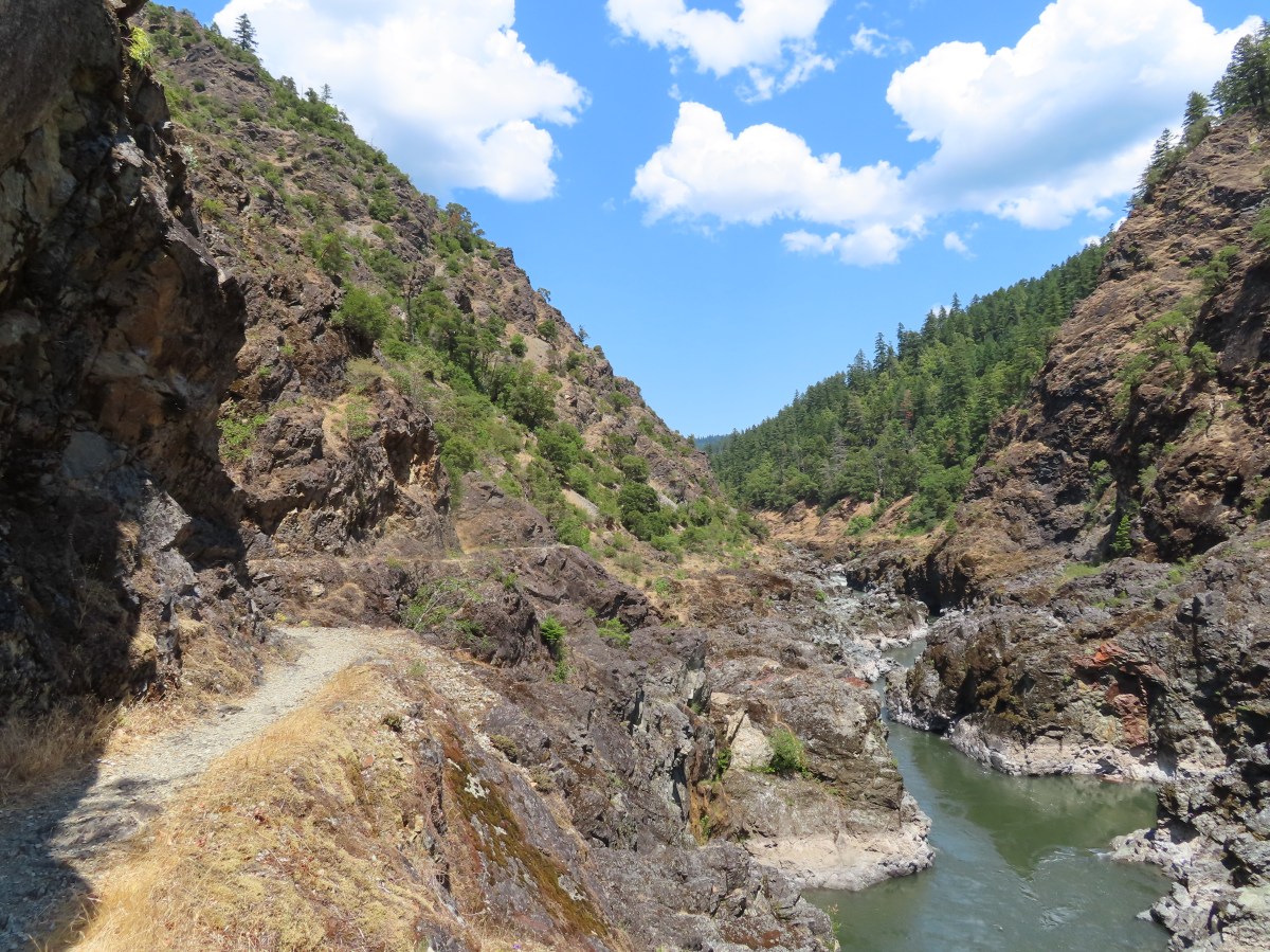
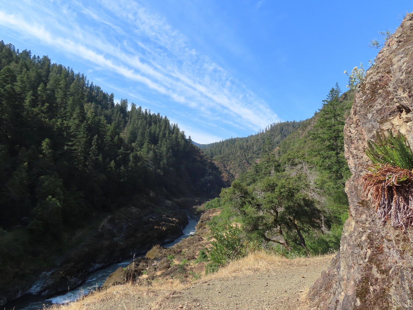
 A peak into Mule Creek Canyon.
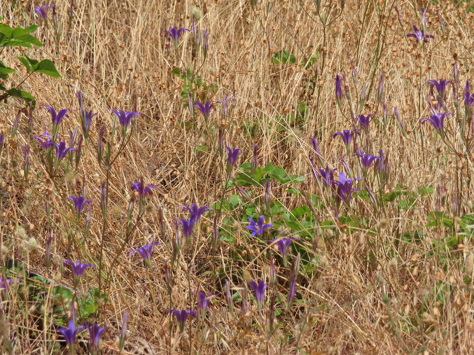 There weren’t many flowers left blooming but we did see a lot of elegant brodiaea.
 Elegant brodiaea
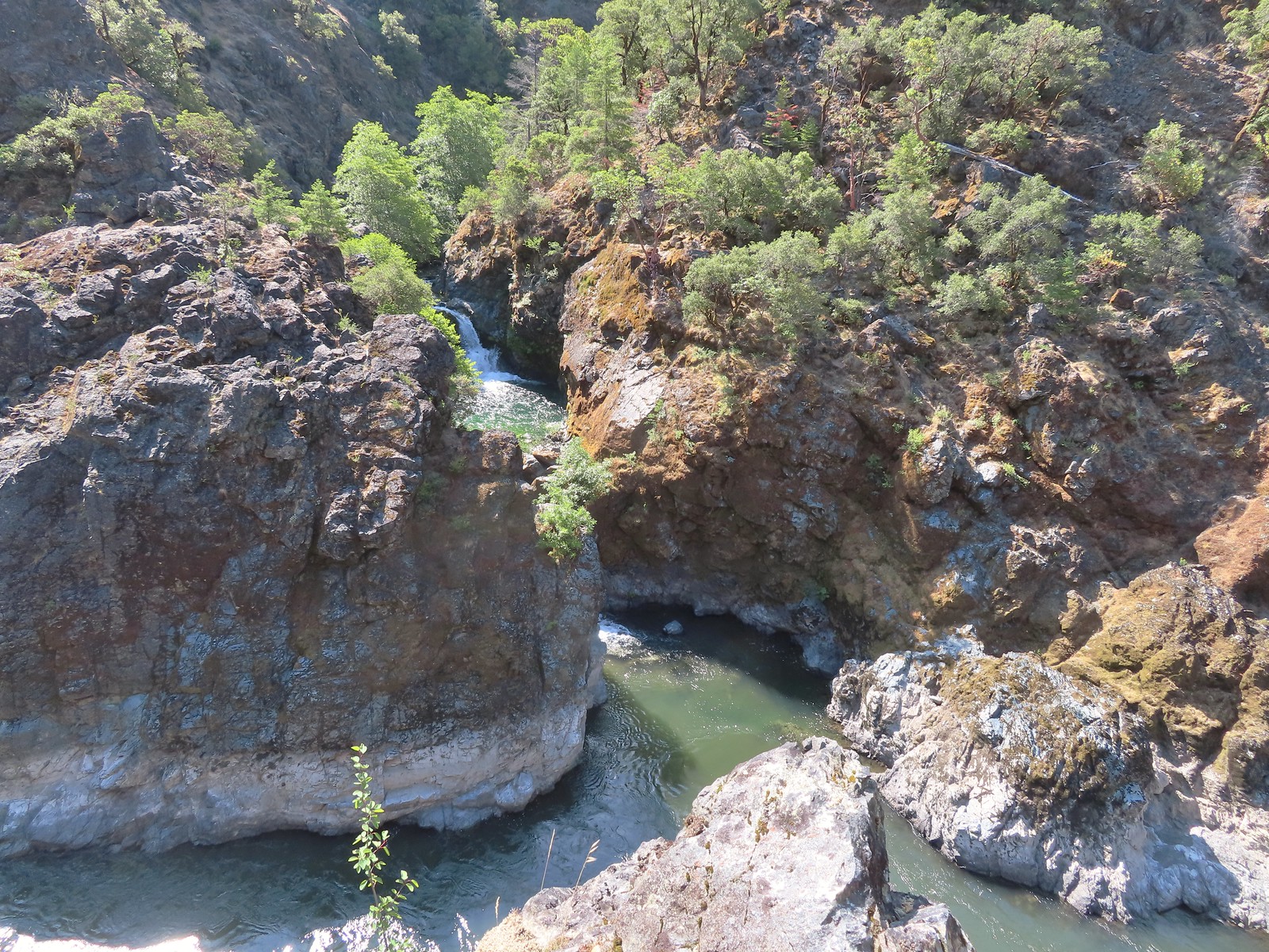
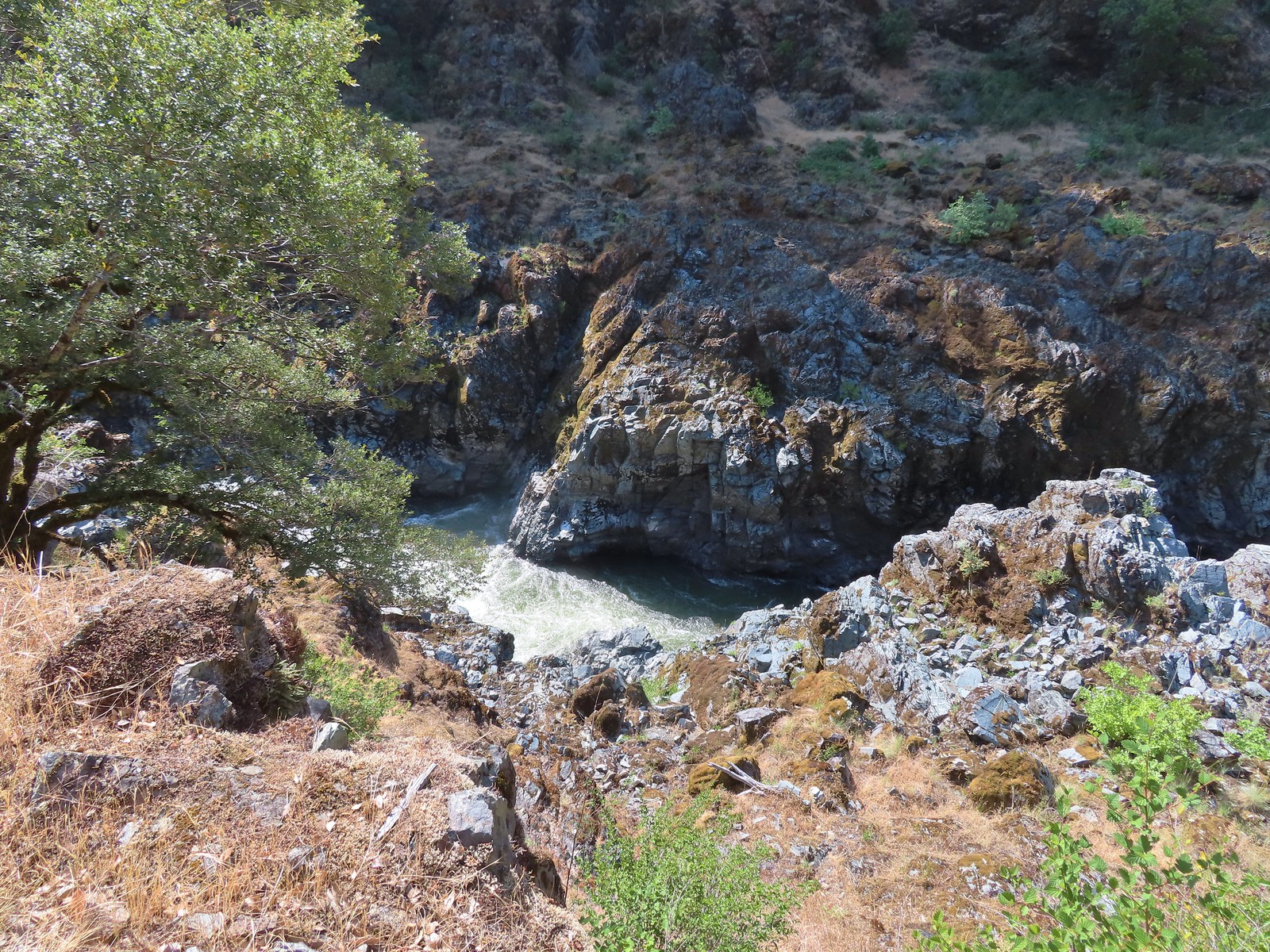
 Mule Creek Canyon from Inspiration Point.
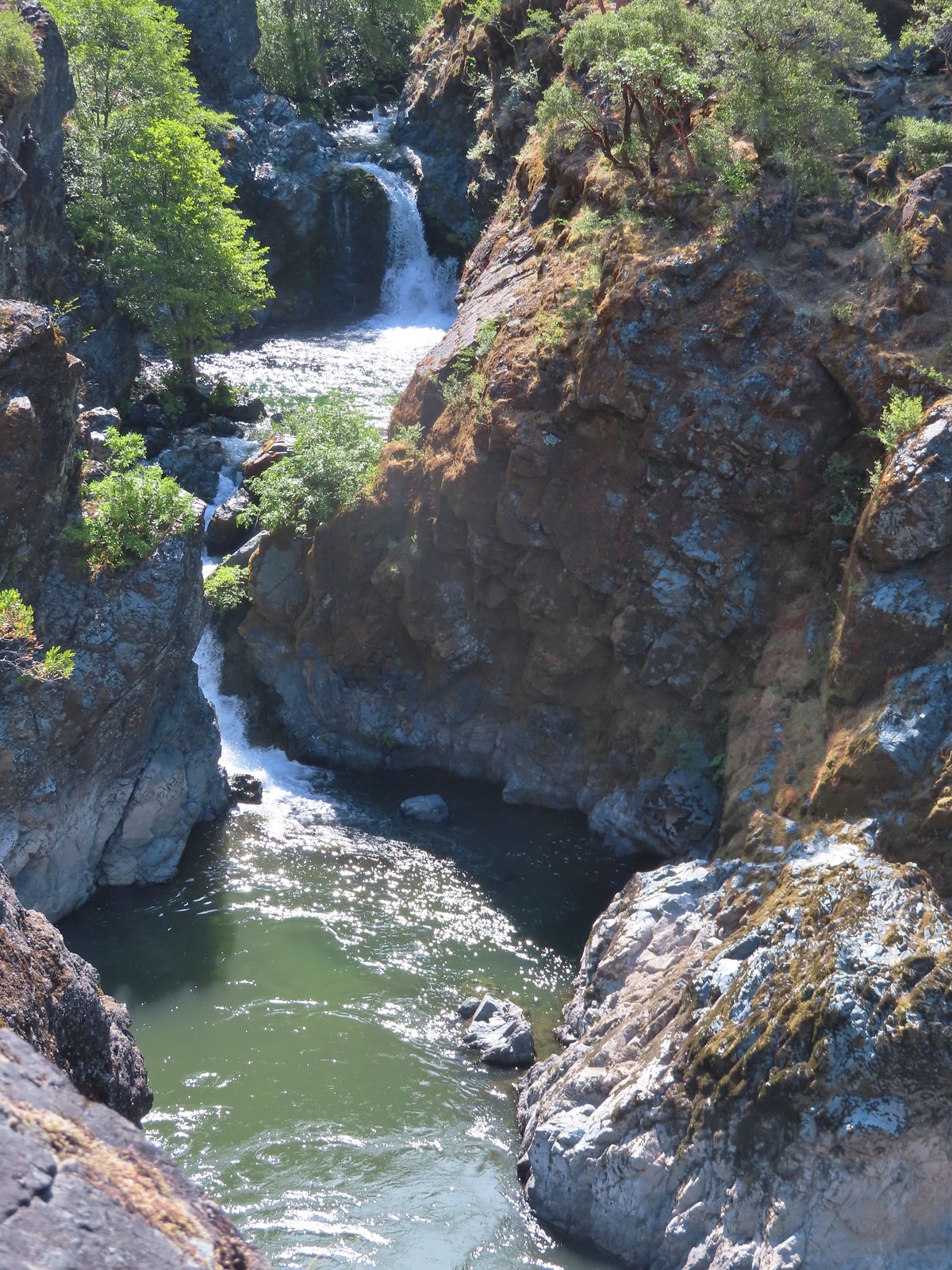
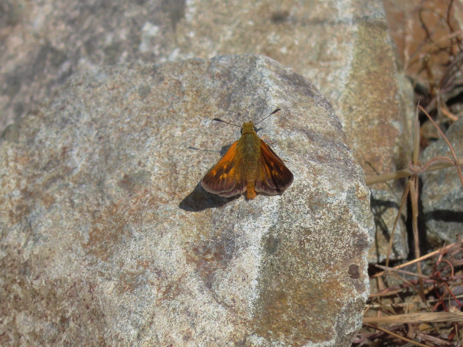 Skipper
 Common wood-nymph
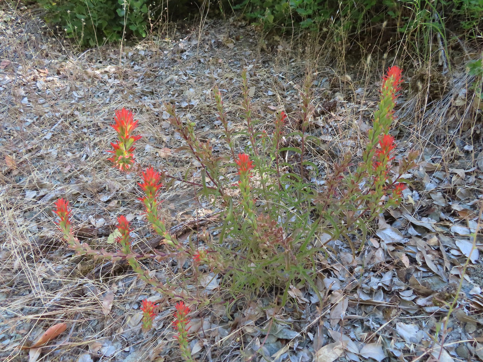 Paintbrush
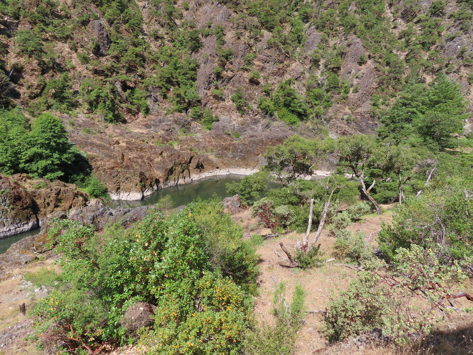 Calmer waters.
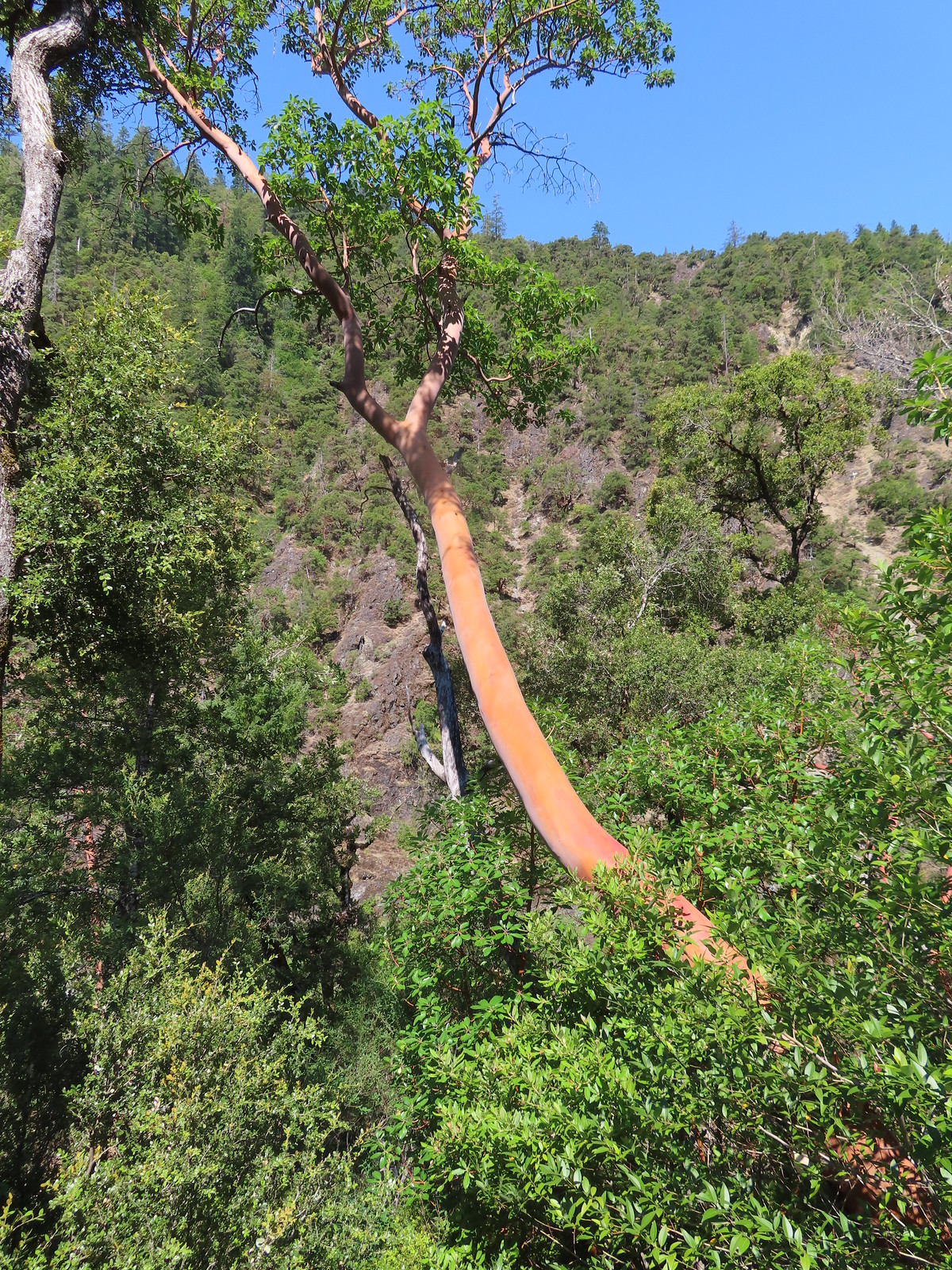 Madrone
 Salal
Salal Some poison oak on the right.
 Another madrone at the start of more brush. This area was full of small birds that turned out to be bushtits.
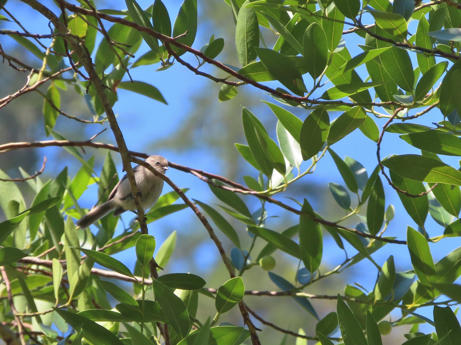 It took a bit to get one of the bushtits out in the open and in the camera frame.
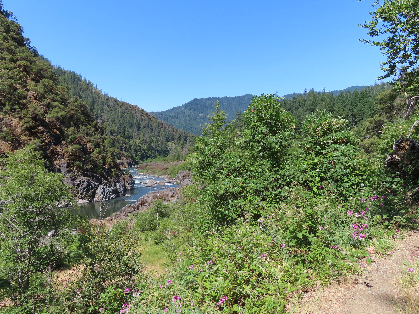
 Blossom Bar Rapid
 Footbridge over Burns Creek.
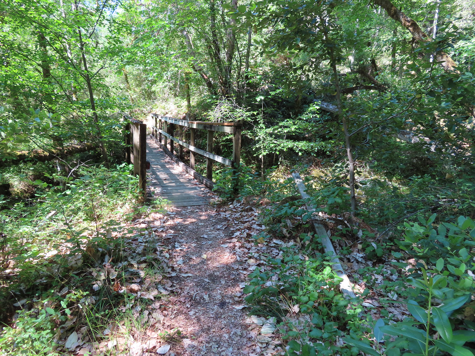 Footbridge over Blossom Creek.
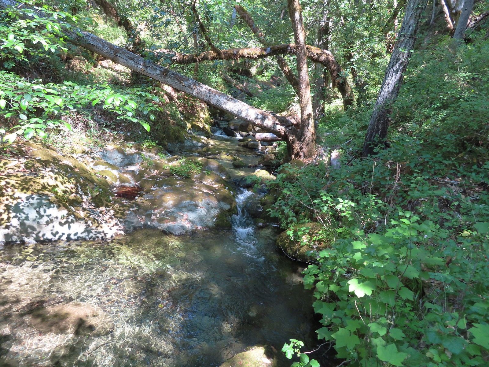 Blossom Creek
 Trail crossing Blossom Bar.
 Rogue River leaving Blossom Bar.
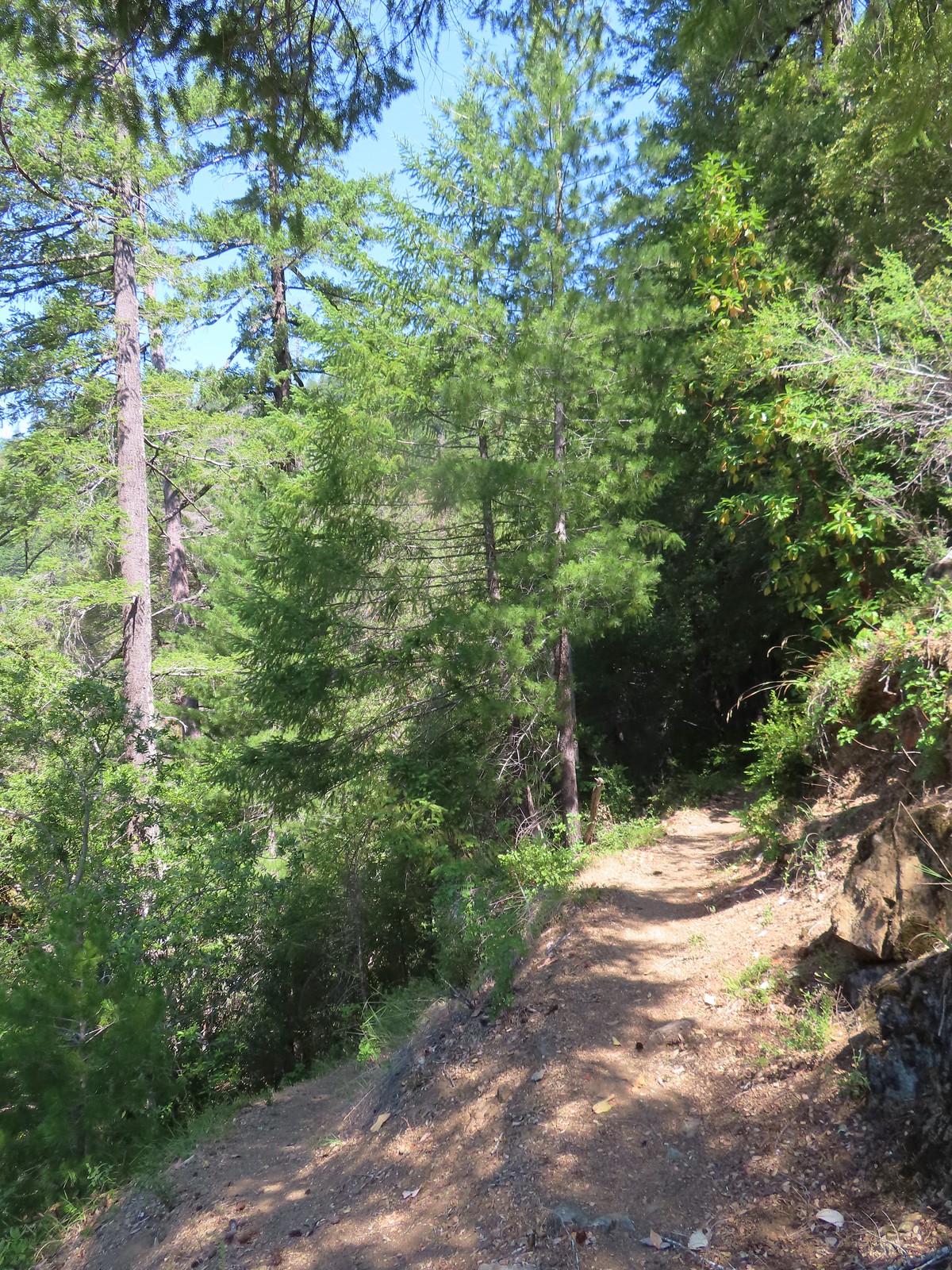 Trail to Gleason Bar on the left.
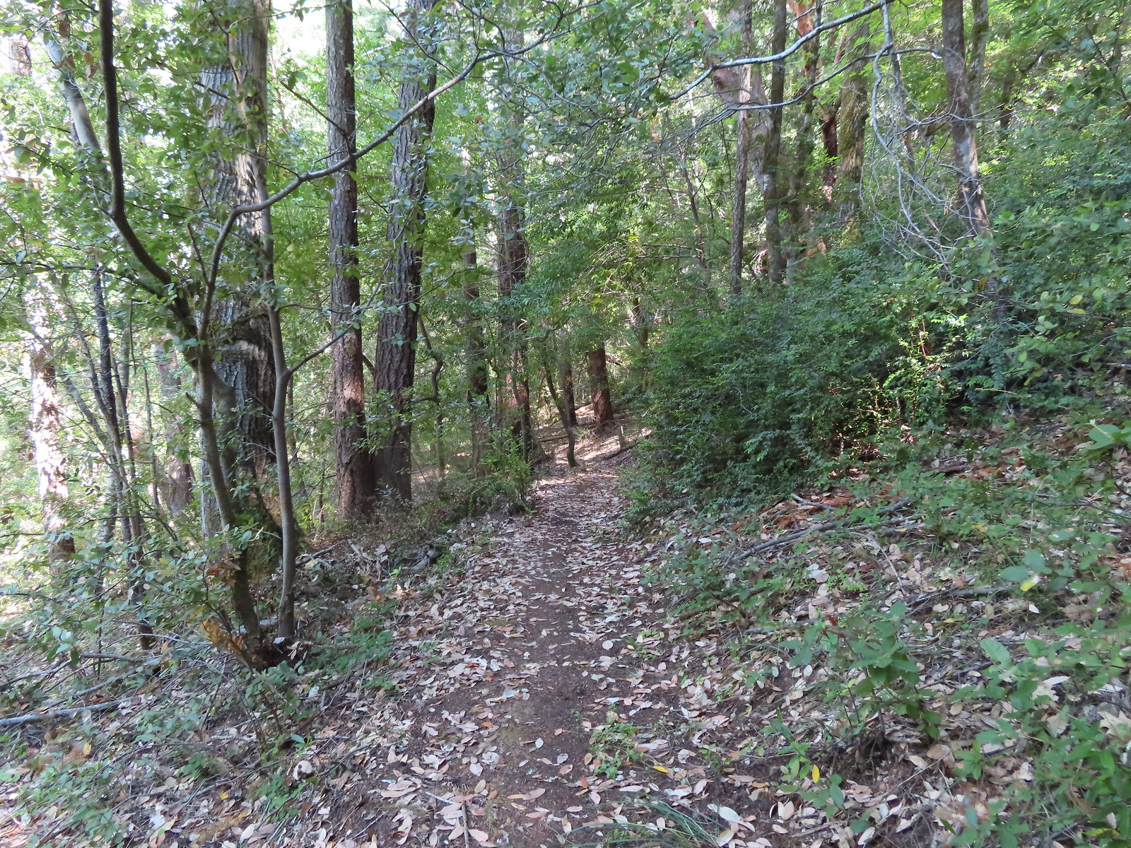
 Variable-leaf collomia
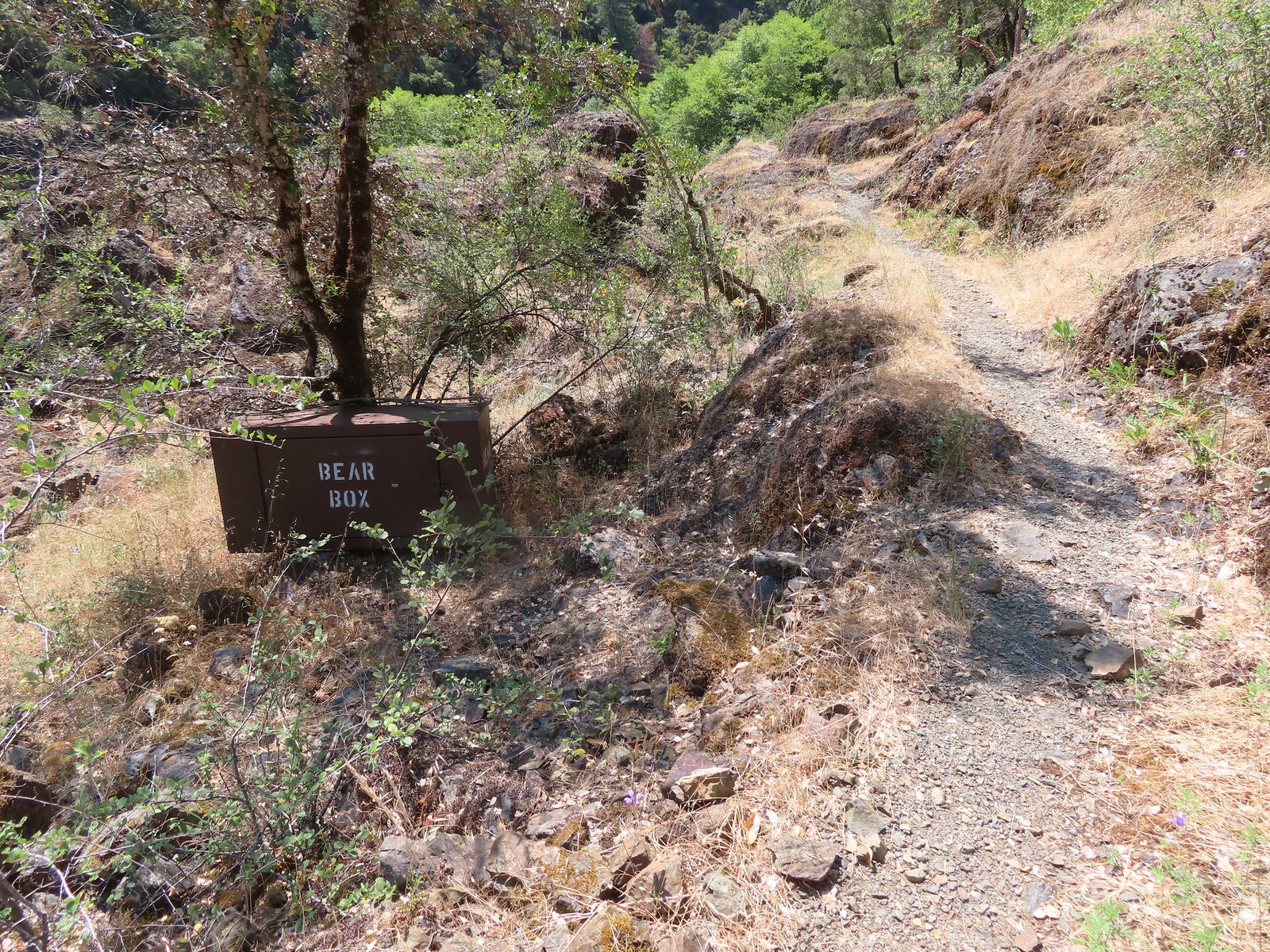 Bear box near Gleason Bar. We didn’t see any bears on our hike but we did have a bear cub run in front of our car on the drive to the trailhead.
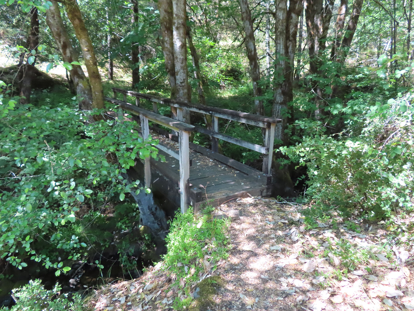
 Paradise Bar
 The trail skirted the grassy airstrip before entering the forest.
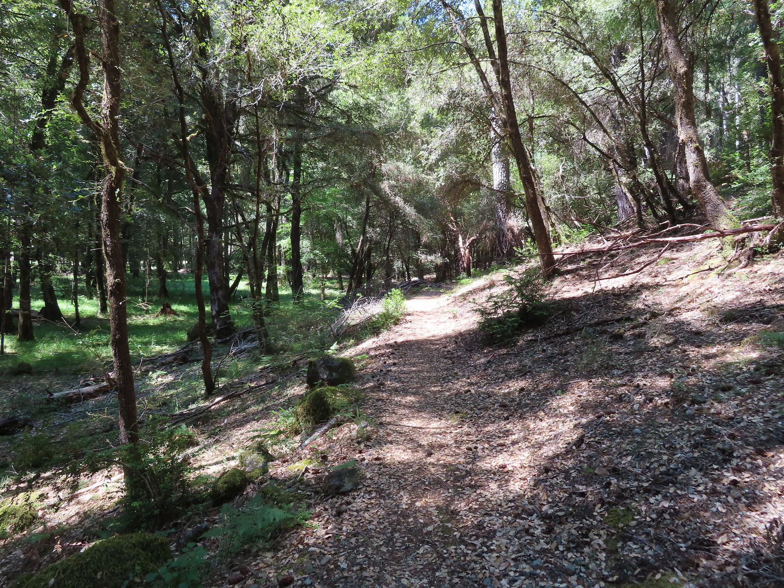
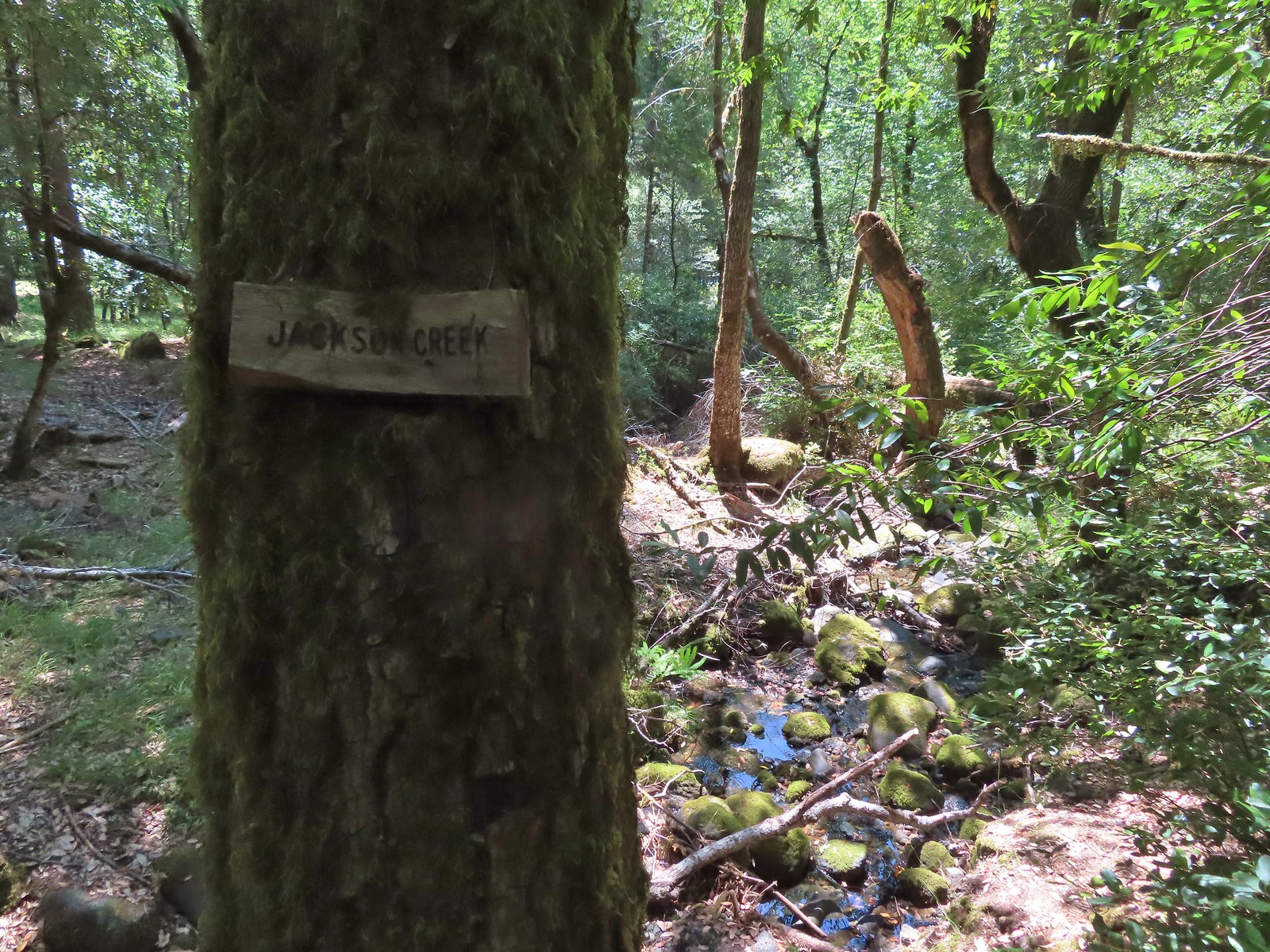 Jackson Creek. Most if not all of the creeks had signs letting us know their names.
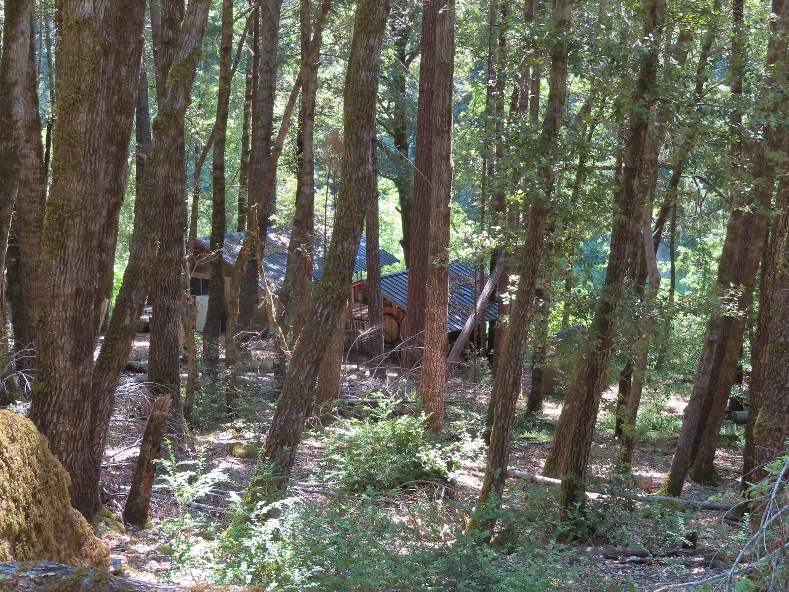 Some of the buildings related to Paradise Lodge.
 Rafters and kayakers passing through Half Moon Riffle.
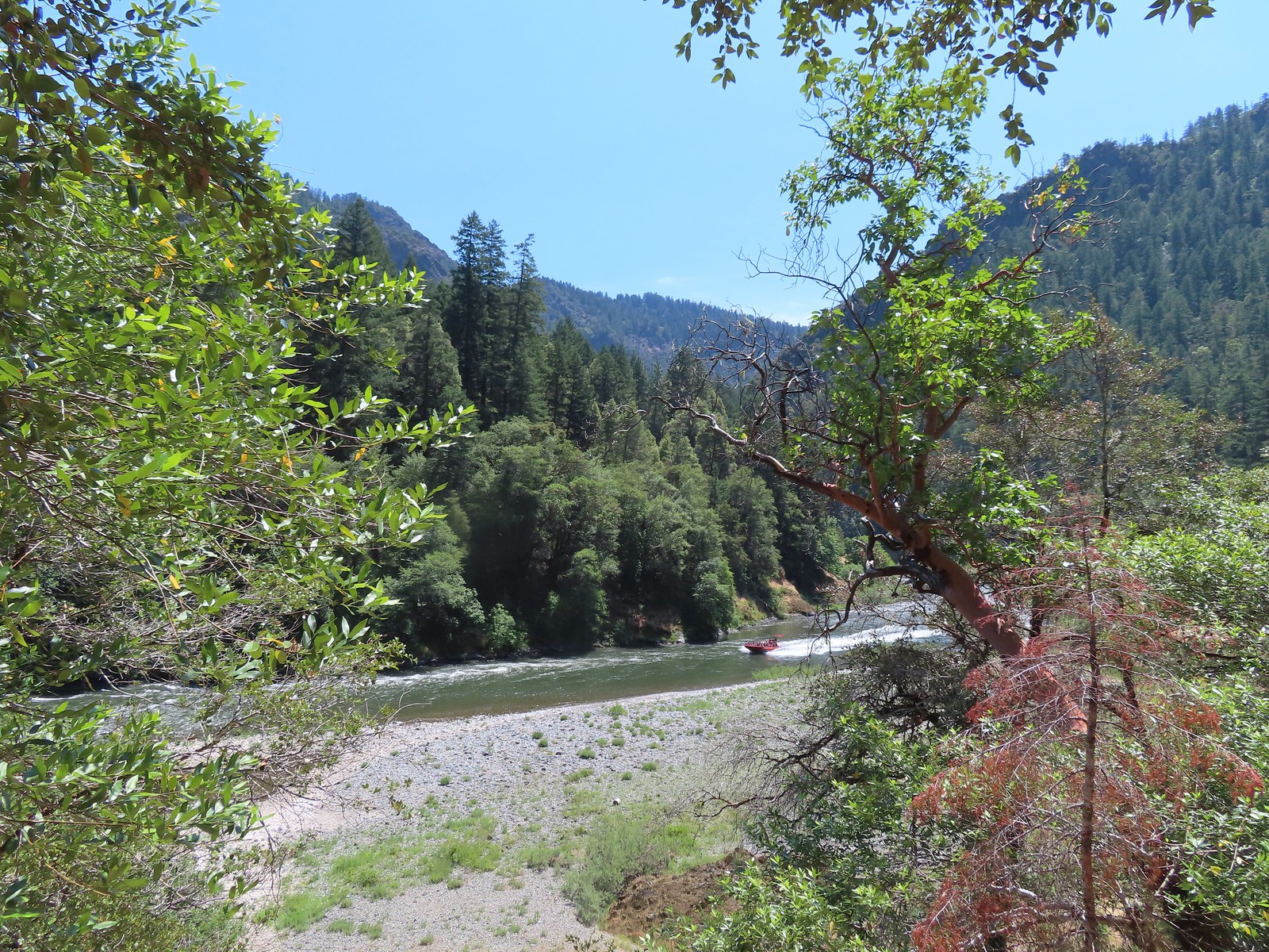 One of
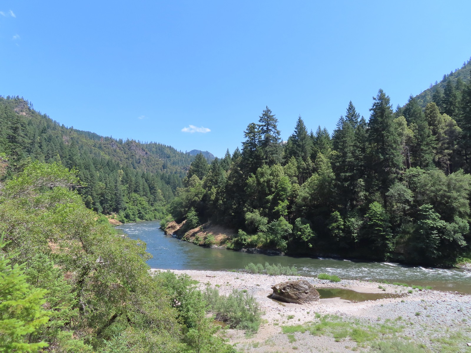
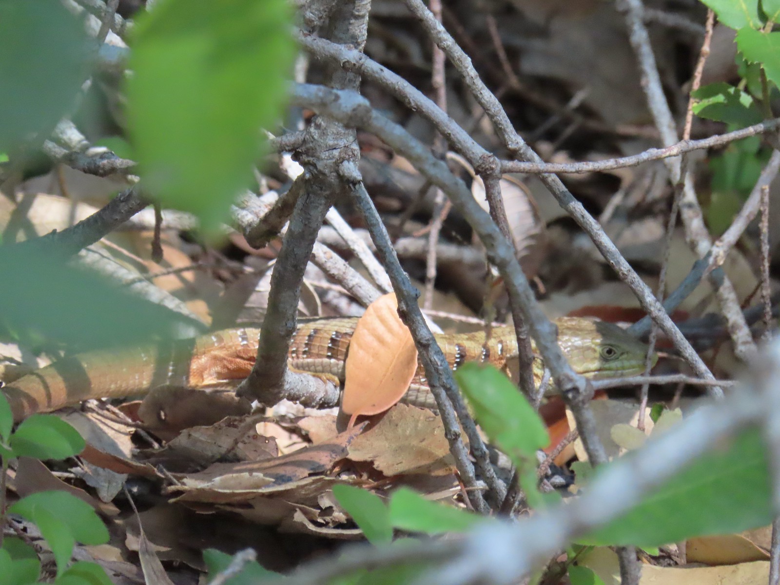 Alligator lizard
 Wine-cup clarkia
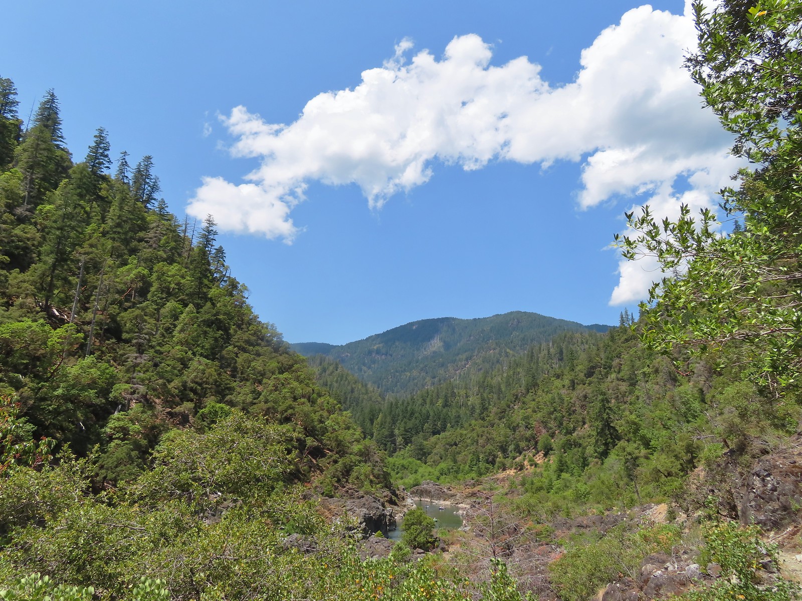 A few fluffy clouds moving in.
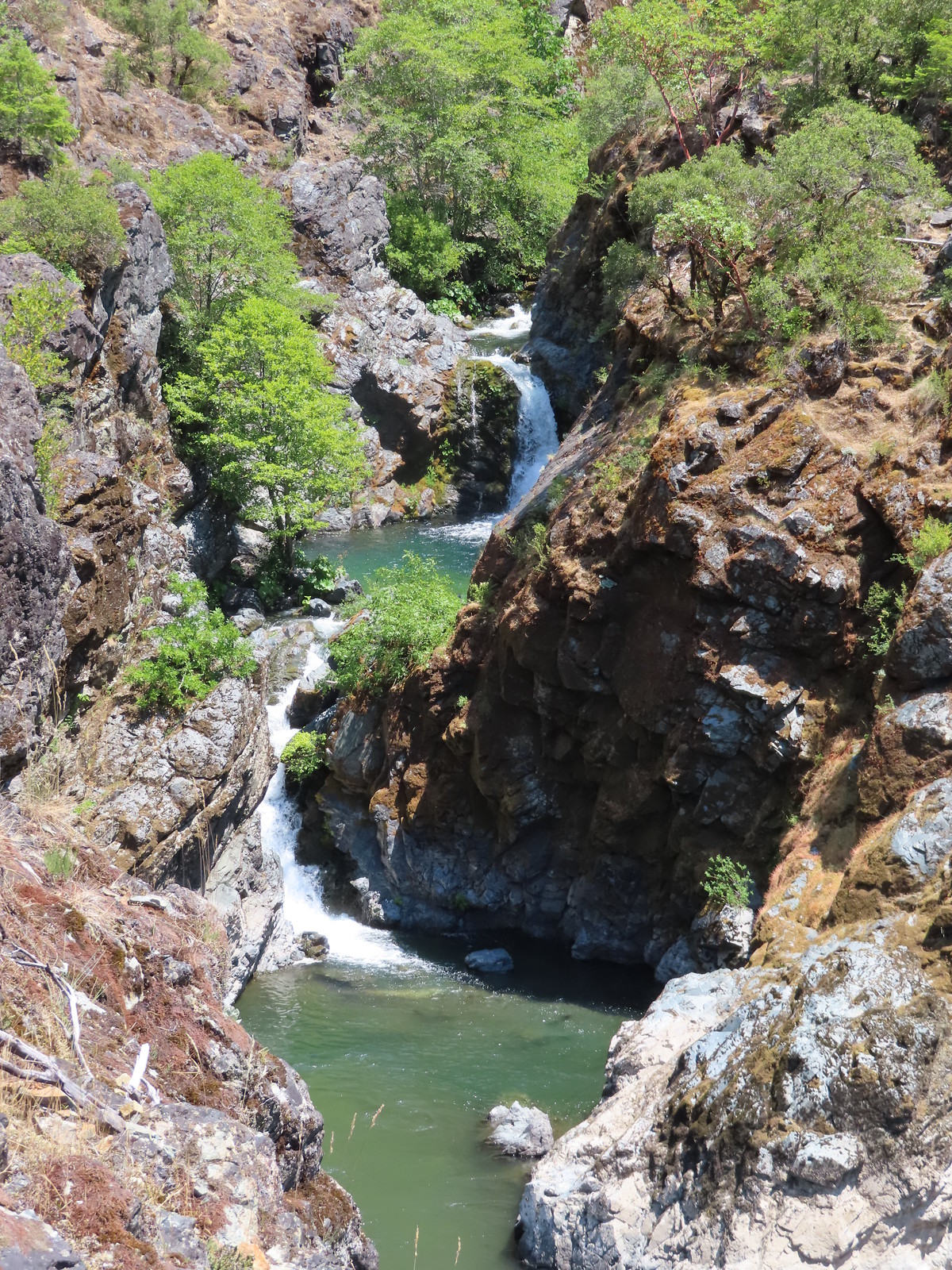 Stair Creek Falls on the way back.
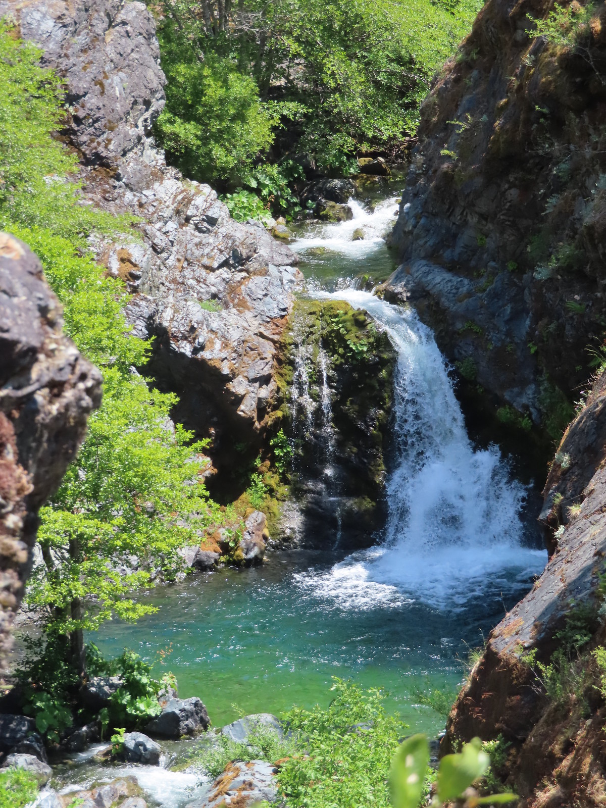
 Mule Creek Canyon
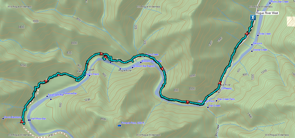

 The smoke that had moved in the day before was still around.

 Toadflax
 Fleabane

 There were lots of fish visible in the reservoir.
 Penstemon
 Showy milkweed
 Approaching Nelson Creek.
 Nelson Creek
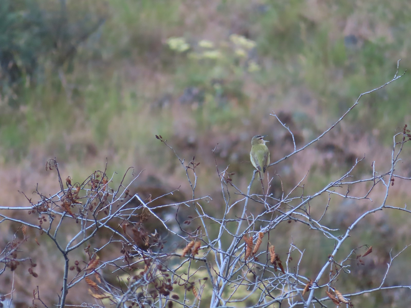 Red-eyed vireo
 Looking up Nelson Creek.
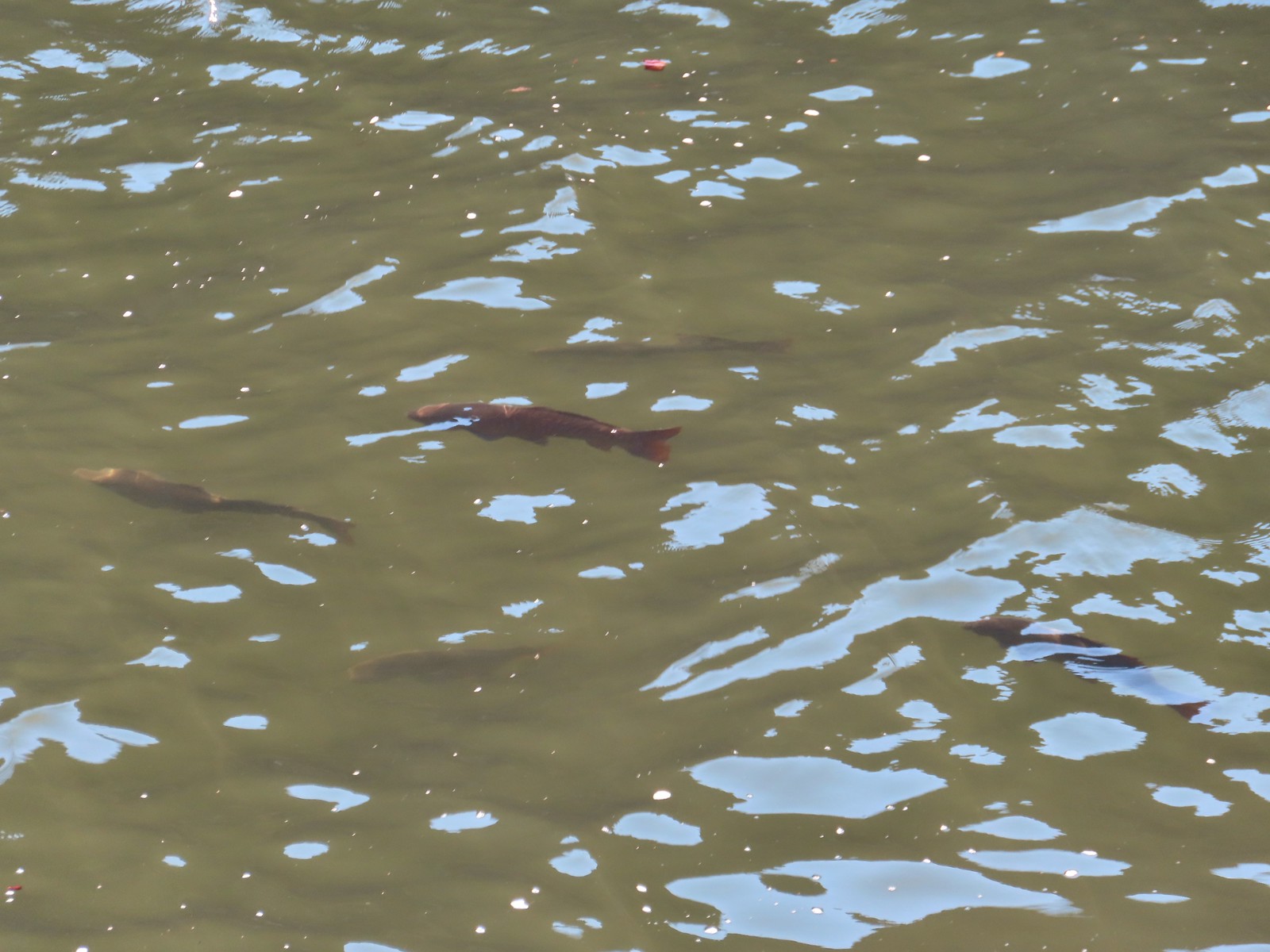 More fish.
 Lazuli bunting

 McGraw Creek
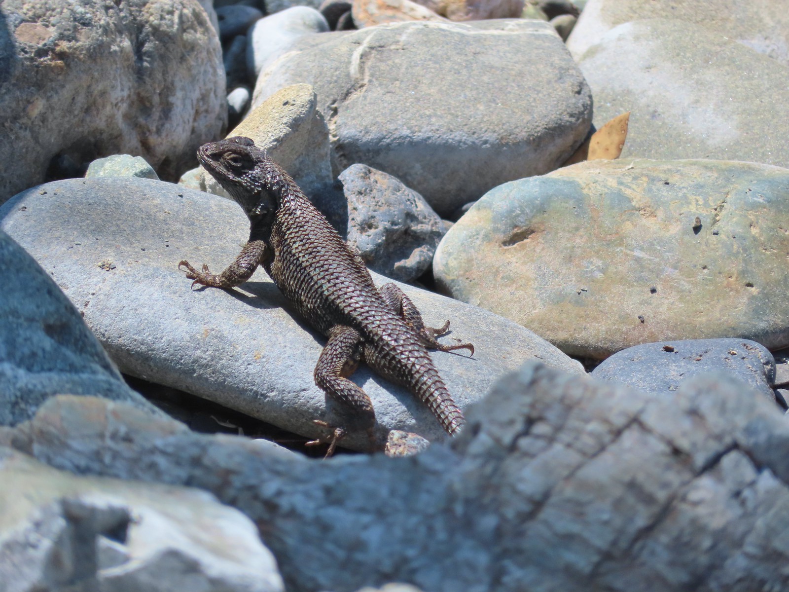
 Lizard
 Common wood nymph
 Moth
Moth Cabbage whites
 Lorquin’s admiral
 Copper Creek Trailhead from the trail.


 The start of the trail.
 Penstemon

 Western clematis
 We watched an osprey dive for a fish in the river.
 It pulled a small fish out of the water.
 Threadleaf phacelia
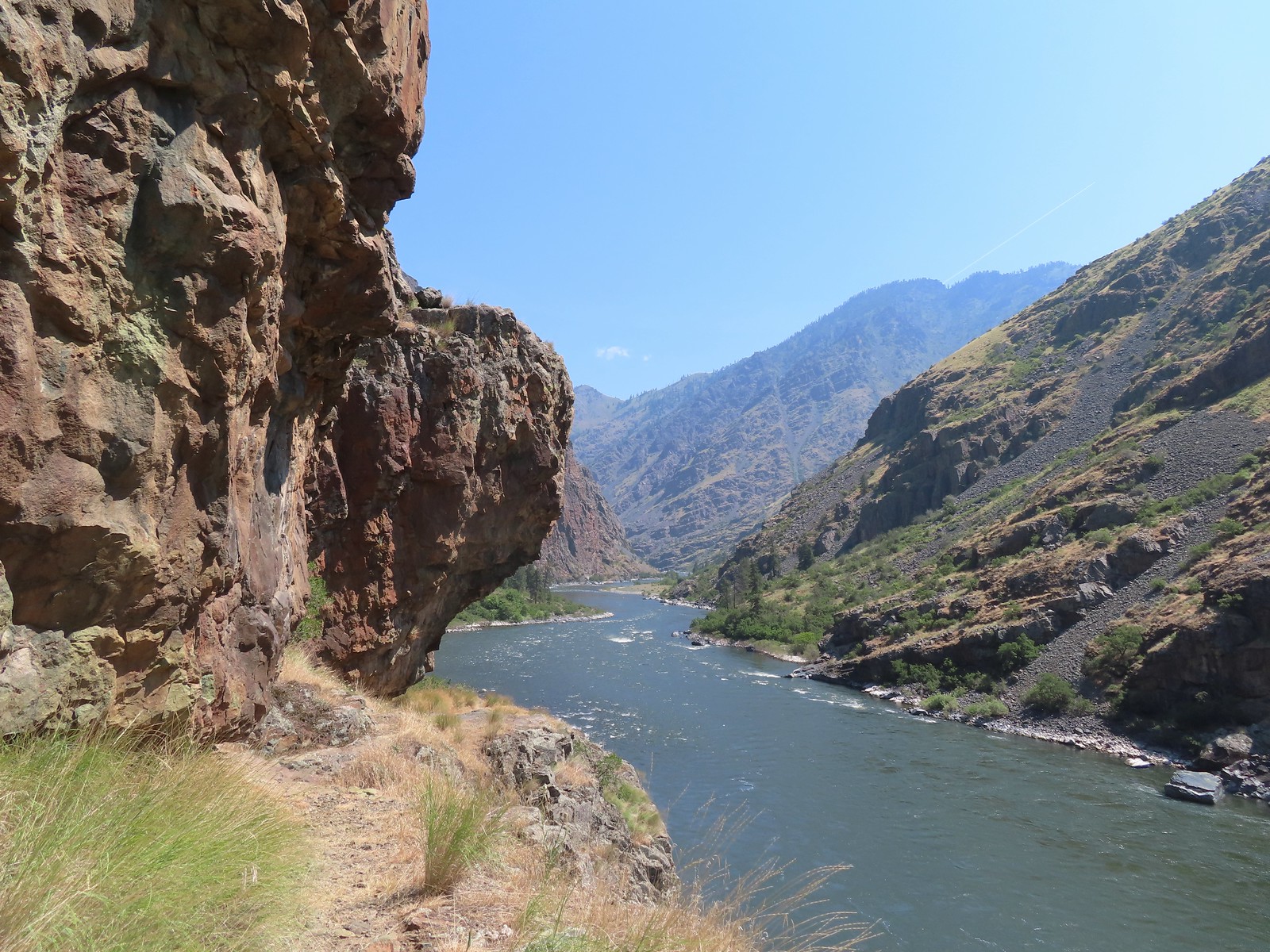
 Rafters that had set off from the dam.
 Ant in a sagebrush mariposa lily.
 Monkeyflower and heart-leaved bittercress
 View near Stud Creek.

 Cobble Beach near Stud Creek
 Jet boat passing by.
 Interpretive sign near the visitors center.
 Hells Canyon Creek
 View from the visitors center.
 The empty trailhead parking area.
 The structure on the right is an old fish trap.
 This was only our second hike in Idaho (
 The Payette National Forest manages this trail.

 Going up.
 Snake River from the trail.
 Going back down.
 There were a couple of dirt/rock sections, but the trail was mostly metal stairs and catwalks.
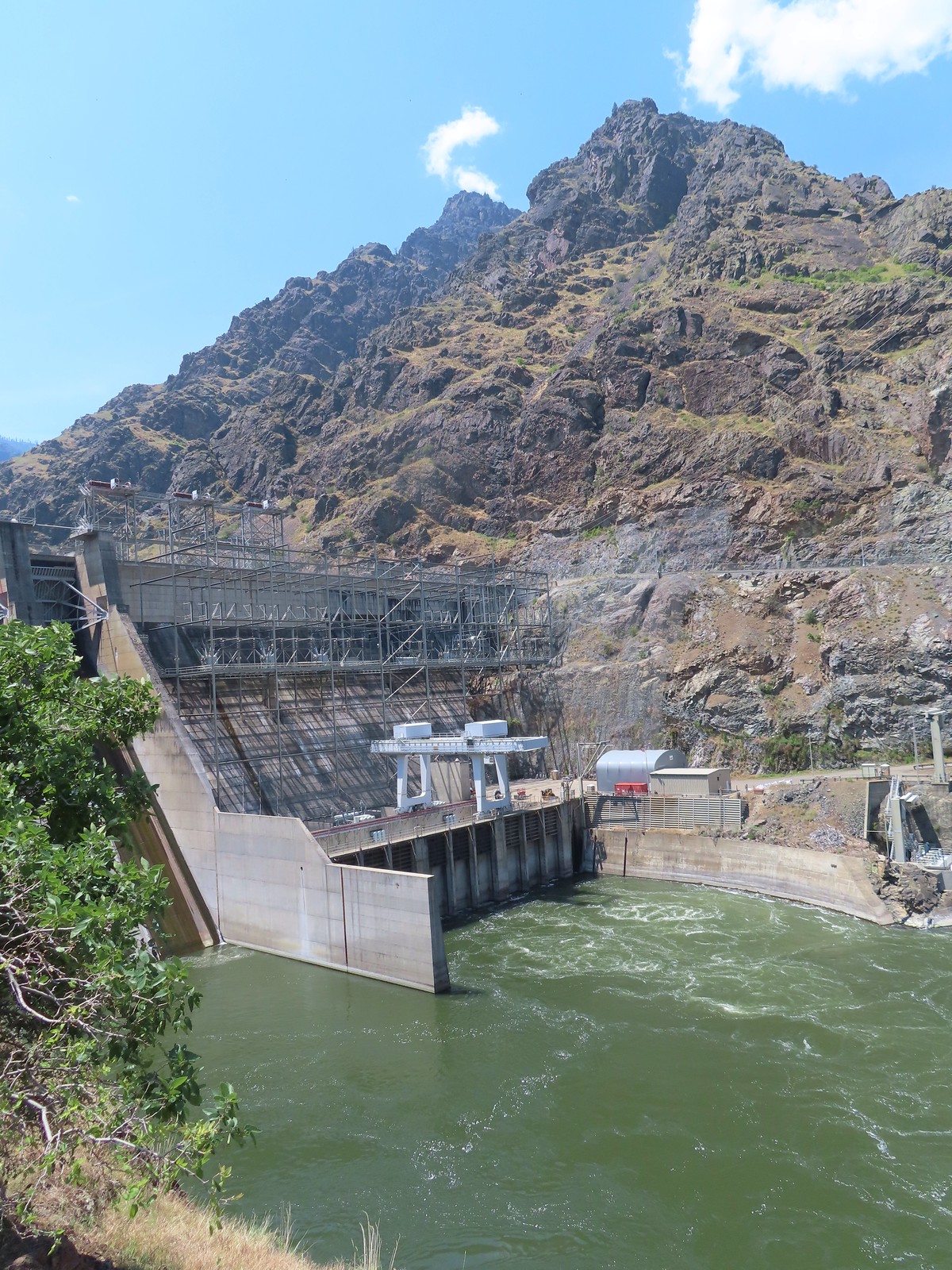
 Ahmed’s fishing pole was still out, and you might notice a little red to the left of the structure ahead.
 There was a very short scramble to get up to the continuation of the trail above the structure along the creek.
 A few patches of snow in the Payette National Forest.
 Deep Creek


 At least one bull in the herd.
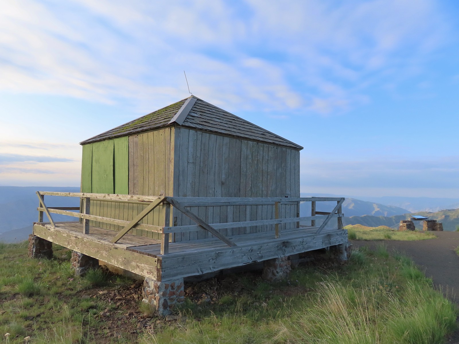
 Buckhorn Lookout

 Hells Canyon
 Tolmie’s onion
 Pale paintbrush
 Larkspur, lupine, and northern mules ears.
 Prairie smoke a.k.a. old man’s whiskers
 Purple sticky geranium
 Paintbrush
 Parsley, larkspur, large flower triteleia, and Tolmie’s onion
 Phlox
Phlox We could have driven the 1.2-miles on FR 780 to the gate but the road was not in good shape and after driving to Eureka Bar the day before we weren’t interested in another rough road.
 Mallow ninebark
 Arnica
 Large flower triteleia

 Gate at the end of the road.
 Marker for the Nez Perce – Nee-Mee-Poo National Historic Trail.

 Columbian lewisia
 Seven Devils in Idaho
 Lupine, yarrow, buckwheat, and scarlet gilia
 Scarlet gilia

 Elkhorn clarkia a.k.a. ragged robin
 Another impressive scarlet gilia.
 Paintbrush, lupine, phacelia, thistle, and scarlet gilia
 Penstemon
 A phlox
 Scabland penstemon
 Threadleaf phacelia
 Penstemon
 Paintbrush
 Lark sparrow
 Cedar waxwing
 Elkhorn clarkia
 Wallflower
 Skullcap
 Nettle-leaf giant hyssop
 Monkeyflower and some tiny white flowers near a seep.
 Buckwheat

 Mylitta crescent
 Rough eyelashweed
 Looking back up the trail.
 At Spain Saddle the road switched to the opposite side of the ridge.
 Bush penstemon
 Another type of penstemon
 White spiraea
 Manyflower tonella
 Owl’s clover
 The viewpoint on the far side of the fence.
 Boat on the Snake River.
 Salsify
 Bindweed
 Thistle with bugs.
 Clouds moving in behind us.
 Prickly pear cactus
 The only poison ivy we saw all hike.
 Eureka Viewpoint ahead to the left.
 Hairy goldenaster
 Fleabane
 Eureka Viewpoint
 Looking back
 Looking down
 Clustered broomrape


 A very small part of the river is visible to the left and more to right.


 Here come the clouds.
 We spotted a rock arch on the way up that we’d missed earlier.
 A closer look at the arch.
 Common wood nymph
 Spotted towhee
 Northern flicker
 The only time we noticed the Imnaha River from the trail.
 Butterfly near the seep.
 Mountain parnassian on yarrow.
 A painted lady butterfly.
 Chipping sparrow
 We could actually smell a little smoke at times on the way back.
 Tiny trumpet
 Hound’s tongue and roses
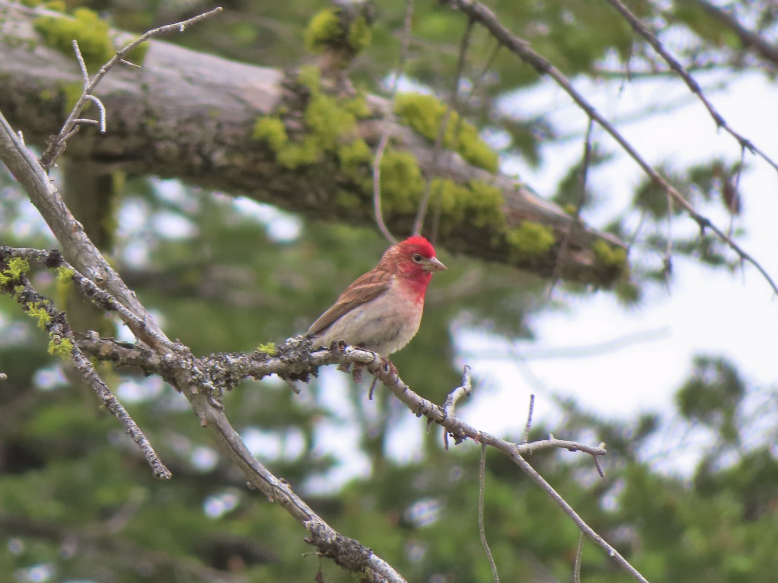 Cassin’s finch
 Western bluebird
 Western tanager
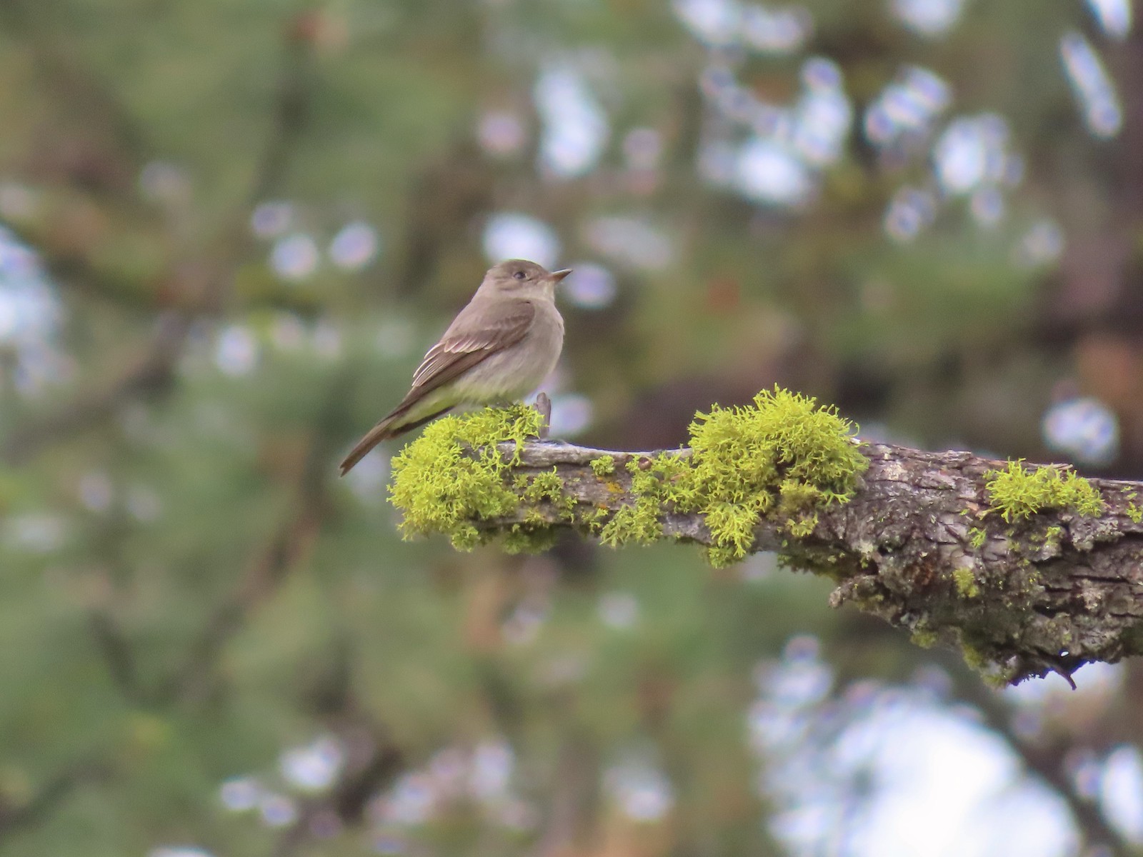 Western wood peewee
 Hairy Indian paintbrush
 Hoary balsamroot
 Mountain bluebird
 The view in the afternoon from the lookout.

 Cow Creek Bridge at the Cow Creek Trailhead.
 Garbage can at the trailhead.

 Penstemon along the trail.
 Geese on the river.
 Cliff swallows
 Moth mullein
 Hawk
Hawk Showy milkweed
 Prickly pear cactus
 Heading into a brushy area.
 Rose
Rose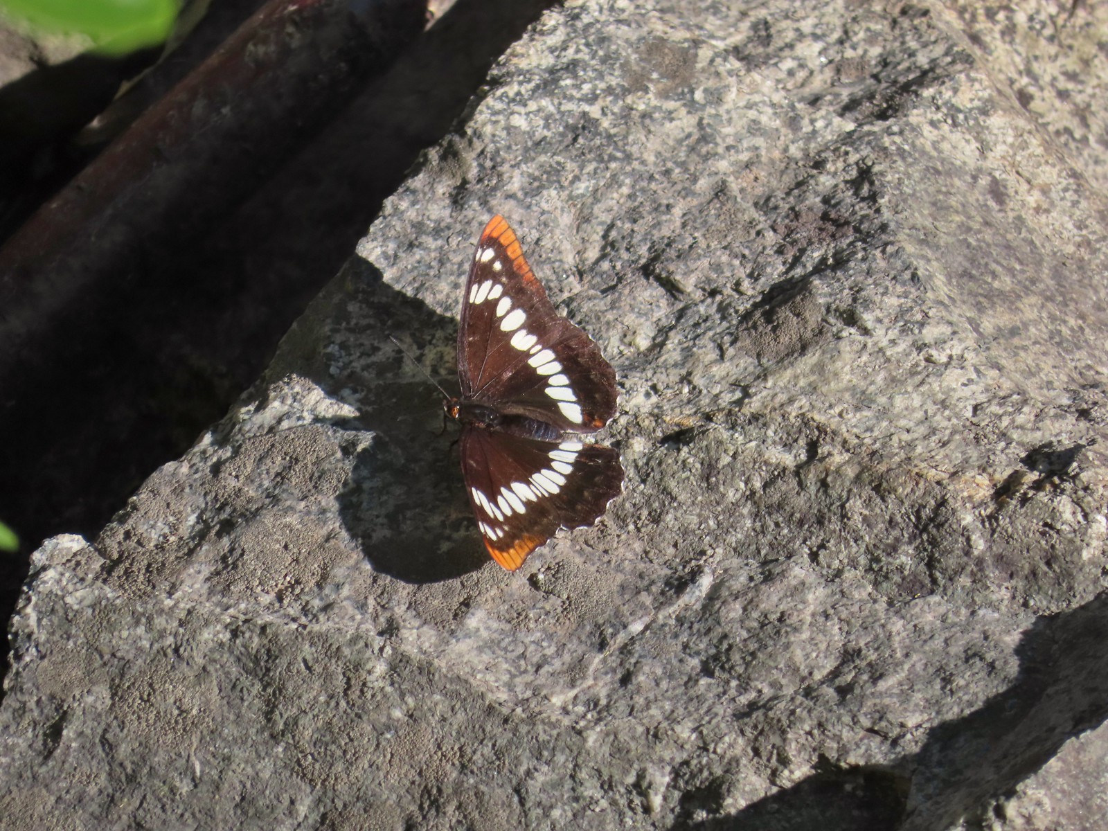 Lorquin’s admiral
 Can you spot the snake?
 The snake heading off the rocks into the brush.
 I cleared this section of trail.
 Sumac along the trail.
 The only marker that Sullivan mentioned along the trail was this pillar on the right at the 2.8-mile mark.
 Painted lady
 St. John’s wort and poison ivy.
 Skullcap
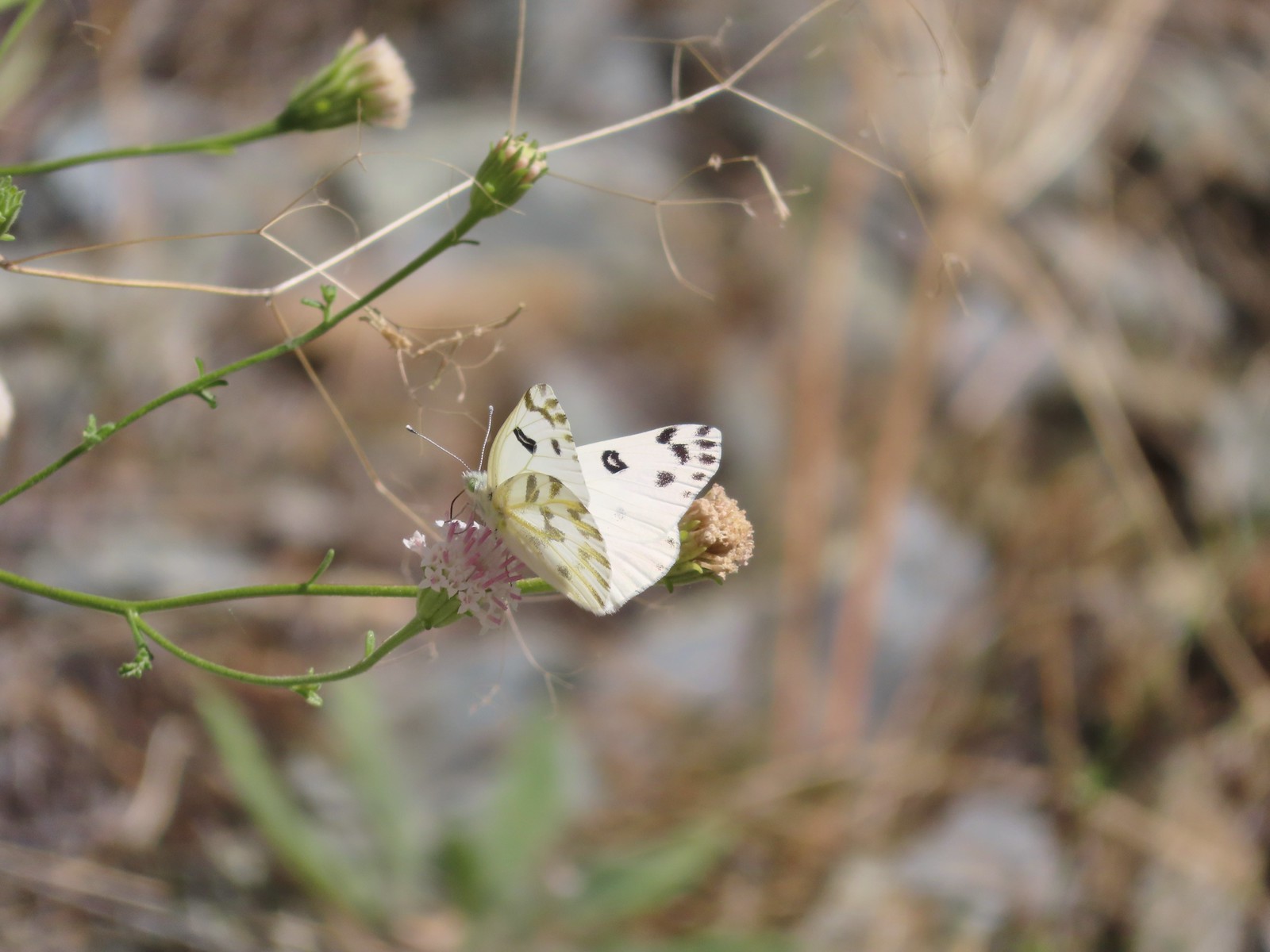 Becker’s white
 Our first view of the Snake River.
 One of several reminders of the mining town at Eureka Bar in the early 1900’s.
 The Mountain Chief Mine across the Imnaha River.
 The Snake River
 Chuckar in the brush across the Imnaha River.
 Eureka Bar
 Skipper on common bugloss.
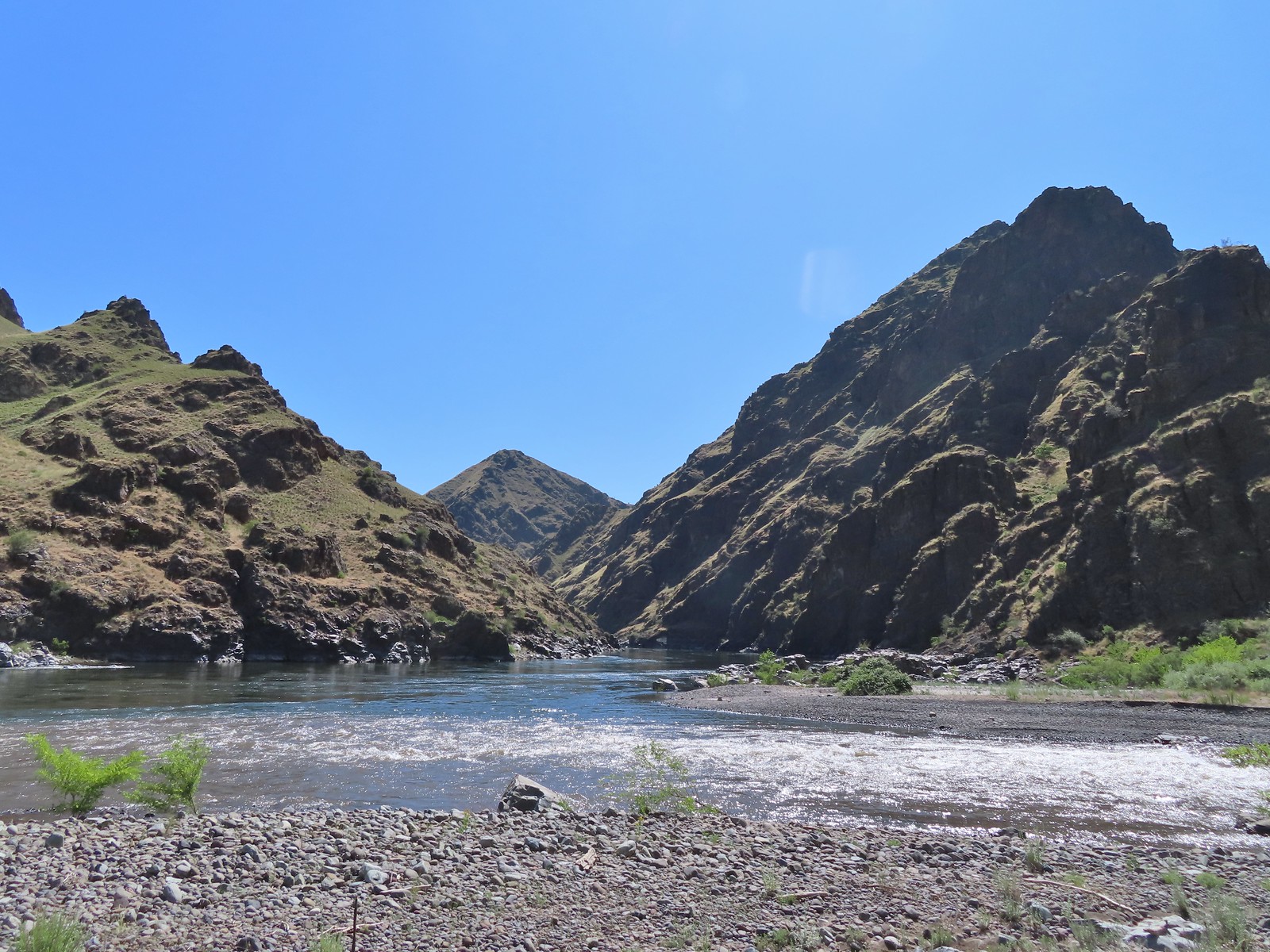 Imnaha River emptying into the Snake.
 Blanketflower
 Bindweed
 Sagebrush mariposa lily
 Another sagebrush mariposa lily
 Fleabane
 Stones where the gold processing mill was going to be.
 Long-leaved ground-cherry (Physalis longifolia)
 Orange globe-mallow
 Orange globe-mallow
 Our turnaround point.
 Another mariposa lily
 Ruins at Eureka Bar.
 Common merganser
 A prickly pear cactus near Eureka Bar.
 Green cricket on poison ivy.
 Lazuli bunting
 Mourning cloak

 We missed all of these prickly pear cacti on the first pass.
 Arriving back at Dug Bar Road.


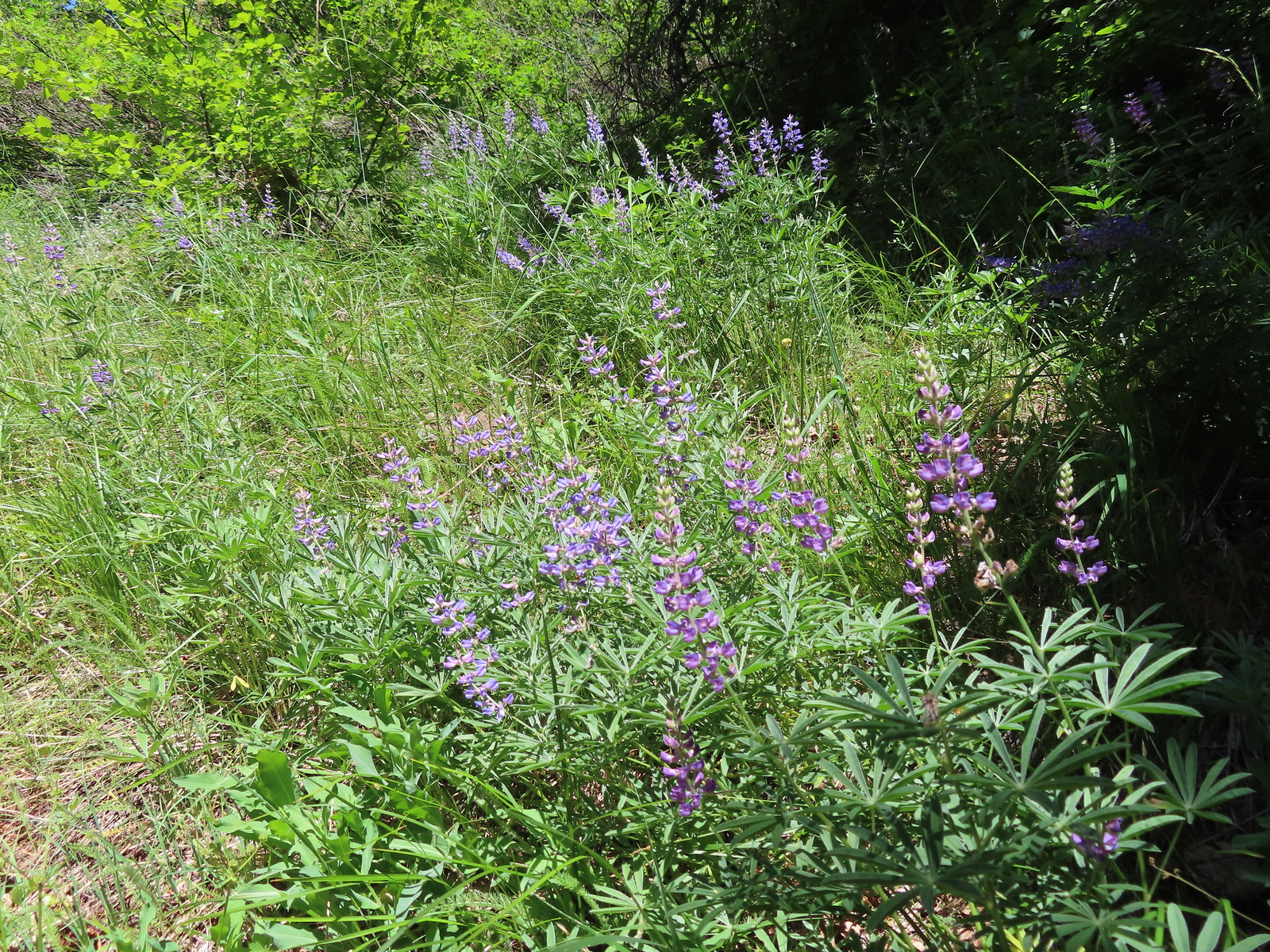
 Lupine along the trail.

 Interpretive sign along the trail.
 Second from the left is Dug Peak, the pointy peak is Sawtooth Peak, and the round peak to the right is Hurricane Point.
 The trail descended from the hill and leveled out along some trees.
 Yellow warbler
 Brown-headed cowbirds


 Hounds tongue
 Death camas
 Oregon sunshine
 Bench with a view of Point Joseph behind.
 Sunflowers yet to bloom.
 Fiddleneck
 Descending to the highway.

 Old Chief Joseph’s gravesite. His original grave near Wallowa, OR had been looted twice before he was moved here in 1926.
 Wallowa Lake beyond the gravesite of Martha and Frank David McCully.
 A sightseeing robin.
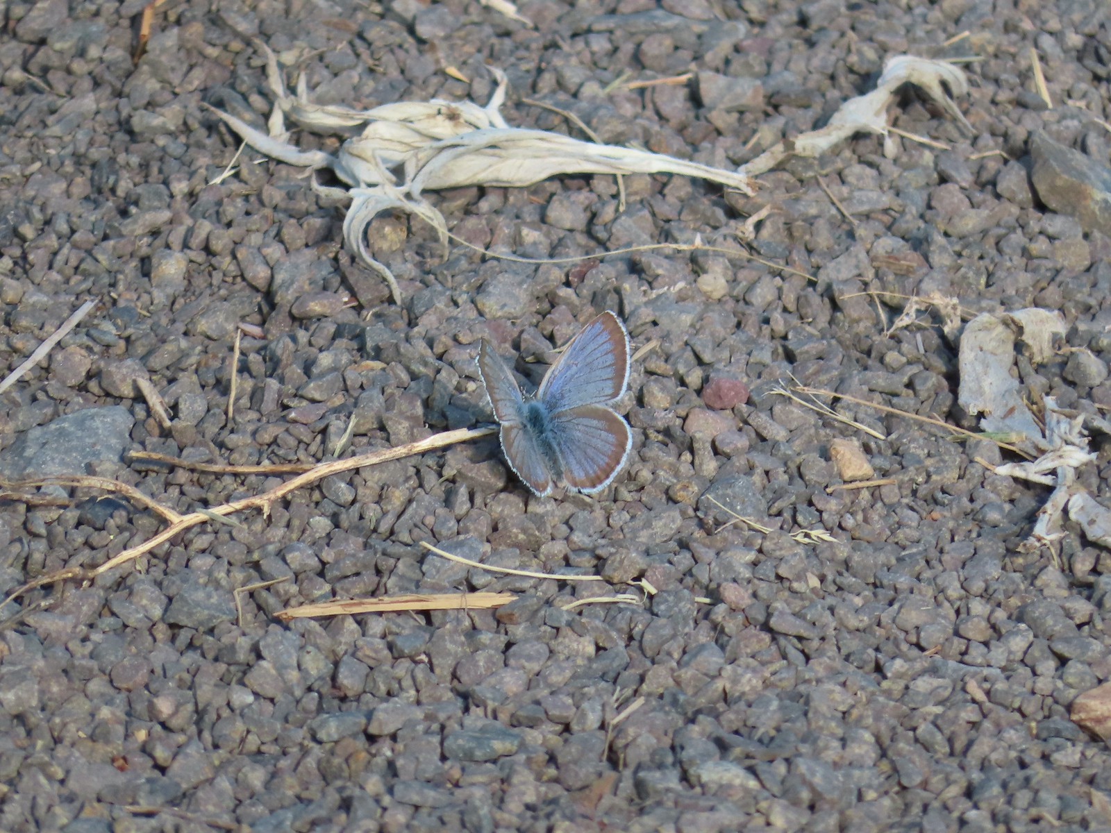 Butterfly on the trail.
 Western stoneseed

 Farmer’s Ditch
 View from the South Main Street Entrance.
 Passing back by Knight’s Pond.
 Some uplift action on the clouds from the trailhead.
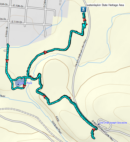
 Indian Crossing Trailhead
 Imnaha River at the trailhead.
 Jessica’s stickseed
 Hooked spur violet
 Woodland star
 Valerian
 Arnica

 Violets
 We passed a pack station in the forest on our right.
 Ballhead waterleaf
 Lupine along the trail
 Anemone
 Western meadowrue
 Paintbrush along the trail.
 Larkspur, lupine, and Jessica’s stickseed
 Chipmunk
 A nice patch of lupine.
 Snow patches high up on the ridge.
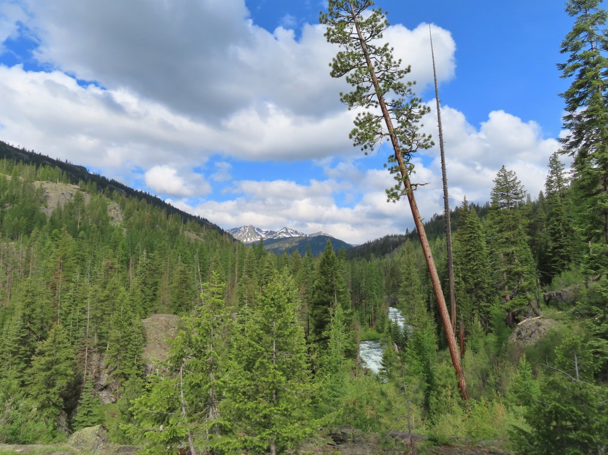
 The Imnaha River below the trail.
 One of many small unnamed stream crossings.
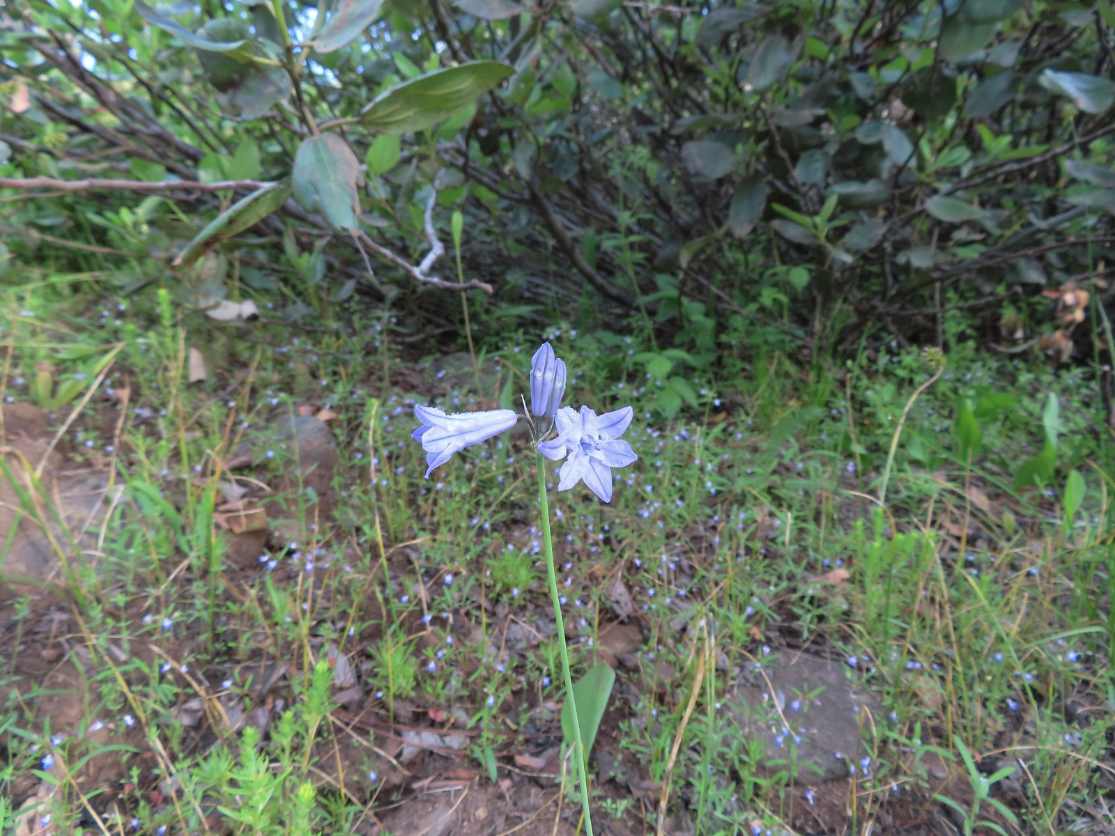 Large-flower triteleia
 A ponderosa pine that survived the fire.
 Robin
Robin One of several types of penstemon along the trail.
 We were just sure that there should be elk, deer, or a bear down along the river here.
 There were quite a few of these millipedes in the trail.
 In some cases the creeks had taken over the trail.
 Cinquefoil
 A brushy section of the trail.
 Tall bluebells
 Two-tailed tiger swallowtail


 Blue Hole, not exactly blue this time of year due to the amount of silty snowmelt water swelling the river.
 Wildflowers above the gorge.
 The Imnaha emerging from the gorge into Blue Hole.
 Arnica along the trail.
 Coming up on a small stand of aspen.
 A rockcress
 Juba skipper
 Roundleaf alumroot
 Painted lady on Oregon sunshine.
 Glacier carved rock outcrops provided some excellent views and good habitat for wildflowers.


 Scabland penstemon
 Paintbrush
 Not a flower but very colorful.
 Bush penstemon
 Western tanager
 Western blue clematis
 Brown creeper on a tree trunk.
 Left is Marble Mountain and to the right further back is Honeymoon Summit.
 Larkspur along the trail.
 Heartleaf springbeauty
 Another flooded section of a the trail.
 Western tiger swallowtails on chokecherry.
 Dreamy duskywing
 Threeleaf lewisia
 We were too late for the Brown’s peony blooms.
 Balsamroot and paintbrush
 On the opposite side, with a series of drops, is Rock Creek flowing into the Imnaha.
 The Imnaha River leaving the gorge.
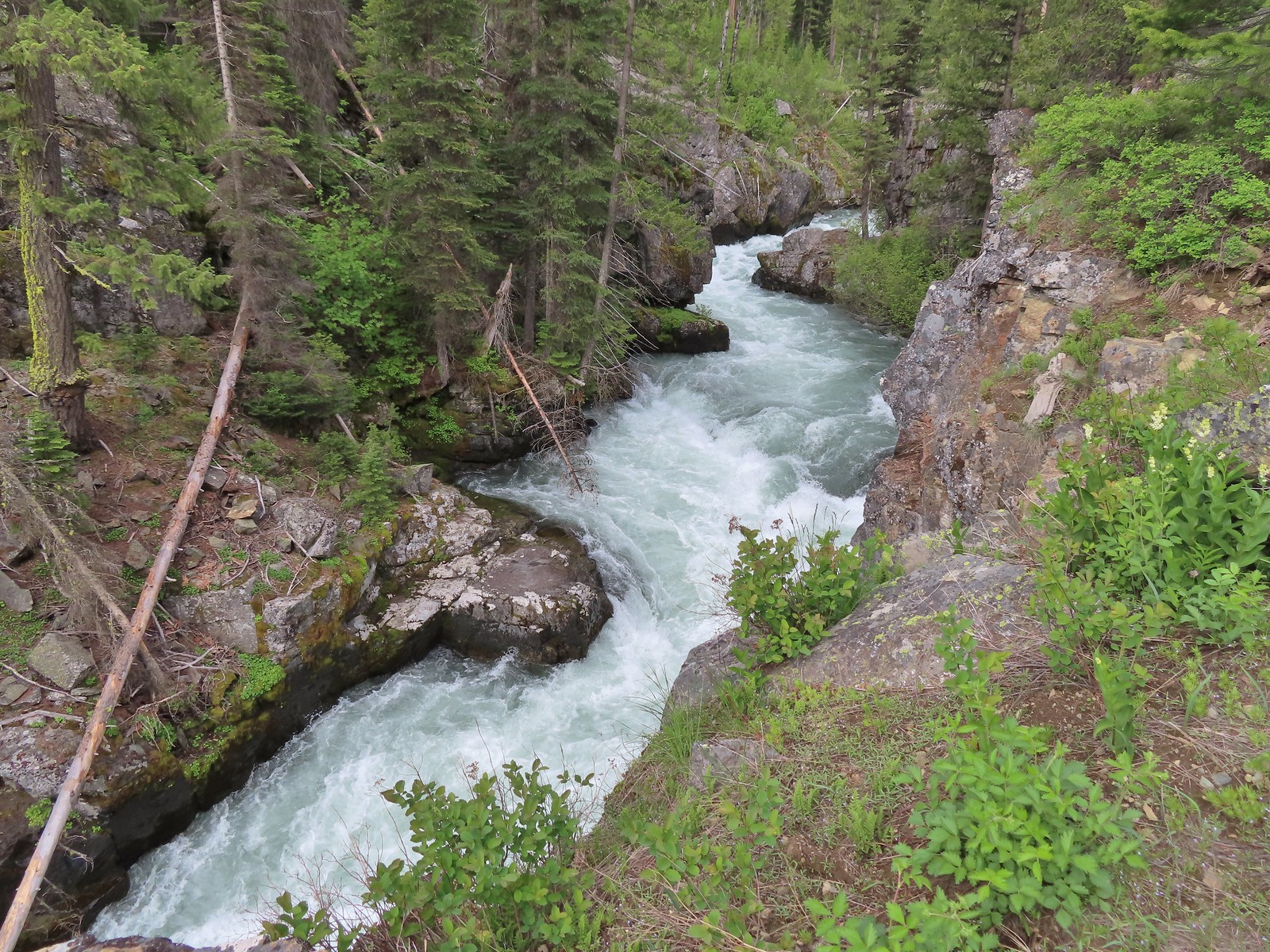
 Rock Creek cascading down through the forest.
 Another creek cascading down.
 Marble Mountain
 Twinberry honeysuckle
 Marsh violet
 Rock outcrop above Imnaha Falls
 I tried going down river first to see if I could get a view back up to the falls, but the water level was into the brush along the riverbank.
 The falls were just upriver from this bench with a couple of campsites.
 The gap in the outcrop.
 Imnaha Falls.
 Utah honeysuckle
 Bee on a dandelion
 Nettle-leaf giant hyssop
 Slender phlox
 Silverleaf phacelia
 Vetch
Vetch
 Osprey, the fishing here must have been good because we’d seen a bald eagle in this area in the morning.
 Fairy slipper
 Arriving back at the trailhead.
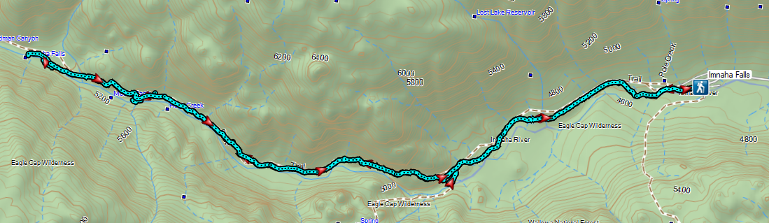


 The parking area at the trailhead.
 Signboards at the trailhead.
 Trail map.


 Lake Wallula from the footbridge.
 Eastern kingbird near the boat ramp.
 Post ahead marking the junction with the Lewis and Clark Trail. There is also a deer below the cliffs ahead.
 Zooming in on the doe.
 Lake Wallula
 Raven with an egg it had snatched from some other bird.
 Broad-leaved pepperweed (invasive)
 Initially there were some houses on the left, but they gave way to the Wanaket Wildlife Area.
 Most of the balsamroot was long past done but a few late blooms remained.
 Dove
Dove A fleabane
 Swallow
 Patterns on Lake Wallula
 Western meadowlark signing from atop the cliffs.
 Sign for the Wanaket Wildlife Area
 Lark sparrow
 Box Canyon
 There were a couple of small hills but over all very little elevation gain.
 Another western meadowlark.
 Cormorant
 Mallard
 Showy milkweed and a bunch of bees.
 Trail sign near McNary Beach
 Our rest stop.
 Caspian tern
 Hawk
Hawk Gray hairstreak on tall tumblemustard
 Becker’s white also on tall tumblemustard.
 Boat Rock to the left and behind Hat Rock from the Lewis and Clark Trail.

 One of these is not like the others.


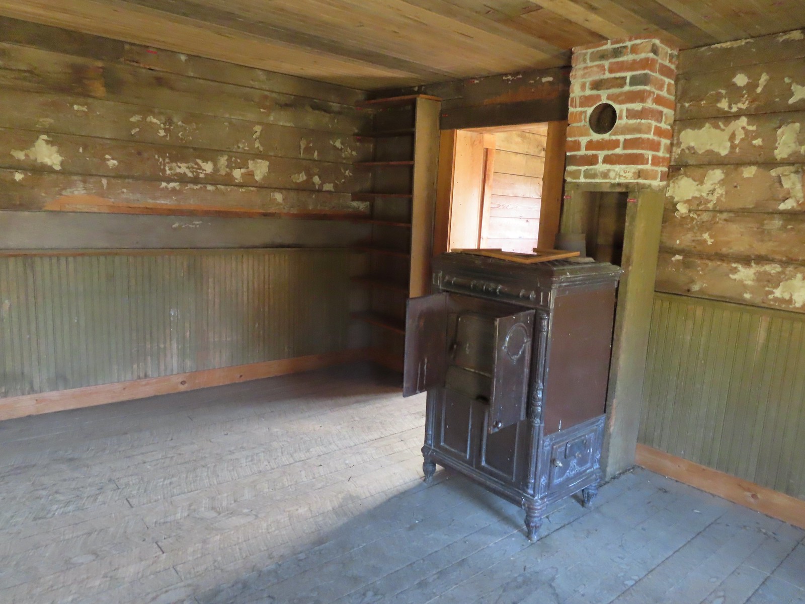
 The path to the cabin on the right.
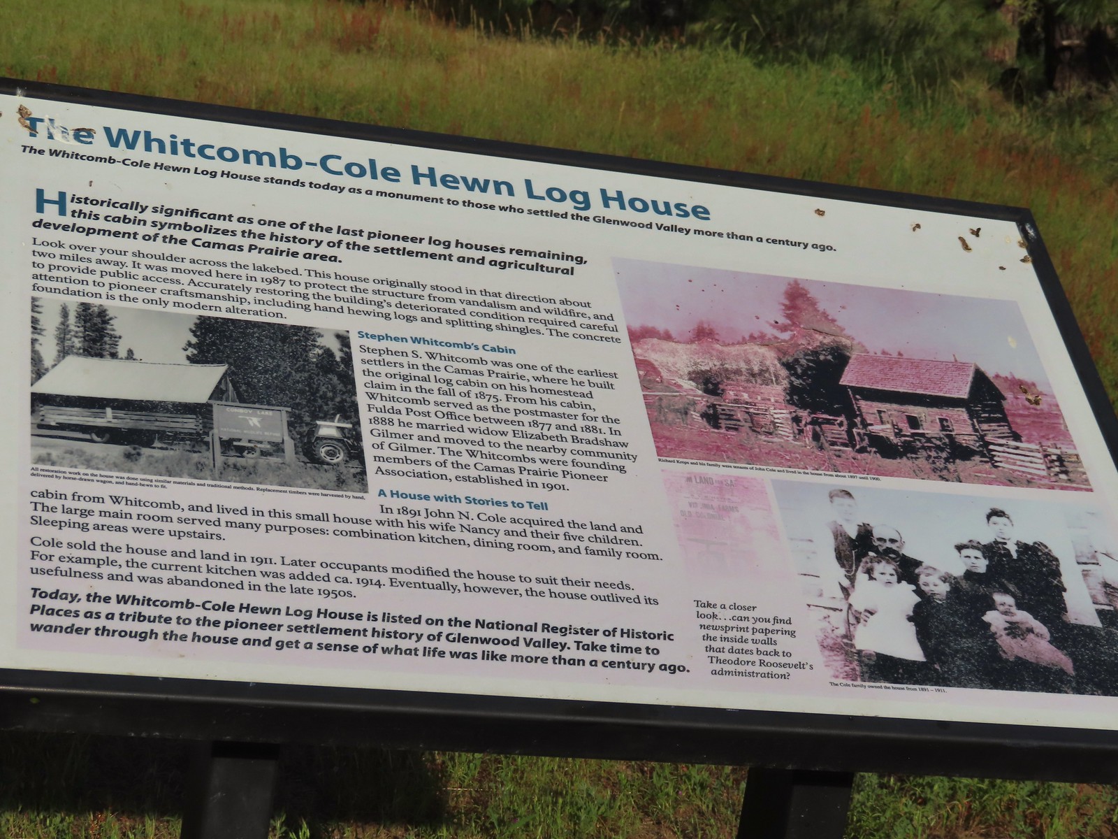 Built in 1875 the cabin was moved from its original location in 1987.

 The snowy top of Mt. Hood from the cabin.

 There was a lot of monkeyflower in and along the ditch.
 Lupine along the ditch.
 Lazuli bunting
 Robin
Robin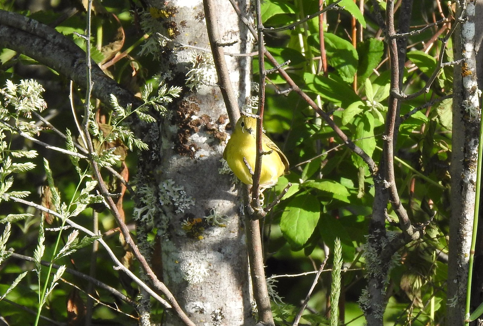 Yellow warbler (according to the Merlin app).
 Red-winged blackbird
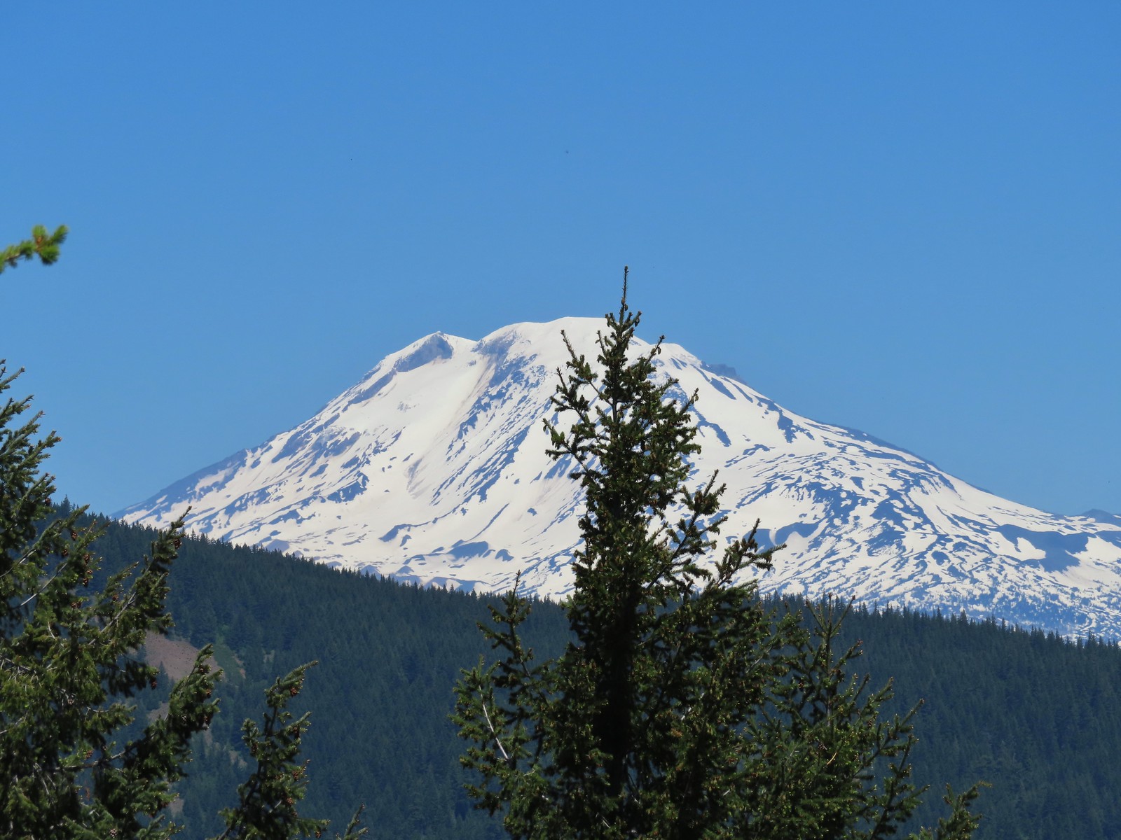
 The top of Mt. Adams above the trees.

 Swallow
 Western bluebirds

 Honeysuckle
 Columbine
 Rose
Rose


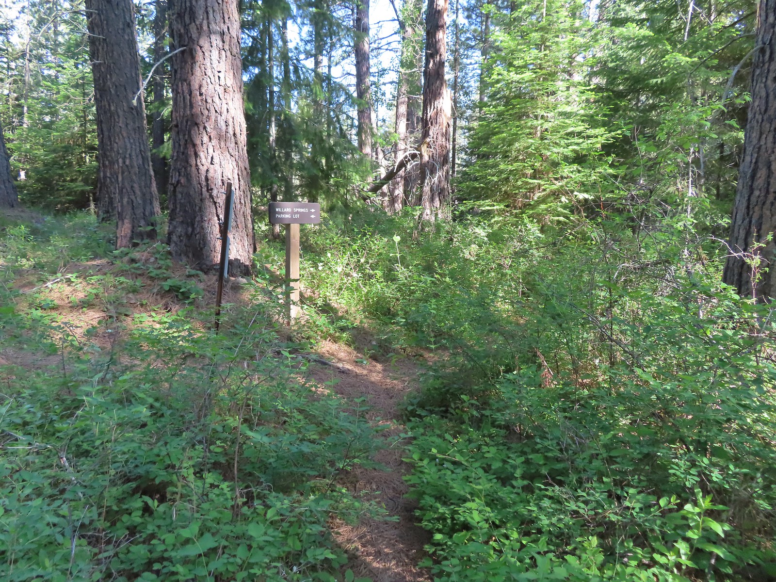
 Continuation of the Willard Springs Trail behind the sign.


 We hung around long enough that this warbling vireo came to check on us.


 Willard Sprins hidden in the vegetation. We could hear them better then we could see them.
 A healthy lupine near the springs.
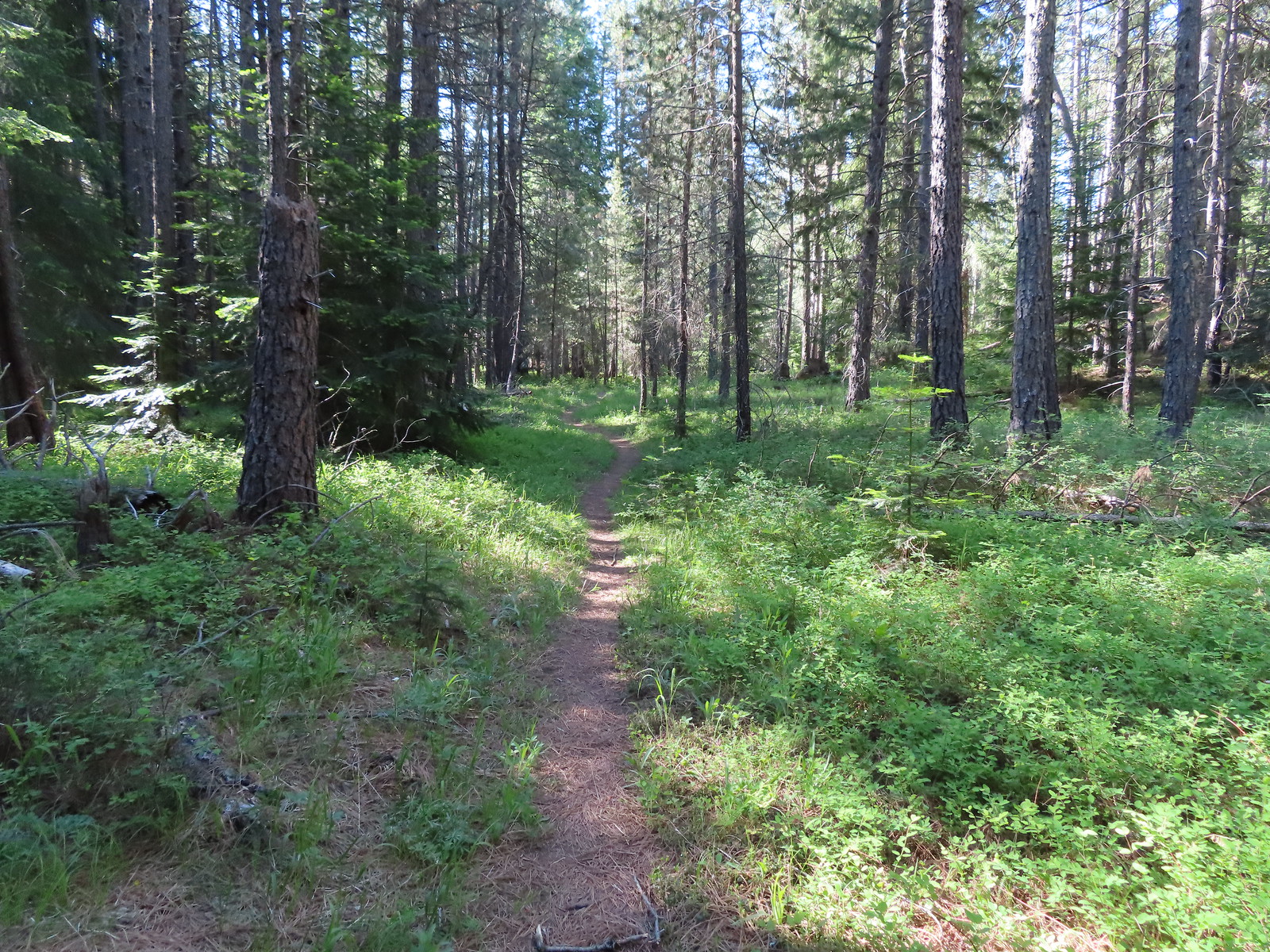
 Cat’s ear lily
 Hitchhiker
 Lupine along the trail.
 Golden-mantled ground squirrel
 Swallowtail
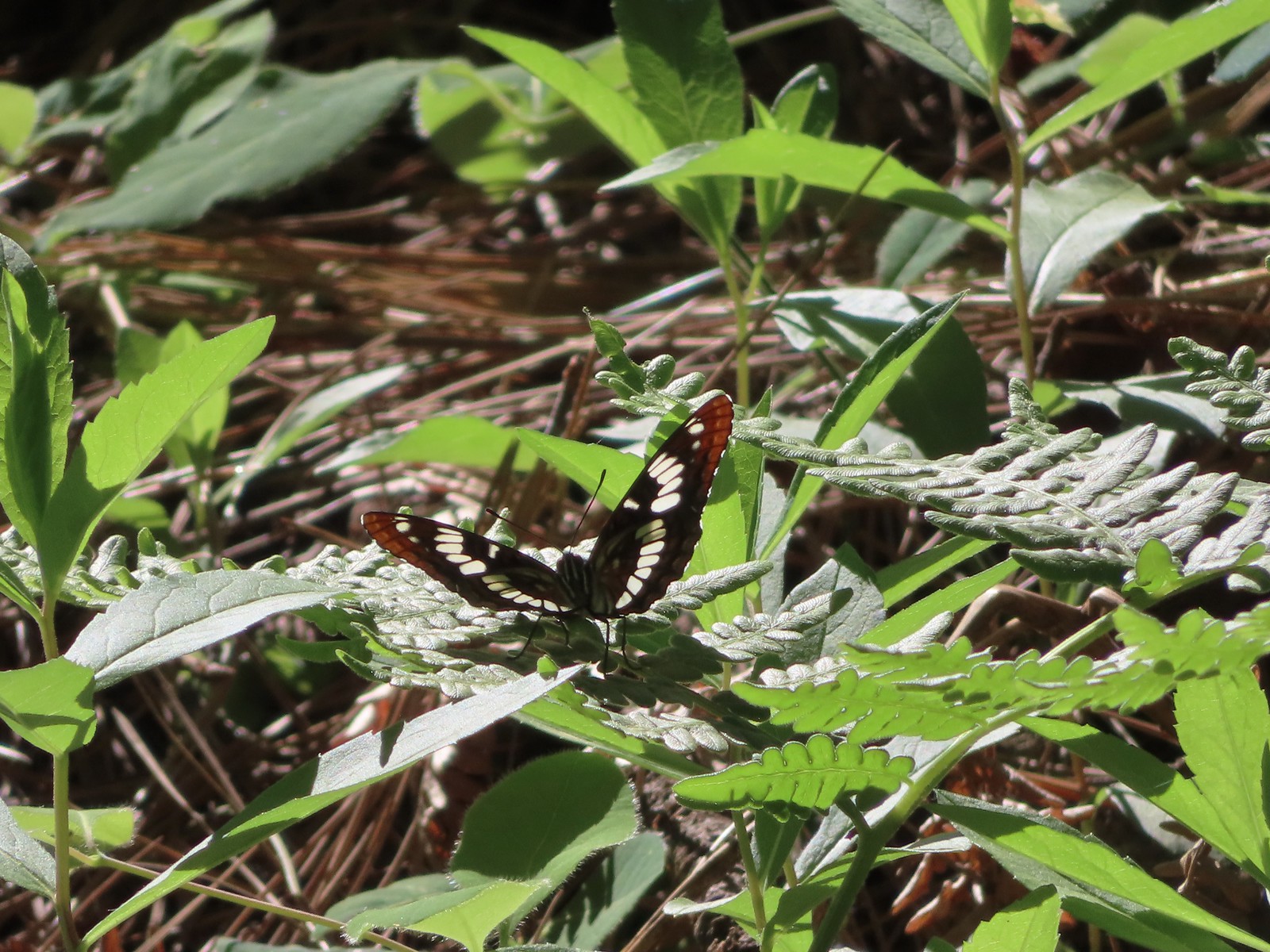 Lorquin’s admiral
 Arriving back at the refuge headquarters.
 Trail map at the trailhead.


 There were lots of phantom orchids blooming along the lower sections of the hike.
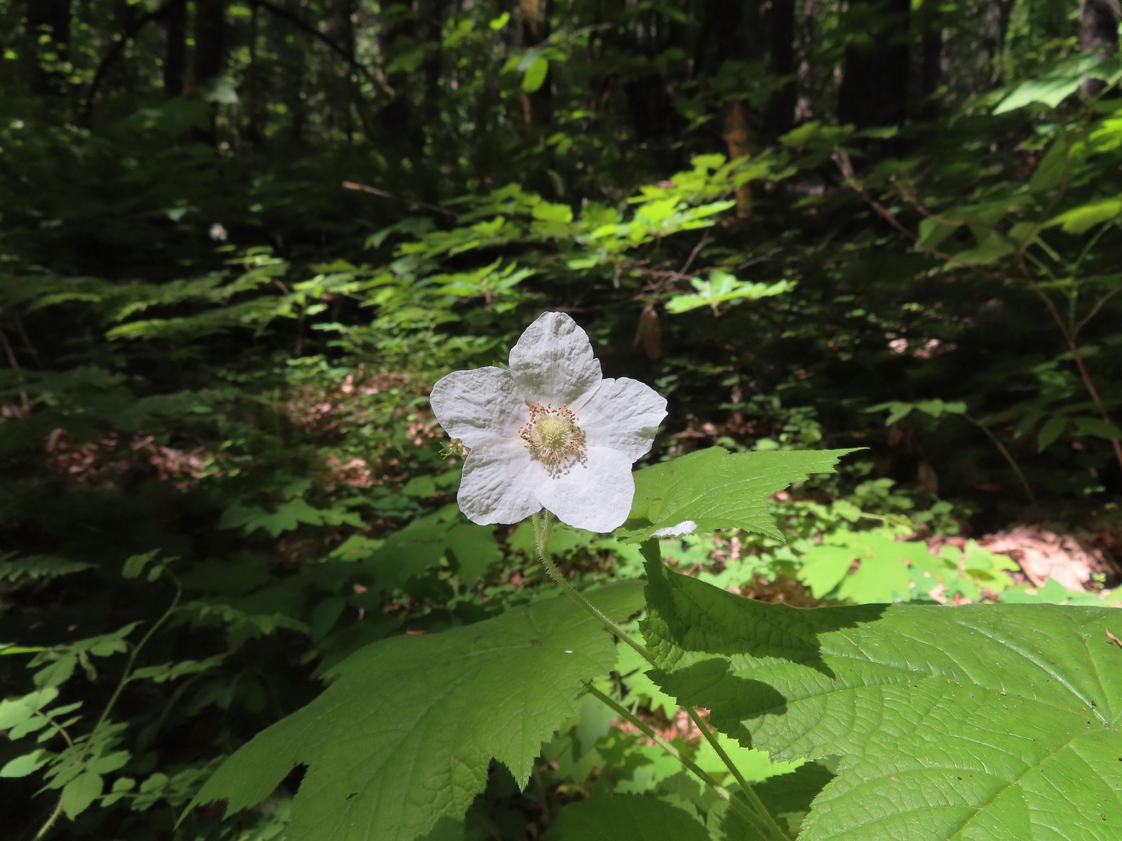 Thimbleberry
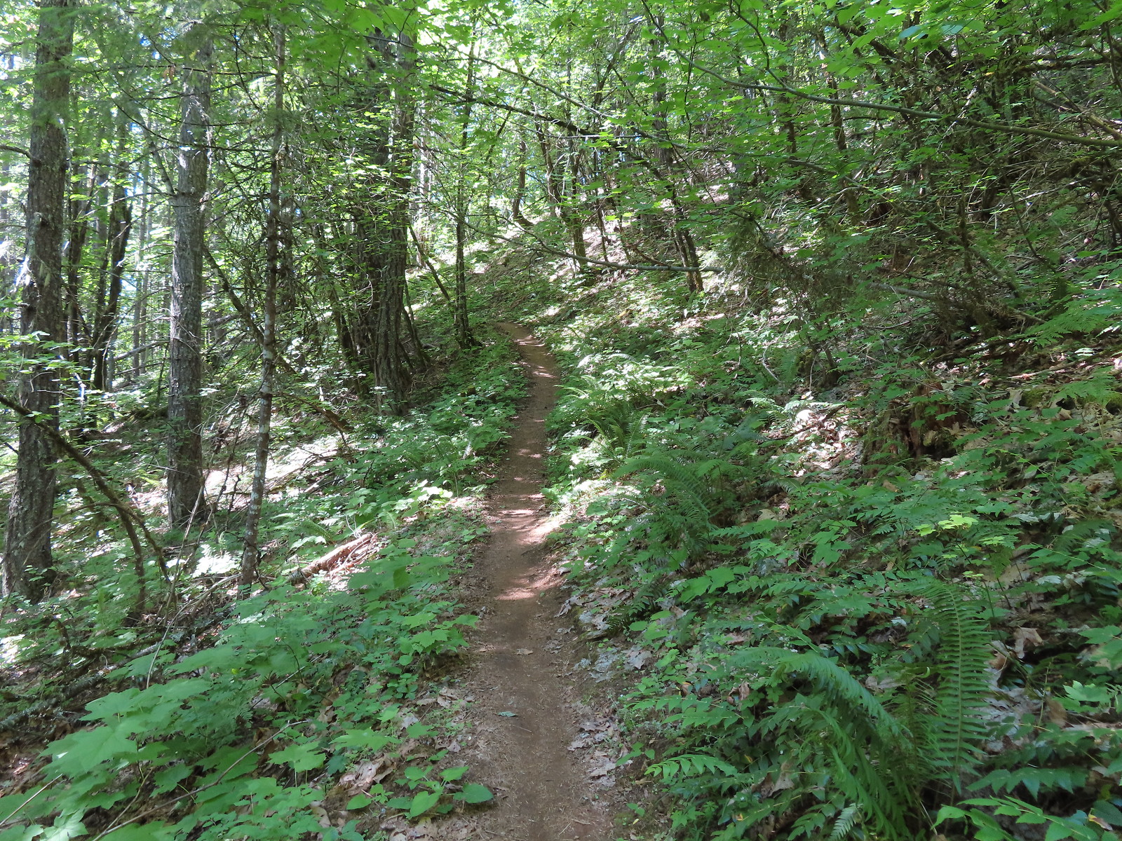
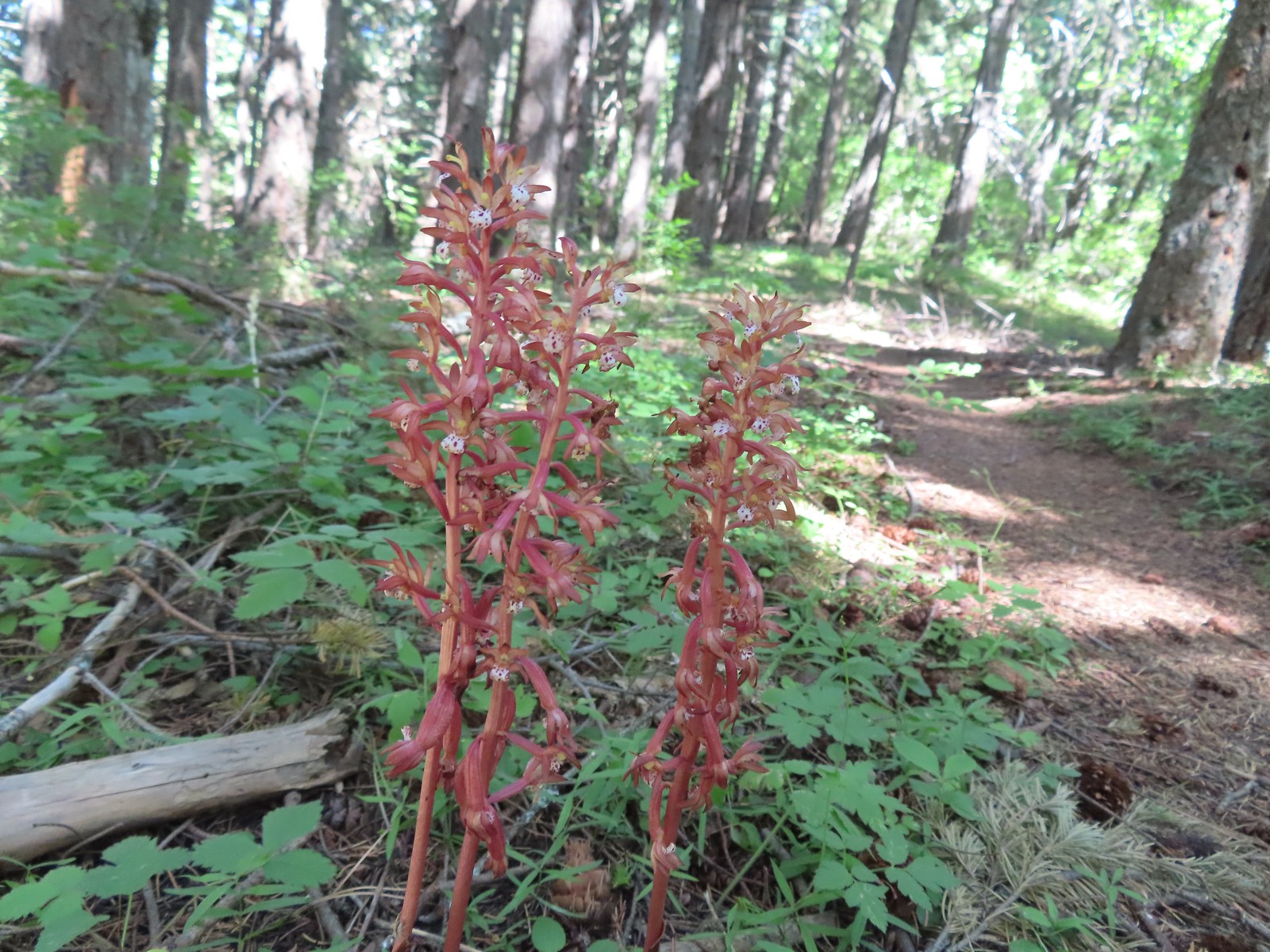 Spotted coralroot was also plentiful.
 Wallflower


 One of only two trees that were down over the trail, both were easily manageable.
 The one small stream crossing.
 There was enough sunlight getting through to really heat up the trail.
 While there wasn’t much there we did occasionally see poison oak throughout most of the lower 2/3rds of the hike.
 Sign above the switchbacks warning mountain bikers that they were ahead.
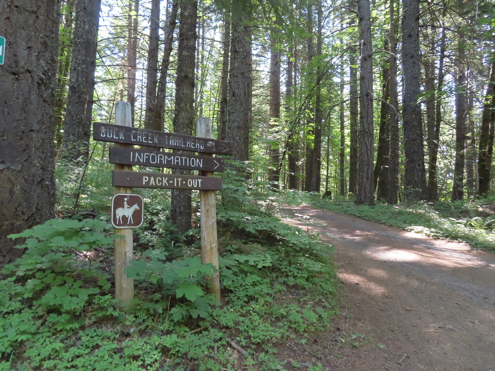
 Buck Creek Trail to the left near the roads end.
 More spotted coralroot.

 Vanilla leaf
 Queen’s cup
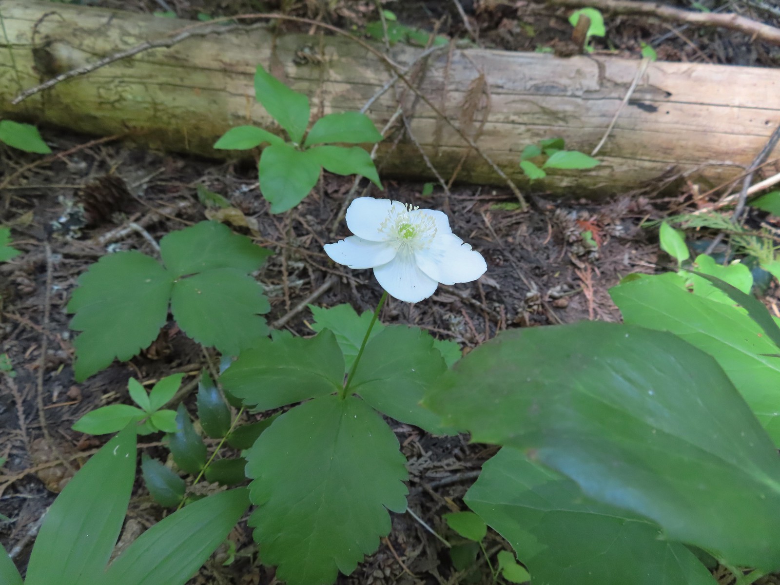 Anemone
 Lupine
 Mt. Hood from the Buck Creek Trail.
 Mt. Hood
 Cedar hairstreak on yarrow.
 Paintbrush, lupine, penstemon, and balsamroot.
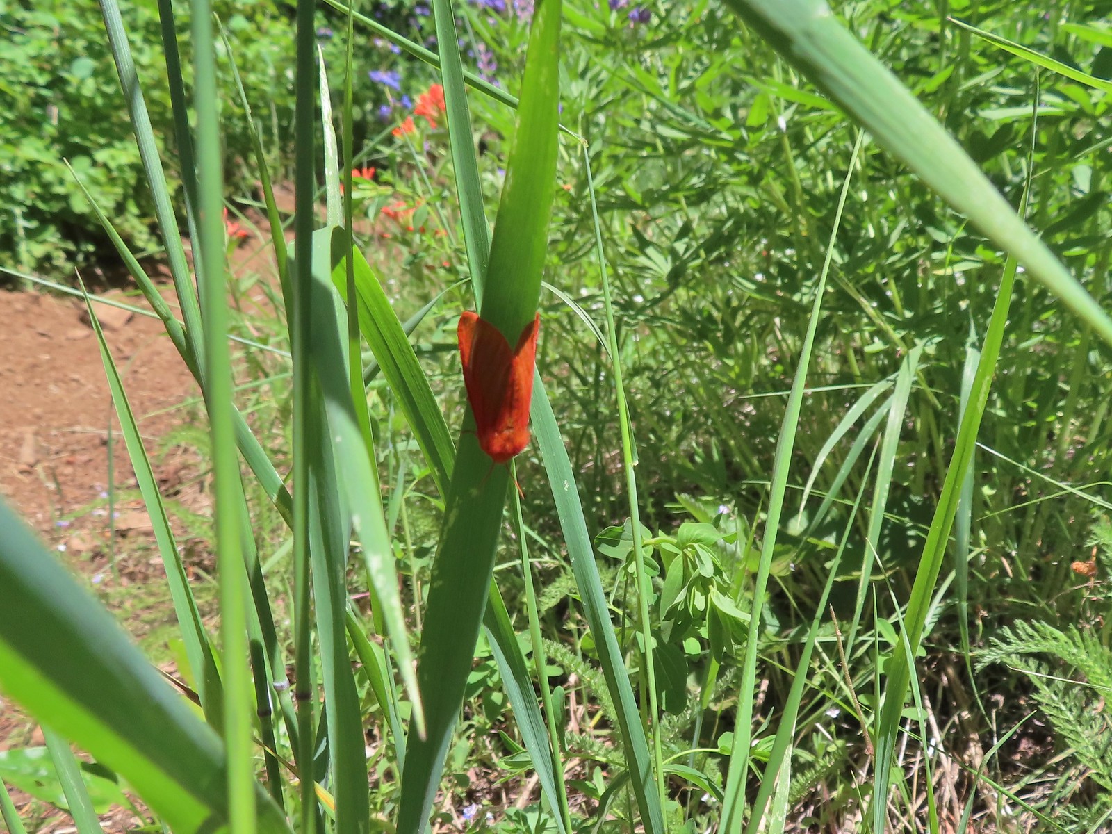 Moth
Moth Penstemon
 Gaining the ridge.
 Paintbrush
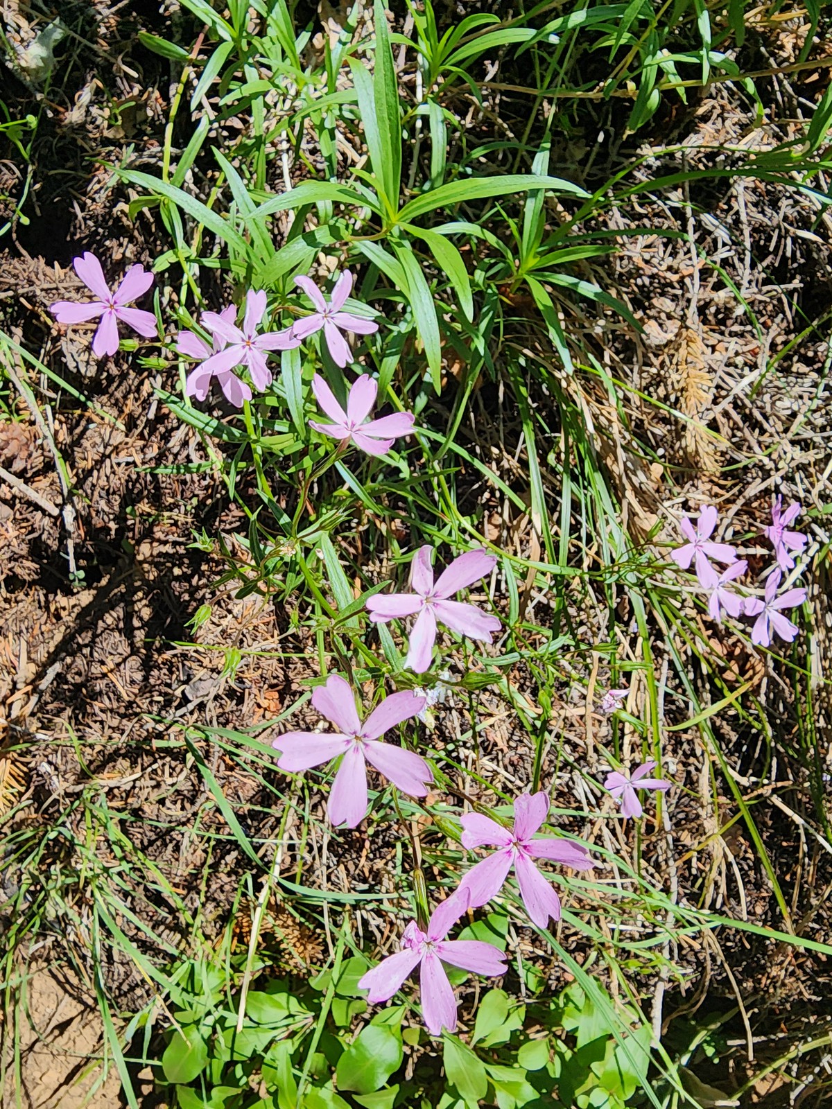 Showy phlox
 Approaching the start of the final climb.
 Sub-alpine mariposa lily
 Showy phlox
 Road N-1600.


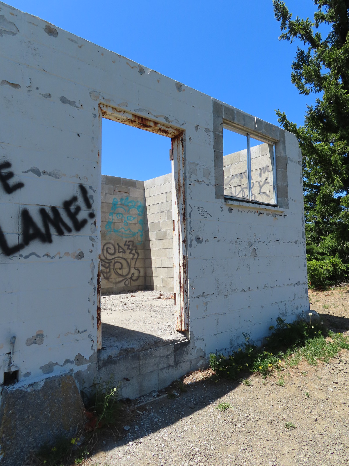 Unfortunate amount of graffiti on the old shed.
 Mt. Hood and balsamroot.
 Mt. Hood
 Oregon sunshine
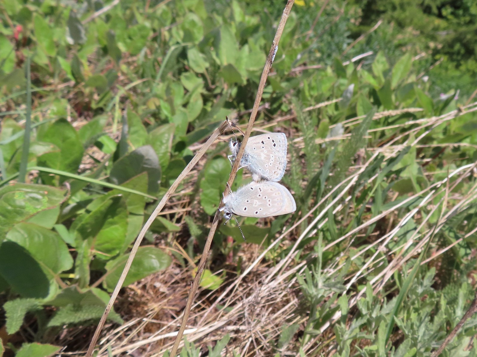 Boisduval blues
 Duskywing
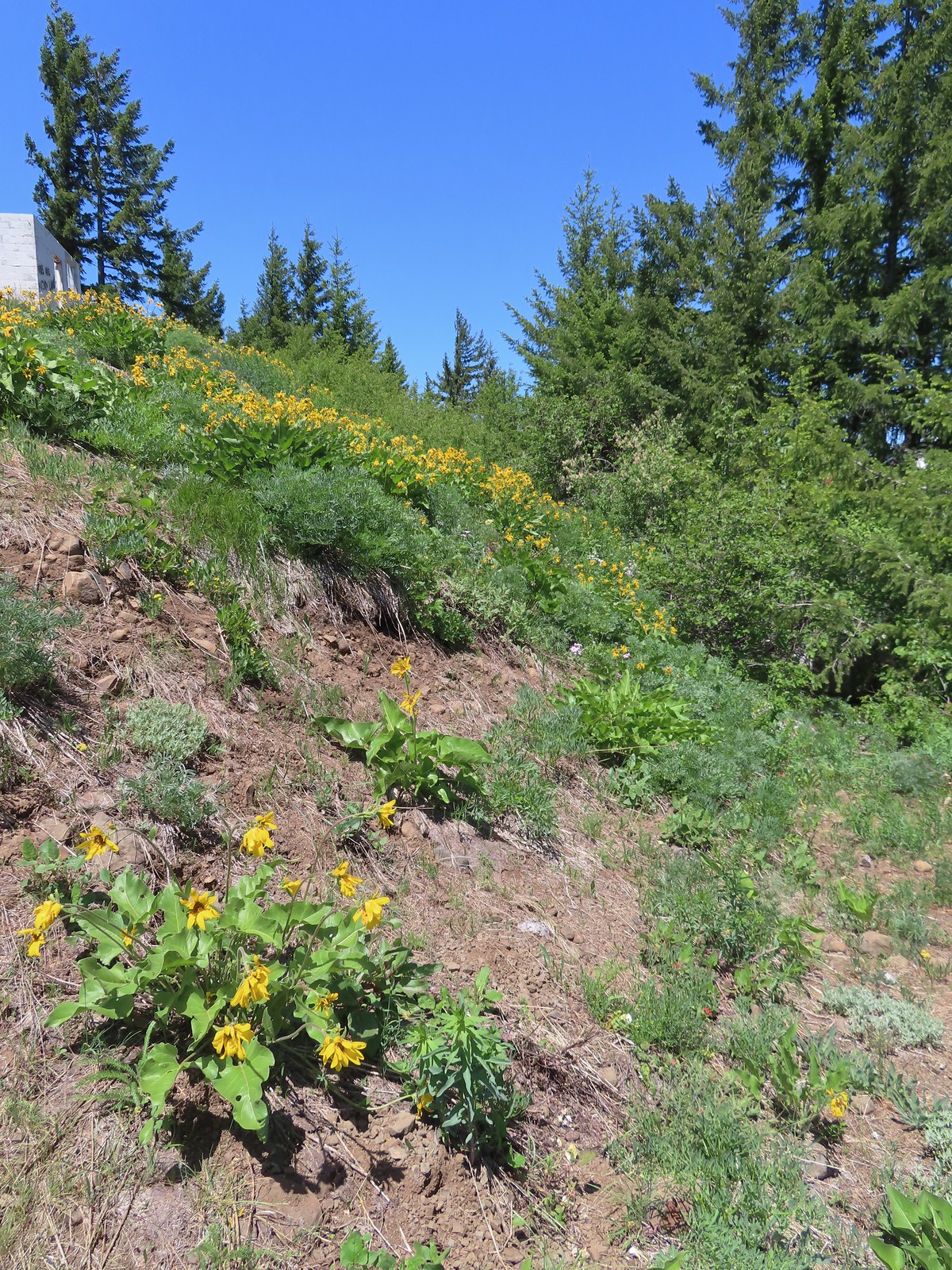 Balsamroot
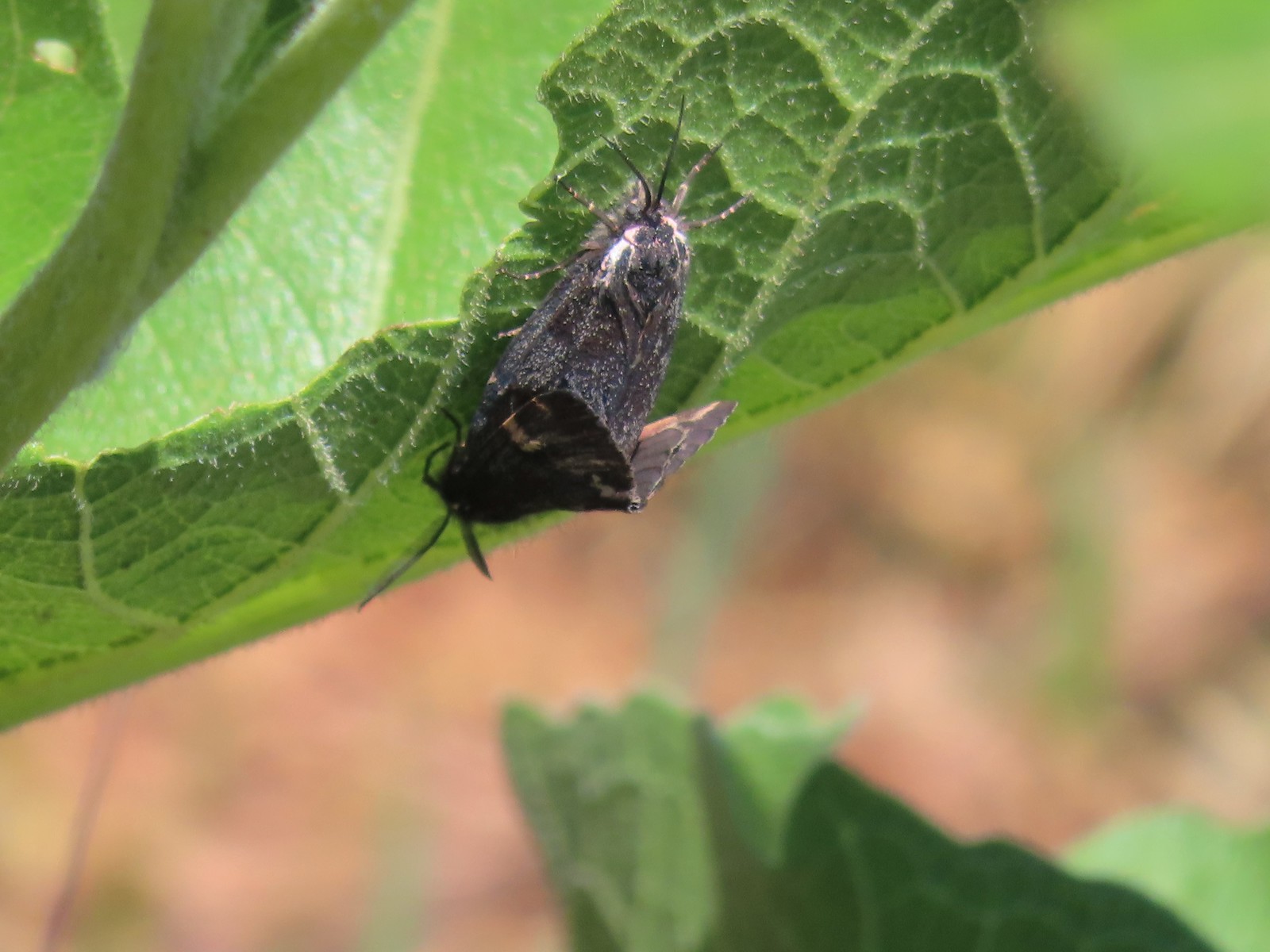 Moths
Moths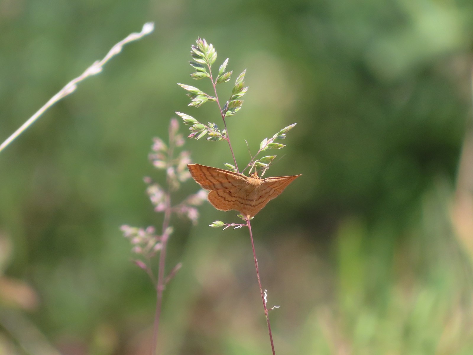 Moth
Moth Lupine
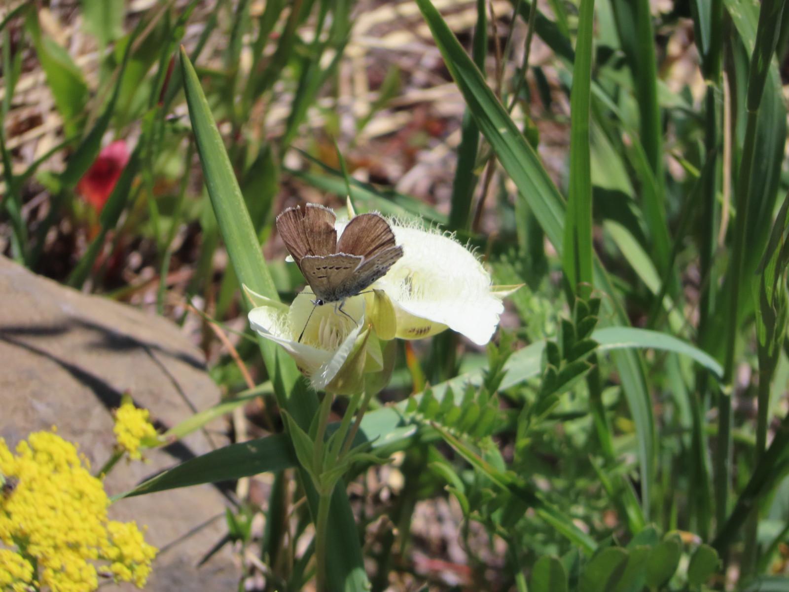 Butterfly on cat’s ear lily.
 Woodland stars
 Paintbrush
 Blue-head gilia
 Ookow
Ookow Winecup clarkia
 Mountain lady slipper

 Mt. Bachelor (
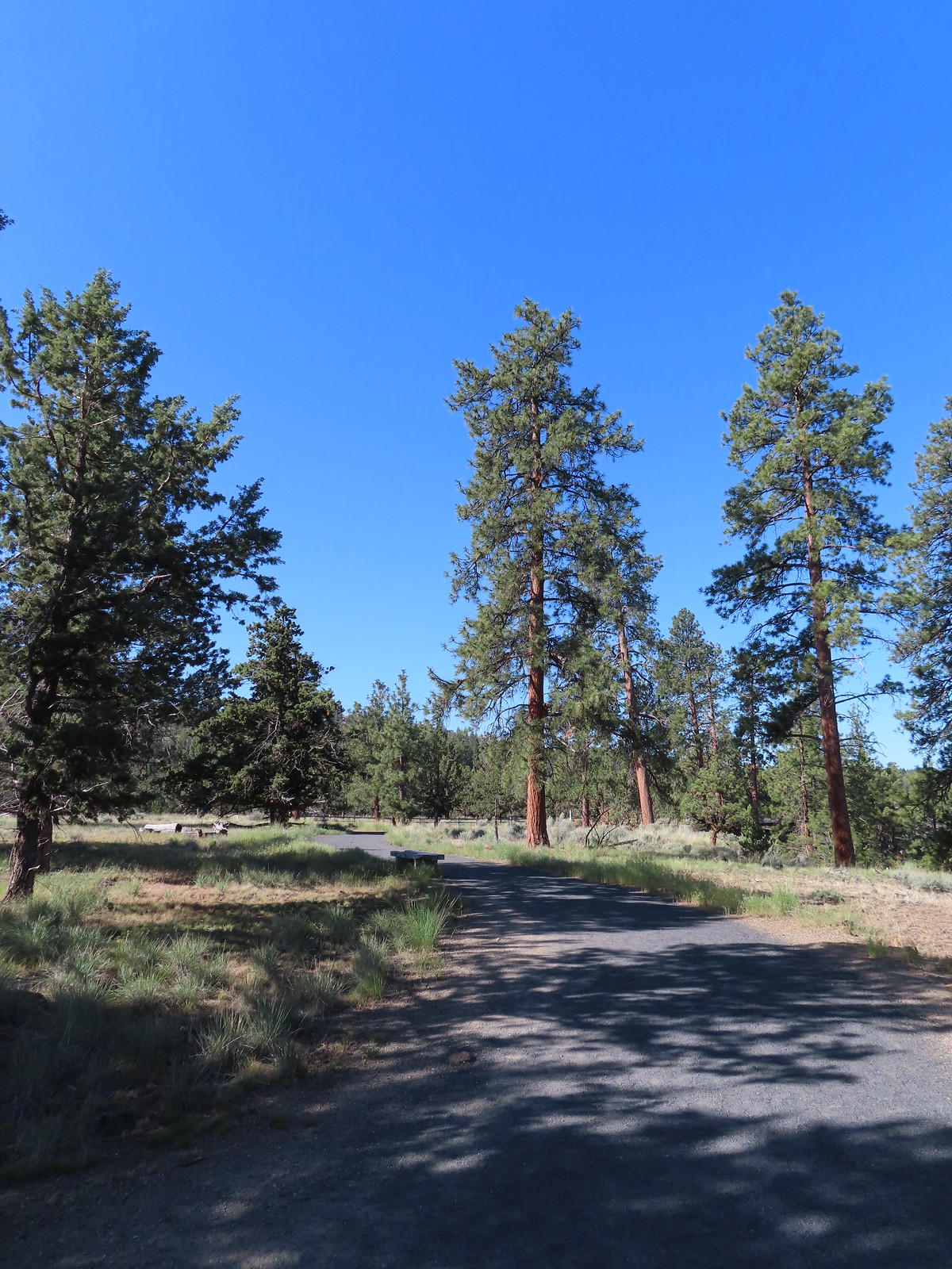
 The start of the Juniper Loop.
 Similar to the Metro Parks we’ve recently visited there were small maps on the trail pointers here.
 Middle and North Sister
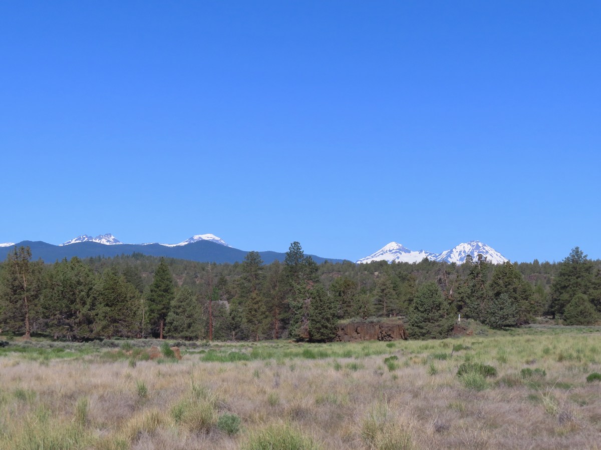
 Blurry shot of the deer.
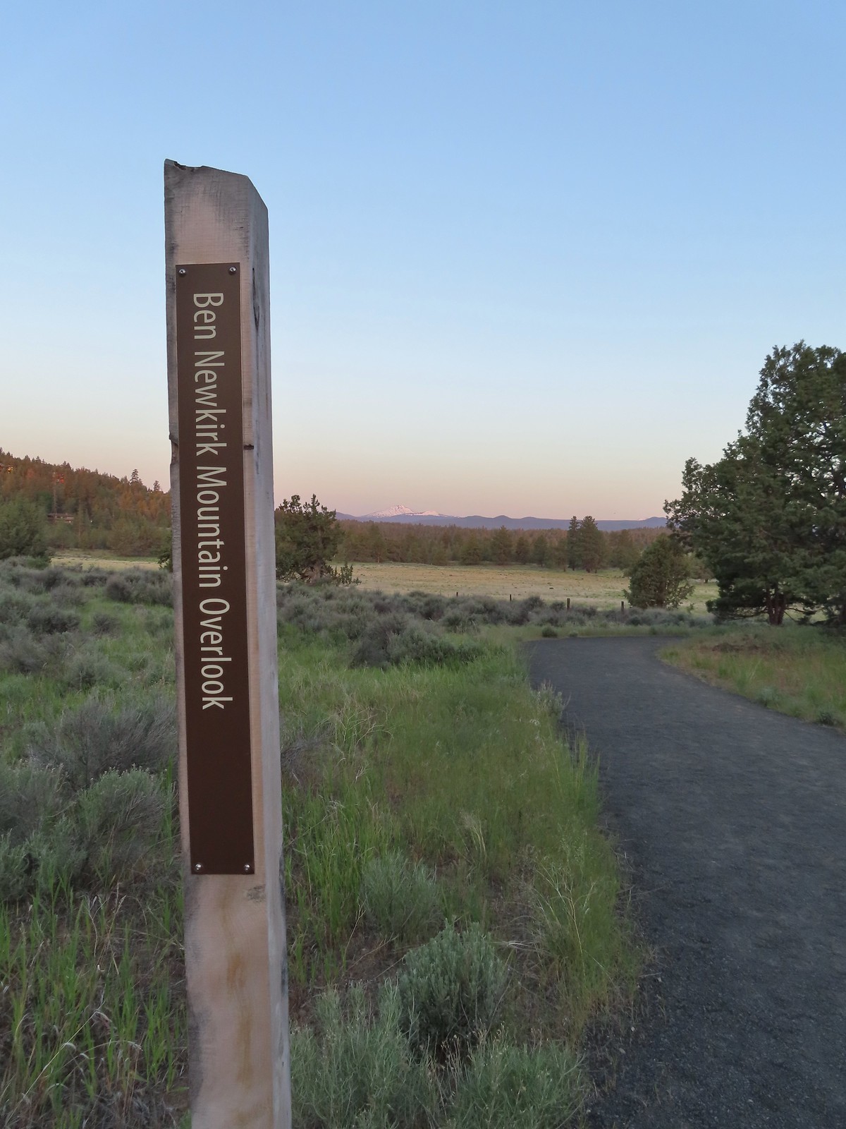
 Mt. Bachelor, Broken Top, and the Three Sisters.
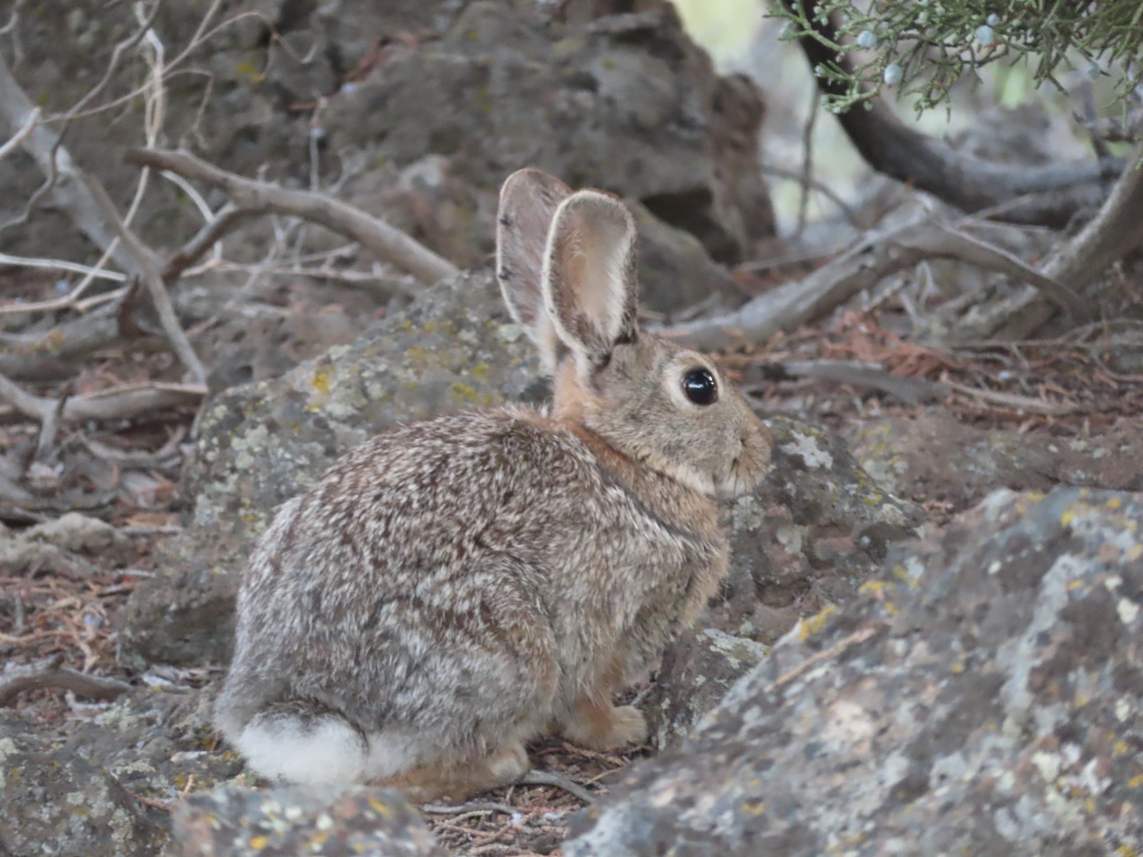
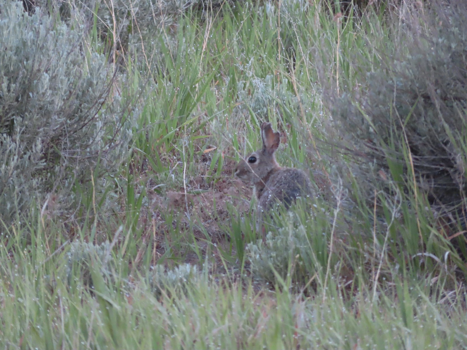 Rabbit
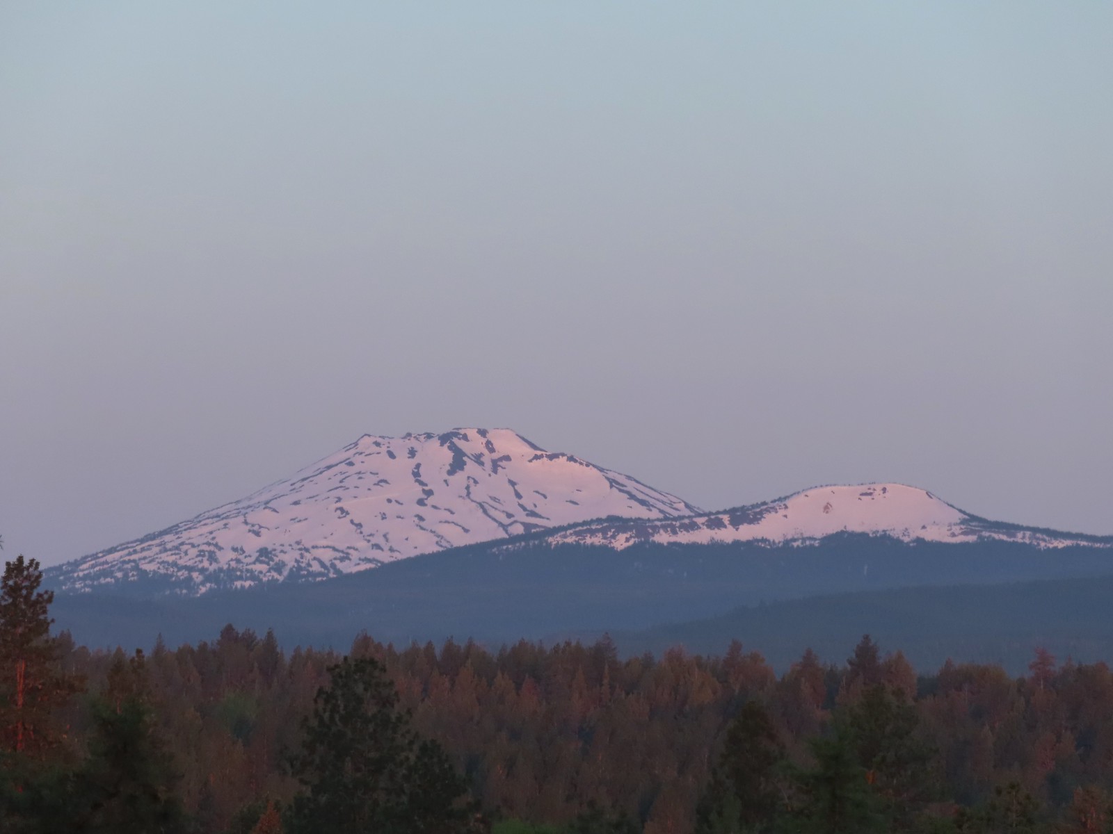 Mt. Bachelor and Tumalo Mountain (
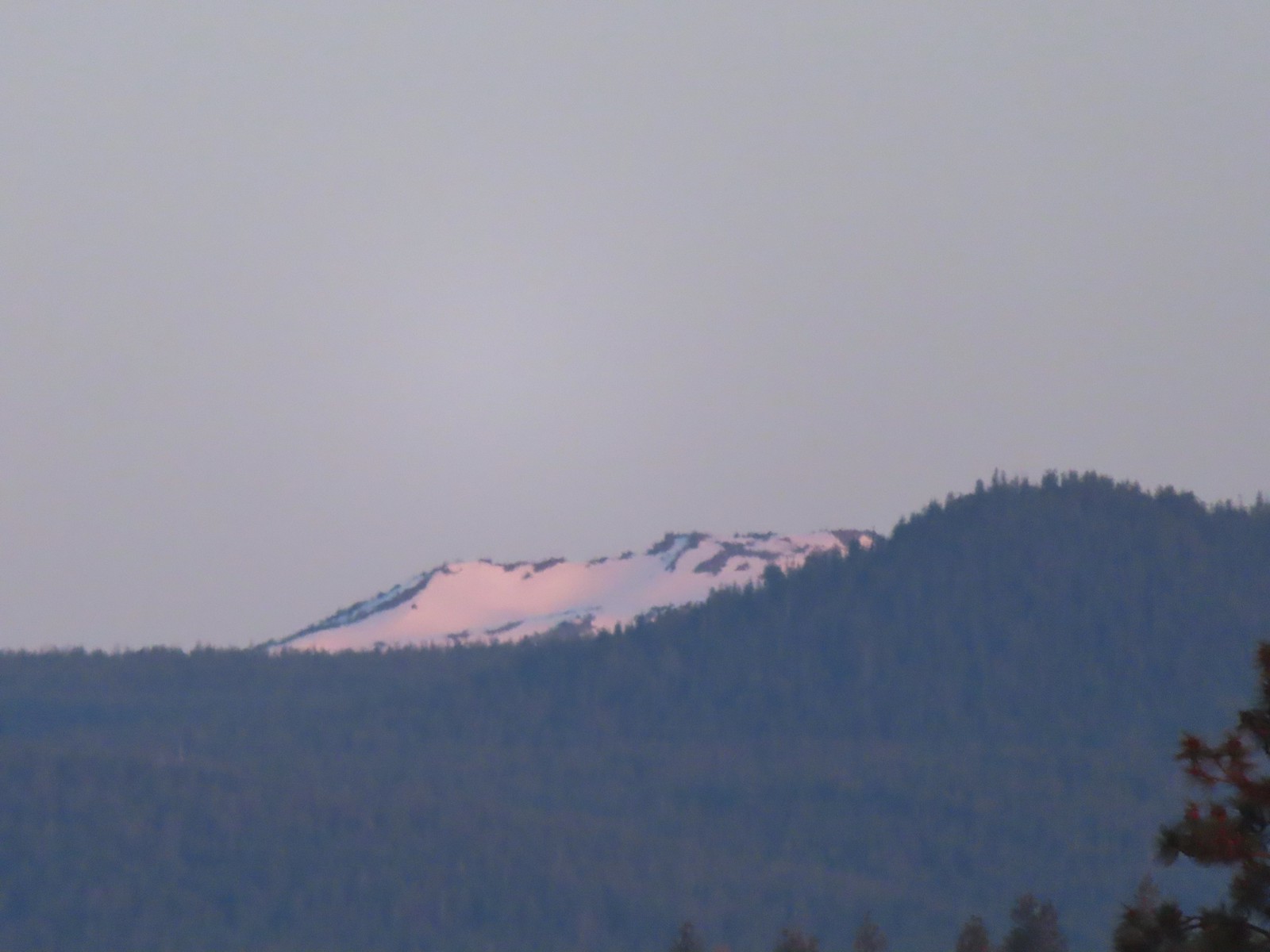 Ball Butte
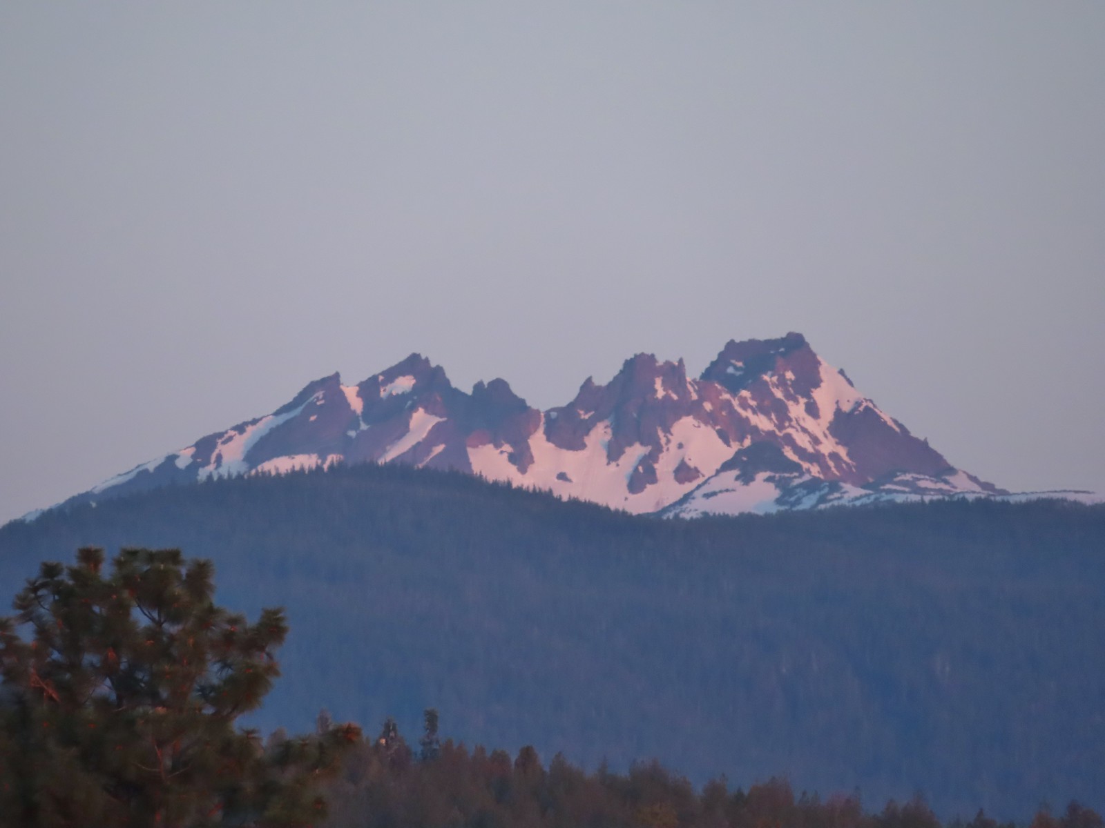 Broken Top (
 South Sister (
 Middle and North Sister
 We passed by the shared Juniper/Sage Flat Trail and continued on the Sage Flat Loop.
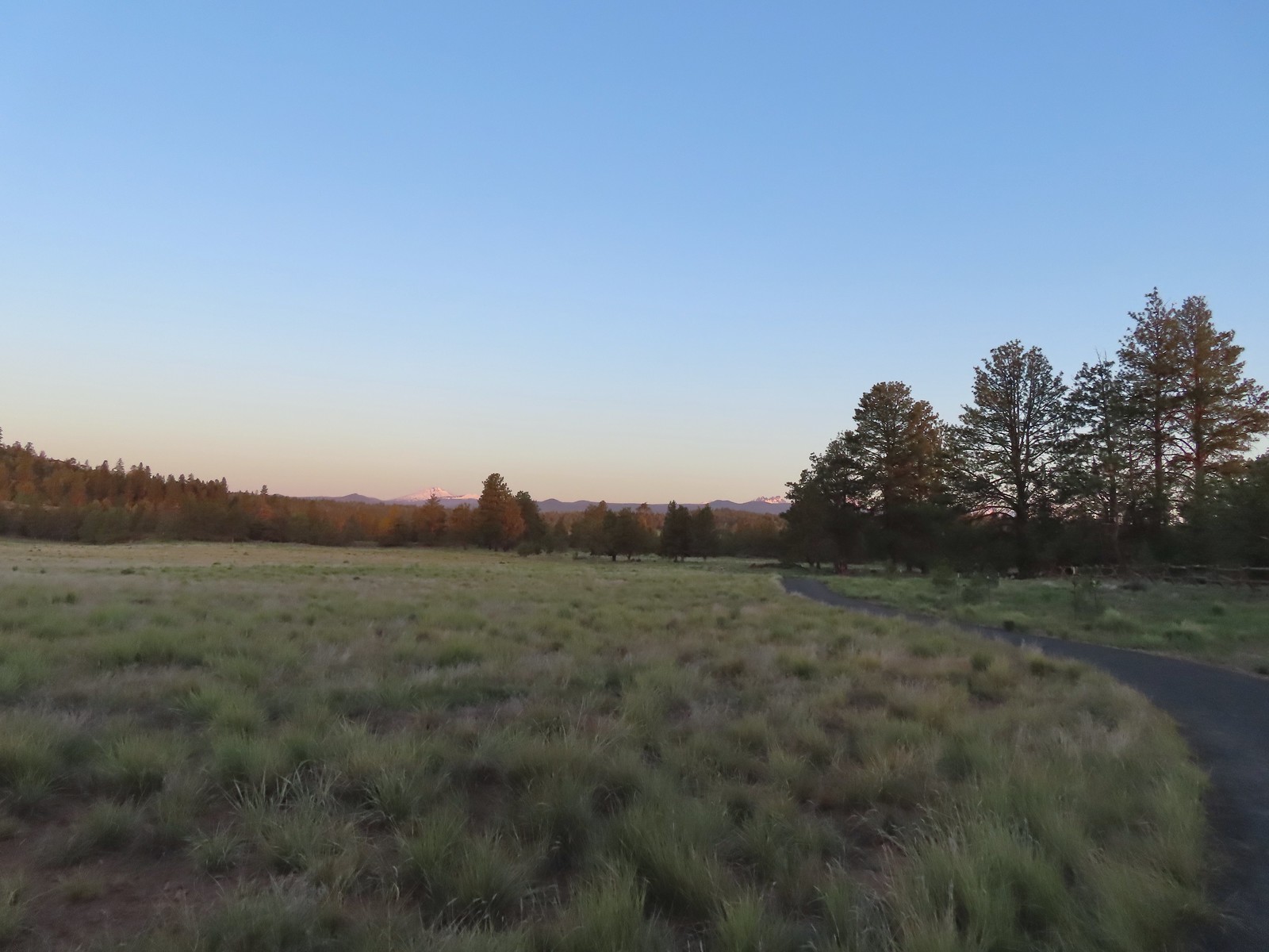 Sageflat Loop
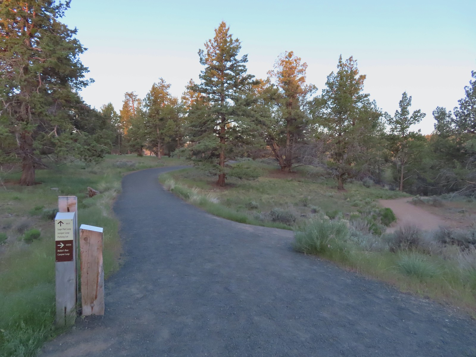
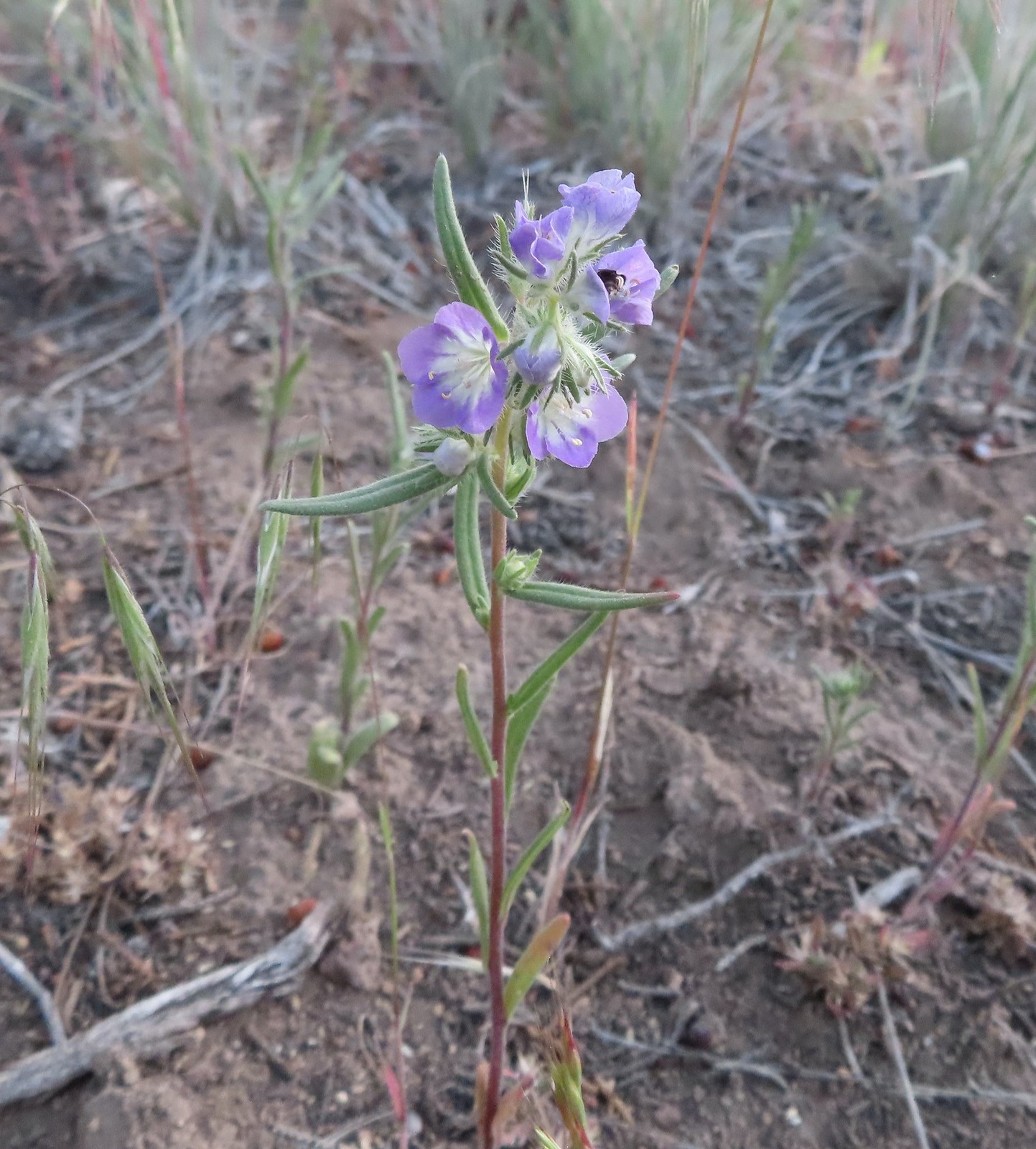 Threadleaf phacelia
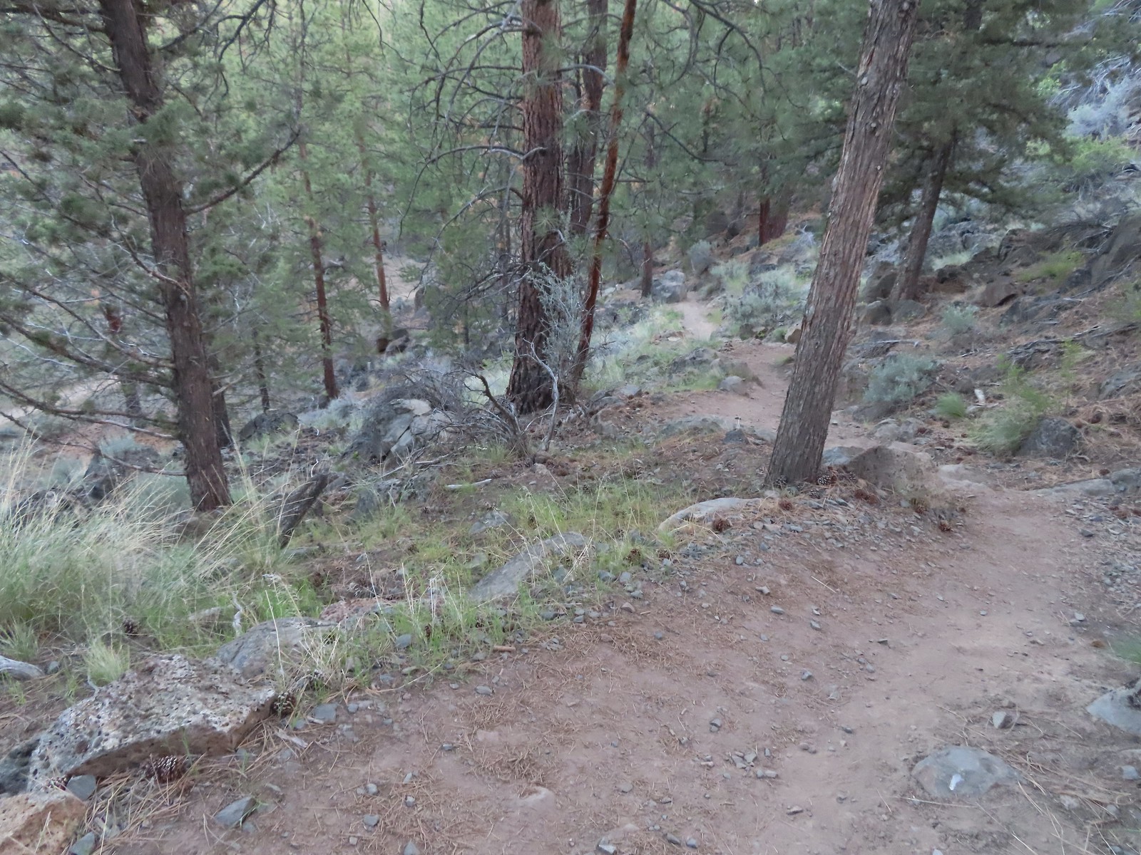
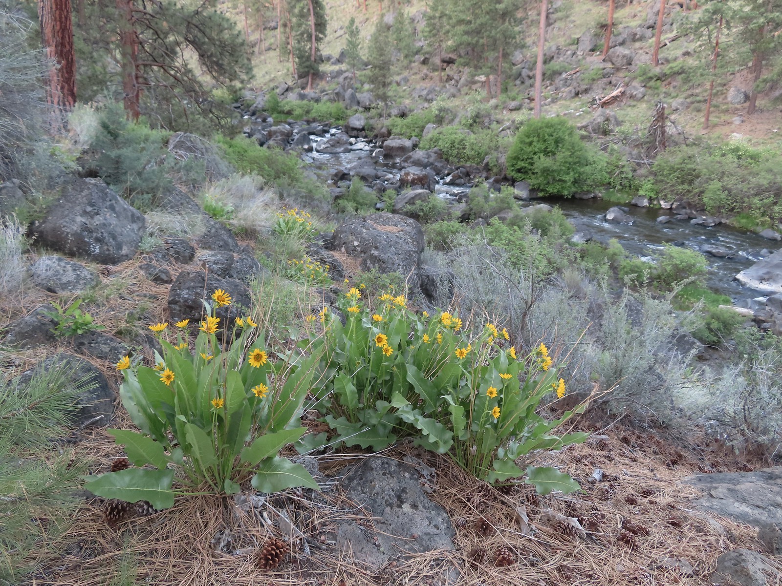 Balsamroot along the Deschutes.
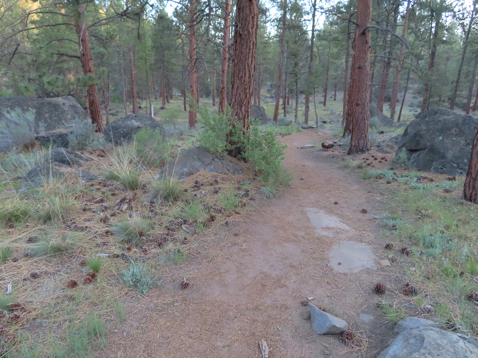


 Robin
Robin Longhorn plectritis
 Blackheaded grosbeak
 Heather waited below while I climbed the outcrop.
 The bench on top.
 The top of the outcrop.

 Western stoneseed
 Larkspur
 I spotted something head into the river from the grass on the near bank here.
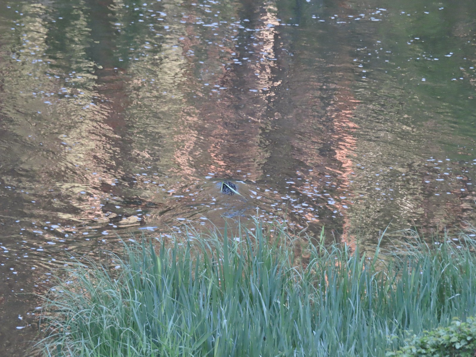 I spotted the grass moving before the animal below which turned out to be a beaver.
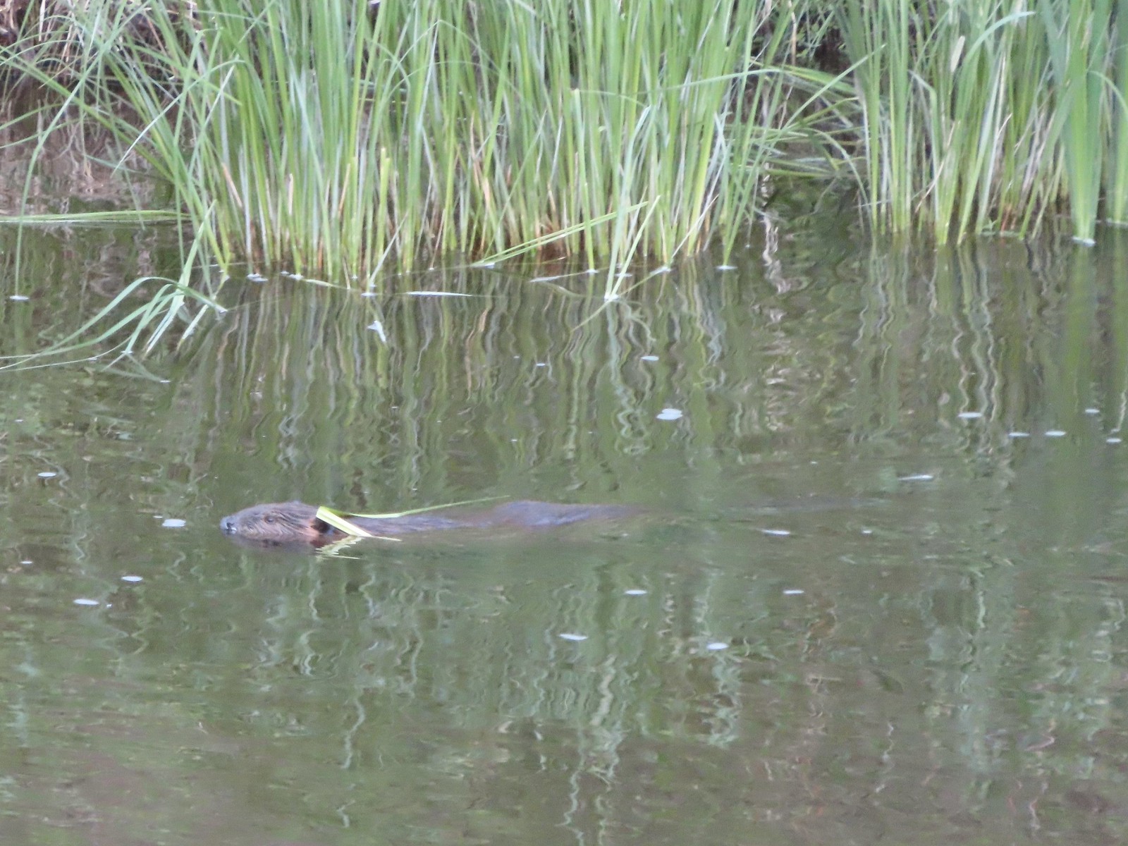 Beaver in the Deschutes River.
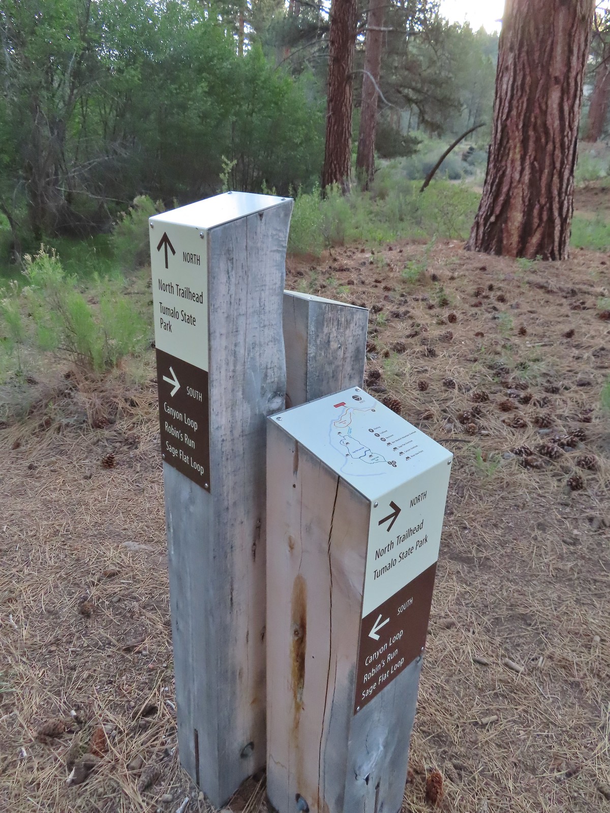 We followed the pointer for Tumalo State Park.
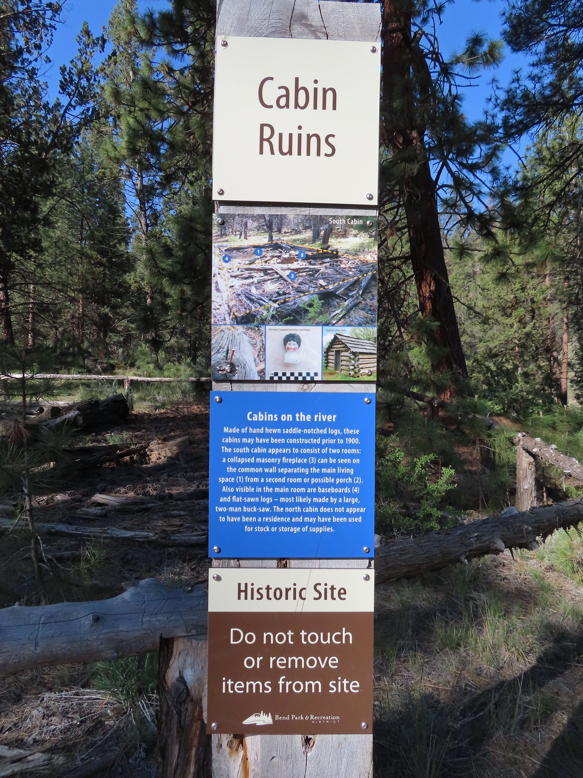
 Cabin ruins
 Western wallflower
 Lupine
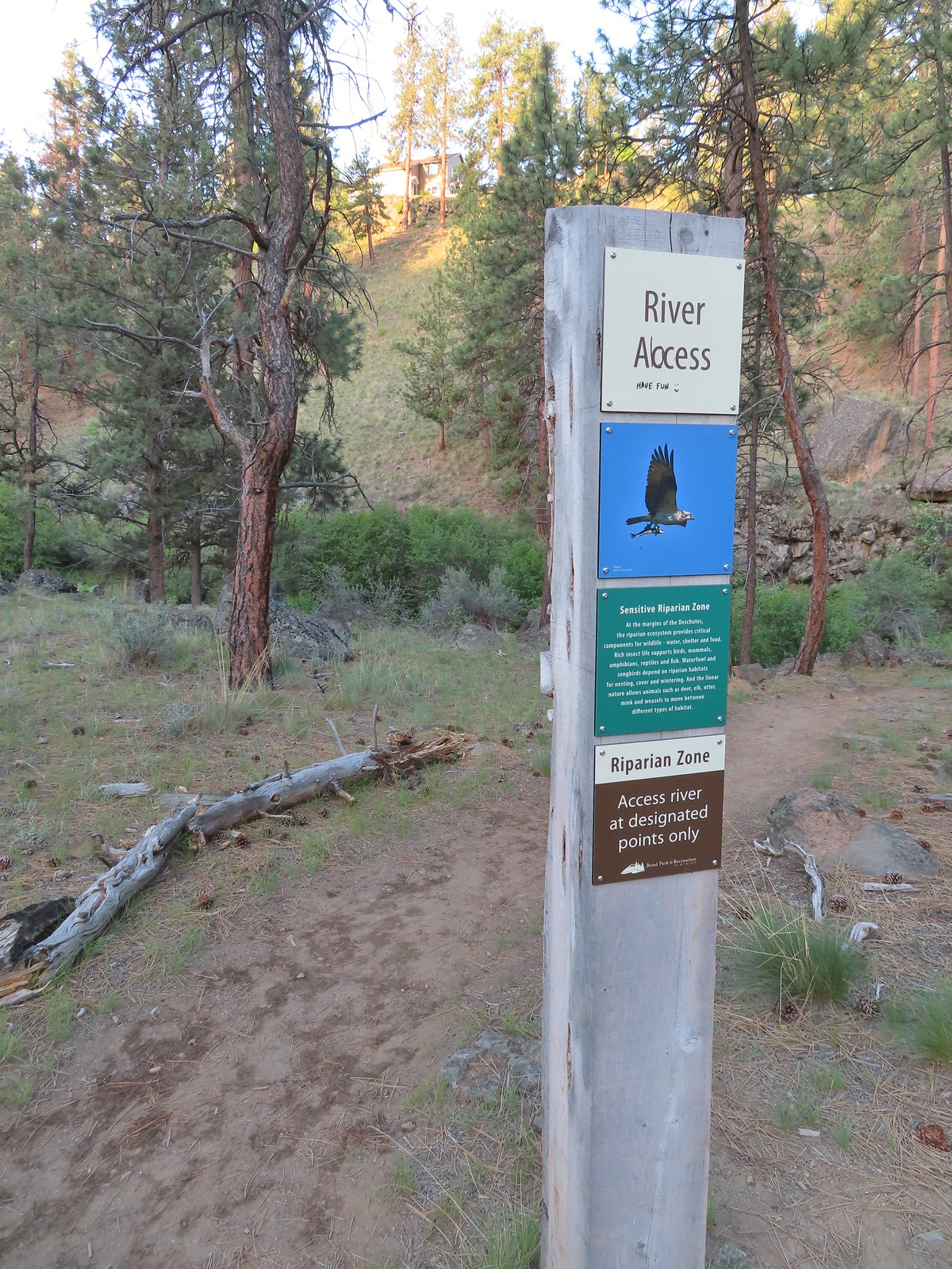
 Another river access point.
 Rockcress, possibly sicklepod.
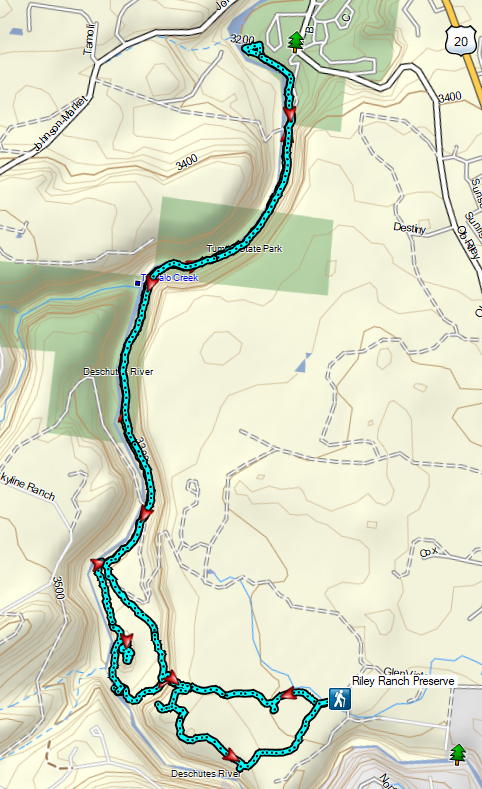
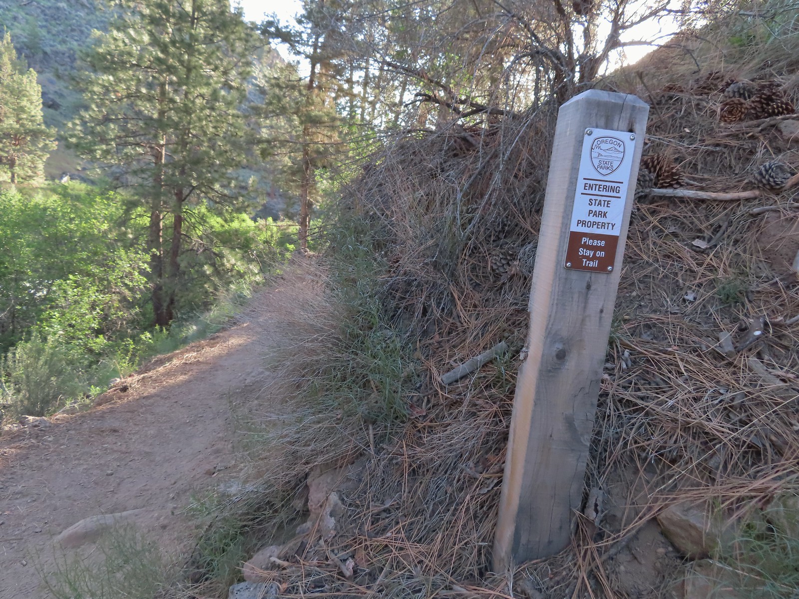
 The northern boundary of the Riley Ranch Nature Reserve.
 Threadleaf phacelia
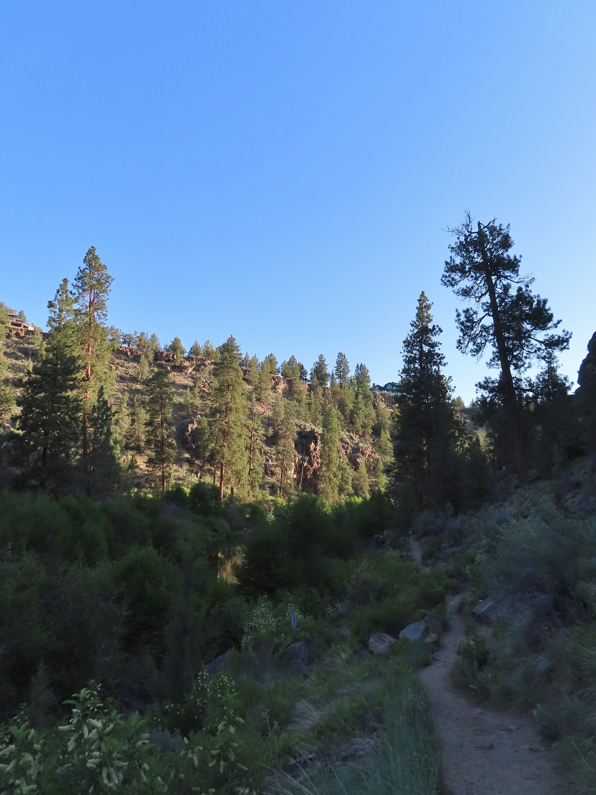
 Tumalo Creek (
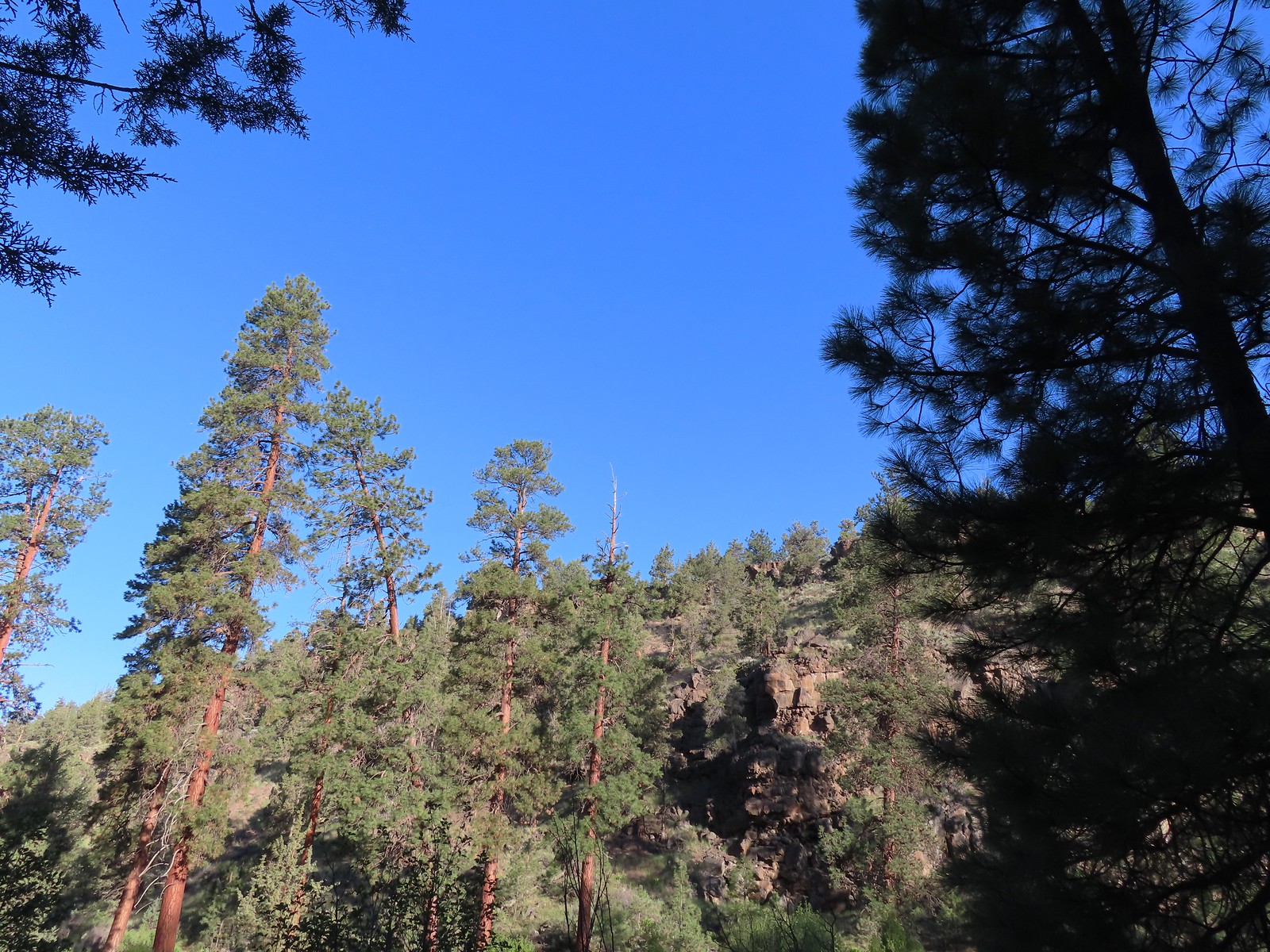

 Crossing into Tumalo State Park.
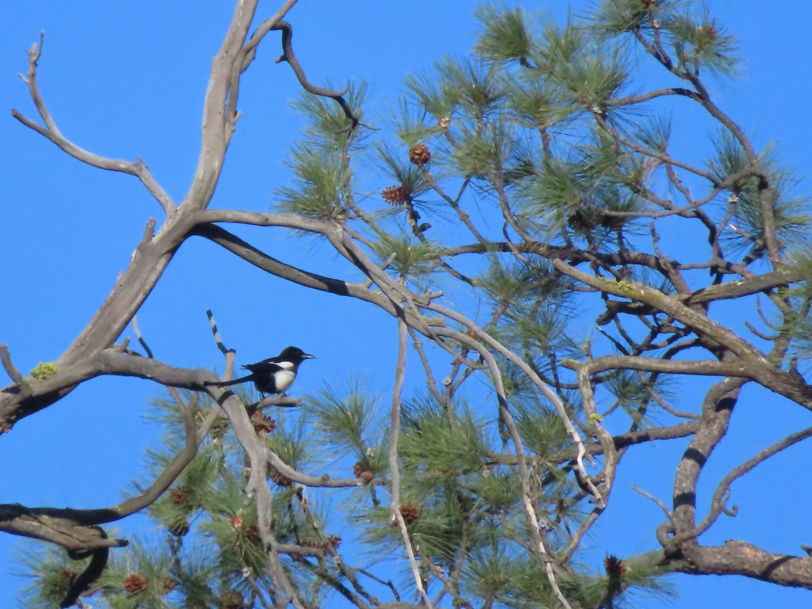 Magpie
 Paintbrush
 Mallards
 Penstemon
 A quarter of a mile from the day use area we crossed a road leading to a private bridge crossing the river.
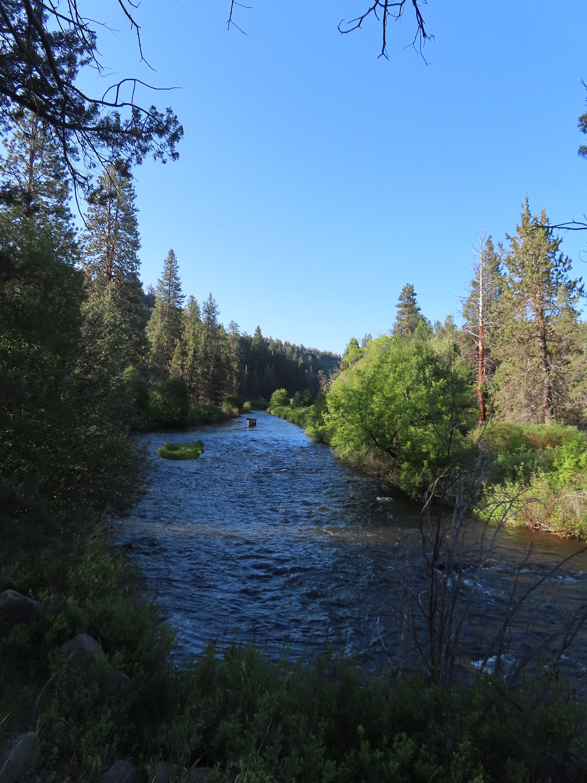 Remains of another bridge in the river.
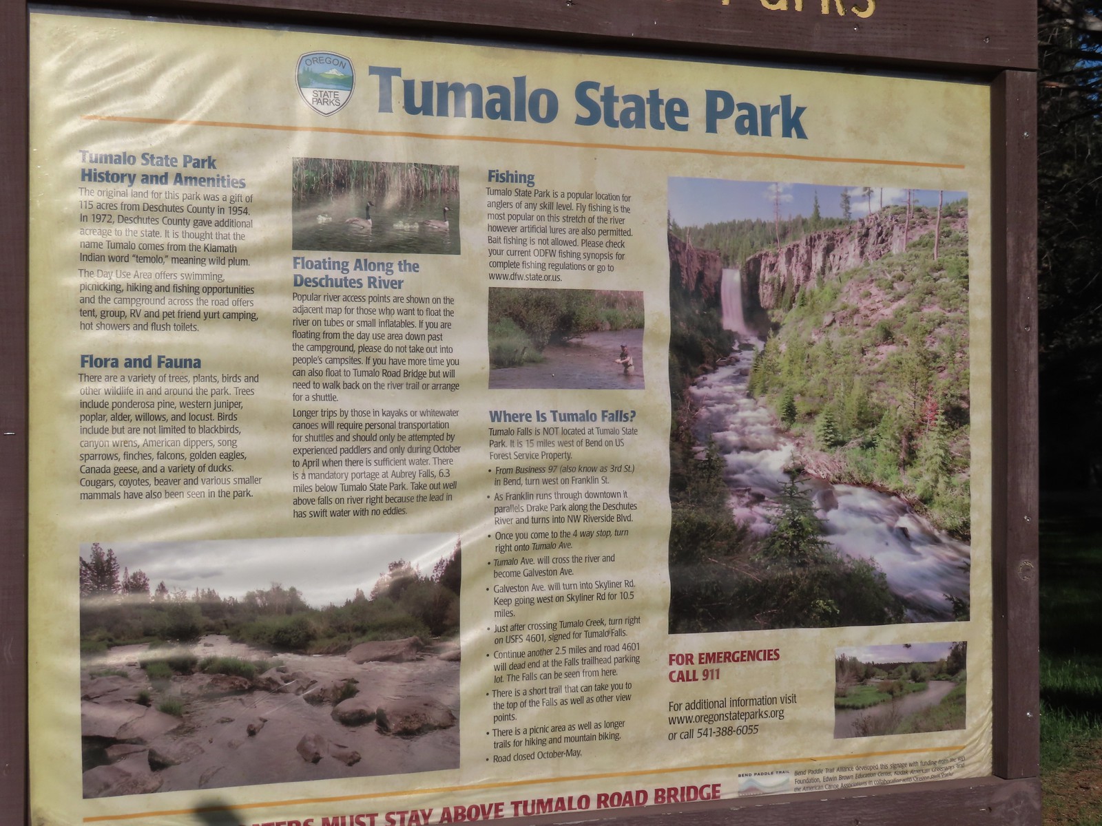
 Tumalo State Park Day Use Area
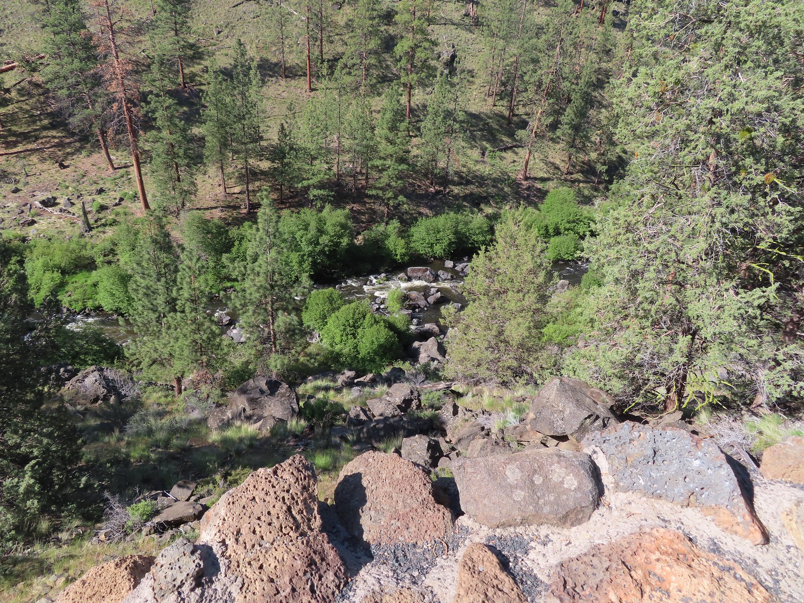
 Deschutes River at the day use area.
 Kingfisher on the bridge remains. (A bit blurry due to being a long way off.)
 A swallow and a pygmy nuthatch.
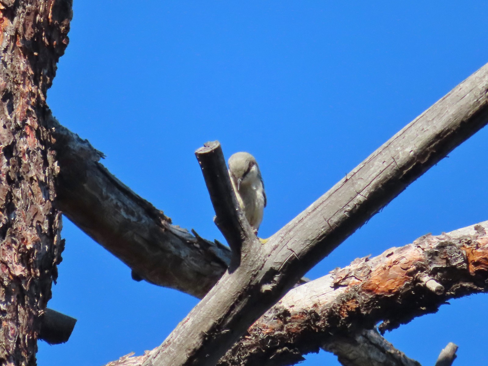 Pygmy nuthatch
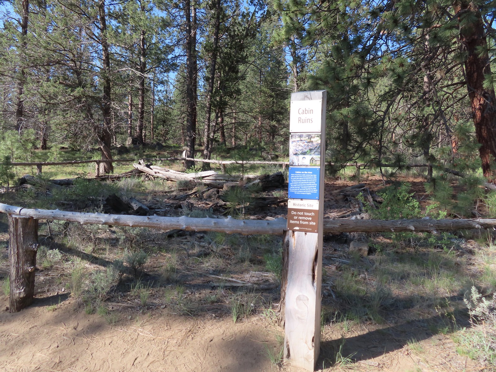
 Bench along the Canyon Loop.
 Northern flicker
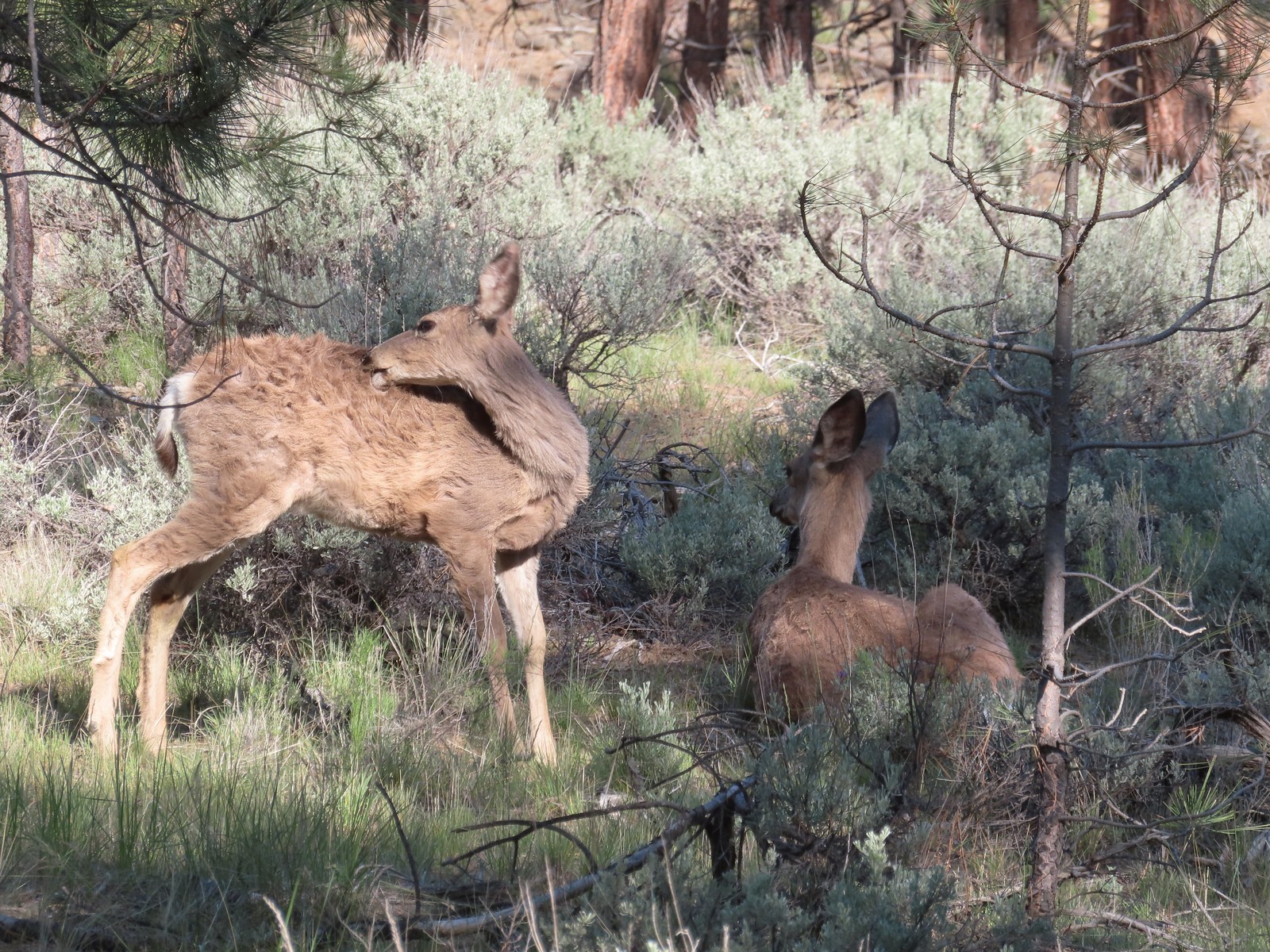
 We were distracted enough by the runners that we failed to notice the deer bedded down to the right of the trail. You can see its ears sticking up here.
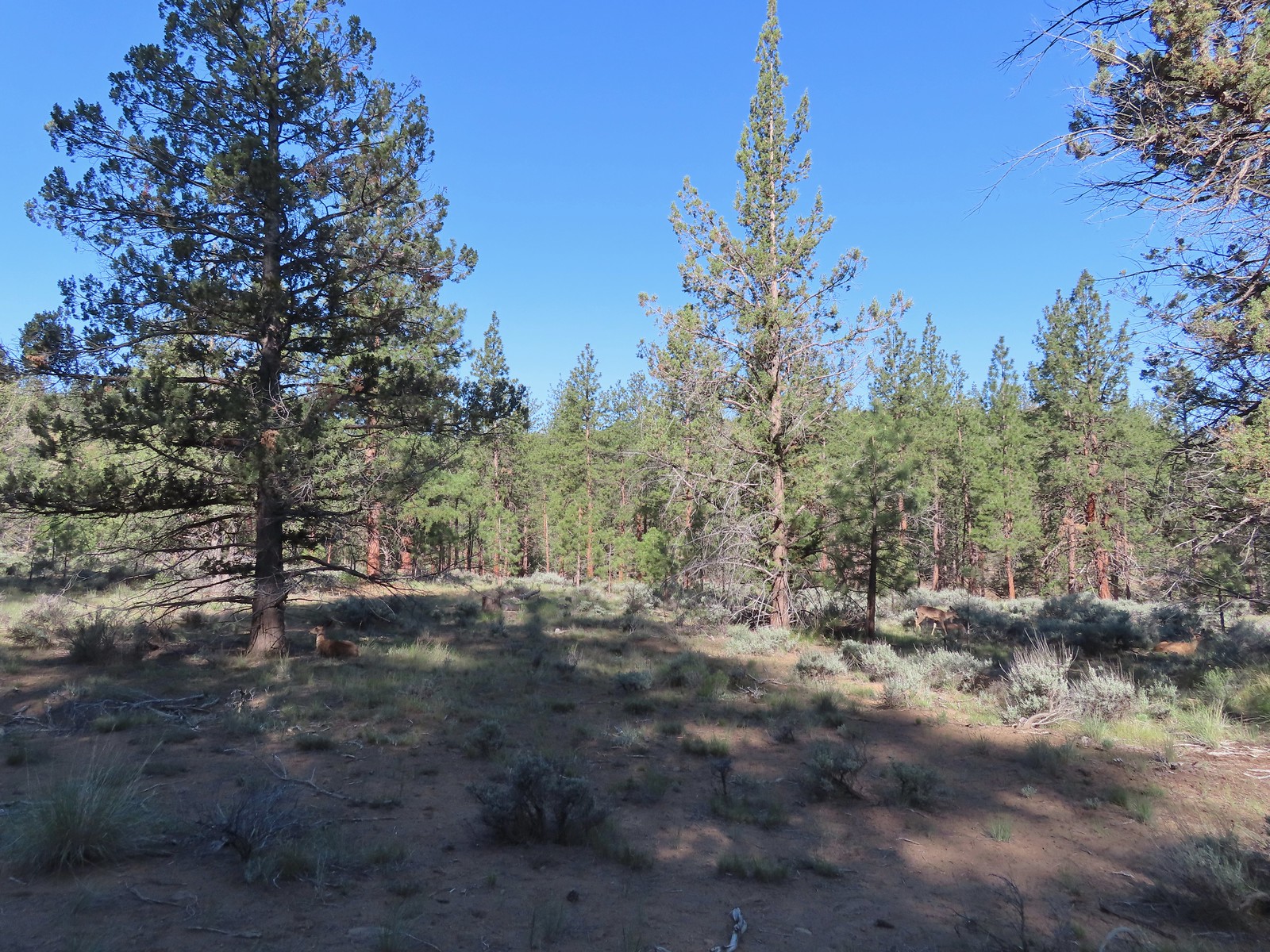 There were at least four deer hanging out here.
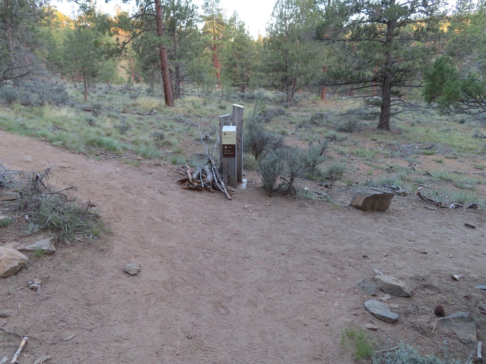
 The Sage Flat Loop Trail.
 Spur to the Canyon Overlook.
 Death camas
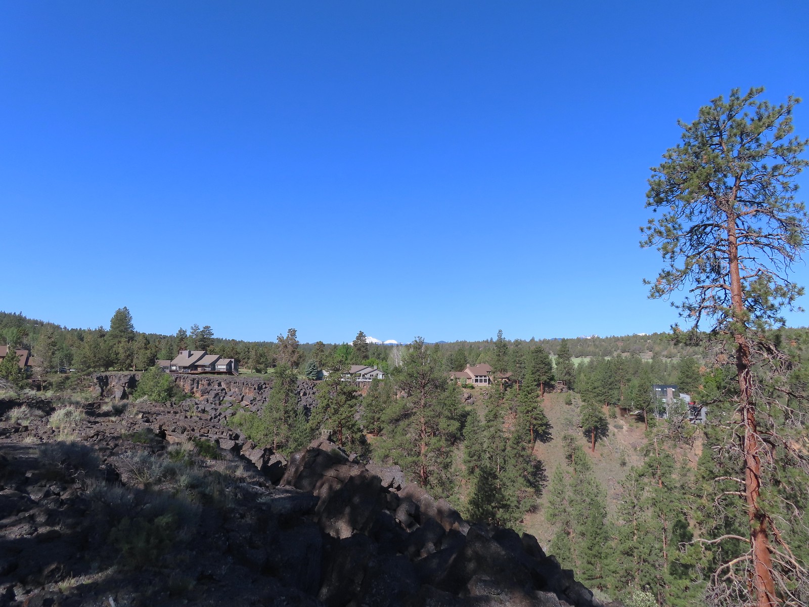 Mt. Bachelor and Tumalo Mountain
 Mt. Jefferson
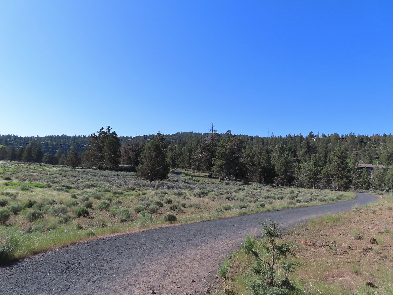
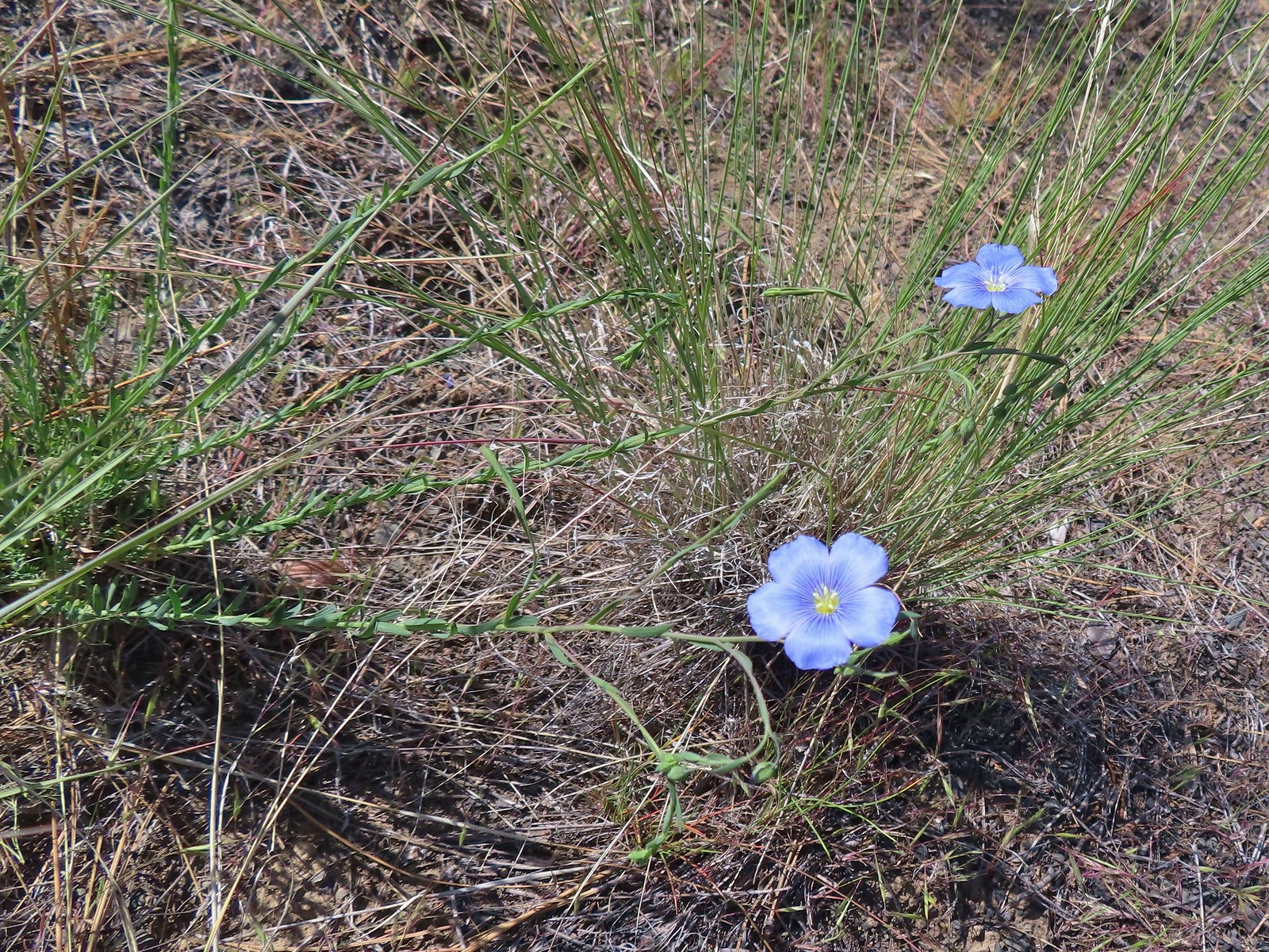 Lewis flax
 Marker for the Sage Flat Overlook.
 Looking back at where the Sage Flat Overlook was.
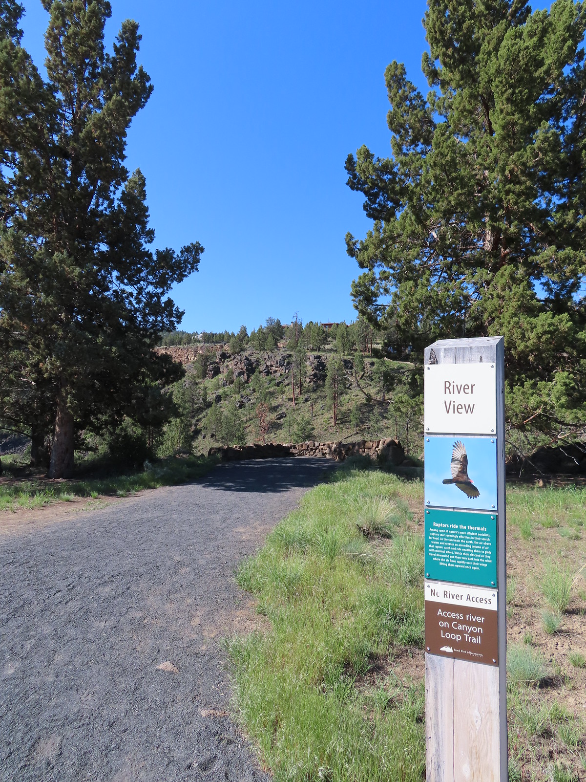

 Lizard near the River Viewpoint.
 The Cascade Mountains
 Black Crater (
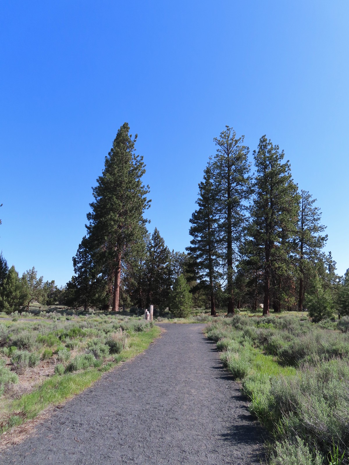 Finishing up the Juniper Loop.