Categories
High Cascades Hiking Oregon Trip report Waldo Lake Area

South Waldo Lake

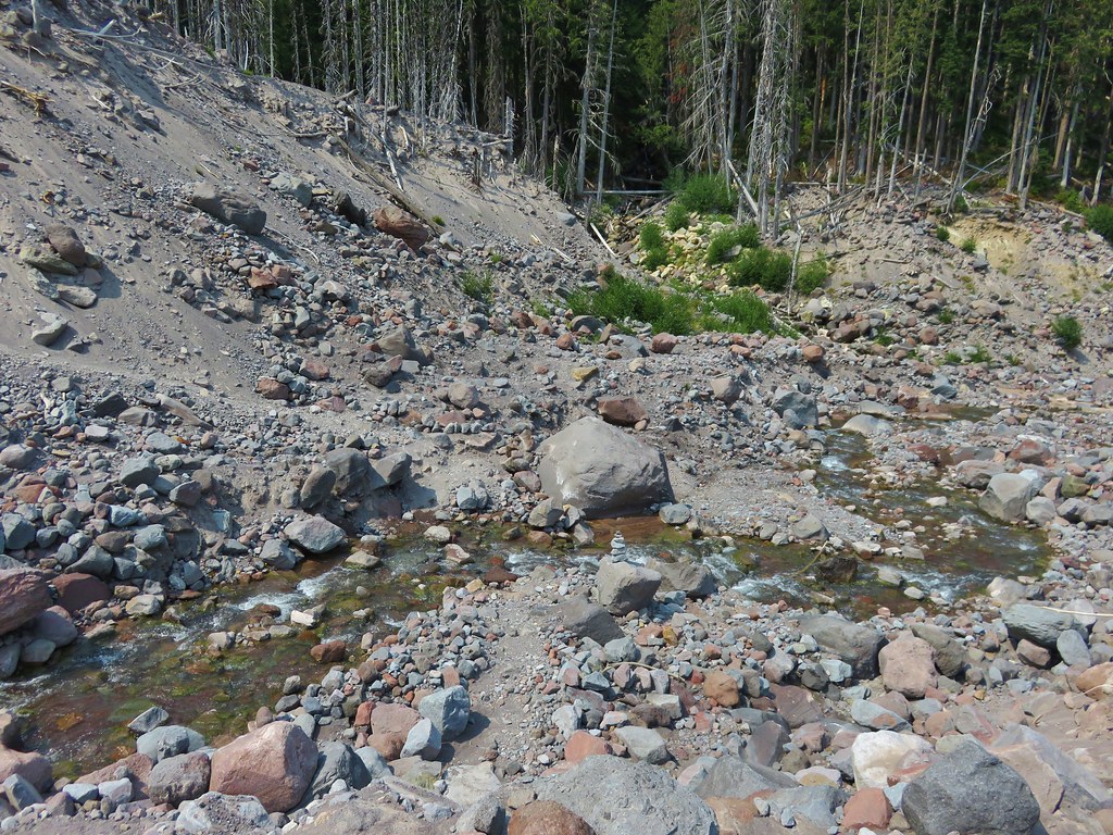
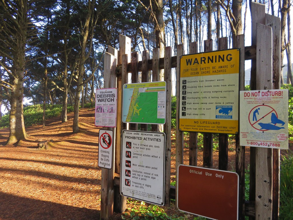
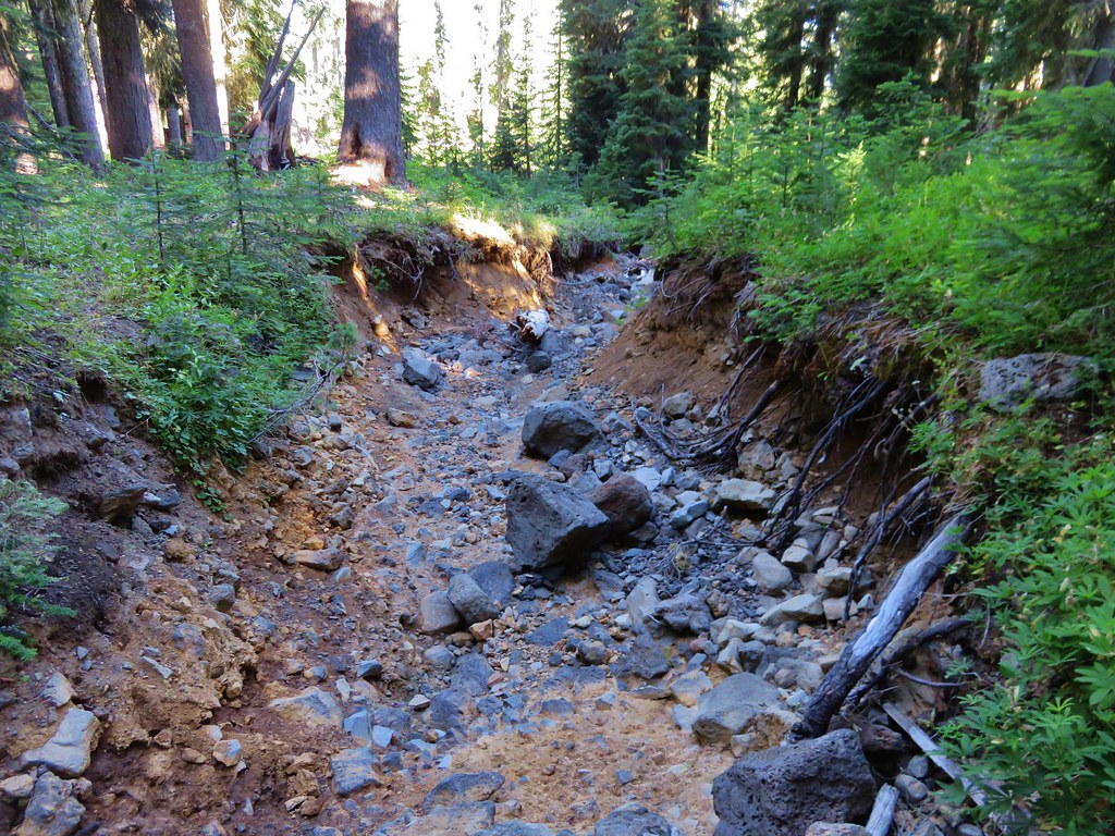
**Note a portions of this hike burned in the 2022 Cedar Creek Fire.**

South Waldo Lake is a hike that had been bumped for the schedule the past two years for various reasons. Last year it was due to the nearby Deception Creek Fire which caused the area to be rather smokey at times. Smokey conditions were exactly what prompted us to move this hike up two weeks on our schedule and finally do it. We had originally planned on making our first visit to the Indian Heaven Wilderness in Washington but scrapped those plans when the forecast called for a shift in wind direction that would flood that area with smoke from the Cougar Creek Fire near Mt. Adams. The forecast for the Waldo Lake Wilderness looked quite a bit more appealing. It called for hazy skies but it didn’t appear that smoke from any of the numerous fires would be heading directly for that area.

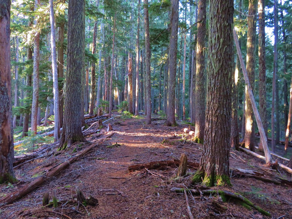
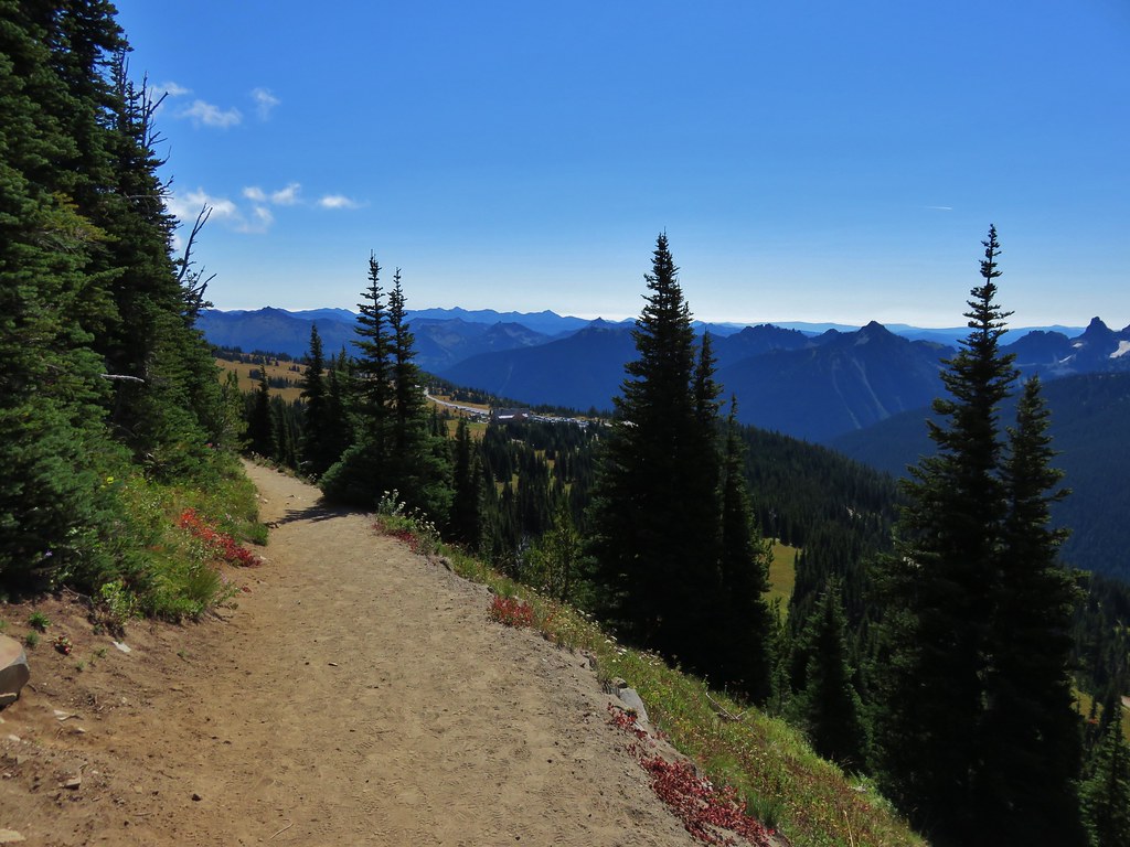
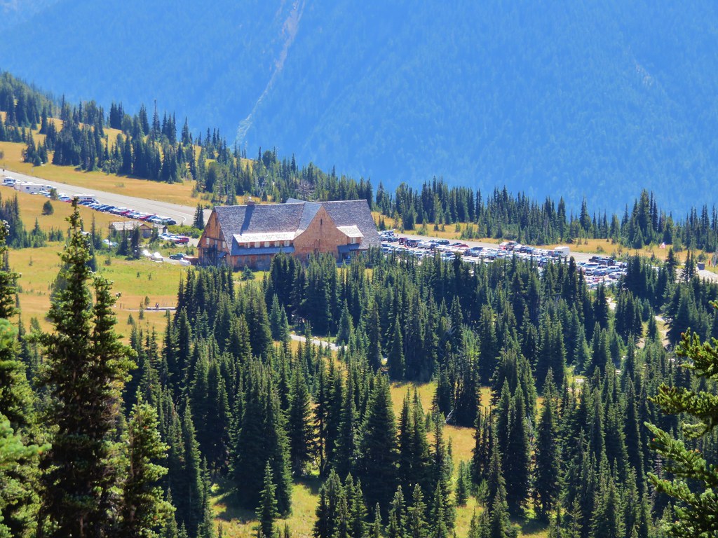
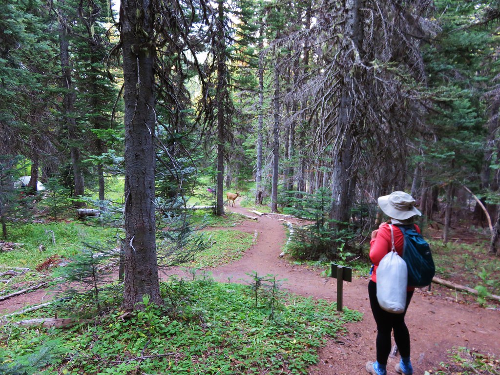
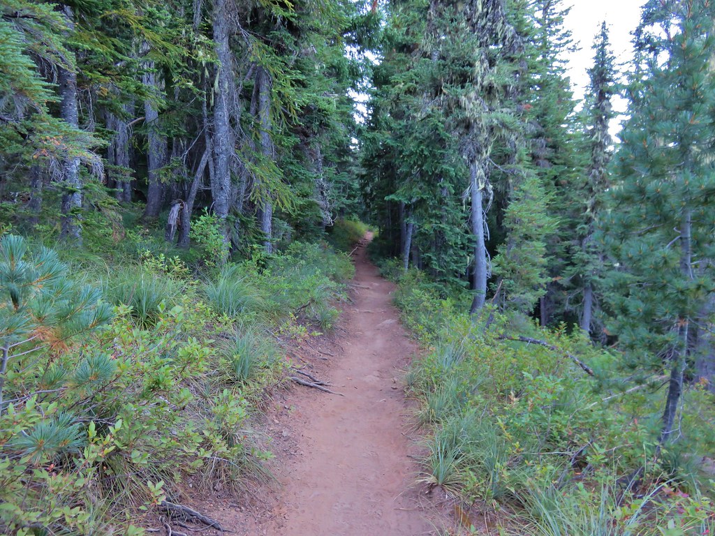
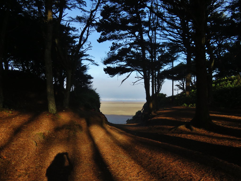
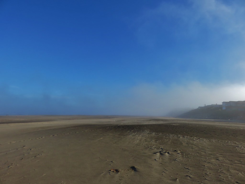
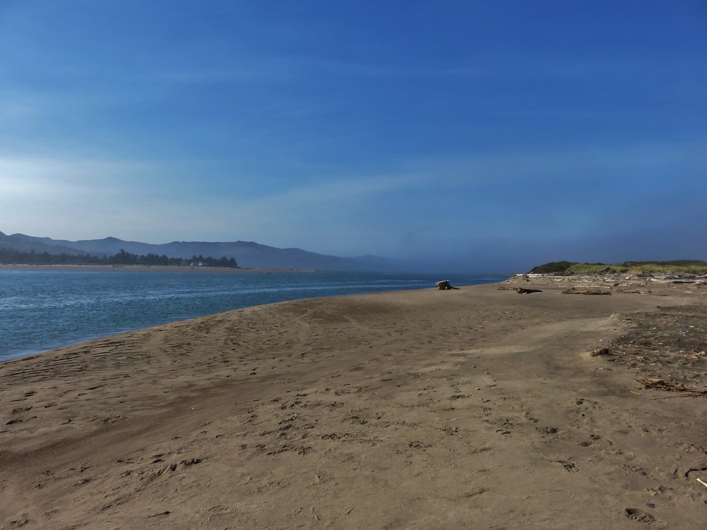
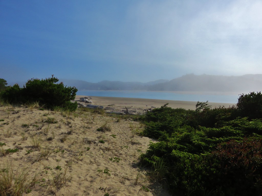
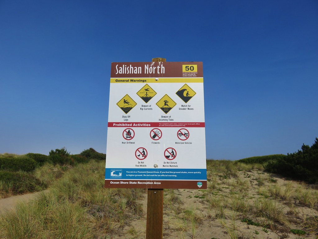
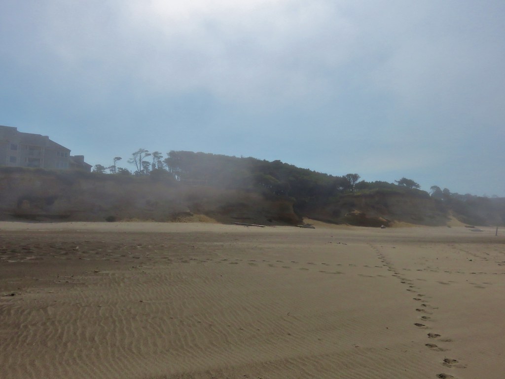
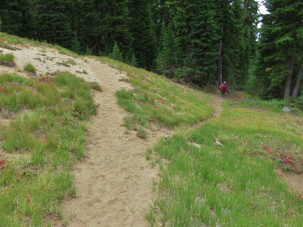
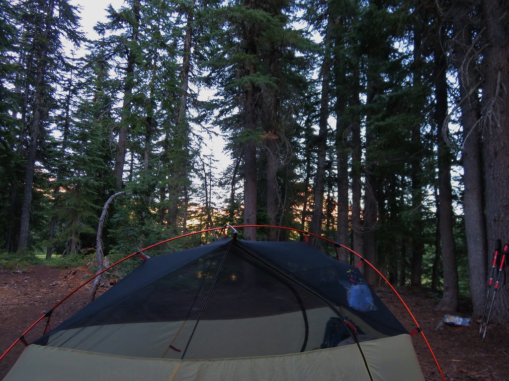
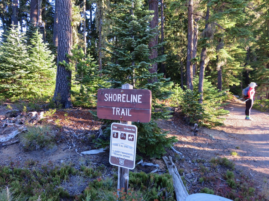
It was a beautiful morning as we began our hike from the Shadow Bay Boat Launch on Waldo Lake.
IMG_8546//embedr.flickr.com/assets/client-code.js

IMG_8544//embedr.flickr.com/assets/client-code.js

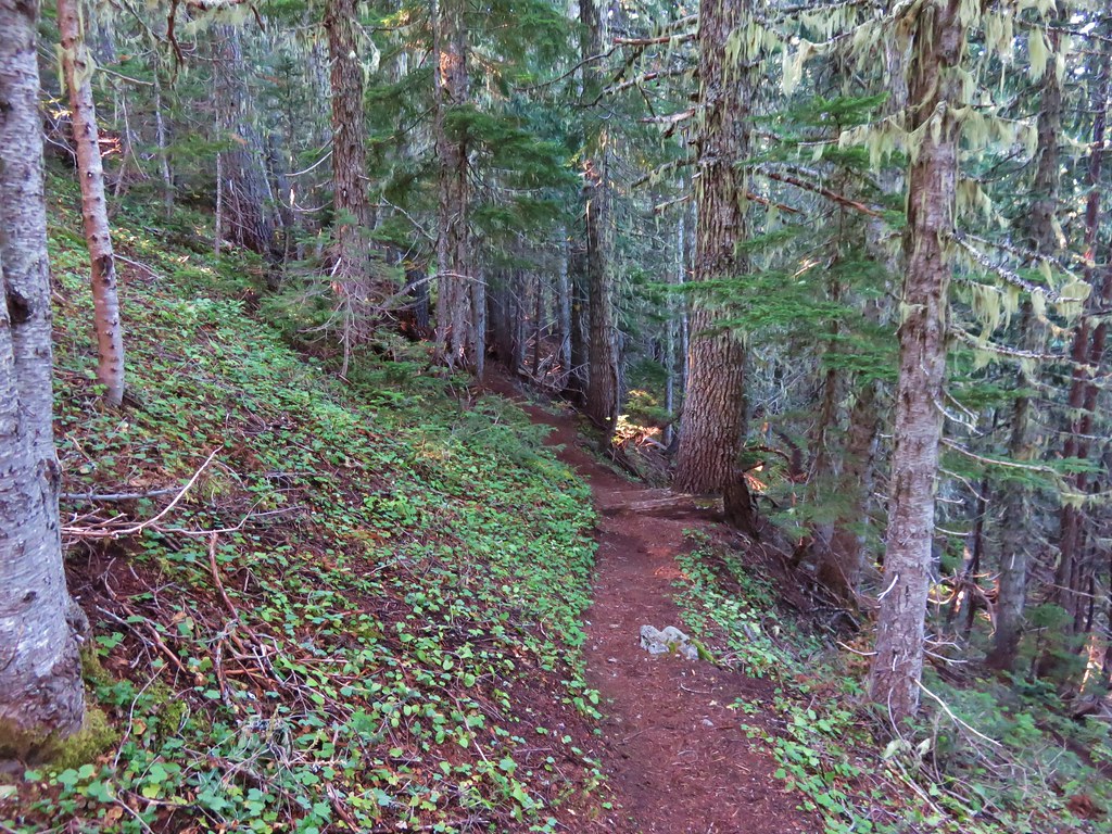
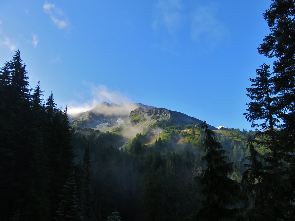
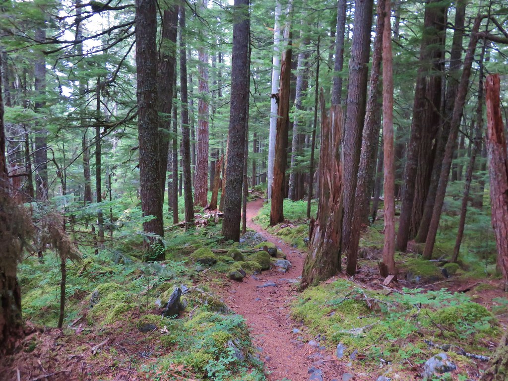
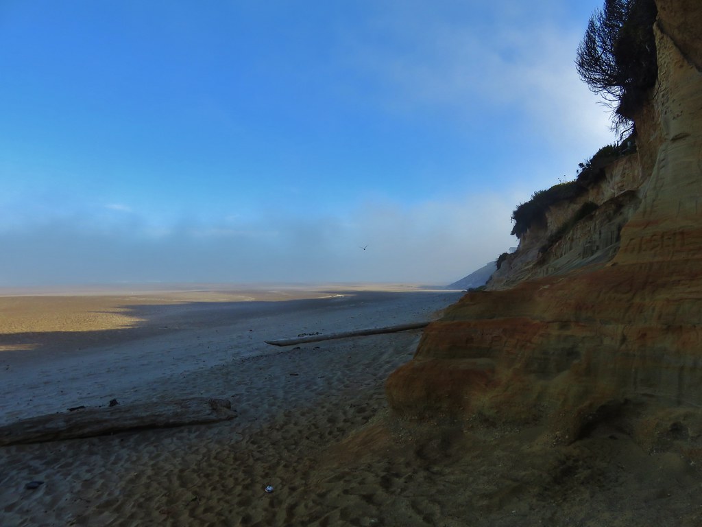
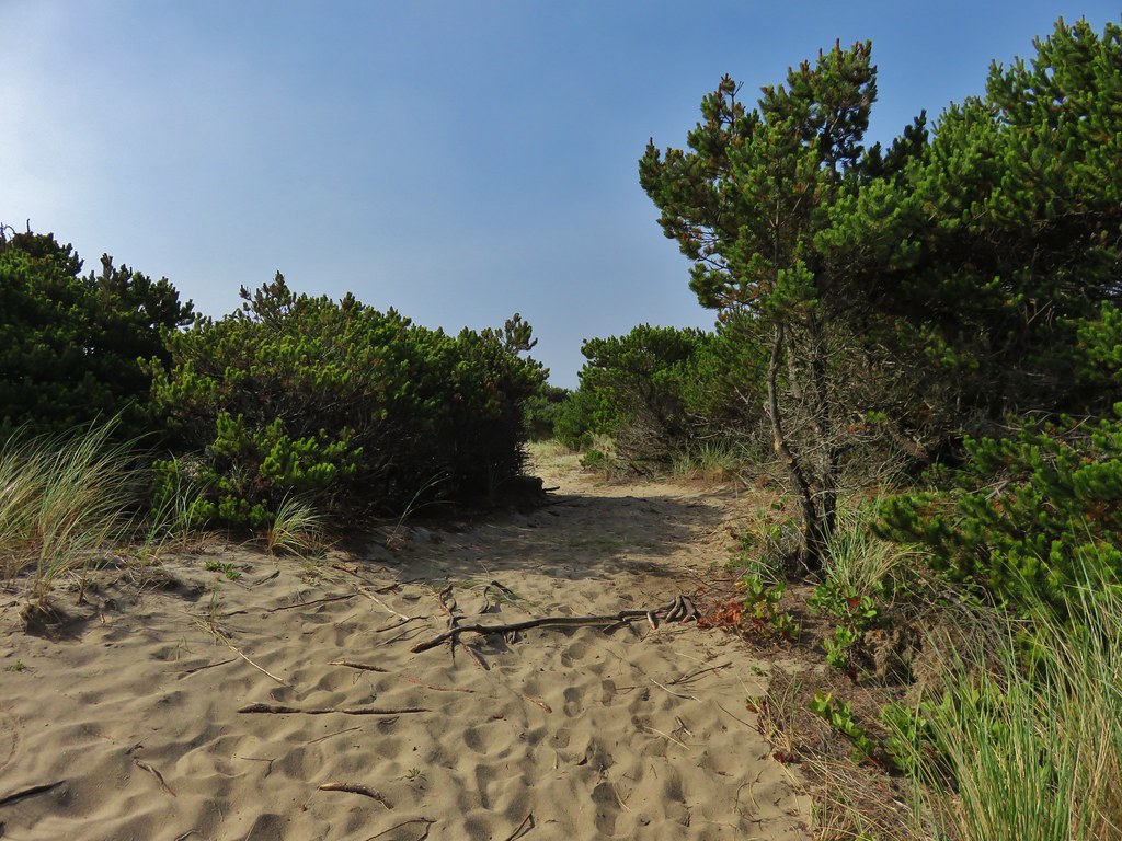
There was a little haze on the horizon but the skies were blue overhead. There was a good bit of wind blowing which made for a cold morning as we headed along the Shore Trail.
IMG_8549//embedr.flickr.com/assets/client-code.js

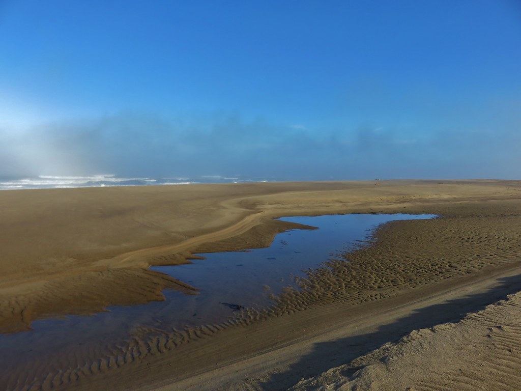
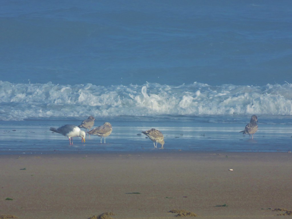
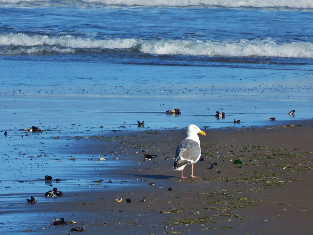
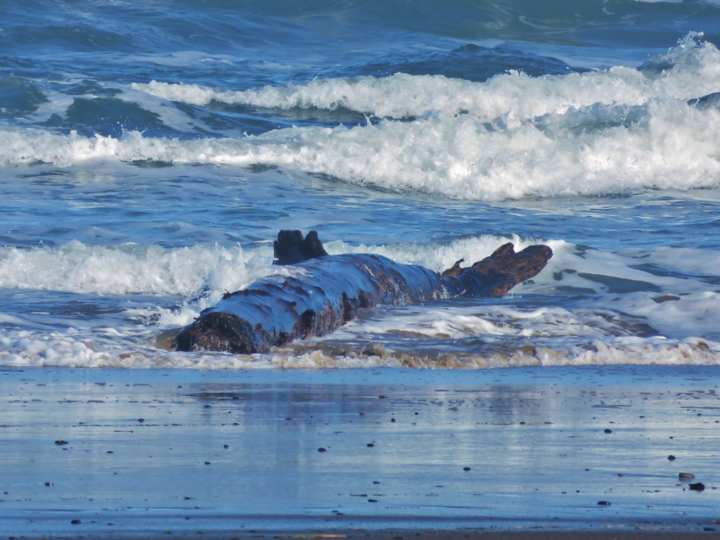
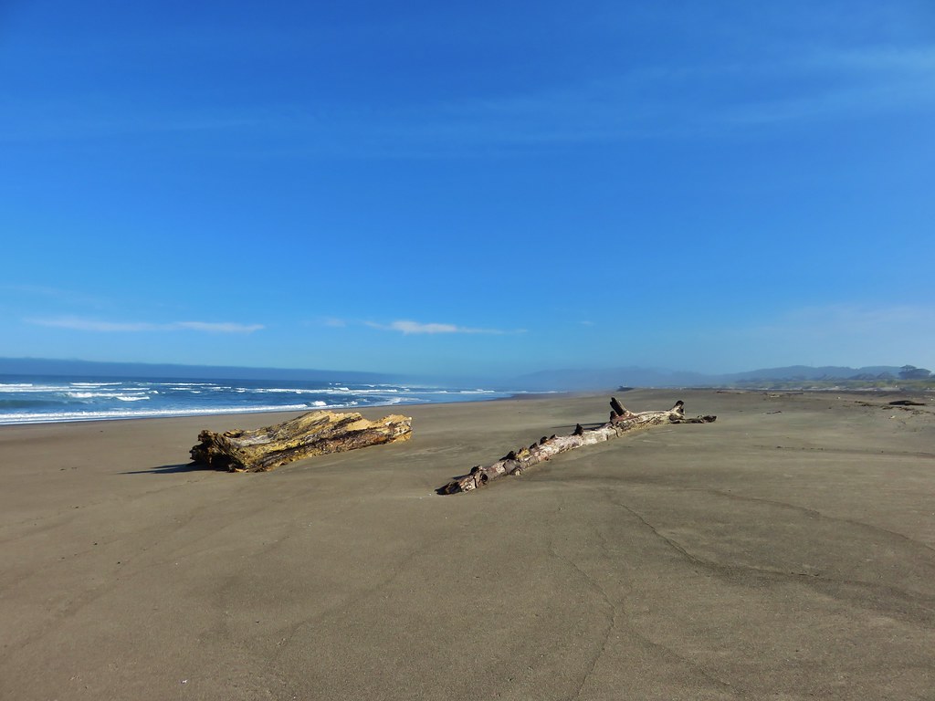
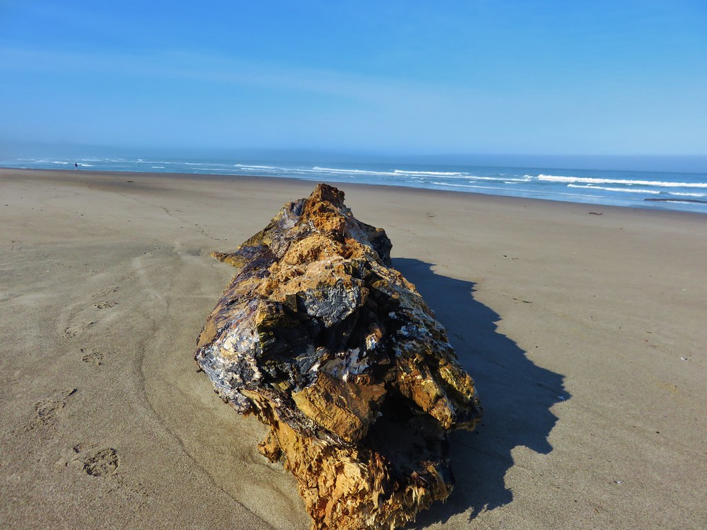
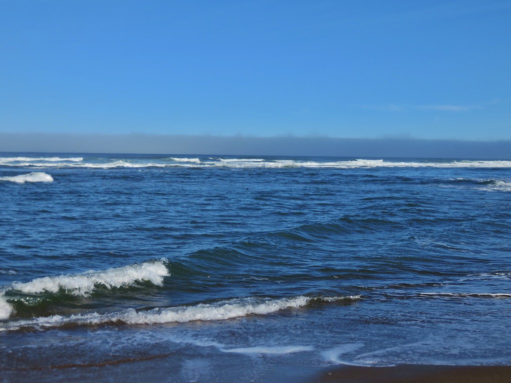
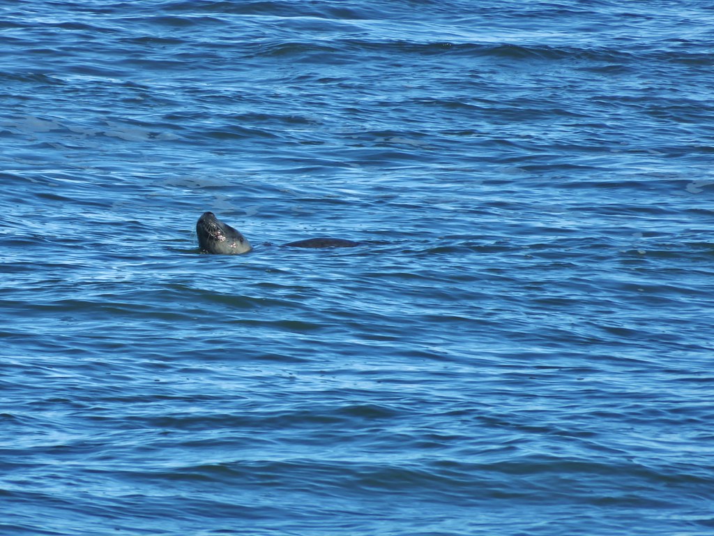
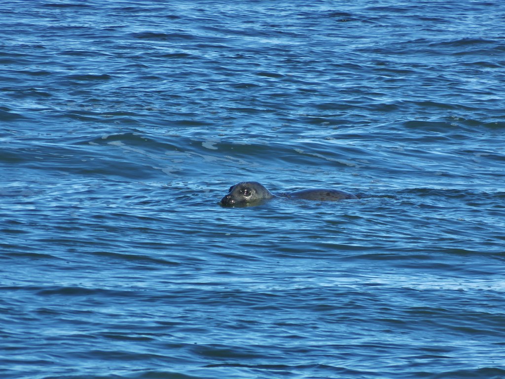
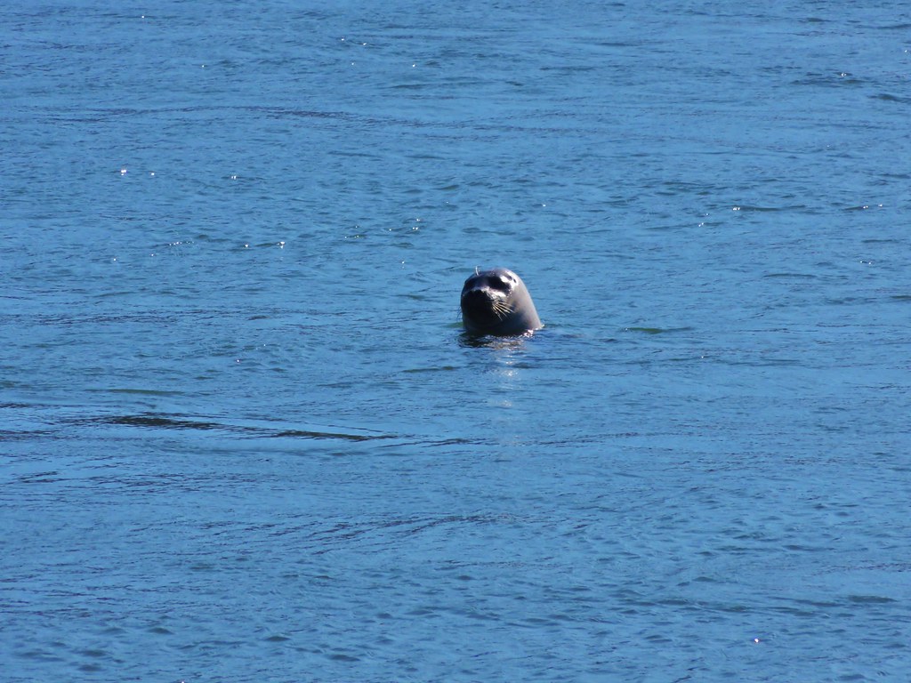
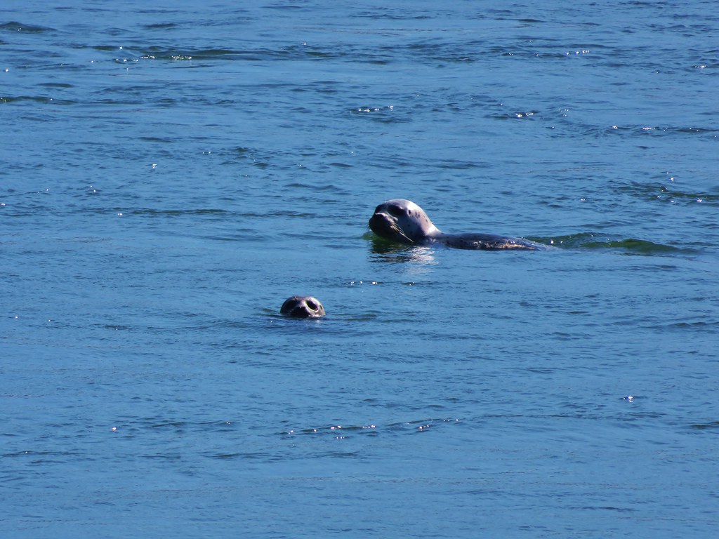
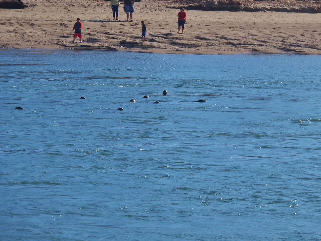
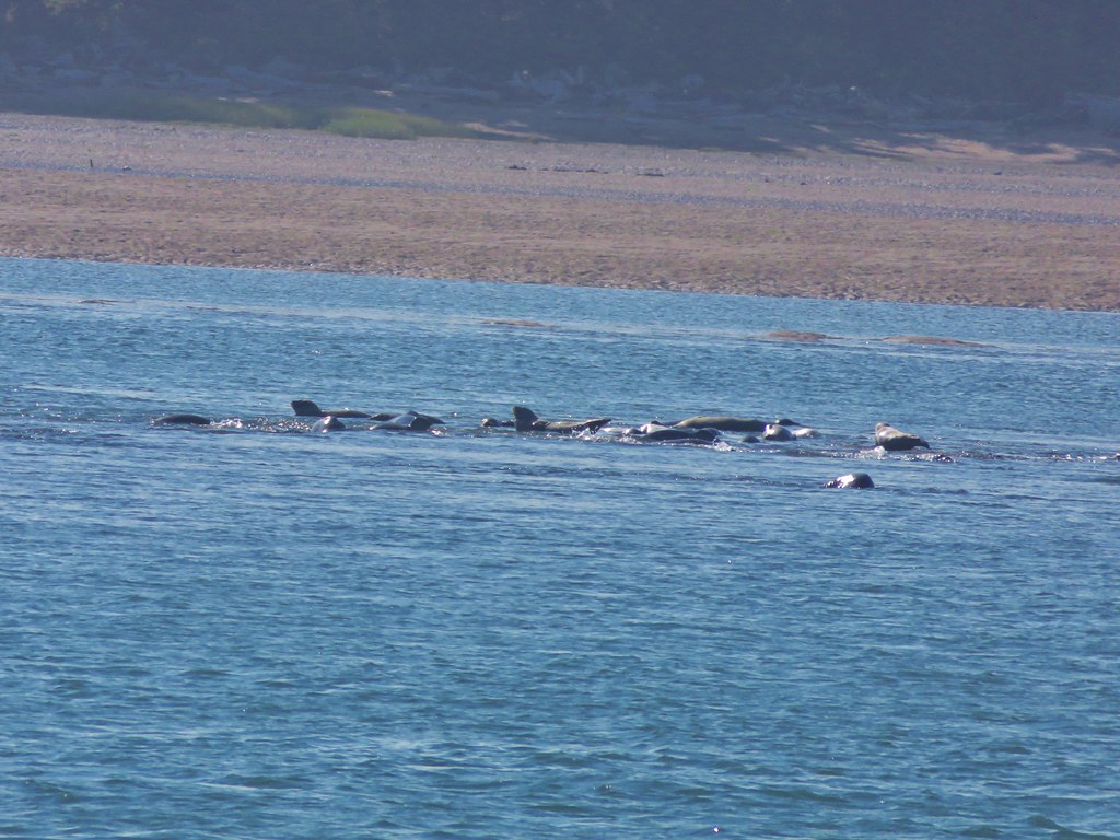
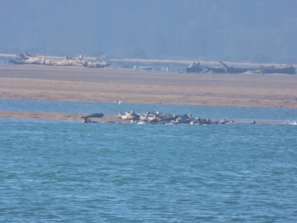
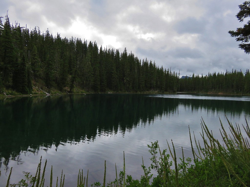
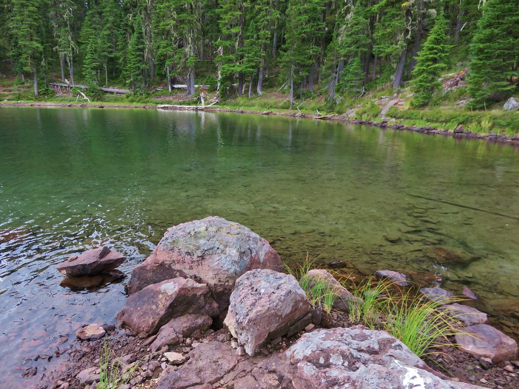
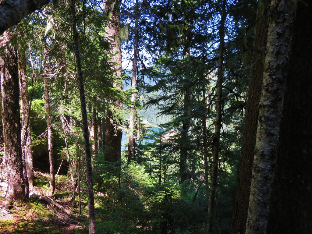
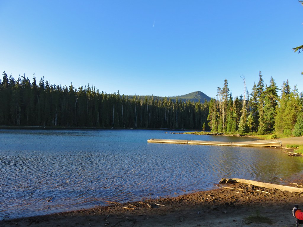
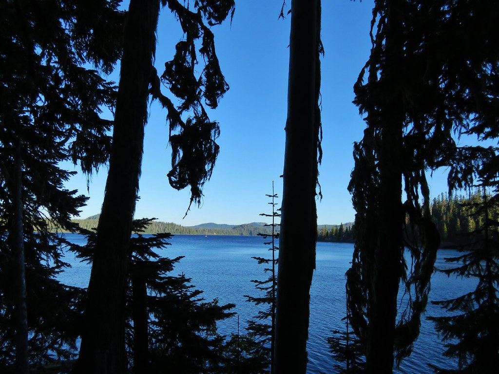
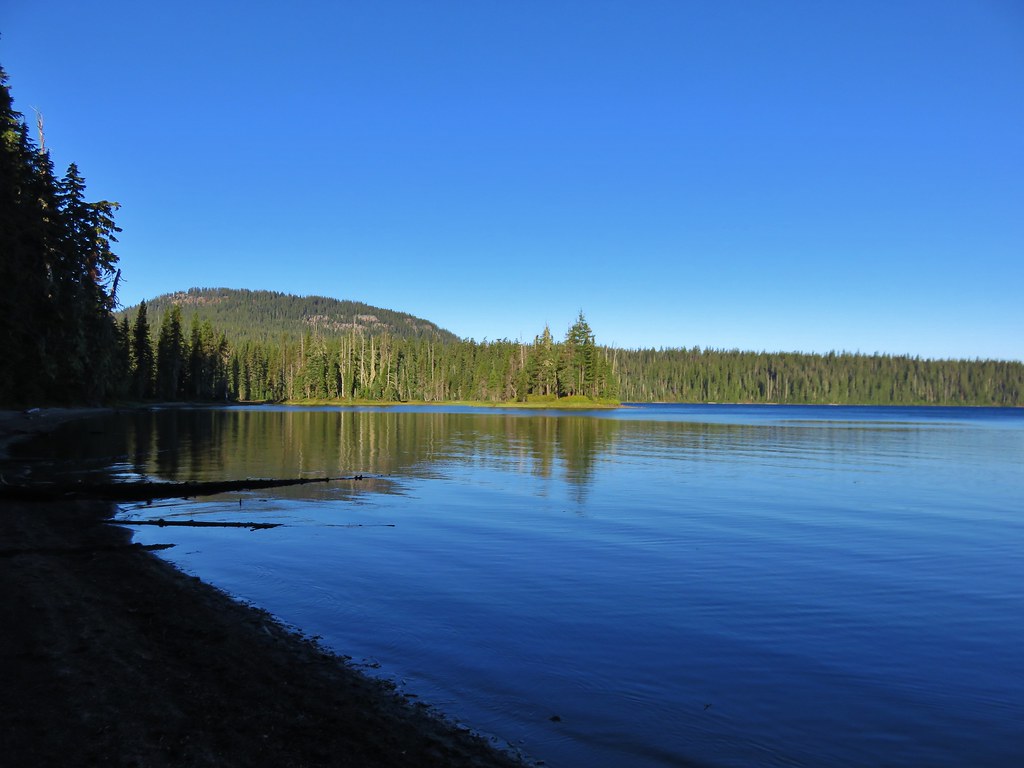
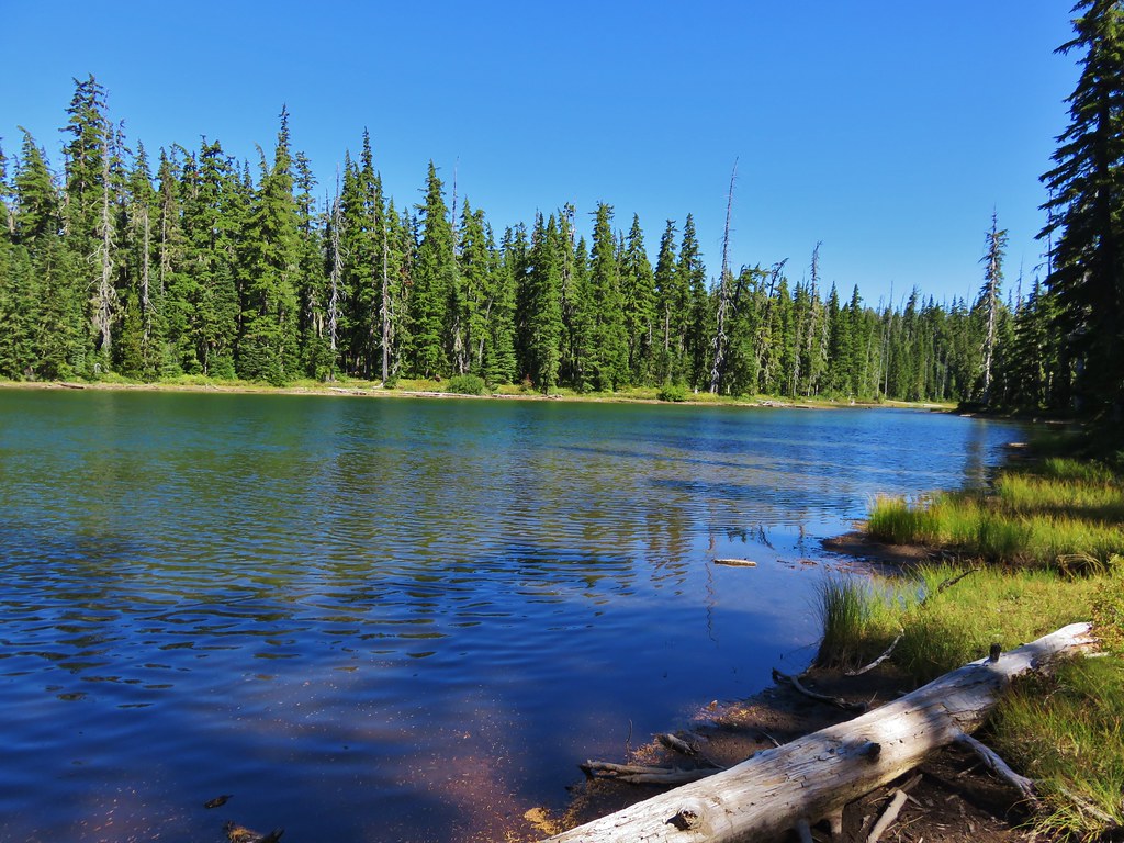
Occasional glimpses of Waldo Lake revealed the clear blue waters of the second largest natural lake in Oregon.
IMG_8553//embedr.flickr.com/assets/client-code.js

IMG_8555//embedr.flickr.com/assets/client-code.js

IMG_8556//embedr.flickr.com/assets/client-code.js

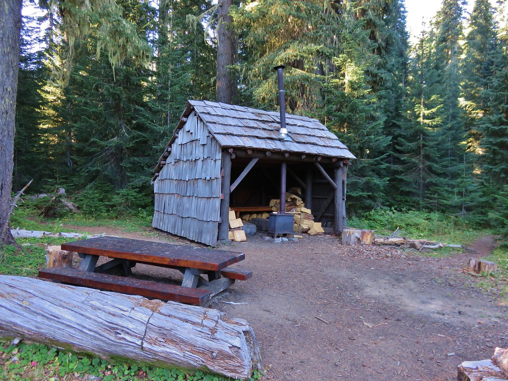
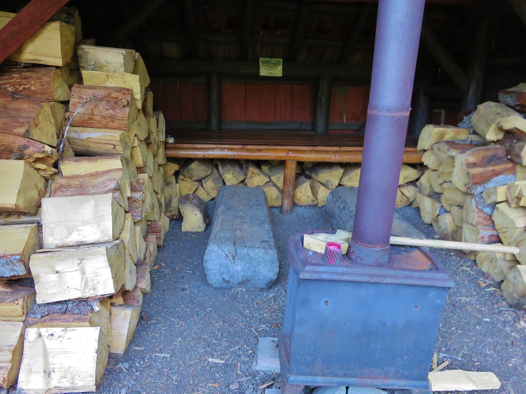
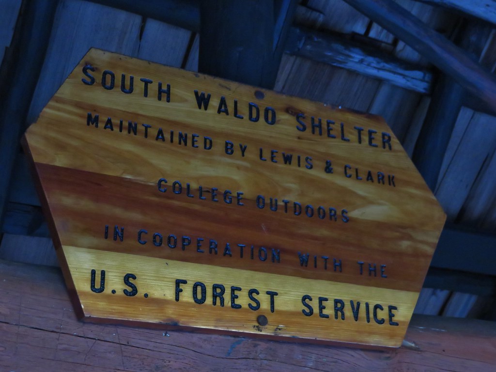
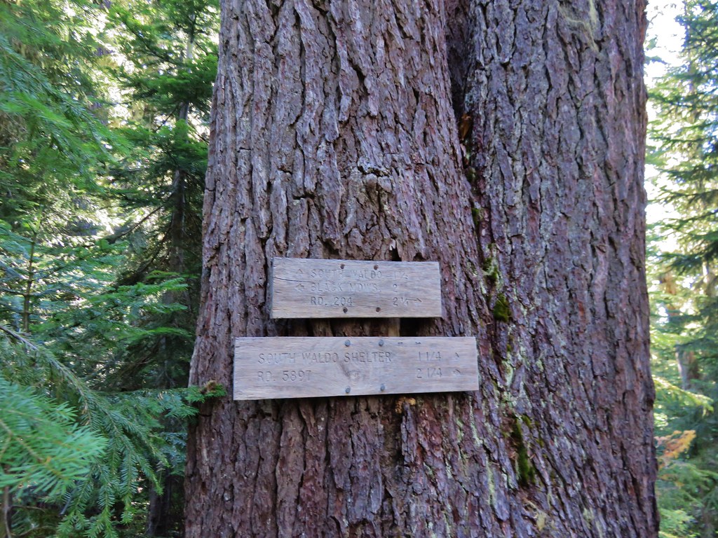
At the 1.7 mile mark we arrived at the South Waldo Shelter. It was one of the nicest and well stocked shelters we’d visited.
IMG_8562//embedr.flickr.com/assets/client-code.js

IMG_8563//embedr.flickr.com/assets/client-code.js

IMG_8565//embedr.flickr.com/assets/client-code.js

IMG_8566//embedr.flickr.com/assets/client-code.js

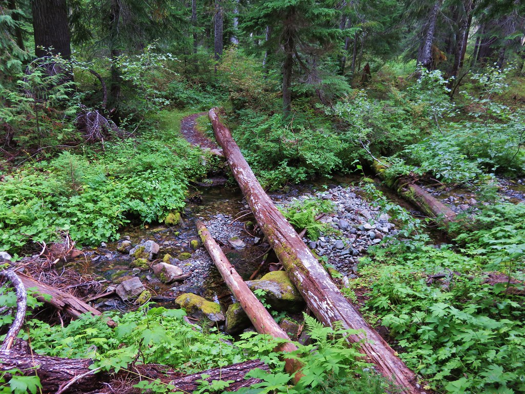
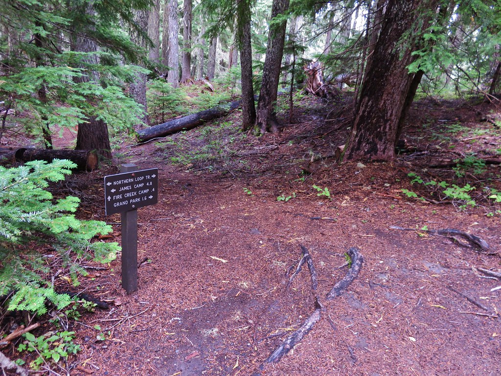
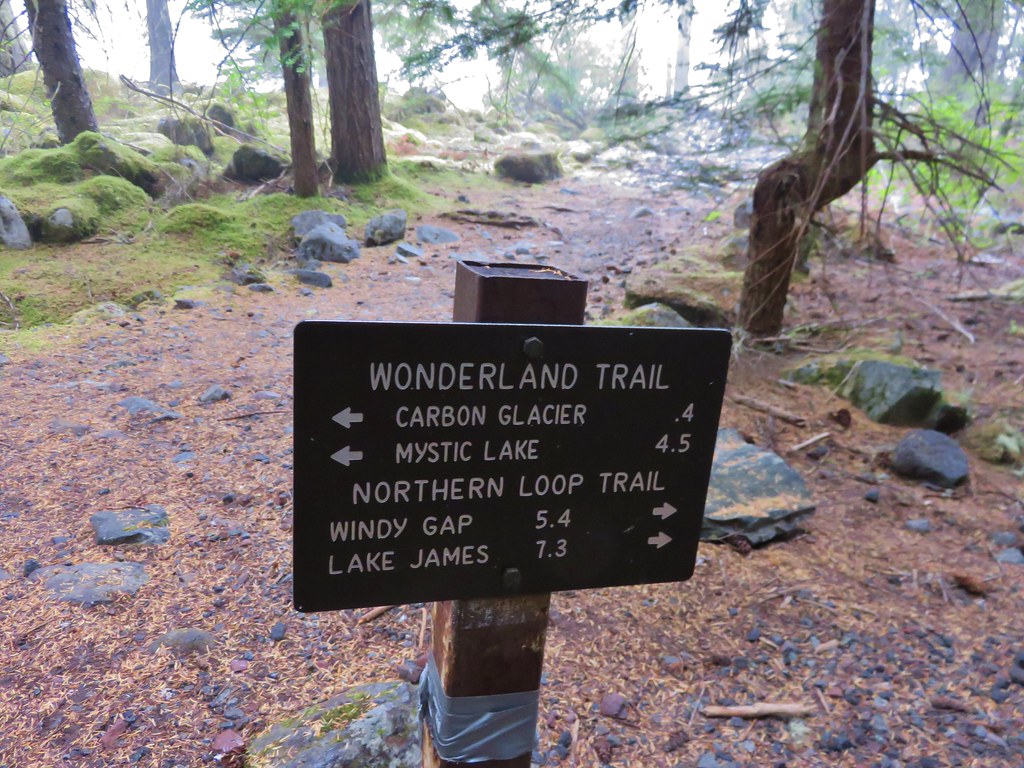
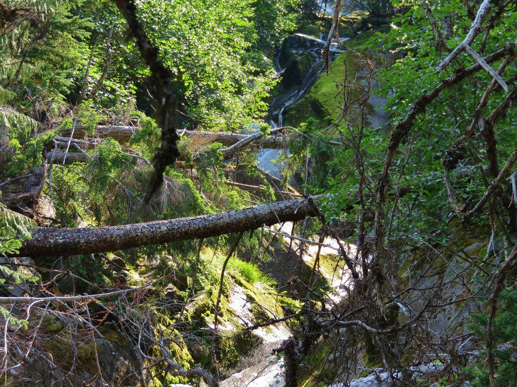
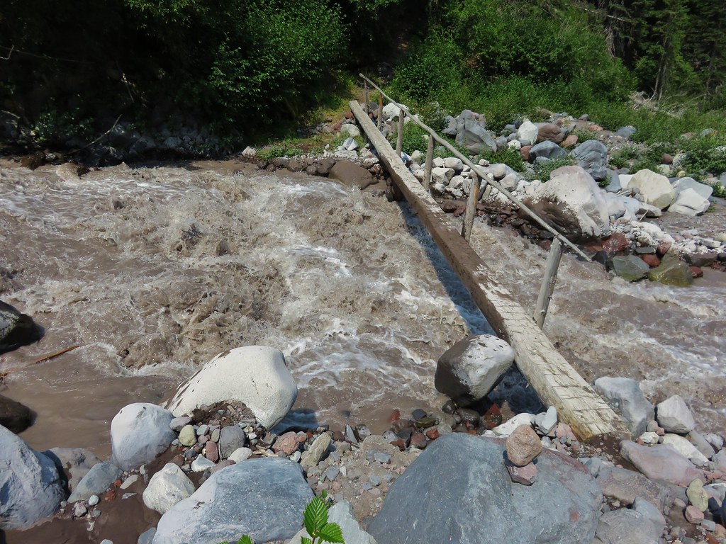
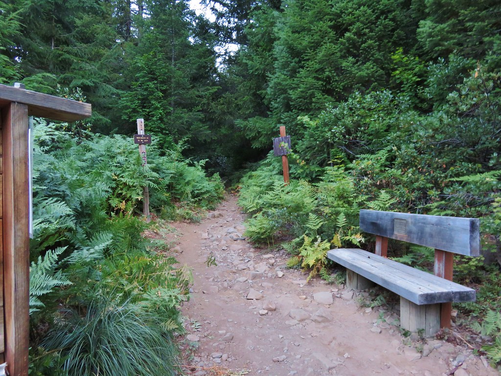
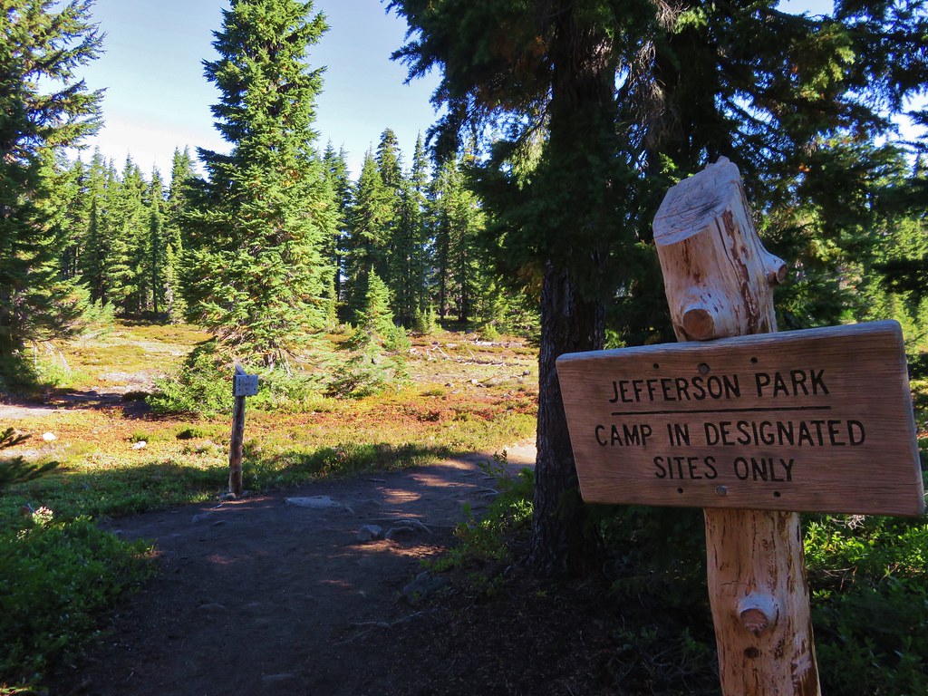
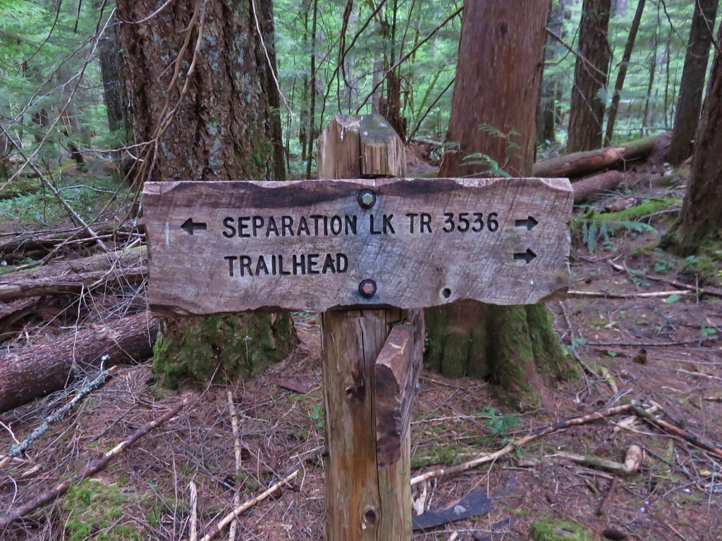
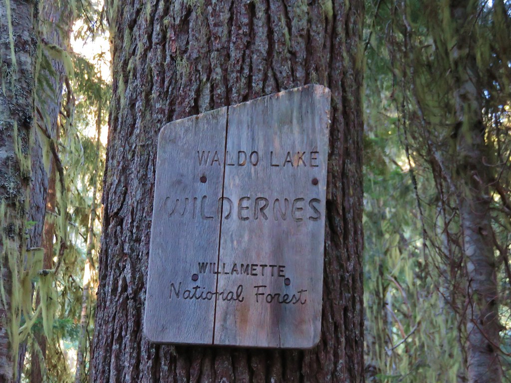
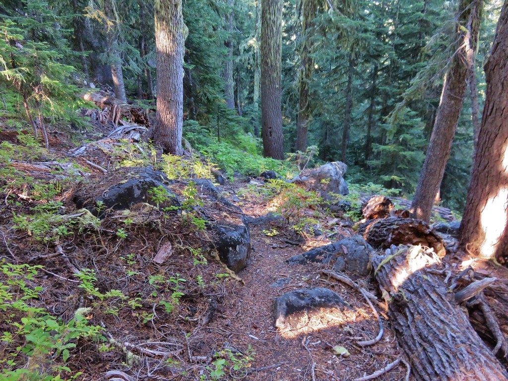
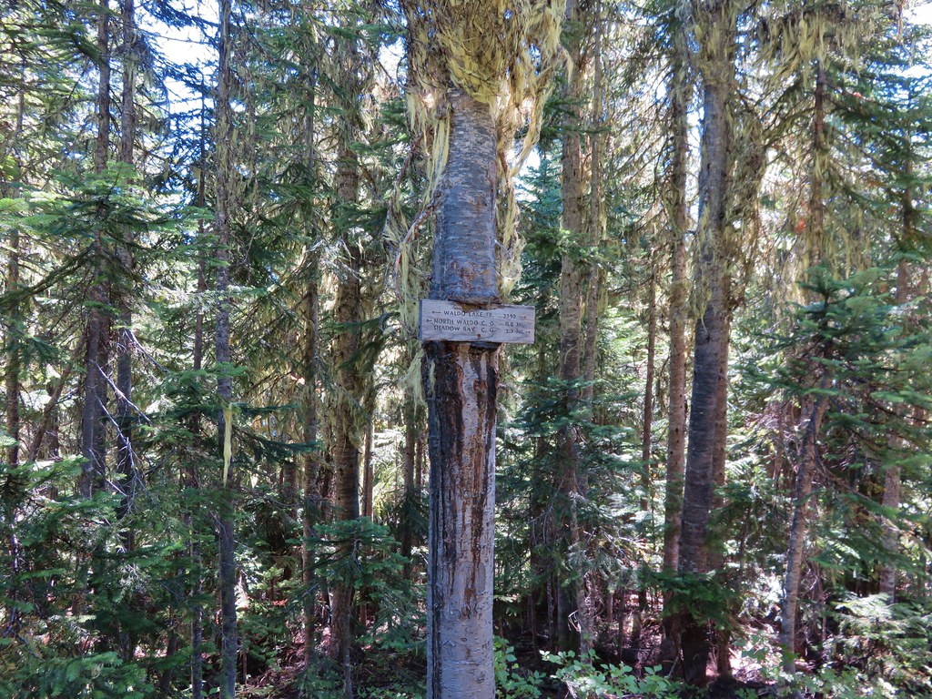
Just beyond the shelter after crossing a footbridge we arrived at a junction with the South Waldo Trail. Here we left the Shore Trail and entered the Waldo Lake Wilderness.
IMG_8568//embedr.flickr.com/assets/client-code.js

IMG_8569//embedr.flickr.com/assets/client-code.js

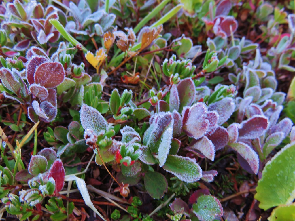
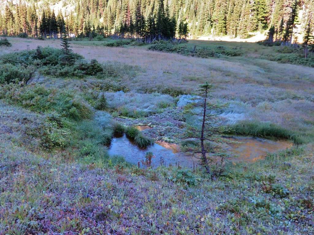
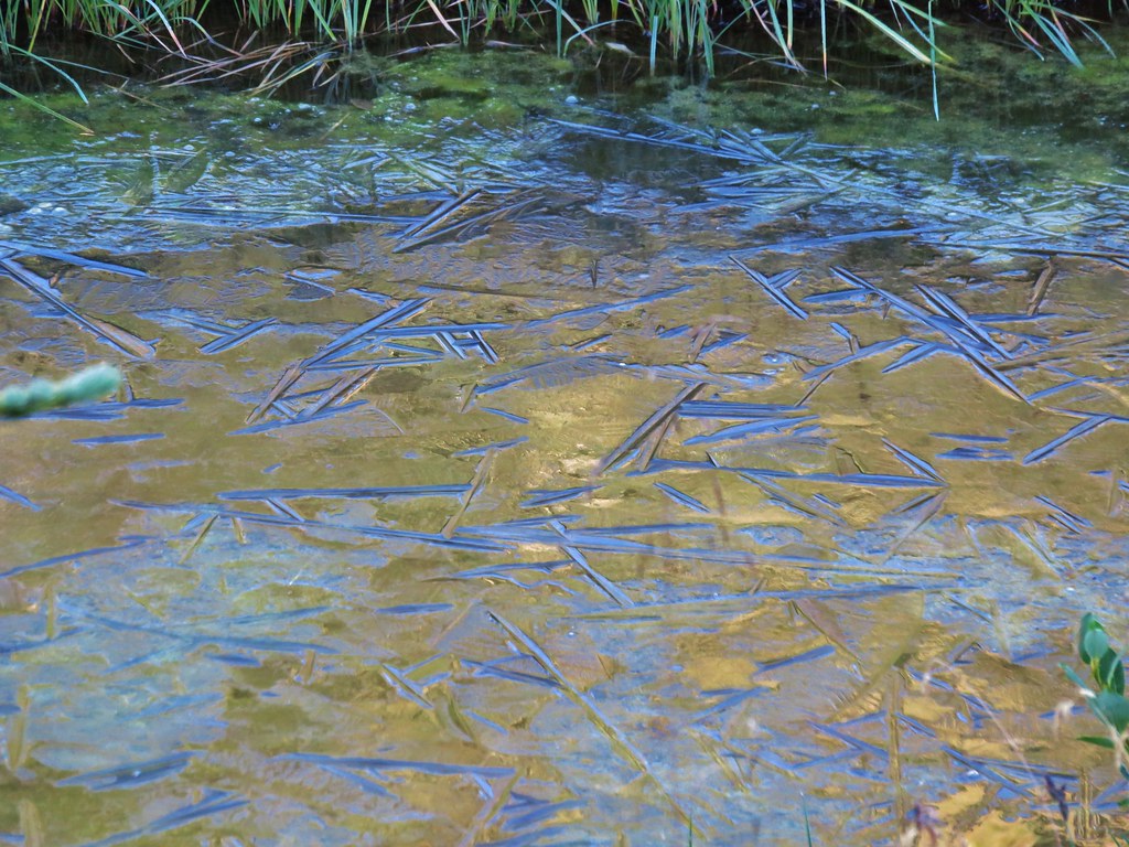
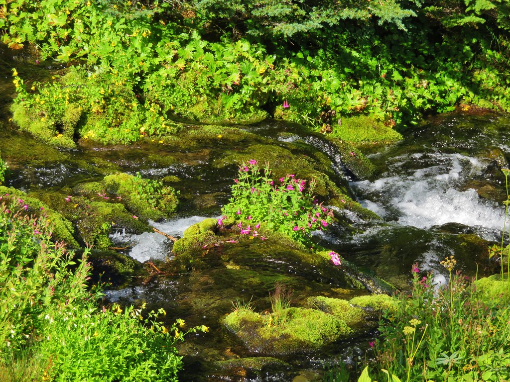
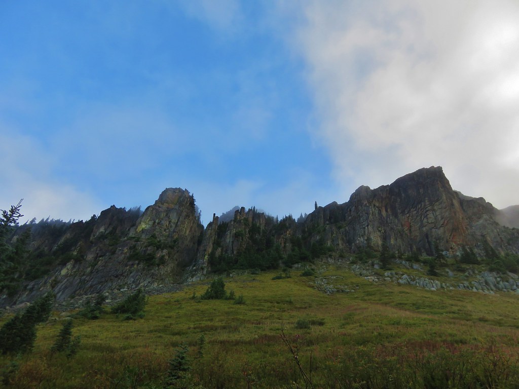
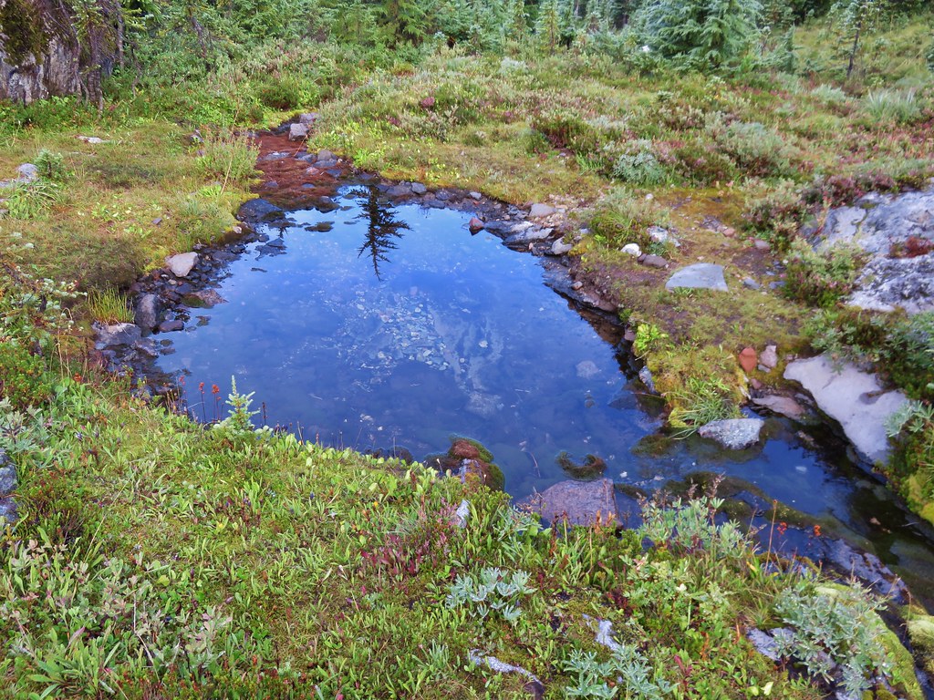
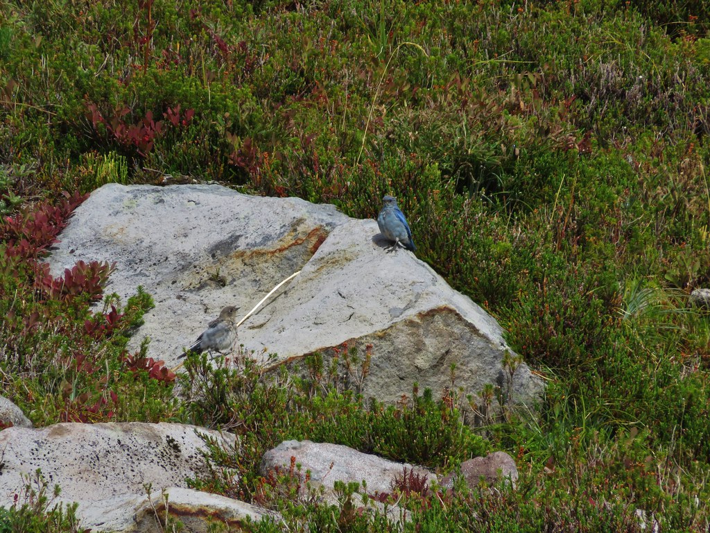
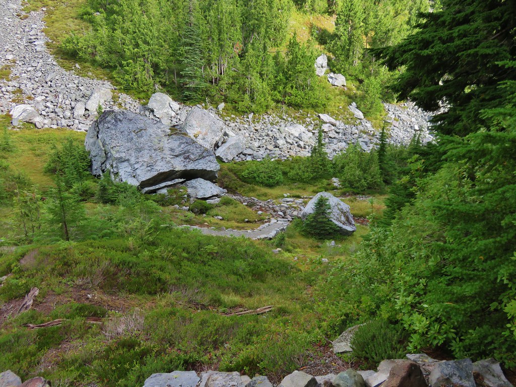
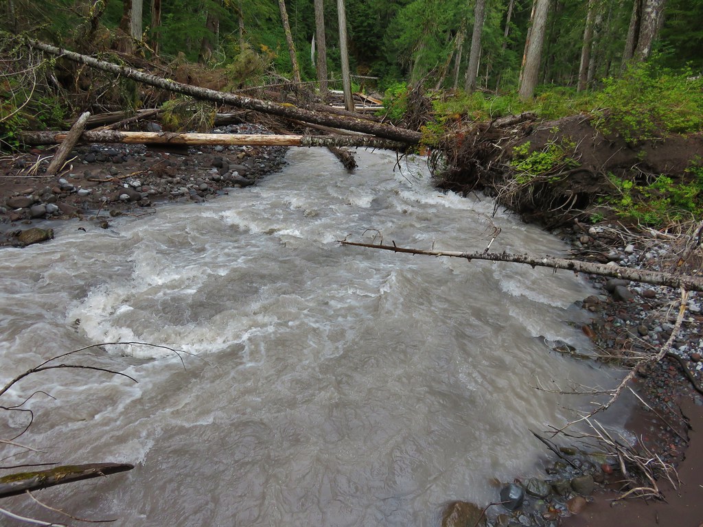
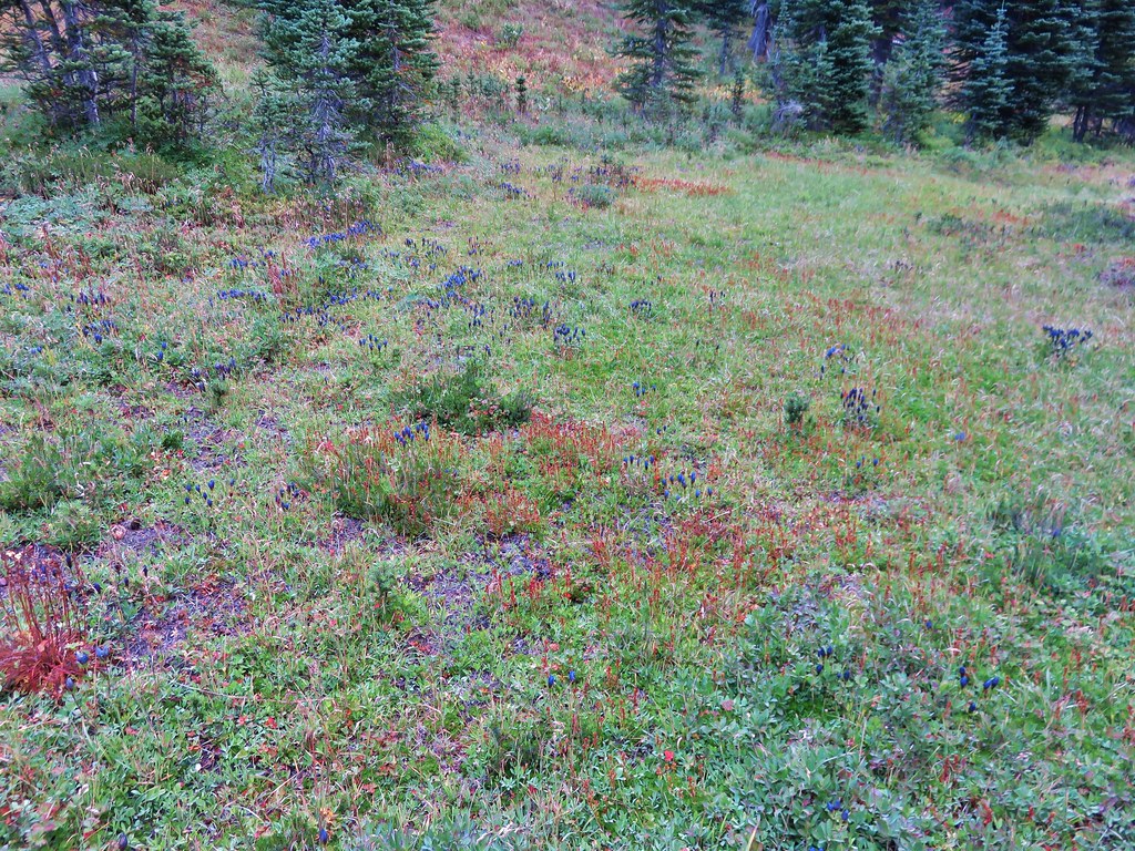
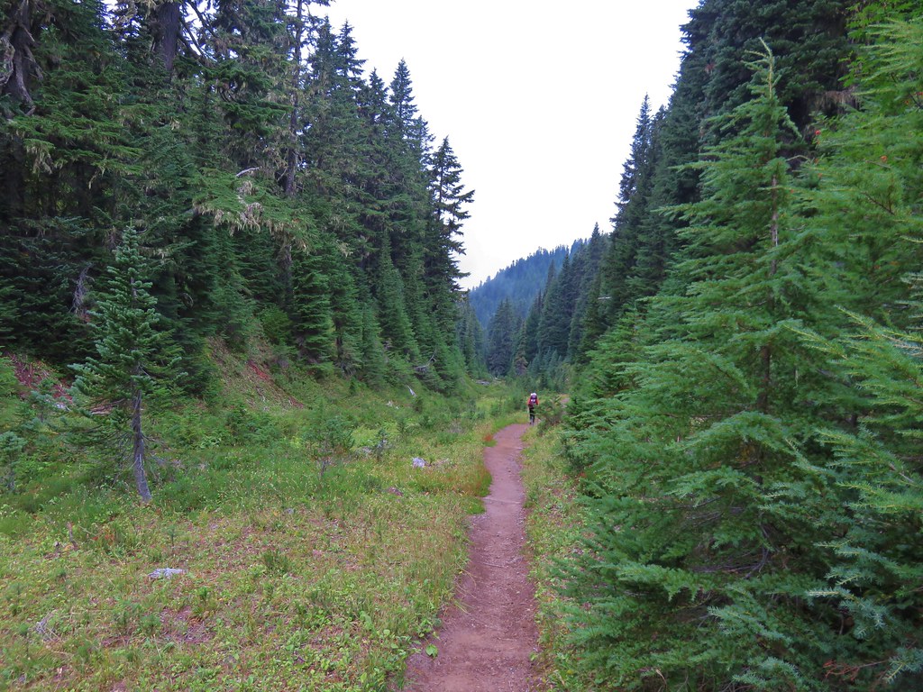
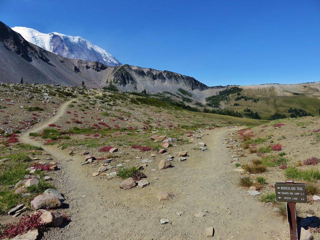
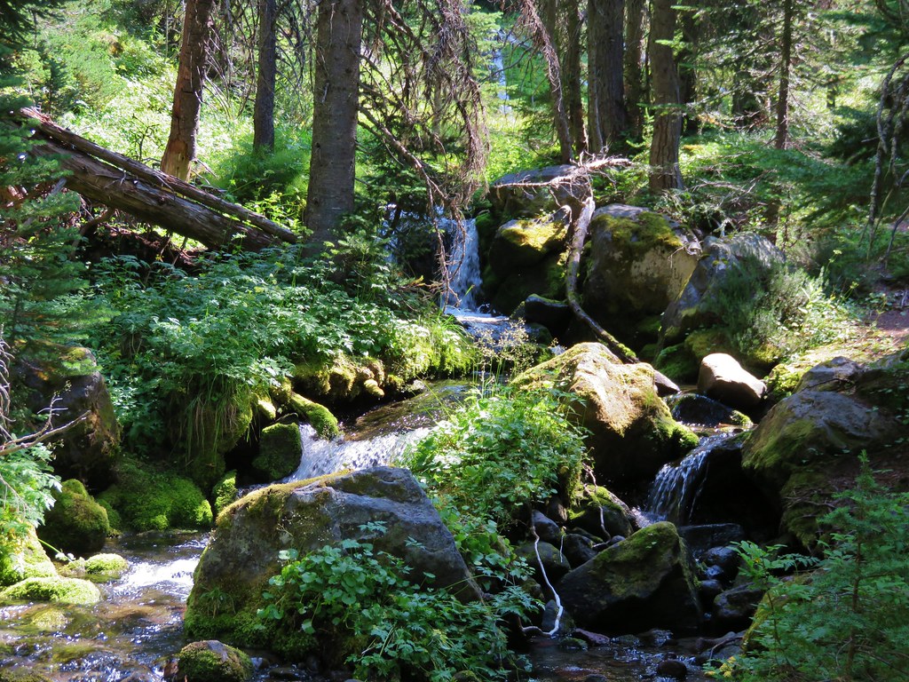
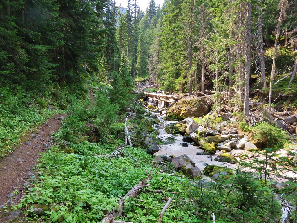
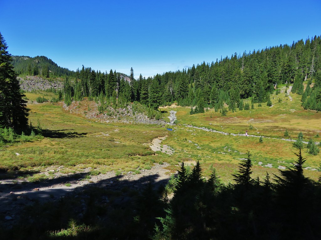
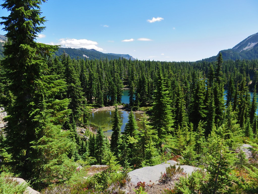
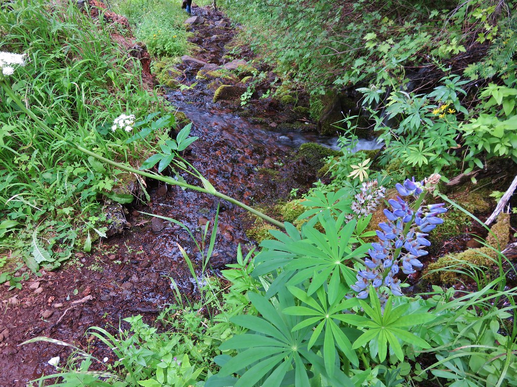
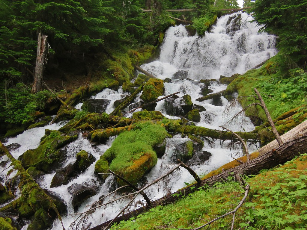
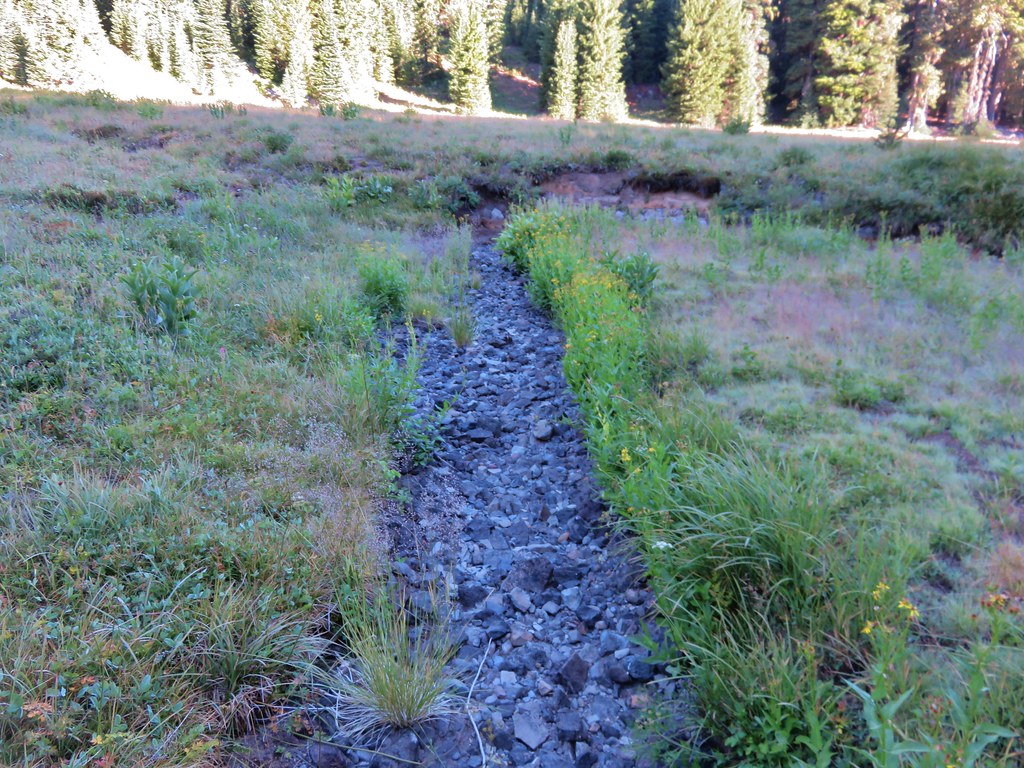
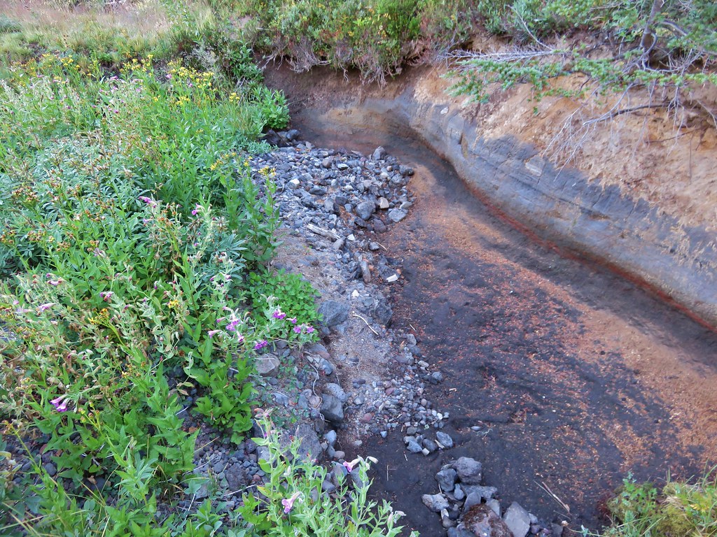
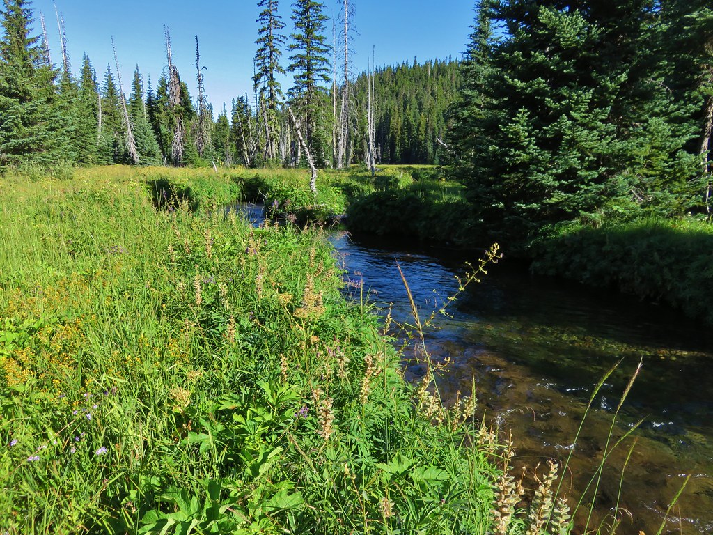
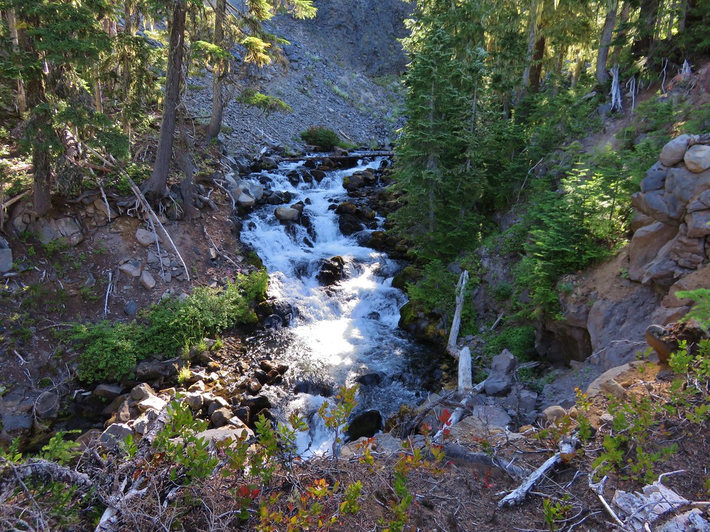
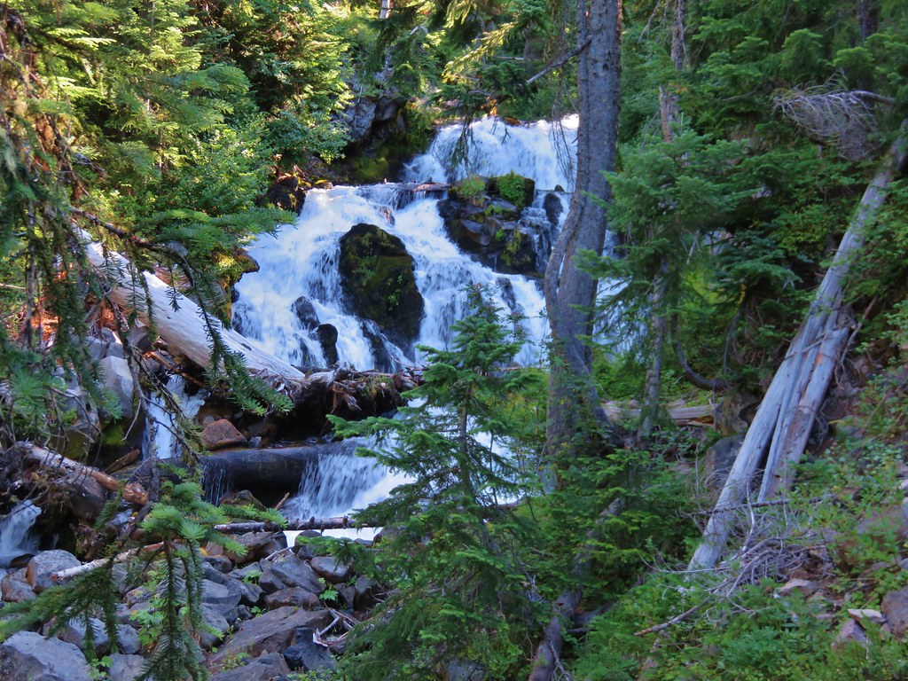
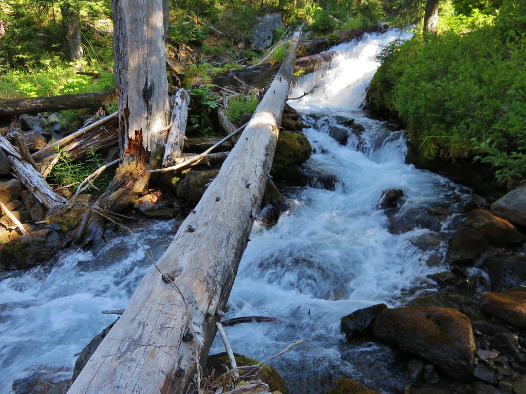
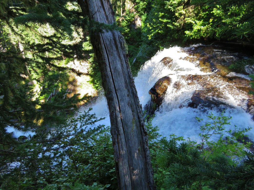
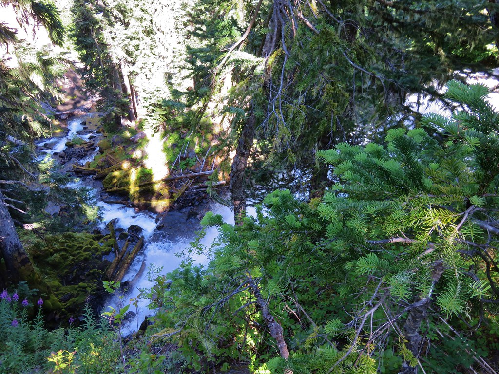
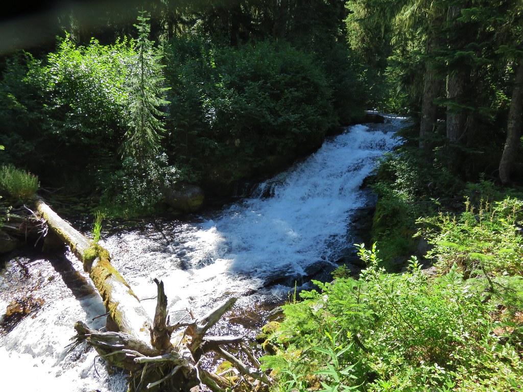
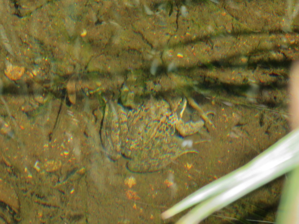
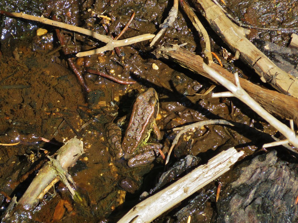
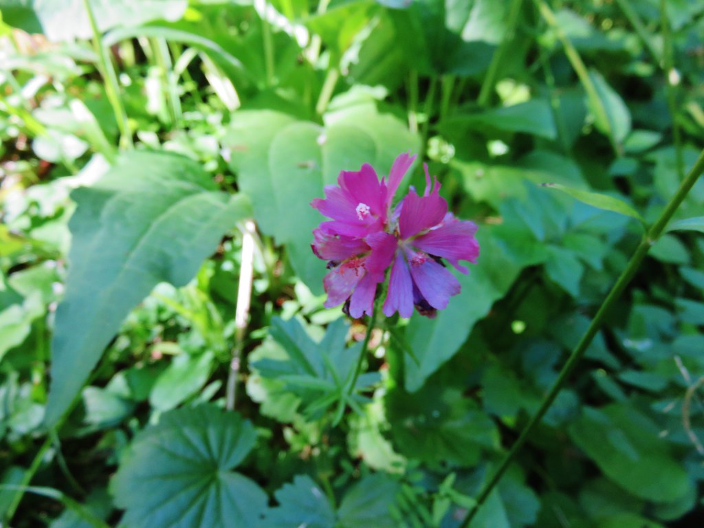
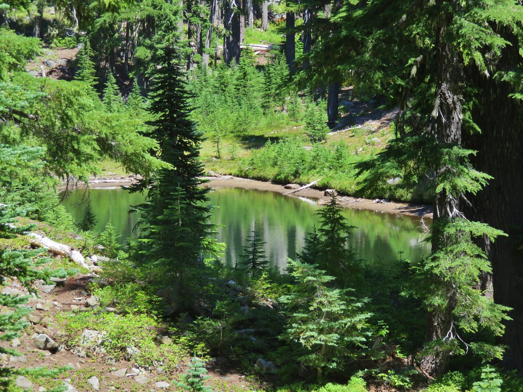
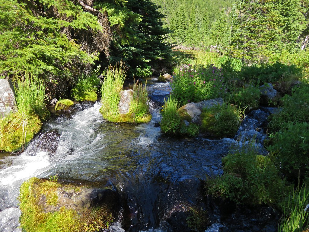
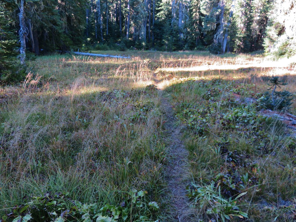
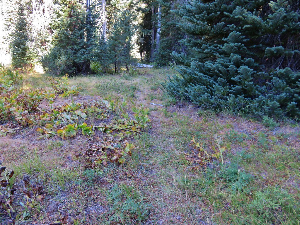
We followed this trail through the wilderness for 1.6 miles passing small meadows and a pond to a four way trail junction.
IMG_8571//embedr.flickr.com/assets/client-code.js

IMG_8574//embedr.flickr.com/assets/client-code.js

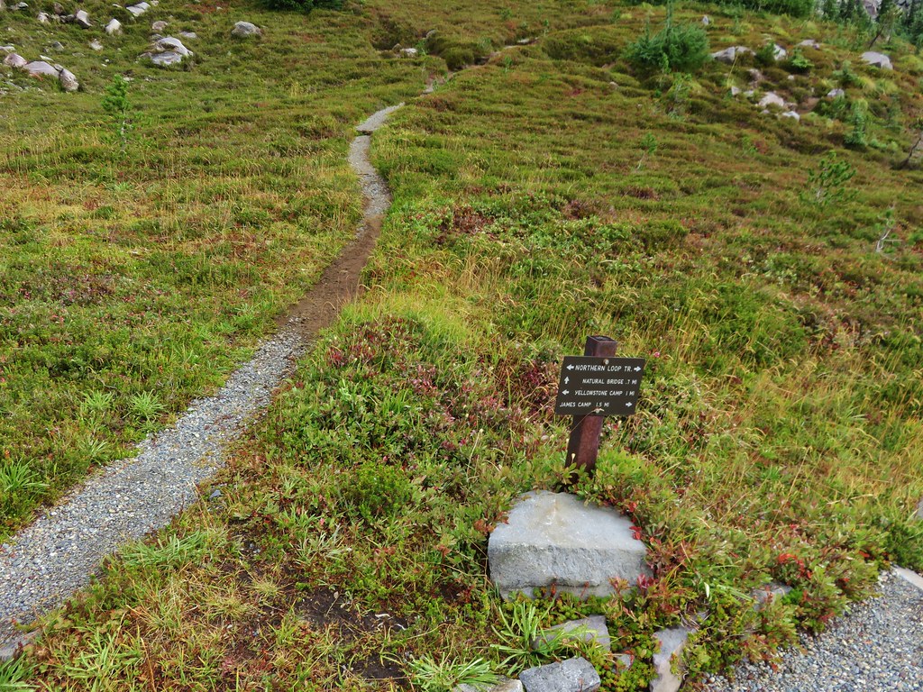
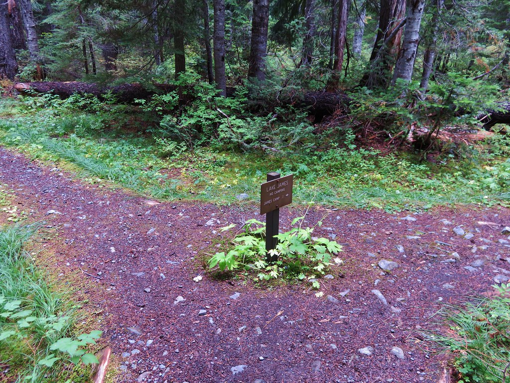
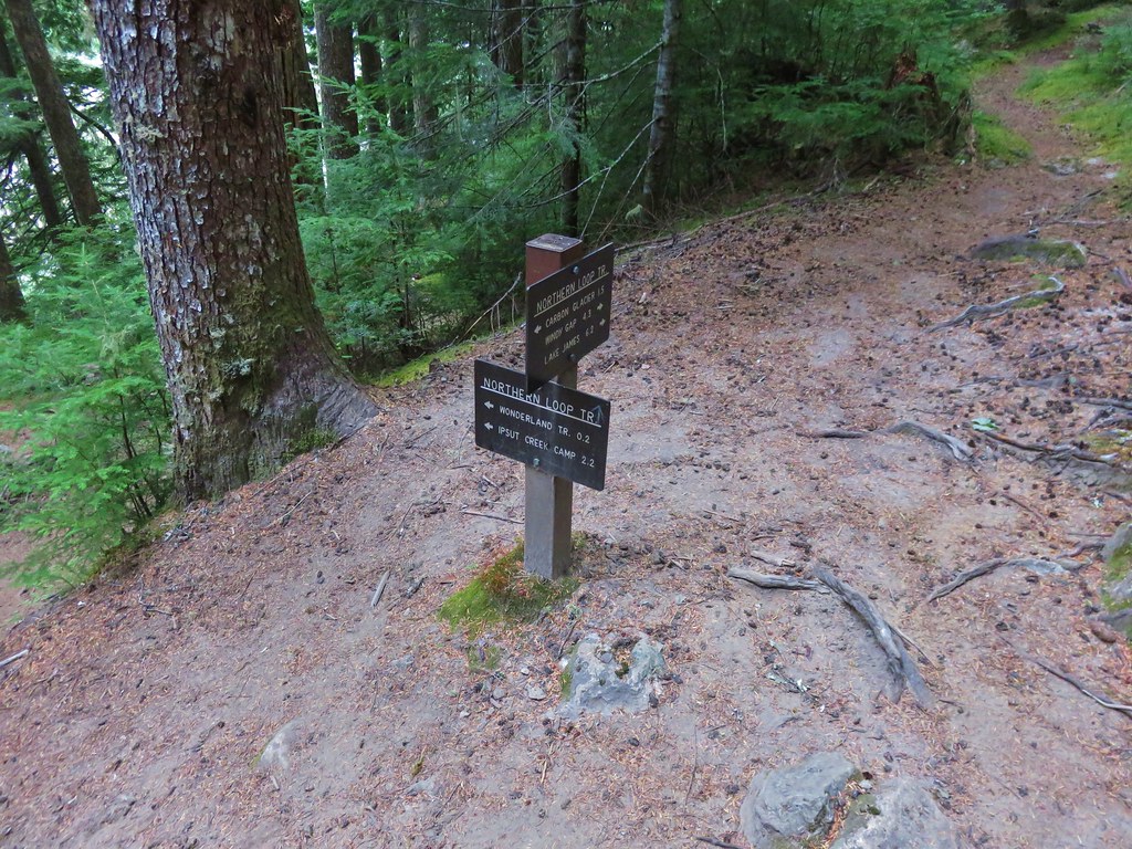
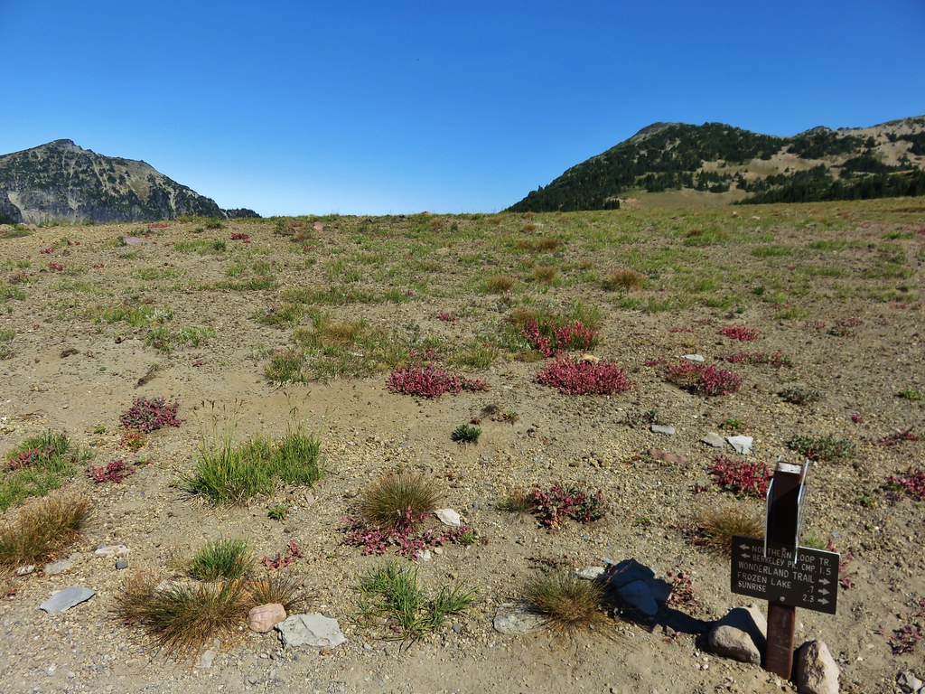
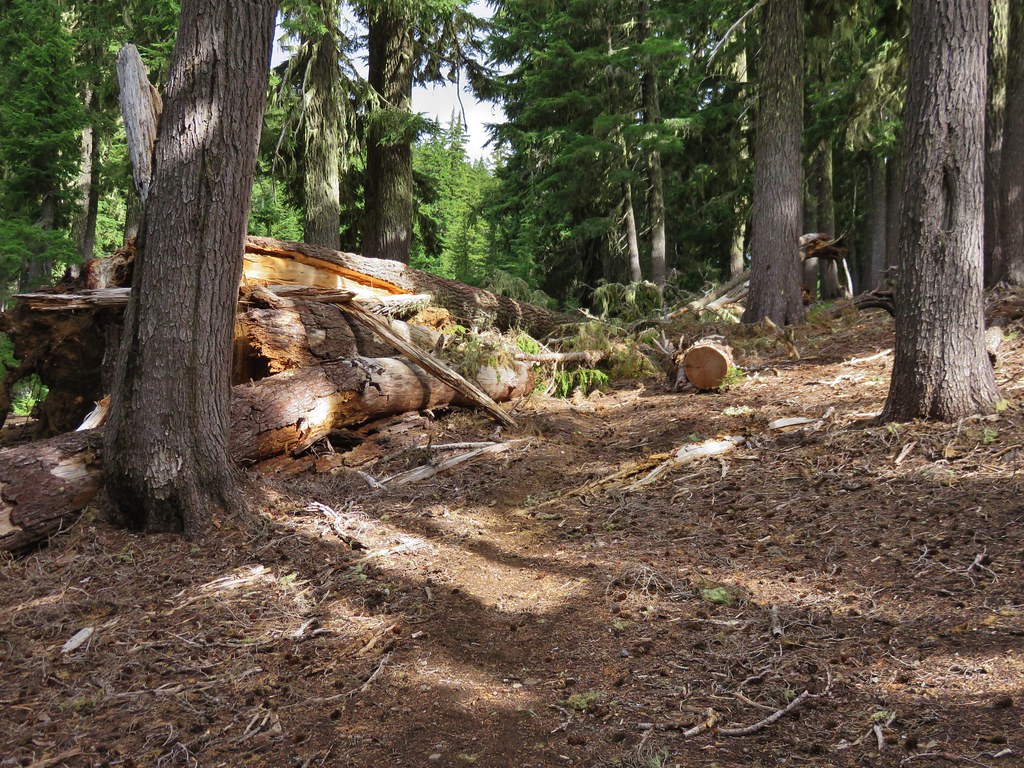
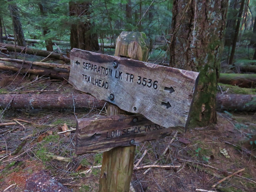
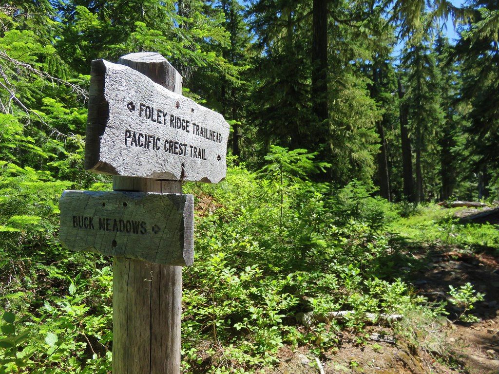
The trail left the wilderness just before reaching the junction. At the junction there were signs and flagging up for a trail run that was happening that morning. We had seen the runners preparing for the race when we were driving to the trailhead and had wondered where their course was. A runner was just passing the junction as we arrived and we cheered him on before continuing. We were a little distracted by the signs and runners and wound up taking the wrong trail. We had meant to take the first trail on the right but had not seen the correct one as the race organizers had laid some branches down across it so the runners wouldn’t take a wrong turn. We were on the race course now heading in the opposite direction of the runners. We moved and offered support as they passed by. We hadn’t gone too far before we both began to get the feeling we had taken the wrong path at the junction. A quick check of the GPS confirmed our suspicions and we hustled back to the junction.
IMG_8577//embedr.flickr.com/assets/client-code.js

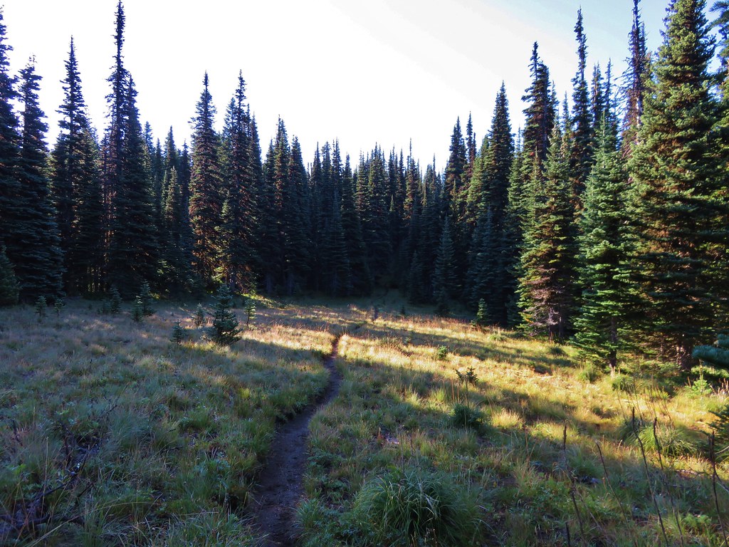
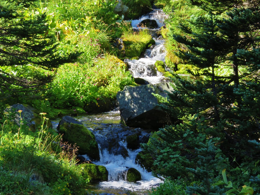
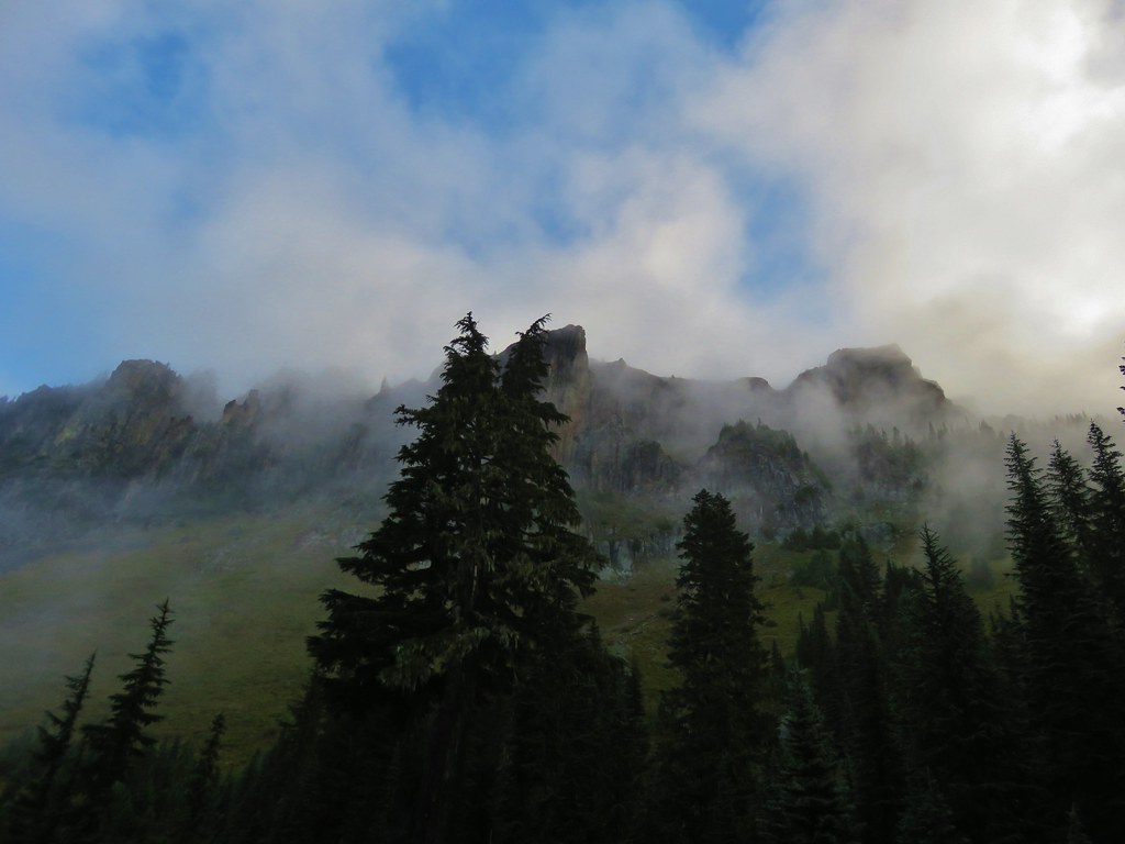
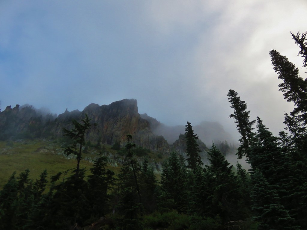
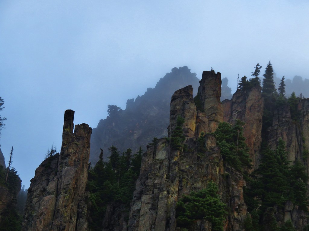
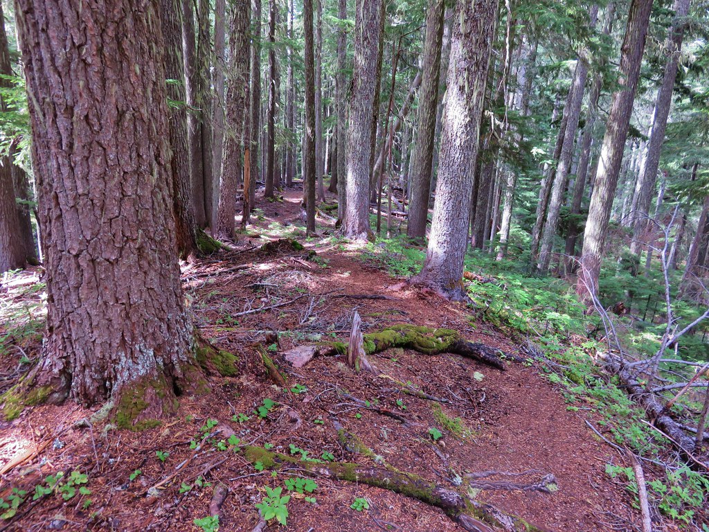
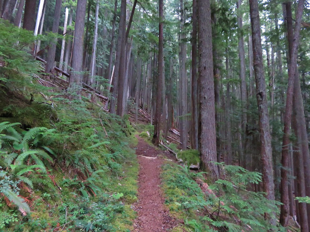
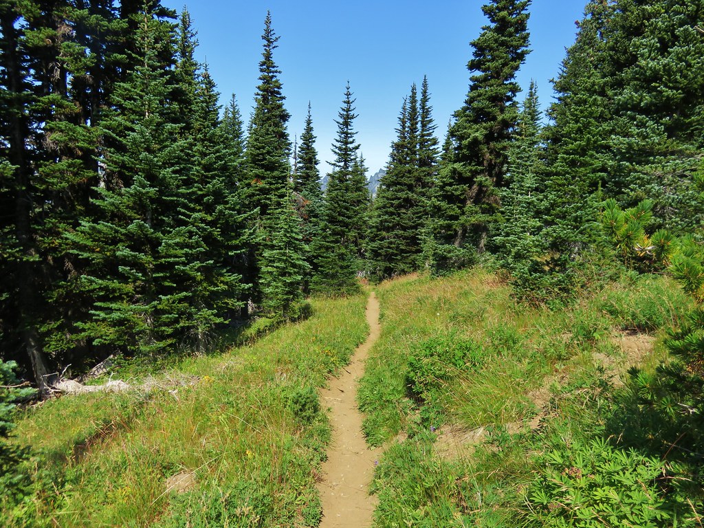
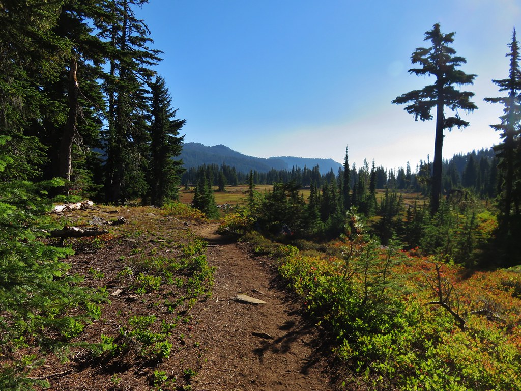
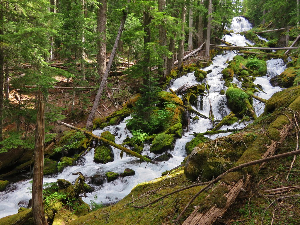
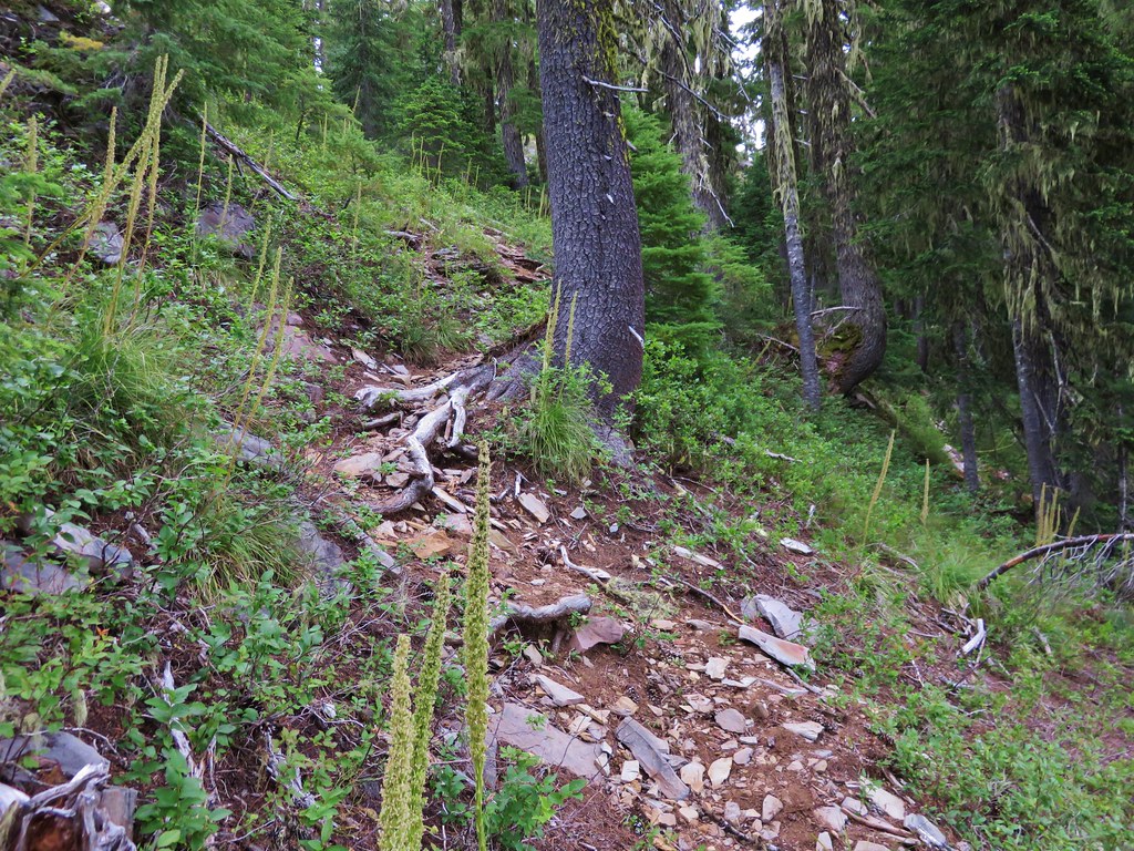
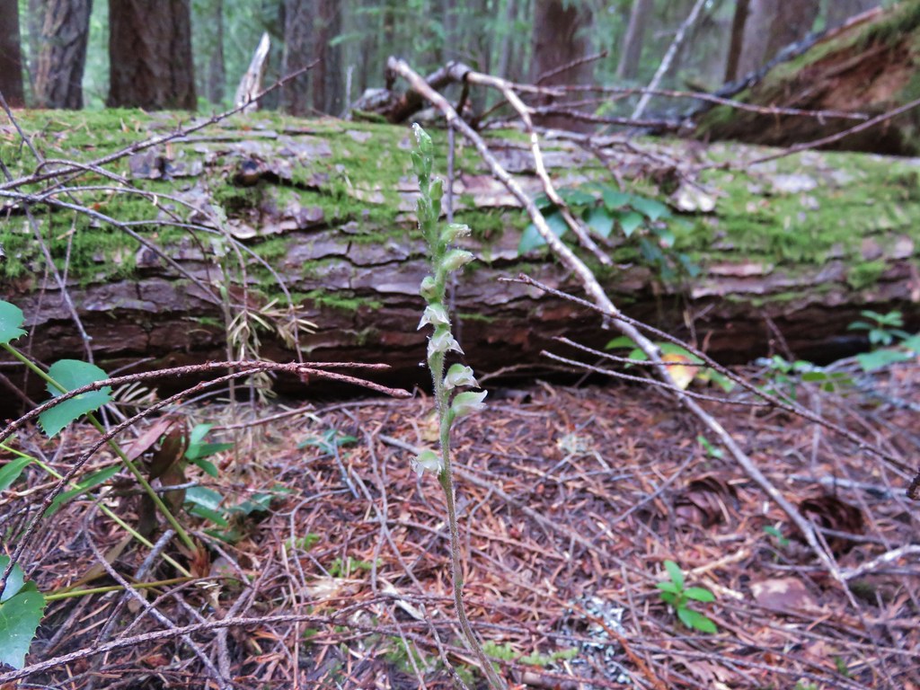
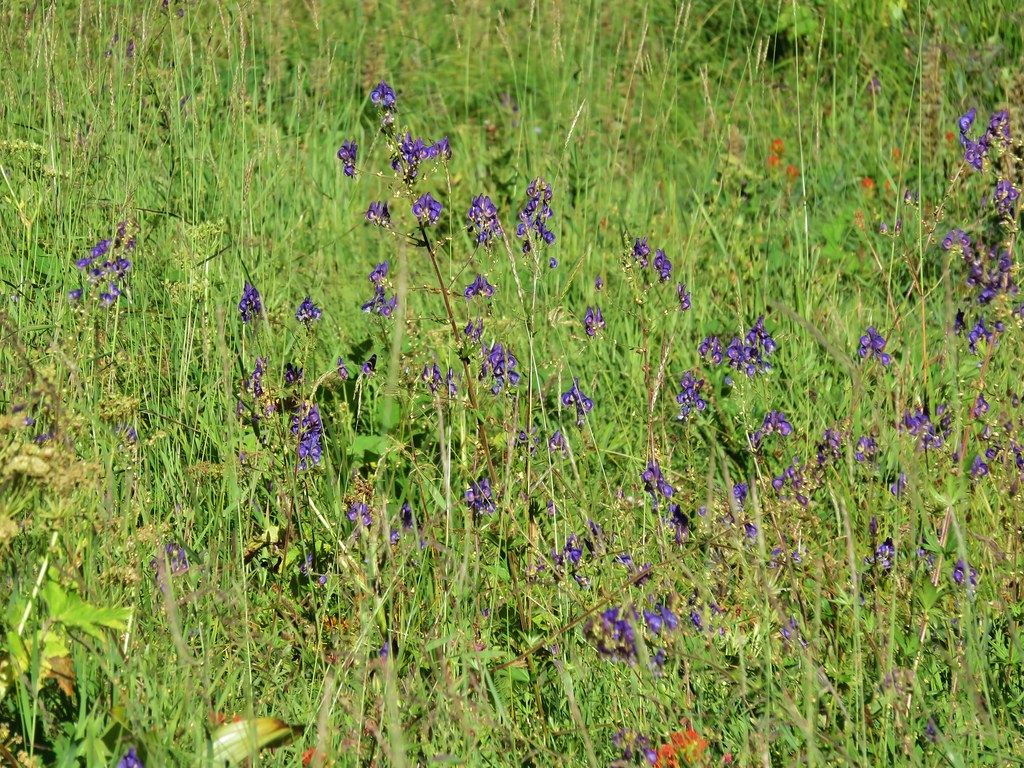
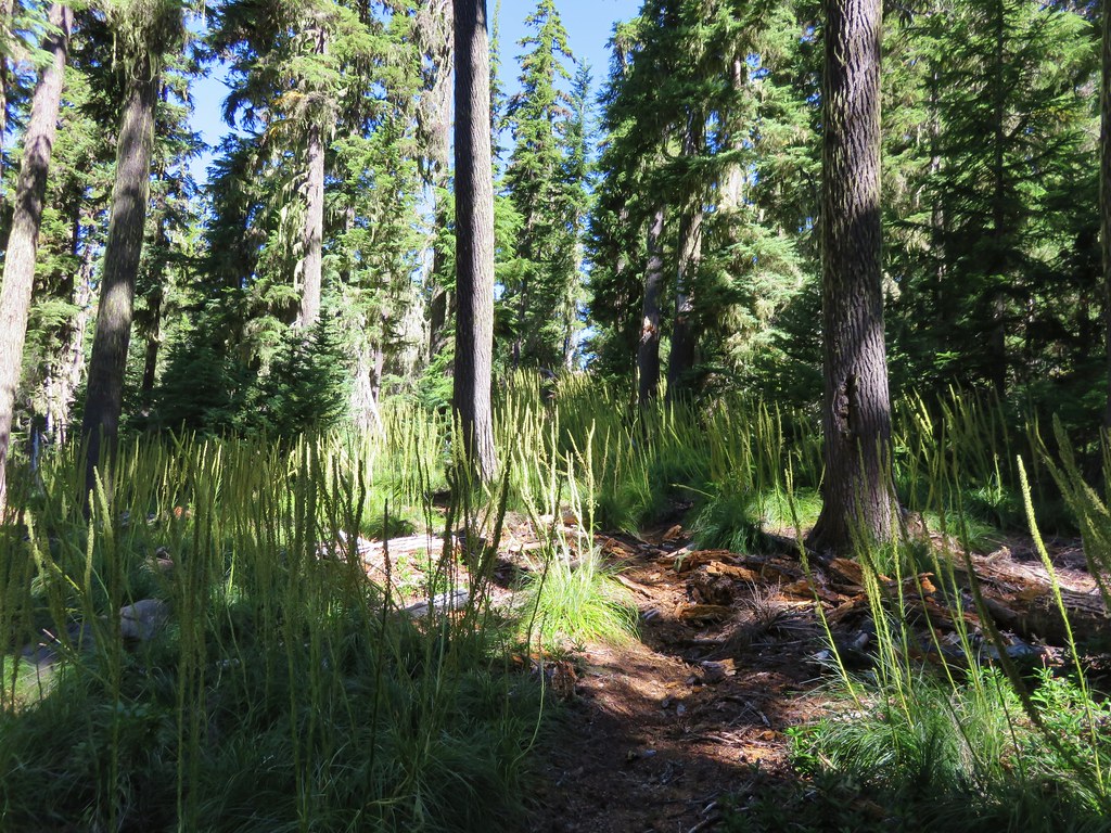
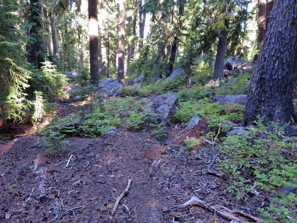
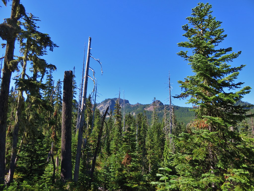
This time we saw the partly obscured path and headed toward Black Meadows. We reentered the wilderness and climbed up and over a ridge.
IMG_8580//embedr.flickr.com/assets/client-code.js

IMG_8583//embedr.flickr.com/assets/client-code.js

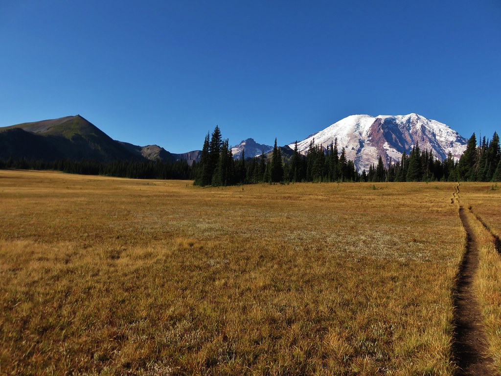
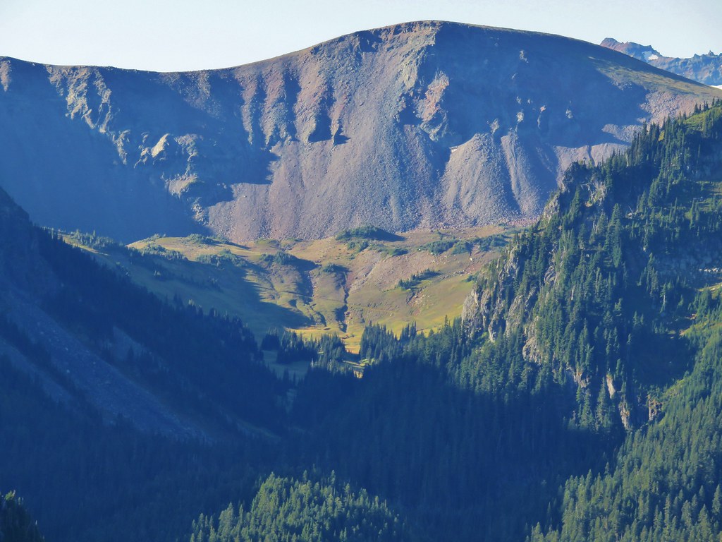
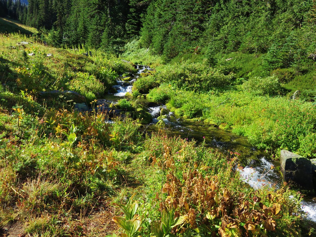
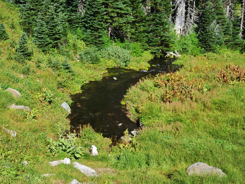
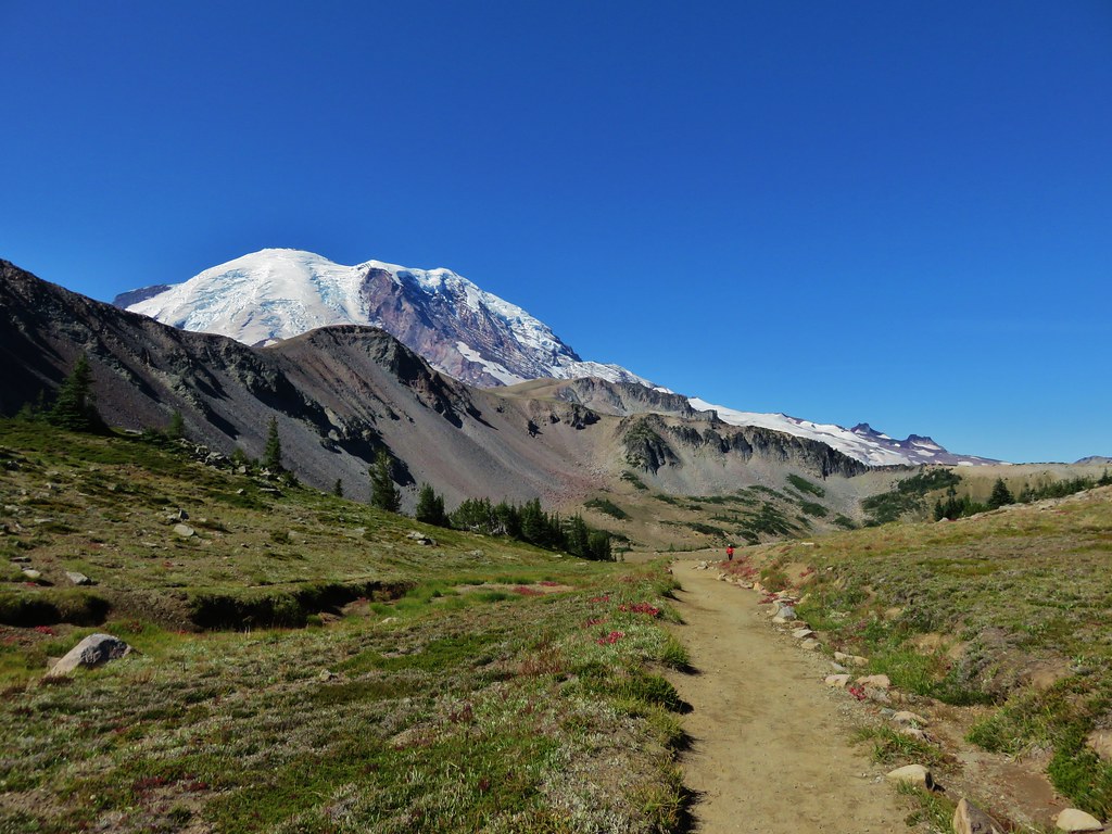
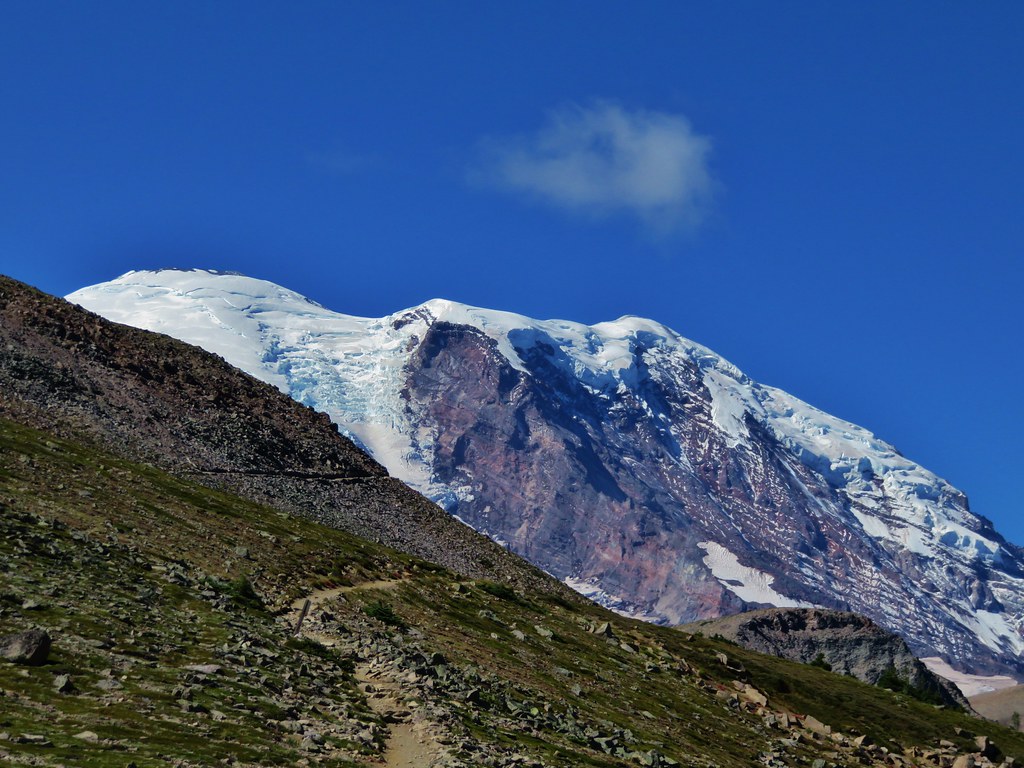
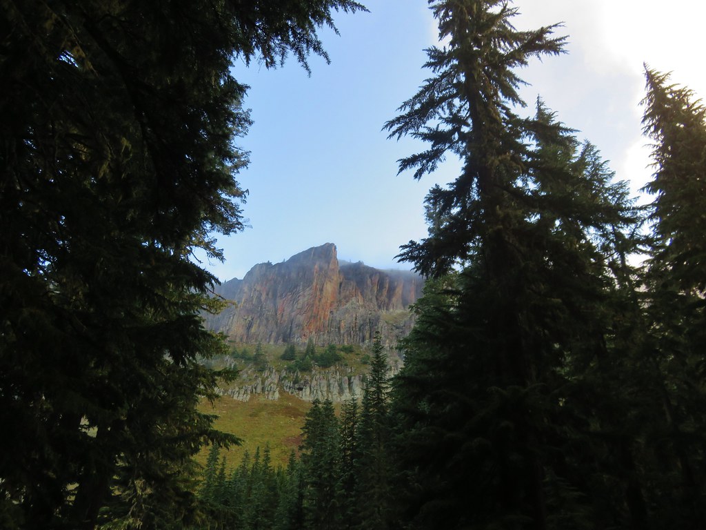
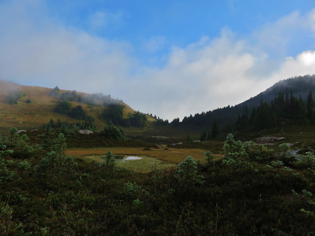
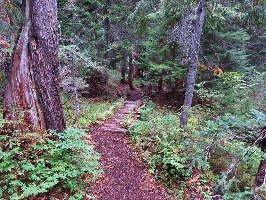
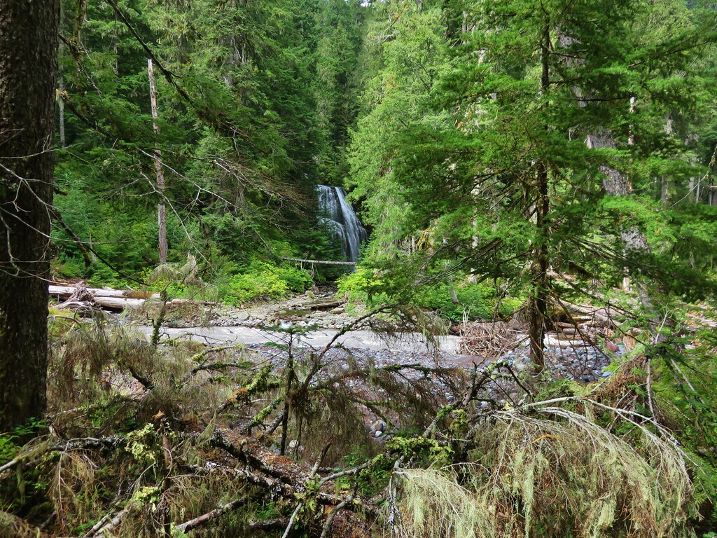
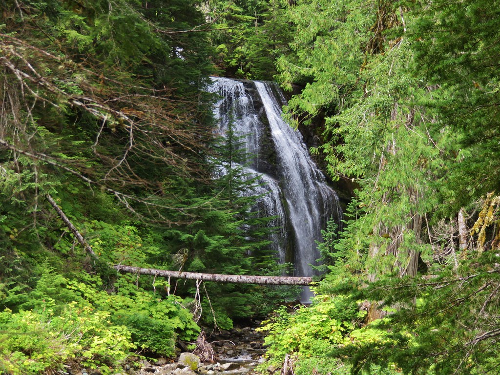
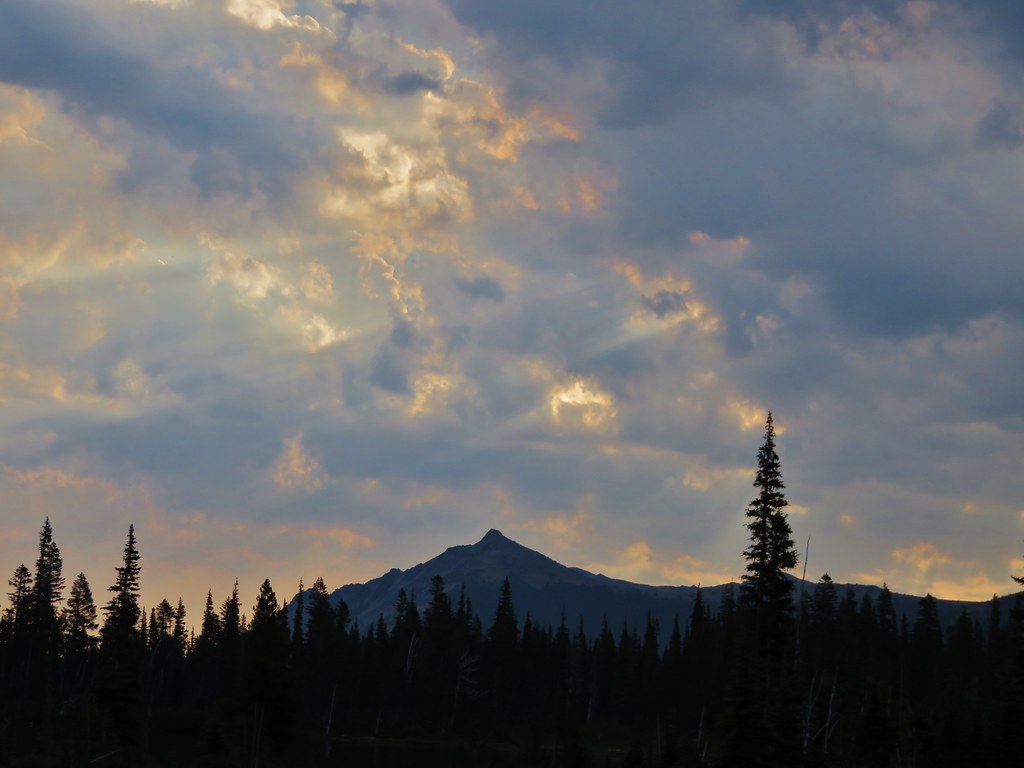
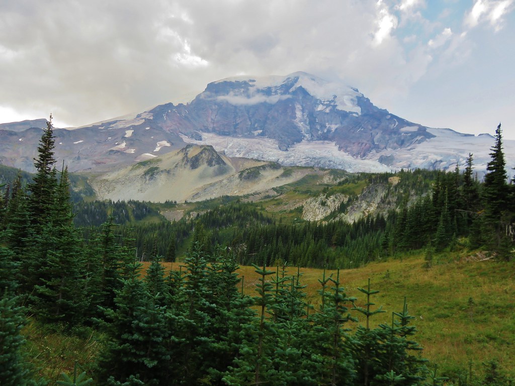
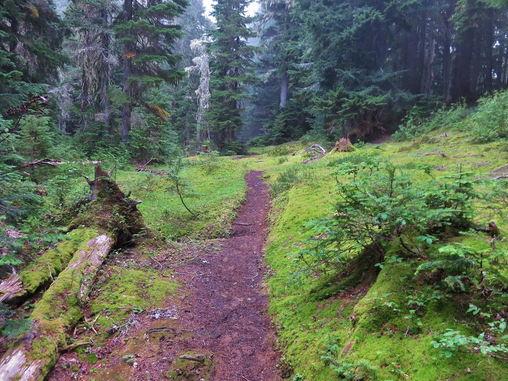
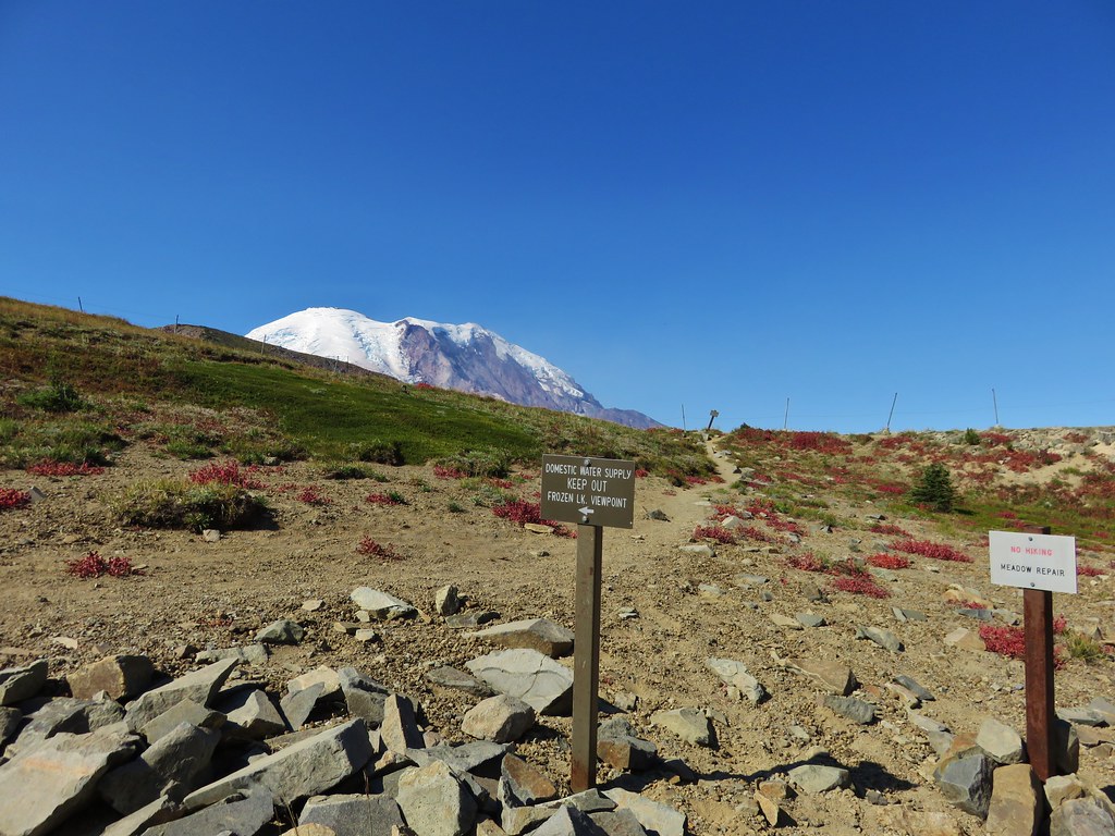
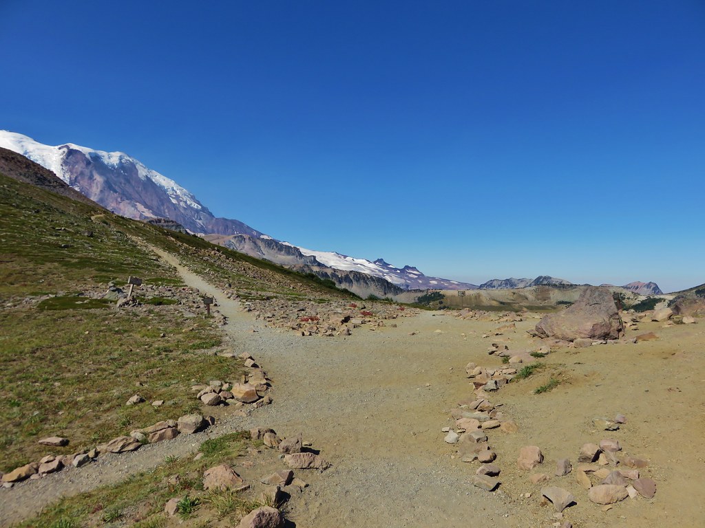
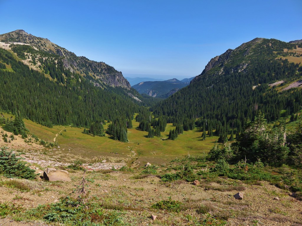
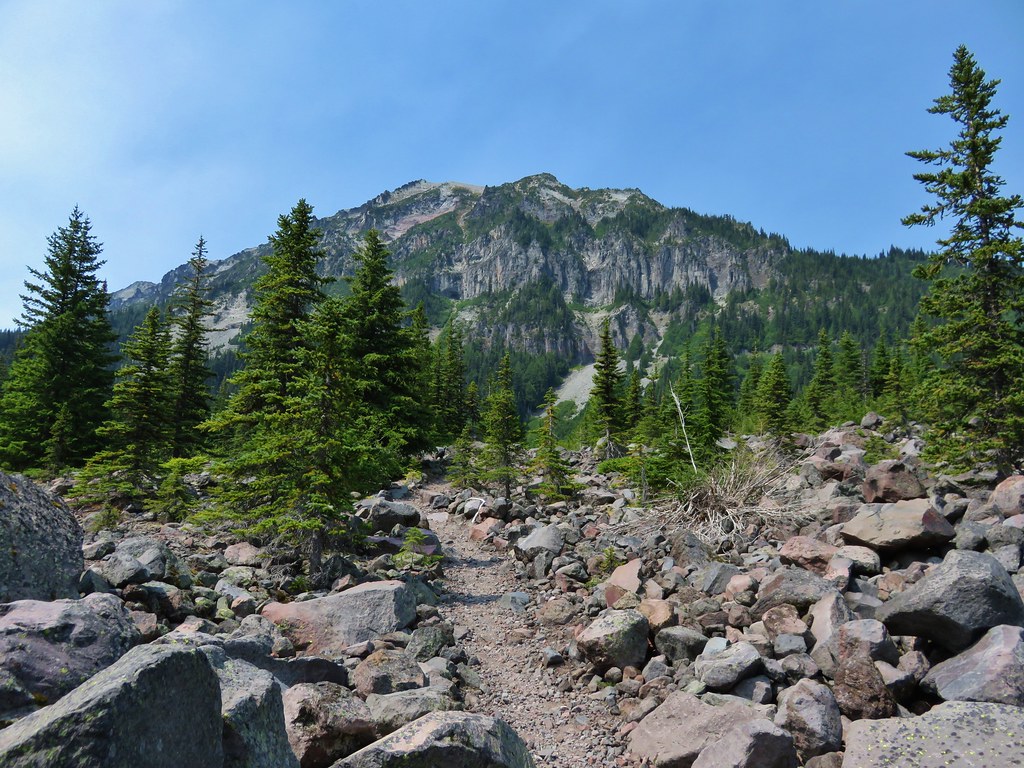
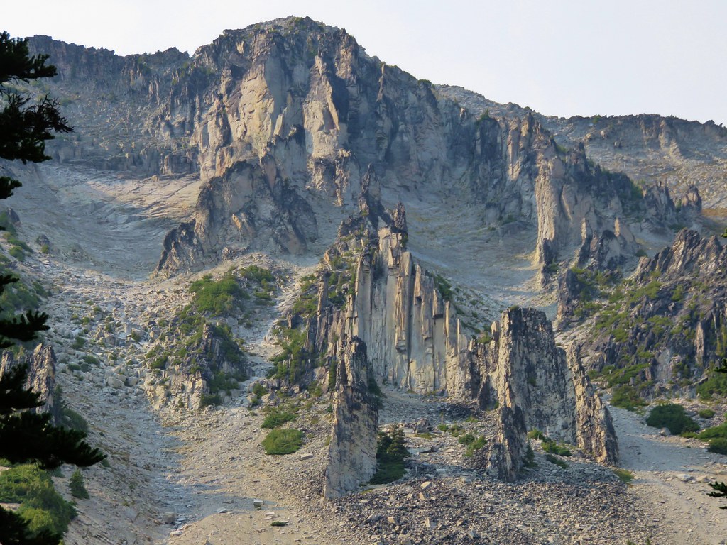
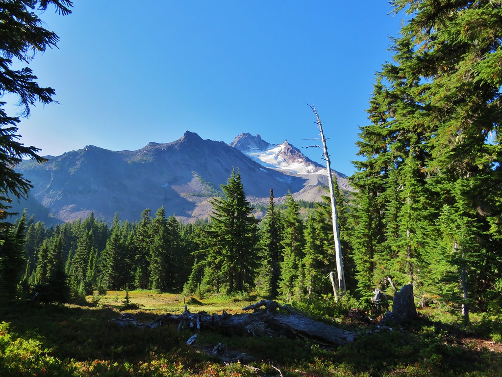
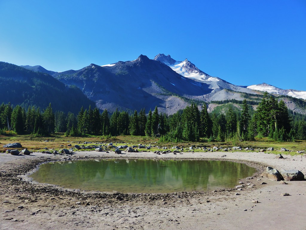
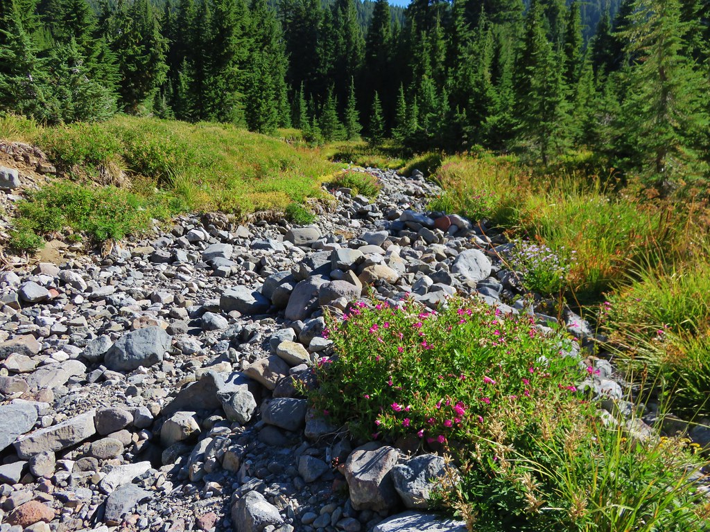
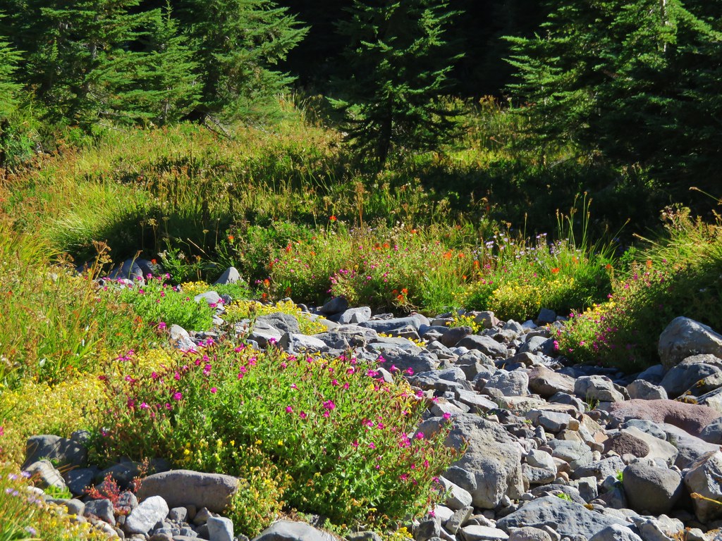
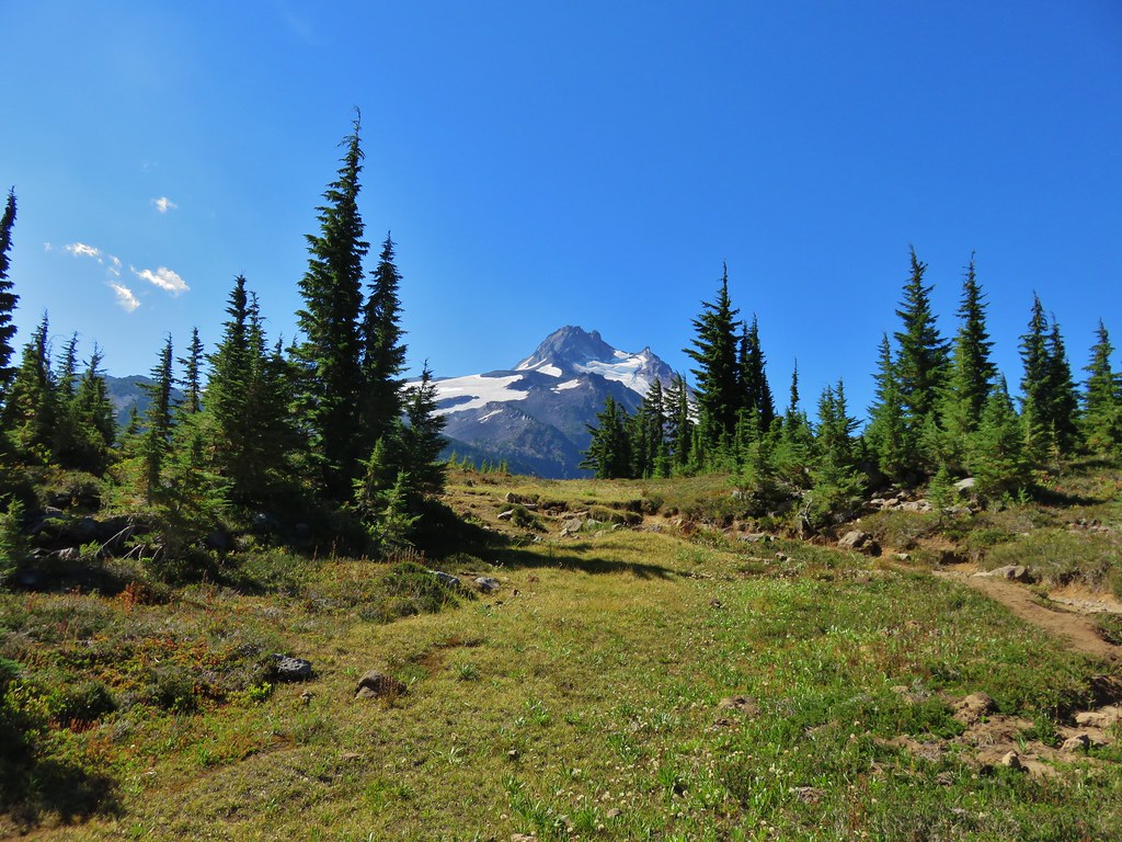
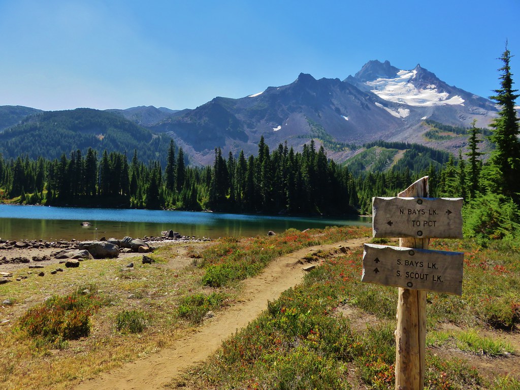
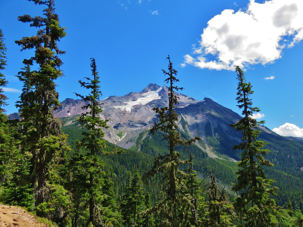
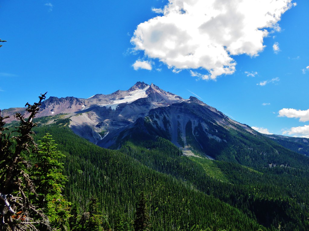
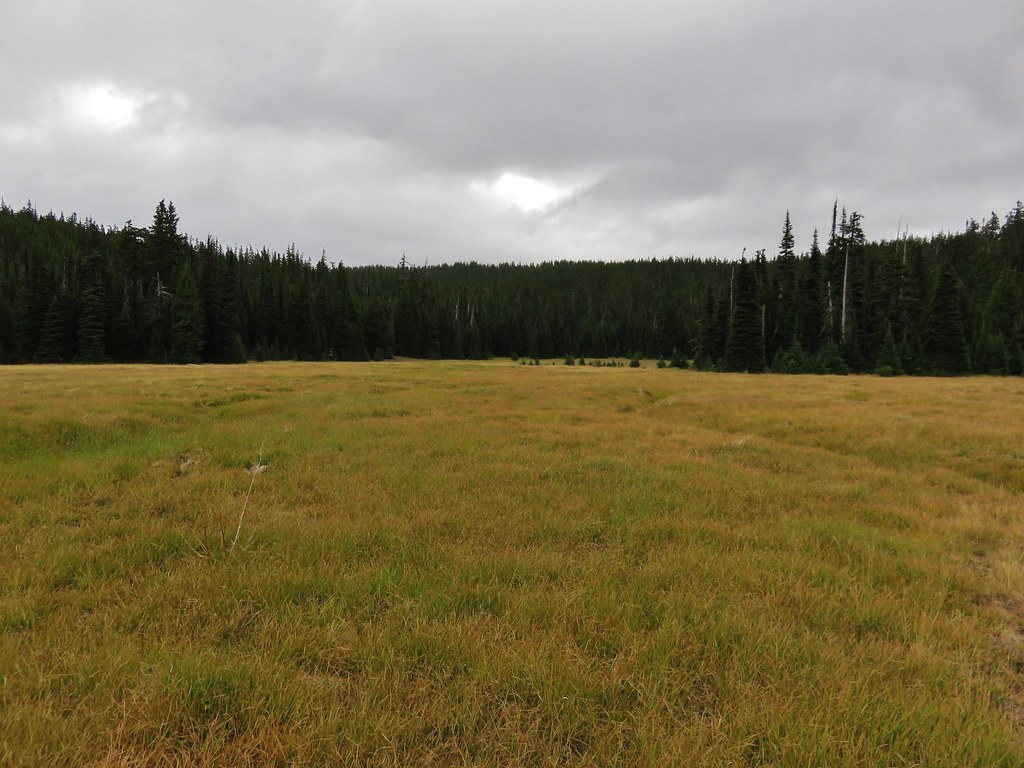
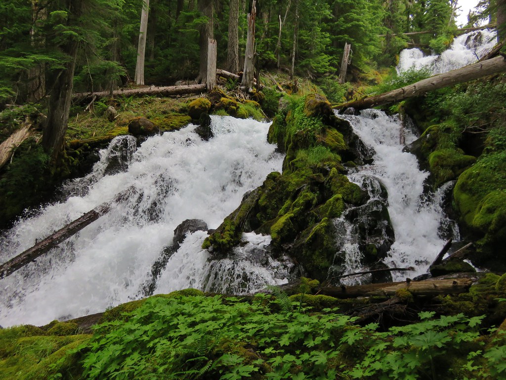
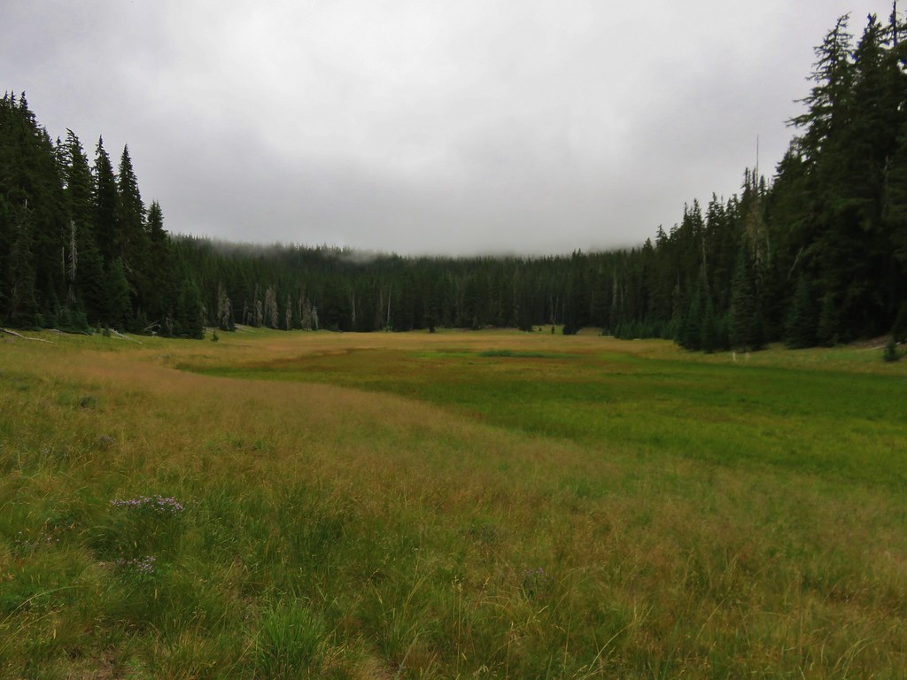
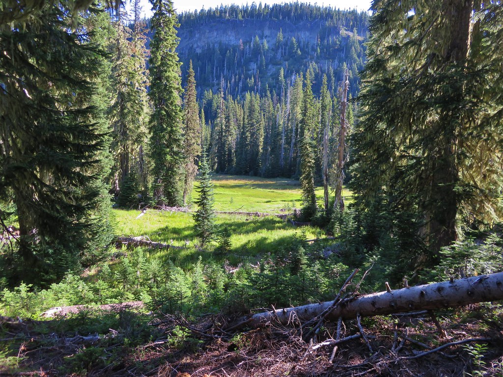
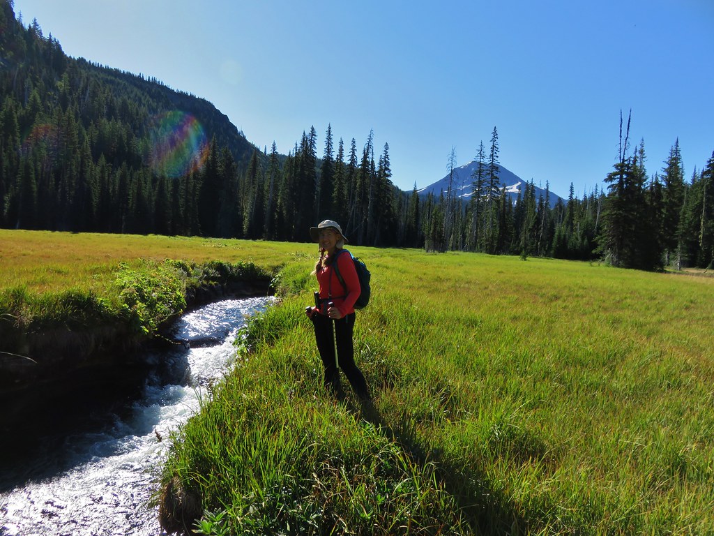
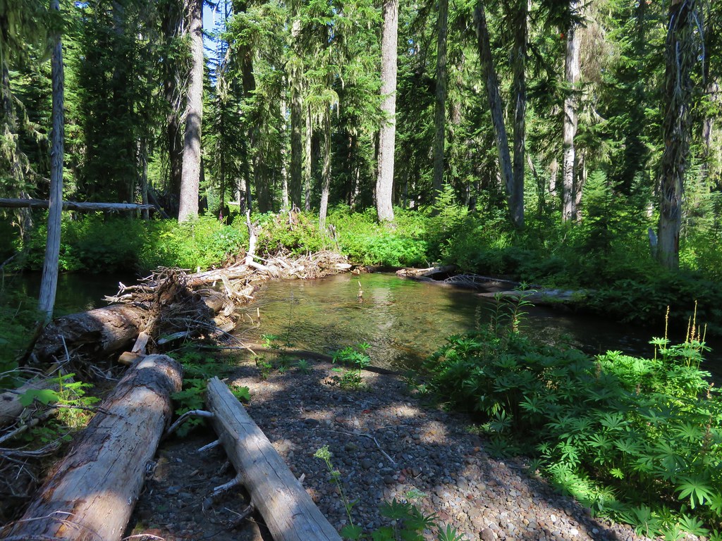
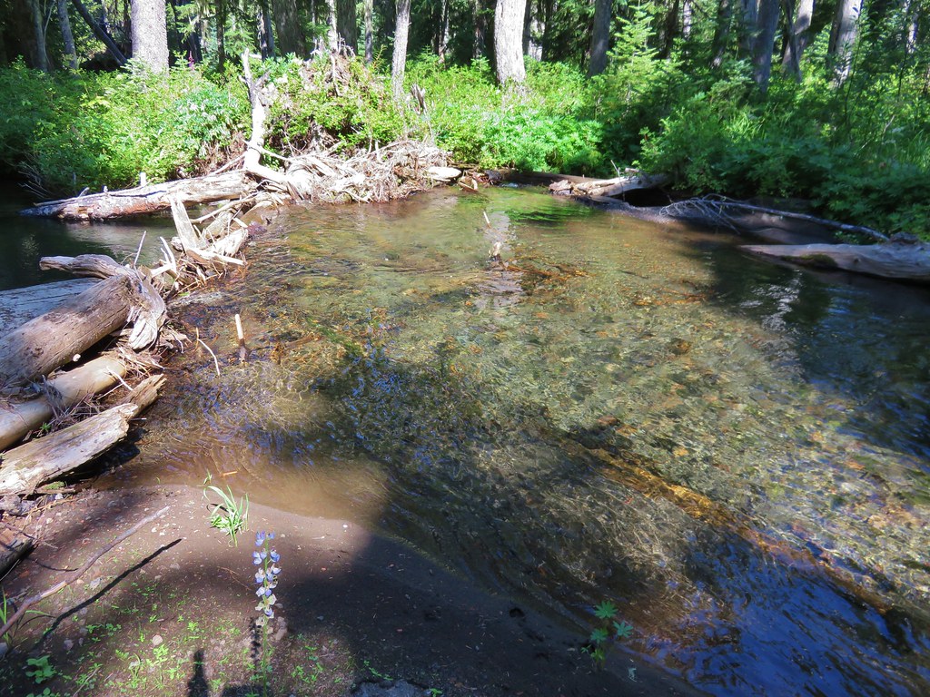
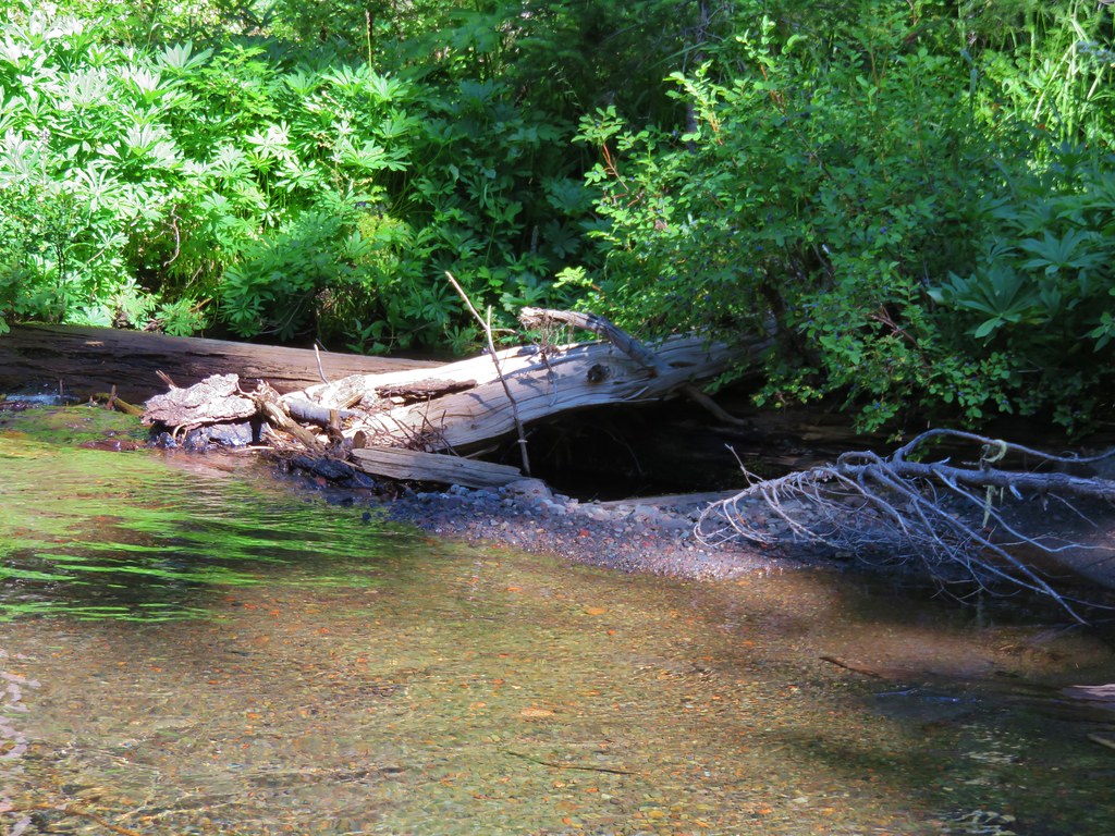
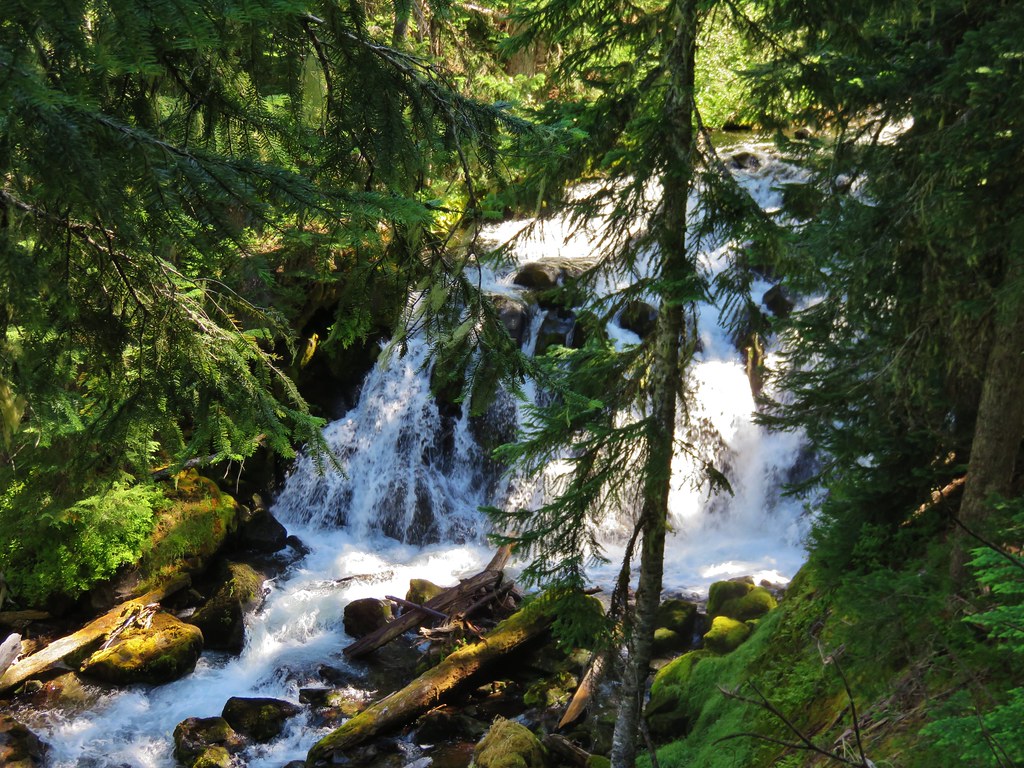
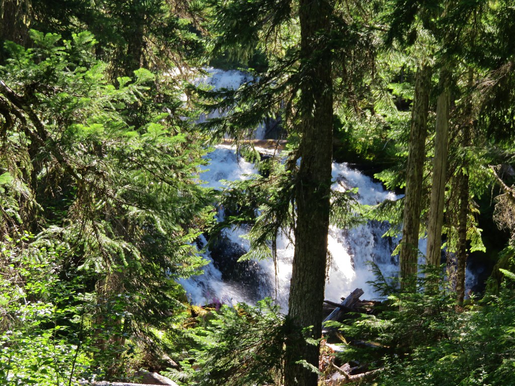
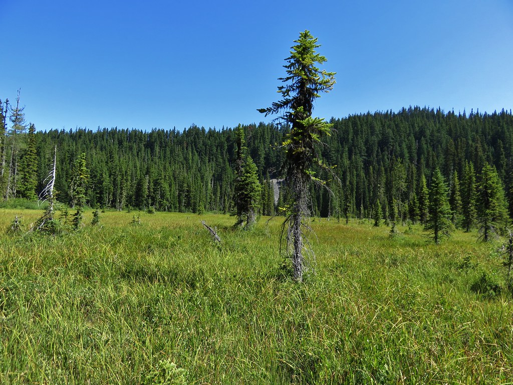
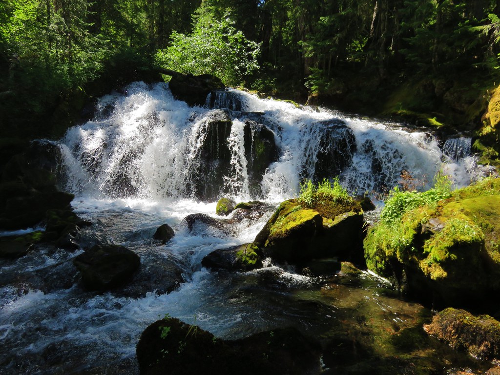
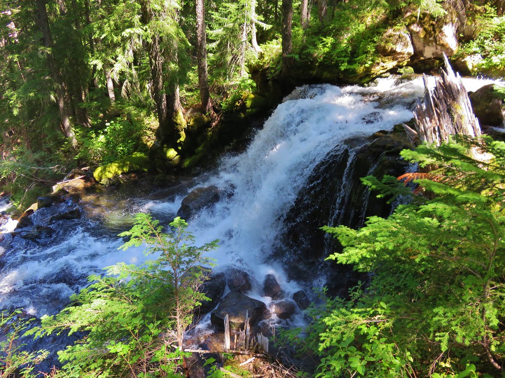
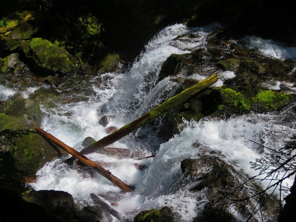
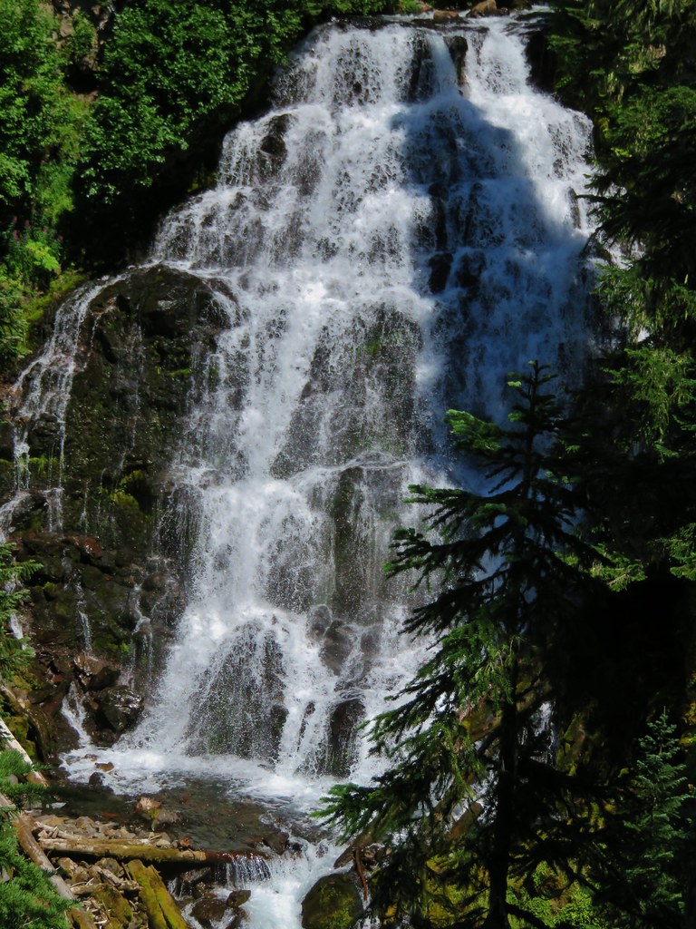
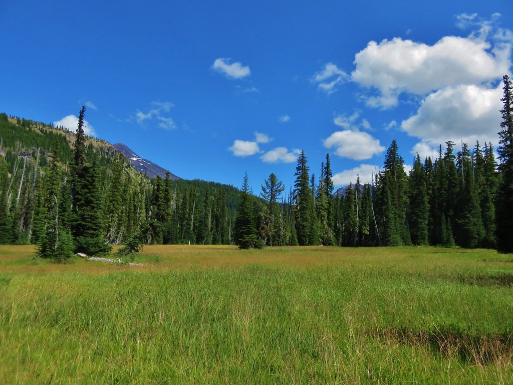
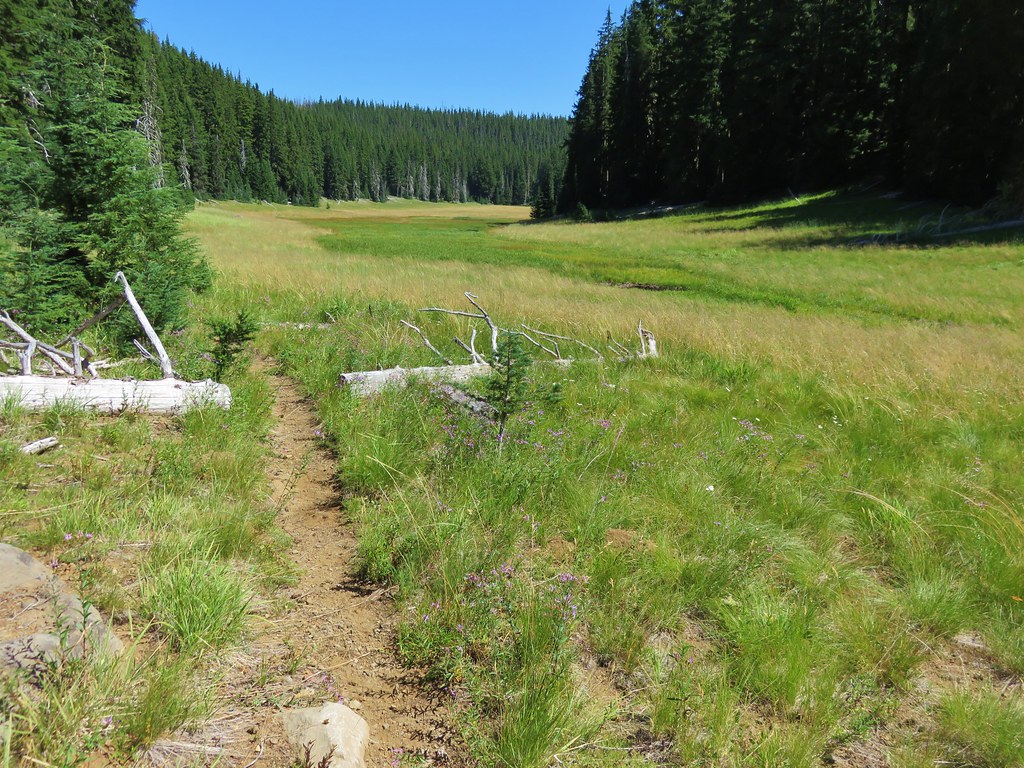
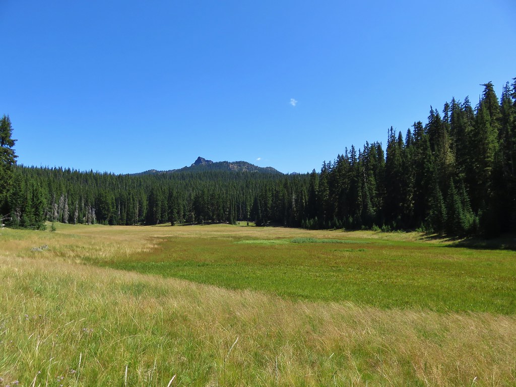
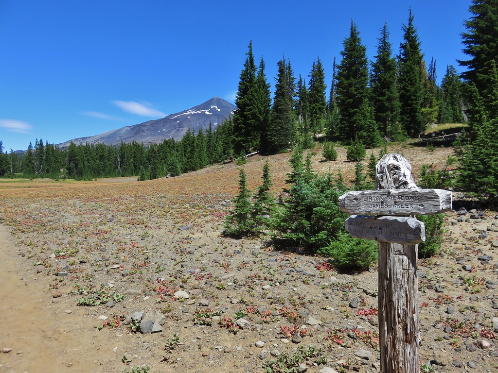
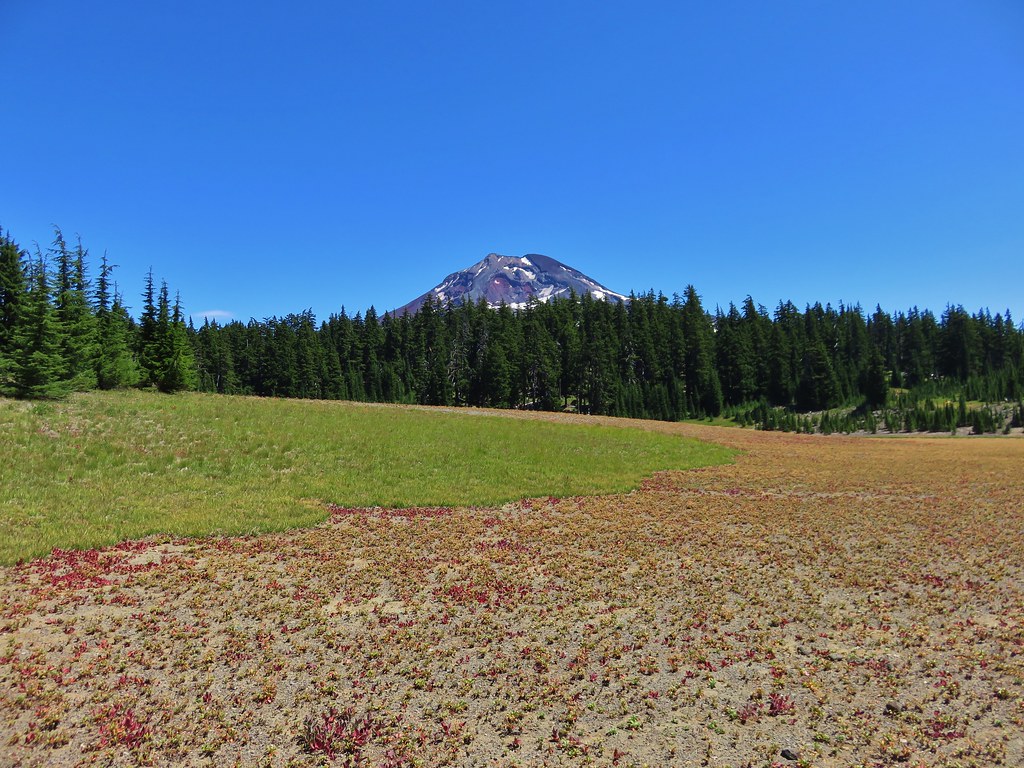
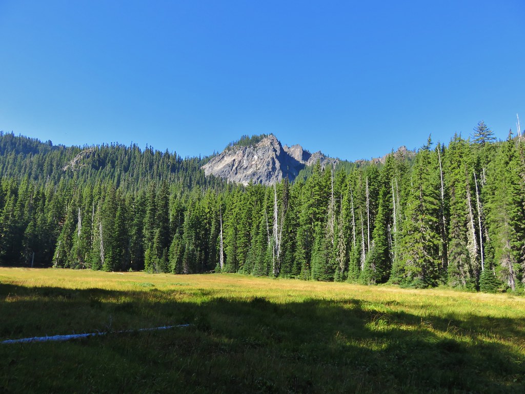
The trail led down to Black Meadows at the base of Fuji Mountain (A hike we did in October of 2013 https://wanderingyuncks.wordpress.com/2013/10/09/fuji-mountain/).
IMG_8585//embedr.flickr.com/assets/client-code.js

IMG_8588//embedr.flickr.com/assets/client-code.js

IMG_8593//embedr.flickr.com/assets/client-code.js

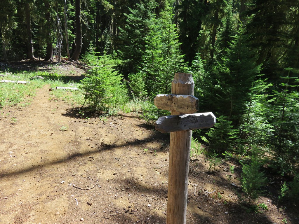
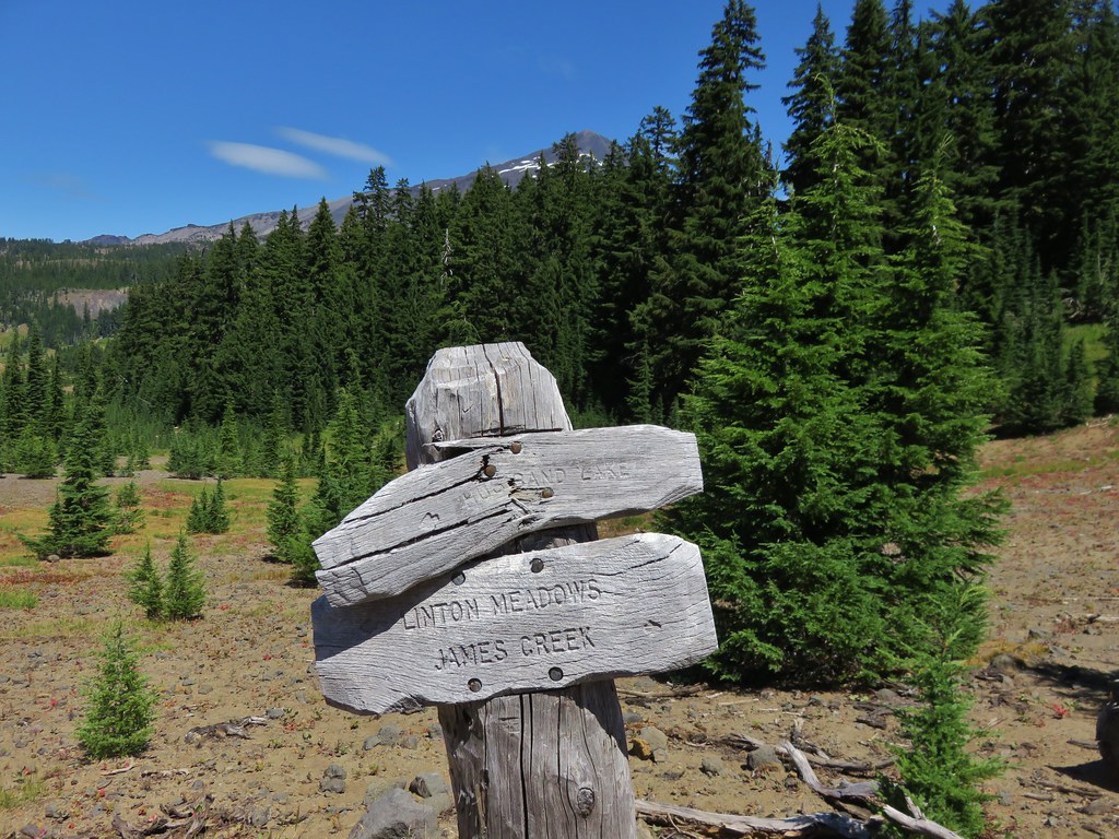
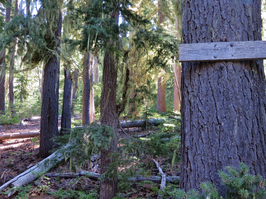
On the far end of the meadows we arrived at the High Divide Trail. This trail starts at Road 381 and leads to the Shore Trail along Waldo Lake.
IMG_8594//embedr.flickr.com/assets/client-code.js

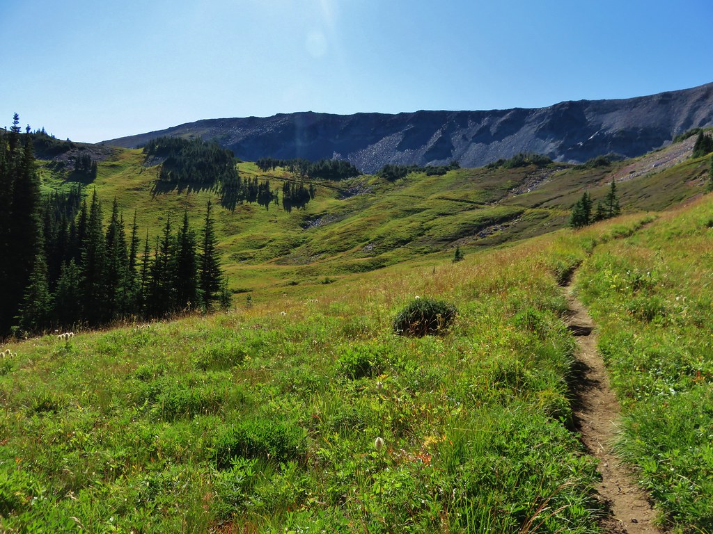
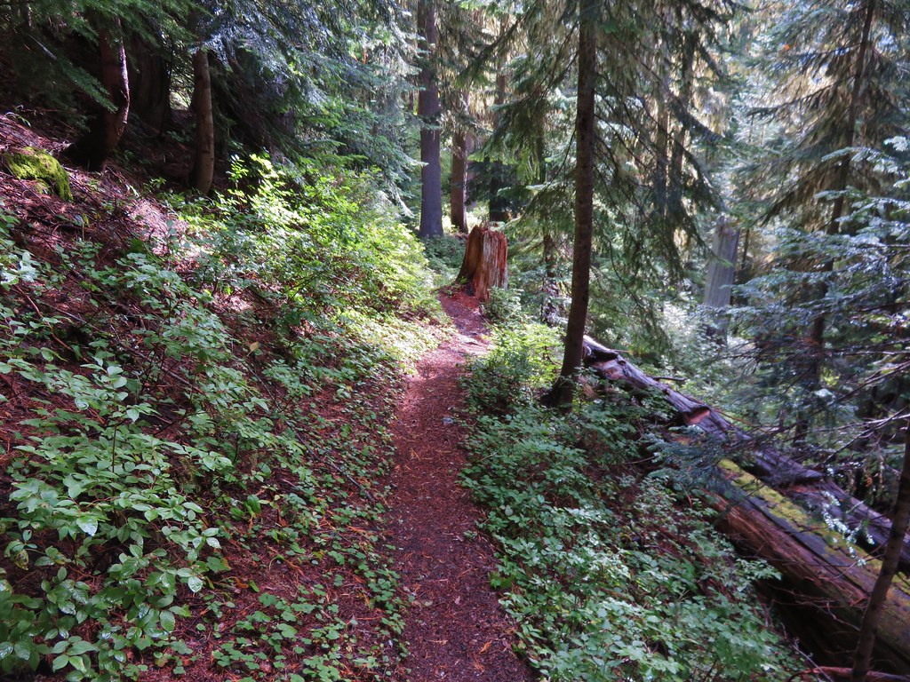
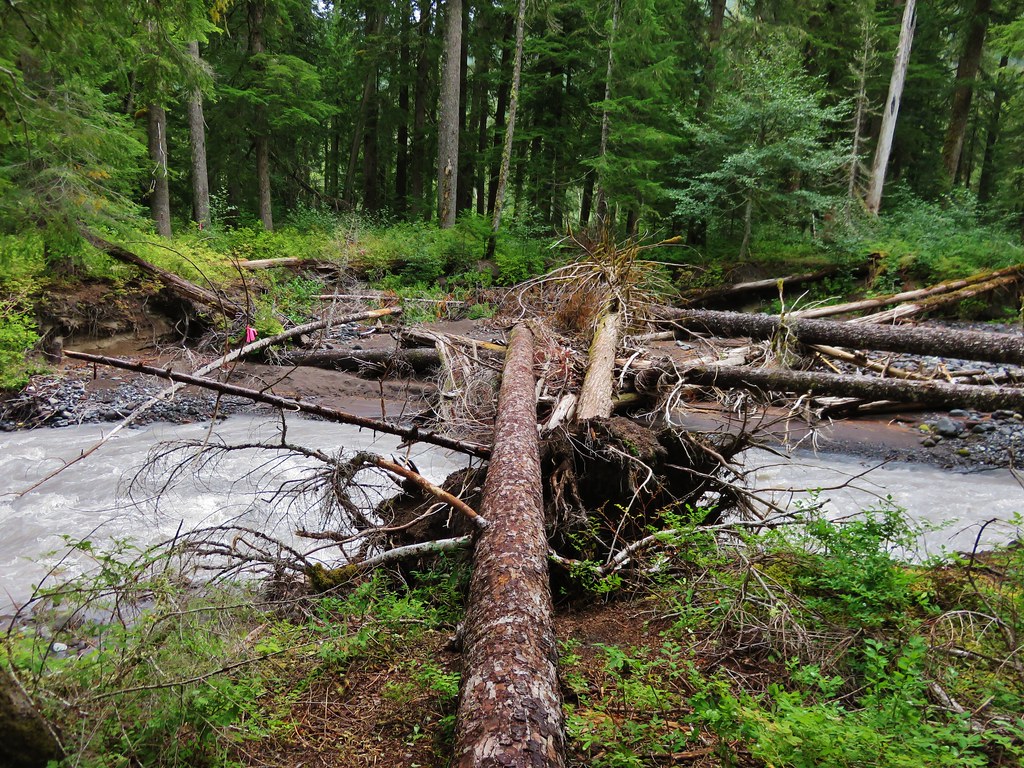
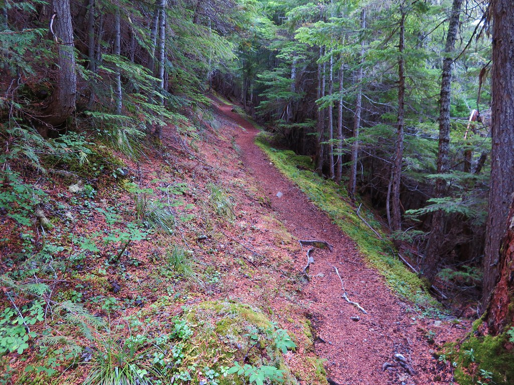
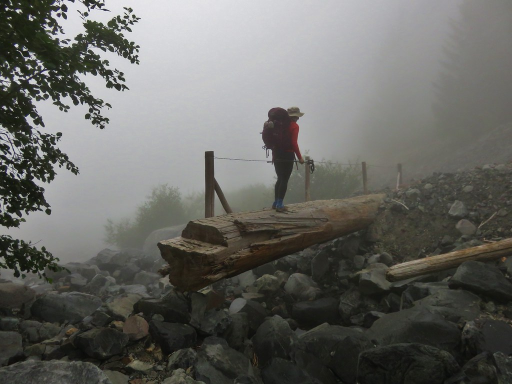
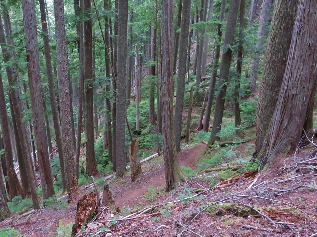
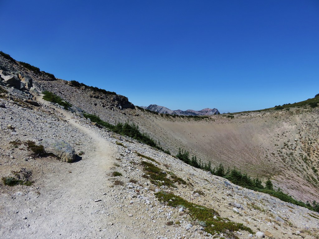
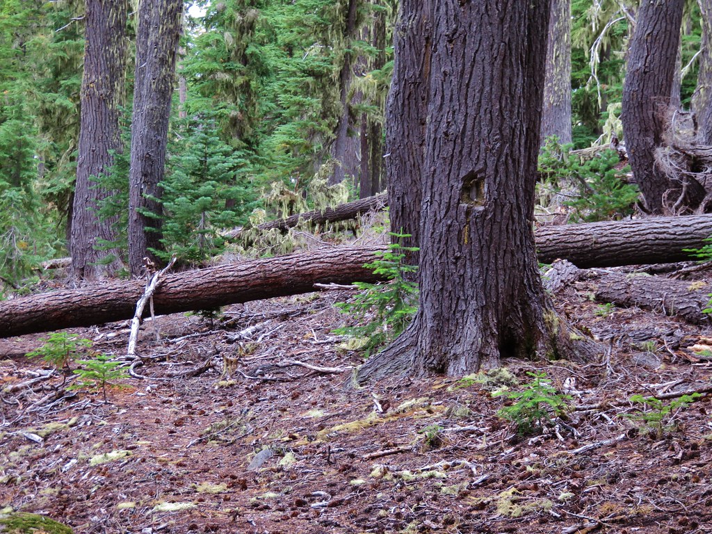
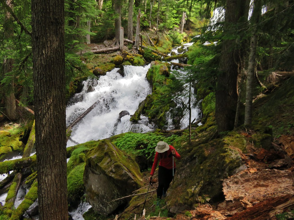
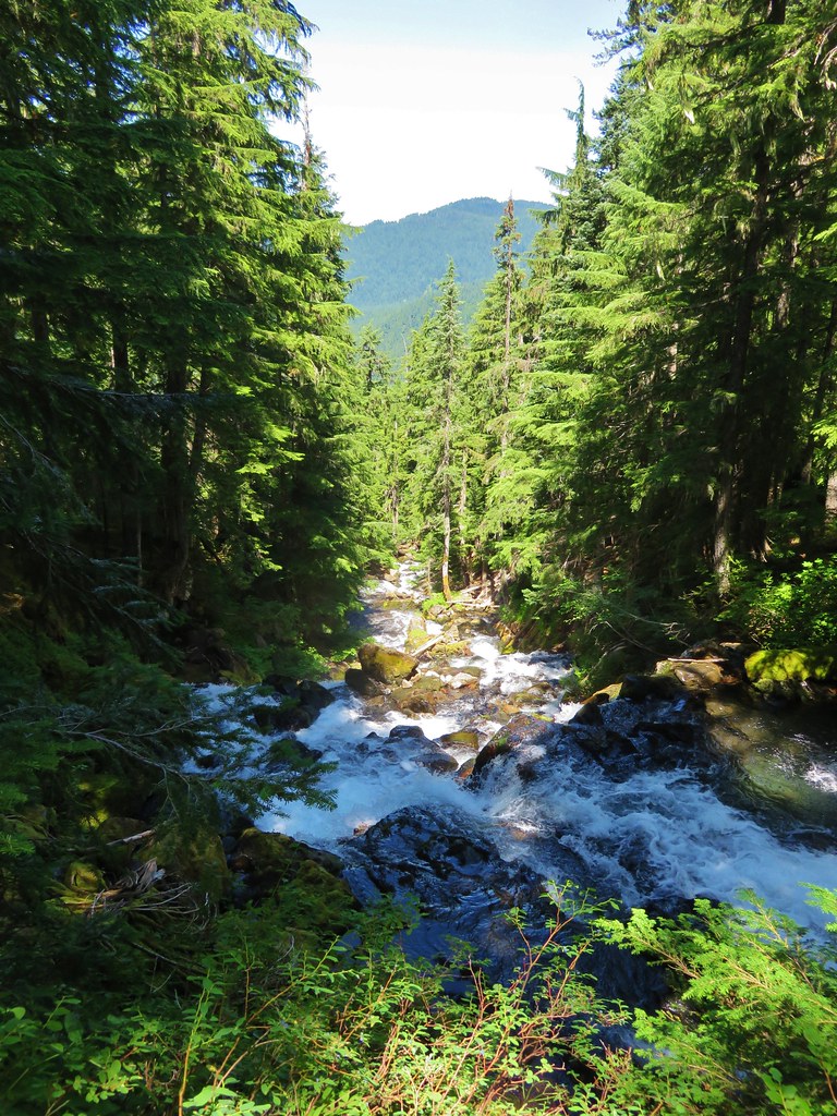
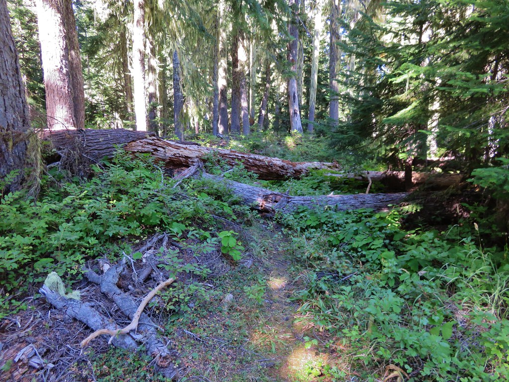
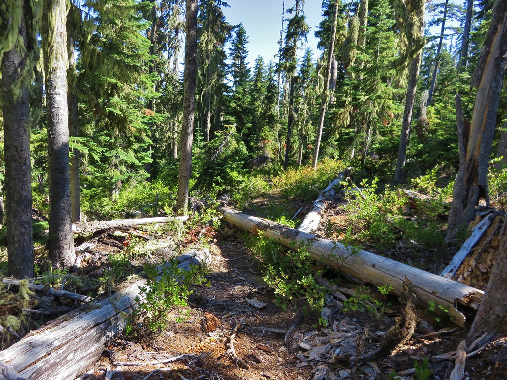
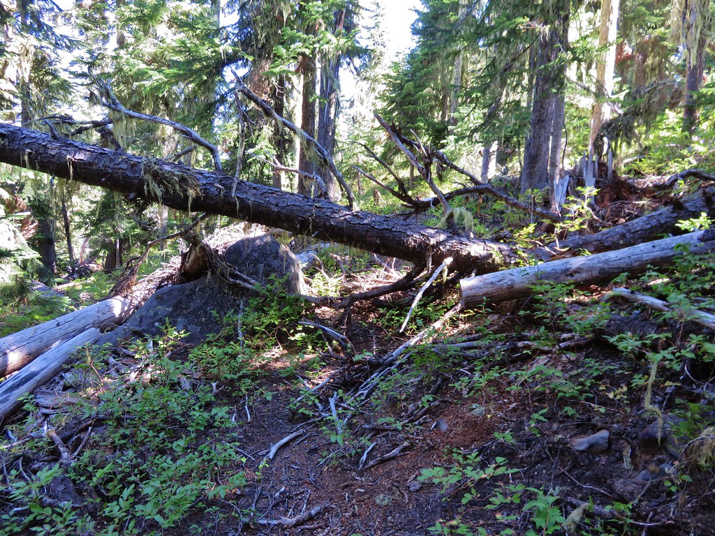
We turned right on the High Divide Trail toward Waldo Lake and began to climb up toward Bingo Lake. The trail had quite a few downed trees across it but none were too difficult to go over or around.
IMG_8596//embedr.flickr.com/assets/client-code.js

IMG_8600//embedr.flickr.com/assets/client-code.js

IMG_8602//embedr.flickr.com/assets/client-code.js

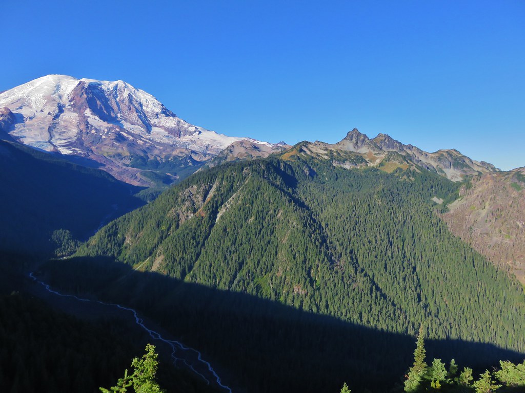
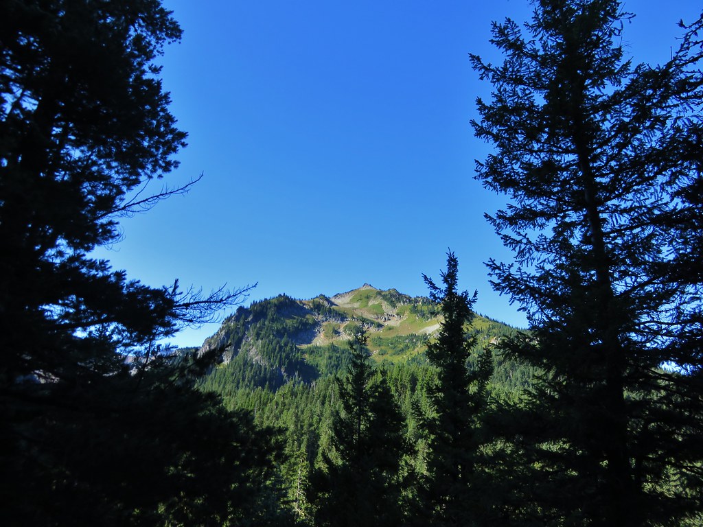
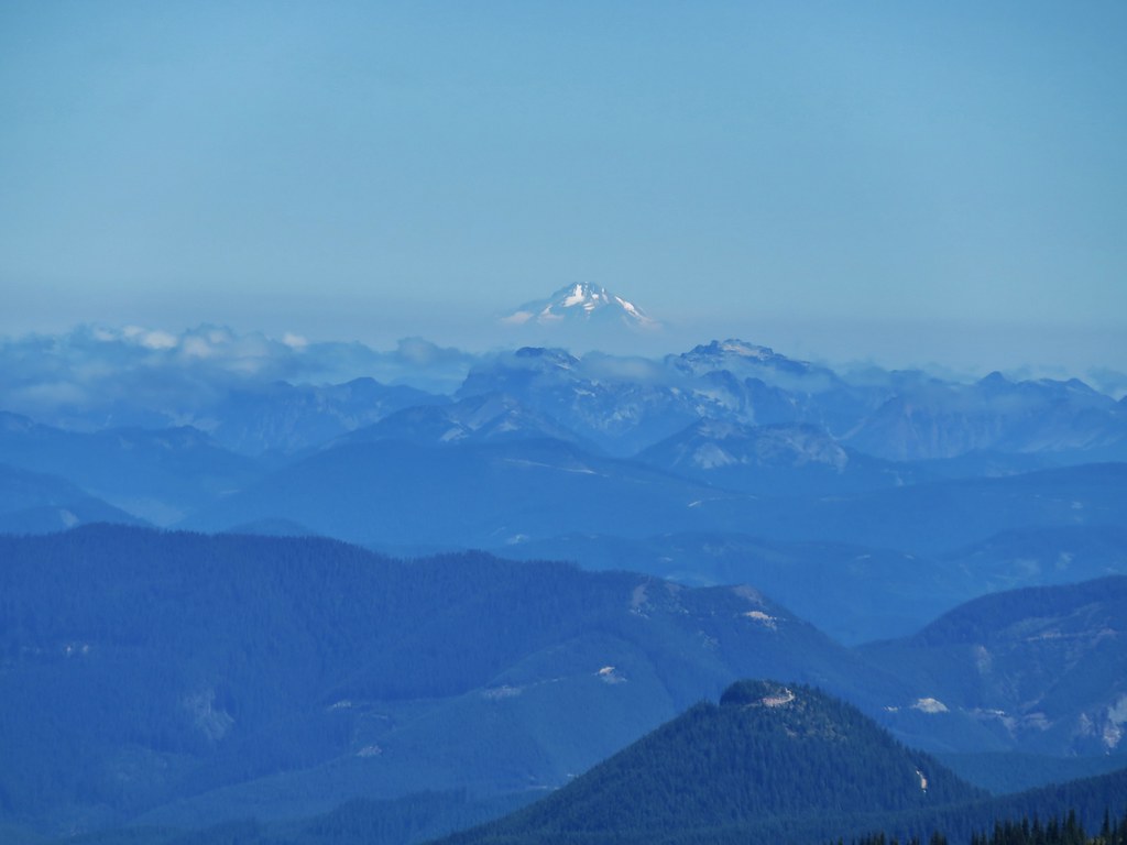
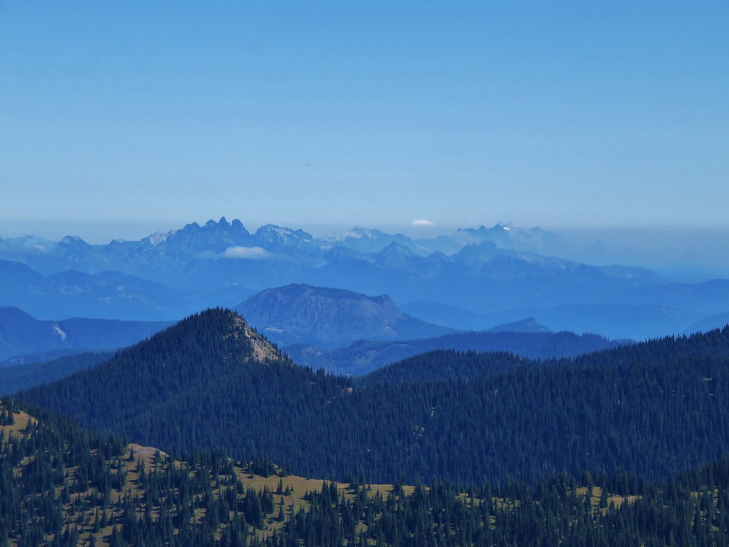
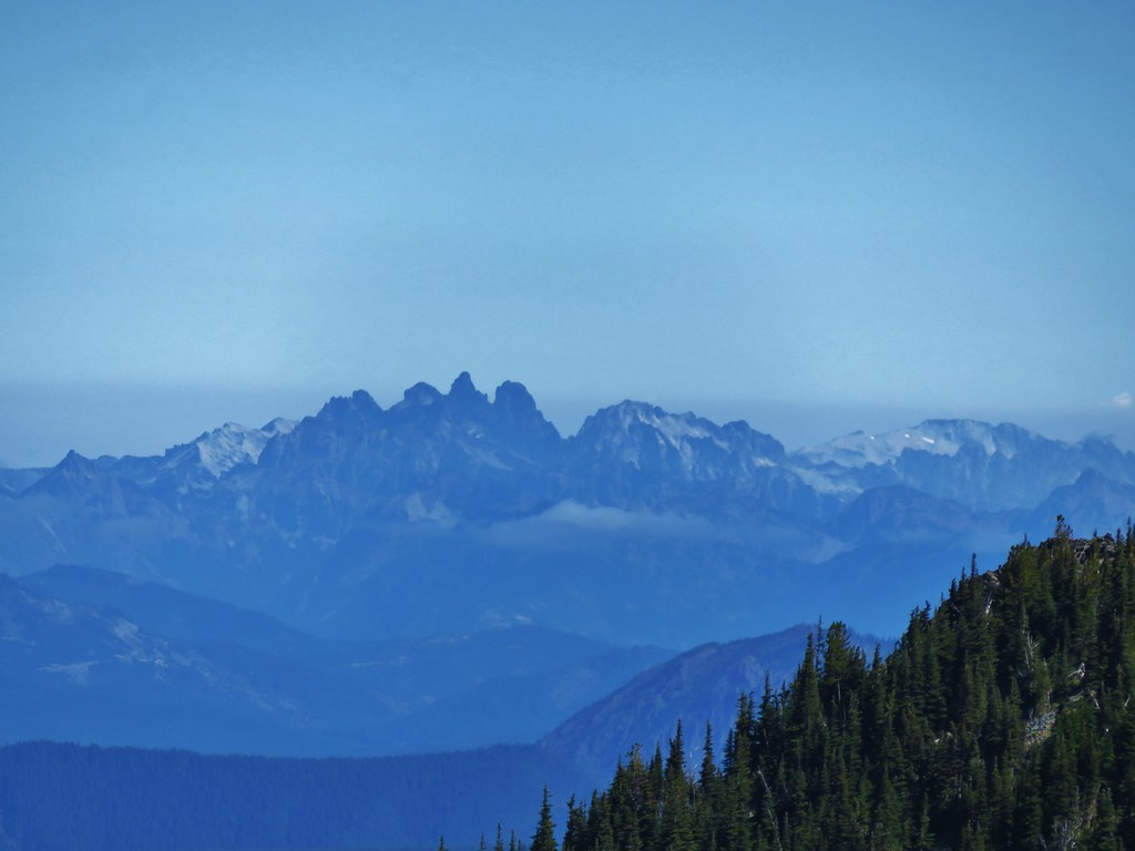
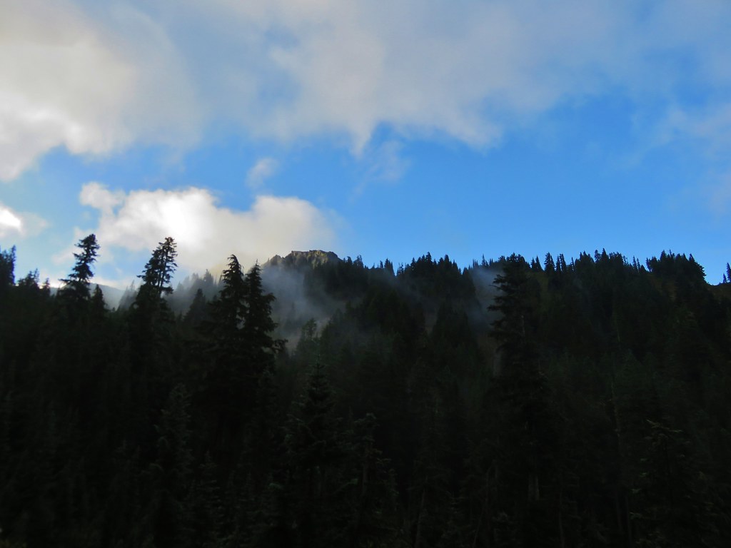
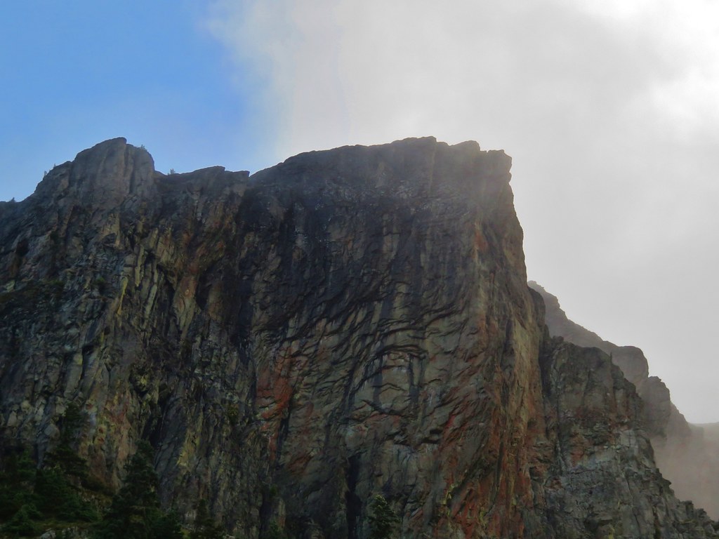
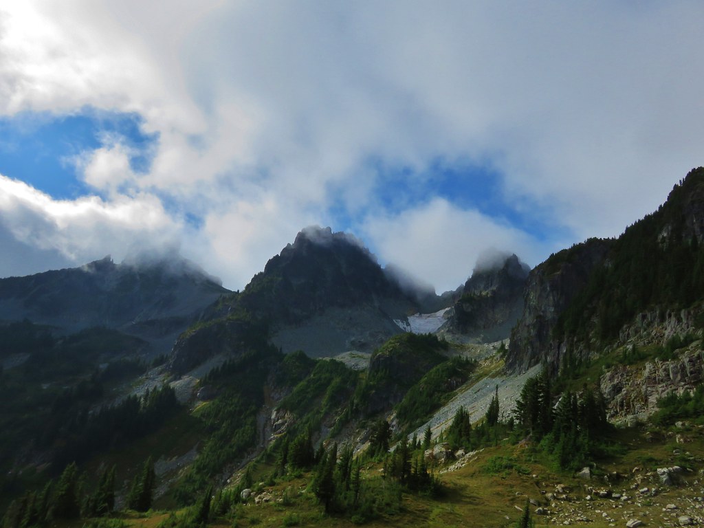
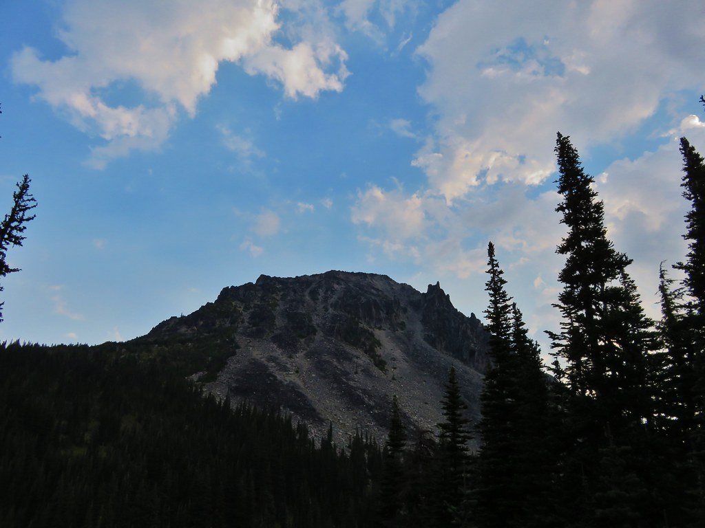
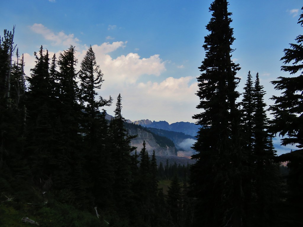
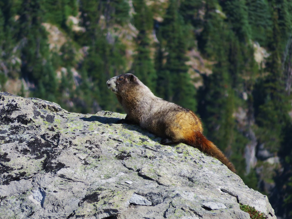
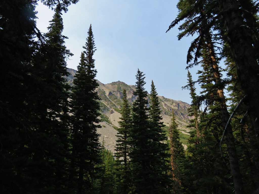
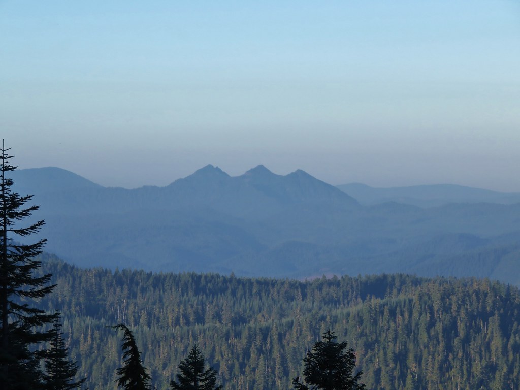
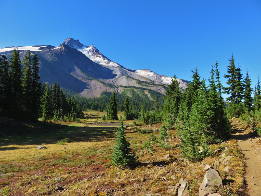
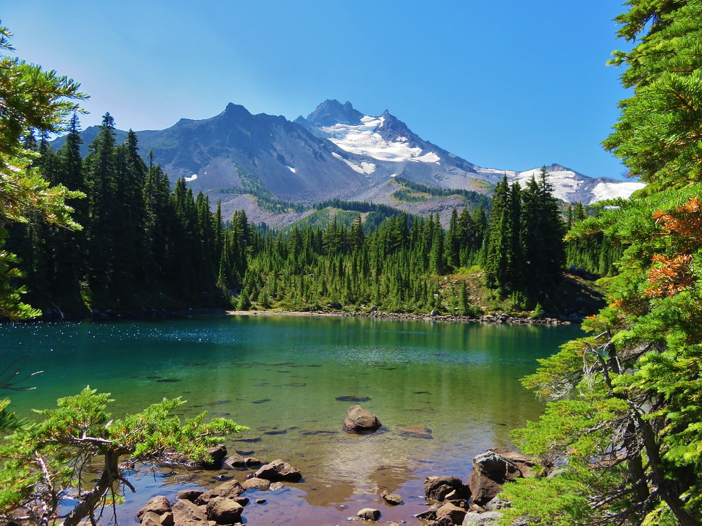
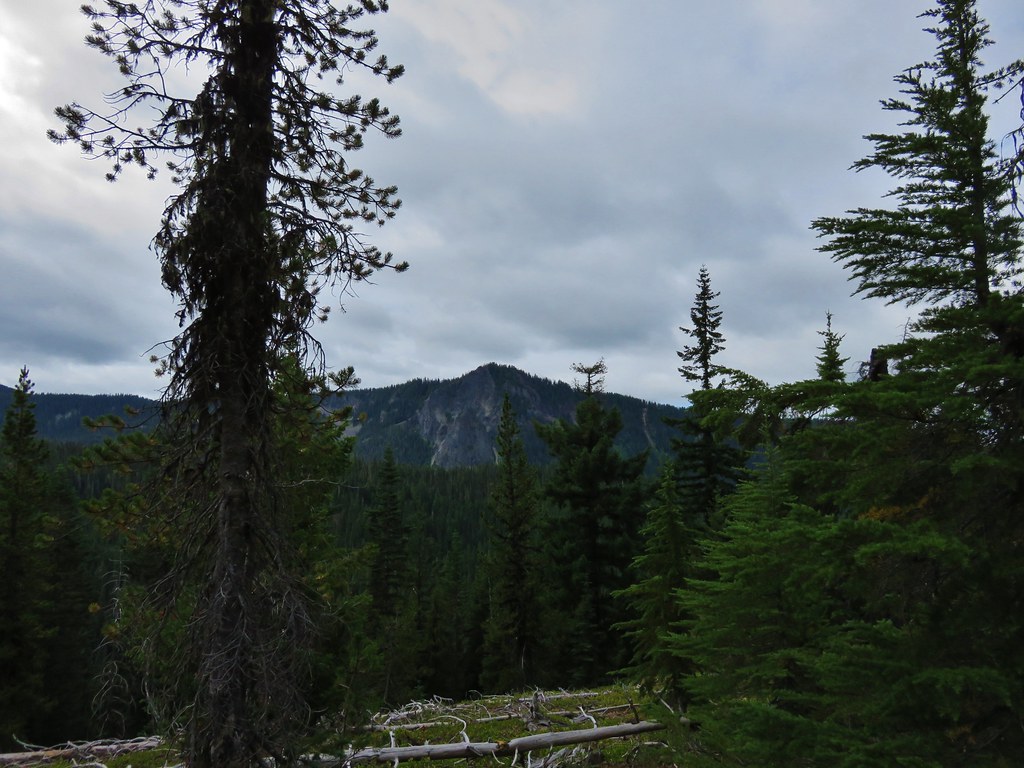
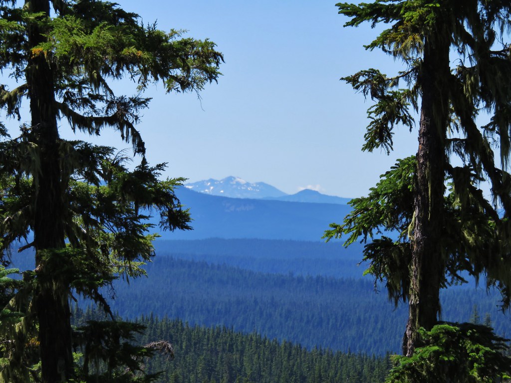
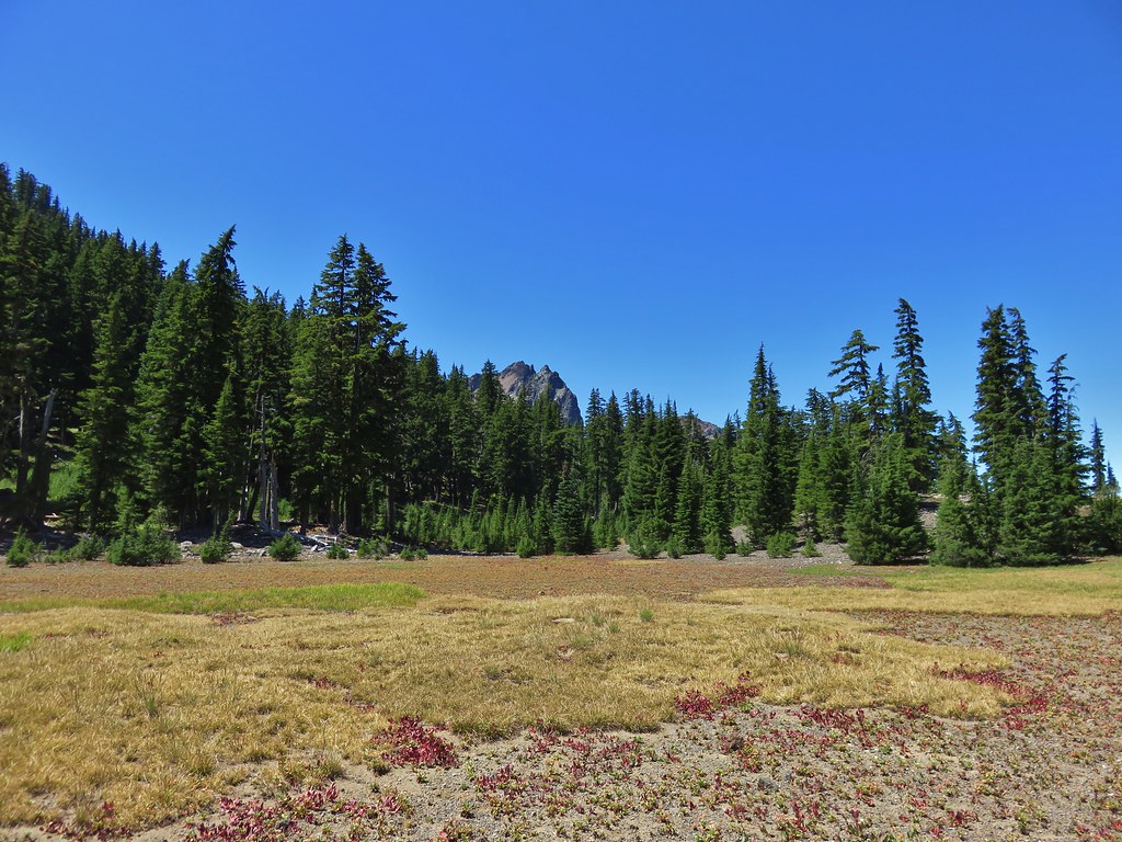
As we climbed we could see Fuji Mountain behind us.
IMG_8597//embedr.flickr.com/assets/client-code.js

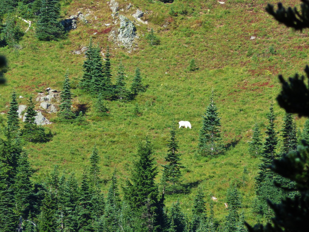
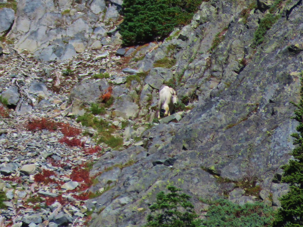
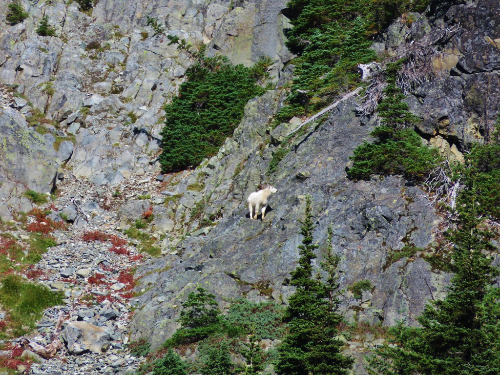
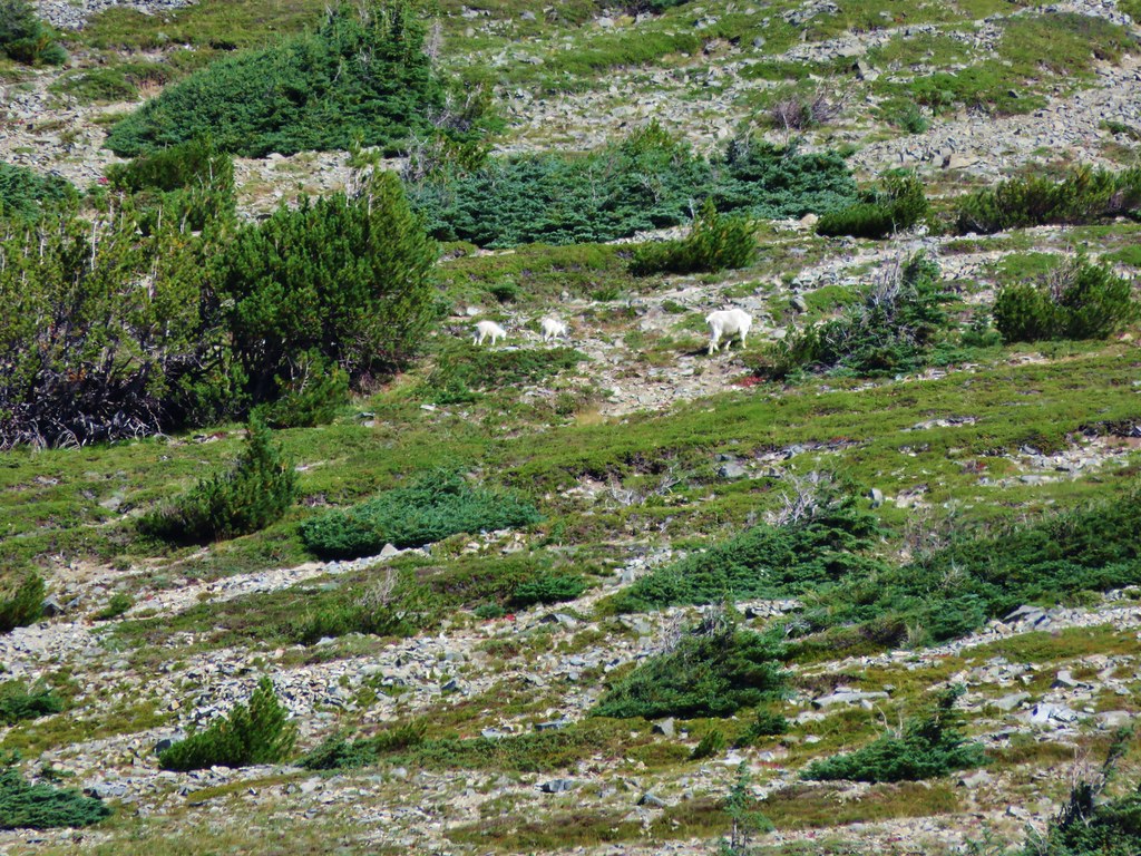
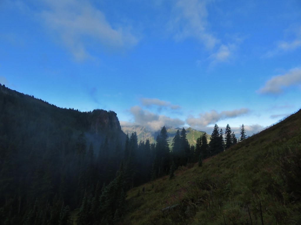
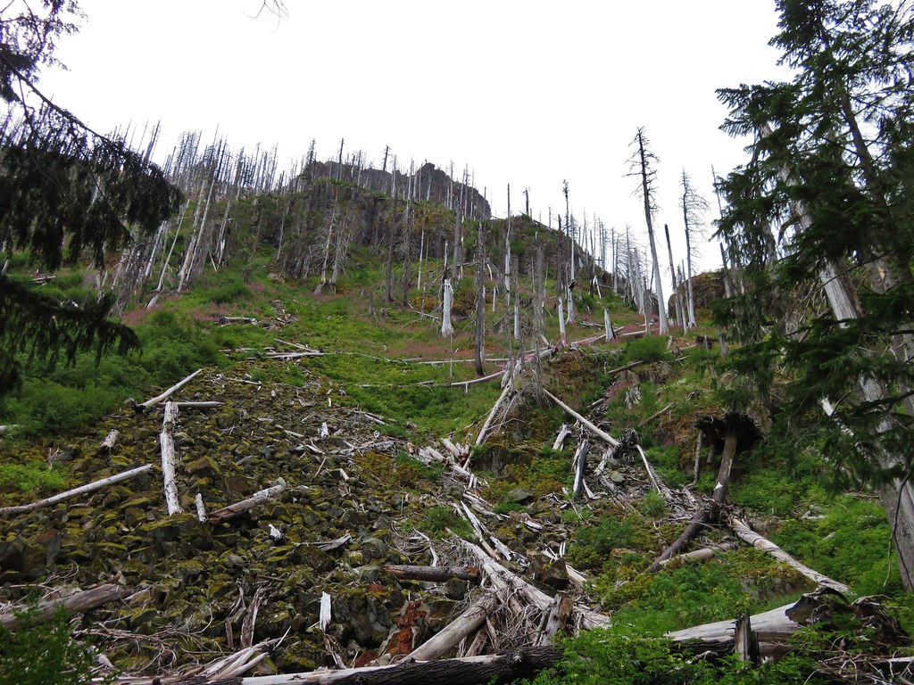
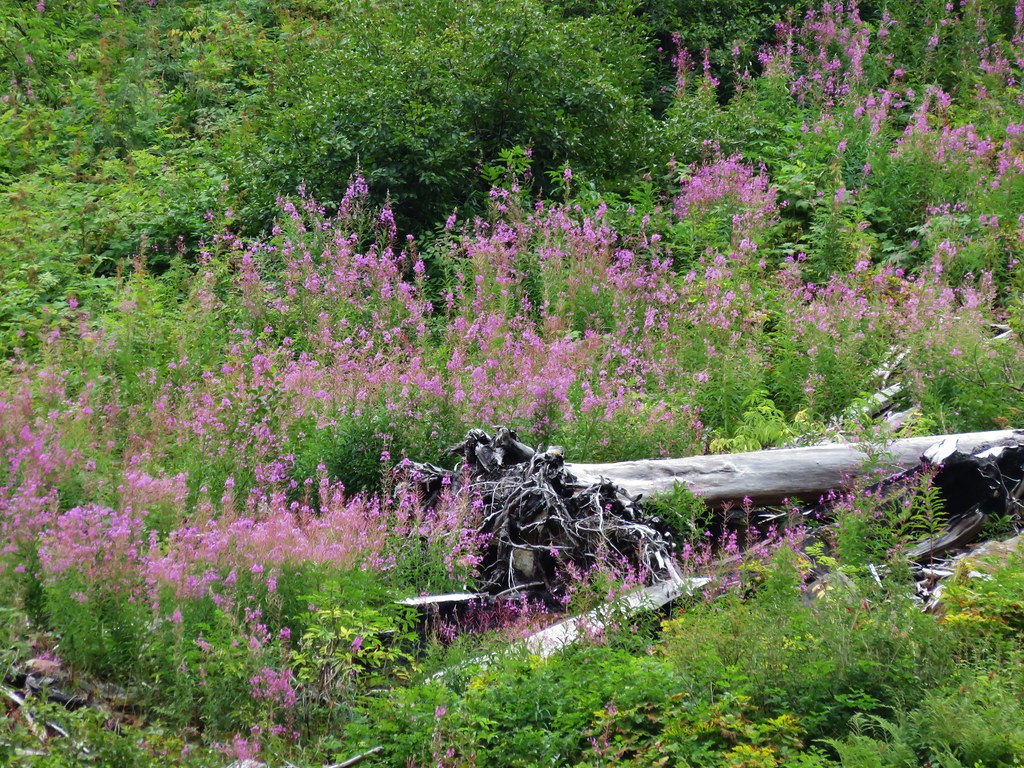
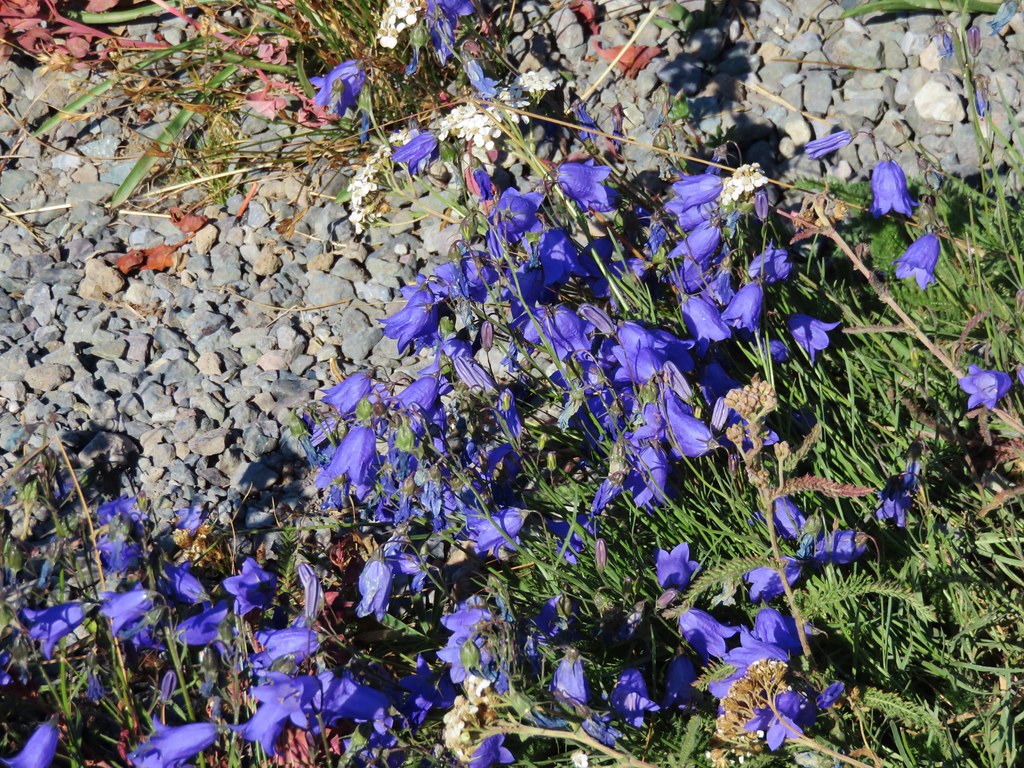
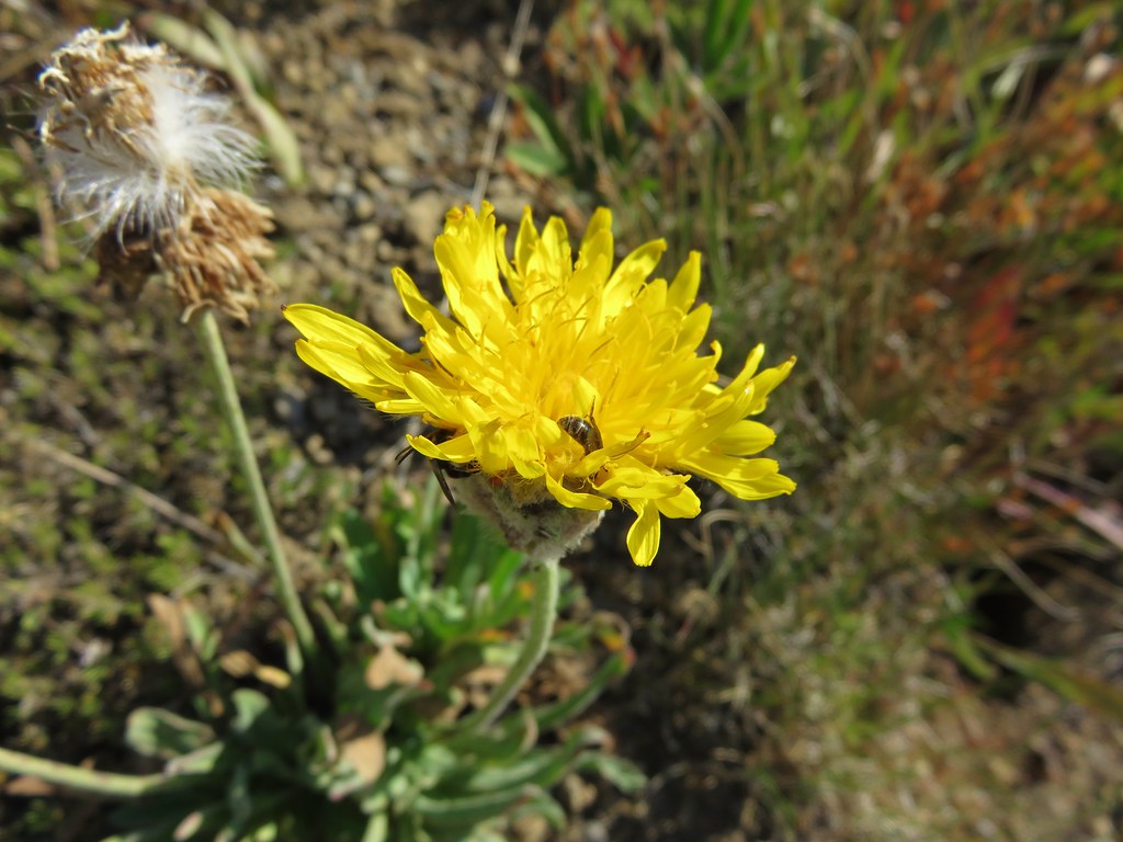
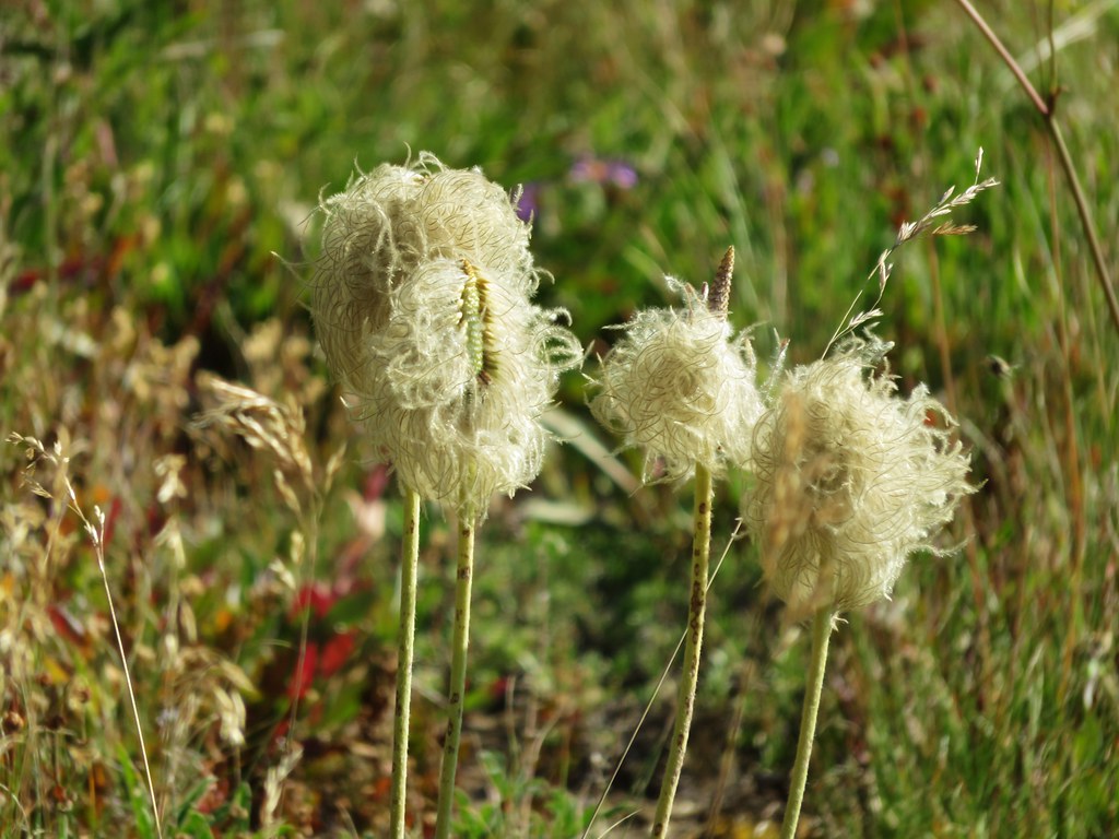
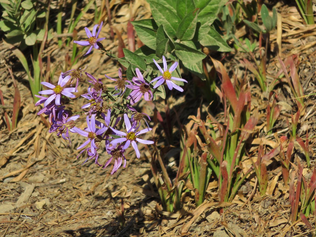
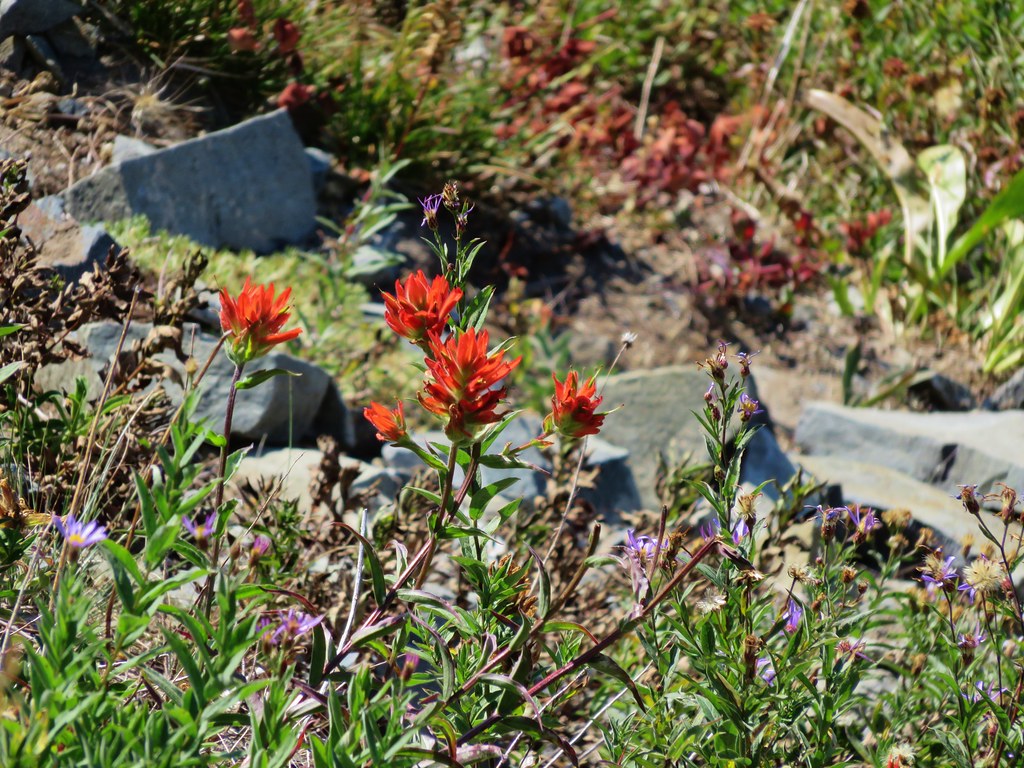
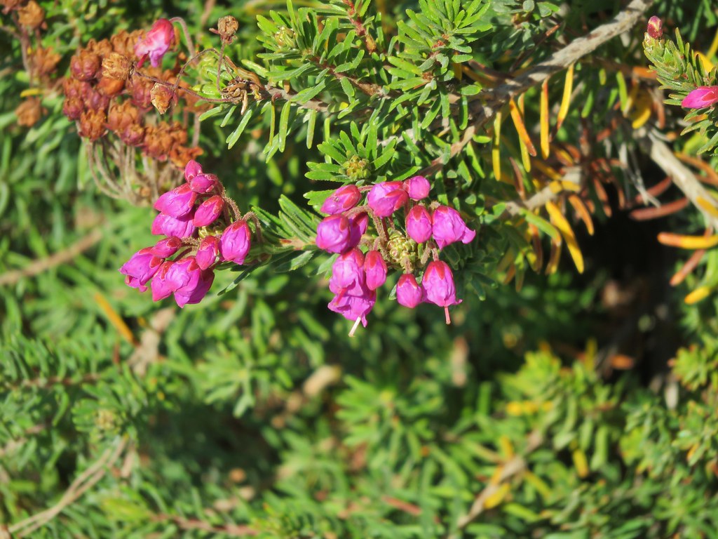
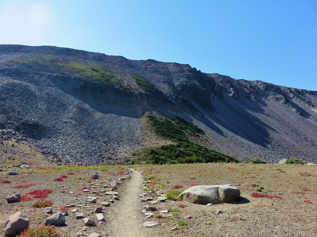
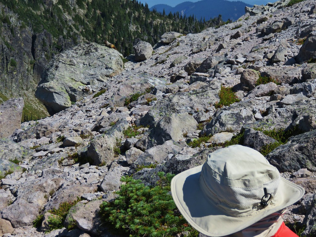
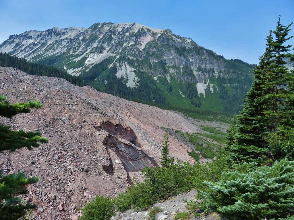
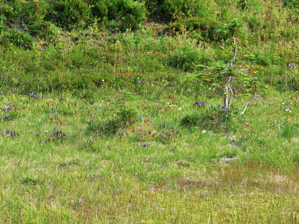
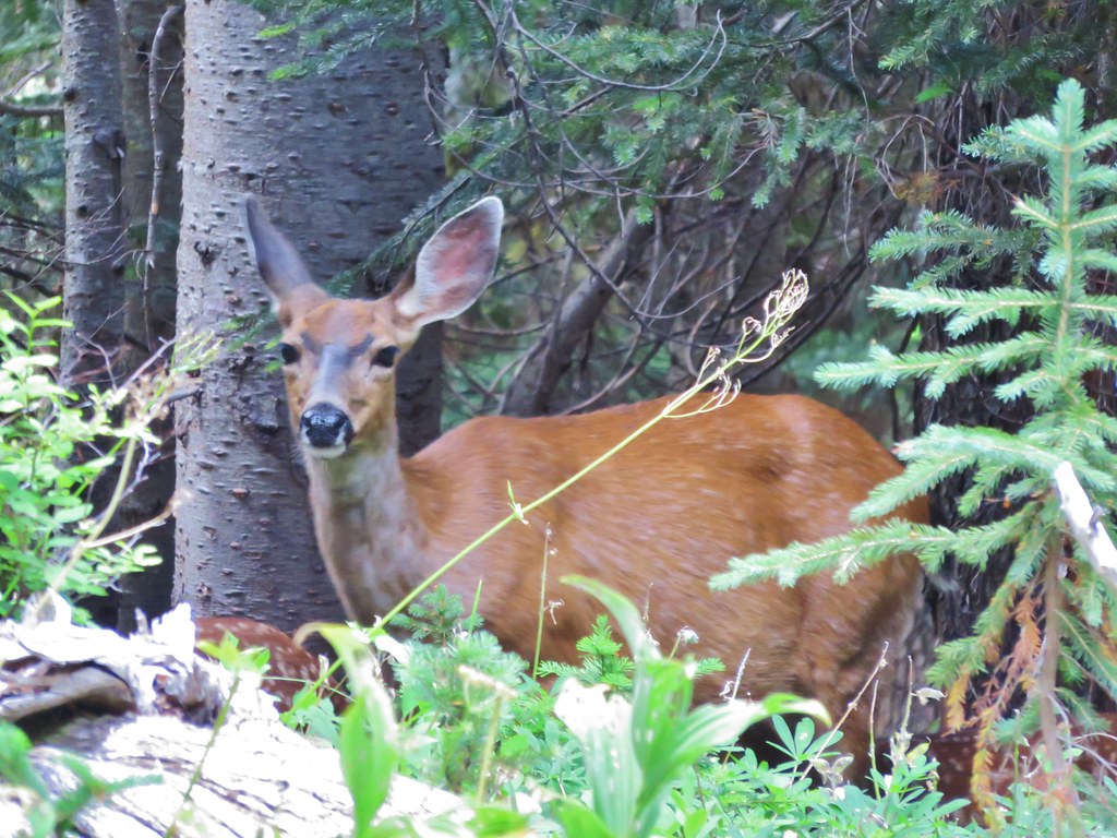
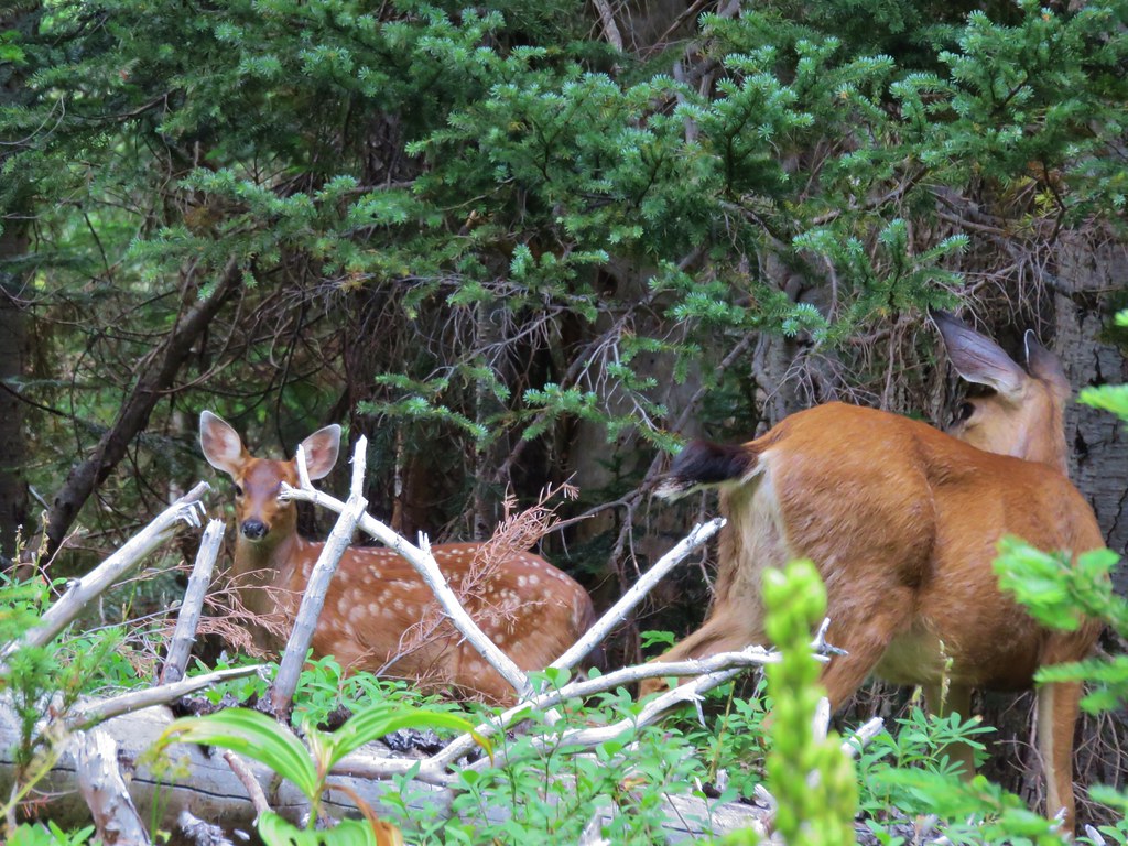
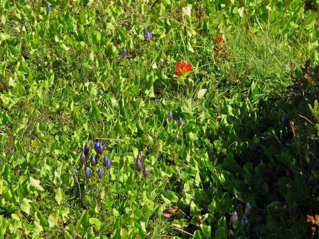
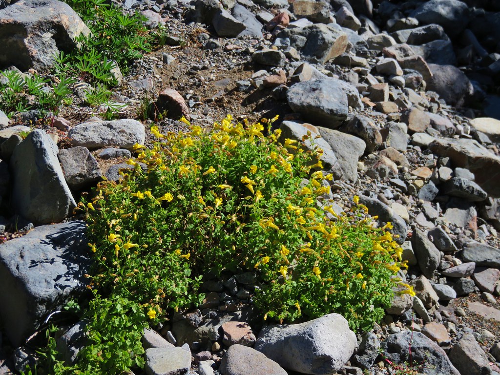
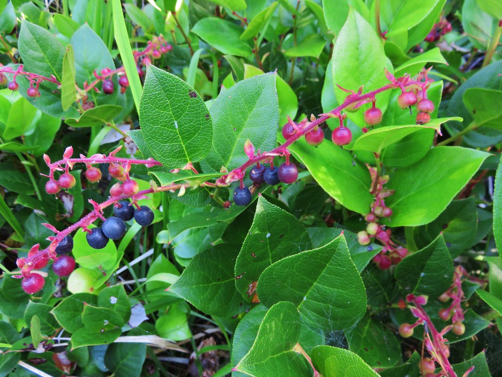
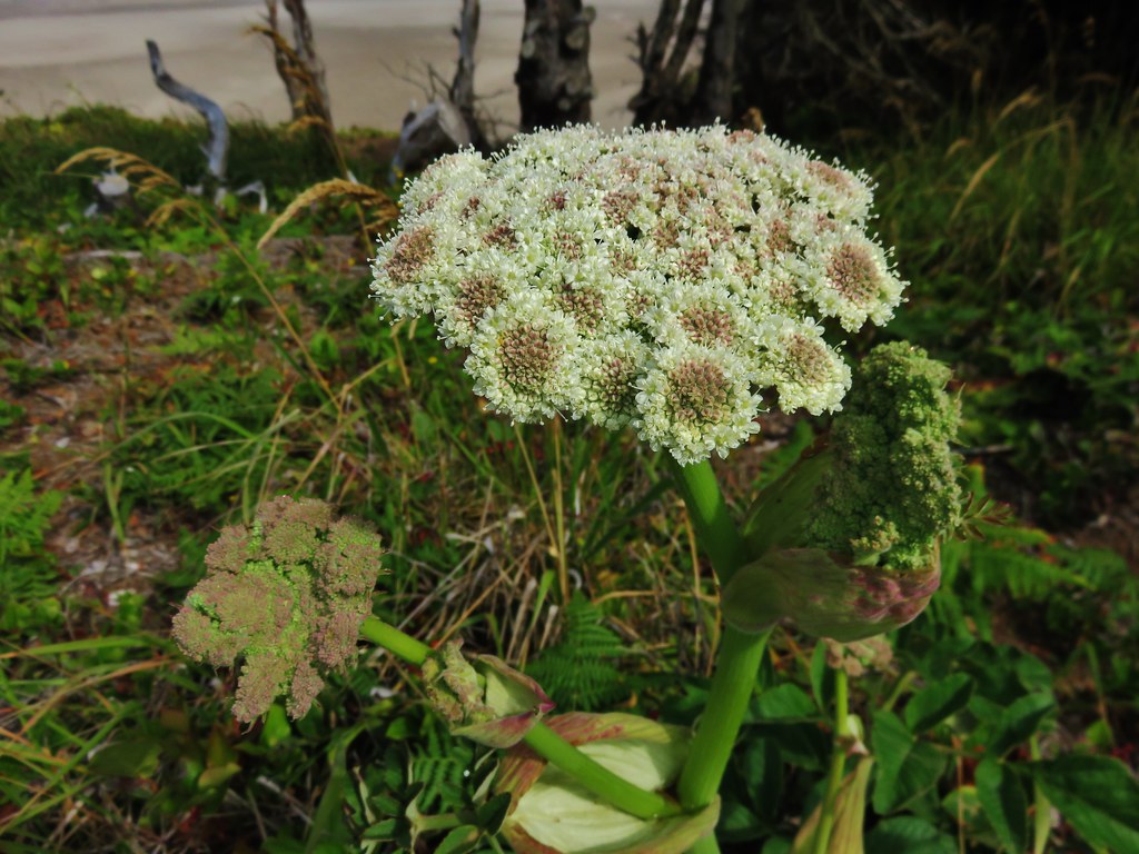
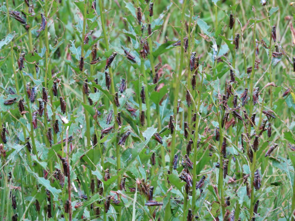
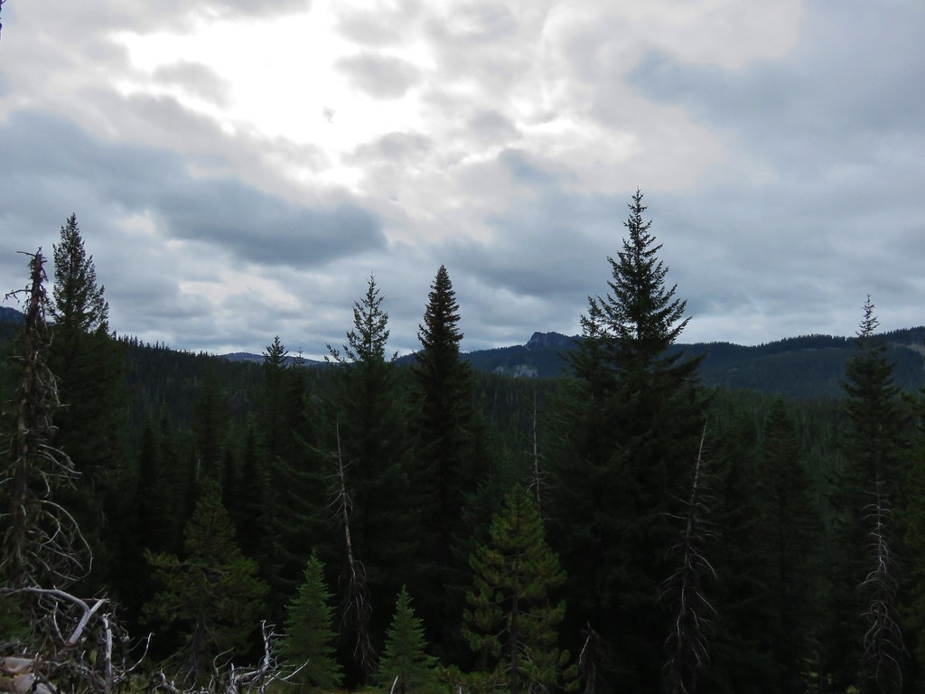
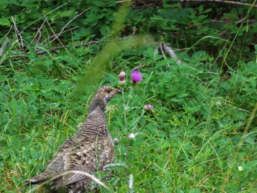
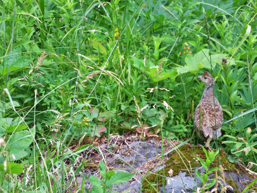
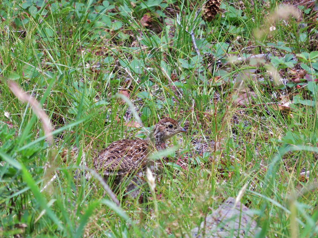
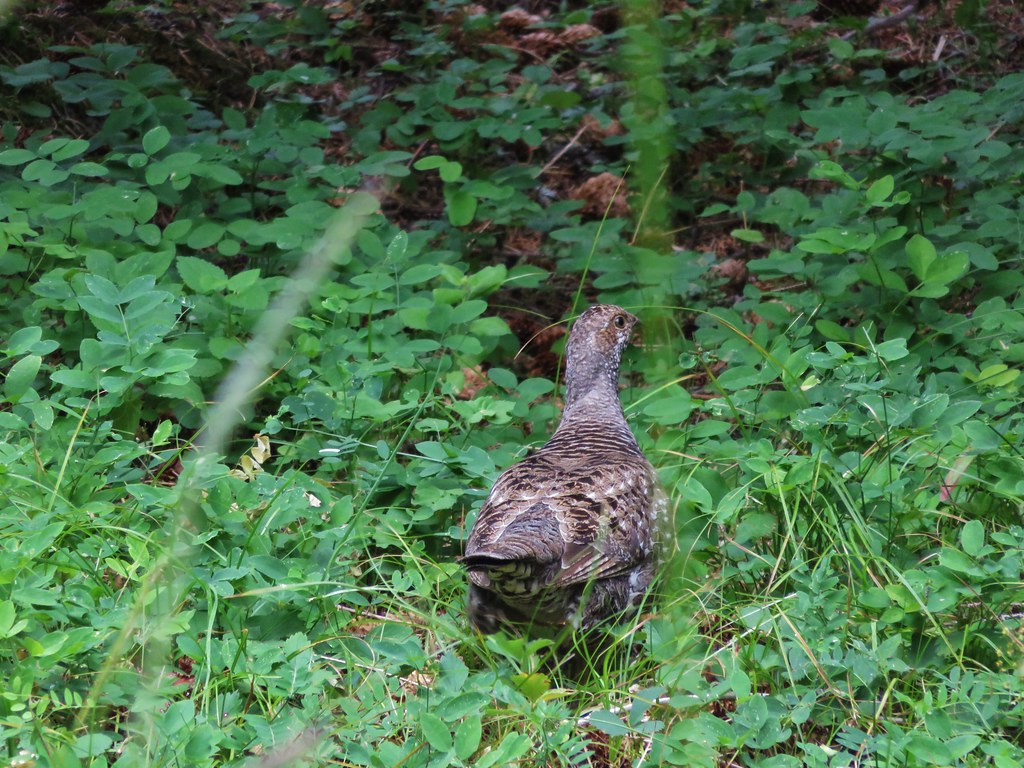
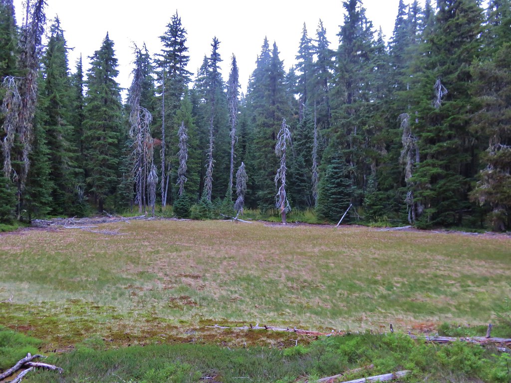
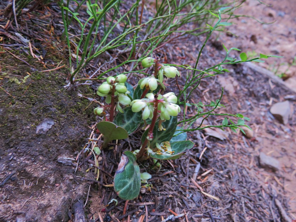
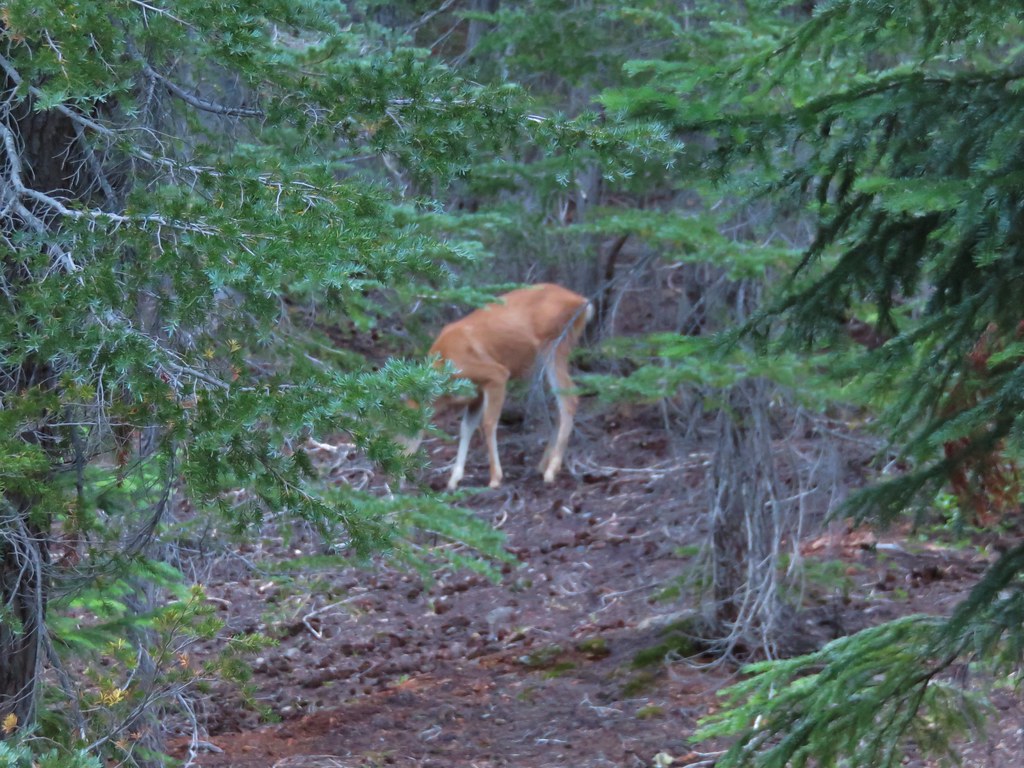
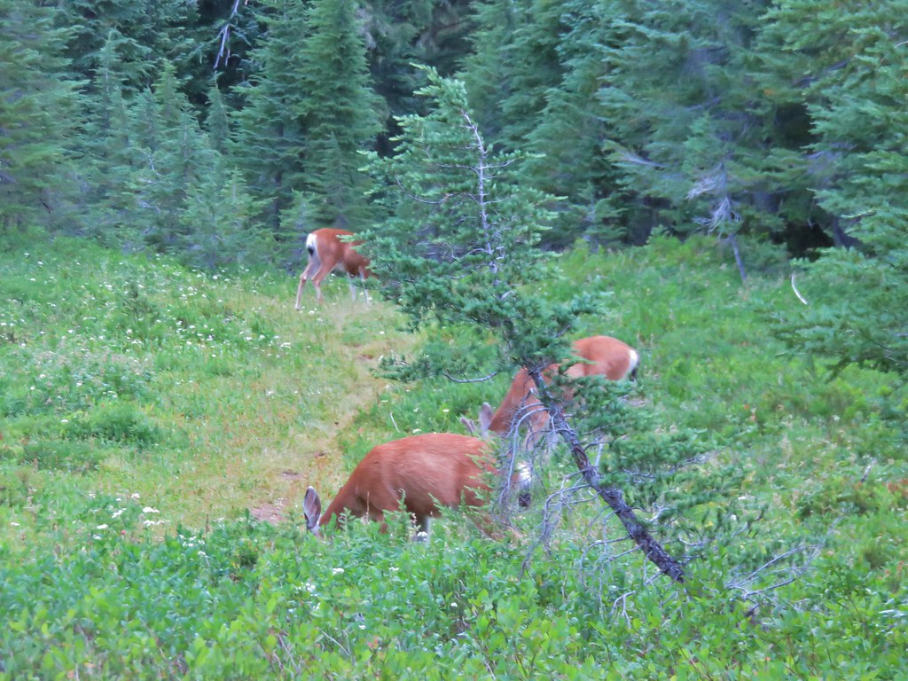
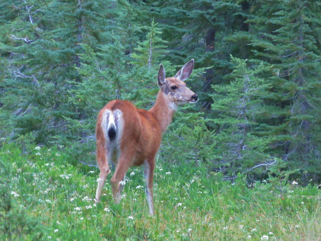
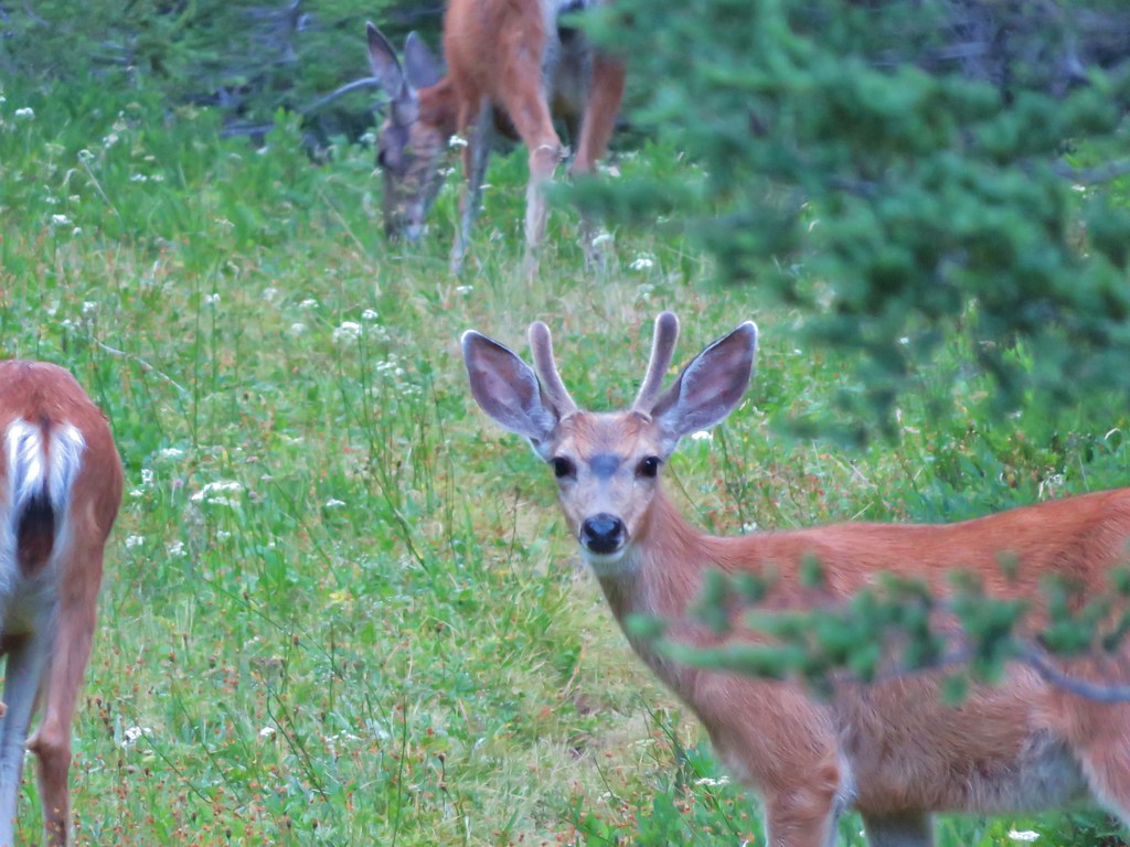
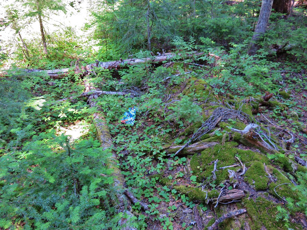
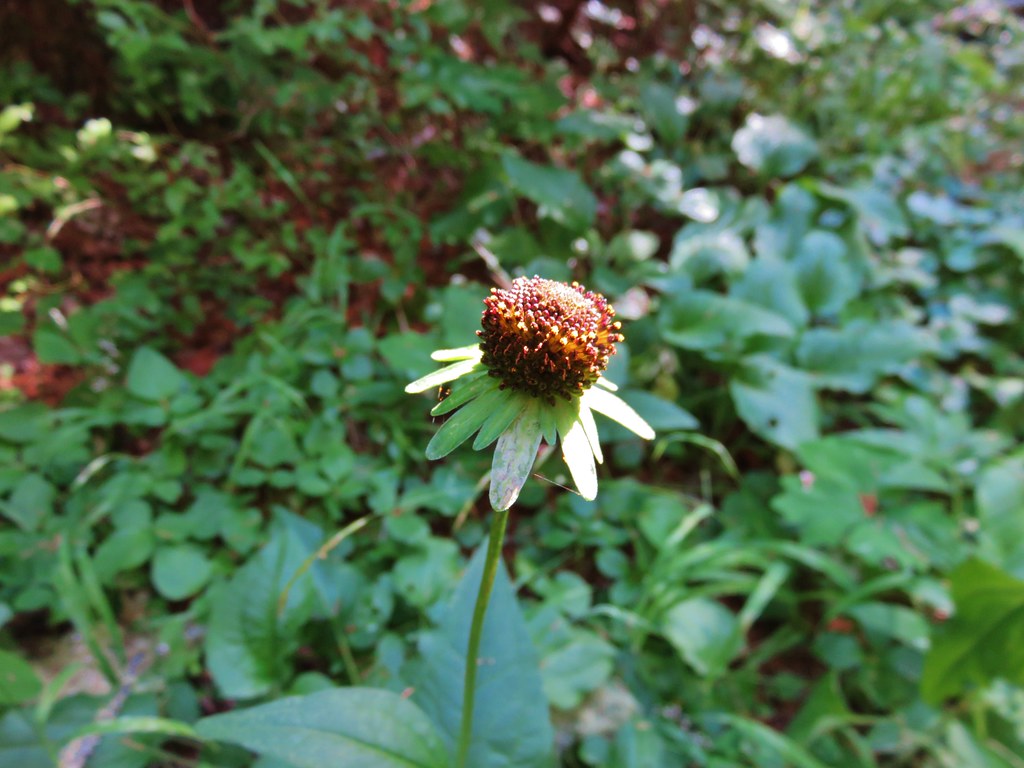
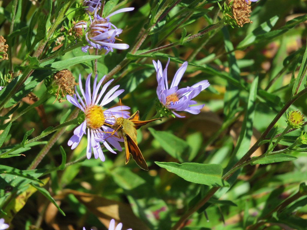
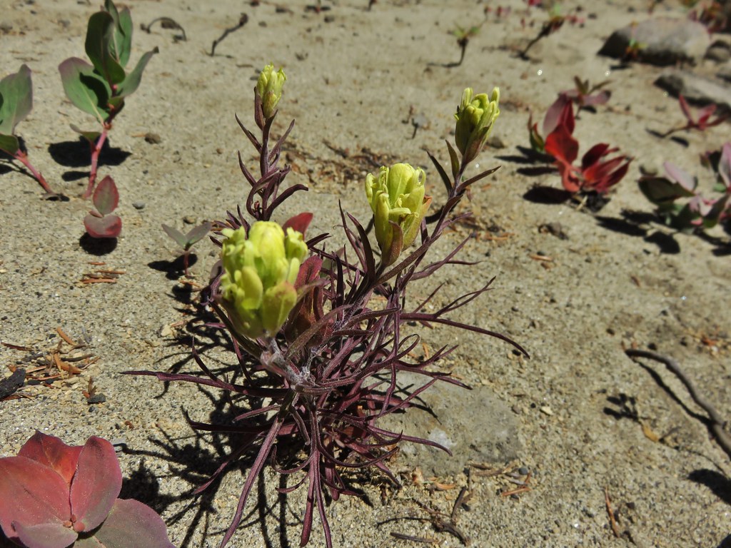
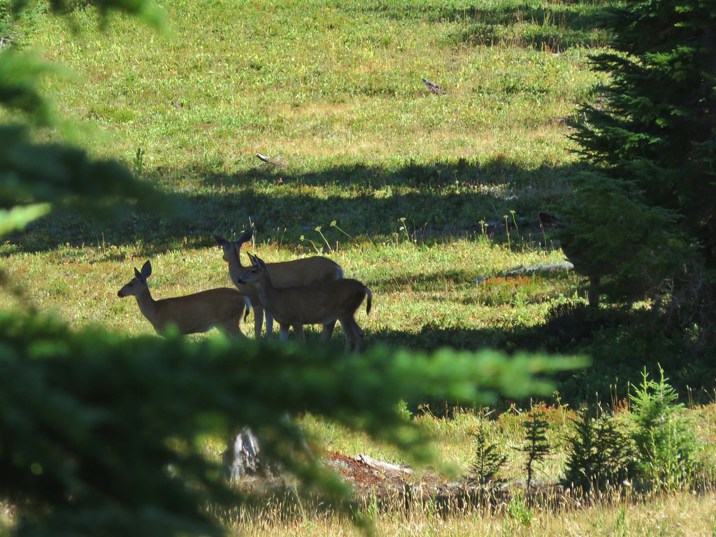
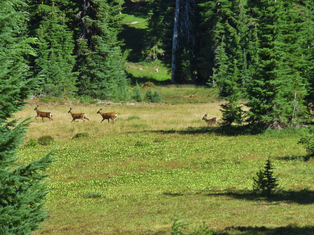
In front of us was a forest that showed signs of an old burn and was now filled with berry bushes.
IMG_8605//embedr.flickr.com/assets/client-code.js

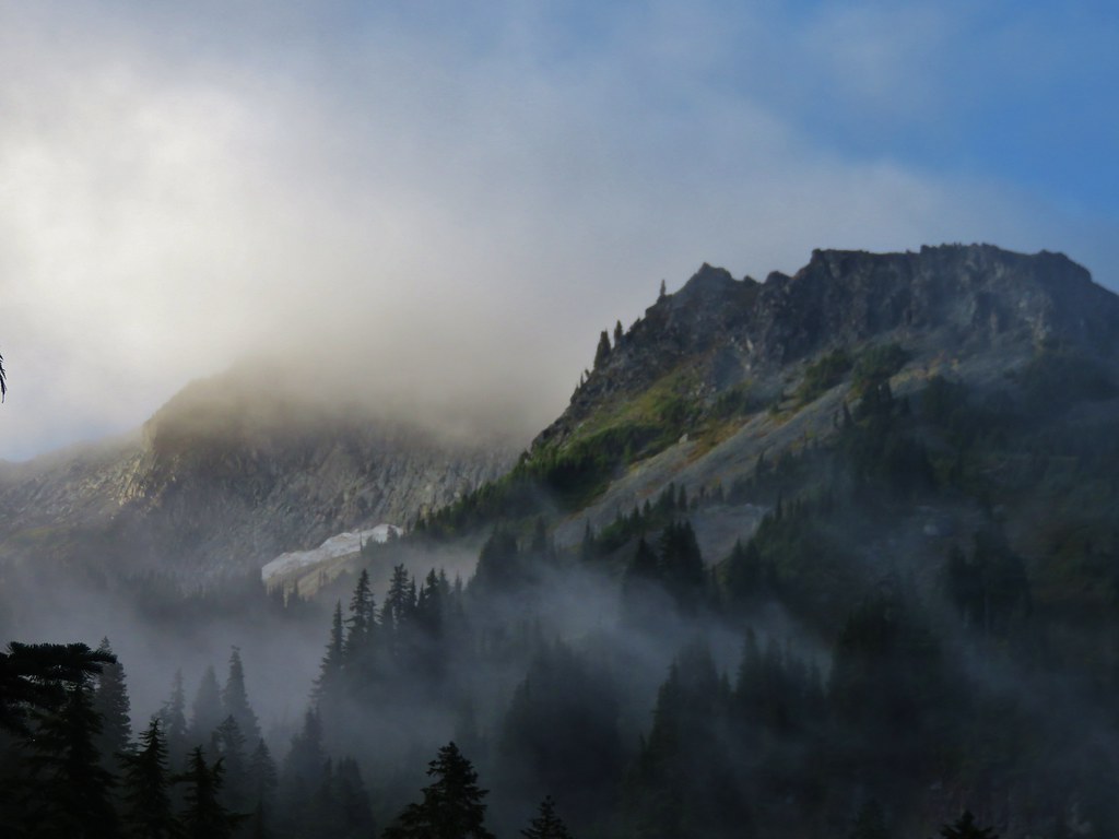
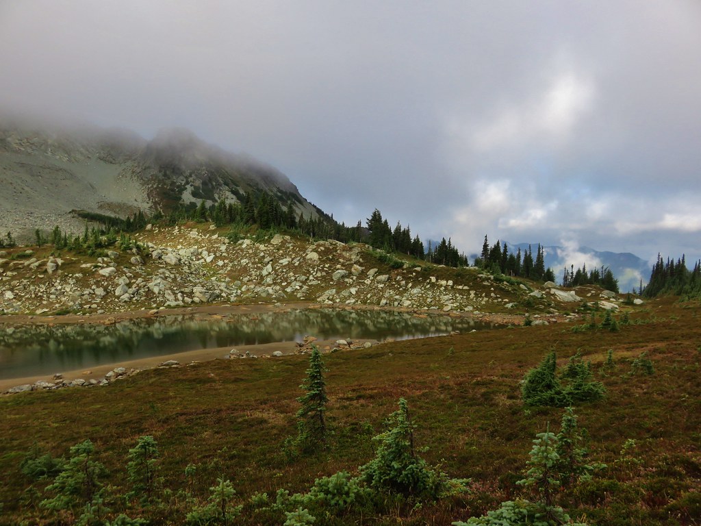
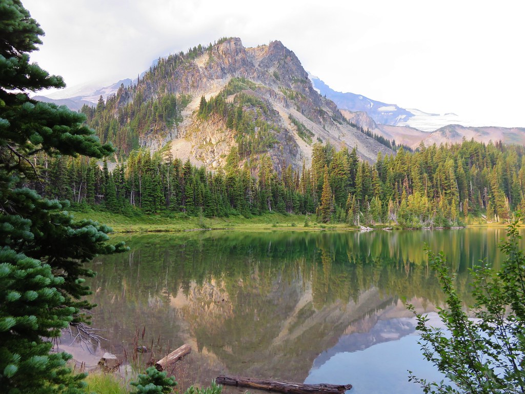
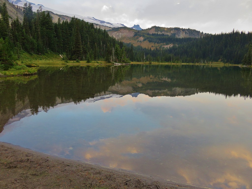
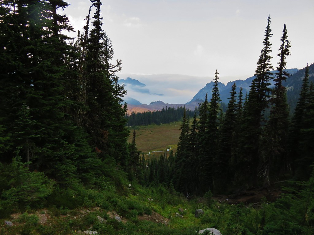
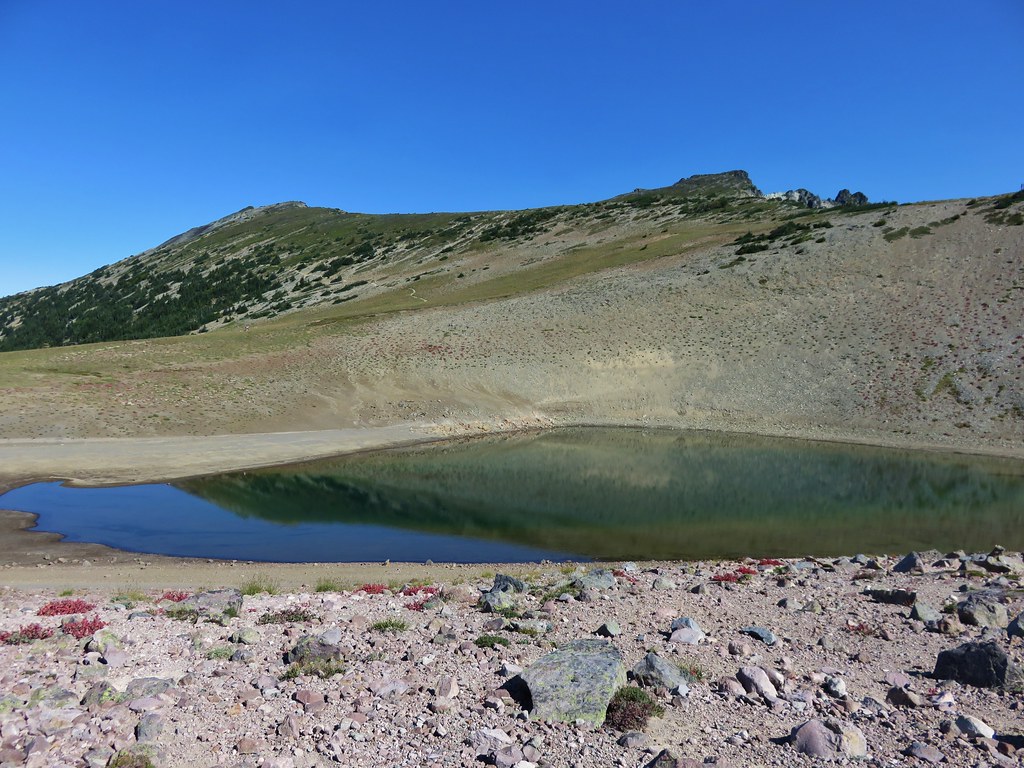
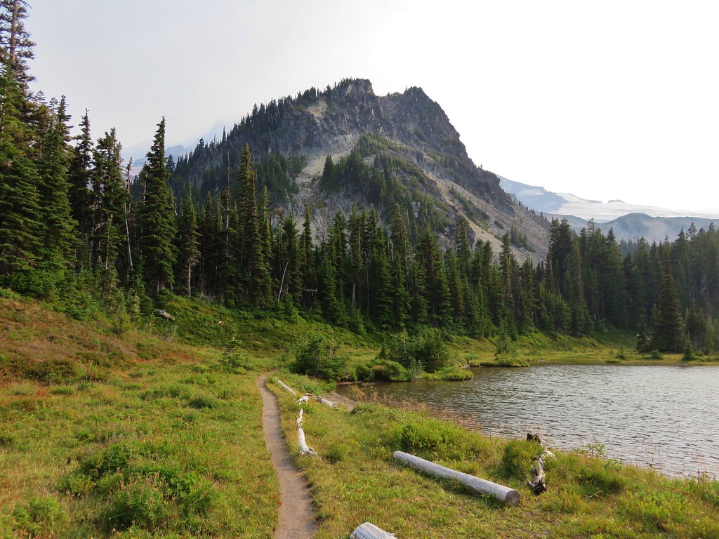
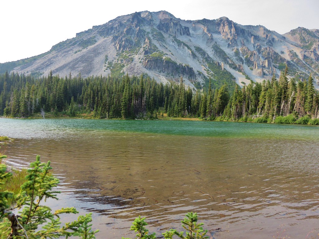
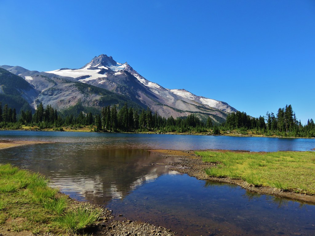
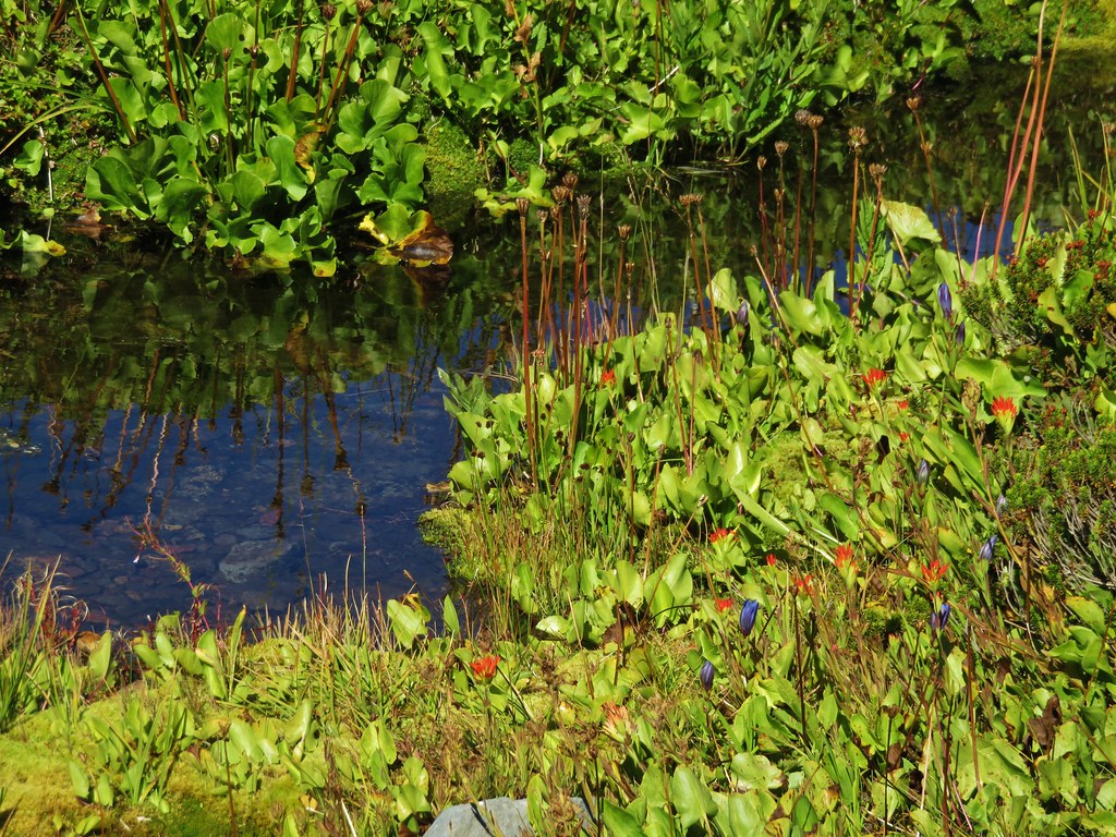
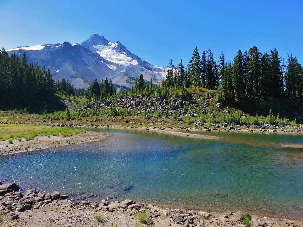
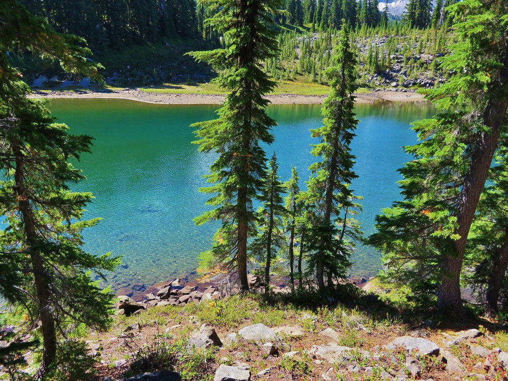
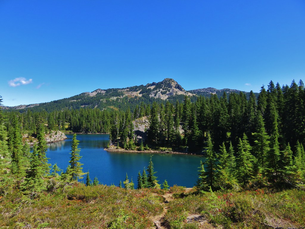
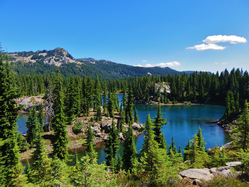
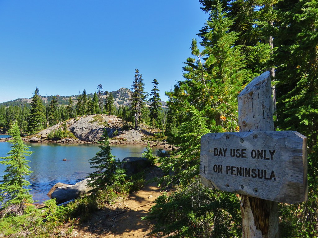
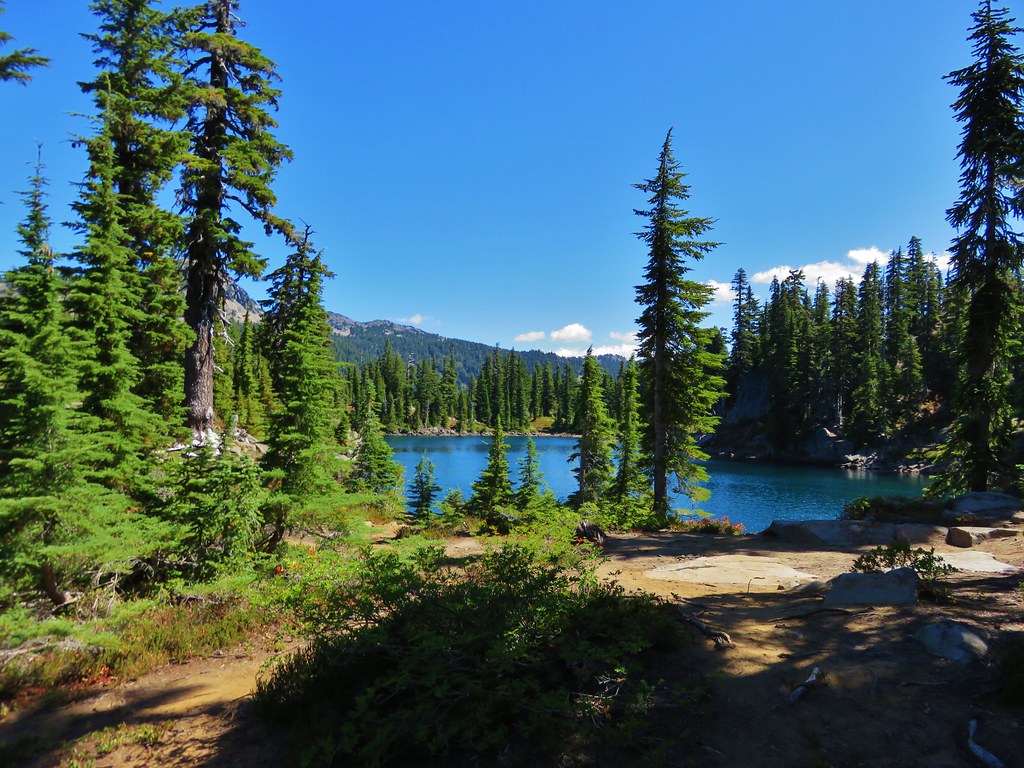
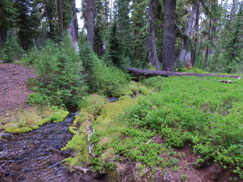
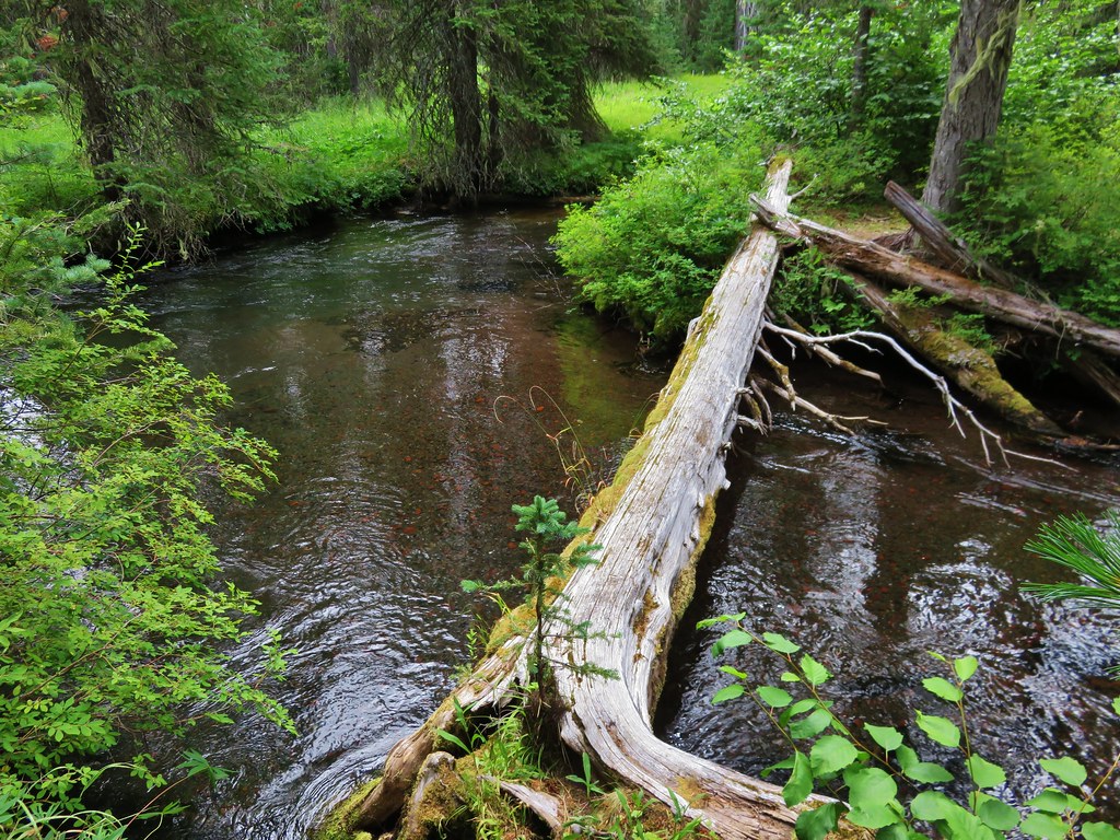
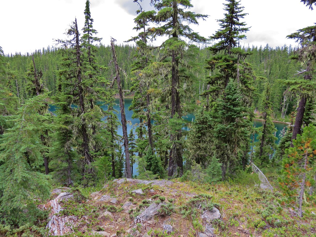
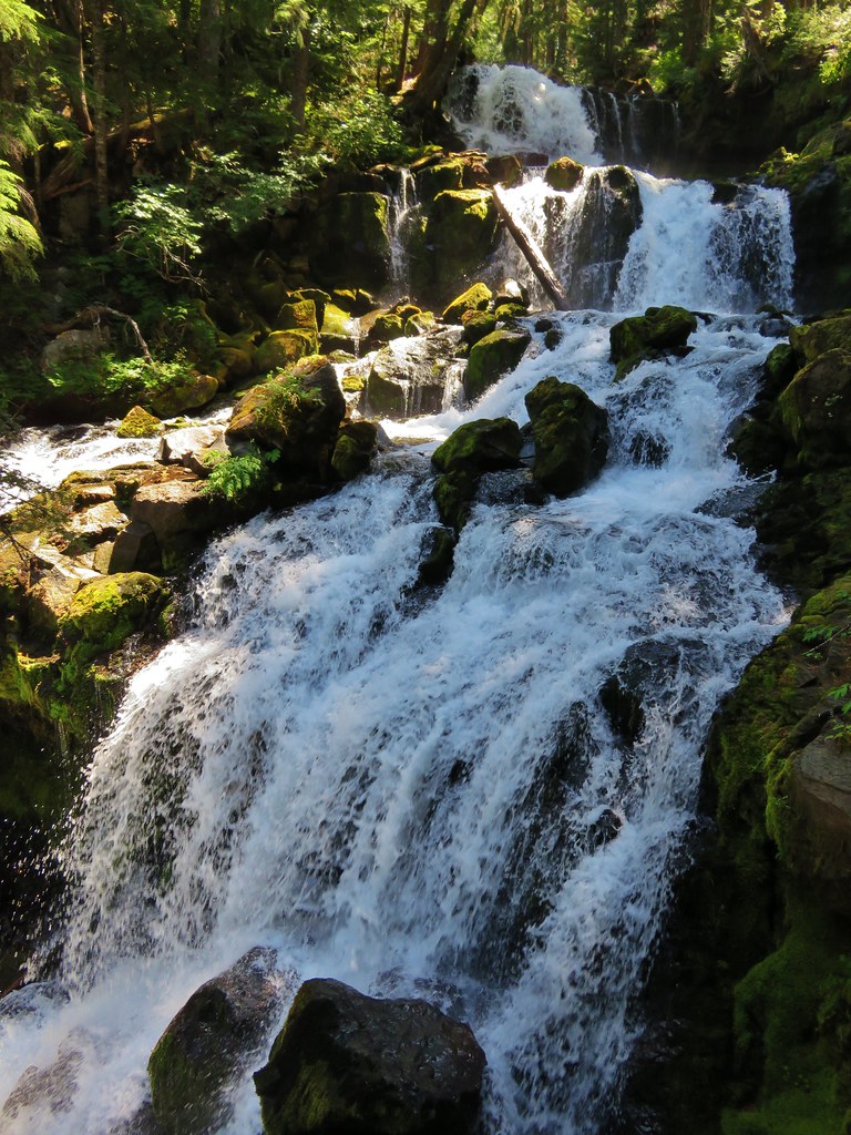
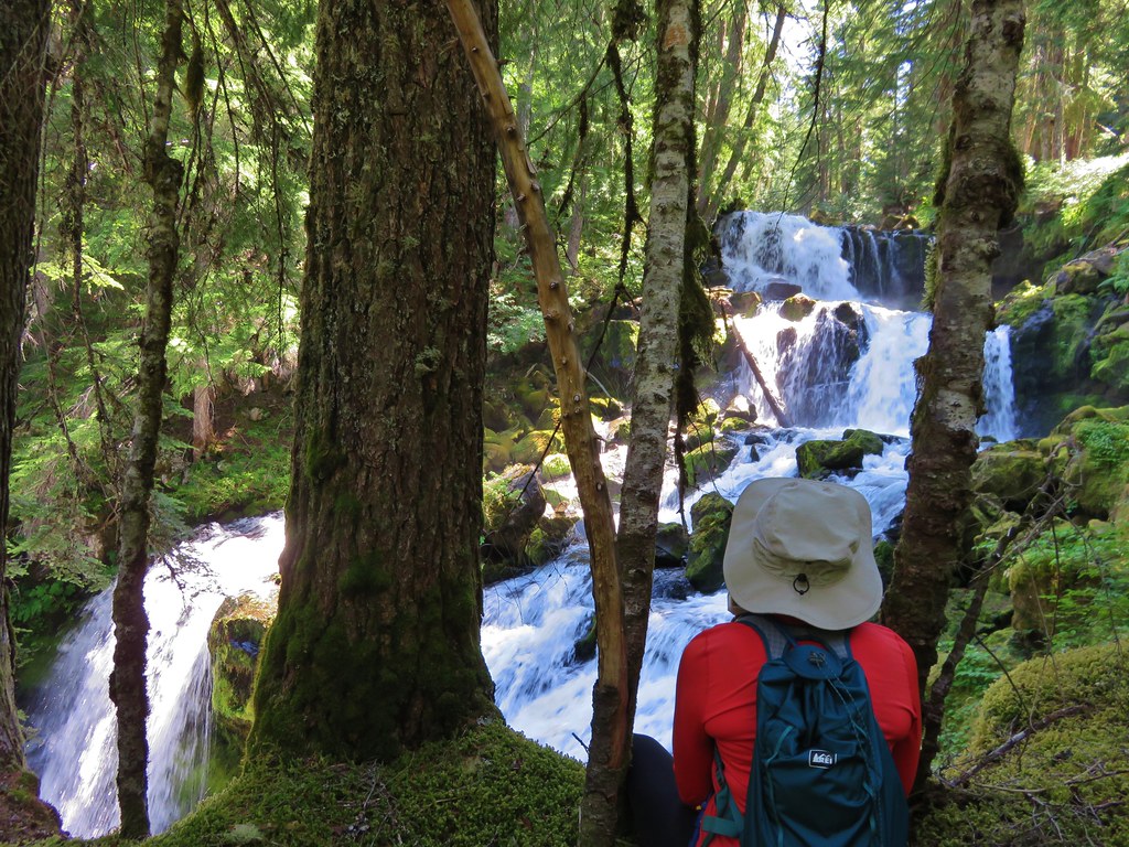
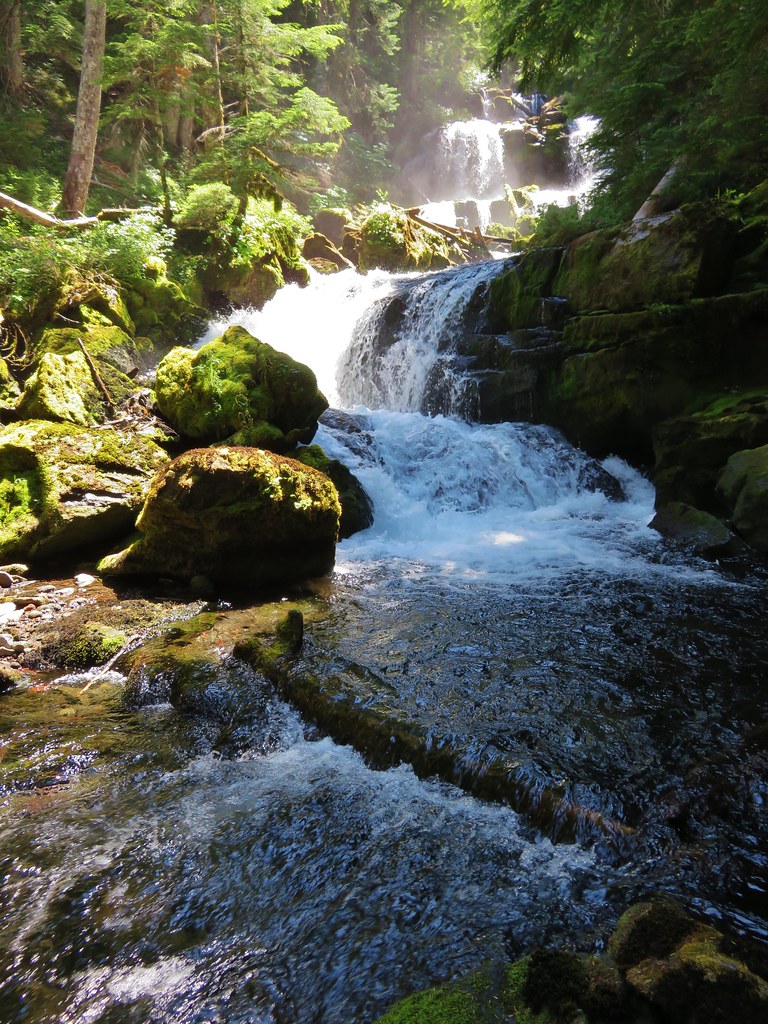
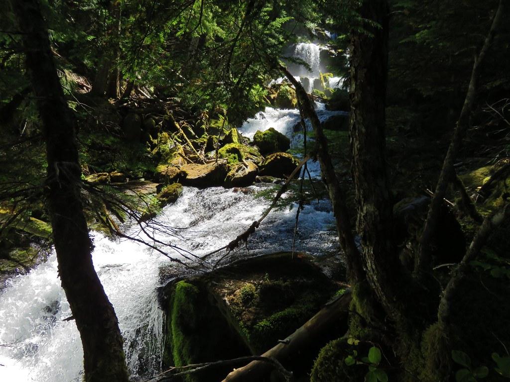
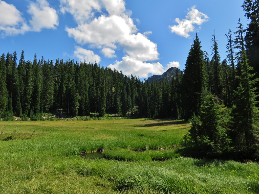
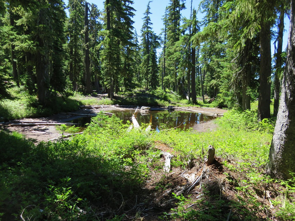
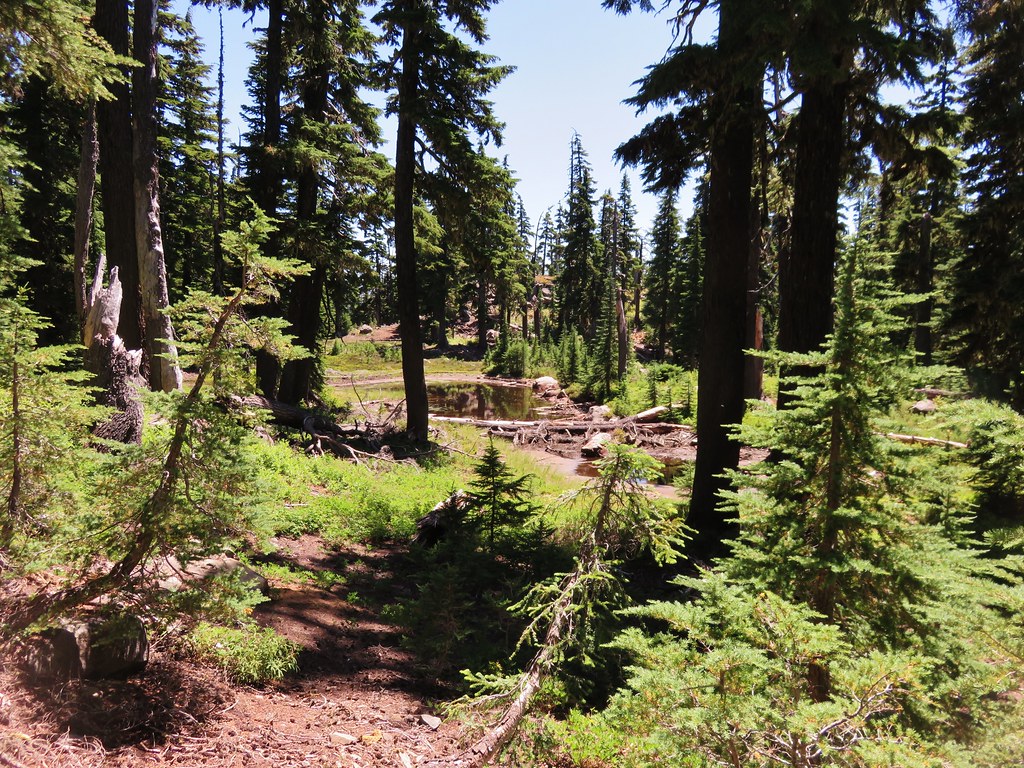
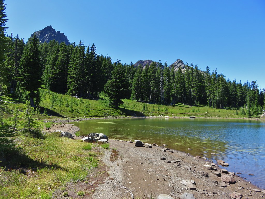
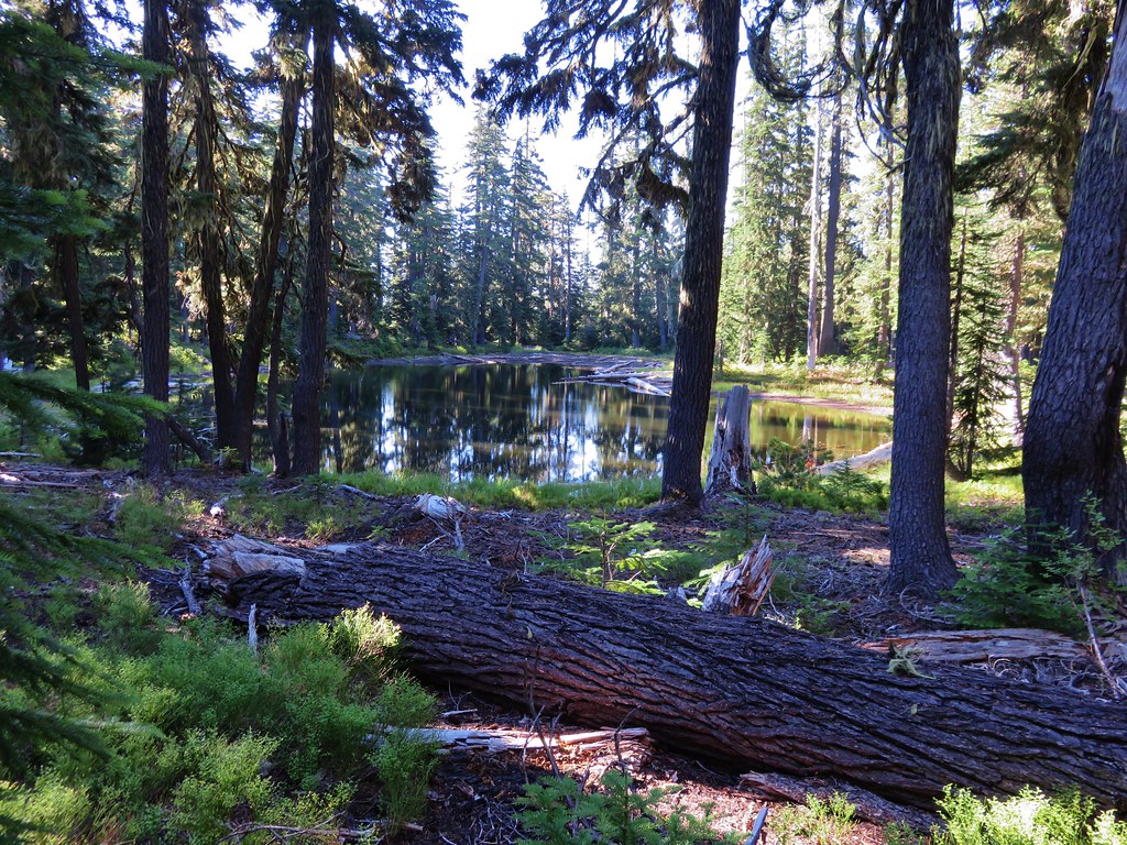
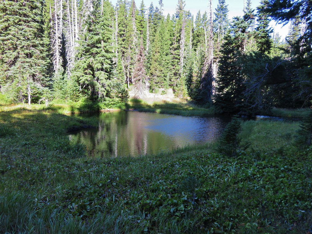
We stopped at Bingo Lake which was a peaceful little lake and a great place for a break.
IMG_8608//embedr.flickr.com/assets/client-code.js

IMG_8609//embedr.flickr.com/assets/client-code.js

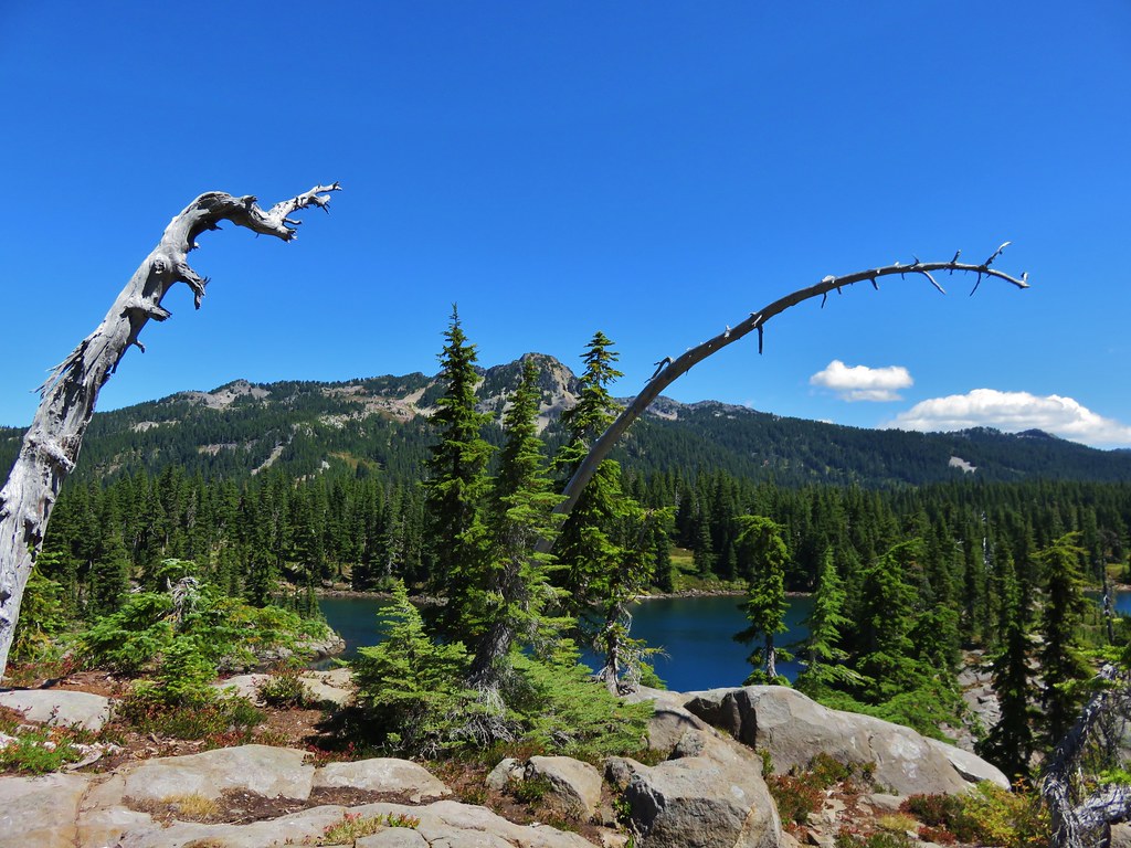
The High Divide Trail headed downhill from Bingo Lake to its junction with the Shore Trail along Waldo Lake.
IMG_8626//embedr.flickr.com/assets/client-code.js

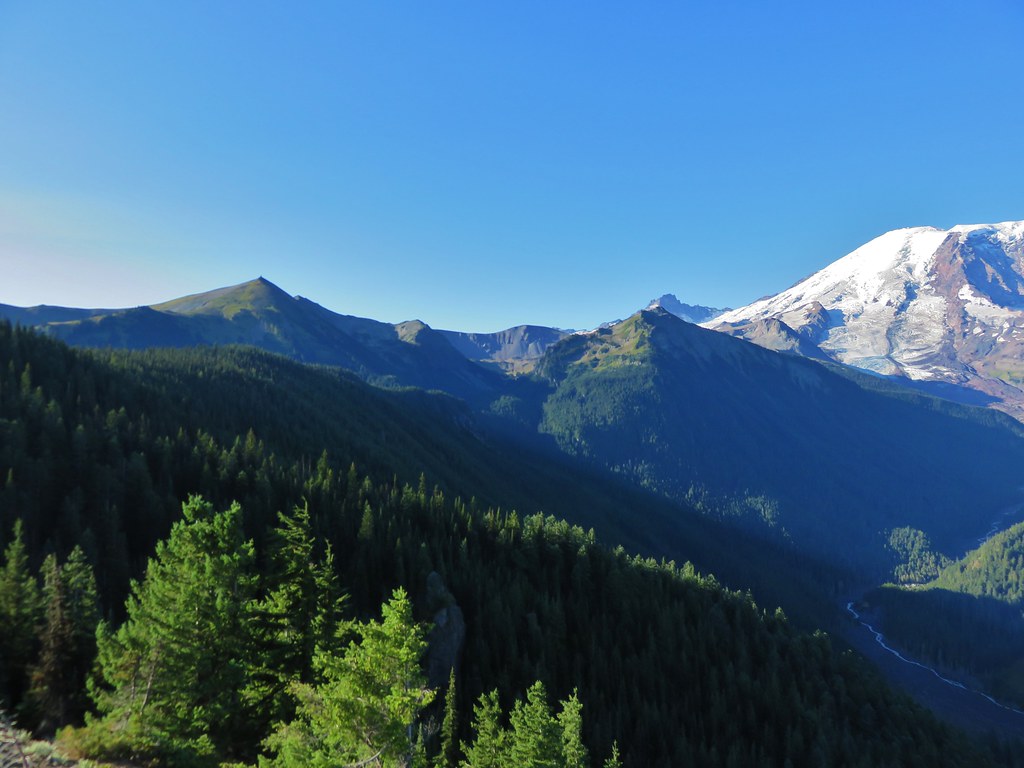
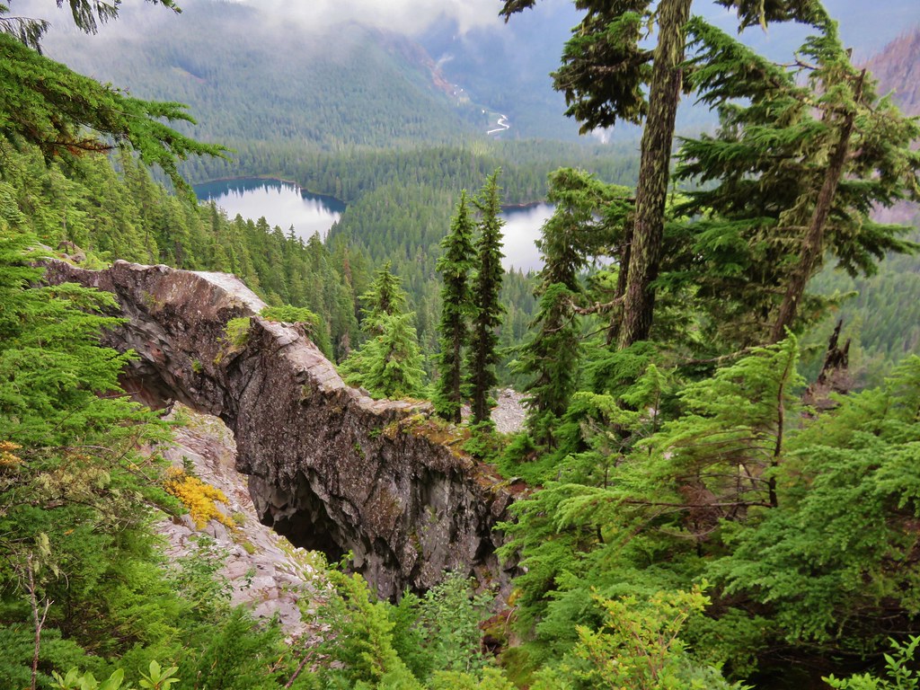
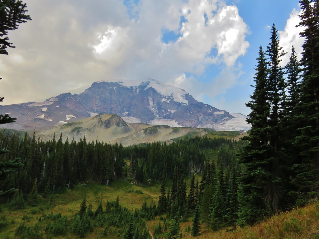
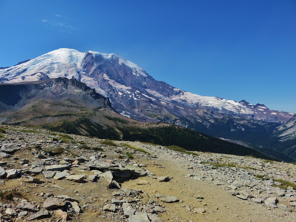
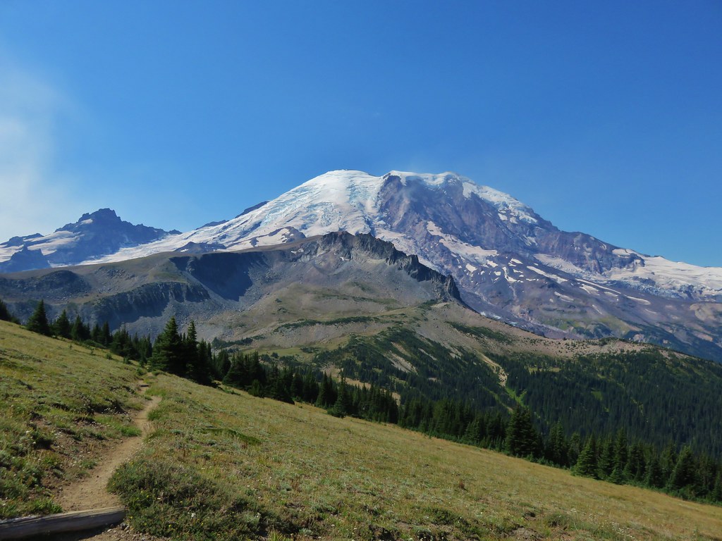
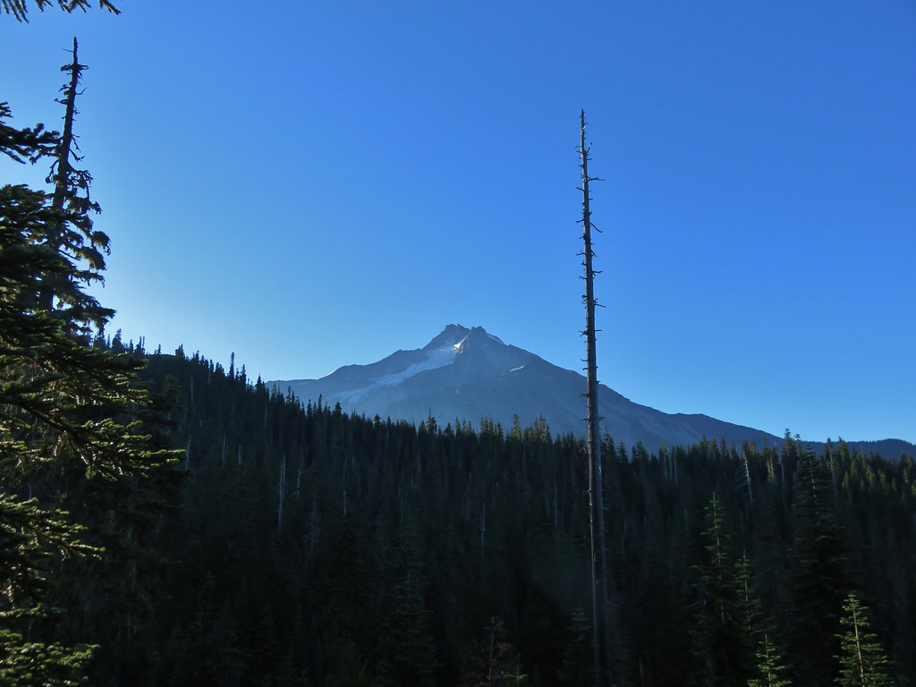
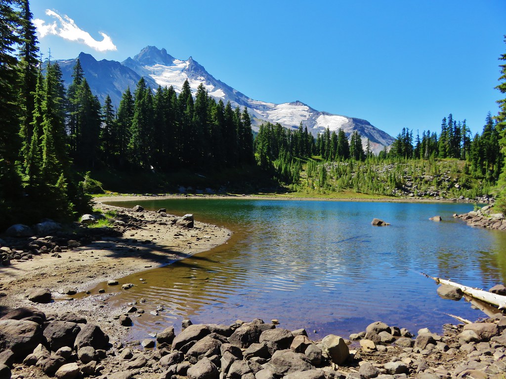
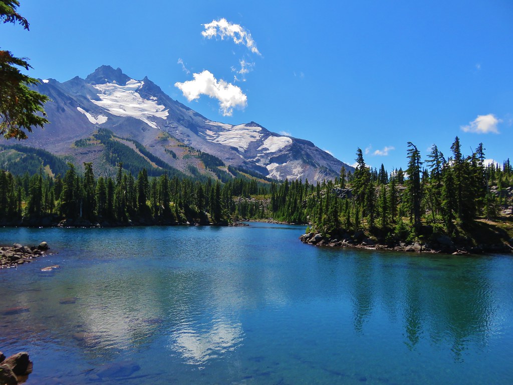
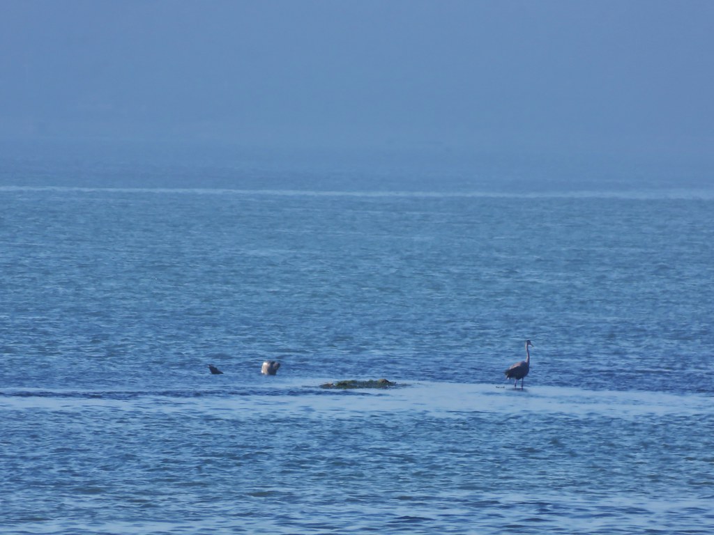
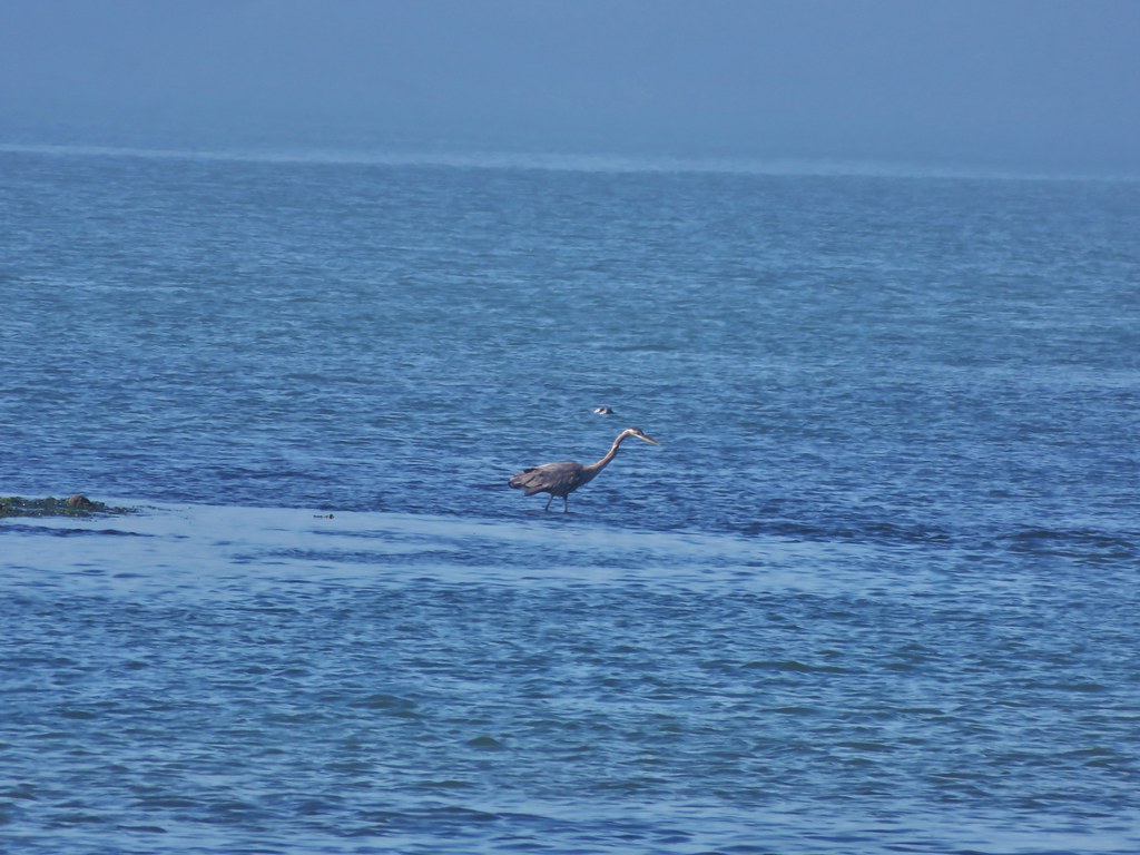
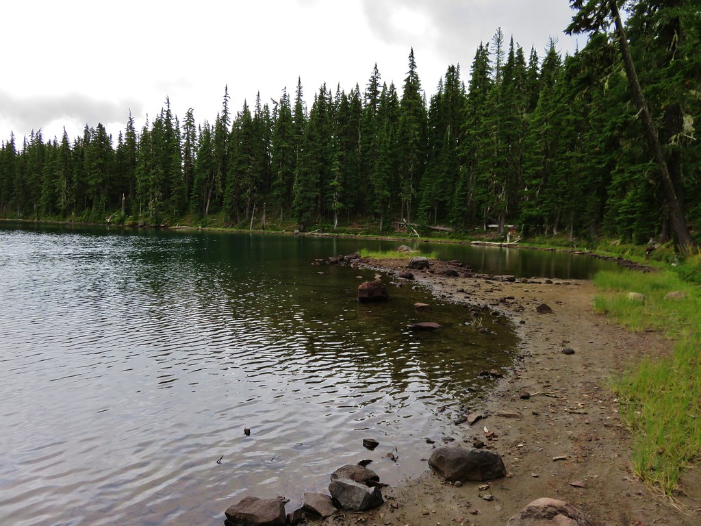
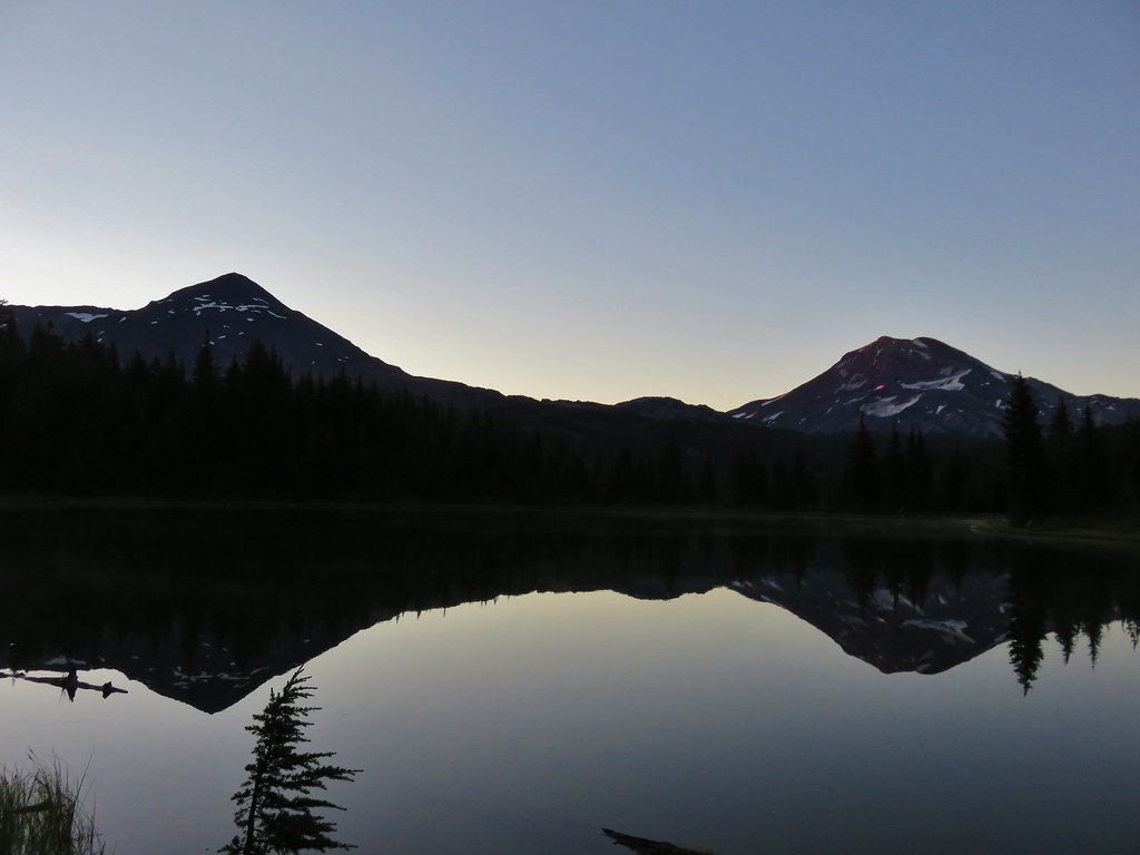
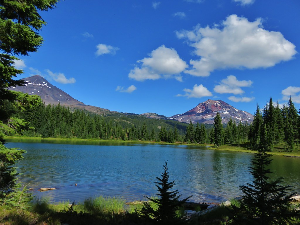
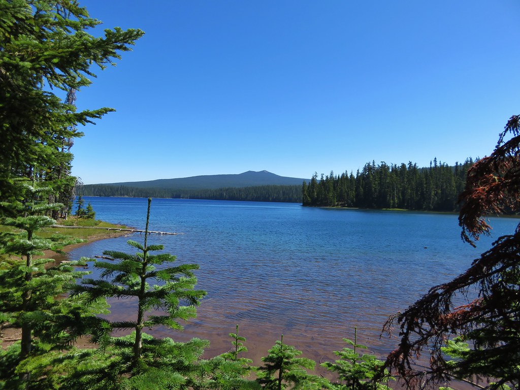
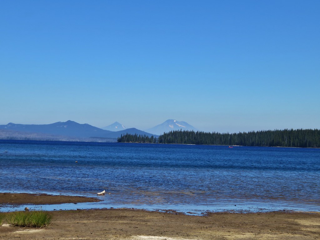
We turned right on the Shore Trail passing the shelter in .6 miles and arriving back at the trailhead after another 1.7 miles. Along the way we stopped along the lake shore to take in a view of Twin Peaks and the Middle and South Sister across the lake.
IMG_8628//embedr.flickr.com/assets/client-code.js

IMG_8629//embedr.flickr.com/assets/client-code.js

IMG_8631//embedr.flickr.com/assets/client-code.js

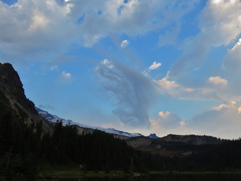
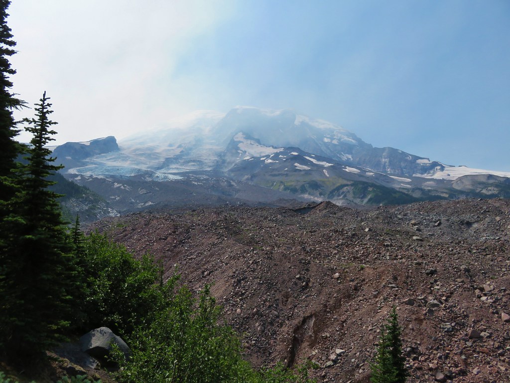
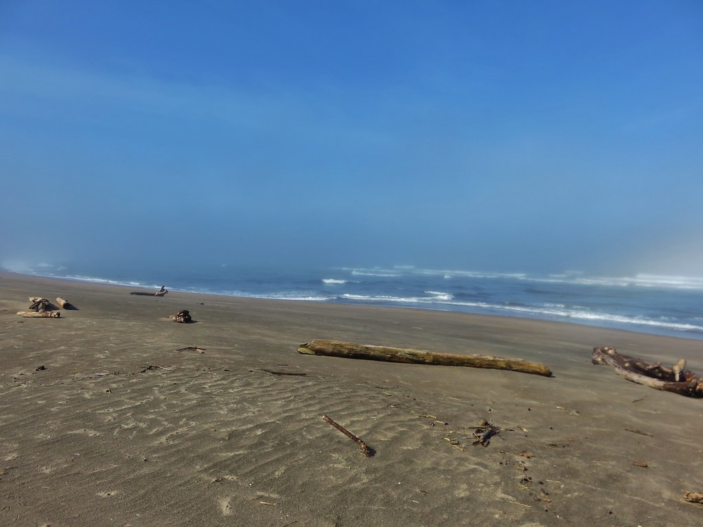
It had turned out to be a really nice day with only a slight amount of haze on the horizon and we were really glad that we had decided on this hike. We were even happier with our choice when we arrived back in the Willamette Valley to find it inundated with smoke. Eastern winds had funneled smoke from fires as far east as Idaho down the Columbia Gorge and then into the valley. It was a stark contrast to the blue skies above the Waldo Lake Wilderness. Happy Trails!

Flickr: https://www.flickr.com/photos/9319235@N02/albums/72157655297413233

Categories
Hiking Mt. Rainier Trip report Washington Washington Cascades

Mt. Rainier National Park – Northern Loop Trail Day 4

I had another night of poor sleep as my stomach decided to mutiny shortly after 11pm so I was happy to finally see the sky begin to lighten in the morning. After having breakfast and packing up we left Fire Creek Camp and climbed back up to the Northern Loop Trail.
IMG_8272

We had over 2000 feet of elevation gain ahead of us again today but we were feeling surprisingly good as we set off. We were tired but at the same time we both felt like we could do this for at least a few more days. It was encouraging since someday we’d like to do a long trip when we have the time.

We had just over a mile and a half climb to reach Grand Park. Along the way we a couple of viewpoints offered great views of Mt. Rainier.
IMG_8274

IMG_8285

IMG_8289

Grand Park lived up to its name. Despite the dry weather it was still an impressive sight and the views of Mt. Rainier were spectacular.
IMG_8316

IMG_8329

IMG_8340

As we were passing through one of the smaller meadows we noticed that there was frost on some of the plants. It was funny how excited we got seeing the frost. It has been such a hot and dry year that the sight of the frost was a welcome sight.
IMG_8305

After leaving Grand Park the trail headed down a ridge.
IMG_8371

We had been able to see the trail far up the valley climbing out of Berkeley Park and here we were heading downhill.
IMG_8298

IMG_8299

The trail eventually stopped dropping and began climbing again below Mt. Freemont. Lodi Creek was on the opposite side of the trail between Mt. Freemont and Skyscraper Mountain. We passed through several small meadows with views of Skyscraper Mountain where we spotted a mountain goat.
IMG_8401

IMG_8372

IMG_8388

We spotted a second mountain goat on the cliffs of the mountain a little further along the trail.
IMG_8407

IMG_8421

IMG_8424

As we passed Berkeley Park Camp we found more frost covered plants and even saw a small pool with a thin layer of ice.
IMG_8427

IMG_8428

IMG_8430

The trail continued to climb up the valley along the increasingly scenic Lodi Creek. We popped out of the shadow of Mt. Freemont into sunlight filled meadows and quickly warmed up.
IMG_8435

IMG_8438

IMG_8446

IMG_8454

As we neared the top of the valley we spotted a pair of marmots on the hillside. They were hilarious to watch especially when one of them plopped itself down on a rock and spread out its legs.
IMG_8469

IMG_8476

IMG_8478

IMG_8482

IMG_8483

When we arrived at the Wonderland Trail I realized that I had forgotten that there would still be more climbing to do. I had been thinking we would be heading downhill from that point on and was disappointed when I realized my mistake. The .7 mile climb to Frozen Lake was probably the hardest for me because I had planned on coasting downhill at that point, but once we had reached the lake I was over my mistake and back to enjoying the scenery.
IMG_8498

IMG_8504

IMG_8506

Near the lake I happened to say the word “goat” and two girls nearby freaked out. They thought I had spotted one and they really wanted to see one. They were disappointed to learn that I hadn’t really seen one and even more disappointed to learn that we had seen two on Skyscraper Mountain from Berkeley Park because that was where they had come from. We left them by the lake and turned up the Sourdough Ridge Trial. Shortly after doing so we did spot another goat. Three to be exact, a nannie and two kids.
IMG_8511

We looked back to see if they were following but they hadn’t come around the bend yet. Heather considered running back to tell them about the goats but there was no guarantee that she could reach them before the goats disappeared.

We stopped a couple of times along the trail to take in the view to the north. This was the furthest north we’d been while hiking and were seeing Cascade peaks that we had never seen before including the snowy Glacier Peak.
IMG_8529

IMG_8534

IMG_8526

After getting some pictures of the new mountains we began our final descent. The trail was full of hikers huffing uphill from Sunrise. We couldn’t believe how many people there were and we were becoming anxious to reach the car, get cleaned up, and escape the crowds. It was such a stark contrast to the peacefulness of the Northern Loop Trail.
IMG_8531

IMG_8532

We dropped our packs off at the car and then stepped into the snack bar to get a cold drink and a souvenir. We had discussed chocolate milk on the trail after some muddy water had reminded us of the drink and it had sounded really good. We wound up leaving the snack bar with the most expensive chocolate milk we’ve ever had. Mine was gone before we even got back to the car.

I don’t know when we’ll get back up to Mt. Rainier but I have a feeling we haven’t seen the last of that National Park. Happy Trails!

Flickr: https://www.flickr.com/photos/9319235@N02/albums/72157655104282083

Categories
Hiking Mt. Rainier Trip report Washington Washington Cascades

Mt. Rainier National Park – Northern Loop Day 3

Day 3 started with the sound of water dropping onto the rainfly for our tent. We guessed by the sound that the rain had finally relented and what we were hearing was the water falling from the surrounding trees. We had managed to stay relatively dry inside the tent save for a small amount of condensation that had built up during the night. I ventured out to use the toilet and retrieve our bear bag and discovered we had guessed right. We decided to have a bar for breakfast instead of trying to cook under the dripping trees and then began packing up. There was another couple at camp who had arrived after the rain had started. We learned that they had gotten pretty soaked and it sounded like it had been a pretty miserable night.

We got our first good look at Yellowstone Cliffs as we headed back toward the Northern Loop Trail.
IMG_8087

IMG_8089

The clouds were breaking up and it looked like it might be a pretty nice day. The forecast had called for a slight chance of showers in the morning followed by a mostly sunny afternoon. We were treated to more great views as we passed through the meadows below the cliffs.
IMG_8099

IMG_8102

IMG_8105

IMG_8107

IMG_8109

IMG_8122

IMG_8123

As we neared the end of the meadows we noticed a doe and fawn staring down at us. A third deer briefly appeared further up the hillside before disappearing back into the trees.
IMG_8130

As we climbed higher Mt. Rainier began to peak out from behind Crescent Mountain. The summit of the mountain was a pristine white having been coated in a fresh layer of snow overnight.
IMG_8131

IMG_8132

We had been climbing gradually toward Windy Gap where we planned on taking a .7 mile side trail to visit Natural Bridge, a rock arch high above Lakes Ethel & James. The scenery along this section of the trail was magnificent even without the flowers being in bloom.
IMG_8146

IMG_8140

IMG_8152

IMG_8160

IMG_8164

We took the trail toward Natural Bridge which wrapped around an unnamed butte before descending to a viewpoint of the arch. The view included both Lake James and Lake Ethel as well as the West Fork White River which we would be crossing later in the day.
IMG_8171

IMG_8185

After returning to the junction at Windy Gap we began descending down the Northern Loop Trail to Van Horn Creek which feeds into Lake James. The alpine meadows gave way to a beautiful forest as we neared the lake.
IMG_8201

IMG_8194

IMG_8204

IMG_8206

IMG_8210

We headed for Lake James to cook our breakfast which had now become brunch.
IMG_8212

IMG_8213

It was a little chilly at the lake but it was also very peaceful. The area is notorious for mosquitoes but we didn’t see any signs of them as we enjoyed our Mountain House Biscuits and Gravy.
IMG_8218

After breakfast we sallied forth dropping from the lake and passing beneath the fireweed covered Redstone Peak.
IMG_8227

IMG_8228

We were in a lush forest with mushrooms and birds.
IMG_8233

IMG_8231

IMG_8237

IMG_8245

We were heading for the crossing of the West Fork White River. The footbridge over the river had been washed out and we would be crossing on a log that was acting as the temporary bridge.
We had met a couple of ladies who were hiking the Northern Loop in the opposite direction and they told us they had chosen to scoot across the log instead of walking across it. That had been my plan as well having once done that to get across the Muddy Fork River on Mt. Hood. When we arrived at the log I briefly reconsidered and started to walk across but quickly reverted to the original plan as soon as I looked down at the muddy water.
IMG_8239

IMG_8240

Heather scooted across after me and we were ready to continue. Looking back across the river we got a glimpse of the lowest portion of Van Horn Falls. Like Garda Falls on the first day the only decent view was from across the river. Looking at the falls on Google Earth it’s clear that there is much more to it than is visible from the trail but it was still a pretty waterfall.
IMG_8246

IMG_8247

We met another pair of hikers shortly after crossing the river. They had come up the primitive West Fork Trail and asked us what animals we’d seen so far. We told them about the mountain goats and deer as well as the pikas, marmots, and chipmunks. The asked about any elk or bears and we said we hadn’t seen either of those yet. We took our leave and continued on passing the junction with the West Fork Trail.
IMG_8258

Not long after passing the West Fork Trail junction something off to my left caught my attention. I turned just in time to see a large black bear emerge from some huckleberry bushes and race off into the forest. He had only been about 20 yards away and when his paws hit the ground they made a loud thumping noise. He was only visible for a matter of seconds and Heather had missed seeing it. It was amazing how quickly something that big could disappear into the forest.

We had another big climb ahead of us to reach our next camp. Fire Creek Camp was located in a quiet valley part way along the trail up to Grand Park.
IMG_8260

IMG_8263

We took the .4 mile trail down to the quiet camp which was the most private of all the camps we’d seen thus far. A small stream draining from Grand Park above supplied a water source. We chose site #2 partly because we had chosen site #2 at both of our previous camps as well but it was also the nicest of the spots here.
IMG_8266

IMG_8267

We set up our tent and spread out anything that was still damp from the day before to dry.
IMG_8269

It was a chilly evening and we wound up using our rain gear as a windproof layer to keep us warm. It was certainly a more peaceful evening than the rain filled one the day before. It had been a great trip so far and we were eagerly anticipating what the final day would have in store for us as we turned in for the night. Happy Trails!

Flickr: https://www.flickr.com/photos/9319235@N02/albums/72157657420370715

Categories
Hiking Mt. Rainier Trip report Washington Washington Cascades

Mt. Rainier National Park – Northern Loop Day 2

The possible thunderstorms forecast for our first night had never really materialized. We heard a few rumbles in the distance but nothing had seemed close and we didn’t experience any rain overnight. The sky was a little cloudy as we packed up our tent but they seemed to be breaking up. We stopped at Mystic Lake to eat breakfast and enjoy the beautiful morning that was developing around us.
IMG_7883

IMG_7888

IMG_7889

IMG_7893

IMG_7900

From Mystic Lake the Wonderland Trail climbed through gentian filled meadows to a saddle between the mountain and Old Desolate.
IMG_7901

IMG_7911

IMG_7910

IMG_7924

IMG_7936

We were hiking with the animals this morning passing birds, frogs, chipmunks, and an owl who silently flew over our heads and down into a lower meadow.
IMG_7945

IMG_7895

The owl flying low over the meadow just before disappearing down the hillside.
IMG_7948

Mt. Rainier was visible beneath the ever shifting clouds as we crested the saddle. The Carbon Glacier filled the valley before us and beyond that was Echo Cliffs and Mother Mountain.
IMG_7960

Further down the glacial valley a mass of clouds covered the terrain. We were heading down toward those clouds and we remembered the rain that had been in the forecast for the day.
IMG_7959

We followed the trail down to the meadows surrounding Moraine Creek. Along the way we spotted several pikas and had great views of a huge waterfall below Observation and Echo Rocks.
IMG_7963

IMG_7991

IMG_7999

IMG_7978

IMG_7969

As we continued along Moraine Creek we entered the clouds.
IMG_7995

IMG_8036

About four and a half miles from Mystic Lake we came to the junction where the Northern Loop Trail split from the Wonderland Trail. The Wonderland Trail crossed the Carbon River on a suspension bridge while the Northern Loop Trail continued to follow the river down the valley. We took a short break here and took a peek at the bridge.
IMG_8054

IMG_8055

IMG_8058

We continued on the Northern Loop Trail for another mile passing through a damp forest to another trail junction.
IMG_8059

IMG_8061

IMG_8072

This junction was located near the lowest elevation point of our whole trip. From the junction the Northern Loop Trail turned uphill for a steep climb to Yellowstone Cliffs. We would be gaining some 2200′ in less than 3 miles to reach the spur trail to Yellowstone Cliffs Camp where we were to camp for the night. The park ranger who had given me our permits said the climb consisted of 38 switchbacks so we began counting them as we climbed. As we trudged up the hillside we were thankful for the clouds since they were keeping the temperature down. We were pleasantly surprised when we ended the switchbacks after about two dozen, well short of the 38 we had expected.
IMG_8073

Heather coming up the switchbacks.
IMG_8074

The trail became less steep after the swtichbacks before entering the meadows below Yellowstone Cliffs. The cliffs were shrouded in clouds as we started down the spur trail to camp.
IMG_8075

IMG_8080

By the time we arrived at the tent sites we were soaked due to the moisture on the plants. We quickly picked out our site and set up our tent.
IMG_8086

Shortly after getting set up the rain began. It was early afternoon when it started and it wouldn’t let up until sometime during the night. This was our first experience with backpacking in the rain and we were a little concerned about our ability to stay dry. This became more of a concern when I noticed water pooling up outside of the tent near our heads. The ground was so dry and hard that the water wasn’t being absorbed at all. I quickly grabbed our trowel and attempted to drain and steer the water away from the tent. We’d also managed to forget to keep any food out for dinner. When it had started raining I ran the bear bag down to the bear pole and hung it without pulling anything out for dinner. We were left with some peanut m&ms, a small package of green olives, and a meat and cheese stick package apiece.

We stayed in the tent except for a quick trip the bathroom before attempting to sleep. Heather didn’t seem to have any trouble but I had a difficult time. The rain kept coming and I couldn’t stop wondering if we would stay dry and on top of that there was an occasional sound of large rocks falling from the cliffs. The camp was far enough away that I wasn’t worried about them at the time, but I wondered what would happen if they were still falling while we were on the trail in them morning. To top it all off my stomach decided that it really would have enjoyed dinner and that made it just a little harder to get any sleep. I managed to get a couple of hours of broken sleep waiting for morning to arrive. Happy (dry) Trails!

Flickr: https://www.flickr.com/photos/9319235@N02/sets/72157657416432875

Categories
Hiking Mt. Rainier Trip report Washington Washington Cascades

Mt. Rainier National Park – Northern Loop Day 1

At the beginning of the year Mt. Rainier National Park was near the top of our list of places we still needed to visit. On our initial hiking schedule I put down four days at Mt. Rainier and began researching possible hikes. The Northern Loop Trail looked to be the perfect choice coming in at close to 40 miles. We decided to submit a request for the necessary wilderness permits in hopes that we would be lucky enough to acquire them. In order to camp in the parks wilderness we needed to have permits and the number of permits are limited due to the limited number of designated camp sites available. The park began accepting permit applications on March 15th and ours was in the mail that day. All requests submitted between 3/15 and 3/31 were collected and on April 1st they began to process them. We found out on May 1st that our application had been accepted and our planned itinerary approved. We had requested Thursday 8/13/15 thru Sunday 8/17/15 with our camp sites being Mystic Camp, Yellowstone Cliffs Camp, and Fire Creek Camp.

We had been excited about the possibility of this trip even before finding out that we got our permits and that excitement only grew when we got the good news. As the date of our trip approached we kept a close eye on wildfire and weather information. Although it has been a bad year for fires none were affecting the park which was good news. The weather news was a little less exciting. The forecast called for a chance of showers or thunderstorms Thursday afternoon and evening and rain on Friday, possibly up to half an inch. There was also a slight chance of showers Saturday morning before becoming sunny for the rest of the weekend. We had our reservations though so we made sure we had plenty of waterproof gear before heading to the park.

The weather was beautiful when we arrived at the Sunrise Visitors Center on Thursday morning. Mt. Rainier was as massive as we’d been led to believe and we couldn’t wait to get started.
IMG_7598

We took the Sourdough Ridge Trail up toward the Wonderland Trail (the 93 mile trail that loops the entire mountain) marveling at the views along the way.
IMG_7625

IMG_7636

IMG_7604

IMG_7605

IMG_7608

In a typical year the flower displays would have been near their peak but just like the rest of the Pacific Northwest they had bloomed at least a month earlier than normal. It didn’t matter though because the scenery and views were spectacular and the few flowers that remained gave us an idea of what it might look like in full bloom.
IMG_7611

IMG_7615

IMG_7616

IMG_7623

IMG_7629

IMG_7638

We met the Wonderland Trail near Frozen Lake. This lake acts as a domestic water supply and was roped off.
IMG_7639

IMG_7645

Two other trails met at the junction, the Mt. Freemont Trail and the Burroughs Mountain Trail. Both of these looked interesting but would have to wait for another day.
IMG_7646

We took the Wonderland Trail which passed below Burroughs Mountain where we spotted over two dozen mountain goats lounging in the shade of the cliffs.
IMG_7657

IMG_7660

IMG_7665

IMG_7675

We continued down to another junction, this one with the Northern Loop Trail. This would be our return route to complete the loop on Sunday.
IMG_7678

IMG_7679

From the Wonderland Trail we had a good view of the climb that awaited us on that final day.
IMG_7684

The Wonderland Trail then climbed to a pass on a ridge below Skyscraper Mountain where we took our first snack break where we were joined by a marmot.
IMG_7702

IMG_7710

IMG_7712

From the pass the trail then headed downhill into a forest passing Granite Creek Camp.
IMG_7718

IMG_7730

IMG_7738

IMG_7745

We were on our way down to the Winthrop Glacier and to a crossing of Winthrop Creek. The sky had become rather hazy by the time we made it down to the glacier making it difficult to see the mountain. The glacier was much larger than any we’d been around on other mountains in the Cascades.
IMG_7768

IMG_7769

We passed under Garda Falls which was hidden from the trail, but after crossing Winthrop Creek on a foot bridge and climbing a bit we could look back and see the falls in the forest.
IMG_7781

IMG_7790

IMG_7800

We climbed out of the glacial outwash plain and back into the forest.
IMG_7794

IMG_7803

IMG_7805

Shortly after reentering the forest we arrived at a sign announcing Mystic Camp where we picked out a site and set up camp.
IMG_7817

IMG_7818

The camp was below Old Desolate and near Mystic Lake. The rocks on Old Desolate were very interesting.
IMG_7820

IMG_7824

After setting up camp we headed up the trail to Mystic Lake. It was a pretty alpine lake nestled between Mineral Mountain and Old Desolate. The lake shore was dotted with gentians.
IMG_7835

IMG_7842

IMG_7841

IMG_7839

We decided to have our dinner at the lake but hadn’t brought it with us so Heather headed back to camp to get our stove and food. When she got back she told me she met a doe and her two fawns along the trail. After dinner we headed back to camp and discovered the deer were still in the small meadow where she had seen them earlier.
IMG_7863

IMG_7869

Back at camp we found another deer. This one was a buck who was leisurely passing through camp eating as he went.
IMG_7877

IMG_7880

The showers had never materialized as we turned in for the night. We did hear a couple of rumbles of thunder during the night but never saw any lightning and it never did rain. It had been a great start to the trip and we were looking for to the rest of it. Happy Trails!

Flickr: https://www.flickr.com/photos/9319235@N02/albums/72157657389155121

Categories
High Cascades Hiking Mt. Jefferson Area Oregon Trip report

Jefferson Park – 2015

**Note the 2017 Whitewater Fire burned a portion of this hike.**

Since 2011 Jefferson Park has been the one destination that has been on our schedule every year. This year we planned a joint outing with my parents who had not been to Jefferson Park yet. We picked them up bright and early from the Whispering Falls Campground and drove to the Whitewater Trailhead arriving shortly after 6am. We had agreed that we would hike at our own paces and would look for each other in Jefferson Park and if we didn’t meet up there we would do so back at the car. What we failed to do was set a time that we would start back to the car at in case we didn’t run into them. After giving my parents a brief description of what to expect from the trail on the way up we set off.
Whitewater Trailhead

The forest showed the same signs of the warm and dry year we’ve had. Everything seemed to be at least a month ahead of schedule. Few flowers remained and some of the leaves were already starting to turn color.
IMG_7249

The sky to the south was a bit hazy with smoke from fires in Southern Oregon, but Mt. Jefferson was enjoying relatively blue skies.

The Three Pyramids
IMG_7253

IMG_7259

At the 1.5 mile mark the Triangulation Trail joined from the left at a saddle. This marked the end of the steepest portion of the hike which is never really all that steep to begin with. Approximately a mile from that junction the trail enters a small rock field with a view of the top of Mt. Jefferson.
Mt. Jefferson from the Whitewater Trail

As I was taking a picture of the mountain I noticed movement in the rocks to my left. I looked over to see a pika dart out onto the rocks.
Pika

We love pikas and were excited to be getting such a good look at this one since we typically only hear their “meep” warning of our presence. As we were watching the first pika we began to notice others. In the end we’d spotted 5 different pikas and a chipmunk in the area.
Pika

IMG_7277

Pika and a chipmunk

We wound up seeing a sixth pika a little further along the trail making this the highest number of pikas we’d seen on a single hike. Normally seeing a pika, let alone 6, would be the wildlife highlight of a hike, but shortly before reaching the first crossing of the Whitewater Creek around the 4 mile mark the pikas were topped. As we passed a small meadow at the base of a butte we heard some rocks sliding. My first thought was mountain lion because of a recent discussion on how many of the cougar sightings I heard about were the result of hikers hearing rocks moving. When we looked over toward the source of the noise the animal we saw was black so we knew it wasn’t a cougar. It was a bear. This was only the second bear we’d seen while hiking and the first one had run away so quickly that I wasn’t able to get a picture. This time I had my camera ready and the bear was running up an exposed rock slide so I was able to get a few pictures before it disappeared.
Black Bear

IMG_7289

IMG_7290

IMG_7291

We continued on to the Pacific Crest Trail energized from the excitement of seeing the bear. At the PCT we turned left, re-crossed Whitewater Creek, and entered Jefferson Park.
IMG_7301

Shortly after entering the park we came to a signed junction and needed to decide where we wanted to go this time.
IMG_7324

We settled on heading north on the PCT and trying to find a climbers trail that was shown on one of our maps leading up to the Whitewater Glacier. As we made our way through the park we were struck by just how dry it was and how far past all the flowers already were. The scenery was still amazing though.
IMG_7326

IMG_7331

IMG_7333

Pond in Jefferson Park

IMG_7336

We found what appeared to be a decently used trail in what seemed to be the correct area and set off toward the mountain. The trail we were following started bending back to the south though so we were forced to abandon it and take a more direct route toward the ridge where we hoped to pick up the climbers trail. We found another clear path and began following it but then it petered out on a tree covered ridge.
IMG_7345

We seemed to be in the correct area according to the map and GPS, but we were unable to spot anything that looked like a trail so we decided to go to plan b and head to Russell Lake where we could pick up the PCT again and decide what to do from there.

We found a few flowers around Russell Lake but again the dry year was evident. The lake was at the lowest level we’d seen and there was no water flowing out of the lake to the South Breitenbush River.
Mt. Jefferson from Russell Lake

IMG_7367

IMG_7369

There was still a little water coming down another branch of the river from Park Ridge allowing some monkeyflowers to still be blooming.
IMG_7387

IMG_7388

IMG_7386

We had considered following the PCT part way up Park Ridge and visiting Sprauge Lake which we had not done before, but after looking up at the climb we’d need to do we decided to save that for another trip and instead we headed for the South Breintenbush Trail.
IMG_7399

As we reached the South Breitenbush Trail we ran into another couple who recognized my Portlandhikers button. They had stayed overnight near Bays Lake and were on their way up to Park Ridge. After talking for a bit we continued on watching for the side trail to Park Lake which we’d find in a hillside meadow above the river.
IMG_7407

The water level at Park Lake was also lower than we’d ever seen, but we realized it was a deeper lake than we’d thought as we looked down into the green water.
IMG_7409

Next up along the trail was Rock Lake. Like all the lakes in Jefferson Park this one has colorful water and great views of the mountain. We spotted some trout in the lake as we passed by and got a kick out of watching a happy bird bathing along the shore.
IMG_7414

IMG_7422

IMG_7425

IMG_7437

From Rock Lake we made our way to Scout Lake where we thought we might find my parents. It was around 11am and we thought they might have stopped at the lake for a break. We didn’t see them, just more wonderful Jefferson Park scenery.
IMG_7440

IMG_7447

Our next thought was that they might be at Bays Lake so we headed over to the south end of that lake to take a look. We hadn’t spent much time on that side of Bays Lake so we decided to do some exploring.
IMG_7463

Park Butte from Bays Lake

We headed down to the day use peninsula and removed our packs to take a break and check out the area.
IMG_7468

IMG_7472

Mt. Jefferson from Bays Lake

IMG_7496

When we resumed our hike we decided to just loop around the rest of the lake and then head back to Scout Lake.
IMG_7506

IMG_7514

IMG_7526

IMG_7534

We still hadn’t seen any signs of my parents by the time we had made it back to the PCT from Scout Lake and we debated on whether to head back to the car or go up the PCT again toward Russell Lake in search of them. It was at this point that we realized that it would have been a good idea to establish a time at which we would head back to the car. We made it all the way back to Russell Lake without running into them which had us a little concerned that they may not have made it all the way to the park. Heather had come up with a theory though, she suggested that they might have gone directly to Russell Lake since that was the ultimate goal for my Mom. If they had done that we easily could have missed them while we were touring the other lakes and then missed them again while we were on the PCT if they had taken one of the other signed trials to Scout Lake. Either way we were fairly certain they were either on their way back to the car or were already there waiting so we headed back down ourselves.

Heather asked a group of young hikers that were on their way up if they’d seen anyone matching my parents description and they had, which made us feel better. We didn’t think to ask how far ahead of us they were though. We picked up our pace but kept getting distracted along the way. It was interesting to see how much the water level had risen in Whitewater Creek as the heat caused an increase in the glacial runoff.
IMG_7297

IMG_7564

We also kept looking back at the views of Mt. Jefferson.
IMG_7574

IMG_7575

IMG_7576

We were still making pretty good time trying to catch them when we rounded a little bend in the trail and saw a gentleman trying to dust himself off. He was covered in dirt with some scratches on his head and there was a camera mounted on a tripod behind him on the trail. He explained that he had set the timer on the camera and was running up the trail to get in position for the picture when he had tripped. He said he was fine but hadn’t realized he was bleeding until Heather pointed it out. Luckily none of the cuts were deep and there was no real damage. He told us that it wasn’t going to affect his enjoyment of his hike. Just more proof that there is no such thing as a bad hike.

We never did catch up to my parents and I half expected to see them sitting on the bench along the trail at the trailhead, but instead we found them at a picnic table just a few feet away. We found out that they had indeed gone straight to Russell Lake and relaxed there awhile before heading to Scout and Bays Lakes. Heather had been right again. We didn’t know how far we’d wound up hiking with all the wandering we’d done, but we found out when I plugged the Garmin into the computer. According to the GPS we’d covered 18.1 miles, a little bit more than we’d planned on but that’s what can happen with a place as scenic as Jefferson Park. Happy Trails!

flickr: https://www.flickr.com/photos/9319235@N02/sets/72157656592737940

Categories
Central Coast Hiking Oregon Oregon Coast Trip report

Salishan Spit

Every August we head to Gleneden Beach for a family reunion, and almost every year we consider hiking Salishan Spit due the starting point being less than a mile from the site of the reunion. We had consistently passed on it though in favor of doing a wildflower hike in the mountains the day after instead. With the wildflower season over early this year it was a perfect time to finally check out the spit. We started at the Gleneden Beach Wayside south of Lincoln City, OR. The wayside consisted of a large parking area, picnic tables, restrooms, and a large gazebo. A rabbit was the only one present when we arrived.
IMG_7066

The area was full of salal berries which are edible but not one of our favorites.
IMG_7068

There were a few flowers at the wayside as well.
IMG_7244

IMG_7246

A short path led through a small stand of trees and down to the beach.
IMG_7069

IMG_7071

IMG_7072

It was a weird day at the beach. We had been having a heat wave in the Willamette Valley with highs over 100 degrees and our drive to the coast had been under bright blue skies. When we had arrived at Lincoln City the sky was still blue but there was a big wall of clouds visible off-shore over the Pacific. As we drove south down Highway 101 toward Gleneden Beach the blue sky was replaced by fog. It was blue sky again at the wayside, but when we reached the beach we saw that we were in a pocket of blue amid the fog. The bank of clouds off-shore was also visible.
IMG_7075

IMG_7076

IMG_7083

We headed north along the beach. The tide was out as we watched seagulls search for snacks in the surf.
IMG_7087

IMG_7078

IMG_7099

IMG_7097

The beach was fairly free of debris but there were a few items to inspect including some nice drift wood.
IMG_7098

IMG_7101

IMG_7103

IMG_7104

IMG_7107

One of the things we were looking forward to on this hike was the possibility of seeing some seals. We spotted the first one of the day in the ocean about half way down the spit.
IMG_7109

IMG_7110

IMG_7113

The spit ends where Siletz Bay meets the Pacific Ocean.
IMG_7114

IMG_7128

As we walked around the end of the spit we spotted many seals floating past on their way back out to the ocean.
IMG_7135

IMG_7137

IMG_7143

We then turned along the bay.
IMG_7152

There were several groups of seals lounging in the bay as well as a Great Blue Heron looking for breakfast.
IMG_7148

IMG_7153

IMG_7156

IMG_7158

IMG_7179

Along the shore we spotted a bird laying in the sand. We weren’t sure if it was injured or just a young bird but we kept our distance so we didn’t disturb it.
IMG_7182

A wide path then led through some stunted pines and grasses to the Salishan North parking area.
IMG_7209

IMG_7195

IMG_7213

From the parking area we crossed back over to the ocean due to the presence of private residences on the bay side of the spit beyond the parking area.
IMG_7218

We returned along the beach to the wayside. Many of the seagulls were still hunting for goodies to eat although some were now taking a break.
IMG_7229

IMG_7238

IMG_7240

Our total distance was 7.7 miles making this a relatively short hike for us but we finished with plenty of time to get to the reunion on time. It was a far cry from the previous weeks hikes in the Three Sisters Wilderness but it was great to see so many seals and the mild temperatures made for a really nice hike. Happy Trails!

Flickr: https://www.flickr.com/photos/9319235@N02/sets/72157656249280980

Categories
High Cascades Hiking Oregon Three Sisters Area Trip report

Three Sisters Wilderness Days 3 & 4

**Note the 2017 Separation Fire burned a portion of these hikes.**

I am combining the final two days of our Three Sisters Backpacking trip because the last day was simply a 7 mile hike back to the trailhead along portions of the Louise Creek and Separation Lake Trails that we had done on the first day.

The day after our successful off-trail exploration of Linton Creek it was time to pack up camp and move on. We woke to find that the clouds had finally won out overnight and now covered the Three Sisters.
IMG_6749

We were once again visited by the deer who stayed back in the trees this time as they made their morning rounds. We packed our things and ate some breakfast then headed back toward Husband Lake. The frog situation around Eileen Lake seemed to have worsened with the arrival of the clouds. There were even more frogs on the trail and the going was pretty slow.
IMG_6758

We discovered that tapping our trekking poles on the ground in front of us got the frogs to start getting out of the way sooner so we tapped our way through the frogs and past the lake. The frogs weren’t the only animals out as we had spotted several different types of birds by the time we’d gotten to Husband Lake.
IMG_6766

IMG_6769

IMG_6779

IMG_6781

IMG_6785

We topped off our water at Husband Lake and then headed for the big trail junction where we would be looking for the Separation Creek Meadow Trail which would take us down to Indian Hole Falls. We had not seen the trail when we were at the junction on the first day and when we got back there we still didn’t see it. Heather thought it might be just a bit up the trail toward the James Creek Shelter and went to investigate. She was right and just over a little rise there was an unsigned but clear trail heading down to the right.
IMG_6799

The Forest Service described this trail as “a primitive trail that may be hard to find at times.” That sounded a lot better than the impassable due to heavy blowdown description of the Separation Creek Trail. There were a few downed trees but the path was easy to see and some trees had been blazed to mark the trail.
IMG_6802

IMG_6844

The trail met Separation Creek in what must have been a spectacular field of lupine. Now it had all gone to seed.
IMG_6809

IMG_6806

It had also been invaded by grasshoppers.
IMG_6811

IMG_6813

As we walked they would all jump in unison and make all kinds of noise. I would have liked to get a better look at them but there were also plenty of mosquitoes present and whenever I stopped they landed. We were just about to Separation Meadow and we hadn’t had any issues following the trail up to that point. Then the trail just disappeared. We knew it was to the right of the creek and we noticed a tent set up at the far end of the meadow so we simply aimed for the trees between those two things.
IMG_6816

IMG_6824

We had to hunt for a couple of minutes to find the trail again once we arrived at the trees. We managed to follow it fine after that all the way to a trail junction with the trail from Buck Meadows. This junction was also unsigned but it was marked with a rock cairn.
IMG_6849

We turned left at the junction and began to descend toward Cole Chuck Meadows. Views included Sphinx Butte and The Wife.
IMG_6850

IMG_6852

The trail went around Cole Chuck Meadows without ever entering it then headed steeply downhill. There was a large meadow below to our left and we could hear Separation Creek roaring in the distance. The trail had loose rocks and dirt and it also passed below the Indian Holes, springs that flowed across the trail and down toward Separation Creek.
IMG_6871

IMG_6861

The trail then entered the large meadow at a narrow point. The grasses were tall enough to hit us in the face as we passed through. We then entered another treed area before arriving at Separation Creek.
IMG_6878

The creek was much wider and deeper than it had been in Separation Meadow. Several other creeks and springs had fed into it since then. We crossed on an old log and and quickly arrived at another unsigned trail junction with the “impassible” Separation Creek Trail.
IMG_6880

We could hear Indian Hole Falls from the junction. It was only a couple hundred yards to the top of the falls. This was another impressively massive waterfall. An upper viewpoint allowed for a close up view of the top portion of the falls while a steep scramble down along the creek led to a lower moss covered viewpoint where the entire cascade was visible.
IMG_6883

IMG_6894

IMG_6897

The Three Sisters Wilderness had managed to wow us again and we sat on the mossy ledge of the lower viewpoint in the cool breeze of the waterfall. We climbed back up from the lower viewpoint and decided to head out the the upper one.
IMG_6916

After checking out that view we headed back up to the trail to pick up our packs. It was my turn to get stung by an angry yellow jacket. Just as I was about to step back onto the trail I felt a sharp pain on my ankle bone. It took me a minute to figure out what was causing it but once I realized what it was I was able to knock it out of my pant leg. I took a moment to be a bit of a baby then we resumed our hike and head back toward the creek crossing.

As we were passing back through the tall grasses of the meadow we heard some strange noises ahead. It was a family of grouse. The adult stood watch as the young made their way into the safety of the trees.
IMG_6938

IMG_6934

IMG_6936

She stood guard until they were all safe then headed into the trees herself.
IMG_6942

We climbed back up the steep trail past the Indian Holes and went straight past the rock cairn. Our plan was to stop at Honey Lake to fix an early dinner and fill back up on water for the final day since we knew there were no sources from Buck Meadows on. We weren’t sure what we’d find at Honey Lake because none of the maps or the Forest Service showed a trail going to the lake but we had seen the pointer for it at the junction by Buck Meadows. As we were looking for the mystery trail we spotted various wildlife along the way.
IMG_6945

IMG_6951

IMG_6956

Sure enough we came to a side trail with a pointer for Honey Lake.
IMG_6968

We momentarily had second thoughts about our plan when we saw how far below us the lake actually was.
IMG_6971

We knew we needed water though and the lake looked very pretty so we headed down the steep path to the lake shore. It really was a pretty lake and larger than we had been expecting.
IMG_6974

IMG_6976

We noticed a tent back up in the forest on the far side of the lake and headed around the lake counter-clockwise looking for a good spot where we could set our things down and cook dinner. We found a pair of spots where people had obviously camped, fire rings and all, both of which are illegal within 100 feet of water in the wilderness. One of the fire rings was full of cigarette butts. Yay for people, not 😦 We took off our packs and wandered out to a little peninsula where the breeze kept the mosquitoes at bay.
IMG_6979

IMG_6981

We took a nice long break at the lake and felt recharged after having our dinner and we were ready to tackle the climb back up from the lake.
IMG_7004

The climb back up turned out to be a lot easier than we’d expected and we were soon back on the trail to Buck Meadows. We stuck to the trail this time when we arrived at the meadows and wound up going right around the area we had considered camping in. Once we saw that we had passed it we decided to just keep going and we’d look for a spot further along the meadows. The view from the meadow was changed a bit from our first day with clouds now hiding The Husband.
IMG_7021

There wasn’t a viable spot to camp anywhere else along the meadows that we saw so we just kept going keeping our eyes open for an acceptable site. About 1 1/2 miles from the junction at Buck Meadows we came to a dry pond. On the opposite side of the trail was a flat area perfect for setting up camp.
IMG_7033

IMG_7032

We woke up so early the next morning that we needed our headlamps as we began packing up. We ate breakfast at the edge of the dry pond and then set off down the trail. The 2 man trail crew had done a fine job clearing the trail and we were making great time since we’d just been on this trail a few days earlier and weren’t distracted by many new sights. There are always some new things to see though and we noticed a few flowers we’d missed on the first day.
IMG_7037

IMG_7045

We reached the Separation Lake Trail a few minutes before 9am and according to our Green Trails map we then had 1.2 more miles to go to the trailhead.
IMG_7052

We figured we’d be back at the car around 9:45 based on our normal pace so we were surprised when we saw a familiar wooden bridge that we remembered being near the trailhead sooner than we expected.
IMG_7059

We actually wound up back at the car before 9:15. We were moving pretty fast but not that fast. Checking another map it showed the distance from the trailhead to the junction as 0.9 miles which made a little more sense. We were happy to be able to change into some clean clothes and different shoes, but we were also sad to have the trip end. We were already thinking about our next backpacking trip, wondering what new adventures awaited us. Happy Trails!

Flickr: https://www.flickr.com/photos/9319235@N02/sets/72157654071670793

Categories
High Cascades Hiking Oregon Three Sisters Area Trip report

Three Sisters Wilderness Day 2 – Linton Creek Exploration

**Note the 2017 Separation and 2024 Linton Creek Fires burned portions of this hike.**

The second day of our four day backpacking trip was set to be an adventure. Our plan was to spend the day “off-trail” exploring Linton Creek which is home to several rarely visited waterfalls. We had camped at Eileen Lake on the NE side of The Husband and originally planned on hiking down the official trail to Linton Creek where we had eaten our dinner the night before, but during our evening exploration of the area behind our campsite we realized we should be able to follow a dry creek bed we’d seen and reach Linton Creek by a more direct route. It would also allow us to avoid another trip through all the frogs along Eileen Lake.

I woke up a little before 5 and went down to the lake for a bit to look at the mountains.
IMG_6484

Heather woke up and I was busy getting ready for our breakfast and the days hike when I looked up and noticed there were deer about 50 feet from our tent. Heather was still inside putting her hair into braids and hadn’t noticed them yet.
IMG_6486

I got her attention and we watched as they nibbled on some plants then entered the little meadow by our site and had their own breakfast.
IMG_6501

IMG_6493

They looked up at us occasionally but didn’t seem to be the least bit concerned with our presence then left the same way they’d come slowly disappearing into the forest.
IMG_6491

IMG_6500

After our breakfast we threw on our daypacks and got ready for our adventure. We had our compass and three different maps including the map loaded on the Garmin and I had studied the area using Google Earth. That research along with information from a few trip reports and the Northwest Waterfall Survey had us feeling pretty confident that we would at least be able to reach Duncan Falls and possibly Upper Linton Falls if time allowed. I also established a turn around time in order to make sure we had enough time to climb back up from wherever we ended up.

We followed a use path from our campsite through the little meadow along the dry creek into a larger meadow. The use path ended at the larger meadow so we hopped into the dry creek bed planning on following it as far as possible.
IMG_6504

IMG_6505

We had to leave the creek bed in the meadow for a bit when we started running into small pools of water. We got back in shortly after leaving the meadow but that also didn’t last long because the creek bed was getting deeper and we spotted downed trees blocking it further downhill. We didn’t want to get stuck in the bed and be forced to backtrack so we got out and started bushwacking through the forest.
IMG_6508

We gradually made our way downhill toward the meadows surrounding Linton Creek. There was some blowdown in the forest but it wasn’t ever too bad and the vegetation was sparse enough not to cause any problems. We used the Garmin and our maps to keep us heading in the direction we wanted. We were aiming for the northwestern end of the meadows where Linton Creek enters the forest near a series of whitewater. We managed to reach the meadows fairly close to that area and made our way to the glassy creek.
IMG_6509

IMG_6523

There were a few flowers still blooming including some very tall monkshood.
IMG_6511

IMG_6514

The South Sister loomed behind us over the creek and meadows.
IMG_6522

Shortly after Linton Creek enters the trees it takes a horseshoe bend through a rocky chasm where it puts on its first whitewater show. We were on the south side of the creek and able to side-hill along and around the ridge that the creek bent around which allowed us some good views of the now raging creek.
IMG_6531

IMG_6536

IMG_6540

After rounding the ridge we came to the first small unnamed waterfalls. A pair of short drops were visible through the trees.
IMG_6545

IMG_6548

A little further was another whitewater slide.
IMG_6551

The creek was putting on a good show and we were trying to stick as close as possible to it given the terrain. When we couldn’t see the creek we listened intently for any indication of another fall. The creek then began a second horseshoe bend turning back toward the NW. Somewhere in the middle of the bend was where we would find Duncan Falls. It was one the two main targets for our hike and we heard it well before reaching it. We arrived at the top of the falls and could tell we were not going to be disappointed.
IMG_6560

IMG_6562

The ridge stayed and made a wide swing around the falls. We were finally able to get a good view though.
IMG_6565

IMG_6567

It was a spectacular waterfall. After standing in awe of this hidden gem we worked our way down a steep hillside to the creek a little ways below Duncan Falls. We could just see the bottom of the falls through some trees and briefly considered hiking up the creek to reach the base but decided against that in the end. We still had a lot of bushwacking ahead of us and the thought of wet shoes and socks was not appealing plus I was fairly certain that I’d fall in and ruin the camera.
IMG_6575

Below Duncan Falls the creek settled down some as the terrain became a little more level.
IMG_6576

At one point we found what looked like it could possibly be a beaver pond.
IMG_6579

IMG_6580

IMG_6581

We then came upon another pair of small waterfalls.
IMG_6582

IMG_6589

IMG_6594

In the other trip reports that I had seen the hikers had been on the north side of the creek from Linton Lake until somewhere below Duncan Falls. We had originally planned on staying on the south side of the creek the entire time, partly to be different, and partly because the top tiers of Upper Linton Falls were said to not be visible from the north side of the creek. That changed when we could see that we had arrived at point directly across from the start of a large meadow on the other side of the creek. It looked so much easier than picking our way over and around logs and brush and there was a perfect log to cross the creek on near us. We gave in and walked across the log and entered the meadow. I had read about the meadow and the reports called it marshy but I was hopping the dry year we were having would lessen that, but there was still plenty of wet spongy ground and both of us had soaked shoes in no time.
IMG_6601

We aimed for the closest stand of trees and exited the meadow. We took a short side trip to check out one of two small lakes/ponds that the maps had shown toward the back of the meadow.
IMG_6602

After checking out the pond we began making our way back toward the creek. Shortly after rejoining the creek we found another log we could cross on and got back to our original plan of being on the south side of the creek for Upper Linton Falls.

We knew we were getting close to our goal but before we got to Upper Linton Falls there was another nice little fall with a great viewpoint.
IMG_6620

The next fall we came to was the top tier of Upper Linton Falls.
IMG_6623

The roar from the creek was amazing as it thundered steeply down toward Linton Lake.
IMG_6625

We found our way down to the third tier where there was a nice viewpoint.
IMG_6633

IMG_6634

The fourth tier was visible below.
IMG_6640

The ridge we were on began to swing away from the creek though. We could see Linton Lake far below and went in search of a decent view but there were too many trees to ever get a good clear look.
IMG_6641

IMG_6646

We found one final viewpoint of Upper Linton Falls. We appeared to be somewhere between the 5th and 6th tiers.
IMG_6655

There was a big drop below us but no way to get a look at the lower tiers from the south side. We decided that just gave us an excuse to come back some day and hike up from Linton Lake to see Lower Linton Falls and get a look at the lower tiers from the north side. In the meantime we sat at the edge of the enormous fall recharging in the cool breeze it generated.
IMG_6660

We had made it to our goal just before the established turnaround time and now it was time to climb back up to Eileen Lake. This time we did stick to the south side of the creek avoiding the marshy trap of the meadow. By doing so we located a couple more small falls we’d missed on the way down.
IMG_6678

We also managed to find a balloon which happens more often than you’d think (and we’d like) in the forest. We retrieved the garbage and packed it out with us.
IMG_6691

IMG_6692

We arrived back at Duncan Falls to find it was just as impressive the second time around.
IMG_6700

IMG_6697

After Duncan Falls we left the creek and took a more direct route toward Linton Meadows which avoided the steep ridge above the whitewater of the first horseshoe bend. White fluffy clouds hung over the mountains when we finally reentered the meadows.
IMG_6707

We were paying more attention to the views than to where we were going and wound up passing the spot where we had entered the meadows in the morning. We turned up a different creek bed instead. It looked similar enough that we both thought we remembered certain details as we passed them but as the drainage got steeper and we started noticing more blowdown than we’d remembered we knew we had made a wrong turn. Using the GPS and our maps we could see that we were just on the other side of the ridge we’d come down but we had found a different little meadow here and it’s creek had a little more water which was home to some larger frogs and fish.
IMG_6720

IMG_6715

IMG_6717

IMG_6719

We were able to make our way over the ridge at the far end of the meadow and picked up our earlier path just about where we had entered the dry creek bed near the start of our hike.

According to the Garmin we had covered 9.3 miles. We both had a few scrapes and bruises as well as some mosquito bites and Heather had been stung in the shin by a yellow jacket but it had all been worth it. We spent the evening at Eileen Lake watching clouds float by and then disappear over the Three Sisters.
IMG_6724

Happy Trails!

Flickr: https://www.flickr.com/photos/9319235@N02/sets/72157656375371832

Categories
High Cascades Hiking Oregon Three Sisters Area Trip report

Three Sisters Wilderness Day 1 – Separation Lake Trailhead to Eileen Lake

**Note the 2017 Separation Fire burned a portion of this hike.**

We just started backpacking last year and we really enjoyed it so we were looking forward to our first outing of the year which we recently completed. I plan on covering our trip over three entries starting with this post featuring our first day.

We had originally planned on spending a long weekend in the Opal Creek and Bull of the Woods Wilderness areas, but with the early snow melt in the mountains we changed our destination to the Three Sisters Wilderness. I had been wanting to check out the waterfalls along Linton Creek since seeing a trip report that was posted on Portlandhikers.org in 2013. There is no official trail to any of the falls along the creek and in most places there is no trail at all. The few reports I found on the area all began their hike at Linton Lake along Highway 126 and climbed up toward Linton Meadows. In the report on Portlandhikers they had hiked up the creek then over to Eileen Lake for the night then returned to Linton Lake the next day. I wasn’t too keen on the idea of carrying our full packs while bushwacking uphill so I came up with a different plan.

The solution was to start the exploration of Linton Creek from Eileen Lake where we would already have established our campsite. This would allow us to explore down stream as far as Upper Linton Falls using daypacks. I began studying our maps trying to plan the trip. The three closest trailheads to Eileen Lake are the Obsidian Trailhead, the Foley Ridge Trailhead, and the Separation Lake Trailhead. I quickly settled on the Separation Lake TH since it was the closest to us, didn’t require a limited entry permit, and offered a couple possible return loops.

We had been to the Separation Lake Trailhead in May 2014 when we hiked to Separation Lake so we were familiar with the trail when we slung our packs on and set off into the Three Sisters Wilderness.
IMG_6216

This time we took the Louise Creek Trail when we reached the junction just under a mile from the trailhead.
IMG_6217

Our plan was to follow the Louise Creek Trial for 7.2 miles to another trail junction at Buck Meadows then continue up to the Foley Ridge Trail which would take us to yet another junction. From there we would take the Linton Meadows Trail to a final junction where we would head for Husband Lake and our ultimate destination of Eileen Lake.

As we climbed up the Louise Creek Trail we met a couple that were hiking out after having camped at Sisters Mirror Lake. They had come down a portion of the Separation Creek Trail from the James Creek Shelter to Indian Hole Falls and reported that the trail did indeed have many downed trees across it. This confirmed what the information on the Forest Service website which called the trail “impassible due to heavy blowdown”. We had planned on visiting Indian Hole Falls then taking that trail down to Separation Lake where we would camp on our third night but had nixed those plans after seeing the information on the website. The other couple said the falls were beautiful and we still planned on visiting them but by using the Separation Creek Meadows Trail instead.

They also reported that there were a couple of people doing trail maintenance just up the trail and that they had not seen any water along the trail for quite some time. We had plenty of water for the day but it was good information to have for our return trip so we didn’t short ourselves hiking out.

The Louise Creek Trail was indeed dry and most of the flowers had long since passed although a few stragglers could be found here and there. There was also the remains of what must have been an impressive beargrass display lining much of the trail.
IMG_6226

IMG_6229

IMG_6242

The meadows of Buck Meadows were also dry as far as we could tell. There were some patches of green but no visible water. Purple aster dotted the dry grasses and were popular with the butterflies.
IMG_6265

IMG_6263

We got our first look at The Husband from the meadows. We knew Eileen Lake was on the far side of the rocky mountain.
IMG_6273

The final meadow was surprisingly long and we wound up losing track of the trail near the far end and just headed cross county to a small knoll with trees. We were now planning on staying somewhere in the area of the meadows on our final night and this seemed to be a viable spot. We picked up the trail again near the signed trail junction.
IMG_6279

The pointer to the left was for the Foley Ridge Trail and the right was for Honey Lake. Oddly none of our maps or the Forest Service website showed a trail going to Honey Lake, instead the trail passed by on its way to the Separation Creek Meadows Trail. It was also unclear if either or both forks were still considered the Louise Creek Trail. Our two maps indicated the right hand fork was the Louise Creek Trail but the Forest Service showed it as the left fork. Either way we needed to get to the Foley Ridge Trail so we headed left. The trail switchbacked uphill offering a brief view of Diamond Peak to the south before arriving at the Foley Ridge Trail junction.
IMG_6282

IMG_6287

It had been a tough climb up for us not being used to carrying full packs so we rested a bit at the junction where we were joined by a hummingbird.
IMG_6291

Shortly after setting off again we passed the first water we’d seen all day, a few small ponds that still held some water.
IMG_6292

IMG_6296

IMG_6305

We followed the Foley Ridge Trail for almost two and a half miles to the next trail junction.
IMG_6316

Four trails met at this junction. The Foley Ridge Trail we had come up and on its right was the trail to the James Creek Shelter. To the left were two trails one to the Pacific Crest Trail and to the immediate left the trail to Linton Meadows. We had expected to see a fifth trail at the junction, the Separation Creek Meadows Trail, which appeared to also meet here according to the maps. We thought it was odd but it was a question for another day and headed toward Linton Meadows.
IMG_6317

We had been on this portion of trail during our backpacking loop around the South Sister the previous year. The trail passes through a pumice plain which manages to support a good amount of colorful vegetation.
IMG_6321

IMG_6322

IMG_6333

Just .3 miles from the big junction the Linton Meadows Trail split again. The right fork headed down to Linton Meadows while the left fork pointed to Husband Lake. The left fork then passes Eileen Lake before rejoining the right hand fork at Linton Creek.
IMG_6324

We stopped at Husband Lake for a moment to take in the views before continuing on our way.
IMG_6338

IMG_6342

IMG_6352

We finally came upon a creek with flowing water between the lakes coming down from The Husband.
IMG_6366

On our previous visit there had been tons of frogs along the shore of Eileen Lake and we had been wondering if we would find the same thing this time. That question was answered upon arriving at the lake.
IMG_6382

IMG_6386

There were more this time than before and we slowly made our way around the lake being careful not to step on any of them. We were planning on setting up camp on the far side of the lake where we would be able to set up at least 100 feet away from the water and the trail per wilderness regulations. We found our spot on a small rise with a small meadow behind us and no frogs to have to watch out for.
IMG_6479

After setting up camp we decided to hike down to Linton Creek to have dinner in the same location we had eaten at the year before and to fill up on water from the creek. We tried going around the lake on the other side hoping the frogs would be less but it proved just as challenging and slow. On our way down to the creek we spotted 4 deer also making their way down the meadows.
IMG_6407

IMG_6419

We arrived at Linton Creek to find it flowing strongly. It is primarily fed by Linton Springs so the dry year apparently hadn’t effected it as much as the other creeks. The springs also mean the water is cold and we had forgotten just how cold until we tried to soak our feet. The water was too cold to keep them in for more than 10 or 15 seconds.
IMG_6425

After having dinner and filling up on the wonderfully cold water we returned to Eileen Lake where we explored the area behind our campsite then sat by the water watching the frogs along the shore and small fish occasionally jumping from the water disrupting the reflection of the mountains.
IMG_6471

It had been a great start to our trip and the adventure had just begun. Happy Trails!

Flickr: https://www.flickr.com/photos/9319235@N02/sets/72157656374056692