
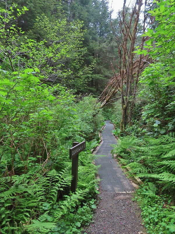
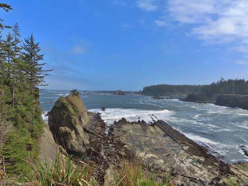
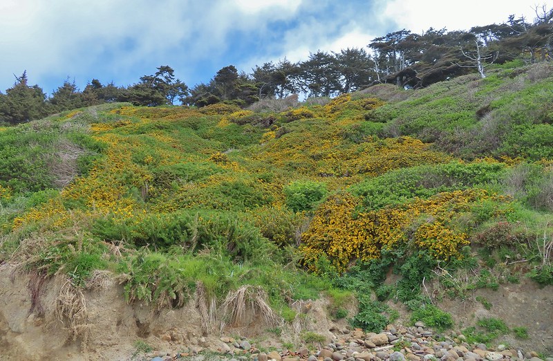
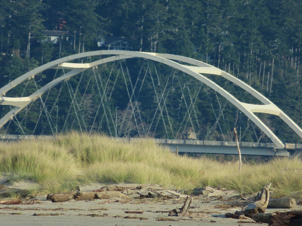
Our hike this week took second fiddle to our son’s birthday which we planned to celebrate by taking him out to lunch/dinner in Eugene. We still wanted to get a hike in that morning, so we looked for something in the general direction of Eugene. Our original plan had been to visit Vivian Lake near Diamond Peak, but a forecast of rain, followed by snow, then more rain had us look elsewhere. Looking at my list of future hikes a couple of hikes between Corvallis and Newport caught my eye. They were more or less on the way to Eugene and the weather forecast looked good. The two hikes had been Strom Boulder Ridge and Olalla Reservoir. Double checking the status of the hikes revealed that Georgia Pacific, who manages Olalla Reservoir, had closed access due to low water at the beginning of September so that hike was out. I then turned to the Oregon Hikers Field Guide to look for another short hike in the area and found the Big Creek-Forest Park Hike in Newport.
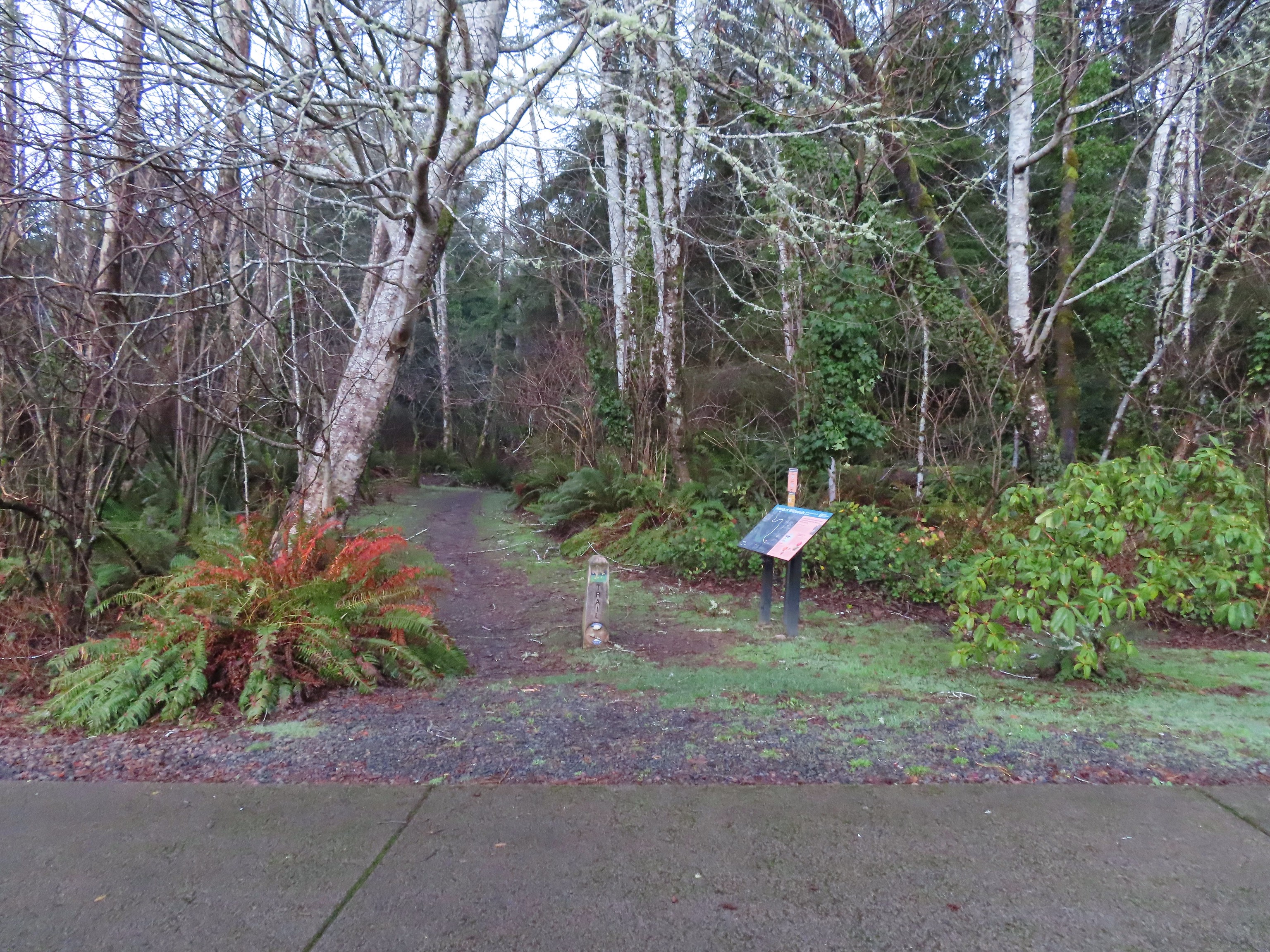
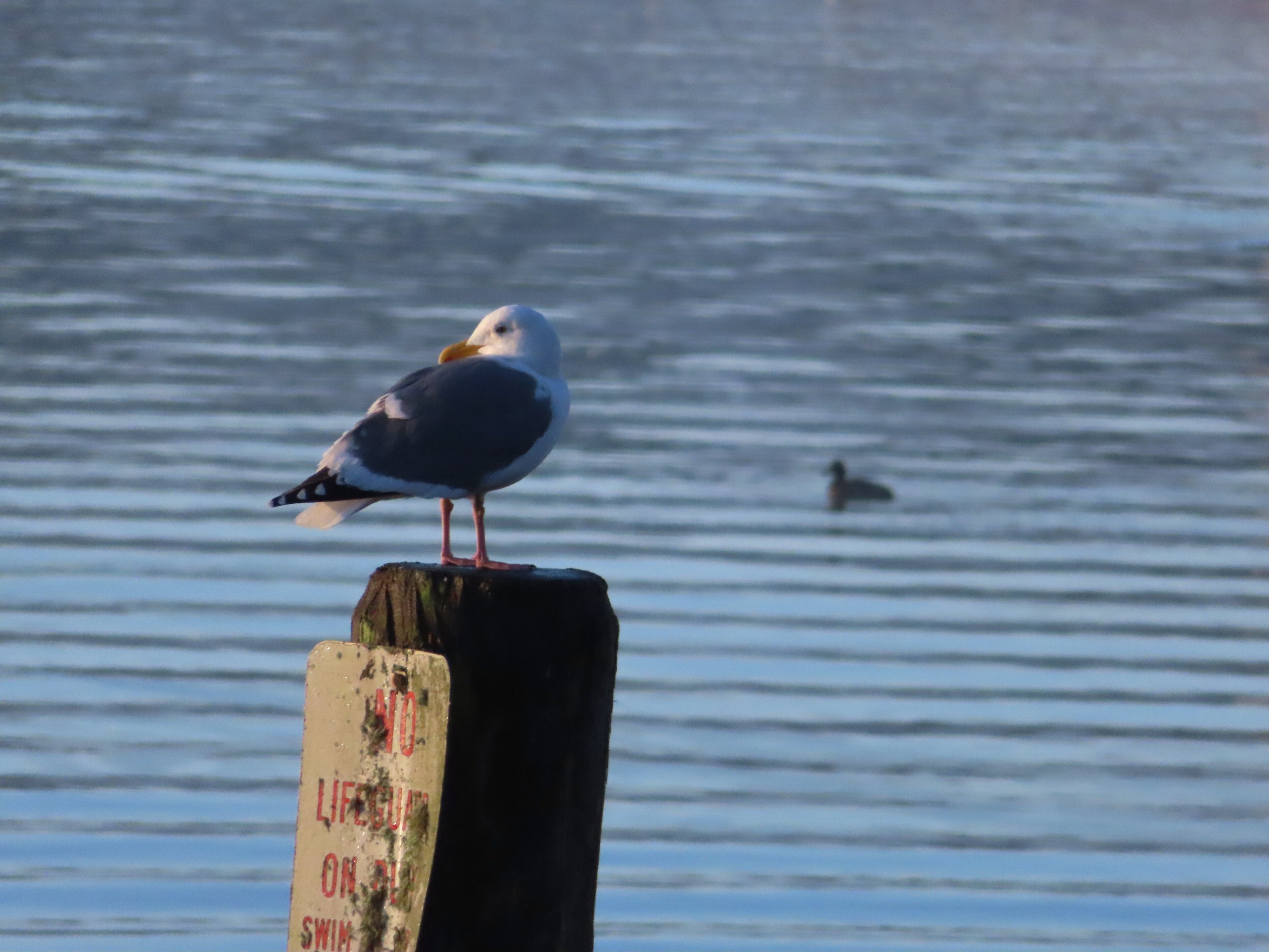
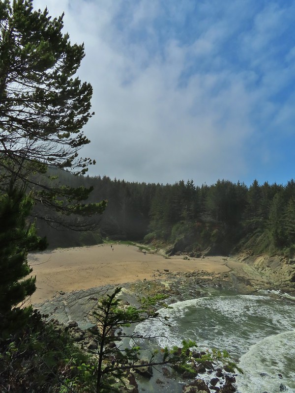
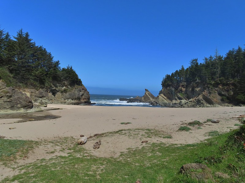
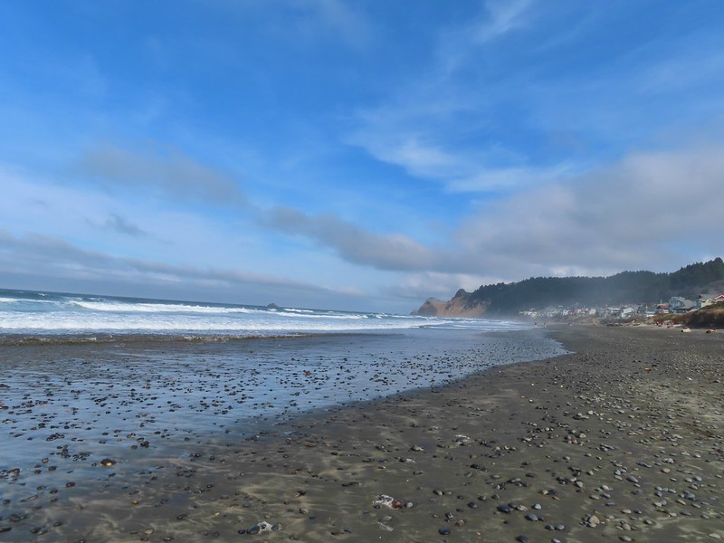
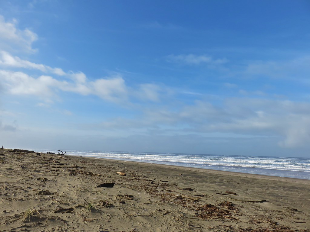
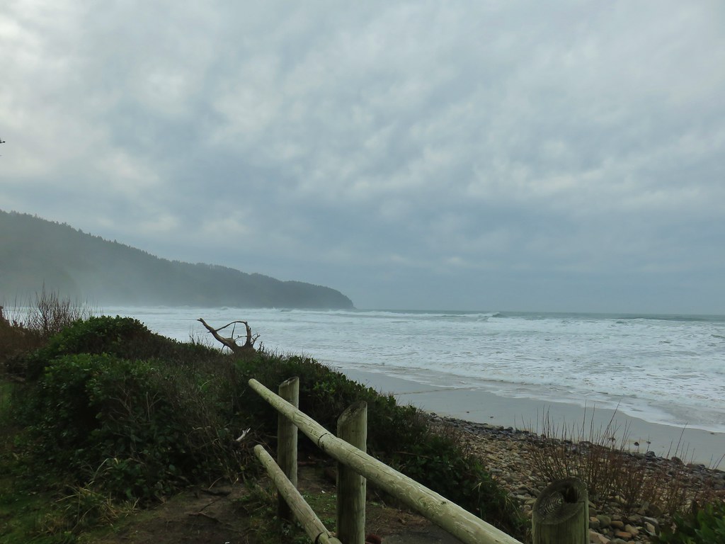
We began with the Big Creek hike parking at the Agate Beach State Recreation Site.

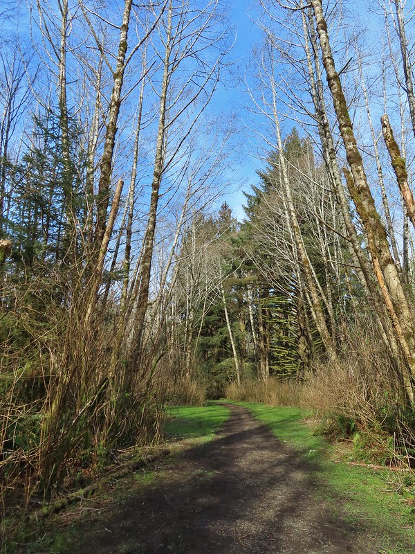
A trail begins near the restrooms at a footbridge over Big Creek.

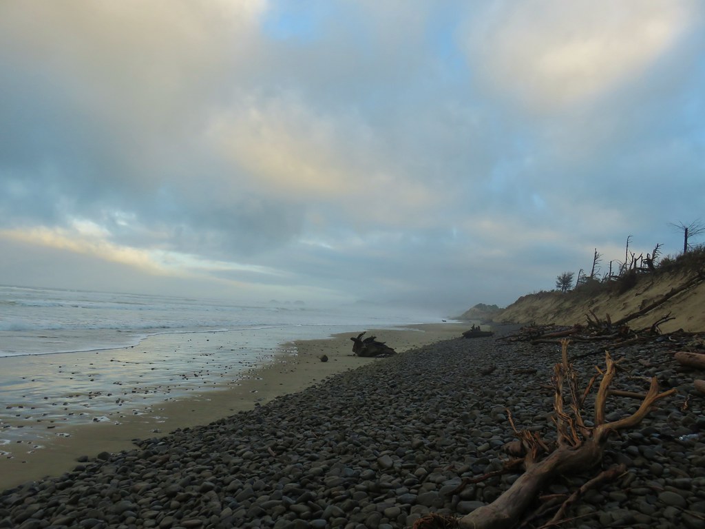
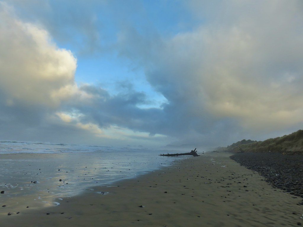
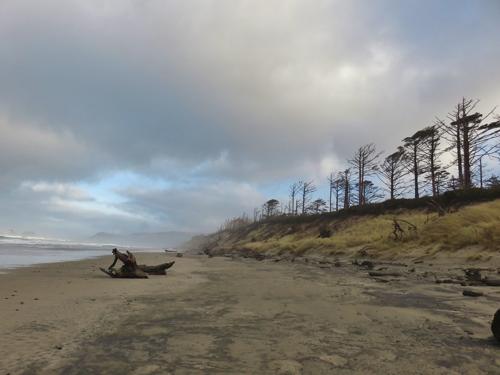
 Big Creek in the morning.
The trail follows Big Creek toward Highway 101 then recrosses it leading to a tunnel under the highway.
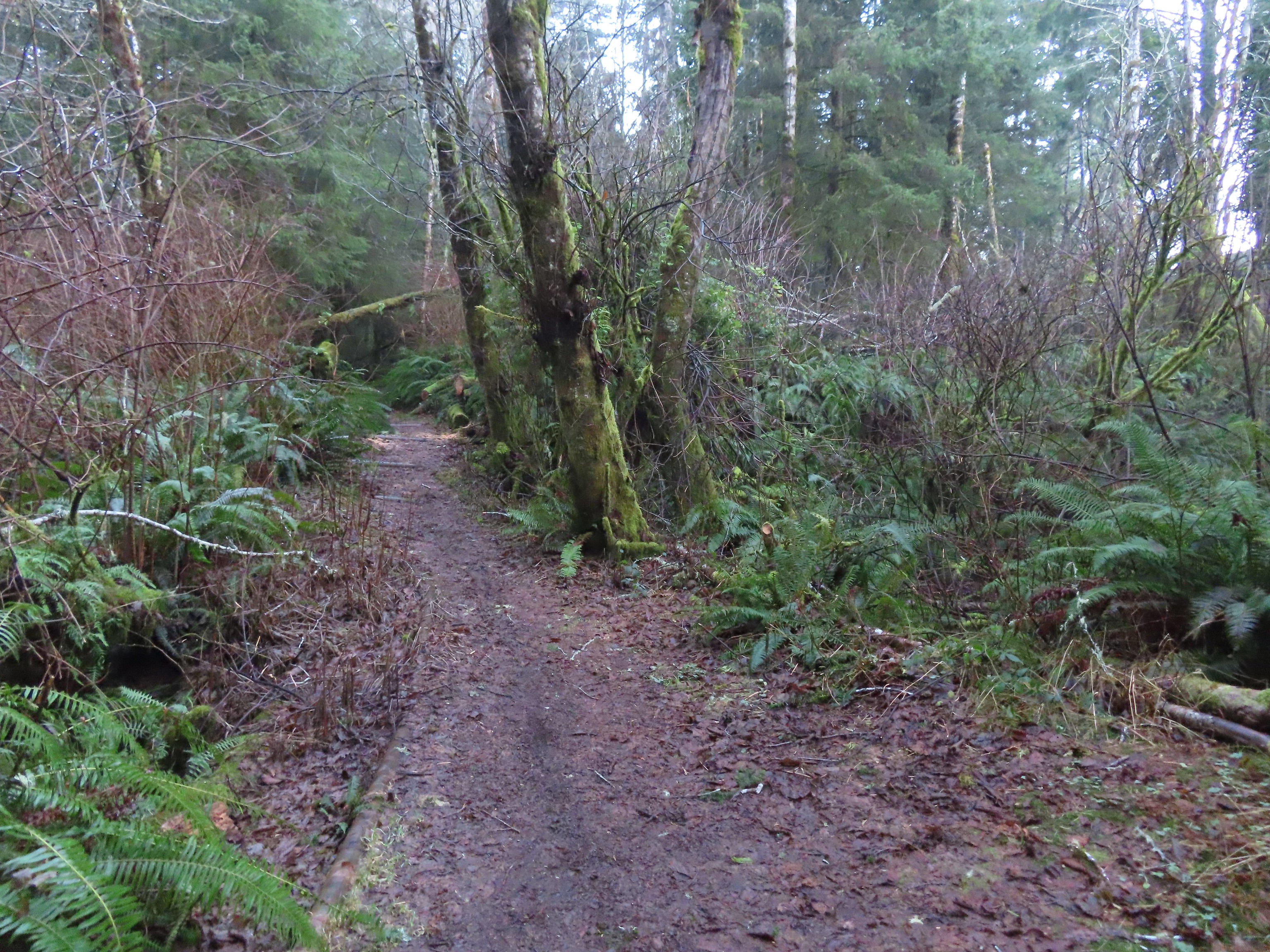
 A short section of the trail was paved.
 At the eastern end of the parking area we came to this new kiosk that is being installed marking the start of the Agate Beach TRACK Trail. There was also a path directly to the parking lot from the kiosk which we used upon our return.

 The tunnel under Highway 101. The stairs at the far end lead up to a city street while the trail makes a hard right to briefly follow the highway back across Big Creek.

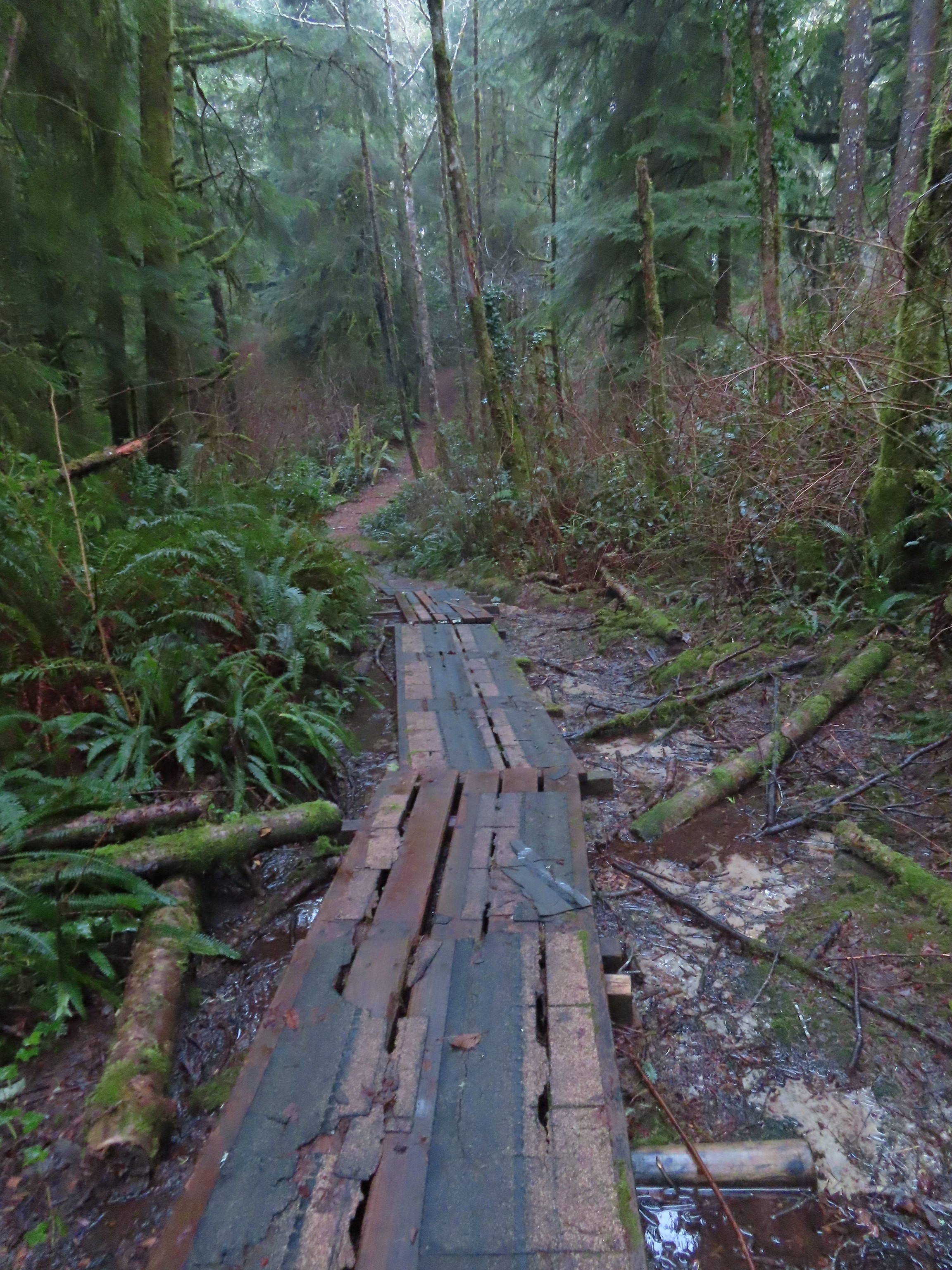
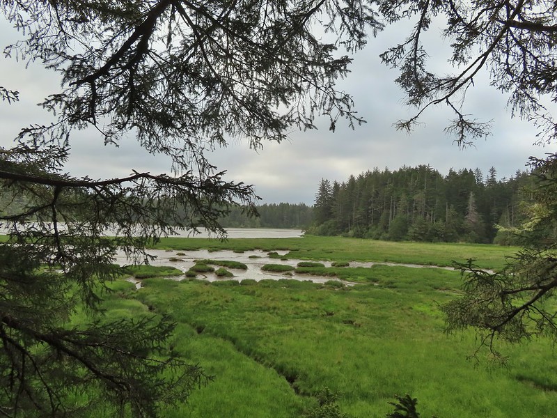
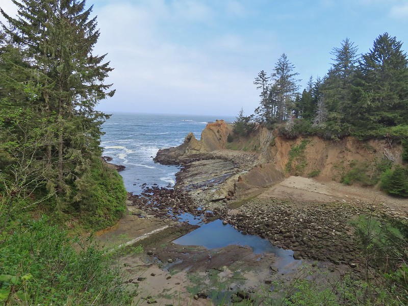
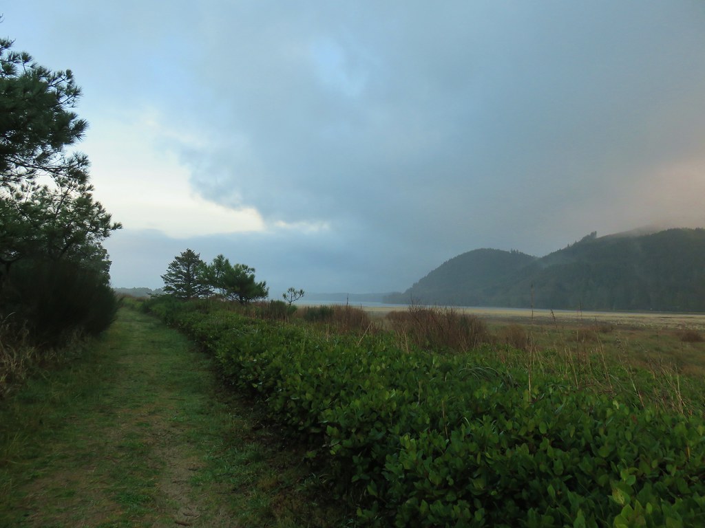
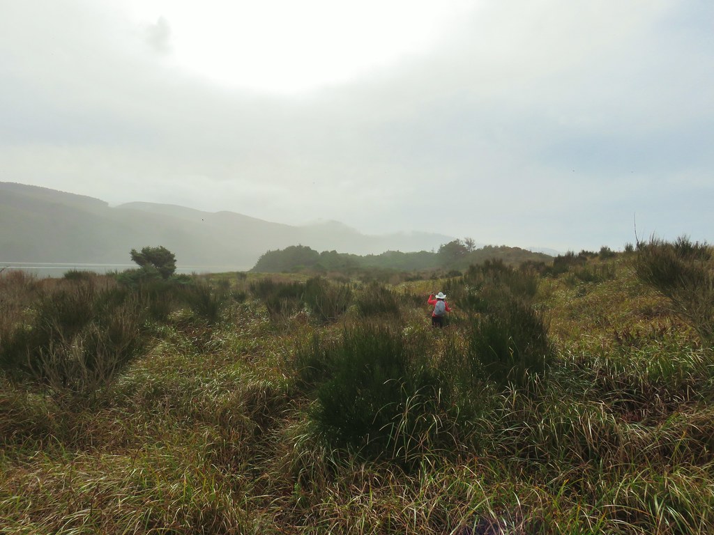
 A series of boardwalks crosses the marshy bottomlands of Big Creek.
 While the kiosk was a new work in process there were a number of older looking interpretive signposts. This was one of only a handful that still contained an interpretive sign.
 The bottomlands.


 There were no signs at junctions but for the TRACK Trail stick to the level fork and ignore anything going uphill.
 Further along the trail Big Creek could actually be seen flowing.
 A non-boardwalk section along Big Creek.

 Approximately three quarters of a mile from the kiosk the trail arrived at Big Creek Road at another new signboard.
 The signboard at Big Creek Road didn’t have any information on it yet.
We turned right on Big Creek Road passing a large overflow parking lot for Big Creek Park and Reservoir, crossed Big Creek, and then turned left into Big Creek Park.

 Stellar’s Jay
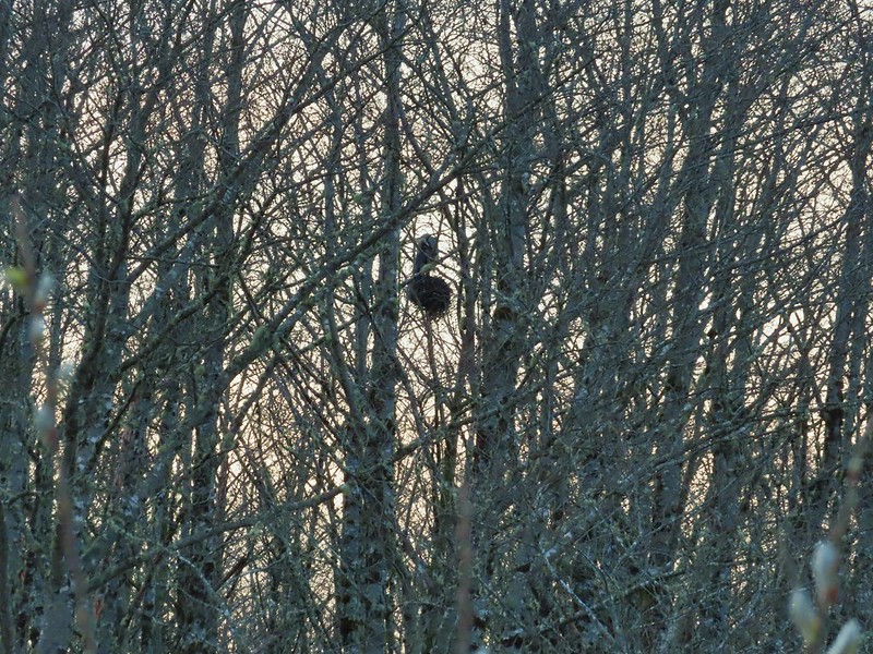
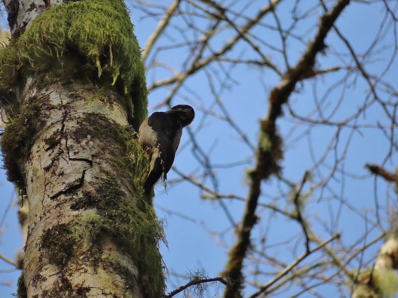
 Northern flickers on the picnic shelter.
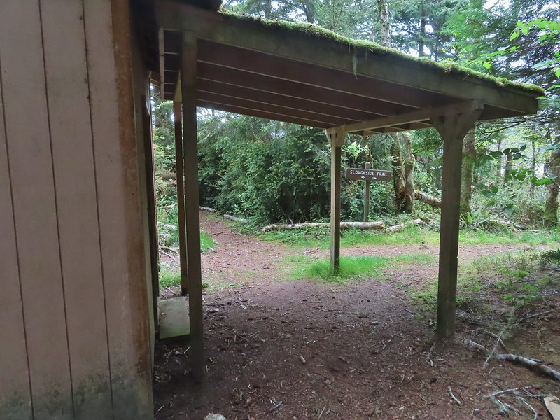
A signboard near the picnic shelter marked the start of the Forest Park Trail.
 Map on the signboard.
Don’t be fooled by the footbridge over Anderson Creek to the right of the signboard, the Forest Park Trail follows an old gravel roadbed steeply uphill to the left of the sign.
 Anderson Creek, the footbridge, and signboard from the roadbed.
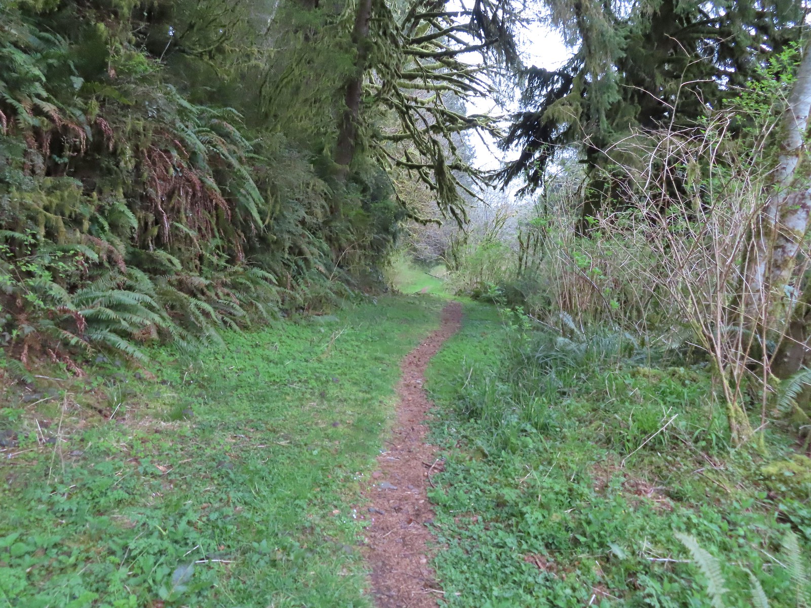
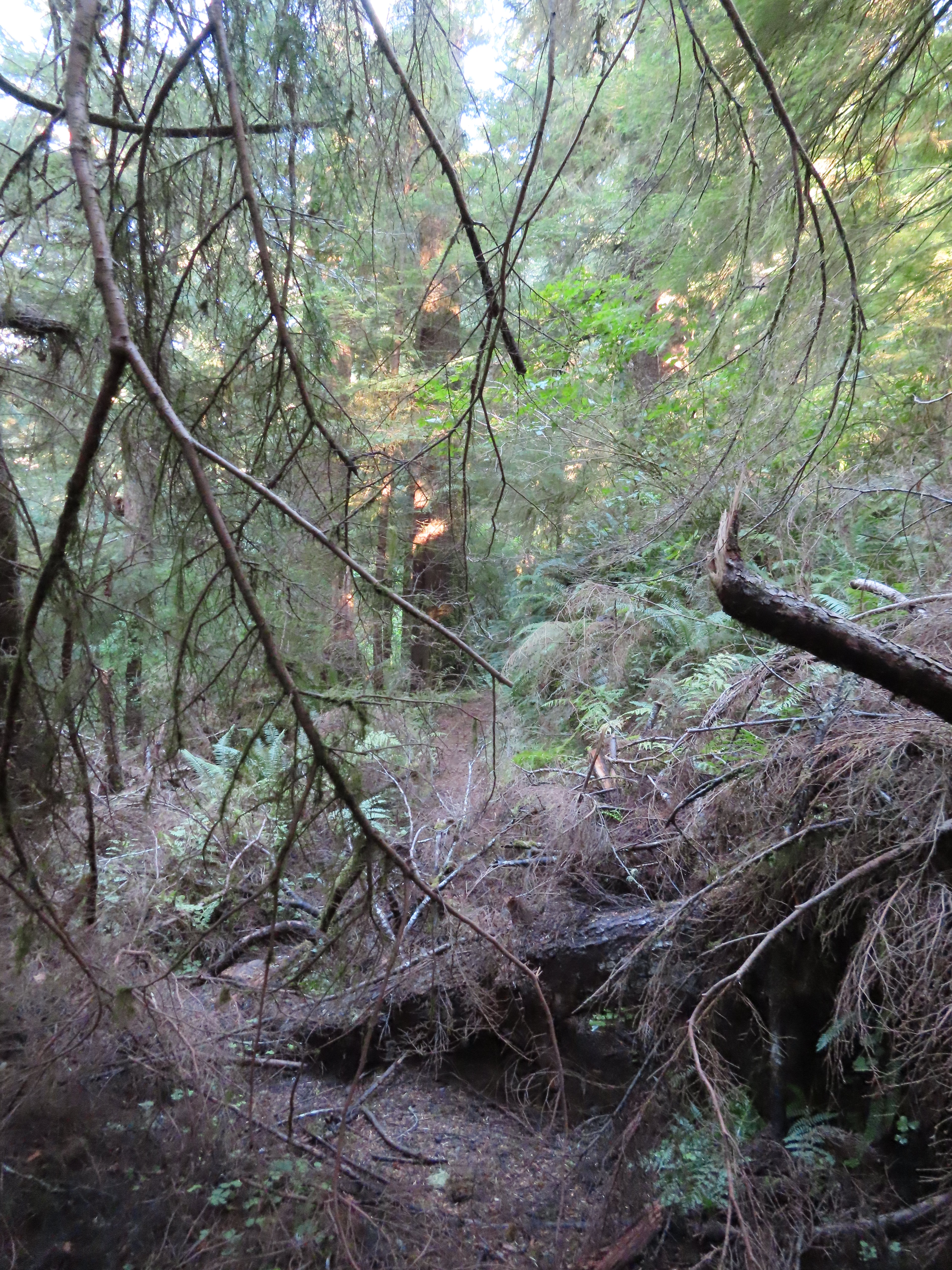
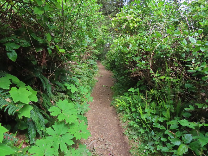
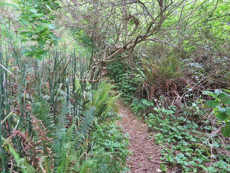
 The Forest Park Trail
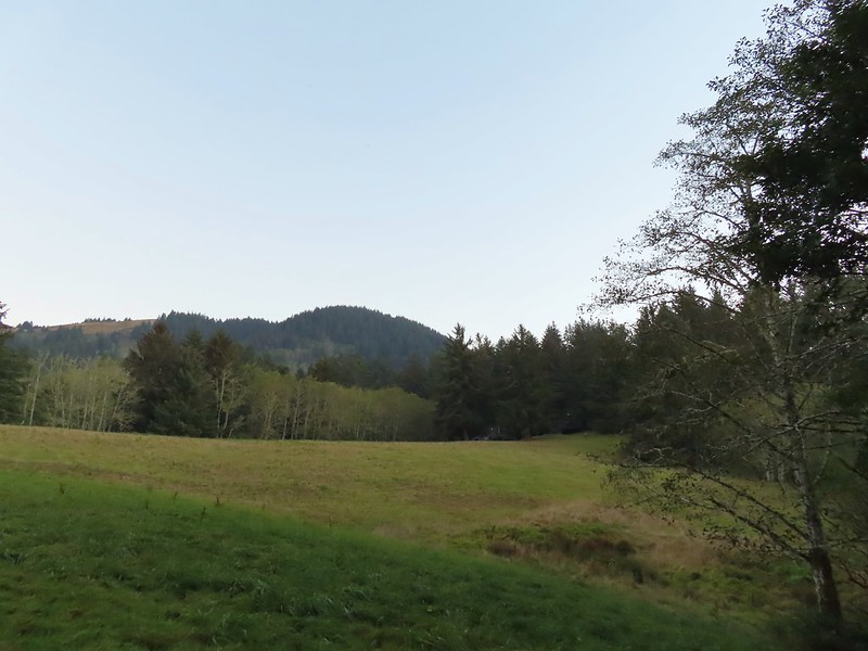
While the Track Trail had gained almost no elevation the Forest Park Trail climbed over 200′ in its first half mile to a pair of water towers.
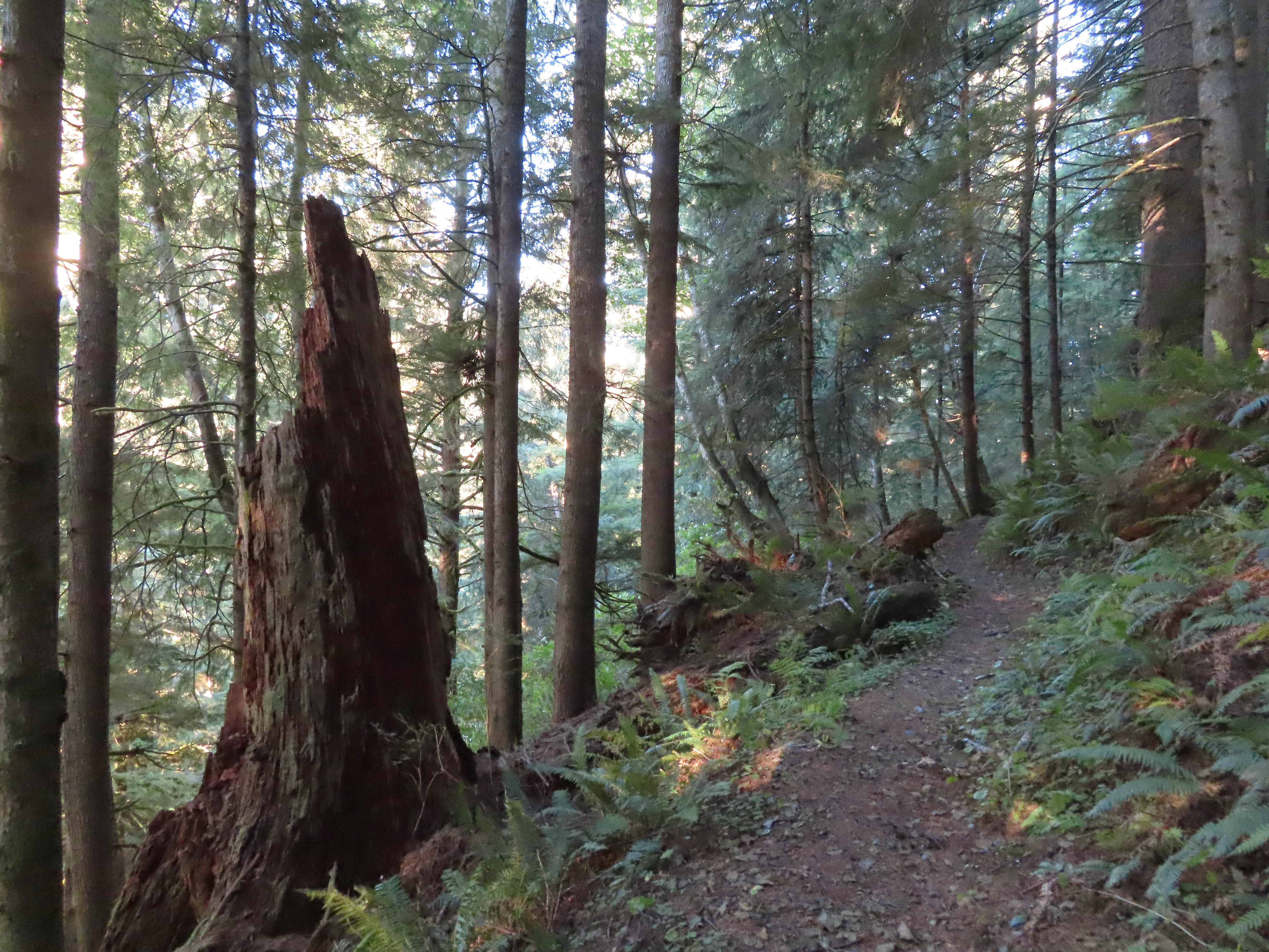
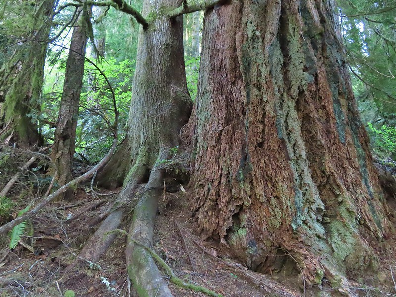
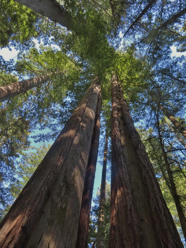
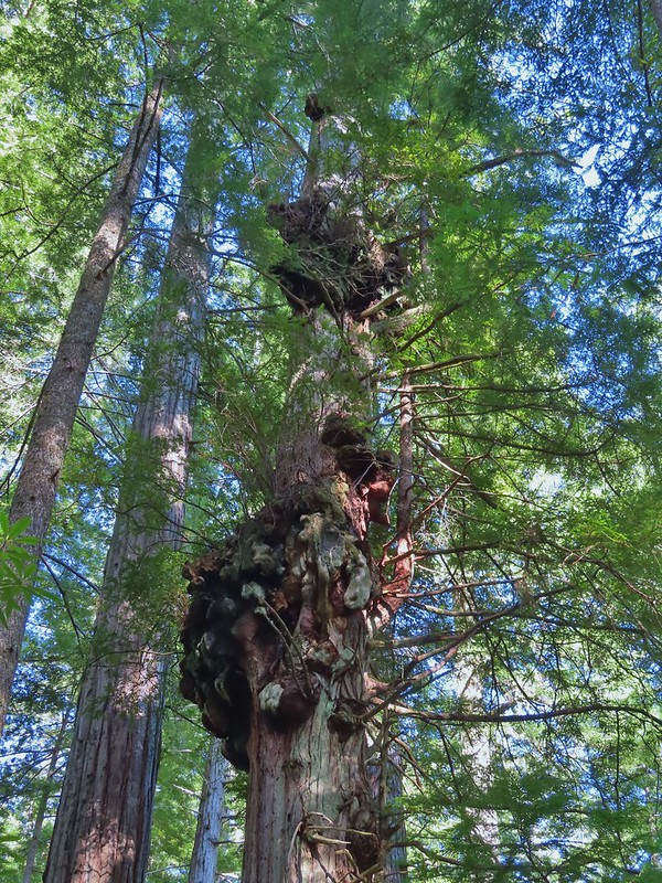
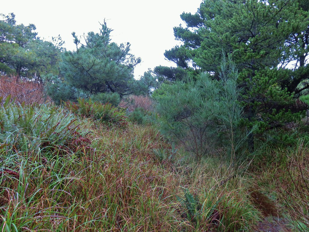
 A nice sitka spruce forest lined the old roadbed.
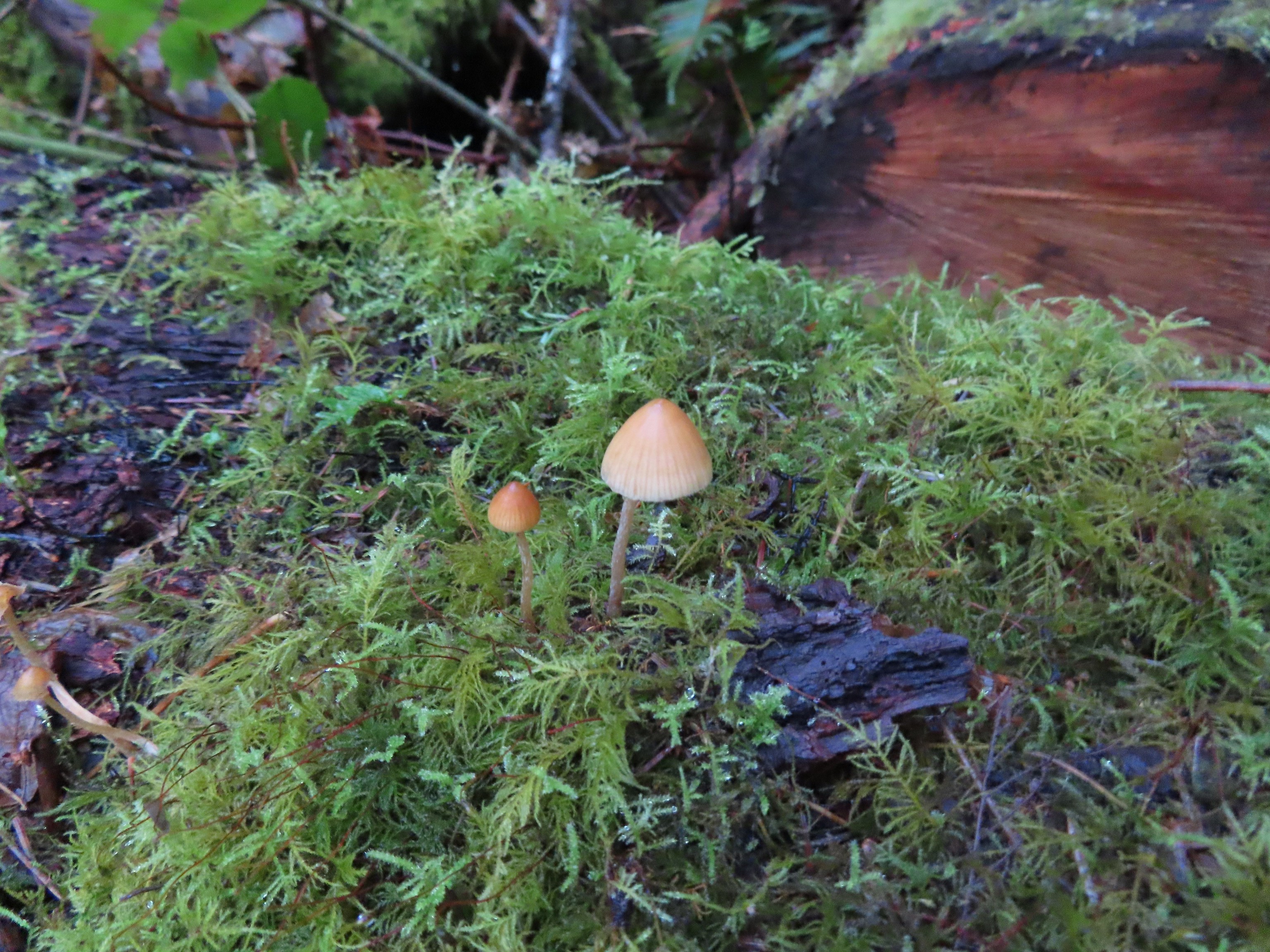
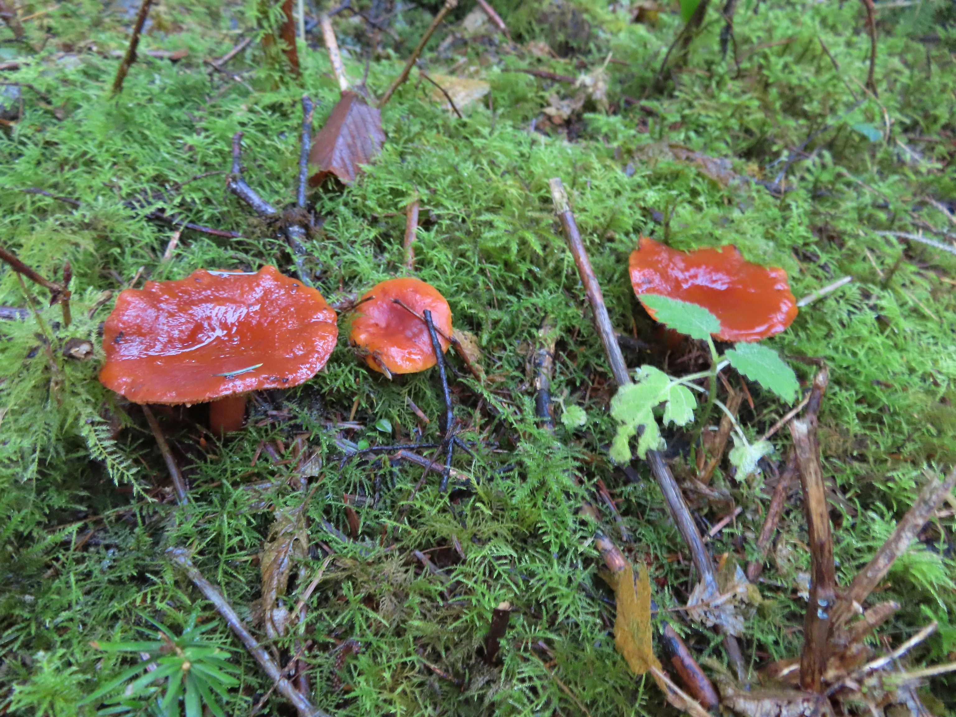
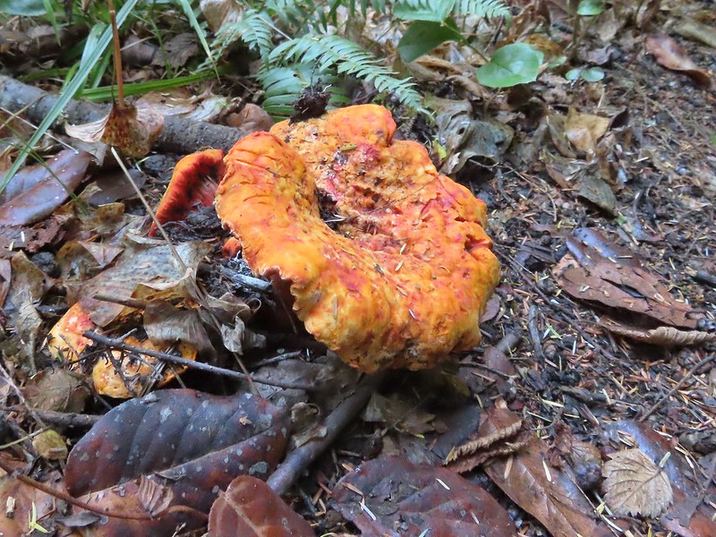
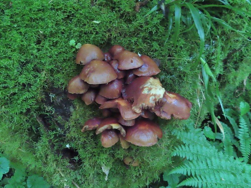
 Mushrooms
 Sunlight hitting the trees.
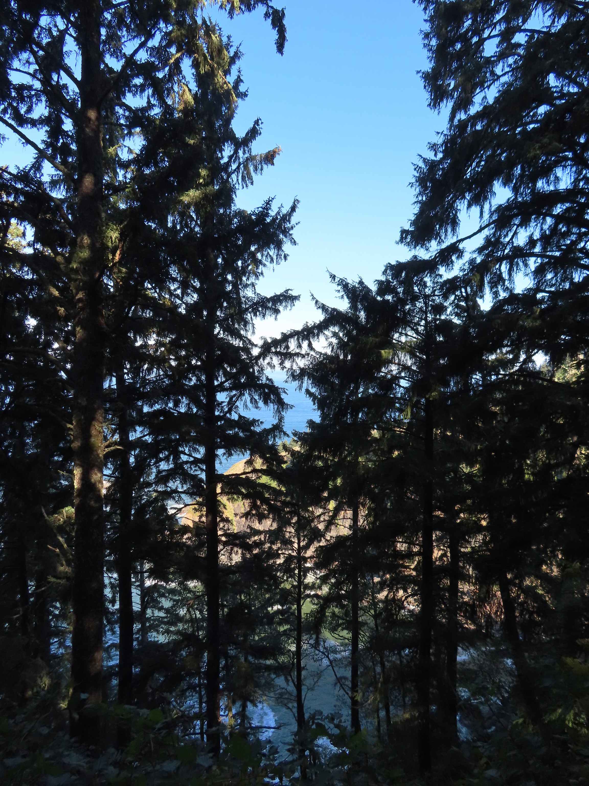
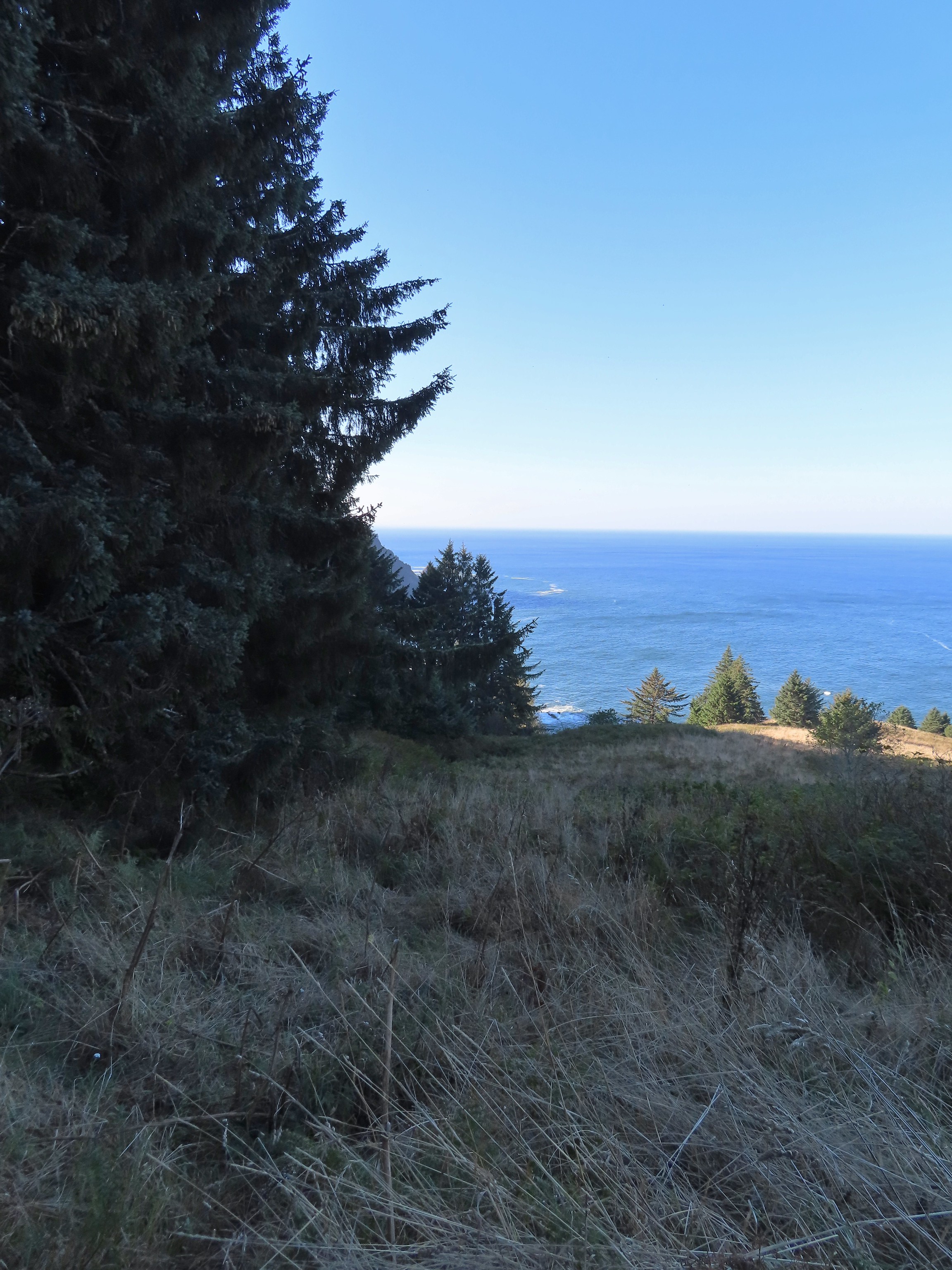
 The Pacific Ocean through the trees near the water towers.
 Passing the water towers.
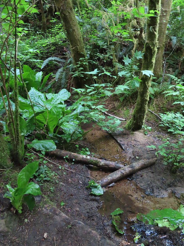
Beyond the towers the trail dropped 160′ to wetlands along Jeffries Creek then climbed nearly another 90′ to a gate at the Fogarty Street Trailhead.

 The drop to Jeffries Creek.
 Jeffries Creek
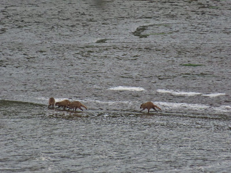
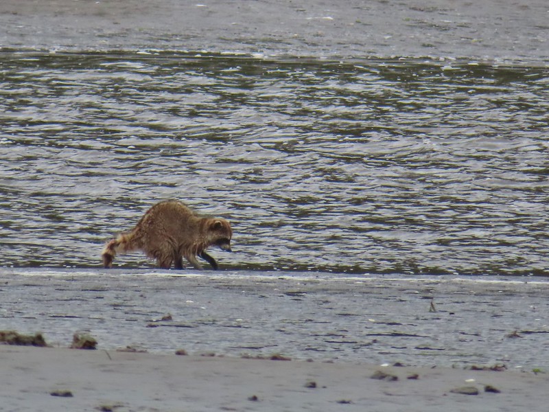
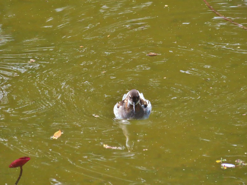
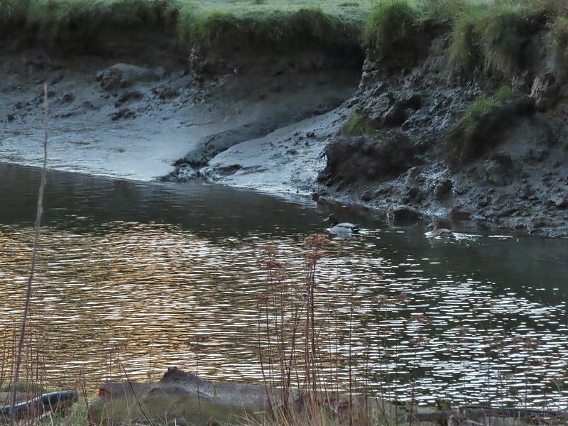
 Wood ducks in the wetlands.
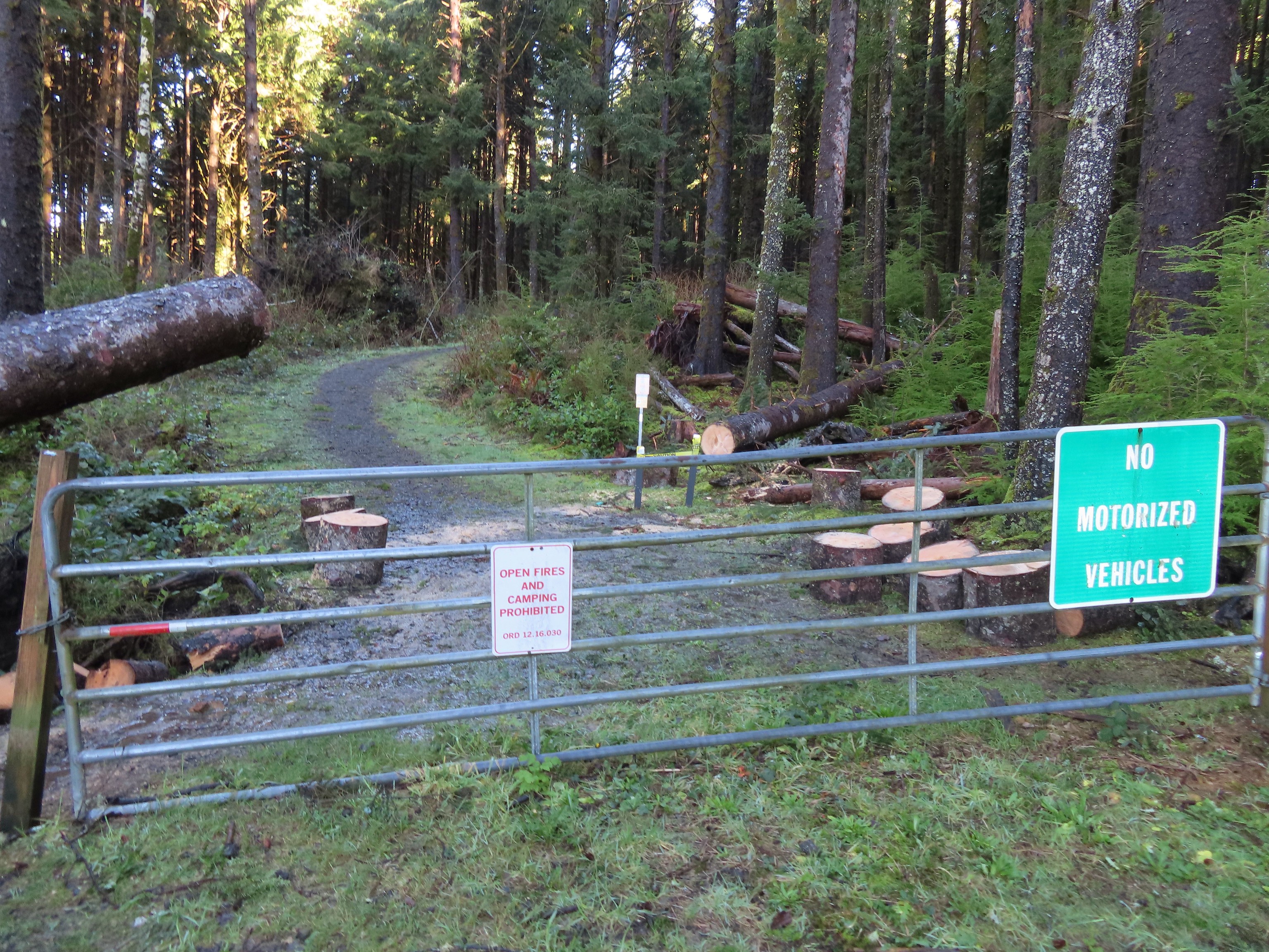
 The gate near Fogarty Street.
 The Forest Park Trail from the other side of the gate.
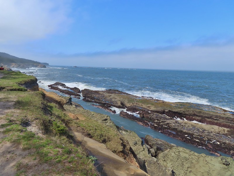
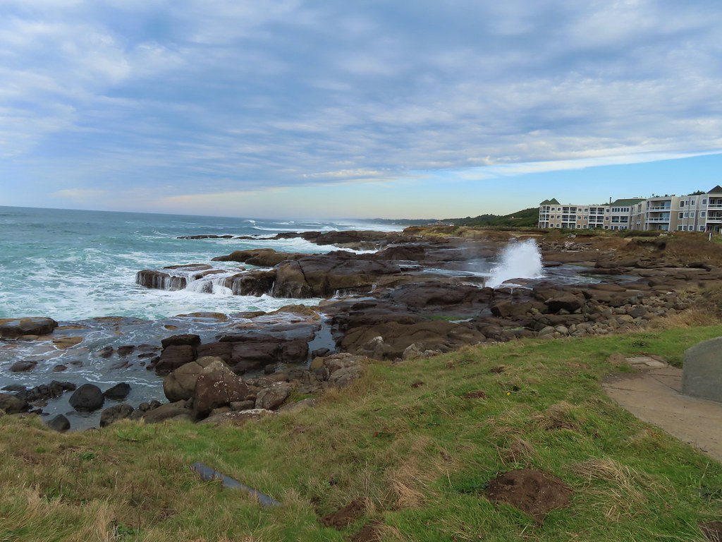
We returned to the kiosk at the start of the TRACK Trail the way we’d come then cut to parking lot and returned to our car. The hike came to 4.0 miles with just over 550′ of elevation gain, nearly all of which was on the Forest Park Trail. The TRACK Trail seems like a good option for kids with the Forest Park Trail adding some short, steep climbs for those looking for more of a workout. The ability to visit Agate Beach from the parking lot is a huge bonus. We didn’t have time today to visit the beach but had in 2018 during our Yaquina Bay hike (post).

For our next stop at Strom Boulder Ridge we drove East on Highway 20 from Newport to Burnt Woods and turned right onto Harlan-Burnt Woods Road. We followed this road for 2 miles then turned right onto the unsigned gravel Burnt Woods Forest Road. I found this hike on Alltrails which I have somewhat reluctantly been looking at more frequently, mostly to check for recent trip reports but there are also some obscure “hikes” that don’t appear in any of our guidebooks or in the Oregon Hikers Field Guide. Strom Boulder Ridge is one such “hike” which is really just a 7.5-mile loop on drivable gravel logging roads on Oregon Department of Forestry managed lands. As such there is no official trailhead (although Google Maps seems think there is). The loop begins 0.7-miles up the forest road but we decided to park at a pullout next to a gravel pile halfway to the start of the loop.

 Morning fog was still burning off at 9:30am.
One thing to note is that there isn’t any signage and because the area is actively logged roads may be added or closed depending on operations. I had downloaded the Alltrails track and we had our GPS units with us. Almost immediately we passed a logging road coming downhill on the left that was not shown on either the Alltrails or Garmin maps.
 A car by the gravel pile to the left with the road coming down the hillside to the right. Interestingly Google Maps labels this as “Burnt Woods Ridge Road” which both Alltrails & Garmin showed as the left-hand fork where our loop would begin. (Google doesn’t show a road there at all but you can see the road in the trees by looking at the aerial view.) Numerous times throughout the hike we relied on comparing the Alltrails Track to the GPS map and our track to that point to determine where we were and which road(s) to take.
The trip reports on Alltrails had all mentioned how quite this hike was and it was (we saw no other hikers and only passed one pickup truck on the loop) other than the gunfire that we heard almost immediately and then off and on throughout the majority of the hike. We followed the road uphill to a saddle then dropped slightly to a fork marking the start of the loop.

 There was some room to park here at the start of the loop (this is not where Google marks the TH) as well as many pullouts along the loop where one could choose to start.
We forked right following the suggested direction shown on the Alltrails track sticking to the Burnt Woods Forest Road. Over the next three and a half miles the road swung out and around several ridges in a series of ups and downs resulting losing a cumulative 580′ but regaining over 400′ along the way. As we descended we found ourselves back in the fog for a while before it finally burned off.


 Heading down into the fog.
 One positive to the fog is that it can create some dramatic Sun rays.
 Vine maple
 Blue sky in the upper left hand corner.

 The road to the right is an example of a road that wasn’t labeled on any map we had.
 Emerging from the fog.
 Looking back through the fog to blue sky and the Sun.
 The only other “hiker” we saw on the loop.
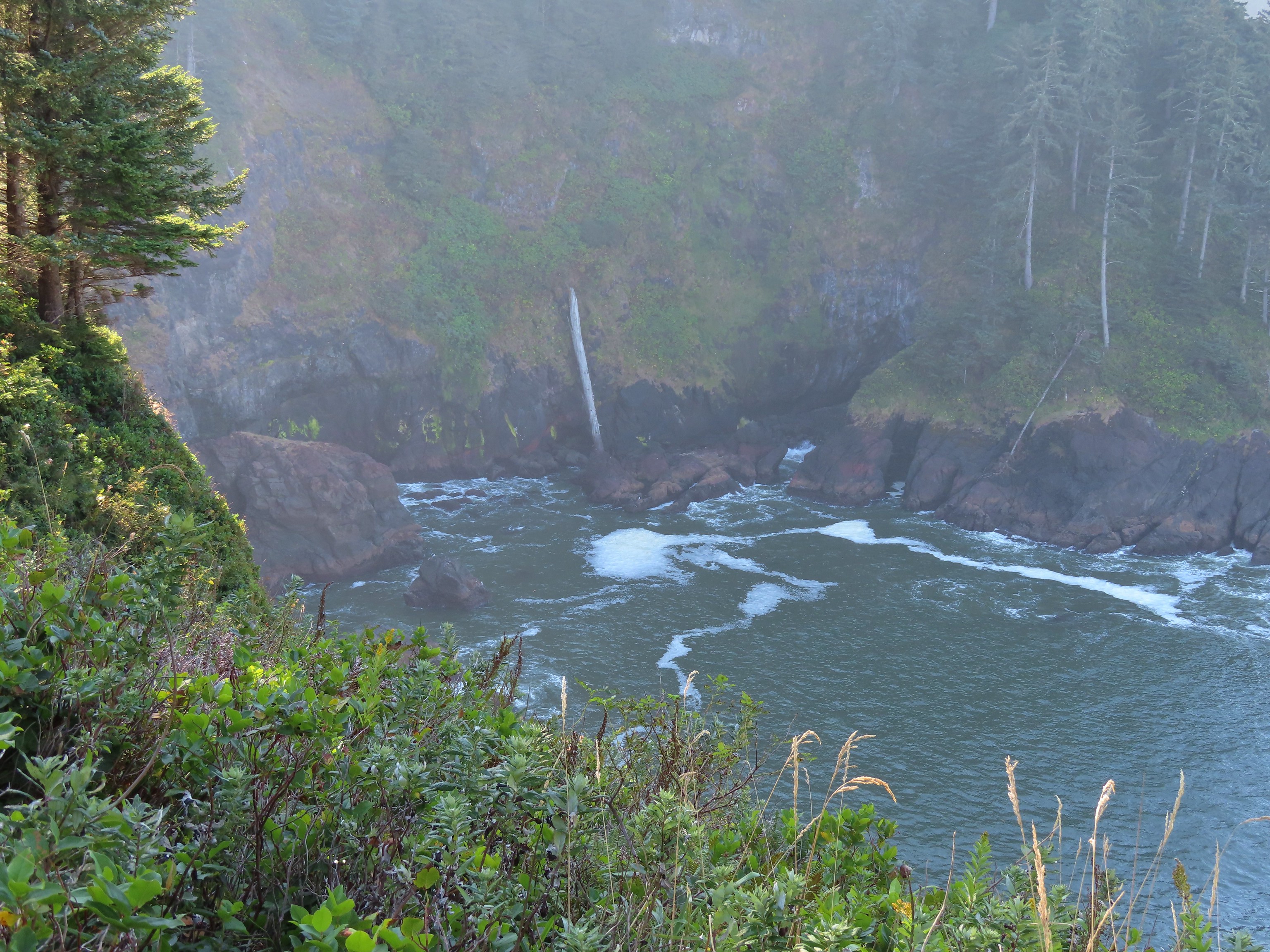
 We couldn’t see it but just over three miles from the start of the loop the road crossed Cline Creek which was the first time we heard what sounded like a decent amount of flowing water.
 A little over a tenth of a mile beyond Cline Creek we left Burnt Woods Forest Road and forked uphill to the left onto Cline Creek Road.
Cline Creek Road climbed gradually for approximately a half mile at which point it steepened and climbed for another mile to a junction with Burnt Ridge Road.
 Arriving at a clearcut. Much of Cline Creek Road was along different clearcuts.

 Mylitta crescent
 Red-tailed hawk soaring over the clearcut.
 Trying to get the red-tailed hawk in flight.
 Lots of Fall colors starting to pop.
 The first signs we’d seen (noticed anyway) were at the Cline Creek/Burnt Woods Ridge Road junction.

We turned onto Burnt Ridge Road and climbed some more gaining just over 150′ in the next 0.3-miles to the loop’s highpoint along the ridge (1558′). From there the road followed the ridge in a series of ups and downs for another mile and a half before making a sharp left and beginning a steeper descent back to the Burnt Woods Forest Road.

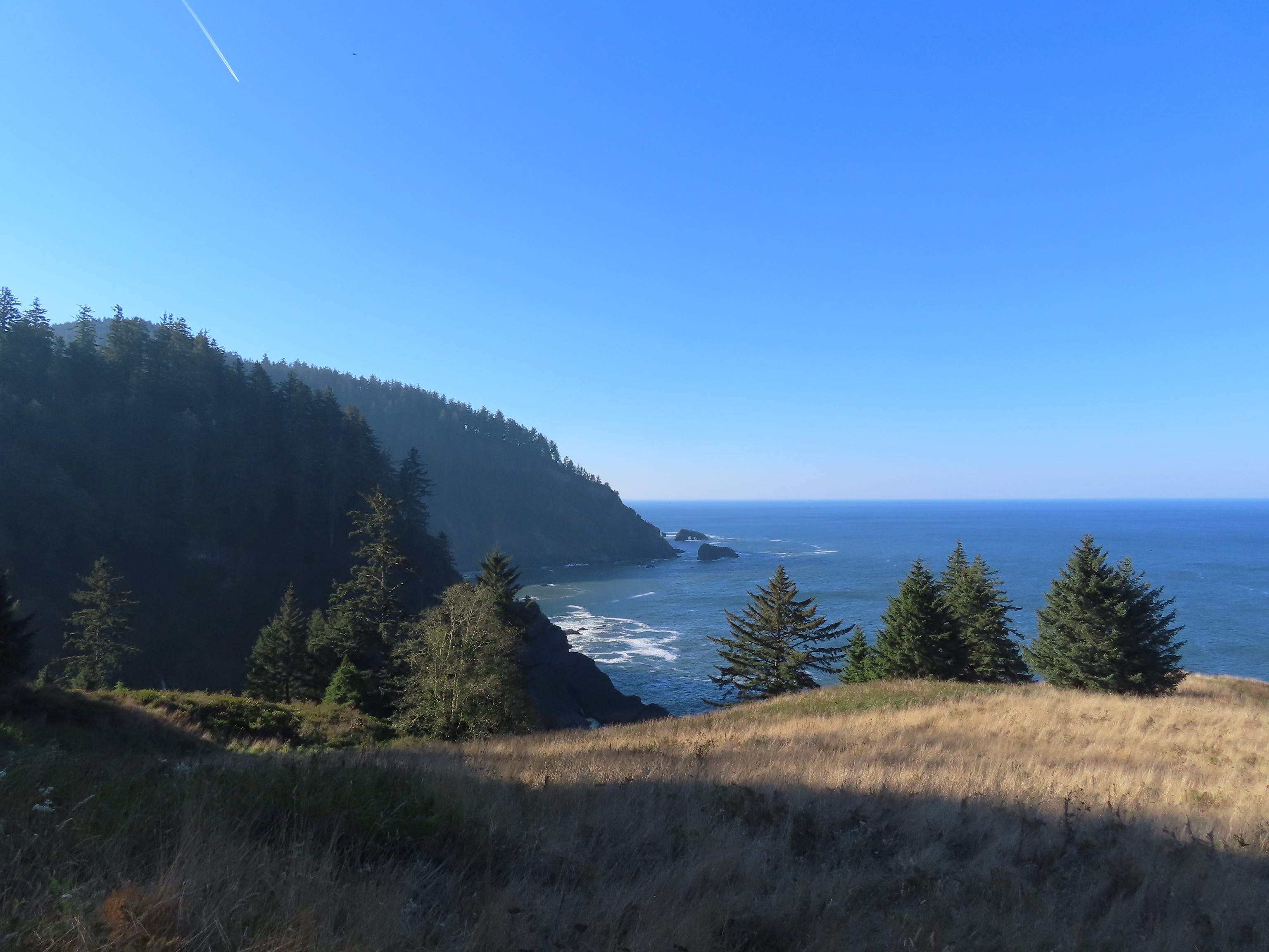
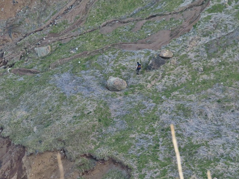
 Arriving at the high point which was actually the first good viewpoint being above one of the clearcuts.
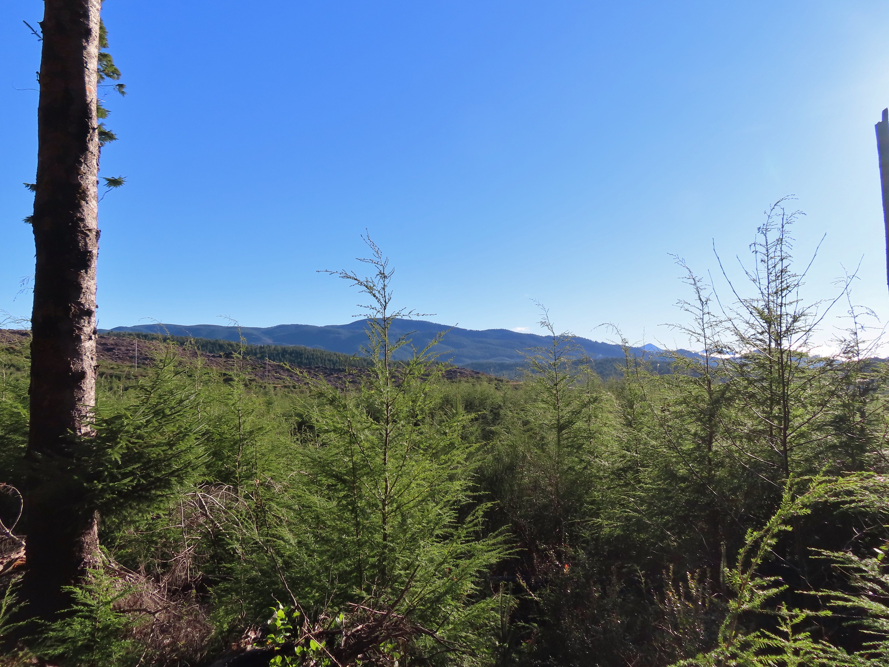
 Looking North at more of the Coast Range.
 Theoretically we should have been able to see both Mt. Hood and Mt. Jefferson from here but between haze from the fog and clouds we couldn’t make either out.
 Mt. Jefferson is out there somewhere. The fact that the Cascades have some snow again doesn’t help them stand out in the haze and clouds.
 Yet another unsigned road junction. Sticking to the ridge is the key.
 After crossing a saddle we gained views SE to Mary’s Peak (post)
 The tower and summit meadow of Mary’s Peak.
 The hard left prior to the steep descent. The road on the far hillside in the clearcut is part of the road Google Maps has labeled as Burnt Ridge Road but doesn’t show on Alltrails or the Garmin maps.
We followed the ridge downhill for a little over a mile to complete the loop then followed the Burnt Woods Forest Road back to our car.

 The end of the loop at the bottom of the hill.
Due to where we parked our hike came in at 8.5-miles with a little over 1200′ of cumulative elevation gain.

While it wasn’t the most exciting hike there was enough variety for it to be pleasant and aside from the gunfire it was quiet. It’s a decent option for a moderate workout, especially after rains when the road walk would be less wet/muddy than many trails. I would probably avoid weekdays if there is active logging occurring though. One other thing of note – Alltrails entry for the hike mentions the Siuslaw National Forest requiring a recreation pass but this is not National Forest land (and there is no developed trailhead) so no passes are currently needed.
After the hike we drove to Eugene and met Dominique at Ubon Thai for a late lunch/early dinner for his birthday. Good food and as someone who enjoys spicy foods, they didn’t disappoint with their heat scale. We followed the meal up with a slice of cake we’d brought down from Gerry Frank’s Konditorei. A great way to end a nice day. Happy Trails!

 Most of the buildings are gone but this relocated Officers Quarters is being restored.
 It was hard to tell at times if it was cloudy or smokey which would be a theme for most of the day.
 Flagpole behind an interpretive sign.
 Most of the trail is ADA accessible but not the entire loop.
 The forest was quite a contrast from the open hillside.


 Lots of fading flowers: yarrow, goldenrod and aster mostly.
 Some of the caterpillar tents on the hillside.


 The nature trail crossed the service road after half a mile.
 The continuation of the nature trail on the right.
 We were pleasantly surprised at how forested this entire trail was.
 There were lots of frogs hopping off the trail. Can you see this one?
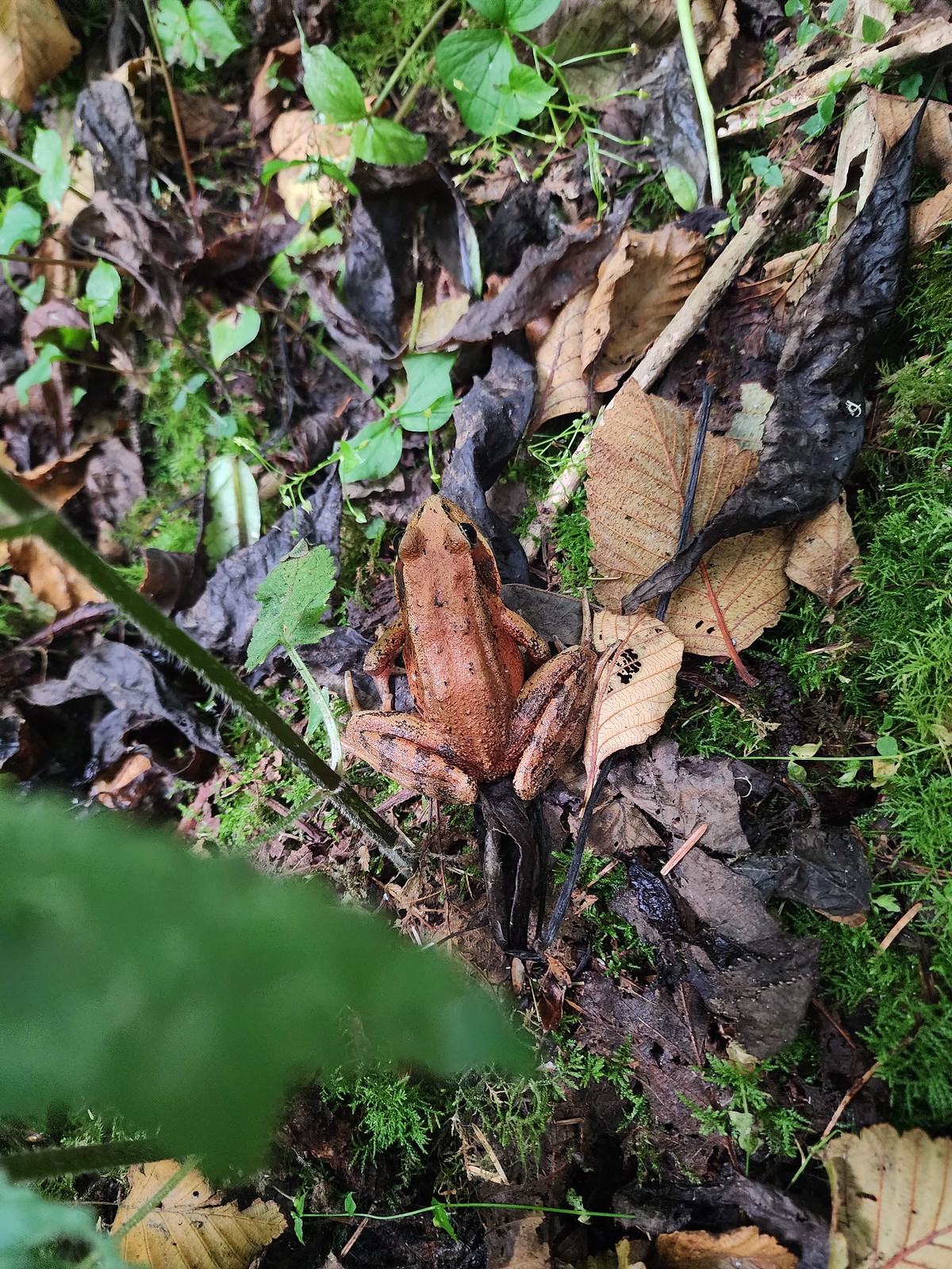 Norther red-legged frog?
 A little less than half a mile after crossing the road we passed a junction with a trail leading to the picnic area. We would visit the picnic area on our way back and pick up the service road there.

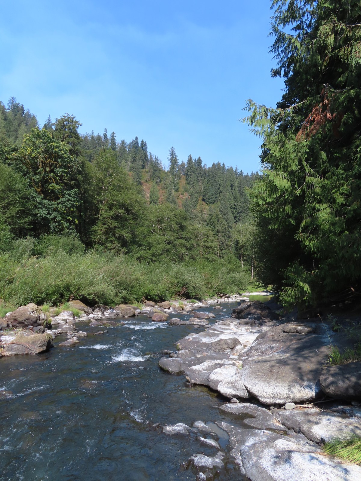
 The Little Nestucca is to the right with the Nestucca River straight ahead.
 Cormorants

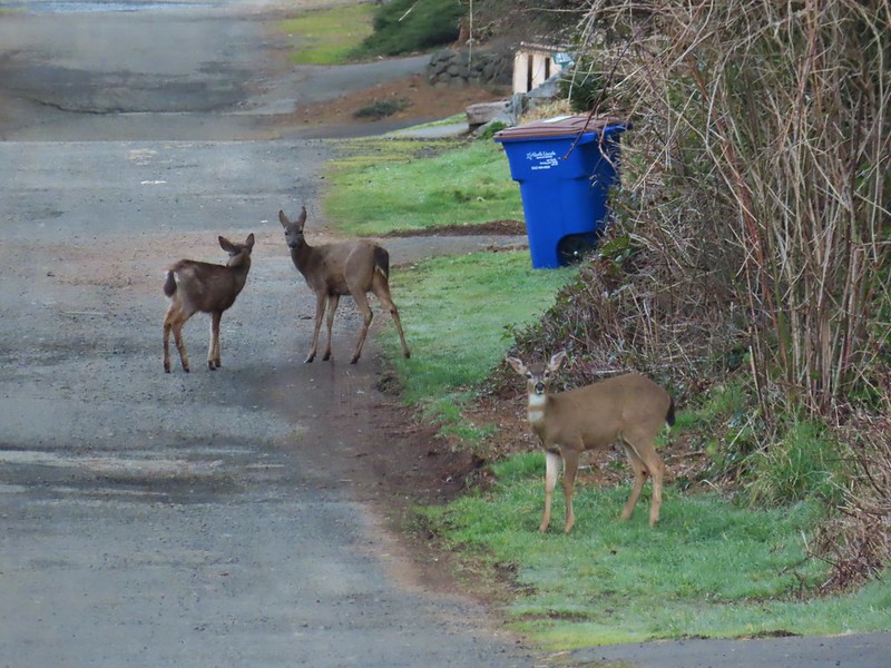
 We disturbed a doe near the picnic area.
 The doe leaving the picnic area.
 A path here leads down to the bay to provide fishing access (we didn’t follow it).
 Ground squirrel
 Thistle
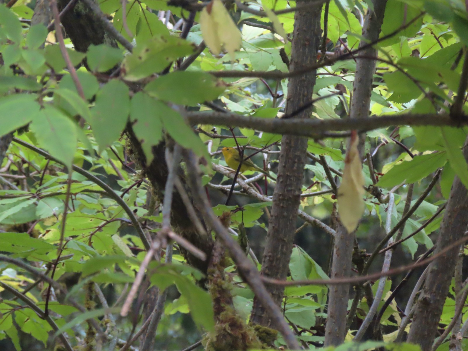 Wilson’s warbler
 The overlook on the far hillside.
 The trailhead from the service road.

 Haystack Rock and Cape Kiwanda (
 Haystack Rock
 Pearly everlasting, spirea, and aster.
 View from the overlook.
 Bench at the overlook.
 Little Nestucca River from the overlook.
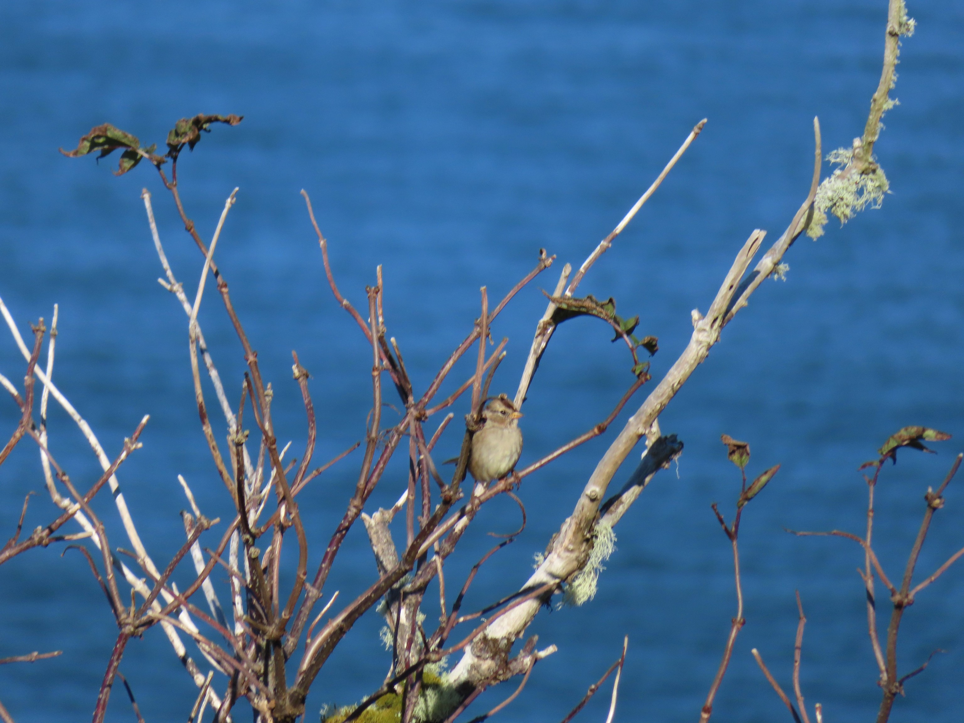
 White-crowned sparrow
 Ladybug


 Trask River from the trailhead.
 Garter snake near the trailhead.
 We followed the pointer here and went right.
 Here we again followed the pointer and went left. We failed to notice the pointer on the lower sign not facing us. It was also hard to tell if the rocks were actually part of a trail or just a scramble route. Turns out they are “stone steps”.
 The inland clouds were breaking up giving us some nice blue sky.
 Ouzel
Ouzel

 Big tree along the trail.
 Arriving at the picnic area.


 The trail to the left.
 Huge nursery log.
 It’s hard to see here but this section was very steep.
 Steps along the ridge.
 The stone steps looked more like steps from this direction.
 Arriving back at the trailhead.


 Skunk cabbage
 Bindweed
 While there were quite a few people visiting the preserve there were still moments when we had the boardwalk to ourselves.

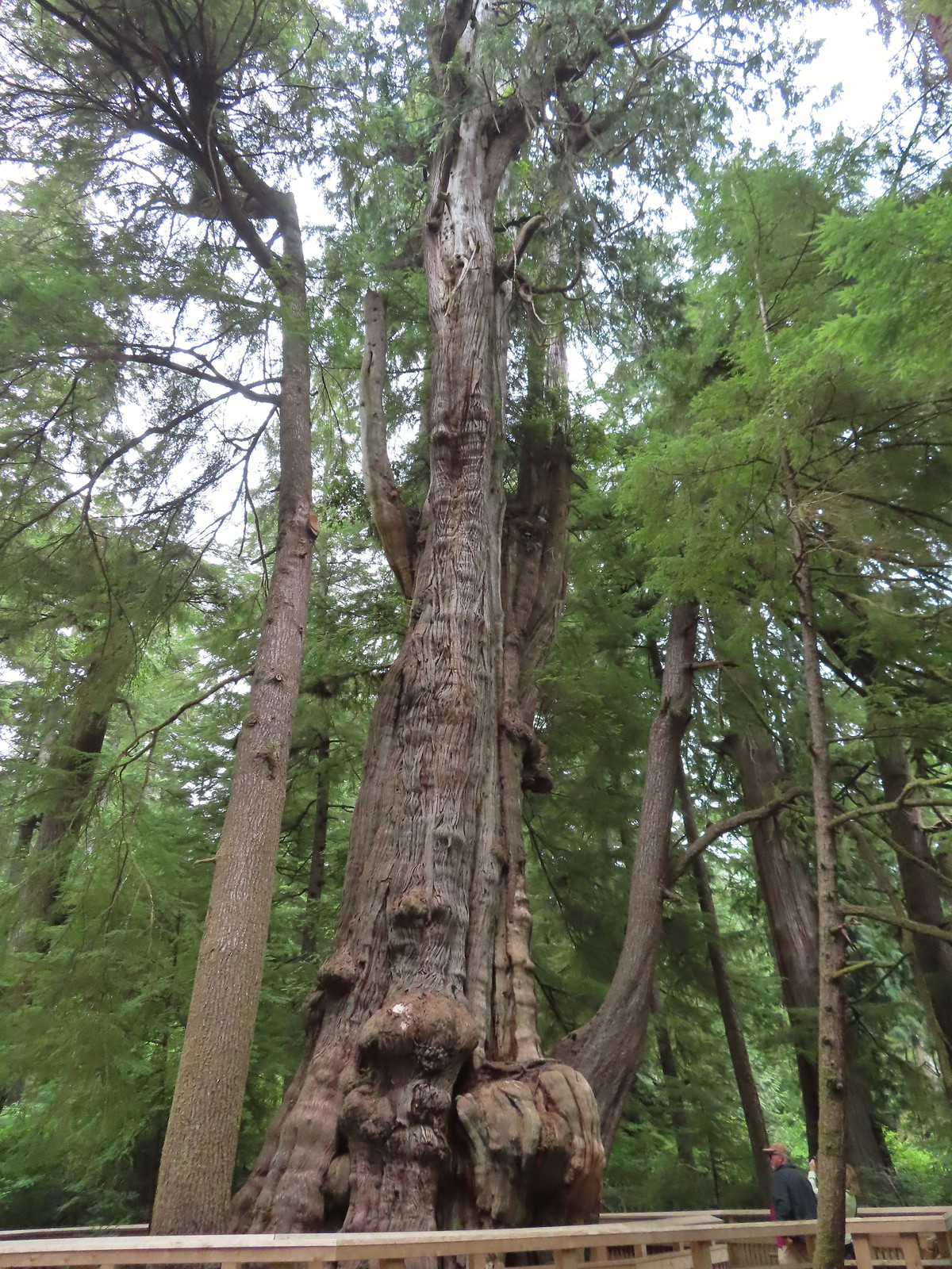


 Tree root along the cedar from another tree that is growing from it.
 Another big cedar, but not anywhere near as big as the other.
 We passed a “hiker trail” pointer which is a reportedly rough, muddy track that links up to the boardwalk near the big cedar. We had seen the other end near the smaller big cedar but there was a “trail closed” sign at that end so we hadn’t even considered taking it.
 Interpretive sign at the viewing platform. There were some benches here which were mostly occupied and not much of a view.
 Salal
Salal


 One of the muddiest sections was just beyond a small footbridge near the trailhead.
 Skunk cabbage blooming along Bailey Creek.
 Skunk cabbage
 A second little footbridge.
 Coltsfoot
 Closer look at the coltsfoot.
 Approaching the footbridge over the unnamed creek.
 This creek was really deep here although it’s hard to tell from the photo.
 Wood sorrel
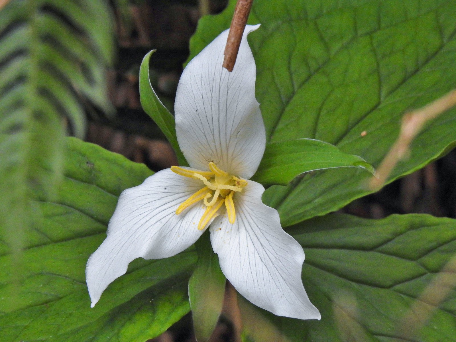 Trillium with a resident spider.
 More skunk cabbage, also with a resident spider.
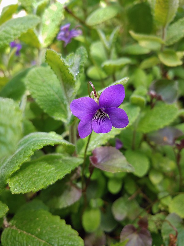
 Violet
 Bleeding heart
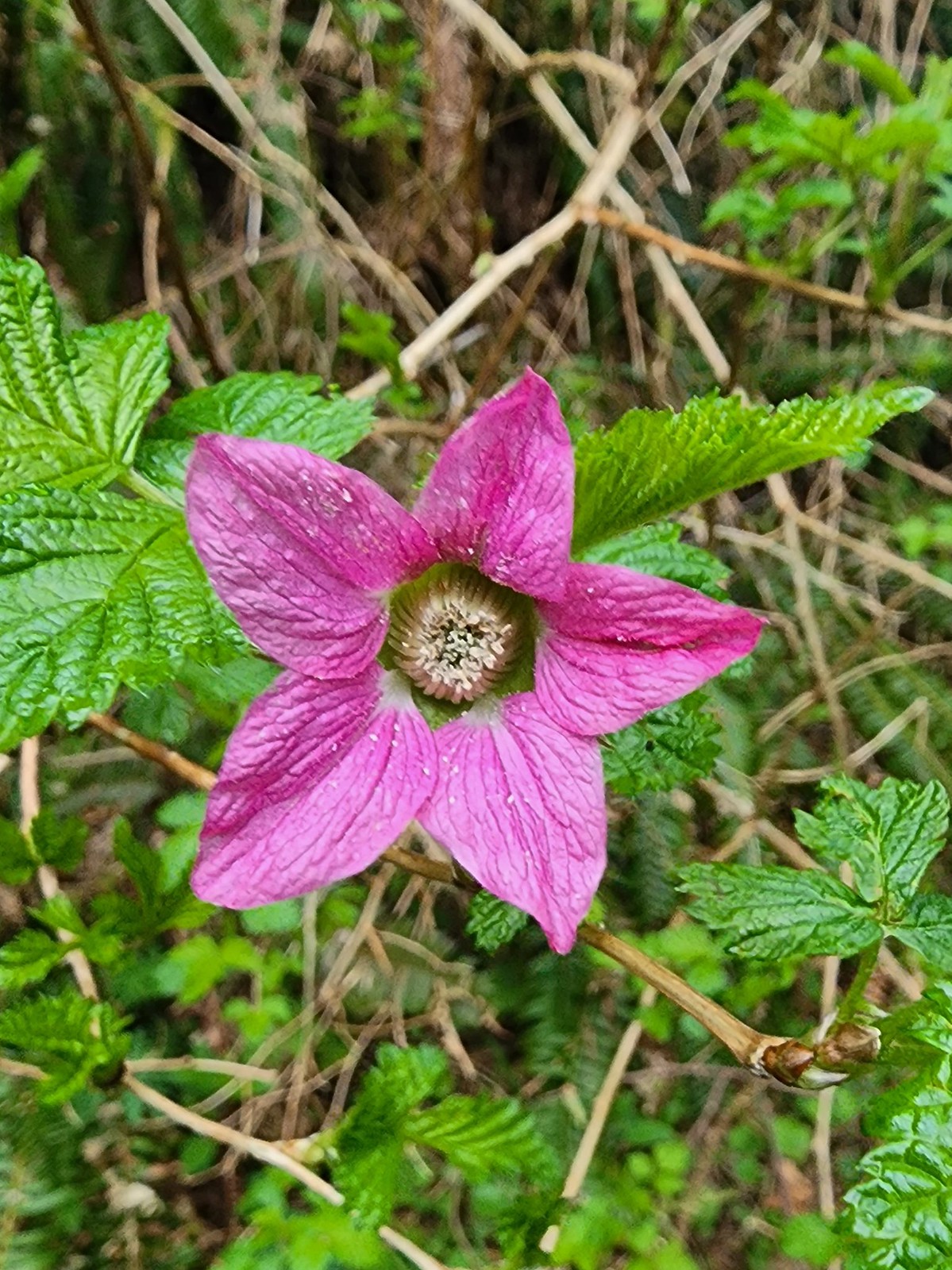 Salmonberry
 Toothwort
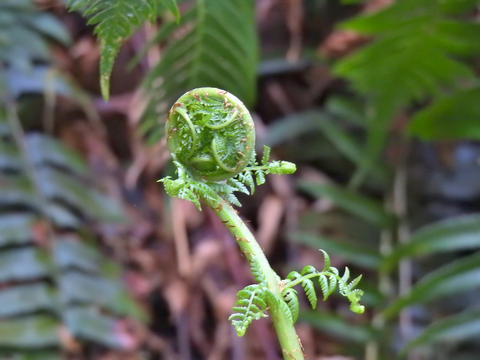 Unfurling fern
 Me passing under a mossy tree.
 Snail on the trail.
 This makeshift damn was not stopping the water from flowing down the trail.
 Another of the small stream crossings.
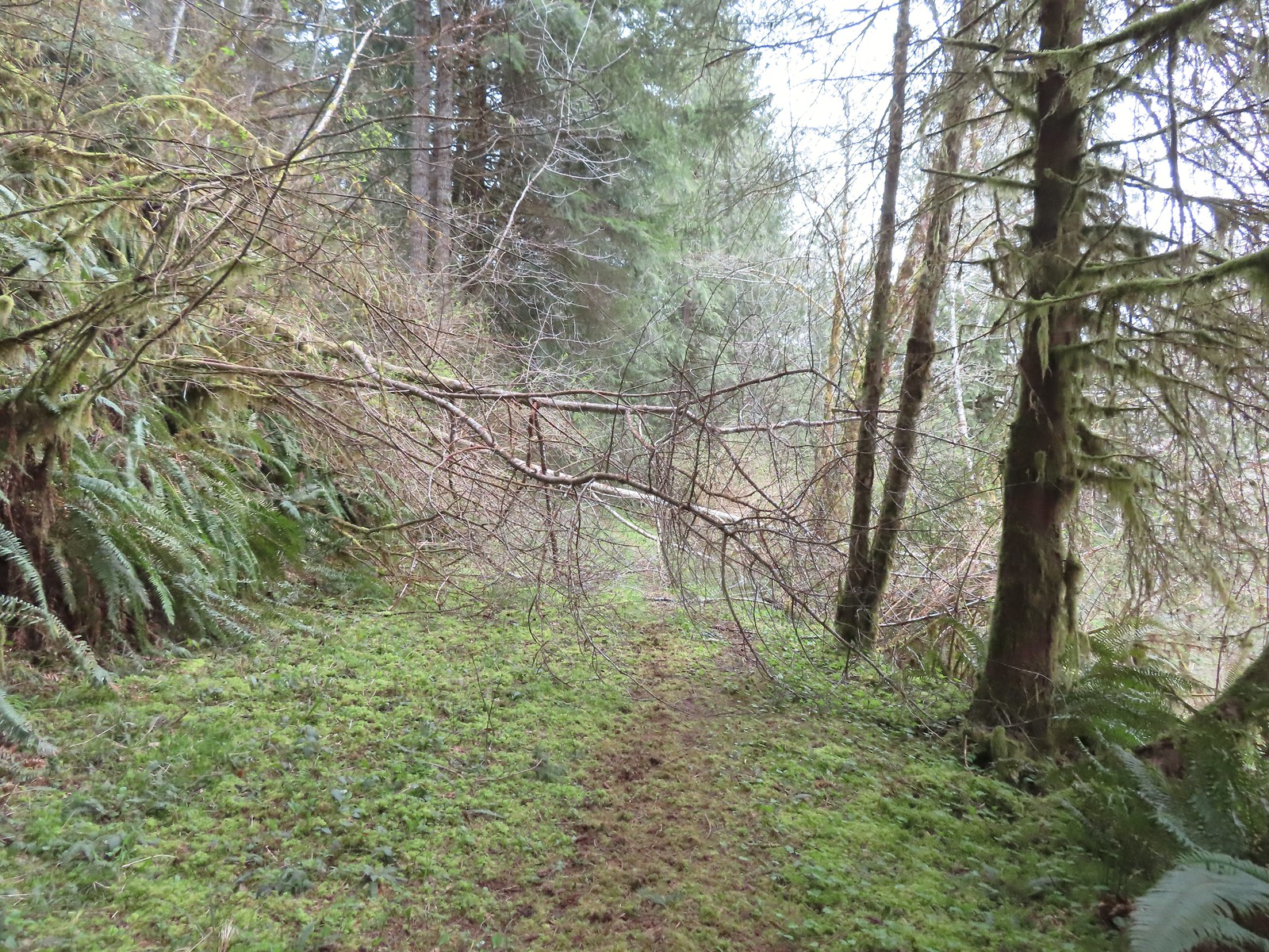
 The creek was actually pretty deep here with the recent wet weather we’d had.


 A trillium unfurling.
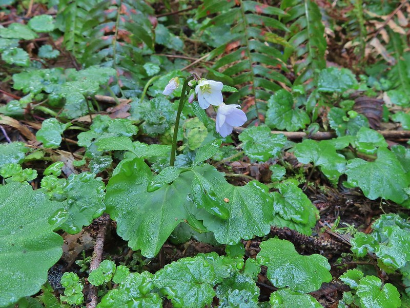
 Violets
 Several trails have similar markers with most of them being at or near junctions. This one was just alone along the trail.


 Rough skinned newt
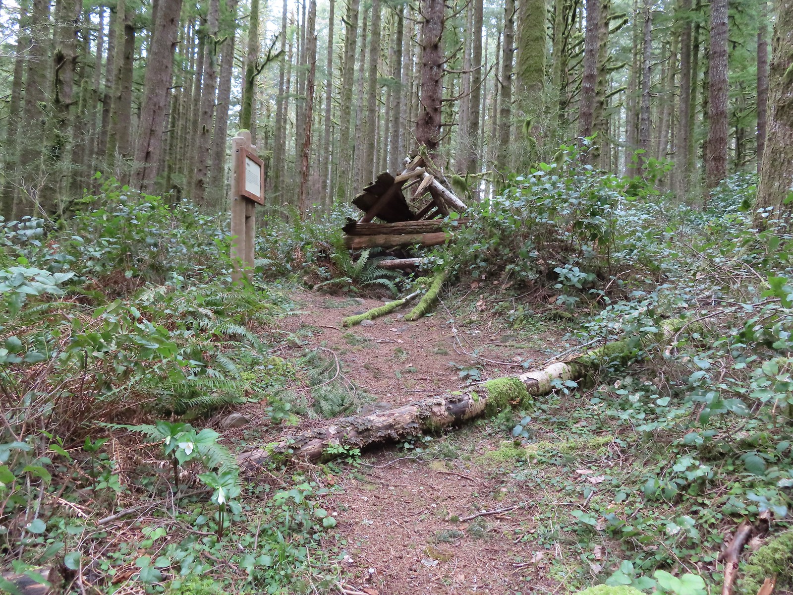
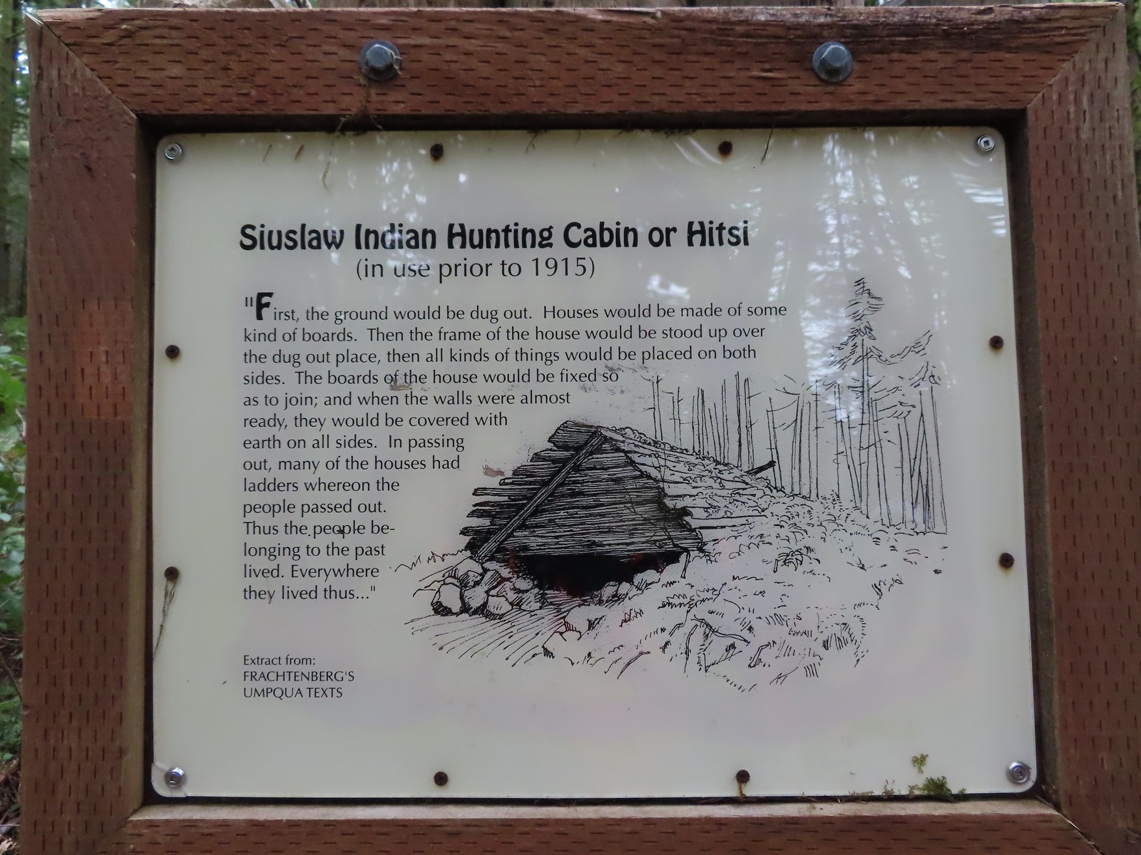

 Time has not been kind to the hitsi.


 The trail briefly followed an old roadbed.
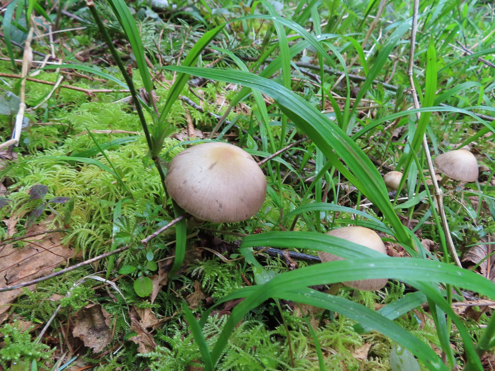 Mushrooms along the roadbed.
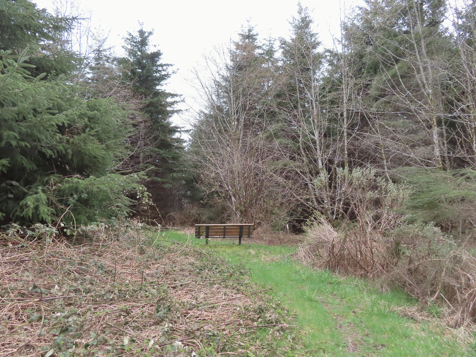 Another bench with a questionable view at the end of the roadbed segment.
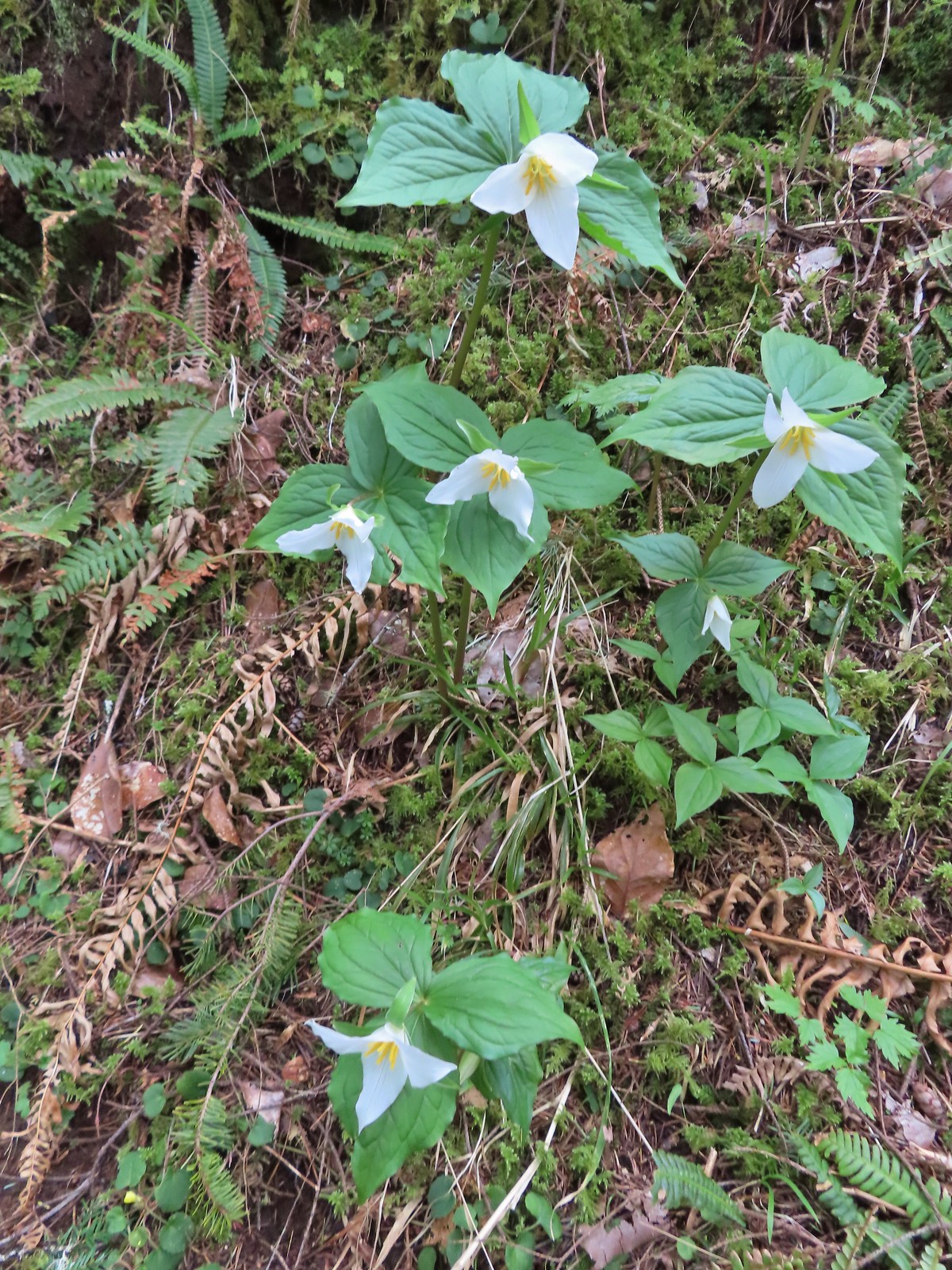 Flowers are a few weeks behind this year but there were quite a few trillium along the trails.
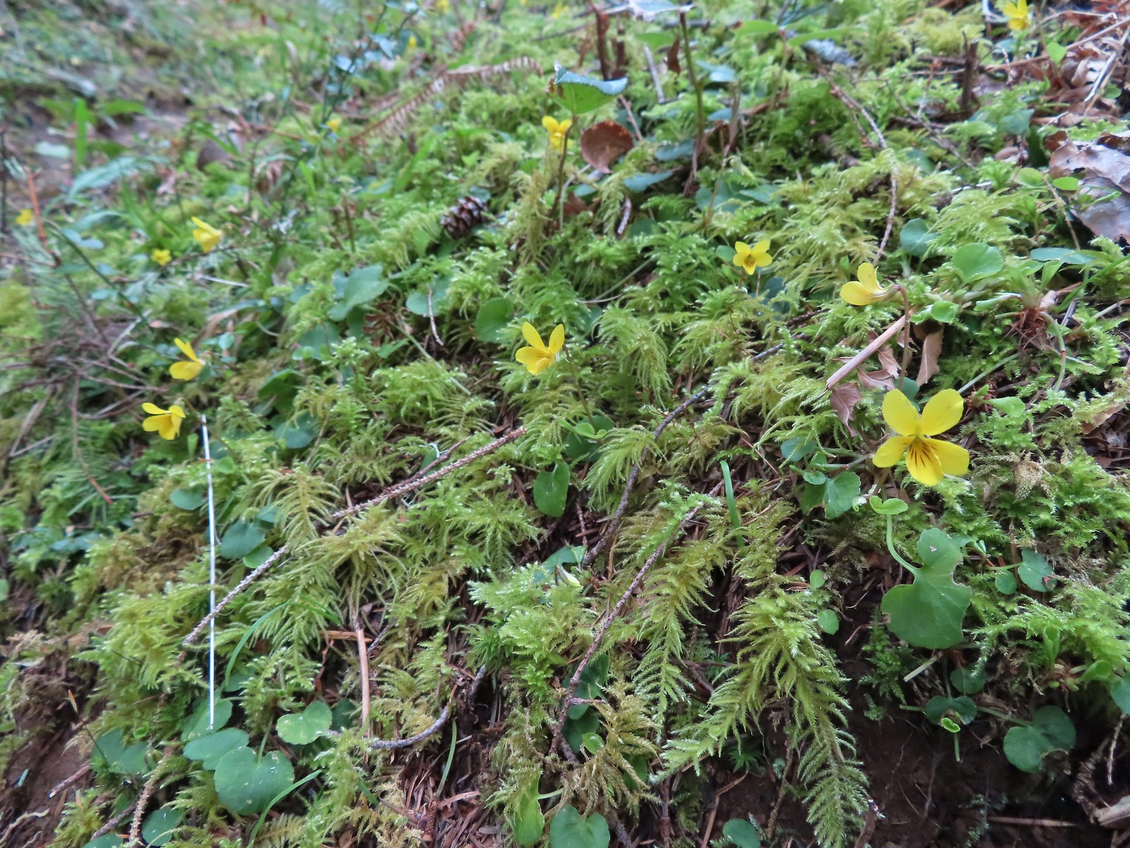 Violets were the other abundant flower.
 Red flowering currant beginning to bloom.
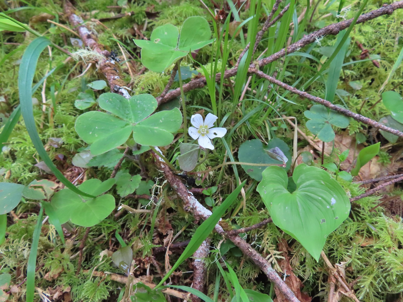 Wood sorrel
 This looked to be a fairly recent uprooting.
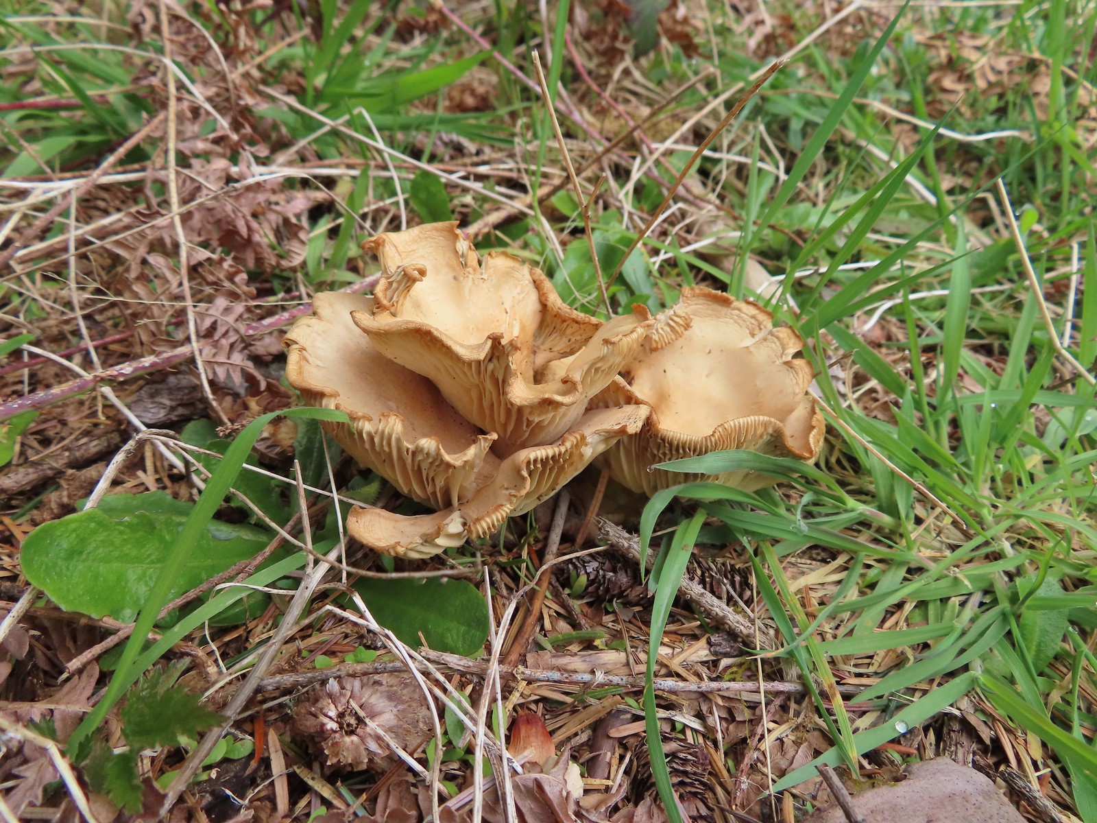
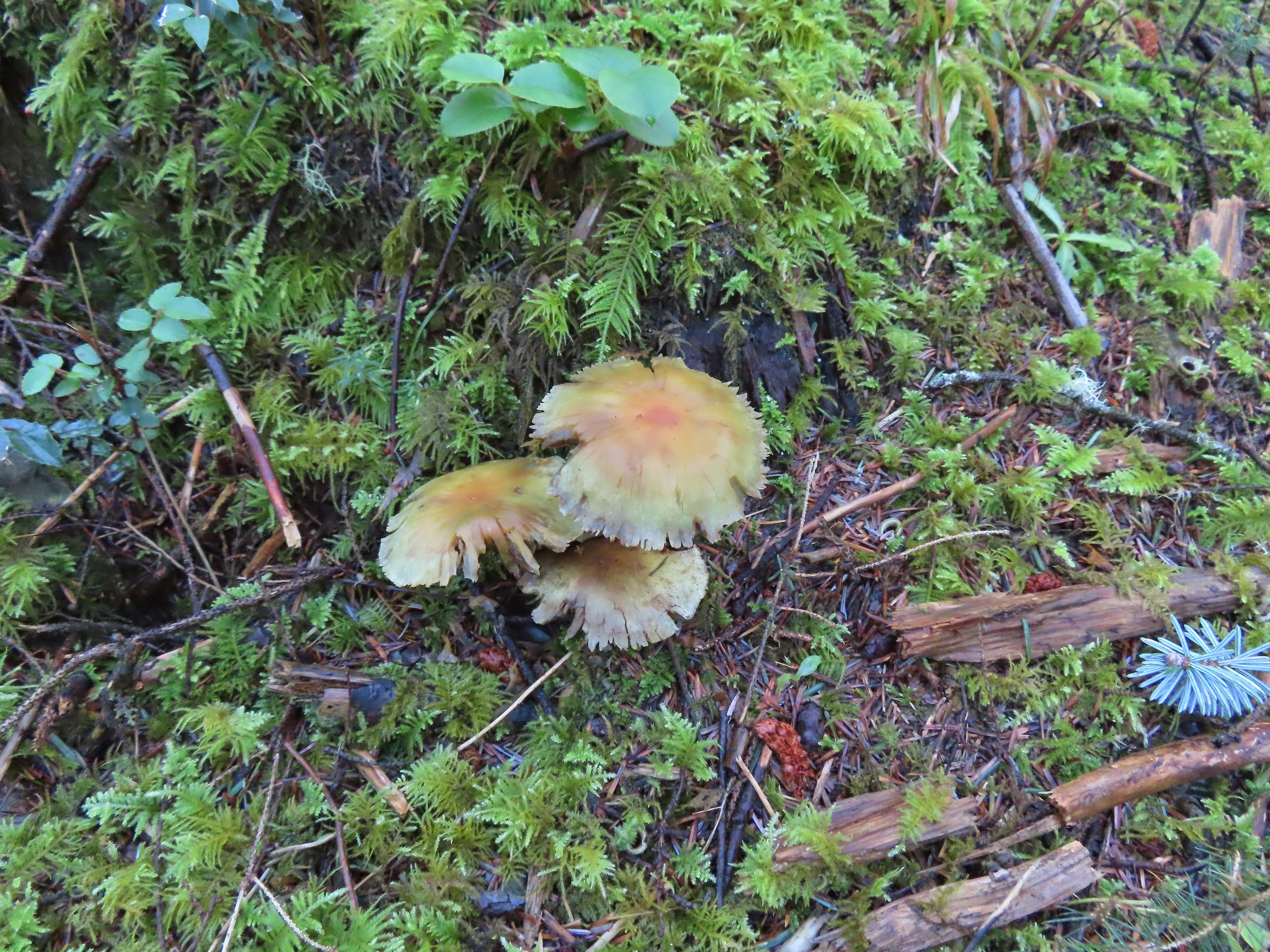
 A cute fungus
 Looking back after fording.

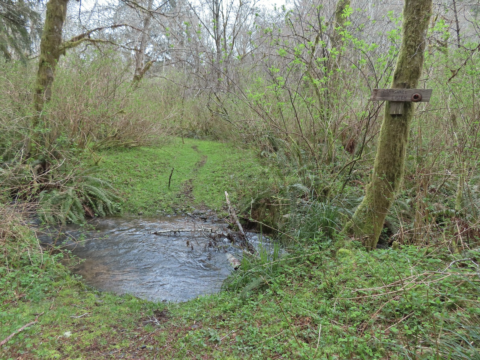
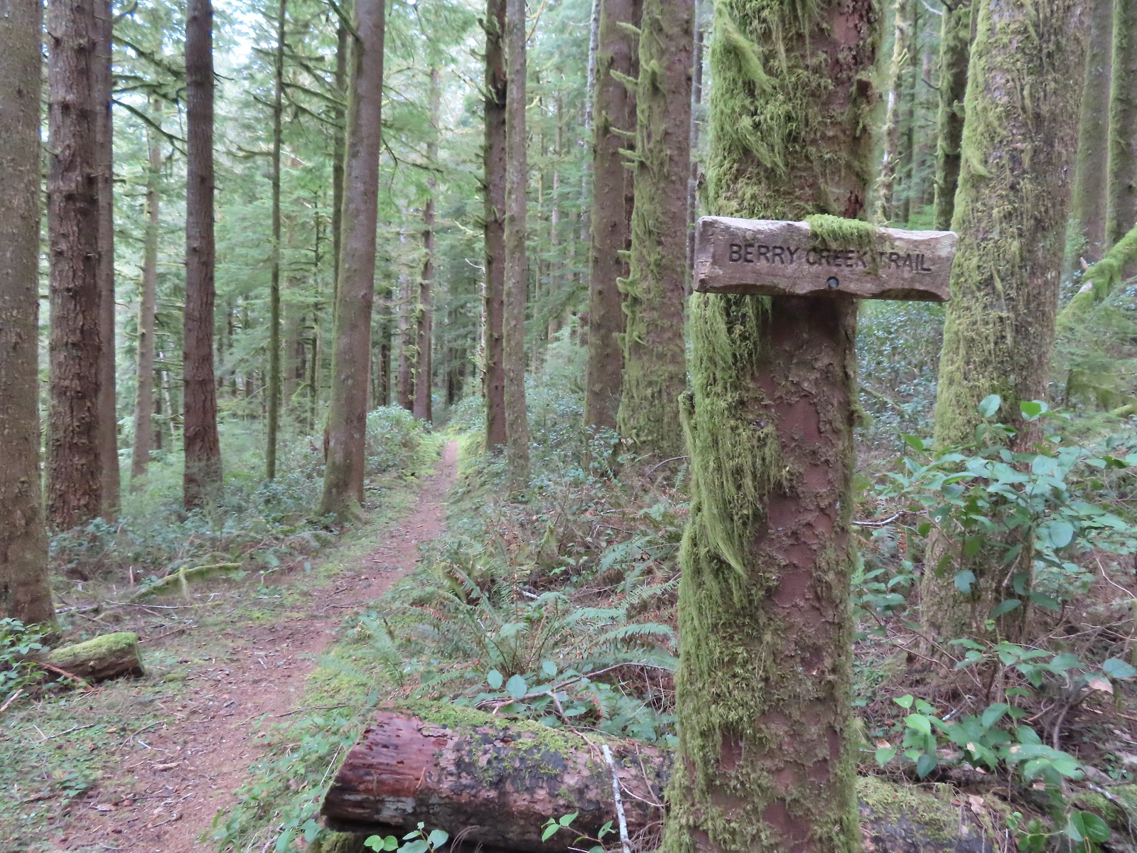
 We made a sharp right here onto the Nelson Ridge Trail.
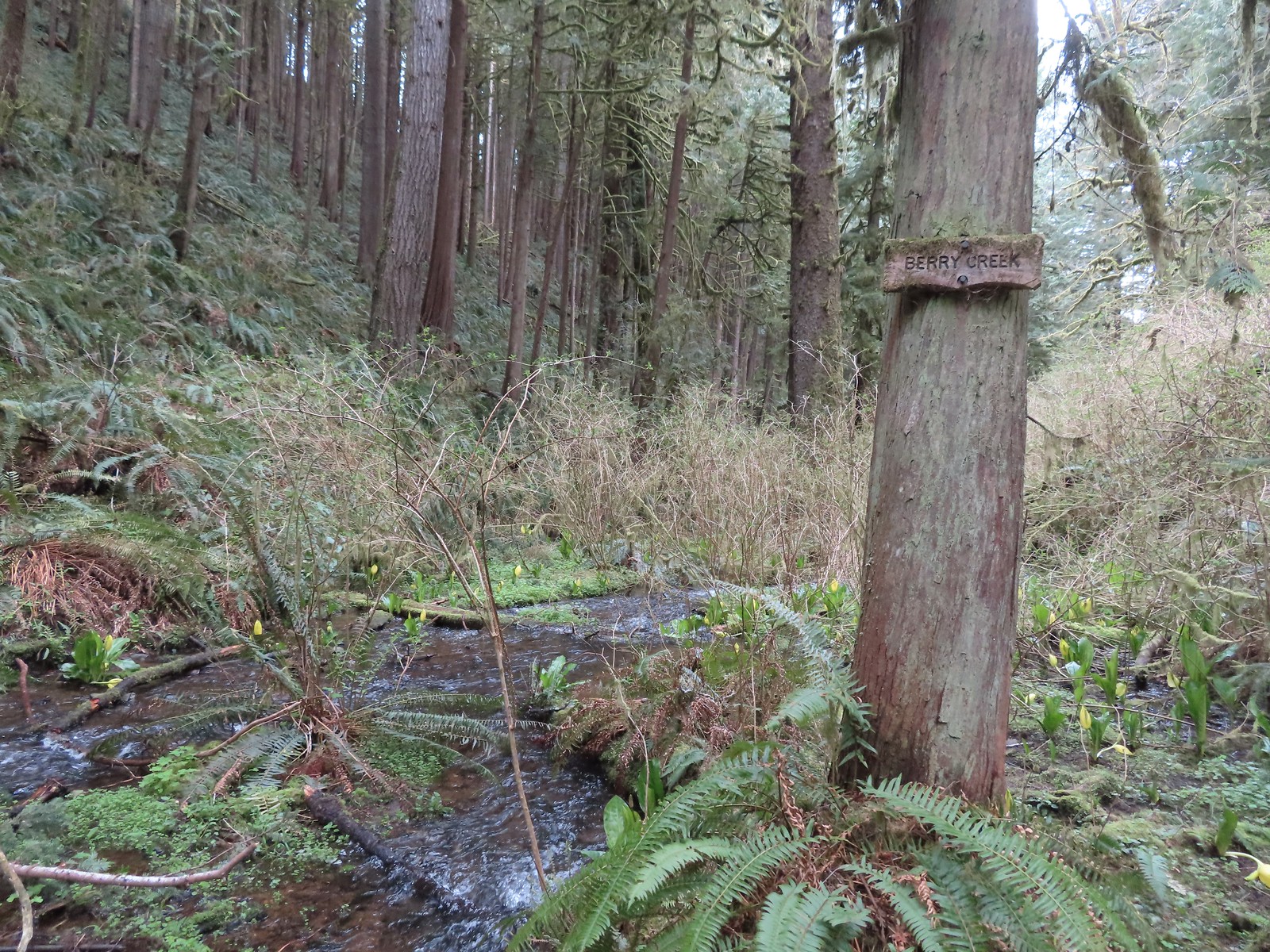
 Skunk cabbage at Berry Creek.
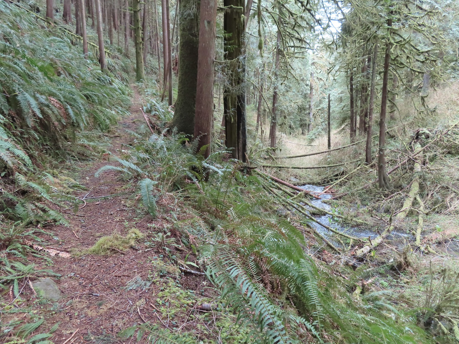
 A few bleeding-heart blooms.
 At least this bench had a view of the Pacific Ocean.
 Passing through a stand of trees along the ridge.
 Another bench.
 Some easy to walk around blow down.
 We couldn’t tell what this road/trail to the left was on the map so we stayed right to be safe at this junction.
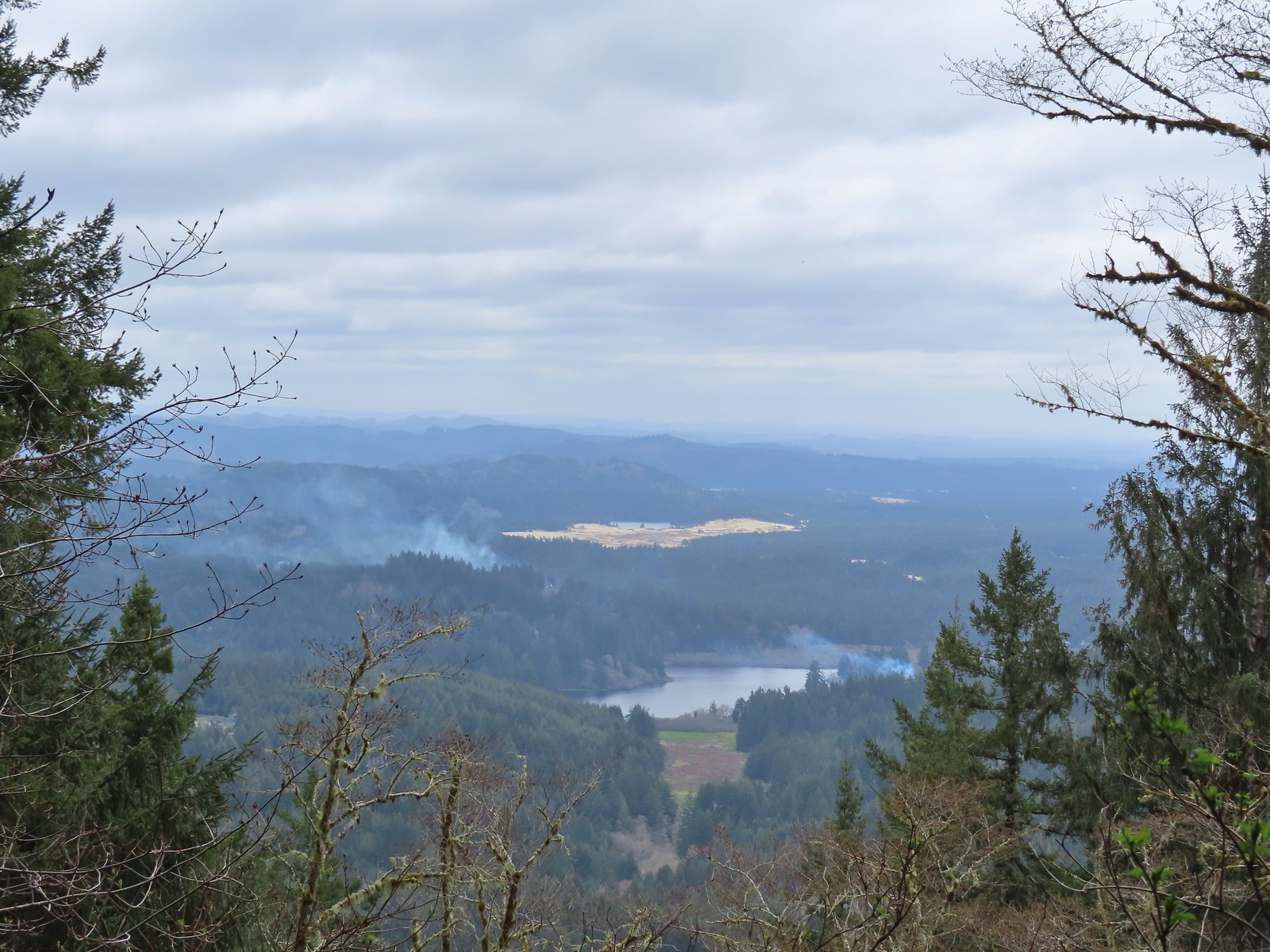 I think that is Sutton Lake and beyond the sand is Clear Lake.
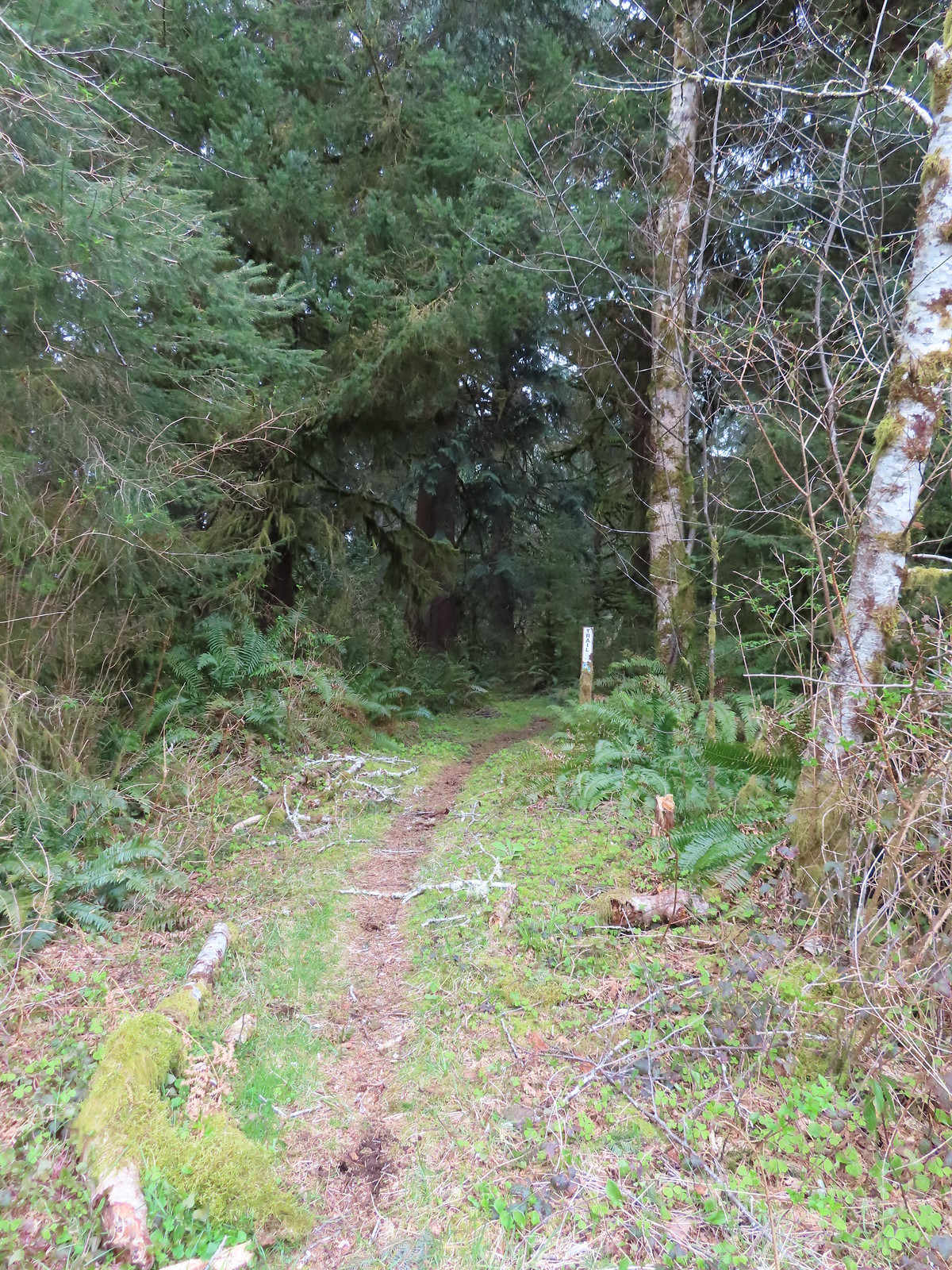
 The end of another short roadbed section.
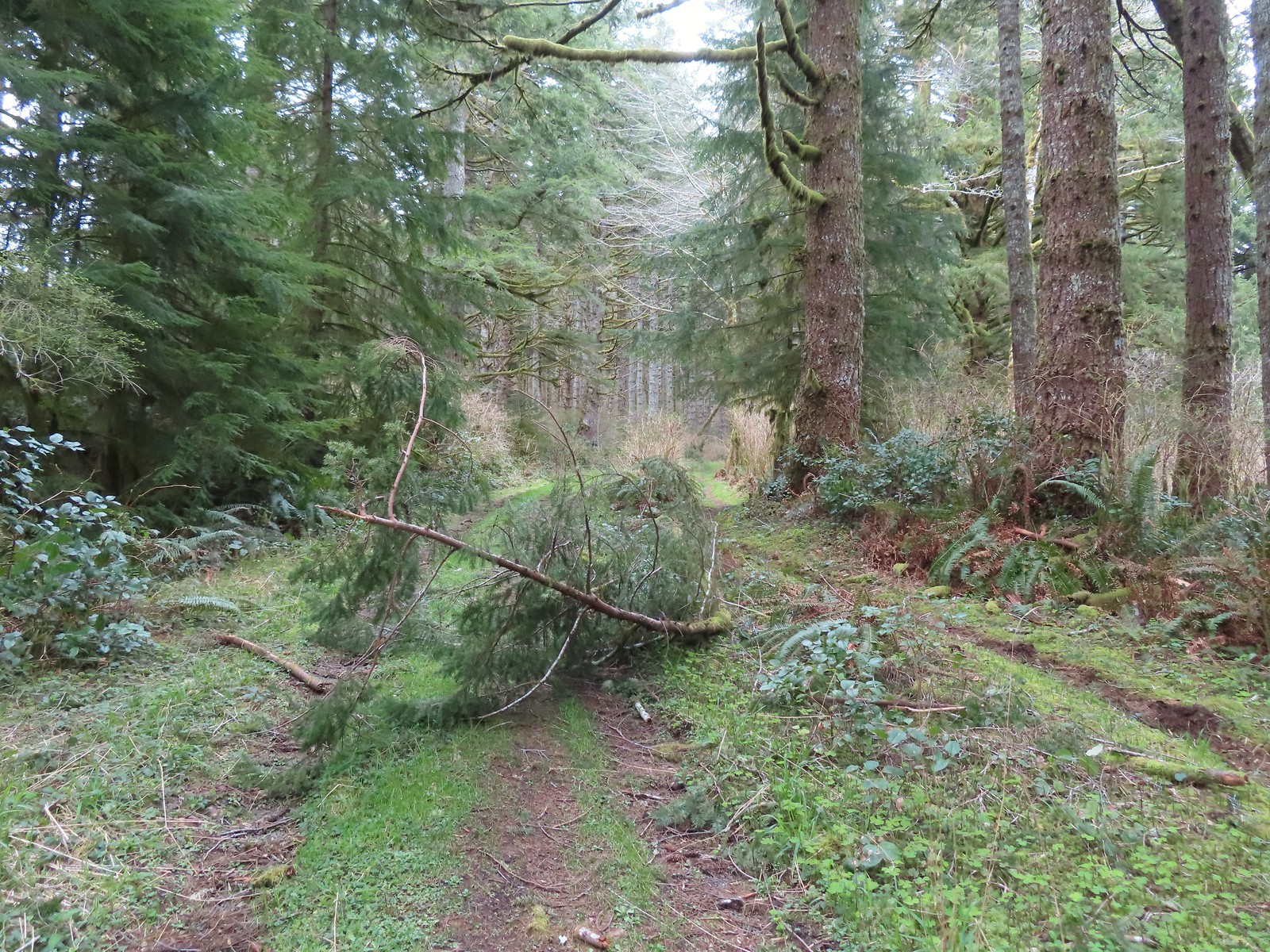 I walked on this roadbed for a bit just to do something a little different than on the first visit when I stuck to the trail (on the right).
 Starting to descend toward Dry Lake.
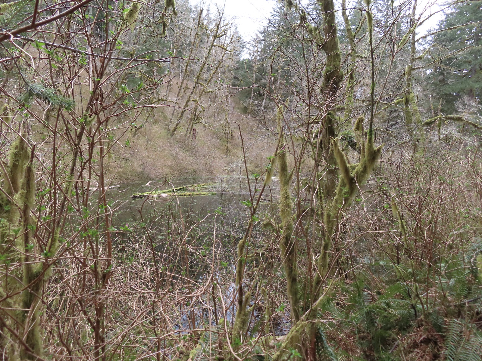 Dry Lake
 Back at the trailhead.
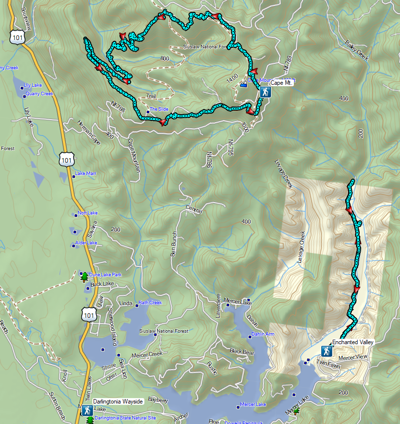


 Junction with the spur Wetlands Trail. The larger sign on the left is a
  End of the trail at East Tide Ave.
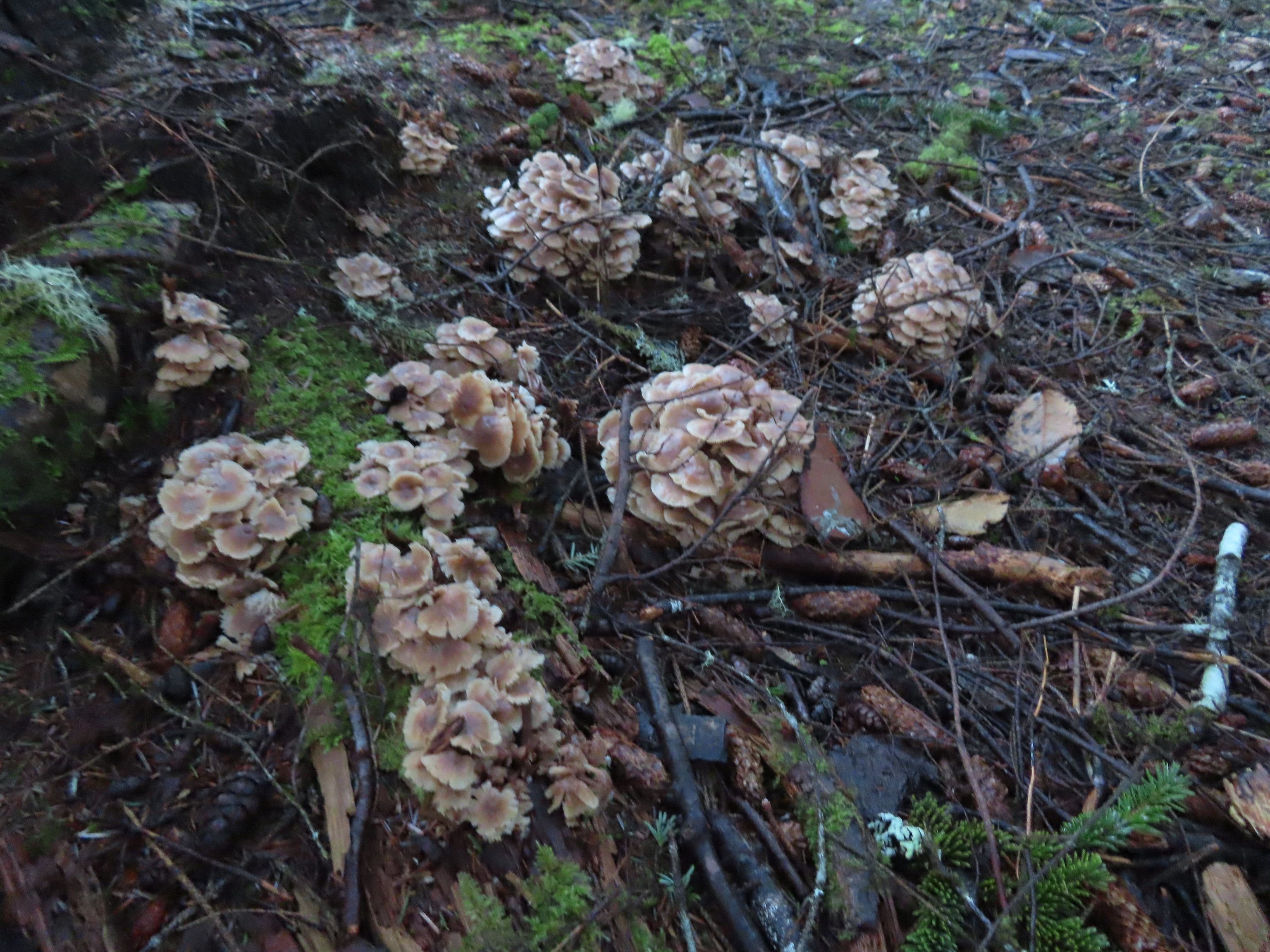
 The wetlands.
 Devil’s Lake from Regatta Park.


 Pointer for a heritage tree.

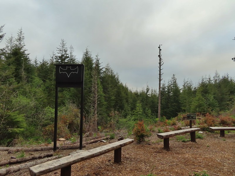
 Another Trail Challenge sign.
 Heading out of Regatta Park
 Neat dragon sculpture.
 West Devil’s Lake Road. The trail is ahead on the right just beyond the driveway on that side.
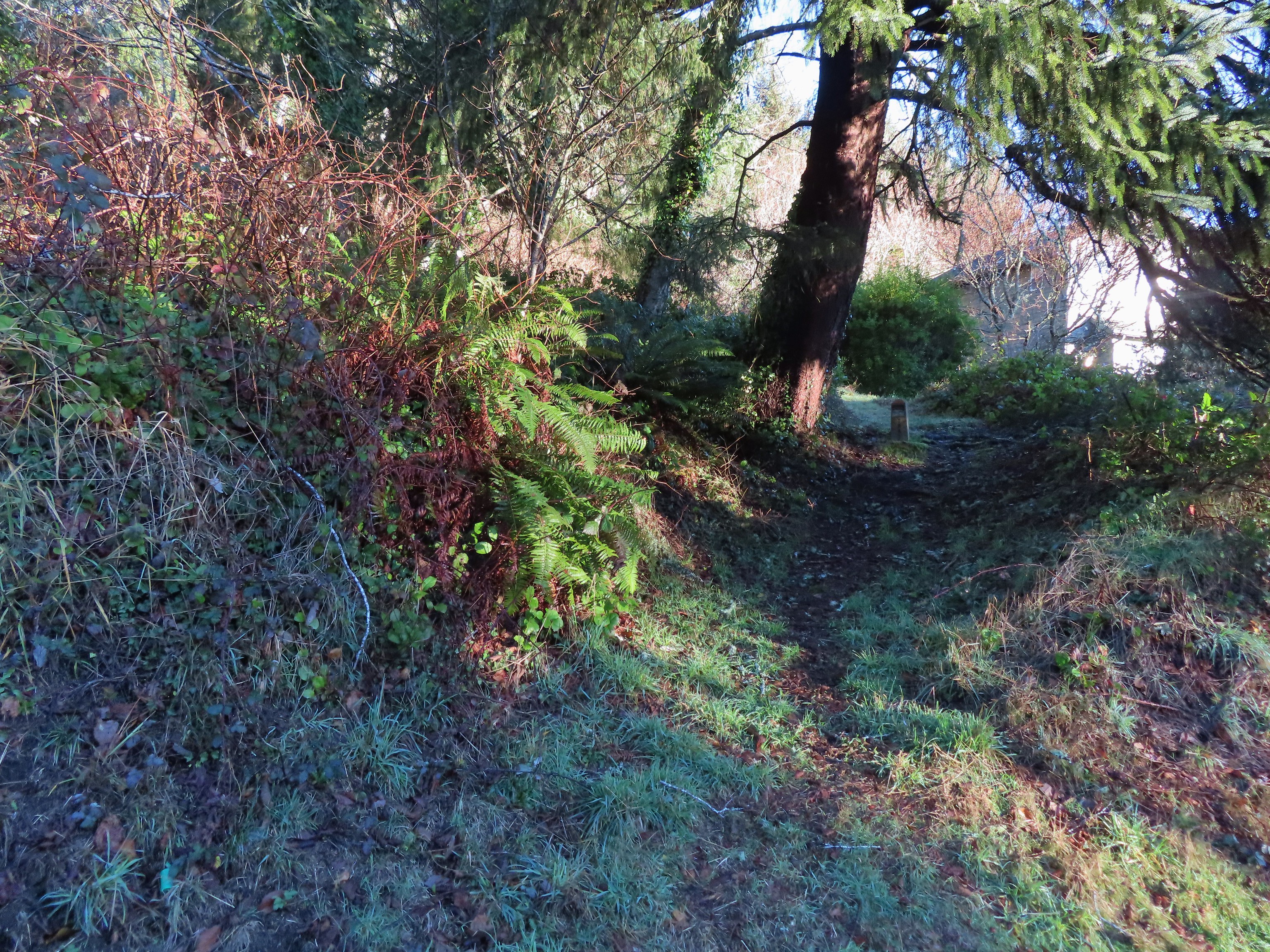 There was no sign along the road but there was a trail marker just uphill.
 The trail briefly leveled out atop the ridge before diving down the other side.
 This junction is where our loop began and ended.
 Another fork just beyond the one in the previous photo.
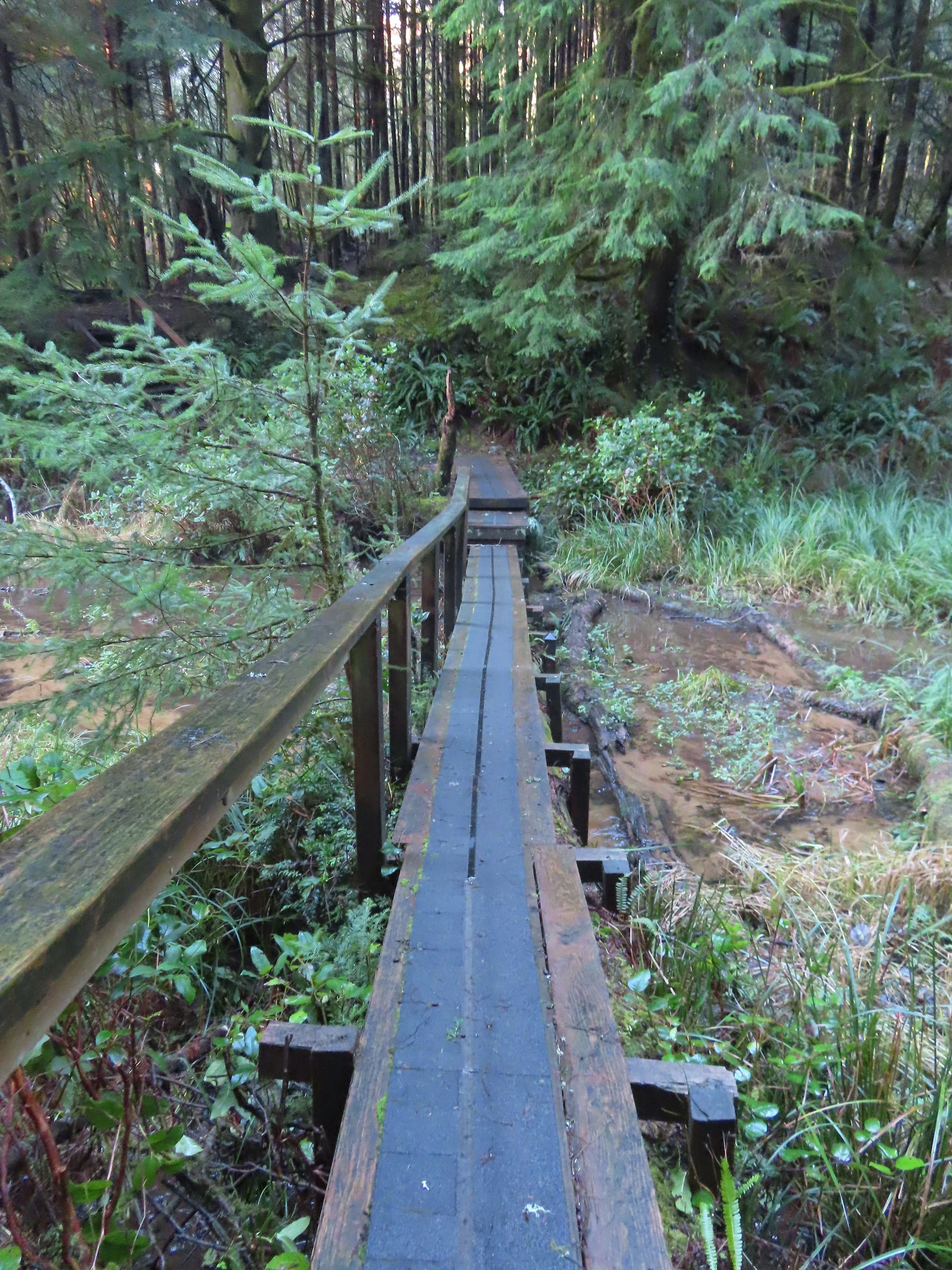 Footbridge over the northern arm of the lake.
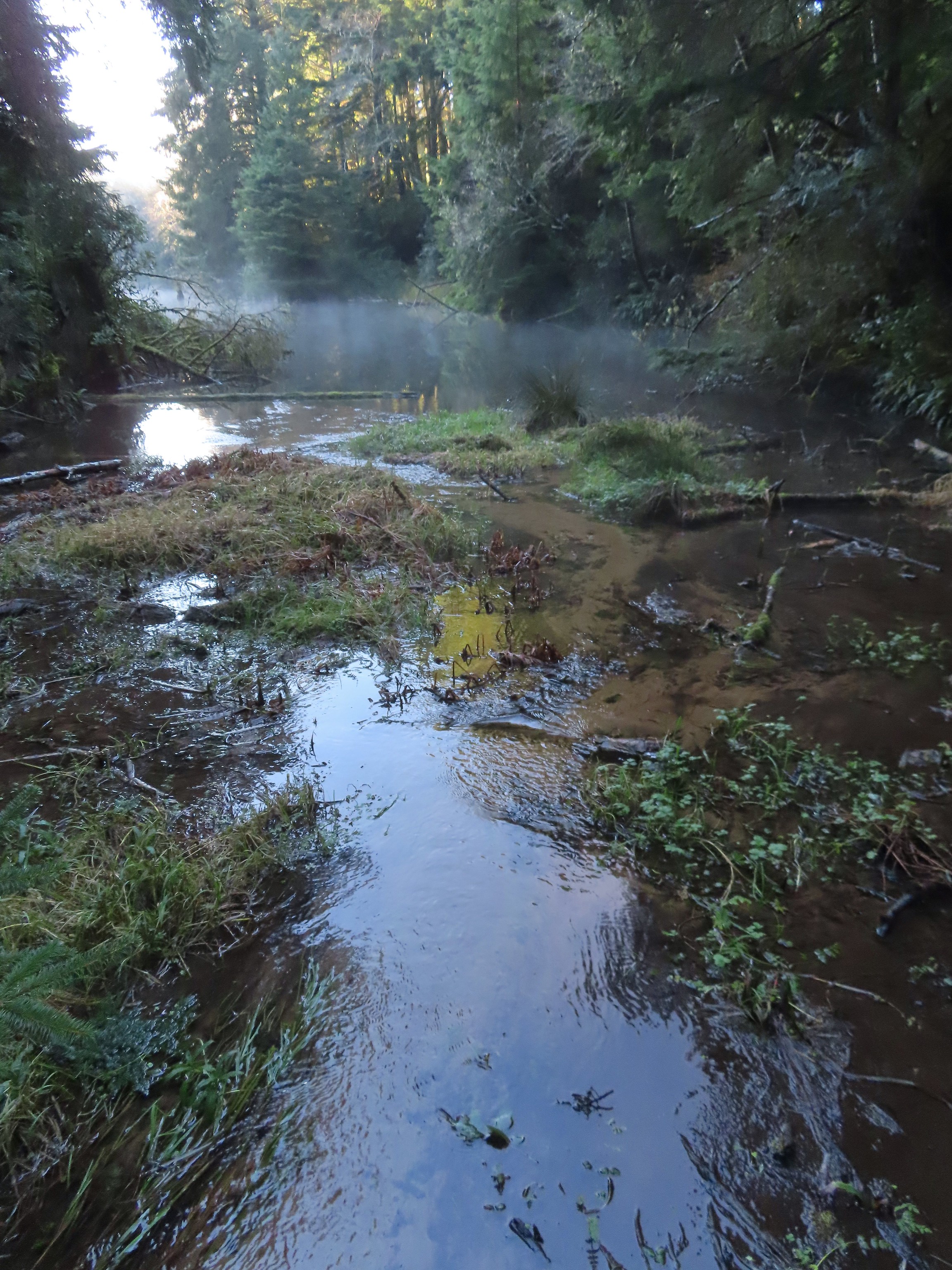 Spring Lake from the footbridge.
 Found another one.
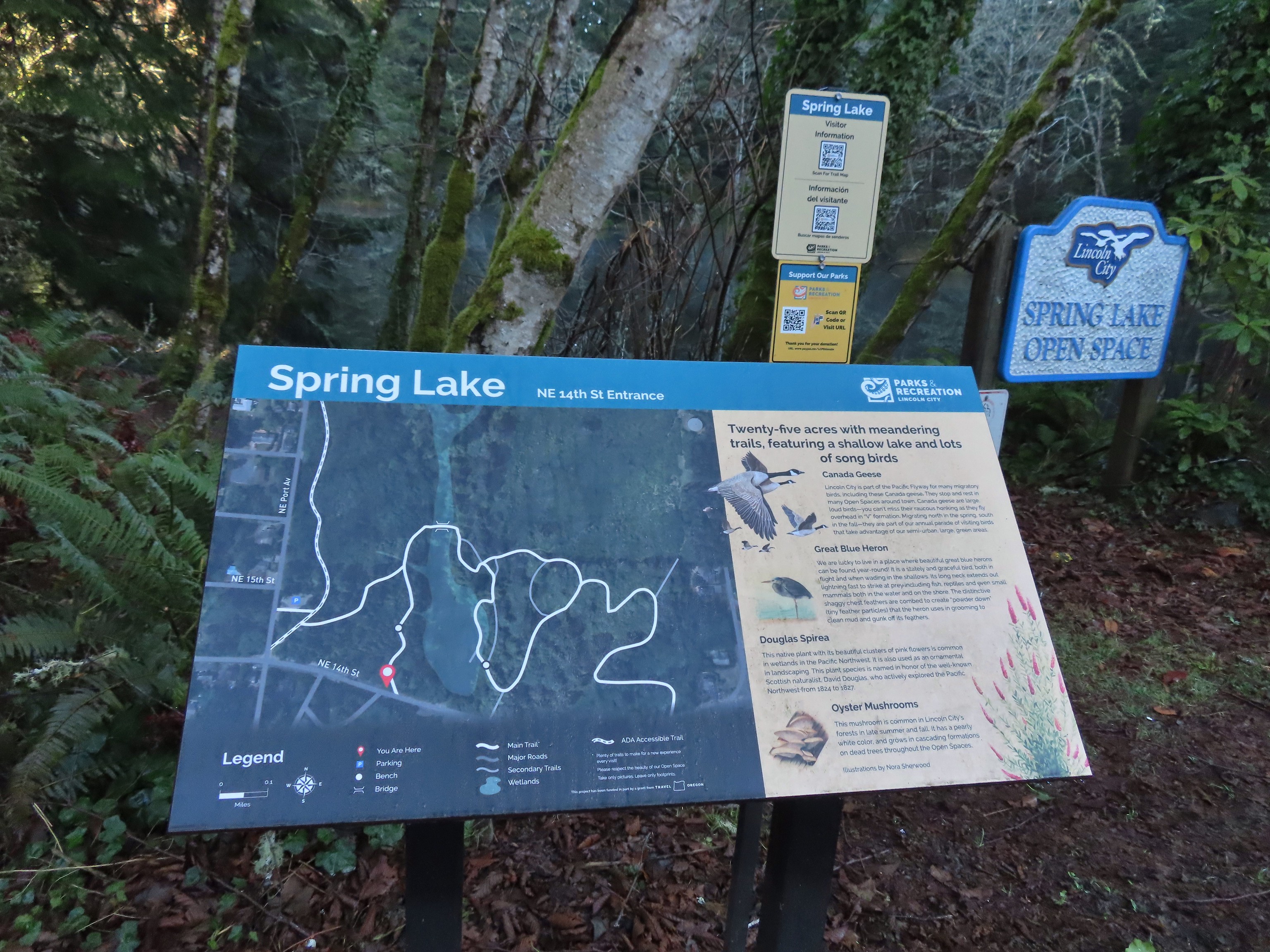 Small trailhead at 14th Street.
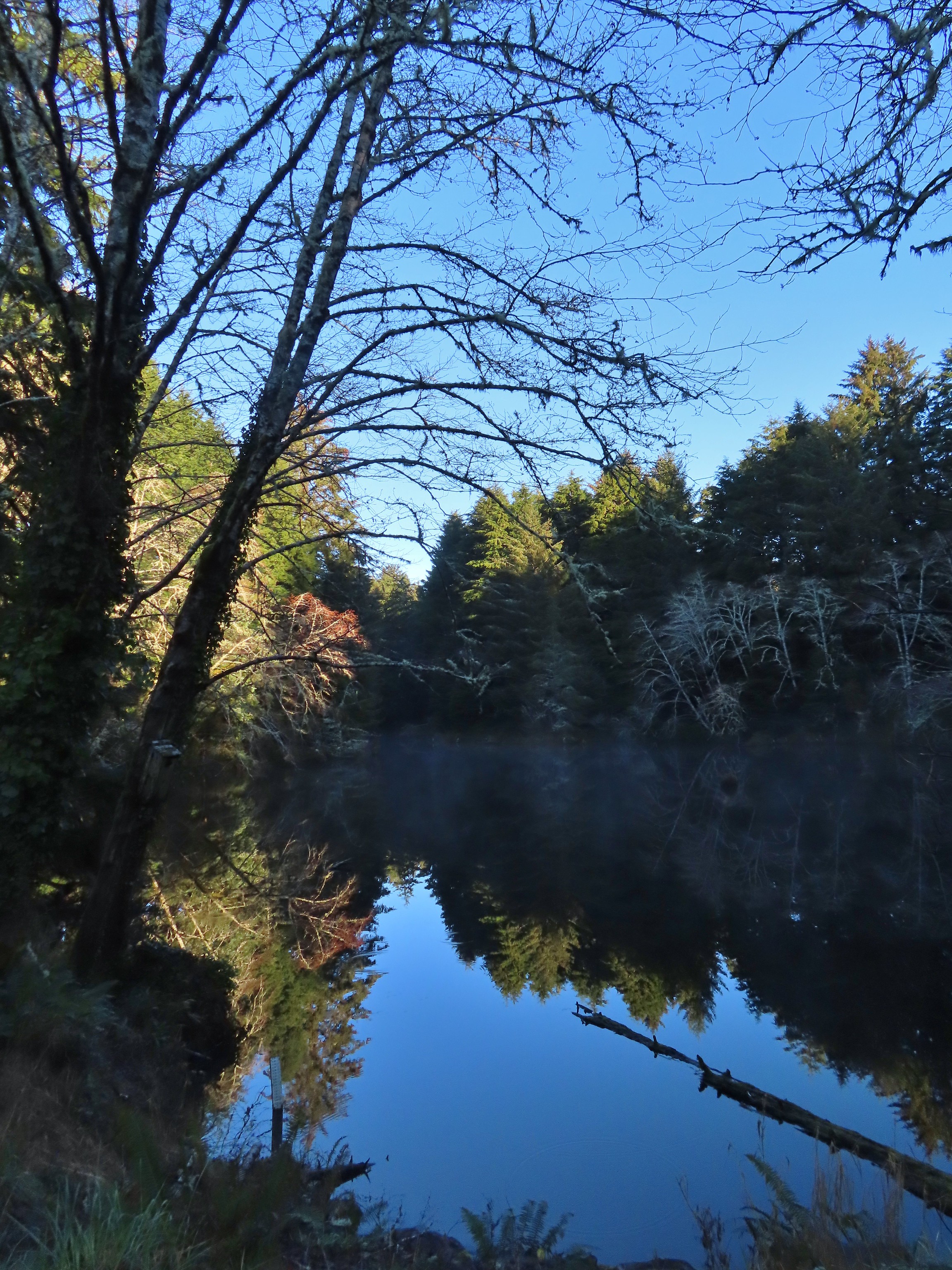 Spring Lake from the 14th Street Trailhead.
 We had to walk a few feet along 14th Street to find the trail on the east side of the lake.
 Approaching the junction at the end of our loop.
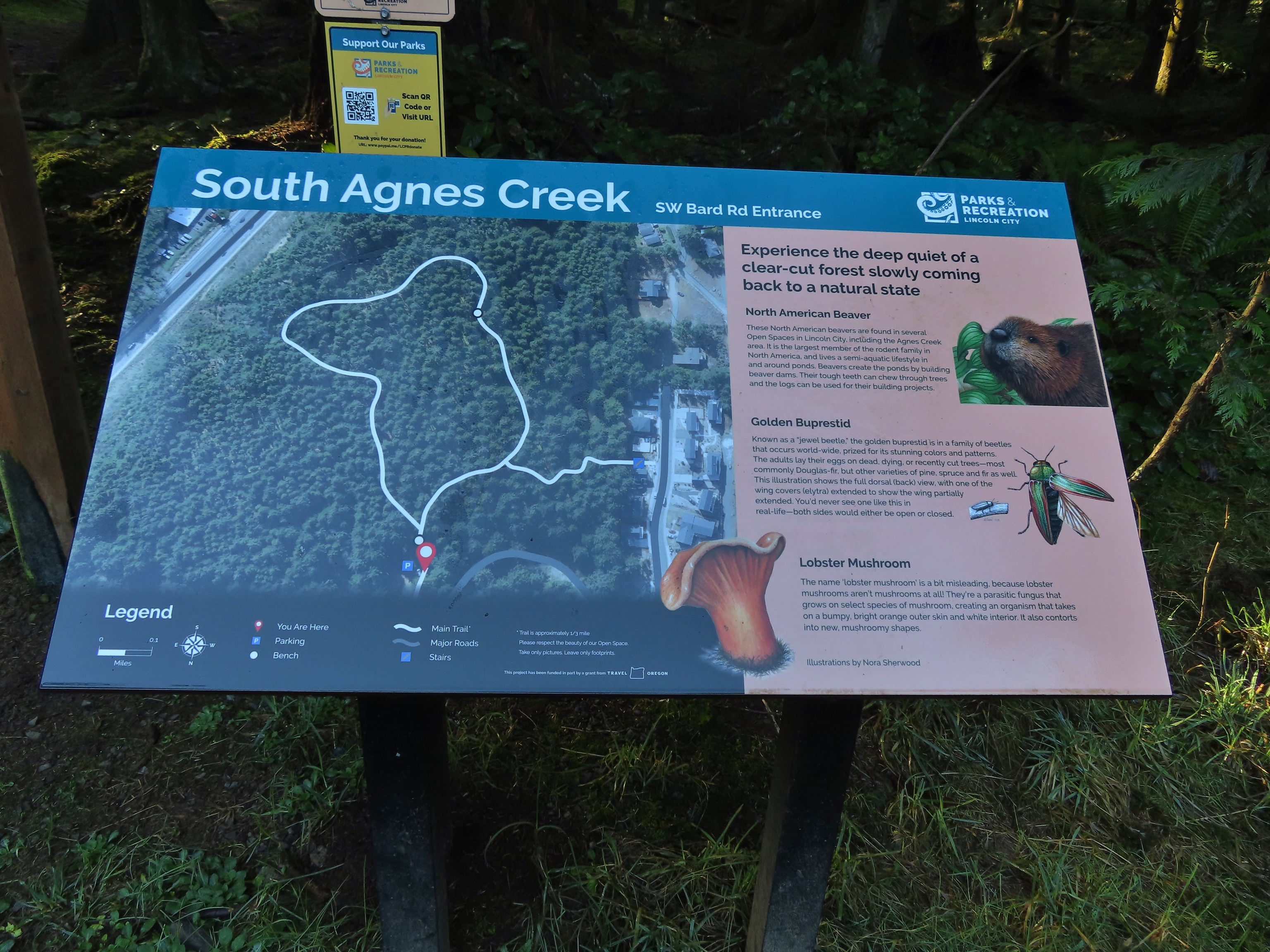

 This forested loop was full of bright green mossed covered ground.

 The connector trail at the south trailhead.
 Two short out-and-back trails begin at the north trailhead. We started with the left hand trail.
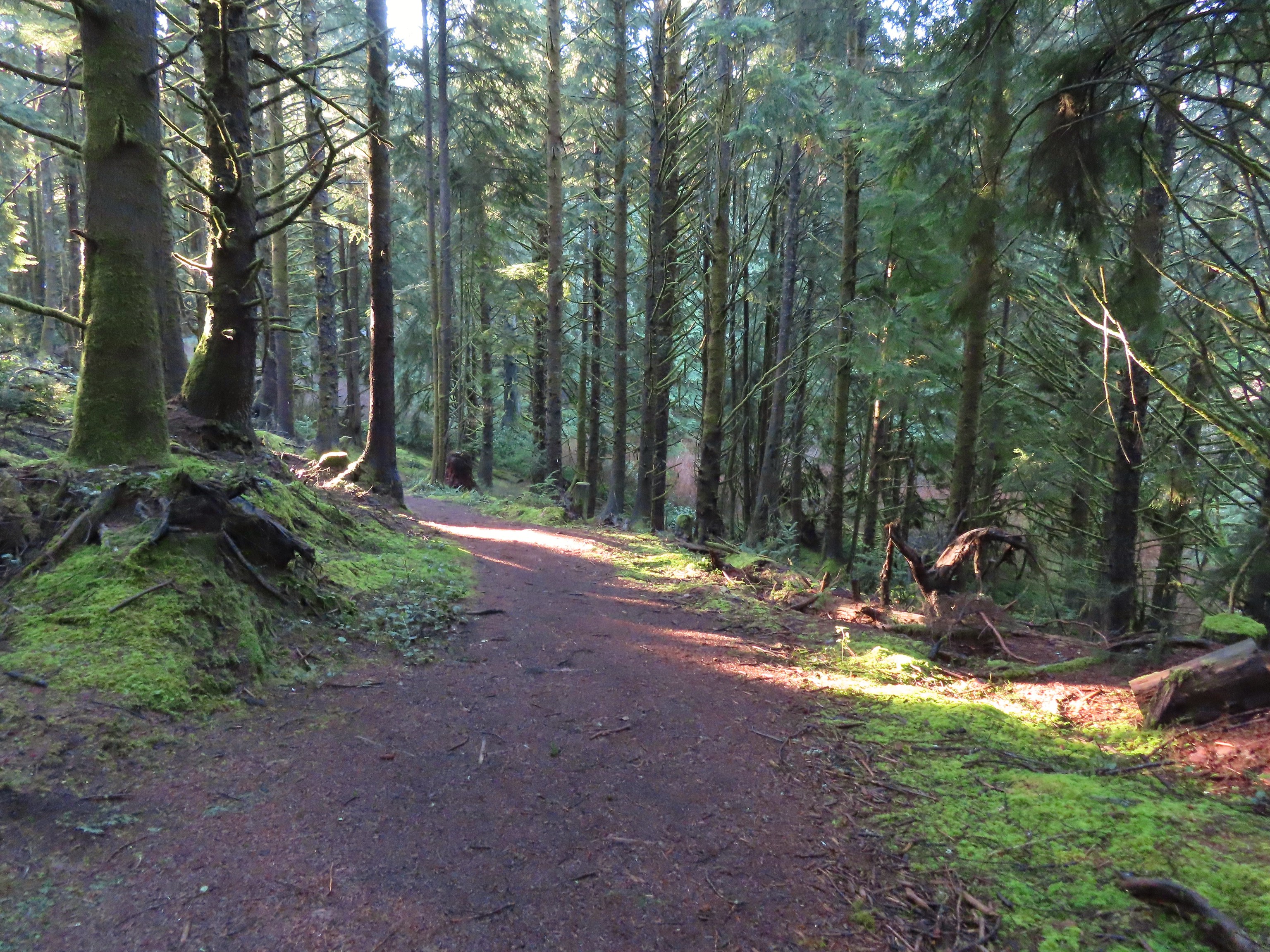

 The left hand spur abruptly ends on a ridge above what we assume was Agness Creek although we couldn’t really make out an actual creek.
 Agness Creek?
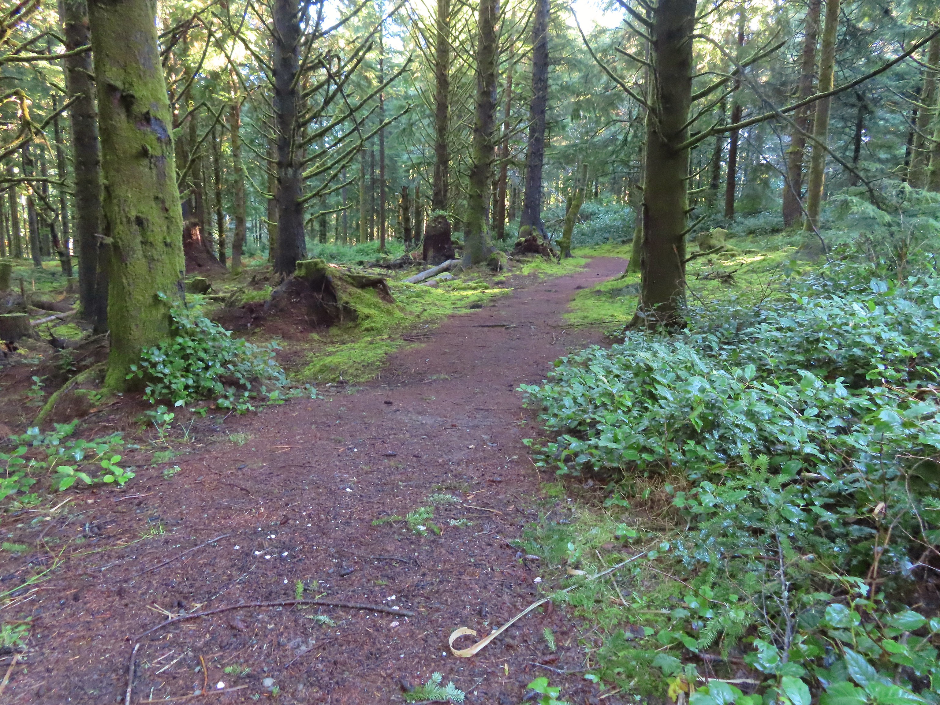


 Approaching SW 19th Street.

 This should have been the end of our loop, not the beginning. Had we realized we weren’t on the perimeter trail we would have taken the first left hand trail which would have allowed us to do our planned loop in reverse (clockwise). Instead we headed straight up the ridge.
 The Trail Challenge sign here was located at a second junction, near the ridge top. A short distance beyond was another junction with an unsigned trail veering off to the right. We still hadn’t figured out our mistake and thought that the right hand trail was a spur trail shown on the map leading to a neighborhood so we went left.
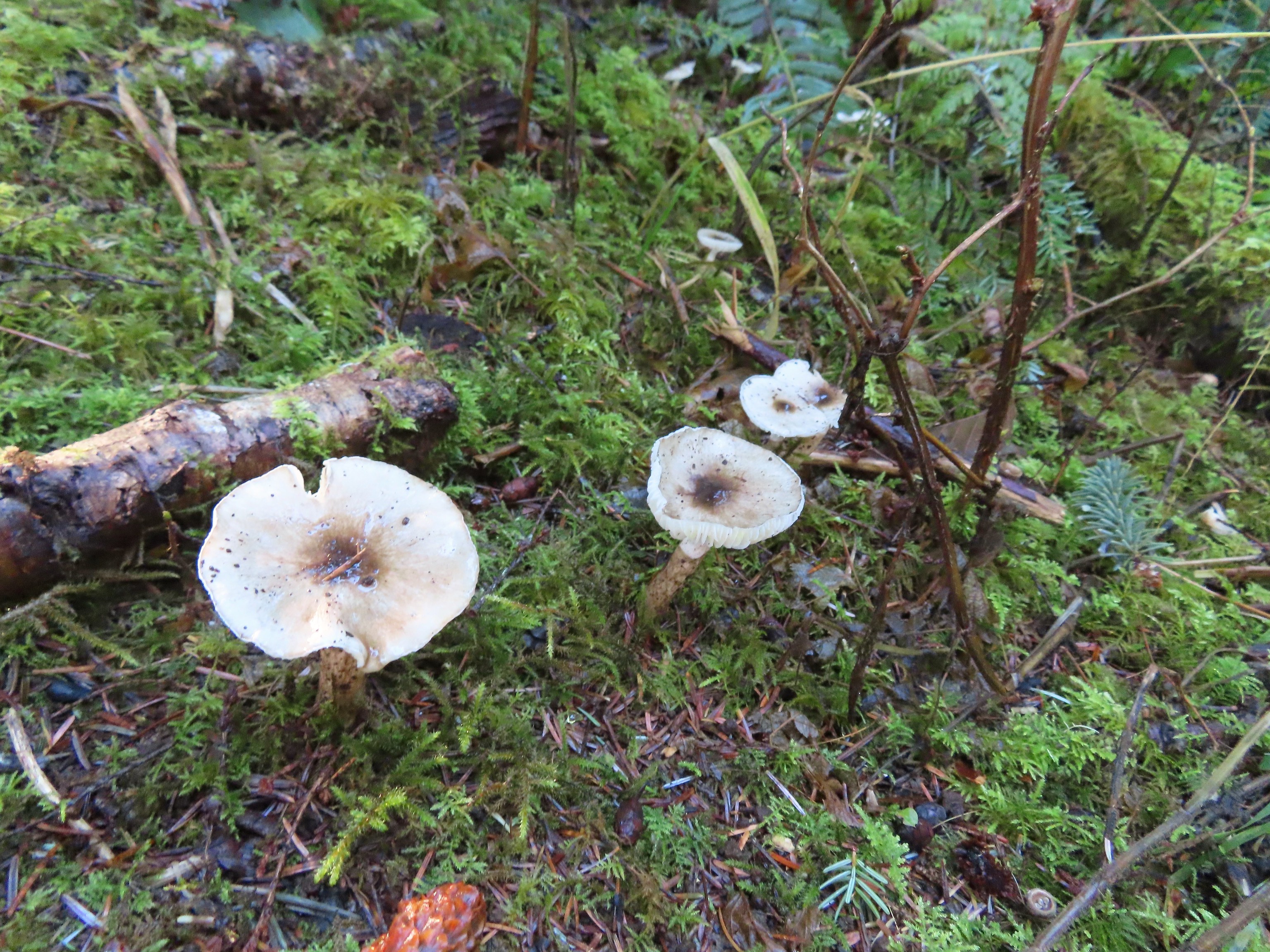

 A lot of clearcuts is what I could see.


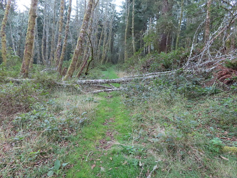
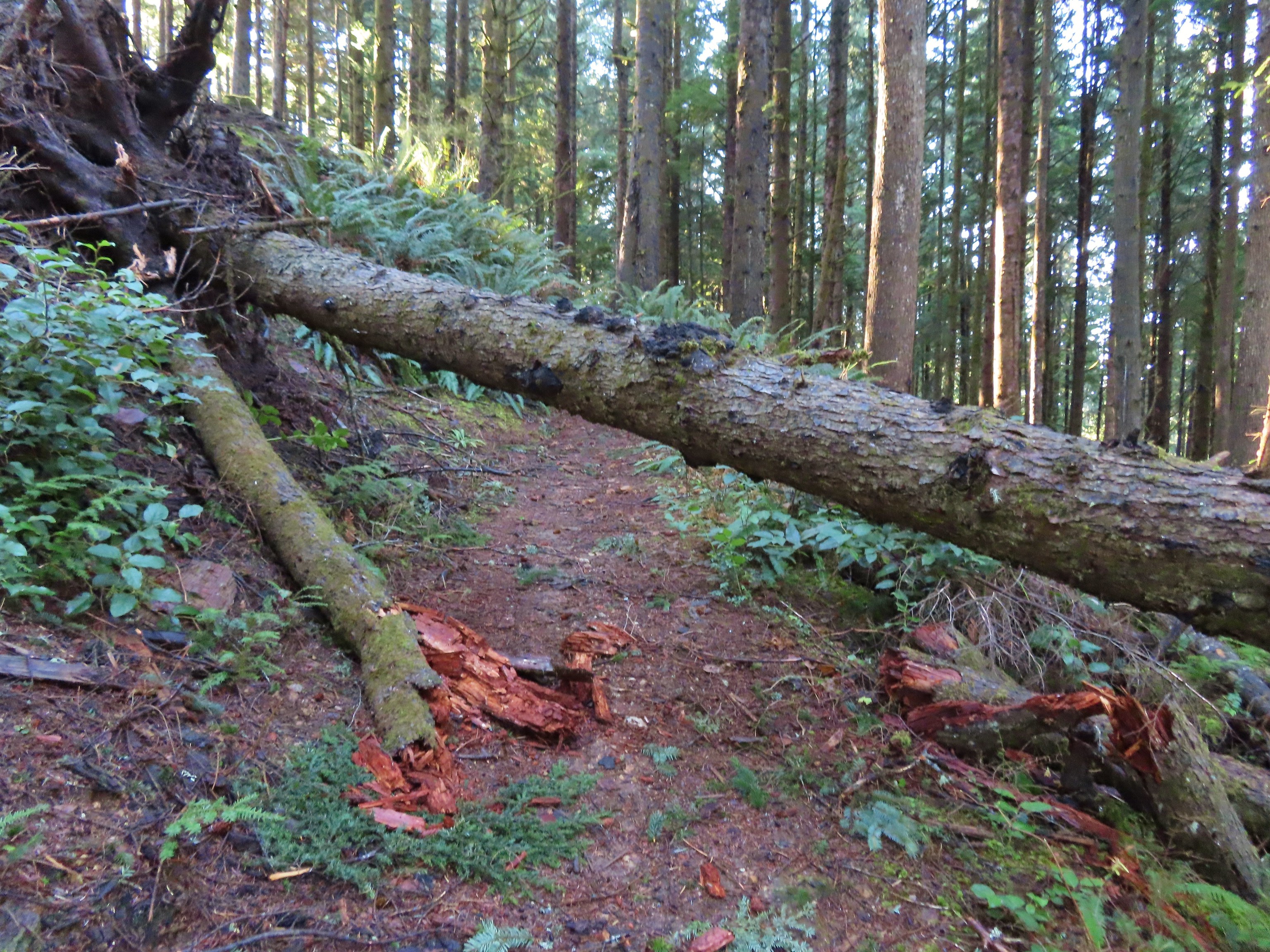 We were really surprised that this was the only real obstacle we encountered all day given the recent storm.
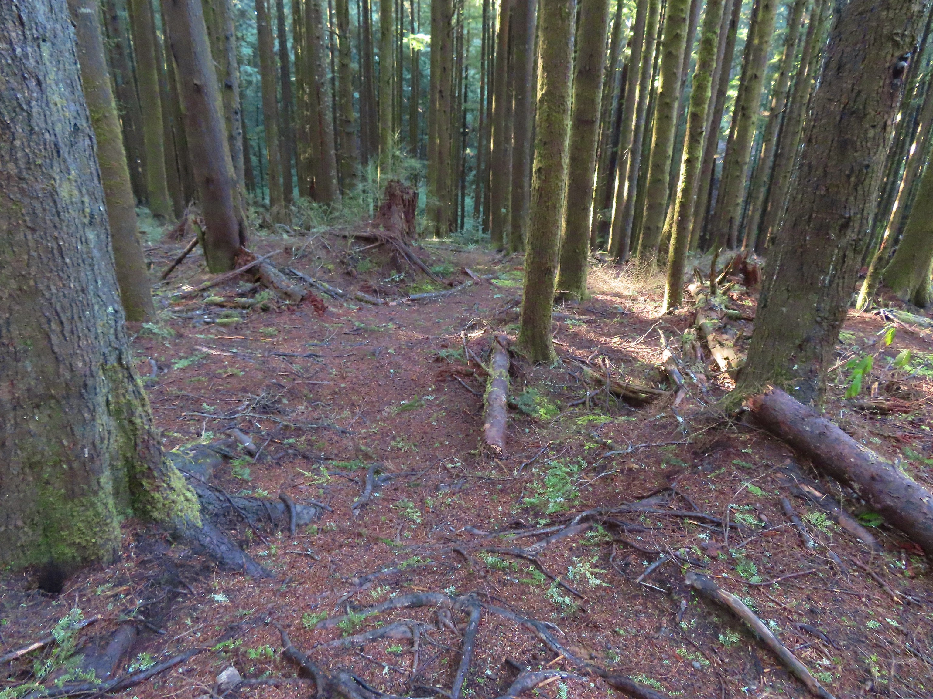 An example of the fainter tread along this section.
 The spur to the left led to a neighborhood so we turned right.

 The trail arriving at the trailhead entrance road. The chain link fence at Taft High is on the left.
 Siletz Bay from the brewpub.
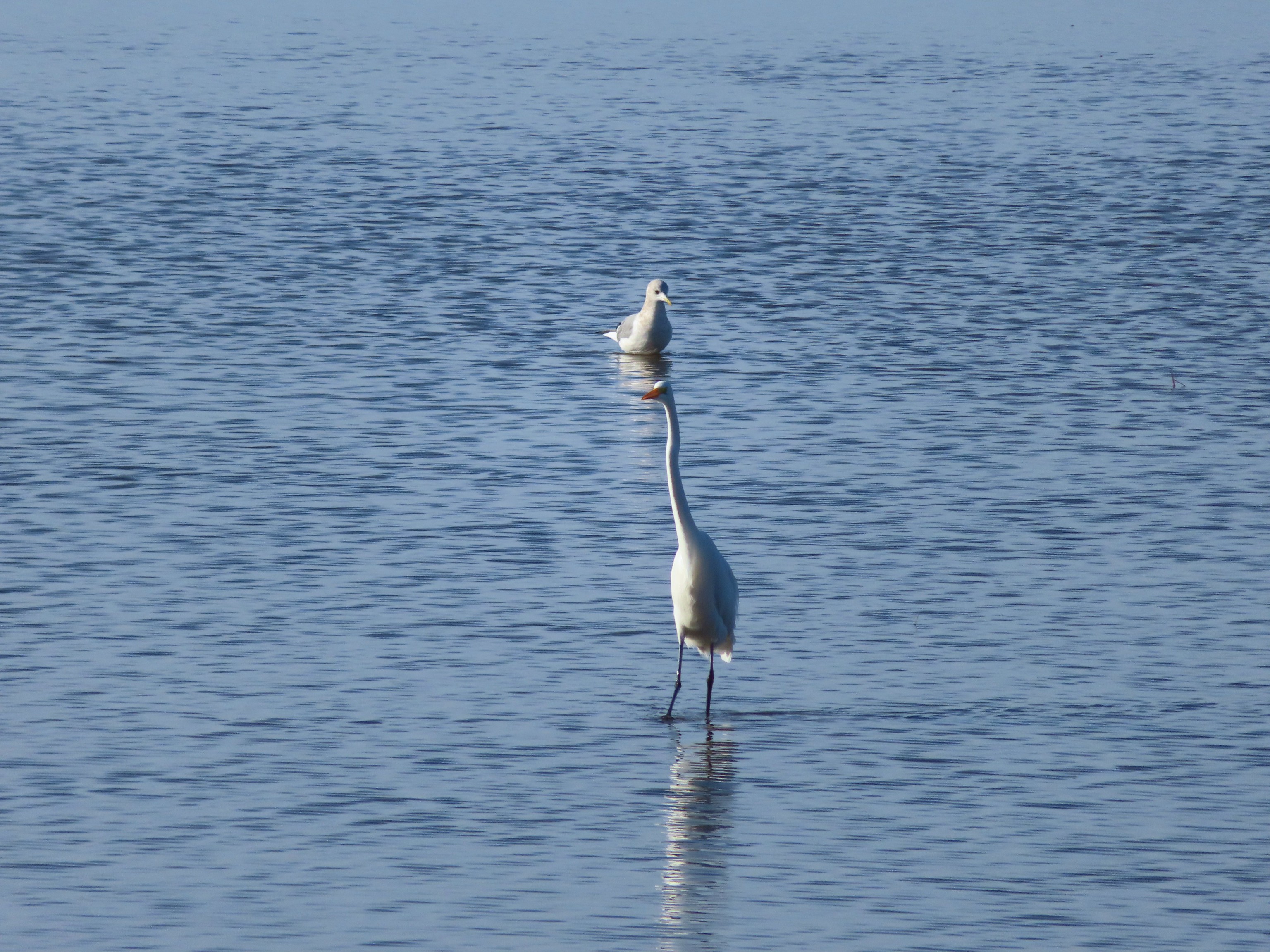 A gull and an egret.
 It seems this time of year I (we) are always a little ahead of the sunlight which does nothing for photos.
 Coming up on the road crossing.
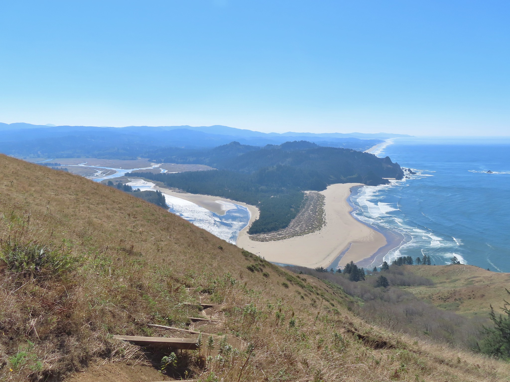
 Cascade Head from the trail with the elk at the end of the grass to the right.
 Fuzzy (low light) photo of the elk.
 Crossing Savage Road with the first view of the Pacific.


 View from one of five metal footbridges along this section.
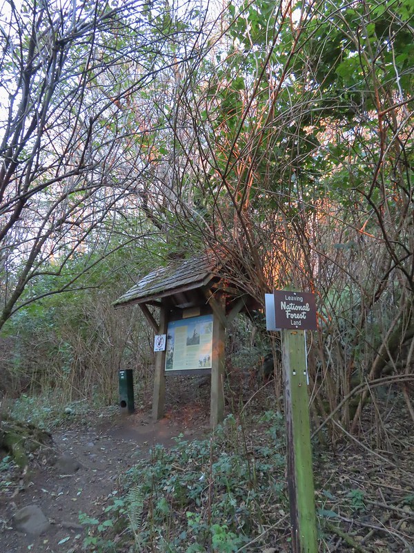 Signboard and donation box at the start of
 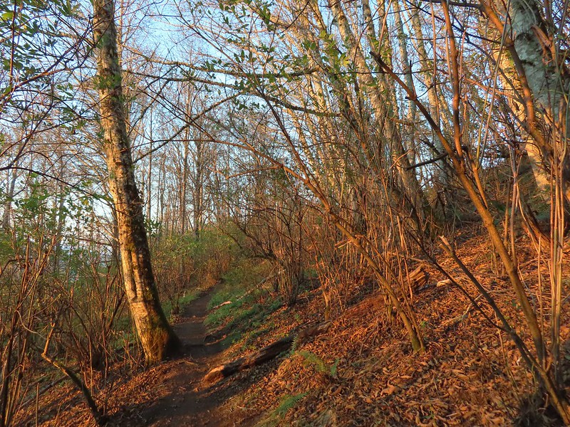 First direct sunlight of the morning.
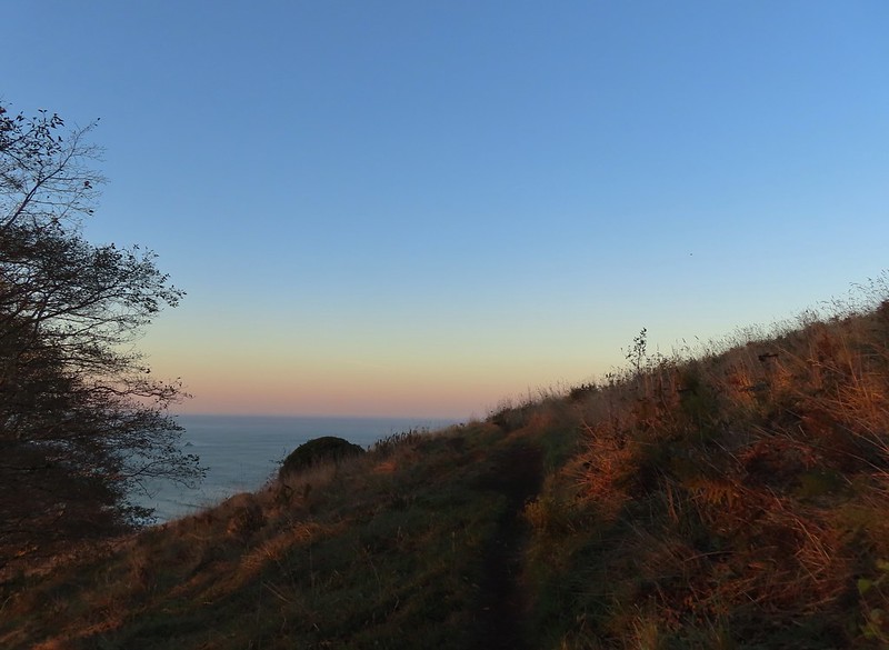 Out of the trees and into the meadows.
 Looking uphill
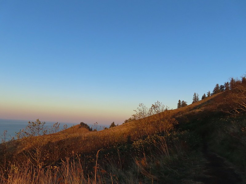
 Snacks
 Salmon River Estuary
 A snail and lupine leaves.
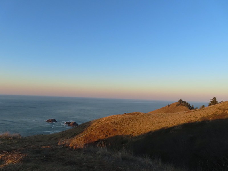
 A small viewpoint just before the trail turns uphill.
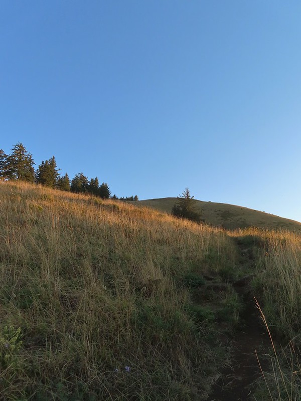 Going up
 The trail gains views as it gains elevation.
 The trail through the meadow below.
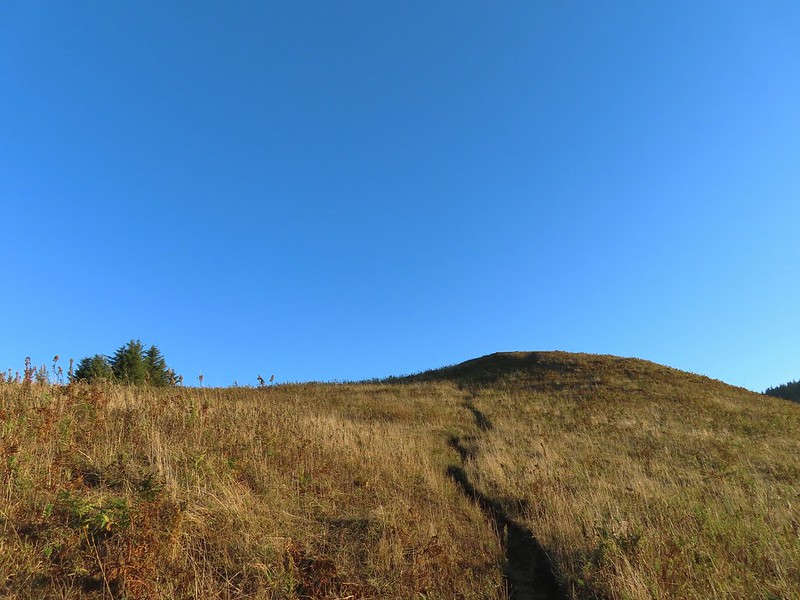 This knoll looks like the high point as you climb, but it’s a trick.
 The high point is actually marked by a post. (Near the right end of the photo).


 Wooden arch over the old roadbed.
 Nearing the upper trailhead.
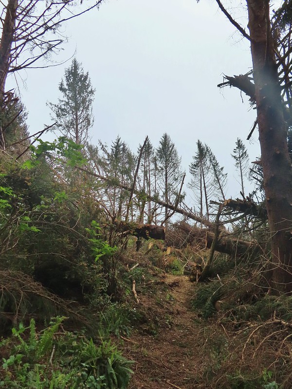
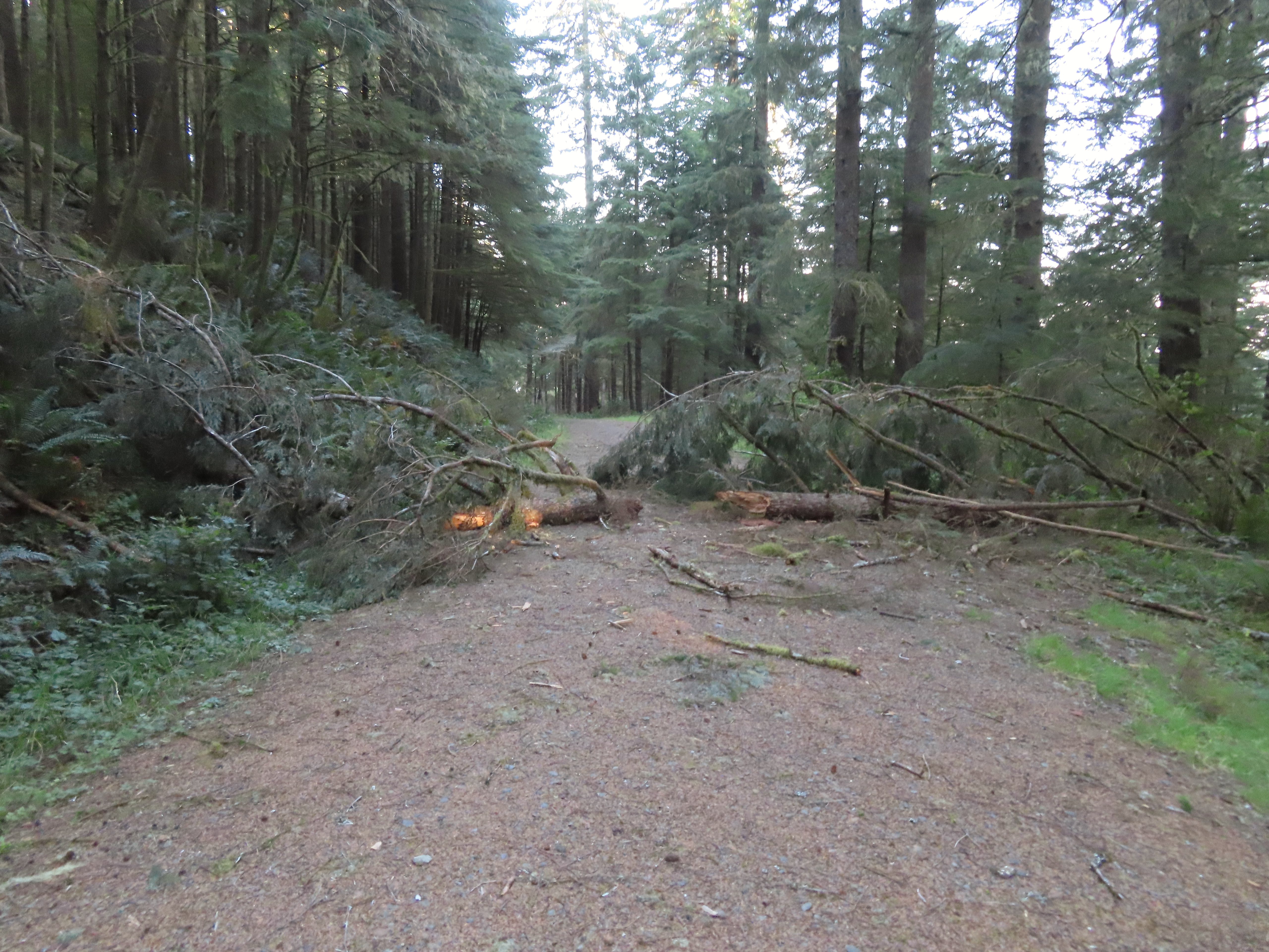 When they do reopen the road there will be a few trees to deal with.


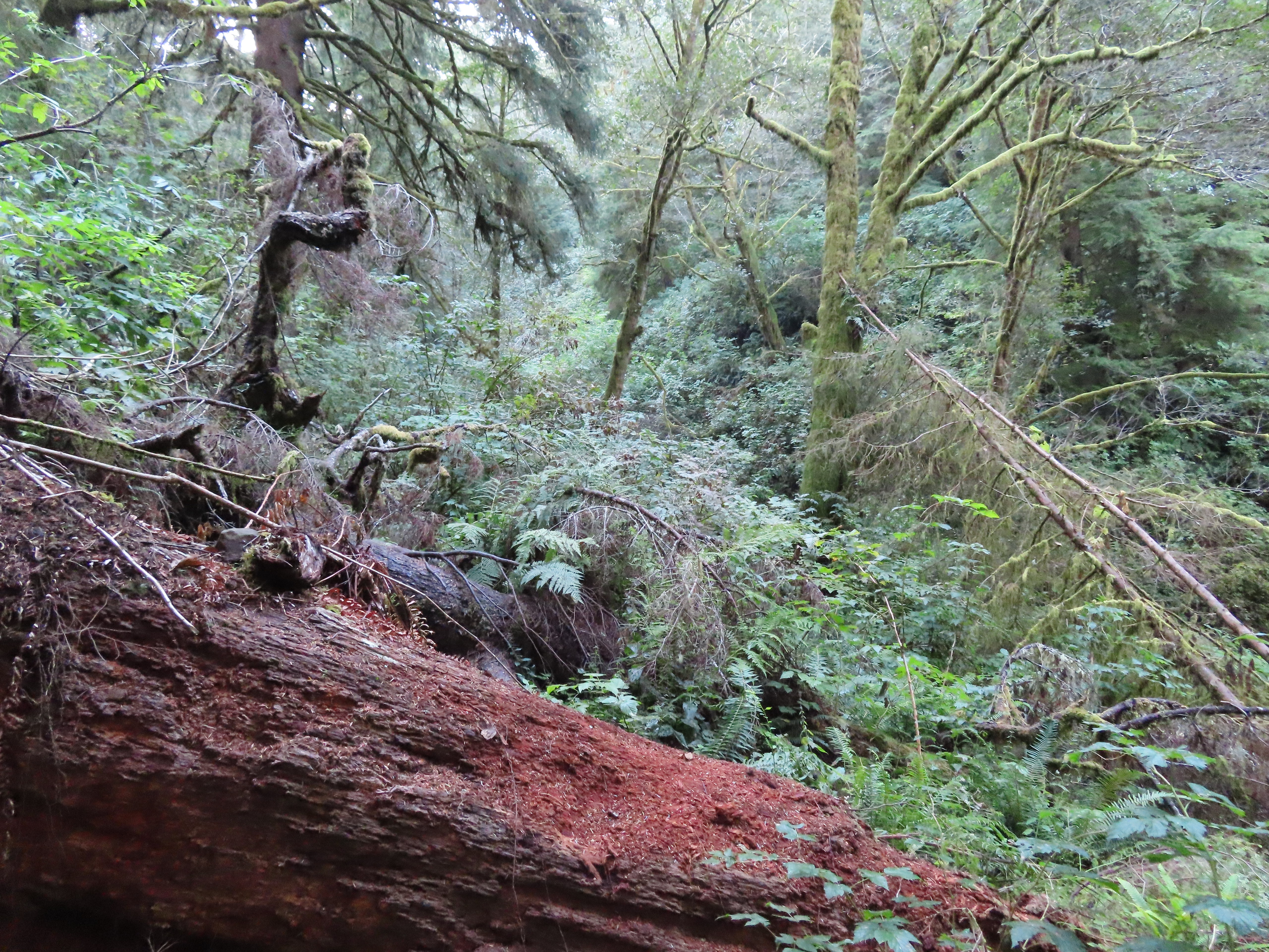
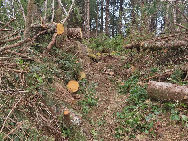
 There were around 18 trees such as this one across the trail from the trailhead to Cliff Creek.
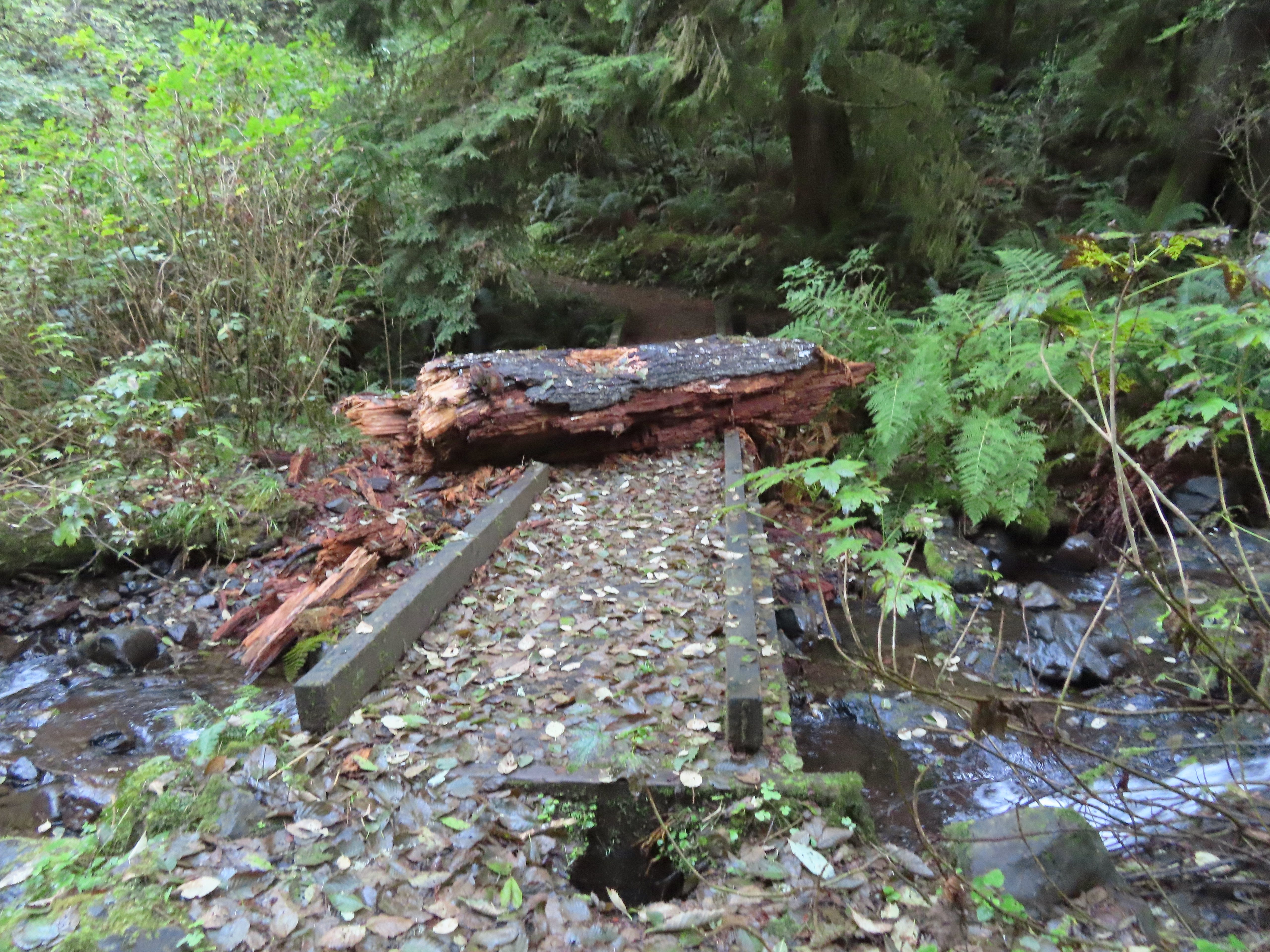 This large chunk of tree trunk has done some damage to the bridge, but it was still passable.
 Cliff Creek
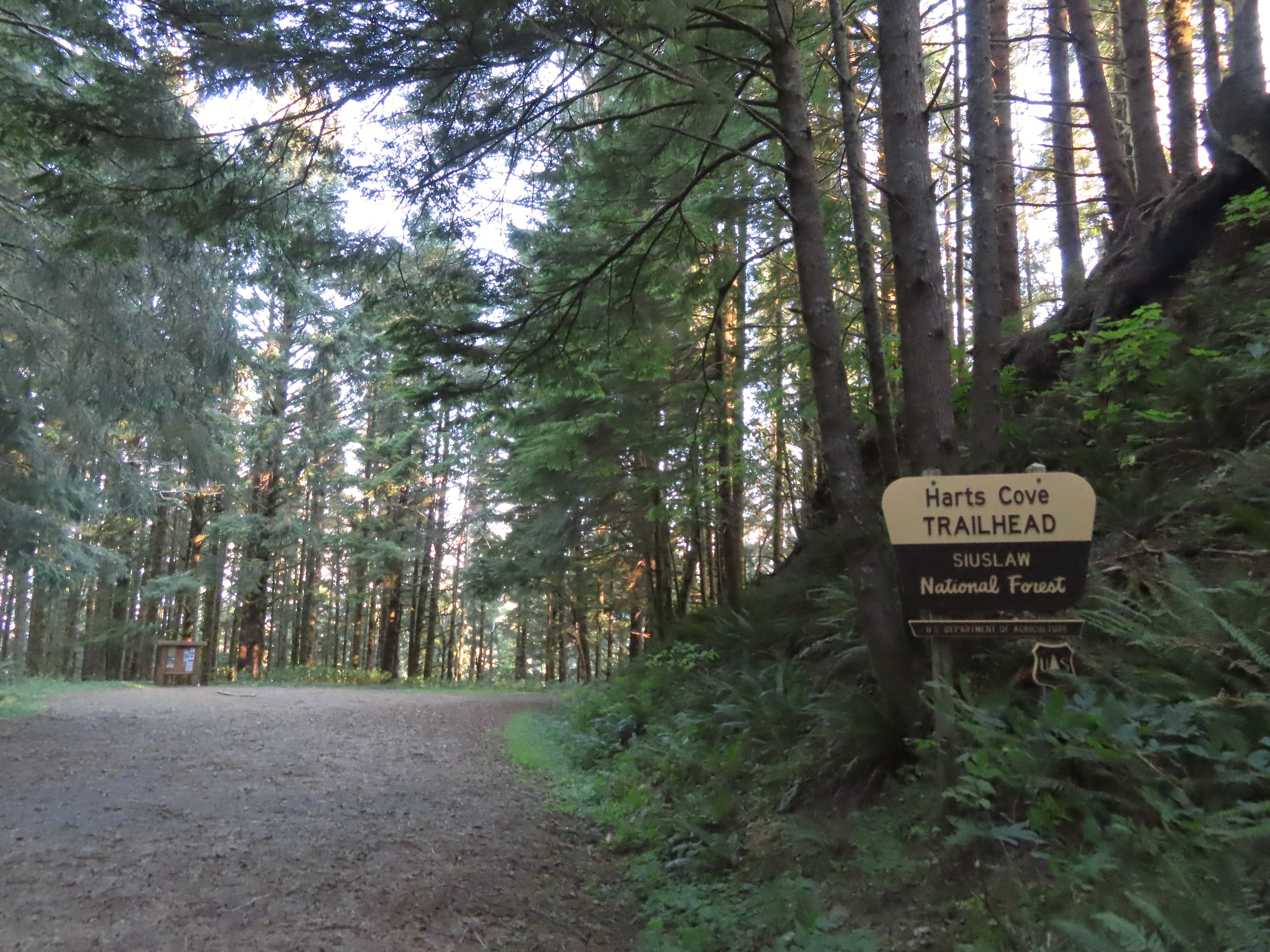
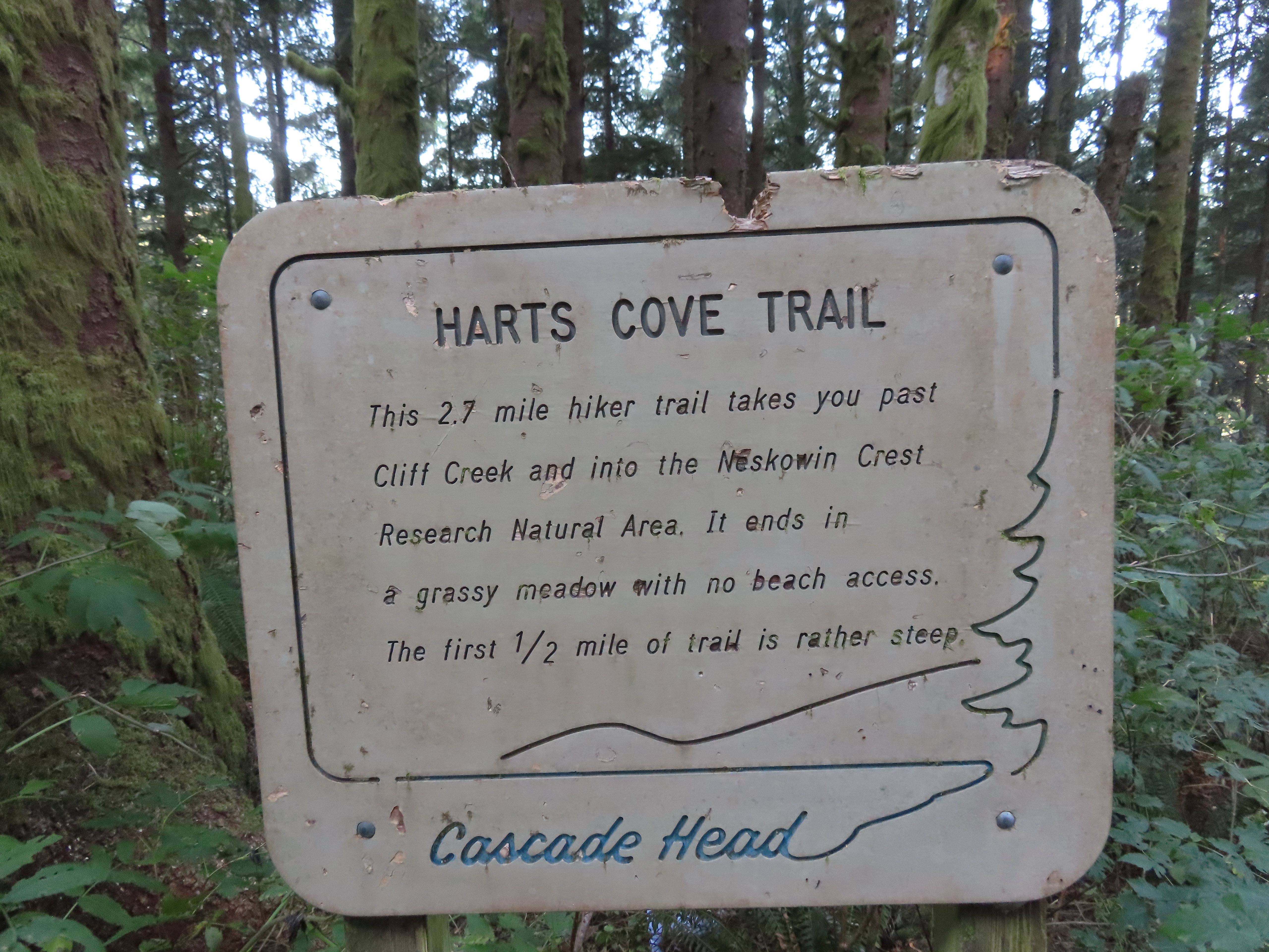
 At the 1.6-mile mark I entered the
 Sign near the bench.
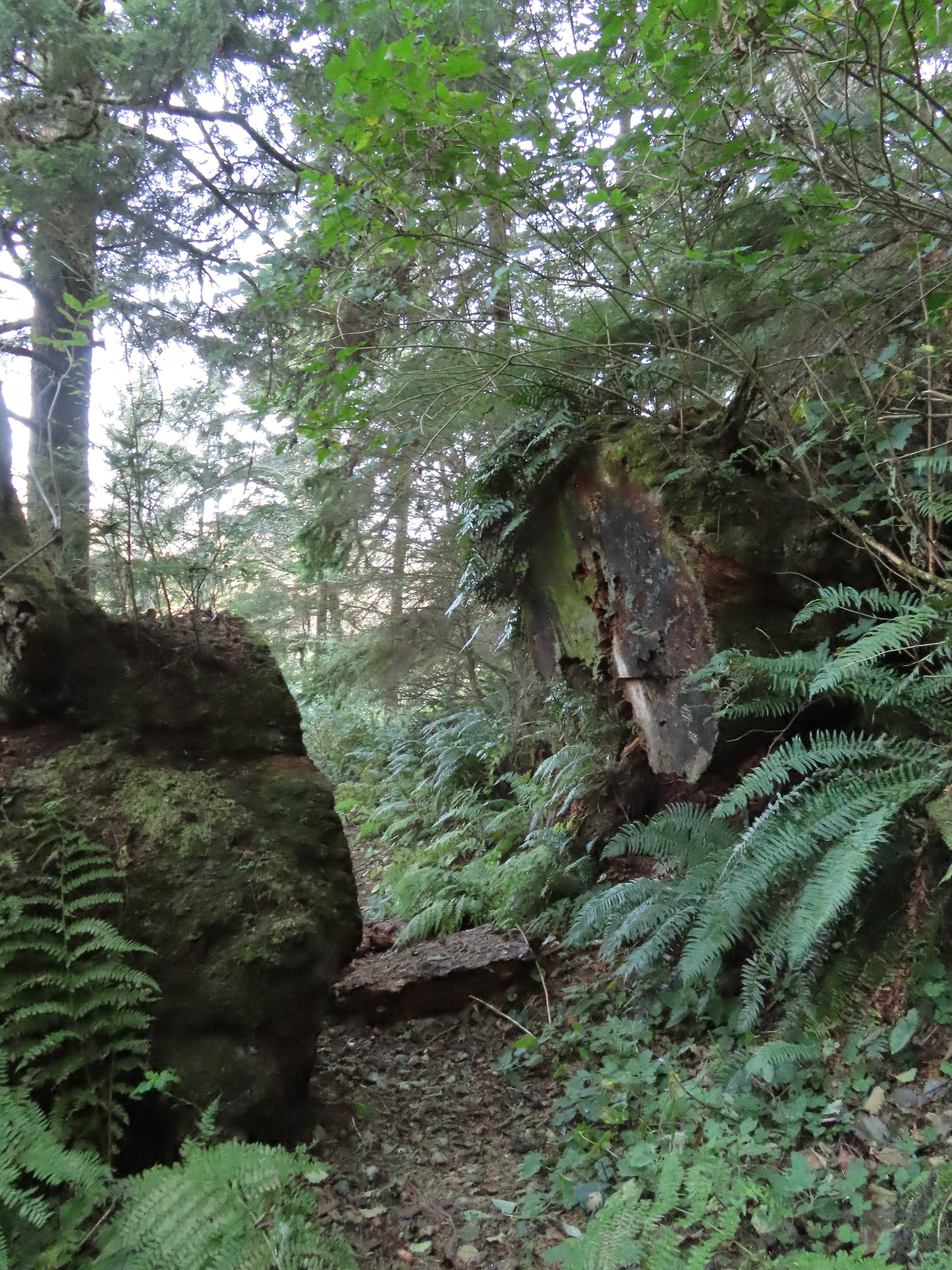 Big sitka spruce trunk.
 Approaching the Chitwood Creek crossing.
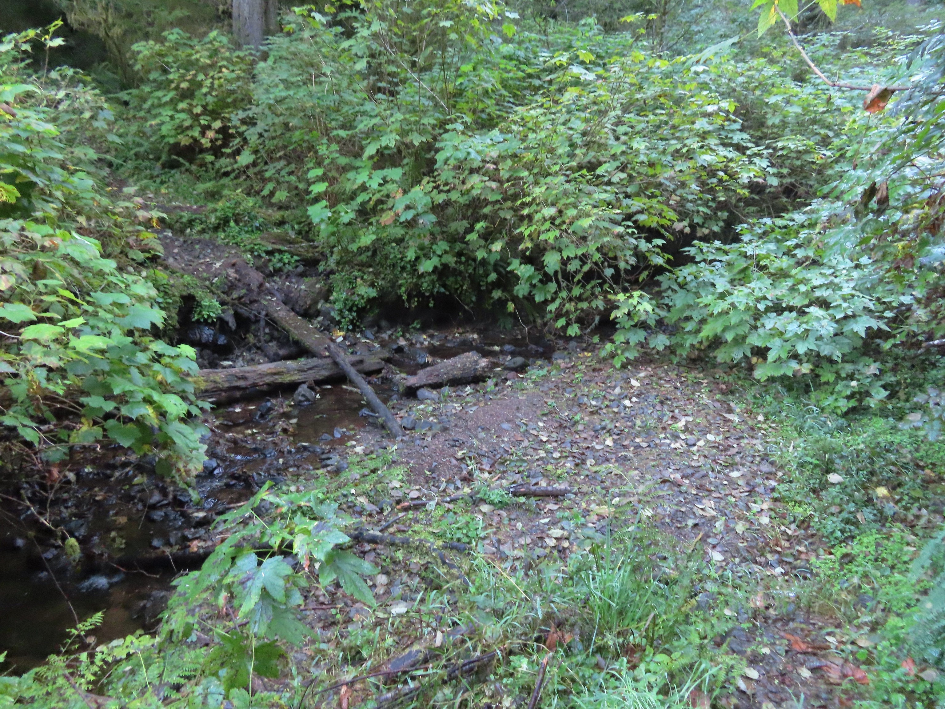 Chitwood Creek
 Heading back toward the ocean.
 Someone stuck some feathers in this mushroom.
 There was a large number of noisy sea lions on the shaded rocks below Cascade Head. Even though they were quite far away they were loud.
 Seagull hanging out on a sea rock.
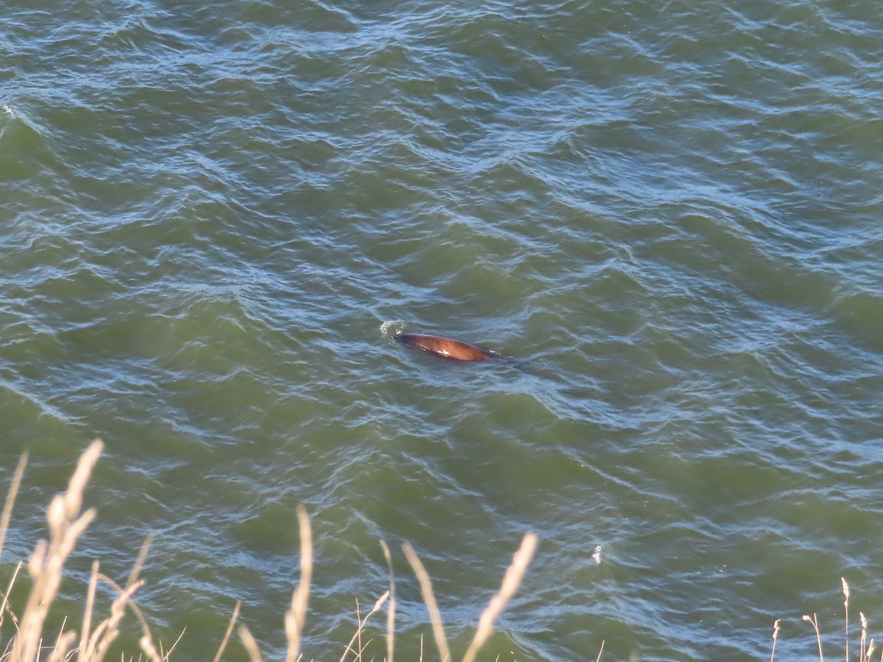 Sea lion heading for its buddies.
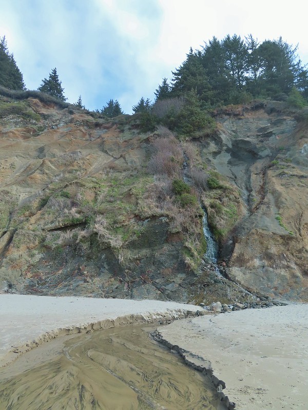
 A combination of the position of the Sun and the presence of haze made it very difficult to make out the waterfall on Chitwood Creek. I don’t know if the haze was smoke or just the usual coastal haze. (There was a fairly good east wind blowing steadily all morning.)


 Sparrow in the meadow at Hart’s Cove.
 Pearly everlasting
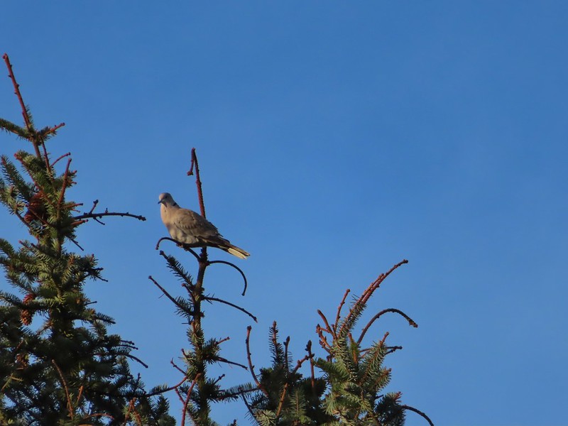
 Varied thrush
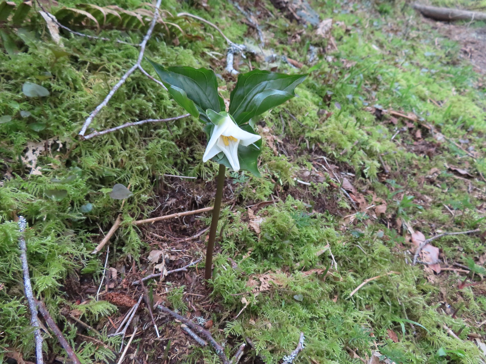
 A reminder of Spring, a trillium that bloomed months ago.
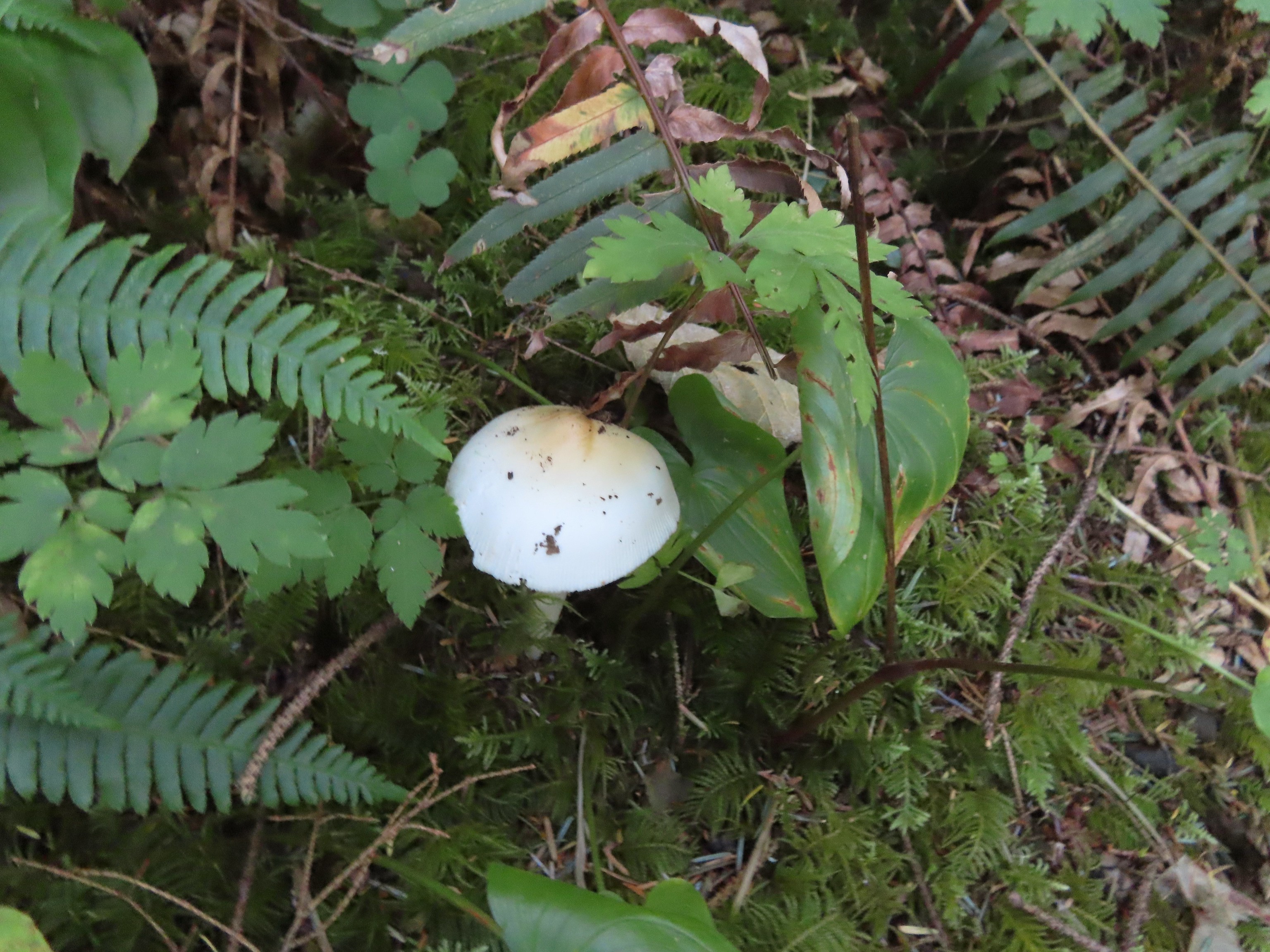
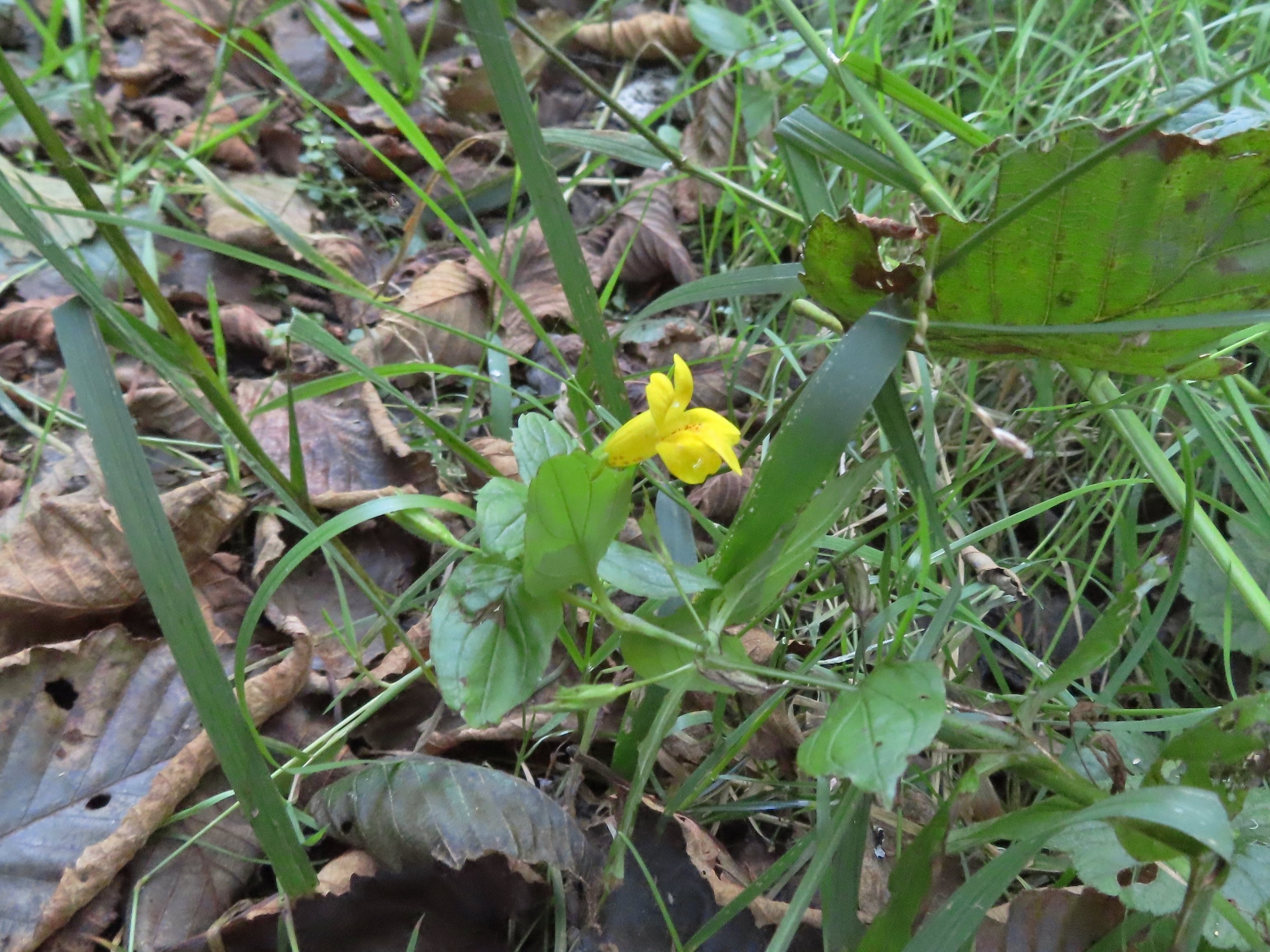 A monkeyflower along FR 1861.
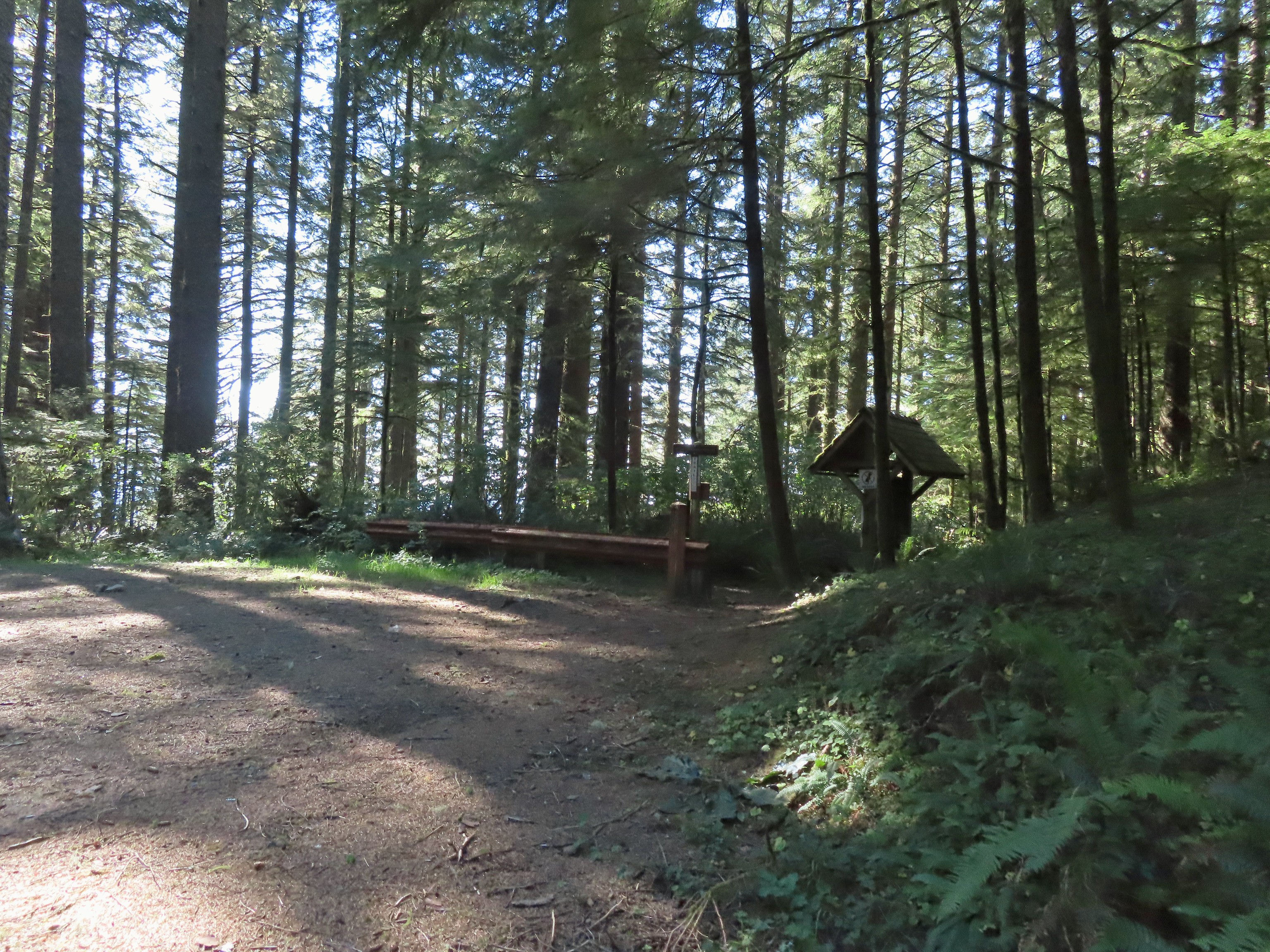 Back at the upper trailhead.
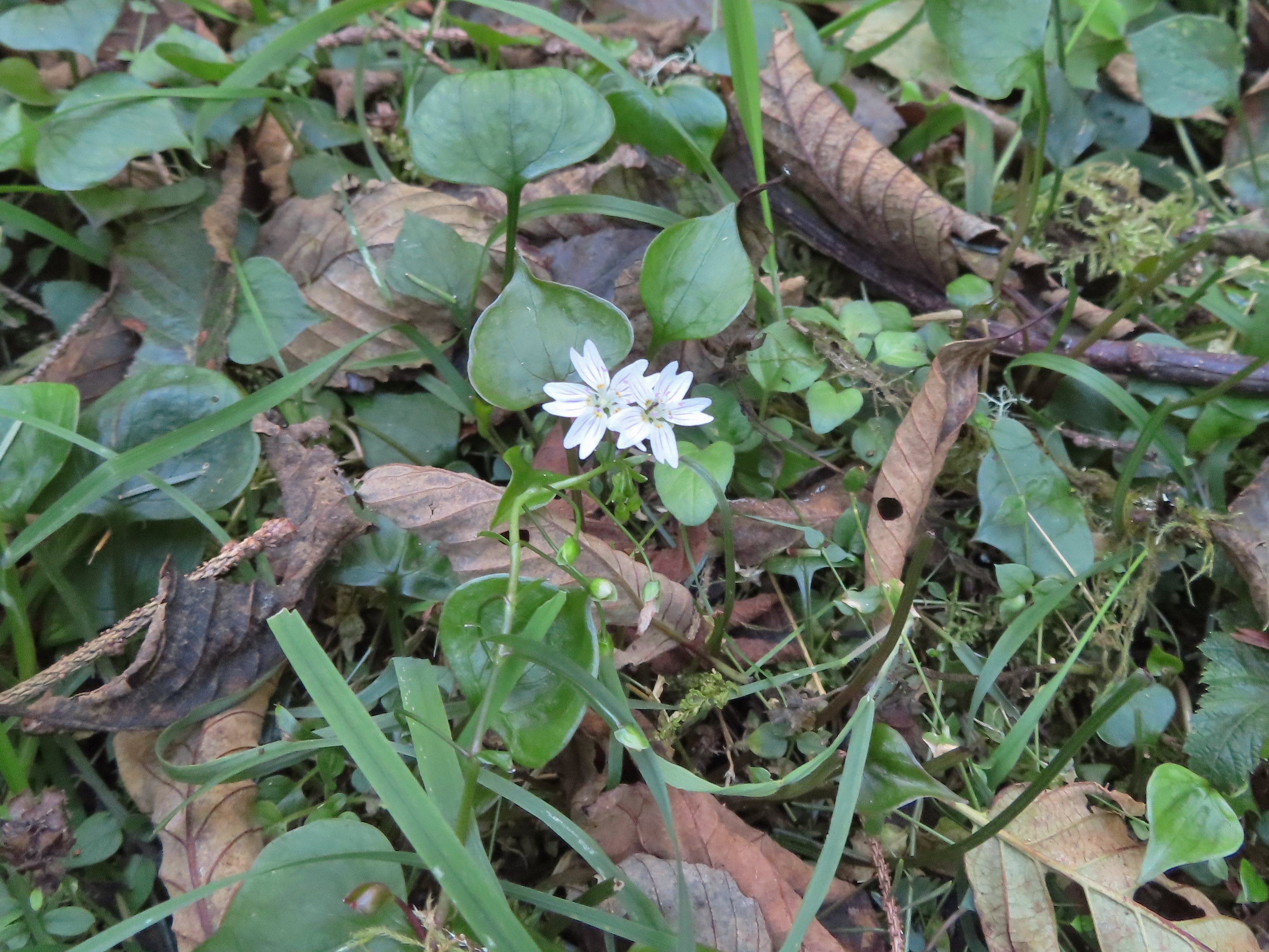 Candyflower
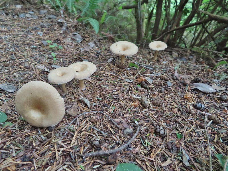
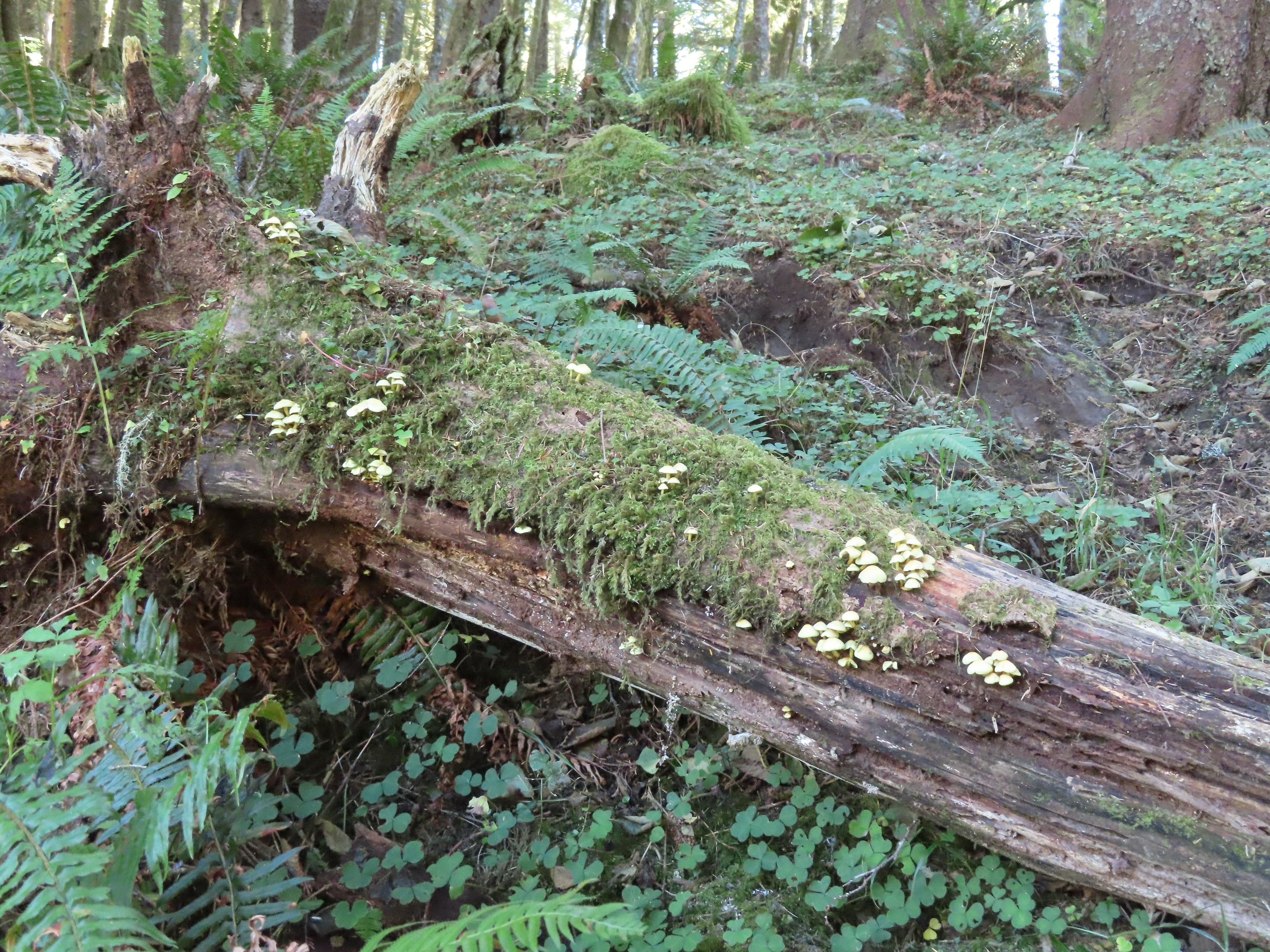 Mushrooms on a log.

 The Thumb, aka God’s Thumb (
 Heading for the high point.
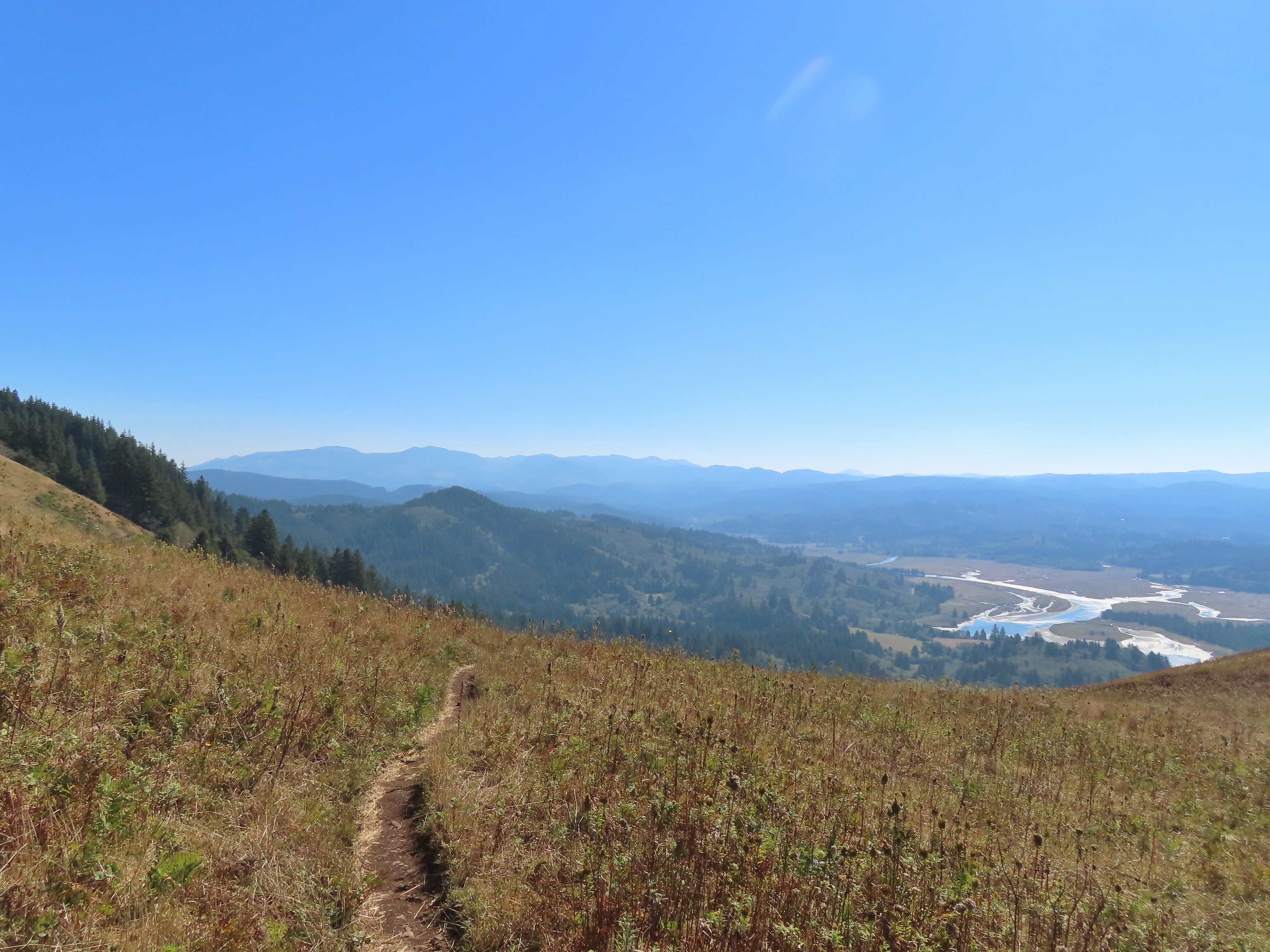 Descending Cascade Head
 There were quite a few of these (an aster?) blooming along the trail.
 Not sure what type of bird this is.
 Sulphur butterfly
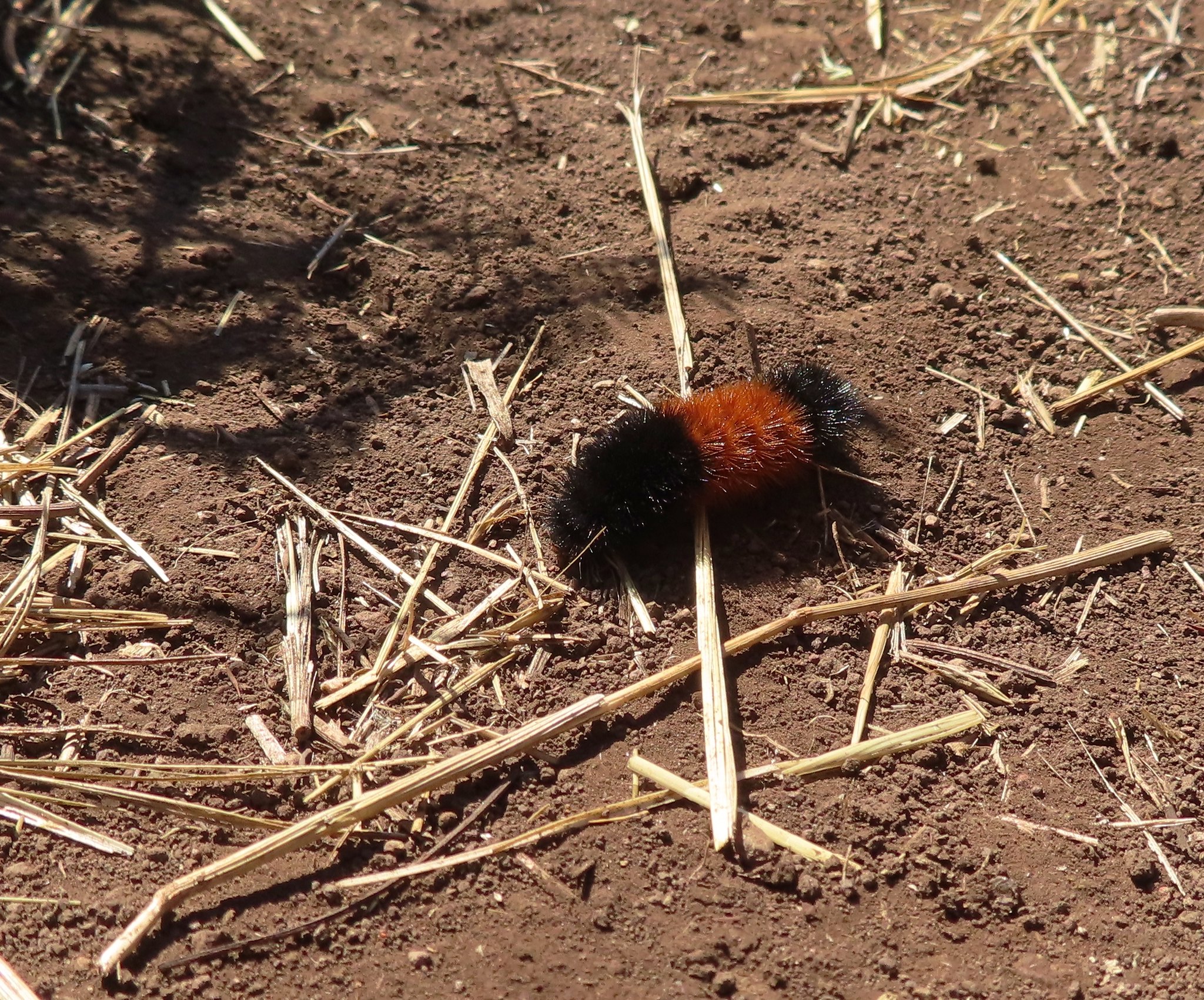 Wooly bear caterpillar, there were many of these on the trail.
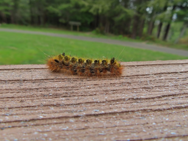
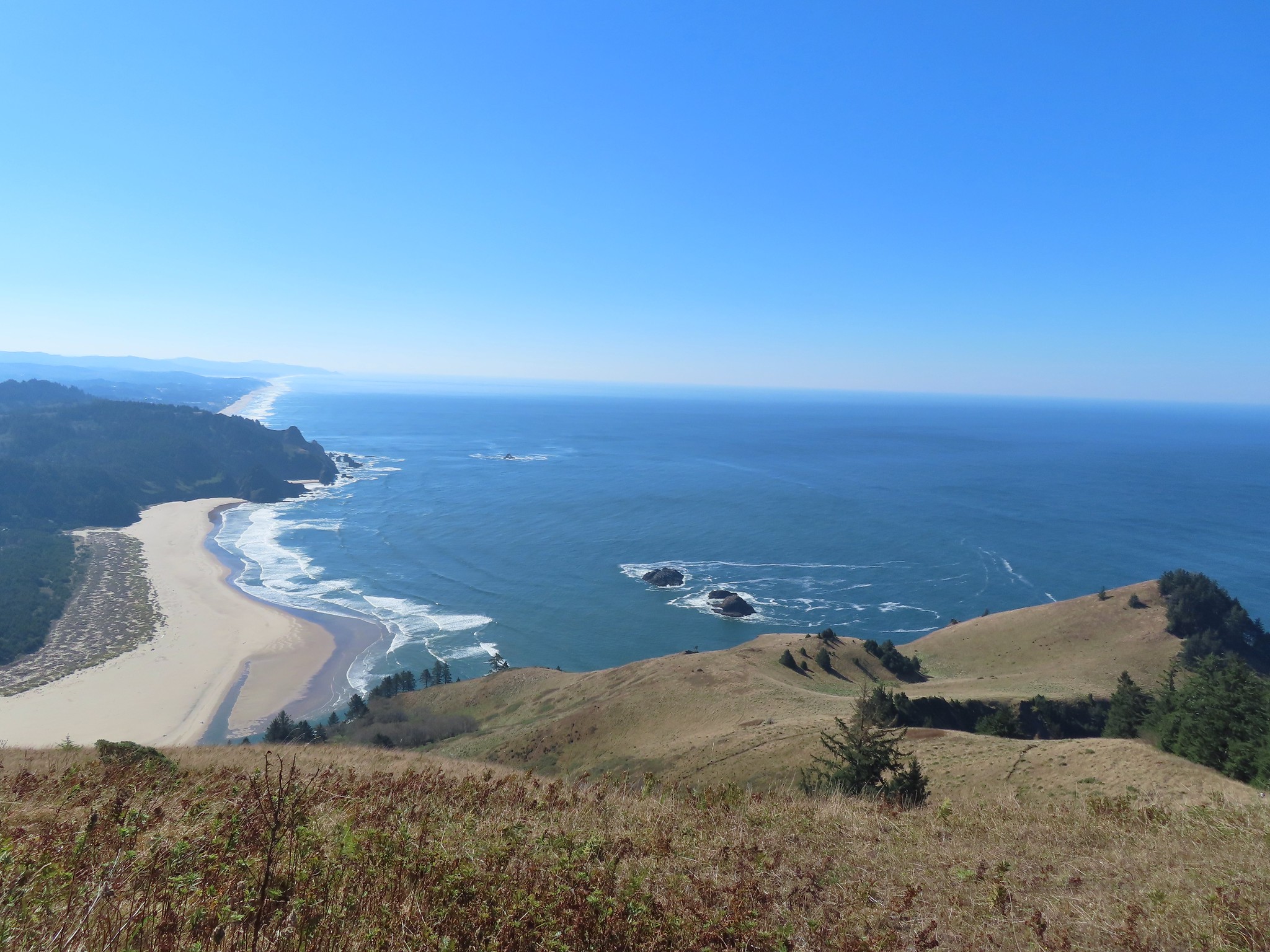
 Looking back up at one of the first hikers I’d passed.
 Pretty moth on a bush.
 View to the east of the Coastal Range.
 Heading for the tree line.
 Back where I’d seen the bull elk in the morning.
 Cars parked along Three Rocks Road, the parking area at Knights County Park was full when I got back to the car a little before 1pm.


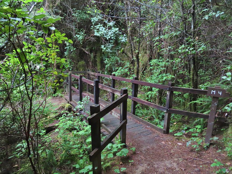 All the bridges had labels consisting of the first initial of the trail and then the bridge number making this the 4th bridge along the Middle Creek Trail.
 Interesting seat.
 That’s a fancy hat for a stump.


 We saw a lot of rough skinned newts on the trails, but what we were really hopping for was a Pacific Giant Salamander. No luck there this time.
 A few trillium still had petals.
 Woodpecker
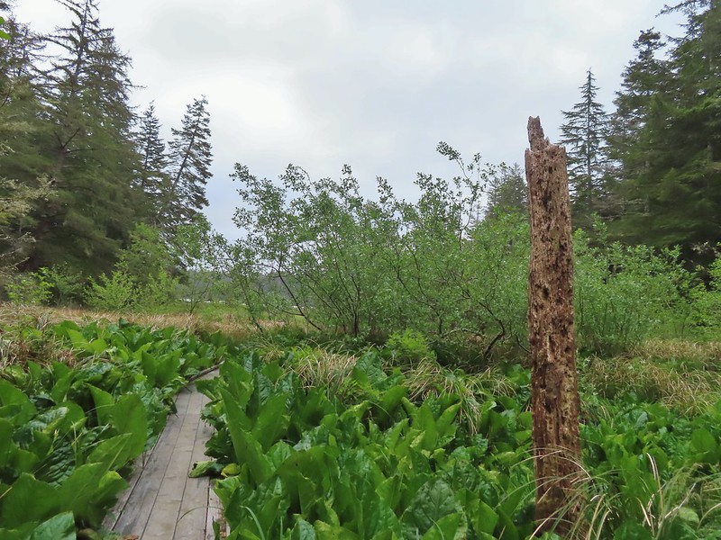


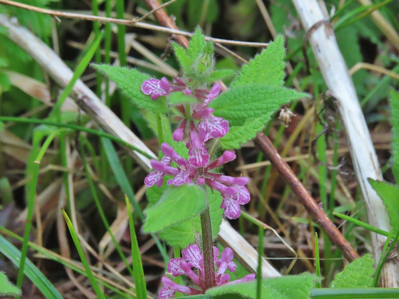 A hedgenettle
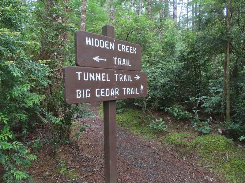


 Tunnel Trail indeed.


 Castilleja ambigua – Estuarine Paintbrush


 End of the line.
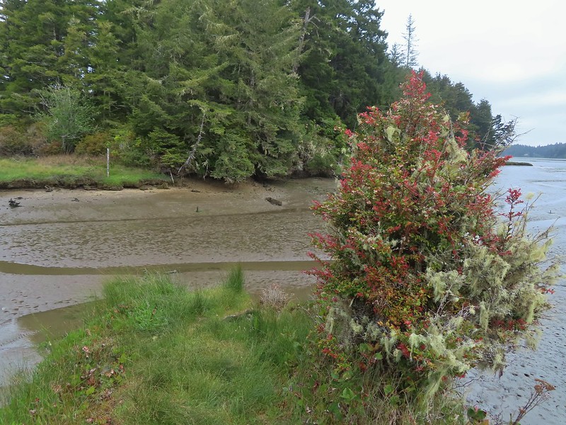
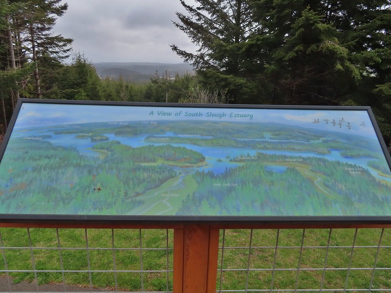
 South Slough
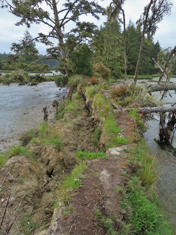 It was interesting to see how this uprooted tree peeled back a layer of the ground.
 Rhoades Marsh
 Sloughside Marsh
 Rhododendron


 Bleeding heart, fairy bells, and youth-on-age.


 Cape Arago Lighthouse (not on Cape Arago) on Chiefs Island.
 Salal
Salal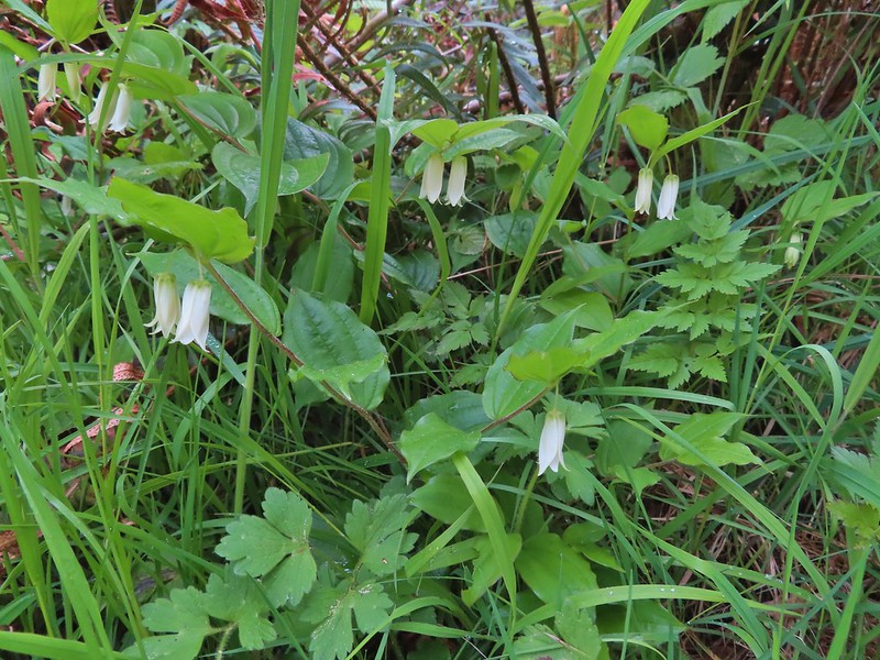
 The group campsite.


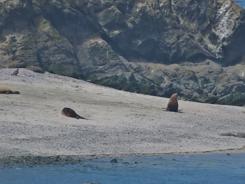
 Harbor seals in the lower right hand corner on the rocks.

 Success!
 Paintbrush
 Sea thrift
 Mariposa lilies
 Iris
Iris Former tennis courts.
 View near the tennis courts.
 These roots explain how some of the trees that look like they should be plunging into the ocean don’t.
 Observation Building ahead on the cliff.


 Prickly Rhubarb from Chile

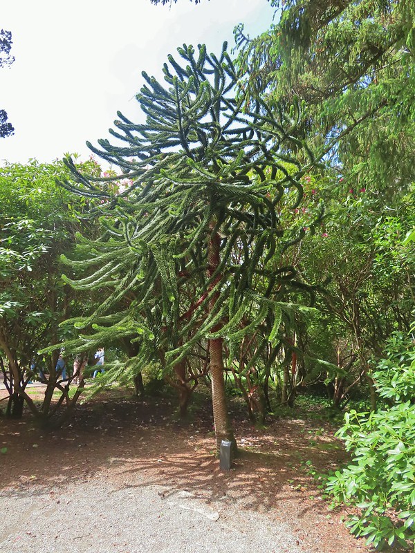 Monkey Puzzle Tree from South America
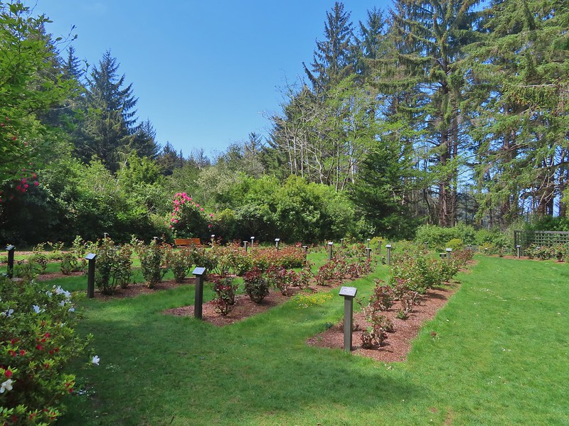 The yet to bloom rose garden.


 Looking back across Simpson Cove to the Observation Building.
 Simpson Reef extending into the Pacific.
 Shell Island in the middle of Simpson Reef.
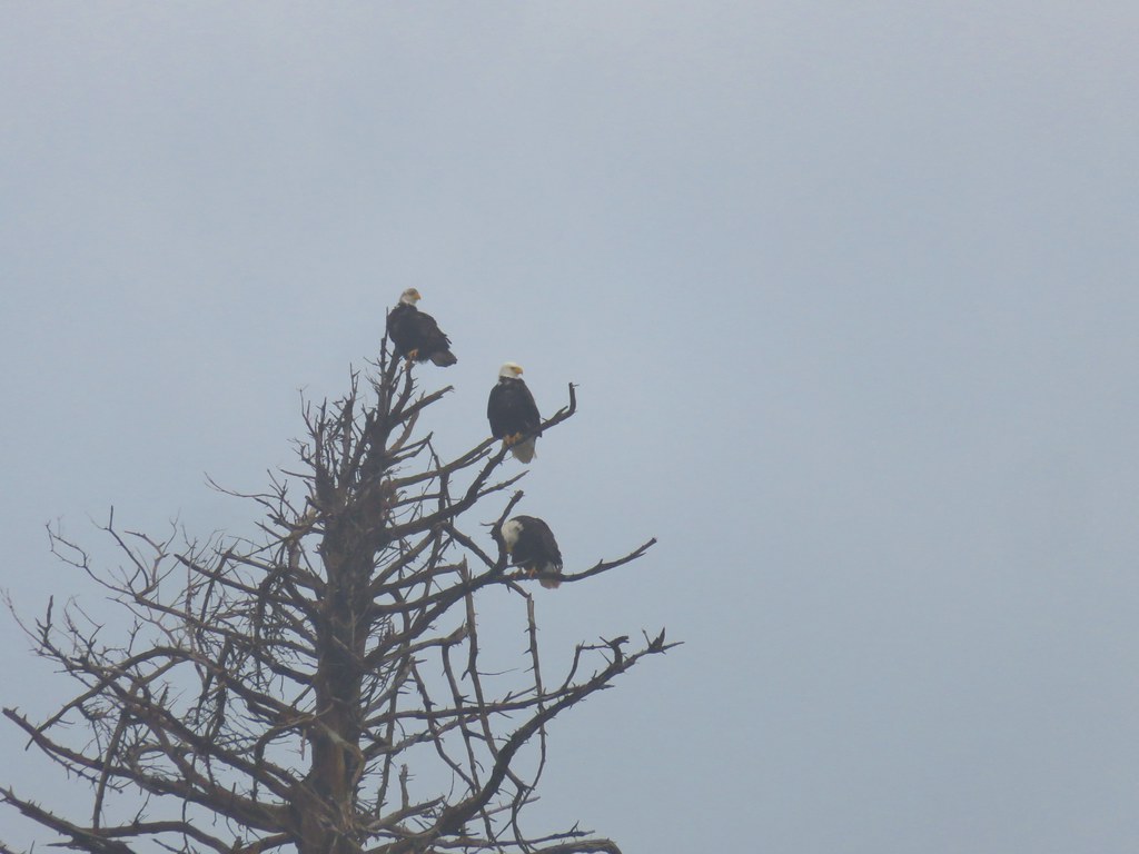
 Sea lions and juvenile bald eagles on Shell Island.


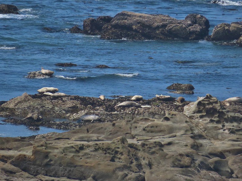 Harbor seals on the reef.

 Coltsfoot
 Woolly bear caterpillar
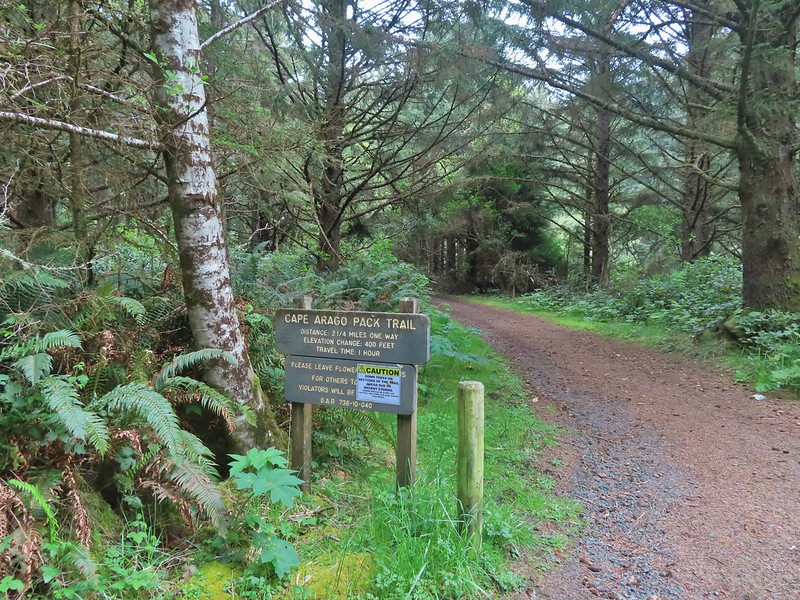 Looking back up the Pack Trail.

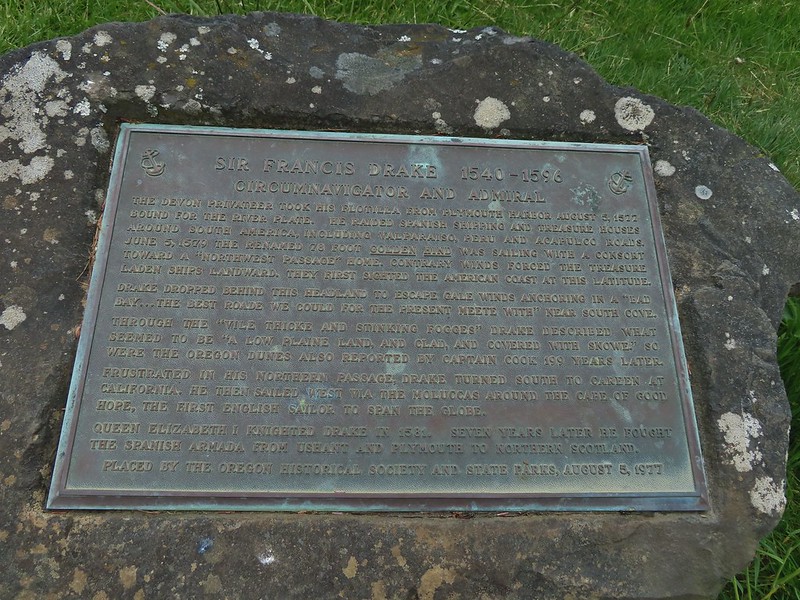 Plaque near the bench commermorating Sir Frances Drake’s visit to the area in 1579.
 Our stalker while we sat at the bench hoping we would leave some food behind (we didn’t).
 We thought we might be hearing things, but no it was a rooster crowing.
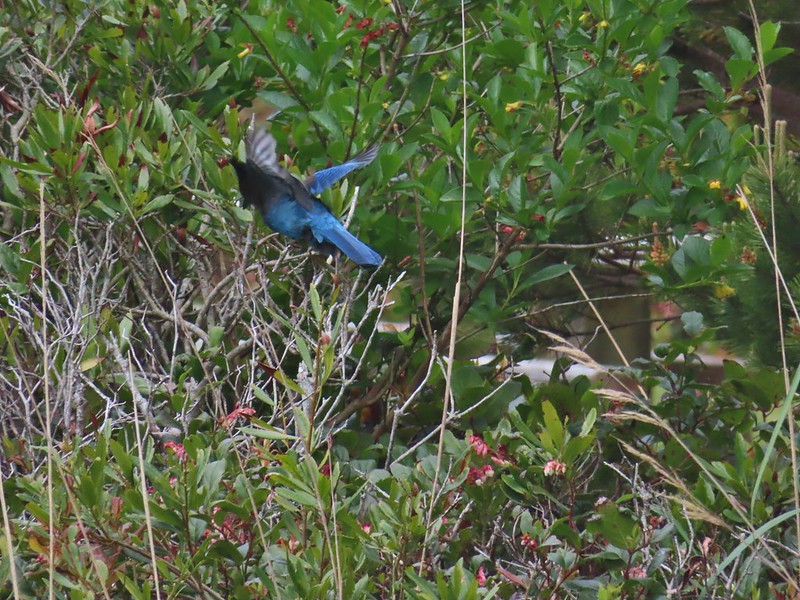 Stellar’s jay
 North Cove (A trail down to that beach was closed for the season.)


 Heading down.
 Going up.

 The Cape Arago Pack Trail at the highway.


 Thimbleberry
 Salmonberry
 McLeod Creek
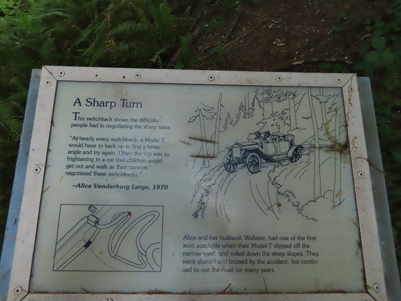
 One of the sharp turns.
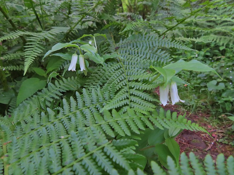 Fairy bells
 Columbine
 Bleeding heart
 Monkeyflower
 Sourgrass
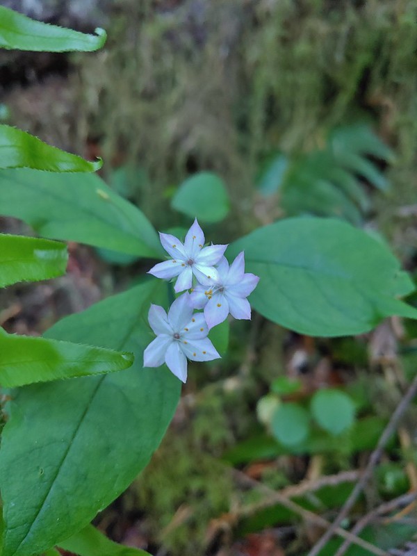 Star flower
 Trillium
 Star flower solomonseal
 Twisted stalk
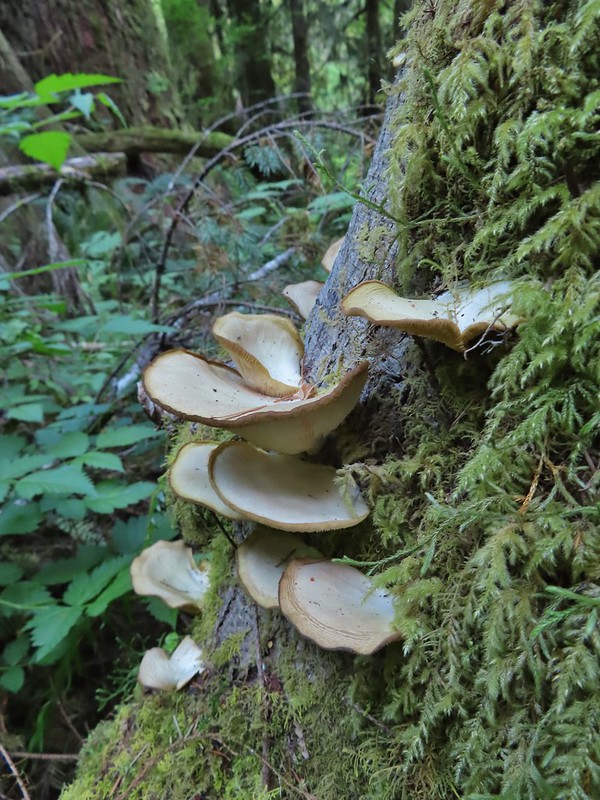
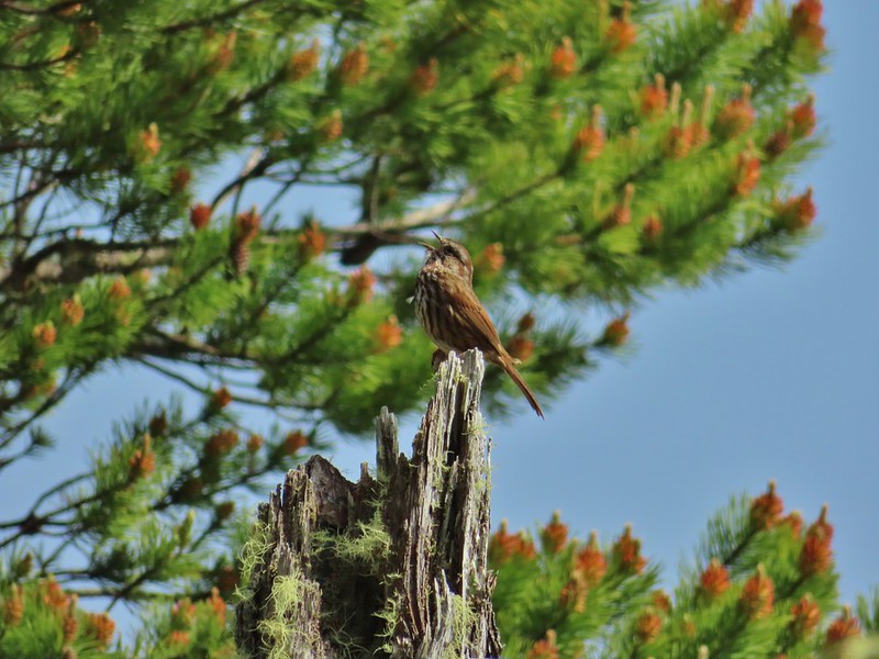
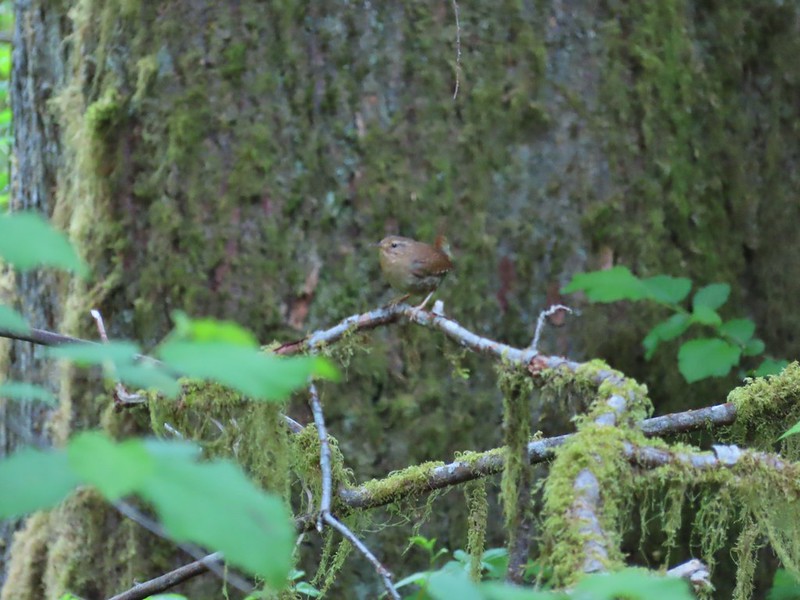 Wren – We heard lots of birds but didn’t see many of them.

 Waterleaf

 Marker for a fire scarred Douglas fir. According to the brochure the last major fire in the area was in the 1860s.


 We had to climb over this big tree.


 Looking at the bridge at the north end of the lake.
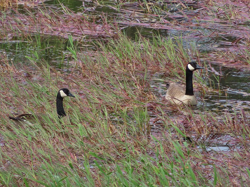 Canada geese
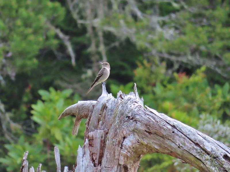
 Cormorants flying above the lake.
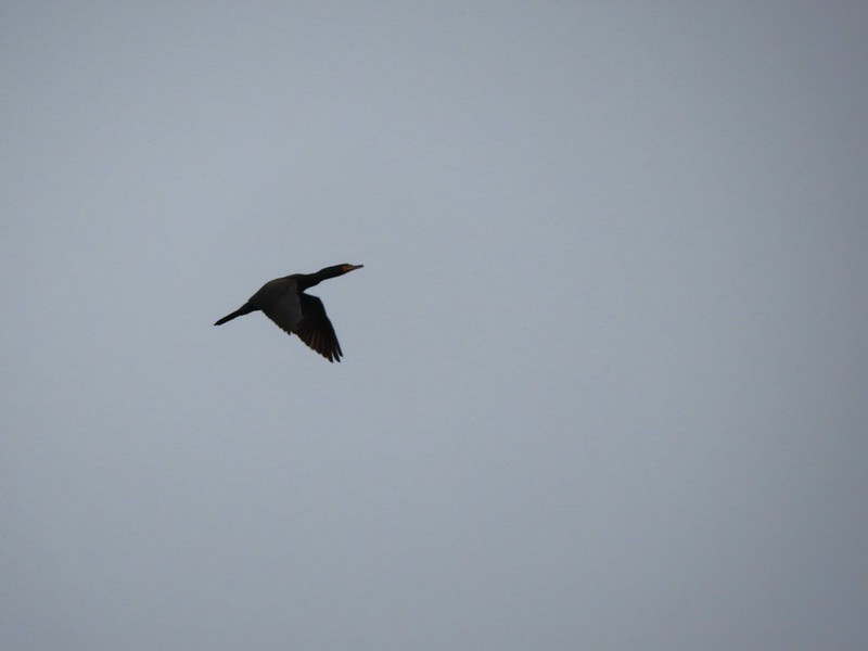 Cormorant
 Ring necked ducks
 Rhododendron
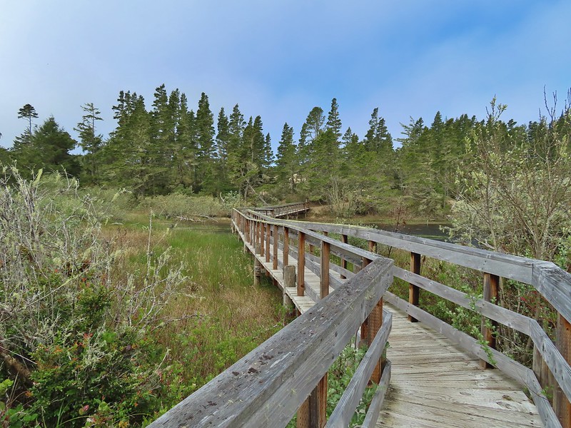 Boardwalk at the south end of the lake.
 Sparrow
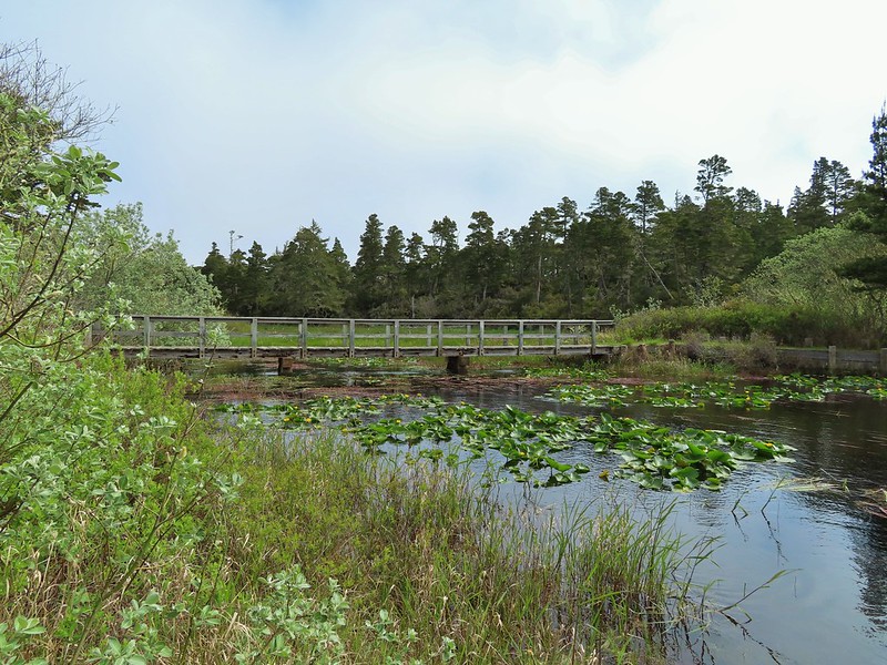 Coming up on the bridge at the north end.
 Yellow rumped warbler
 Finch
Finch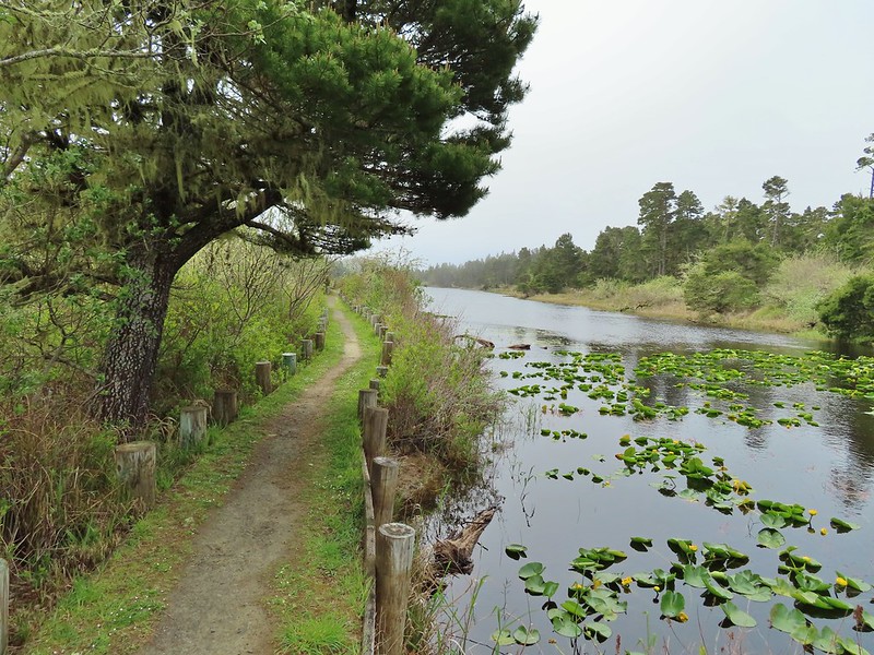
 The trail on the far side of the track.

 One of three panels on a signboard at the start of the trails.
 This bench is at the junction.
 Sparrow near the junction.
 Heading to the observation structure.
 Looking toward Coos Bay along the Coos River.
 McCullough Memorial Bridge spanning Coos Bay.
 Wetlands from the end of the spur.
 Bitter cherry
 Crow
Crow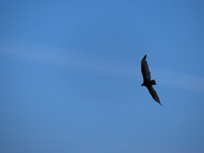 Turkey vulture
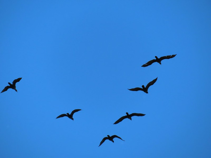 Cormorants overhead
 Canada goose with goslings
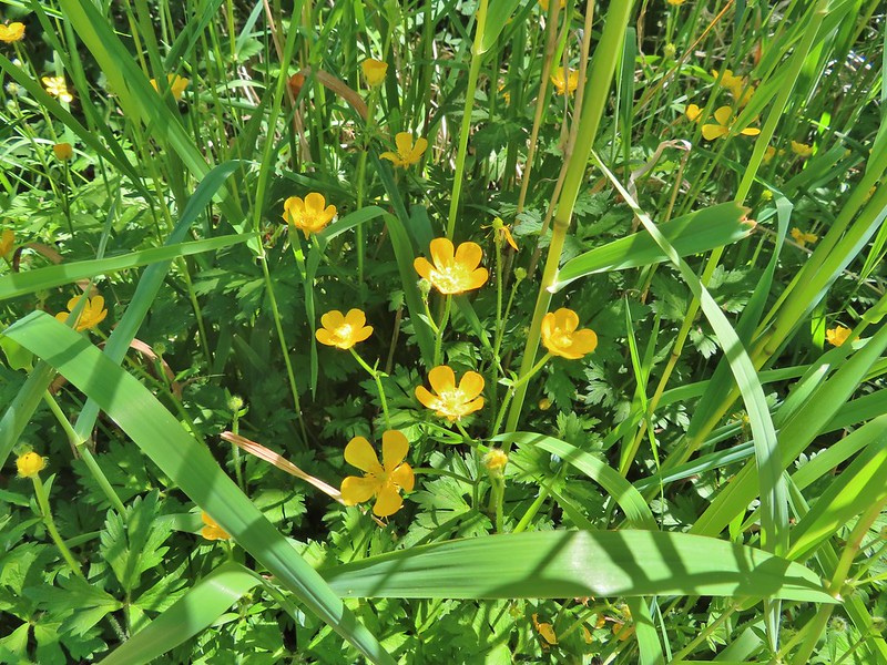 Buttercups
 Pale flax
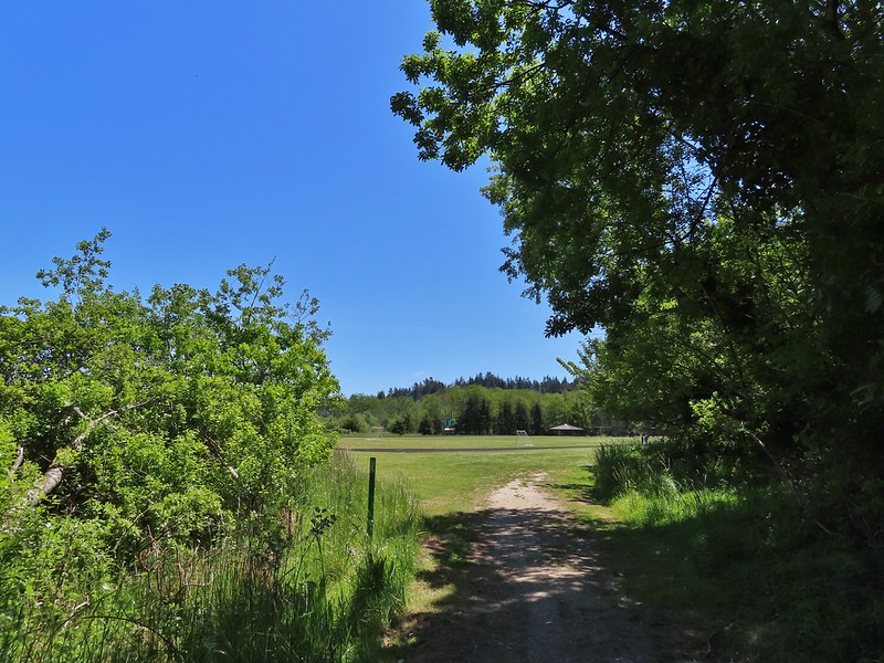 Arriving back at the field.
 Ground squirrel enjoying the view.
 Twomile Creek
 Shore bird in the creek.


 Brass buttons (another non-native)


 Whiskey Run Beach lay on the other side of the rocks with another parking area 0.8 further south.
 A cormorant off Fivemile Point


 View from the bench.


 Coming up on the hollow trunk straight ahead.
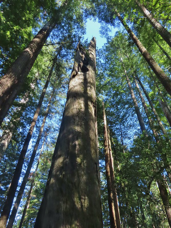


 Mallard pair
 Canada geese
 Goose and a mallard in the channels.


 Several interpretive signs were placed along the loop.
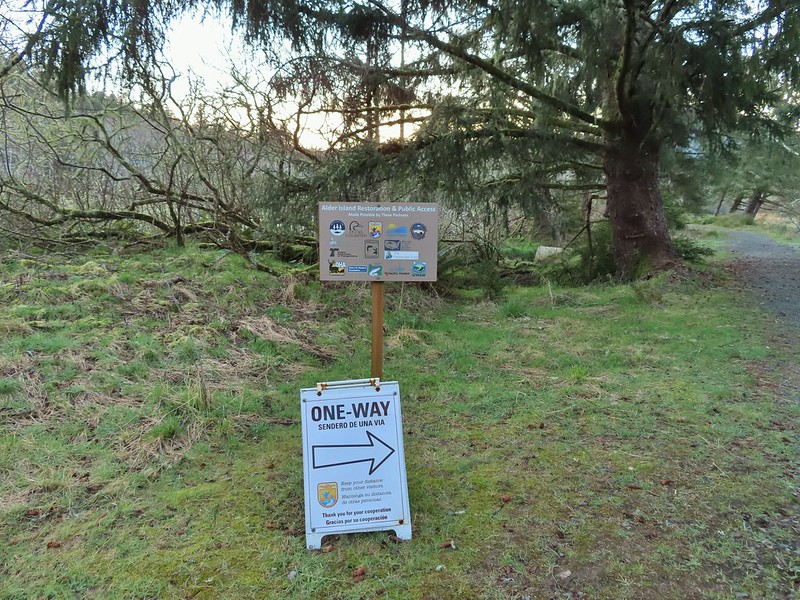 A reminder that COVID-19 is still an issue.
 The larger muddy area along the bank ahead on the right is where Heather spotted the otter.
 Alder lined trail.
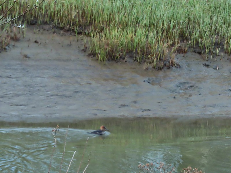 Blurry photo of a non-breeding male hooded merganser.
 The blurry river otter.
 Another mallard
 Canada geese
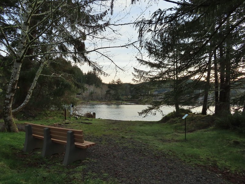
 Siletz River
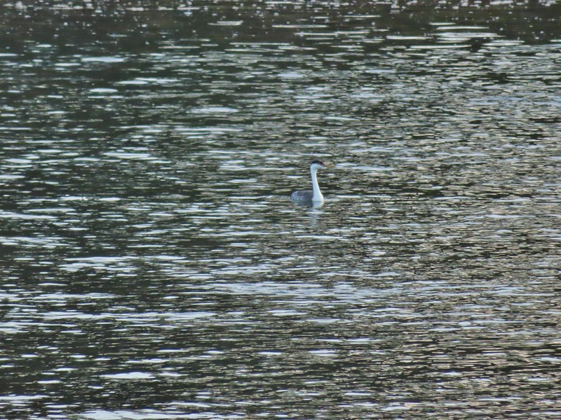 Western grebe
 Goose and a bufflehead (the duck not the post)
 Bufflehead
 Spring is coming!
 Sentry at the Roads End entrance.
 It’s hard to tell just how much uphill this is. Fortunately it wasn’t very muddy.
 A little easier to see the uphill here, this was near the top.
 The junction.

 The Roads End parking area is the open green space in the center along the ocean.
 The Pacific Ocean.
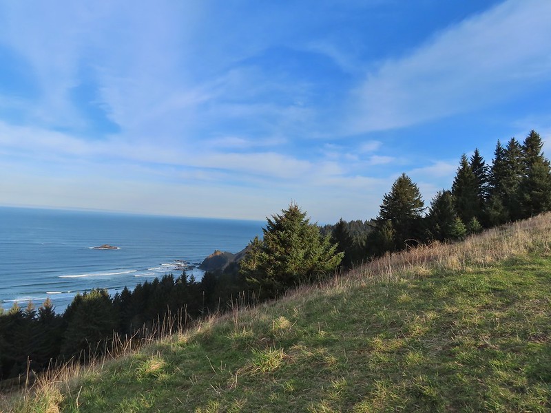 Roads End Point jutting out to the north.
 The Knoll
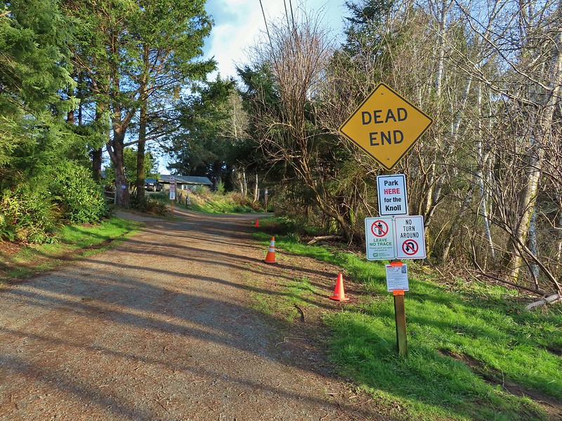
 Snow queen
 More signs of Spring, salmonberry blossom and buds.
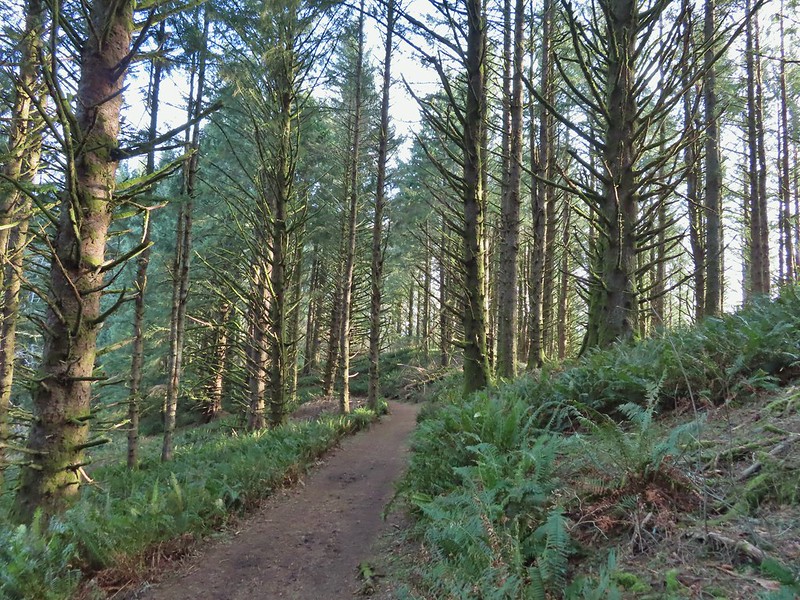 Sitka spruce and ferns along the ridge.
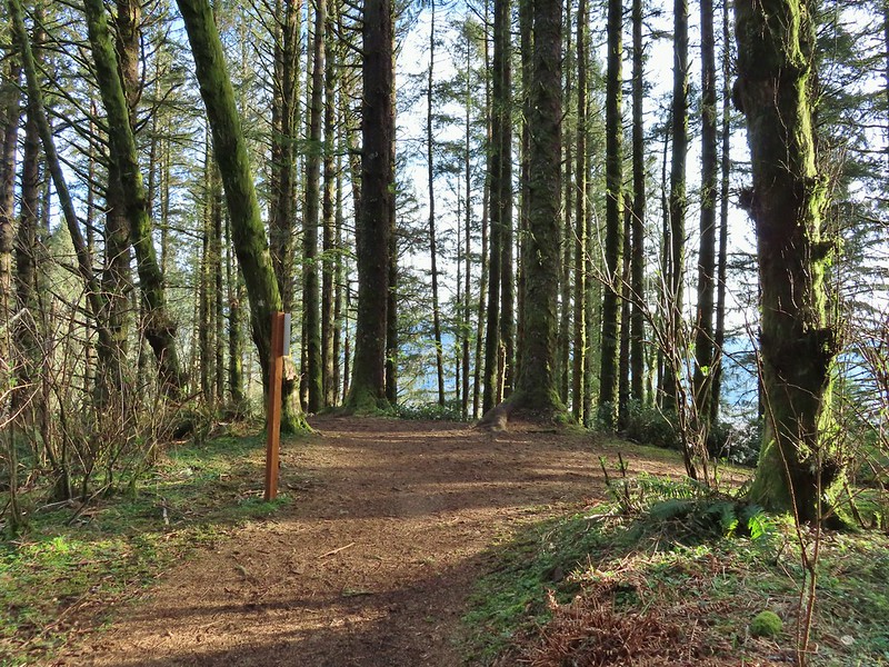
 The downed trees ahead in the distance.
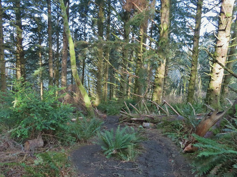 The last of the tree fall.
 Mud had begun to be a bit of an annoyance at this point.

 Busy woodpecker
 The trail getting nearing the turn left.
 Lone tree in the meadow.
 Lone robin in the lone tree.
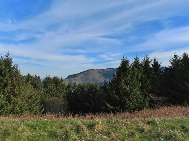


 Heather crossing the saddle (left of the big bush)
 Cascade Head from the saddle.
 Final pitch up to the top.
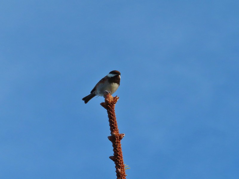 Not quite to ourselves, we shared the space briefly with some chestnut backed chickadees.
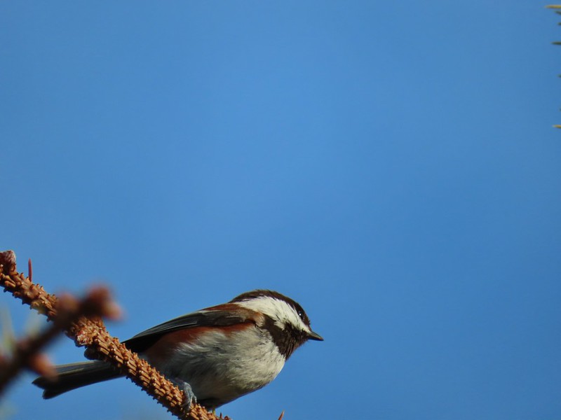
 Cascade Head and the mouth of the Salmon River.
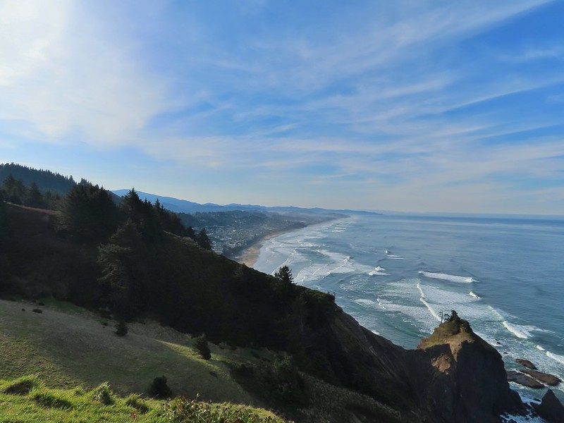 Roads End Point and Lincoln City
 Rocks below God’s Thumb
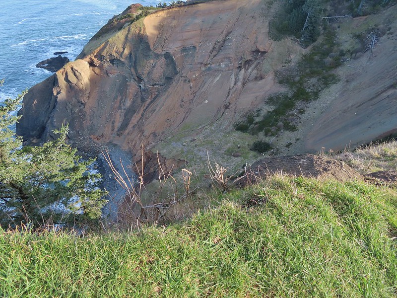
 A reasonable representation of the wet/muddy conditions on this part of the hike.
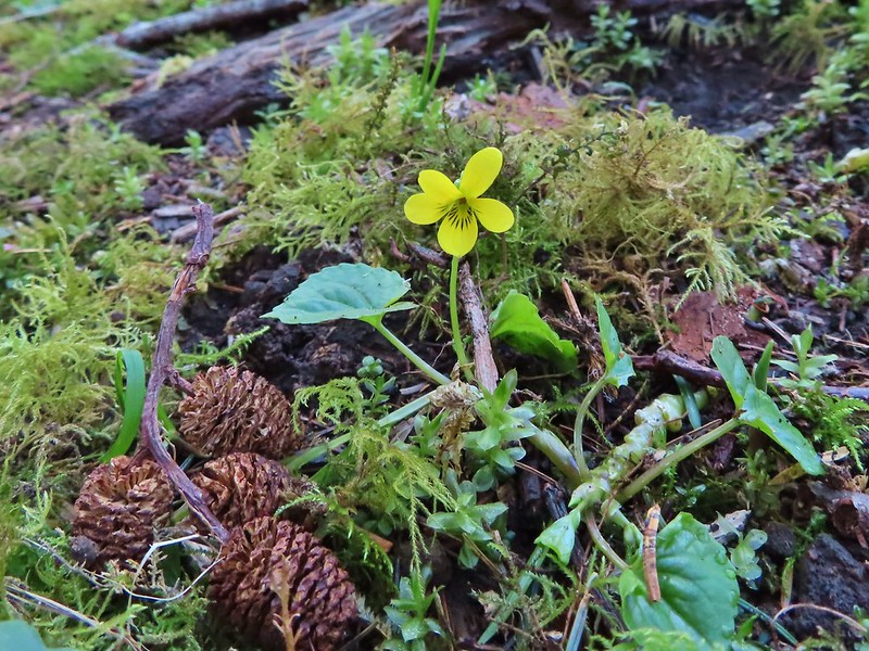
 Toothwort
 The gate and Sal La Sea Drive in the distance.
 It’s not a hike at the coast without some skunk cabbage.

 Coltsfoot
 An immature bald eagle flew overhead at one point.
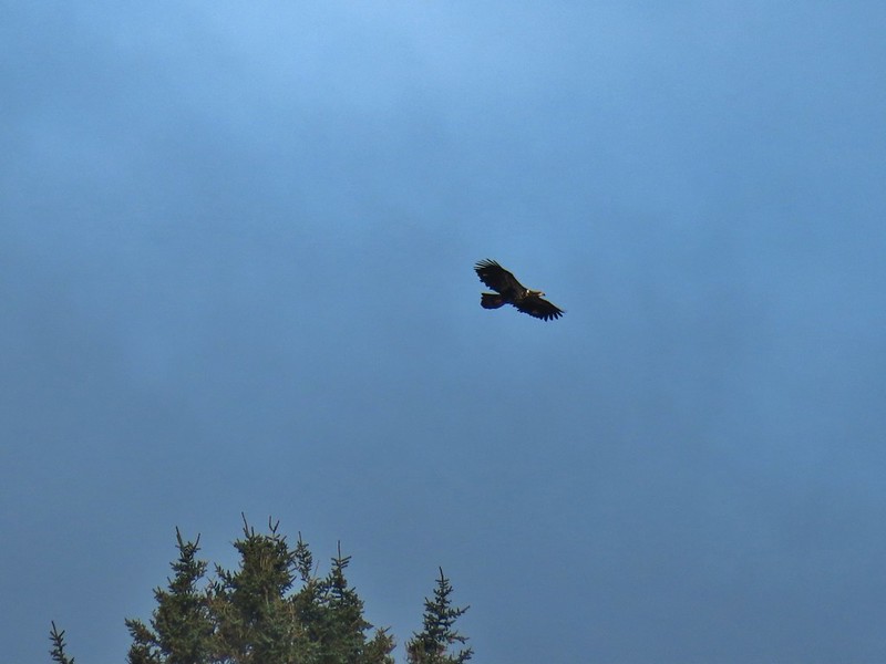
 Little waterfall along the beach.
 Roads End Point
 Not going around that today.
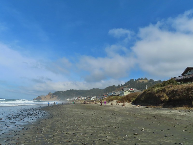
 God’s Thumb on the right.
 Hikers on The Knoll


 Looking back south as the sunrise paints the clouds.
 A house on the cliffs.

 Seagulls outnumbered people in the early part of the day.


 Vinge Creek, about a mile down the beach, was crossable on small rocks.
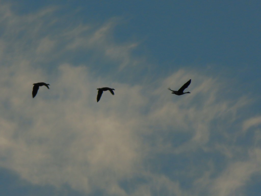 Geese flying overhead, we couldn’t make out what kind.
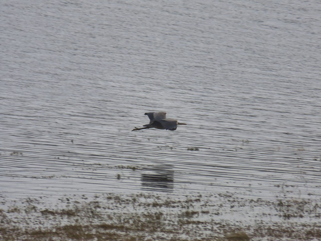
 At first we thought there were two weather vanes on the houses, a whale on the right and a heron on the left.
 It turned out to be a real great blue heron (but the whale was a vane).
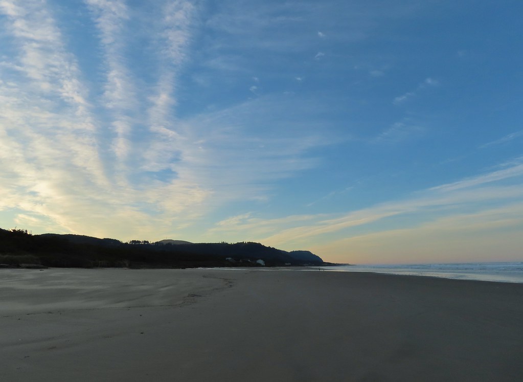 Looking south toward Cape Perpetua (
 View north.
 Sunlight on the wave tops.
 Sunlight bursting through the trees.
 Wavy sand.

 Cape Perpetua from the dunes.
 Testing the 40 zoom feature on the Canon SX740HS.
 Heading for the log.
 View from the log.
 More testing of the zoom function. Seagulls on the near sandbar and seals on the one on the other side of the bridge.
 Looking at the dark cloud bank over the Pacific.
 Seal
Seal A little more cloud cover to the south over Cape Perpetua.
 More cloud action.
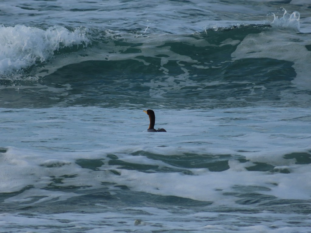 Cormorant
 Reynolds Creek after fording.
 Finally starting to feel like it could start raining soon.
 The advancing line of clouds.
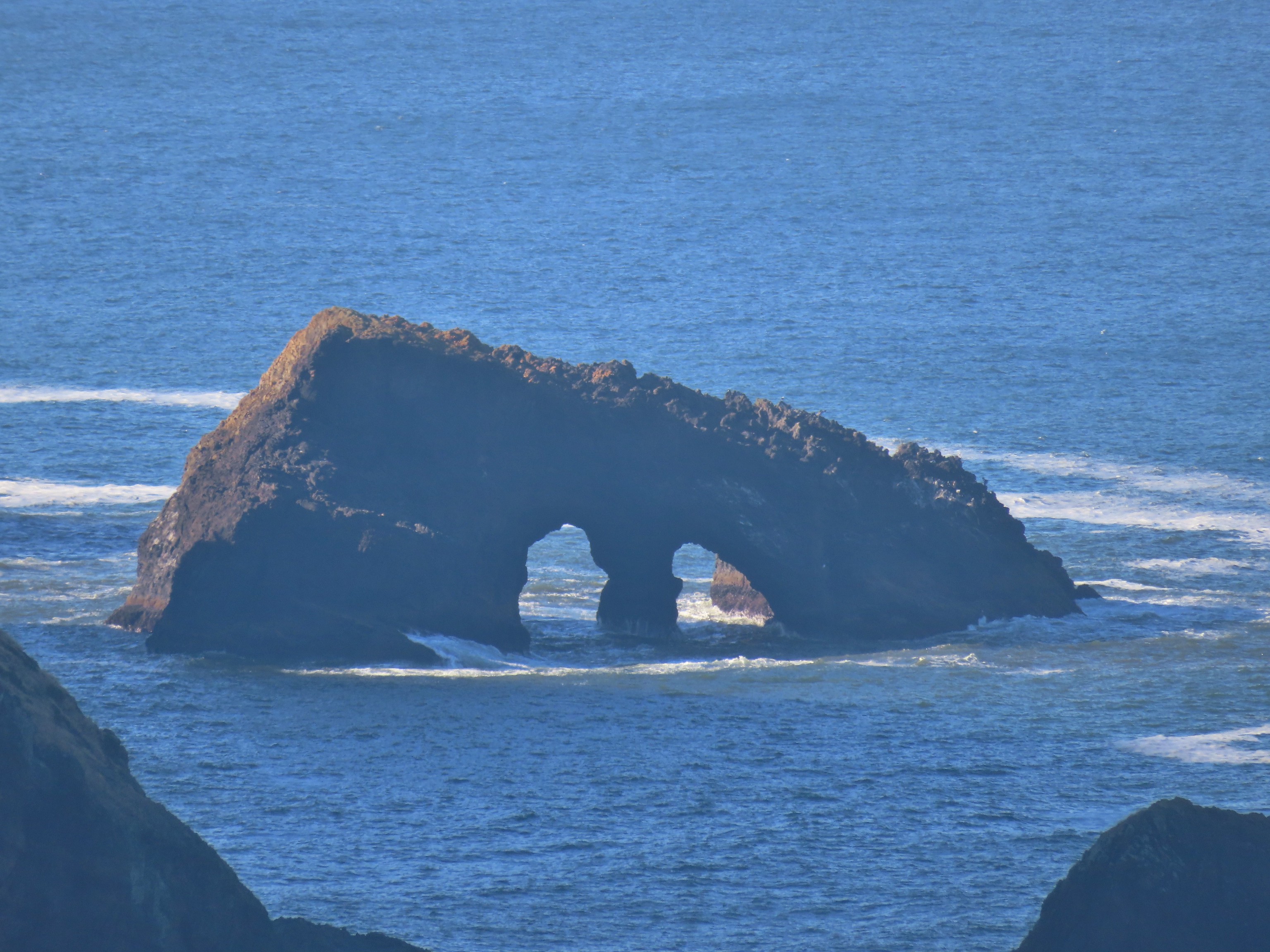
 Another look at the arch.
 A kingfisher near the stairs up from the beach.
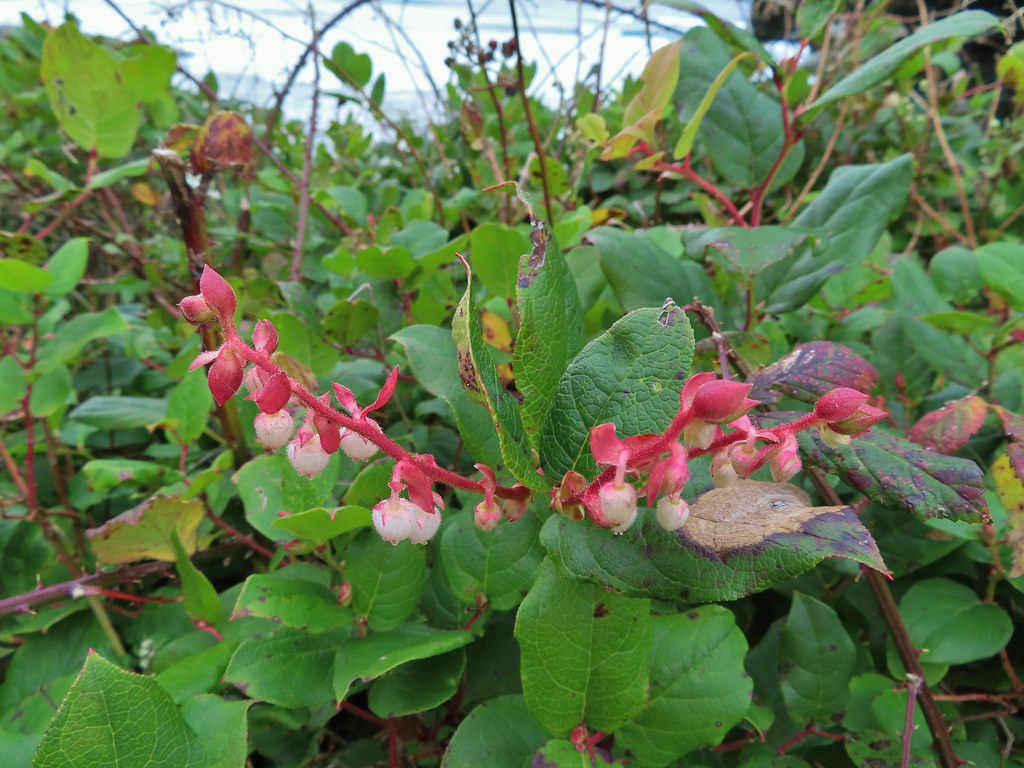 December blossoms on salal along the 804 Trail.
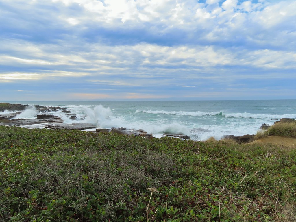


 Ocean coming right up to the rocks.


 Trail at lower right with a little standing water.
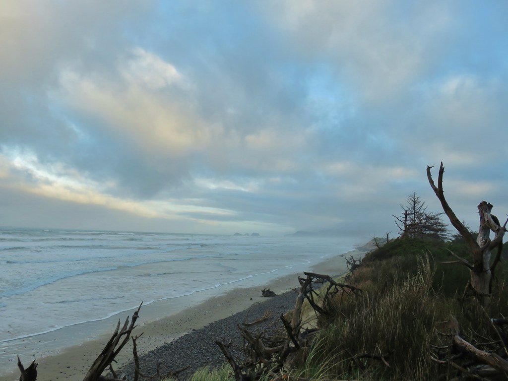
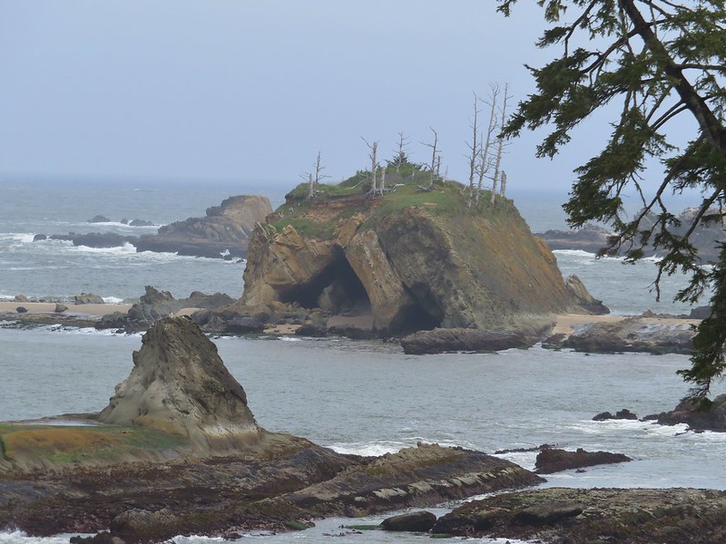
 Three Arch Rocks – one of two wilderness areas in Oregon off limits to visitors.


 Looking back north from the dune crest.
 Looking north at what was to come.
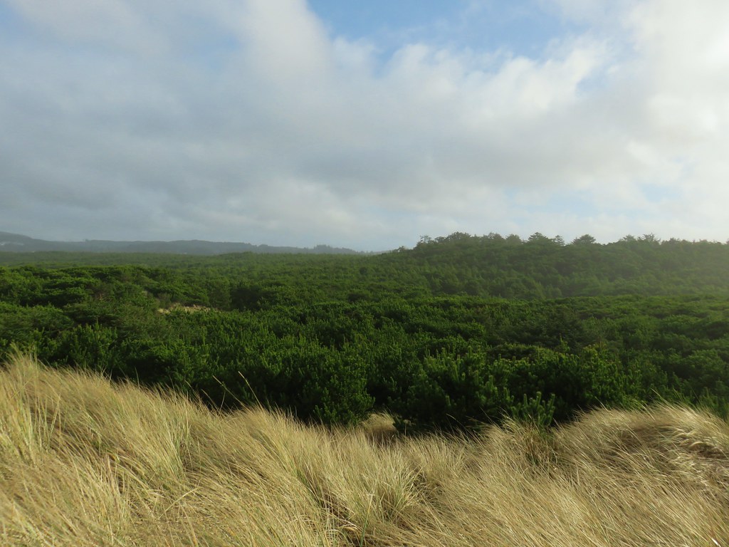 Thick forest between the bay and the dune.
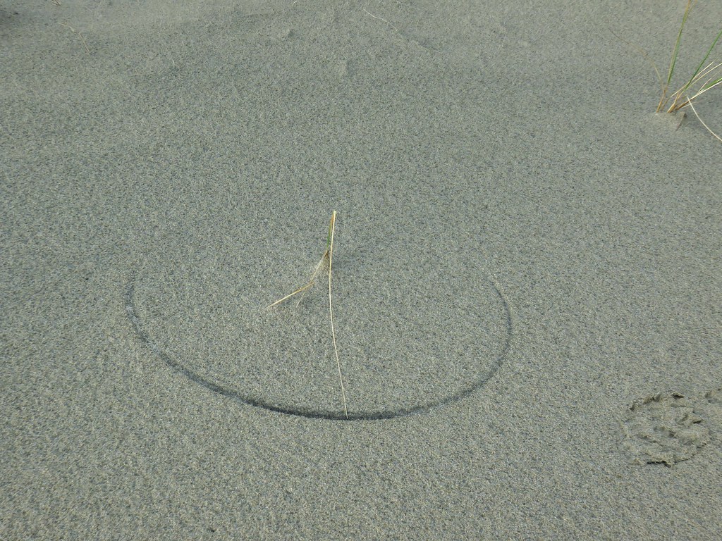 One of several semi-circles created by grass going back and forth.

 Cape Lookout from the trail to the picnic shelter.
 Seagull atop the shelter.