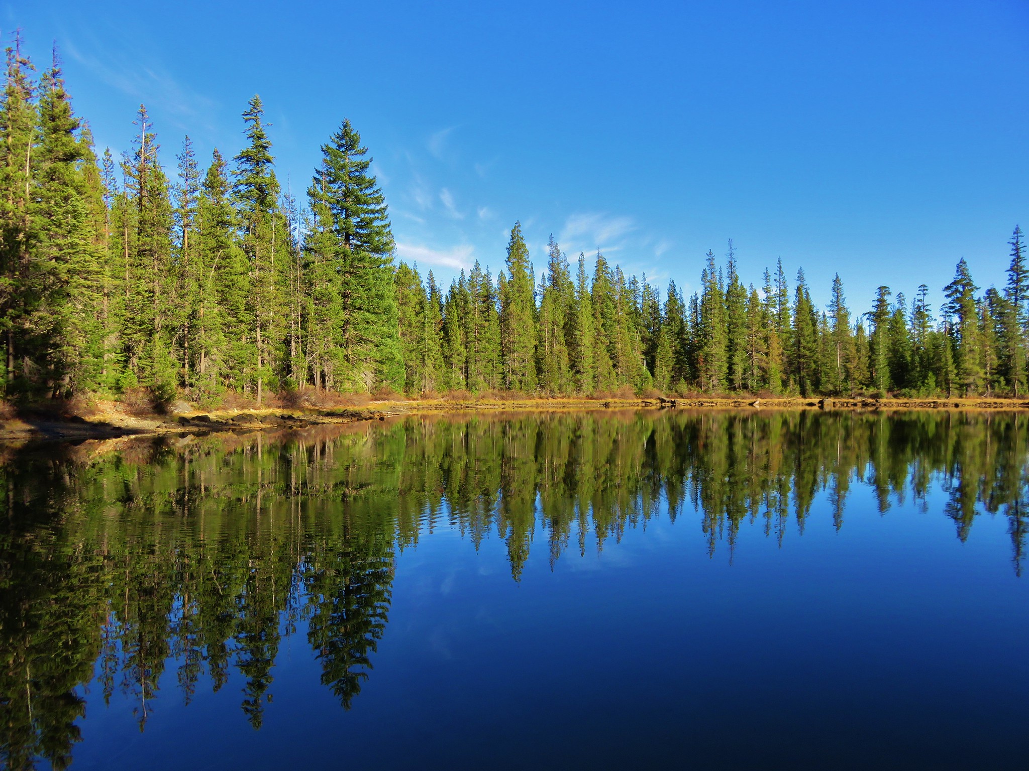
We have lived in Oregon all our lives and yet neither of us had ever been to the Painted Hills in the John Day Fossil Beds National Monument. We finally made it there on a weekend trip to Central Oregon. We had headed to Bend after work on Friday and planned on visiting the Painted Hills then checking out a pair of nearby wilderness study areas – Pat’s Cabin and Sutton Mountain.
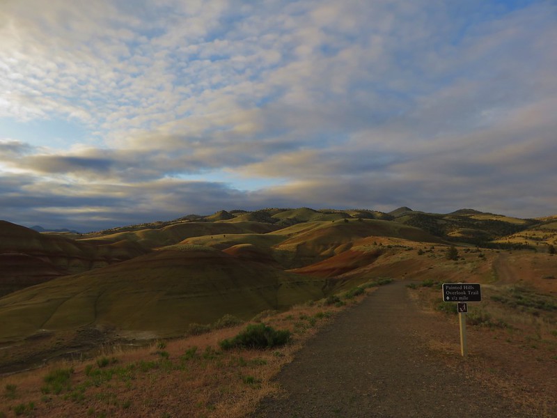
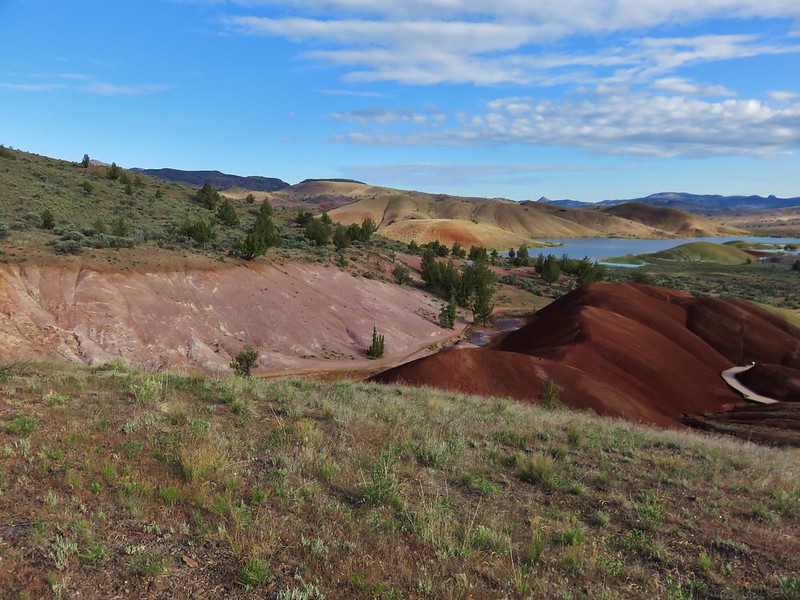
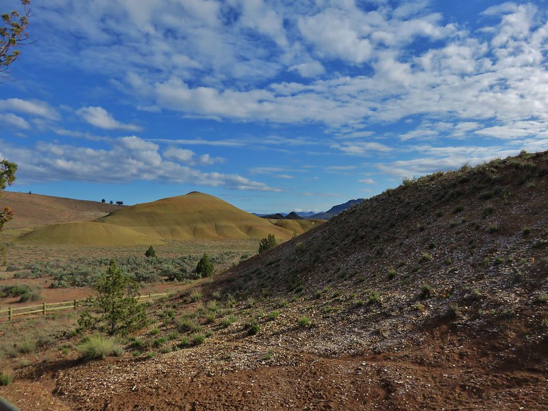
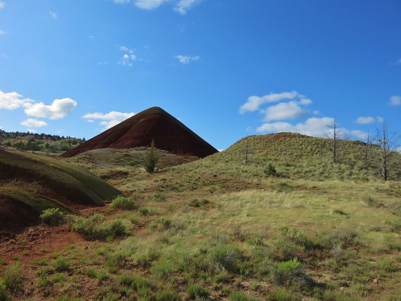
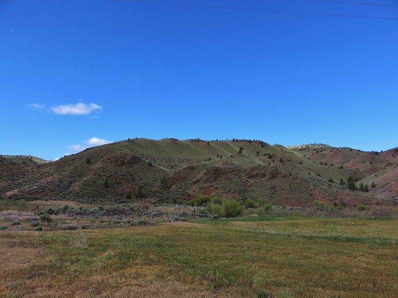
The Painted Hills Unit is one of three units making up the John Day Fossil Beds National Monument. It is located 10 miles NW of Mitchell, OR and contains five short hiking trails ranging from the .2 mile Painted Cove Loop to the 1.6 mile round trip Carroll Rim Trail. We began our visit at the Painted Hills Overlook Trailhead.
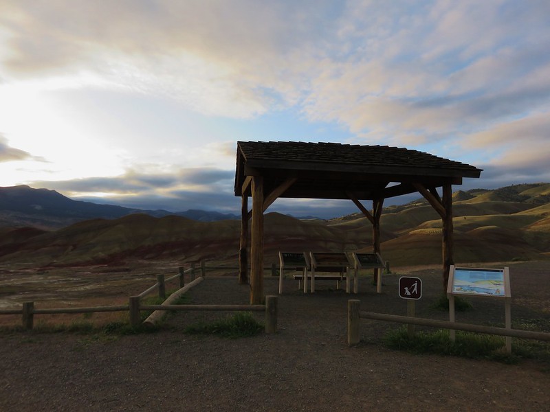
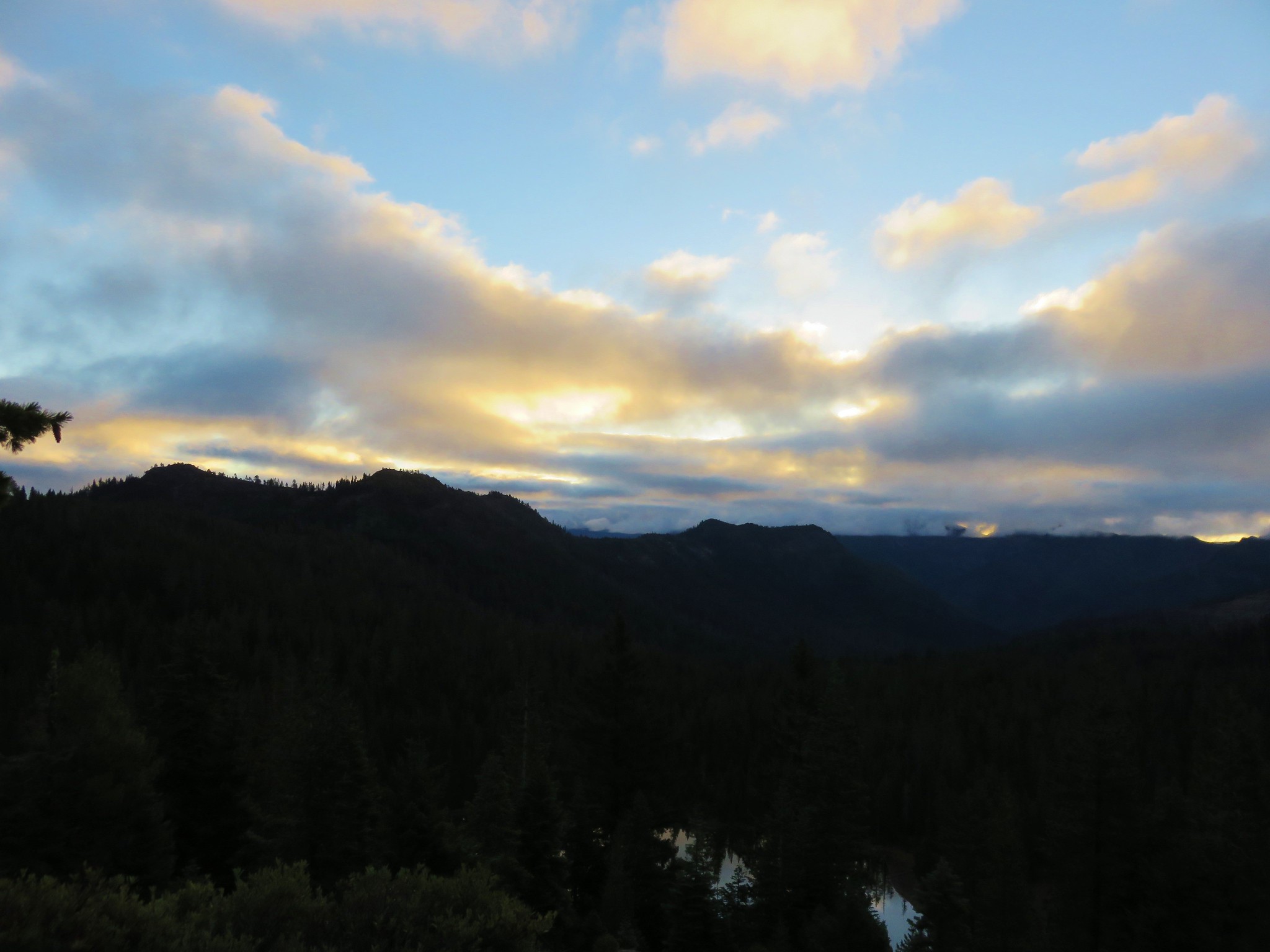
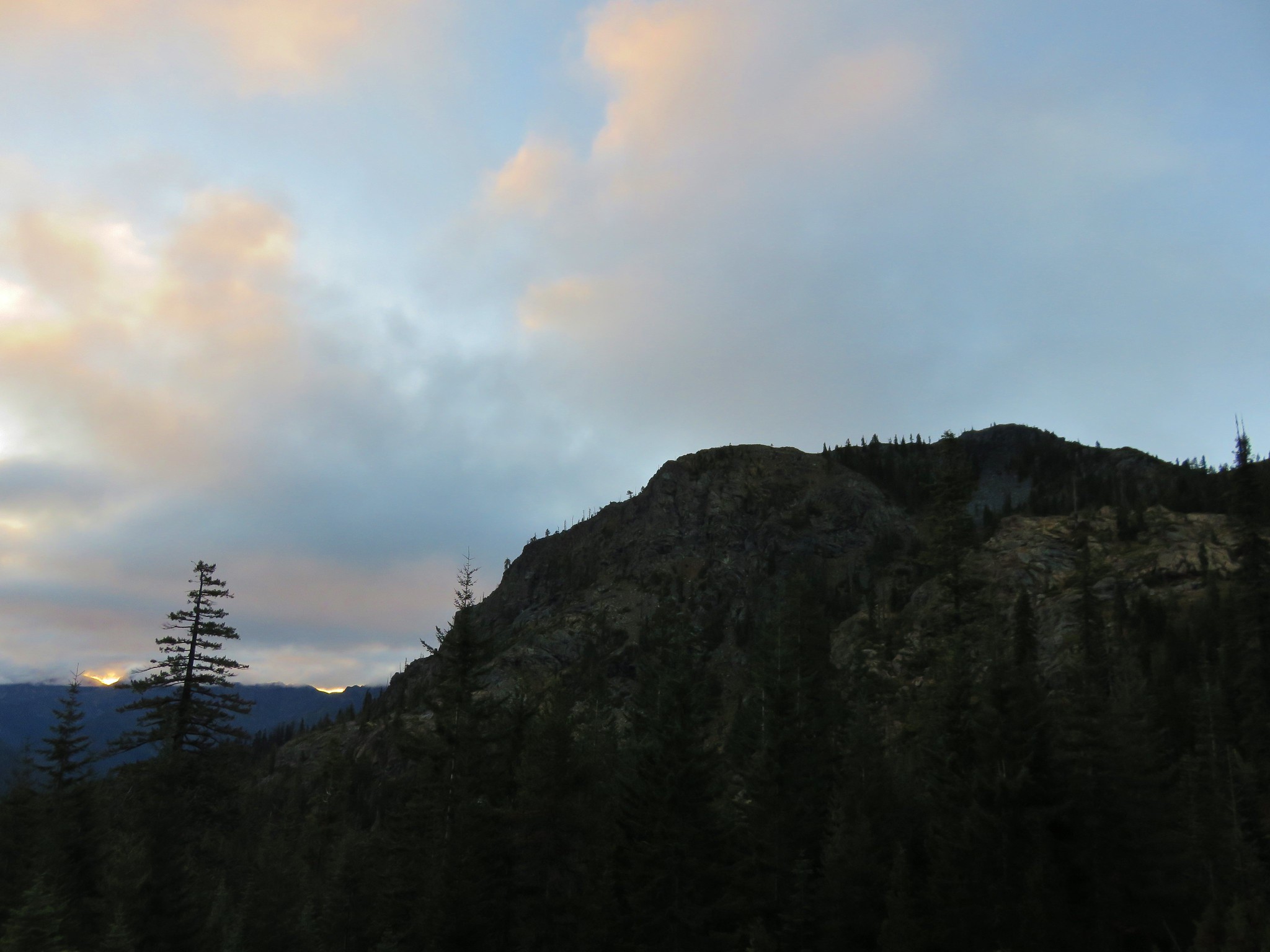
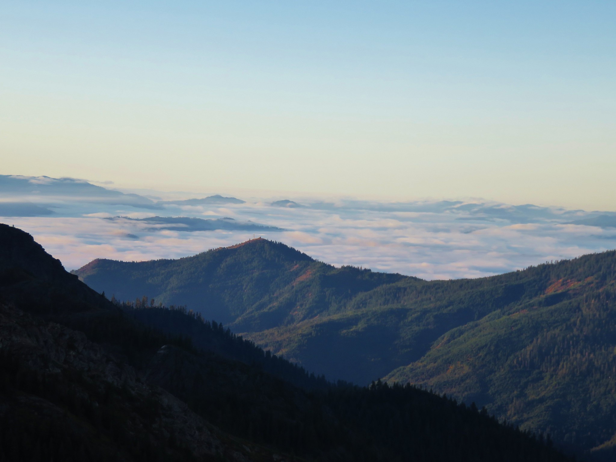
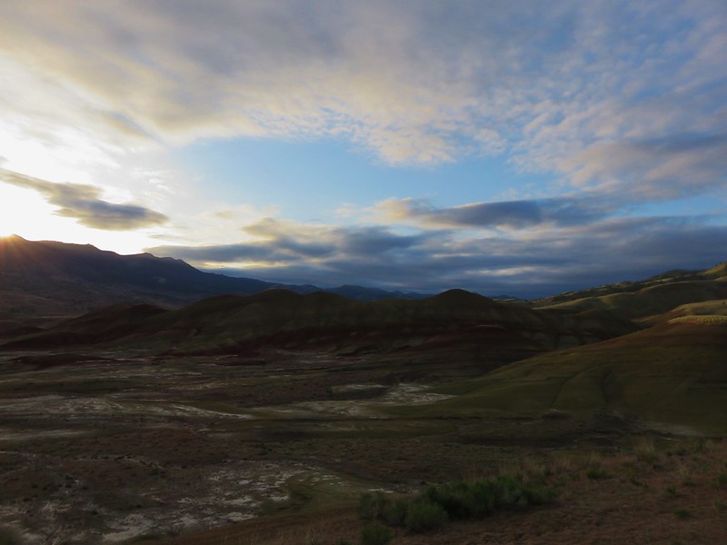
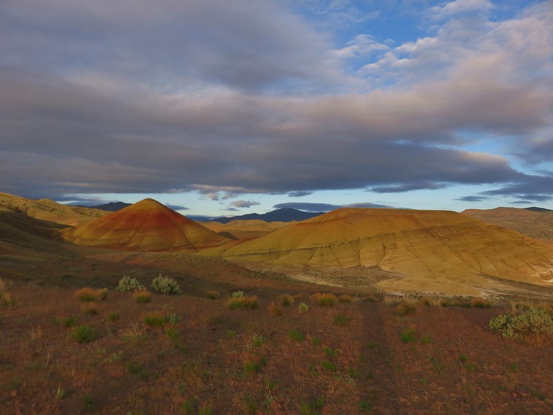
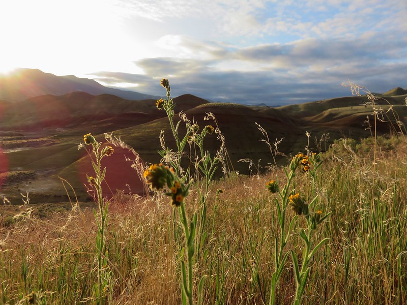
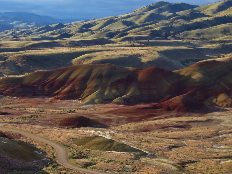
We had gotten our usual early morning start and had arrived a little before 7am. The Sun was just coming up over Sutton Mountain to the east and the sky was partly cloudy creating some interesting lighting.
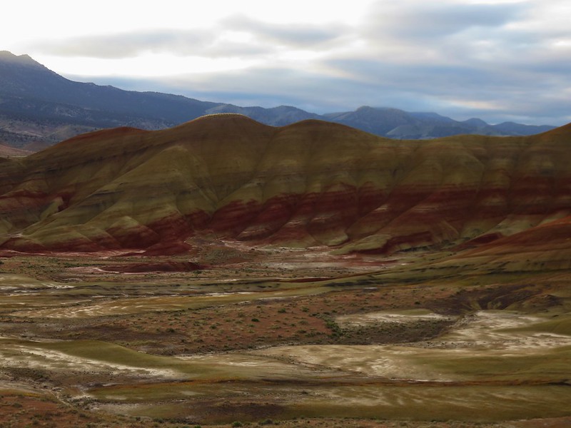
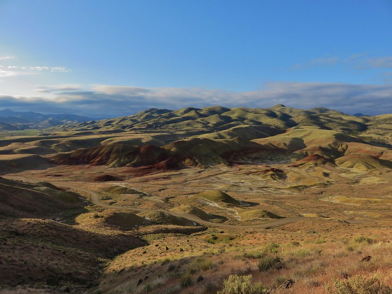
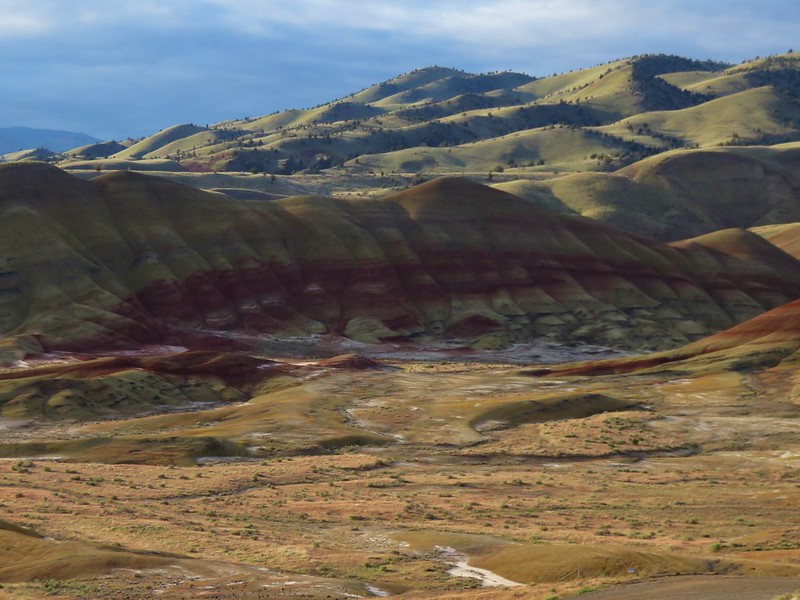
The .3 mile Painted Hills Overlook Trail began at this trailhead and provided some great views of the Painted Hills, Carroll Rim, and Sutton Mountain.
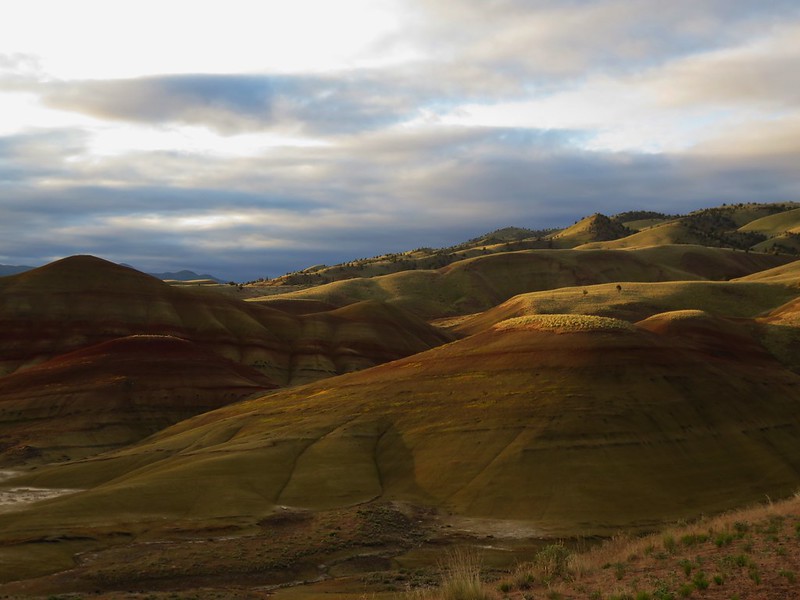
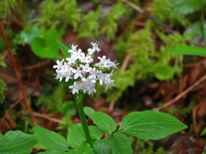
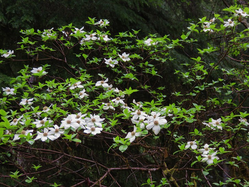
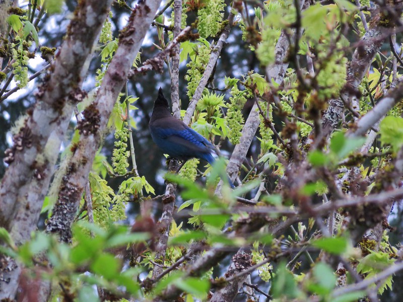
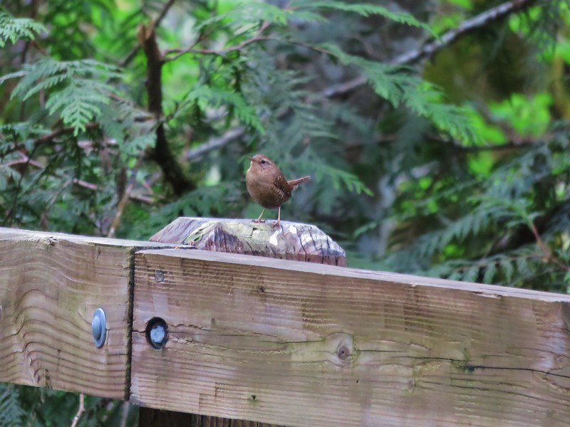
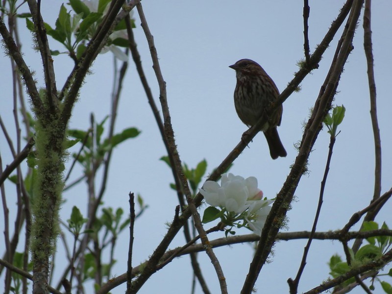
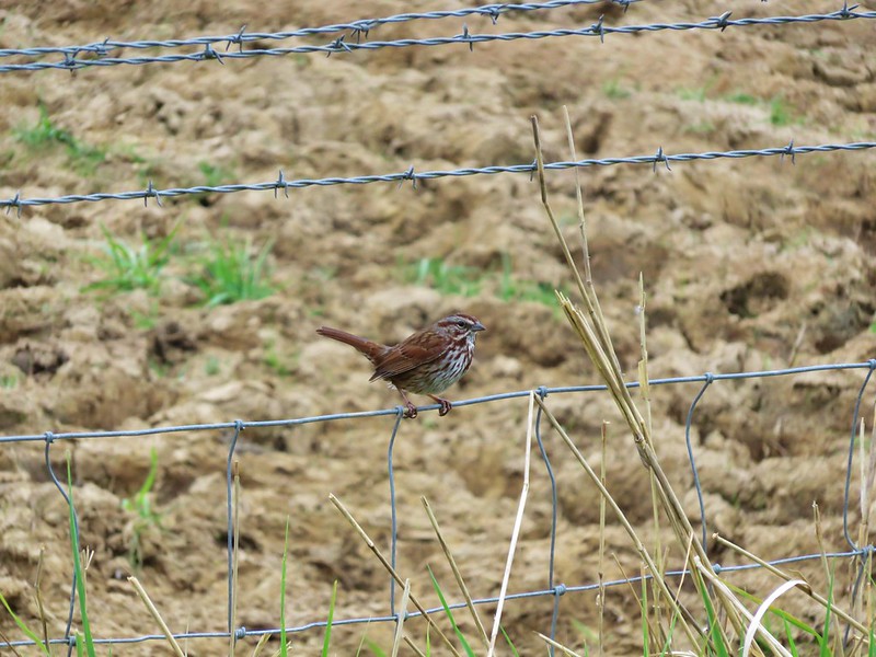
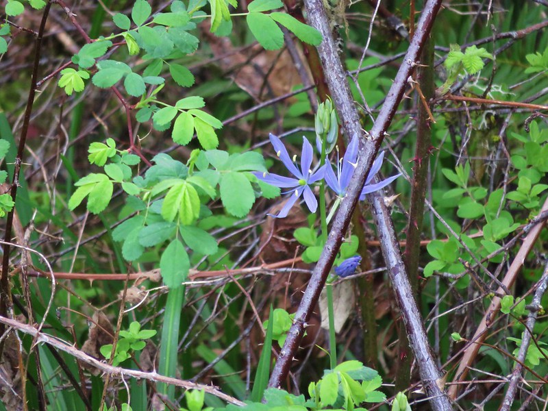
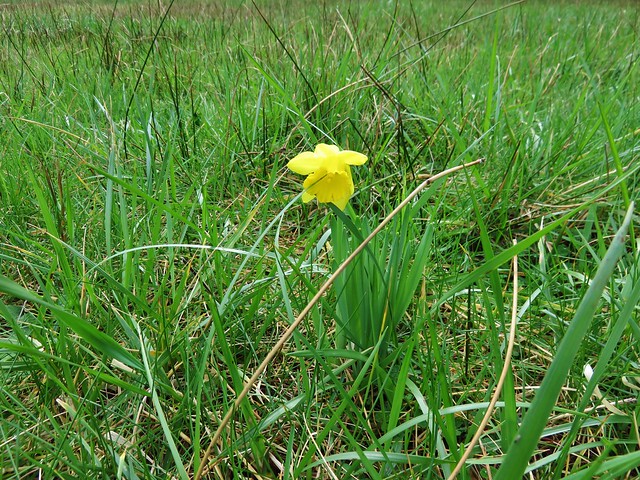
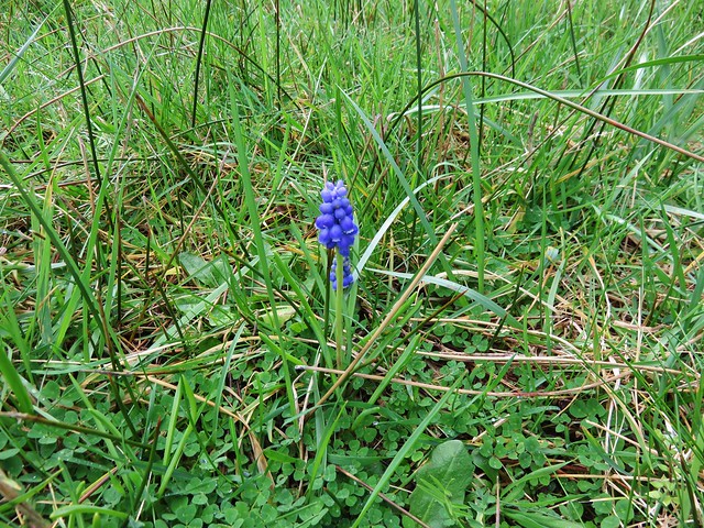
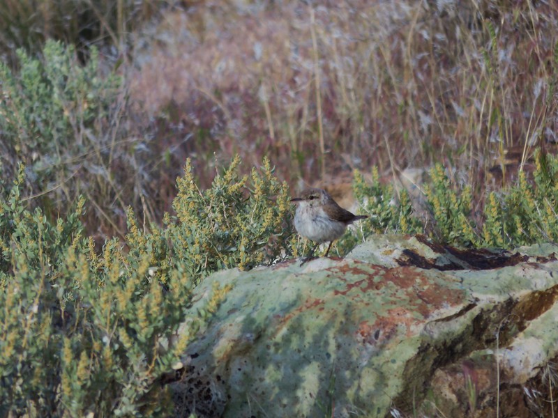
There had been one other car at the trailhead but its occupant never left that area so it was just us on the trail with a host of birds that remained unseen but whose songs filled the air. The wildflowers on the other hand remained silent but stood out with their splashes of color.
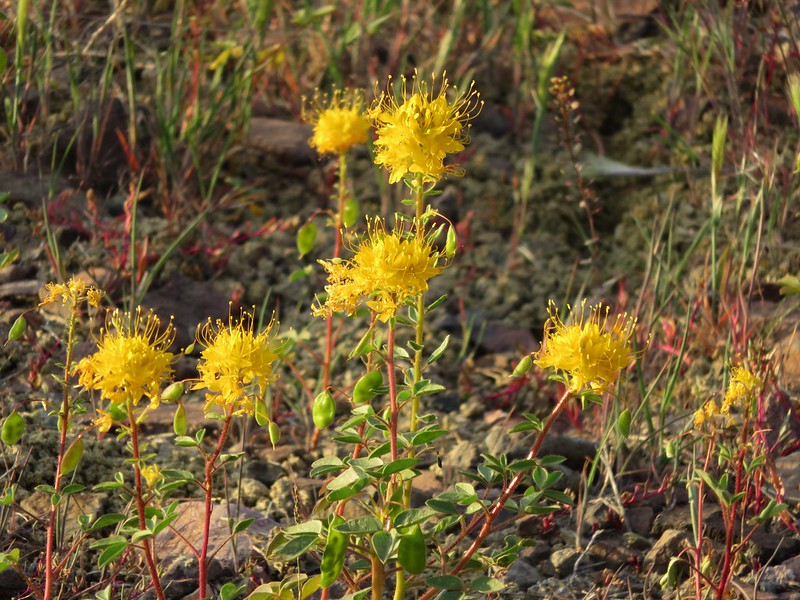
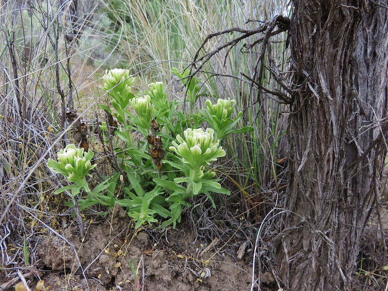
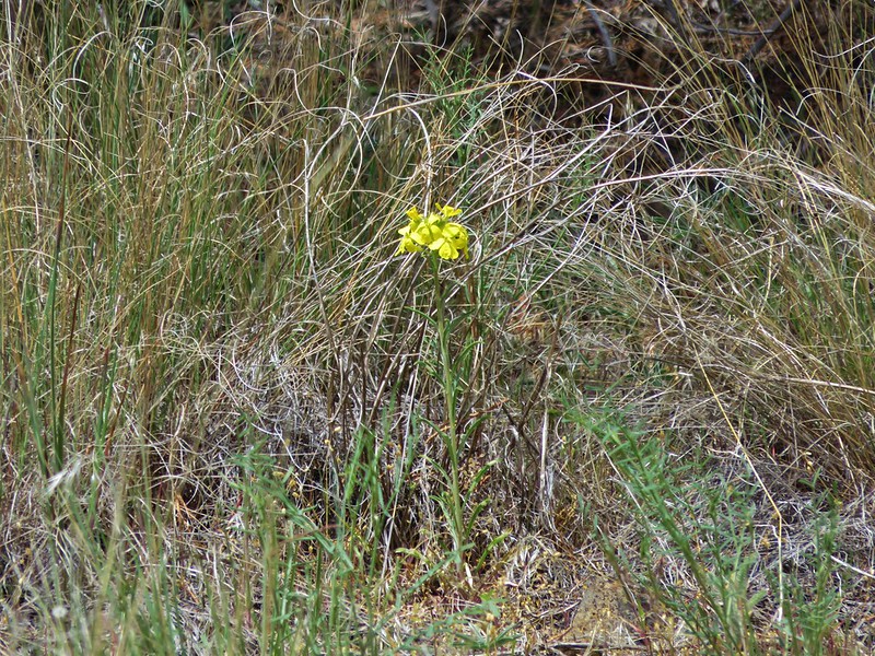
Golden Bee Plant
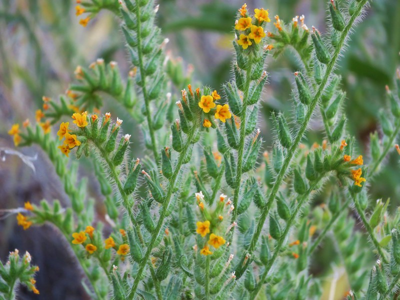
Fiddleneck
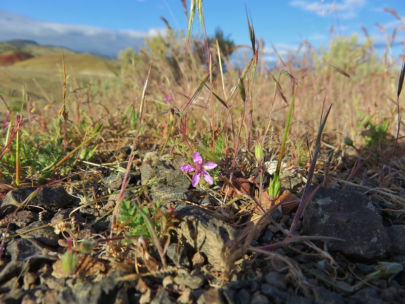
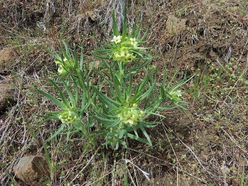
Rough eyelash weed
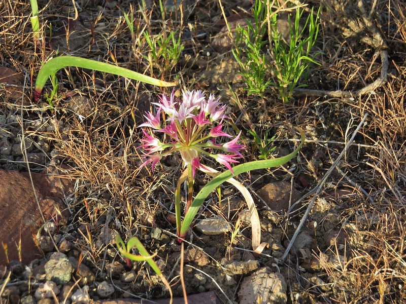
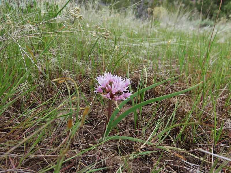
Tolmie’s Onion
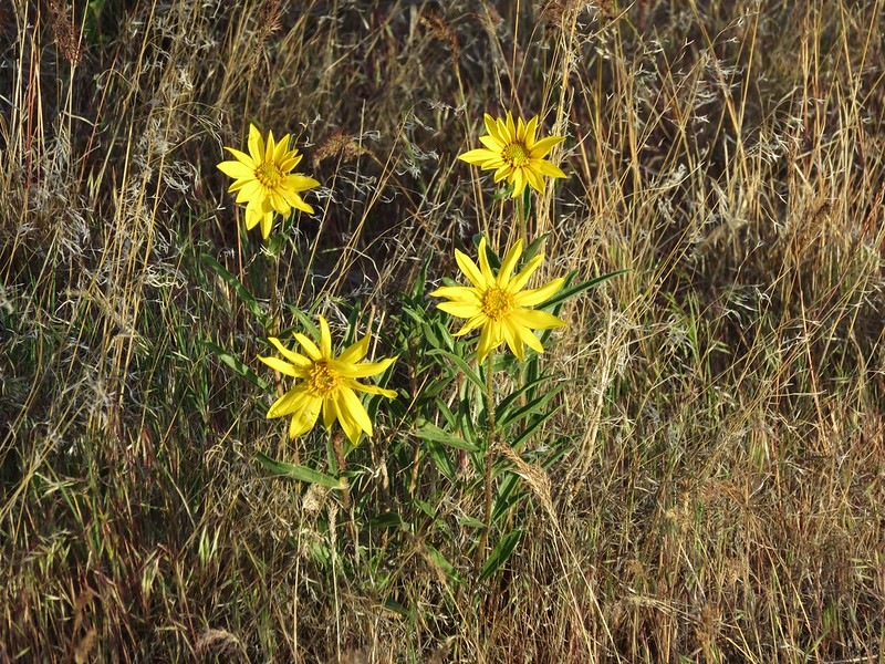
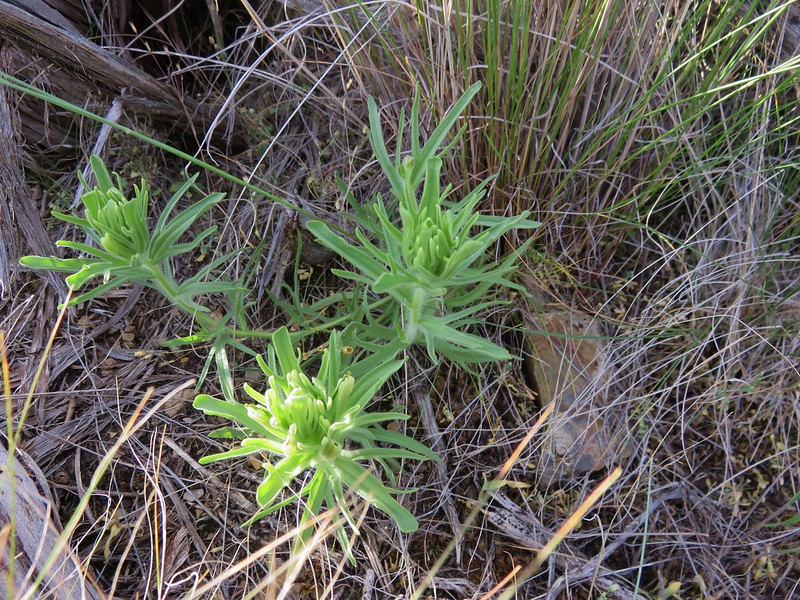
Arnica
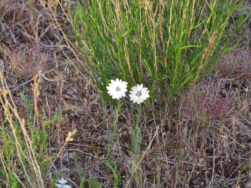
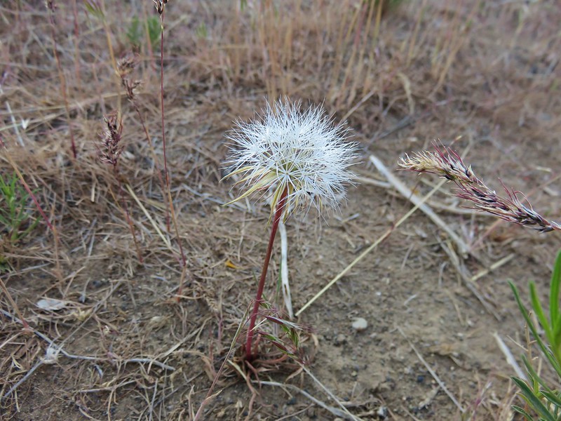
Silverpuff
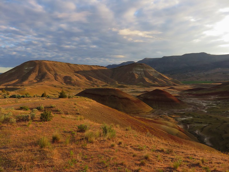
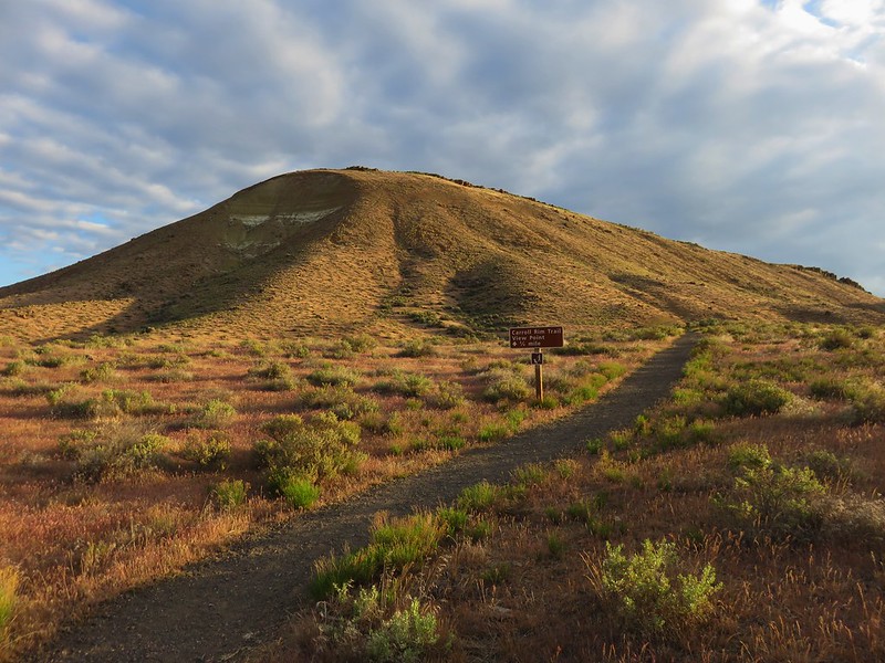
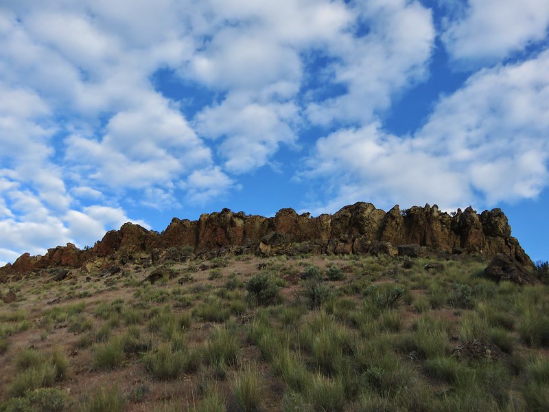
After returning to the trailhead we walked across Bear Creek Road to the Carroll Rim Trail which climbs almost 400′ in .8 miles to a rimrock viewpoint.
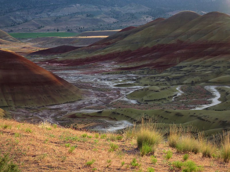
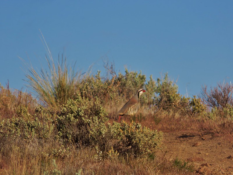
The Painted Hills stole the show, but there were other sights along this trail as well including our fist encounter with chukars.
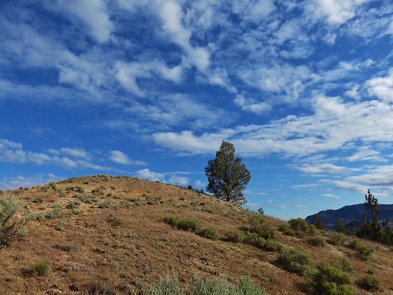
Carroll Rim
Chukar
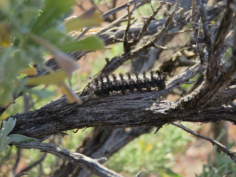
Caterpillar
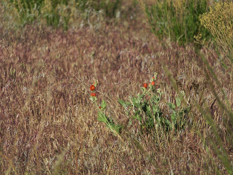
Orange globe mallow
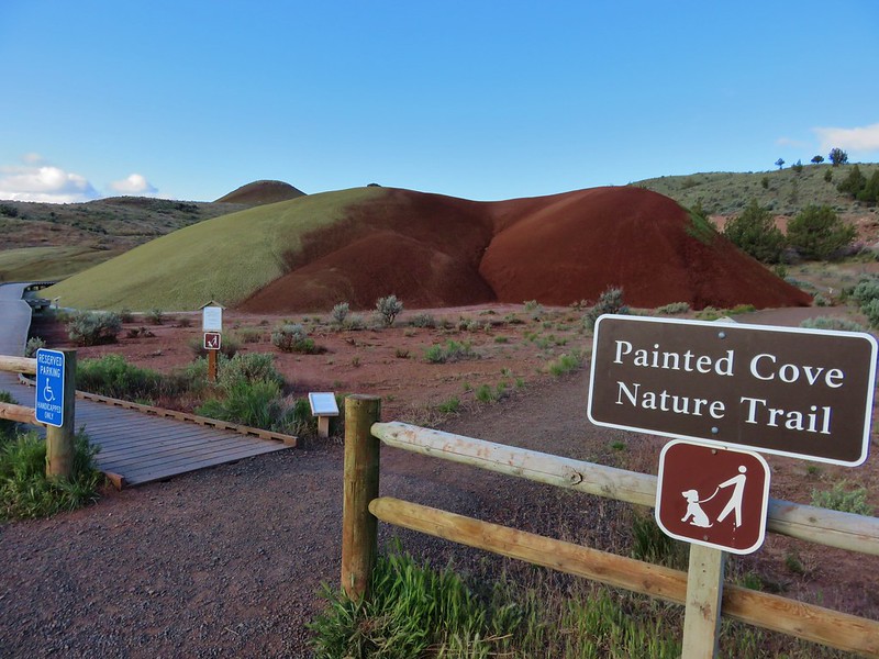
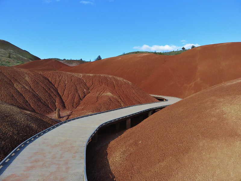
From the Painted Hills Overlook Trailhead we drove 1.2 miles following signs to the Painted Cove Loop Trailhead. Here a .2 mile loop passes colorful claystone formations.
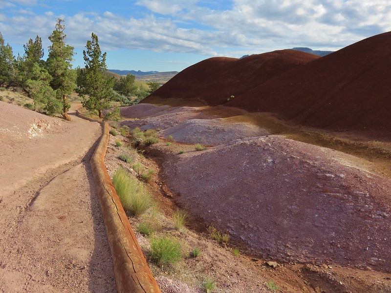
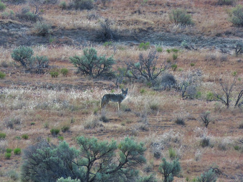
A short side trail forked off to the left leading to a viewpoint above the Painted Cove. While we were at the viewpoint Heather spotted a Coyote across the road.
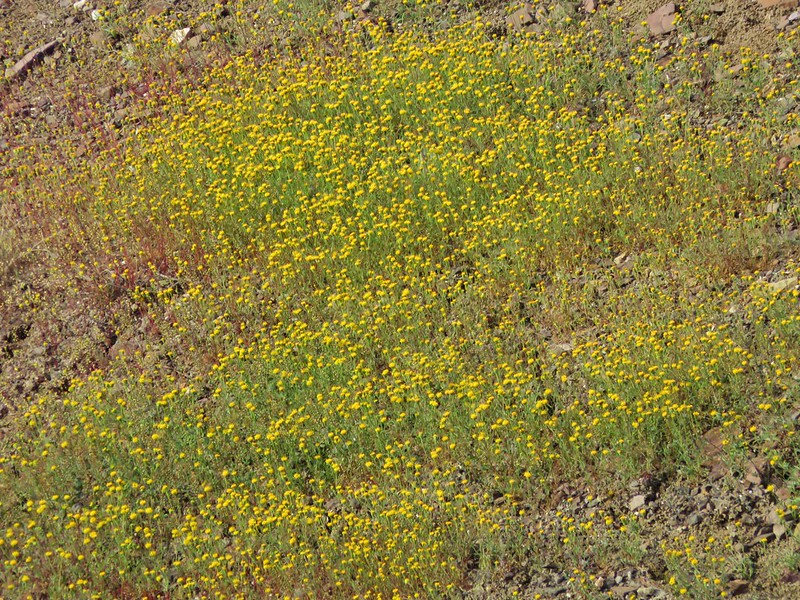
There was also a nice bloom of John Day Pincushion on the hillside.
Next we headed to the Leaf Hill Trail traveling back the way we’d come and following signs to the trailhead.
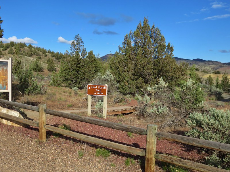
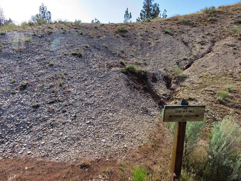
This loop passes around a small hill containing many fossils (we didn’t spot any though).
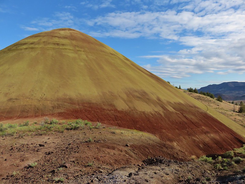
Finally we visited the Red Hill Trail which leads to a close up view of a hill of red and yellow ash.
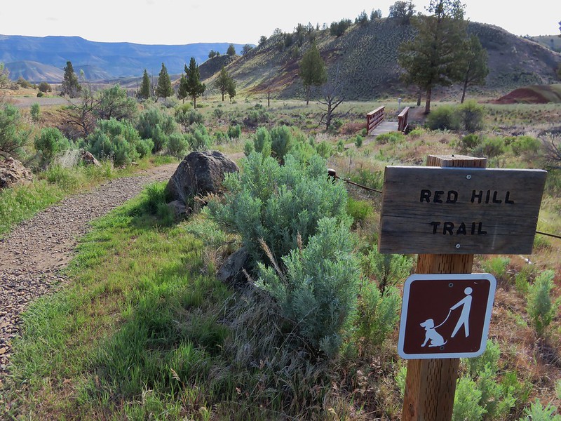
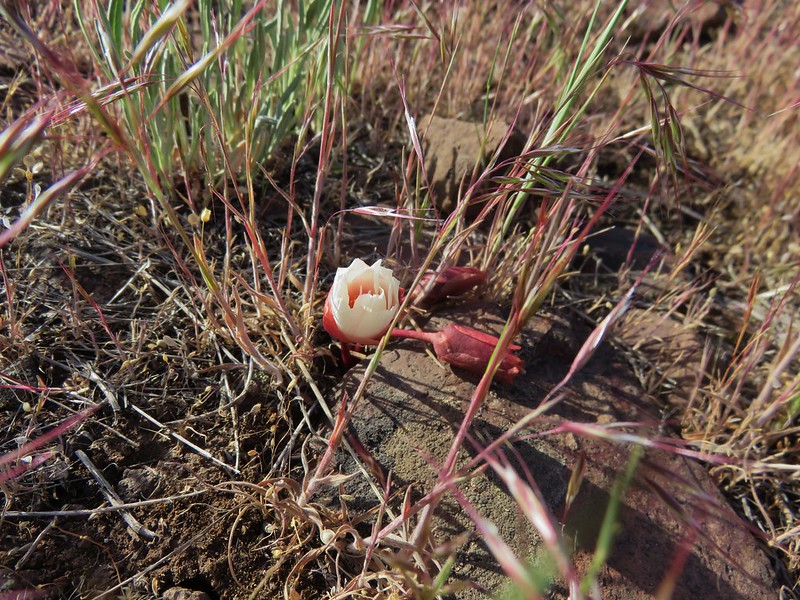
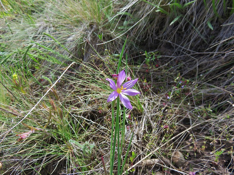
Near the end of the trail we spotted our first ever bitteroot flowers. They were just beginning to open but it was exciting nonetheless given we had looked for these on other hikes and failed to find any.
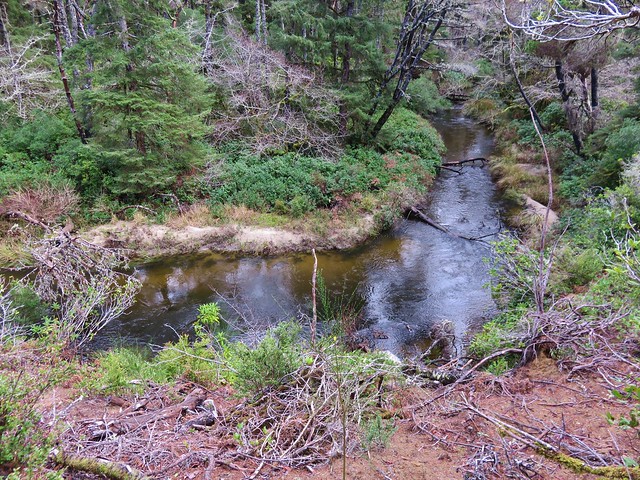
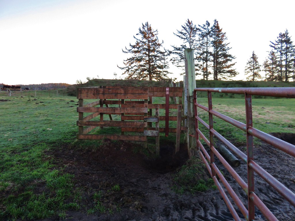
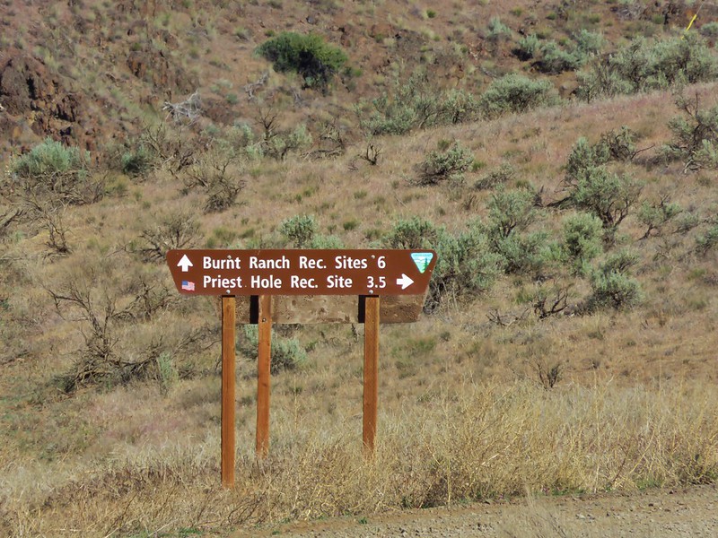
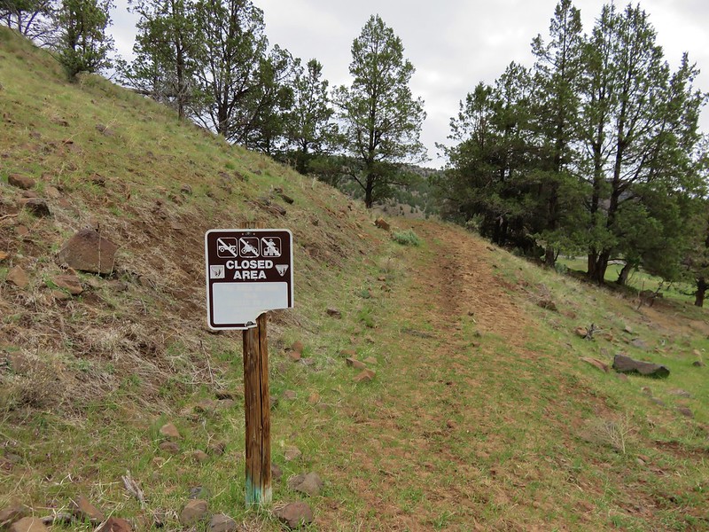
Our next destination for the day was a bit of a wild-card. While I was doing research for the Sutton Mountain hike I had seen references to another nearby wilderness study area calls Pat’s Cabin. i wasn’t able to find much information about it, but I did find a 2011 BLM map of the area showing a trail going up Pat’s Cabin Canyon. Internet searches turned up nothing in regards to the trail so we decided that we would check it out in person. The BLM map showed a parking area along Burnt Ranch Road just before reaching the Twickenham-Bridge Creek Cuttoff Road. We parked in a grassy area next to an old corral near a sign for the Burnt Ranch and Priest Hole Recreation Sites.
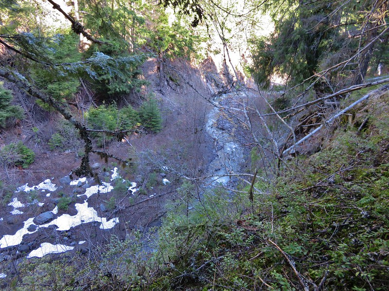
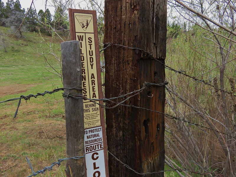
From there we crossed Burnt Ranch Road and passed through a barb wire gate on an old dirt road. After approximately a quarter mile we came to a sign marking the boundary of the wilderness study area.
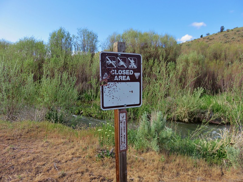
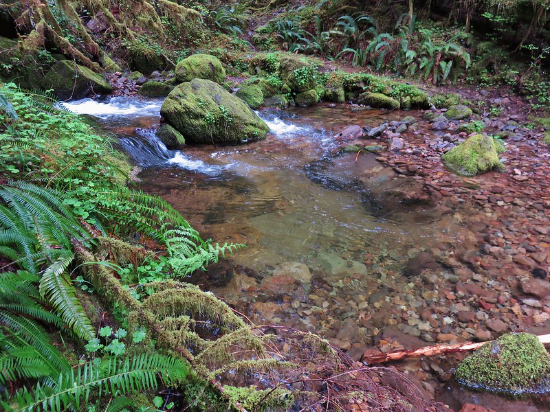
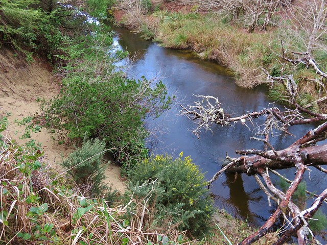
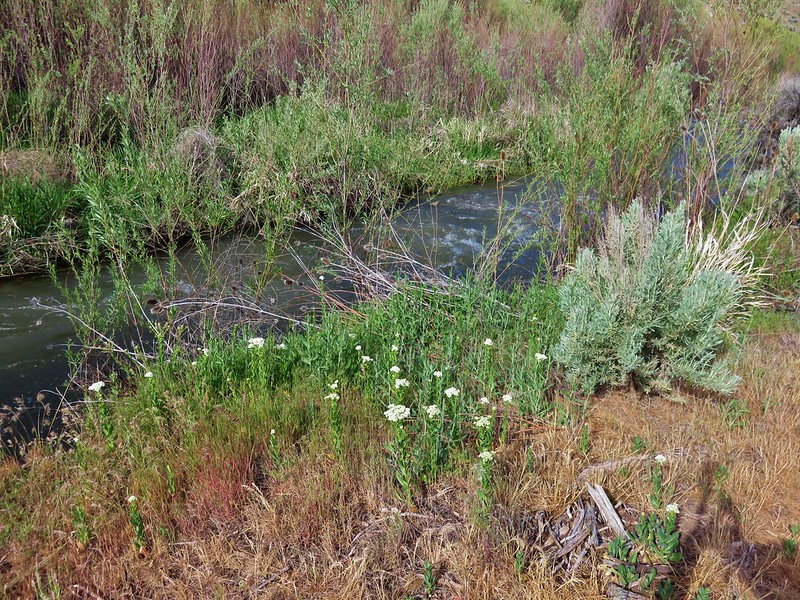
Just on the other side of the sign was Bridge Creek. Bridge Creek lacked a bridge here and the flow was swifter and deeper than we were comfortable with trying to ford. Later in the year it may have been doable but on this day Pat’s Cabin would remain a mystery to us.
Our final destination for the day was on the other side of Sutton Mountain so we drove to Mitchell and turned north onto Highway 207 for 9.3 miles. We were hoping to spot two things during our Sutton Mountain hike that we had not yet seen during a hike, pronghorns and hedgehog cactus. We spotted some pronghorns in a field before we even made it to the trailhead.
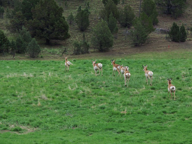
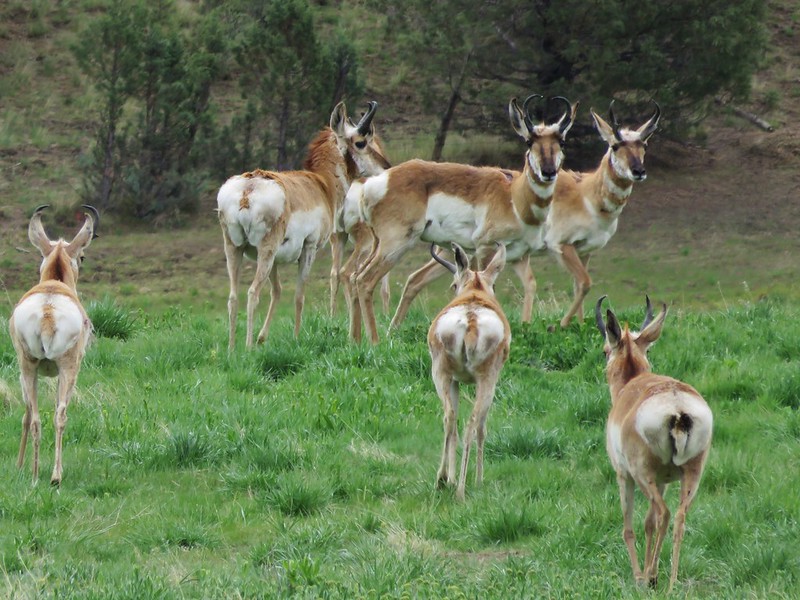
That didn’t count since we weren’t on the hike yet, but it was still neat to see them.
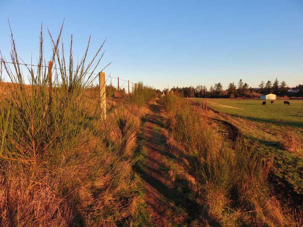
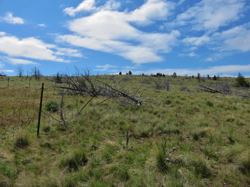
The trailhead we were looking for was located just beyond milepost 15 behind a wire gate in a grassy meadow with lots of signs of cattle.
An old roadbed serves as the trail.
We followed the roadbed along a wire fence to a private barn. There were horses on the other side of the fence and cows on our side. We hesitated for a moment when we realized there was also a bull, but after he gave us a look he headed away toward the barn. The roadbed turned uphill to the left so we began to climb.
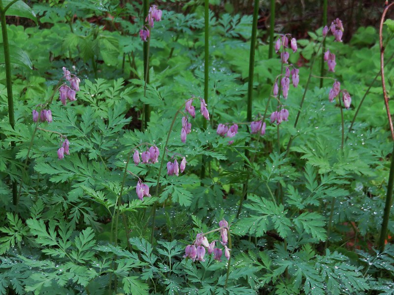
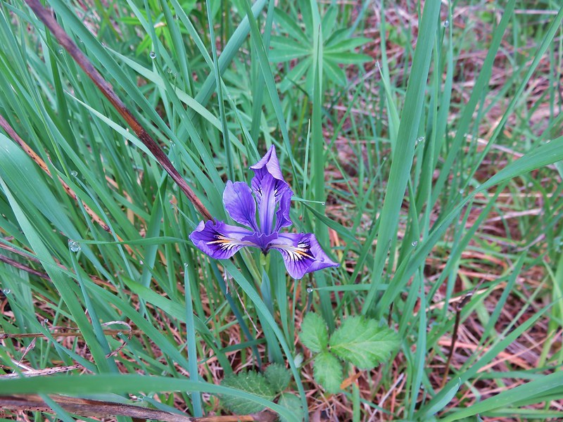
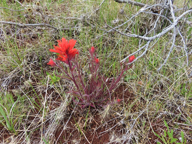
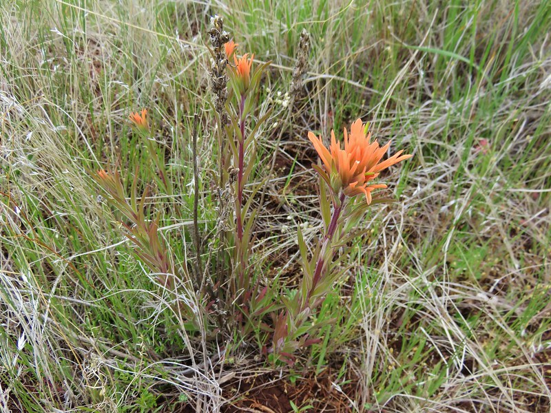
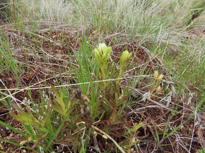
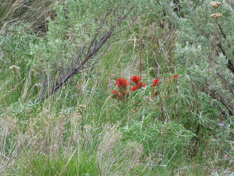
There were a few wildflowers and as we climbed we began seeing more, especially different colors of paintbrush.
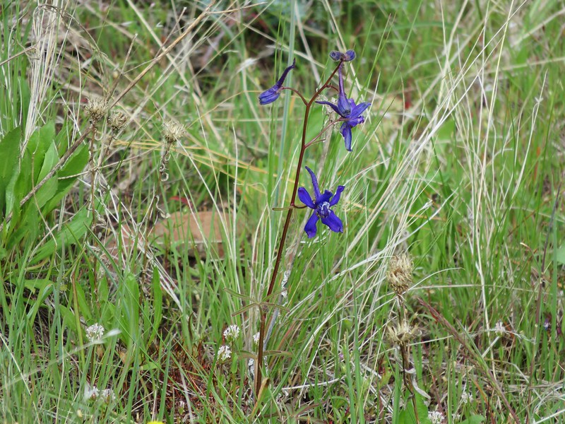
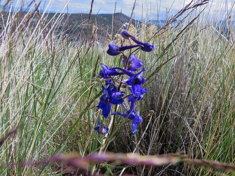
Larkspur
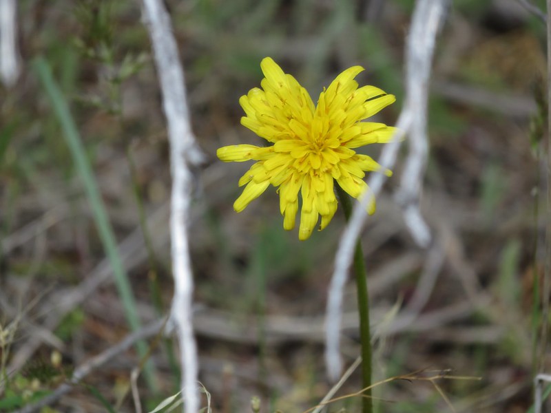
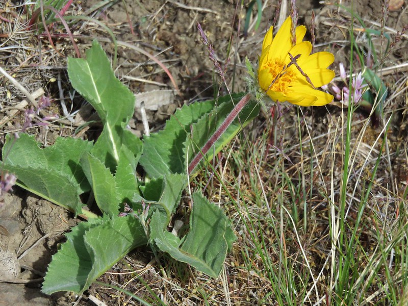
Sagebrush false dandelion
Wild onion
Prairie star
Paintbrush
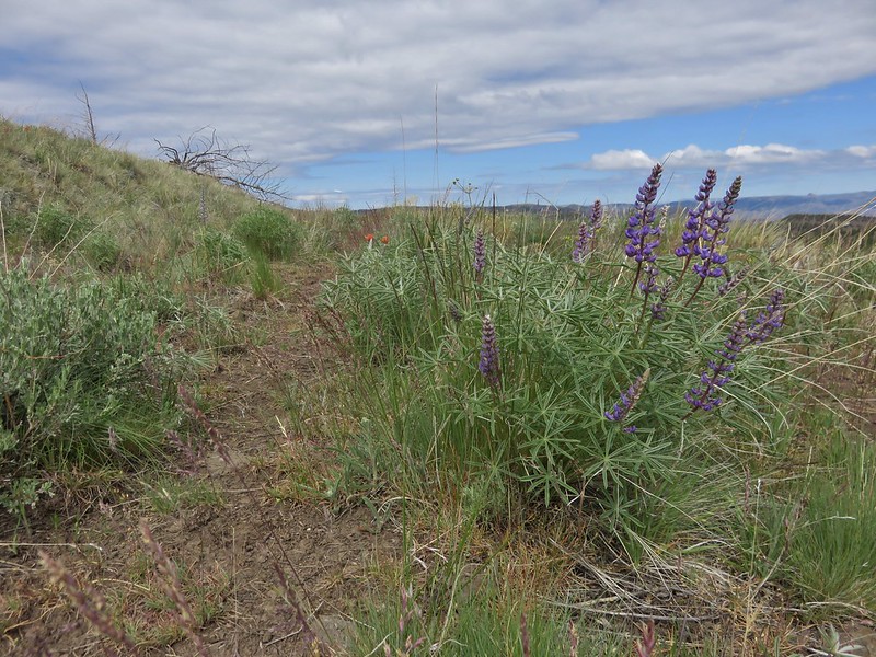
There was also plenty of lupine but much of it had not even started to bloom.
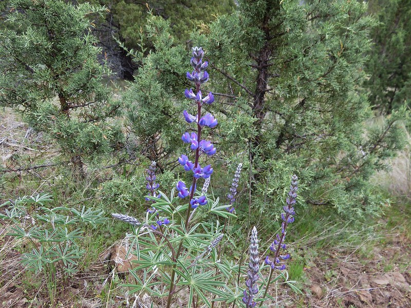
A mile from the trailhead the roadbed curved to the right across a dry wash. On this side of the wash the lupine was further along and a few more flowers made appearances.
Stoneseed
Wallflower
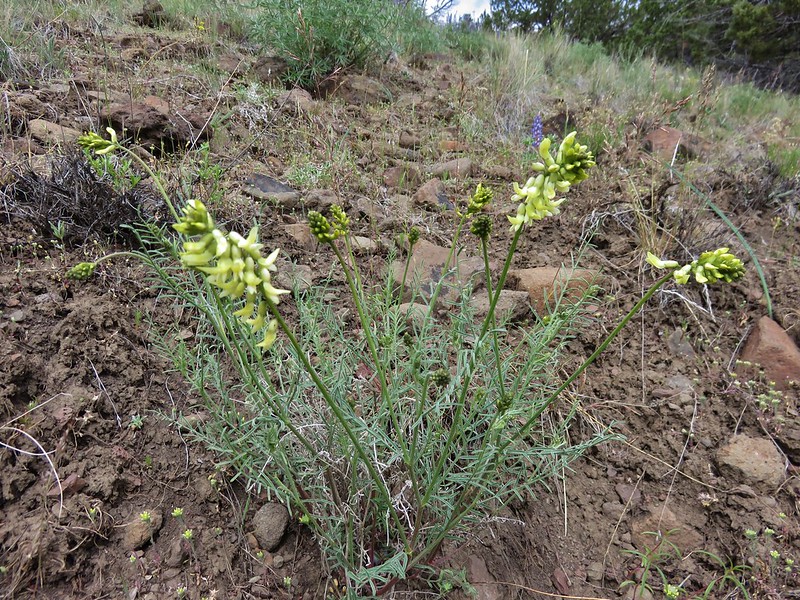
Milk-vetch
As we climbed the trees gave way to grassy meadows where wildflowers dotted the ground with color.
Maybe a grass widow
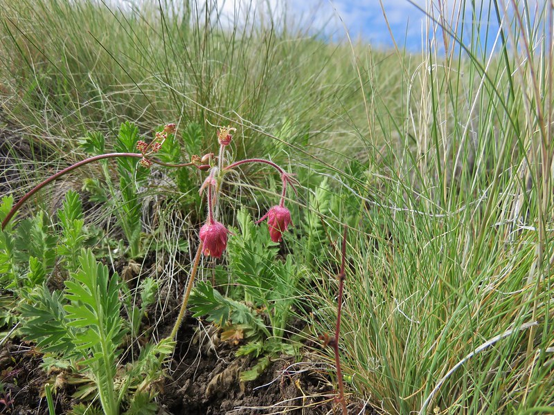
Old man’s whiskers
Paintbrush

An arnica
Larkspur
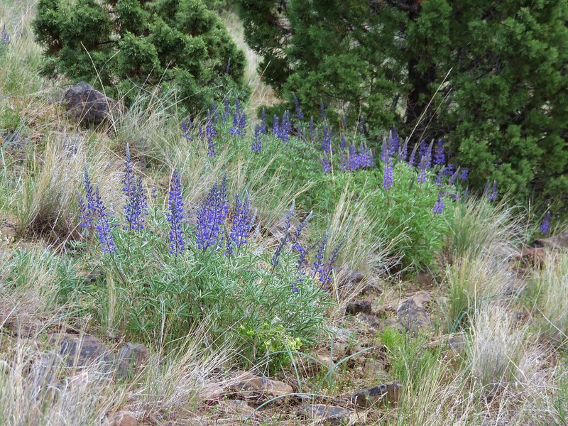
Lupine
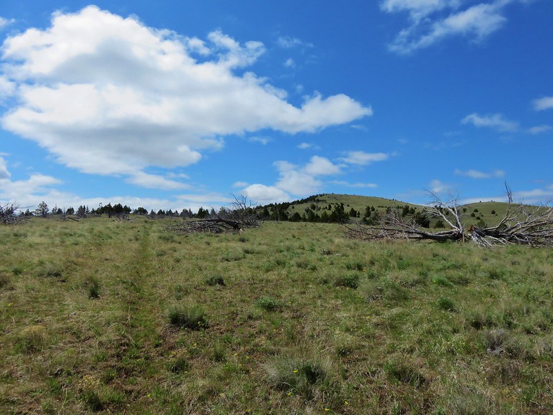
Just over a mile after crossing the dry wash we arrived at an old corral and another barb wire fence. A roadbed continued straight from the corral but the correct route turned left and continued uphill on a fainter old roadbed on the far side of the corral and fence.
We spotted additional wildflowers as we continued to climb.
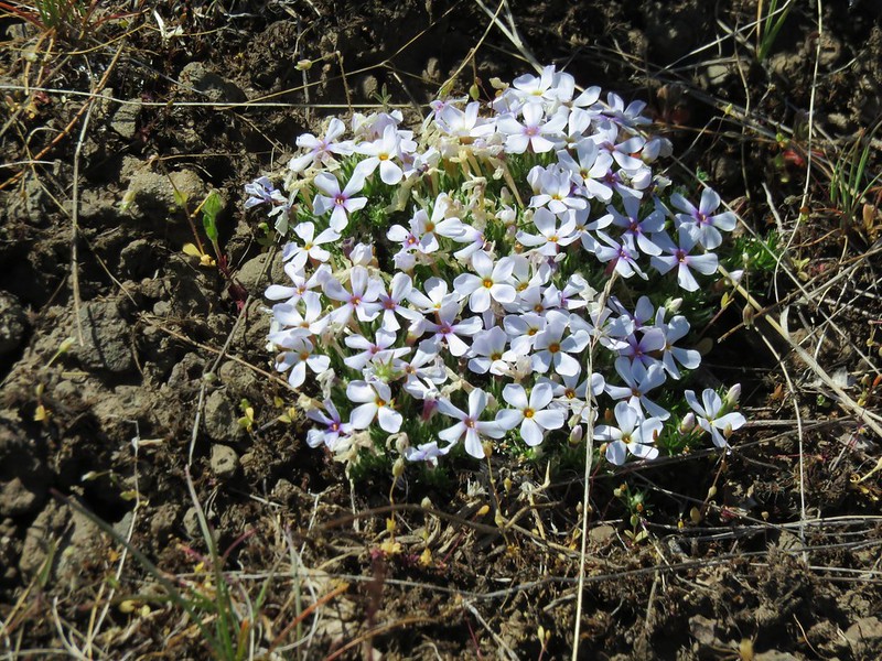
Phlox
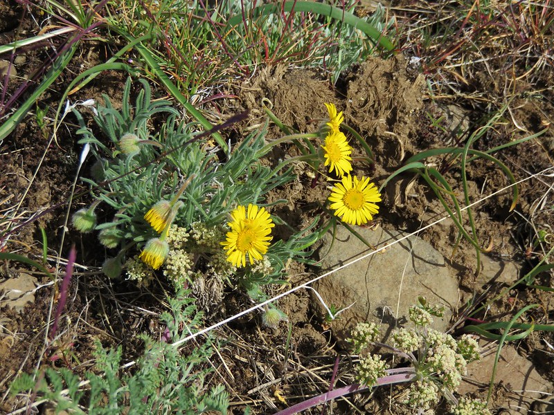
Dwarf yellow fleabane
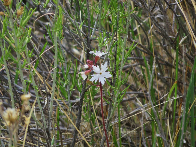
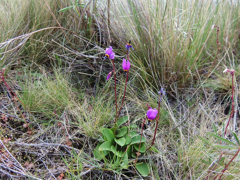
Shooting star
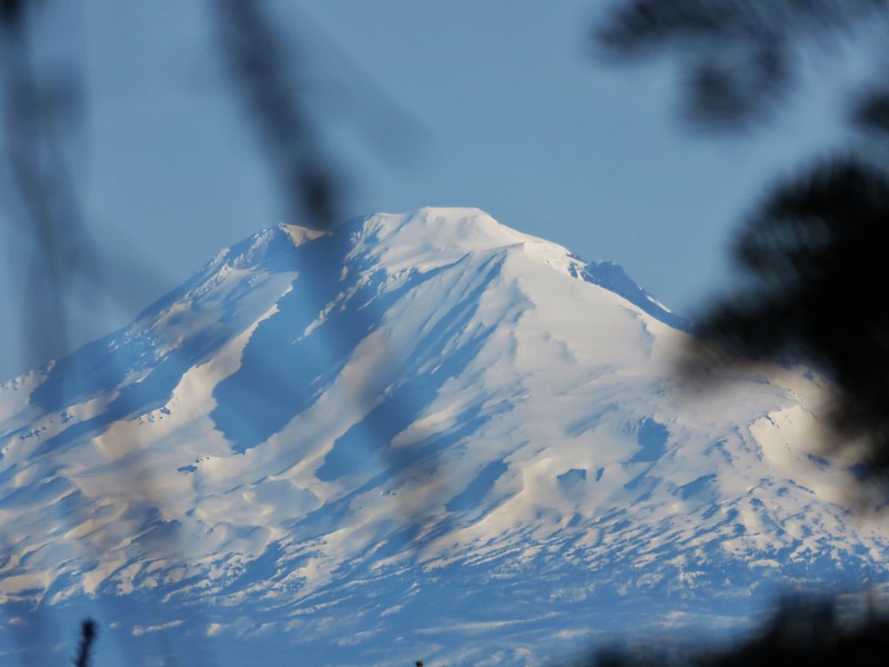
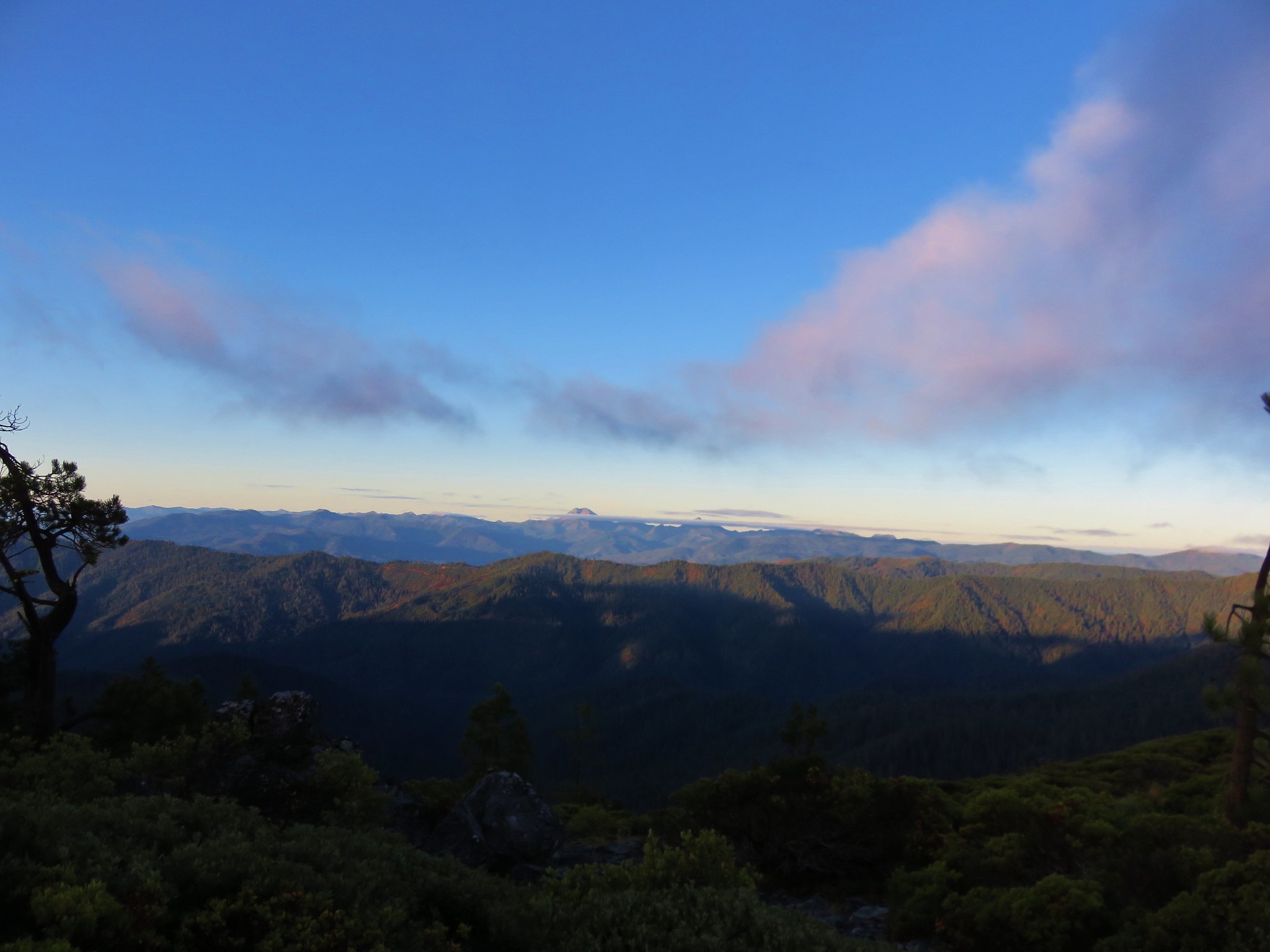
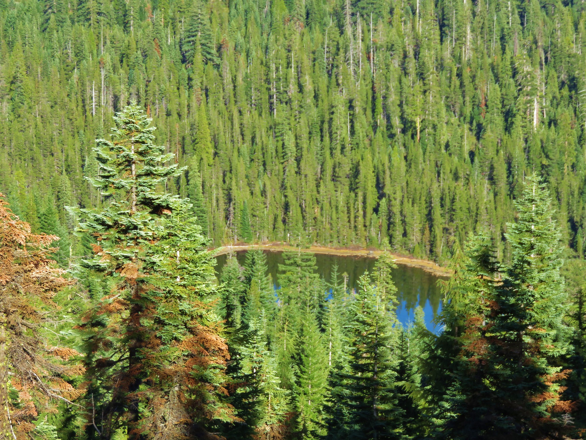
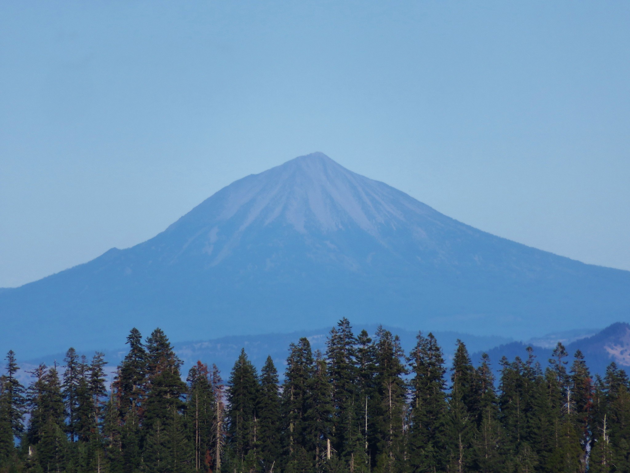
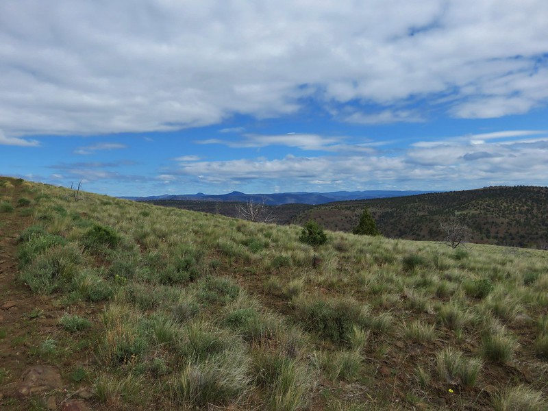
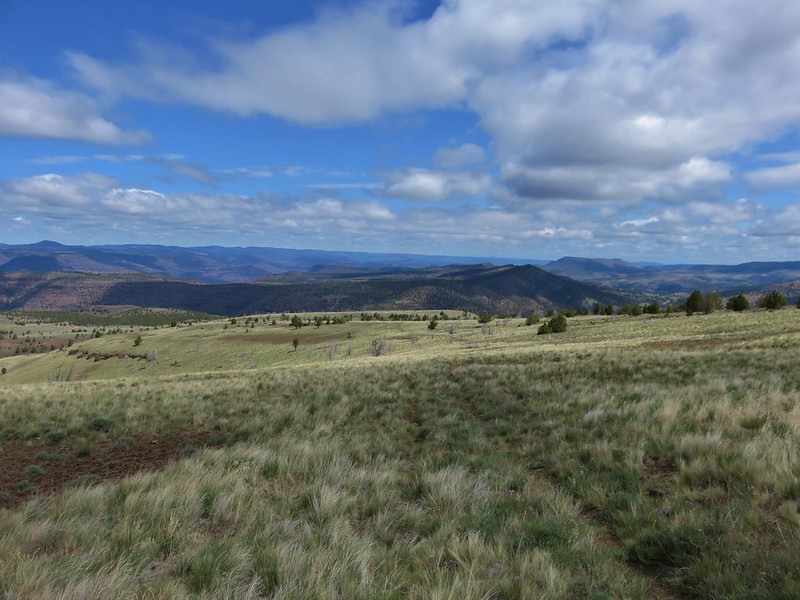
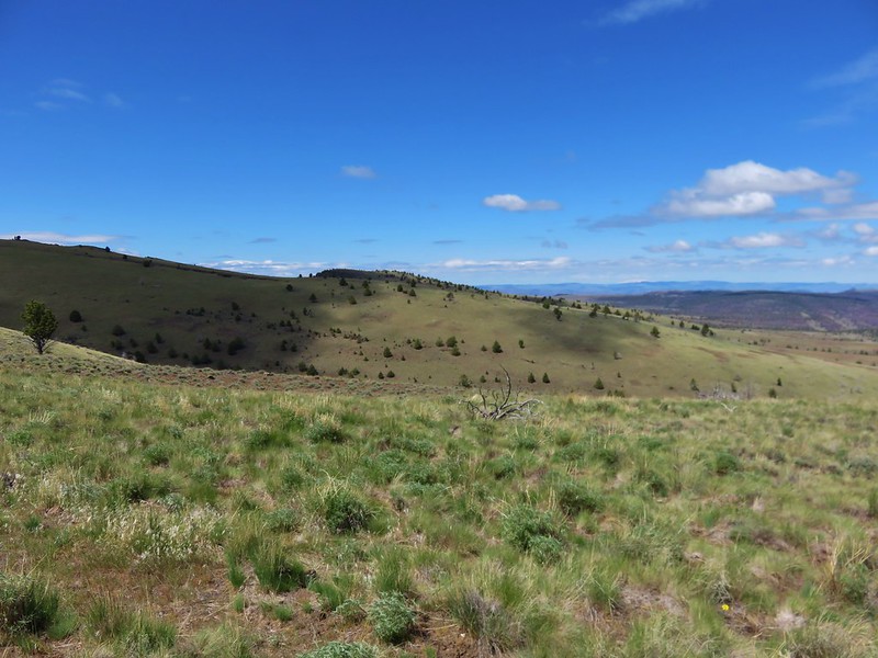
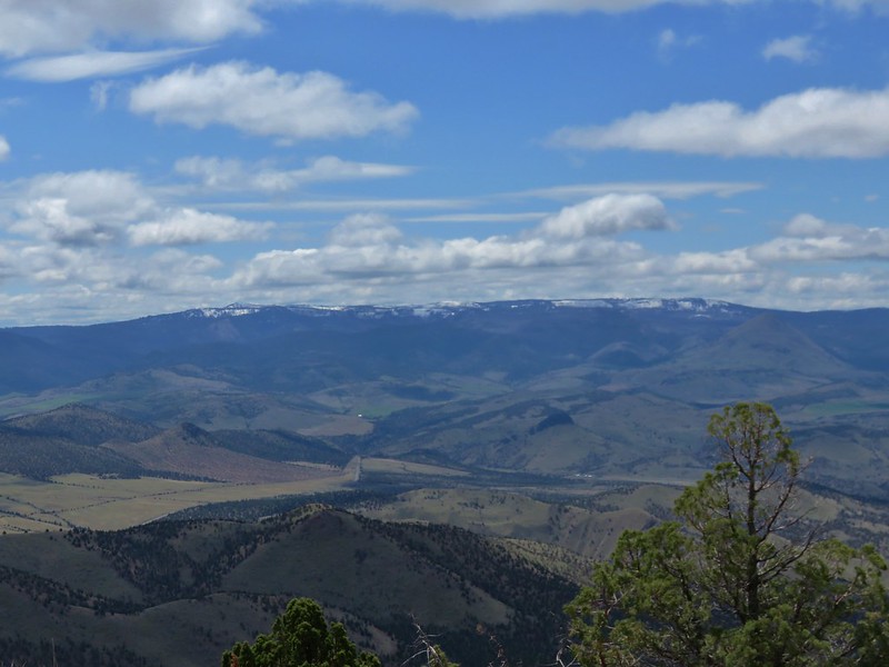
The fence eventually disappeared but we just stuck to the roadbed which was easy enough to follow. The open meadows allowed for some great views including the bottom portion of Mt. Jefferson.
As we were taking in the views we spotted some pronghorns on the opposite hillside.

They were a lot further away than those we spotted in the car but at least now we could say we had seen some while hiking.
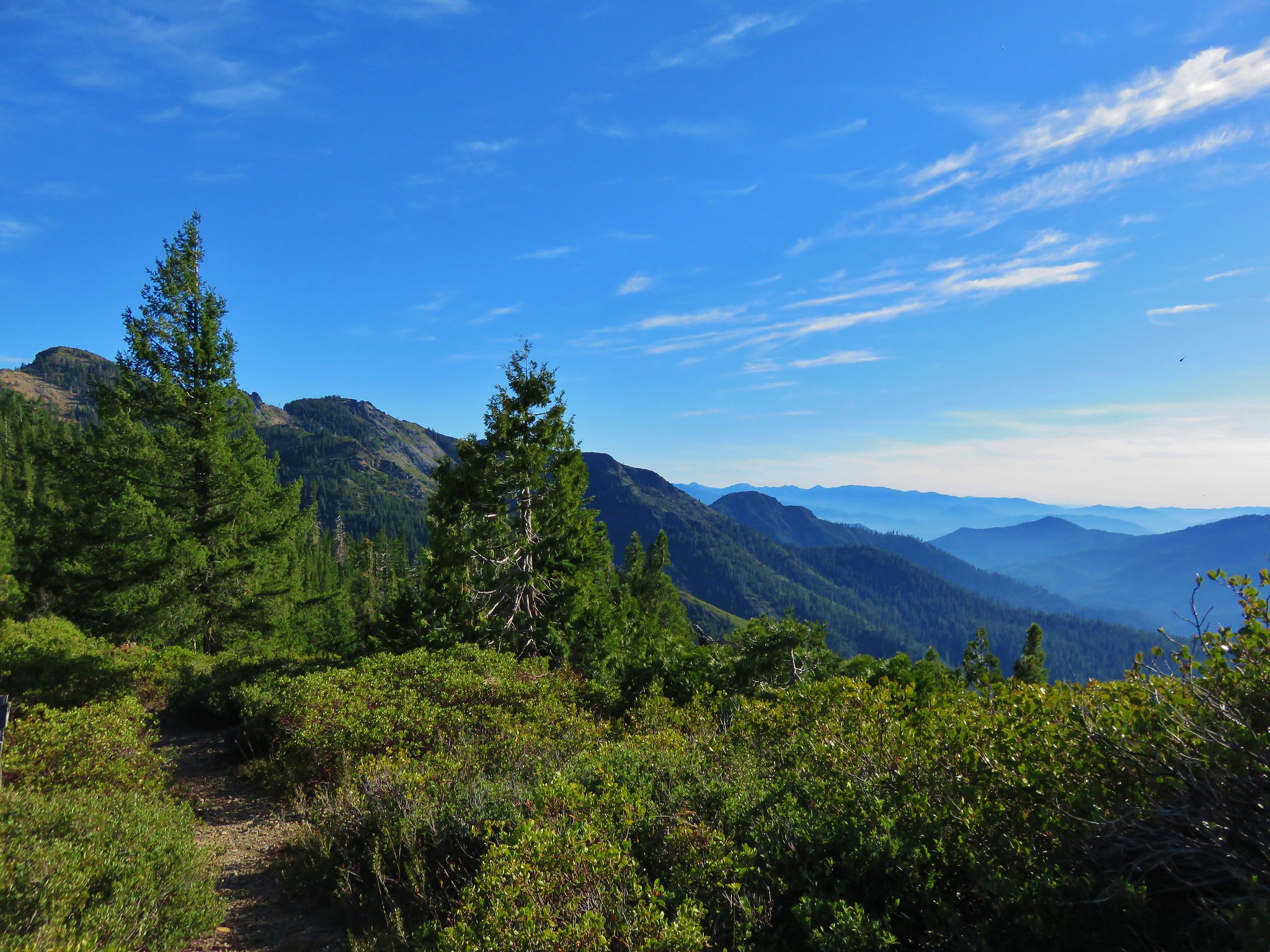
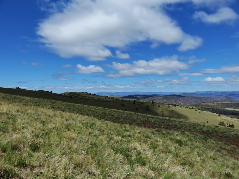
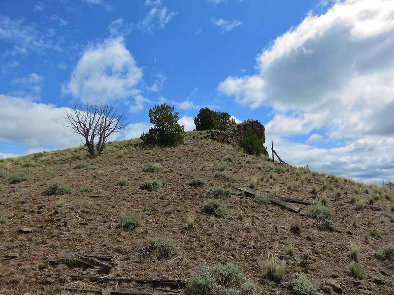
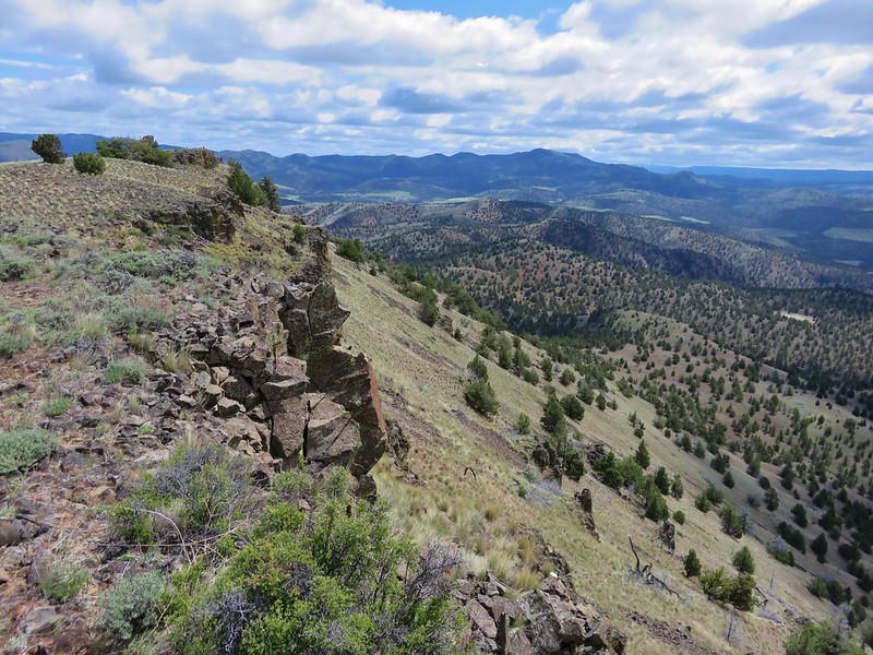
Just under a mile and a half from the old corral the roadbed came to a pass where it curved to the right and continued to the NW. Our goal, the summit of Sutton Mountain, was to our SE though so we left the roadbed here and headed uphill along the rim cliff.
We had seen our pronghorns but not a hedgehog cactus which we knew to bloom in the area in late April or early May. We had nearly given up hope as we neared the summit when Heather spotted the first one.
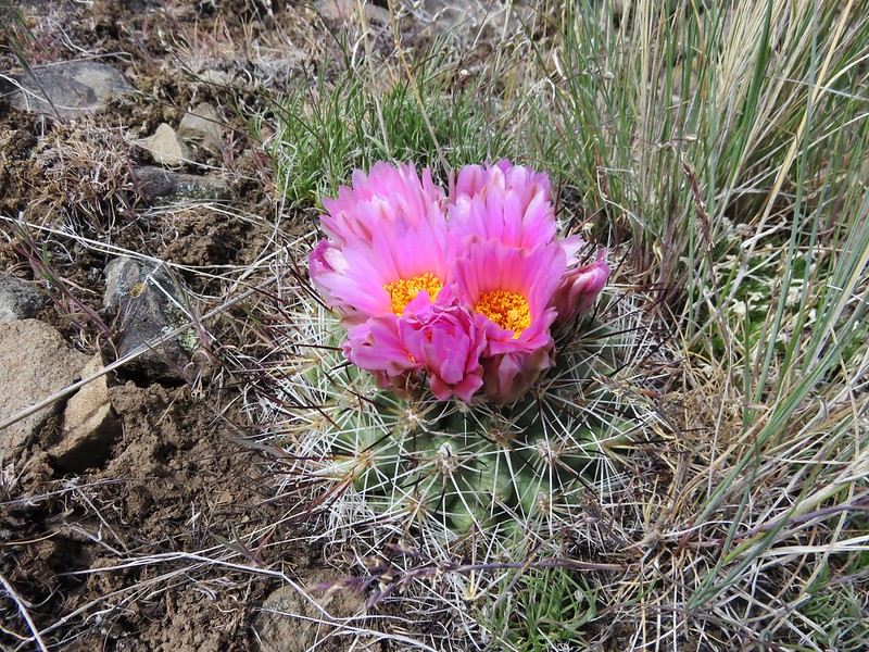
They seemed to only be present in a small area along the rim and then only on the SW facing slope.
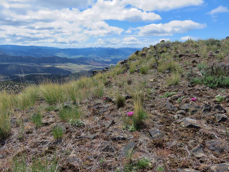
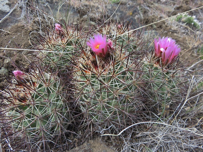
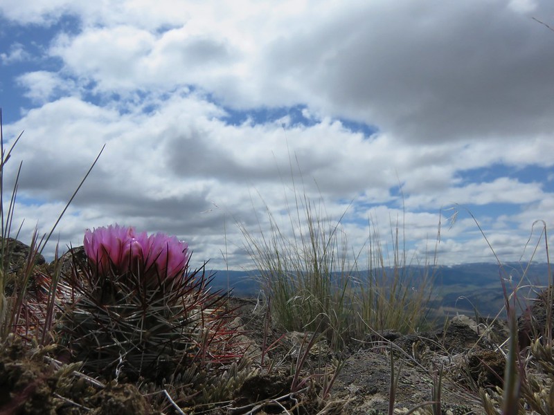
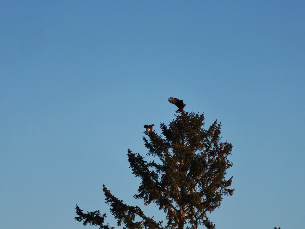
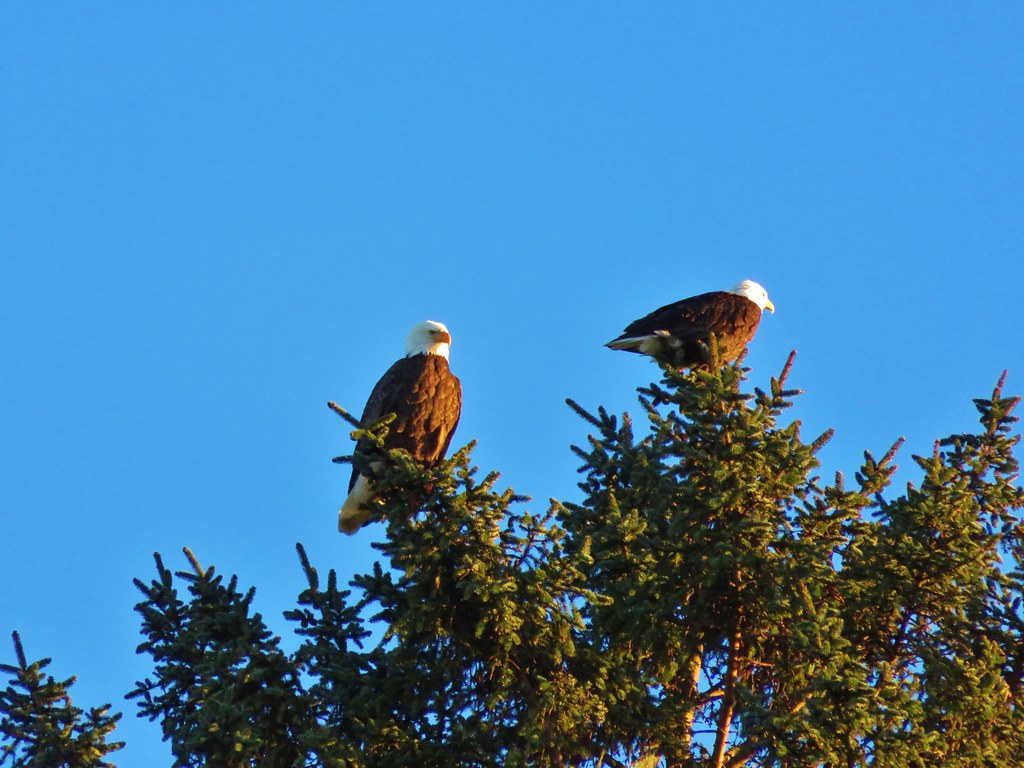
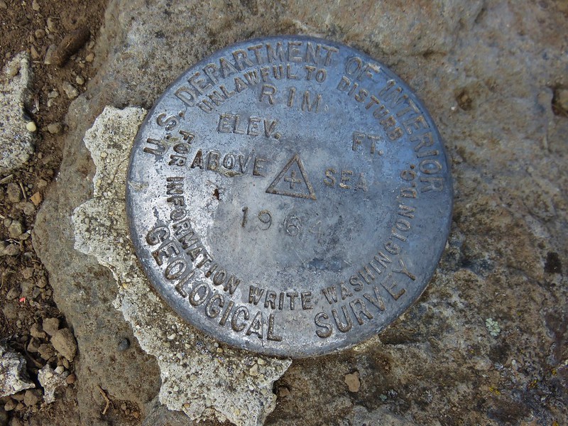
We spent quite a while studying the different cacti before finally making our way to the official summit where we took a break and admired the view.
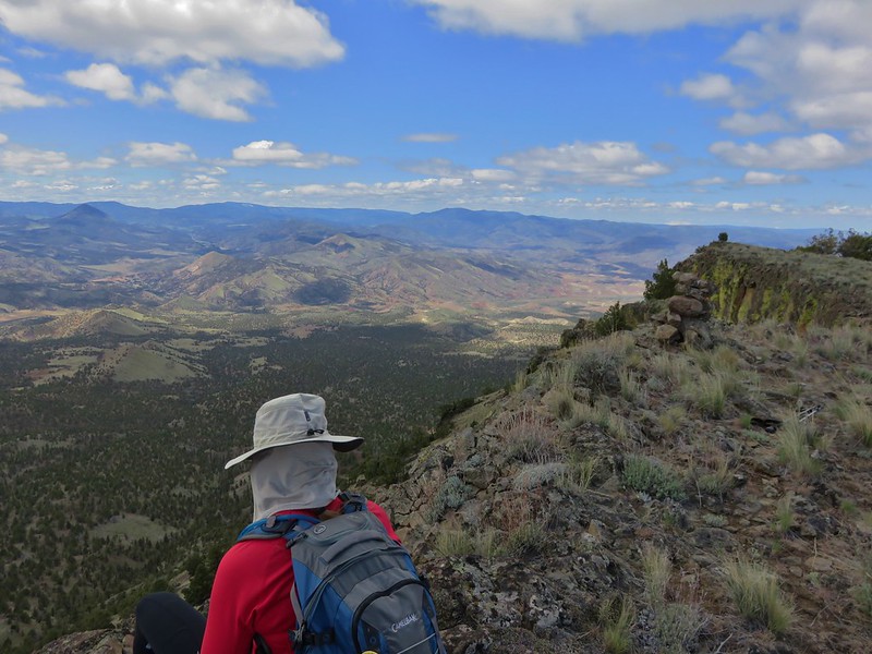
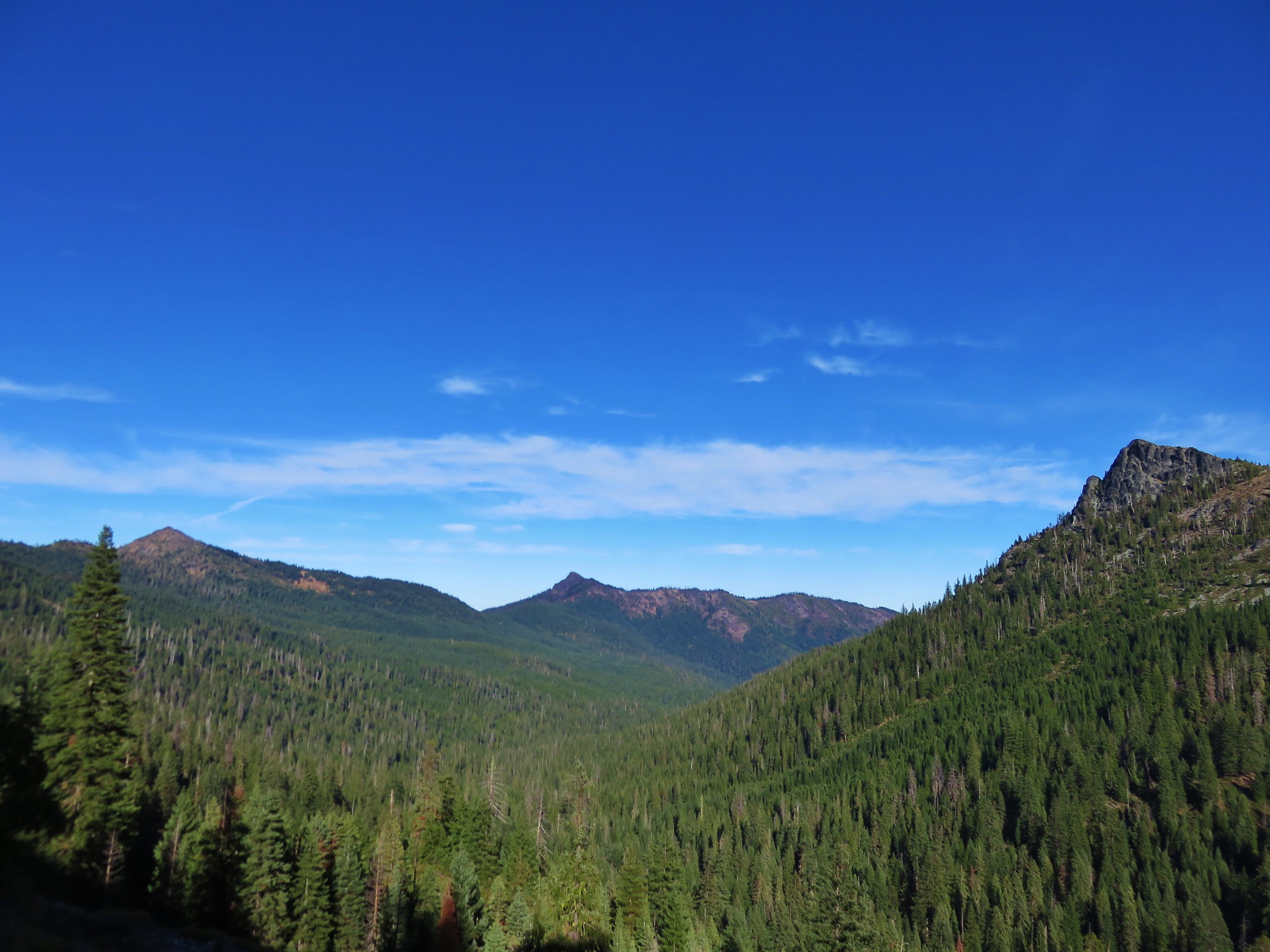
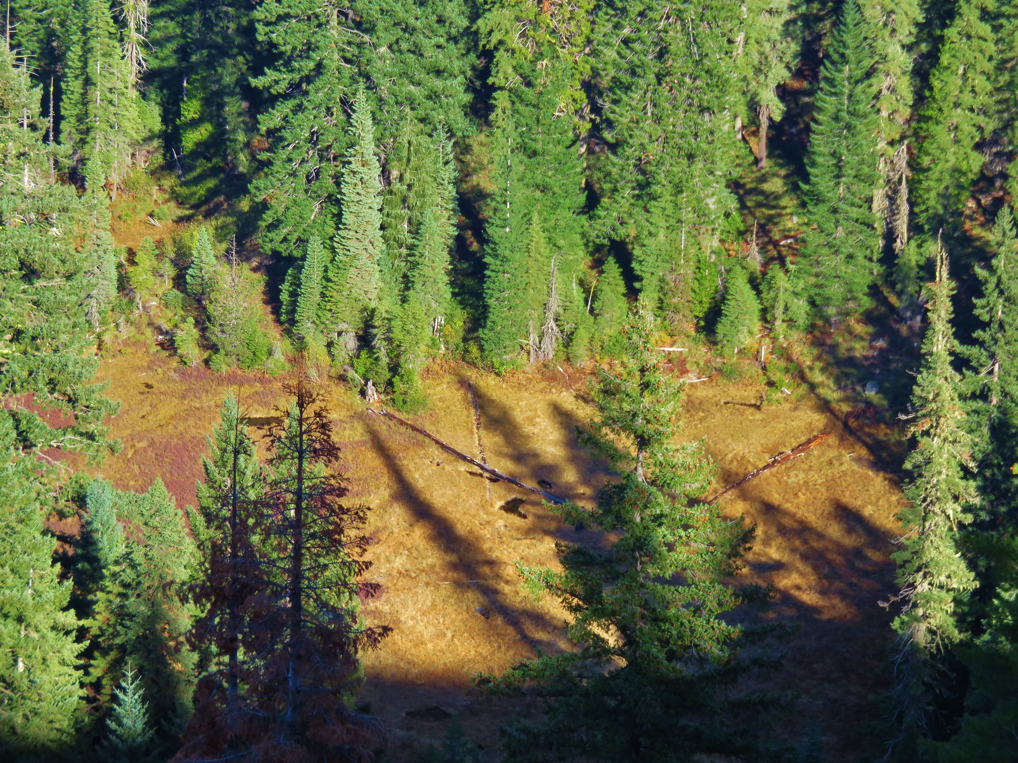
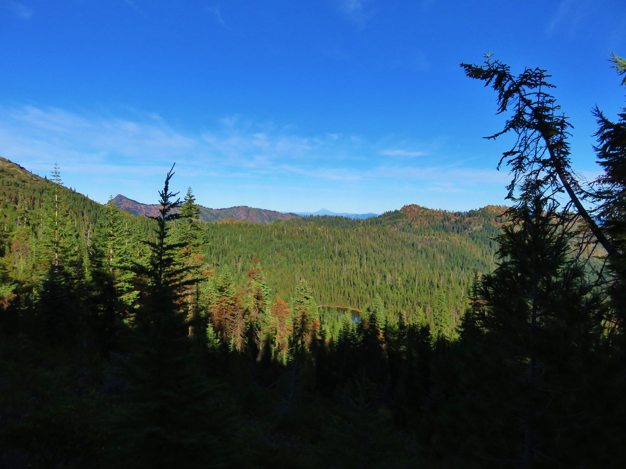
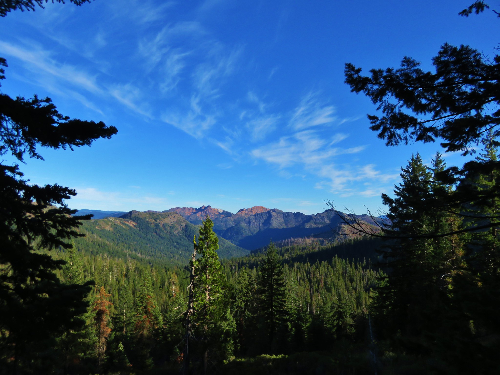
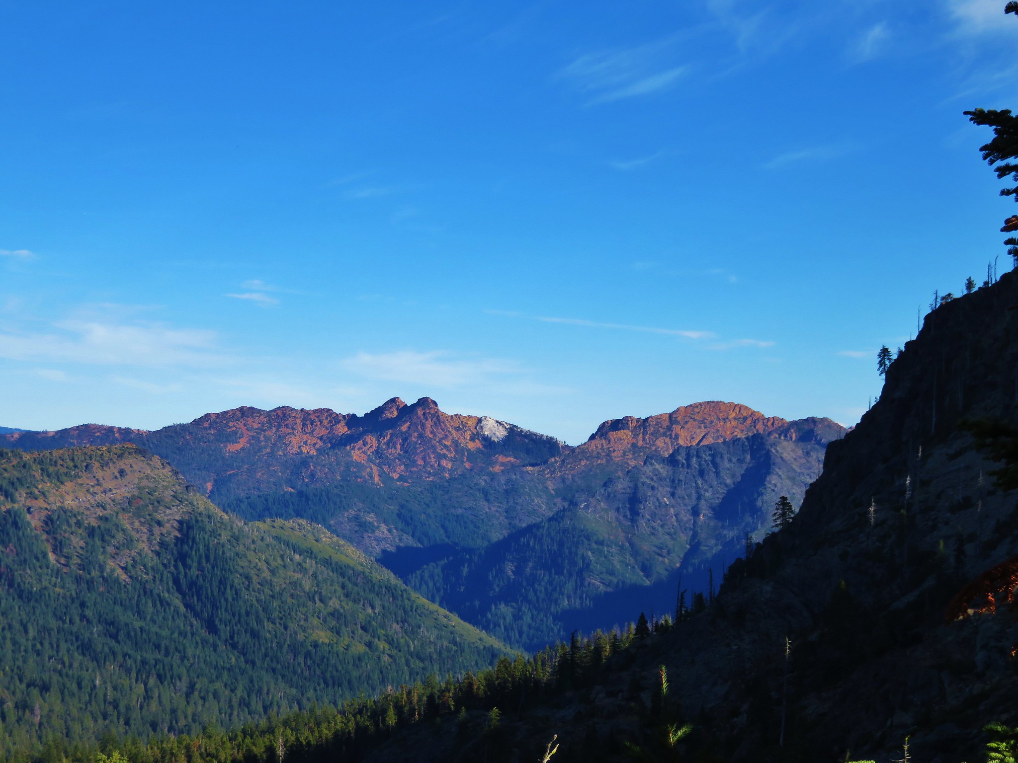
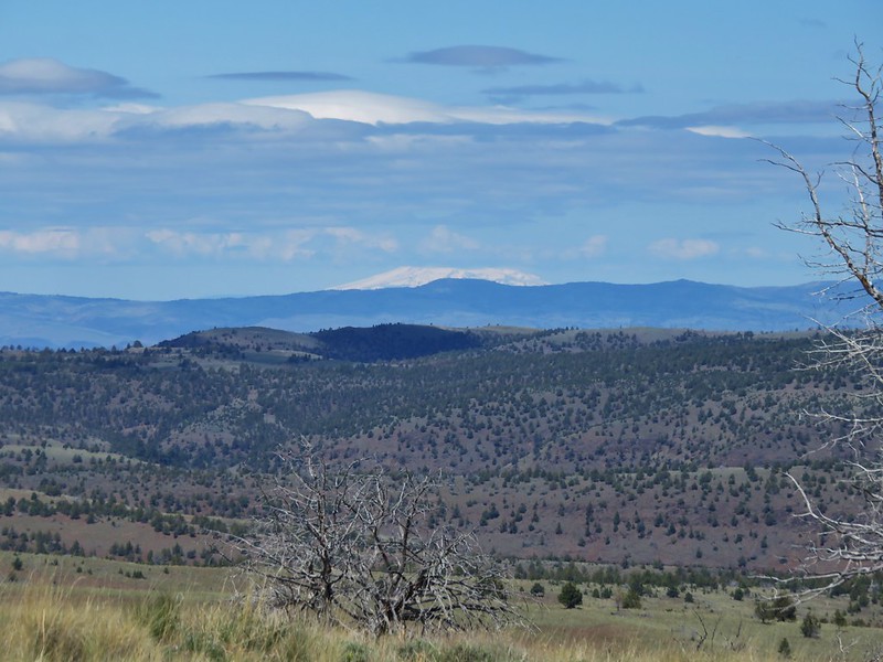
Mt. Jefferson in the distance and the Painted Hills unit below.
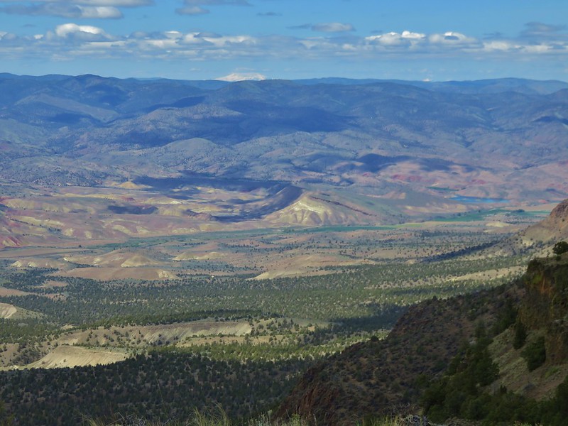
Lookout Mountain in the Ochocos.
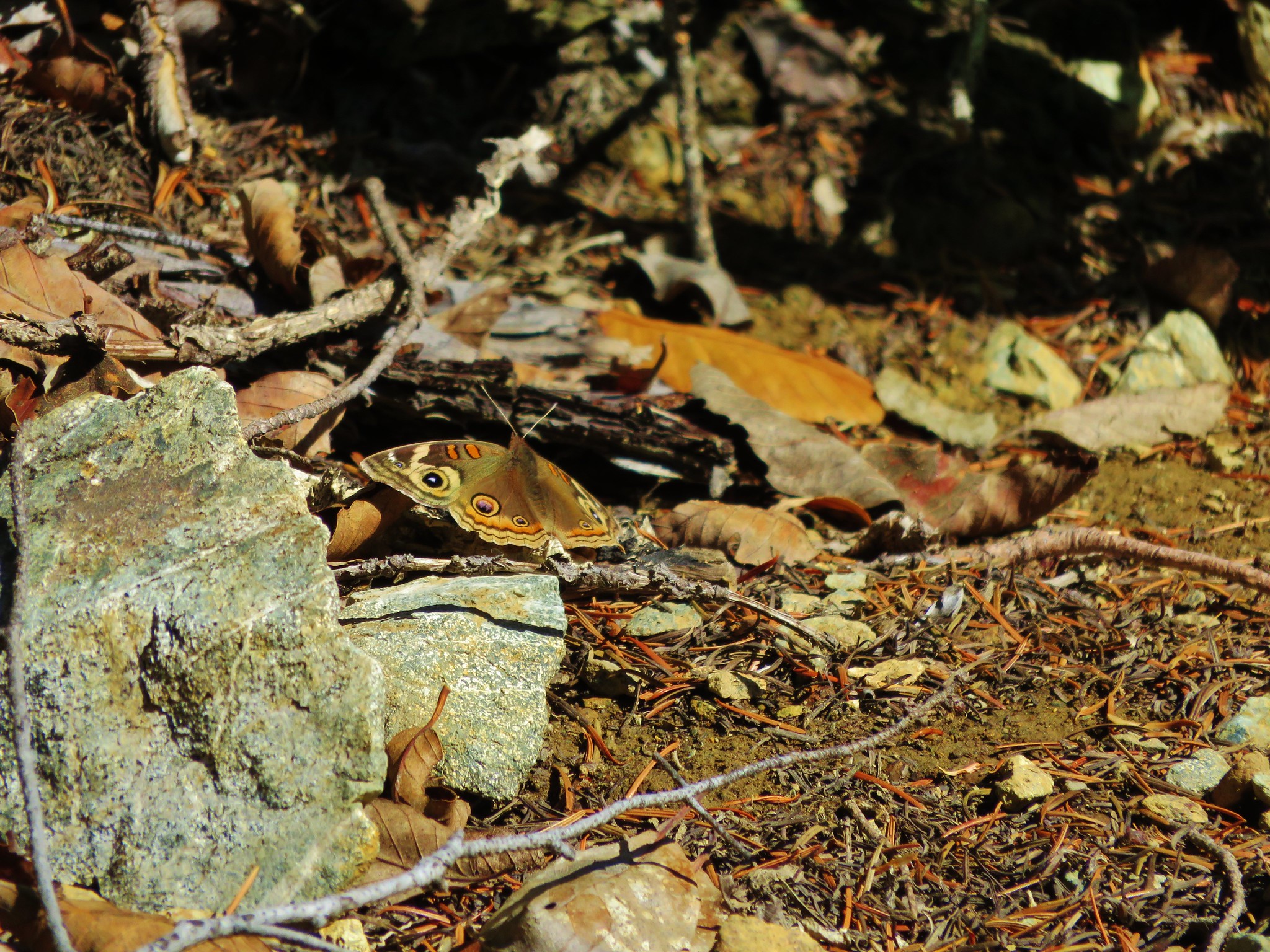
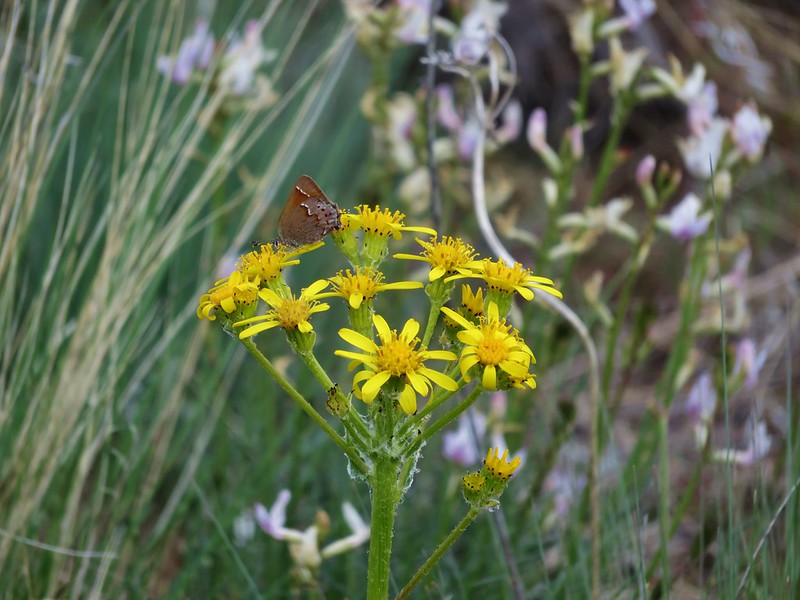
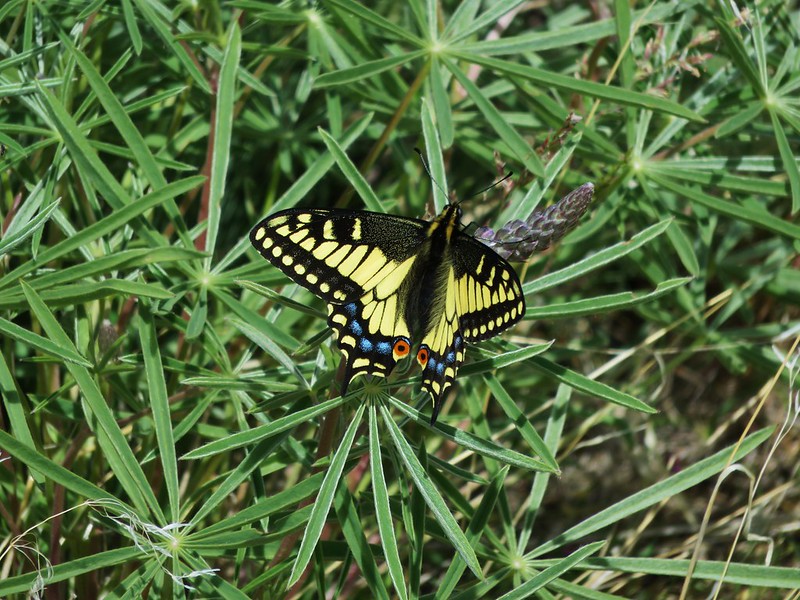
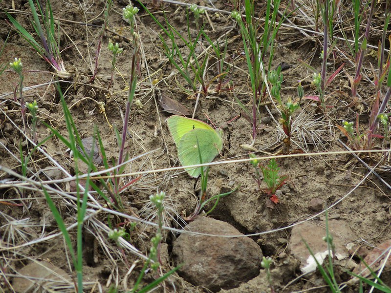
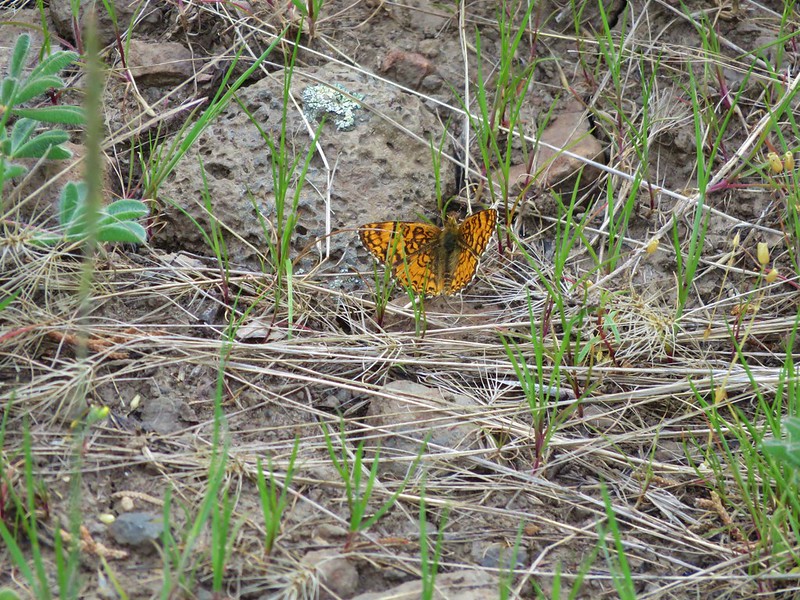
Many butterflies were out as we returned the way we’d come.
We returned the way we’d come and found that the cows had moved from their earlier location and now the trailhead was crowded.
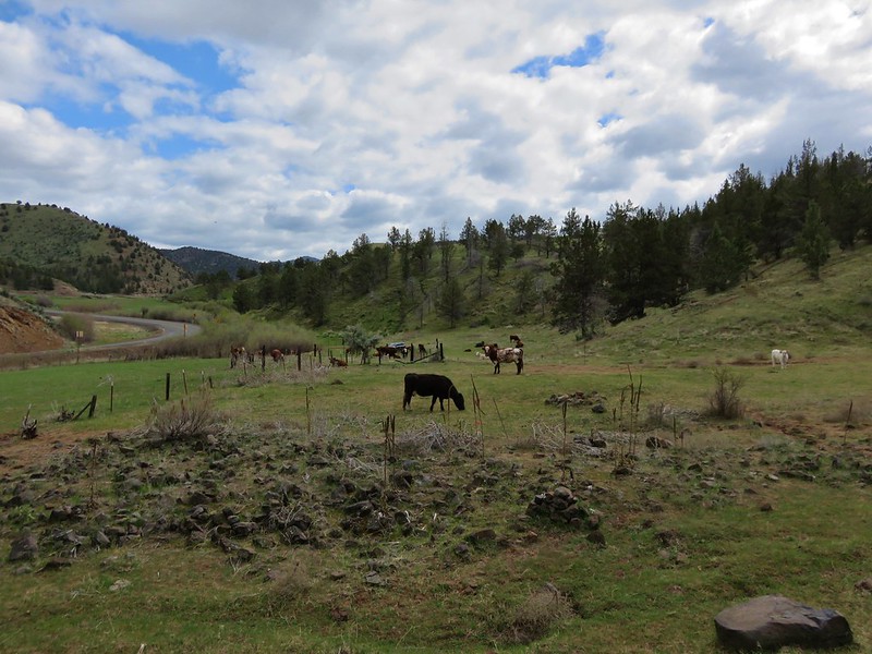
The cows had thoroughly inspected our car leaving smudges in the dust along the body and drivers side window where they had licked the vehicle.
It was a wonderful day of hiking. It had been warm but not too hot which was nice given the lack of shade on these hikes. There was a great variety of wildflowers and wildlife including several of each that were new to us, and there were birds signing almost everywhere we were. We couldn’t recall another hike with as much birdsong, much of which came from western meadowlarks. For what it’s worth Sutton Mountain made its case to for becoming an officially designated wilderness. Happy Trails!
Flickr:https://www.flickr.com/photos/9319235@N02/albums/72157667625239612