As we continue to work toward our goal of completing the 100 featured hikes (post) in each of the five areas covered by William L. Sullivan in his “100 Hikes” series we headed for Eastern Oregon for a week hoping to check off 6 more hikes from that area. The first hike on our list, Mt. Ireland, had become something of a white whale for us. We had tried to do this hike during a September 2017 to Sumpter, OR but an early round of snow forced us to change that plan (post). We tried again on the way home from backpacking the Elkhorn Crest (post) but a round of severe thunderstorms stymied that plan.
We hoped the third time would be the charm but a little doubt crept in when I checked the forecast Friday night before leaving and saw it called for a slight chance of thunder storms the next day. We left at 5am to make the five and a half hour drive to the trailhead. Our plan was to watch the weather on the way there and if all looked good to try the hike but if it looked like thunder storms were imminent we would drive straight to Baker City where we had reservations for that night and try the hike again on our way home. There were a few clouds in the sky as we approached but none looked threatening so we followed Sullivan’s driving directions to the small, poorly marked, parking area.
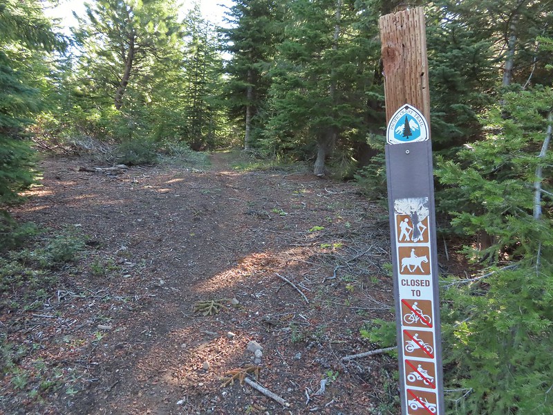
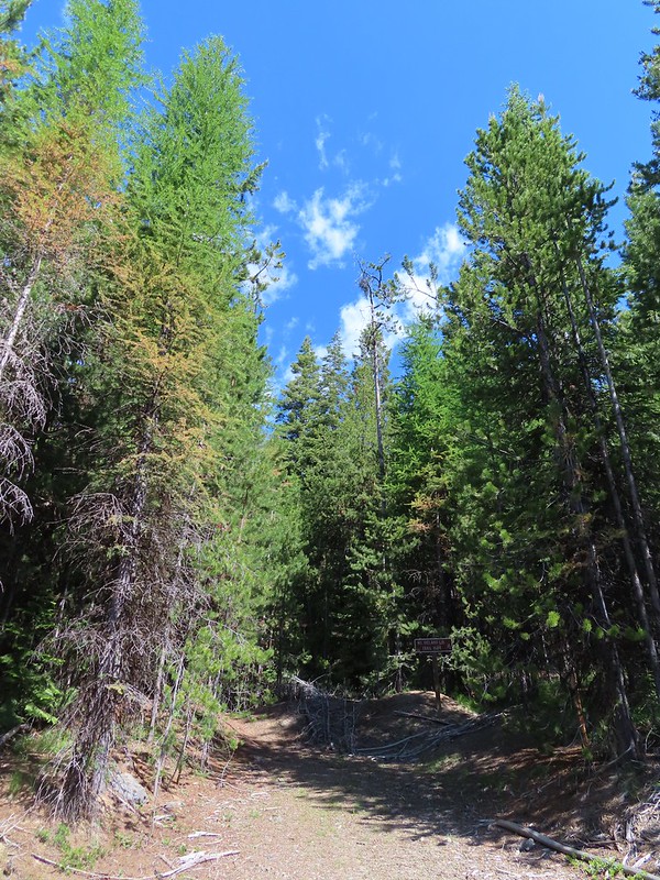 A small sign post was all that marked the trailhead.
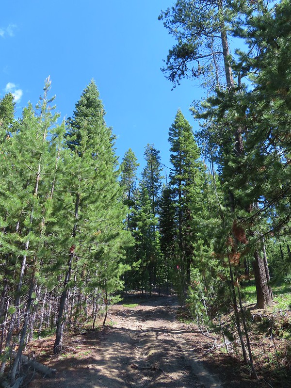
The trail begins along a closed roadbed which climbs steeply for the first 0.3 miles to a junction with other old roadbeds a view of Mt. Ireland.
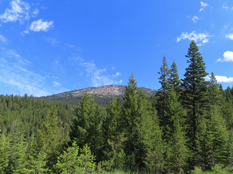 Mt. Ireland from the junction.
 Hound’s tongue
There were several old roads/skids in the area but the trail was well flagged (we later learned that flagging had been recently placed by folks manning the lookout).
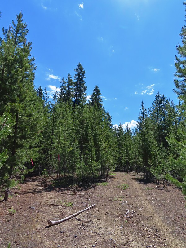 Flagging on the left marking the “trail”.
After another mile we came to FR 142 where a trail sign marked the continuation of the the trail.
 Another flag hanging on the tree to the right.
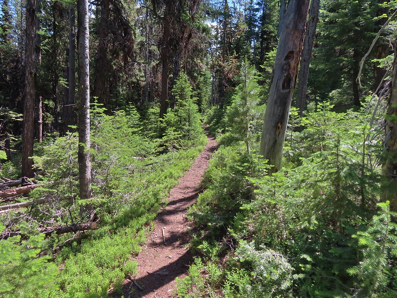
 Another glimpse of Mt. Ireland.
 Small meadow near FR 142 along a tributary of East Fork Boundary Creek.
 Trail sign at FR 142.
The trail climbed for nearly another mile from FR 142 to a junction on an open ridge.
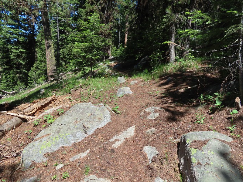

 Jacob’s ladder
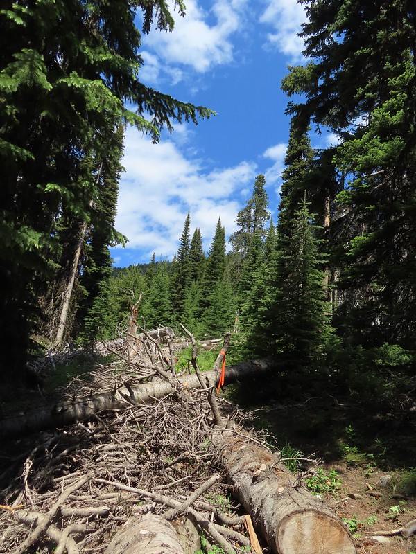 This was one of three trees across the trail, all of which were easily navigated.

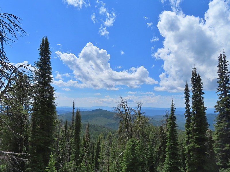 Ironside Mountain in the distance.
 Phlox
Phlox
 Brown’s peony
 Nearing the junction.

The trail to the right led 1.3 miles downhill to Downie Lake a possible side trip but one we decided to skip given our late start, the warm temperature, and we had another six straight days of hikes planned after this. We turned left and headed uphill, steeply at times (most times) toward Mt. Ireland.
 Heading uphill.
 Pussy paws
 Mt. Ireland ahead.
 Rock Creek Butte (post) and Elkhorn Peak along the Elkhorn Crest.
 Paintbrush
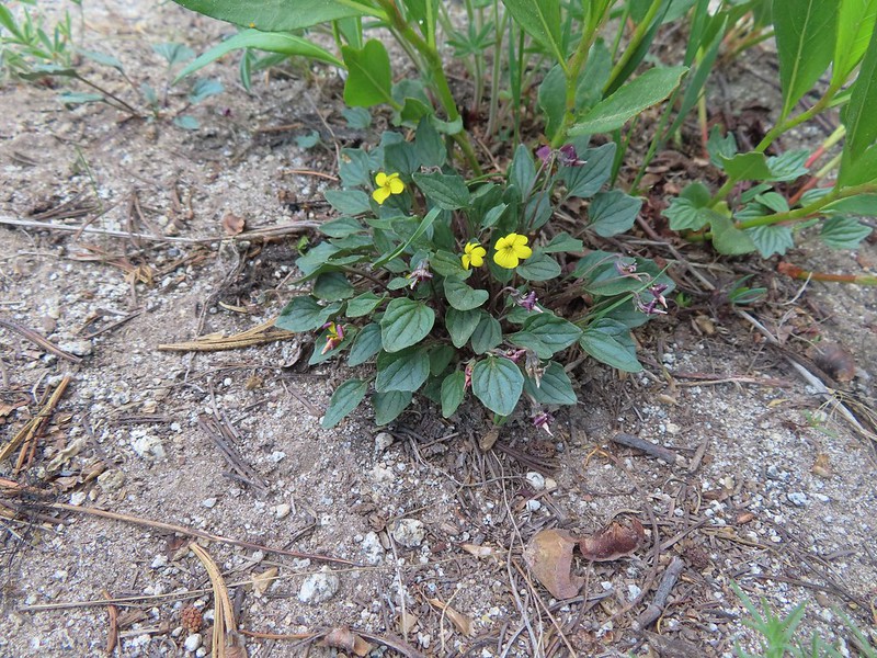 Goosefoot violet
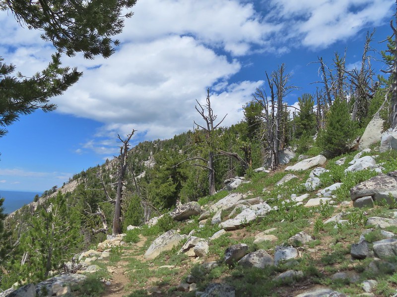
 Vinegar Hill in the Greenhorn Mountains (post) with a few snow patches.
It was just over a mile from the junction to the lookout and as we neared the lookout we began noticing signs of mountain goats.
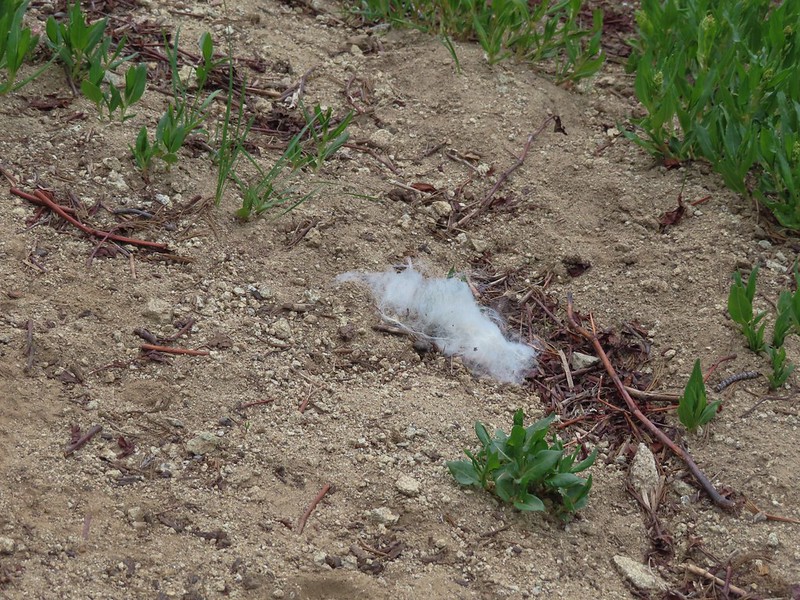 Mountain goat fur on the trail.
I was a little ahead of Heather reaching the tower and when I arrived there were goats at a salt lick placed below the tower to keep the goats from disturbing the tower itself.
 Just to the right of the silver stump in the center of the photo is one of the goats.
 One of the goats below the lookout tower.
 Zoomed in shot of one of the goats leaving upon my arrival.
I rested at the saddle below the lookout tower next to a helipad and took in the view of Baldy Lake below.
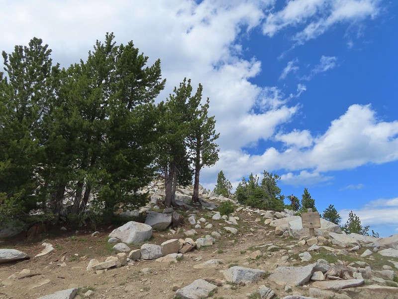 Arriving at the saddle.
 Baldy Lake below Mt. Ireland.
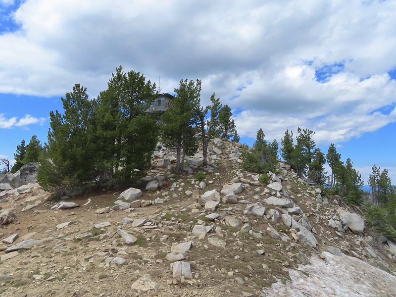 The tower from the saddle.
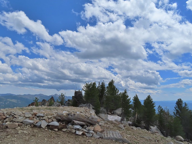 The helipad.

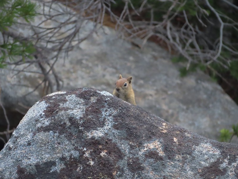 Being watched.
The tower is typically staffed from late-June thru late-September and as I waited for Heather I was waved up to the tower by the current staffer, Warren. Warren and his wife Chris(sp?), who are from Arkansas, welcomed me to the tower where they offered me a chair while I waited for Heather to arrive. Heather soon joined us and we spent almost an hour in the tower visiting. We learned the tower is a bit of an anomaly being steel framed and that the day before 23 goats had been at the summit. Warren also informed us that under the right conditions Mt. Rainier was visible from the tower over 200 miles away. Another interesting tidbit of information was that dietician was the most common occupation of visitors to the tower in 2021 which was Warren’s first year staffing the tower. Apparently they don’t get a lot of visitors which was surprising to us given how great the view was from here.
While we were visiting a nanny and kid came to the salt lick.
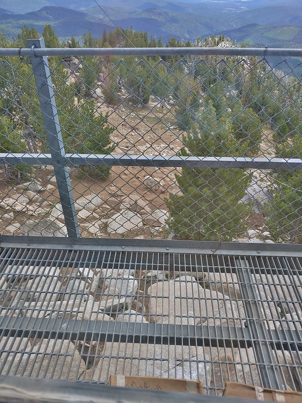 The kid was on the other side of mom.
After our visit we returned to the saddle for a few more photos and then headed back down the trail to the car.
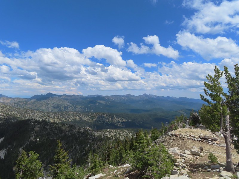 The Elkhorns from the tower.
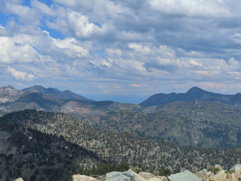 The snowy Wallowa Mountains beyond a gap in the Elkhorns.
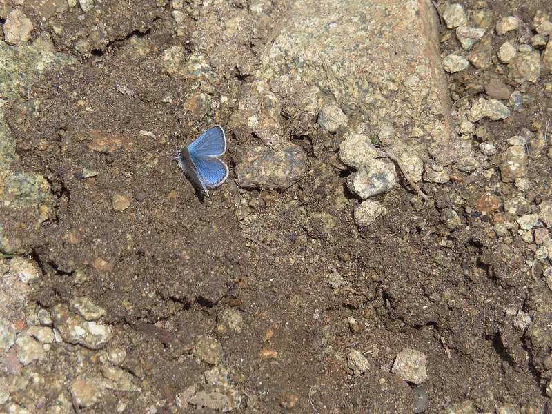
 Milbert’s tortoiseshell
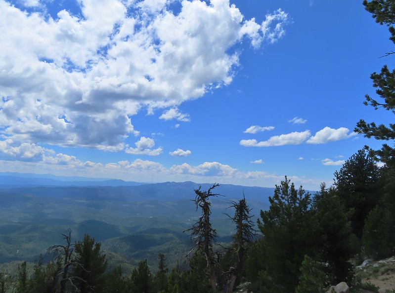 Vinegar Hill with Dixie Butte to the left and Strawberry Mountain (post) the high point to the far left in the distance.
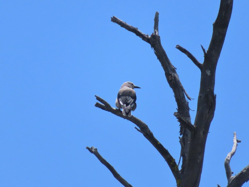 Clark’s nutcracker
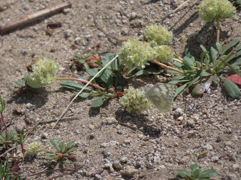 Butterfly on pussy paws.
 A comma?
 Beetle on arnica.
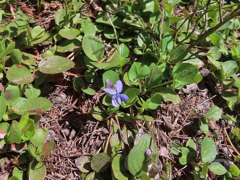 Hookedspur violet
After returning to the car we drove into Sumpter and stopped for hand dipped corn dogs at a small stand that is only there typically between July 4th and Labor Day. The owner of the stand had stayed later in September of 2017 and we’d had several of the corn dogs (and cheese sticks) then which were delicious. The next year the stand wasn’t there but it was this year to our delight.
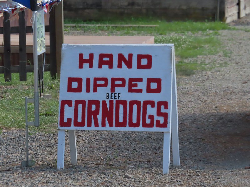
After a couple of corn dogs (w/jalapeno mustard) and a cheese stick each we continued to Baker City and checked into our room for the night. The hike came in at a little over 7 miles with just over 2300′ of elevation gain.

We really enjoyed this hike and getting to visit with the staffers made it even more enjoyable. It’s really hard to understand why this hike isn’t more popular except that there doesn’t seem to be a lot of information out there about it. It felt good to finally be able to check this one off our to-do list but we would happily do it again if the opportunity arose. Happy trails!
Flickr: Mt. Ireland

 Fog at 5:30am
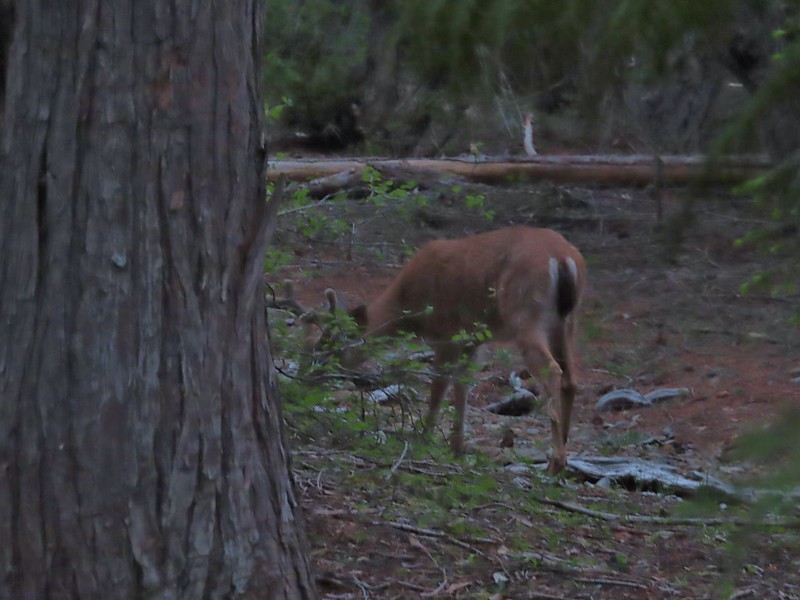 After he jumped he started to run off but quickly stopped to eat just a few yards later.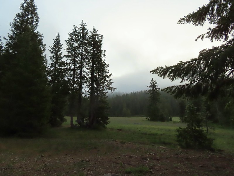
 Deer in the meadow.
 Snail near our breakfast spot. It’s amazing how quickly these guys can get from one place to the next.

 Lupine and beargrass along the road.
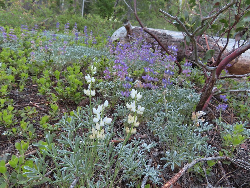 Lupine
 Beargrass
 Waterfall on cliffs below El Capitan.
 Waterleaf
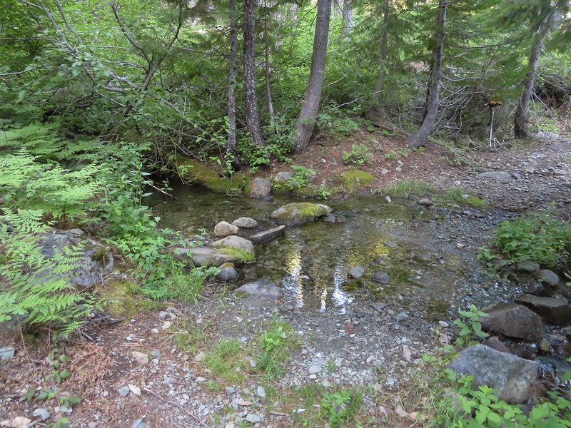 Stream crossing.
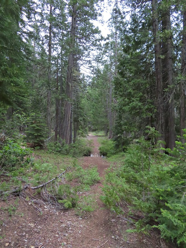
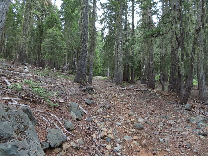
 At times the old roadbed looked like you could drive on it but other times it looked like this.
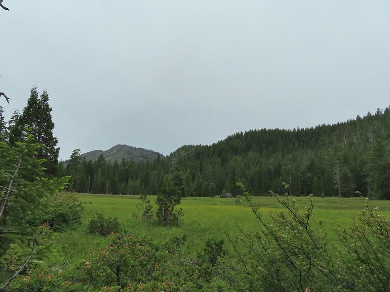
 Small meadow along the trail.
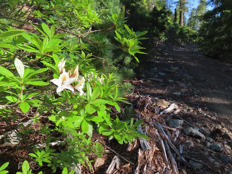 Western azalea
 The clouds burned off quickly.
 Penstemon
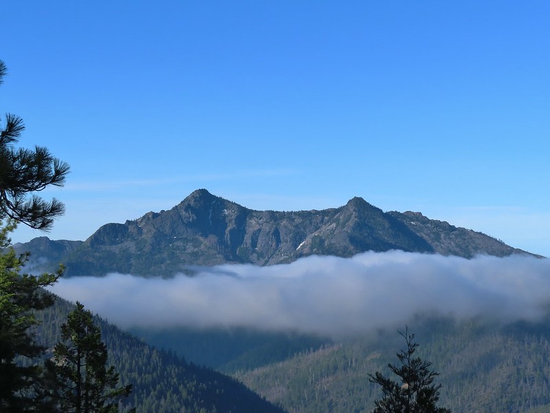
 Youngs Peak with the meadow barely visible to the right below.
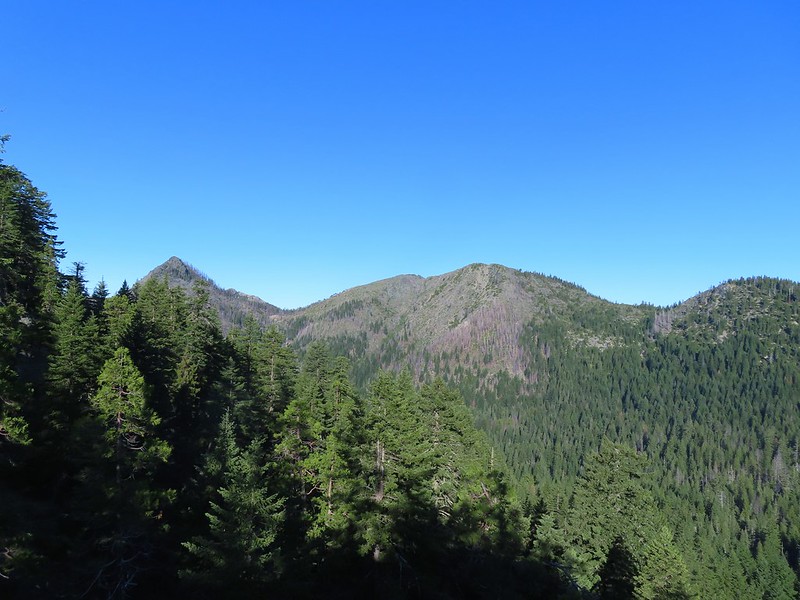 Rocky Knob to the left.
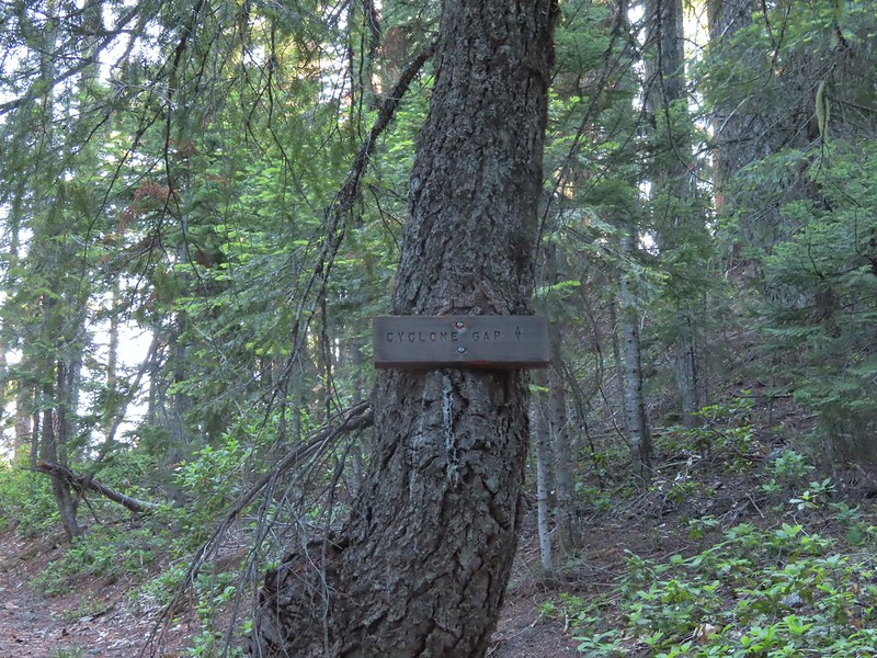
 Sign at the Cyclone Gap junction.
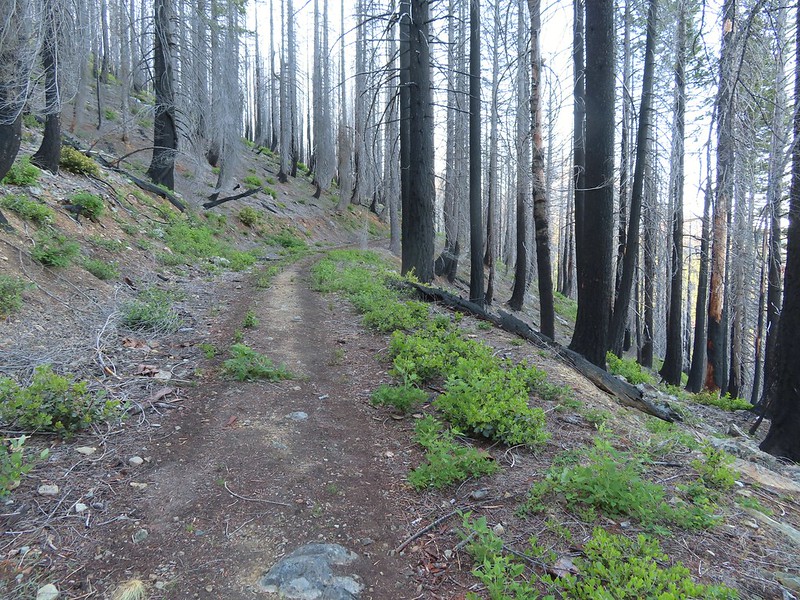 Back into the 2018 Natchez fire scar.
 Preston Peak
 Paintbrush along the trail.
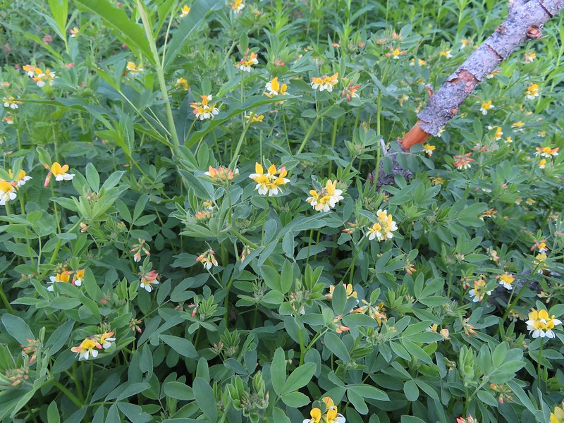 Streambank bird’s-foot trefoil
 Musk monkeyflower
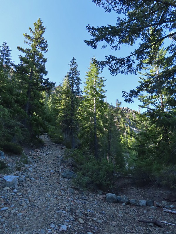 Raspberry Lake Trail to the left.
 Ruins from the chrome mine.
 More mine ruins on the hillside below.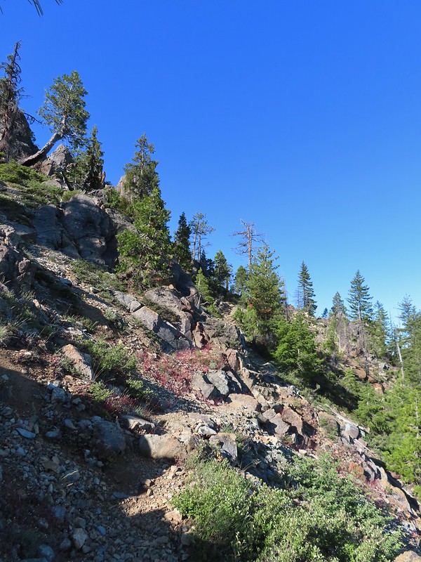
 Nuttall’s sandwort
 Bear Mountain and Rocky Knob.
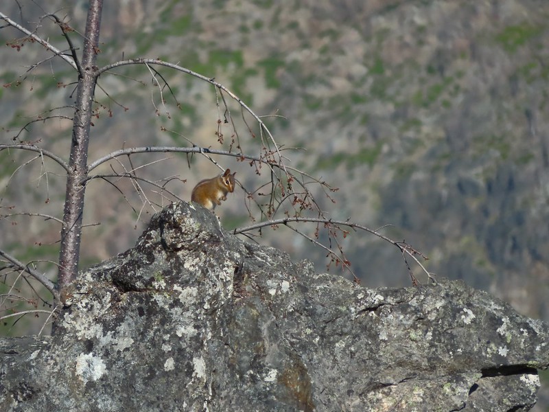 Chipmunk
 Getting closer to Preston Peak.
 Ragwort
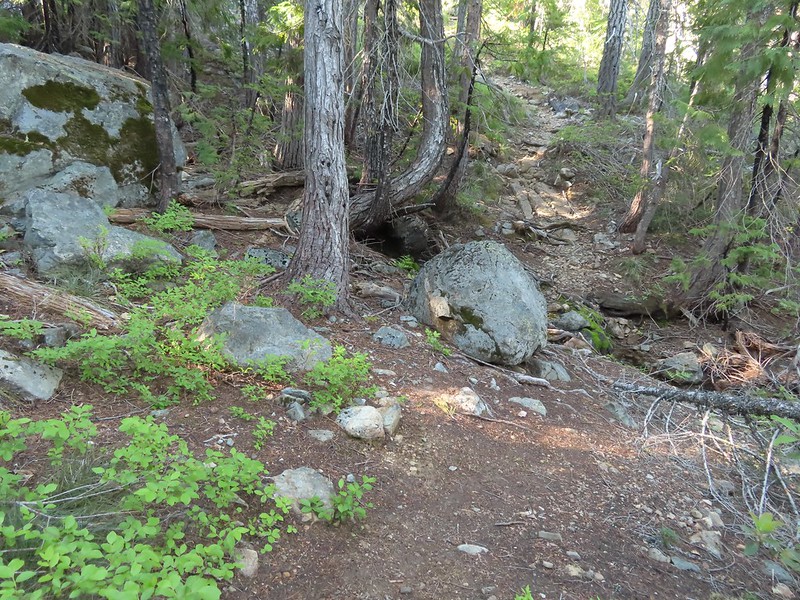 Small stream crossing.
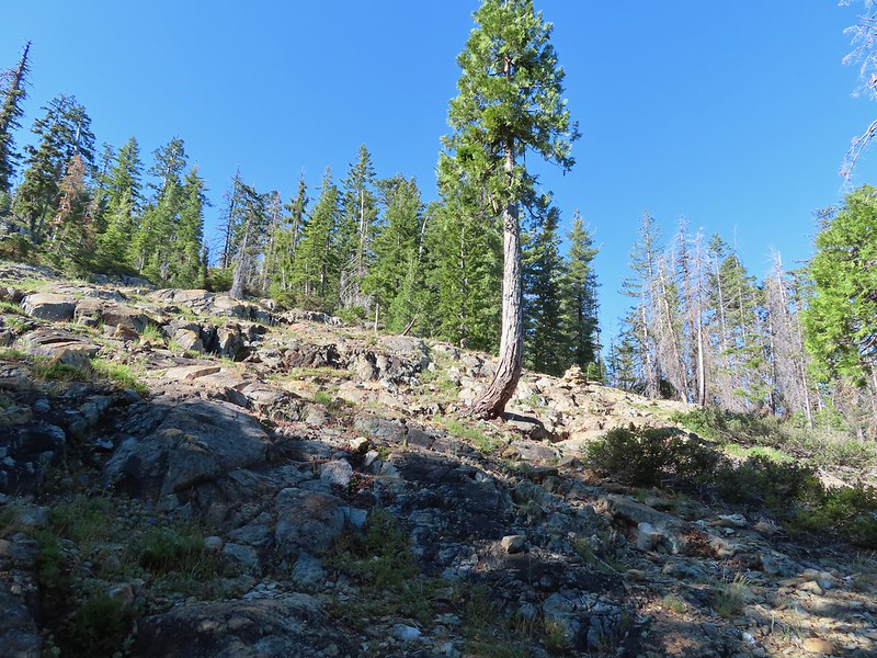 A short steep rocky section where cairns were helpful.
 Rounding another ridge with Preston Peak on the left and Bear Mountain to the right.
 First view of Raspberry Lake in the trees below to the right.

 Big rock along the shore.
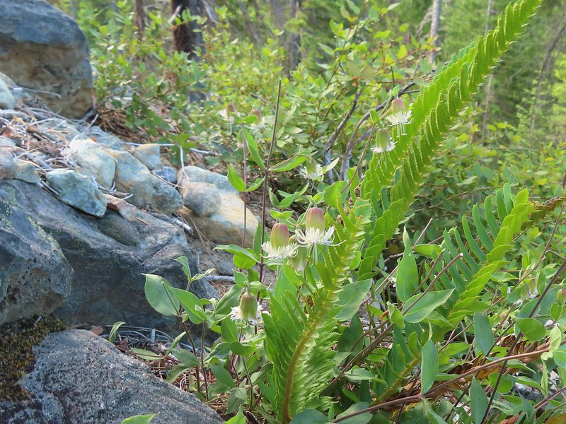 Bell catchfly
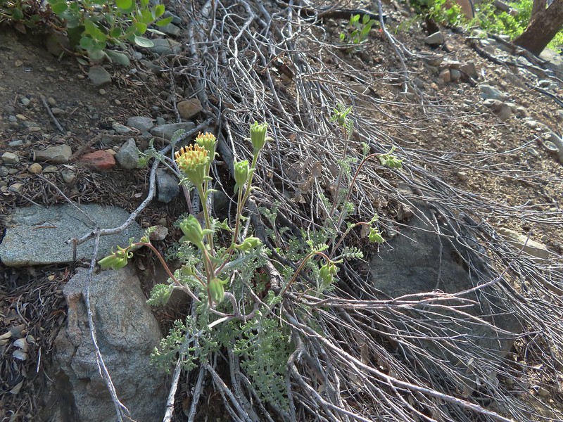 Douglas’ Dustymaidens
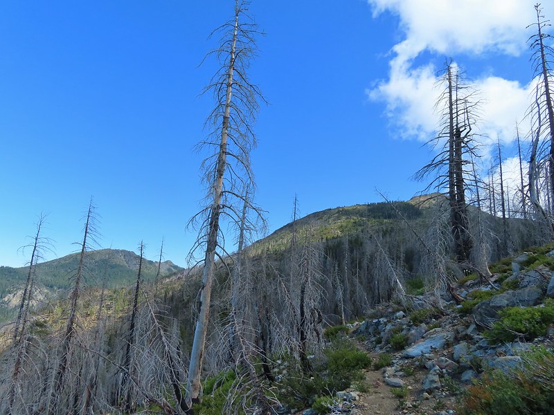 El Capitan on the right. To the left I think that is Bear Cub with Polar Bear Mountain behind.
 Western azalea
 This squirrel gave us a stern talking to.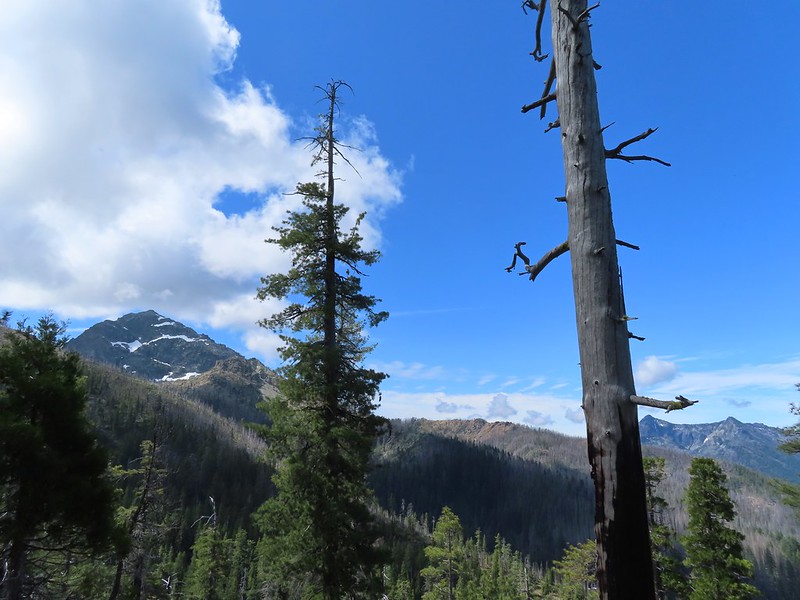
 Western tanager pair
 Twin Peaks
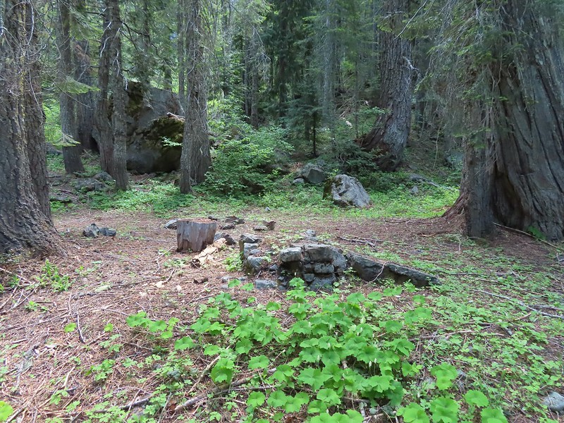 We believe this is what Sullivan shows as Slow Echo Camp on his map. We wondered what the stones in the foreground had been a part of?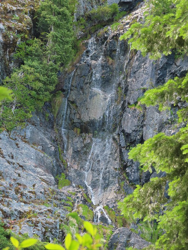


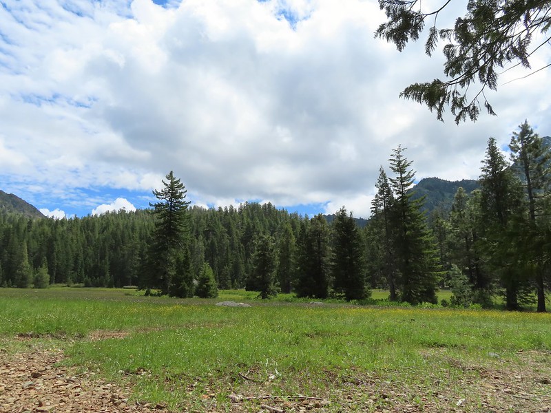

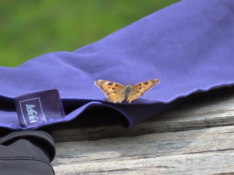 This butterfly did discover people=salt.
 Maybe a flycatcher of some sort near camp.
 Common buckeye
 Turkey vulture checking out the meadow.
 White rush lily
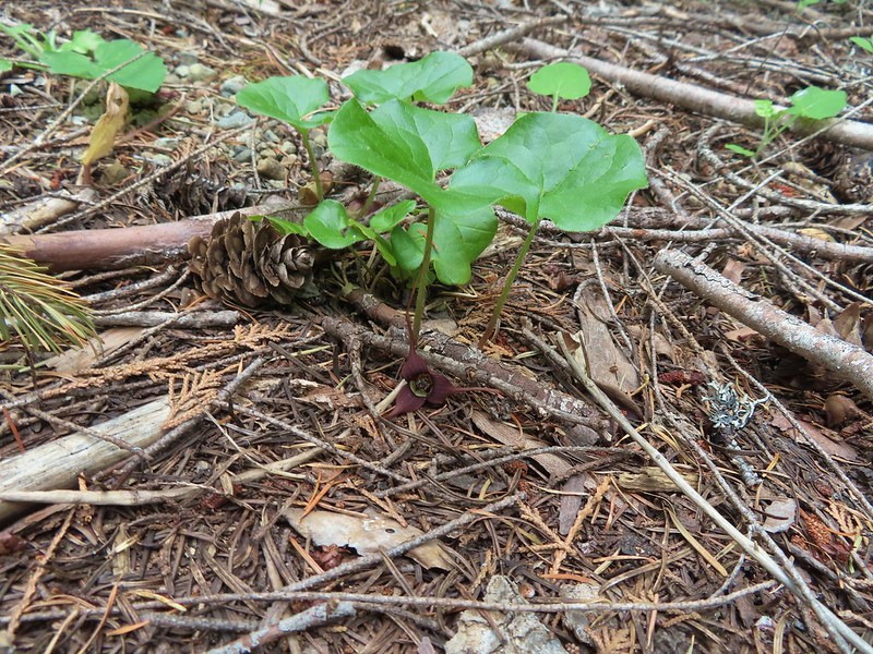 Ginger
 Snow plant
 Another low cloud morning.
 Heading out
 Passing around the meadow, we didn’t see Buster this morning.
 Black Butte Trail junction.
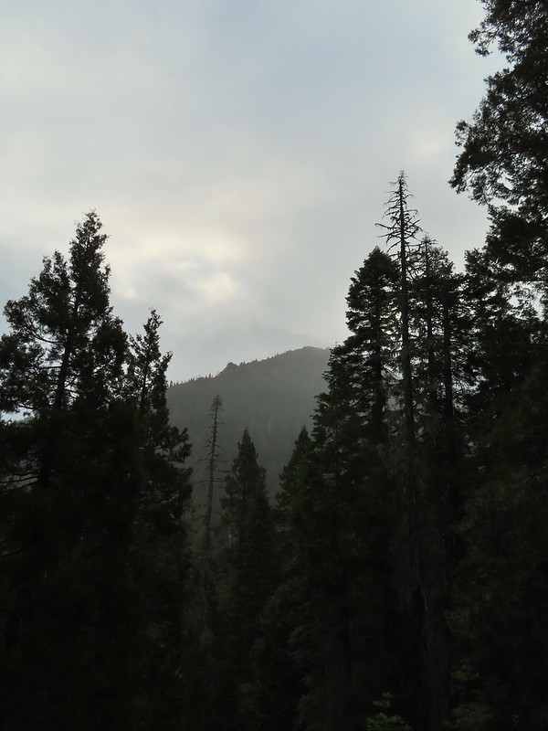 Bear Cub under the clouds.
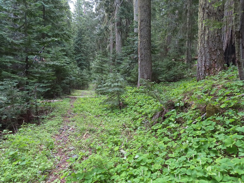 Vanilla leaf along the trail.
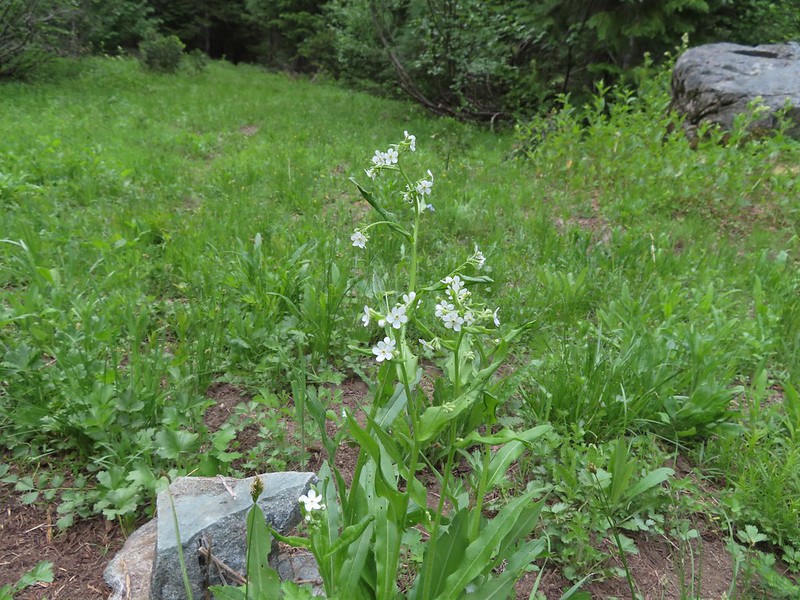 Jessica sticktight
 The headwaters of the East Fork Illinois River are just up from the trail so the river isn’t much more than a trickle at the trail crossing.
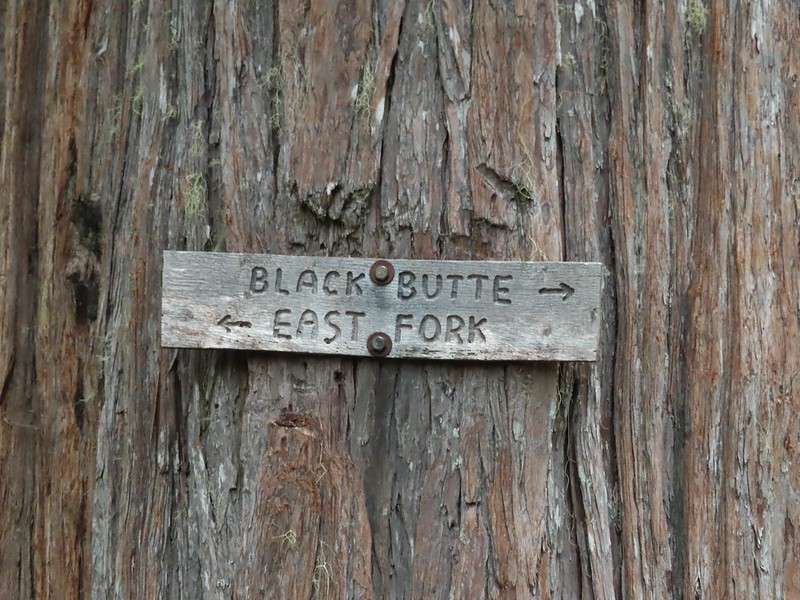
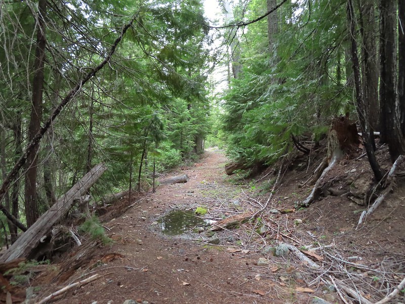
 The edge of the clouds to the NW.
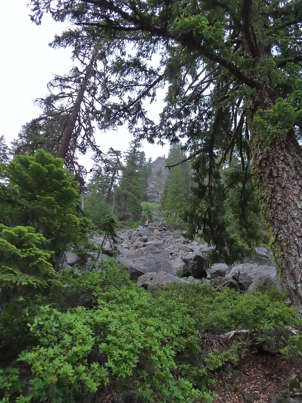 Passing below Bear Cub.
 Being an old road bed in unburt forest made for easy hiking.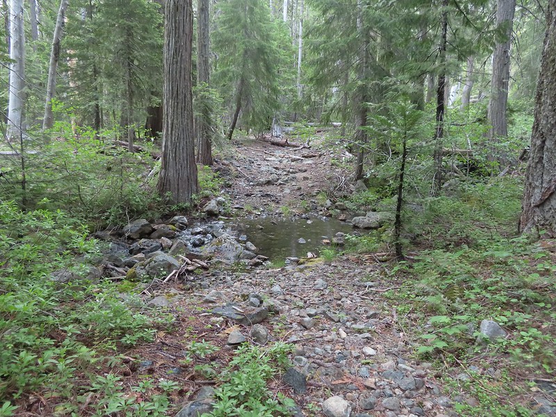
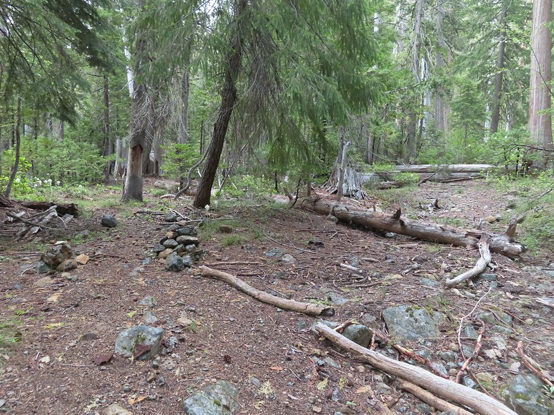

 Swtichbacking toward Bear Cub.
 Black Butte
 Heading downhill so we could go up.
 Creek crossing in the basin below Black Butte.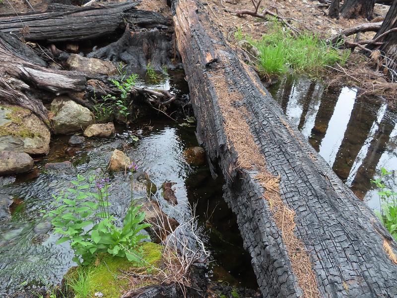
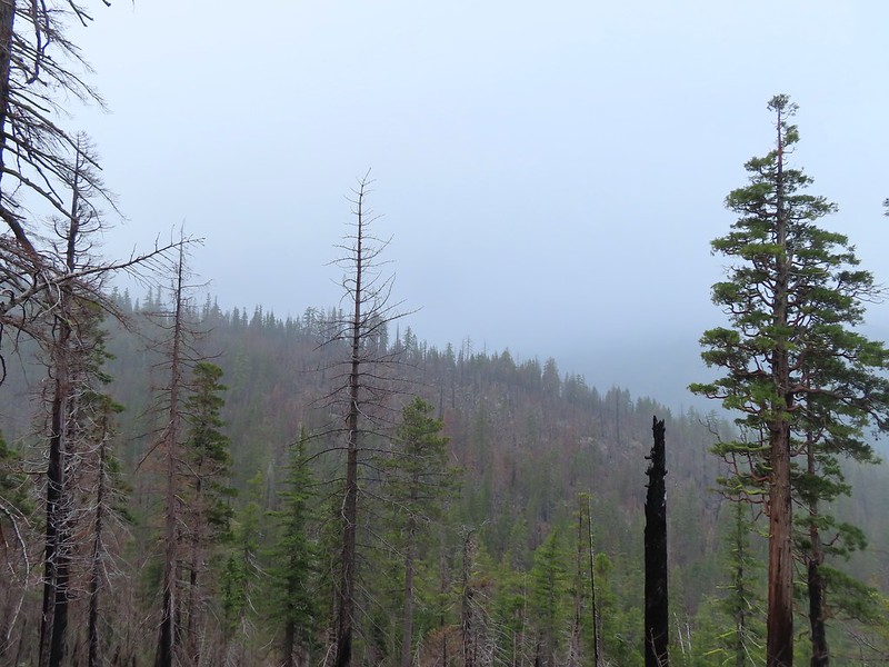 Looking back into the clouds where we’d come from.
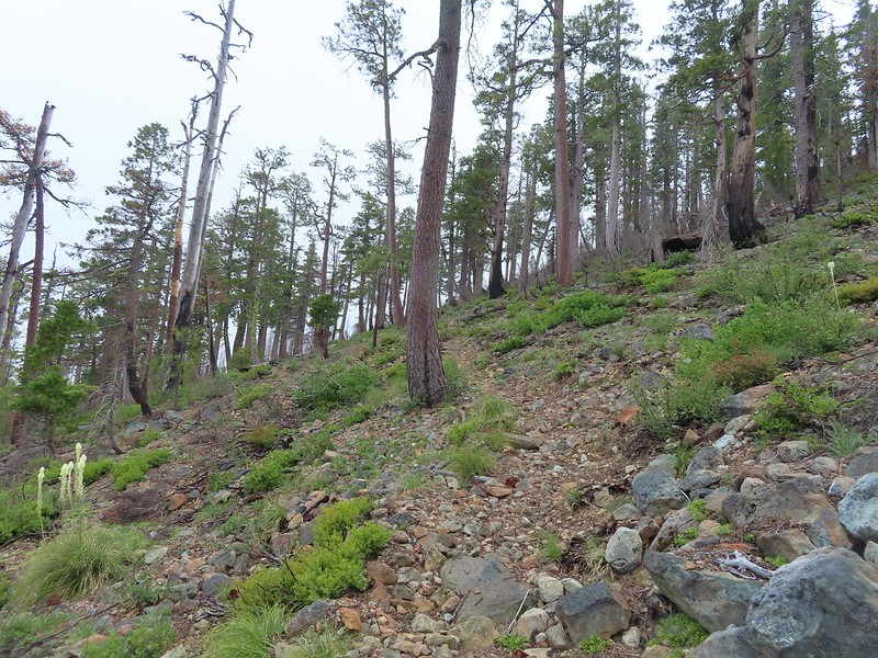 Steep climb up to the junction.
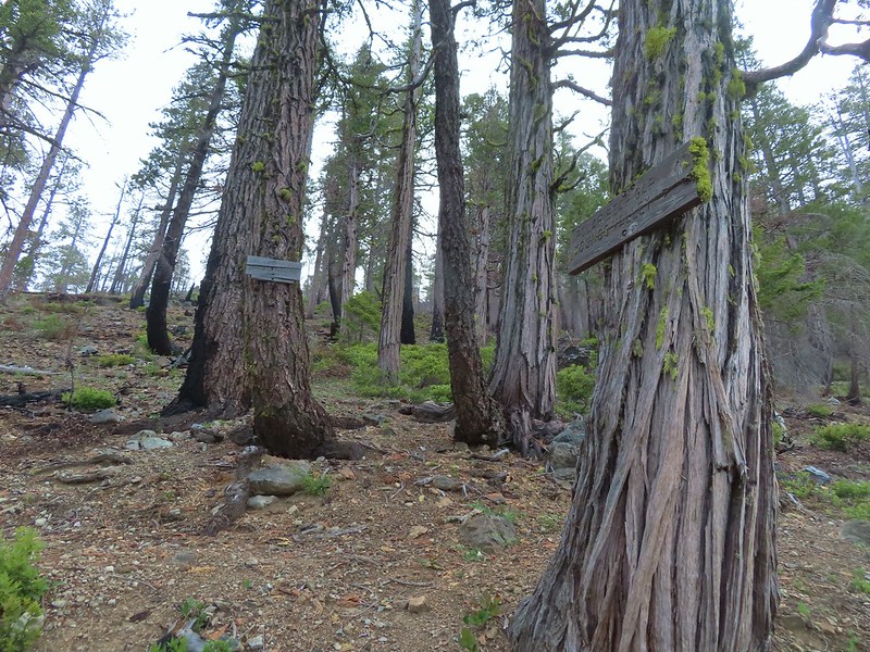 We made it back to the junction! Only 1.8 more miles to go.
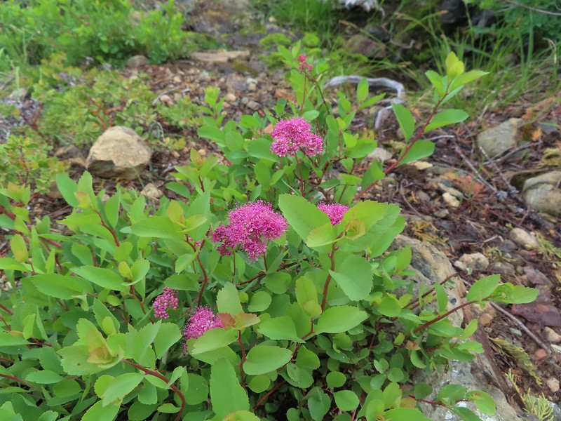 Spirea
 Pair of woodpeckers
 Why is there more uphill?
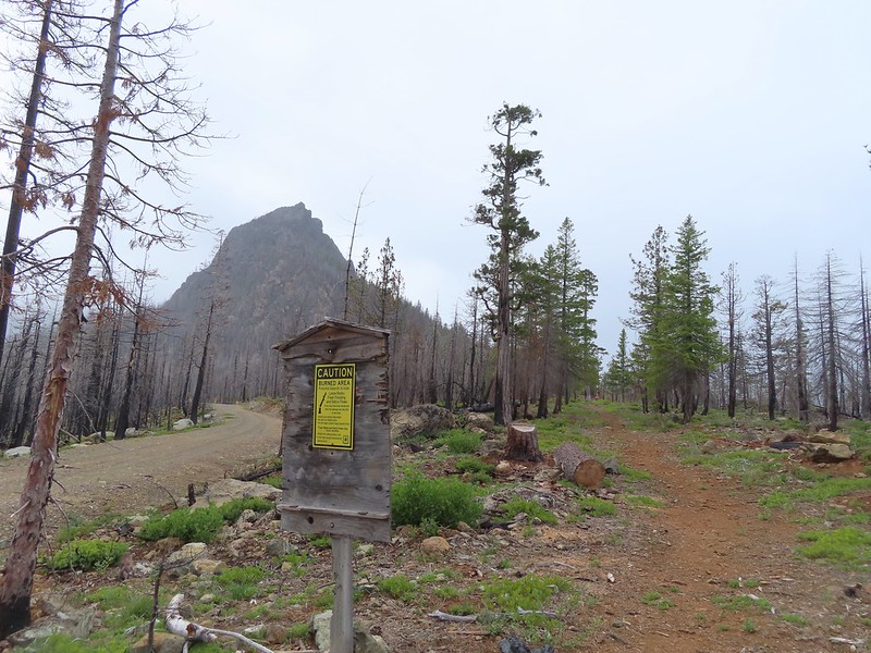 Black Butte from the trailhead with Heather coming down the trail.

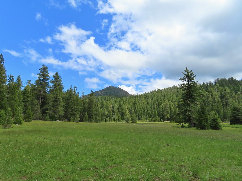
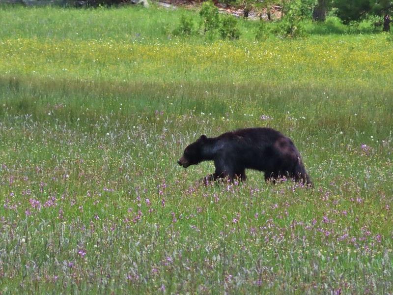
 There still wasn’t a lot of light in the valley but the bear was in with the tall tree in the middle of this picture.


 Heather watching the bear leave through the gap in the trees.
 The sign for the Clear Creek Trail on a tree to the right.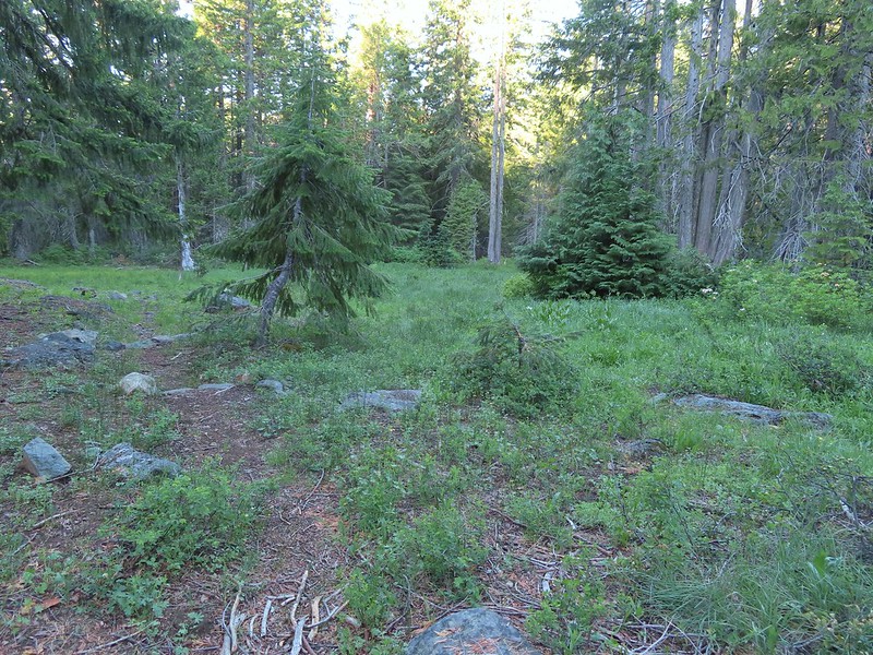

 Clear Creek below the trail.
 Anemone and star flowers
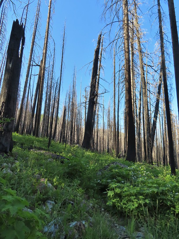
 Honeysuckle
 Rocky Knob
 One of several creek crossings. This one was a bit tricky to stay dry on but we both managed to do so on the first pass. Heather wasn’t so lucky on the way back though.
 Rayless arnica
 Pacific ninebark
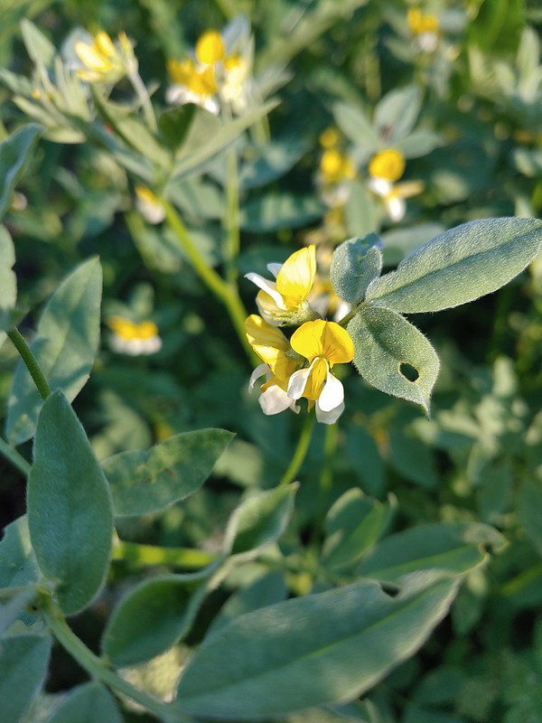 Streambank bird’s-foot trefoil
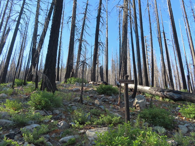 Sign for the Rattlesnake Meadows Trail which looked to be in much worse shape than the Clear Creek Trail.
 White-vein wintergreen
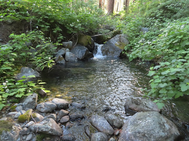
 Queens cup
 There was a small stream in the middle of the trees here.
 A colorful pea.
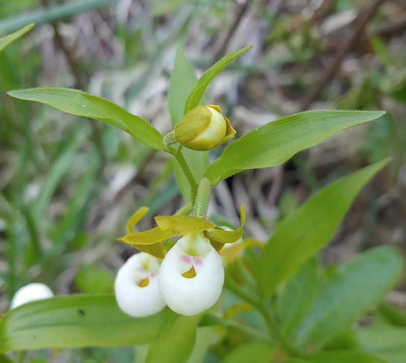

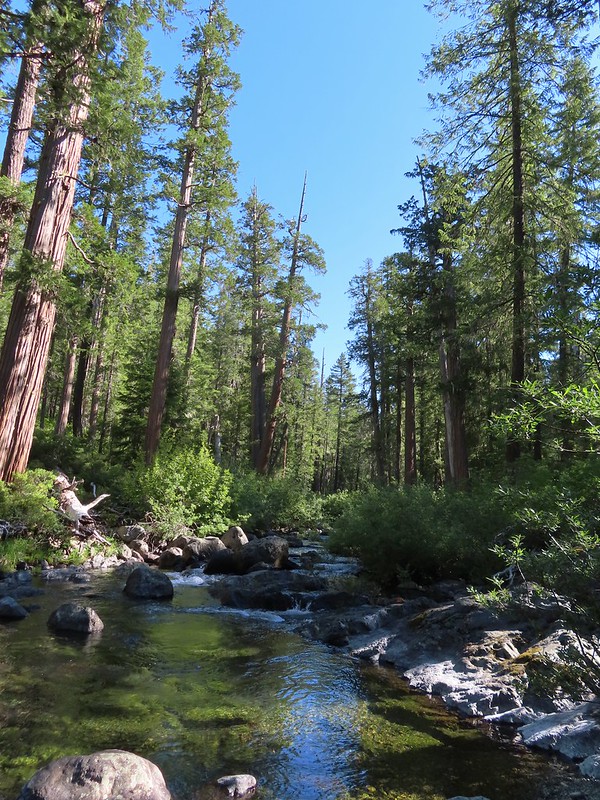

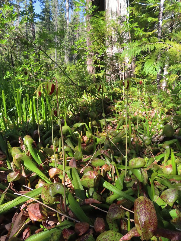

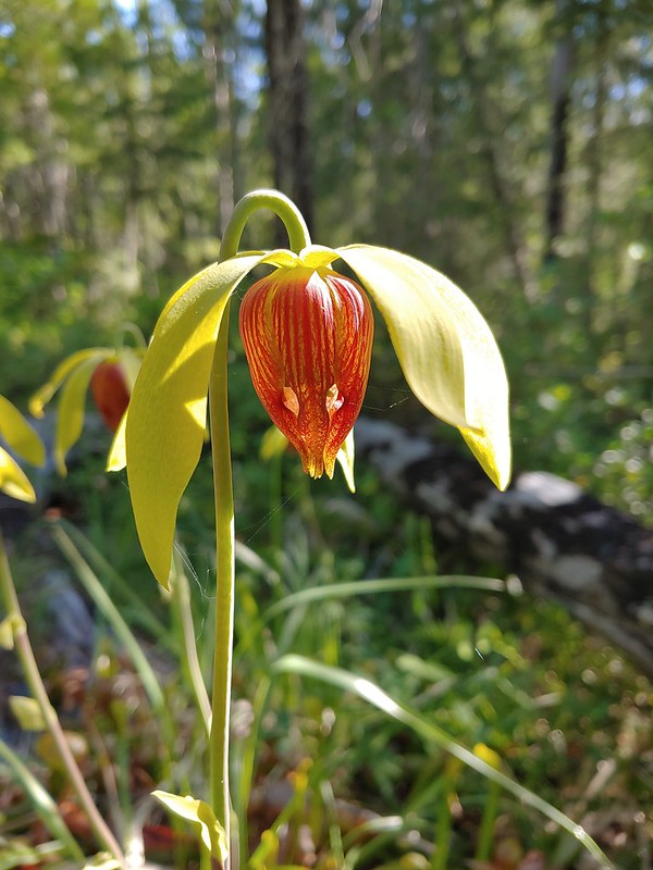
 The western azaleas smelled wonderful.
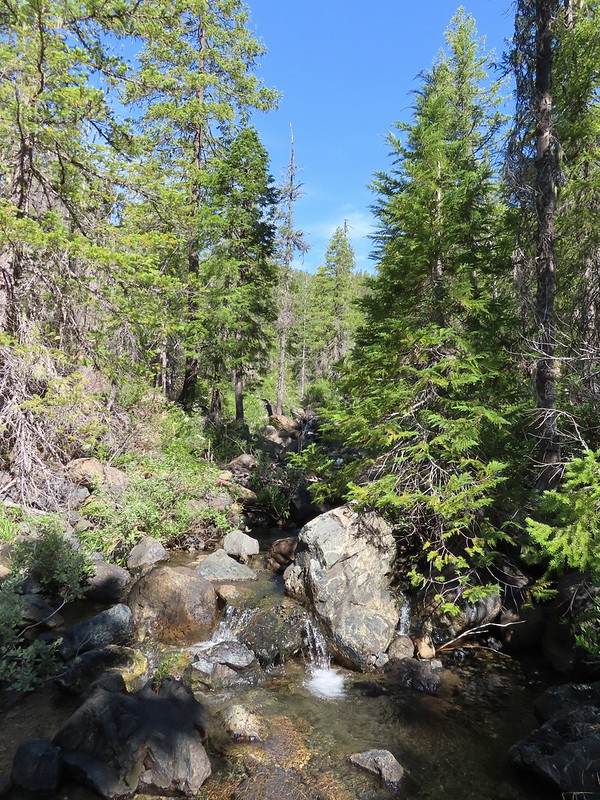 Another side creek.
 Another fire scar, this time from the 2017 Young fire.
 Silver-spotted skipper


 Chipmunk
 White-stemmed frasera
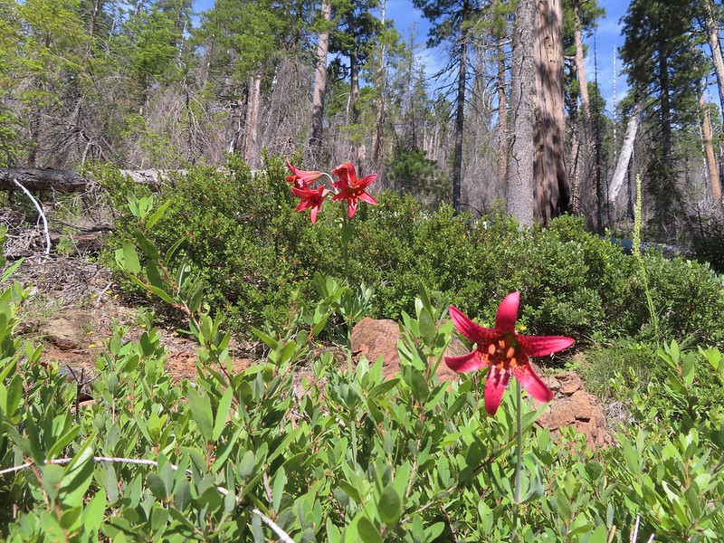 Bolander’s lily, another exciting find for us and the first time we’ve seen them.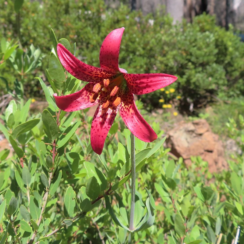
 Washington lily with a crab spider.
 Trail sign near Trout Camp.
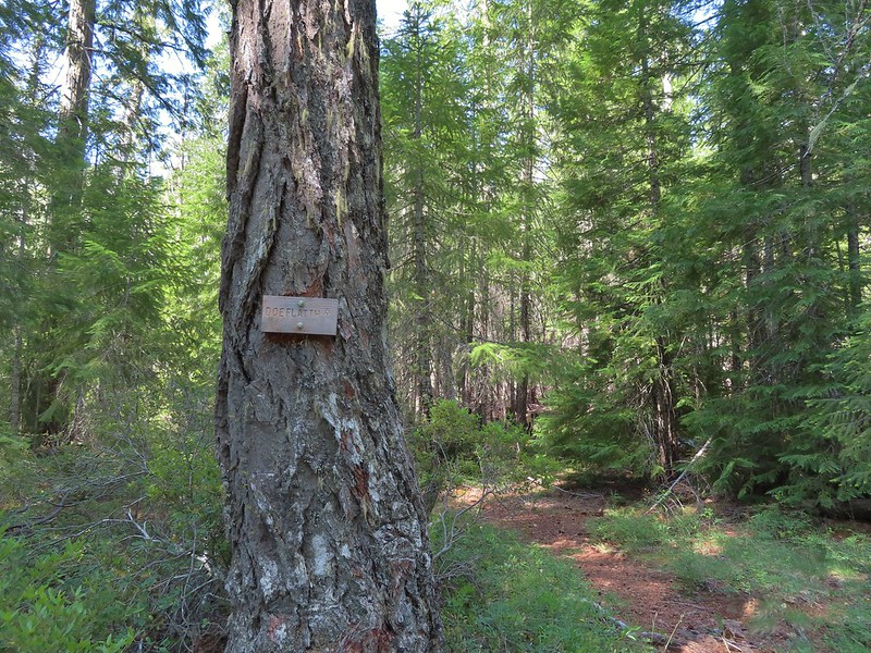 Sign for the Doe Flat Trail at Trout Camp.
 Doe Creek, we probably could have made it dry footed (I was able to on the way back.) but since we were already wet why bother.

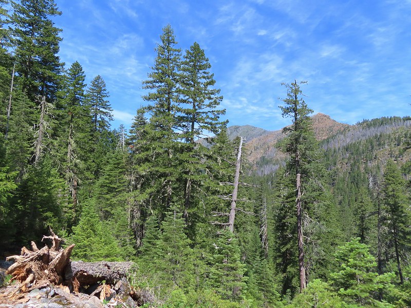 Twin Peaks in the distance.
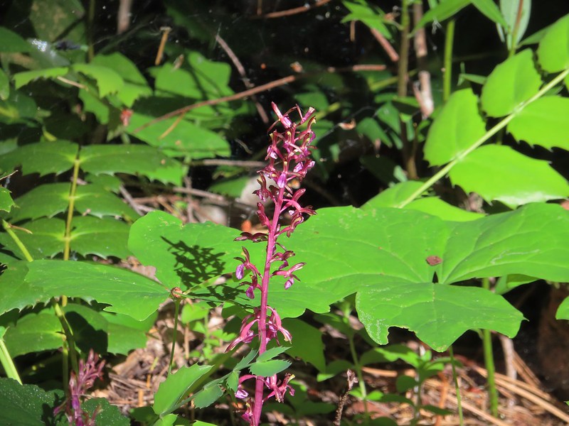 Pacific coralroot
 Phantom orchid
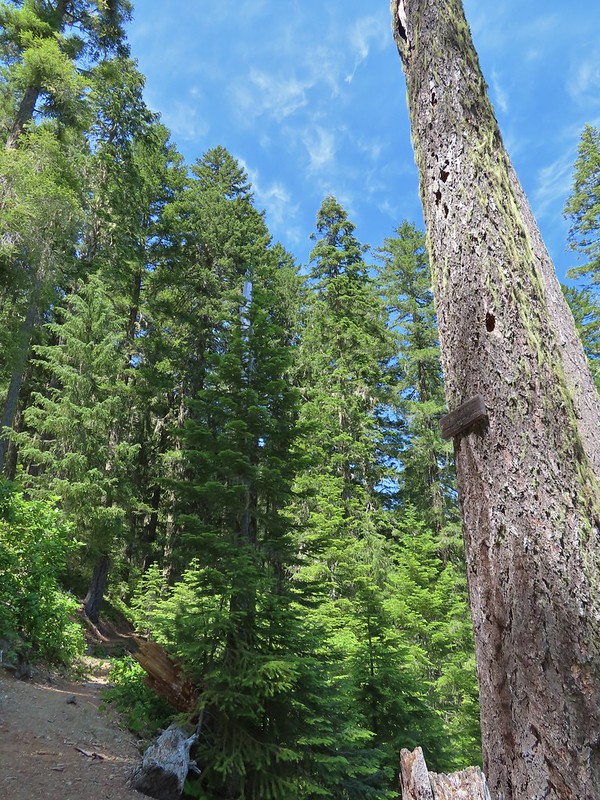 The Doe Flat Trail continuing on from the junction.
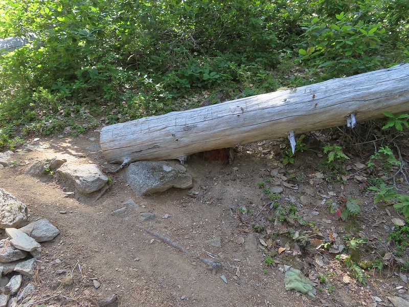
 The flat top of Black Butte in the distance.
 Bear Mountain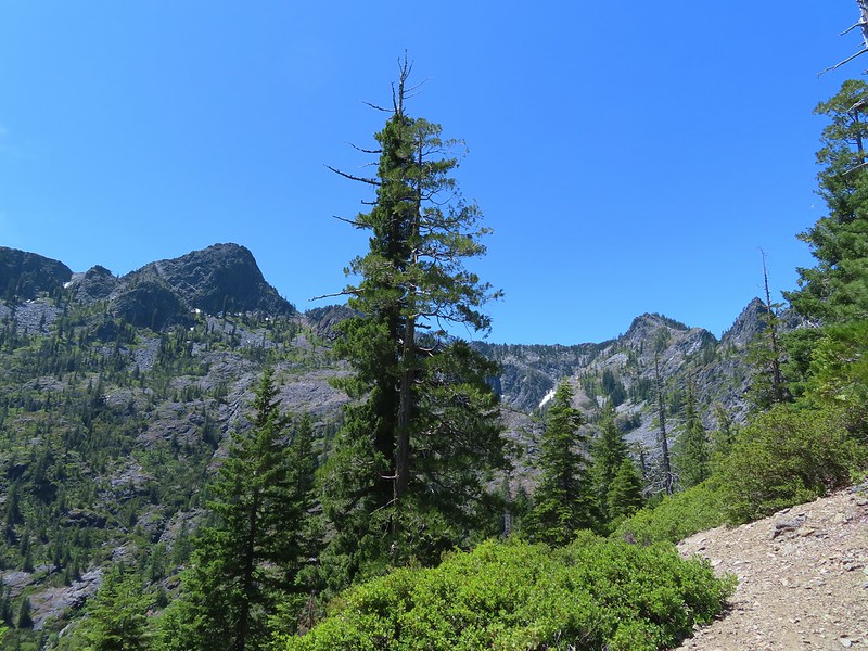
 Blue-head gilia
 Oregon sunshine


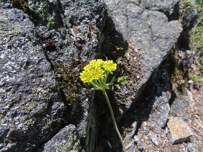 Buckwheat
 Siskiyou lewisia
 Preston Peak


 Pussypaws
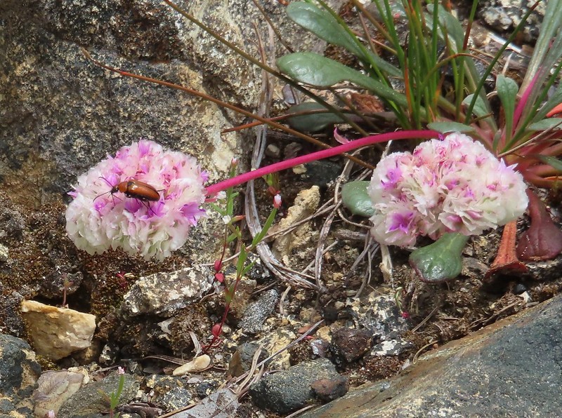 Beetle on a pussypaw
 Swallowtail on azalea
 Silver-spotted skipper on Siskiyou lewisia
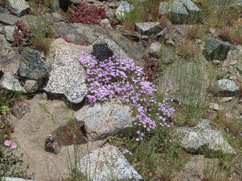 Phlox
Phlox
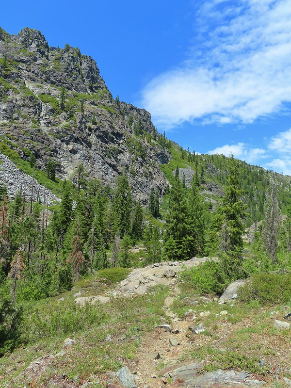 There is a rock arch atop the ridge near the left hand side.
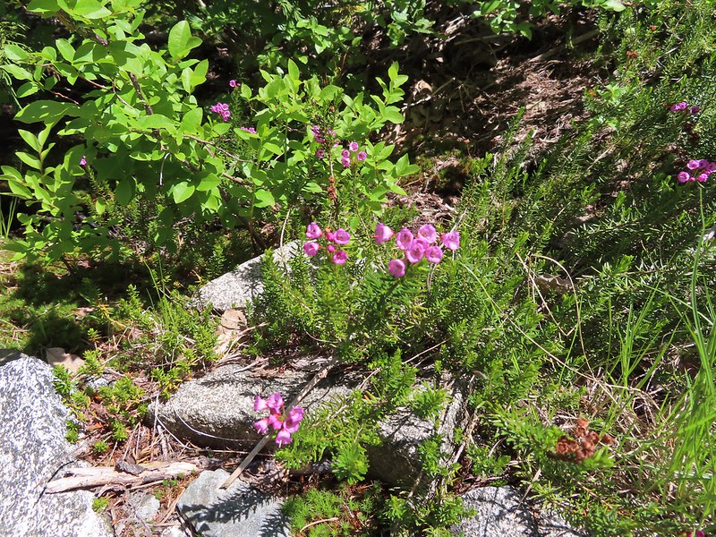 Mountain heather
 Green beetle
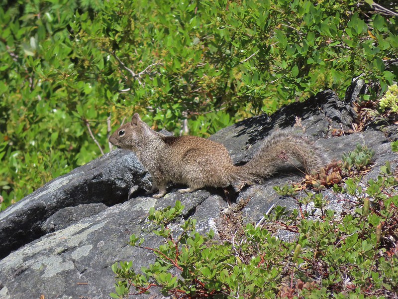 Ground squirrel
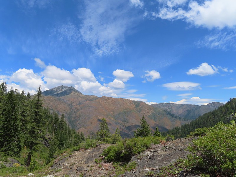 Clouds gathering around Preston Peak.
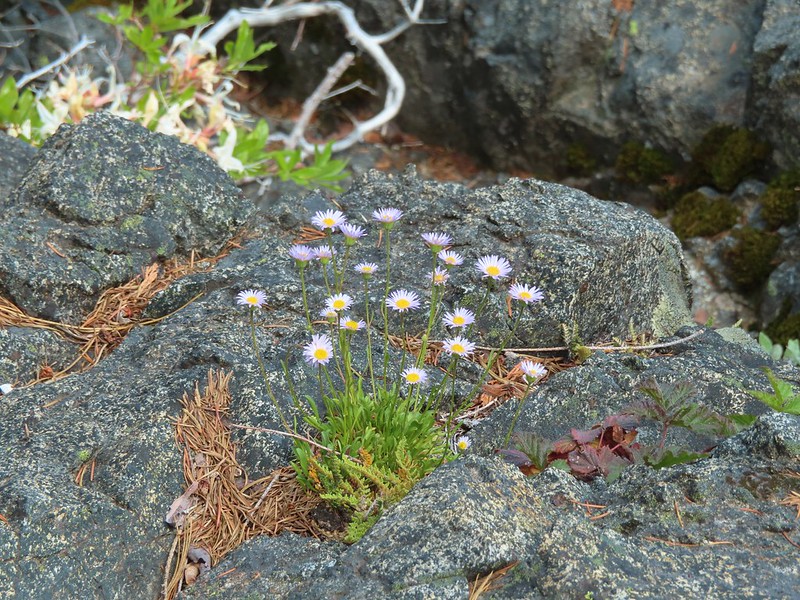 Fleabane near the pool.
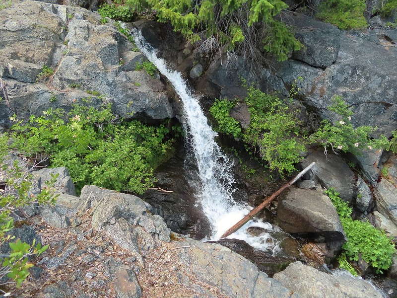 Waterfall along the outlet creek.
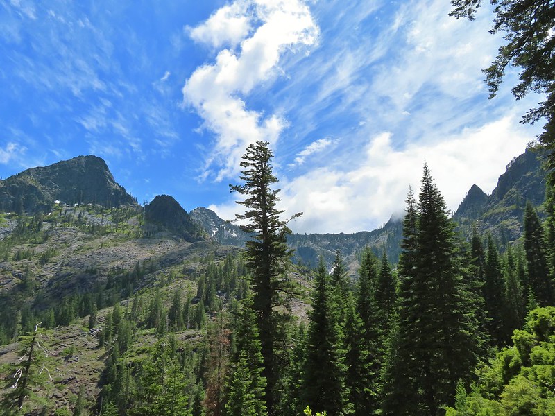 Clouds over Devil’s Punchbowl.
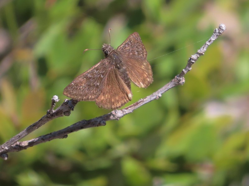 A duskywing
 More clouds to the north.
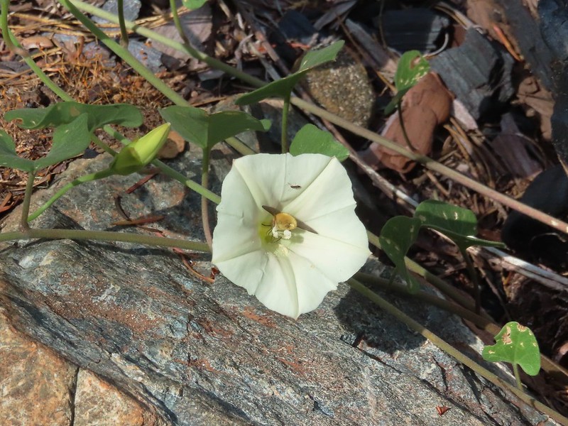 Bee in bindweed with a little ant observing.
 Back at the ford.
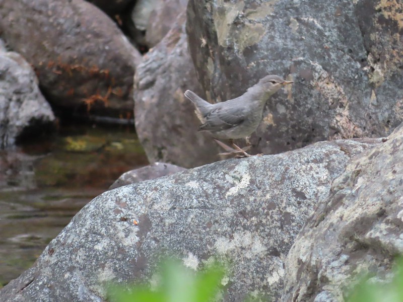 Ouzel at the Clear Creek ford.
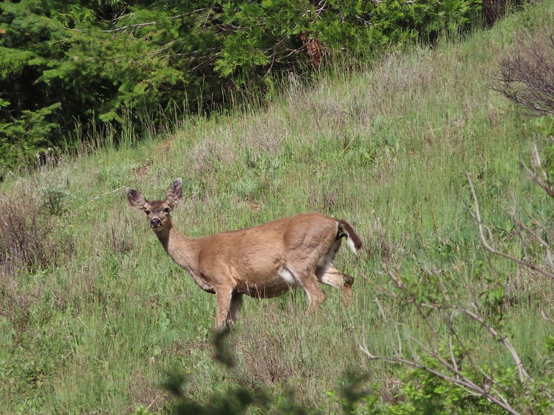
 Doe in the forest.
 This little guy had a pretty song.
 Arriving back at Youngs Valley.
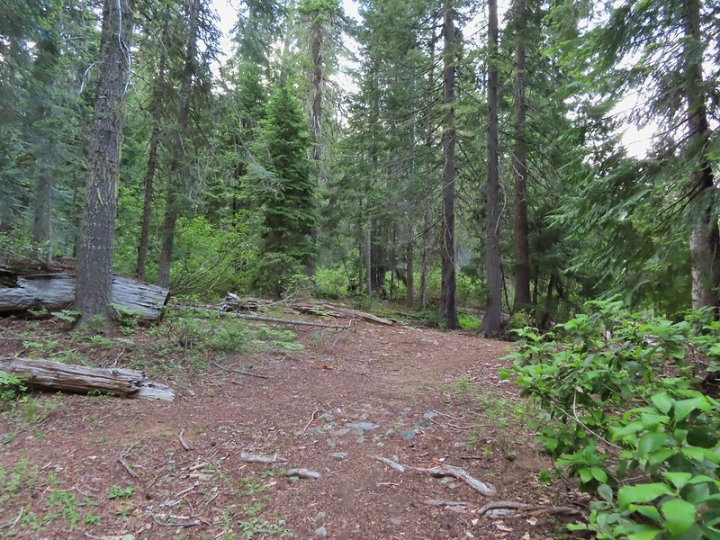 The bear in the middle of the photo behind a small leaning tree.

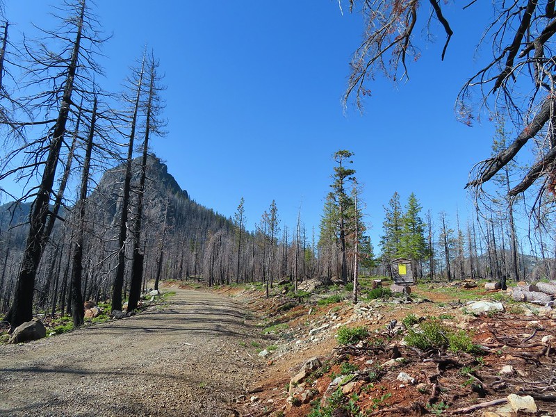 Black Butte from the Black Butte Trailhead.
 Penstemon
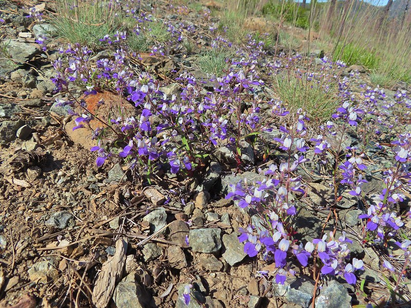 Narrowleaf blue eyed Mary
 Siskiyou mountain ragwort
 Wedgeleaf violet
 Sanger Peak
 More penstemon
 Phlox
Phlox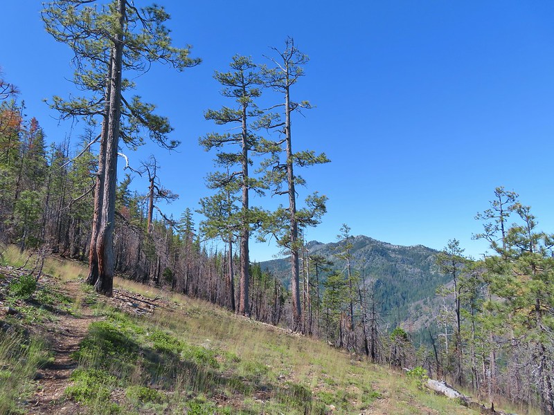 Youngs Peak
 It turned out to be a beargrass year, at least in the northern part of the wilderness.
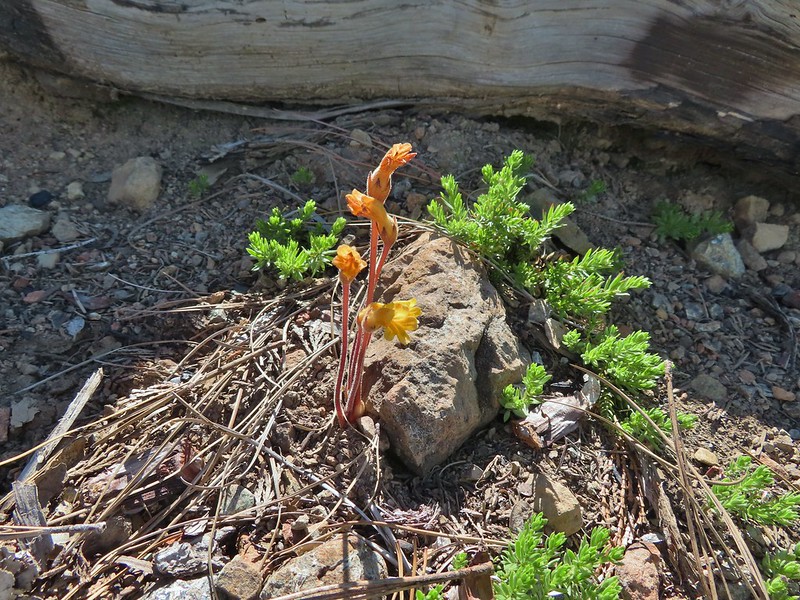 Clustered broomrape
 Paintbrush
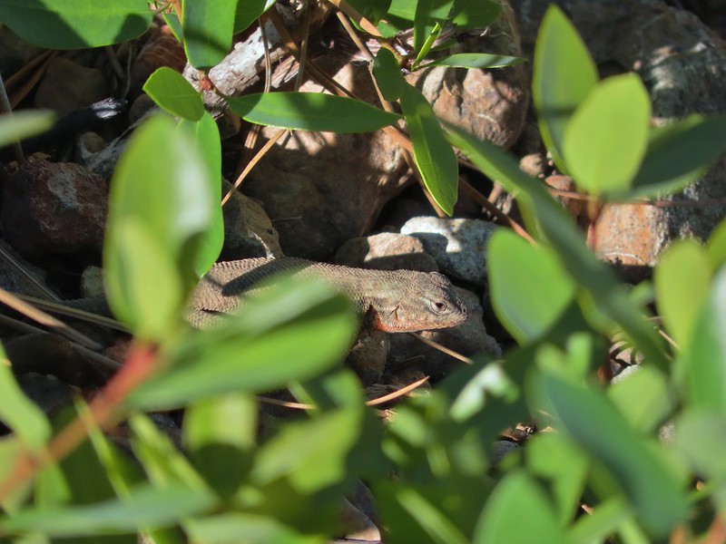 Lizard
 El Capitan with the snow behind Bear Cub. Bear Mountain is the high point in the center distance with Rocky Knob to the right front of it. Youngs Peak is the high point to the far right of the frame at the end of the ridge.
 Looking up at Black Butte.
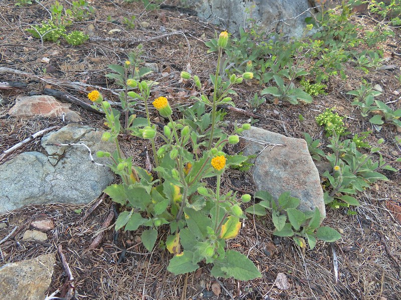 Rayless arnica
 Big deervetch
 The junction with the tie trail.
 Polar Bear Mountain ahead.
 Azalea
 A sulphur butterfly
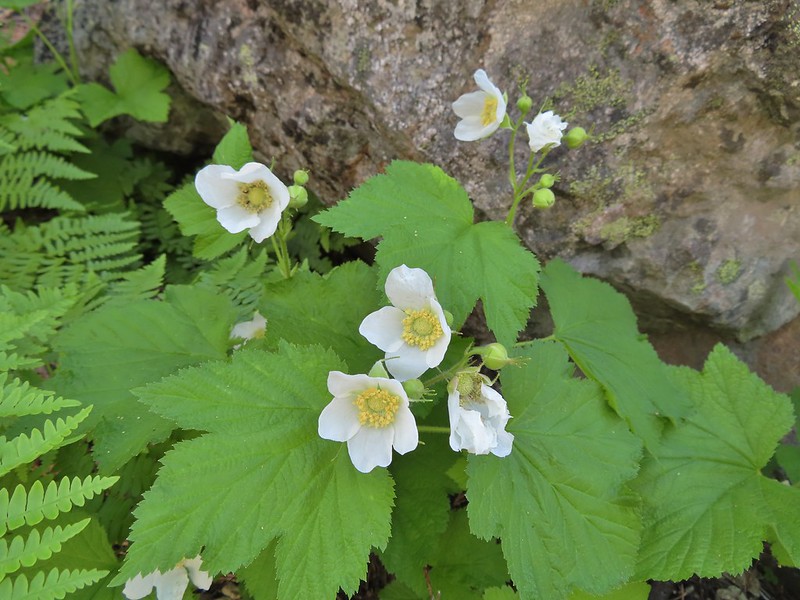 Thimbleberry blossoms
 A tortoiseshell on thimbleberry.
 Wallflower
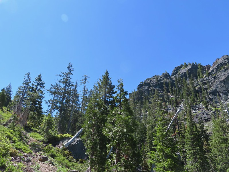 The trail steepened considerably as it made the final climb to the gap.
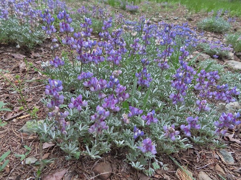
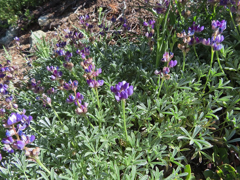 Lupine
 Lewis flax
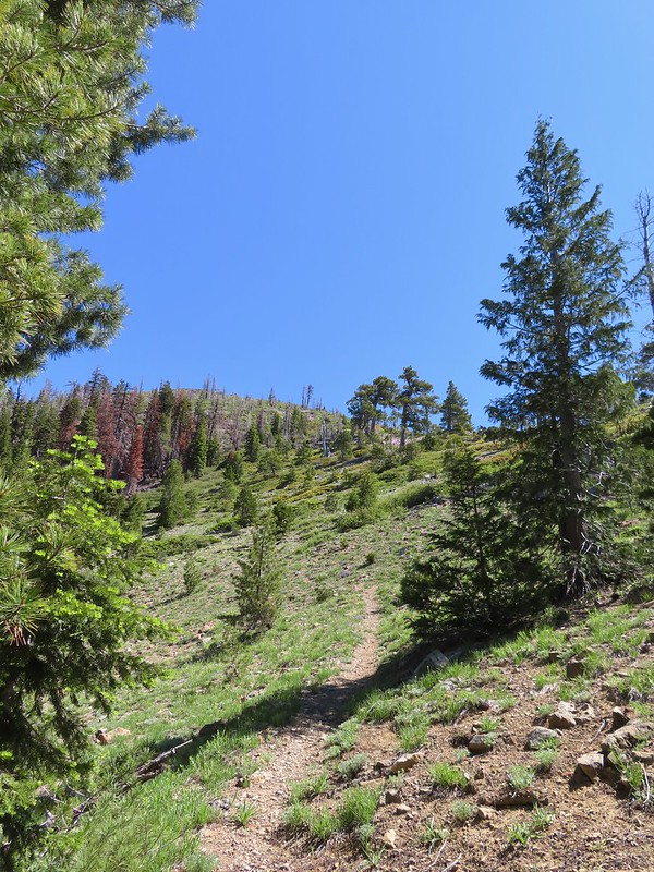 Lookout Mountain
 Paintbrush
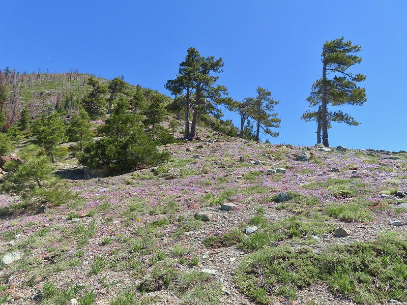 A carpet of narrowleaf blue eyed Mary at Polar Bear Gap
 Nuttall’s sandwort surrounded by blue eyed Mary.
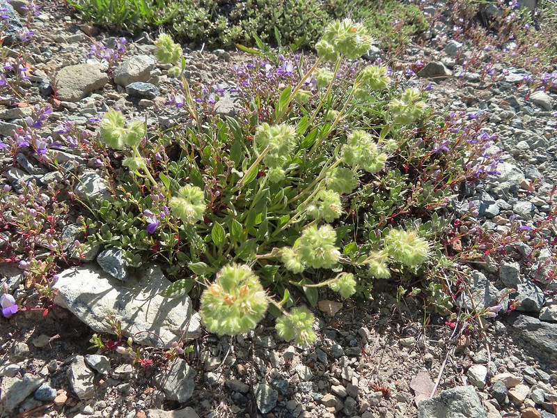 Serpentine phacelia
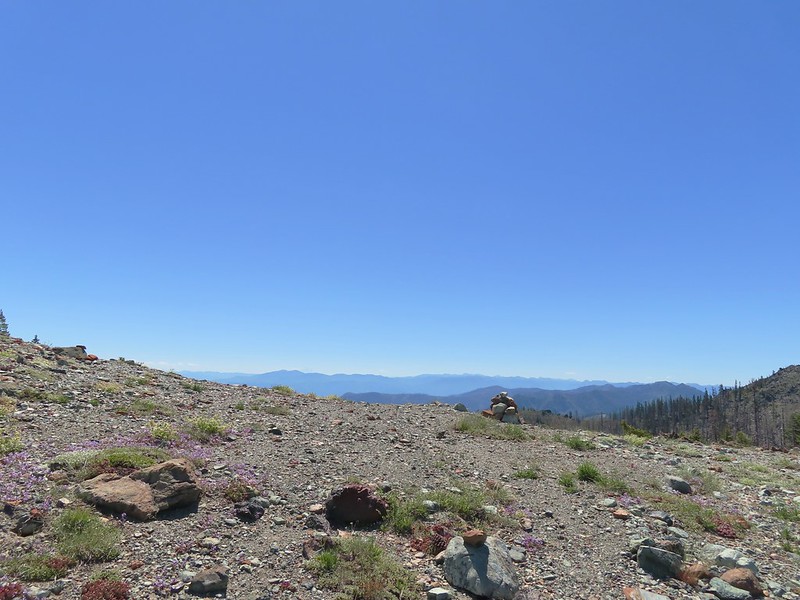 Polar Bear Gap
 Lookout Mountain
 Polar Bear Mountain
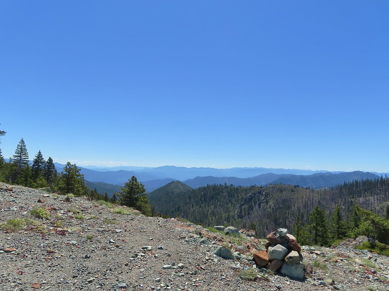 Looking east toward Mt. Shasta.
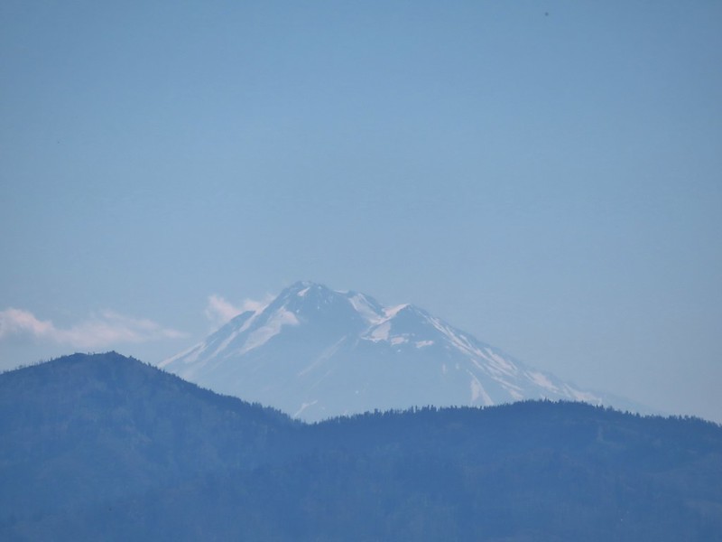 Mt. Shasta
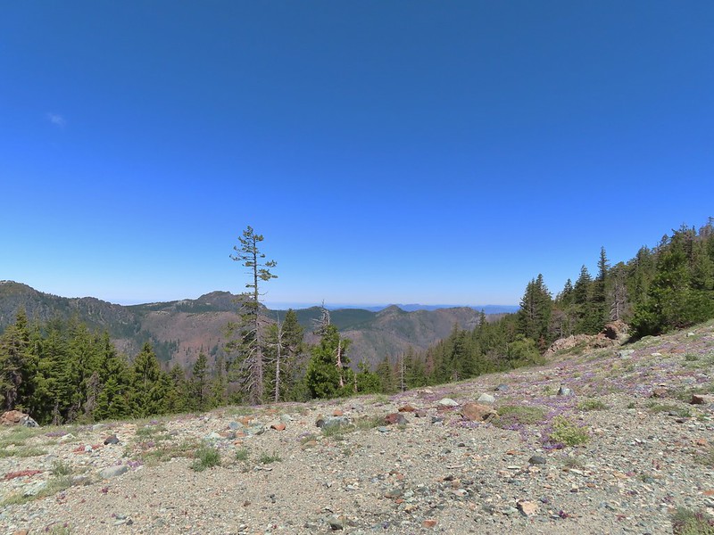 Looking west toward Sanger Peak.
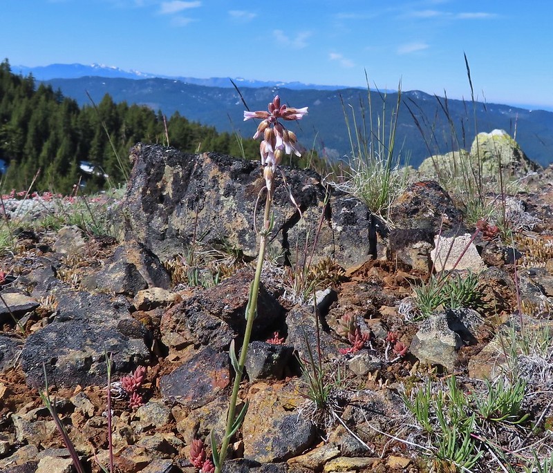
 Sickle-leaved Onion
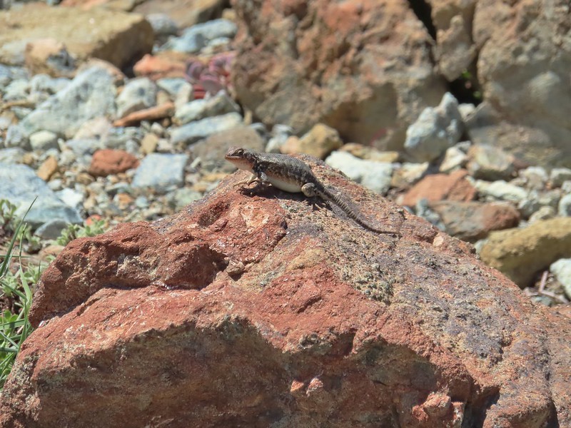 There were lots of lizards in the area.
 Heading down into Twin Valley
 Paintbrush and penstemon along the trail.
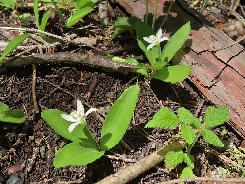 Queen’s cup
 Frog
Frog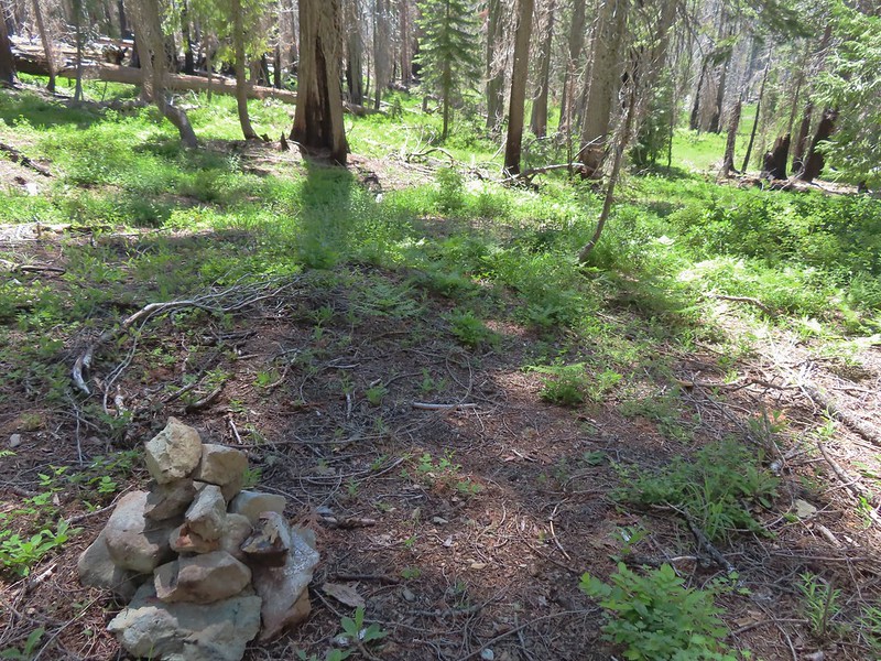
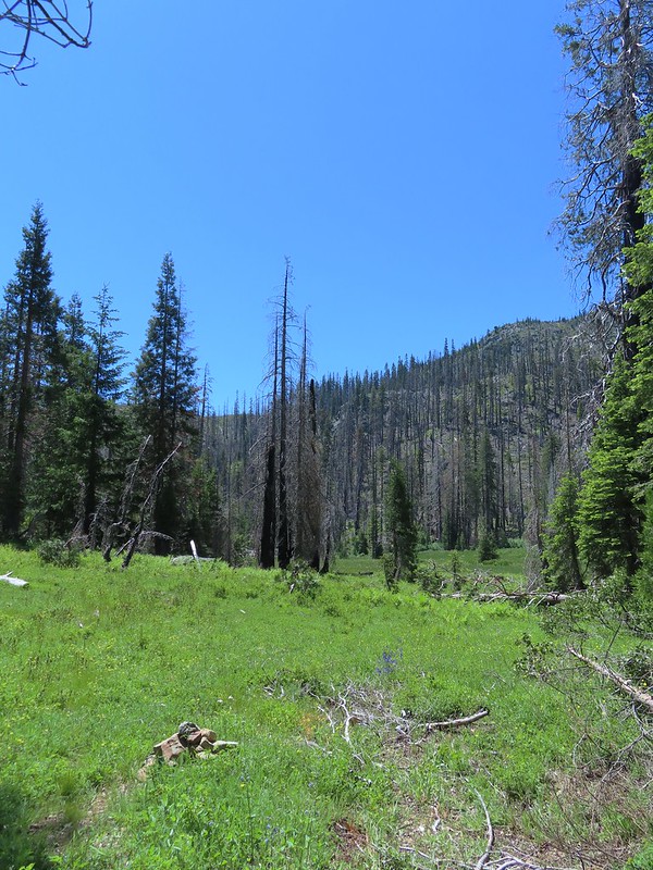
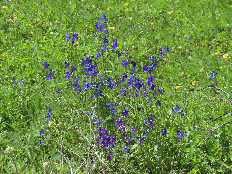 Larkspur
 The yellow is a cinquefoil I believe but I don’t know what the other dark flower is.
 Meadow in Twin Valley.
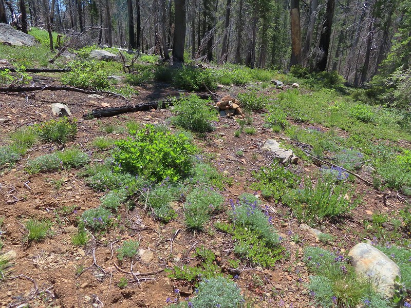 Heading down to a stream crossing between the two meadows.
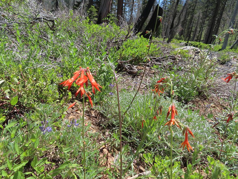 Scarlet gilia
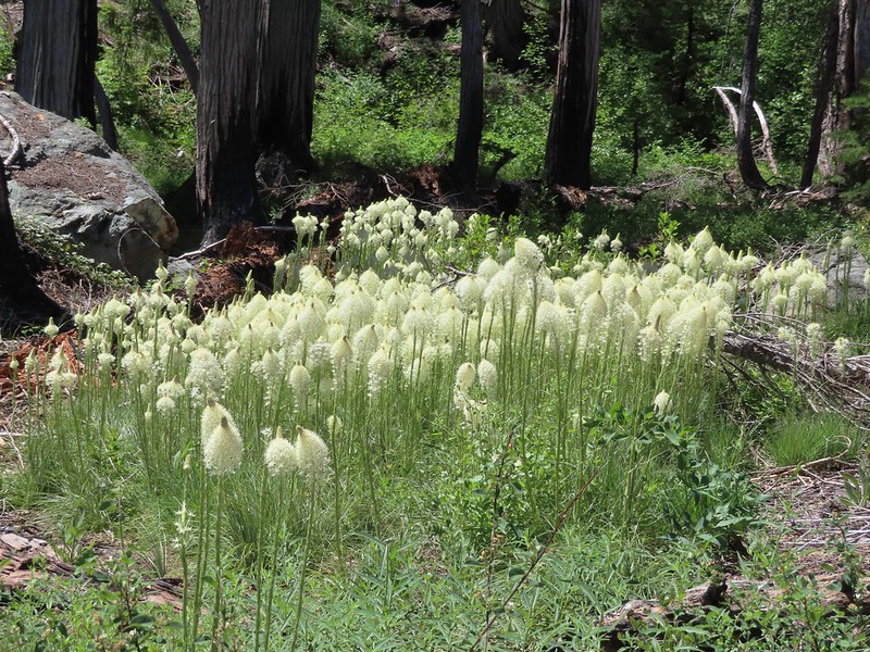 Beargrass
 Creek crossing.
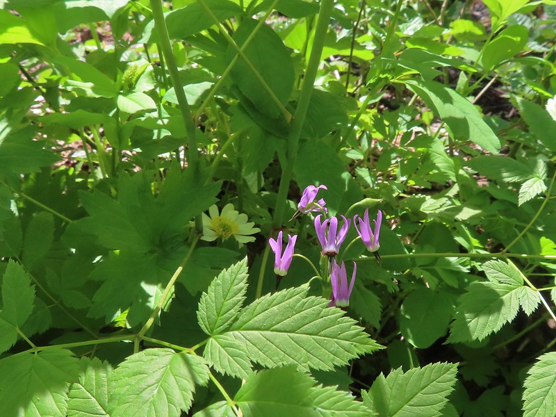 Shooting star and marsh marigold.
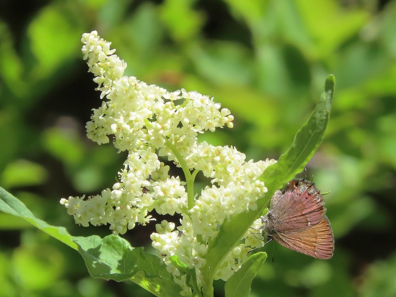 A hairstreak butterfly
 Columbine and cinquefoil
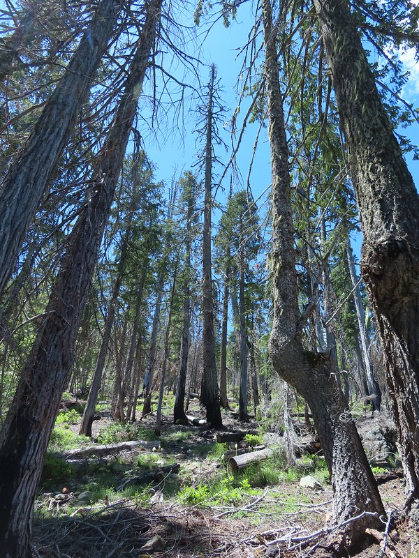 Cut logs helped identify where the trail was supposed to be.
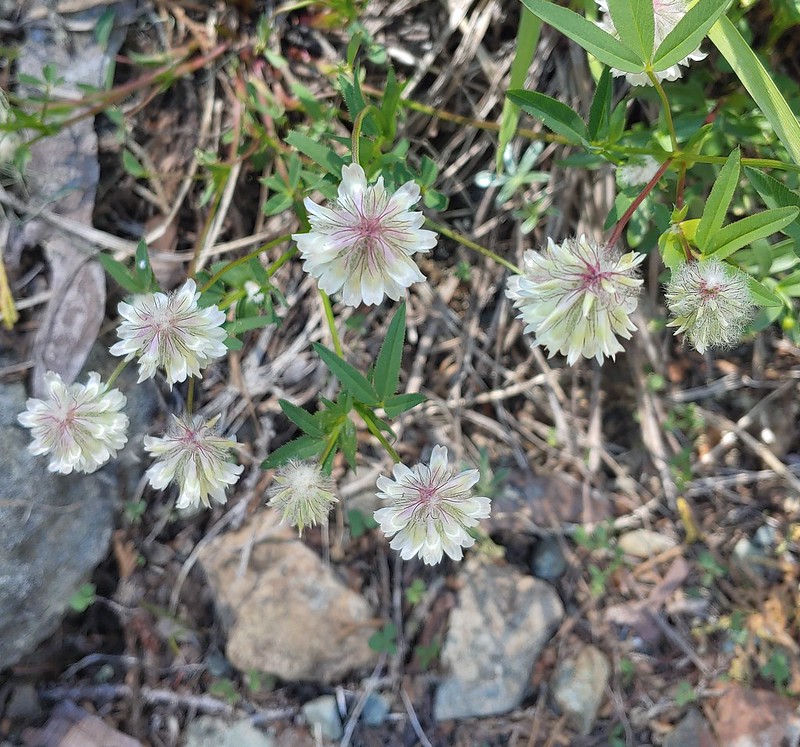 Wolley-head clover
 Oregon violet
 Polar Bear Gap from the Poker Flat Trail.
 Looking up toward the ridge end.
 Iris at the ridge end.
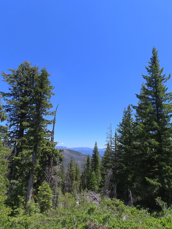 Red Buttes (
 Red Buttes
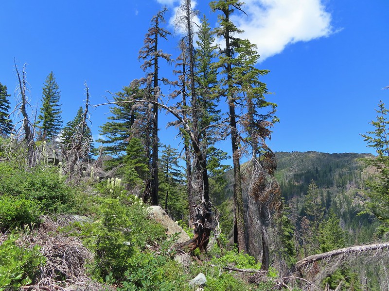 Lookout Mountain from the ridge end.
 Bee visiting penstemon.
 The Lieutenants and El Capitain
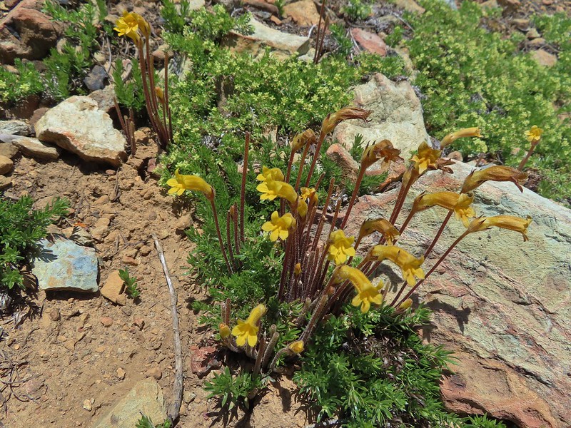 Clustered broomrape
 We were starting to see a lot of bear sign.
 An as-of-yet unidentified flower.
 This may be sticky blue eyed Mary.
 Mariposa lily
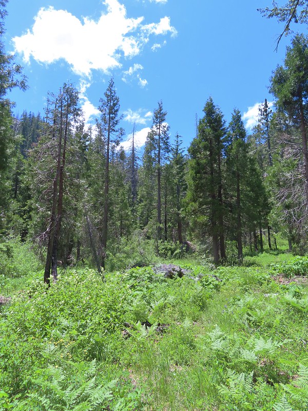 More faint trail.
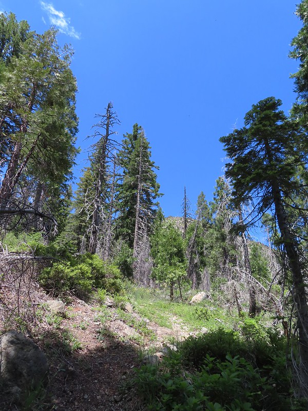 Time to climb.
 Anemone
 Meadow along the Poker Flat Trail.
 Approaching Private Lake.
 Siskiyou lewisia
 Private Lake below The Lieutenants.

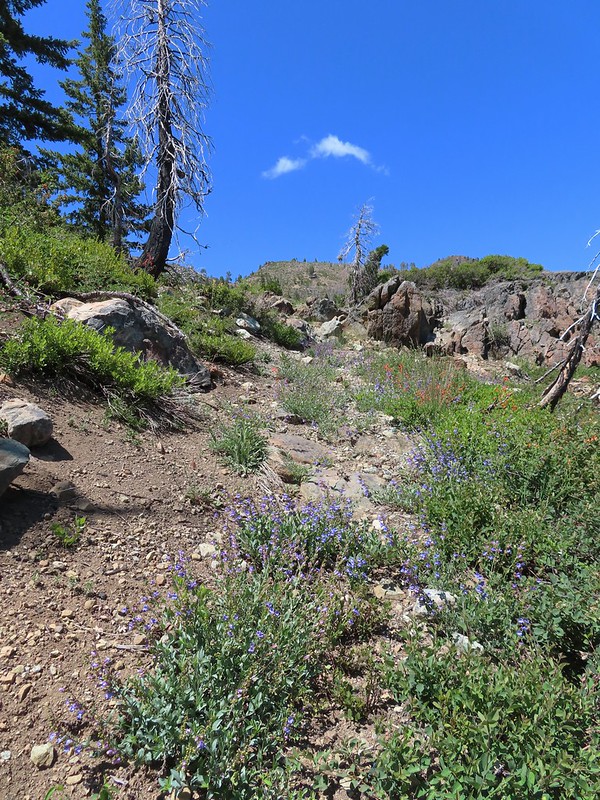
 Scarlet gilia and penstemon
 Heather heading for the pass.
 Arnica
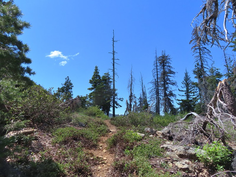 Nearing the pass.
 Bear Cub
 Youngs Peak just to the left of the snag.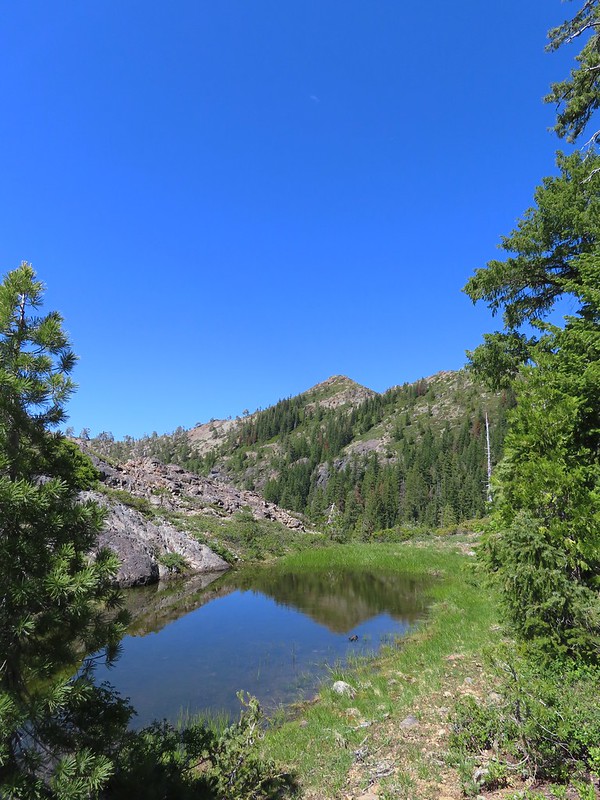
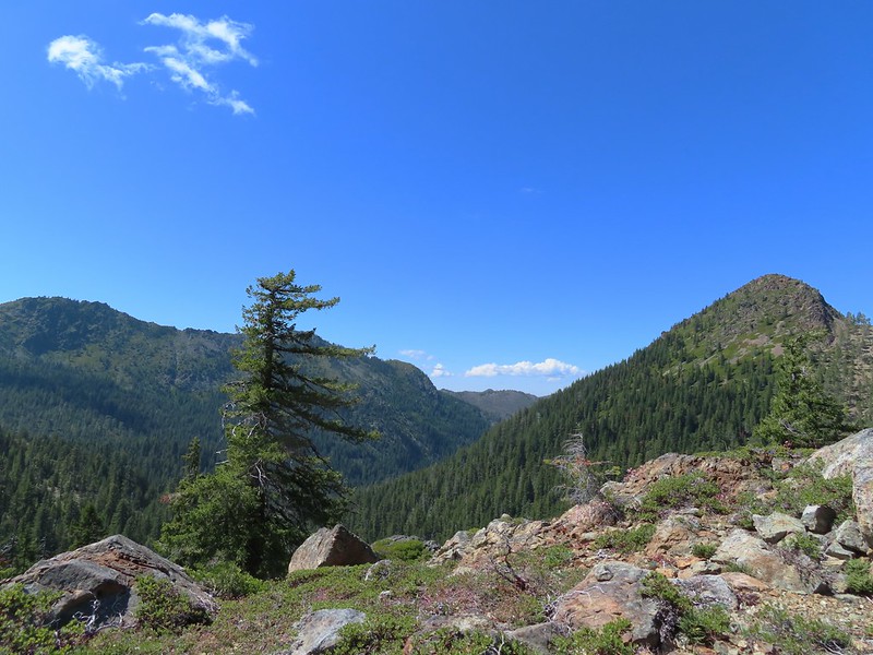 Bear Cub on the right.
 Youngs Peak behind the tree.
 Finally out of the fire scars.
 Snow plant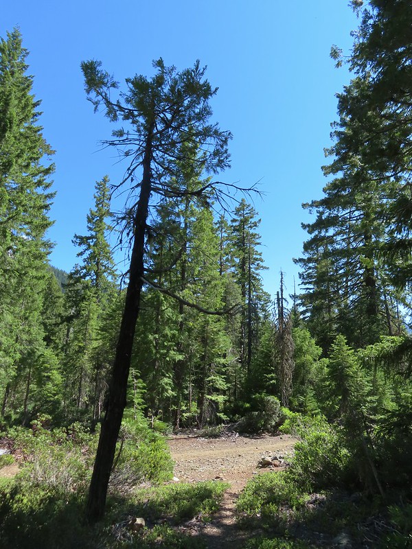
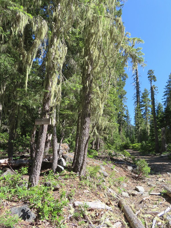 Sign for Raspberry Lake at the Raspberry Lake Trail/Clear Creek National Recreation Trail junction where we correctly turned left.
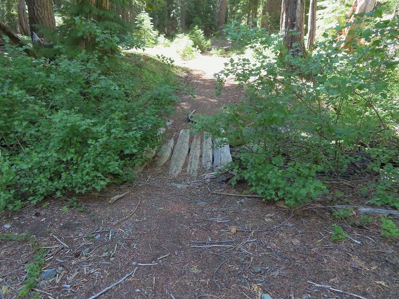 Footbridge over the creek.
 Bear Cub from Youngs Valley.
 Camp
Camp Dragon fly
 El Capitan
 Bucks in the meadow.
 Caterpillar
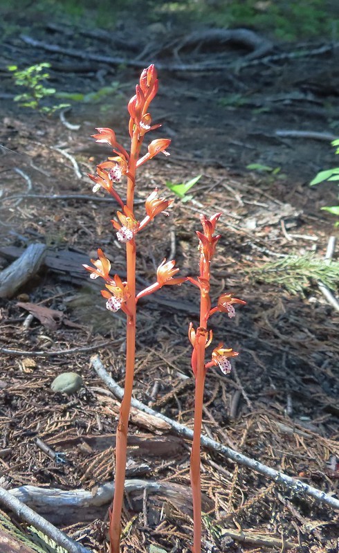 Spotted coralroot
 Wedgeleaf violets
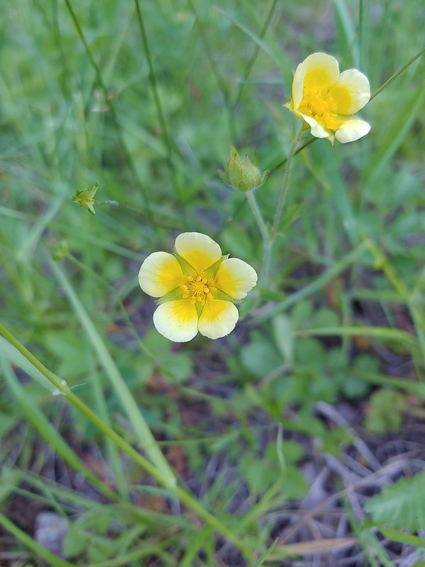 Maybe a cinquefoil
 Bistort
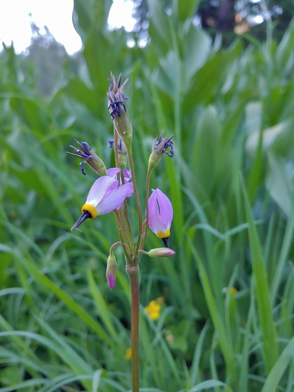 Shooting star
 Monkeyflower
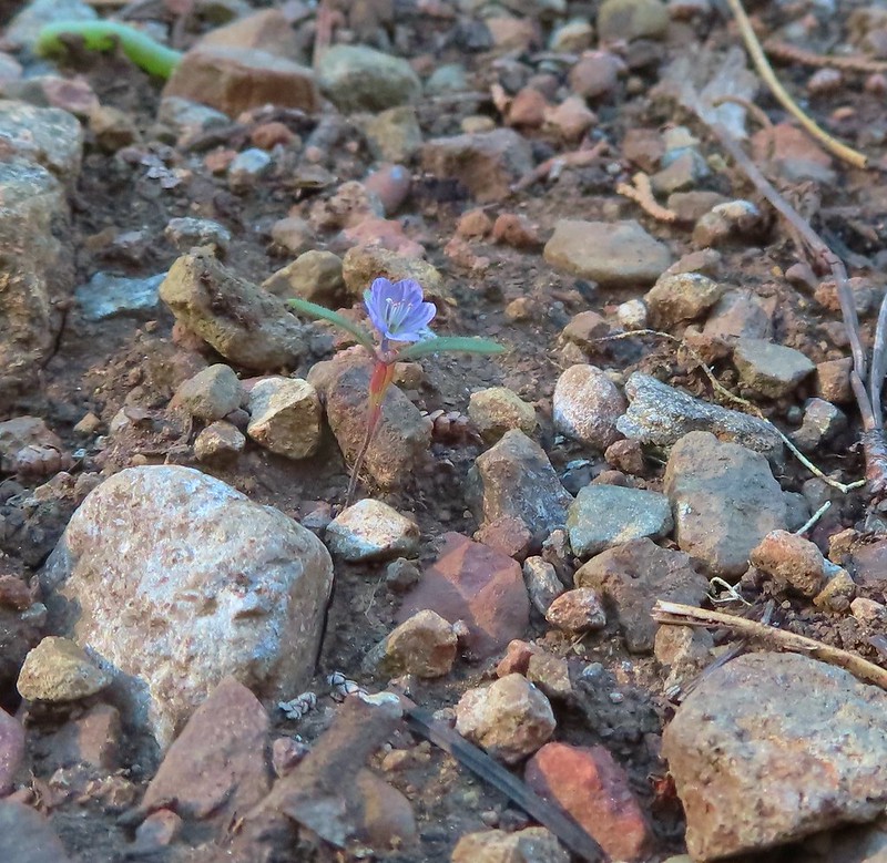 There were quite a few of these tiny flowers. I haven’t been able to identify this one yet.

 FR 8123

 It appeared the trail had been rerouted at least a couple of times to cross this dry creek bed.


 Fence at the boundary for the Research Area.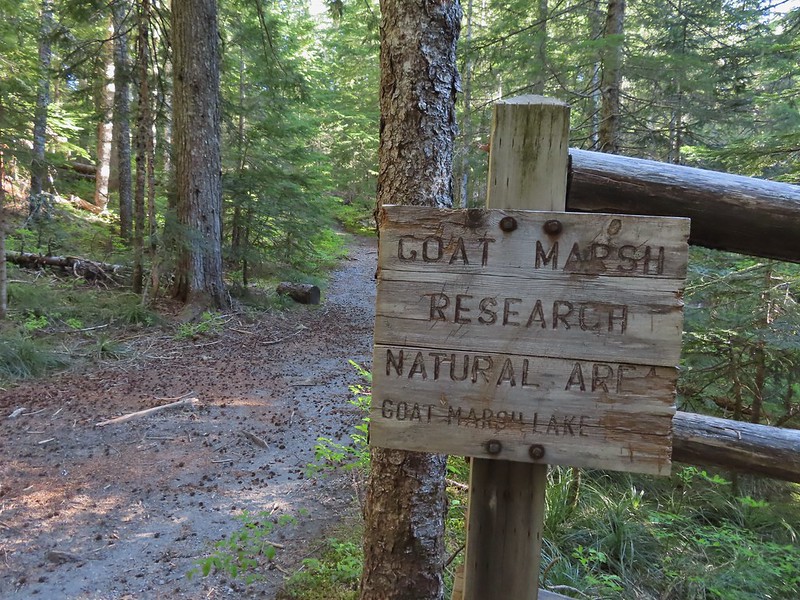
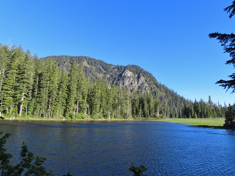 Goat Mountain and Goat Marsh Lake.
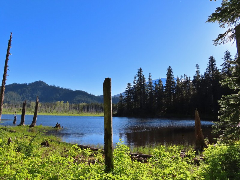 Mt. St. Helens
 Trillium
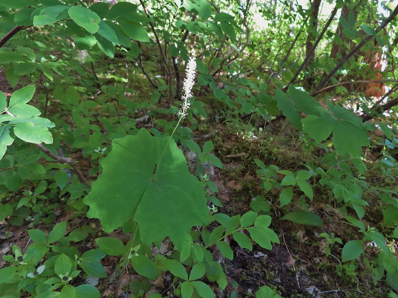 Vanilla leaf

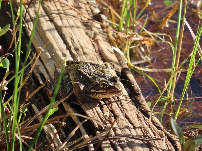 Frog on a log.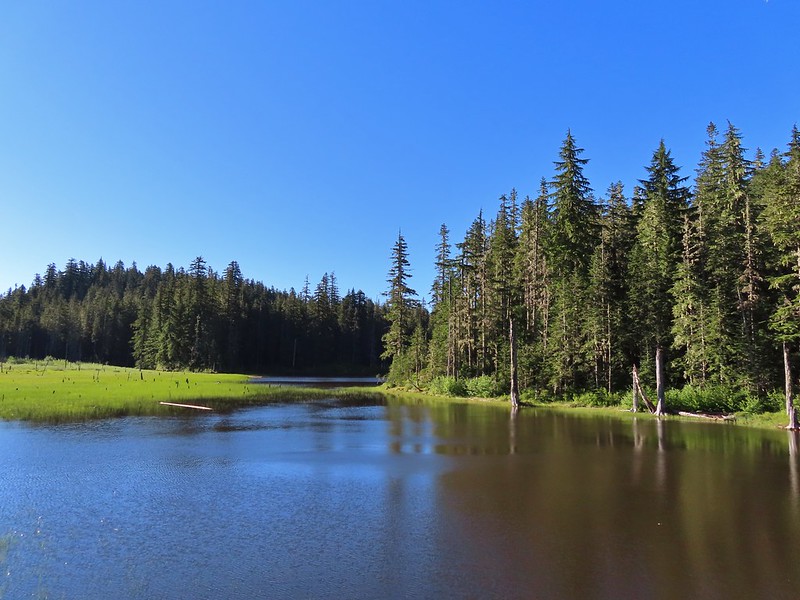
 The two cow elk in the middle of the grassy area.

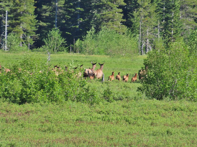 Calves lined up, this one is a bit blurry due to them moving and the amount of zoom used.
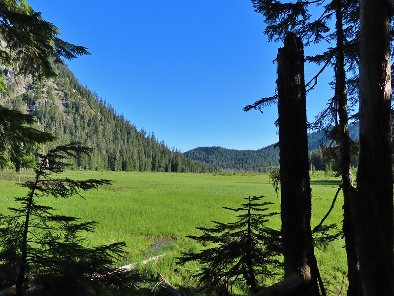 The elk herd not zoomed in.
 Zoomed
 Coralroot
 Goat Mountain
 Avalanche lilies
 Mt. St. Helens
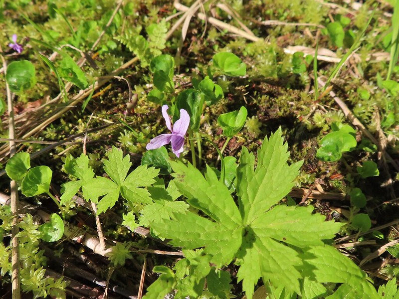 Marsh violet
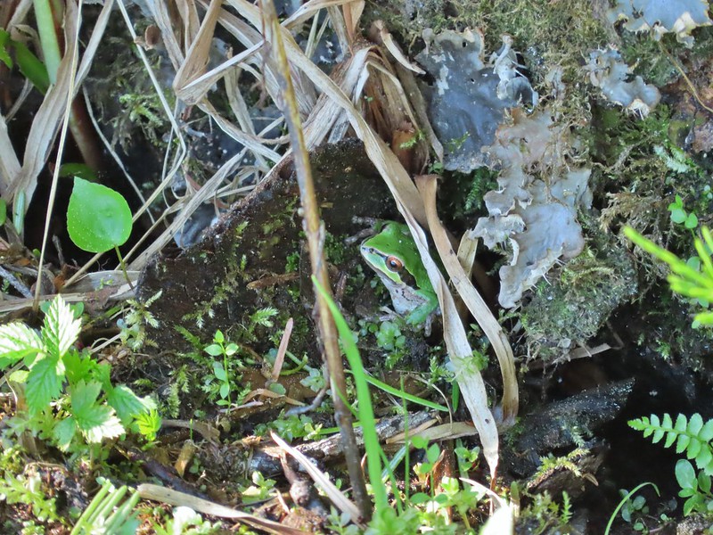 Frog under a log.
 Salmonberry
 Sign near the end of the trail.
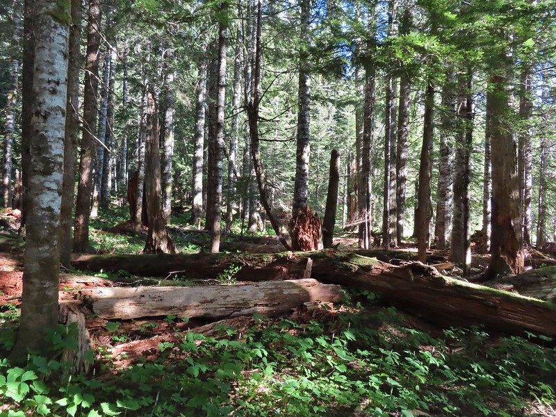 At the end of the trail.
 Beaver lodge
 Duck and ducklings
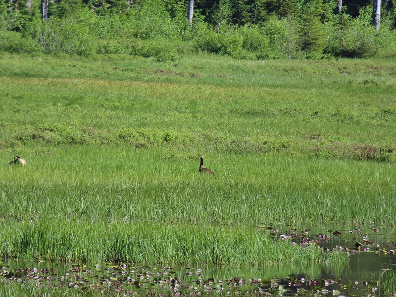 Geese out in the grass.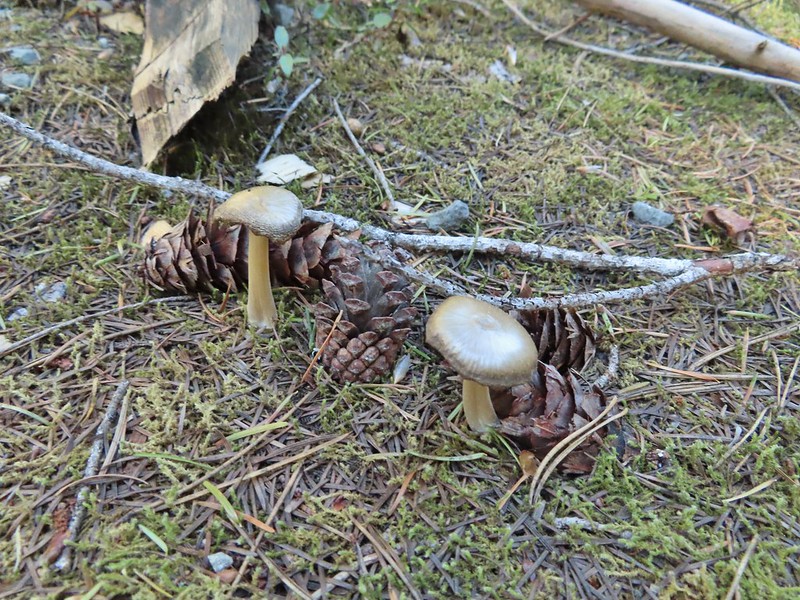

 The road crossing.
 In the campsite trying to decide which way to go.
 Once we found it the trail was pretty obvious, at least for a while.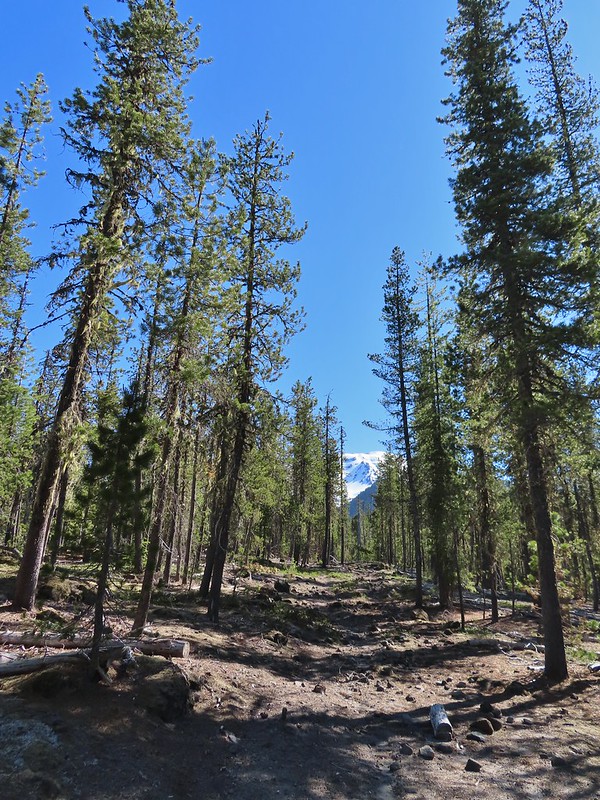


 Gray jay with a snack.
 Western tanager. Right after this photo he flew straight at us snatching an insect out of mid-air.

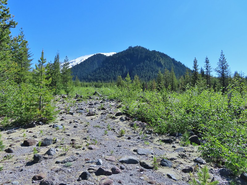 Butte Camp Dome in front of Mt. St. Helens.
 Crossing another dry bed.
 Where is the trail?
 In one of the creek beds. We were using the GPS along with looking for cairns and/or flagging.
 Goat Mountain
 You can’t really make them out in the photo but there is a pink flag and a blue diamond (on a downed tree) near the edge of the green trees.
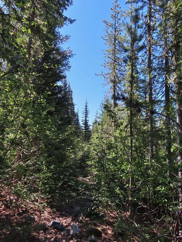 There was another short brushy section before the forest opened up.
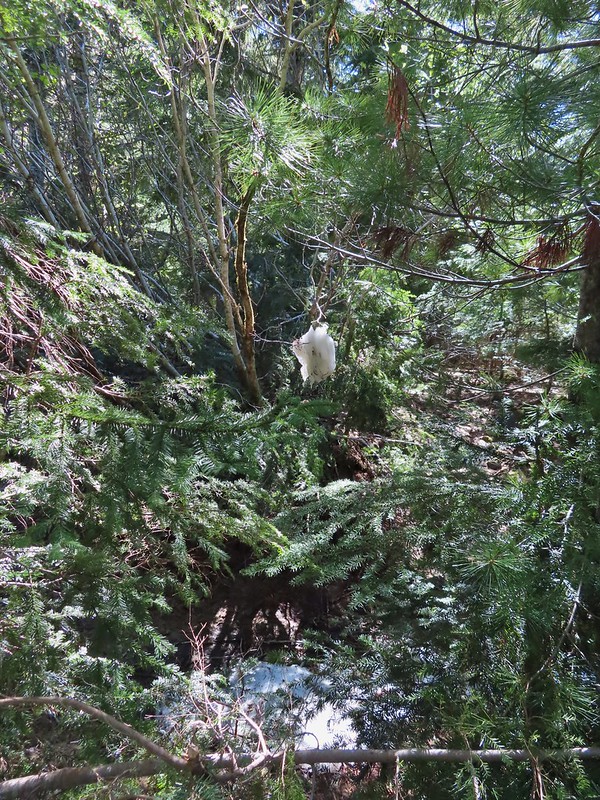 One of the strangest snow sightings we’ve come across.
 My theory was bigfoot hung this.

 The NOHRSC estimated 2″-3.9″ of snow and that seemed to be about right.
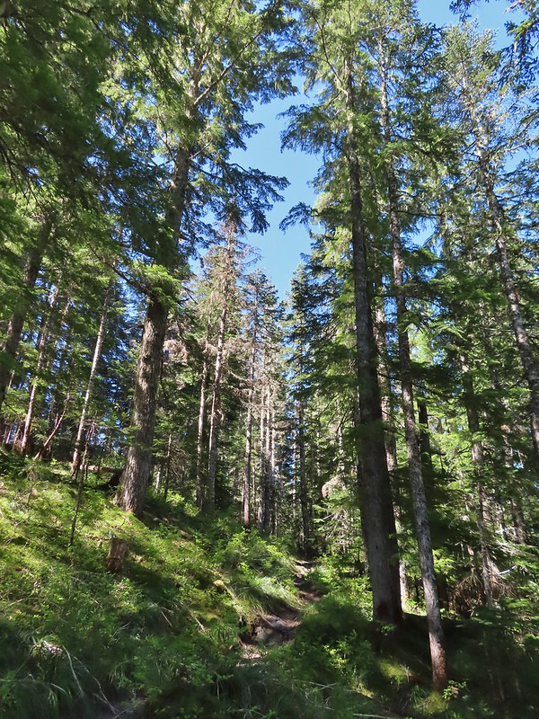
 Looking back at the junction from the Toutle Trail. The post with no sign is the continuation of the Toutle while the trail on the left is the ski trail.

 Last years beargrass.
 Strawberry
 Phlox
Phlox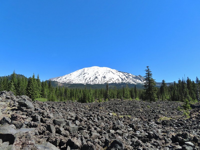
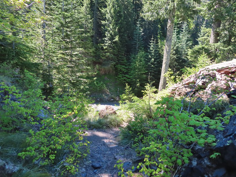 FR 81 below the trail.
 Trail sign at the trailhead.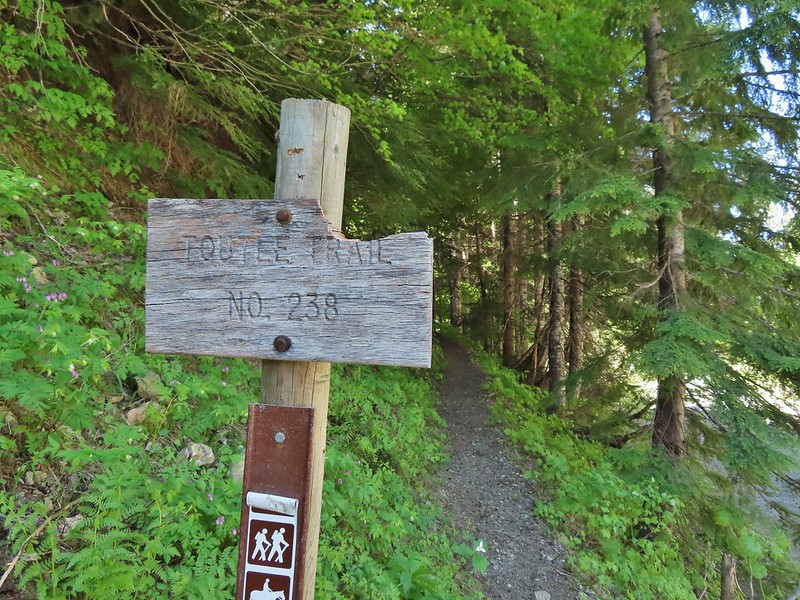
 Raven flyover
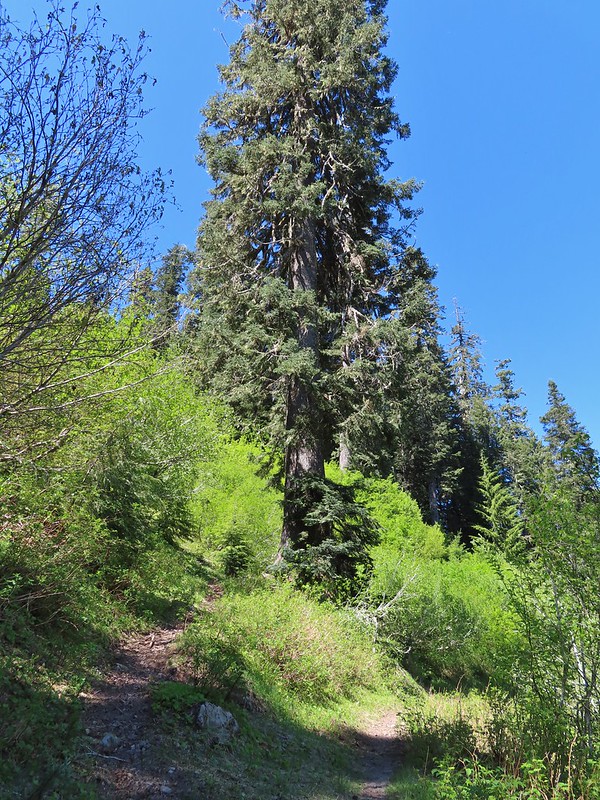 The fork.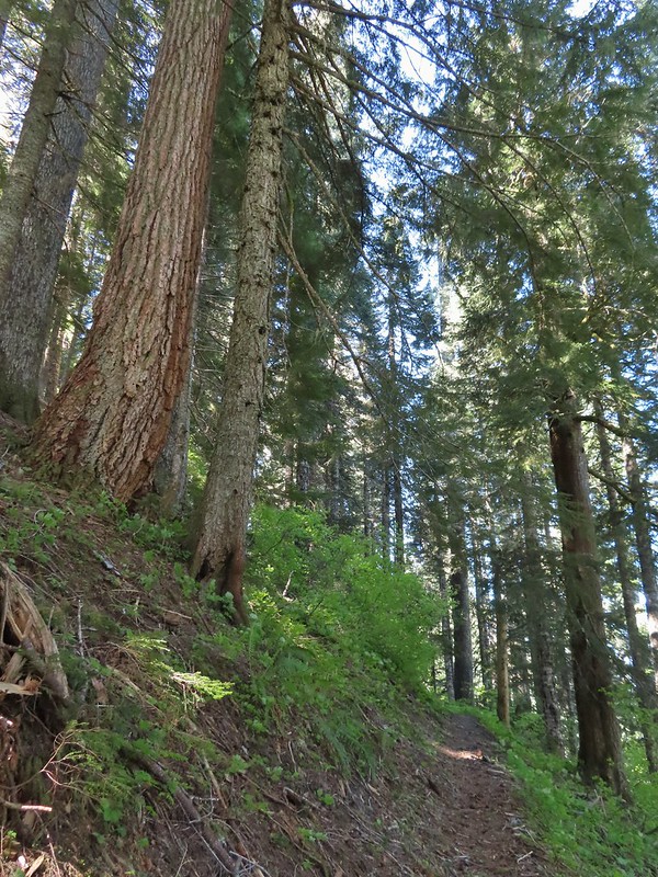
 One of several side creeks we crossed.
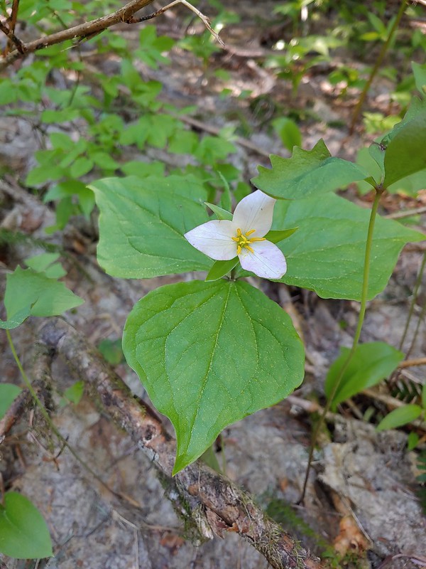 Trillium
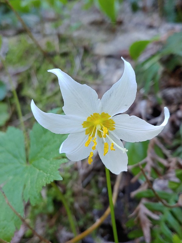 Avalanche lily
 Violet
 Goat Mountain beyond McBride Lake.
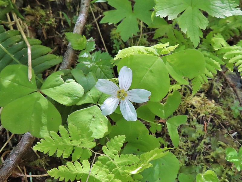 Sourgrass
 Valerian
 Solomonseal
 Saxifrage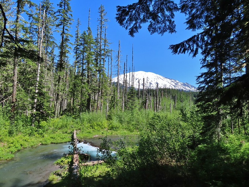


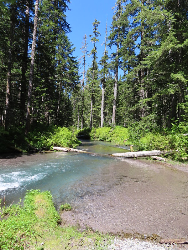 Kalama River from the road bed.
 The Blue Lake Horse Trail on the far side of FR 81.
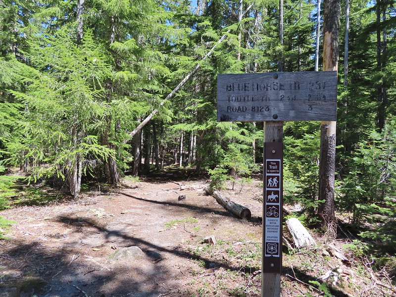 The sign did show FR 8123 which was the road the trailhead was on so that fed into us not realizing our mistake at first.
 An orange diamond on a tree ahead.
 Where we left the horse trail.
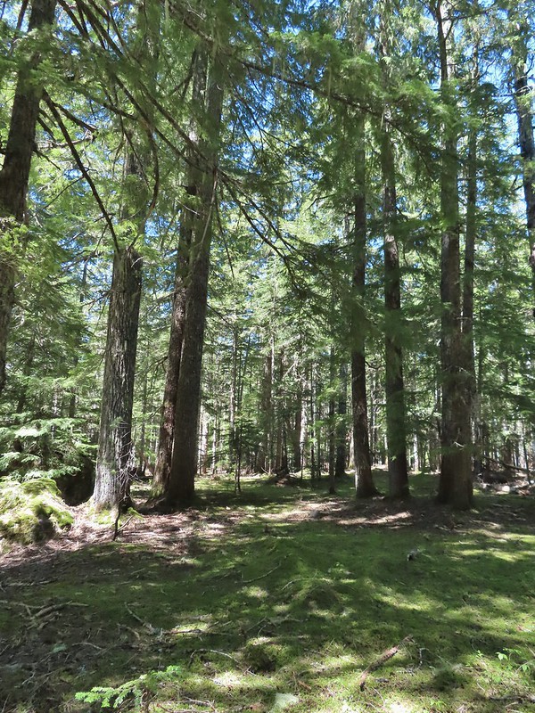 Typical terrain for the cross-country walk.
 It seems like every time we go off-trail we come across a mylar balloon. We’ve really come to despise those things. We packed it and the ribbon out.
 The trickiest part was crossing this dry stream bed but we fortunately came to it at a spot that was perfect for crossing.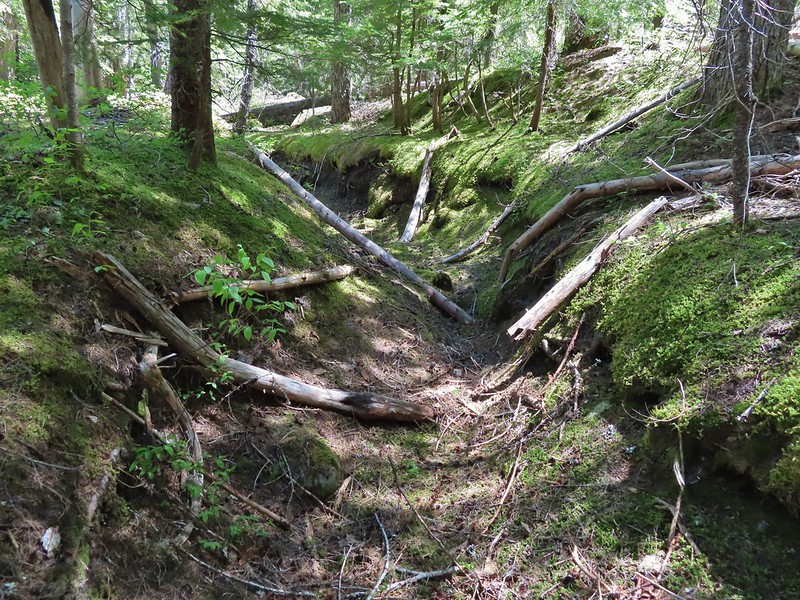
 FR 8123
 Coming up to the Goat Marsh Lake Trailhead (and our car) on FR 8123.



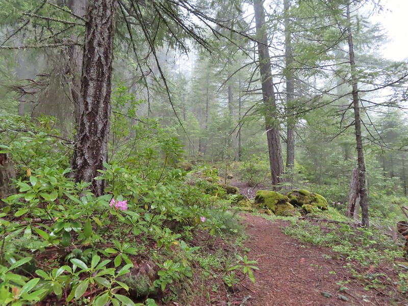
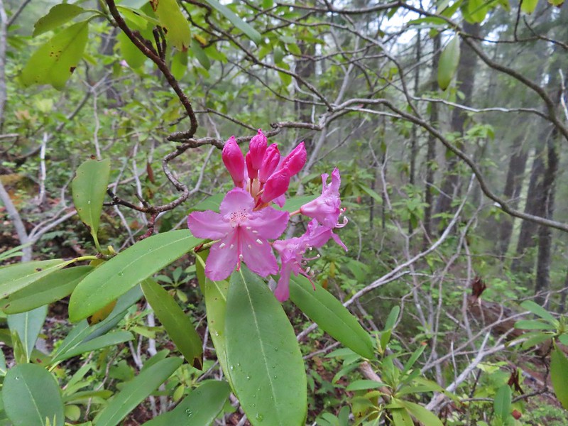 Rhododendron
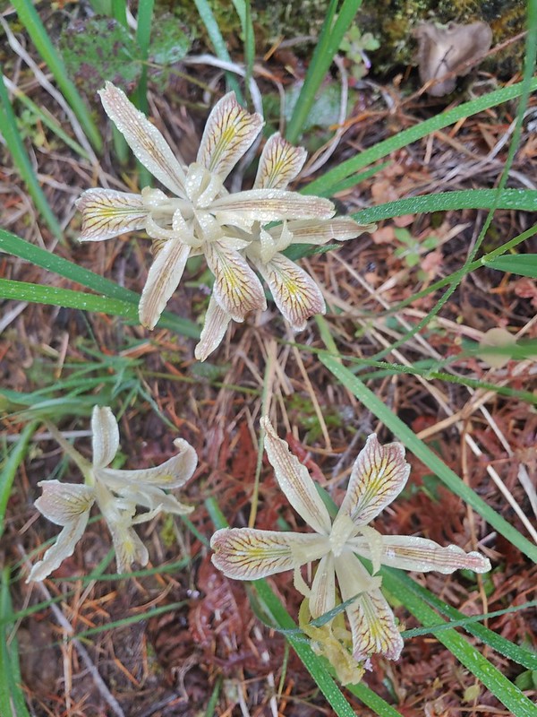 Iris
Iris Star flower
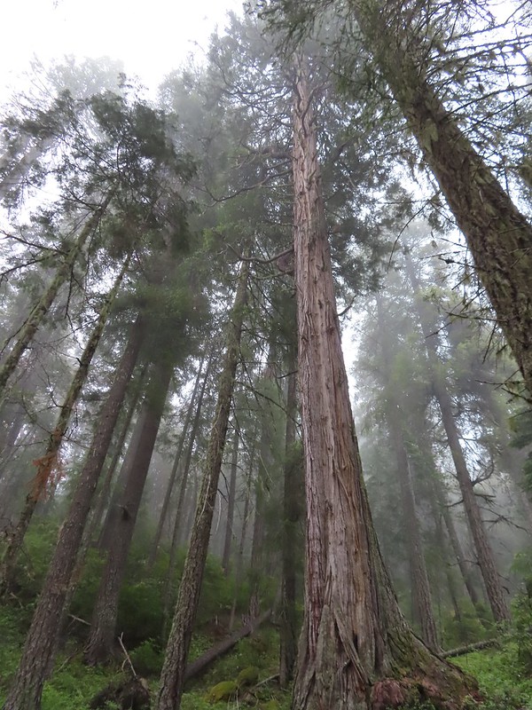 A big cedar.
 California ground cone
 The bright red color made them fairly easy to spot amid the green leaves.


 Phlox
Phlox

 I of course had to step inside.
 Paintbrush
 Serviceberry
 A lone beargrass preparing to bloom.
 Lupine also getting ready for a bloom.
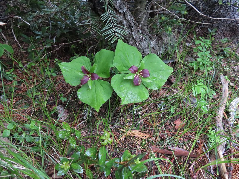 Trillium ending theirs.
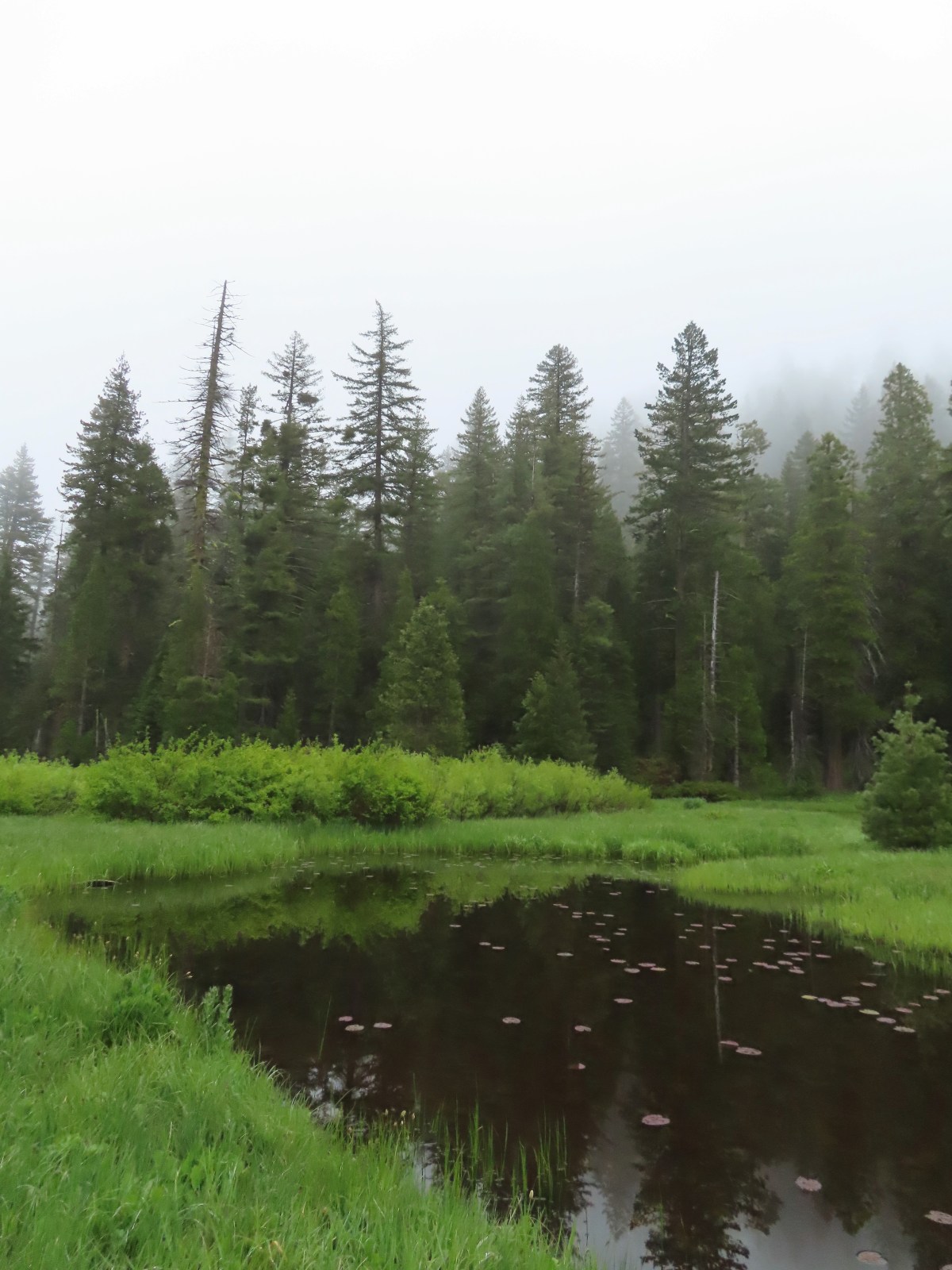
 Frog Pond with the cabin ruins in the stand of cedars to the right.

 There was clearly going to be no view this morning so any though of either attempting the loop or going up to the viewpoint on the ridge ended here.
 Pretty face
 Death camas
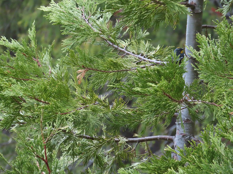 A yellow-rumped warbler hiding in the branches.
 Fairy slippers
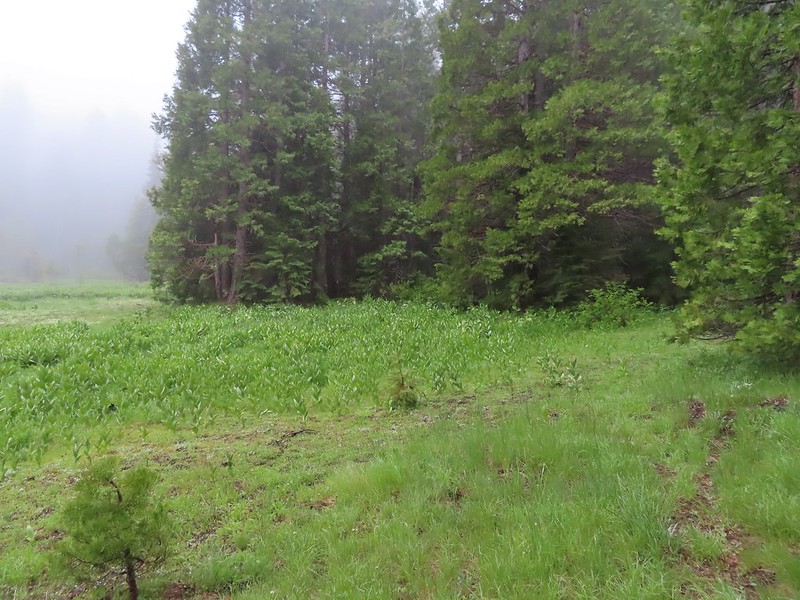 This was the trickiest part to follow at the time but it was pretty easy to see where it picked up in the trees on the far side of the grassy area.
 The inlet creek.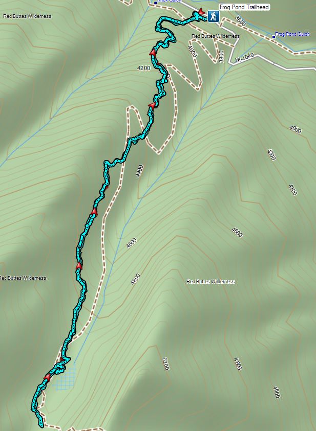

 Sign for the Witzend Trail at the trailhead. Not one of the trails we wanted today.
 The Waterline Trail is the smaller gravel roadbed to the left of the fire hydrant.
 Despite the sign saying Snark online maps show that trail starting further up the Waterline Trail.
 The Snark Trail splitting off to the right.
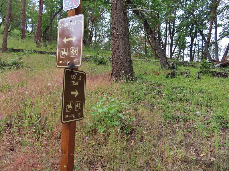
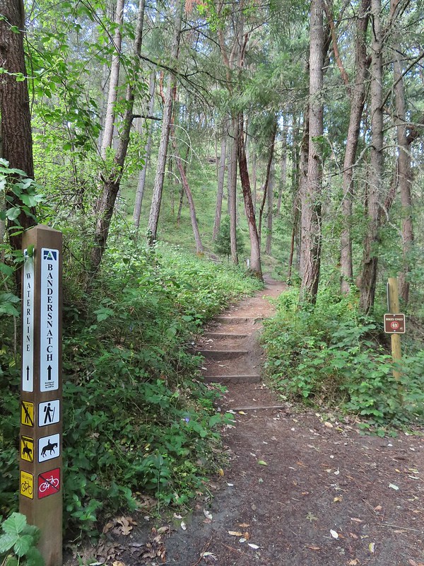 Turning left onto the Bandersnatch Trail.
 Marty the Pacific Fisher

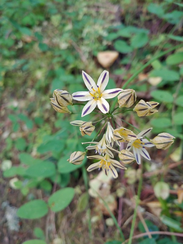 Henderson’s stars
 Paintbrush and blue sky.
 Mariposa lily
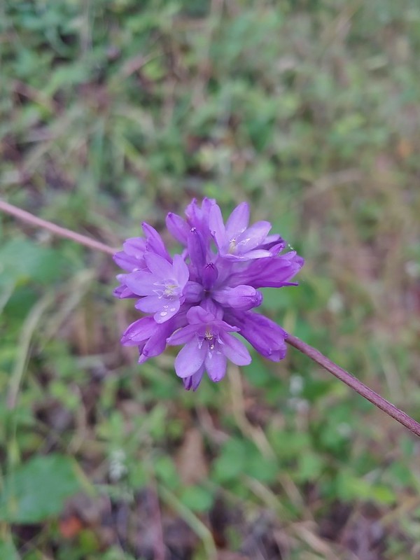 Ookow
Ookow Diamond clarkia
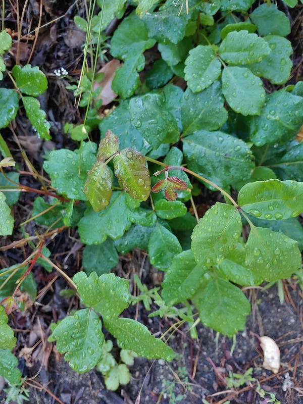 Some of that poison oak.
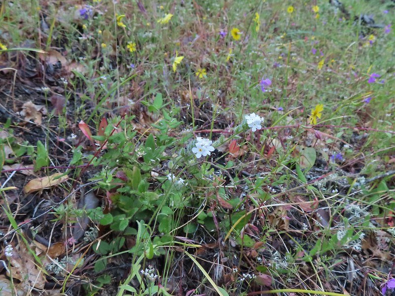 A cryptantha
 Honeysuckle
 Madia and winecup clarkia
 Bell catchfly
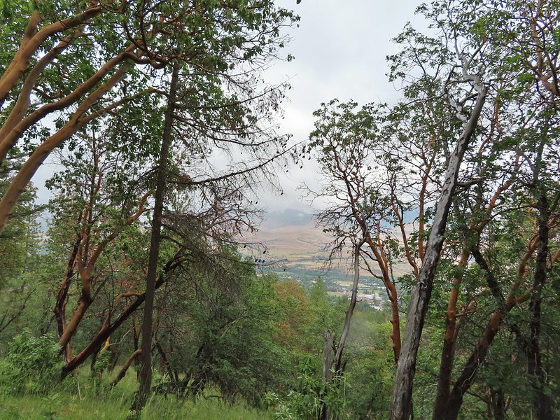
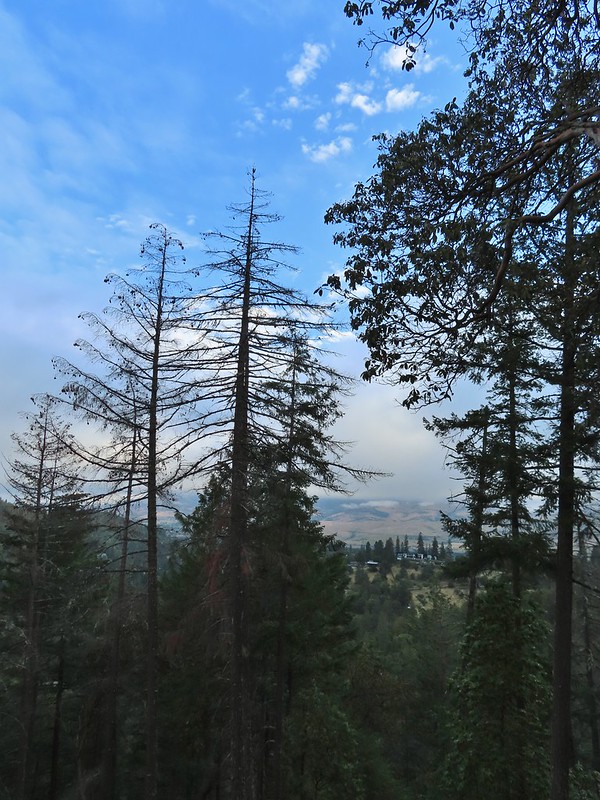 View down toward Ashland.
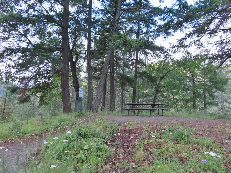 Picnic table at the top of the hill.
 Crossing the BTI Trail
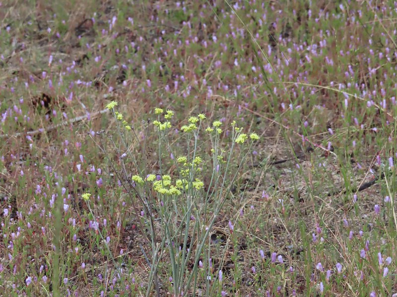 Baresteam wild buckwheat
 Wallflower
 heart-leaf milkweed
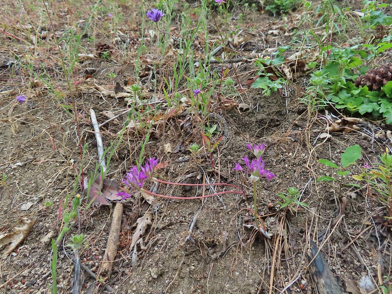 Wild onion
 Another Snark Trail encounter.
 The Red Queen Trail junction ahead.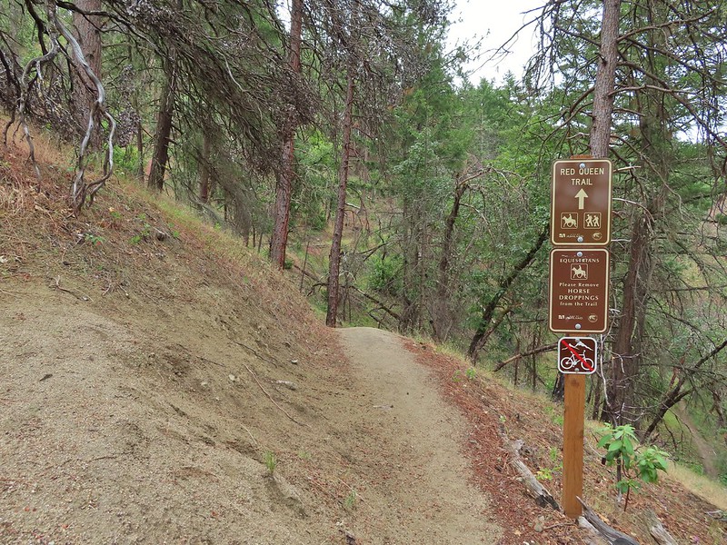
 Bluehead gilia
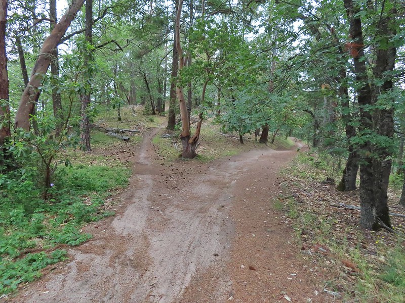
 Madrones along the Red Queen Trail.
 National Forest boundary.
 Lupine
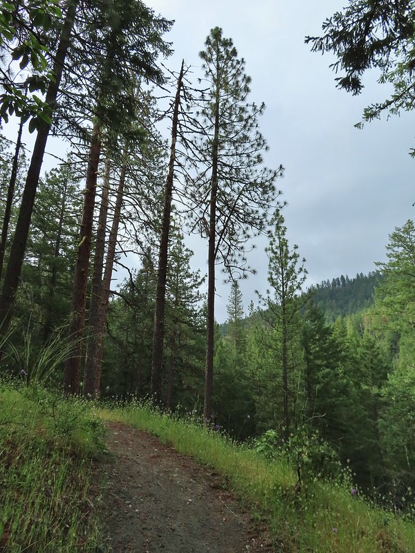 Clouding up.
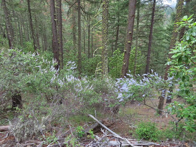 Deer brush
 A madrone and a ponderosa
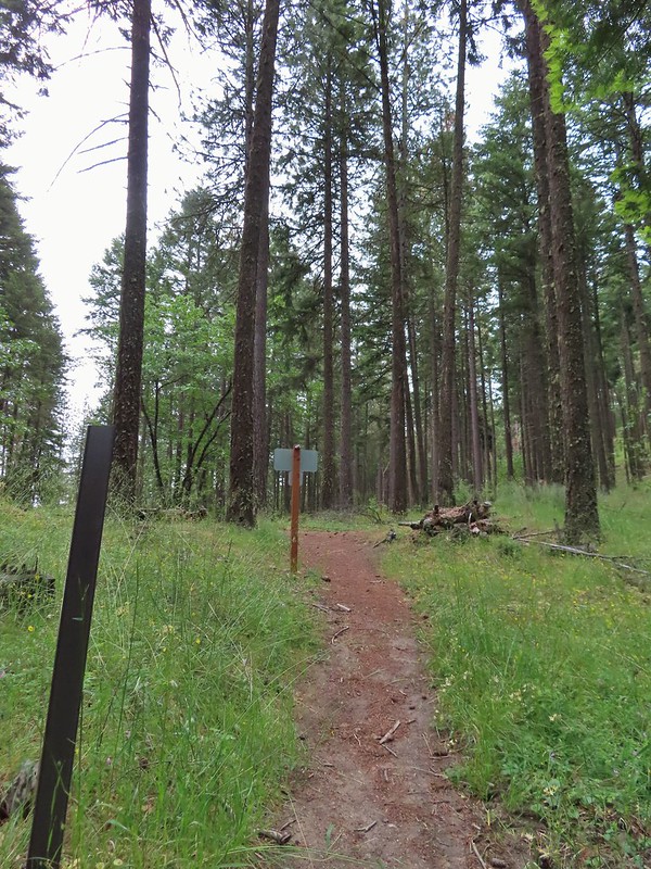 Nearing the junction with Road 2060 and the Caterpillar Trail.
 Sign for the Caterpillar Trail across the road.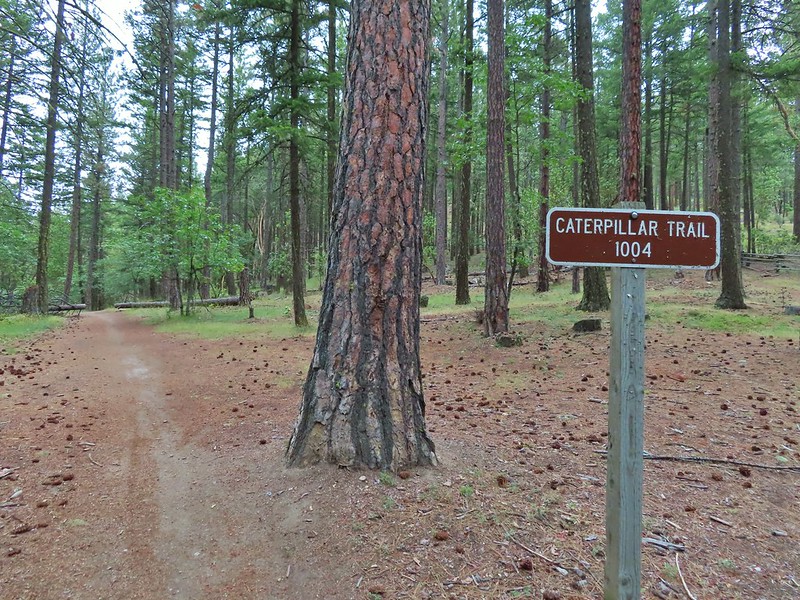

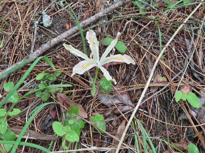 Iris
Iris
 The first signed junction with more signs in the distance.

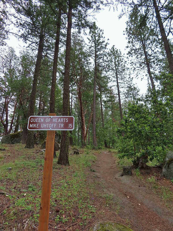

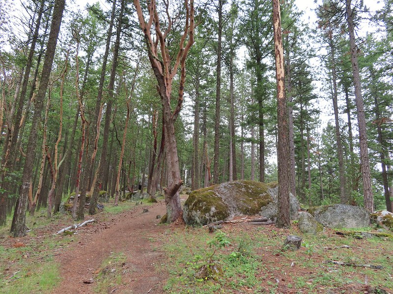
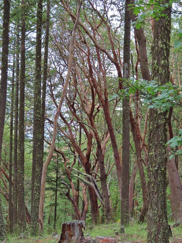

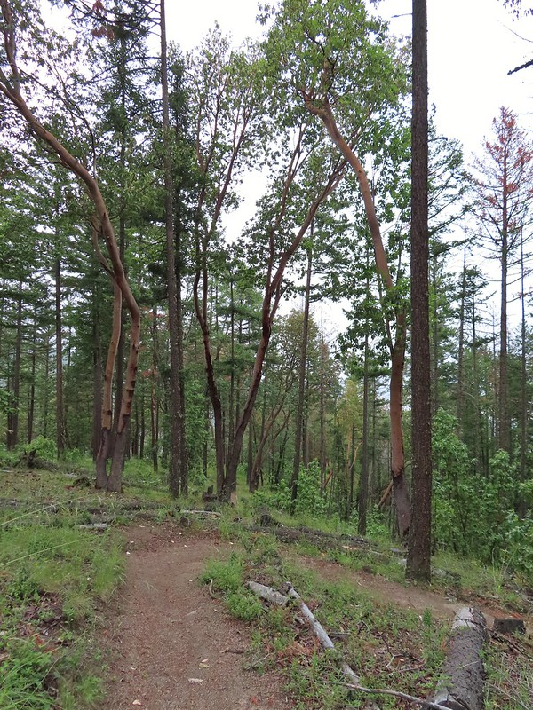
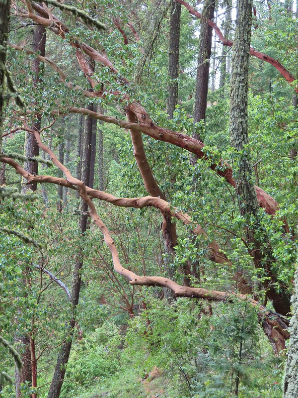 There were a lot of cool madrones along the trails.

 Madrone bark
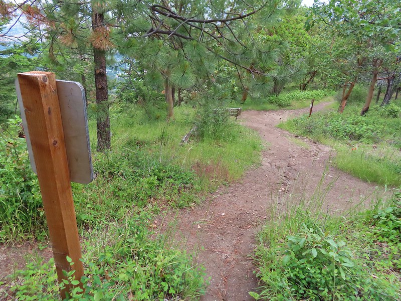 Arriving at the junction with the Mike Uhtoff sign to the left.
 That isn’t the trail we were on so where were we?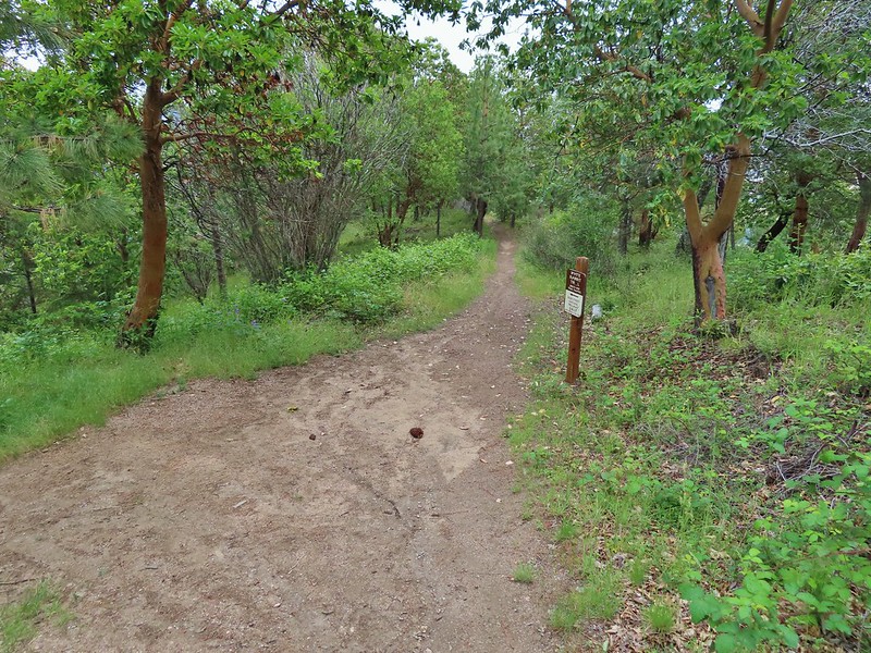
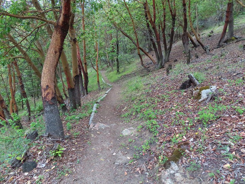
 Still no real rain but it was clouding up even more.
 Grand collomia


 Silverleaf phacelia
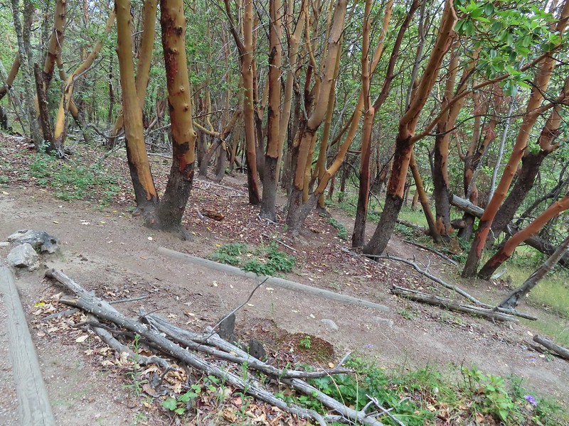
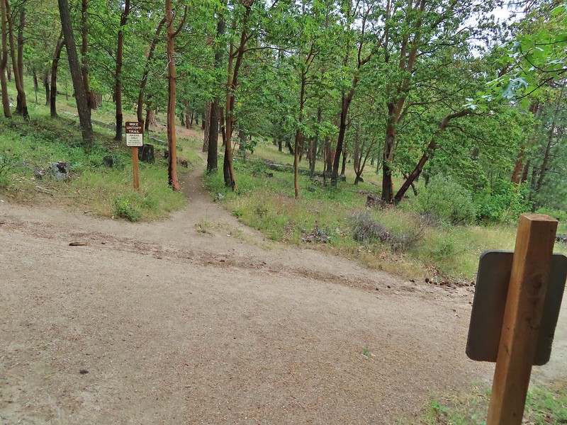 We turned right onto this road bed which is the White Rabbit Trail.
 We hiked downhill on the White Rabbit to a bench (just visible through the vegetation on the left) at the trail junction.
 Trail to the Oredson-Todd Woods.

 We turned left here. There is a sign downhill on the left with what looked to be a small white map which we’d seen on other trail signs. These gave very limited information for bike routes.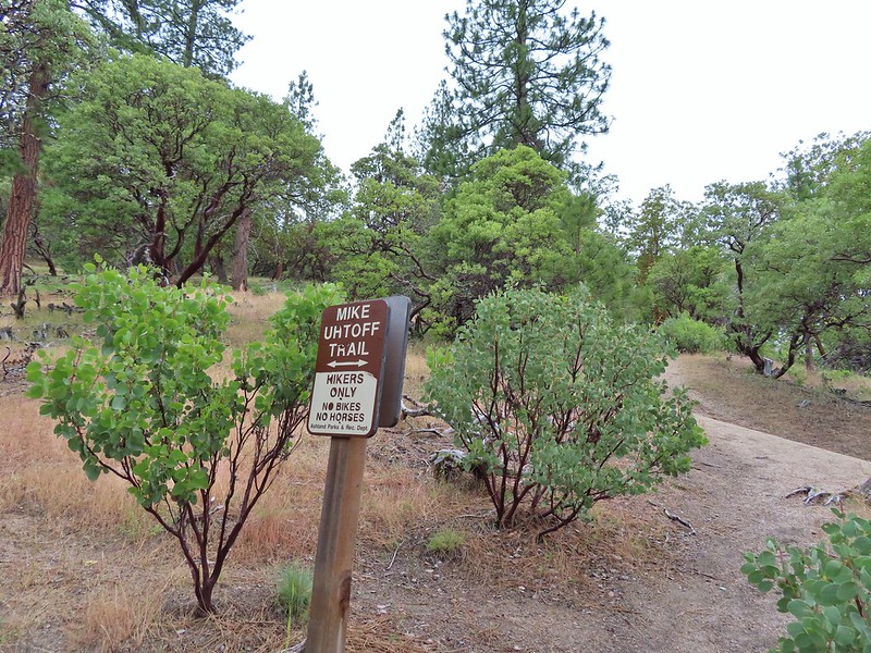


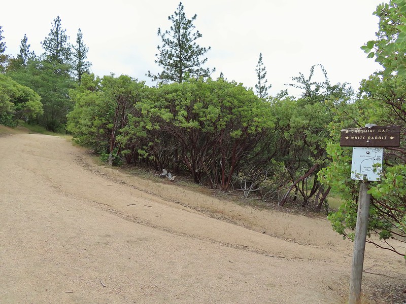 One of the white maps at the White Rabbit/Cheshire Cat junction.
 A connector for the Uhtoff Trail at a switchback.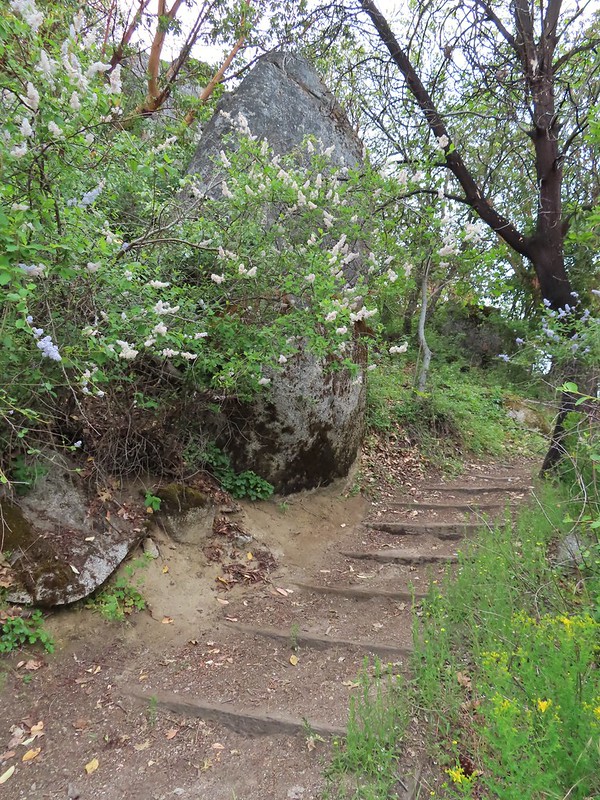
 Large boulders near the Looking Glass Trail jct.
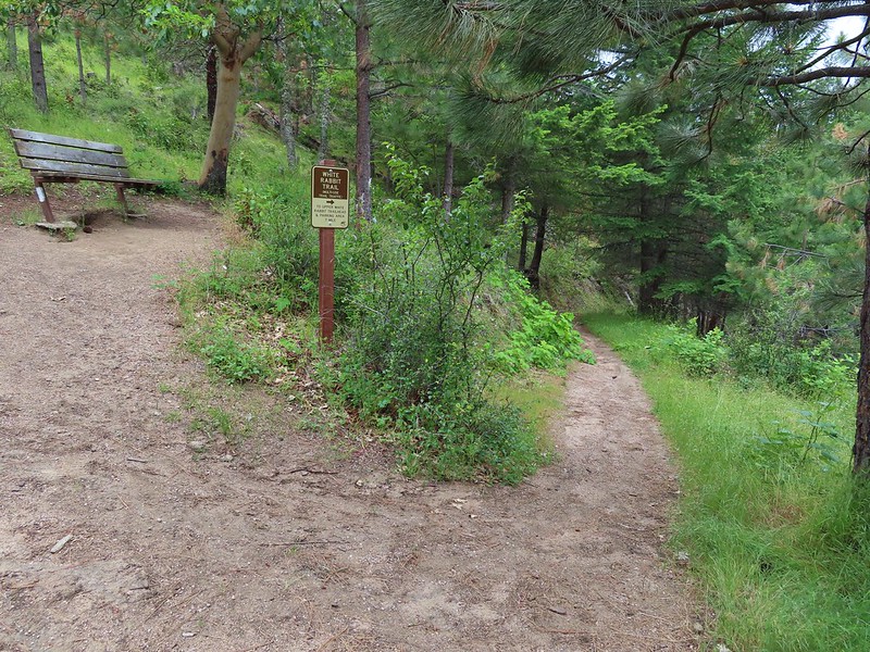 Passing the bench at the junction where we’d discovered that we had not in fact been on the Mike Uhtoff Trail.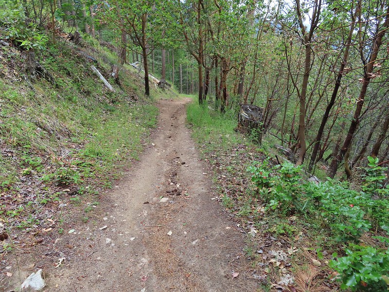
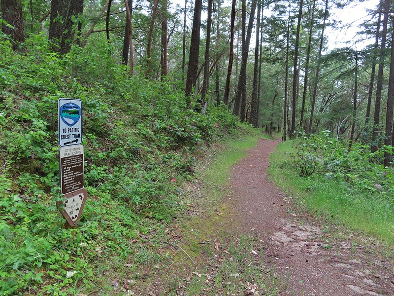 This section was a little confusing. The trail dropped to a junction in a small basin. We ignored this sign which pointed to another road bed with a gate.
 Looking down the March Hare Trail (it took less than 2 minutes to get from the bottom to the top via the White Rabbit Trail).
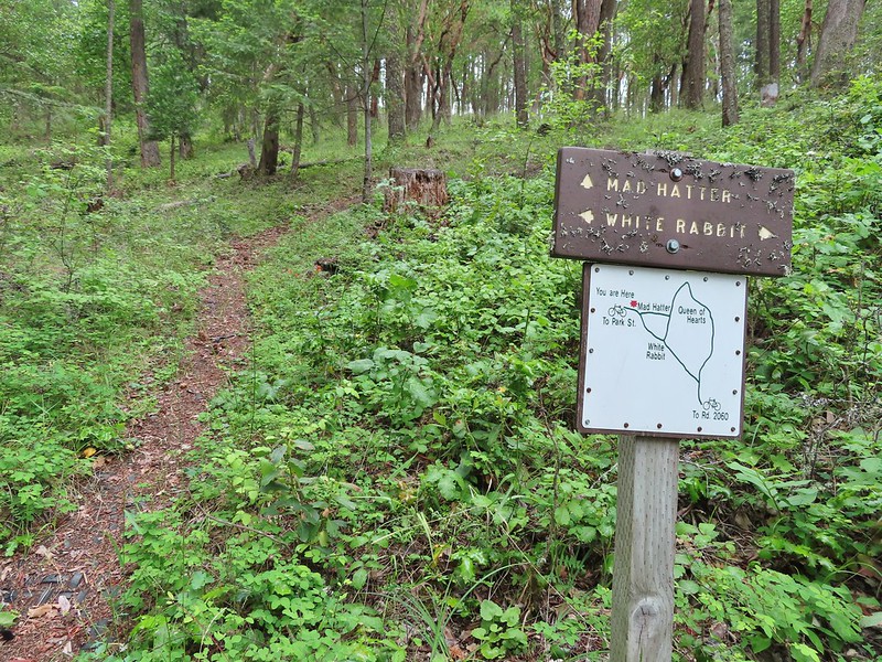 Yet another side trail = Mad Hatter.
 The Queen of Hearts Loop junction with the White Rabbit Trail.
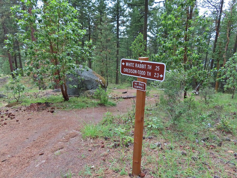 Sign as we neared the trailhead.
 Lots of cars here.
 This was the map that we needed earlier.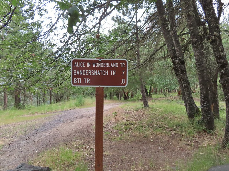

 Madrone circle.
 A couple of short spurs went up and over small hills, we stuck to the more level road bed.

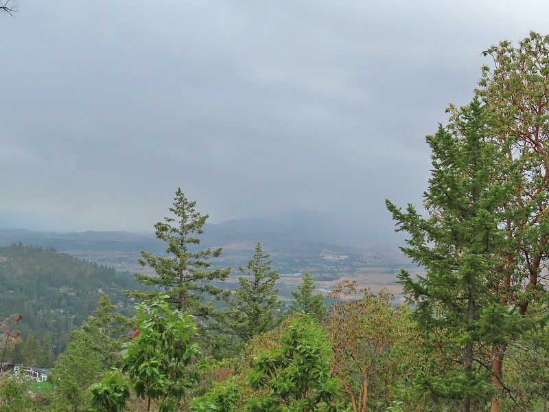 Rain to the north over Grizzly Peak (
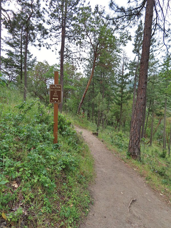 Approaching the BTI crossing.
 Red Queen crossing.
 Descending to the Bandersnatch junction.

 Marty the Pacific Fisher from the other side.
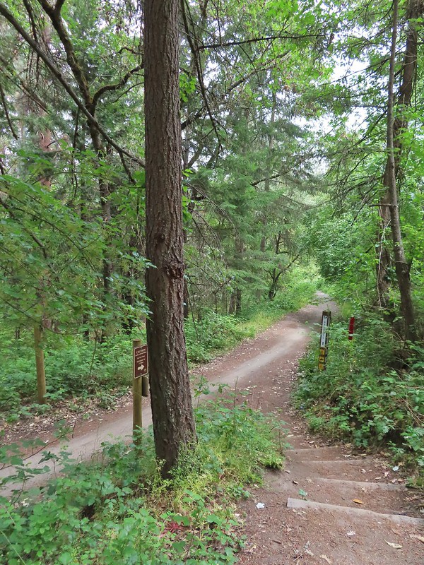 The Waterline Trail 0.1 mile from the Witzend Trailhead.

 The deepest hole, it doesn’t look too bad here.
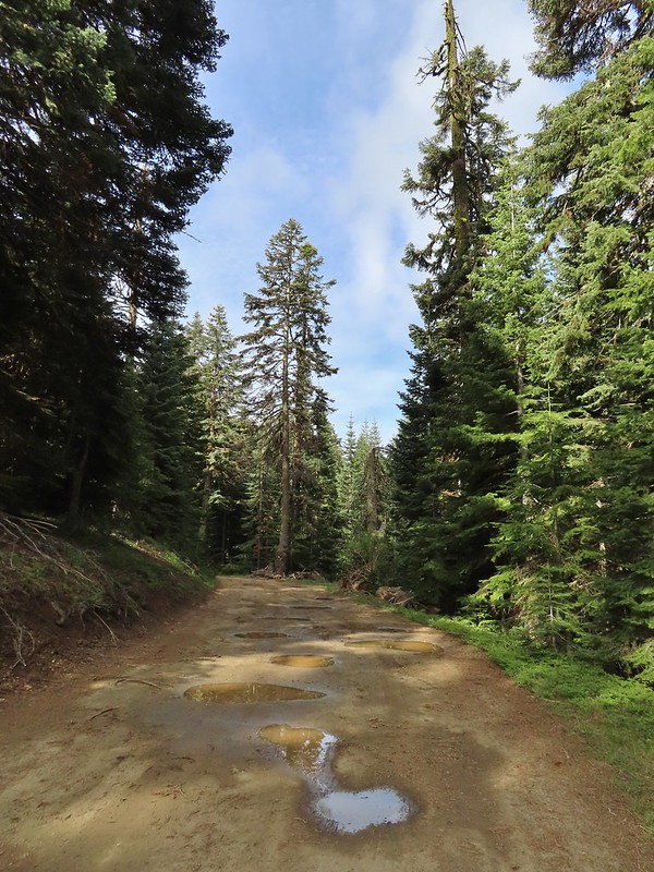 Potholes on FR 20. These turned out to be the worst of the stretch between the junction and Siskiyou Gap but we didn’t know that until we’d walked this road later in the day.
 The PCT was just a few yards into the forest from the FR 20/22 junction.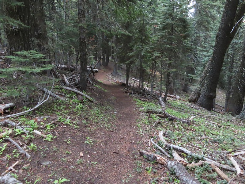
 Jessica sticktight?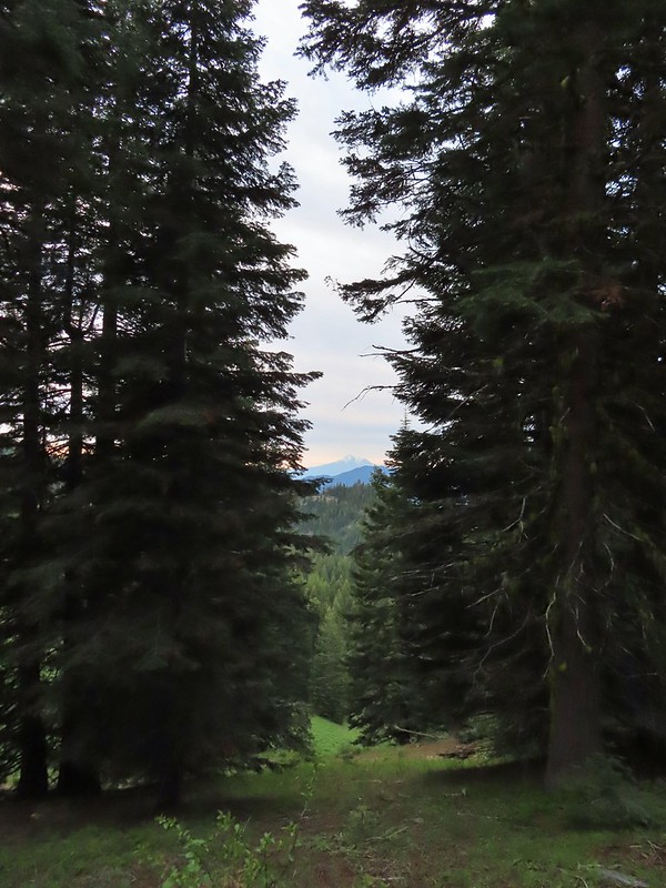
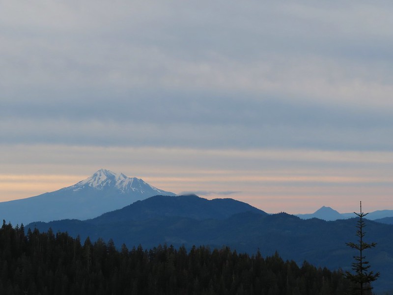 Mt. Shasta and Black Butte (
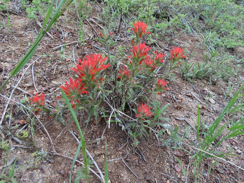 Paintbrush
 Siskiyou Peak from the PCT.
 Lupine and pussypaws
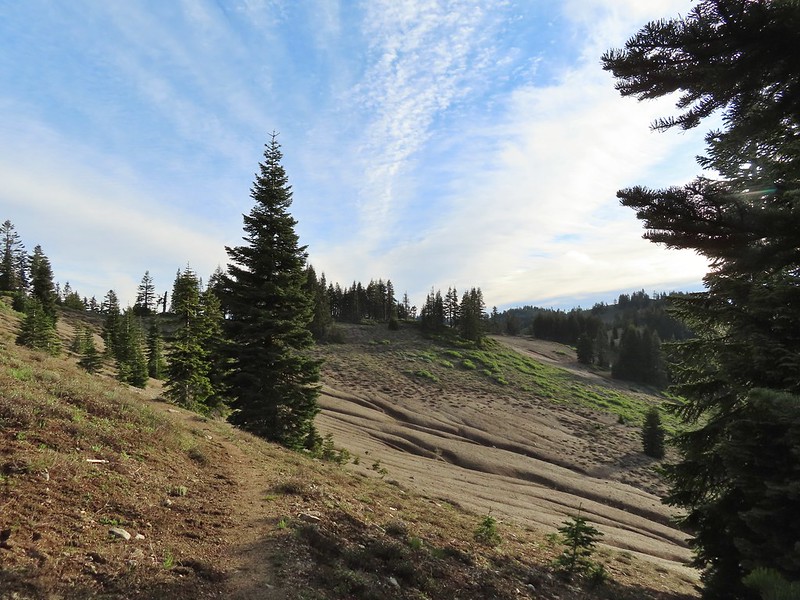 The PCT heading toward Mt. Ashland from the ridge where we left it.
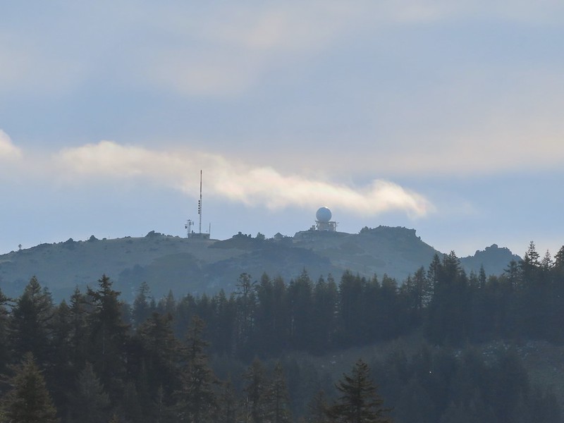 Towers on Mt. Ashland.
 The trail up Siskiyou Peak.
 Observation Peak to the left, where we had been the day before with Big Red Mountain on the right, where we were going later today.
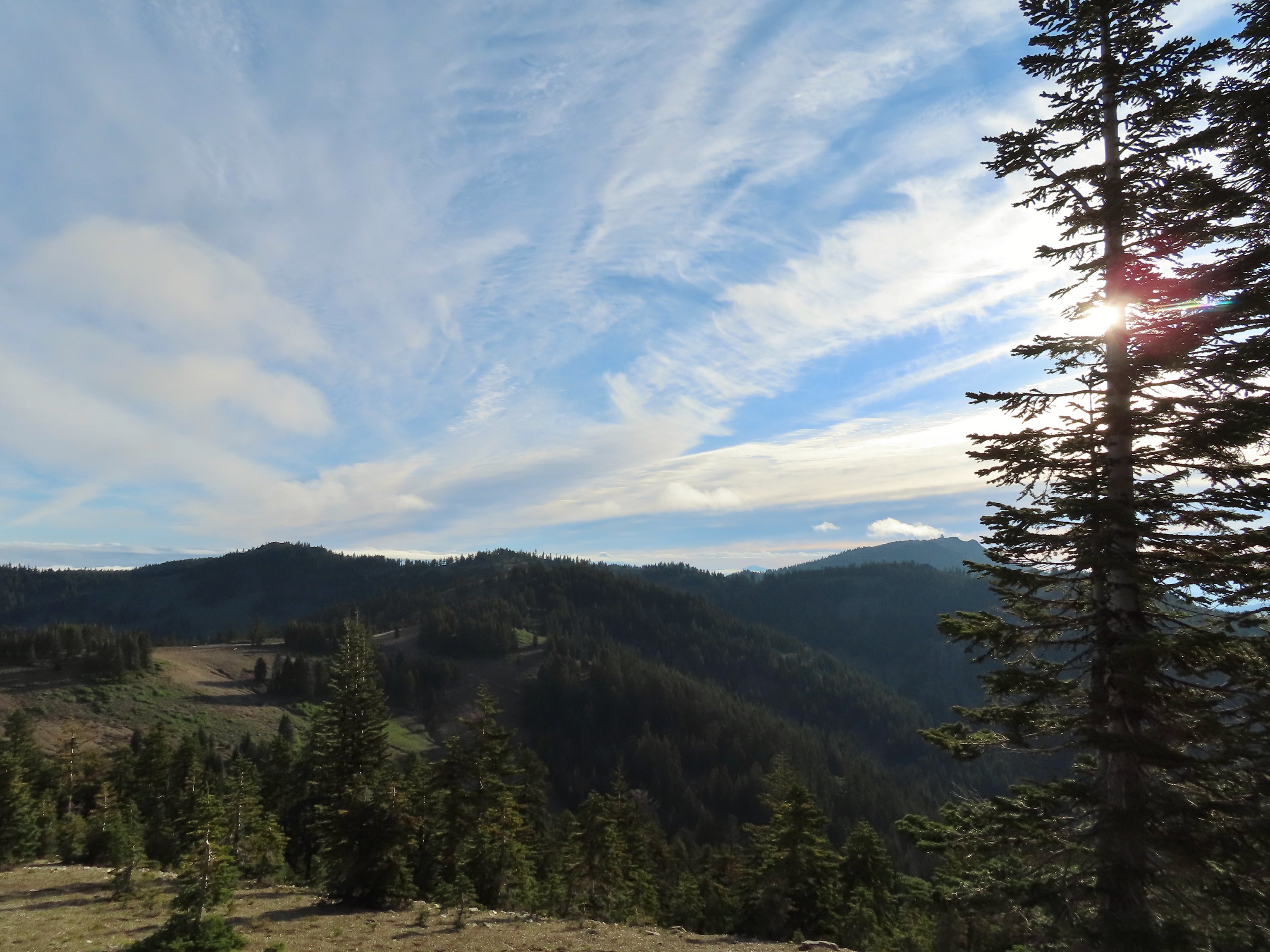 Mt. Ashland to the right.
 Mt. McLoughlin (
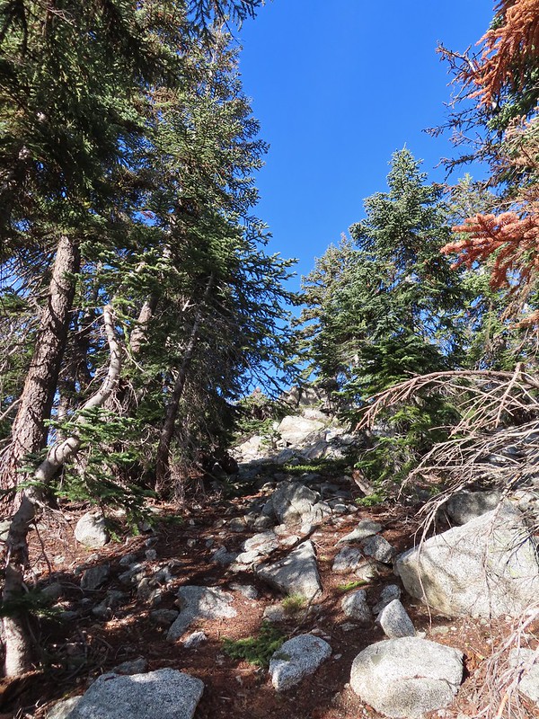 The final rocky climb to the summit.
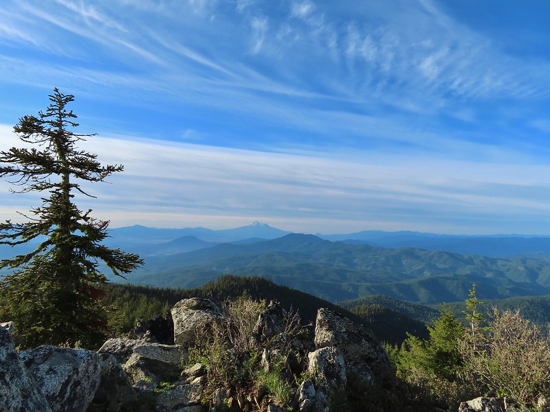 Mt. Shasta from the summit.
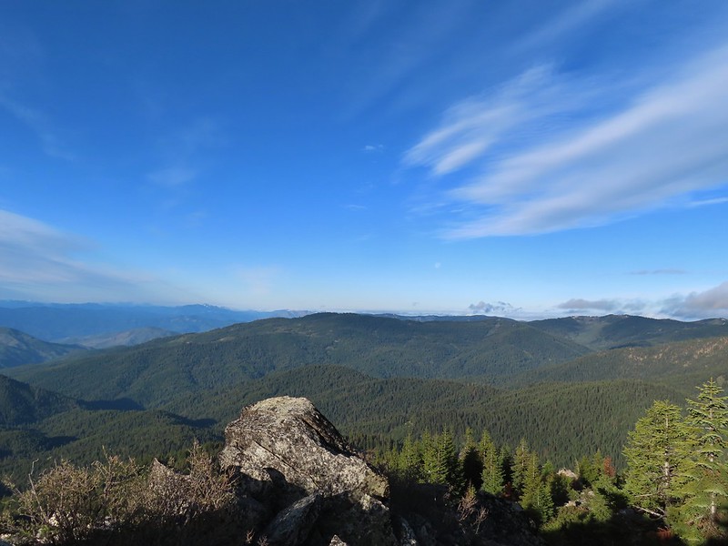 The snowy Marble Mountains (
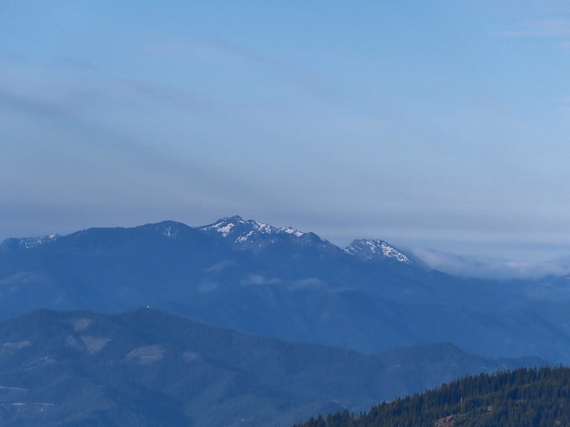 Some of the Marble Mountains.
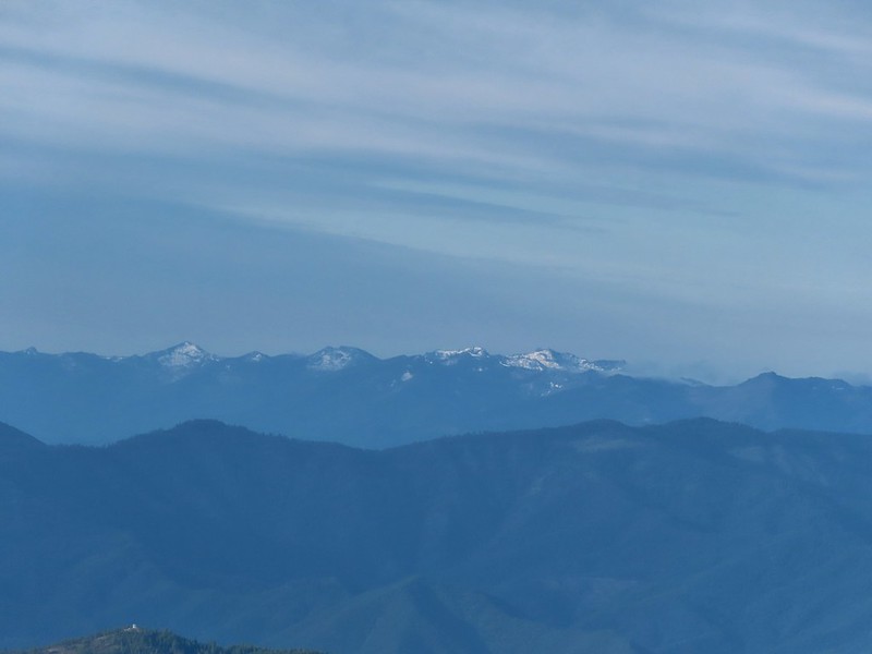 I believe these are peaks in the Russian Wilderness.
 Observation Peak and Big Red Mountain with Dutchman Peak in a cloud behind Big Red.
 Our shadows from the summit.
 Dutchman Peak emerged from the clouds to make an appearance over Big Red Mountain.
 Wagner Butte (
 Arriving at the junction.
 Trillium along FR 20.
 California Jacob’s ladder
 FR 20 looking a little better here.
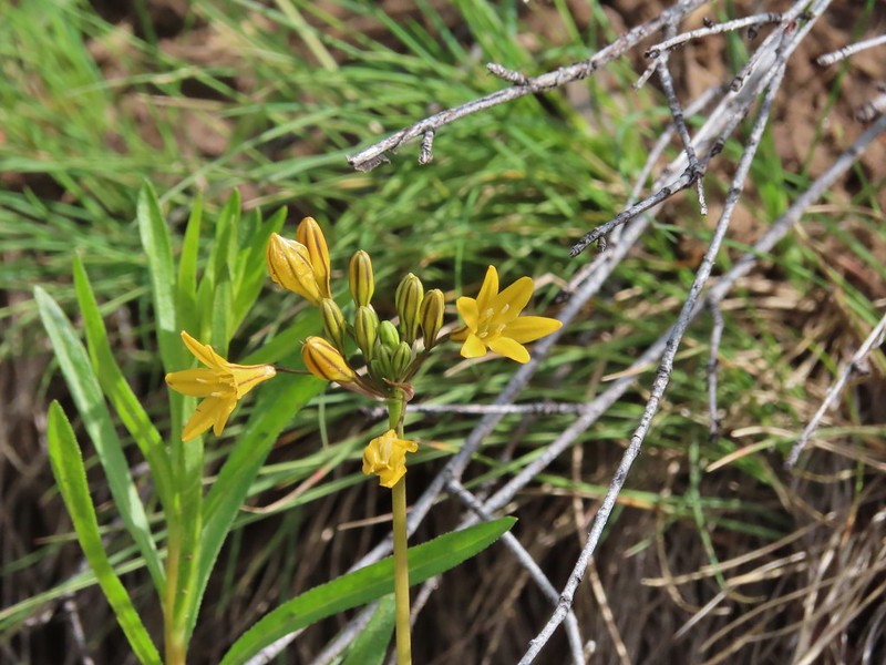 Pretty face
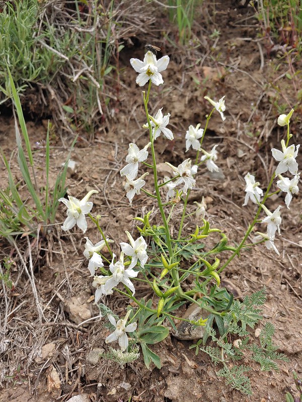 Larkspur
 Larkspur
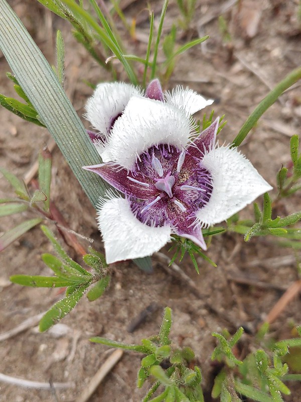 Mariposa lily
 FR 20 became a little rutted just before Siskiyou Gap.
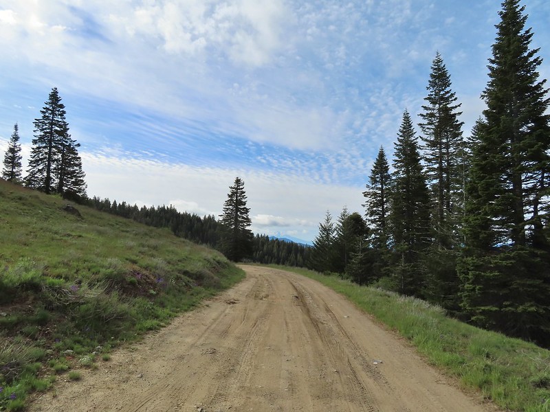 Mt. Shasta from the gap.
 Mt. Shasta
 Siskiyou Gap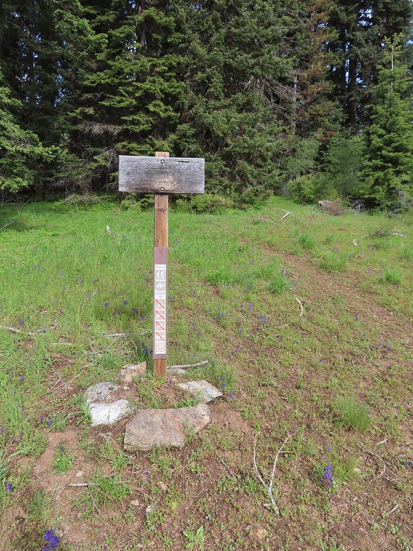

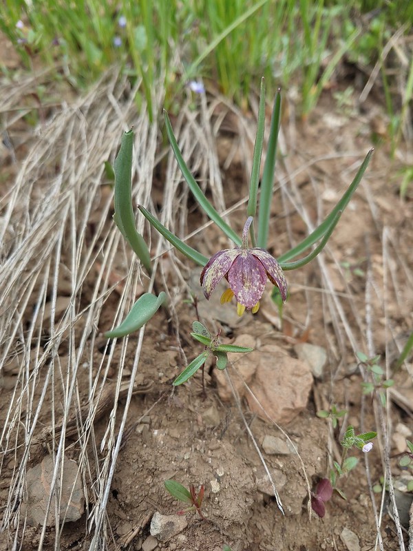 Chocolate lily
 Violets, larkspur and alpine pennycress.
 Ballhead waterleaf
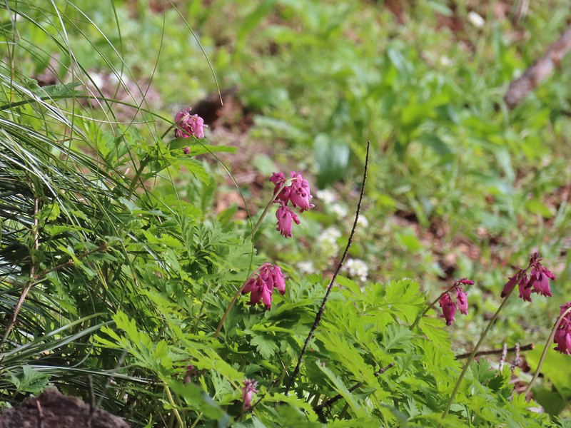 Bleeding heart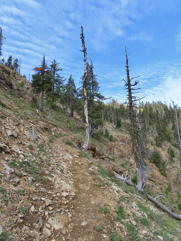

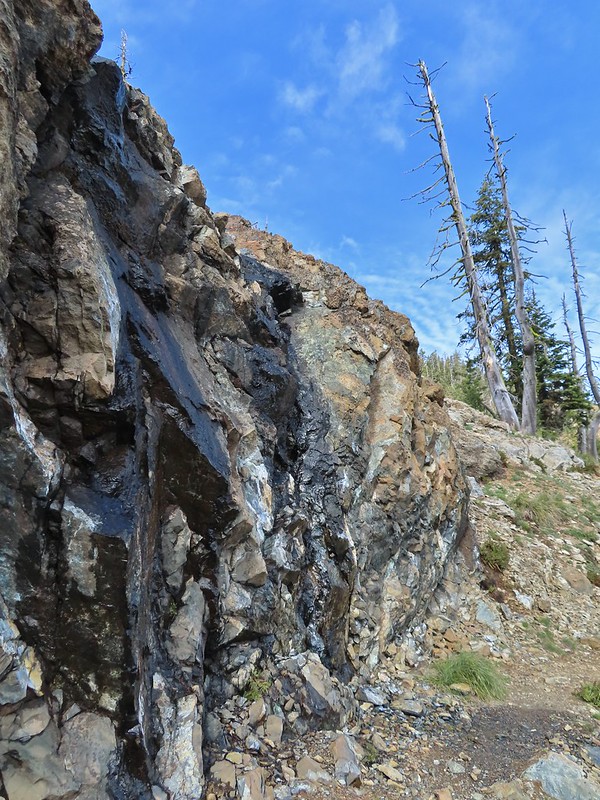 A trickle of water flowing down over the rocks along the trail.

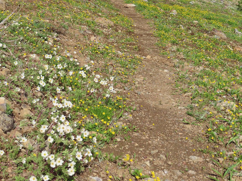 Anemones and buttercups
 It’s hard to tell just how many flowers there were from the photo but it was very impressive to the naked eye.
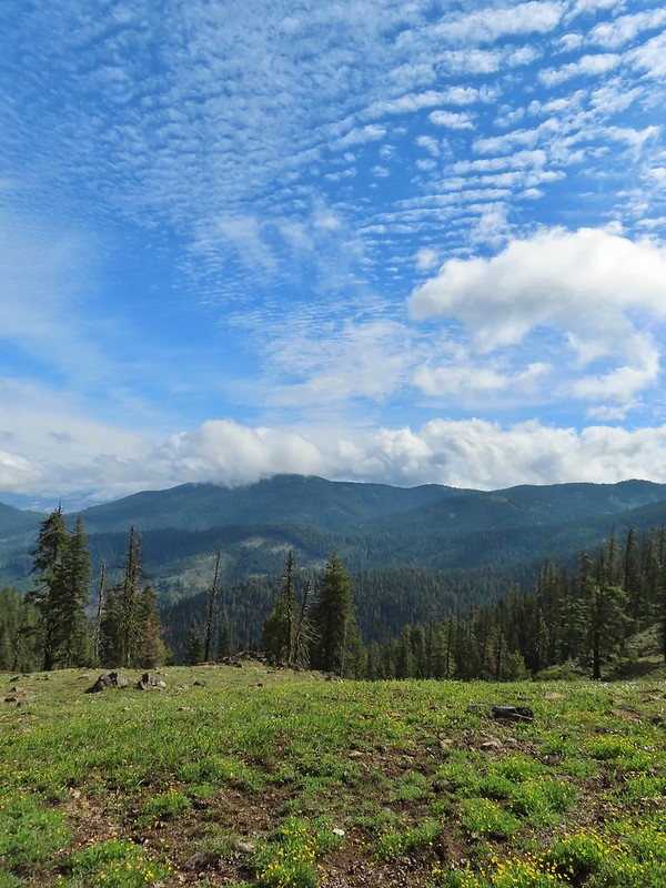 A cloud over Wagner Butte which stayed this way the rest of the day.
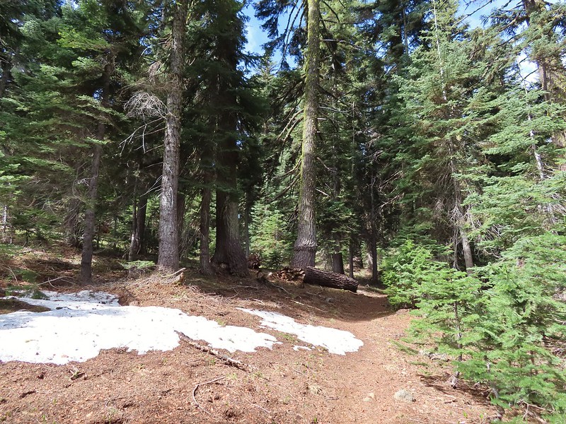 A few small patches of snow were all that was left along the PCT.
 Starting to leave the trees behind as the PCT passes below Big Red Mountain.
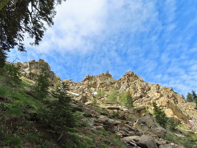
 Looking toward Medford to the NE.
 Upper Table Rock (
 You could see where this large chunk of rock used to be.
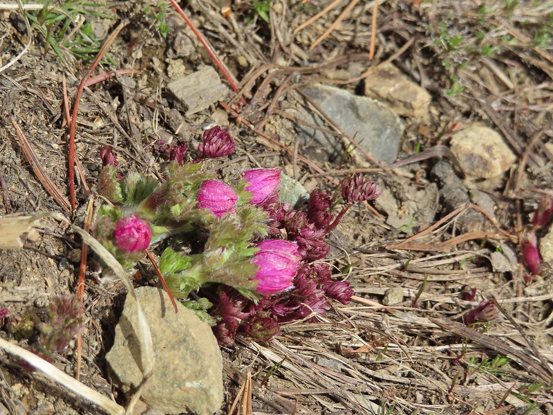 Something budding out.
 Dummond’s anemone – the blueish/purplish hue on some was quite pretty.
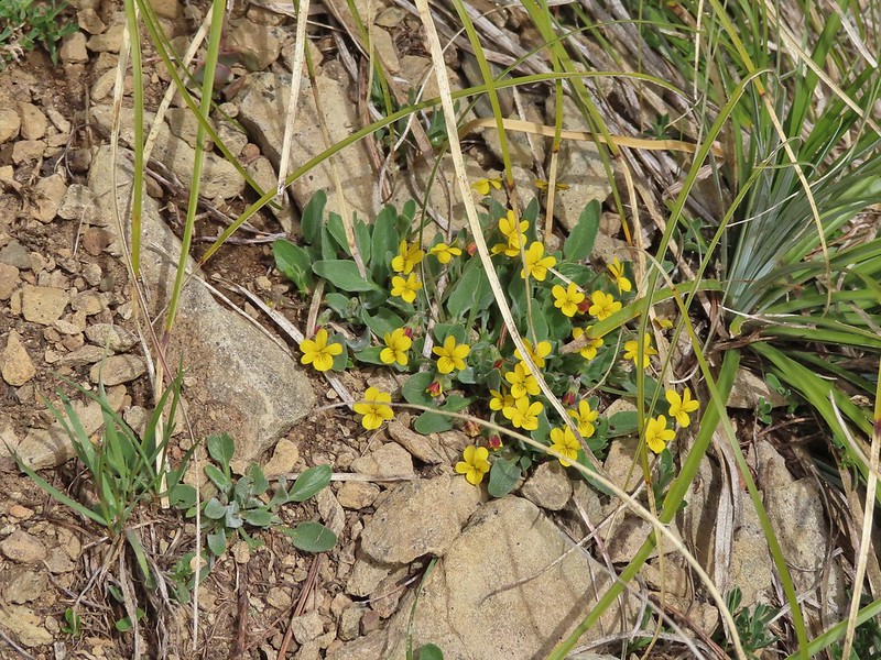 Violets
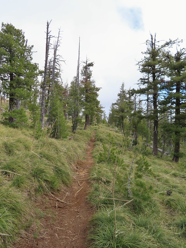 There was a decent sized beargrass meadow along this section which appeared to have bloomed last year.
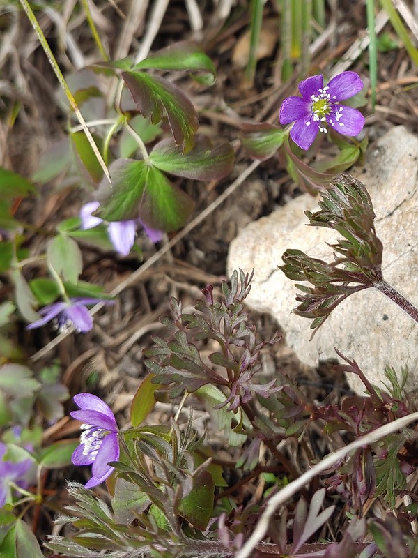 Anemones
 A saxifrage
 Siskiyou Peak from the trail.
 Splithair Indian paintbrush and a lomatium.
 Phlox
Phlox A small green pond and two of the Monogram Lakes.
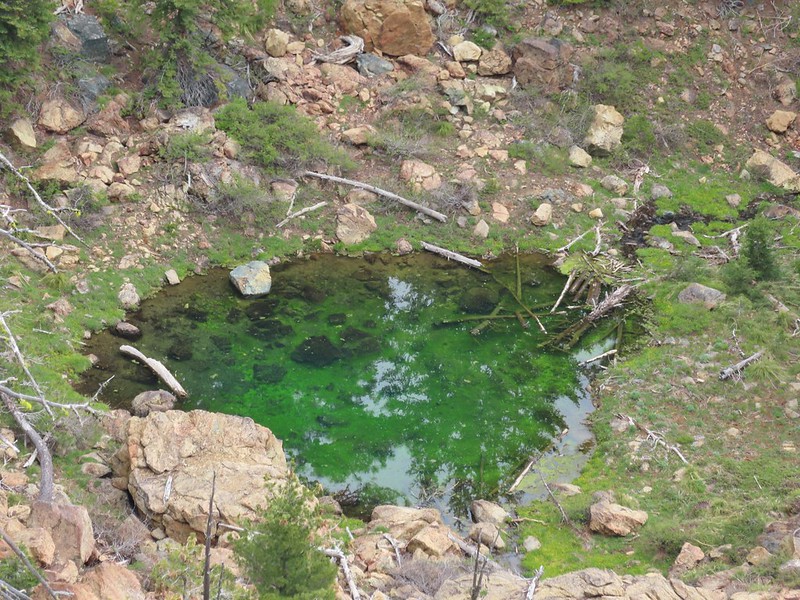 The green pond.
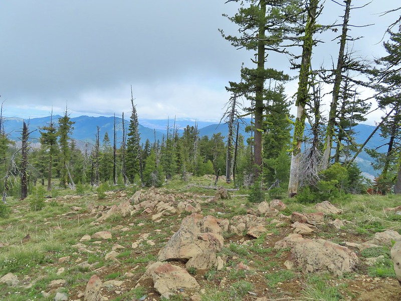 Looking down the ridge.
 Heather sitting up on the PCT while I made my way down the ridge.
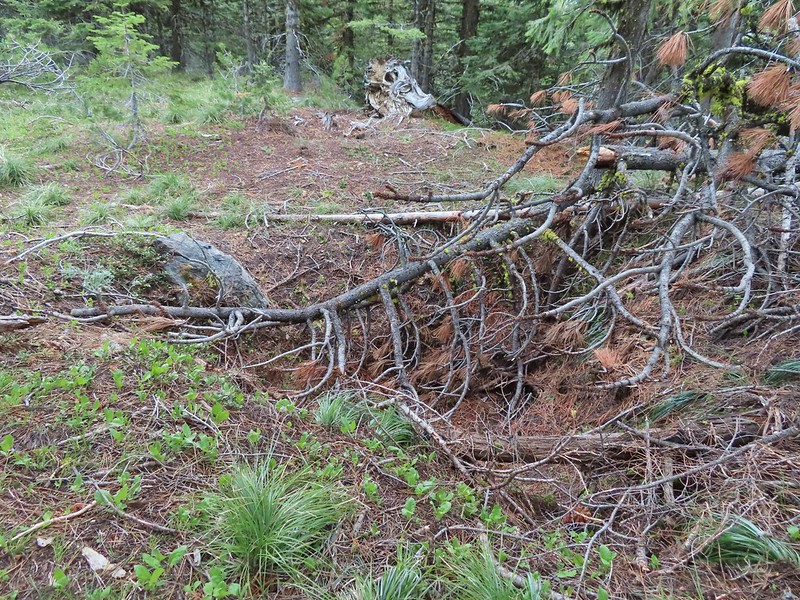 The pit with the mining trail on the far side.
 Old mining trail.
 The mining cart.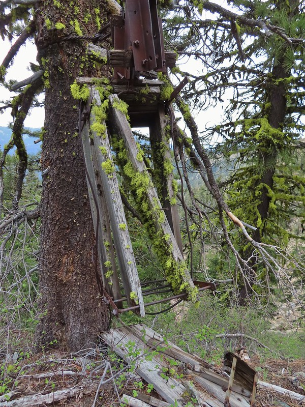
 Cable running up to the snag.


 I spotted something moving down in the meadow here.
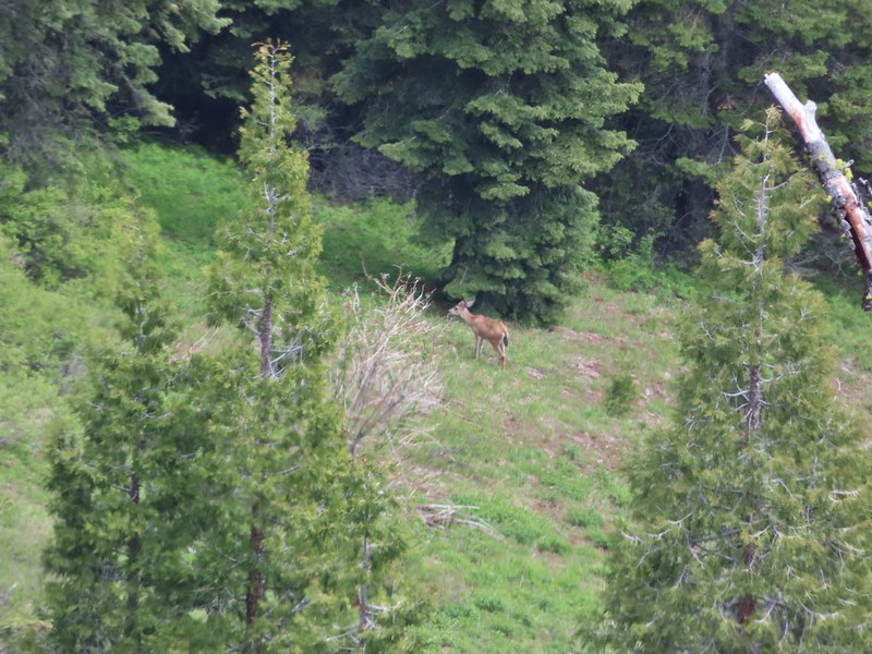 Had too use a lot of zoom to determine it was a deer.
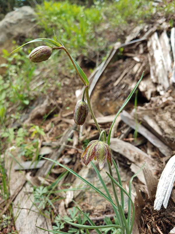 Chocolate lily
 Mt. Shasta and Black Butte from Siskiyou Gap on the way back.
 Our final view of Mt. Shasta this trip.
 Mt. Eddy (

 The PCT heading south from the Stateline Trialhead
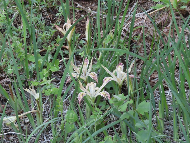 Iris
Iris
 A register is located 0.4 miles from the trailhead at the Oregon/California border.
 We were long overdue for a visit to California, our last hike in the state was way back in 2018 at the Lava Beds National Monument (
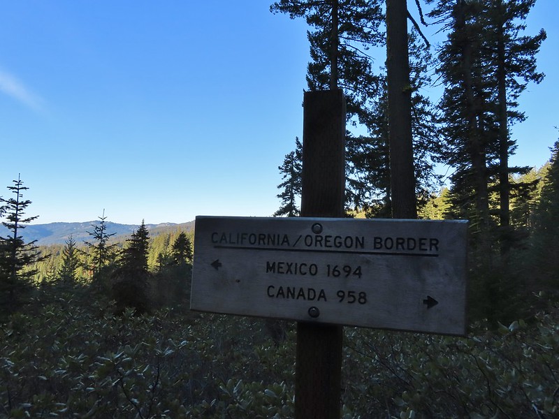 A good reminder of how much of the PCT is located in CA.
 Pussytoes
 First look at Donomore Meadows.
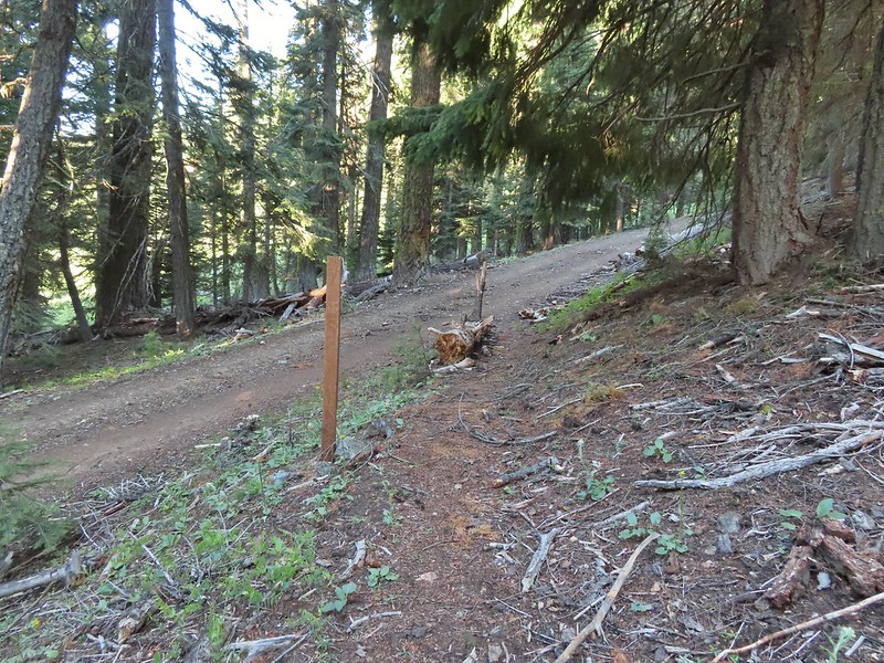 This road crossing is just over a mile from the trailhead. The Donomore Cabin is just up the road to the right.
 The cabin was built in 1935.
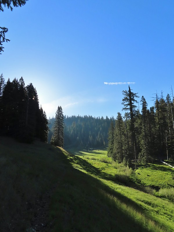
 The meadow below the cabin.

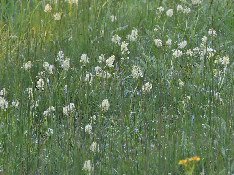 Death camas in the meadow.


 Mariposa lily
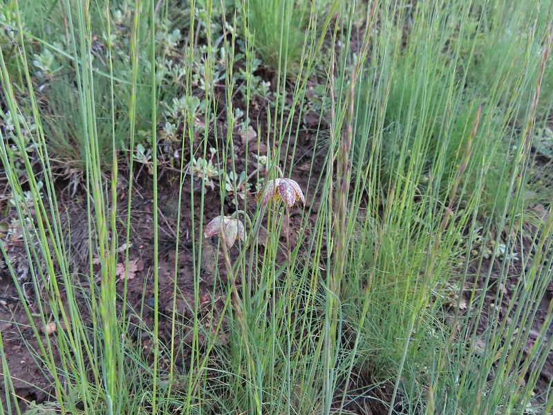 Chocolate lily
 Cinquefoil?
 Violets
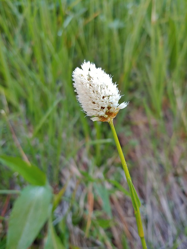 Bistort
 Heather passing through the meadow.
 There wasn’t much to the brushy creek but it made for a definitive turnaround point.
 California ground cone
 PCT heading north from the Stateline Trailhead.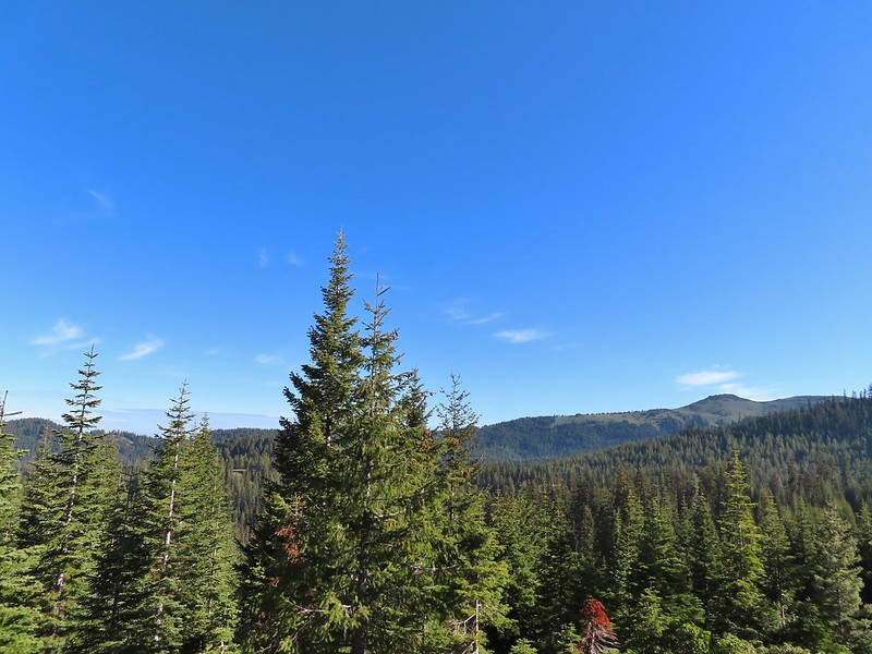
 Pasque flower
 Grayback Mountain in the distance with a small patch of snow.
 One of three springs the trail passes on the way to Observation Peak.
 Marsh marigolds
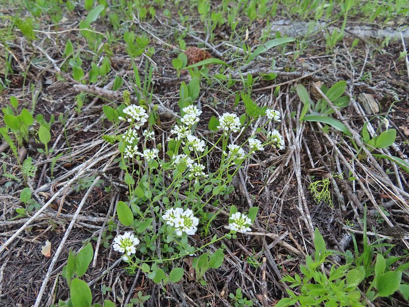 Alpine pennycress
 Another spring with marsh marigolds and glacier lilies.
 Scraggy Mountain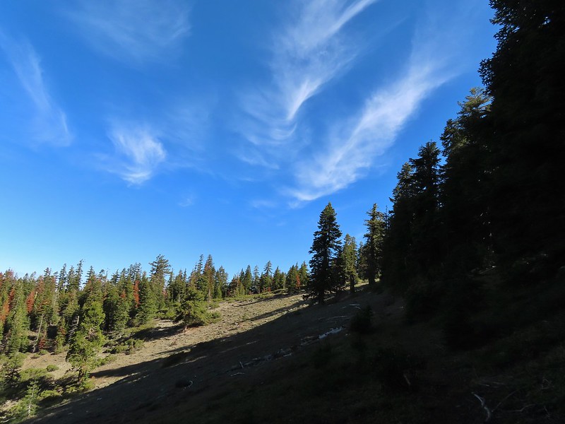
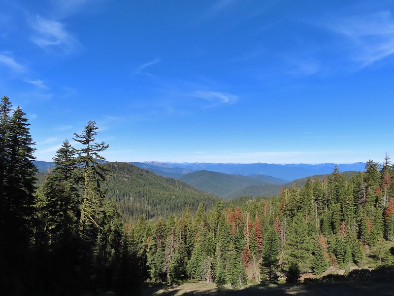 Looking SE to the Red Buttes (
 Kangaroo Mountain and Red Butte with Preston Peak, Twin Peak and El Capitan behind in the Siskiyou Wilderness.
 View south.
 Part of the Marble Mountains (
 Kettle Lake through the trees.
 Heading up to the ridge.
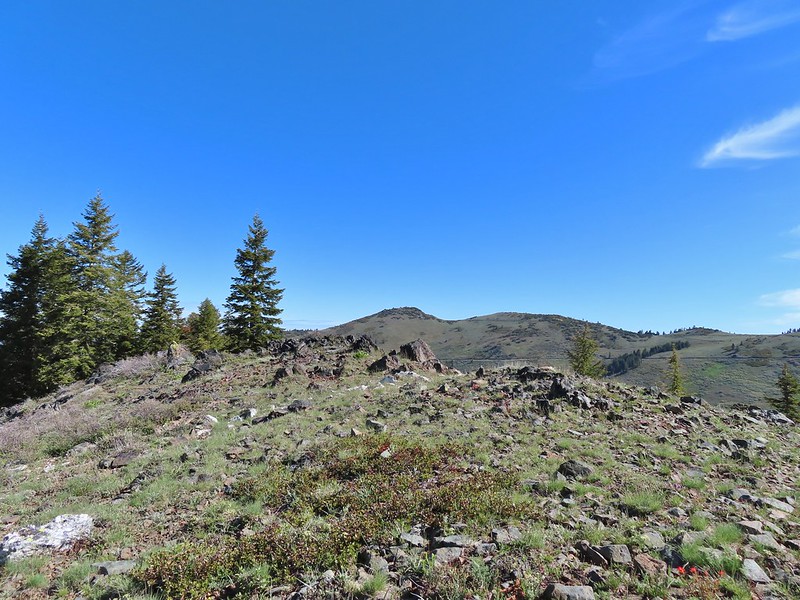 Dutchman Peak from the ridge.
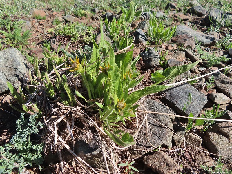 Not sure if these are mule’s ears or a balsamroot.
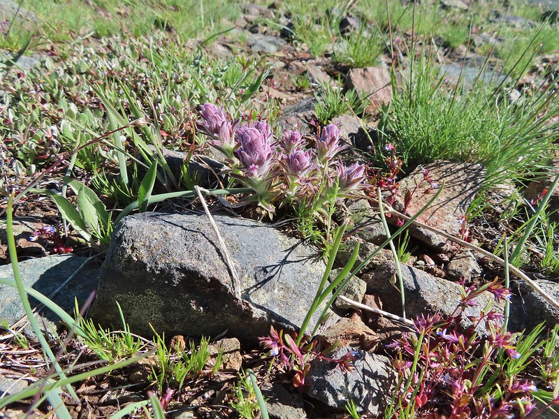 Splithair Indian Paintbrush (Castilleja schizotricha)
 Swallowtail on phlox.
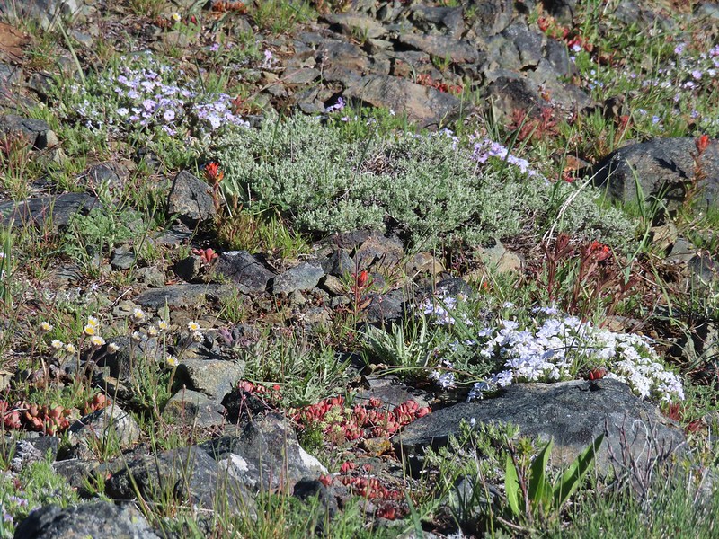 Wildflowers on the ridge.
 Cutleaf daisy?
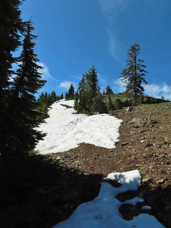 Snow drifts covering the PCT.
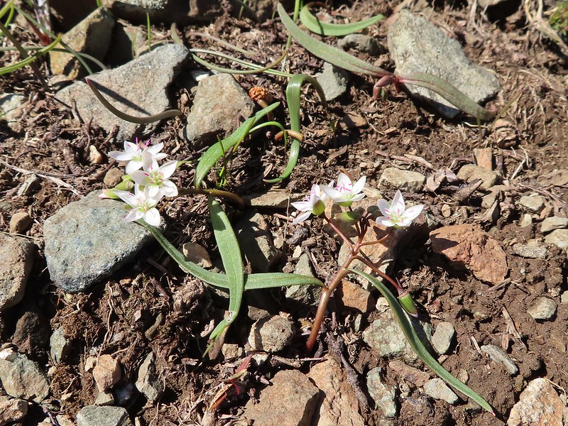 Lance-leaf Spring Beauty
 Heading for the summit.

 Pilot Rock (
 A rockcress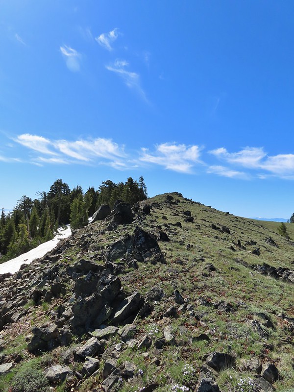

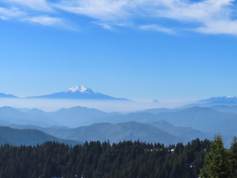 Mt. Shasta above a layer of smoke that mostly hid Black Butte (
 I think these peaks are a mix of the Russian Wilderness in the forefront and Trinity Alps behind. Bruce correct me if I am wrong on that :).
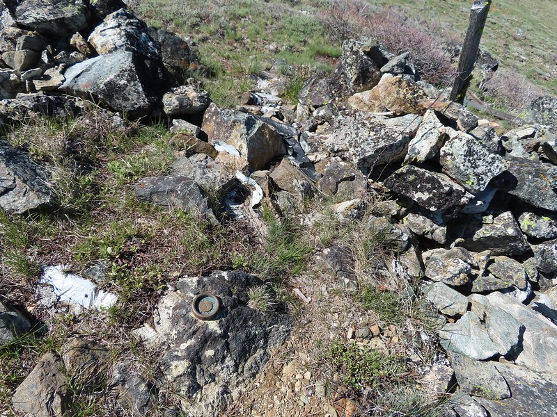 Rock pile at the summit.
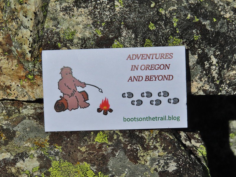 Our big find. I took a couple of pictures and put the card back for someone else to find (and added one of ours).
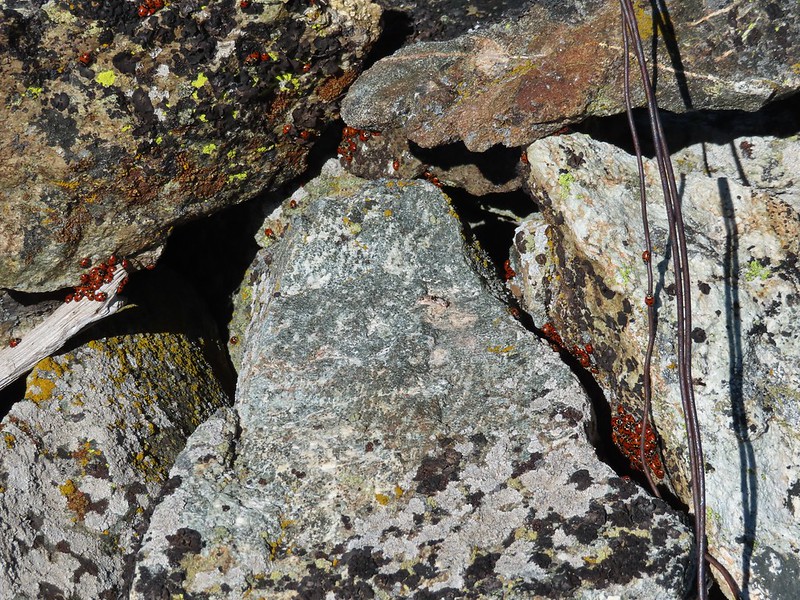 There were dozens of ladybugs in the rock pile.
 One of many photos of Mt. Shasta. We don’t get too many chances to see this Cascade Mountain.
 We could see Mt. Thielsen (
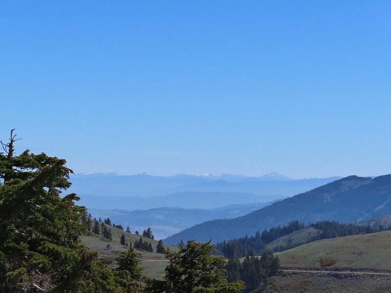 The peaks around the rim of Crater Lake.
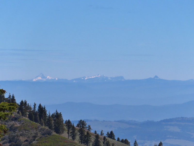 Mt. Thielsen to the left of Crater Lake.
 Mt. Bailey (
 The Red Buttes in front of Preston Peak.
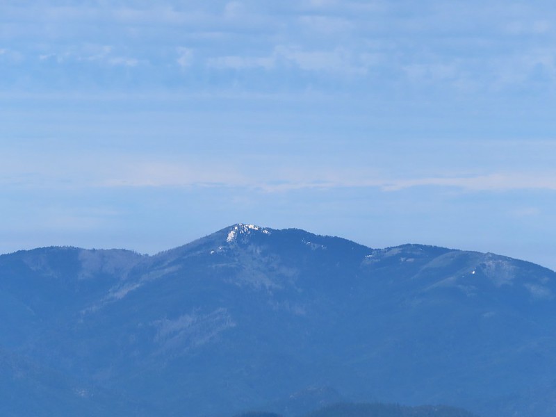 Grayback Mountain
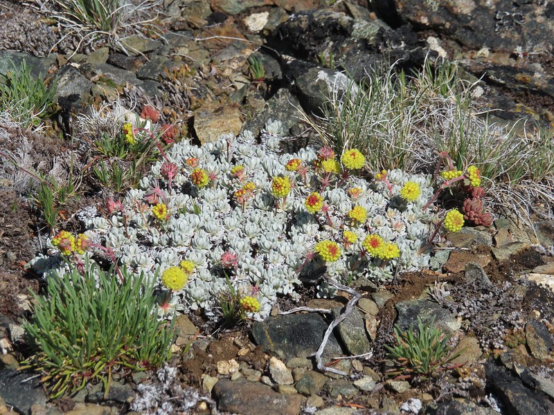 Buckwheat
 Alpine pennycress
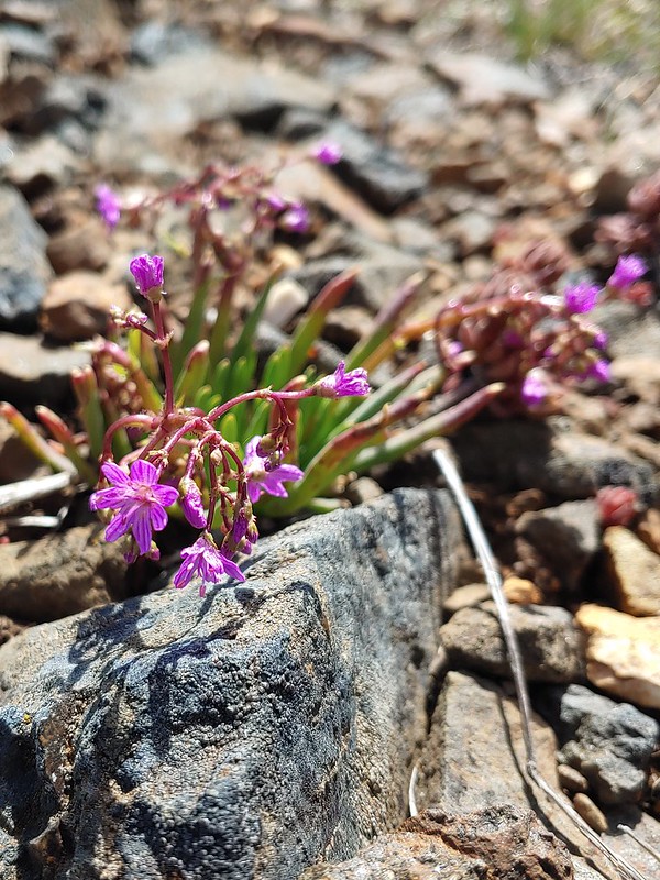 Quill-leaf Lewisia
 Larkspur
 Chipmunk having a snack.
 One of two hairstreaks we encountered on the PCT.
 The 2nd hairstreak.
 Where I left the PCT.
 Lots of this orange fungus in the forest.

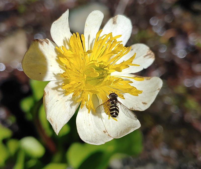 Bee on a marsh marigold.
 Glacier lily
 Trillium
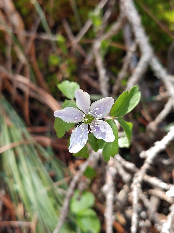 Anemone
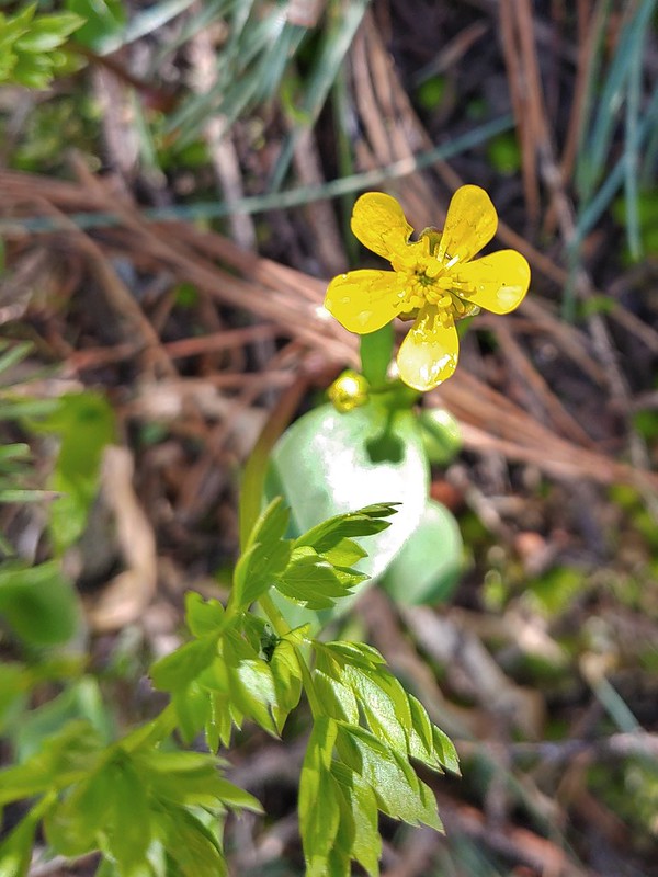 Buttercup?
 Passing through the manzanita section.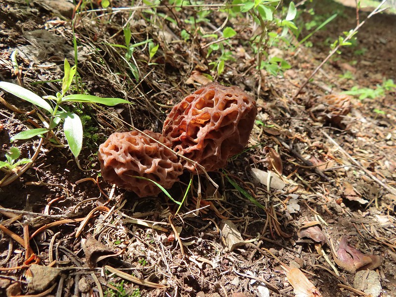

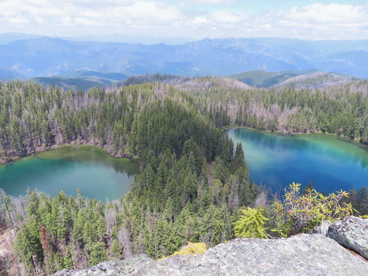
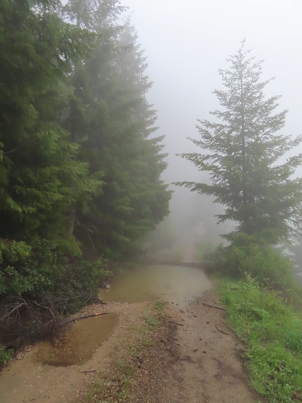 We parked in a pullout just before this section.
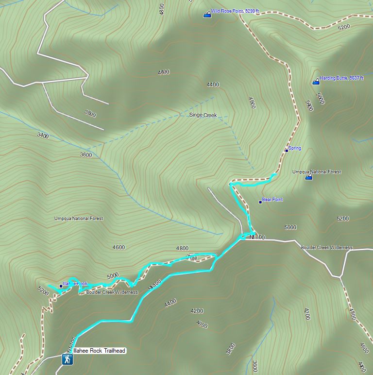
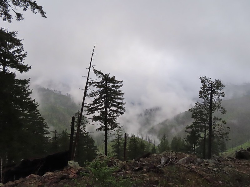 The Boulder Creek Wilderness (
 FR 104
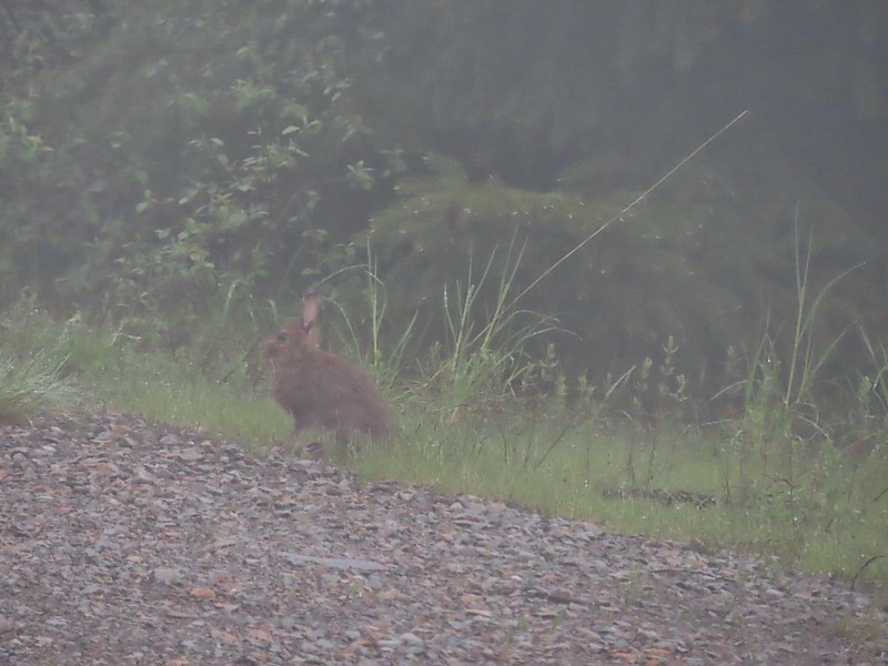 Rabbit on FR 100
 Lots of fawn lilies along the road and trails.
 Red flowering currant
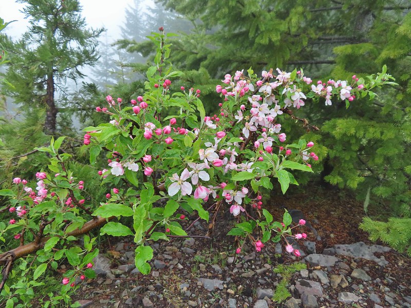 Is this an apple tree? Whatever it is it seemed very out of place.
 FR 105 on the left and FR 100 on the right.


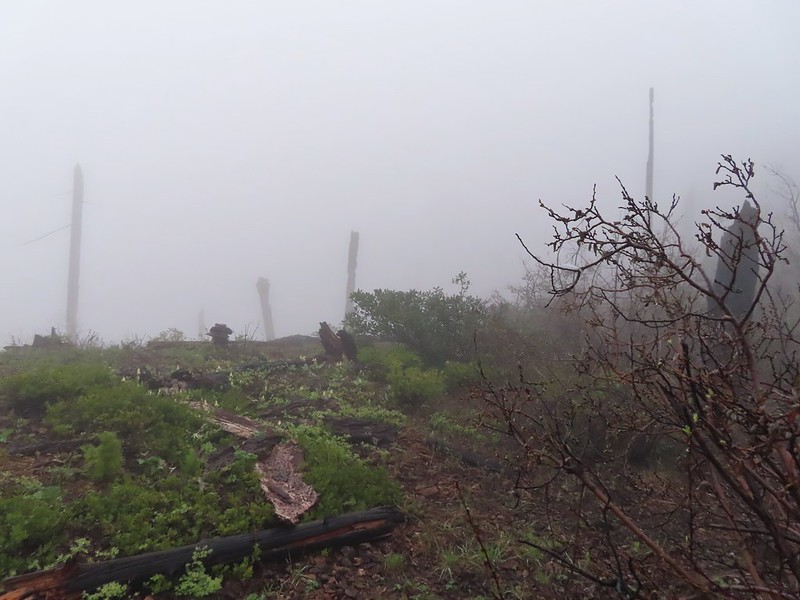 A cairn on the left.
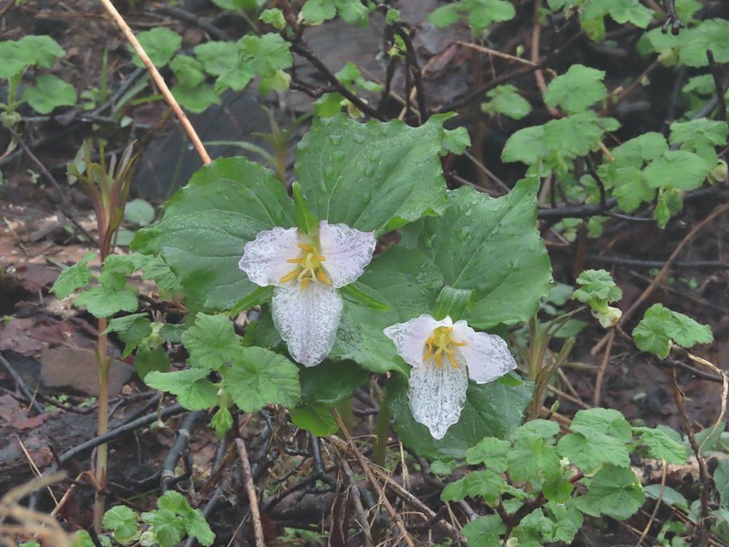 Damp trillium
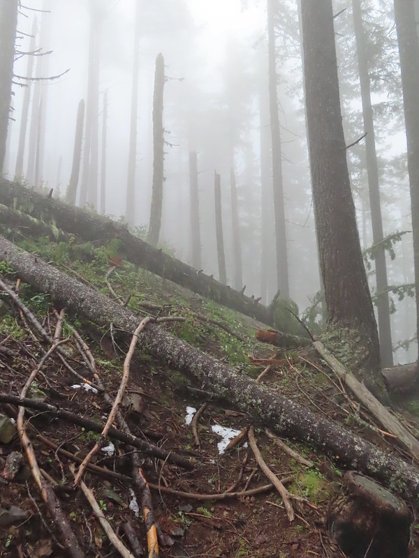
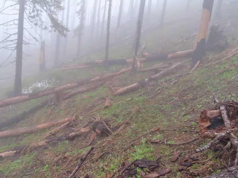 Downed trees across the trail near Illahee Spring.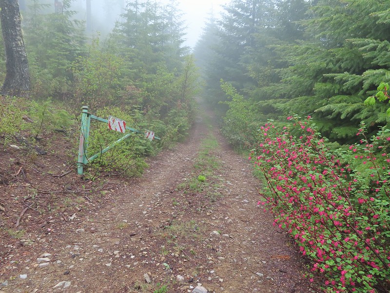
 Gooseberry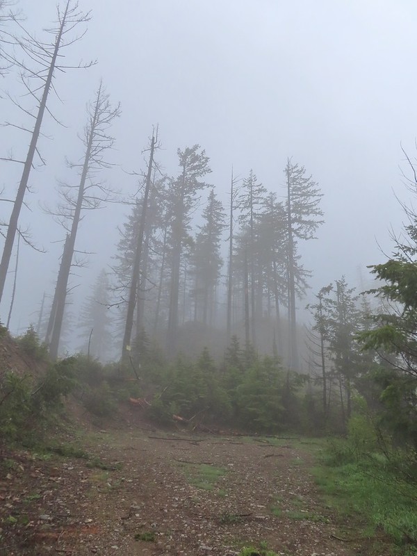

 The tread was a little faint but otherwise in good shape.
 Lots of cool rock outcrops along the trail.
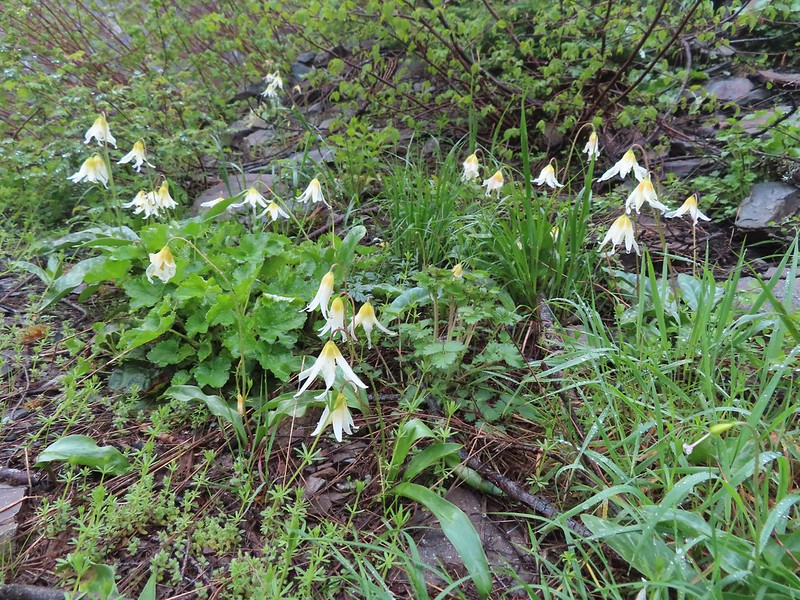 Fawn lilies
 Typical trail condition.
 Ragwort and blue-eyed Mary covered hillside.
 Blue-eyed Mary
 Ragwort
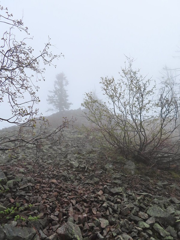 Rocky hillside below the lookouts.
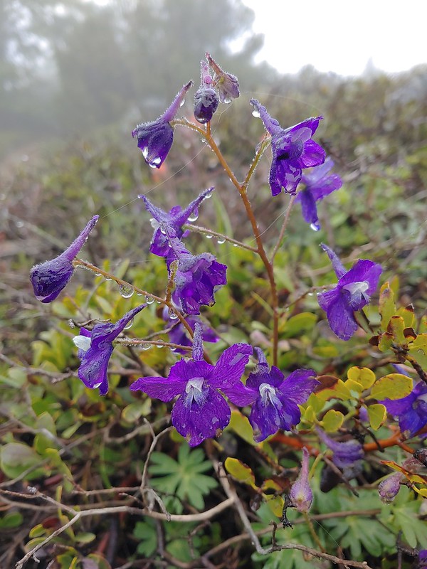 Larkspur
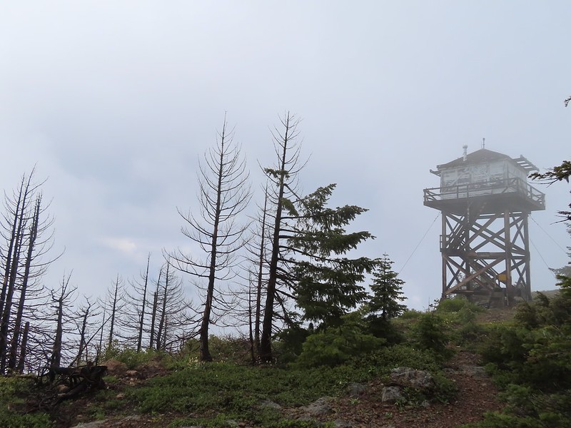
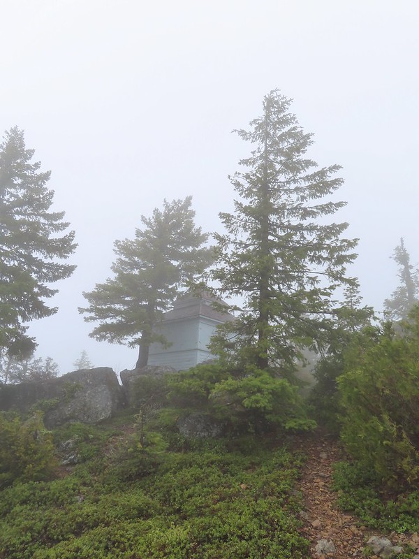 1925 Cupola style lookout.
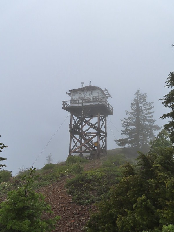 1956 L-4 tower lookout
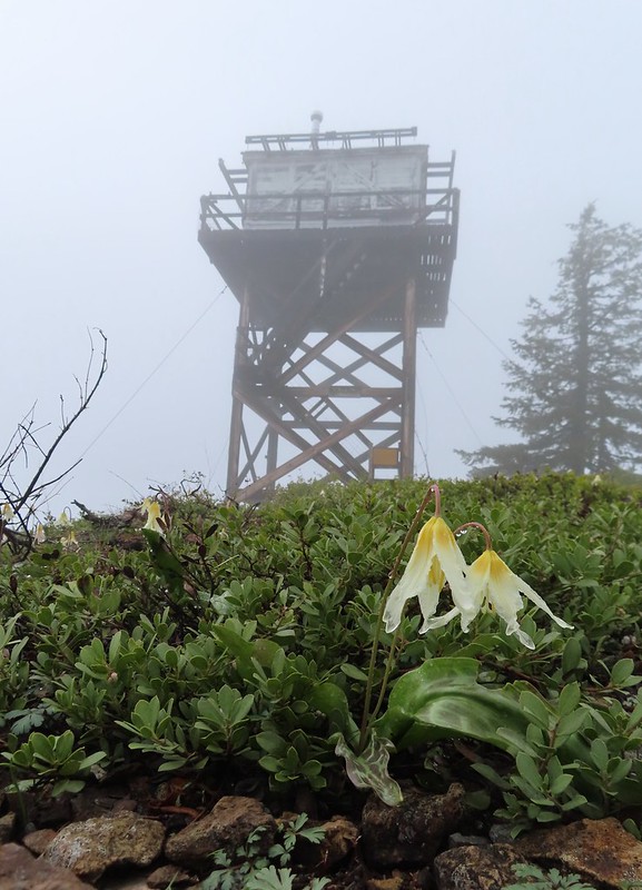
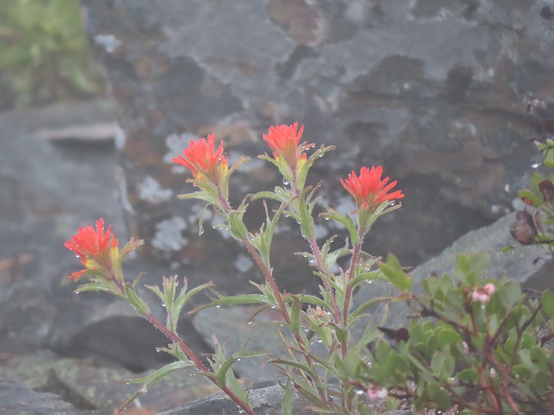 Paintbrush
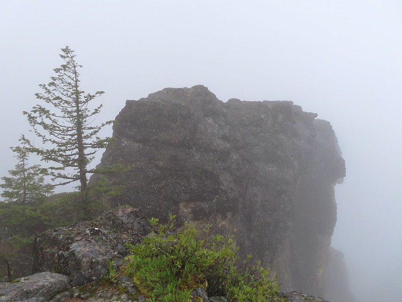 Illahee Rock
 A sliver of hope for blue sky at some point.


 Back at the trailhead.
 On FR 100
 Wallflower
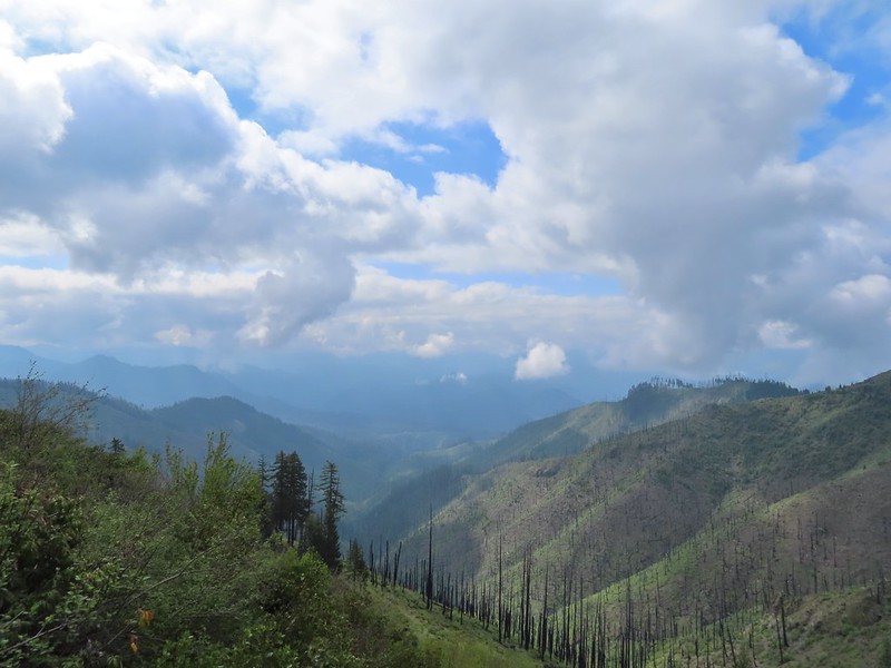 The Boulder Creek Wilderness

 Meadow along the trail.
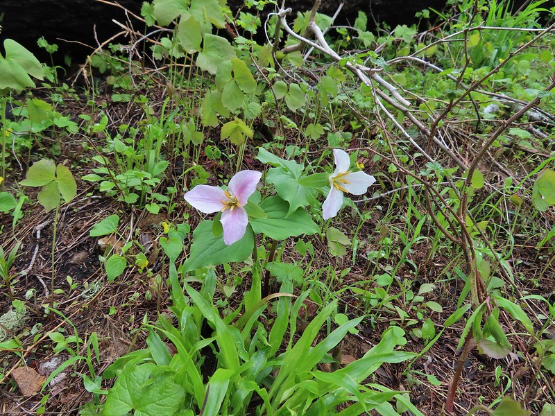 Trillum
 Becoming sunny in action. From this viewpoint Diamond Peak, Mt. Thielsen, and Mt. Bailey are visible sans clouds.
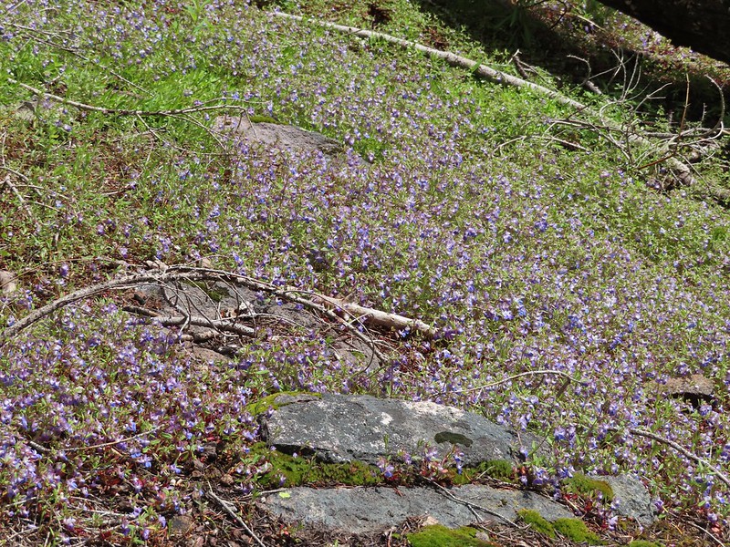 A carpet of blue-eyed Mary at the viewpoint.
 Illahee Rock was visible from the viewpoint despite the clouds.
 The lookout tower on Illahee Rock.
 Indian plum
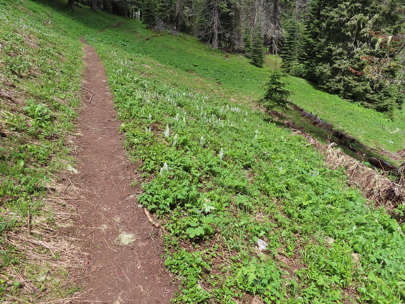 Hellbore starting to sprout in a meadow.
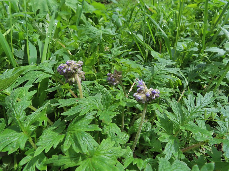 Waterleaf
 Nearing the junction.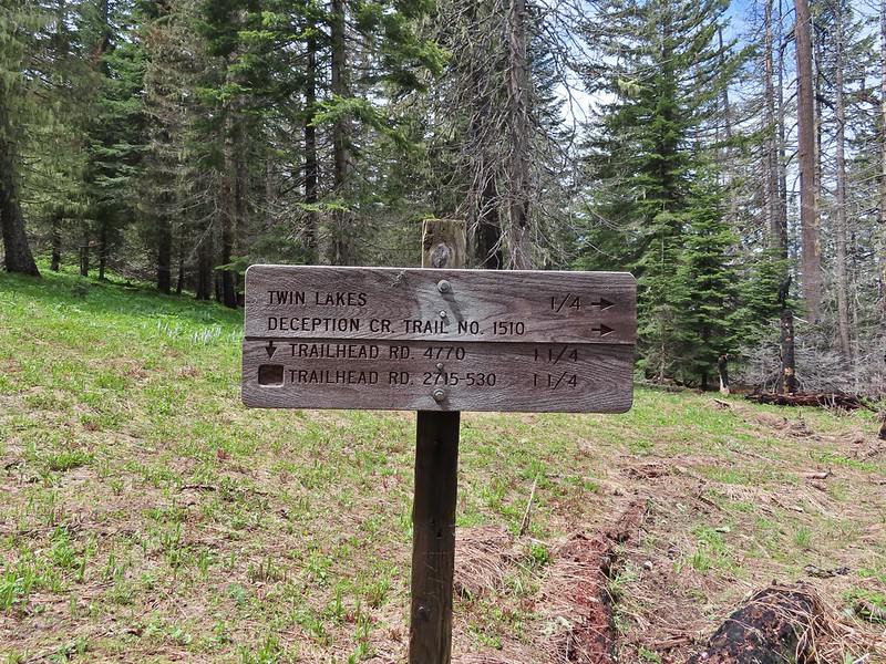
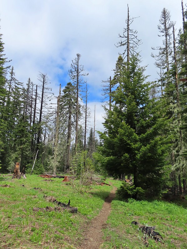
 Woodpecker
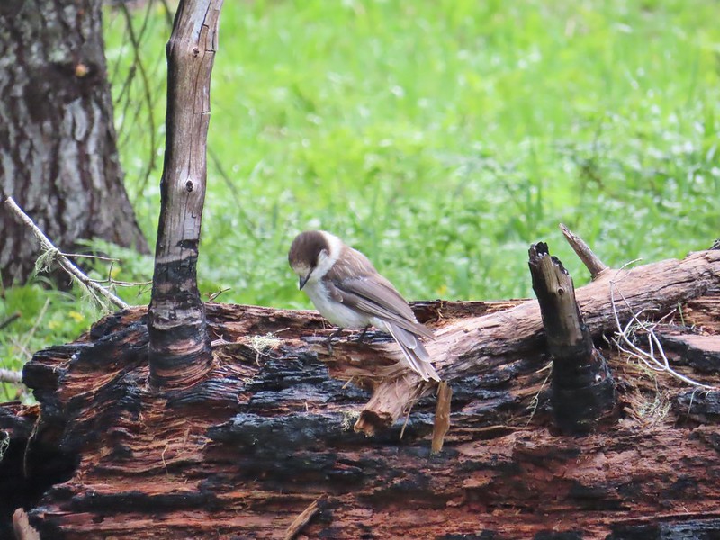 Gray jay
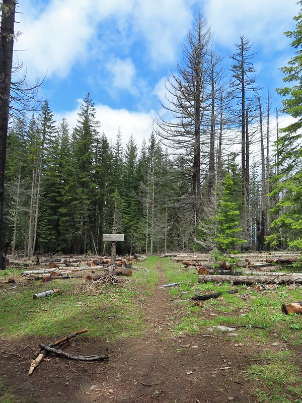 The second junction where we turned left.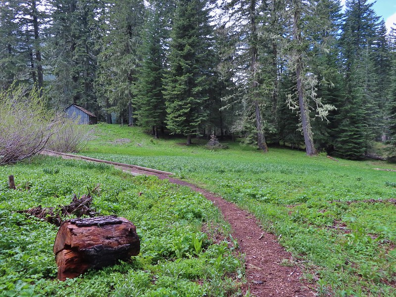


 Mushroom near the shelter.


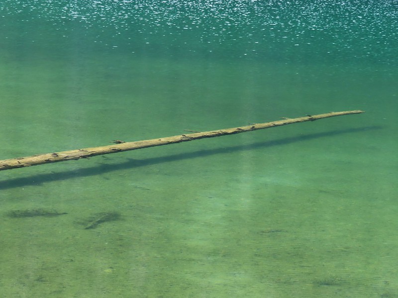 No fish but it was easy to see them when they were present.
 This big rock added to the scenery.
 We couldn’t decide if that was an old bridge or dock in the water.
 Passing behind the big rock.
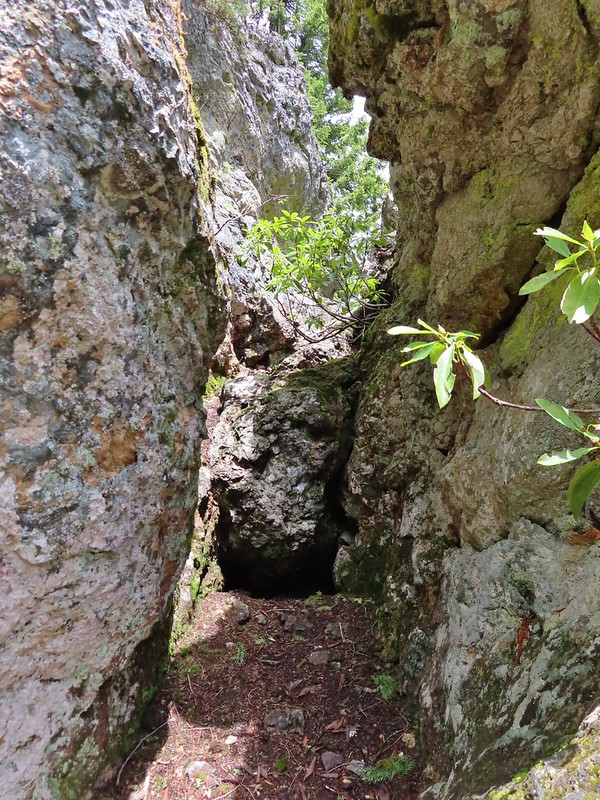 The rock turned out to be split.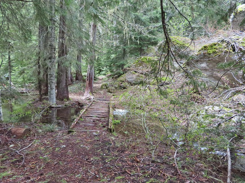
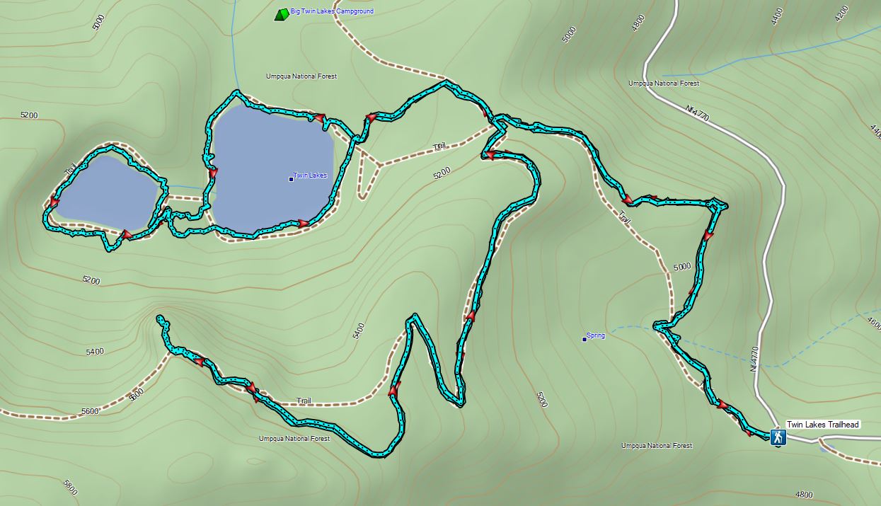
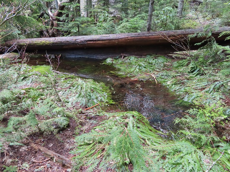 There was a lot of water in the section between the two lakes. Fortunately there didn’t seem to be any mosquitos which was really surprising but in a good way.
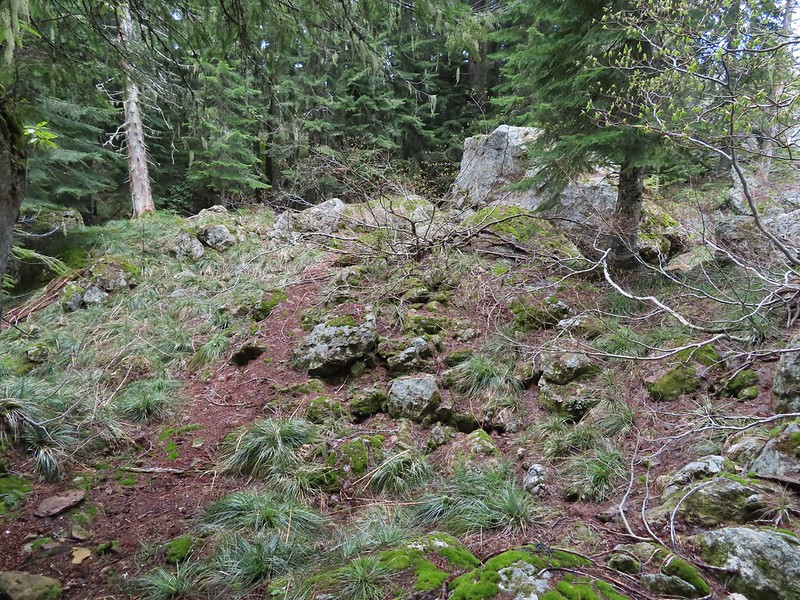 This looked like it could be a trail.
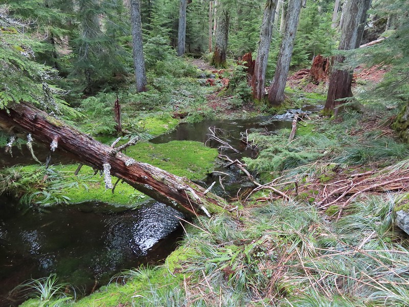 How were there not any mosquitos in here.
 A local wondering what we were up to.
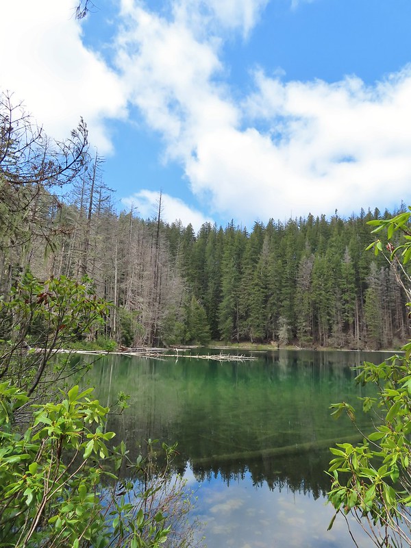
 The outlet creek.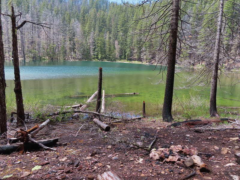
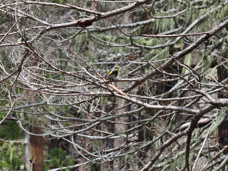 Yellow-rumped warbler
 Red-breasted sapsucker
 Stellar’s jay

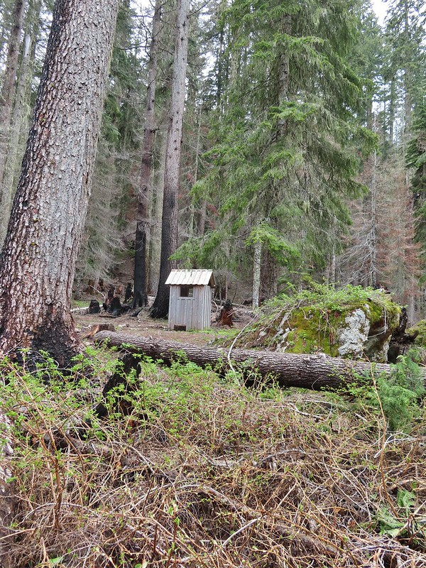

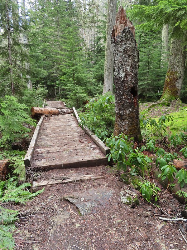
 This cracked us up, someone just nailed the planks into the tree that broke the bridge.
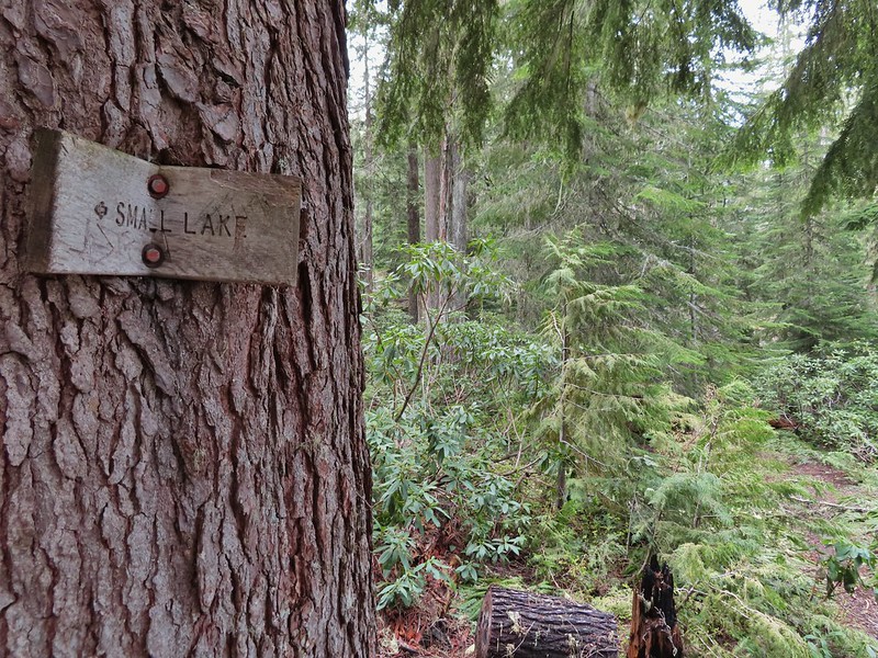 A small sign at the junction.

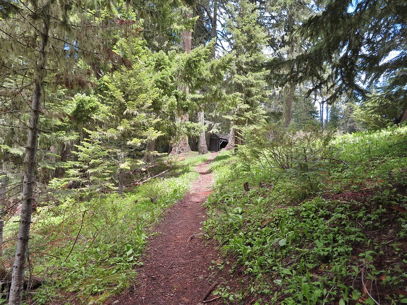
 Another meadow along the 1.1 mile section.
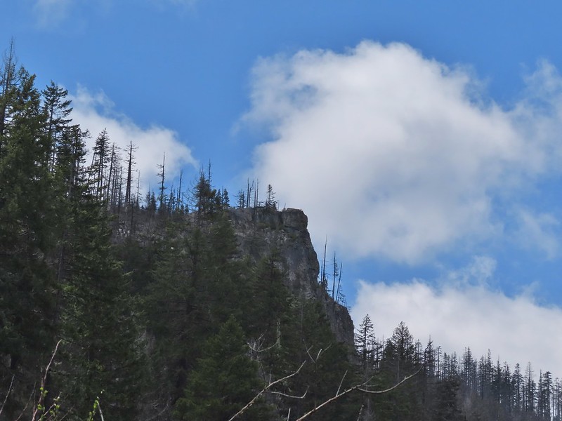
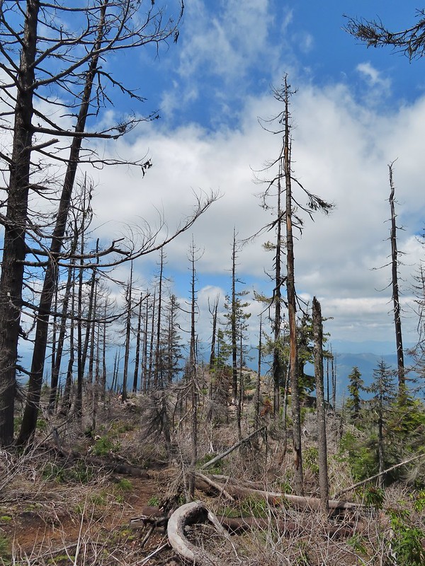
 The 2017 fire hit this section pretty hard.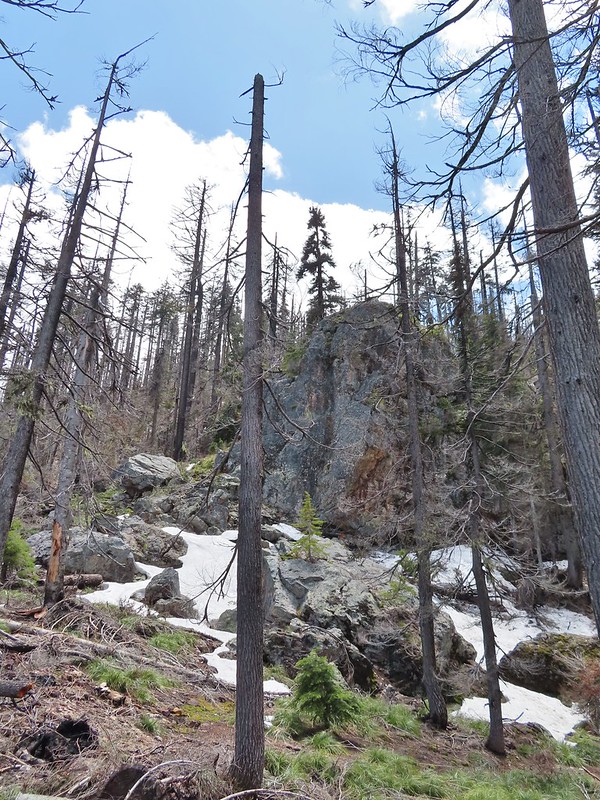

 The larger lake.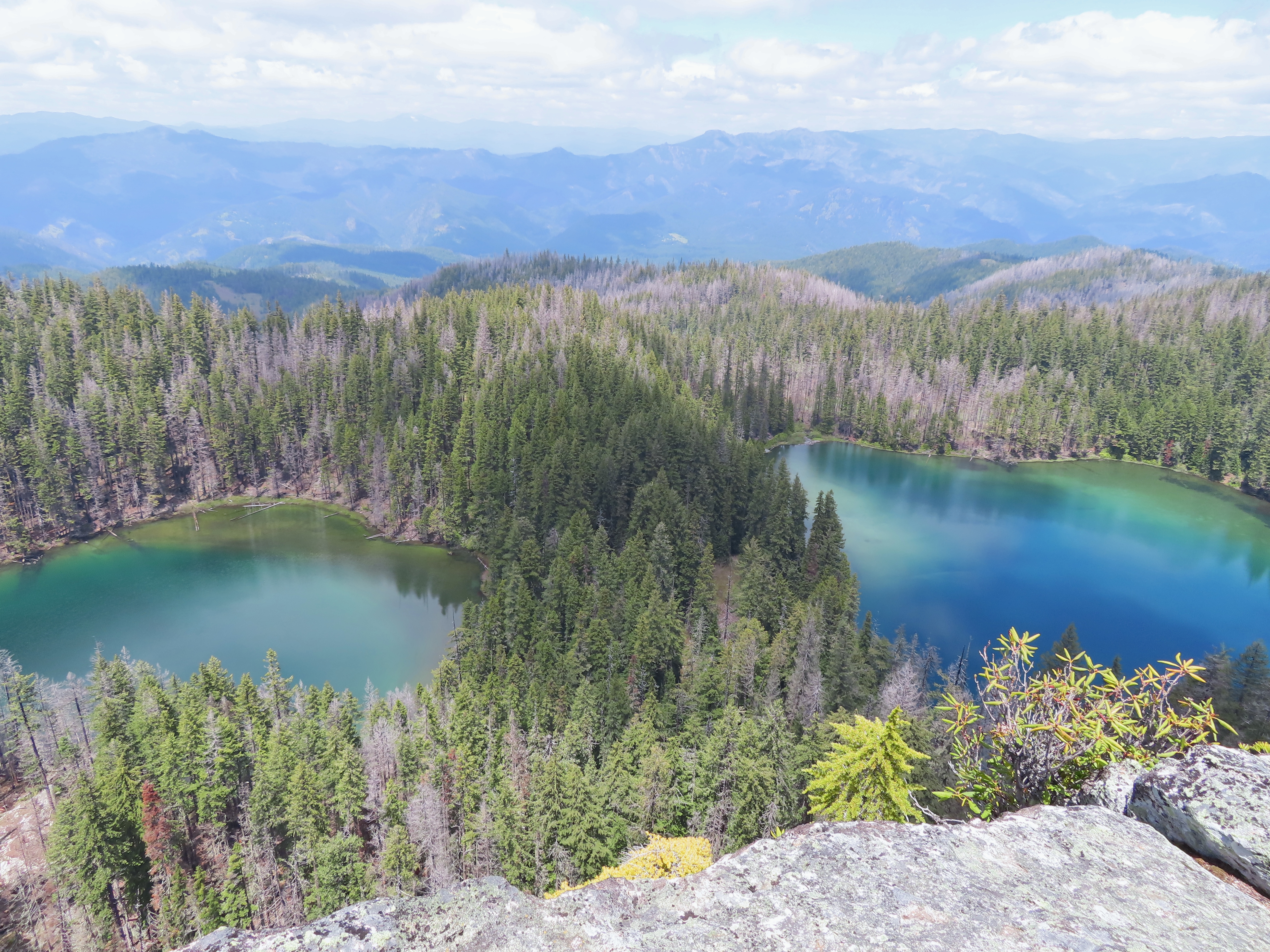
 The smaller lake.
 Illahee Rock from the viewpoint.
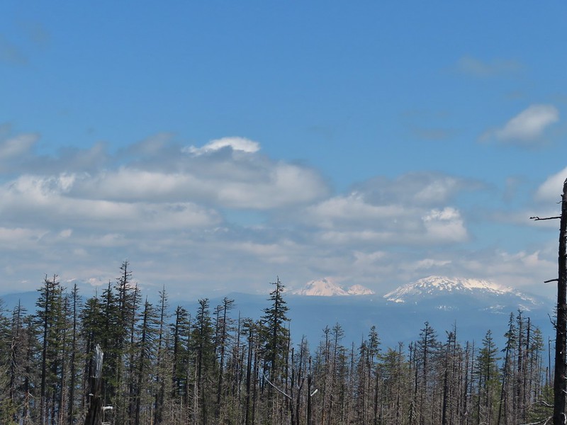 The lower flanks of Howlock Mountain, Mt. Thielsen (
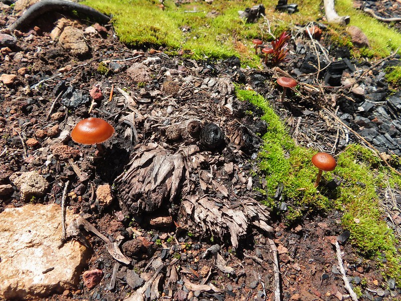
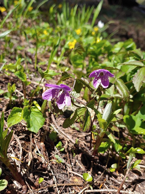 Bee on an anemone.
 Glacier lily
 Moth and a violet.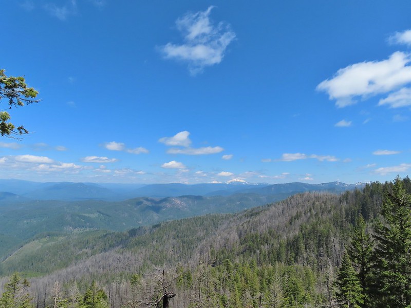
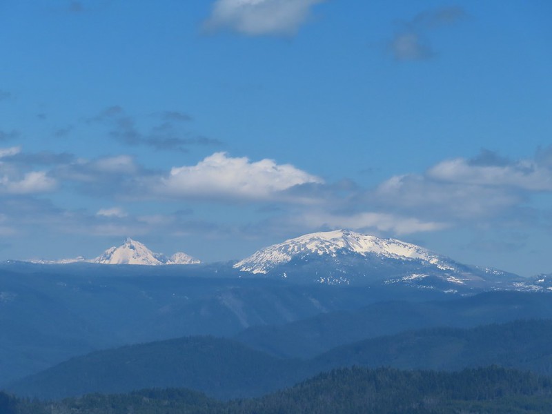 Mt. Thielsen and Mt. Bailey
 Black Rock on the right.
 Highrock Mountain
 Howlock Mountain
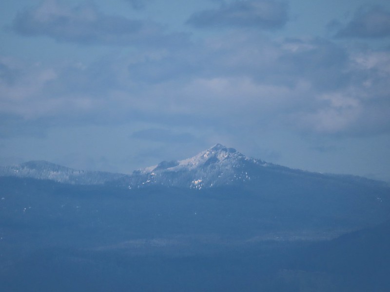 Cowhorn Mountain (