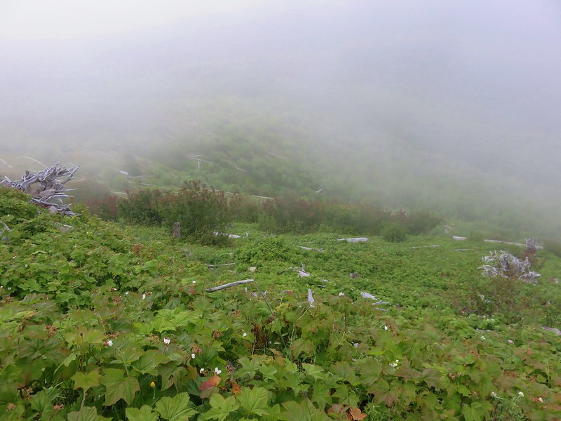
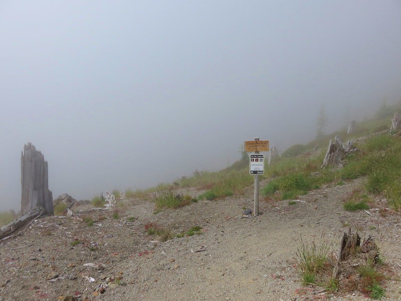
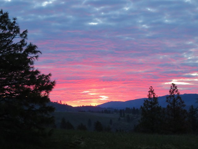
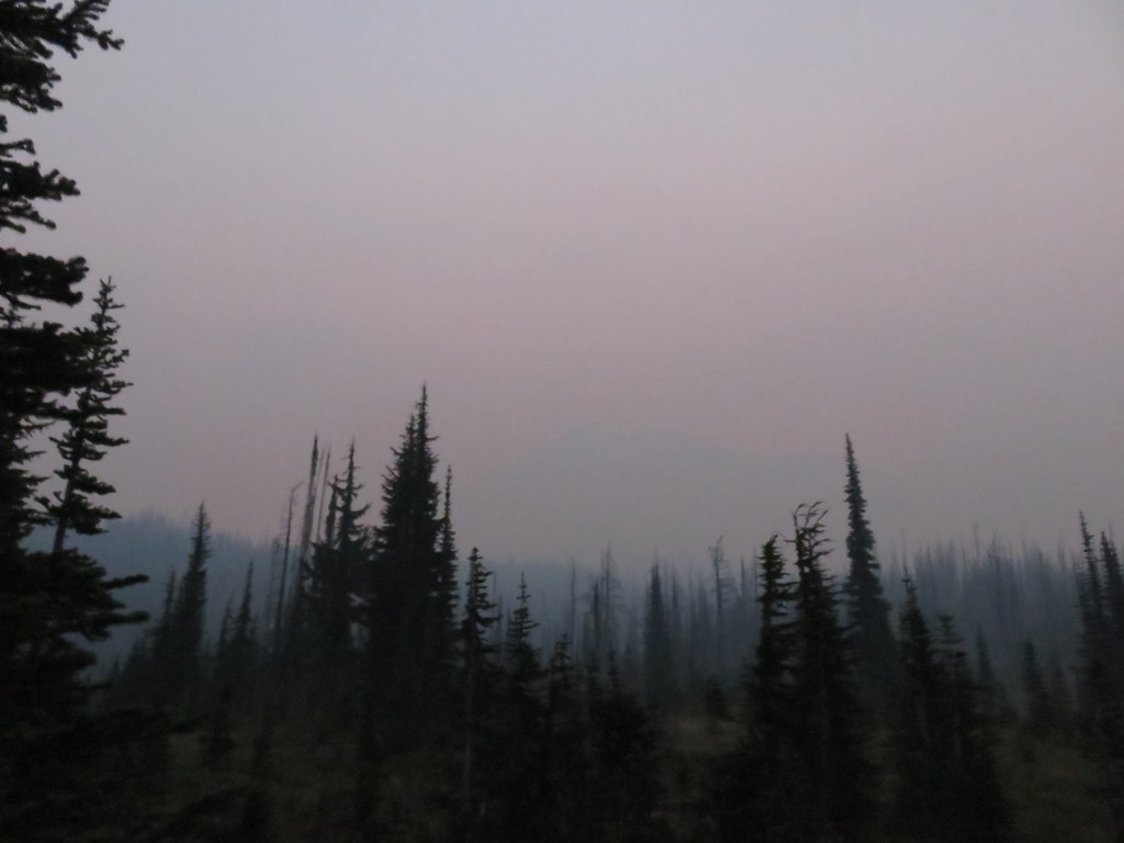
We woke up after 6am on Sunday morning which counts as sleeping in for us. The forecast had called for smokey conditions all weekend which hadn’t materialized at all on Saturday but the sky was a little hazy now.
It certainly wasn’t bad and there was no fire smell in the air which was nice.
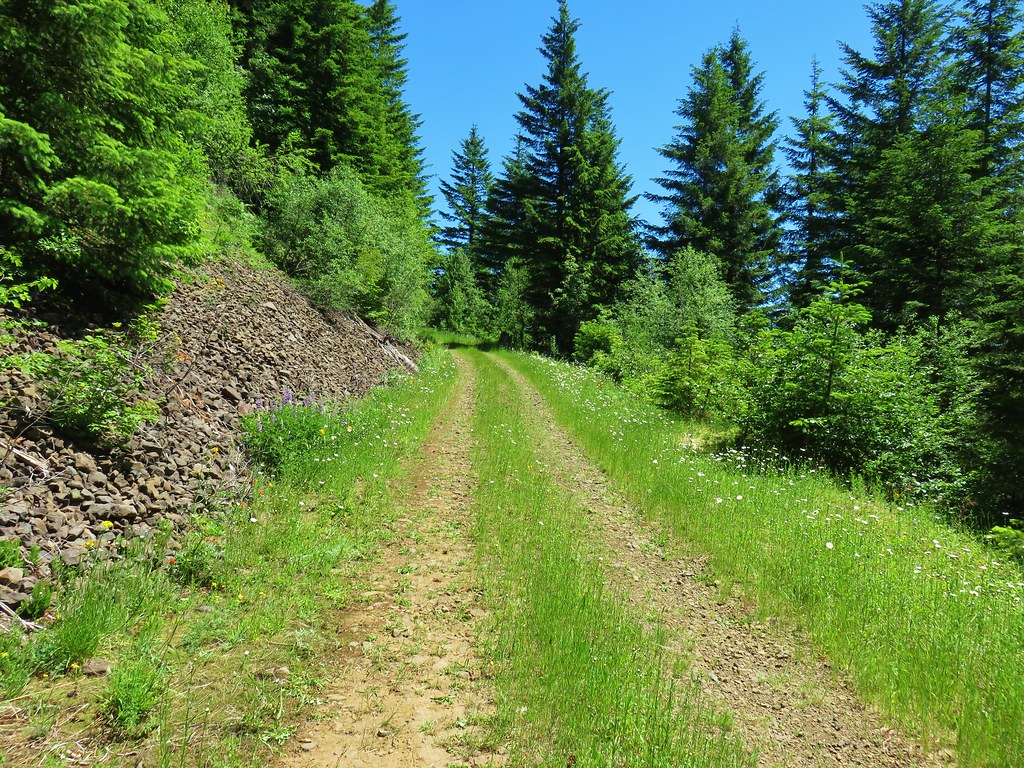
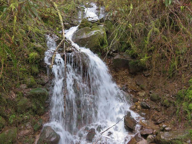
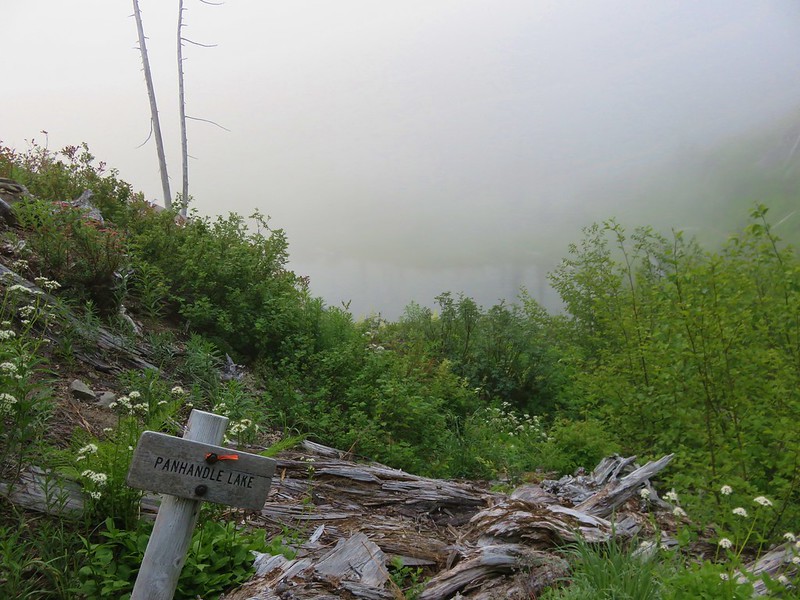
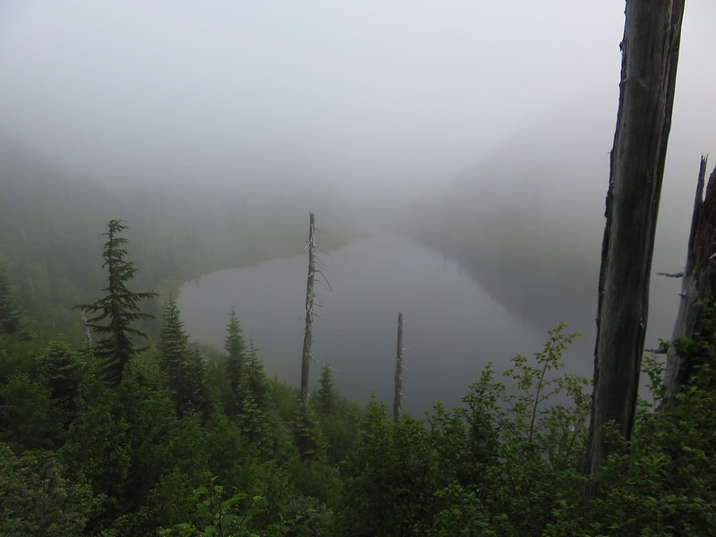
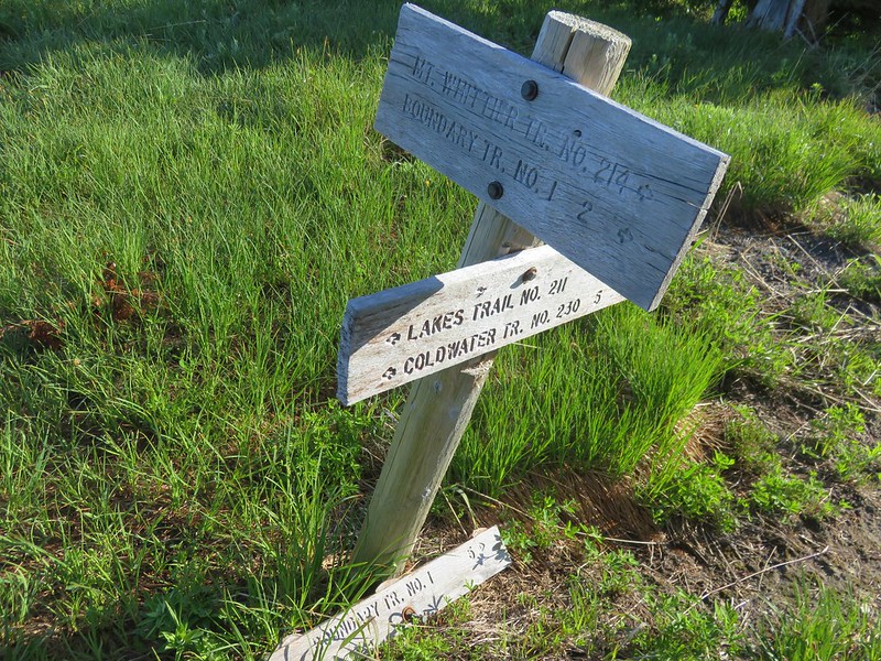
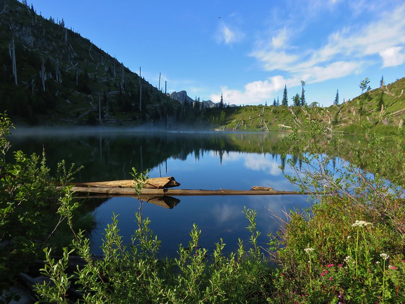
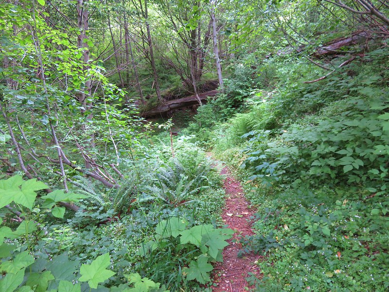
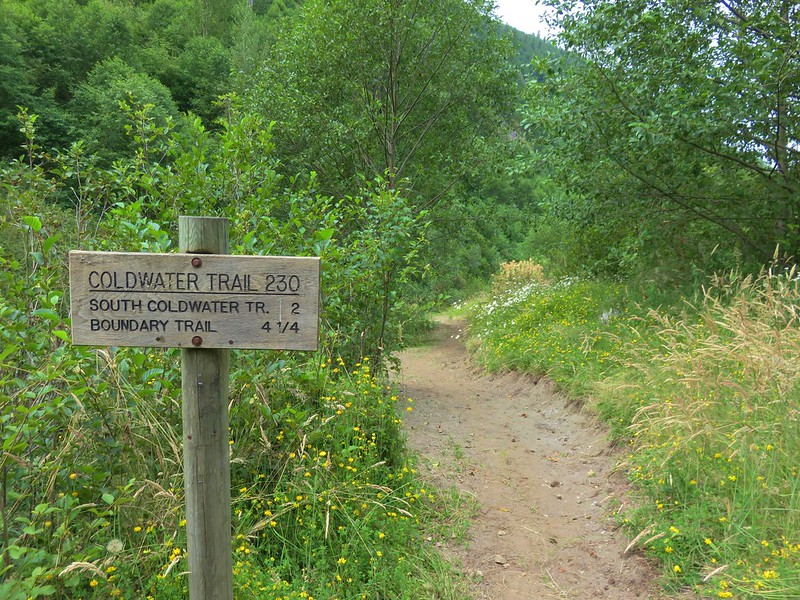
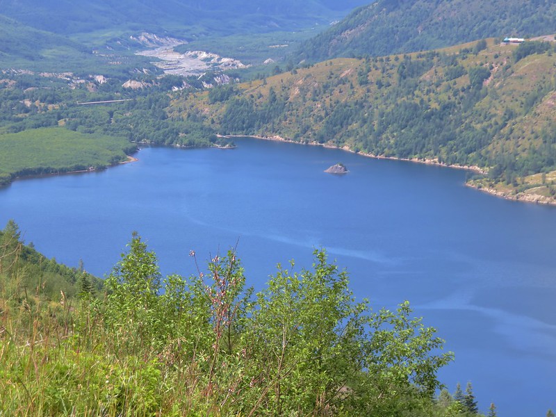
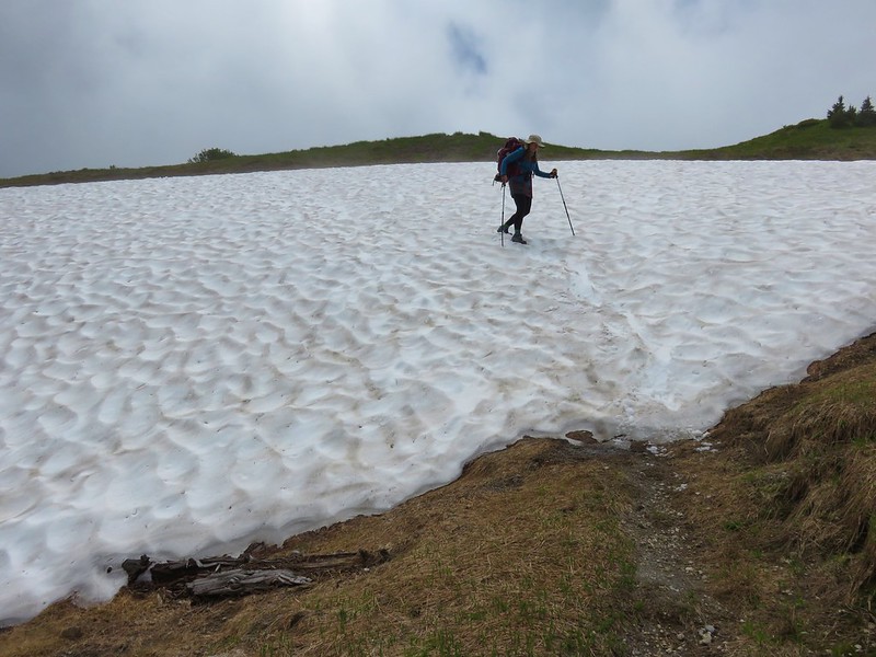
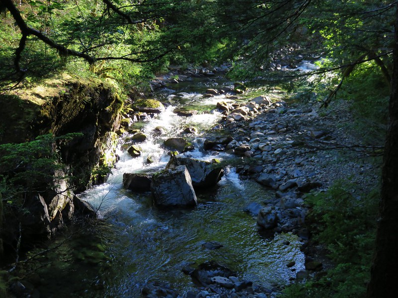
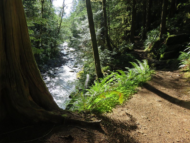
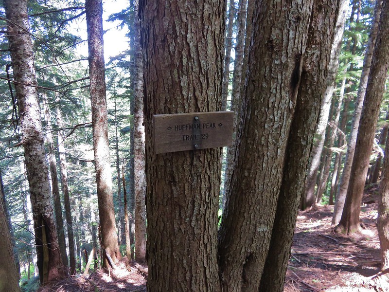
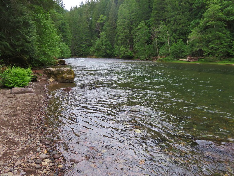
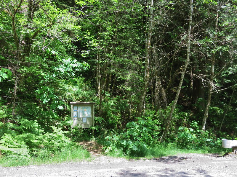
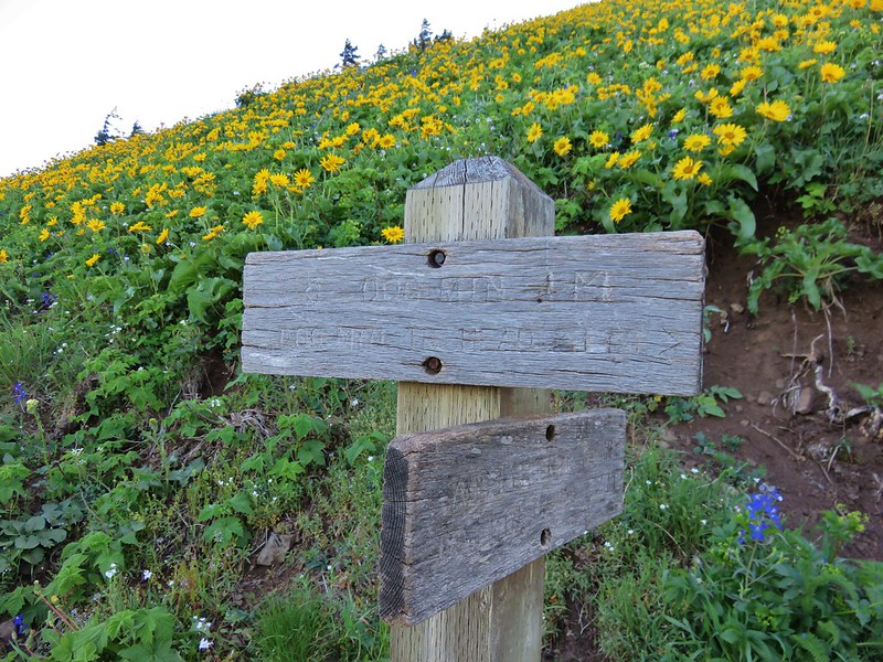
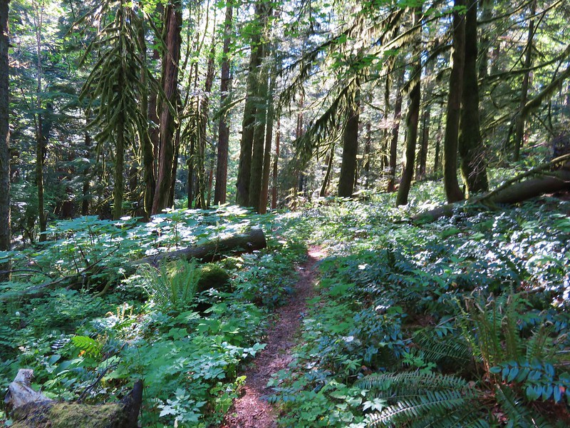
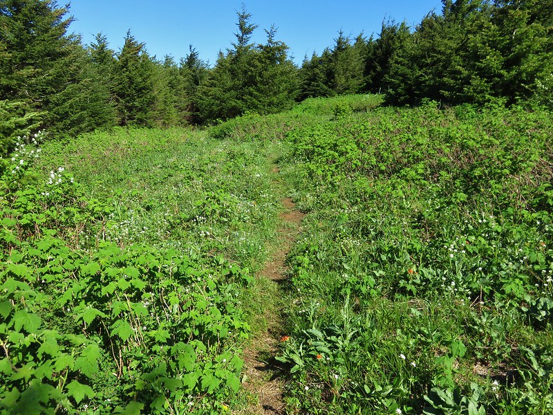
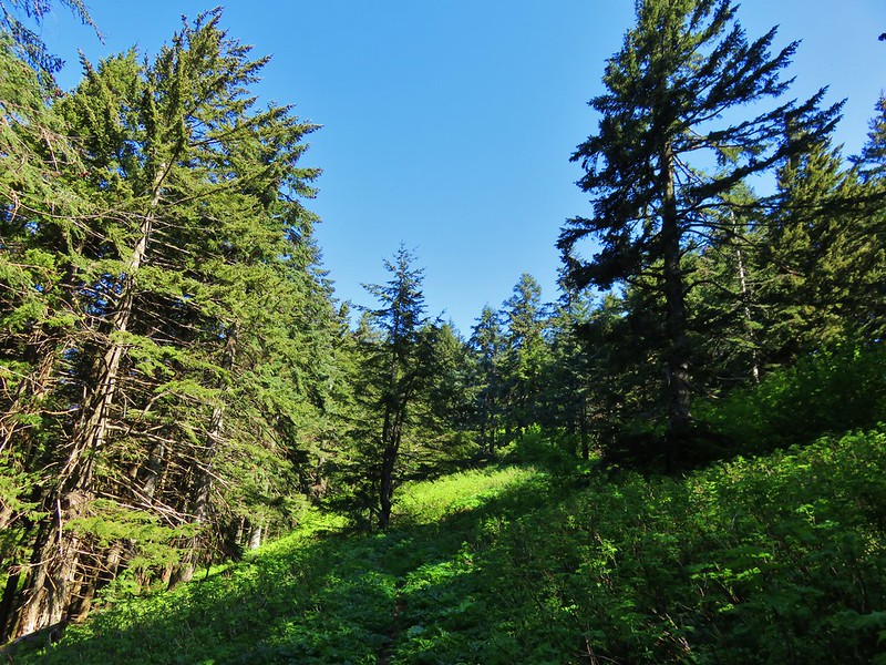
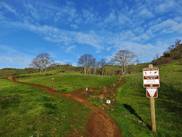
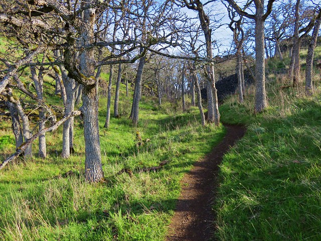
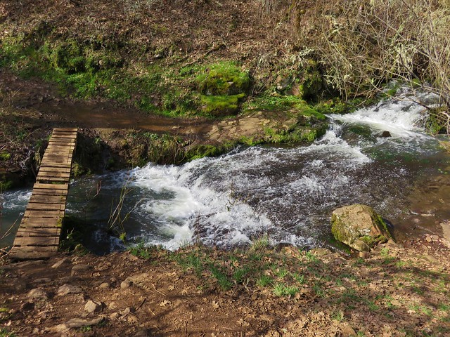
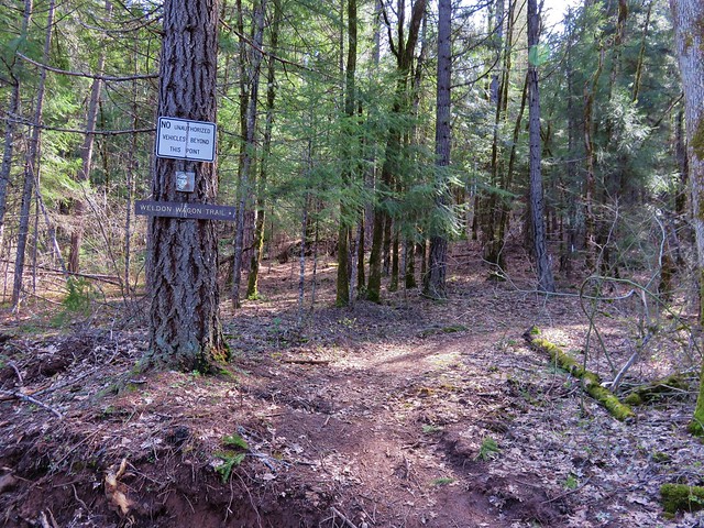
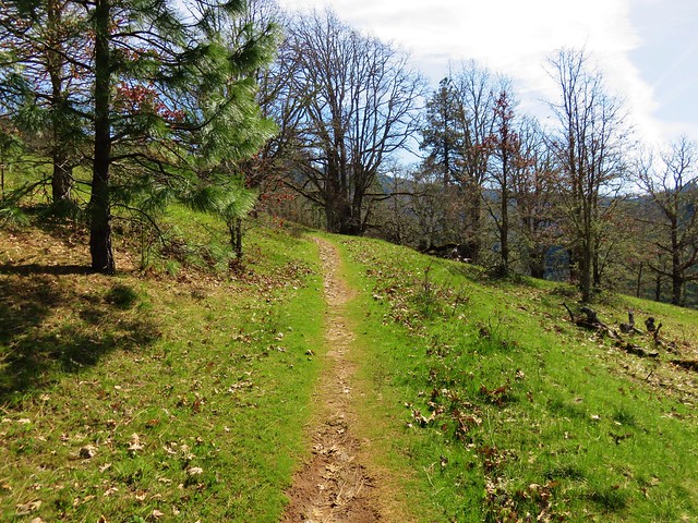
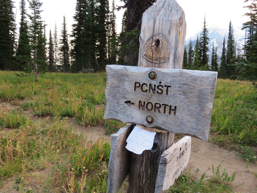
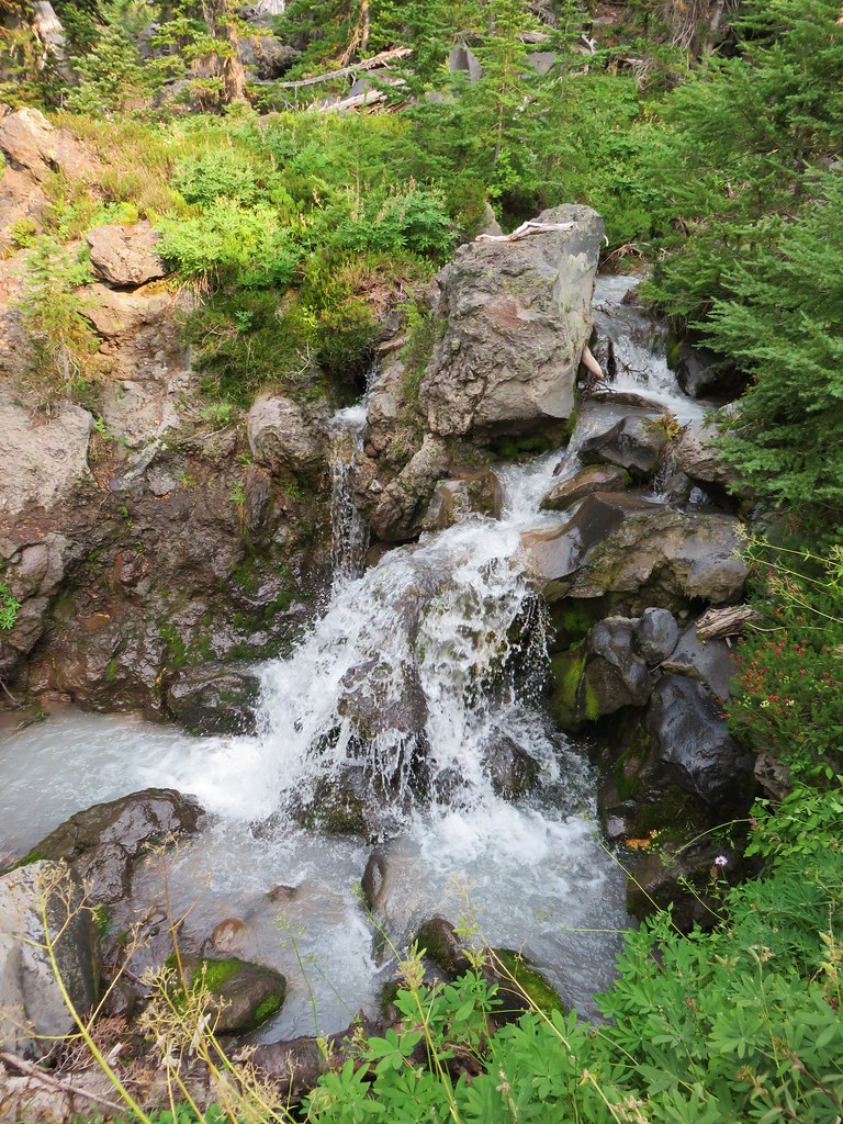
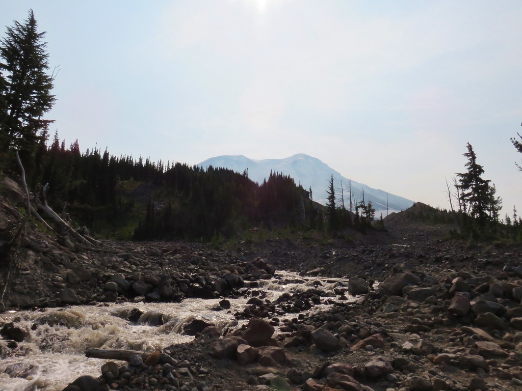
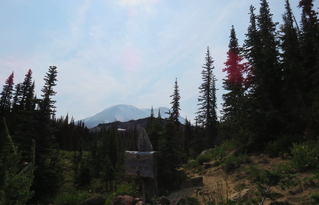
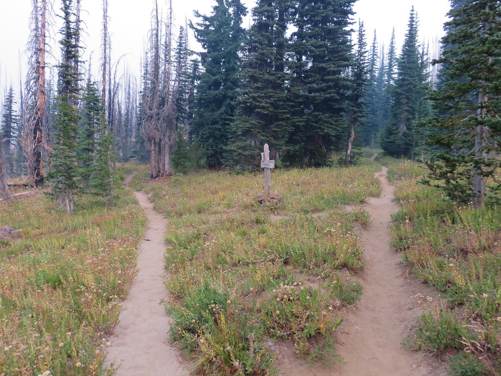
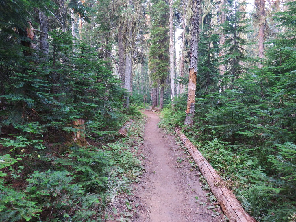
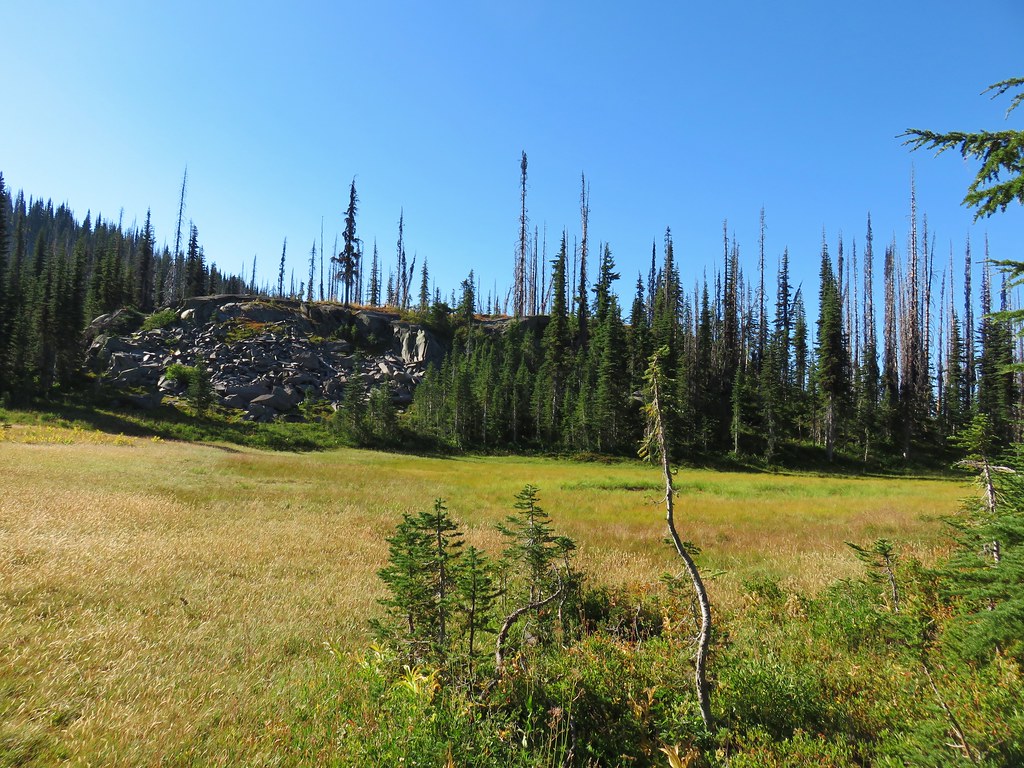
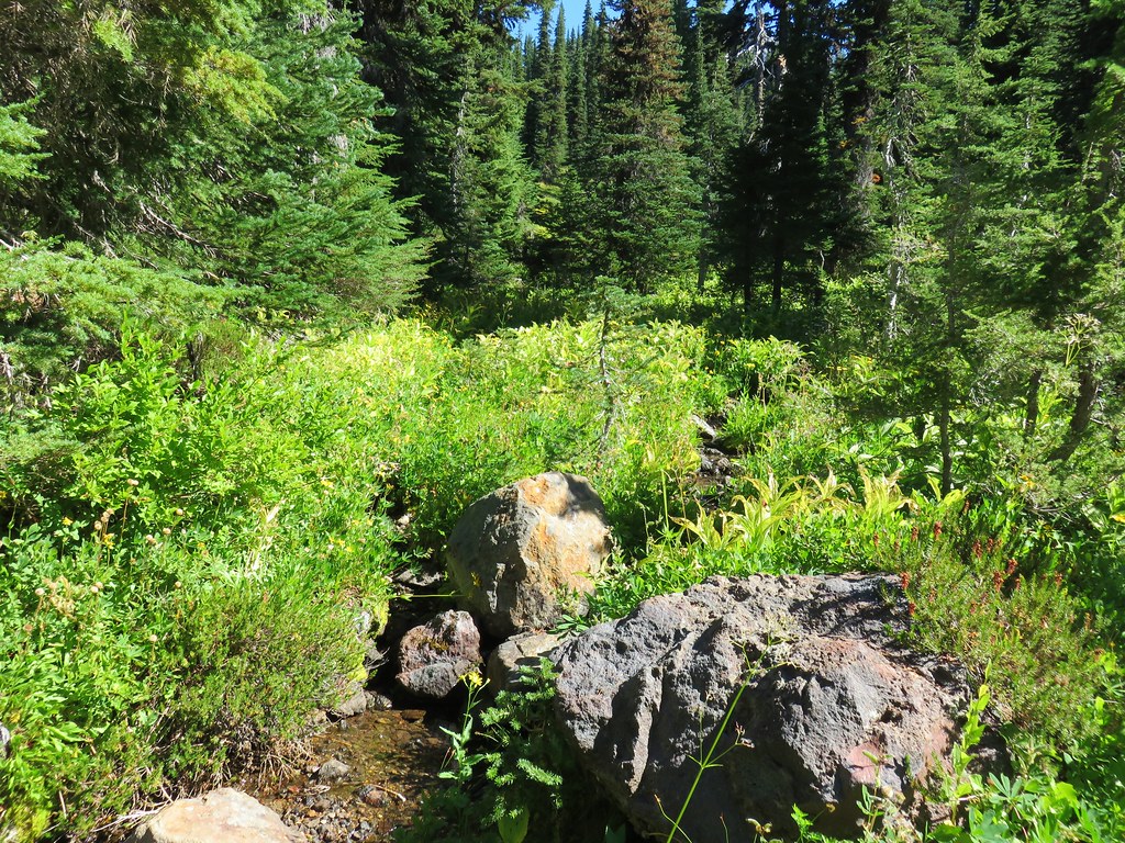
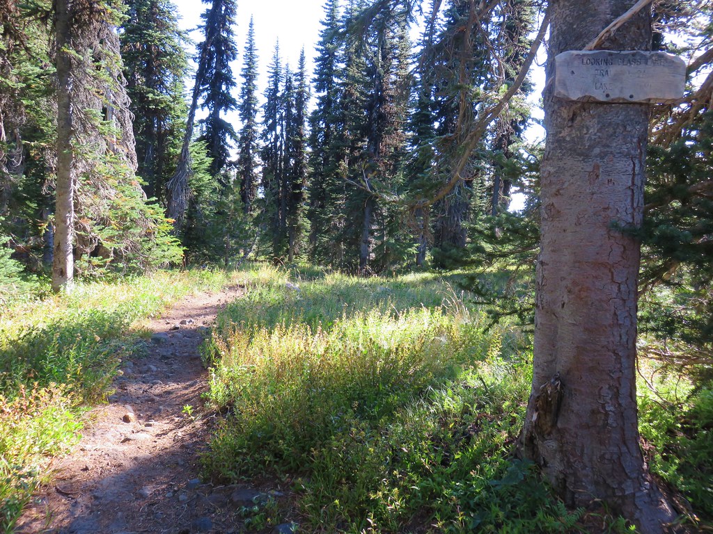
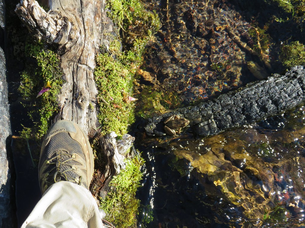
Our mission was to find a water source as we had run low the day before and didn’t want to try and filter out of the nearby Cascade Creek which was too silty. We grabbed our packs and headed across Horseshoe Meadow to the Pacific Crest Trail. Our plan was to follow it north to the Killen Creek Trail and possibly into Killen Creek Meadows.
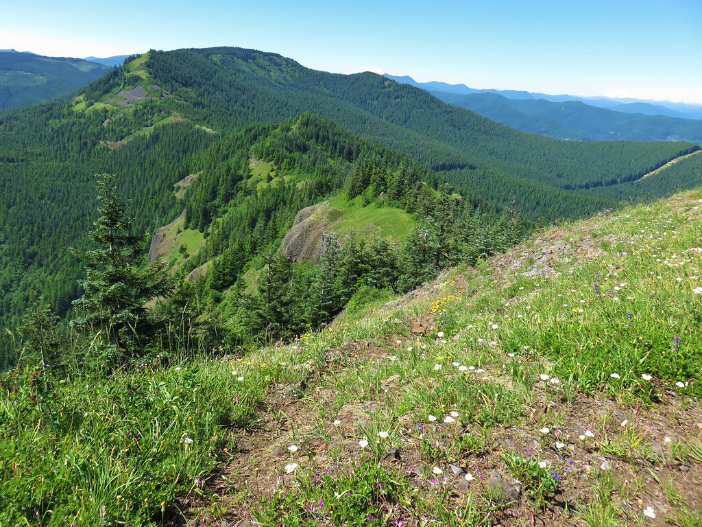
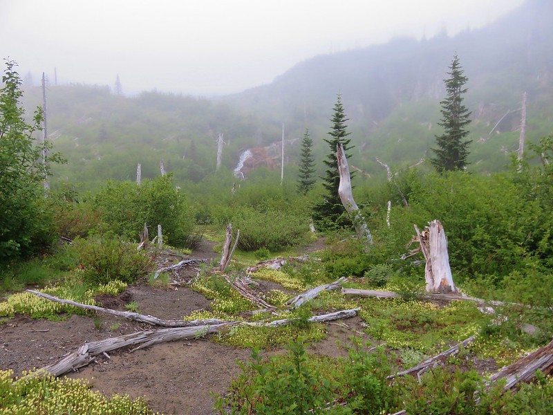
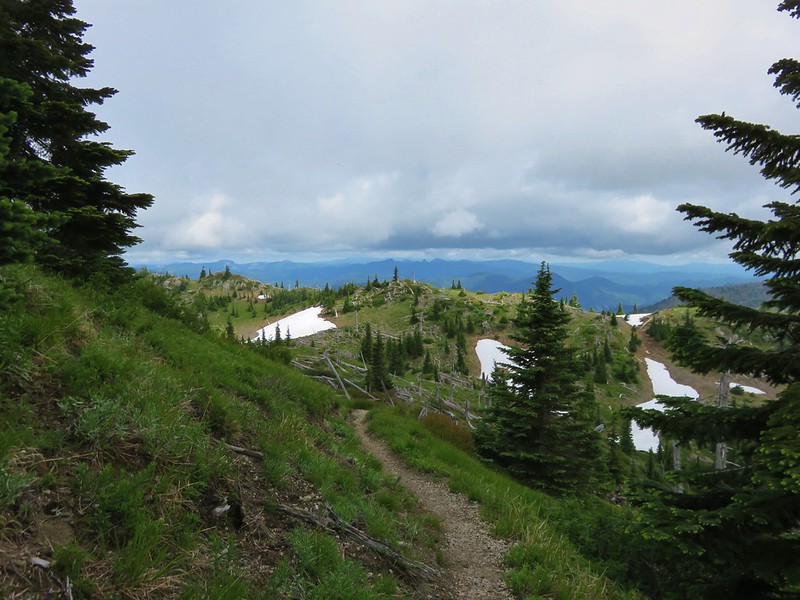
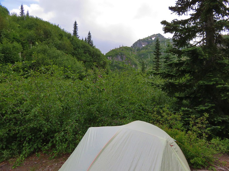
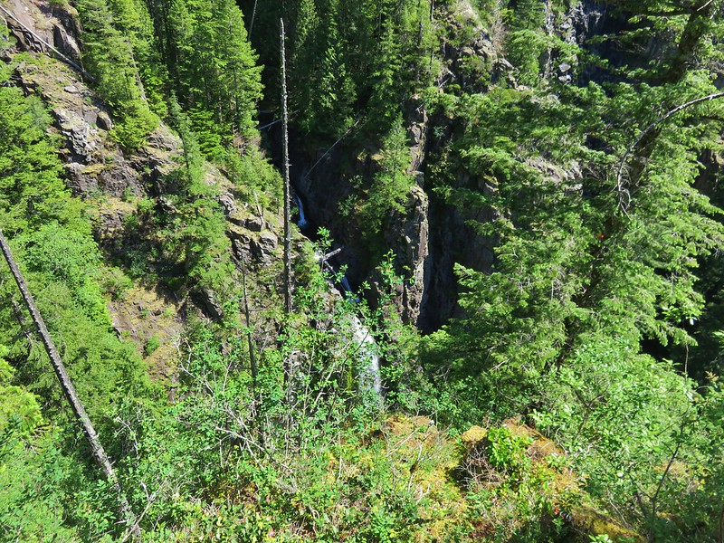
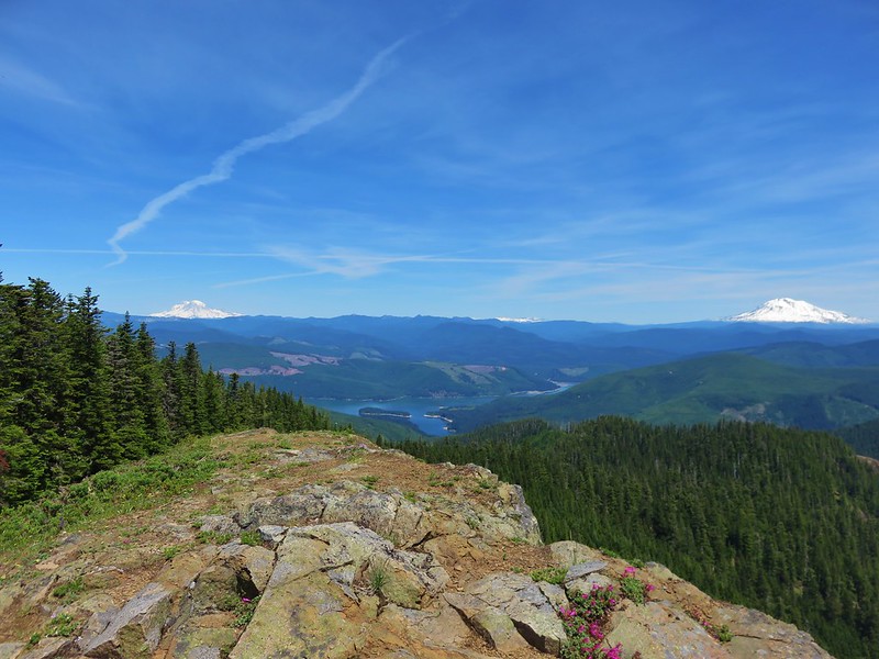
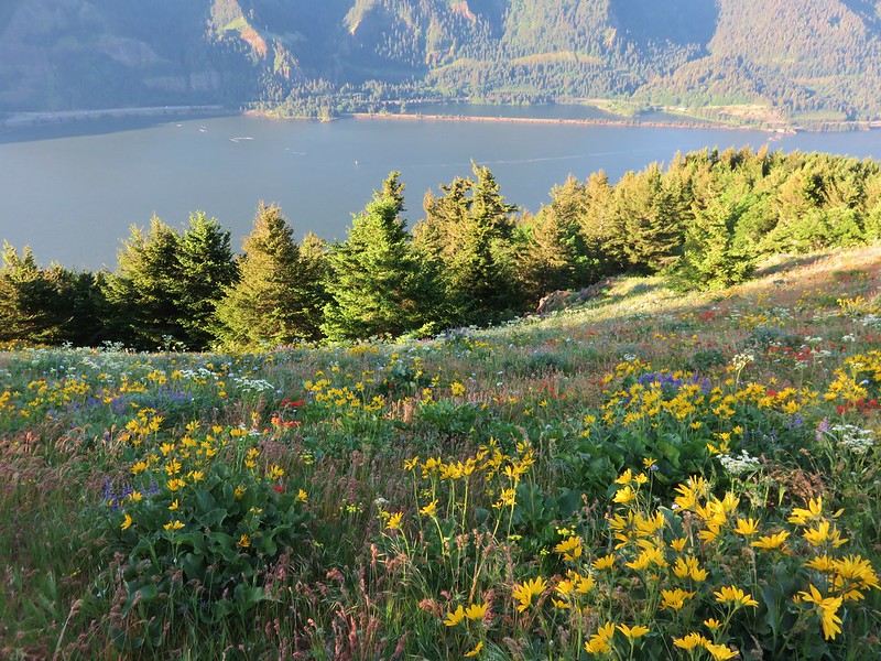
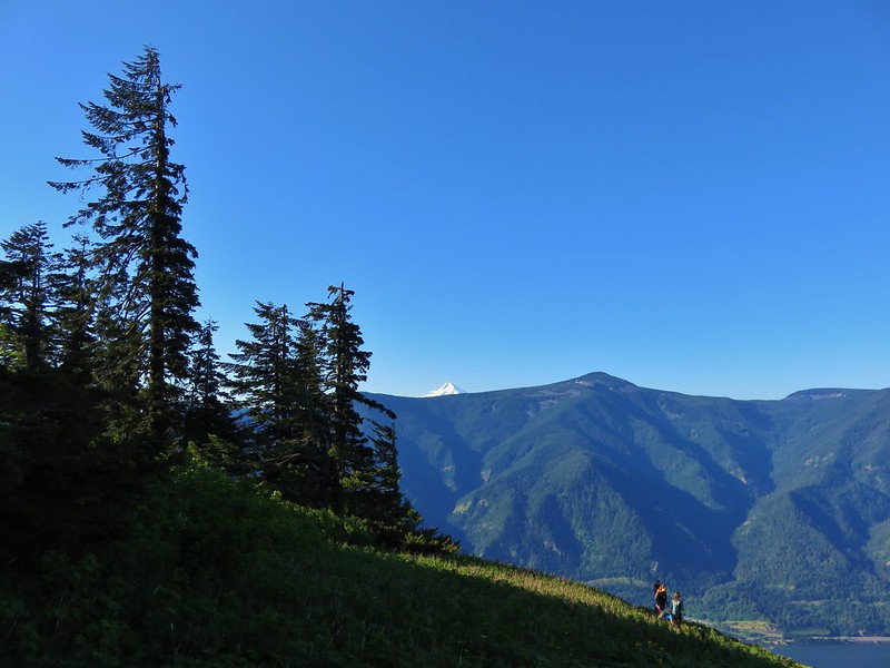
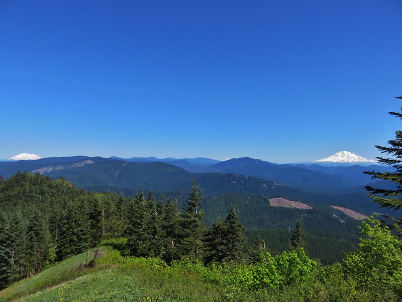
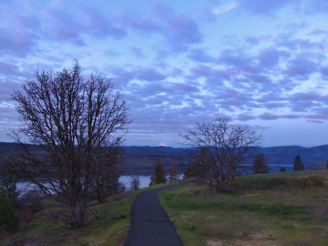
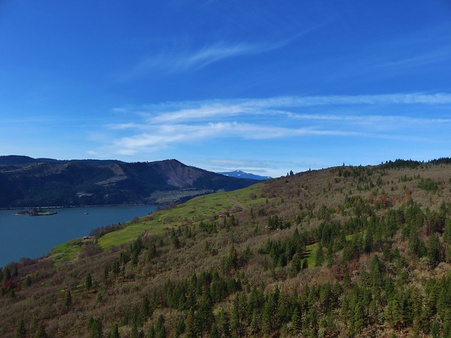
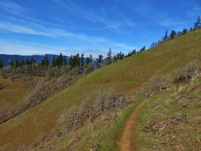
The PCT climbed along a ridge at the edge of the meadow and we were able to spot our tent in the trees below.

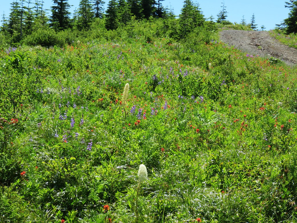
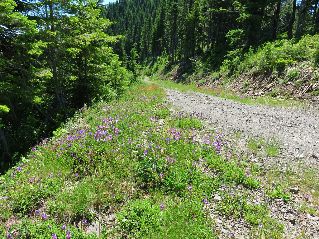
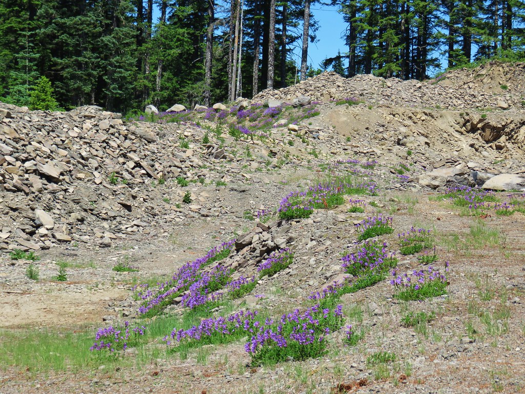
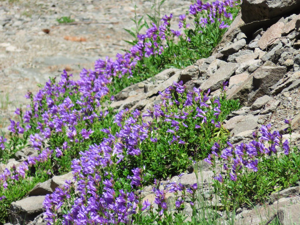
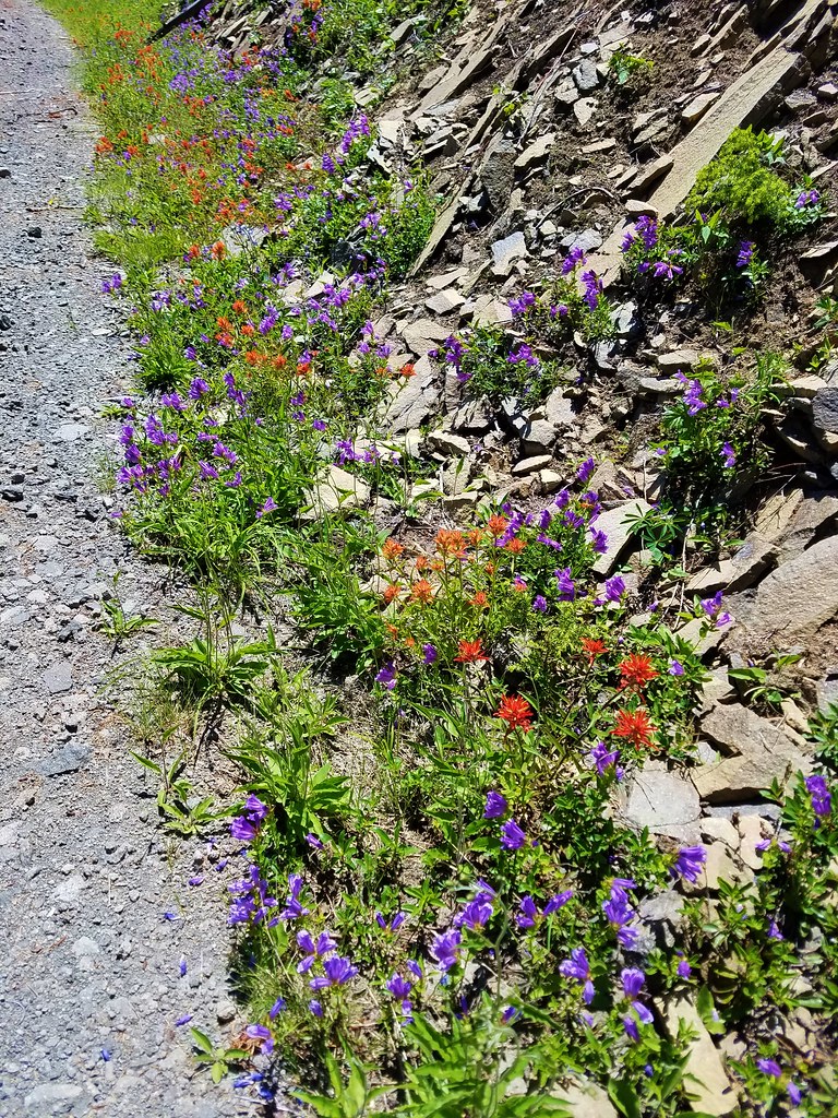
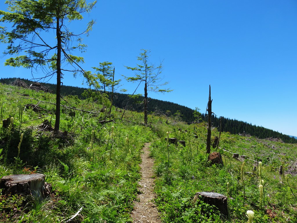
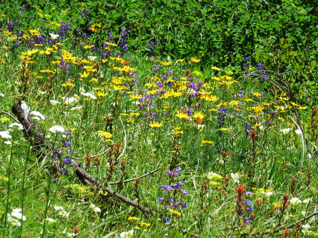
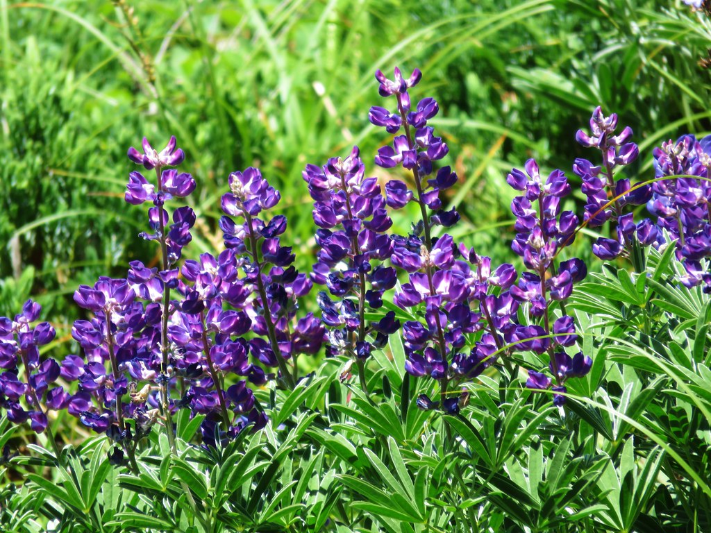
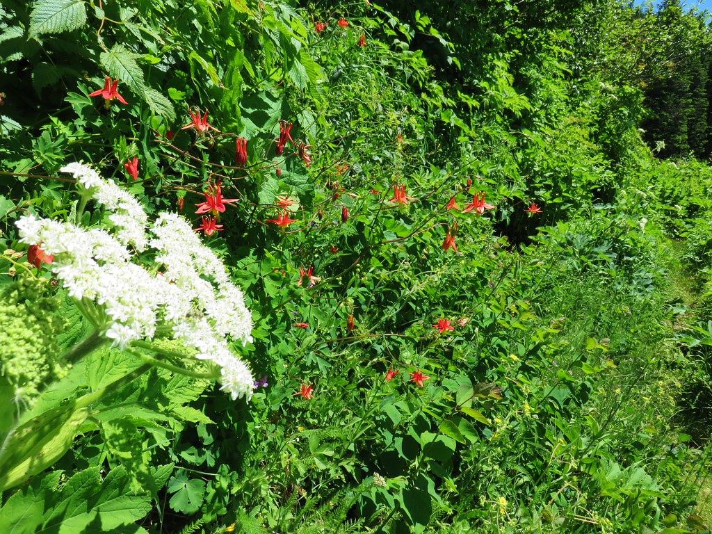
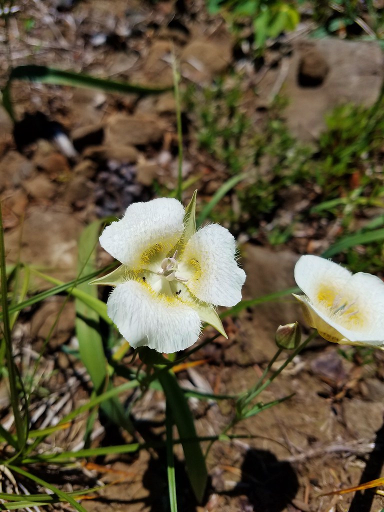
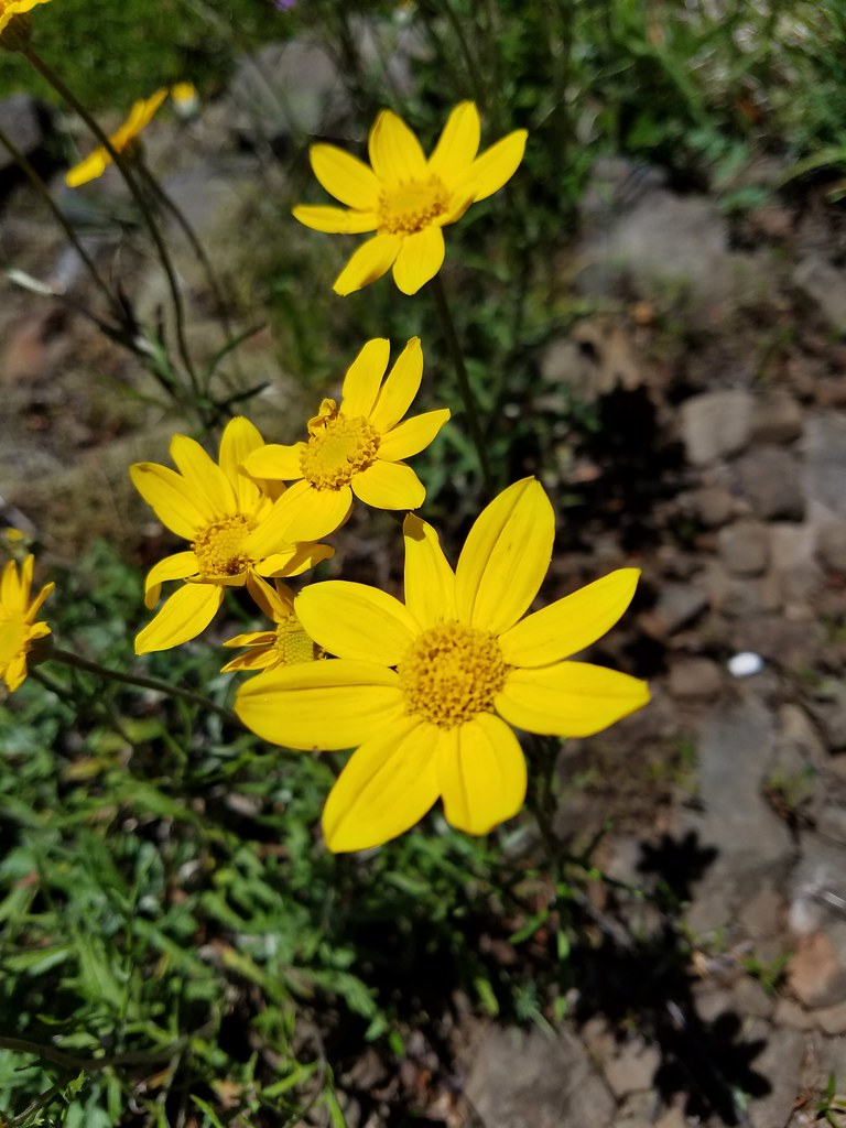
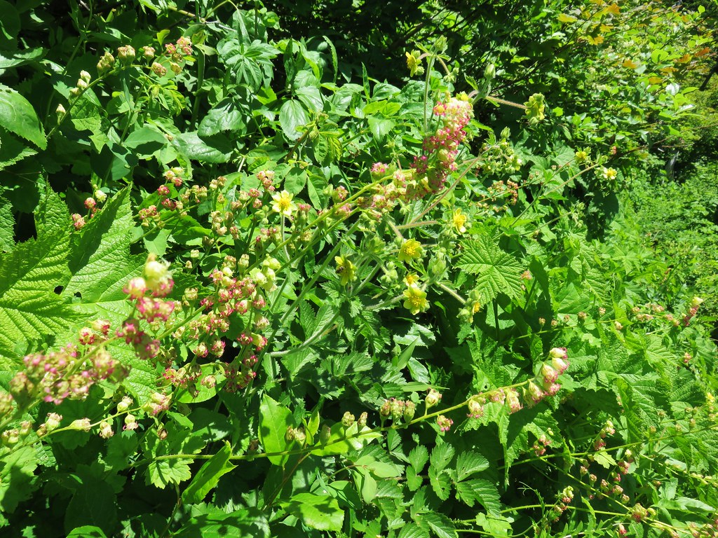
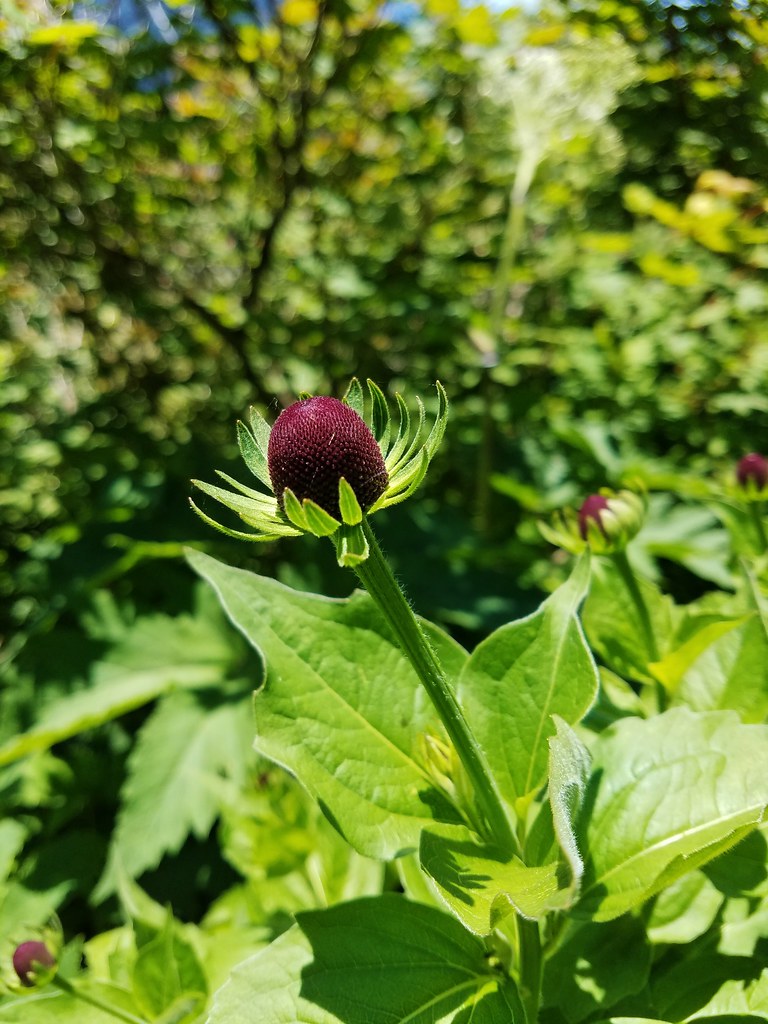
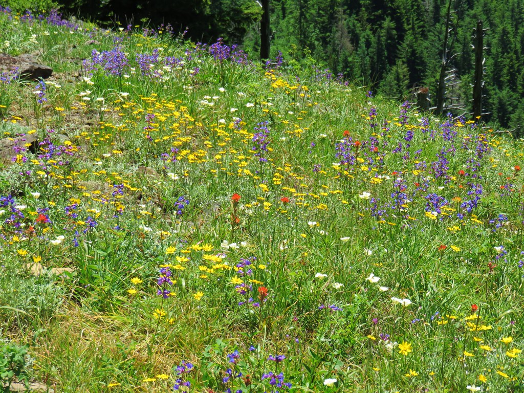
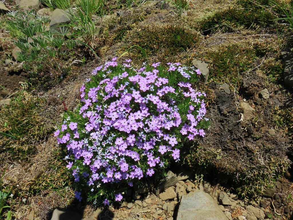
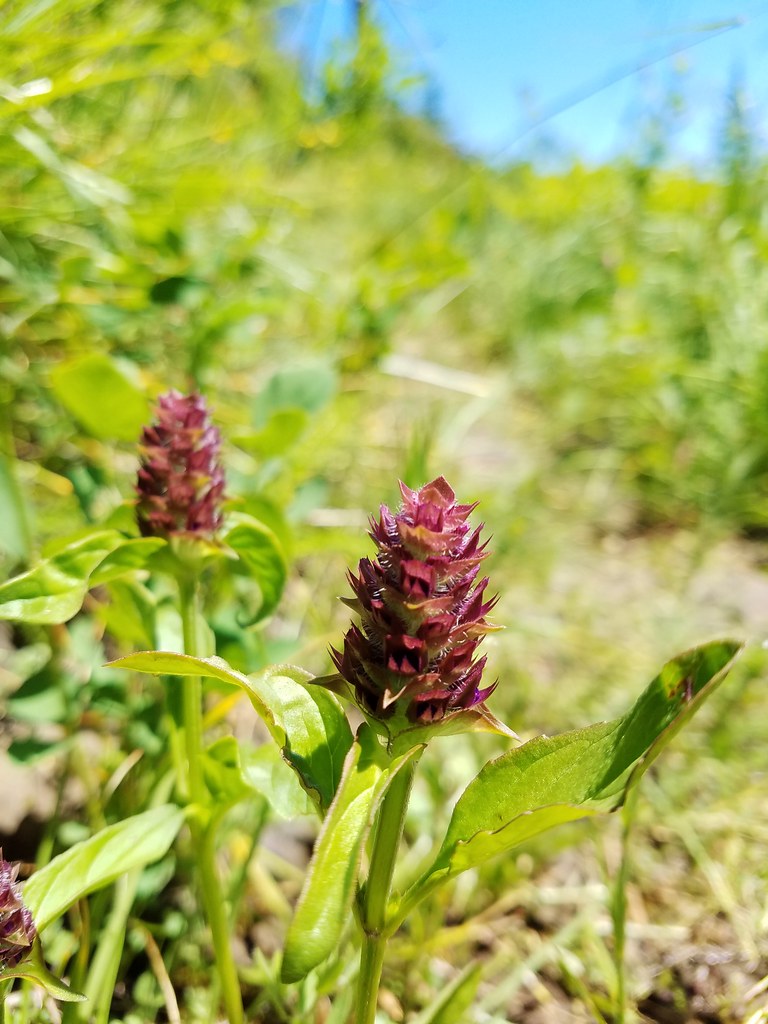
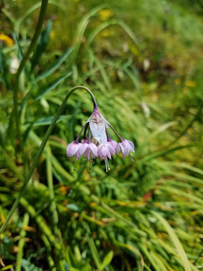
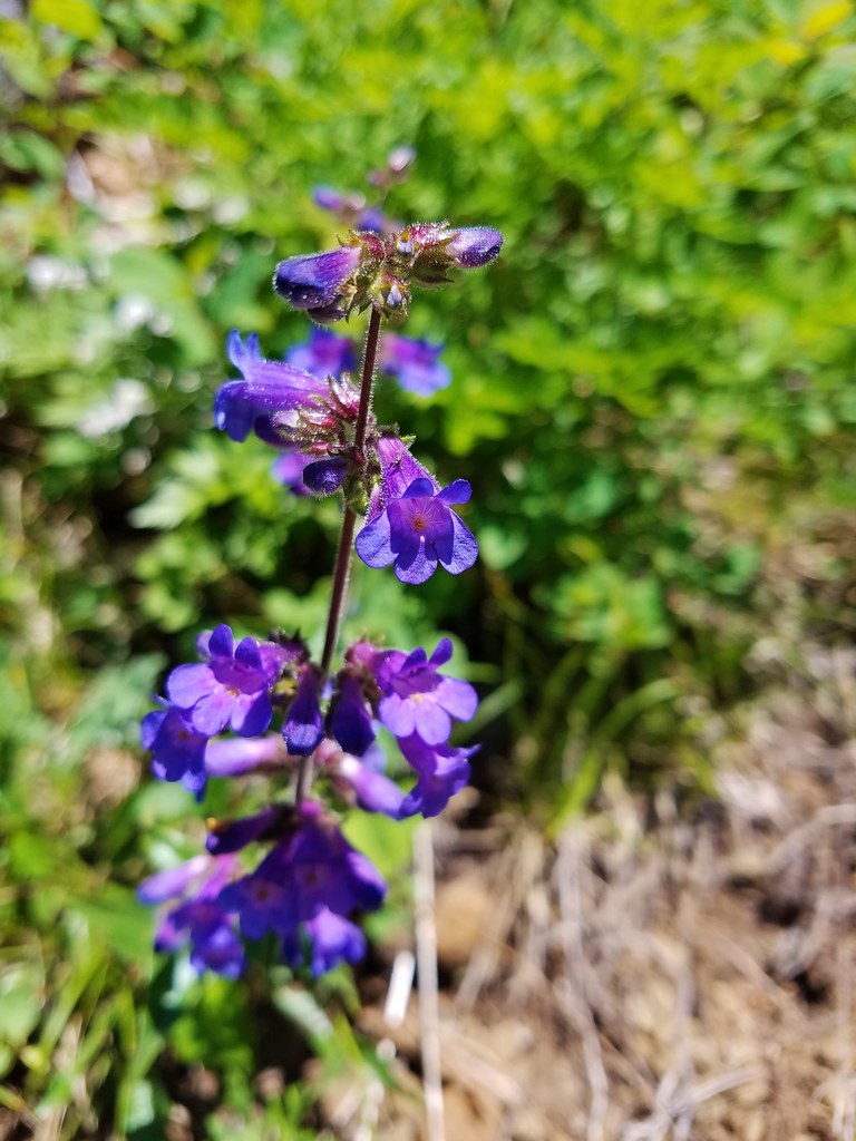
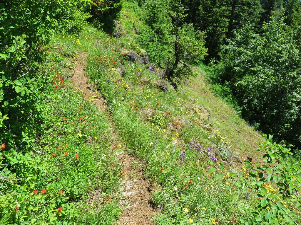
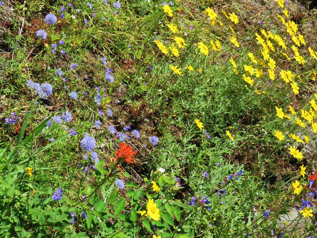
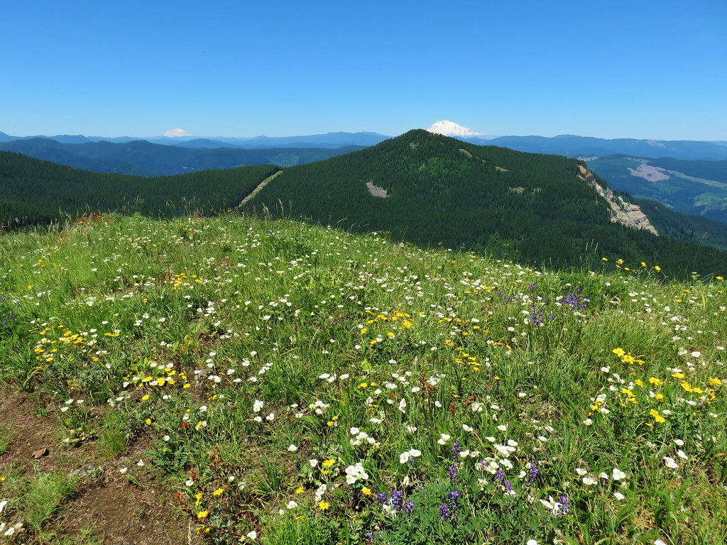
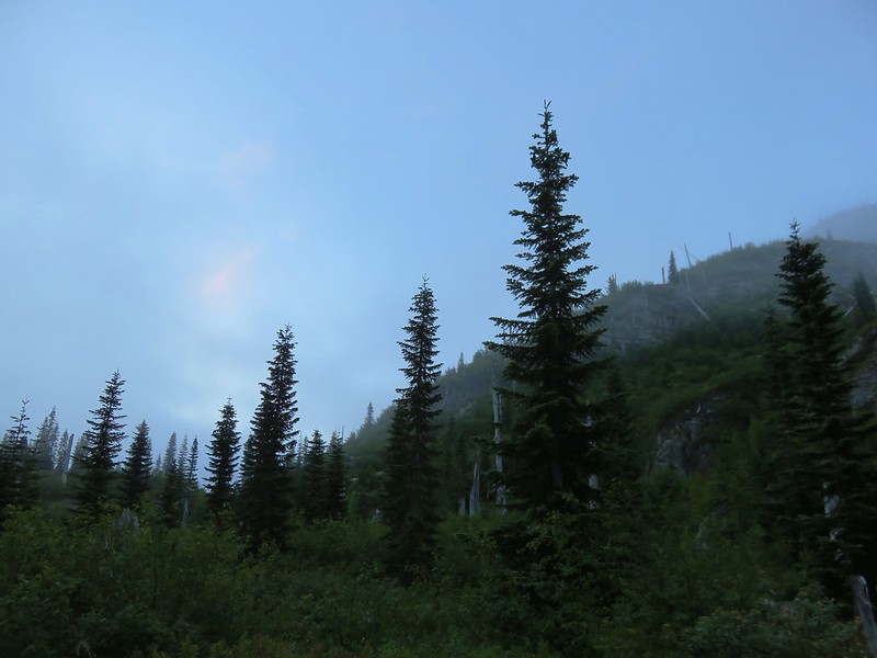
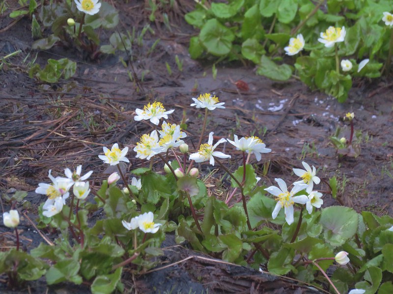
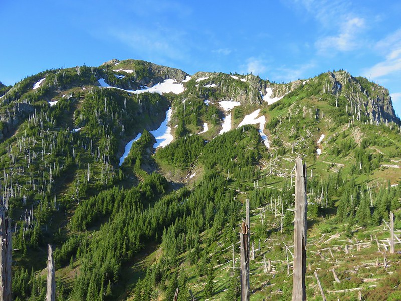
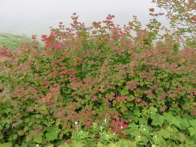
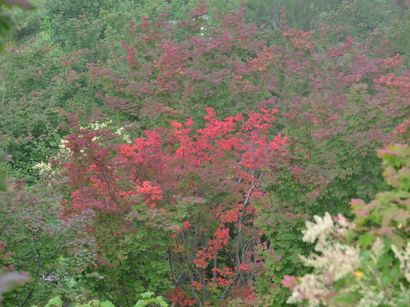
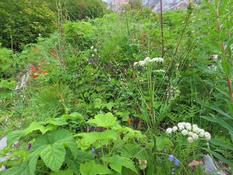
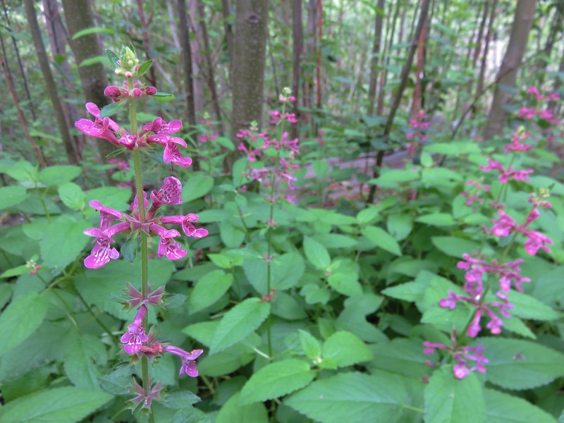
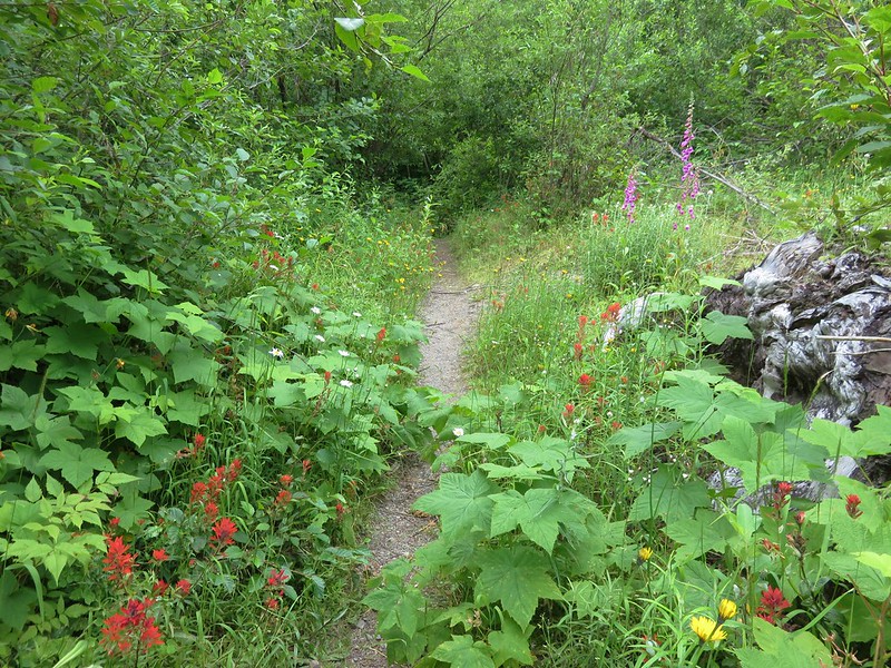
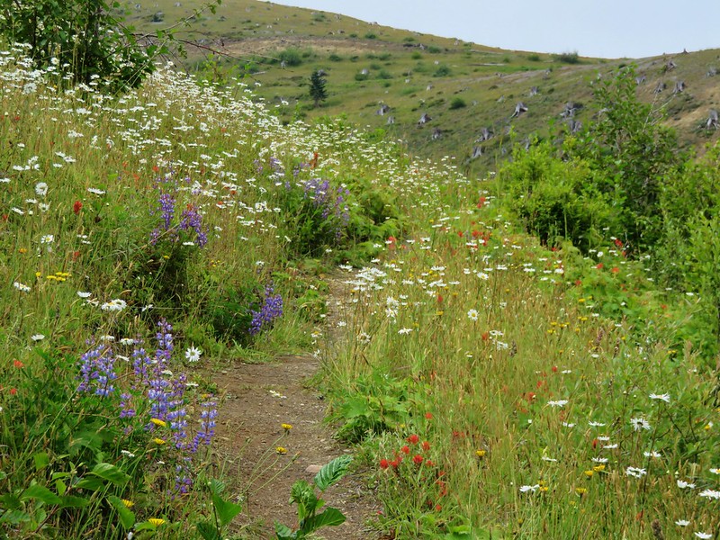
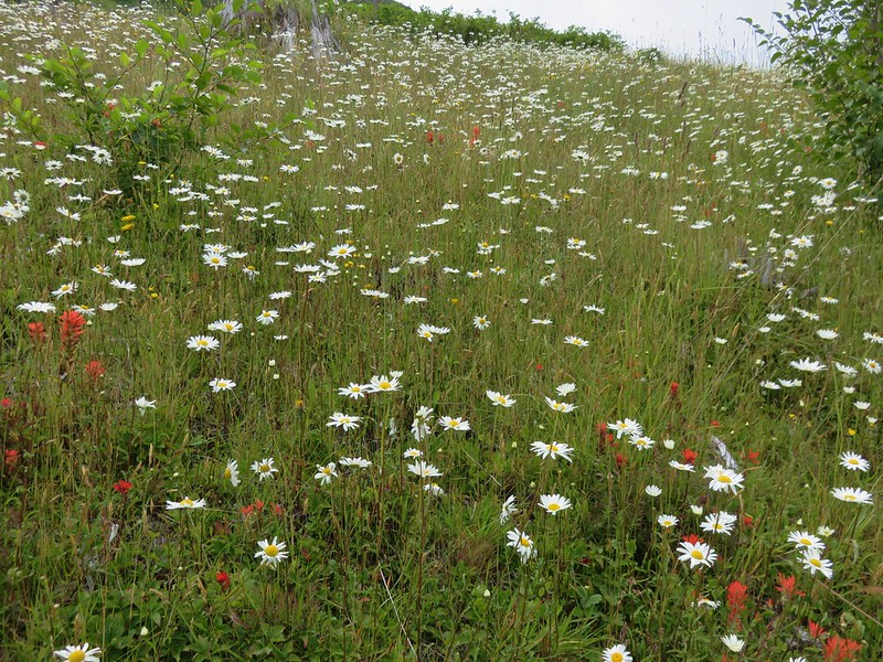
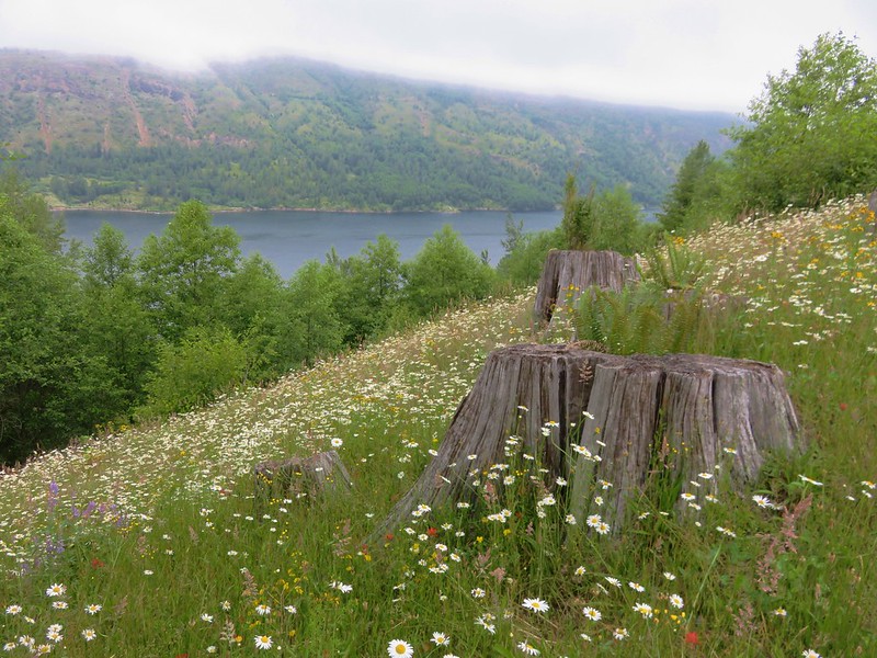
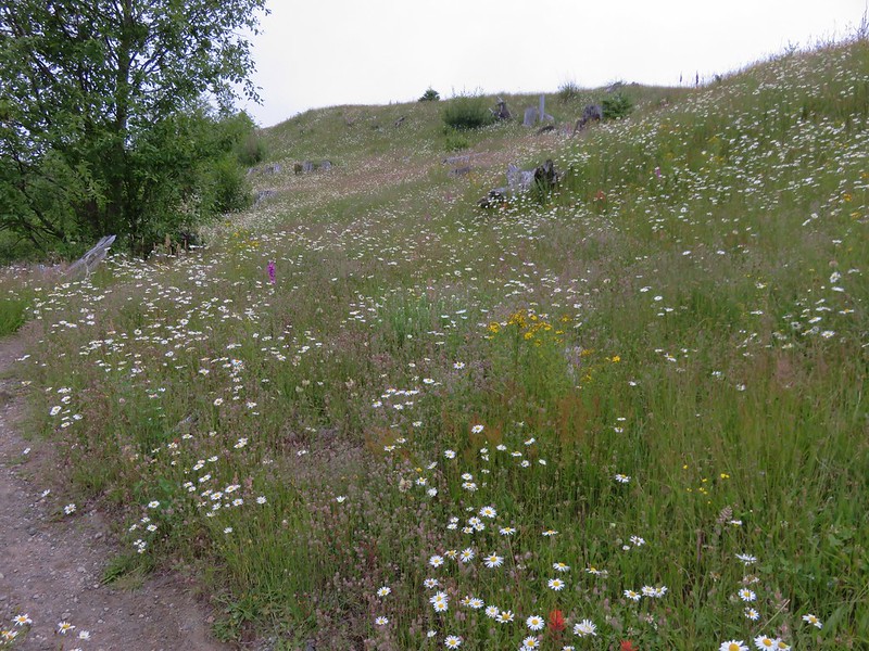
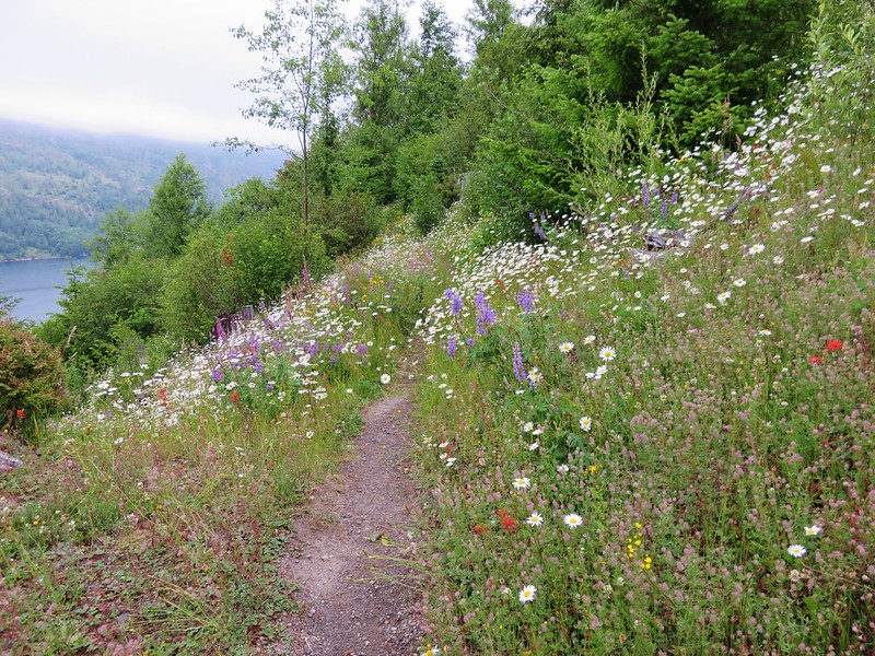
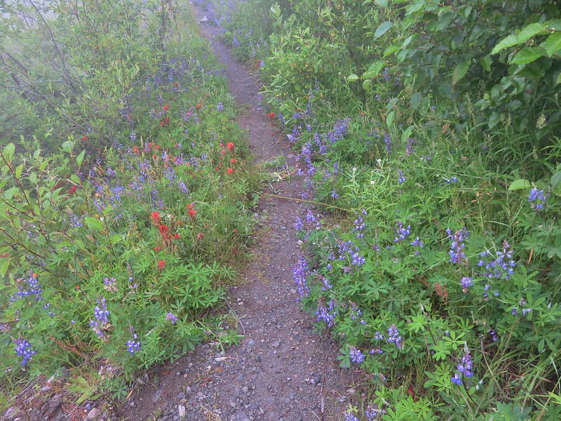
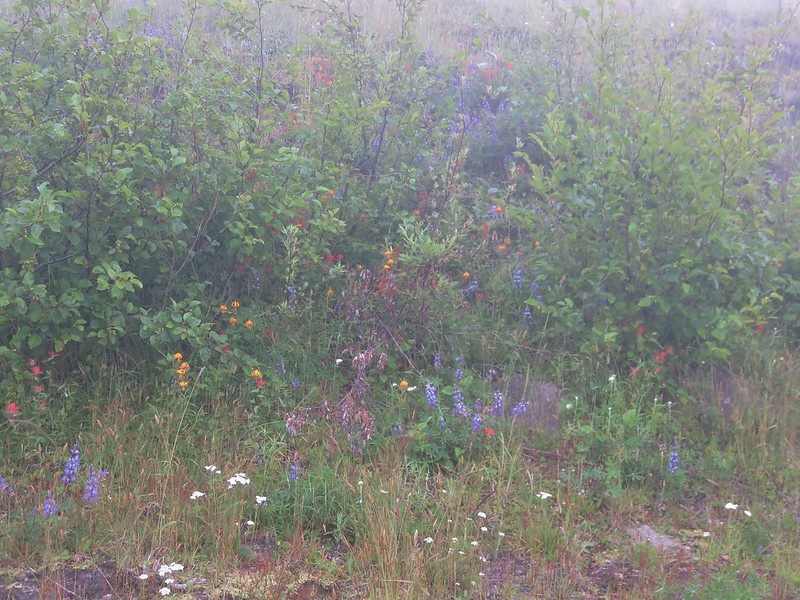
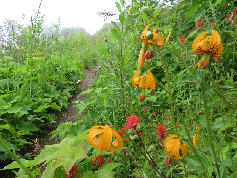
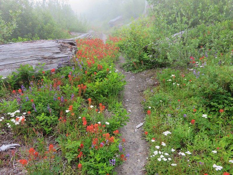
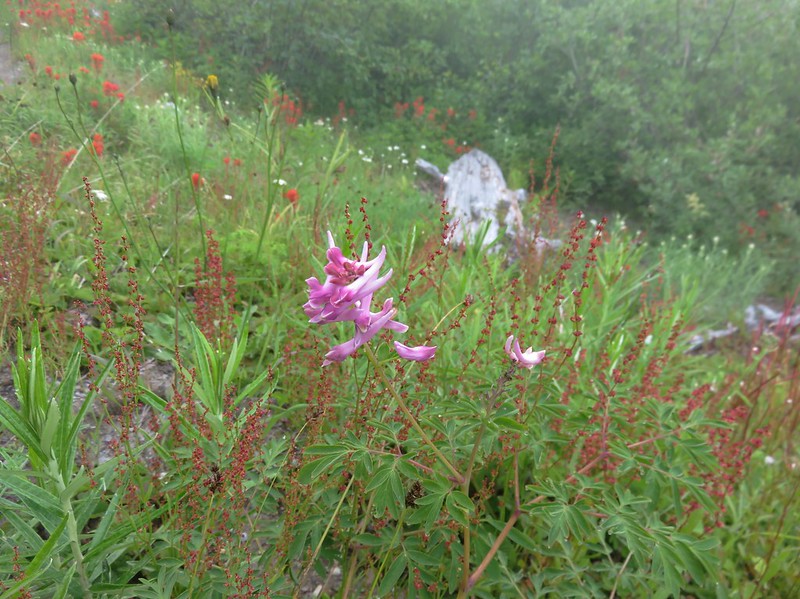
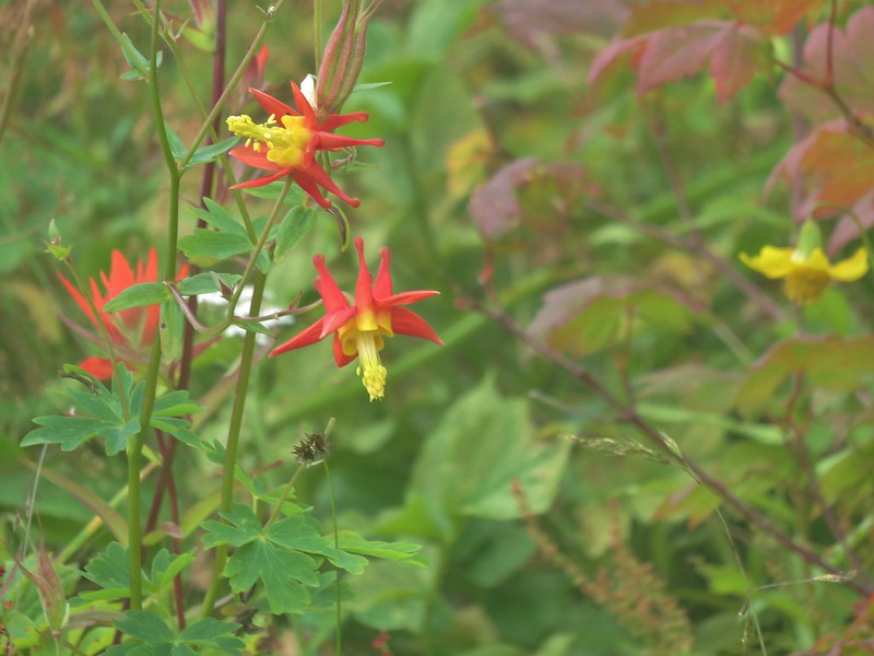
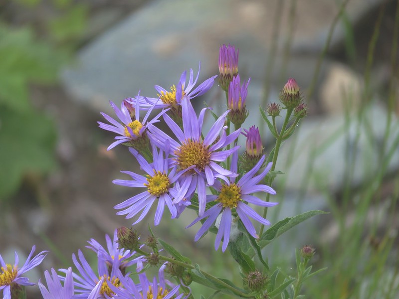
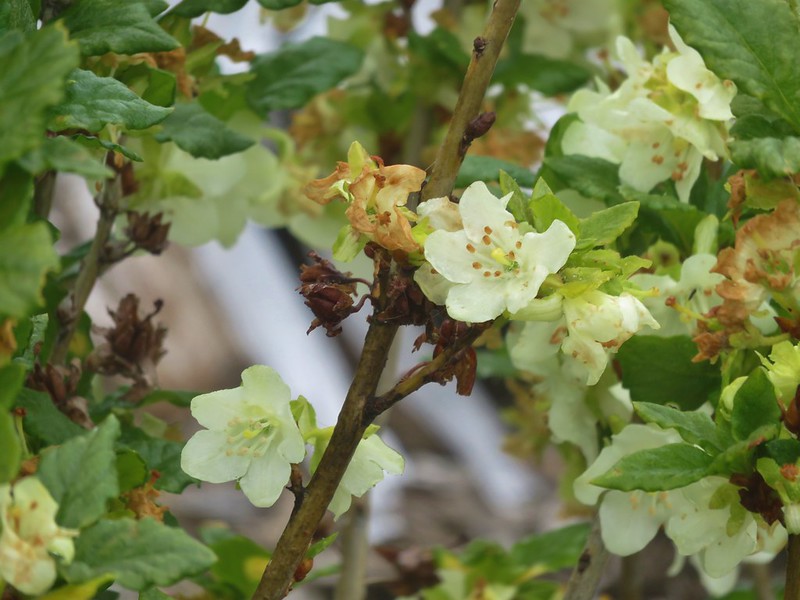
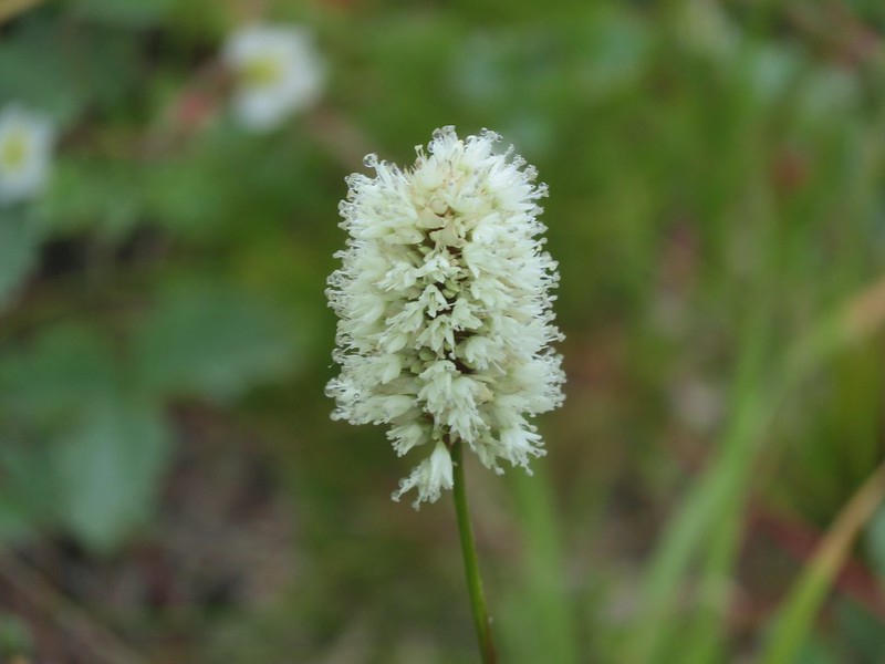
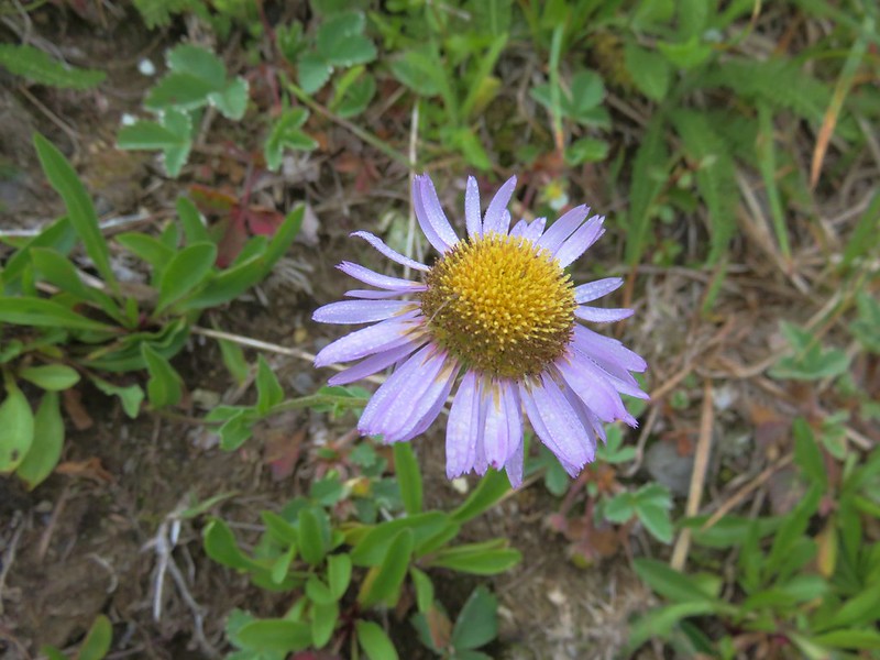
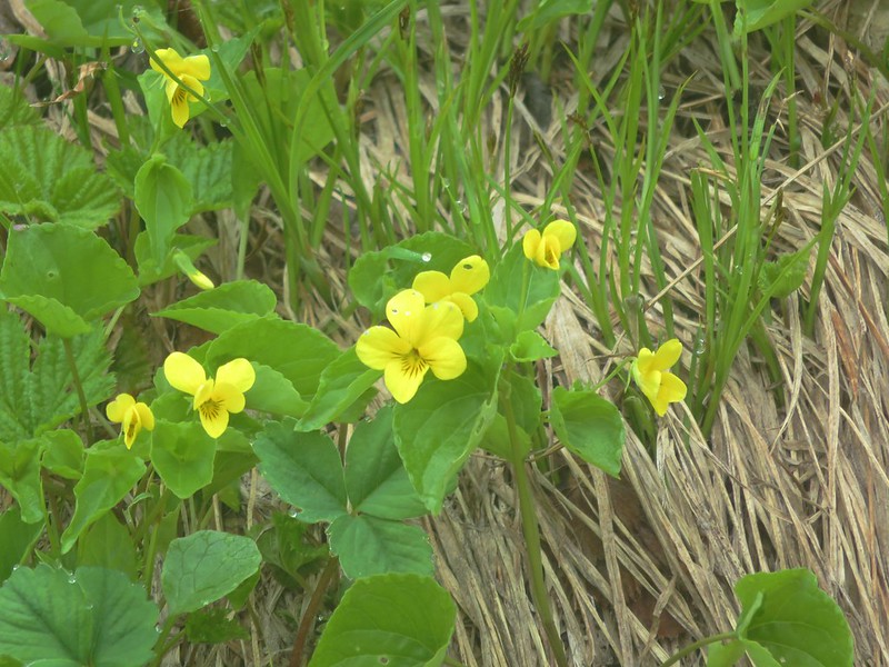
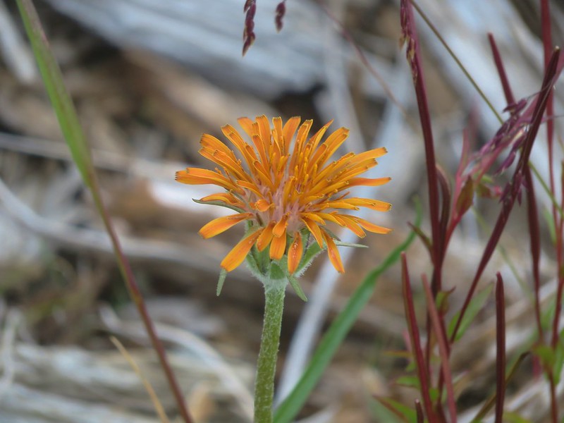
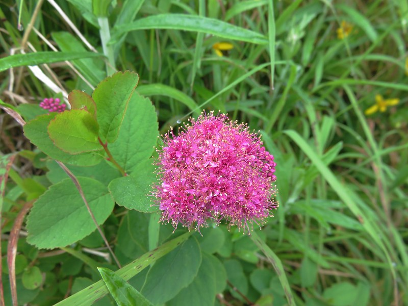
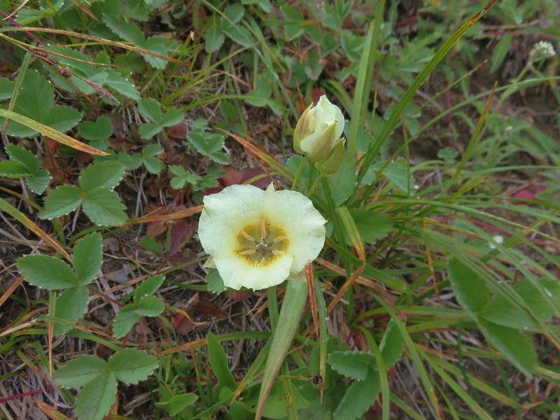
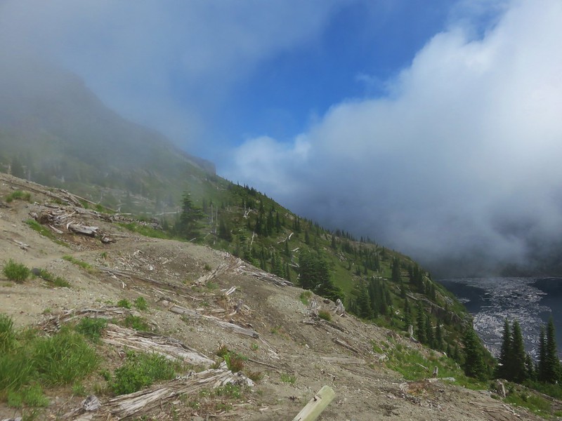
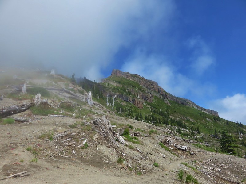
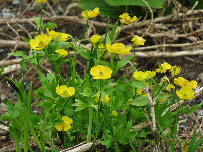
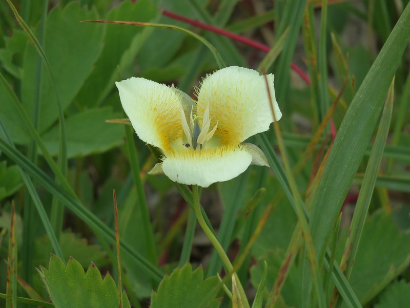
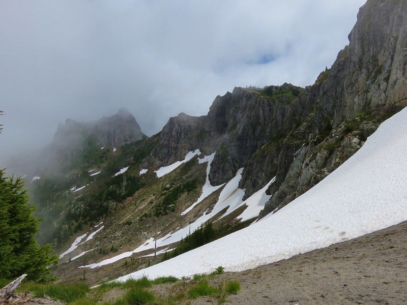
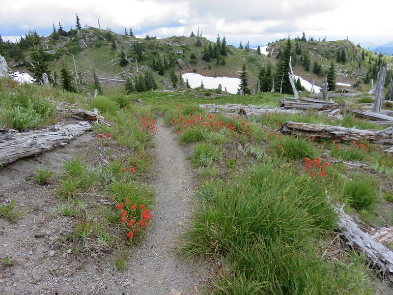
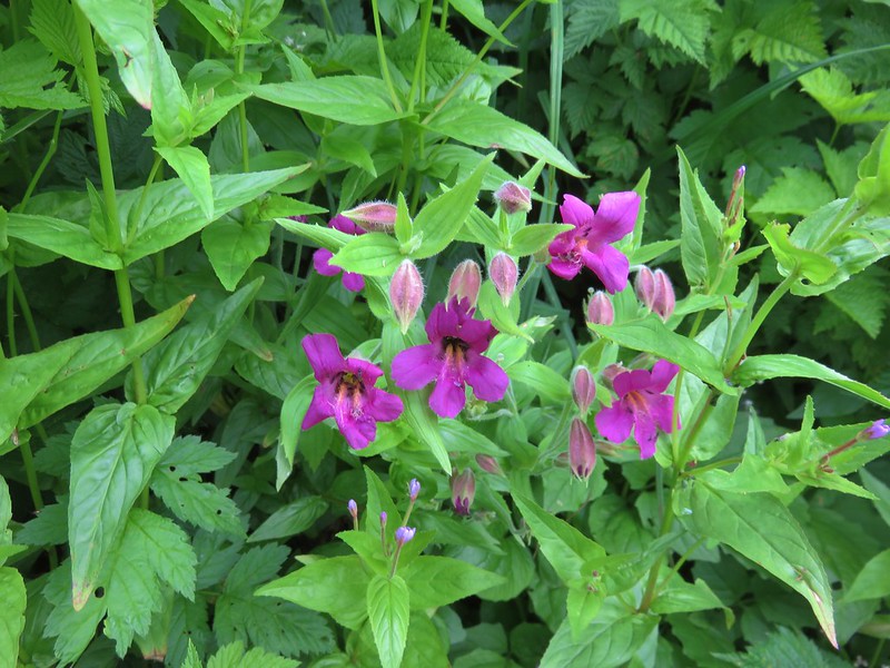
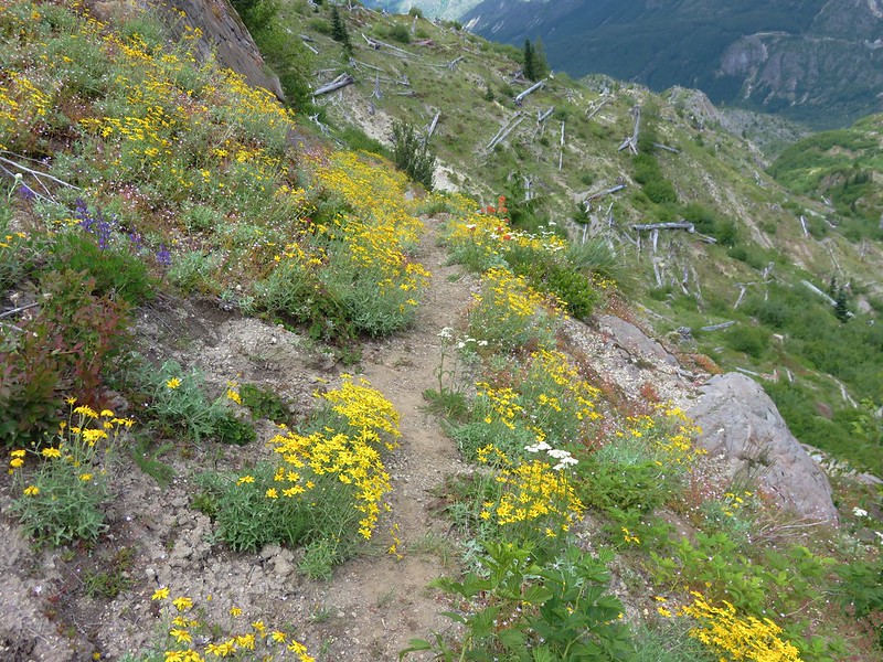
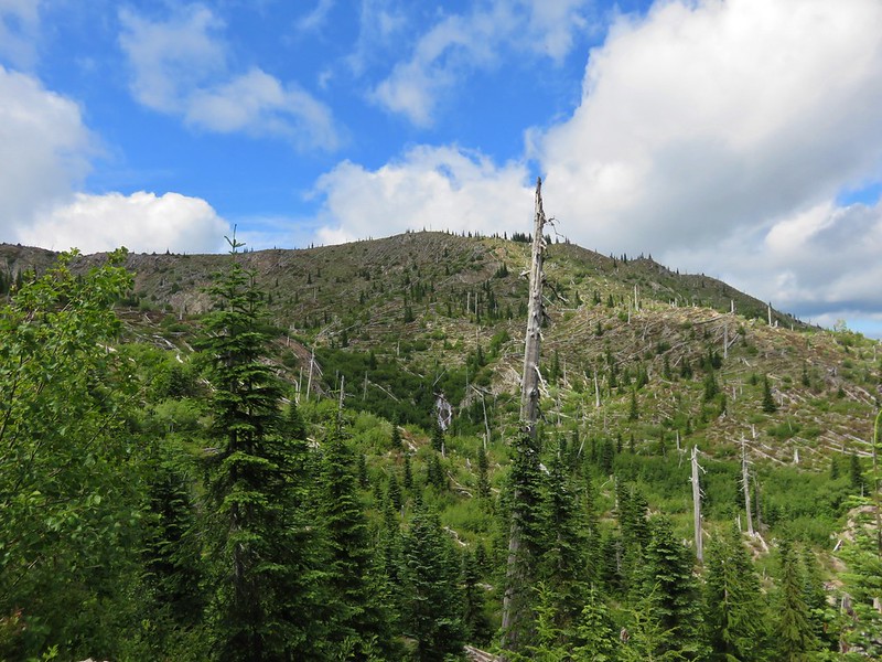
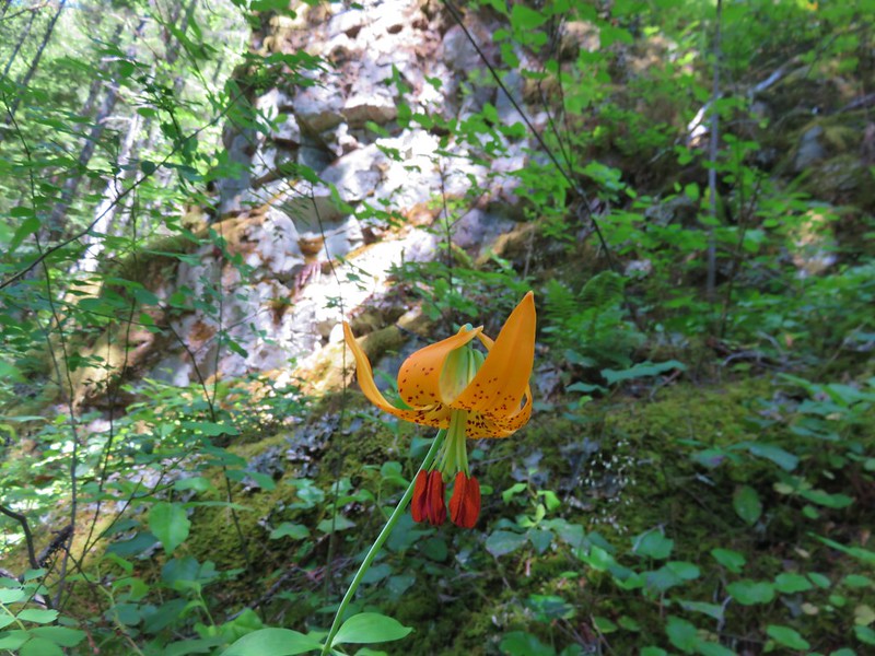
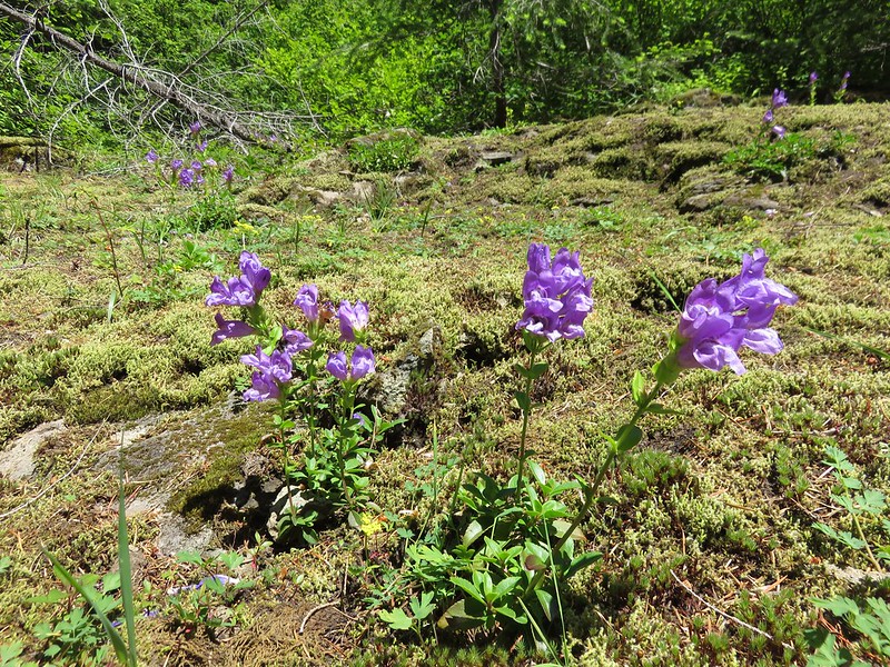
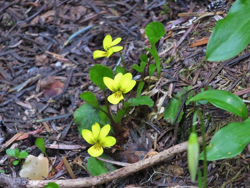
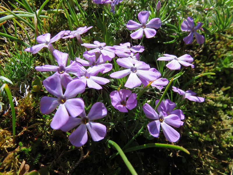
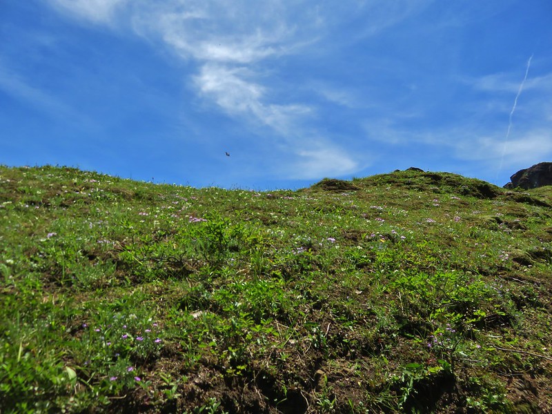
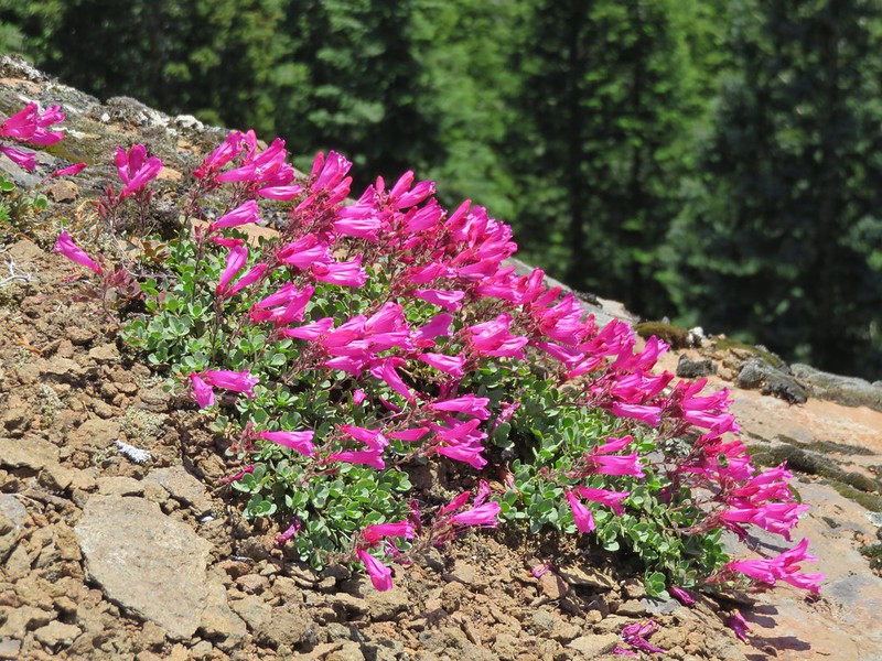
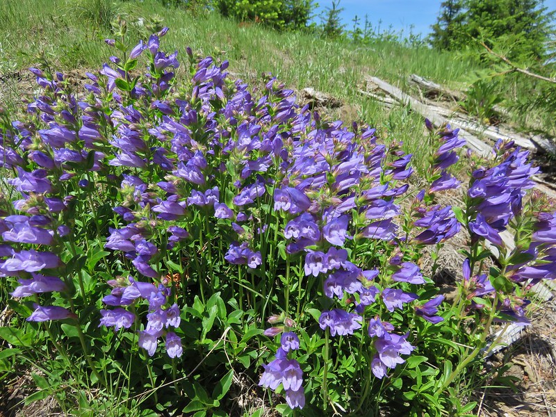
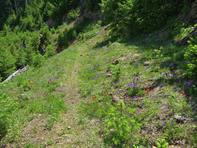
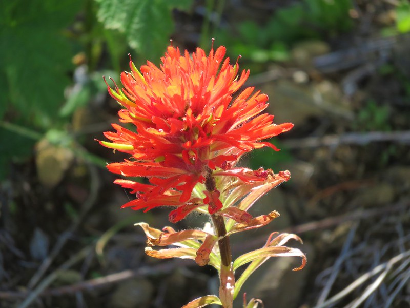
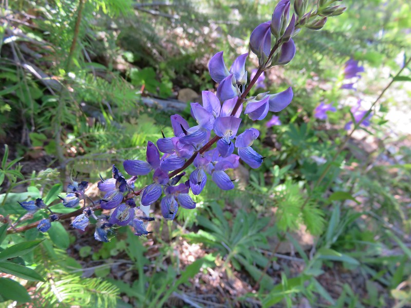
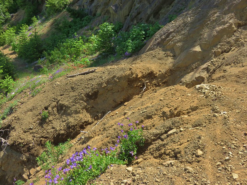
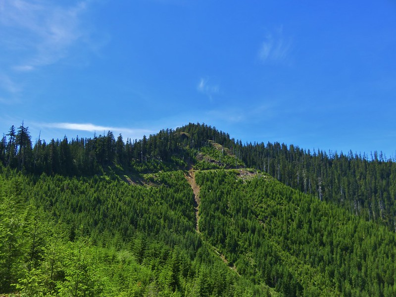
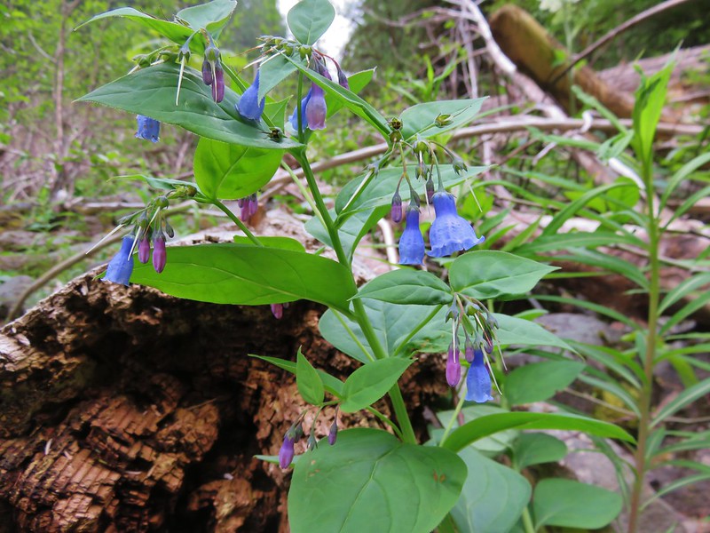
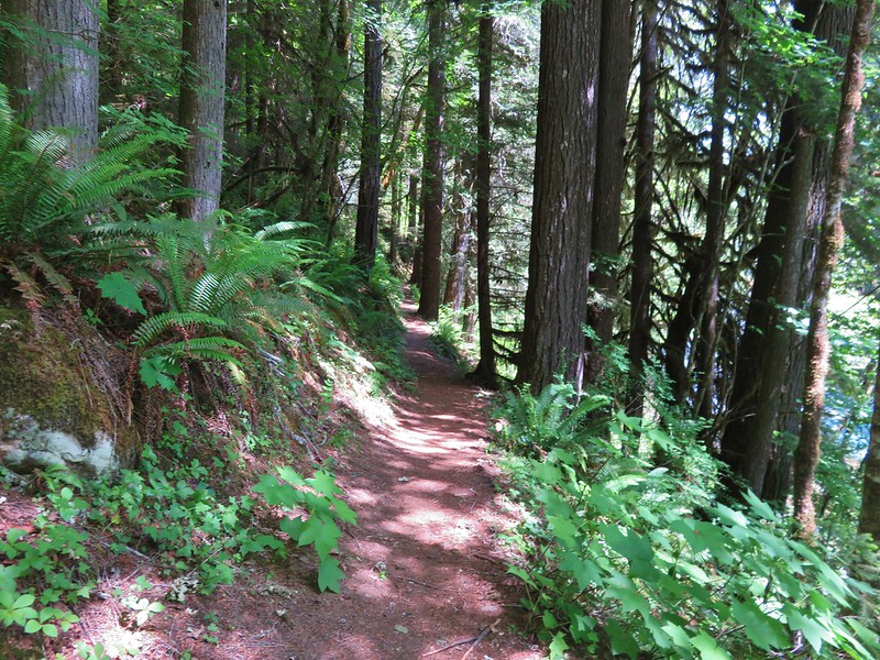
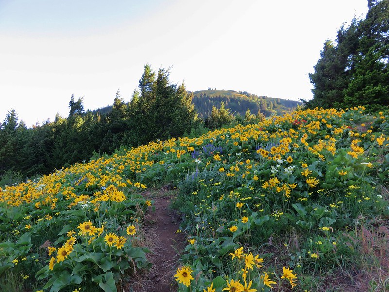
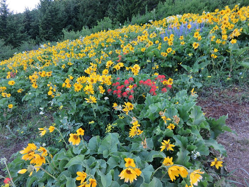
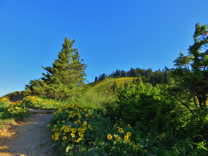
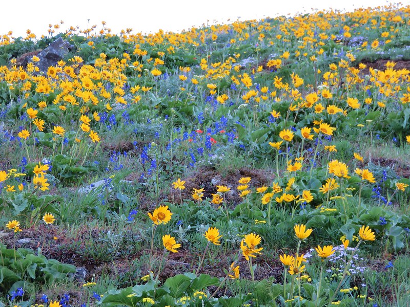
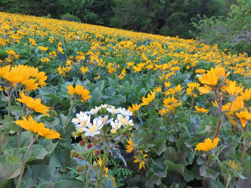
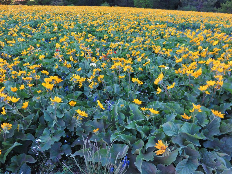
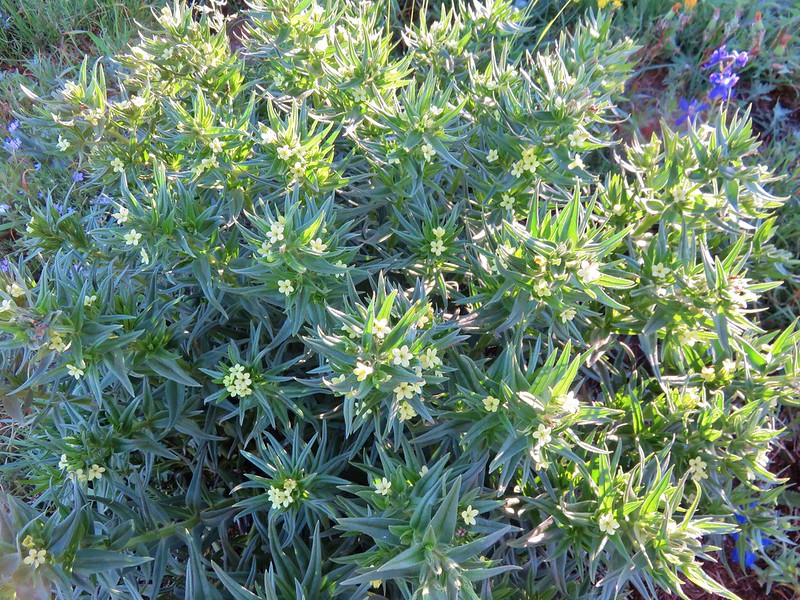
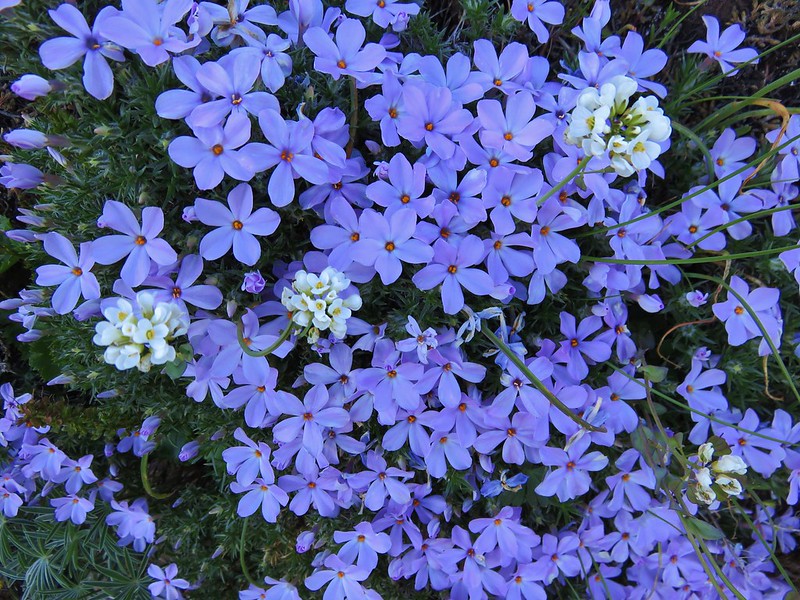
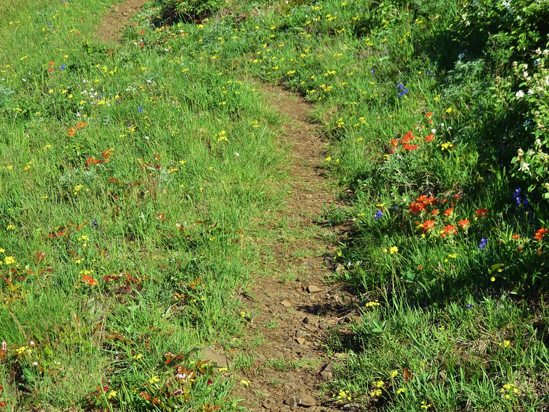
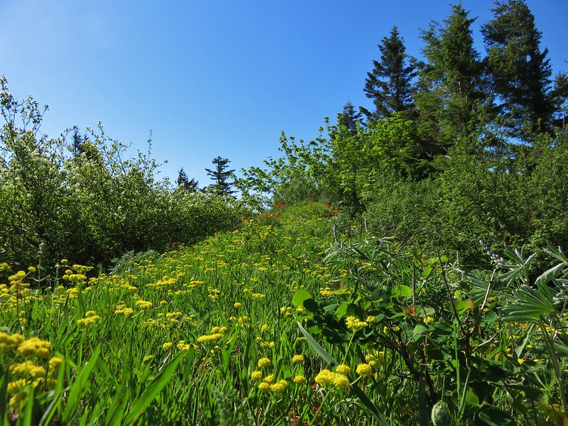
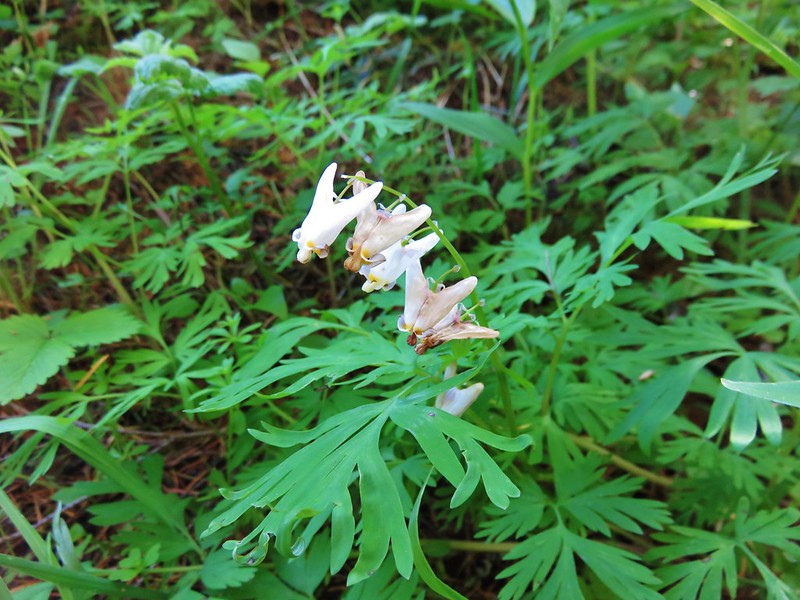
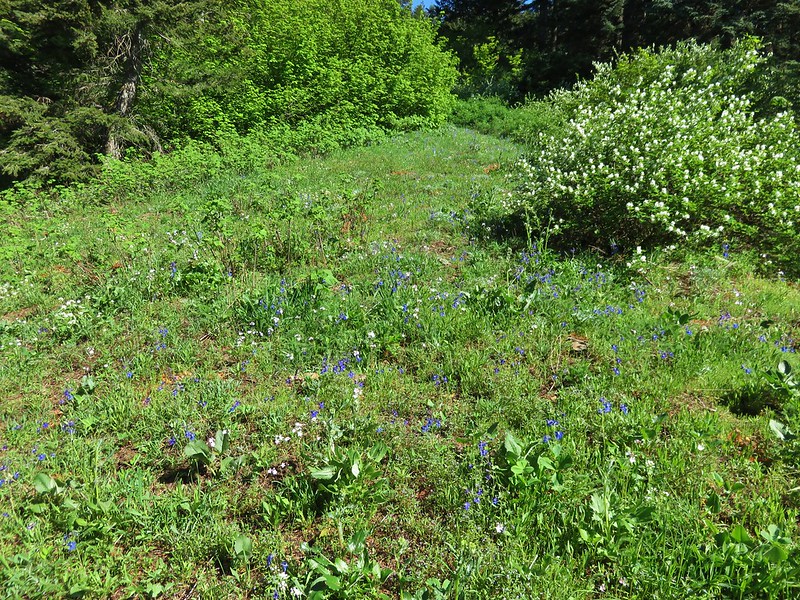
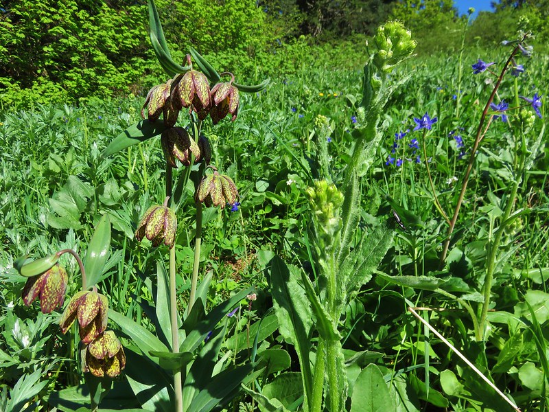
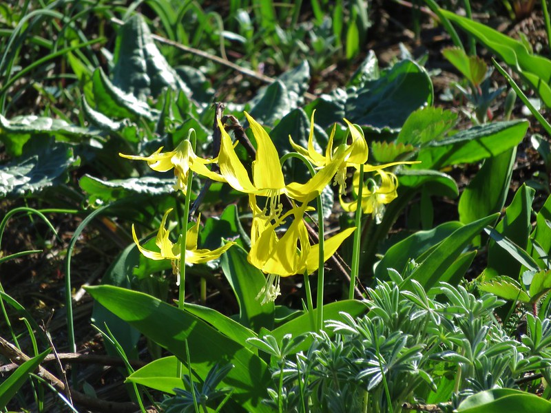
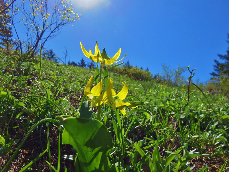
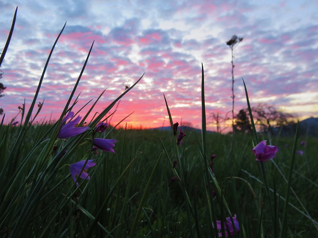
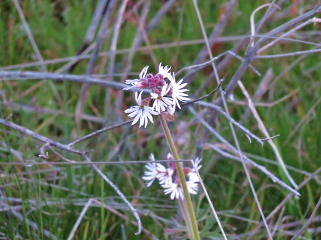
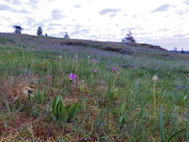
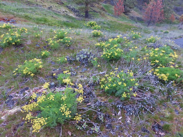
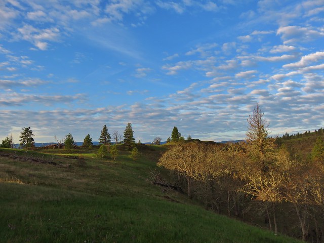
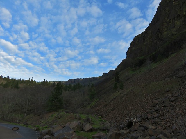
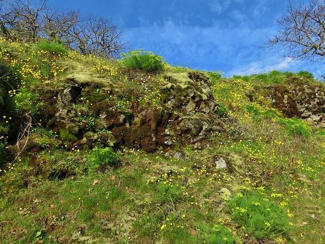
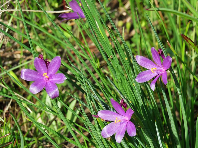
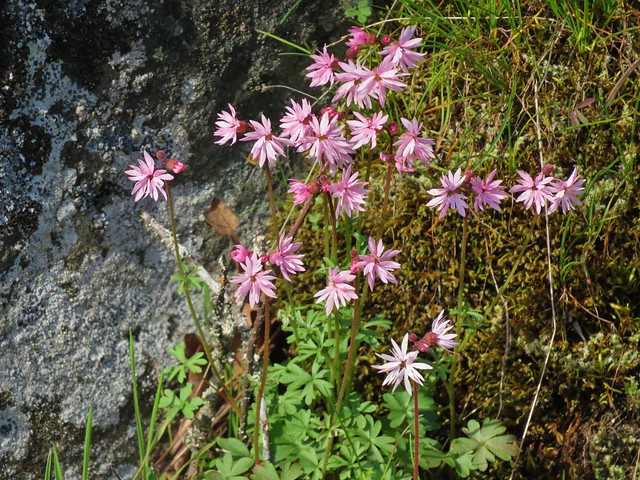
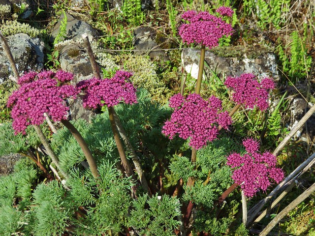
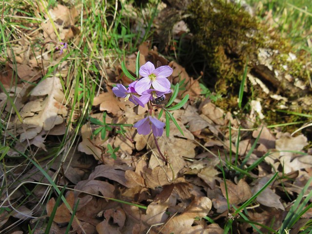
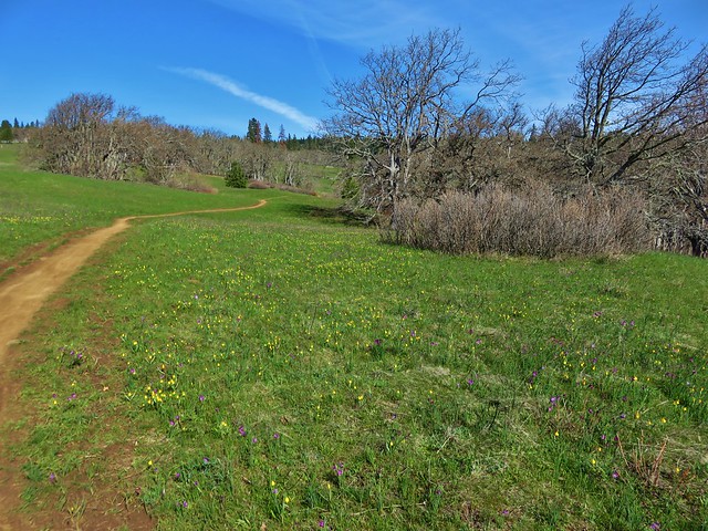
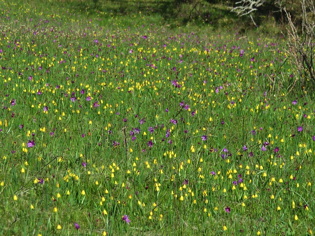
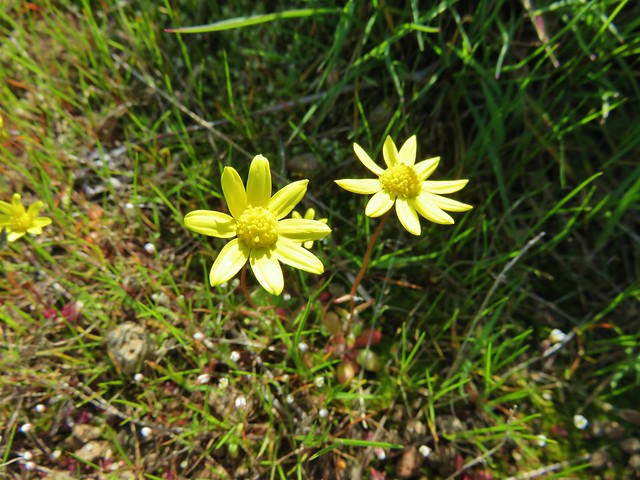
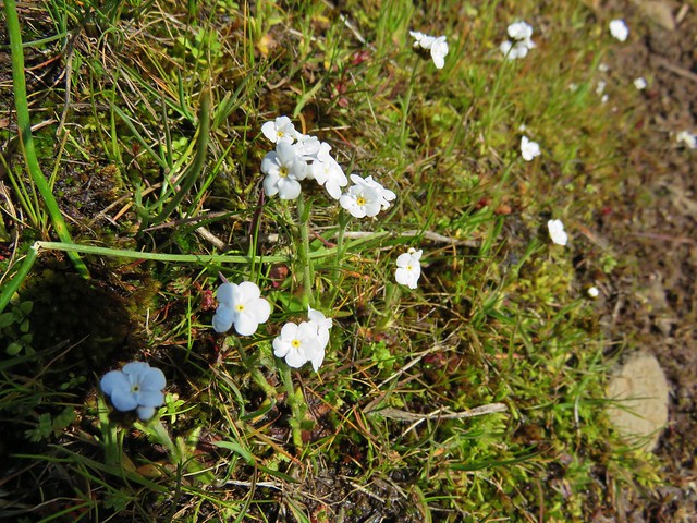
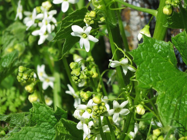
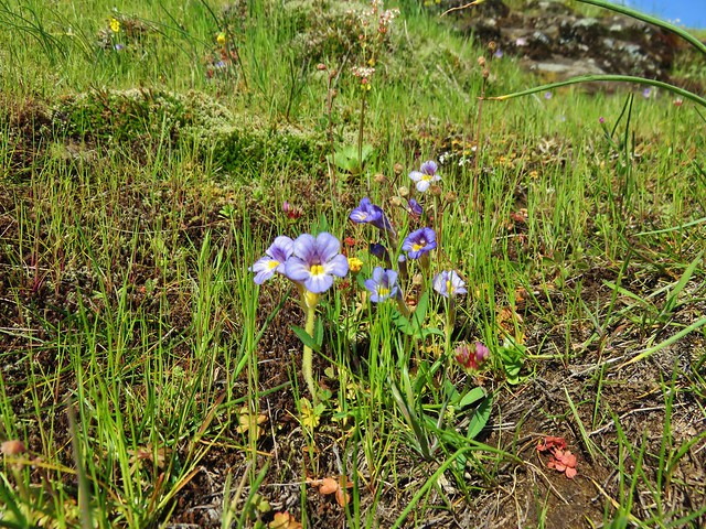
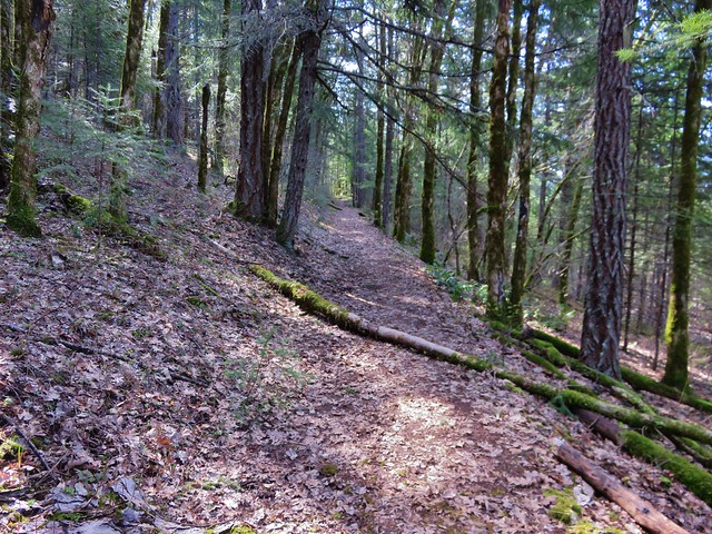
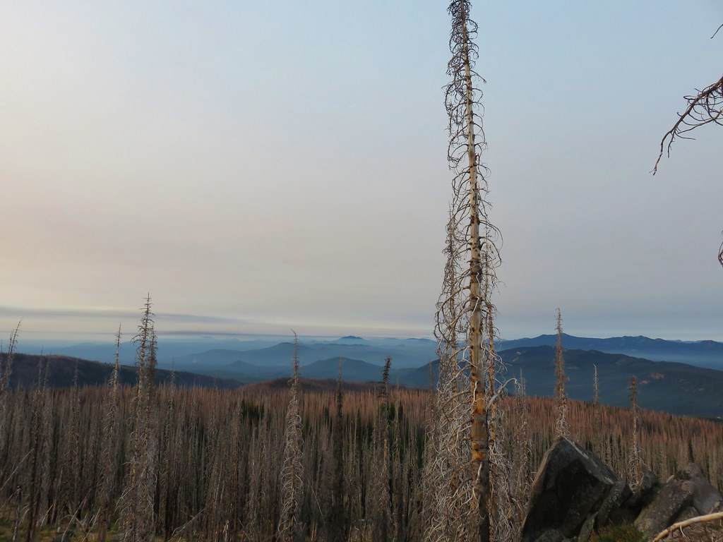
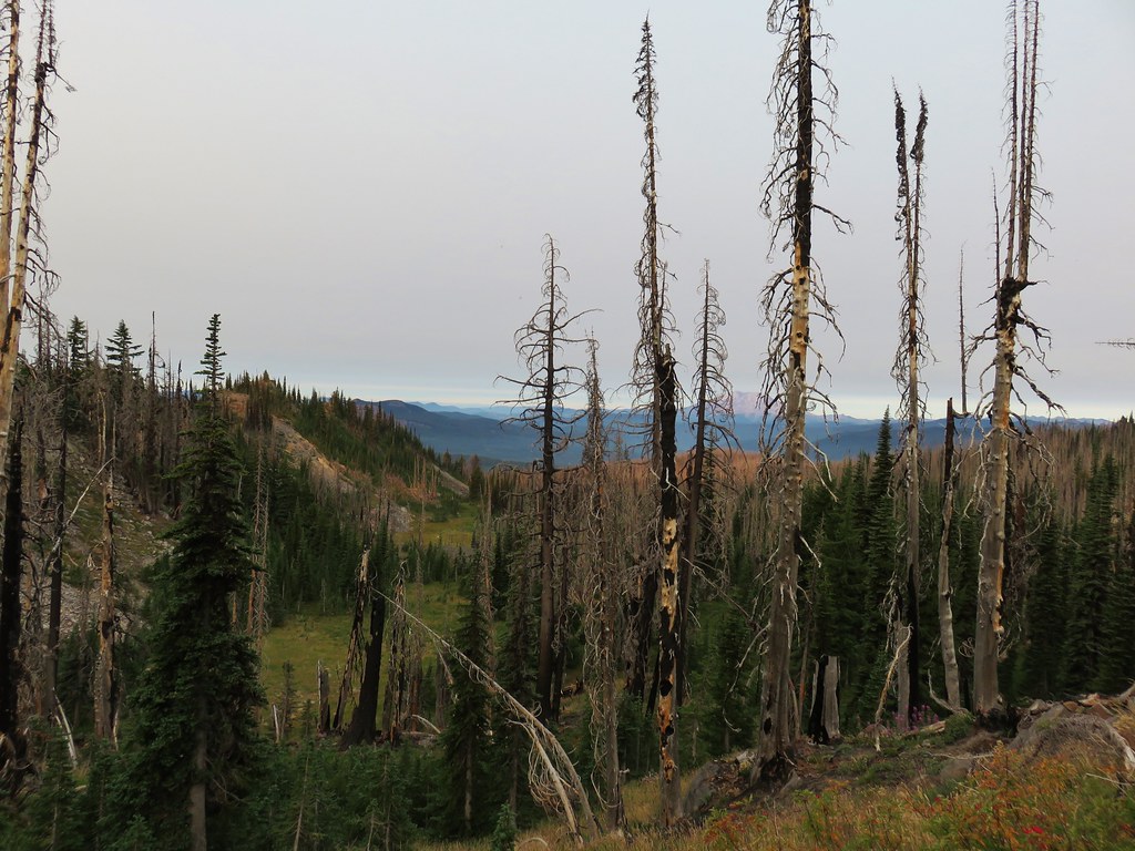
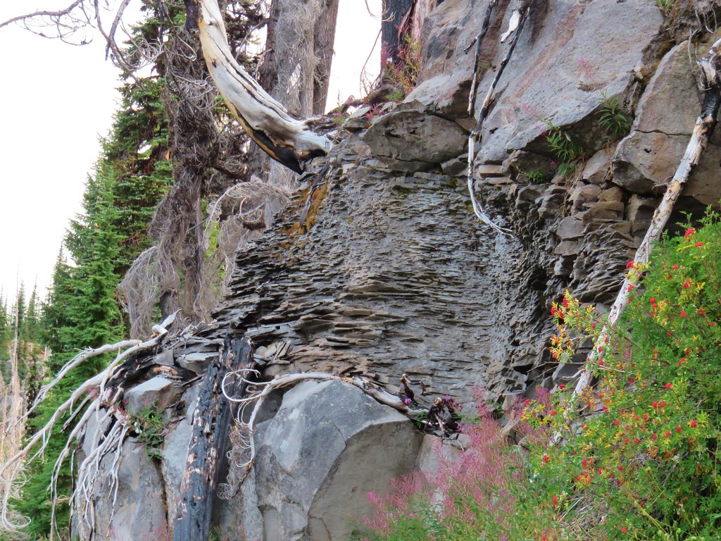
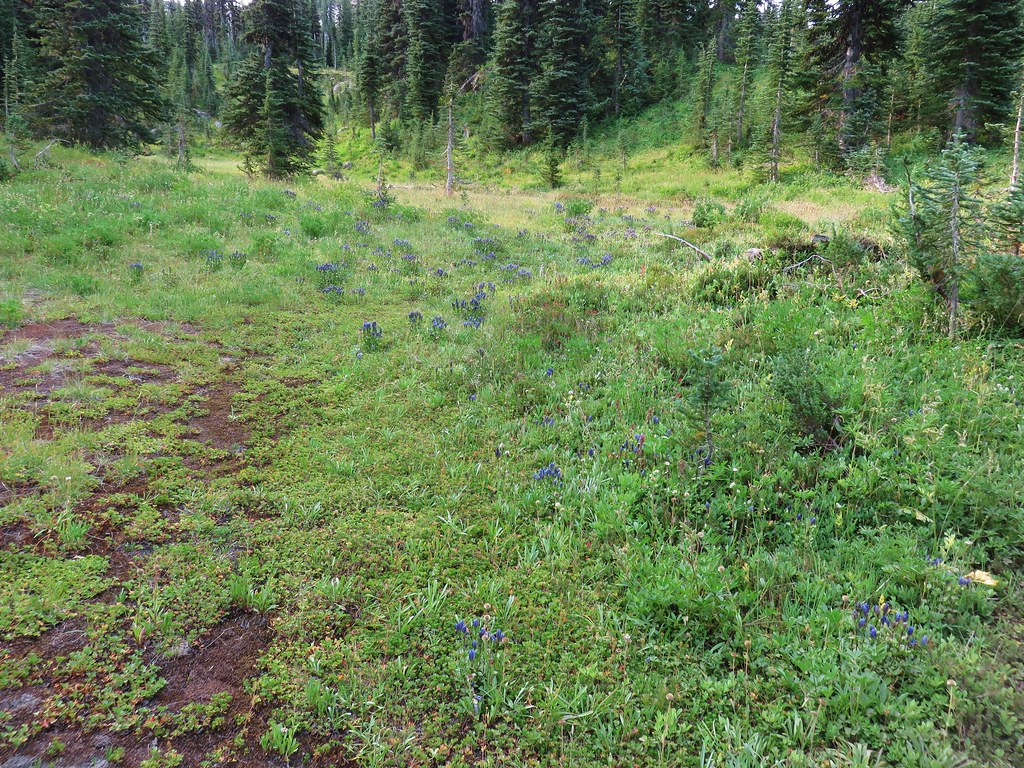
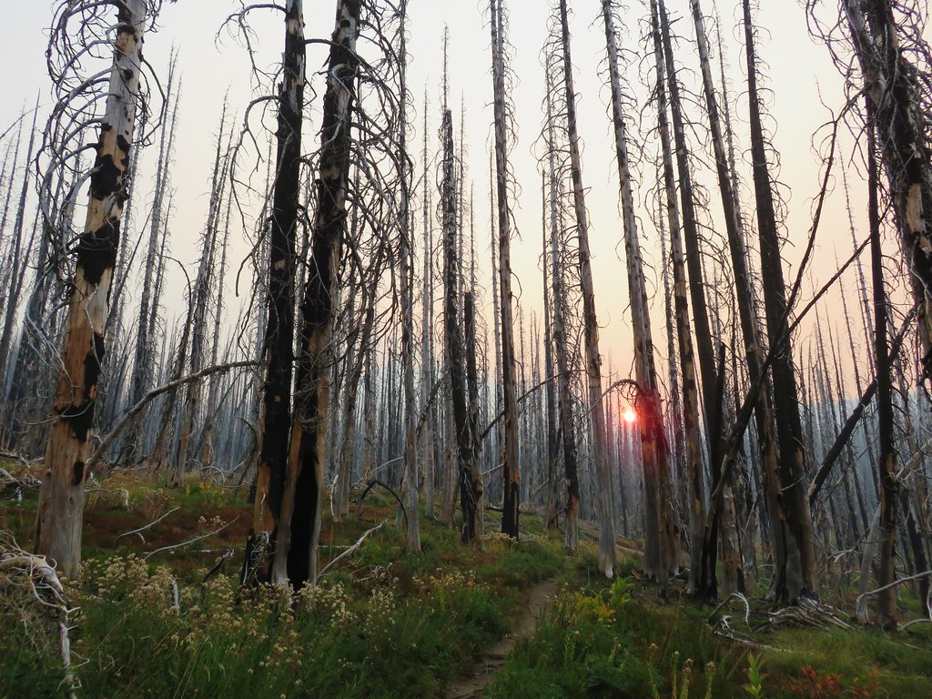
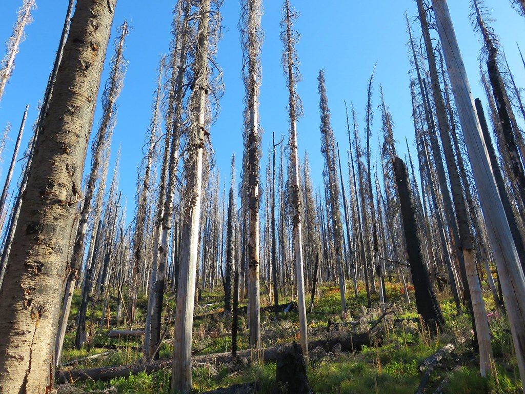
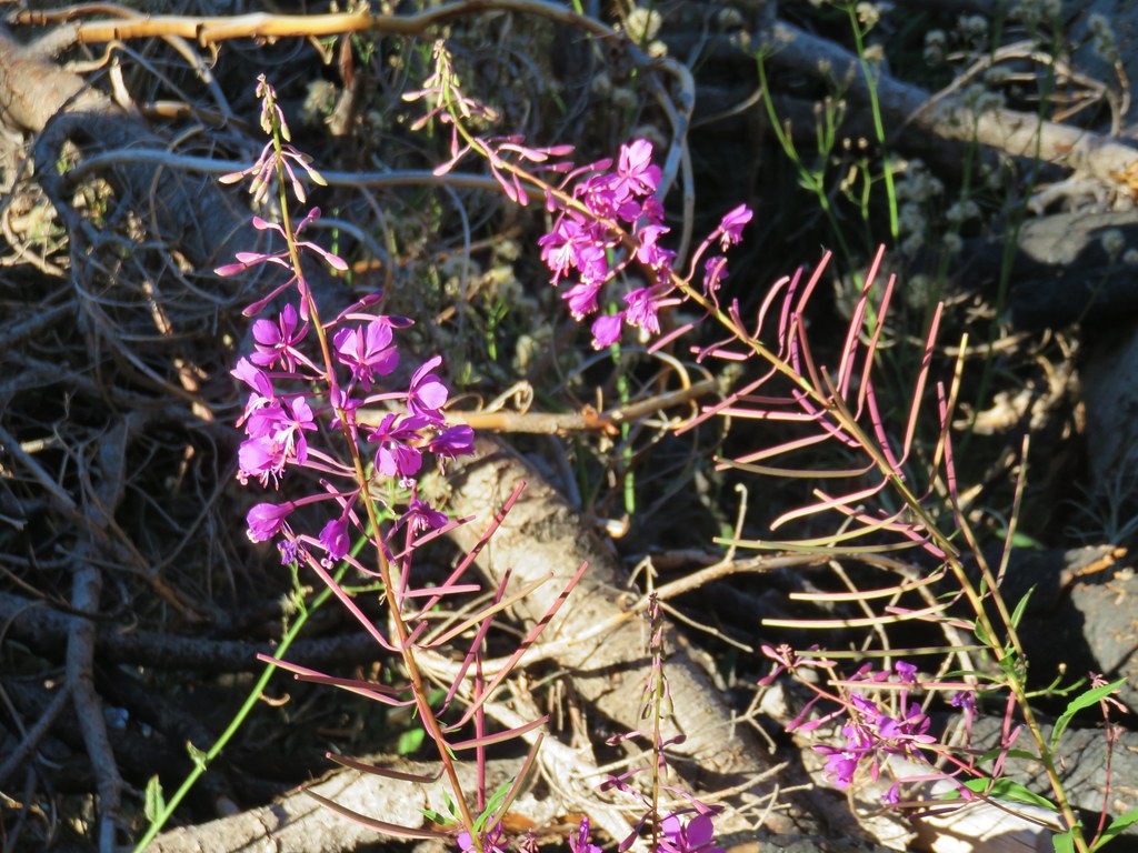
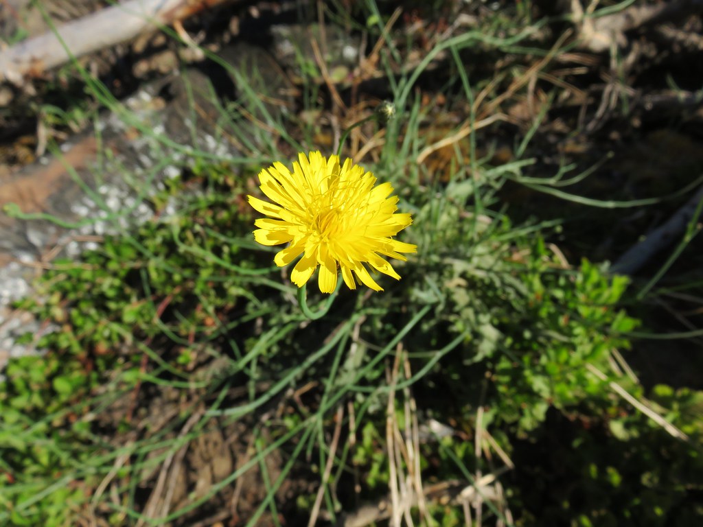
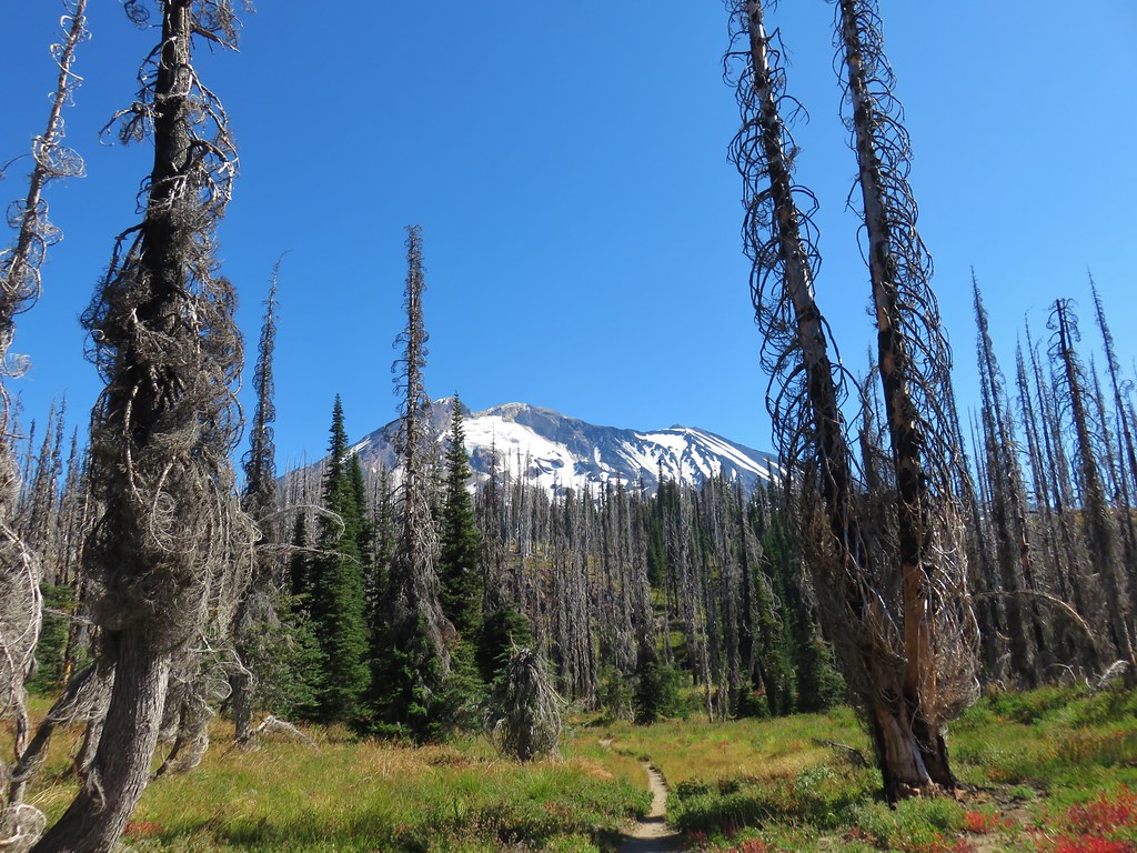
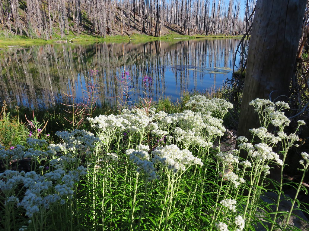
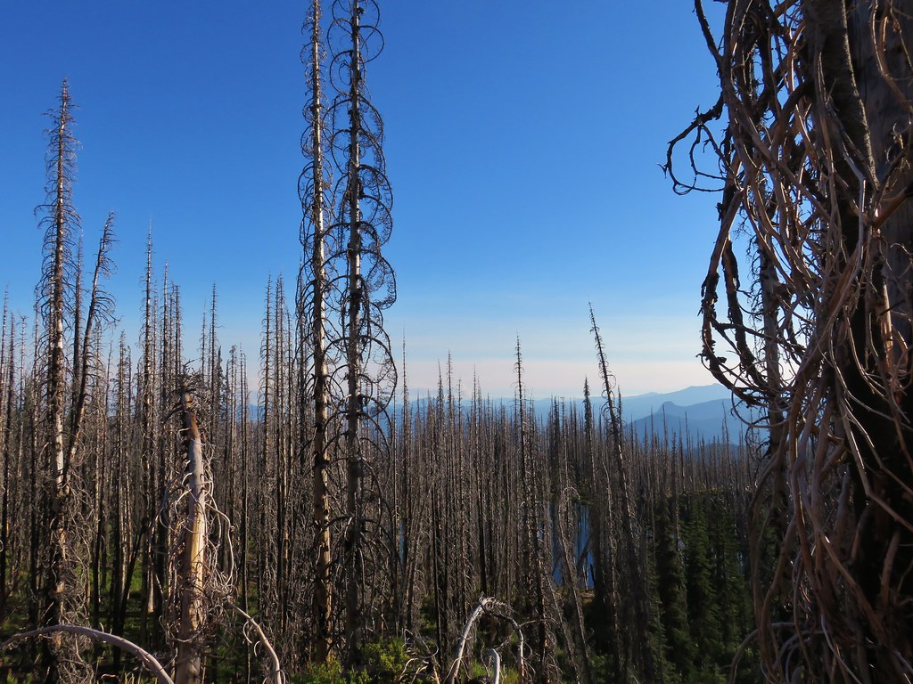
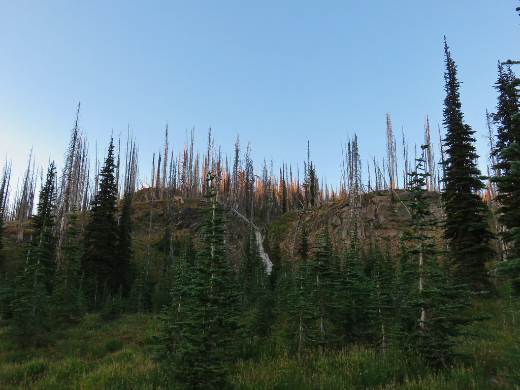
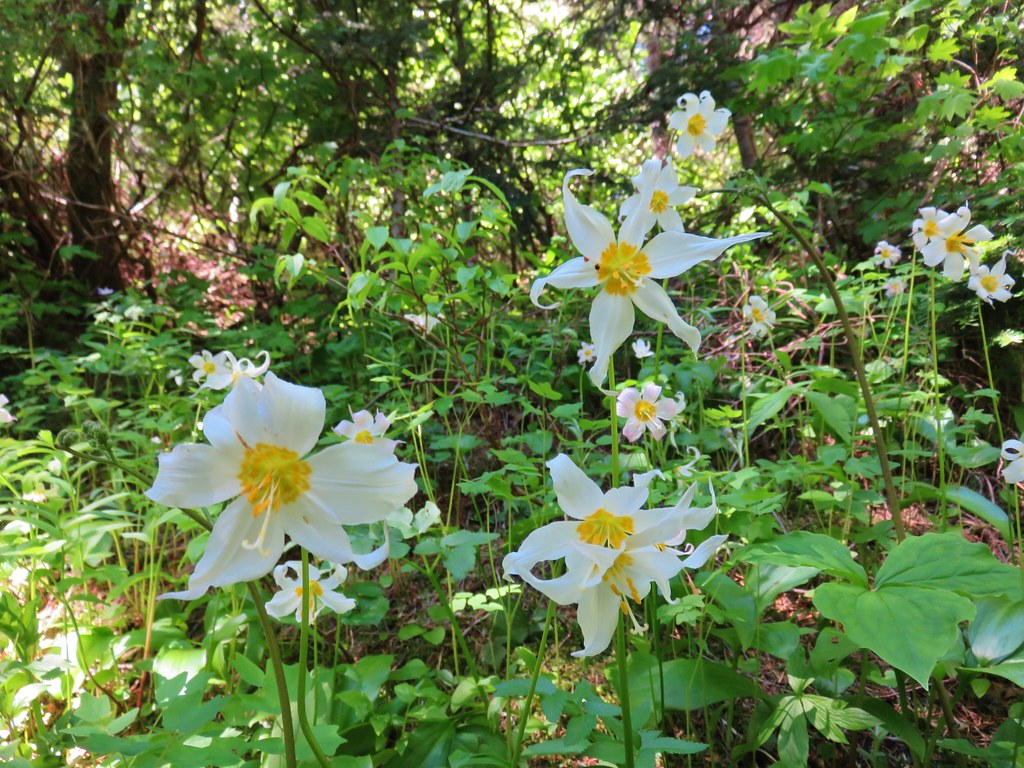
The trail climbed around the ridge end through the scars of the Cascade Creek Fire. The ground was covered with flowers that were well past bloom but they still provided a colorful display.


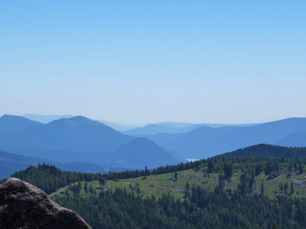
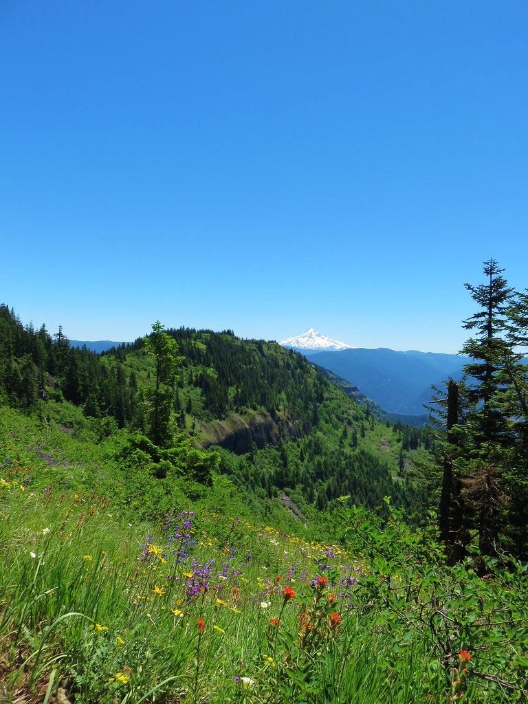
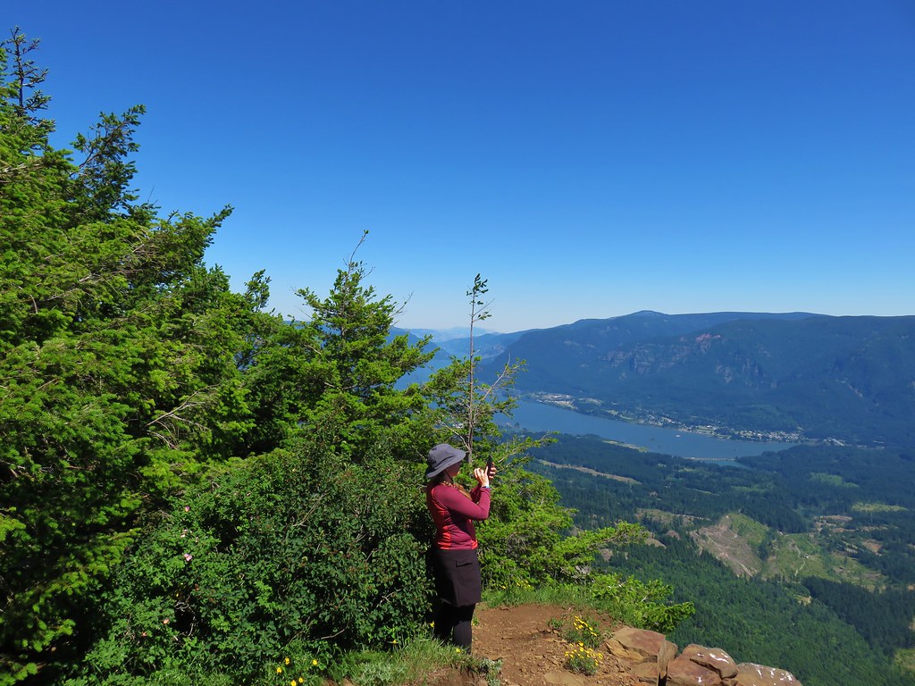
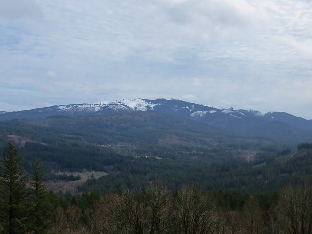
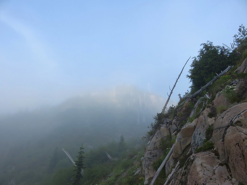
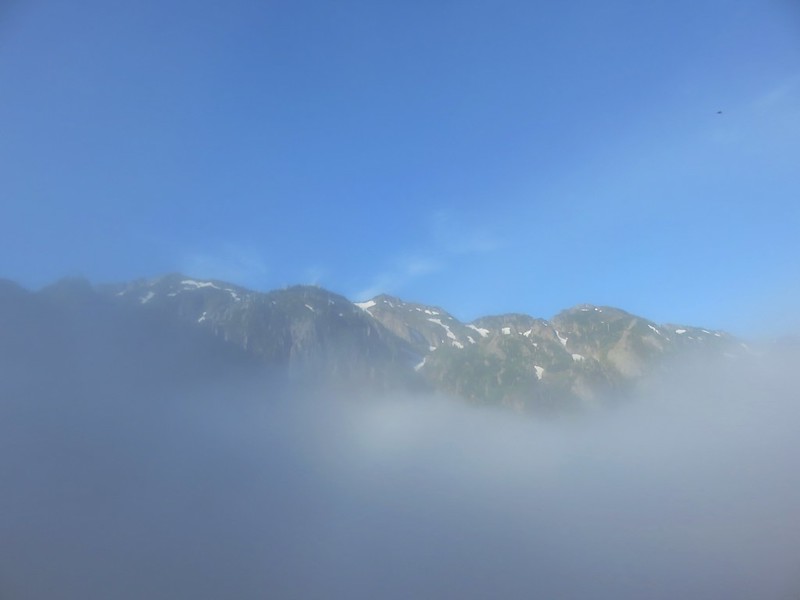
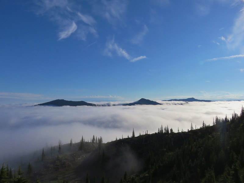
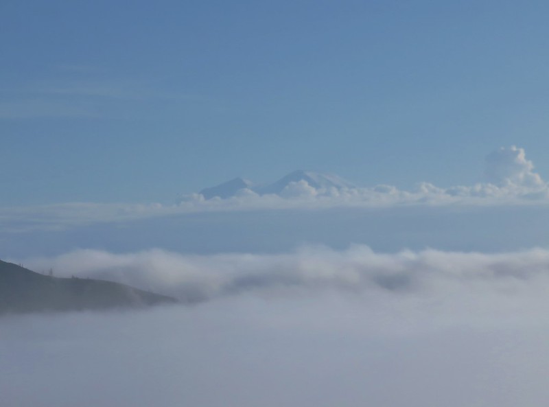
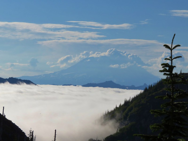
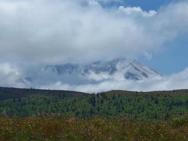
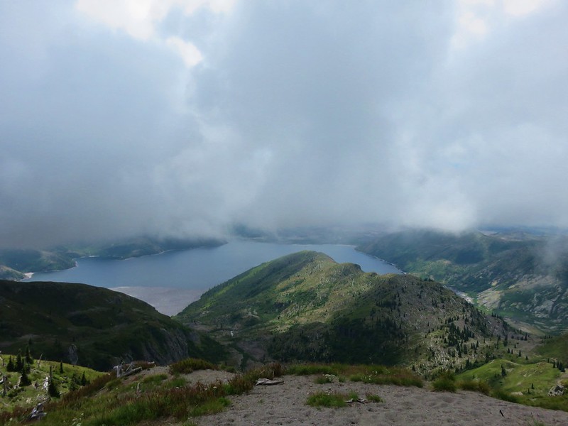
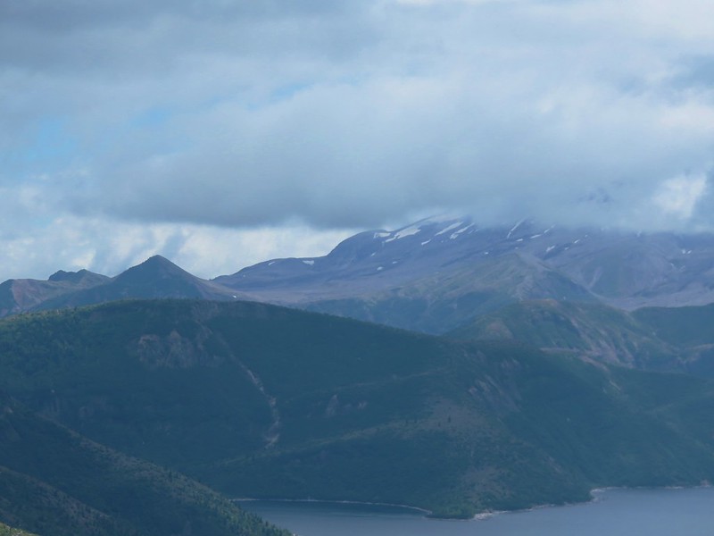
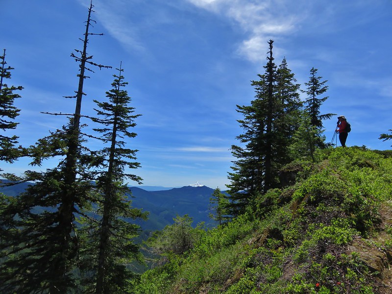
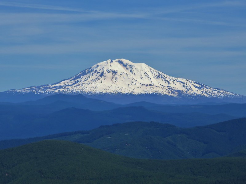
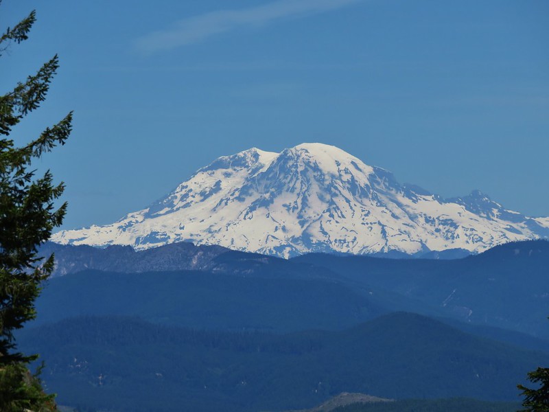
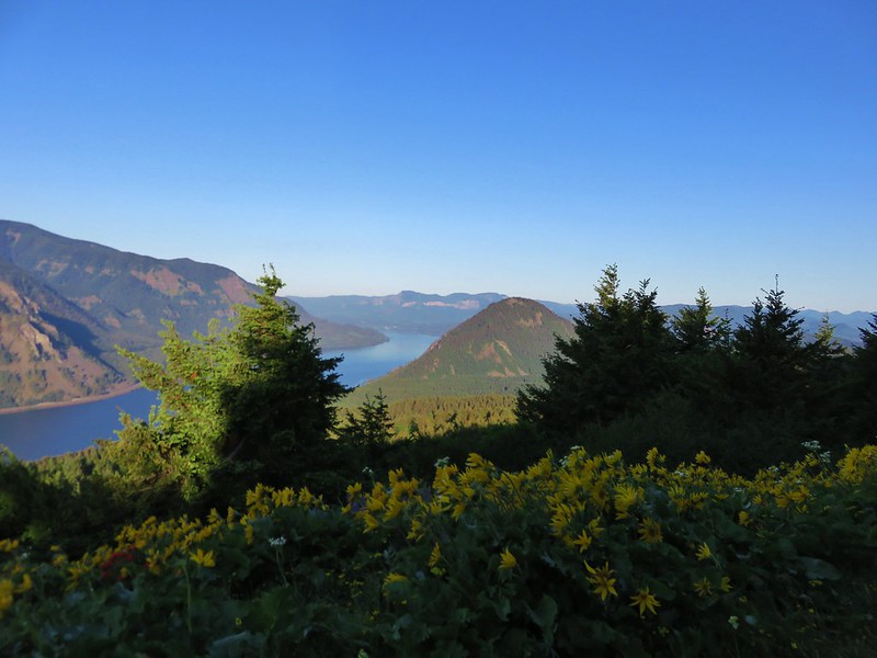
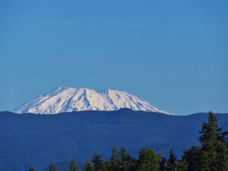
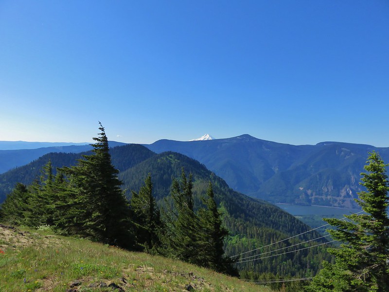
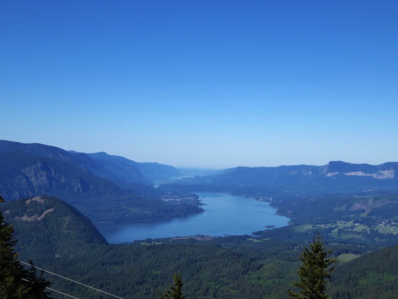
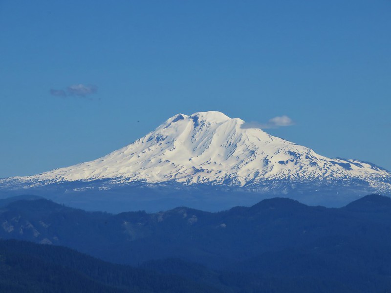
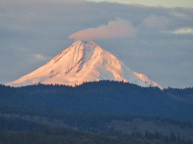
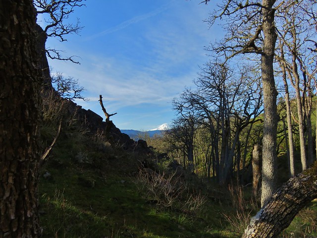
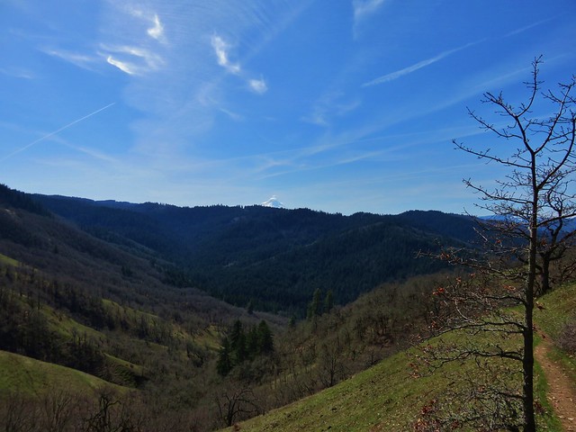
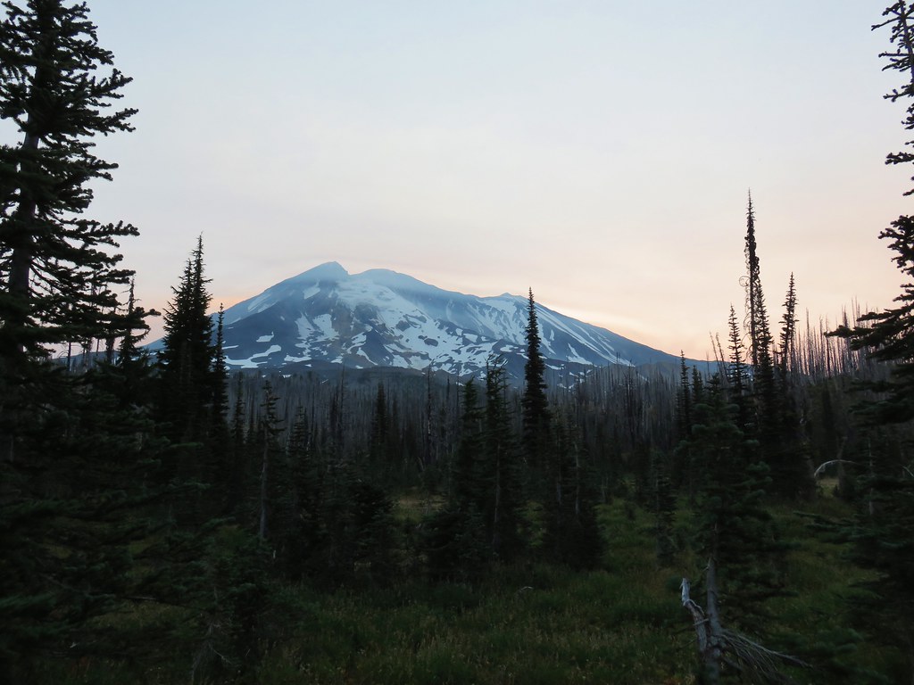
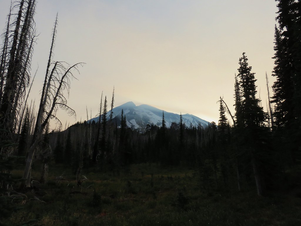
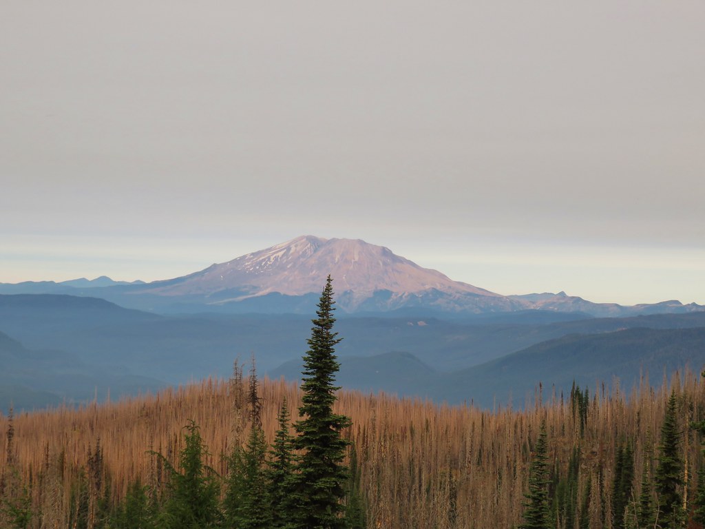
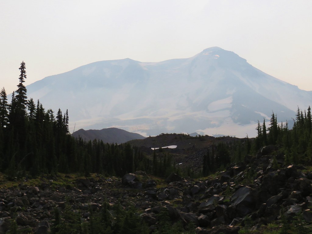
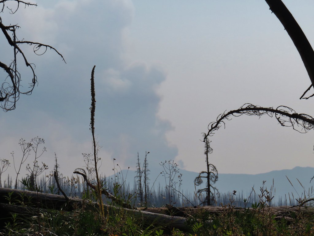
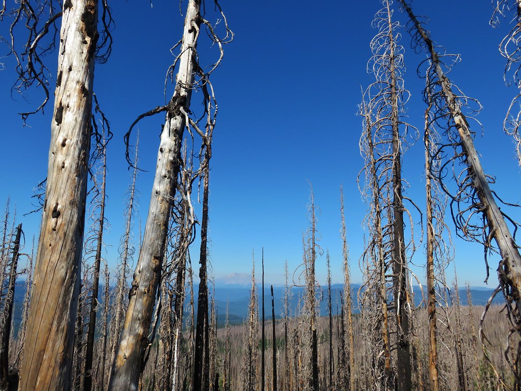
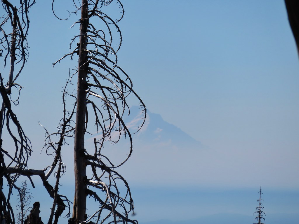
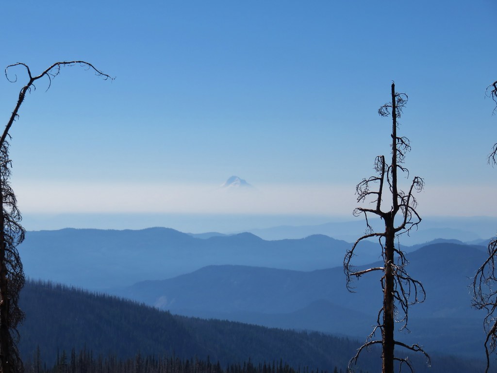
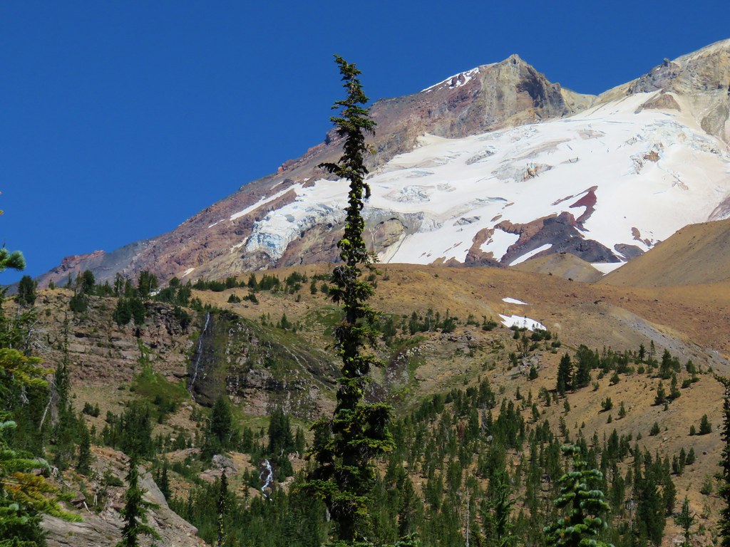
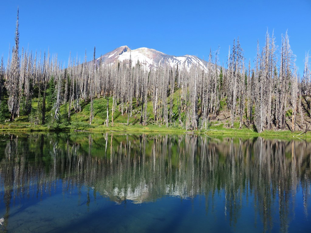
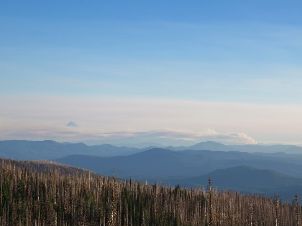
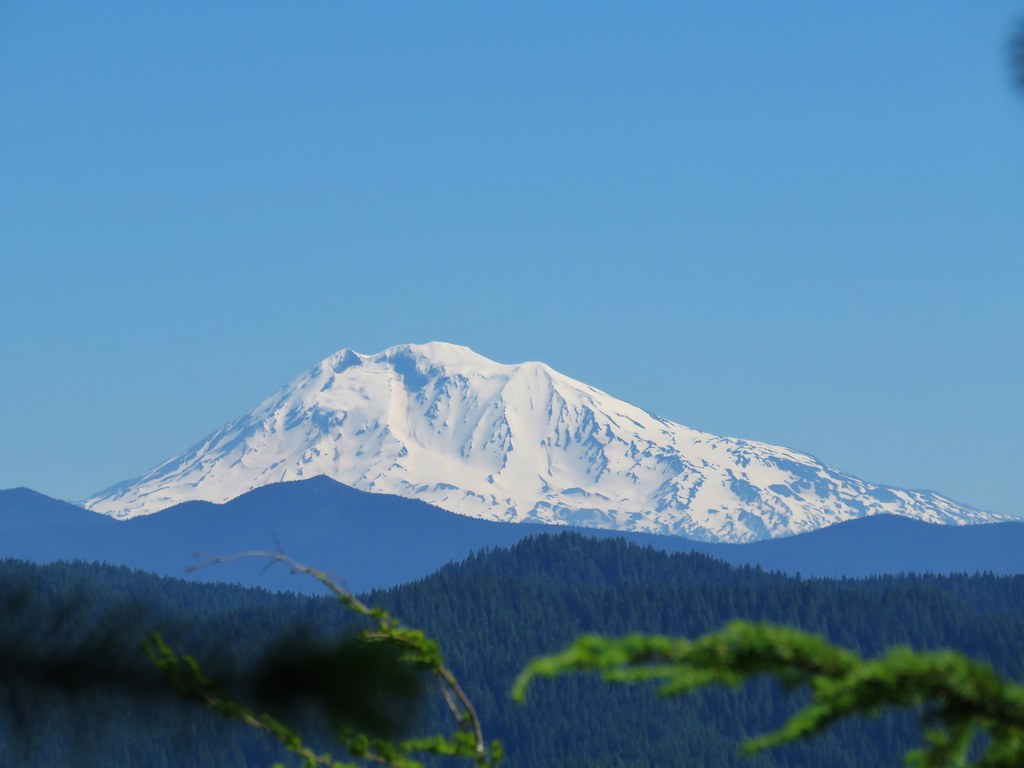
Looking out to the SW we could see smoke in the valleys below a higher layer of clouds. Mt. St. Helens somehow seemed to be in a clear zone though.

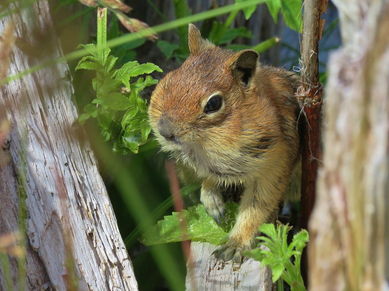
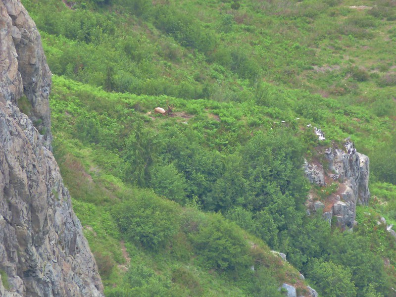
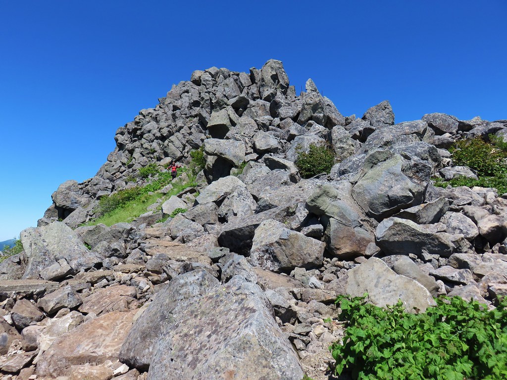
As we passed a large rocky area we heard the “meep” of a pika followed by several more. We stopped to see if we could spot one of our favorite alpine animals and sure enough one scurried out onto a nearby rock.
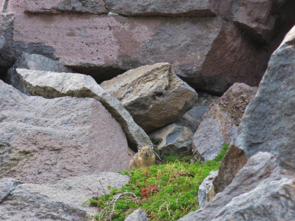
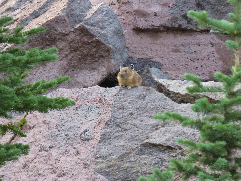
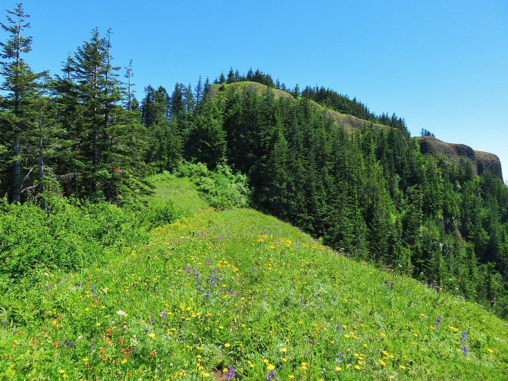
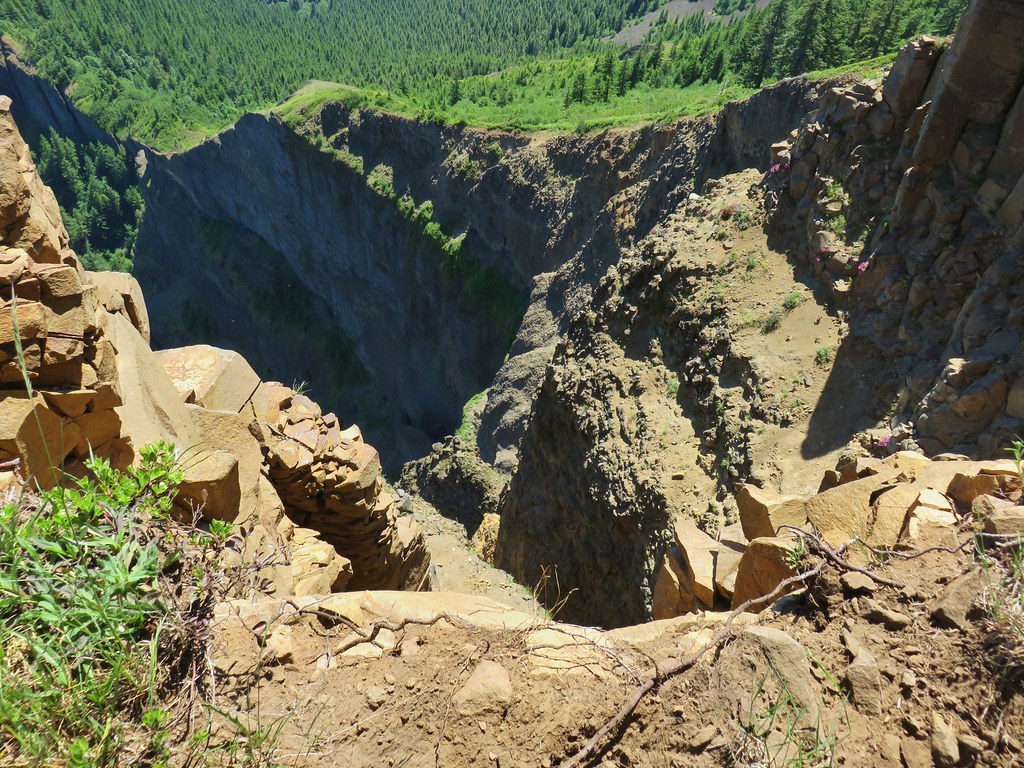
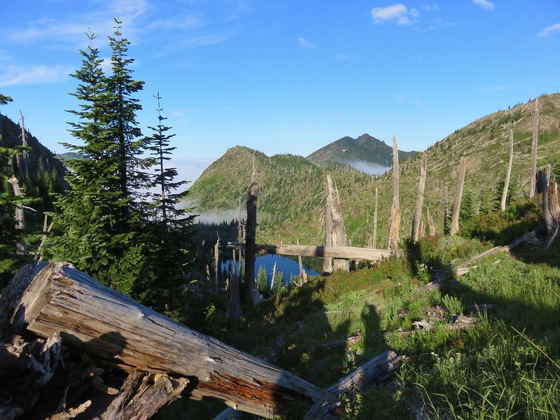
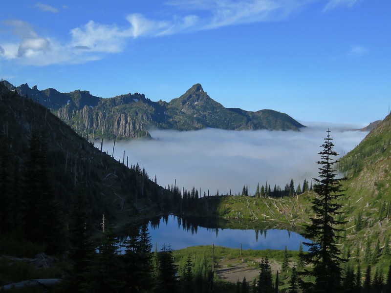
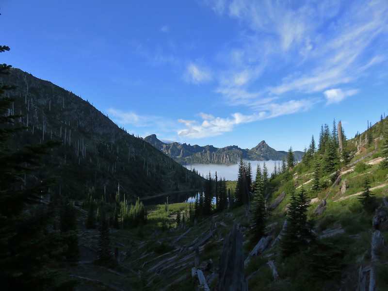
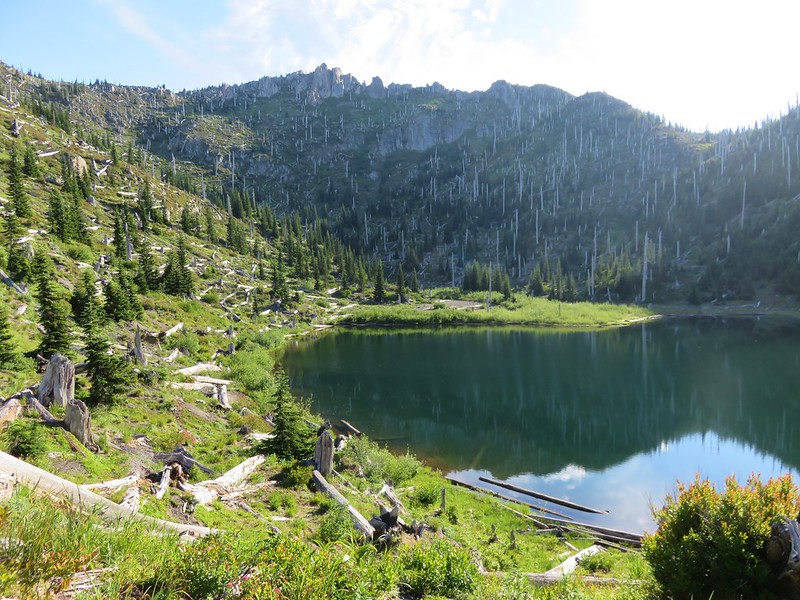
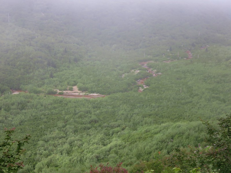
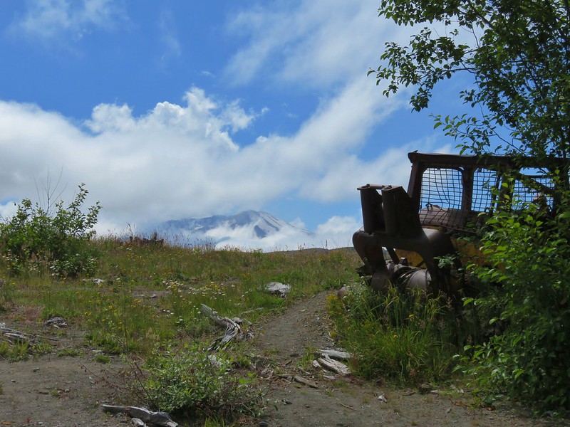
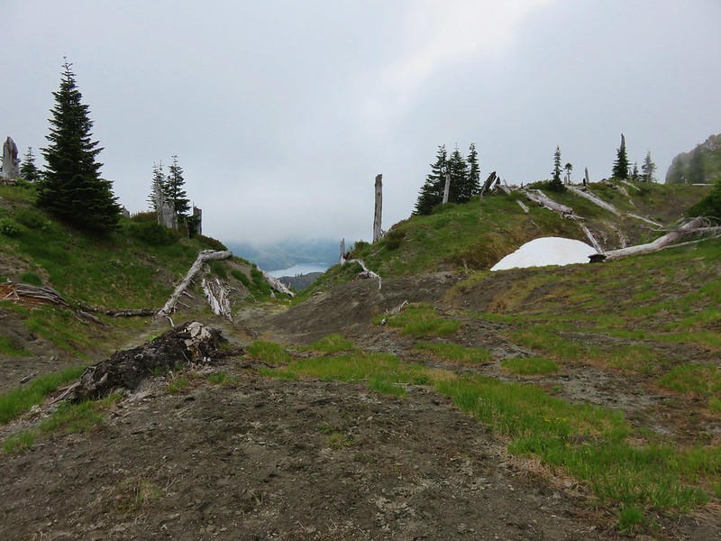
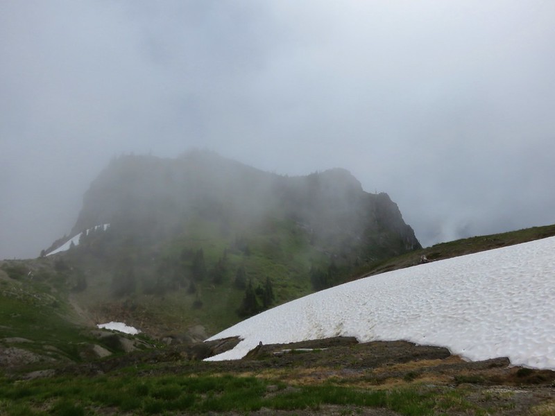
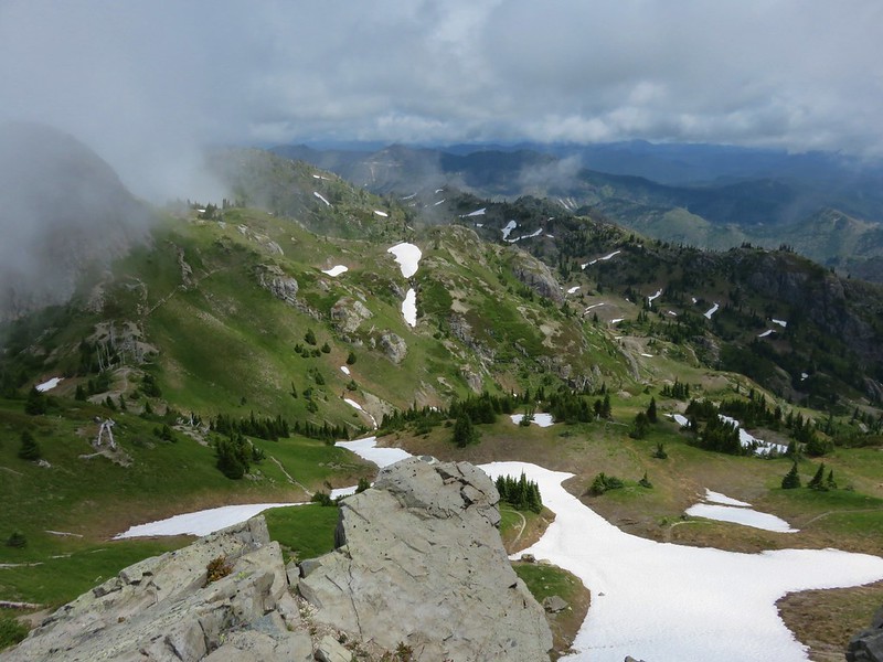
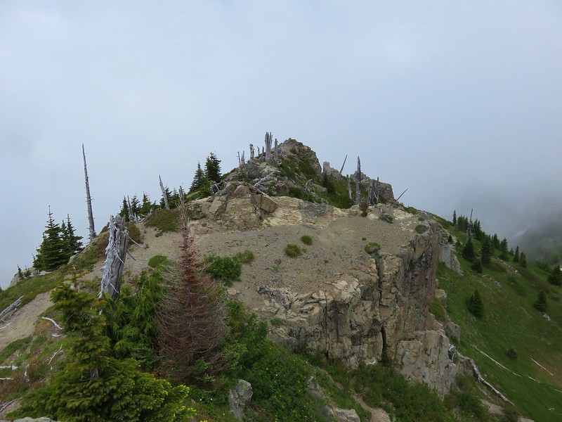
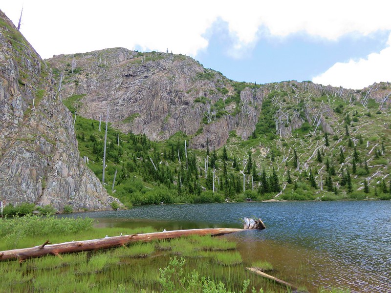
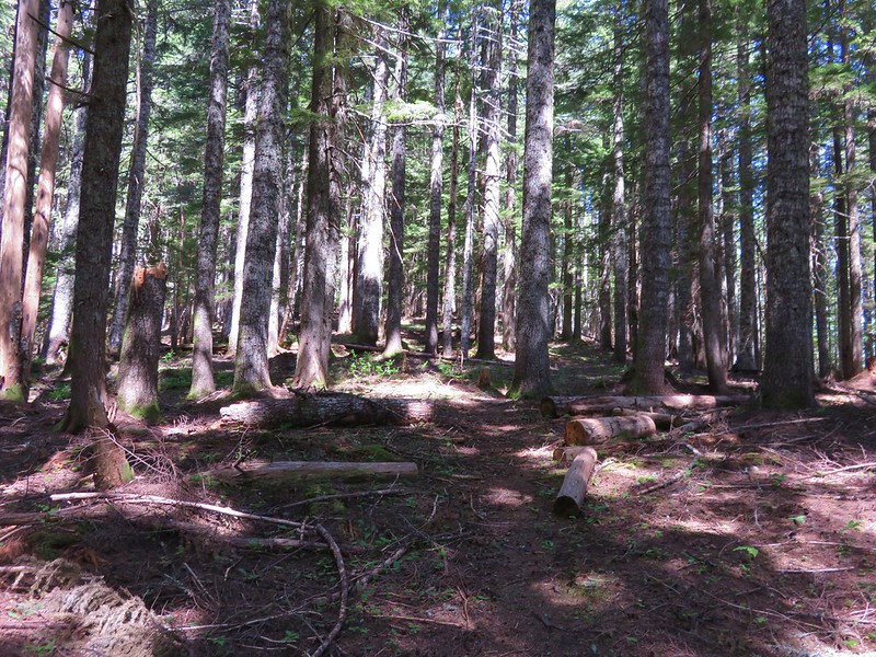
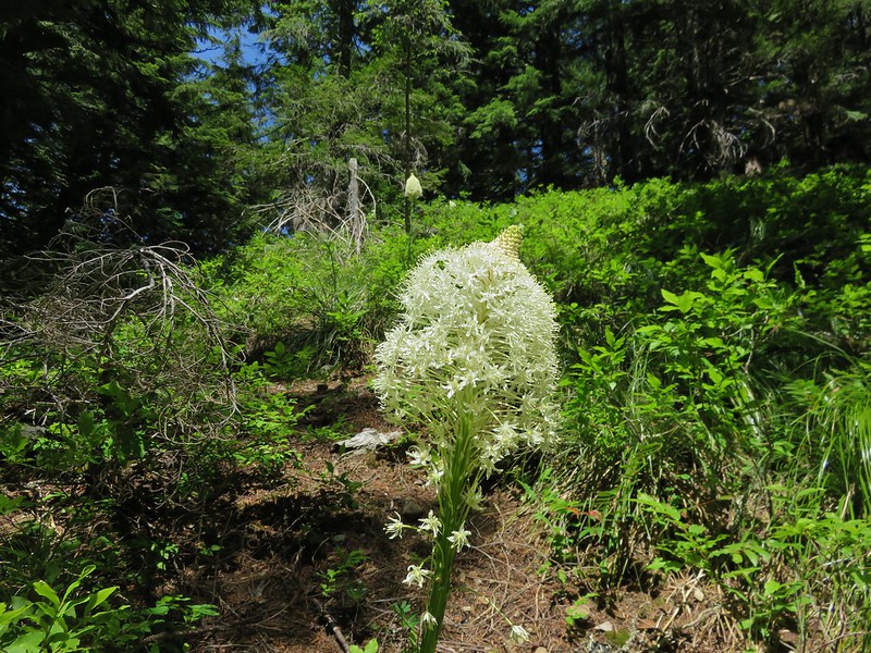
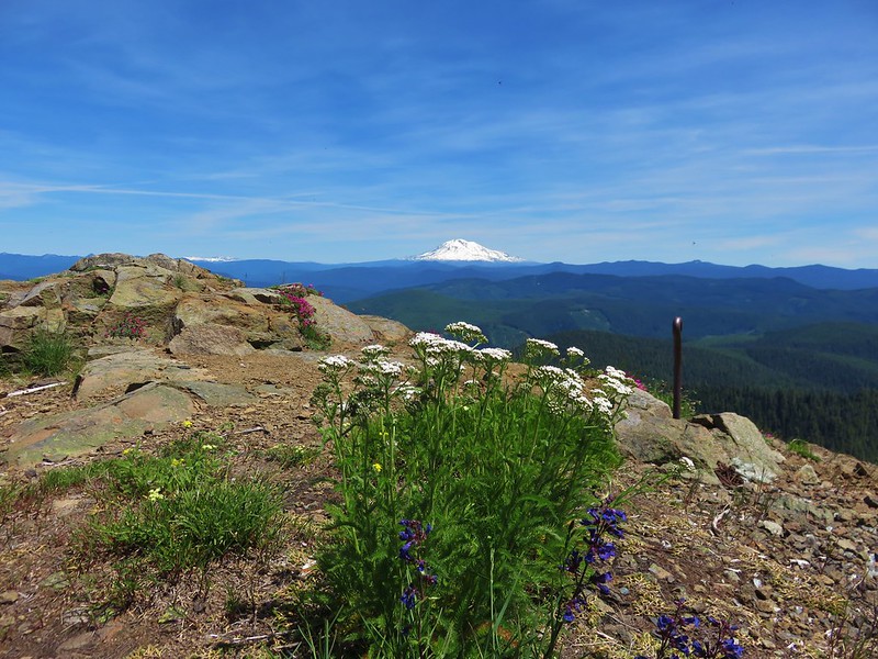
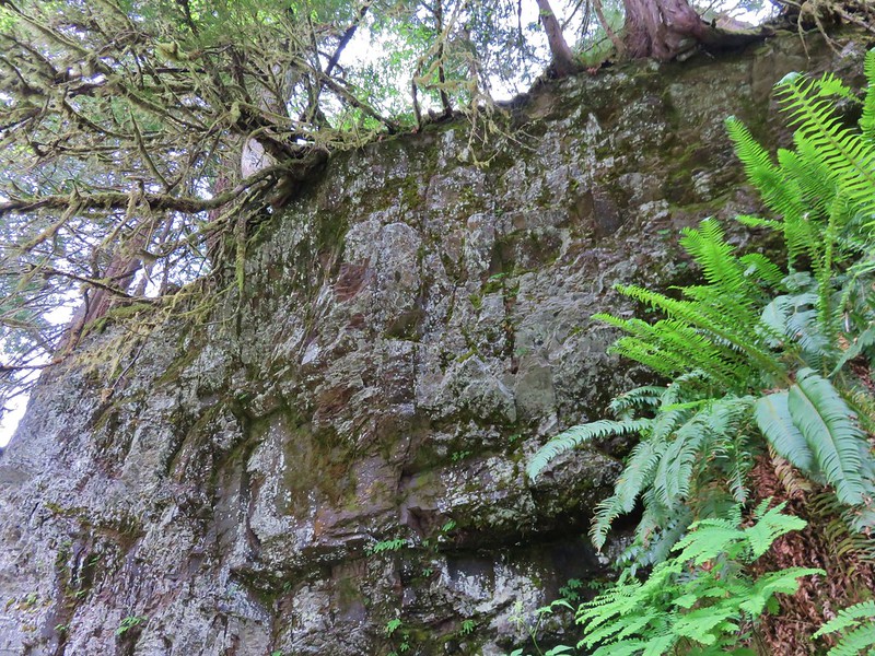
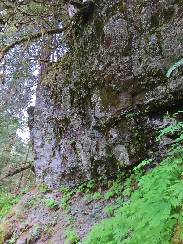
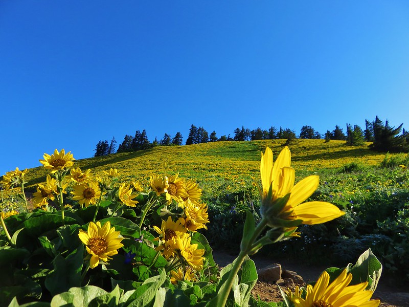
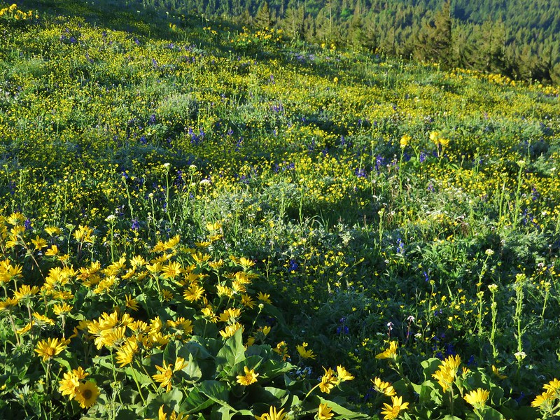
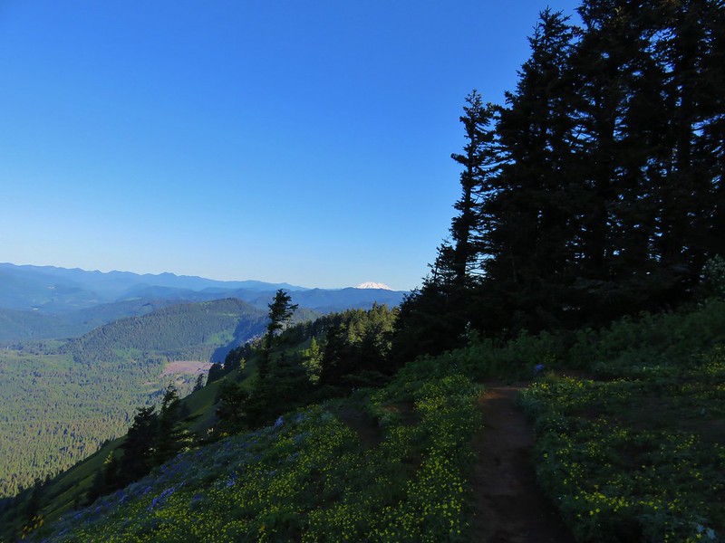
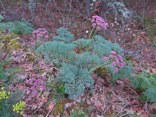
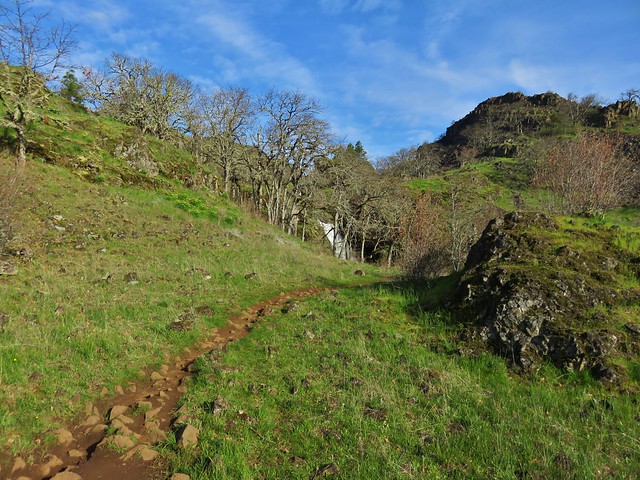
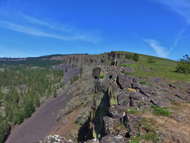
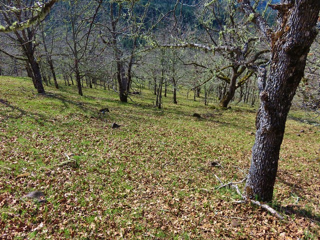
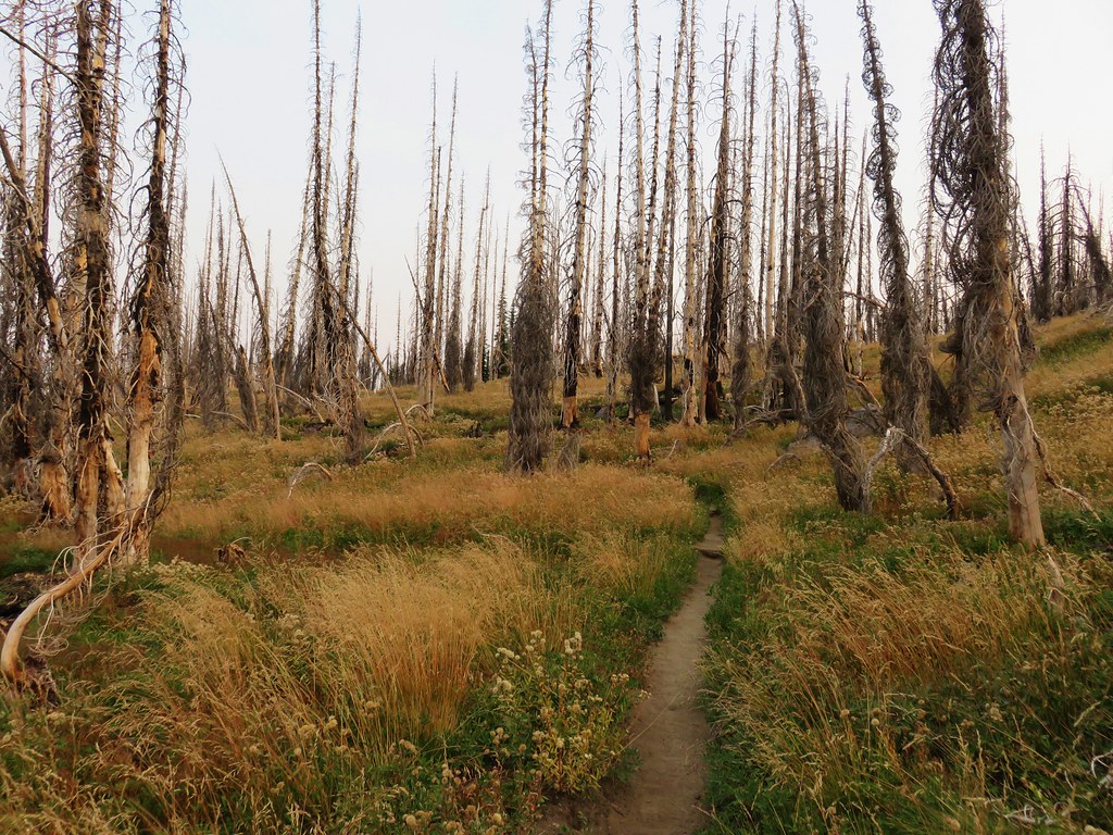
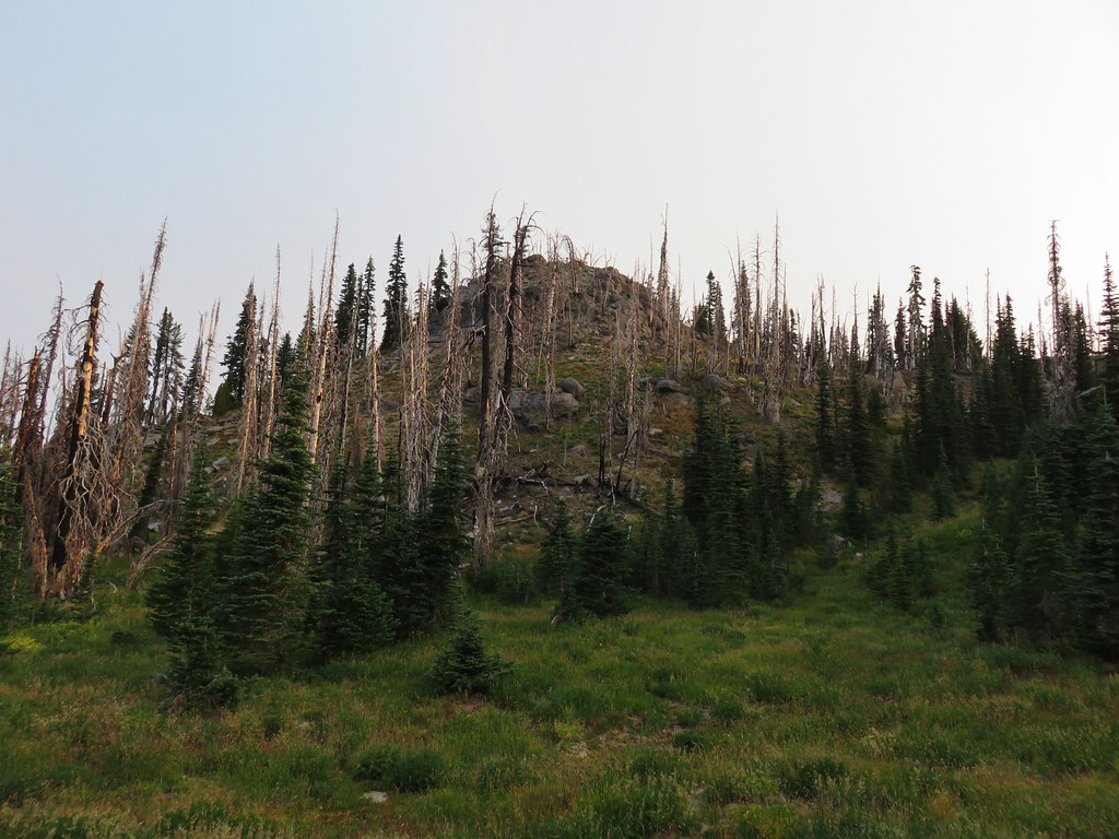
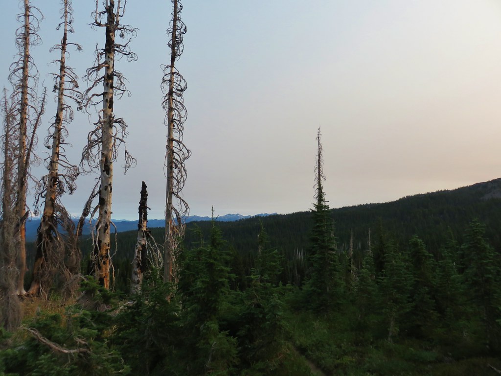
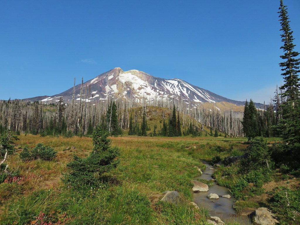
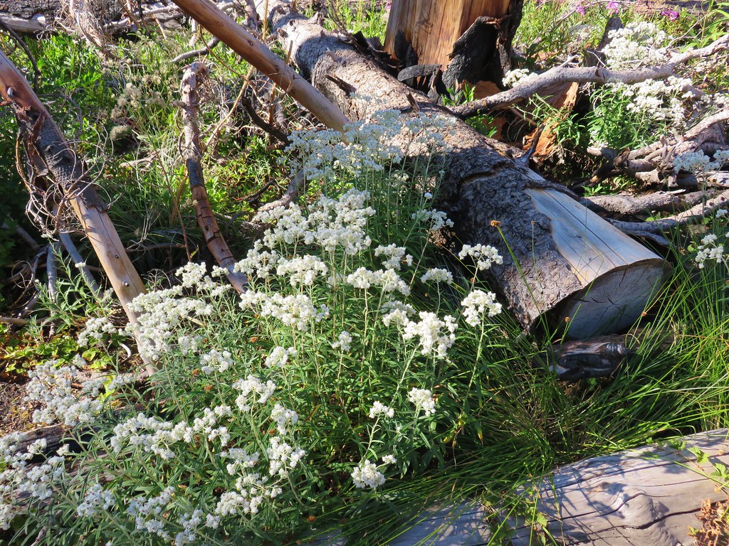
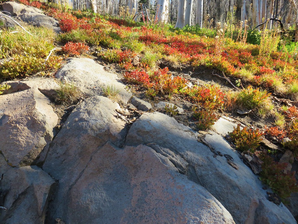
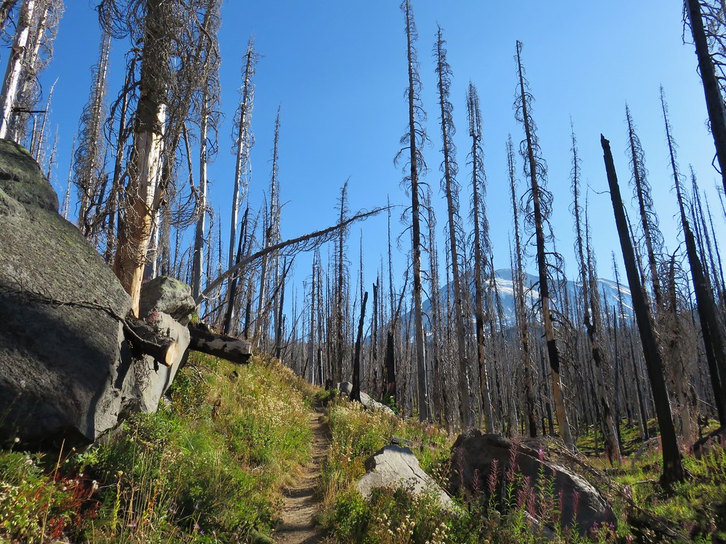
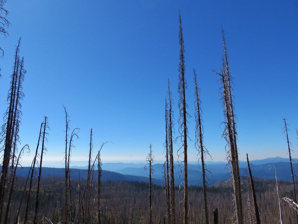
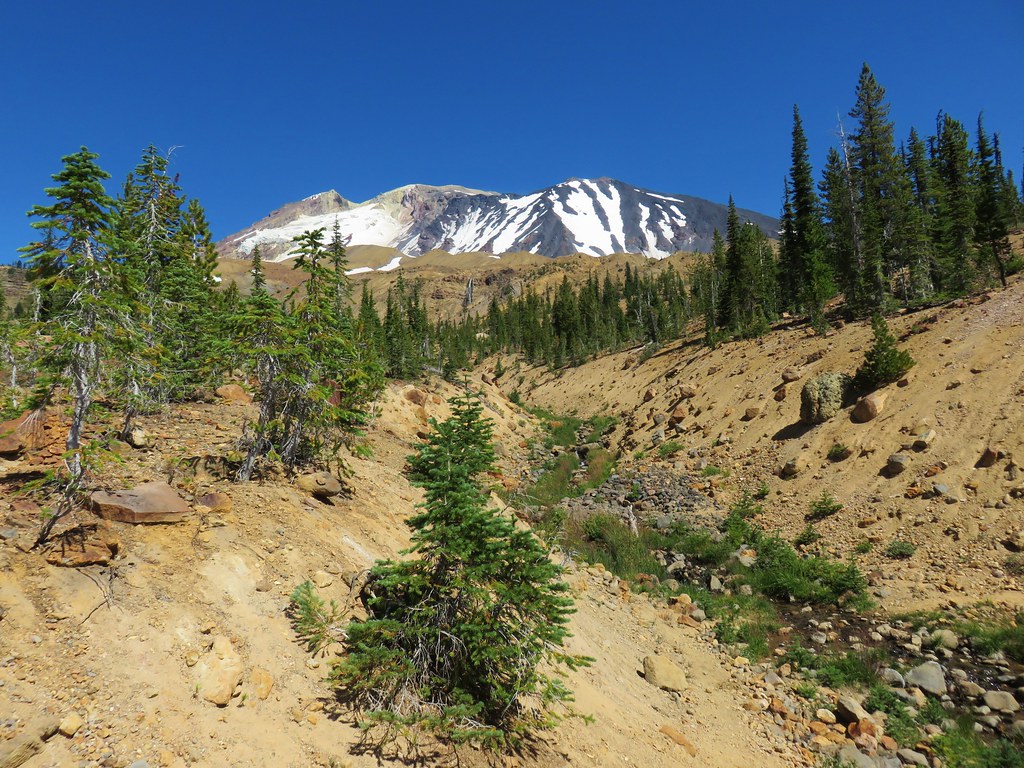
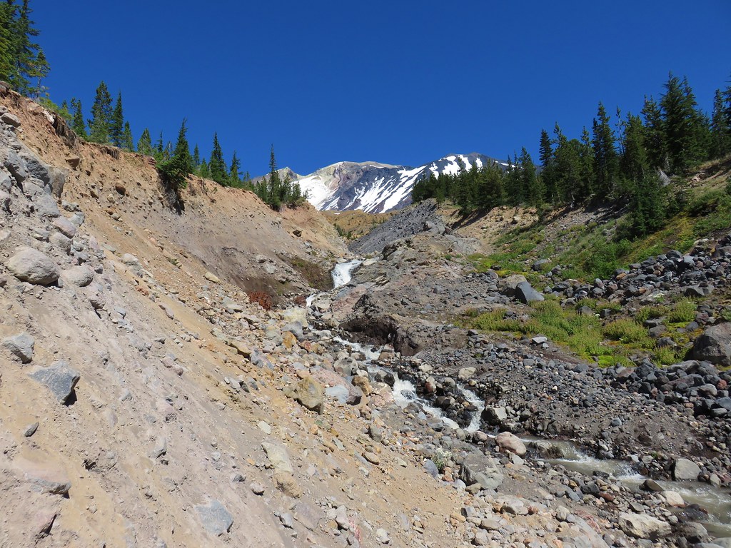
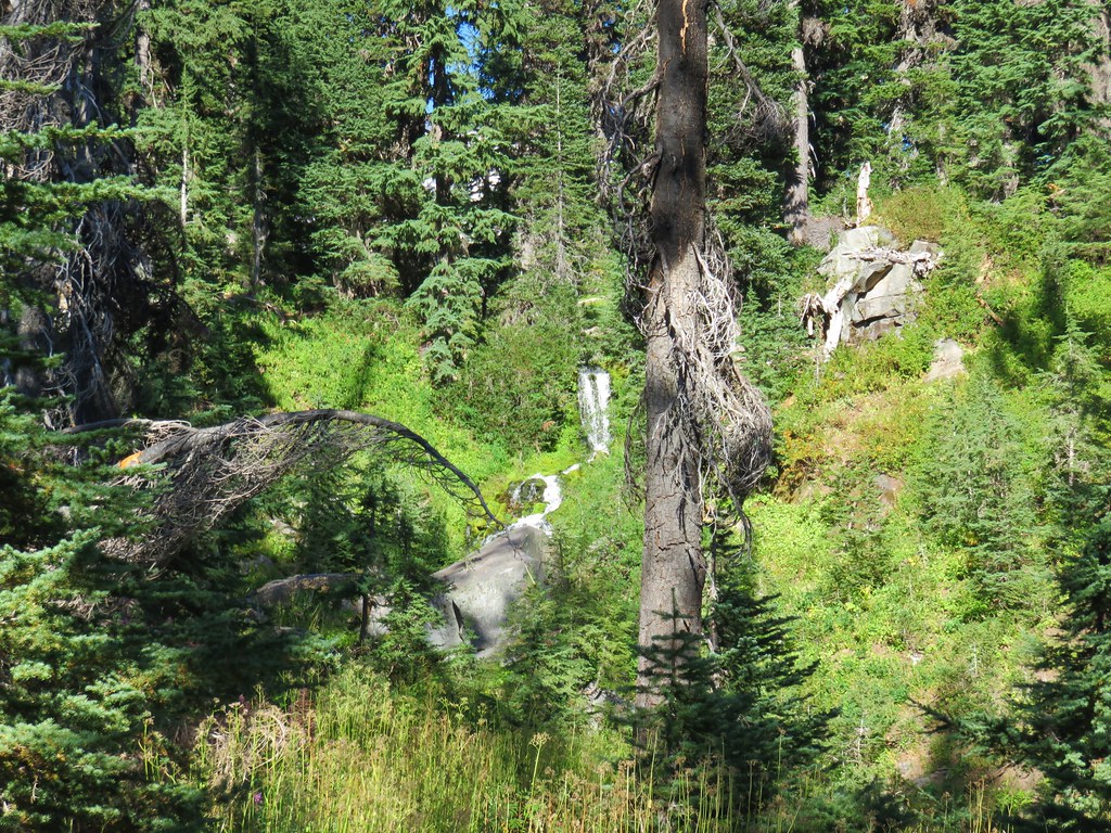
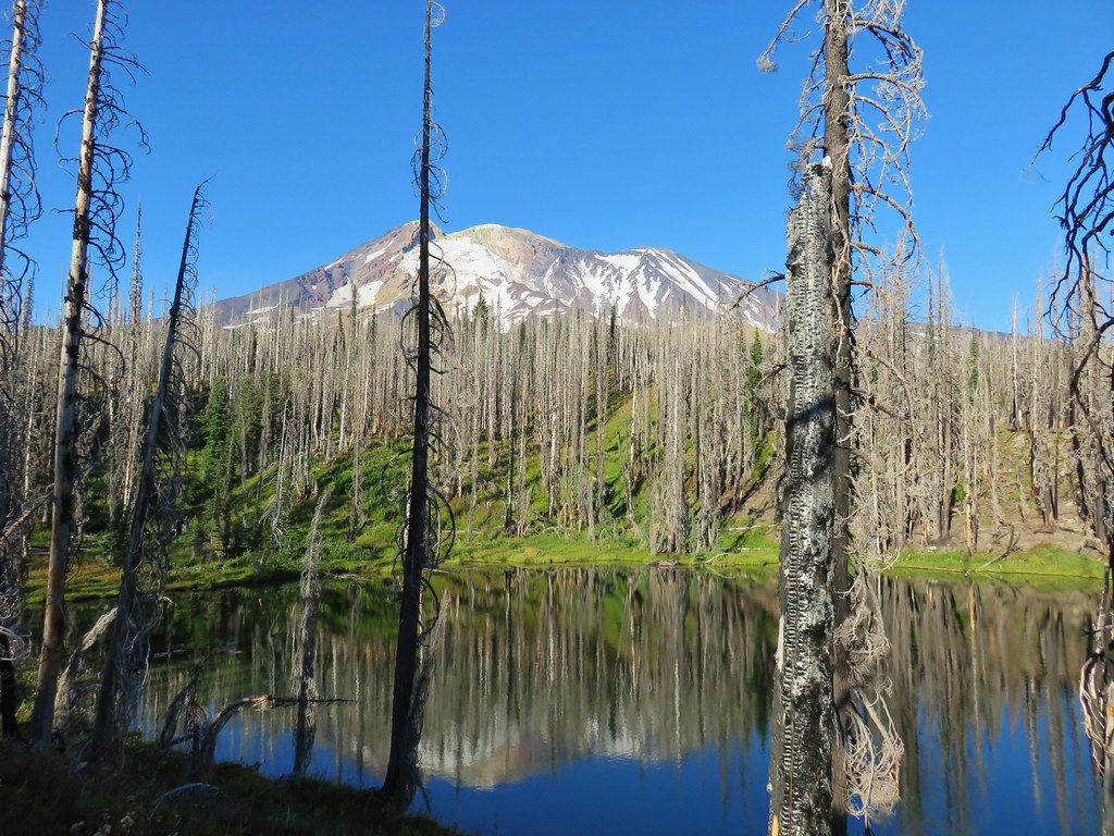
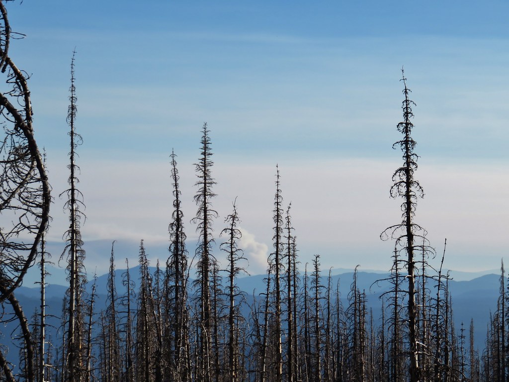
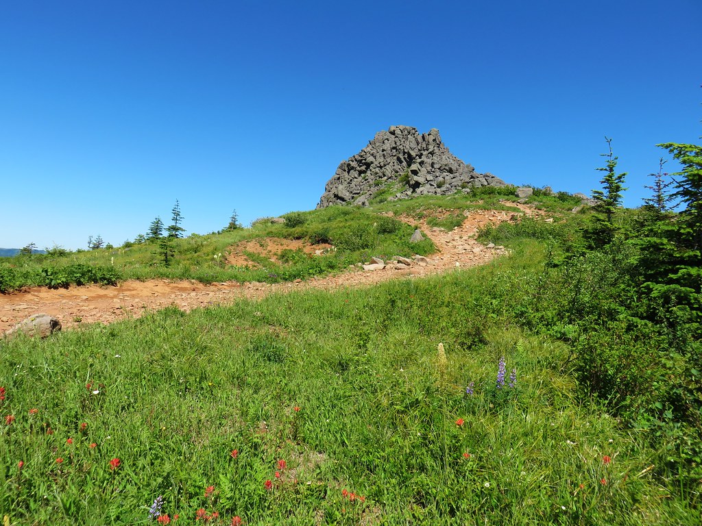
After watching the little guy for a while we remembered our quest for water and continued on. The trail remained in the Cascade Creek Fire zone for nearly the entire 3.5 miles to Sheep Lake which was the first potential source of water we came too. The fire zone offered some nice views and interesting rock formations reminding us that as sad as it is too see the forest burn it is part of the natural cycle and can offer some different scenic qualities.
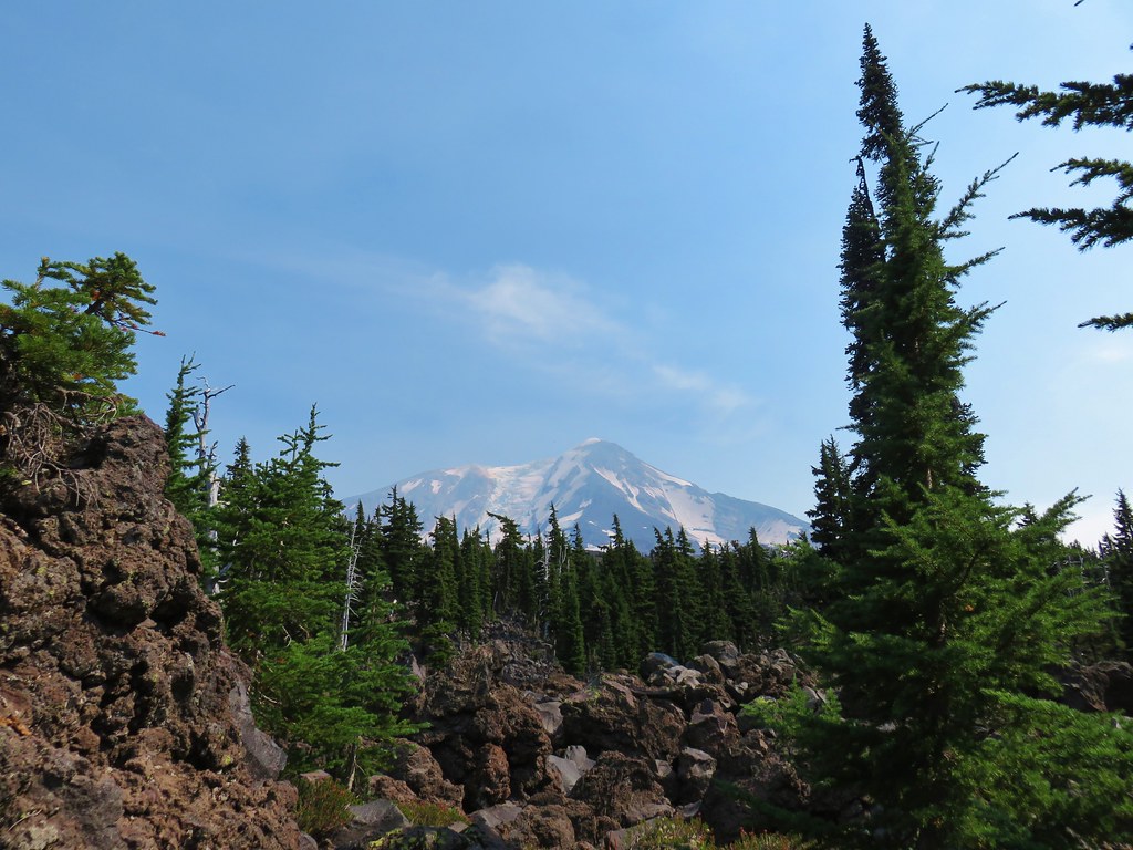
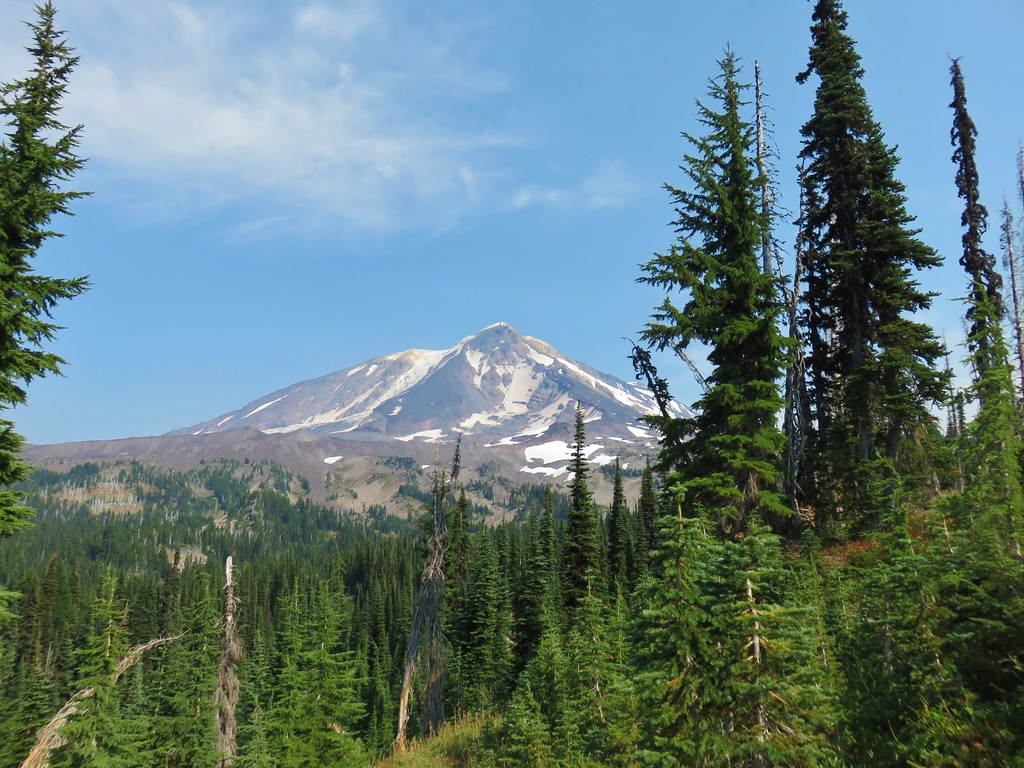
 Mt. St. Helens
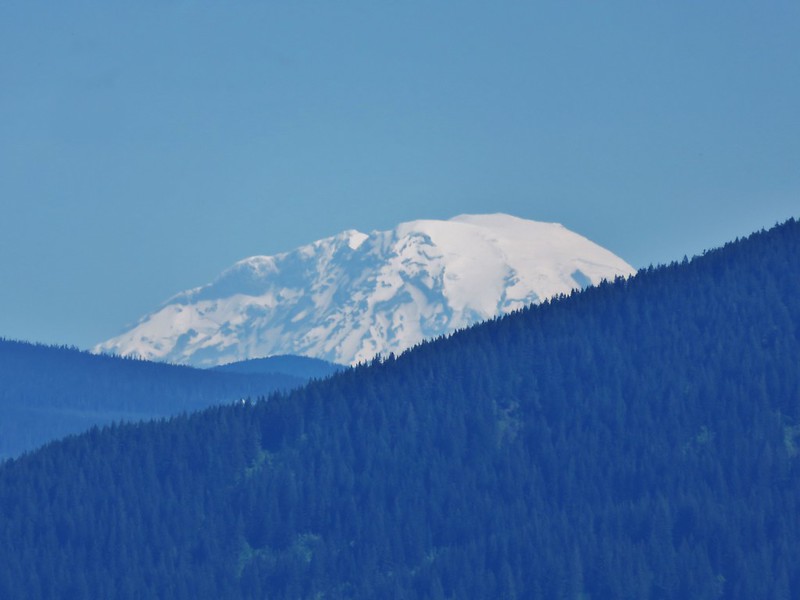
 The bottom of Mt. Rainier
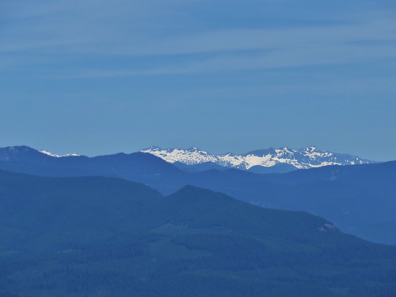
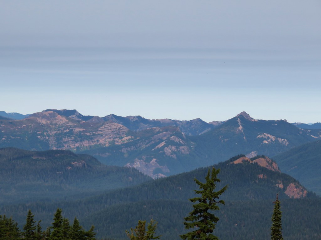
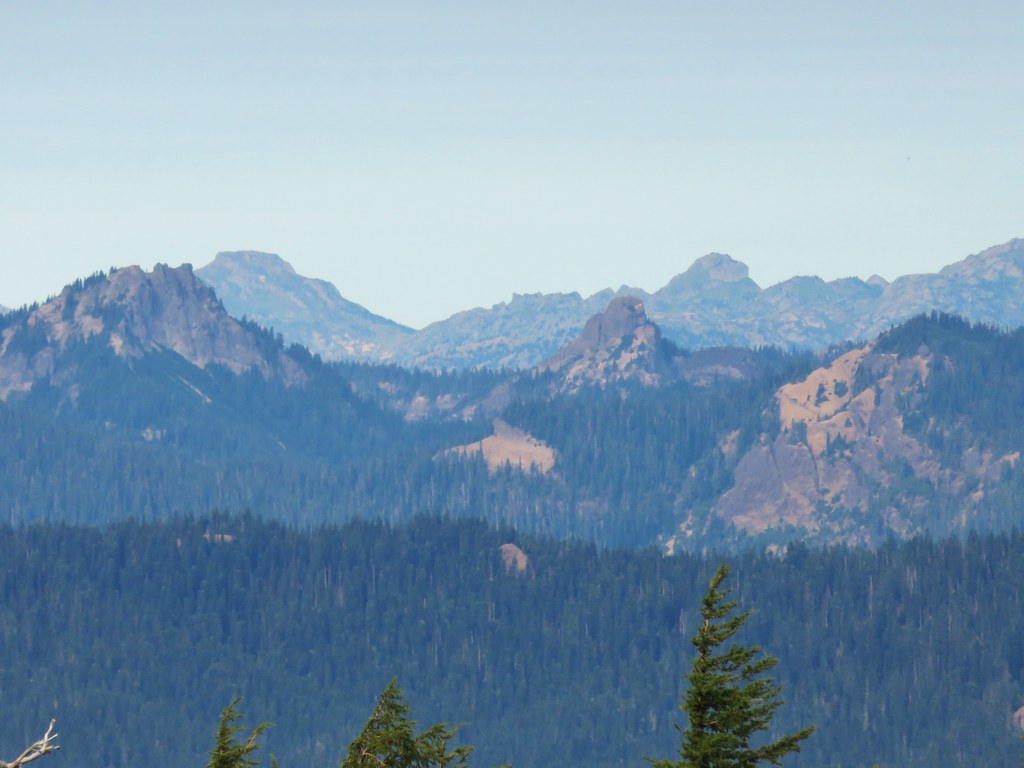
 Goat Rocks
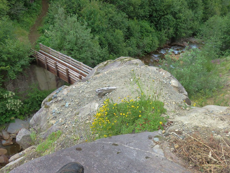
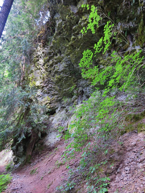
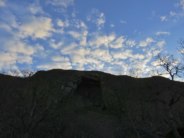
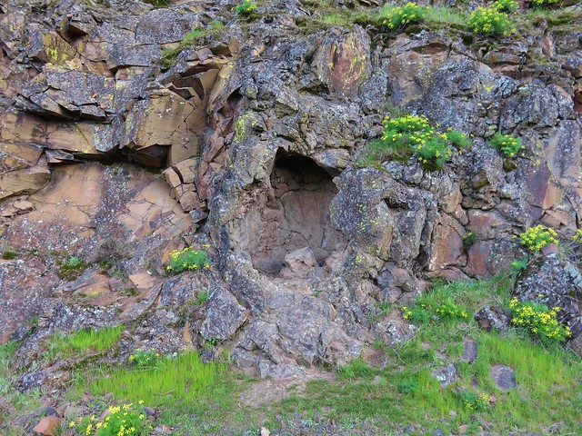
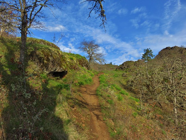
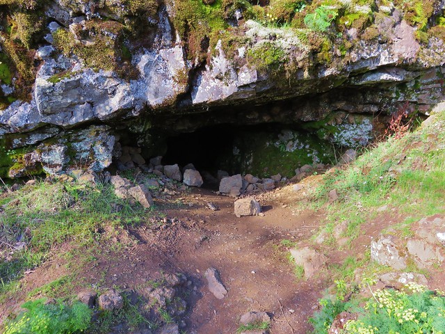
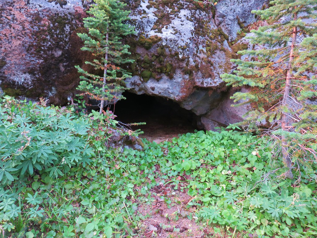 Small cave along the PCT
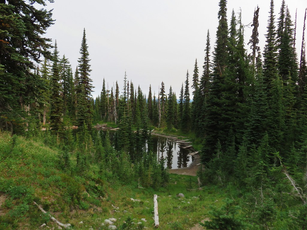
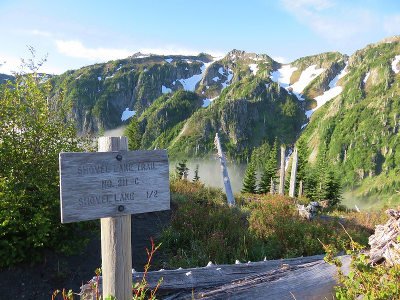
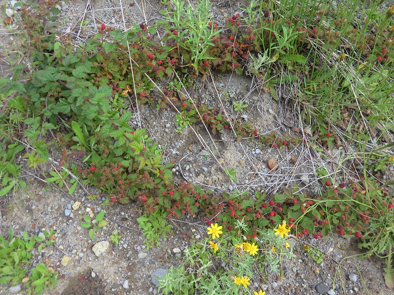
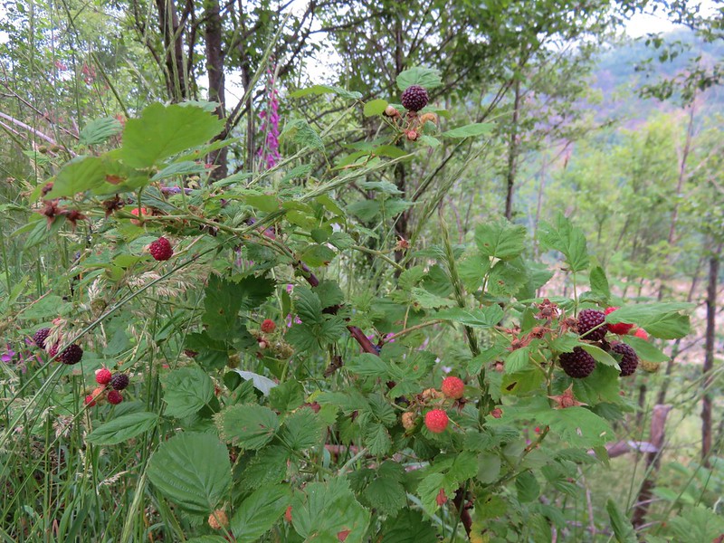
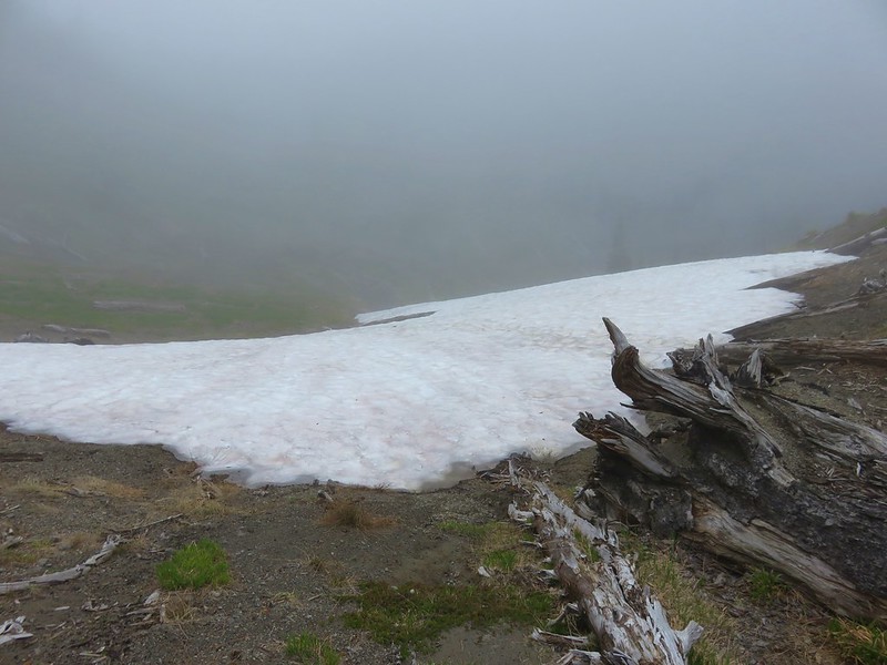
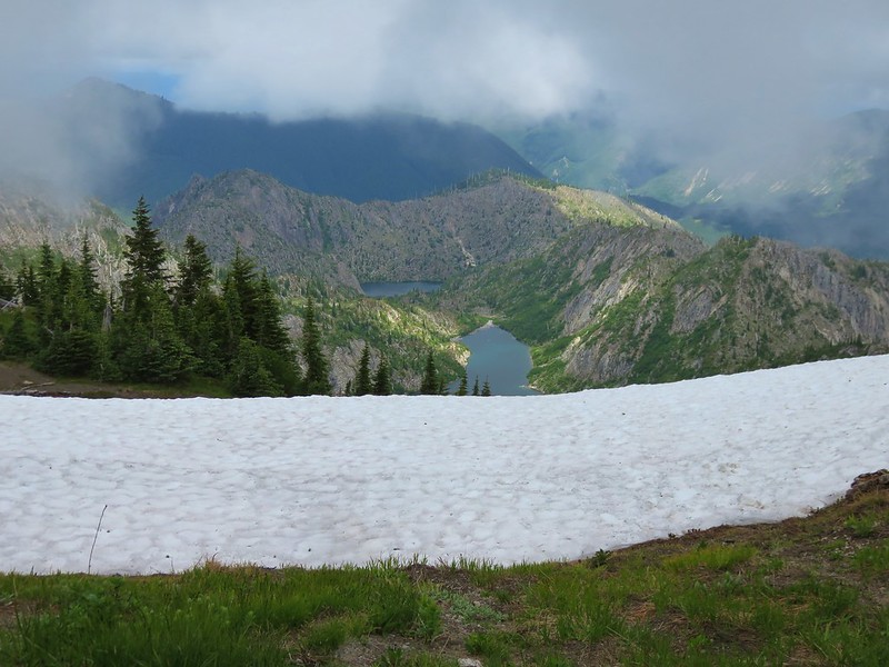
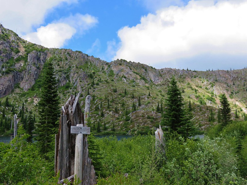
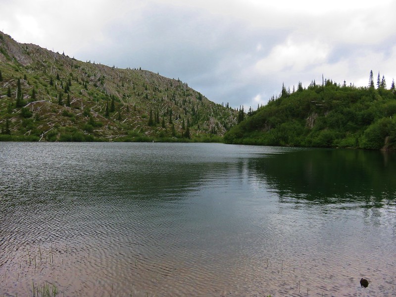
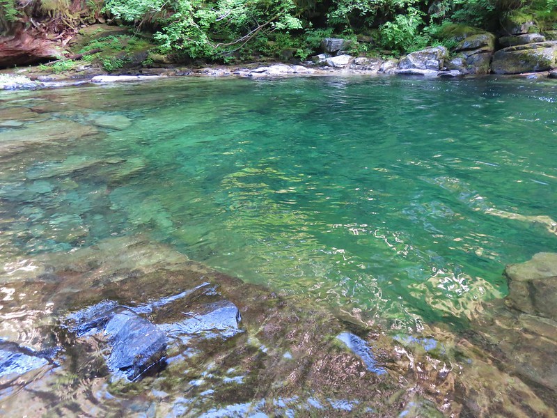
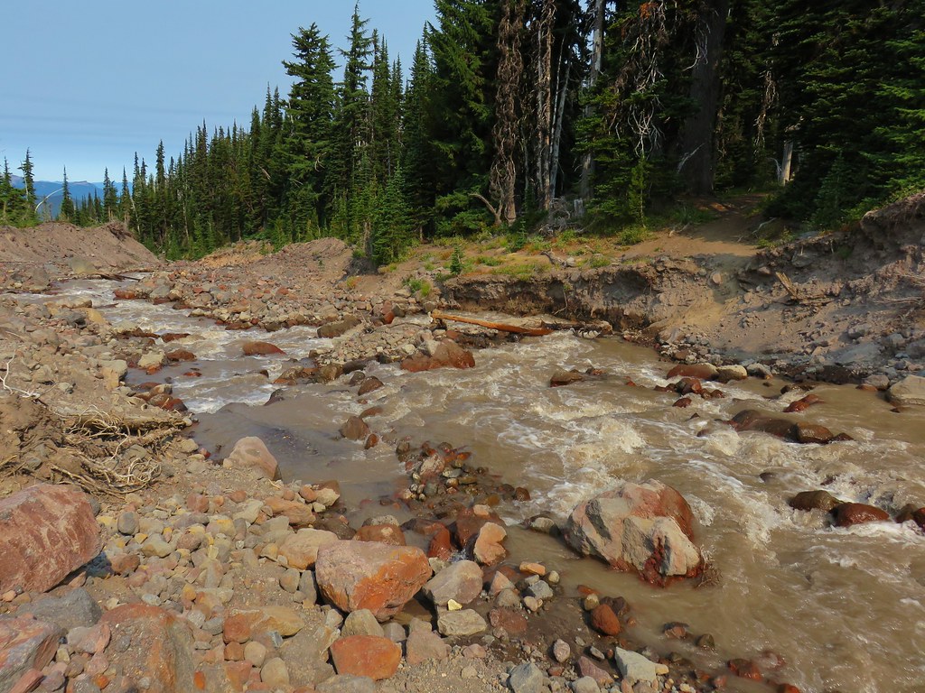
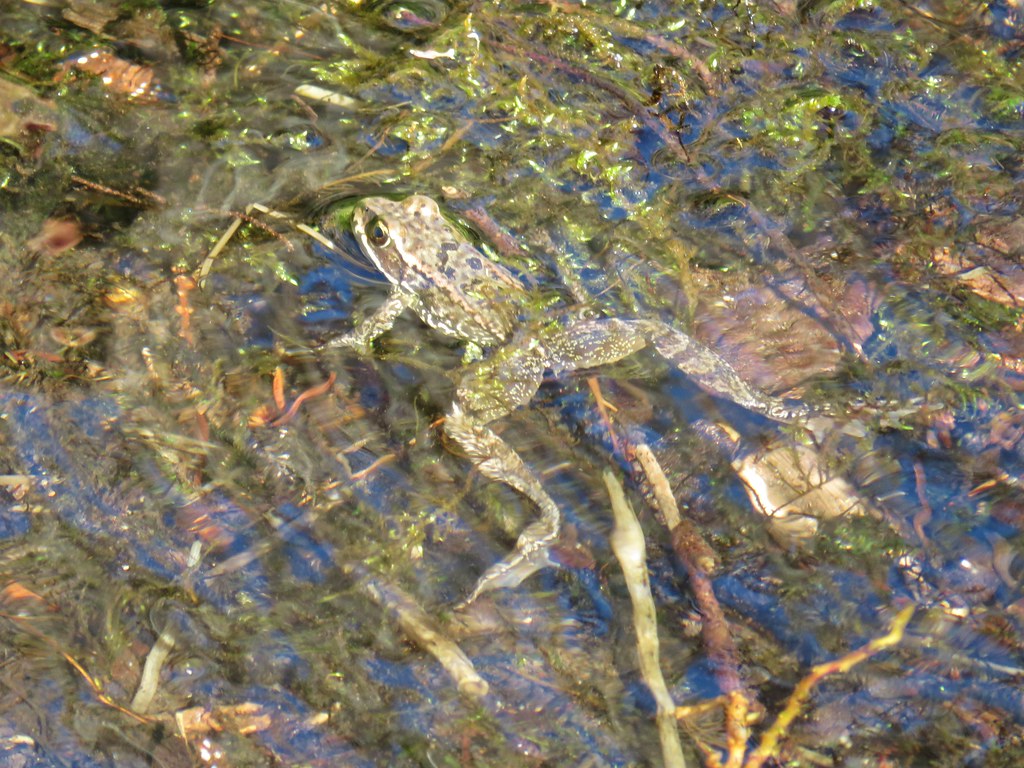
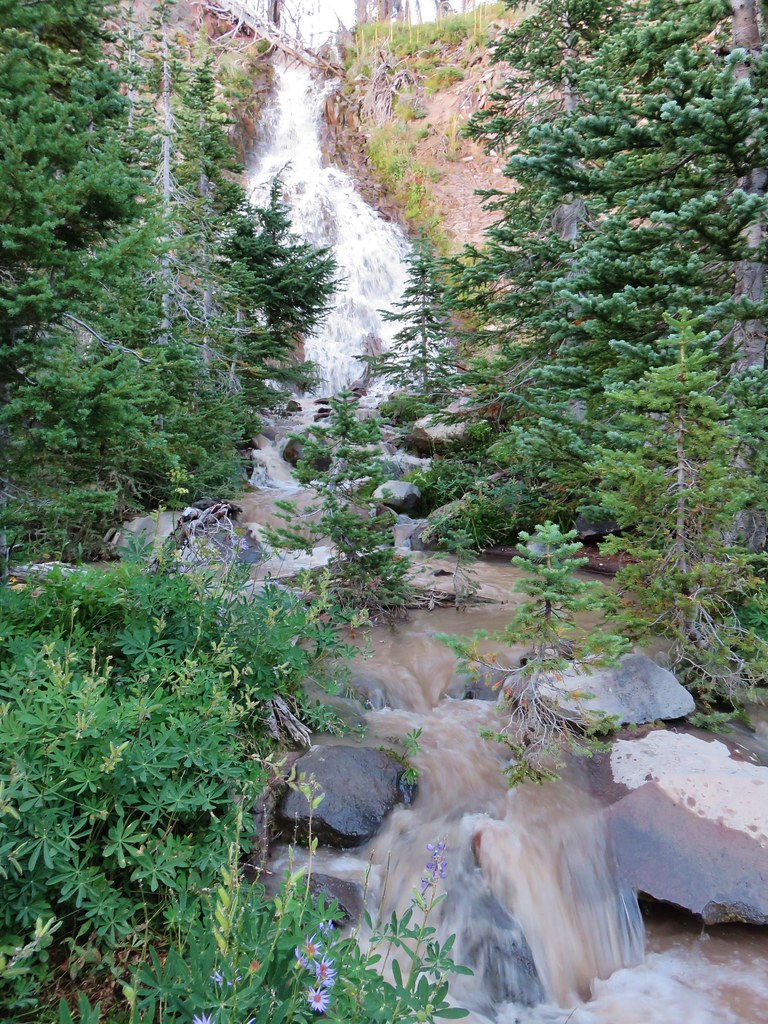
Sheep Lake was nice and was lined with berries which we happily ate as part of our breakfast but it was a little shallow along the edges for our pump filter.

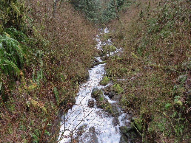
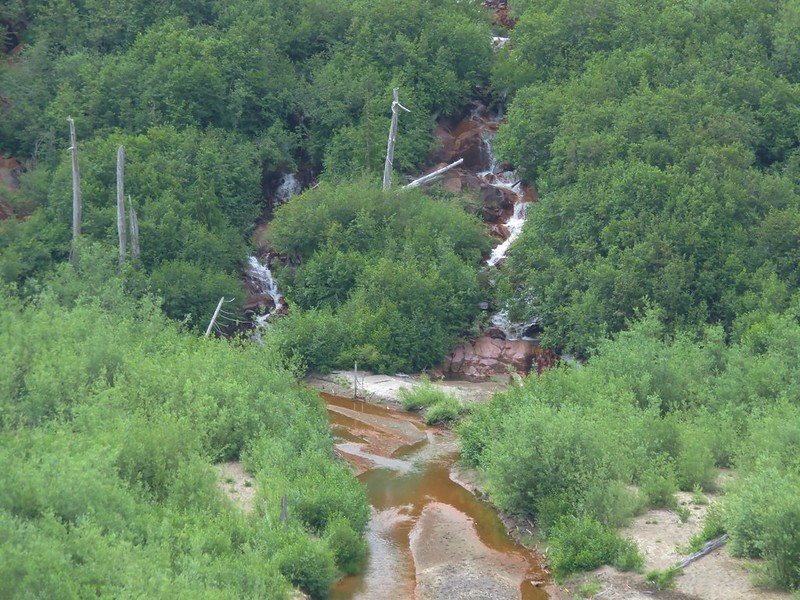
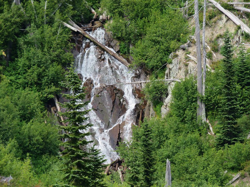
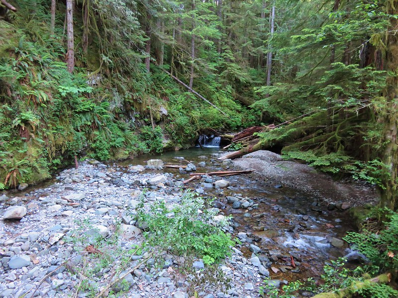
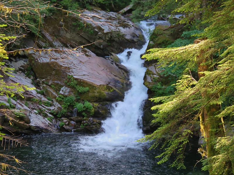
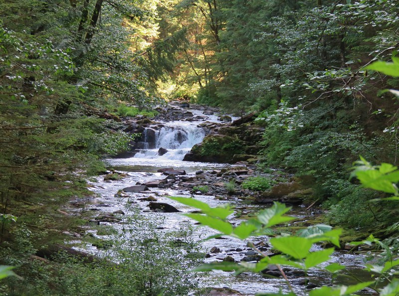
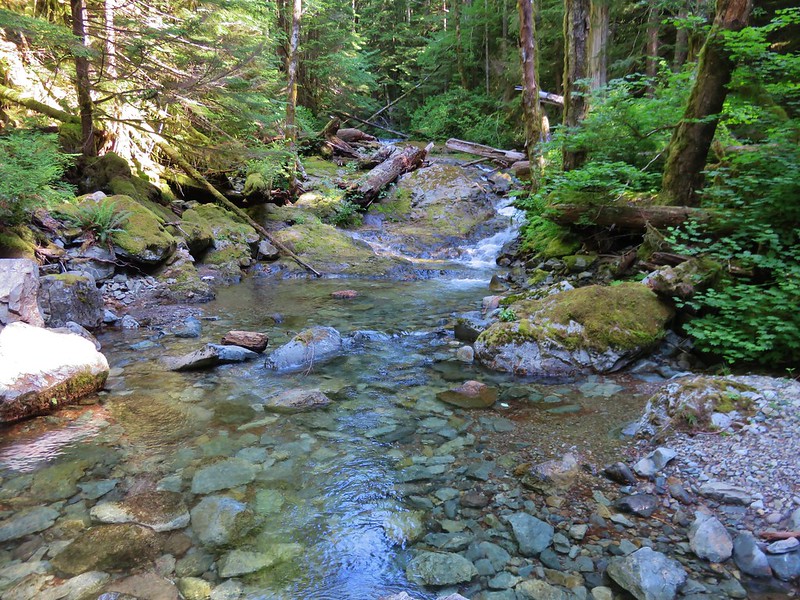
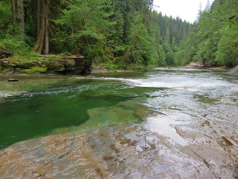
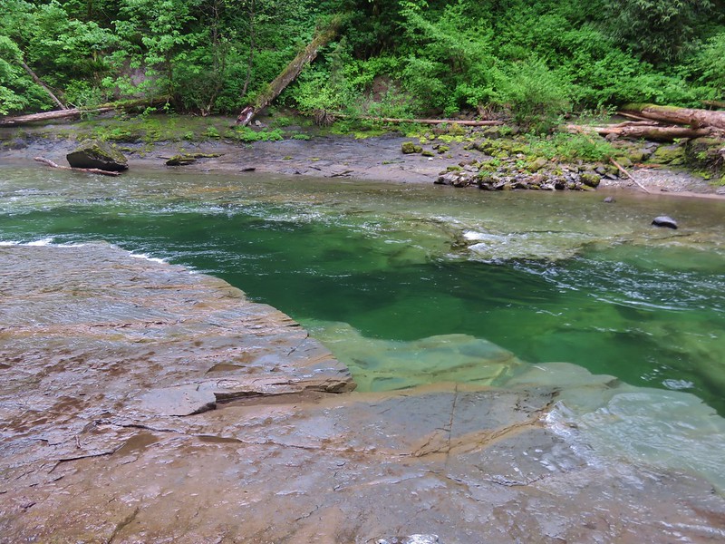
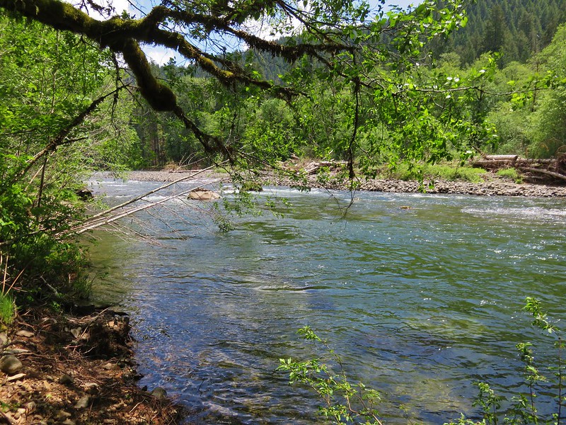
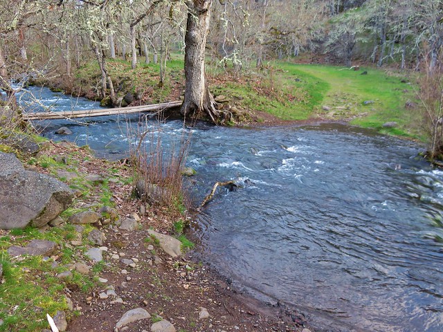
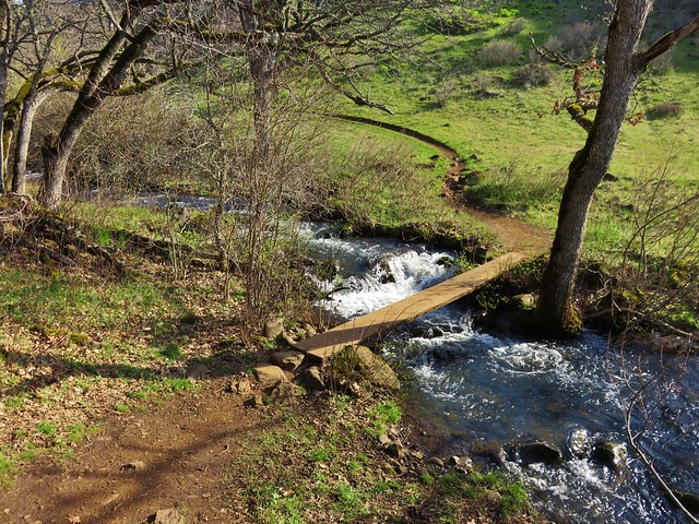
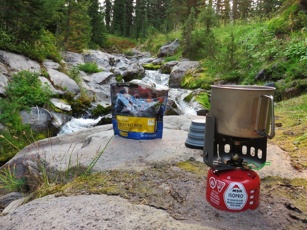
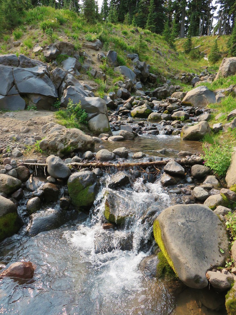
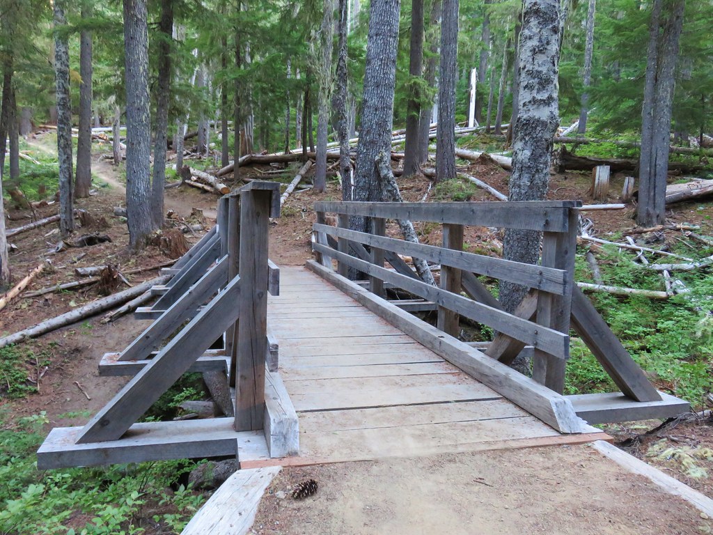
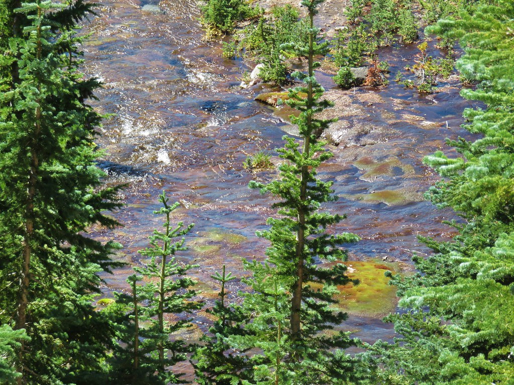
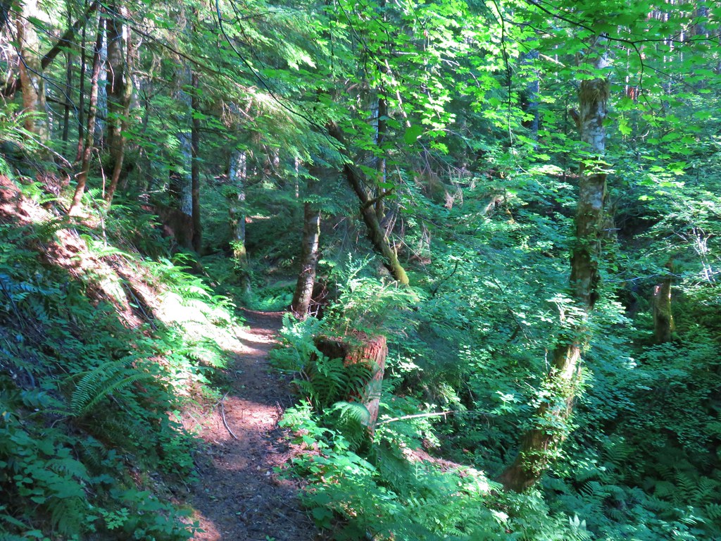
Riley Creek was near enough that we could hear it flowing so we decided to check it out to see if the water was clear enough to filter. Not only was the water clear but the creek was lovely and we found a large flat area atop some rocks where we could cook our breakfast.

Heather filtered water while I prepared our Mountain House Spicy Southwest Breakfast Hash which is quickly becoming one of our favorite backpacking meals.
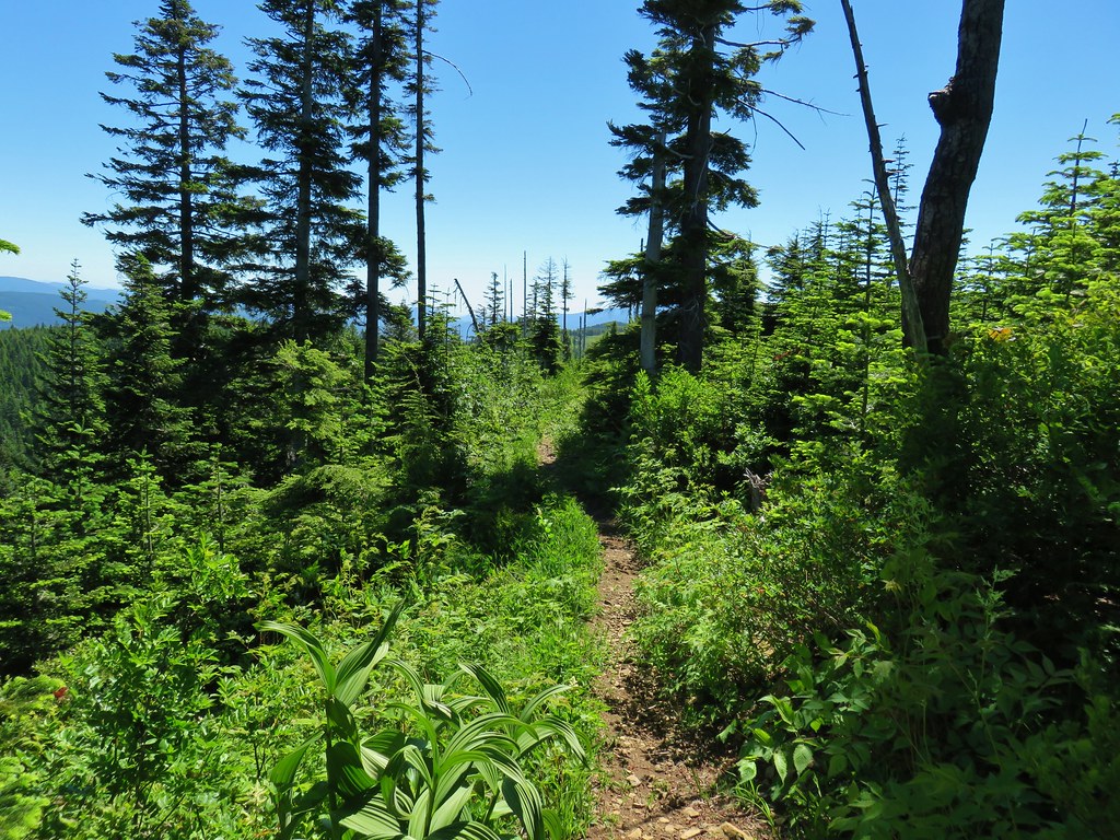
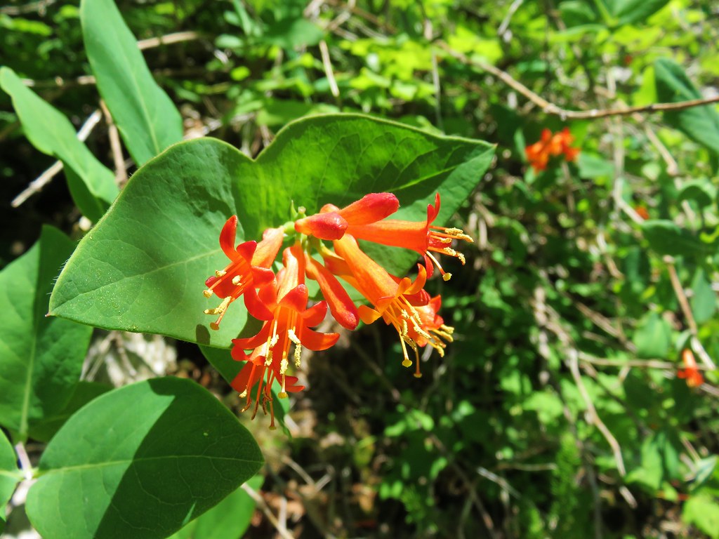
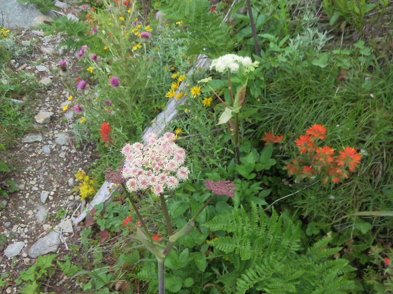
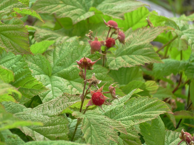
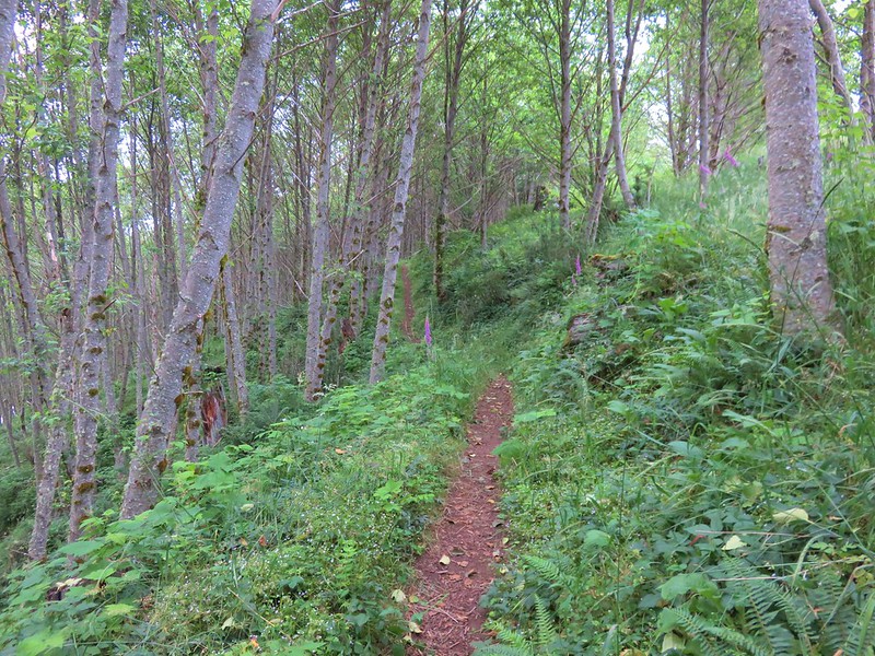
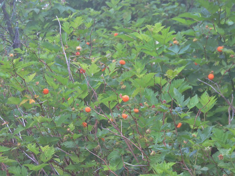
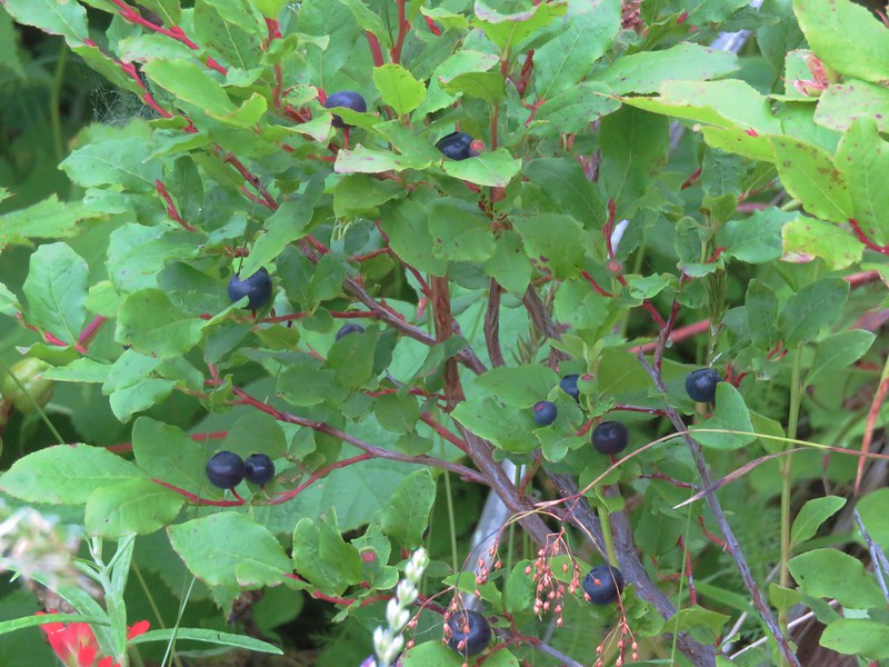
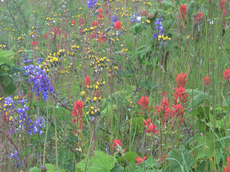
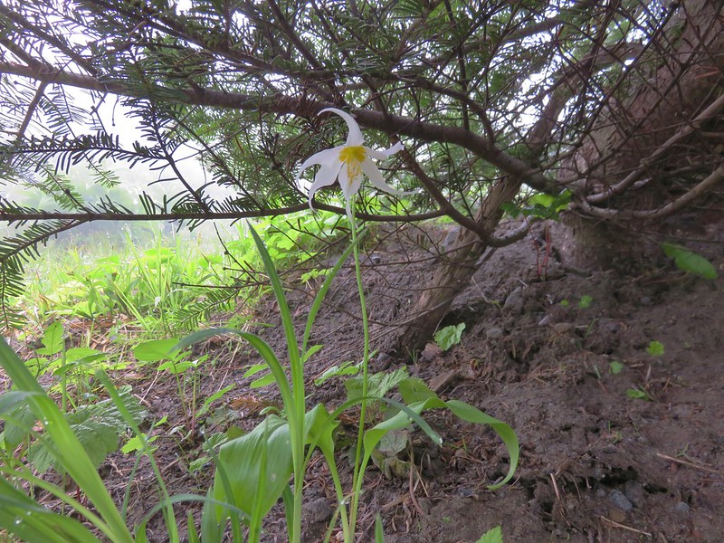
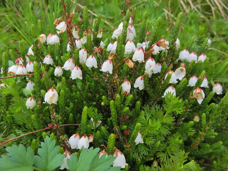
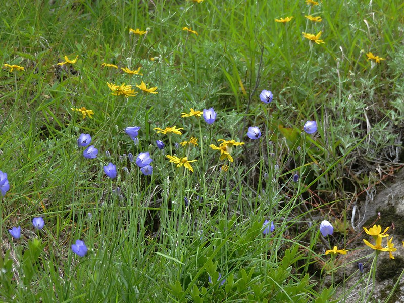
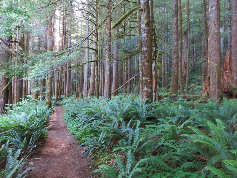
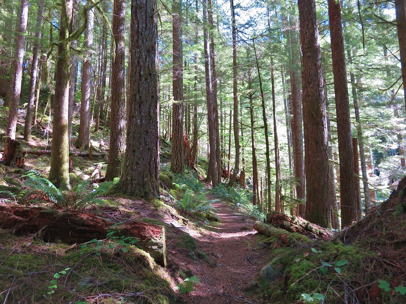
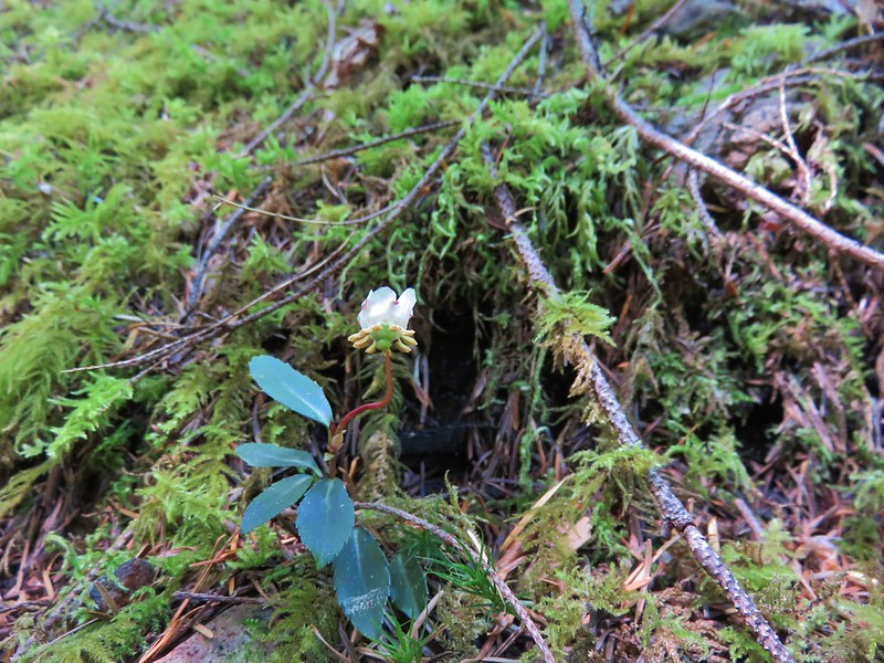
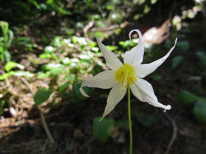
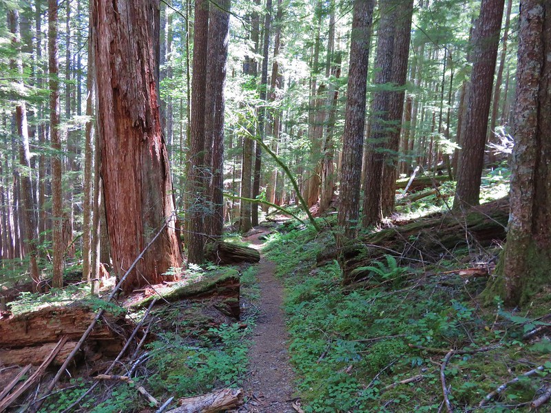
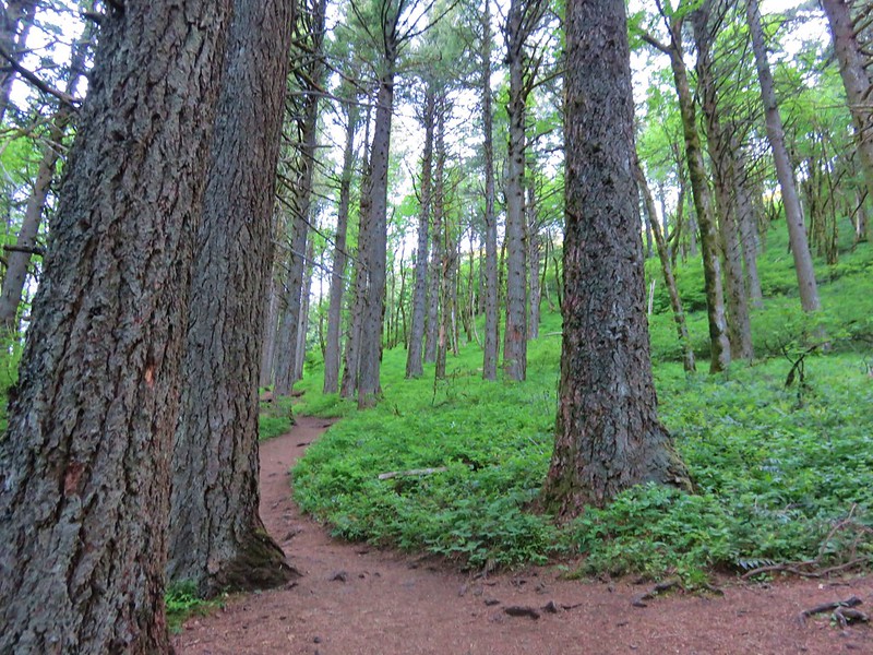
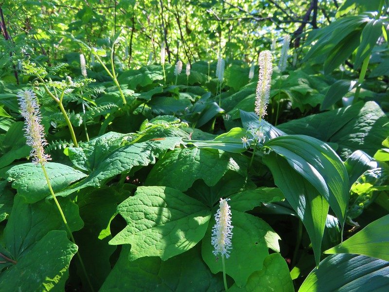
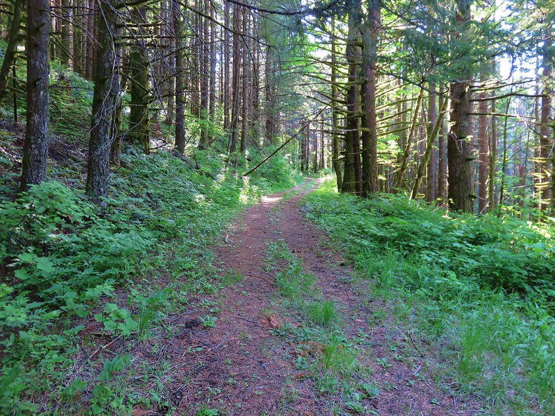
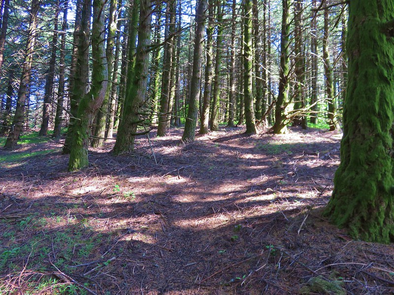
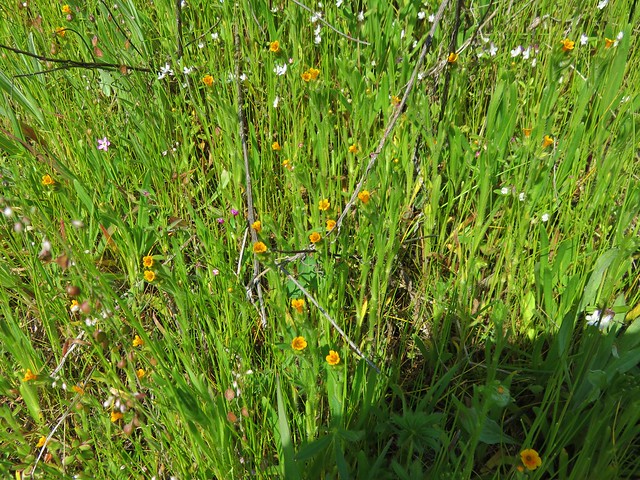
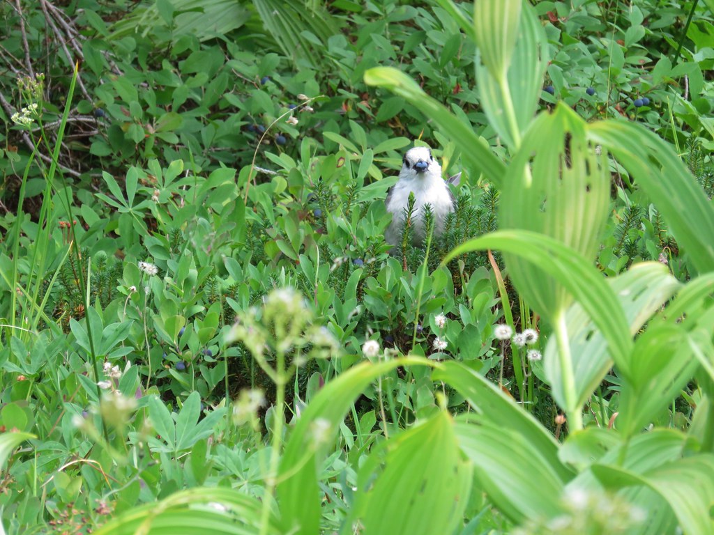
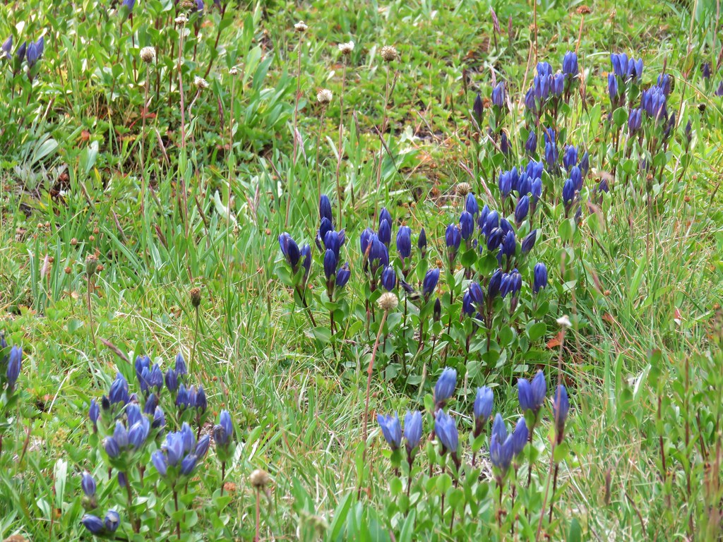
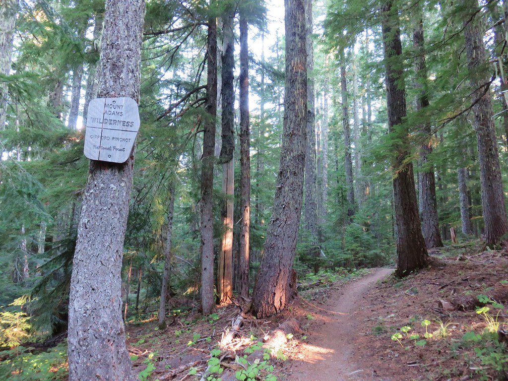
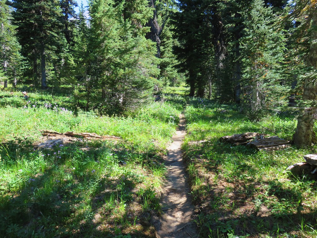
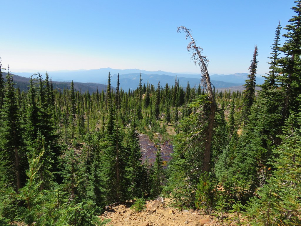
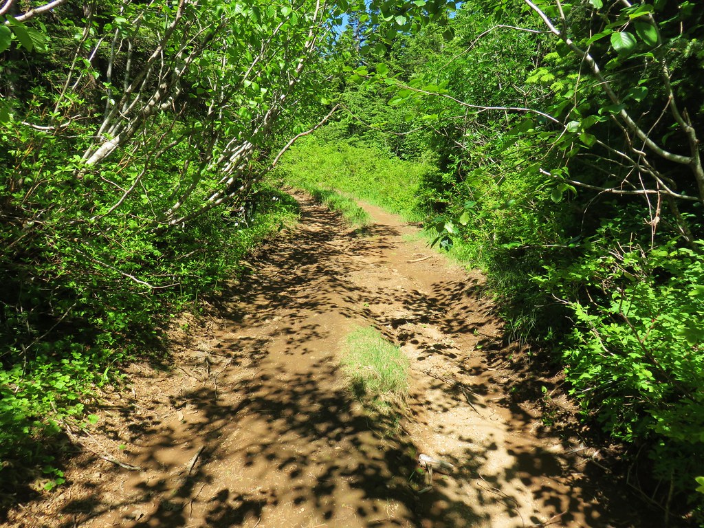
After breakfast we continued north on the PCT into a green forest. More blueberries and huckleberries lined the trail and we joined the area wildlife in snacking on the juicy treats.
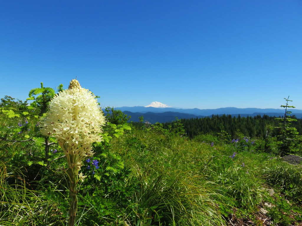
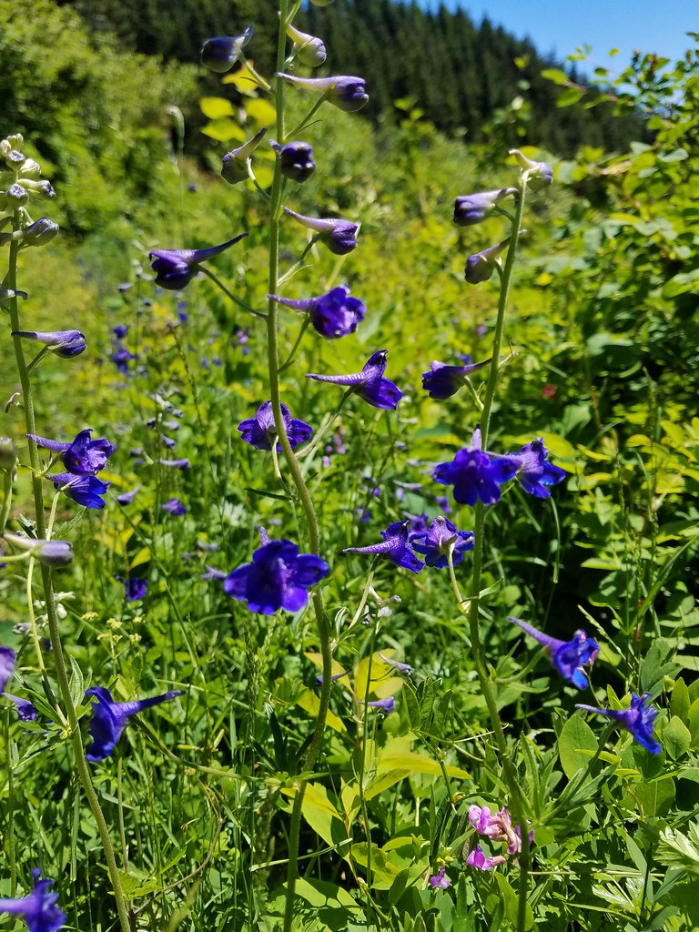
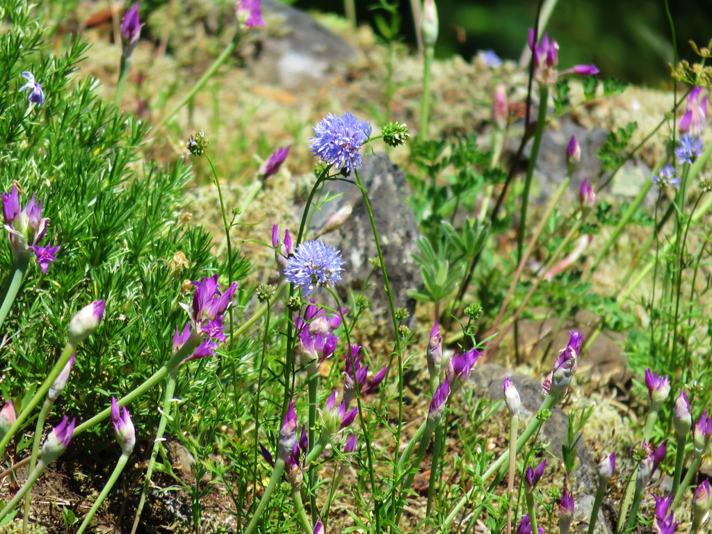
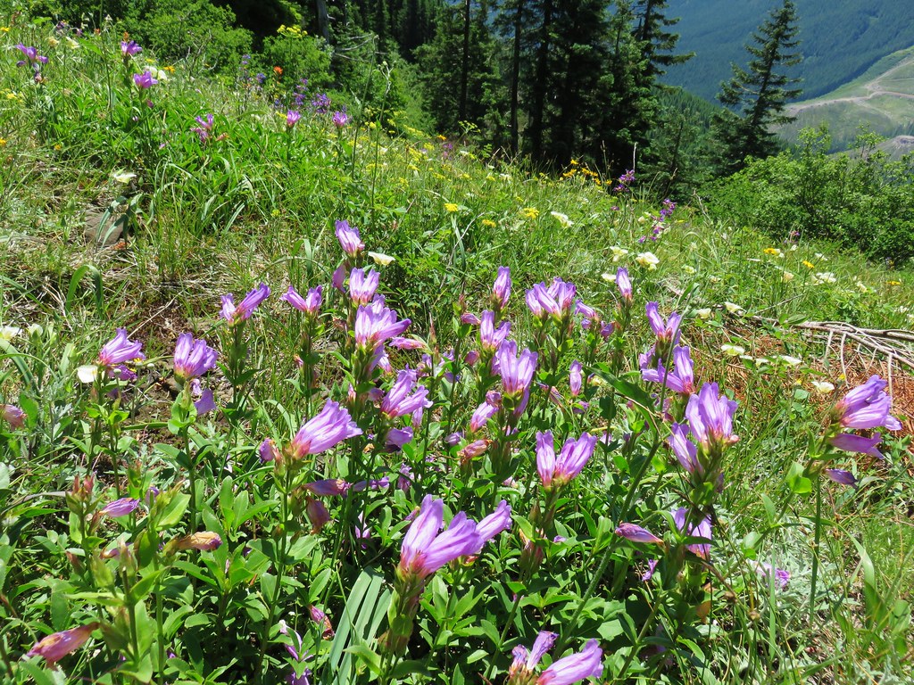
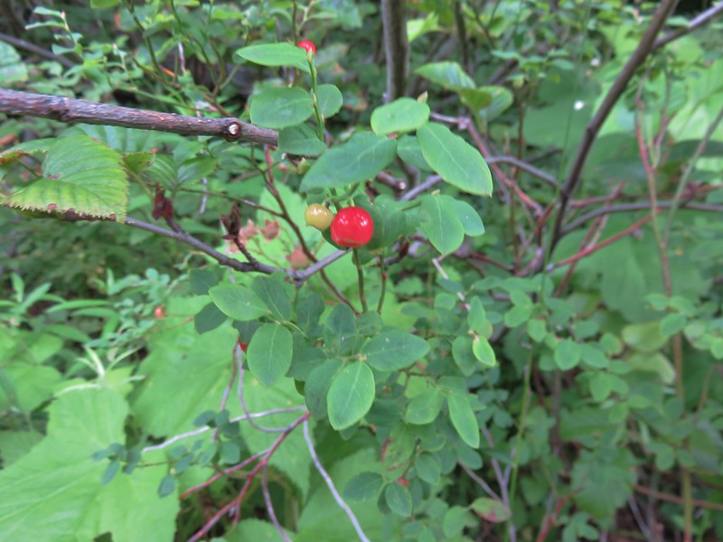
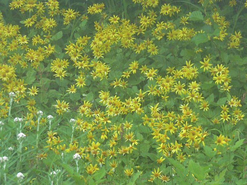
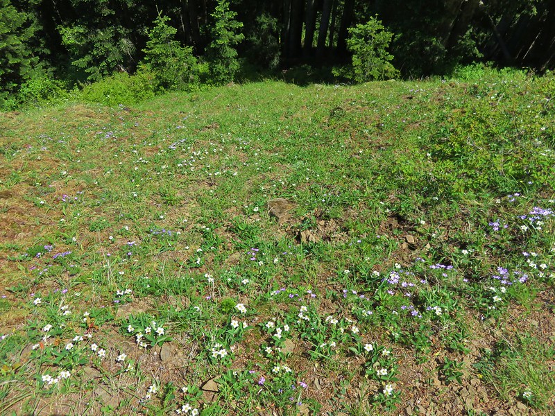
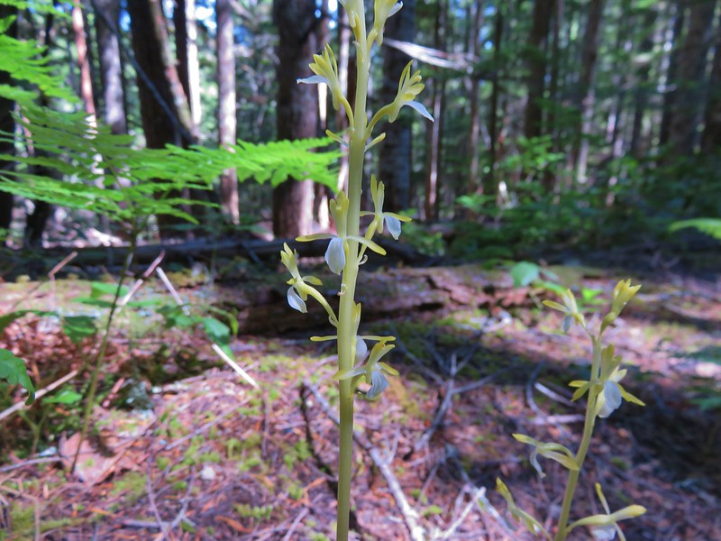
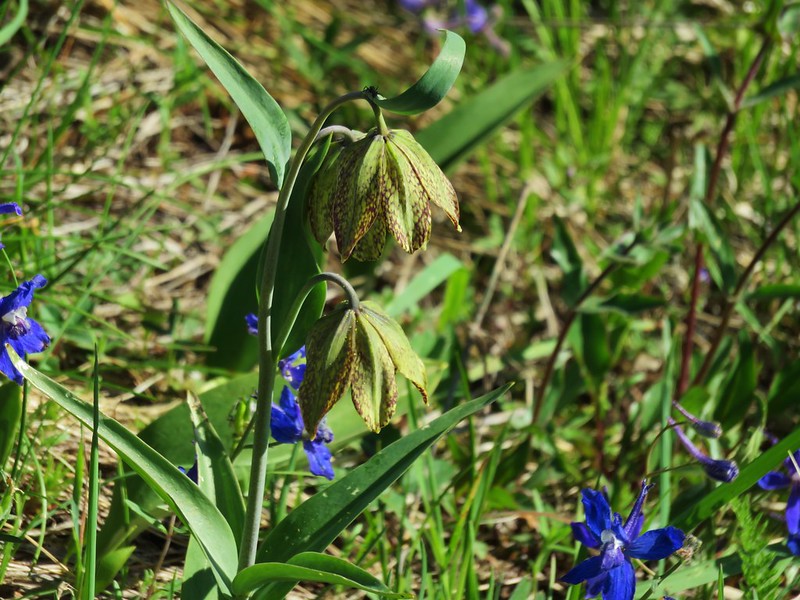
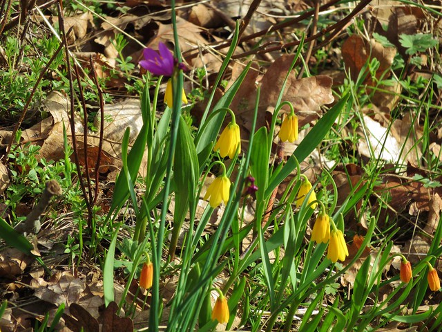
Large clumps of gentians dotted the open ground in this area as well.

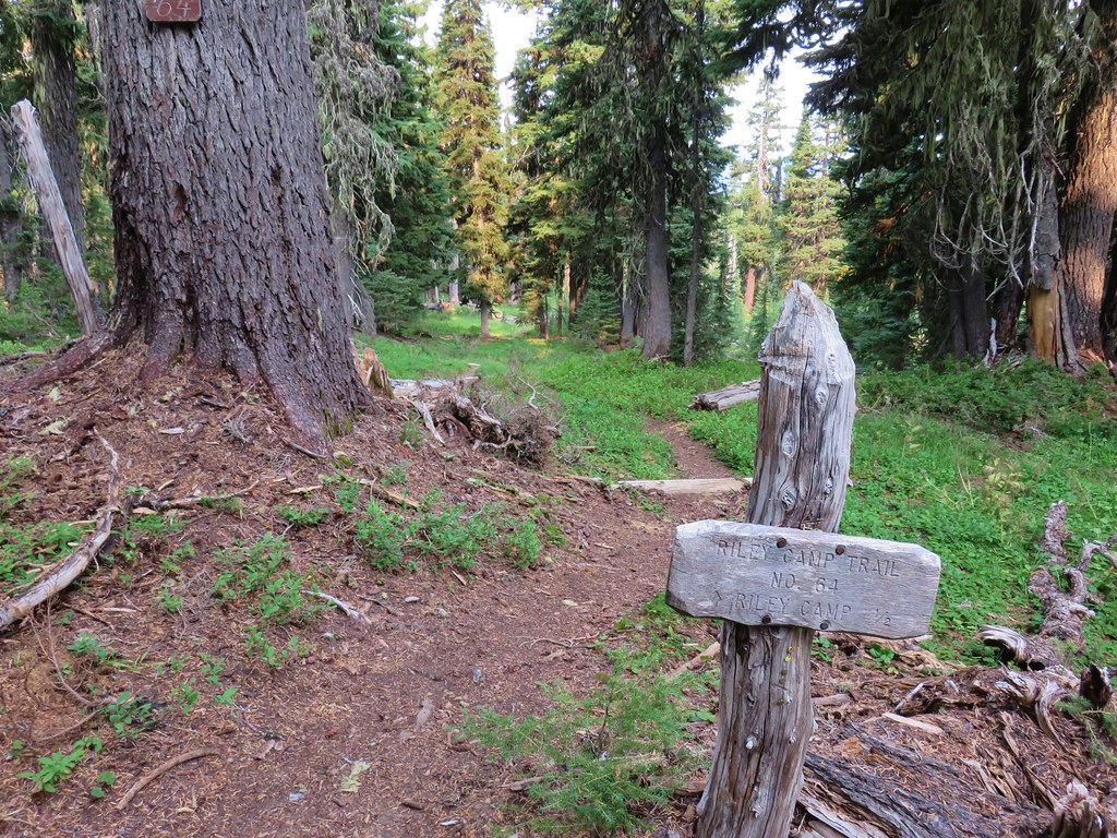
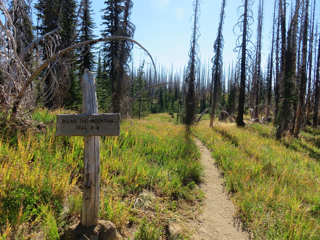
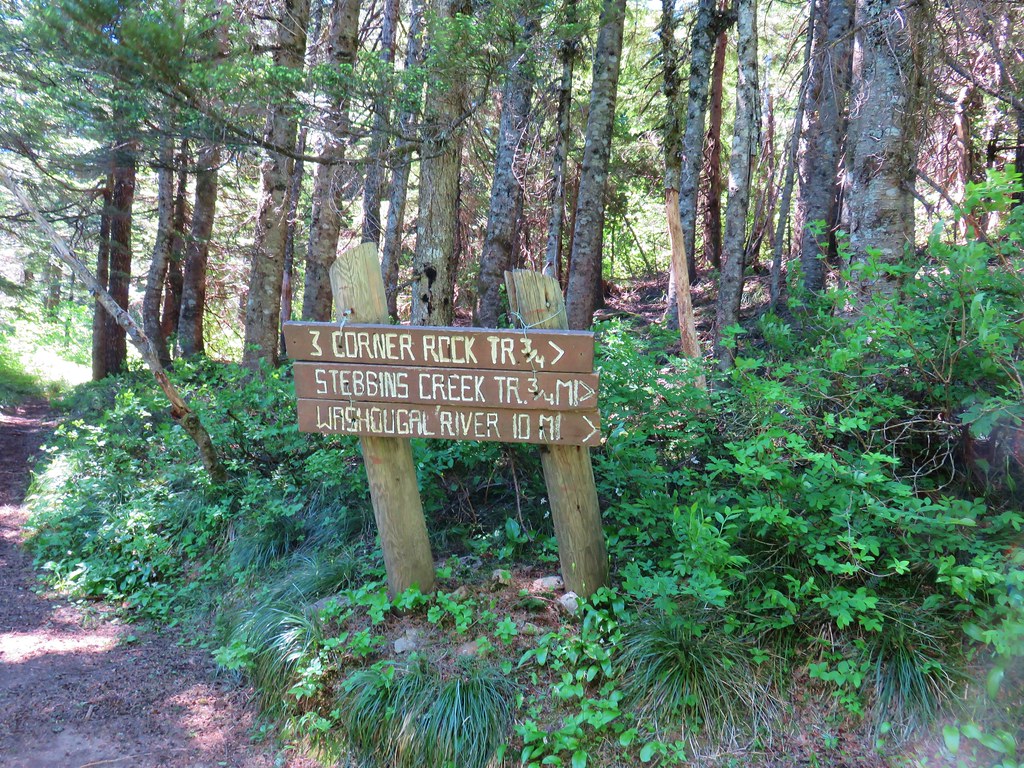
Just under a quarter mile from Riley Creek we passed the Riley Camp Trail.
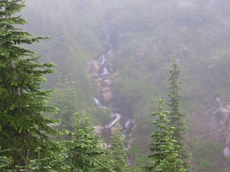
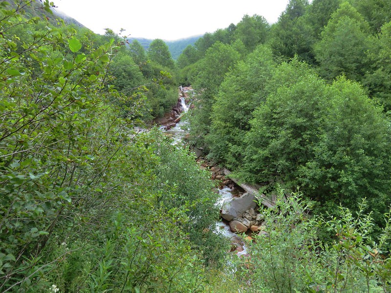
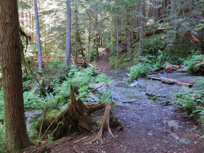
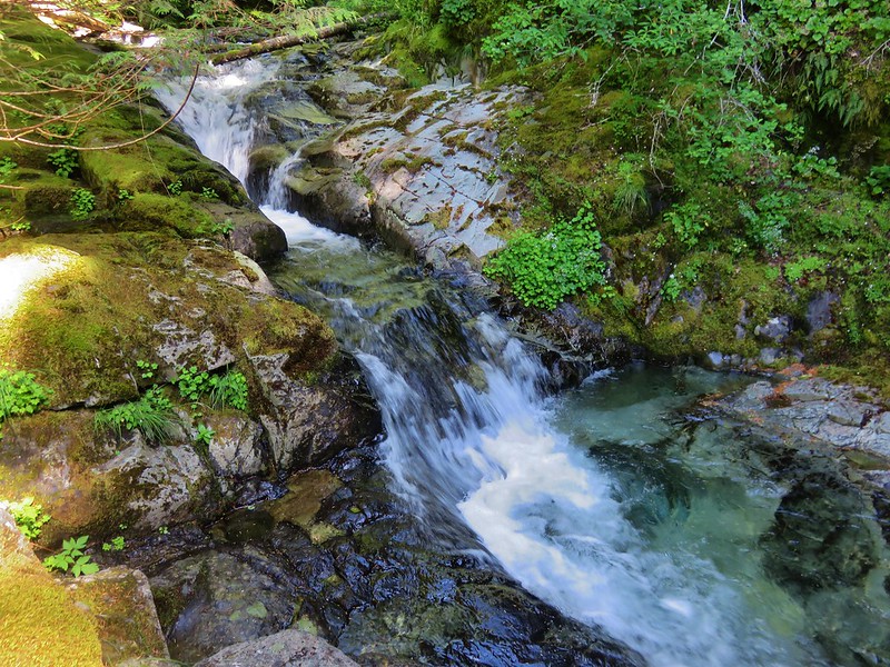
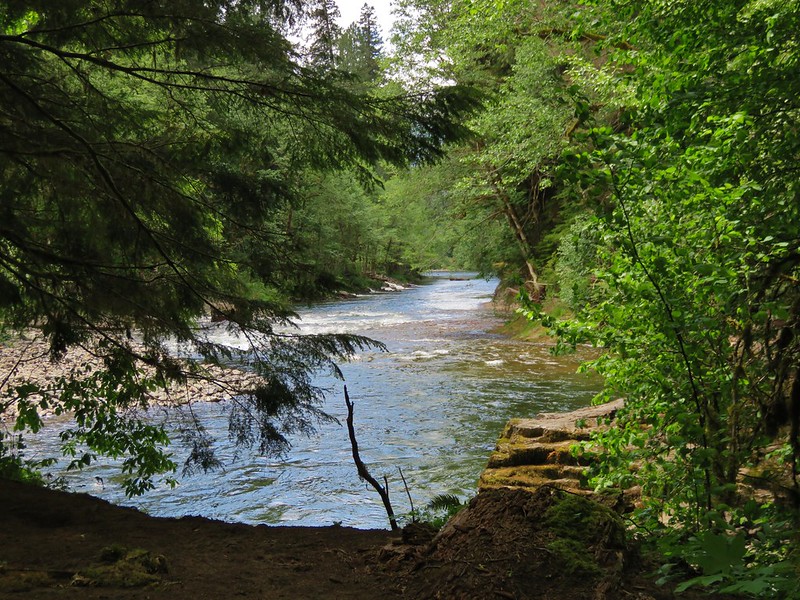
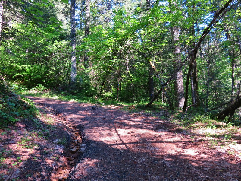
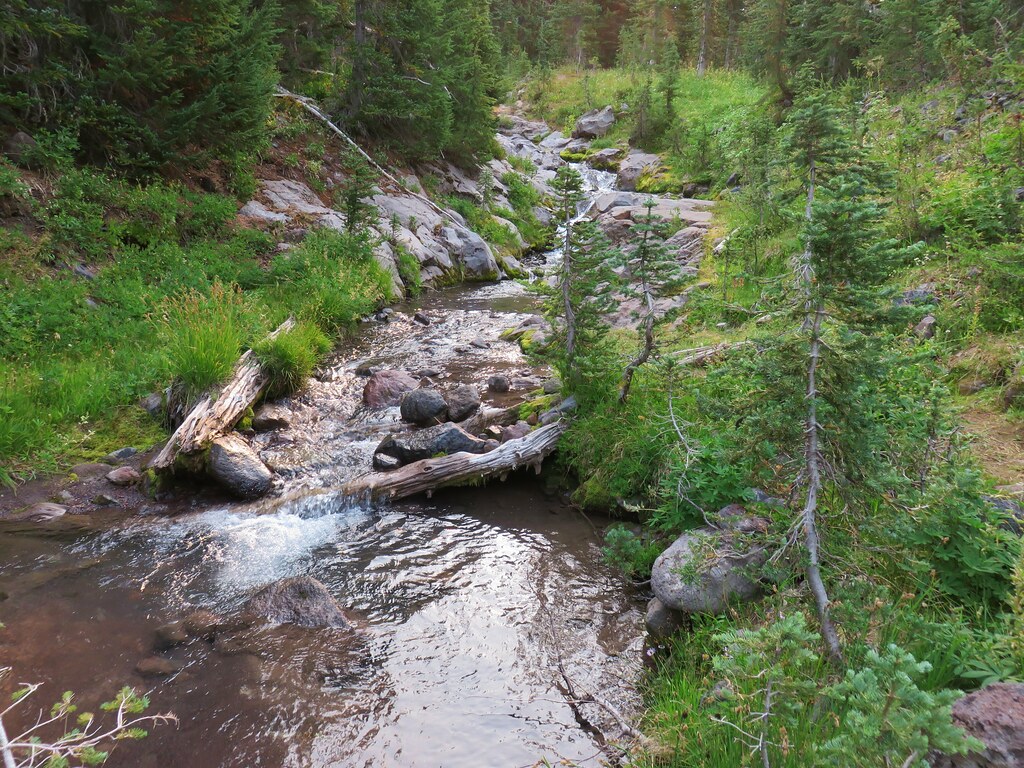
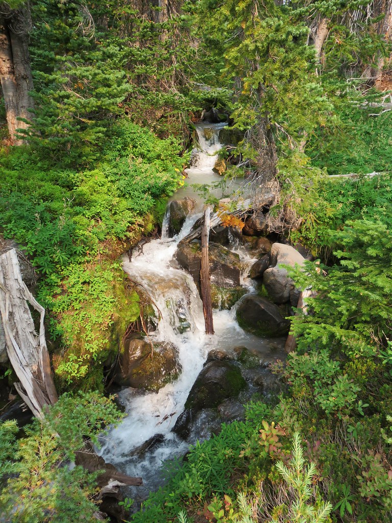
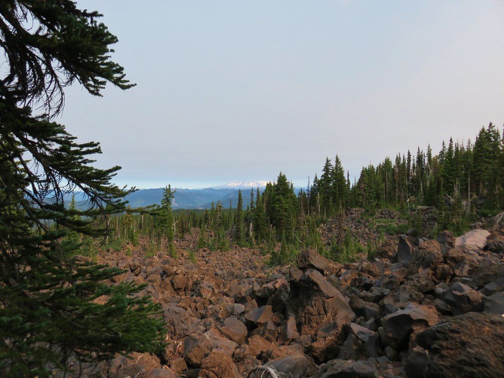
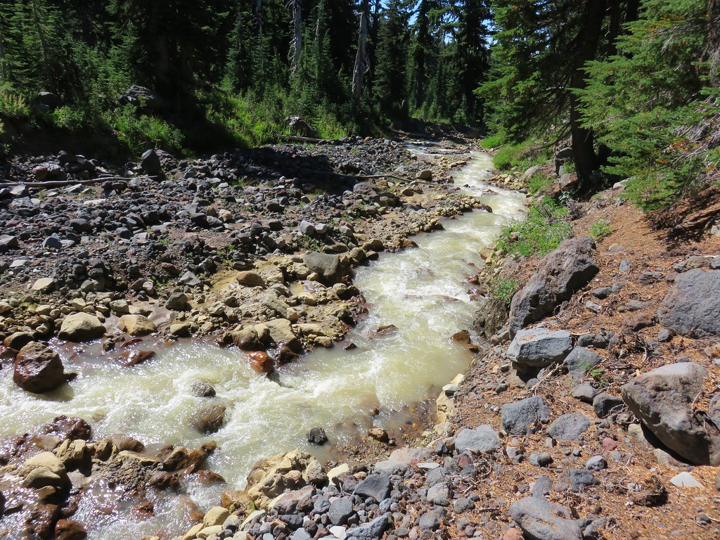
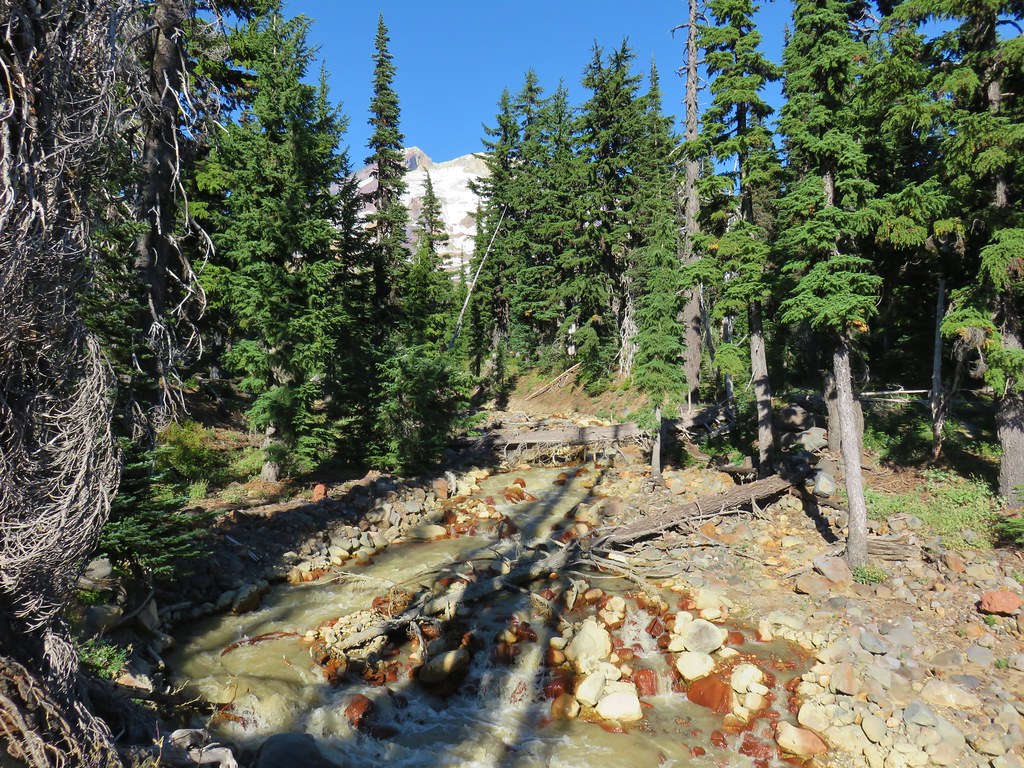
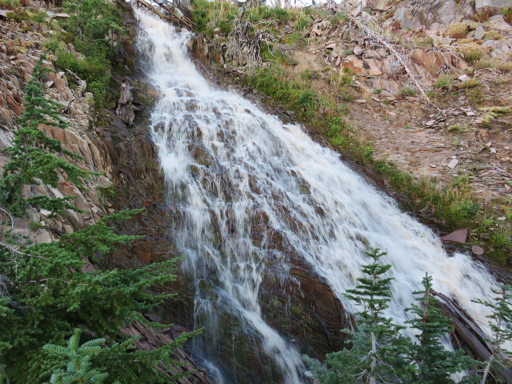
The stretch of green forest lasted for about a mile before the PCT came to a lava flow near Mutton Creek.

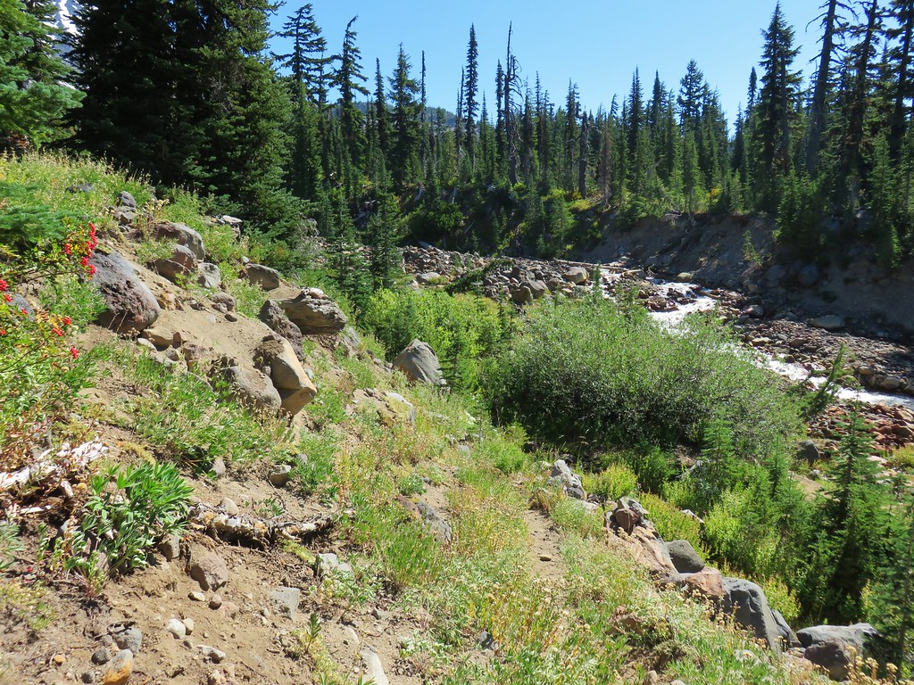
Mutton Creek was cloudy with silt but not the chocolate color of Cascade Creek. It looked more like someone had poured some milk into the creek. The trail followed the cascading creek for a bit before crossing it.

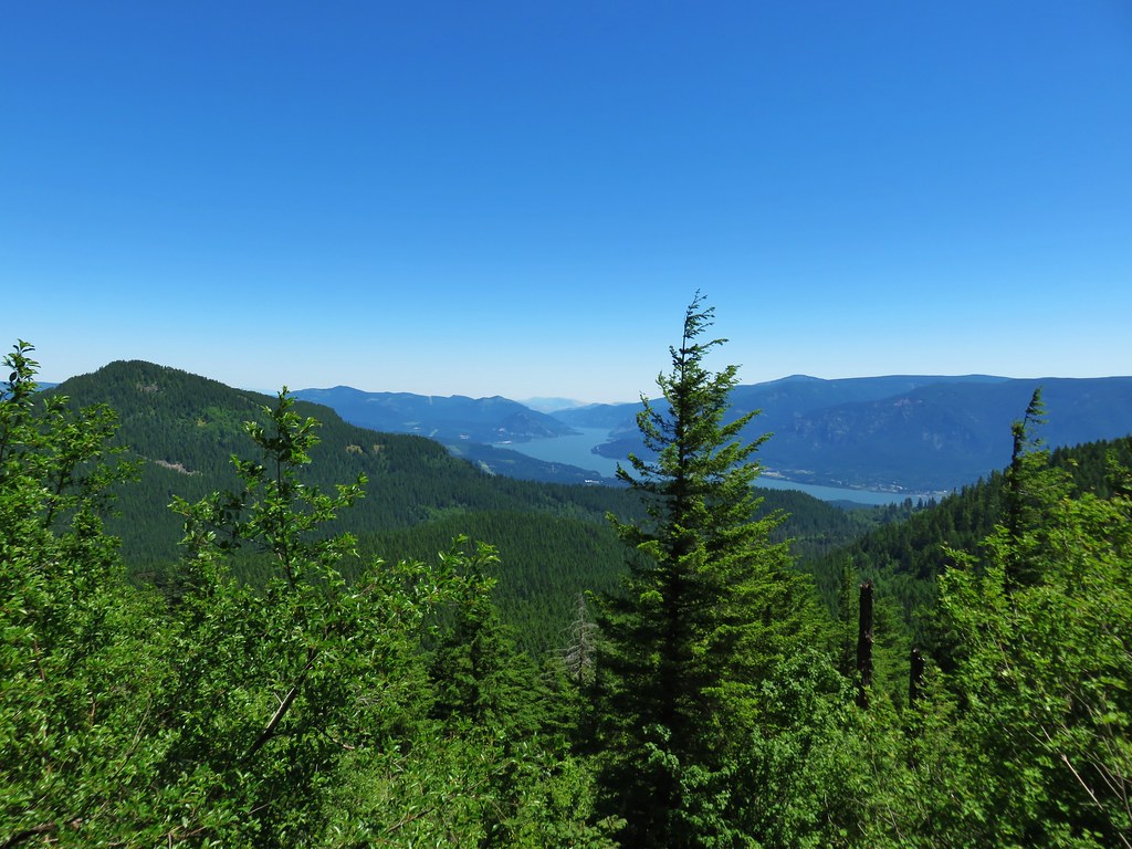
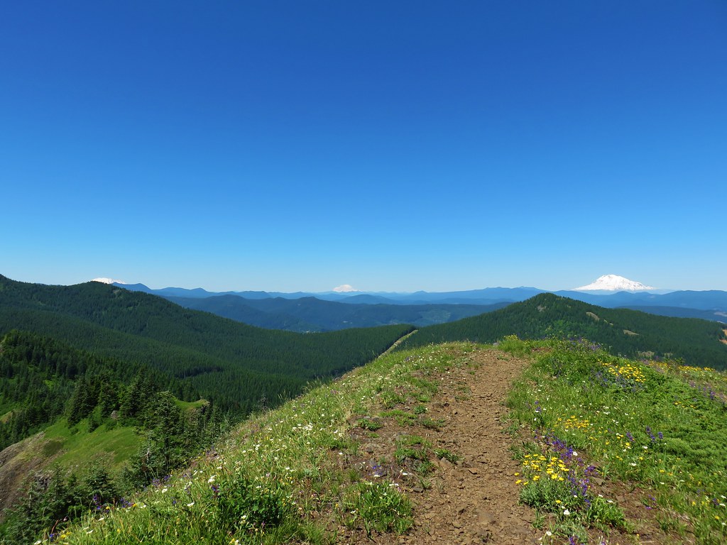
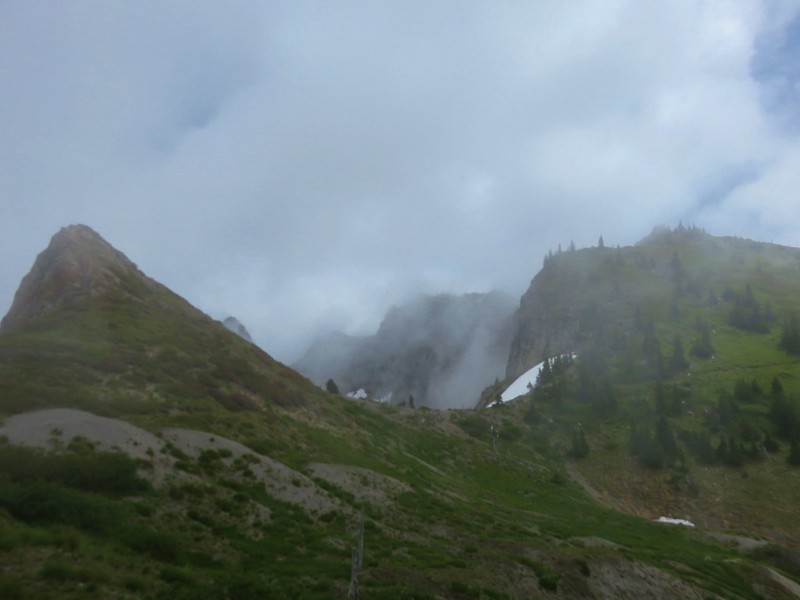
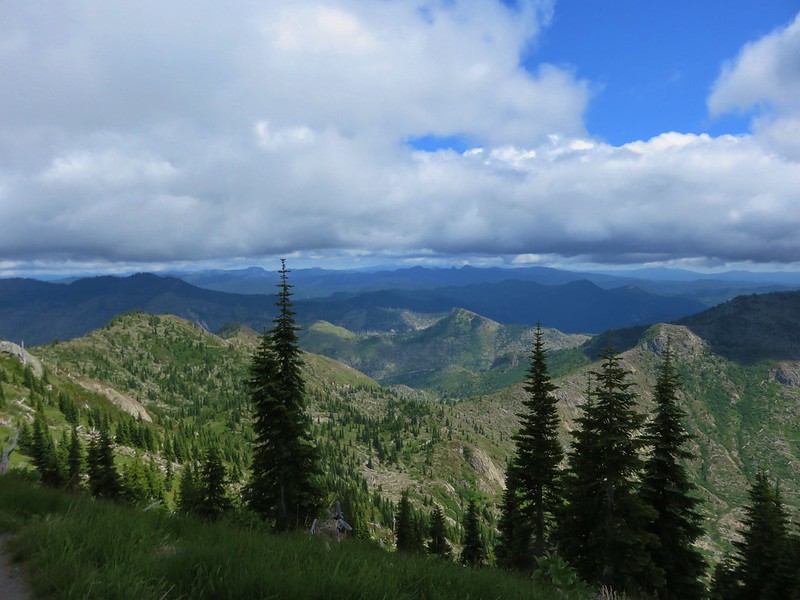
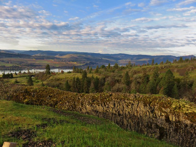
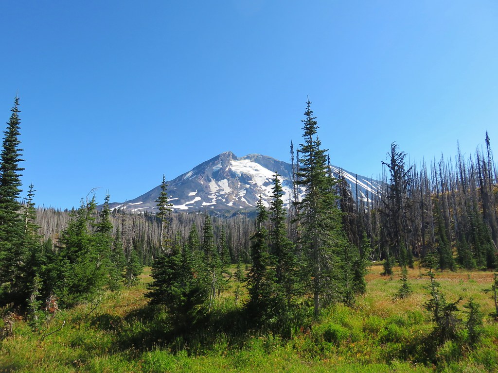
The PCT then passed across another section of lava where we stopped to admire the craggy peaks lining the horizon.
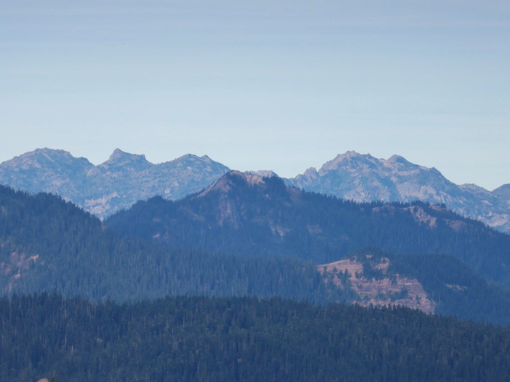
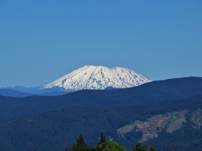
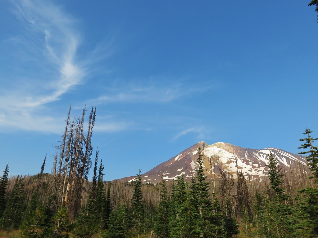
There was also a good view of Mt. Adams although the combination of the haze and angle of the Sun affected it.
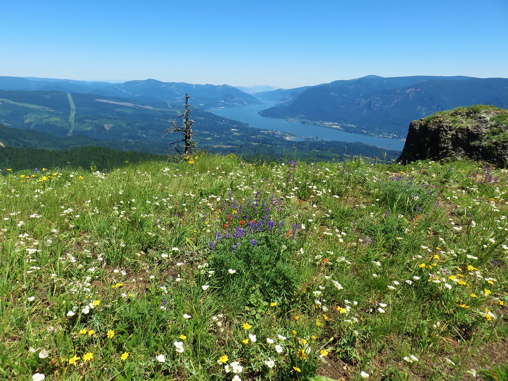
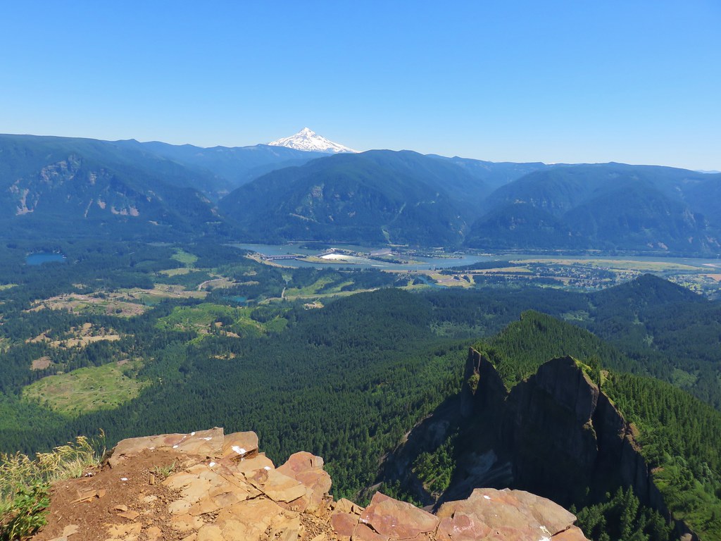
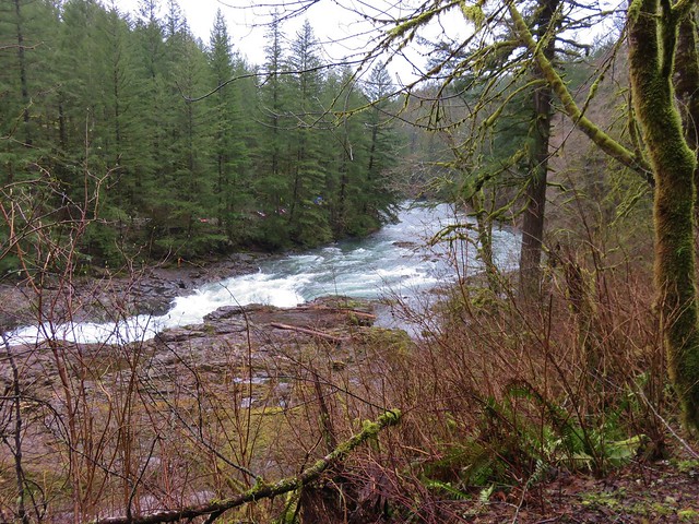
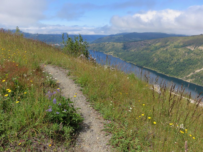
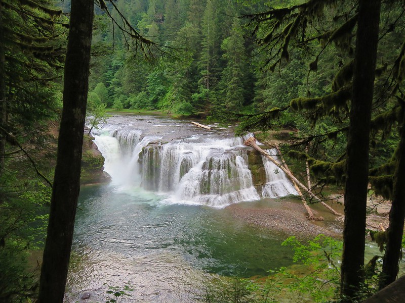
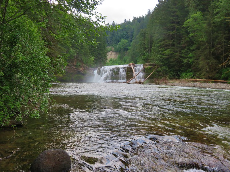
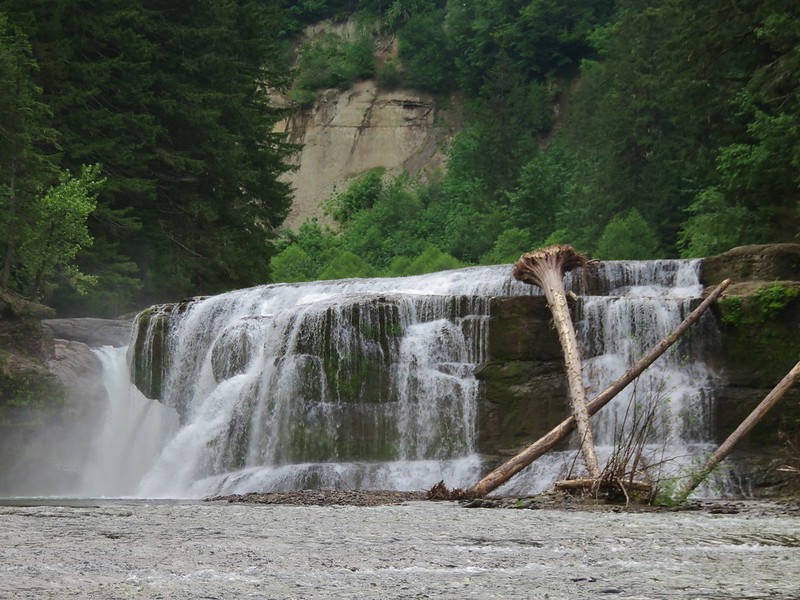
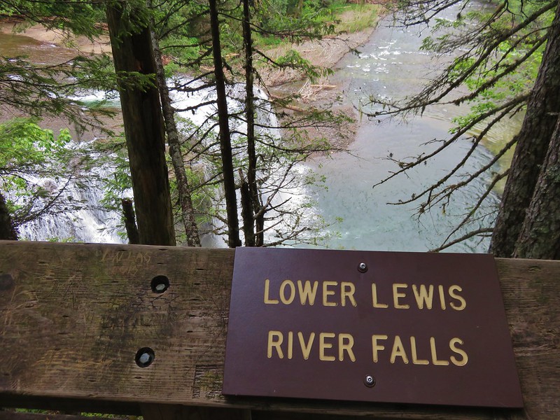
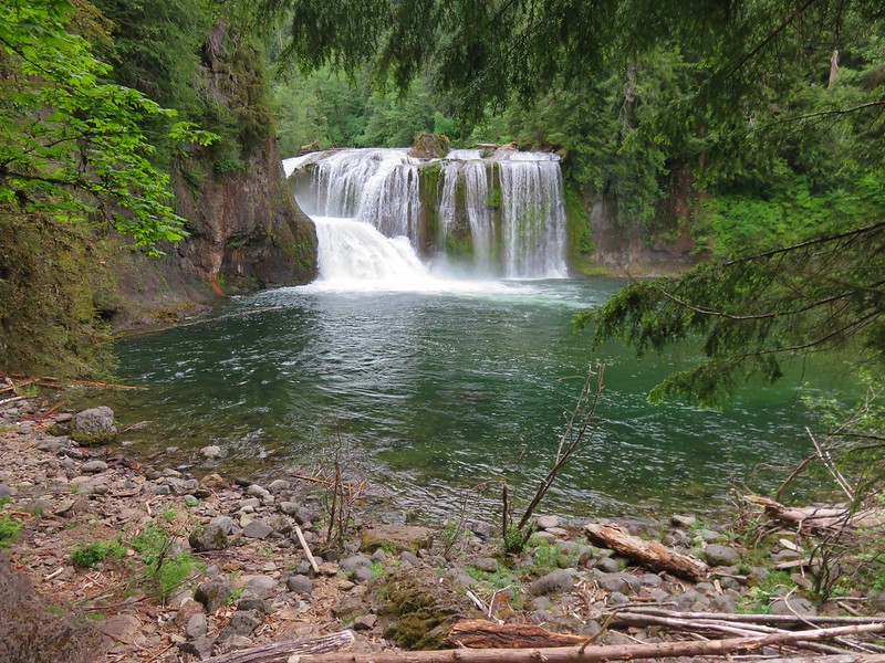
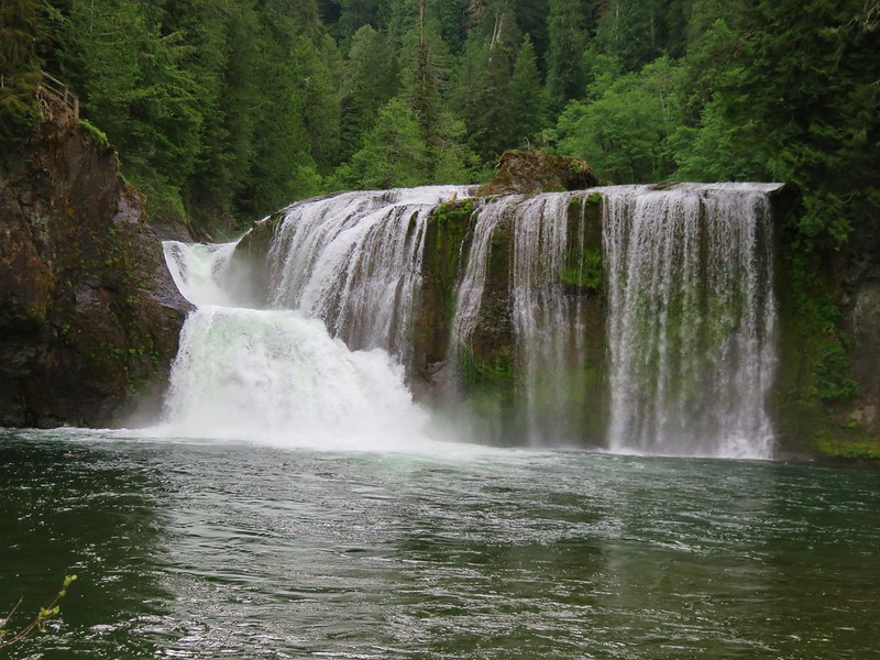
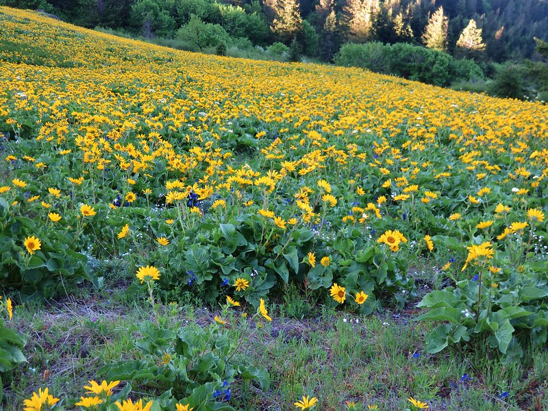
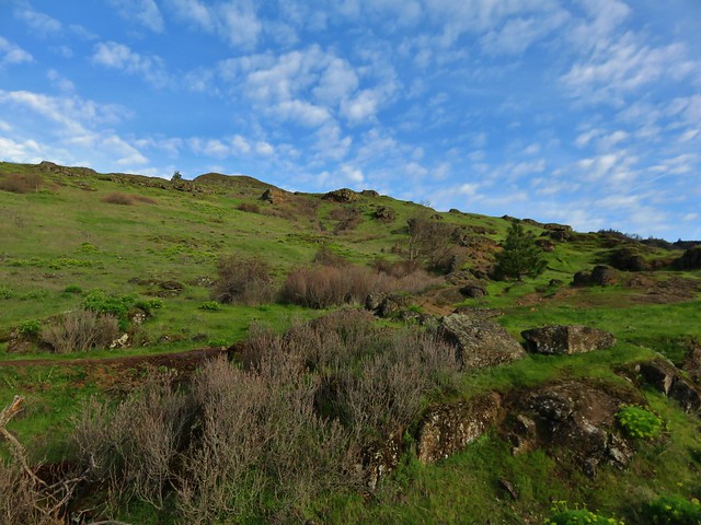
We passed through another meadow before reaching the Lewis River.

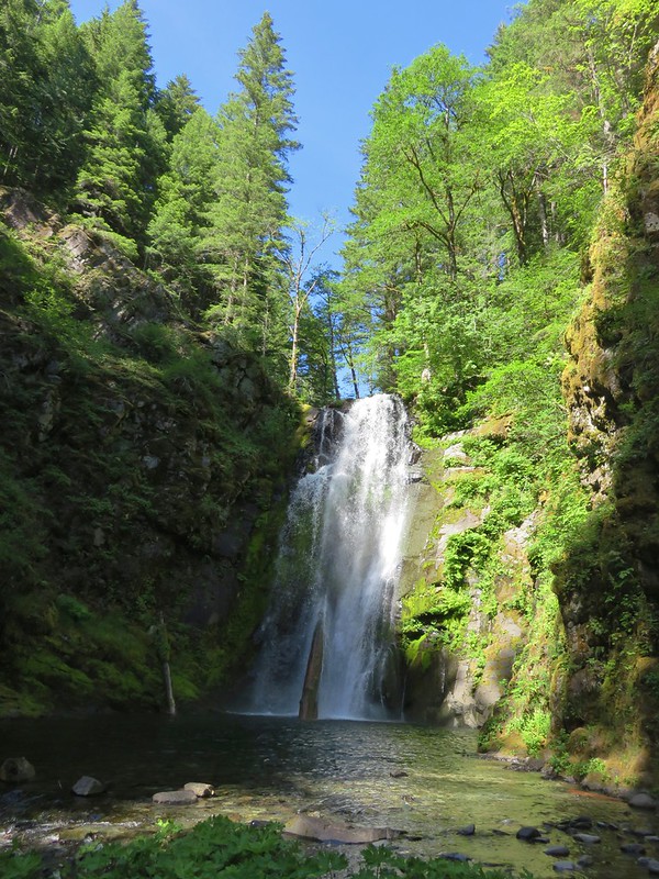
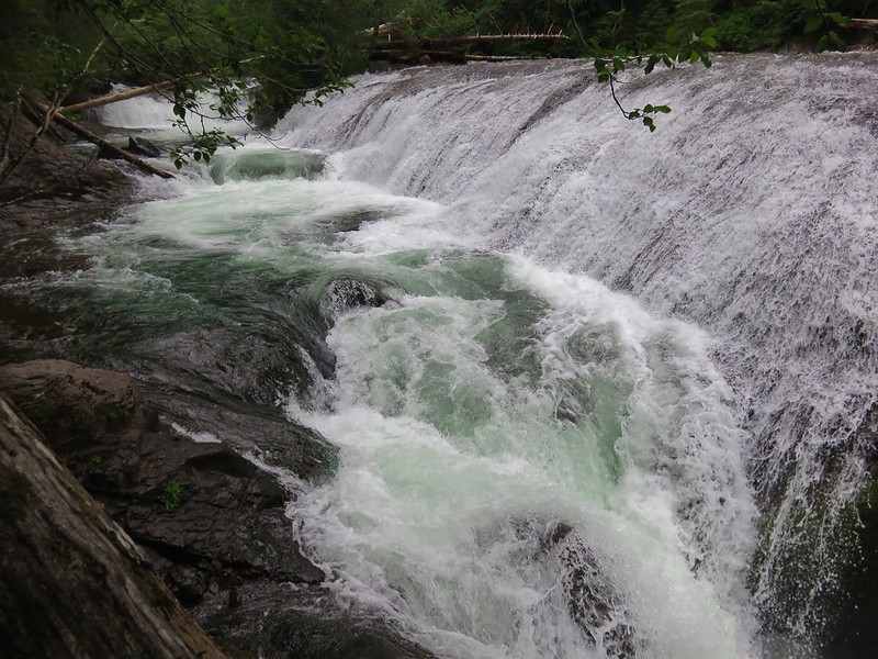
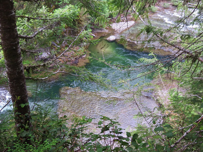
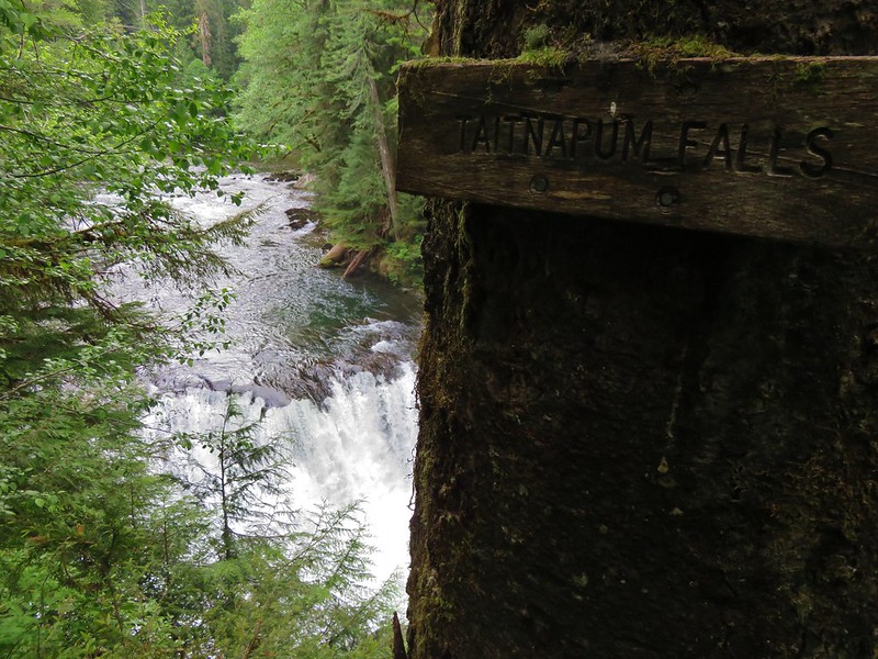
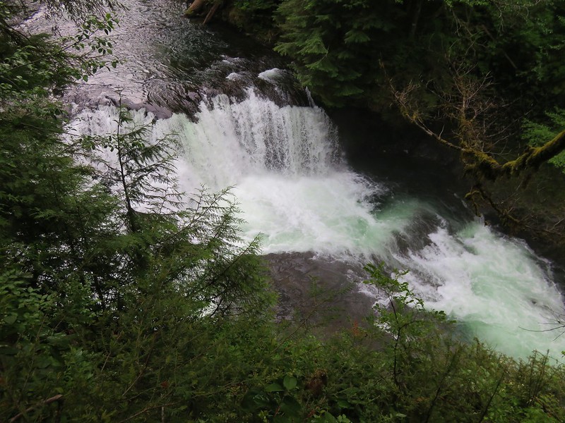
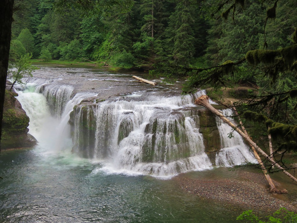
It was hard to believe this was the same river that we’d hiked along when we visited Lower Lewis River Falls in May of 2016.
About a quarter mile from the Lewis River we passed the Divide Camp Trail.
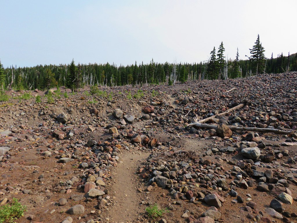
Just beyond the trail junction we passed over a section of the mountain where a washout or avalanche had wiped out a swath of forest at some point where small trees were now regrowing.
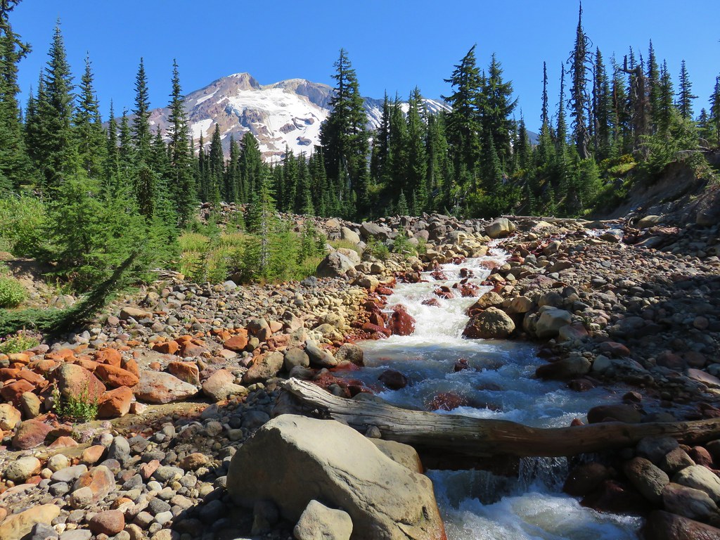
Just beyond that was an even larger barren rocky area where we came to Adams Creek.
This proved to be the trickiest crossing of the entire weekend. We chose a spot where it looked like we could rock hop to a small island where a log might get us to the other side relatively dry.
It worked reasonably well and we sallied forth towards the Killen Creek Trail. 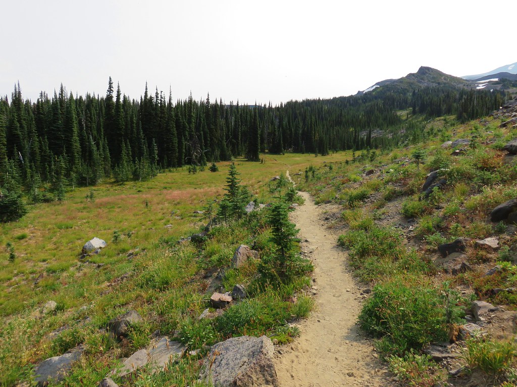
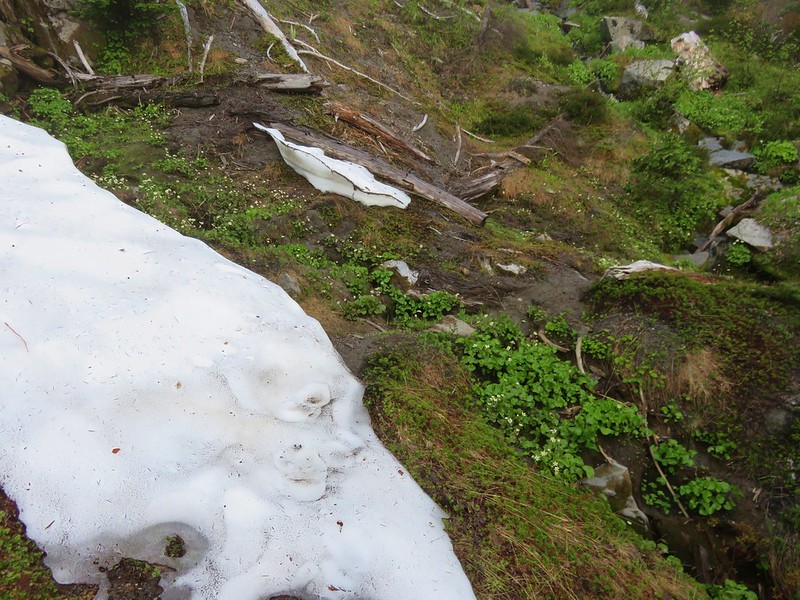
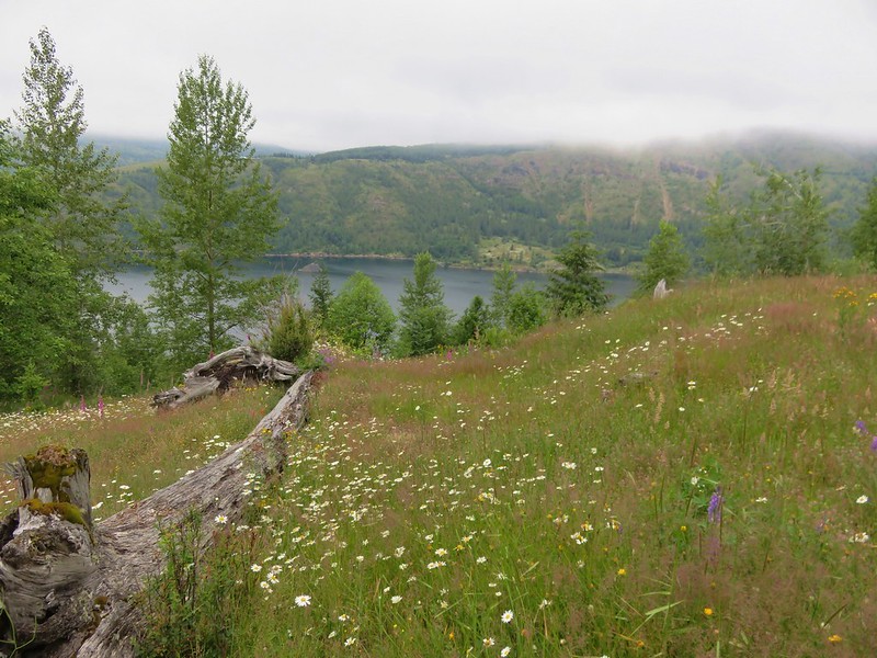
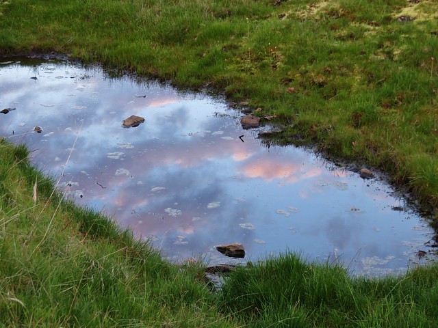
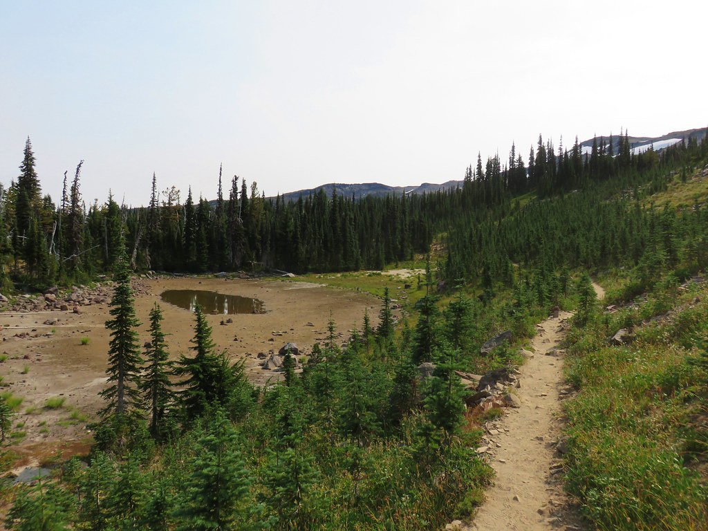
About a mile from Adams Creek we passed a shrinking pond.
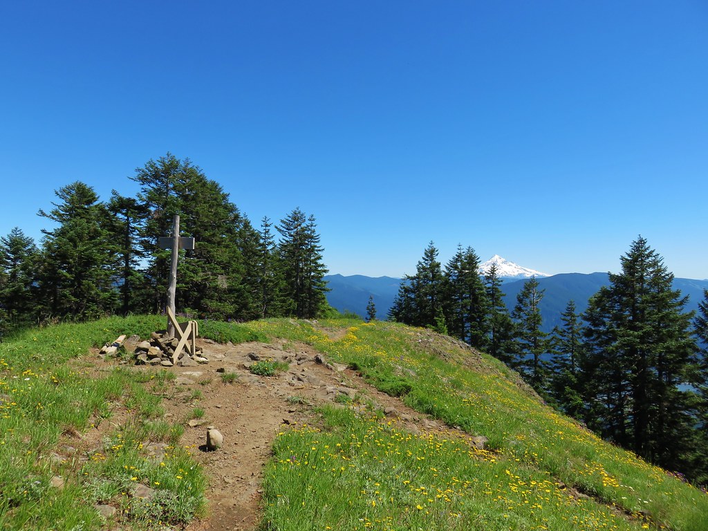
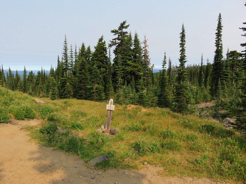
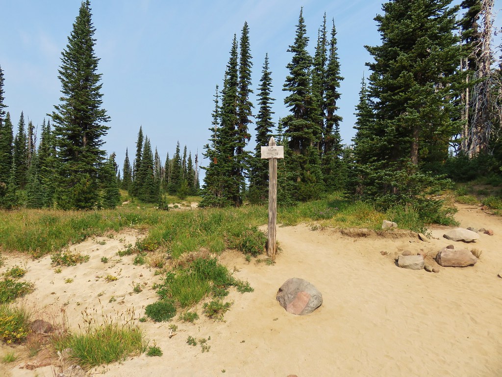
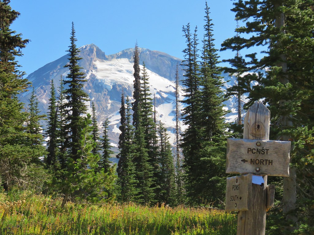
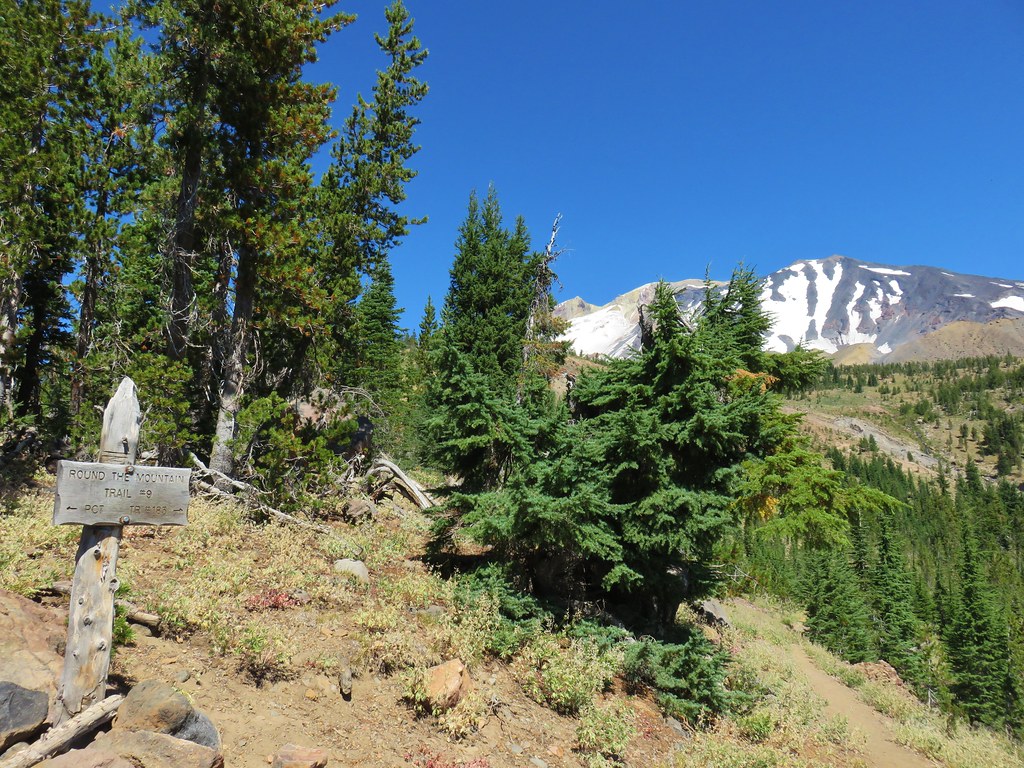
Another quarter mile brought us to the High Camp Trail which headed toward the mountain.
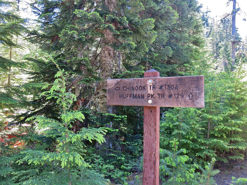
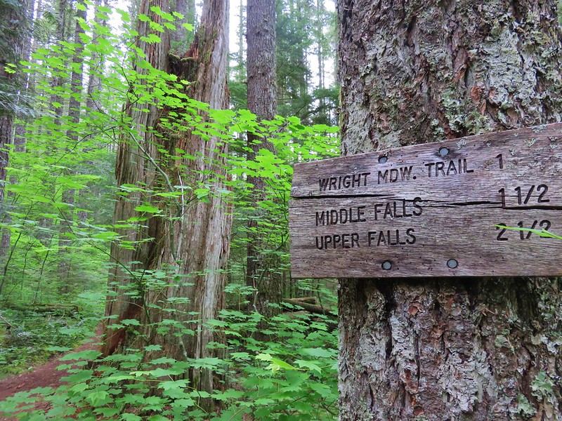
Shortly beyond that junction we arrived at the Killen Creek Trail.
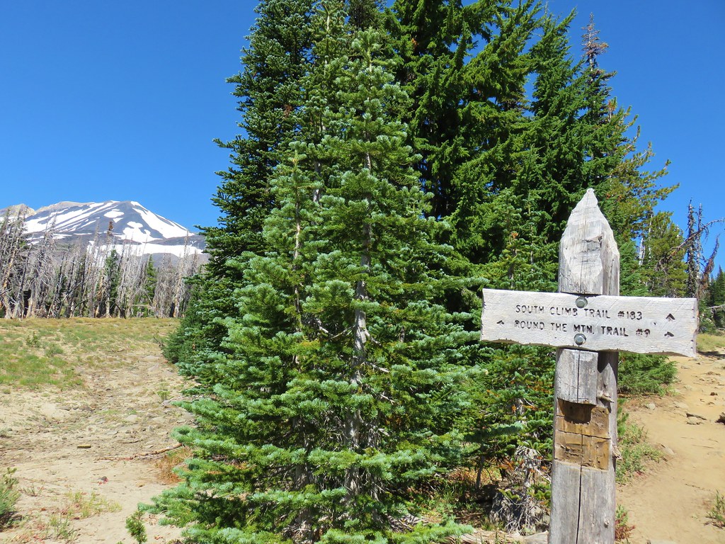
Although we had toyed with the idea of continuing all the way to Killen Creek it was another .4 miles away and downhill. We had done 22.6 miles the day before and this day was already going to be over 17 miles so we decided to call it good. We figure we can go back someday and start on the Killen Creek Trail and go north on the PCT from the junction.
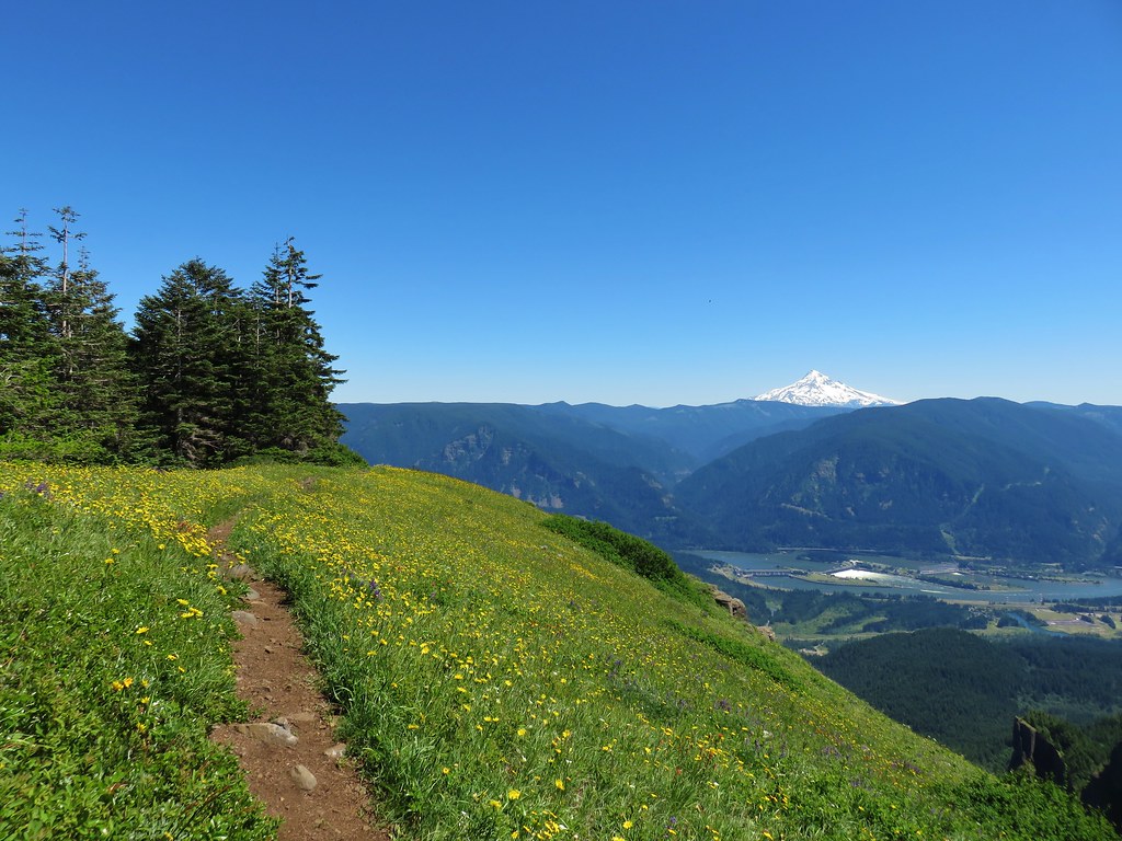
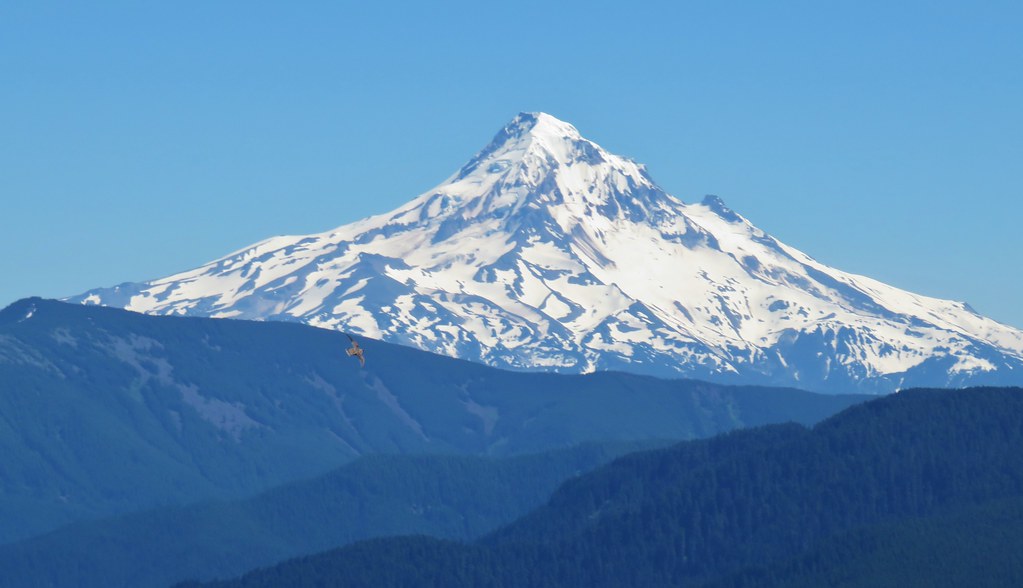
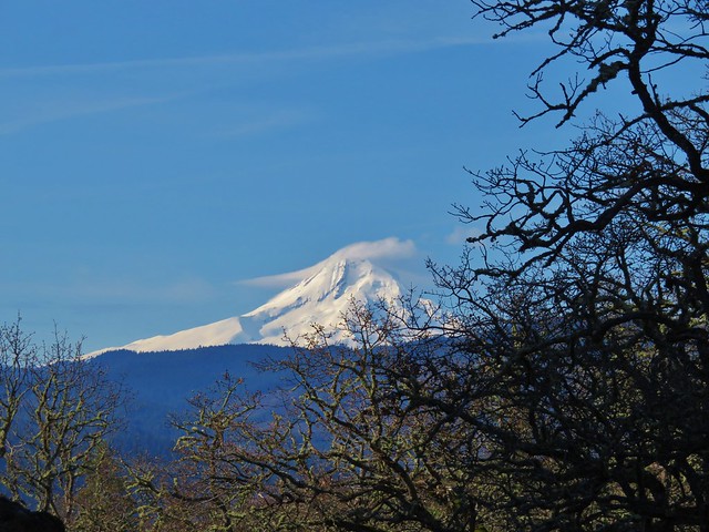
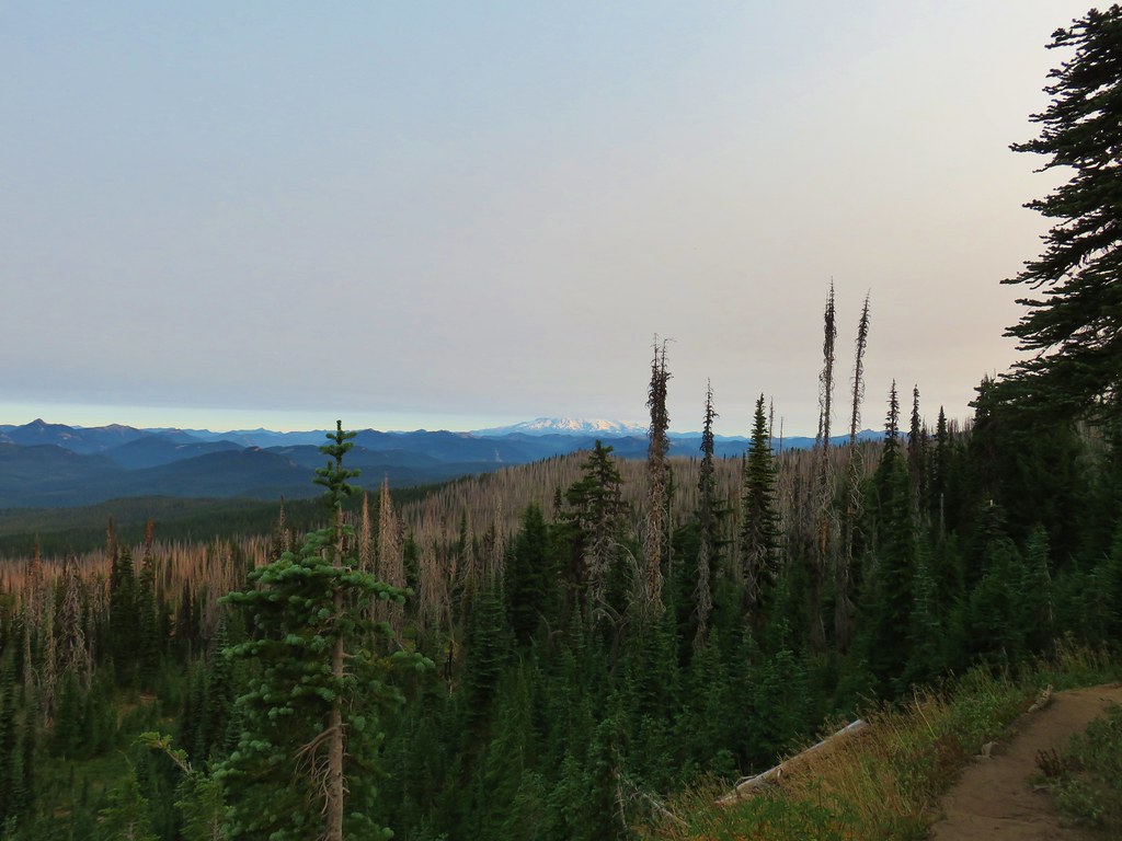
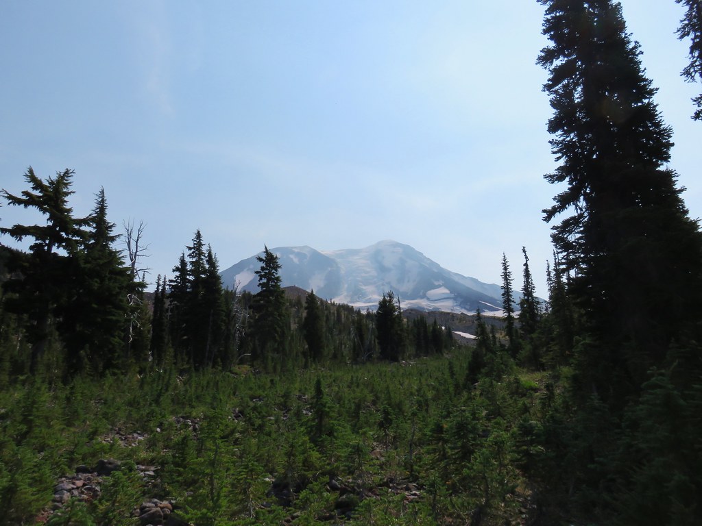
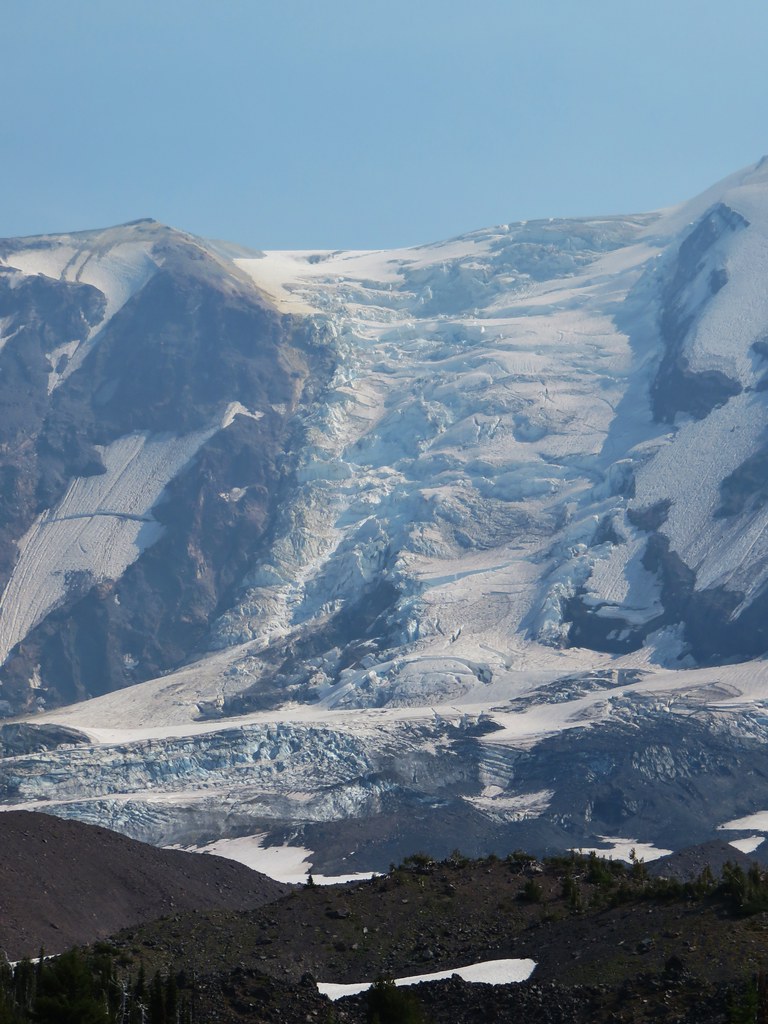
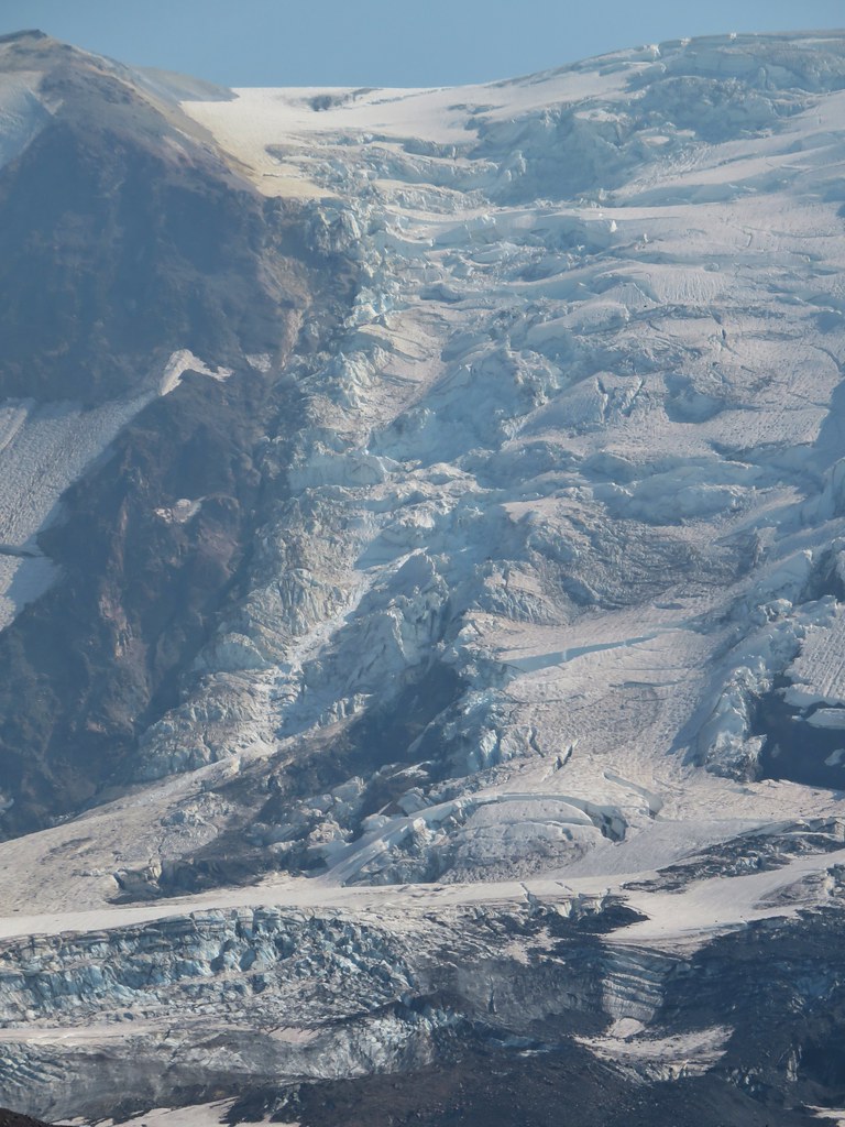
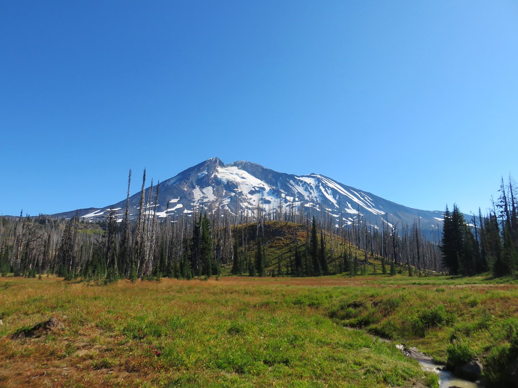
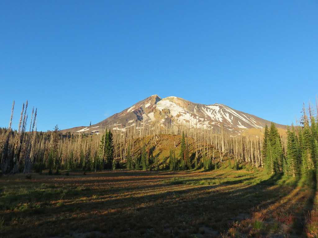
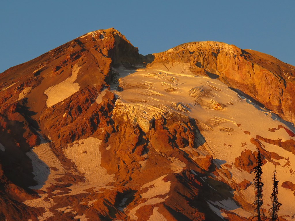
On the way back the haze began to clear and the passed far enough overhead to greatly improve the views of Mt. Adams.
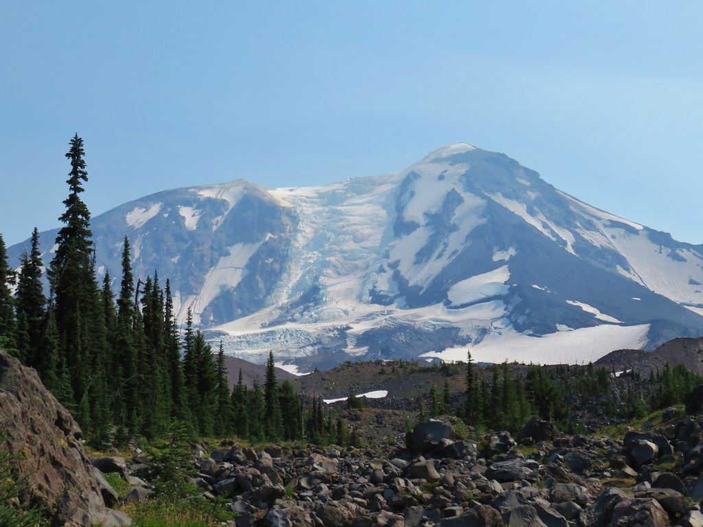
The massive Adams Glacier really caught our attention.
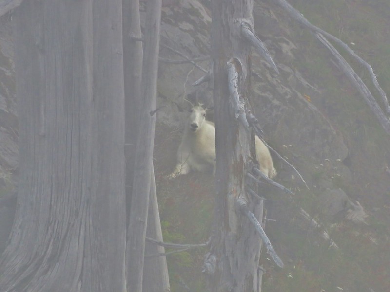
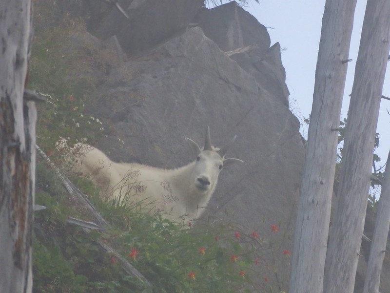
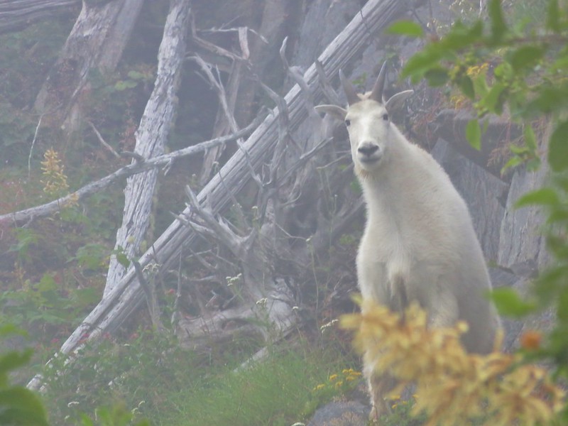
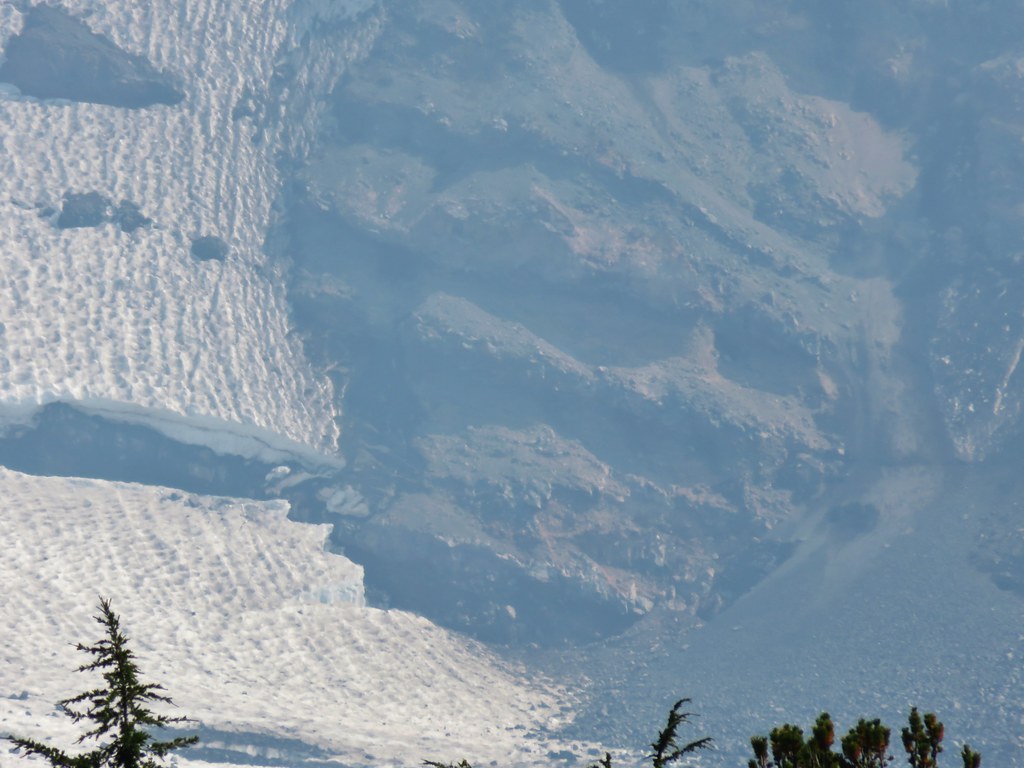
While we were admiring the mountain, Heather spotted a face in the rocks.
The view of Mt. Adams kept getting clearer and even the view of Mt. Rainier improved somewhat.

One view that didn’t improve was to the SW where yet another smoke plume had arisen. This one we would learn the next day was the East Crater Fire in the Indian Heaven Wilderness.
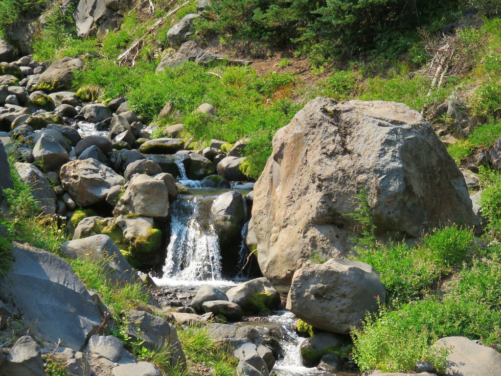
We stopped again at Riley Creek where we joined a number of PCT thru-hikers cooling off and collecting water. We refilled our packs as well as our 96oz canteen (which was not the most fun thing to haul the 4 miles back to camp).
It was just after 4:30 when we arrived back at Horseshoe Meadow. Mt. Adams appeared to be free of any smoke but just over it’s shoulder to the east the sky looked really smokey.
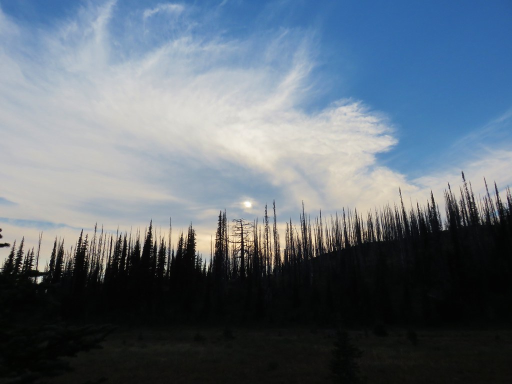
We ate dinner then sat by our tent and watched as a few wispy clouds passed overhead.
With all the fires around we couldn’t have asked for a better couple of days on the mountain. Those wonderful conditions didn’t make it into Labor Day though.
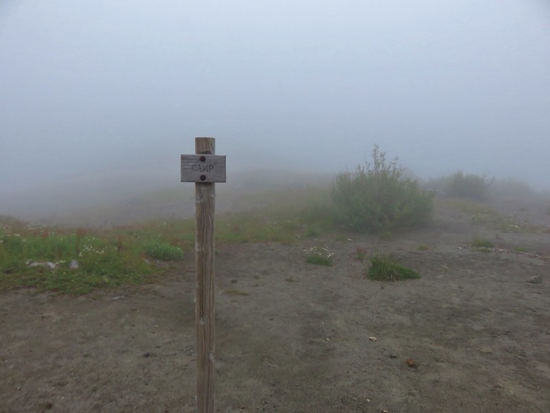
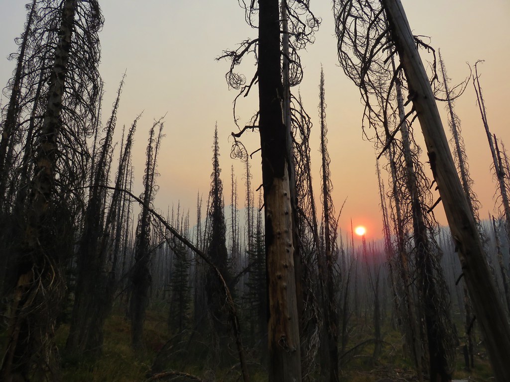
We woke up at 5:30am and despite it still being dark, we knew that some smoke had moved in based on the smell. When I got out of the tent and turned on my headlamp it illuminated the ash that was falling like a light snow. As the morning light made seeing a little easier we found that we couldn’t even see Mt. Adams.
As the Sun rose higher we could at least make out the mountains outline through the smoke.

We ate breakfast and packed up then headed south on the PCT.
Overall it was a cool morning but occasional blasts of warmer air hit us. We had started hiking a little before 7am so that helped. We passed a number of thru-hikers on their way north, one of whom told us that the Indian Heaven Wilderness was closed due to a new fire (East Crater).
A red sun came up over Mt. Adams as we made our way back.
The smoke finally lessened a bit when we had gotten back down into unburnt forest.
Near the trailhead we spoke to another thru-hiker who had been evacuated from Cascade Locks due to the Eagle Creek Fire. It was from her that we learned a teenager illegally using fireworks had started the inferno and that at least 140 hikers had been stranded overnight, trapped between the Eagle Creek and Indian Creek Fires.
Given the information we decided to drive back to Salem around Mt. Hood via Highways 35 and 26 thinking that I84 might be closed by the time we were trying to get through. It’s been a tough year out west regarding wildfires. Even though they are a natural part of the forest cycle (unless some moron does something stupid) it’s hard when so many of our favorite places seem to be burning at the same time. We know they will not look like they once did anytime in our lifetimes, but they will recover and in the meantime we will watch as God’s creation heals. Happy Trails!
Flickr: Mt. Adams Wilderness Days 2 & 3


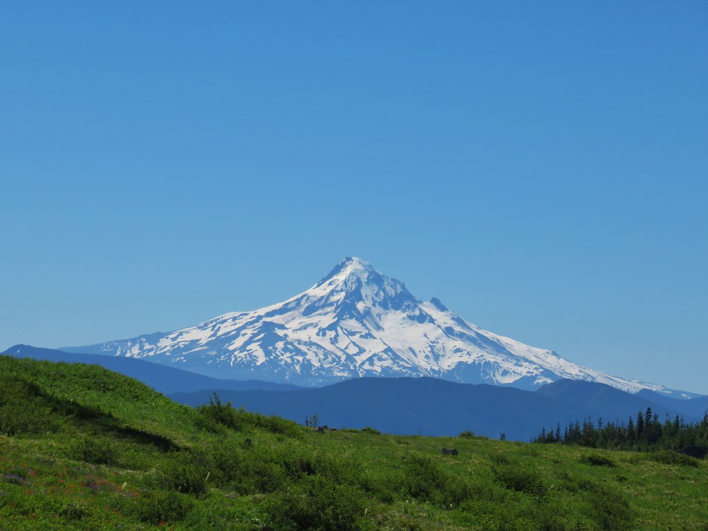 Mt. Hood
 Mt. Jefferson
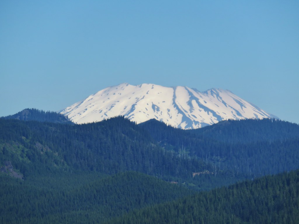 Mt. St. Helens
 Mt. Rainier
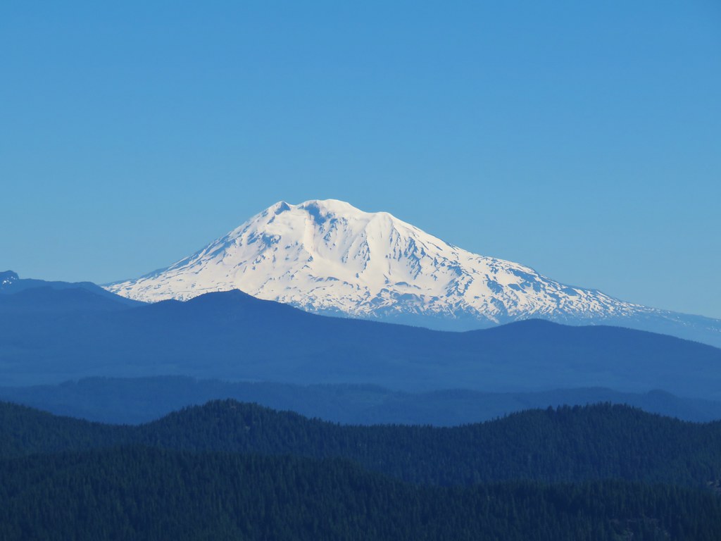 Mt. Adams
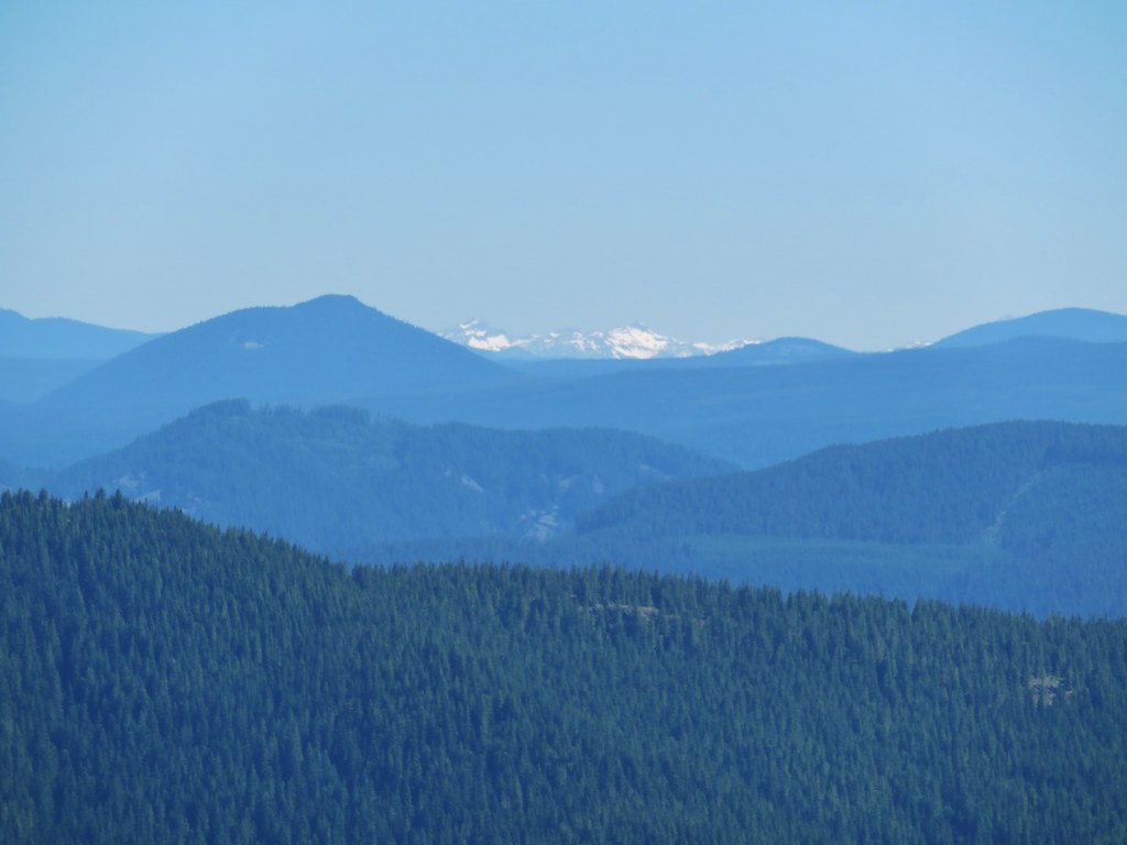 Goat Rocks