Categories
Columbia Gorge North Hiking Trip report Washington

Catherine Creek, Coyote Wall, and the Weldon Wagon Trail

** Note the 2025 Burdoin Fire burned over much of the route described here. **

Similar to last months hike our March trip consisted of shorter hikes at three separate locations. We had been waiting for a day off with decent weather to head out toward the eastern end of the Columbia Gorge to see some early wildflowers and finally got one on the day before Spring.

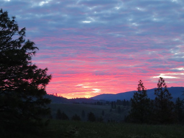
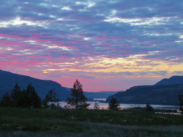
We started our day at the Catherine Creek Trailhead located approximately 6 miles east of Bingen, WA along Old Highway 8. We managed to arrive at the trailhead just as the sunrise began to light up with color.
Sunrise from the Catherine Creek Trailhead

Sunrise from the Catherine Creek Trailhead

Sunrise from the Catherine Creek Trailhead

We took the paved Catherine Creek Trail on the south side of the old highway toward the Columbia River. We followed the 1 mile loop past wildflowers, vernal ponds, oak woodlands, Catherine Creek Falls, and views of Mt. Hood.
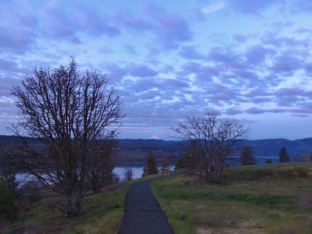
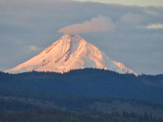
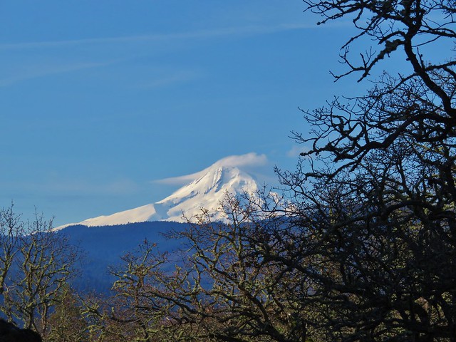
Mt. Hood catching some early sunlight

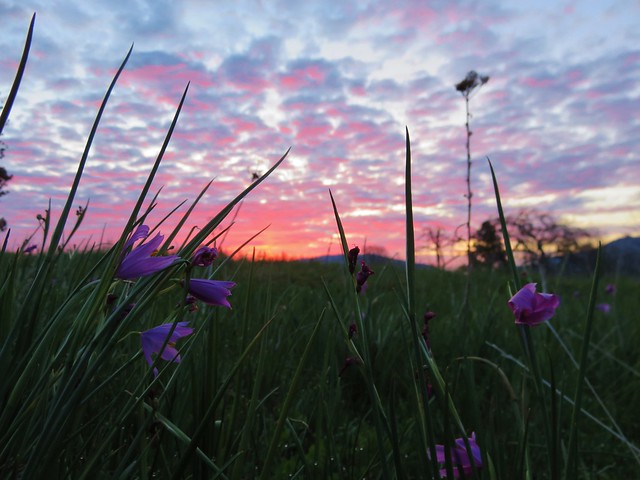
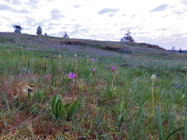
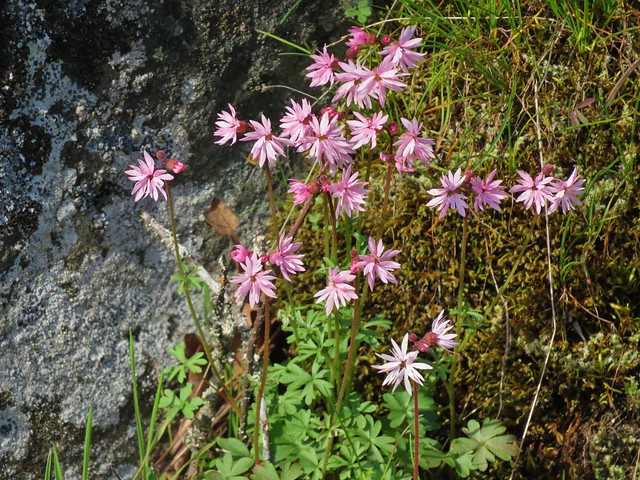
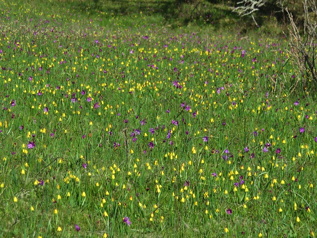
Grass widows
Grass Widows

Prairie Stars
Prairie stars

Shooting stars and saxifrage
Shooting stars

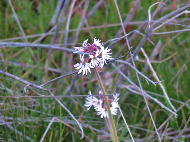
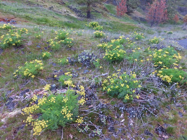
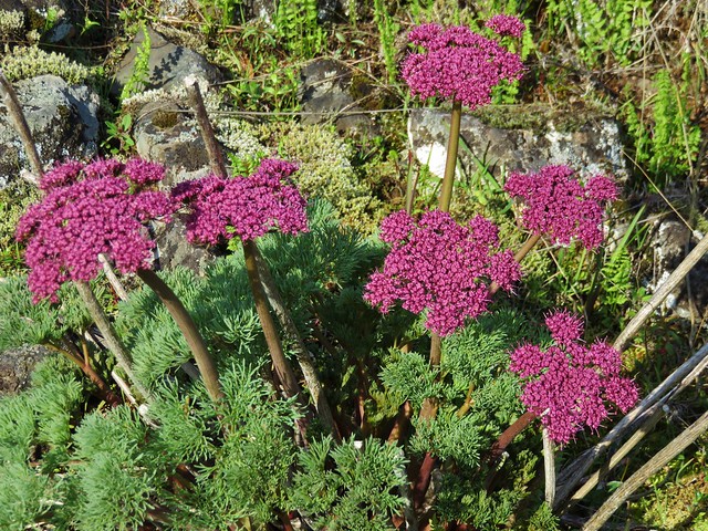
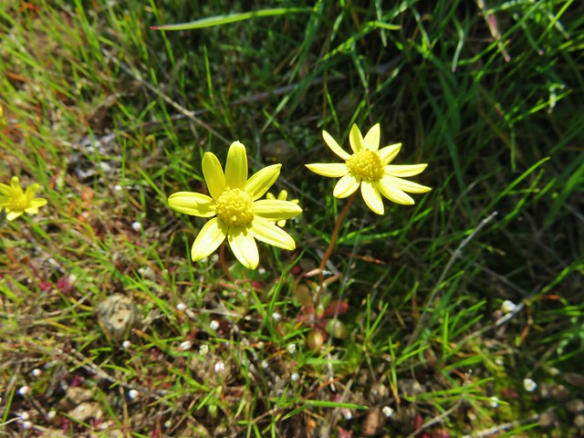
Lomatium
Lomatium

Lomatium

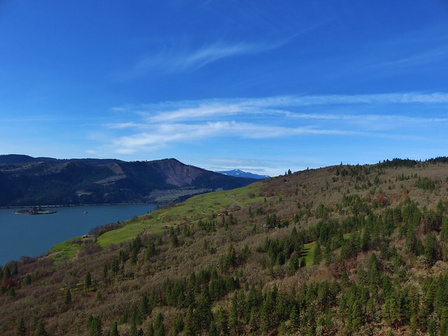
Mt. Hood across the Columbia River

Mt. Hood

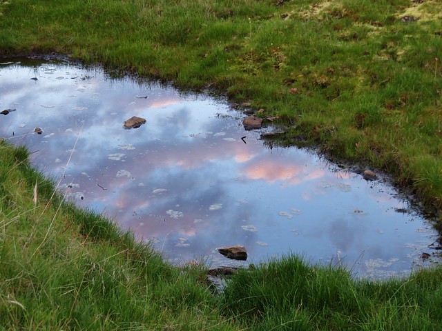
Reflections along the Catherine Creek Trail

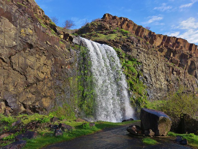
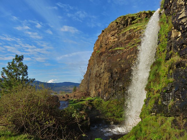
Catherine Creek Falls

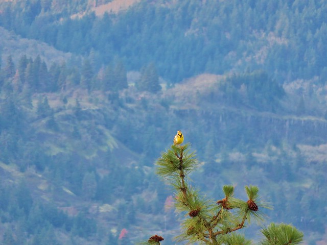
After completing the loop we crossed the road and head north on an old roadbed marked as “20”. At a fork we should have veered right on another road marked with a “21” sign but we initially missed that turn which turned out okay because we came upon a scenic vernal pond reflecting the clouds in the sky above and were serenaded by a western meadowlark.
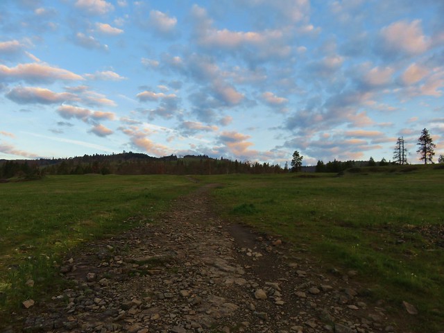
Catherine Creek Trail

Clouds reflecting in pool of water along the Catherine Creek Trail

Western meadowlark

Once we had backtracked onto the correct road bed we followed it to a crossing of Catherine Creek then on to an old corral below the Catherine Creek Arch.
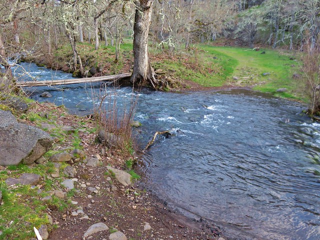
Catherine Creek

Catherine Creek Trail

The Forest Service has closed off the area near the arch with fencing but the view from below near the corral is nice.
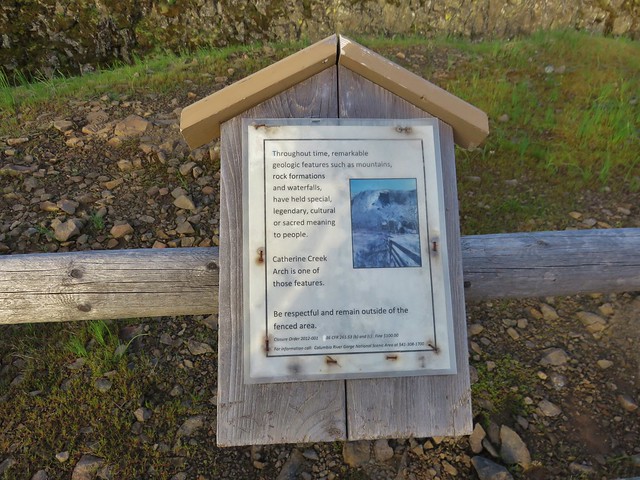
Sign near the Catherine Creek Arch

Catherine Creek Arch

We continued on the old road climbing gradually and after passing under a set of power lines we came to a trail junction. We took the signed trail to the right which led up a small hill to a ridge with a view of Mt. Hood.
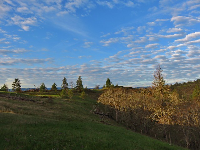
Mt. Hood from the Catherine Creek Trail

This trail followed the ridge down toward the old highway passing the top of the Catherine Creek Arch along the way.
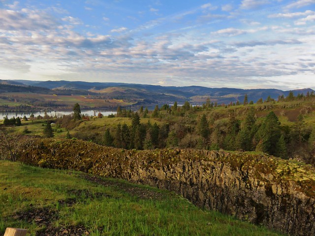
Mt. Hood and the Columbia River from the Catherine Creek Trail

We arrived at the old highway about a quarter mile east of the trailhead and simply walked along the shoulder back to the car. From there we headed back toward Bingen and our next stop at the Coyote Wall Trailhead just off Courtney Road (approx. 3 miles east of Bingen). Our early start allowed us to get to this second trailhead before 9am which was nice because this is a very popular destination.

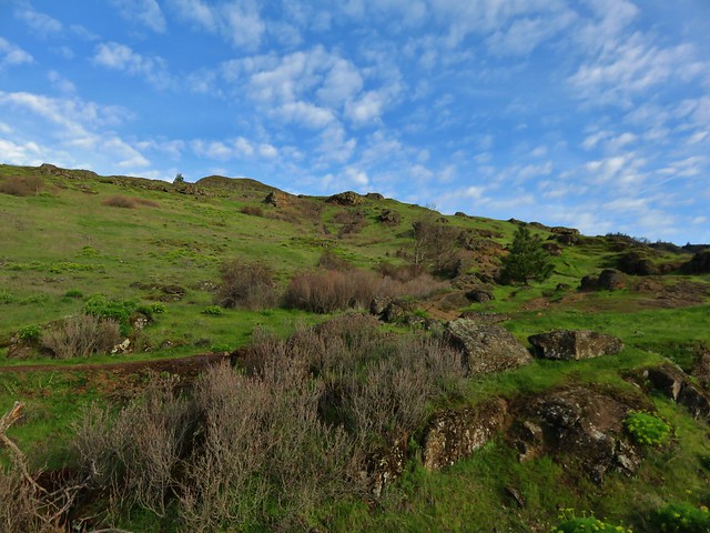
From the parking area we followed a closed section of old highway 8 east passing a nice view up Coyote Wall. After passing some cliffs the scenery shifted to rocky green hillsides dotted with wildflowers.
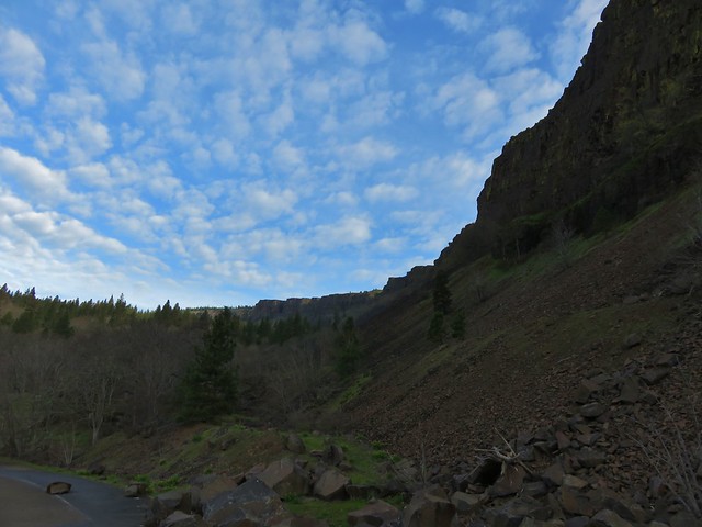
Coyote Wall

Biscuitroot surround a small hole in the rocks

View from the old highway

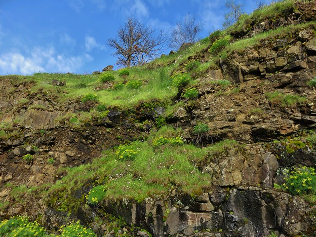
Wildflowers on the rocks along the old highway

Our plan was to take the Labyrinth Trail up to the Rowland Creek Trail then head left from that junction to old road 20 following that left to a creek crossing and following it all the way to a junction with the Coyote Wall Trail. The Labyrinth Trail sets off from old highway 8 approx .75 miles from the trailhead, but before turning up that trail when we came to it we continued on a couple hundred yards to check out Lower Labyrinth Falls.
Lower Labyrinth Falls

Lower Labyrinth Falls

Mt. Hood from Lower Labyrinth Falls

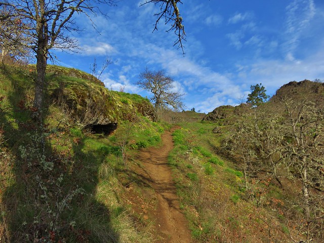
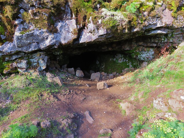
After returning to the Labyrinth Trail we headed uphill climbing past wildflowers and rock outcrops to a view of Labyrinth Falls near a small cave.
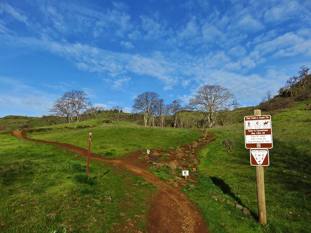
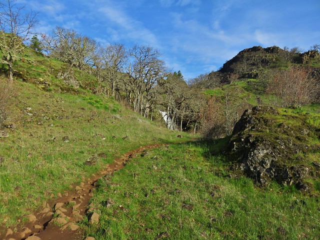
Labyrinth Trail

Labyrinth Trail

Cave along the Labyrinth Trail

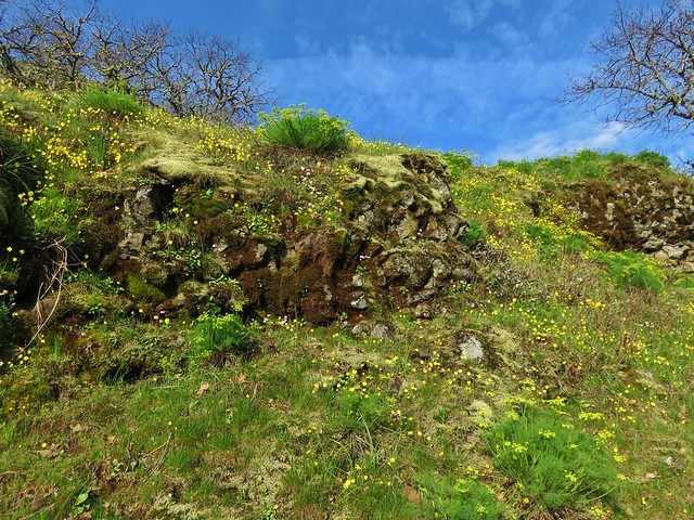
Wildflowers along the Labyrinth Trail

Wildflowers along the Labyrinth Trail

Labyrinth Trail

Labyrinth Falls

From the falls the trail continued to climb through a mix of grasslands and oak woods gaining better views of Mt. Hood.
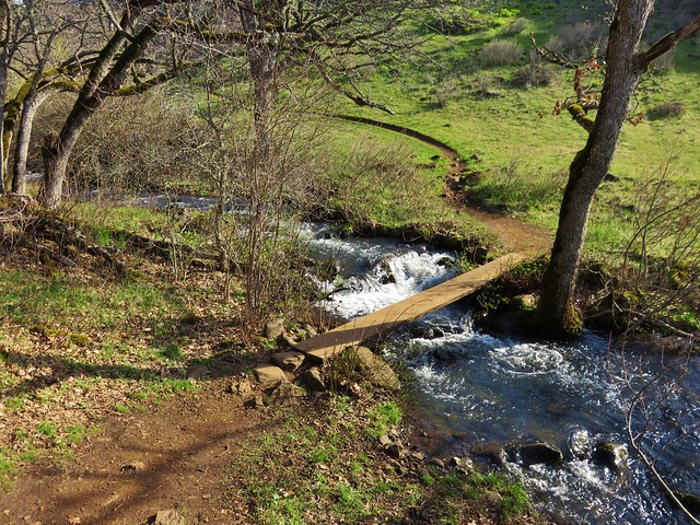
Labyrinth Trail

Labyrinth Trail

Mt. Hood from the Labyrinth Trail

Mt. Hood

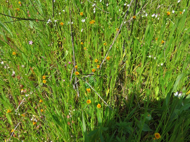
We saw lots of wildflowers along the way and passed a trail crew from the Washington Trails Alliance.

Grass widows
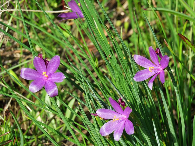
Grass widows

Prairie stars
Prairie star

Lomatium
Biscuitroot

Larkspur
Larkspur and a grass widow

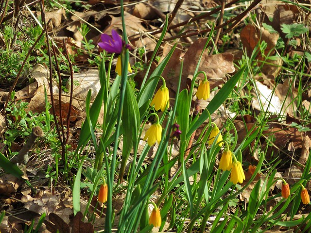
Yellow bell lilies
Yellow bell lilies and a grass widow

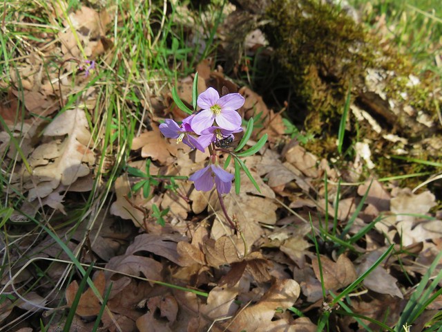
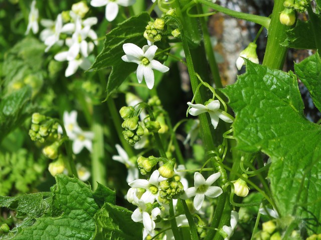
Toothwort
Toothwort

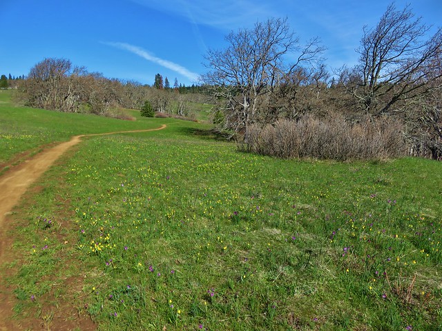
We arrived at the road 20 creek crossing as planned but things began to unravel a bit shortly afterward. Signage had been virtually non-existent and after climbing up from the creek crossing we arrived at large junction where the WTA trail crew had parked their vehicles. Several trails and old roads headed off in various directions here and were not shown on the map we were using. We first set off straight ahead on an old road bed but quickly saw a sign indicating it was private property, we turned back to the junction and began to head uphill on a clear trail. It didn’t seem like we should be going that direction though so we pulled out our guidebook and GPS before going any further. After some deliberation we returned once again to the junction and headed downhill on another old road which was the correct route. Here we passed an impressive meadow filled with yellow bell lilies and grass widows.
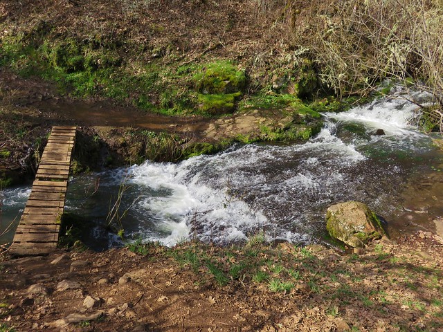
Labyrinth Trail

Grass widows and yellow bell lilies

Grass widows and yellow bell lilies

Grass widows and yellow bell lilies

We passed several more junctions that were not on our map and made one more wrong turn (it appears it would have led us to the top of Coyote Wall in the end) before finally making it down to the junction we had been looking for with the Coyote Wall Trail. At this point we were about halfway up the wall and made our way over to check out the view.
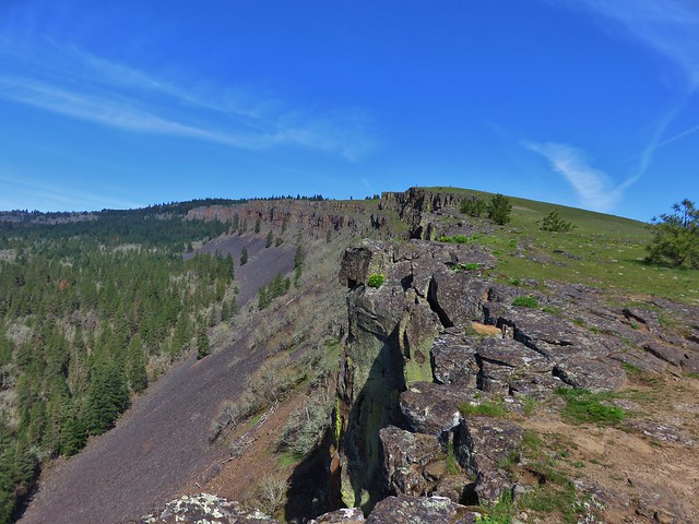
Coyote Wall

Mt. Defiance (with the snow)
Snow on Mt. Defiance

Mt. Hood
Mt. Hood across the Columbia River from Coyote Wall

From there we headed downhill staying as close to the wall as possible before the trail finally veered away as it neared the old highway.

We spotted a few additional flowers on this lower portion before popping back out on the old highway and making our way back to the busy trailhead.

Woolly-pod milk vetch
Woolly-pod Milk-vetch

Gold stars
Gold stars

Popcorn flower
Popcorn flower

Manroot
Manroot

The unfortunately named Broomrape
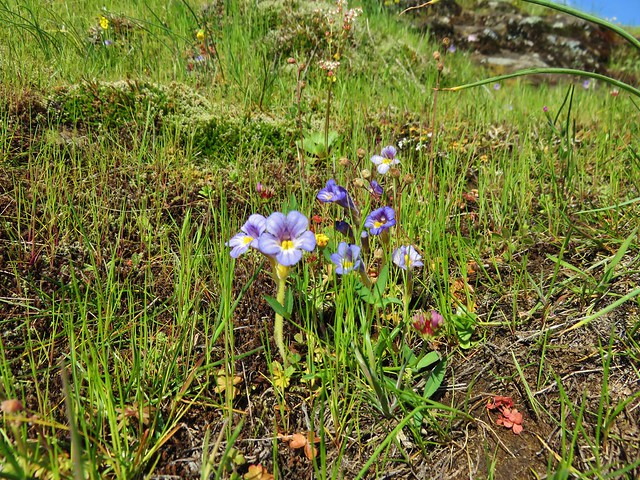
Broomrape

Fiddleneck
fiddleneck

Our final stop for the day was the Weldon Wagon Trail. For this hike we headed back through Bingen and continued west on Highway 14 to Alternate Highway 141 just before the White Salmon River. We followed this road north to Husum, WA where we turned right on Indian Creek Road. We followed signs for the Wagon Trail and parked at an unmarked pullout at the crest of Indian Cemetery Road. To reach the trail we needed to walk .2 miles up a logging road.
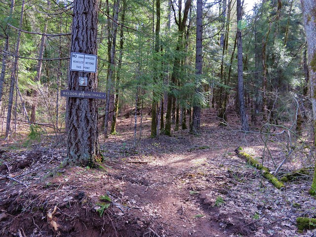
Weldon Wagon Trail

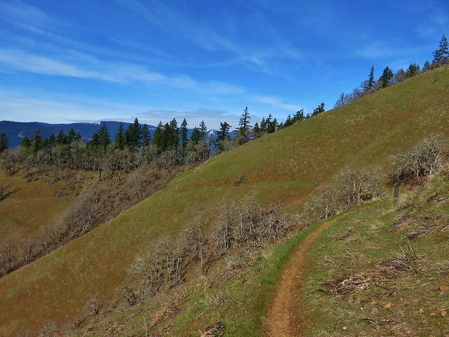
The Wagon Trail follows an old wagon road built in the early 1900’s to cart apples down to Husum. The trail began in a forest before entering more open grasslands.
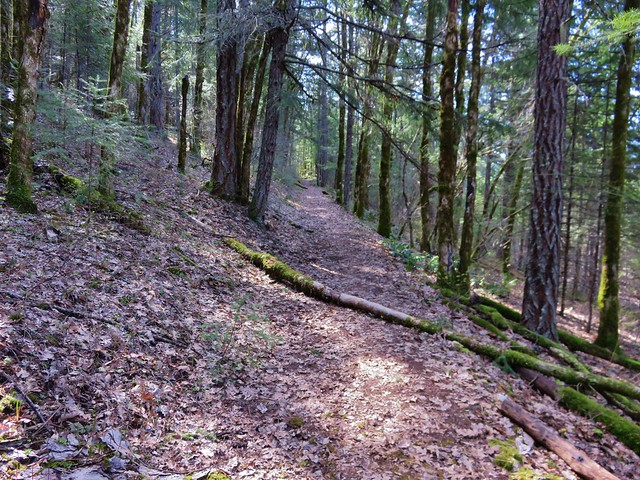
Weldon Wagon Trail

Weldon Wagon Trail

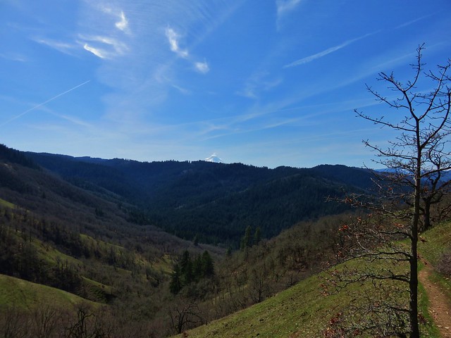
View from the Weldon Wagon Trail

The trial offers a pretty good climb gaining over 1000′ in the first 1.8 miles where a conservation sign sits in the middle of a hillside with a view of Mt. Hood.
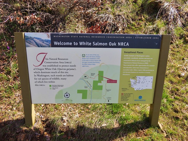
Interpretive sign along the Weldon Wagon Trail

Mt. Hood from the Weldon Wagon Trail

Weldon Wagon Trail

Although the trail continues another .7 miles to another road we turned around at the sign knowing we would be over 13 miles for the day by the time we arrived back at the car and that this was the best of the views from the trail.

On our way home we made one final stop, this time for food, at Mekong Bistro in Portland. We’re blaming this one on the good folks over at Trail Keepers of Oregon for having their Winter Meet-n-Deet there last year. 🙂 We enjoyed the food enough that night to have it now be our go to spot on the way back to Salem after hiking in the Gorge.  It didn’t disappoint and was a great end to a good day of hiking.

Although we did not have any issues ticks can be a problem on these hikes so be sure to keep your eyes out and check for any after your visit. Poison oak is also possible, as are rattlesnakes. Happy (and safe) Trails!

Flickr: https://www.flickr.com/photos/9319235@N02/albums/72157666169966955
Categories
Columbia Gorge North Hiking Trip report Washington

Cape Horn

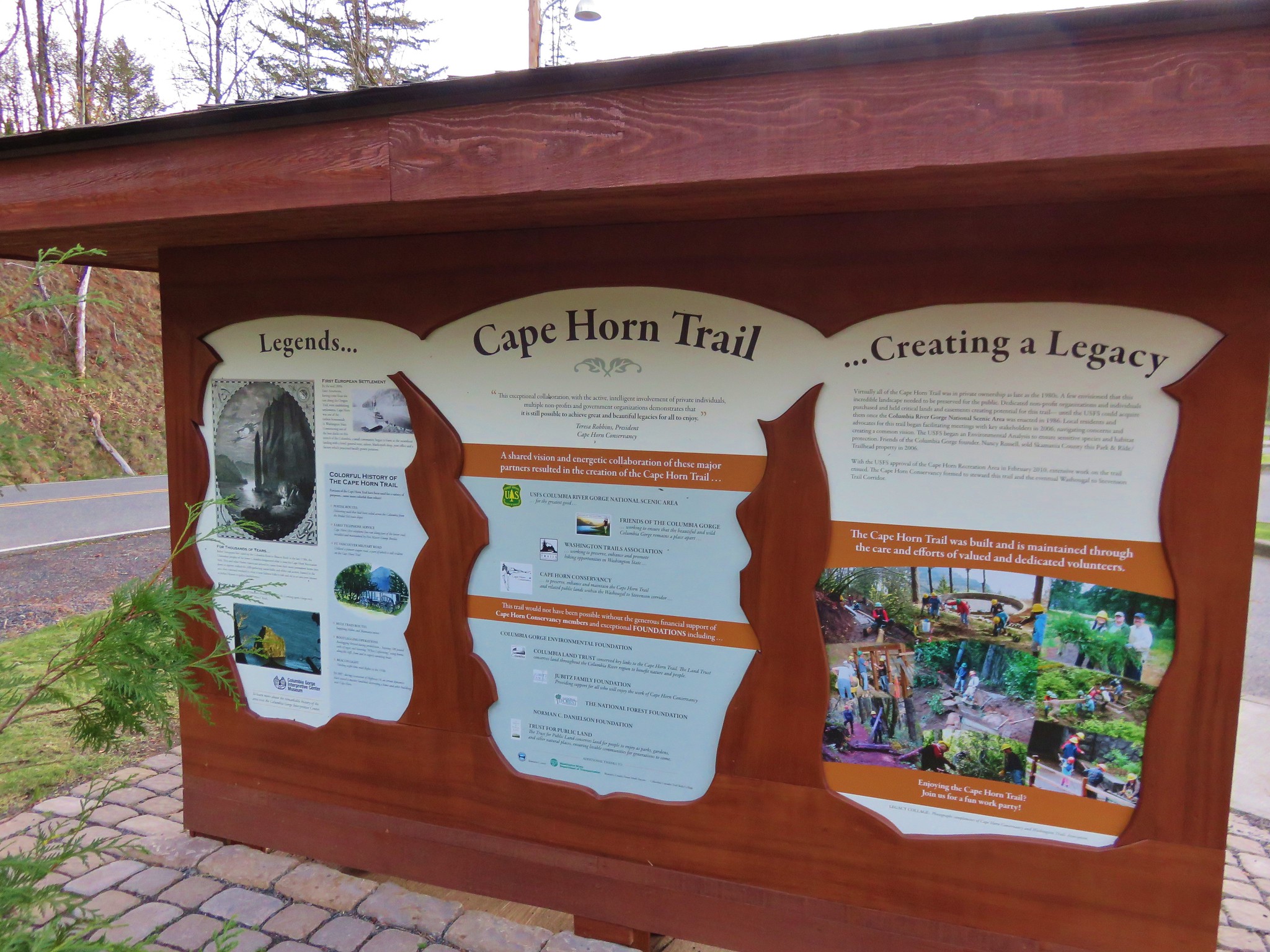
For our November hike we chose the Cape Horn trail. We had wanted a hike that was a little shorter than our normal trips since Heather had just run her first race in awhile. The 7+ mile loop around Cape Horn fit the bill perfectly and it was a good time for a visit given the full loop is closed from February 1st to July 15th due to nesting Falcons.

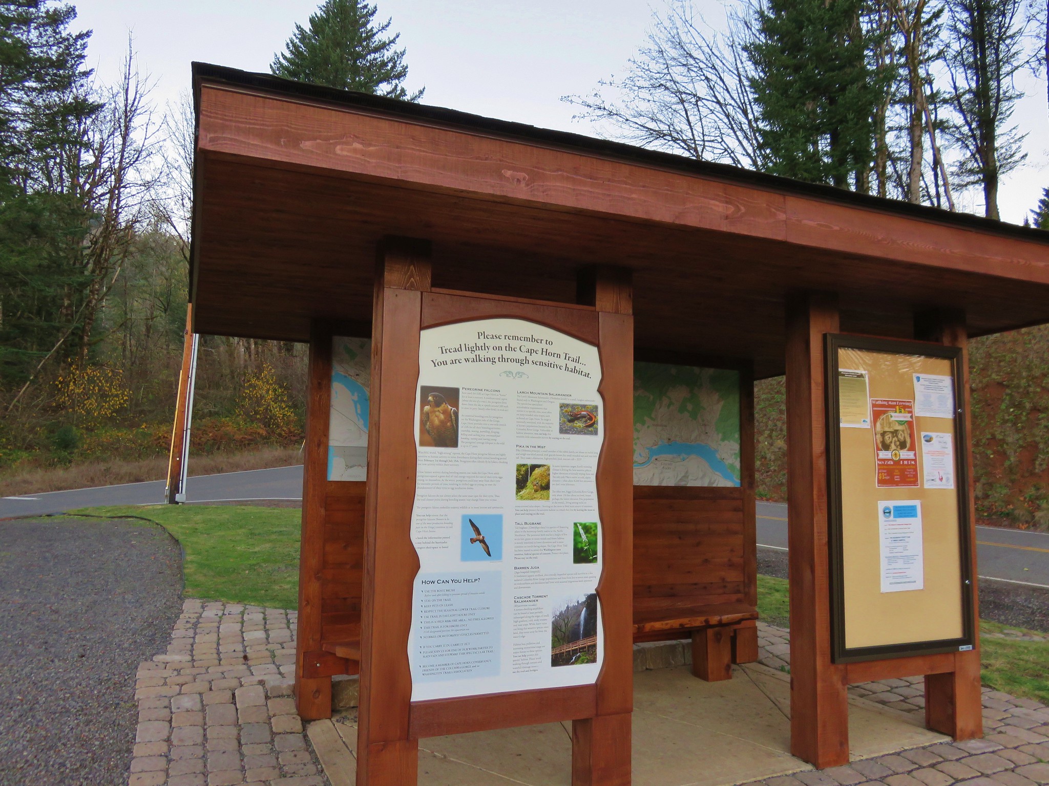
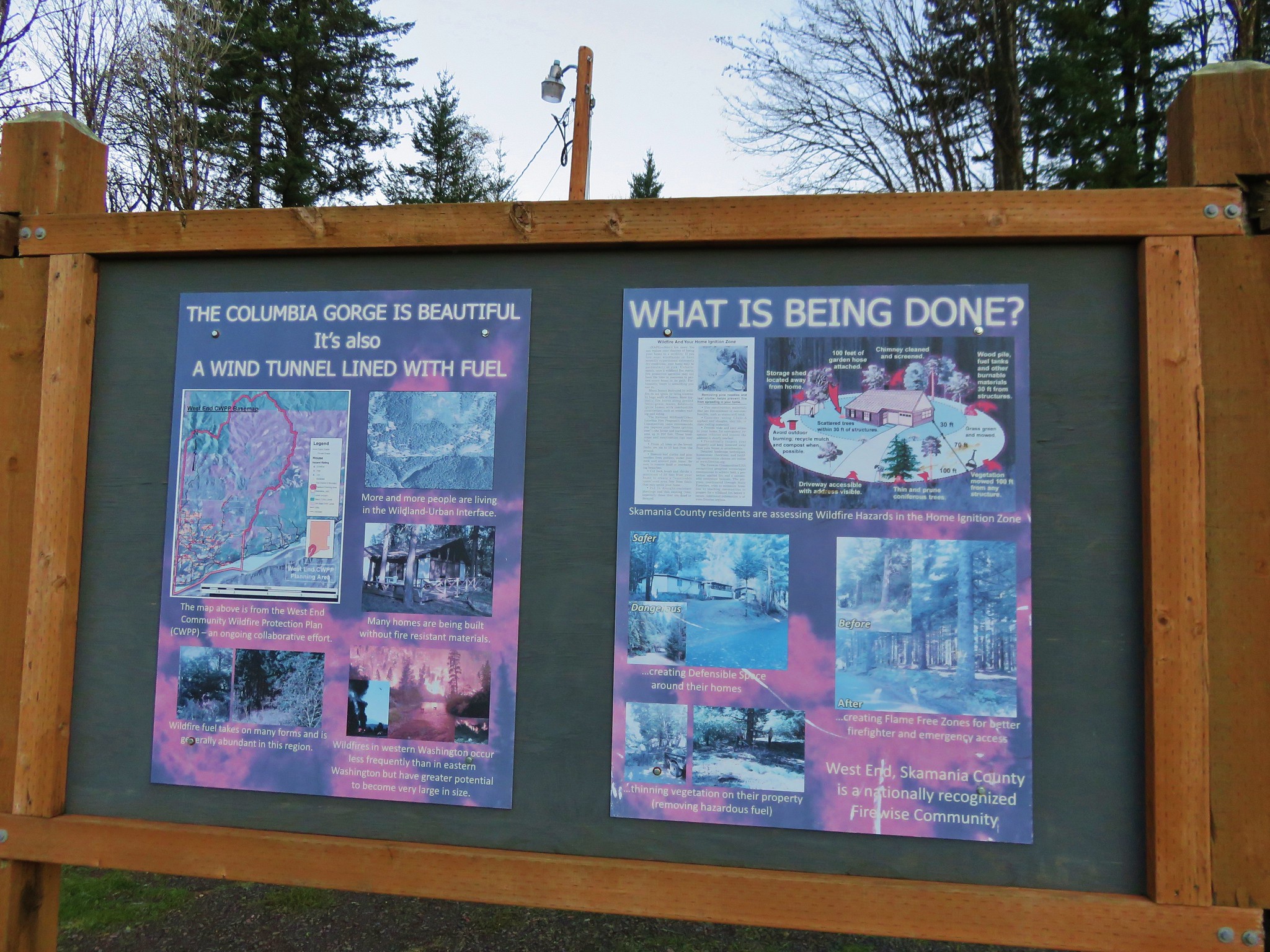
Just 30 minutes from the Portland airport the trailhead is located at the Skamania County Transit Park & Ride lot near milepost 26 along State Highway 14 at Salmon Falls Road. The all volunteer Cape Horn Conservancy works with the United States Forest Service (USFS), Washington Trails Association (WTA), and Friends of the Columbia Gorge (FOCG) to maintain and improve the trail here which was evident by the well maintained trail and abundant signage along the way which began at the trailhead.
IMG_2624//embedr.flickr.com/assets/client-code.js

IMG_2621//embedr.flickr.com/assets/client-code.js

IMG_2622//embedr.flickr.com/assets/client-code.js

Cape Horn Trailhead//embedr.flickr.com/assets/client-code.js

Almost immediately after crossing Salmon Falls Rd. and starting on the trail we faced the choice of going clockwise or counter-clockwise around the loop. We stayed to the right heading counter-clockwise and began climbing up toward the viewpoints on top of Cape Horn.
IMG_2631//embedr.flickr.com/assets/client-code.js

IMG_2633//embedr.flickr.com/assets/client-code.js

Our first good views were to the north as the trail neared some power lines where several snow dusted peaks were visible.
Lookout Mountain
IMG_2635//embedr.flickr.com/assets/client-code.js

Silver Star Mountain, Little Baldy, and Bluff Mountain
Silver Star, Little Baldy, and Bluff Mountain//embedr.flickr.com/assets/client-code.js

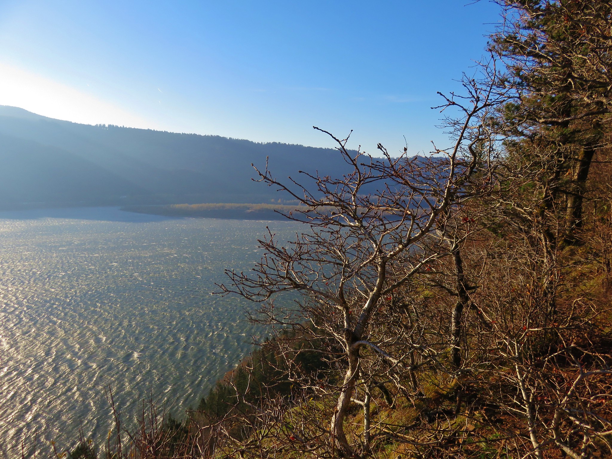
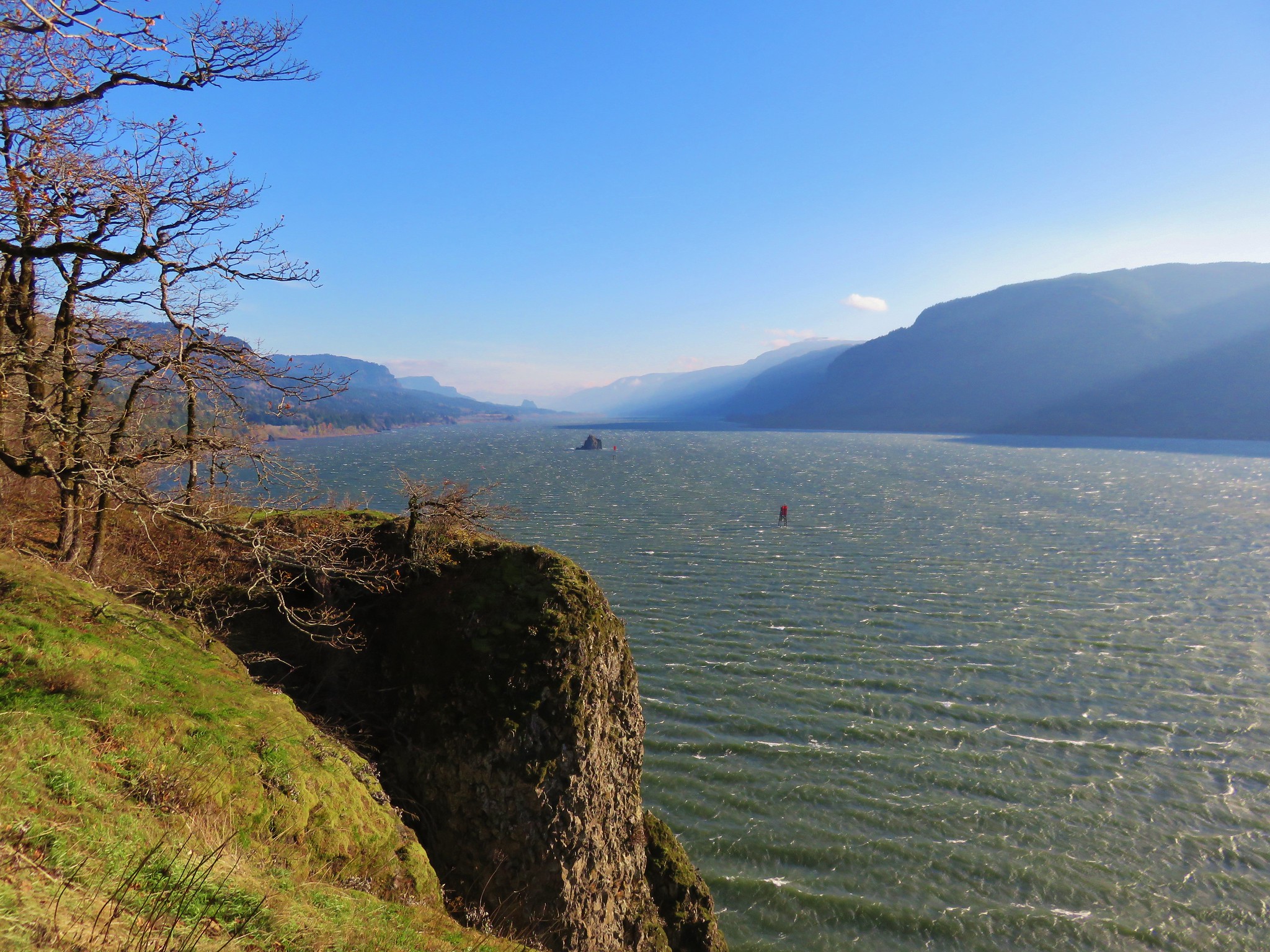
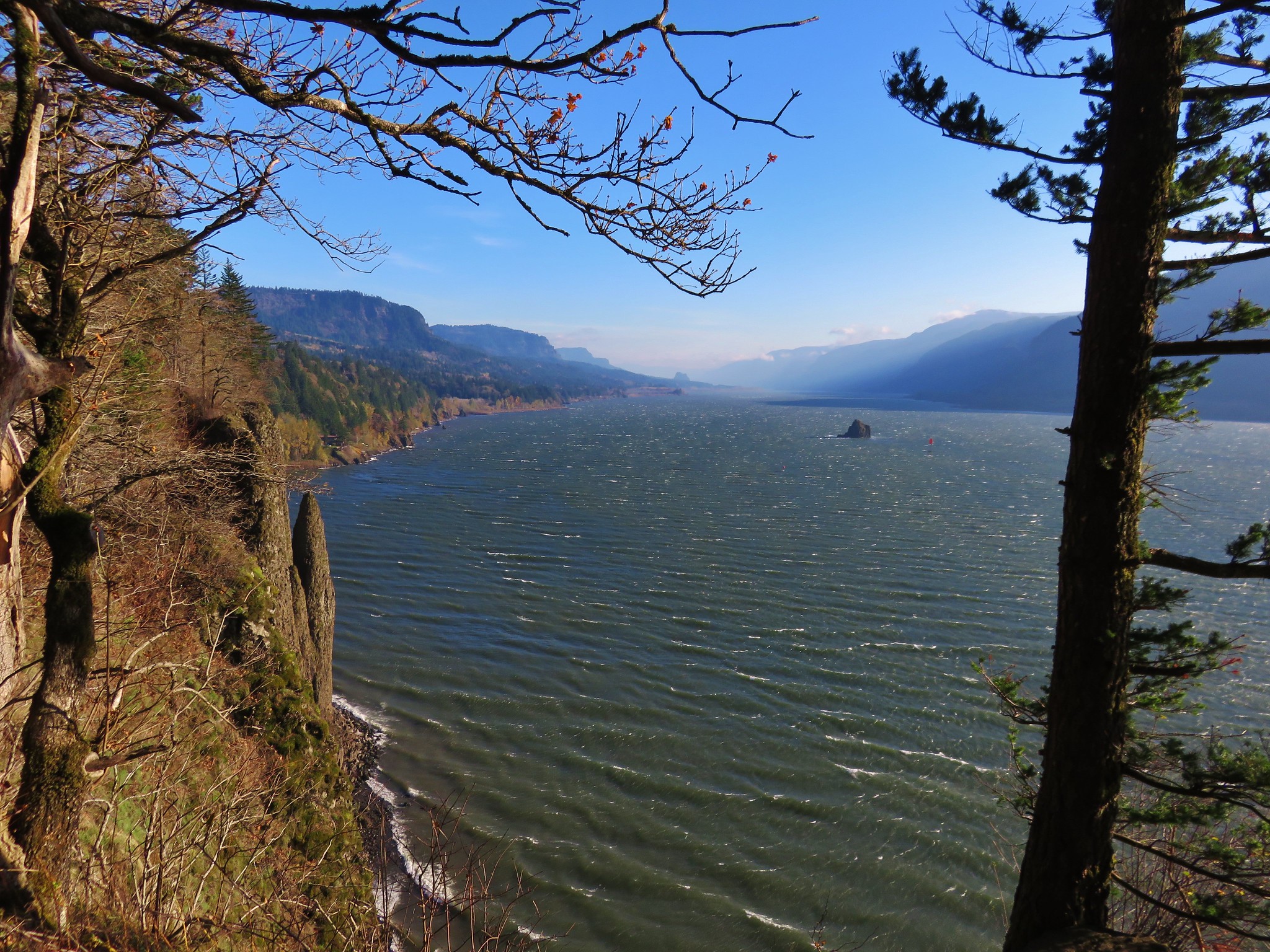
The trail then crossed over to the Columbia Gorge side of Cape Horn for our first unobstructed views of the Columbia River. The Sun had just crested over Larch Mountain to the southeast and was creating some glare limiting the views. A cold wind was racing down the Gorge which made it a little too chilly to spend much time at any of the viewpoints which was too bad because they were nice enough to warrant a longer stay.
Columbia River from the Cape Horn Trail//embedr.flickr.com/assets/client-code.js

IMG_2640//embedr.flickr.com/assets/client-code.js

A little bit of ice at the viewpoint.//embedr.flickr.com/assets/client-code.js

The trail then dropped down away from the Gorge (and out of the wind) briefly joining an old roadbed and then climbing to a crossing of paved Strunk Rd. where the trail passes through grassy fields on a gravel road.
IMG_2651//embedr.flickr.com/assets/client-code.js

IMG_2653//embedr.flickr.com/assets/client-code.js

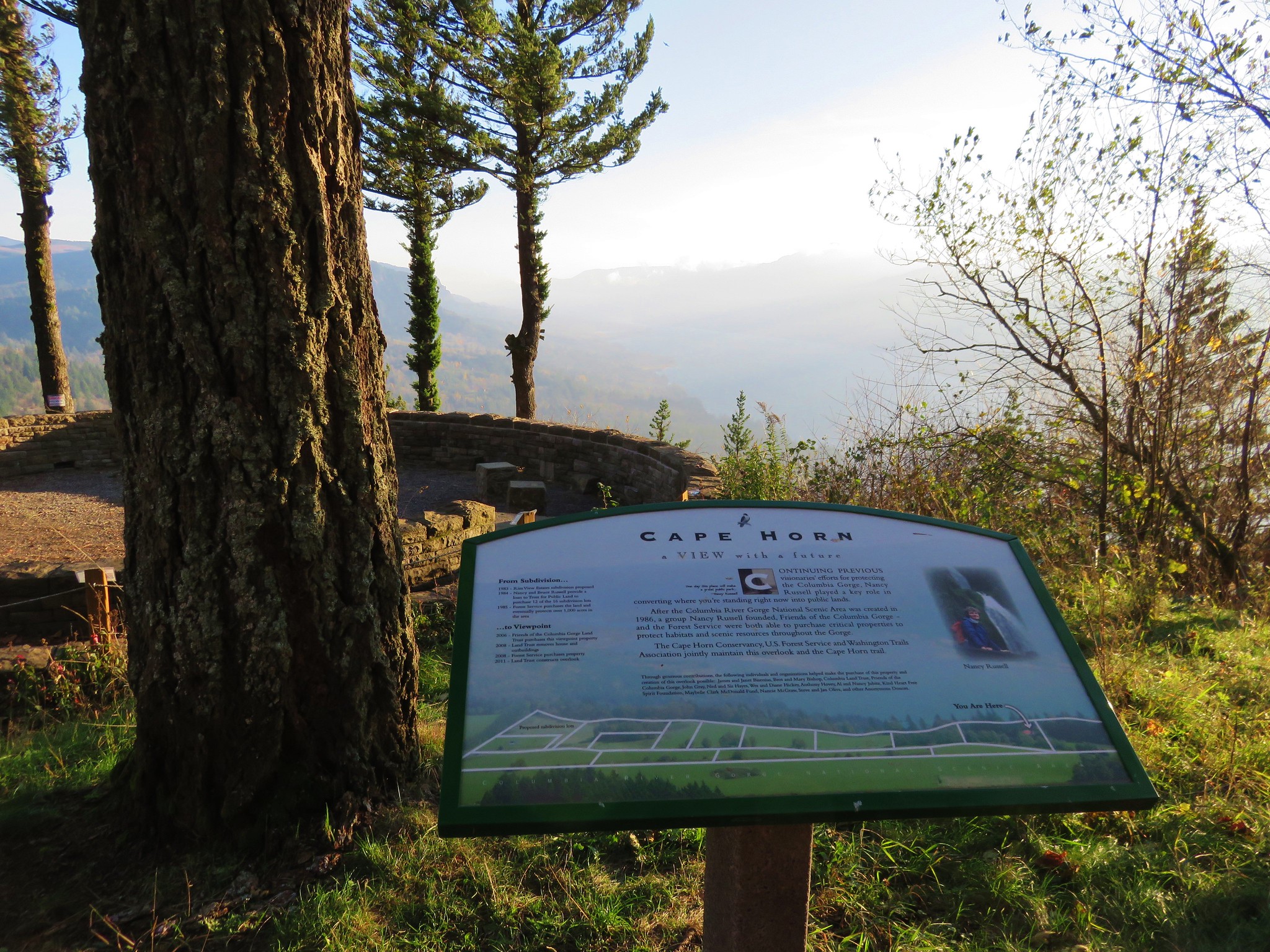
The next viewpoint of the Columbia Gorge was the Nancy Russell Overlook which had recently undergone some repairs. A long stone bench in the overlook offered plenty of space for hikers to relax and soak in the view, but again the cold wind wasn’t going to allow us to enjoy it for long.
IMG_2654//embedr.flickr.com/assets/client-code.js

Columbia River from the Cape Horn Trail//embedr.flickr.com/assets/client-code.js

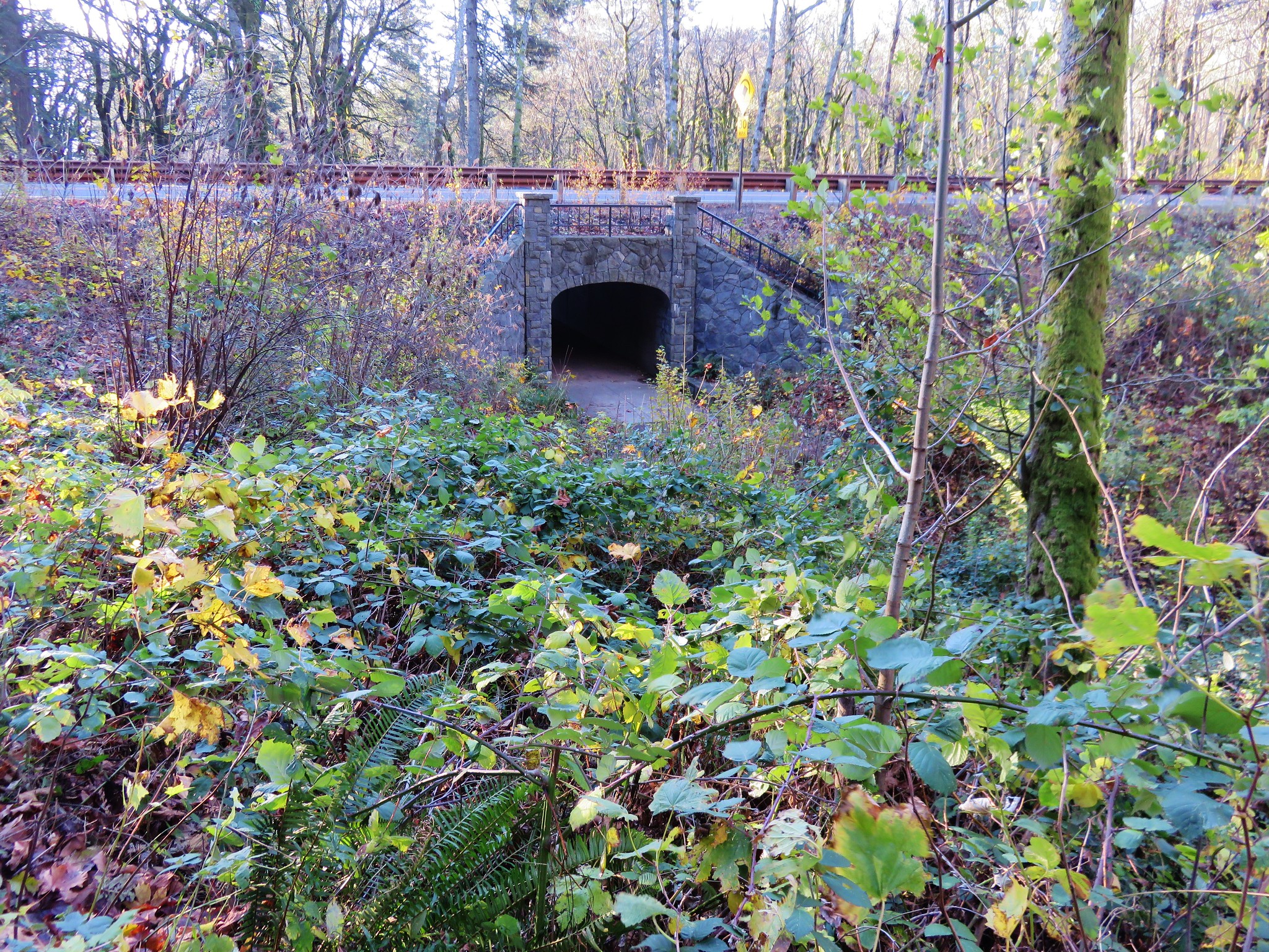
The trail began to descend after the Nancy Russell Overlook switchbacking and passing yet another viewpoint on it’s way down to a tunnel beneath SR 14.
IMG_2661//embedr.flickr.com/assets/client-code.js

IMG_2662//embedr.flickr.com/assets/client-code.js

IMG_2671//embedr.flickr.com/assets/client-code.js

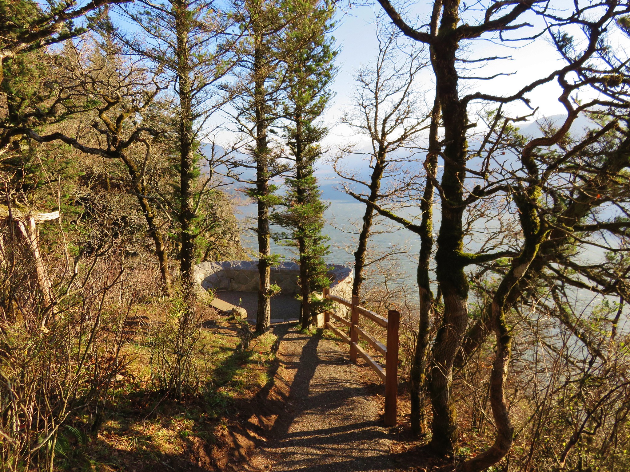
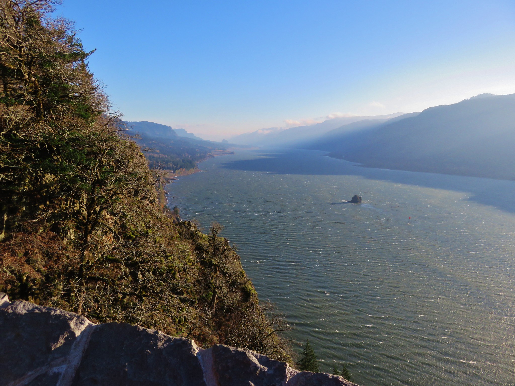
Yet another viewpoint awaited on the other side of the highway.
IMG_2674//embedr.flickr.com/assets/client-code.js

IMG_2675//embedr.flickr.com/assets/client-code.js

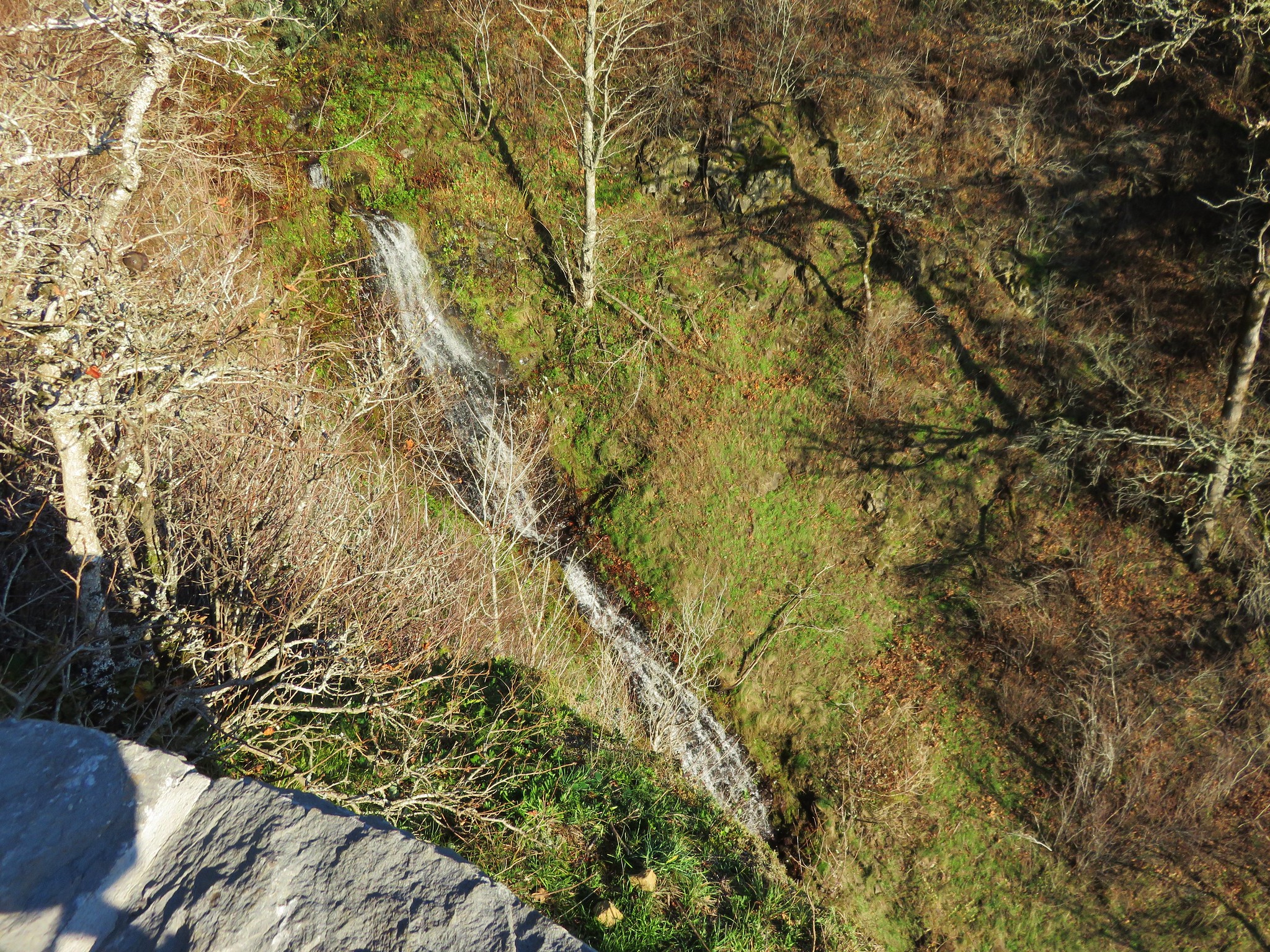
A nice waterfall cascaded down a grassy slope near the viewpoint.
IMG_2678//embedr.flickr.com/assets/client-code.js

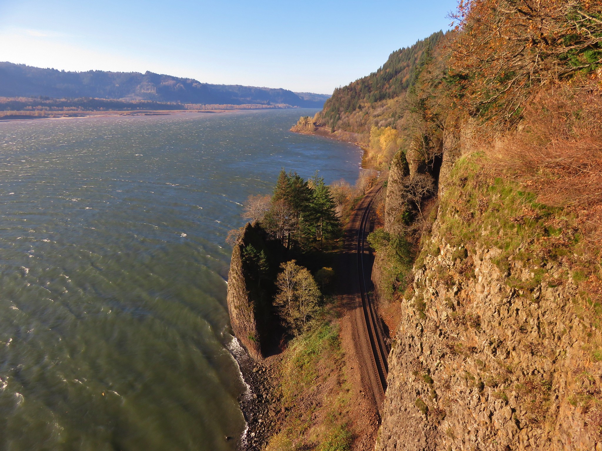
The section that is closed for the Falcons begins shortly after that viewpoint but that wasn’t an issue now so we continued on. After another series of switchbacks the trail began to head back leading us east parallel to the river. The wind was really whipping down closer to the river and we were blasted by it every time there was a break in the trees. We passed an unsigned side trail to the right and momentarily paused wondering where it might go. After continuing on for a minute or so it dawned on us that it had likely led to an overlook of the railroad tracks as they headed into the tunnel beneath Cape Horn. We began looking for the other end of that side trail to rejoin the main trail and spotted it at a set of trail signs. We turned right and headed out to check out this unsigned trail. It led to a series of grassy viewpoints and the view of the railroad tracks as we had suspected.
IMG_2683//embedr.flickr.com/assets/client-code.js

IMG_2685//embedr.flickr.com/assets/client-code.js

Railroad entering the tunnel beneath Cape Horn//embedr.flickr.com/assets/client-code.js

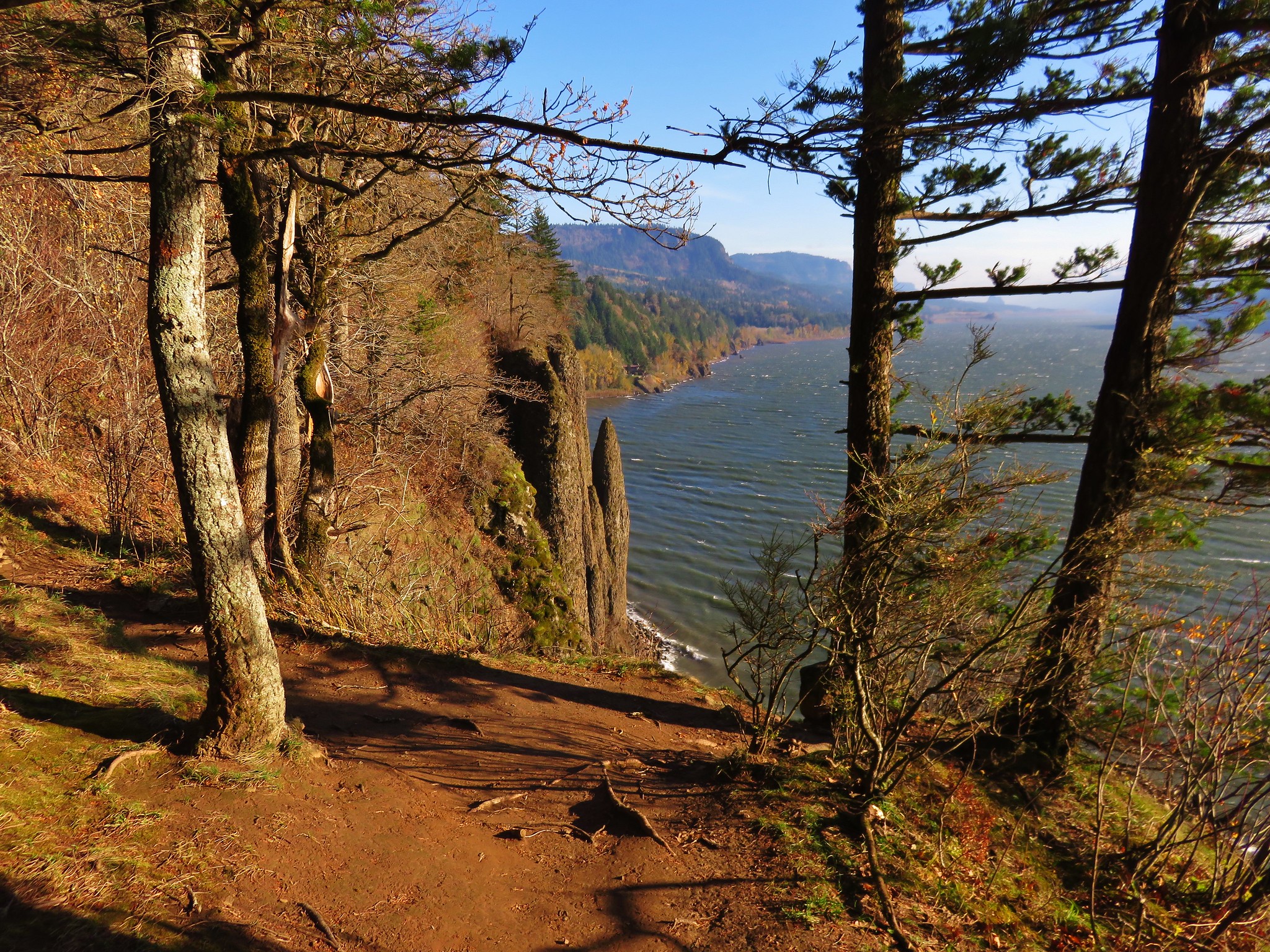
The wind along here was so strong that we struggled to not be pushed around by it. It was a challenge to try and stand in one spot for anytime at all. We followed the side trail all the way back to the unmarked junction we had wondered about earlier and then resumed our hike on the main trail. Another windy viewpoint awaited not far ahead where three unique rock formations where visible. From this spot Cigar Rock, Beacon Rock, and Phoca Rock were all visible.
IMG_2691//embedr.flickr.com/assets/client-code.js

Cigar Rock is the tall column of rock on the left, Beacon Rock is in the distance straight ahead, and Phoca Rock is in the middle of the Columbia to the right.
Cigar, Beacon and Phoca Rocks//embedr.flickr.com/assets/client-code.js

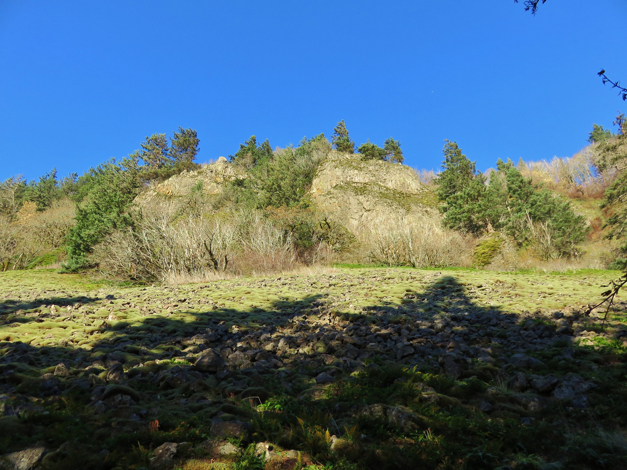
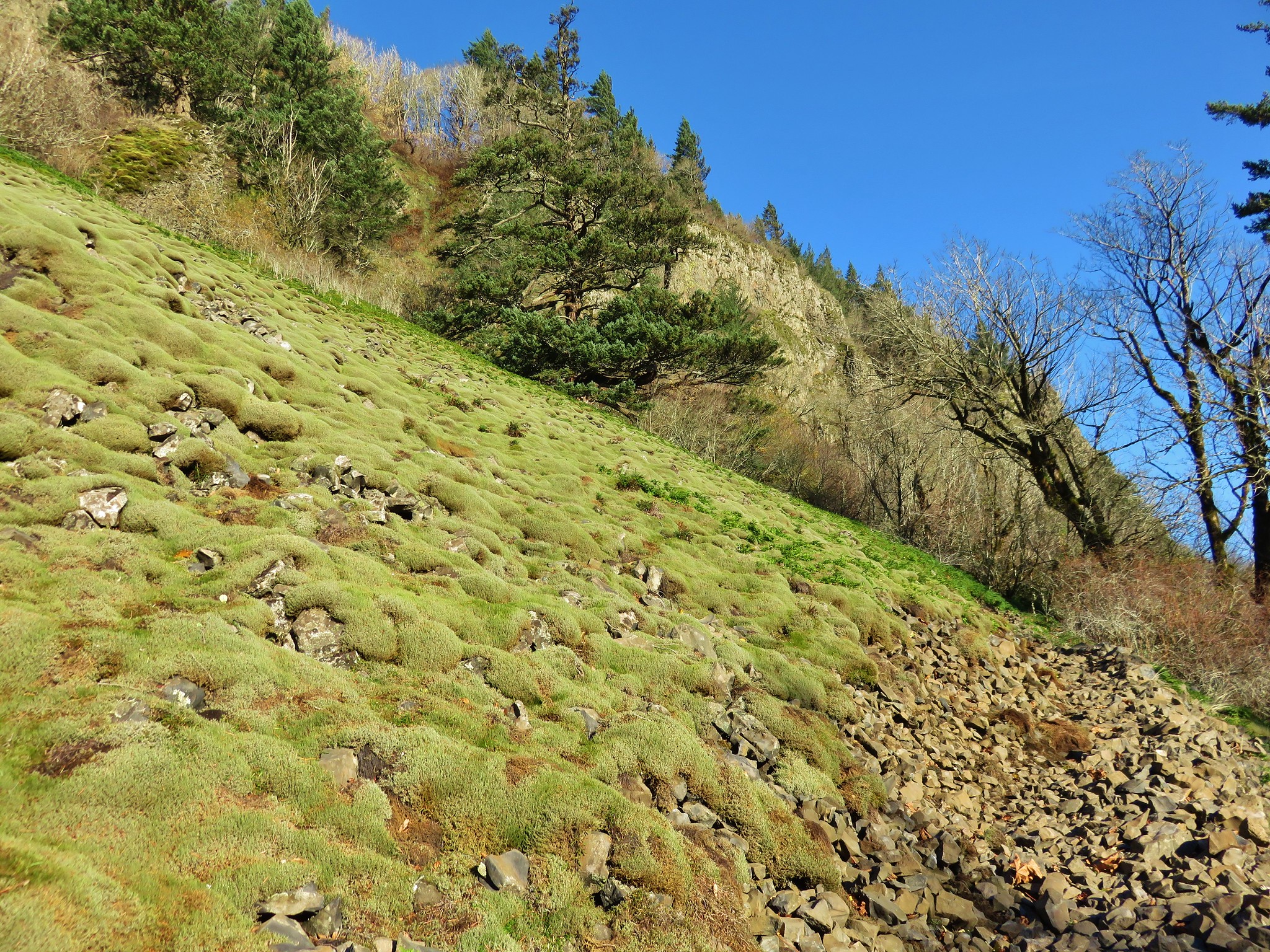
After fighting with the wind attempting to take pictures of the rocks the trail turned uphill passing through an interesting rock field below some cliffs.
IMG_2696//embedr.flickr.com/assets/client-code.js

IMG_2697//embedr.flickr.com/assets/client-code.js

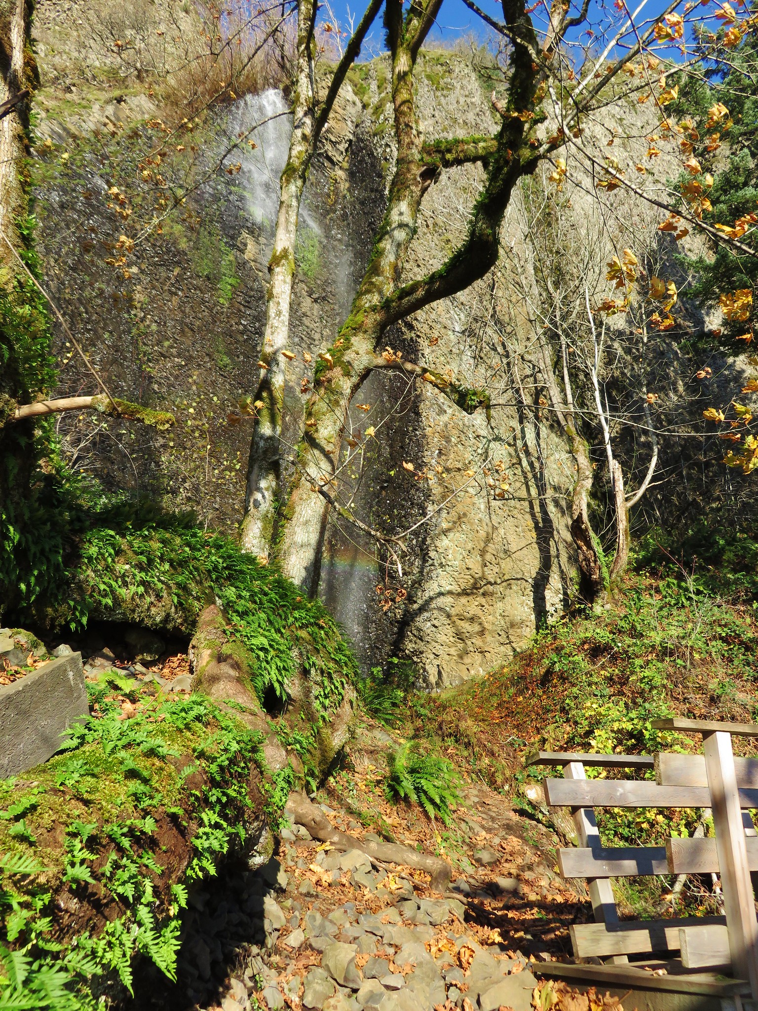
As we crossed the rock field we got our first view of Cape Horn Falls.
Cape Horn Falls//embedr.flickr.com/assets/client-code.js

The falls were a delight. A small rainbow appeared and faded at the base of the falls as wind gusts blew the cascade from side to side. The footbridge below the falls was somewhat protected from the wind allowing us to spend some time watching the water dance in the wind.
Cape Horn Falls//embedr.flickr.com/assets/client-code.js

IMG_2713//embedr.flickr.com/assets/client-code.js

IMG_2718//embedr.flickr.com/assets/client-code.js

Rainbow beneath Cape Horn Falls//embedr.flickr.com/assets/client-code.js

Beyond Cape Horn Falls the trail continues through the trees below the cliffs until it finally drops down to Cape Horn Road.
IMG_2722//embedr.flickr.com/assets/client-code.js

IMG_2728//embedr.flickr.com/assets/client-code.js

The paved road acts as the trail for the next 1 1/4 miles passing farmland below Cape Horn.
Cape Horn from Cape Horn Road on the way back up to the trailhead.//embedr.flickr.com/assets/client-code.js

The trail leaves the road just prior to reaching SR 14 leading to another tunnel and than a short climb to complete the loop.
IMG_2731//embedr.flickr.com/assets/client-code.js

The hike was just what we were hoping for. Not too long (7.3 miles) but packed with views and diverse scenery. Happy Trails!

Flickr: https://www.flickr.com/photos/9319235@N02/albums/72157661488144815

Categories
Hiking Indian Heaven Trip report Washington Washington Cascades

Panther Creek Falls and Indian Heaven Wilderness

**Note the 2017 East Crater Fire burned a portion of this hike.**

What a difference a week makes. On our previous hike to the Olallie Lake Scenic Area we spent our time in a chilly damp fog and then dealt with the occasional rain shower. Our most recent hike to the Indian Heaven Wilderness was the exact opposite with sunny skies and temperatures in the upper 70s. This was a hike that had been pushed back a couple of weeks first due to smoke and next the weather conditions of the previous week.

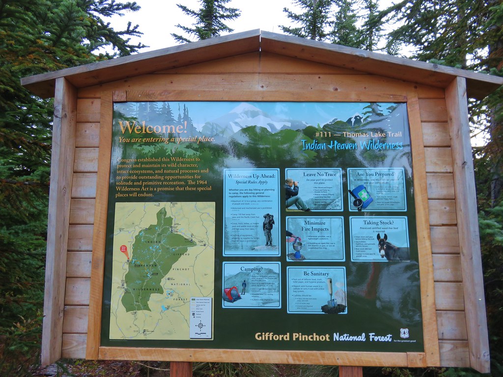
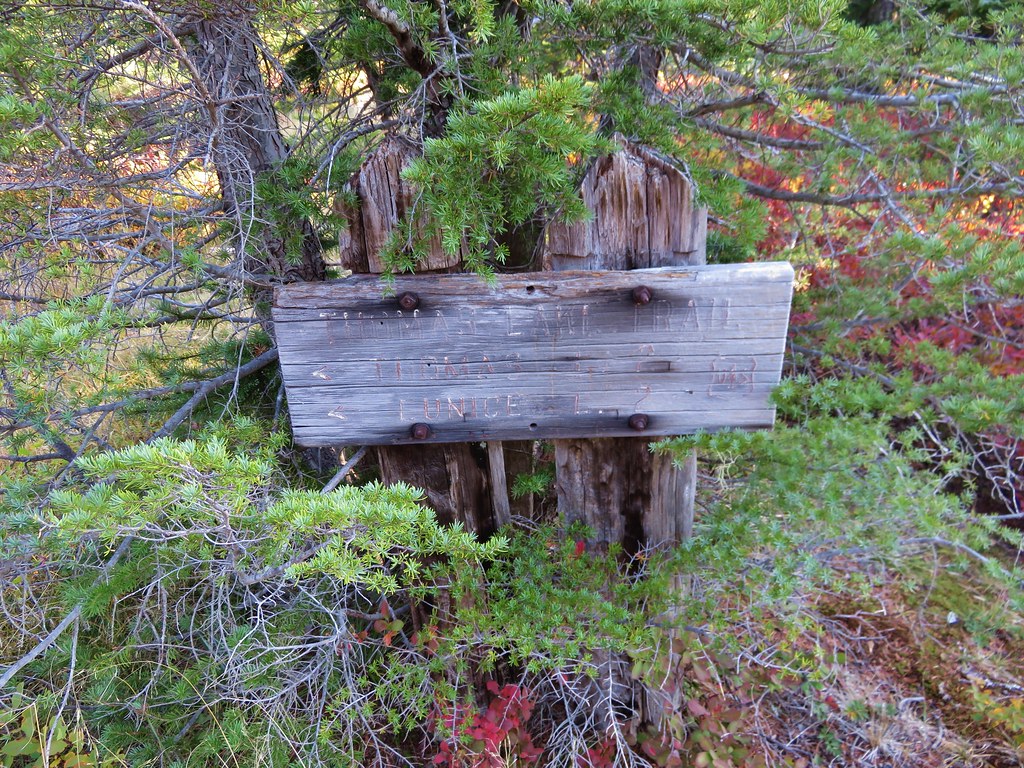
The Indian Heaven Wilderness is located in Washington State southeast of Mt. Adams. http://www.wilderness.net/NWPS/wildView?WID=258 This was our first visit to this particular wilderness and we had chosen the Thomas Lake Trailhead as our starting point. The trailhead is located along Road 65 (Panther Creek Road) approximately 21 miles from the city of Carson, Washington. We planned on taking the Thomas Lake Trail to the Pacific Crest Trail (which runs north-south through the entire wilderness) and then following the PCT north to Junction Lake where we could do a 4 mile loop past several lakes before returning to the car. We also had the option of going off-trail and hiking up Gifford Peak before reaching the PCT.

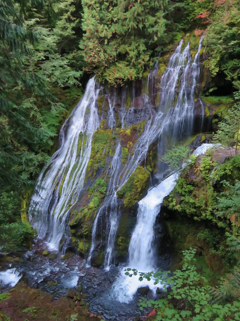
Before we got to any of that though we stopped along Road 65 at the Panther Creek Trailhead to take the short path down to see the falls.
IMG_9085//embedr.flickr.com/assets/client-code.js

IMG_9089//embedr.flickr.com/assets/client-code.js

IMG_9087//embedr.flickr.com/assets/client-code.js

After checking out the falls we continued on to the Thomas Lake Trailhead.
IMG_9091//embedr.flickr.com/assets/client-code.js

The parking area was nearly full at 7:30am which told us we’d be seeing plenty of other people on this hike as we set off on the trail.
IMG_9093//embedr.flickr.com/assets/client-code.js

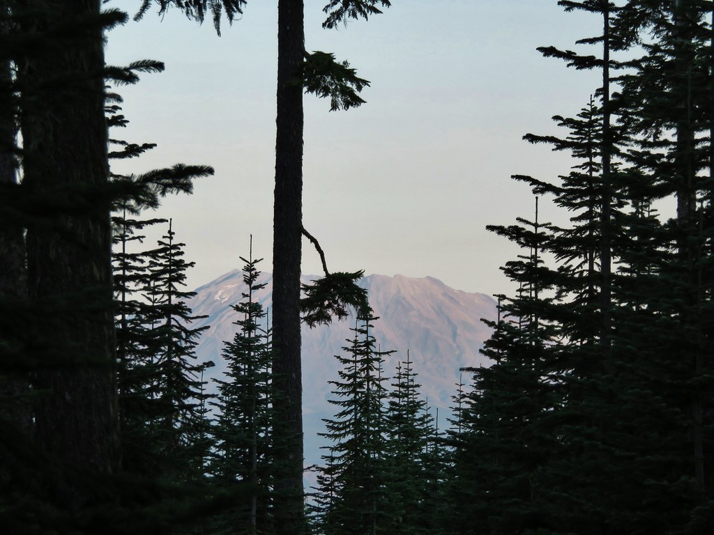
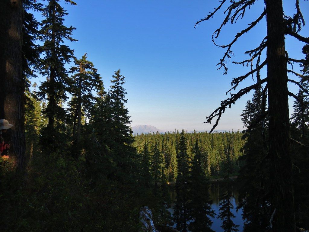
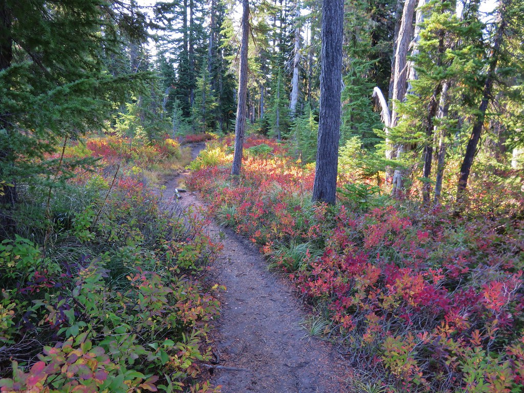
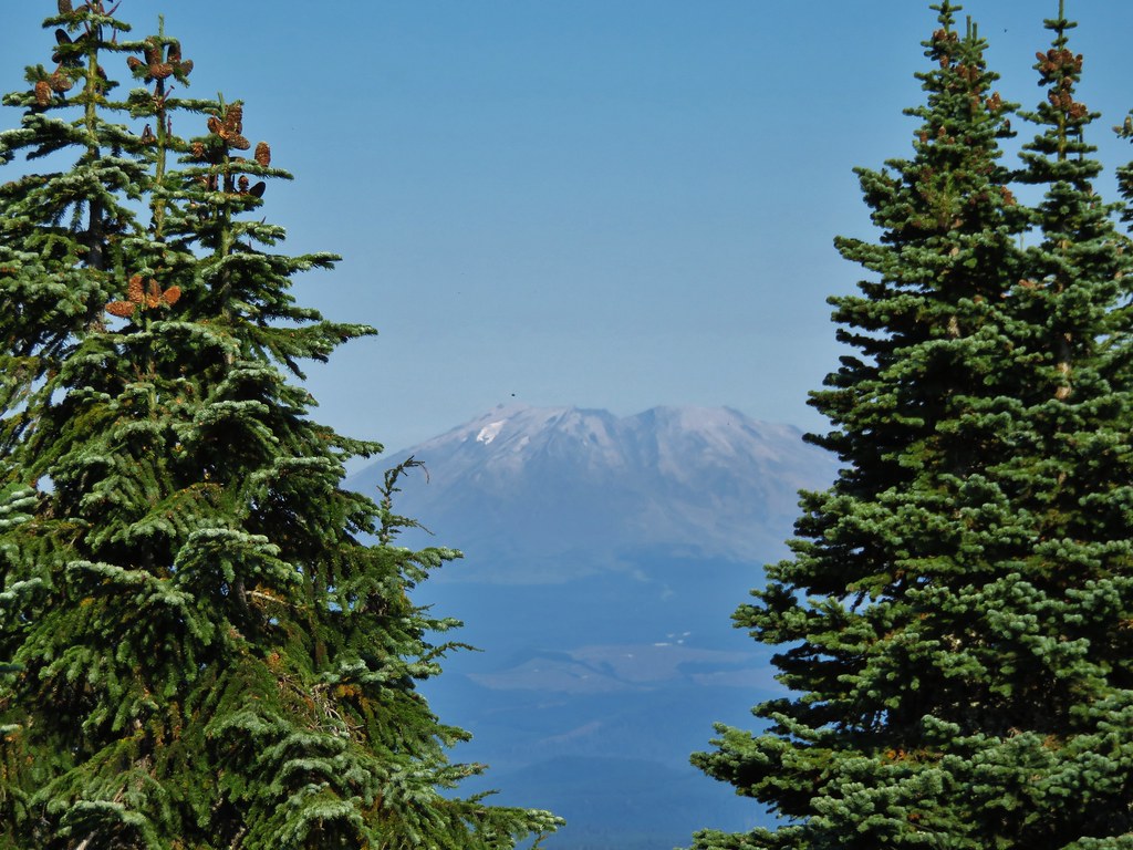
There were occasional views of Mt. St. Helens as we followed the trail up through the huckleberry filled forest toward Thomas Lake.
IMG_9095//embedr.flickr.com/assets/client-code.js

IMG_9098//embedr.flickr.com/assets/client-code.js

IMG_9099//embedr.flickr.com/assets/client-code.js

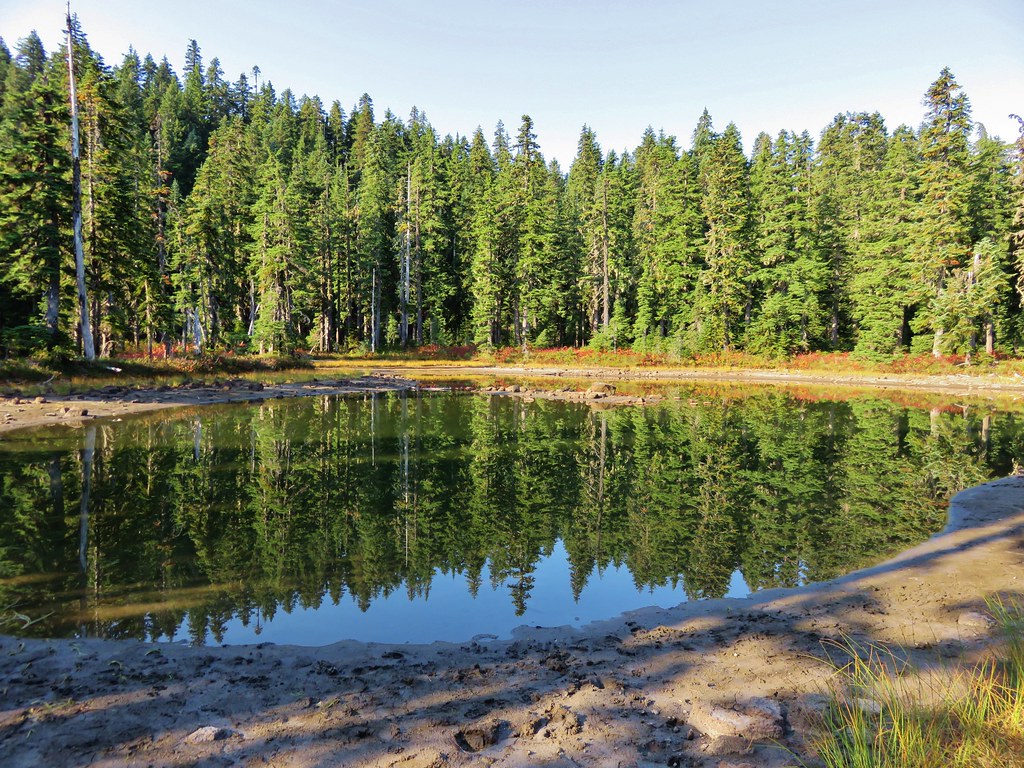
We reached the first set of lakes after a half mile.
Thomas Lake
IMG_9102//embedr.flickr.com/assets/client-code.js

Dee Lake
IMG_9104//embedr.flickr.com/assets/client-code.js

Heather Lake
IMG_9107//embedr.flickr.com/assets/client-code.js

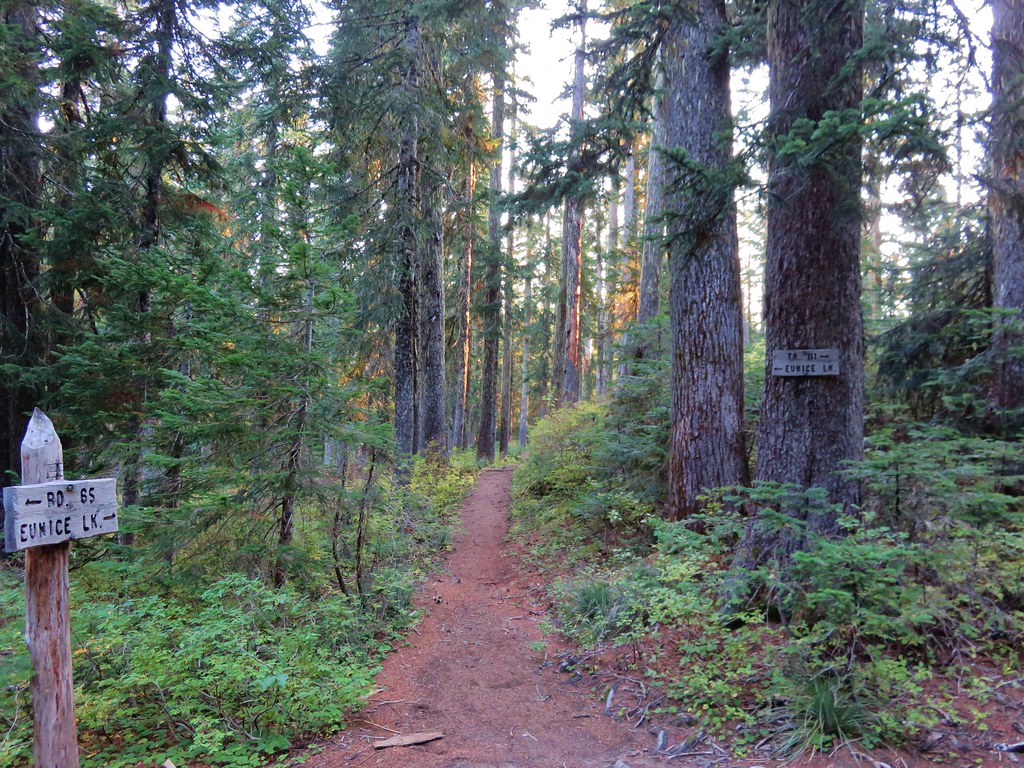
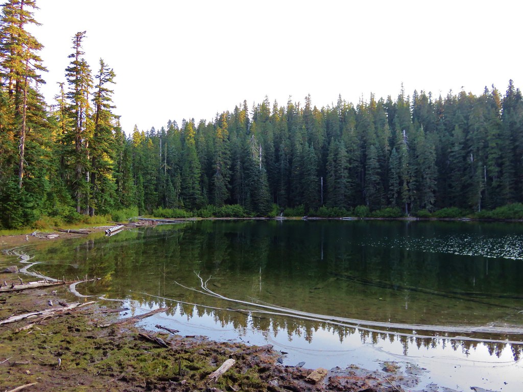
Just past the first three lakes was a trail junction with a short path to Eunice Lake.
IMG_9109//embedr.flickr.com/assets/client-code.js

IMG_9112//embedr.flickr.com/assets/client-code.js

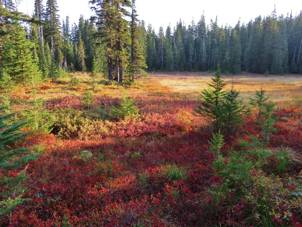
After visiting Eunice Lake we returned to the Thomas Lake Trail which climbed steeply up above those lakes before leveling out through meadows ablaze with red huckleberry leaves.
IMG_9117//embedr.flickr.com/assets/client-code.js

IMG_9124//embedr.flickr.com/assets/client-code.js

IMG_9126//embedr.flickr.com/assets/client-code.js

IMG_9139//embedr.flickr.com/assets/client-code.js

IMG_9140//embedr.flickr.com/assets/client-code.js

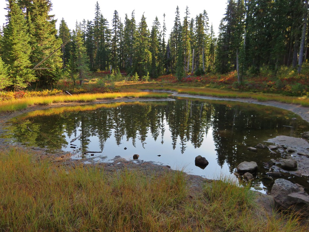
More lakes and ponds awaited along this stretch of trail.
Brader Lake
IMG_9129//embedr.flickr.com/assets/client-code.js

IMG_9132//embedr.flickr.com/assets/client-code.js

Unnamed lake/pond
IMG_9133//embedr.flickr.com/assets/client-code.js

Naha Lake
IMG_9136//embedr.flickr.com/assets/client-code.js

About two miles from the trailhead the trail took a sharp right at a trail sign.
IMG_9141//embedr.flickr.com/assets/client-code.js

There were a few more trees along this section of trail but also still plenty of berry bushes and lakes/ponds.
IMG_9143//embedr.flickr.com/assets/client-code.js

IMG_9148//embedr.flickr.com/assets/client-code.js

IMG_9153//embedr.flickr.com/assets/client-code.js

After about a mile when the trail crossed a small creek we needed to decide if we were going to try the 0.8 mile climb of Gifford Peak. We were below a rocky outcropping but it appeared that we could sidehill up steeply to a saddle where we hopped to pick up the ridge and follow it to the top.
IMG_9197//embedr.flickr.com/assets/client-code.js

With the help of the topographic map loaded on the GPS unit we gained the ridge and found a path that was fairly easy to follow.
IMG_9156//embedr.flickr.com/assets/client-code.js

The first section up to the saddle proved to be the steepest and the rest of the climb was more gradual. Openings near the summit offered views of Mt. Hood, Mt. St. Helens, and Mt. Rainier.
Mt. Hood
IMG_9160//embedr.flickr.com/assets/client-code.js

IMG_9162//embedr.flickr.com/assets/client-code.js

Mt. St. Helens
IMG_9163//embedr.flickr.com/assets/client-code.js

IMG_9164//embedr.flickr.com/assets/client-code.js

Mt. Rainier
IMG_9168//embedr.flickr.com/assets/client-code.js

IMG_9169//embedr.flickr.com/assets/client-code.js

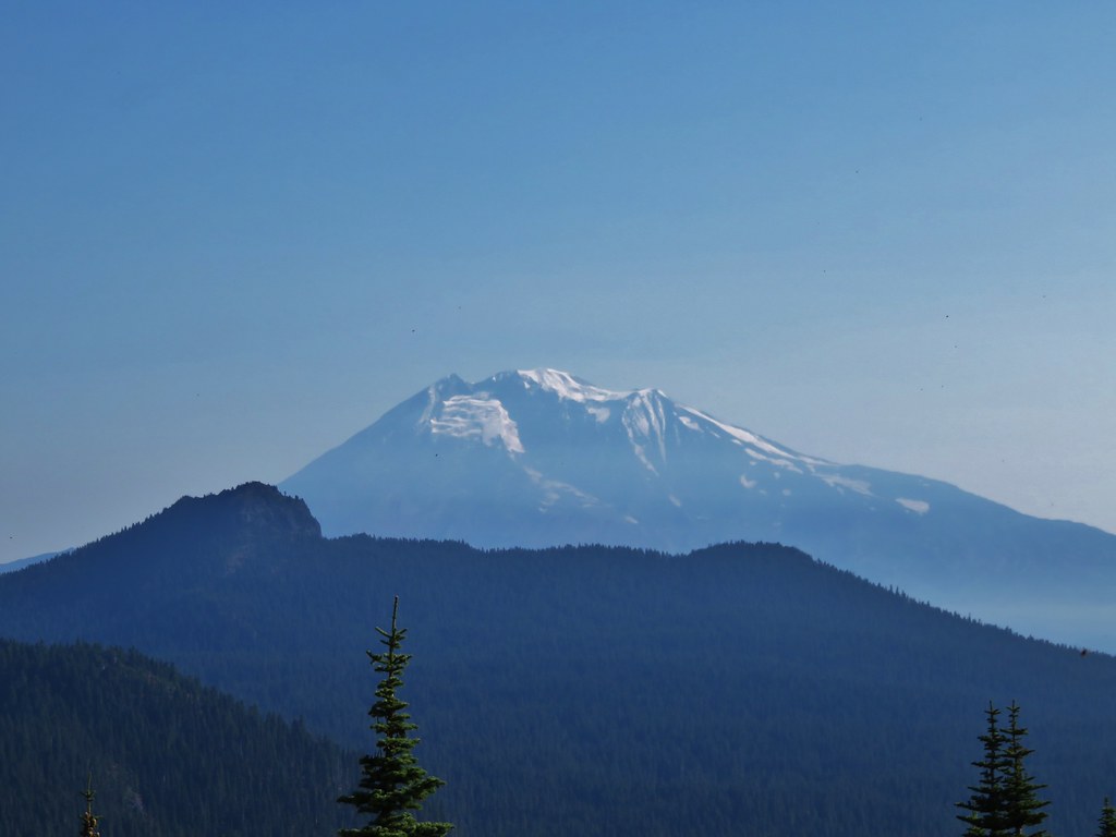
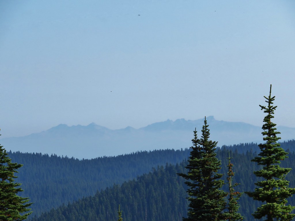
It wasn’t exactly the clearest of skies as there seemed to be a haze in every direction. Whether it was smoke from fires or just due to the heat/humidity in the area we weren’t sure but it was still a nice view. We reached the summit to find a small summit register and a view of Mt. Adams and Goat Rocks.
Mt. Adams
IMG_9175//embedr.flickr.com/assets/client-code.js

IMG_9176//embedr.flickr.com/assets/client-code.js

Goat Rocks
IMG_9183//embedr.flickr.com/assets/client-code.js

After making our way back down to the trail we continued on passing Lake Sahalie Tyee before reaching the impressive Blue Lake below Gifford Peak.
Lake Sahalie Tyee
IMG_9201//embedr.flickr.com/assets/client-code.js

Blue Lake
IMG_9205//embedr.flickr.com/assets/client-code.js

IMG_9207//embedr.flickr.com/assets/client-code.js

We arrived at the PCT at the far end of Blue Lake.
IMG_9210//embedr.flickr.com/assets/client-code.js

We turned left and headed north toward Junction Lake which was 2 miles away. At Junction Lake we took the Lemi Lake Trail to start our loop.
IMG_9226//embedr.flickr.com/assets/client-code.js

Some of the best fall colors were in the meadows between Junction Lake and Lemi Lake.
IMG_9231//embedr.flickr.com/assets/client-code.js

IMG_9232//embedr.flickr.com/assets/client-code.js

IMG_9234//embedr.flickr.com/assets/client-code.js

IMG_9242//embedr.flickr.com/assets/client-code.js

IMG_9244//embedr.flickr.com/assets/client-code.js

As we reached Lemi Lake we were discussing the differences in the lakes on this hike verses in the Olallie Lake area and one of the things we’d noticed was that we hadn’t seen any ducks on this hike. Just as we were discussing that we noticed a lone duck floating on Lemi Lake.
IMG_9254//embedr.flickr.com/assets/client-code.js

IMG_9253//embedr.flickr.com/assets/client-code.js

The Lemi Lake Trail ended just over 2 miles from Junction Lake at the Indian Heaven Trail.
IMG_9261//embedr.flickr.com/assets/client-code.js

We turned left continuing on our loop and passing above the busy Clear Lake.
IMG_9263//embedr.flickr.com/assets/client-code.js

We arrived back at the PCT after just .3 miles and took another left passing Deer Lake and more ducks.
IMG_9265//embedr.flickr.com/assets/client-code.js

IMG_9269//embedr.flickr.com/assets/client-code.js

IMG_9268//embedr.flickr.com/assets/client-code.js

Not far from Deer Lake was Bear Lake where we decided to rest for a bit and have a snack. Bear Lake rivaled Blue Lake with it’s impressive colors.
IMG_9270//embedr.flickr.com/assets/client-code.js

IMG_9275//embedr.flickr.com/assets/client-code.js

When we had completed our loop and returned to Junction Lake we decided to take a shortcut back by following an old abandoned trail to the Thomas Lake Trail near Rock Lakes.
IMG_9277//embedr.flickr.com/assets/client-code.js

This abandoned trail was still easy to follow and passed through even more scenic meadows and past additional ponds.
IMG_9278//embedr.flickr.com/assets/client-code.js

IMG_9285//embedr.flickr.com/assets/client-code.js

IMG_9288//embedr.flickr.com/assets/client-code.js

IMG_9291//embedr.flickr.com/assets/client-code.js

After 1.7 miles we arrived at Rock Lakes.
IMG_9296//embedr.flickr.com/assets/client-code.js

IMG_9297//embedr.flickr.com/assets/client-code.js

IMG_9298//embedr.flickr.com/assets/client-code.js

We picked up the Thomas Lake Trail at the sign where we had taken the sharp right earlier that day. From there it was just over 2 miles back down to the trailhead.
IMG_9299//embedr.flickr.com/assets/client-code.js

The total distance of the hike was 14.9 miles in the wilderness plus .3 miles at Panther Creek Falls which made for a nice full day. It was a great first visit to the wilderness and we look forward to going back to check out some of the other trails in the area. Happy Trails!

Flickr: https://www.flickr.com/photos/9319235@N02/albums/72157658130857169

Categories
Hiking Mt. Rainier Trip report Washington Washington Cascades

Mt. Rainier National Park – Northern Loop Trail Day 4

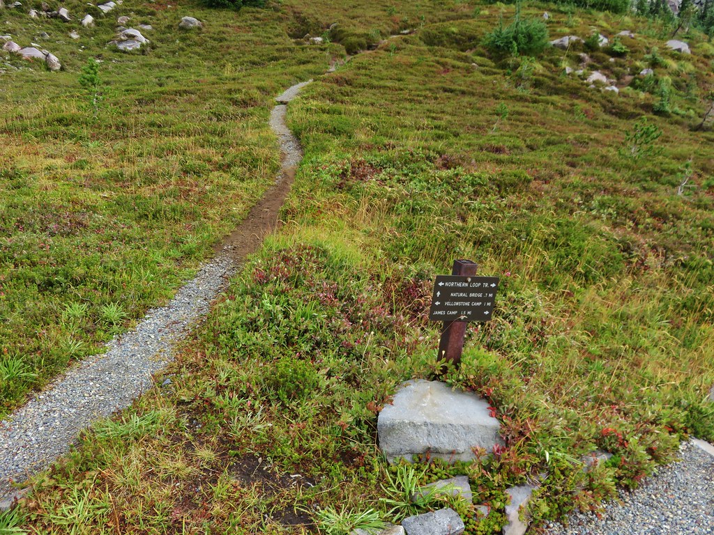
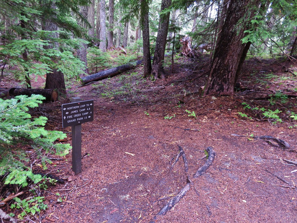
I had another night of poor sleep as my stomach decided to mutiny shortly after 11pm so I was happy to finally see the sky begin to lighten in the morning. After having breakfast and packing up we left Fire Creek Camp and climbed back up to the Northern Loop Trail.
IMG_8272

We had over 2000 feet of elevation gain ahead of us again today but we were feeling surprisingly good as we set off. We were tired but at the same time we both felt like we could do this for at least a few more days. It was encouraging since someday we’d like to do a long trip when we have the time.

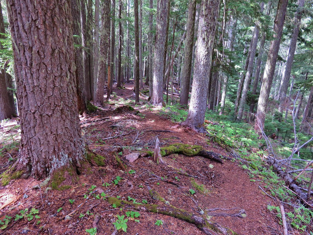
We had just over a mile and a half climb to reach Grand Park. Along the way we a couple of viewpoints offered great views of Mt. Rainier.
IMG_8274

IMG_8285

IMG_8289

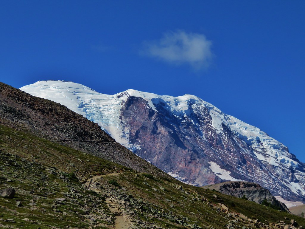
Grand Park lived up to its name. Despite the dry weather it was still an impressive sight and the views of Mt. Rainier were spectacular.
IMG_8316

IMG_8329

IMG_8340

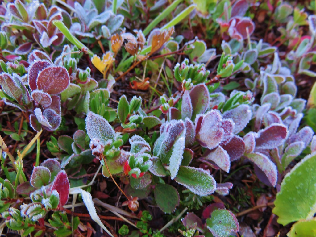
As we were passing through one of the smaller meadows we noticed that there was frost on some of the plants. It was funny how excited we got seeing the frost. It has been such a hot and dry year that the sight of the frost was a welcome sight.
IMG_8305

After leaving Grand Park the trail headed down a ridge.
IMG_8371

We had been able to see the trail far up the valley climbing out of Berkeley Park and here we were heading downhill.
IMG_8298

IMG_8299

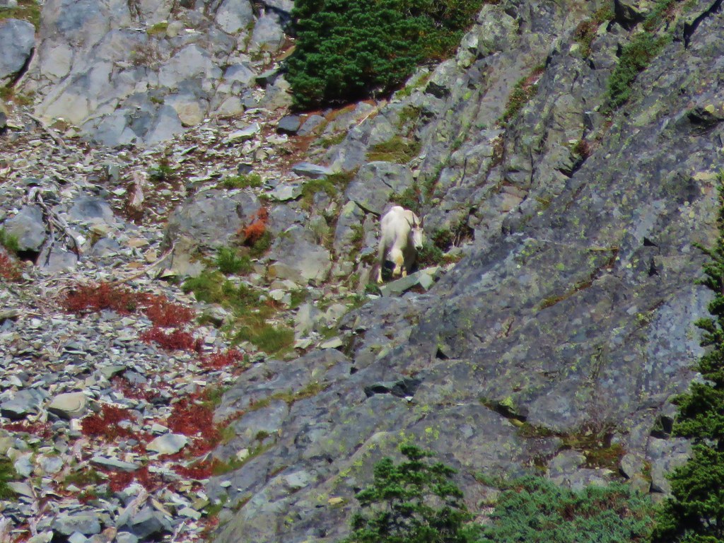
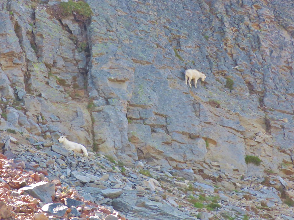
The trail eventually stopped dropping and began climbing again below Mt. Freemont. Lodi Creek was on the opposite side of the trail between Mt. Freemont and Skyscraper Mountain. We passed through several small meadows with views of Skyscraper Mountain where we spotted a mountain goat.
IMG_8401

IMG_8372

IMG_8388

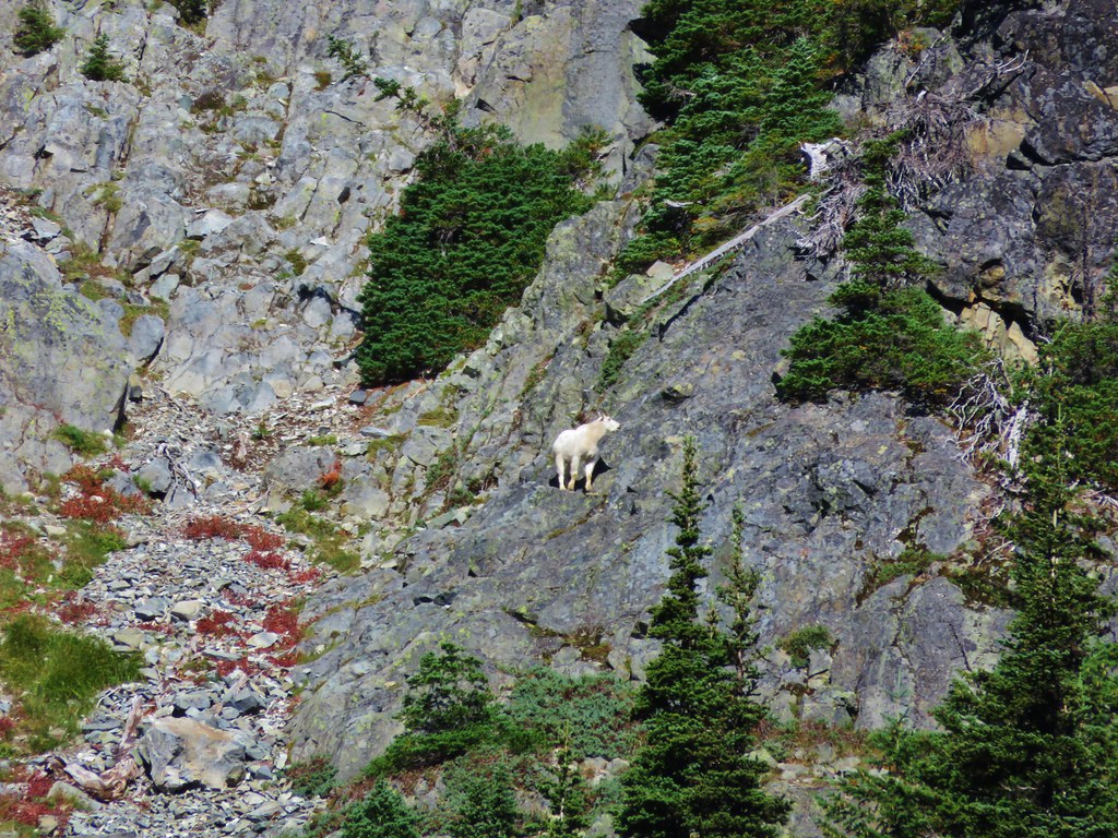
We spotted a second mountain goat on the cliffs of the mountain a little further along the trail.
IMG_8407

IMG_8421

IMG_8424

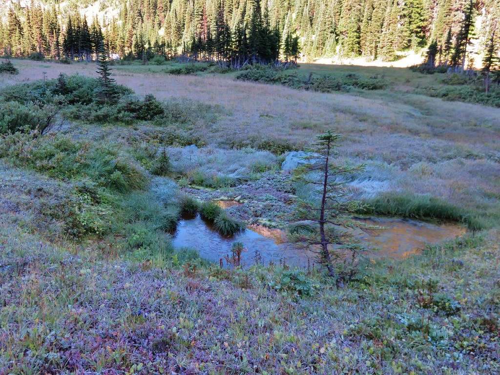
As we passed Berkeley Park Camp we found more frost covered plants and even saw a small pool with a thin layer of ice.
IMG_8427

IMG_8428

IMG_8430

The trail continued to climb up the valley along the increasingly scenic Lodi Creek. We popped out of the shadow of Mt. Freemont into sunlight filled meadows and quickly warmed up.
IMG_8435

IMG_8438

IMG_8446

IMG_8454

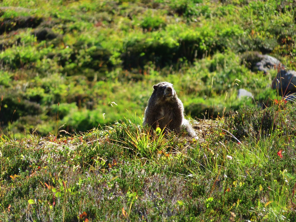
As we neared the top of the valley we spotted a pair of marmots on the hillside. They were hilarious to watch especially when one of them plopped itself down on a rock and spread out its legs.
IMG_8469

IMG_8476

IMG_8478

IMG_8482

IMG_8483

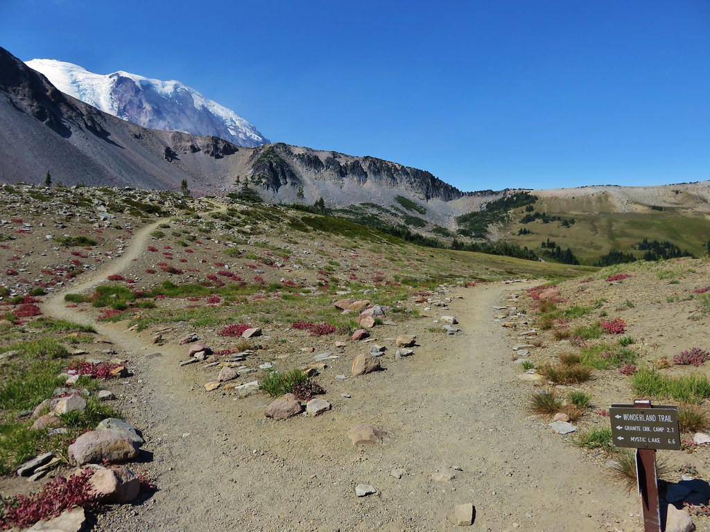
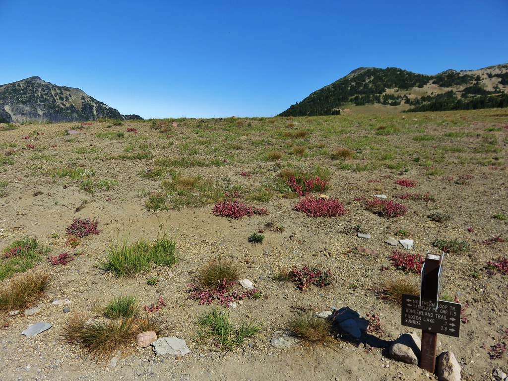
When we arrived at the Wonderland Trail I realized that I had forgotten that there would still be more climbing to do. I had been thinking we would be heading downhill from that point on and was disappointed when I realized my mistake. The .7 mile climb to Frozen Lake was probably the hardest for me because I had planned on coasting downhill at that point, but once we had reached the lake I was over my mistake and back to enjoying the scenery.
IMG_8498

IMG_8504

IMG_8506

Near the lake I happened to say the word “goat” and two girls nearby freaked out. They thought I had spotted one and they really wanted to see one. They were disappointed to learn that I hadn’t really seen one and even more disappointed to learn that we had seen two on Skyscraper Mountain from Berkeley Park because that was where they had come from. We left them by the lake and turned up the Sourdough Ridge Trial. Shortly after doing so we did spot another goat. Three to be exact, a nannie and two kids.
IMG_8511

We looked back to see if they were following but they hadn’t come around the bend yet. Heather considered running back to tell them about the goats but there was no guarantee that she could reach them before the goats disappeared.

We stopped a couple of times along the trail to take in the view to the north. This was the furthest north we’d been while hiking and were seeing Cascade peaks that we had never seen before including the snowy Glacier Peak.
IMG_8529

IMG_8534

IMG_8526

After getting some pictures of the new mountains we began our final descent. The trail was full of hikers huffing uphill from Sunrise. We couldn’t believe how many people there were and we were becoming anxious to reach the car, get cleaned up, and escape the crowds. It was such a stark contrast to the peacefulness of the Northern Loop Trail.
IMG_8531

IMG_8532

We dropped our packs off at the car and then stepped into the snack bar to get a cold drink and a souvenir. We had discussed chocolate milk on the trail after some muddy water had reminded us of the drink and it had sounded really good. We wound up leaving the snack bar with the most expensive chocolate milk we’ve ever had. Mine was gone before we even got back to the car.

I don’t know when we’ll get back up to Mt. Rainier but I have a feeling we haven’t seen the last of that National Park. Happy Trails!

Flickr: https://www.flickr.com/photos/9319235@N02/albums/72157655104282083

Categories
Hiking Mt. Rainier Trip report Washington Washington Cascades

Mt. Rainier National Park – Northern Loop Day 3

Day 3 started with the sound of water dropping onto the rainfly for our tent. We guessed by the sound that the rain had finally relented and what we were hearing was the water falling from the surrounding trees. We had managed to stay relatively dry inside the tent save for a small amount of condensation that had built up during the night. I ventured out to use the toilet and retrieve our bear bag and discovered we had guessed right. We decided to have a bar for breakfast instead of trying to cook under the dripping trees and then began packing up. There was another couple at camp who had arrived after the rain had started. We learned that they had gotten pretty soaked and it sounded like it had been a pretty miserable night.

We got our first good look at Yellowstone Cliffs as we headed back toward the Northern Loop Trail.
IMG_8087

IMG_8089

The clouds were breaking up and it looked like it might be a pretty nice day. The forecast had called for a slight chance of showers in the morning followed by a mostly sunny afternoon. We were treated to more great views as we passed through the meadows below the cliffs.
IMG_8099

IMG_8102

IMG_8105

IMG_8107

IMG_8109

IMG_8122

IMG_8123

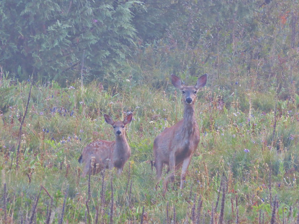
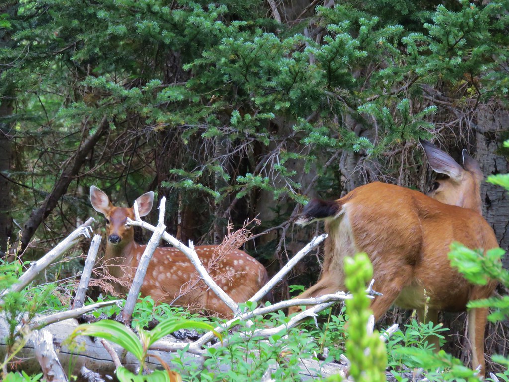
As we neared the end of the meadows we noticed a doe and fawn staring down at us. A third deer briefly appeared further up the hillside before disappearing back into the trees.
IMG_8130

As we climbed higher Mt. Rainier began to peak out from behind Crescent Mountain. The summit of the mountain was a pristine white having been coated in a fresh layer of snow overnight.
IMG_8131

IMG_8132

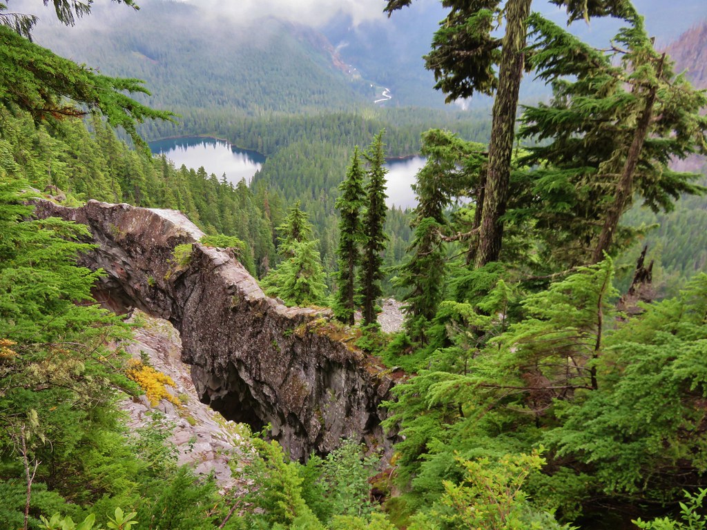
We had been climbing gradually toward Windy Gap where we planned on taking a .7 mile side trail to visit Natural Bridge, a rock arch high above Lakes Ethel & James. The scenery along this section of the trail was magnificent even without the flowers being in bloom.
IMG_8146

IMG_8140

IMG_8152

IMG_8160

IMG_8164

We took the trail toward Natural Bridge which wrapped around an unnamed butte before descending to a viewpoint of the arch. The view included both Lake James and Lake Ethel as well as the West Fork White River which we would be crossing later in the day.
IMG_8171

IMG_8185

After returning to the junction at Windy Gap we began descending down the Northern Loop Trail to Van Horn Creek which feeds into Lake James. The alpine meadows gave way to a beautiful forest as we neared the lake.
IMG_8201

IMG_8194

IMG_8204

IMG_8206

IMG_8210

We headed for Lake James to cook our breakfast which had now become brunch.
IMG_8212

IMG_8213

It was a little chilly at the lake but it was also very peaceful. The area is notorious for mosquitoes but we didn’t see any signs of them as we enjoyed our Mountain House Biscuits and Gravy.
IMG_8218

After breakfast we sallied forth dropping from the lake and passing beneath the fireweed covered Redstone Peak.
IMG_8227

IMG_8228

We were in a lush forest with mushrooms and birds.
IMG_8233

IMG_8231

IMG_8237

IMG_8245

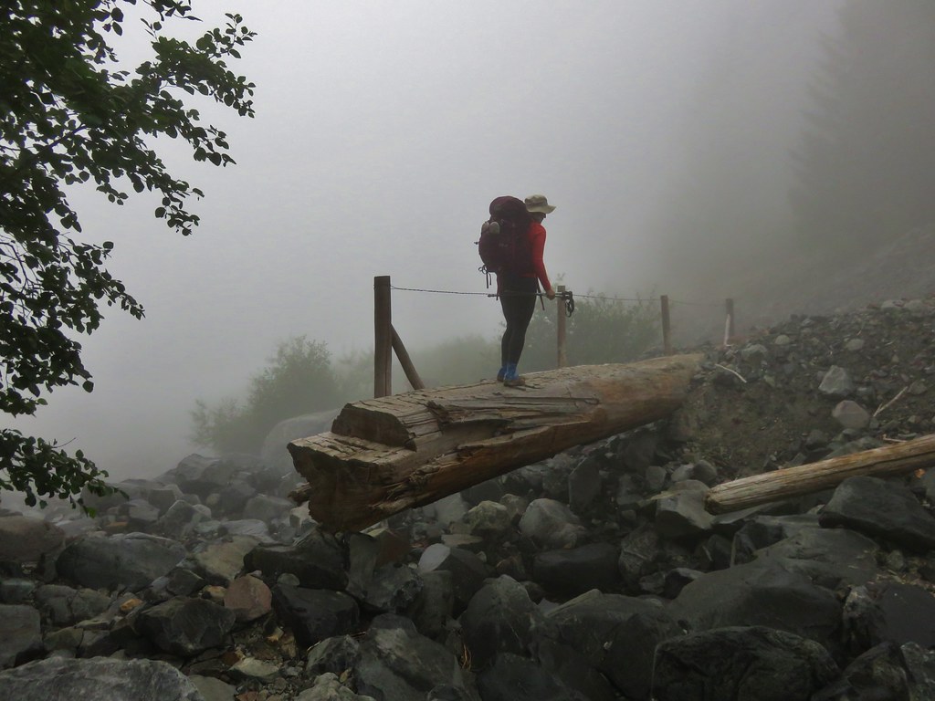
We were heading for the crossing of the West Fork White River. The footbridge over the river had been washed out and we would be crossing on a log that was acting as the temporary bridge.
We had met a couple of ladies who were hiking the Northern Loop in the opposite direction and they told us they had chosen to scoot across the log instead of walking across it. That had been my plan as well having once done that to get across the Muddy Fork River on Mt. Hood. When we arrived at the log I briefly reconsidered and started to walk across but quickly reverted to the original plan as soon as I looked down at the muddy water.
IMG_8239

IMG_8240

Heather scooted across after me and we were ready to continue. Looking back across the river we got a glimpse of the lowest portion of Van Horn Falls. Like Garda Falls on the first day the only decent view was from across the river. Looking at the falls on Google Earth it’s clear that there is much more to it than is visible from the trail but it was still a pretty waterfall.
IMG_8246

IMG_8247

We met another pair of hikers shortly after crossing the river. They had come up the primitive West Fork Trail and asked us what animals we’d seen so far. We told them about the mountain goats and deer as well as the pikas, marmots, and chipmunks. The asked about any elk or bears and we said we hadn’t seen either of those yet. We took our leave and continued on passing the junction with the West Fork Trail.
IMG_8258

Not long after passing the West Fork Trail junction something off to my left caught my attention. I turned just in time to see a large black bear emerge from some huckleberry bushes and race off into the forest. He had only been about 20 yards away and when his paws hit the ground they made a loud thumping noise. He was only visible for a matter of seconds and Heather had missed seeing it. It was amazing how quickly something that big could disappear into the forest.

We had another big climb ahead of us to reach our next camp. Fire Creek Camp was located in a quiet valley part way along the trail up to Grand Park.
IMG_8260

IMG_8263

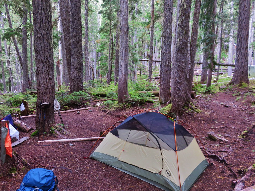
We took the .4 mile trail down to the quiet camp which was the most private of all the camps we’d seen thus far. A small stream draining from Grand Park above supplied a water source. We chose site #2 partly because we had chosen site #2 at both of our previous camps as well but it was also the nicest of the spots here.
IMG_8266

IMG_8267

We set up our tent and spread out anything that was still damp from the day before to dry.
IMG_8269

It was a chilly evening and we wound up using our rain gear as a windproof layer to keep us warm. It was certainly a more peaceful evening than the rain filled one the day before. It had been a great trip so far and we were eagerly anticipating what the final day would have in store for us as we turned in for the night. Happy Trails!

Flickr: https://www.flickr.com/photos/9319235@N02/albums/72157657420370715

Categories
Hiking Mt. Rainier Trip report Washington Washington Cascades

Mt. Rainier National Park – Northern Loop Day 2

The possible thunderstorms forecast for our first night had never really materialized. We heard a few rumbles in the distance but nothing had seemed close and we didn’t experience any rain overnight. The sky was a little cloudy as we packed up our tent but they seemed to be breaking up. We stopped at Mystic Lake to eat breakfast and enjoy the beautiful morning that was developing around us.
IMG_7883

IMG_7888

IMG_7889

IMG_7893

IMG_7900

From Mystic Lake the Wonderland Trail climbed through gentian filled meadows to a saddle between the mountain and Old Desolate.
IMG_7901

IMG_7911

IMG_7910

IMG_7924

IMG_7936

We were hiking with the animals this morning passing birds, frogs, chipmunks, and an owl who silently flew over our heads and down into a lower meadow.
IMG_7945

IMG_7895

The owl flying low over the meadow just before disappearing down the hillside.
IMG_7948

Mt. Rainier was visible beneath the ever shifting clouds as we crested the saddle. The Carbon Glacier filled the valley before us and beyond that was Echo Cliffs and Mother Mountain.
IMG_7960

Further down the glacial valley a mass of clouds covered the terrain. We were heading down toward those clouds and we remembered the rain that had been in the forecast for the day.
IMG_7959

We followed the trail down to the meadows surrounding Moraine Creek. Along the way we spotted several pikas and had great views of a huge waterfall below Observation and Echo Rocks.
IMG_7963

IMG_7991

IMG_7999

IMG_7978

IMG_7969

As we continued along Moraine Creek we entered the clouds.
IMG_7995

IMG_8036

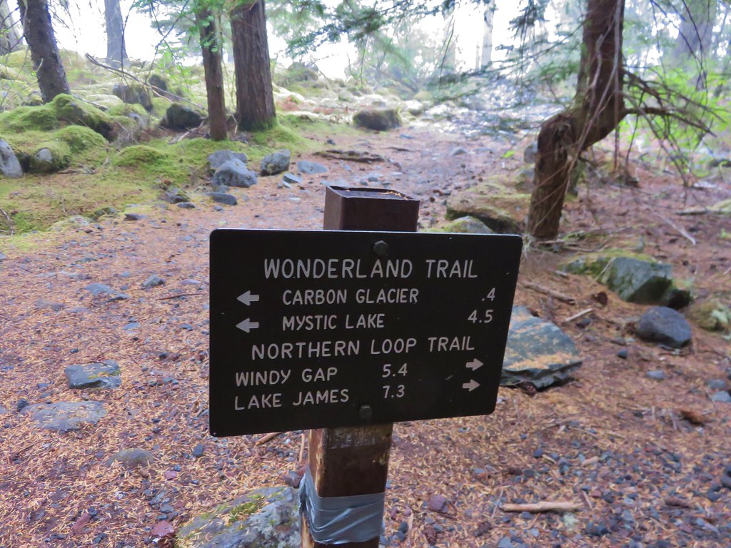
About four and a half miles from Mystic Lake we came to the junction where the Northern Loop Trail split from the Wonderland Trail. The Wonderland Trail crossed the Carbon River on a suspension bridge while the Northern Loop Trail continued to follow the river down the valley. We took a short break here and took a peek at the bridge.
IMG_8054

IMG_8055
IMG_8058

We continued on the Northern Loop Trail for another mile passing through a damp forest to another trail junction.
IMG_8059

IMG_8061

IMG_8072

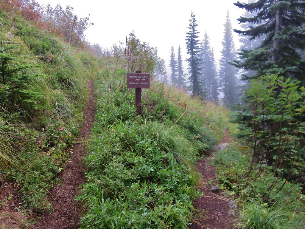
This junction was located near the lowest elevation point of our whole trip. From the junction the Northern Loop Trail turned uphill for a steep climb to Yellowstone Cliffs. We would be gaining some 2200′ in less than 3 miles to reach the spur trail to Yellowstone Cliffs Camp where we were to camp for the night. The park ranger who had given me our permits said the climb consisted of 38 switchbacks so we began counting them as we climbed. As we trudged up the hillside we were thankful for the clouds since they were keeping the temperature down. We were pleasantly surprised when we ended the switchbacks after about two dozen, well short of the 38 we had expected.
IMG_8073

Heather coming up the switchbacks.
IMG_8074

The trail became less steep after the swtichbacks before entering the meadows below Yellowstone Cliffs. The cliffs were shrouded in clouds as we started down the spur trail to camp.
IMG_8075
IMG_8080

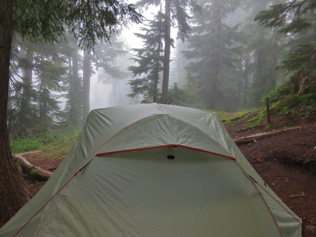
By the time we arrived at the tent sites we were soaked due to the moisture on the plants. We quickly picked out our site and set up our tent.
IMG_8086

Shortly after getting set up the rain began. It was early afternoon when it started and it wouldn’t let up until sometime during the night. This was our first experience with backpacking in the rain and we were a little concerned about our ability to stay dry. This became more of a concern when I noticed water pooling up outside of the tent near our heads. The ground was so dry and hard that the water wasn’t being absorbed at all. I quickly grabbed our trowel and attempted to drain and steer the water away from the tent. We’d also managed to forget to keep any food out for dinner. When it had started raining I ran the bear bag down to the bear pole and hung it without pulling anything out for dinner. We were left with some peanut m&ms, a small package of green olives, and a meat and cheese stick package apiece.

We stayed in the tent except for a quick trip the bathroom before attempting to sleep. Heather didn’t seem to have any trouble but I had a difficult time. The rain kept coming and I couldn’t stop wondering if we would stay dry and on top of that there was an occasional sound of large rocks falling from the cliffs. The camp was far enough away that I wasn’t worried about them at the time, but I wondered what would happen if they were still falling while we were on the trail in them morning. To top it all off my stomach decided that it really would have enjoyed dinner and that made it just a little harder to get any sleep. I managed to get a couple of hours of broken sleep waiting for morning to arrive. Happy (dry) Trails!

Flickr: https://www.flickr.com/photos/9319235@N02/sets/72157657416432875

Categories
Hiking Mt. Rainier Trip report Washington Washington Cascades

Mt. Rainier National Park – Northern Loop Day 1

At the beginning of the year Mt. Rainier National Park was near the top of our list of places we still needed to visit. On our initial hiking schedule I put down four days at Mt. Rainier and began researching possible hikes. The Northern Loop Trail looked to be the perfect choice coming in at close to 40 miles. We decided to submit a request for the necessary wilderness permits in hopes that we would be lucky enough to acquire them. In order to camp in the parks wilderness we needed to have permits and the number of permits are limited due to the limited number of designated camp sites available. The park began accepting permit applications on March 15th and ours was in the mail that day. All requests submitted between 3/15 and 3/31 were collected and on April 1st they began to process them. We found out on May 1st that our application had been accepted and our planned itinerary approved. We had requested Thursday 8/13/15 thru Sunday 8/17/15 with our camp sites being Mystic Camp, Yellowstone Cliffs Camp, and Fire Creek Camp.

We had been excited about the possibility of this trip even before finding out that we got our permits and that excitement only grew when we got the good news. As the date of our trip approached we kept a close eye on wildfire and weather information. Although it has been a bad year for fires none were affecting the park which was good news. The weather news was a little less exciting. The forecast called for a chance of showers or thunderstorms Thursday afternoon and evening and rain on Friday, possibly up to half an inch. There was also a slight chance of showers Saturday morning before becoming sunny for the rest of the weekend. We had our reservations though so we made sure we had plenty of waterproof gear before heading to the park.

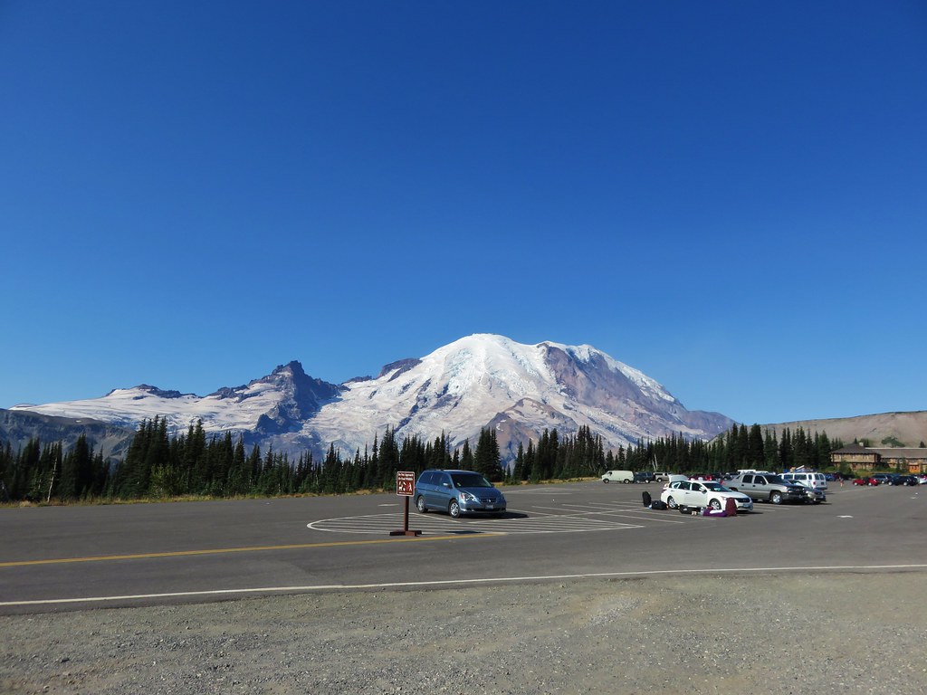
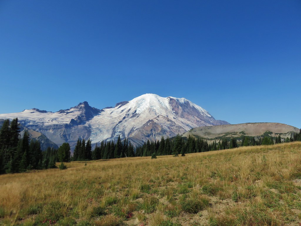
The weather was beautiful when we arrived at the Sunrise Visitors Center on Thursday morning. Mt. Rainier was as massive as we’d been led to believe and we couldn’t wait to get started.
IMG_7598

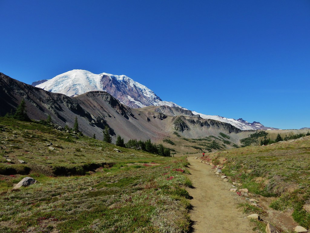
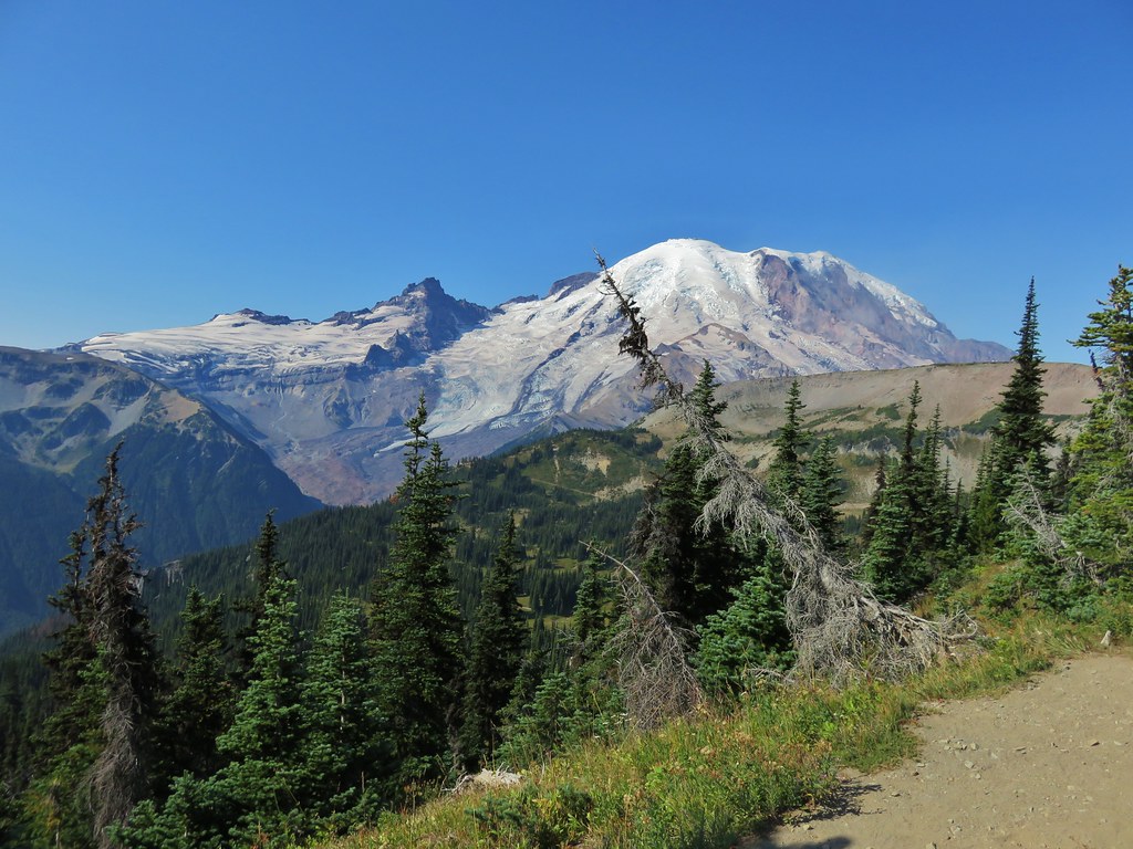
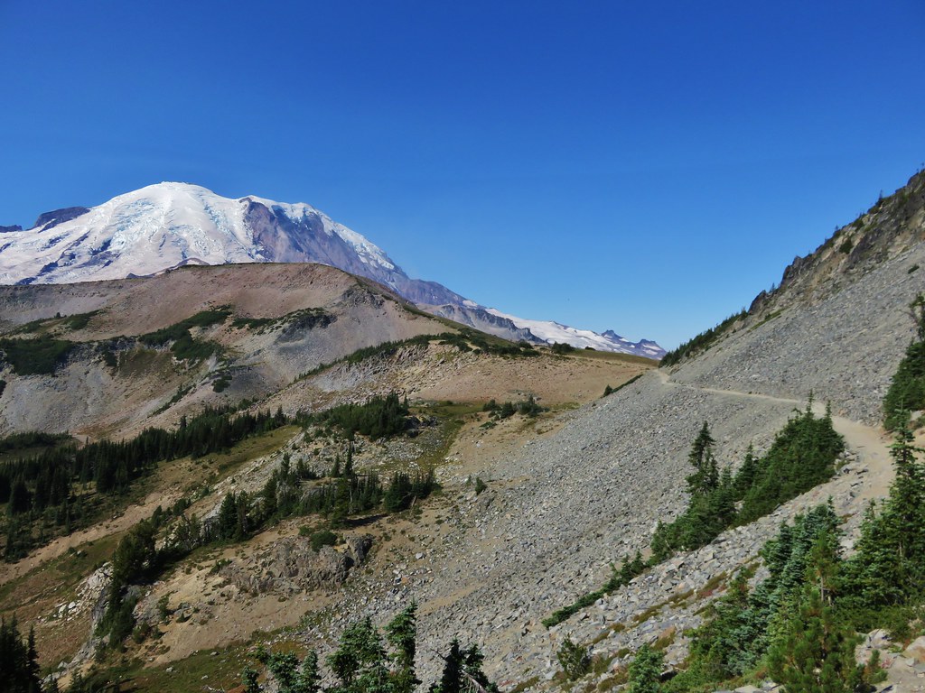
We took the Sourdough Ridge Trail up toward the Wonderland Trail (the 93 mile trail that loops the entire mountain) marveling at the views along the way.
IMG_7625

IMG_7636

IMG_7604

IMG_7605

IMG_7608

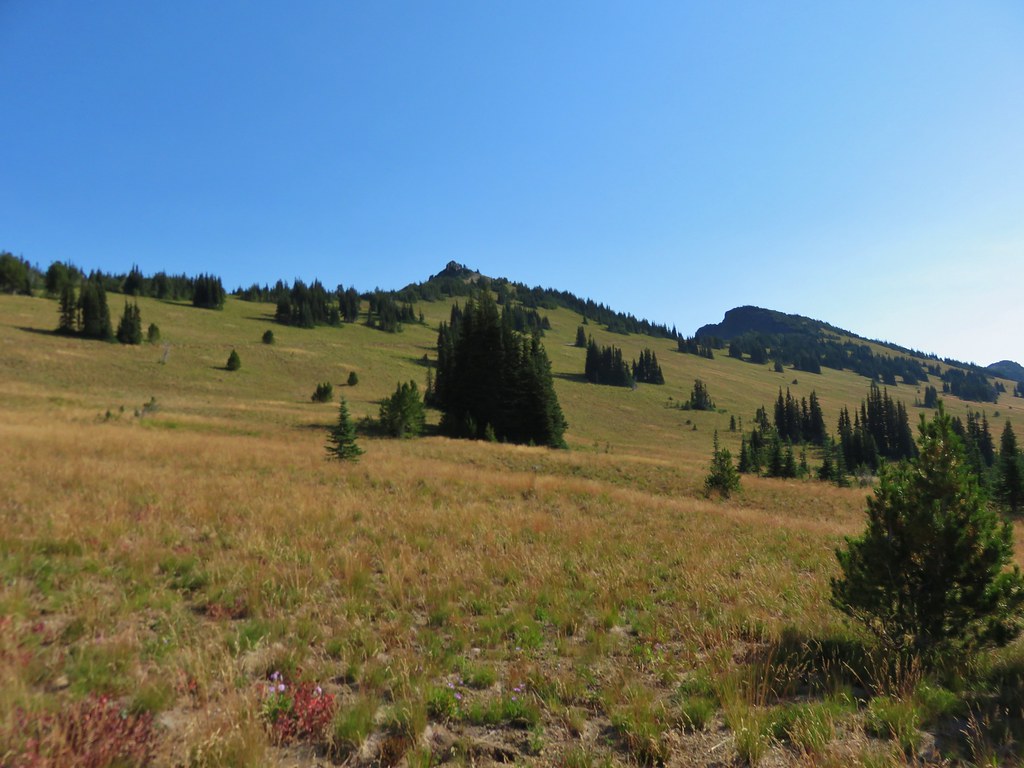
In a typical year the flower displays would have been near their peak but just like the rest of the Pacific Northwest they had bloomed at least a month earlier than normal. It didn’t matter though because the scenery and views were spectacular and the few flowers that remained gave us an idea of what it might look like in full bloom.
IMG_7611

IMG_7615

IMG_7616

IMG_7623

IMG_7629

IMG_7638

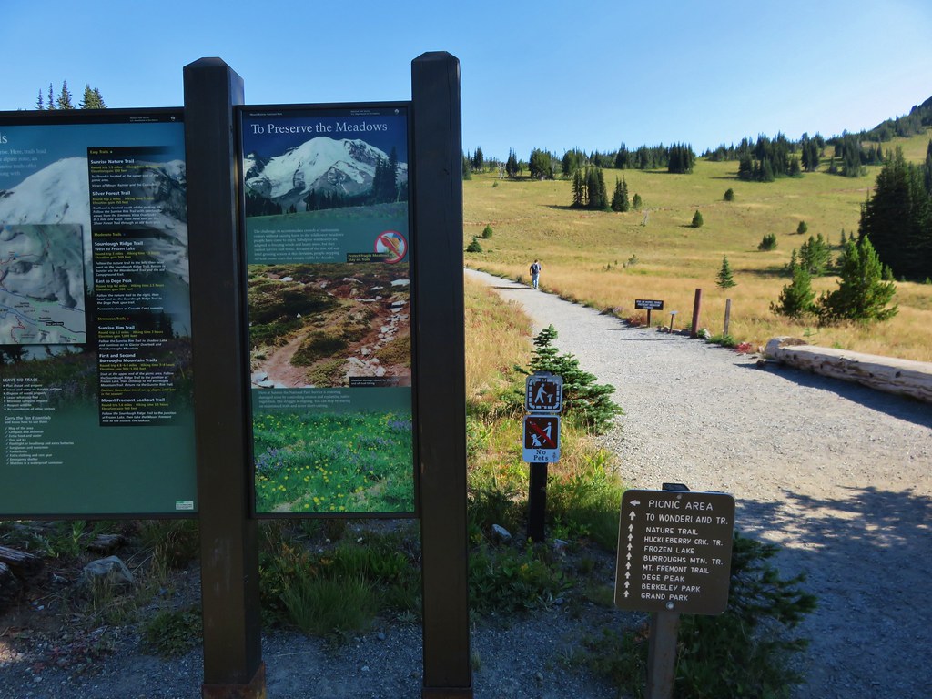
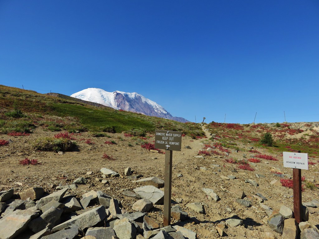
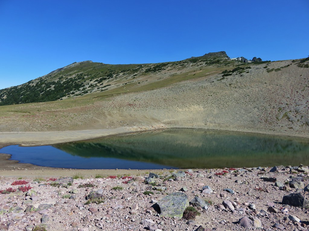
We met the Wonderland Trail near Frozen Lake. This lake acts as a domestic water supply and was roped off.
IMG_7639

IMG_7645

Two other trails met at the junction, the Mt. Freemont Trail and the Burroughs Mountain Trail. Both of these looked interesting but would have to wait for another day.
IMG_7646

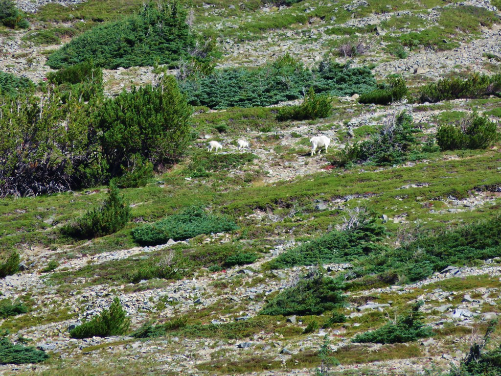
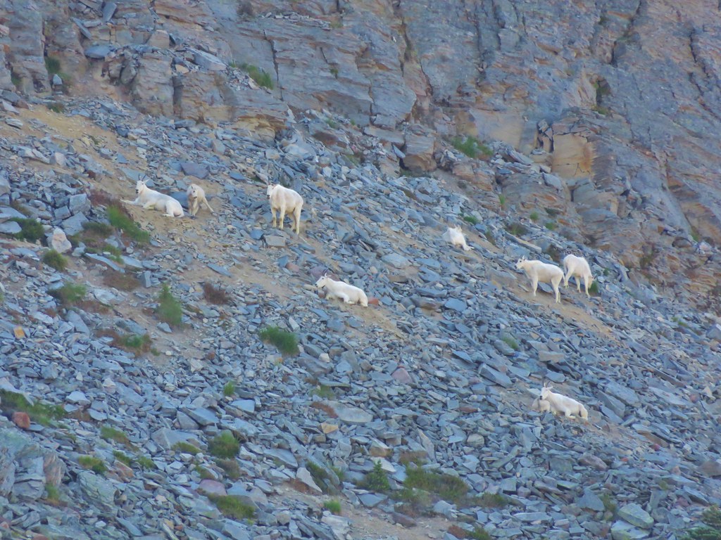
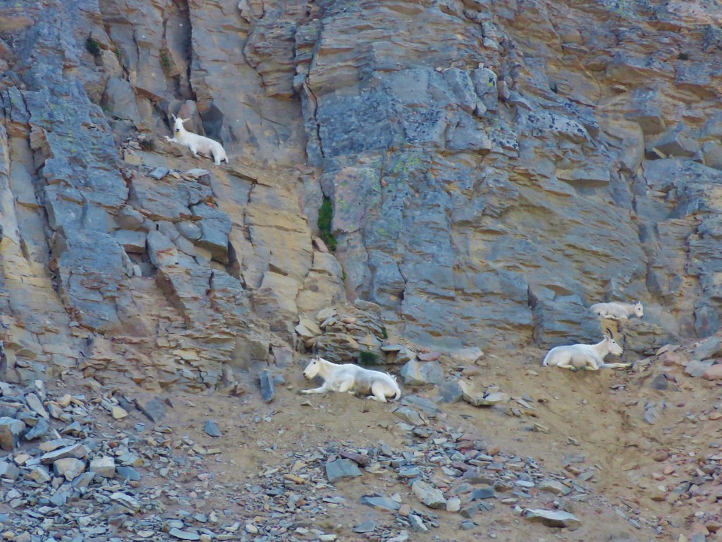
We took the Wonderland Trail which passed below Burroughs Mountain where we spotted over two dozen mountain goats lounging in the shade of the cliffs.
IMG_7657

IMG_7660

IMG_7665

IMG_7675

We continued down to another junction, this one with the Northern Loop Trail. This would be our return route to complete the loop on Sunday.
IMG_7678

IMG_7679

From the Wonderland Trail we had a good view of the climb that awaited us on that final day.
IMG_7684

The Wonderland Trail then climbed to a pass on a ridge below Skyscraper Mountain where we took our first snack break where we were joined by a marmot.
IMG_7702

IMG_7710

IMG_7712

From the pass the trail then headed downhill into a forest passing Granite Creek Camp.
IMG_7718

IMG_7730

IMG_7738

IMG_7745

We were on our way down to the Winthrop Glacier and to a crossing of Winthrop Creek. The sky had become rather hazy by the time we made it down to the glacier making it difficult to see the mountain. The glacier was much larger than any we’d been around on other mountains in the Cascades.
IMG_7768

IMG_7769

We passed under Garda Falls which was hidden from the trail, but after crossing Winthrop Creek on a foot bridge and climbing a bit we could look back and see the falls in the forest.
IMG_7781

IMG_7790

IMG_7800

We climbed out of the glacial outwash plain and back into the forest.
IMG_7794

IMG_7803

IMG_7805

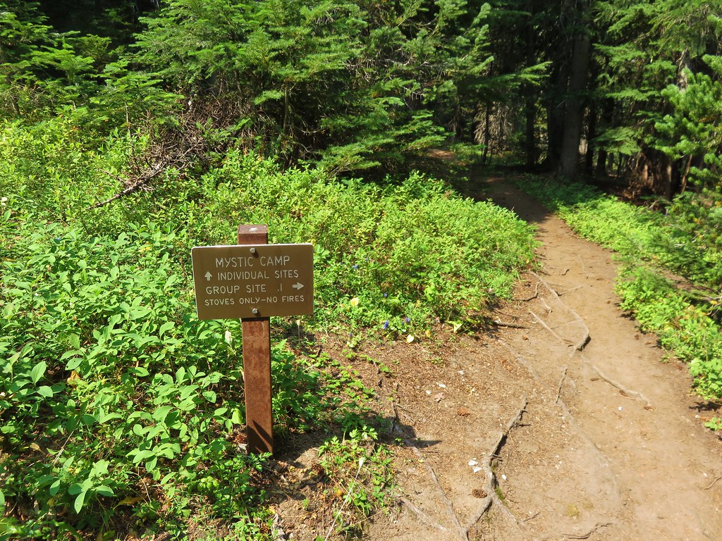
Shortly after reentering the forest we arrived at a sign announcing Mystic Camp where we picked out a site and set up camp.
IMG_7817

IMG_7818

The camp was below Old Desolate and near Mystic Lake. The rocks on Old Desolate were very interesting.
IMG_7820

IMG_7824

After setting up camp we headed up the trail to Mystic Lake. It was a pretty alpine lake nestled between Mineral Mountain and Old Desolate. The lake shore was dotted with gentians.
IMG_7835

IMG_7842

IMG_7841

IMG_7839

We decided to have our dinner at the lake but hadn’t brought it with us so Heather headed back to camp to get our stove and food. When she got back she told me she met a doe and her two fawns along the trail. After dinner we headed back to camp and discovered the deer were still in the small meadow where she had seen them earlier.
IMG_7863

IMG_7869

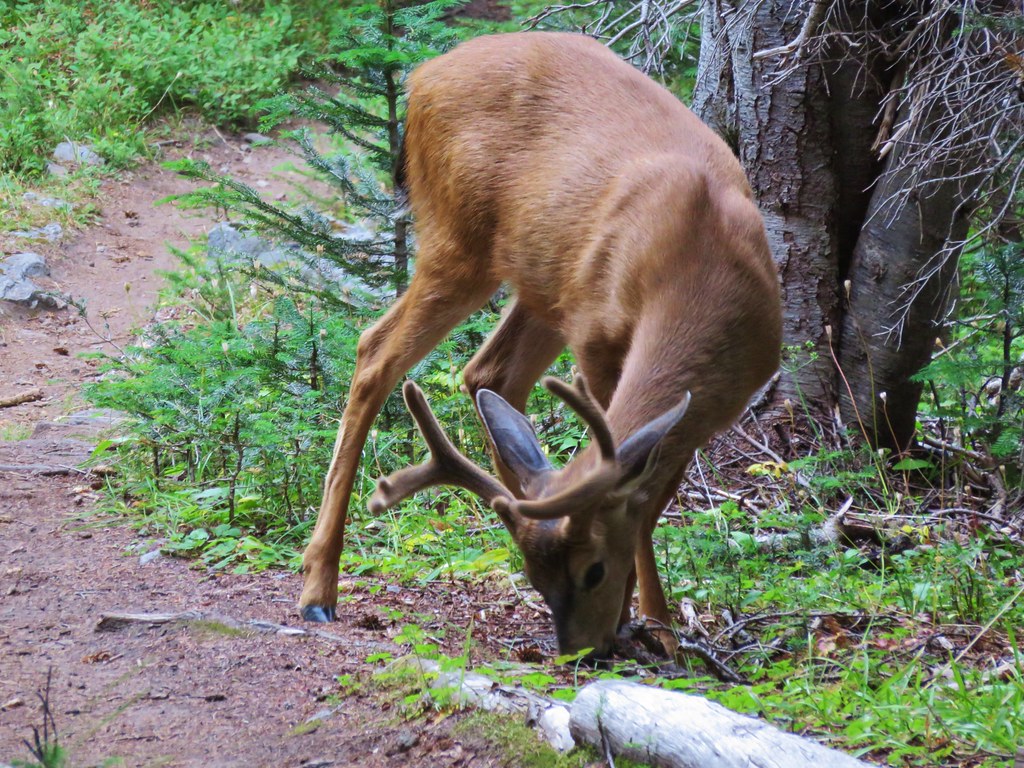
Back at camp we found another deer. This one was a buck who was leisurely passing through camp eating as he went.
IMG_7877

IMG_7880

The showers had never materialized as we turned in for the night. We did hear a couple of rumbles of thunder during the night but never saw any lightning and it never did rain. It had been a great start to the trip and we were looking for to the rest of it. Happy Trails!

Flickr: https://www.flickr.com/photos/9319235@N02/albums/72157657389155121

Categories
Hiking Mt. St. Helens Trip report Washington Washington Cascades

Ape Cave and Ape Canyon

We are in the midst of revisiting several trails that we first hiked in 2012. Next up after our return trip to the Table Rock Wilderness we headed to the Mt. St. Helens National Volcanic Monument for a second hike on the Ape Canyon Trail. In 2012 we had done a second short hike along Lava Canyon after finishing the Ape Canyon Trail and this time we decided to add a visit to Ape Cave to the agenda.

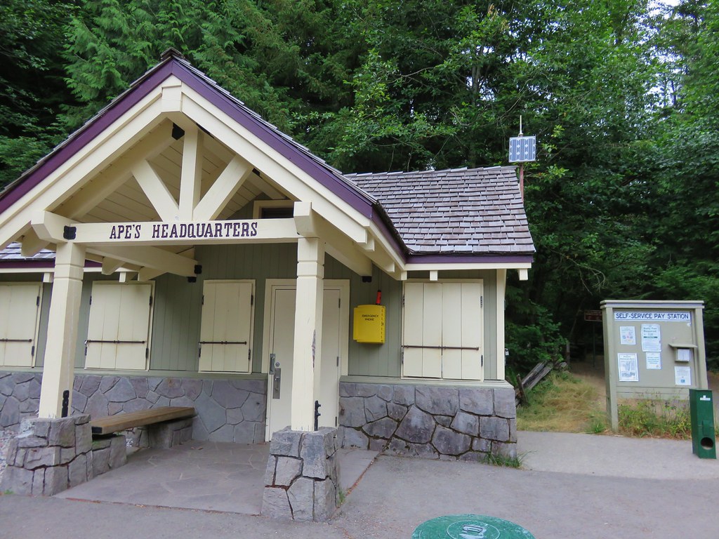
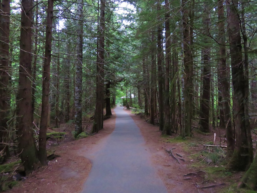
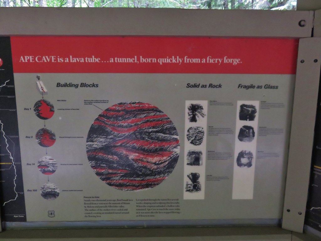
At 12,810 feet long Ape Cave is the longest known Lava Tube in North America. It is also one of the more popular places to visit in the monument so we decided to tackle this trail first in an attempt to beat the crowds. A staffed information booth awaits at the trailhead, but we had arrived before it opened for the day.
IMG_5518

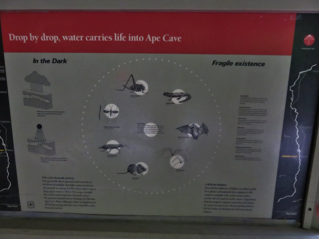
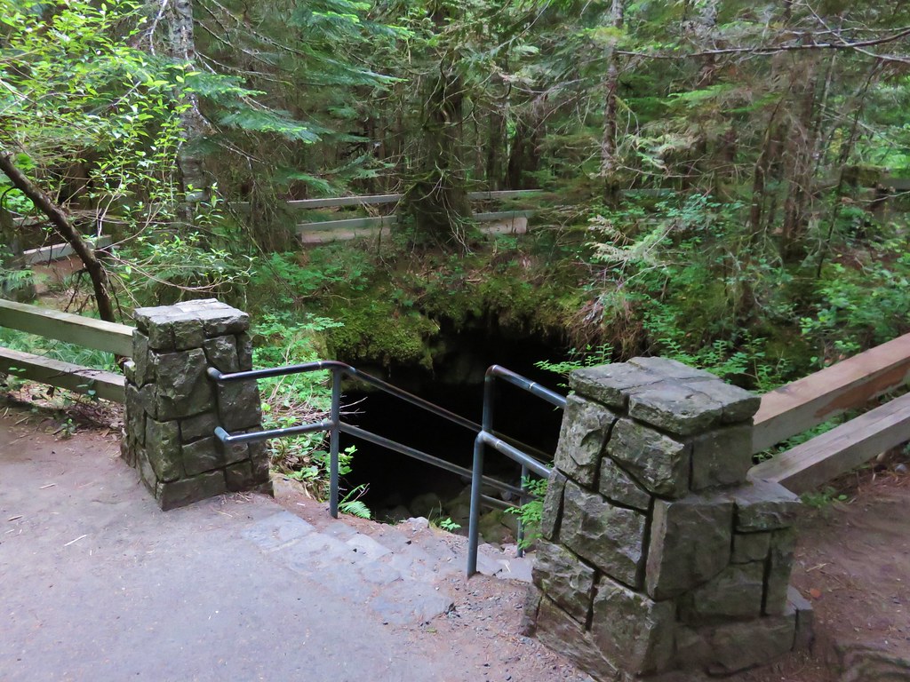
A short paved trail leads to an kiosk with signboards and the lower cave entrance.
IMG_5521

IMG_5593

IMG_5594

IMG_5595

IMG_5523

An above ground trail leads past the lower entrance to an upper entrance (or exit).
IMG_5525

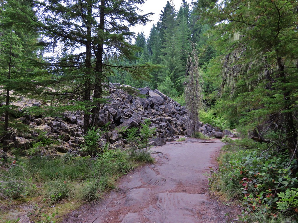
We decided to hike up to the upper entrance and then descend down the lava tube to it’s end 3/4miles past the lower cave entrance. The trail to the upper entrance passed through the forest before skirting a lava flow and passing some smaller lava tubes that were not part of the cave.
IMG_5526

IMG_5527

IMG_5528

IMG_5529

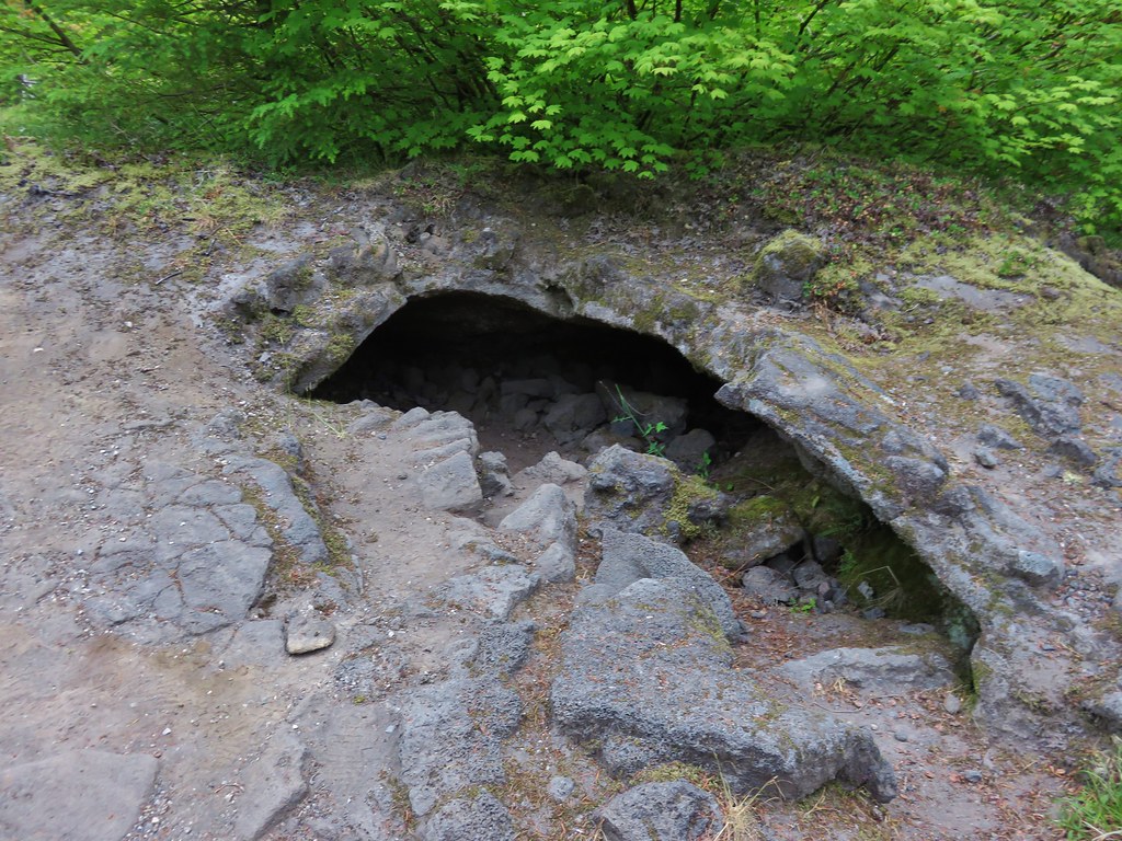
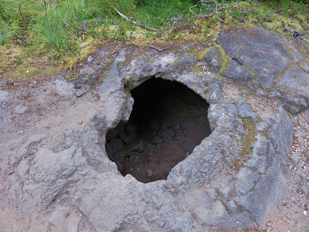
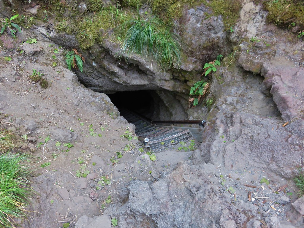
The trail actually did pass over the cave three times before arriving at the site of the upper entrance. We walked passed the entrance initially following a well used path about 50 yards too far before realizing our mistake. There was no sign marking the upper entrance and the hole was much smaller than the lower entrance. It took a moment for us to spot the metal ladder barely sticking up from out of the dark hole.
IMG_5531

IMG_5533

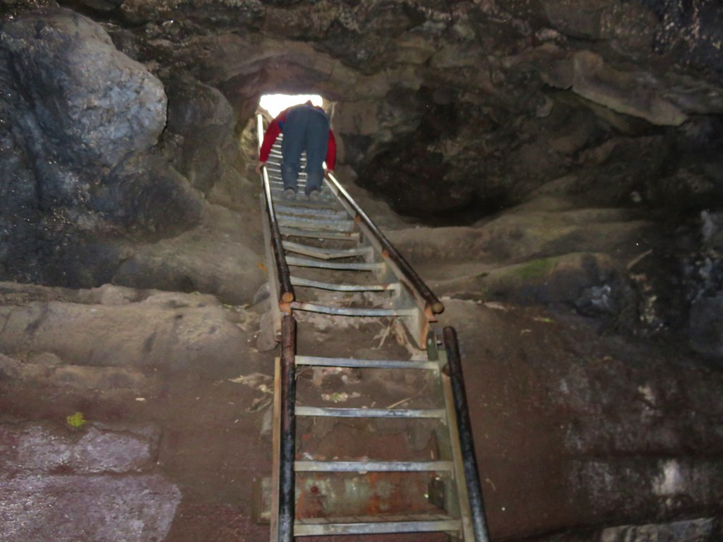
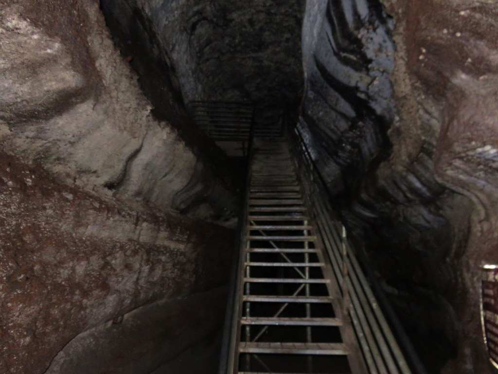
Climbing down the ladder was interesting as the first 17 steps angled downward before the ladder suddenly dropped straight down for the final 10 or 12 rungs.
IMG_5536

The cave extends another .1 miles or so beyond the upper entrance so we turned north and walked to the end before turning around and heading for the lower entrance.
IMG_5537

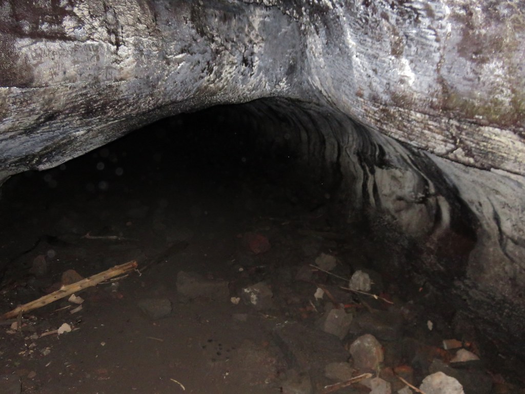
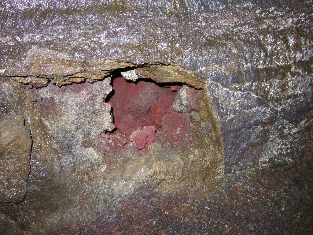
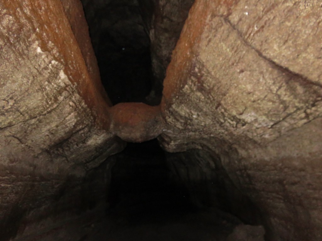
The cave was really neat. The rock surrounding the tube was full of colors and different textures. White portions of rock reflected our headlamps imitating rays of sunlight along the walls and ceiling.
IMG_5541

IMG_5544

IMG_5547

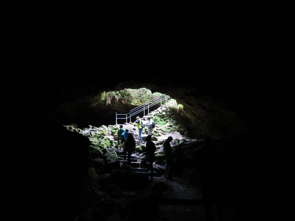
A third of a mile from the upper entrance the trail past under a skylight where green ferns and mosses grew on the rocks.
IMG_5553

The lower entrance was another 1.1 miles beyond the skylight. This section of the lava tube was a workout. Ten different rock falls required scrambling over and around piles of lava rock and a pair of lava falls, drops of around 8 feet, proved a challenge to descend. The second lava fall was particularly difficult requiring us to slowly lower ourselves down using small nubs on the cave floor as handholds. The scenery of the cave was worth the effort and we wondered if climbing up would have been easier than coming down as we had.
IMG_5557

IMG_5563

IMG_5565

IMG_5577

It was fairly slow going but we eventually made it to the base of the staircase leading down from the lower entrance.
IMG_5582

IMG_5579

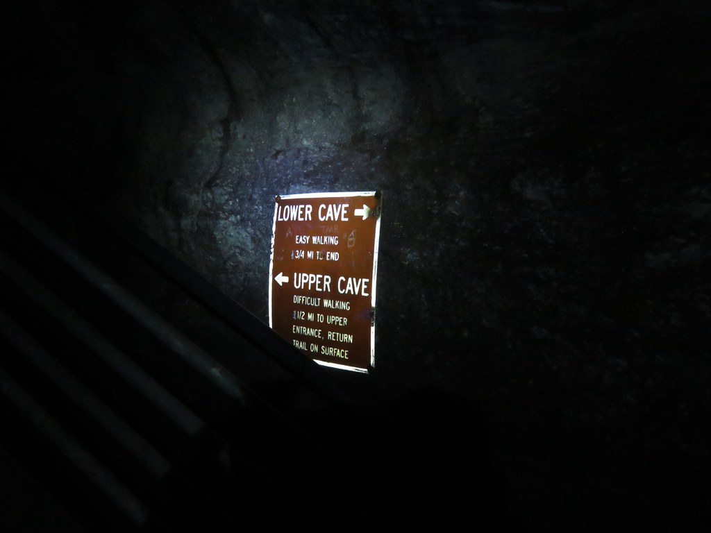
We headed down the lower end of the cave which was, as the sign said, a relatively easy walk. We turned around when the cave had become small enough that we would have had to crawl to continue any further.
IMG_5584

IMG_5586

IMG_5588

We had started to run into a few more people near the end of the lower cave and on the way back to the lower entrance the number of people increased dramatically. We exited up through the lower entrance and headed for the car.
IMG_5590

In hindsight we should have descended through the lower entrance as it seemed like it would have been easier to ascend up through the cave and it would likely have avoided the crowds that had formed later in the morning in the lower cave.

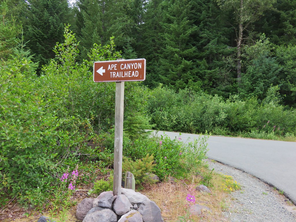
We drove from the Ape Cave parking area to the Ape Canyon Trailhead for our second hike of the day. On our previous visit we had taken the Ape Canyon Trail to the Loowit Trail and then followed that trail to a junction with the Abraham Trail which covered a total of 12.7 miles. Our second hike that day at Lava Canyon was only 1.3 miles for a 14 mile total. This time around we had already done nearly 5 miles at Ape Cave so the plan was to stop at a spring along the Loowit Trail in the Plains of Abraham. The small parking lot at the Ape Canyon Trailhead was full so we parked along road 83 and walked to the start of the trail.
IMG_5596

IMG_5598

We were on high alert as we started the trail due to warnings about local wildlife.
IMG_5601

The Ape Canyon Trail starts in the forest next to a lahar created by the Muddy River when the mountains 1980 eruption sent a large portion of the Shoestring Glacier down the valley. Our previous visit had been on a clear day in Mid-September where the views across the lahar to Mt. St. Helens were spectacular.
021

We were not to be so lucky on this day with our Mt. St. Helens views but the temperature was pleasant and we hoped to see more flowers this time than we had previously.
IMG_5602

IMG_5606

We did see more flowers along the lower section but we were a little late due to the weather we’d been having this year.
IMG_5614

IMG_5619

IMG_5620

IMG_5635

The trail passes through an old growth forest starting at the 1.4 mile mark then climbs a series of switchbacks as it heads up a ridge toward the Loowit Trail. We passed a few viewpoints that had provided impressive views on our first visit but today we had to rely on those memories to picture the mountain.
157

IMG_5633

After 4 miles the trail enters the blast zone from the 1980 eruption. The trail spends winds a half mile through the blast zone above forested Ape Canyon.
IMG_5712

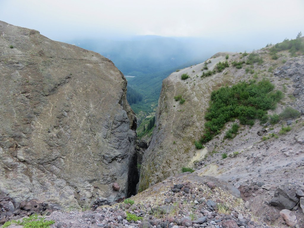
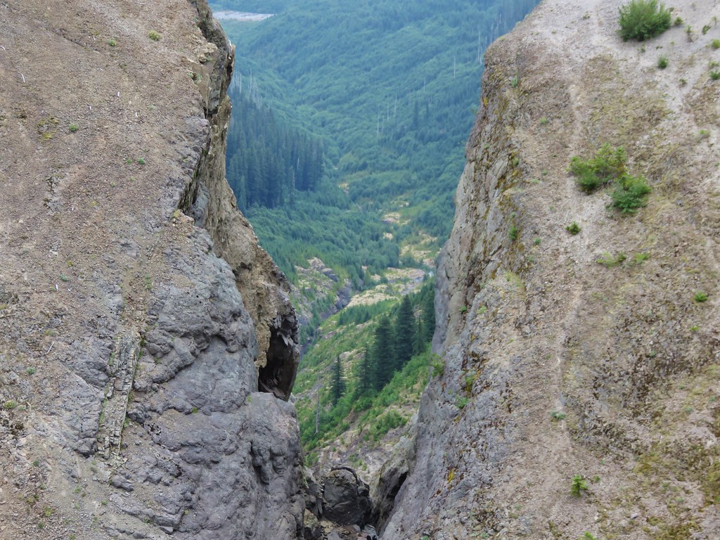
A narrow slot at the top of the Canyon frames the creek below and apparently Mt. Adams in the distance. I say apparently because we have not been able to confirm this on either of our visits. In 2012 the Cascade Creek Fire was burning on the slopes of Mt. Adams filling the sky with smoke and clouds were now playing the same role on this day.
087

IMG_5645

IMG_5647

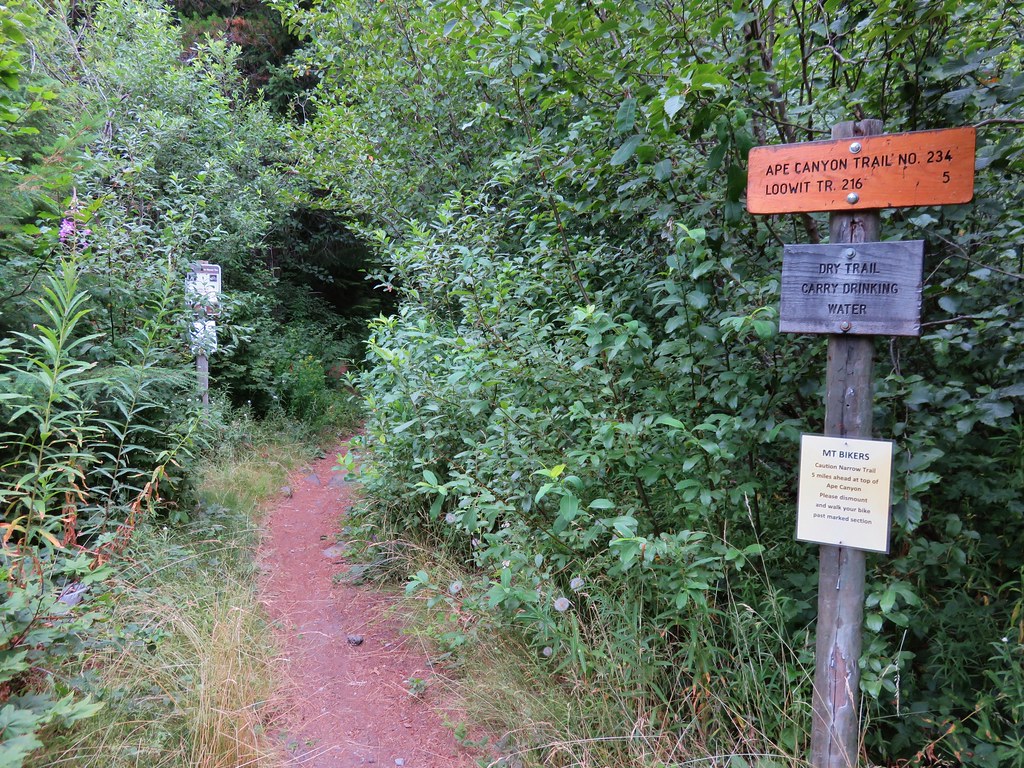
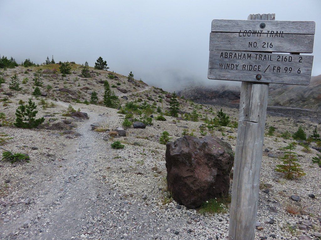
The trail ends after 4.5 miles at the Loowit Trail which circles the entire mountain.
IMG_5650

IMG_5651

We turned right here heading for the Spring .8 miles away. This section of the Loowit Trail passes through the Plains of Abraham, a pumice plain with a barren looking landscape which is really fascinating. Heading NE Mt. St. Helens looms on the left across the broad plain while hills on the right reveal the force of mountains eruption. Trees lay blown down on the hillsides facing the mountain while other sides are striped away exposing various layers of rock. Other areas green with trees and other vegetation.
IMG_5657

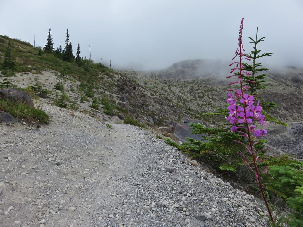
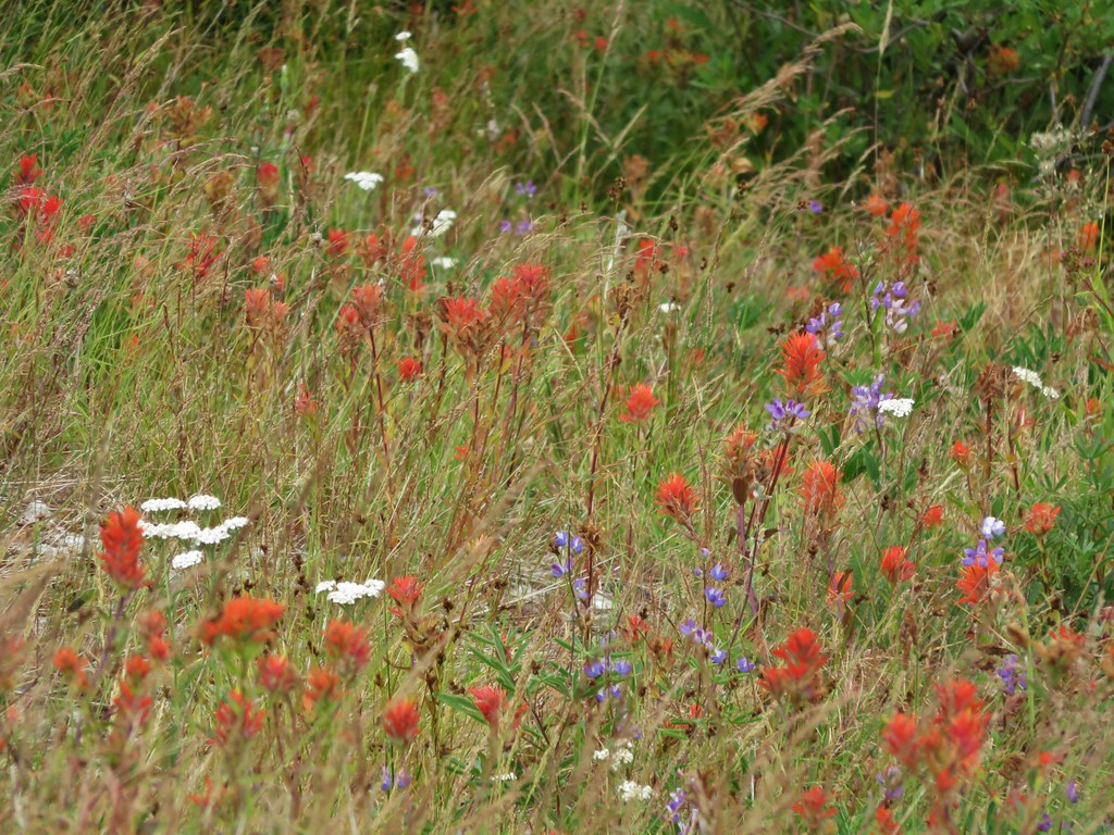
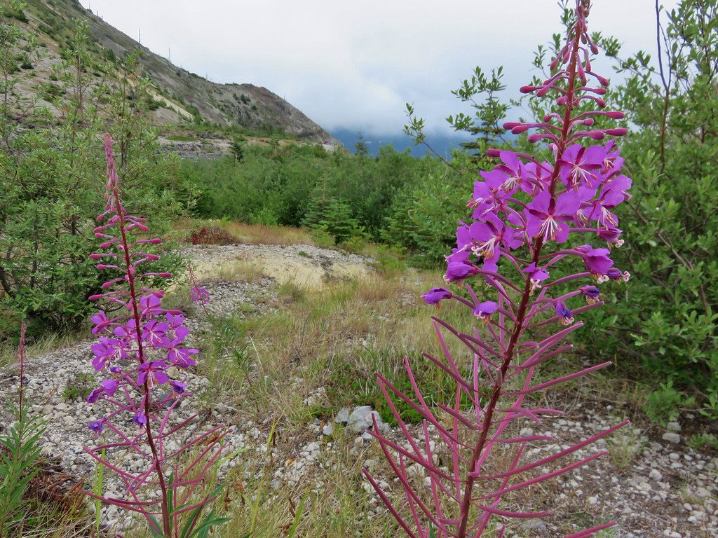
Flowers are sparse but some still manage to bloom in what looks like the most improbably conditions.
IMG_5653

IMG_5654

IMG_5656

IMG_5659

IMG_5679

One thing that didn’t change from our previous visit was being greeted by a marmot as we crossed this section. We couldn’t help but wonder if it was the same furry little guy.
IMG_5661

IMG_5664

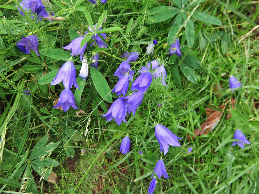
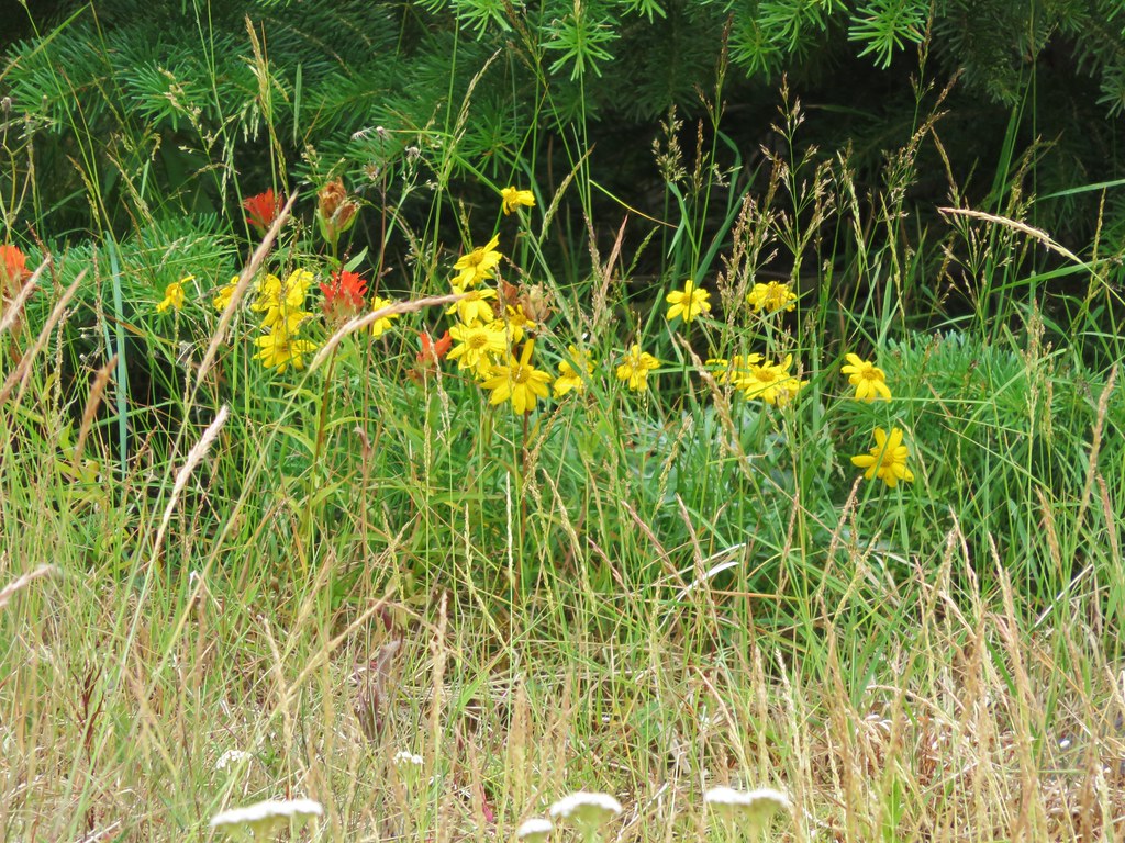
When I had added this hike to the schedule I had hoped to find flowers near the spring where we would turn around, but with the timing being so far off this year due to the weather I wasn’t sure what we’d find. It wound up working out even though things were beginning to dry out. We spoted several different types of flowers including a nice clump of bluebell-of-Scotland.
IMG_5694

IMG_5690

IMG_5706

IMG_5693

IMG_5700

IMG_5688

IMG_5685

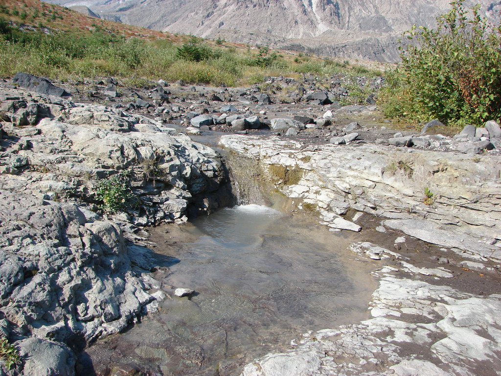
It was no apline wildflower meadow but considering the area it was an impressive display. What surprised us was the lack of water from the spring. Despite it being September on our previous visit a small steady stream of water was flowing down the rocks and into Ape Canyon, but this time the only water was a small pool left filling a depression in the rock.

2012
Spring fed stream

119

2015
IMG_5705

After resting a bit, and starting to get chilly due to a nice breeze and cooling our sweat, we headed back down. The clouds had only lifted a little as we passed the lower viewpoints and small pockets of blue sky teased us from above the mountain.
IMG_5730

It had been a long but interesting day of hiking. It was also our first visit of the year to one of the major Cascade mountains and it had been a good reminder of just how much we enjoyed our hikes on them. Happy Trails!

Flickr: https://www.flickr.com/photos/9319235@N02/sets/72157655789278375

Categories
Hiking Silver Star Mountain SW Washington Trip report Washington

Bluff Mountain Trail to Silver Star Mountain

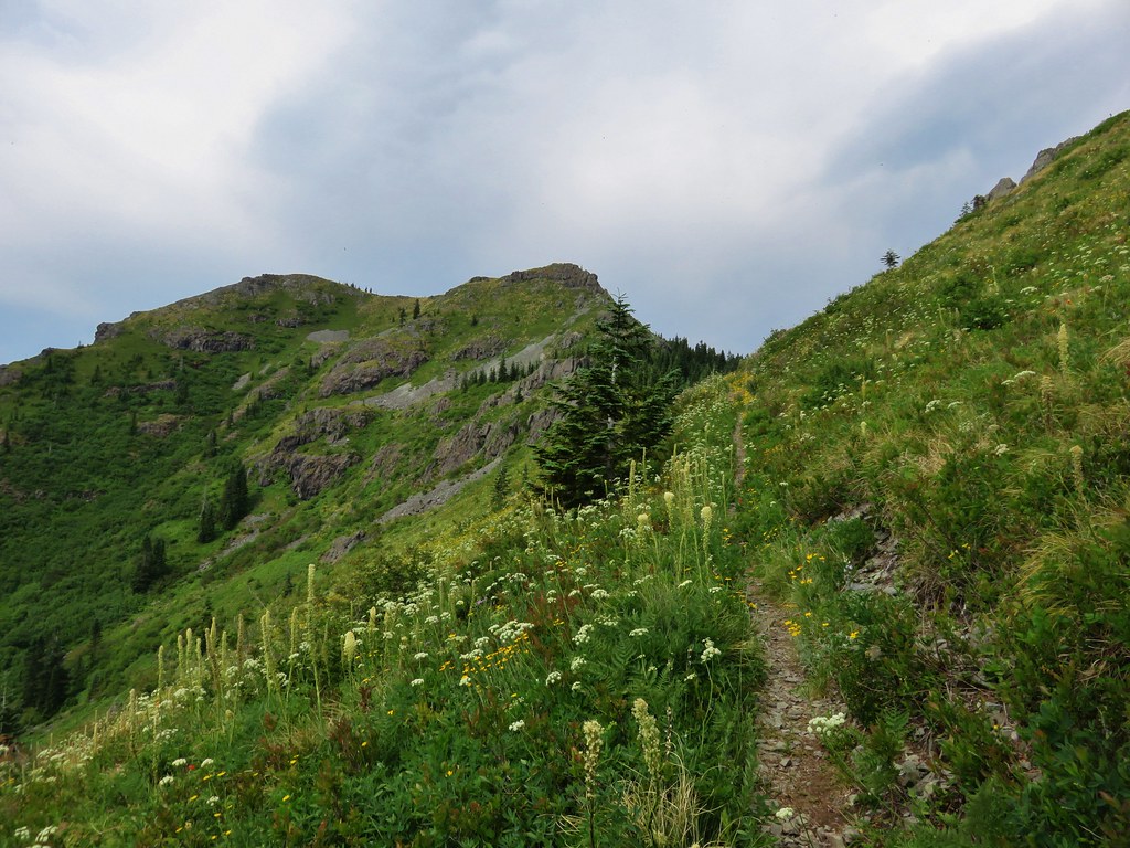
Late June is typically a good time to catch the wildflower displays on Silver Star Mountain in the Gifford-Pinchot National Forest. Located in Washington between the Columbia Gorge and the snowy peaks of Mt. St. Helens and Mt. Adams the Silver Star Scenic Area offers several trails. Many of the trails pass through areas that were part of the 1902 Yacolt Burn, the largest fire in Washington State’s history. The series of September fires left exposed ridges and hillsides which are now wildflower filled meadows. The two most popular routes to Silver Star Mountain are via the Silver Star Trail/Ed’s Trail, a 5.2 mile loop, and an 8.2 mile loop via the Grouse Vista Trailhead. Each of these starting points come with their own drawbacks. Road 4109 which leads to the Silver Star Trail is an awful drive full of rocks, ruts, and potholes. The Grouse Vista Trailhead is on Washington Department of Natural Resource land and thus a Discovery Pass is required to park a car there. Passes are currently $10/day or $30/annually. We had done an expanded loop starting on the Silver Star Trail in 2013 https://wanderingyuncks.wordpress.com/2013/07/04/silver-star-mountain/ and didn’t feel like shelling out another $10 for a discovery pass so for this visit we chose a third option – the Bluff Mountain Trail.

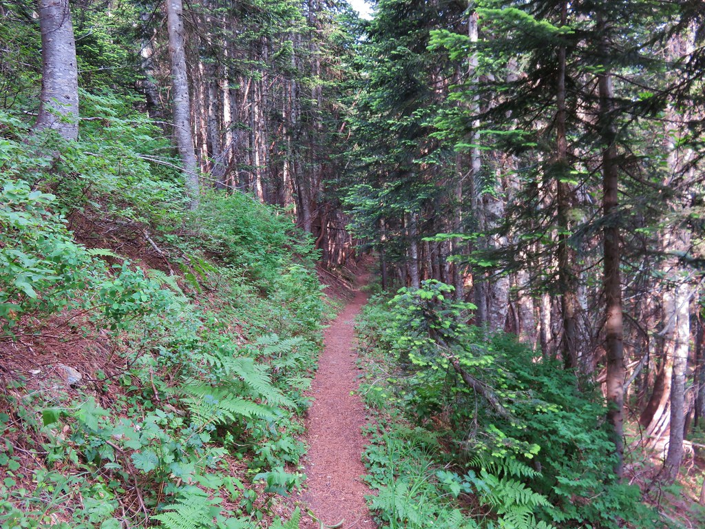
The Bluff Mountain Trailhead has its drawbacks too, mostly a slow drive on a rock and pothole filled Forest Service road. I don’t think it is as bad as road 4109, you do pass this road on the way to the trailhead, but it is longer and took us a little over 45min to cover the 9.4 miles. It is also the longest route to Silver Star at 6.5 miles one way. The trailhead is at a poorly marked junction where the road bends around a ridge at a large swath of dirt. Only a small wooden stake marks the start of the trail which follows an old roadbed for the first 2 miles.
IMG_4862

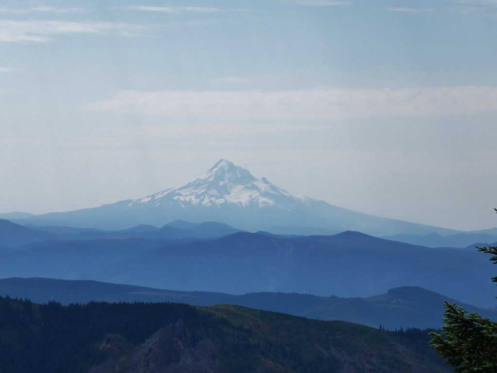
Both Mt. Hood and Mt. Adams were visible from the trailhead parking area. It was going to be another hot day here with the highs near 90 degrees, but it was also fairly cloudy so the air was humid and the horizon hazy. We had prepared for the heat by filling the bladders for our packs the night before and leaving them in the refrigerator, bringing a couple of additional Hydro Flasks full of water, and packing some extra salty items such as potato chips and some after hike pickles.
IMG_4867

IMG_4869

IMG_4870

The old road traveled along ridges past a couple of small hills where a few trees were present. After passing the first of these hills Silver Star Mountain was visible in the distance.

Silver Star Mountain on the far right.
IMG_4874

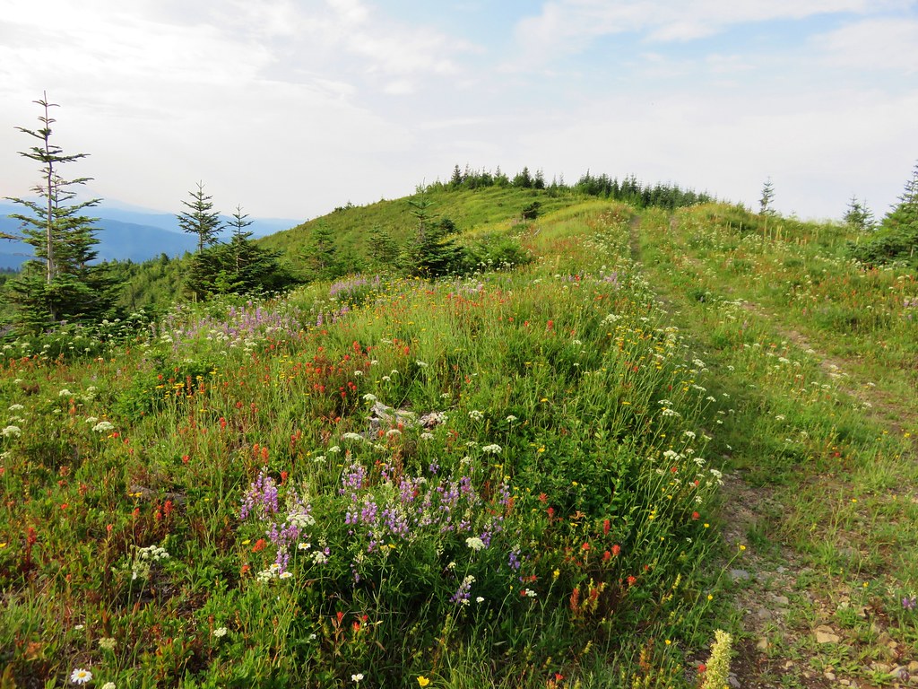
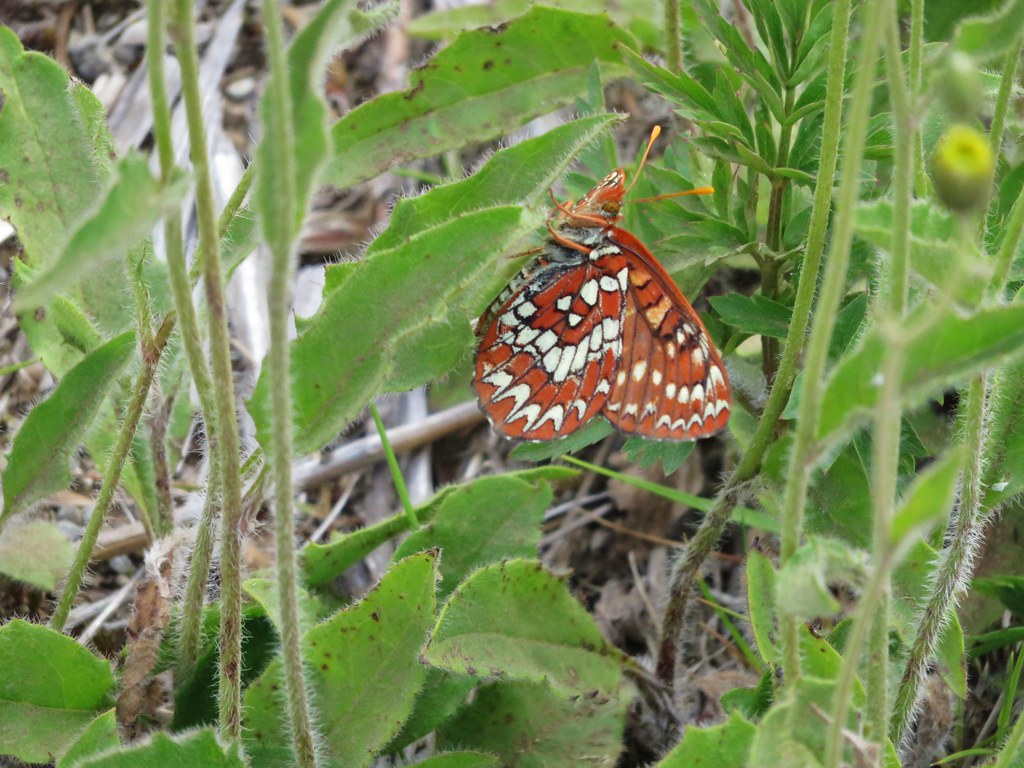
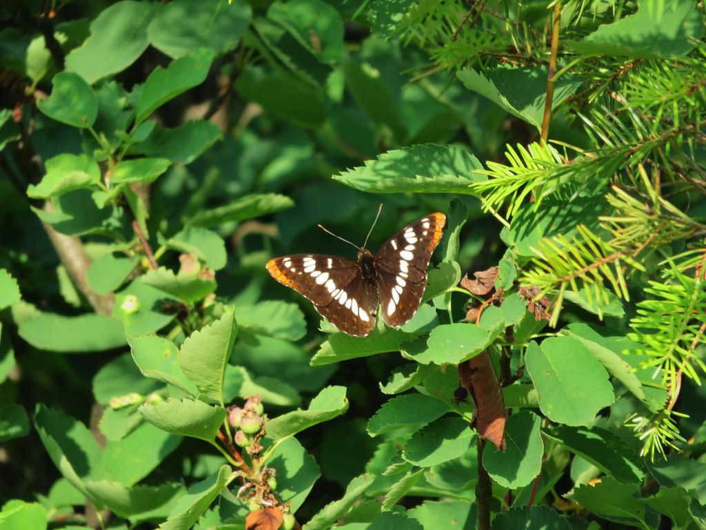
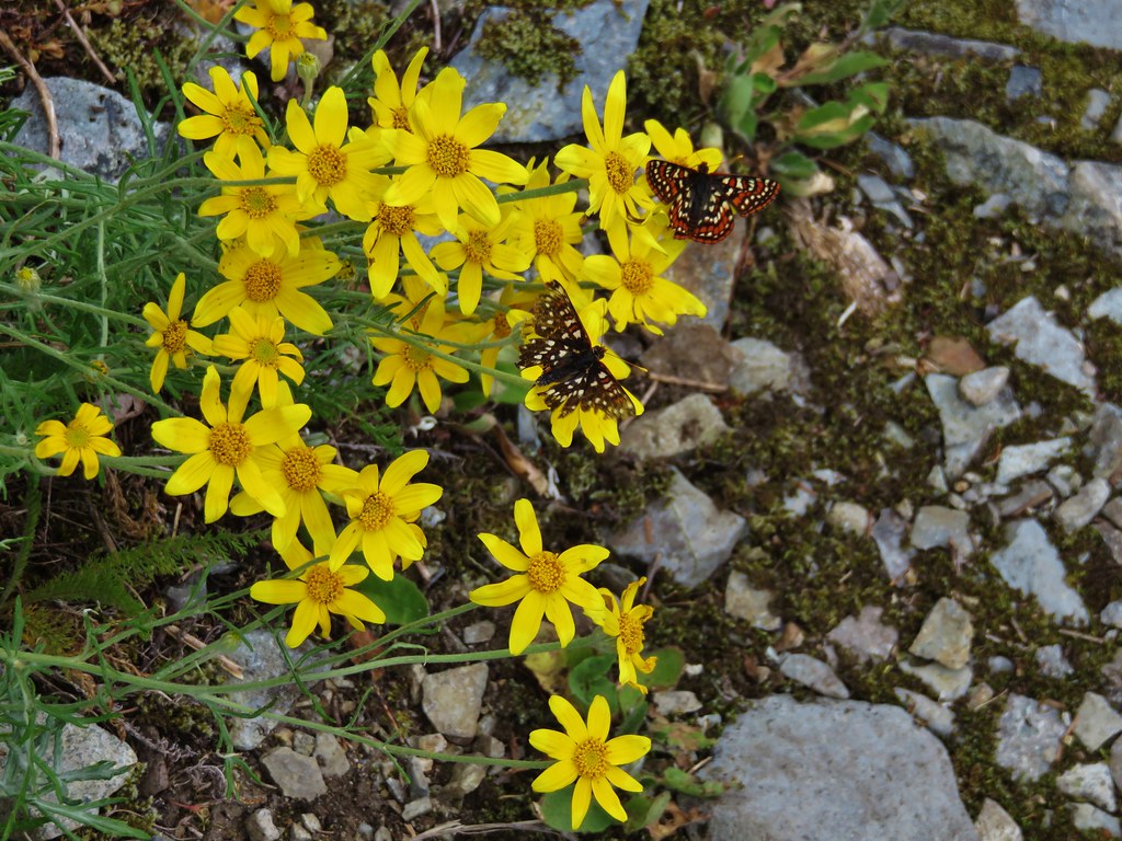
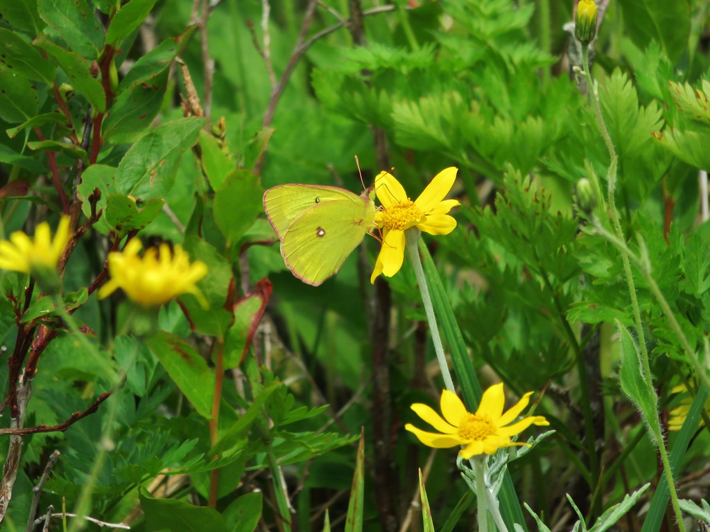
There were still quite a few flowers along the ridge despite the hot and dry conditions, and there seemed to be butterflies everywhere we looked.
IMG_4875

IMG_4876

IMG_4886

IMG_4896

IMG_4893

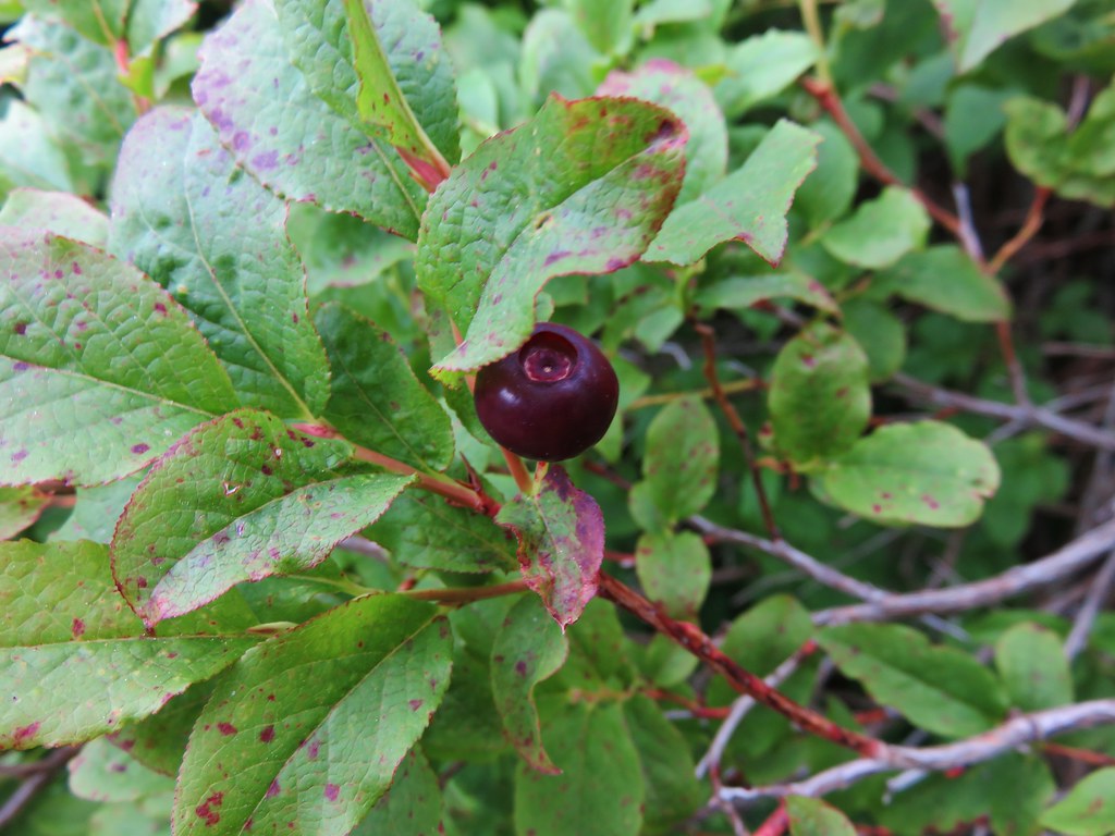
There were even some huckleberries beginning to ripen.
IMG_4879

One sight that was not welcome was a fire pit filled with garbage where someone had obviously been shooting a shotgun.
IMG_4884

This is something we see far too often and it’s really disappointing that people bother to head out into nature just to make it their personal garbage can.

We continued along the road toward Bluff Mountain amid the wildflowers and butterflies. The views kept shifting as the old road made its way around the small hills along the ridge.
IMG_4902

IMG_4898

IMG_4910

IMG_4915

Little Baldy
IMG_4897

Silver Star Mountain and Little Baldy
IMG_4900

At the two mile mark the trail left the road and diped along the right hand side of a small knoll. At the split the view included all three of the peaks we would be passing – Bluff Mountain, Little Blady, and Silver Star Mountain.
IMG_4918

It was interesting to be able to see so much of our route due to the open views. Often times we could see the trail in the distance giving us a glimpse of what lay ahead.
IMG_4921

The section of trail between the road and Bluff Mountain was full of flowers. Some had seen better days a week or two before but many were still blooming strong and crowding the trail.
IMG_4924

IMG_4933

IMG_4925

IMG_4928

IMG_4939

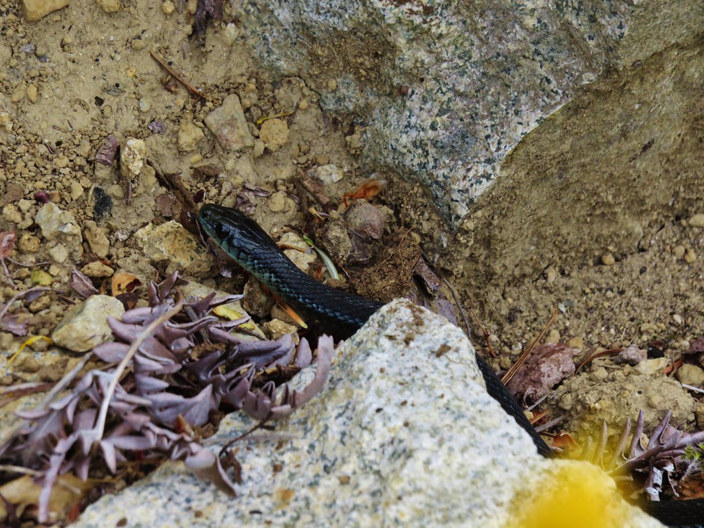
In addition to the numerous butterflies we were seeing we also spotted several snakes during the hike. This one was spotted as we were passing below Bluff Mountain.
IMG_4947

New flowers and more butterflies joined the views as we passed under the cliffs of Bluff Mountain.
IMG_4953

IMG_4952

IMG_4956

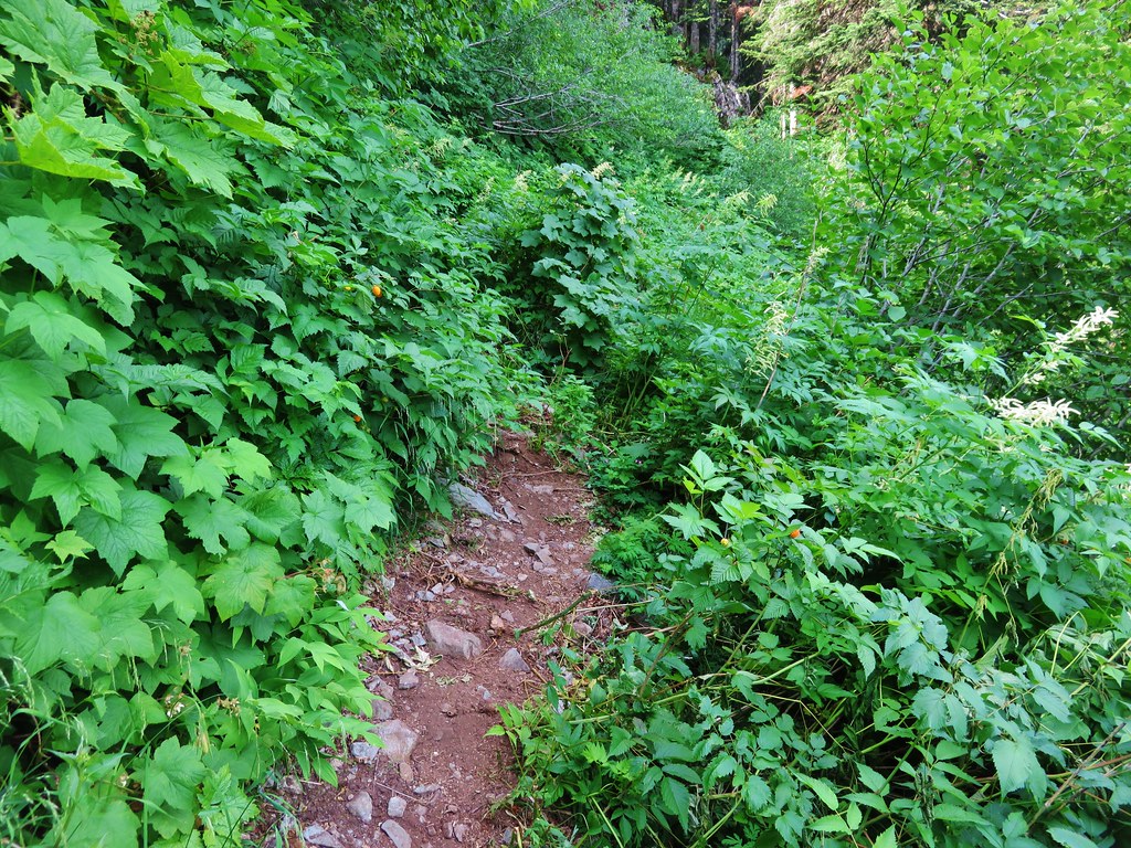
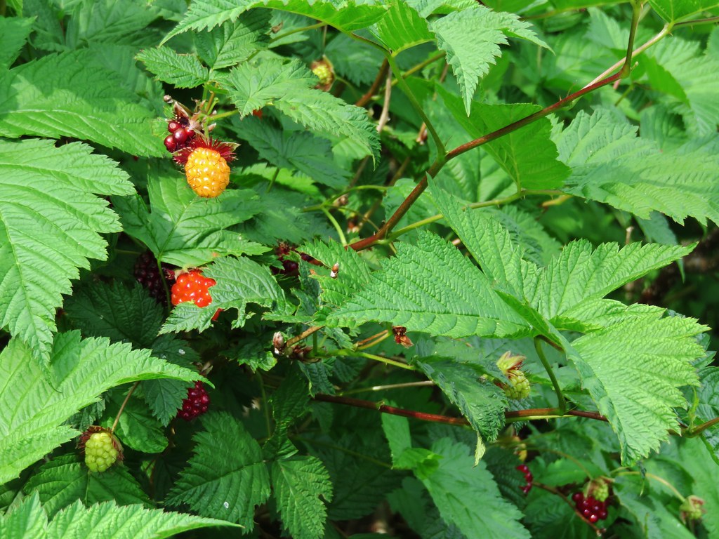
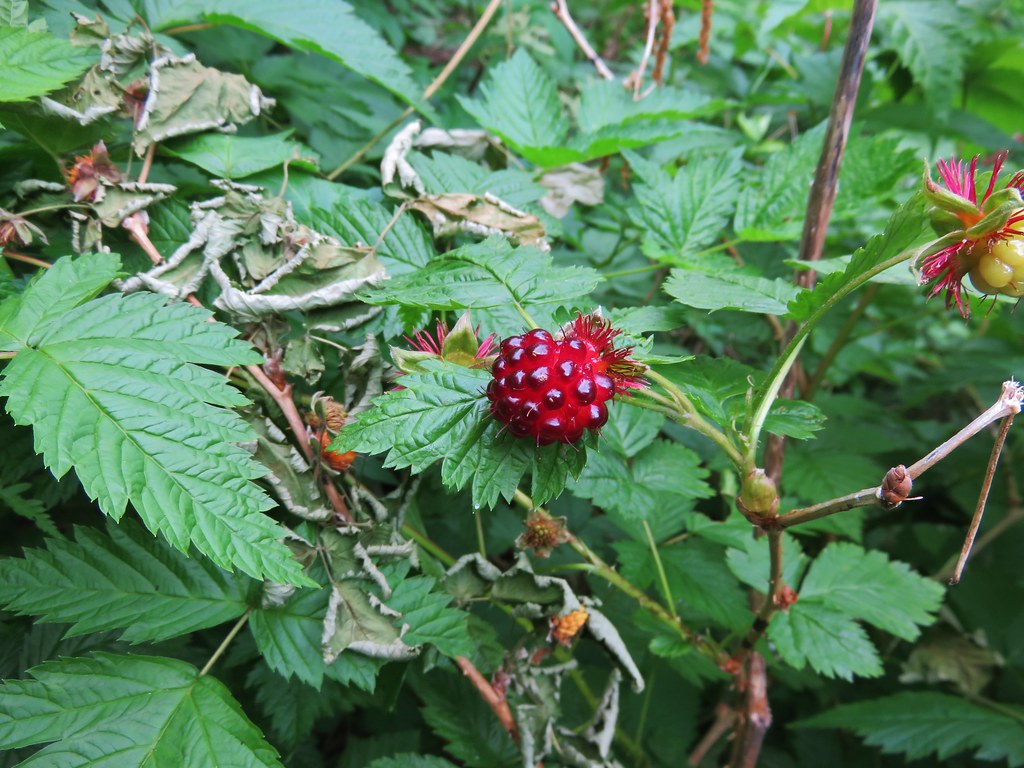
There were also lots of thimble and salmon berry bushes. The thimbleberries were not ripe yet but we found plenty of red and orange salmonberries ready to be eaten.
IMG_4962

IMG_4968

IMG_4966

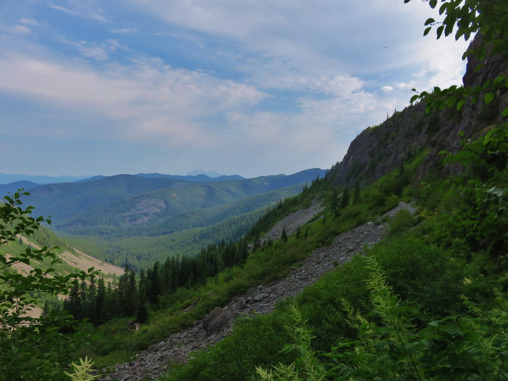
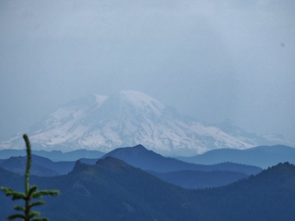
Looking back from where we’d come we could see three Cascade mountains. (Some better than others)
IMG_4963

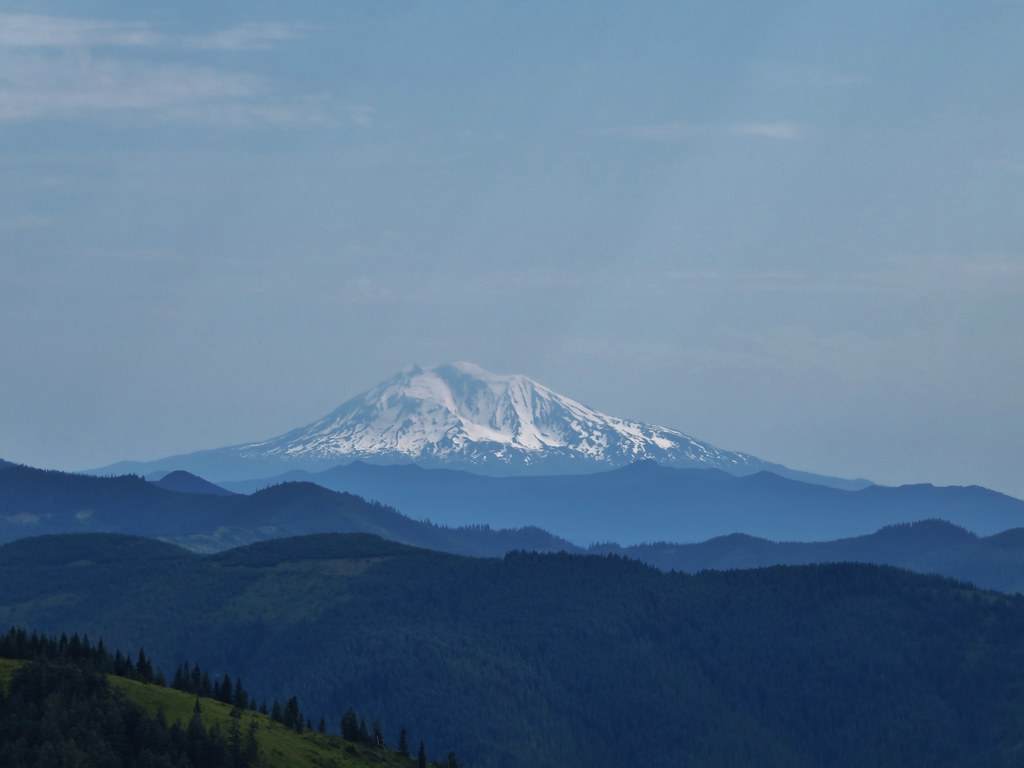
Mt. St. Helens
IMG_4972

Mt. Rainier
IMG_4970

Mt. Adams
IMG_4974

After passing through the thick berry bushes the trail crossed a rock field then entered an forest of trees on a wide ridge between Bluff Mountain and Little Baldy.
IMG_4973

IMG_4975

We spotted a small rock cairn and what looked like a possible trail leading off to the right but didn’t have time to investigate.
IMG_4978

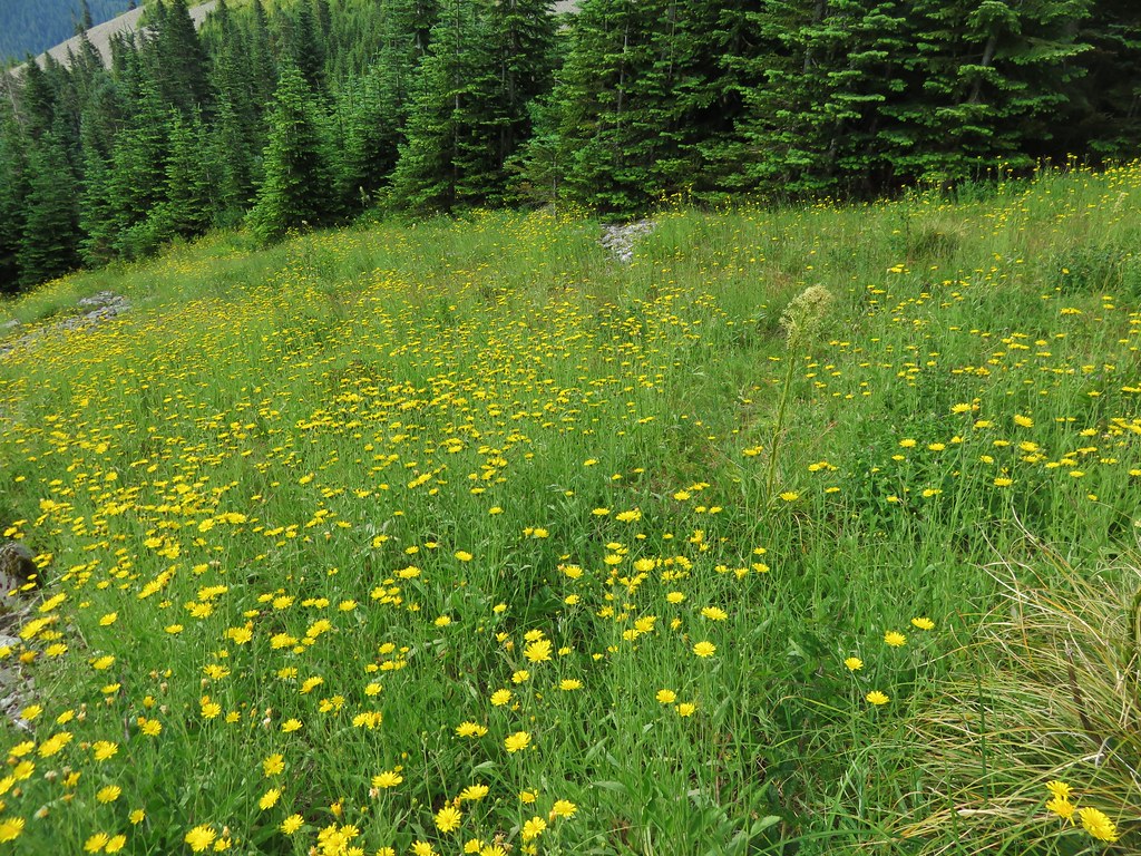
When we emerged from the trees we were in a small meadow with a view of Mt. Hood.
IMG_4979

IMG_4985

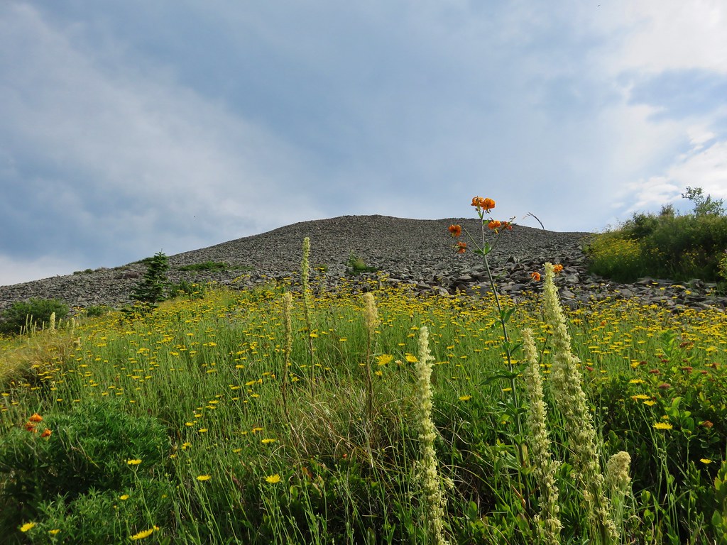
The meadow was full of yellow flowers.
IMG_4980

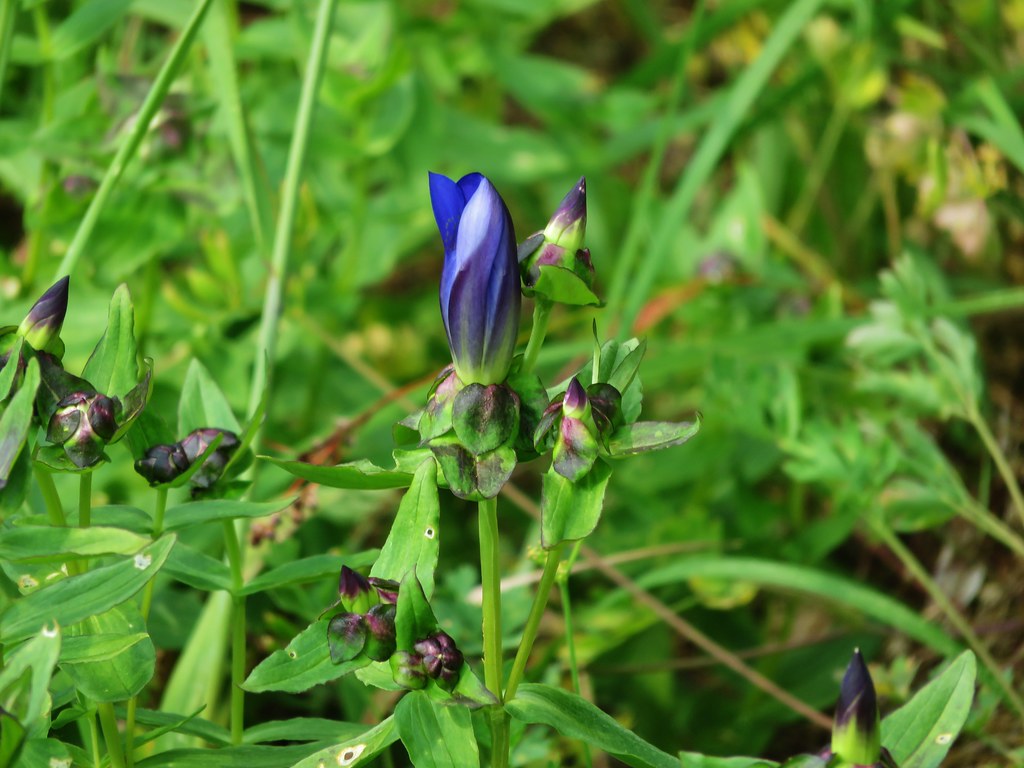
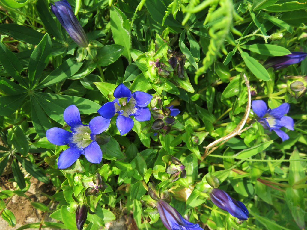
We also spotted some of my favorite flowers – gentians.IMG_4981

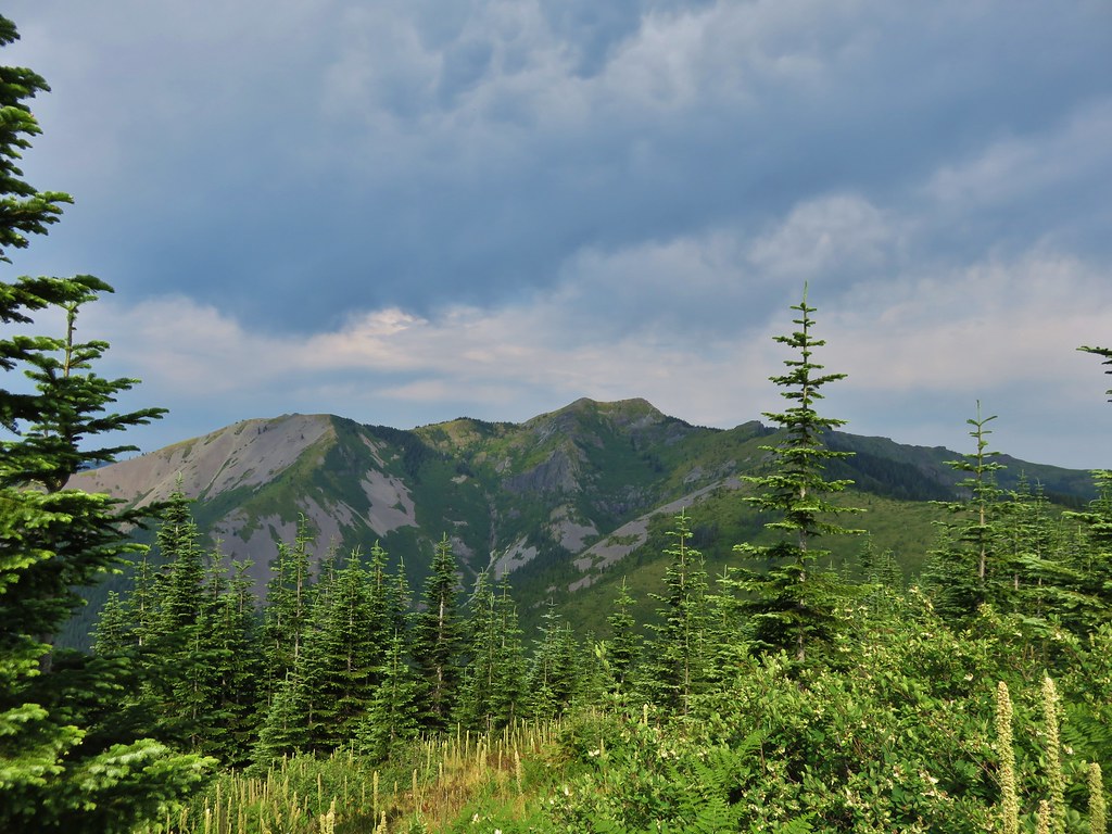
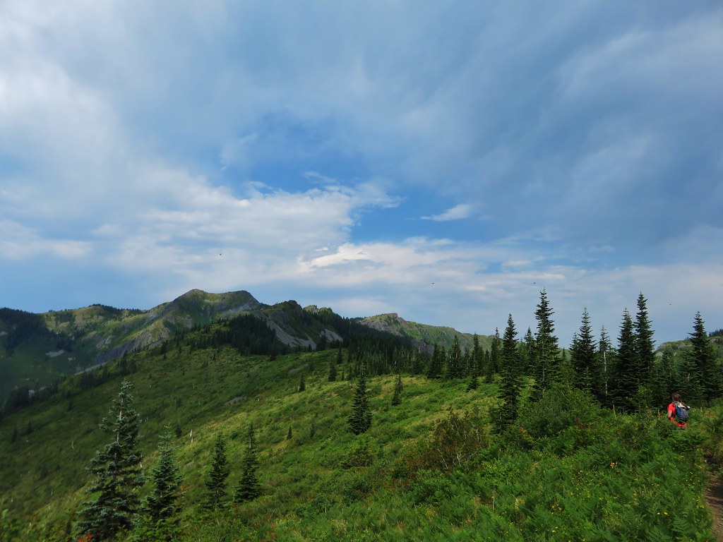
We were now on the opposite side of Little Baldy from what we’d been seeing all morning. Silver Star Mountain spread out ahead of us across a deep valley.
IMG_4987

IMG_4990

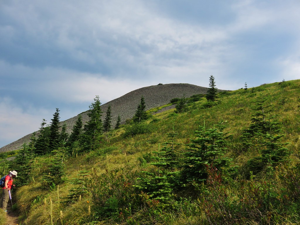
Little Baldy looked like a giant rock pile with a few patches of vegetation growing on its flanks.
IMG_4995

Gentians dotted the trail wherever plants were able to grow.
IMG_4992

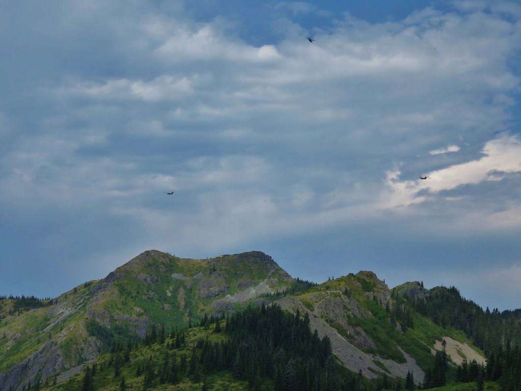
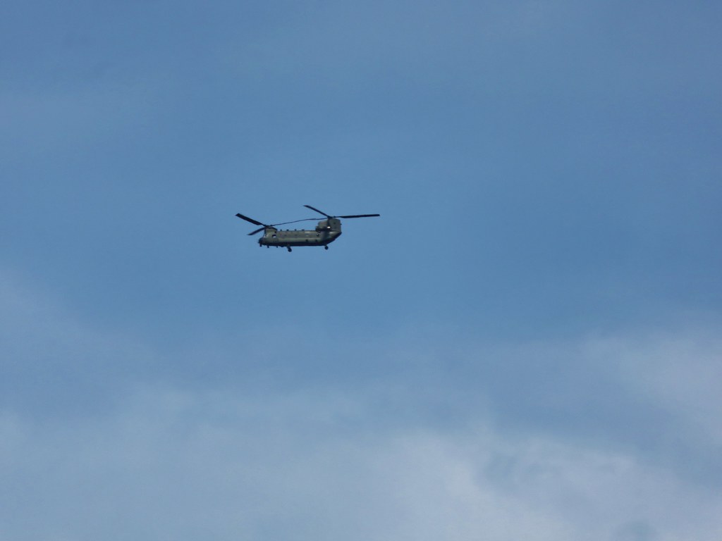
As were were walking we started to hear a loud noise in the distance. At first I thought it might be thunder since the forecast had called for some storms later in the afternoon, but the noise kept growing and getting closer. Heather was the first to identify it as helicopters and then we spotted three of them crossing the sky above Silver Star.
IMG_5003

IMG_5005

IMG_5007

At the 5 mile mark we reached the junction with the Starway Trail. This trail starts on the same Forest Service Road as the Bluff Mountain Trail but at an elevation almost 2000′ lower and is reportedly difficult to follow due to light usage and maintenance. We had watched for the trailhead during the tedious drive along road 41 but were unable to spot it on the way up or back down in the afternoon.
IMG_5033

We were now on the final half mile section of the Bluff Mountain Trail before its end at the Silver Star Summit Trail. The trail skirted along the ridge amid wildflower covered slopes and mountain views.
IMG_5047

IMG_5042

IMG_5053

IMG_5054

IMG_5058

IMG_5076

I had been trying to get one of the many lighter colored butterflies to land long enough for a picture and finally a pink-edged sulpher landed long enough for one.
IMG_5050

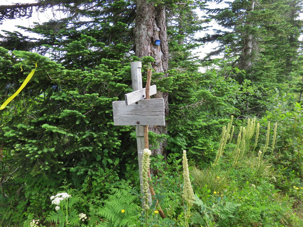
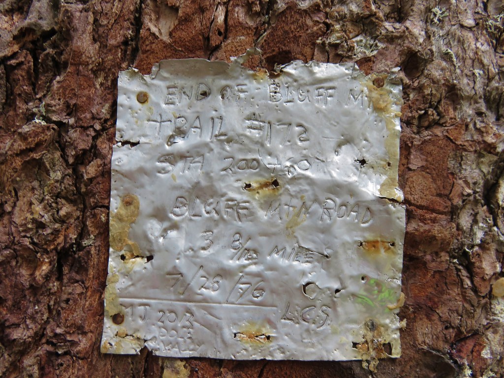
As we neared the end of the trail it suddenly forked with the left hand path heading up the hillside while the right hand side turned and began a traverse along a ridge away from the summit. We initially went right due to that fork looking more like an official trail than the left hand fork but we were getting further from the summit and starting to lose some elevation. I checked the map then the GPS unit and decided we should have taken the narrower left hand fork up so we hiked back and took the other path up to a camp site next to an old road that serves as the Silver Star Summit Trail. The only sign in the area was a small metal plate attached to a tree at the campsite.
IMG_5079

We turned up the old road and headed for Silver Stars dual summits.
IMG_5081

IMG_5083

The views are great all along the long summit of the mountain. Our route was laid out below us all the way to the large dirt parking area where we’d left our car that morning.
IMG_5085

IMG_5087

On our previous visit we had visited the southern summit first so this time we headed for the northern rocky summit where a lookout tower once stood.
IMG_5097

IMG_5099

We took a seat on the rocks and ate the potato chips we’d brought along for their extra salt. They really hit the spot after all the hot climb we’d just finished. While we were relaxing and enjoying the view another pair of hikers arrived. I noticed a yellow button hanging from one of their packs and thought it might be a “I’m A Portland Hiker!!” button that some of the members of Oregonhikers.org (formerly Portlandhikers.org) had. It turned out to be miah66 from the forum and a friend who had come up the Silver Star Trail and was planning to return via Ed’s Trail. This was the second time that we’d crossed paths with another member of the forum but the first time we realized it at the time. The first time it wasn’t until we saw a trip report posted on the website that we realized we had passed another forum member.

After a nice conversation we headed to the southern summit then started back down the road. As we were starting to turn into the campsite and the start of the Bluff Mountain Trail miah66 caught up to us. He had realized that he had an extra button which he was nice enough to gift us. After a group photo it went straight on my pack.
1509012_857108270991212_1645144033841294853_n

It was a warm hike back to the car but the views and the butterflies helped keep our minds off the heat. We arrived back at the car with a little water to spare and a shiny new button. 🙂 Happy Trails!

flickr: https://www.flickr.com/photos/9319235@N02/sets/72157655183073161

Categories
Columbia Gorge North Hiking Trip report Washington

Beacon Rock State Park – The Return to Hamilton Mountain

Almost two years ago we traveled to Beacon Rock State Park to hike the Hamilton Mountain Trail. https://wanderingyuncks.wordpress.com/2013/05/ It was and still is the worst weather that we have ever encountered during a hike. Well enough time had passed and it was time for us to give this hike a second chance. We double checked the weather forecast before heading out which showed some morning clouds clearing up by mid-morning with little to no chance of rain and calm winds. That was good enough for us to give it a go so we got in the car and headed up to the Columbia Gorge once more. For most of the drive we were under a solid mass of clouds but as we headed east along Highway 14 toward Beacon Rock State Park rays of sunlight were shining down on the Columbia River in the distance. The edge of the clouds was just a bit further east than Hamilton Mountain so we decided to warm up on another trail in park, the .8mi Beacon Rock Trail, hoping to give the clouds more time to lift.

Parking for this trail is right along the highway and requires a Discovery Pass which can be purchased at the trailhead (currently $10/a day per vehicle). The trail begins almost directly below Beacon Rock itself.
Beacon Rock Trailhead

After a very short walk through woods the trail begins to switchback up Beacon Rock.
IMG_1584

IMG_1586

In fact the trail switchbacks 52 times on its way up to the top of the rock. (I lost count but that is the number that was on one of the signs at the trailhead.)
Beacon Rock Trail

IMG_1590

When we reached the summit the edge of the clouds was still to the east above Bonneville Dam.
IMG_1593

IMG_1599

We could also see that Hamilton Mountain still had a cloudy top making us wonder what the conditions would be by the time we got up there.
IMG_1600

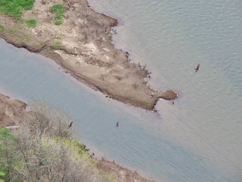
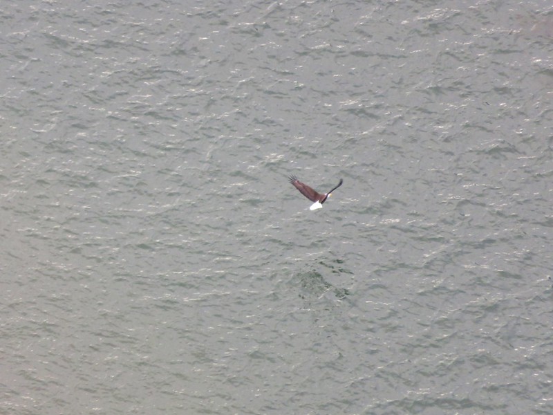
On the way back down we watched a number of Turkey Vultures circling above the river as well as a lone Bald Eagle.
IMG_1605

IMG_1609

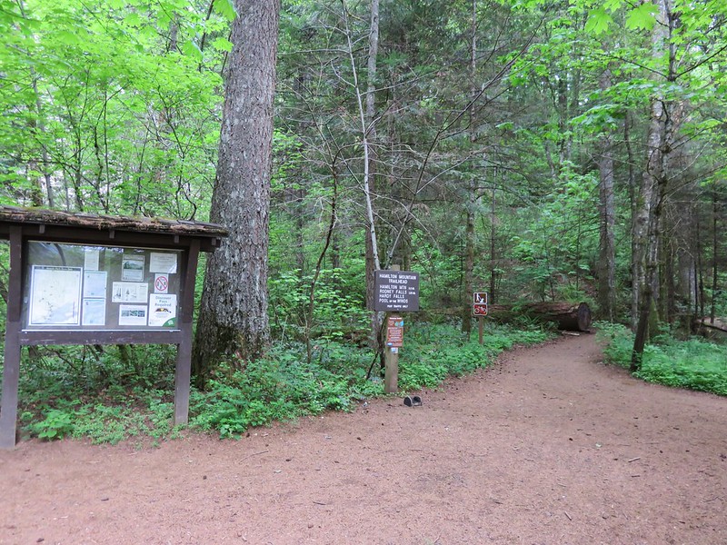
After completing our warm-up we hopped back in the car and crossed the Highway following a campground sign to the trailhead parking area. The trail sets off at a signboard behind the restrooms.
Hamilton Mountian Trailhead

After a gradual .5 mile climb through forest the trail emerges to views of Hamilton Mountain from under some power lines.
IMG_1623

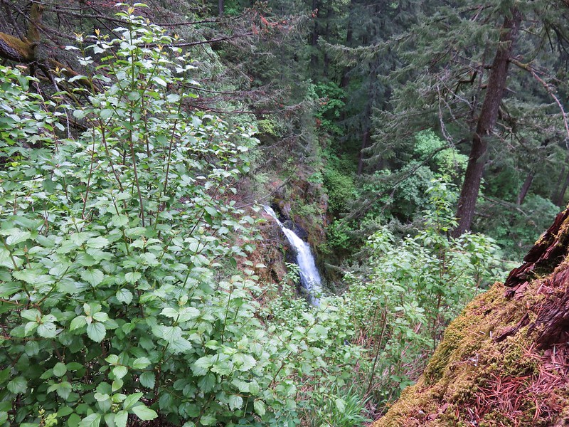
The summit was still in the clouds but they did seem to be breaking up and we still had over 2.5 more miles to climb before reaching the top. After another half-mile a sign announces a viewpoint for Hardy Falls. A narrow path leads down a ridge to a platform that has no view of Hardy Falls at all. The only views are along the ridge prior to reaching the platform, and they are not great.
IMG_1632

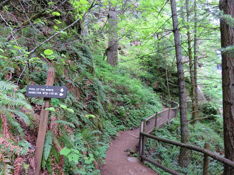
The disappointing viewpoint of Hardy Falls is quickly forgotten after just another tenth of a mile on the trail. Here another sign points up to Pool of the Winds.
IMG_1636

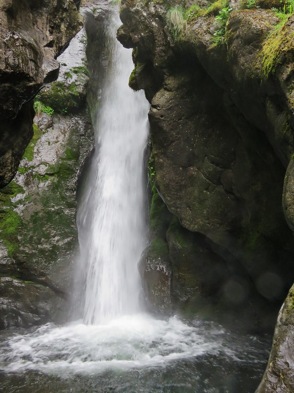
This short path leads to another railed viewpoint, but this time there is really something to see. The upper portion of Rodney Falls splashes into a rock enclosed splash pool. The force of the water falling into the pool combined with the narrow opening in the rocks causes wind to funnel out giving the pool its name.
Pool of the Winds

IMG_1655
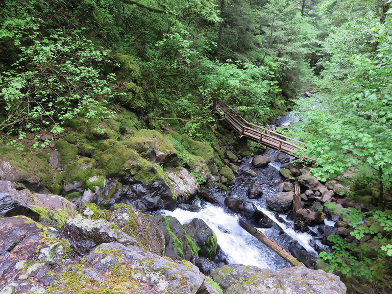
The view down is also nice as the trail crosses the creek on a footbridge below Rodney Falls.
IMG_1650

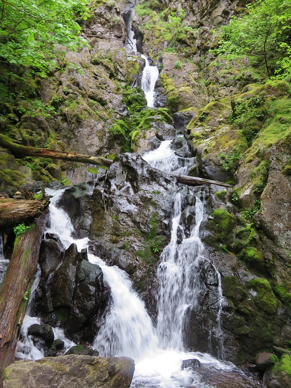
After spending some time enjoying the pool we continued on the trail passing below the falls. Rodney Falls is one of the more complicated falls we have seen. With the Pool of the Winds at the top followed by several smaller sections and then fanning out at the bottom it just has a lot going on. It also changes directions a couple of times which makes it difficult to capture it all well in a photo.
IMG_1665

Just over a quarter mile from Rodney Falls the trail splits allowing for a loop over Hamilton Mountain.
IMG_1680

We headed right which is the shorter but steeper way to the summit. We tend to prefer to go up rather than down steeper trails because it’s easier on our knees. Heading up the right fork the trail passes an increasing number of meadows where we were met with views and wildflowers. In 2013 the views consisted almost entirely of clouds so much of this we were seeing for the first time.

Beacon Rock from the trail.
IMG_1684

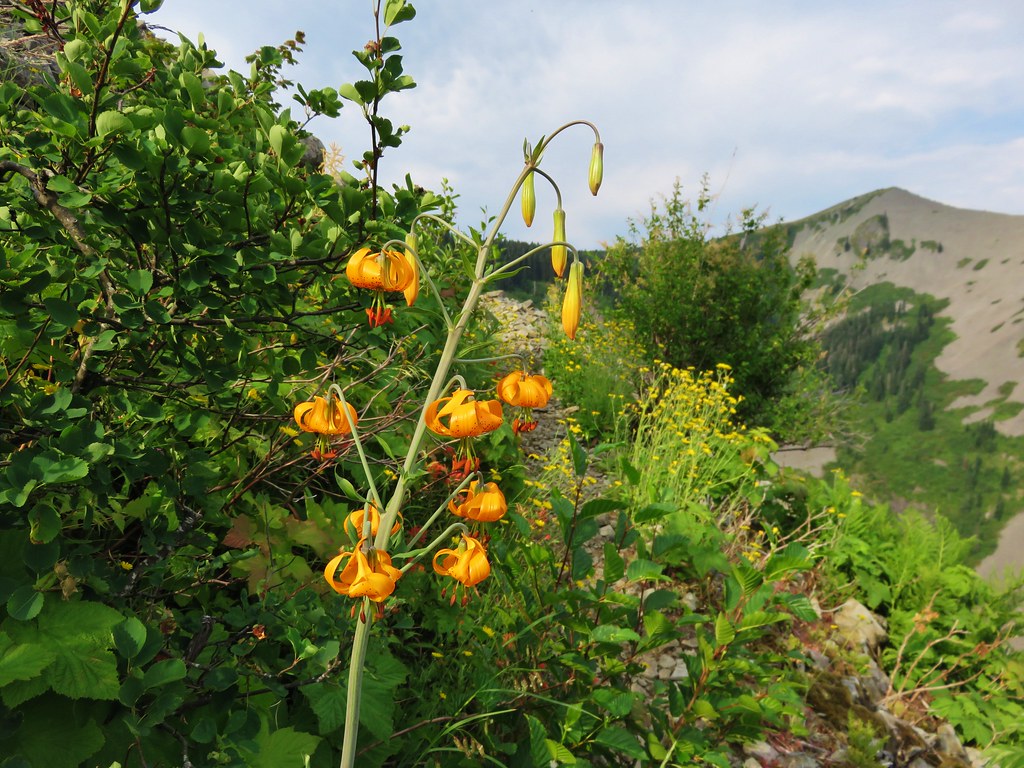
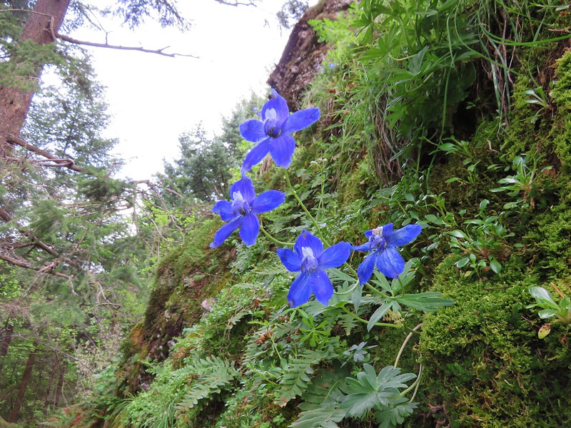
Larkspur
IMG_1683

Chocolate Lily
IMG_1686

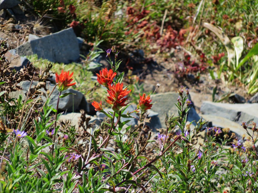
Indian Paintbrush
IMG_1687

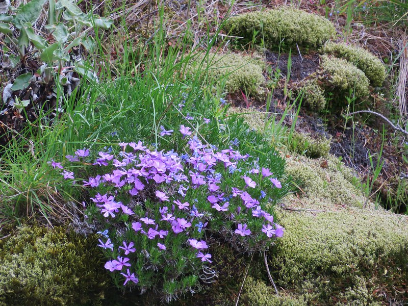
Phlox
IMG_1690

A side trail to the right leads to a rocky outcrop with even more views.
IMG_1702

Then the trail passes behind a knoll where more trees await.
IMG_1710

Larkspur along the Hamilton Mountain Trail

After making its way around the knoll the trail crosses a ridge between the knoll and Hamilton Mountains summit which looms ahead.
Hamilton Mountain

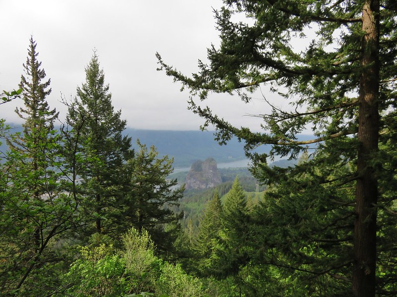
The view of the Columbia River along this ridge is very nice.
IMG_1718

The trail then begins its final ascent switchbacking up through open meadows of flowers. Larkspur and Chocolate Lilies were the predominate flowers blooming at this time of the year.
Chocolate Lilies

IMG_1723

IMG_1727

As we continued to climb the clouds continued to burn off and Mt. Hood suddenly appeared across the river.
IMG_1735

IMG_1738

To reach the actual summit take a side path to the right near the top of the mountain. Here the view was vastly different from our previous visit.

2013
151

2015
Mt. Hood from the summit of Hamilton Mountain

There were only a few bands of clouds left when we arrived at the summit and in addition to the view of Mt. Hood to the south Table Mountain and some of Mt. Adams were visible to the east.
Table Mountain and Mt. Adams from the summit of Hamilton Mountain

Mt. Adams

We took a short break and watched the clouds as they passed by. A few hikers and some other critters kept us company.
IMG_1785

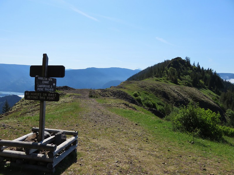
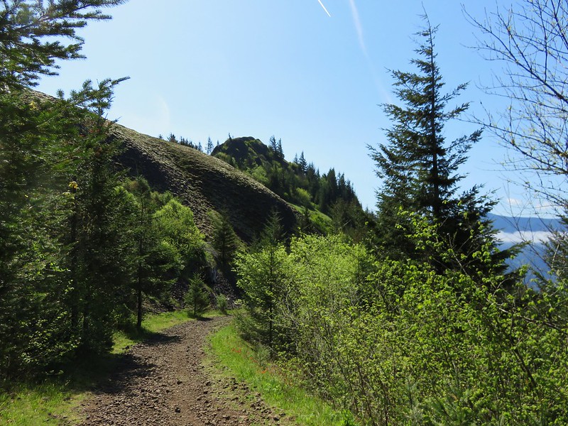
We continued on the loop looking forward to reaching an exposed ridge that was the site of my infamous poncho battle in 2013. Wind and rain were whipping up and over the ridge on that visit but this time it was just sunshine and flowers.
IMG_1798

IMG_1799

At the far end of the ridge we looked back to soak in the view that we missed the first time.

2013
158

2015
Hamilton Mountain trail

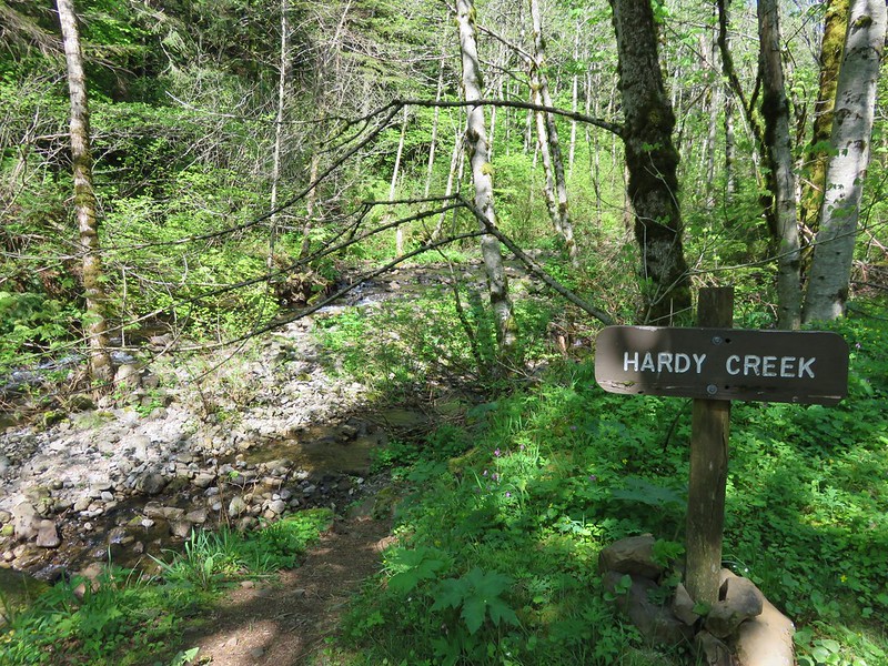
Several paths lead off from the far end of the ridge, but we simply took a sharp left and headed down an old road toward Hardy Creek.
IMG_1809

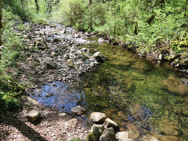
The road leads downhill for a mile to Hardy Creek.
IMG_1810

IMG_1811

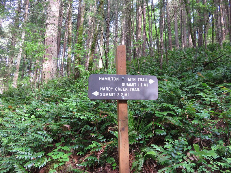
Signs at Hardy Creek point to the 1.1 mile hiker-only trail that completes the loop .3 miles from Rodney Falls. By the time we arrived back at the falls a steady stream of people were coming up from the trailhead. We were once again glad we’d gotten an early start and made our way past a traffic jam at the footbridge. With the number of hikers and dogs coming up the trail we were surprised when Heather spotted a garter snake on the path. It took cover in a stump but then came out to take a closer look at us.
IMG_1817

IMG_1821

We were really happy with the way this hike turned out. We had gotten the views we’d missed out on during our previous visit and the Beacon Rock warm-up was entirely new. Another great day in the Pacific Northwest. Happy Trails!

Flickr: https://www.flickr.com/photos/9319235@N02/sets/72157652309236702/