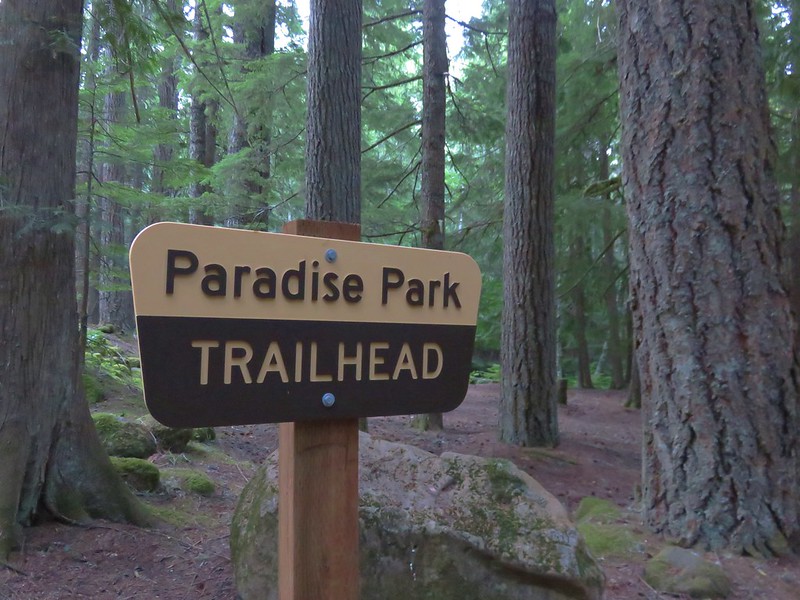
Just like our previous hike (Jefferson Park via Woodpecker Ridge) our latest outing consisted of a new way to visit a familiar area. Our goal this time was Paradise Park on Mt. Hood which we had hiked to twice previously; first in August 2012 on a day hike from Timberline Lodge and again in July 2014 during an overnight trip that started from the Burnt Lake Trailhead. This hike was originally going to be a 13.2 mile day hike consisting of a loop using the Hidden Lake, Pacific Crest, and Paradise Park Trails. The drawback to this plan was that the planned loop did not bring us to Paradise Park. We would need to add at least another mile to the hike to reach the park and even then we would only be seeing a small portion of the Paradise Park area. Our solution was to turn it into an overnight backpacking trip which would allow us to set up camp and then explore to our hearts content (or until our feet said no more).
We decided to park at the Paradise Park Trailhead and walk .9 miles along Road 39 to the Hidden Lake Trailhead.
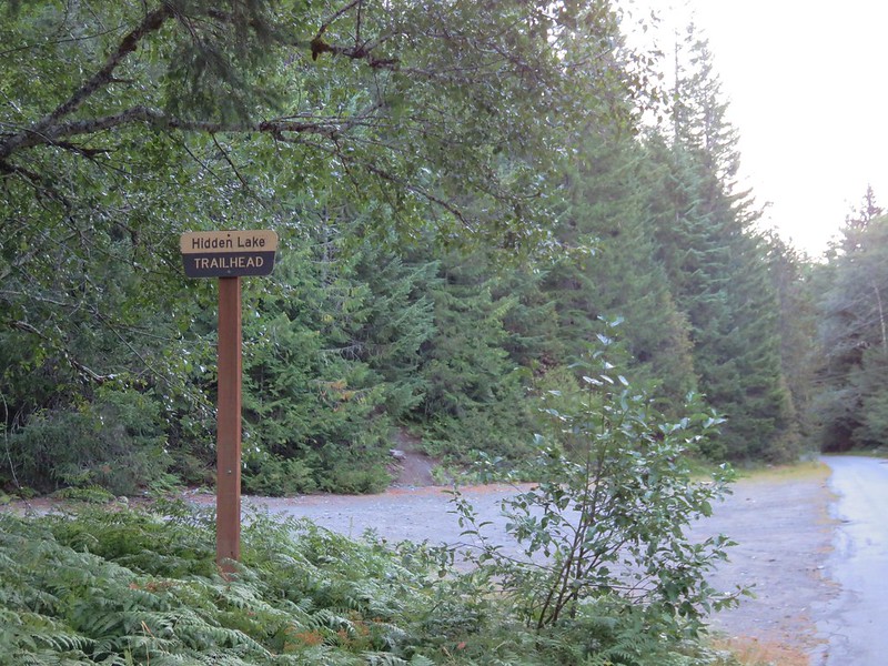
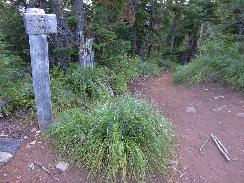
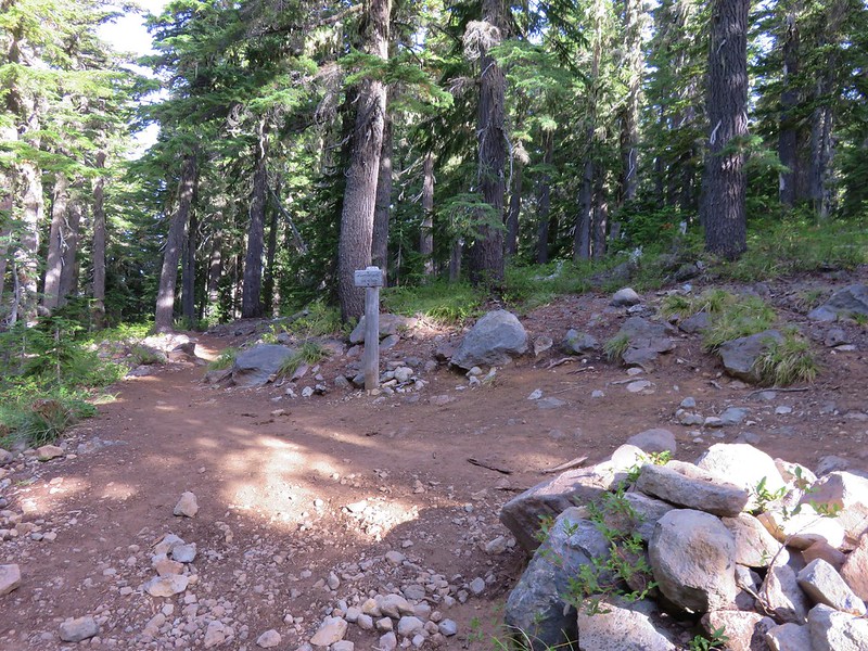
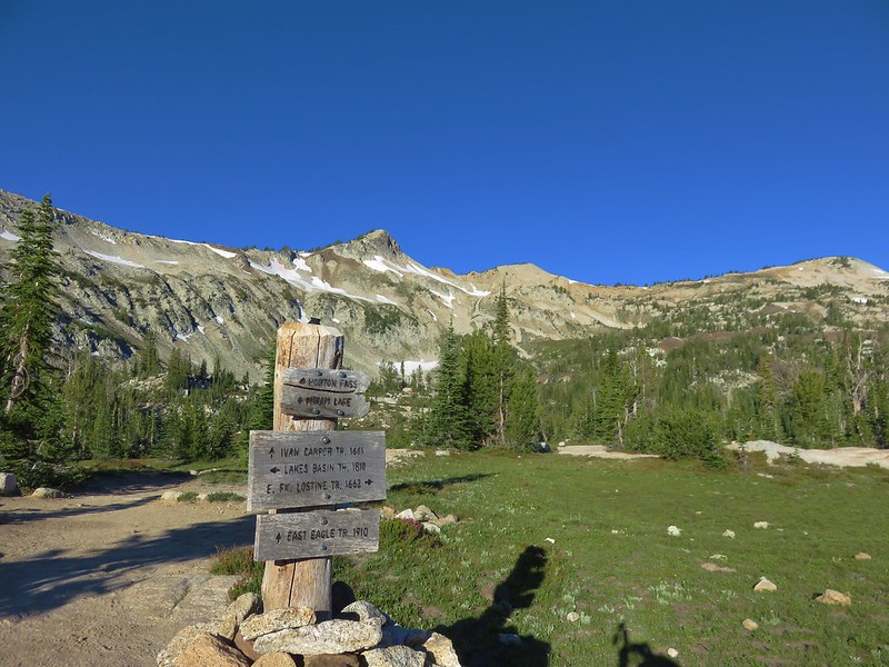
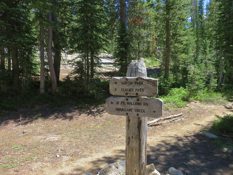
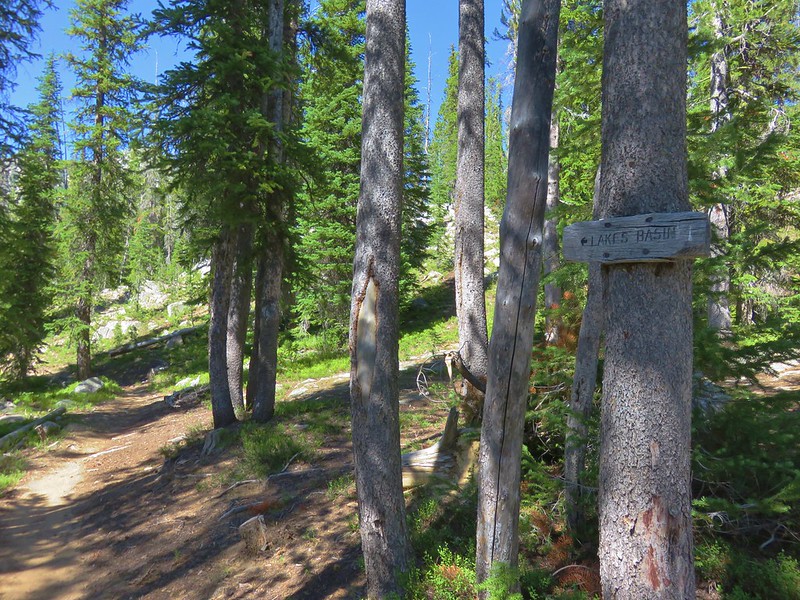
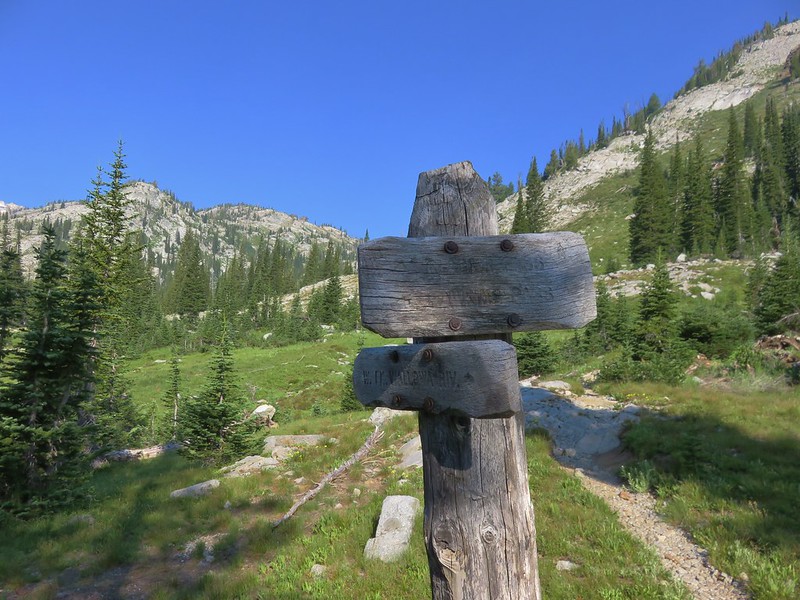
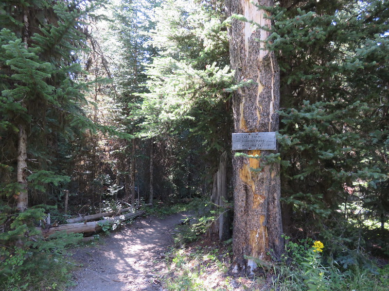
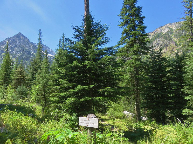
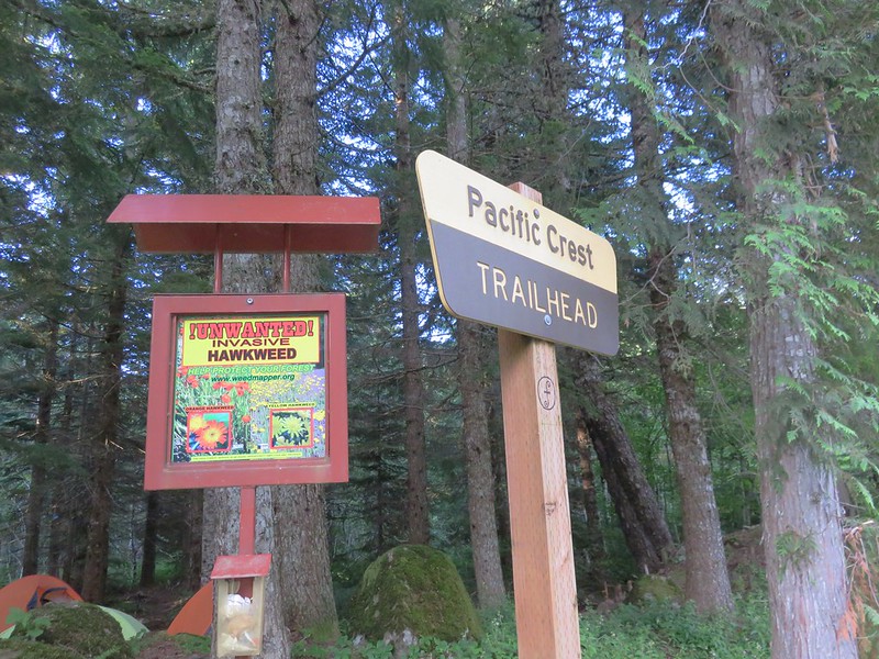
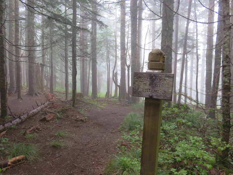
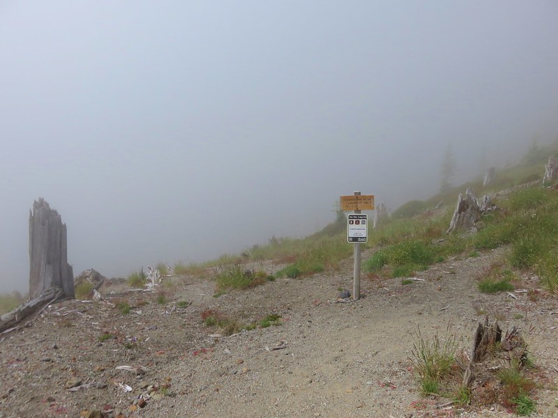
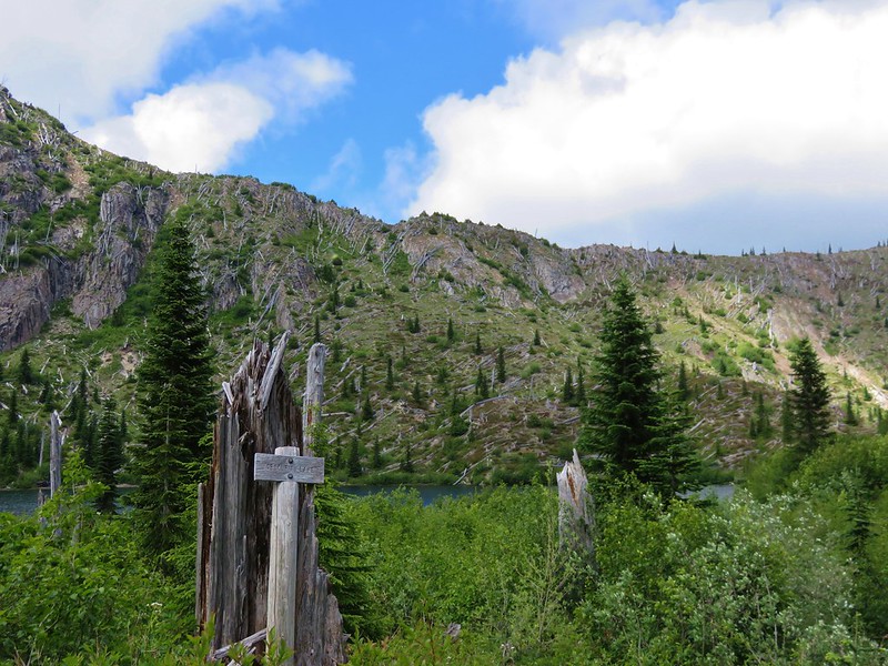
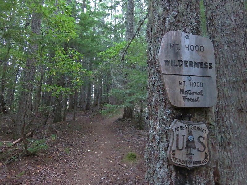
We turned up the Hidden Lake Trail, stopping to fill out a wilderness permit and read a nearby sign recalling the organization of the Mazamas.
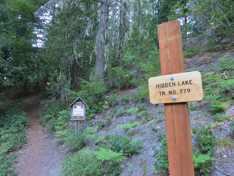

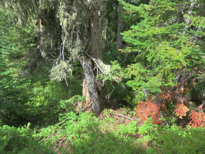
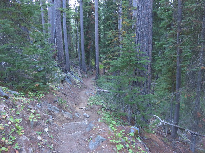
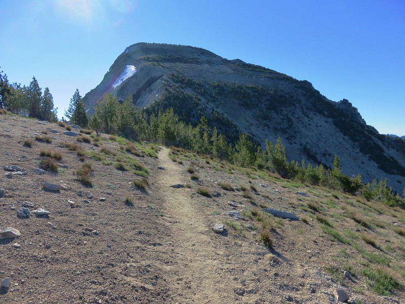
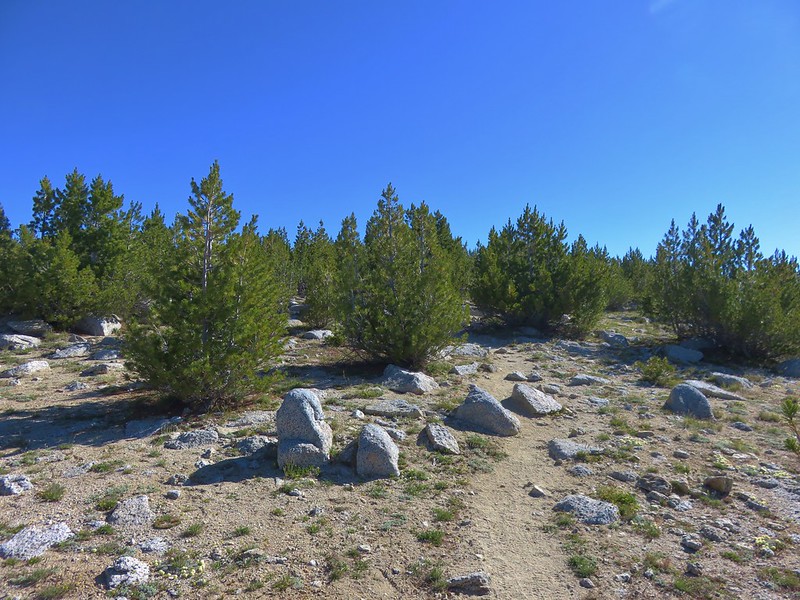
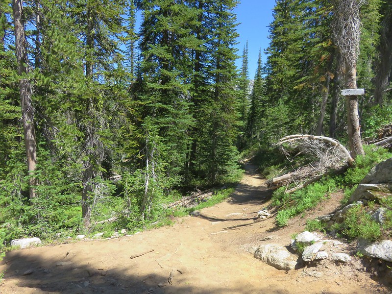
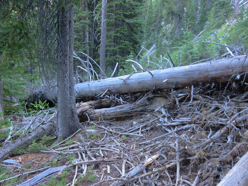
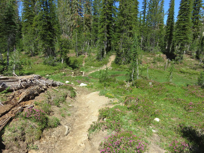
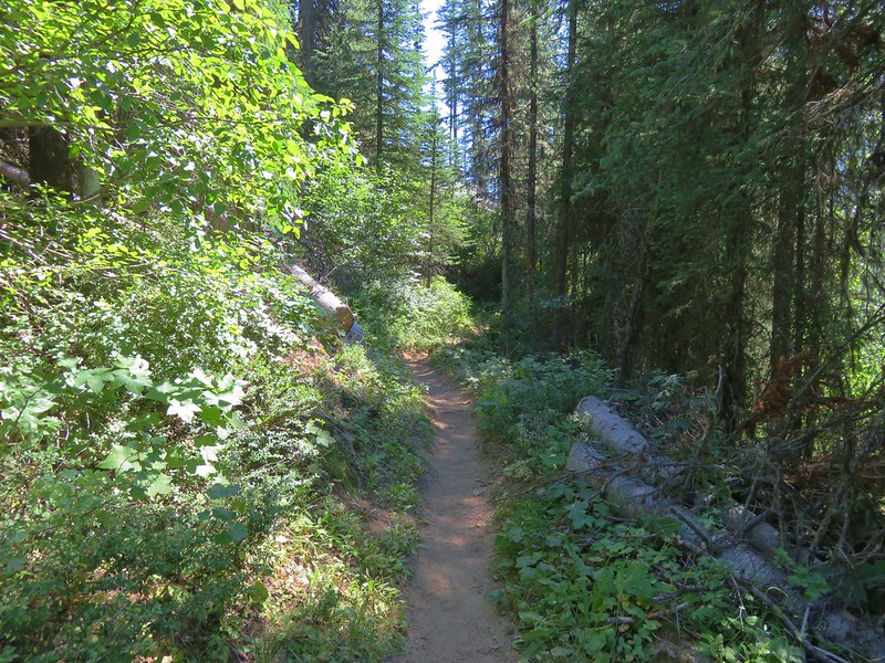
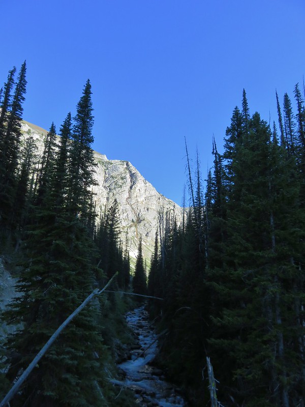
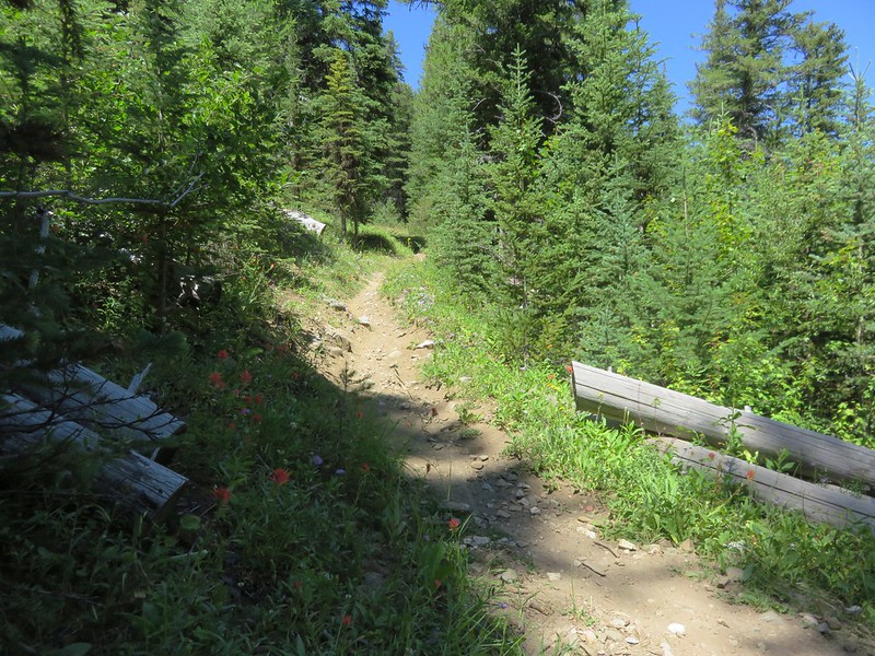
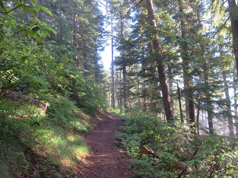
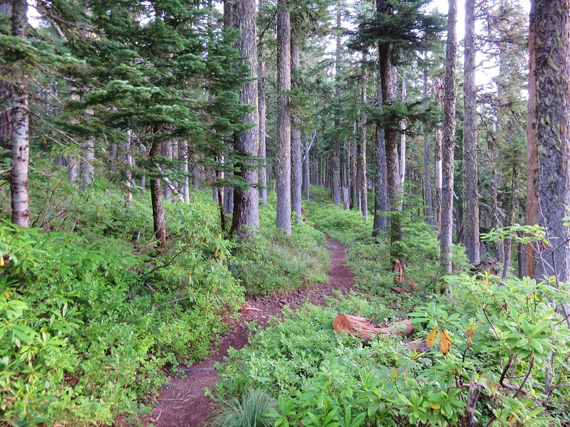
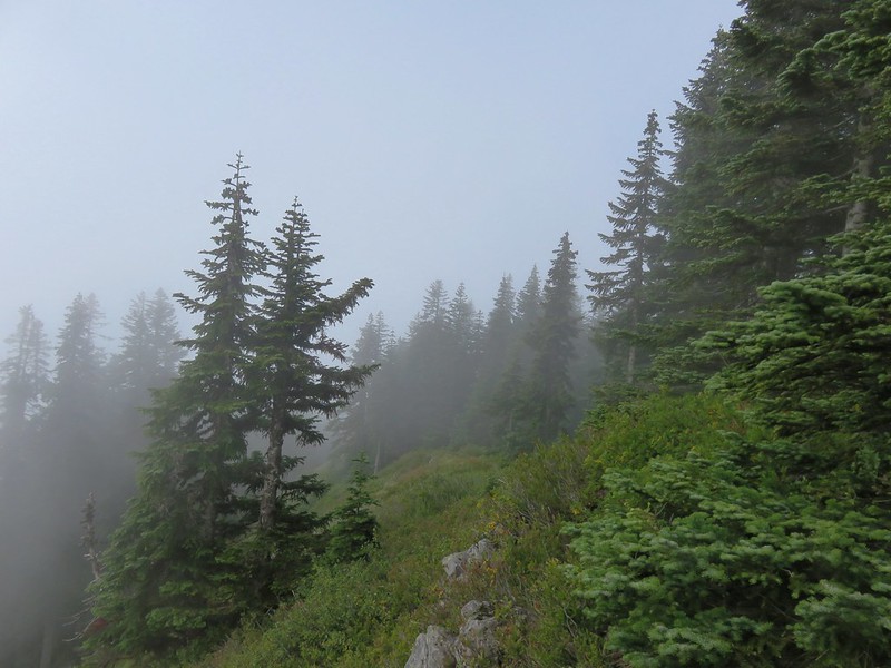
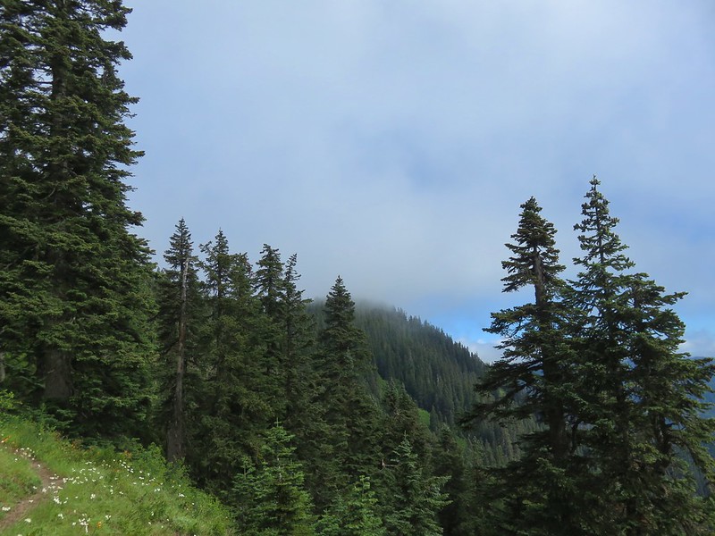
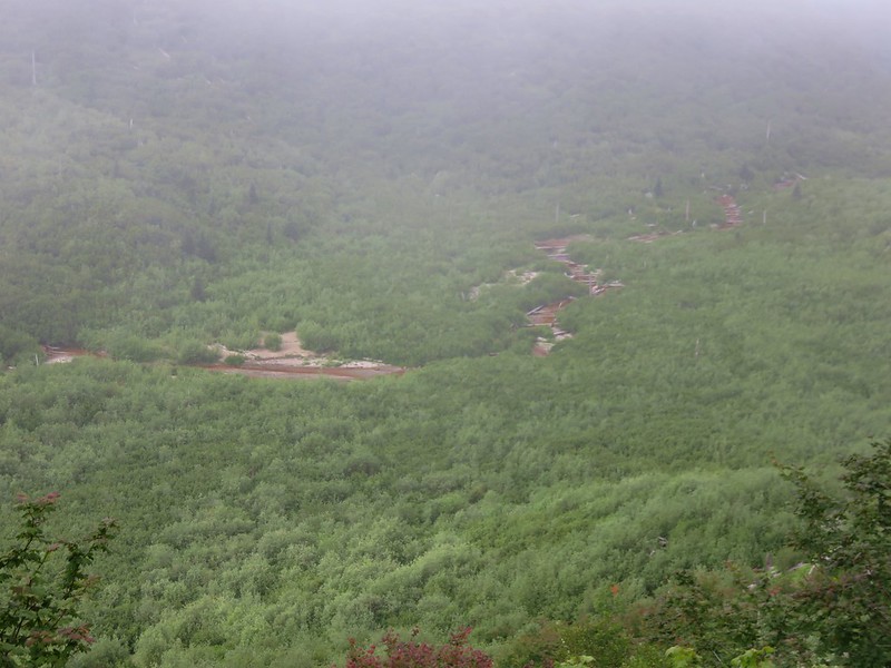
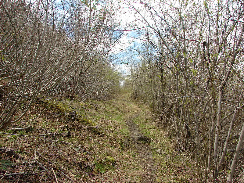
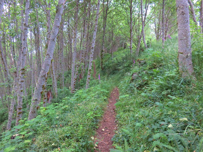
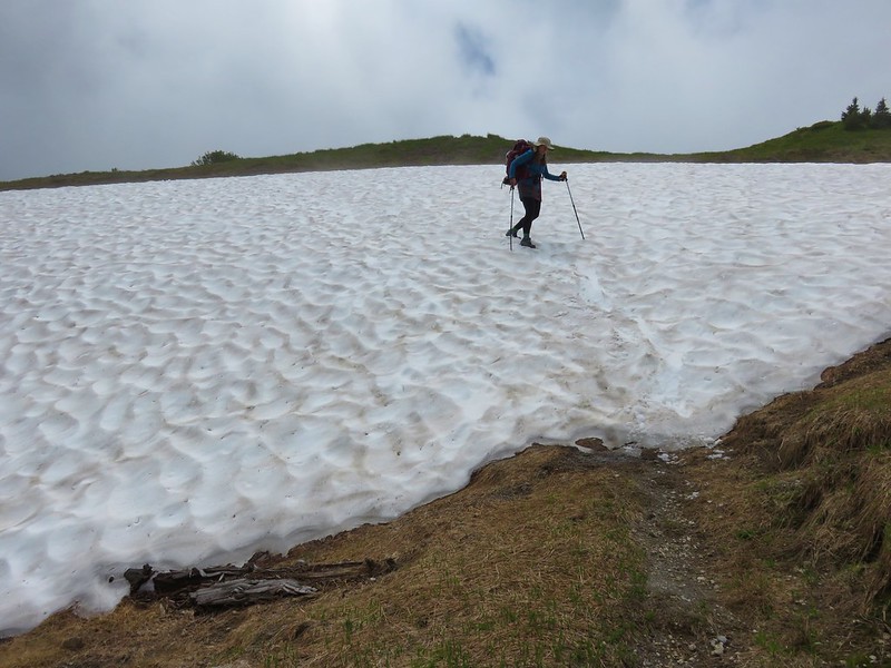
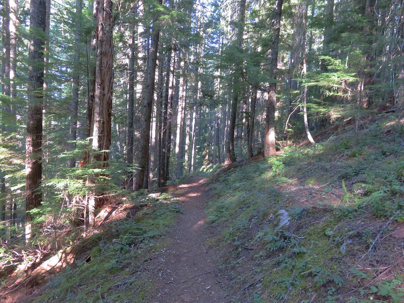
The Hidden Lake Trail climbed at a pretty good pitch at first, eventually becoming less steep as it gained the forested ridge and approached Hidden Lake.

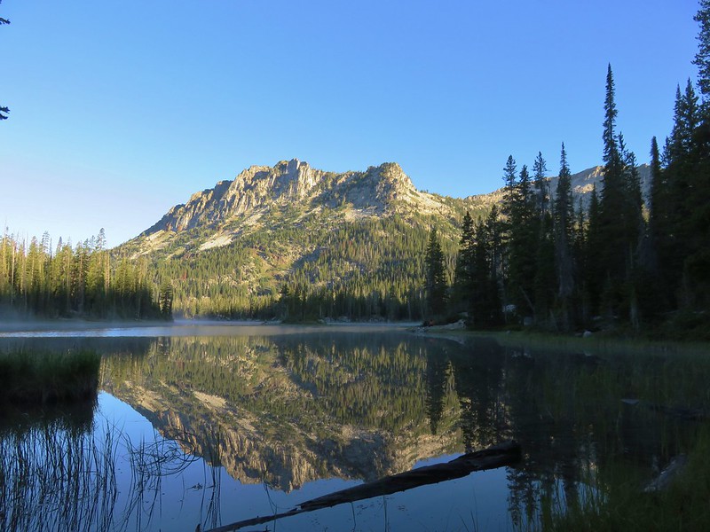
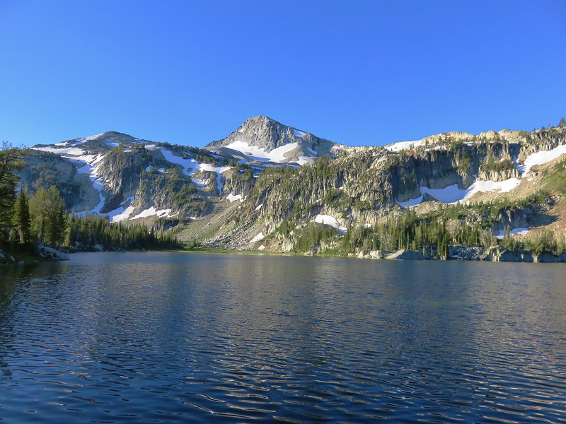
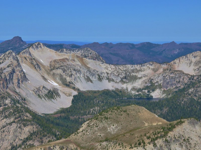
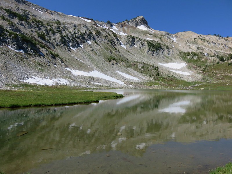
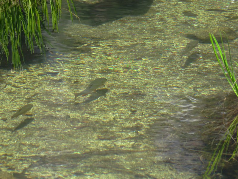
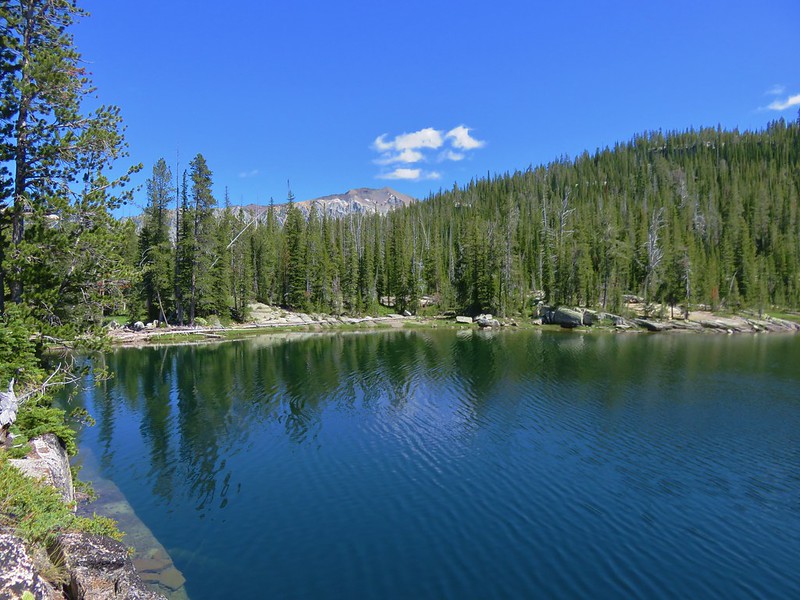
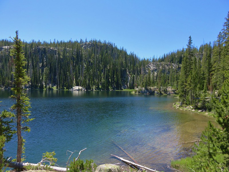
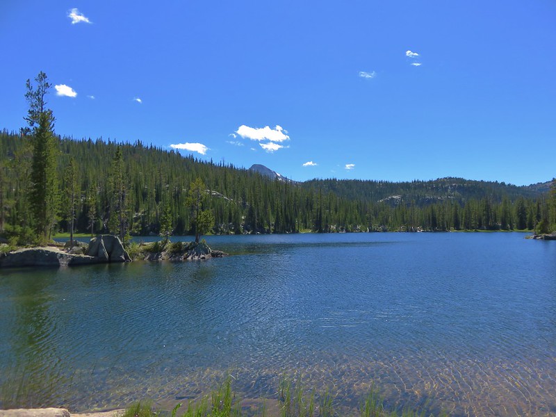
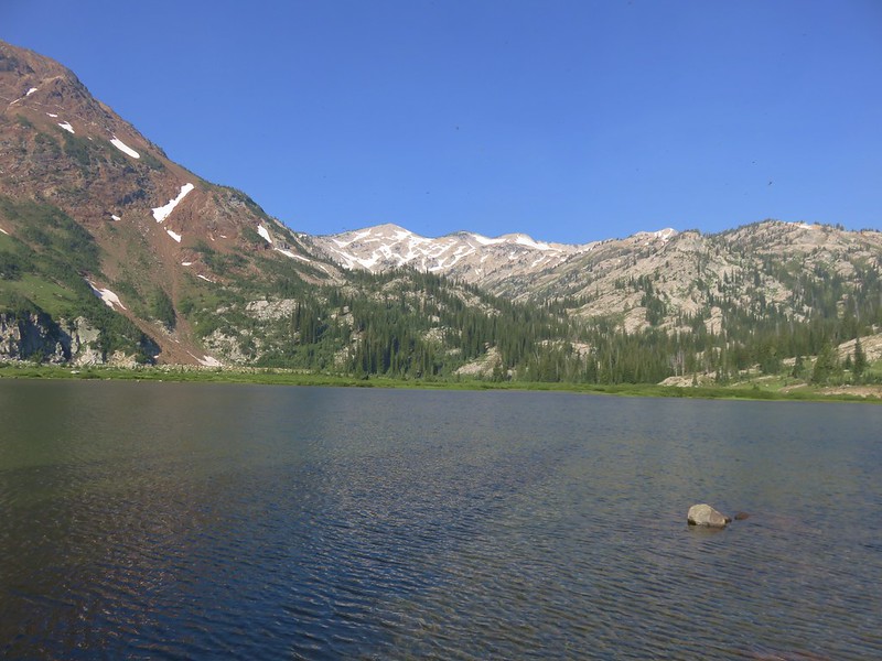
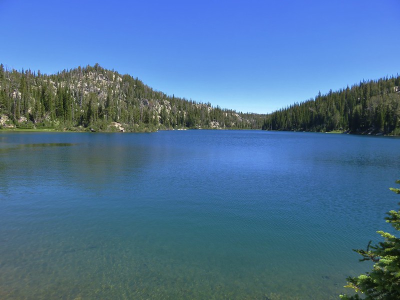
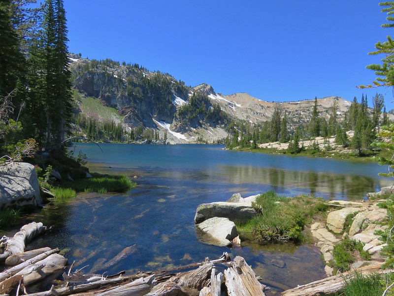
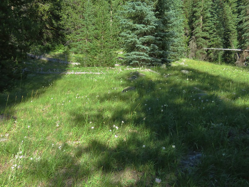
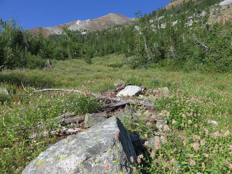
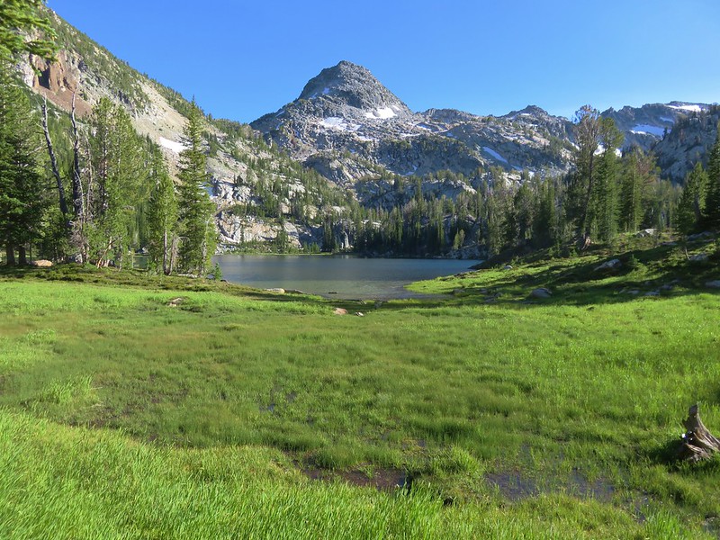
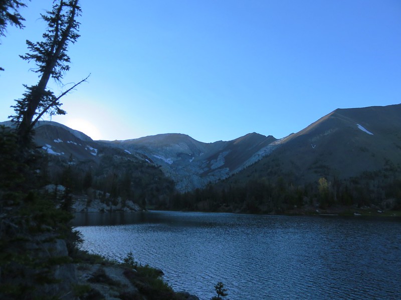
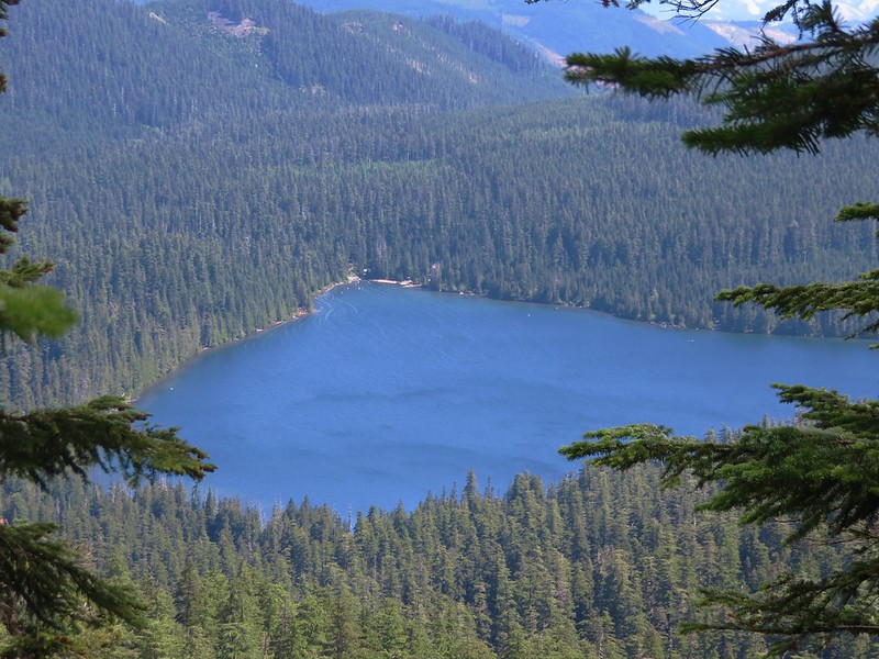
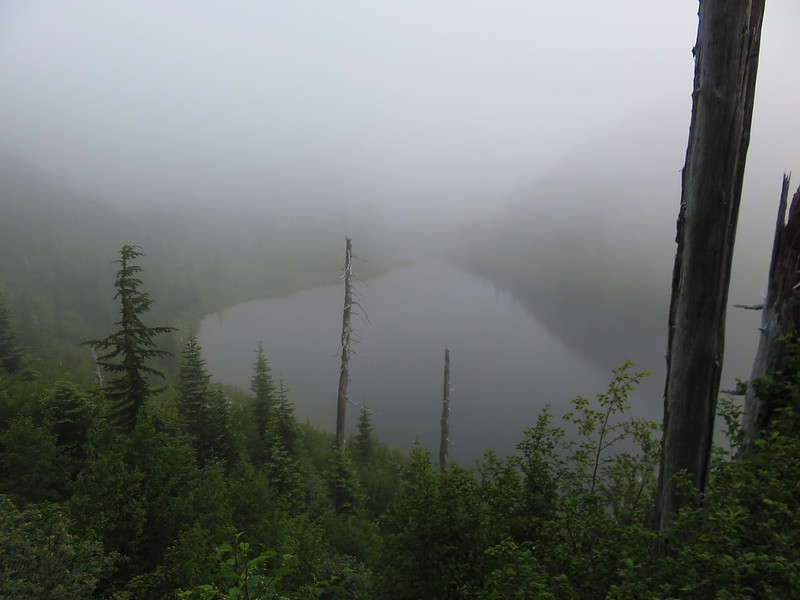
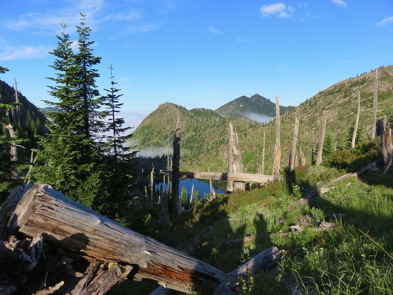
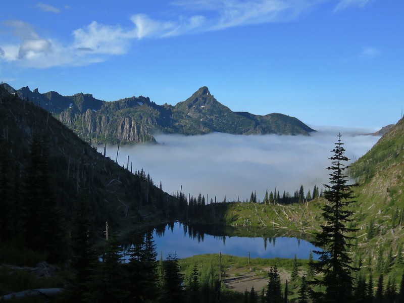
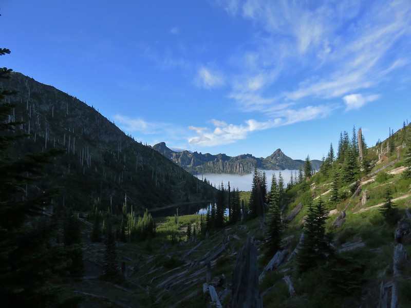
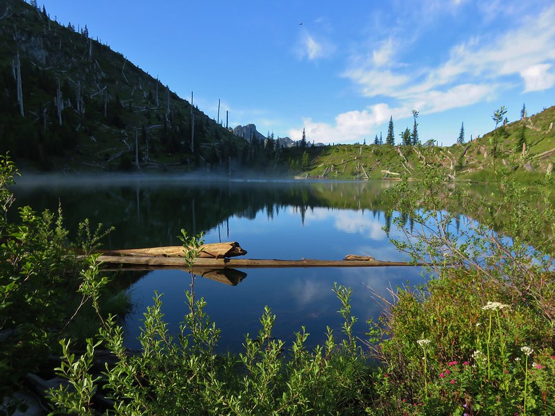
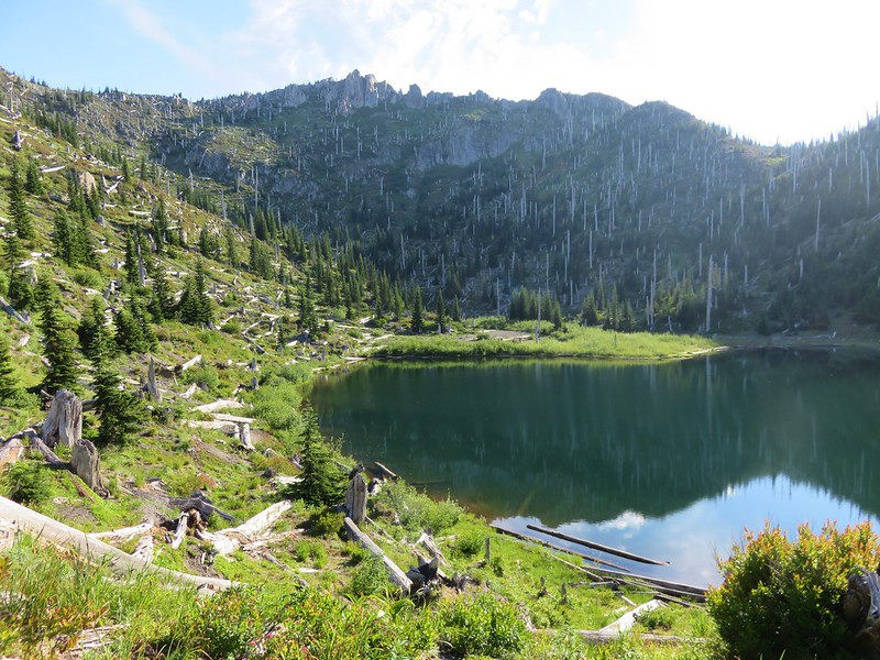
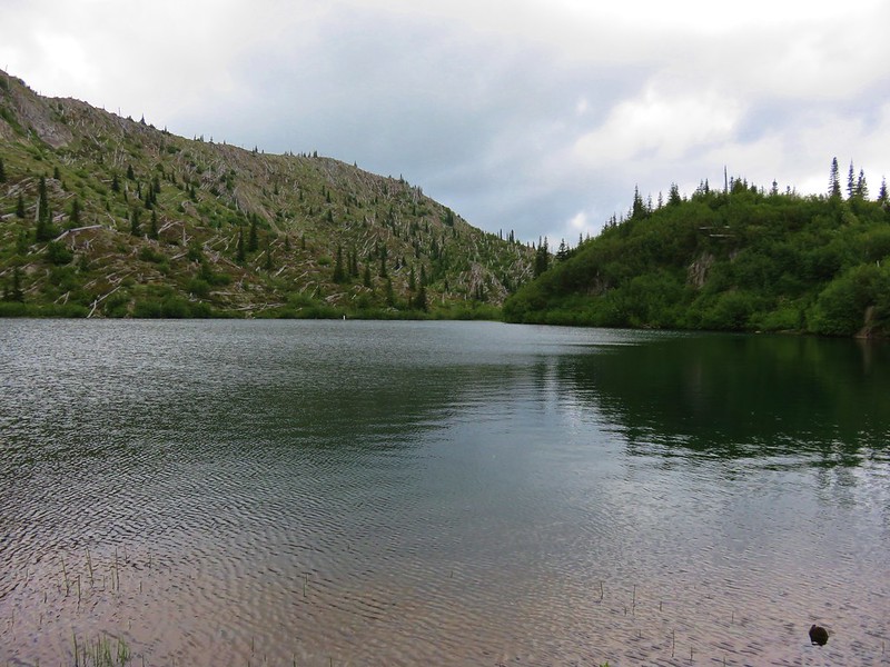
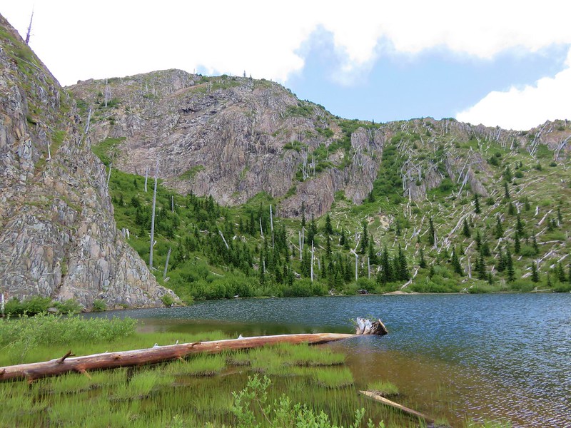
We reached the spur trail to Hidden Lake about 2 miles up the Hidden Lake Trail. The lake itself was not visible from the trail but the presence of a campsite just off the trail gave its presence away. We followed the spur trail past the campsite to the small forested lake.
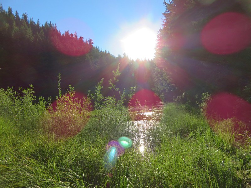
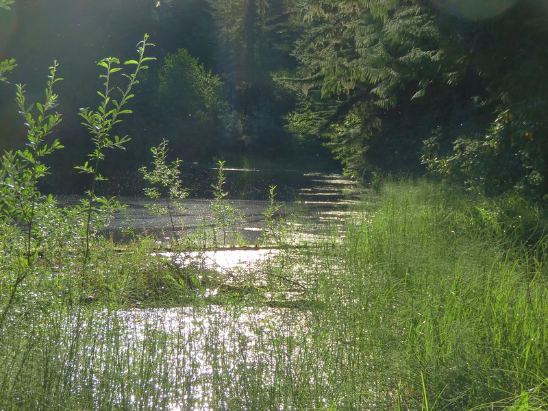

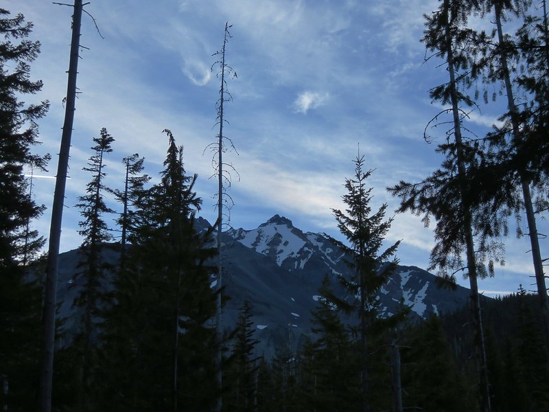
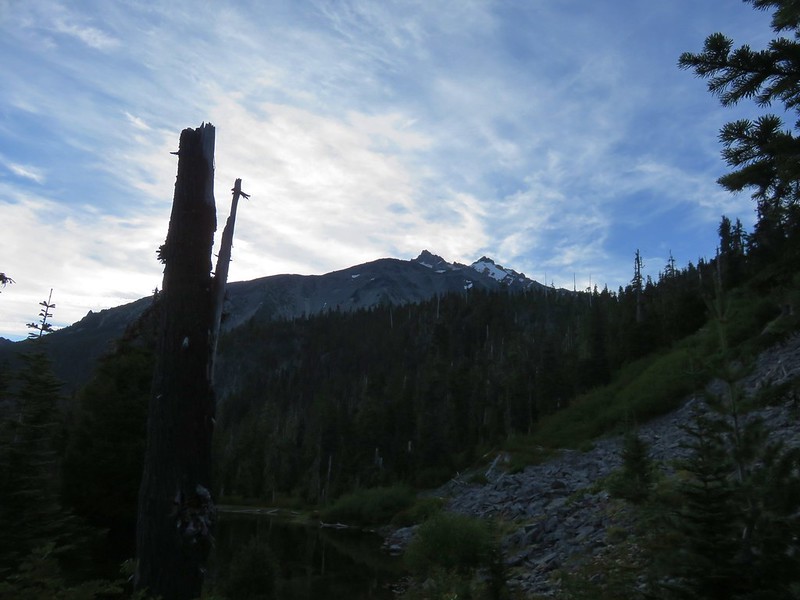
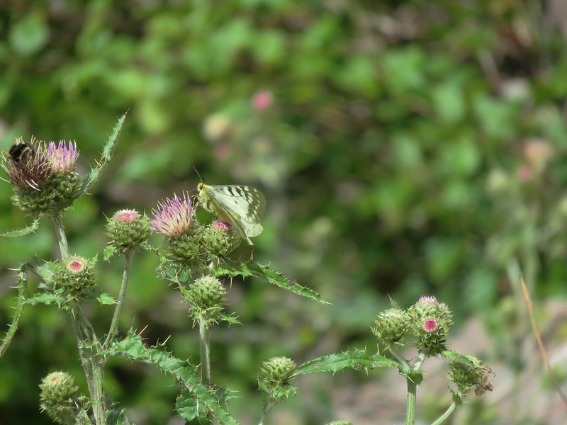
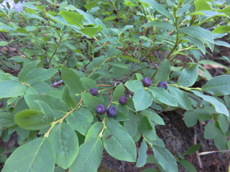
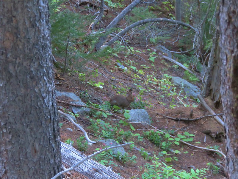
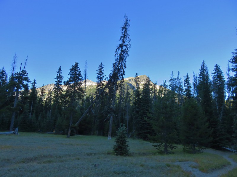
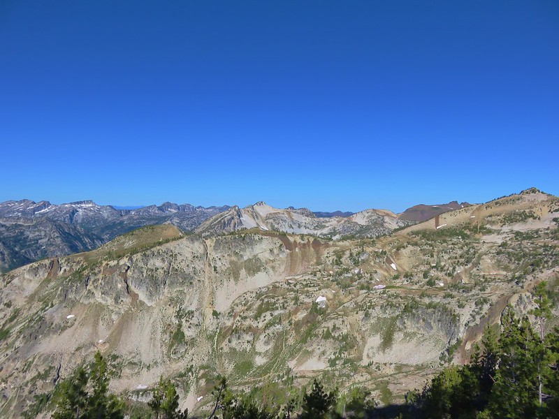
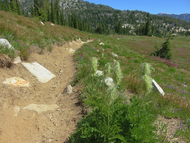
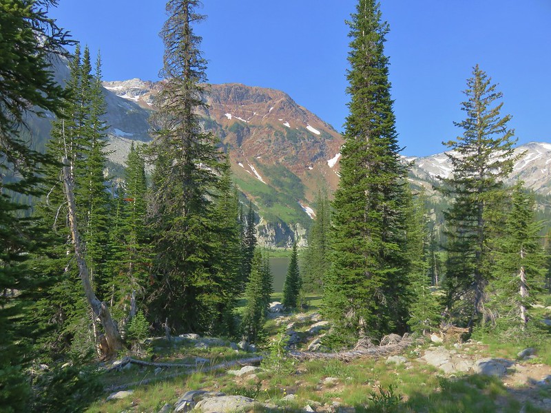
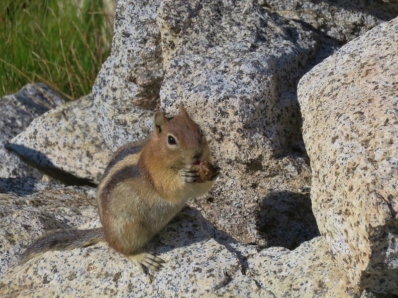
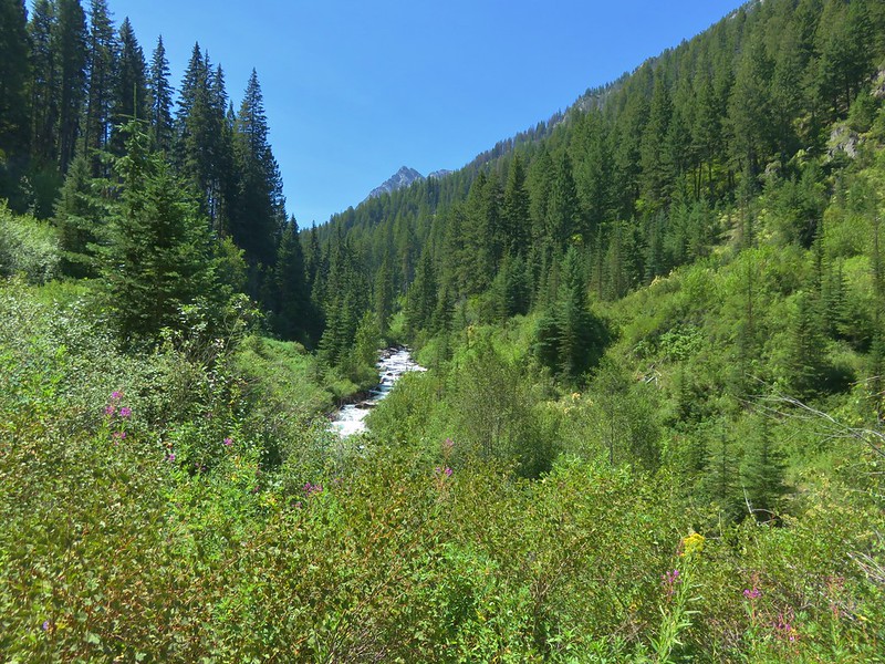
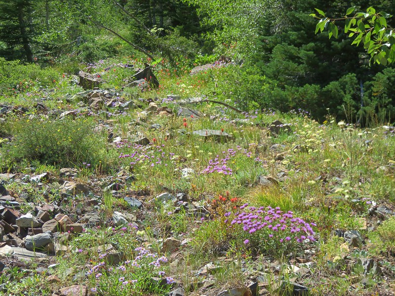
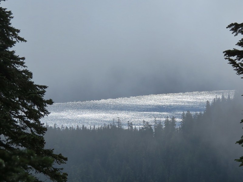
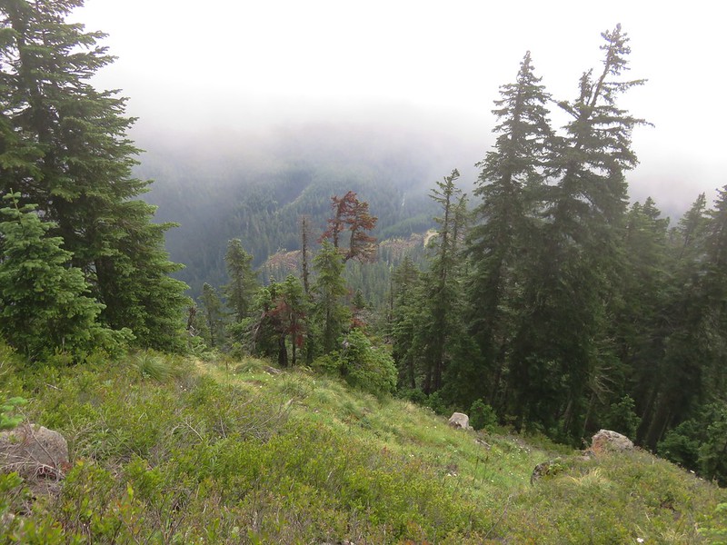
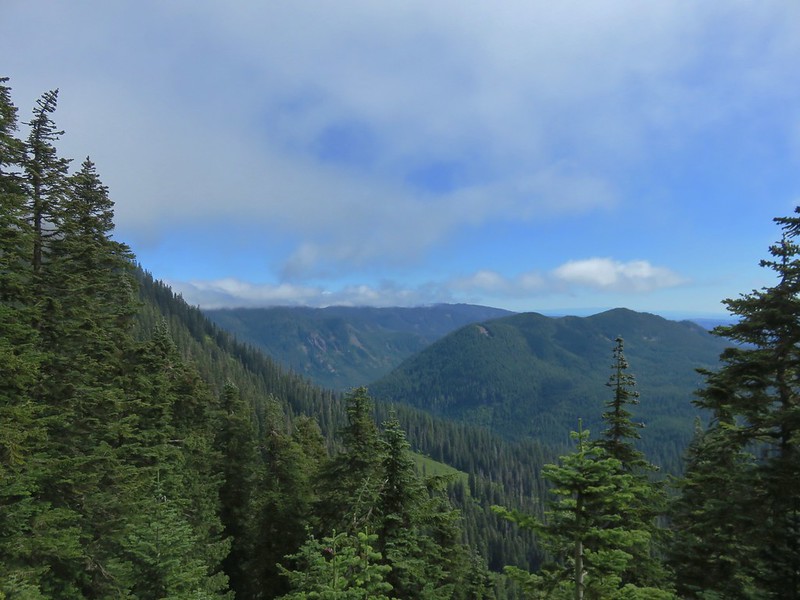
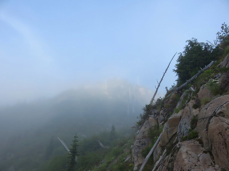
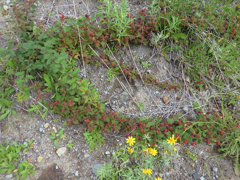
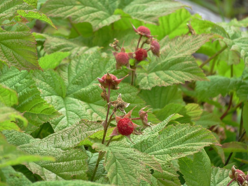
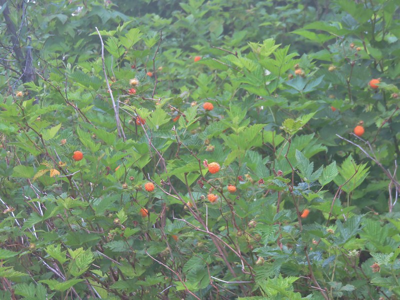
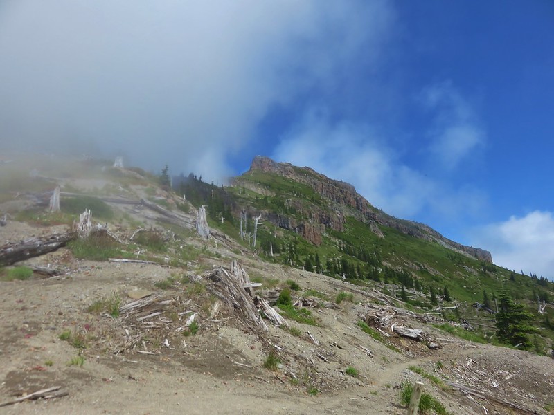
The muddy lake shore seemed to be attracting a fair number of yellow jackets so we kept our distance and didn’t stay long. From the lake the trail climbed nearly another 2000′ in approximately 2.5 miles. The forested ridge provided no views of Mt. Hood but there was a nice supply of ripe huckleberries for us to munch on as we climbed. The trees did provide some protection from the Sun which was welcome because it was already a warm morning. Temperatures in the Willamette Valley were supposed to hit triple digits and the high at Paradise Park was forecast to be around 70 for the day. We were able to keep a decent pace though and at the Pacific Crest Trail we turned left toward Paradise Park.

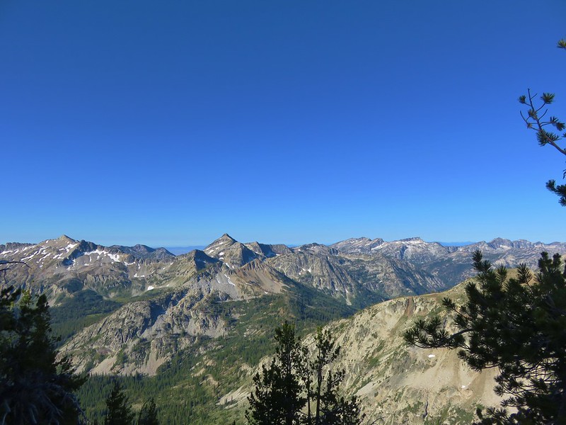
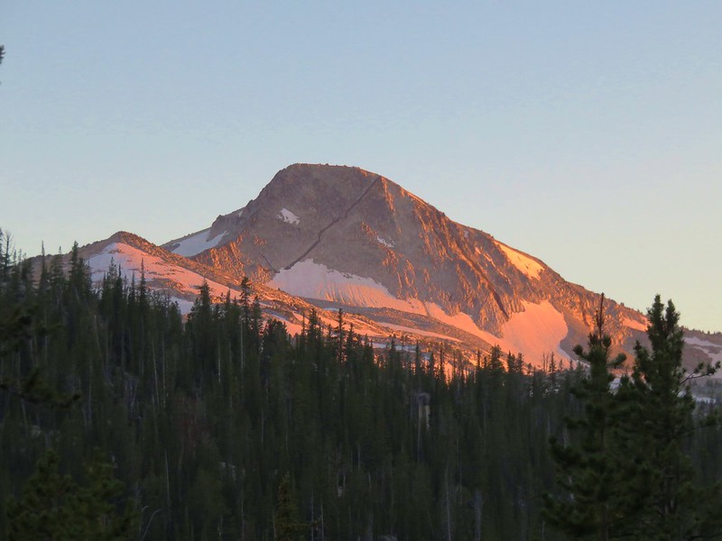
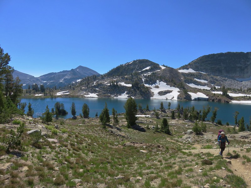
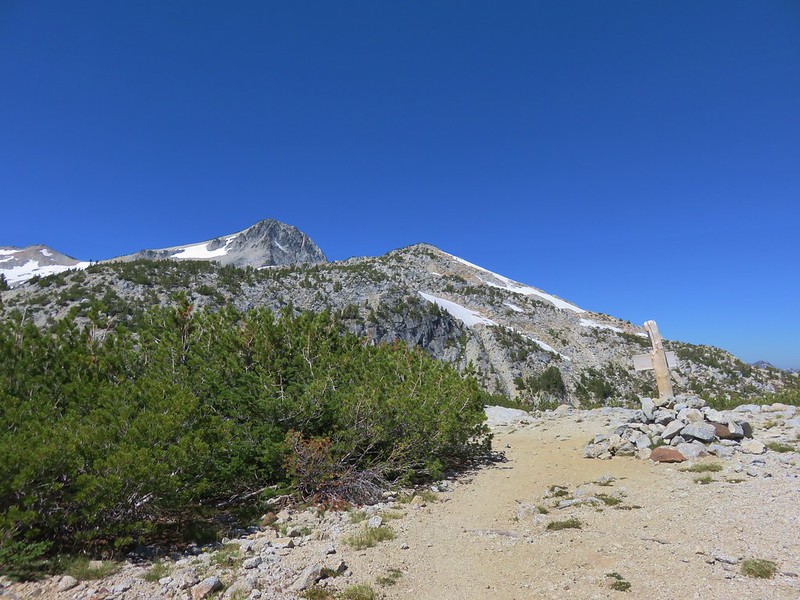
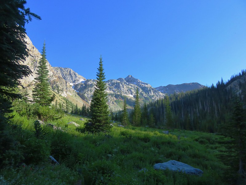
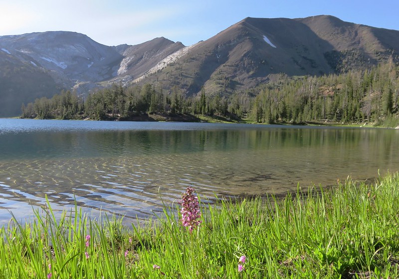
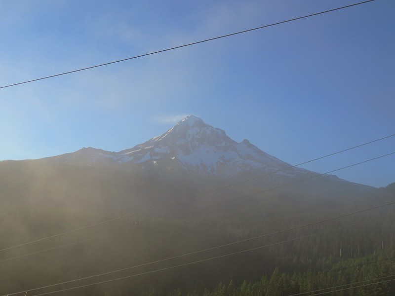
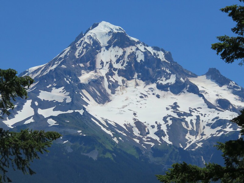
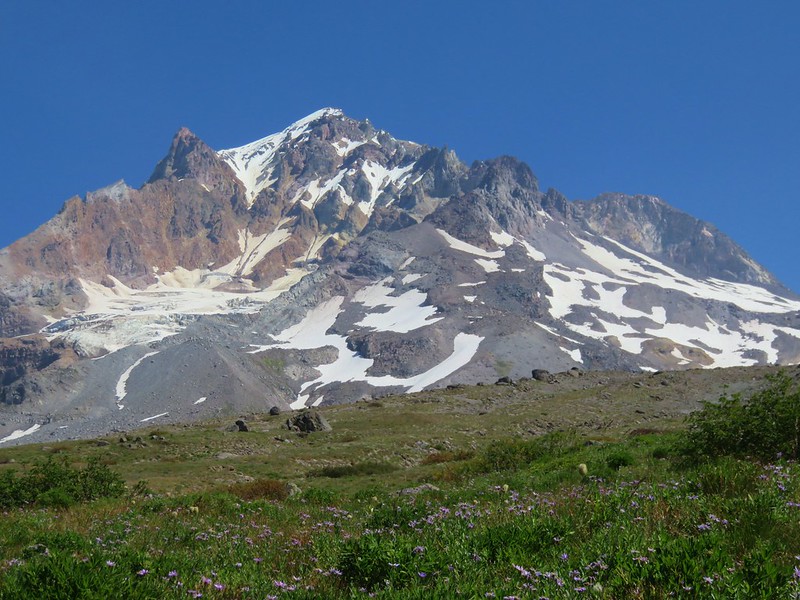
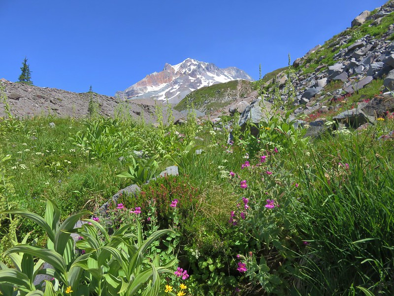
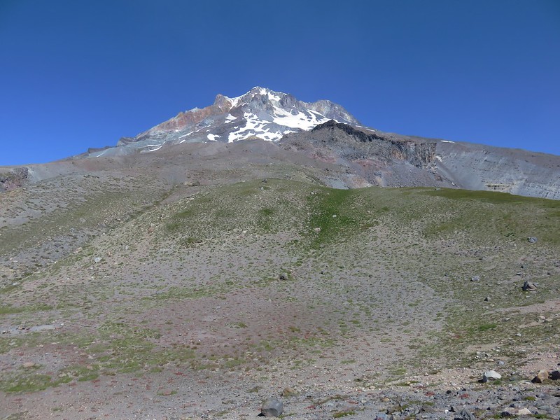
Mt. Hood finally came into view as we hiked along the PCT.

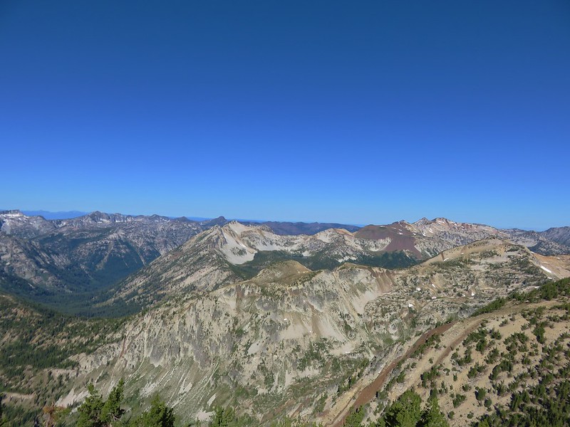
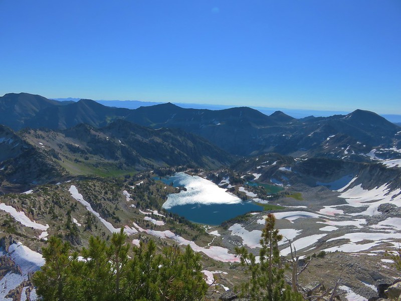
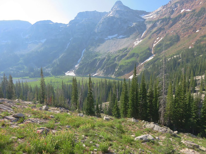
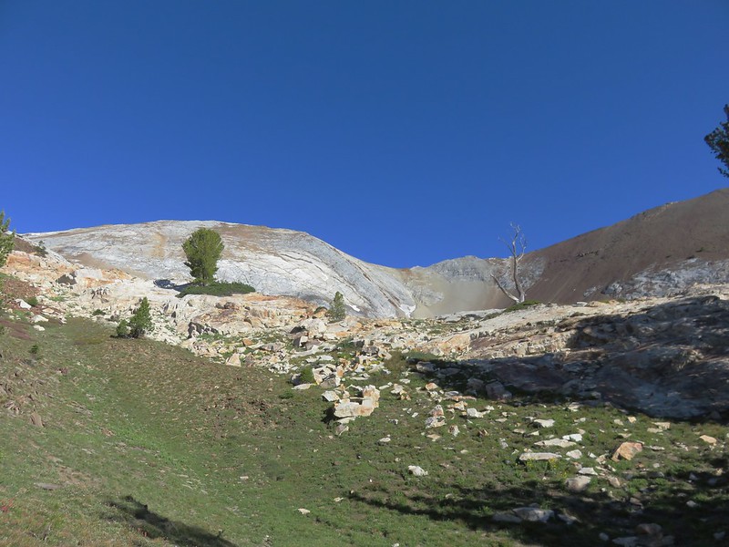
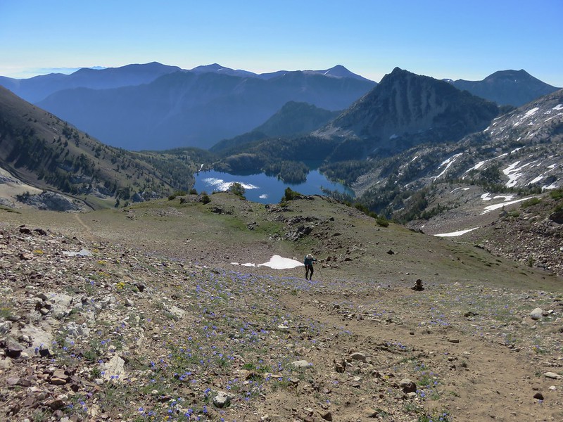
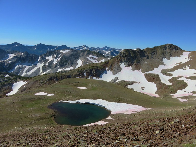
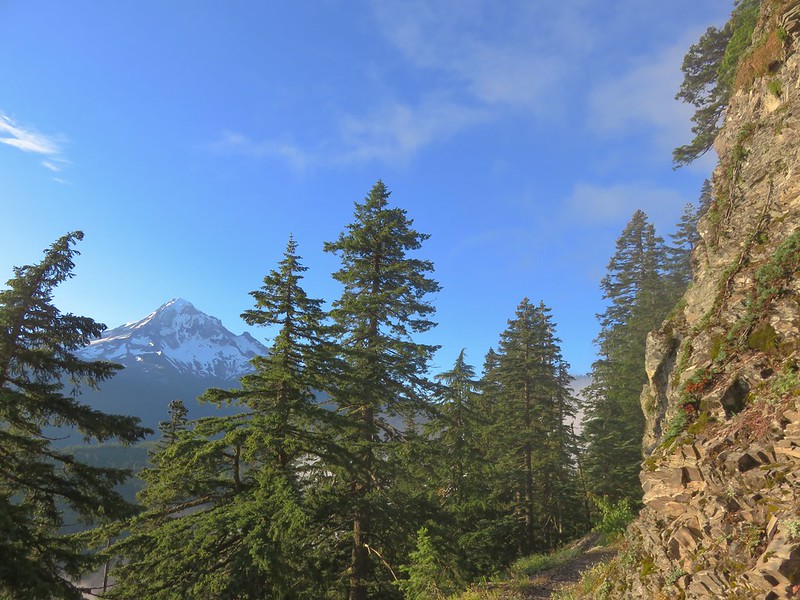
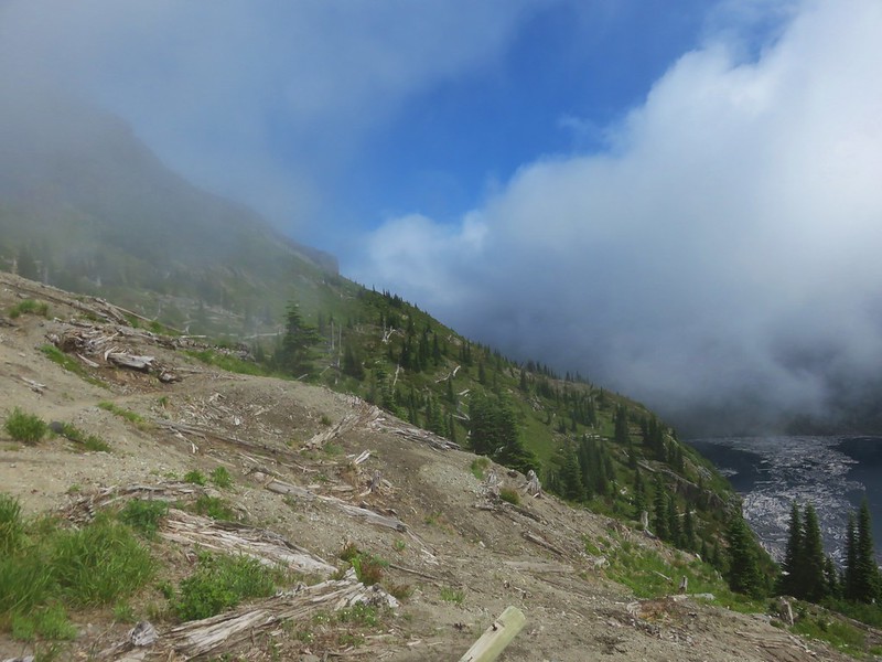
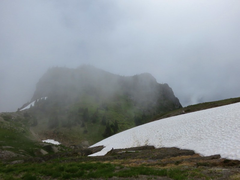
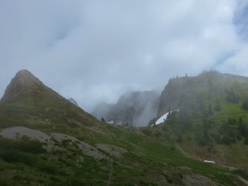
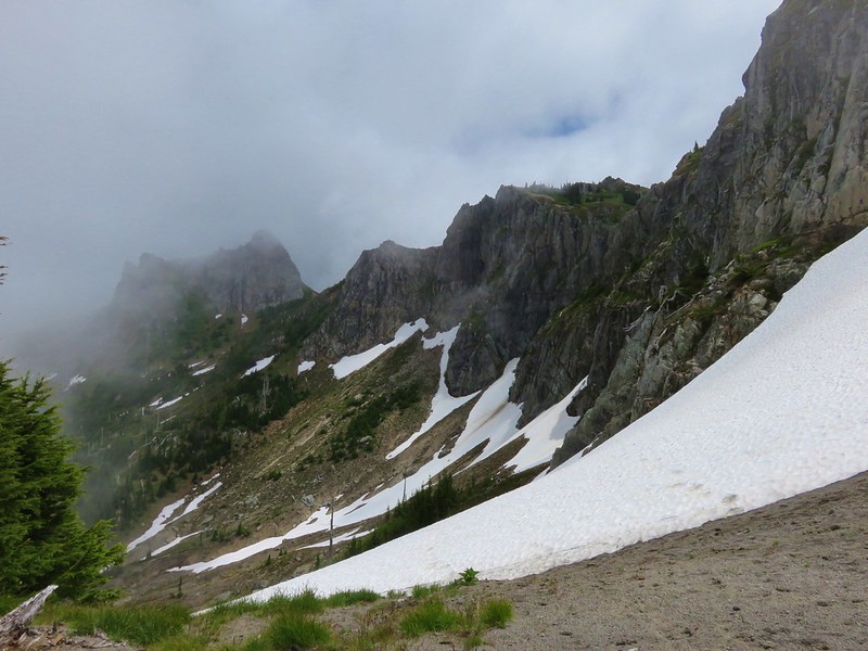
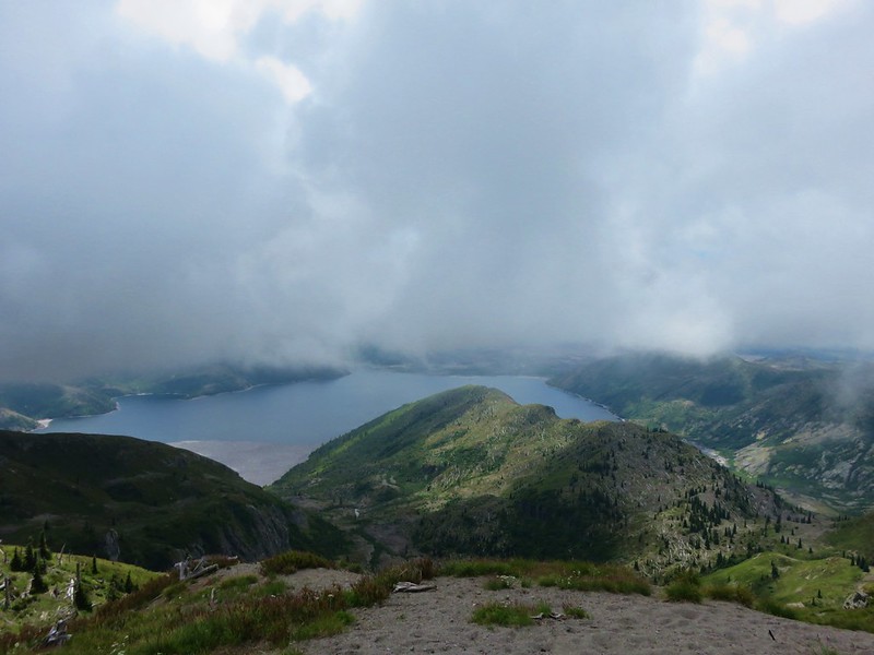
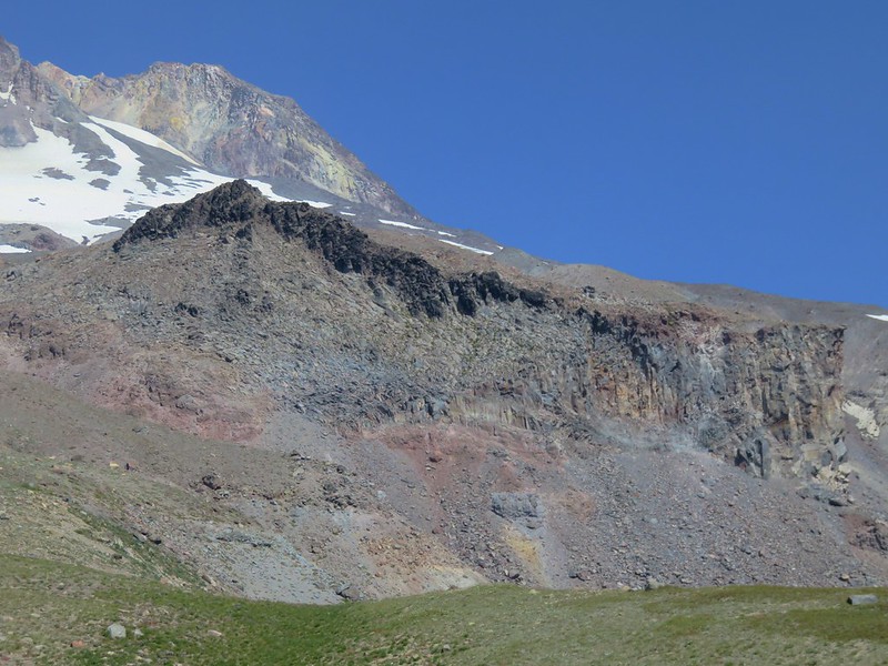
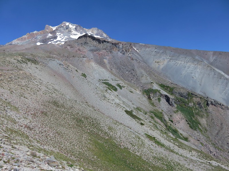
From the Hidden Lake Trail junction it was a mile and a half to the dramatic Zigzag Canyon overlook. From the overlook, Mt. Hood looms behind Mississippi Head as the Zigzag River roars below.

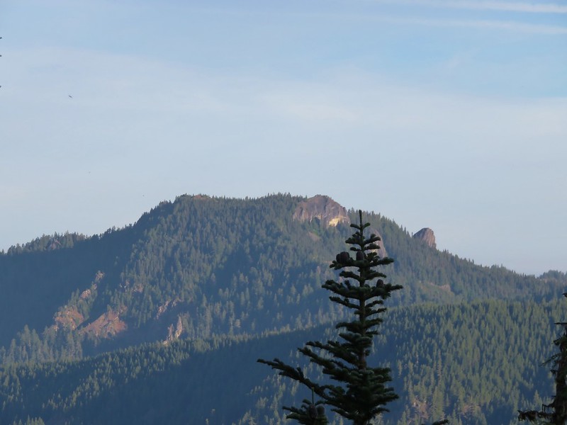
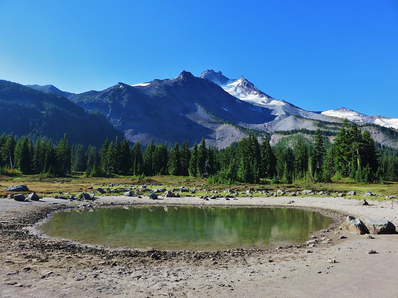
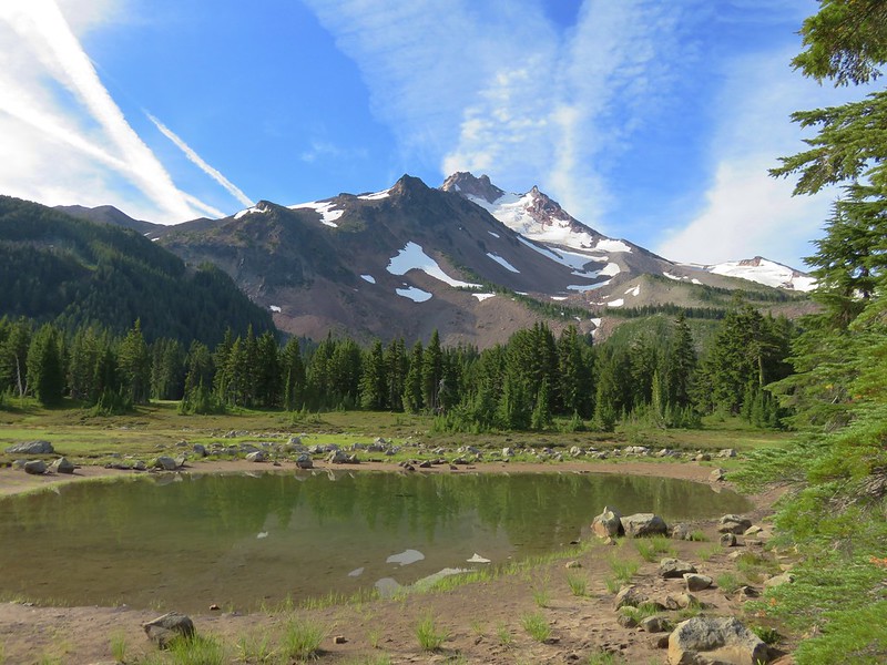
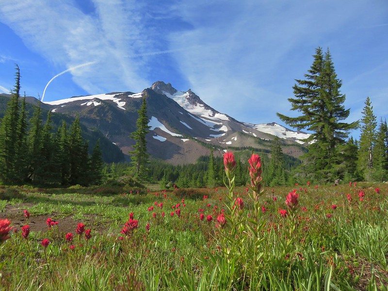
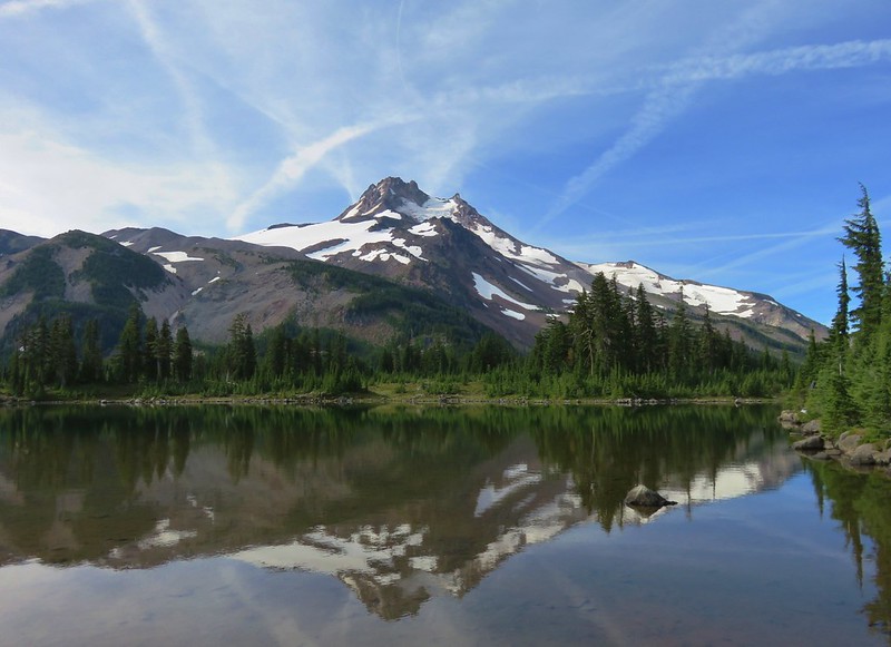
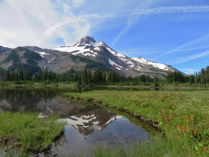
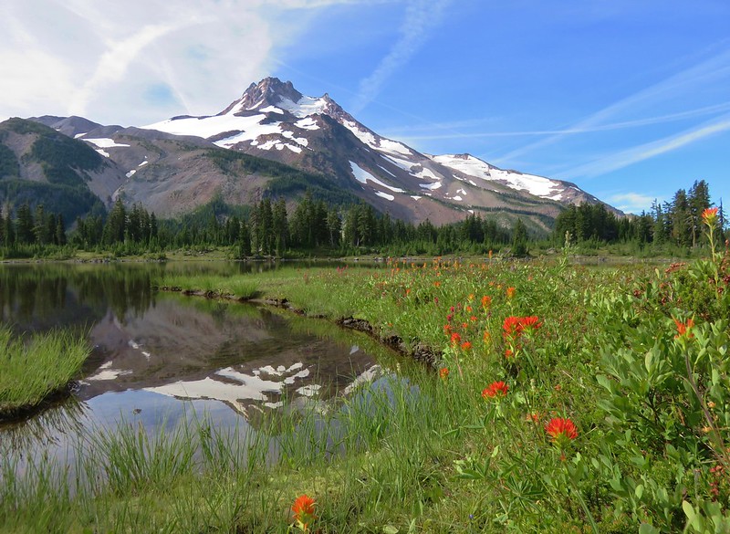
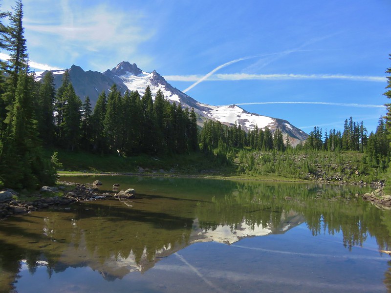
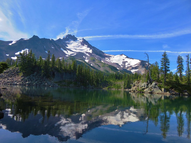
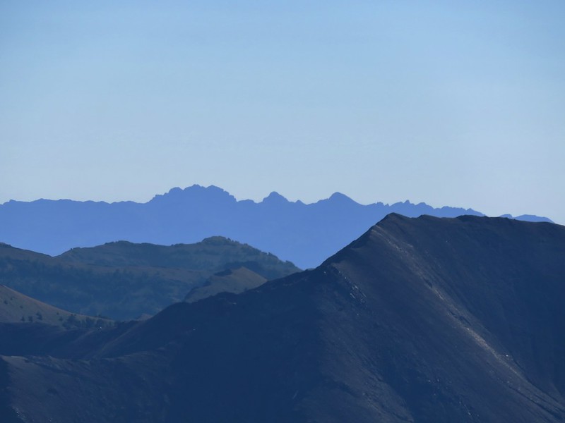
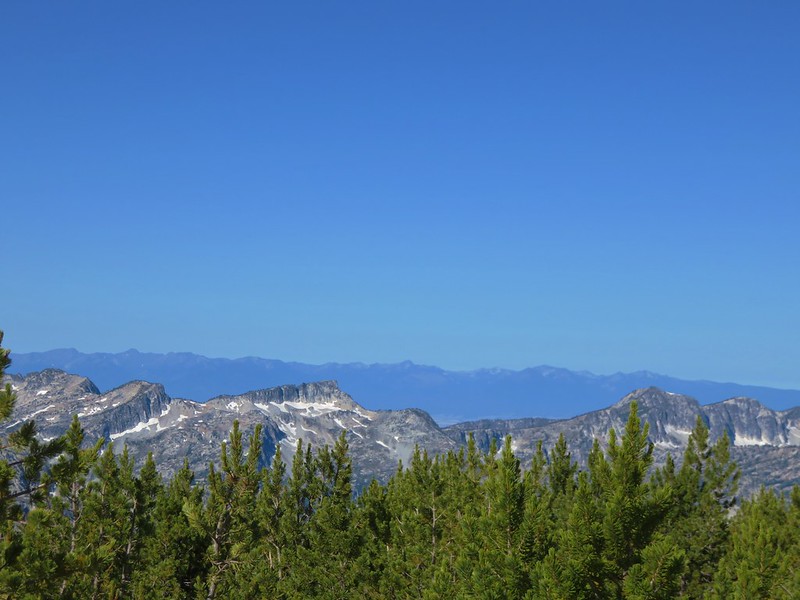
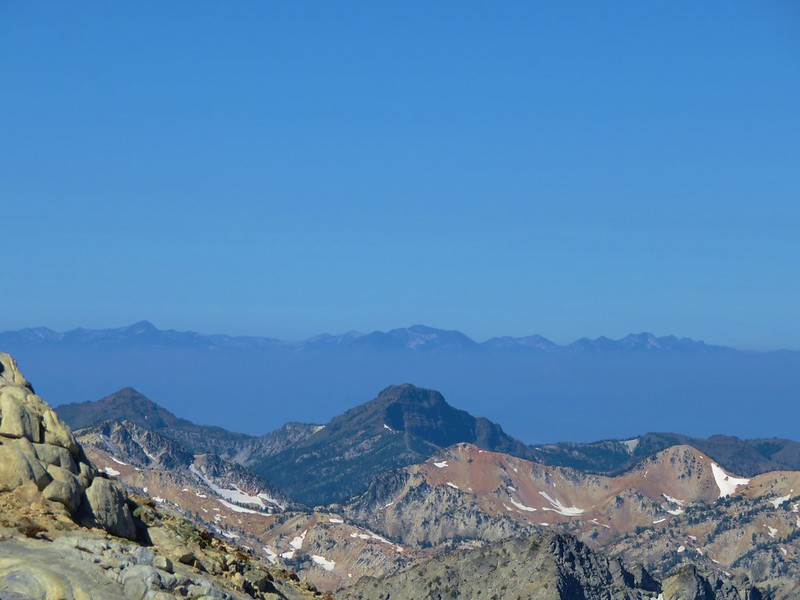
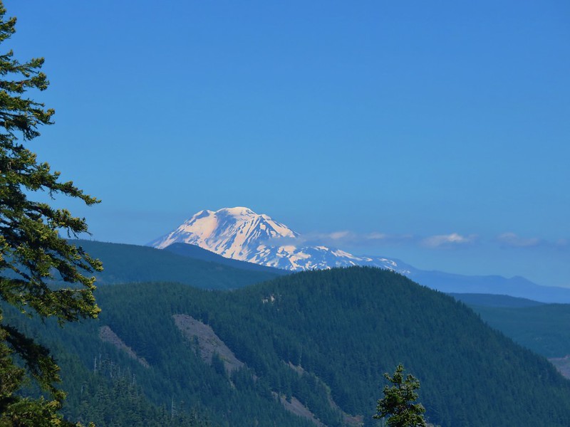
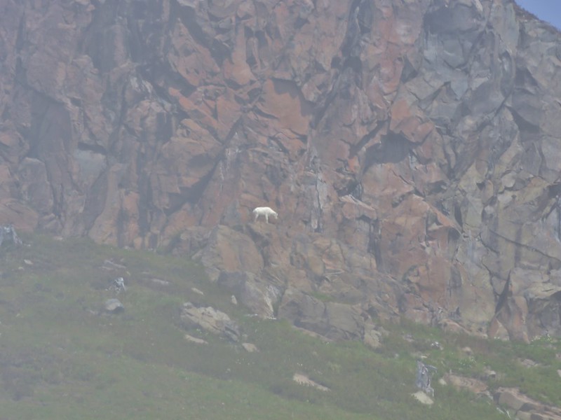
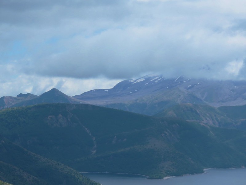
To the south Mt. Jefferson was visible although it was a little hazy.

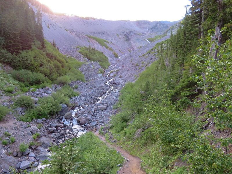
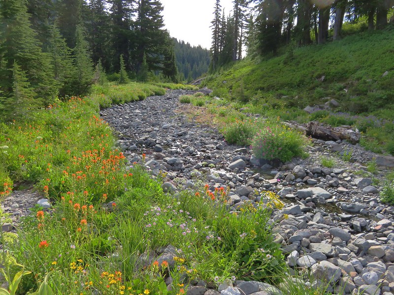
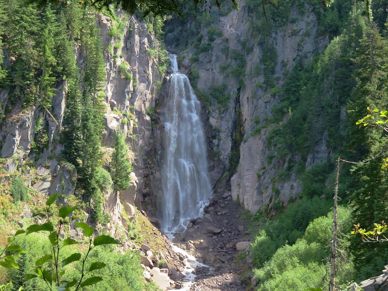
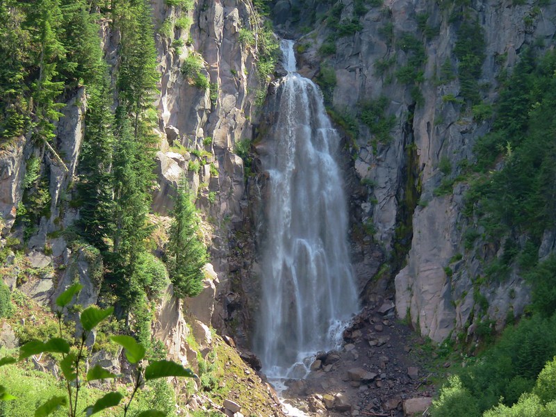
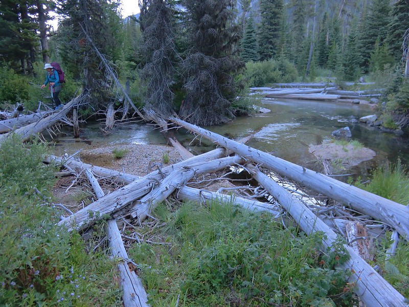
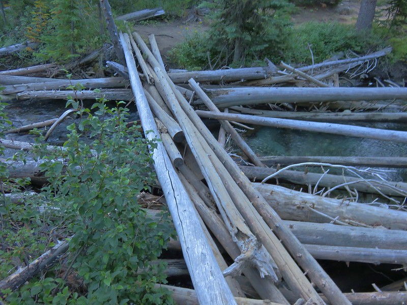
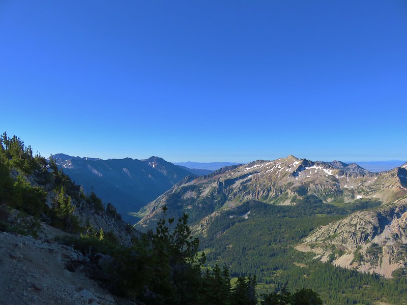
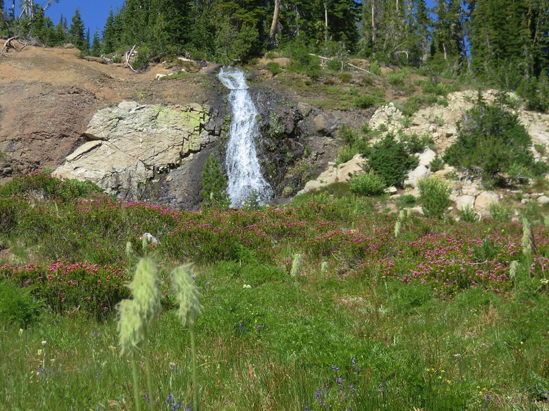
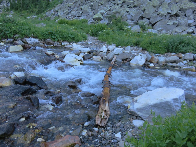
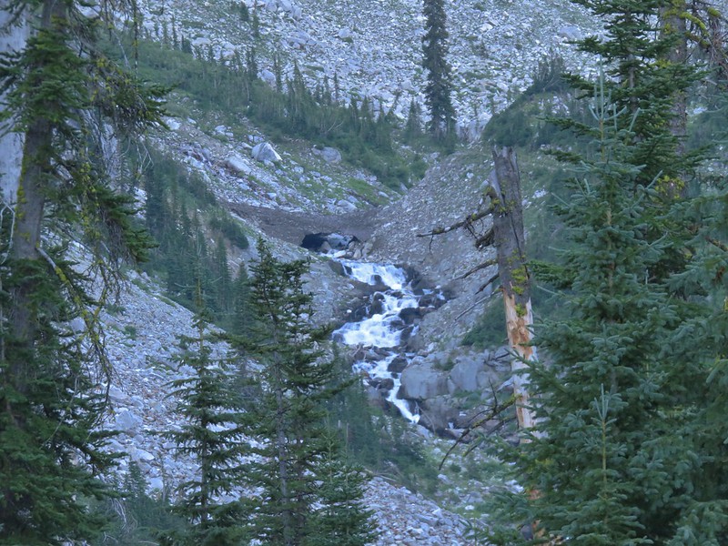
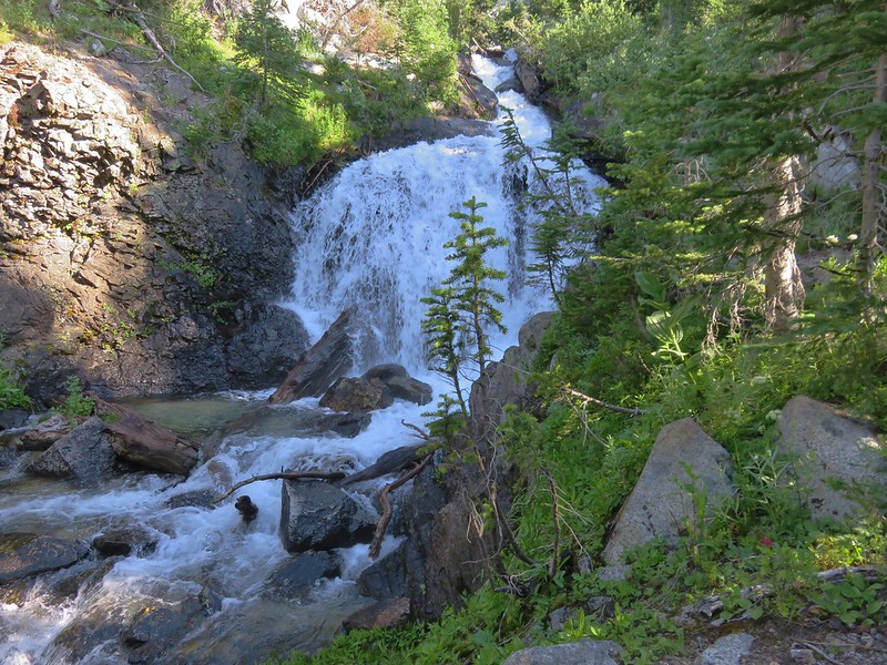
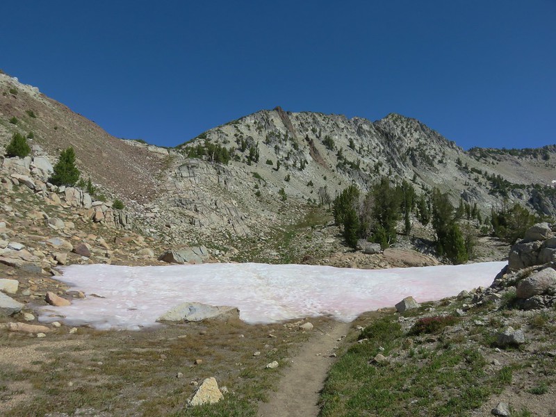
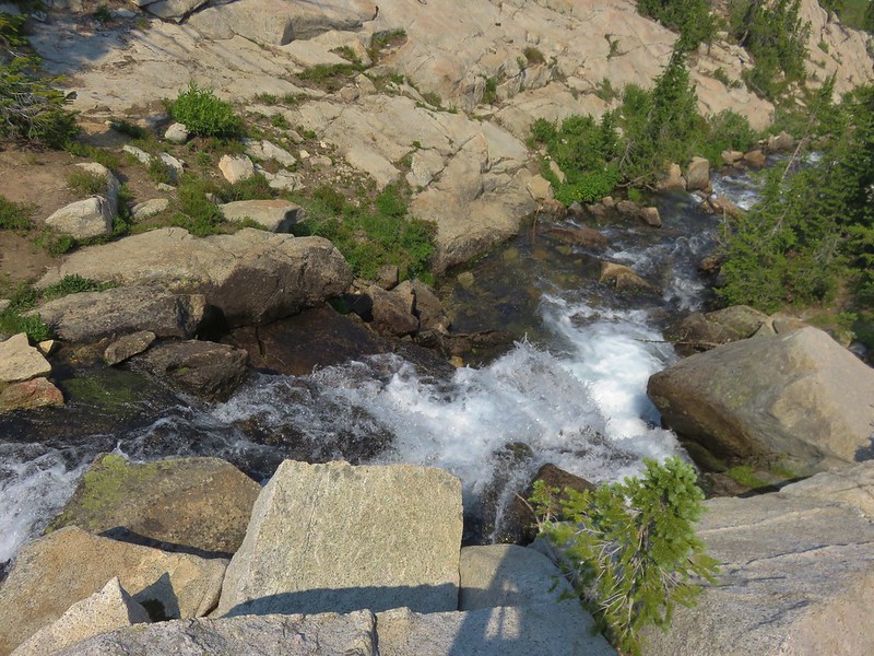
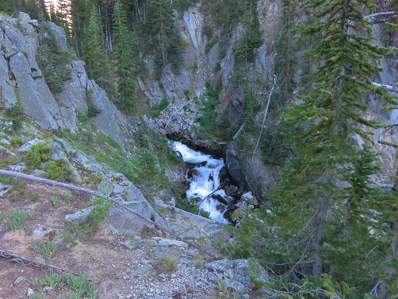
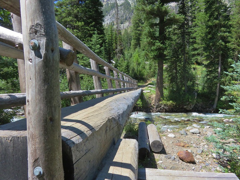
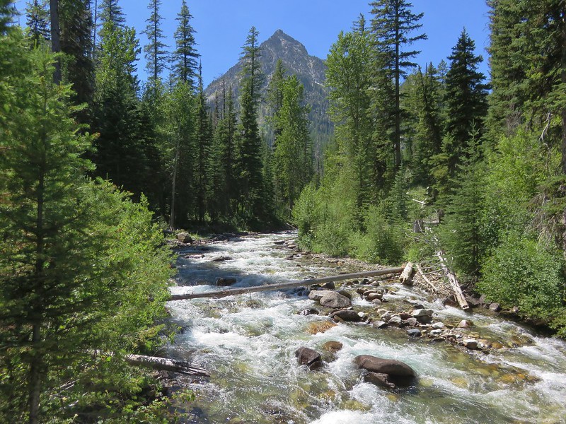
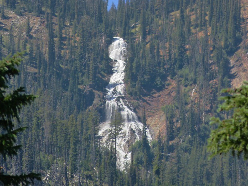
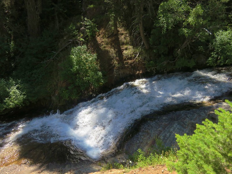
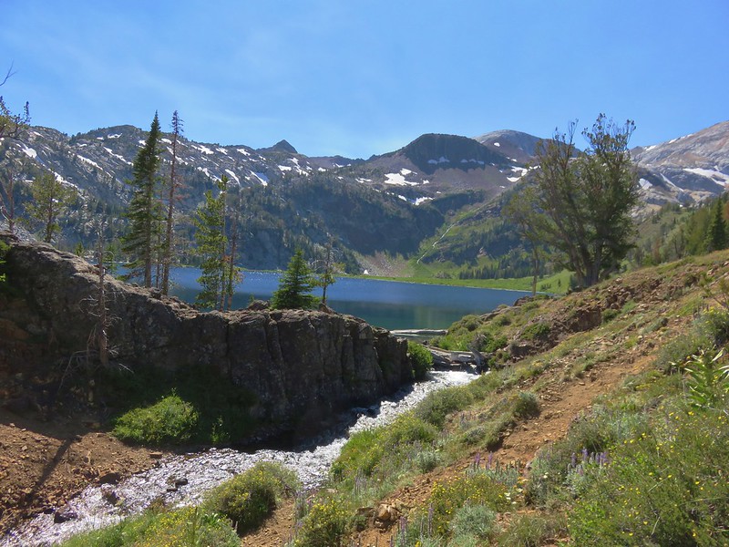
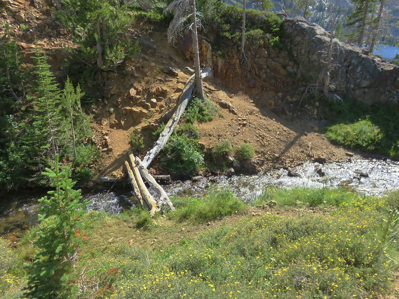
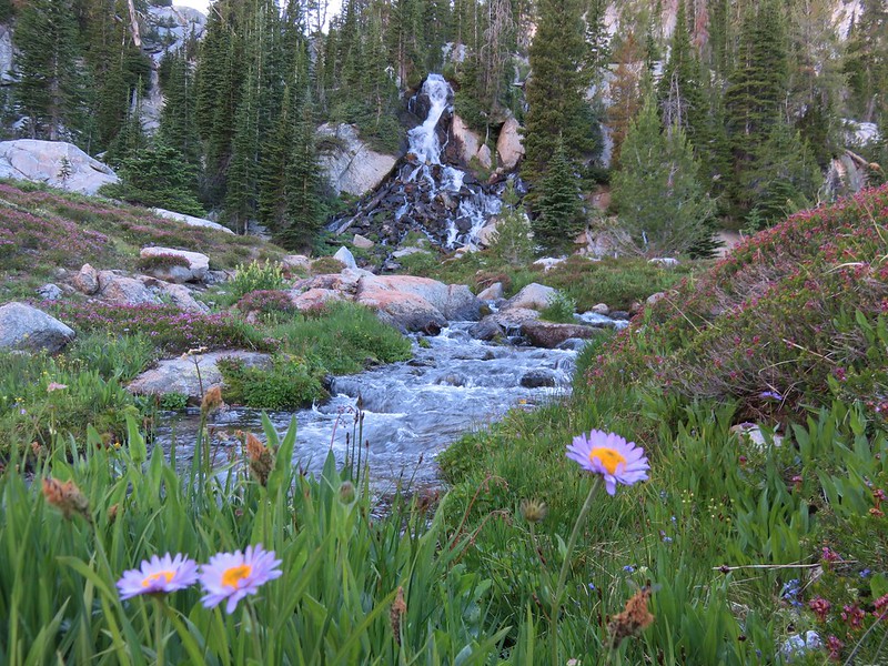
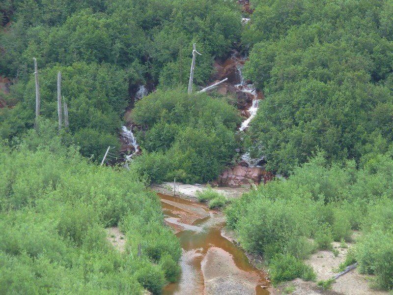
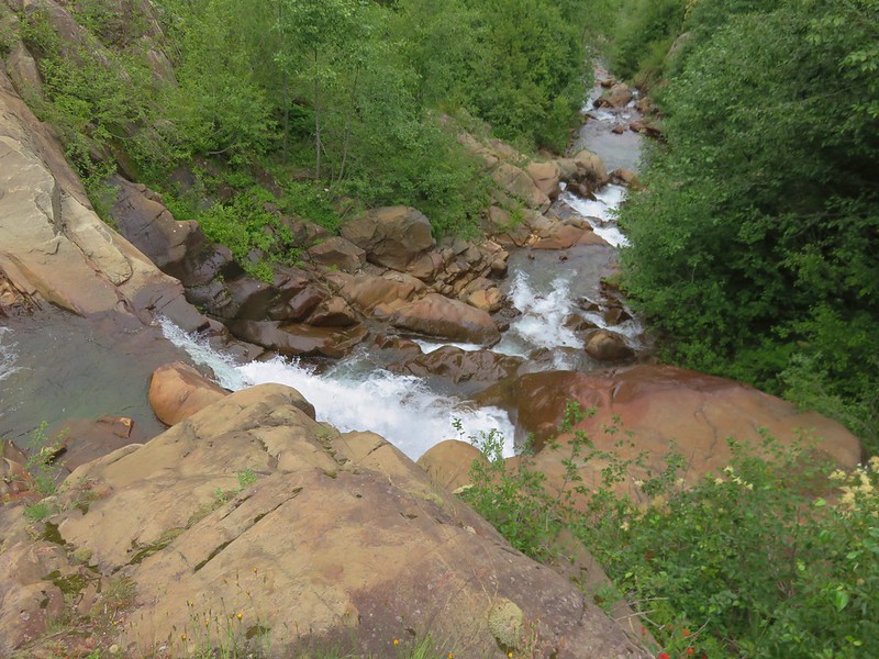
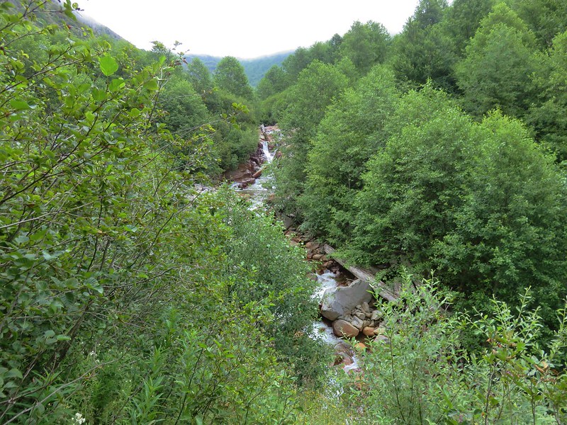
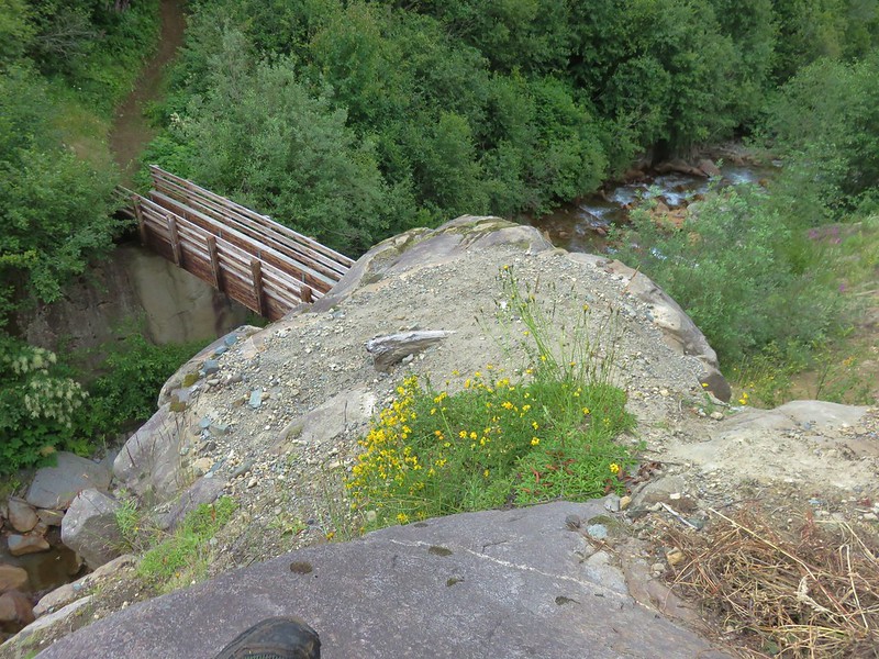
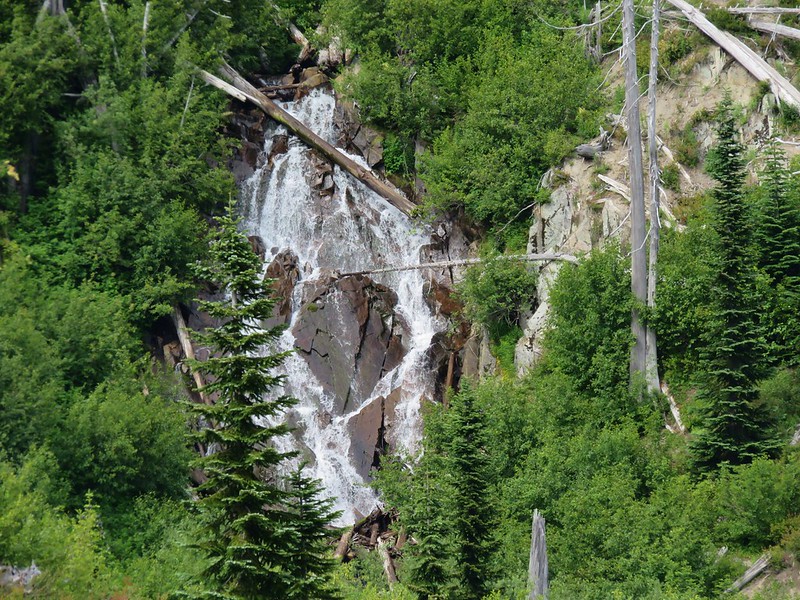
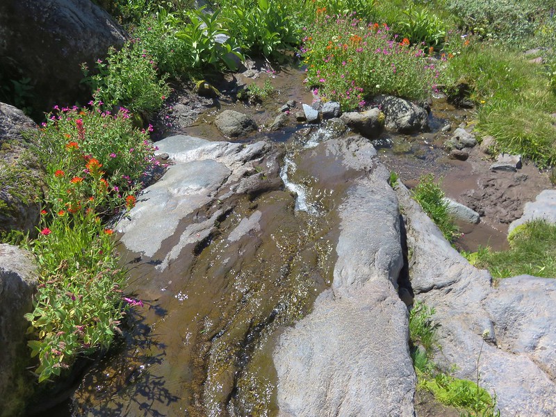
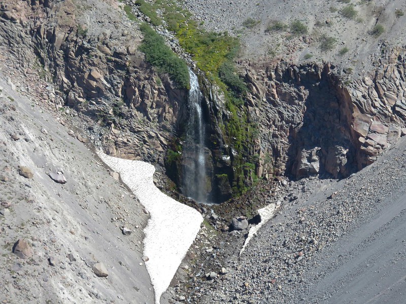
The PCT drops approximately 500′ from the overlook down to the Zigzag River. We rock hopped across the water then decided to head upstream toward Zigzag Falls.
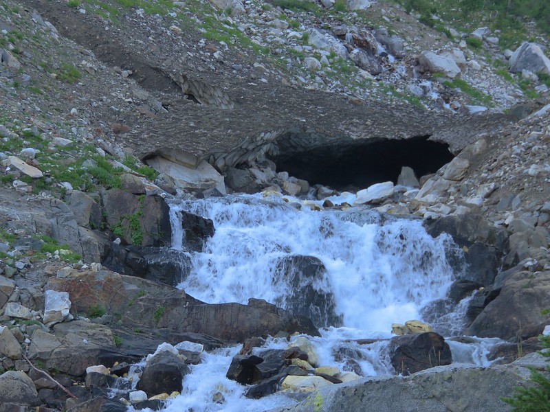
On our 2012 hike we noticed the fall but didn’t actually make it all the way there. It had seemed too far away. Our definition of “too far” has apparently changed over time. This time Zigzag Falls appeared relatively close and it didn’t take us long to arrive at the waterfall.

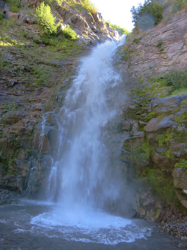
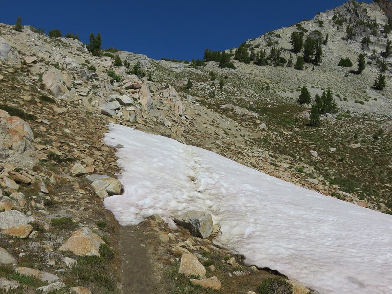
We were surprised at the power of the waterfall as it crashed down into the splash pool. A nice cool mist was being generated and we took advantage by sitting nearby and taking a fairly long break. After cooling off we returned to the PCT and continued toward Paradise Park. The climb out of the northern side of the canyon was much shorter than the descent on the far side and shortly after climbing out we came to a junction with the Paradise Park Loop Trail.

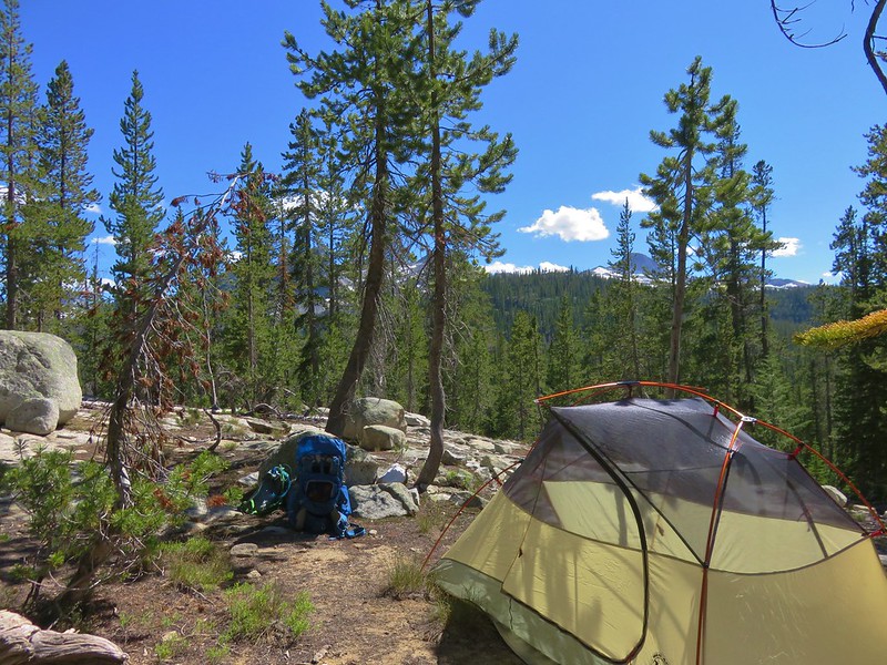
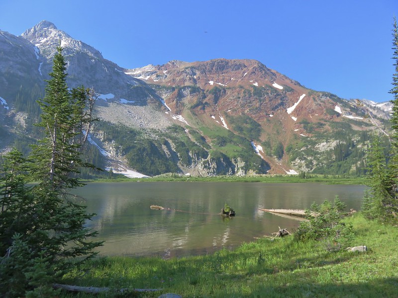
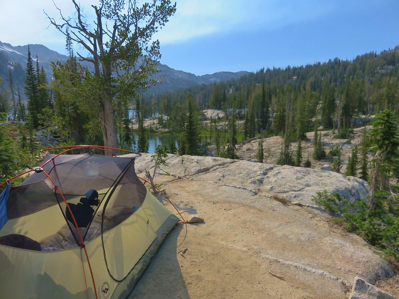
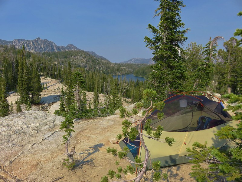
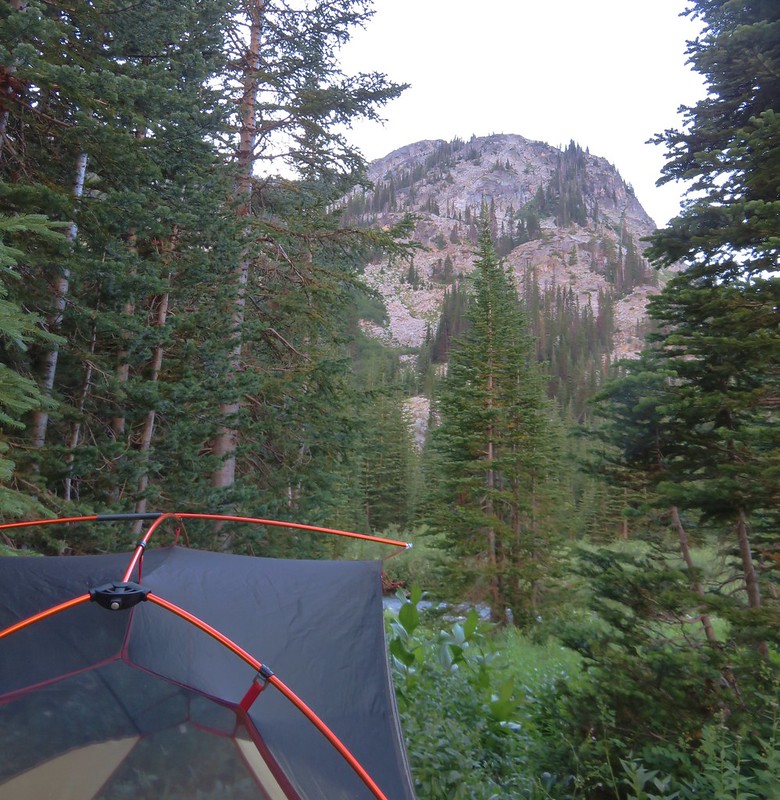
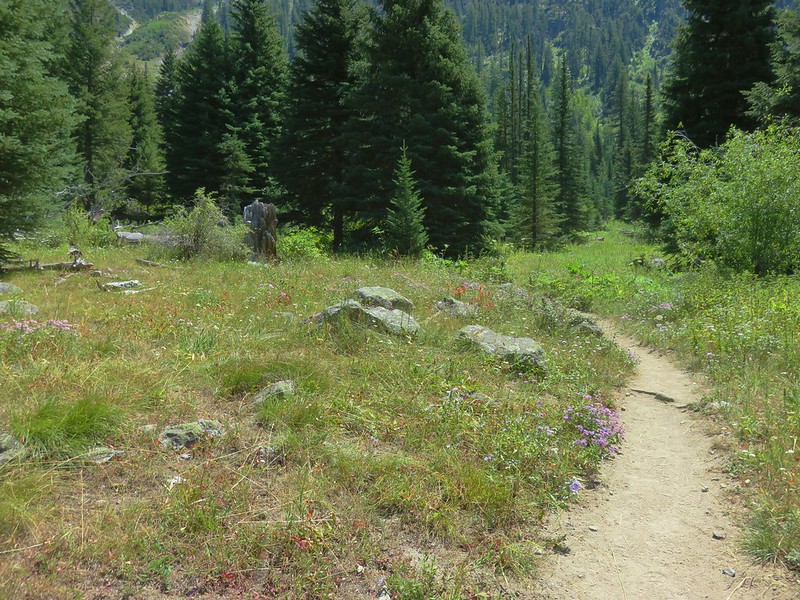
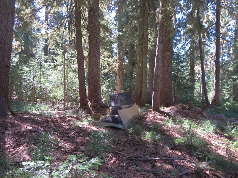
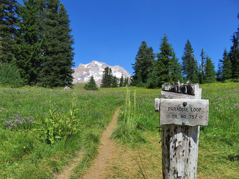
The 2.4 mile Paradise Park Loop Trail climbs up to the wildflower meadows of Paradise Park and eventually rejoins the PCT further to the north. Before we headed up to Paradise Park though, we wanted to find a campsite so we could leave our heavy backpacks behind. After passing the junction we began looking for a suitable spot. We were hoping to find something near the junction with the Paradise Park Trail which was just a half mile from the Paradise Park Loop Trail. There were a couple decent spots just before we reached the Paradise Park Trail but we preferred to be a little further off the busy Pacific Crest Trail so we decided to turn down the Paradise Park Trail and see if we could find something along this trail.

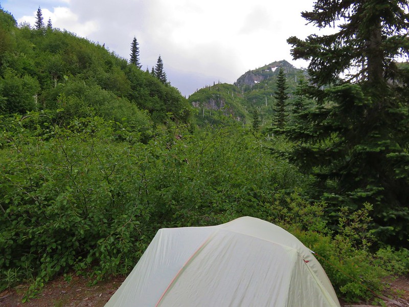
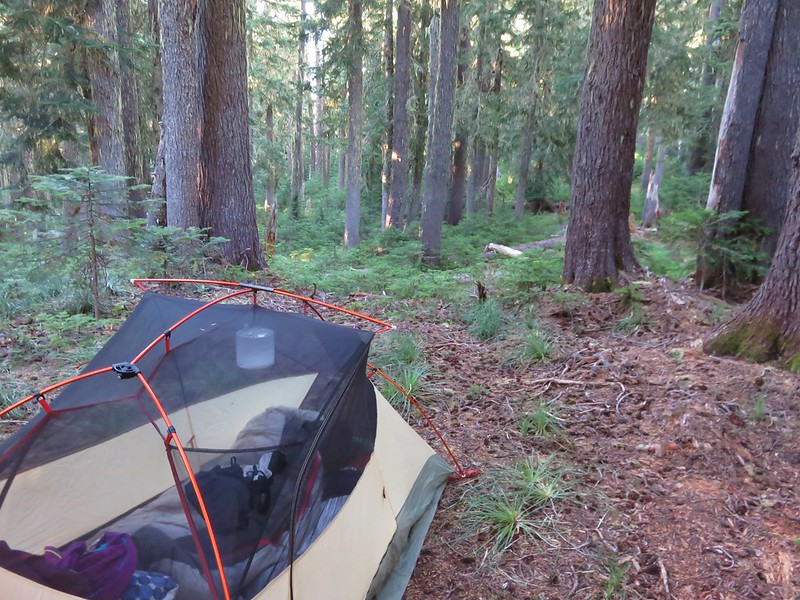
As we descended the .2 miles to a junction with the Burnt Lake Trail, we agreed to turn around if we were unable to find a decent campsite. We found what we were looking for near the trail junction and were able to set up our tent.
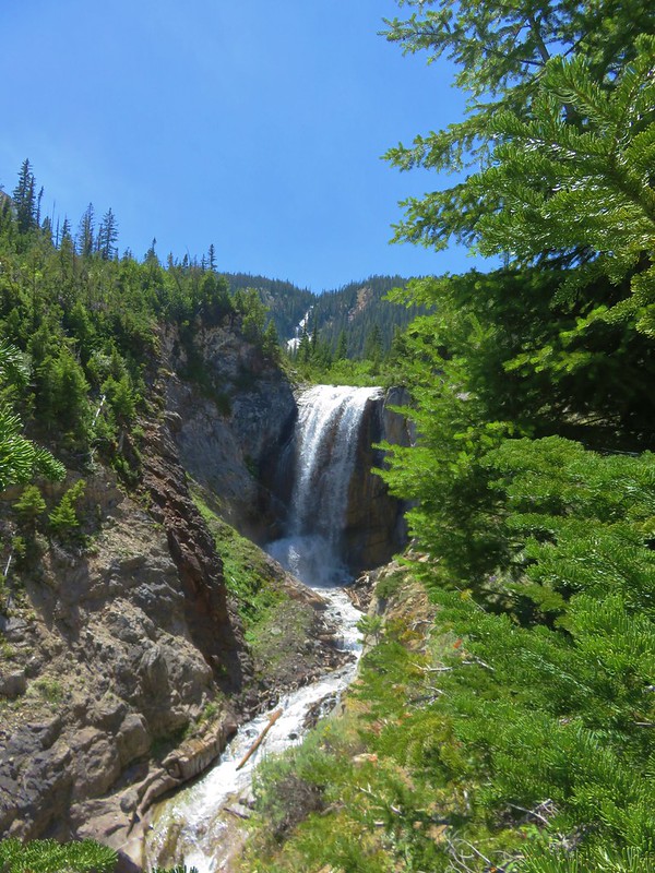
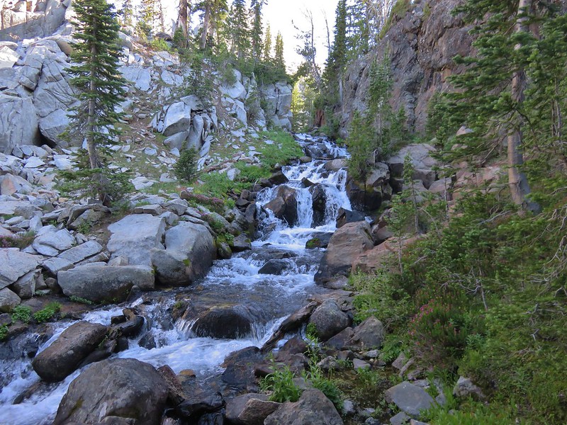
After getting camp situated we headed back up to the Pacific Crest Trail where we faced a choice. To reach Paradise Park we could go straight up the Paradise Park Trail, turn right and take the Paradise Park Loop counterclockwise, or turn left and do the loop clockwise. We had done the loop counterclockwise in 2012 and gone straight up the Paradise Park Trail in 2014 so of course we chose clockwise this time just to be different. When we reached Lost Creek we turned off the PCT and headed up a sandy hill to visit Lost Creek Falls.


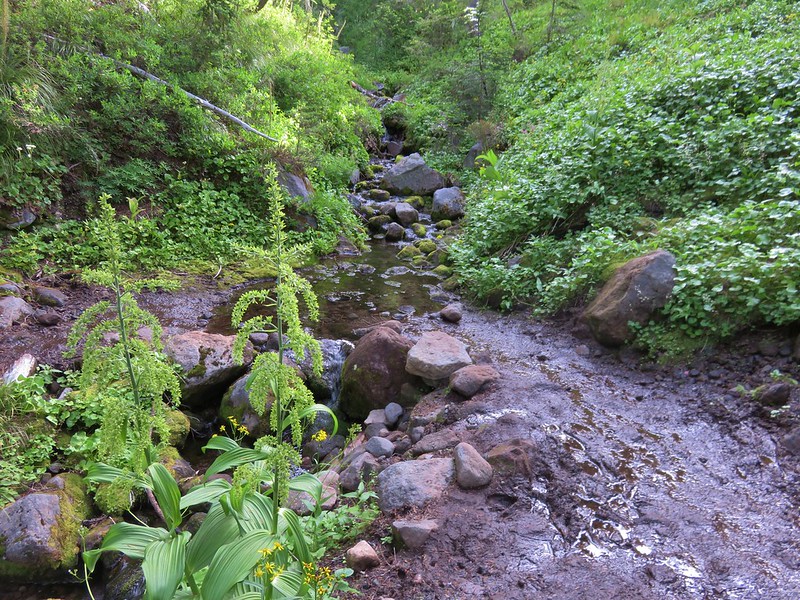
Continuing on from Lost Creek Falls we passed the trickle of the ironically named Rushing Water Creek.

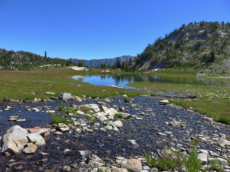
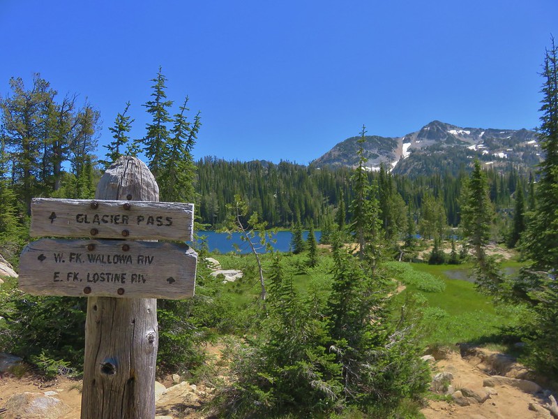
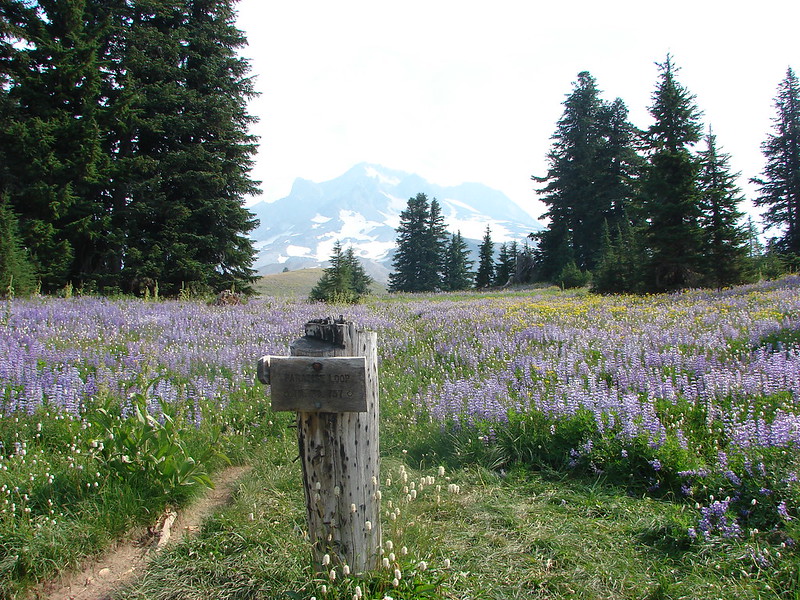
We reached the northern end of the Paradise Park Loop Trail 2 miles from the Paradise Park Trail and turned uphill.

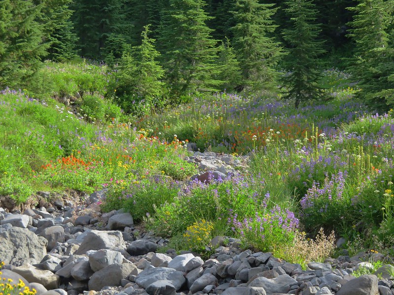
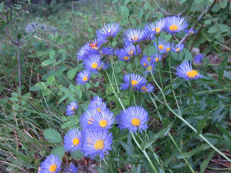
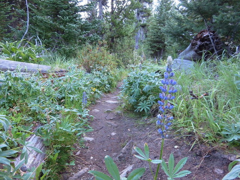
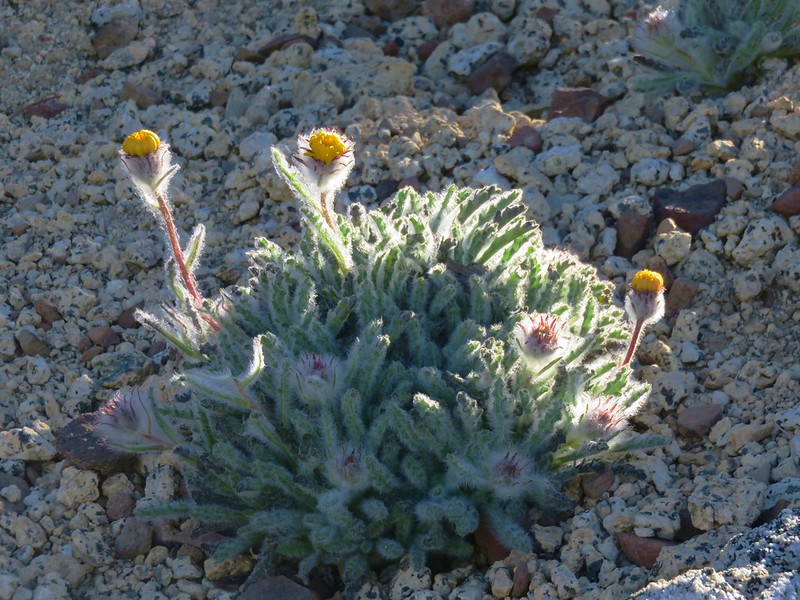
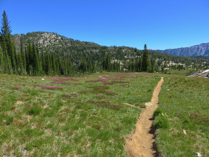
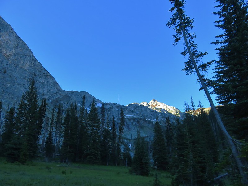
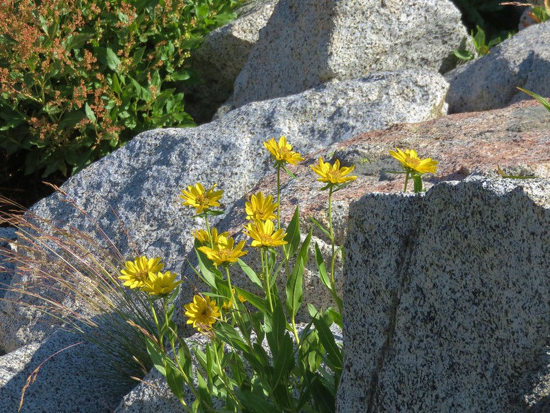
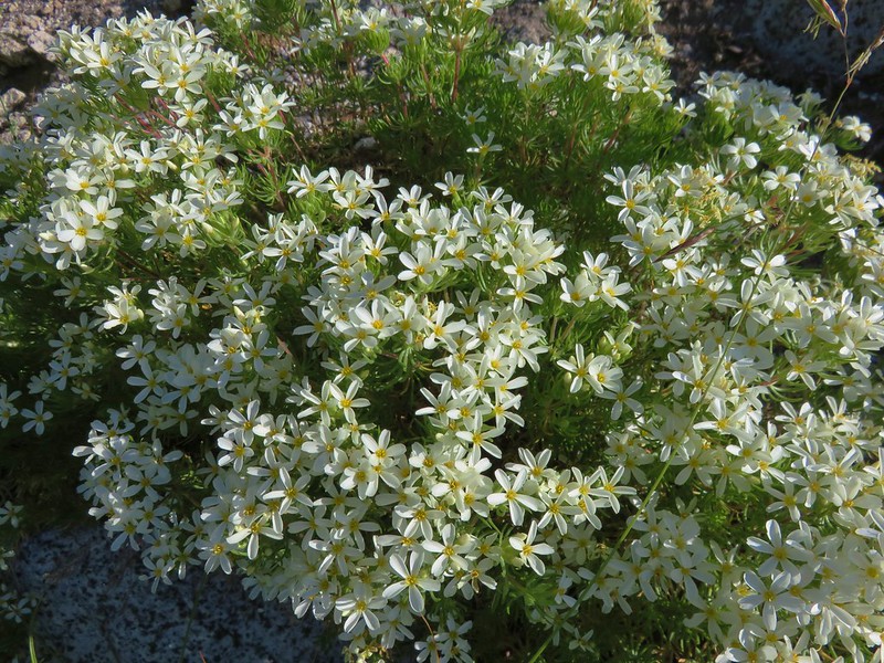
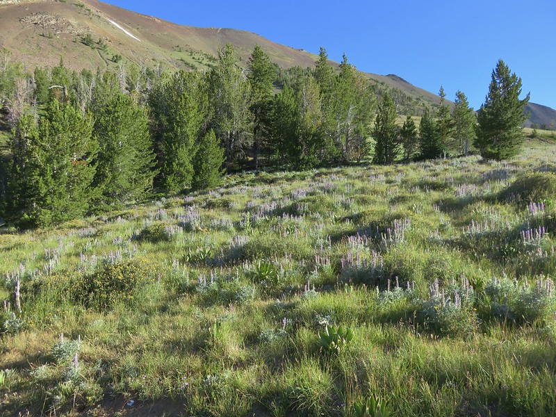
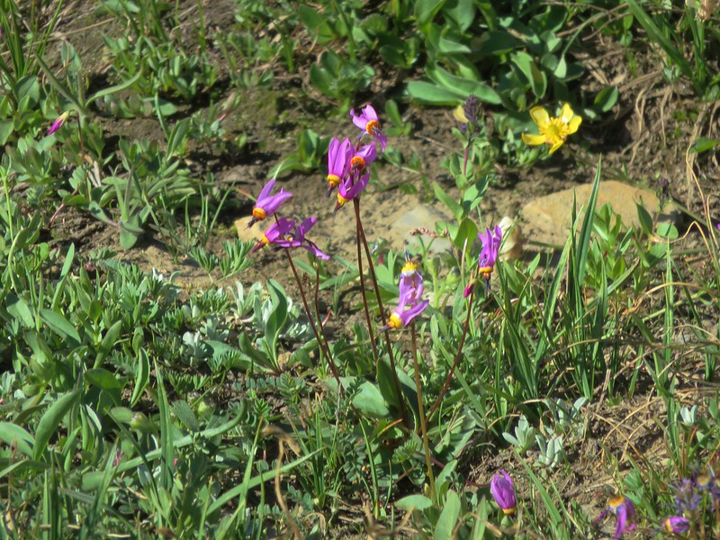
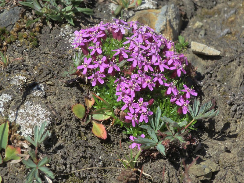
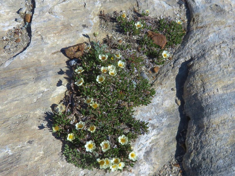
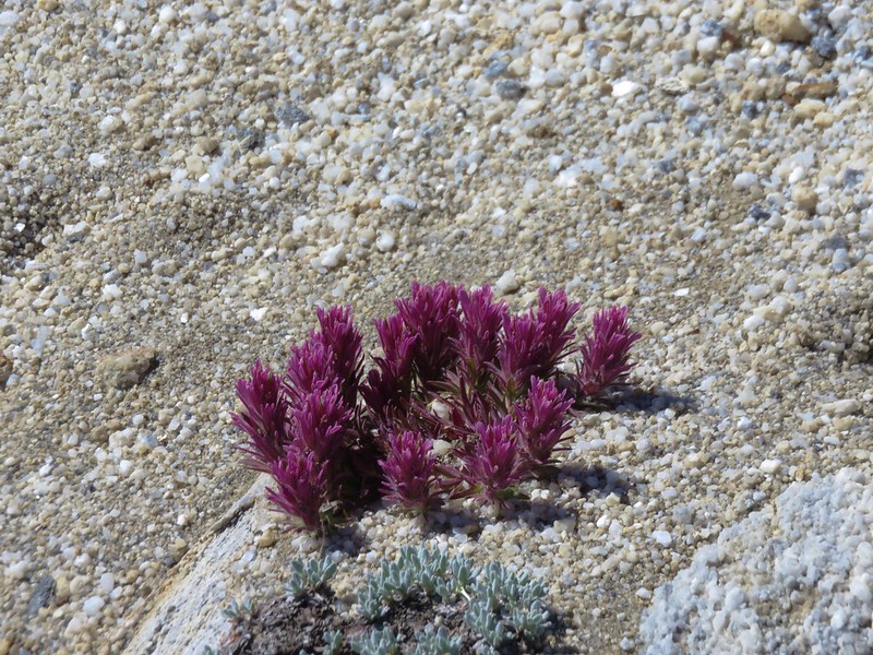
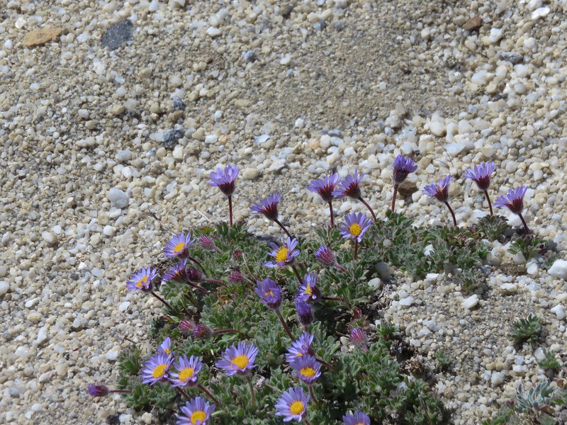
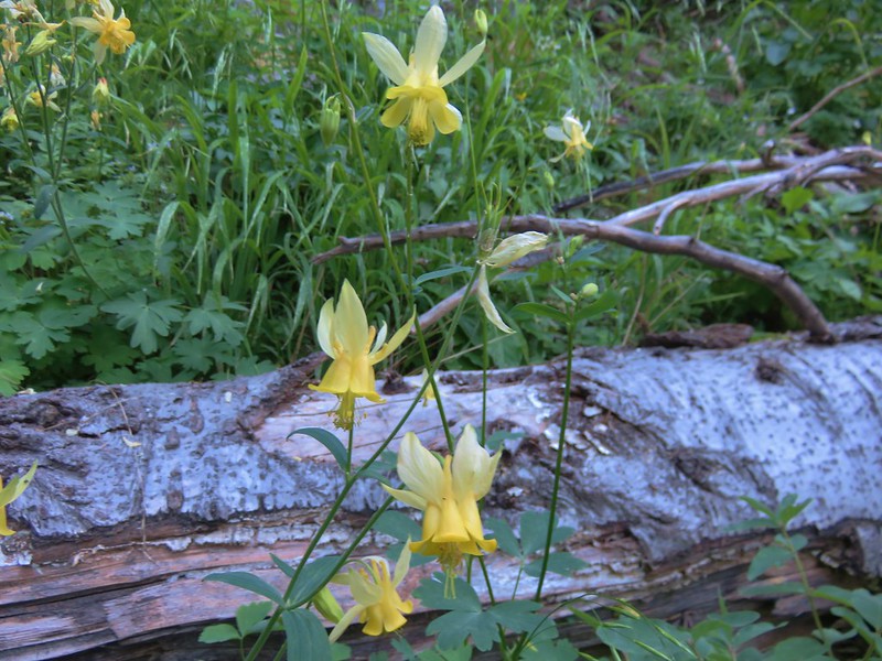
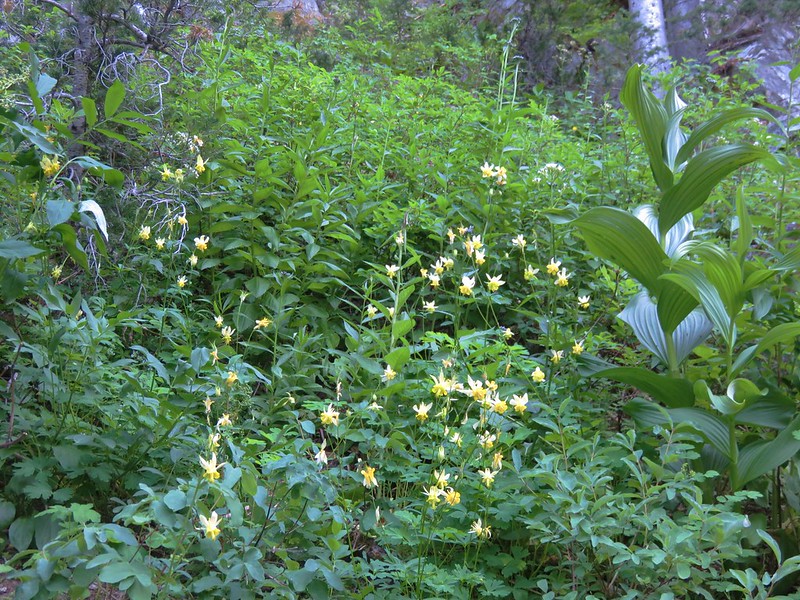
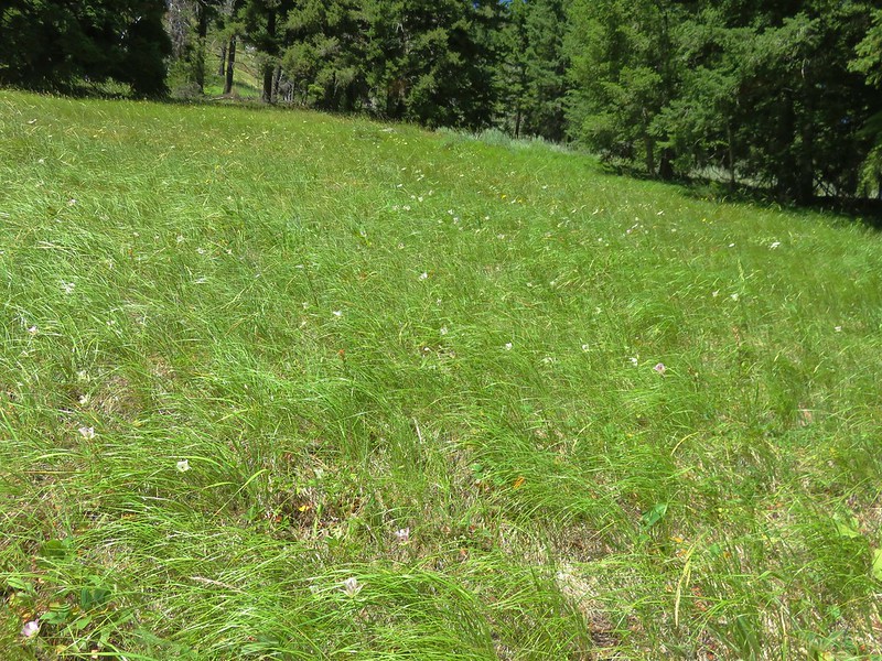
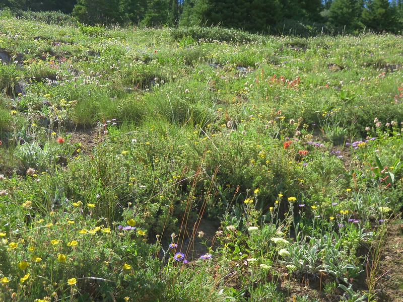
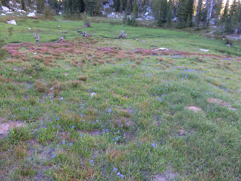
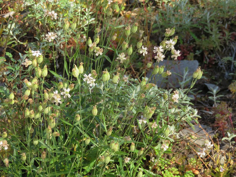
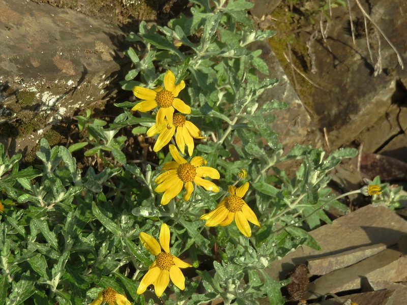
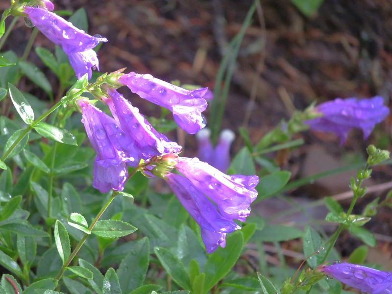
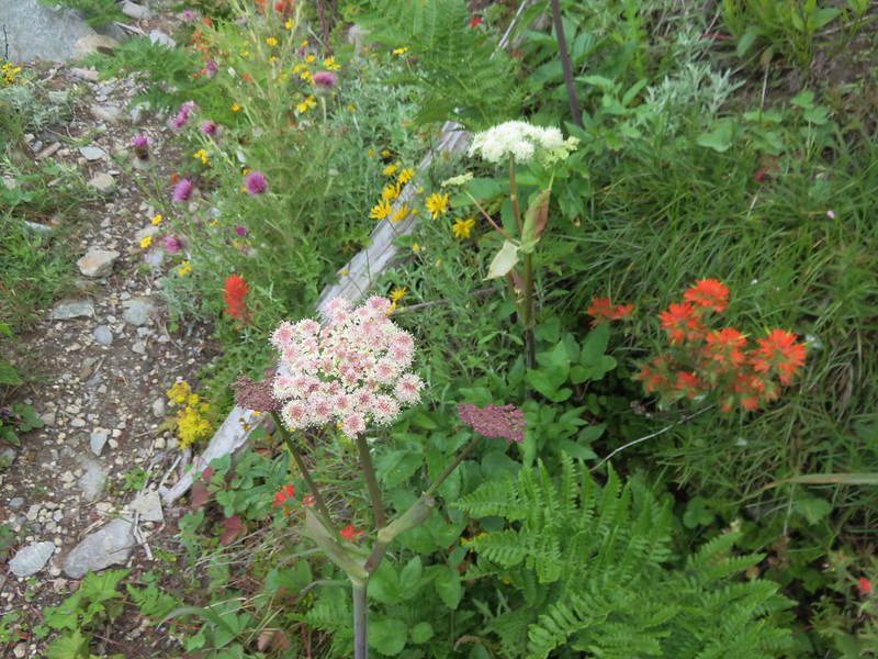
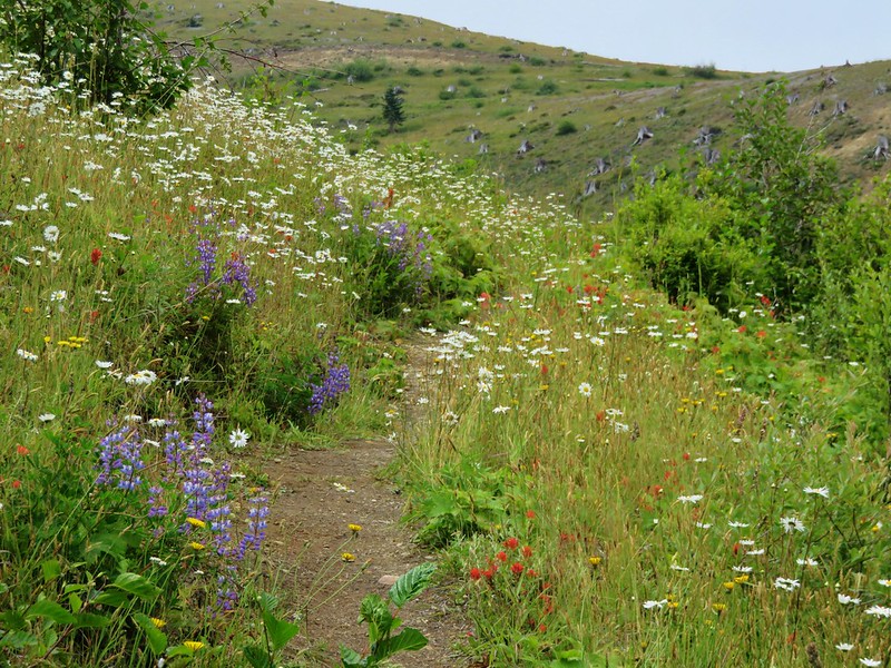
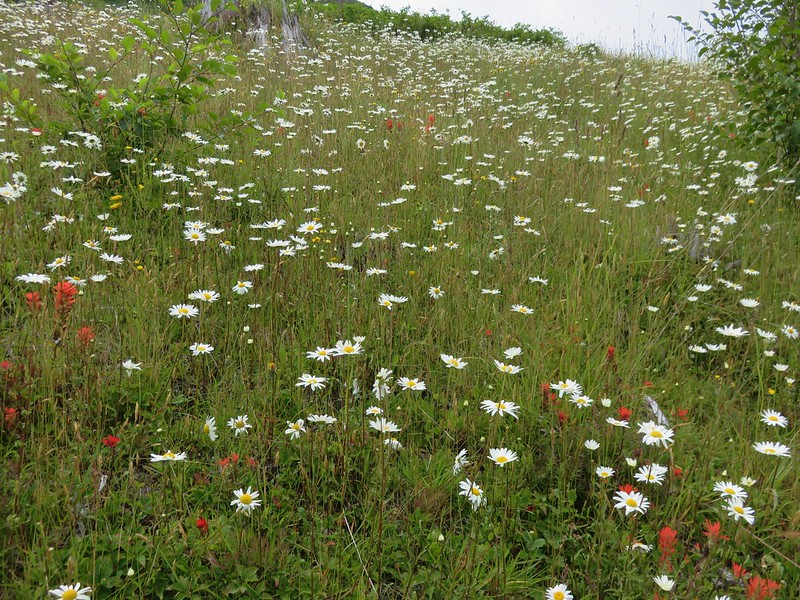
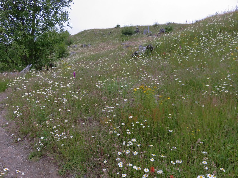
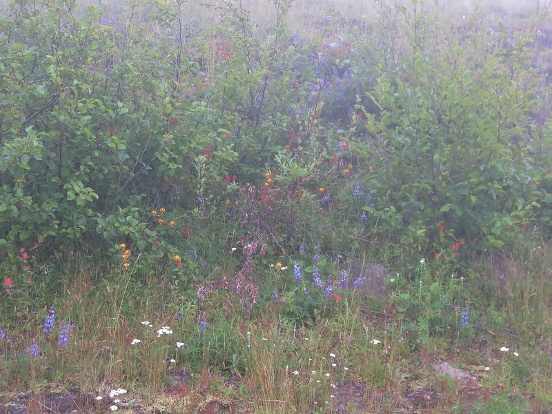
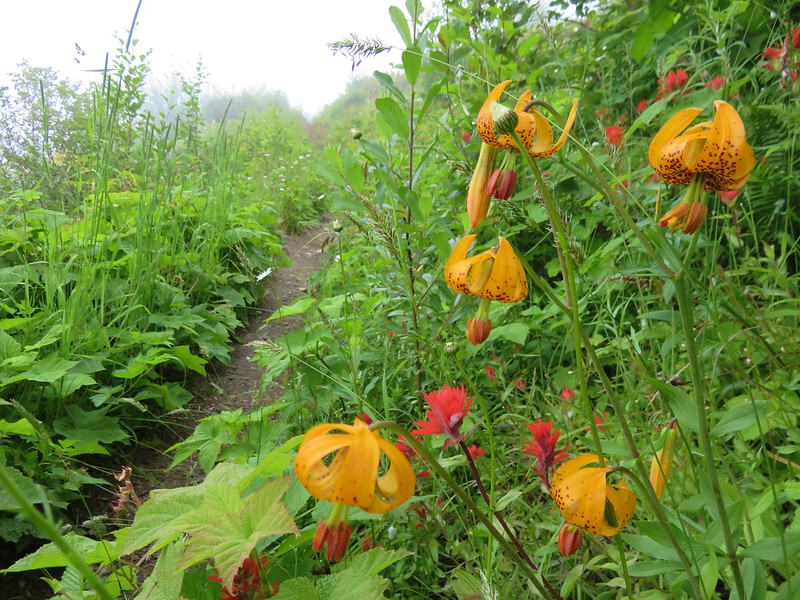
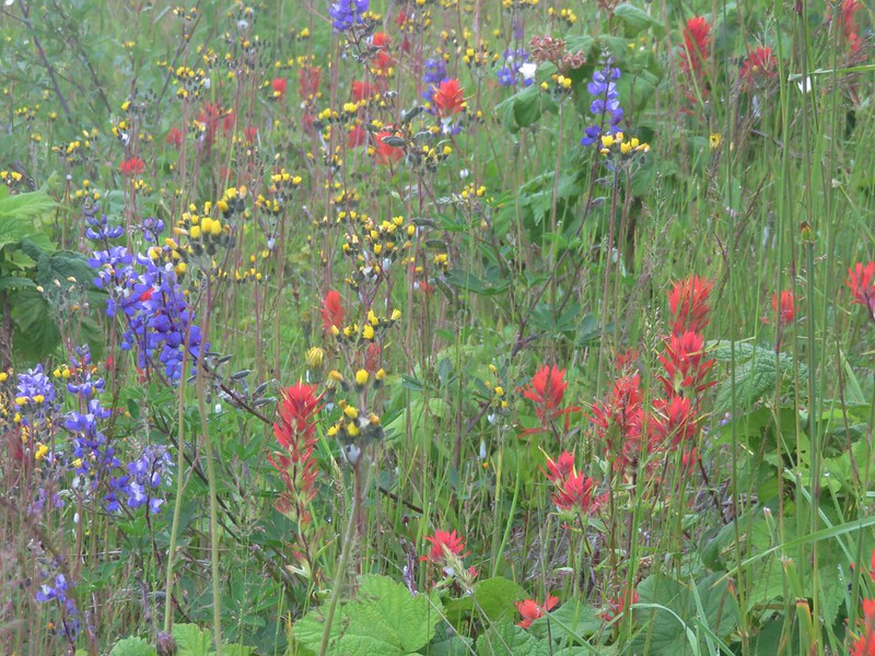
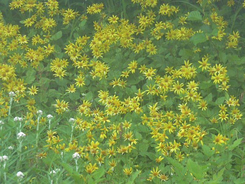
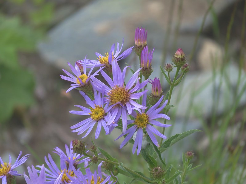
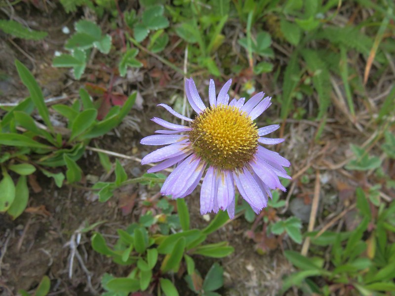
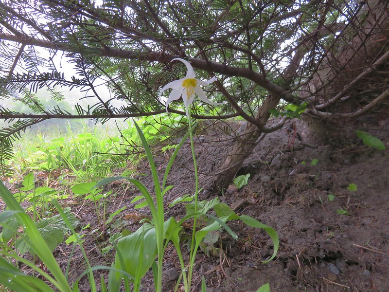
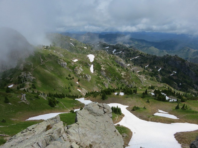
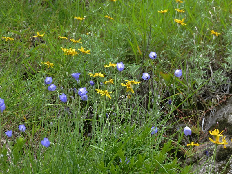
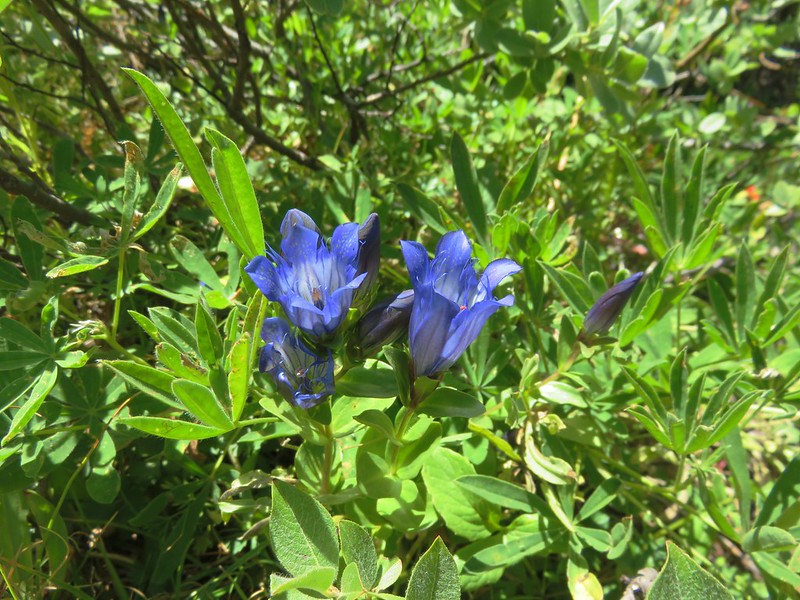
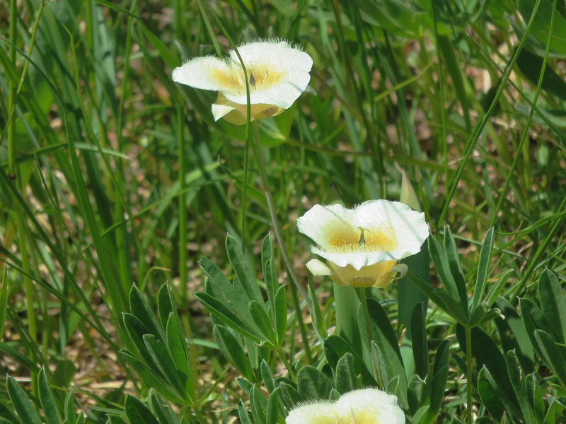
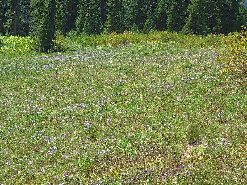
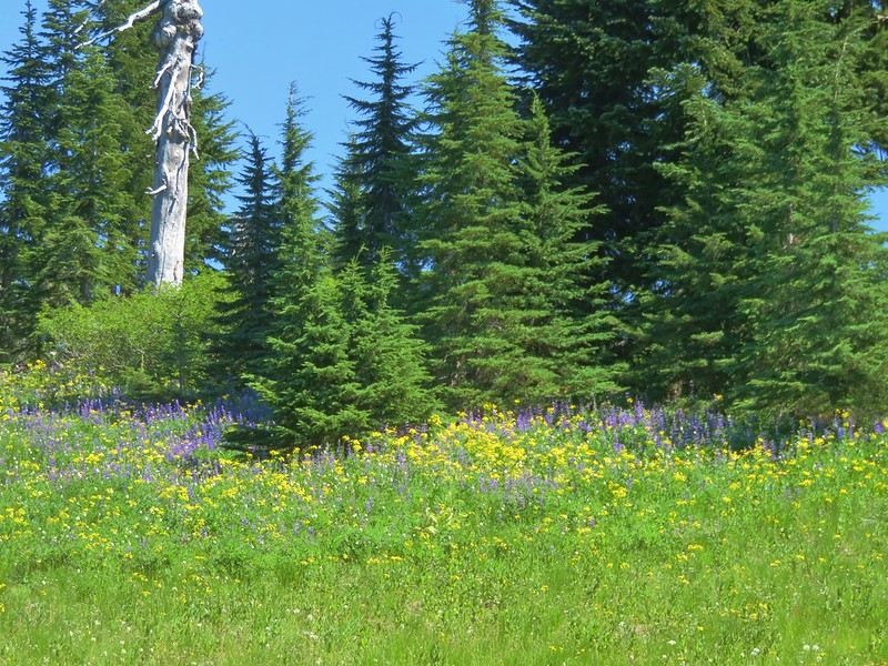
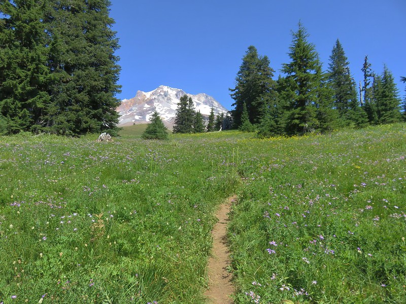
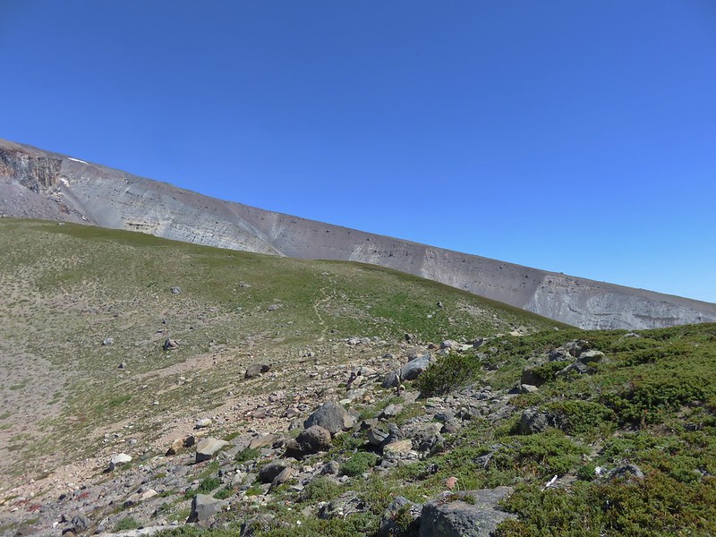
The northern end of the trail passes through drier meadows that were filled with aster and big views of Mt. Hood. A wider variety of flowers were present where there was more moisture.

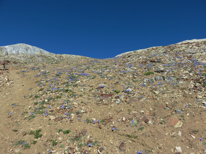
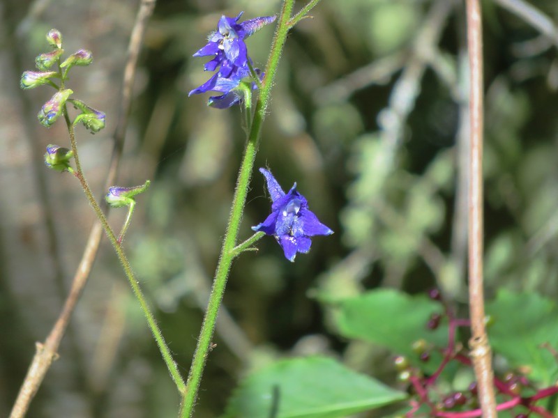
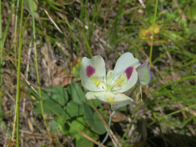
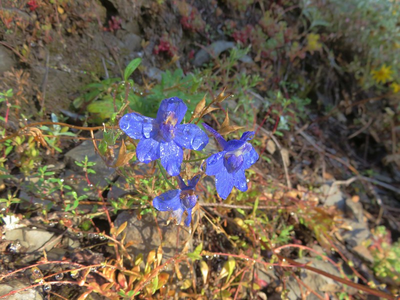
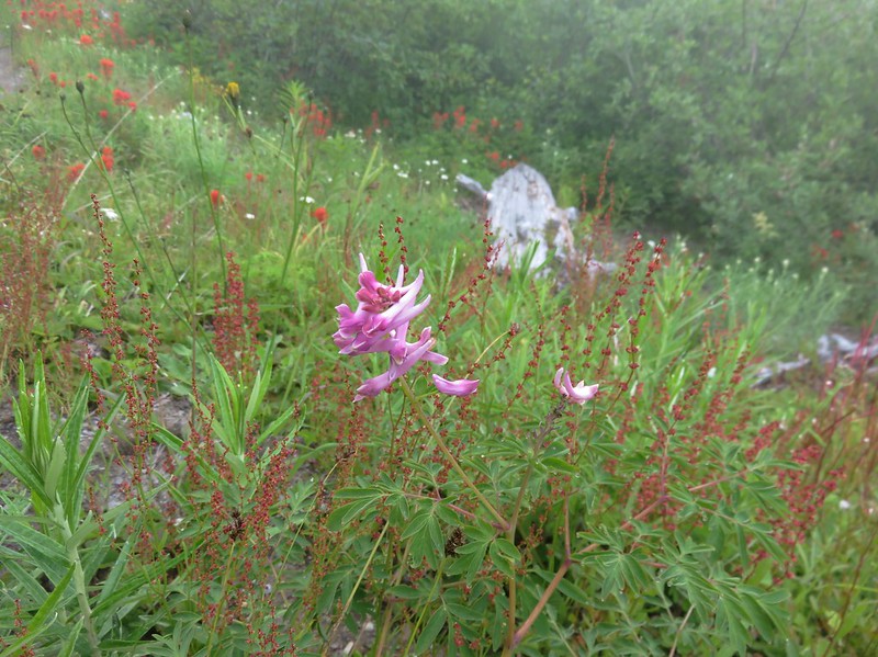
Gentians
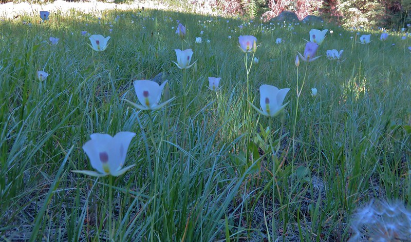
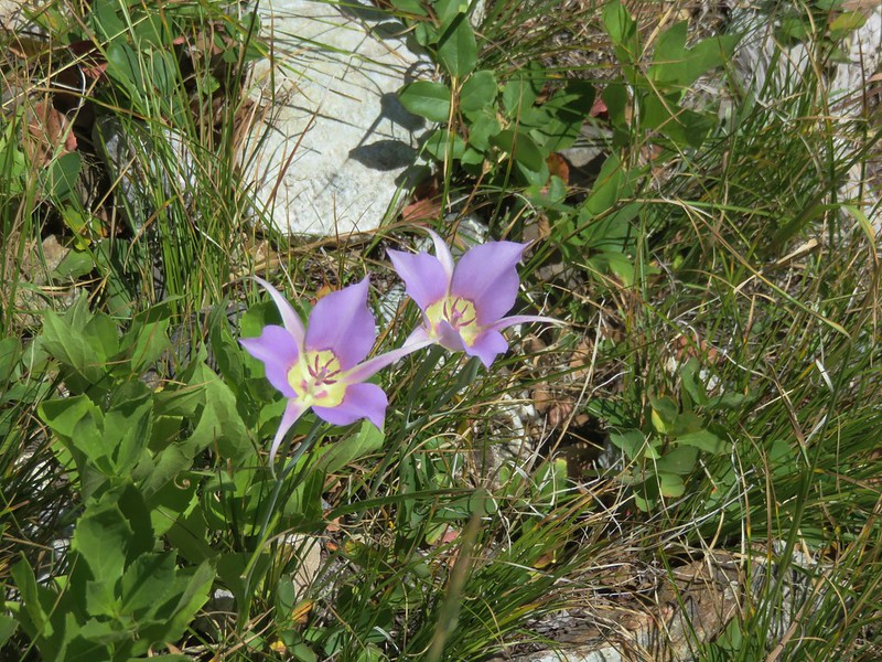
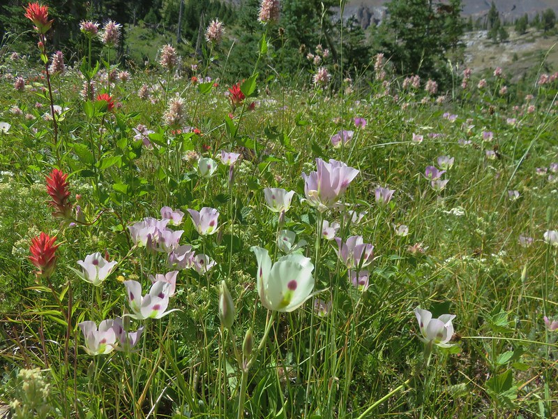
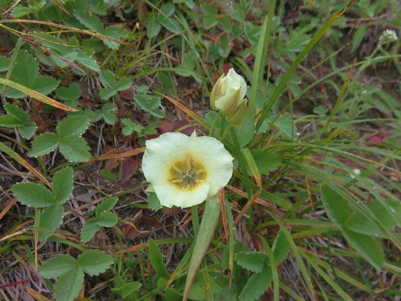
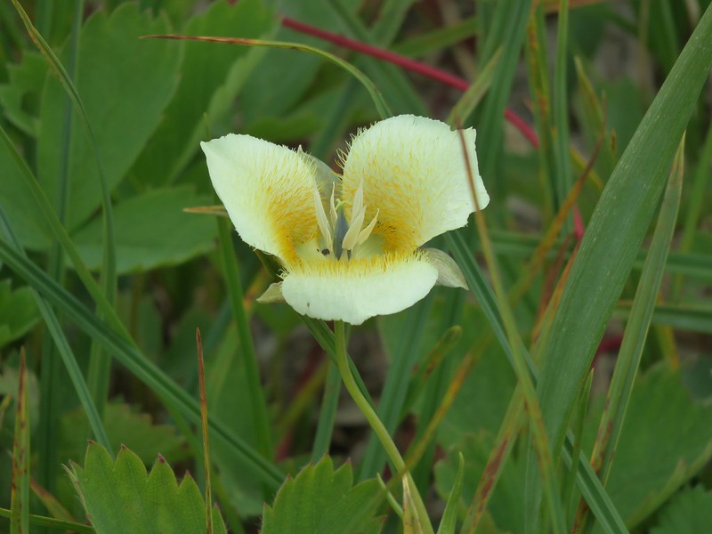
Cat’s ear lily

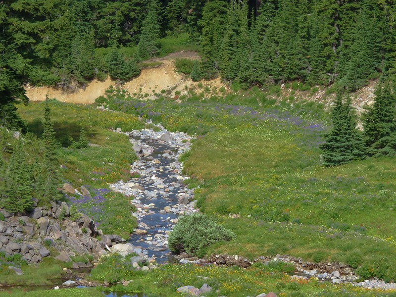
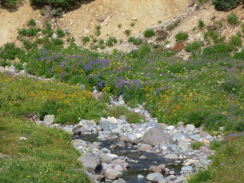
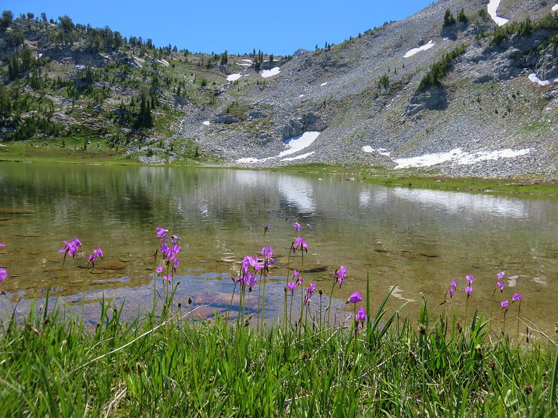
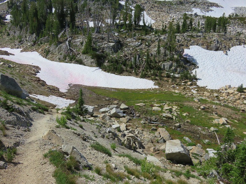
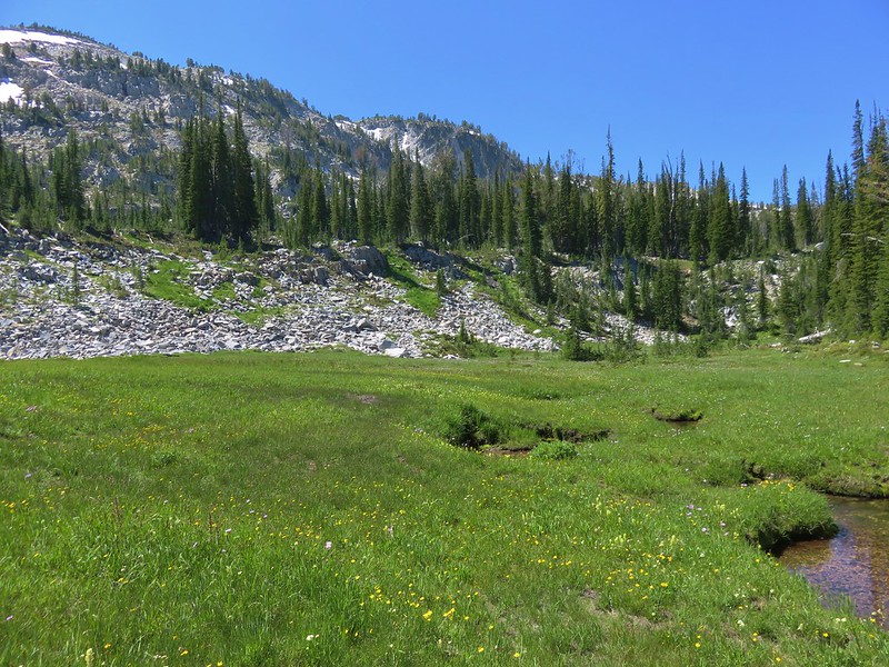
We stopped to get water from the wildflower lined north fork of Lost Creek.
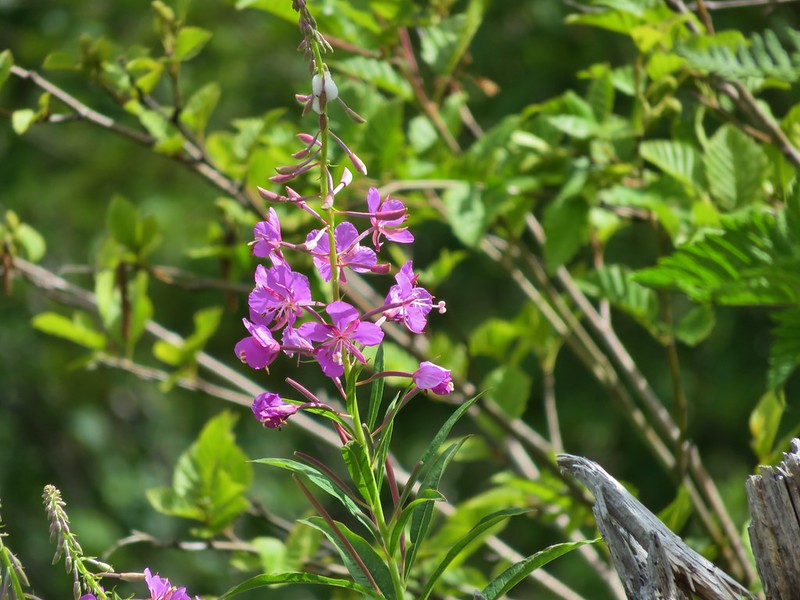
Mt. Hood was briefly hidden as we wrapped around a hillside covered in aster and fireweed that separates the branches of Lost Creek.

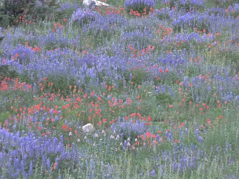
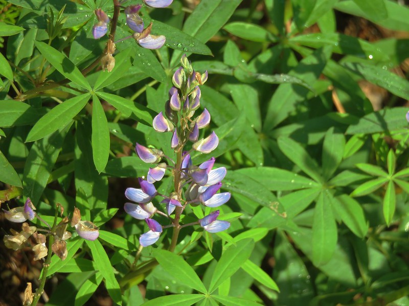
Meadows of aster and lupine were visible below the trail.

Beyond the hill we passed the site of the former Paradise Park Shelter before descending to the main branch of Lost Creek.


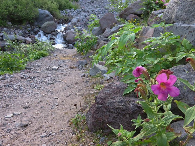
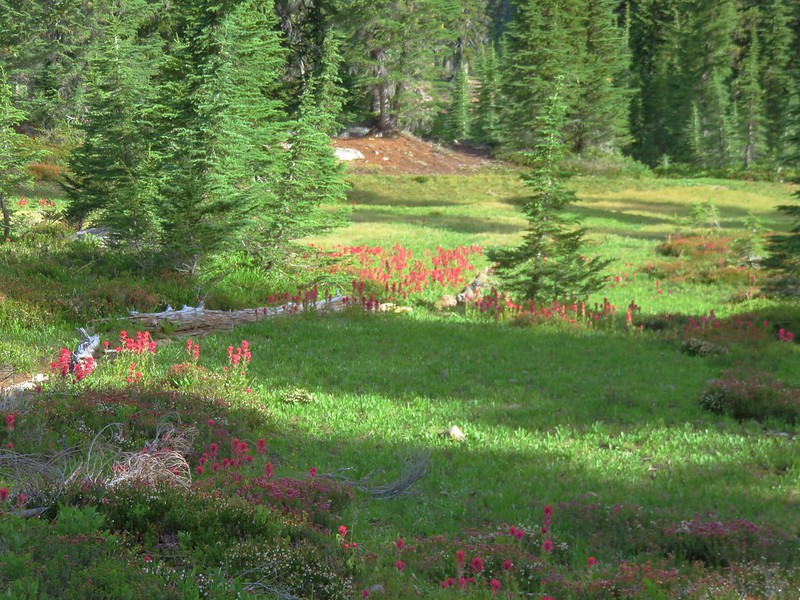
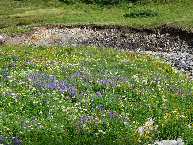
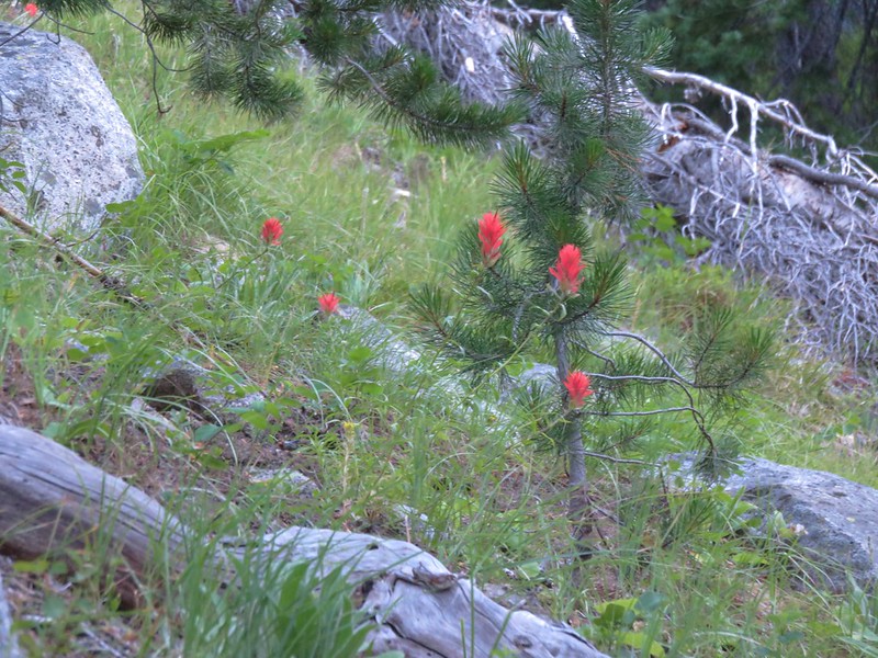
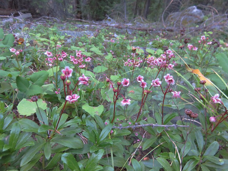
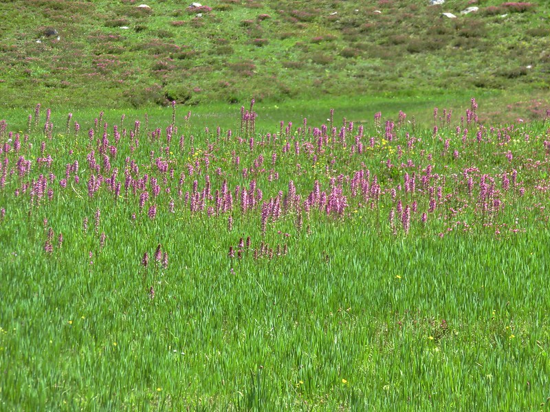
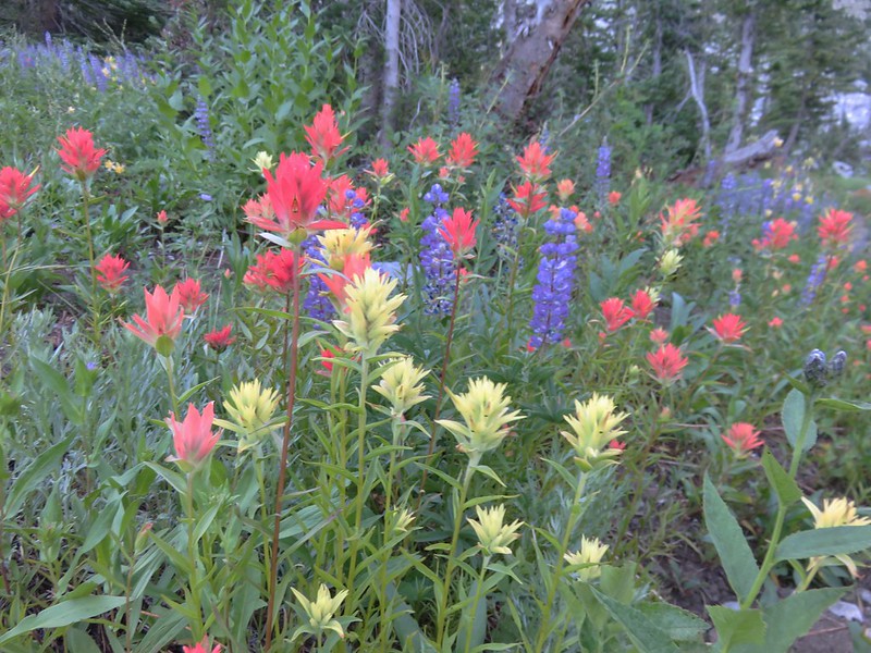
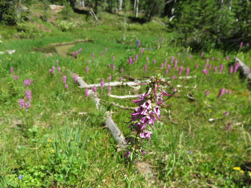
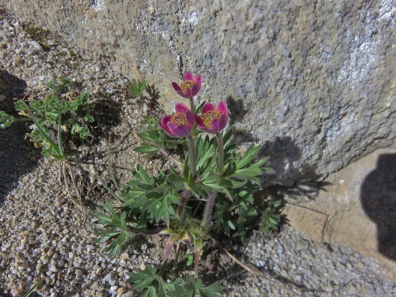
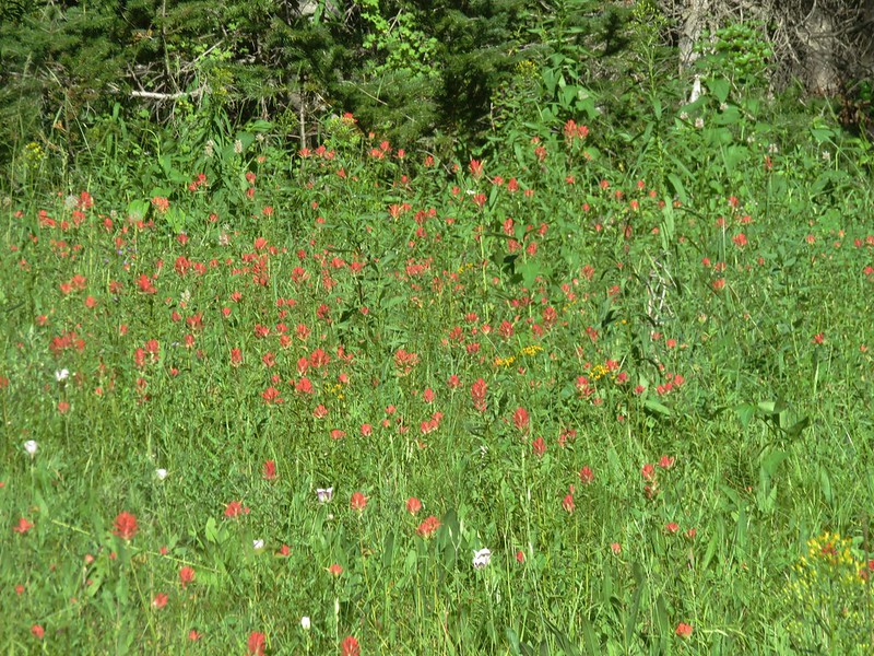
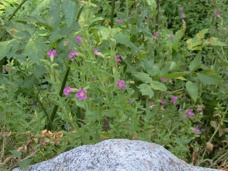
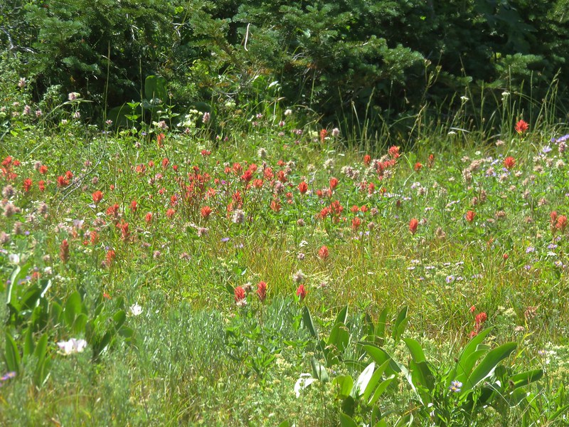
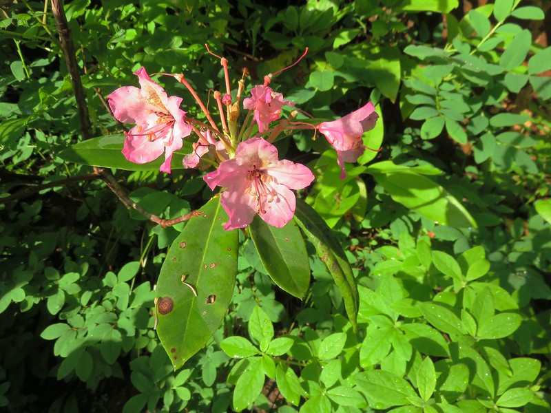
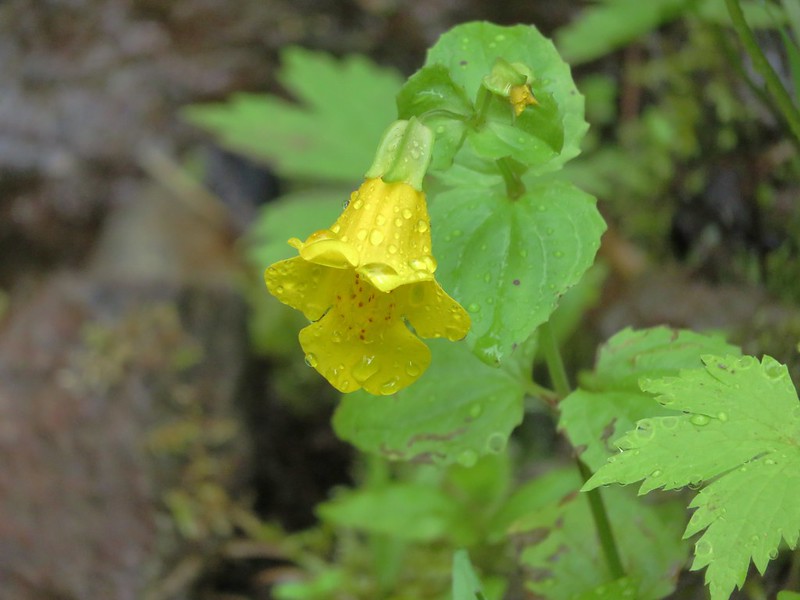
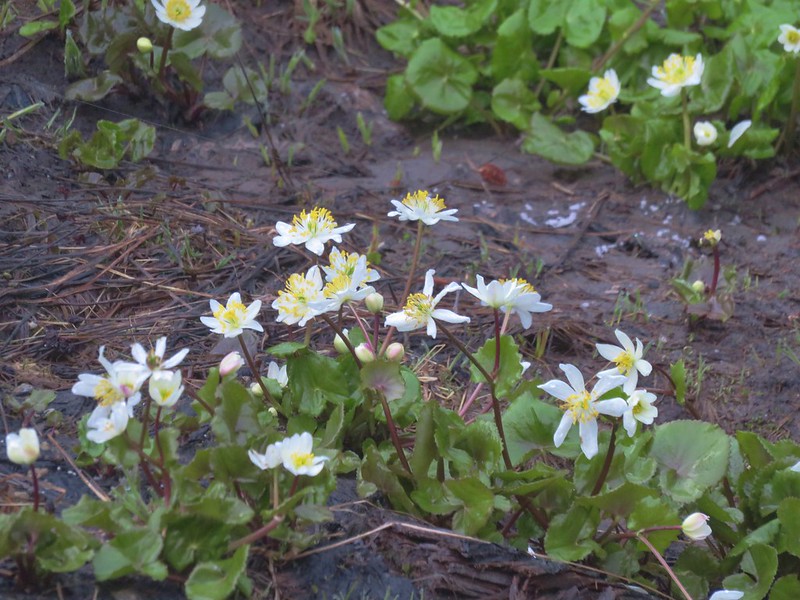
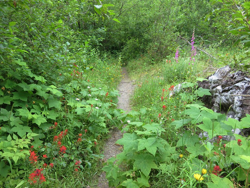
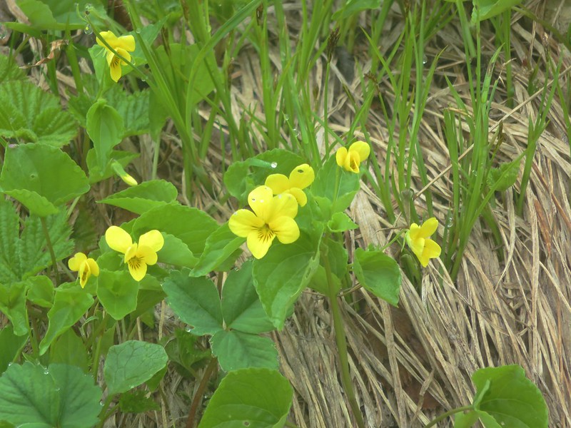
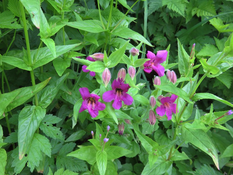
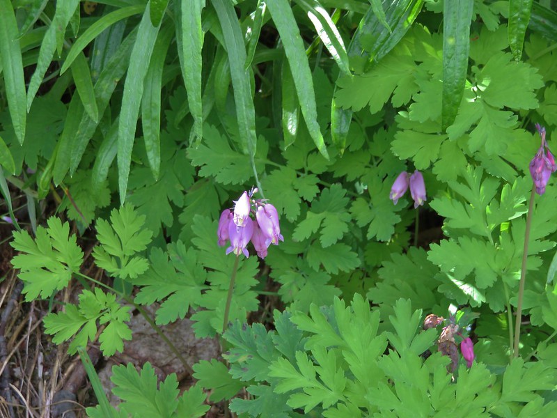
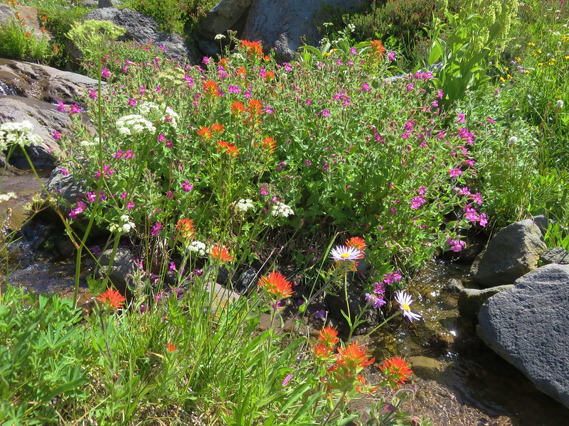
There were lots of flowers near the creek including an impressive patch of yellow and pink monkeyflower.

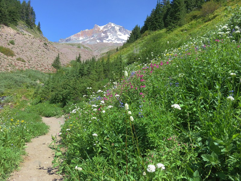
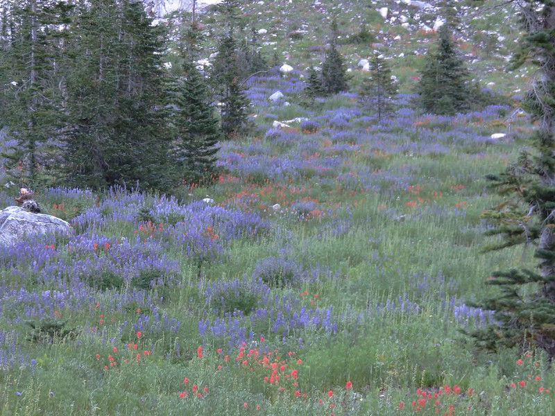
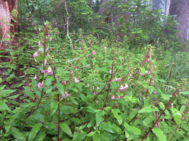
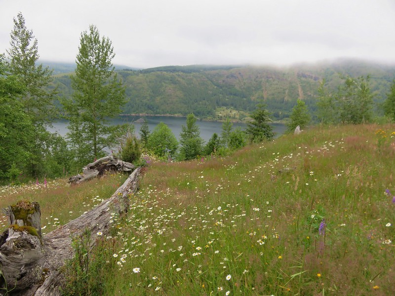
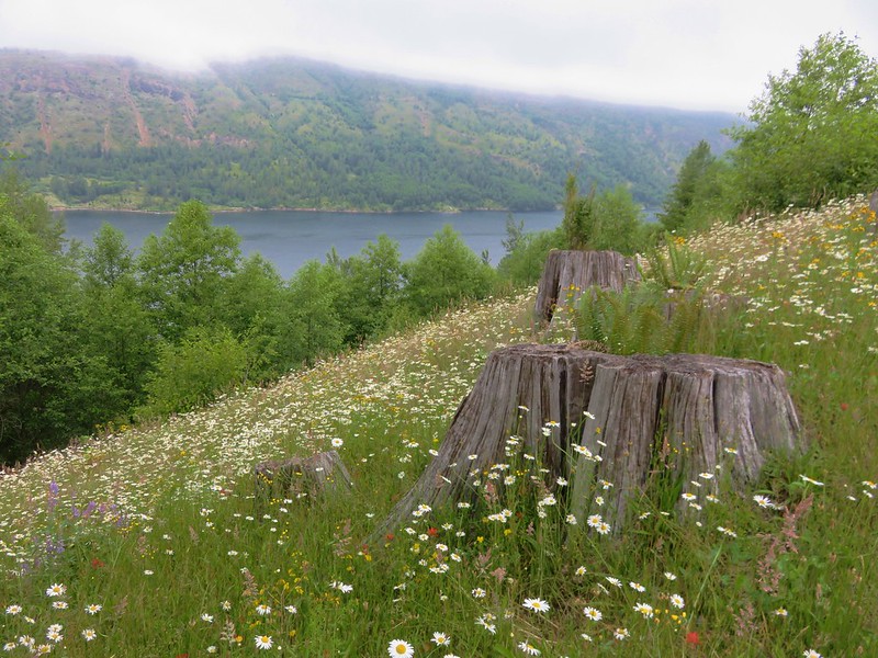
The meadows along the trail on the south side of Lost Creek were much greener with more wildflowers.
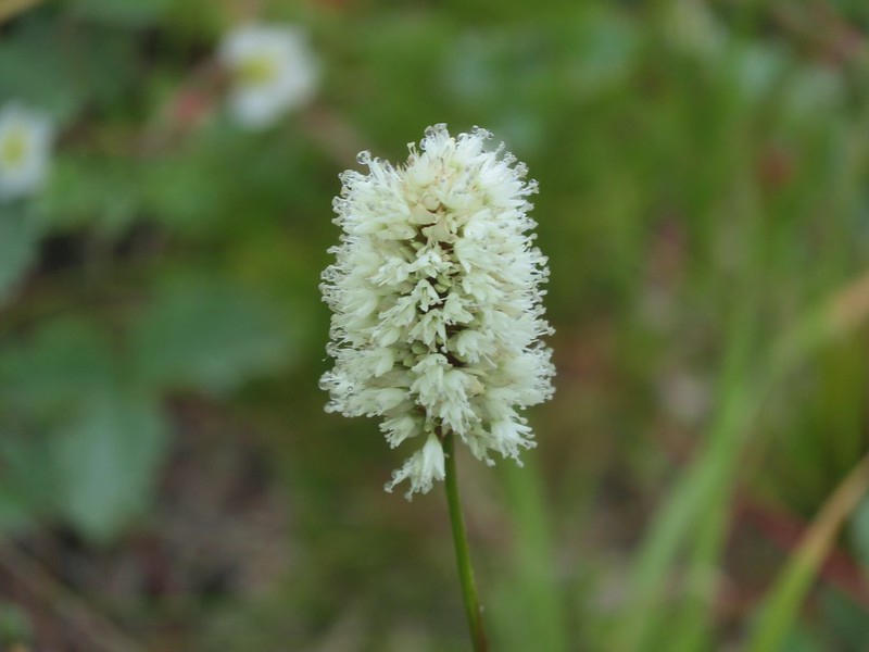
When we arrived at the junction with the Paradise Park Trail we remarked at the difference in the types of flowers present from our visit in 2012. That visit had been on August 27th and the meadow had been full of lupine and bistort.
This time it was mostly aster that filled the meadow.
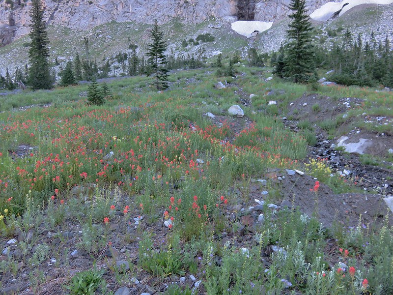
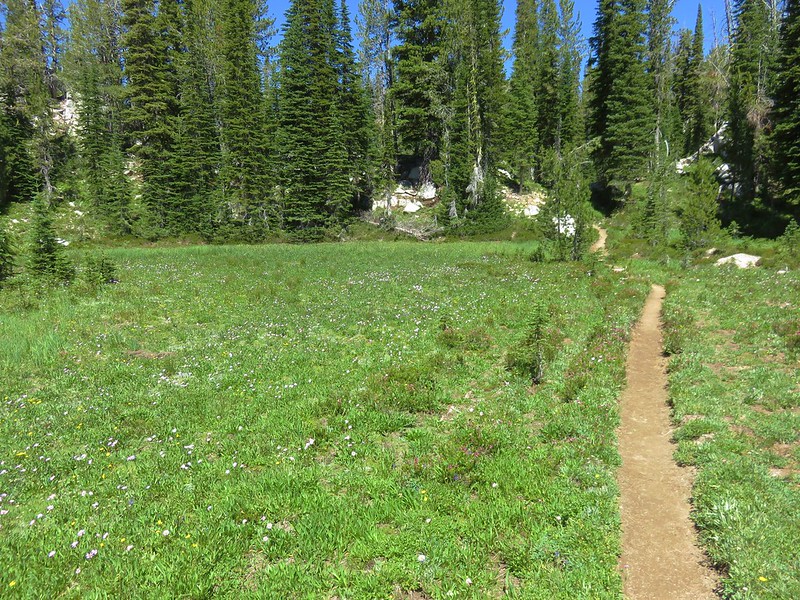
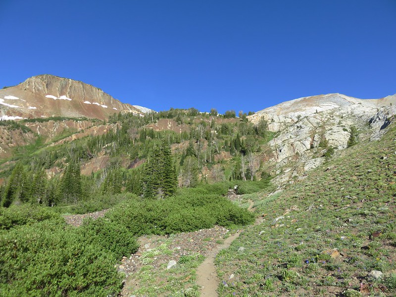
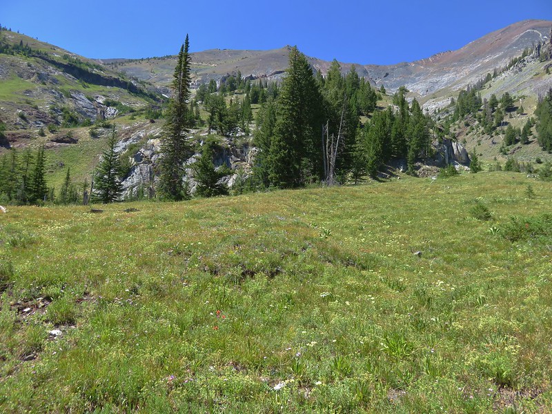
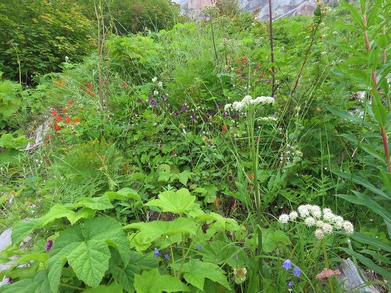
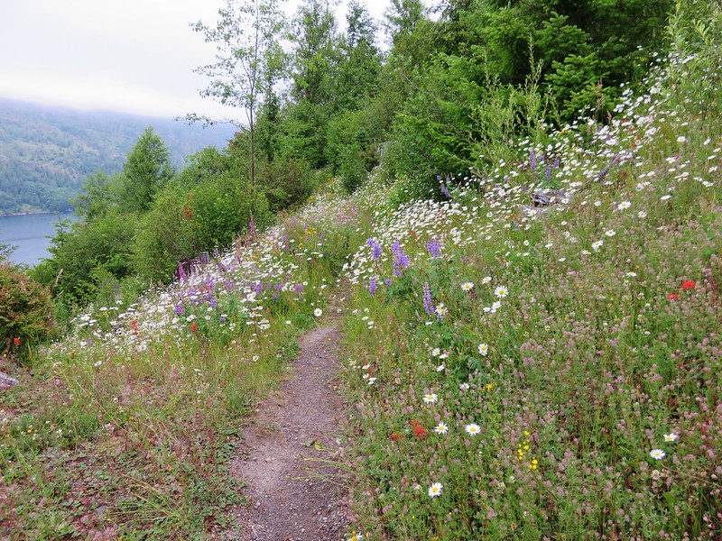
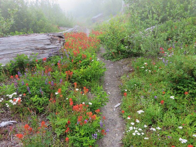
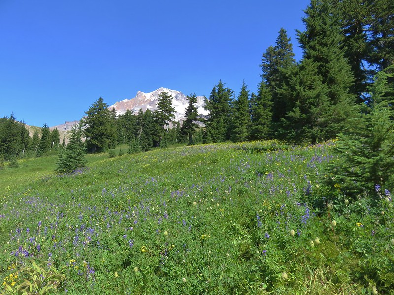
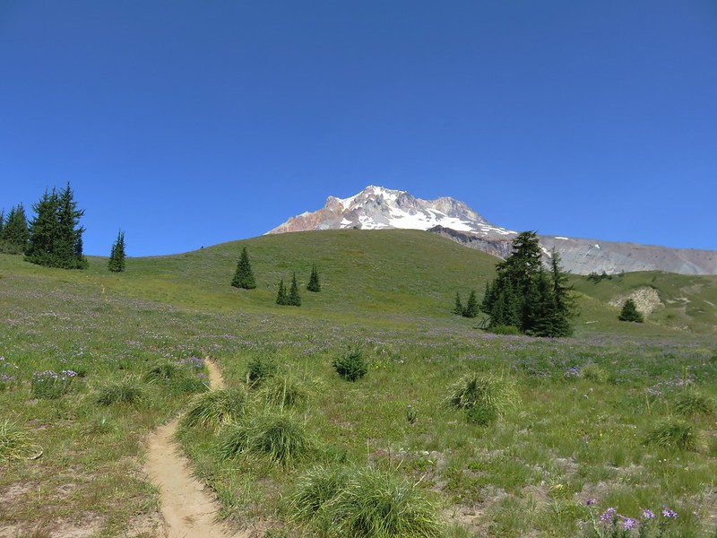
One area we had not explored on either of our previous visit was further up the Paradise Park Trail so this time we turned toward the mountain and headed up through the wildflower meadows.
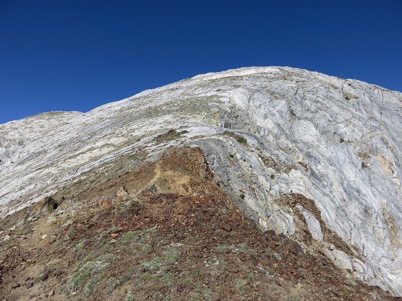
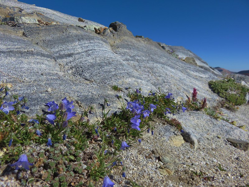
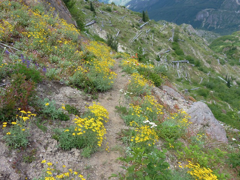
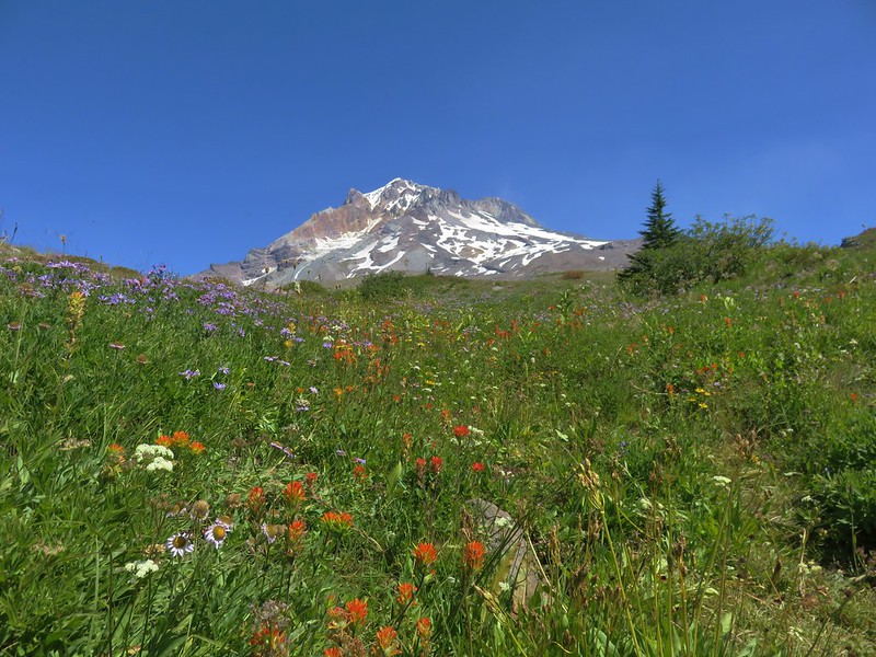
It was interesting to see how the composition of the meadows changed along the way. We passed areas of purple aster, white bistort, and eventually dwarf lupine and yarrow.

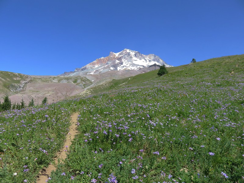
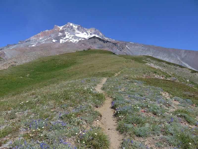
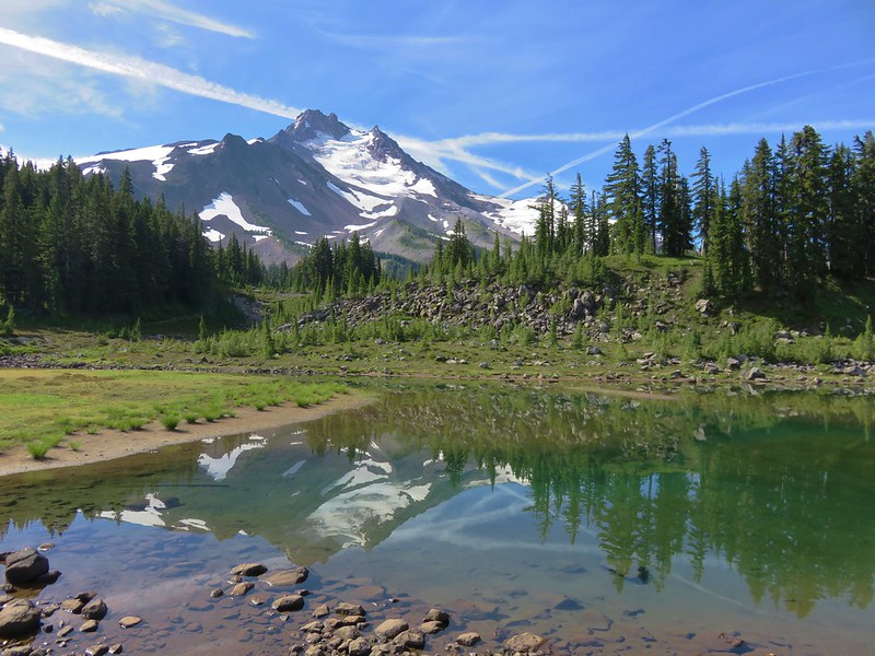
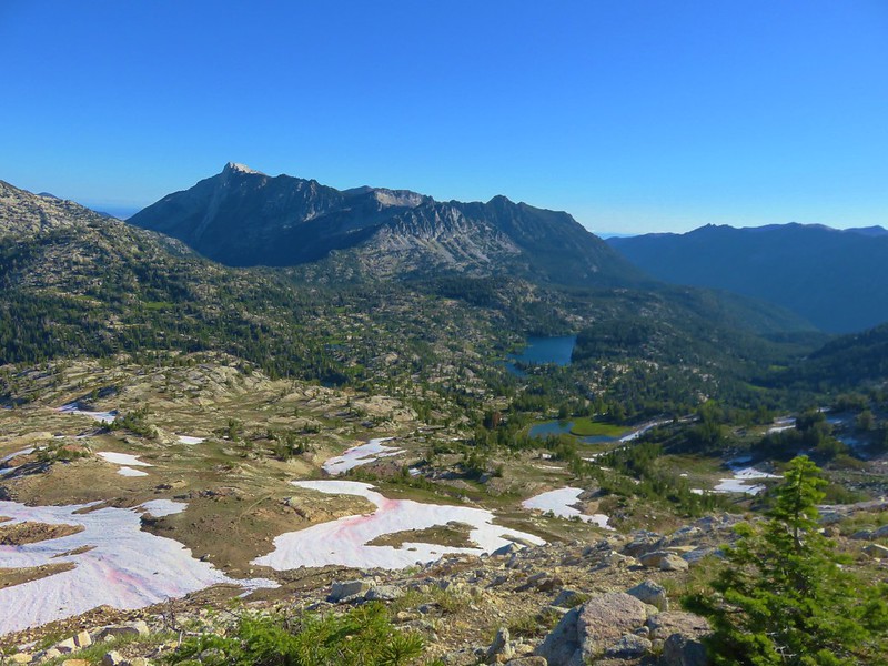
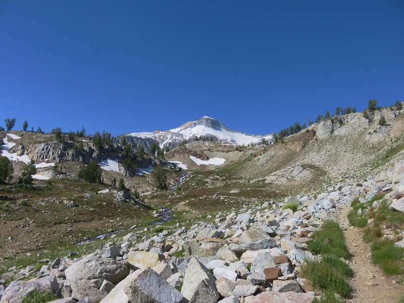
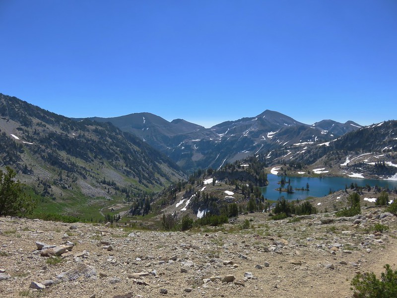
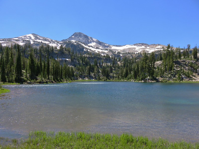
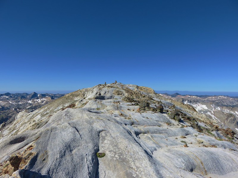
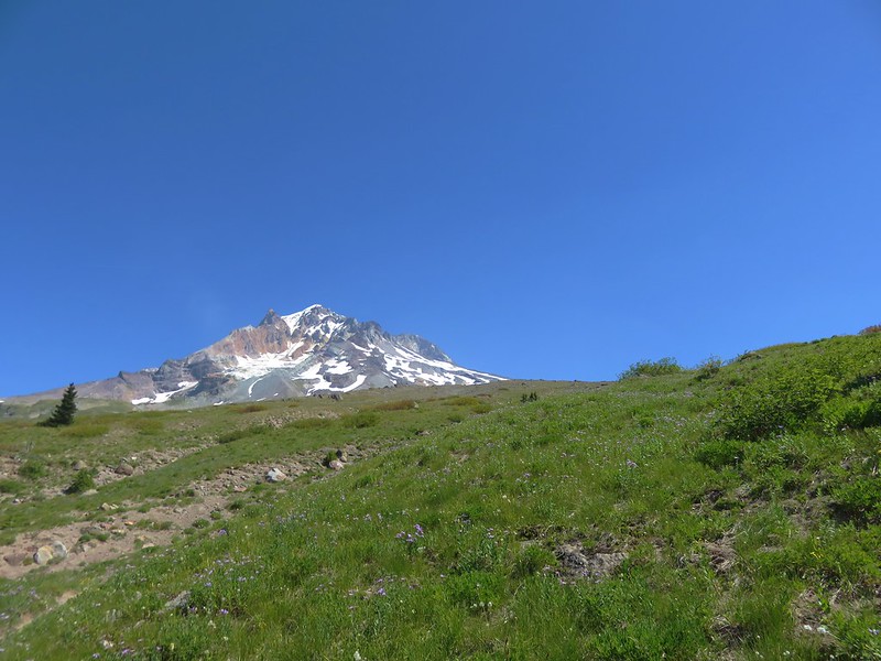
We took a break on a large rock with a great view of Mt. Hood and Mississippi Head.
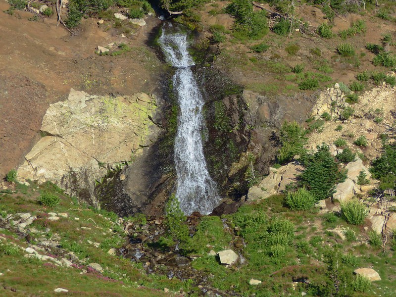
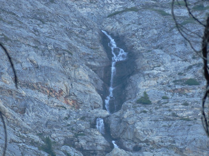
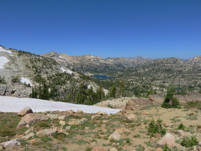
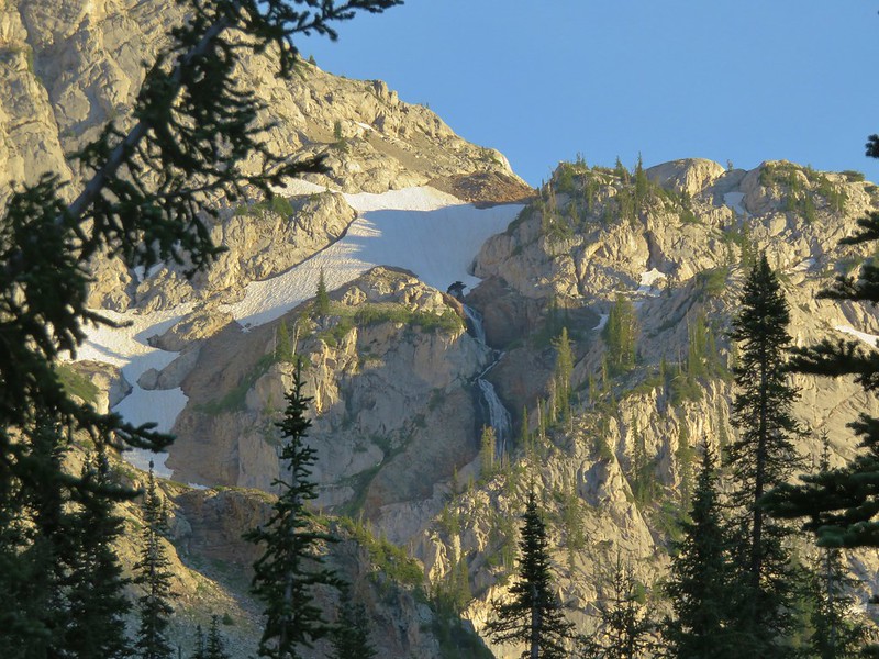
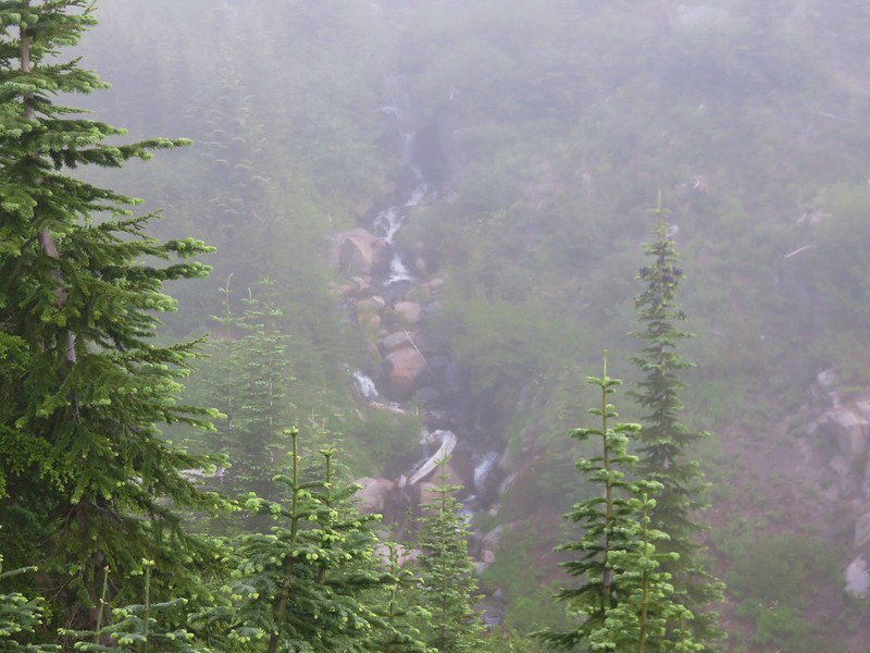
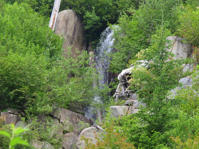
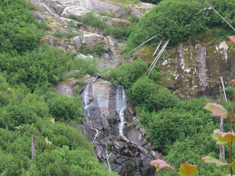
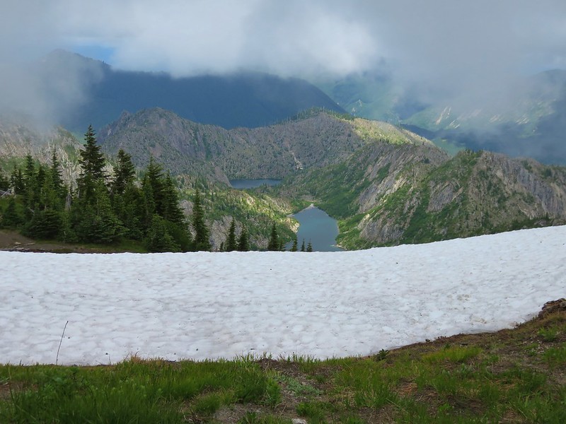
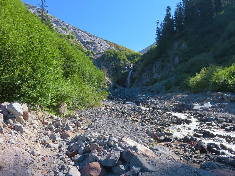
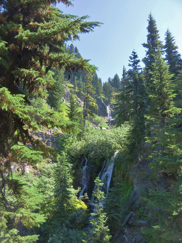
There was a cool breeze coming off Mt. Hood which made the temperature perfect. After a snack we followed the trail over to a ridge overlooking the upper portions of the Zigzag Canyon where a couple of waterfalls were visible.

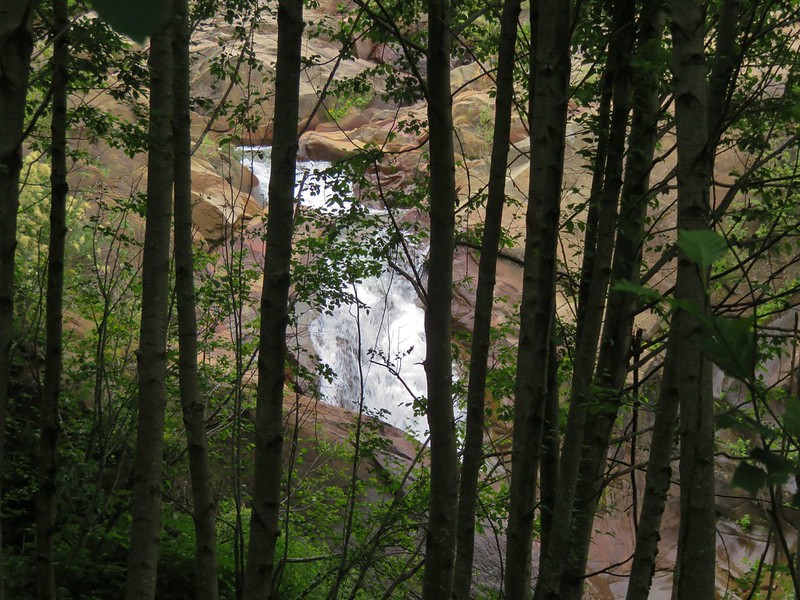
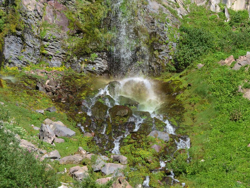
We headed back down to the Paradise Park Loop Trail and then opted to finish the loop instead of heading straight back down the Paradise Park Trail to the PCT. Once we were back on the Pacific Crest Trail we decided that we would hike back to Lost Creek Falls in order to cook dinner and then refill our water supply for the night. We cooked dinner on the sandy hill then moved to a rock with a view of the falls to eat. As the Sun lowered there was almost a rainbow effect at the base of Lost Creek Falls.

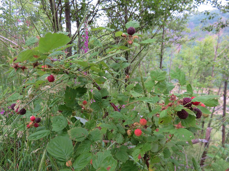
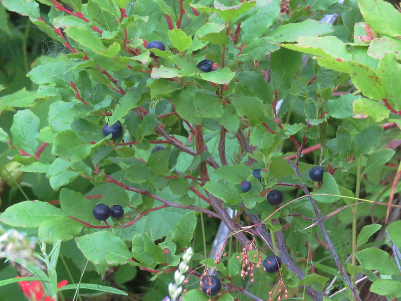
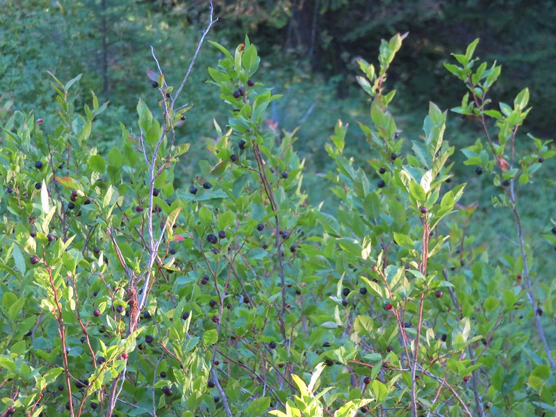
After dinner we filtered some water then returned to our campsite along the Paradise Park Trail. Stopping along the way at a nice huckleberry patch for dessert.

It was just after 7pm when we arrived back at camp. There were a ton of little flies out and a fair number of mosquitoes that were much more interested in Heather than myself so we quickly headed into the tent for the night which was okay because we’d somehow managed to put in 19.7 miles for the day.
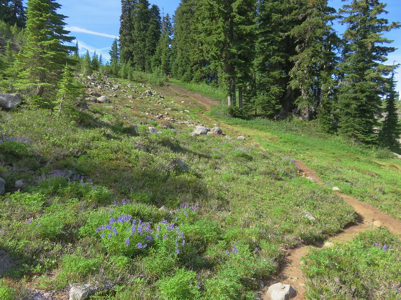
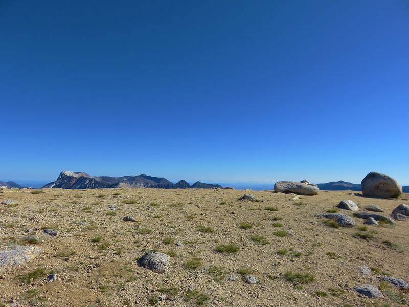
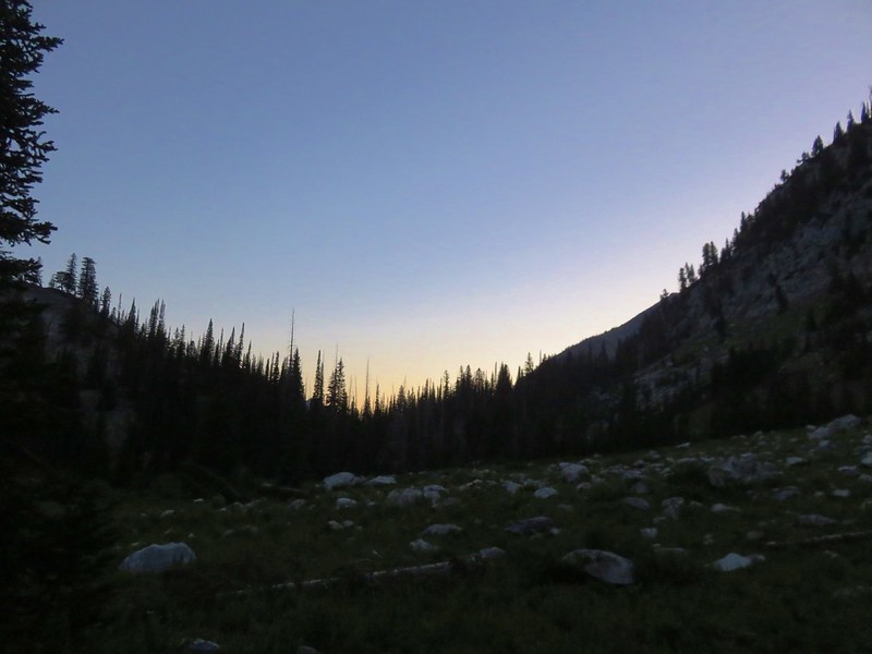
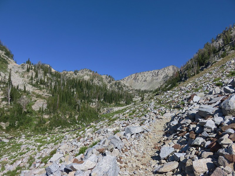
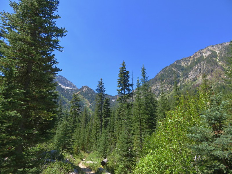
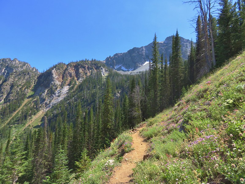
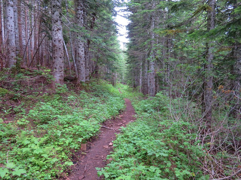
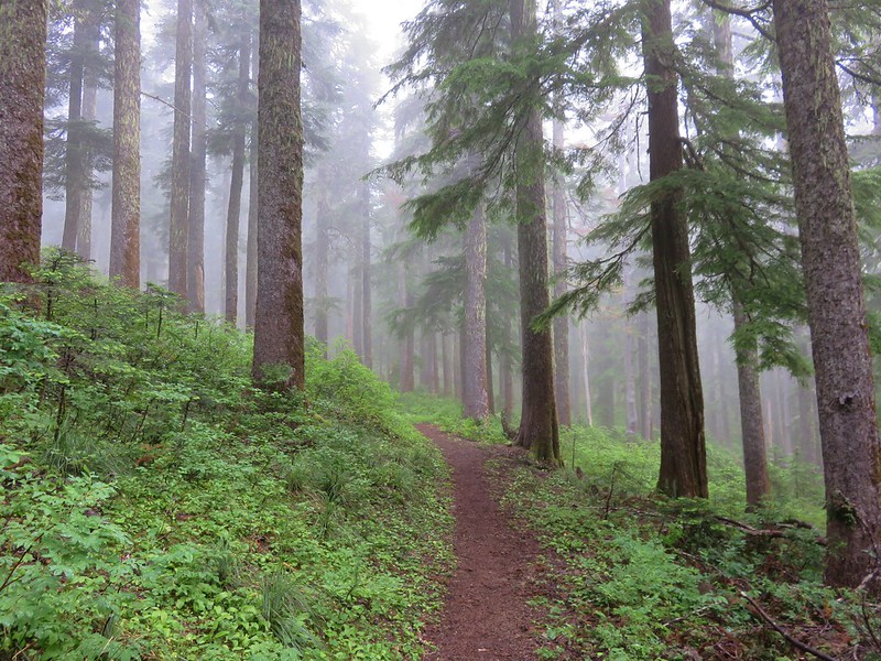
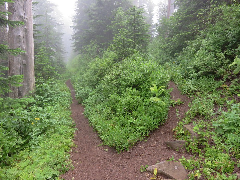
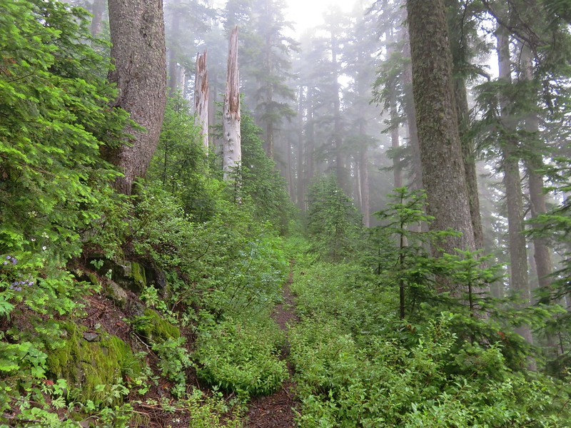
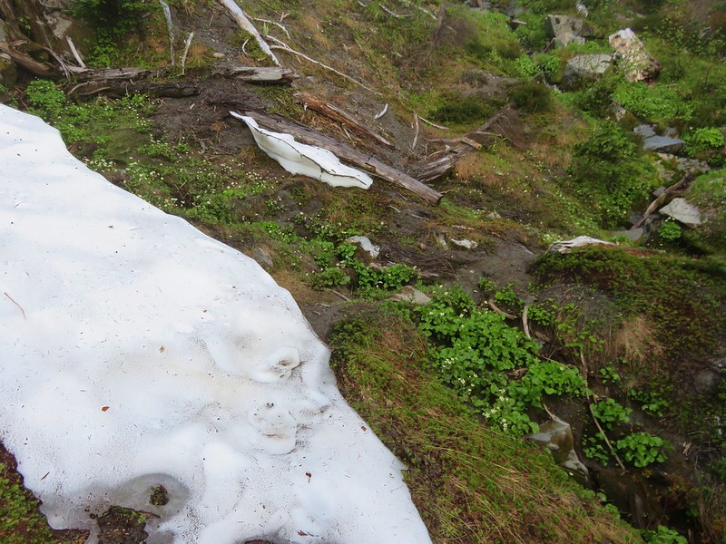
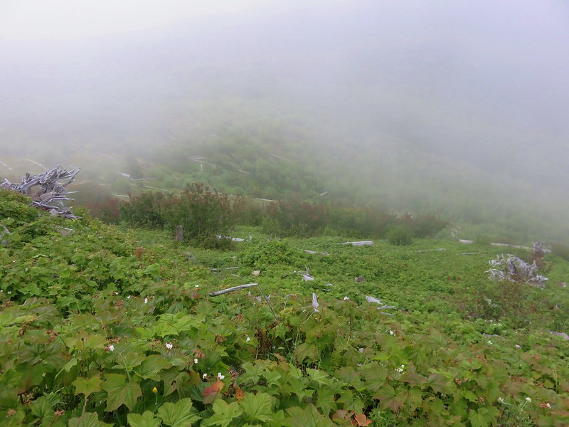
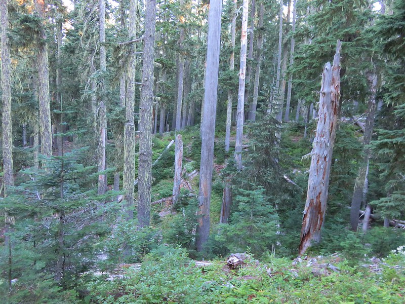
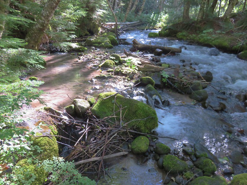
It was still dark when we woke the next morning as I went to check the time on my phone. We both expected it to be somewhere around 2 or 3am so we were relieved when it turned out to be 5:23 and not too early to get up. After packing up camp we braved the bugs and prepared breakfast – instant coffee and Backpacker’s Pantry bacon and cheddar mashed potatoes. After eating we began the 6 mile downhill hike toward the Paradise Park Trailhead. We made good time despite being distracted by the abundant ripe huckleberries. The trail was just as view-less as the Hidden Lake Trail had been the day before. Where it would have been possible to filter water on that trail the Paradise Park stream crossings were basically dry. The forest was nice though and this ridge was a bit wider than the one the Hidden Lake Trail, creating a little more of an open feeling.

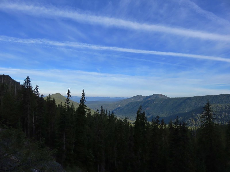
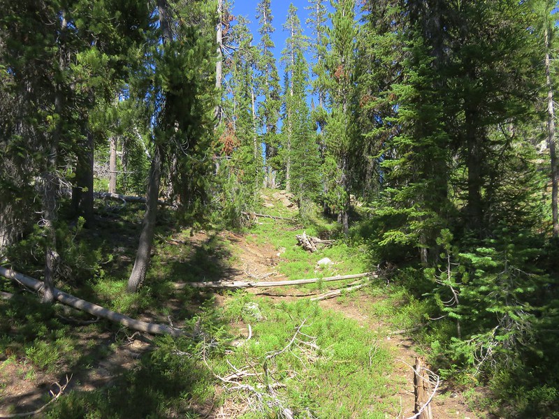
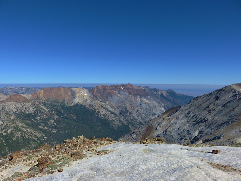
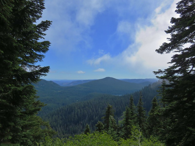
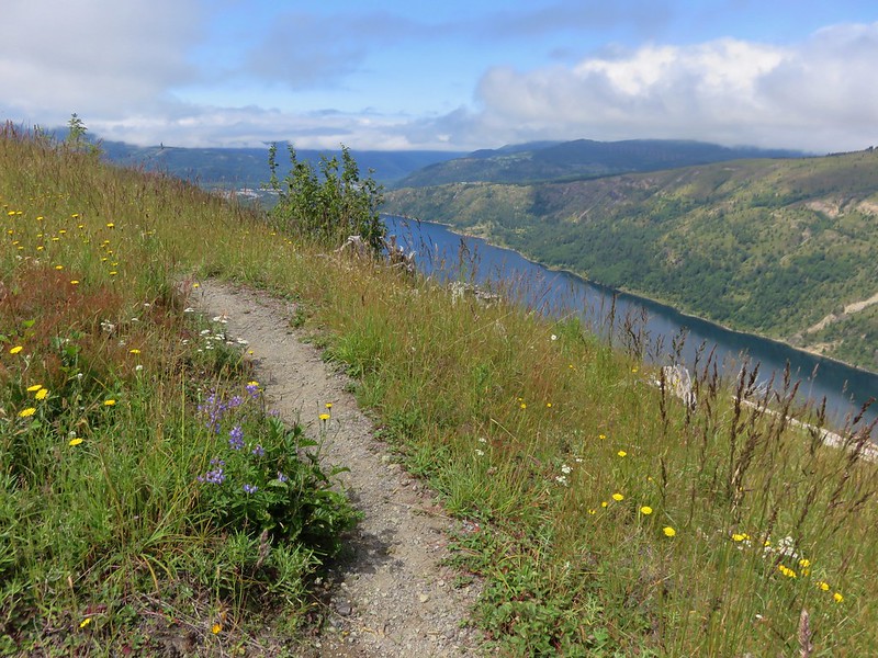
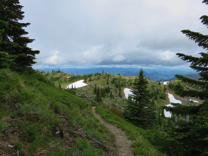
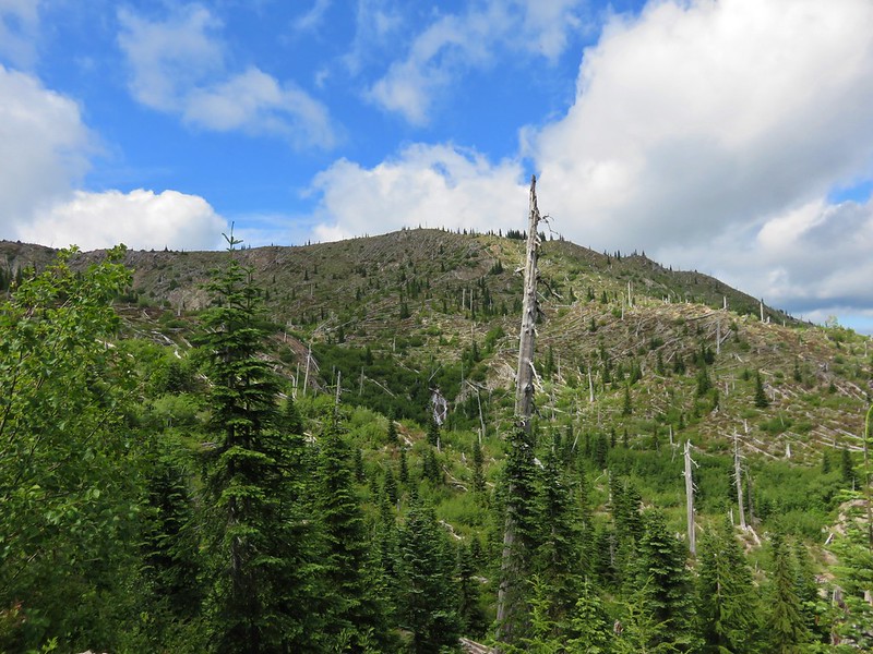
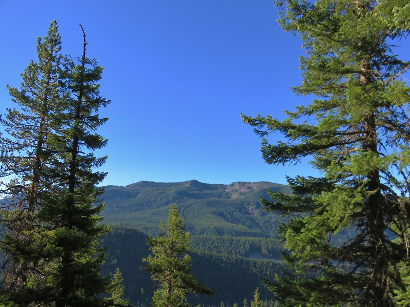
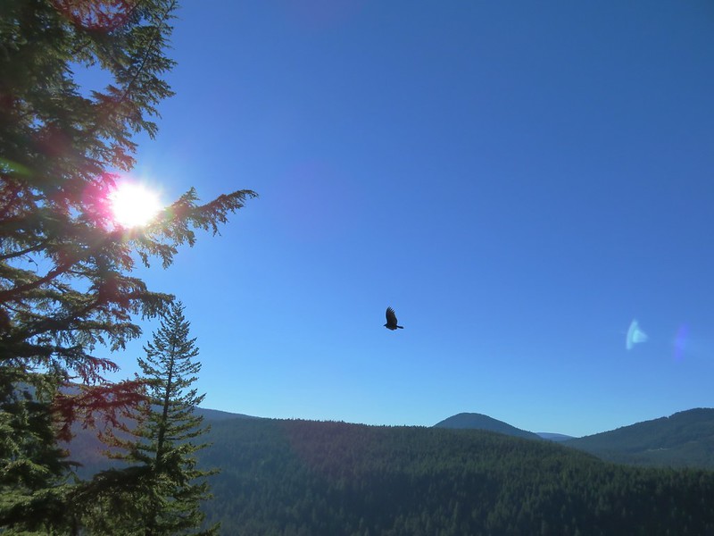
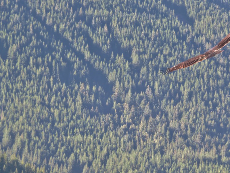
In the middle of the trail was a long section where the trail was about as straight as a trail can be and almost looked like it was following an old road bed. As the trail approached the edge of the ridge the forest thinned and there was a viewpoint looking toward Tom, Dick, and Harry Mountain to the south.
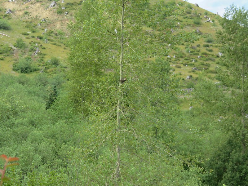
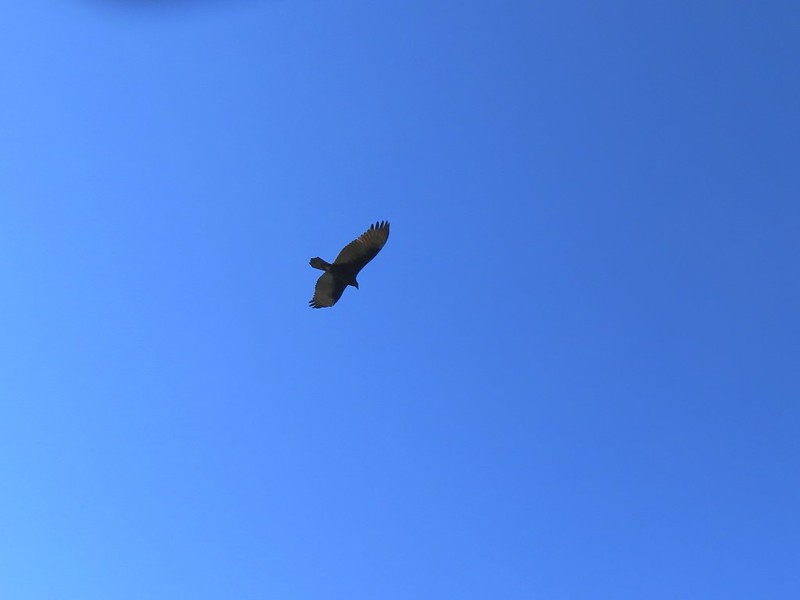
While we were at the viewpoint a Turkey Vulture passed by several times close enough to hear the wind on its wings.
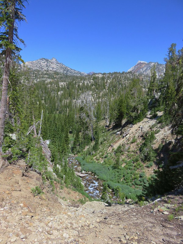
The trial then veered away from the ridgeline for .7 miles and began a final set of switchbacks down to the Zigzag River, which it followed back to the Barlow Campground and the Paradise Park Trailhead.
Both the Hidden Lake and Paradise Park Trails are longer, steeper routes to Paradise Park than the more popular Pacific Crest Trail from Timberline Lodge hike but they do have things to offer. Solitude and dense forest replace mountain views making these good options for quieter hikes while still bringing you to the big views at Paradise Park. If you’ve already been to Paradise Park via Timberline Lodge either of these trails make a nice alternative, especially when the berries are ripe. Happy Trails!
Flickr: https://www.flickr.com/photos/9319235@N02/albums/72157671573939900