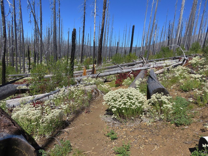
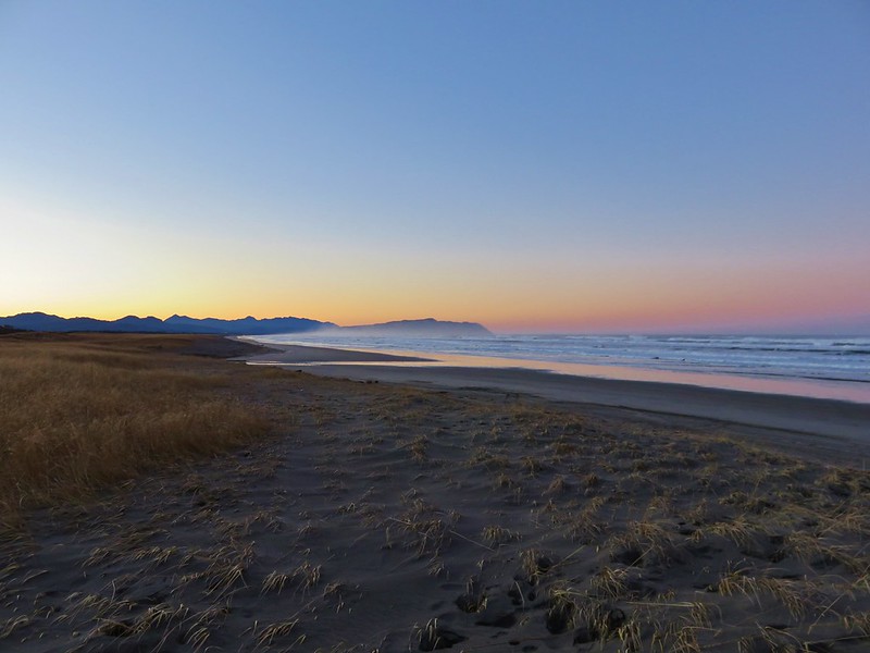
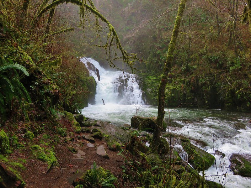
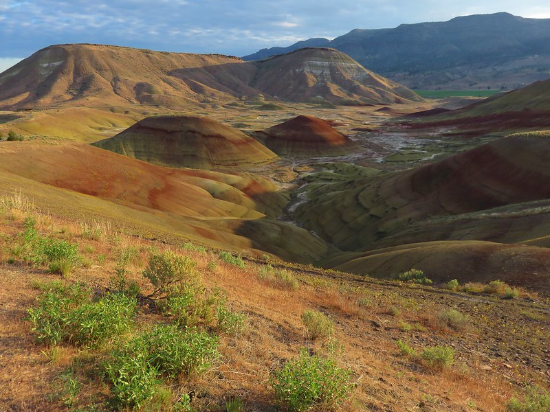
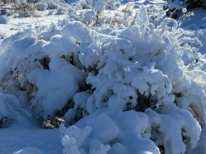
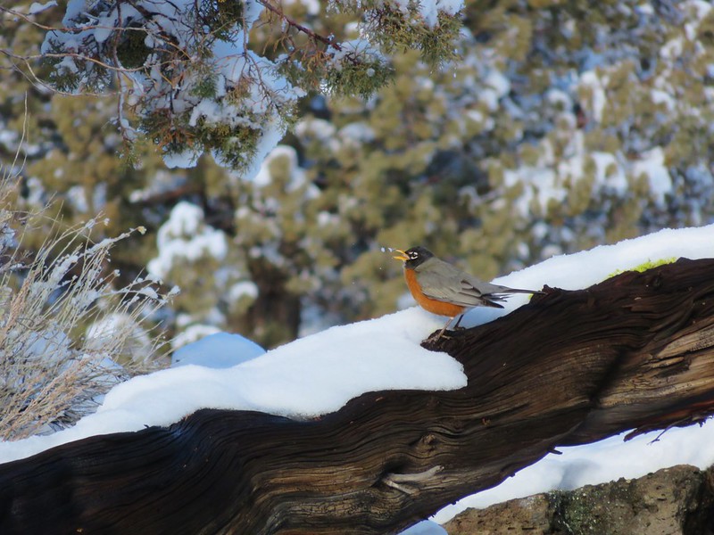
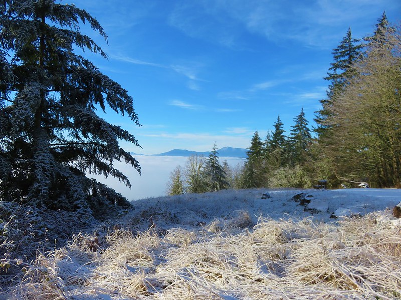
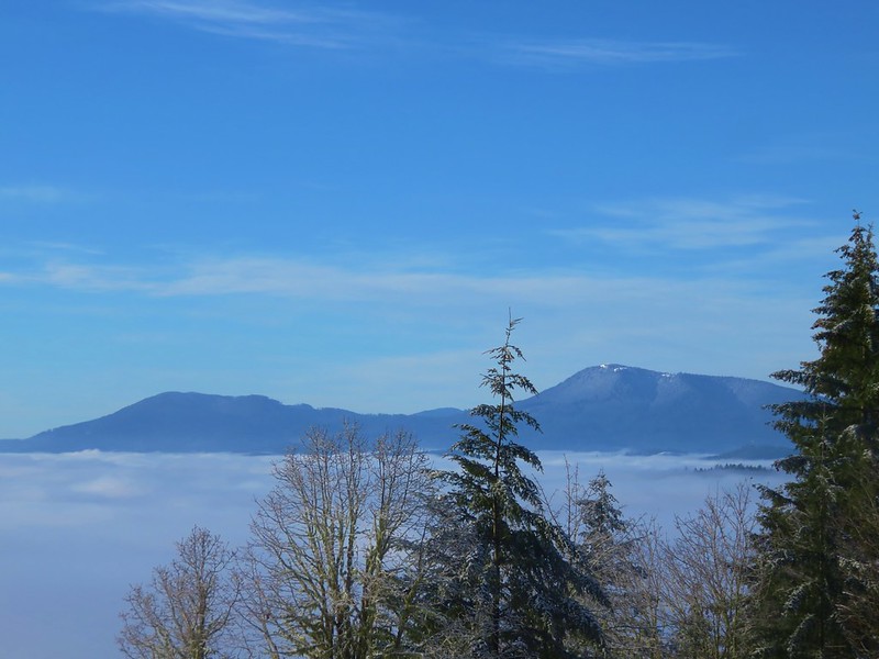
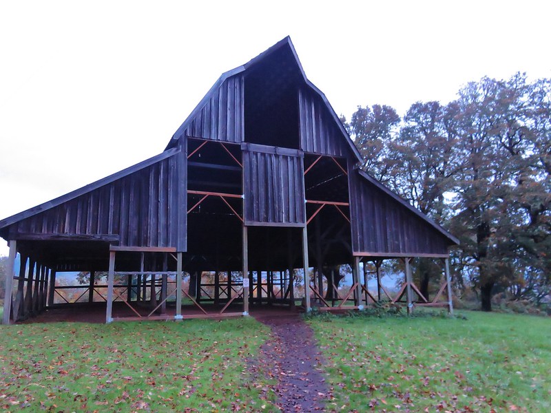
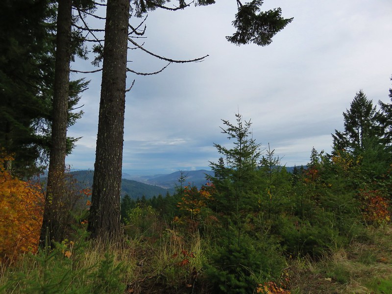
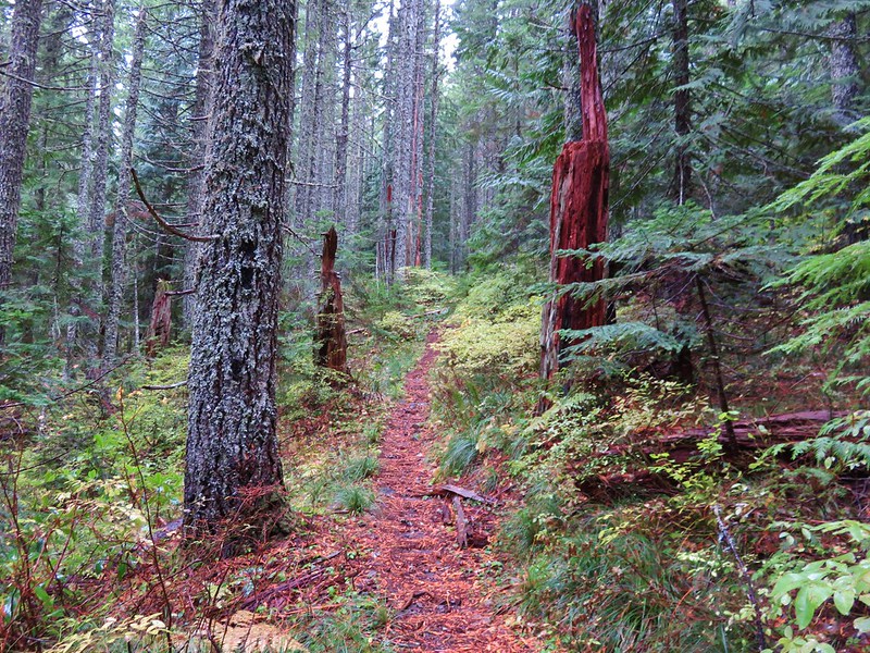
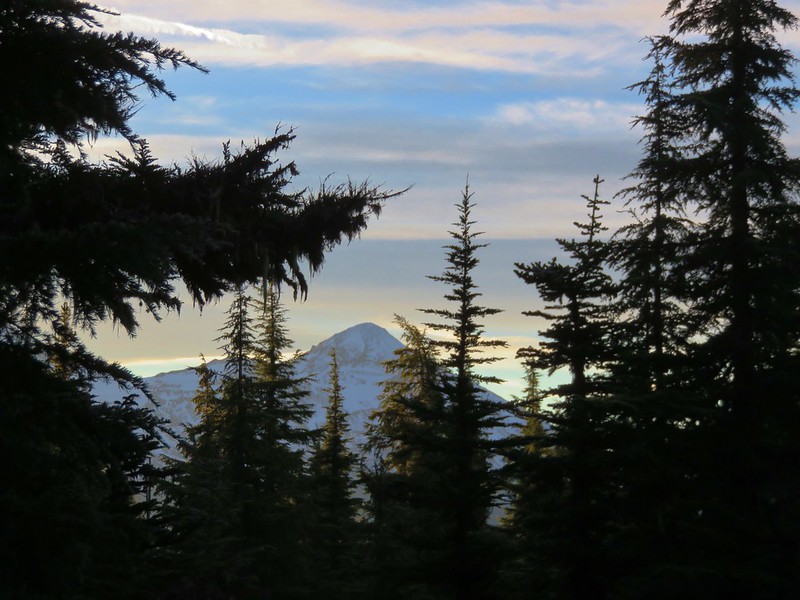
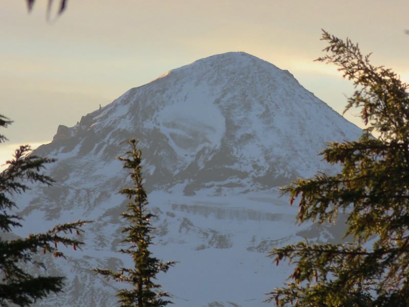
Since 2013 our first hike of the year has been somewhere along the Oregon Coast. Often the weather at the coast during January is nicer than other parts of the State making it a great time to visit. This was certainly the case this year as the first part of January saw near record snows and freezing temperatures over much of the State. The coast had not escaped the weather entirely but by the time we headed out for our first hike of the year, things were much nicer there than at home in the Willamette Valley.
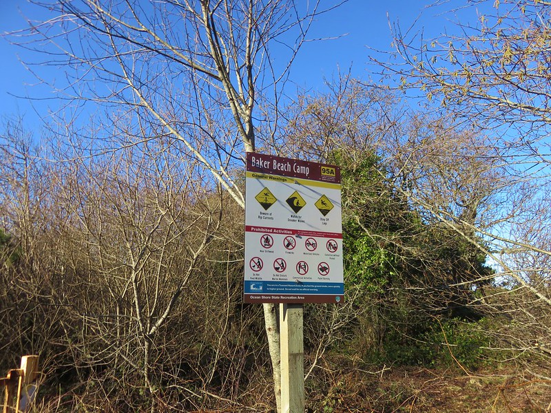
Our destination was Baker Beach Camp just north of Florence, OR. This was a change (already) to our plans for 2017 but the forecast for the area was just too good to pass up. Mostly sunny skies and a high of 48 degrees was what was being called for so we left 23 degree Salem early in the morning and headed down to Eugene then west to Florence on Highway 126.
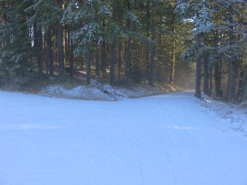
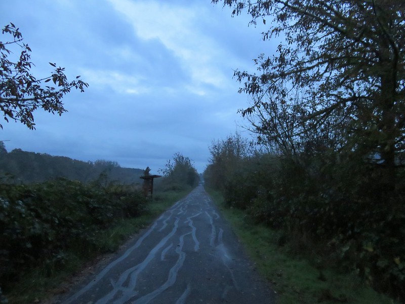
Baker Beach Camp is located at the end of Baker Beach Road, 7 miles north of Florence along Highway 101. The only signage along the highway was a small green street sign which I noticed just as we passed by it. After quickly turning around we turned onto the gravel road and followed it .5 miles to the camps parking area.
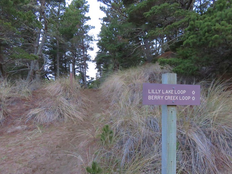
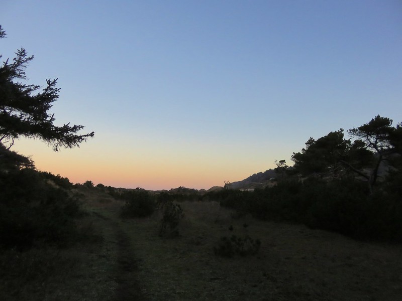
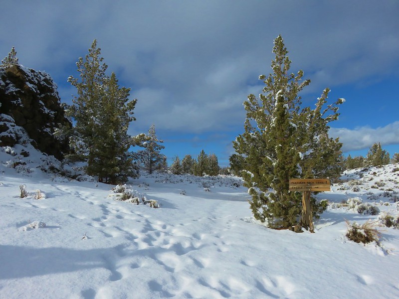
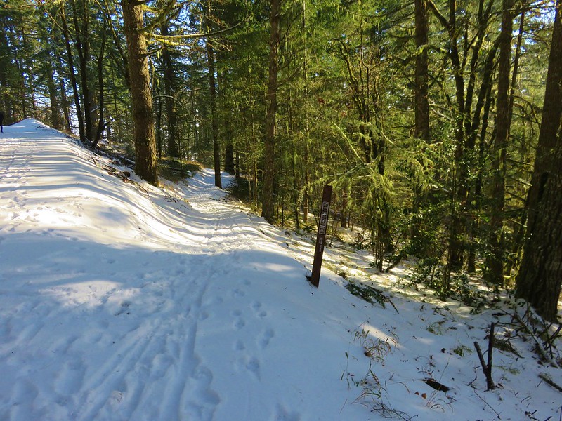
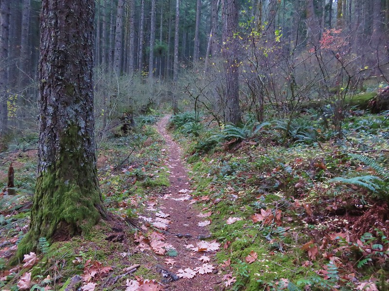
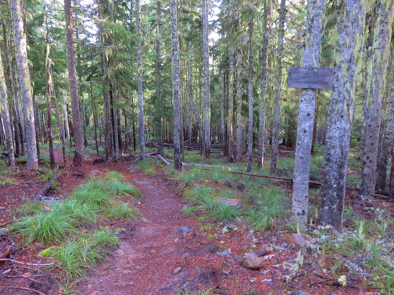
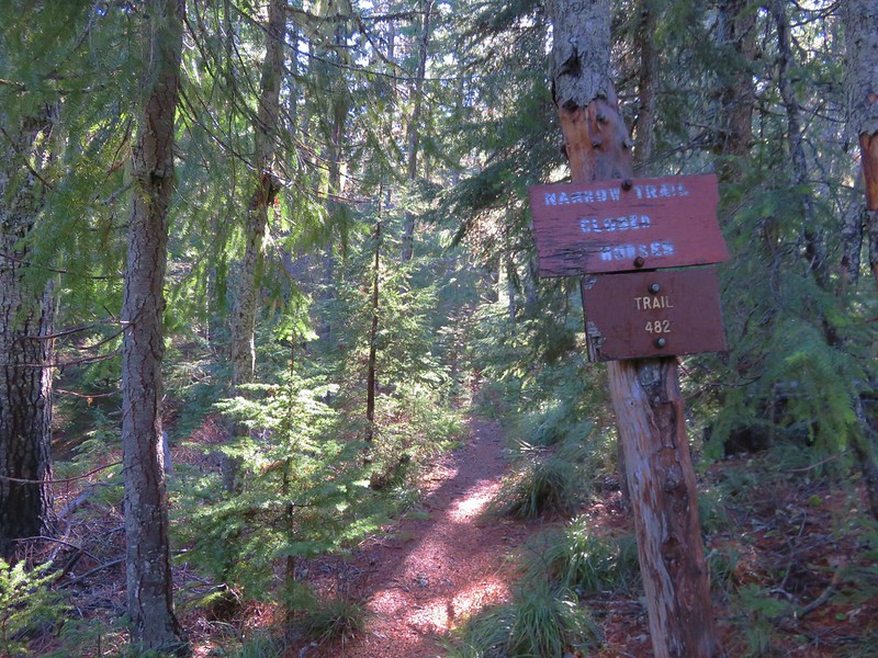
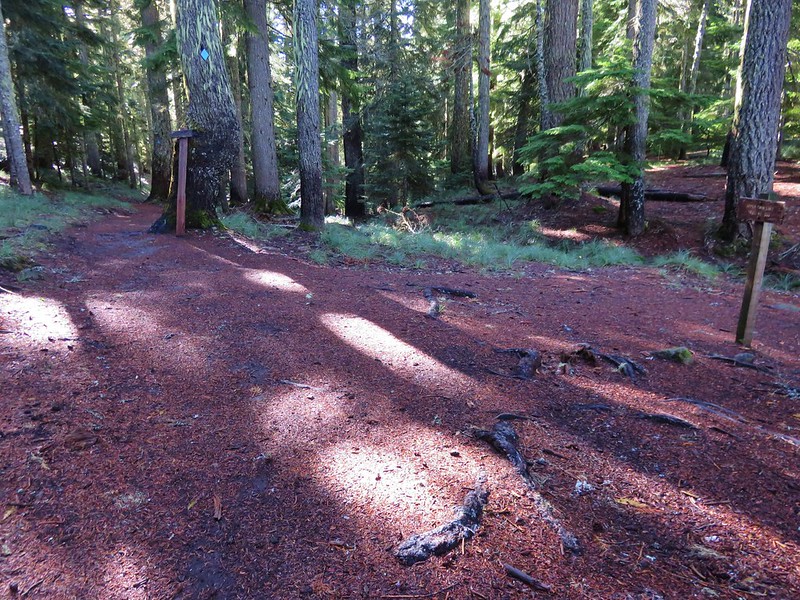
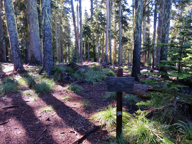
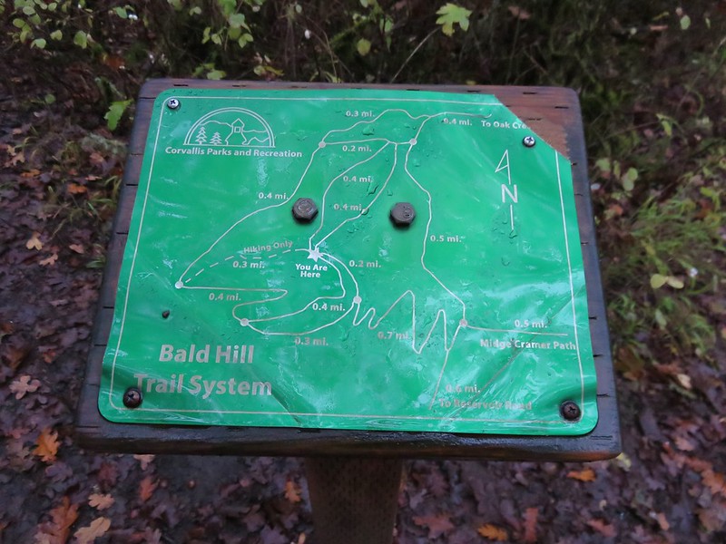
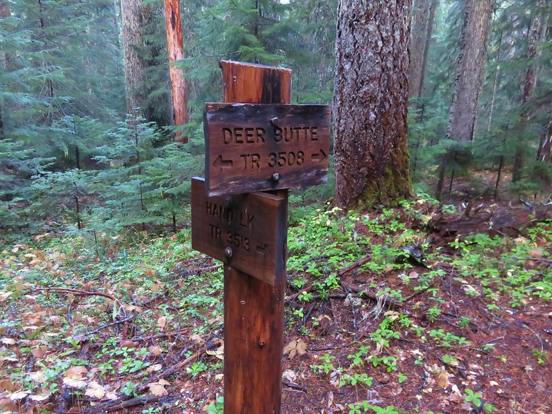
To start our hike we walked a short distance back along the road and turned left at a trail sign for the Lily Lake Loop.
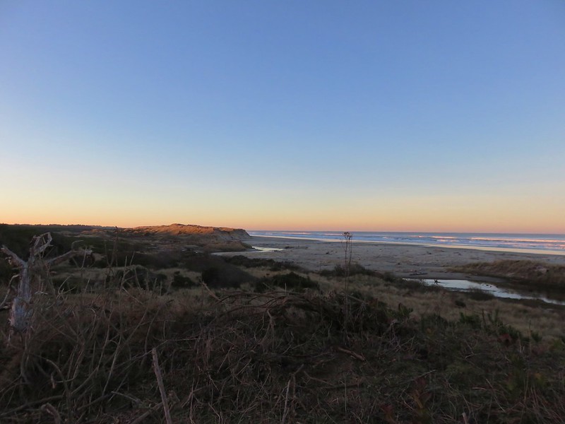
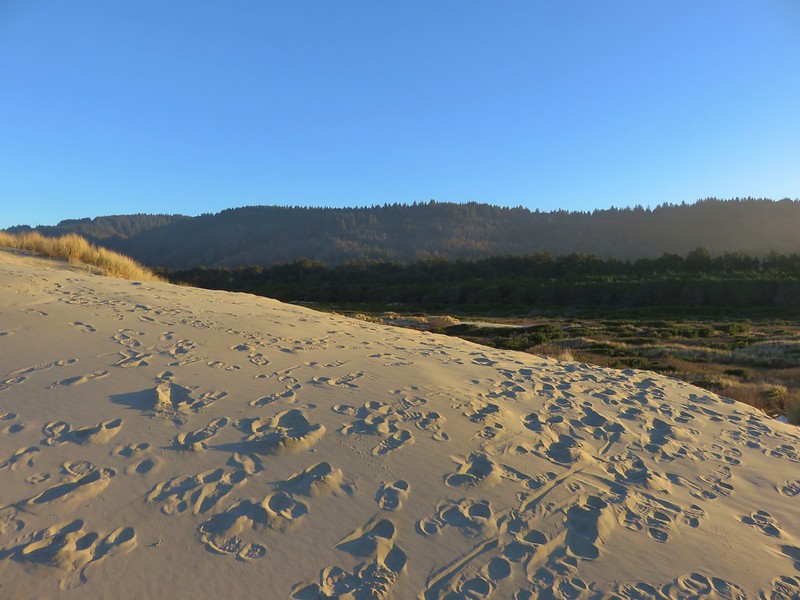
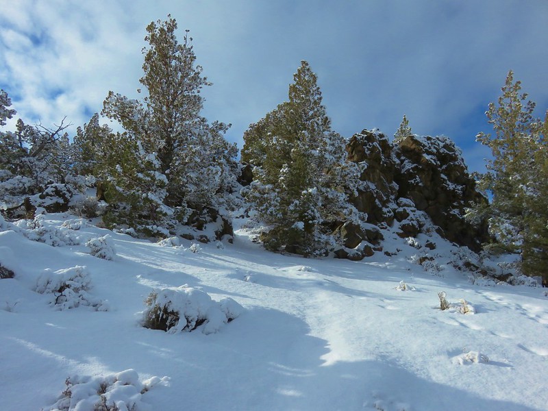
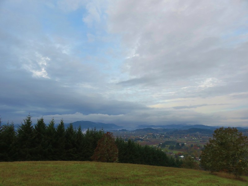
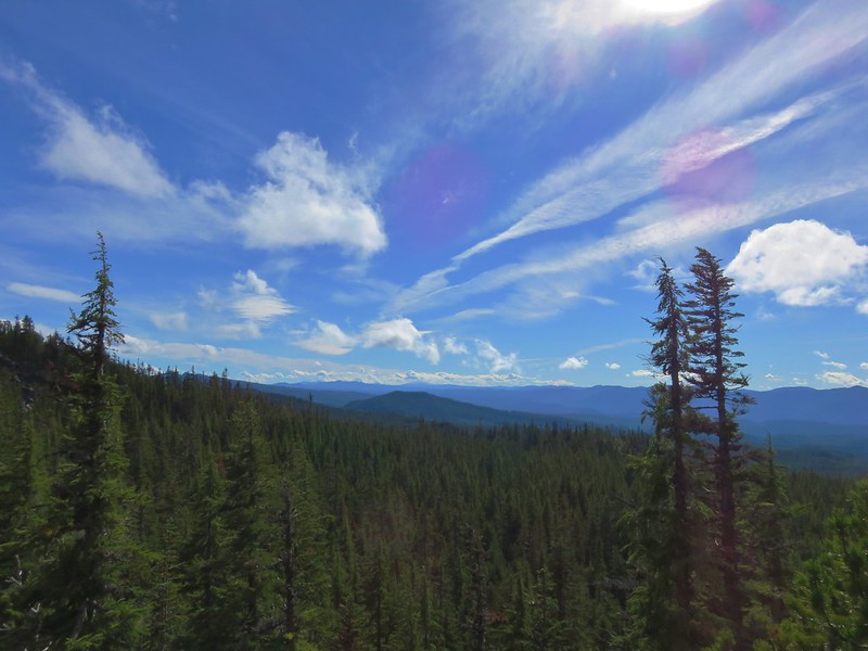
A short sandy climb brought us to a trail junction at the top of a sandy ridge.
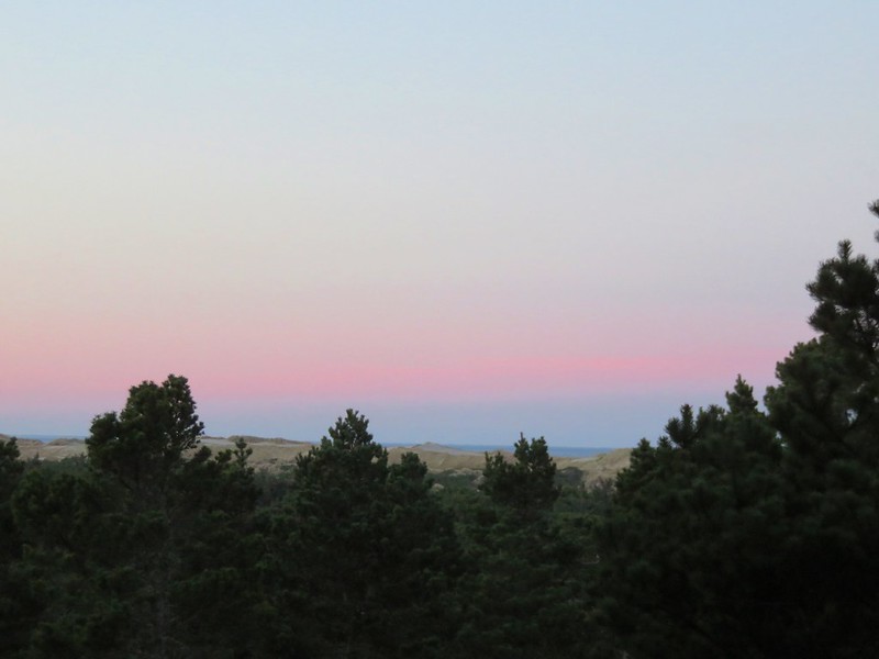
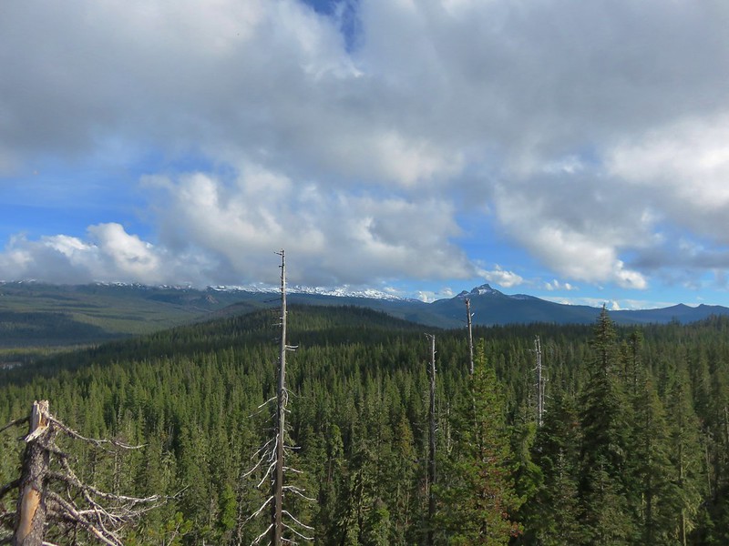
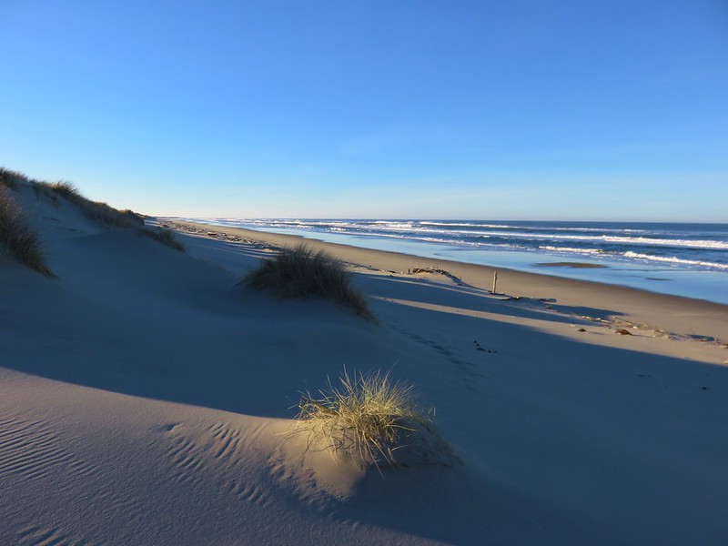
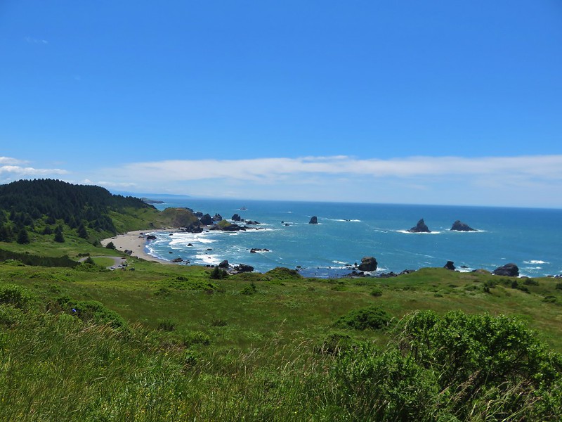
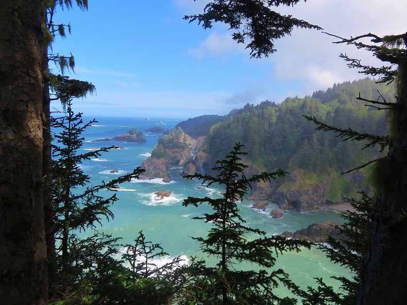
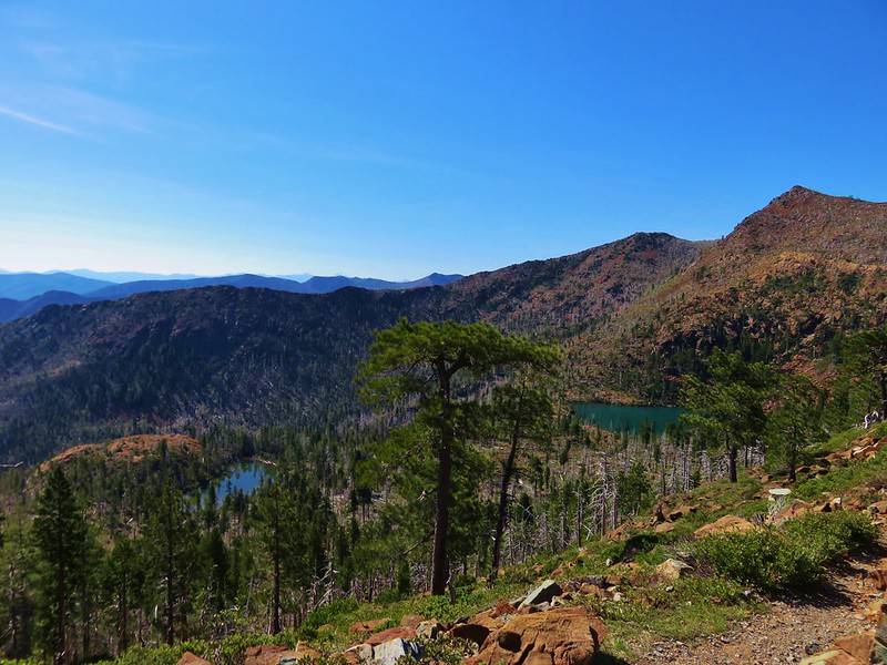
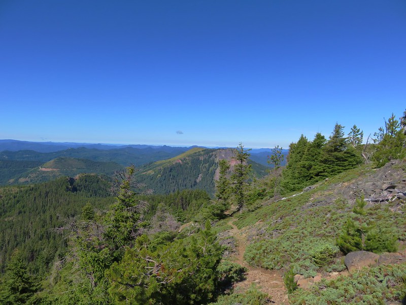
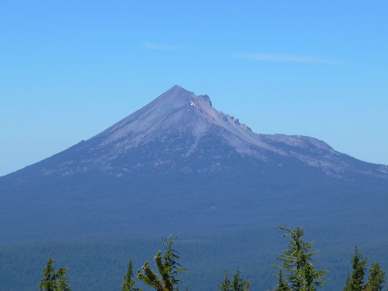
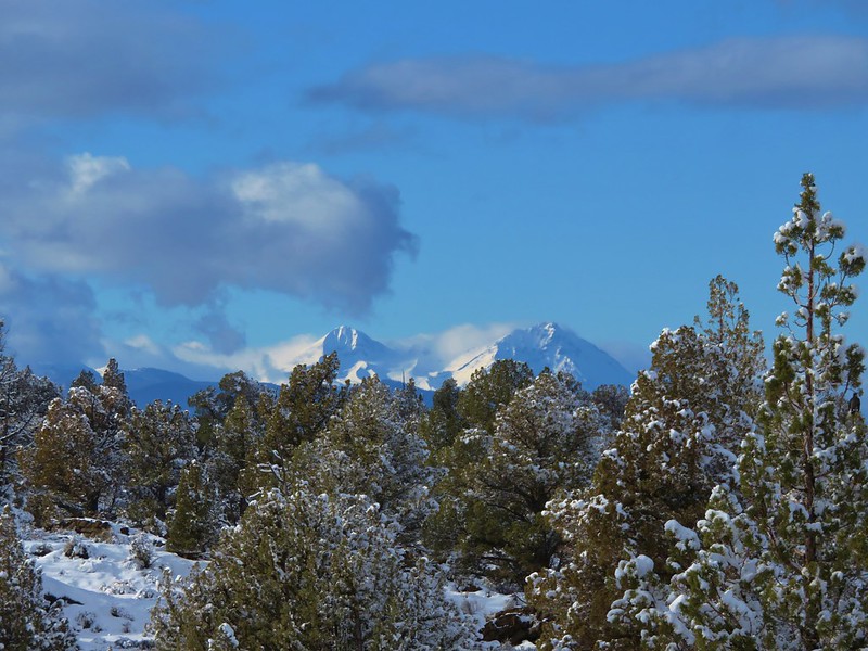
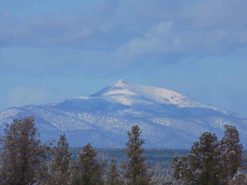
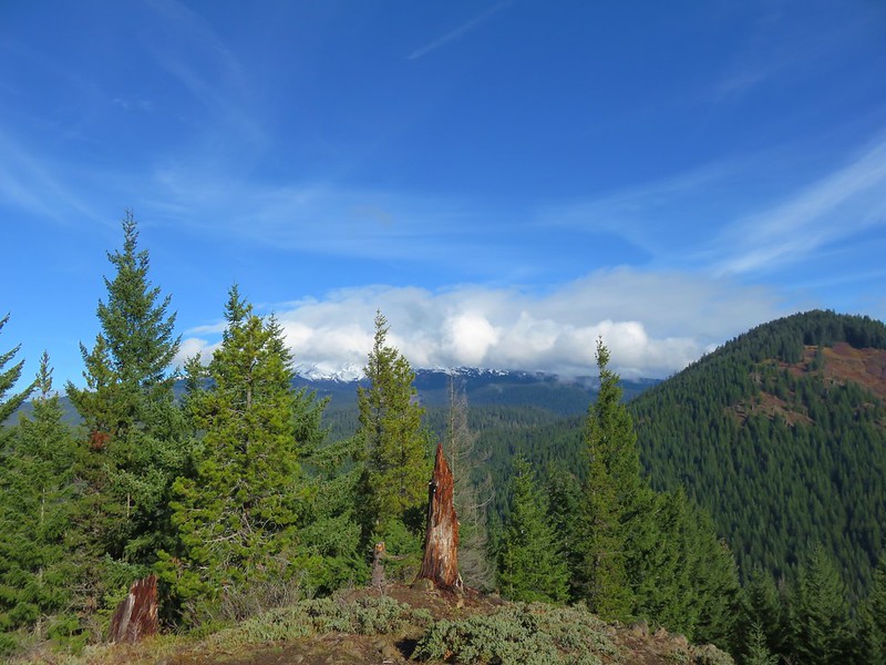
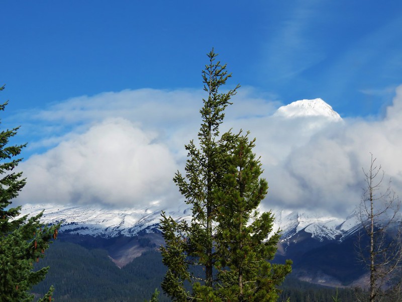
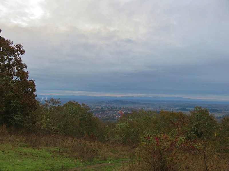
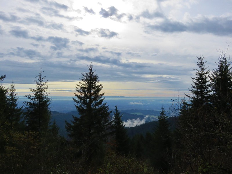
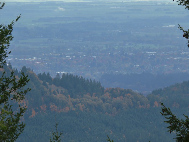
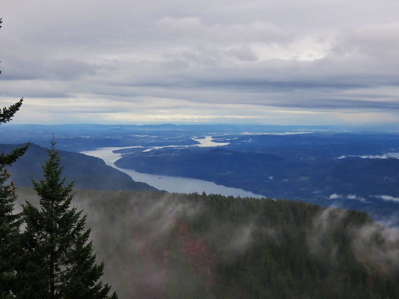
The Pacific Ocean was visible beyond Baker Beach and the sand dunes.
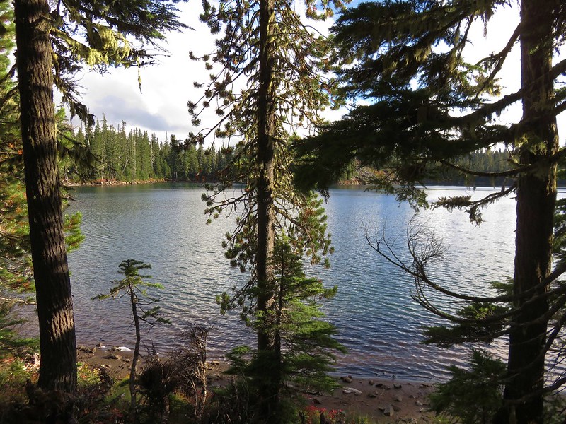
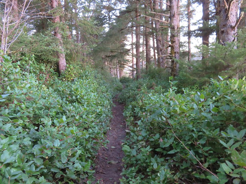
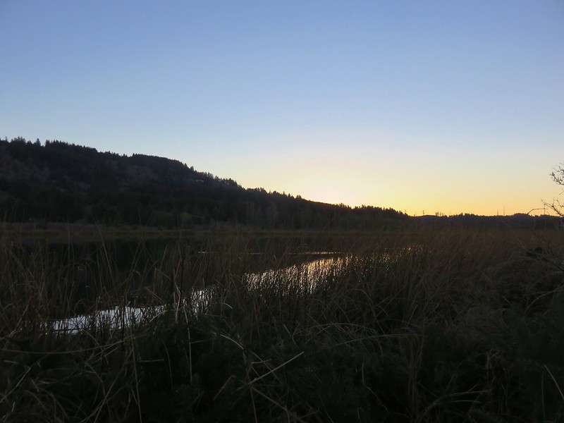
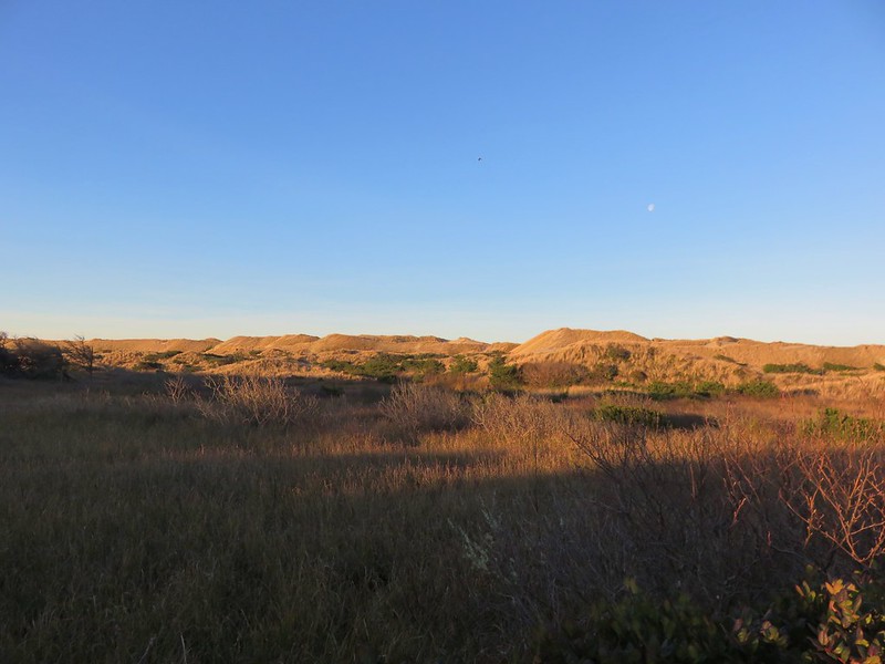
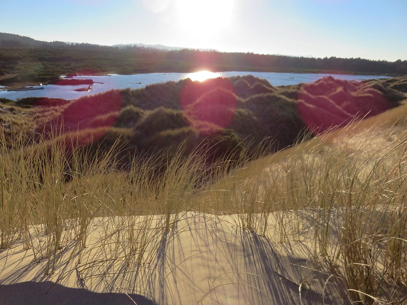
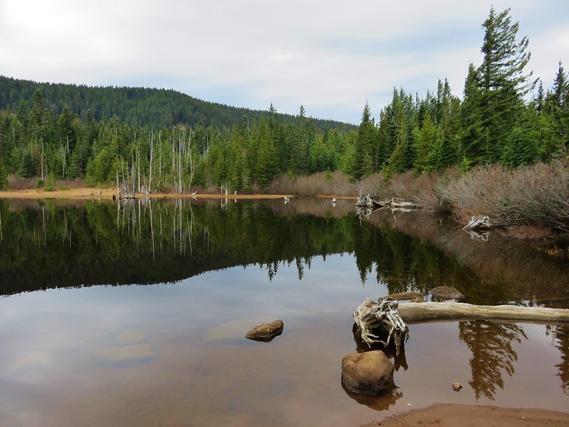
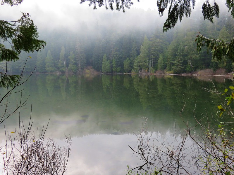
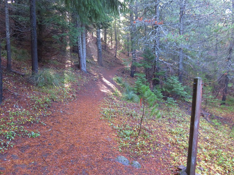
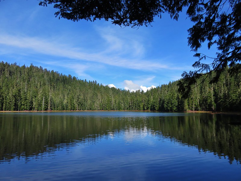
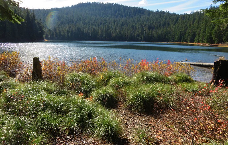
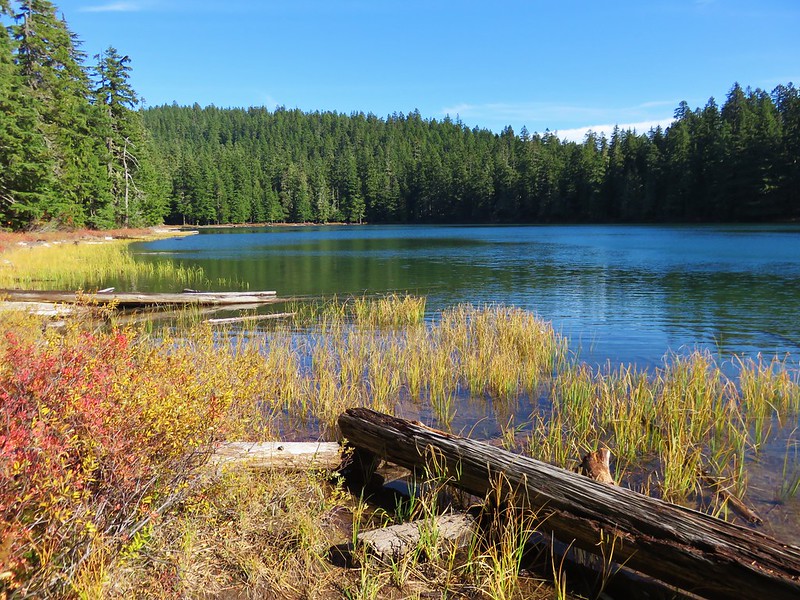
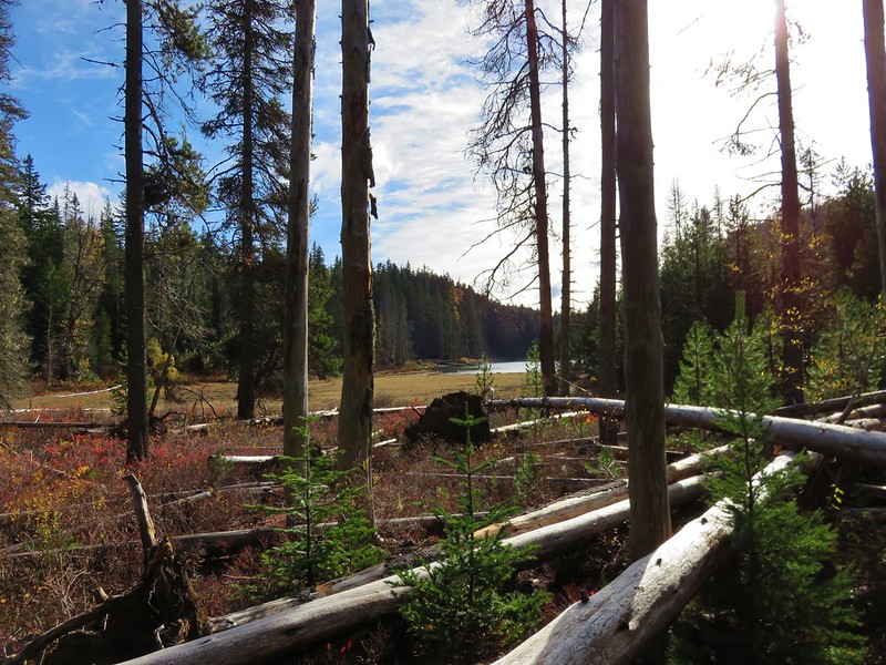
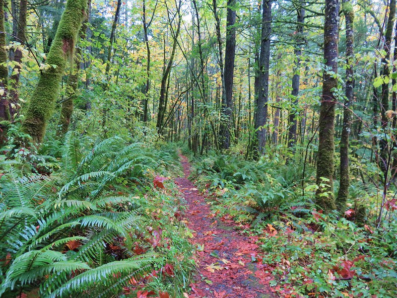
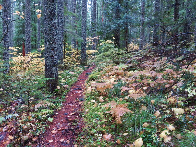
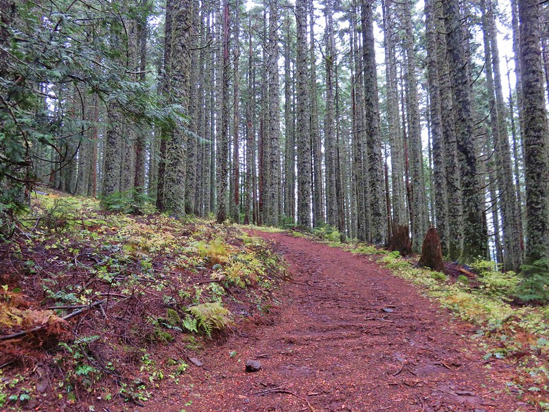
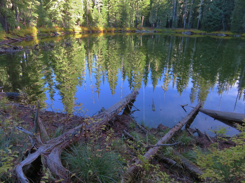
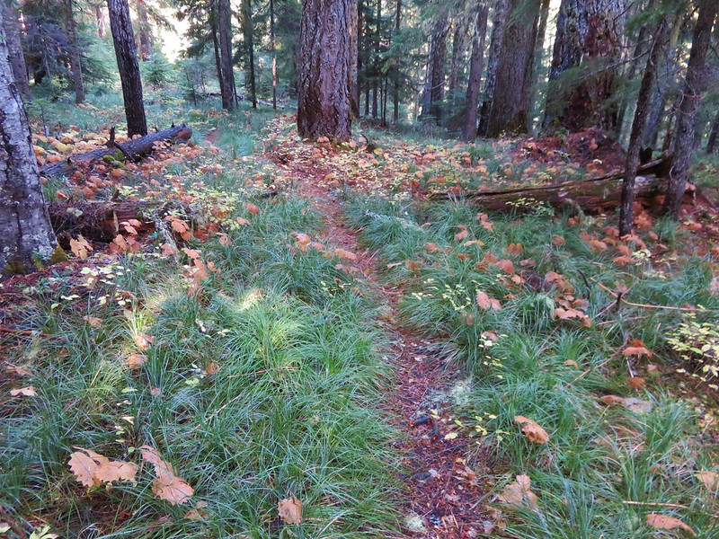
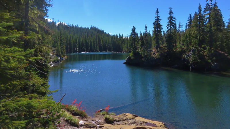
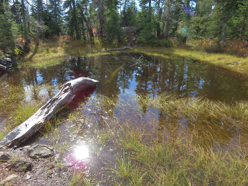
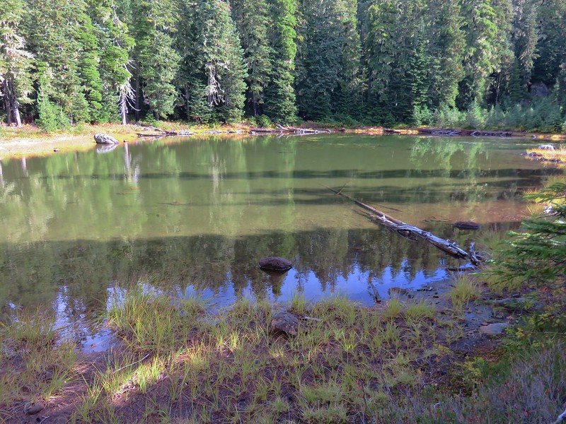
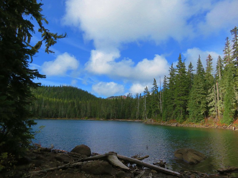
The Berry Creek Loop would have kept us up on the sandy ridge while the Lily Lake Loop dropped down and passed near Lily Lake before climbing back up to the ridge top and rejoining the Berry Creek Loop Trail. We wanted to see the lake so we followed the Lily Lake pointer passing through a salal filled forest before things opened up along the lake.
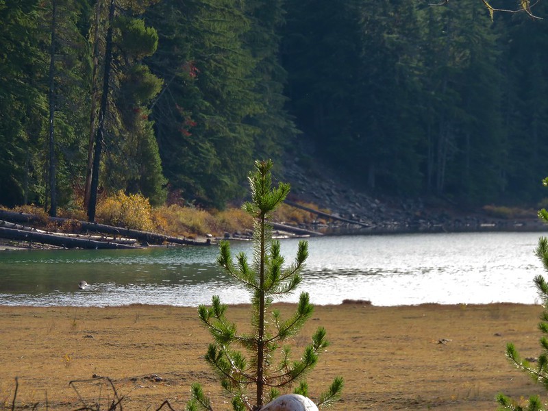
We stayed on the paths closest to the lake thinking that one would bring us right to it but instead the lake remained mostly hidden behind first a row of trees then by a reed filled marsh near it’s outlet.
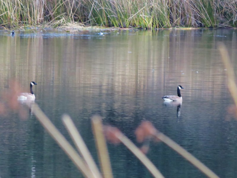
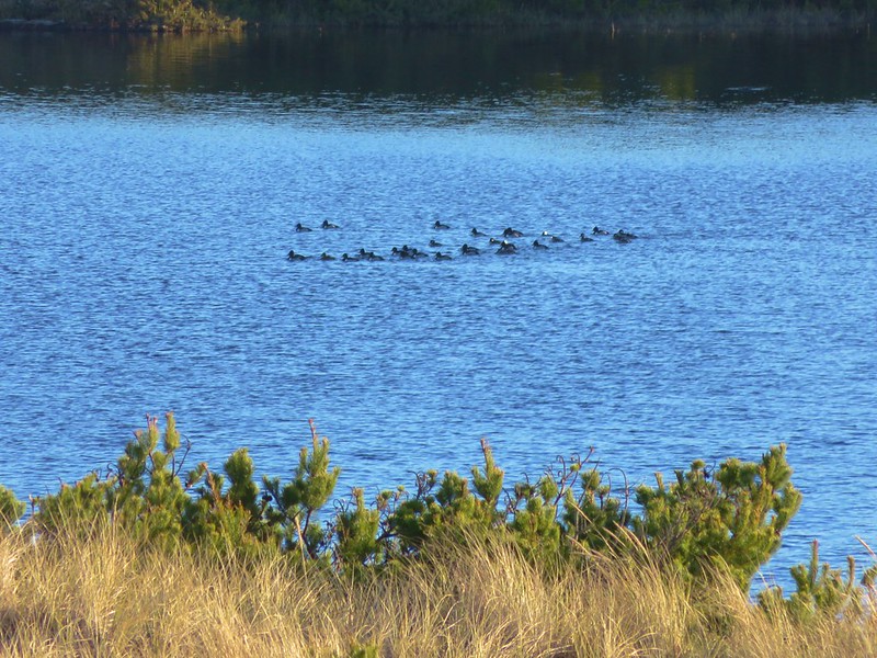
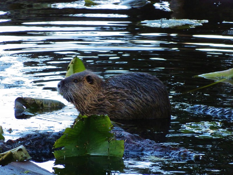
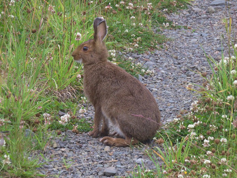
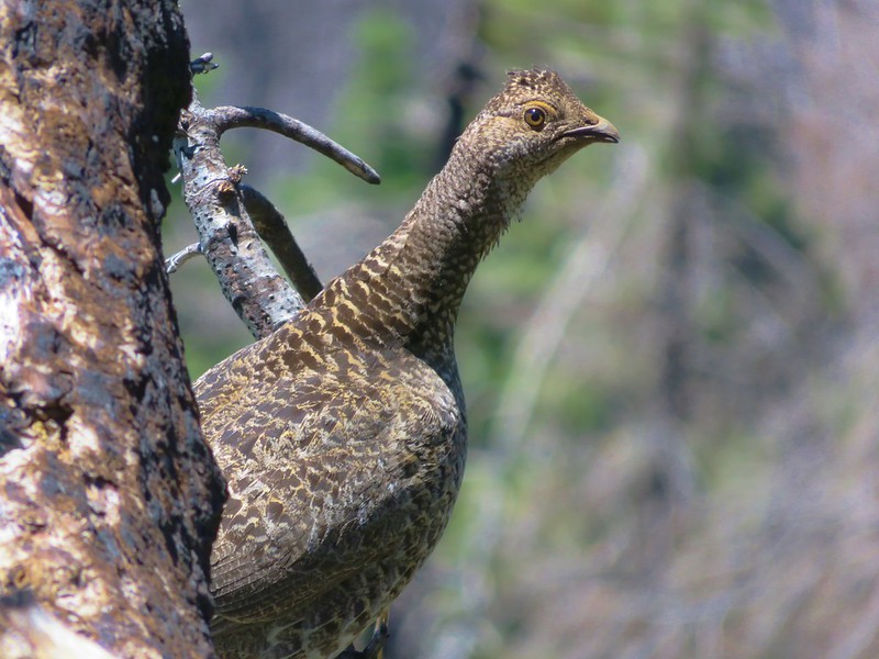
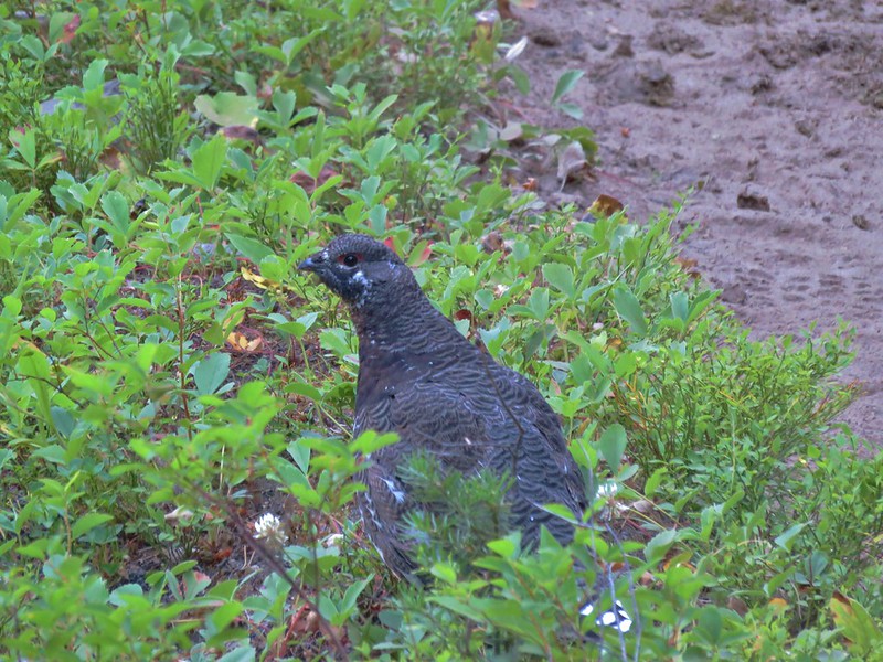
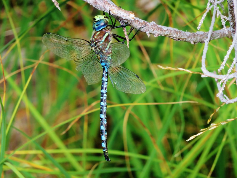
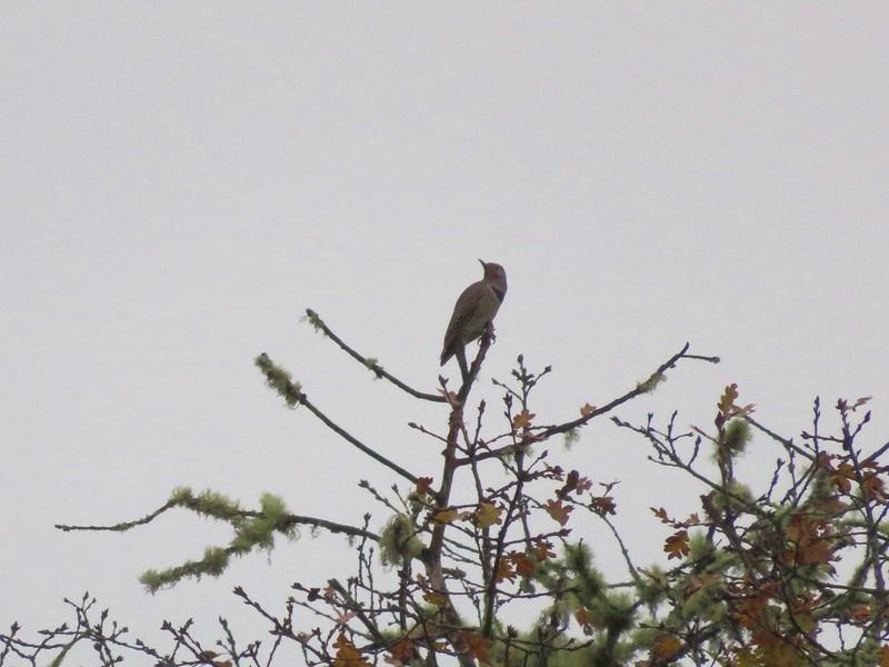
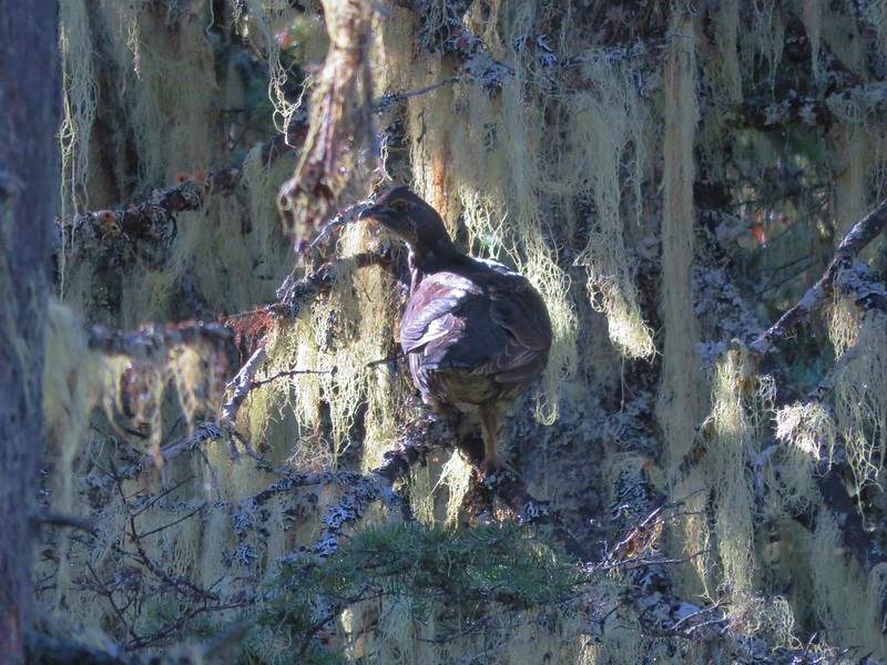
We could see that there was quite a bit of activity on the lake with several types of ducks and some Canada geese floating on the water, but it was hard to get any clear photos with the vegetation in the way.
Bufflehead

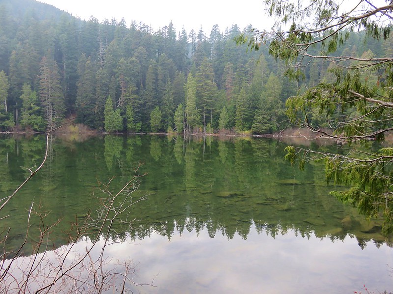
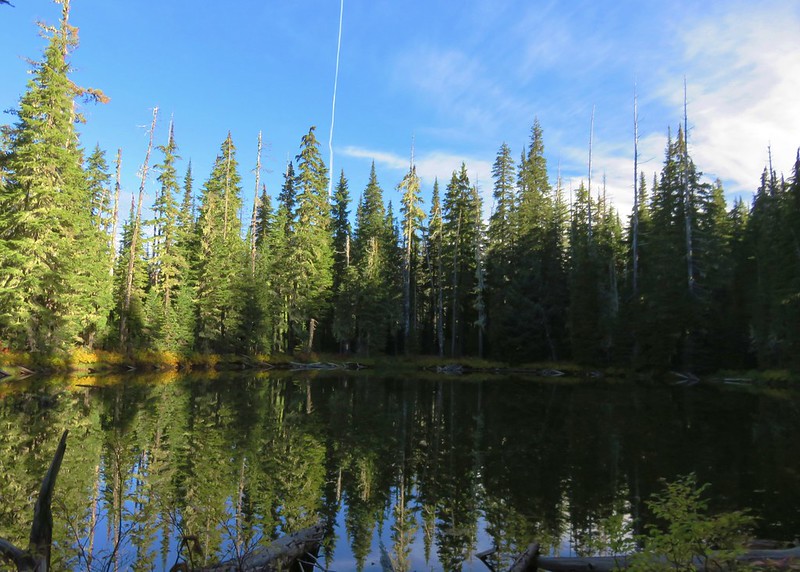
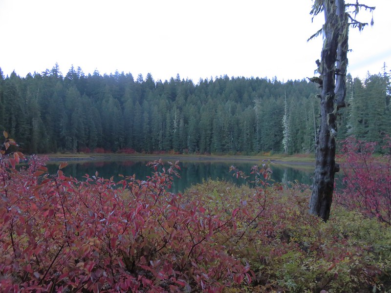
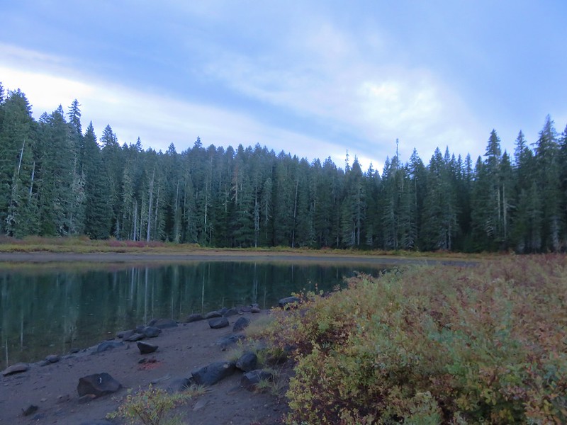
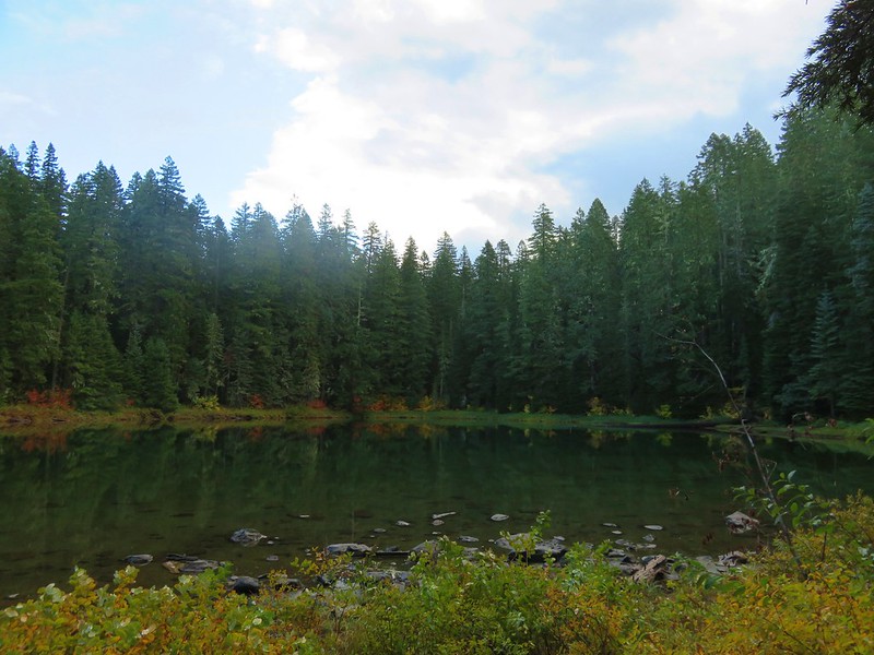
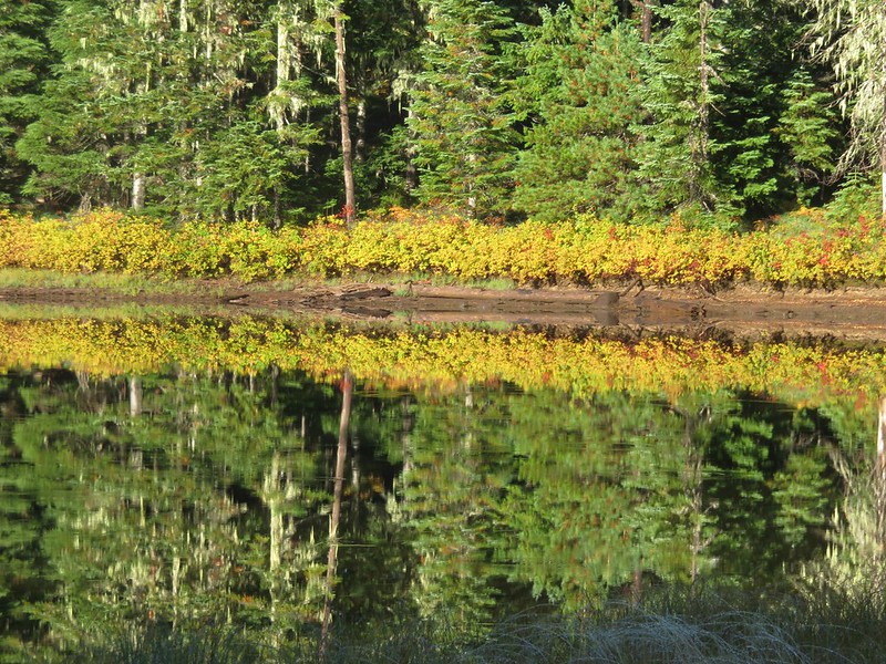
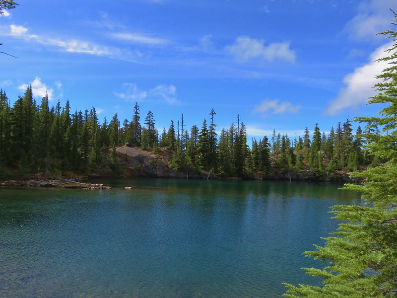
From the lake we climbed back up to the top of the Sandy Ridge which overlooked a small pond and Berry Creek flowing out toward the Pacific.
There was no sign here and we could have followed the sandy ridge back to the junction we’d been at earlier, but instead we followed a path down to the base of the ridge which led us back to the start of the Baker Beach Trail at Baker Beach Camp. This little loop was just under 1.5 miles.

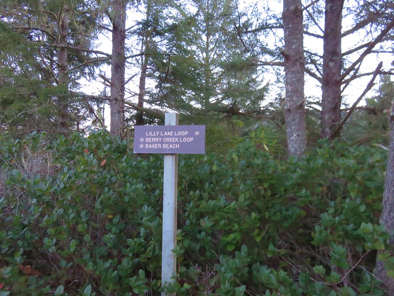
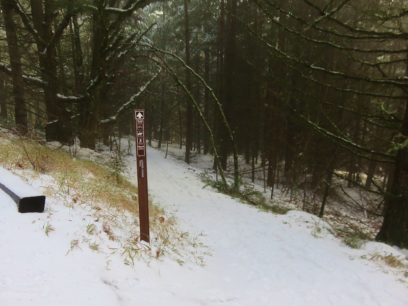
Here we turned right following the pointer for Baker Beach. (The Lily Lake/Berry Creek Loop continued from this junction creating an additional 1.7 mile loop to the north of the camp.)
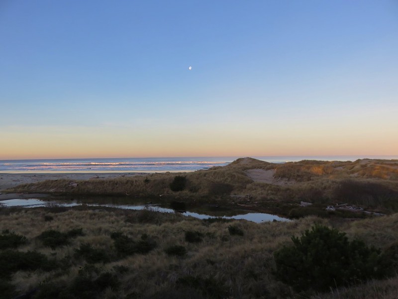
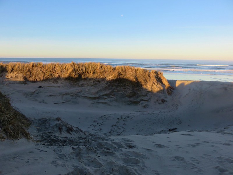
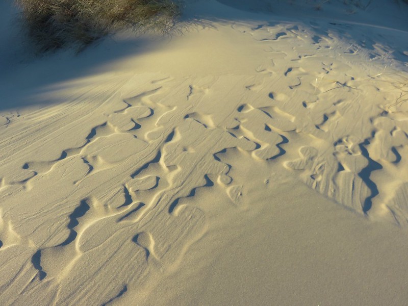
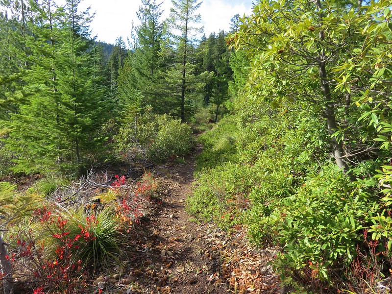
The trail passes through a deflation plain behind the beaches foredune for .4 miles.

The deflation plain is the result of the dunes no longer expanding due to the loss of additional sand being blown from the beach. European bunchgrass which was introduced in the early 1900’s to help stabilize jetties but spread along the beaches and began stopping the blowing sand from leaving the beach which created the foredunes denying the dunes further inland any additional sand.
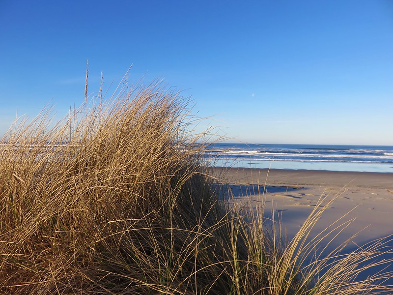
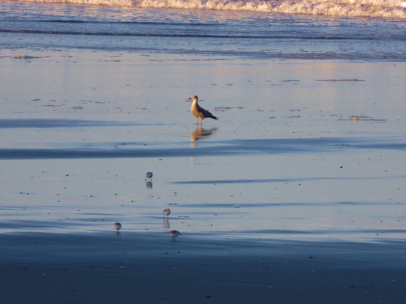
When we reached the beach we turned south heading toward Sutton Creek which was 3 miles away. Aside from a few birds we had the beach to ourselves.

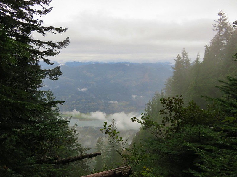
After about 3/4 of a mile along the beach we climbed back up the foredune to get a look at Sutton Creek which we had visited the previous February.
We traveled along the foredune for a bit before dropping back down to the beach.
We had been considering crossing Sutton Creek and continuing south along Heceta Beach another 2.5 miles to the Siuslaw River but the creek was wide and it wasn’t that warm out.

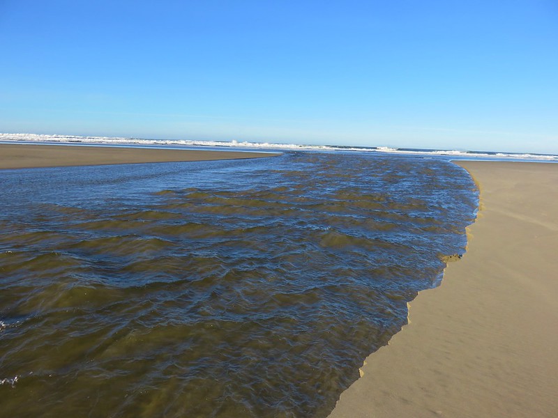
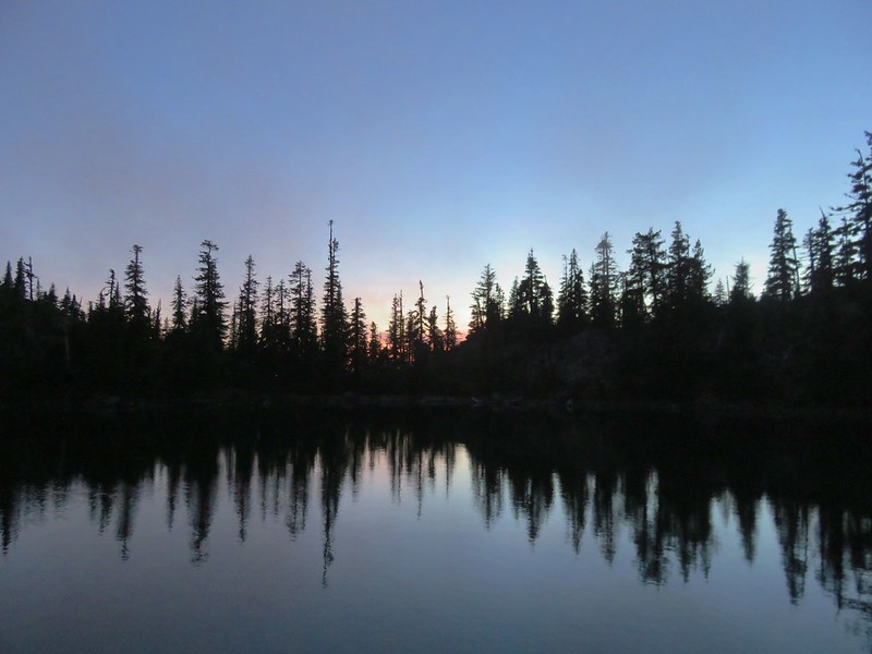
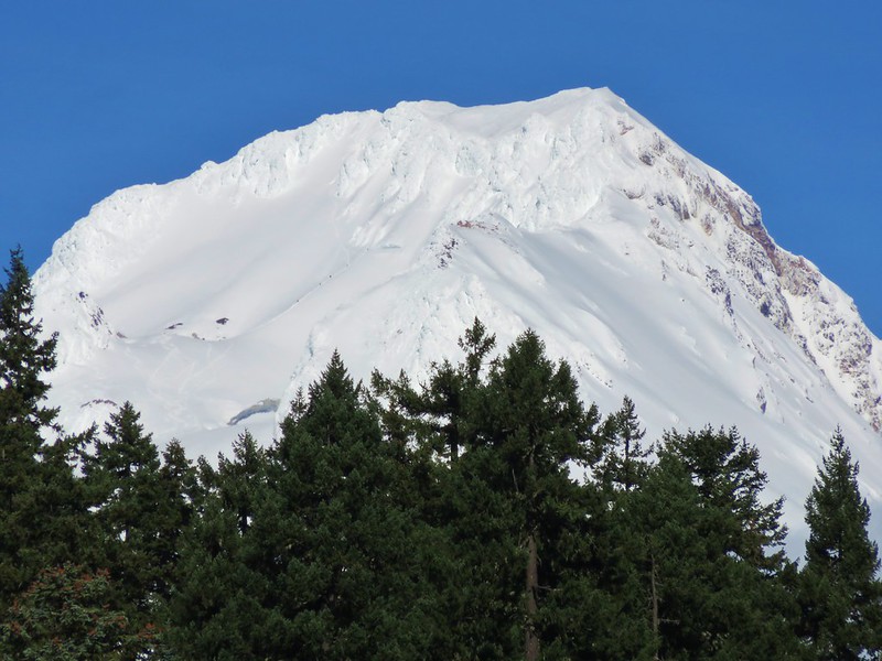
After watching several large chunks of sand fall into the creek we headed back with the Heceta Head Lighthouse blinking in the distance to the north.

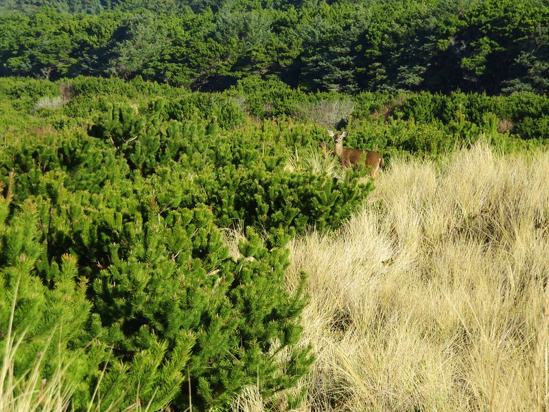
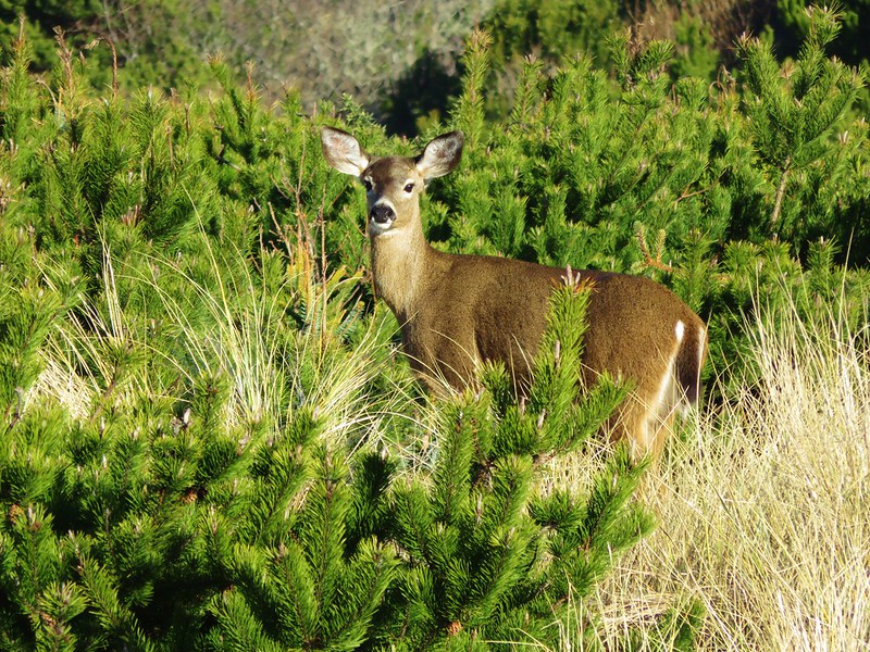
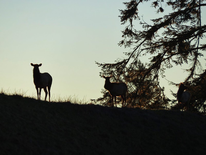
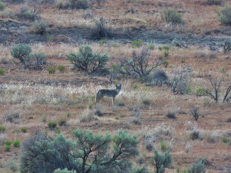
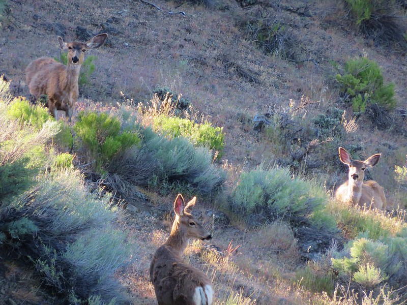
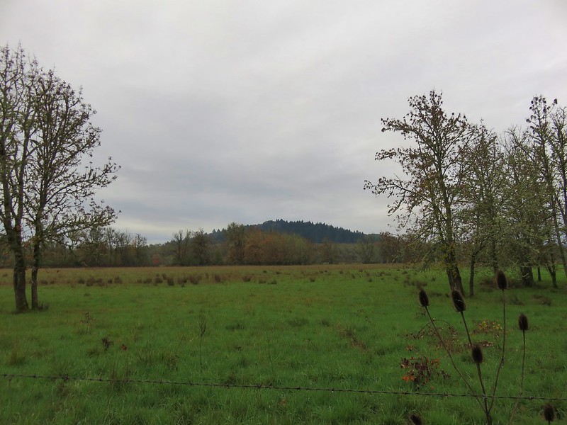
As we were recrossing the deflation plain we spotted a doe amid the grass and pines.

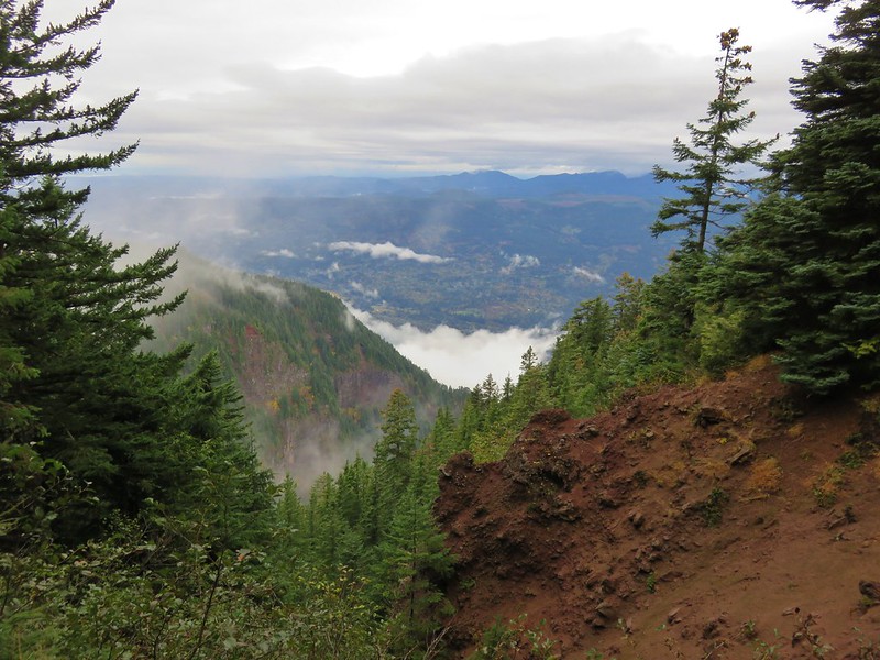
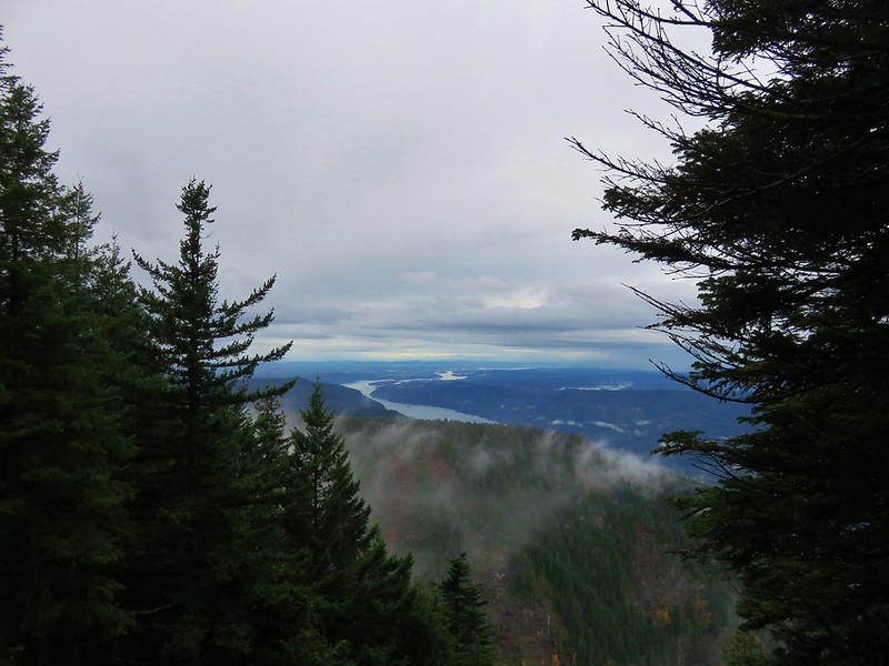
Since we’d cut our hike short (8.2 miles instead of the 13.2 planned) we had time to do another. We could have hiked Heceta Beach like we had planned by driving back to Florence and parking at the end of South Jetty Road, but we had noticed that that beach was already busy when we were at Sutton Creek earlier. We preferred something a little less crowded which led us to the Rock Creek Wilderness.
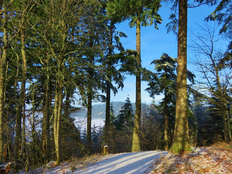
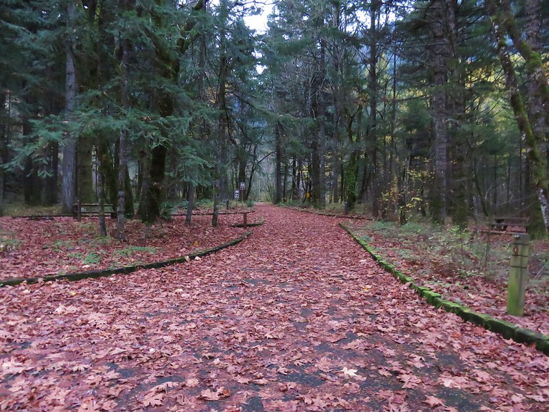
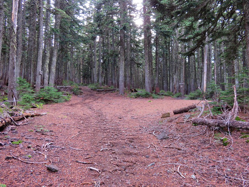
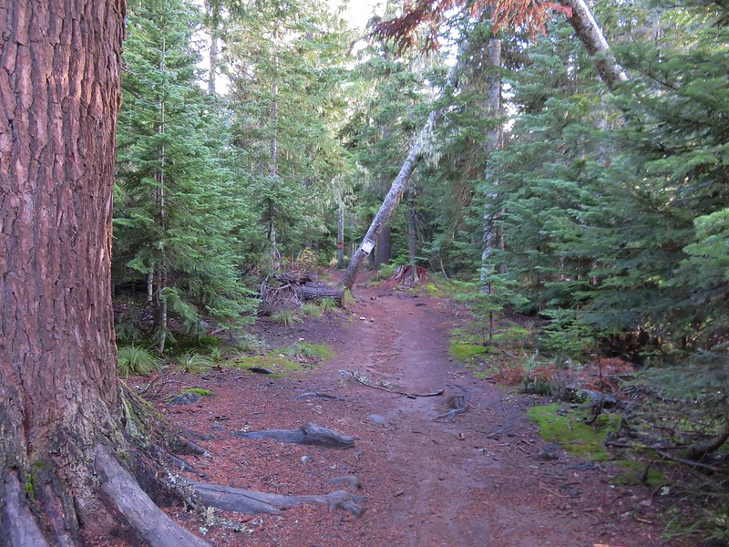
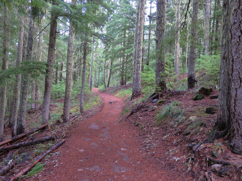
This was one of the wilderness areas that we had yet to visit and it was just another 8 miles north on Highway 101 from Baker Beach Road. We hopped in our car and drove to the gated entrance to the Rock Creek Campground.

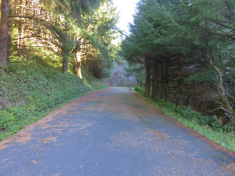
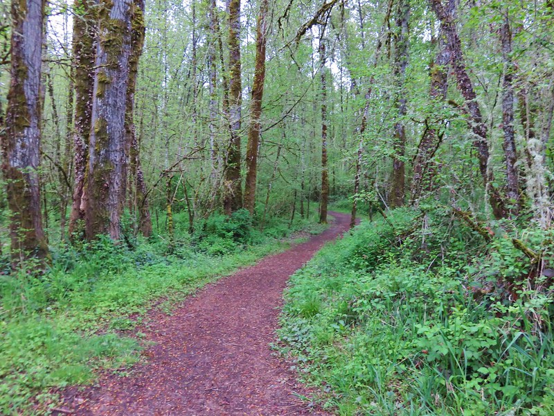
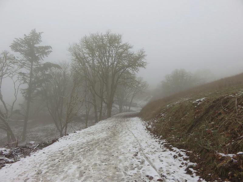
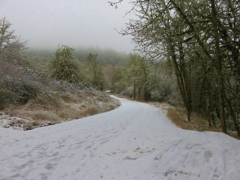
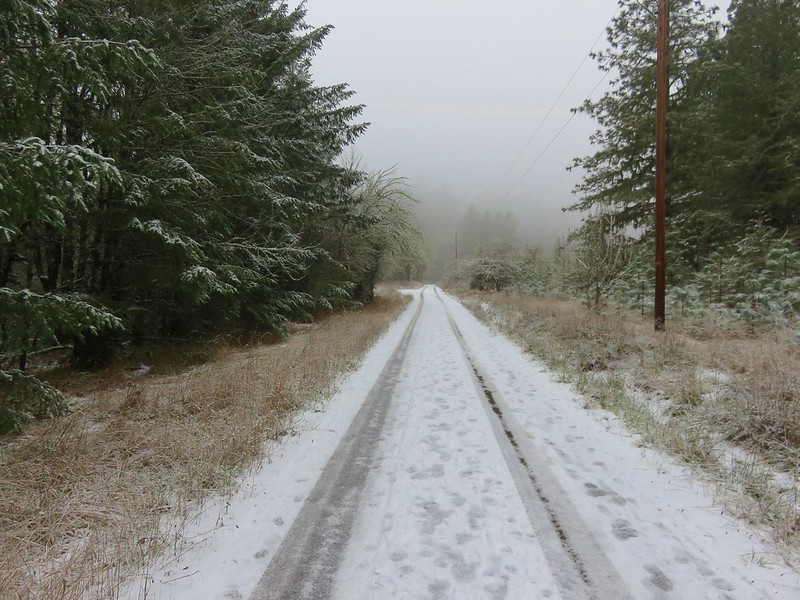
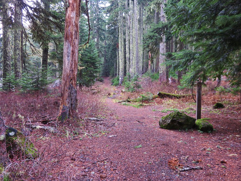
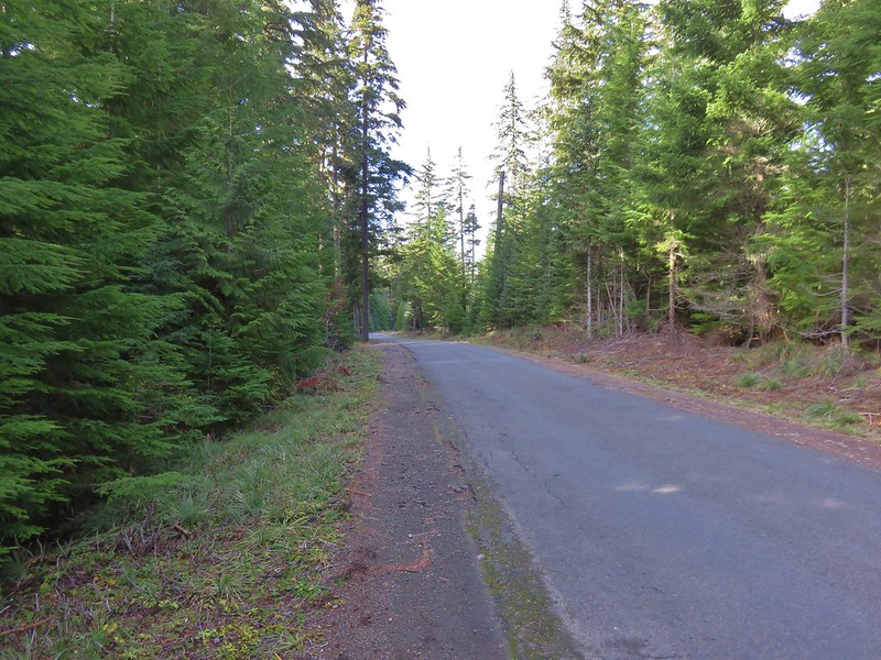
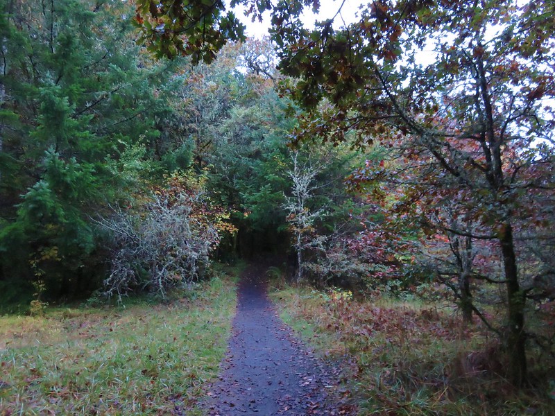
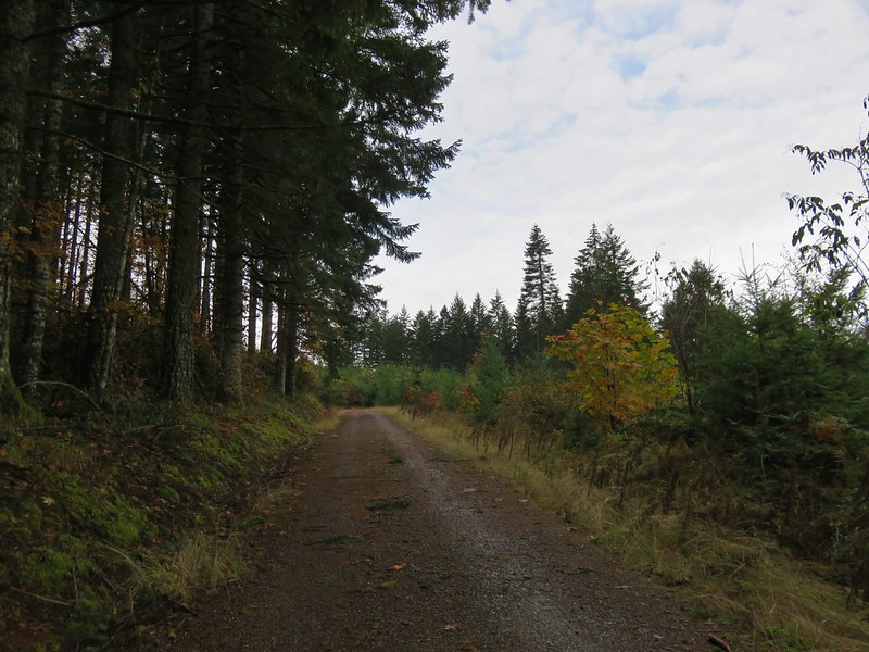
The campground was closed for the season so we had to walk along the paved entrance road for approximately .4 miles.
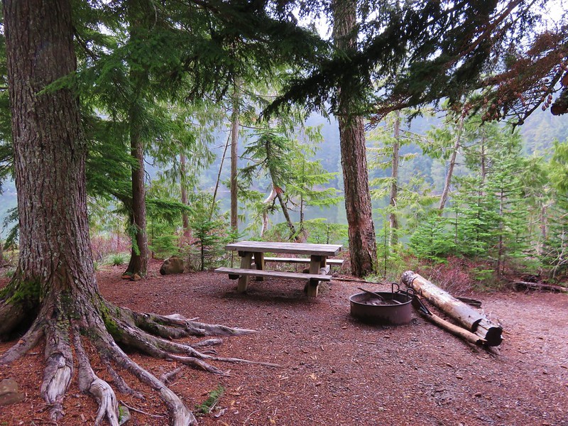
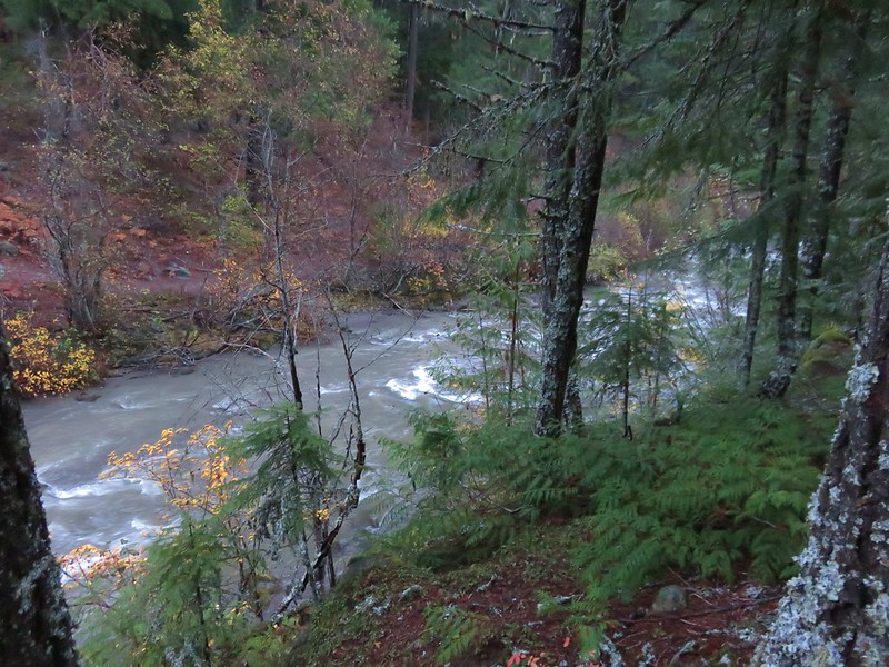
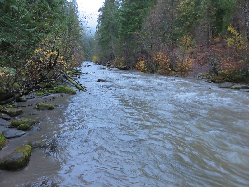
There had been one other vehicle parked at the gate and we passed it’s owner on his way back up from the campground area. The little campground was located right along Rock Creek.

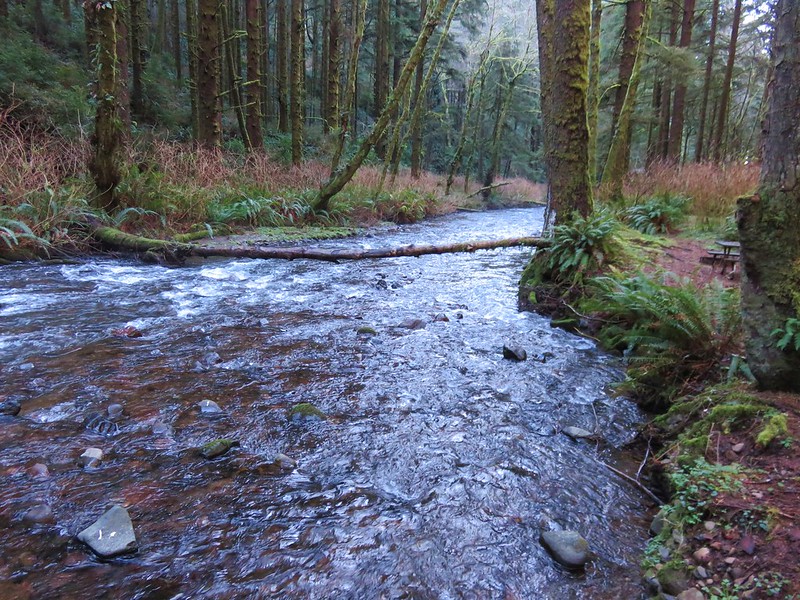
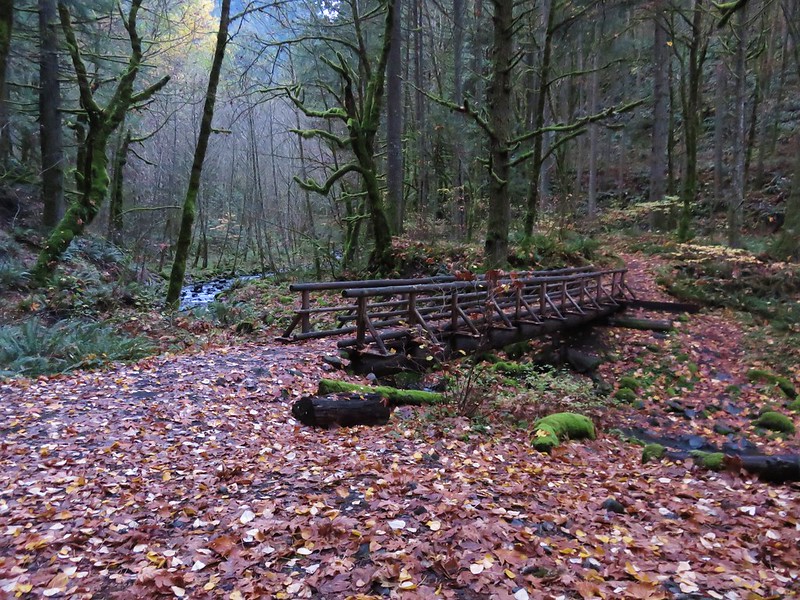
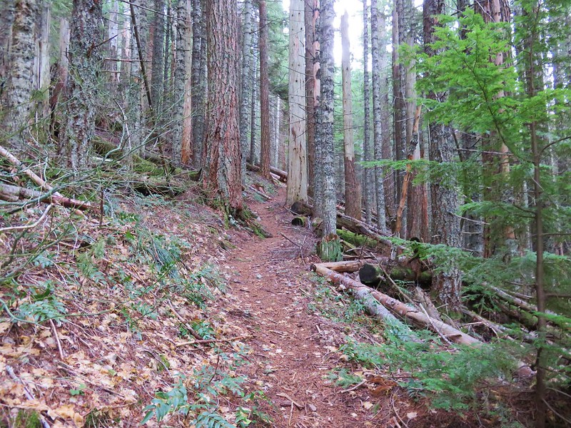
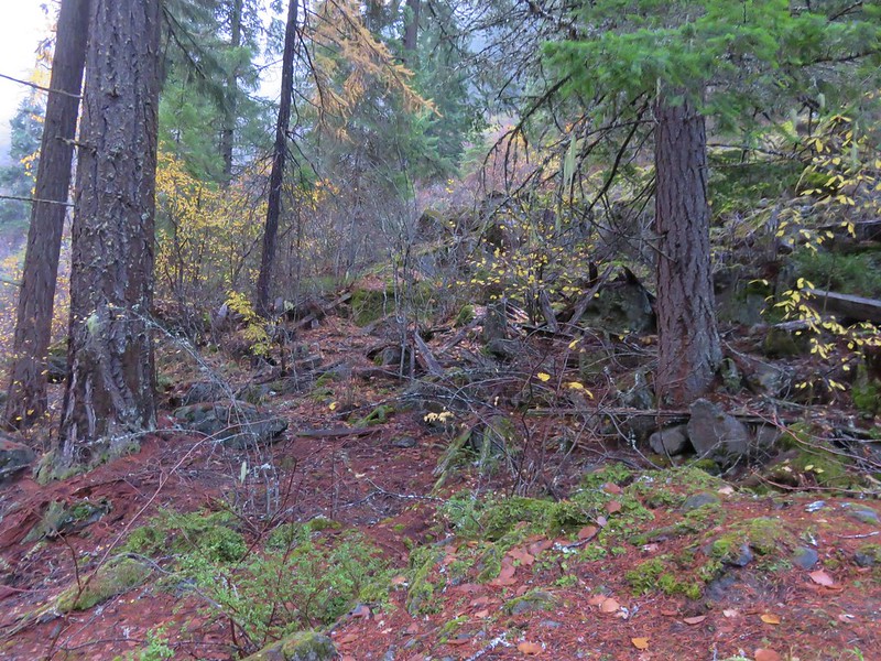
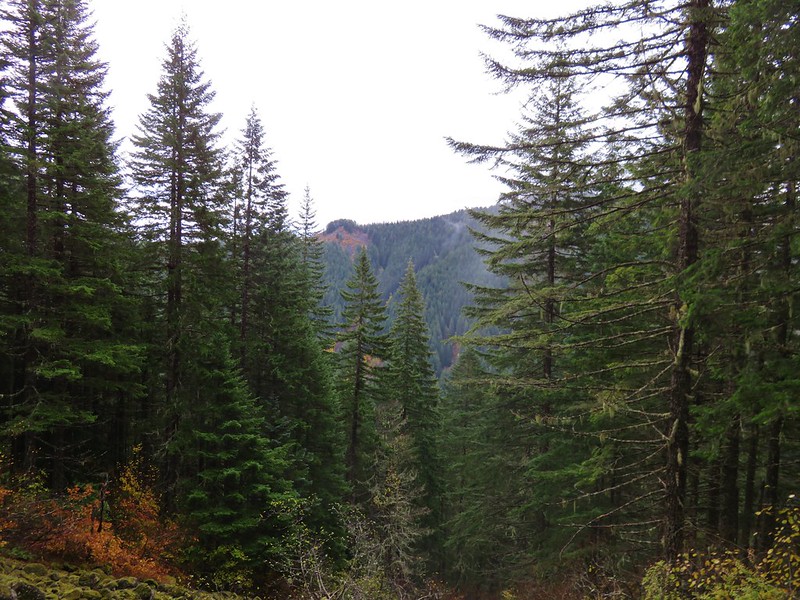
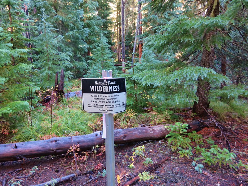
The 7,486 Rock Creek Wilderness was designated as such in 1984 and has no Forest Service developed or maintained trials. That being said there is a use trail leading from the end of the Rock Creek Campground that can be followed into the wilderness.
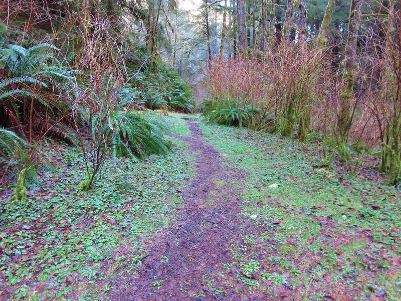
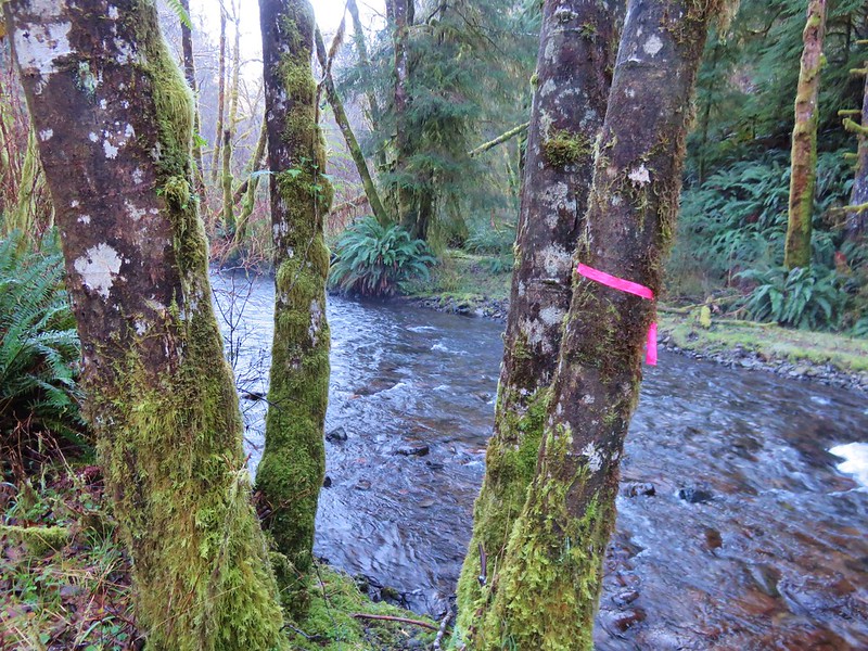
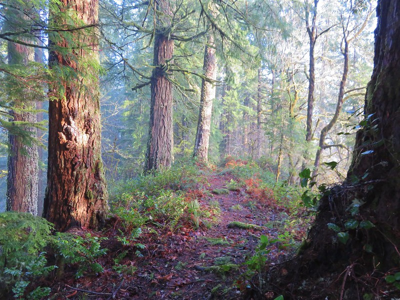
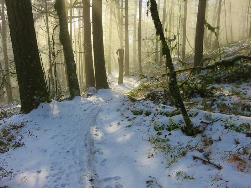
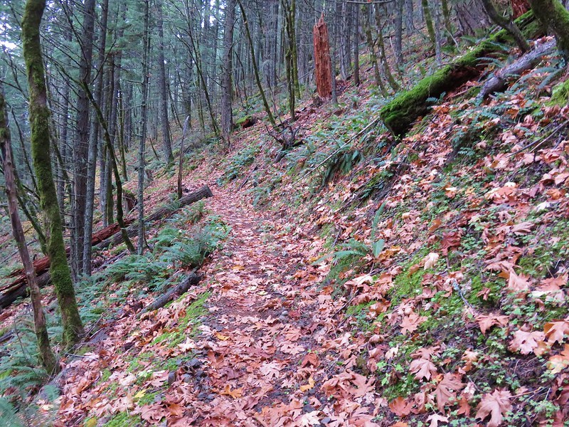
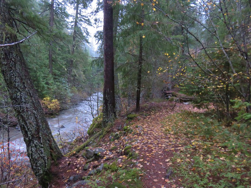
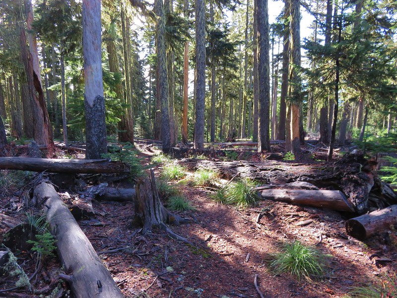
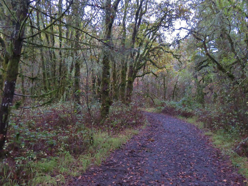
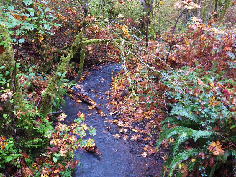
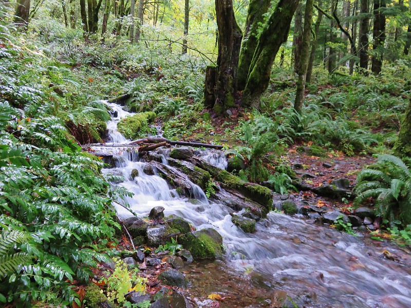
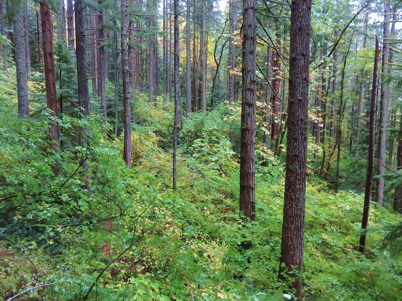
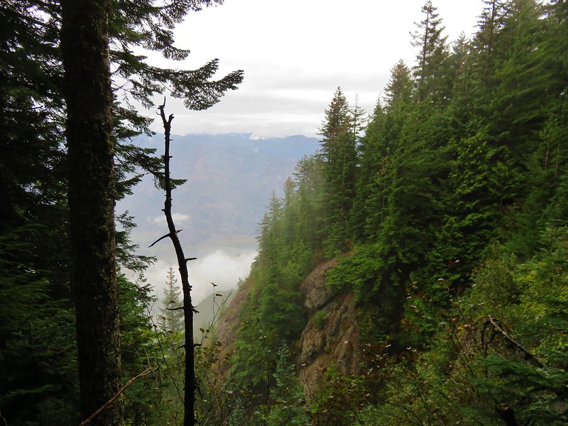
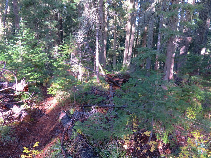
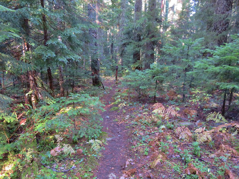
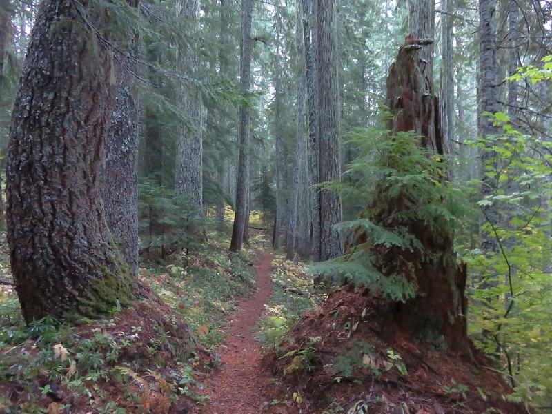
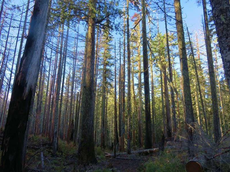
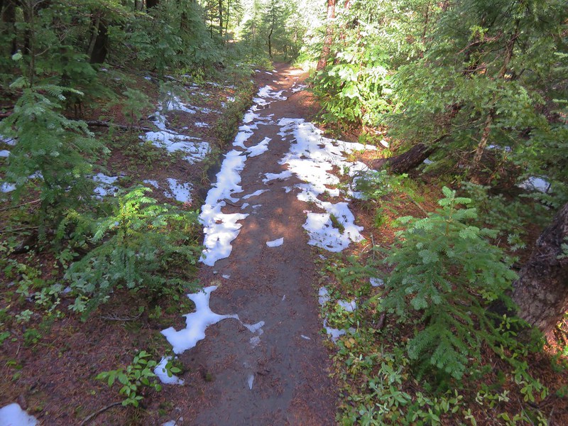
The path was brushy and narrow but passable as it followed along the creek.
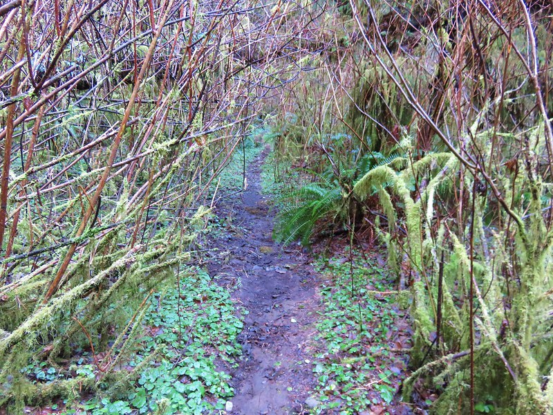
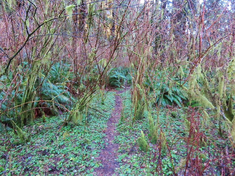

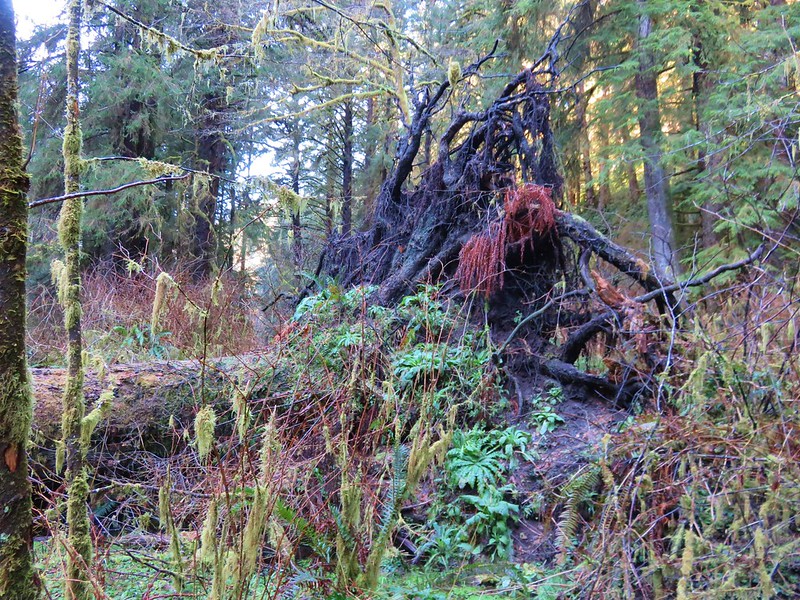
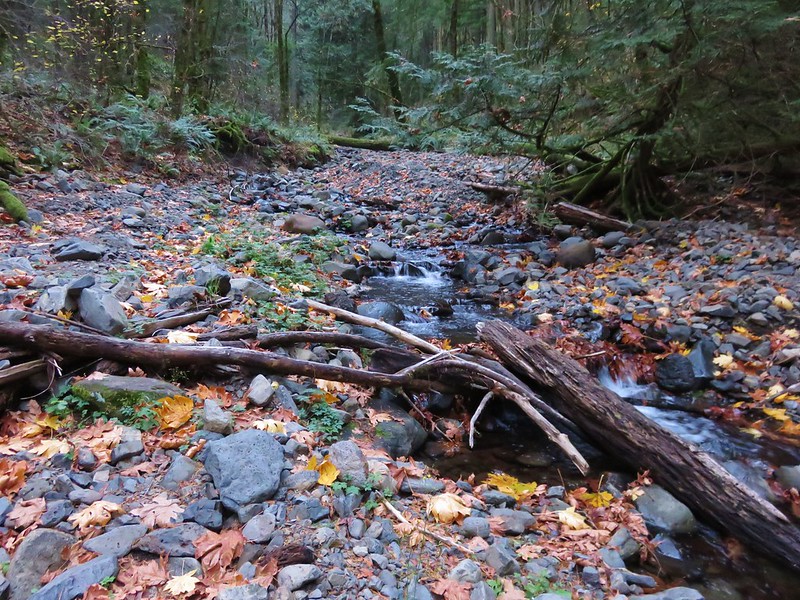
Occasional flagging was present but really unnecessary as the brush was so thick that we had to follow the path in order to keep moving forward. The only real obstacle to speak of was a large downed tree that had fallen over the best path, but game trails led around the root ball.
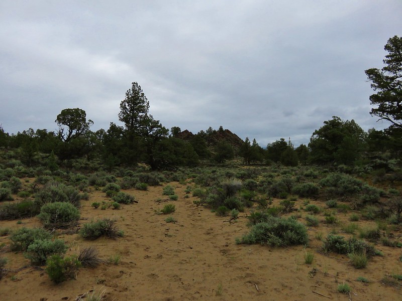
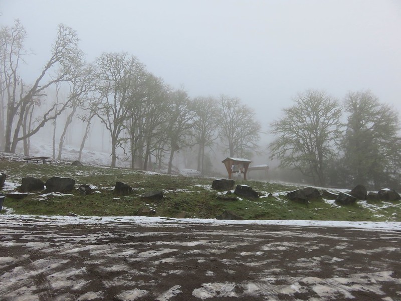
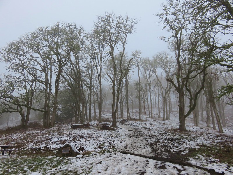
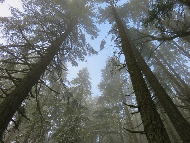
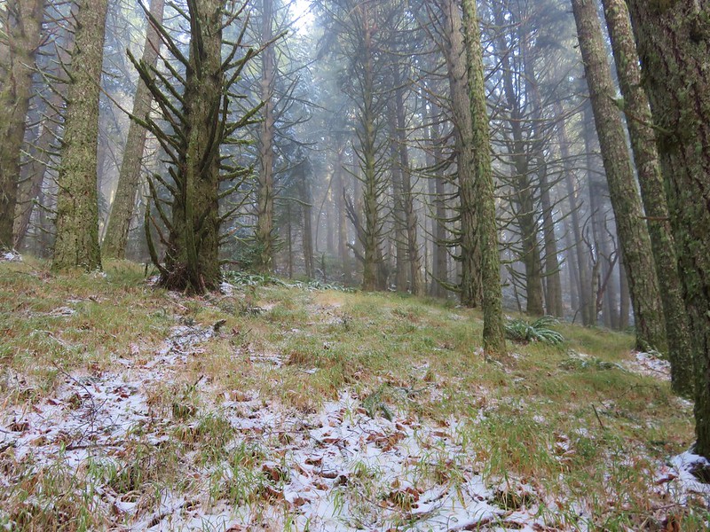
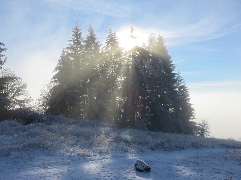
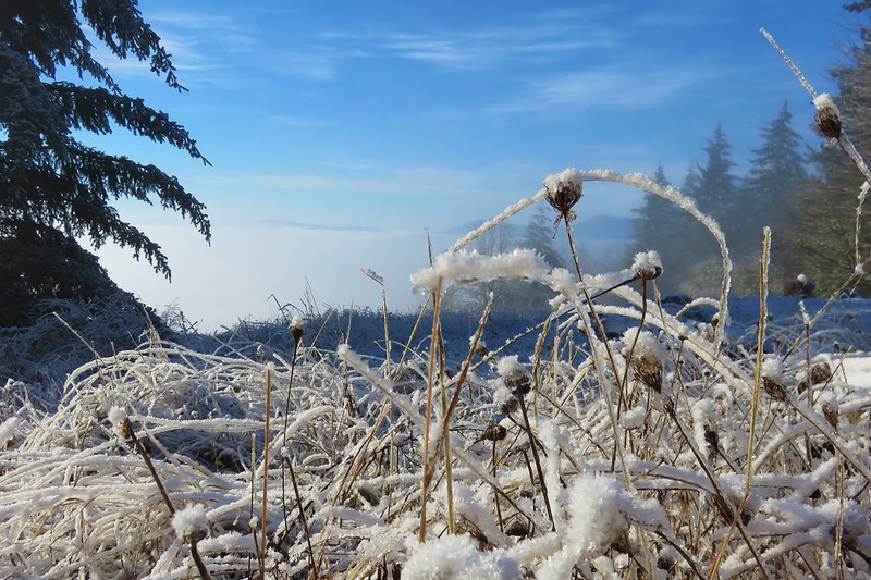
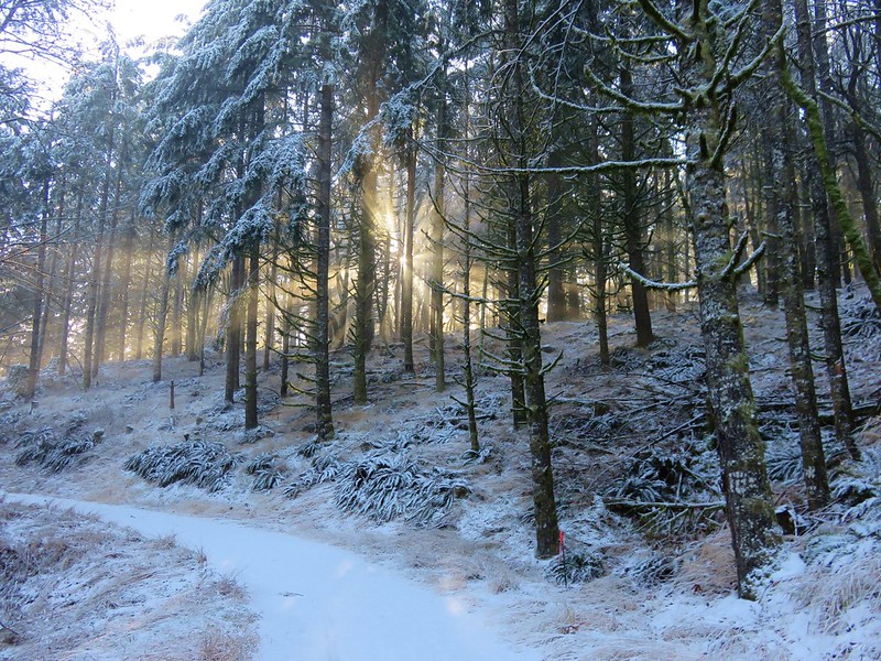
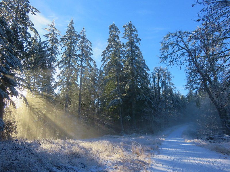
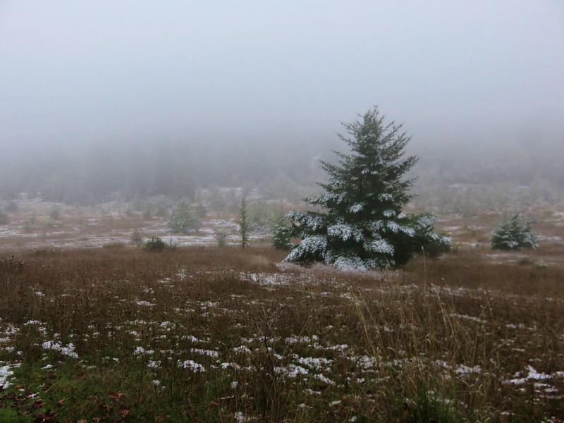
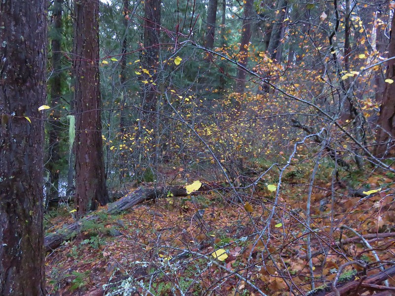
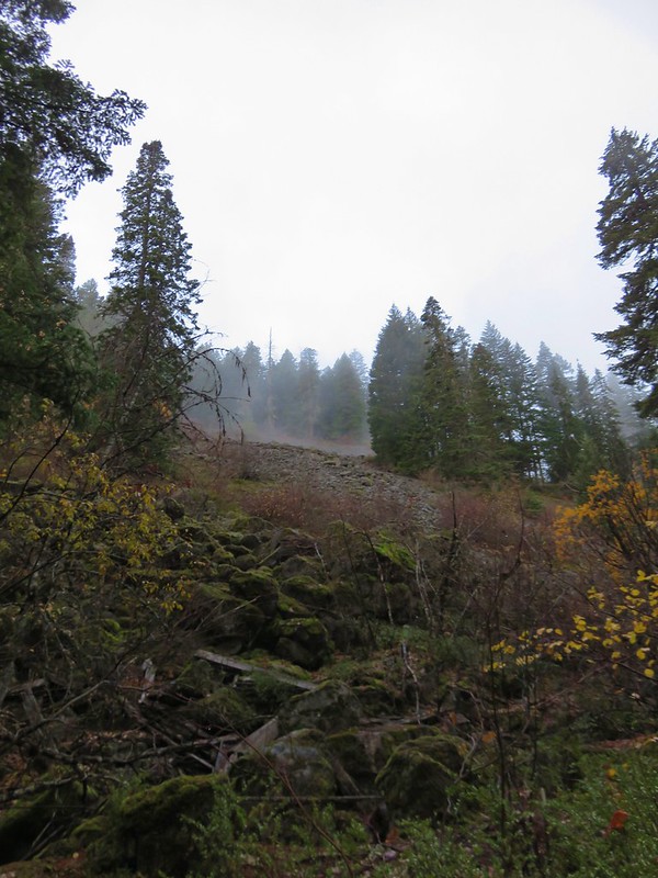
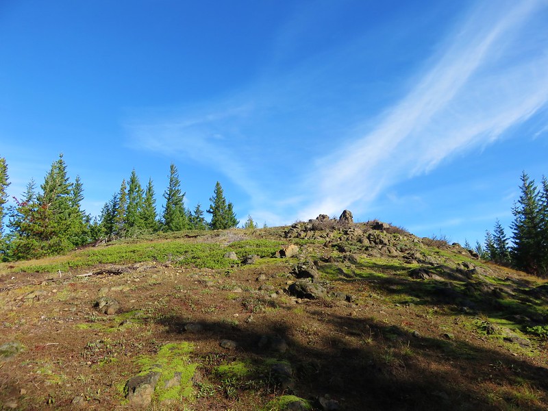
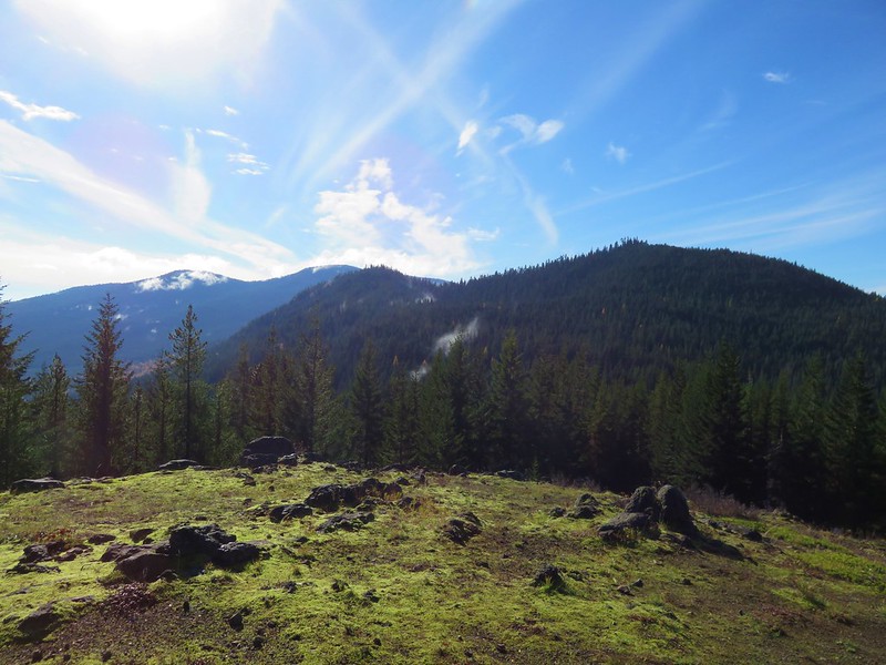
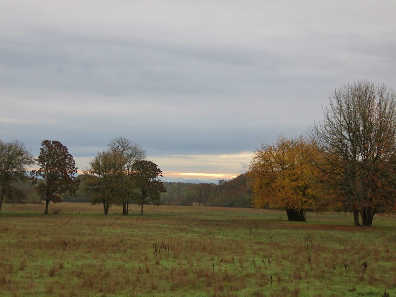
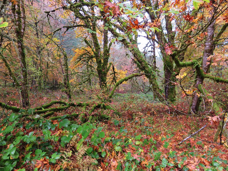
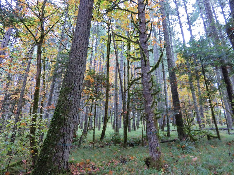
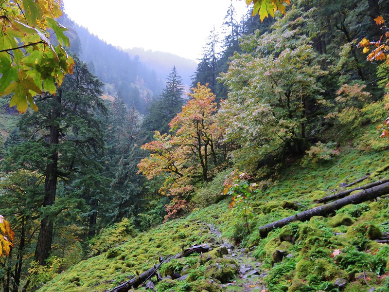
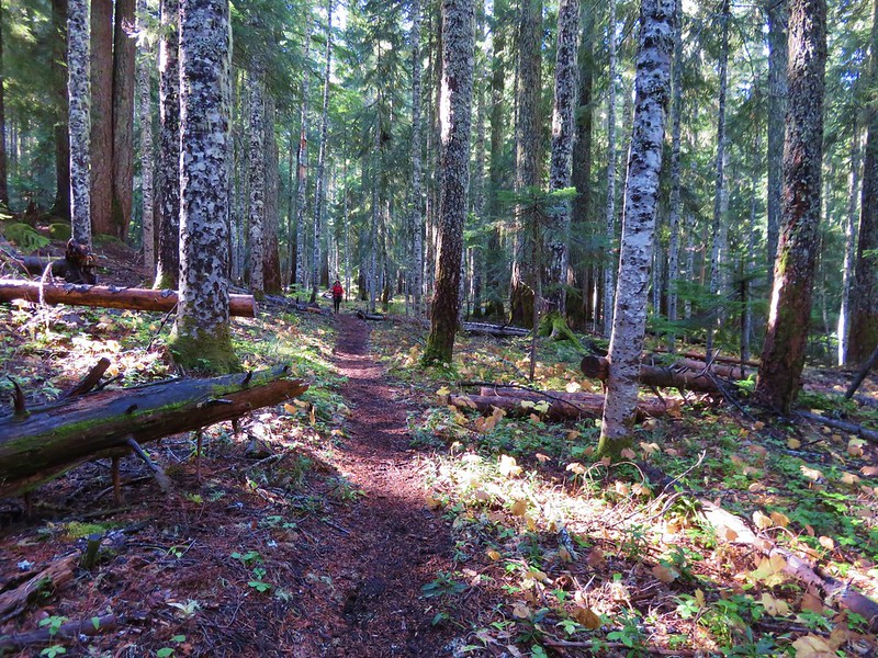
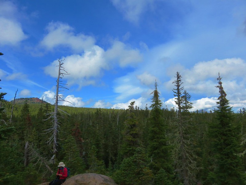
Without an official trail there were no signs to mark the beginning of the wilderness area so we just followed the path as long as we could. After awhile the path led into a frosty meadow where the canyon widened.
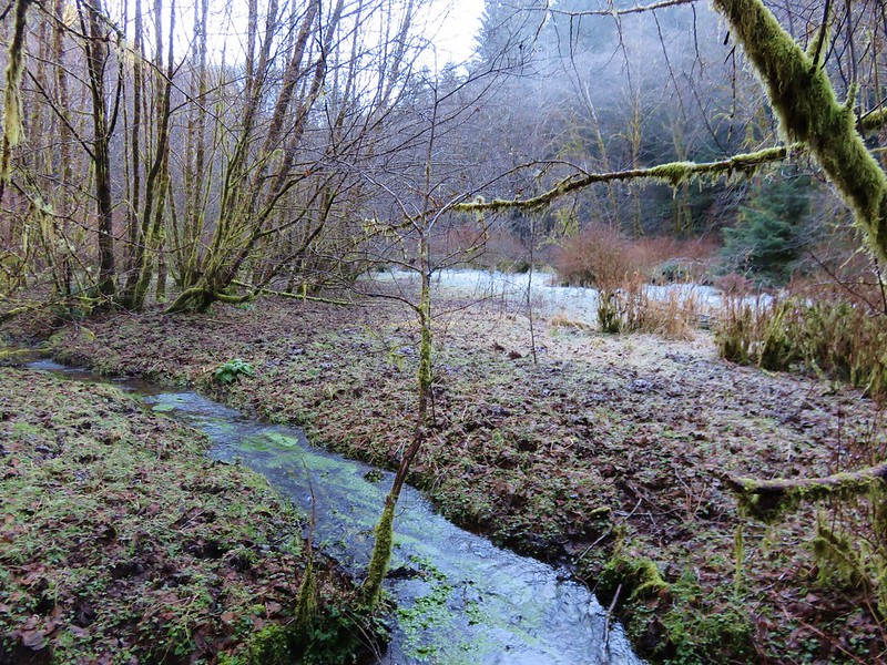
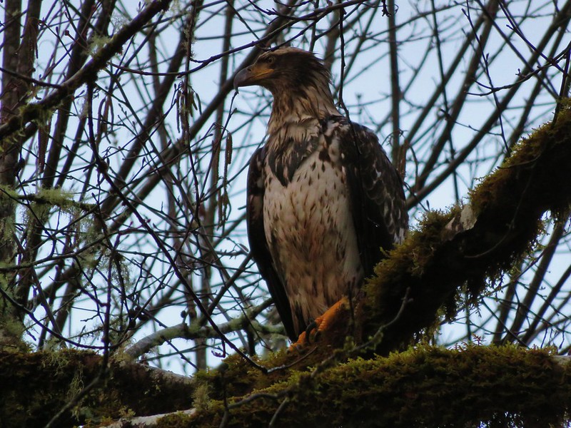
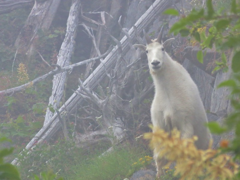
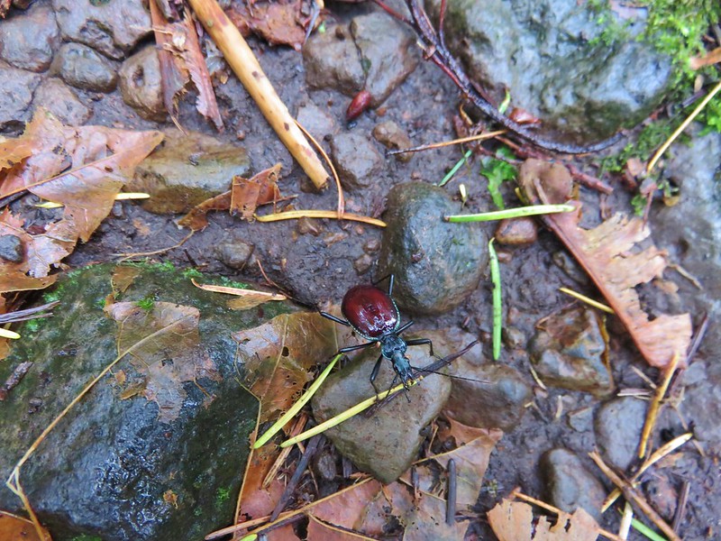
It was a muddy in spots but enough of the ground was still frozen to make it passable. Elk and deer sign were everywhere. It was a beautiful spot with the white frost contrasted against the green of a coastal forest while rays of sunlight attempted to penetrate the canopy.


The sound of water flowing on every side only added to the ambiance. There was more flagging at the far end of the meadow and some on the far side of Rock Creek but again this wasn’t a day for fording creeks so we declared victory here and turned around.
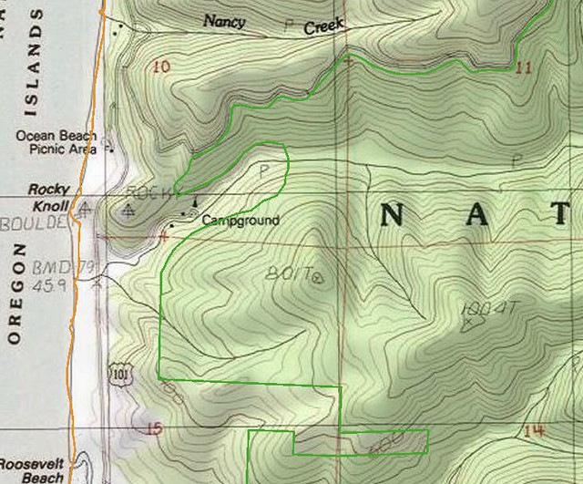
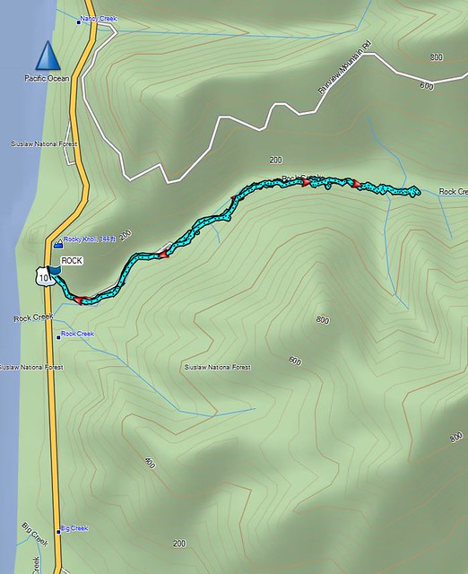
When we got home I wanted to make sure we’d actually made it into the wilderness so I pulled up the interactive map on Wilderness.net. The actual wilderness boundary bows away from the Rock Creek Campground making it further up along the creek than I had thought, but comparing our GPS track to that map showed we had managed to get about .4 miles into the Rock Creek Wilderness.
The Wilderness.net map
Our GPS track
On a warmer day when you don’t mind spending some time in the creek it’s possible to get further into the wilderness as this trip report indicates.a href=”http://www.cascadiahiking.com/2012/08/rock-creek-wilderness-no-trail-no.html” target=”_blank”>Cascadia Hiking
Our adventure was only 2.2 miles round trip including the road walk to and from the campground but the solitude and remote feeling of the Rock Creek Wilderness made it seem much more removed from civilization.
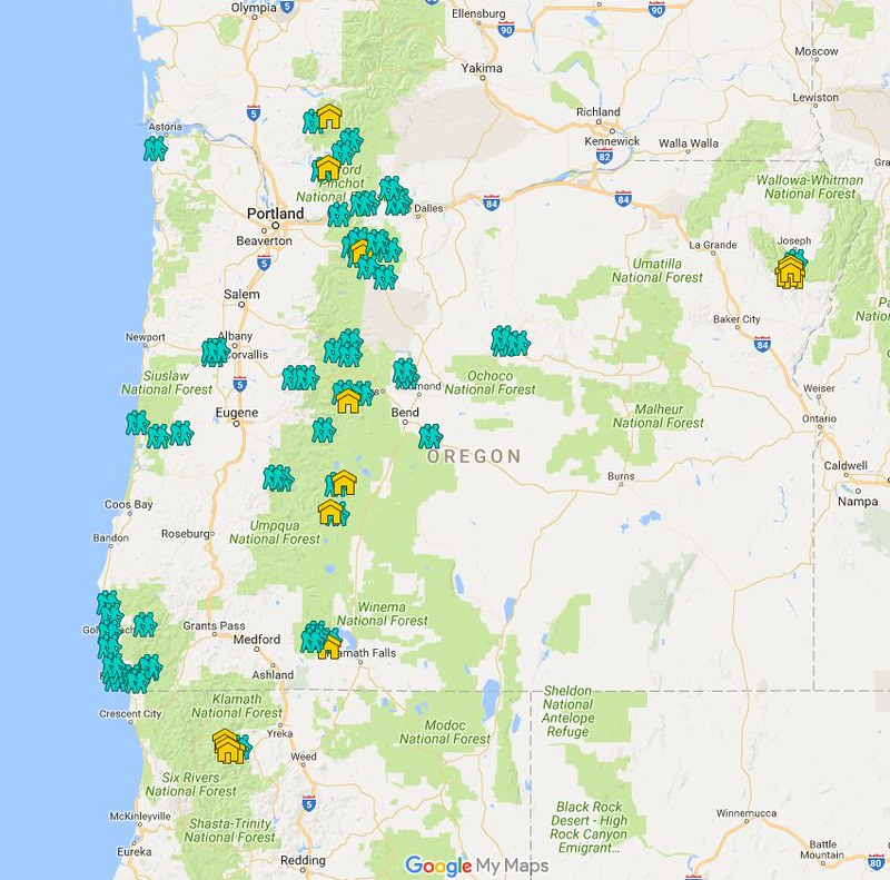
With that our 2017 hiking year is officially under way. We checked off our 27th Oregon Wilderness Area and still have 18 to go, 4 more of which are planned this year. Happy Trails!
Flickr: https://www.flickr.com/photos/9319235@N02/albums/72157679106715756


 <
<


 <
<