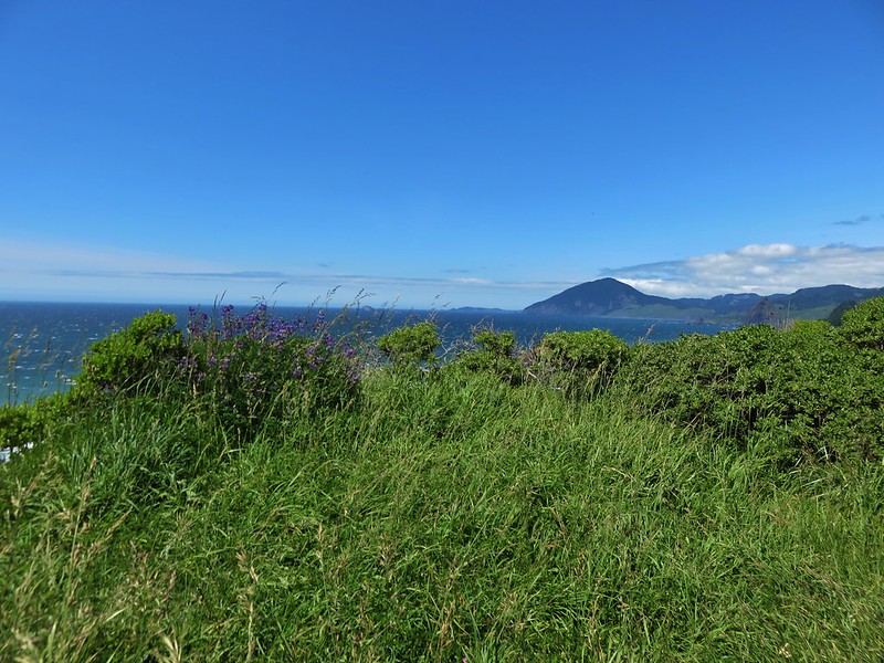
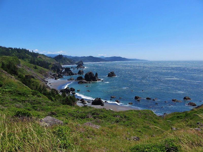
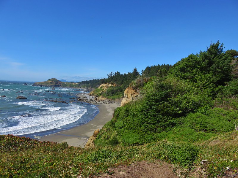
Tuesday of our vacation week brought us our longest drive from Gold Beach to the Kalmiopsis Wilderness. We had a pair of hikes planned there followed by a quick stop on the way back at Alfred Loeb State Park to see some redwoods.
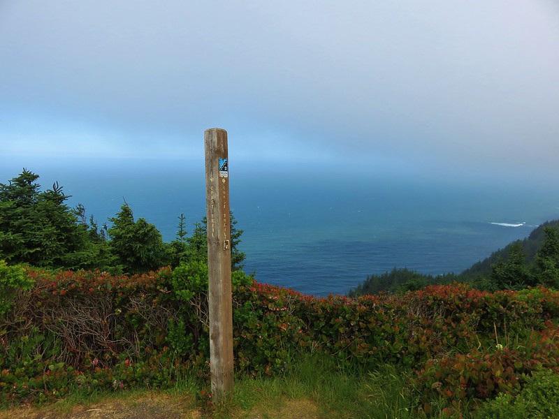
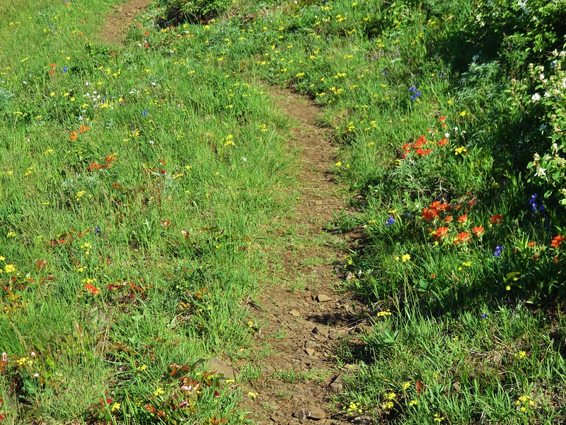
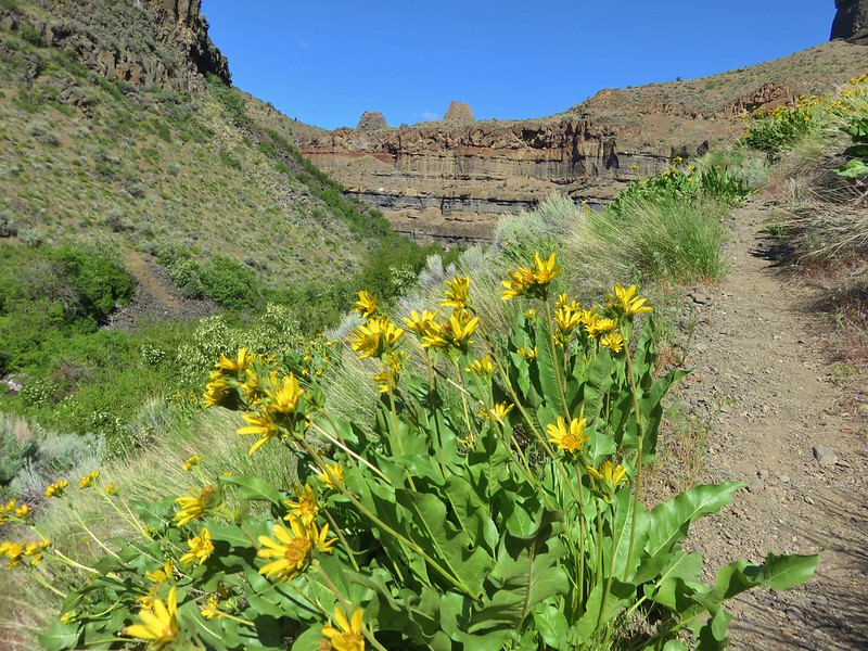
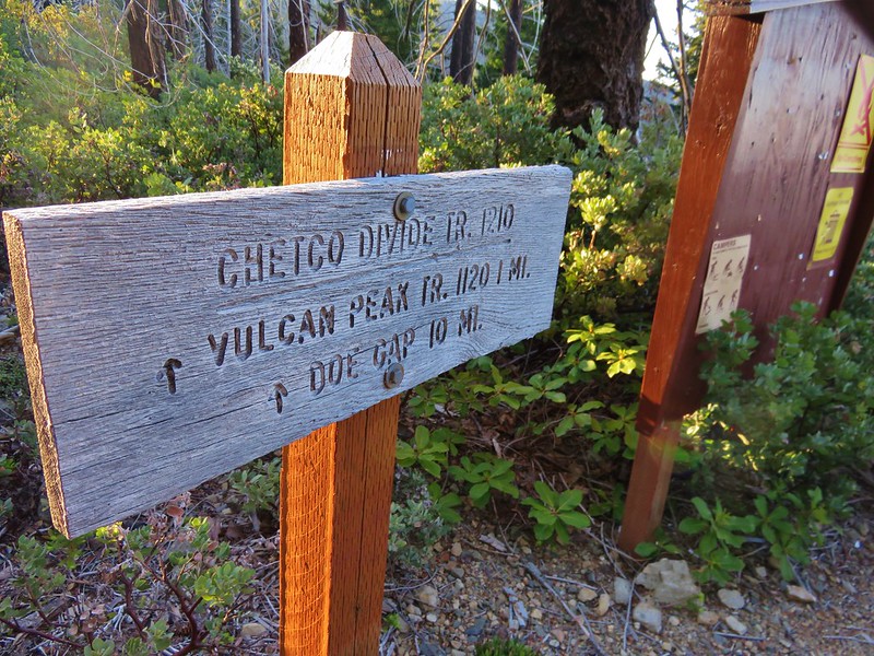
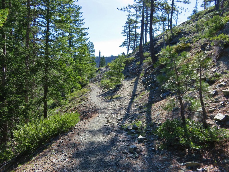
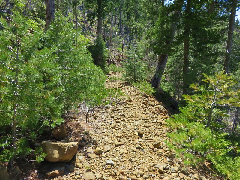
Our first stop was the Vulcan Peak Trailhead. To reach this trailhead we drove to Brookings and took North Bank Road along the Chetco River for 16 miles to a T shaped junction with gravel Forest Service Road 1909. We turned right following signs for the wilderness and began a tedious 13.3 mile drive. This wasn’t the worst road we’ve been on but it was arguably the longest stretch of bad road we’ve encountered. It took over 45 minutes to reach the trailhead on a short spur road with an outhouse.
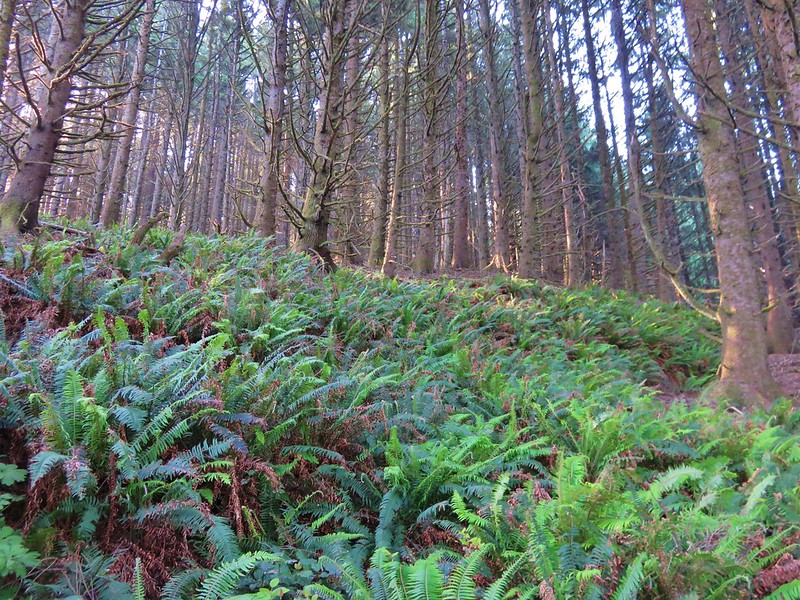
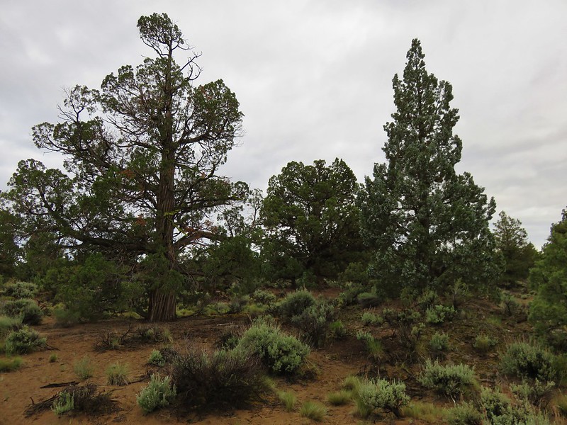
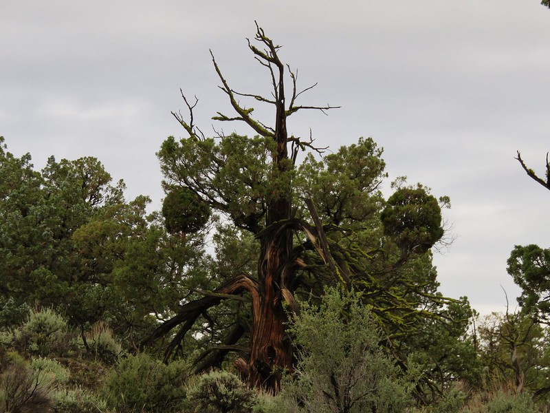
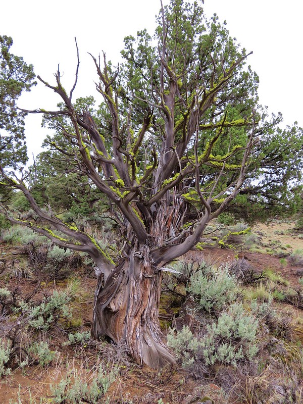
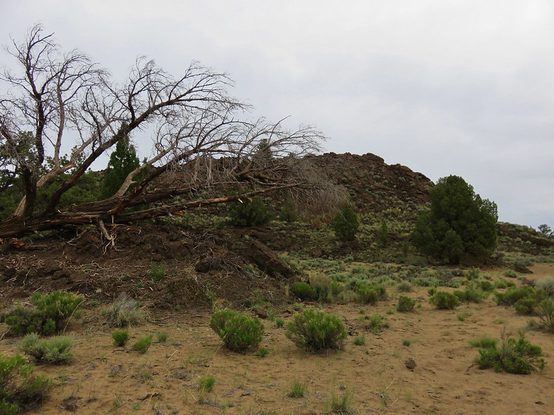
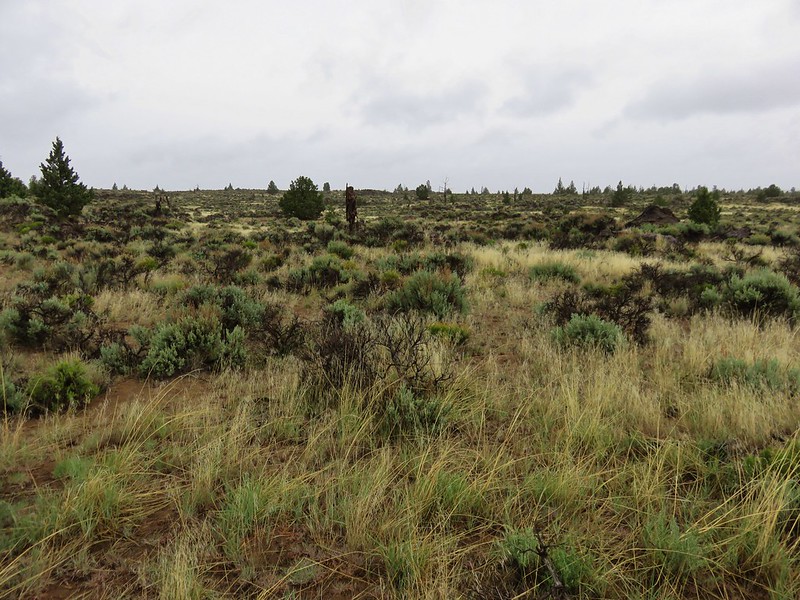
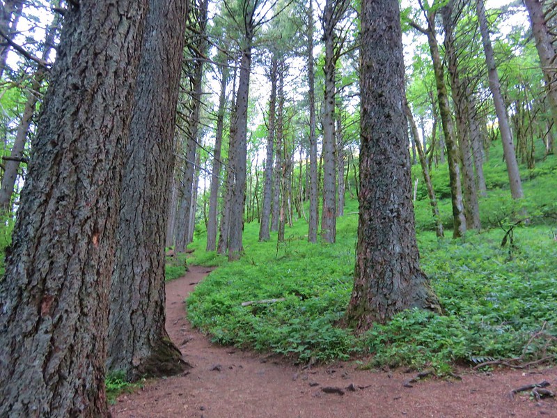
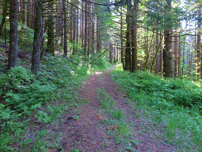
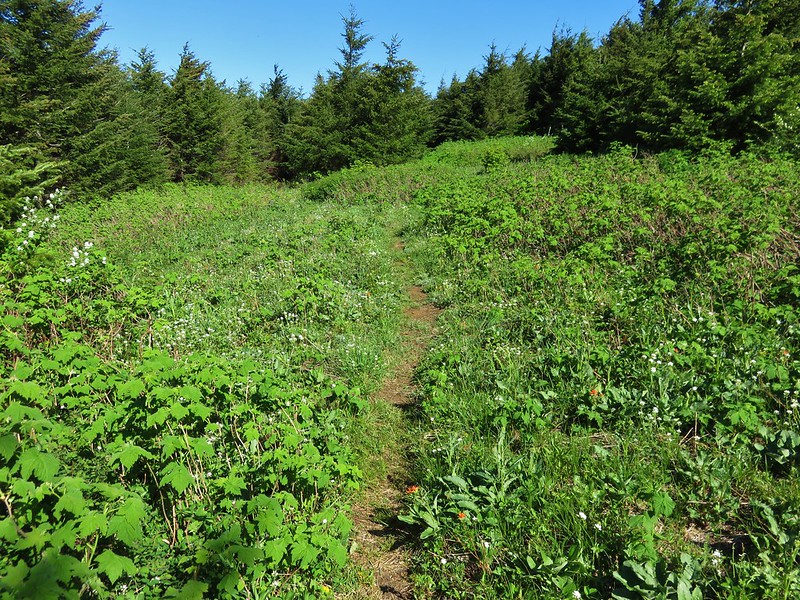
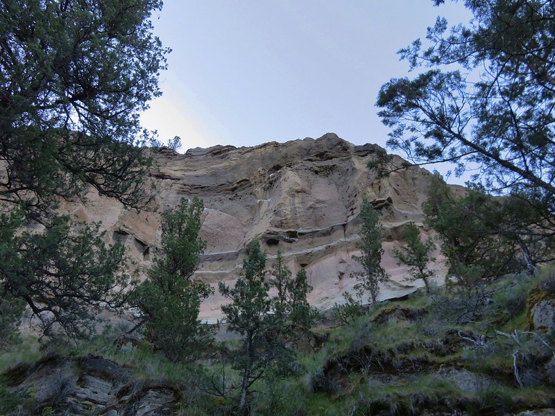
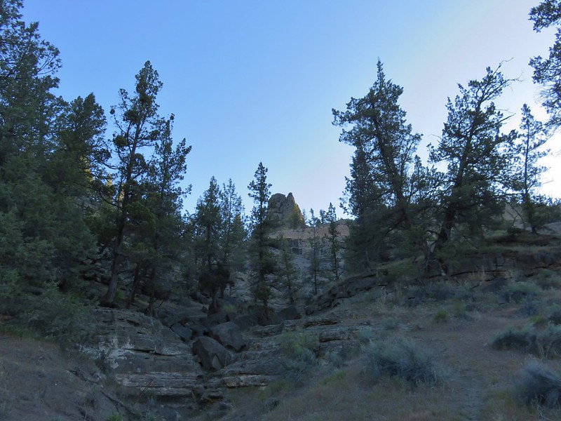
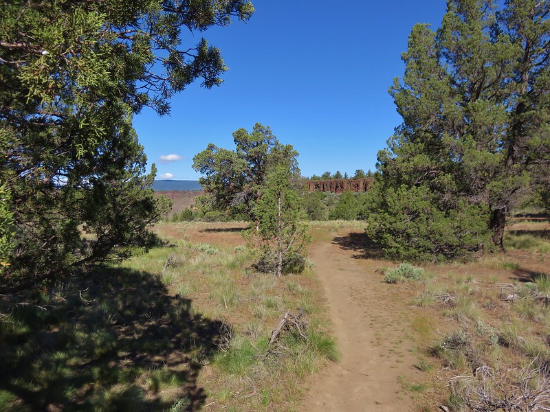
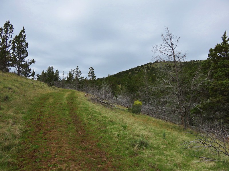
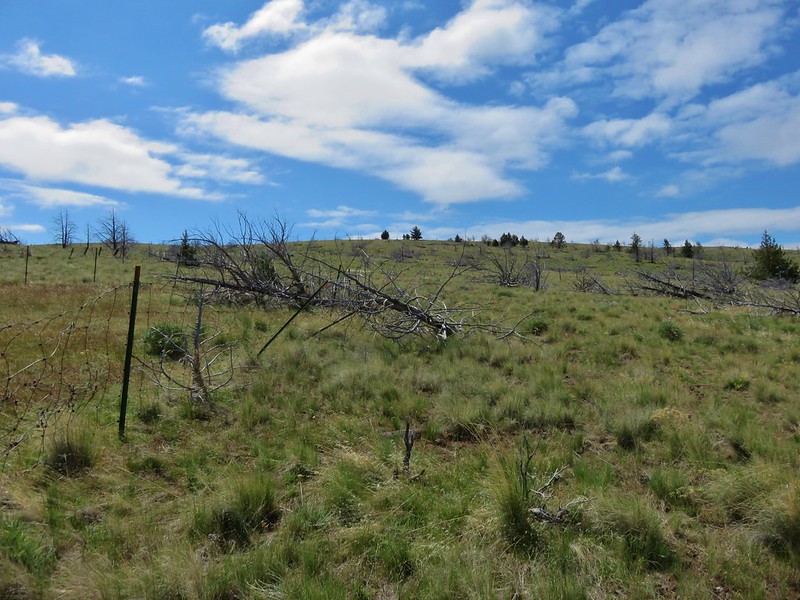
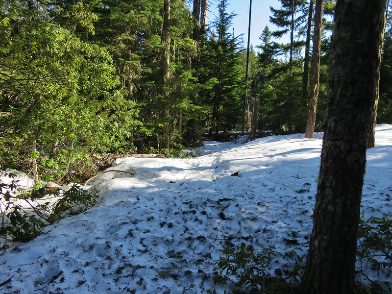
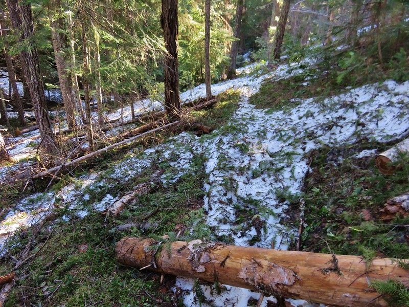
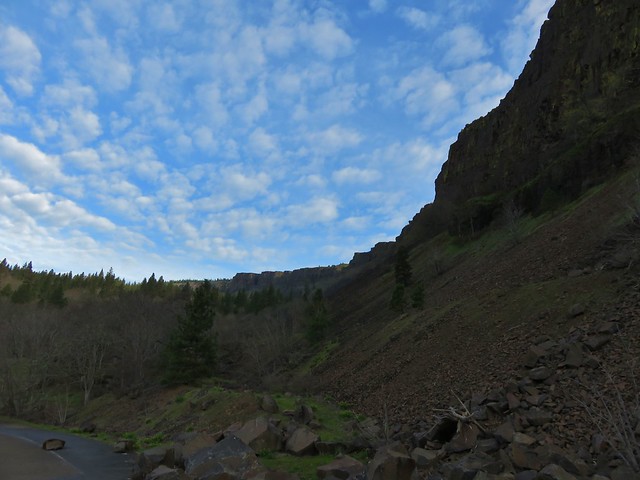
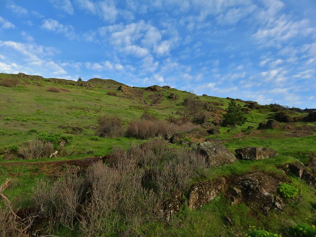
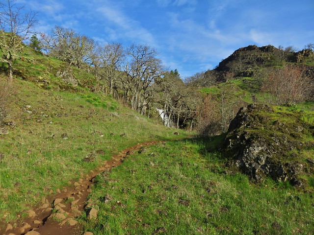
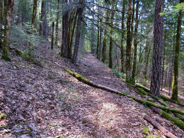
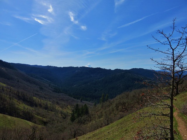
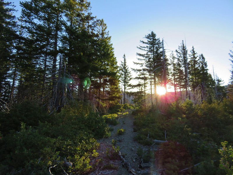
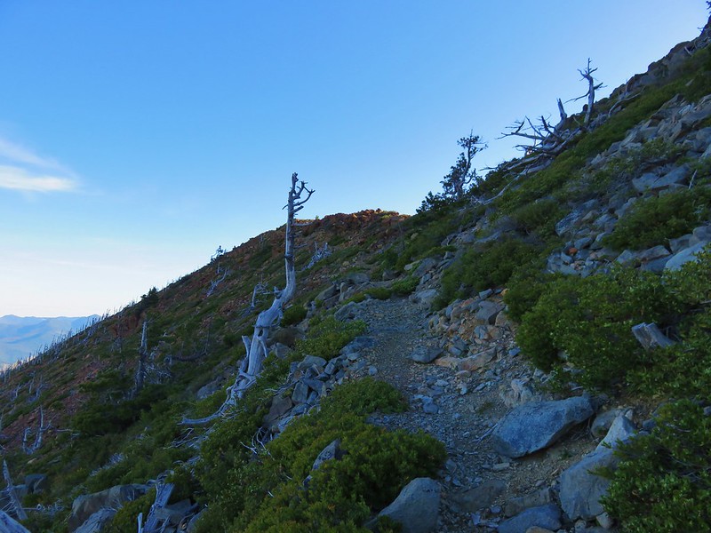
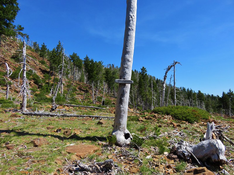
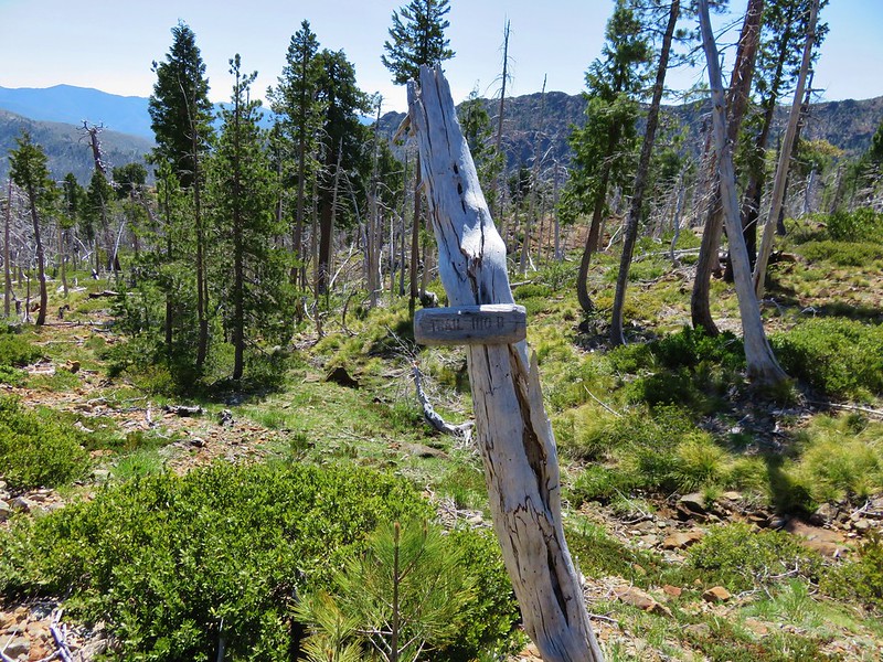
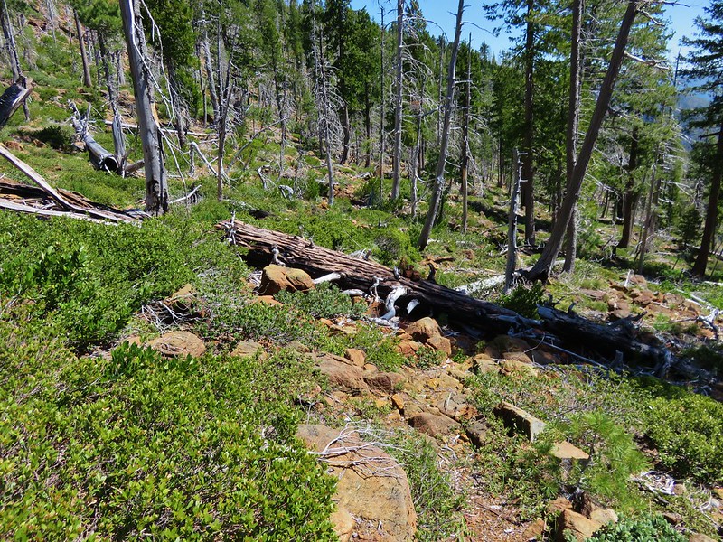
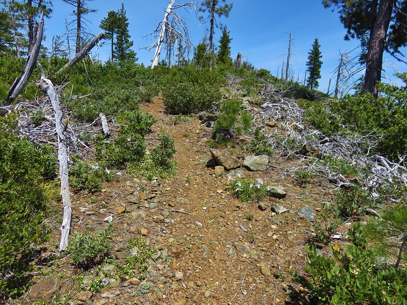
For the first mile we were actually on the Chetco Divide Trail as it followed an old roadbed along a ridge surrounded by forest burnt in the massive 2002 Biscuit Fire.


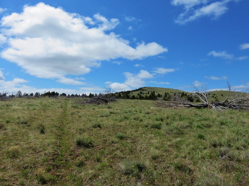
At the 1 mile mark the Vulcan Peak Trail split off heading uphill while the Chetco Divide Trail veered to the right.
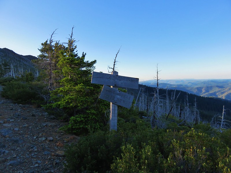
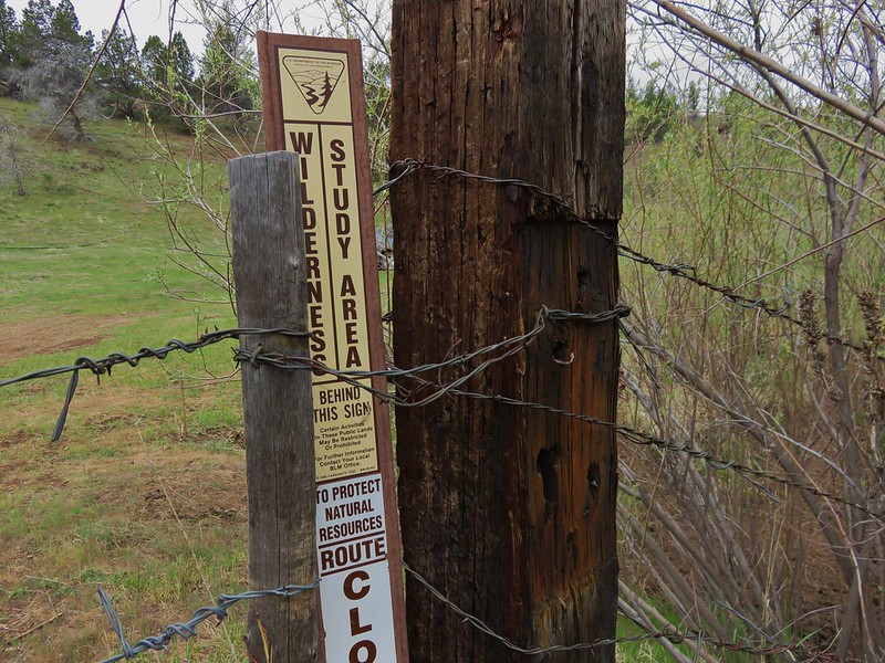
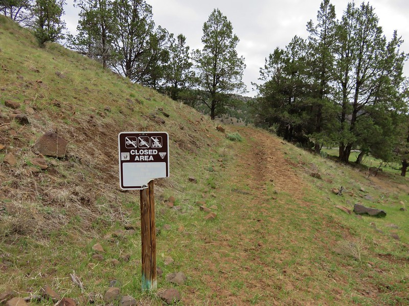
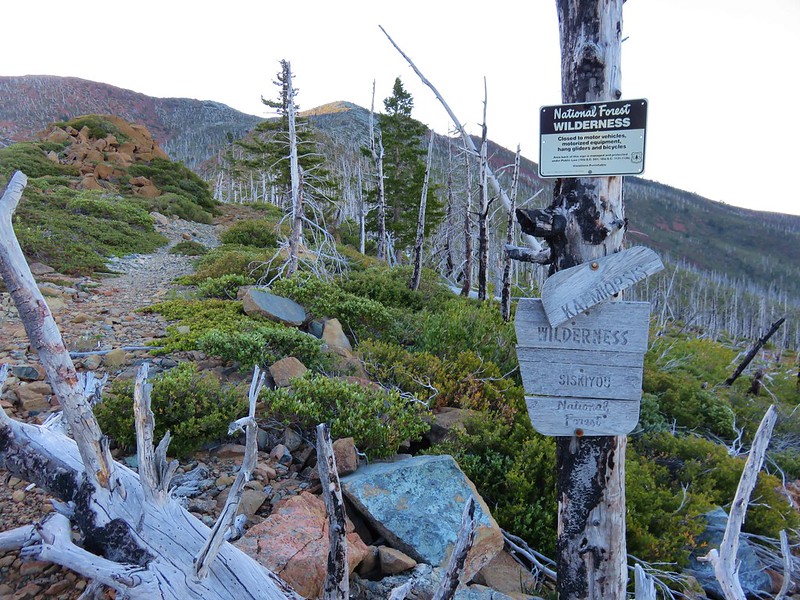
Shortly after leaving the Chetco Divide Trail we entered the Kalmiopsis Wilderness.
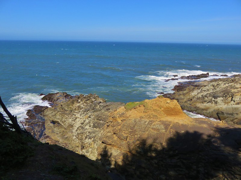
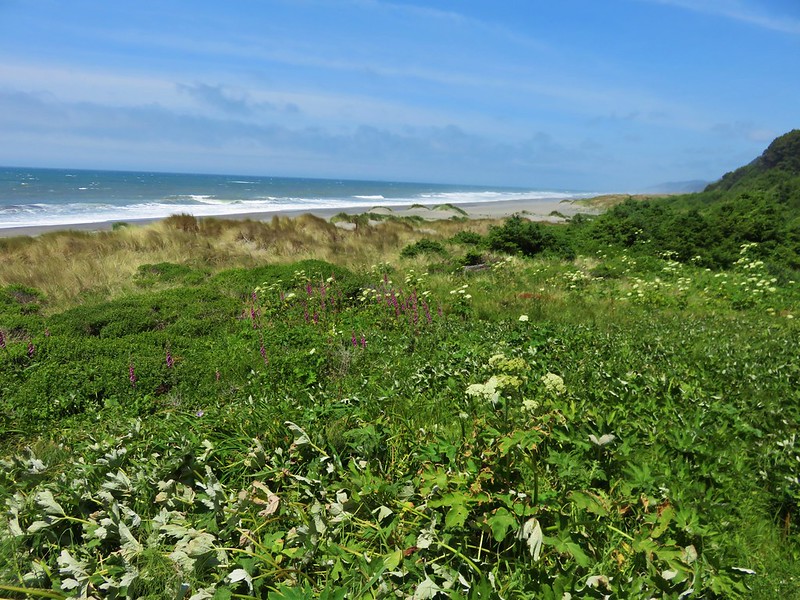
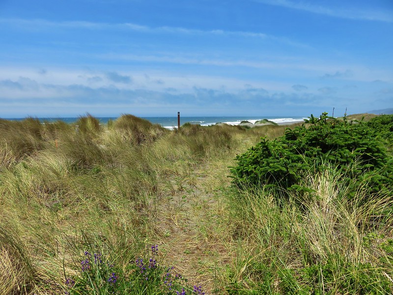
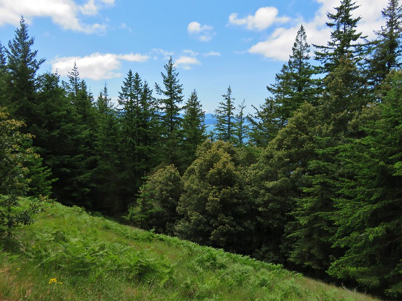
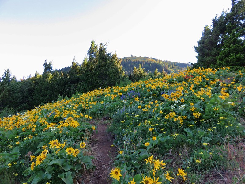
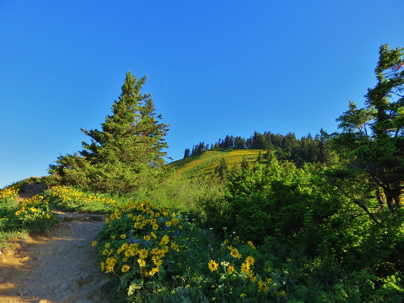
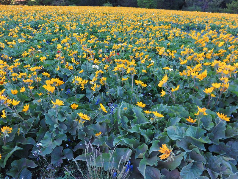
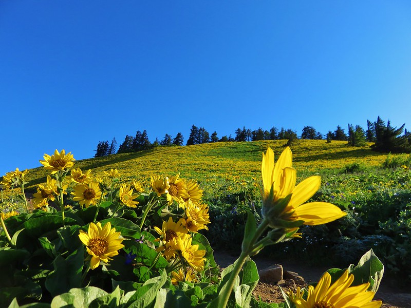
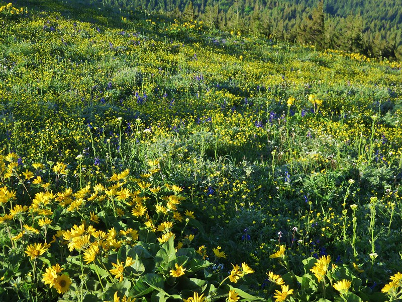
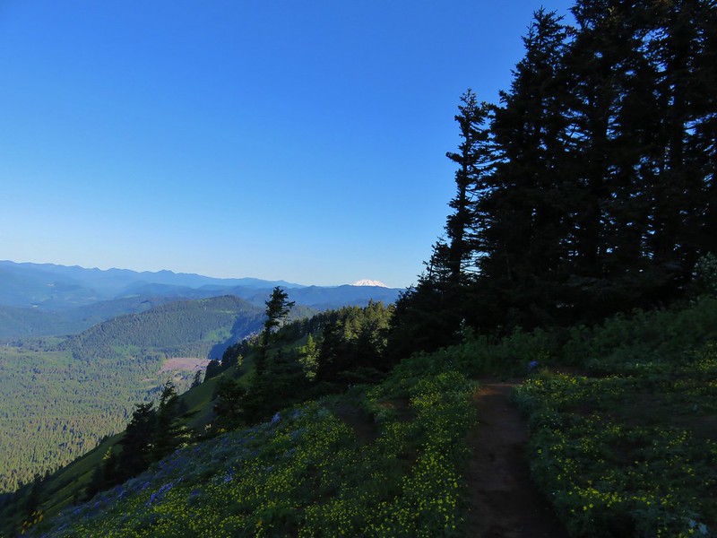
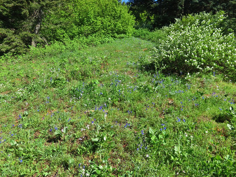
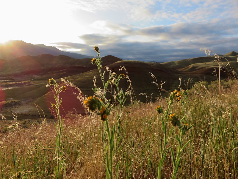
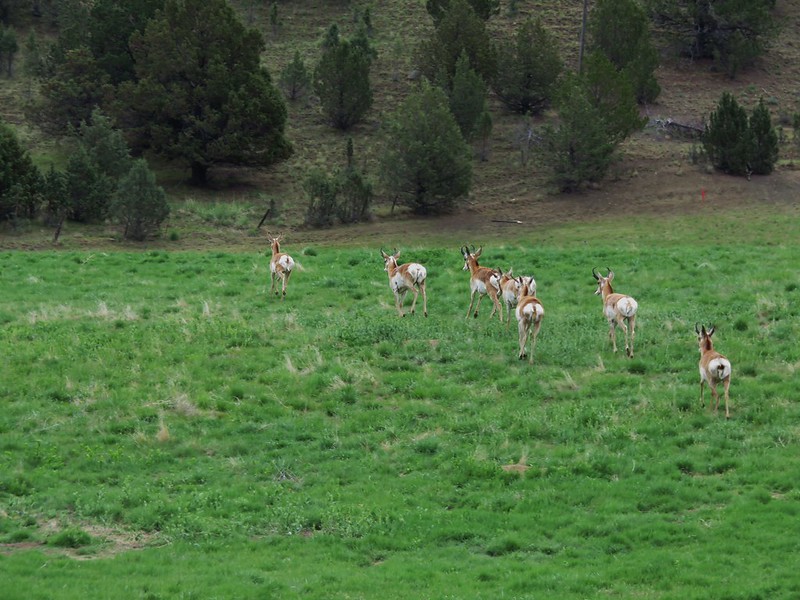
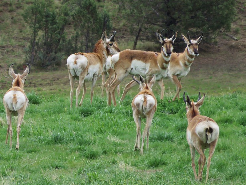
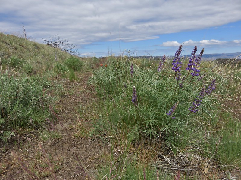
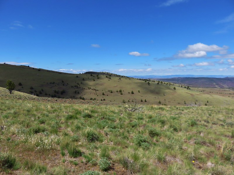
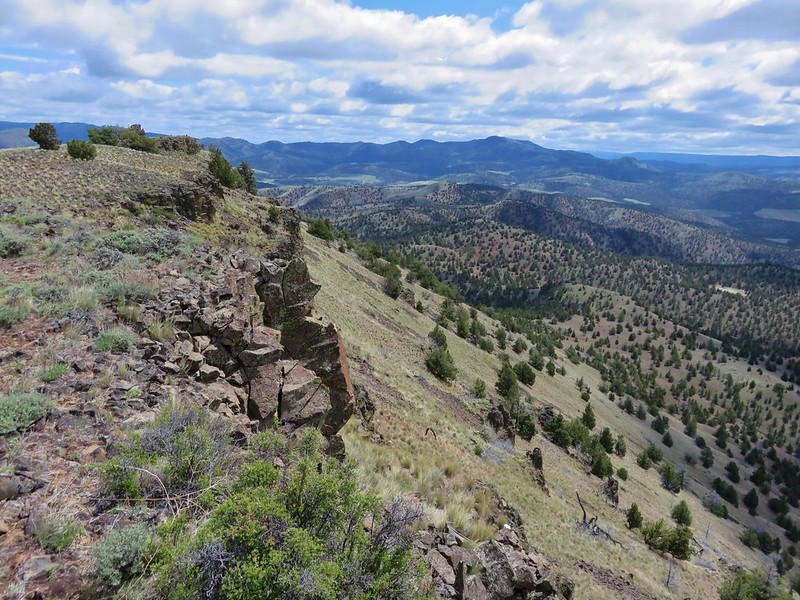
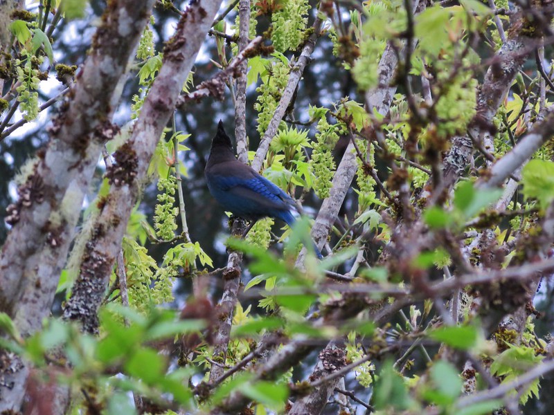
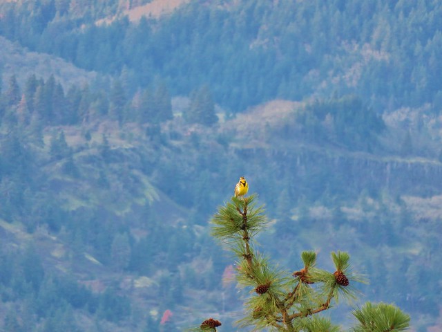
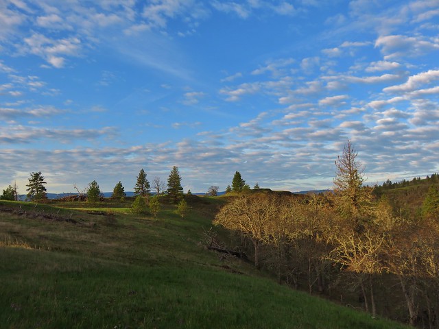
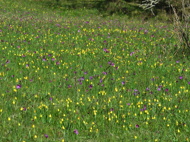
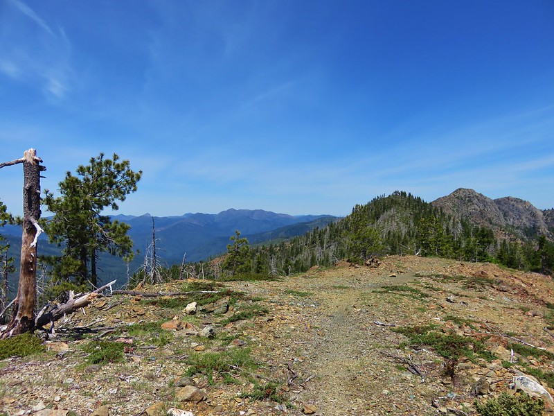
It was pretty windy along the exposed ridge but it was shaping up to be a beautiful day.
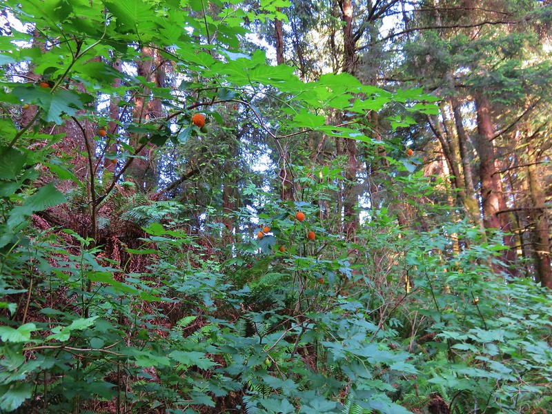
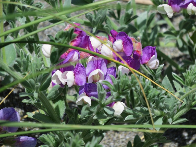
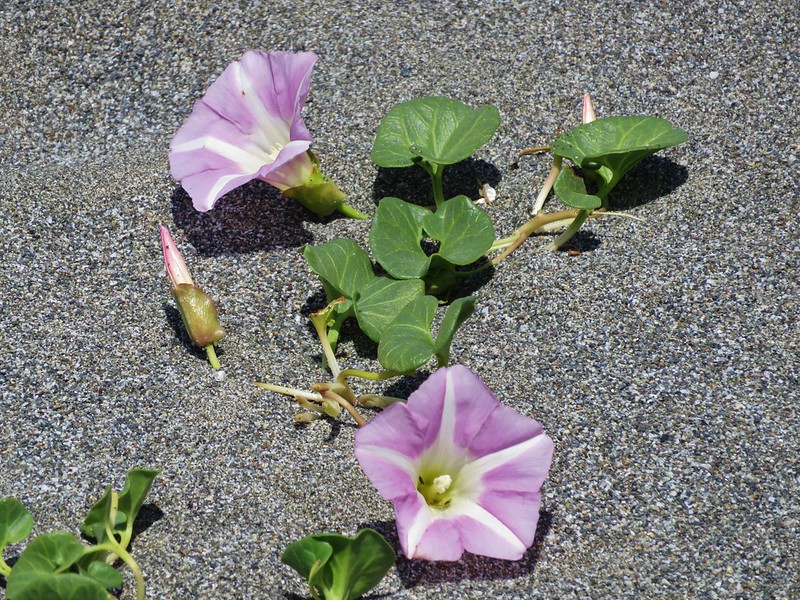
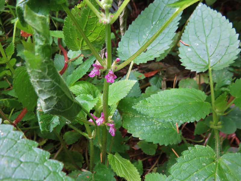
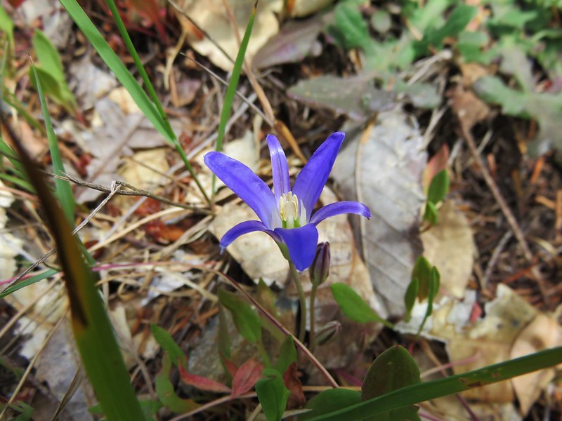
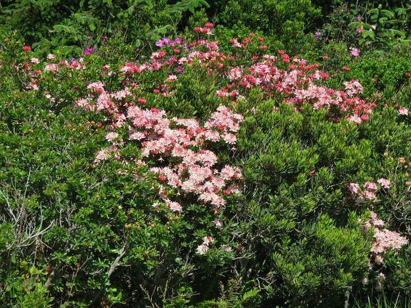
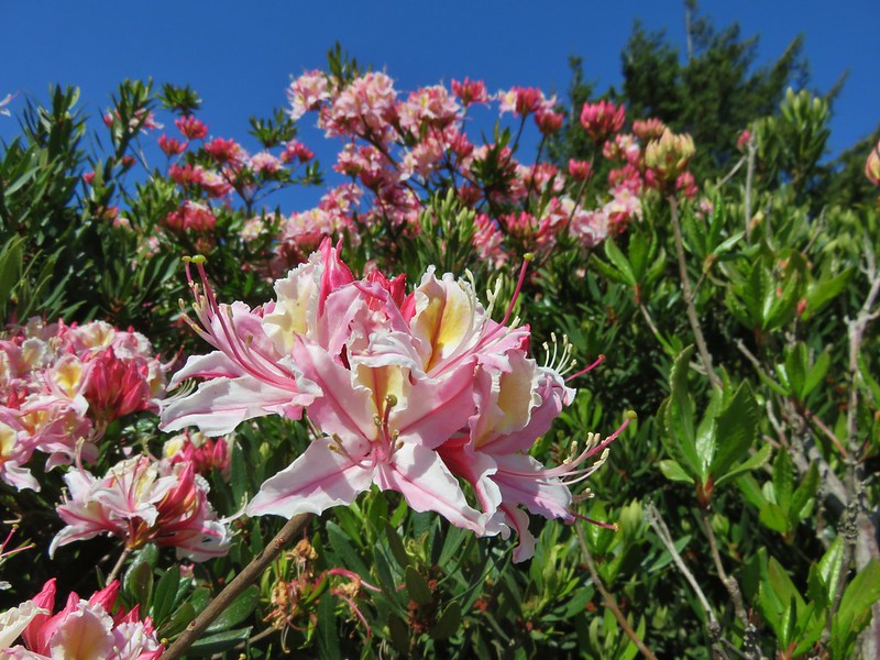
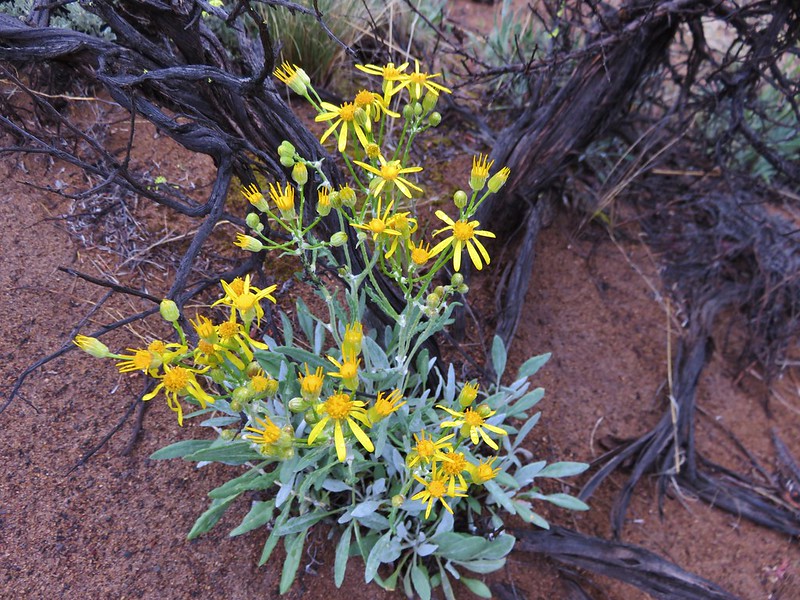
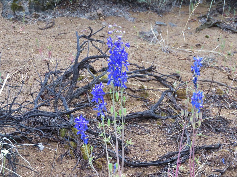
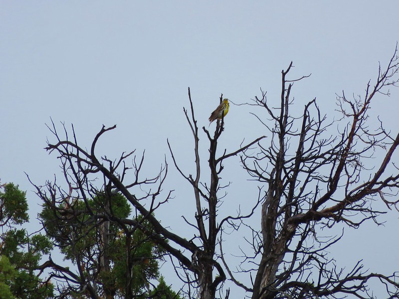
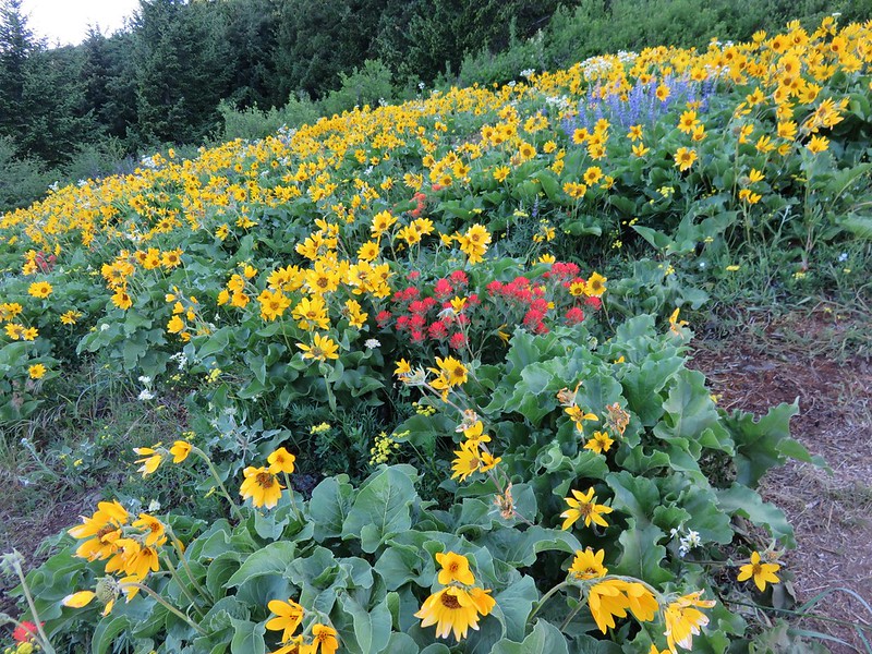
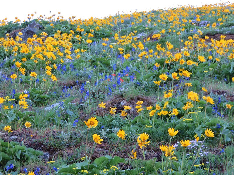
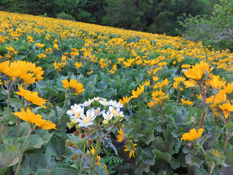
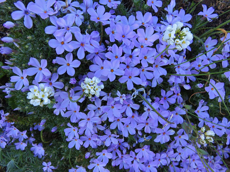
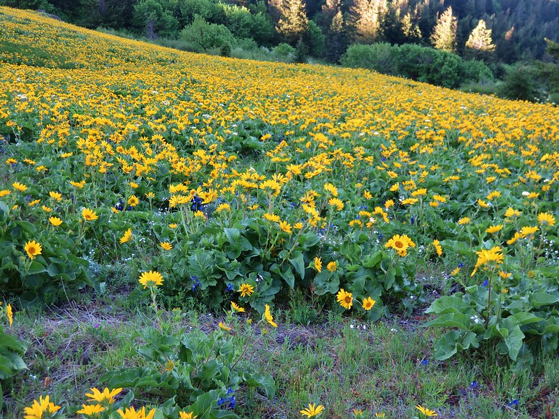
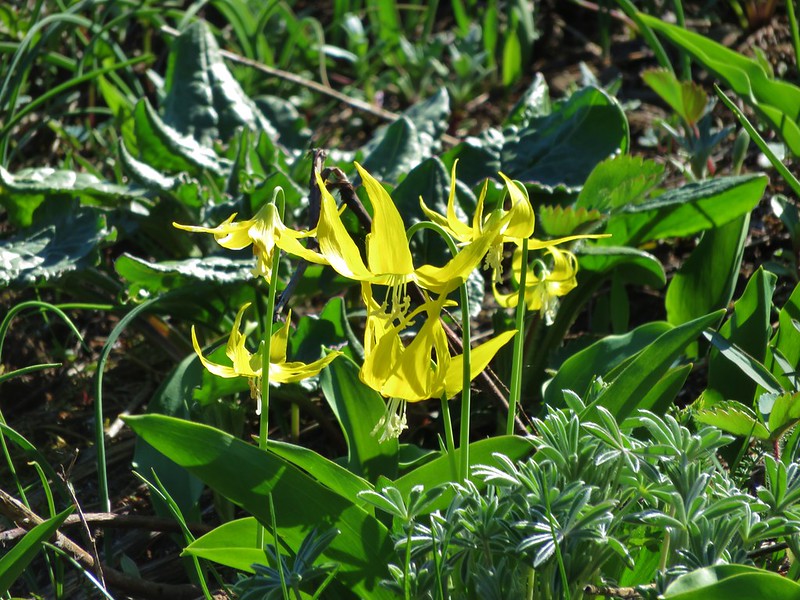
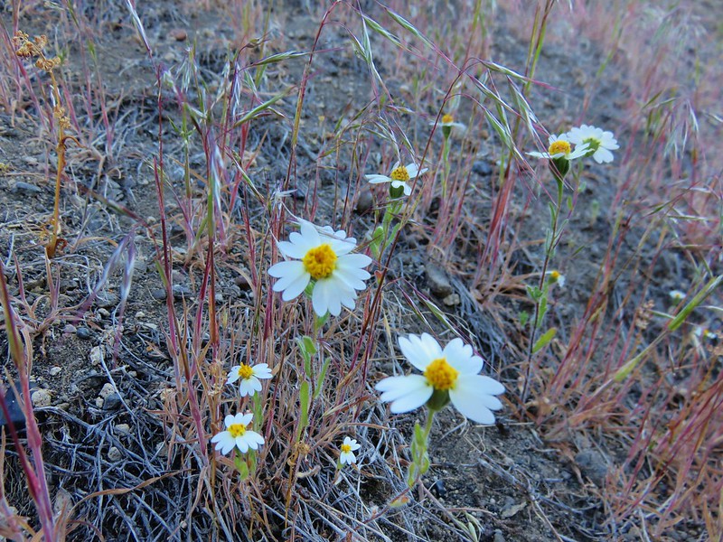
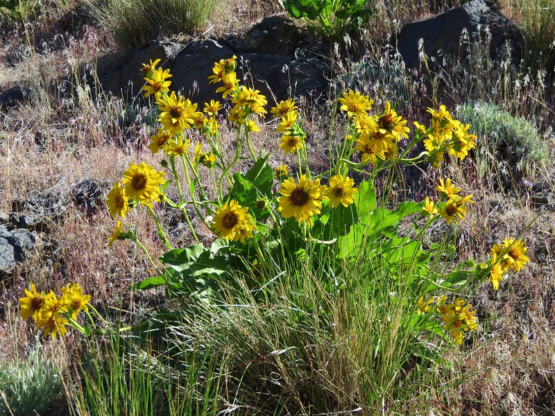
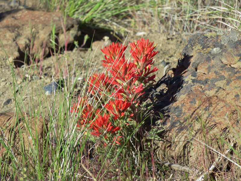
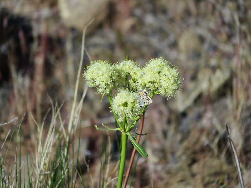
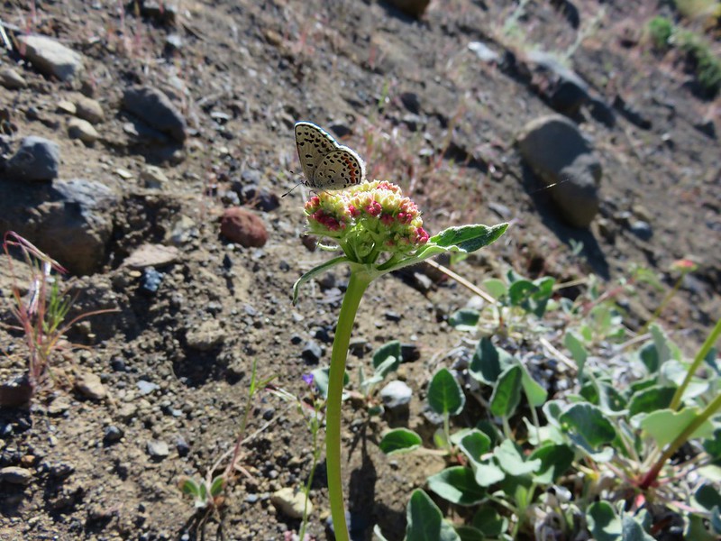
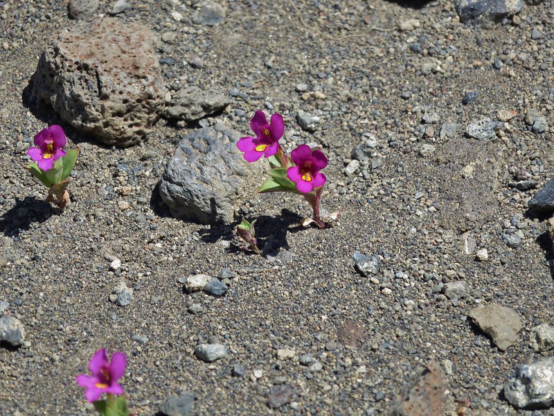
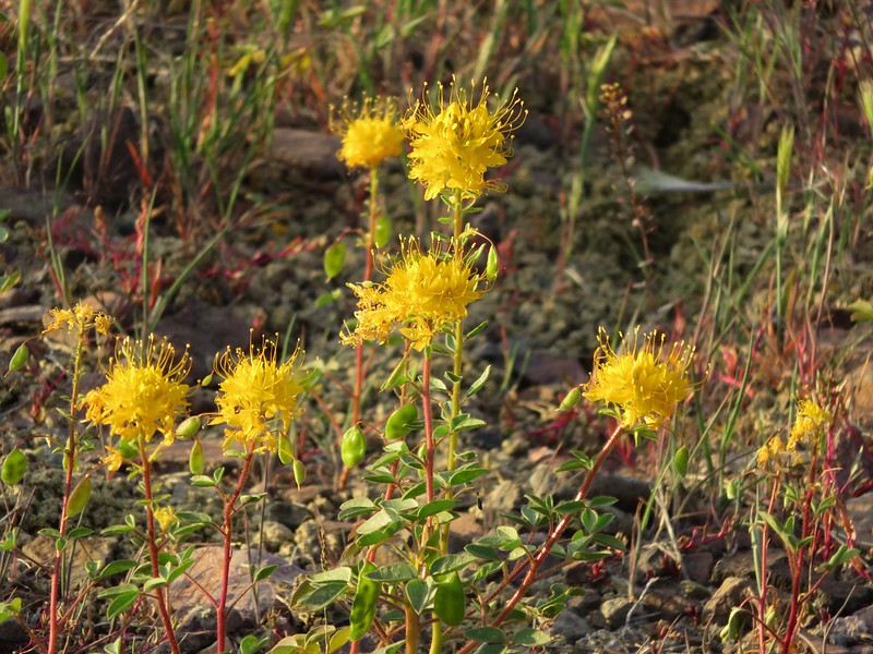
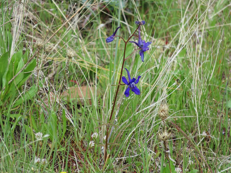
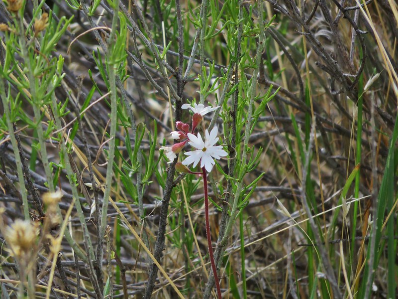
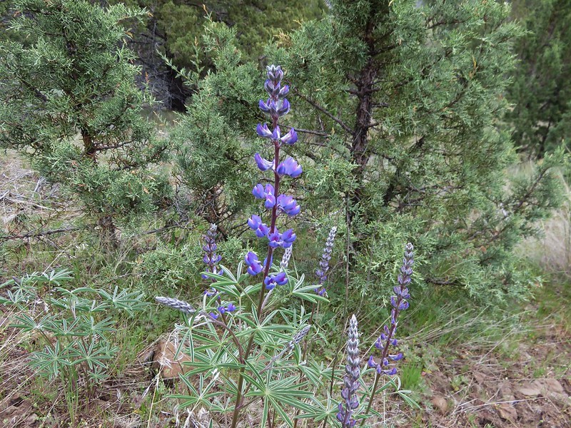
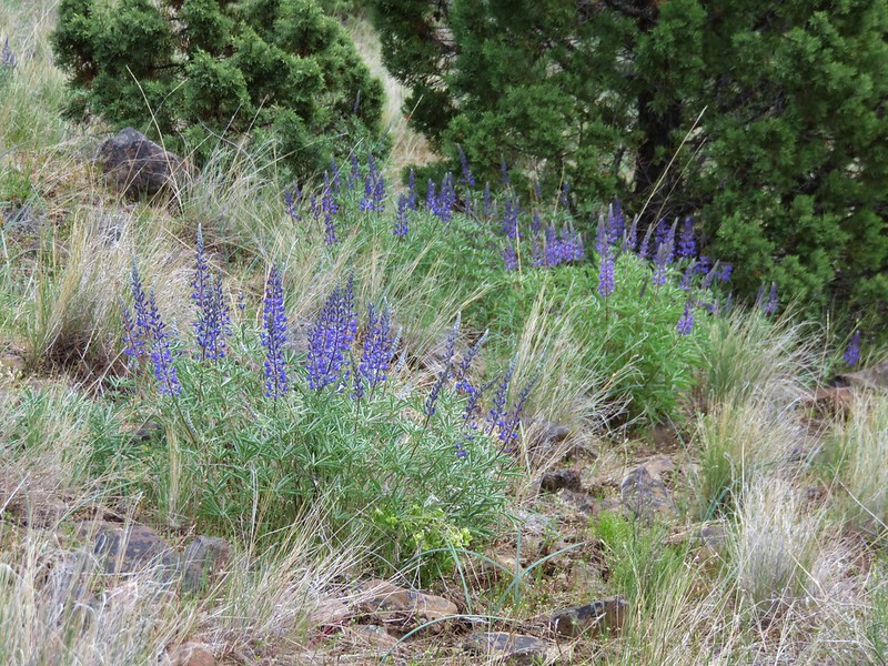
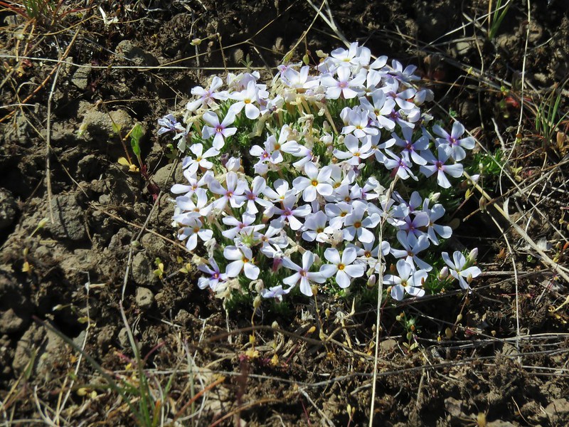
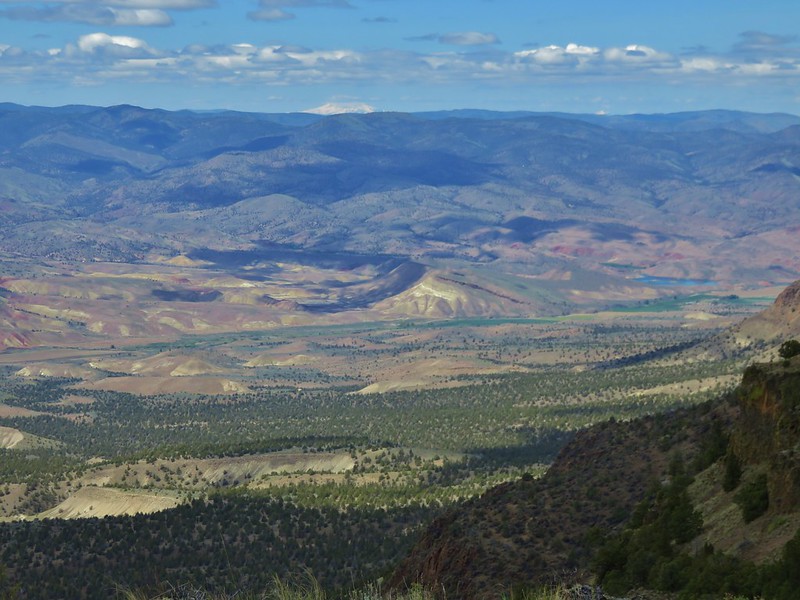
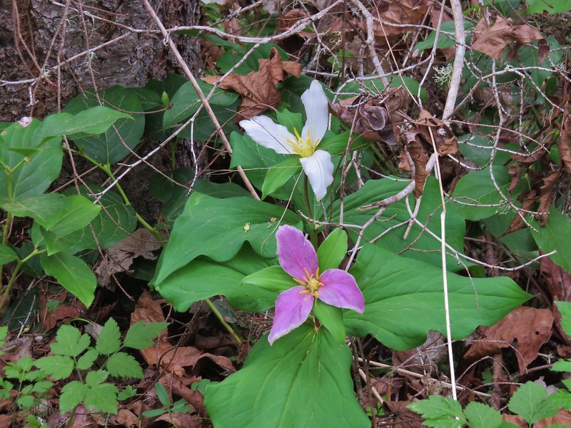
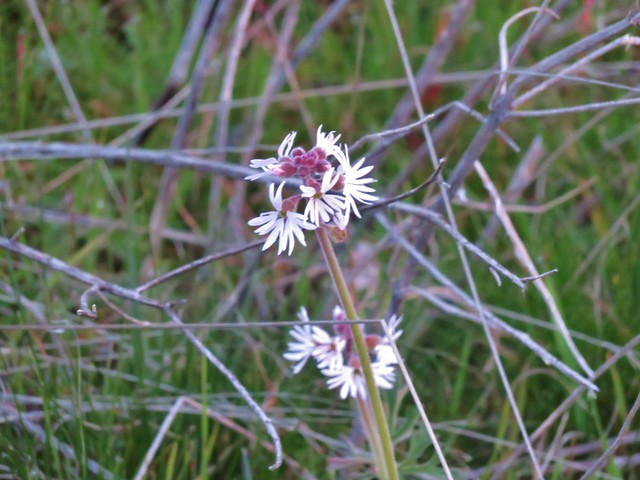
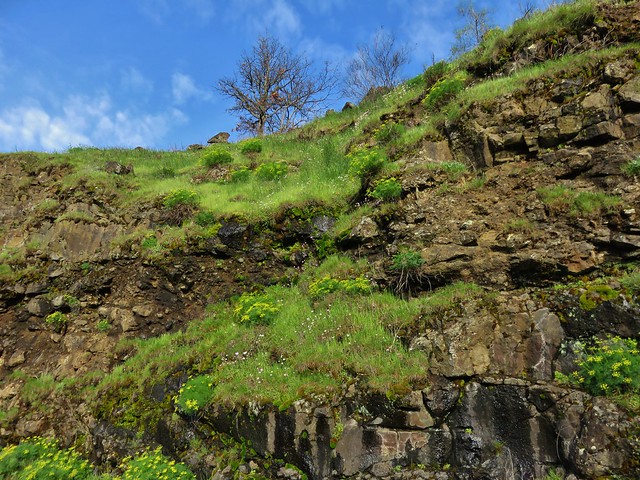
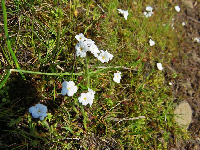
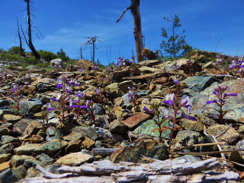
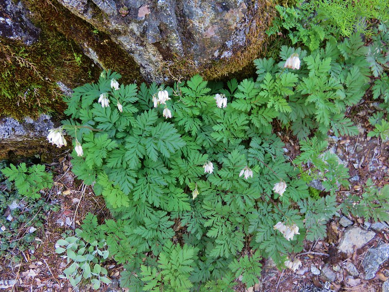
The area reminded us of our trip to the Red Buttes Wilderness last October only here it was Spring and there were plenty of wildflowers.
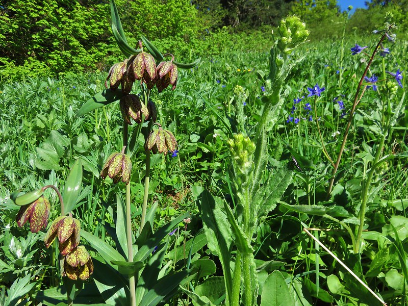
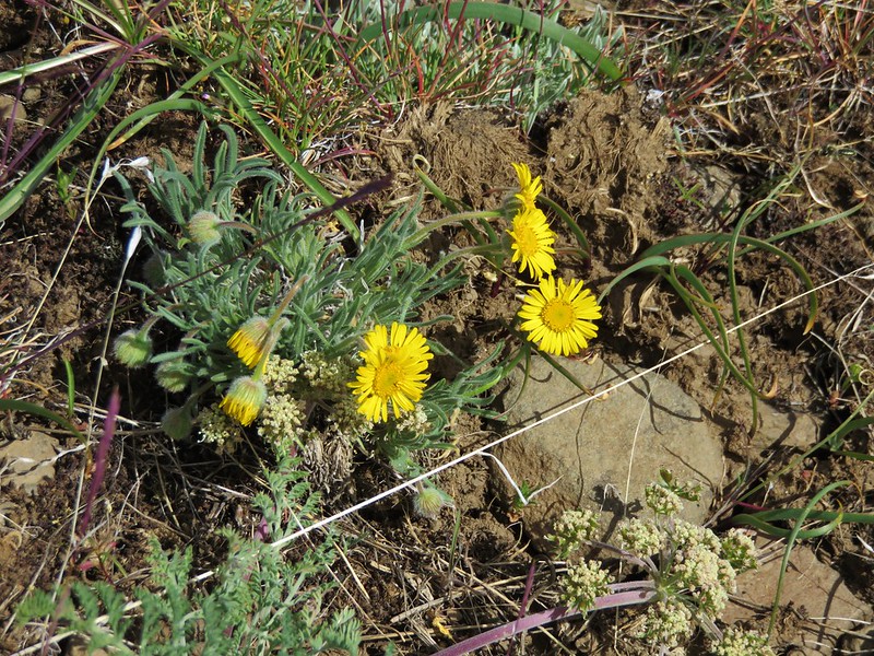
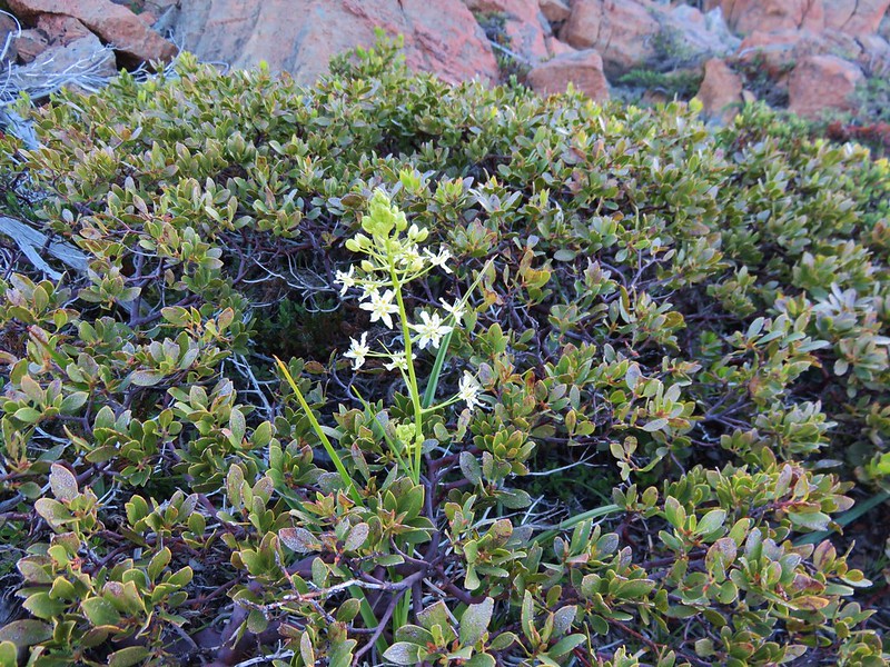
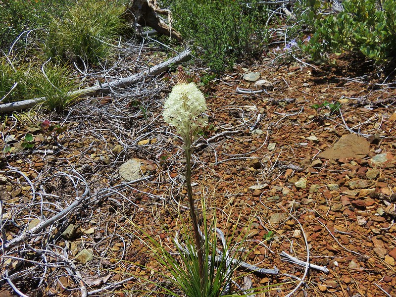
Death Camas
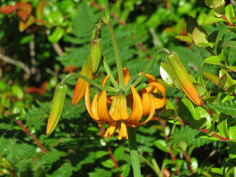
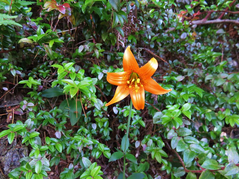
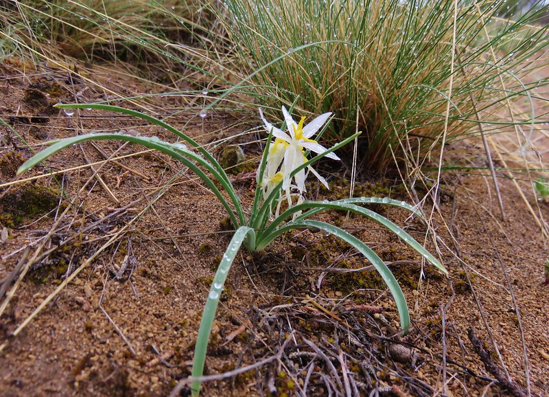
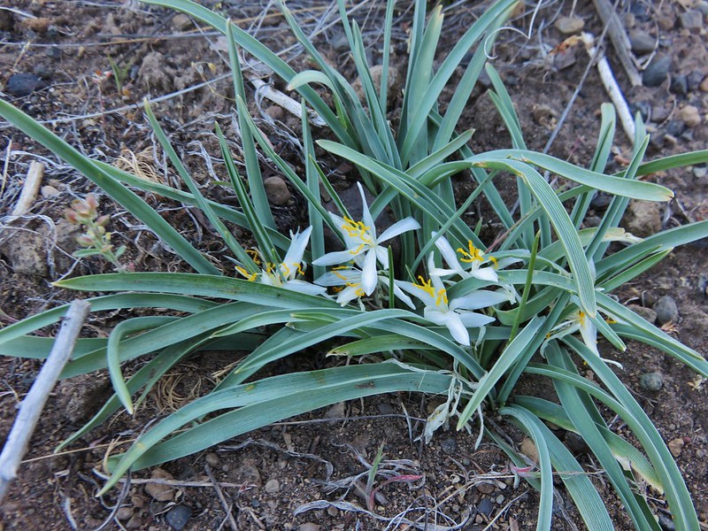
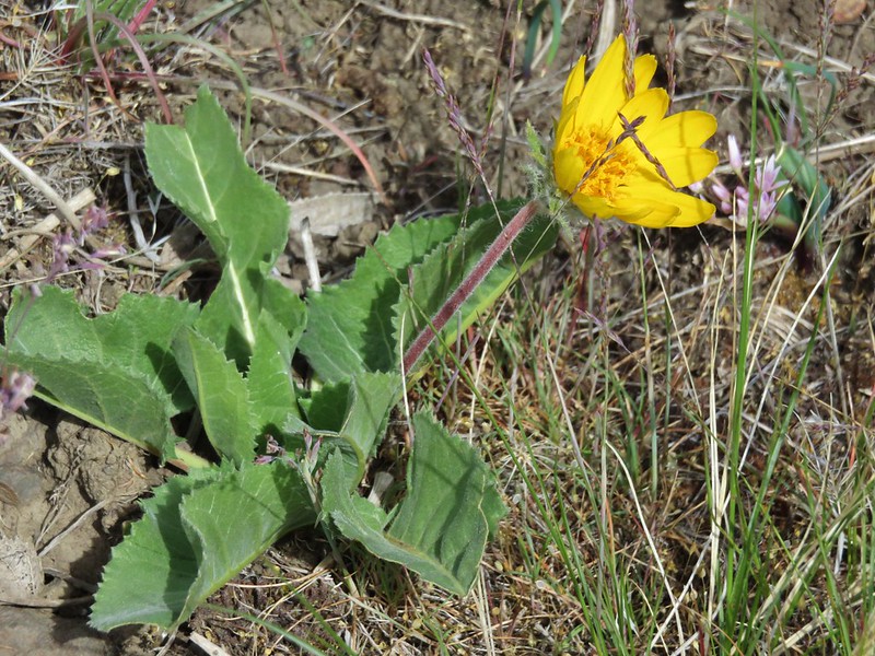
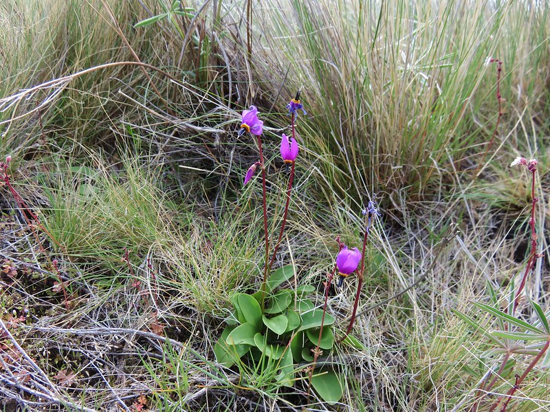
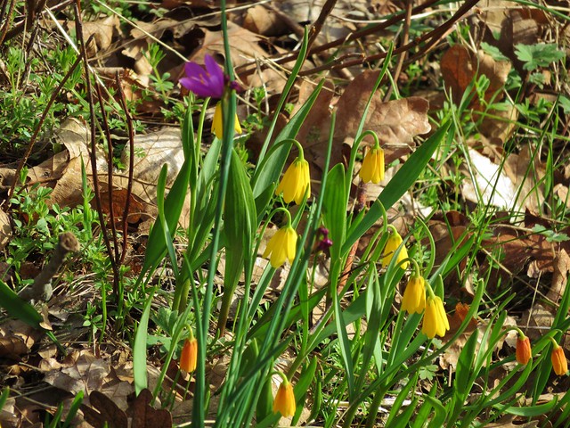
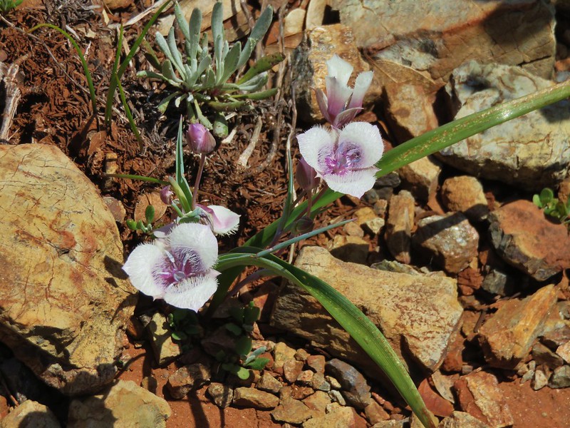
Tolmie’s mariposa lily

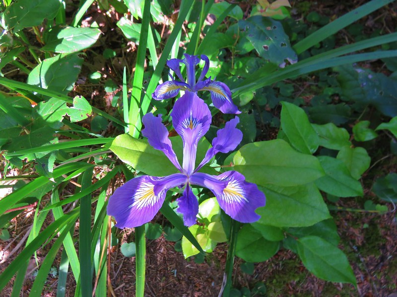
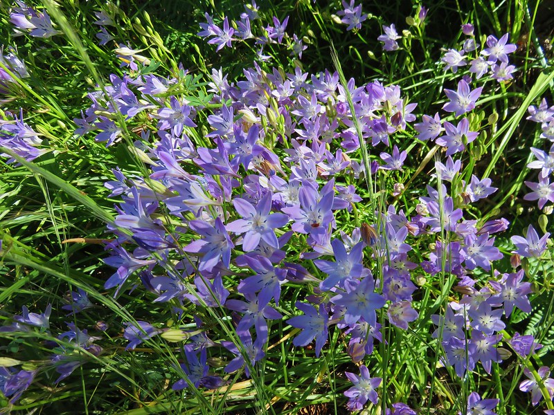
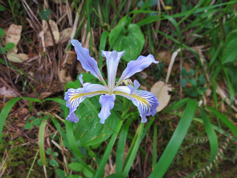
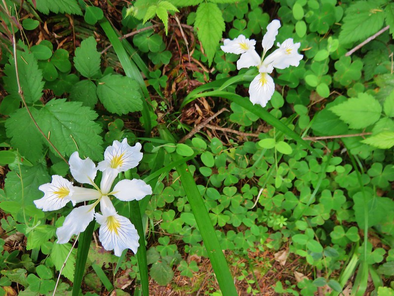
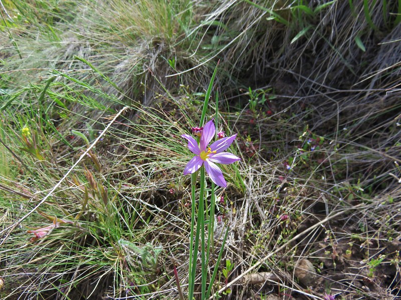
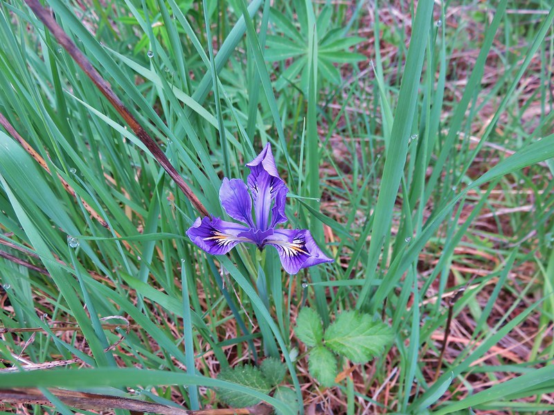
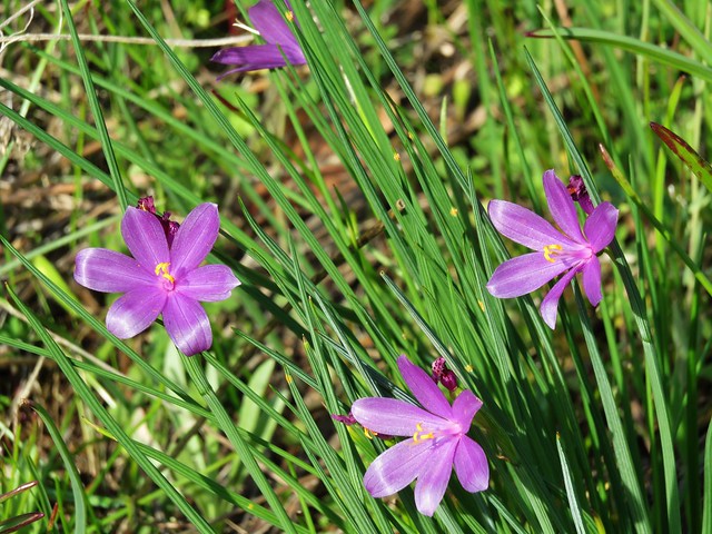
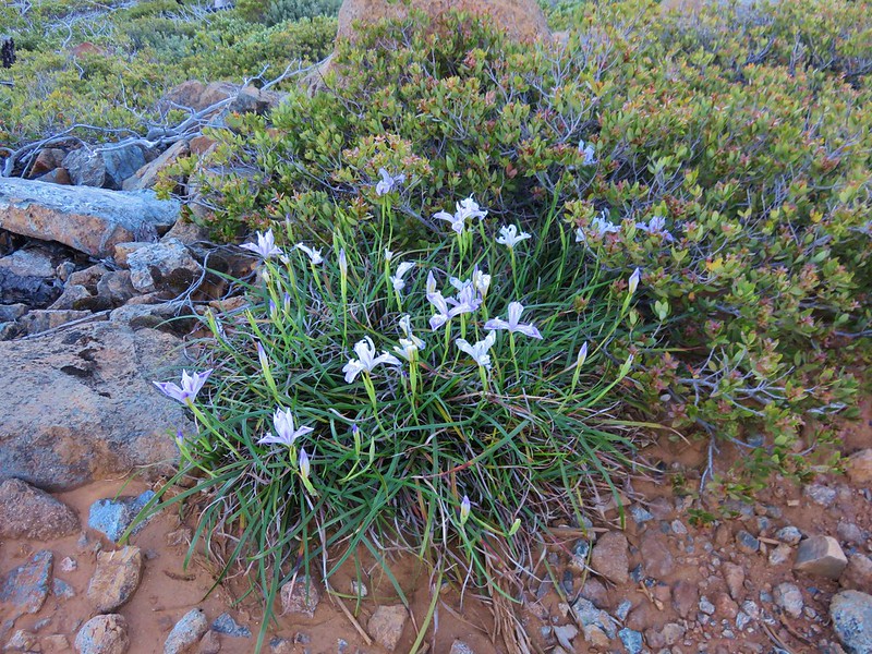
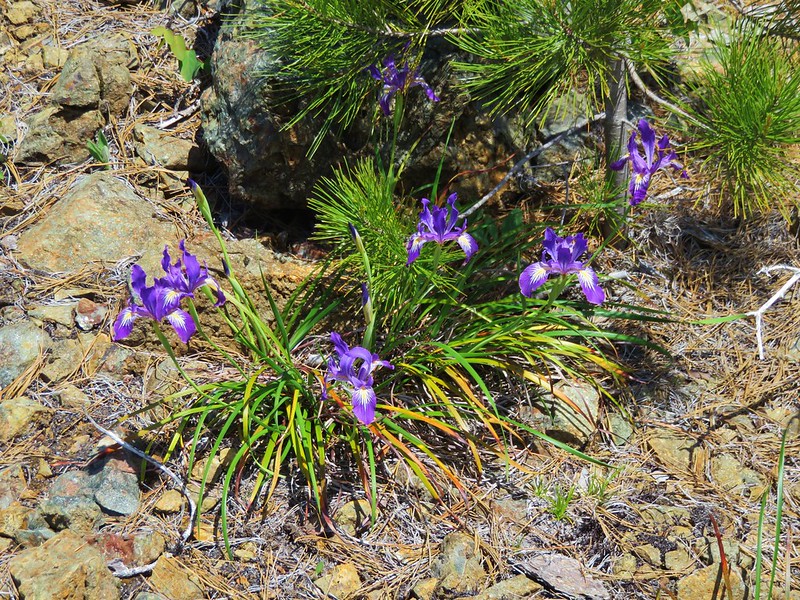
Wild iris
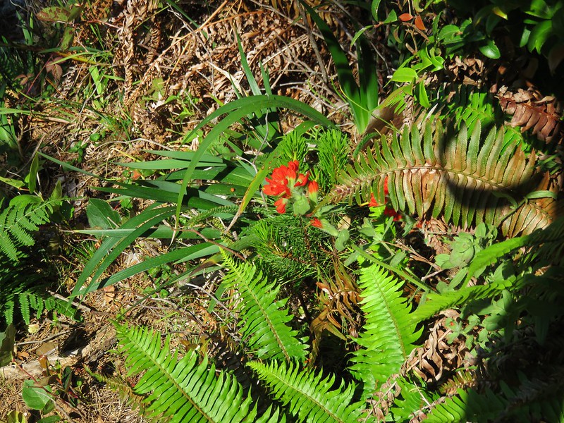
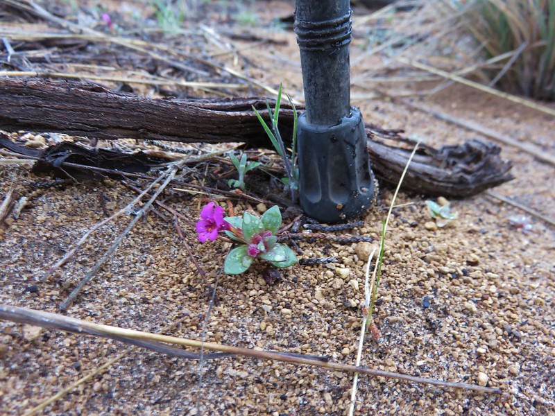
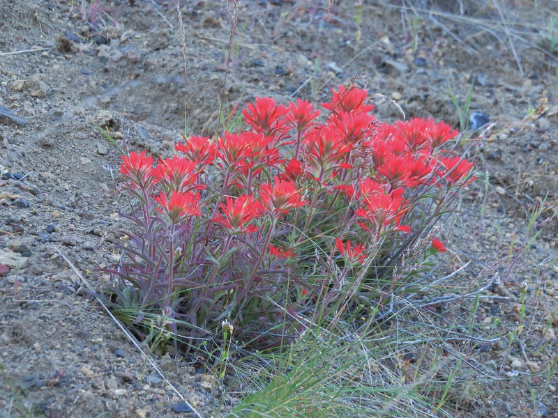
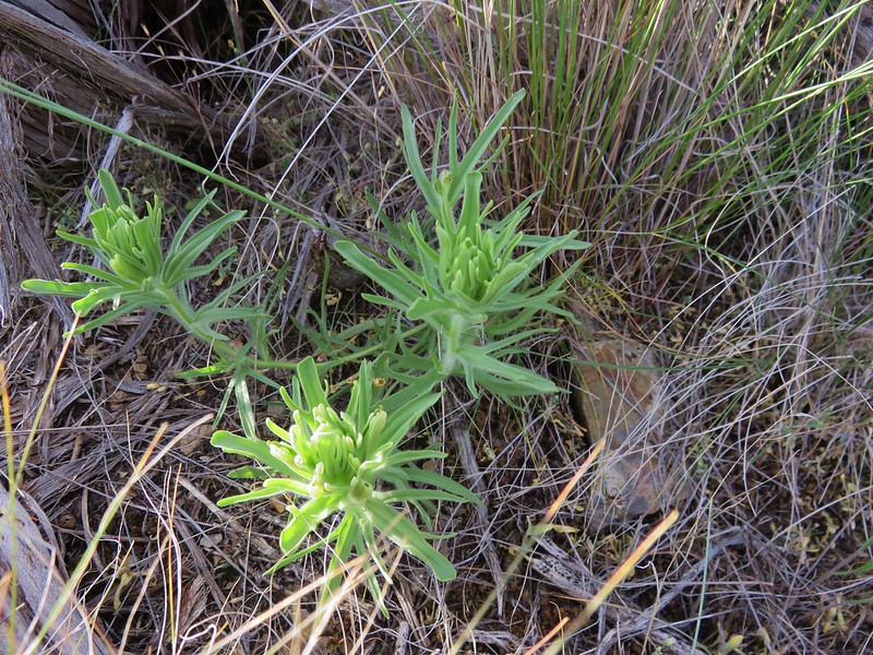
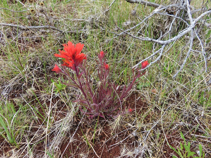
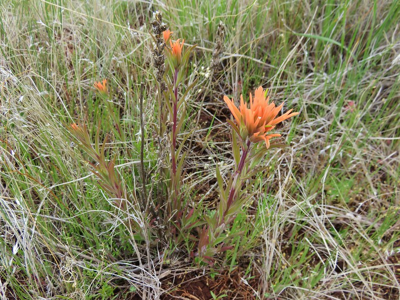
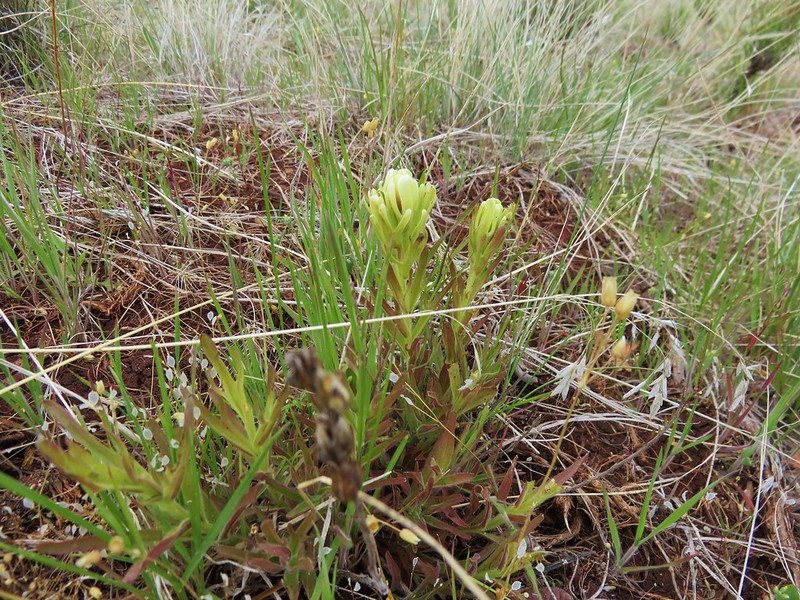
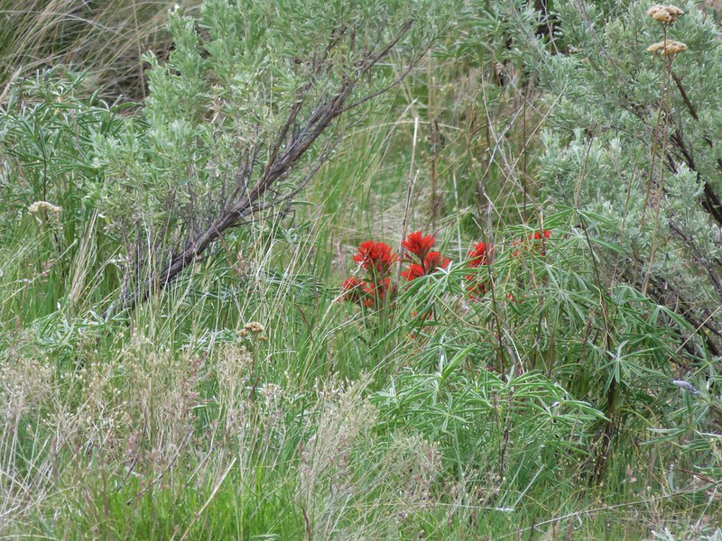
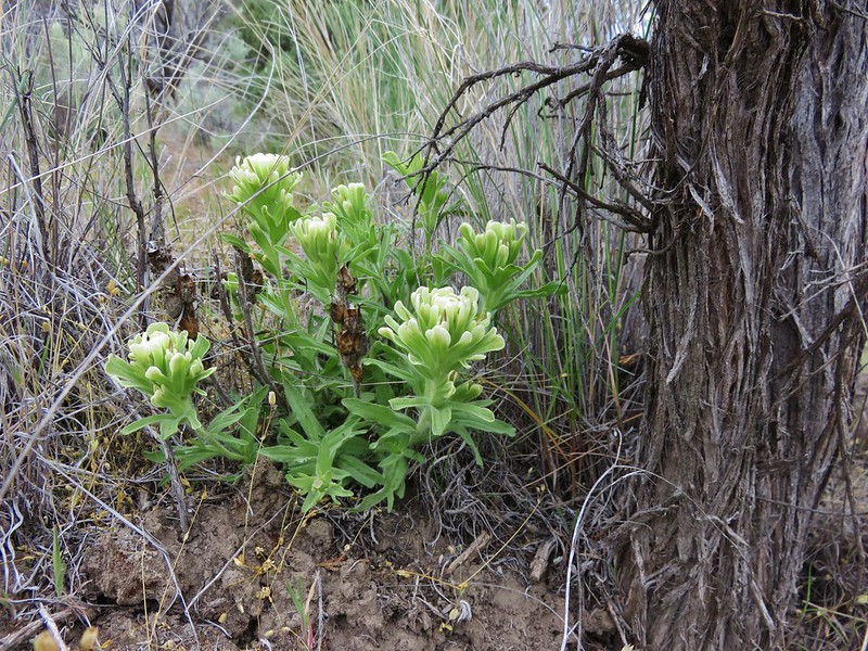
A paintbrush

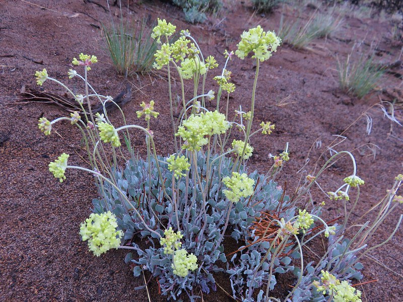
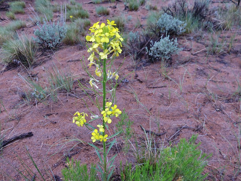
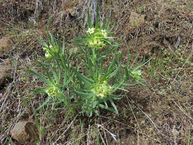
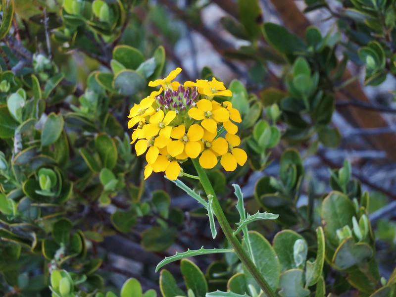
Wallflower
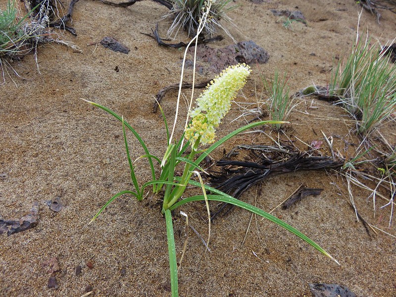
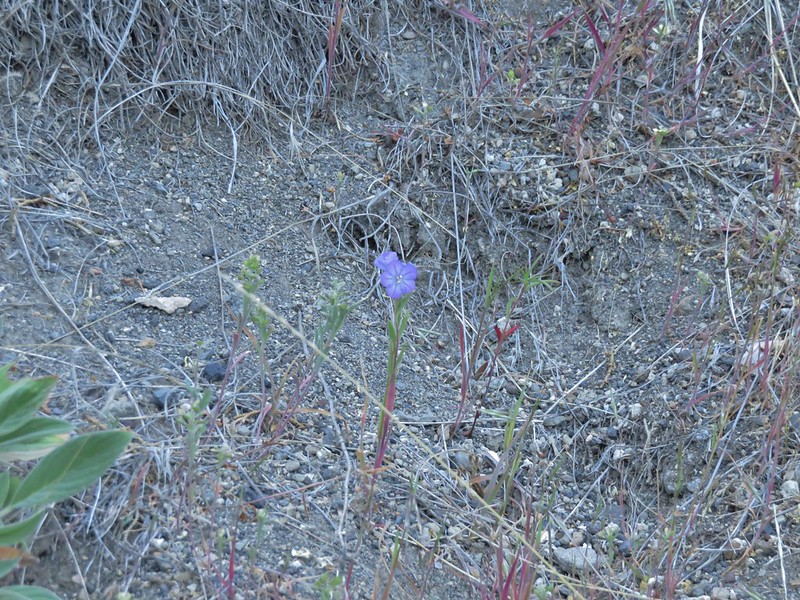
Sand Dune Phacelia
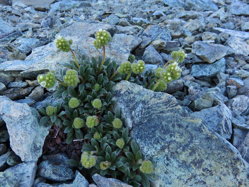
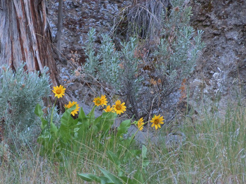
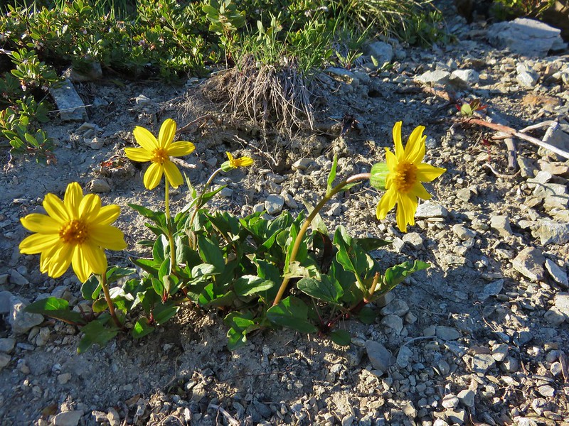
Arnica
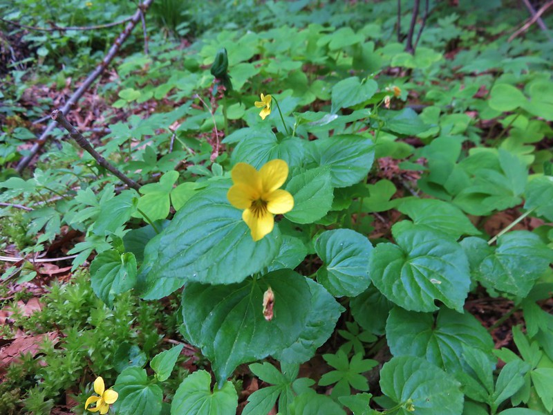
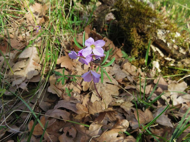
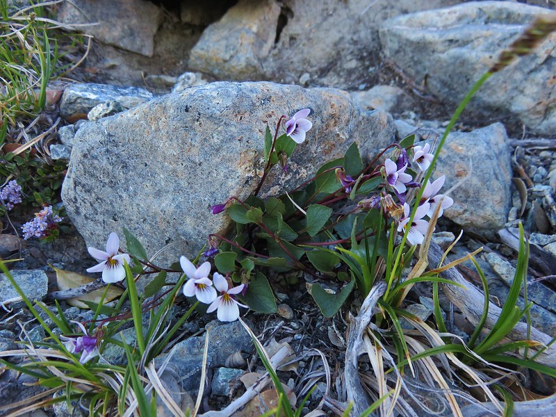
Wedgeleaf violet
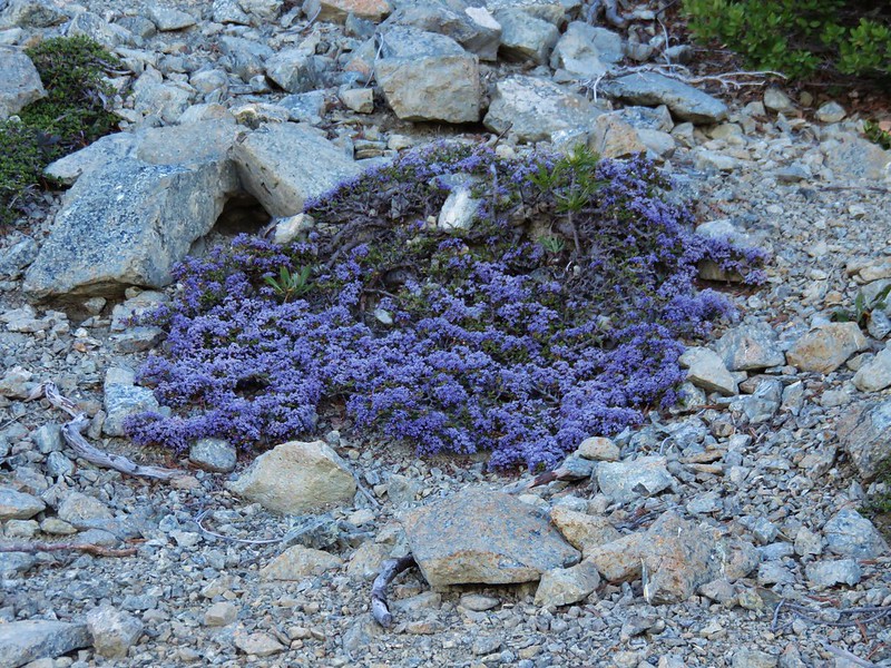
Dwarf ceanothus
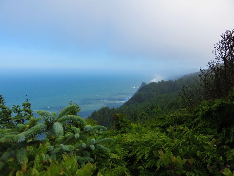
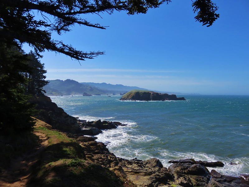
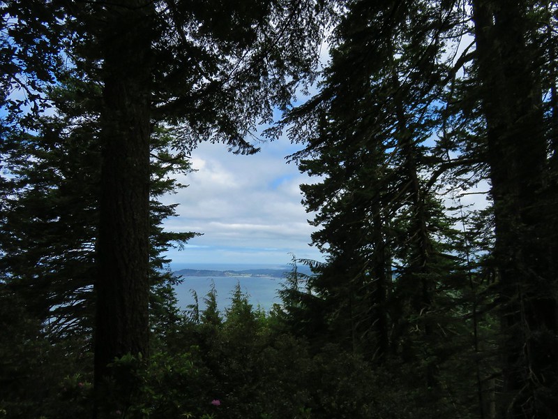
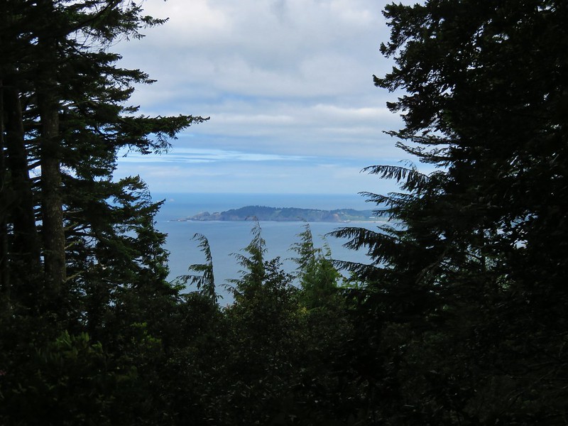
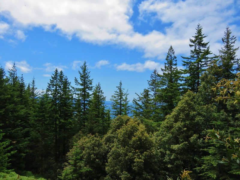
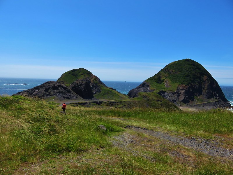
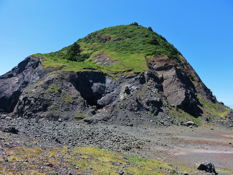
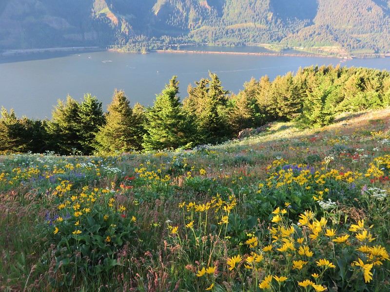
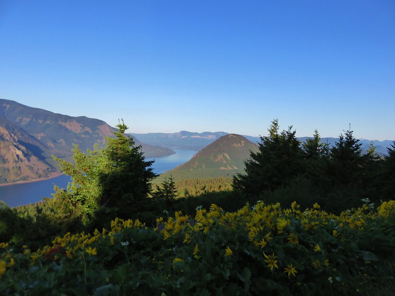
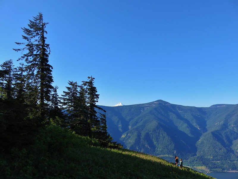
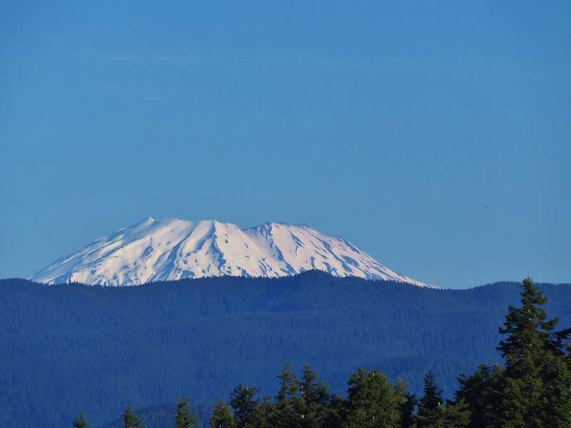
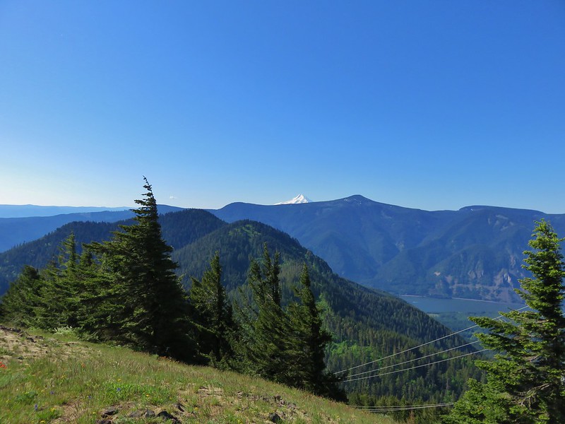
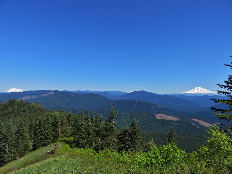
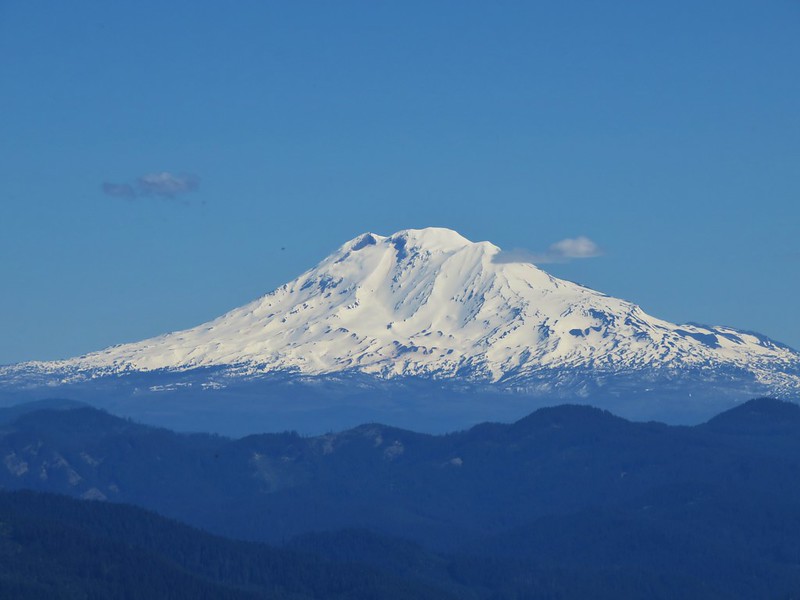
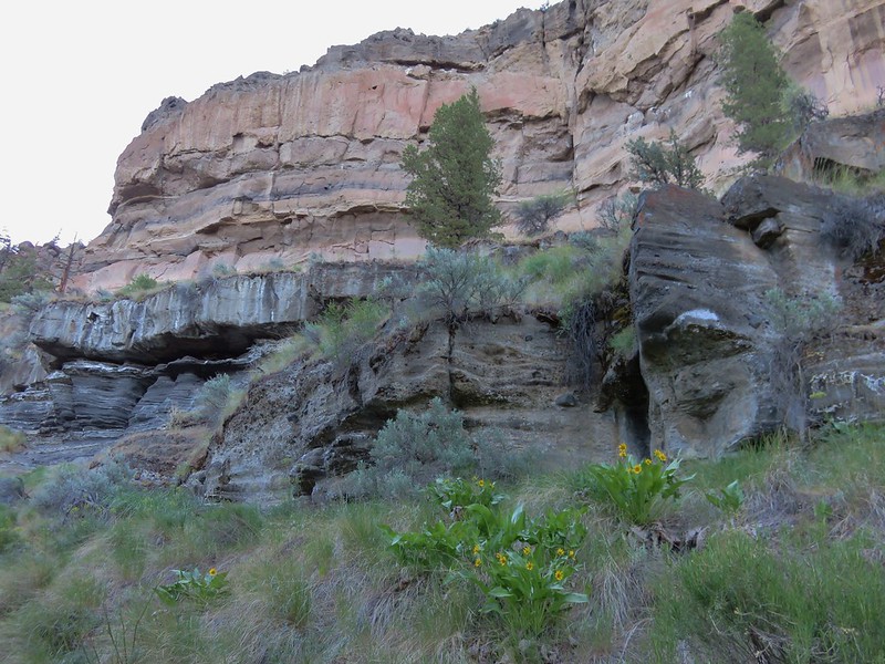
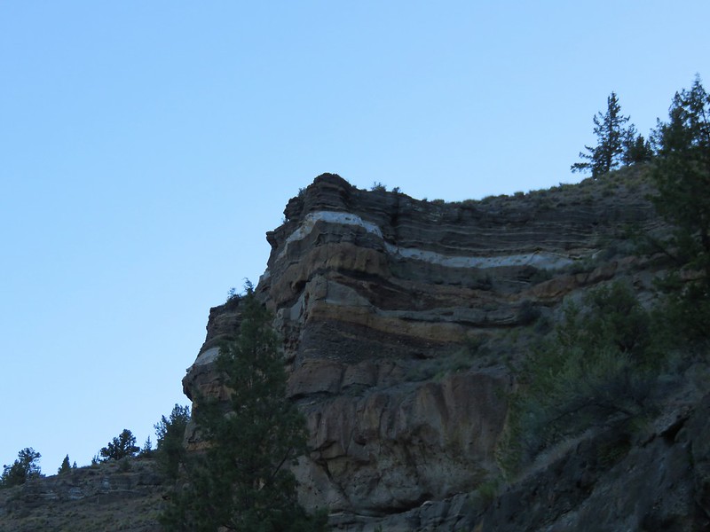
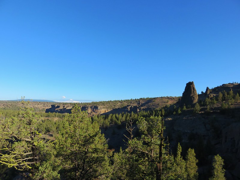
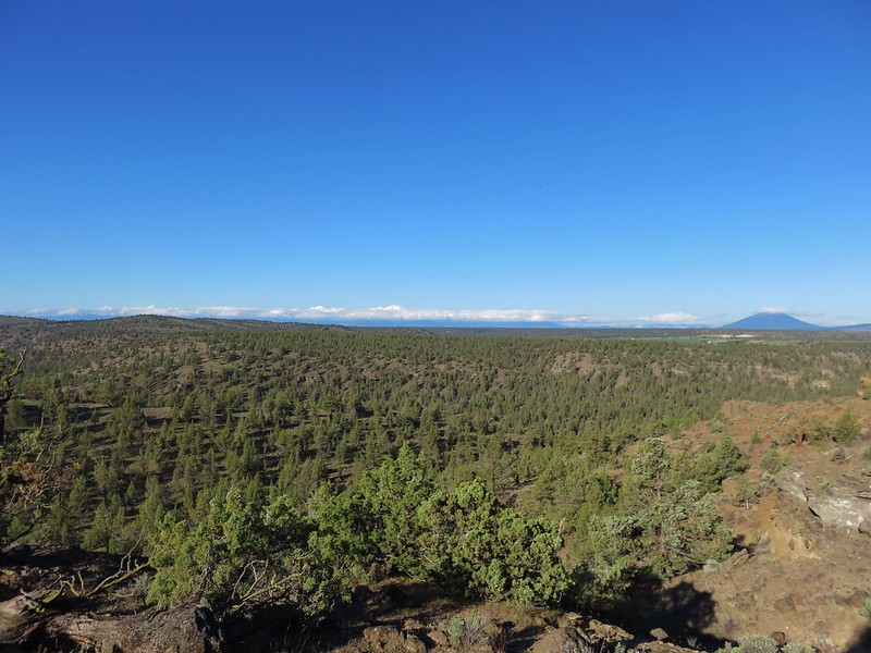
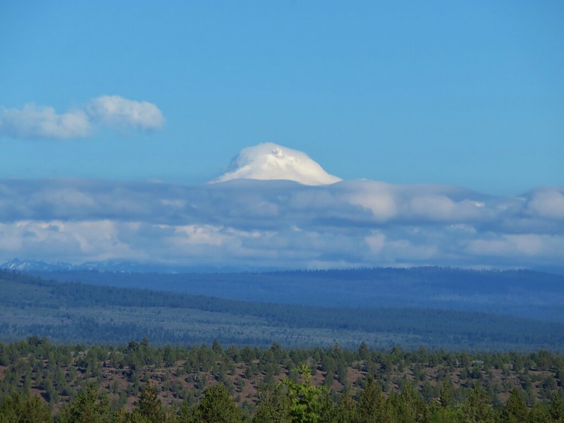
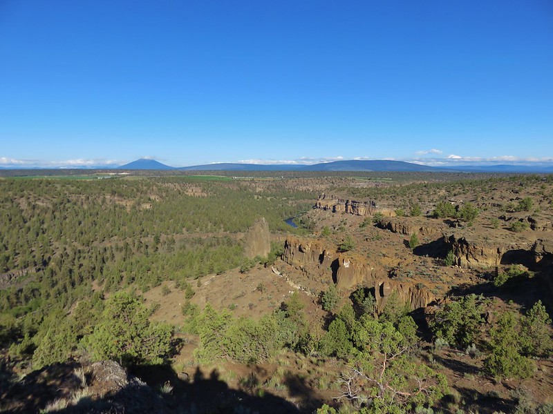
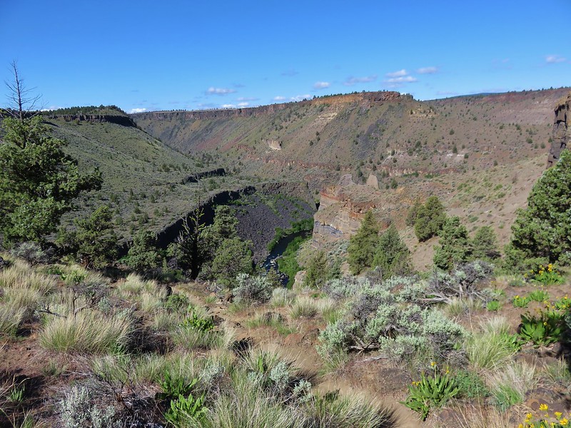
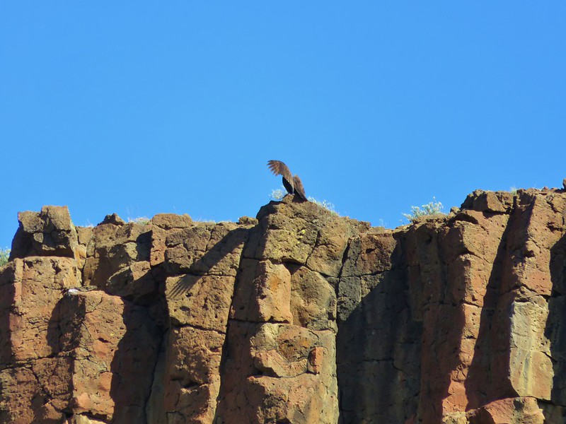
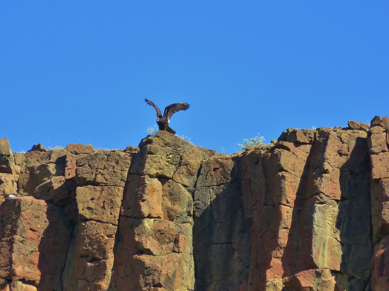
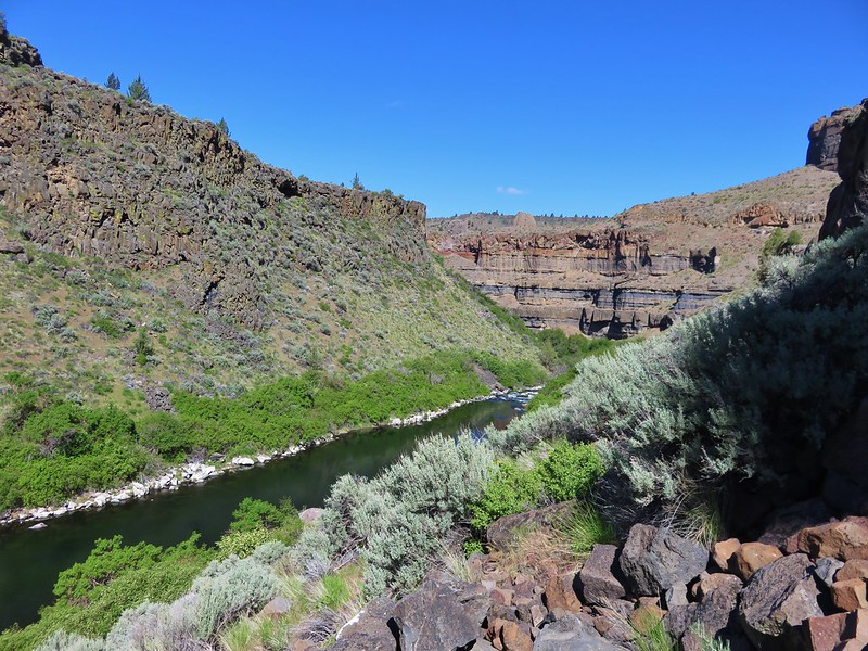
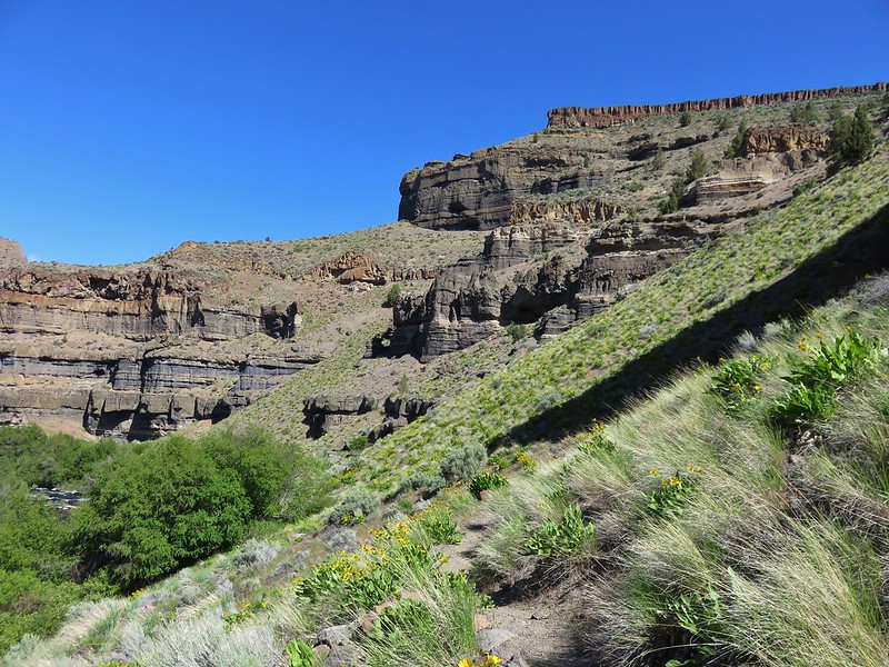
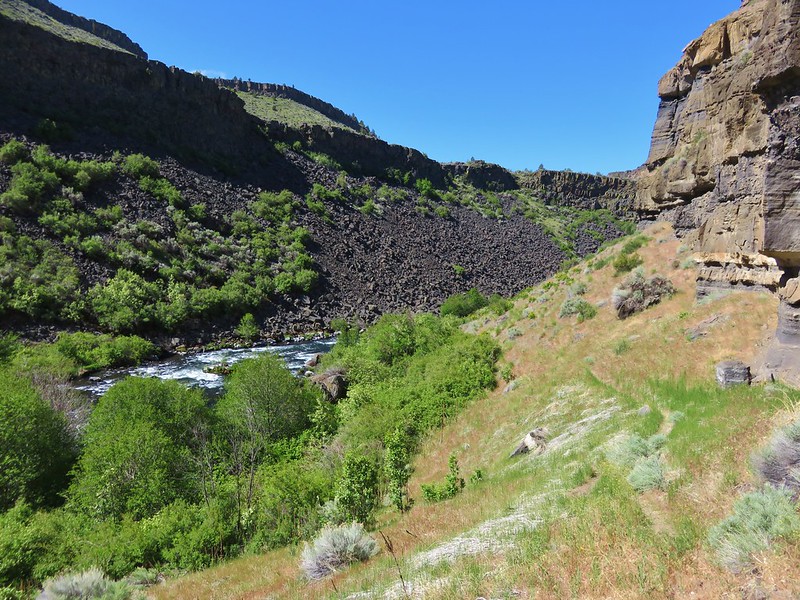
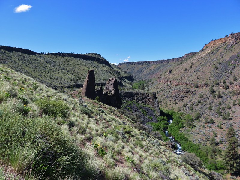
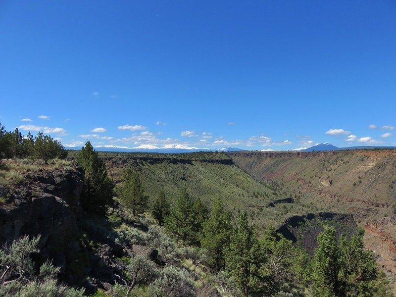
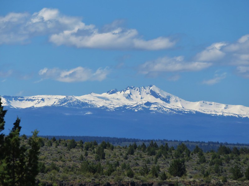
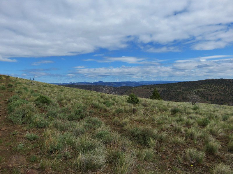
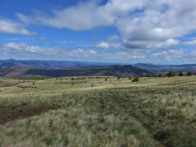
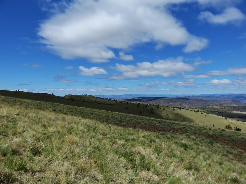
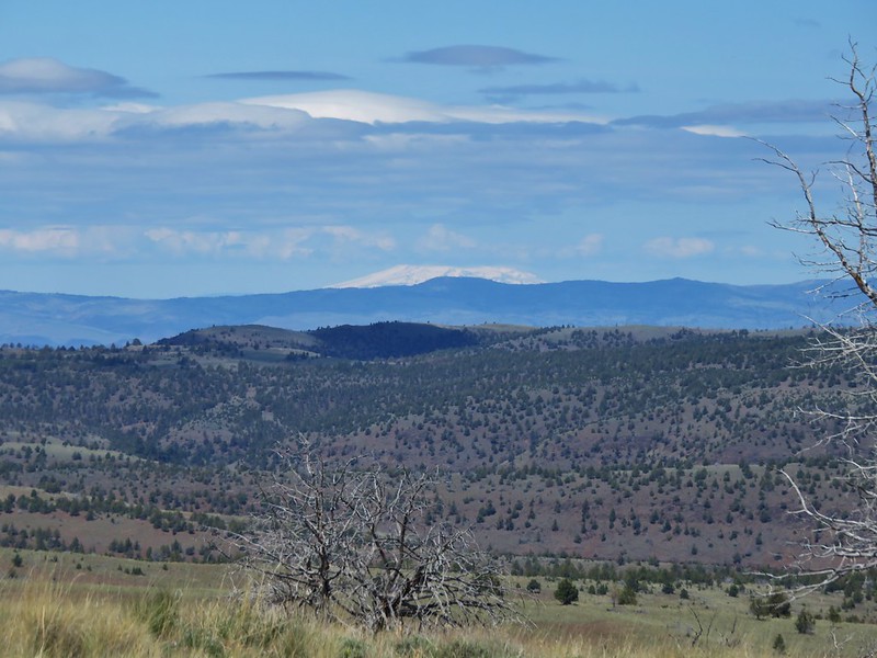
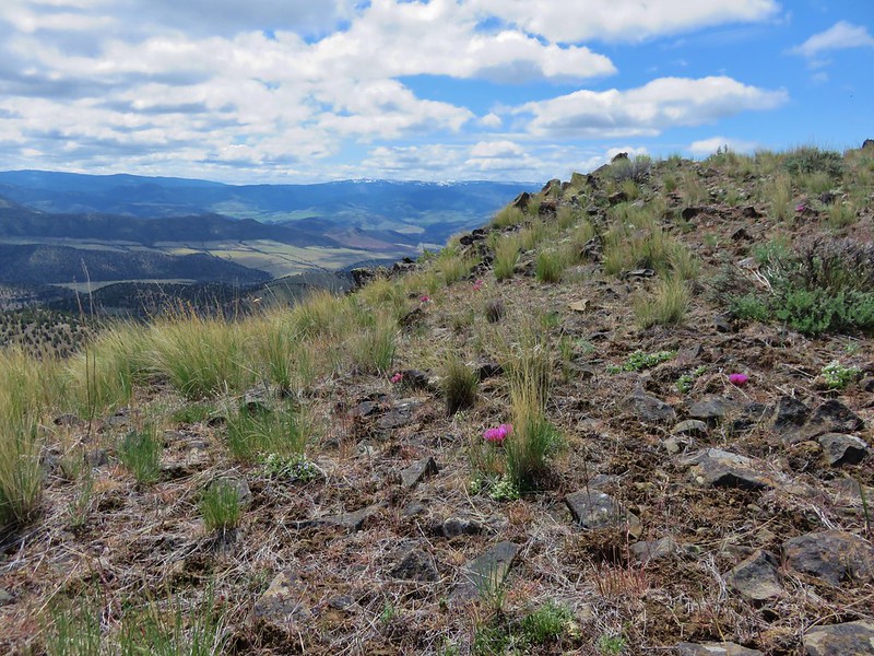
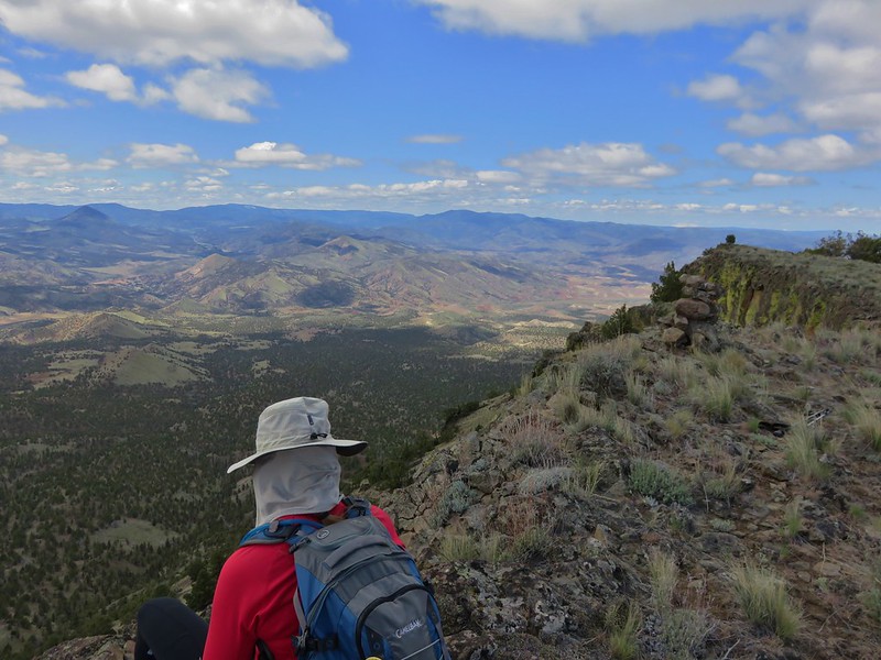
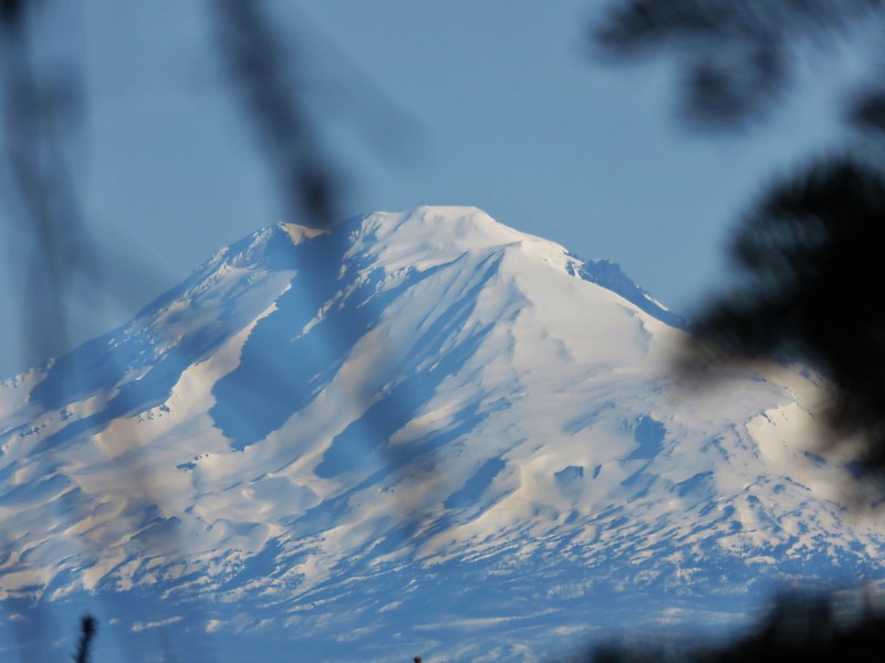
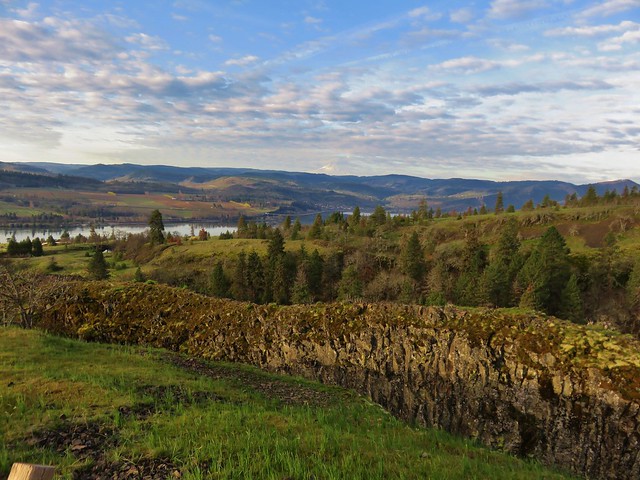
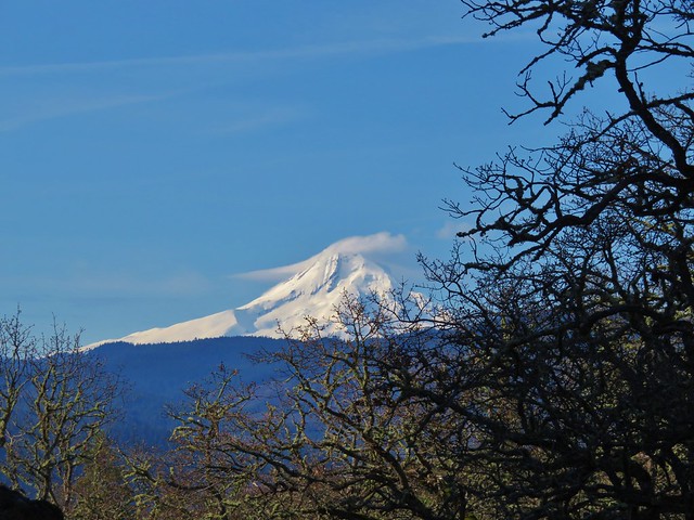
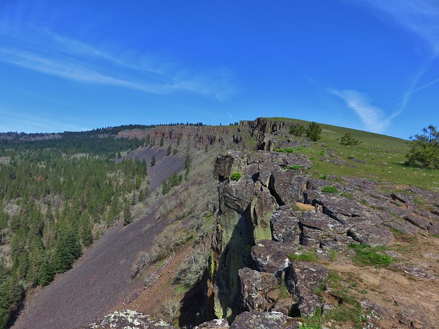
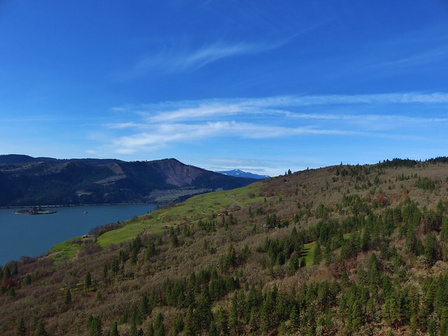
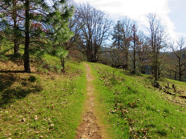
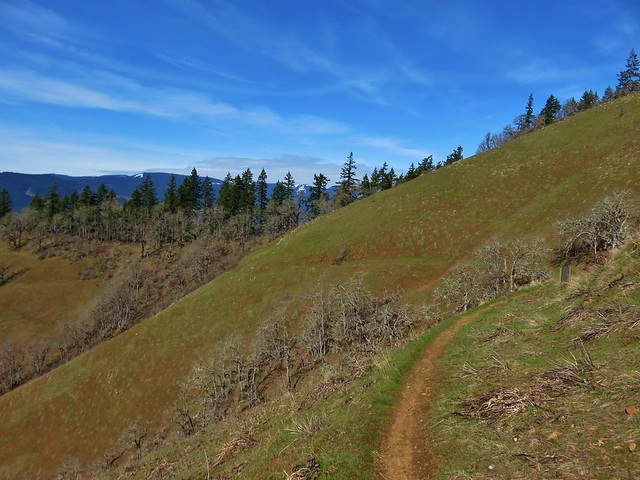
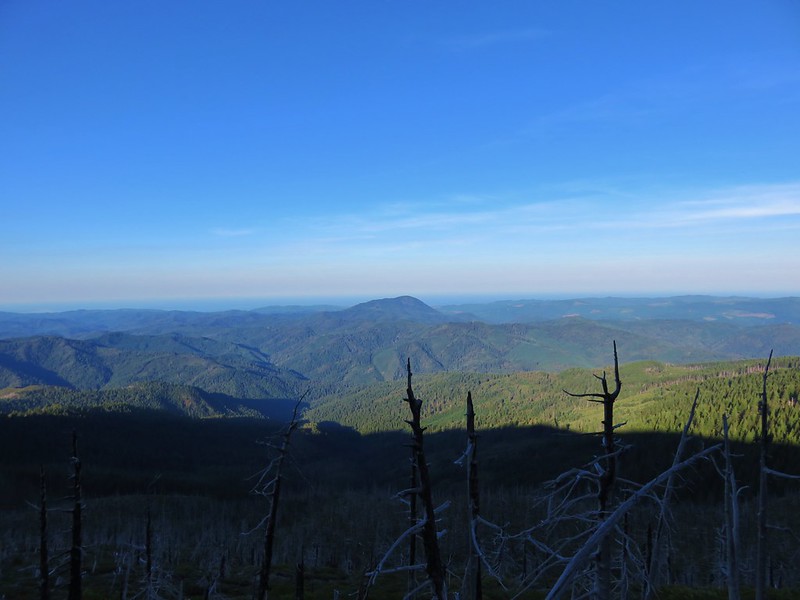
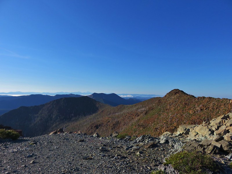
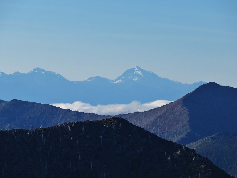
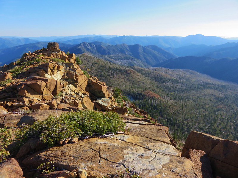
The trail wound its way up the hillsides before reaching a saddle with a nice view south to Preston Peak and the Siskiyou Mountains.
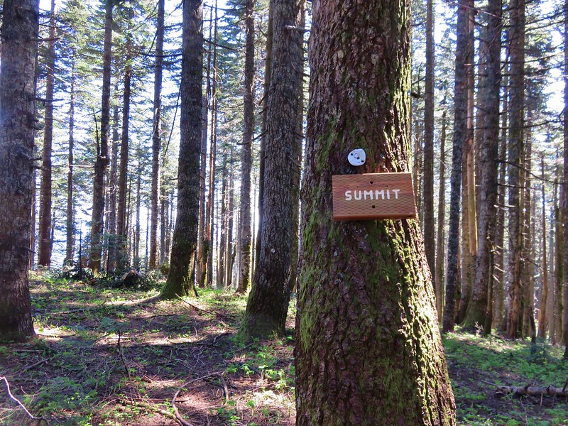
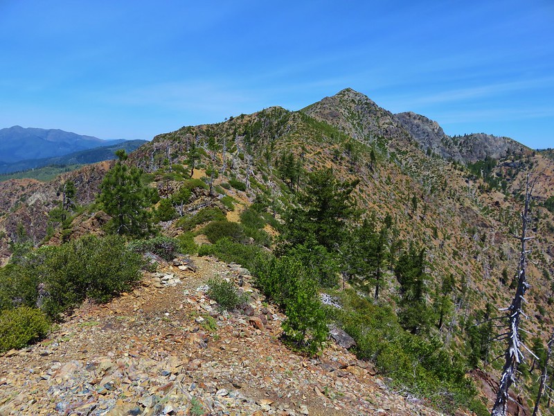
The trail then headed north to the summit of Vulcan Peak.

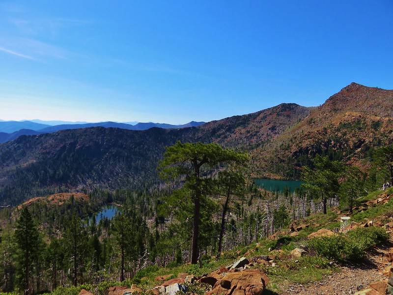
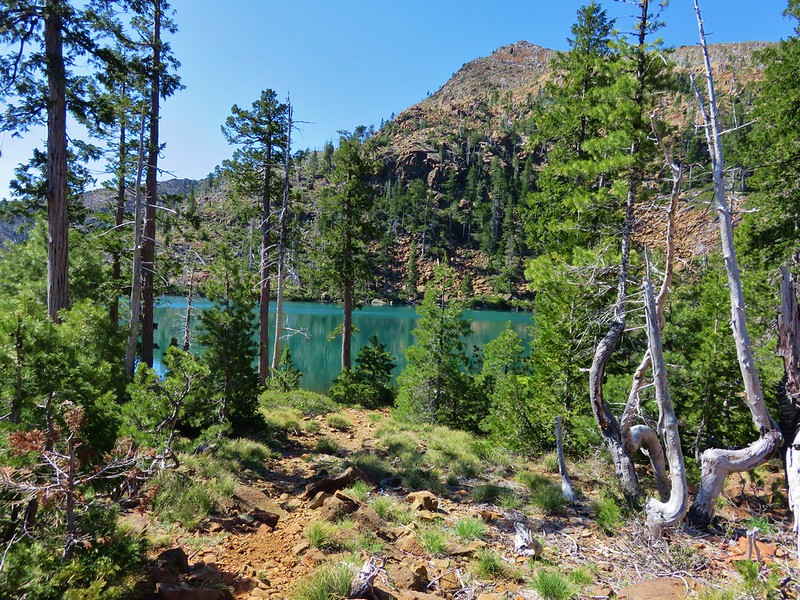
We followed the summit ridge north to a view of Little Vulcan Lake (one of our destinations on our next hike).

We declared victory there although the ridge continued on and would have eventually provided a view down to Vulcan Lake as well.
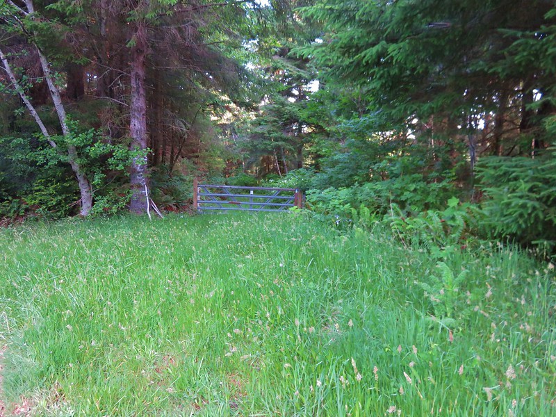
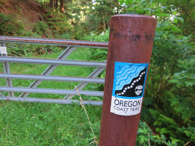
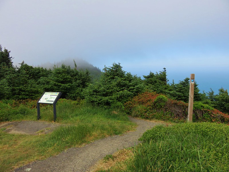
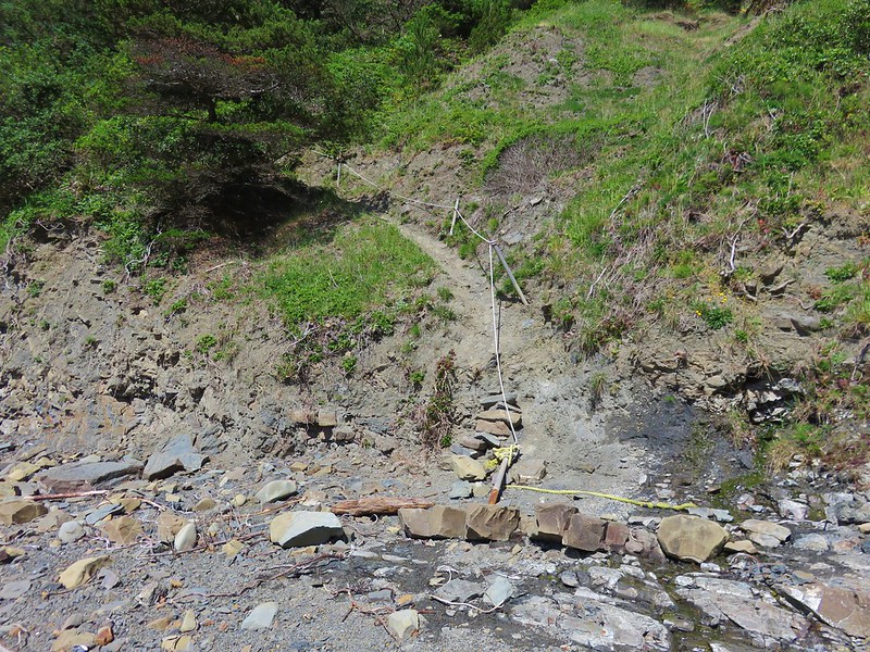
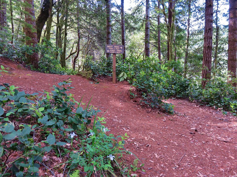
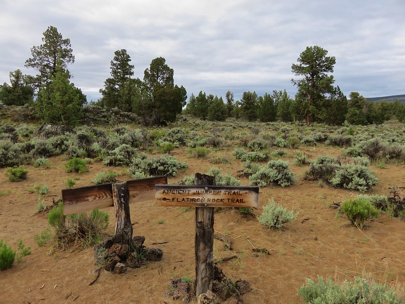
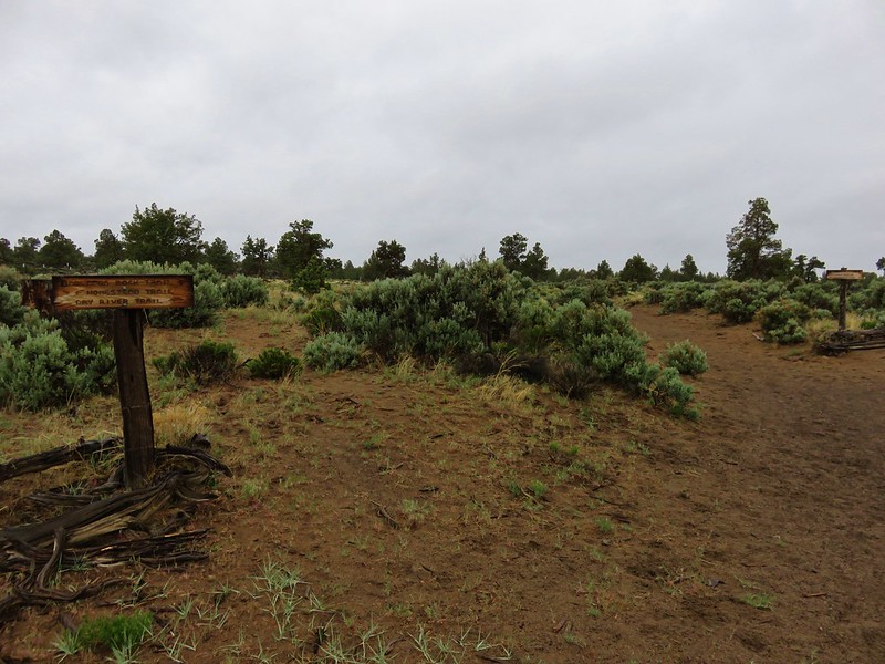
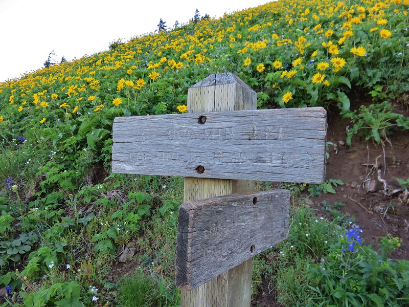
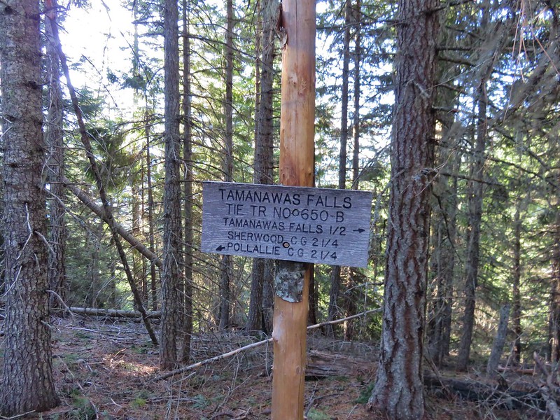
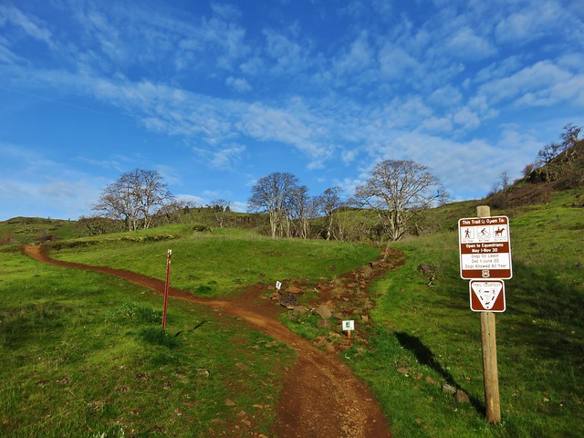
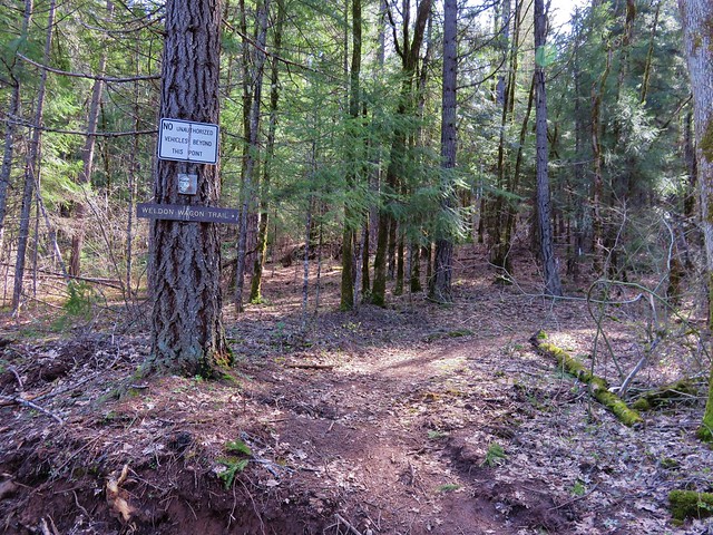
Our next trailhead was another 1.7 miles along road 1909. The final mile of this section made the first 13.3 seem like a nice country road. The trail began at a signboard where the road was blocked by some dirt mounds.
A short distance from the signboard the trail split. We took the right-hand fork uphill toward Vulcan Lake.
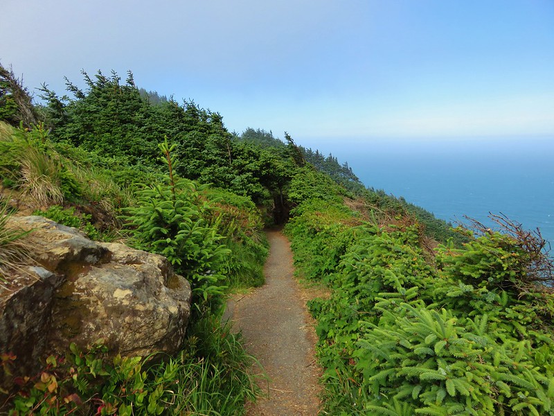
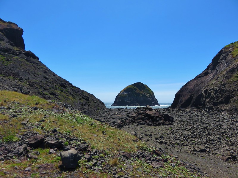
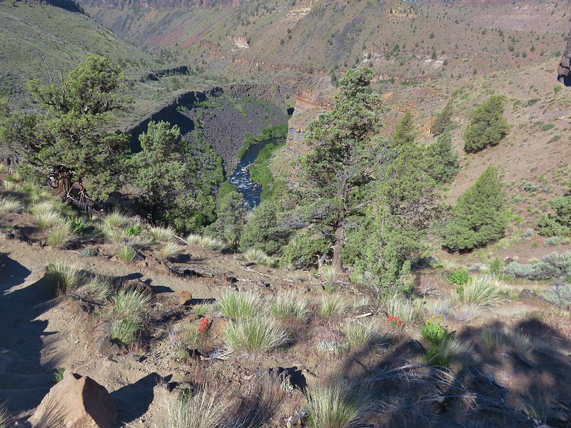
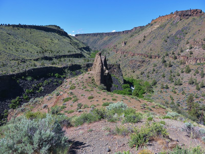
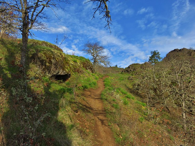
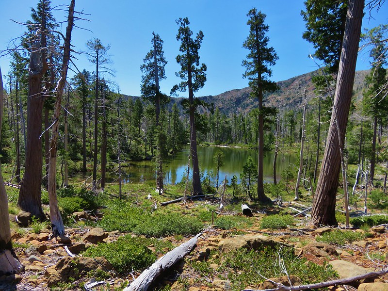
The lakes were on the other side of a ridge so we followed the trail up to a saddle with a view of both lakes and Vulcan Peak.
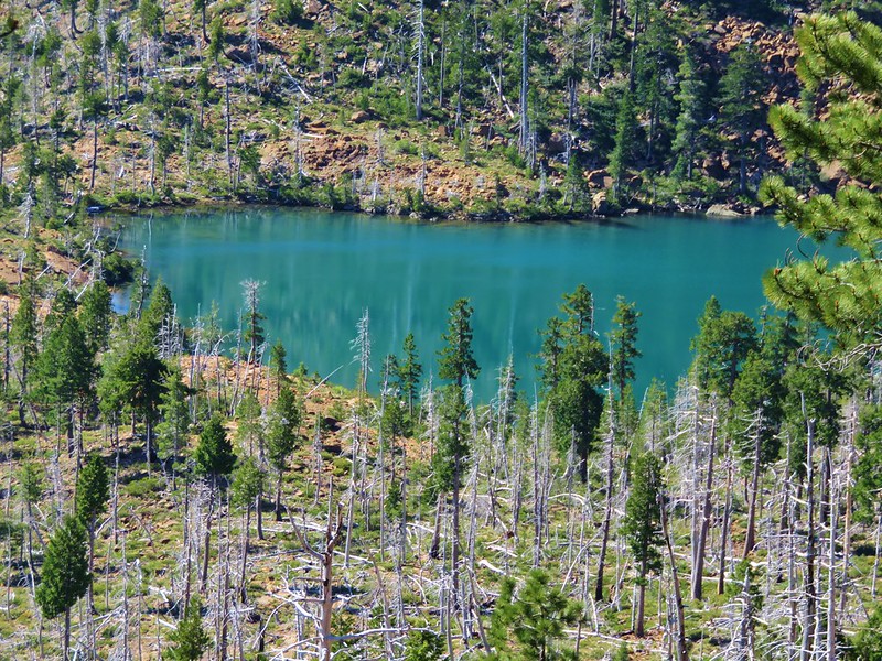
Vulcan Lake
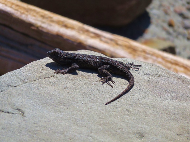
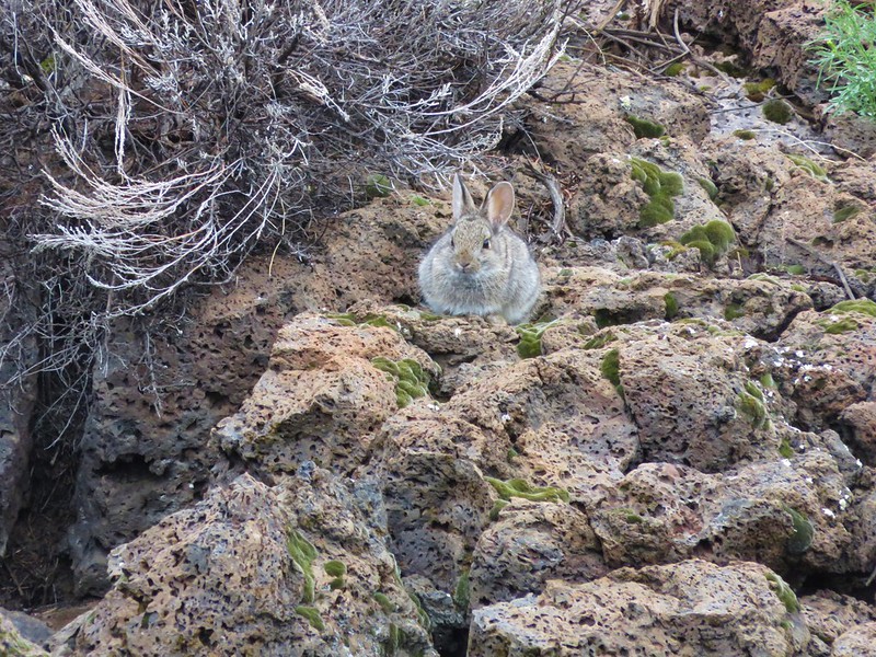
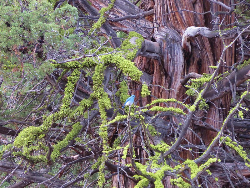
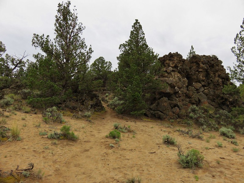
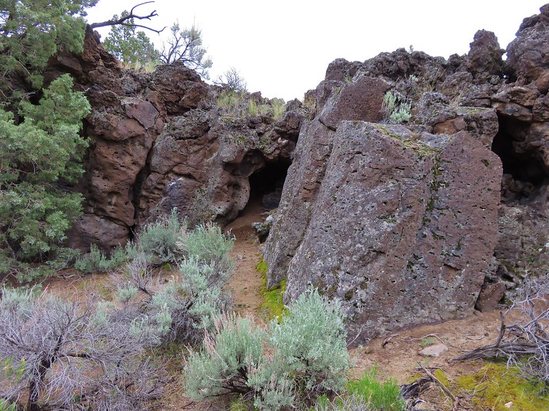
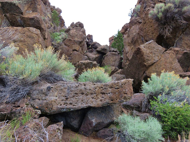
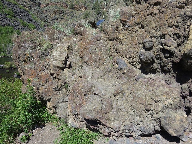
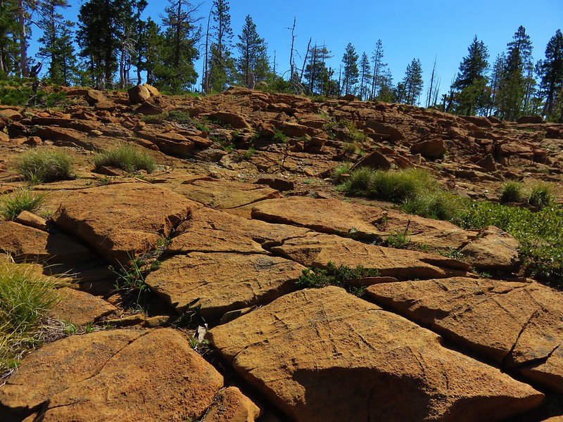
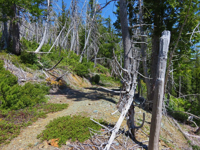
Between the rocky terrain and the 2002 fire the trail grew fainter as we neared the lakes. Rock cairns helped mark the way though.
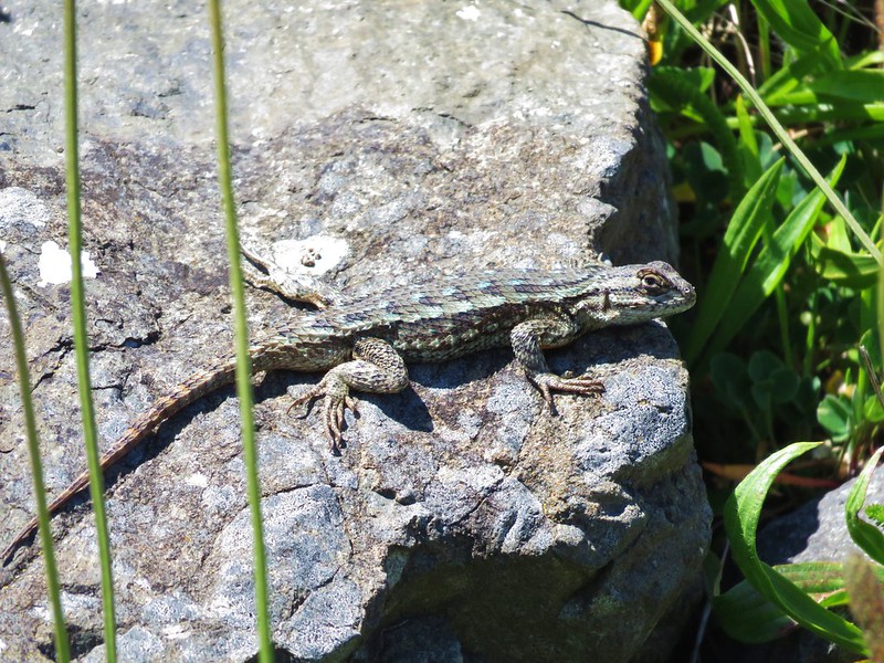
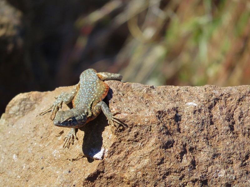
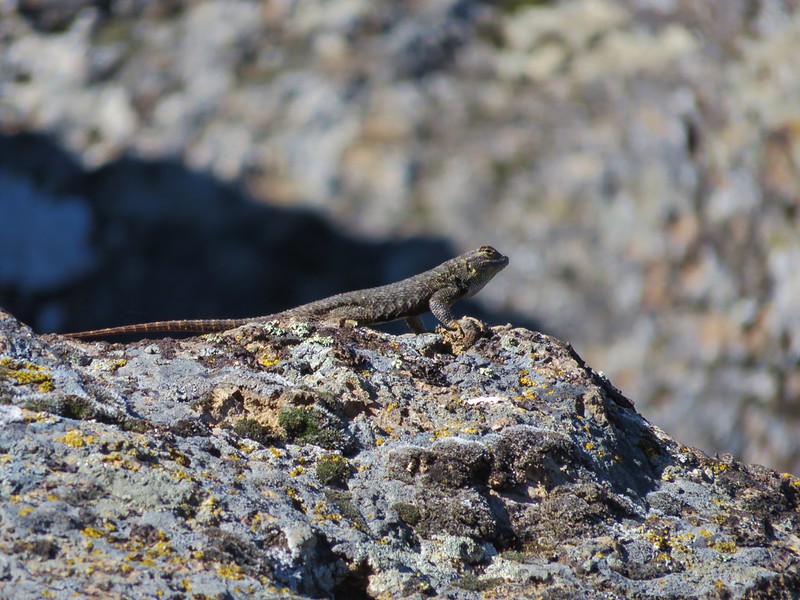
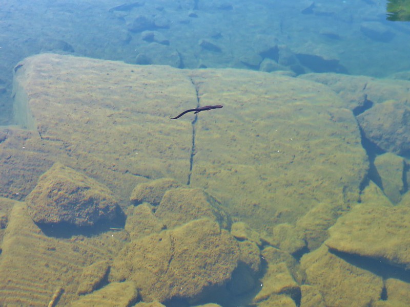
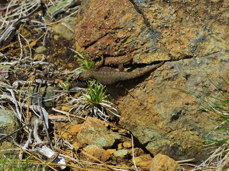
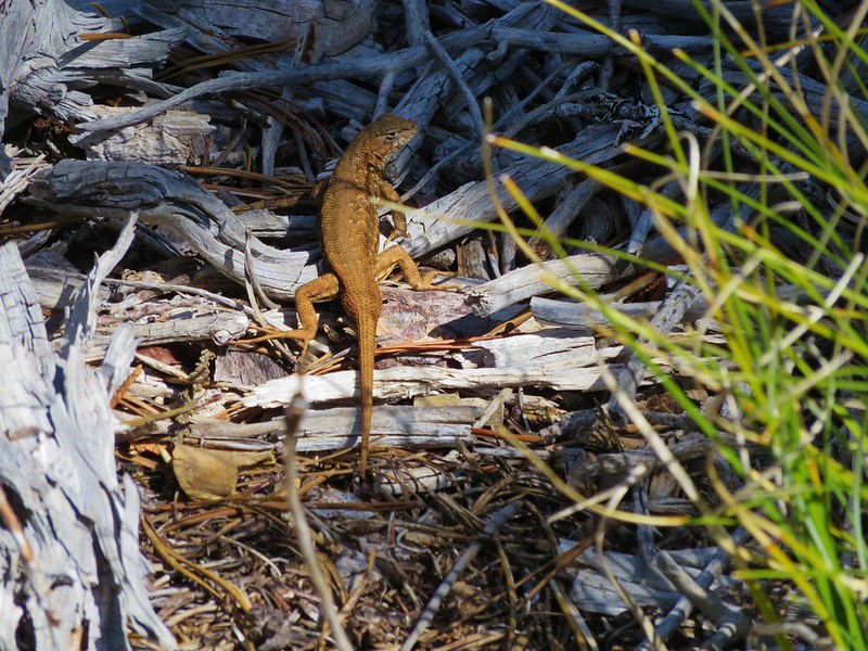
Vulcan Lake quickly ranked as one of our favorites. The colors of the water and surrounding rocks were amazing and lizards scurried along the shore while newts swam by in lake.
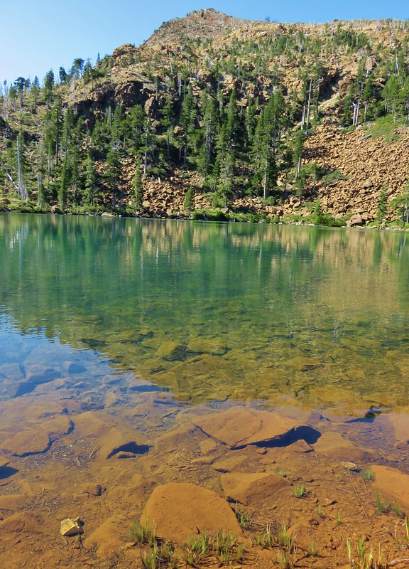
The water was cool but not cold and we sat on the rocky bank soaking in the scenery. We could have easily spent hours or even days there but we had other places to visit so we eventually pulled ourselves away and continued to Little Vulcan Lake.
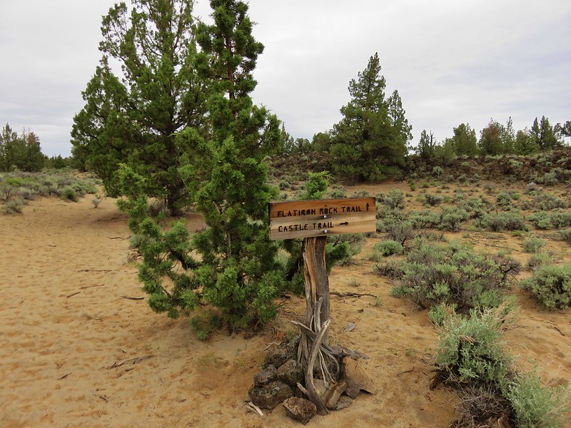
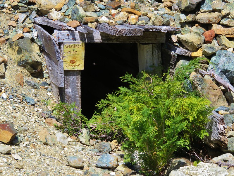
To reach Little Vulcan Lake we located a trail sign for the Gardner Mine Loop near where we had left the main trail to go down to Vulcan Lake.

From there we could see another trail sign for the Trail 1110B.

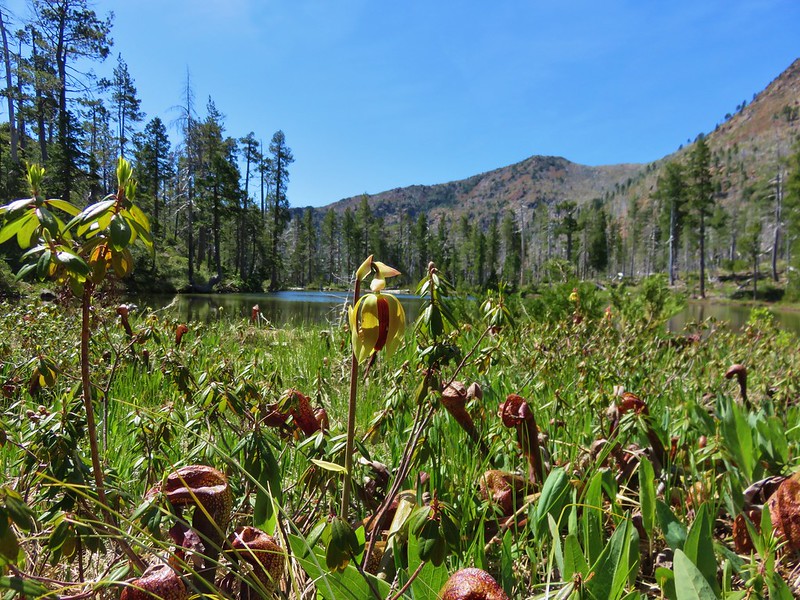
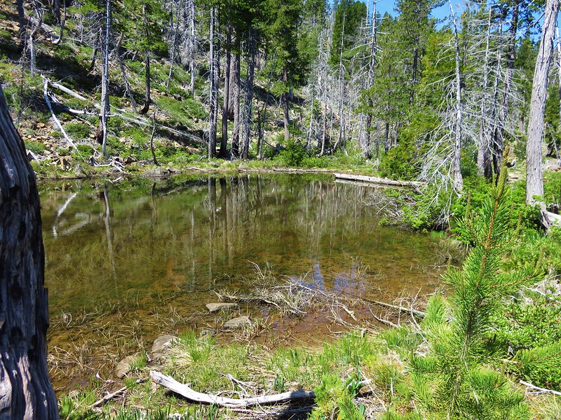
Two tenths of a mile following more cairns and faint tread brought us to Little Vulcan Lake. As close as these two lakes were to one another they couldn’t have been much different.
Instead of red rock surrounding the water here we found Darlingtonia californica. Insect eating pitcher plants.
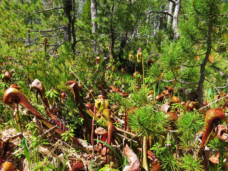

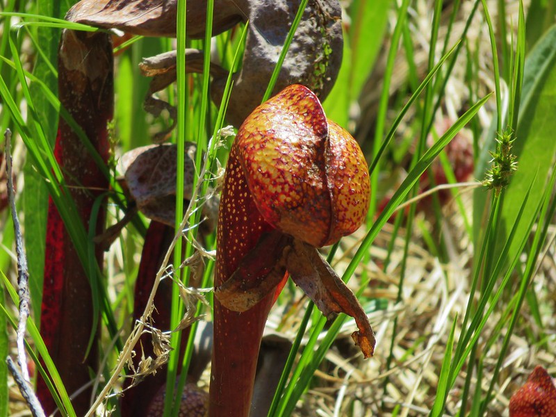
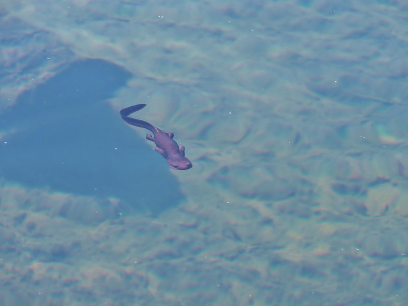
This was our first time seeing the pitcher plants and we found them to be really interesting. In addition to the pitcher plants there were a number of newts in the lake.
Six newts in Little Vulcan Lake.
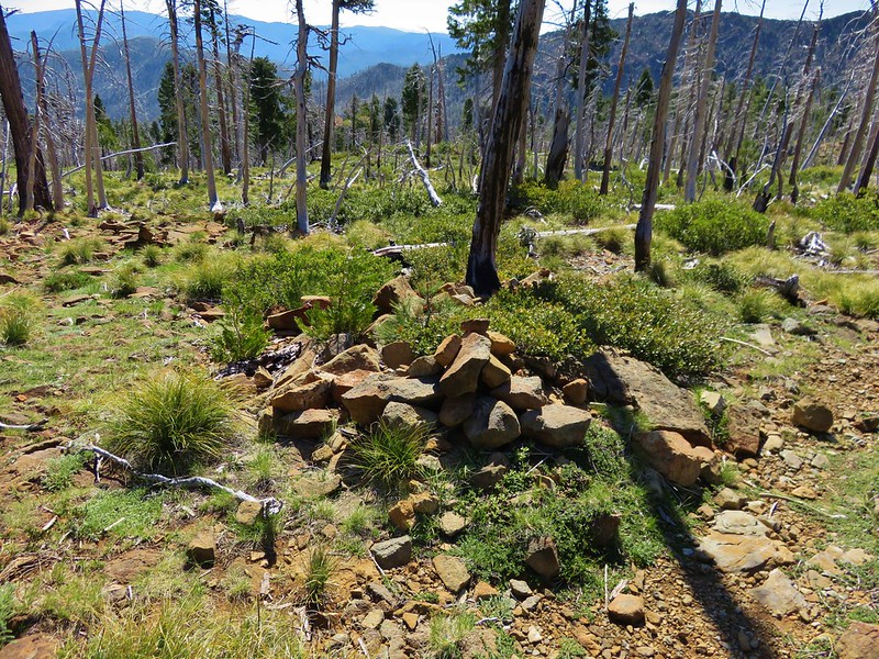
From Little Vulcan Lake we returned to the Gardner Mine Loop trail and followed it as well as we could. Between cairns and our GPS we managed to stay mostly on course despite almost no sign of the actual trail tread.
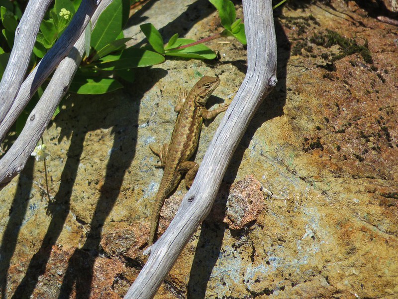
We followed the cairns for .6 miles being eyed by lizards the whole time.
After the .6 miles of cairns we arrived at Sorvaag Bog.
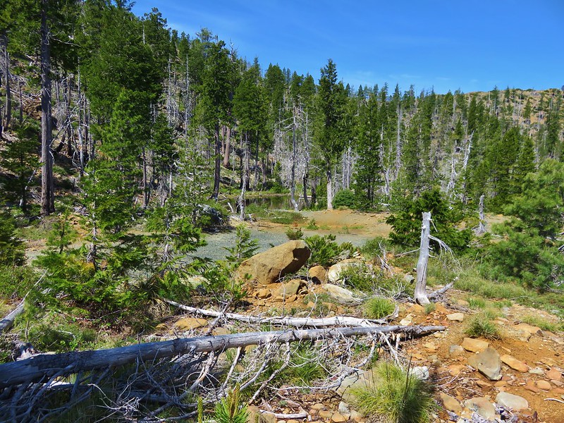
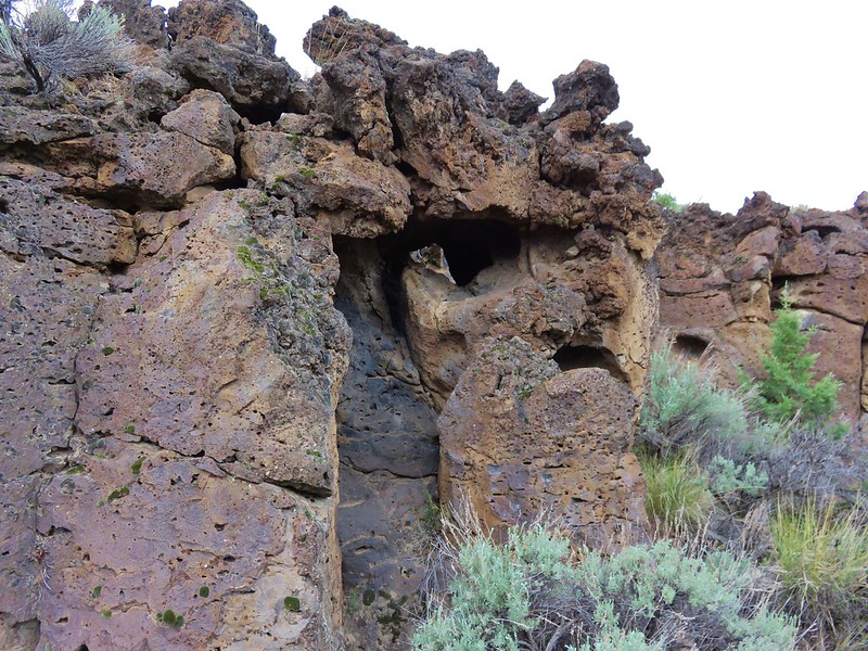
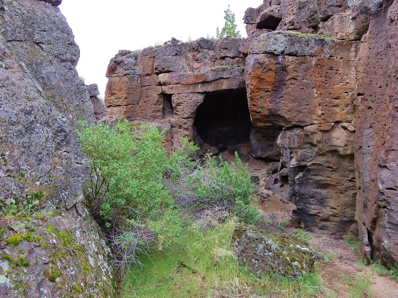
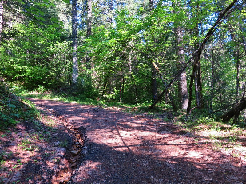
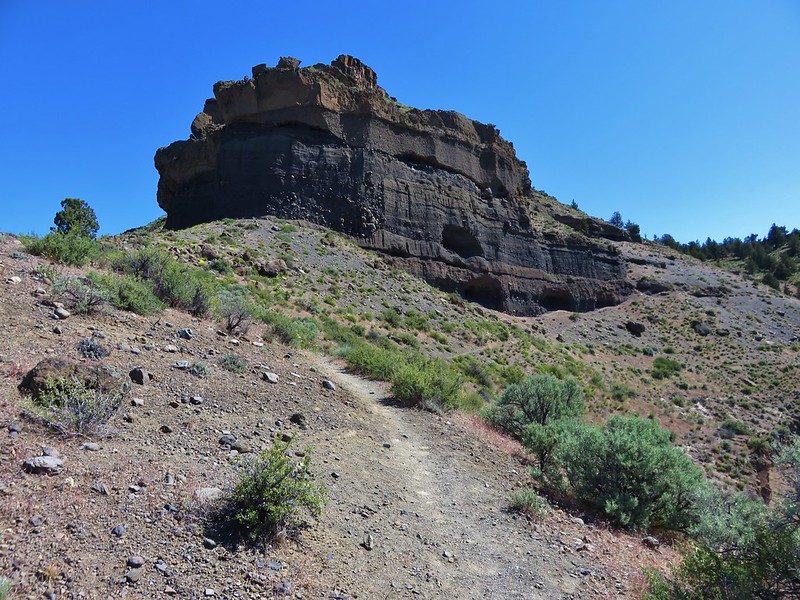
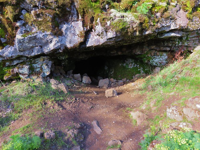
From the bog the trail followed an old roadbed making it easier to follow. We passed the entrance to the Gardner Mine before reaching a junction in a saddle with the Johnson Butte Trail.

This junction was just .8 miles from where the trail had split and we’d taken the right-hand fork to Vulcan Lake. Before heading back though we had one final lake to visit and some rare flowers to look for so we turned right and headed deeper into the wilderness.
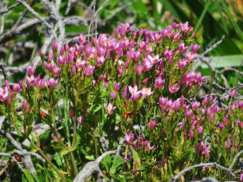
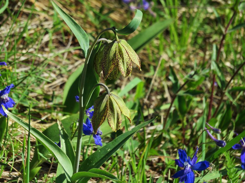
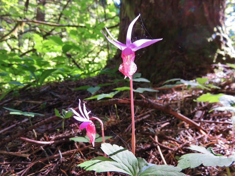
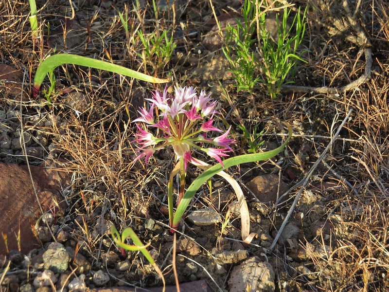
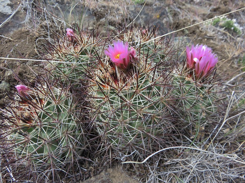
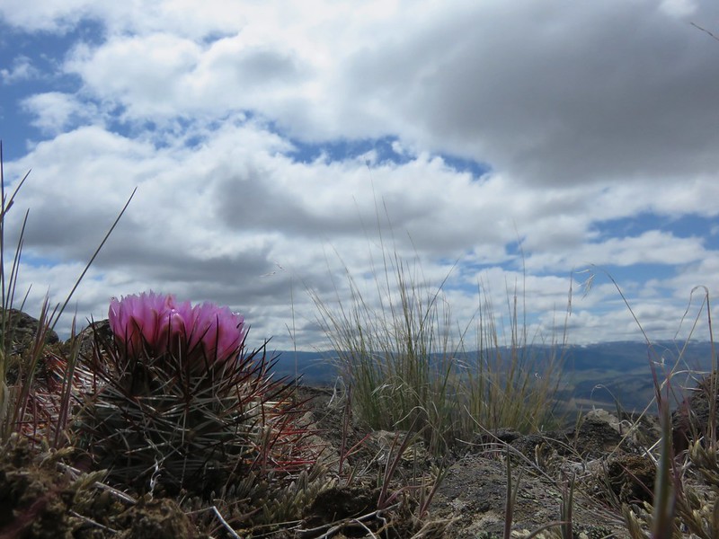
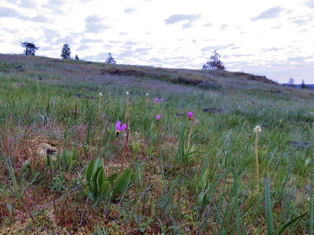
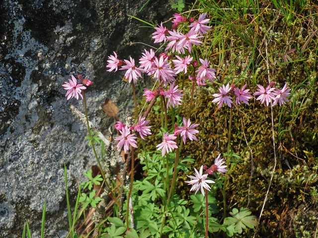
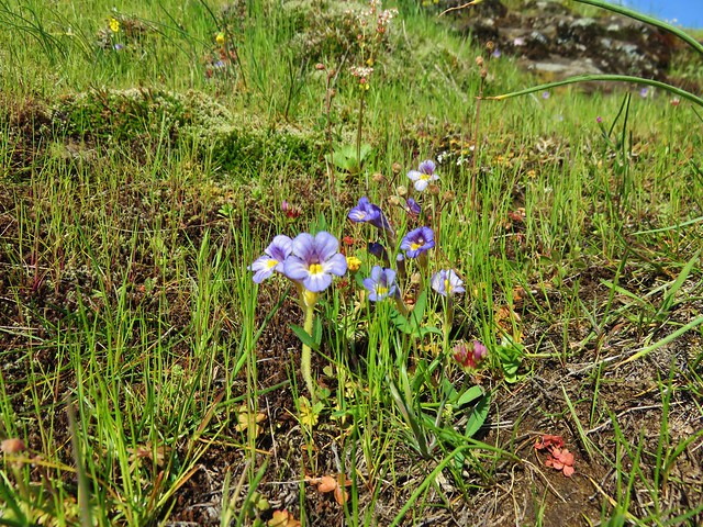
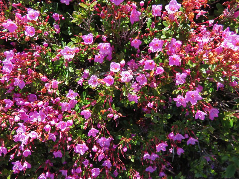
We were hoping to see some kalmiopsis leachiana in bloom. This rare flowering plant is found only in a few areas in the Kalmiopsis Wilderness. We knew that there were some along the Johnson Butte Trail so we were keeping an eye out only we weren’t entirely certain what they looked like. For some reason we hadn’t looked at any pictures online beforehand so the only information we had was the general areas we might spot them in and a belief that they were pink.
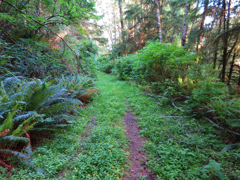
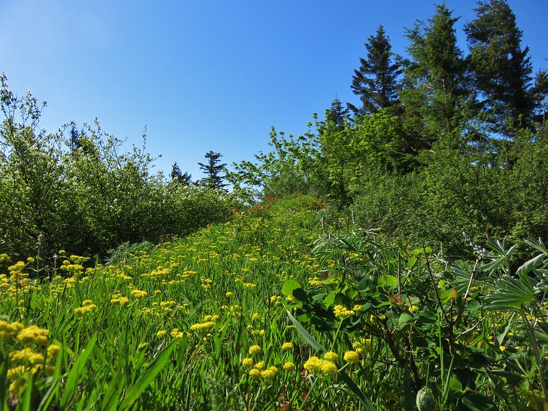
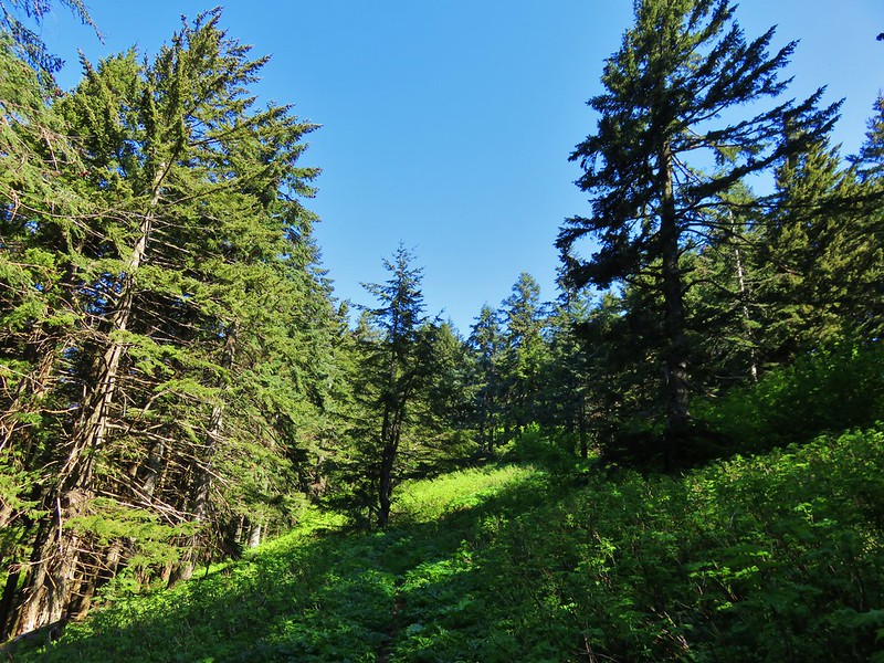
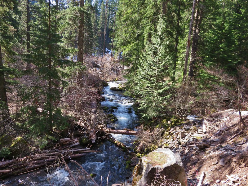
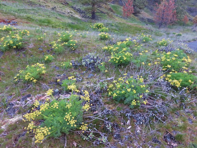
The Johnson Butte Trail followed another old road for 2.6 miles then turned to a simple trail. The whole time the trail alternated between ridges and hillsides often switching between the east and west facing sides at saddles.
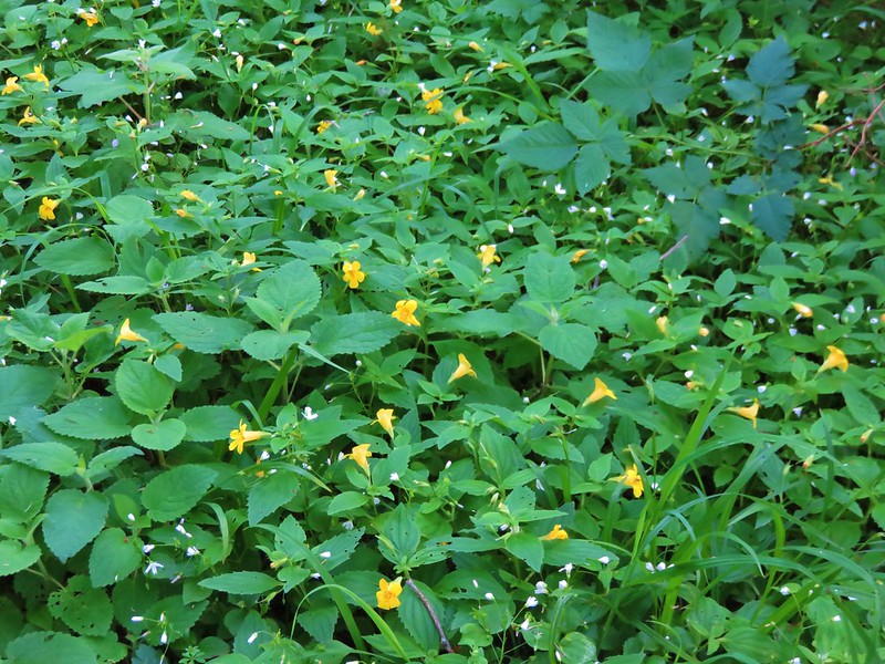
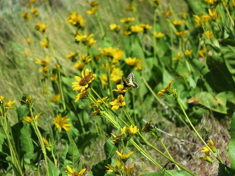
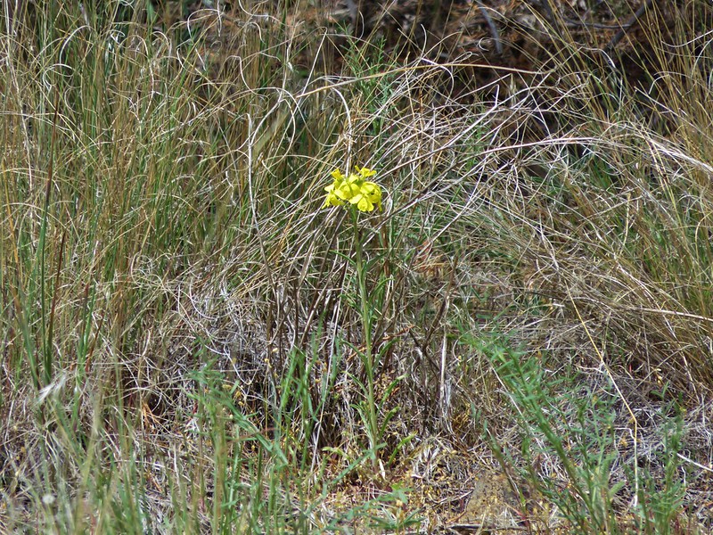
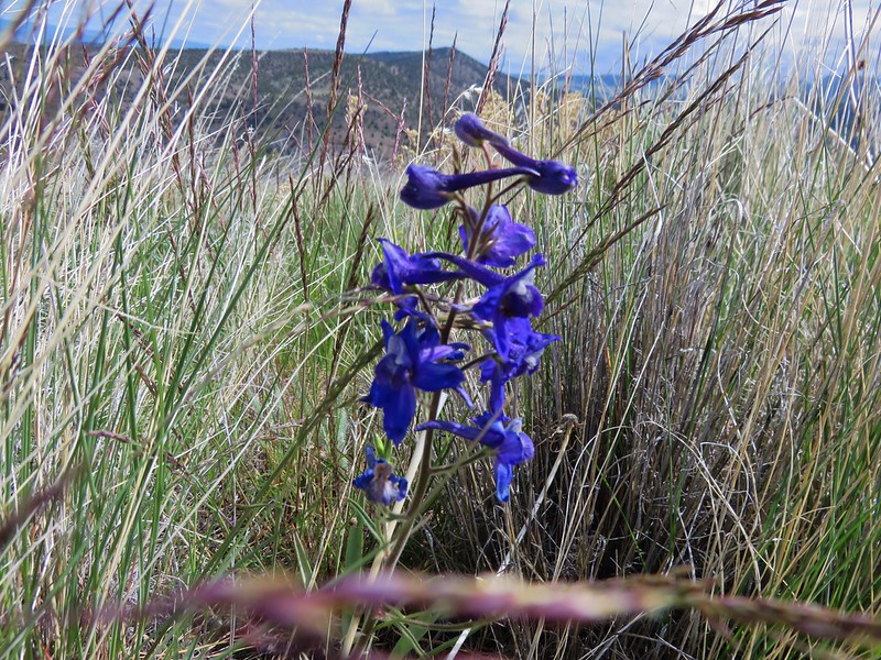
There were plenty of flowers along the way including a surprise appearance of a single beargrass blooming.
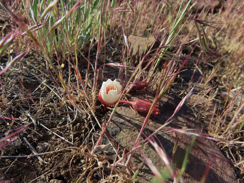
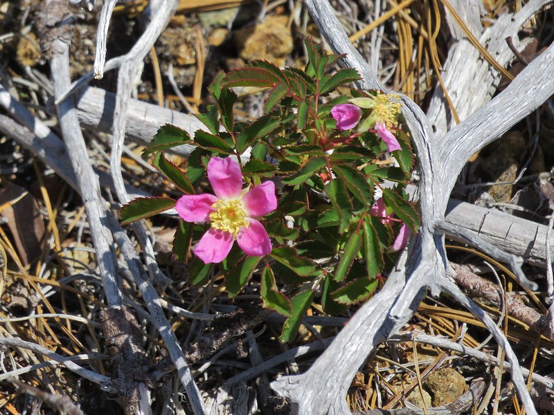
Wild Rose
Wild iris
 //embedr.flickr.com/assets/client-code.js
Narrowleaf blue eyed mary
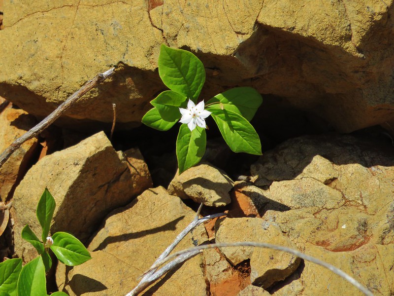
Starflower
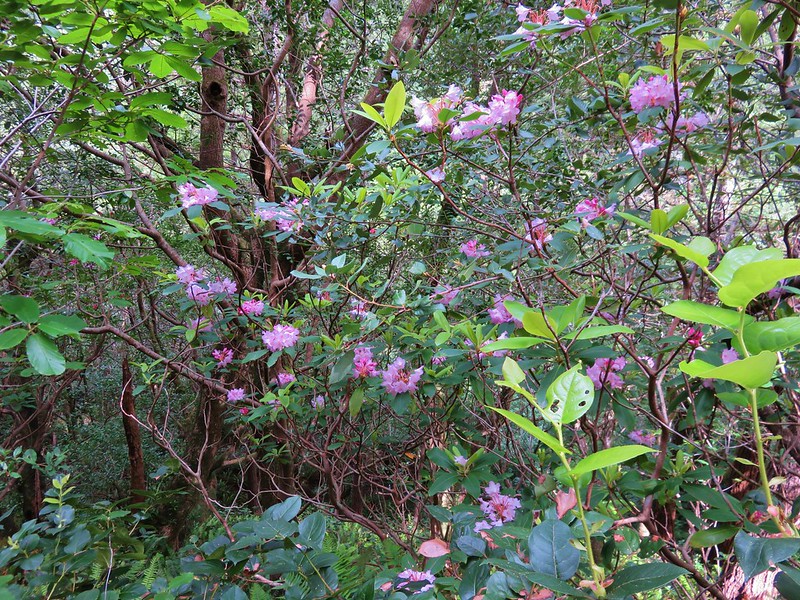
Rhododendron

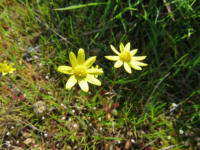
Tolmie’s mariposa lily
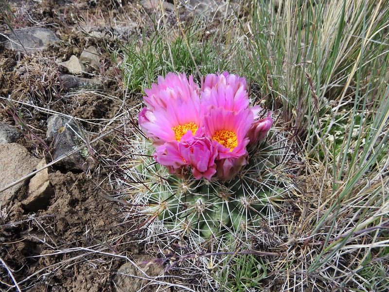
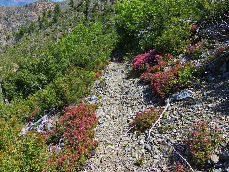
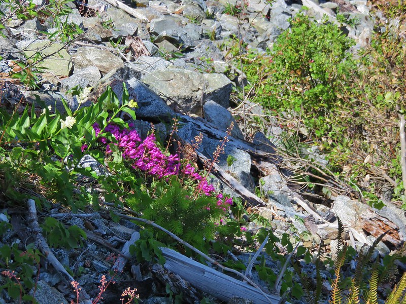
We began seeing some pink flowers that we at first mistook for mountain heather, but after looking at them closer we realized they were something different. We eventually convinced ourselves that these must be the kalmiopsis leachiana which was confirmed later when we double checked online.
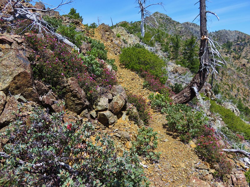
The best patches were found after the trail made a sharp right turn at a ridge end below Dry Butte.
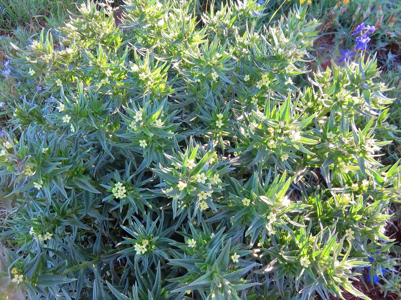
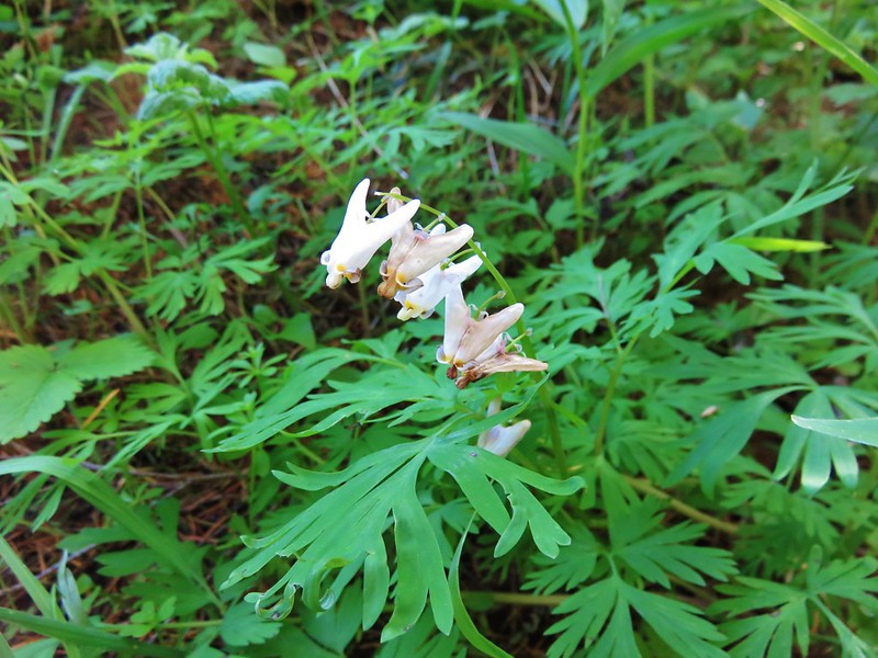
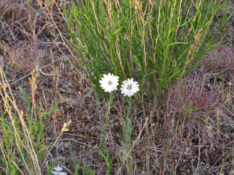
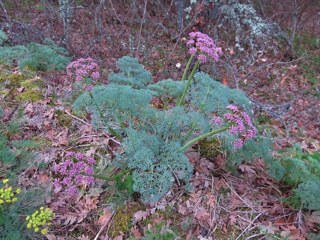
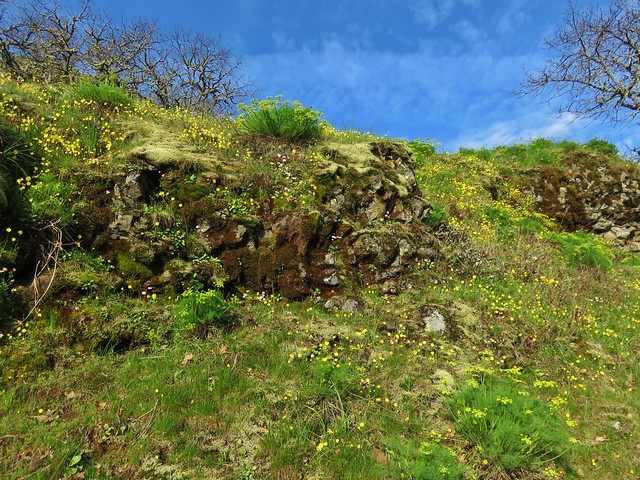
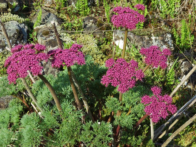
A few other flowers we had not been seeing were found below Dry Butte.
Bleeding heart
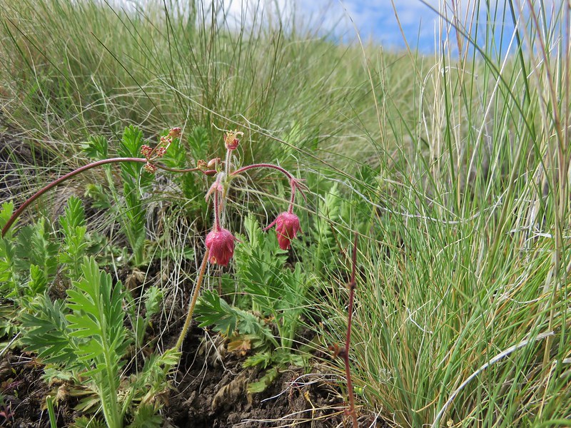
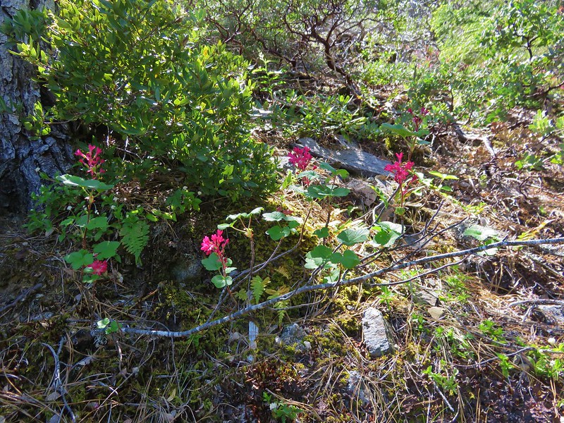
Red flowering currant
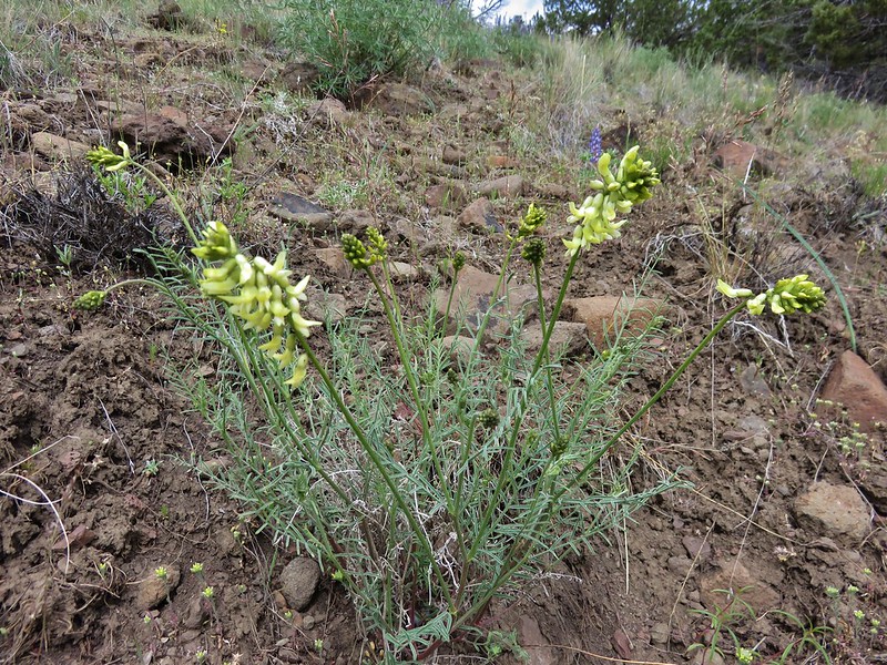
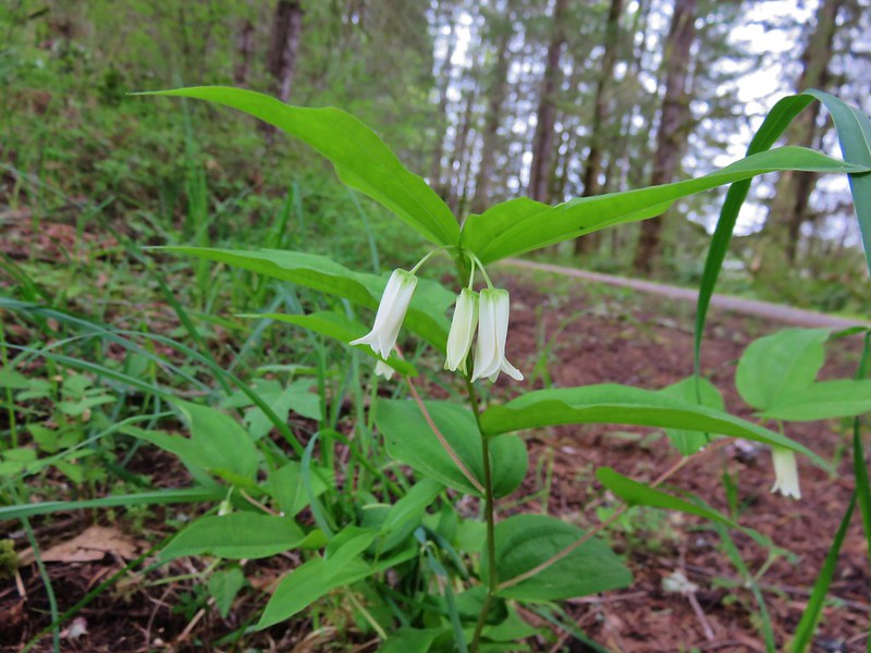
Penstemon and solomonseal
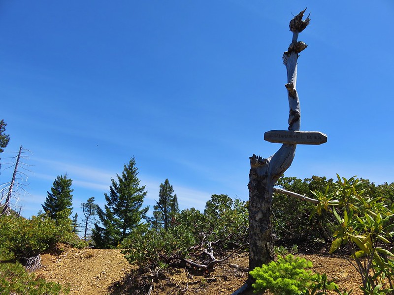
A little over three miles from the saddle where we had set off on the Johnson Butte Trail we found a sign for the Salamander Lake Trail.
There was a campsite just below the ridge but the lake was further downhill hidden by brush and trees. The trail disappeared in the same brush and trees at the campsite and we momentarily considered not picking our way down to the lake, but that had been our planned turnaround point so down we went. We fought our way steeply down through the brush and blowdown to find the little lily pad filled Salamander Lake.


After the Vulcan Lakes this one was a bit of a letdown but we found some shade along the bank and took a short break that was interrupted by a few mosquitoes. We climbed back up to the Johnson Butte Trail and returned the way we’d come. At the saddle junction we kept straight following the trail along the old roadbed the .8 miles back to where we’d split off earlier and then completed the short walk to the trailhead.
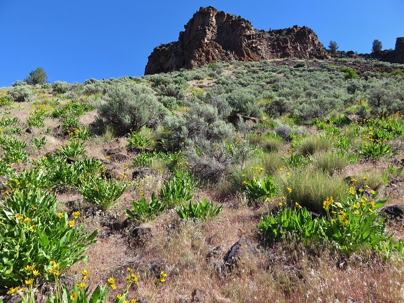
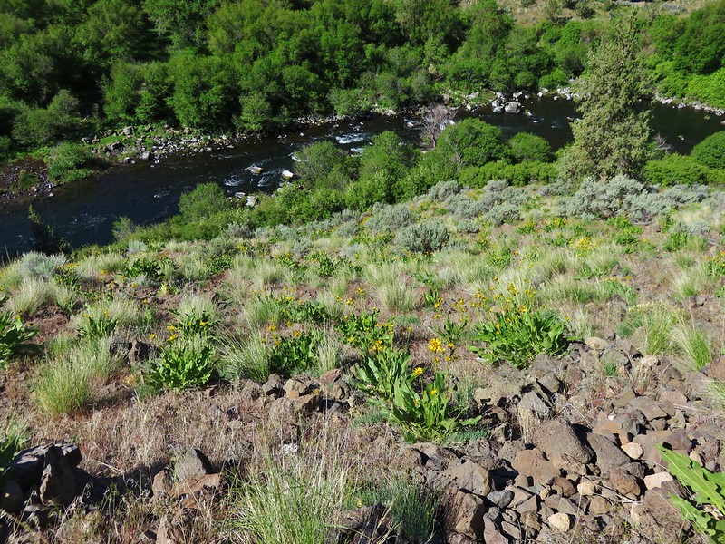
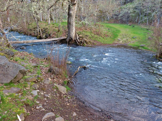
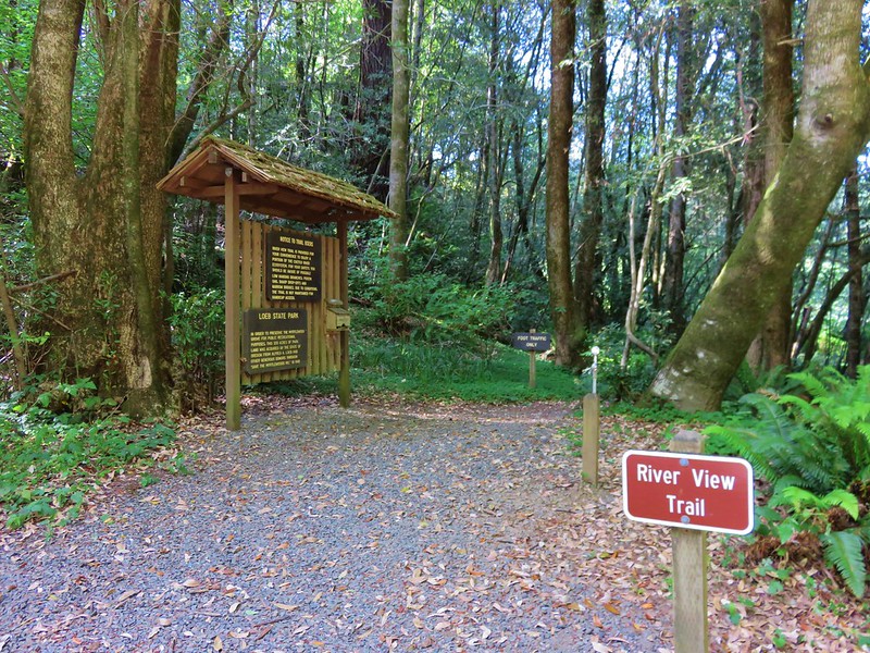
It had been a very warm sunny day and we were pretty worn out when we started the drive back out along road 1909. It was nice to rest in the car for a bit as we slowly made our way back to North Bank Road. Once we were back on North Bank Road we drove 8.5 miles towards Brookings where we turned into Alfred Loeb State Park for our final hike of the day. The temperature gauge in the car read 87 as we pulled in.
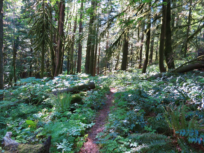
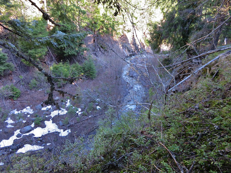
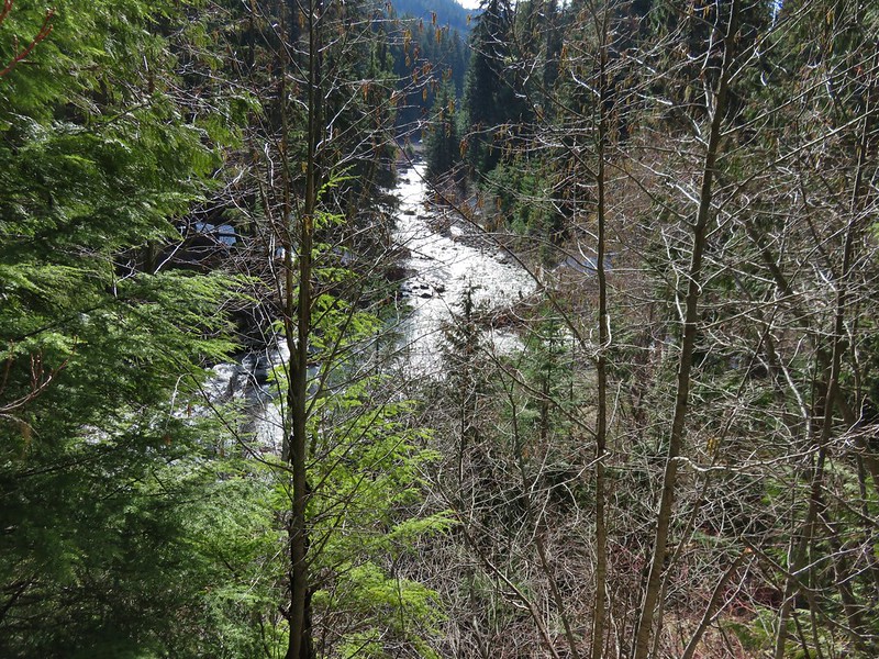
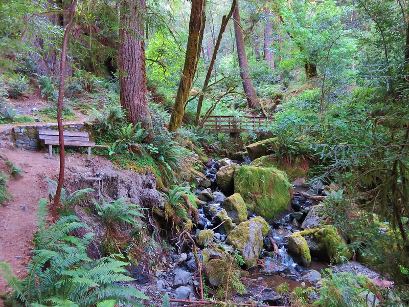
We parked at a signed trailhead and took the .7 mile River View Trail.
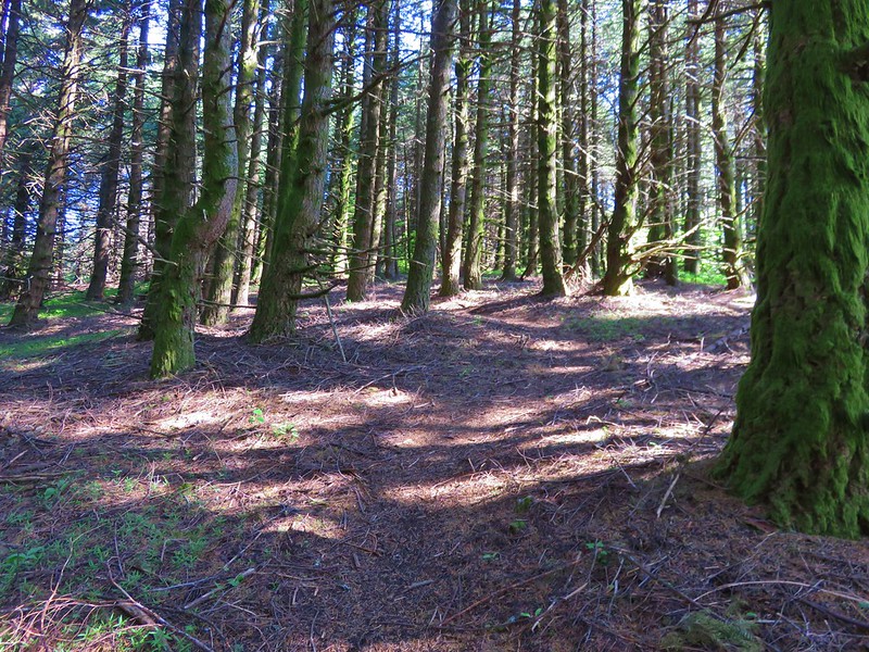
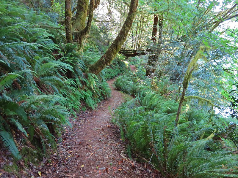
This trail passed through a forest following the Chetco River. Lettered signposts corresponded to entries in a brochure that could be picked up at the trailhead.

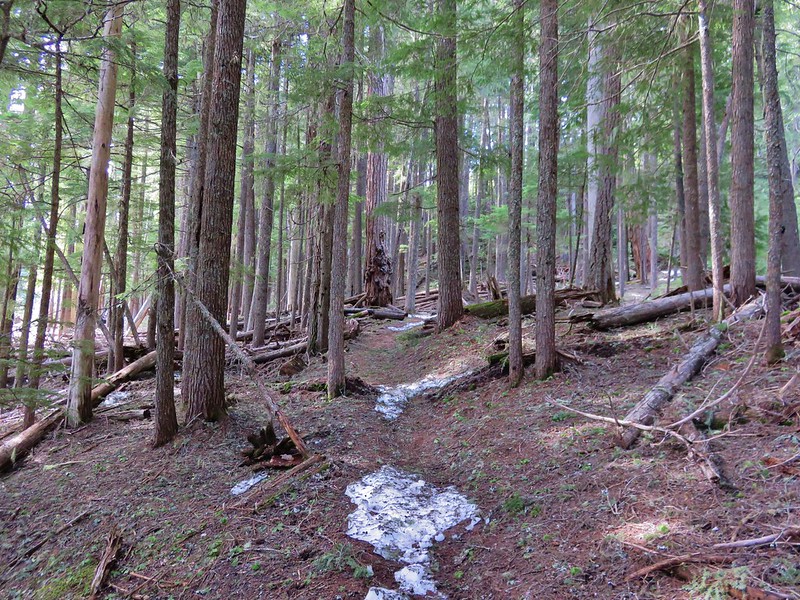
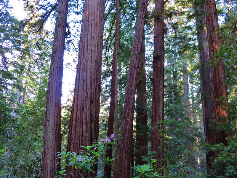
The Riverview Trail led to a crossing of North Bank Road where the Redwood Nature Trail began on the far side.
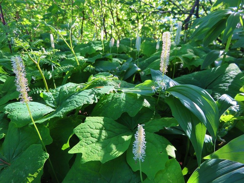
This 1.2 mile loop trail passed through a mixed forest with some nice redwoods along the way.

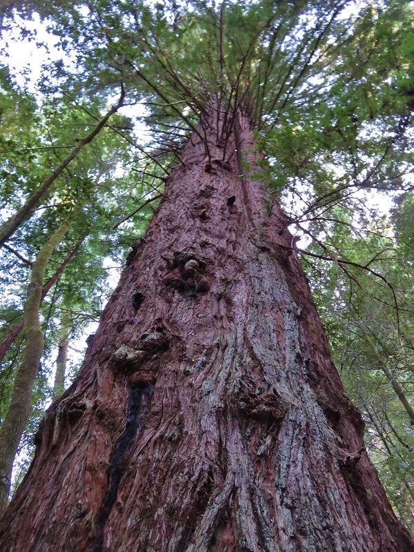
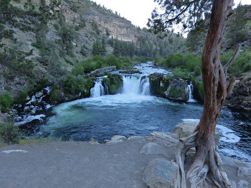
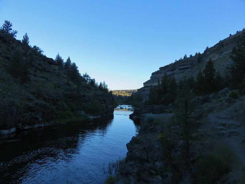
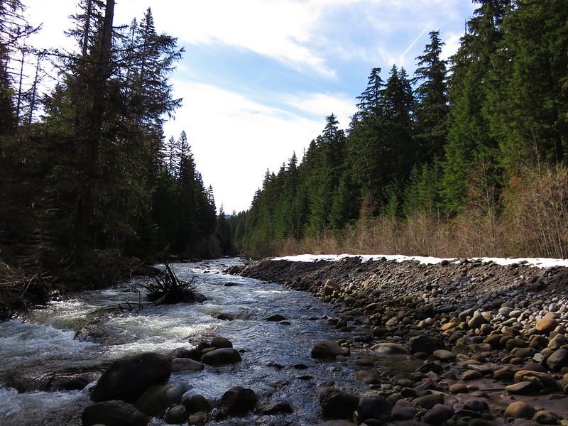
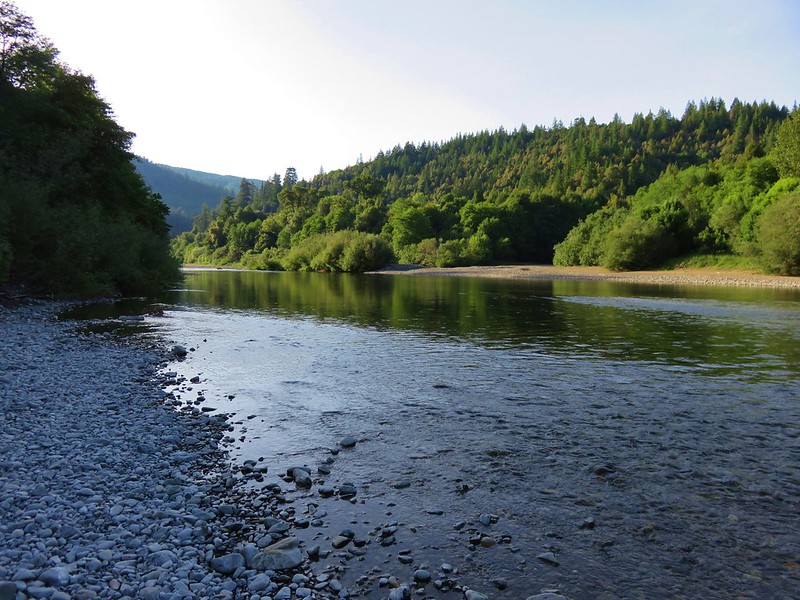
We did the loop in a counter-clockwise direction which seemed to leave the steeper sections as downhill. After finishing the loop and returning to the car we walked down to the Chetco River because there really hadn’t been a great view of it along the River View Trail.
When it was all said and done our GPS showed a total of 16.6 miles for the three hikes. Three miles for Vulcan Peak, 10.7 for Vulcan and Salamander Lakes, and 2.9 for this final hike. It had been a long hot day and we decided that ice cream sounded good for dinner so we stopped at the DQ in Brookings splitting a chicken strip basket and each having a Blizzard. Such are the joys of being on vacation. Happy Trails!
Flickr: https://www.flickr.com/photos/9319235@N02/albums/72157668642744636