
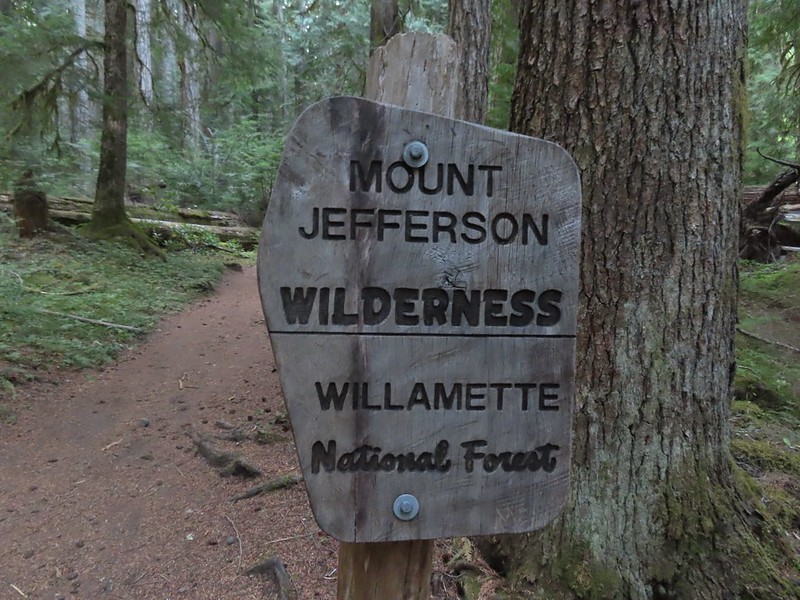
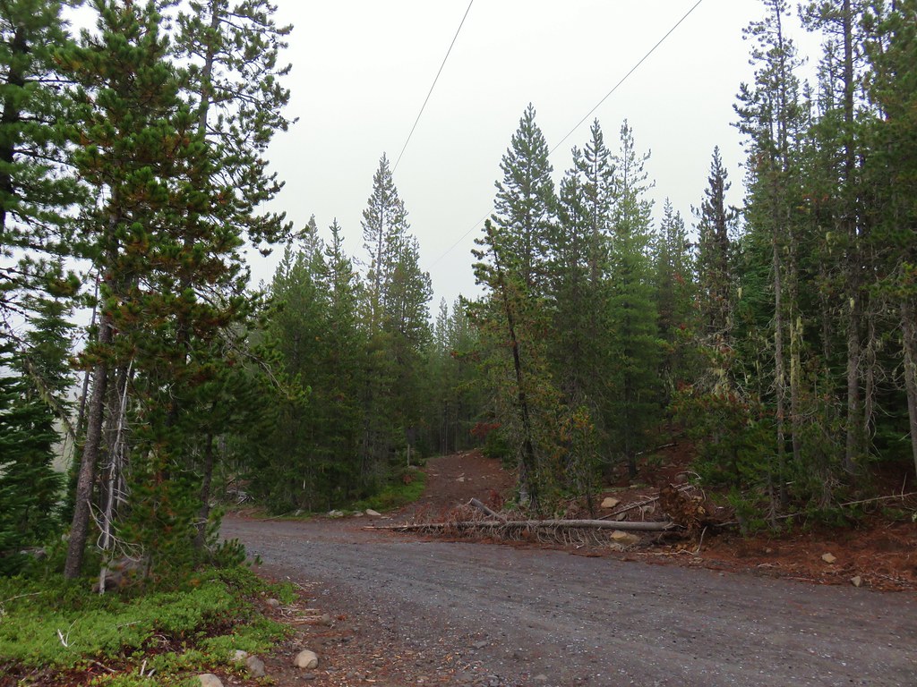
Our first visit to Jefferson Park was way back in 2011 and it made such an impact on us that we revisited yearly up to 2017 when the lightning sparked Whitewater Fire forced us to skip a year. We returned in 2018 (post) and then decided to take a break from our yearly visits. Then in 2020 the Lionshead Fire, driven by strong easterly winds, raced through the area before combining with the Beachie Fire on 9/7/20. There are still closures in effect due to that fire, but the Woodpecker Trailhead has since been reopened and we thought it was time to revisit an old friend.
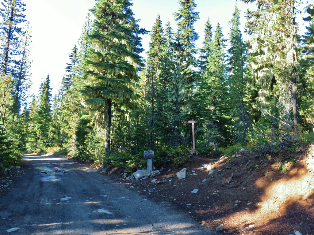
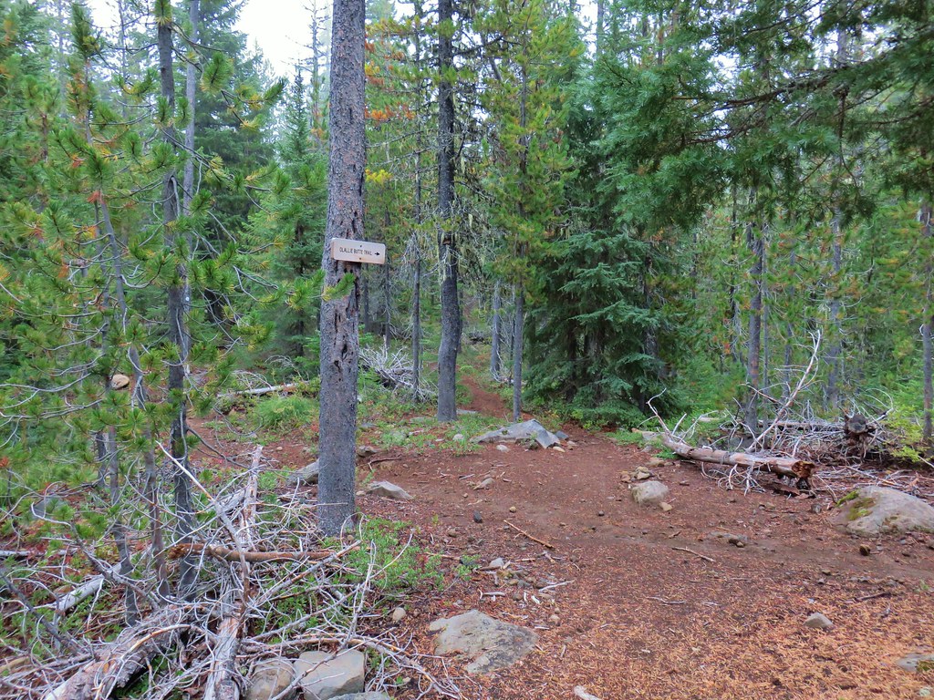
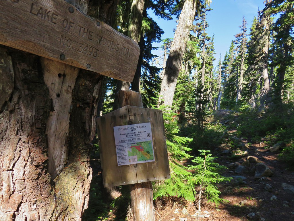
We had used the Woodpecker Trailhead for our 2016 visit (post) prior to either of the fires impacting the area. This was also before the Central Cascade Wilderness Permits were enacted. Currently the Woodpecker Trailhead only requires a free self-issued permit for day-use which can be obtained at the trailhead. Overnight permits are required for the Mt. Jefferson Wilderness regardless of which trailhead is used from 6/15 to 10/15.

Heather and I had set different goals for the day. I had my sights set on finally visiting Sprague Lake which is located just below Park Ridge (post) and requires off-trail navigation. Heather had set a more sensible goal of stopping at Scout Lake which is the first lake that you reach when entering Jefferson Park from the SW. Given our different goals we established a meeting spot on the west side of Scout Lake and set off at our own paces.
 Another reminder that overnight permits are required in the wilderness.
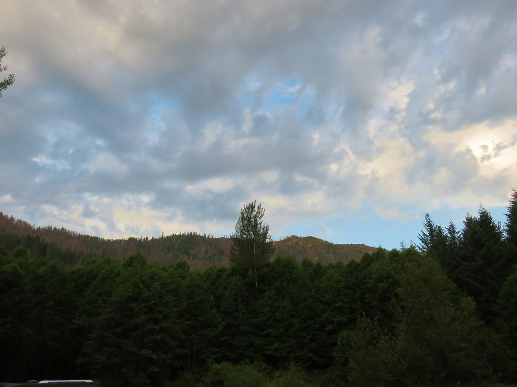
Due to the two recent fires having burned over the entire route of our planned hikes the vast majority of the trails up to Jefferson Park are devoid of any tree cover. Luckily for us it was in the upper 30’s when we set off and the highs were set to be in the upper 50’s in Jefferson Park and low 70’s at the trailhead. It was also forecast to be mostly clear skies as recently cooler temperatures combined with rain and even some snow at higher elevations had helped to suppress the numerous fires currently burning in other parts of the Cascades and eastern Oregon.
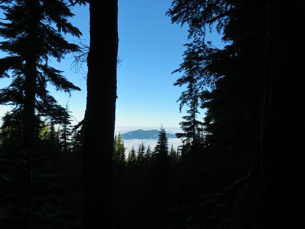
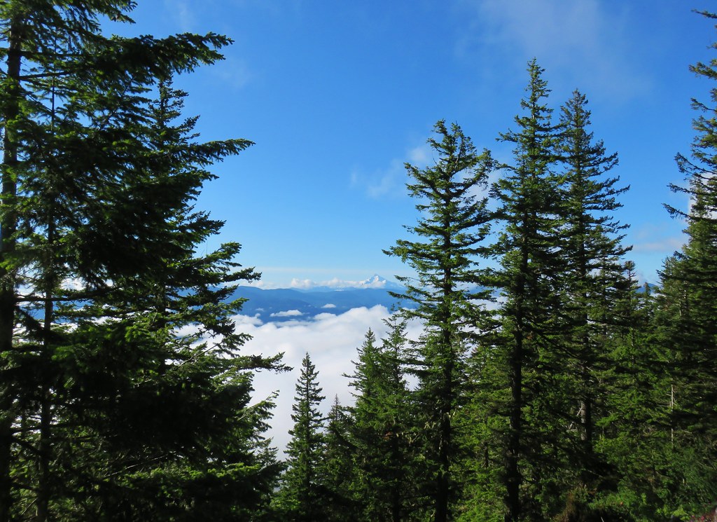
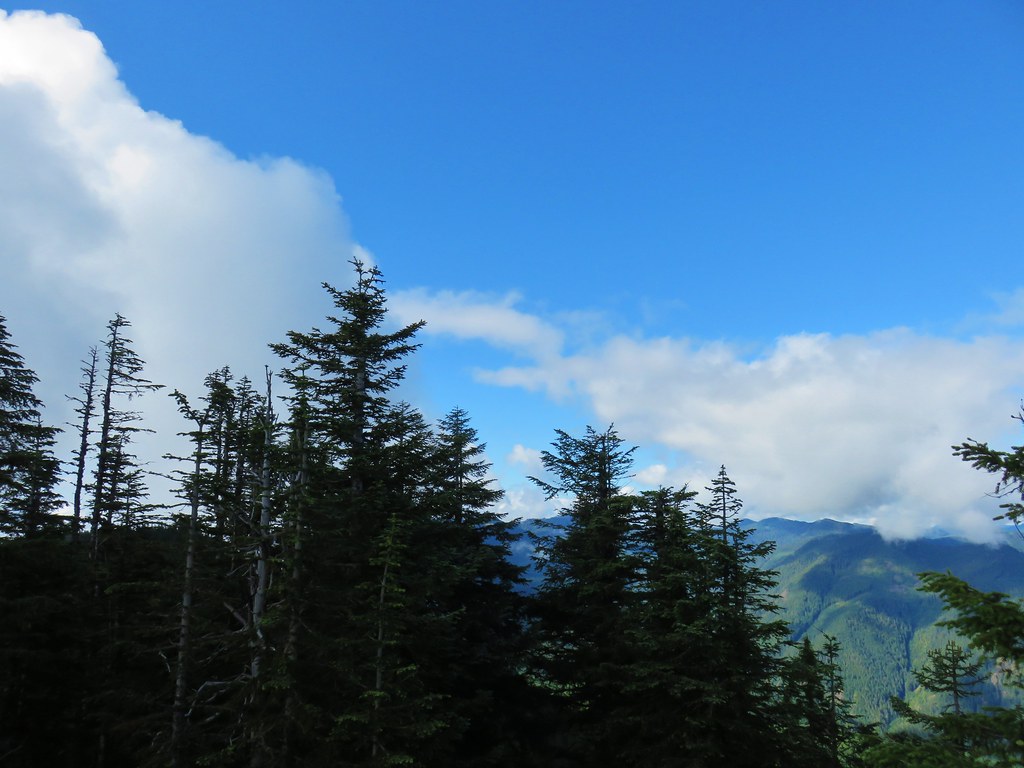
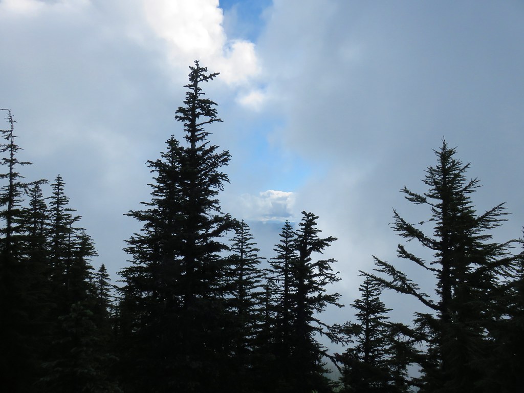
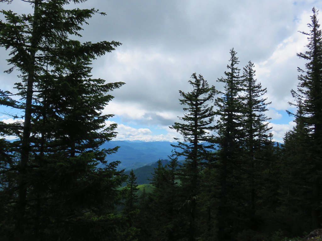
 Low clouds in the valley.
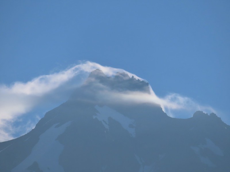
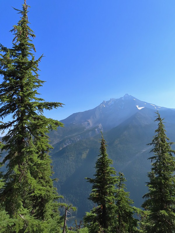
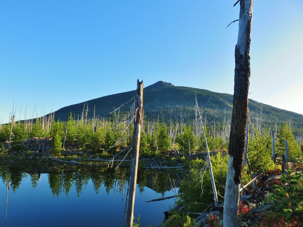
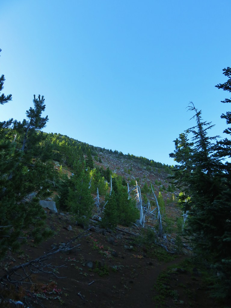
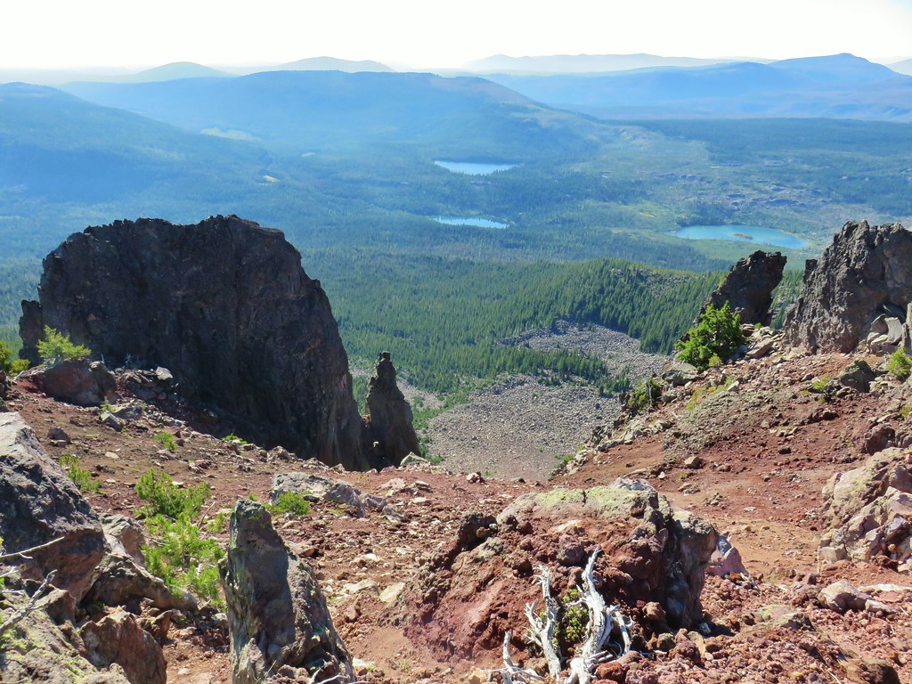
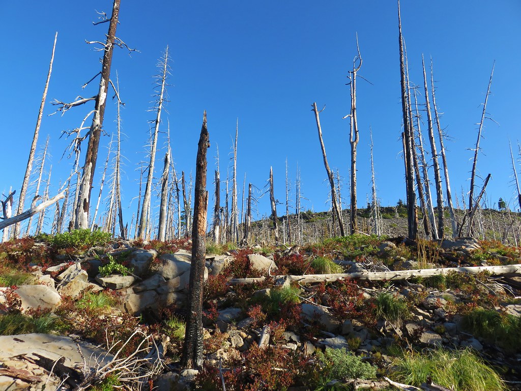
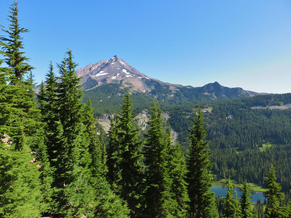
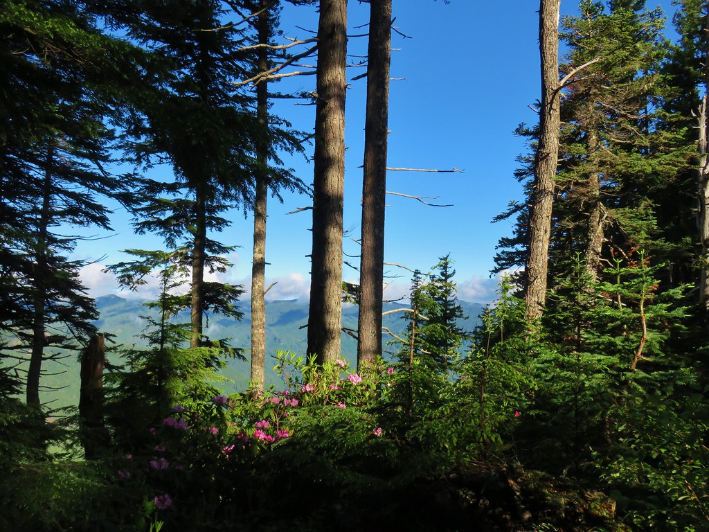
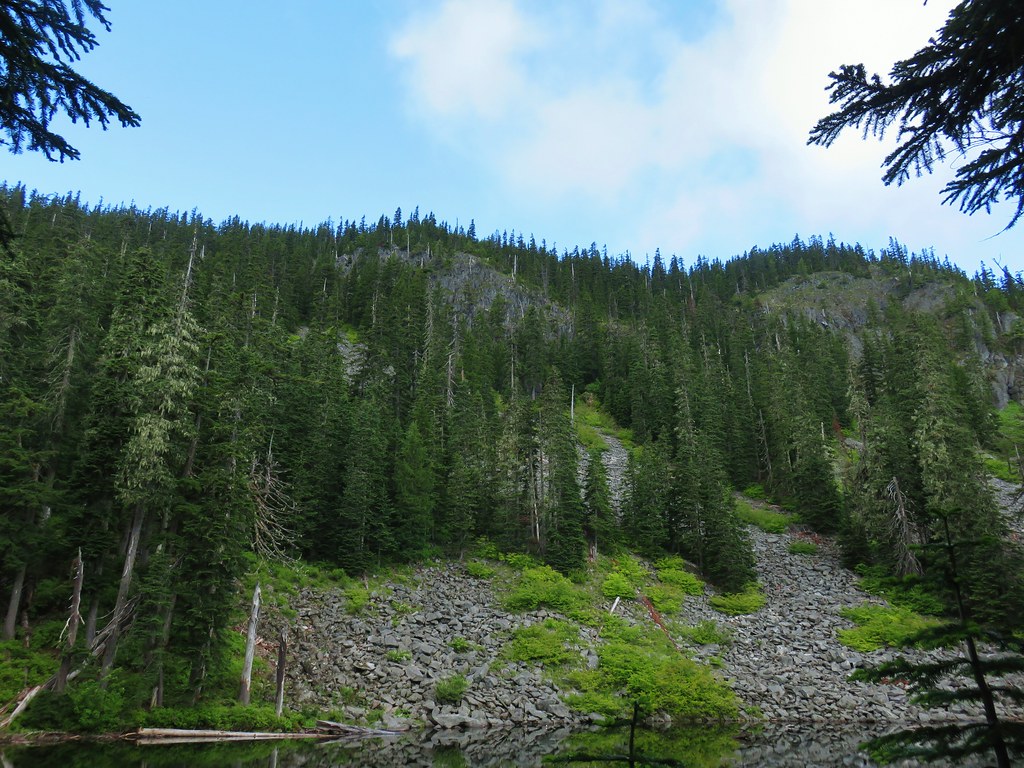
 Mt. Jefferson through some of the snags with a few surviving trees on the right.
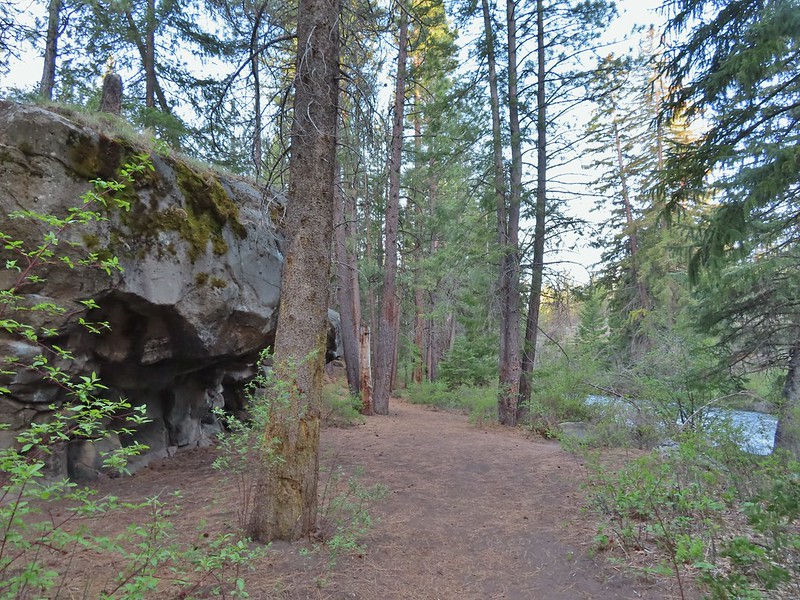
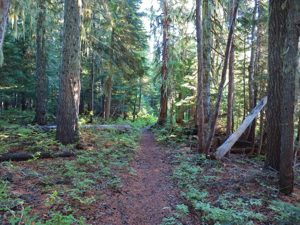
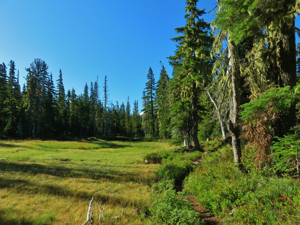
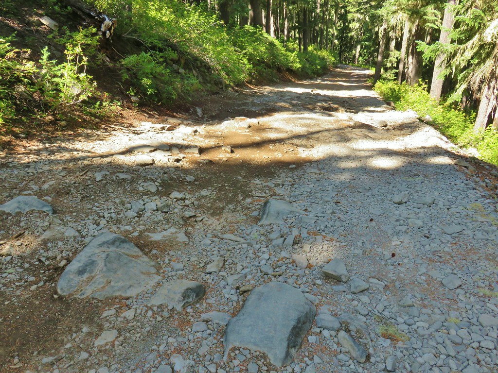
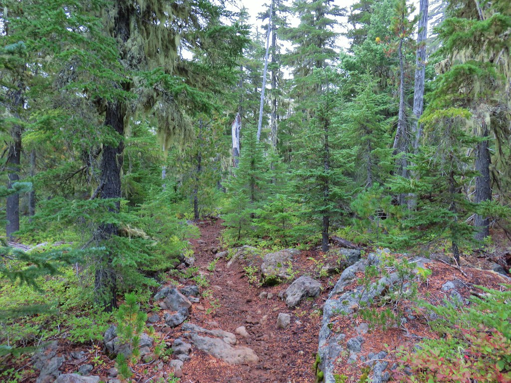
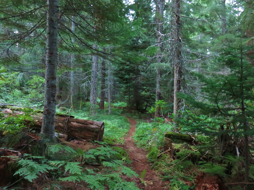
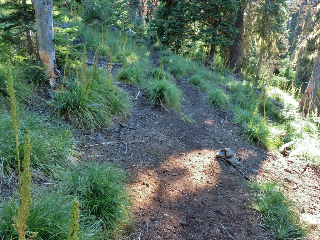
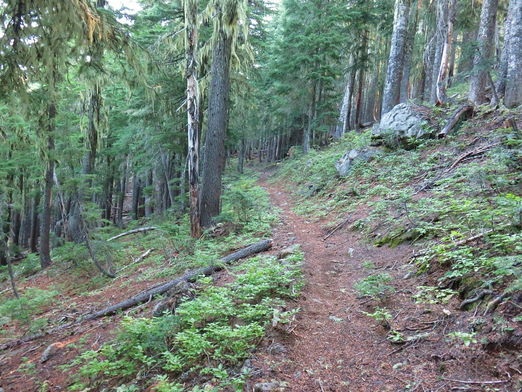
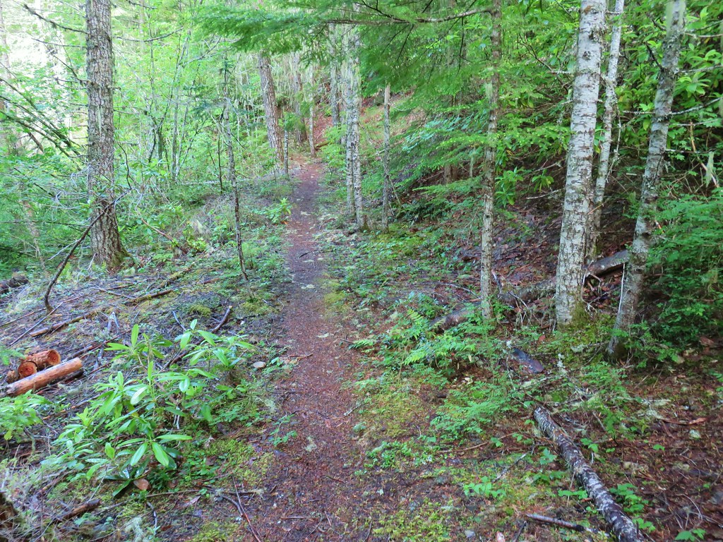
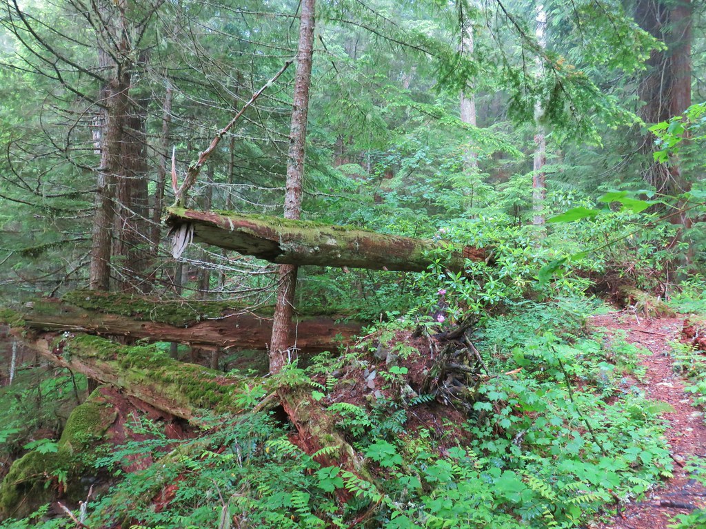
After an initial steep climb the trail levels out then descends slightly into a patch of trees that survived the fires. At the 1.2-mile mark it enters the Mount Jefferson Wilderness.

Just under a half mile later the trail climbed to an unsigned junction with the Pacific Crest Trail (PCT).
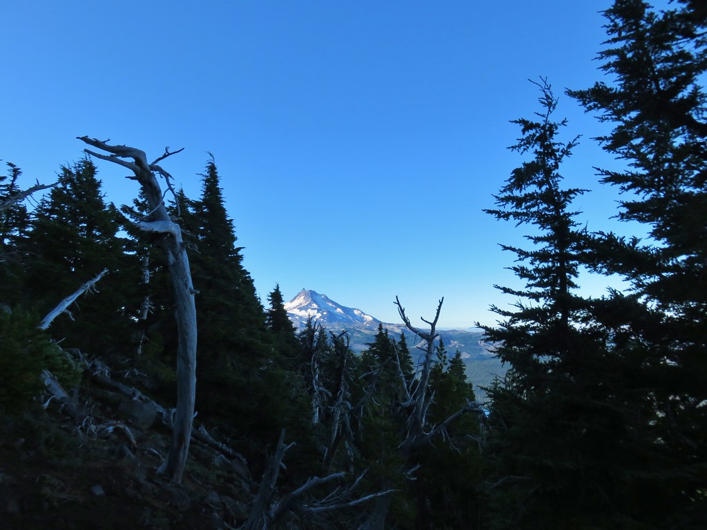
 Mt. Jefferson from the junction, note the rock cairn on the left marking the PCT.
 The cairn at the junction.
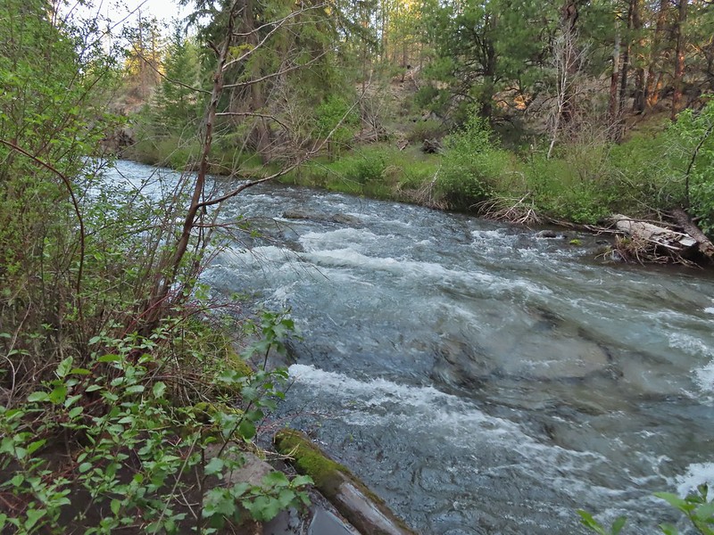
We turned left on the PCT and followed it through the fire scars for 2.6-miles to a crossing of Russell Creek.
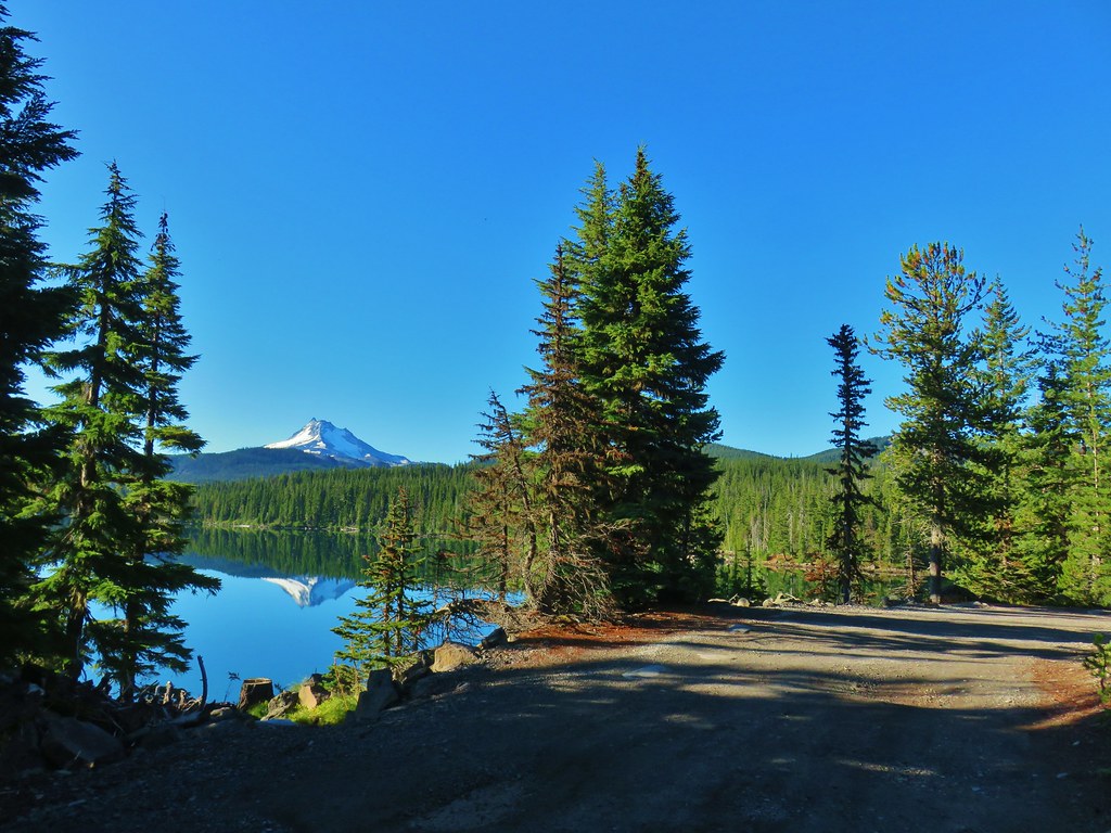
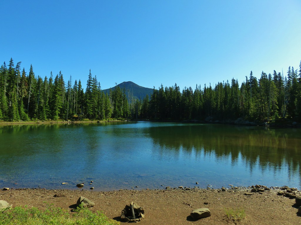
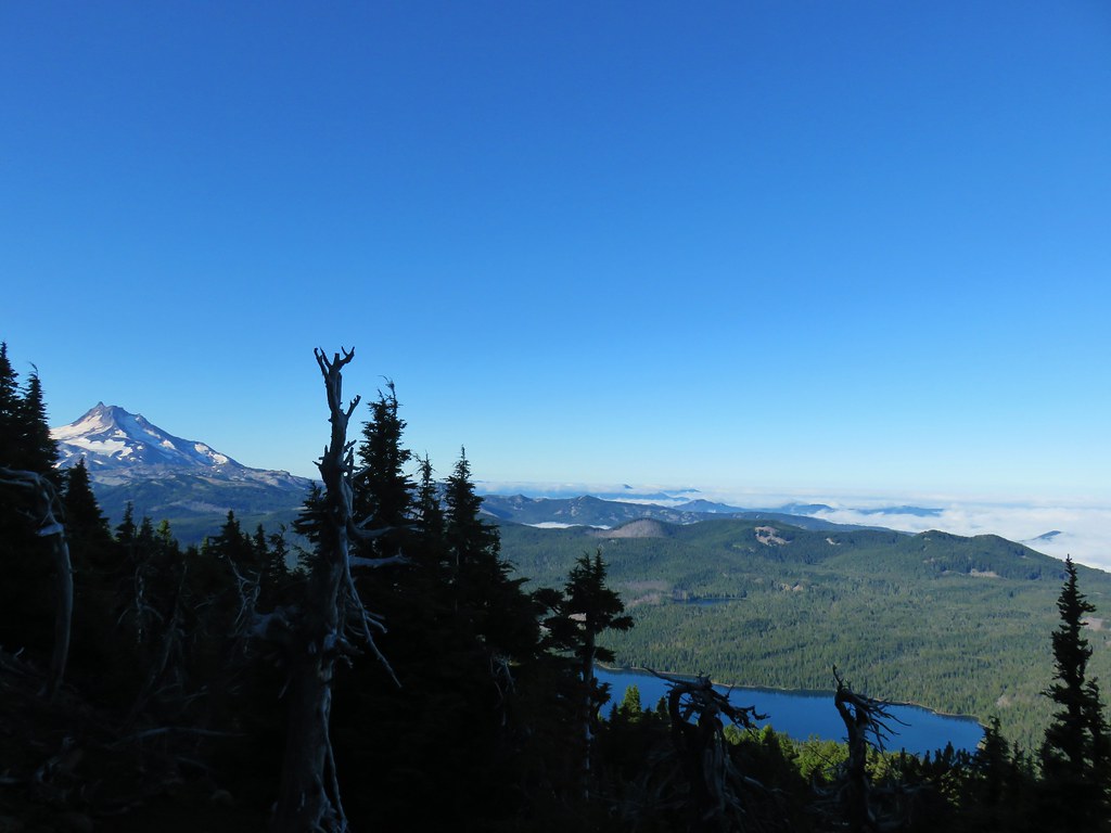
 Triangulation Peak (post) getting hit with sunlight with Whitewater Lake (lower right) in Mt. Jefferson’s shadow.
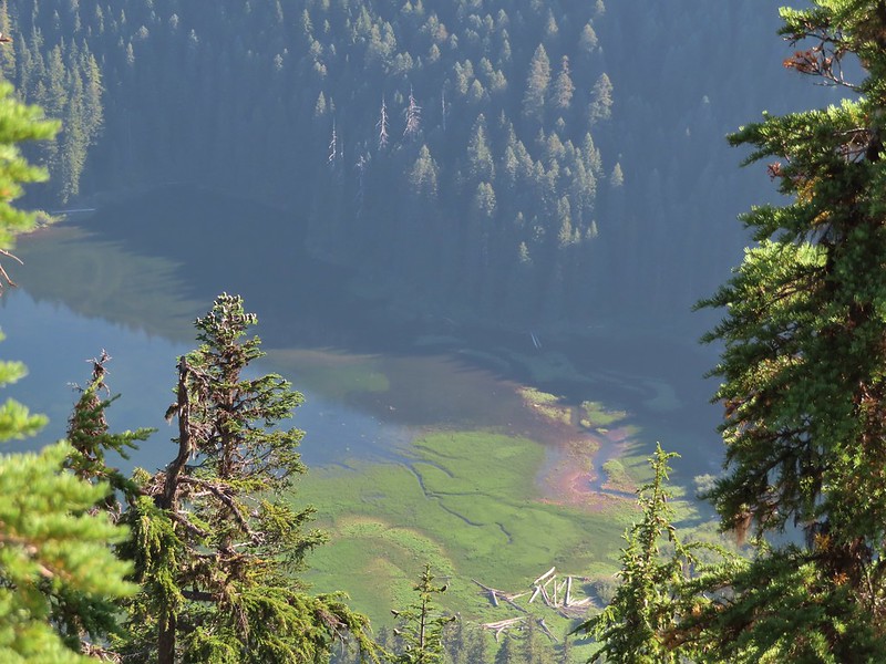
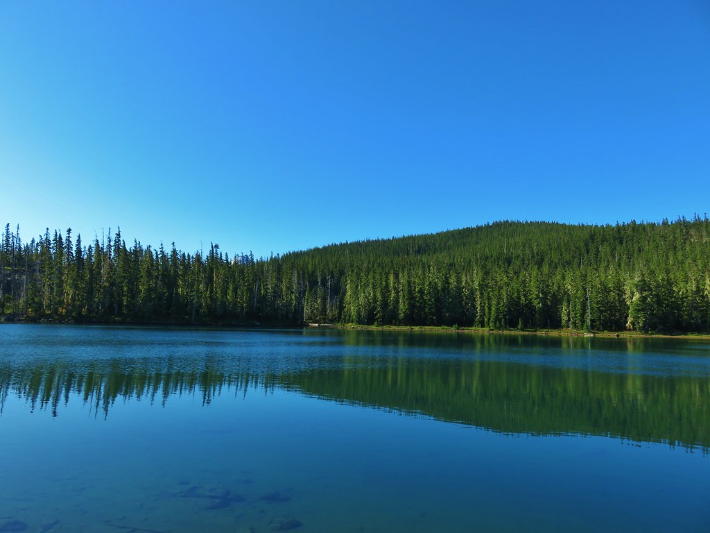
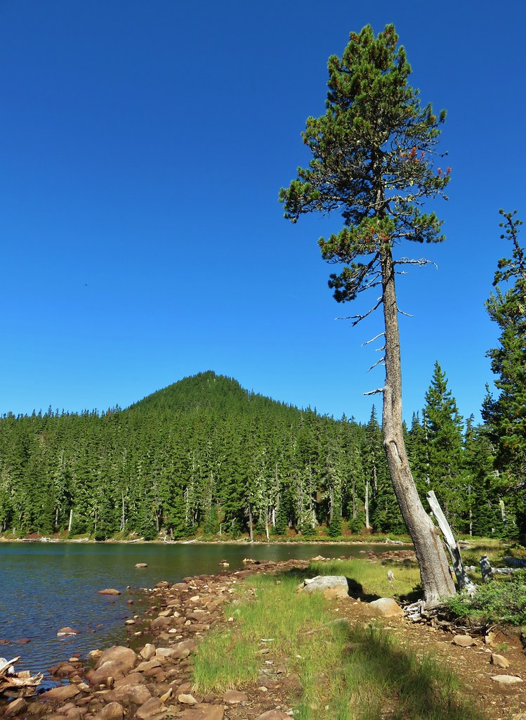
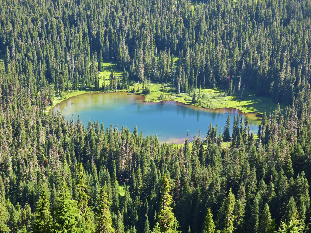
 Whitewater Lake
 Triangulation Point and Bocca Cave (Trailheads still closed.)
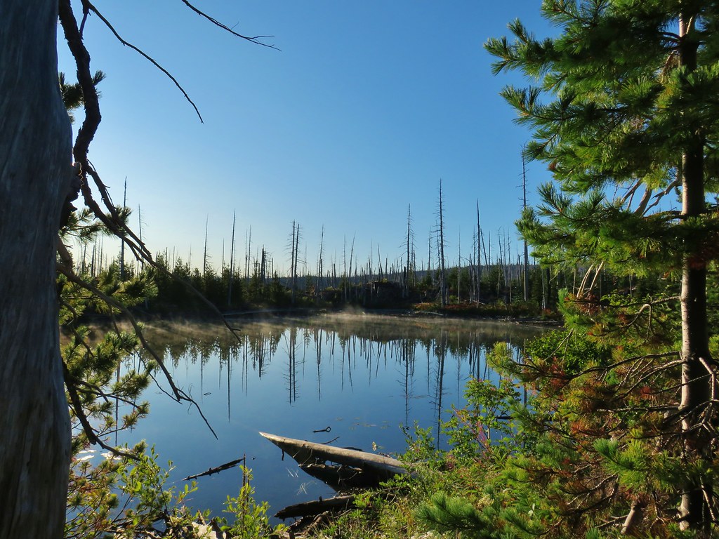
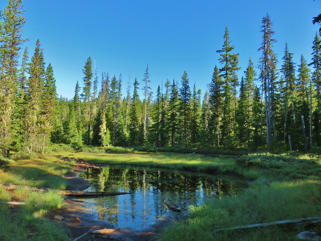
 Tarn 0.3-miles from the junction.
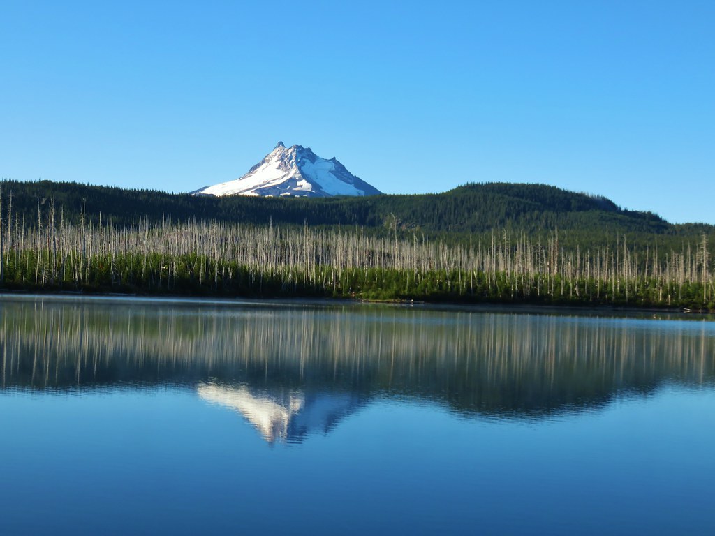
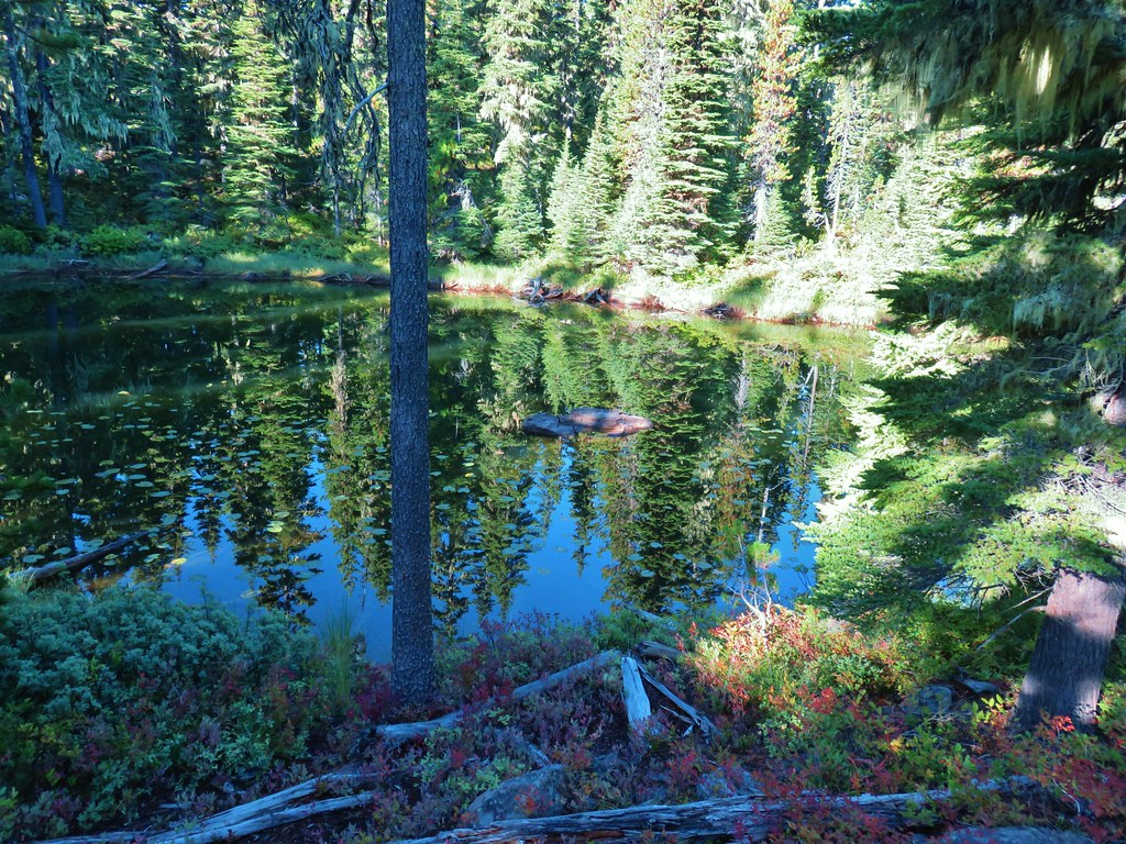
 Mt. Jefferson reflecting in the tarn.
 Ducks on the tarn.
 The Sentinel Hills with Park Butte behind to the right. The Whitewater Trail (post) traverses the hillside below the Sentinel Hills, but that trailhead is also still closed.
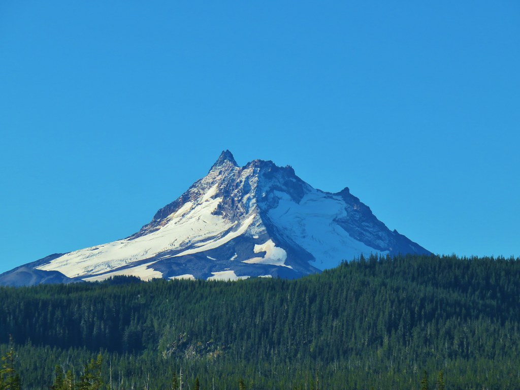
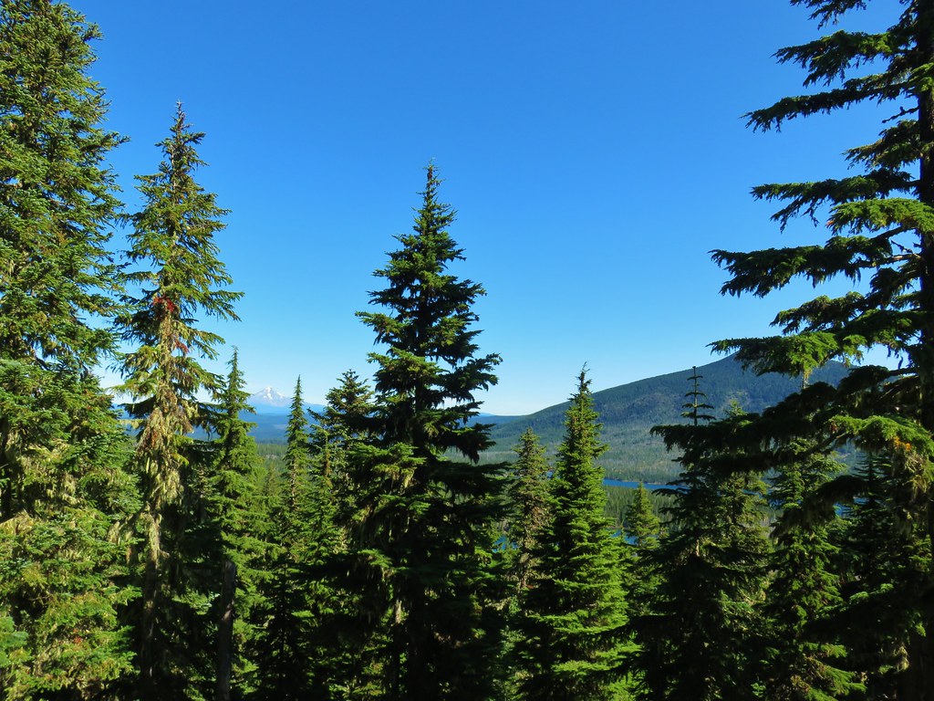
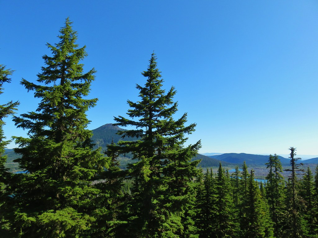
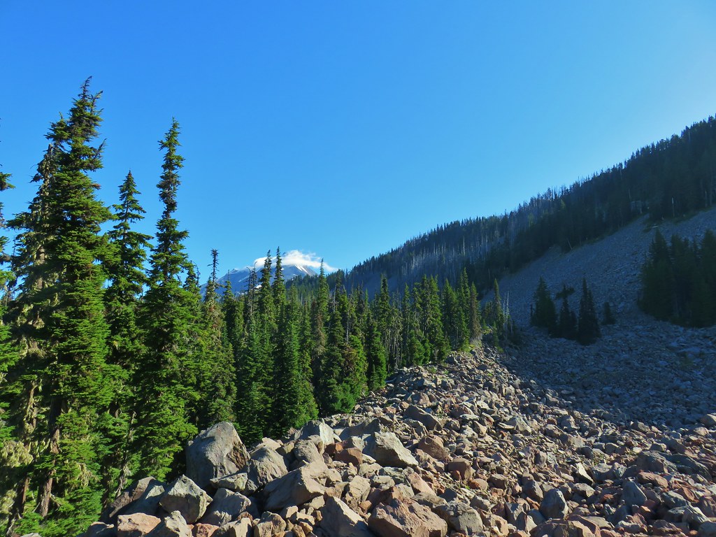
 The fires did open up fairly consistent views of the mountain.
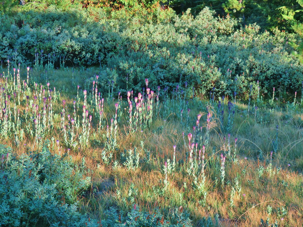
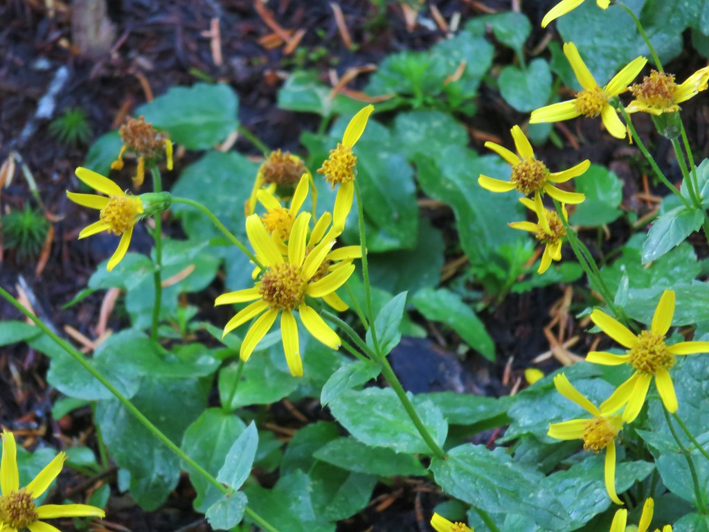
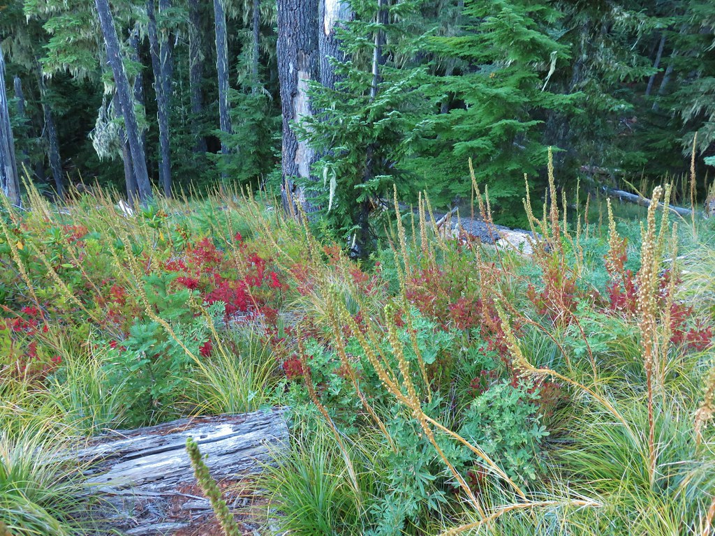
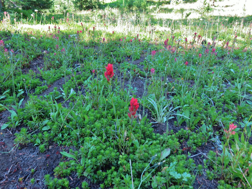
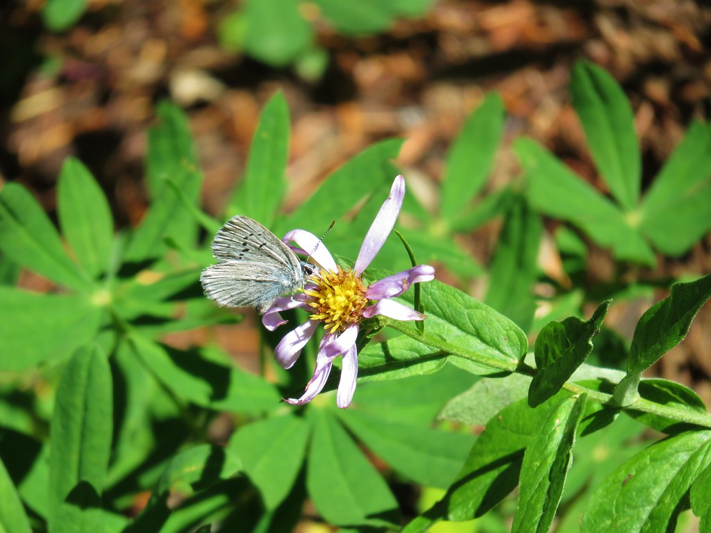
 A few remaining penstemon blossoms.
 Heading down to the Russell Creek crossing.
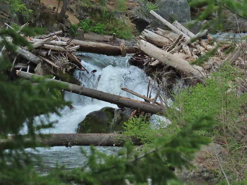
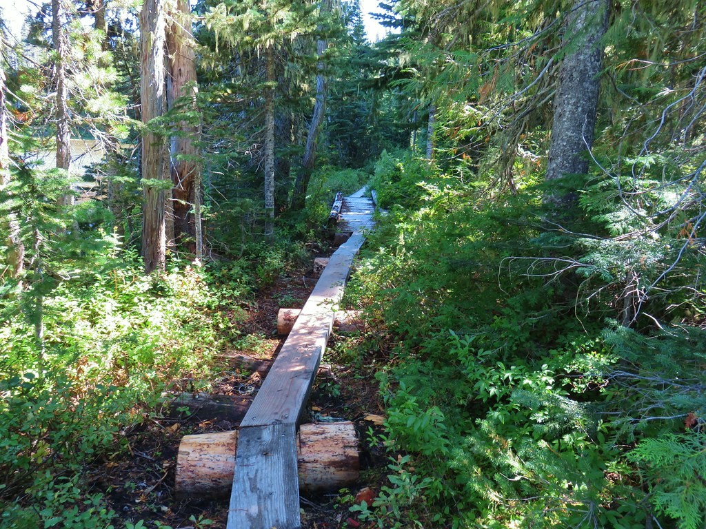
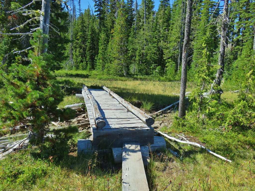
 This can be a tricky crossing at times, but there was a makeshift bridge which made it fairly easy this time.
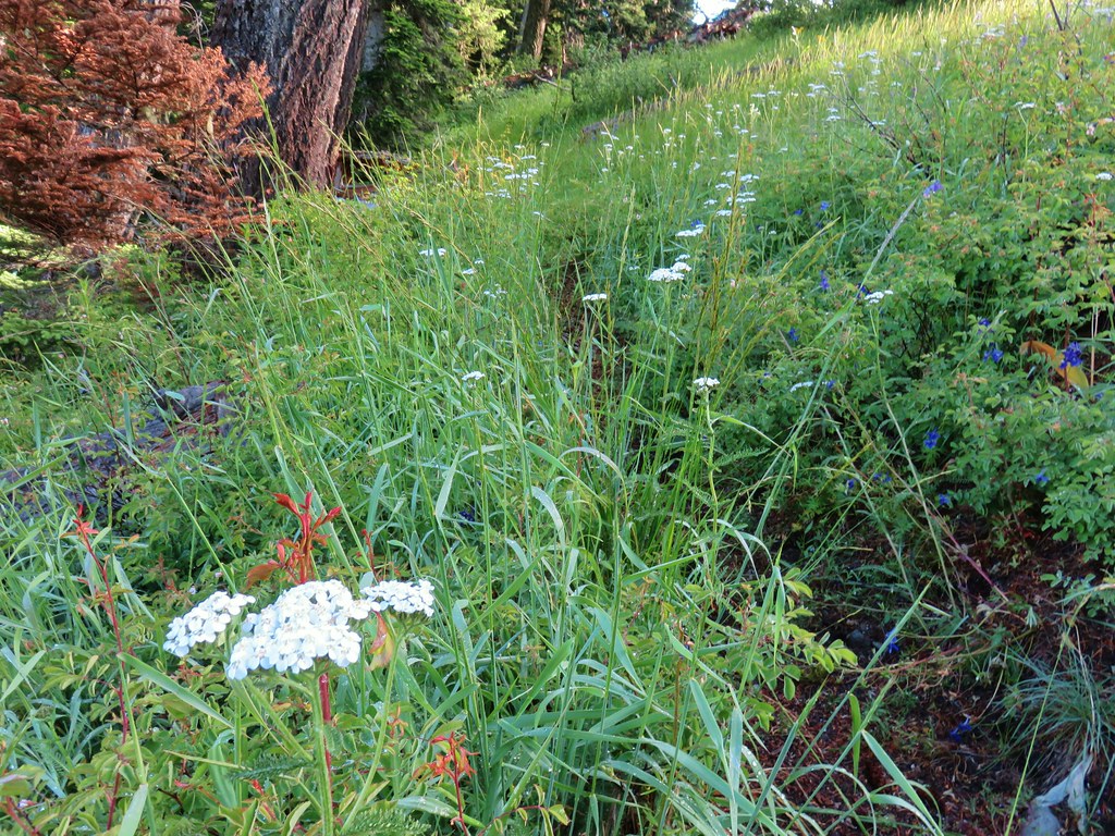
 Aster and pearly everlasting near the creek.
Beyond Russell Creek the PCT climbed for half a mile to a junction with the Whitewater Trail where we turned right sticking to the PCT.

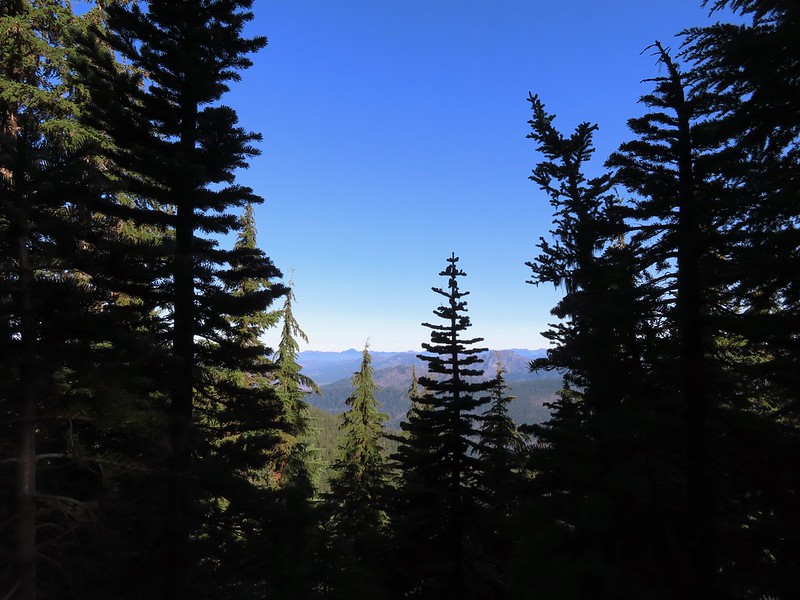
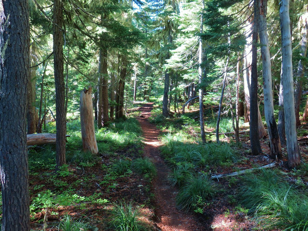
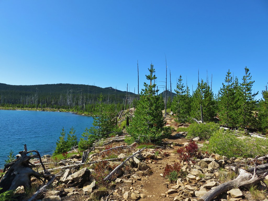
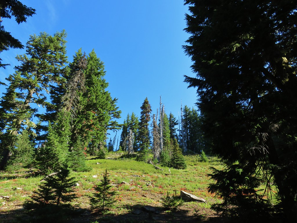
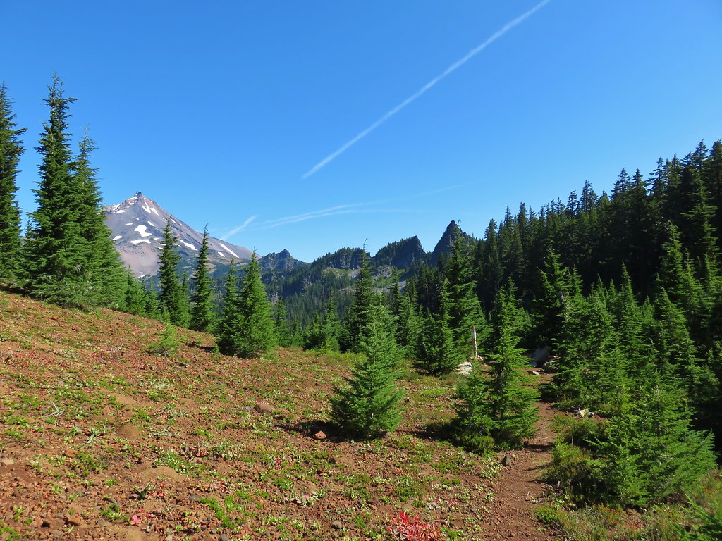
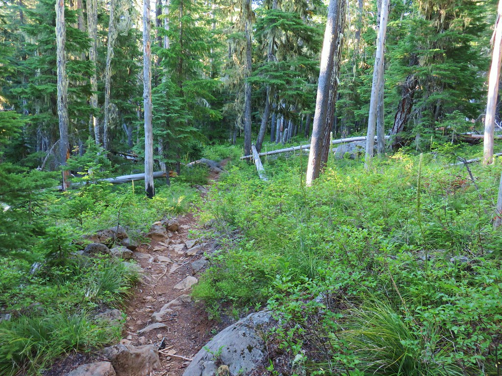
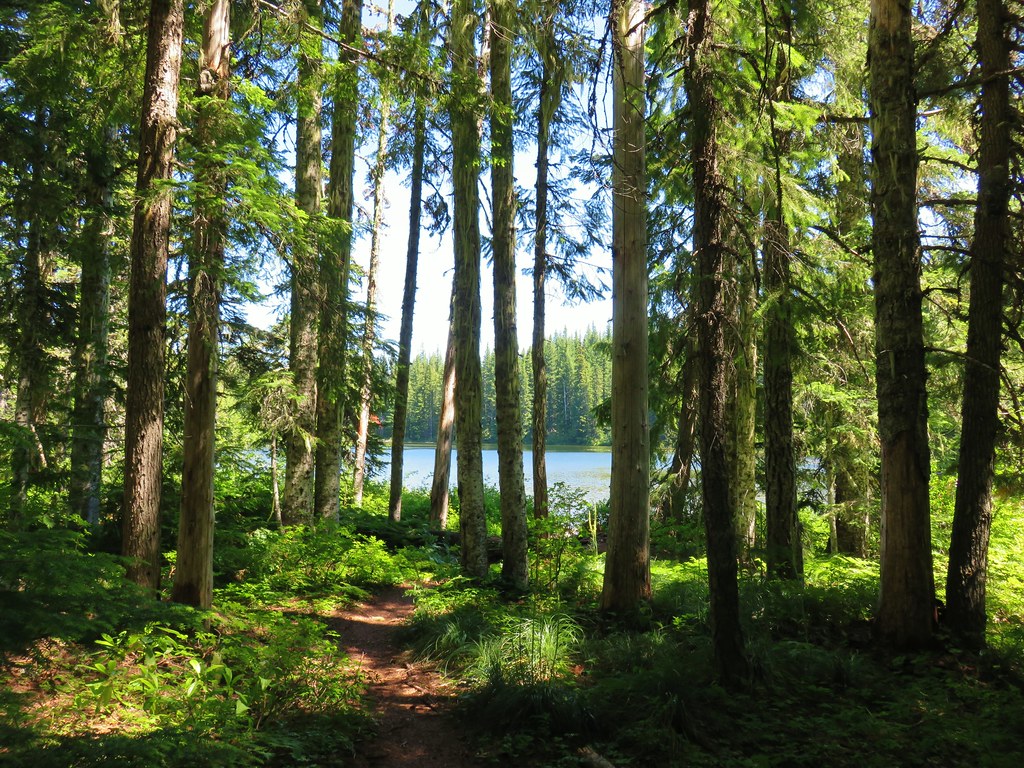
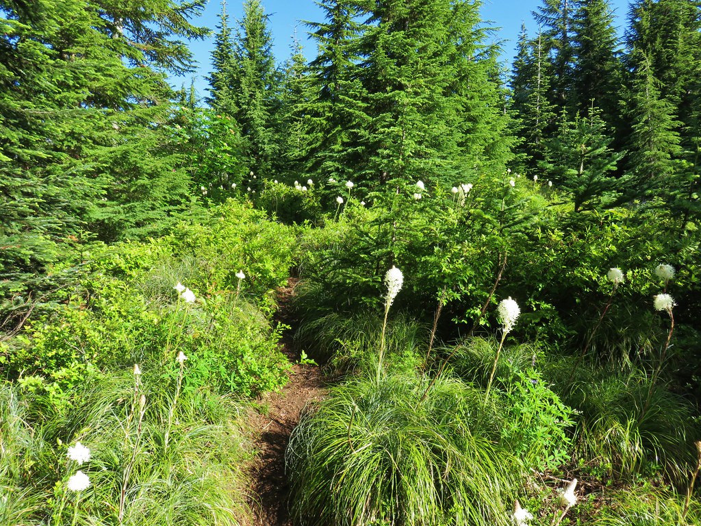
 We started seeing more trees that had survived the fire as we got closer to Jefferson Park.
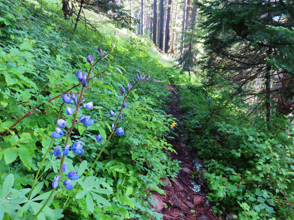
 Gentians and aster
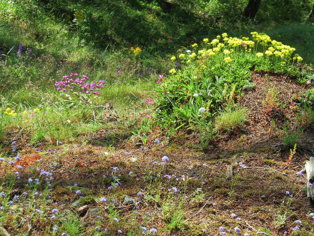
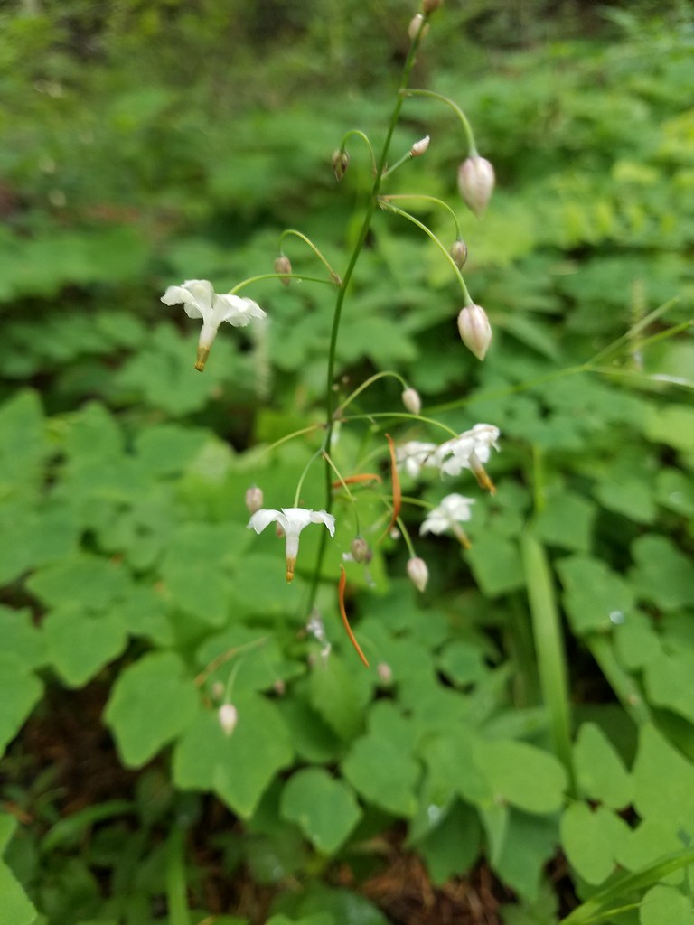
 Grass-of-parnassus

From this junction it was just under a mile to the first of several signed trails leading to Scout Lake off the PCT.
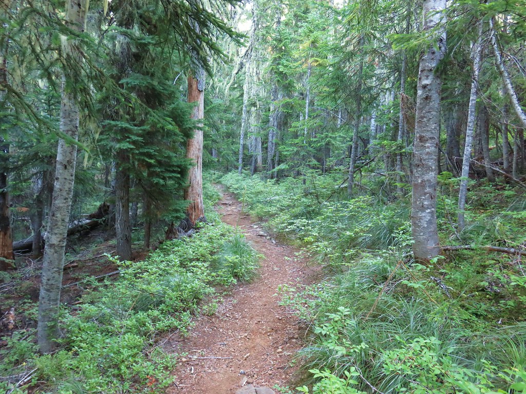
 There were patches of burned forest along this stretch.
 Approximately 0.4-miles from the junction the trail crosses Whitewater Creek.
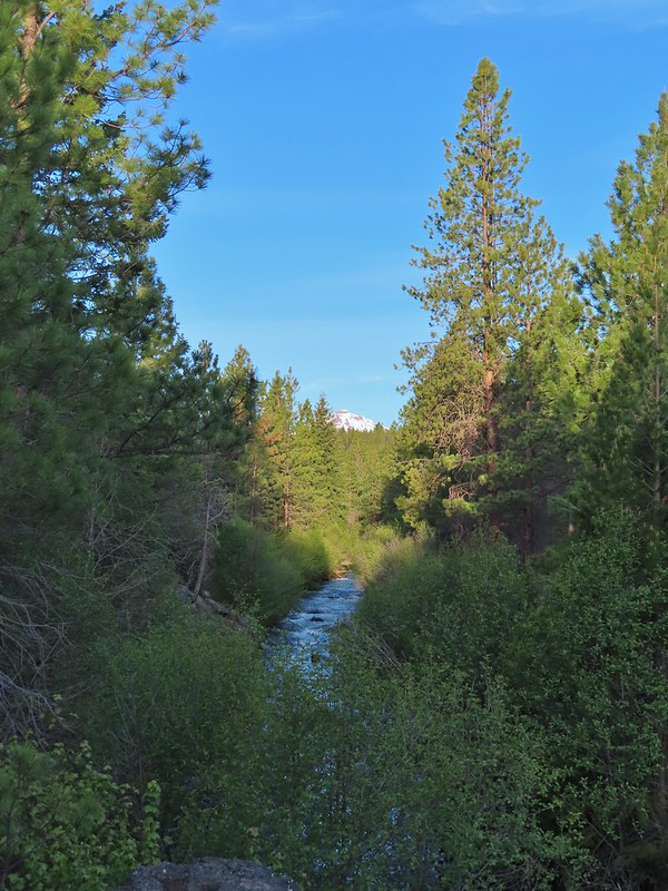
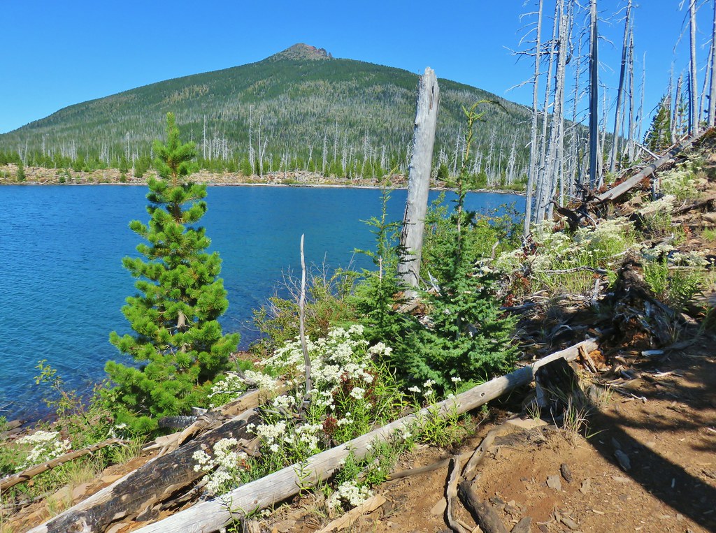
 From the other side of Whitewater Creek the views of Mt. Jefferson are amazing.
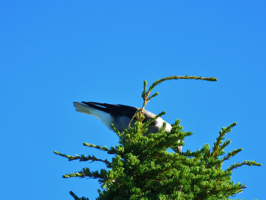
 Based on the barred sides I believe this is a black-backed woodpecker.
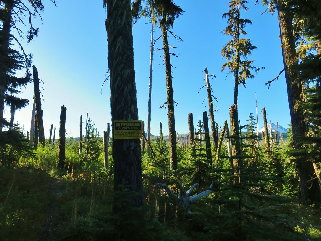
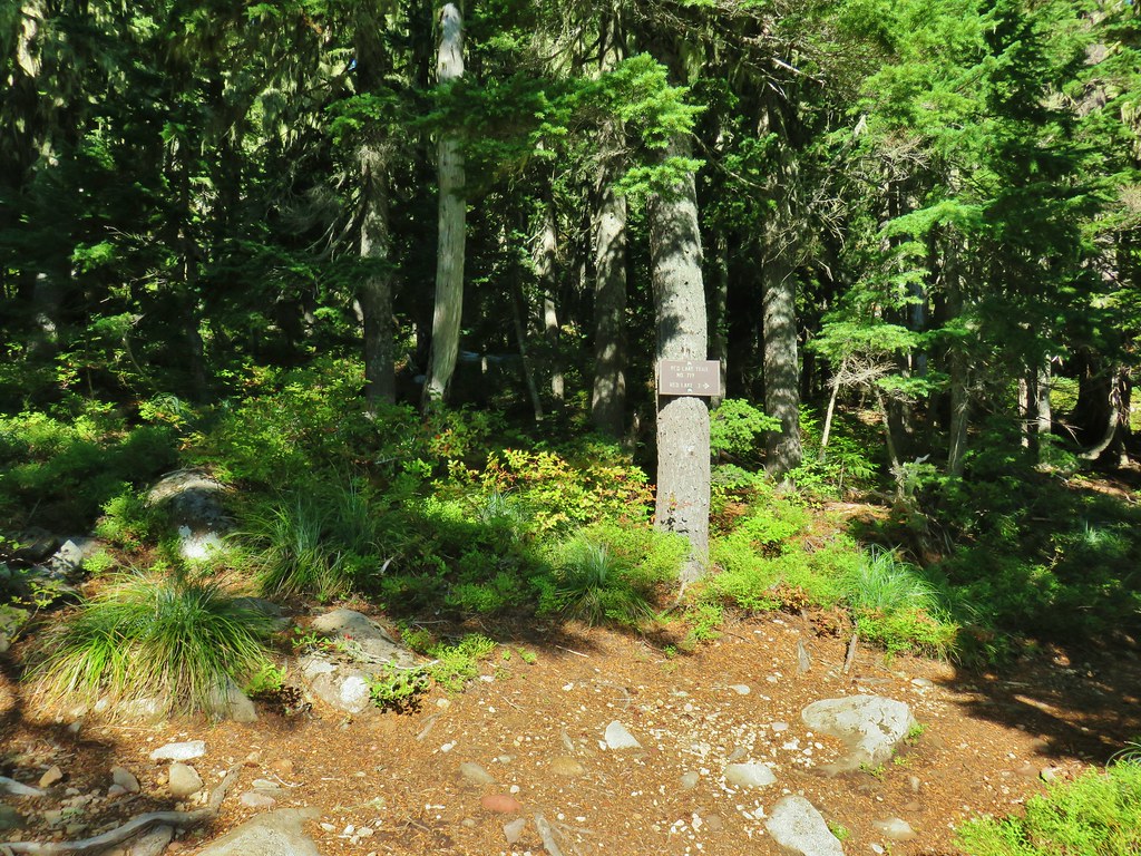
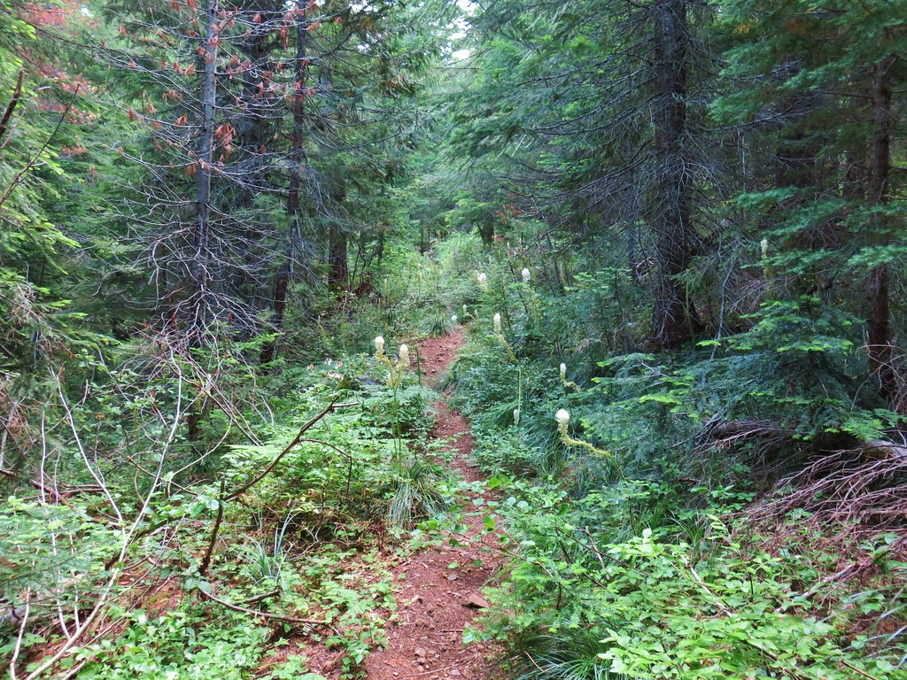
 Unofficial use trails are an issue in Jefferson Park which has prompted the Forest Service to install a number of “Closed for Rehabilitation” sign such as the one on the left side of the trail.
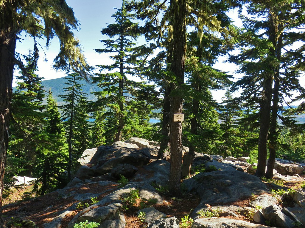
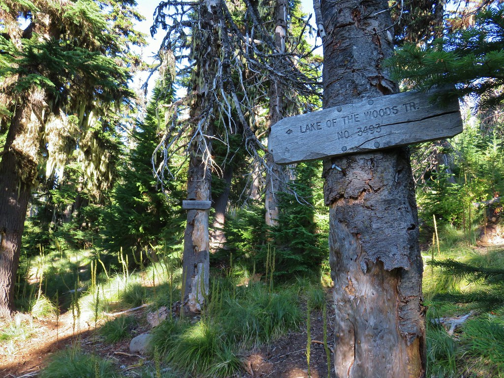
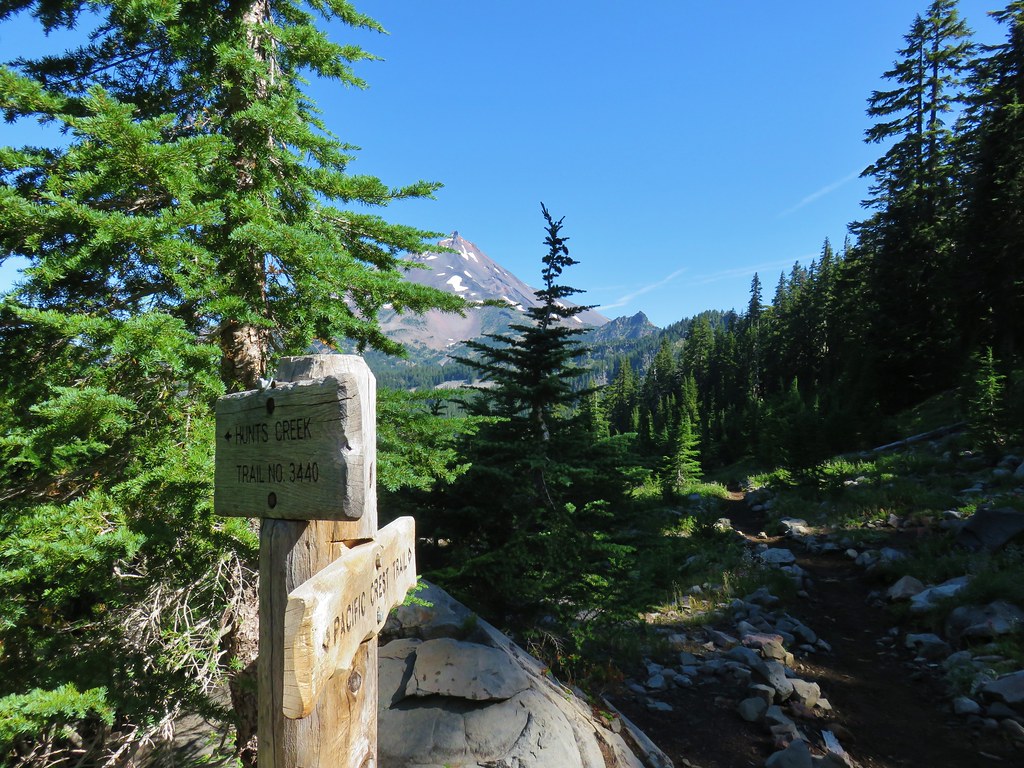
 They’ve also added quite a few signs to indicated sanctioned trails. Typically in wilderness areas the Forest Service tries to keep signage to a minimum, but overuse has led them to add additional signs.
 Another sign with Park Butte in background.
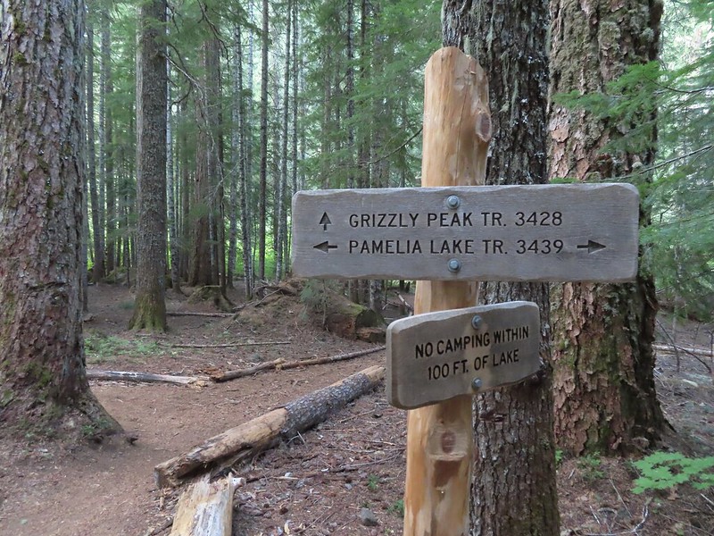
Since I was headed for Park Ridge I ignored the trails to Scout Lake for now and continued on the PCT for three quarters of a mile beyond the first sign for Scout Lake to a sign for Russell Lake on the right side of the trail.

 The last of the pointers for Scout Lake.
 PCT heading for Park Butte and Park Ridge.
 Russell Lake pointer.


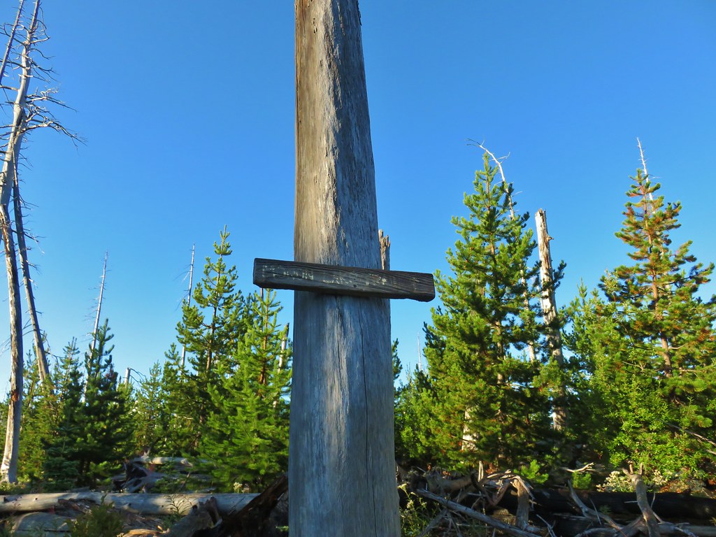
 This was at least the third posted notice so there is no claiming you weren’t aware that a permit is needed.
 Pamelia Creek
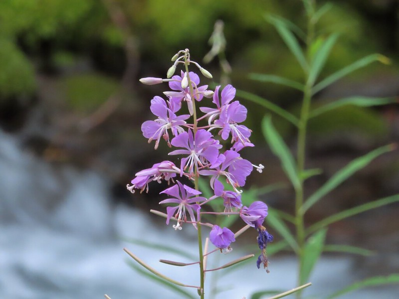 Fireweed along the creek.

 Pamelia Creek only flows underground here much of the year.
 Heading up.
 A glimpse of Mt. Jefferson.
 That might be Woodpecker Hill, it was hard to tell exactly which ridge we could see with nothing else visible to help orient.
 This looked like it might be a nice little waterfall with enough water.
 That’s not enough water.
 Heather below one of several switchbacks.
 Turning up the ridge.
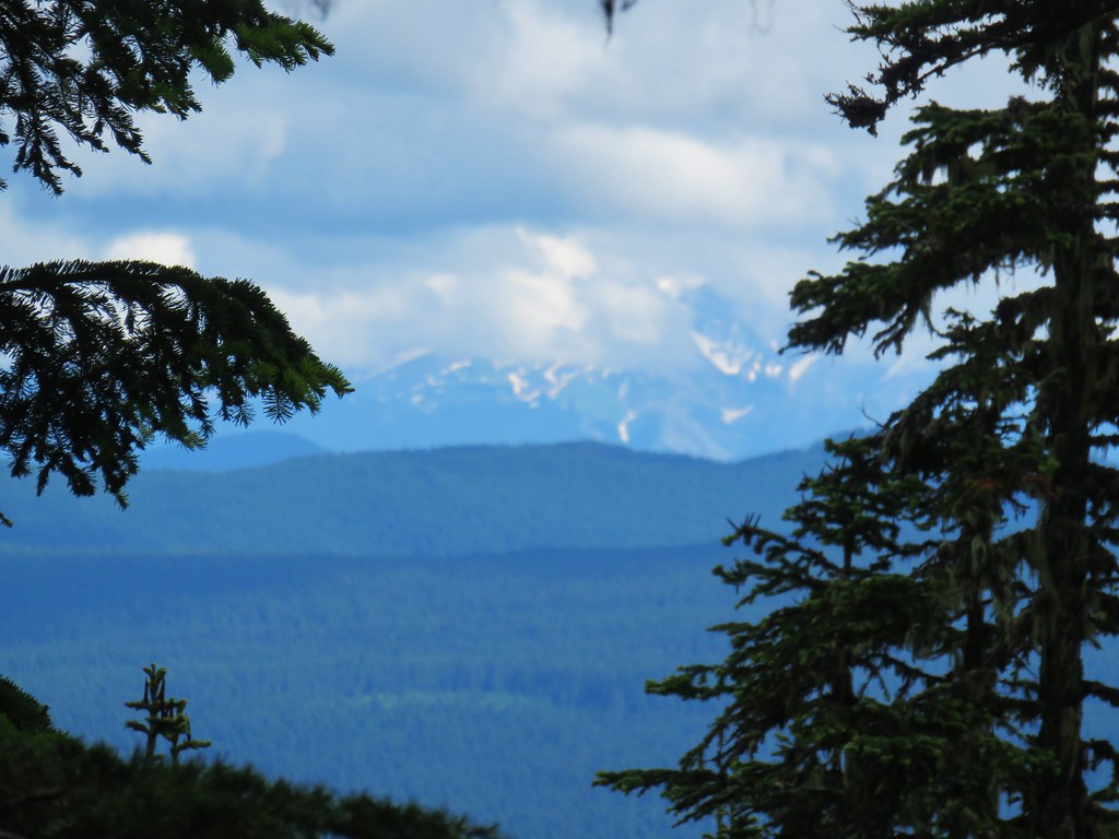
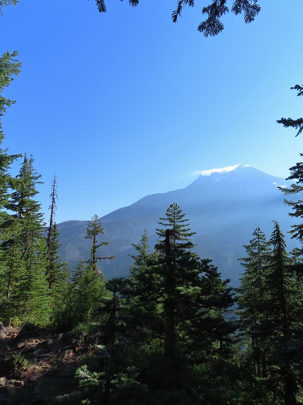 The haze was probably a combination of morning cloud/fog and smoke from the Cedar Creek Fire near Waldo Lake.
 Pinedrops
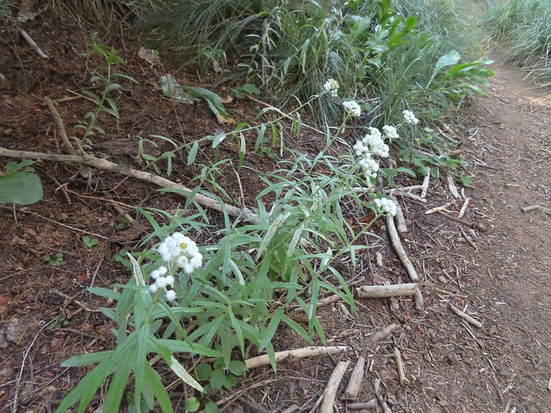 We were too late for most of the flowers but there were a few pearly everlasting going.
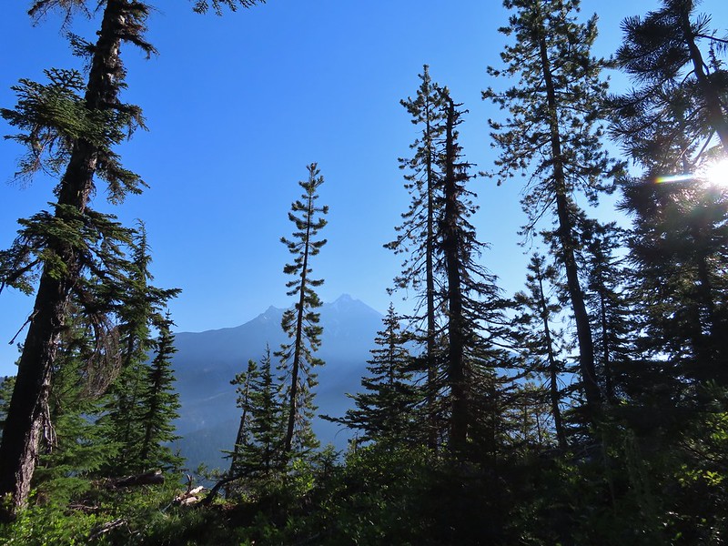 There’s that pesky Sun again.
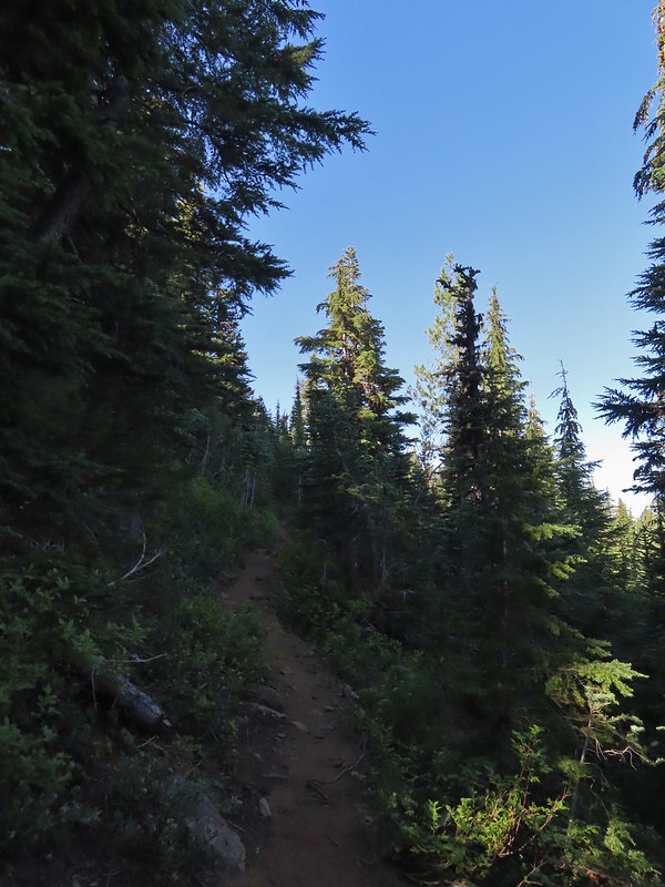
 Aster
Aster Lousewort
 Lots of burnt forest out there.
 Triangulation Peak and Boca Cave (
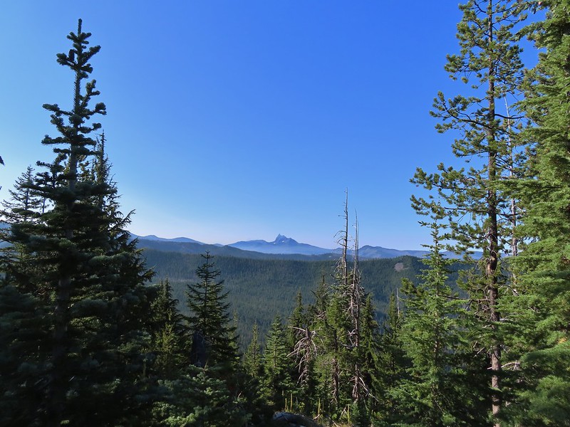
 Broken Top to the far left blending into the haze and Three Fingered Jack to the right with the Three Sisters in between.
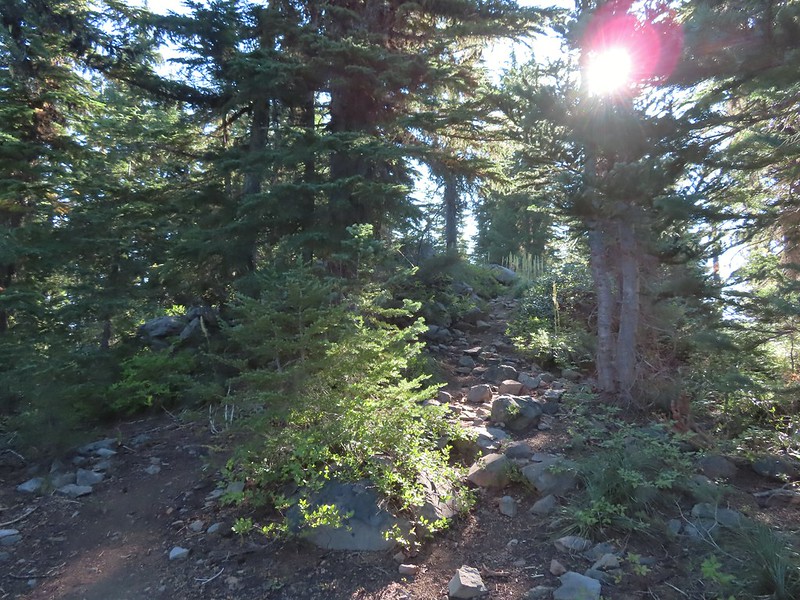 Just below the summit.
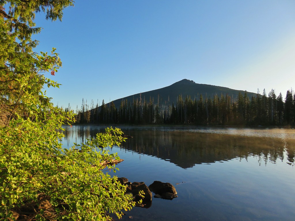
 Pamelia Lake below Mt. Jefferson.
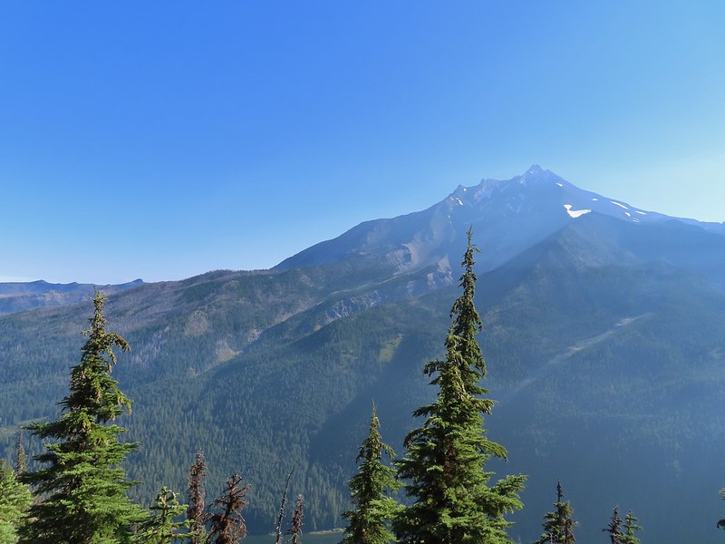
 Hunts Creek flowing into Pamelia Lake.
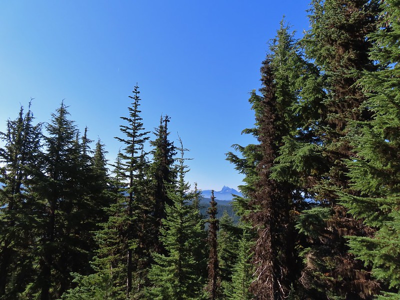 Had to hunt for a view of Three Fingered Jack.
 A hard to make out Mt. Hood beyond the far ridge which consists of Bear Point to the left (
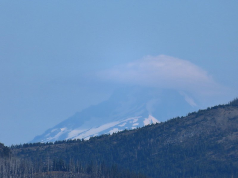 Mt. Hood
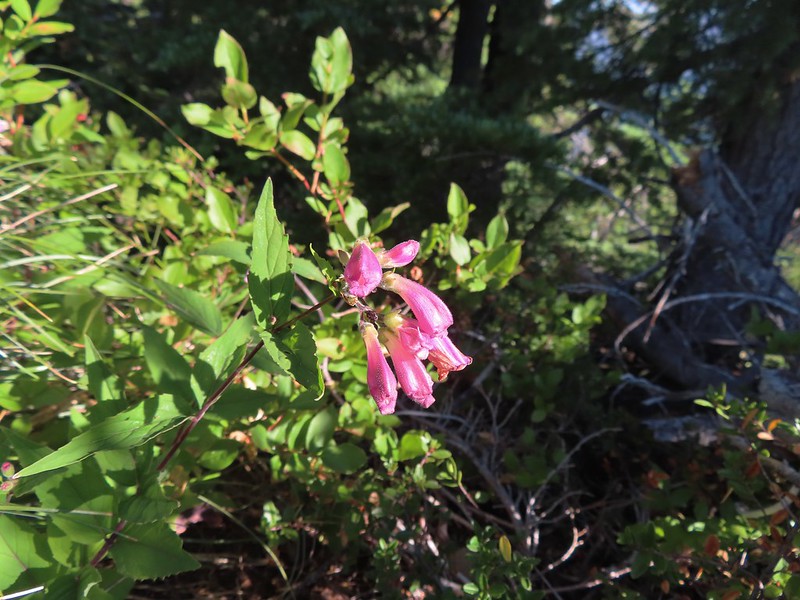 Beardtongue
 A fritillary butterfly.
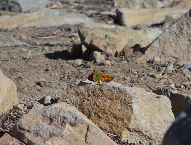 A skipper
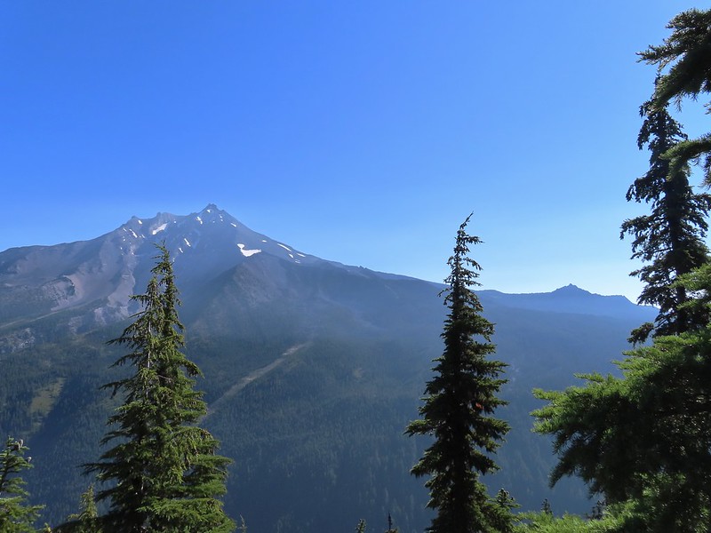 Goat Peak is to the right of Mt. Jefferson.
 Mt. Jefferson and Pamelia Lake from one of the viewpoints along the ridge.
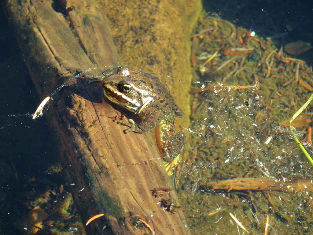
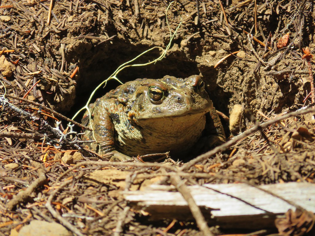
 Cascade toad
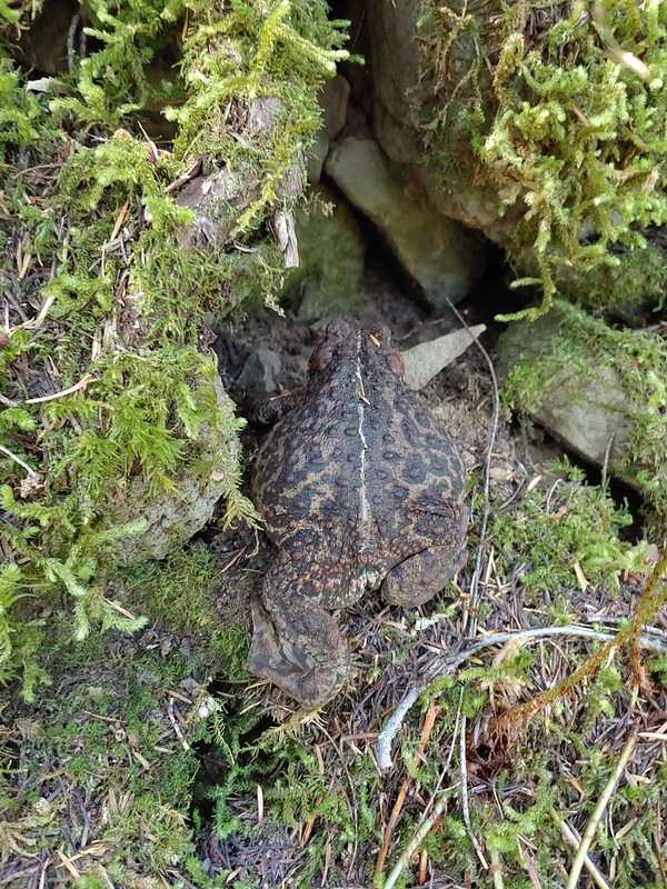

 One more of Pamelia Creek.


 North Sister in the distance.
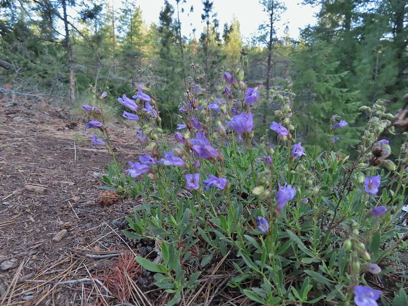 Penstemon
 Chocolate lily
 Sand lily
 Paintbrush
 Balsamroot
 A Penstemon
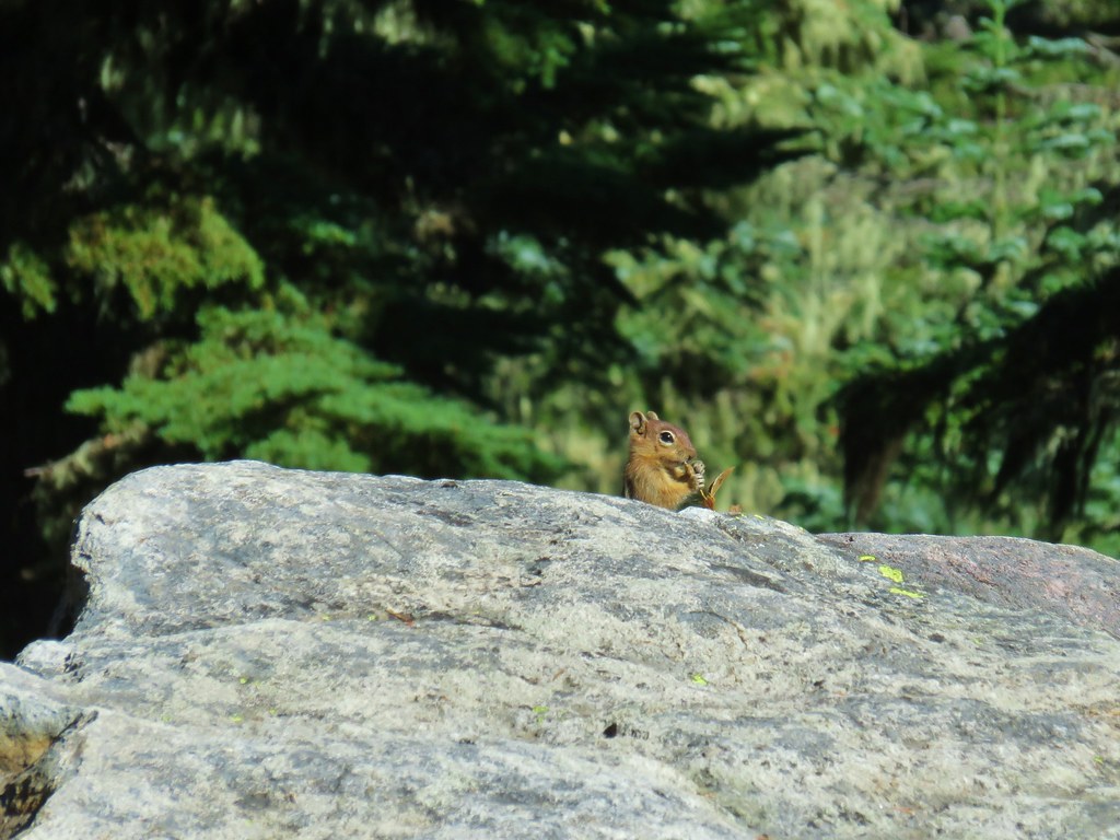
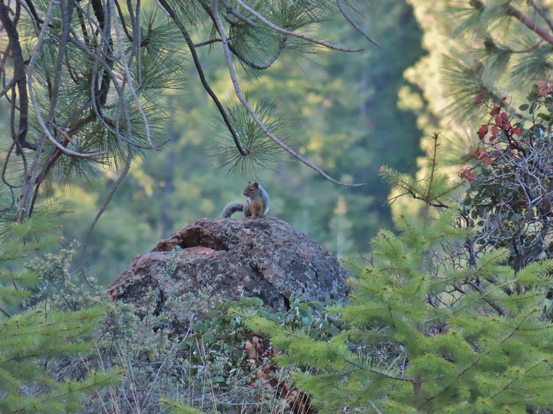 Squirrel!

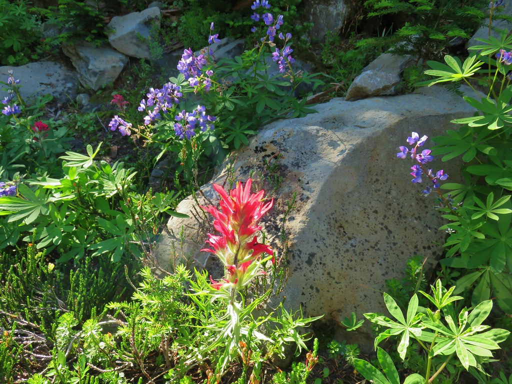
 The penstemon really liked the cliff area.


 Mt. Hood sighting.
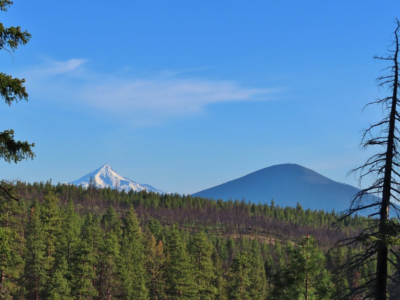 Mt. Jefferson and Black Butte
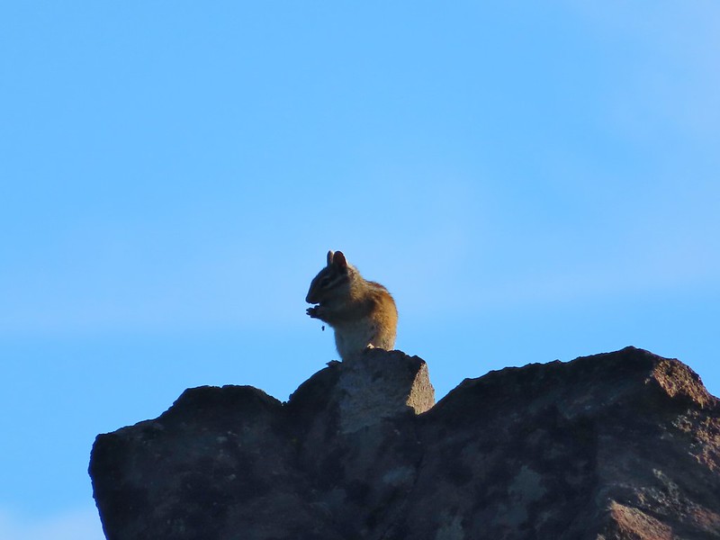 Chipmunk
 White breasted nuthatch
 Golden mantled ground squirrel
 Broken Top and the Three Sisters (bonus points for spotting the golden mantled ground squirrel)
 Lewis flax at the overlook.
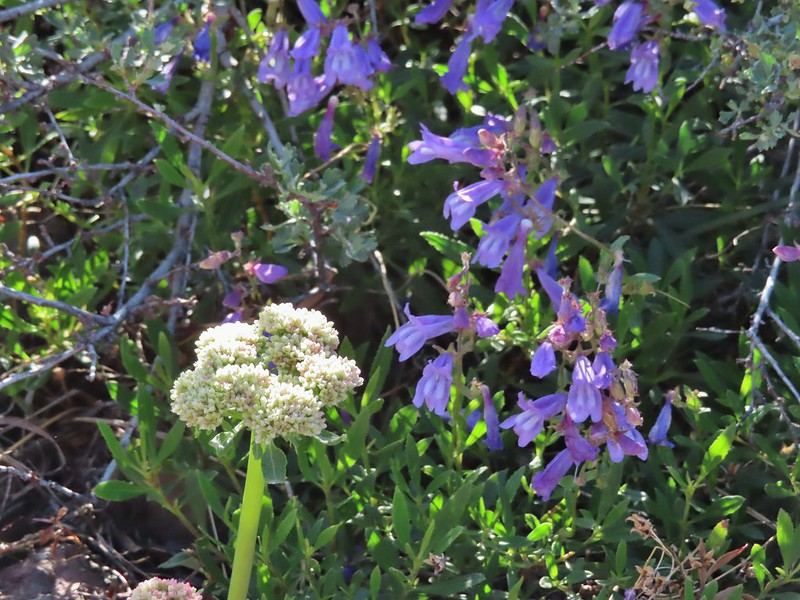 Buckwheat and penstemon
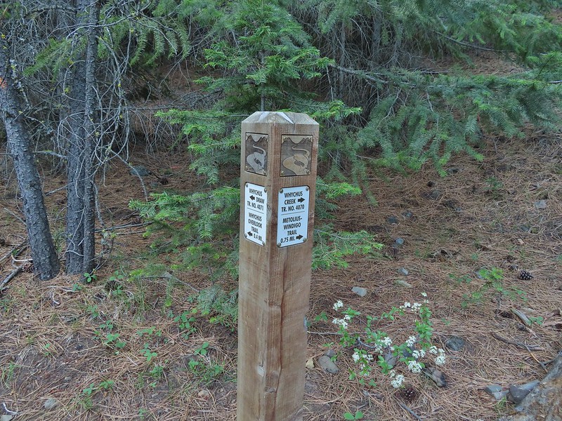
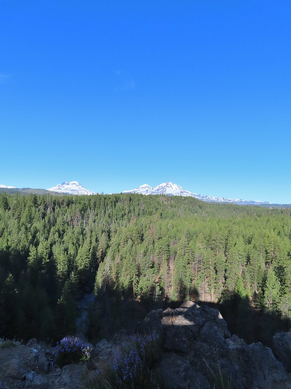 Whychus Creek below with the Three Sisters on the horizon.
 Tam McArthur Rim (
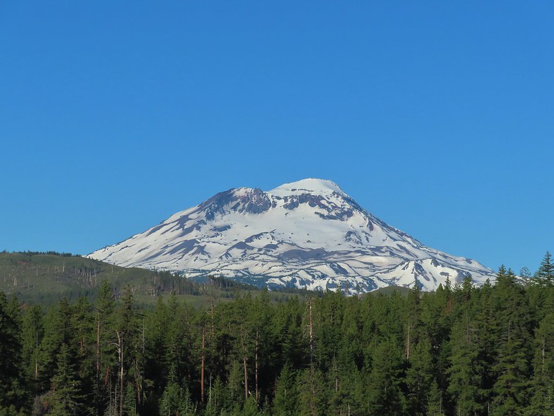 South Sister
 Middle and North Sister
 Mt. Washington
 Three Fingered Jack
 Mt. Jefferson
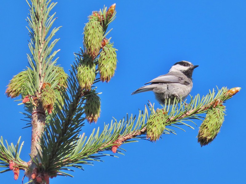 Chickadee

 Interpretive sign along the trail.
 Mt. Washington, Three Fingered Jack, Mt. Jefferson, and Black Butte

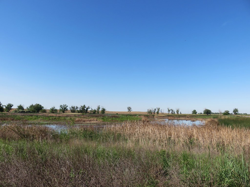 MCormack Slough in the Umatilla Wildlife Refuge.
 Looking towards Hells Canyon from Freezout Saddle.
 Wenaha River Canyon


 Road walk at Henry Haag Lake
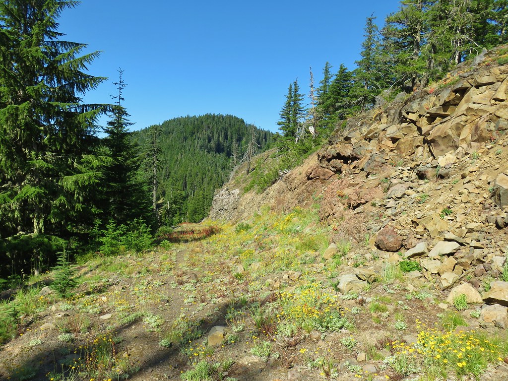 Decommissioned road to Baty Butte.
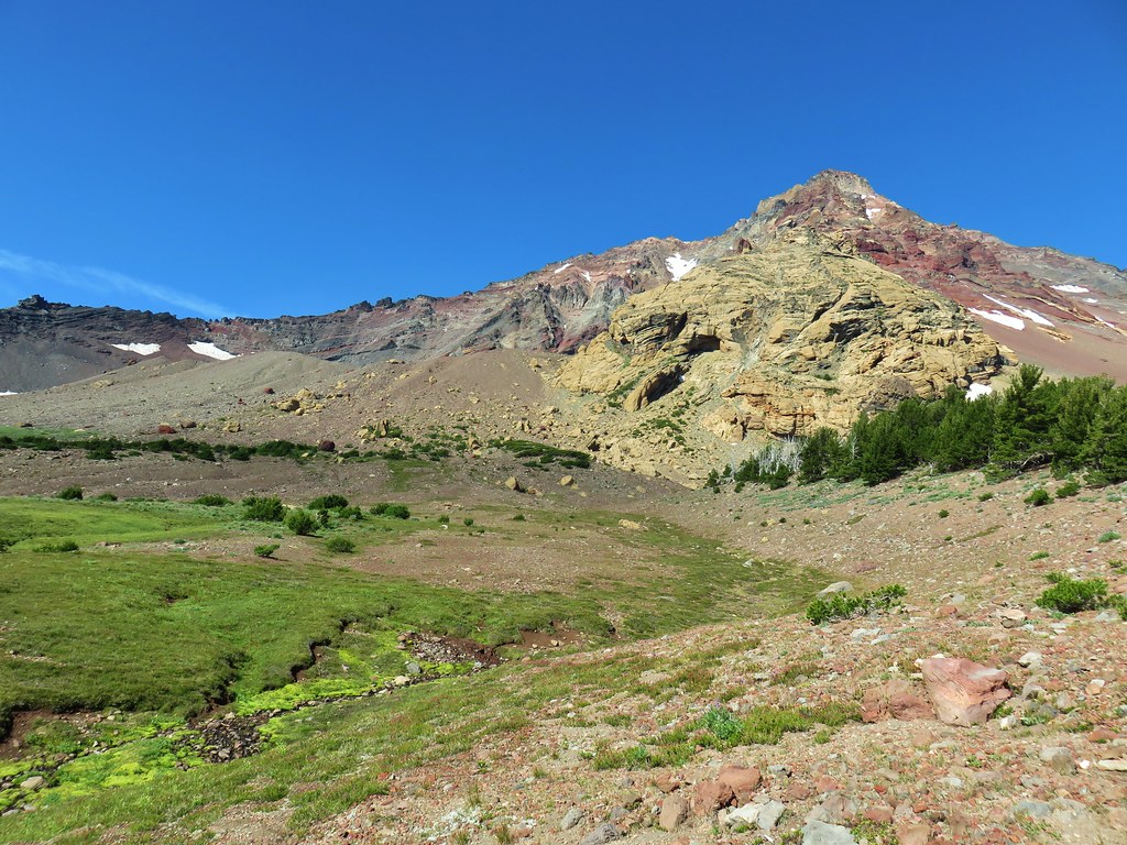 Cross country to Thayer Glacial Lake.
 Snow falling on our Freezout Saddle hike.
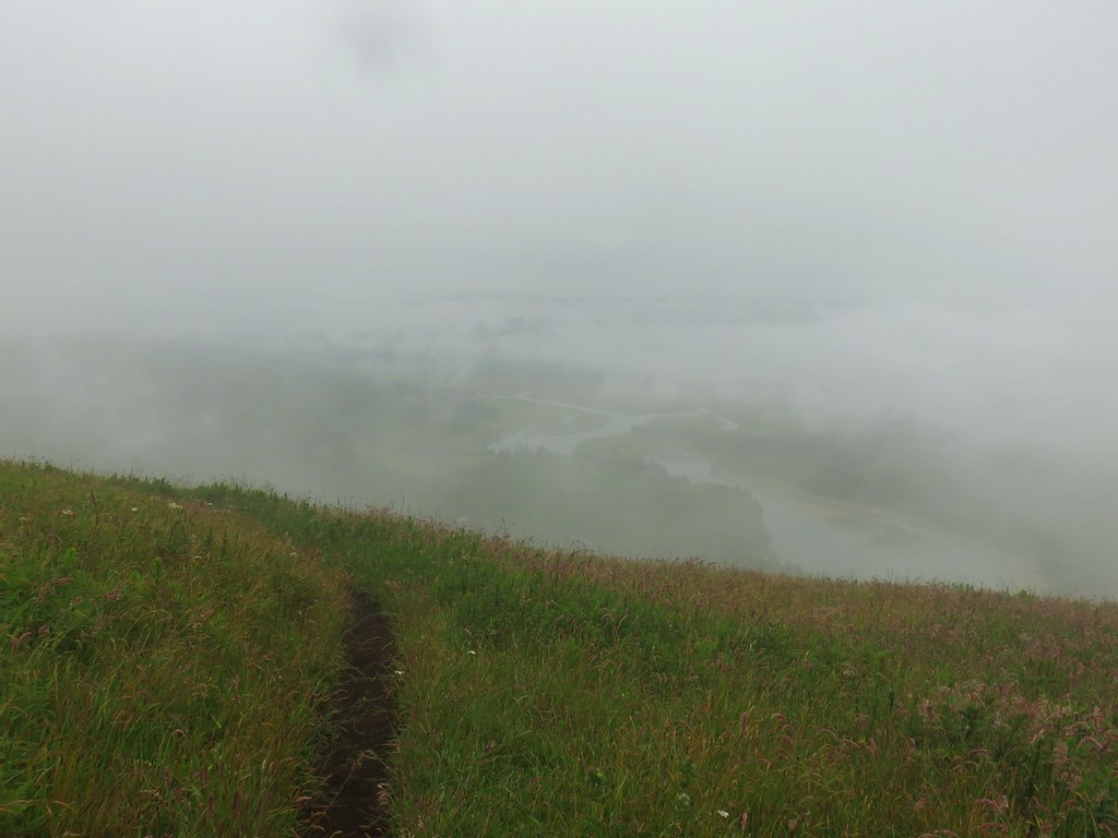 Rain shower approaching at Cascade Head.
 Taking cover under a tree in the Mollala River Recreation Area as a rain shower passes overhead.
 Rainbow framing the Wallowa Mountains from the Feezout Saddle Trail.
 View from Cascade Head after the shower.
 View from the morning across the Mollala River Canyon.
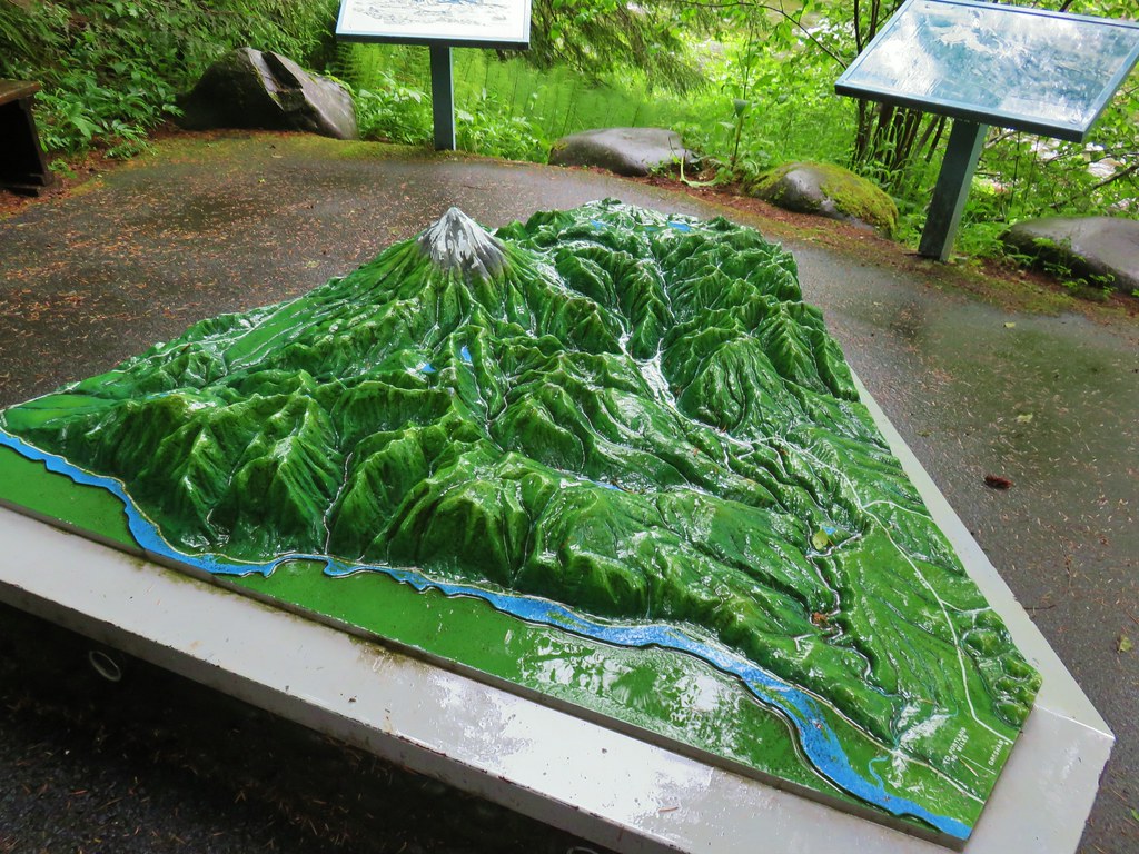 Neat 3D display at Wildwood Recreation Area.
 View atop Huckleberry Mountain.

 Gales Creek – Coast Range
 Dry Creek Falls – Columbia River Gorge, OR
 Camassia Natural Area – West Linn
 Two Chiefs and Table Mountain – Columbia River Gorge, WA
 Oak Island – Columbia River
 B.C. Creek Falls – Wallowa Mountains
 Wallowa Mountains
 Harsin Butte – Zumwalt Prairie
 Sardine Mountain – Willamette National Forest
 Gorton Creek Falls – Columbia River Gorge, OR
 Mt. Hood from Lost Lake
 Mt. Hood from Vista Ridge
 Sand Mountain Lookout – Willamette National Forest
 Cape Kiwanda and Haystack Rock from Sitka Sedge Beach
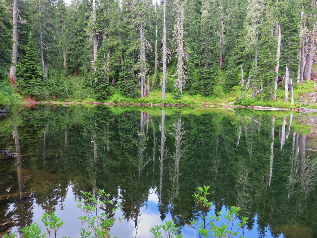 High Lake – Mt. Hood National Forest
 Tidbits Mountain – Willamette National Forest
 Bunchgrass Meadow – Willamette National Forest
 Breitenbush Cascades – Willamette National Forest
 Mt. St. Helens from Cinnamon Ridge – Mt. St. Helens National Volcanic Monument
 Mt. Jefferson from Bear Point – Mt. Jefferson Wilderness
 Sawmill Falls – Little North Fork Santiam River
 Three Fingered Jack, The Three Sisters, and Mt. Washington
 Scramble route to Baty Butte – Mt. Hood National Forest
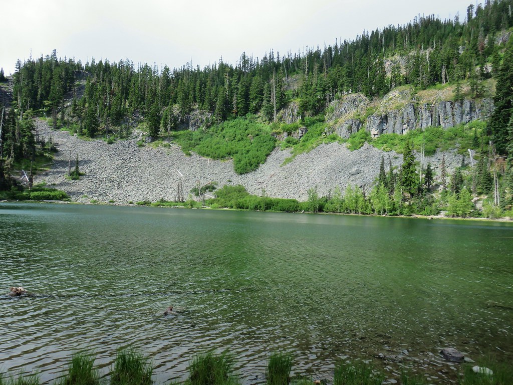 Boulder Lake – Mt. Hood National Forest
 Drift Creek – Drift Creek Wilderness
 North Sister and Thayer Glacial Lake – Three Sisters Wilderness
 North Sister, Middle Sister, and The Husband from Four-In-One Cone – Three Sisters Wilderness
 Mt. Hood from Tumala Mountain – Mt. Hood National Forest
 Bull of the Woods Lookout – Bull of the Woods Wilderness
 Mt. Hood from Elk Cove – Mt. Hood Wilderness
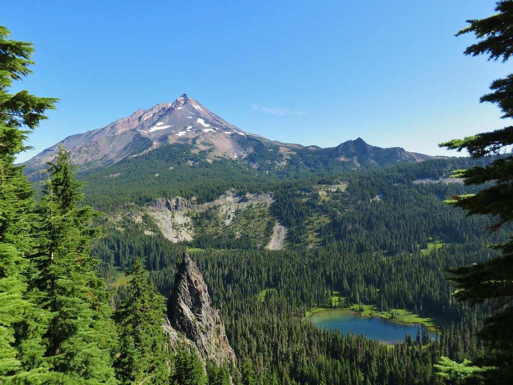 Mt. Jefferson and Hunts Cove – Mt. Jefferson Wilderness
 View from Olallie Butte – Warm Springs Indian Reservation
 Lillian Falls – Waldo Lake Wilderness
 Olallie Mountain Lookout – Three Sisters Wilderness
 King Tut – Crabtree Valley
 Mt. Jefferson from Ruddy Hill – Mt. Hood National Forest
 Henry Haag Lake – Scoggins Valley
 Waldo Lake and the Cascade Mountains from The Twins – Deschutes National Forest
 Bobby Lake – Deschutes National Forest
 Indian Henry’s Hunting Ground – Mt. Rainier National Park
 Fog over the valley from Mt. Pisgah – Eugene, OR
 Twin Peaks and Gifford Lake – Olallie Lake Scenic Area
 Mt. Adams from Lookout Mountain – Badger Creek Wilderness Area
 Mollala River Recreation Area
 View toward Washington from the Pacific Crest Trail near Indian Mountain – Mt. Hood National Forest
 Clackamas River – Mt. Hood National Forest
 Forest Park – Portland, OR
 Tilikum Crossing – Portland, OR
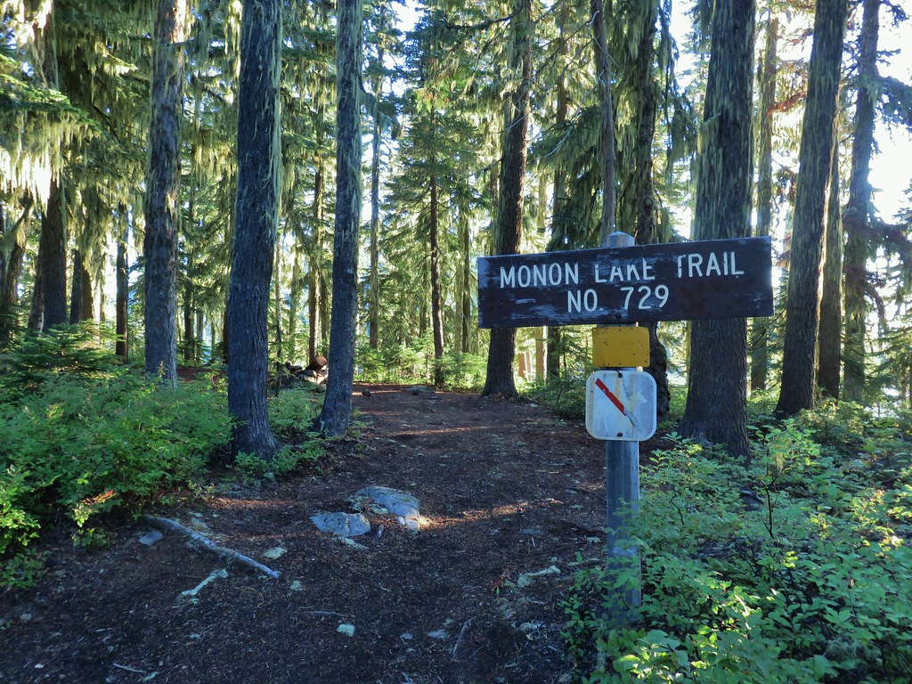
 Fading gentians
 A few gentians still holding their blue color.
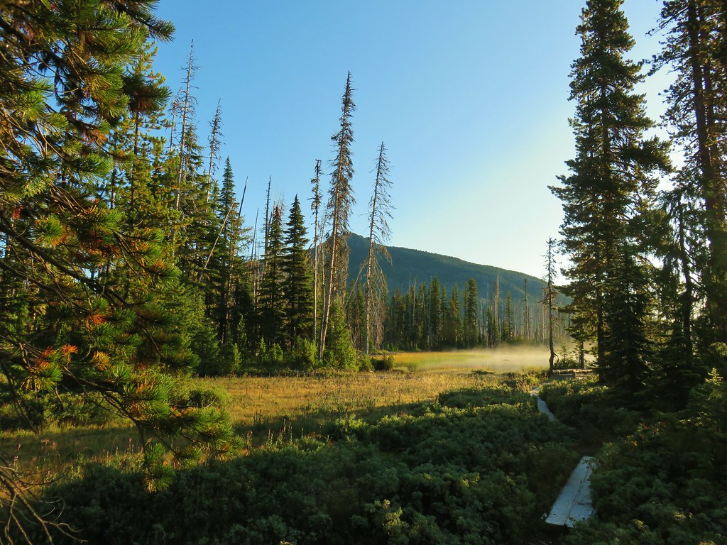
 Olallie Butte and the unnamed lake.
 The tip of Mt. Jefferson sticking up above the high point on the ridge.
 Dusting of new snow on Mt. Jefferson
 Duck on the lake.
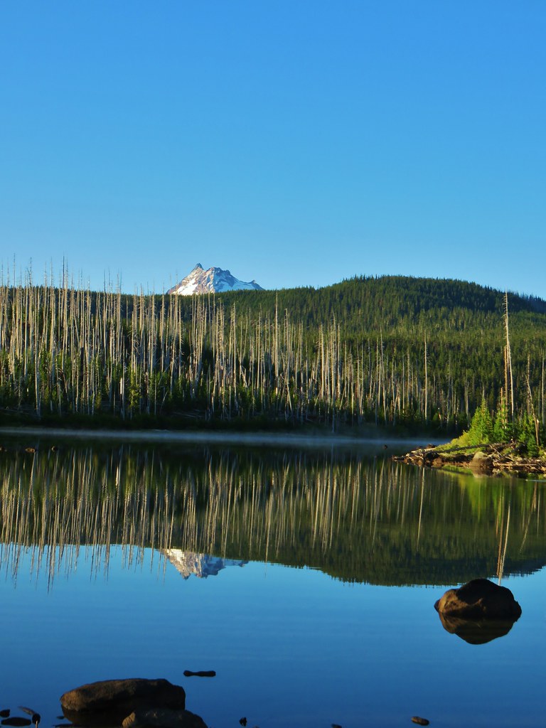 A little more of Mt. Jefferson showing.
 View from atop the rocks.
 The small rock cairn coming from the opposite direction on the Monon Lake Trail later in the day.


 Mergansers


 Rock cairn along the PCT marking the connector trail.
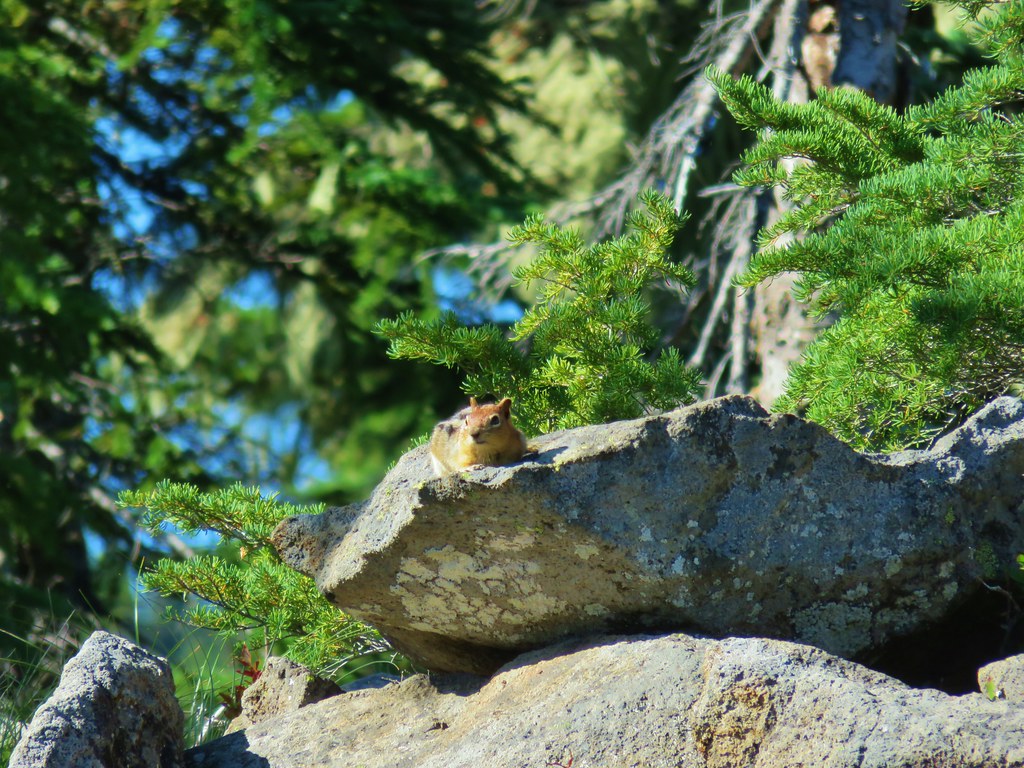 PCT lookout.
 Golden-mantled ground squirrels at Cigar Lake.
 Double Peaks from Upper Lake
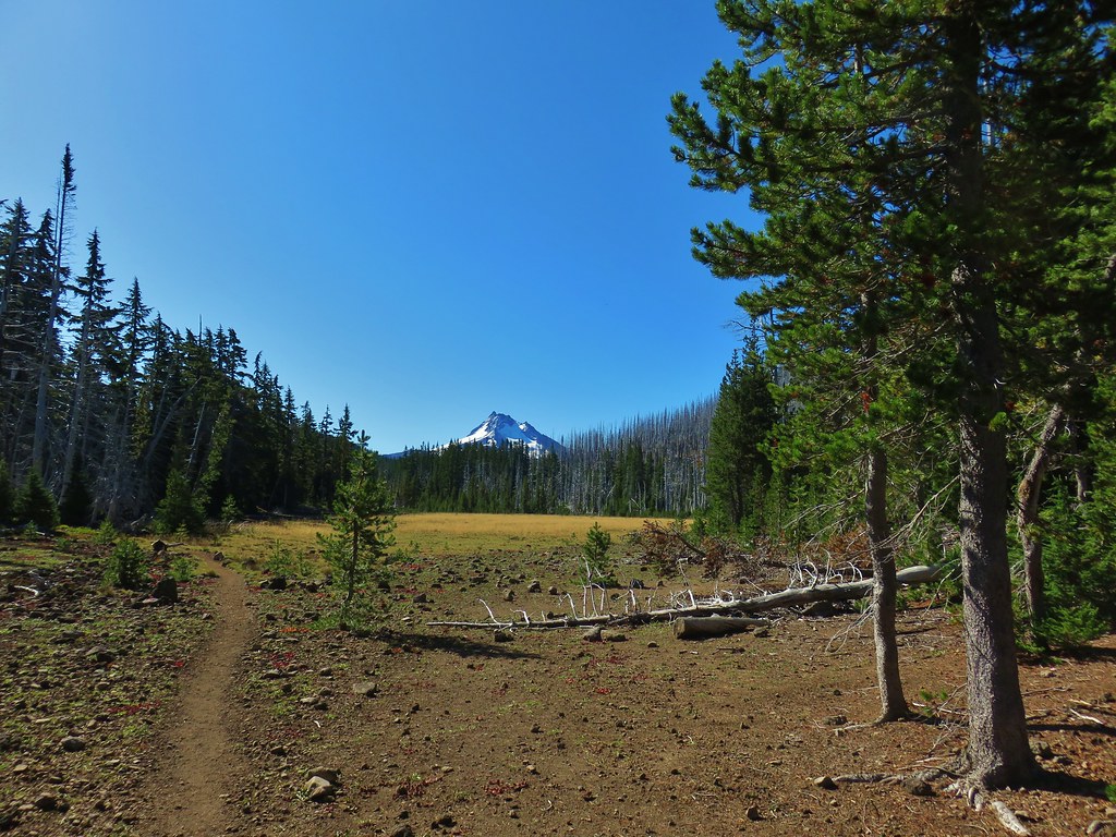

 Company at the viewpoint.
 Approximate location when we heard the “elk” bugle.


 Flat topped Battle Ax Mountain to the left to the fire scarred summit of Schreiner Peak to the right.
 Battle Ax (
 Bull of the Woods (


 Trail sign with the PCT heading north behind it.


 Sisi Butte
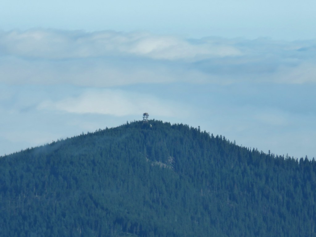 Lookout tower on Sisi Butte
 Mt. Hood
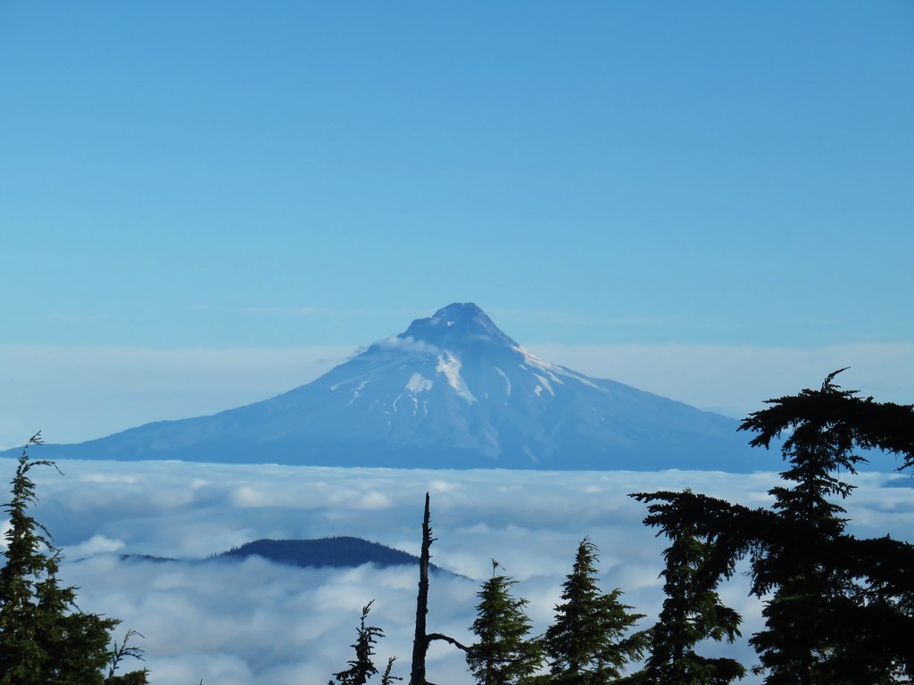


 Olallie Lake
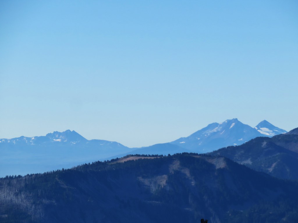 Broken Top and The Three Sisters
 Dinah-mo Peak and Bear Point (
 Bear Point
 Lookout tower remains

 Starting from the left – Trout Lake with Boulder Lake beyond, Island Lake, Dark Lake, Long Lake. The three smaller lakes are Lake Mary (closest), Lake Marie (middle), and Lake Alice (furthest). Lake Hazel is the small lake up and to the right of those three. All of these lakes are part of the Warm Springs Reservation and off-limits unless a permit to visit has been obtained.
 Monon, Olallie, and Timber Lakes in the Mt. Hood National Forest to the west.
 Mt. Jefferson


 Mt. St. Helens as a dark spot on the horizon.
 Mt. Adams beyond Mt. Hood
 Mt. Jefferson from the lookout site.


 Huckleberry bushes and beargrass in the clear-cut.
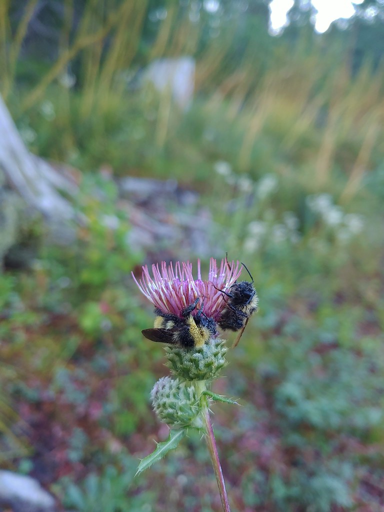 Sleeping bees on some thistle.
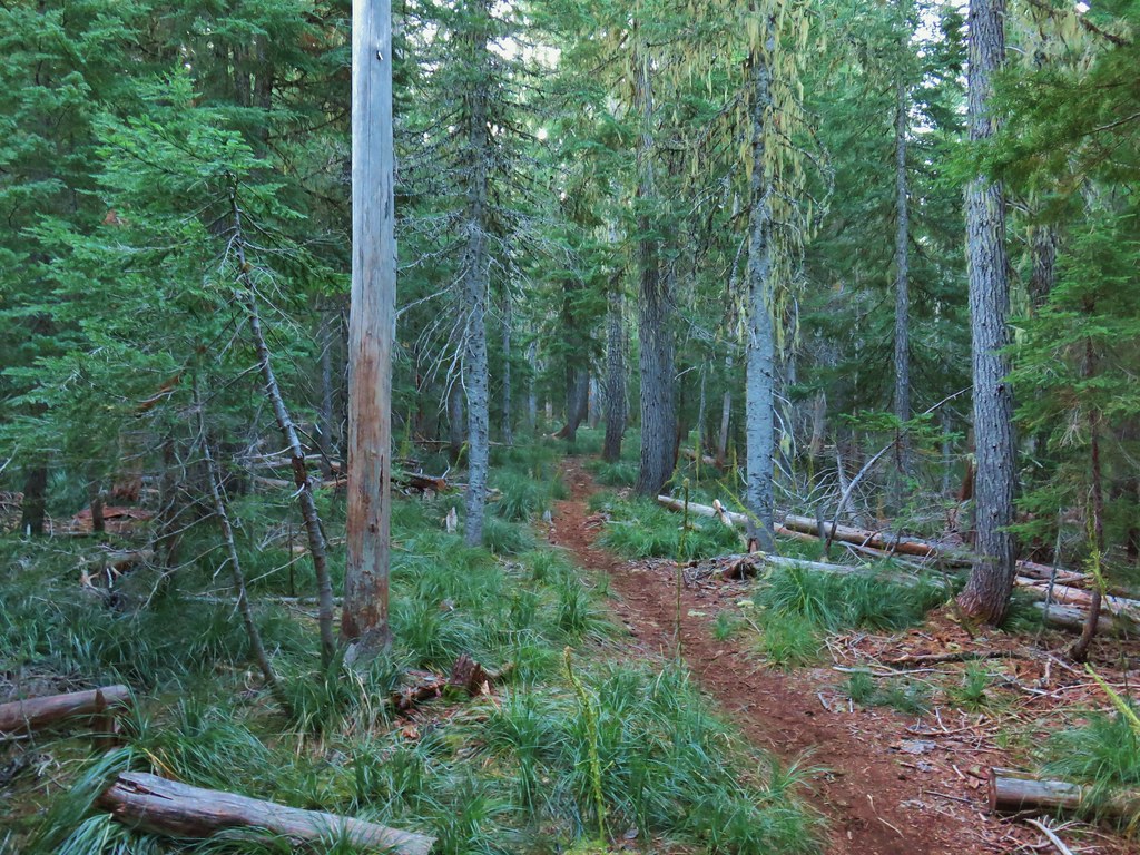

 The bees on the thistle may have been asleep but a western toad was out and about.
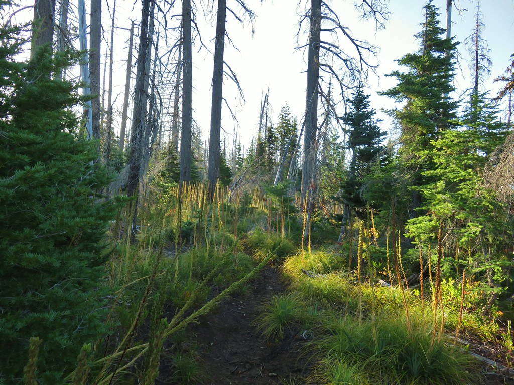
 Mt. Jefferson through the burned trees.
 Back in the green.
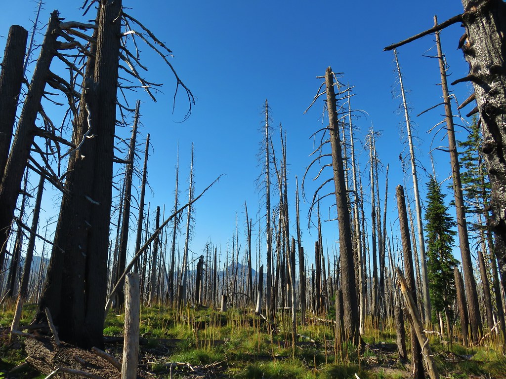 Three Fingered Jack through the burned trees.
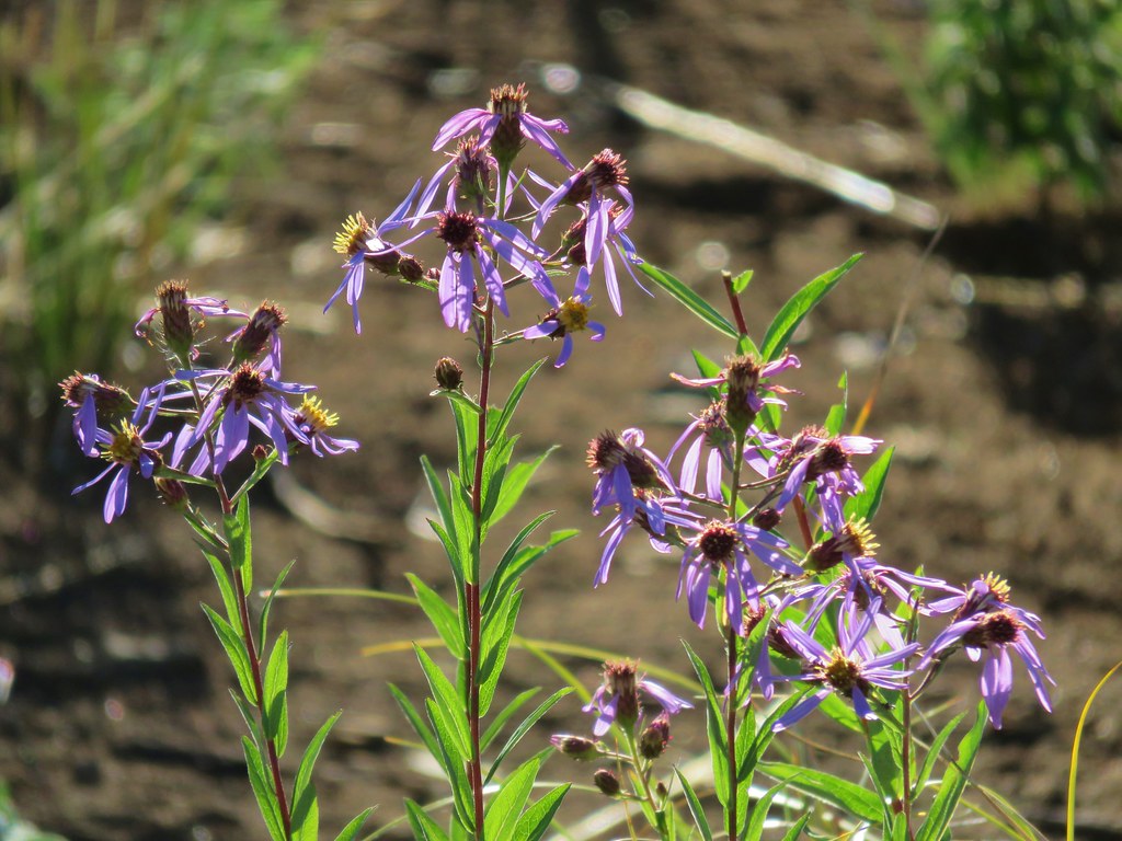 Aster
Aster Pearly everlasting
 Fireweed
 Three Fingered Jack
 The rock covered rise.
 South Cinder Peak (
 Still passing the rocks.
 The low saddle.
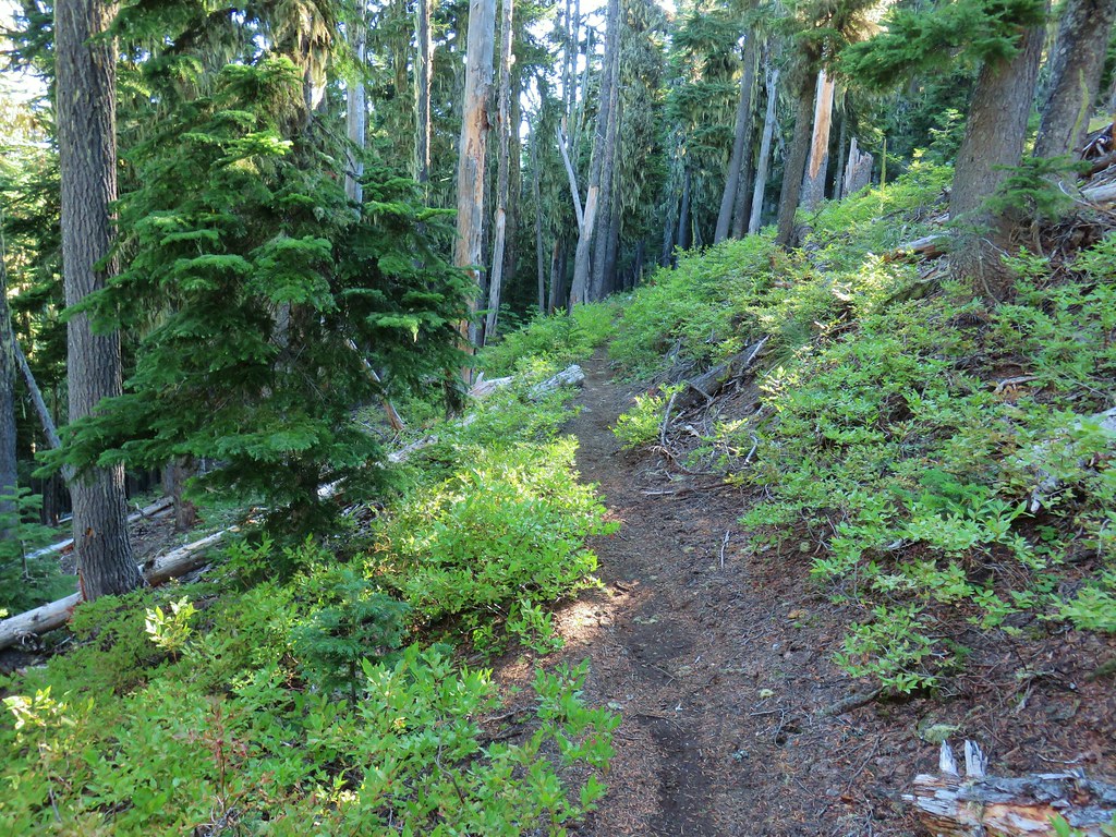
 Coffin and Bachelor Mountains (


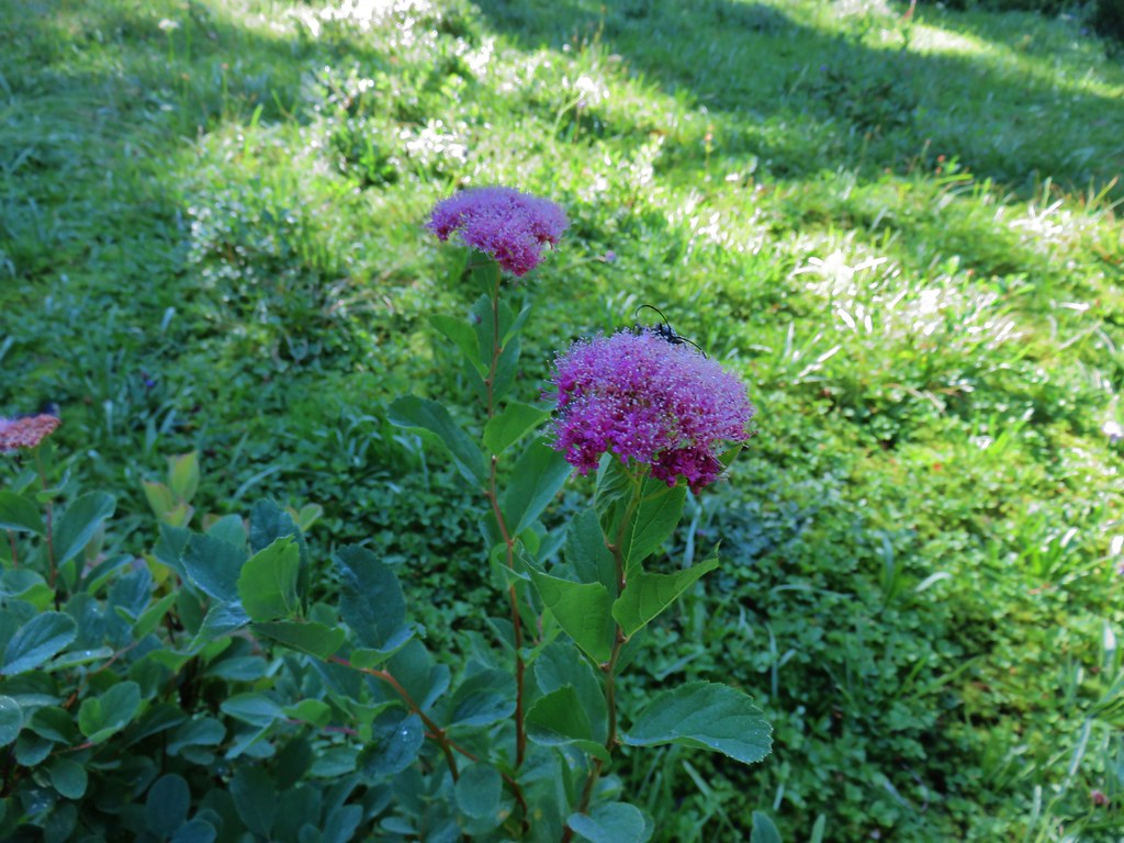 Spirea with a beetle.
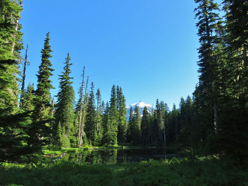 Unnamed lake with Mt. Jefferson (and those pesky clouds).
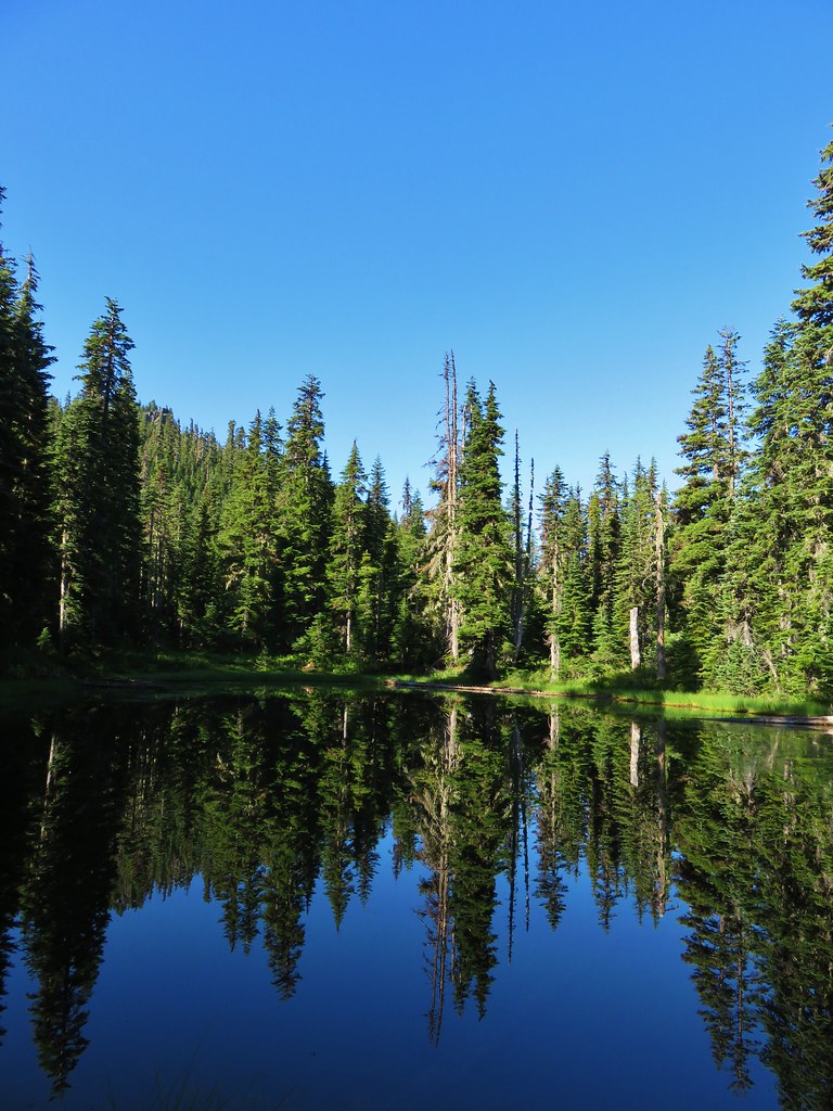 From the opposite side of the lake.


 Looking south over the rock field.
 One of the frogs.
 Frog in the trail.


 Apparently the trail was rerouted at some point because we could see tread that we never used.
 The Three Pyramids beyond Bingham Ridge.
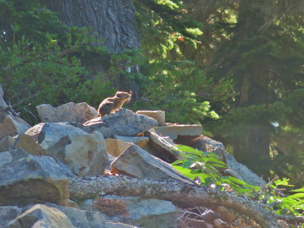


 (the clouds had finally vanished)
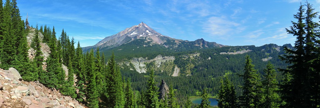
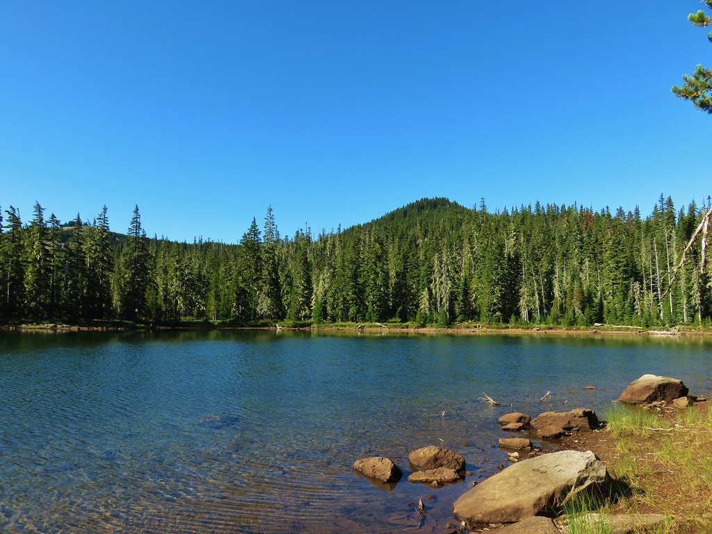
 Hanks Lake
 Hunts Lake
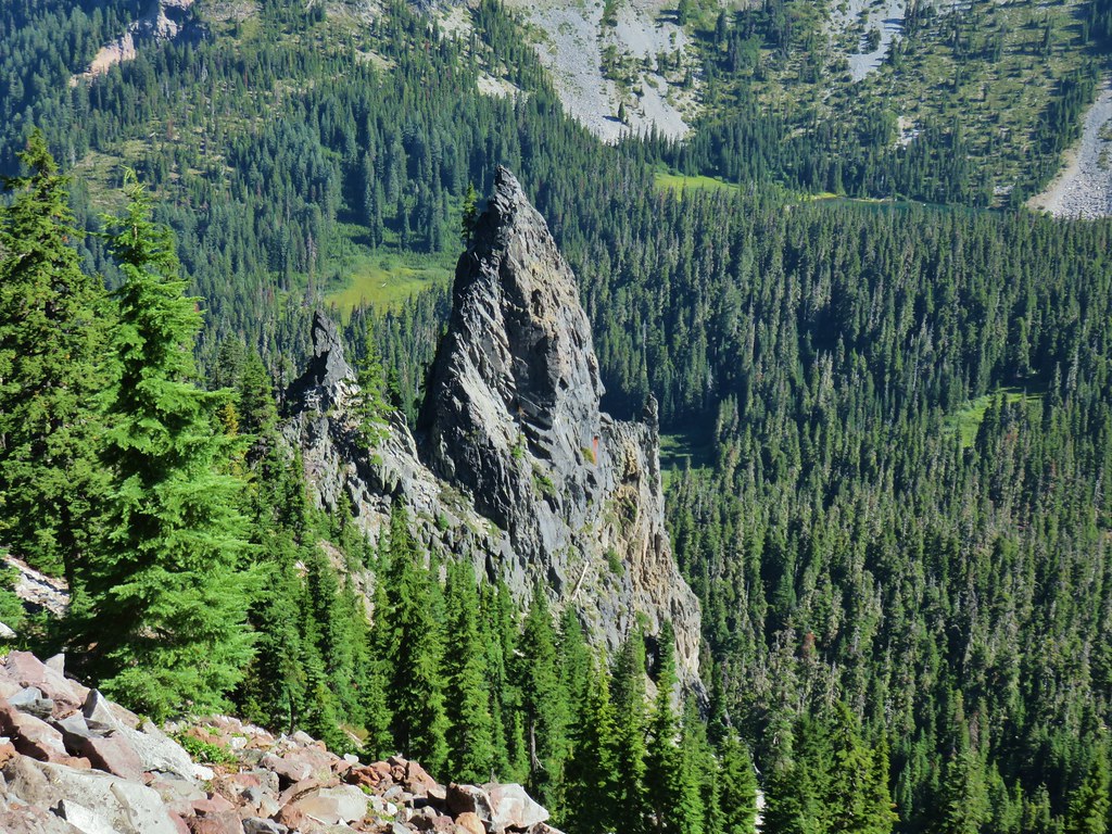 Rock fin above Hunts Cove.
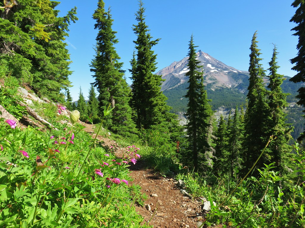 Penstemon and a western pasque flower.
 Western pasque flower seed heads.
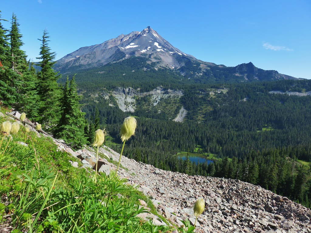
 Hippie-on-a-stick

 Paintbrush and lupine
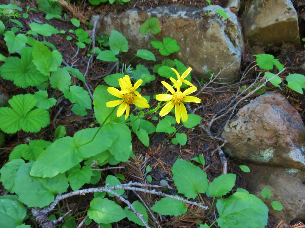
 Patridge foot
 Mt. Jefferson, Goat Peak (behind the tree) and the Cathedral Rocks.
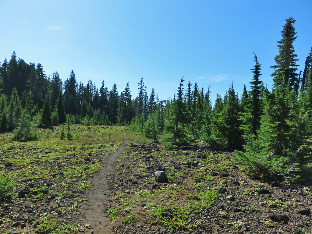
 South Cinder Peak
 The Three Sisters
 Three Fingered Jack
 Paintbrush in a meadow behind the butte.
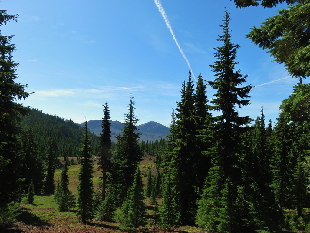 South Cinder Peak
 Three Fingered Jack
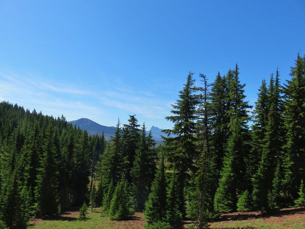

 Mostly past lupine
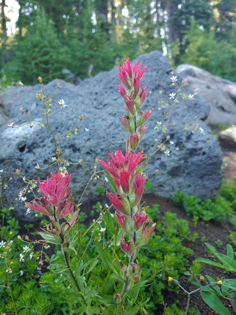 Paintbrush
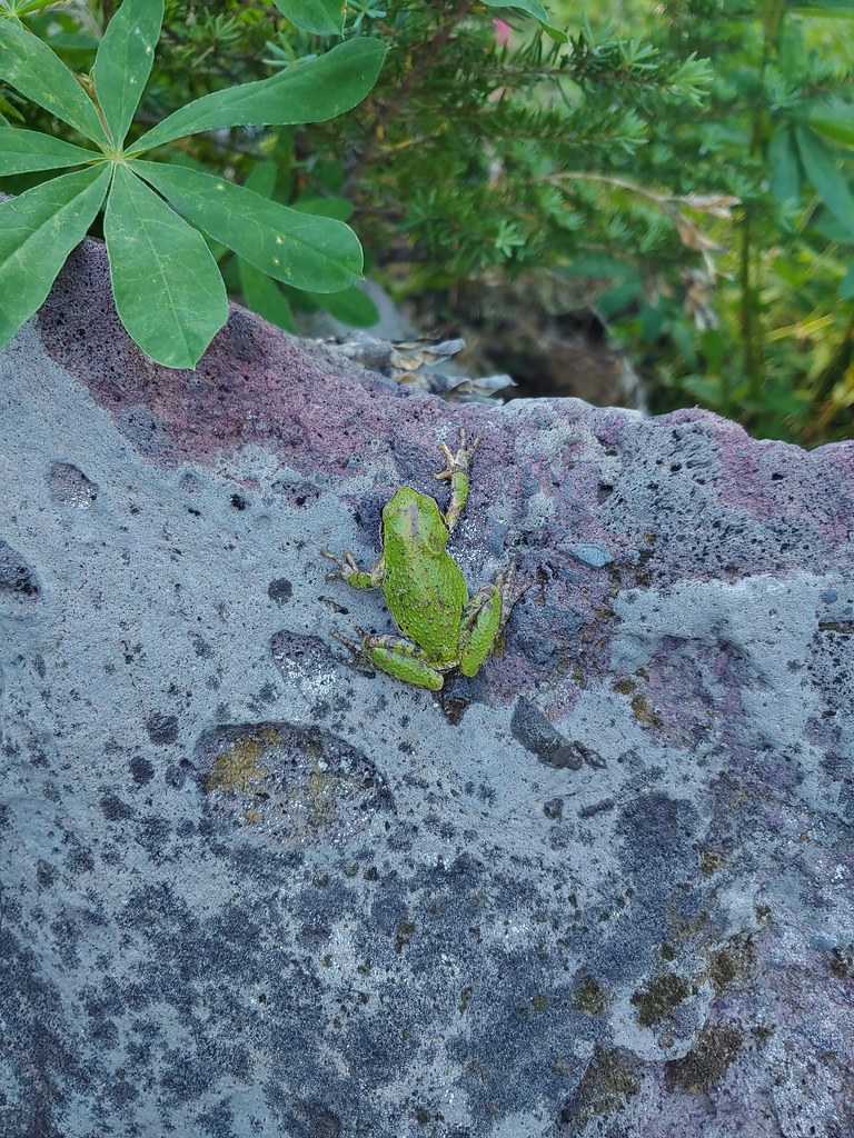
 Butterfly on an aster.
 Never seen one of these looks so clean and smooth, it almost looked fake.
 We don’t know if this was just a stunted wallflower or something we’d never seen before.
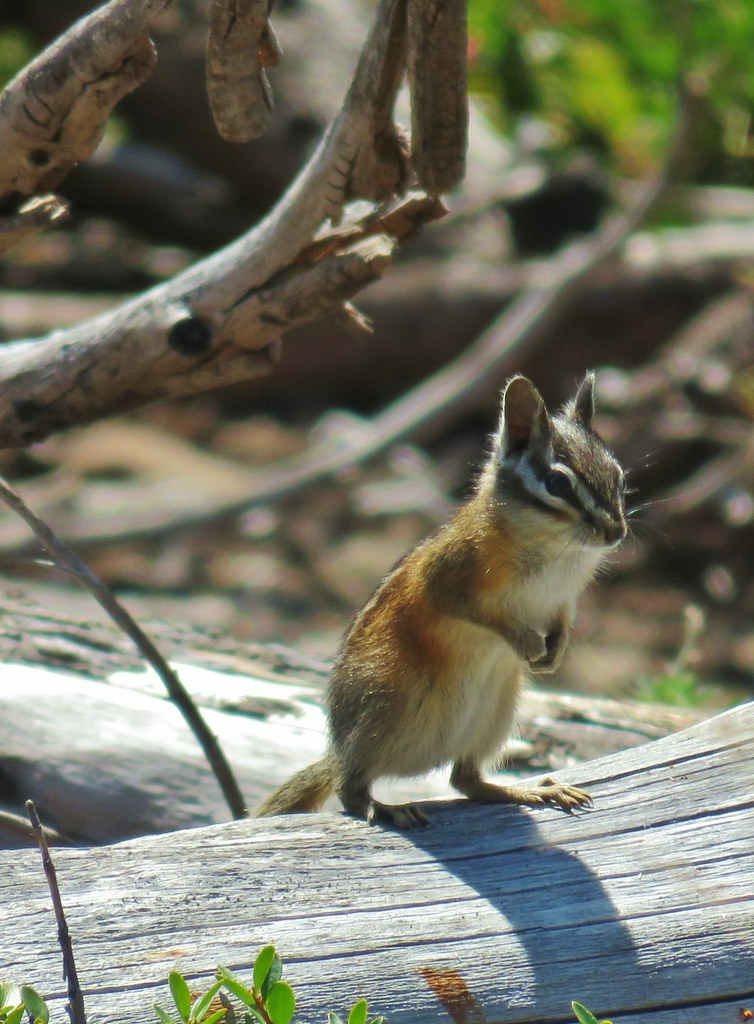


 Turpentine Peak
 Washington lily
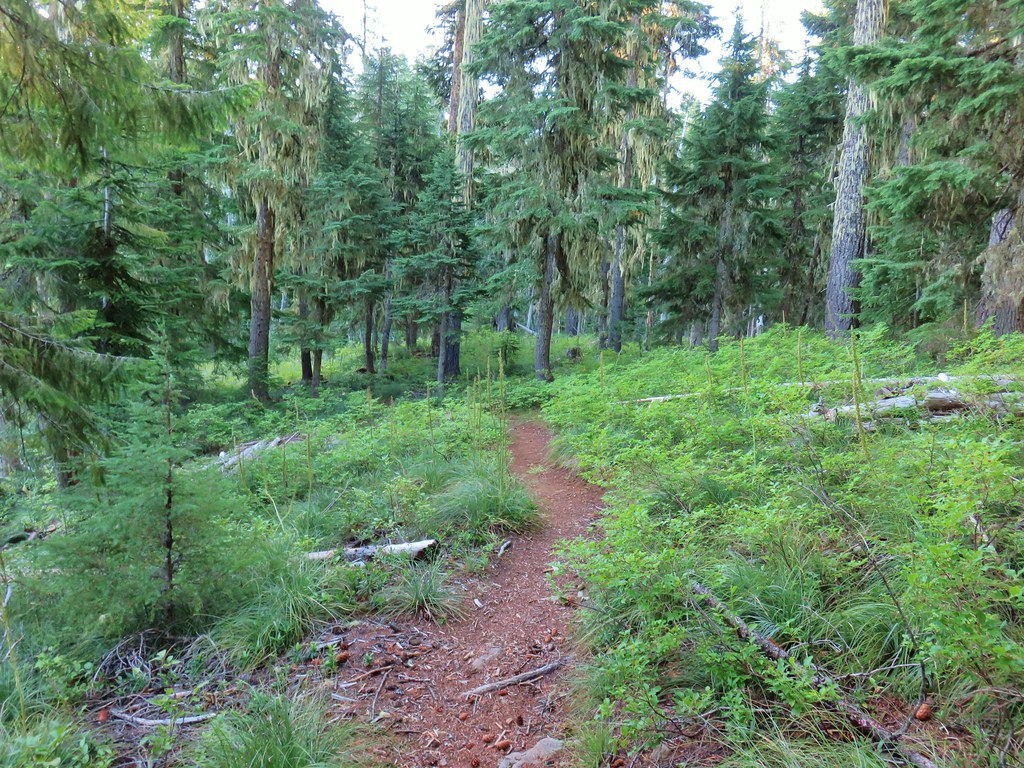
 Unburned forest
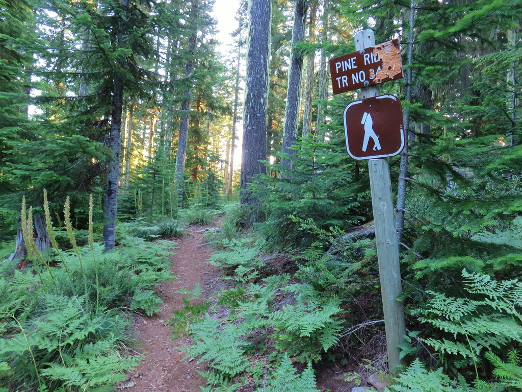
 Mt. Jefferson from the Pine Ridge Trail.
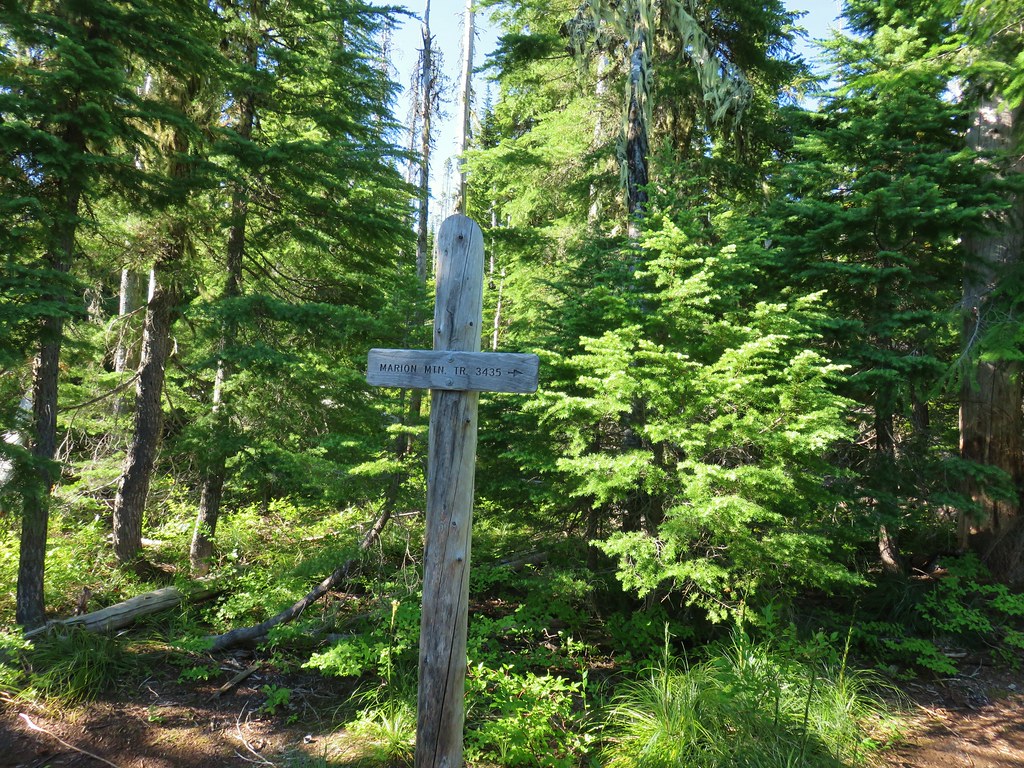
 Mt. Jefferson and Marion Lake (
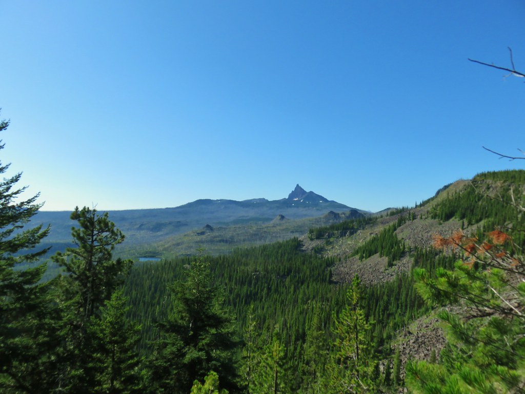 Three Fingered Jack
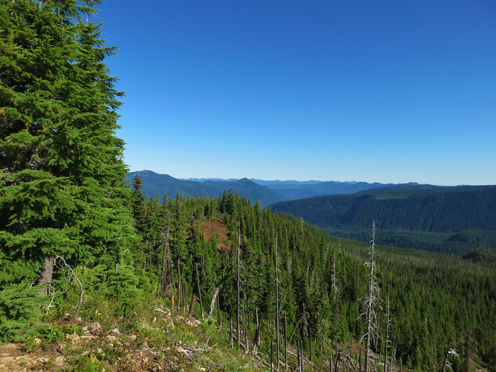 The cinder viewpoint from Marion Mountain.

 Three Fingered Jack
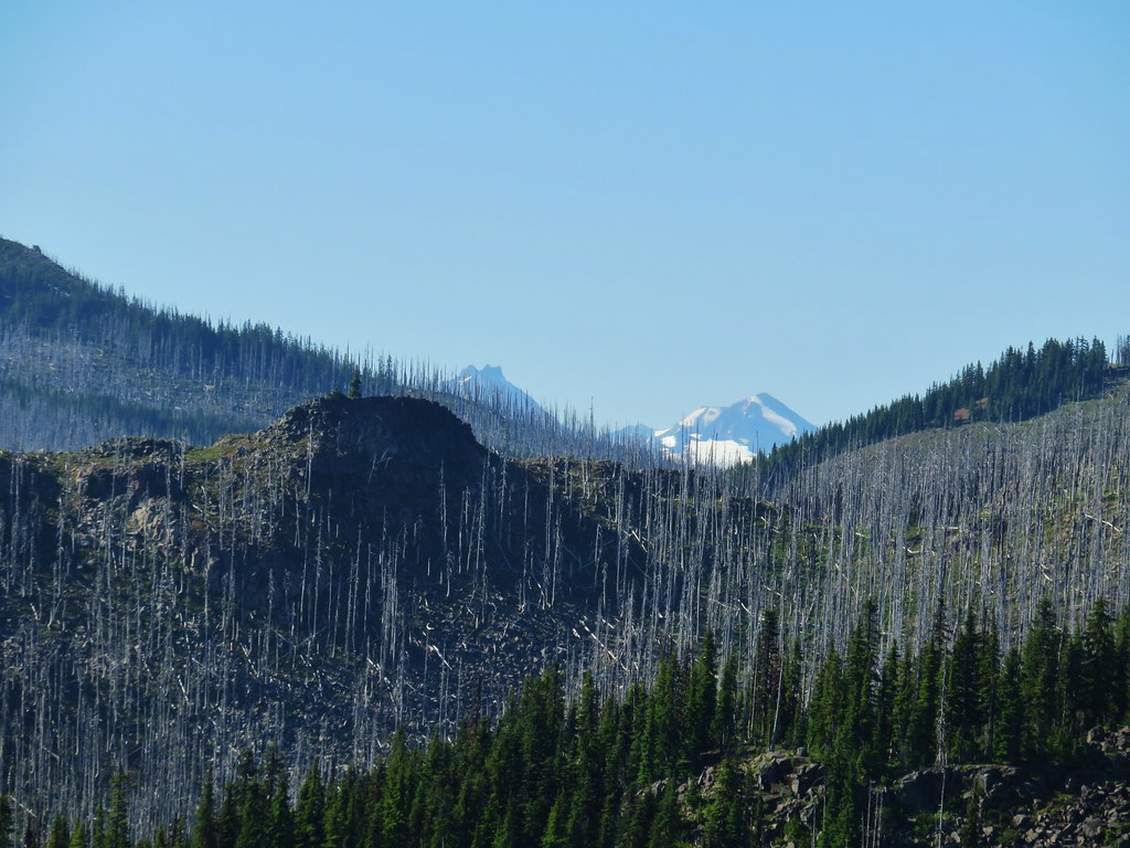 Tops of the Three Sisters.
 Coffin Mountain (
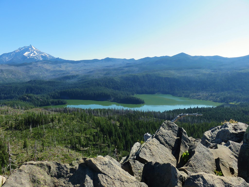 South Cinder Peak is the high point along the ridge.

 The saddle that we didn’t want to drop down to.
 The Three Sisters and Mt. Washington beyond Red Butte (
 Jenny and Melis Lake
 Marion Mountain at the end of the ridge.
 Bear Point (
 Turpentine Peak along the ridge.
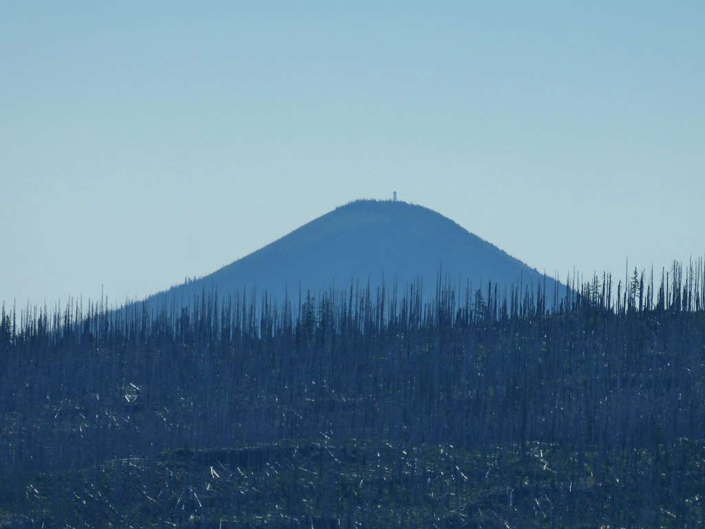 Black Butte (
 Stonecrop
 Prince’s Pine
 Penstemon
 Washington lily


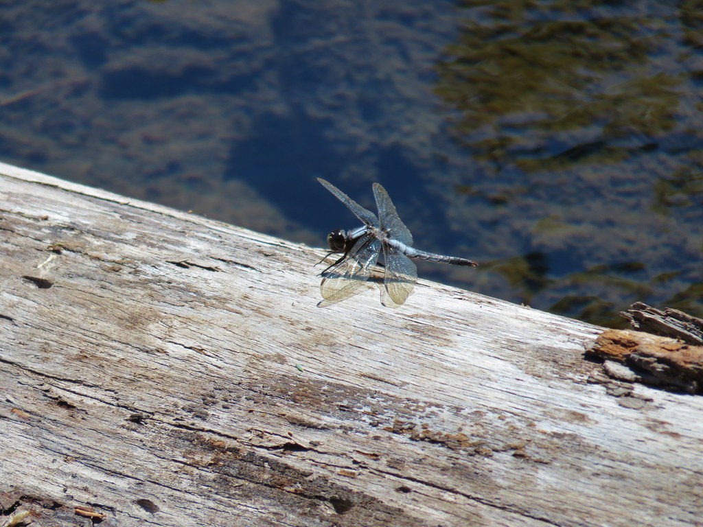 Dragon fly


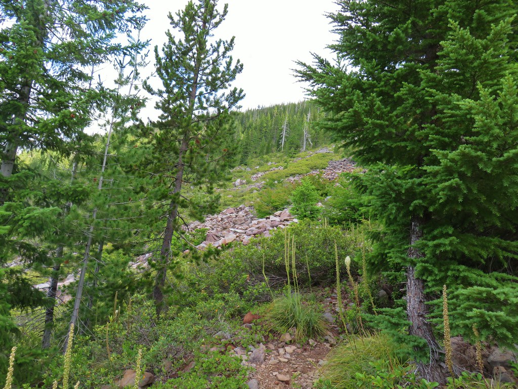
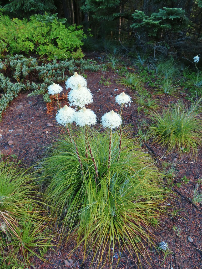
 Lots of spent beargrass along the trail.

 Thimbleberry bushes near the spring.
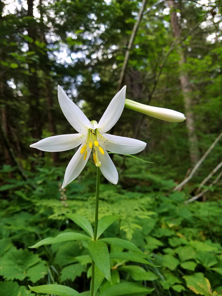 Washington lily
 Spring near the trail.

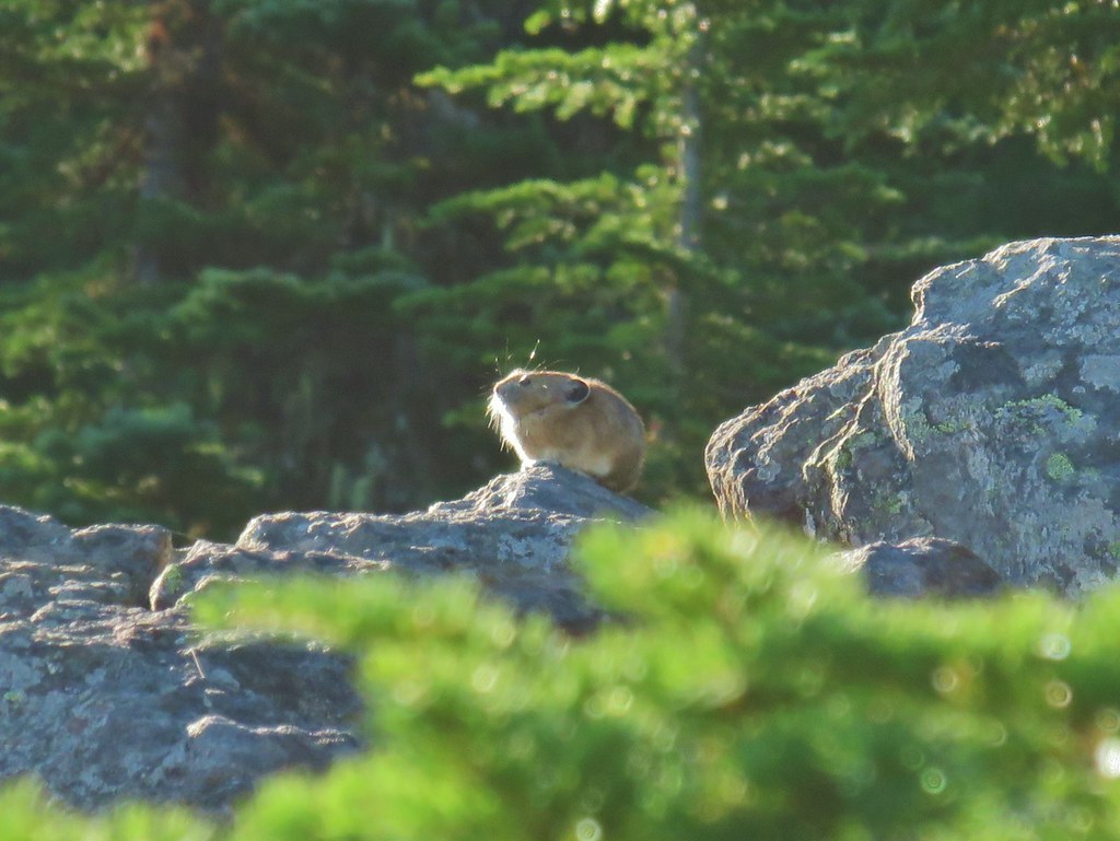
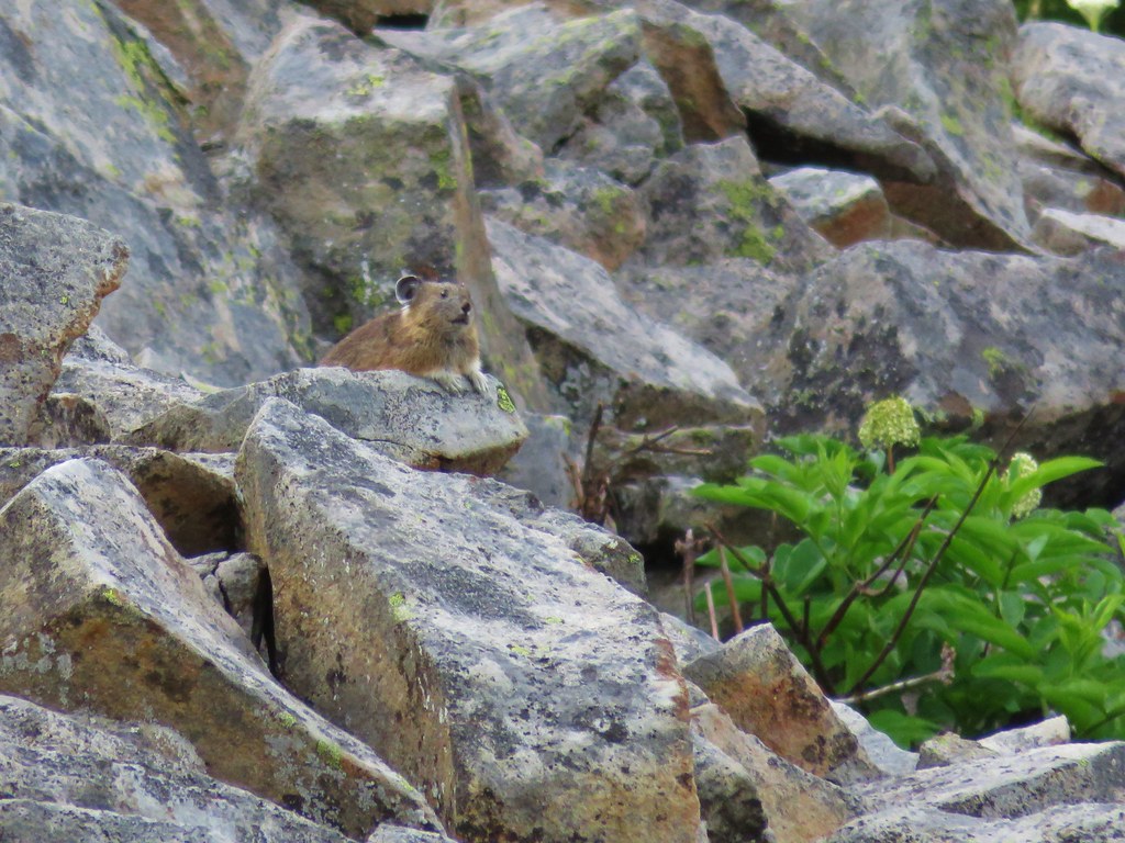
 Spotted the first pika of the day at this switchback (it’s on one of the red rocks)
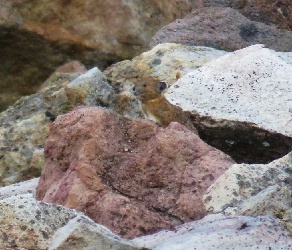


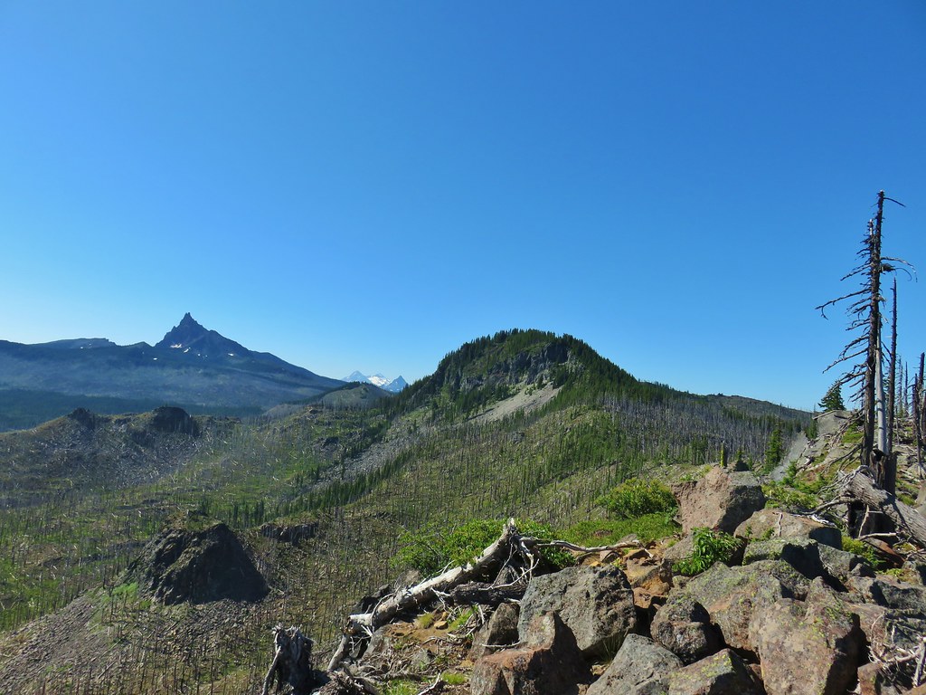
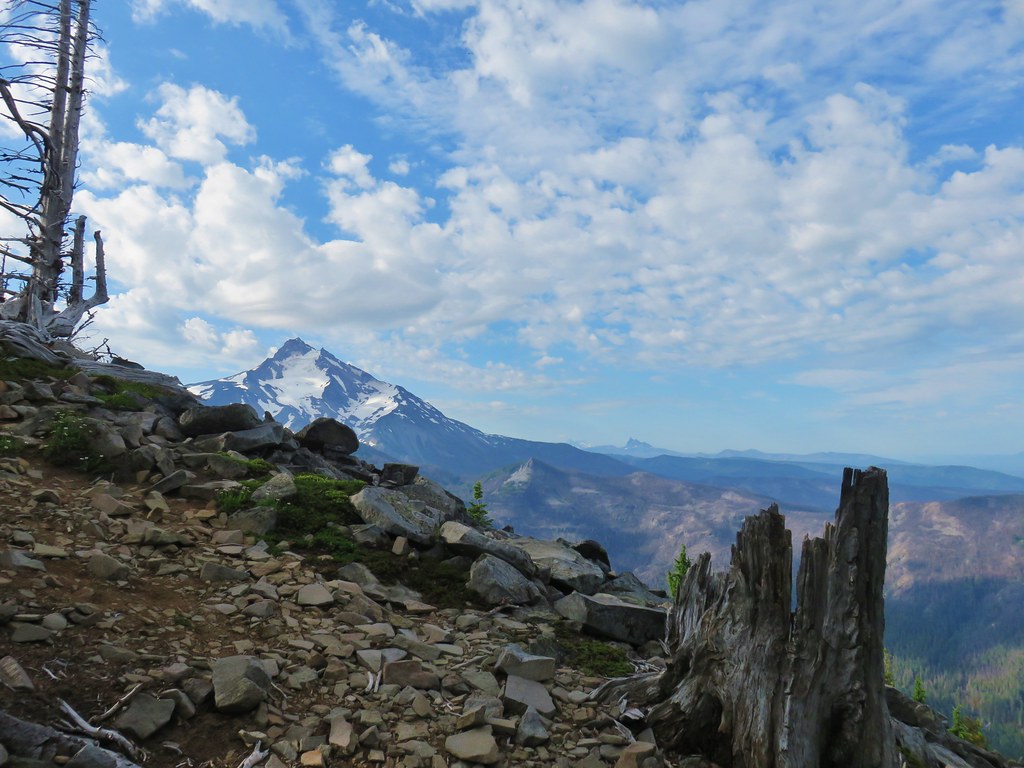
 The Three Pyramids, Bachelor Mountain, and Coffin Mountain in the distance with Triangulation Peak in a cloud shadow along the near ridge to the right.
 Mt. Jefferson with Three Fingered Jack now fully visible.
 Three Fingered Jack
 Grouse in the brush to the left of the trail.
 Grouse
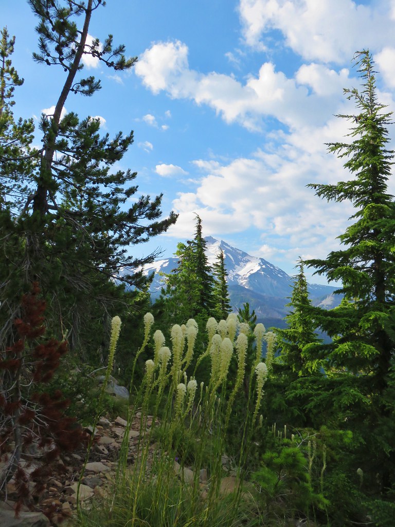


 Almost to the top.
 Bear Point summit.
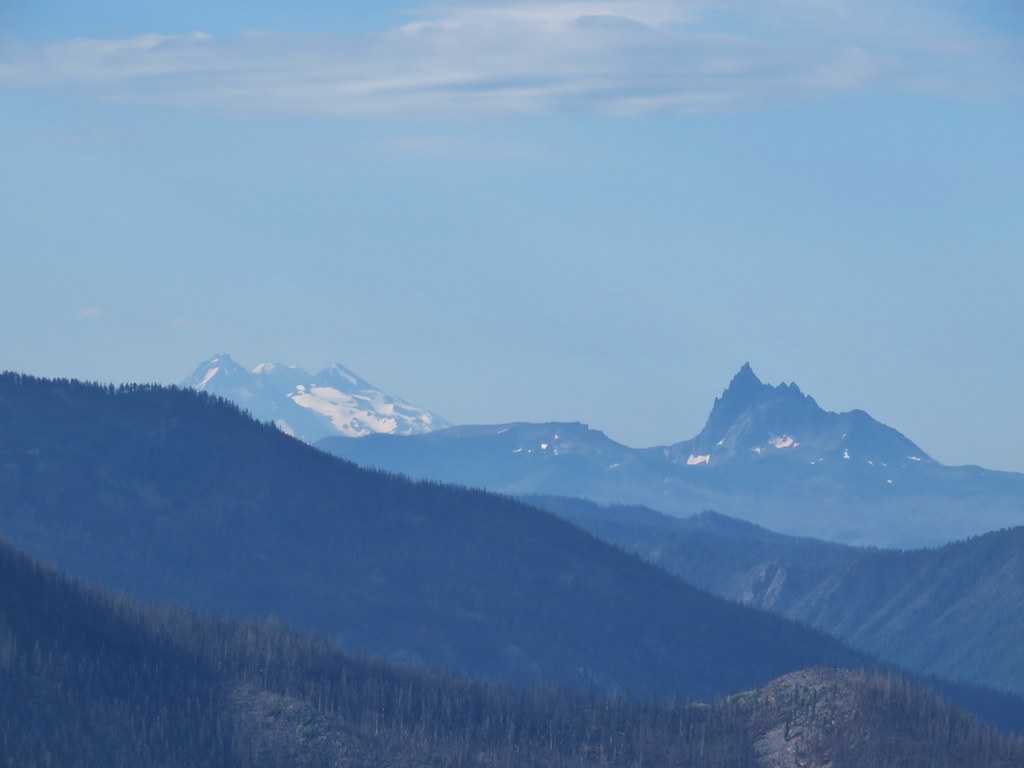 The Three Sisters and Three Fingered Jack
 Mt.Jefferson
 Park Ridge (
 Bear Lake, Dinah-Mo Peak, and Park Ridge
 Triangulation Peak and Devils Peak
 Boca Cave below Triangulation Peak (
 Devils Peak (high point to the right of the ridge), which we had just hiked to a couple of weeks earlier (
 Mt. Hood and Olallie Butte (The Breitenbush Cascades are also out there amid the trees.)
 Mt. Hood with Slideout and Mildred Lakes in the forest below.
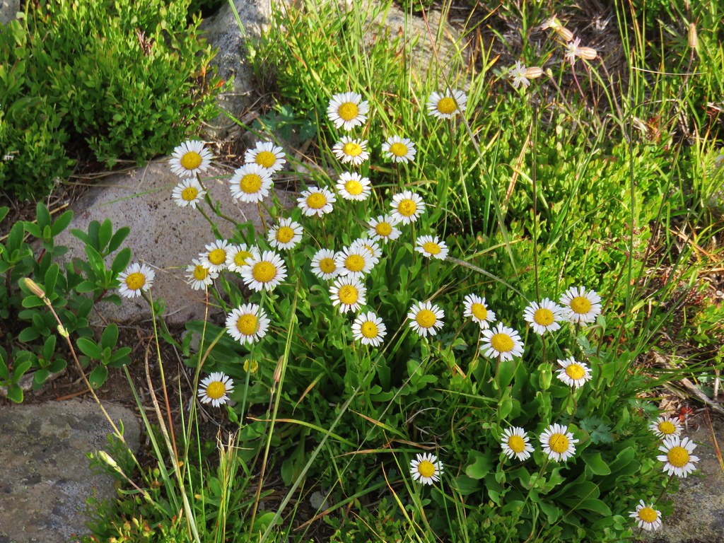 Fleabane
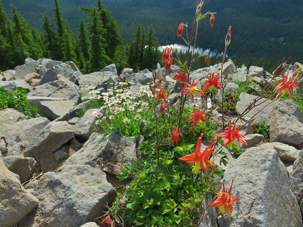 Columbine and fleabane with Bear Lake in the background.
 Snow patch near the summit.
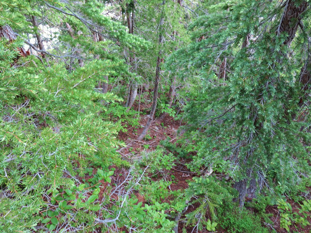 Typical terrain, it’s hard to tell here but this was a steep hillside.
 There were tons of these butterflies around.
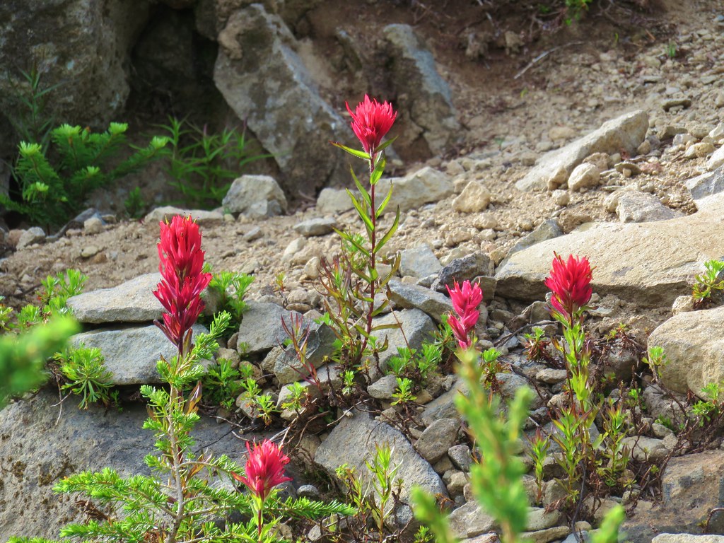 Paintnbrush
 Crossing a talus slope.
 More typical conditions.
 Pond near the lake.
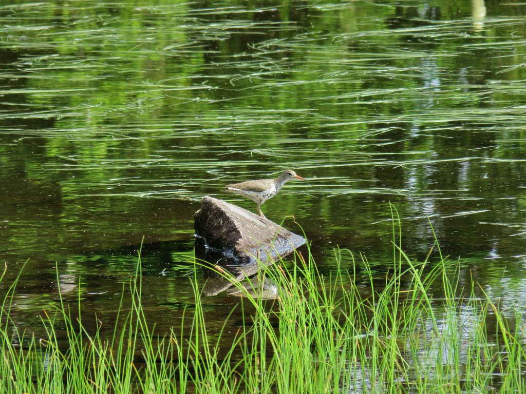 Bird at the pond.
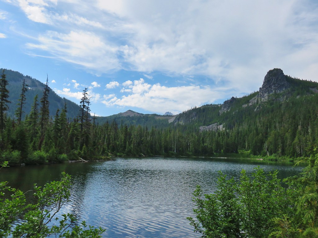 The lake
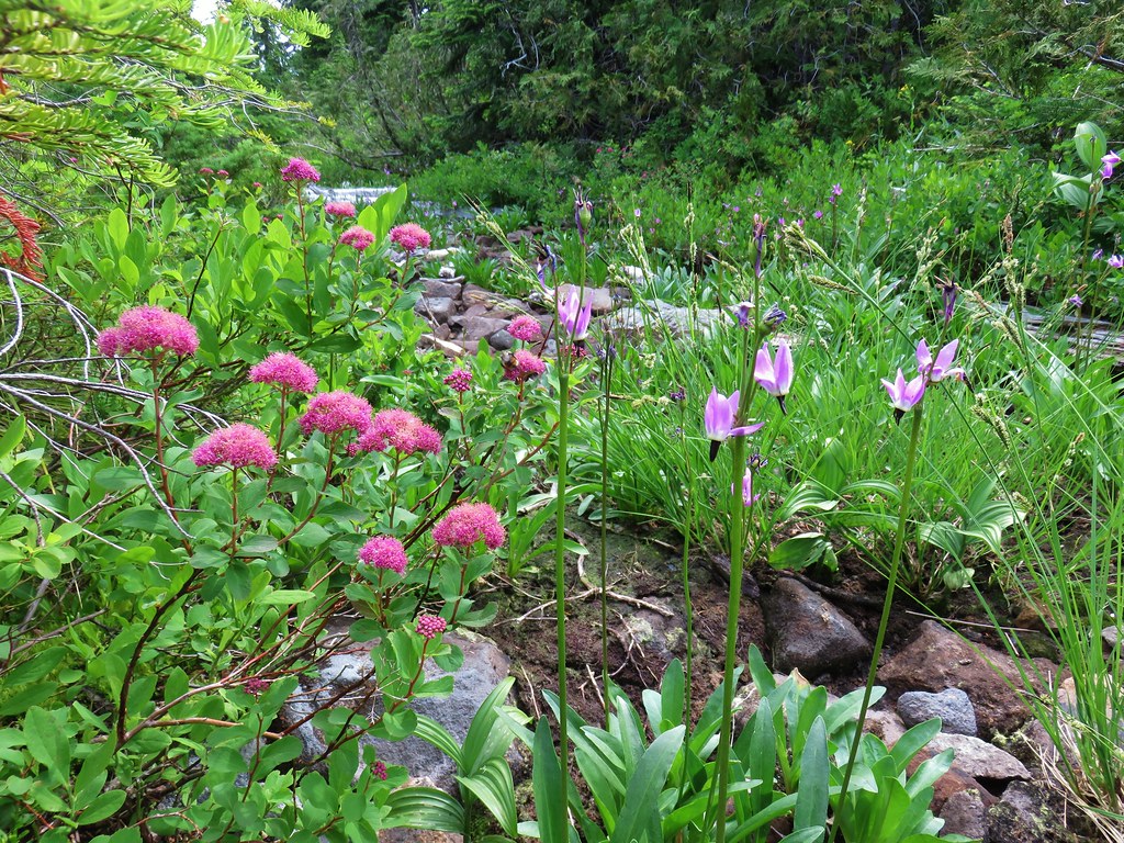 Spirea and shooting stars
 Crab spider with a bee
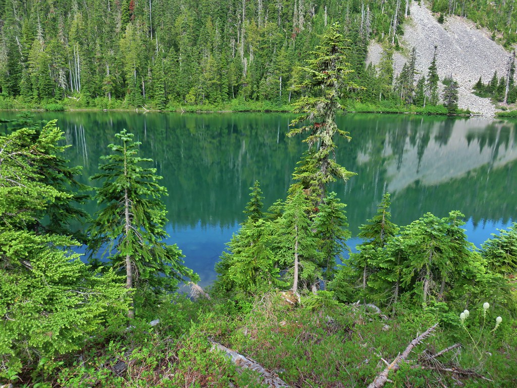 The lake
 Aster
Aster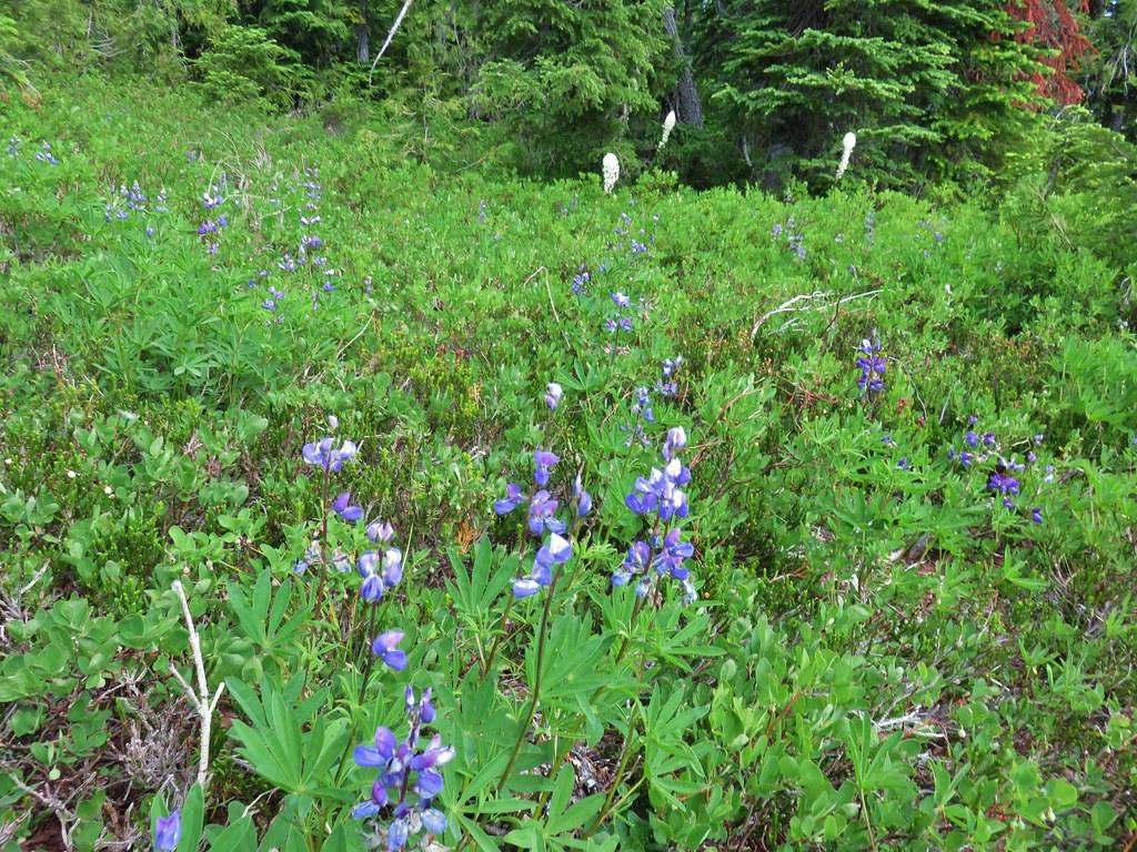 Lupine and beargrass


 Columbine along the decommissioned road.
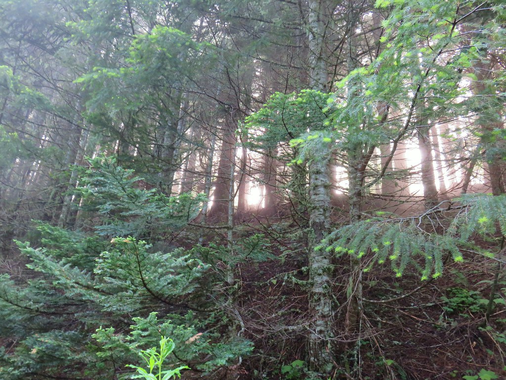


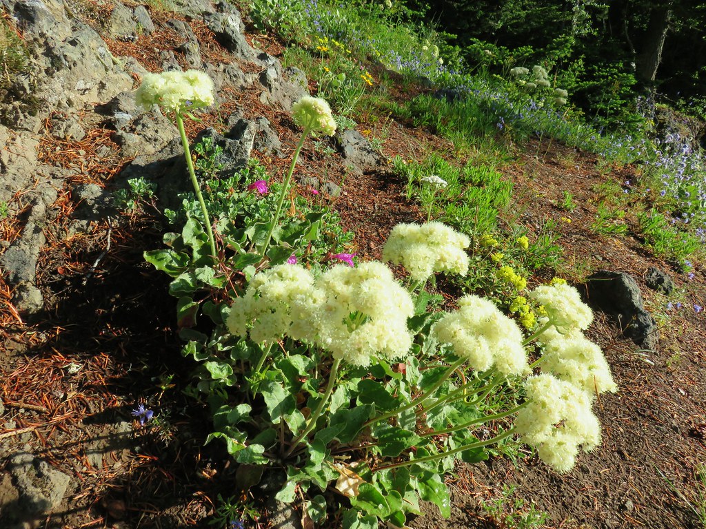 Buckwheat
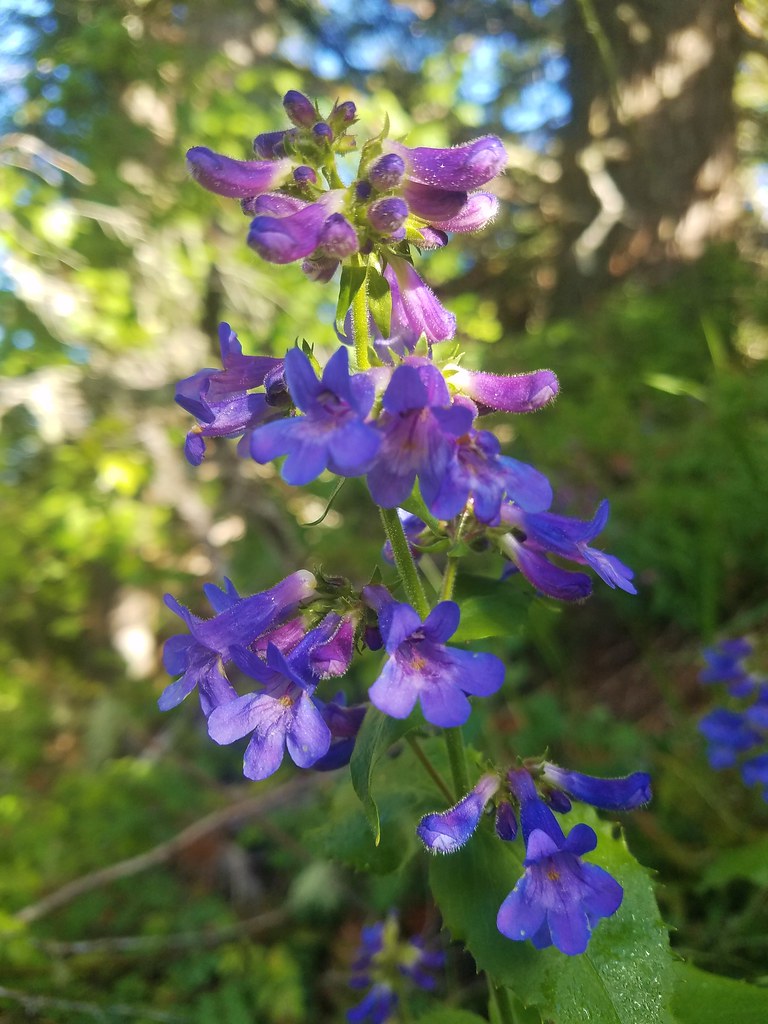 A penstemon
 False sunflower
 A penstemon
 Oregon sunshine
 Lupine among others
 Cliff beardstounge
 Catchfly
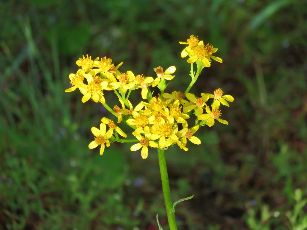 Groundsel
 blue head gilia
 Bleeding heart
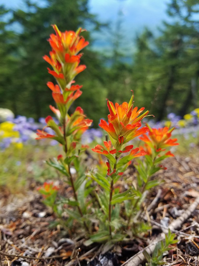 Paintbrush
 Woodland stars
 Larkspur and ballhead waterleaf
 Yarrow
 Valerian
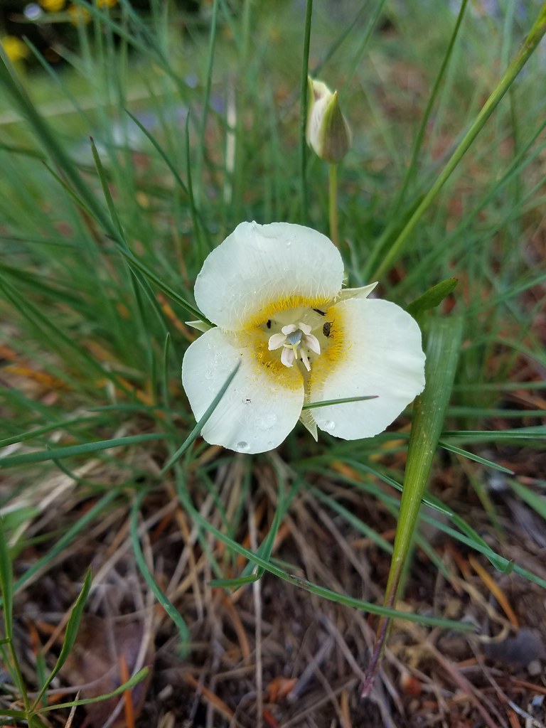 Cat’s ear lily
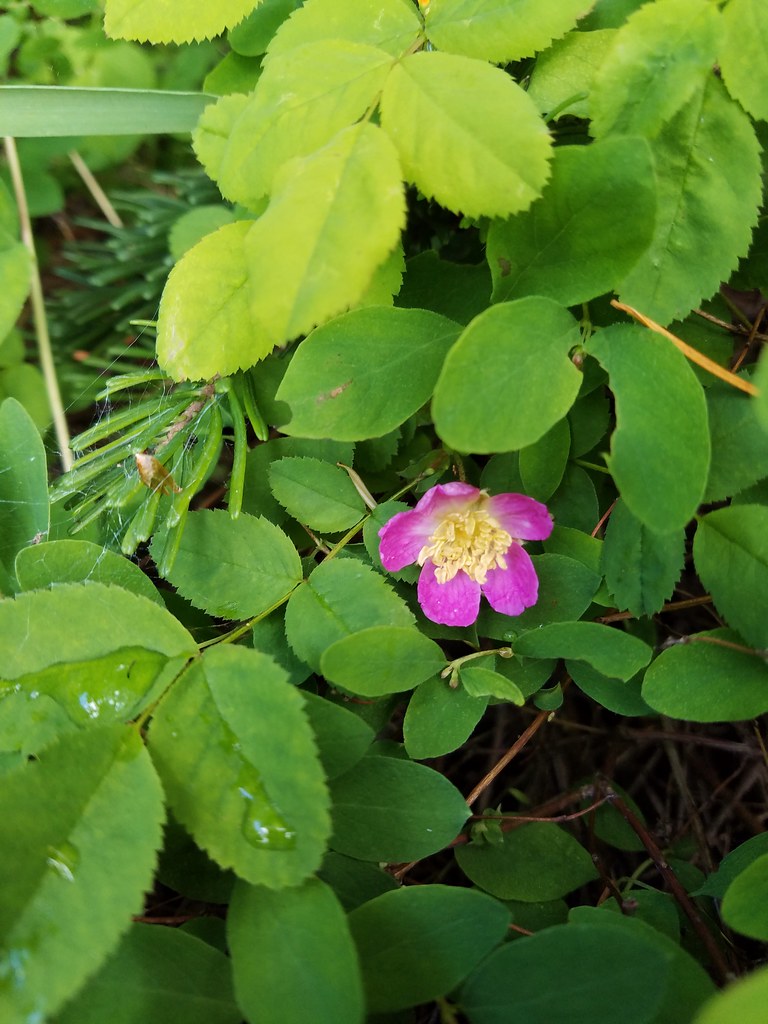 Wild rose
 Buckwheat in blue head gilia
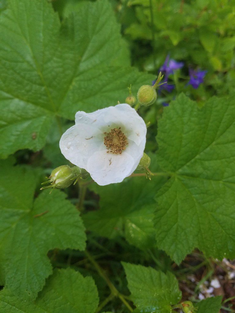 Thimbleberry
 Larkspur, leafy pea, and candy flower
 Rhododendron (just around the corner from the outcrop)
 Star-flowered solomonseal
 Plumed solomonseal
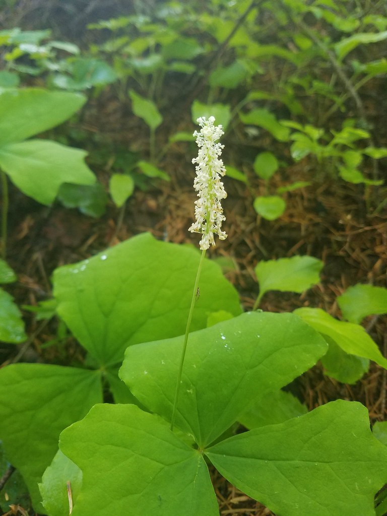 Vanilla leaf
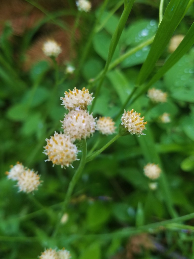 Pussytoes
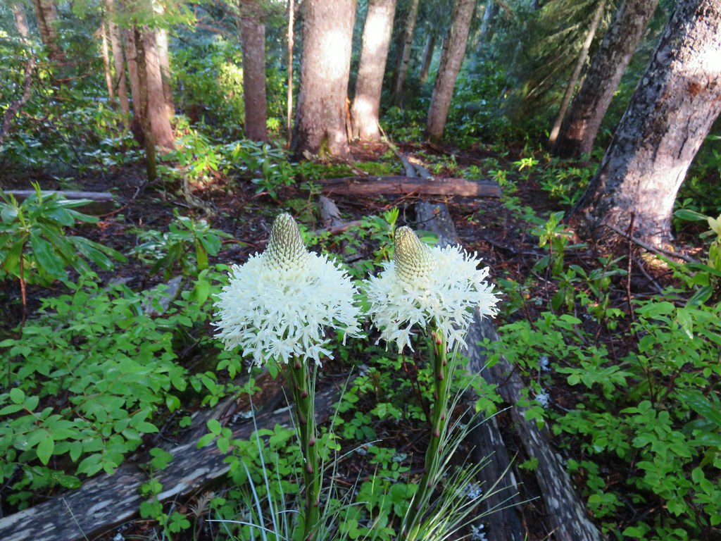 Beargrass
 Trail fork


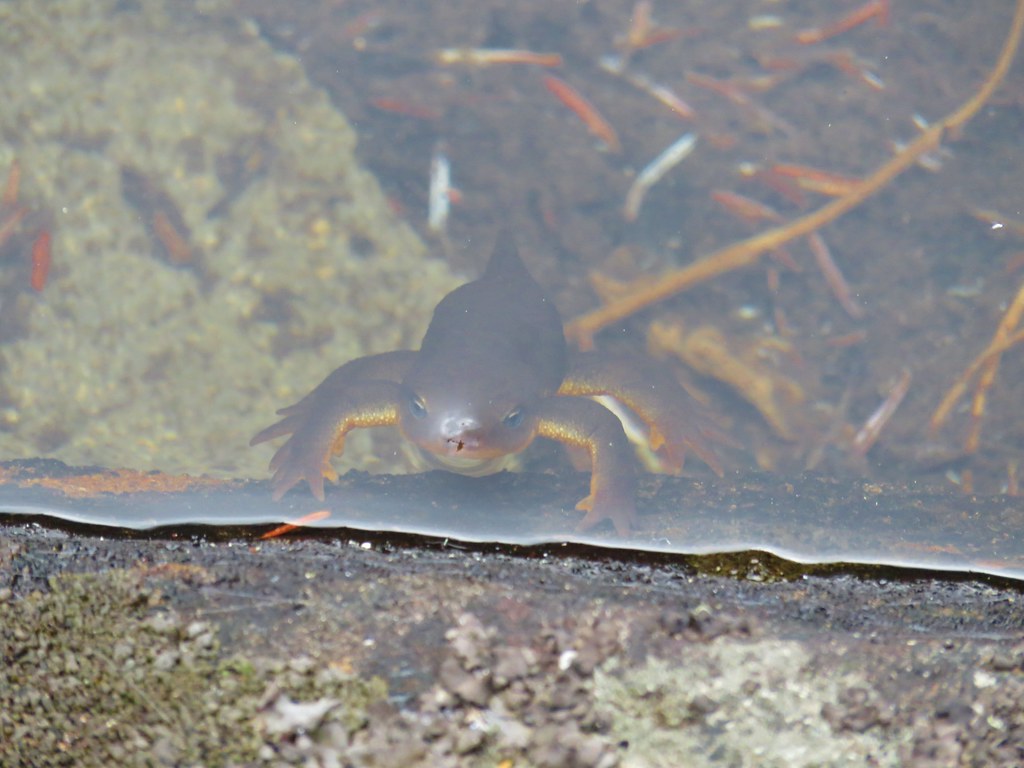 Curious newt
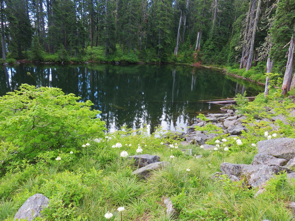
 Inside out flower
 Spotted coralroot
 Stripped coralroot
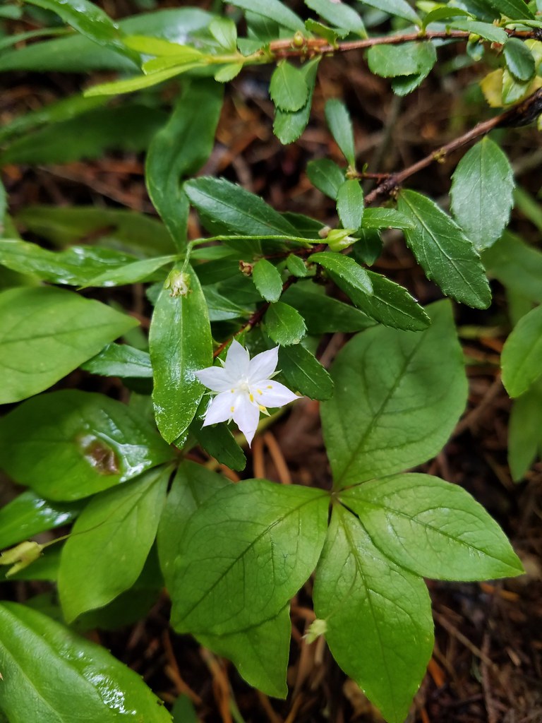 Starflower
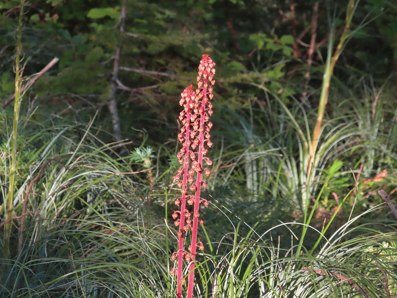
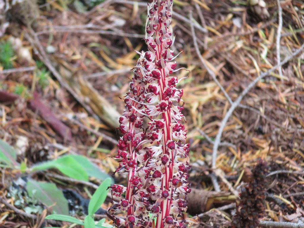 Candy sticks
 Wild strawberries