Categories
Central Coast Hiking Oregon Oregon Coast Trip report

Amanda’s Trail to Cape Perpetua

As we approached the final hike of our official “hiking season” (May through October) we were playing a game of cat and mouse with the weather forecast. Our original plan had been a visit to Wahtum Lake between the Columbia Gorge and Mt. Hood but on Wednesday the forecast for Saturday was rain there so we began to look elsewhere. Our November hike (we try and do one a hike month in our “off-season”) was going to be a visit to Cape Perpetua via Amanda’s Trail so we checked the forecast for that area and it simply called for mostly cloudy conditions. We checked again on Thursday and the forecast for these locations had basically swapped and now Wahtum Lake looked better. Another check Friday night called for rain in both areas (more at Wahtum Lake) so we decided to check again in the morning before deciding where we would end up. The forecast the next morning was still calling for rain at both locations but not starting until 11am. With less precipitation expected at Cape Perpetua and views being less of a concern there we headed to Yachats on the Oregon Coast.

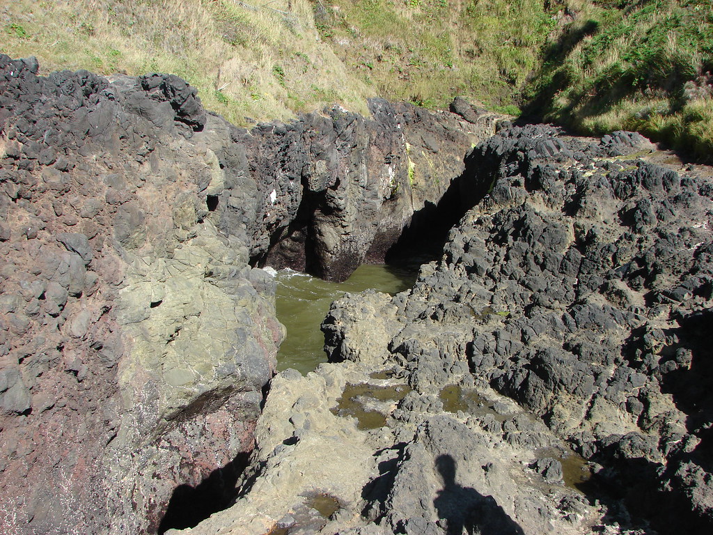
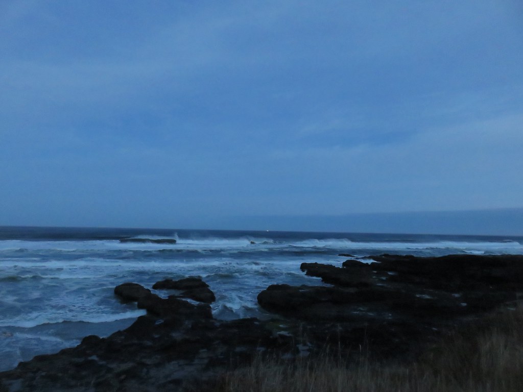
At the southern end of Yachats, after crossing over the Yachats River, we turned right on Ocean View Road which leads to the Yachats Ocean Road State Natural Site. The road passes along the natural site where there are several pullouts before looping back to Highway 101. We parked at a small dirt pullout near the southern end of the natural site and took our time getting going because we’d arrived a little before sunrise.
IMG_4765

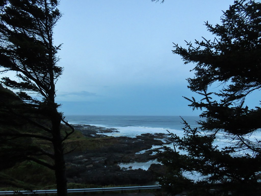
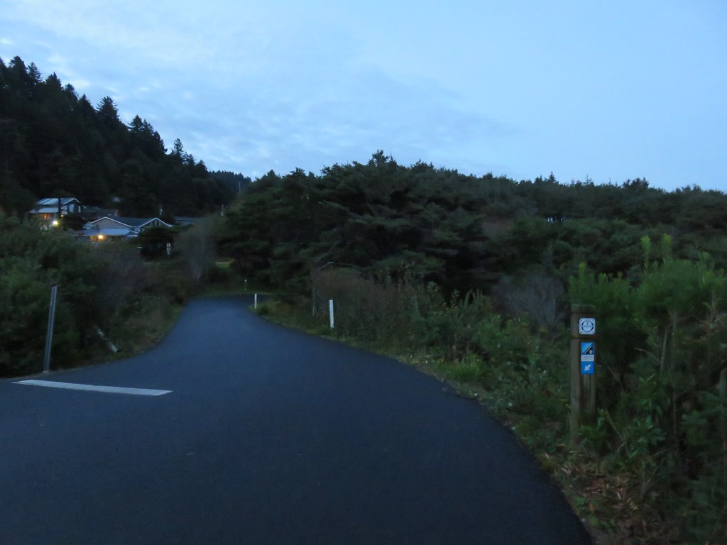
Luckily there was a decent amount of light being provided by the Moon so it didn’t take long before we headed further south along Ocean View Road to a post marking the Oregon Coast Trail (OCT).
IMG_4769

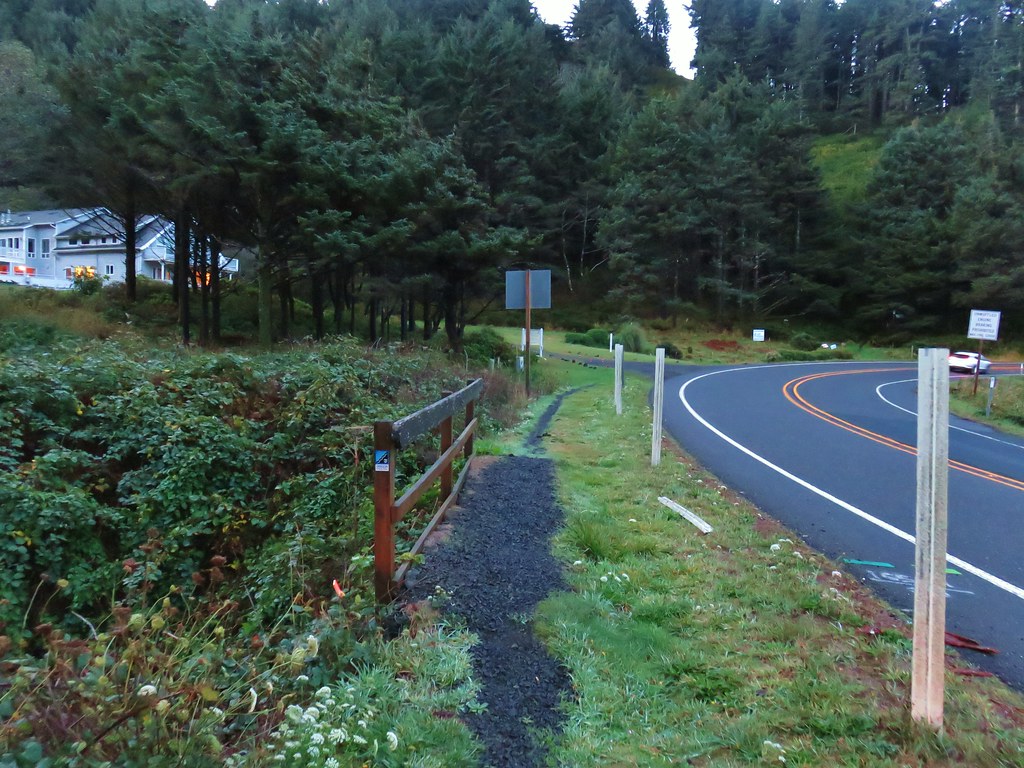
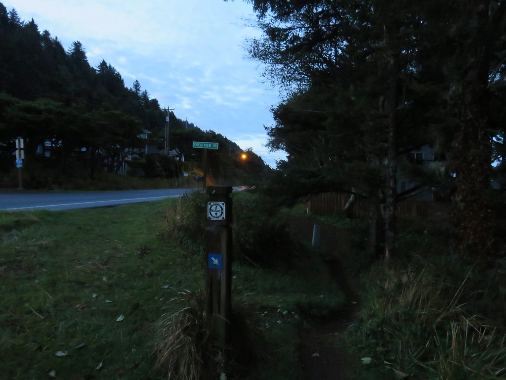
We followed the posts south which brought us to the shoulder of Highway 101.
IMG_4772

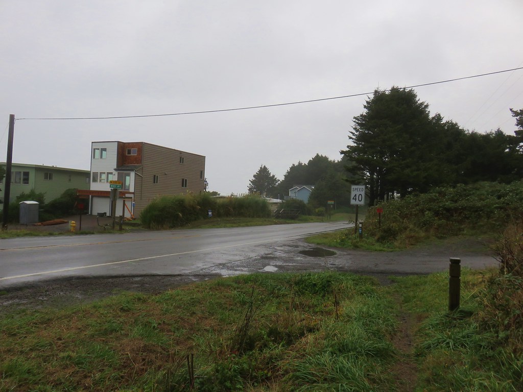
A little under a quarter mile beyond the first OCT post the trail crossed over the highway at Windy Way Street. We then climbed a bit away from the highway before dropping back down to a driveway for a bed and breakfast.
IMG_4774

IMG_4775

IMG_4777

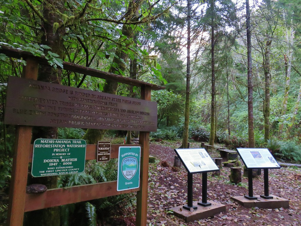
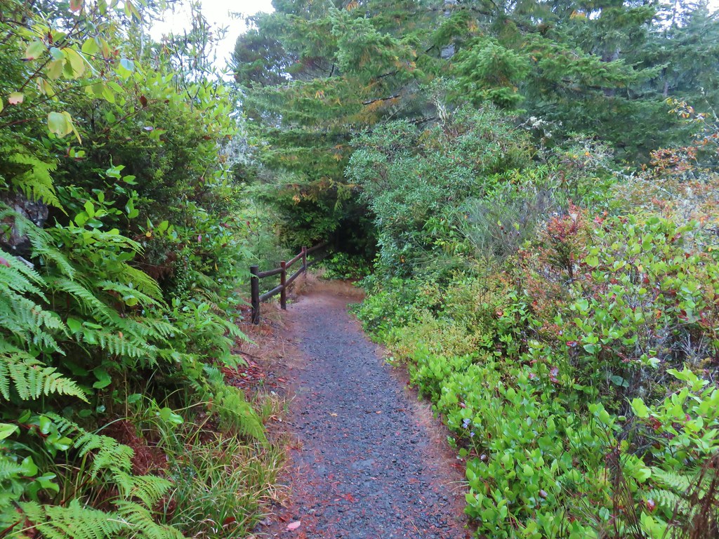
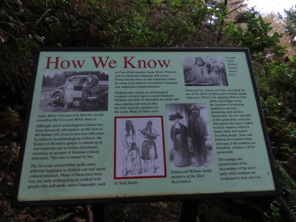
The first sign that this section of the OCT is Amanda’s Trail came on the far side of the B&B when the trail reentered the forest.
IMG_4780

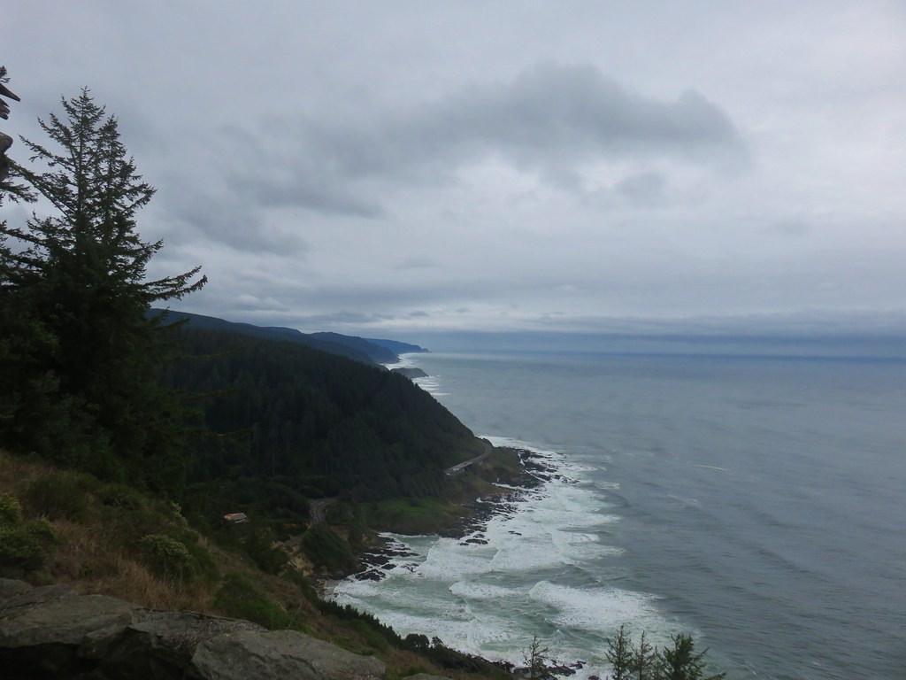
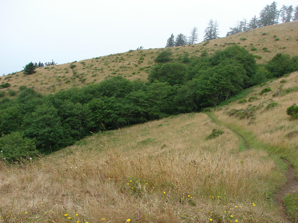
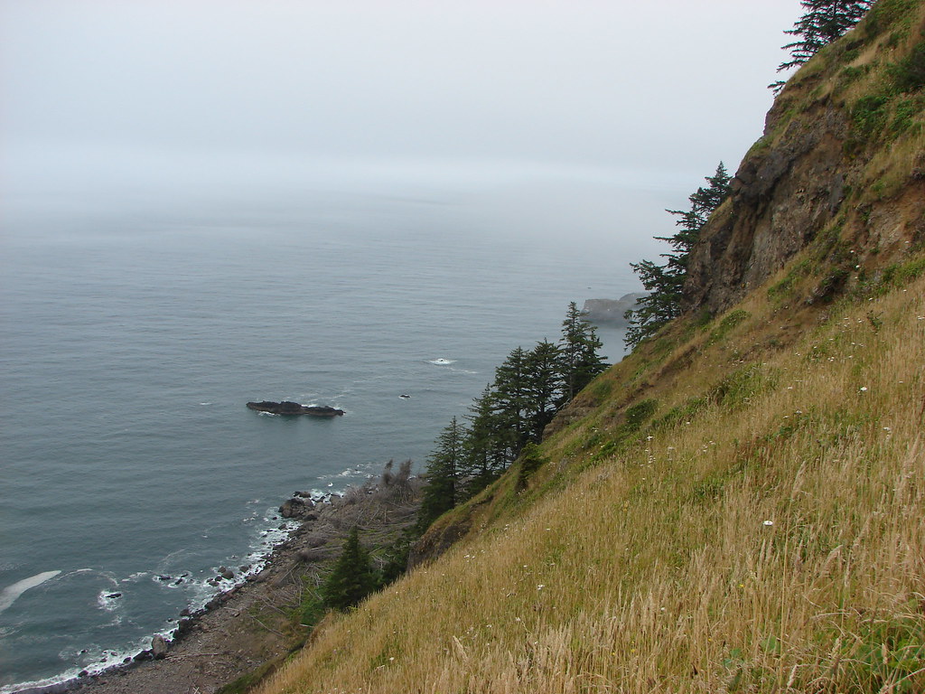
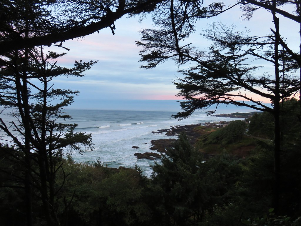
The trail once again climbed away from the highway as it rounded a hillside with a few ocean views.
IMG_4783

IMG_4785

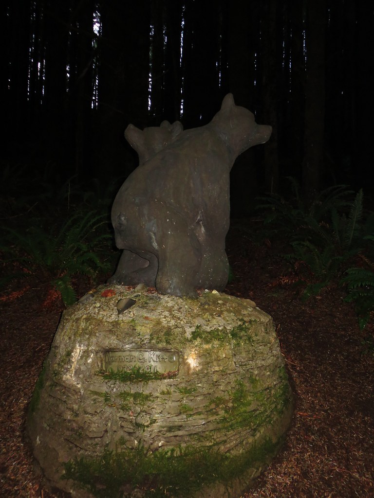
Approximately a half mile from the bed and breakfast we came to a statue of two bears representing an Alsea Indian myth that bears dance when the salmon come. Norman Kittle, whose name is on the statue, along with his wife Joanne were the first private landowners to donate a trail easement in the State of Oregon.
IMG_4796

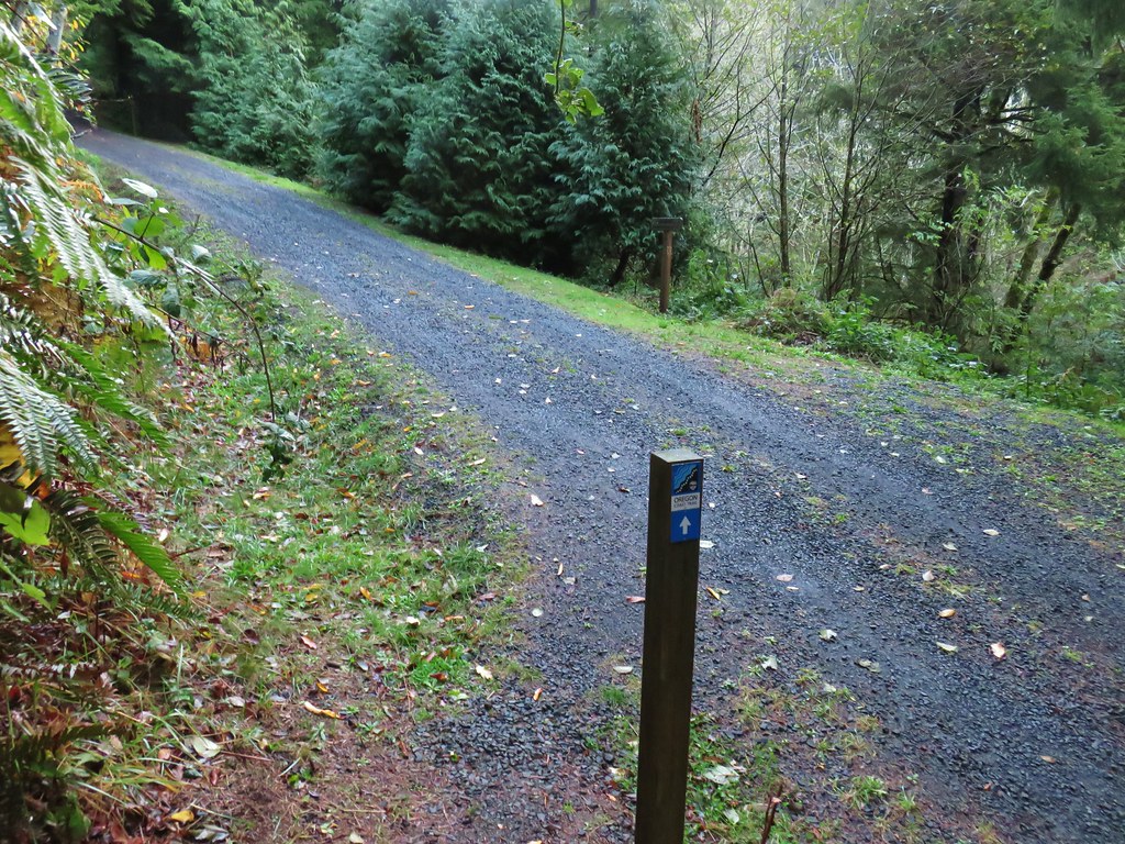
Beyond the bear statue the trail began a slight decent, crossing a gravel road, before arriving at the small grotto with Amanda’s Statue ( a quarter mile from the bears).
IMG_4798

IMG_4803

IMG_4808

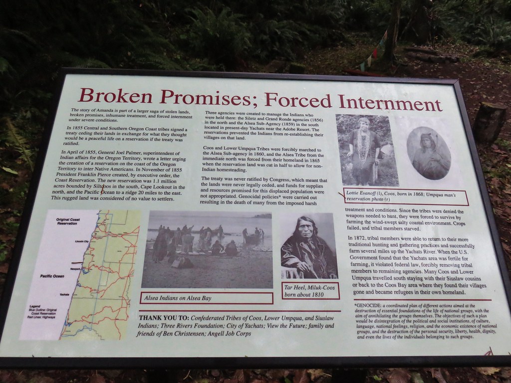
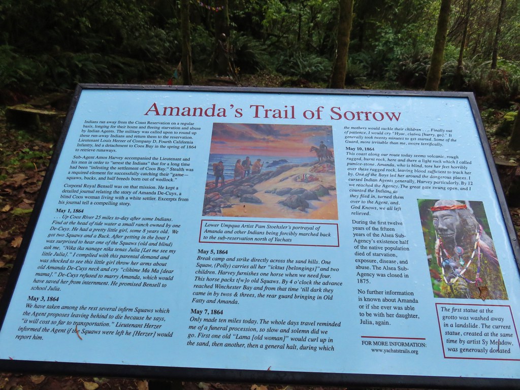
Interpretive signs here told of the blind woman’s forced march to the reservation.
IMG_4807

IMG_4806

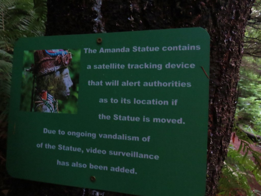
The present statue is not the original statue as it and a nearby footbridge were washed away in a 2016 flood. The current statue is one of two others completed by the same artist and was provided by its owners when the original statue was lost. This version was placed a bit higher to avoid any subsequent floods. Other precautions to protect the statue have been taken as well.
IMG_4802

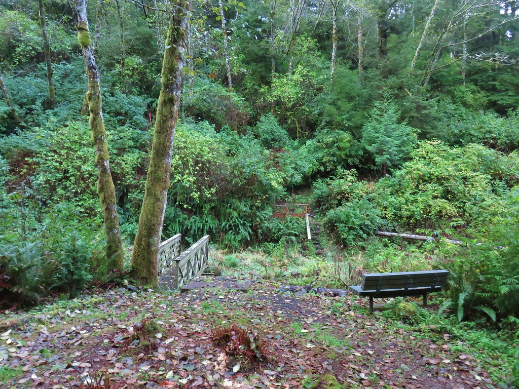
After visiting the statue we continued on across the replaced footbridge.
IMG_4810

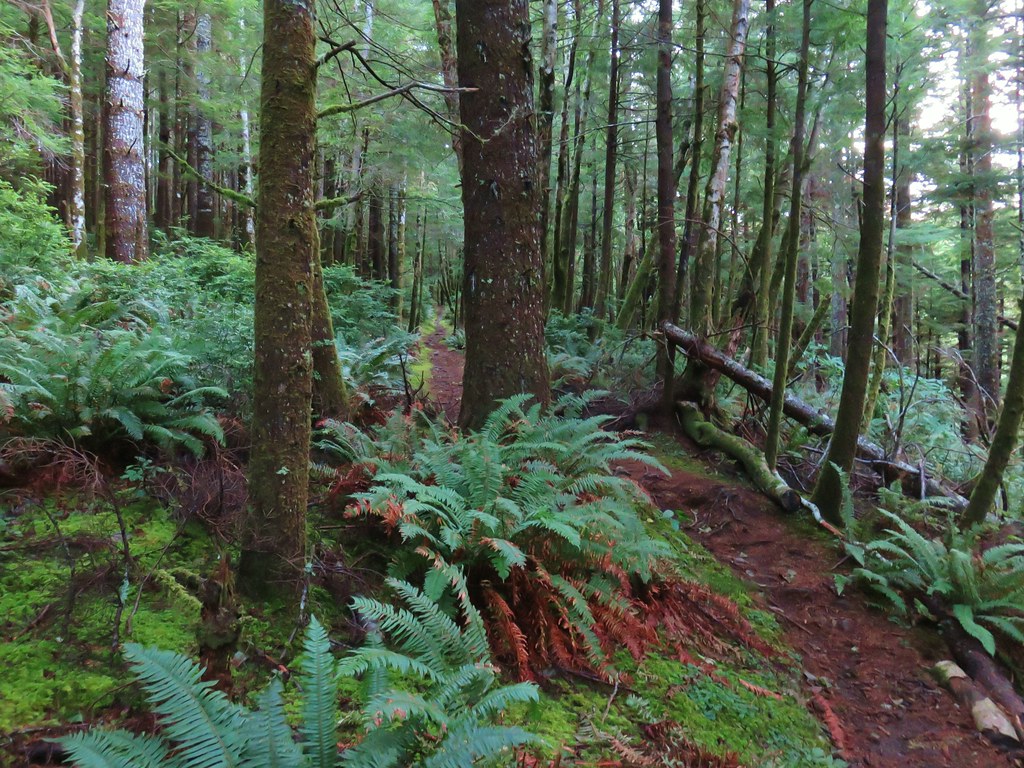
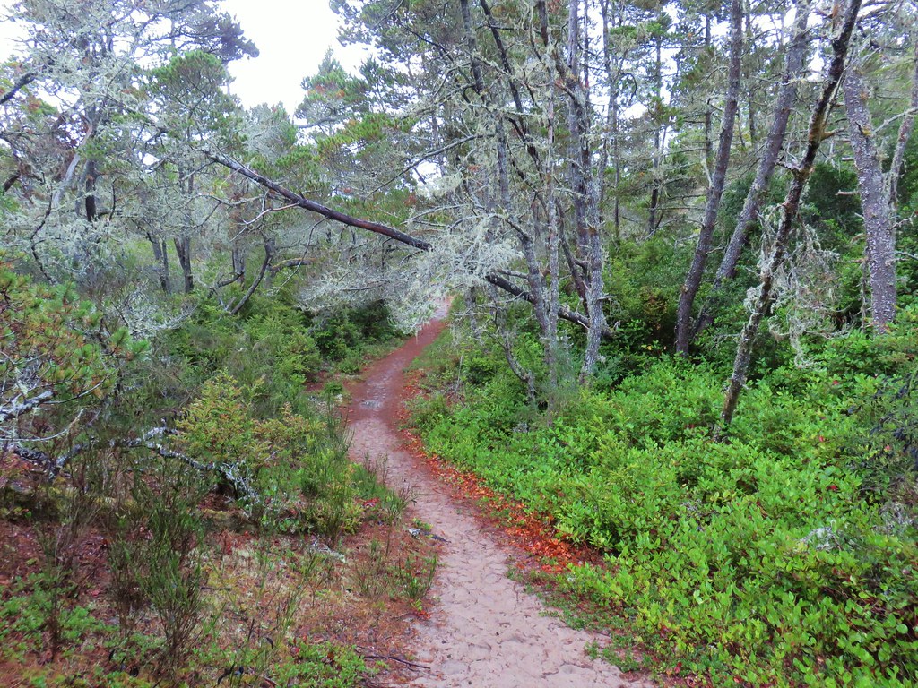
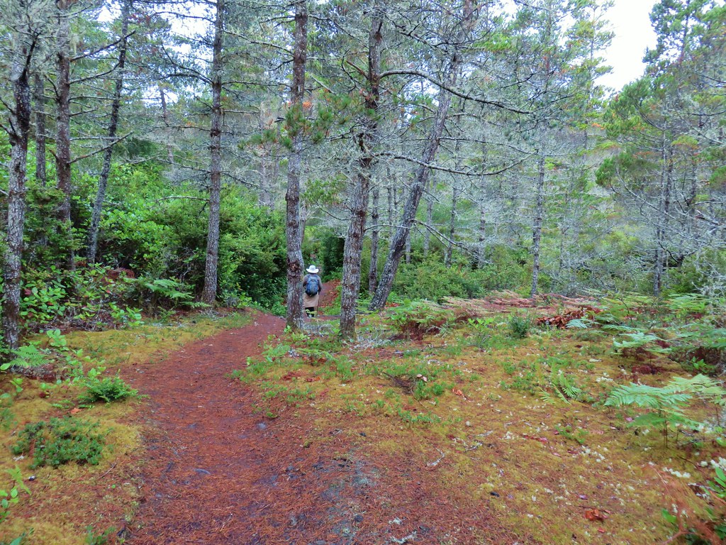
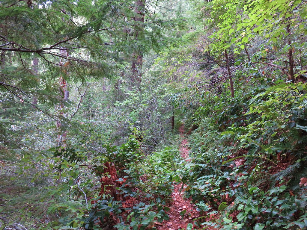
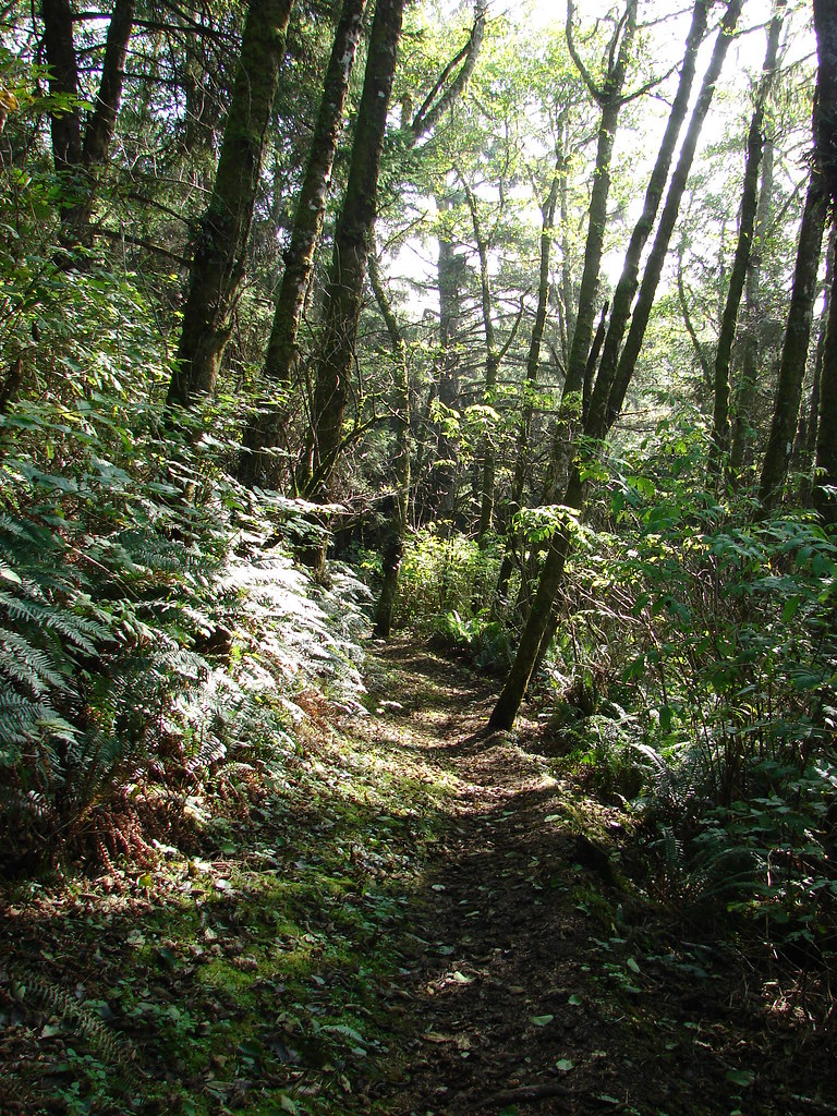
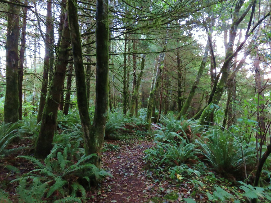
Beyond the creek the trail climbed nearly 750′ as it turned inland up a forested ridge.
IMG_4814

IMG_4816

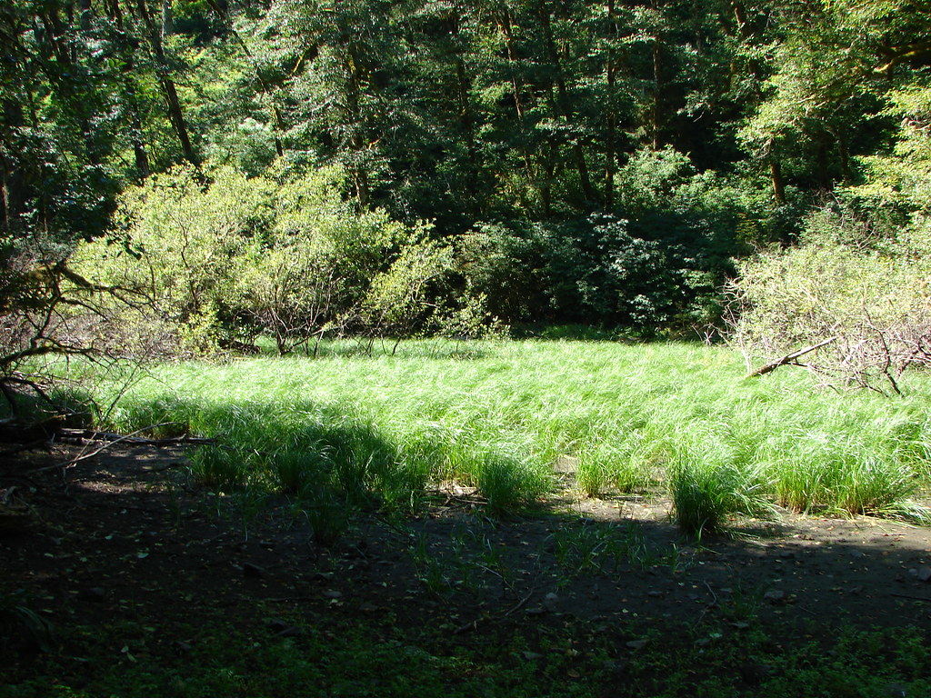
A mile from the bridge we had left the ridge and traversed around a marshy area near the head of North Cape Creek.
IMG_4818

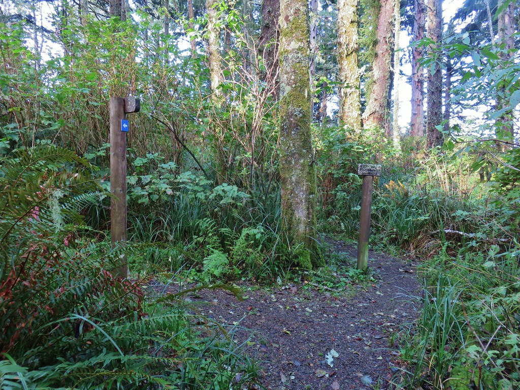
After a little additional climbing on the other side of the creek the trail began to descend along this ridge toward the ocean. A mile and a quarter from North Cape Creek we arrived at a signed junction.
IMG_4826

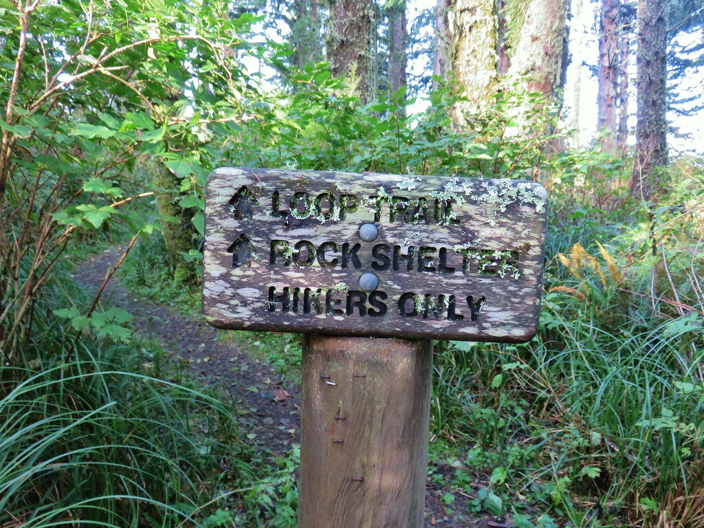
Here we stayed right following pointers for the Stone Shelter on what was now the Whispering Spruce Trail.
IMG_4827

We had visited the shelter in 2013 (post) on what was part of the first outing featured in this blog.

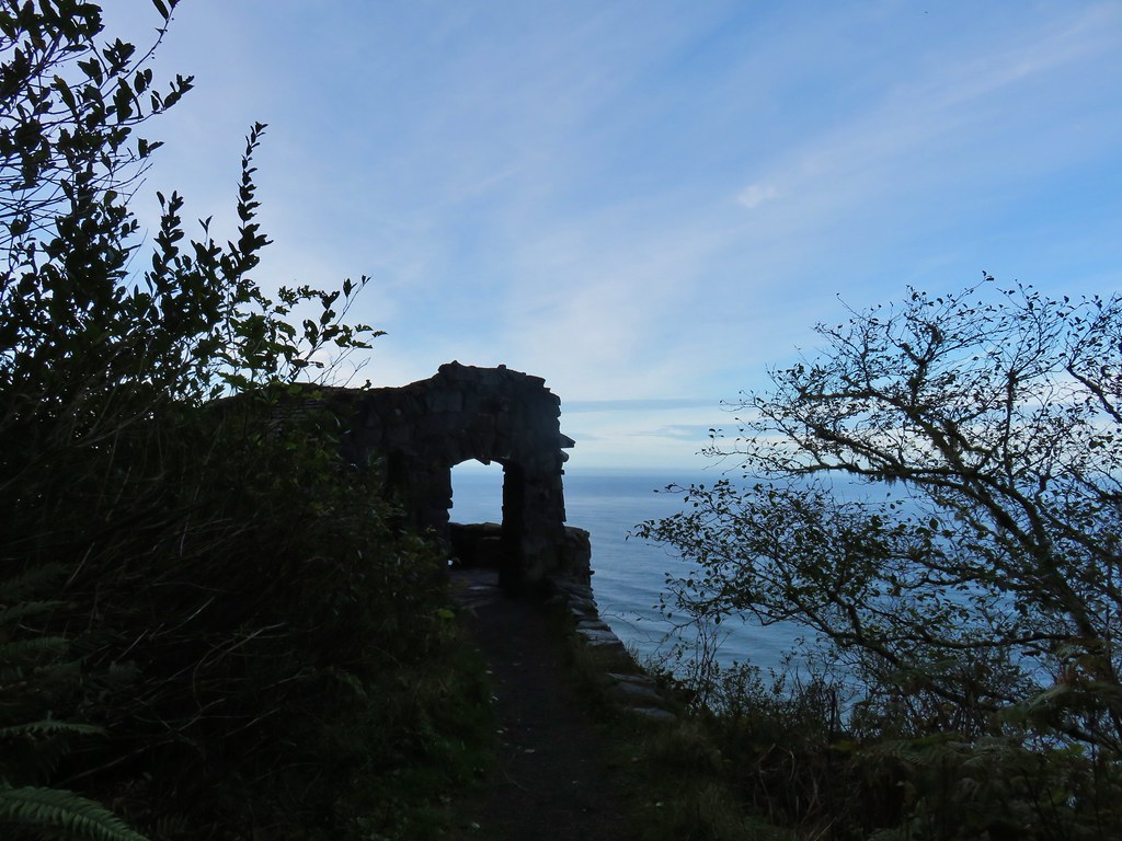
A little less than a quarter mile from the junction we arrived at the shelter.
IMG_4829

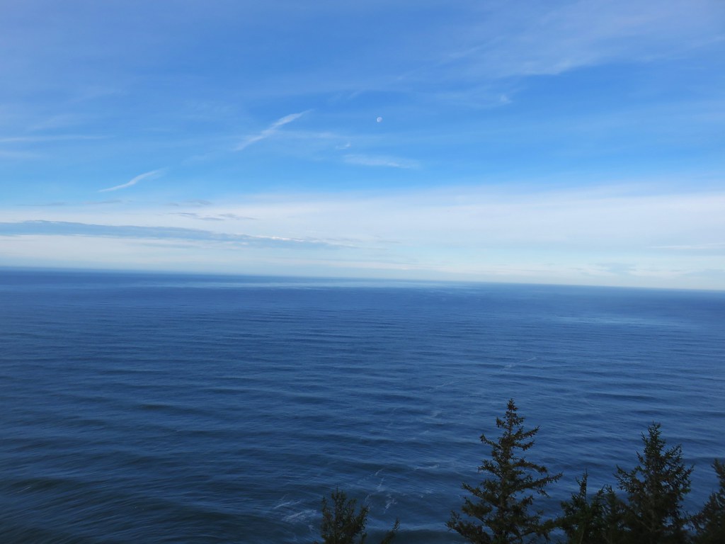
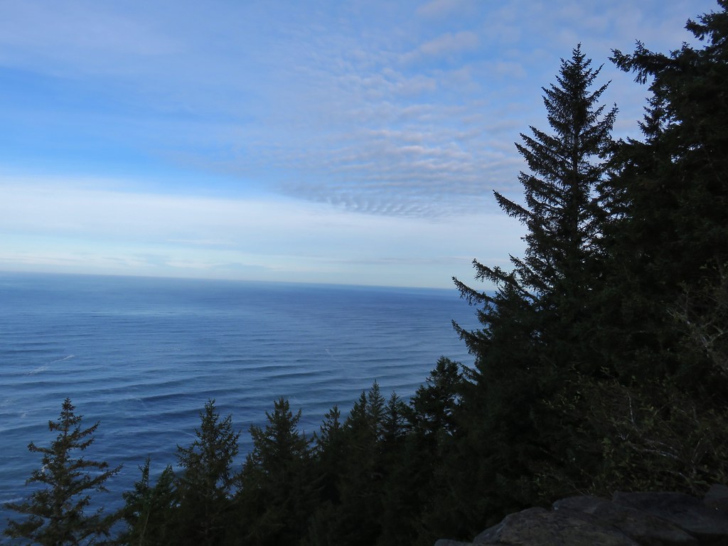
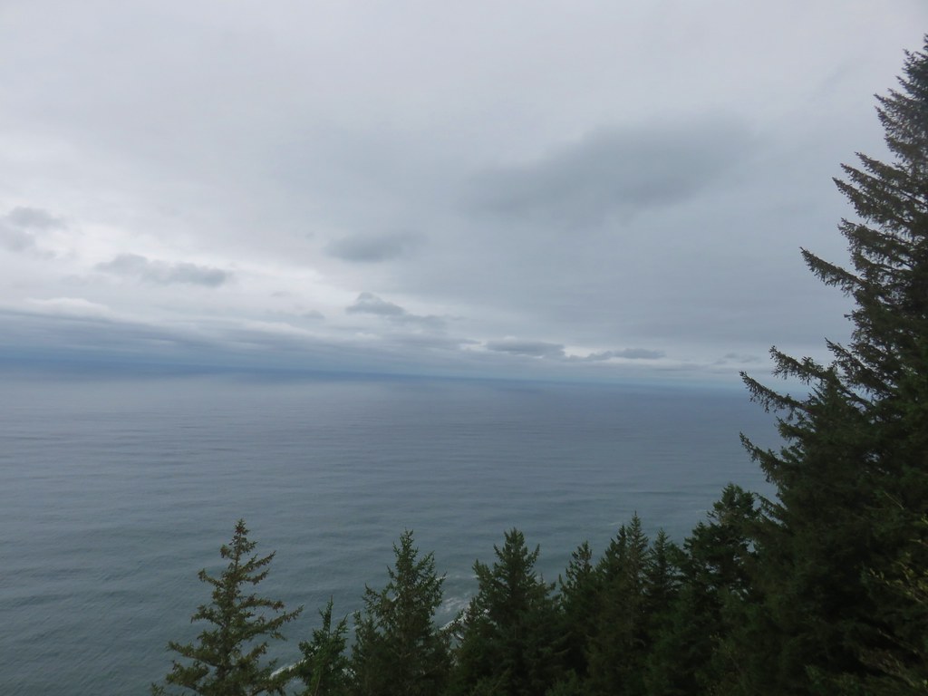
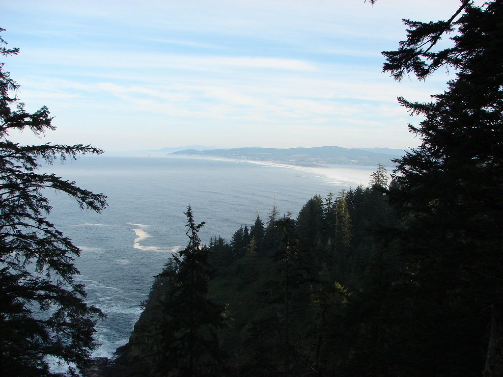
It was a surprisingly nice morning considering the forecast and we were happy to have a good view from the shelter.
IMG_4831

IMG_4838

IMG_4835

After a brief rest we continued on passing another viewpoint before reaching a junction with the St. Perpetua Trail.
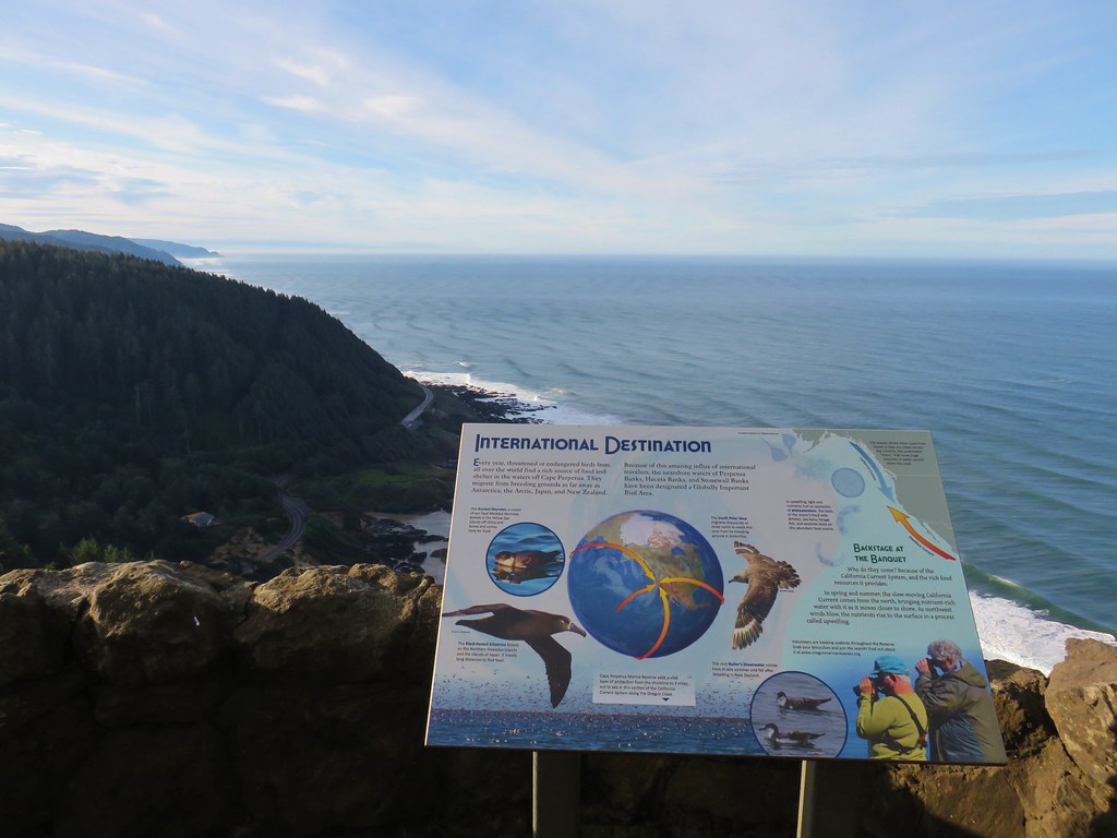
IMG_4841

IMG_4843

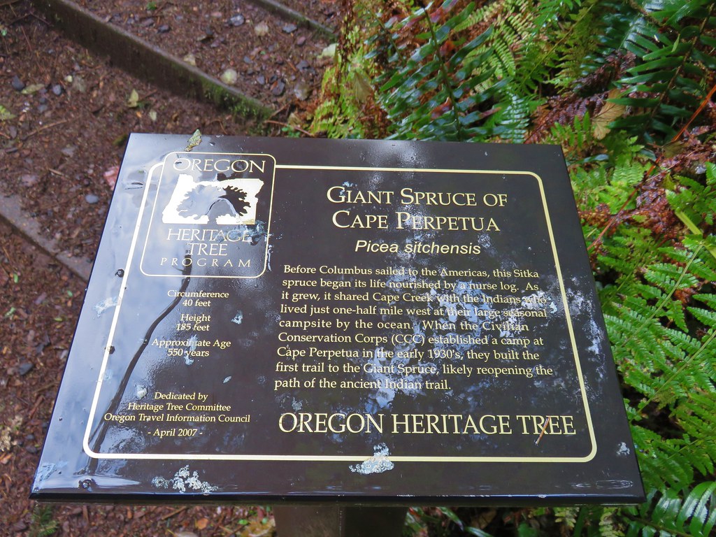
I mentioned that we had visited the stone shelter in 2013 but that had not been our first visit to the Cape Perpetua Scenic Area. In 2010 we had stopped here to visit the tide pools on the way home from a hike in the Drift Creek Wilderness (post). One thing we had not seen on either of our previous trips was the Giant Spruce, a nearly 600 year old State Heritage Tree.

With that goal in mind we took the St. Perpetua Trail downhill toward the Cape Perpetua Campground.
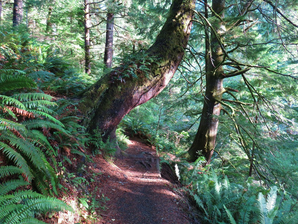
IMG_4846

Shortly after crossing Overlook Road, which leads to a trailhead along the Whispering Spruce Loop, we arrived at the campground entrance road.
IMG_4849

IMG_4848

IMG_4851

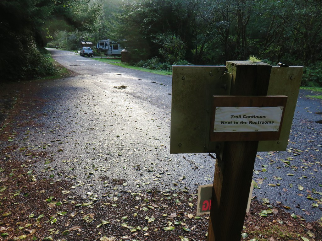
Behind the restrooms the trail continues across Cape Creek.
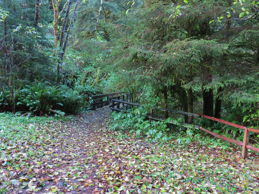
IMG_4852

IMG_4855

On the far side of the creek we turned left on the Giant Spruce Trail.
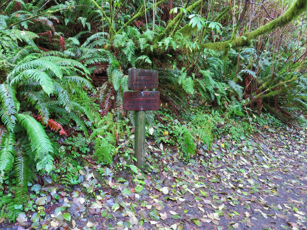
IMG_4856

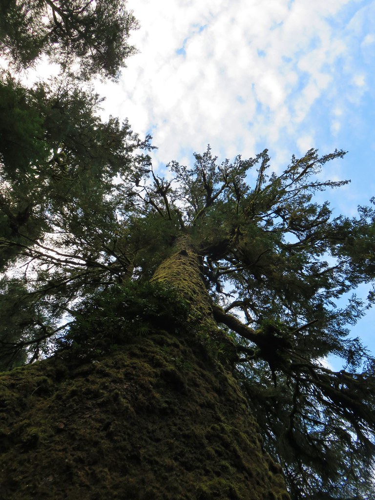
This trail followed the creek upstream for .8 miles to the 185′ high tree with a trunk circumference of 40′.
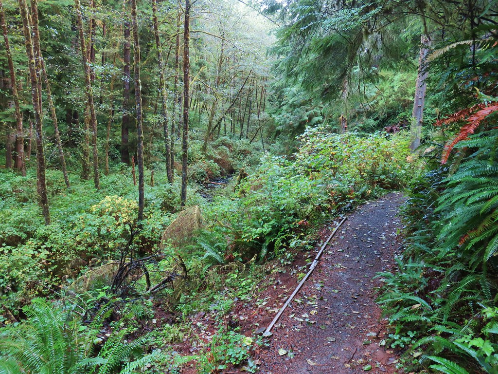
IMG_4862

IMG_4865

IMG_4866

IMG_4870

We are always awestruck when we visit any of the giant old trees in person. It’s nearly impossible to capture just how huge they really are in photos. In addition to their size their age always forces us to pause and try and picture the timeline of their growth. This tree would have likely been a sapling at the same time Christopher Columbus was lost looking for a route to Asia.

After visiting the tree we returned to the junction near the footbridge at the campground. The weather was holding nicely so we decided to check out the Spouting Horn and Devil’s Churn areas. We followed the Giant Spruce Trail .2 miles to the visitors center where we picked up the Captain Cooks Trails.
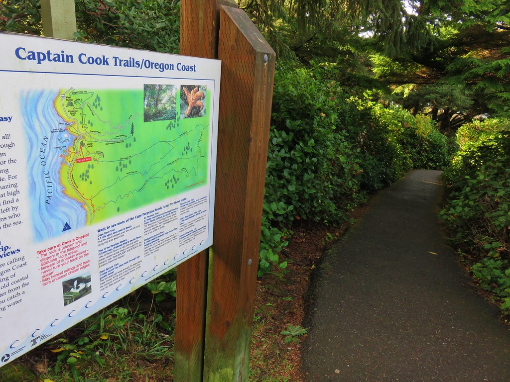
IMG_4879

We followed this paved trail under Highway 101 to a viewpoint.
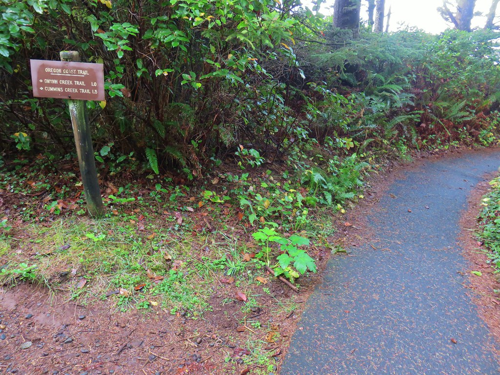
IMG_4881

IMG_4884

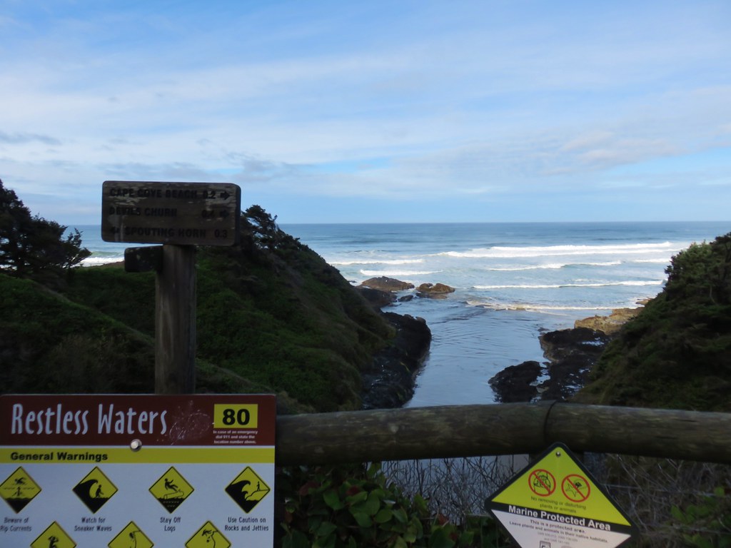
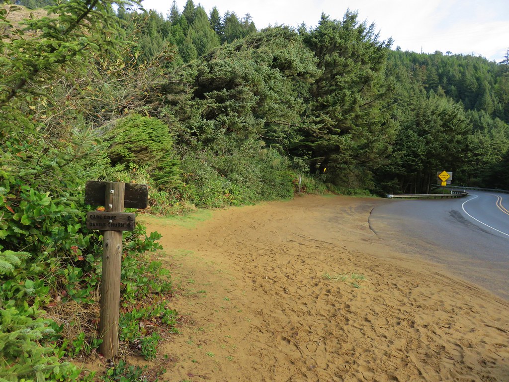
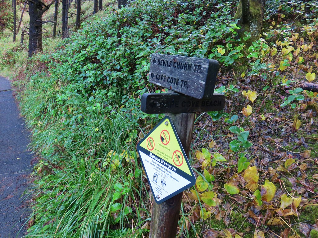
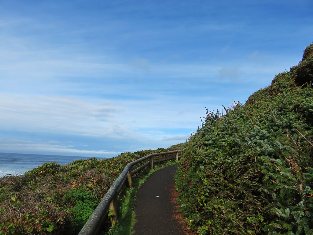
From the viewpoint the Captain Cook Trail went left making a loop with views of the Spouting Horn and Thor’s Well while the Trail of Restless Waters was to the right leading to Devil’s Churn. We decided to visit them in the opposite order of our 2010 visit and went right first. This trail briefly followed the shoulder of the highway past a small parking area and vista before dropping toward the ocean.
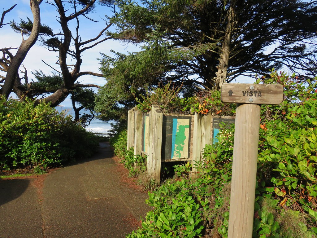
IMG_4886

IMG_4887

IMG_4888

IMG_4890

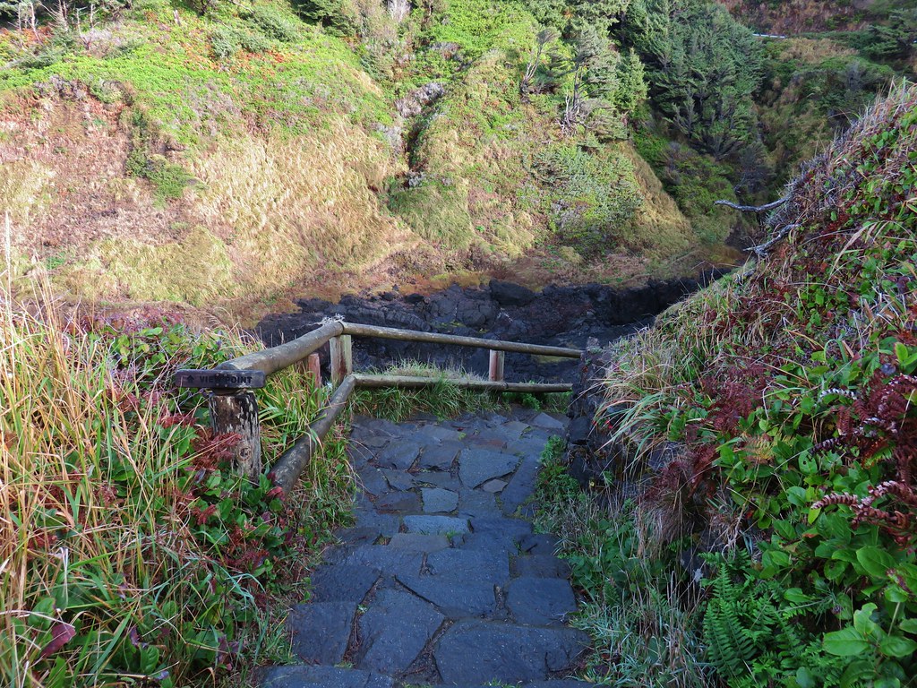
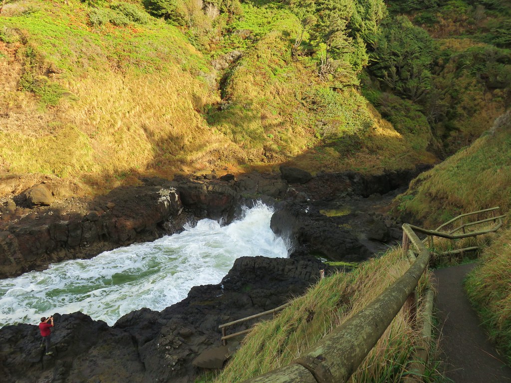
We crossed over Cape Creek and then followed the trail, keeping left at junctions, to a staircase down to Devil’s Churn.
IMG_4891

IMG_4894

IMG_4897

IMG_4898

IMG_4900

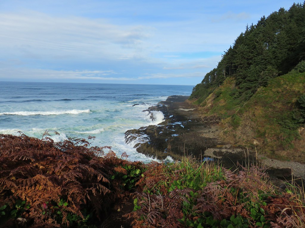
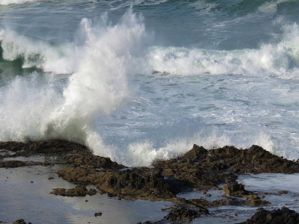
There was some decent wave action going on and we watched if for awhile.
IMG_4906

IMG_4908

IMG_4911

The crashing waves didn’t seem to bother a lone cormorant that was hunting for food in the churn.
IMG_4937

Speaking of food after we climbed back up the stairs we continued on a loop above Devil’s Churn to the Devil’s Churn Day Use Area where we wound up buying a lemon muffin from the concession stand there.
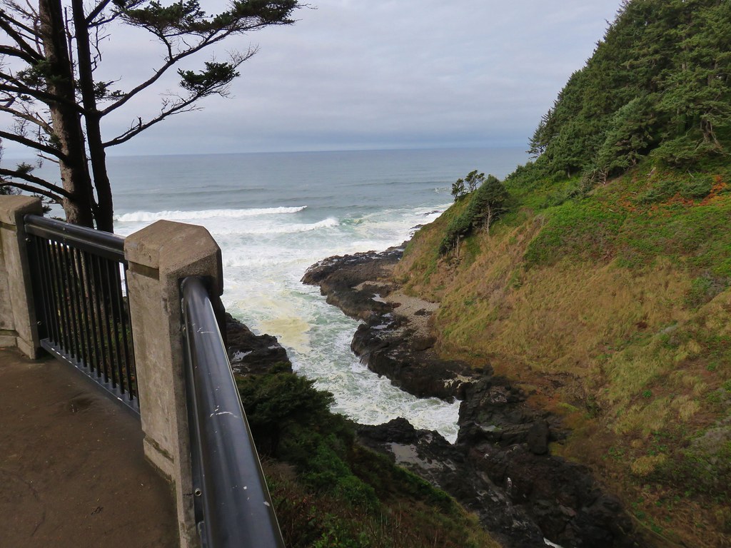
IMG_4940

After splitting the muffin we completed the loop and returned to the Captain Cook Trail.
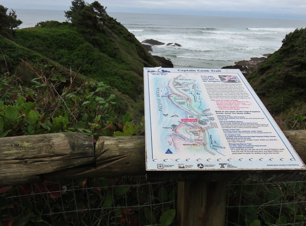
IMG_4943

We stayed left at a fork in order to complete the loop clockwise.
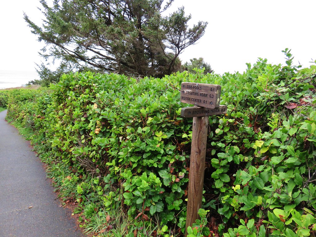
IMG_4944

IMG_4945

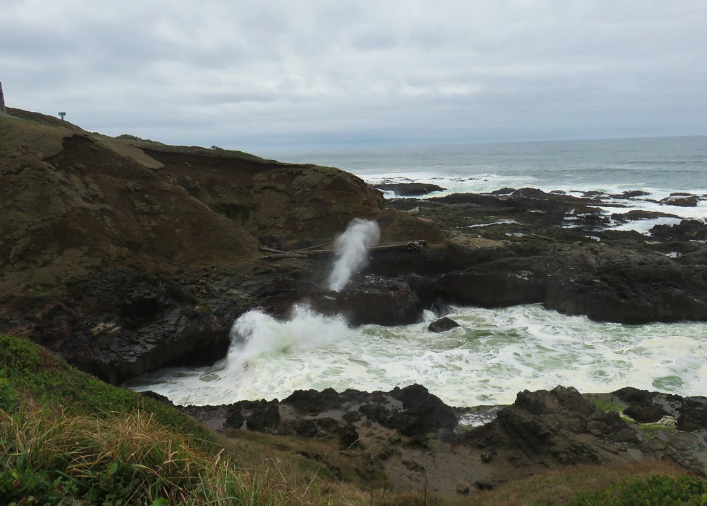
The tide had been out far enough on our previous visit that the Spouting Horn had not been spouting but today was different.
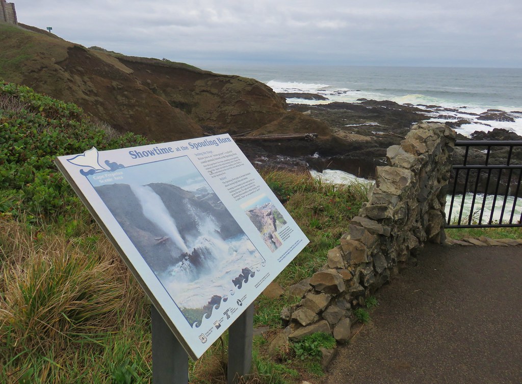
IMG_4946

IMG_4948

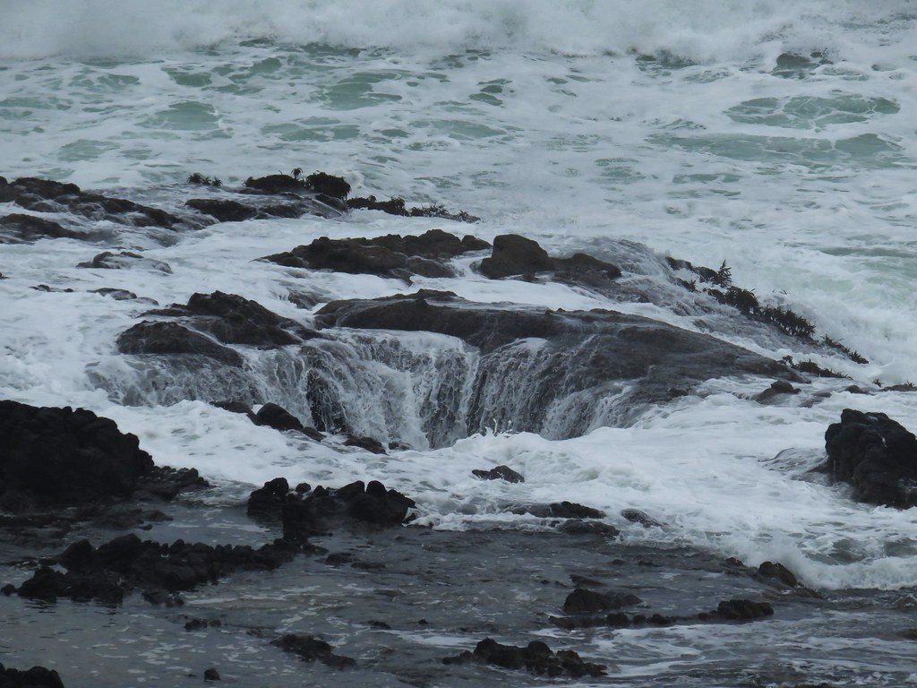
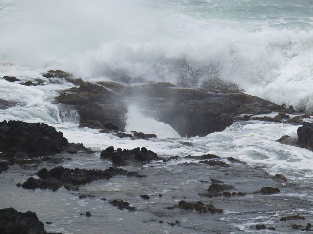
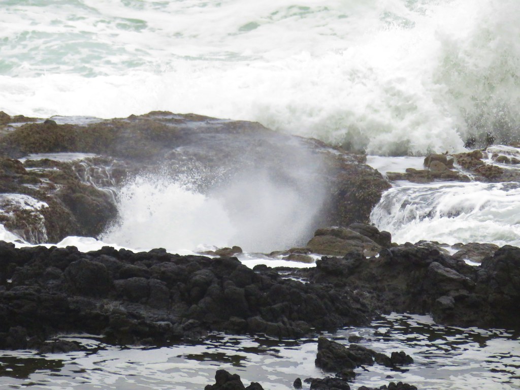
We also hadn’t even noticed Thor’s Well that day but this time we knew what we were looking for and the Ocean was more cooperative.
IMG_4975

IMG_4991

IMG_4992

IMG_4967

IMG_4968

It was a bit of a zoo with people in the area though so we didn’t stay long and were soon heading back up the St. Perpetua Trail and past the shelter where the view had become much cloudier.
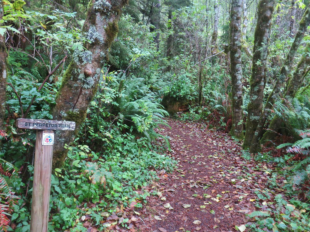
IMG_5007

IMG_5022

IMG_5021

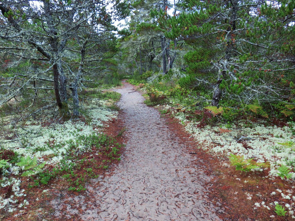
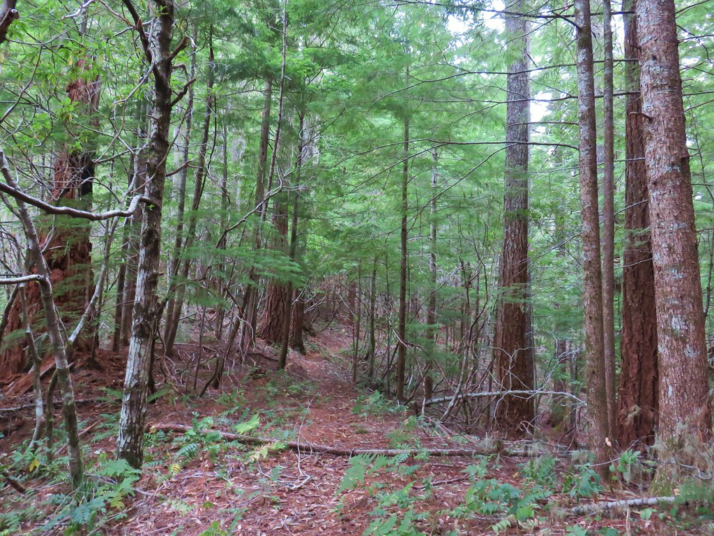
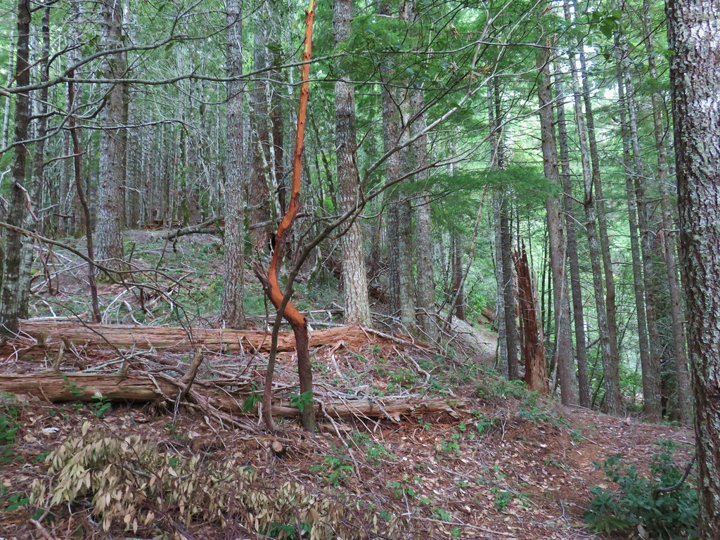
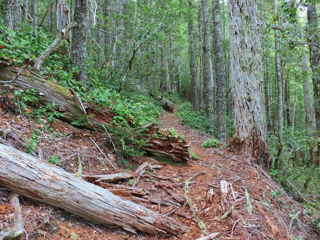
The rain mostly held off as we made the two and a quarter mile horseshoe through the forest along the ridges above North Cape Creek between the shelter and Amanda’s Statue.
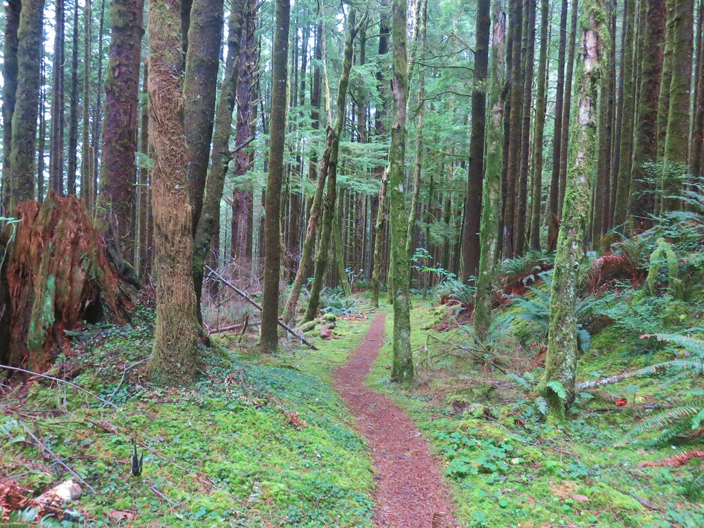
IMG_5030

By the time we reached the grotto, where we encountered a Boy Scout Troop, a steady light rain was falling. The rain continued to pick up as we made our way back to the Highway 101 crossing south of Yachats.
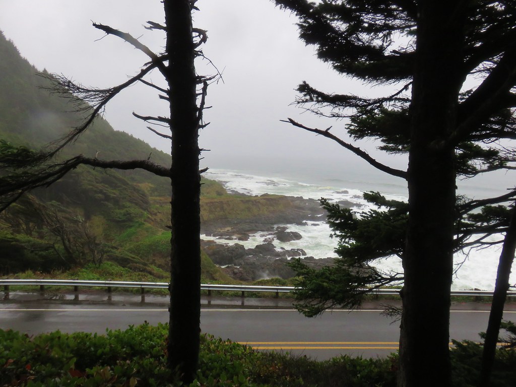
IMG_5048

IMG_5051

Overall it had been an excellent day, the rain had held off long enough for us to get some nice views and stay relatively dry without having to put on our rain gear. We got to finish up the trails in the Cape Perpetua Scenic Area and had unintentionally timed it better for the Spouting Horn and Thor’s Well. Oh and we also had that delicious lemon muffin mid-hike so yeah it was a pretty good way to end our 2018 hiking season. We do plan on getting a couple more hikes in this year but from November through April we drop down to just one outing (or so) a month. Happy Trails!

Flickr: Amanda’s Trail to Cape Perpetua
Categories
Hiking Oregon Oregon Coast Southern Coast

Tahkenitch Creek

After three nights in Bandon it was time to say goodbye and head home. We woke up early on Sunday to find that it had rained overnight. As we headed north on Highway 101 we passed through a number of showers and began to think that it was going to be a wet hike at Tahkenitch Creek. In fact the heaviest shower began in Reedsport just nine miles south of the trailhead.

When we arrived at the small parking area we were happy to find that it wasn’t raining there, at least yet.IMG_2960

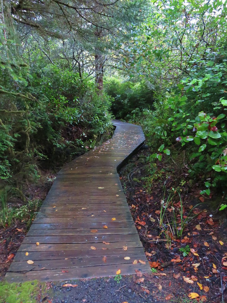
In 2015 (post) we visited the area on either side of this trail but had skipped over this particular trail. The Tahkenitch Creek Trail set off through the forest on the north side of Tahkenitch Creek which it quickly crossed on a footbridge.IMG_2961

IMG_2963

IMG_2964

IMG_2966

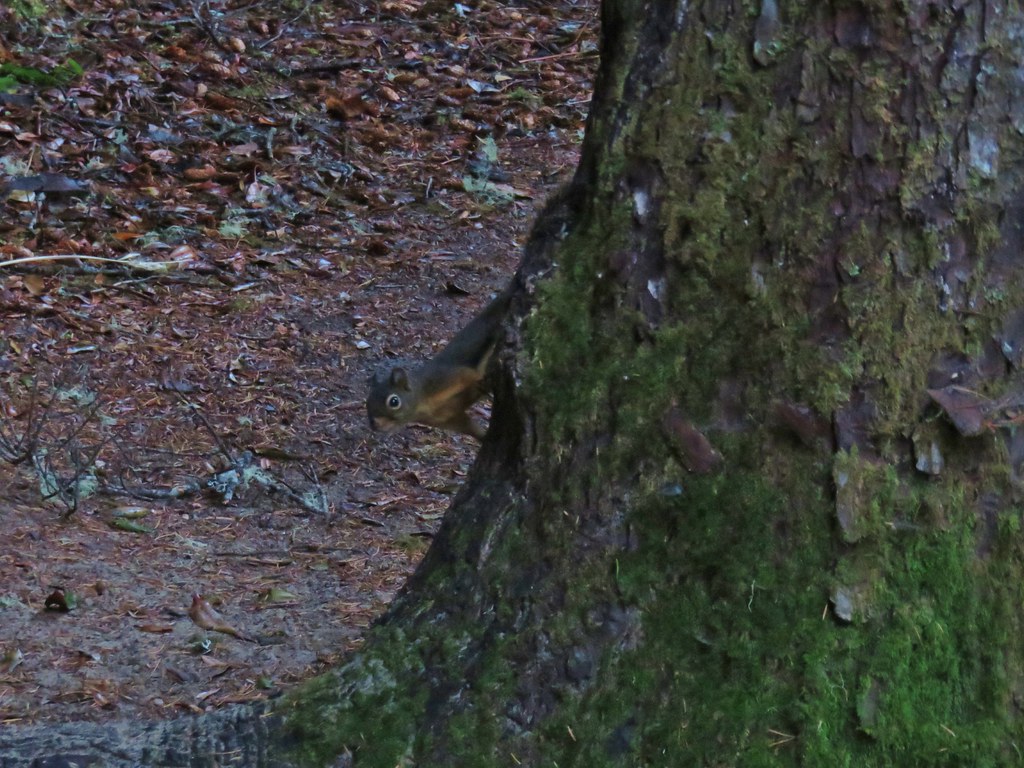
The wet morning hadn’t kept the wildlife from making appearances.IMG_2973

IMG_2978

Beyond the footbridge there was a short section of boardwalk then we came to a junction with a trail map.IMG_2967

IMG_2980

IMG_2984

This junction was only three tenths of a mile from the trailhead and marked the beginning of a couple of loop options. We stayed to the right passing a couple of views of Tahkenitch Creek including the site of a possible ford. We had checked out the ford from the other side in 2015 and were no more interested in doing it this time around.IMG_2986

IMG_2990

Possible ford site

The trail spent quite a bit of time away from the creek before arriving at another junction a half mile from the start of the loops.IMG_2991

IMG_2994

IMG_2996

IMG_2997

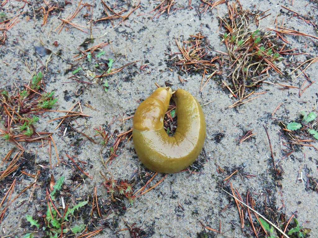
A left here would have created a 1 mile loop and a 1.6 mile hike overall, but we stayed right opting for a longer option. The trail continued through the forest for another .8 miles to the next junction. We had been having to watch where we stepped all morning due to the presence of numerous slugs but along this section we also saw a rough skinned newt in the trail.IMG_3000

IMG_3001

IMG_3002

IMG_2999

IMG_3004

We faced another choice at this junction. Simply turning left would create a two mile loop, but a right hand turn would lead us to the Tahkenitch Dunes Trail in just under a mile. We had hiked the dunes trail to the beach in 2015 so we decided to go to that junction to link up the two hikes.IMG_3005

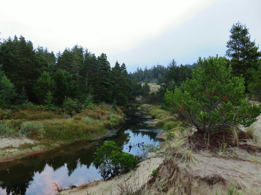
This stretch of trail remained in the forest until the junction. A brief right hand turn onto the Tahkenitch Dunes Trail provided a bit of a view of the creek and of the Pacific Ocean in the distance.IMG_3006

IMG_3007

IMG_3008

IMG_3009

It would have been another .8 miles to reach the beach on the dunes trail, and since we had hiked that stretch before we decided to turn back here and get home earlier.IMG_3012

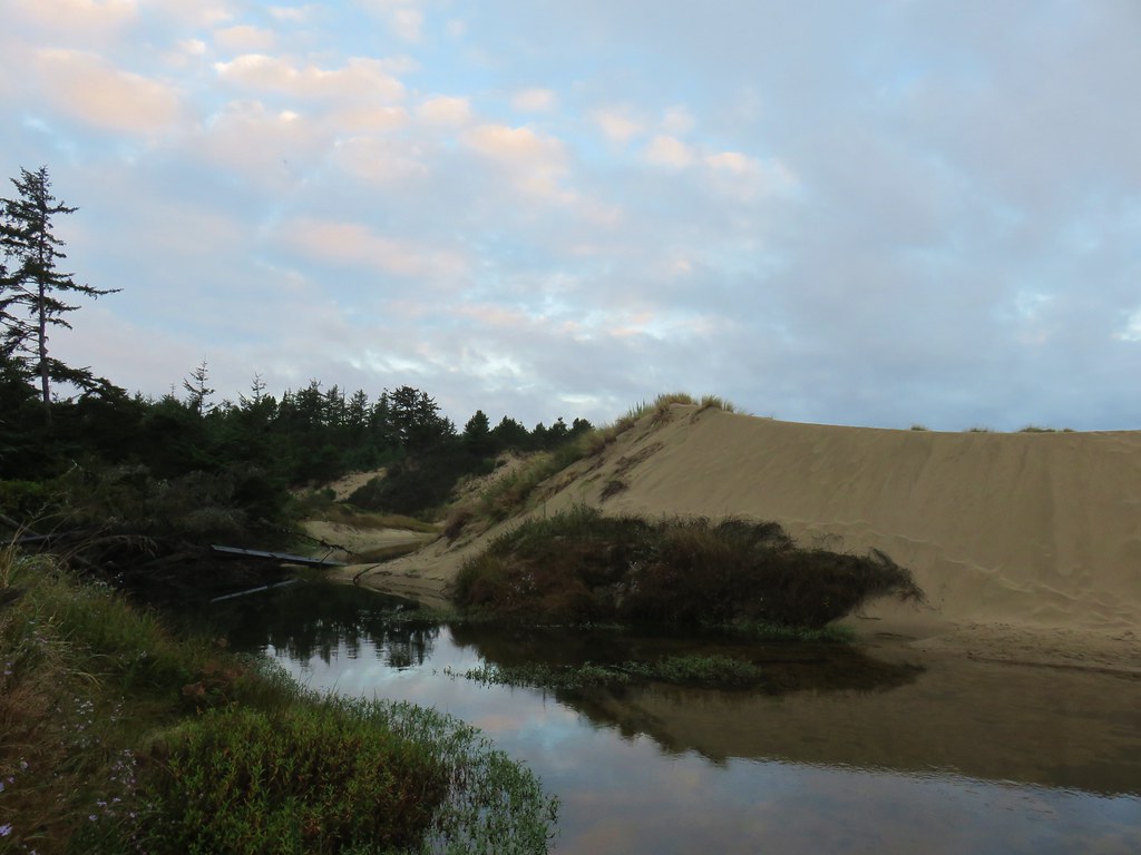
We kept right at junctions on the way back passing briefly though a sandy landscape.IMG_3015

IMG_3017

IMG_3019

As we exited the sandy area we met a gentleman who was looking for a good view of sand dunes to the south. He said he was working on a photography book of the Oregon Coast and had hoped to get some photos of the fog on some of the nearby lakes but due to the rain there was no fog over the water. We suggested he try the Oregon Dunes Overlook just north of where we were. We wished him luck and continued on.

The rain finally started to come down as we completed the loop so we hustled back to the trailhead and got into the car before we got too wet.IMG_3022

Even with the side trip to the Tahkenitch Dunes Trail this was only a 4.3 mile hike, and the shorter loop options make it a great leg stretch stop or hike for the younger kids. For us it was a nice way to end our mini-vacation and one more featured hike checked off from William L. Sullivan’s “100 Hikes/Travel Guide Oregon Coast & Coast Range” guidebook. Happy Trails!

Flickr: Tahkenitch Creek

Categories
Hiking Oregon Oregon Coast Southern Coast

Barklow Mountain and Bullards Beach

When we changed our plans from a backpacking trip in the Diamond Peak Wilderness to a long weekend in Bandon one of the more exciting prospects was being able to check off a visit to our 38th Oregon Wilderness Area – the Copper-Salmon Wilderness. We had attempted to visit that particular wilderness in 2017 but a washed out road denied us access to the Barklow Mountain Northeast Trailhead (post)

For this trip we would be using the Barklow Mountain West Trailhead. We used the Oregonhikers.com field guide entry here to reach the trailhead. The guide mentions that the road is prone to rockfall and slides and that it is best to wait for the dry months of Summer to attempt to reach the trailhead. Based on the conditions we encountered along the roads that is not an understatement.
IMG_2844

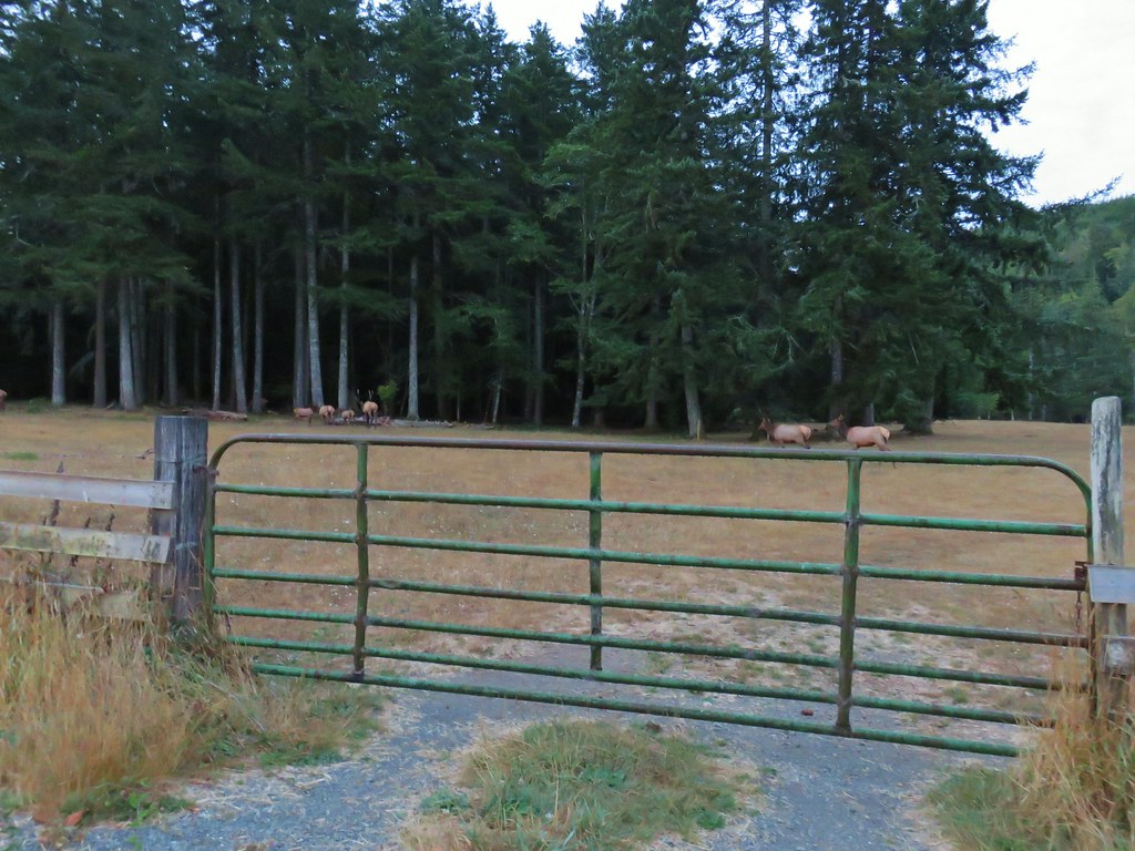
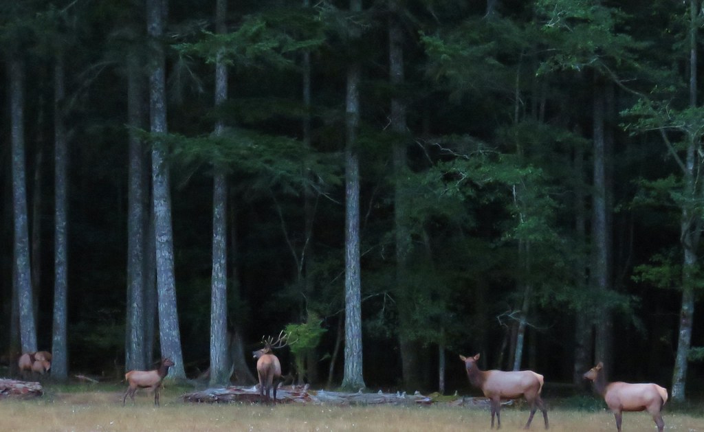
Prior to reaching the vehicular obstacle course that was the Forest Service Roads we spotted a small elk herd and a number of deer along Elk River Road. It was still a bit dark for pictures but we did our best from the idling car.
IMG_2773

IMG_2777

IMG_2780

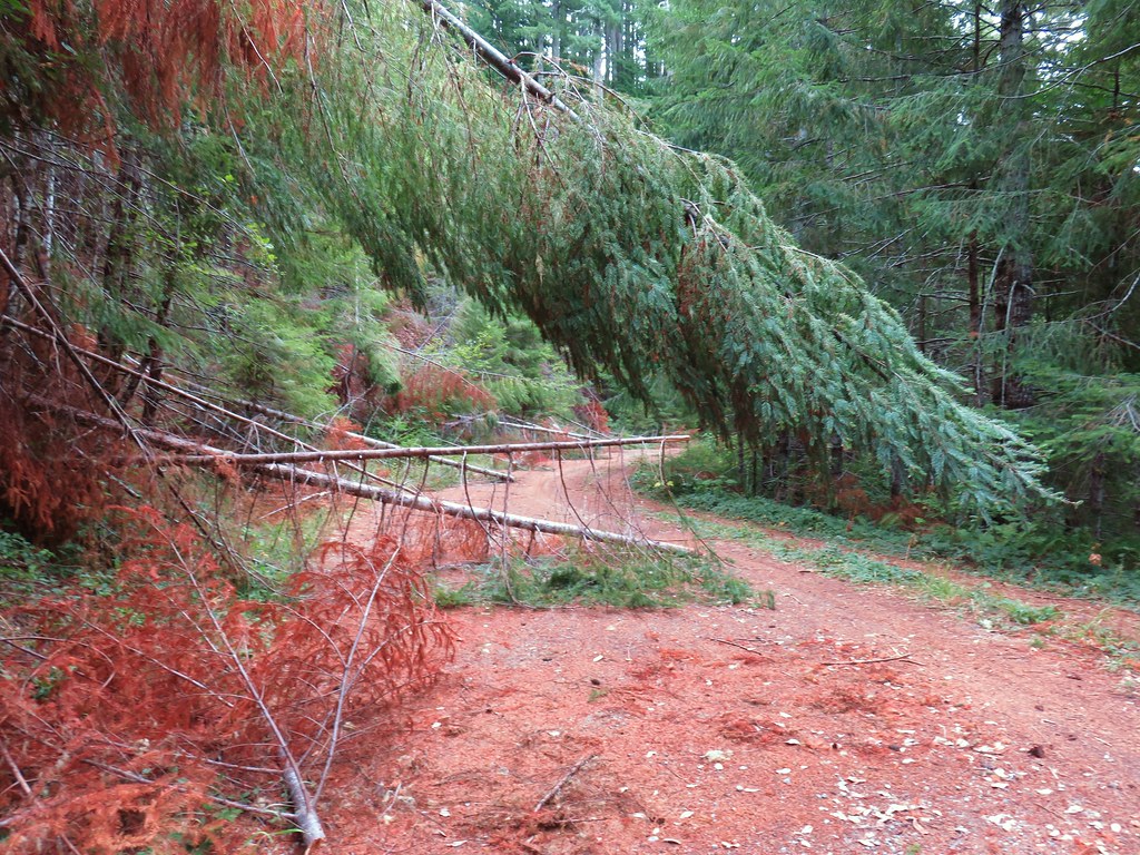
We parked at the small pullout that is the trailhead after a long drive (time wise) that included stopping a couple of times to remove small trees from the road and also at the junction with FR 390 because the 390 post was in the center of a fork and we didn’t want to be on that road but we couldn’t tell which one the post was referring to. (Hint – The left fork was FR 390 so we went right.)
IMG_2791Barklow Mountain West Trailhead

The Barklow Mountain Trail dropped slightly from a closed road bed and quickly entered the Copper-Salmon Wilderness.
IMG_2793

IMG_2794

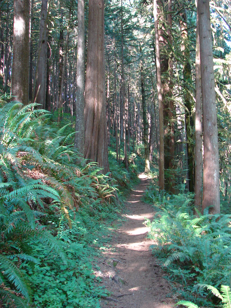
The forest along the trail was a mix of tanoak and madrone and some sections with fir and pine.
IMG_2797

IMG_2800

IMG_2802

IMG_2803

IMG_2806

IMG_2811

Not unlike the roads to the trailhead there were a few obstacles to maneuver around.
IMG_2805

After a mile and a half of climbing, the trail arrived at a saddle junction.
IMG_2813

The trail to the left led to Johnson Creek Road.
IMG_2814

The trail to the right was the one we wanted. This trail would lead up up to the old lookout site atop Barklow Mountain.
IMG_2817

Approximately .3 miles beyond the junction we came to an unmarked side trail heading downhill to the right.
IMG_2820

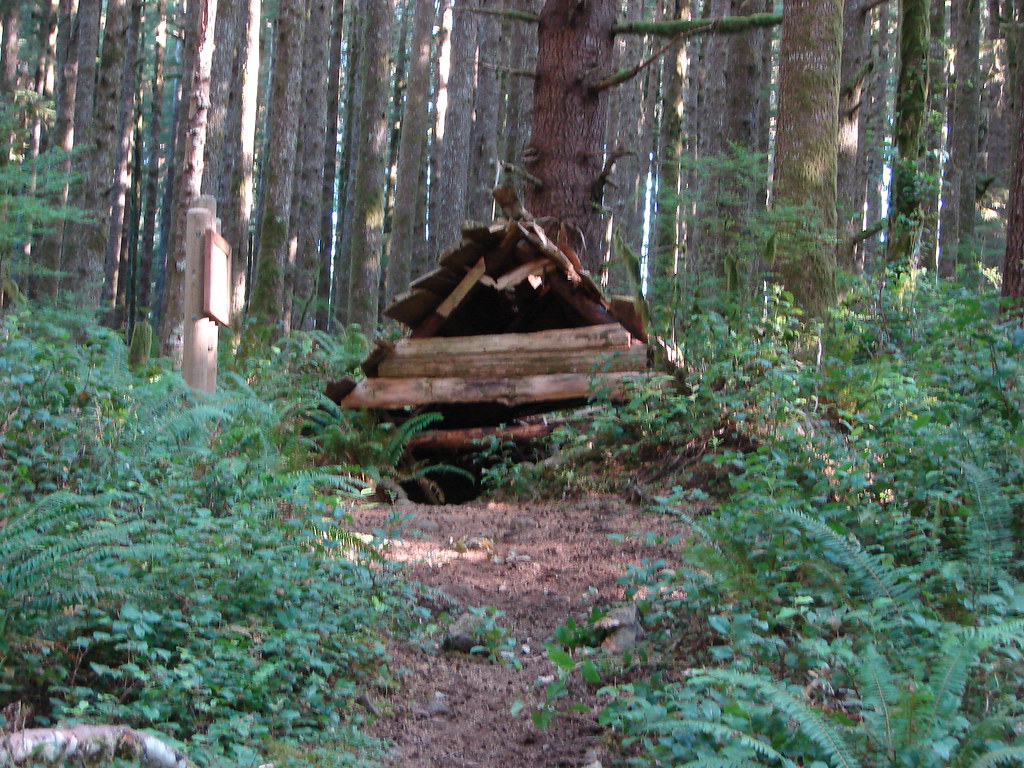
This short spur trail led down to the site of a now collapsed shelter.
IMG_2821

Beyond the shelter the trail steepened a bit as it wound beneath Barklow Mountain.
IMG_2824

We passed through a patch of manzanita where we had a nice view south of nearby Copper Mountain.
IMG_2831

IMG_2832

A total of .4 miles from the old shelter we arrived at an unsigned junction on a ridge. Here we turned left to visit the lookout site.
IMG_2834

From the lookout site we could barely make out the Pacific to the SW along with Grassy Knob (post).
IMG_2836Grassy Knob is on the horizon just to the left of the near trees.

IMG_2838Copper Mountain from the lookout site.

After a break we headed back to the car and navigated the obstacle course again. Fortunately we did not encounter any other cars until we were clear of the mess. We then drove back to Bandon, passed through town, and continued north on Highway 101 for three miles to the signed turn for Bullards Beach State Park.

We parked at the beach access parking lot which is located 1.3 miles from the highway.
IMG_2845

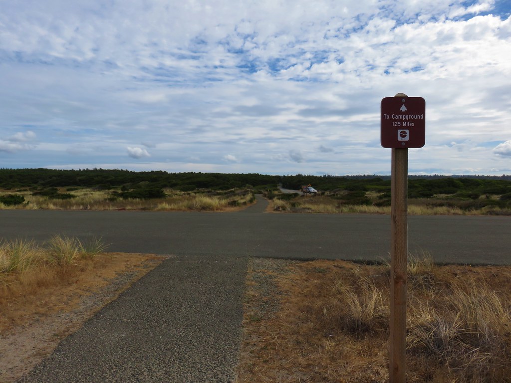
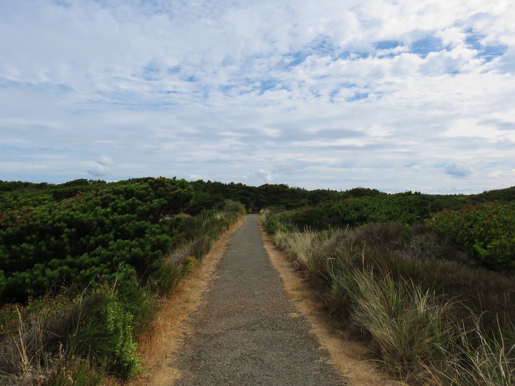
Our plan was to hike a clockwise loop along the Coquille River, the north jetty, and the beach. From the parking lot we headed inland on a paved path signed for the campground.
IMG_2849

IMG_2850

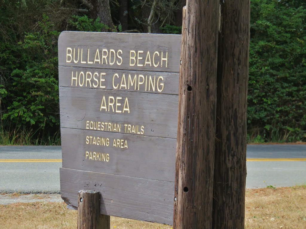
We followed this path until we had crossed the entrance to the Bullards Beach Horse Camping Area.
IMG_2852

IMG_2853

Just beyond that entrance (.4 miles from the beach parking area) we turned right off the paved path and crossed the paved park entrance road onto a dirt road which led us down to the Coquille River.
IMG_2854

There was no actual trail along the river so we spent most of the next 2 miles walking along the sandy river bank. We were forced inland a couple of times in order to cross water on logs.
IMG_2873

IMG_2860

IMG_2856

IMG_2861

IMG_2872

There was a lot of activity on the river between boats and birds.
IMG_2867

IMG_2875

IMG_2878

IMG_2879

As we neared the north jetty across from Bandon’s Old Downtown we turned inland at a sandy gap which led to a gravel road.
IMG_2884

IMG_2885

IMG_2887

We followed this road for .4 miles staying left at a fork on a grassy track.
IMG_2890

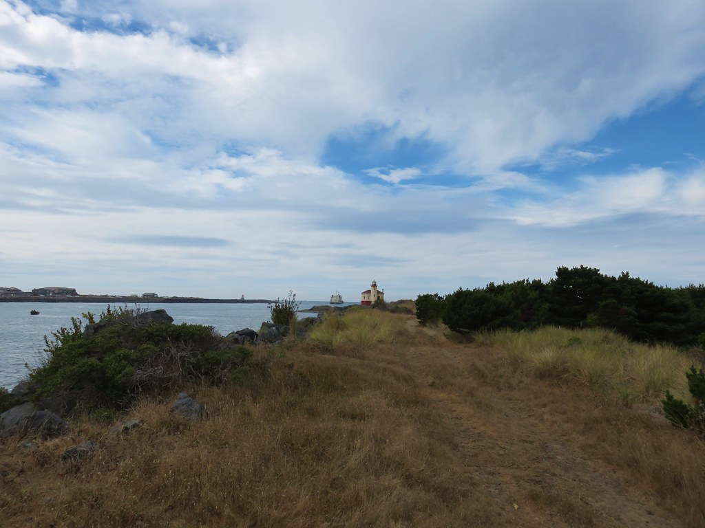
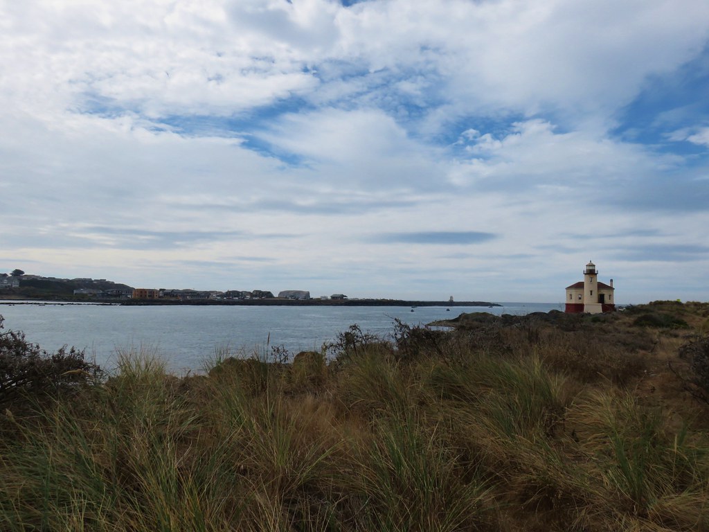
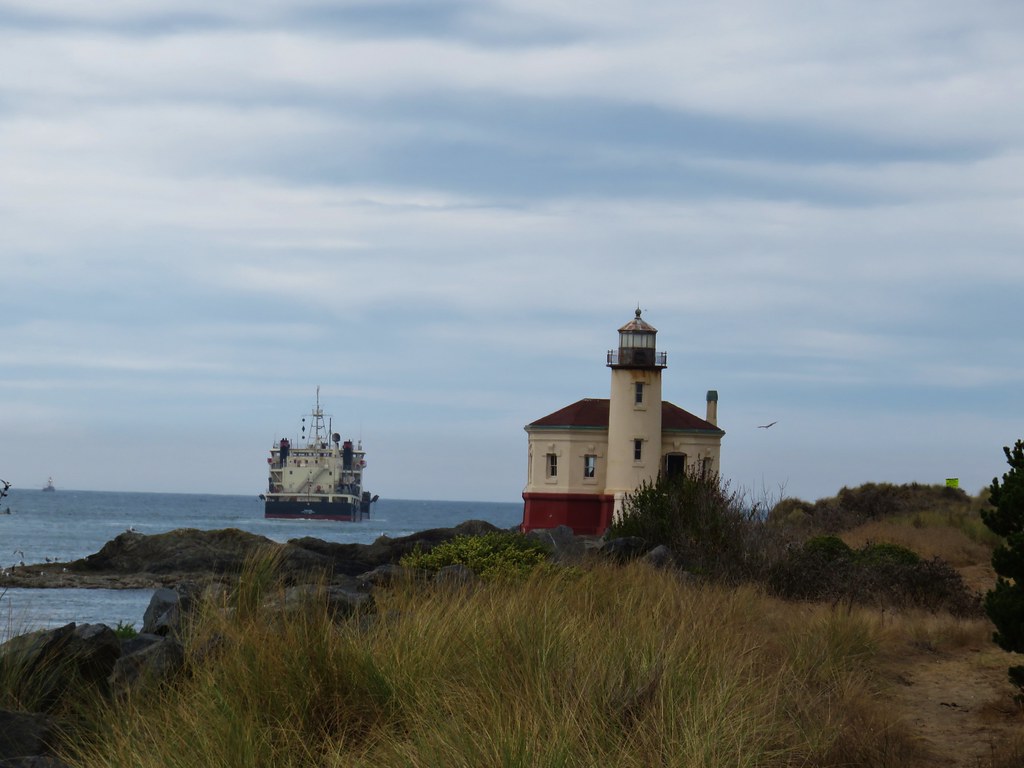
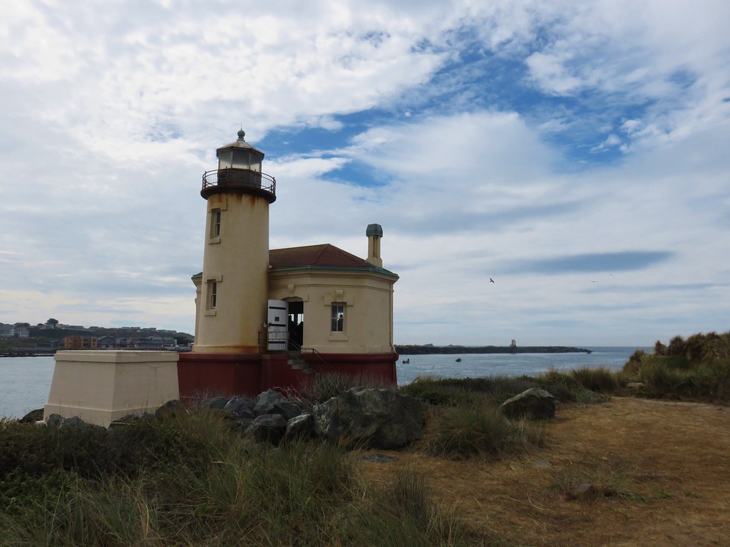
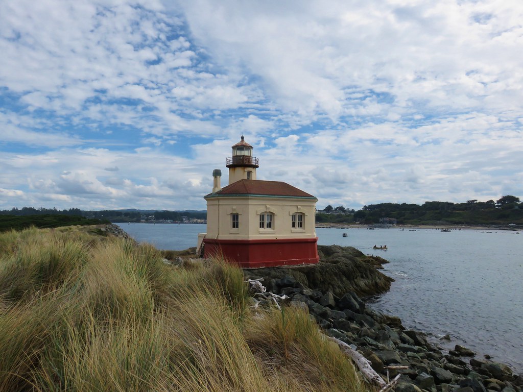
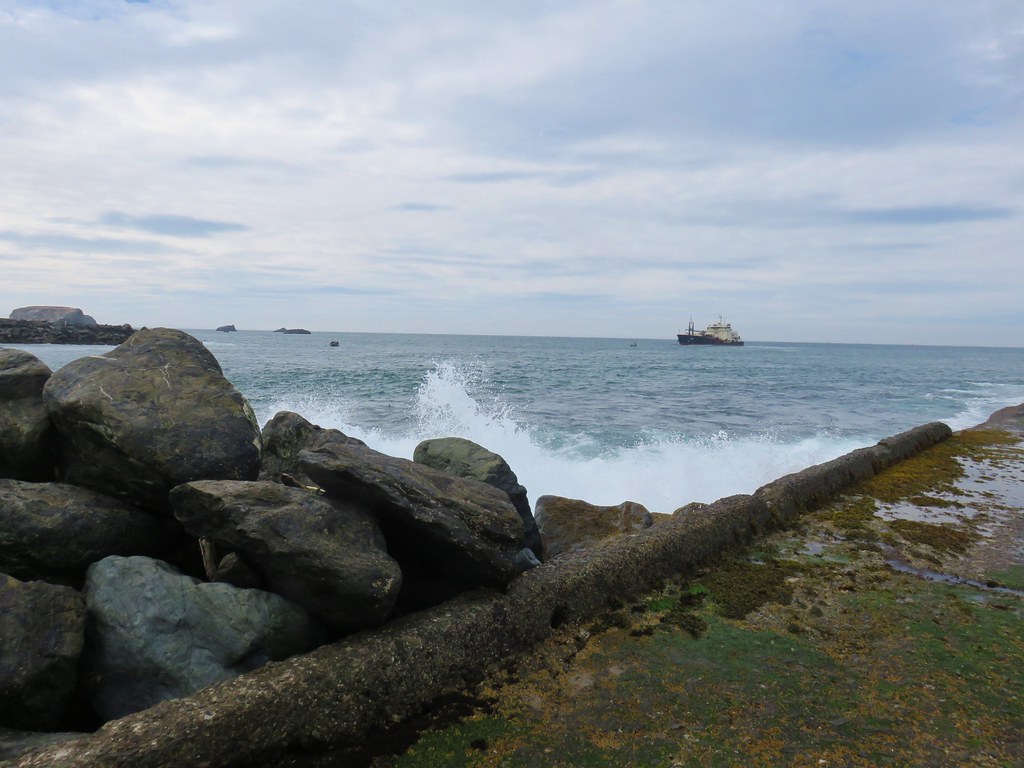
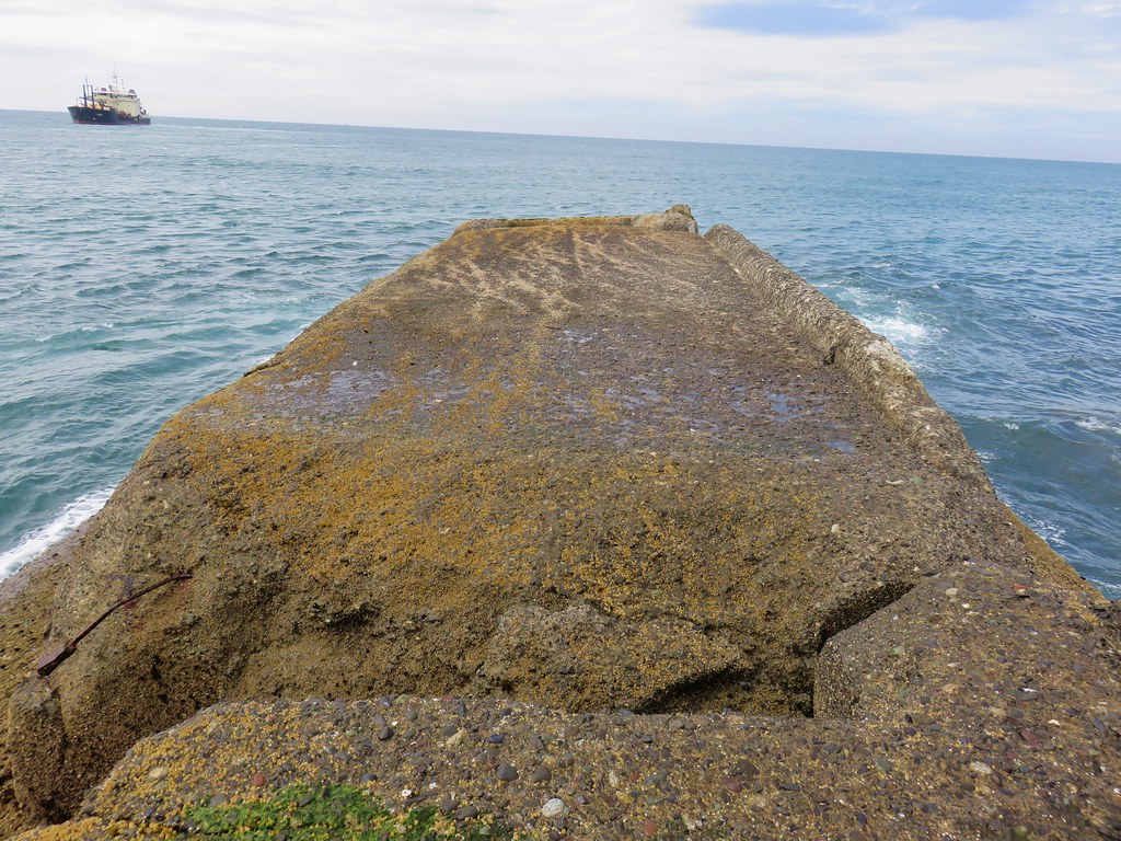
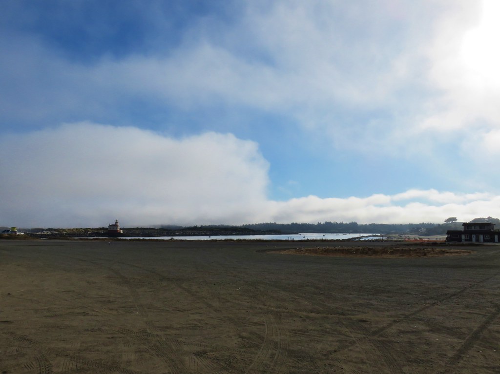
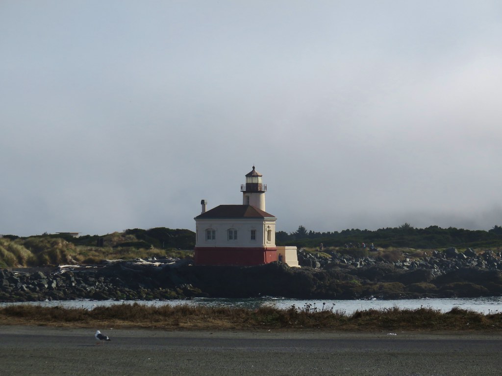
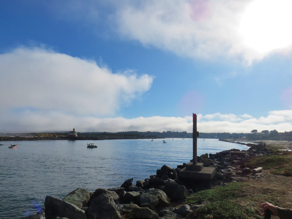
The road bed ended at the Coquille River Lighthouse. An Army Corps of Engineers ship was busily going back and forth near the mouth of the river.
IMG_2895

IMG_2892

IMG_2902

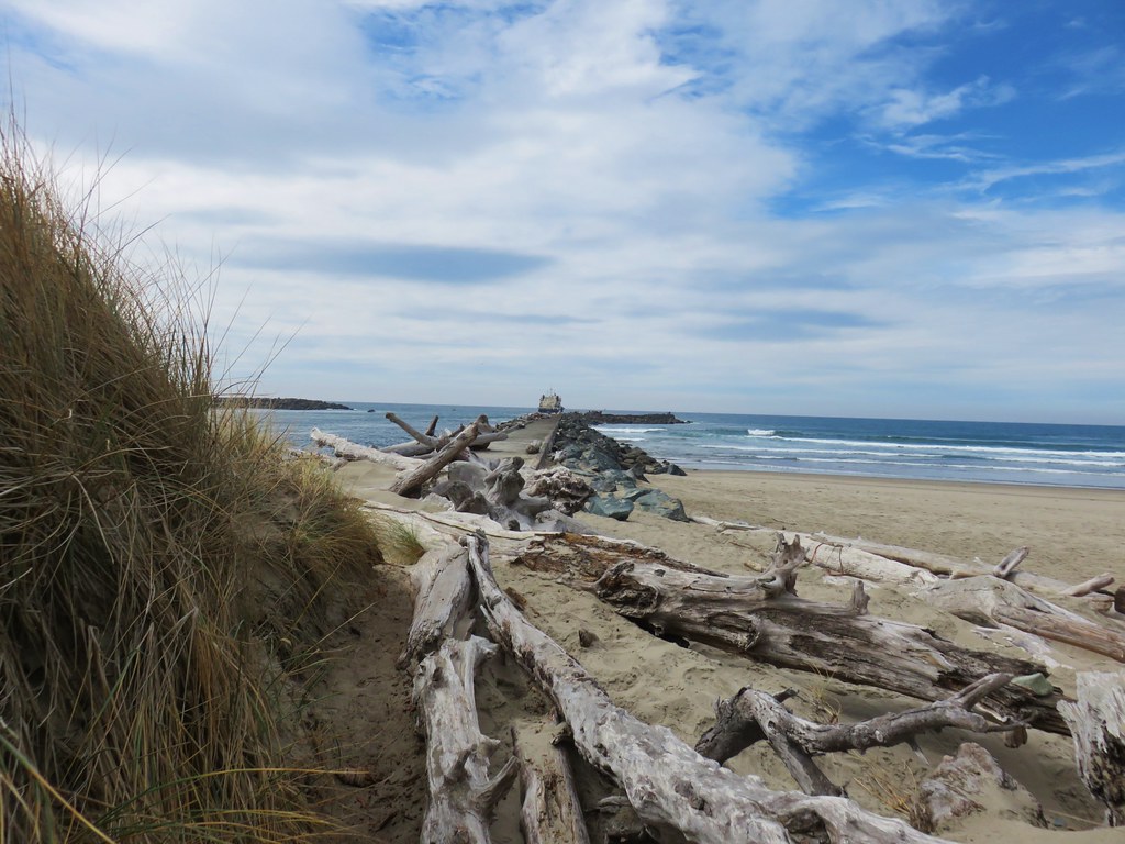
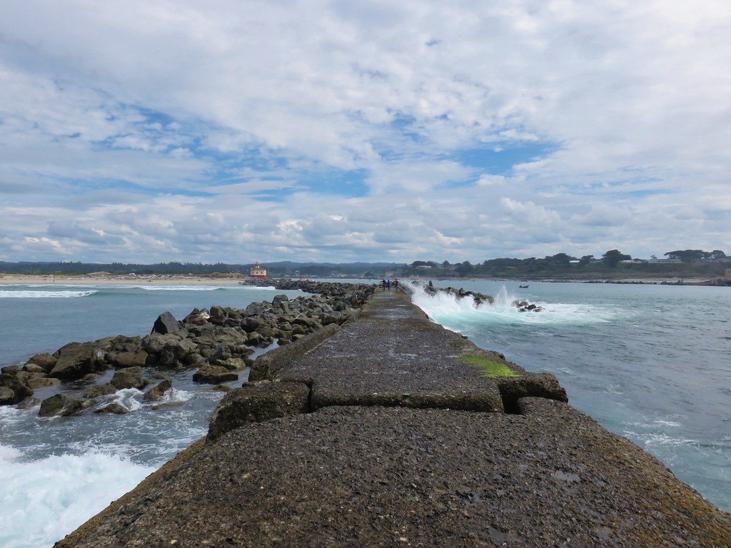
Once past the lighthouse we continued out along the north jetty for .2 miles.
IMG_2905

IMG_2906

IMG_2911

IMG_2914

IMG_2915

IMG_2928

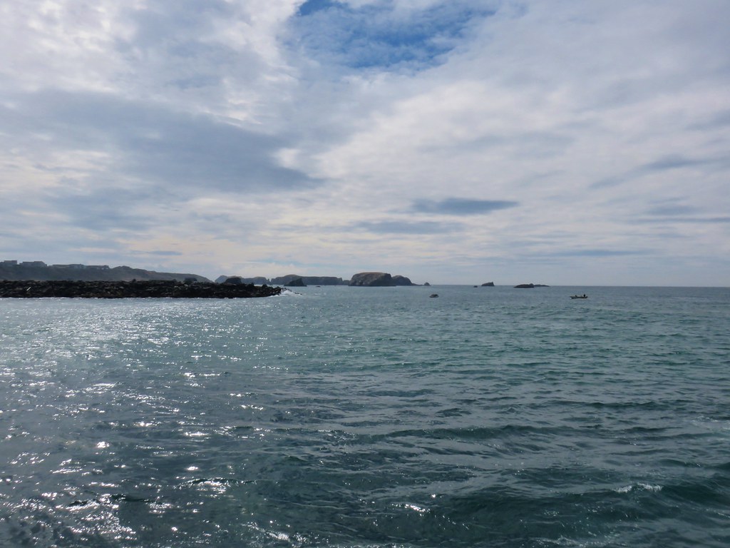
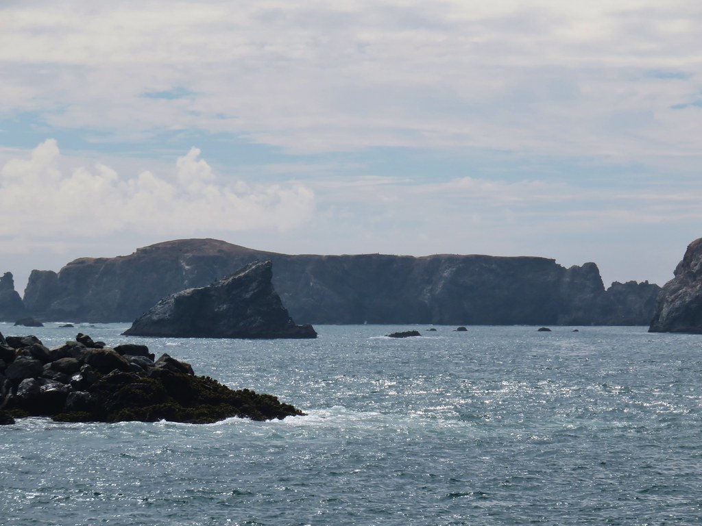
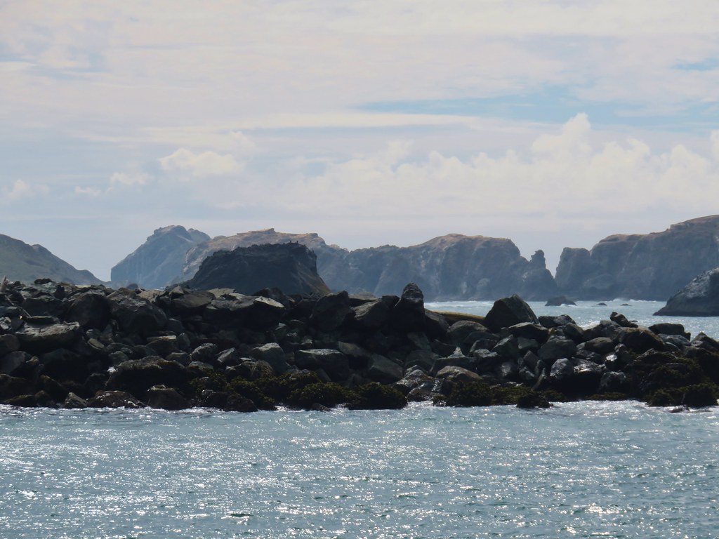
It was a much better day visibility wise than the previous one had been and from the jetty we got a decent look at some of the Bandon Islands on the other side of the river.
IMG_2924

IMG_2921

IMG_2922

IMG_2923

The view north was much less rocky.
IMG_2933

After partaking of the view we headed back, hopping off the jetty and onto Bullards Beach.
IMG_2940

After 1.5 miles along the beach we turned inland and climbed over the foredune to the beach access parking area.
IMG_2941

IMG_2943

IMG_2951

IMG_2957

IMG_2959

After a shower and change of clothes we found ourselves wandering through the old downtown again. When it was time for dinner we decided to go back to Foley’s Irish Pub. After another good meal there and desert from Pastries and Pizzas we turned in for the night. We had agreed that Bandon had quickly become one of our favorite coastal towns and were already looking forward to our next visit. Happy Trails!

Flirck: Barklow Mountain and Bullards Beach

Categories
Hiking Oregon Oregon Coast Southern Coast

New River and Bandon Islands

We had changed our mini-vacation plans from a four day backpacking loop around and up Diamond Peak to four days of hiking on the Oregon Coast due to the possibility of wet weather. Wet weather isn’t typically a big deal at the coast and drying off in a motel room is a lot more convenient than trying to keep your backpacking gear dry for multiple days. When we had looked at the forecast for Bandon the best looking day weather wise had been Friday with a forecast of mostly sunny and no chance of showers. We planned a pair of hikes for that day, first at the New River Recreation Area and then a walk along the beach starting at the Bandon South Jetty Park.

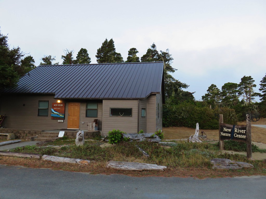
The BLM managed New River Recreation Area is located eight miles south of Bandon on Croft Lake Road. We parked near the New River Nature Center which hadn’t opened yet for the day.

IMG_2509

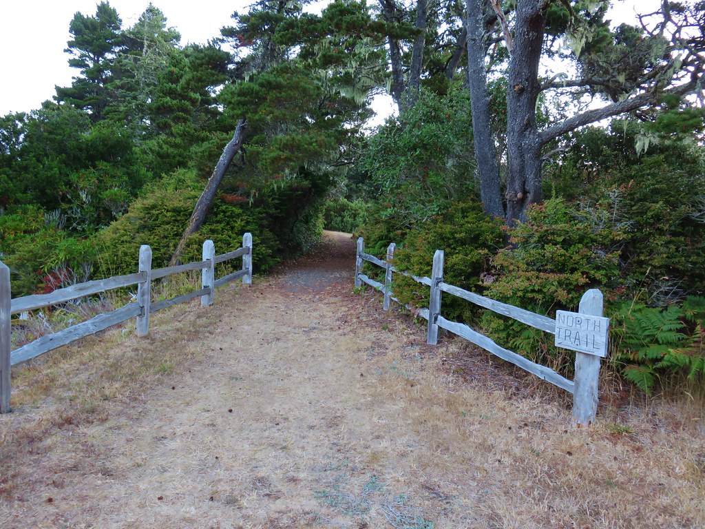
We headed north from the parking area onto the signed North Trail.

IMG_2512

A little over a quarter mile along this forested path we came to a junction with the Ridge Trail.

IMG_2515

IMG_2516

We turned right onto this trail which made a .4 mile horseshoe along the top of an old dune now covered in vegetation including some madrone trees.

IMG_2517

At a bench at the end of the Ridge Trail we turned right onto the Huckleberry Hill Trail (If we had gone straight at the North/Ridge Trail junction we would have wound up here in less than a tenth of a mile.)

IMG_2522

We followed the Huckleberry Hill trail .4 miles down an increasingly sandy track to the Ocean View Trail where we turned left (the only choice).

IMG_2523

IMG_2524

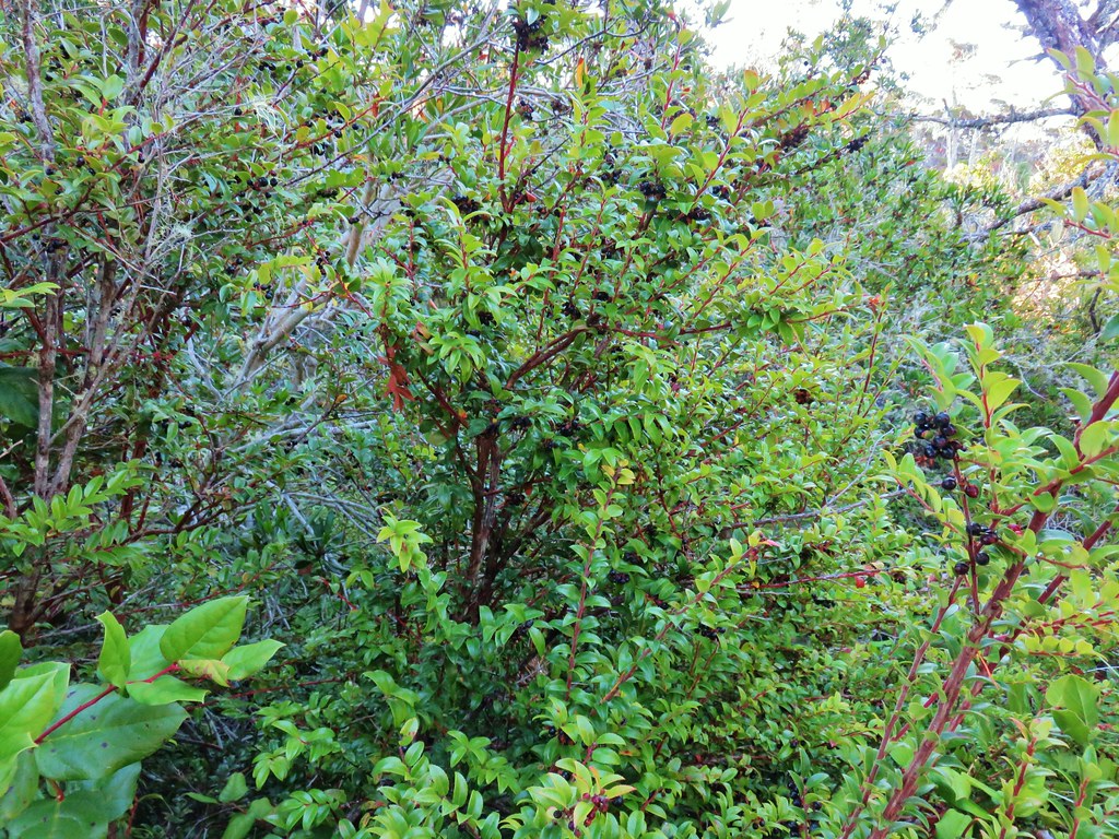
Huckleberries along the Huckleberry Hill Trail

IMG_2527

IMG_2528

IMG_2529

After just 430′ on the Ocean View Trail we took a signed spur trail to the right to a viewpoint.

IMG_2531

We arrived at the New River in less than 100 yards. The Ocean was barely visible on the other side of a low rise on the beach between the river and the Pacific.

IMG_2532

IMG_2536

IMG_2537

We returned to the main trail and continued an additional .2 miles before arriving at the New River Boat Ramp.

IMG_2541

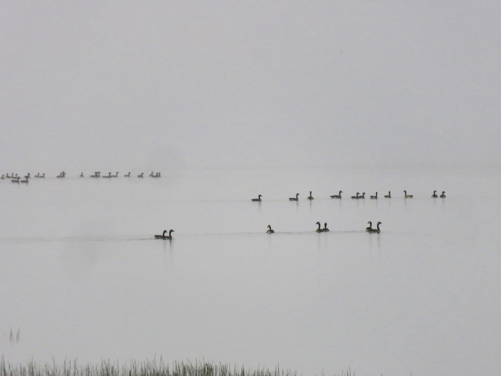
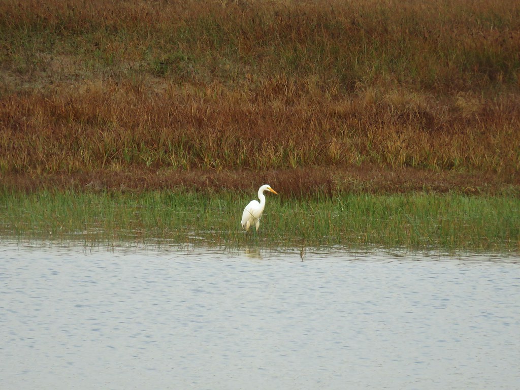
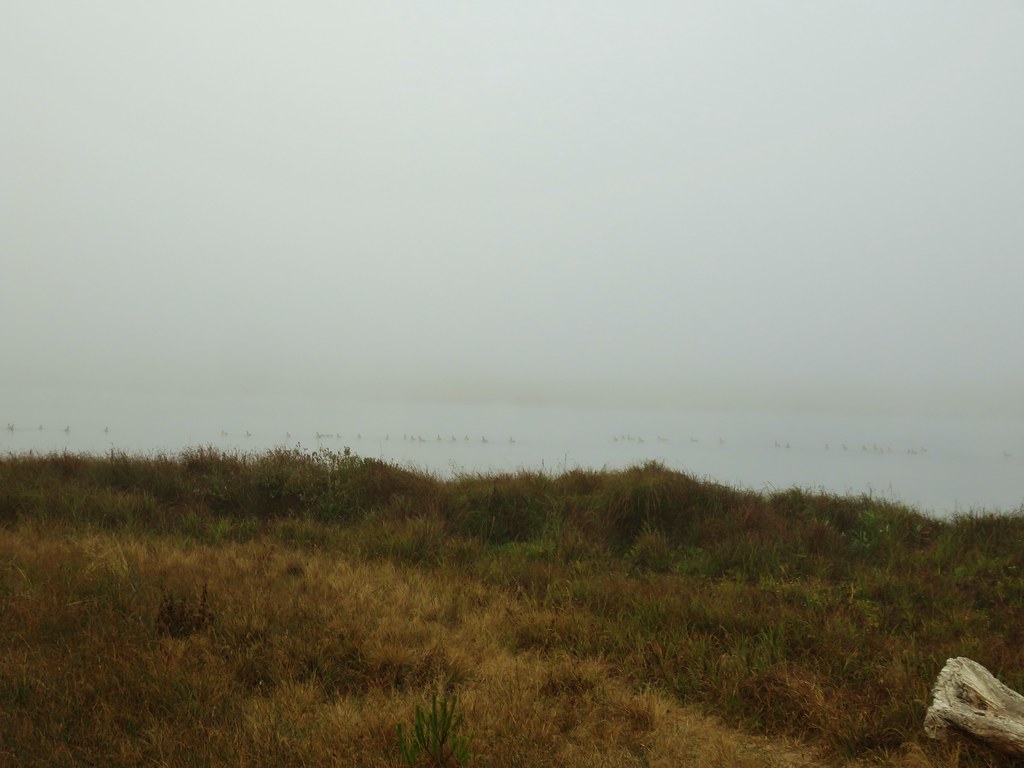
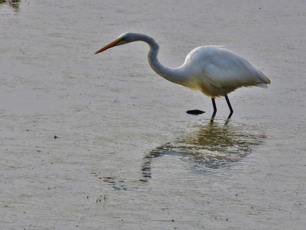
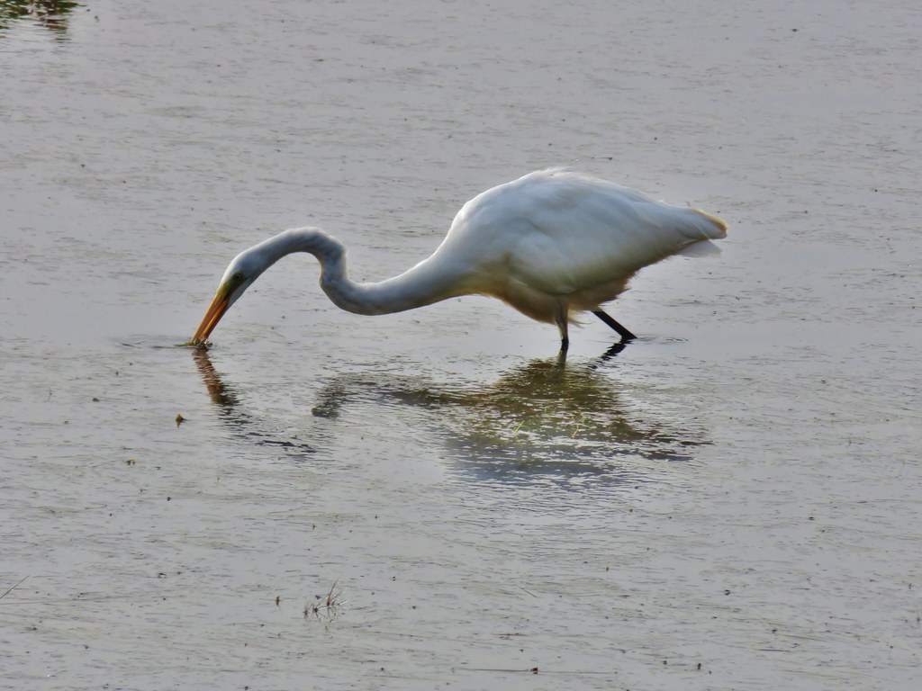
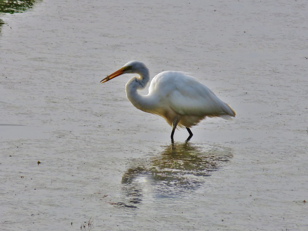
It was a little foggy but we could see quite a few Canada geese and an egret in the river.

IMG_2543

IMG_2548

IMG_2544

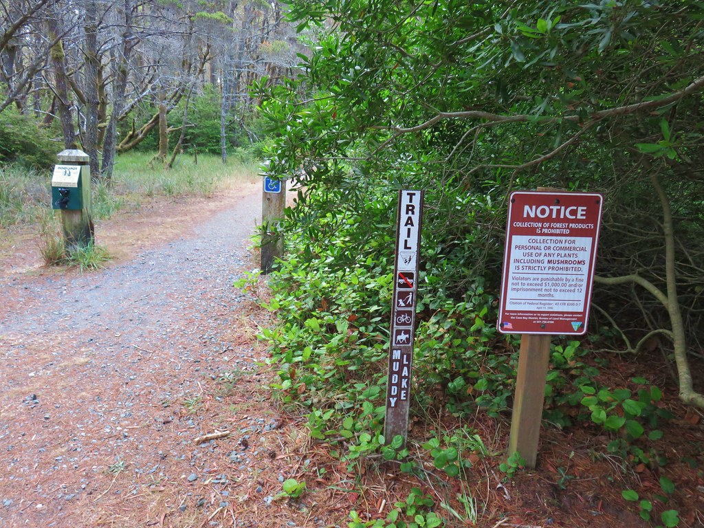
From the boat ramp we followed the road for .2 miles to the Muddy Lake Trail.

IMG_2555

IMG_2556

Two tenths of a mile from the road we turned right on the .1 mile New River Spur Trail.

IMG_2558

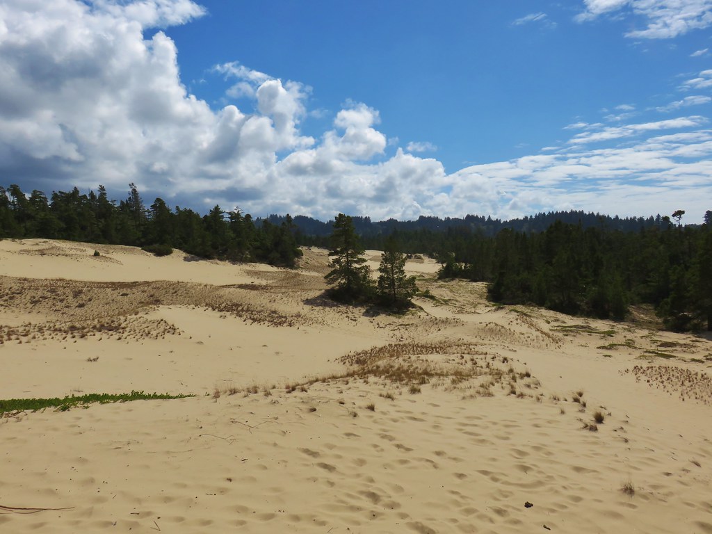
IMG_2559

Instead of burning off we noticed that the fog was getting thicker when we arrived back at the river.

IMG_2560

IMG_2564

Canada geese

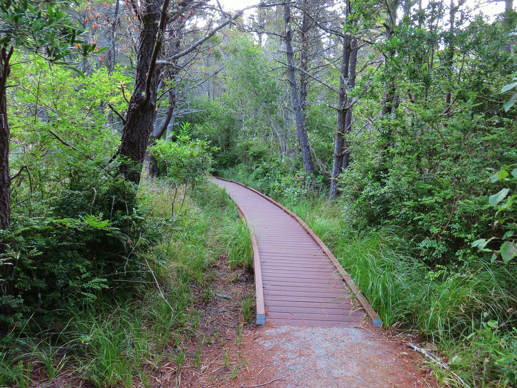
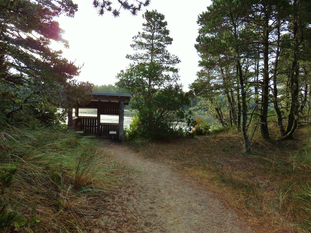
We headed back to the Muddy Lake Trail which we followed for about 110 yards, crossing over a boardwalk, to a very short spur trail leading to a bird blind at Muddy Lake.

IMG_2566

IMG_2569

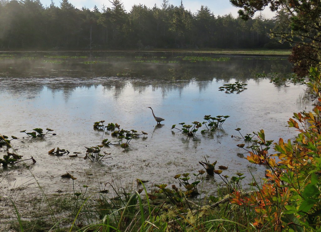
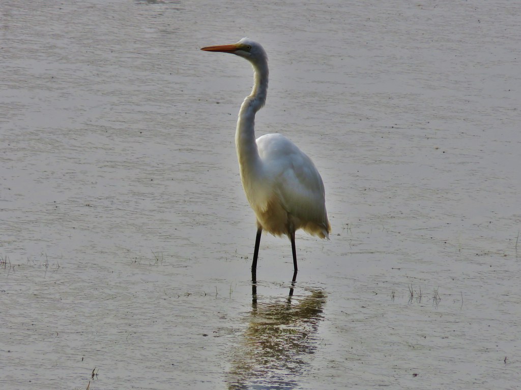
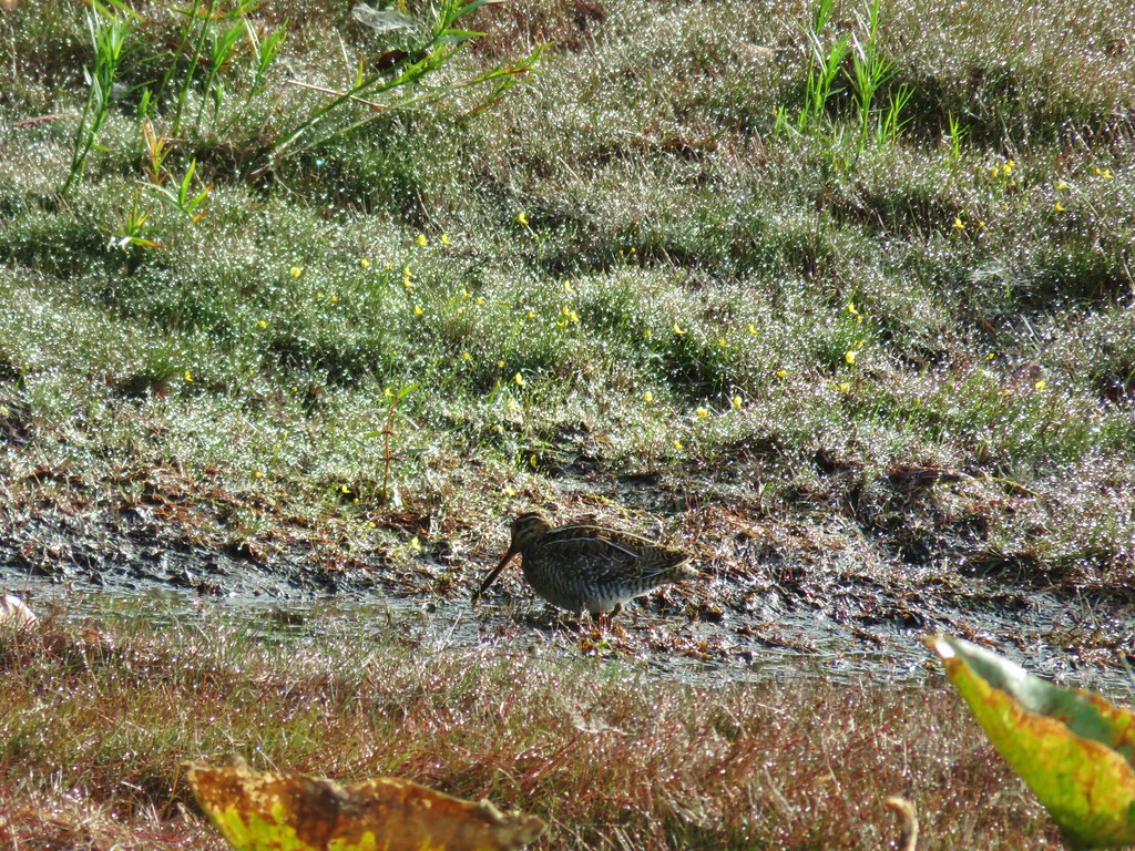
We were fortunate enough to have a couple of different birds hunting their morning meal near the blind.

IMG_2601

IMG_2573

IMG_2581

IMG_2595

The egret seemed to be having quite a bit of success.

IMG_2584

IMG_2585

IMG_2586

After watching the birds from the blind we continued on. A little over a quarter mile from the blind we came to another trail junction.

IMG_2604

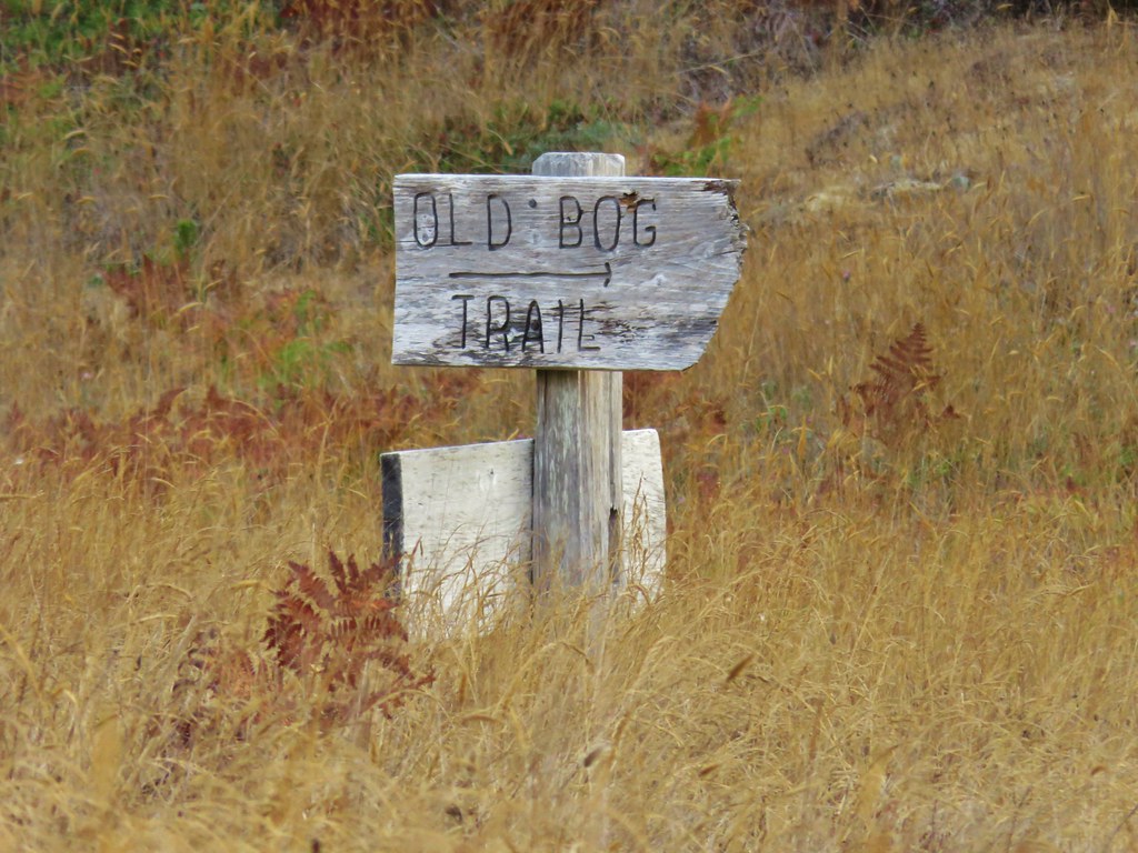
This first junction wasn’t signed but just over the small hill was a signed junction letting us know that this was the Old Bog Trail.

IMG_2605

IMG_2606

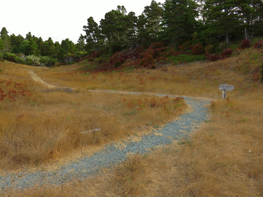
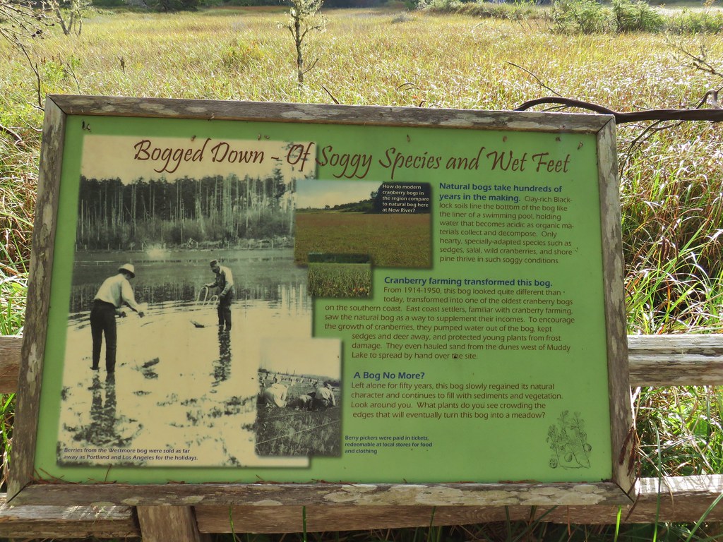
This .3 mile trail climbed up and over an old dune to the site of an old cranberry bog.

IMG_2607

IMG_2609

IMG_2610

After reading the history of the bog we returned to the Muddy Lake Trail and followed it another .2 miles back to the New River Nature Center. Even with all the side trips this was only a 3.6 mile hike making it a good option for the kiddos.

We drove back north to Bandon and used the GPS to guide us through town to the Bandon South Jetty Park located at the end of Lincoln Ave. SW across the Coquille River from the Coquille River Lighthouse.

IMG_2615

IMG_2616

We headed down to the beach just south of the jetty. There was a little bit of blue sky to the north and inland to the east.

IMG_2622

IMG_2621

That was not the case however to the south where we were headed.

IMG_2623

We would be passing by a series of ocean rocks and islands along a three and a half mile stretch of beach from the jetty to Devils Kitchen. We headed into the fog hoping that it would indeed burn off as the day progressed. In the meantime the tide was out allowing us to get a closer look at some of the rocks. Please note that climbing on any of the rocks and tidepooling is banned so keep your distance and use your binoculars or camera’s zoom.

IMG_2626

IMG_2628

IMG_2632

IMG_2633

IMG_2644

IMG_2642

IMG_2663

IMG_2662

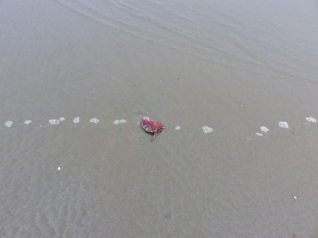
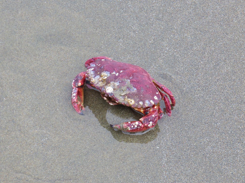
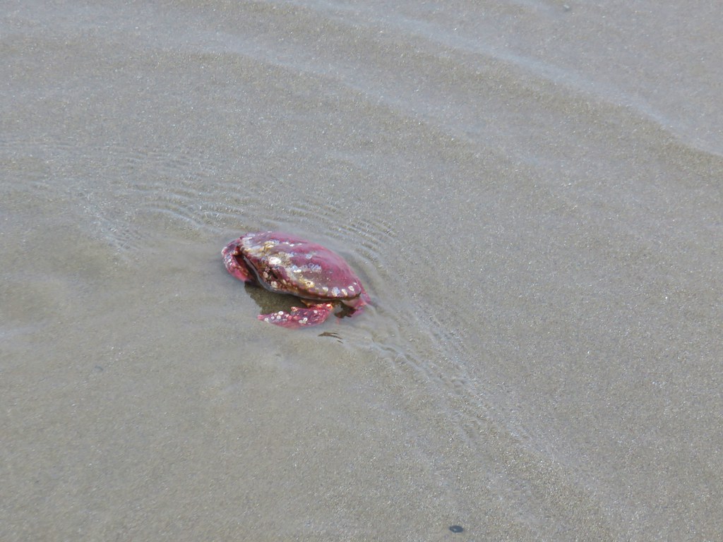
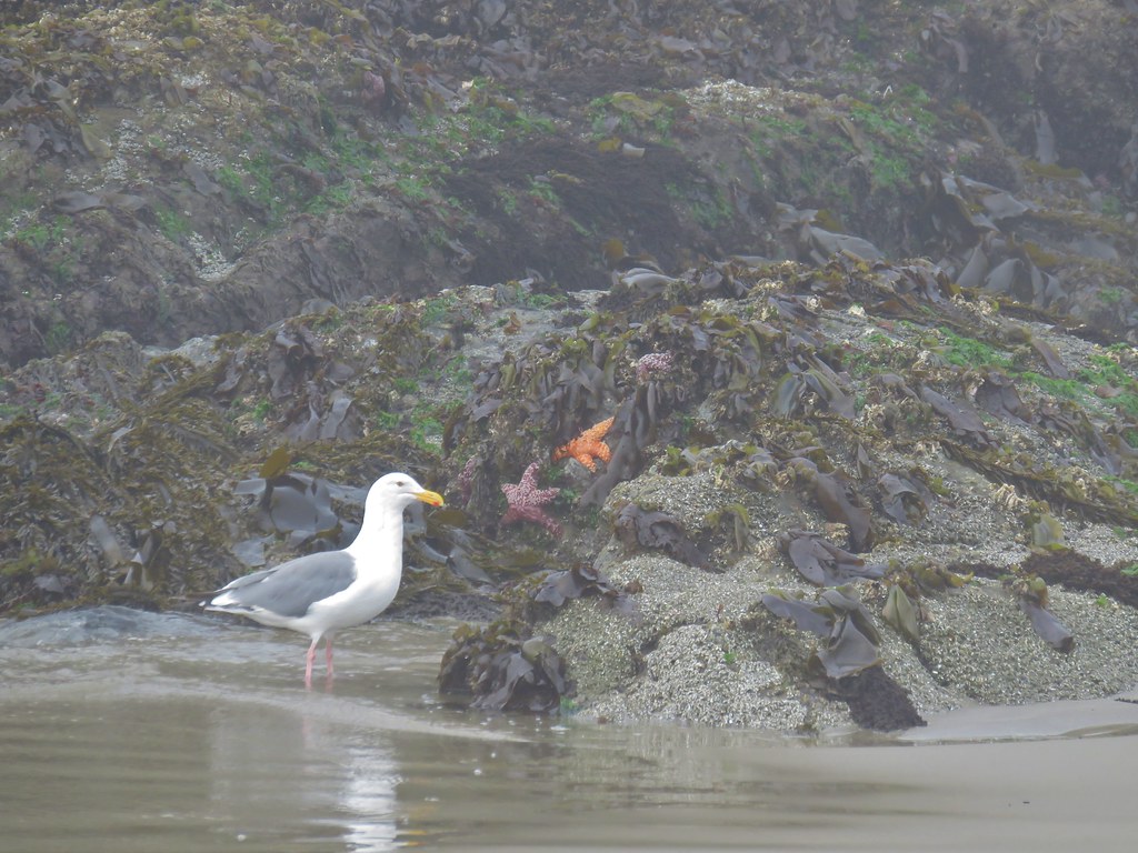
We got to see an actual live crab dig itself back into the sand.

IMG_2649

IMG_2652

IMG_2654

IMG_2672

IMG_2671

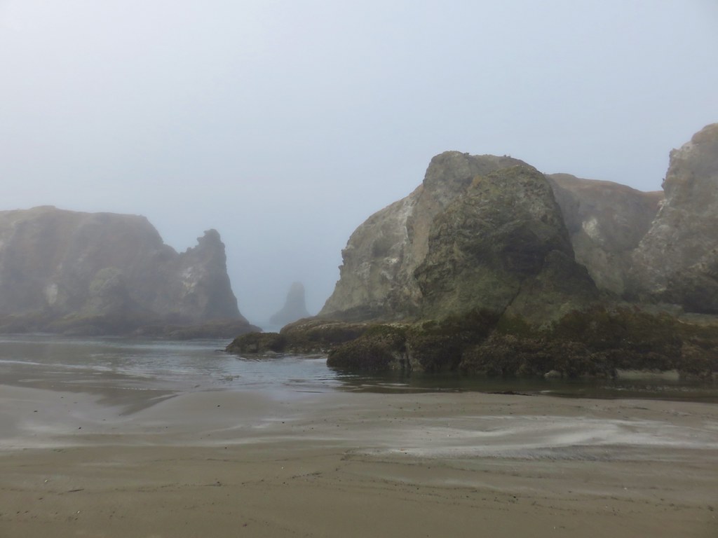
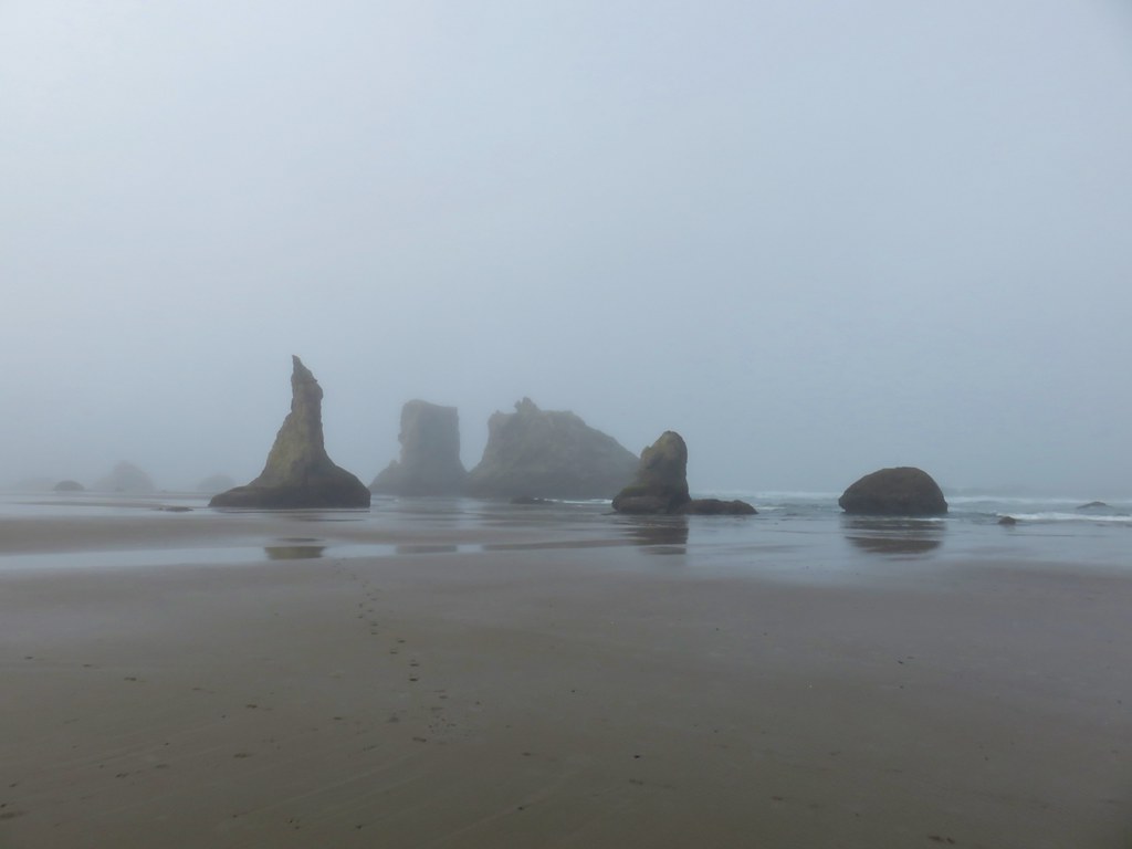
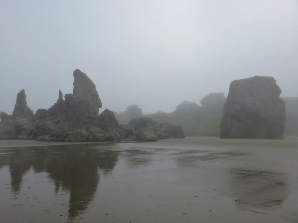
The rocky islands were neat but with the fog limiting visibility they weren’t as impressive as they should have been. For one thing we could only see the ones close by and couldn’t get a feel for just how many and how big they were.

IMG_2667

IMG_2682

IMG_2691

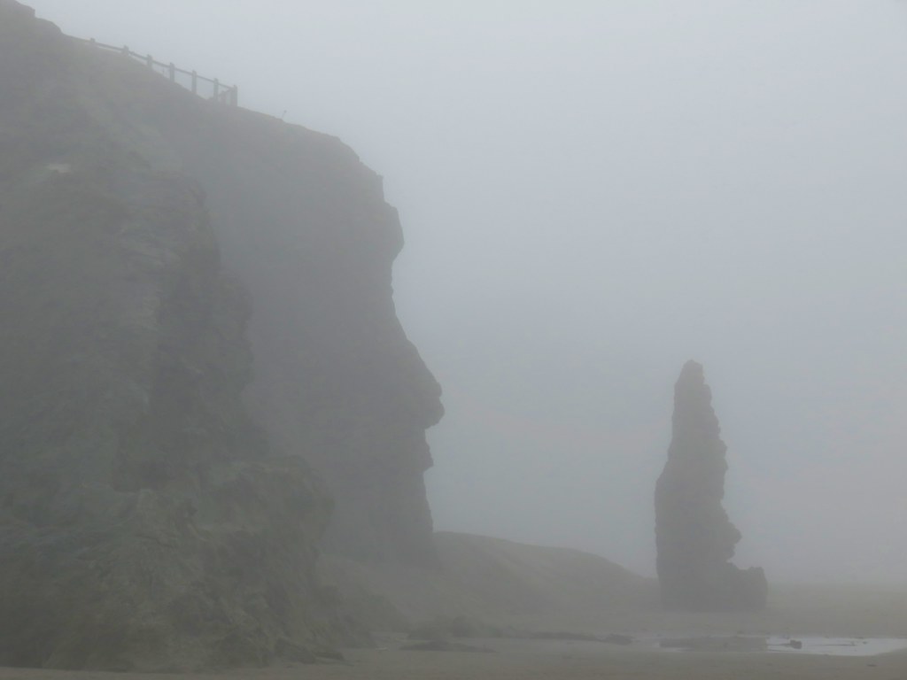
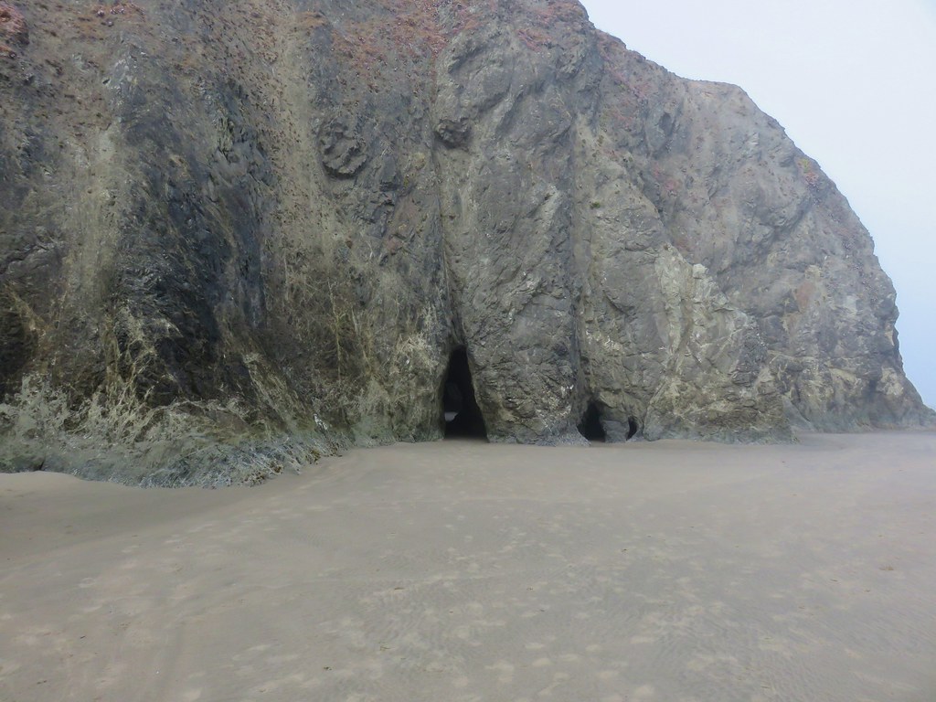
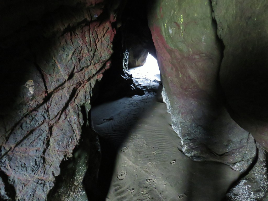
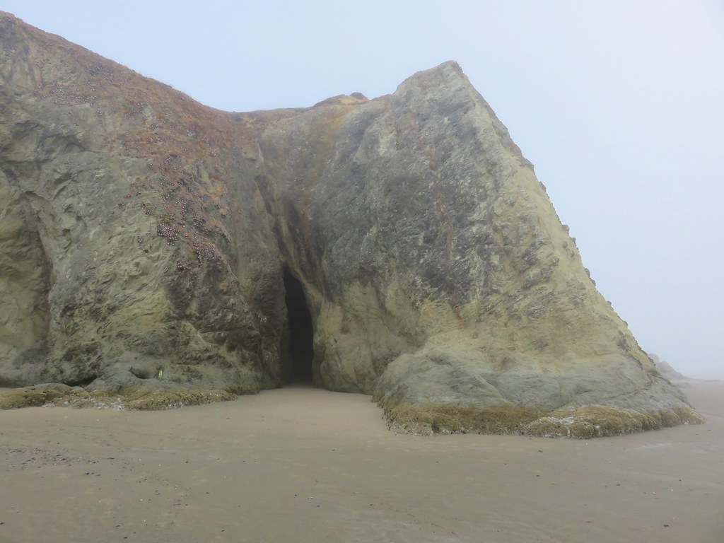
Near the two mile mark below the Face Rock State Scenic Viewpoint there were a few sea caves present at Grave Point.

IMG_2698

IMG_2700

IMG_2701

IMG_2705

IMG_2713

IMG_2759

Beyond Grave Point the number of sea stacks and islands dwindled as the beach flattened out. In the next 1.9 miles we crossed Johnson Creek and passed Fish Rock before arriving at Crooked Creek and Devils Kitchen.

IMG_2720

IMG_2725

IMG_2726

Fish Rock aka Haystack Rock

IMG_2734

Devils Kitchen

We climbed up to the Devils Kitchen parking lot.

IMG_2737

We made use of a bench at a viewpoint above Devils Kitchen where we had a snack and took a break.

IMG_2745

IMG_2743

IMG_2749

IMG_2750

We were still hoping that the fog would burn off as promised as we headed back along the beach but alas it was not to be.

IMG_2762

By the time we’d gotten back to the car we had decided that we would be trying this hike again the next time we were in the area. We have a few more hikes left to complete between Bandon and Coos Bay and the Bandon Islands will be a part of that trip.

After cleaning up in the motel we walked across Highway 101 into Bandon’s Old Town and did a little shopping. They were having a farmers market where we came away with a few goodies. After a hitting the farmers market and a few of the shops we stopped into Bandon Brewing for a beer and an appetizer, at least that had been the plan. We ordered the small Spinach Artichoke Stix from the bradsticks section of the menu. We had expected a few breadsticks with some dip, but it turned out to be more like a pizza and was quite a bit larger than we’d anticipated. That wasn’t a bad thing as they were delicious and we had no problem finishing them off. It ended up being our dinner which was fine because we had also picked up some pastries from Pastries and Pizzas which was located dangerously close to our motel.

The pastries hit the spot that night and we went to bed satisfied and ready for another day of hiking on Saturday. Happy Trails!

Flickr: New River and Bandon Islands

Categories
Hiking Oregon Oregon Coast Southern Coast

Taylor Dunes, Lake Marie, and Umpqua Dunes

We’d been fortunate this year having only been forced to change plans due to weather twice, in February due to snow in the coast range and at the end of our trip to the Elkhorns when thunderstorms forced us to cancel our plans to visit the lookout atop Mt. Ireland. For the third time in the last four years our September vacation coincided with a forecast for snow in the mountains. We had planned a four day trip around and up Diamond Peak, but with a chance of rain or snow showers all four days we decided to turn to our alternate plan which was a trip to Bandon, OR on the Oregon Coast.

We had three stops planned in the Oregon Dunes National Recreation Area on our way down to Bandon. Our first stop was at the Taylor Dunes Trailhead located seven and a half miles south of Florence.IMG_2286

From the small parking area the trail immediately crossed a paved road and passed by Taylor Lake.IMG_2287

IMG_2291

IMG_2294

IMG_2300

After .4 miles we arrived at a viewpoint above the dunes.IMG_2305

IMG_2308

From the viewpoint we followed the trail through the sand for half a mile to a signed junction.IMG_2311

IMG_2312

We turned right here on a half mile trail that passed through a forest behind a foredune before arriving at the Pacific Ocean.IMG_2313

IMG_2314

IMG_2318

IMG_2320

After reaching the ocean we returned to the junction and turned right to complete a loop through the Carter Lake Campground.IMG_2338

Carter Lake

The final .4 miles of the loop was along the paved campground road.IMG_2339

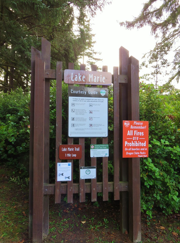
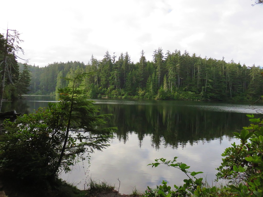
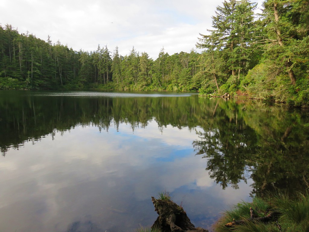
Our second stop was at Lake Marie, about 18 miles south of Taylor Dunes, in the Umpqua Lighthouse State Park. We parked at the Lake Marie Trailhead and set off on the 1 mile loop clockwise around the lake.IMG_2340

IMG_2344

IMG_2345

The fishermen around the lake had some competition from the local wildlife.IMG_2352

IMG_2365

Just under a mile around the lake a short spur trail led to a viewpoint overlooking more dunes.IMG_2372

IMG_2379

IMG_2378

We completed the loop and then decided to walk the tenth of a mile up Lighthouse Road to see the Umpqua River Lighthouse.IMG_2381

IMG_2385

A viewpoint at the lighthouse looked out to the mouth of the Umpqua River.IMG_2383

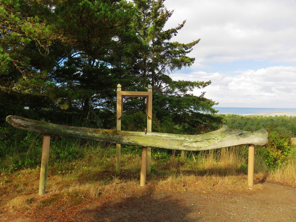
There was also a gray whale jawbone nearby.IMG_2387

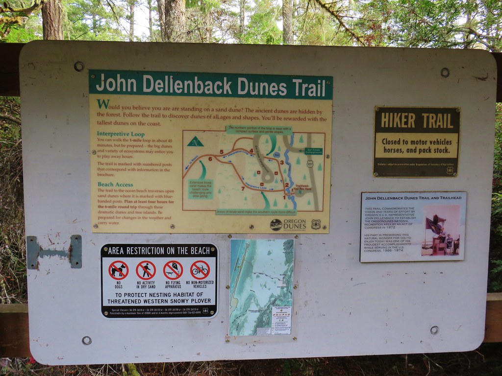
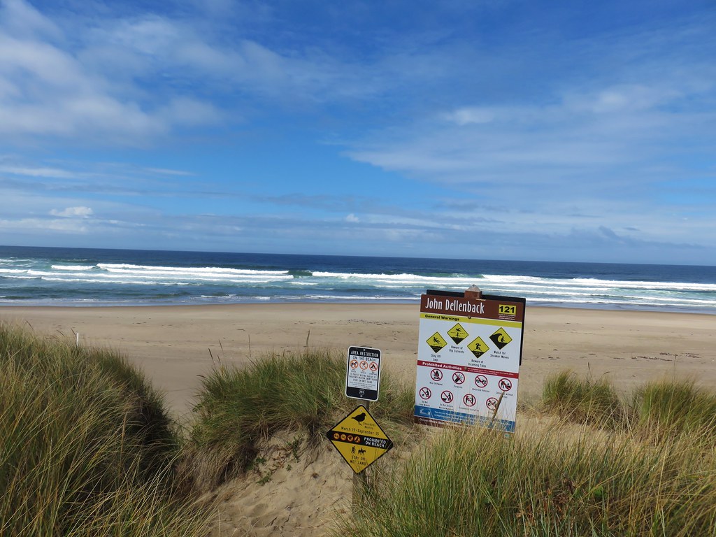
After visiting the lighthouse we returned to our car and continued south on Highway 101 for another 5.5 miles to the signed John Dellenback Dune Trailhead.IMG_2390

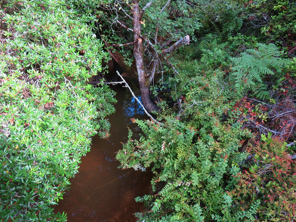
The trail left the parking area and immediately crossed Eel Creek on a footbridge.IMG_2391

IMG_2392

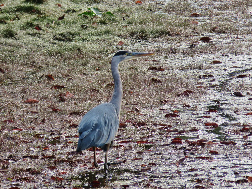
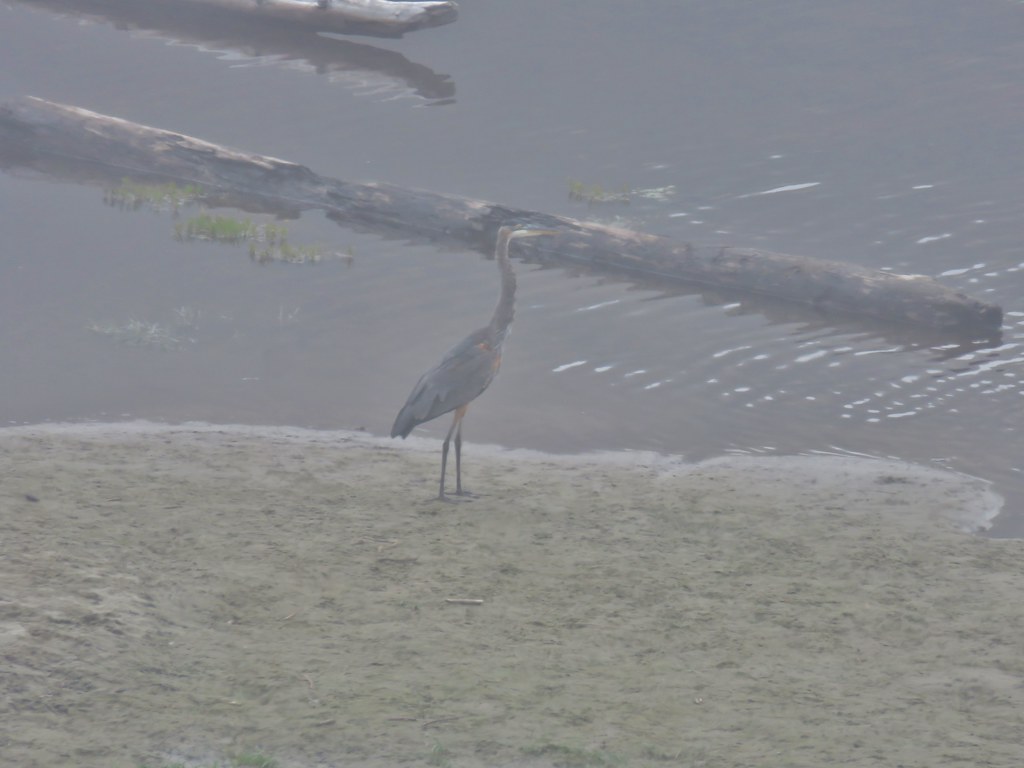
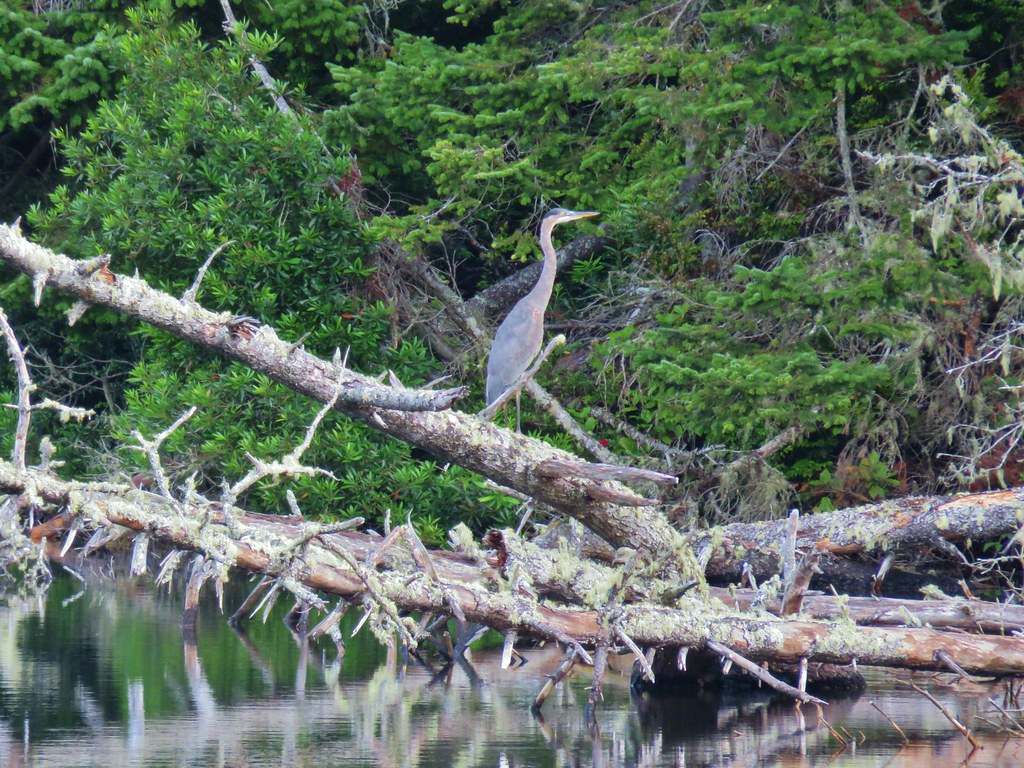
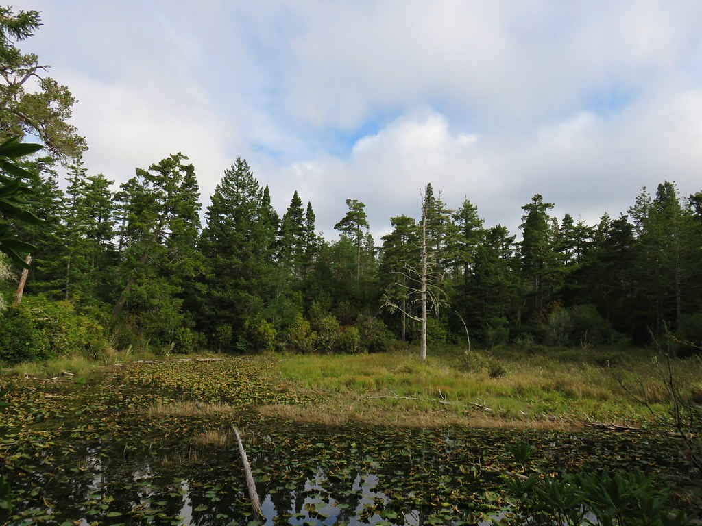
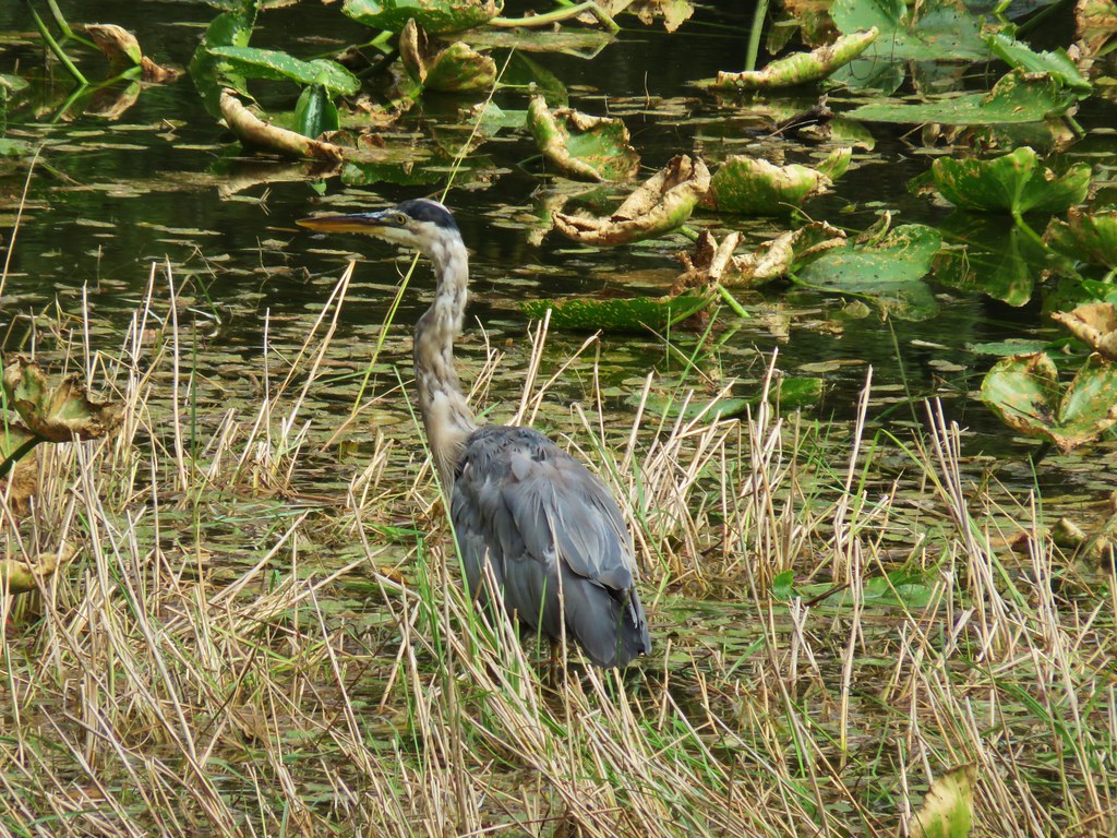
The trail passed a marshy area where a great blue heron was looking for breakfast.IMG_2401

IMG_2400

At the quarter mile mark the trail crossed a paved road in Eel Creek Campground.IMG_2403

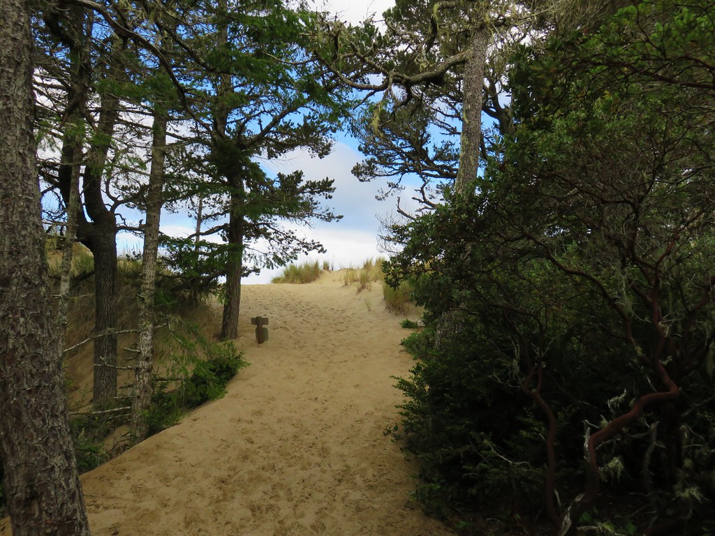
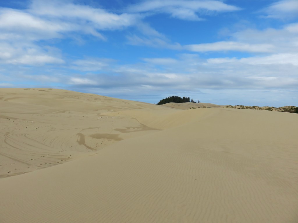
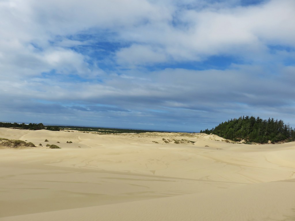
In just .2 more miles the trail left the trees and entered the dunes.IMG_2407

IMG_2408

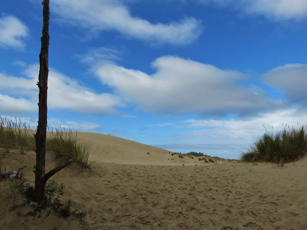
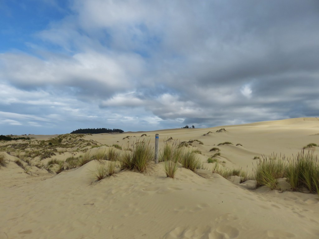
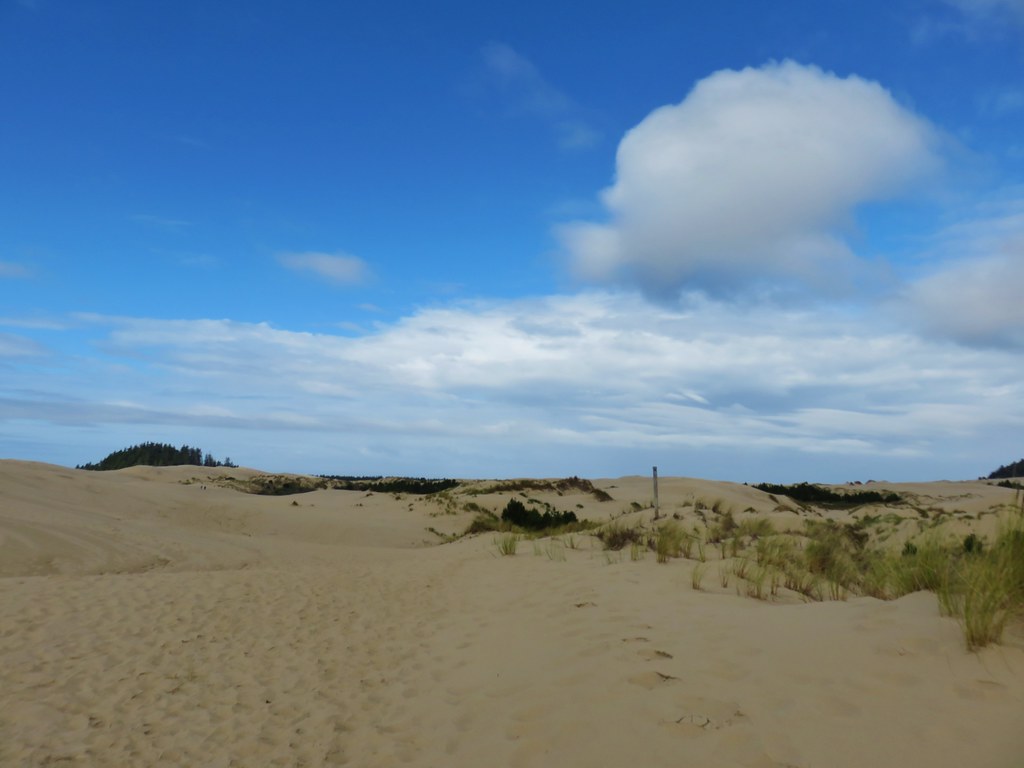
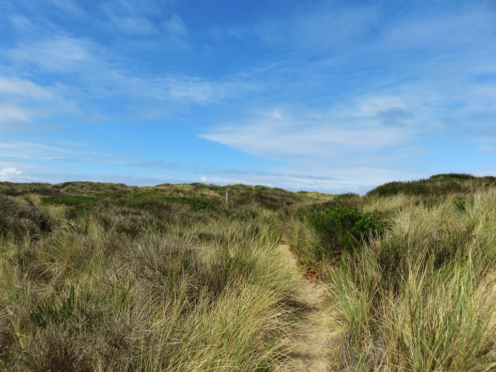
Poles marked the route of the trail through the shifting sands of the dunes, but we began to doubt that we were really supposed to follow the poles when they began to veer to the north (right) of a tree island. The GPS appeared to show the trail passing to the south (left) of that island.IMG_2418

IMG_2419

There were footprints leading to both sides of the trees so we decided to trust the GPS and headed to the left.IMG_2428

IMG_2434

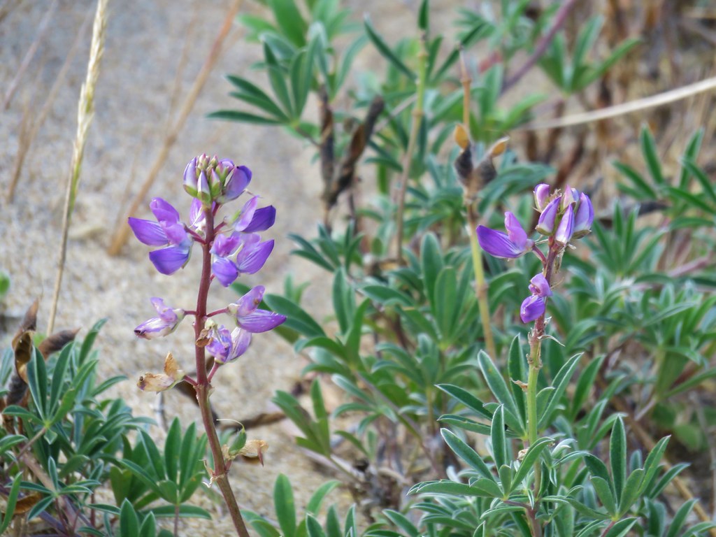
When we reached the vegetation of the deflation plain just under two miles from the trailhead we were unable to find any sign of a trail. We did however find a lupine still in bloom.IMG_2442

We attempted to locate some sign of a trail in the area shown on the GPS but each time we thought we might have found a way through the brush it got too dense to continue. We worked our way north along the edge of the vegetation for nearly half a mile where we finally spotted some signs.IMG_2443

IMG_2444

For the next three quarters of a mile the trail passed through a variety of scenery before reaching the ocean.IMG_2445

IMG_2447

IMG_2449

IMG_2451

IMG_2452

IMG_2454

IMG_2456

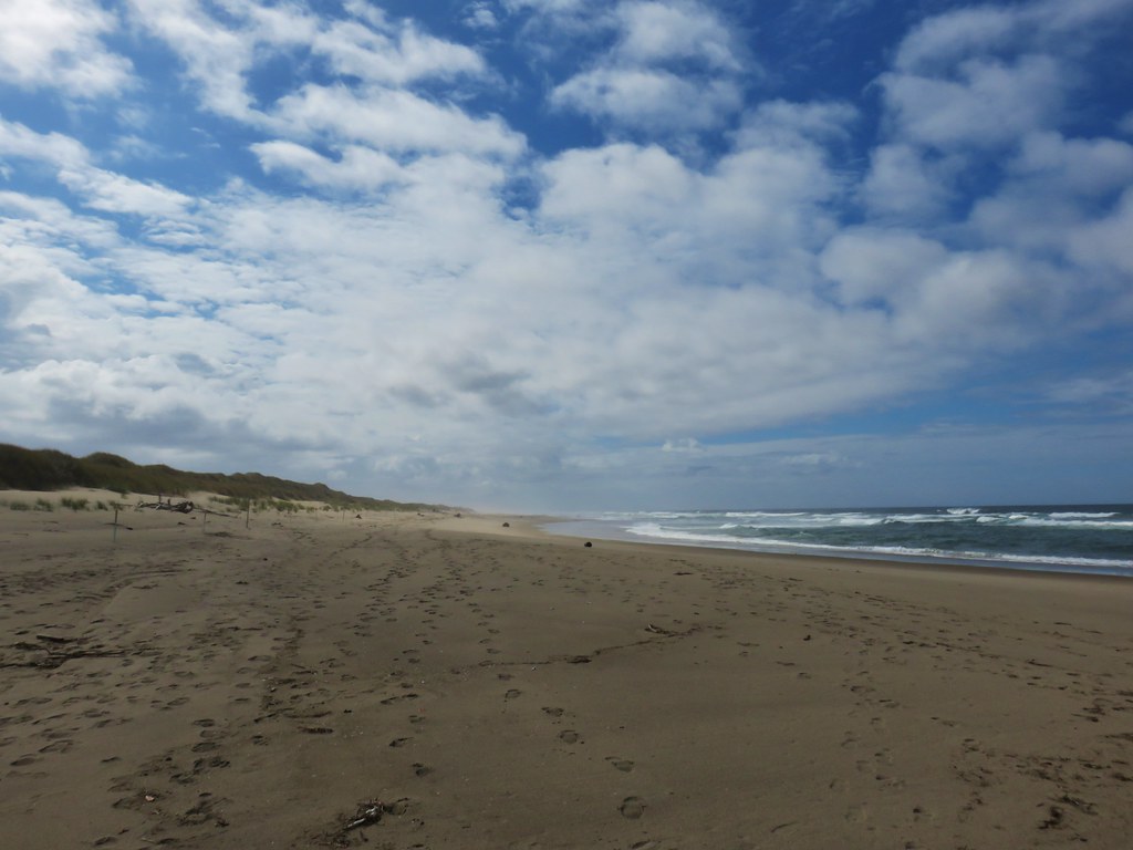
We followed the beach south for about a mile before turning back.IMG_2460

IMG_2458

IMG_2466

On the way back we followed the posts along the north side of the island.IMG_2476

IMG_2481

We took a side trip up the tallest of the dunes before reaching a junction at the edge of the trees.IMG_2490

IMG_2491

IMG_2493

IMG_2496

We went right at the junction for a half mile to complete a loop back to the trailhead.IMG_2498

IMG_2499

IMG_2501

IMG_2502

IMG_2505

With our wandering around this hike came in at 8 miles giving us a total of 12.7 on the day. We ended the day in Bandon where we explored the old downtown and had a wonderful dinner at Foley’s Irish Pub. A good start as far as backup plans go. Happy Trails!

Flickr: Taylor Dunes, Lake Marie, and Umpqua Dunes

Categories
Central Coast Hiking Oregon Oregon Coast Trip report

South Beach and Depoe Bay

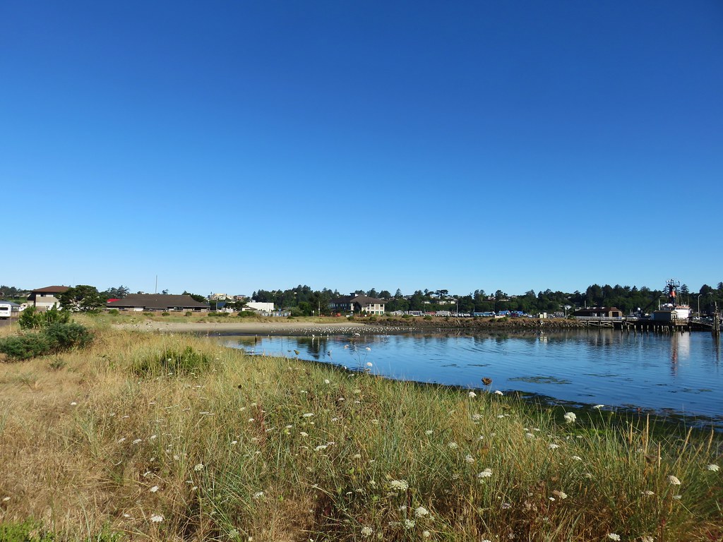
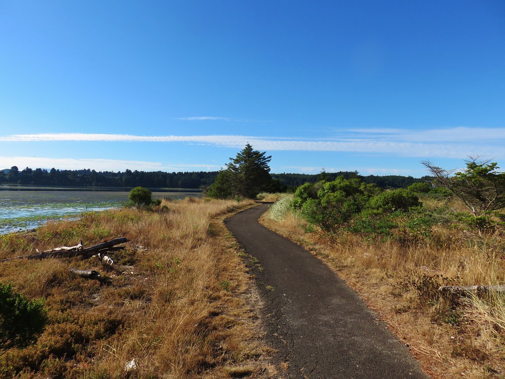
On the way to our annual family reunion near Gleneden Beach we made several stops to check out short trails in the Newport and Depoe Bay areas. For our first stop we parked next to the Hatfield Marine Science Center and took the paved Yaquina Bay Estuary Trail from the east end of the parking lot.
IMG_9689

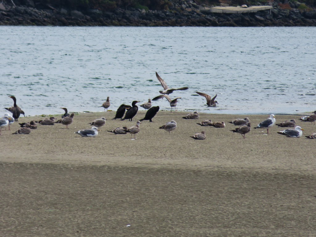
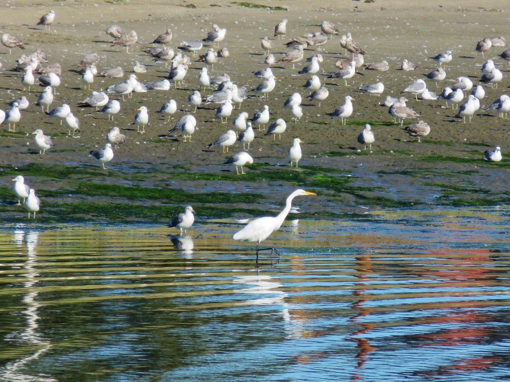
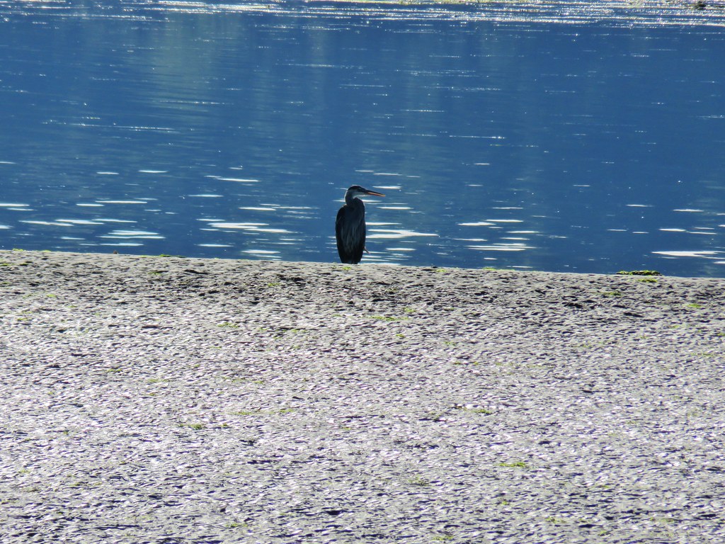
We were hoping to see some wildlife along the half mile trail and we weren’t disappointed. Just from the parking lot there were many birds visible.
IMG_9679

IMG_9687

IMG_9741

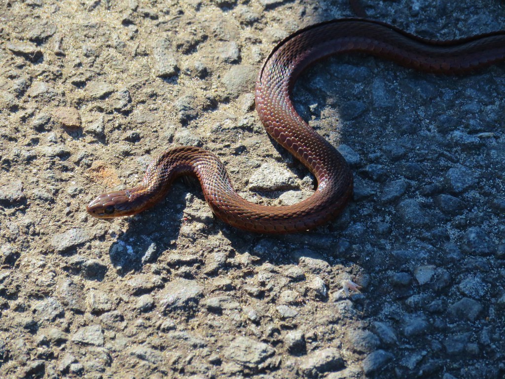
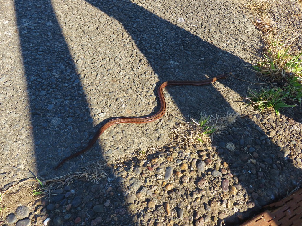
There was also a snake sunning itself at the beginning of the path.
IMG_9693

IMG_9694

We followed the path along the estuary to its other end near the Oregon Coast Aquarium.
IMG_9702

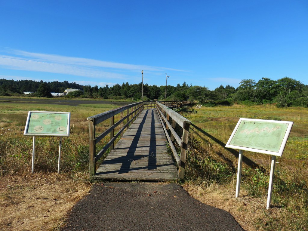
The final stretch of trail was across a boardwalk.
IMG_9728

IMG_9736View from the boardwalk

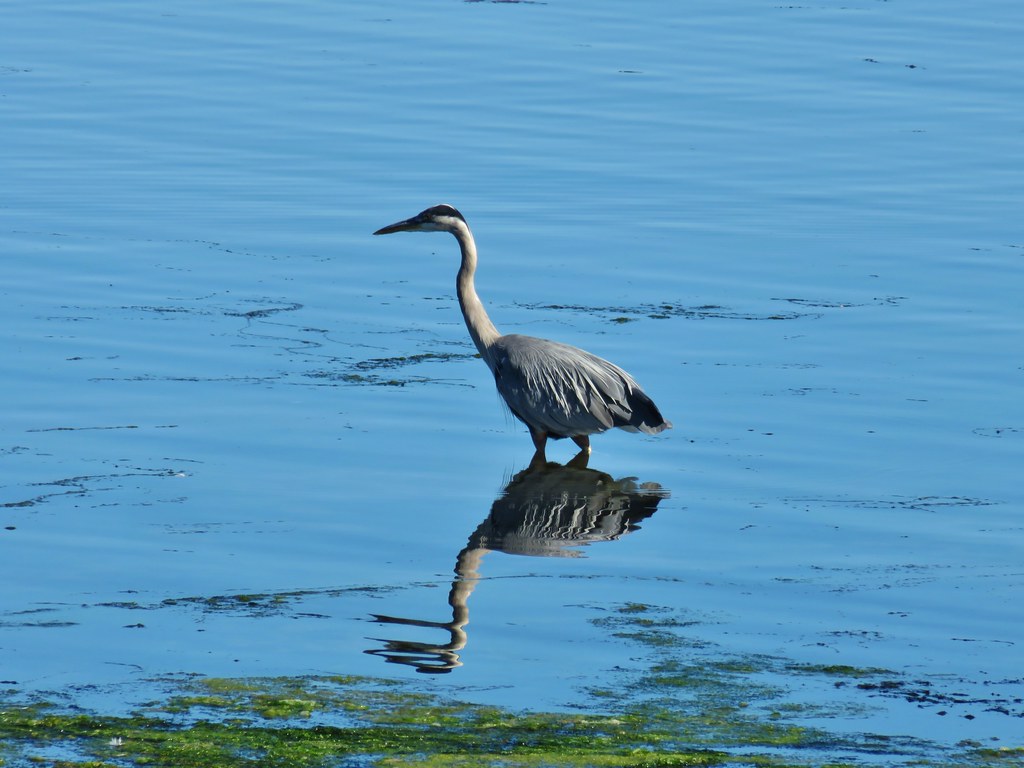
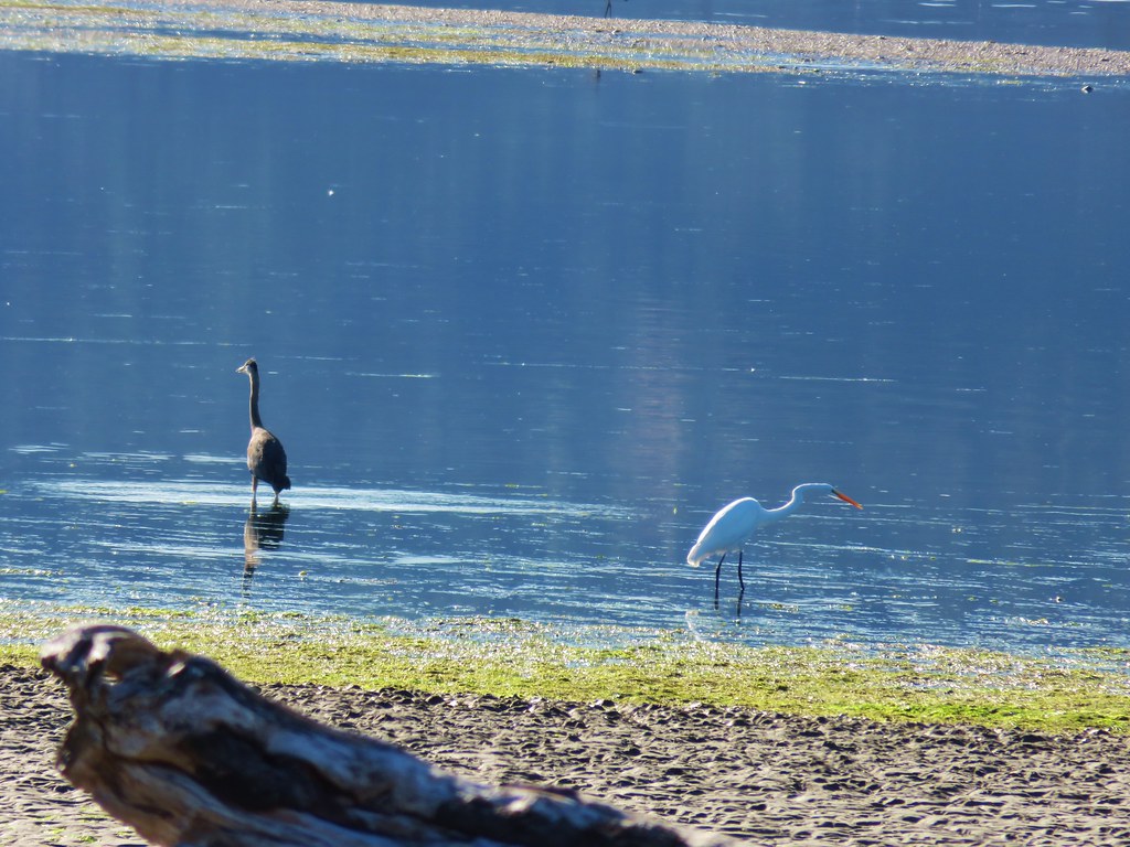
We were impressed by the number of herons and egrets in the bay.
IMG_9710

IMG_9717

IMG_9721

IMG_9709

In addition to the the herons, egrets, and numerous seagulls there were many other birds in the area, most of which didn’t want to stop for pictures.
IMG_9737

IMG_9739

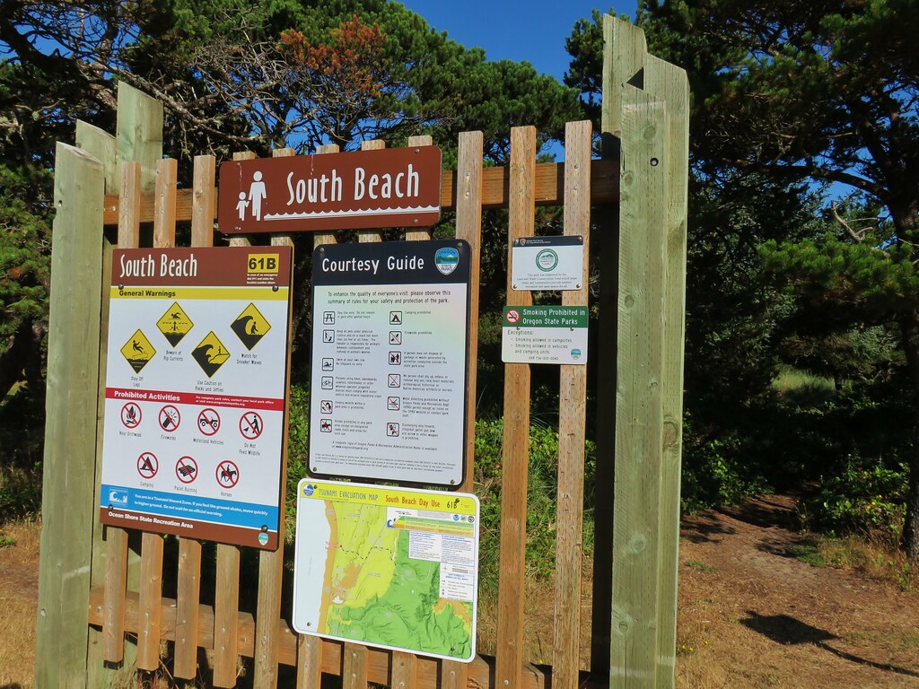
After returning to our car we drove to Highway 101 and headed south to the signed entrance of South Beach State Park. Here we parked at the Day Use Area and hiked past the restrooms over the foredune to the ocean.
IMG_9742

IMG_9743

IMG_9744

We turned right and headed north along the beach toward the south jetty about a mile away.
IMG_9747

IMG_9749

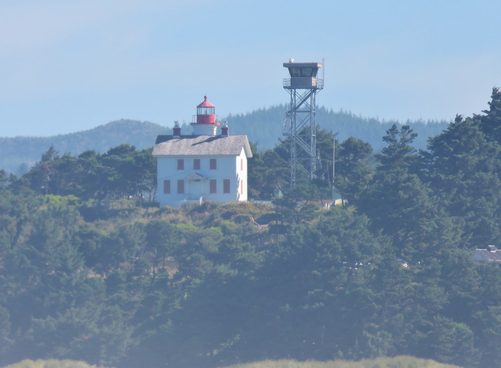
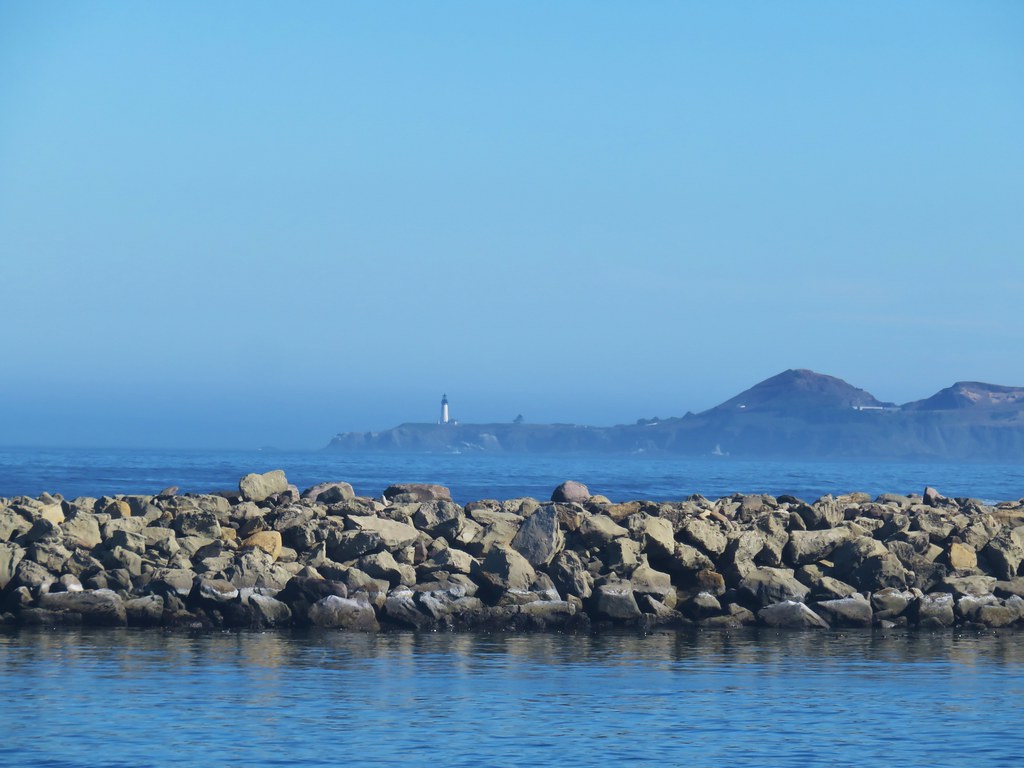
From the jetty we could see a pair of lighthouses, the Yaquina Bay and Yaquina Head Lighthouses. They had been the stops on our way to the reunion in 2017 (post).
IMG_9755

IMG_9753

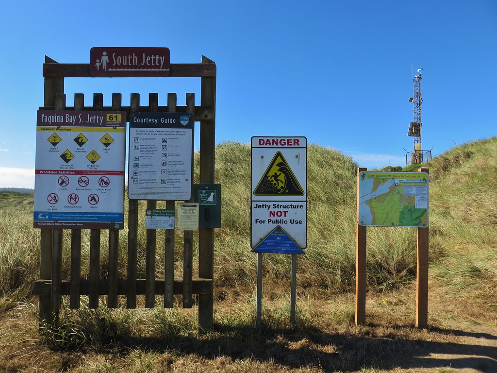
We turned inland at the jetty continuing for just over a quarter of a mile to the South Jetty parking area.
IMG_9752

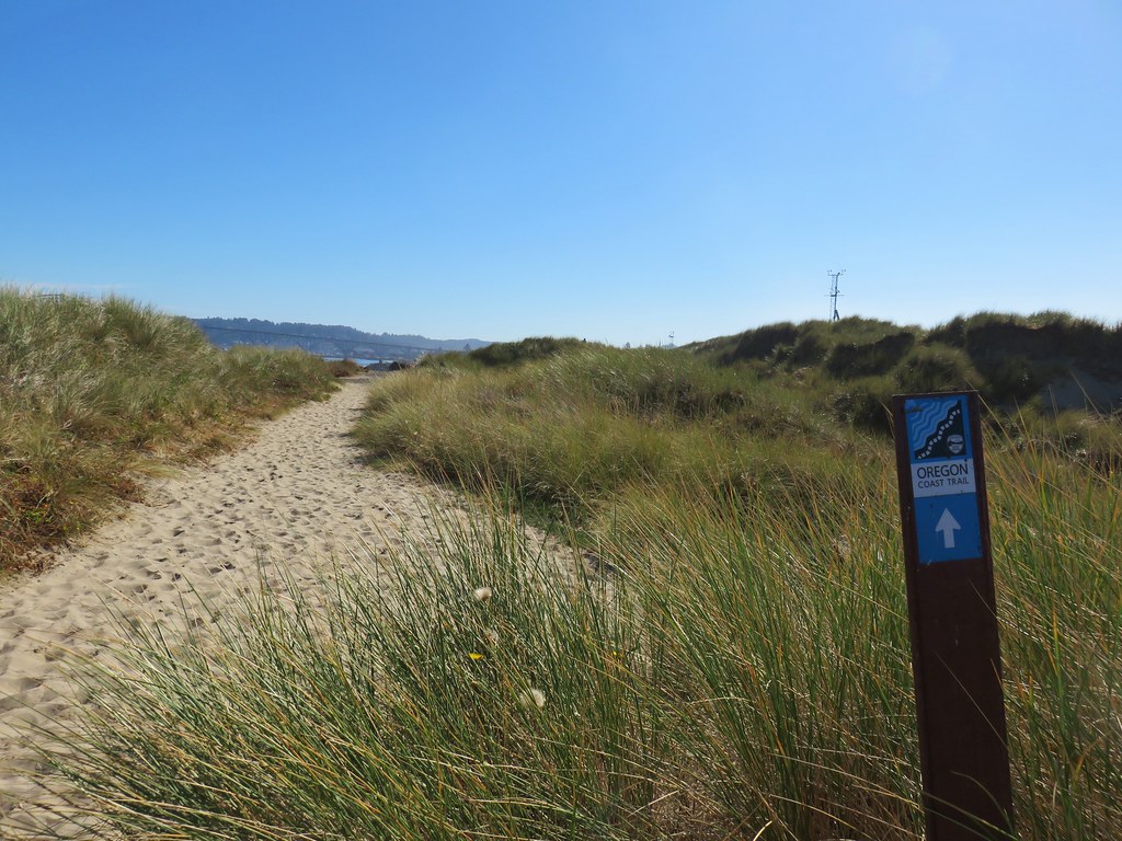
IMG_9758Part of the Oregon Coast Trail

IMG_9768

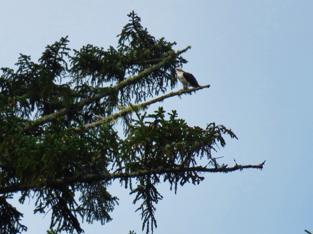
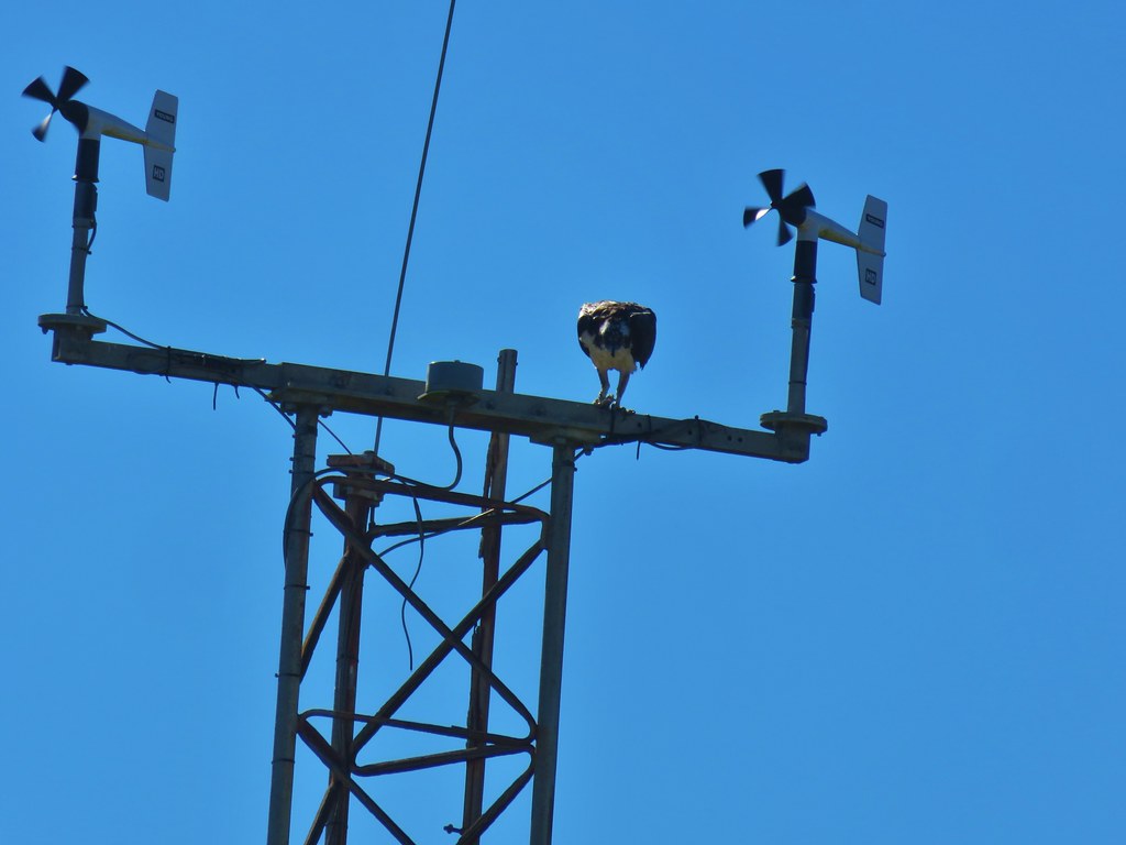
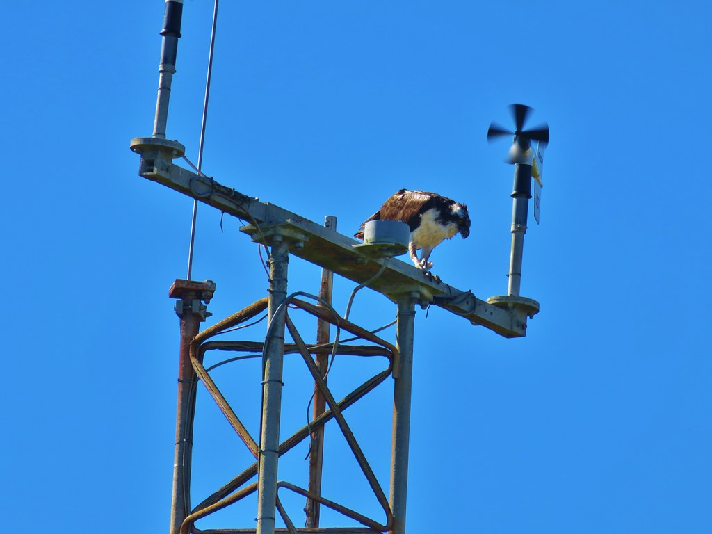
An osprey was busy eating its catch on a nearby tower.
IMG_9762

IMG_9767

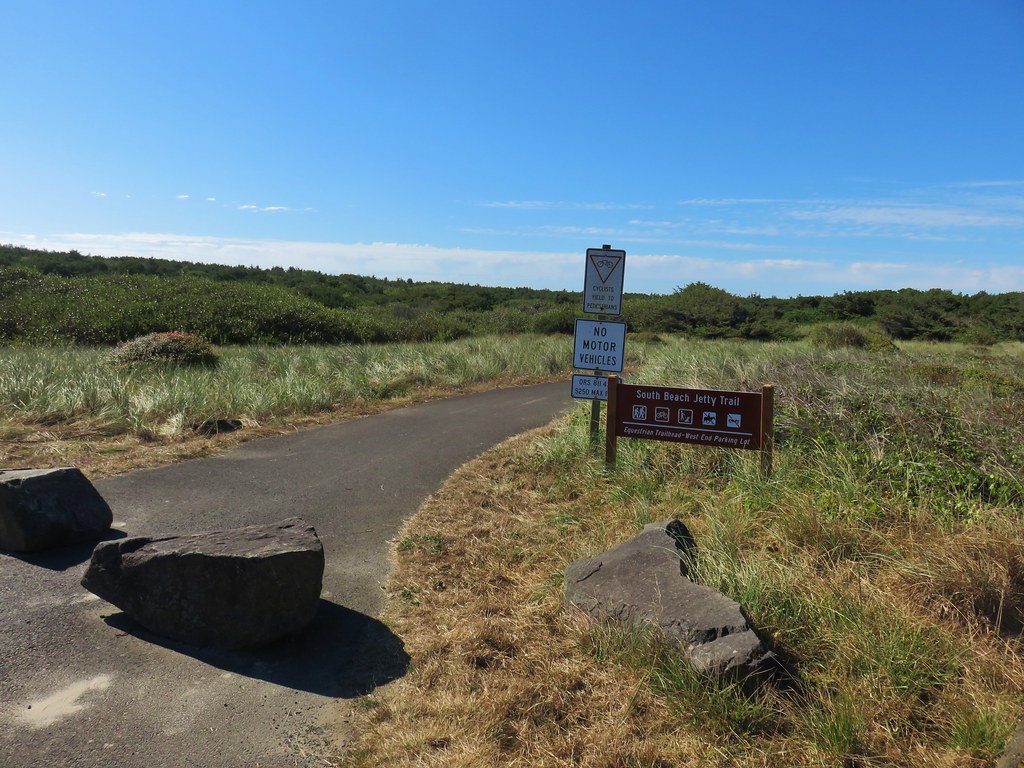
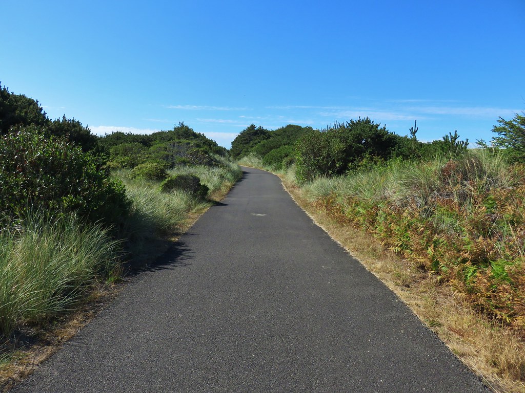
From the South Jetty parking area we took the paved South Beach Jetty Trail back to the South Beach State Park Day Use Area for a two and a quarter mile loop.
IMG_9772

IMG_9773

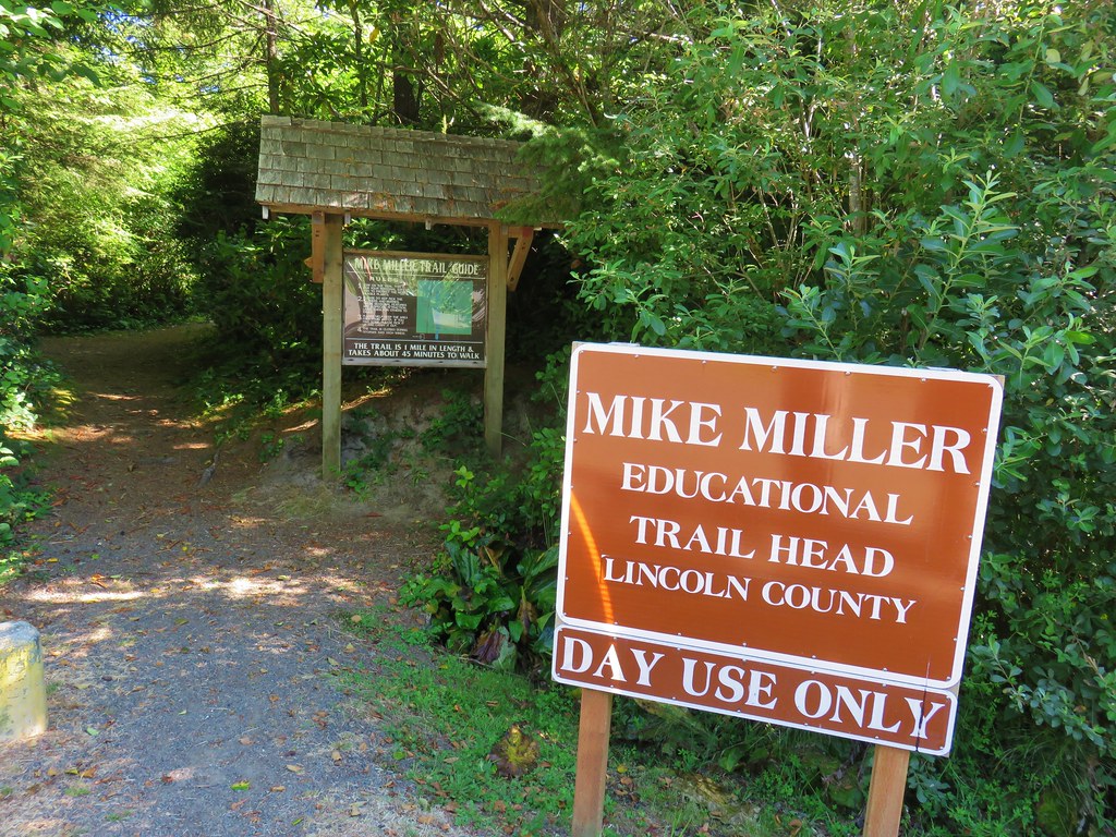
Our next stop was the Mike Miller Trail which is located on the east side of Highway 101 along SE 50th Street which was just two tenths of a mile north of the South Beach State Park entrance. We parked along the shoulder of 50th St. near the start of the trail.
IMG_9775

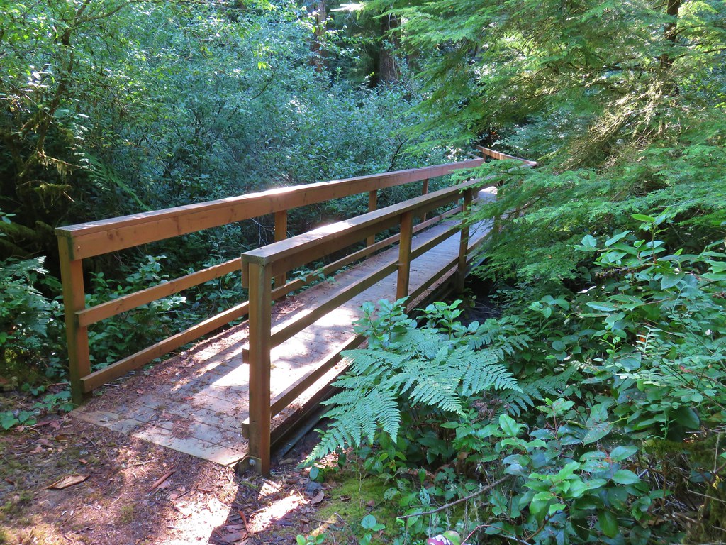
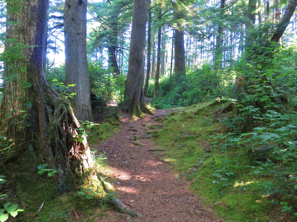
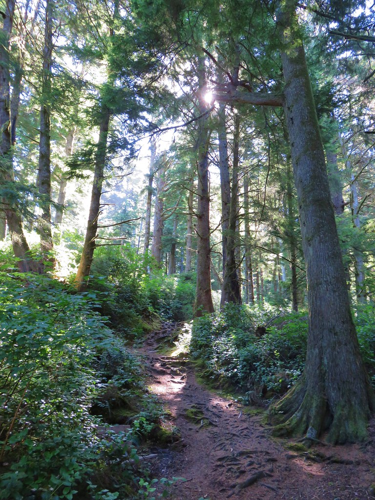
They were out of trail guides at the trailhead so we weren’t able to follow along with the numbered stops along the 1-mile loop but we did get to see some nice coastal old-growth trees along the way. We followed signs for the Mike Miller Trail which crossed a marshy pond twice on footbridges.
IMG_9781

IMG_9782

IMG_9785

IMG_9786One of several benches along the trail.

IMG_9792

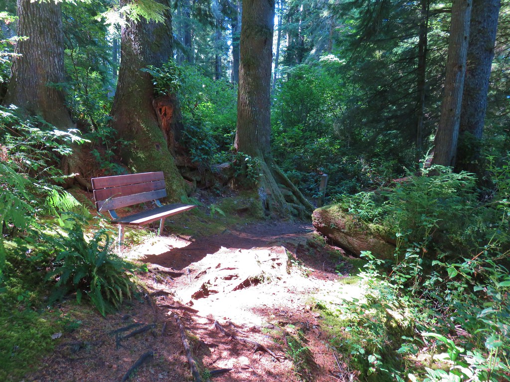
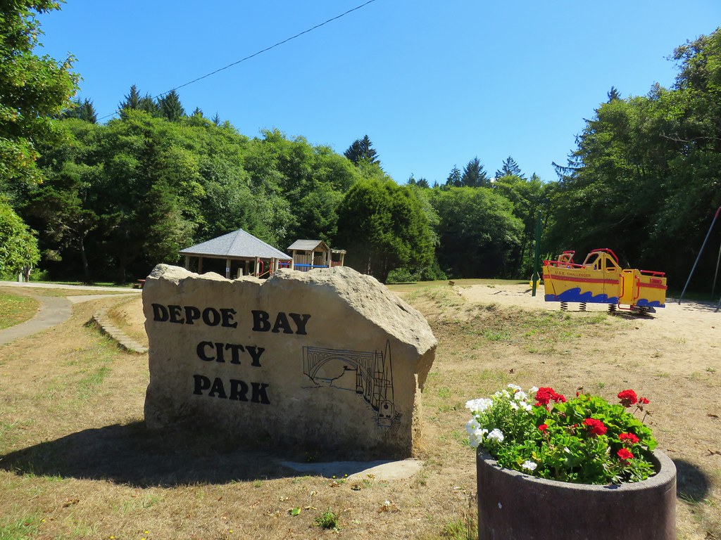
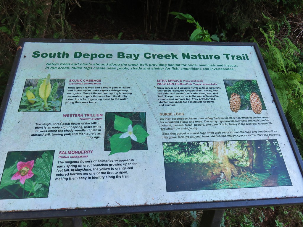
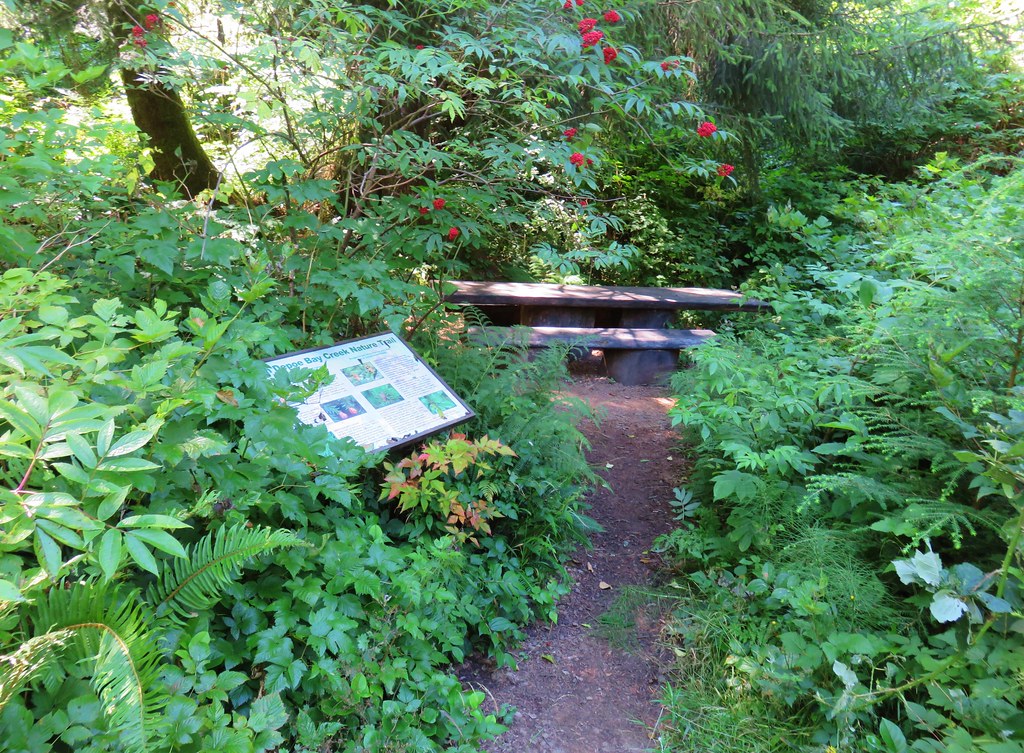
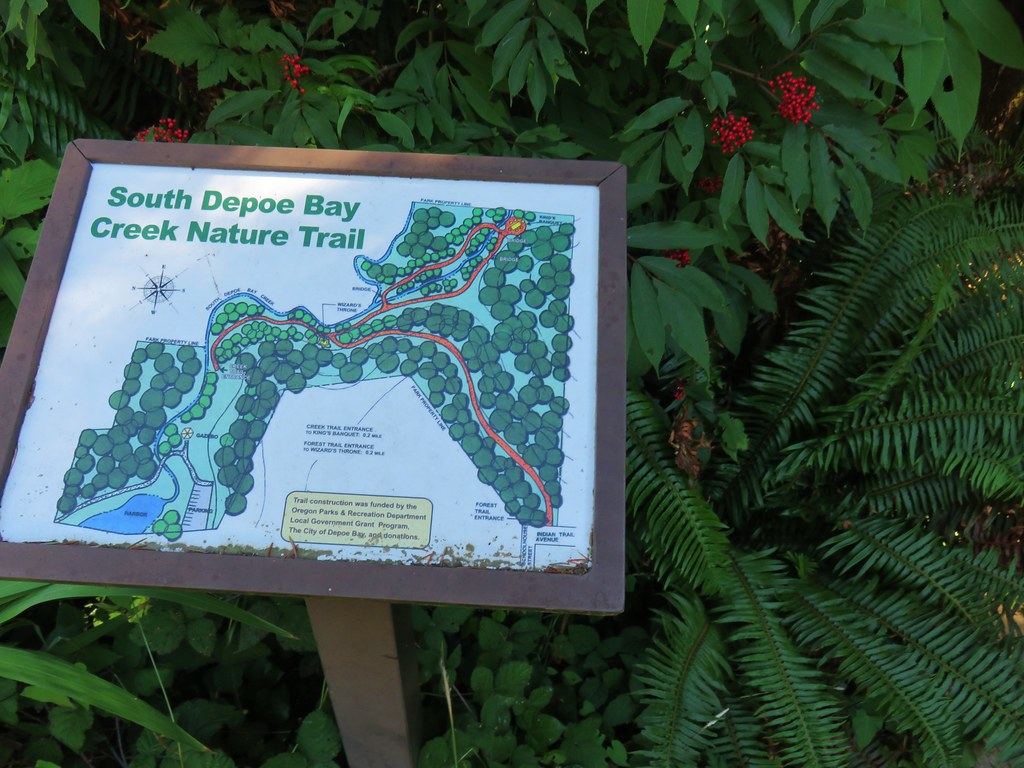
From the Mike Miller Trail we returned to Highway 101 and drove north through Newport toward Depot Bay. We turned inland on Schoolhouse Street just south of Depoe Bay at a Shell Station. We immediately forked left and drove downhill toward the bay following City Park signs. After parking we headed into the park where we followed signs for the South Depoe Bay Creek Nature Trail.
IMG_9795

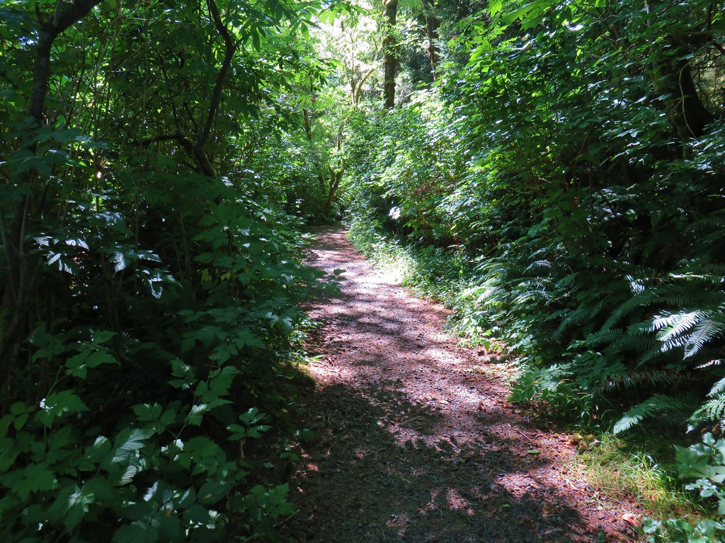
IMG_9796

The forested path followed South Depoe Bay Creek for a quarter of a mile to a footbridge where a .3 mile loop began.
IMG_9798

IMG_9799

IMG_9802

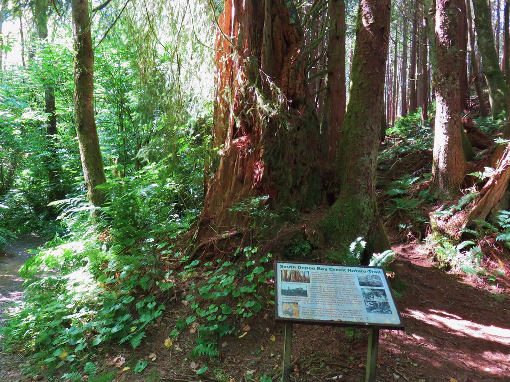
We crossed the creek and stayed left on the main trail at junctions. The trail passed a huge, hollow old stump with two trees growing off of it.
IMG_9804

A second nearby stump was covered in green foliage.
IMG_9806

The trail recrossed the still creek and passed a rather large picnic table before completing the loop.
IMG_9807

IMG_9808

A short distance prior to the start of the loop we had passed a fork where the right hand path led uphill.
IMG_9801

On our way back we turned uphill on that trail and climbed through the trees to Indian Trail Avenue.
IMG_9809

IMG_9811

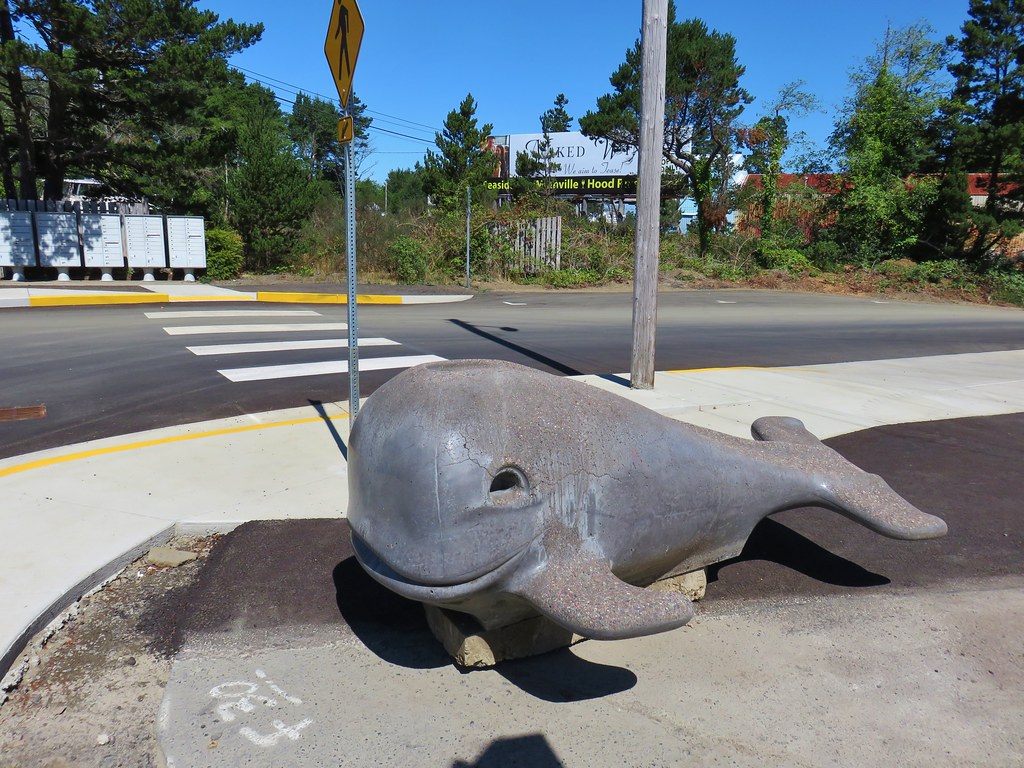
We followed this road down to the Shell Station along Highway 101 passing a little whale statue/slide.
IMG_9812

We then followed the highway north into Depoe Bay.
IMG_9813

IMG_9814

IMG_9815

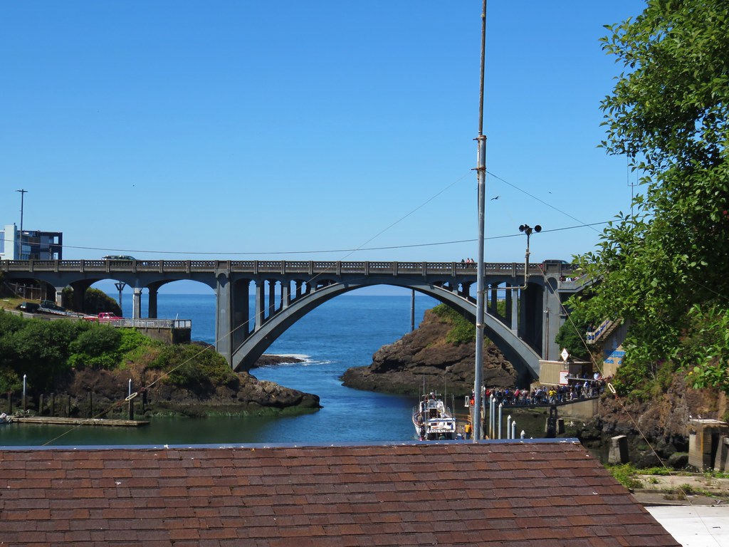
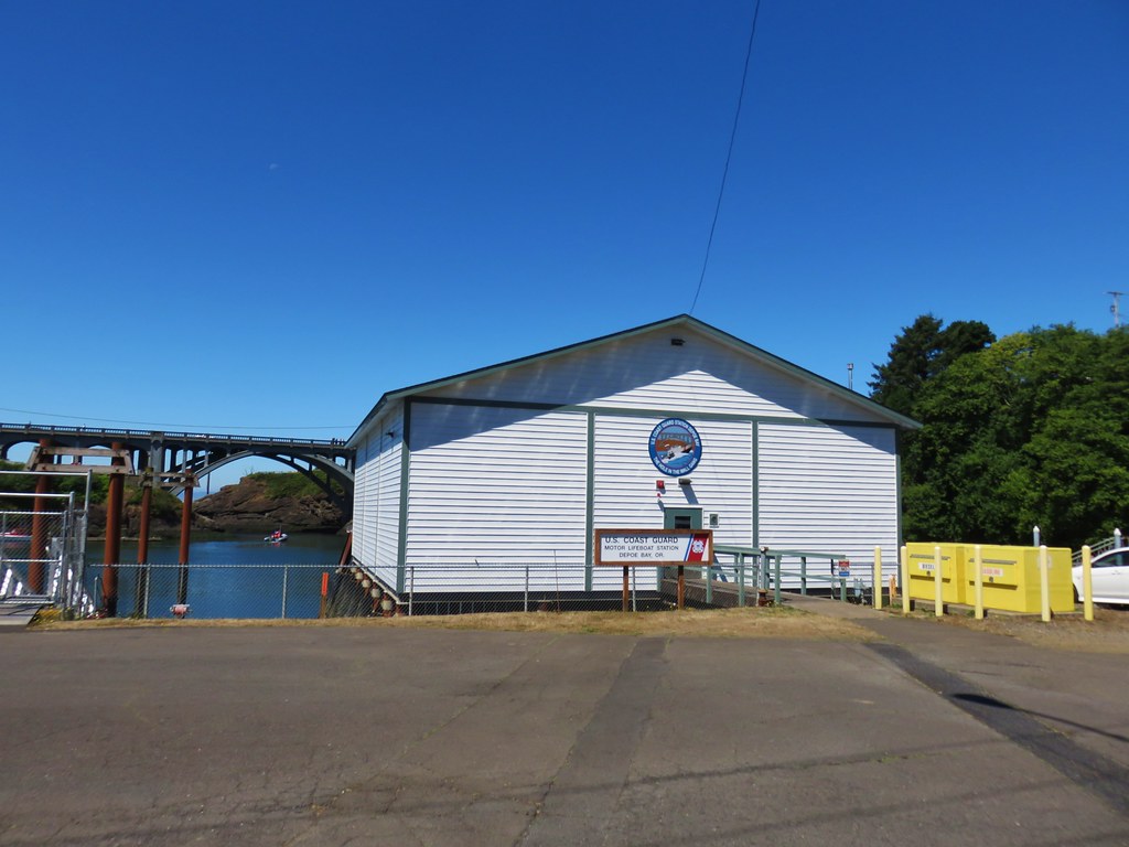
We could have crossed the highway and visited the Whale Watching Center or browsed the local shops, but we didn’t want to be late for the reunion so we simply turned right onto Bay St. after crossing over the highway bridge following it around the bay to the Coast Guard boathouse.
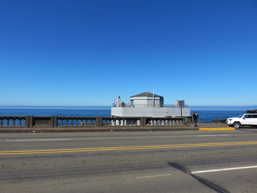
IMG_9816Whale Watching Center

IMG_9817

IMG_9819

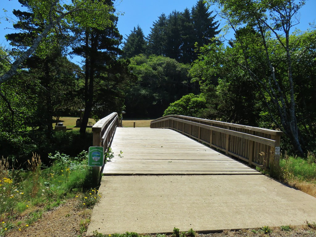
We continued along the bay until we reached a wide footbridge across South Depoe Bay Creek back to the city park.
IMG_9821

IMG_9822

This wound up being a 1.7 mile round trip bringing our total mileage for day to a grand total of 6 miles. It was a nice variety of trails and a good way to work up an appetite before the reunion. Happy Trails!

Flickr: South Beach and Depot Bay Trails

Categories
Central Coast Hiking Oregon Oregon Coast

Throwback Thursday – Cape Mountain

This week we are throwing back to an 8 mile loop we hiked at Cape Mountain north of Florence on Labor Day weekend in 2011. This hike appealed to us for two reasons at the time, it was in the 6 to 10 mile range and it was a loop. Another draw was the possibility of seeing an elk for the first time on a hike.

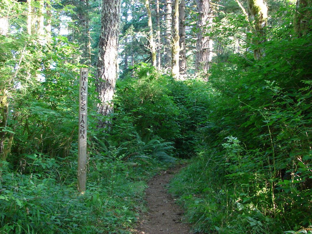
We began our hike at the Dry Lake Horse Camp located 3 miles off of Highway 101 along Herman Cape Road which is 7 miles north of Florence. From the trailhead we set off on the Princess Tasha Trail.

Princess Tasha Trail

After .4 miles we came to a 4-way junction. Here we took a right onto the Scurvey Ridge Trail. After another .4 miles we came to a viewpoint with a bench.

View from Scurvy Ridge

We followed the ridge for another mile where we arrived at a replica of a hitsi, Siuslaw Indian hunting cabin.

A hitsi which was an Indian hunting shelter

Informationa sign near the shelter

A short distance from the hitsi we arrived at another junction near the Horse Creek Campground

We kept left at junctions following pointers for “Horse Water” for a quarter mile to the Berry Creek Trail. We turned left onto the Berry Creek Trail and followed this trail a total of 2.2 miles. It began on an old roadbed but quickly left that and switchbacked down to Berry Creek.

Berry Creek

After rock hopping across the creek the trail a short distance to another 4-way junction. We left the Berry Creek Trail here turning right on the Nelson Ridge Trail which gently climbed uphill to the ridge crest.

Nelson Ridge Trail

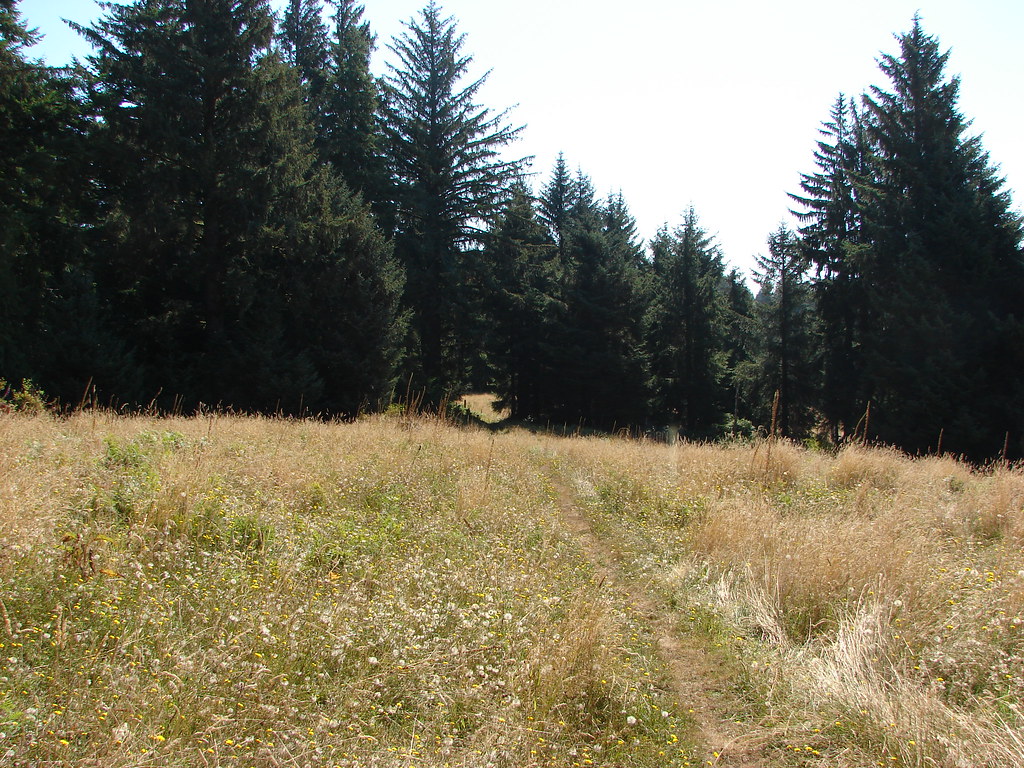
On top of the ridge is a meadow that the Forest Service created in an attempt to simulate the elk friendly habitat that the Native Americans created by setting fires.

Nelson Ridge Trail

Interpretive sign on Cape Mountain

Unfortunately we didn’t see any elk on this day but we took a seat on a bench and enjoyed a somewhat limited view due to low clouds.

View from the meadow on Cape Mountain

View from the Nelson Ridge Trail

After passing through the meadow we kept right at junctions for 1.8 miles back to our car, stopping briefly to take a look at Dry Lake.

Dry Lake

We were done early enough in the day that we decided to drive up Highway 101 three miles to the Sea Lion Caves. While it isn’t exactly a hike the cave tour does require walking along a path to viewpoints and is a worthwhile stop.

Pacific Ocean on the way to the Sea Lion Caves

Inside the cave sea lions lounged on the rocks.

Sea Lions in Sea Lion Cave

Windows in the cave walls also allow a look outside to seabirds on the rocky cliffs.

Pacific Ocean from the Sea Lion Caves

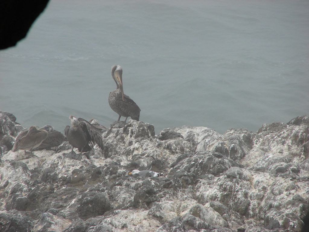
Pelicans

While driving home we spotted a herd of elk grazing in a field on a farm. It figured. It would be another 55 hikes (2 years) before we finally saw elk during a hike. Never the less it had been another nice hike at the coast. Happy Trails!

Flickr: Cape Mountain

Categories
Central Coast Hiking Oregon Oregon Coast Throwback Thursday Trip report

Throwback Thursday – Cape Lookout

This Throwback Thursday hike took place on our 16th wedding anniversary. To celebrate we headed to Cape Lookout State Park on the Oregon Coast. We parked at the Cape Lookout Trailhead where we had three trails to choose from.

Trail sign in Cape Lookout State Park

The most scenic (and popular) of the three trails is the Cape Trail which we started out on. This nearly 2.5 mile trail follows Cape Lookout to it a viewpoint overlooking the tip of the Cape. The trail starts out on the southern side of Cape Lookout offering a view after .6 miles of Cape Kiwanda and Haystack Rock near Pacific City (post).

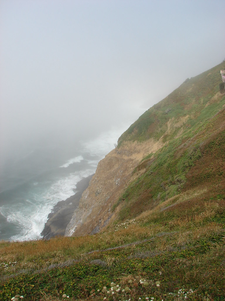
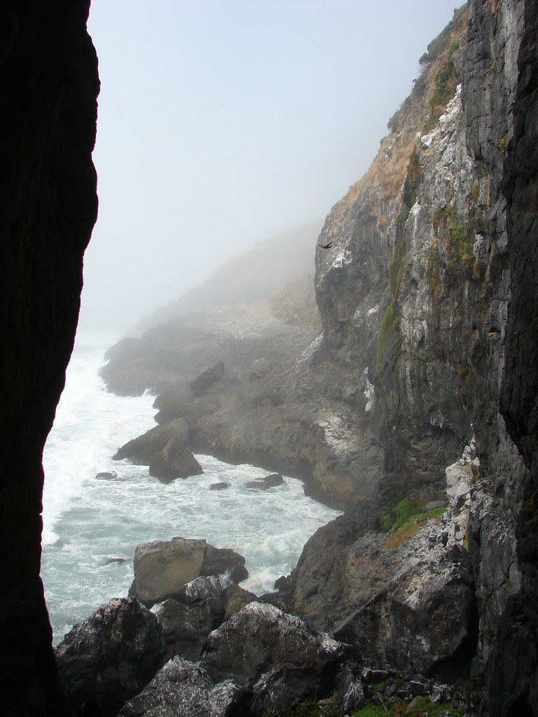
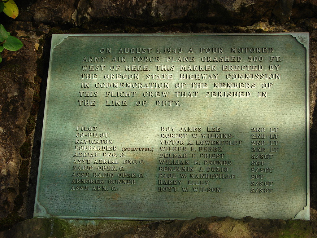
The viewpoint is also near the site where a B-17 bomber crashed in 1943.

Memorial plaque along the Cape Trail

The Cape Trail soon crosses the cape to the northern side where Cape Mears (post) and the Three Arch Rocks Wilderness could be seen.

View from the Cape Trail

Storm Rock, Finley Rock, Shag Rock and Seal Rock

We followed the trail around Wells Cove before it returned to the southern side of the cape.

Wells Cove

Wells Cove

Cape Trail

The final stretch of trail offered wide open views down to the Pacific.

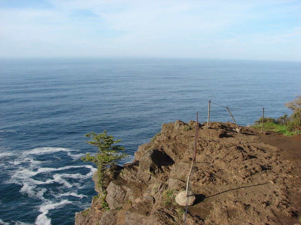
View from Cape Lookout

View from Cape Lookout

View from Cape Lookout

It was a busy day on the trail, there had been a few other hikers out as well as several locals along the trail.

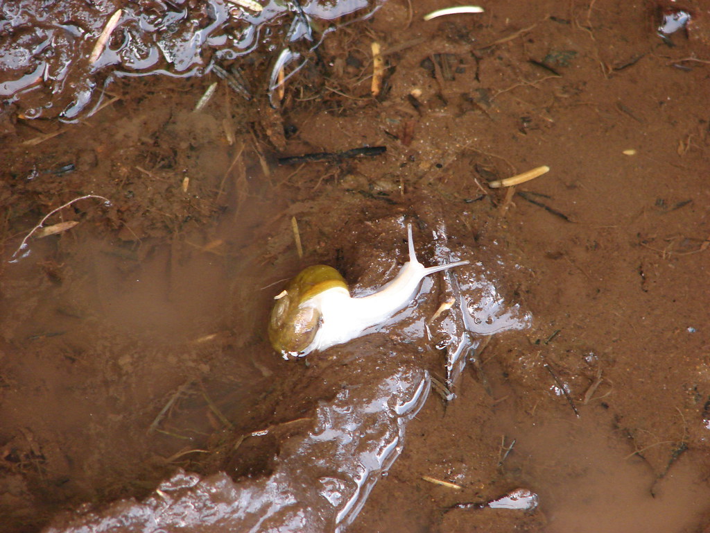
Snail

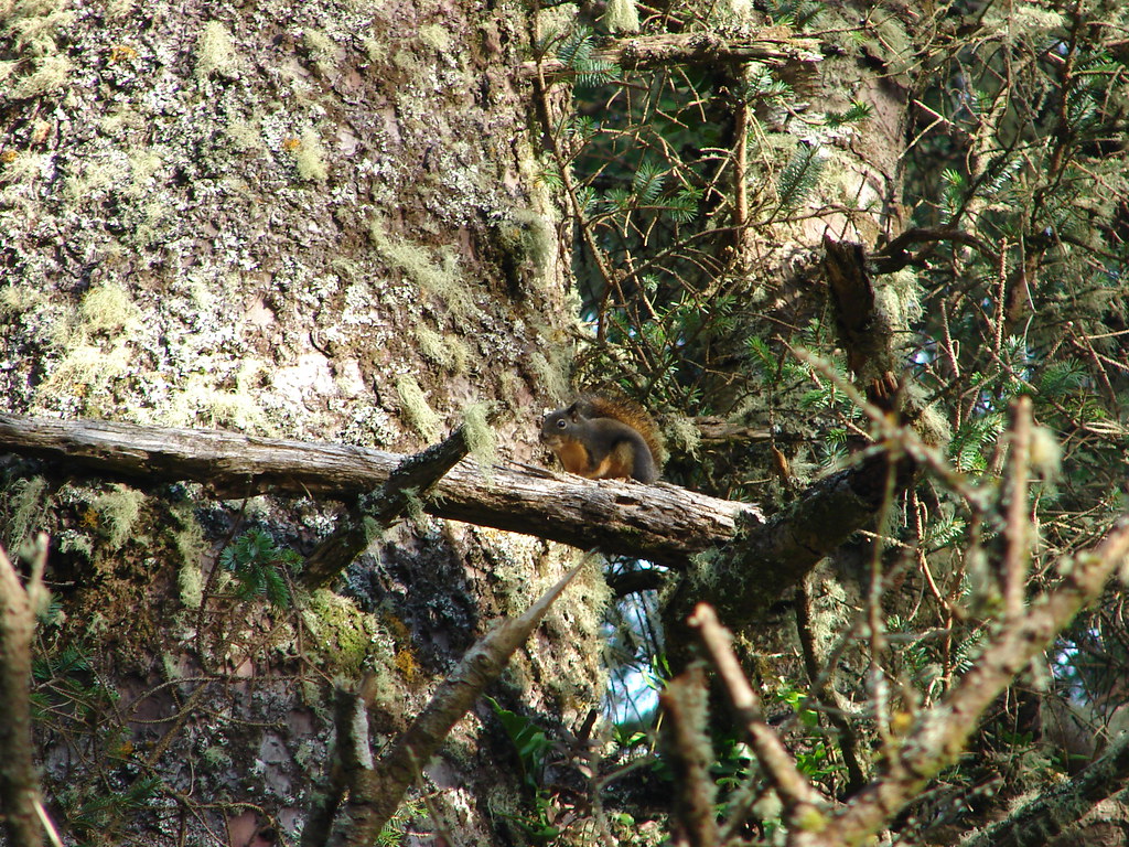
Douglas squirrel

Chipmunk

After resting at the viewpoint we returned to the trailhead and decided to try the South Trail which led 1.8 miles down to the beach. The trail switchbacked down through the forest but offered occasional views of the cliff lined southern face of Cape Lookout.

South Trail

Forest along the South Trail

Cape Lookout

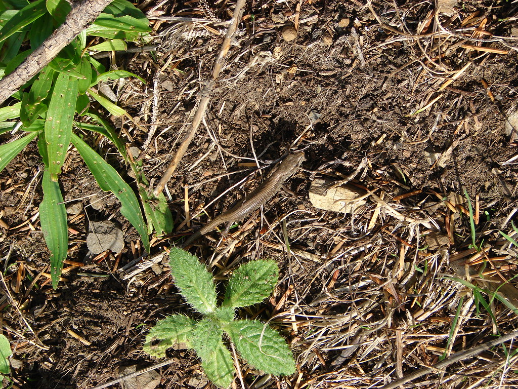
We spotted another local on the way down to the beach.

Snake

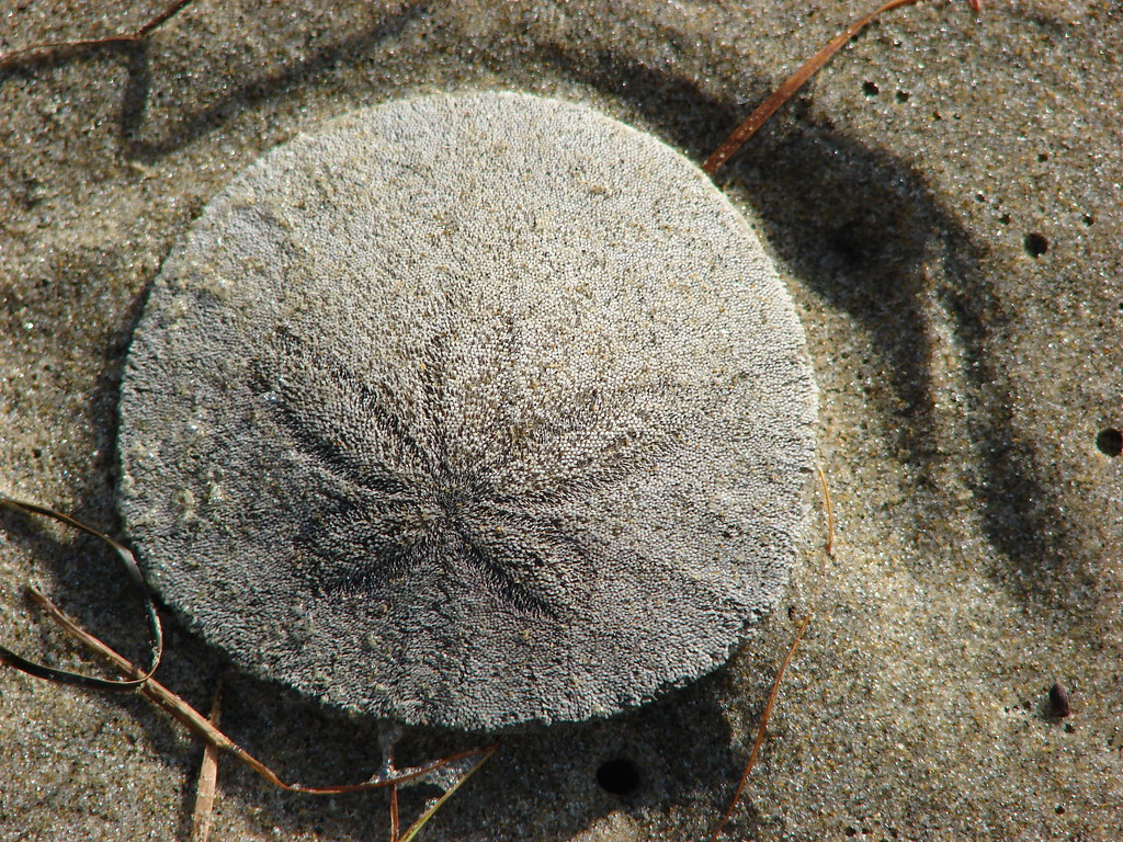
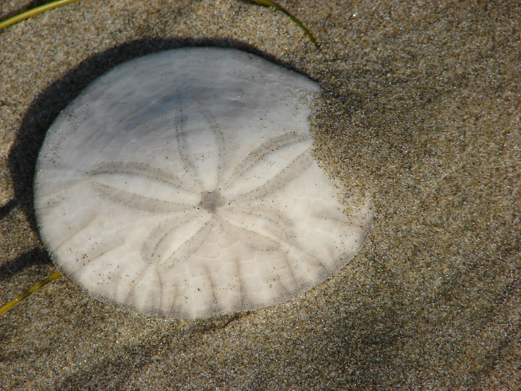
We walked along the beach watching for sand dollars for a bit finally sitting down on a log and taking a nice long break as we listened to the ocean and watched more locals as they went about their days.

Cape Lookout

Sand dollar

Sand dollar

Beach south of Cape Lookout

Northern alligator lizard

Seagull

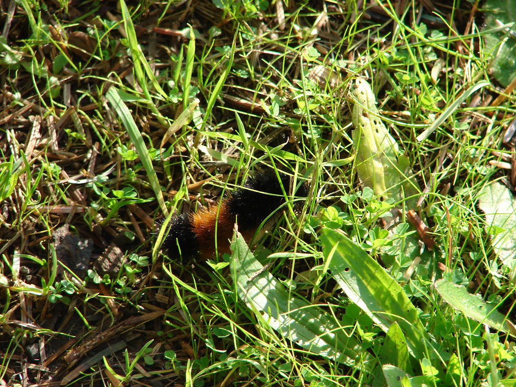
Wolly bear caterpillar

We eventually pulled ourselves away from the hypnotic trance of the Pacific and climbed back up to the trailhead. Other than one woman with her dog that we spotted in the distance we had been the only humans on the beach making it a relaxing way to end the day. Happy Trails!

Flickr: Cape Lookout

Categories
Central Coast Hiking Oregon Oregon Coast Throwback Thursday Trip report

Throwback Thursday – Cascade Head

This Throwback Thursday hike was the first of what has become a tradition of hiking at the coast on the morning of family reunion in August. The festivities typically begin somewhere between noon and 1pm which give us plenty of time to get a short hike in beforehand.

In 2010 the hike we chose was at Cascade Head just north of Lincoln City. We started our hike at the lower trailhead at Knights Park.

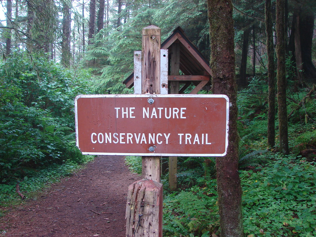
The Nature Conservancy manages the Cascade Head Preserve and does not permit dogs, horses, bicycles, hunting or camping at the preserve.
Signboard at the Cascade Head Trailhead

The trail sets off from Knights Park through a typical coastal forest crossing Three Rocks Road after .4 miles then climbing through more forest for 1.1 miles (and crossing the road two more times) to an open meadow.
Nature Conservancy Trail

Nature Conservancy Trail

Mushrooms

Meadow on Cascade Head

View from the Nature Conservancy Trail

It was a cloudy day so the views were a bit limited but we could see Gods Thumb to the south of the mouth of the Salmon River.
View from the Nature Conservancy Trail

The trail then traversed the meadow steepening to an upper viewpoint in another .6 miles.
Nature Conservancy Trail

View from the Nature Conservancy Trail

Cascade Head

We followed the Nature Conservancy Trail another mile through a damp mossy forest to the upper trailhead.

Forest on Cascade Head

Forest along the Nature Conservancy Trail

050

053

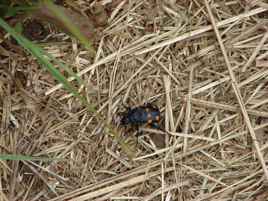
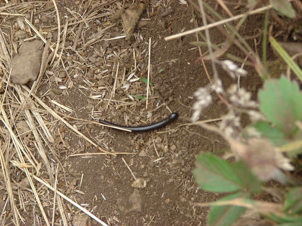
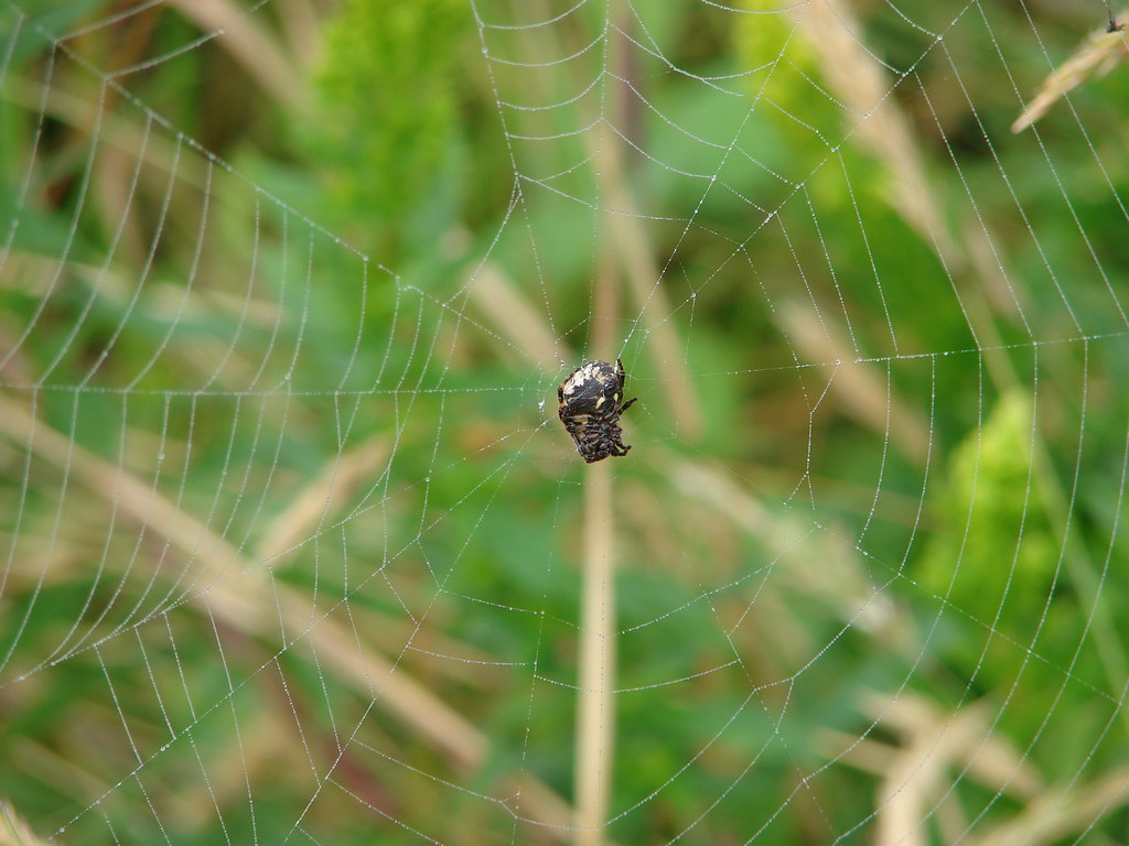
After reaching the upper trailhead we returned the way we’d come. We had hoped to see some of the elk that frequent the area but that didn’t happen. We did however see a decent variety of insects along the way.
Heart beetle

Millipede

Spider

049

055

The hike was approximately 6.5 miles with 1300′ of elevation gain. We hope to get back someday when the skies are clearer and the elk are present. We will likely try earlier in the year too when the meadow hasn’t been subjected to the summer heat yet. Happy Trails!

Flickr: Cascade Head

Categories
Central Coast Hiking Oregon Oregon Coast Throwback Thursday Trip report

Throwback Thursday – Drift Creek Wilderness and Cape Perpetua
This week’s Throwback Thursday hike is another we completed fairly earl on in our hiking days. On September 15th 2010 we set off on our 18th hike into the Drift Creek Wilderness NW of Yachats, OR.

The wilderness is home to impressive stands of old growth trees but in all honesty we had not yet come to fully appreciate what that meant. Like too many hikers we were focused on big views, massive waterfalls, vast wildflower meadows, or glistening lakes.

Our hike began at the Horse Creek North Trailhead where we followed the trail for .6 miles along an old roadbed to the boundary of the Drift Creek Wilderness.
Drift Creek Trailhead

Drift Creek Wilderness sign

From the wilderness boundary the trail gradually descended for 3.2 miles to a campsite near Drift Creek.
Drift Creek Wilderness

Drift Creek Wilderness

Interestingly there was no easy path down to the creek which one could ford to the Harris Ranch Trail to the north. We have plans to hike this trail in the future.
Drift Creek

Drift Creek

We returned the way we’d come, climbing back up to the trailhead wondering what the point of that was. Looking back on the hike now we realize we weren’t really paying attention to the forest along the way. If we were to repeat this hike now I think we would come away with a whole different view.

Given that the hike was only 7.6 miles we had the time and energy to make a second stop somewhere. We were hoping for something with a little more “bang” to it so we pulled out our guidebook and began looking for another short hike nearby.

We landed on the Cape Perpetua Scenic Area. Located three miles south of Yachats the area offered several trails to choose from and we picked the Captain Cook Trail.
Infromation for the Captain Cook Trail

The Captain Cook Trail leads to a viewpoint of one of the Oregon’s Coasts more famous attraction – Thor’s Well. Unfortunately our visit occurred at time when the tide was out and the well quite.
Looking toward Thor's Well

There was also a view to the north of the Cape Perputua Shelter which we would visit a couple years later (post).
Cape Perpetua stone shelter
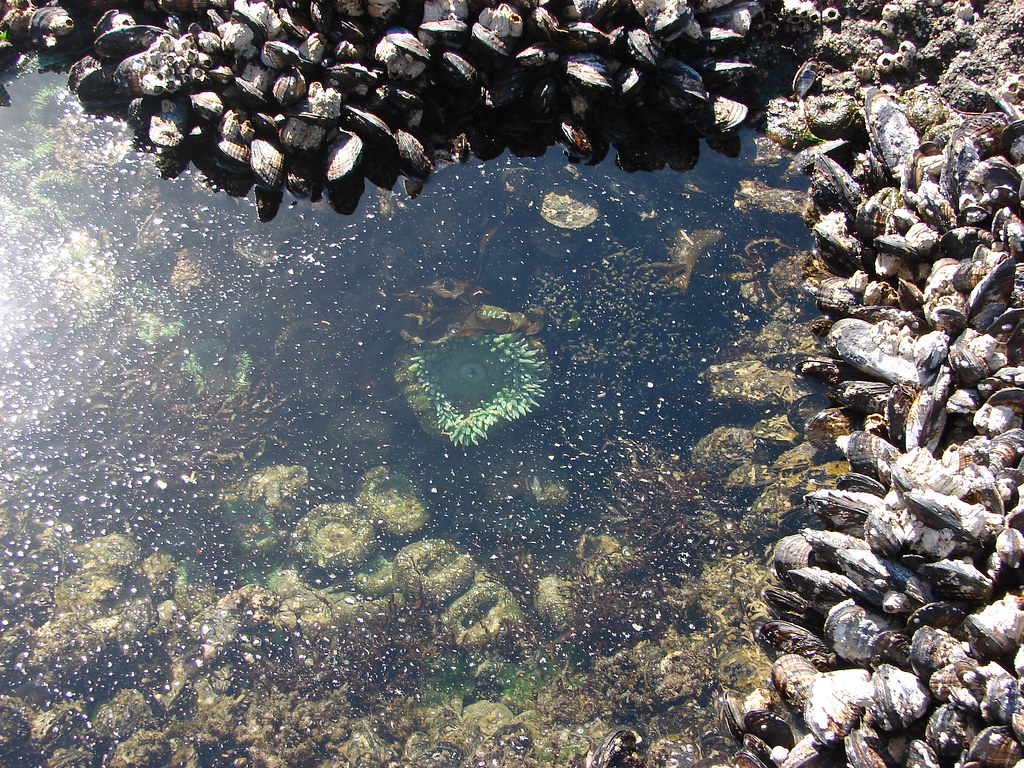
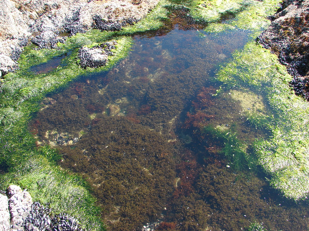
Thor’s Well may have been quiet due to the tide being out but that also meant that we could see quite a few of the tide pools.
Tide pool

Anemone

Starfish

Tide pool

After touring the tide pools we headed back toward the parking area but turned left before passing under Highway 101 to take the Cape Cove Trail. This path crossed over Cape Creek on a bridge before leading down to more tidepools along the Devil’s Churn, a 50 slot carved into lava rock by the Pacific.
Cape Creek

Devil's Churn

Devil's Churn

Again with the tide out there wasn’t much action occurring in the Devil’s Churn but it was still an interesting feature. Our hike here was just under 2 miles making it a reasonable hike for almost anyone. In addition to our plan to revisit the Drift Creek Wilderness we have one more trail to take at the Cape Perpetua Scenic Area so we will also be returning there someday to hike the Giant Spruce Trail. Happy Trails!
Flickr: Drift Creek North and Cape Perpetua Scenic Area