Categories
Hiking Northern Coast Oregon Oregon Coast Trip report

Nehalem Bay State Park, Kilchis Point Reserve, and Cape Meares State Scenic Viewpoint

We didn’t waste any time starting on our 2018 list of hikes as we took advantage of favorable weather on New Year’s Day and headed for the Oregon Coast. Our plan for the day was to make three stops near Tillamook. First at Cape Meares State Scenic Viewpoint, then at Kilchis Point Reserve, and finally at Nehalem Bay State Park. As we neared Tillamook though it became apparent that we were a bit ahead of the Sun so we decided to swap the first and final stops to avoid sitting at the Cape Meares Trailhead waiting for light.

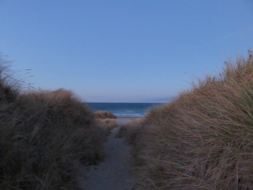
We drove north through Tillamook on Highway 101 to mile post 44 (one mile south of Manzanita) where we turned west at a sign for Nehalem Bay State Park. After paying the $5 day use fee we parked at the large day use area. We waited briefly for enough light to take a short path to the ocean.
Nehalem Bay Trailhead

Pacific Ocean

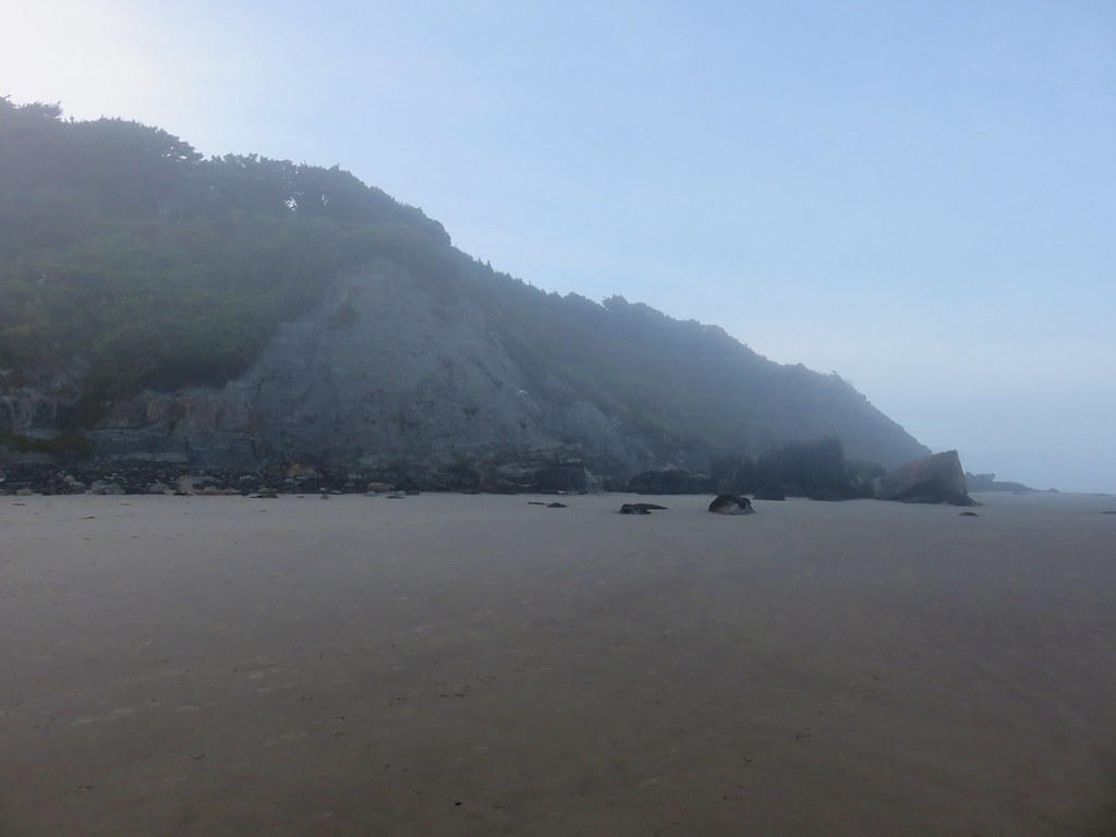
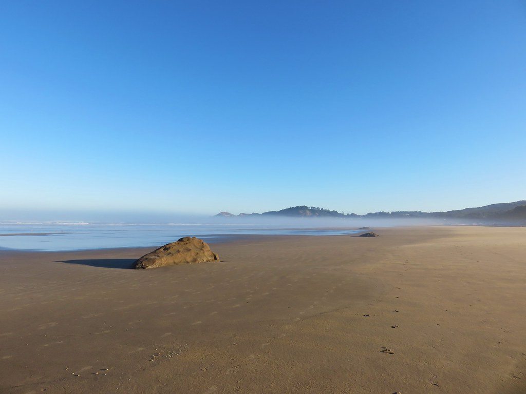
The view from the beach was a good one with some of our previous destinations visible to the north.
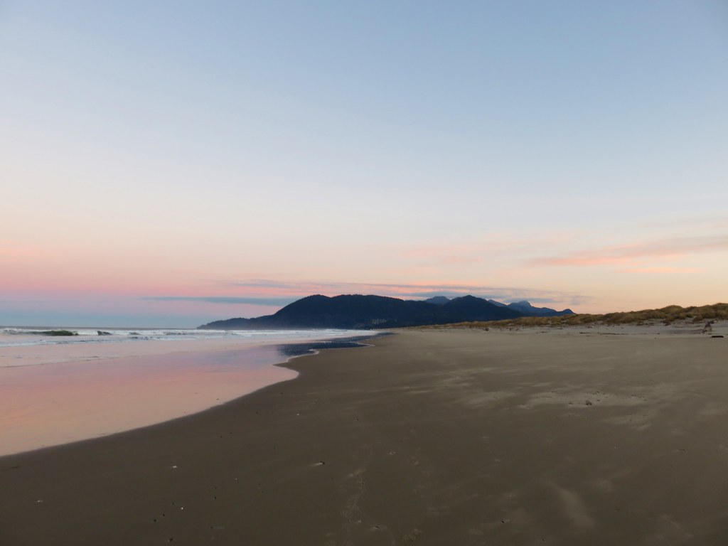
Neahkahanie Mountain
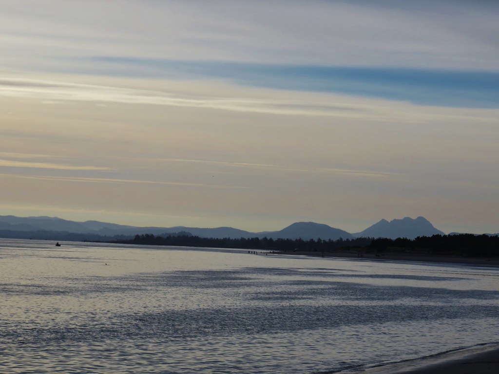
Neahaknie Mountain, Angora Peak, and Cape Falcon

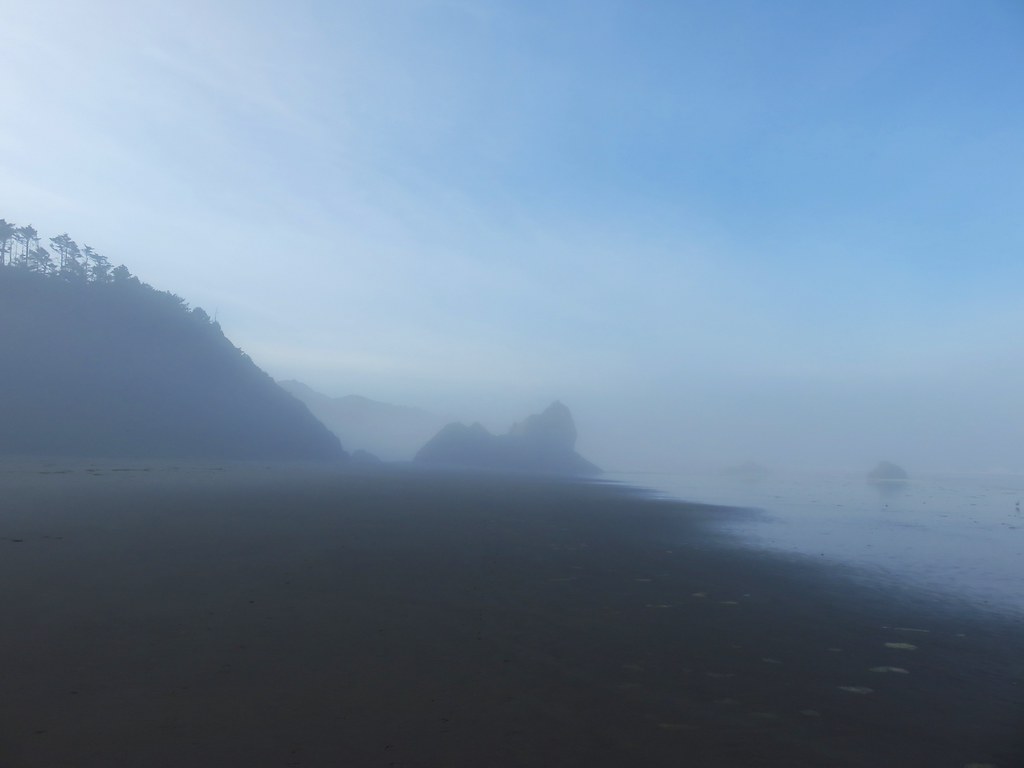
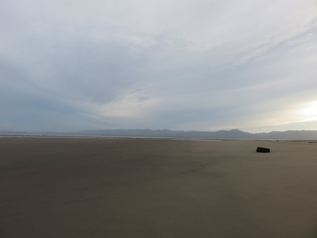
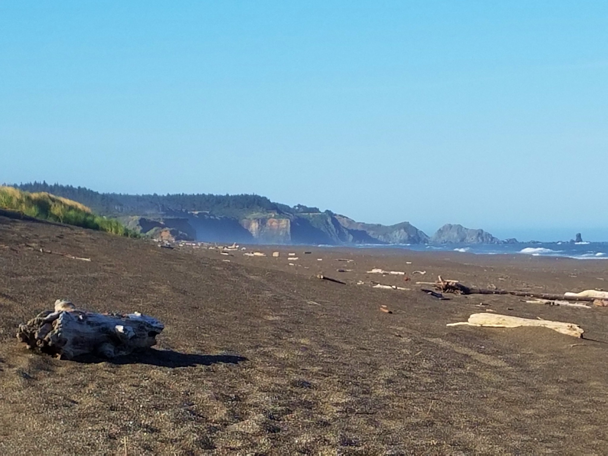
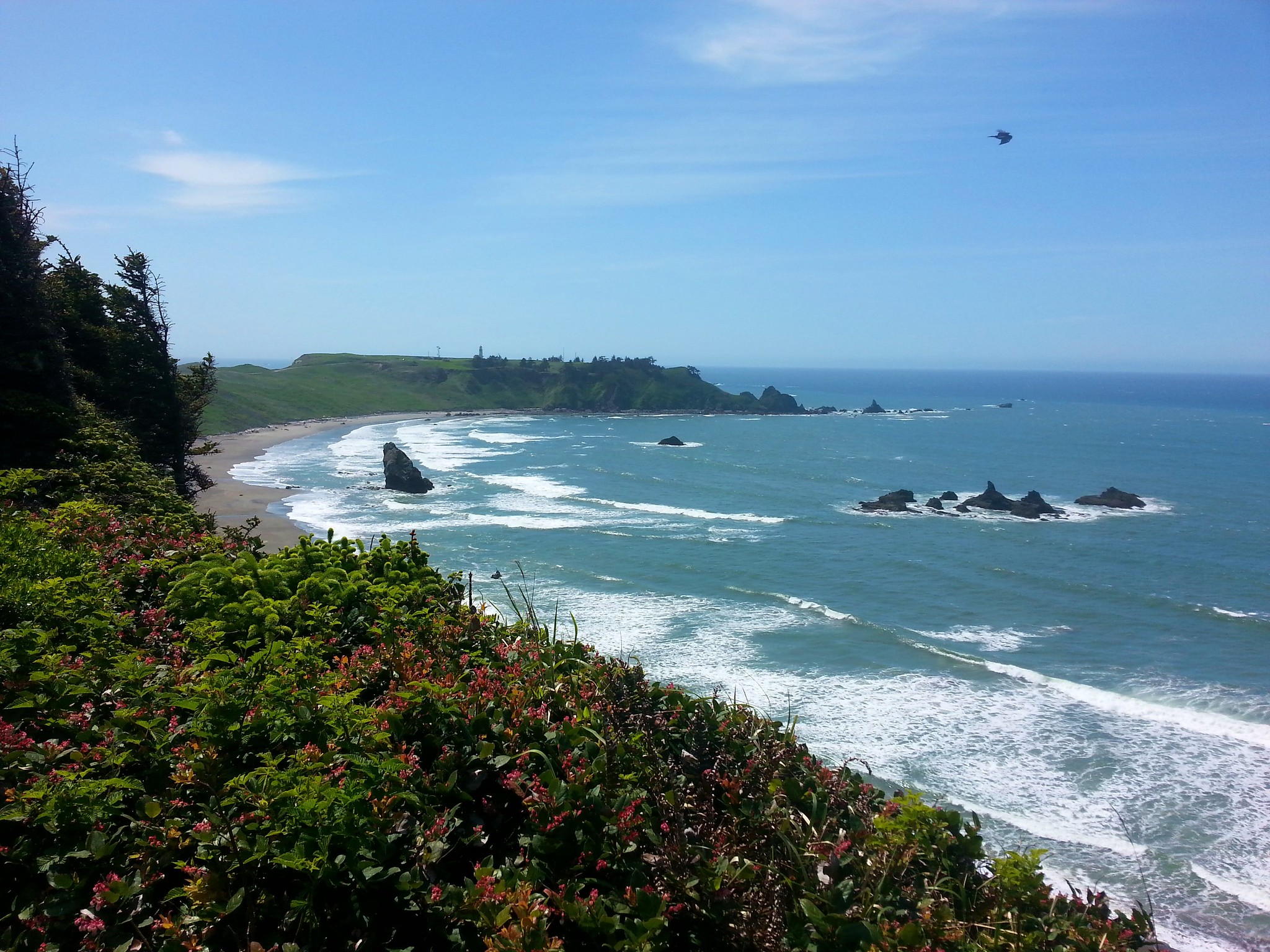
To the south our final destination of the day, Cape Meares, jutted out into the Pacific.
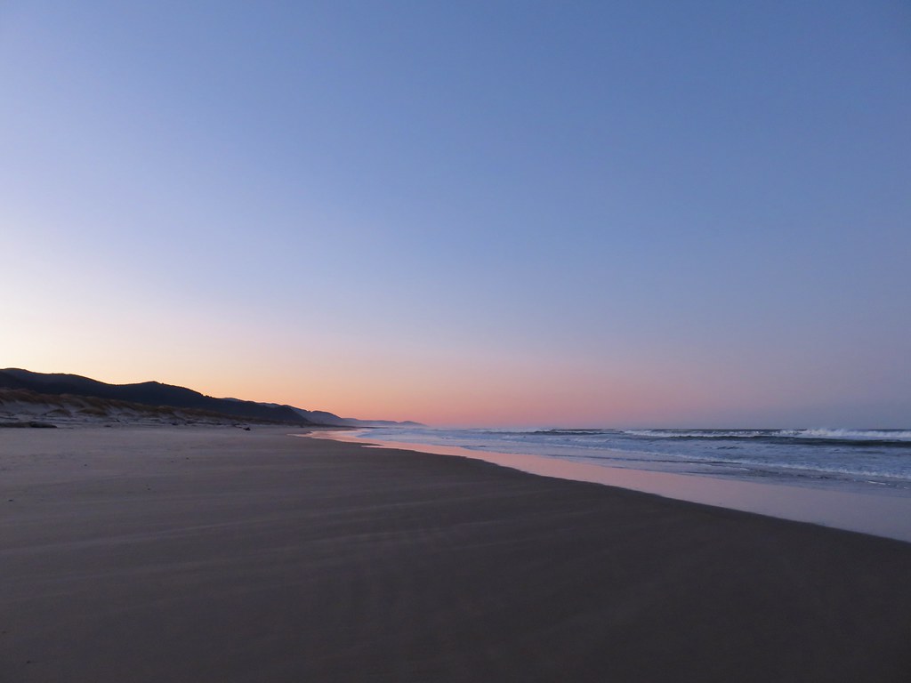
Looking south from the Nehalem Spit

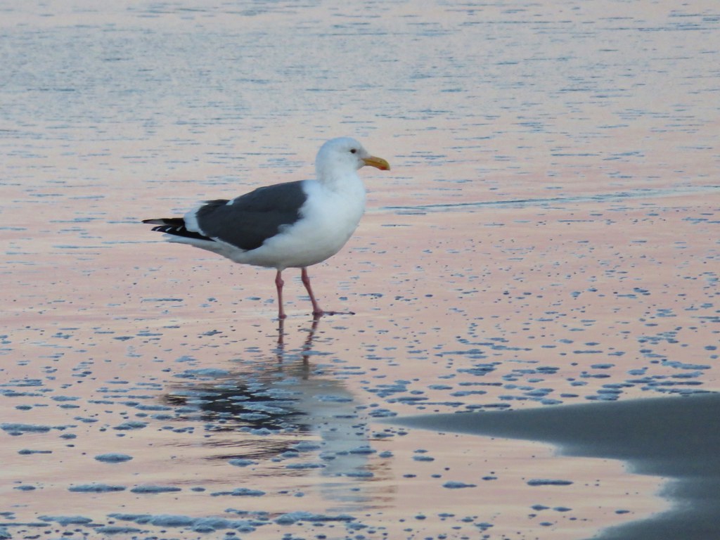
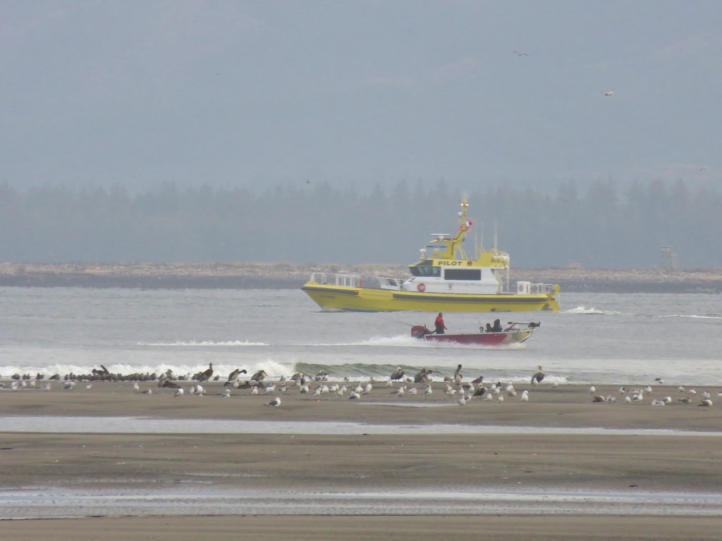
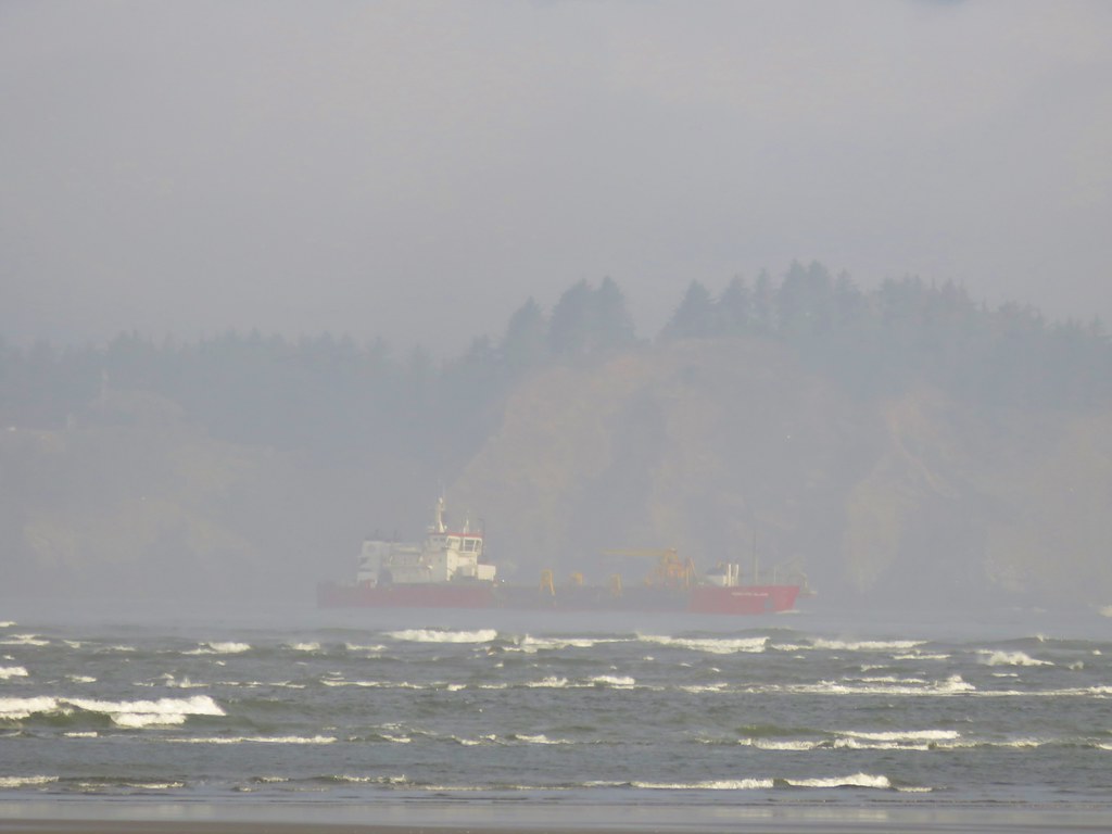
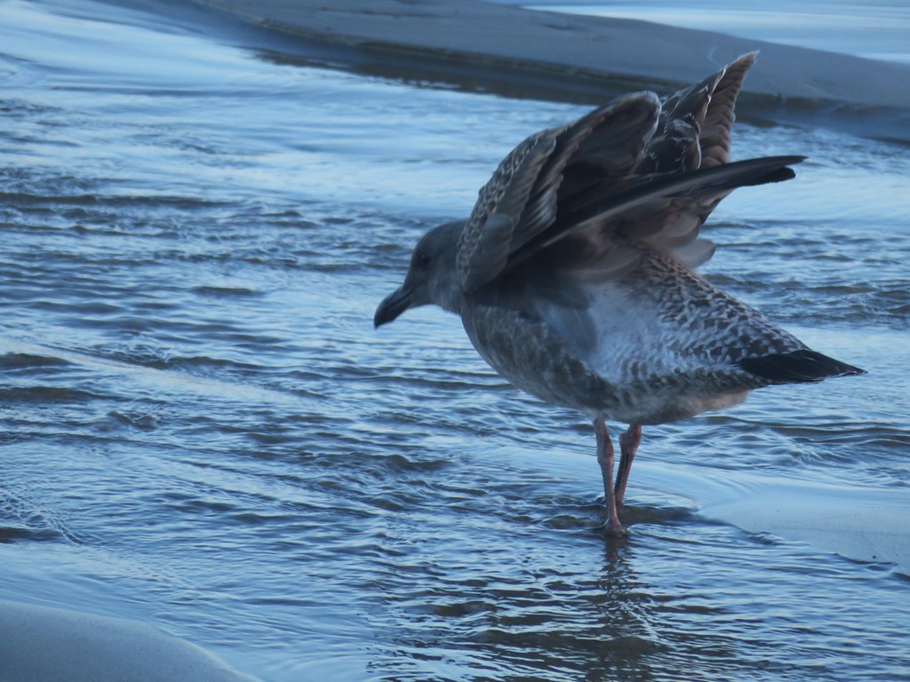
We walked south along the quite beach for 2.25 miles to the jetty at the end of the spit. We were joined by a lone jogger, some seagulls, and a curious seal.
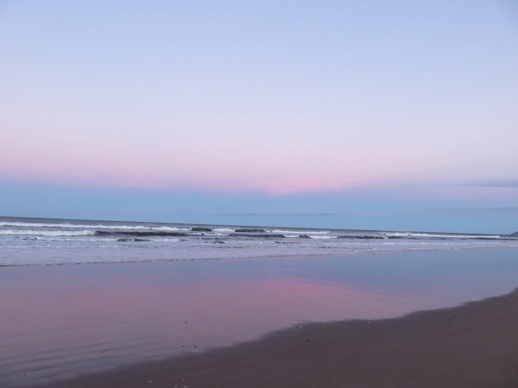
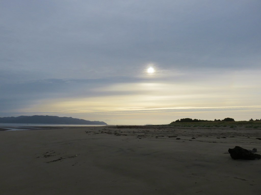
Morning glow on the Pacific

Seagull

Seal

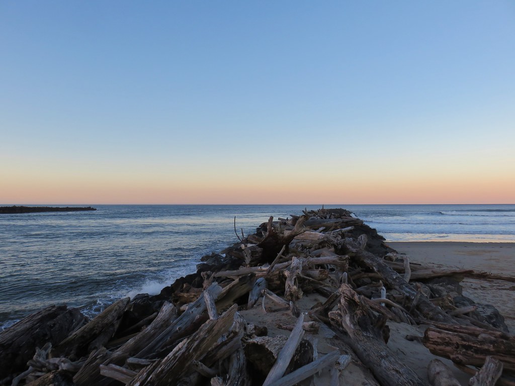
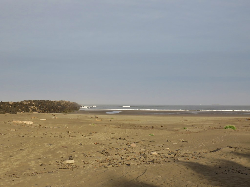
Jetty on Nehalem Spit

A mass of driftwood near the jetty forced us to backtrack a bit along the beach to a hiker sign where we turned inland.
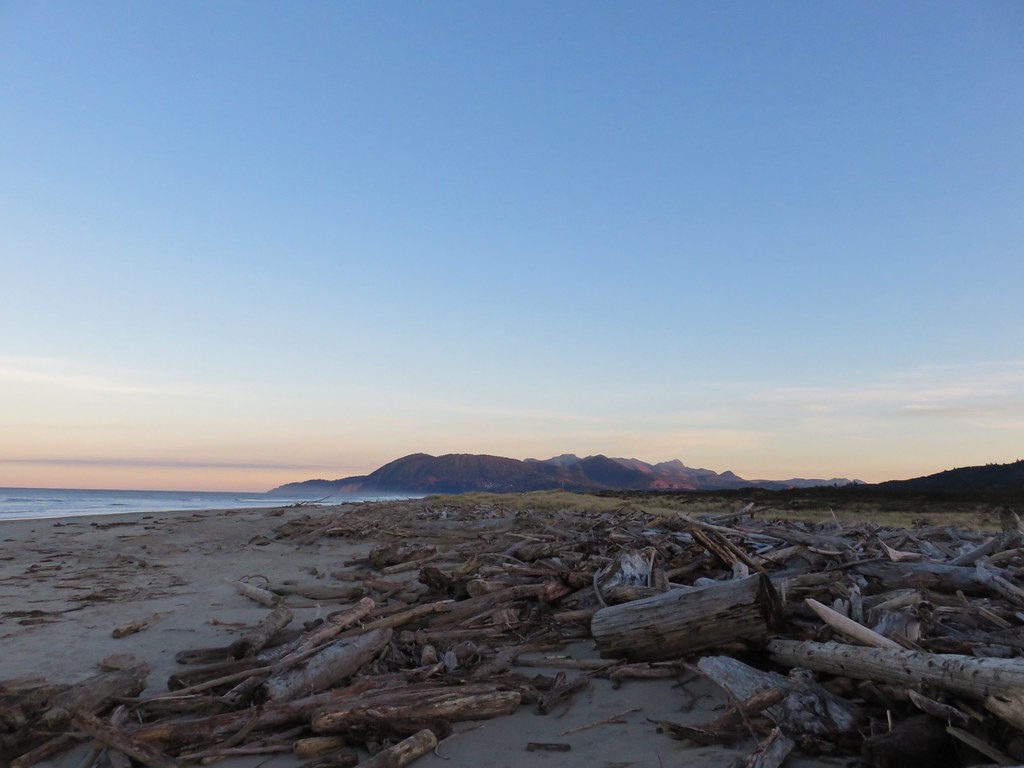
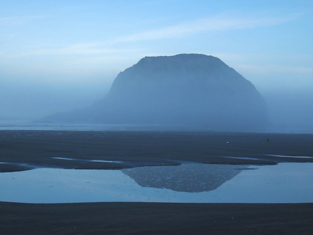
Morning light hitting Neahkahanie Mountain

Hiker post on Nehalem Spit

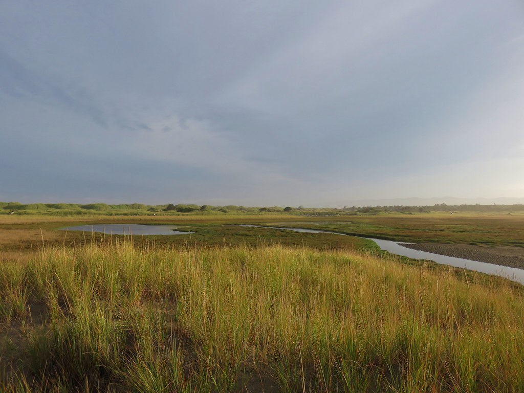
We crossed the spit to the bay and turned north along the water on a worn path.
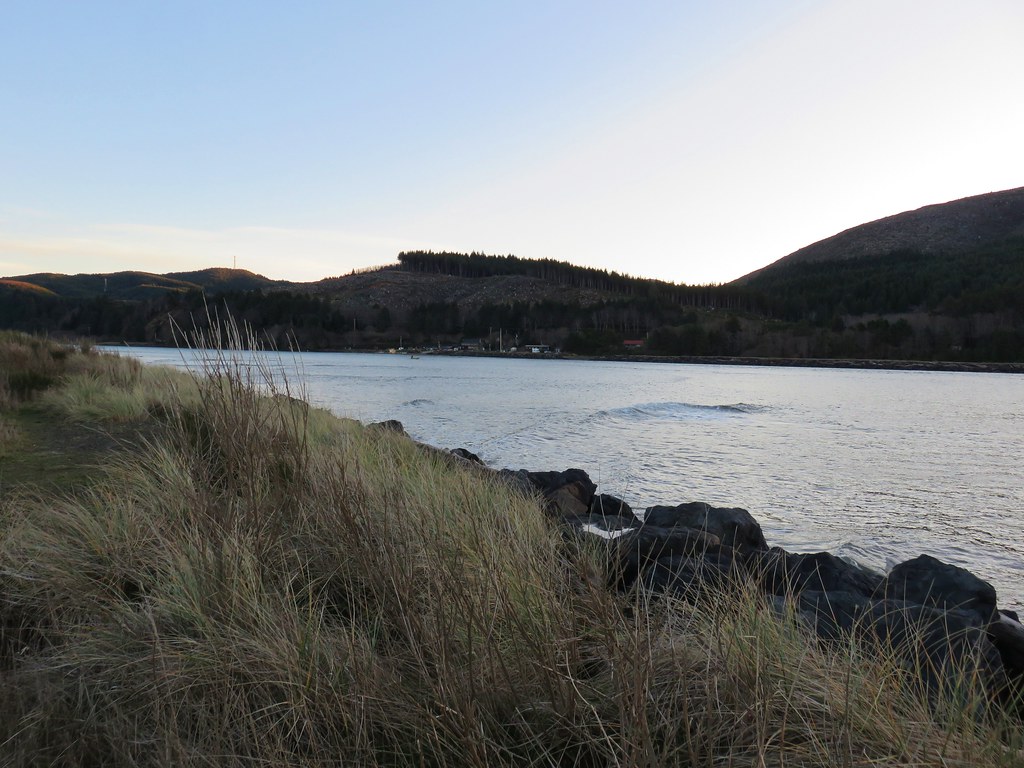
Swell heading into the bay

We were eventually able to get down onto the sandy Nehalem Beach which we walked along as far as we could before the high water forced us back up into the vegetation.
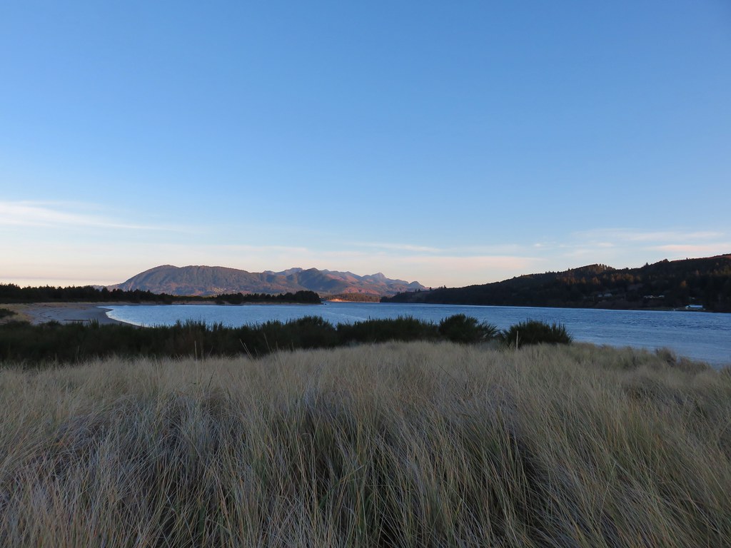
Neahkahanie Mountain across Nehalem BayNehalem Beach ahead

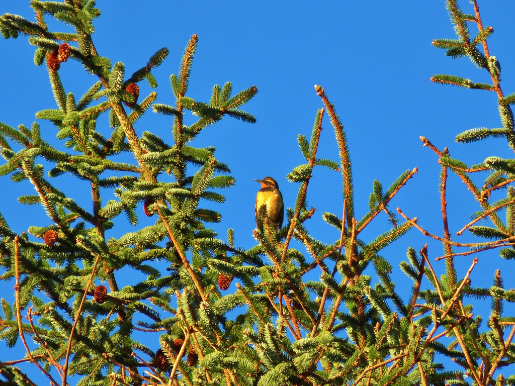
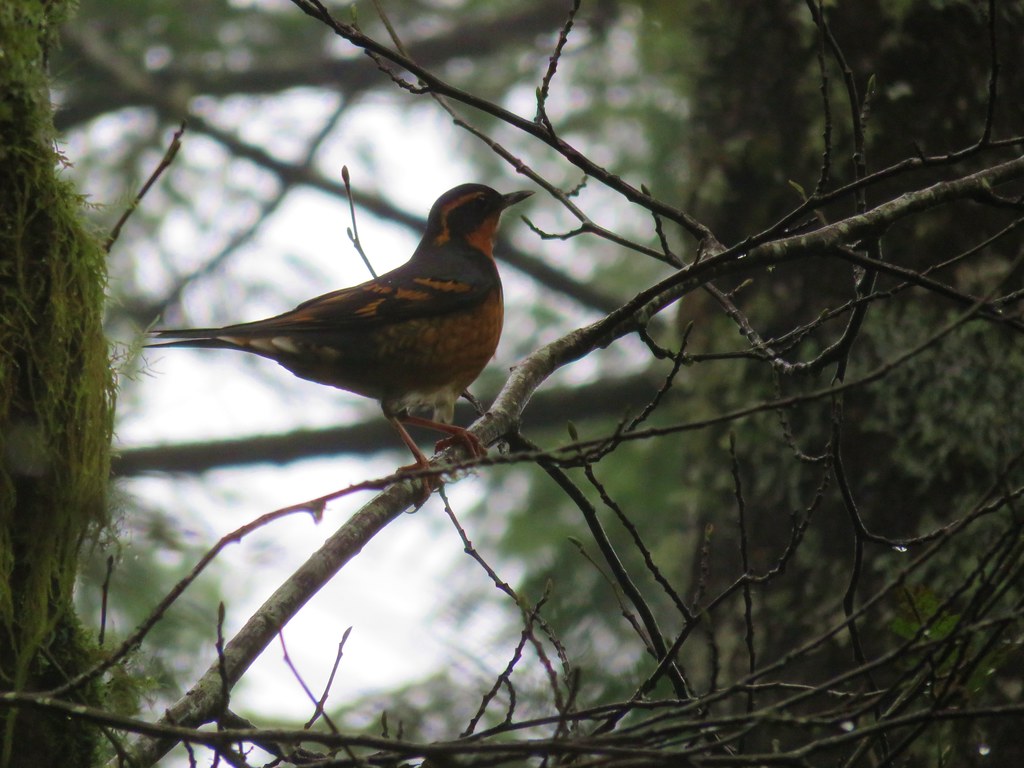
While we walked along the beach we spotted a bald eagle, more seals, and a varied thrush.
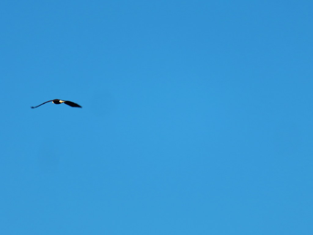
Bald eagle

Seals in Nehalem Bay

Varied thrush

Ideally we would have been able to keep on the sand all the way back along the bay to the park’s boat ramp but since that wasn’t an option we turned inland on what appeared to be a well traveled trail. We were hoping it would lead us to the horse trail that our map showed running down the center of the spit but after a short distance the path we were following became flooded.
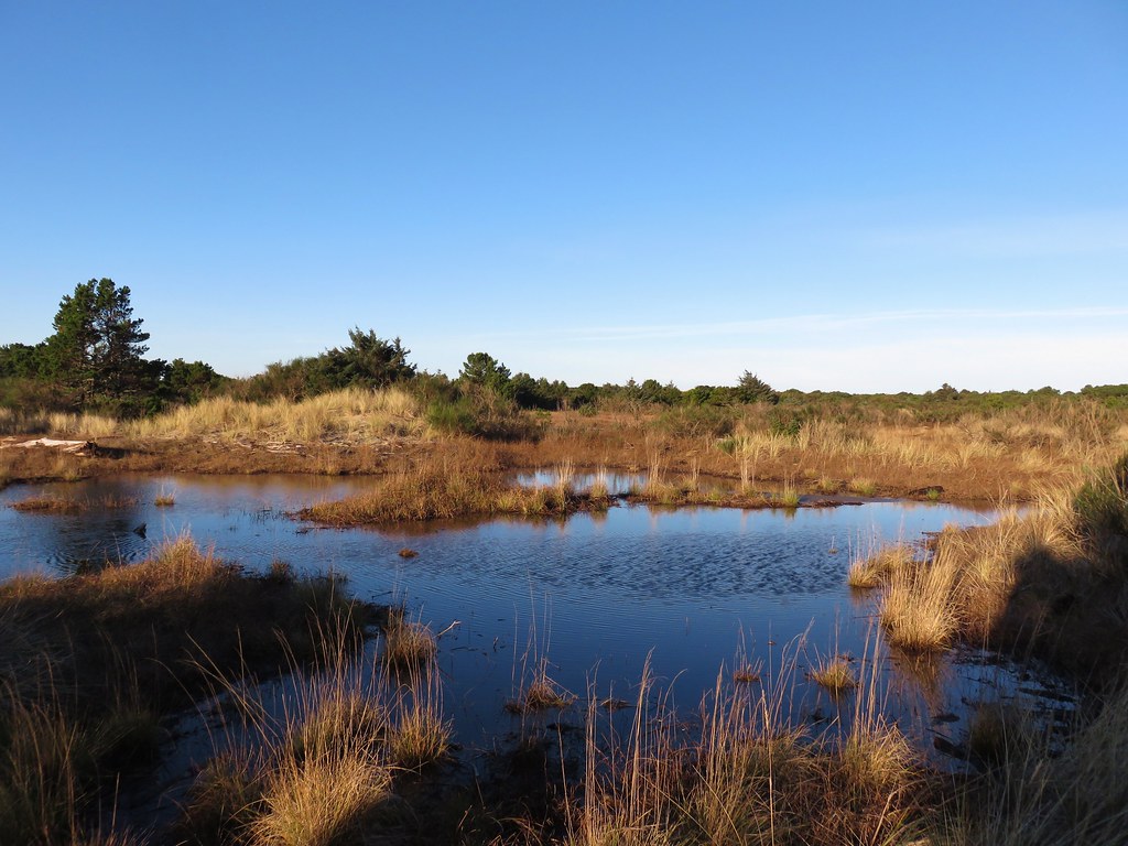
More water on Nehalem Spit

We were forced to attempt to follow a maze of game trails.
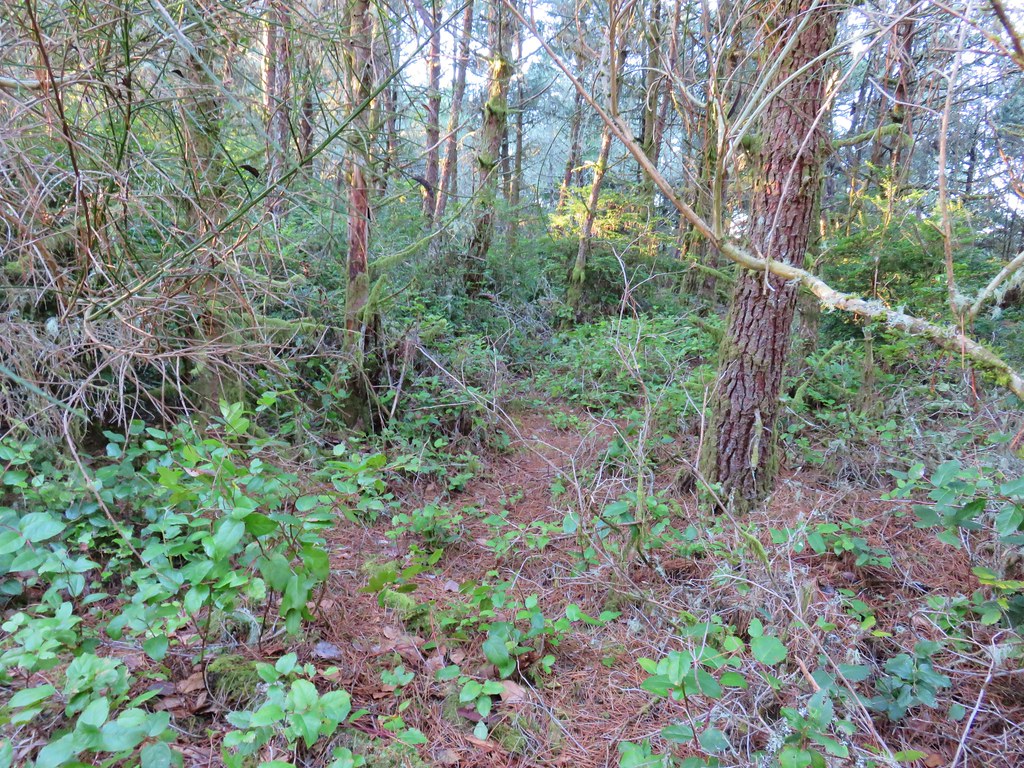
Off trail travel on Nehalem Spit

We could guess who was responsible for the confusion of trails by the elk sign we continually spotted. We lucked out at one point when we came to another flooded area at a narrow point where we were able to cross on driftwood. Had we tried sticking to the bay we would have run into a spot too wide to cross and wound up where we were anyway.
Inlet along Nehalem Bay

Shortly after crossing the water travel became easier as we were able to reach another sandy beach and then pick up a wider more traveled trail back to the horse trail not far from the day use parking lot.
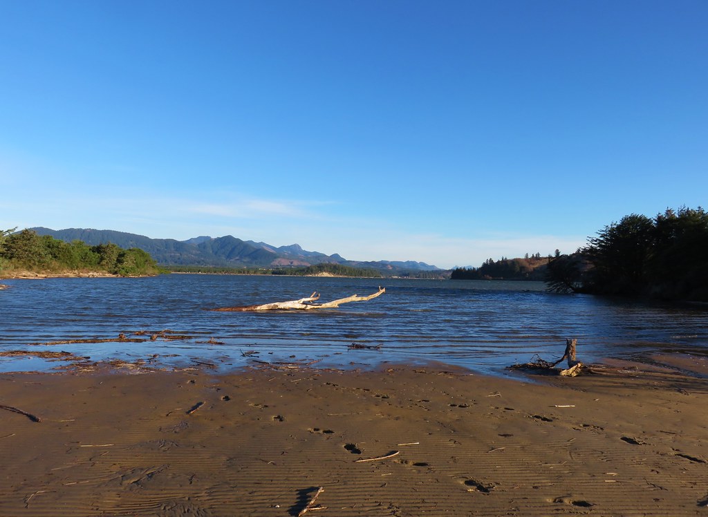
Nehalem Bay

Horse Trail in Nehalem Bay State Park

Our guidebook and called this a 5.2 mile loop but the time we’d arrived back at the car we had squeezed 5.7 miles out of it due to backtracking because of the flooded trail.

After returning to the highway we headed south to Bay City for our second stop of the morning – Kilchis Point Reserve. We turned towards Tillamook Bay on Warren Street near mile post 61 and followed pointers to the parking area on Spurce Street.
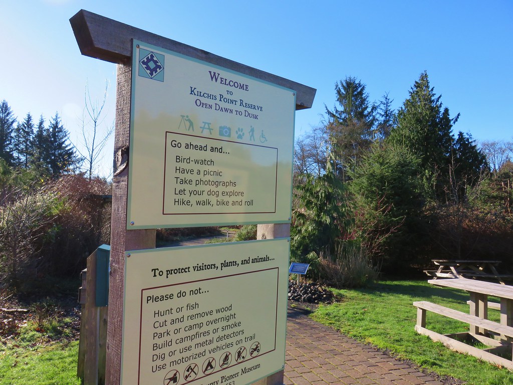
Kilshis Point Reserve Trailhead

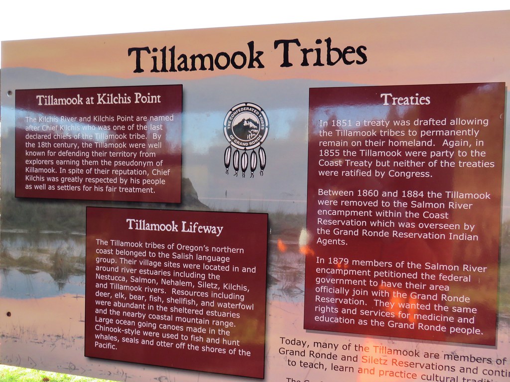
Kilchis Point is the site of one of the largest Native American villages along the Northern Oregon Coast. It is also the location where the Morning Star of Tillamook, first ship registered in the Oregon Territory, was built. The small park is very nice with plenty of amenities and a plethora of information posted throughout. It was a little chilly out so we didn’t stop to read all the signs this time but that just gives us a reason to stop again and check it out in the Spring or Summertime.
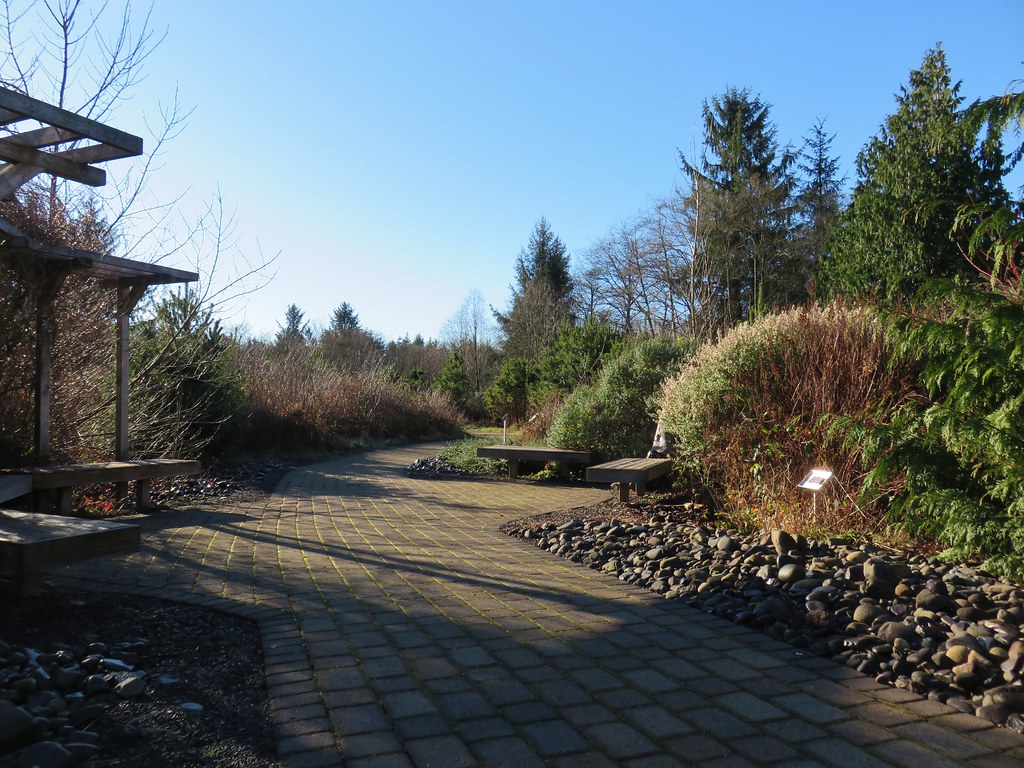
Path at Kilchis Point Reserve

Interpretive sign at Kilchis Point Reserve

Interpretive sign at Kilchis Point Reserve

Interpretive sign at Kilchis Point Reserve

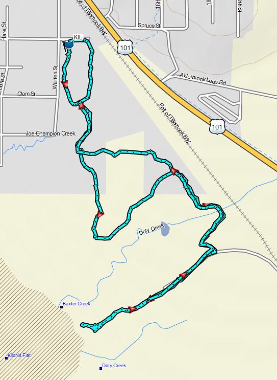
We followed the brick path from the parking area keeping right at junctions a total of 1.2 miles to a bird watching gazebo at Tillamook Bay.
Brick path at Kilchis Point Reserve

Gazeebo for birdwatching at Kilchis Point Reserve

Tillamook Bay

We didn’t spot many animals (other than dogs) along the way but we did get to listen to a pair of bald eagles for a bit.
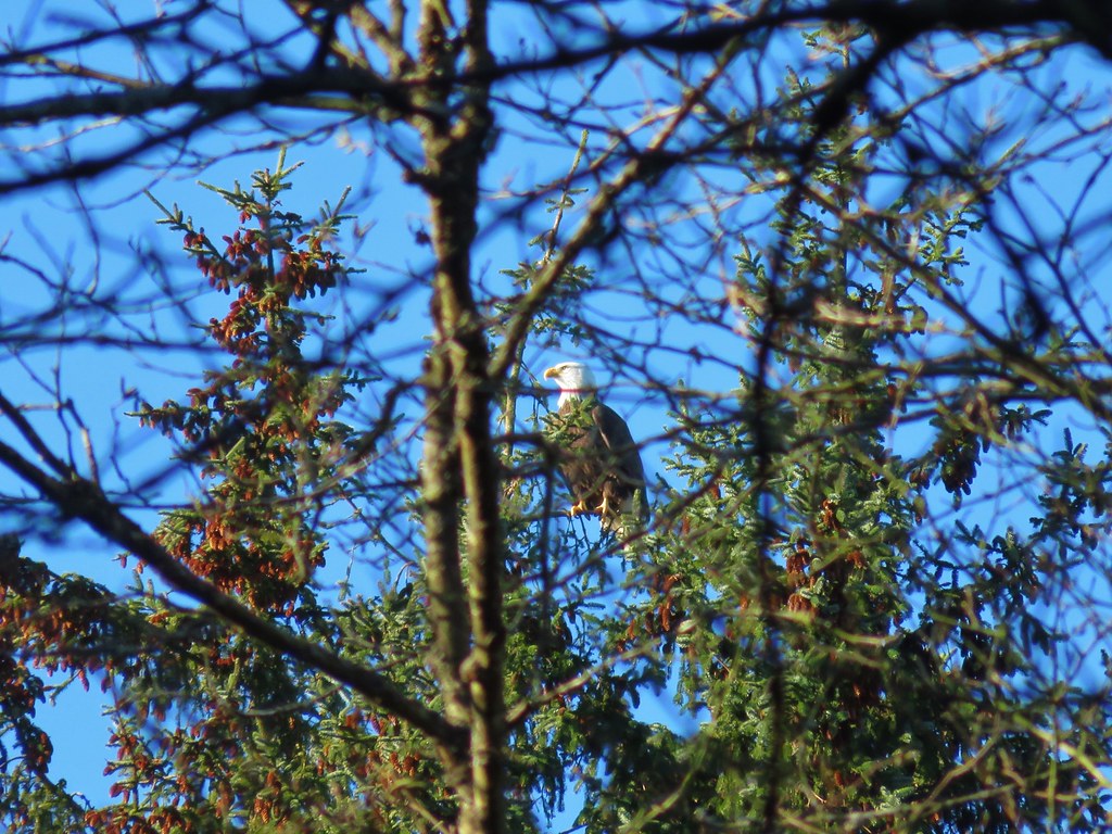
Bald eagle

After a short break by the bay we returned to the parking area by following signs and staying right at trail junctions to complete two short loops.
Trail sign at Kilchis Point Reserve

Kilchis Point

We then drove south to Tillamook and followed signs to Oceanside on Highway 131. From Oceanside we followed signs to Cape Meares State Scenic Viewpoint and parked at a trailhead parking area at the park entrance.
Cape Meares Trailhead

A mudslide in January of 2013 closed the Three Capes Scenic Loop beyond the park entrance. That slide continues to slowly shift the area and has affected a trail between the trailhead and the beach to the north of Cape Meares. We decided to head down this trail to see the conditions first hand.
Cape Meares Trail map

Trail at Cape Meares

The upper portion of the trail was in reasonably good shape although there was a small tree that required ducking under.
Trail at Cape Meares

Shortly after passing a fairly nice view of another place we had previously hiked, Bayocean Spit, we came to a jumble of debris.
Bayocean Spit from Cape Meares

Washed out trail at Cape Meares

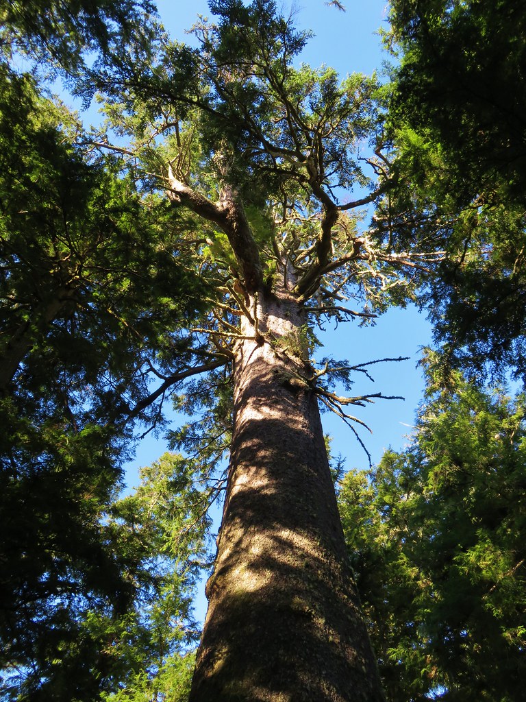
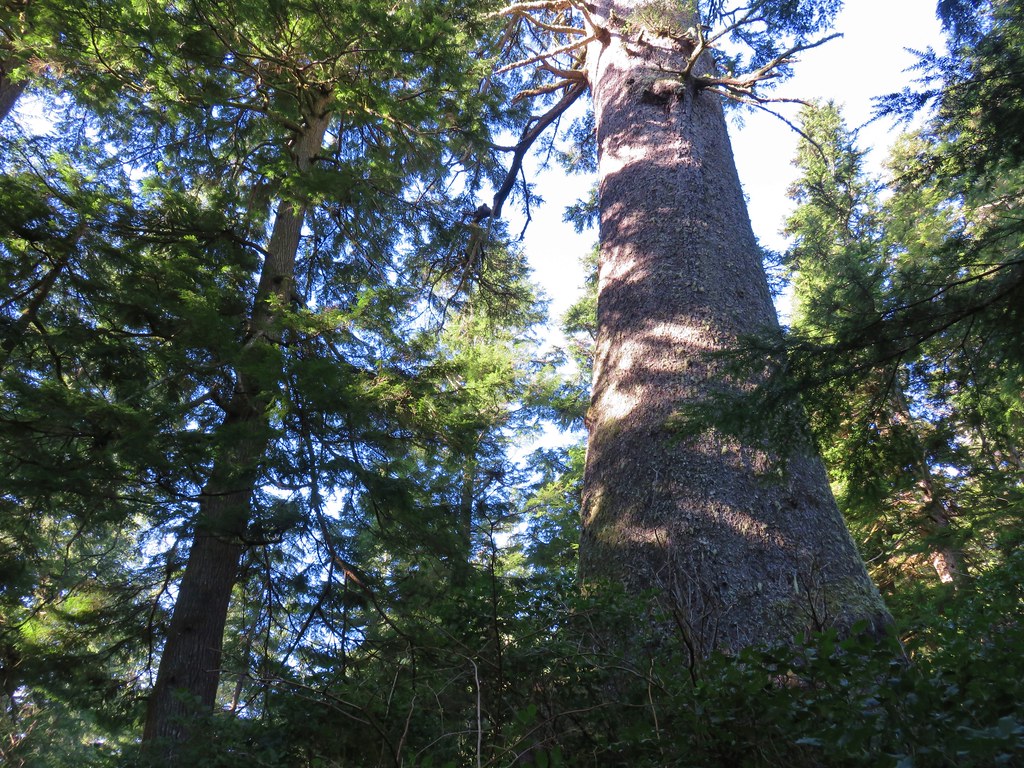
That was our turn around point,a little over half a mile from the trialhead. We headed back up to the trailhead and took the .2 mile Big Spruce Trail. The tree is estimated to be 750 to 800 years old and is the largest known Sitka spruce in Oregon.
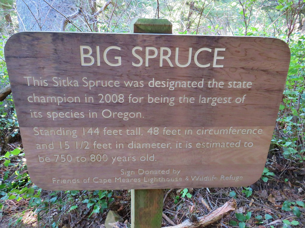
Sign for the Big Spurce

Big Spruce

Big Spruce at Cape Meares

For a bit of perspective if the tree sprouted in 1217 it was there at the start of the fifth crusade.

After visiting the old tree we road walked .6 miles along the entrance road to the crowded parking area for the Cape Meares Lighthouse.
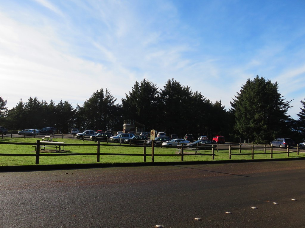
Cape Meares lighthouse parking

We stopped at a viewpoint platform overlooking Tower and Pillar Rocks to the north.
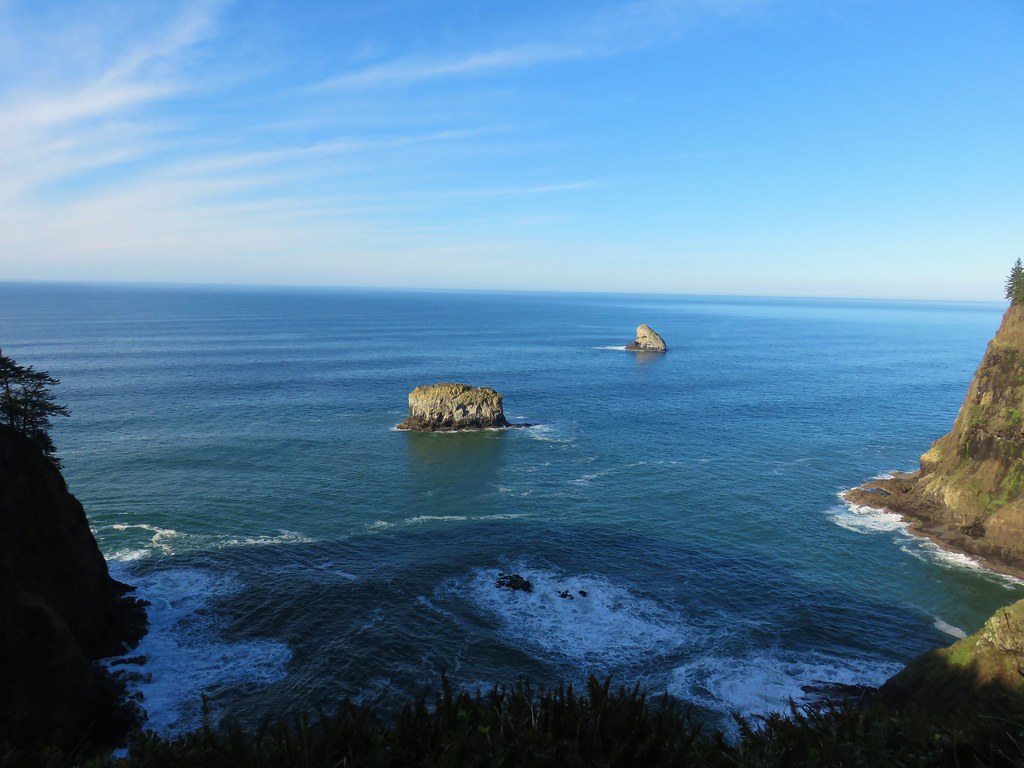
Tower and Pillar Rocks

A .2 mile path led from the parking area past more viewpoints to the lighthouse.
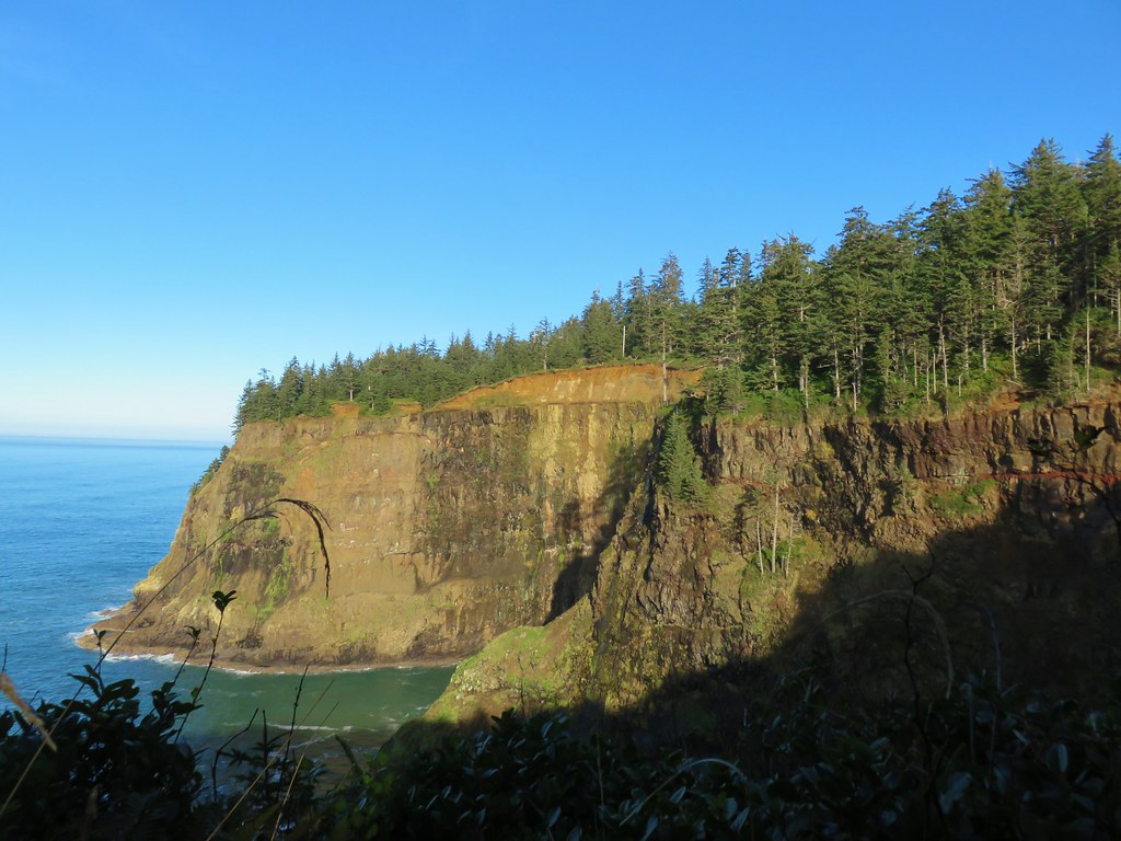
Cape Meares

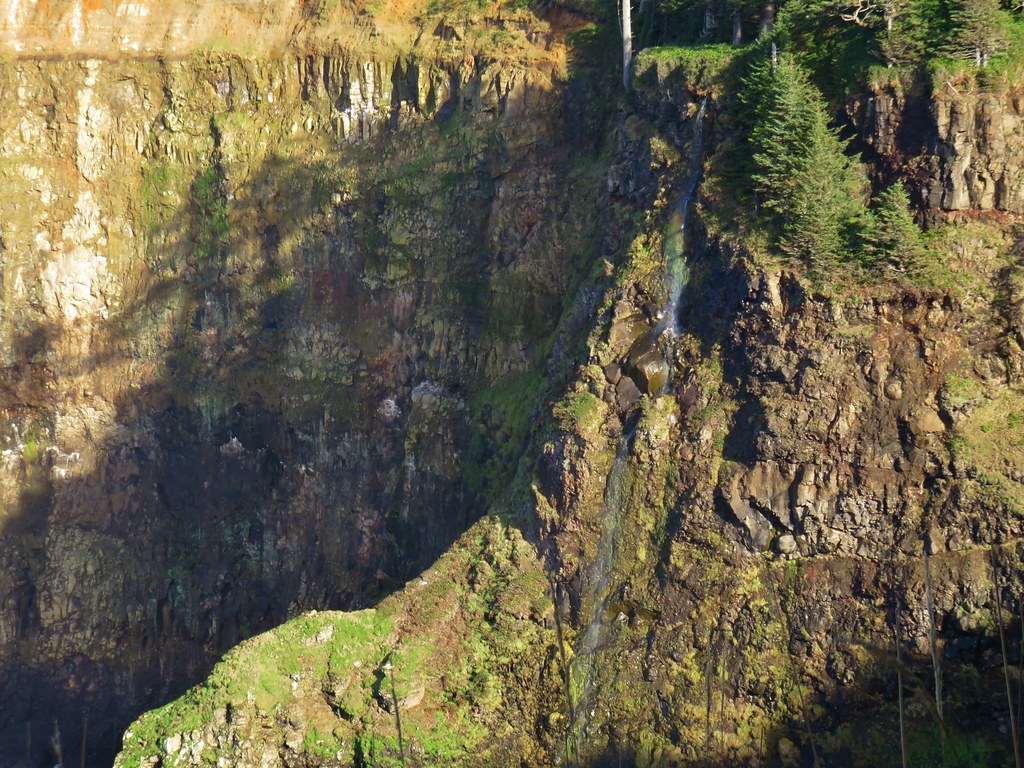
Waterfall at Cape Meares

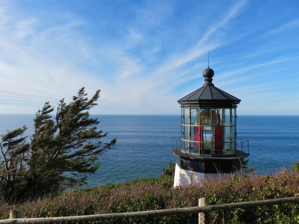
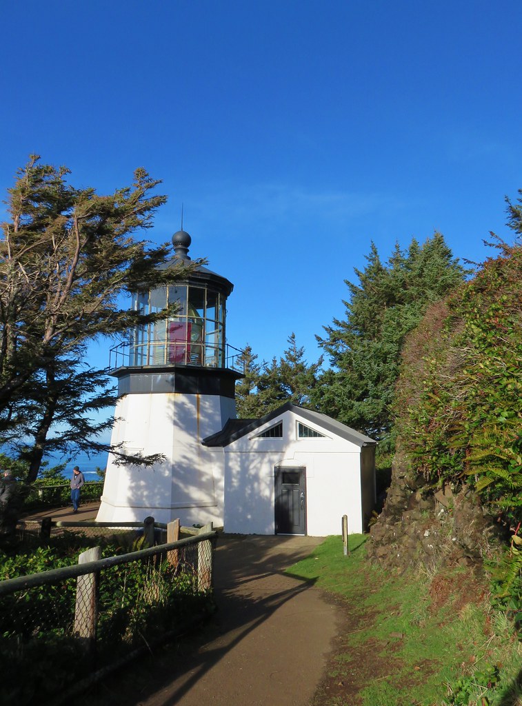
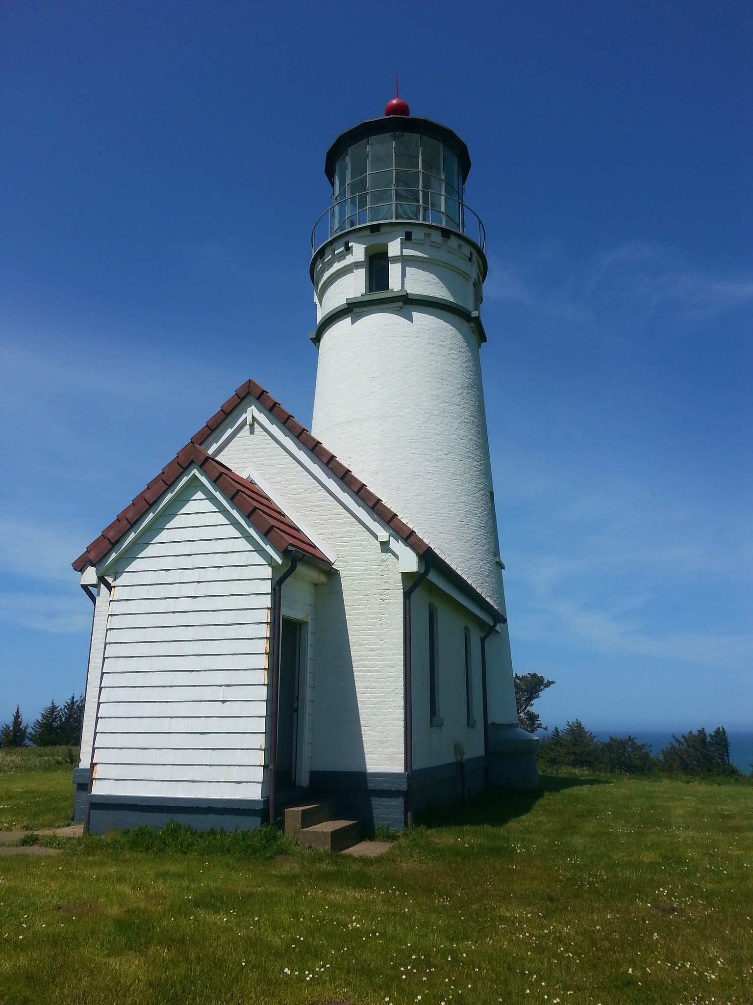
Cape Meares Lighthouse

Cape Meares Lighthouse

A second .2 mile path led back to the parking lot allowing for a short loop and providing views south to Cape Lookout and the Three Arch Rocks Wilderness, one of the two off-limits wilderness areas in Oregon.
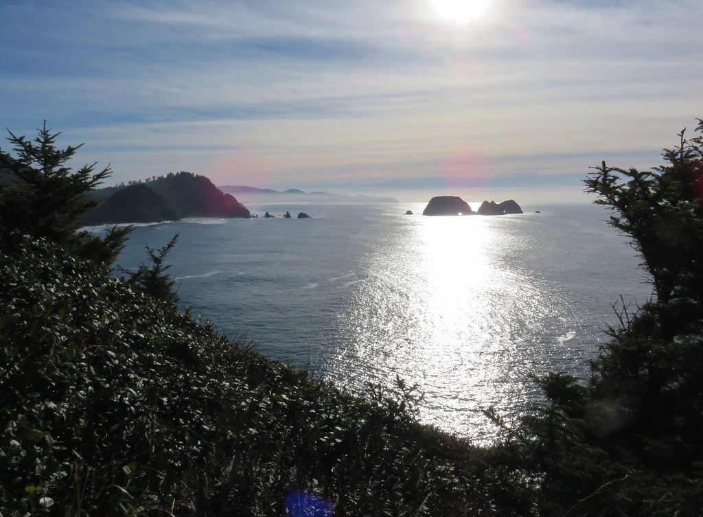
Looking south from Cape Meares

After returning to the parking area we headed for the Octopus Tree which was just a tenth of a mile away.
Sign for the Octopus Tree

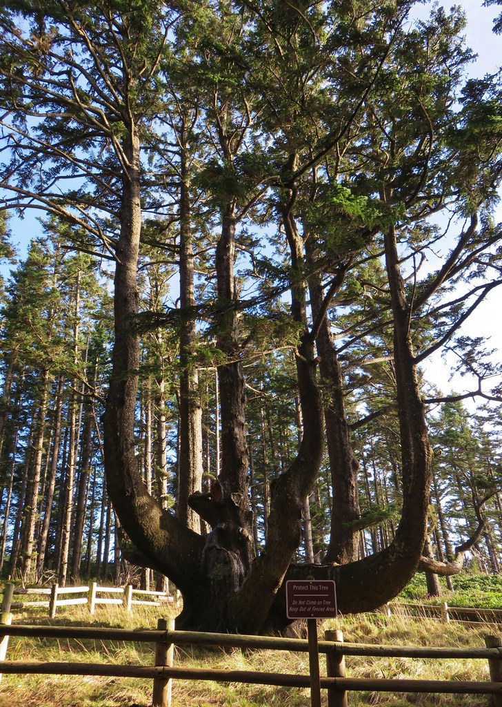
Octopus Tree at Cape Meares

Octopus Tree at Cape Meares

Another Sitka spruce, this unique tree has no central trunk. Instead several limbs have grown vertically. After visiting this tree we walked back up the entrance road to our car and headed home, capping off our first outing of 2018. Happy Trails!
Flickr: Nehalem Bay, Kilchis Point, and Cape Meares

Categories
Central Coast Hiking Oregon Oregon Coast Trip report

Heceta Head and Brain Booth State Park

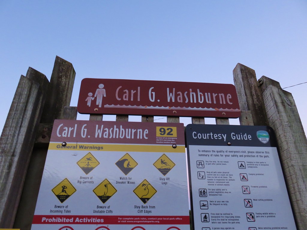
For our final outing of 2017 we returned to the Oregon Coast for three short hikes between Newport and Florence. We began our day by driving Highway 101 35 miles south of Newport (14 miles north of Florence) to the Carl G. Washburne Memorial State Park Day Use parking lot.
IMG_1413

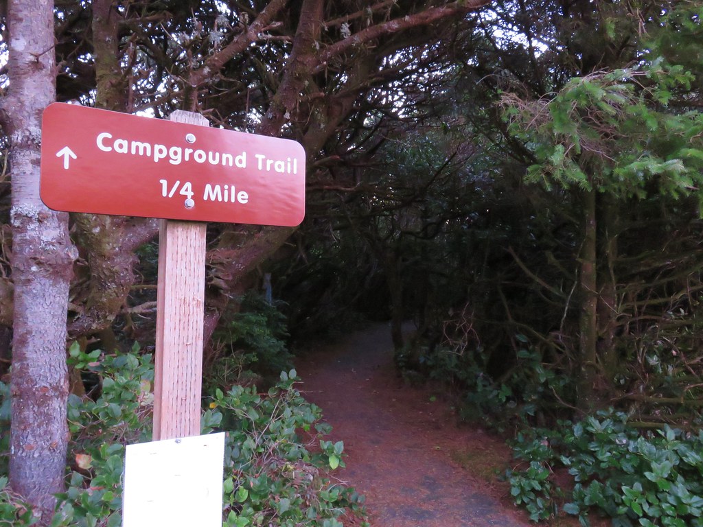
Our plan was to hike to the Heceta Head Lighthouse State Scenic Viewpoint and then return on a different route. In order to complete the loop portion of the hike we needed to cross Highway 101 twice. We decided to get the crossing done as soon as possible thinking that traffic would be less problematic earlier in the day. From the parking area we took a paved path east following a pointer for the Campground Trail.
IMG_1416

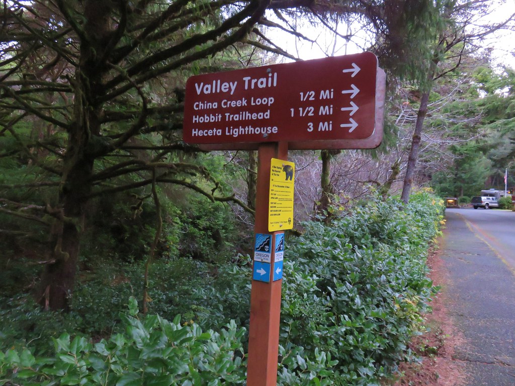
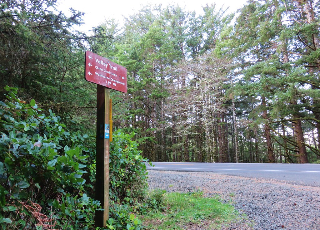
After a tenth of a mile we crossed the empty highway and continued on the campground entrance road for just over an additional tenth of a mile where we turned right at a signpost onto the Valley Trail.
IMG_1419

IMG_1420

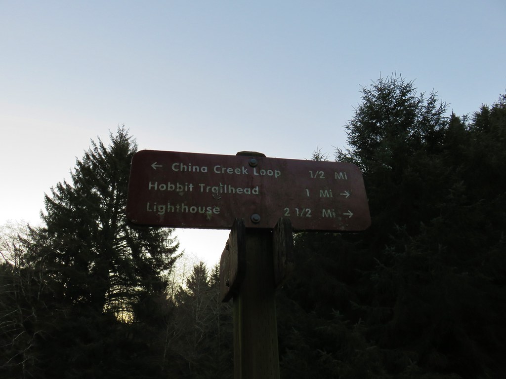
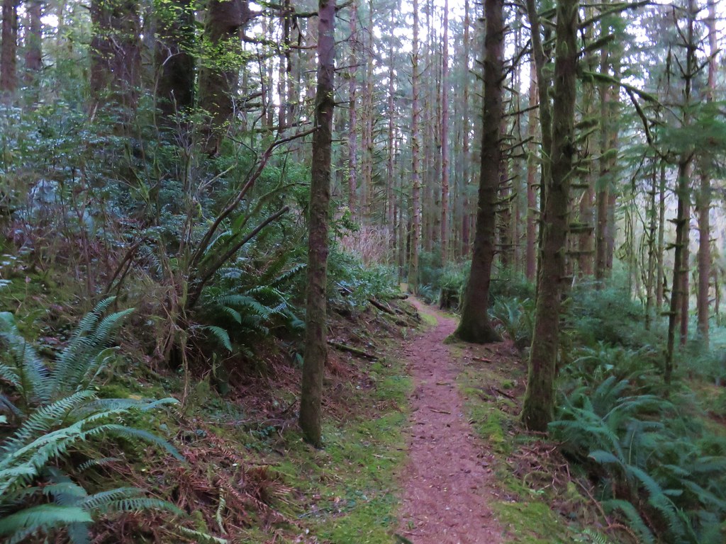
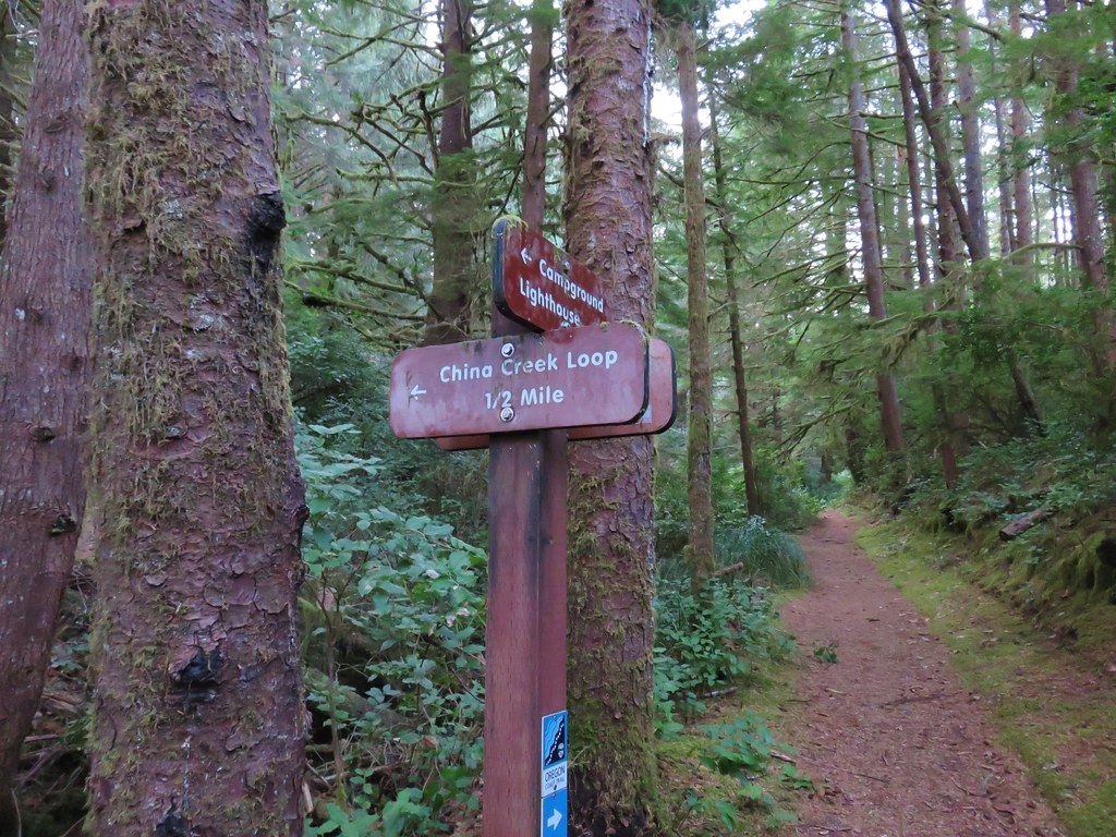
We followed this trail for three tenths of mile to a junction in a meadow with the China Creek Loop Trail.
IMG_1426

IMG_1428

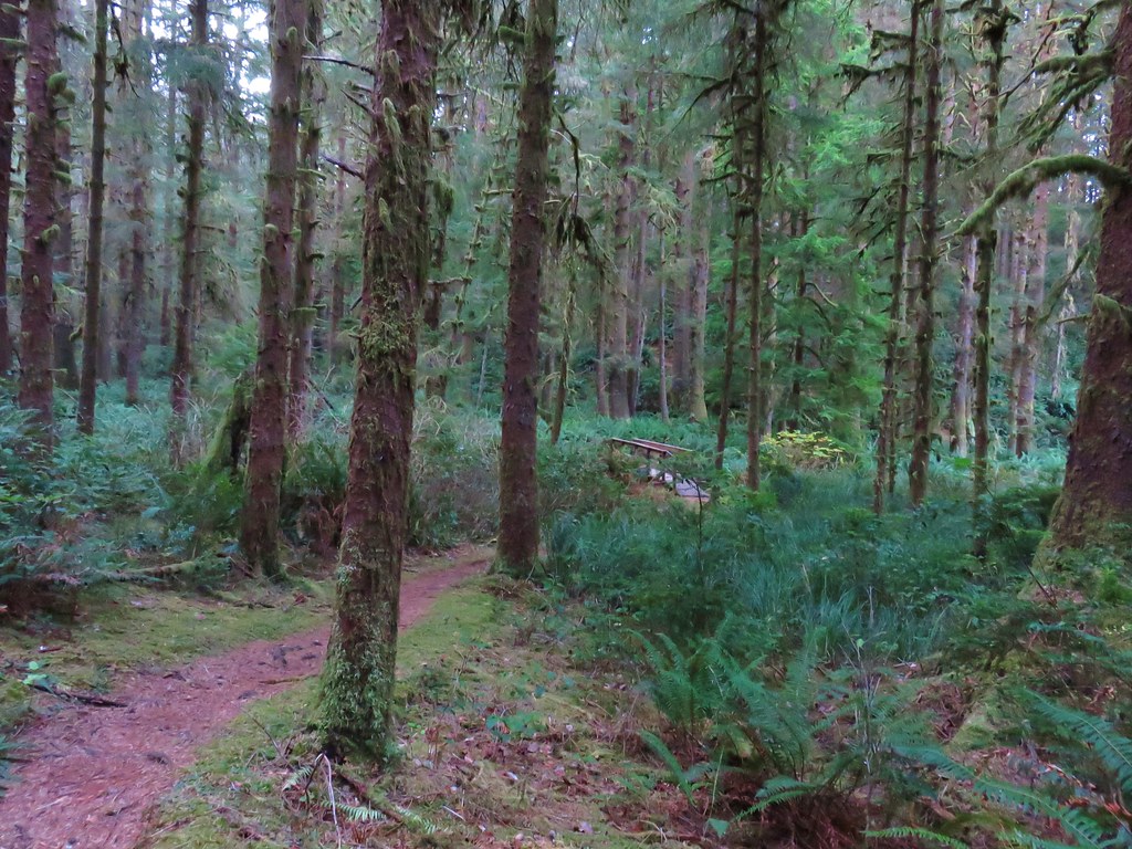
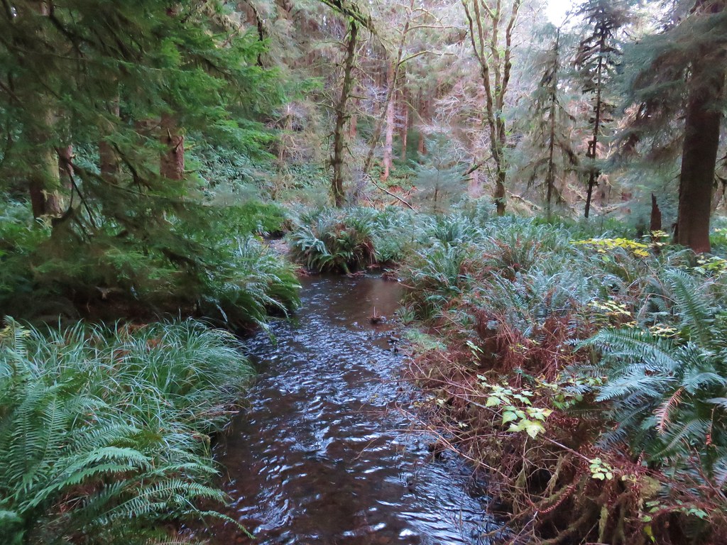
The loop added a little distance to the hike but not enough to keep us from turning left and crossing China Creek on a footbridge.
IMG_1429

The China Creek Loop passed through a green coastal forest crossing China Creek again after .3 miles.
IMG_1433

IMG_1434

IMG_1437

A half mile from the second crossing we found ourselves back at the Valley Trail where we turned left toward the lighthouse.
IMG_1439

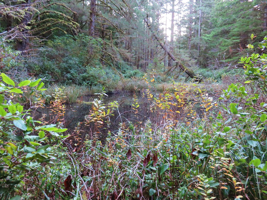
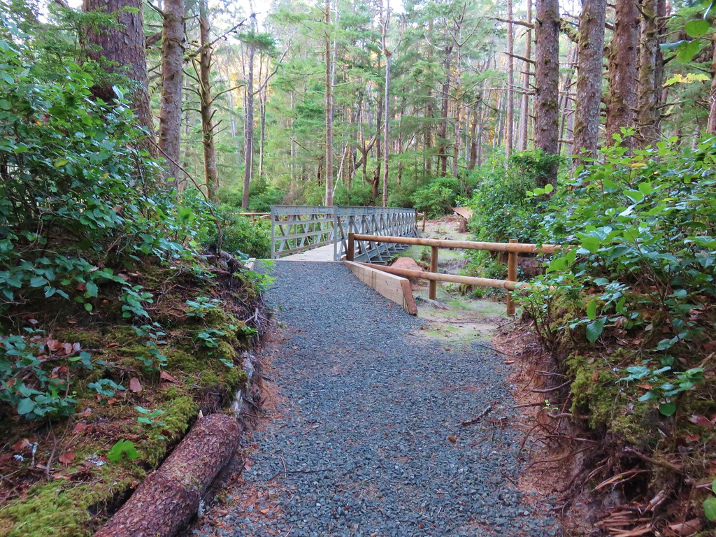
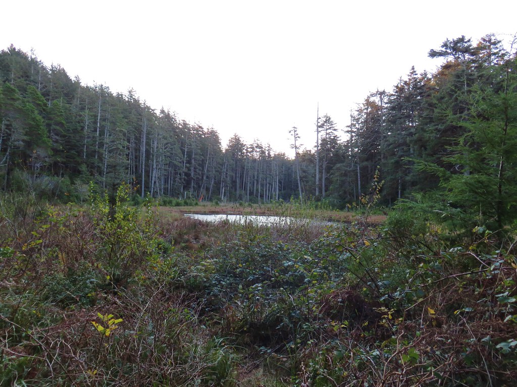
Over the next mile the trail passed two small ponds, crossed Blowout Creek on what appeared to be a recently installed footbridge, and skirted a beaver lake.
IMG_1441

IMG_1443

IMG_1444

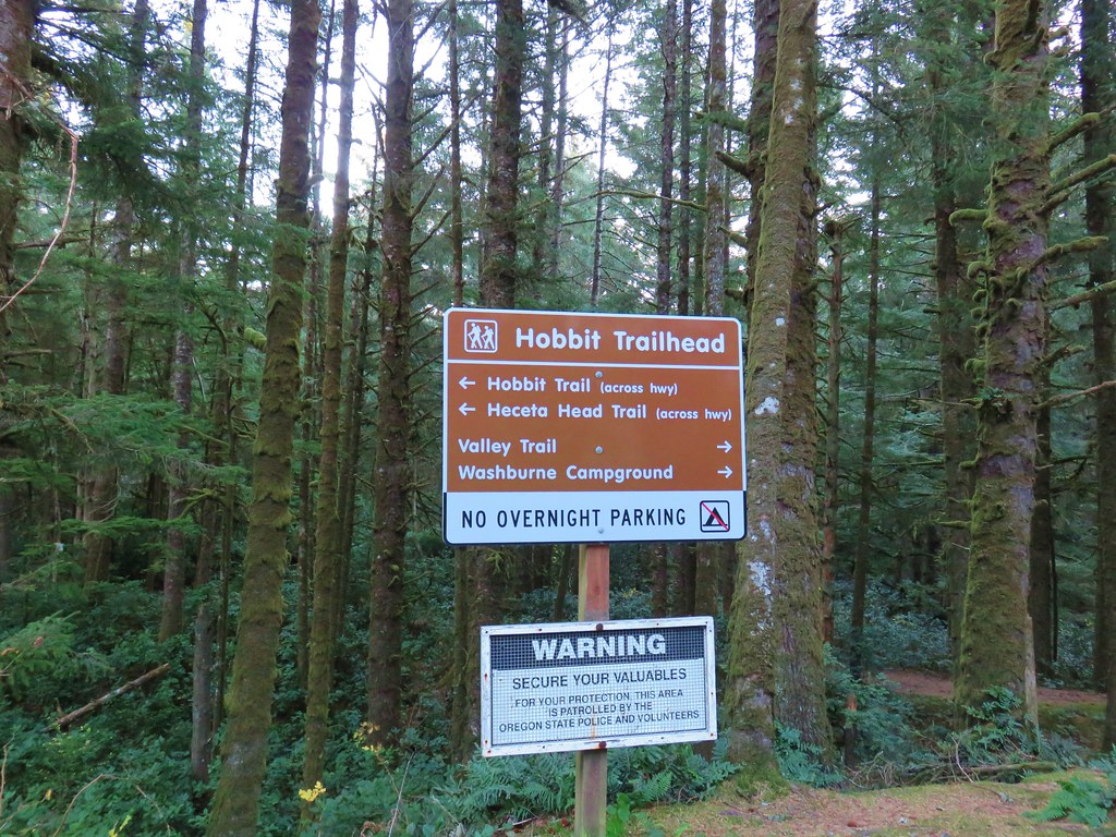
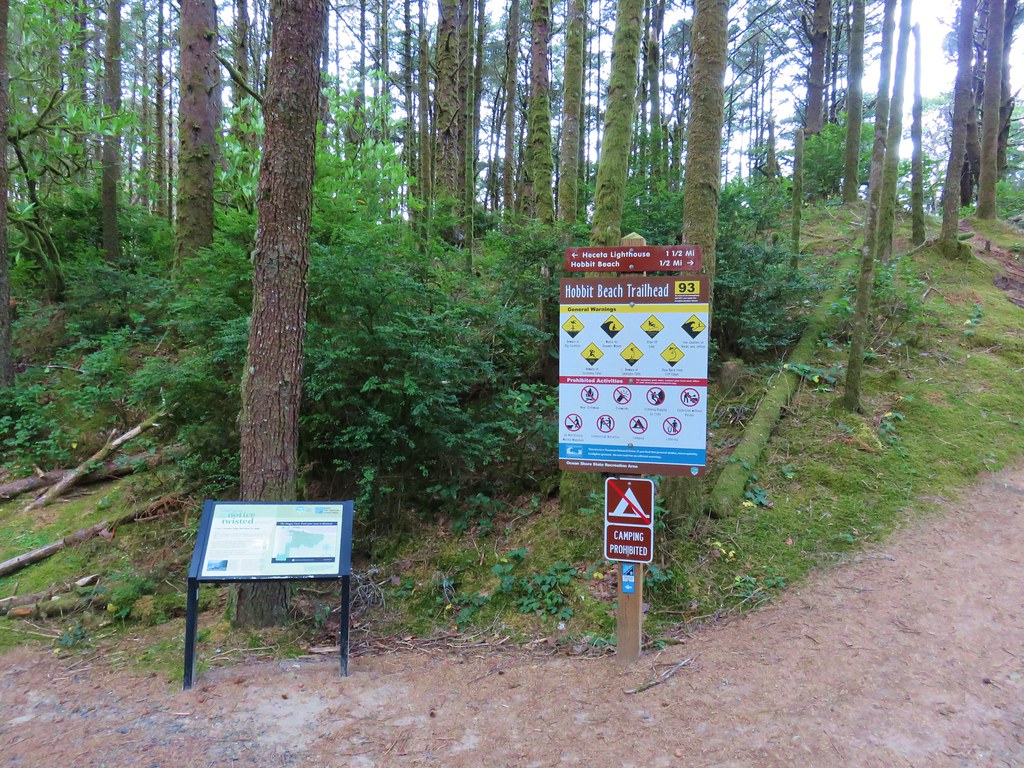
We were now at the second crossing of Highway 101 at the Hobbit Trailhead, another possible starting point.
IMG_1449

IMG_1447

On the other side of the highway the trail split, right was our return route via Hobbit Beach but first we turned left to visit the lighthouse. We were now following the route of the Oregon Coast Trail.
IMG_1451

At first the trail remained near the highway but soon veered away toward the ocean as it began to climb up Heceta Head.
IMG_1458

IMG_1460

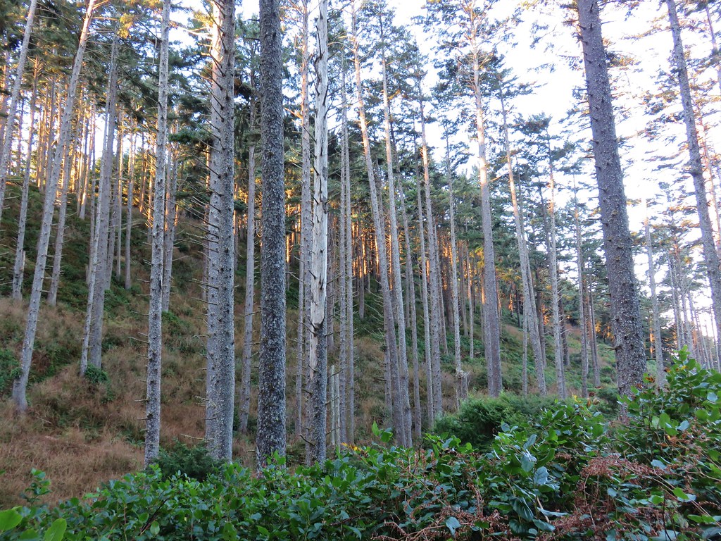
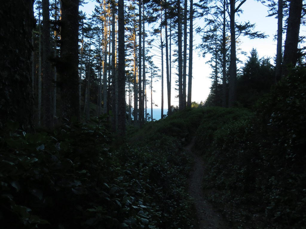
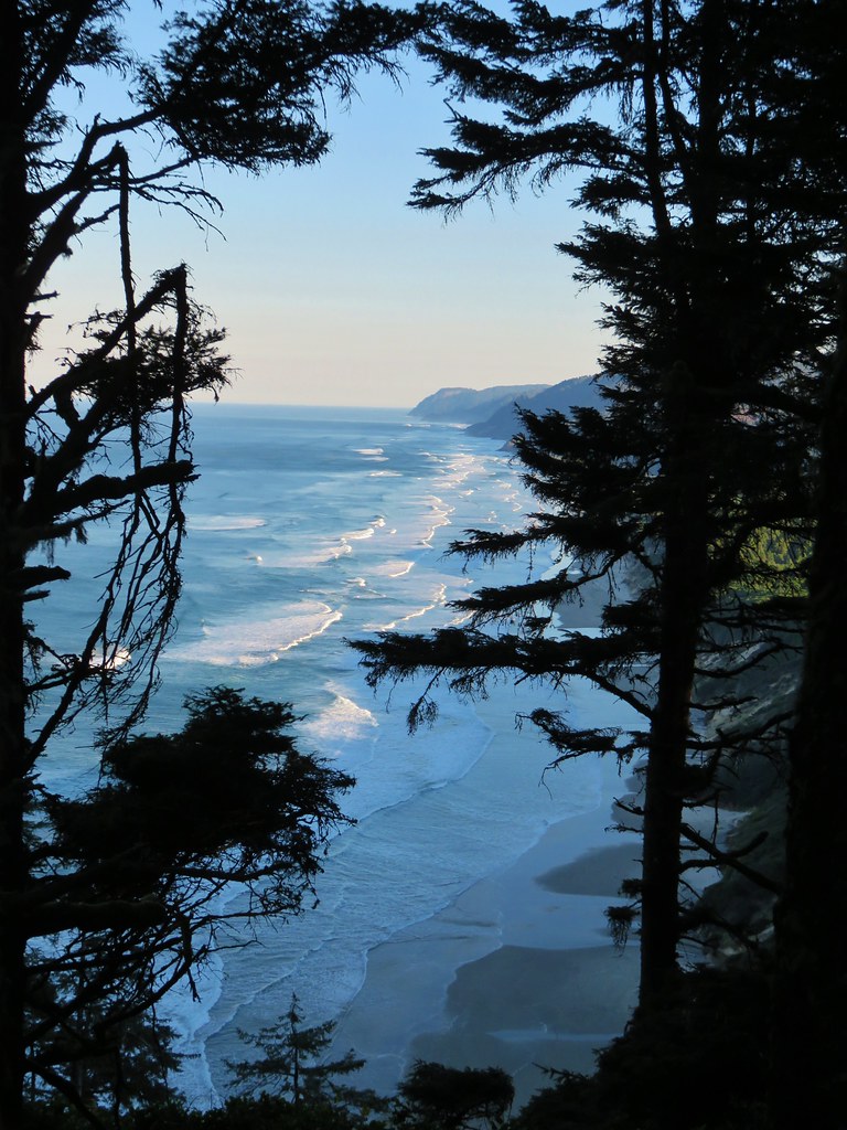
The trail climbed gradually and offered a few views north to Cape Perpetua.
IMG_1466

IMG_1471

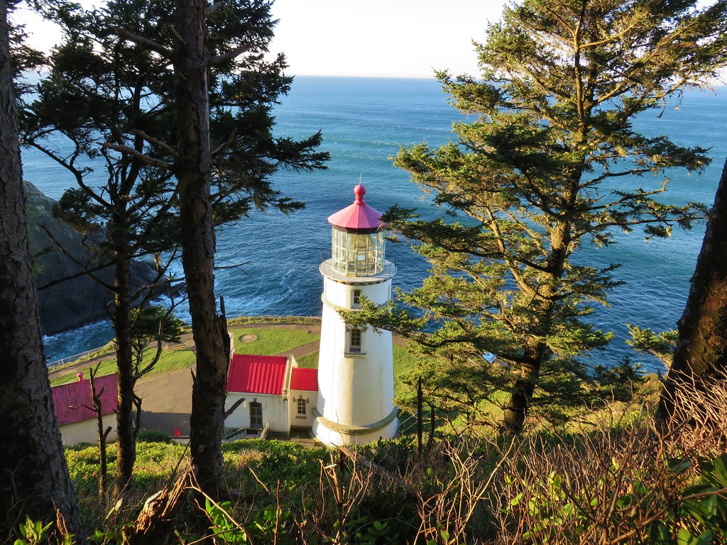
After reaching a saddle on the head, the trail descended to the south in a series of switchbacks before following a ridge and finally arriving above the lighthouse at the Heceta Head Lighthouse State Scenic Viewpoint.
IMG_1483

Seal Lion Point jutted out to the south where the occasional bark of a sea lion drifted our way.
IMG_1487

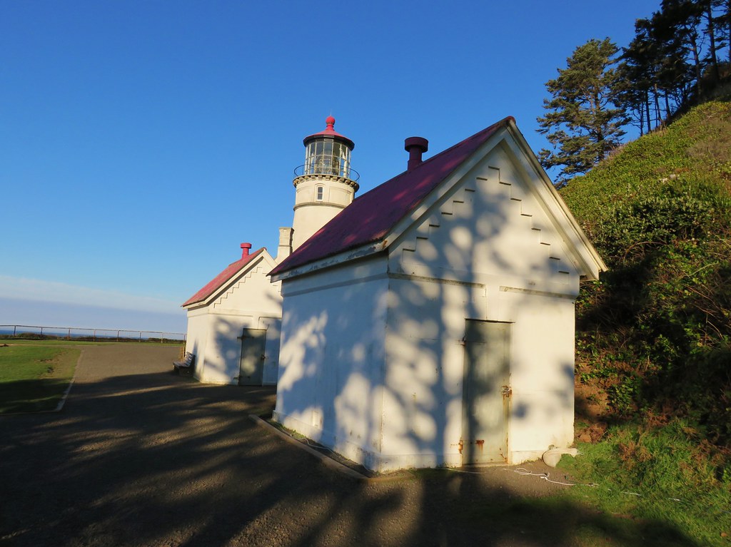
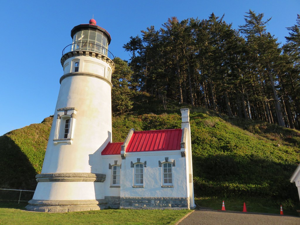
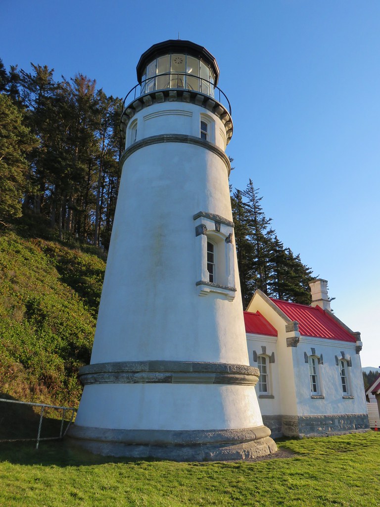
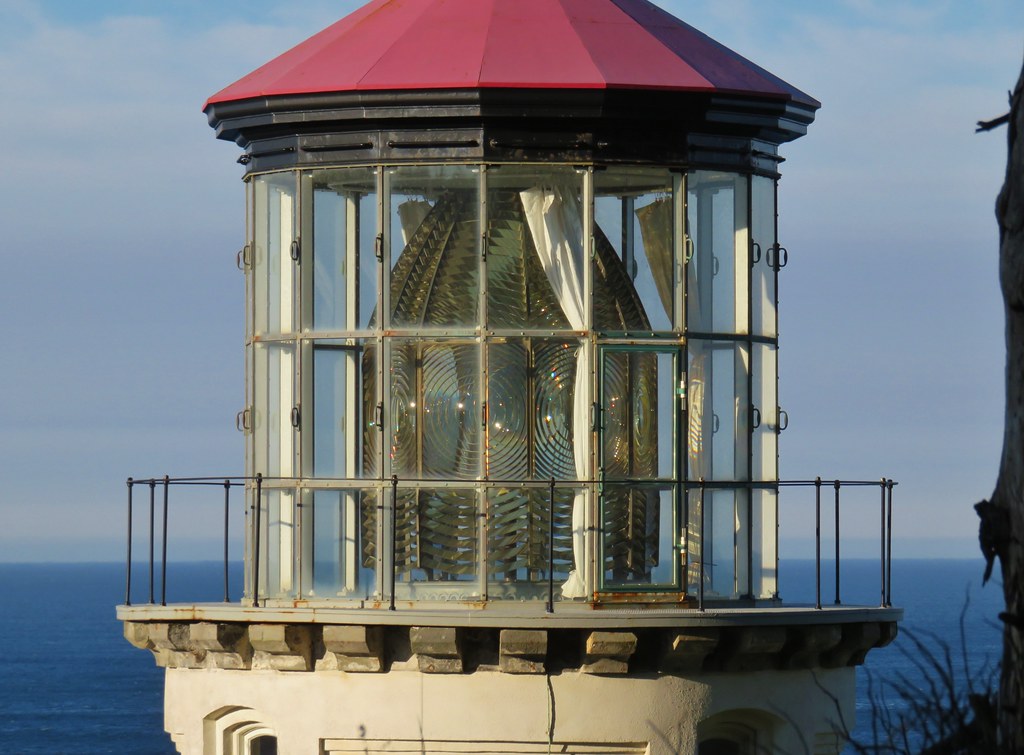
We made our way down to the lighthouse to get a closer look.
IMG_1491

IMG_1496

IMG_1499

IMG_1502

After a short break we returned the way we’d come to the fork and turned toward Hobbit Beach. We arrived at the beach in a little under half a mile.
IMG_1505

IMG_1506

IMG_1507

A quiet 1.2 mile walk along the beach (and across Blowout Creek) brought us back to our car at the day use area.
IMG_1515

IMG_1517

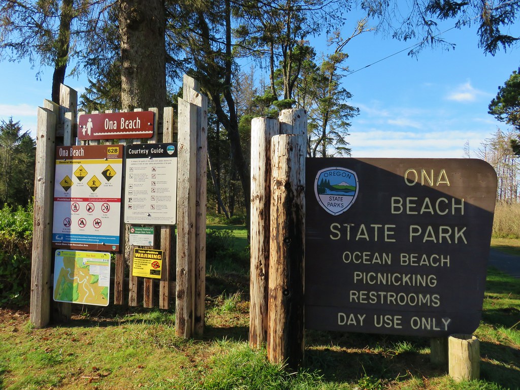
From there we drove north on Highway 101 for 28 miles to Ona Beach State Park, one of two units of Brian Booth State Park.
IMG_1519

For this hike we planned on hiking along Ona Beach to Seal Rock and back. We passed through a large picnic area avoiding some flooded trails and arriving at a footbridge over Beaver Creek.
IMG_1521

IMG_1624

After crossing the creek we turned south along Ona Beach.
IMG_1526

Portions of the beach can be impassible at high tide but we had arrived an hour and a half below low tide. Exposed rocks made the first stretch of beach very interesting.
IMG_1537

IMG_1538

IMG_1541

IMG_1545

IMG_1543

IMG_1547

The rock along the beach eventually petered out but a number of ocean rocks just offshore held our interest.
IMG_1555

IMG_1560

IMG_1566

IMG_1576

Further to the south lay the Seal Rock Recreation Site.
IMG_1582

Approximately 1.75 miles from the footbridge we turned inland along a small creek on an unmarked but obvious trail. We followed this path up to Highway 101 where a short road walk brought us to the entrance of the park.
IMG_1587

IMG_1588

We followed a paved path out to a viewpoint where much of the area was roped off for erosion control.
IMG_1597

IMG_1598

IMG_1599

IMG_1596

After admiring the views we returned the way we’d come and headed for our final stop at the Beaver Creek Natural Area, the second unit of Brian Booth State Park. To reach the winter trailhead for the Beaver Creek Loop from Ona Beach State Park we crossed Highway 101 onto N. Beaver Creek Road. After a mile we turned right onto S. Beaver Creek Road for another 1.1 miles and parked on the shoulder across from a gate.
IMG_1628

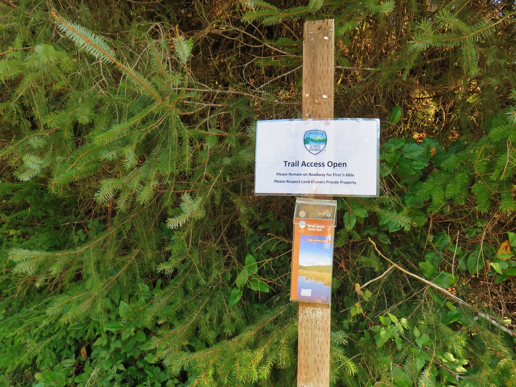
We picked up a trail map and set off on the gated service road.
IMG_1625

IMG_1632

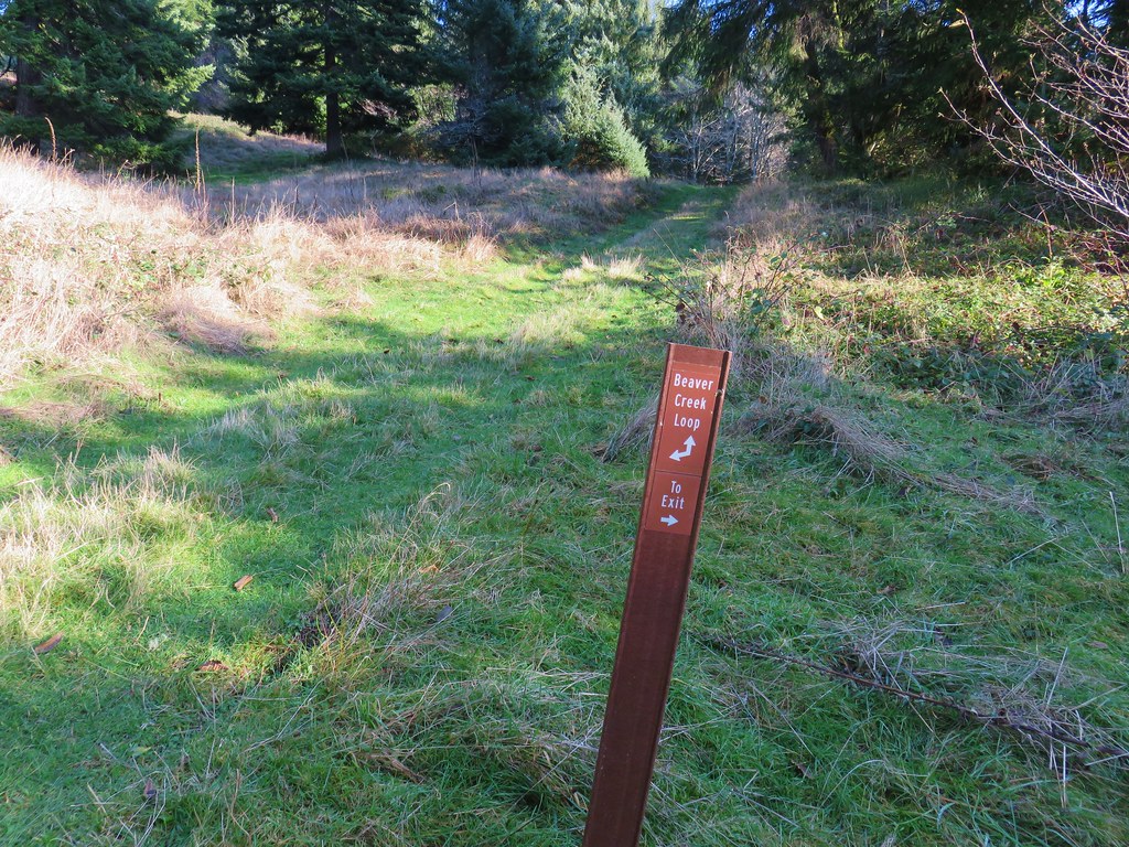
After .4 miles we turned uphill on a mowed path following posts for the Beaver Creek Loop.
IMG_1635

IMG_1638

Being the coast we’d seen a few flowers still blooming despite it being mid-December and even eaten a few huckleberries along the China Creek Loop earlier in the day. Here we found a few blackberry? blossoms.
IMG_1639

After climbing for .3 miles we arrived at a saddle where we could have turned right on the Elk Meadow Trail for a half mile loop.
IMG_1643

IMG_1642

We already had enough mileage planned for the day so we saved that for another time and continued on the Beaver Creek Loop. After passing another trail to Snaggy Point we began to descend toward the marshes surrounding Beaver Creek.
IMG_1646

IMG_1647

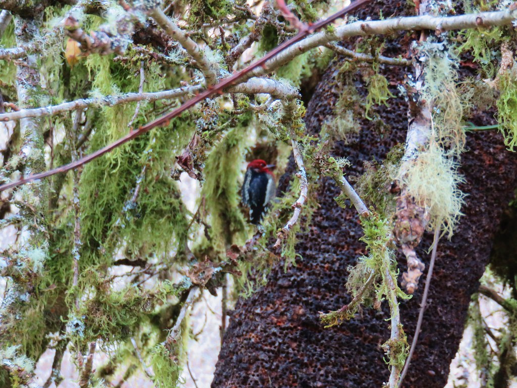
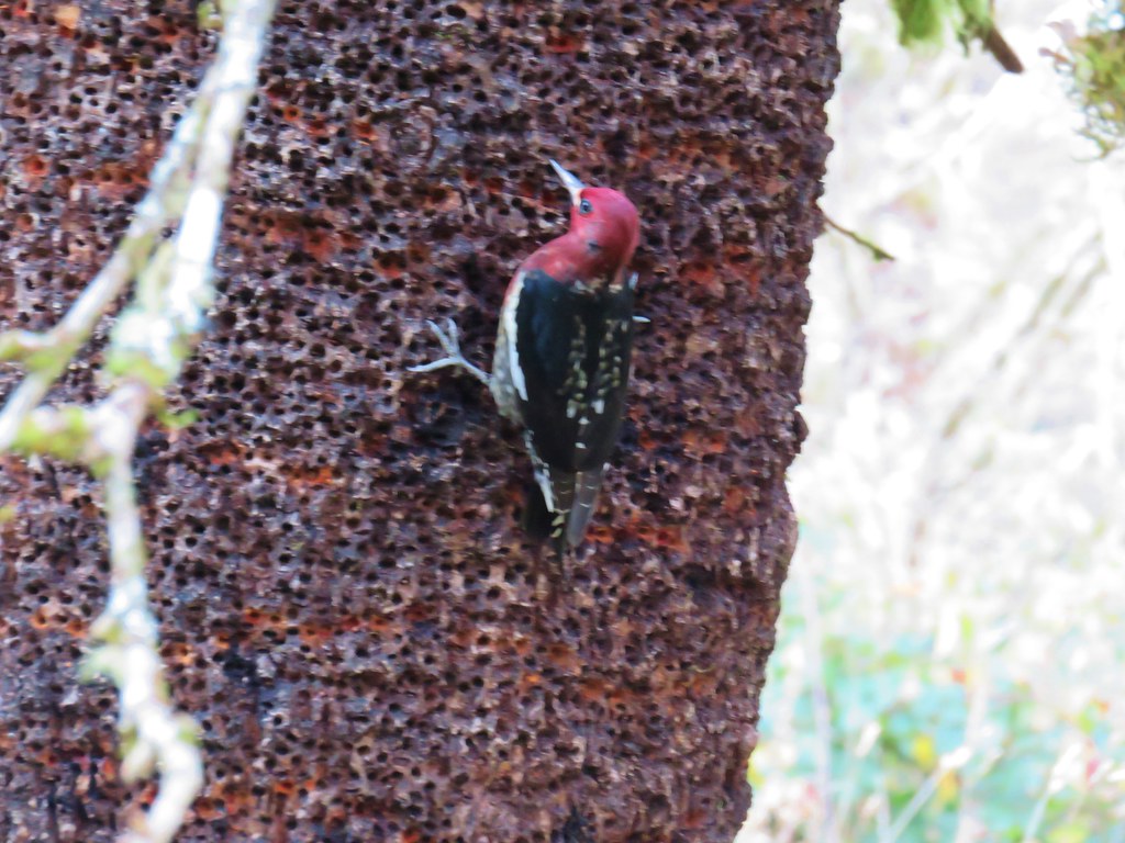
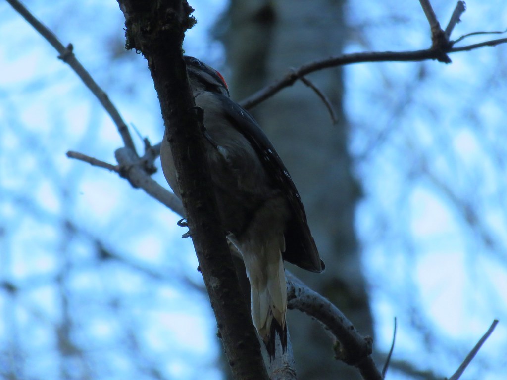
We stopped to watch a couple of woodpeckers circle a tree. They didn’t seem too bothered by us but they wouldn’t hold still long enough for a decent photo.
IMG_1648

IMG_1649

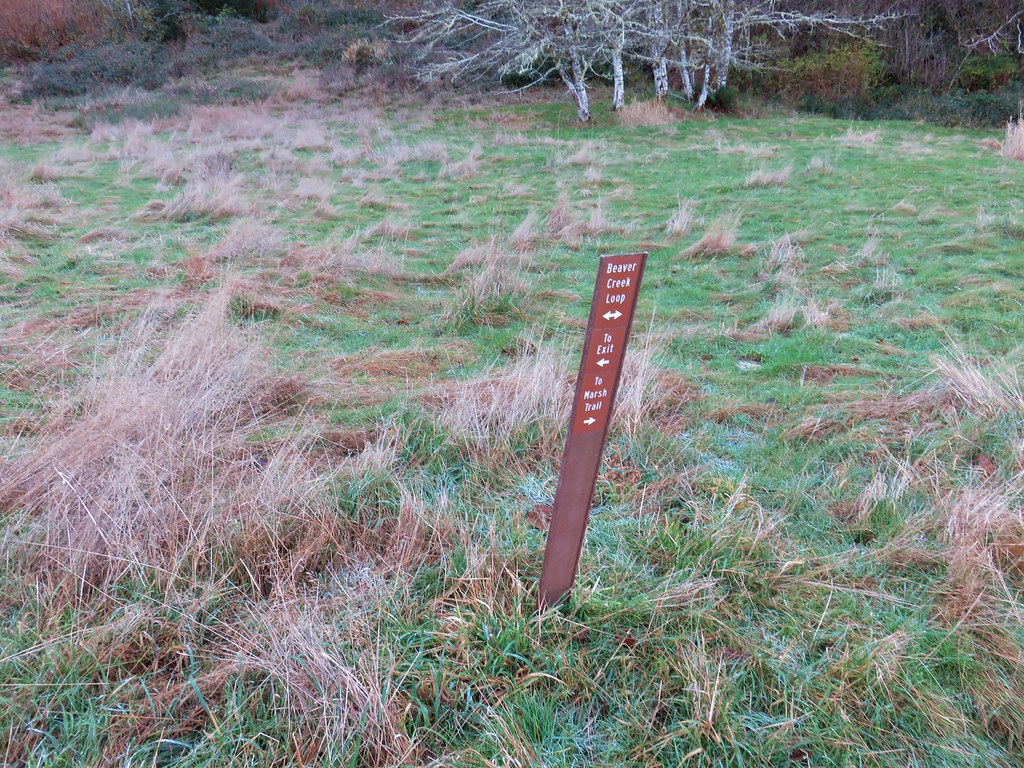
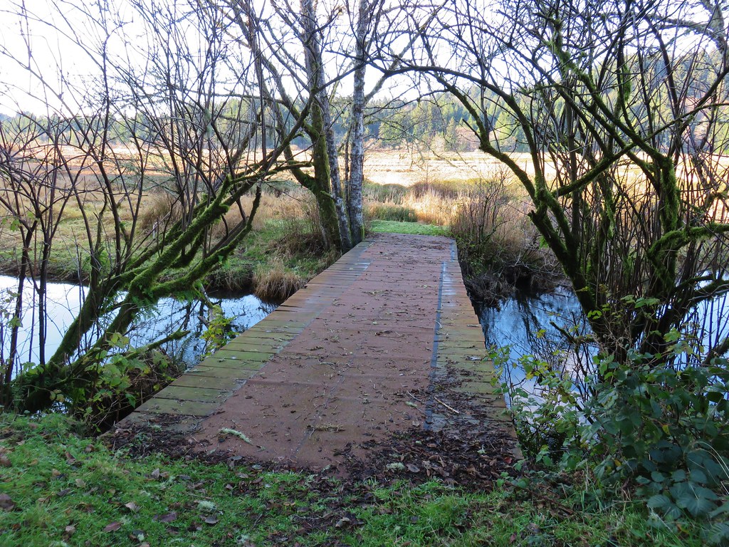
We briefly followed a pointer for the Marsh Trail which brought us to a footbridge over Beaver Creek. For about two months during Summer the marsh is apparently dry enough to cross without too much trouble.
IMG_1652

IMG_1655

IMG_1656

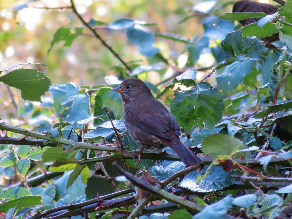
We heard some ducks and startled a great blue heron (a couple of times) as we continued along the loop. We also spotted a hawk, more woodpeckers, and some small birds before arriving at a pole barn at the end of the service road we’d started on that seemed to be undergoing some construction.
IMG_1660Hawk flying off

IMG_1669

IMG_1671

IMG_1678

From the barn it was only .2 miles back to the start of the loop. The hike here came in at an even three miles. Ona Beach to Seal Rock had been 4.6 miles round trip and our hike to Heceta Head was 6.6 miles giving us a total of 14.2 miles for the day. Each of the hikes would be worthy destinations on their own and there were several more trails to explore in the Beaver Creek Natural Area making a return visit tempting someday.

With our 2017 hikes completed it’s time to get to work on 2018. Happy Trails!
Flickr: Heceta Head and Brian Booth State Park

Categories
Central Coast Hiking Oregon Oregon Coast Trip report

Cummins Ridge Trail – Cummins Creek Wilderness

On Veterans day we celebrated our 22nd wedding anniversary by visiting our 34th Oregon wilderness area – the Cummins Creek Wilderness. The 9,173 acre wilderness is located along the Oregon Coast between Florence and Waldport. The Cummins Creek Wilderness is home to the only old-growth Sitka Spruce forest in the state. For our visit we chose the only designated trail in the wilderness, the Cummins Ridge Trail.

There are trailheads at either end of the nearly 6 mile long Cummins Ridge Trail which opens up the option of a car shuttle if one only wanted to hike the trail one way. For a shuttle hike starting at the upper (east) trailhead located along Forest Road 5694 would make the most sense as the majority of the hike would be downhill. Our plan was to do an out and back so we started from the lower (west) trailhead located approximately 2.5 miles from Highway 101 on Forest Road 1051.
Lower Cummins Ridge Trailhead

The trail almost immediately enters the wilderness area.
Informational sign board at the lower trailhead

Cummins Creek Wilderness sign

It was raining steadily as we set off which we hadn’t really expected based on the forecast but as the day progressed the rain lessened and eventually quit. The lower portion of the trial followed an old road bed which at times was obvious but at others the vegetation had nearly hidden it.
Cummins Ridge Trail

Cummins Ridge Trail

Cummins Ridge Trail

Cummins Ridge Trail

Cummins Ridge Trail

Cummins Ridge Trail

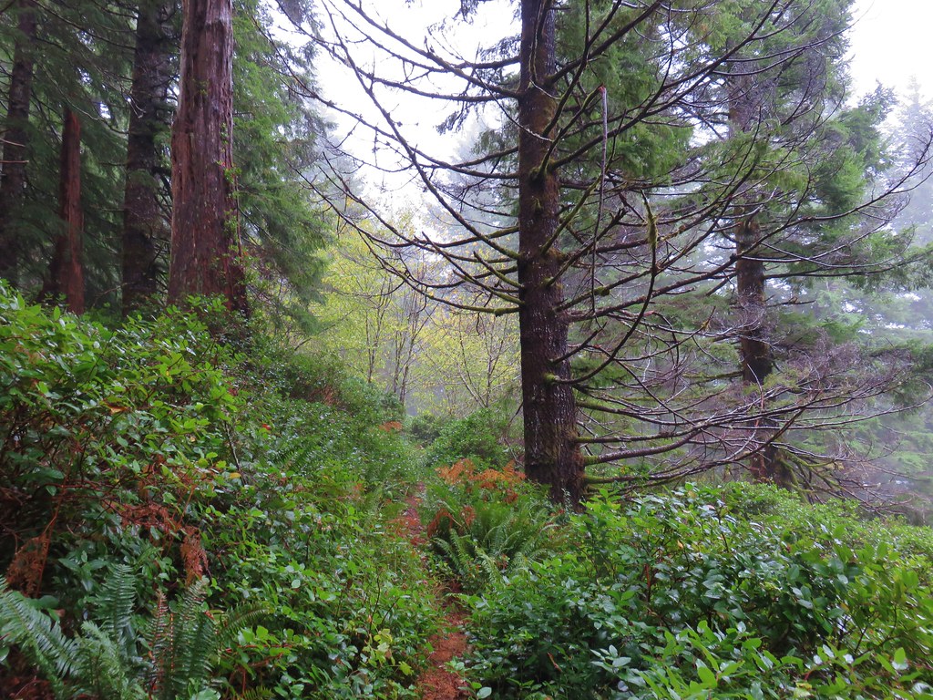
After about 3 miles on the old road bed the trail forked to the right leaving the road and leading us into a foggy forest.
Cummins Ridge Trail

The trail was in good shape with just a couple of short overgrown sections and never very steep as it followed the ridge up and down to the upper trailhead.
Cummins Ridge Trail

Cummins Ridge Trail

Cummins Ridge Trail

Cummins Ridge Trail

Cummins Ridge Trail

Cummins Ridge Trail

Cummins Ridge Trail

Upper Cummins Ridge Trailhead

We returned the way we’d come for an 11.9 mile hike with approximately 1200′ of elevation gain. The forest along the ridge limit any real views that might otherwise be available from the trail.
View from the Cummins Ridge Trail

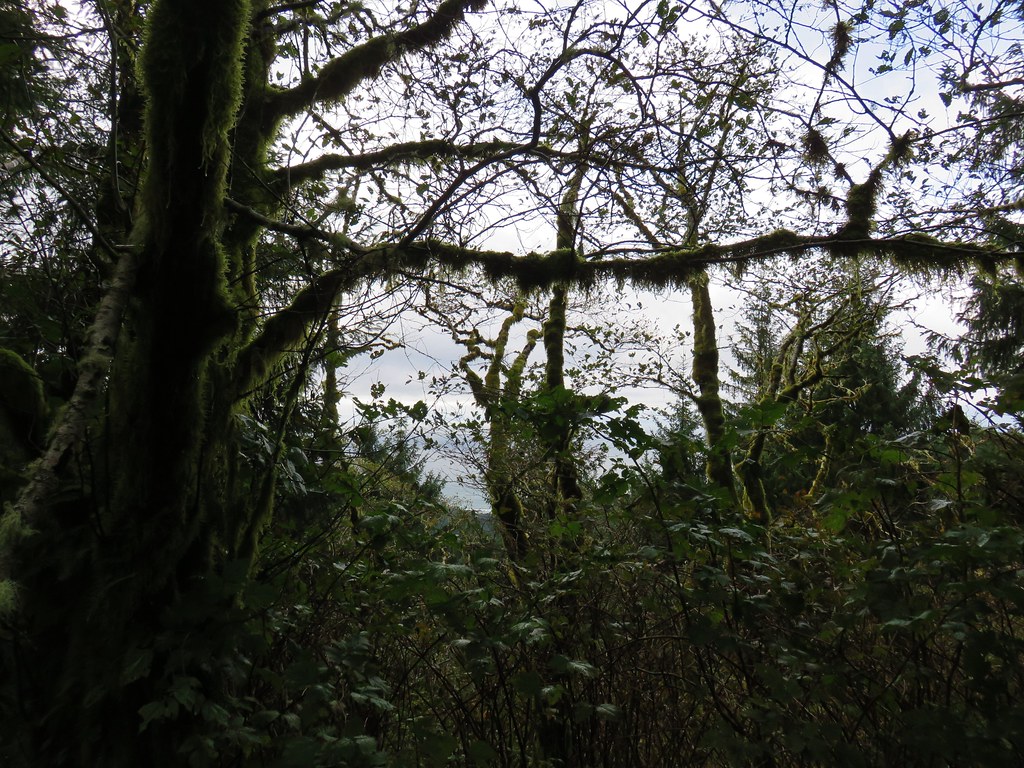
We did manage a couple of brief glimpses of the Pacific Ocean through the trees.
Pacific Ocean from the Cummins Ridge Trail

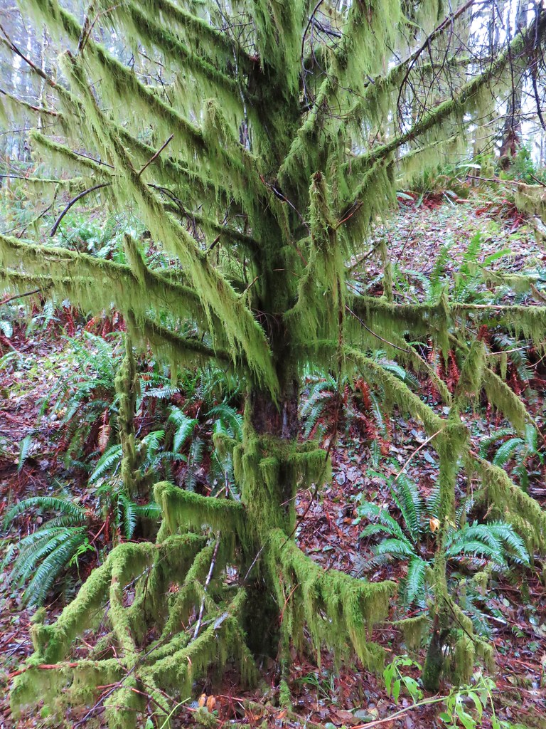
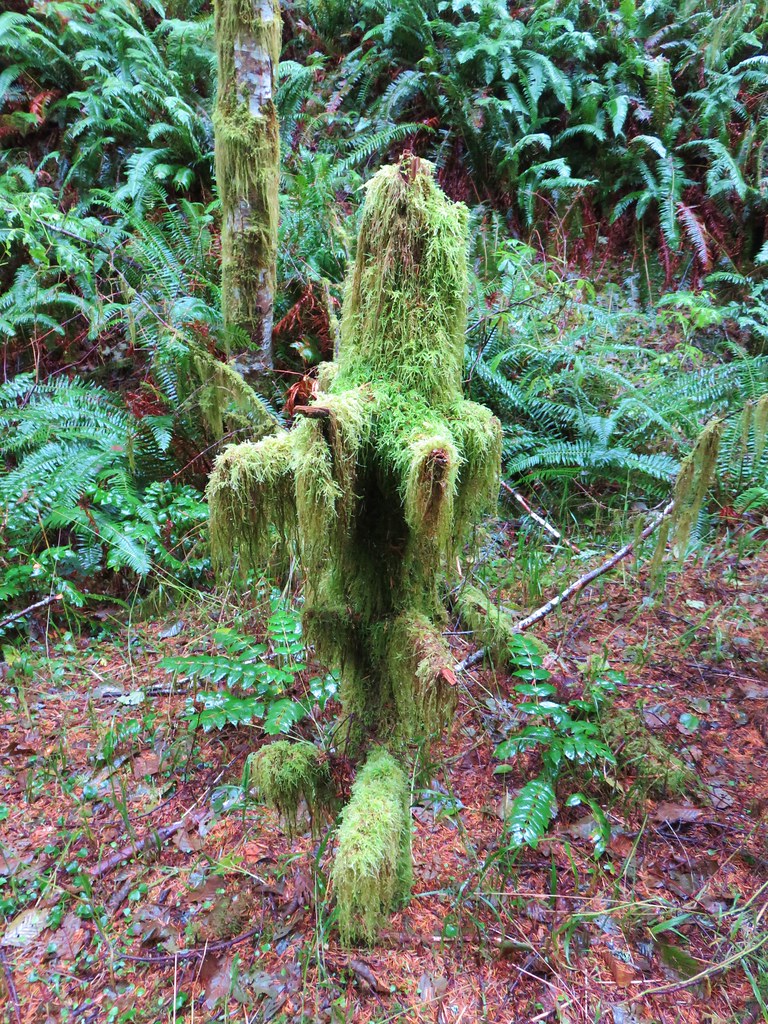
With no viewpoints and no water features along the trail it is strictly a hike for those who are looking for a nice forest stroll. Not all hikes need to lead to an amazing view or some Instagram destination to be enjoyable. We enjoyed the moss covered trees, various mushrooms, and some bird sightings on our visit.
Mossy tree

Fuzzy little tree

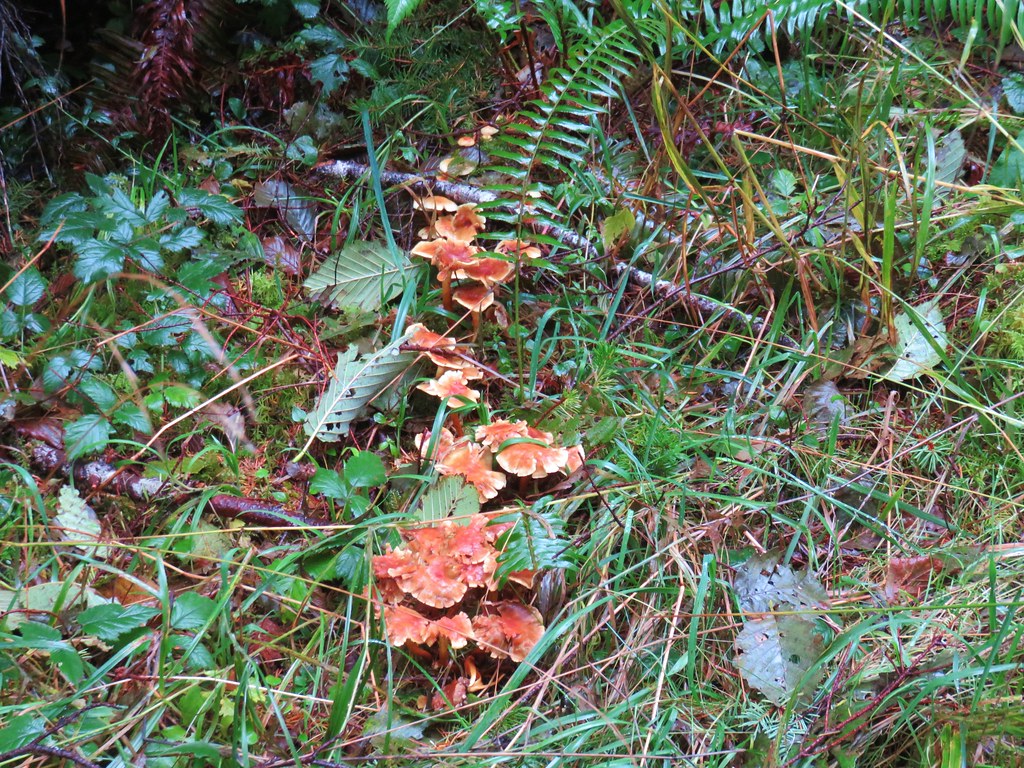
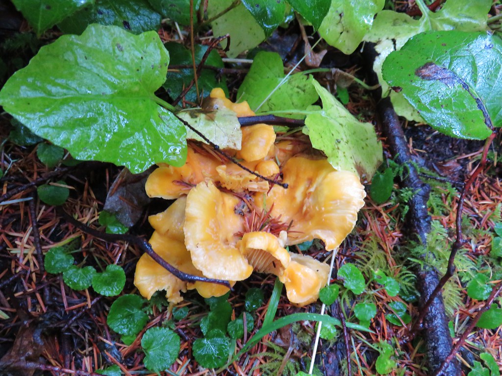
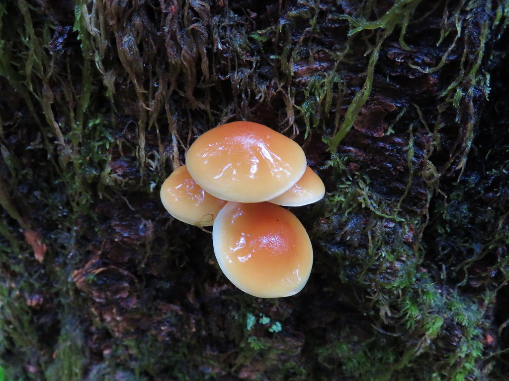
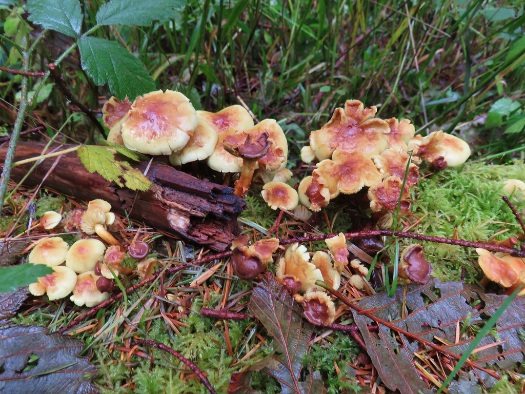
Mushrooms along the Cummins Ridge Trail

Mushrooms

Mushrooms

Mushrooms

Mushrooms

Varied Thrush

This was a great cloudy/rainy day hike and leaves us with just 11 of the 45 visit-able Oregon Wilderness areas left to go. Happy Trails!
Flickr: Cummins Ridge Trail

Categories
Hiking Northern Coast Oregon Oregon Coast Trip report

Seaside

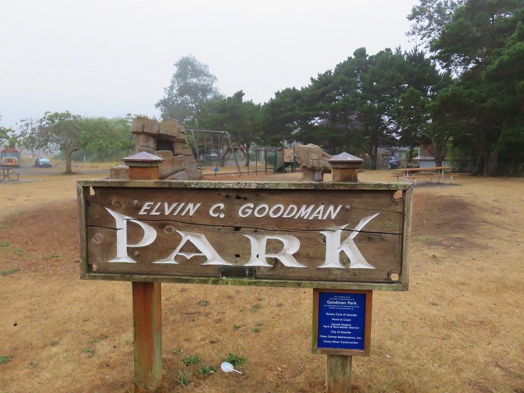
Before leaving the coast we took one final hike on Tuesday morning. We stopped in Seaside parking at Elvin C. Goodman Park which is located on 12th just west of the Necanicum River.

IMG_8786

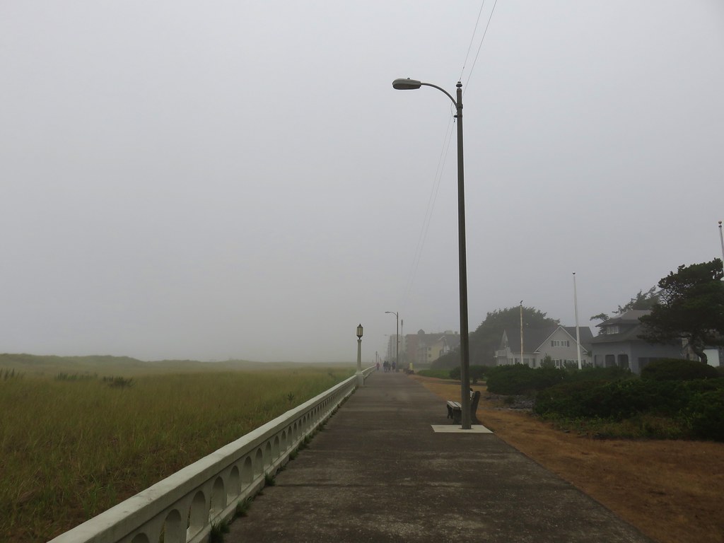
We walked west on 12th St. passing the Seaside Promenade and headed out onto the beach.

IMG_8788

It was a foggy morning and visibility was low so it took us a while to even spot the ocean as we angled to the right toward the mouth of the Necanicum River.

IMG_8792

After about a half mile on the beach we arrived at the river where we turned right and followed the bank inland.

IMG_8801

IMG_8802

We climbed a low bluff near a sewage plant and followed a clear path to the left around the facility.

IMG_8805

IMG_8811

IMG_8814

We turned inland at 15th St. then took a left on N. Franklin St. When we came to 12th we detoured back to the park to change our shoes which were damp from the grasses along the river. With dry shoes on we went back to Franklin, turning left, and continued south to Broadway St. jogging right at 9th and 5th streets. The final block or so of Franklin is closed to cars.

IMG_8818

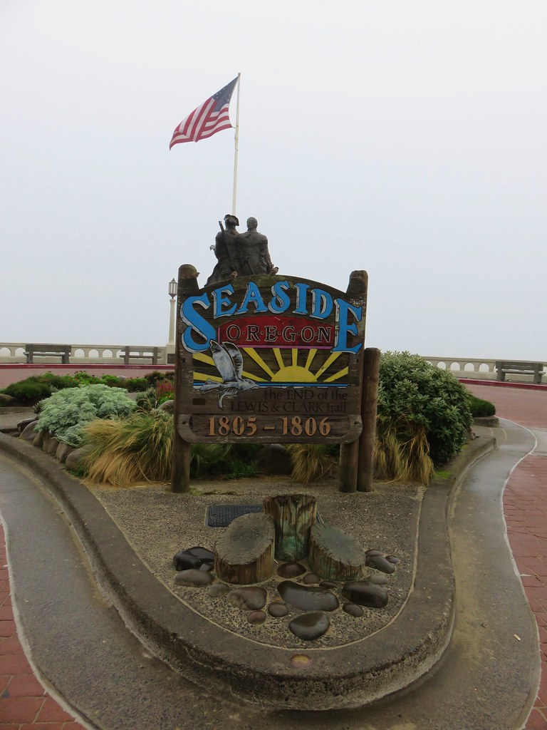
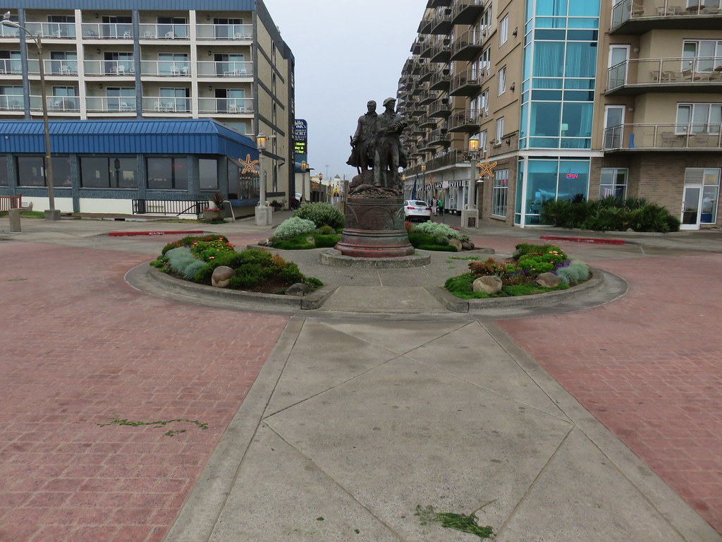
We turned west onto Broadway and followed it to its end at a turnaround with a statue of Lewis and Clark.

IMG_8821

IMG_8839

We had actually walked this stretch on Broadway early on Saturday when we’d come into Seaside for dinner. There was a car show going on at the time and muscle cars and old hot rods had been cruising the street around the statue then.

From the turnaround we headed south on the Seaside Promenade.

IMG_8823

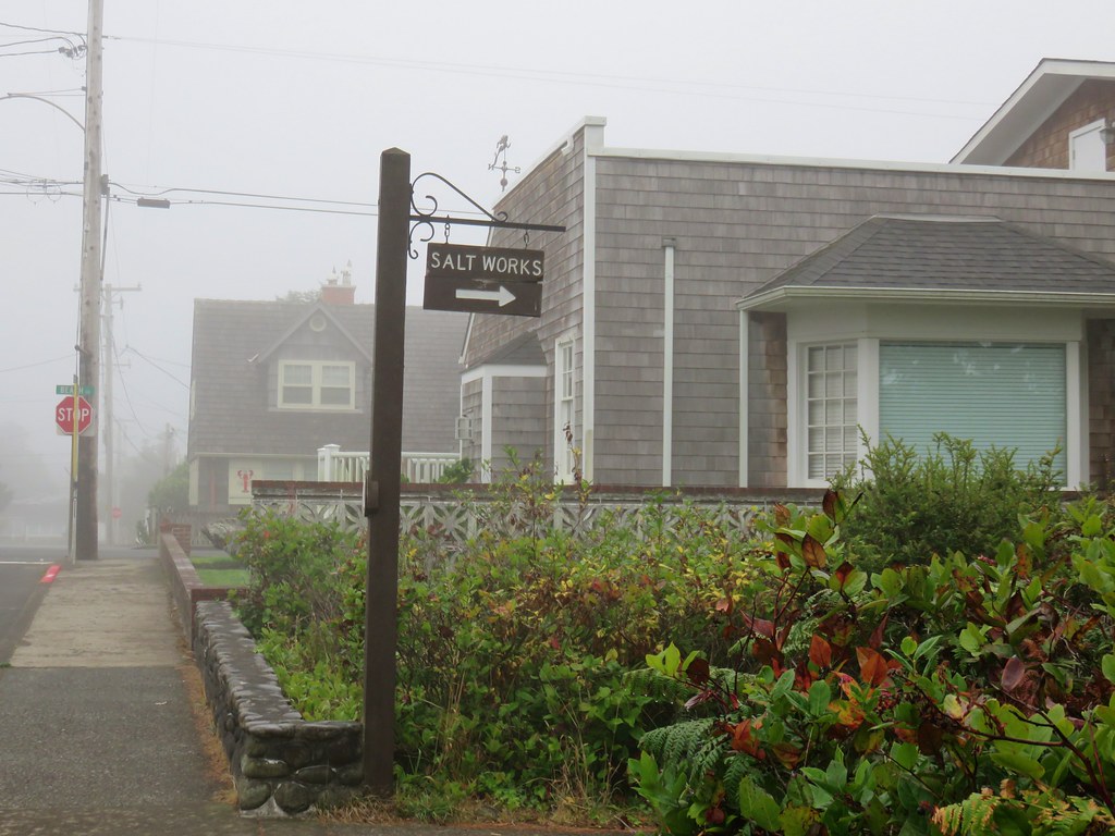
The paved promenade extends 1.5 miles from 12th Street to Avenue U. We passed hotels, vacation rentals and at the .6 mile mark a sign for the “Salt Works”.
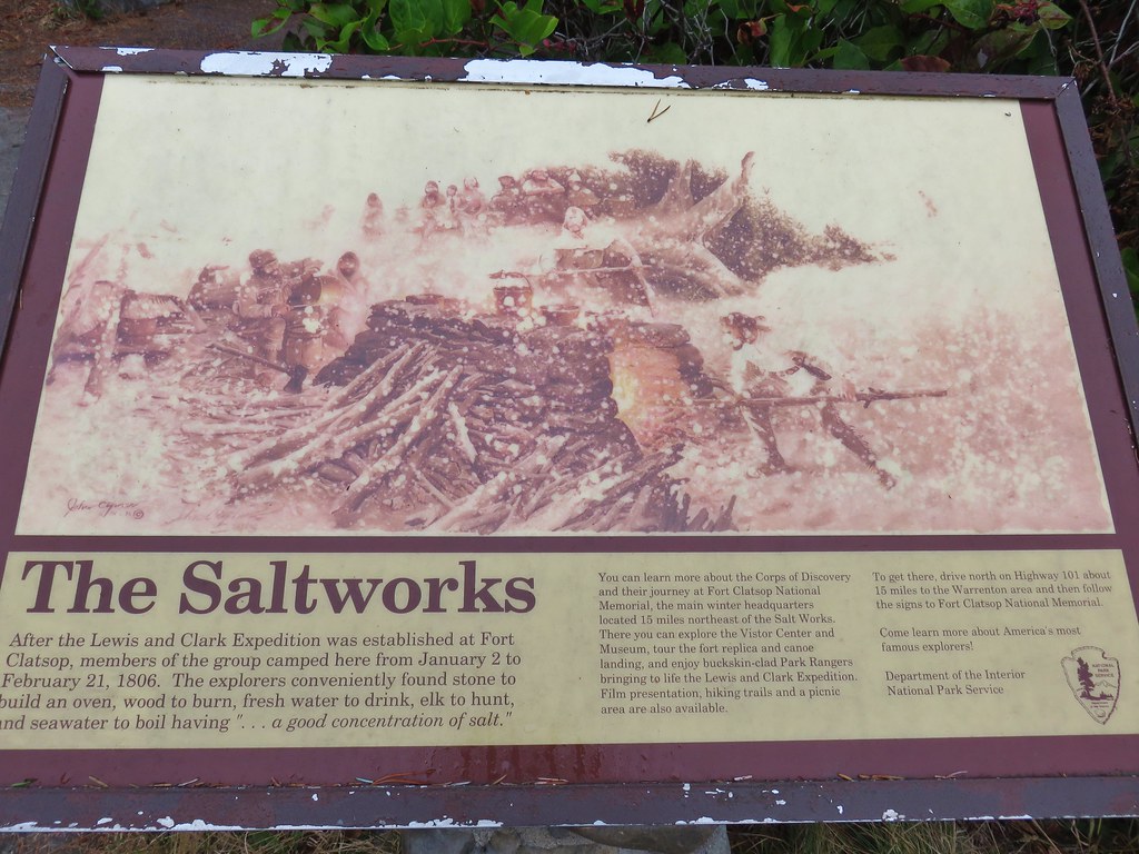
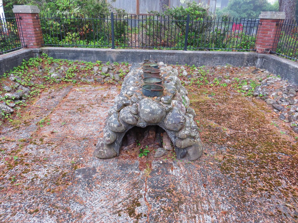
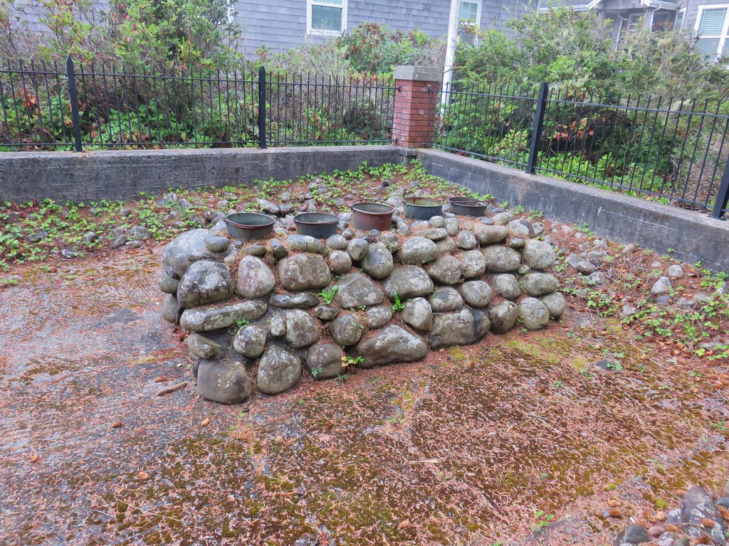
We turned inland on Lewis and Clark Way following the Salt Works signs to a replica of the stone oven used to boil salt water for the Lewis and Clark expedition.

IMG_8824

IMG_8825

IMG_8826

IMG_8828

After reading all the interpretive signs we returned to the promenade and continued south to its end at Avenue U.

IMG_8833

We turned around and headed north. The promenade was fairly busy with dog walkers, joggers, and a few bicyclists all making use of the paved path.

IMG_8835

The fog was stubborn this morning and really limited any views toward the ocean.

IMG_8831

IMG_8836

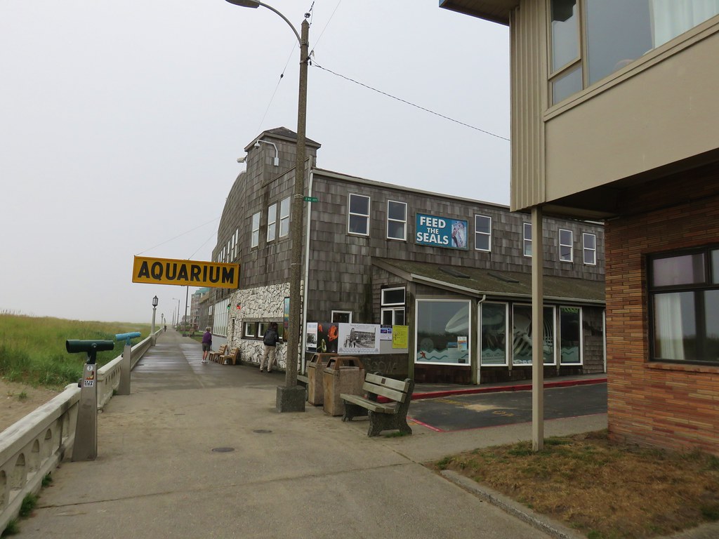
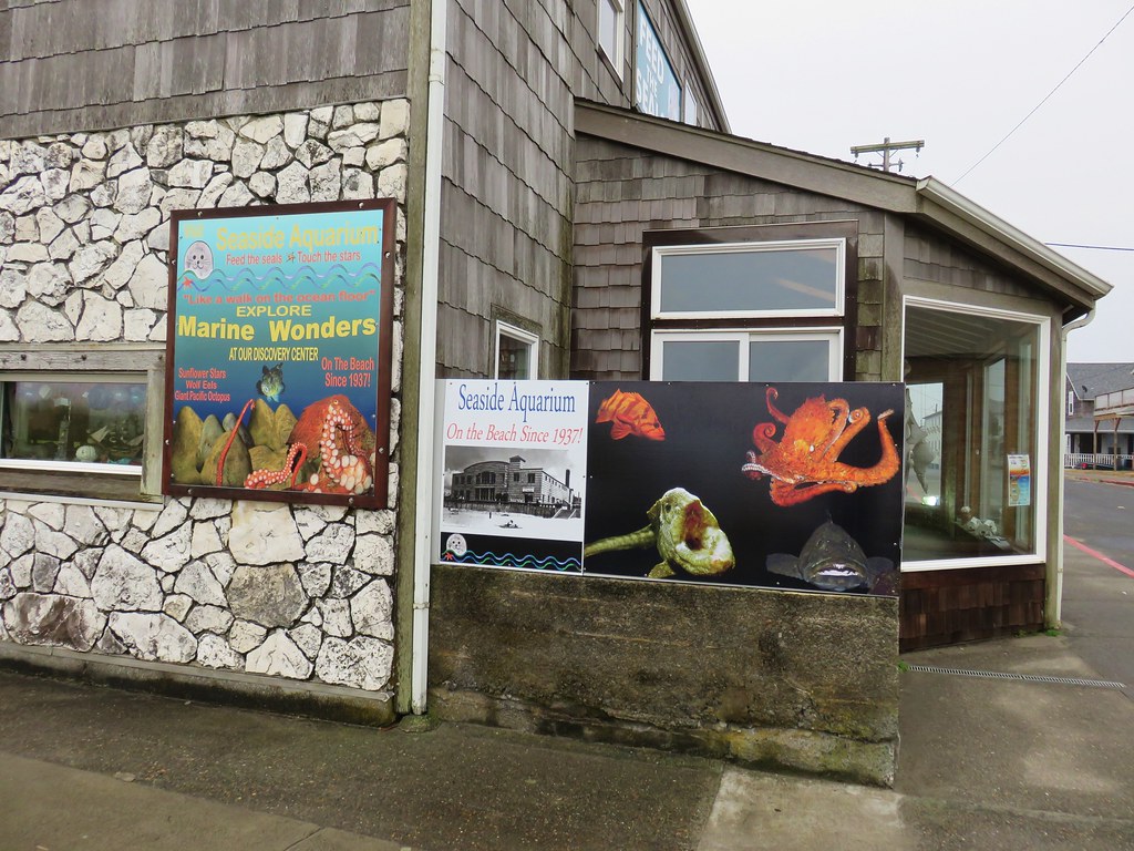
We passed Broadway Street and continued north toward 12th St. passing the Seaside Aquarium along the way.

IMG_8841

IMG_8843

We turned up 12th St. and returned to our car. Our distance for the morning was 5.7 miles which was perfect for a short hike before driving home. As we crossed the coast range we popped out of the clouds into bluer skies. Smoke on the horizon from the many wildfires reminded us of why we’d chosen the coast as our alternate vacation spot. It had been a good choice, nice hikes with plenty of wildlife and a lot of history thrown in. Happy Trails!
Flickr: Seaside

Categories
Hiking Northern Coast Oregon Oregon Coast Trip report

Cannon Beach

For our second day while staying in Gearhart we picked Cannon Beach as our hike. Located just 10 miles south of Gearhart on the other side of Tillamook Head we planned on starting at the city information center on 2nd St. and hiking south along the beach to a waterfall at Hug Point. The round trip would be just under 10.5 miles and allow us to be back to our hotel before the Seahawks played their first regular season game. (We might have been better off hiking based on the way their offense wound up playing.)

The clouds from the previous day were still breaking up as we left our room creating a nice sunrise over Saddle Mountain.

IMG_8216

We drove south on Highway 101 to Cannon Beach, parked, and walked three blocks to the beach.

IMG_8218

The morning coastal fog was rolling in somewhat obscuring the view of Tillamook Head to the north.

IMG_8225

IMG_8226

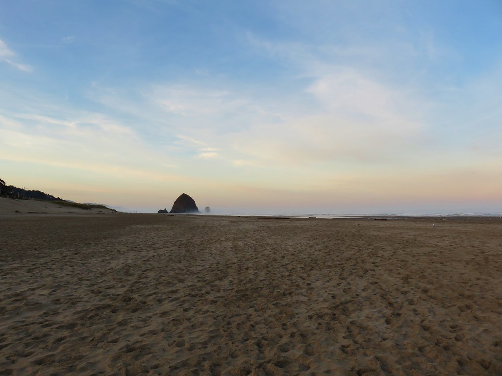
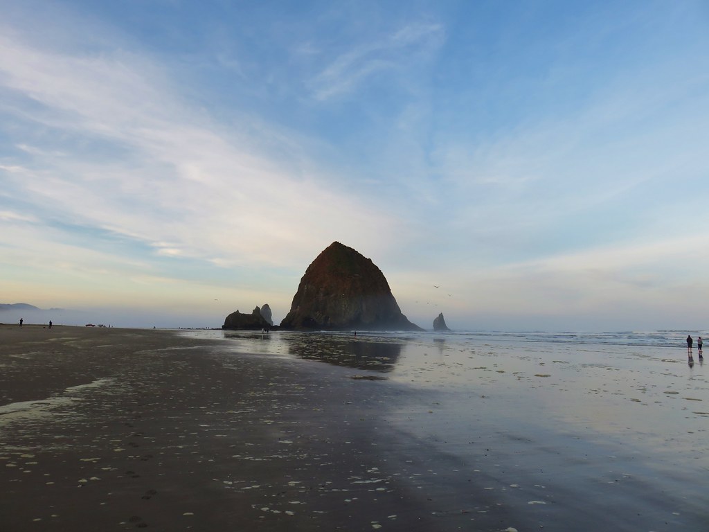
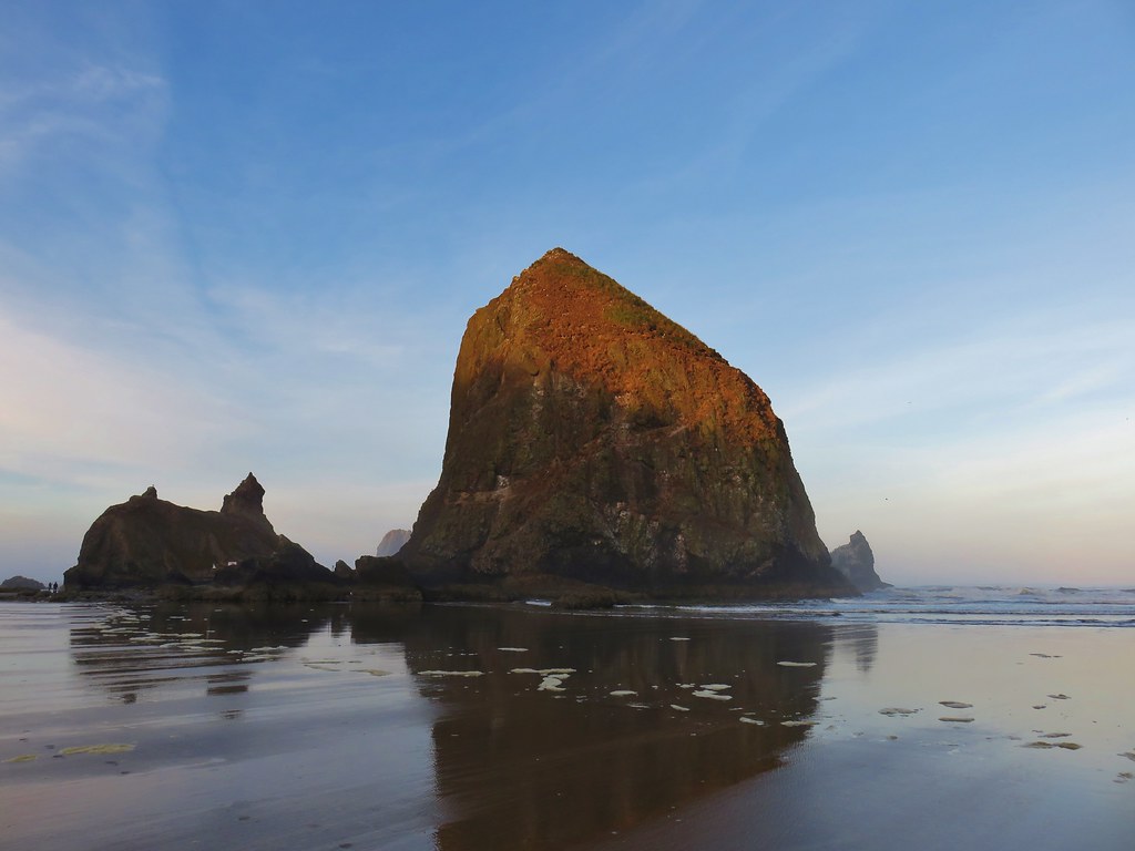
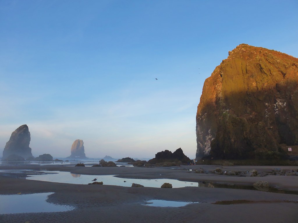
To the south Haystack Rock fared a little better although some of the smaller rocks around it were in the fog.

IMG_8222

We turned south on the beach heading for Haystack Rock which was about a mile away. The rock began catching some early morning sunlight as we passed.

IMG_8228

IMG_8233

IMG_8239

IMG_8247

We continued on passing the Tolovana Beach Wayside on the way to Silver Point two miles beyond Haystack Rock.

IMG_8262

It was fairly foggy at Silver Point where we found several large rocks just offshore, including the aptly named Jockey Cap.

IMG_8272

IMG_8274

IMG_8282Jockey Cap

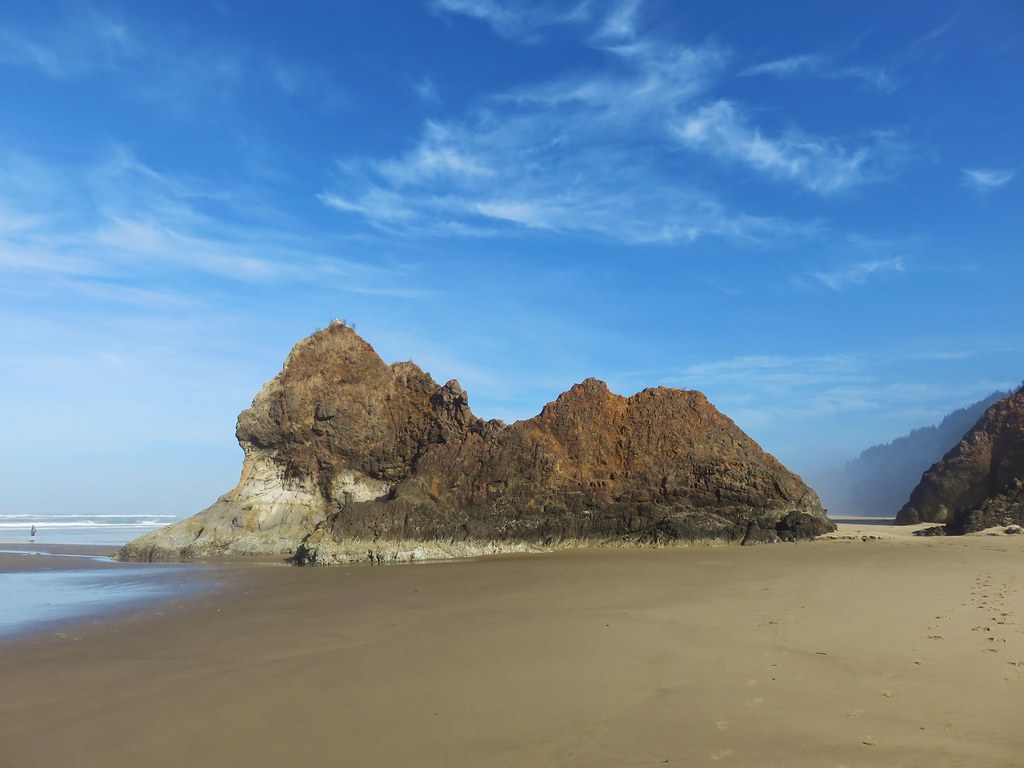
A little over a half mile after passing Silver Point we arrived at Humbug Point where we passed another well named rock, Lion Rock.

IMG_8286

IMG_8289

IMG_8296

It was another mile to Hug Point which was also dealing with the morning fog.

IMG_8299

Hug Point was part of a wagon route where settlers had to wait for low tide to be able to pass by. A roadbed was blasted in the headland around 1920 which was still obvious as we approached.

IMG_8300

The other reason we had chosen this hike for the day is that low tide was around 9:20am which we figured was a little later than when we would be arriving. It was a little after 8:30 when we did reach the point and we could have easily stayed dry by crossing over on the roadbed but when we approached it we noticed a lot of marine life on the rocks.

IMG_8301

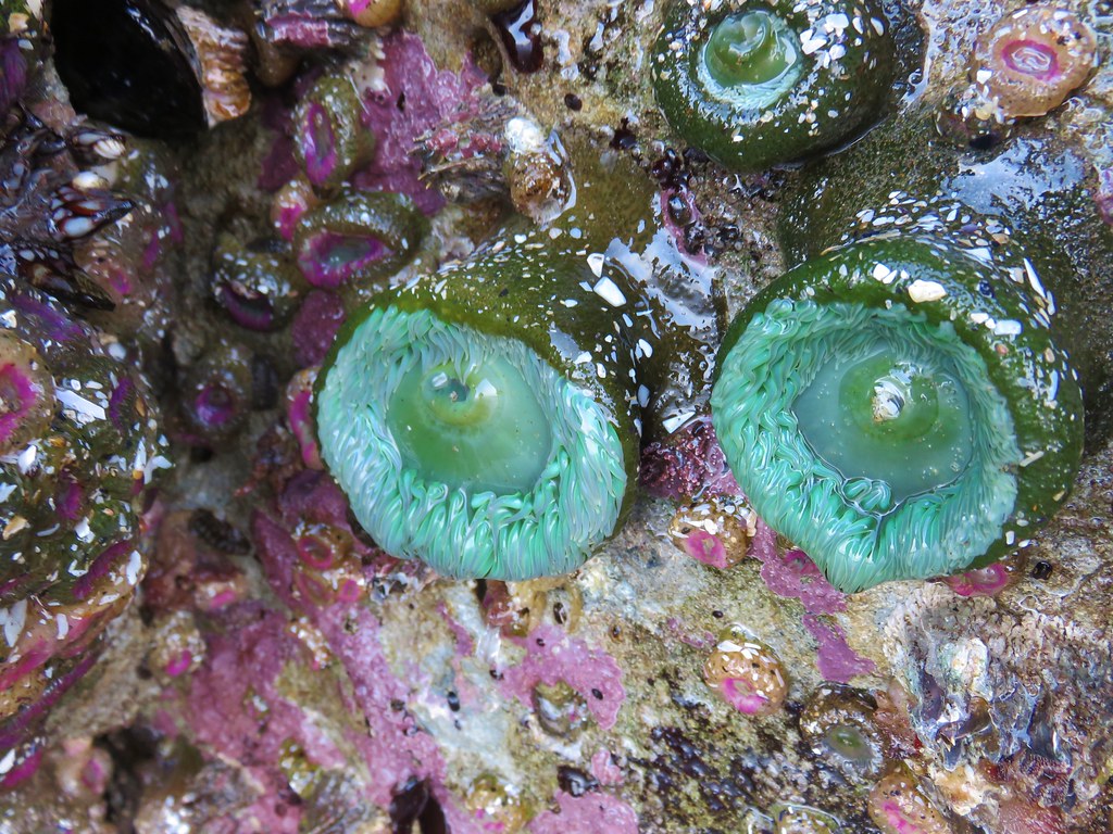
Instead of trying to avoid them we decided to take off our shoes and socks and wade around Hug Point. The water was about calf deep at its deepest so getting through was easy enough. One the other side we found more anemones and other marine creatures clinging to the rocks.

IMG_8304

IMG_8305

IMG_8308

Seagulls seemed to be treating it as a buffet.

IMG_8310

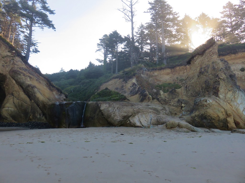
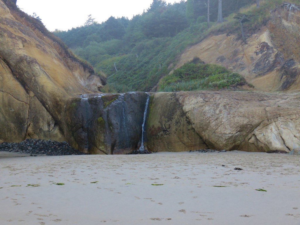
After passing a small cove we spotted the small waterfall on Fall Creek. It wasn’t exactly the best time of year to be visiting the falls but the water was still flowing.

IMG_8311

IMG_8315

IMG_8320

IMG_8322

The falls can be accessed from the Hug Point Wayside which avoids the need to navigate around Hug Point. We’ll likely stop there some other time when the flow over the falls is greater.

We turned around here and headed back. After another wade around Hug Point we pulled out our Therm-A-Rest Z Seats and took a seat while our feet dried.

IMG_8342

The clouds continued to break up as the morning progressed.

IMG_8345

IMG_8356

IMG_8359

IMG_8362

We finished our 10.4 mile hike just before 11am and headed back to the hotel for a relaxing afternoon of football. By the time the sun was setting most of the clouds had disappeared teasing a little more blue sky for our Monday Hikes.

IMG_8365

Happy Trails!
Flickr: Cannon Beach

Categories
Hiking Northern Coast Oregon Oregon Coast Trip report

Astoria and Fort Stevens State Park

We continued our year of shuffling hikes on our latest mini-vacation.  The string of wildfires starting in  Northern California in the Klamath Mountains and continuing along the Cascade Range north to the Canadian Border had us looking for a last minute location for 4 days of hiking. We turned to the coast hoping to escape any possibly smokey conditions and wound up deciding on checking out the northern most part of the Oregon Coast as well as our first foray along the Washington Coast line.

We booked a room in Gearhart, OR and I began putting an itinerary together. We are still plodding along in our attempt to hike all of the featured hikes in Sullivan’s 100 Hikes guidebooks and there were several in the area we’d yet to tackle. I managed to fit eight of his featured hikes into the four days and even threw in an additional stop at Fort Columbia on our third day.

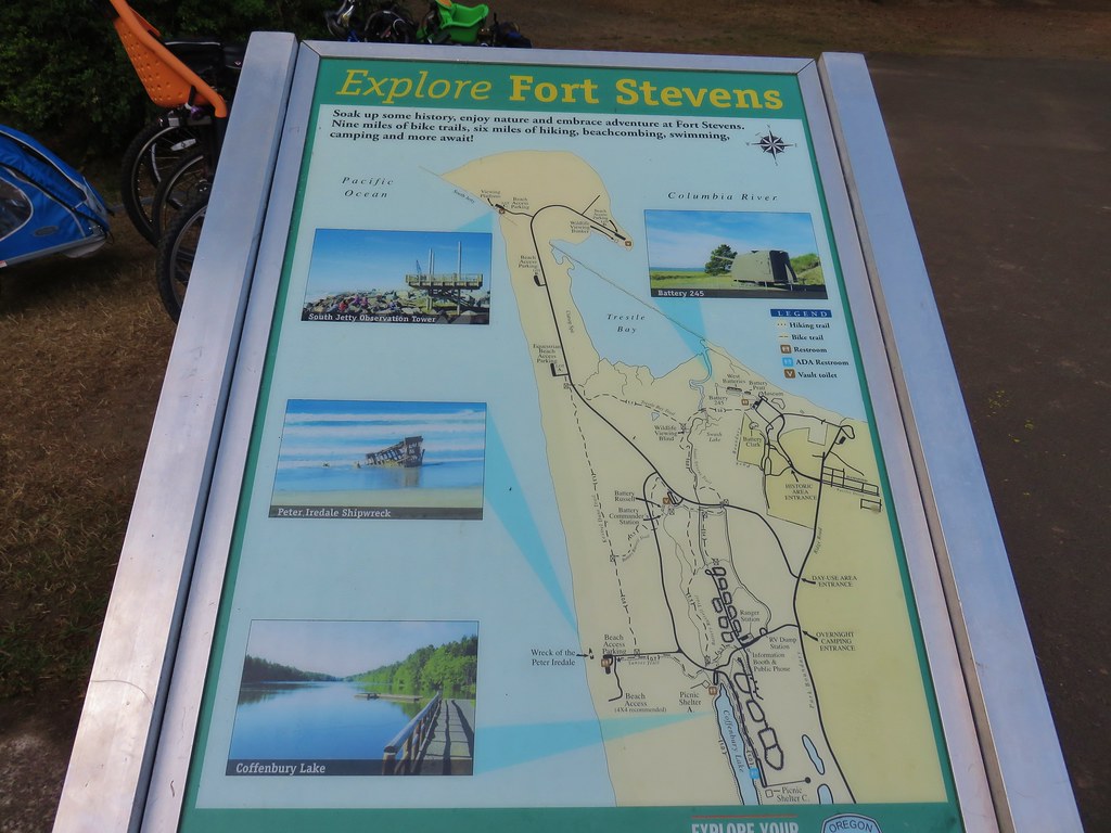
We set our sights on three of the hikes for our first day starting with a relatively short loop around Clatsop Spit. The spit is located inside Fort Stevens State Park at the mouth of the Columbia River and is the northern terminus for the Oregon Coast Trail.

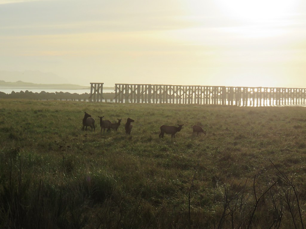
As we were driving to the spit along Jetty Road we spotted some elk and had to stop for a couple of photos.
IMG_8042

IMG_8043

IMG_8041

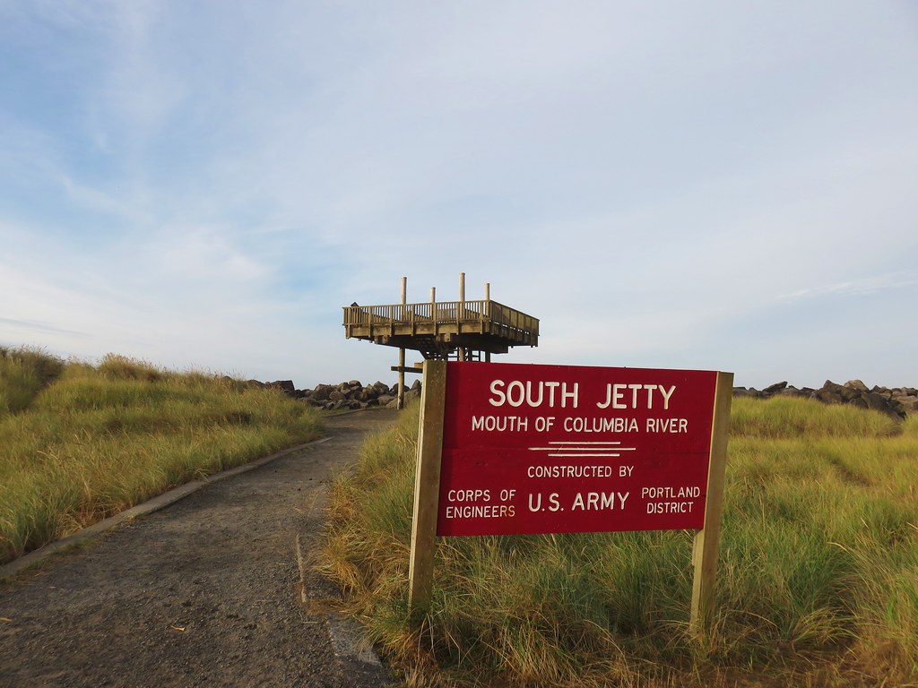
Once we had parked at the large parking area at the spit we checked out the view from the South Jetty observation platform.
IMG_8046

IMG_8048

IMG_8049

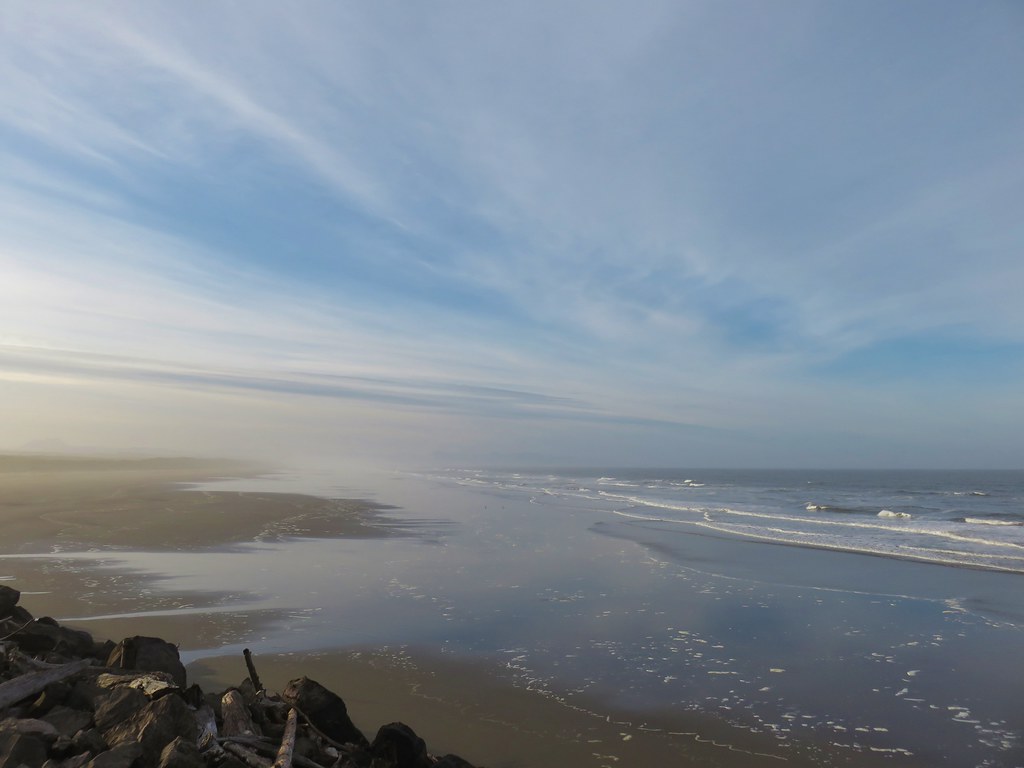
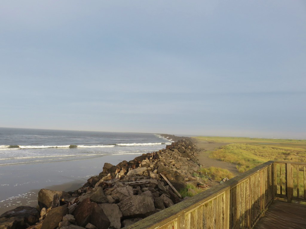
We then headed west beside the jetty toward the Pacific.
IMG_8051

IMG_8054

We then turned north along the beach heading towards the Columbia River where we could see plenty of traffic on the water.
IMG_8061

IMG_8063

IMG_8056

We turned inland at the river we had a view of the distant Megler Bridge.
IMG_8067

We passed a host of people fishing along the shore but didn’t see anyone having any luck.
IMG_8078

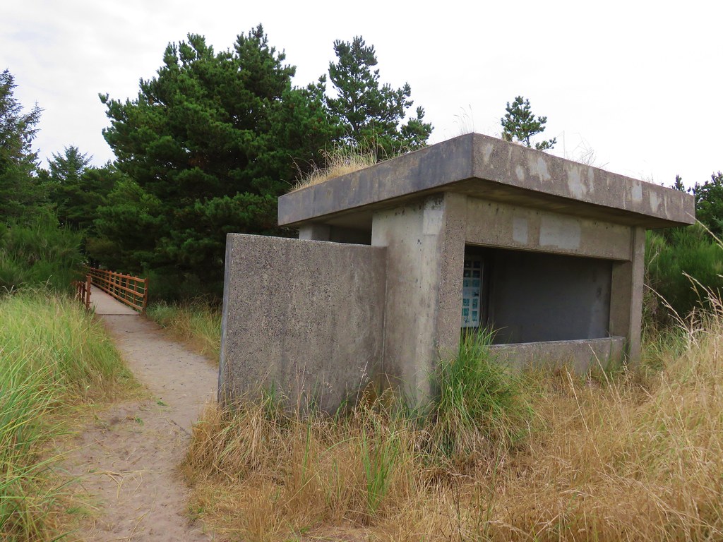
We looped around a peninsula near Jetty Lagoon and located the wildlife viewing bunker near the park’s Parking Lot D.
IMG_8082

IMG_8083

IMG_8084view from the bunker.

We crossed a footbridge to the parking lot and then had a 1.1 mile road walk back to the spit parking lot.
IMG_8086

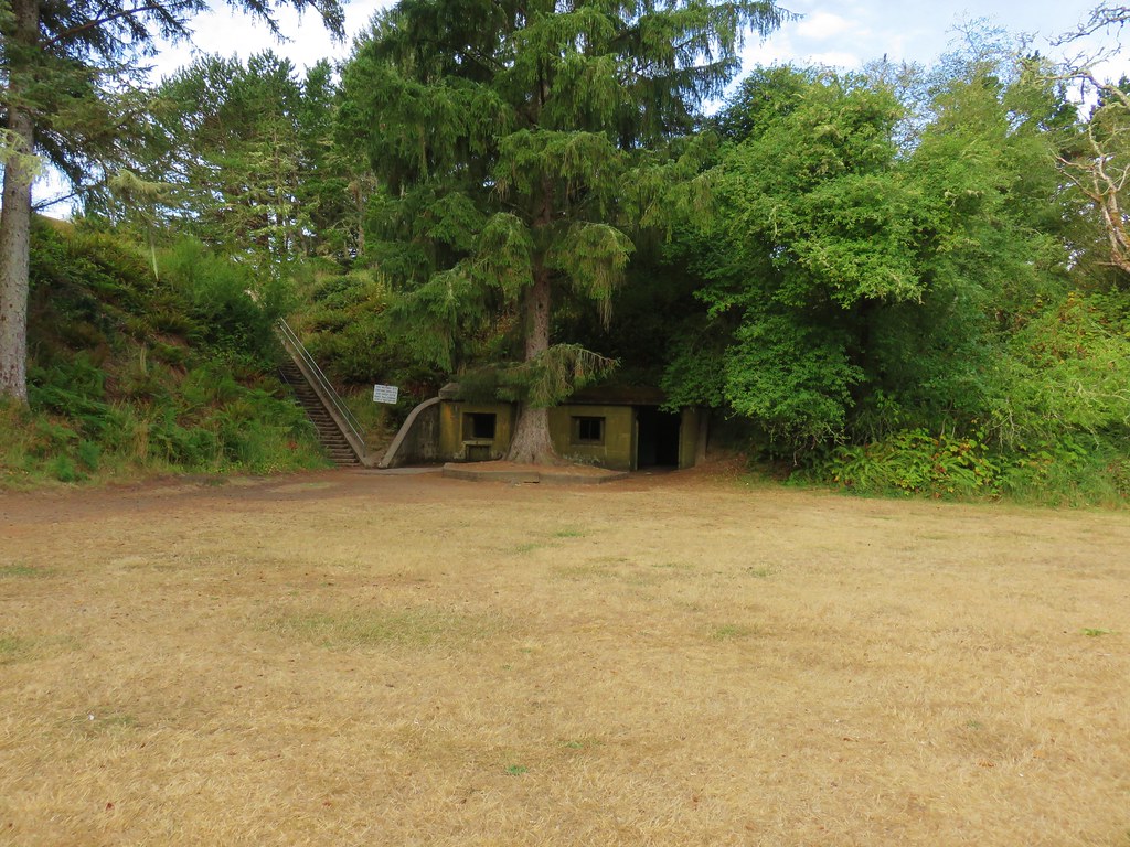
We drove back along Jetty Road and parked in a signed lot for Battery Russell.
IMG_8094

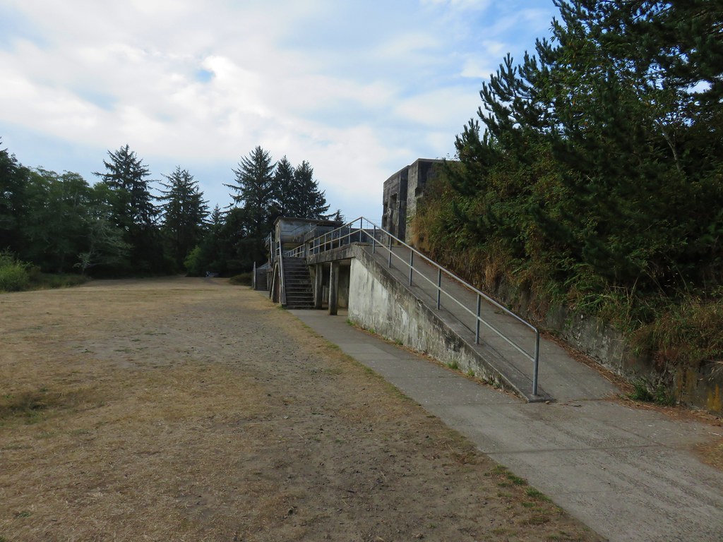
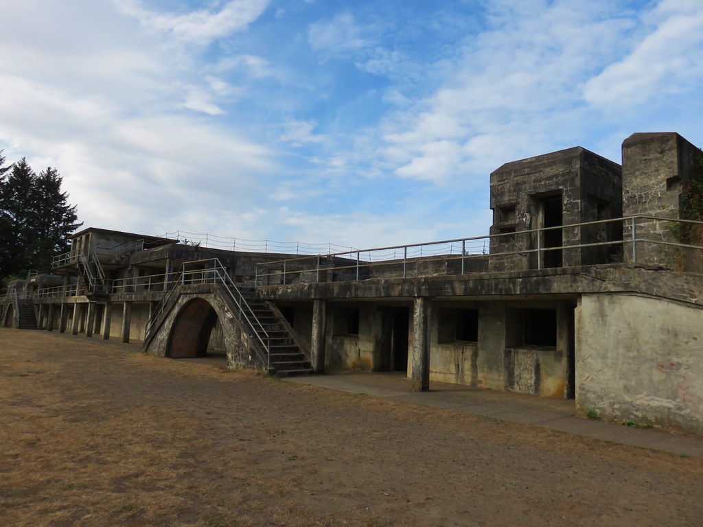
We took a set of stairs up to the concrete bunker.
IMG_8095

IMG_8100

IMG_8102

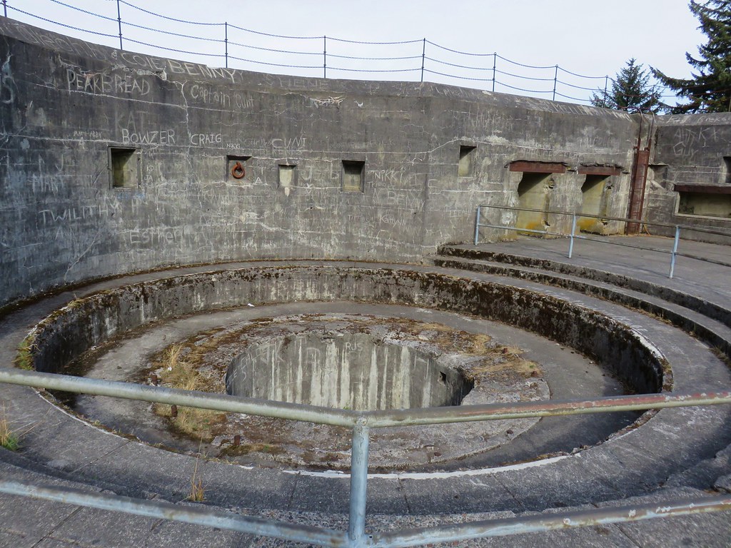
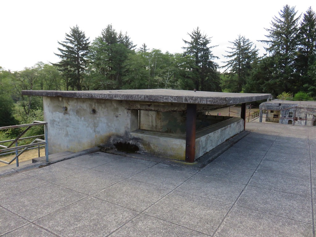
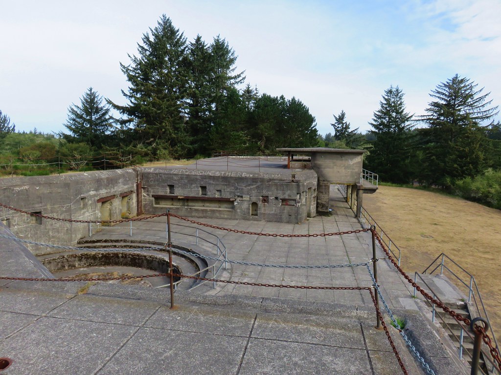
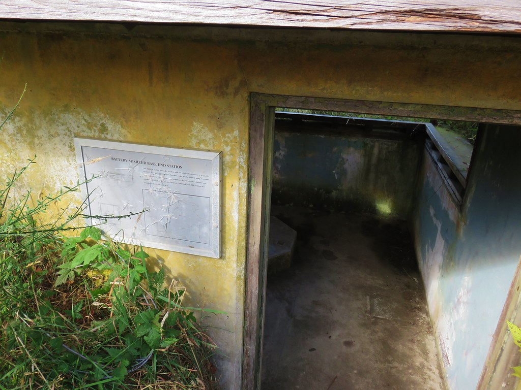
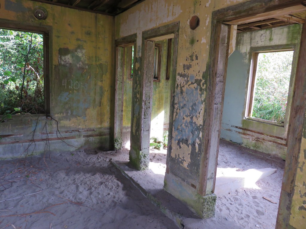
For forty years (1904-44) the battery guarded the Columbia River from enemy attacks. We spent quite a while exploring the old bunker. The history made it neat but too many video games and horror movies kept us imagining what might be hiding in the dark corners of the rooms.
IMG_8104

IMG_8108

IMG_8111

IMG_8114

IMG_8116

IMG_8119

IMG_8117

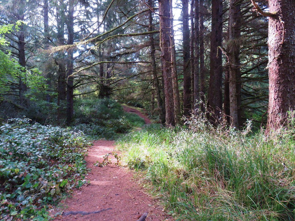
We followed a path at the far end of the bunker toward Coffenbury Lake.
IMG_8122

The path passed another set of old buildings.
IMG_8123

IMG_8124

IMG_8125

IMG_8126

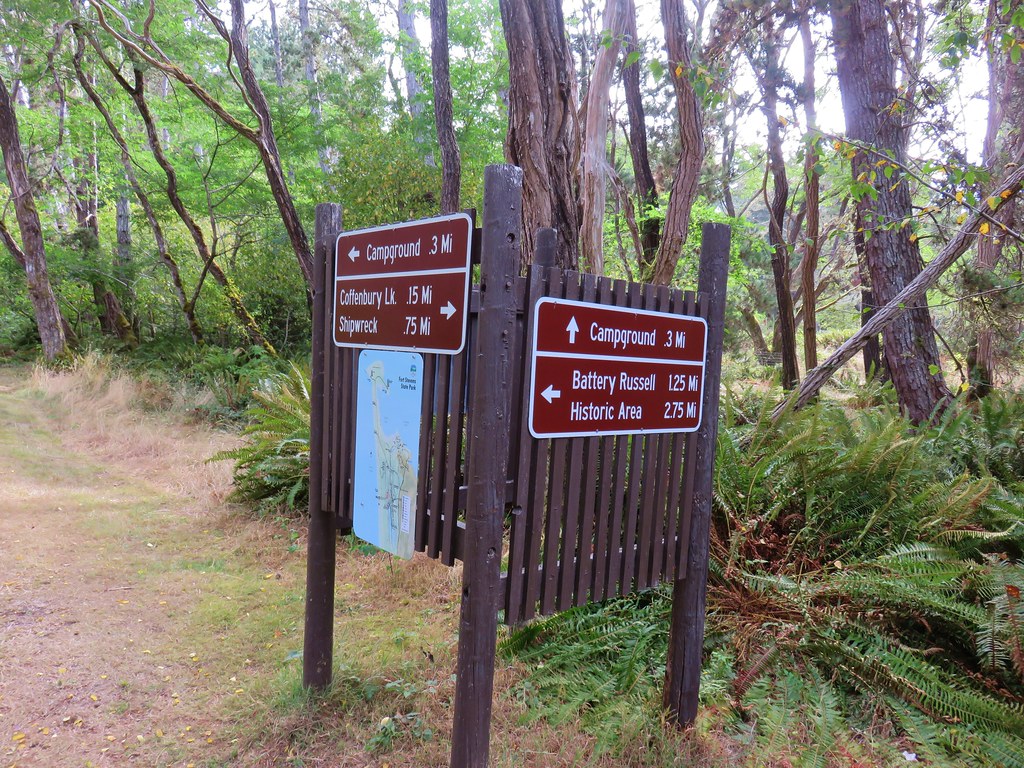
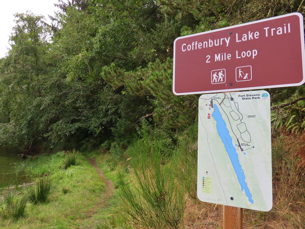
We continued on this path a total of 1.25 miles to a signed junction where we followed a pointer to the lake.
IMG_8127

IMG_8129

IMG_8132

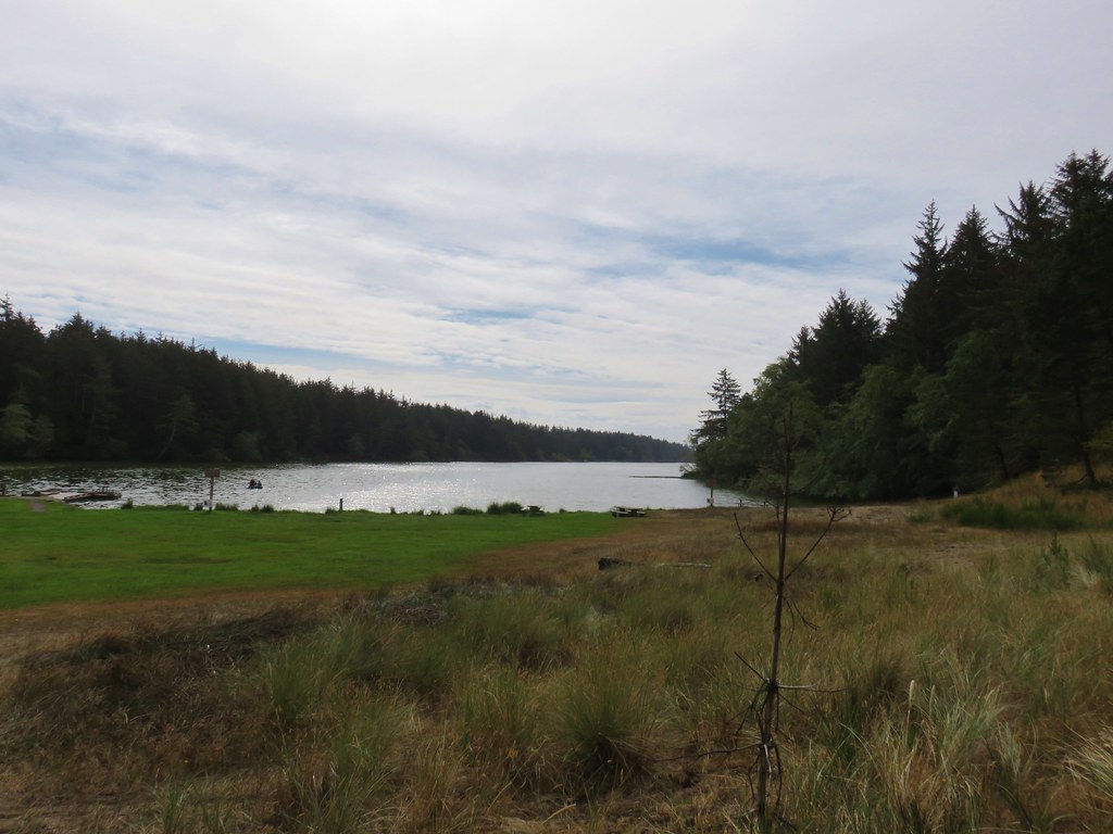
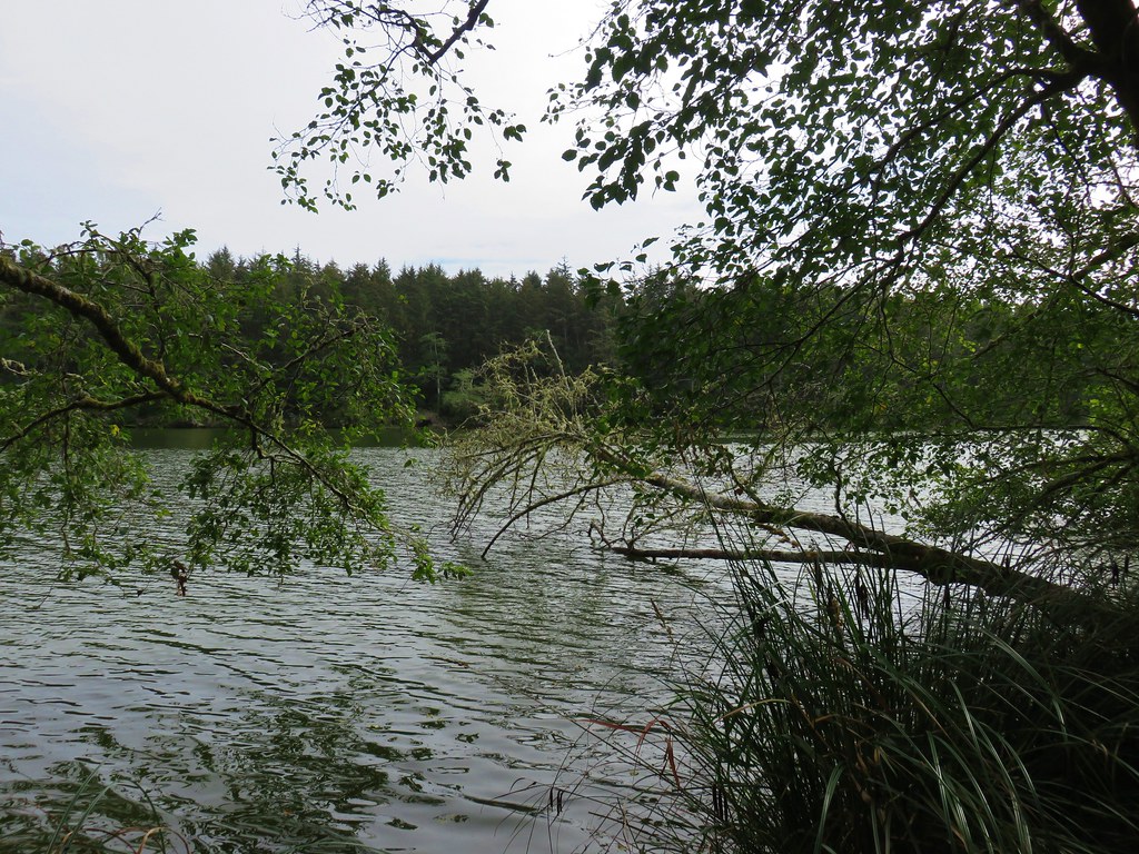
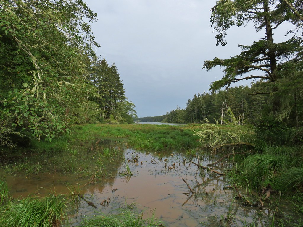
We headed around the lake counter-clockwise on a nice trail.
IMG_8134

IMG_8135

IMG_8137

IMG_8139

IMG_8140

IMG_8144

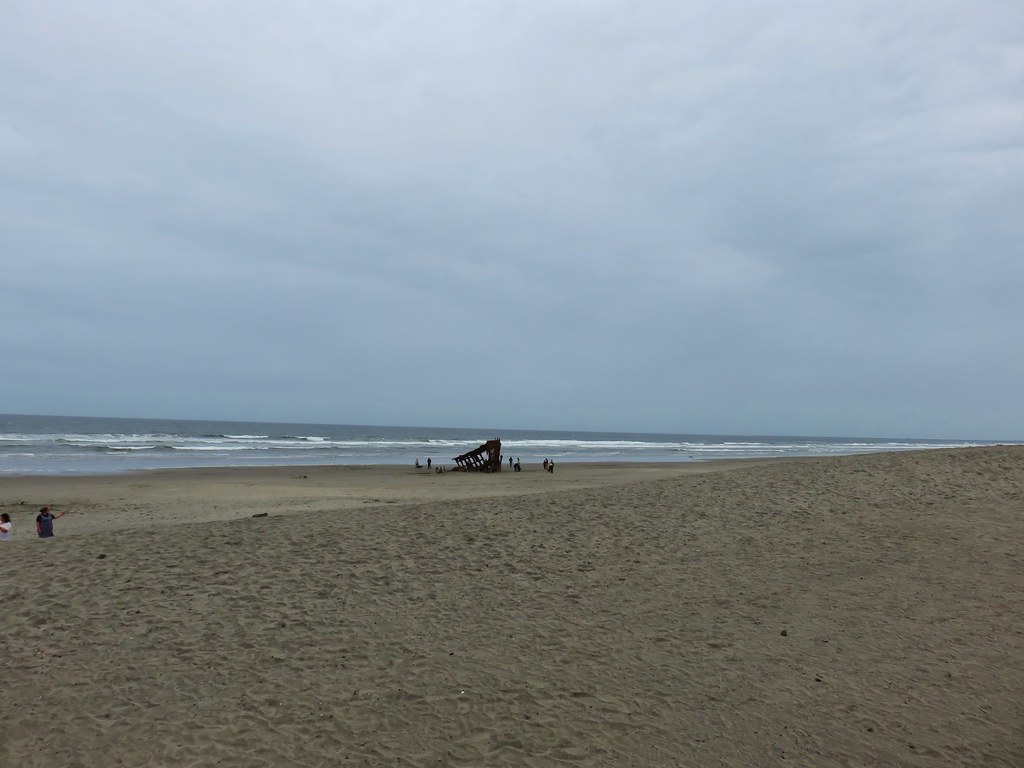
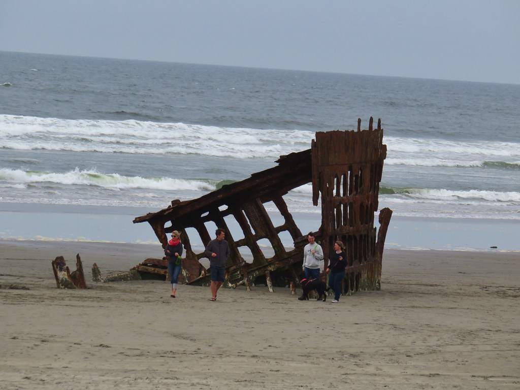
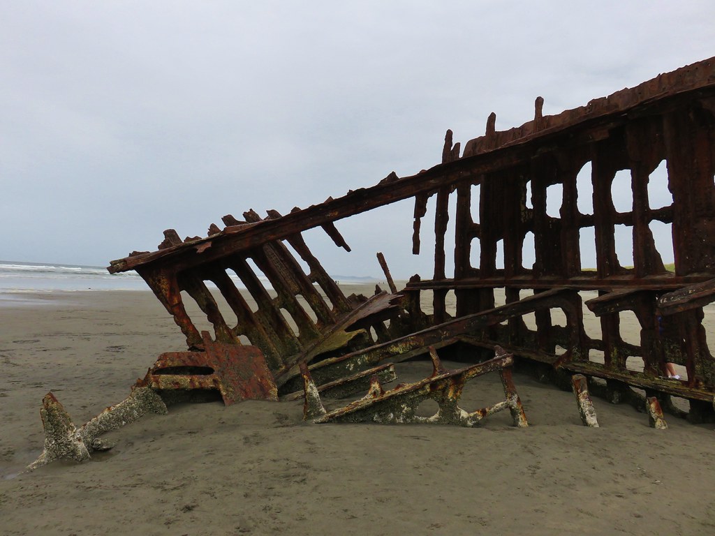
After completing the 2 mile loop around the lake we followed “Shipwreck” pointers for 3/4 of a mile to the beach and the remains of the Peter Iredale which ran aground in 1906.
IMG_8148

IMG_8149

IMG_8152

IMG_8156

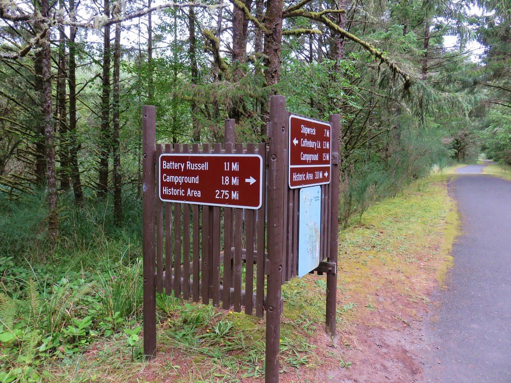
We backtracked from the beach a short distance and turned left on a paved path at a pointer for Battery Russell (among other possible destinations).
IMG_8158

We followed this path for a little over half a mile before turning right at another pointer for Battery Russell.
IMG_8159

IMG_8160

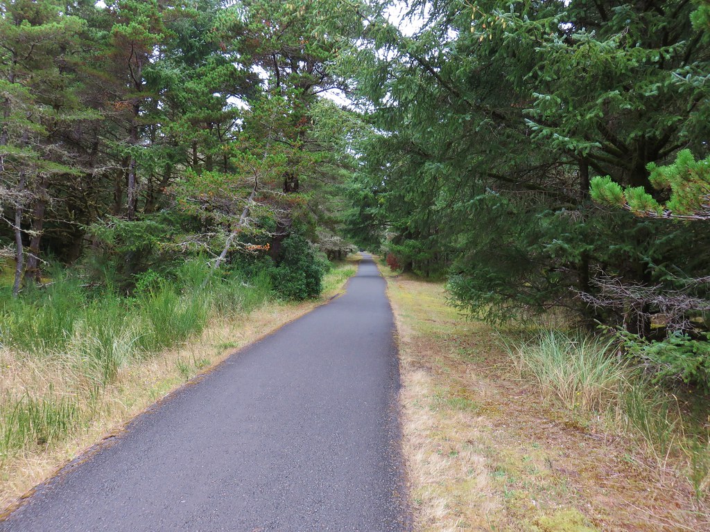
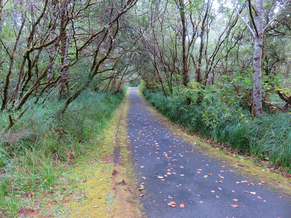
We followed this 1.1 mile paved path back to the parking lot.
IMG_8162

The total distance of the Clatsop Spit hike had been 5 miles and this hike came in just under 7.5 miles. Twelve and a half miles is pretty good for a day, but due to our typical early start we were done with these two hikes before 1pm. Our check-in time wasn’t until four so we still had a few hours to kill.

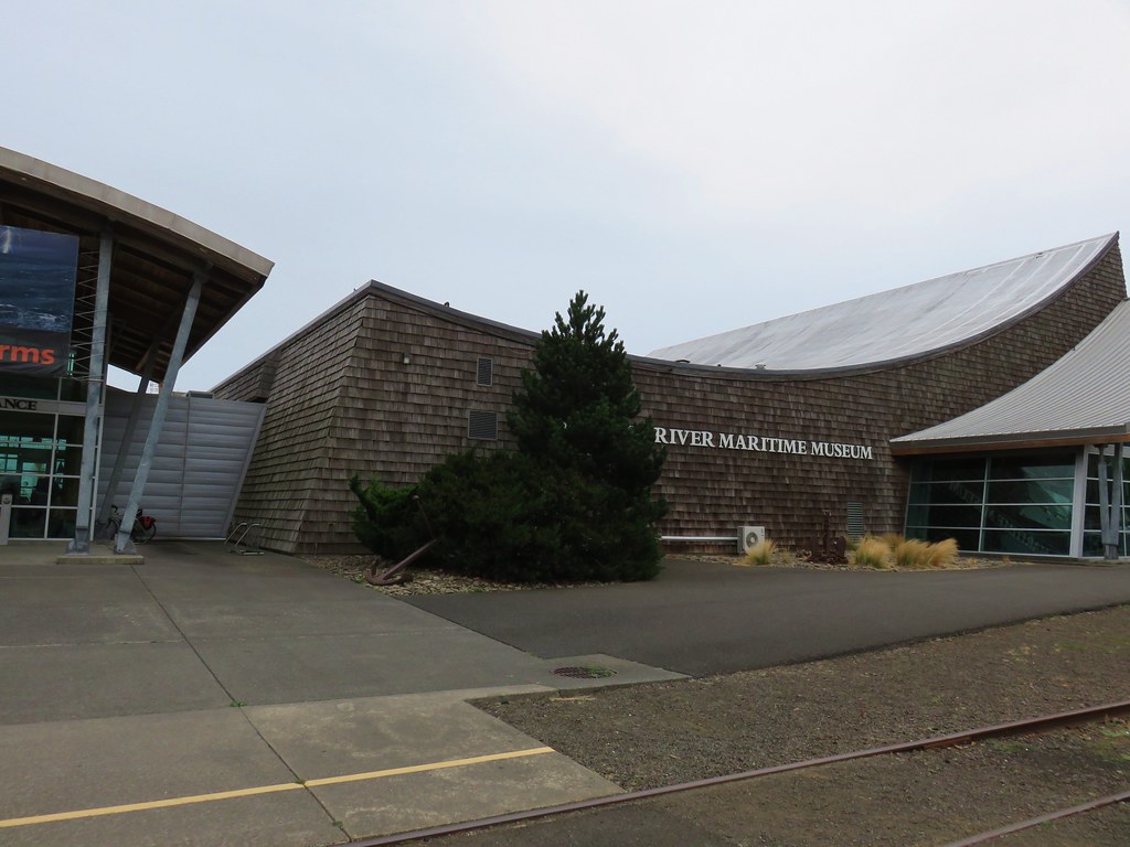
We had been prepared for that and headed north from Fort Stevens to Astoria where we parked at the Columbia River Maritime Museum
IMG_8163

IMG_8164

From the museum parking lot we headed west following the Riverfront Trolley line.
IMG_8169

Seabirds lined the waterfront and we also heard some sea lions but never saw any.
IMG_8166

IMG_8167

IMG_8173

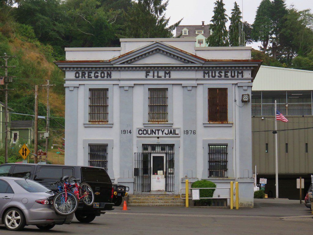
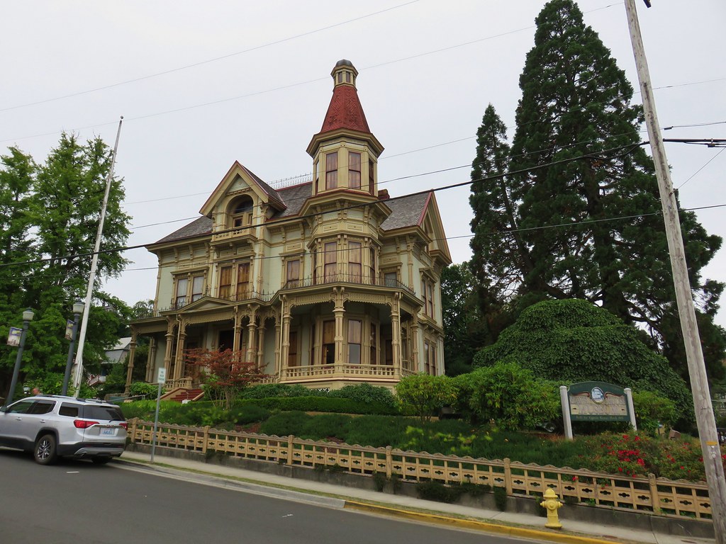
We more or less stuck to Sullivan’s described route (Hike #4 in the 4th edition of “100 Hikes/Travel Guide Oregon Coast & Coast Range) following the the trolley line to 6th St. then turning inland for three blocks before taking a left on Commercial St. After a block on Commercial St. we turned right on 7th for two blocks passing the Oregon Film Museum and the Flavel House.
IMG_8192

IMG_8190

IMG_8187

IMG_8182

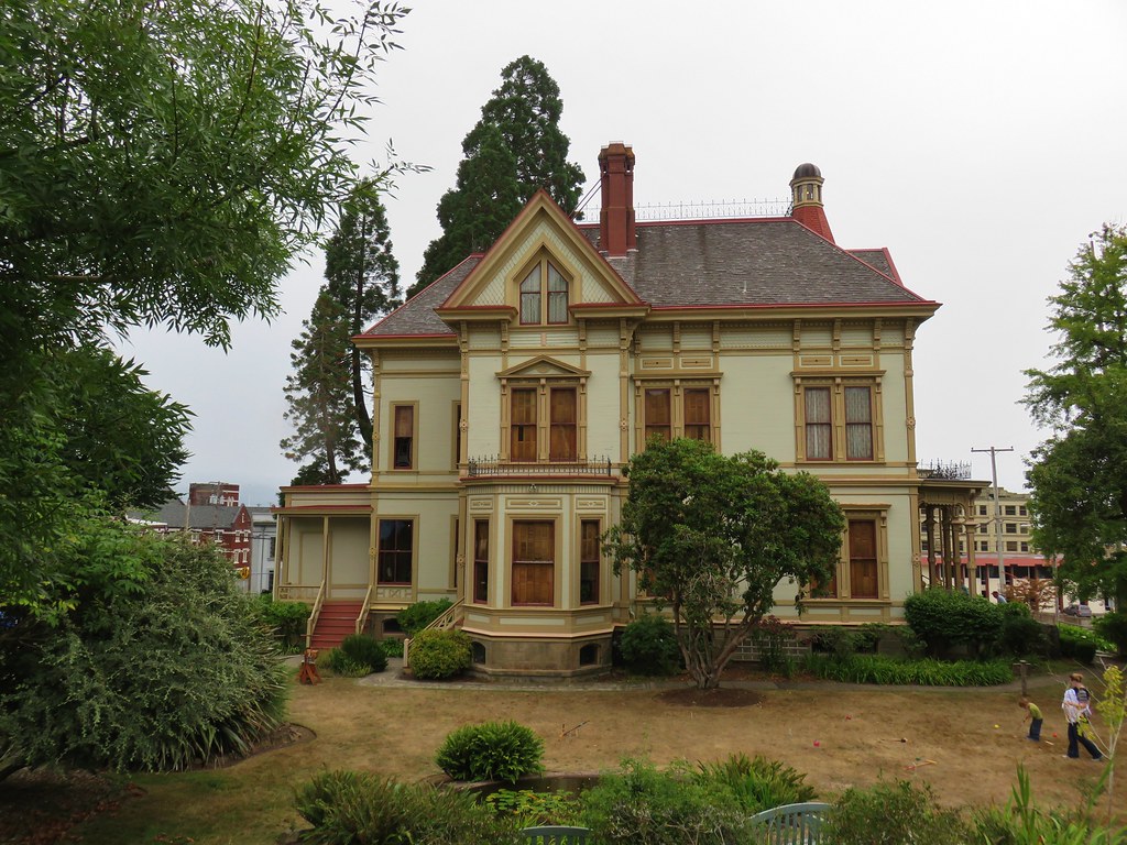
We walked around the Flavel House and headed downhill on 8th St. turning right when we arrived back at Commercial St. We turned right several blocks later on 12th Street and right again a block later on Duane St. passing a Chinese Garden.
IMG_8194

IMG_8195

IMG_8197

IMG_8199

We continued zig-zagging through town passing numerous historic homes, churches, and other buildings. One home that stood out was an old run down home that had the quintessential haunted house look.
IMG_8201

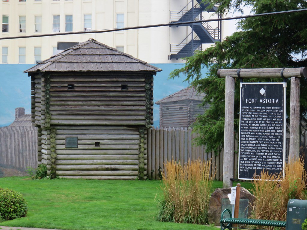
We also passed Fort Astoria on the corner of 15th and Exchange.
IMG_8205

By the time we were done we wandered around town for a total of 3 miles.
Astoria

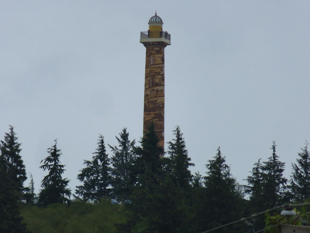
One of the landmarks not on the route was the Astoria Column. It was visible from the waterfront rising above the city. It was one of the times the 30x zoom on the camera came in handy.
IMG_8178

We still arrived a little early at our hotel but luckily our room was ready. We had a nice view south to Tillamook Head.
IMG_8208

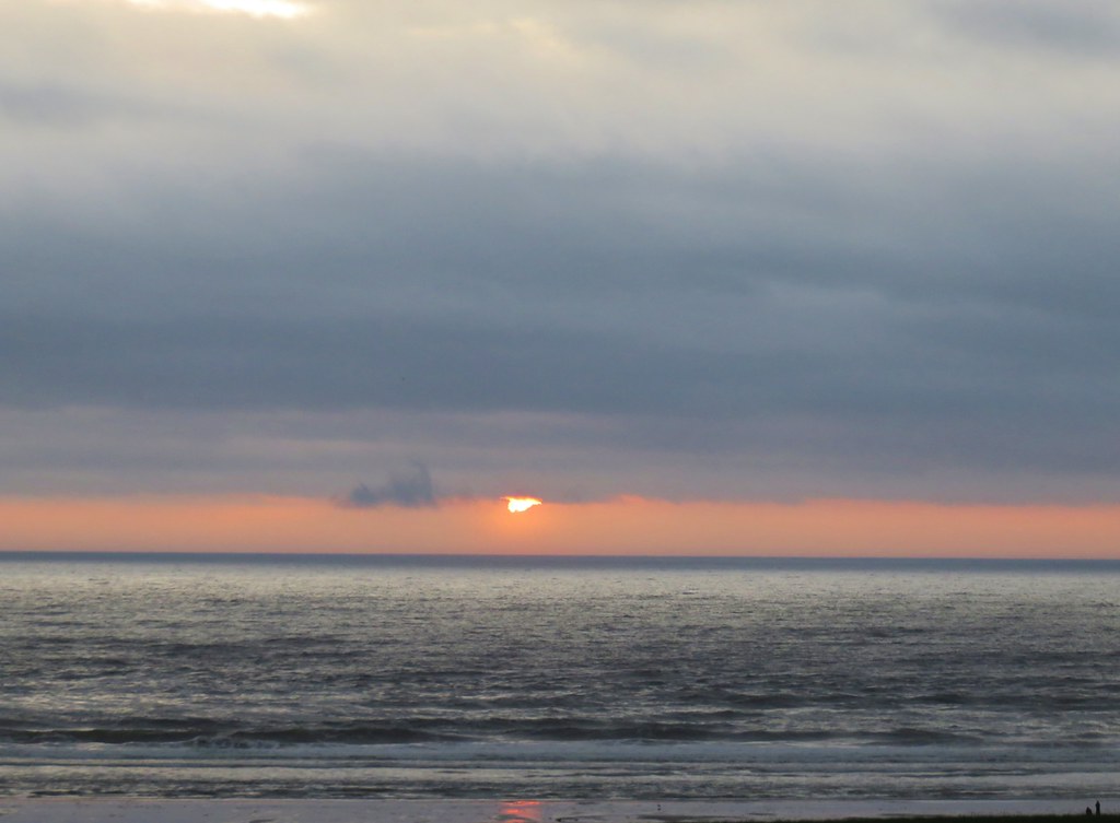
It had actually rained lightly on us in Astoria which was a wonderful change of pace. The sun went down behind the clouds that evening ending the first day of what was shaping up to be an interesting vacation.
IMG_8209

Happy Trails!

Flickr: Astoria & Fort Stevens

Categories
Central Coast Hiking Oregon Oregon Coast Trip report

Yaquina Bay and Yaquina Head

It’s become tradition to take a shortish hike on the Oregon Coast the morning of our annual family reunion in Gleneden Beach, OR. This year we decided to visit a pair of lighthouses near Newport.

A 5am start got us to our first stop at Yaquina Bay State Recreation Site a little before 7.

Home to the 1871 Yaquina Bay Lighthouse the 32 acre park also offers access to an approximately 4 mile stretch of beach between the Yaquina River and Yaquina Head.

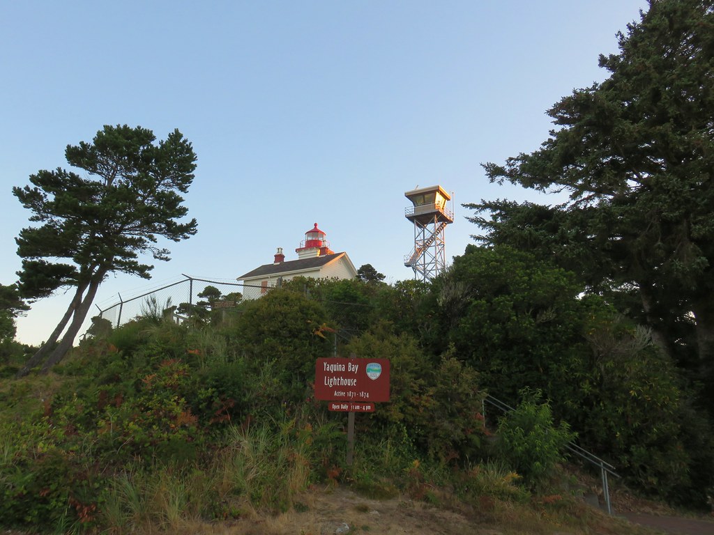
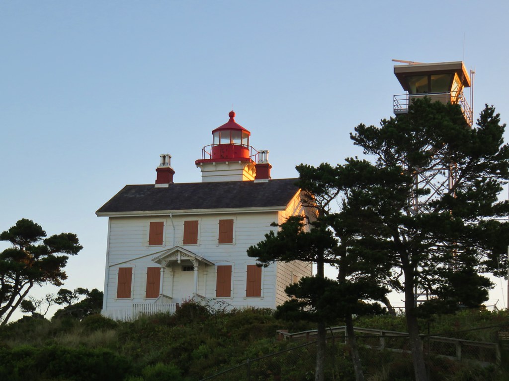
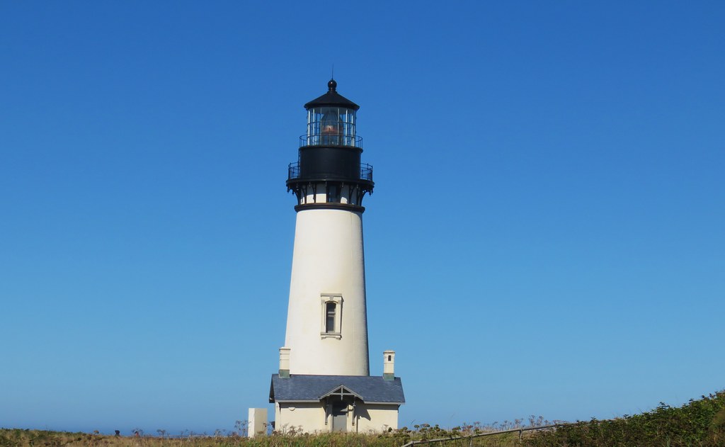
We parked below the lighthouse, which operated only three years before being replaced by the Yaquina Head Lighthouse.
Yaquina Bay Lighthouse

Yaquina Bay Lighthouse

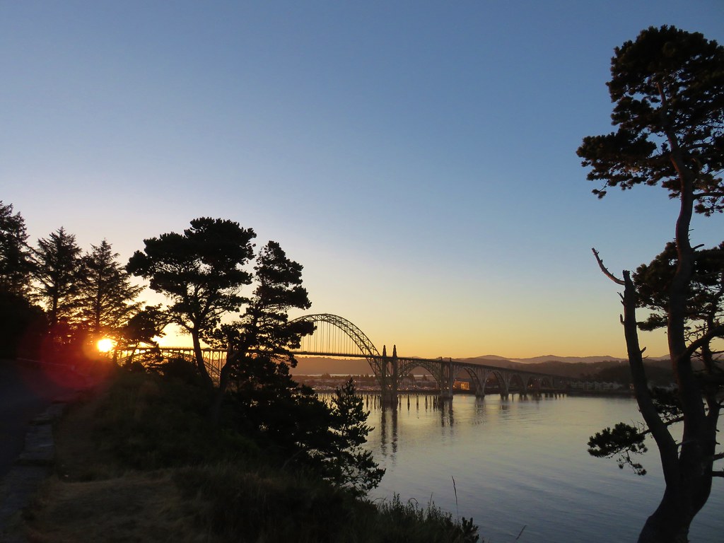
From a viewpoint in the parking lot we could see the Yaquina Bay Bridge and watch boats heading out to sea.
Yaquina Bay Bridge

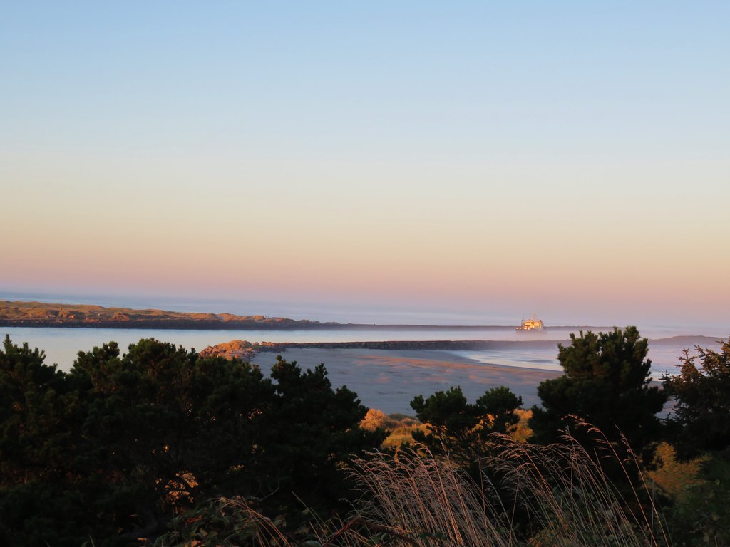
Yaquina Bay Jetty

A paved path led down the bluff to a sandy path in the deflation zone behind a small foredune.
Trail from Yaquina Bay Lightouse to the ocean

Heading to the Pacific Ocean

We passed over the foredune and turned left toward the Yaquina River.
Yaquina Bay Jetty

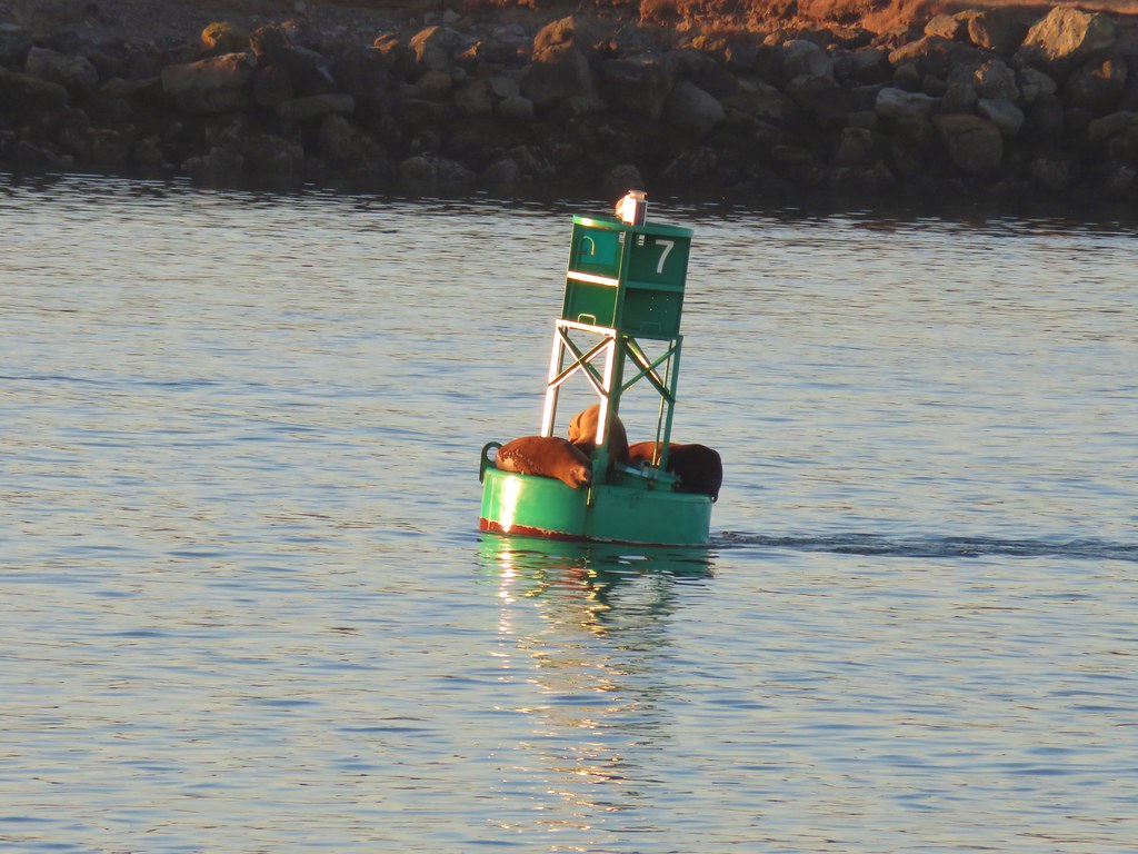
The sound of sealions in the bay greeted us as we approached the jetty where we spotted some squatters on a buoy.
Yaquina Bay Lighthouse

Yaquina Bay Bridge

Seals on a bouy

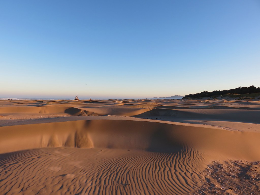
We turned around and headed north along the beach. It was an interesting beach with many small dune like formations.
Yaquina Bay Recreation Site

It was a typical summer morning on the coast with patches of marine layer clouds along the way.
Seagulls at Yaquina Bay Recreation Site

Yaquina Head in the fog

Yaquina Head

Wildlife along the way consisted of seagulls and shore birds as well as a couple of small tide pools where we spotted anemones and some sand crabs.
Seagull

Shore birds

Anemones

Anemones

Sand crab

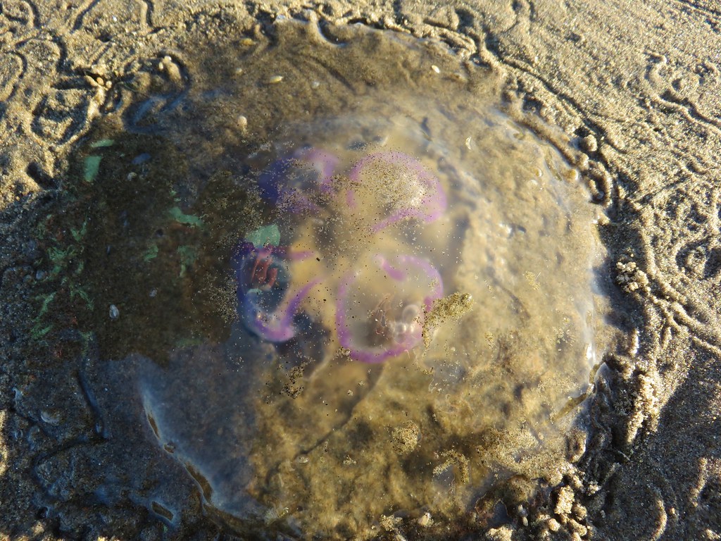
Of particular interest were a couple of jellyfish with some sort of colorful lines.
Jellyfish

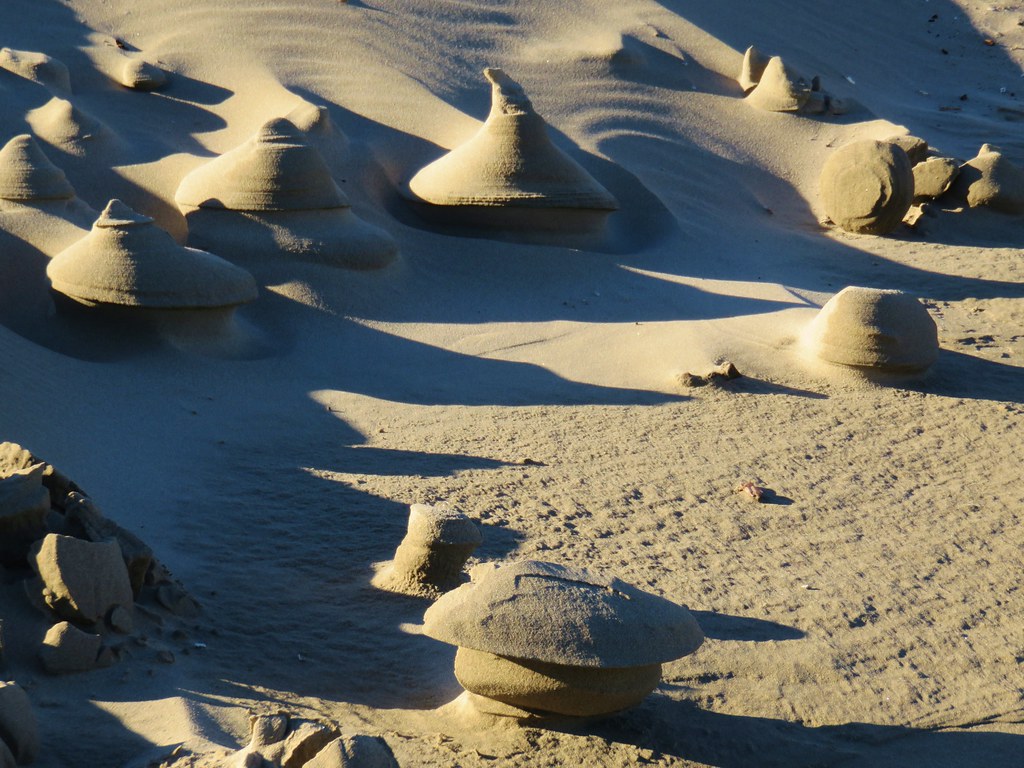
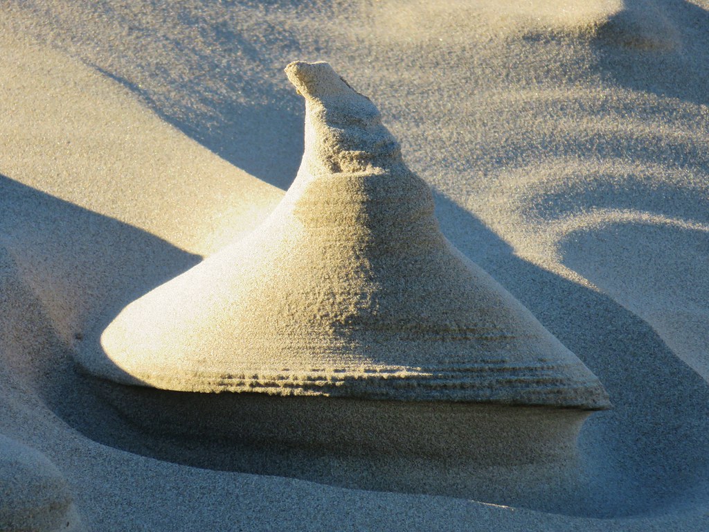
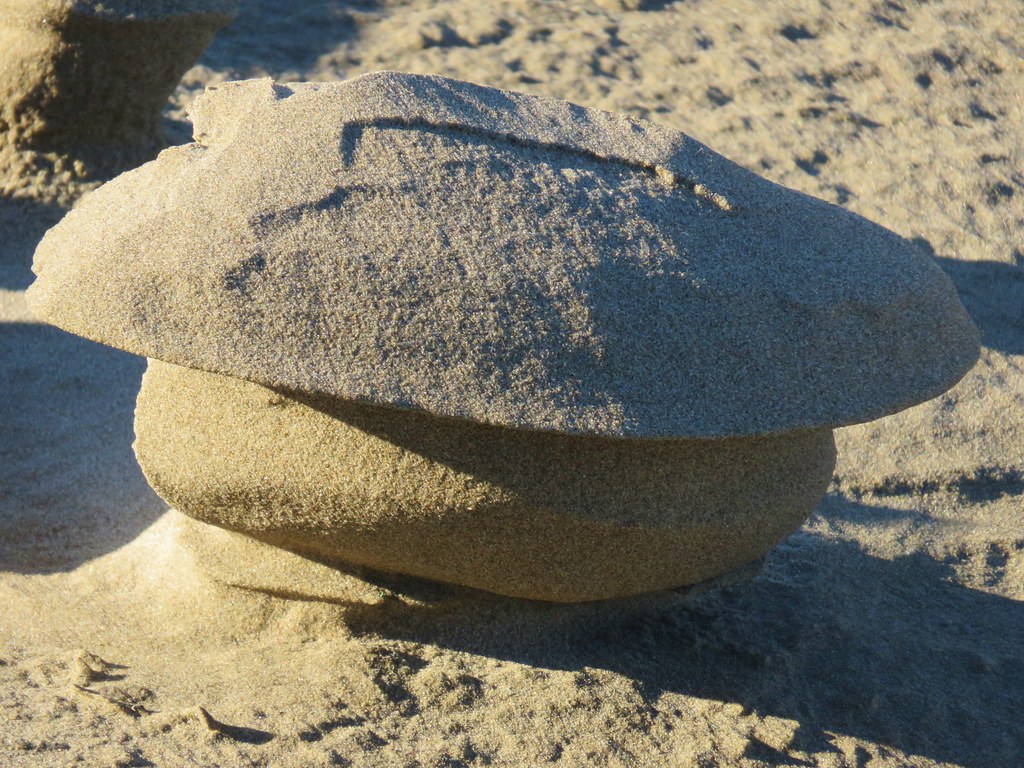
Another peculiar sight along the way were some sand formations that reminded us of clay sculptures.
Interesting sand formations

Interesting sand formations

Interesting sand formation

Interesting sand formation

The beach began to narrow as we neared Yaquina Head and we soon came to Little Creek which was running parallel to the ocean.
Yaquina Head

Little Creek at Agate Beach

Yaquina Head forced the creek to finally turn toward the ocean and we followed it along the cliffs as it emptied into the Pacific.
Little Creek at Agate Beach

Little Creek at Agate Beach

Little Creek emptying into the Pacific

Pacific Ocean

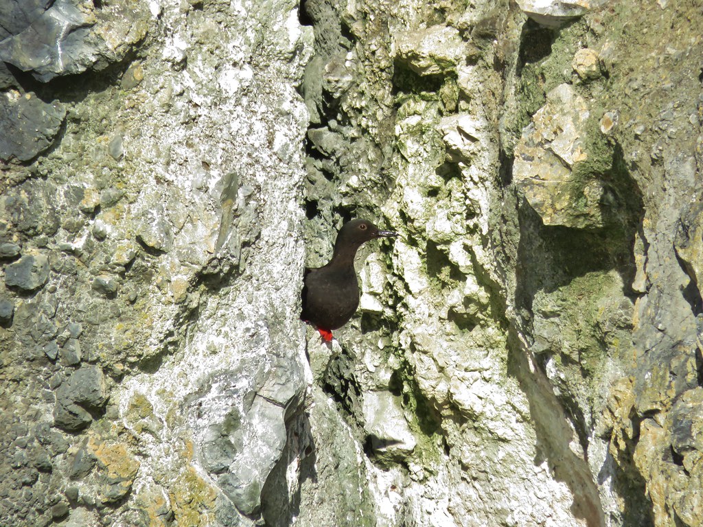
We passed various birds along the creek including a pigeon guillemot which was a bird we were unfamiliar with.
Seagulls

Crow

Bird near Little Creek

Pigeon guillemot
Pigeon guillemot

We headed back south along the beach staying closer to the ocean which brought us to a crossing of some tide water. In our infinite wisdom we waded through the water soaking our shoes and socks before realizing that this was not one of our typical stream crossings. The rocks in mountain creeks and rivers make crossing barefoot a bad idea but on the beach we could have easily taken them off before wading through.
Looking south from Agate Beach

We were back at our car by 9:45 so we had plenty of time to make a second stop at the Yaquina Head Lighthouse (even after stopping at the Newport Safeway to pick up some cilantro). Located on Yaquina Head 4.5 miles north of Newport the Yaquina Head Outstanding Natural Area has a lot to offer. Oregon’s tallest lighthouse, tide pools, several trails, and an interpretive center (which wasn’t there the last time we visited) make the $7/car pass seem reasonable, especially given the pass is valid for three days.

We didn’t have a lot of time so we drove past the interpretive center and parked at the end of the road near the lighthouse.
Yaquina Head Lighthouse

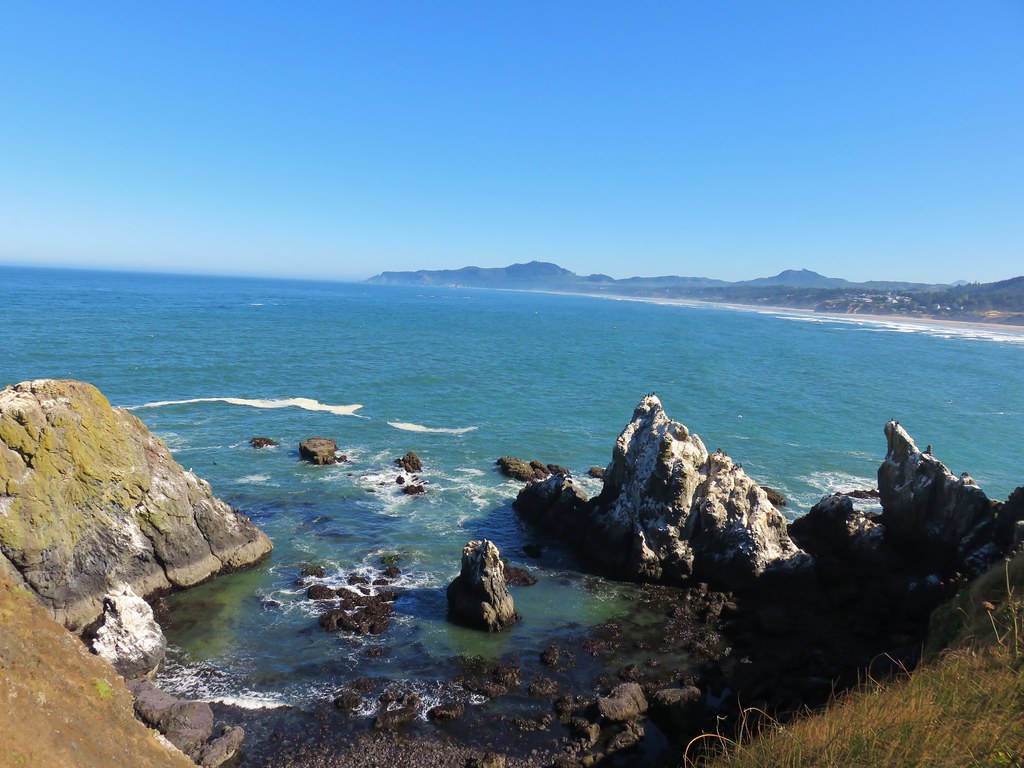
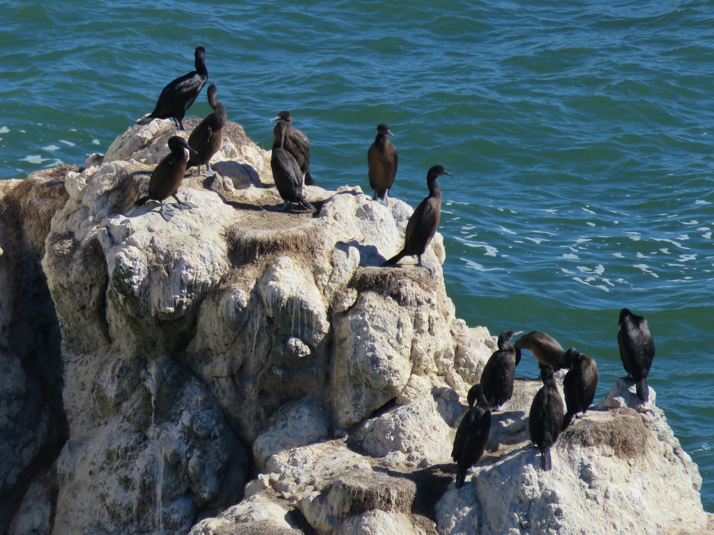
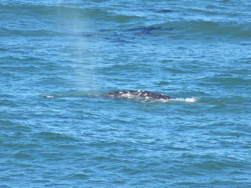
We walked to the lighthouse first stopping at viewpoints along the way. Several grey whales could be seen surfacing and blowing water into the air.
Yaquina Head Lighthouse

Looking north to Cape Foulweather

Cormorants

Whale spout

Grey back whale seen from Yaquina Head

Grey back whale seen from Yaquina Head

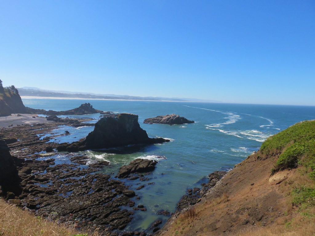
After watching the whales for a bit we continued around the lighthouse and then headed for nearby Cobble Beach.
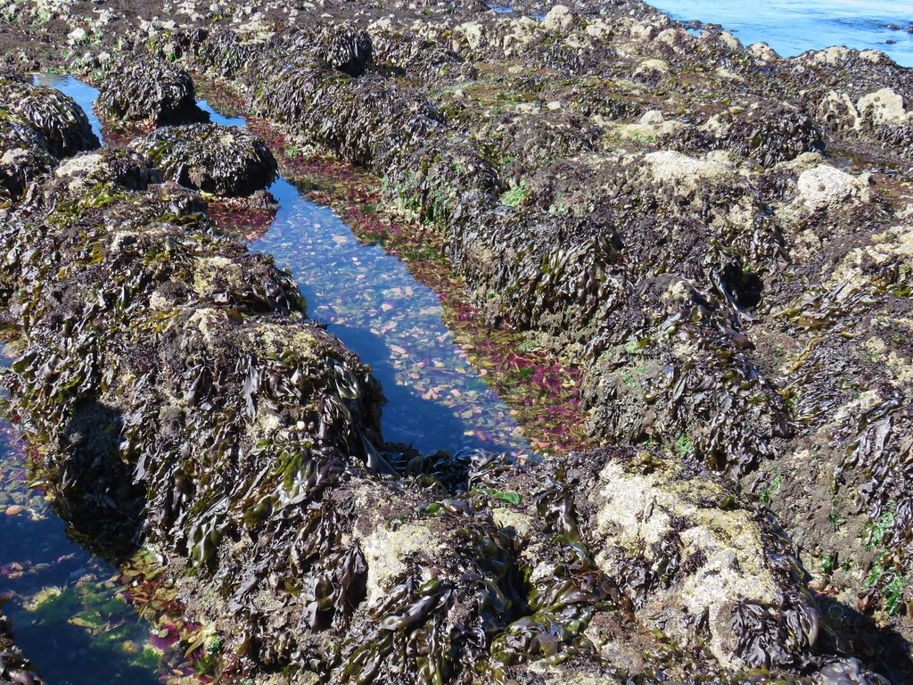
Tide pools at Yaquina Head

The beach is home to some very good tide pools and the tide was out far enough for some of them to be revealed.
Tide pools at Yaquina Head

We took the wooden staircase down toward the beach and after some last minute rules and instructions from rangers at the bottom of the stairs we began exploring the pools. Touching anything but the starfish (the rangers informed us that they were dealing with some sort of illness) was allowed but no picking up.
Tide pool at Cobble Beach - Yaquina Head Outstanding Natural Area

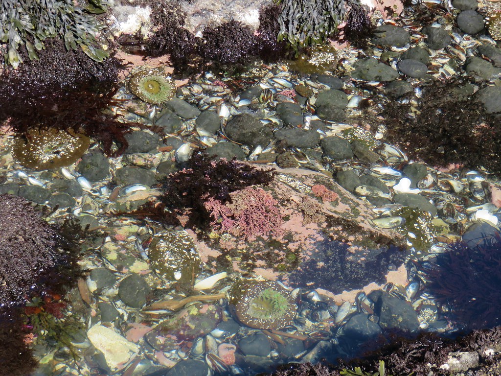
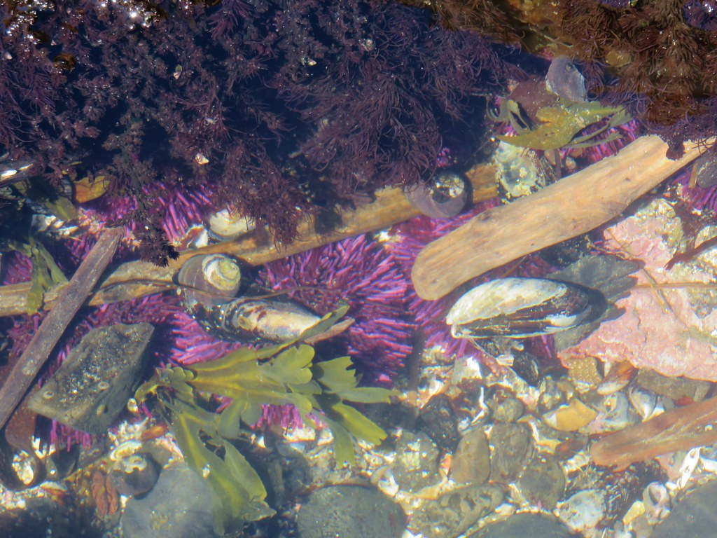
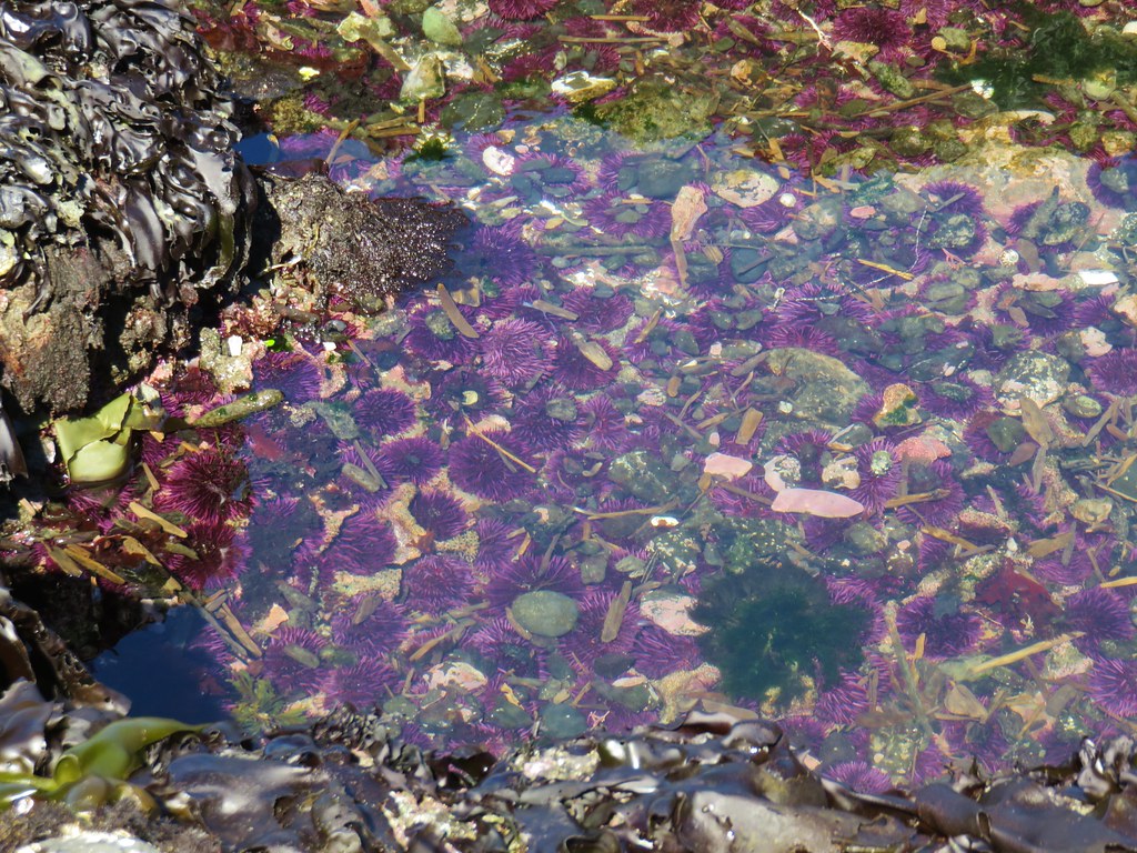
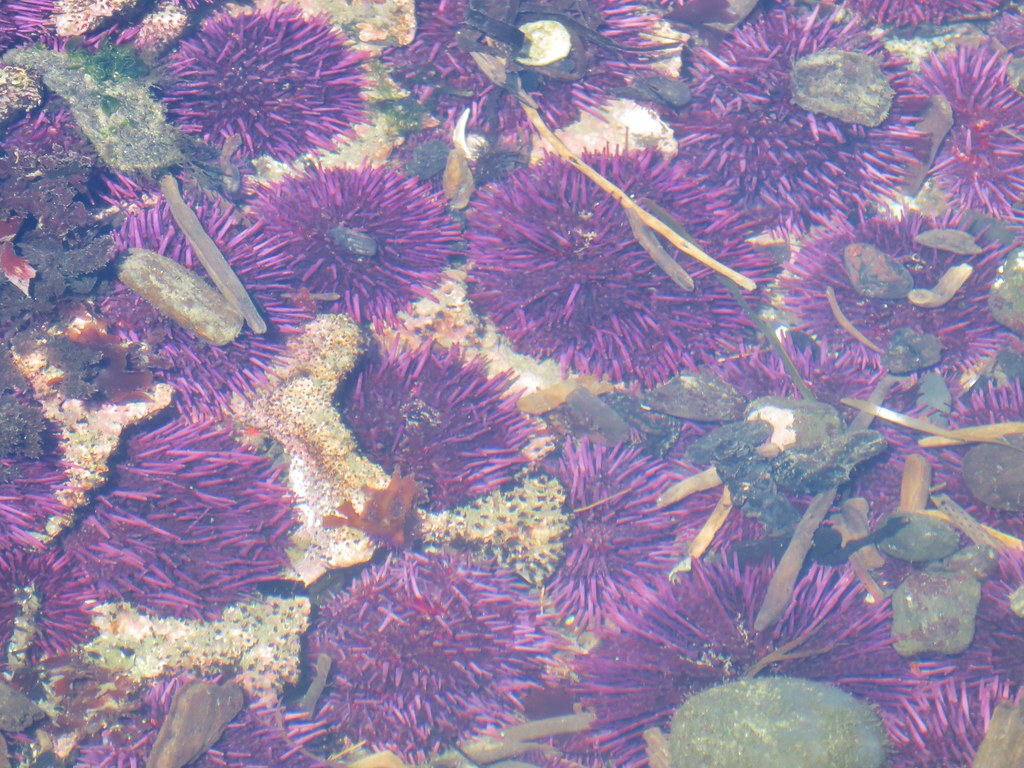
Sea urchins, snails and mussles

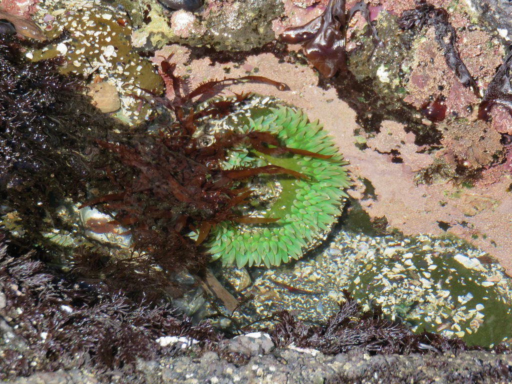
Anemone

Tide pool at Cobble Beach - Yaquina Head Outstanding Natural Area

Tide pool at Cobble Beach - Yaquina Head Outstanding Natural Area

Sea urchins

Sea urchins

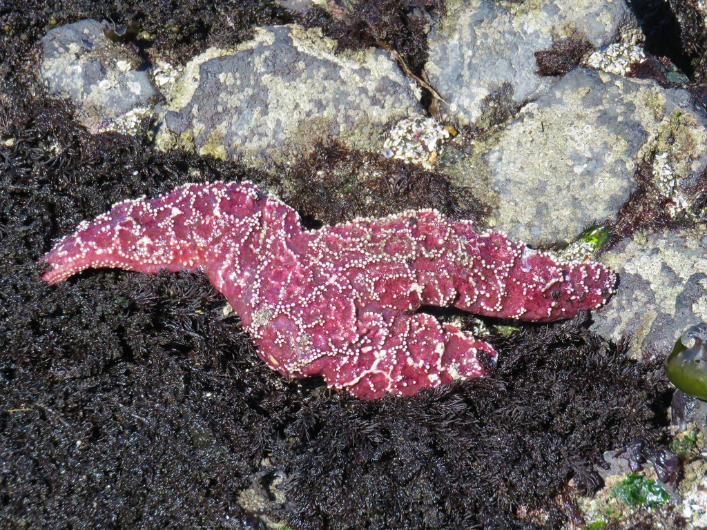
Star fish

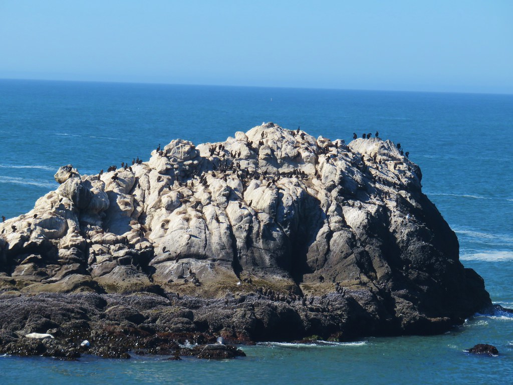
Large sea rocks just beyond the tide pools are part of the Oregon Islands National Wildlife Refuge, one of only tow wilderness areas in Oregon closed to humans.
Signboard for the Oregon Islands National Wildlife Refuge

Oregon Islands National Wildlife Refuge

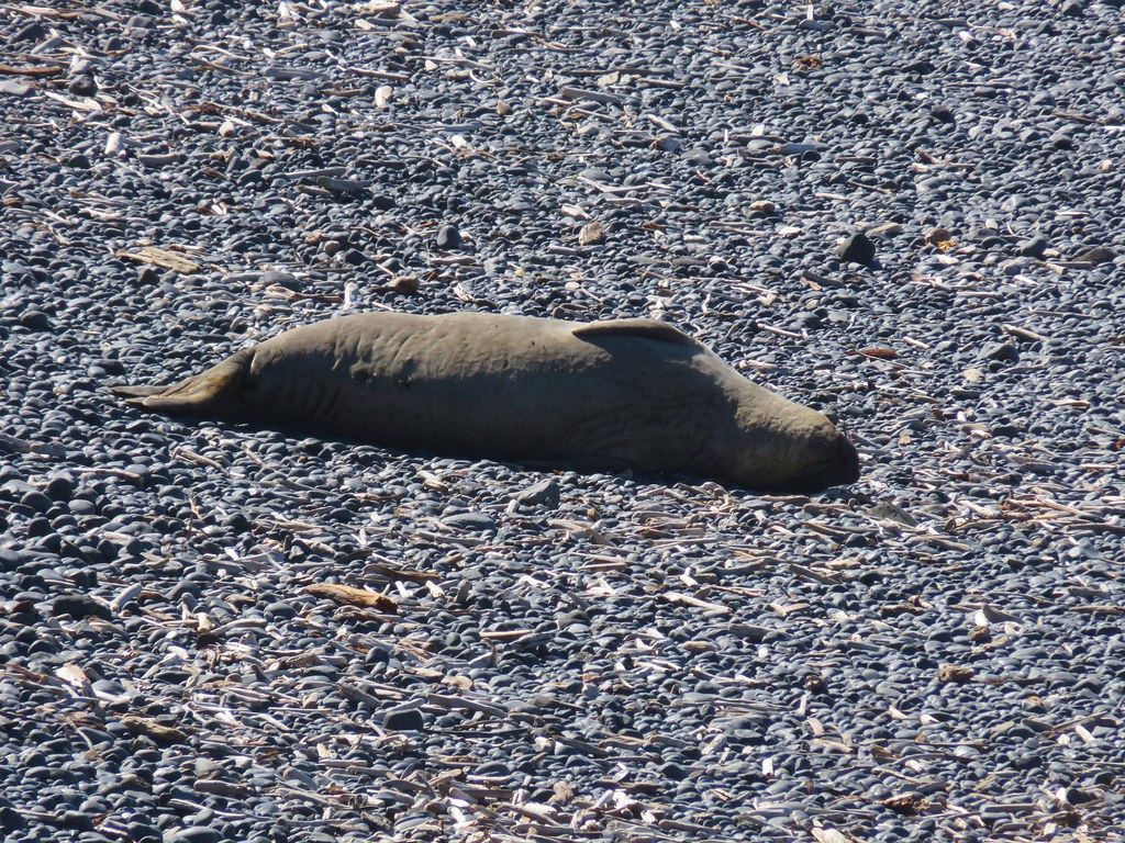
Not all the wildlife stuck to the islands though as a section of Cobble Beach was closed off due to a resting seal.
Seal on Cobble Beach

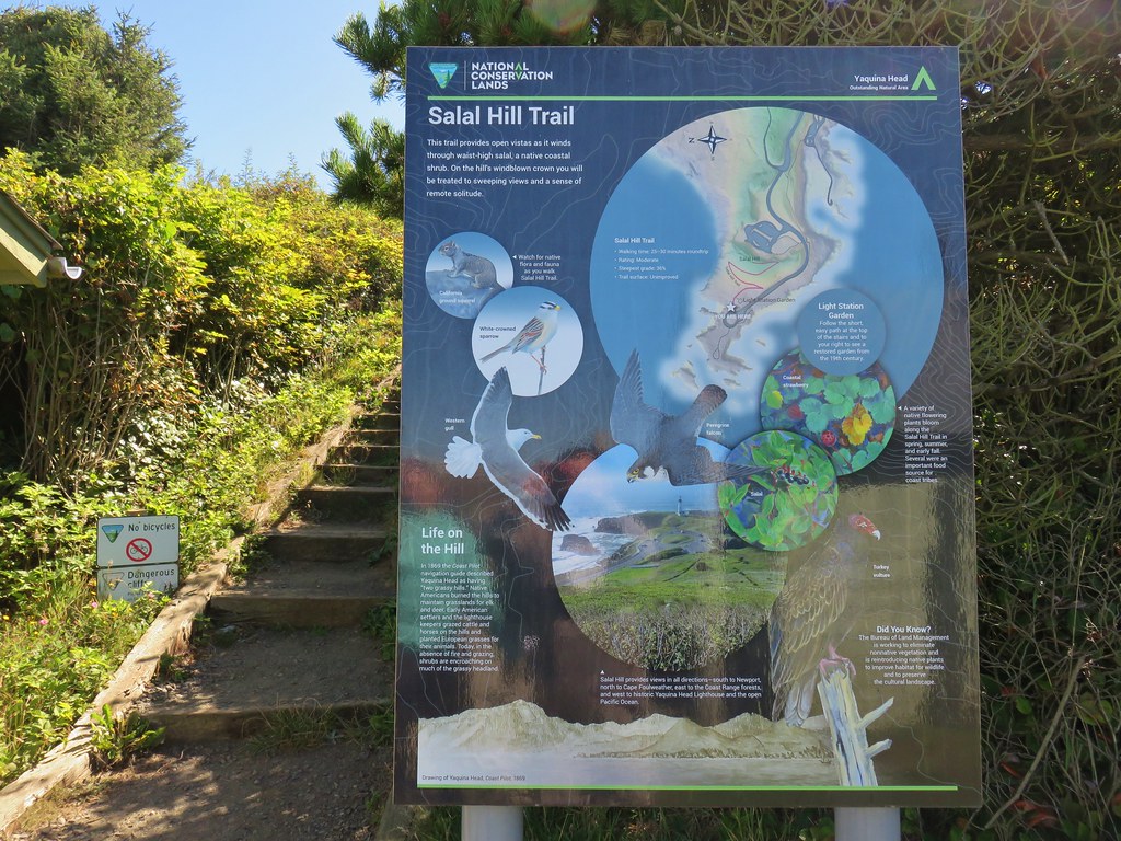
After making our way around the pools we headed back up the stairs. It was still a bit early to head for the reunion so we decided to check out the short trail up Salal Hill which began at the lot where we had parked.
Salal Hill Trailhead

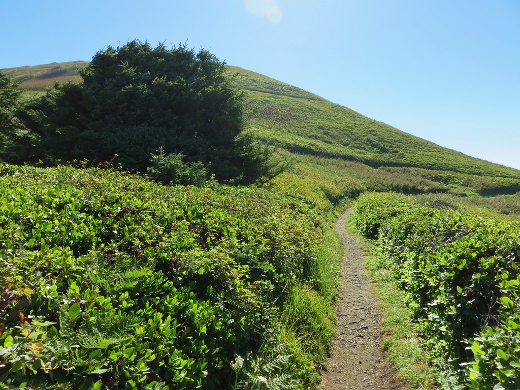
The .4 mile path switchbacked up the small hill at a nice gradual grade.
Salal Hill

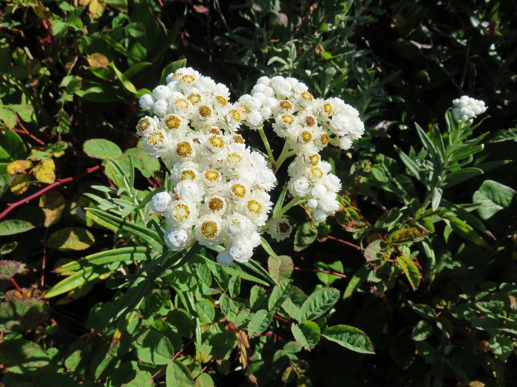
Some lingering flowers showed that there was more to the hill than just salal bushes.
Pearly everlasting

Aster

Salal Hill Trail

Wildflowers along the Salal Hill Trail

The trail passed above the interpretive center before arriving at the small, flat summit.
The interpretive center below the Salal Hill Trail

Salal Hill Trail

From the summit we had a nice view north to Cape Foulweather.
Looking north from the Salal Hill Trail

To the west was the Yaquina Head Lighthouse and the Pacific Ocean.
Yaquina Head Lighthouse from the Salal Hill Trail

We headed down after a short stay since it was now time to make our way to the reunion. We could have spent a lot more time exploring the area so we’ll have to go back again sometime. As we were coming down the hill we spotted another whale which we watched for a moment. It seemed to be giving us a goodbye wave, what a polite way to end our hike. Happy Trails!
Grey back whale

Flickr: Yaquina Bay and Yaquina Head

Categories
Hiking Oregon Oregon Coast Southern Coast Trip report

Floras Lake, Cape Blanco, Grassy Knob, and Port Orford Heads

**Note a portion of the Grassy Knob hike burned in the 2023 Anvil Fire.**

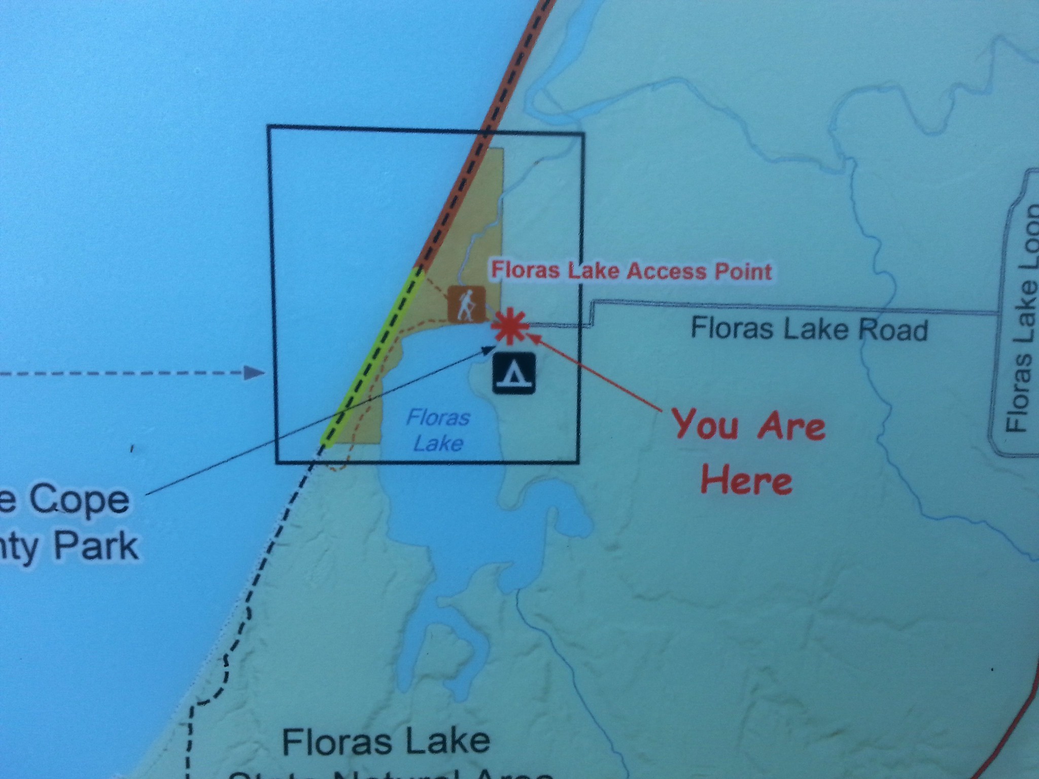
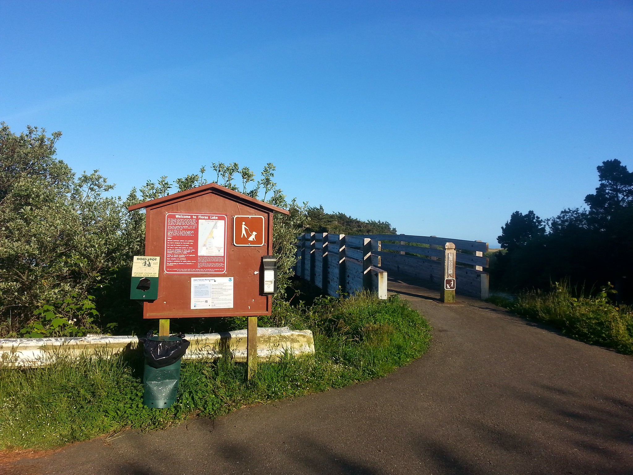
We spent the third day of our vacation hiking in the Port Orford area. We started the morning at Floras Lake.
20170508_074817

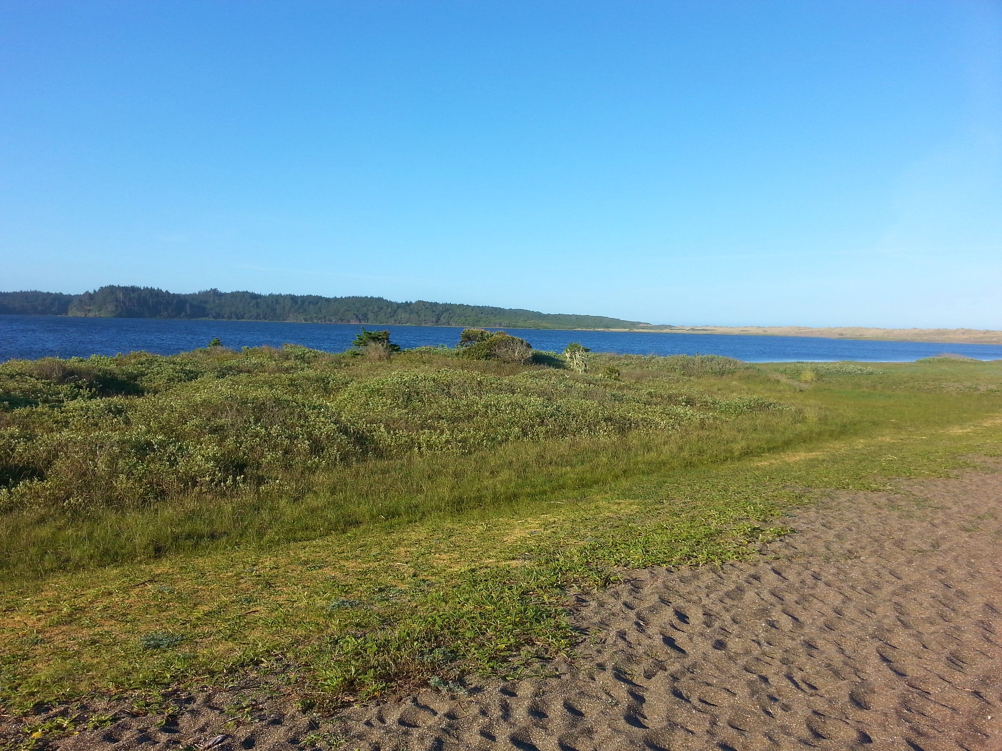
Our plan here was to complete a 9 mile loop while visiting Blacklock Point. We crossed the New River on a footbridge and followed a sandy (and difficult to walk on) path along the north shore of Floras Lake.
20170508_074839

20170508_080039

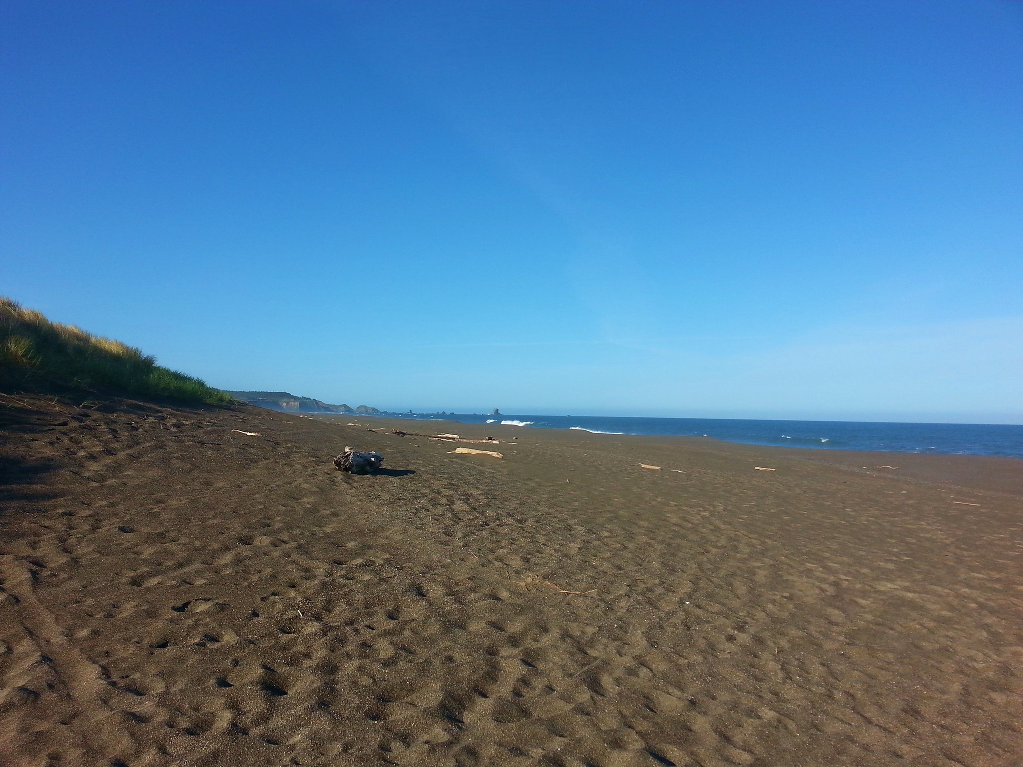
We made our way around the lake to a gap in the foredune, which we passed through, and onto the beach.
20170508_080622

Our goal, Blaclock Point, jutted out into the Pacific to the south.
2017-05-08 08.06.55

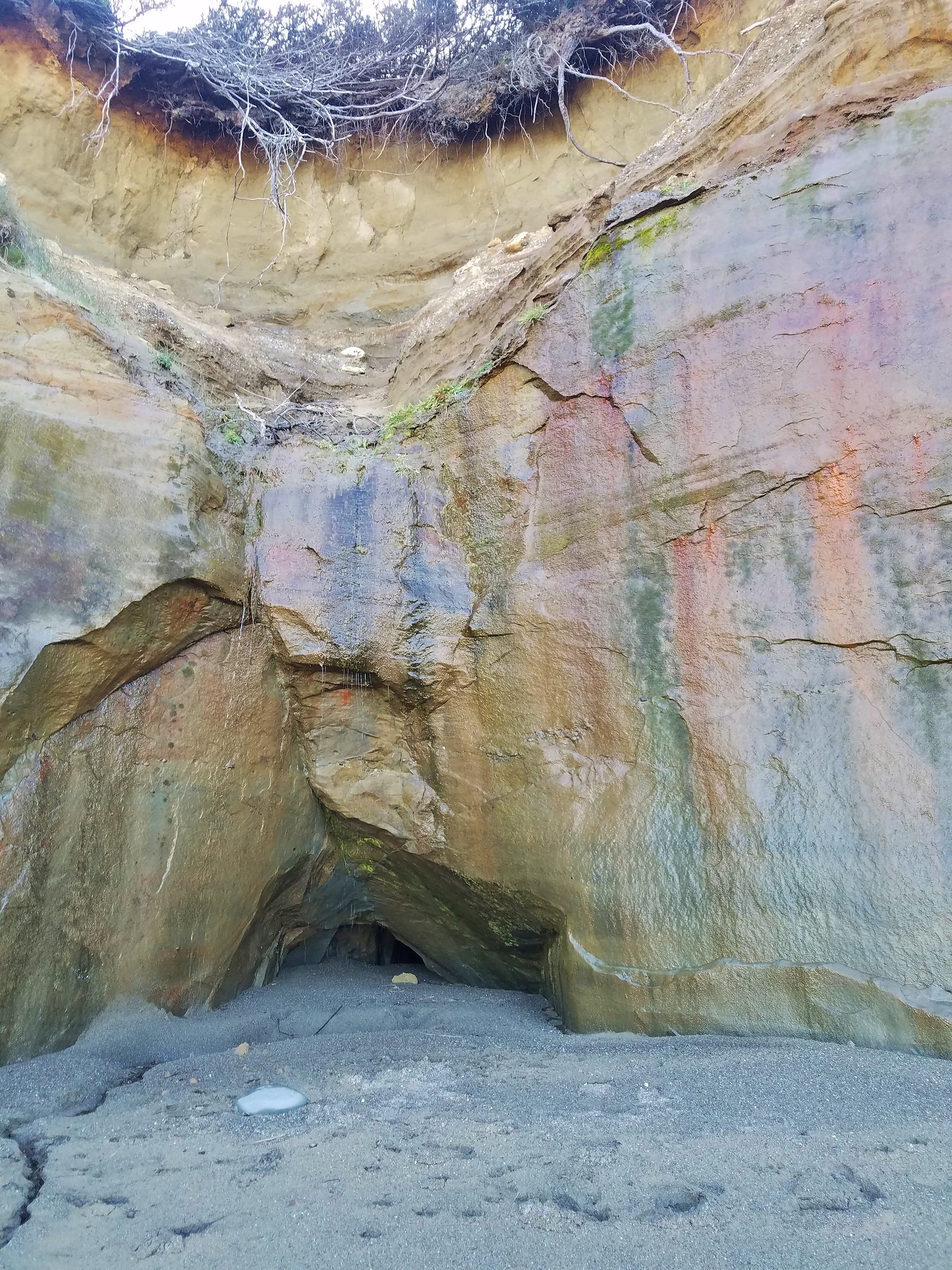
After about a quarter of a mile walking south along the beach we reached a series of interesting orange bluffs. High tide could make passage impossible but we were several hours from that and had no problem passing between them and the ocean for a mile. The bluffs were extremely interesting with various designs, alcoves, caves, and layers.
2017-05-08 08.19.54

2017-05-08 08.24.24

2017-05-08 08.24.15

20170508_082759

20170508_082915

2017-05-08 08.30.24

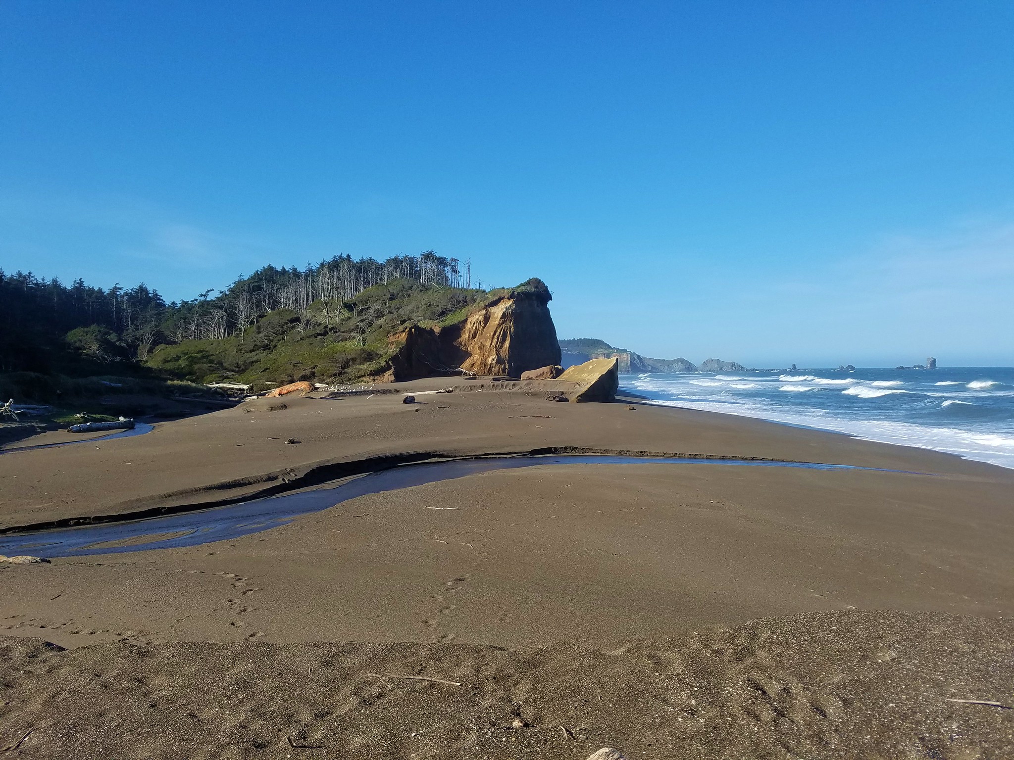
Beyond the bluffs we came to a creek which we needed to follow inland to pick up the Oregon Coast Trail (OCT).
2017-05-08 08.33.39

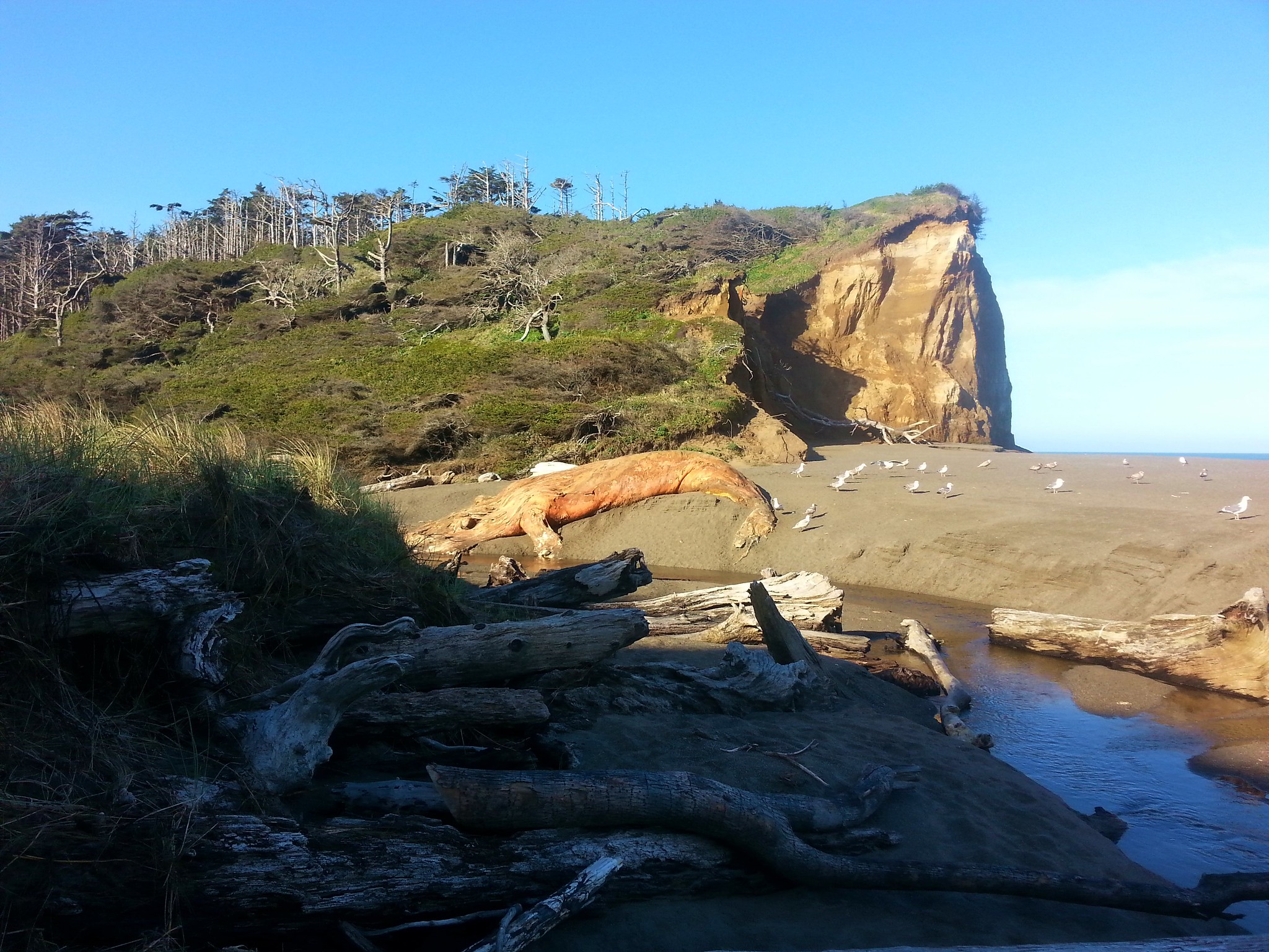
We noticed that there was a decomposing whale carcass on the far bank of the creek which was a bit disgusting but also very interesting.
20170508_083600

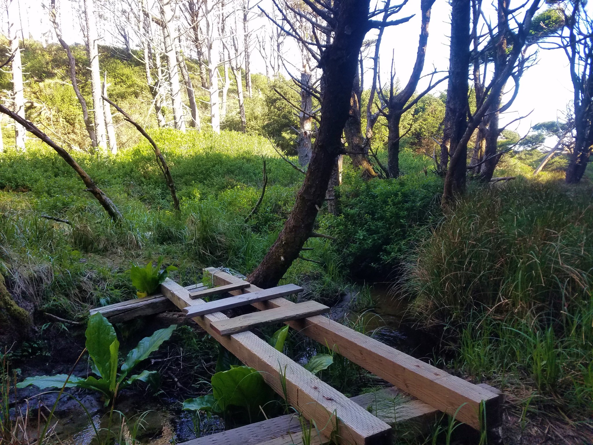
It was interesting that is, until we got downwind from it while attempting to bushwack along the creek to the OCT. The stench was putrid and we wanted to get away from it as quickly as possible but it took us a bit to figure out out to navigate the driftwood and swampy areas. It was only two tenths of a mile to the trail but it seemed a lot longer before we picked it up at a bridge? across the creek.
2017-05-08 08.50.48

After a bit more mud on the far side of the creek the trail climbed a small hill where things dried out.
20170508_085524

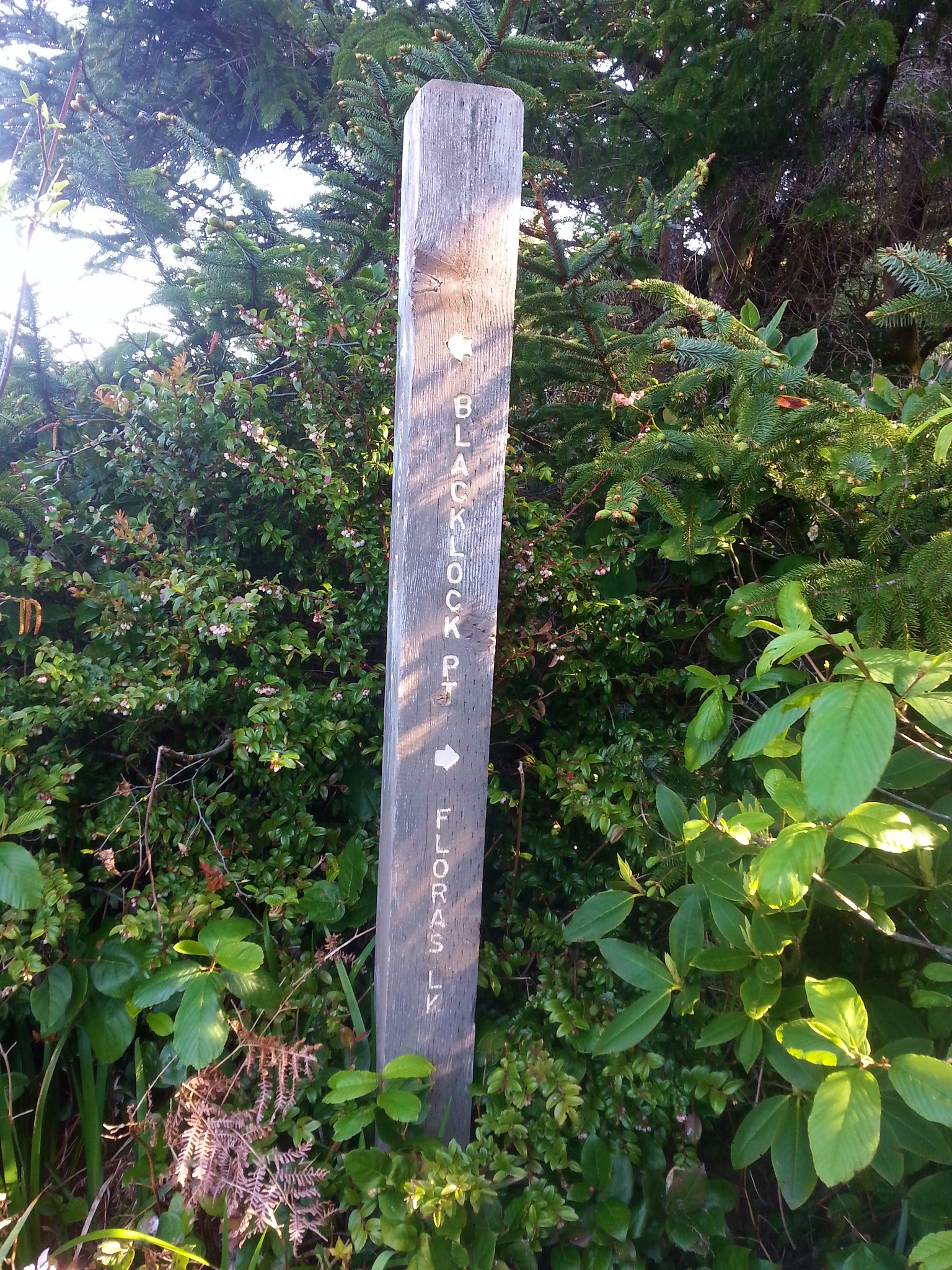
A little over three quarter miles from the creek crossing we came to a trail junction where we followed a pointer for Blacklock Point.
20170508_090846

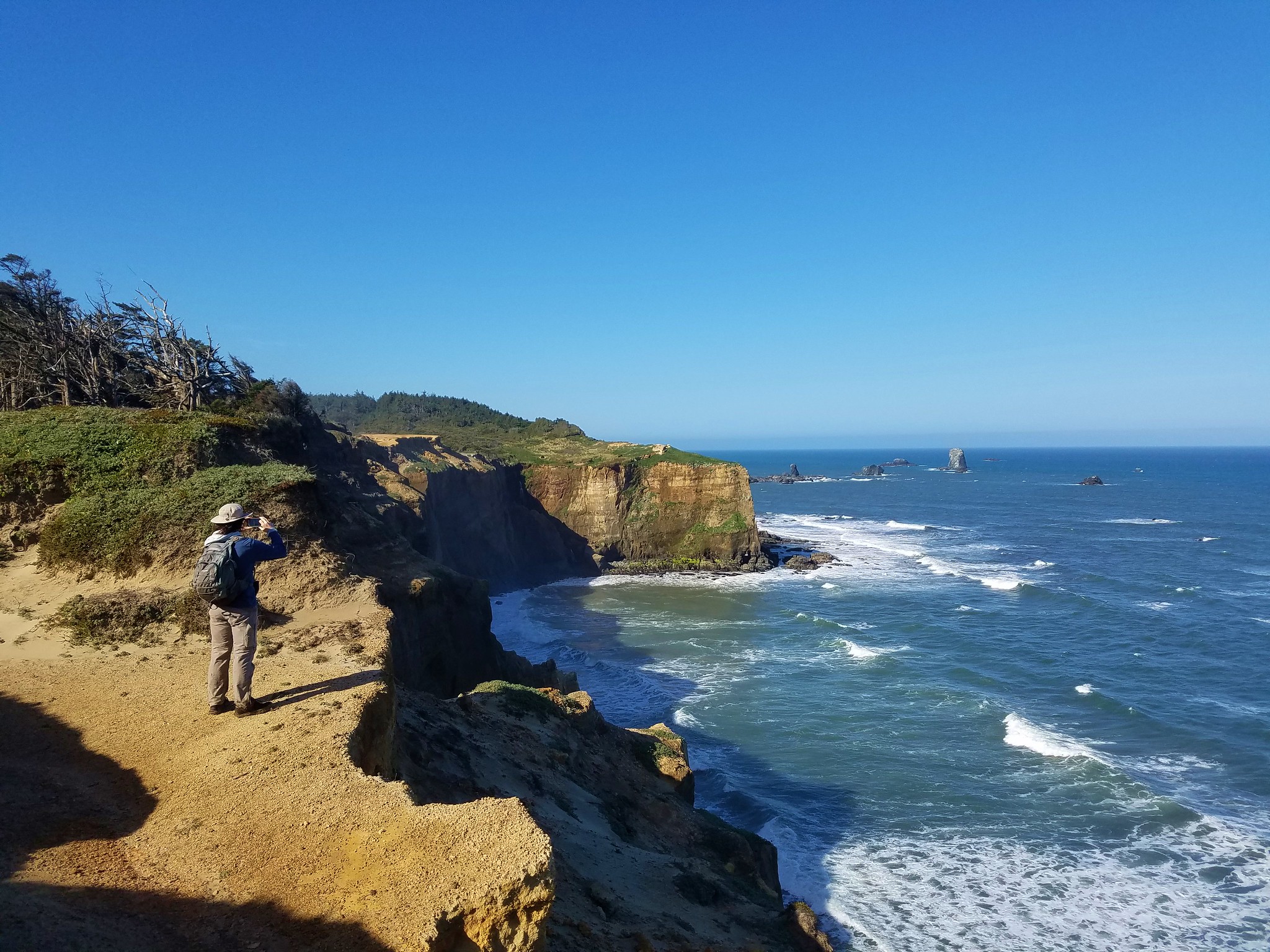
This path passed a couple of nice viewpoints in the next mile before arriving at another junction.
2017-05-08 09.15.25

2017-05-08 09.40.54

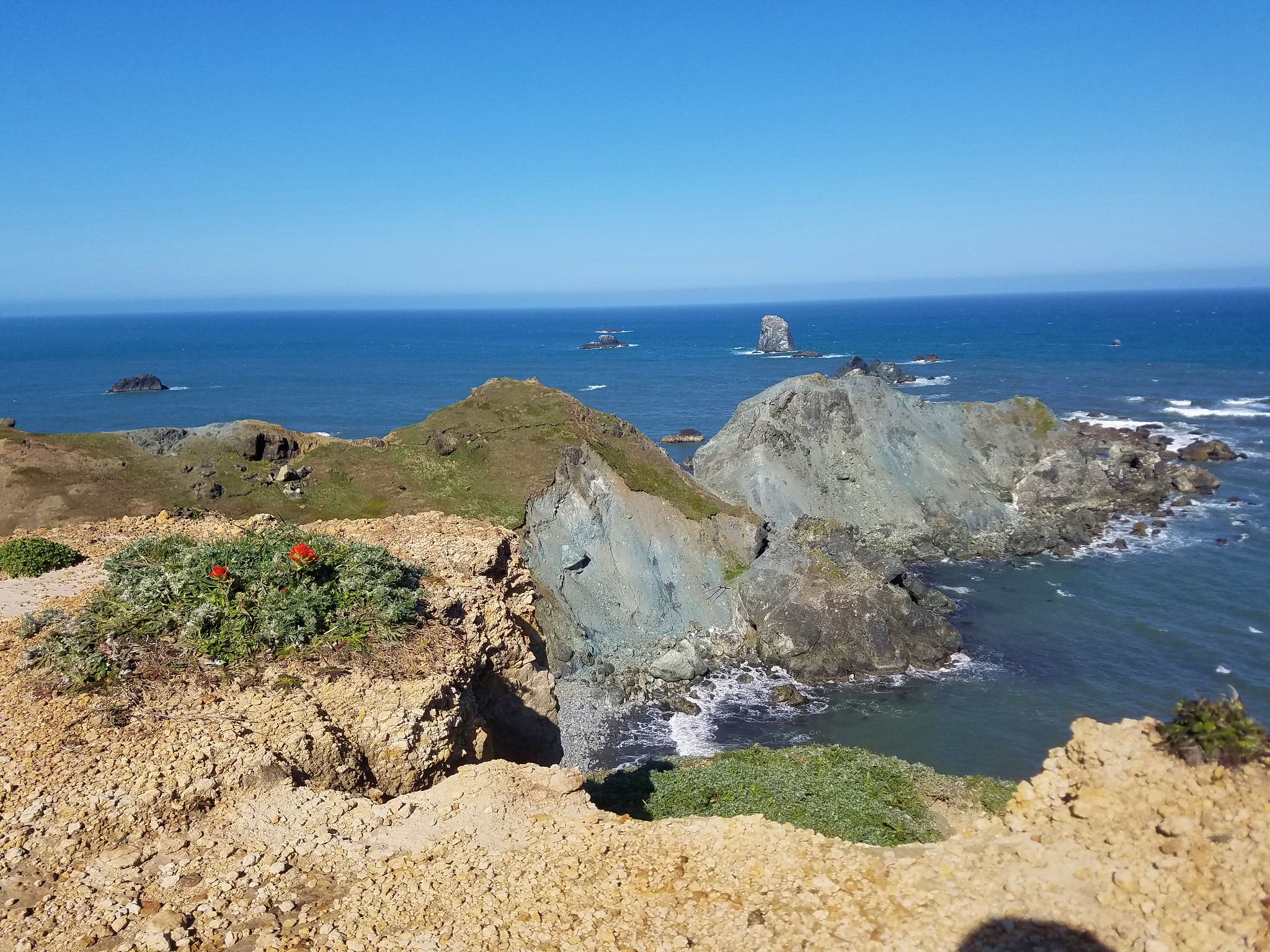
Despite the steady winds several wildflowers had managed to make the viewpoints home.
2017-05-08 09.39.41

2017-05-08 09.35.06

20170508_093527

2017-05-08 09.39.12

At the junction we turned right heading out toward Blacklock Point itself.
20170508_100352

20170508_100424

20170508_100730

We followed the path across a windy catwalk to its end.
20170508_101120

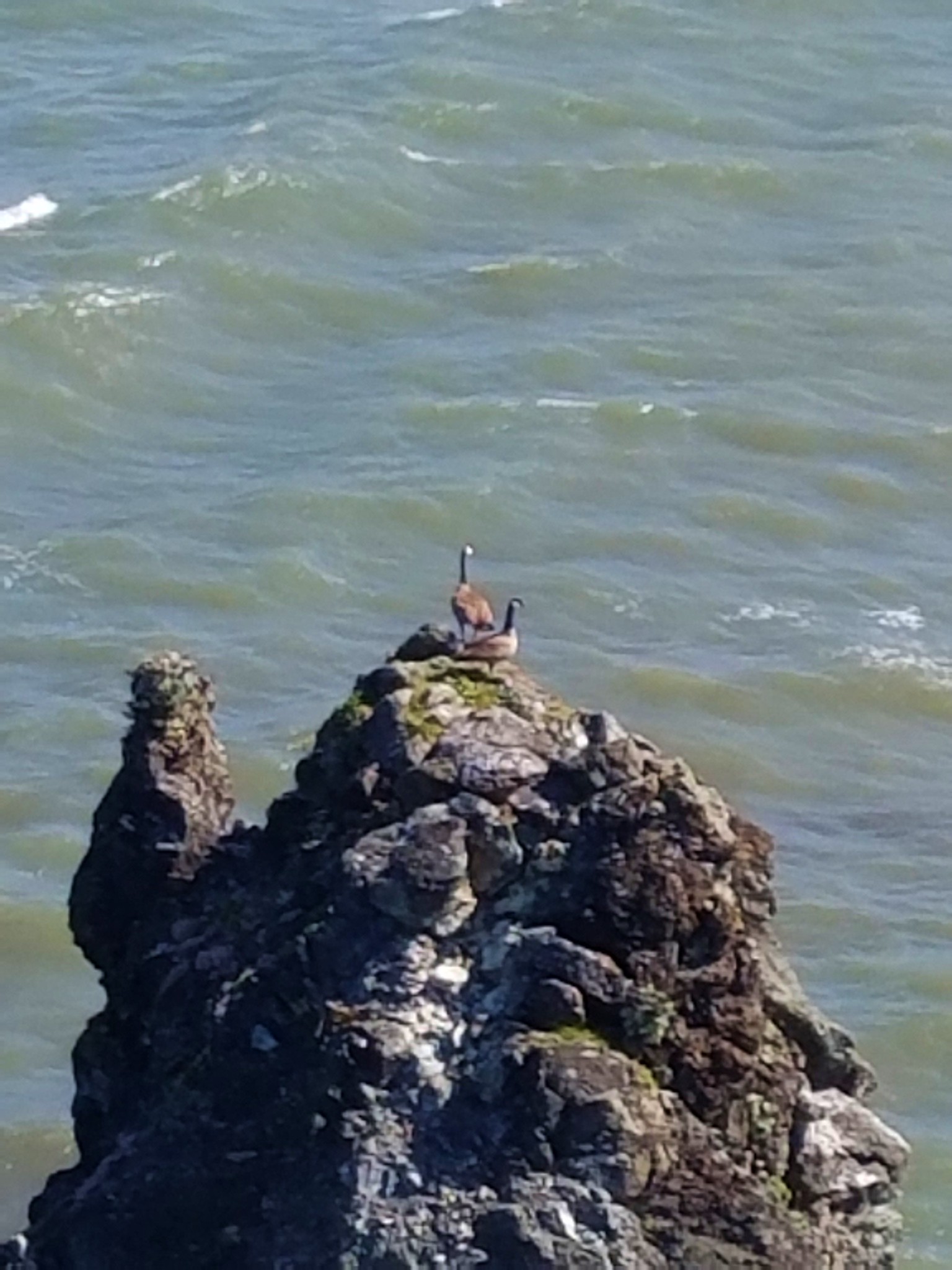
A pair of geese on a nearby rock were less than thrilled with our presence.
2017-05-08 10.14.41

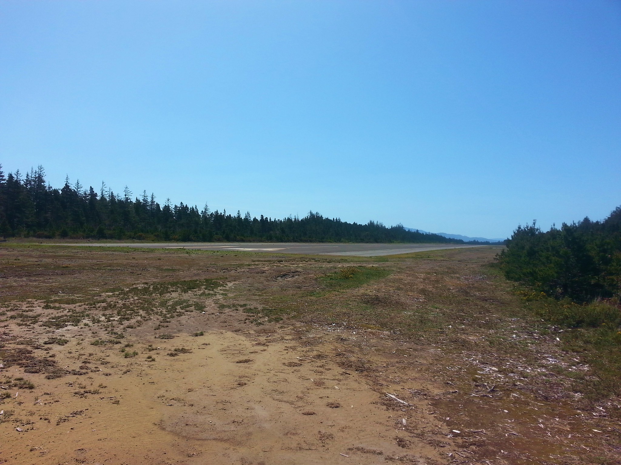
We’d come about a half mile from the junction and after returning we continued on our loop by following an old road another half mile to yet another junction. Turning left would have led 1.2 miles back to the junction we’d come to after climbing up from the creek crossing. This would mean passing back through the whale stench, so we turned right for a short distance staying left at a fork to the edge of the Cape Blanco Airport.
20170508_104835

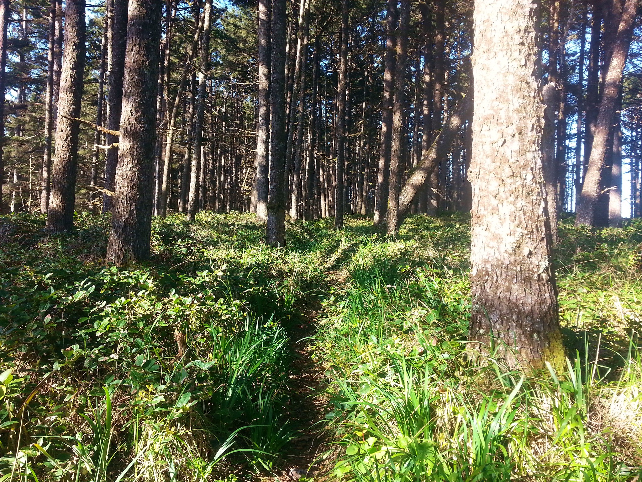
We followed the old road bed which brought us back to the SW end of Floras Lake in 3 miles.
20170508_105314

2017-05-08 11.48.01

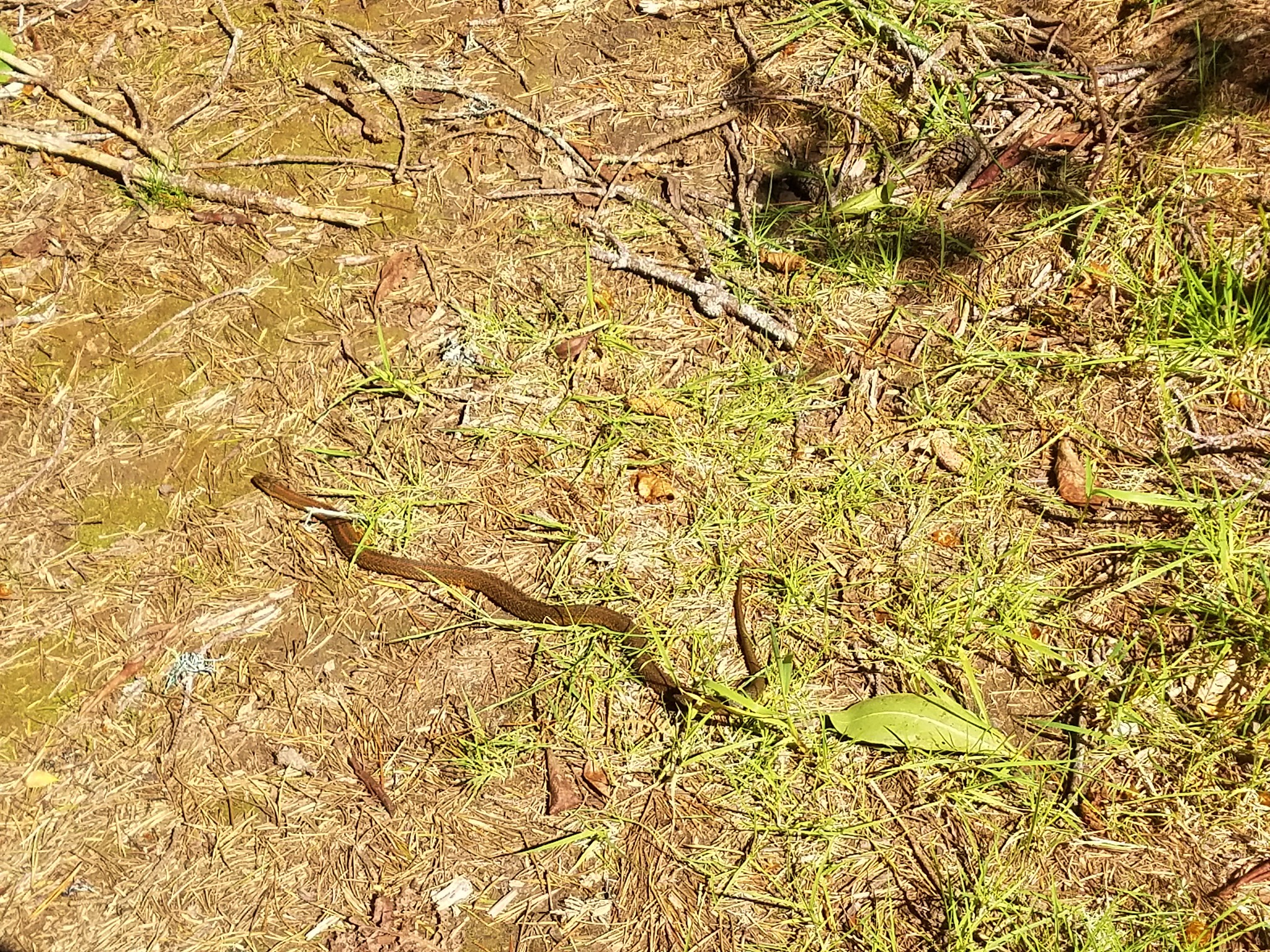
We spotted several frogs and a snake along this section.
20170508_111445

2017-05-08 11.02.43

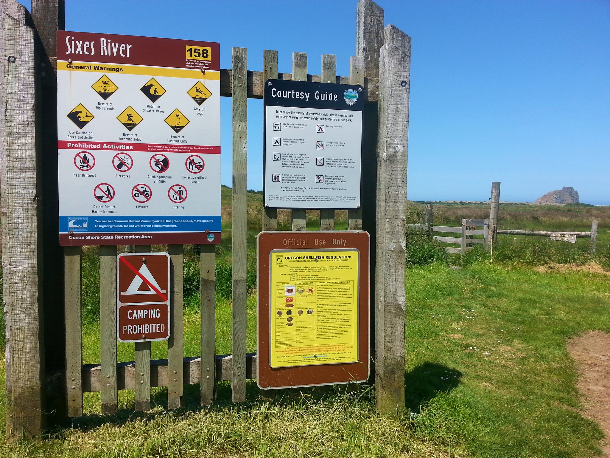
We simply followed the lake shore back to the bridge over New River to our car. We then drove south on Highway 101 to Cape Blanco State Park. For our hike here we began at the Sixes River boat ramp.
20170508_123141

We passed through a gate and followed a faint path through pasture along the Sixes River.
20170508_123434

2017-05-08 12.42.35

20170508_123954

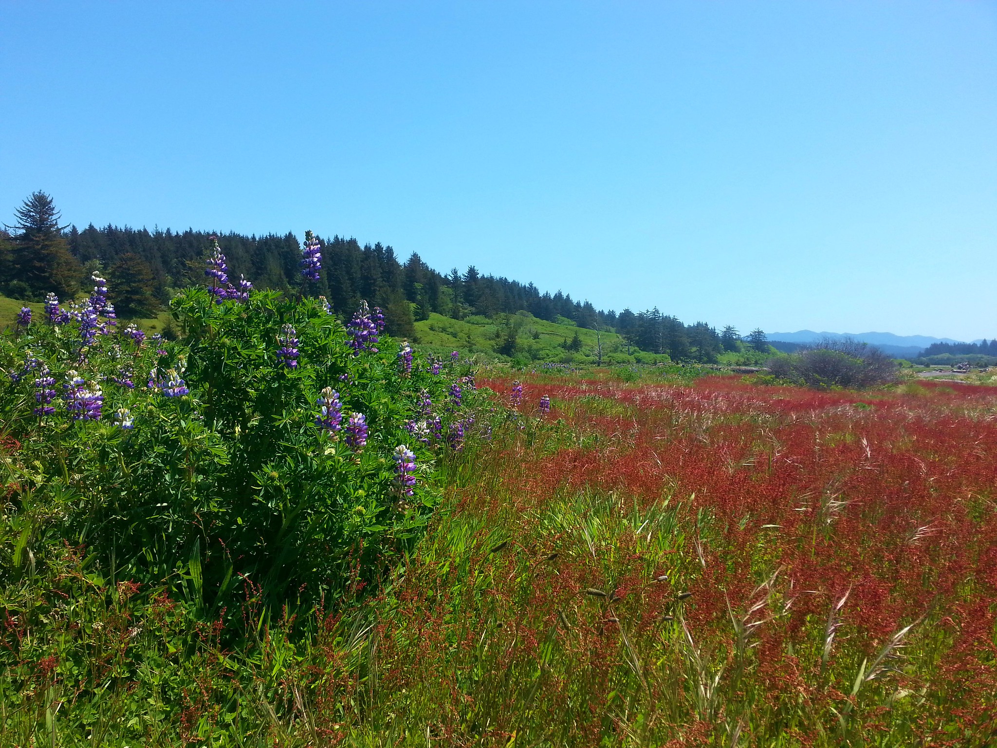
Purple lupine and red sorrel added color to the green pasture.
20170508_124414

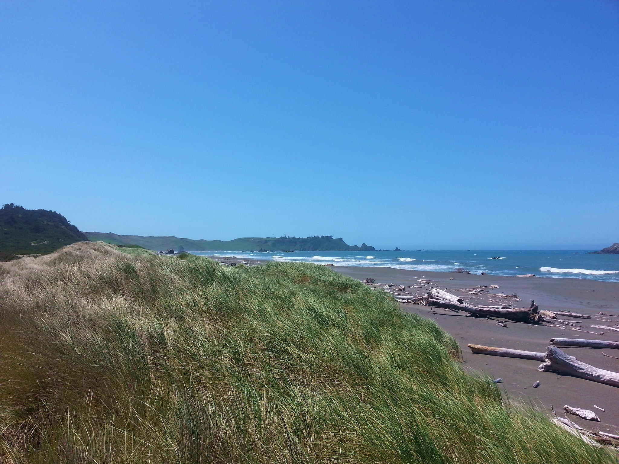
A little after 3/4 of a mile we crossed over a short foredune onto the beach and turned south.
20170508_125534

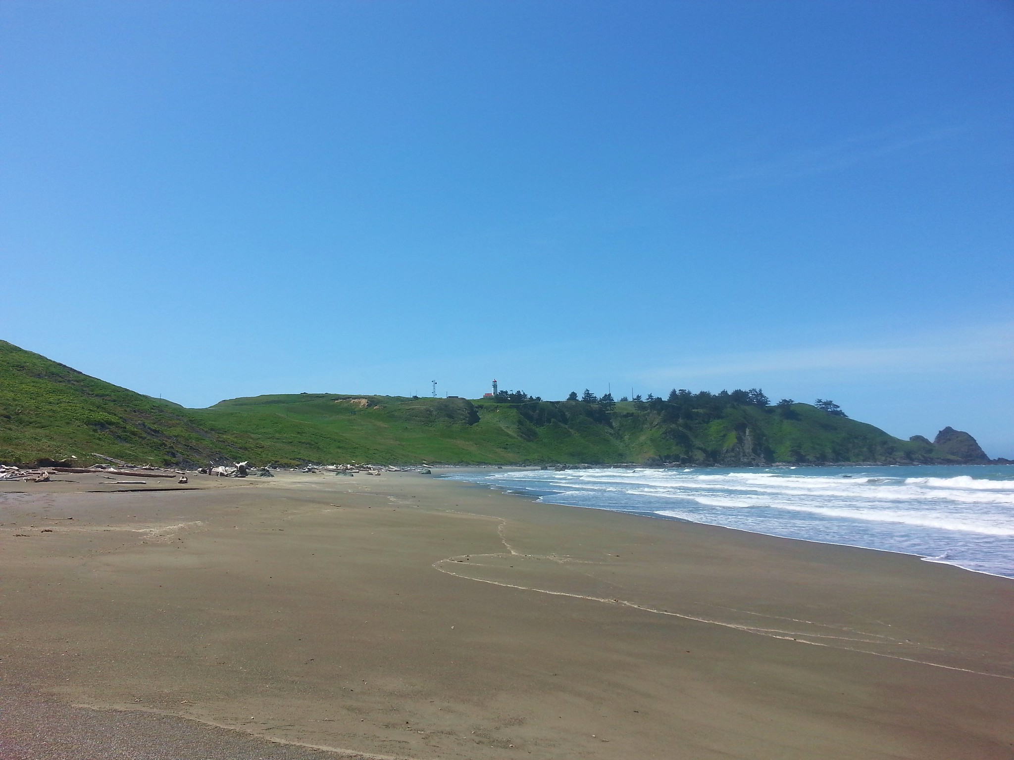
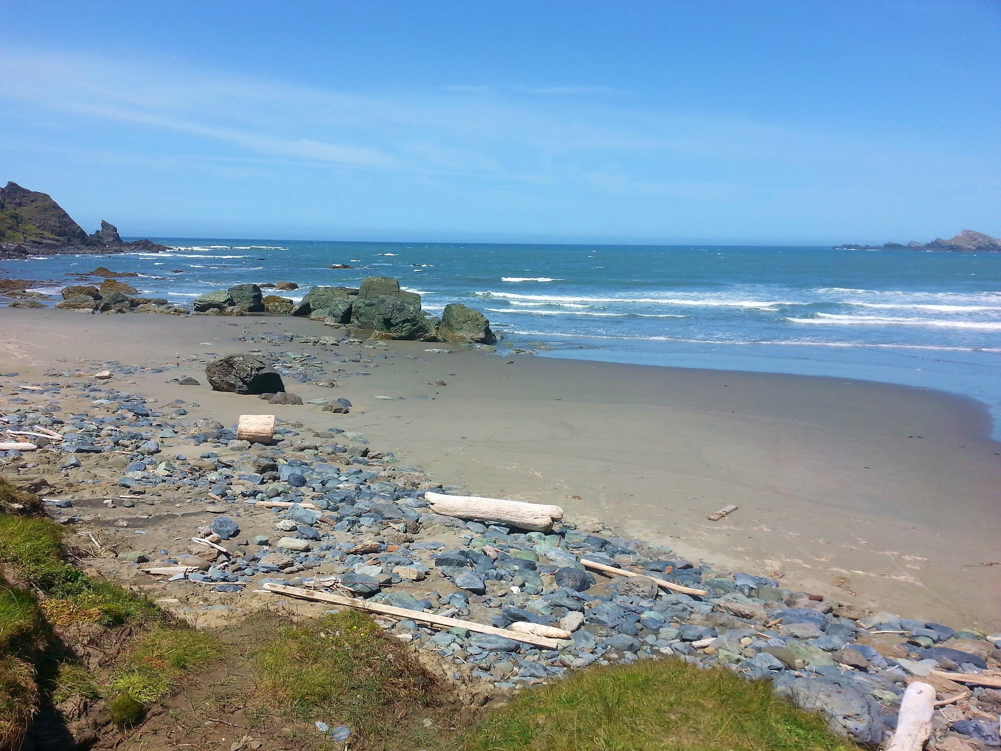
We followed the beach nearly a mile and a half to an unmarked trail below the Cape Blanco Lighthouse.
20170508_132029

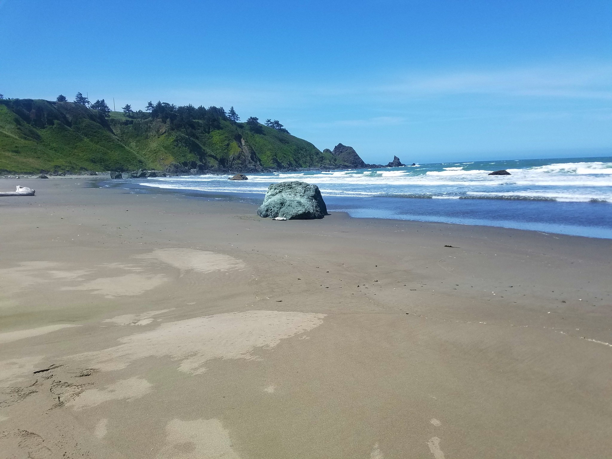
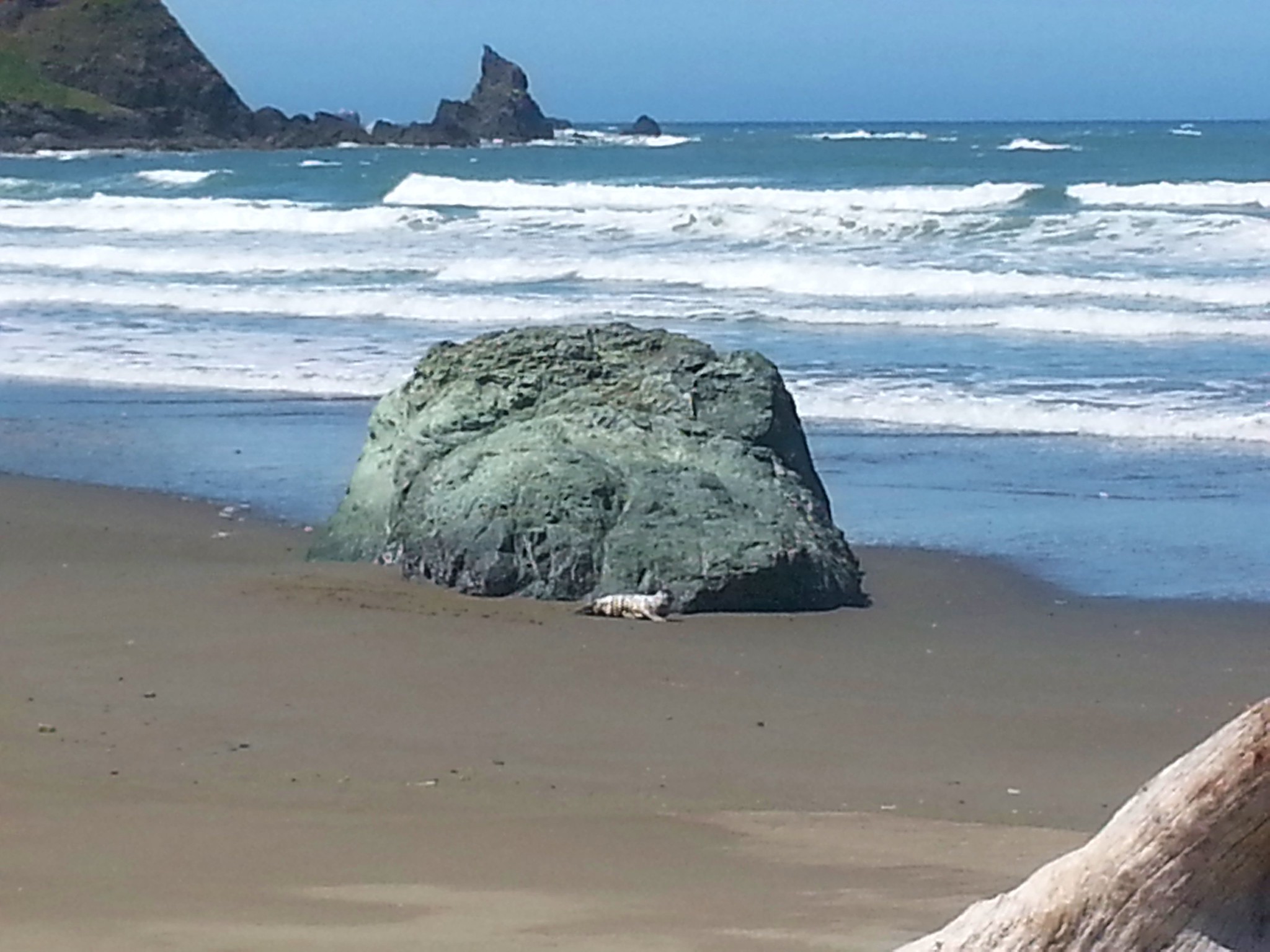
Near the end of the beach Heather noticed a seal pup near a rock.
2017-05-08 13.25.04

20170508_132518

Her first instinct was to try and “help” it because it seemed distressed but I was able to convince her that it was normal for the pups to be left on the beach at times while the mothers look for food and that getting to close could cause the mother not to return. We were downwind and kept as far away as possible. We spotted a second pup from the junction where we began climbing up toward the lighthouse road.
20170508_132845

2017-05-08 13.28.28

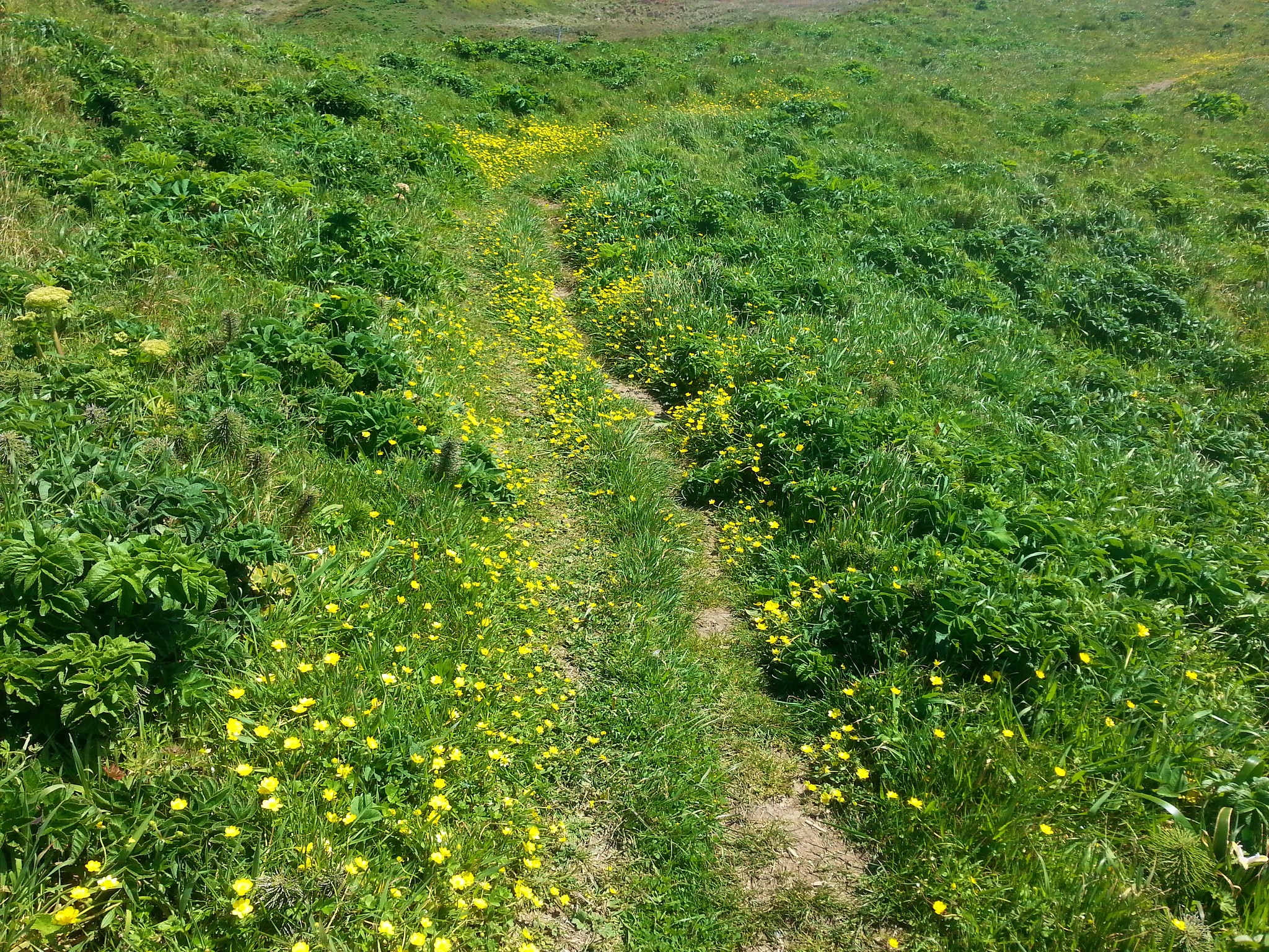
The .3 mile path up to the lighthouse road was lined with yellow flowers.
20170508_133221

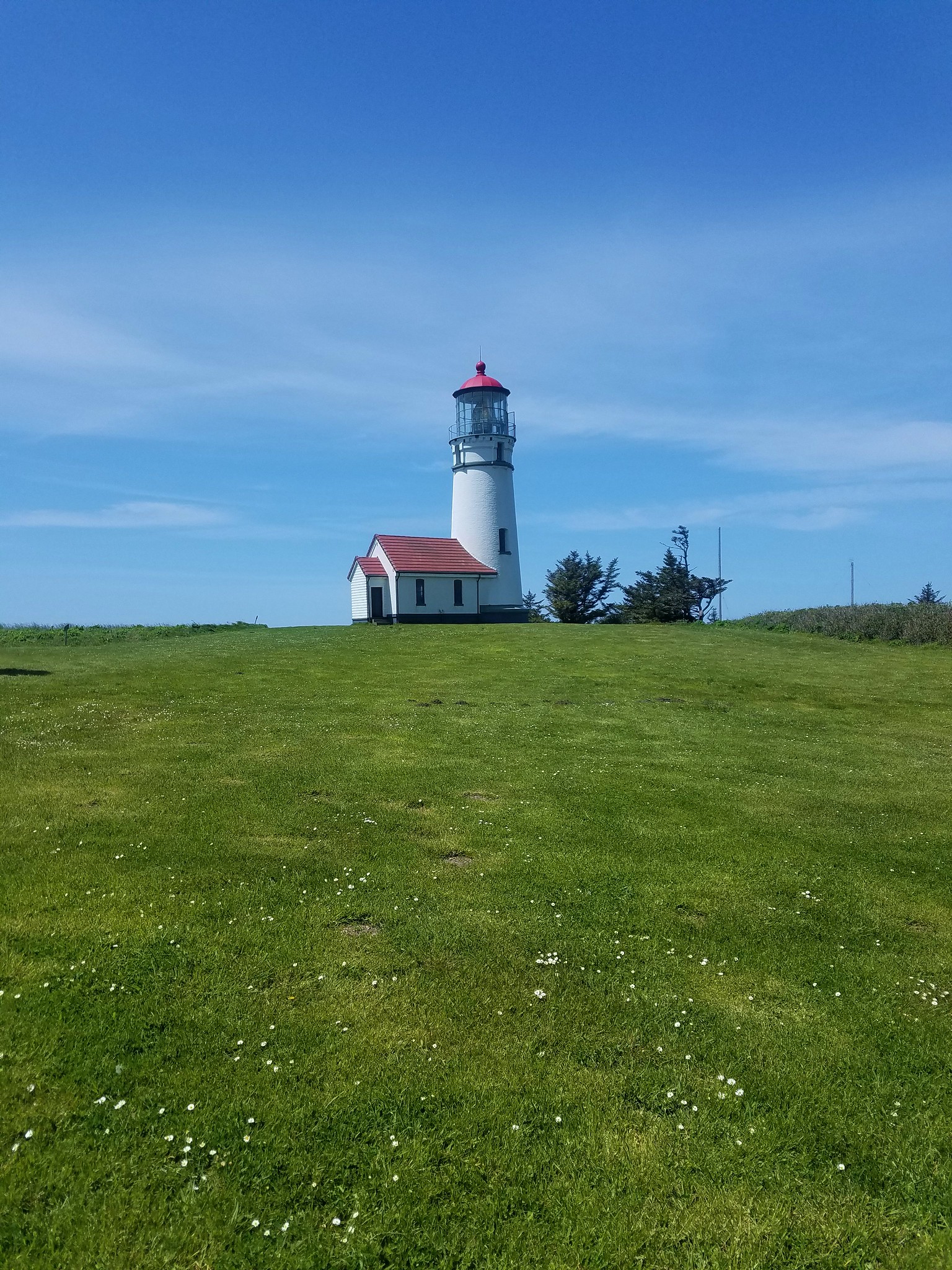
Four tenths of a mile of road walking brought us to the lighthouse.
2017-05-08 13.46.32

20170508_134800

After visiting the lighthouse we followed the road back past where we’d come up from the beach another .2 miles to an Oregon Coast Trail sign on the left.
20170508_140423

We followed the Oregon Coast Trail 1.3 miles, staying left at junctions, back to the pasture by the Sixes River boat ramp.
2017-05-08 14.05.45

20170508_141323

20170508_142333

20170508_143458

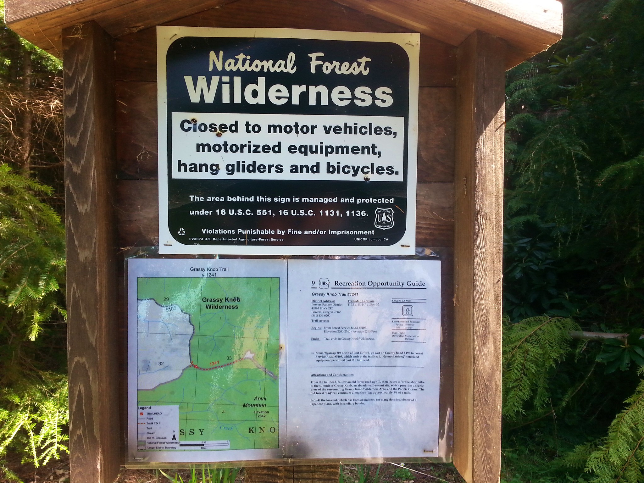
We crossed the pasture back to our car then headed for our next hike – Grassy Knob. To reach this trailhead we headed south toward Port Orford on Highway 101 turning left on Grassy knob Road 4 miles north of town. This 7.7 mile road began as a paved two lane road but about halfway along turned to a gravel logging road which was in pretty bad shape. It was bad enough that we actually parked a little under a half mile from the trialhead instead of attempting to go any further (as it turned out the final stretch wouldn’t have been that bad).

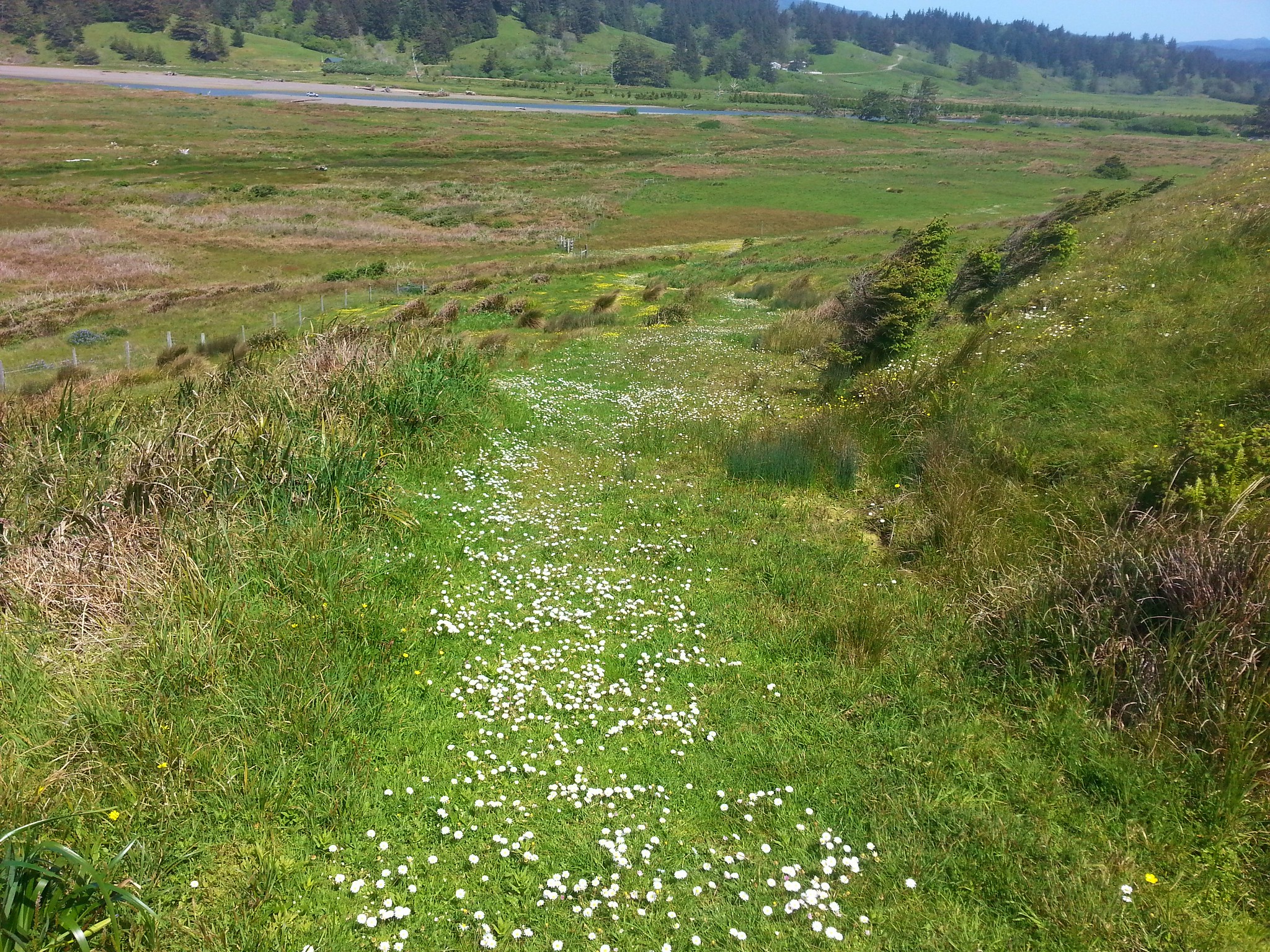
We hiked to the roads end and the start of the Grassy Knob Trail.
20170508_152956

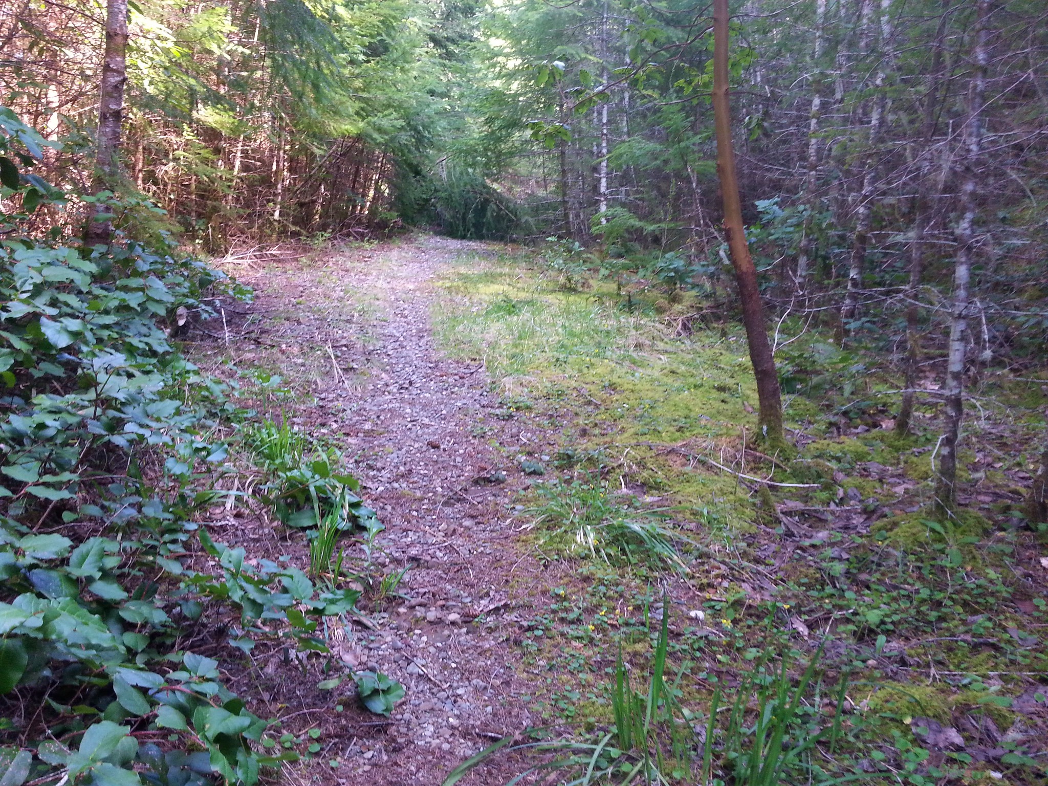
The trail followed the old road bed for nearly a half mile then forked uphill to the site of a former lookout tower.
20170508_153051

20170508_154048

The view was fine but not spectacular with the Pacific Ocean visible through the trees. The main thing was we could check another wilderness area off our list.
2017-05-08 15.41.50

2017-05-08 15.42.37

We drove back to Highway 101 and continued south into Port Orford turning at a sign for Port Orford Heads.
20170508_164227

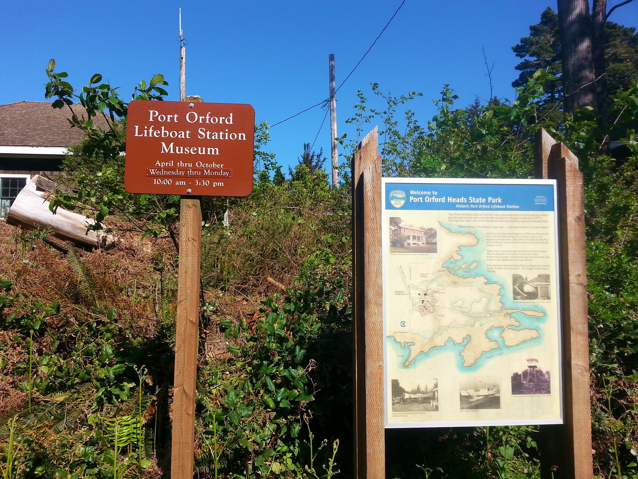
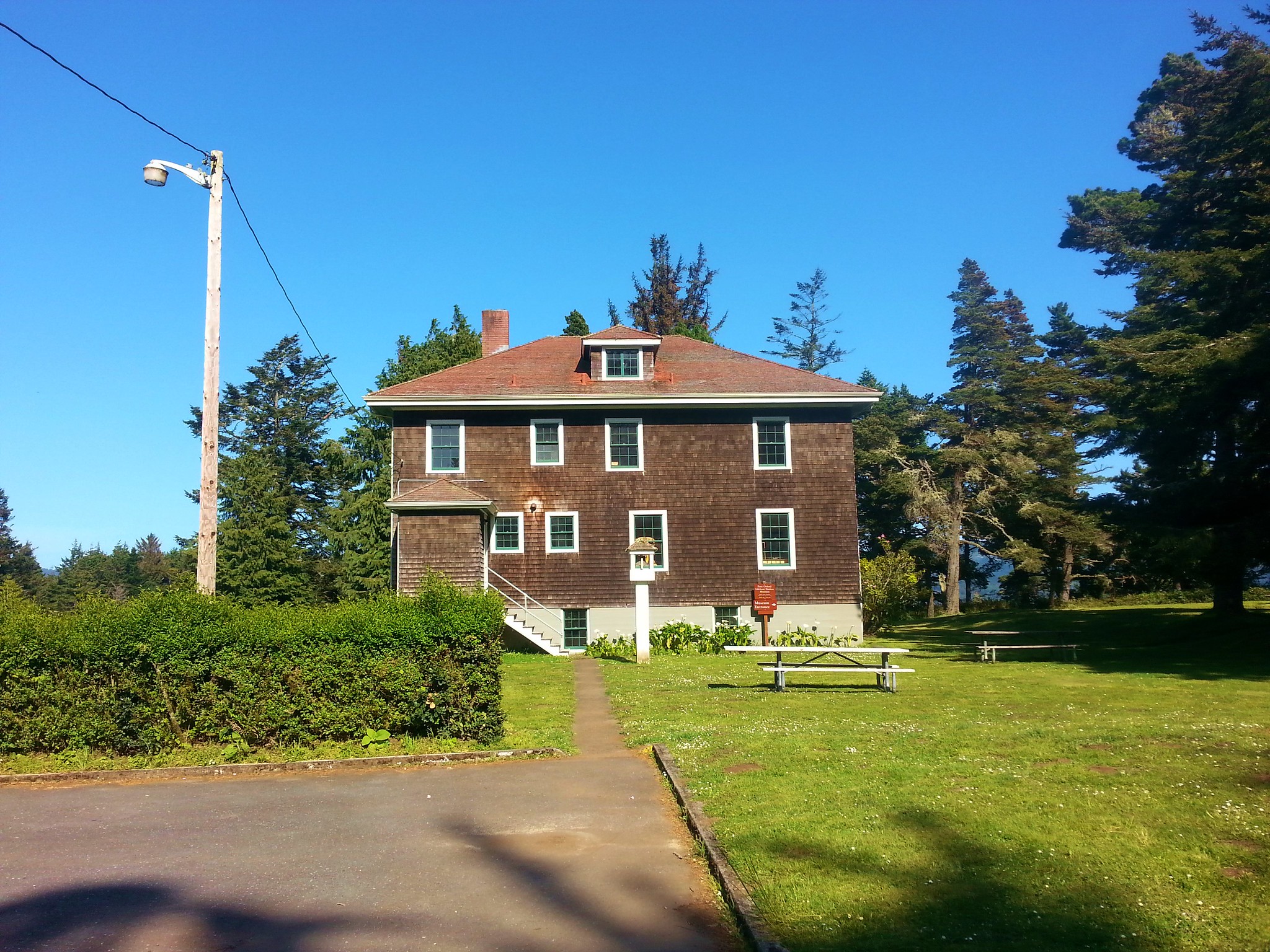
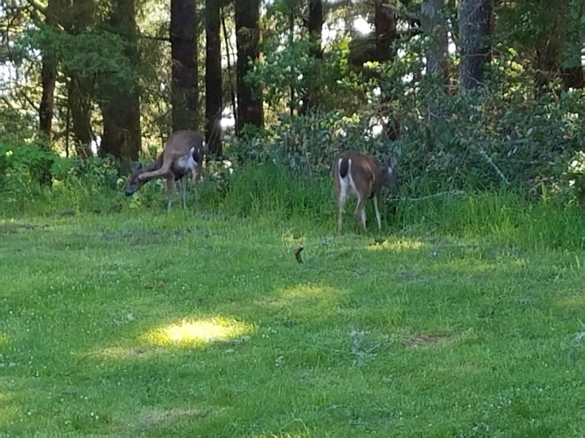
The Coast Guard Barracks museum was closed for the day but we were able to look at the lifeboat along with a pair of deer.
20170508_164411

20170508_164414

20170508_164351

2017-05-08 16.45.06

We took the Cove Trail behind the Museum to an overlook of the site of a former Coast Guard boathouse.
20170508_164724

20170508_165046

The view to the south included Humbug Mountain.
20170508_165445

We continued on the Cove Trail to its end at a junction with the Tower Trail at the site of a former WWII lookout tower.
2017-05-08 16.59.11

From the lookout site we followed the tower trail a short distance before forking left for .2 miles to the Headland Trail where we turned left for another .2 miles to the end of this trail.
20170508_171348

There were quite a few flowers on the protected north side of the headland.
2017-05-08 17.11.41

20170508_171157

2017-05-08 17.12.03

We completed our 1.3 mile loop by following the Headland Trail back to the museum parking lot. It had been an interesting day of hiking with a lot of variation between our four destinations. The whale smell had been bad and the road to Grassy Knob a little harrowing but all in all it had been a really good day. Happy Trails!
Flickr: Port Orford Area hikes

Categories
Hiking Northern Coast Oregon Oregon Coast Trip report

Angora Peak and Cape Falcon

We are blessed to live in a State where one weekend we can hike amid sagebrush and wildflowers in the High Desert and the next weekend hike along the Pacific Ocean.

For our latest outing we headed to the Oregon Coast to check out one new destination and one familiar one. Our original plan was to break the day up into two hikes, first up Angora Peak from a gated logging road, then to Cape Falcon after driving back south on Highway 101 for 2 miles to the Short Sands Trail South Trailhead.  We had hiked to Cape Falcon from that same trailhead in 2012 which would mean we’d be duplicating that hike (which we try and avoid).

An alternative presented itself while researching the Angora Peak hike. The Oregon Coast Trail passes Cape Falcon and then crosses Cape Falcon Road to the north on it’s way to Arch Cape. Cape Falcon Road is just a tenth of a mile north of the gated logging road for the Angora Peak hike so by parking on the shoulder of Cape Falcon Road at the OCT we could hike up to Angora Peak and back then take the Oregon Coast Trail out to Cape Falcon and back. This would allow us to not have to drive to a second trailhead and we wouldn’t be duplicating our 2012 hike to Cape Falcon.

With the plan settled we dove north of Nehalem on Highway 101 for 8 miles and turned left onto Cape Falcon Road where we parked at a small pullout by a trail sign.
Oregon Coast Trail at Cape Falcon Road

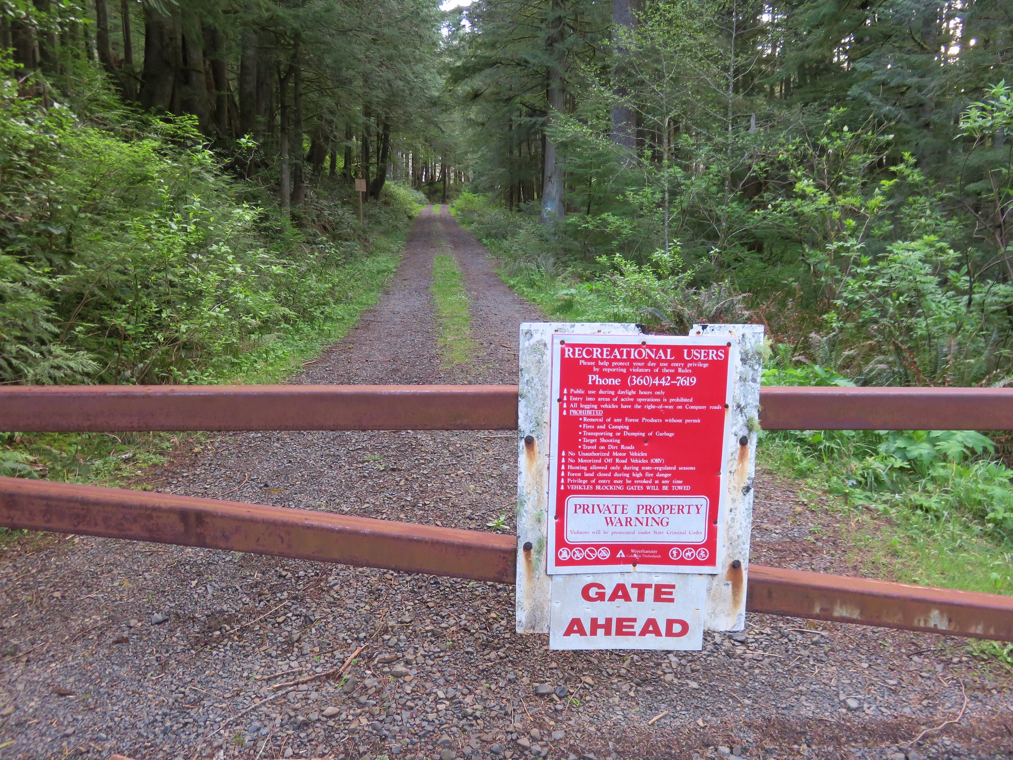
We walked back to the highway which was less than 100 yards away, crossed to the east shoulder, and followed it south for .1 miles to the gated road. The lumber company has a sign posted regarding rules for the area which should always be followed in order to ensure they are not forced to close access.
Logging road to Angora Peak

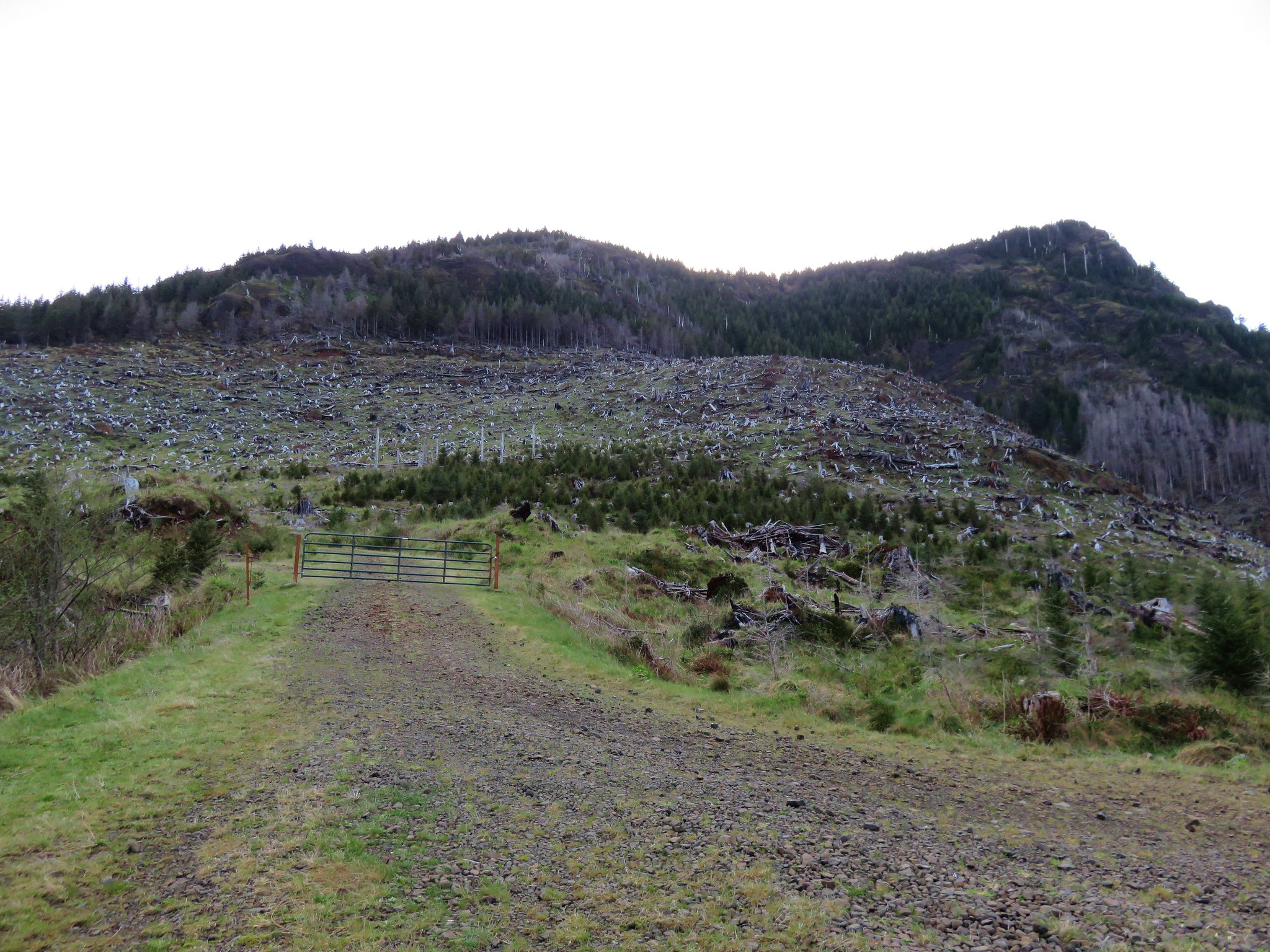
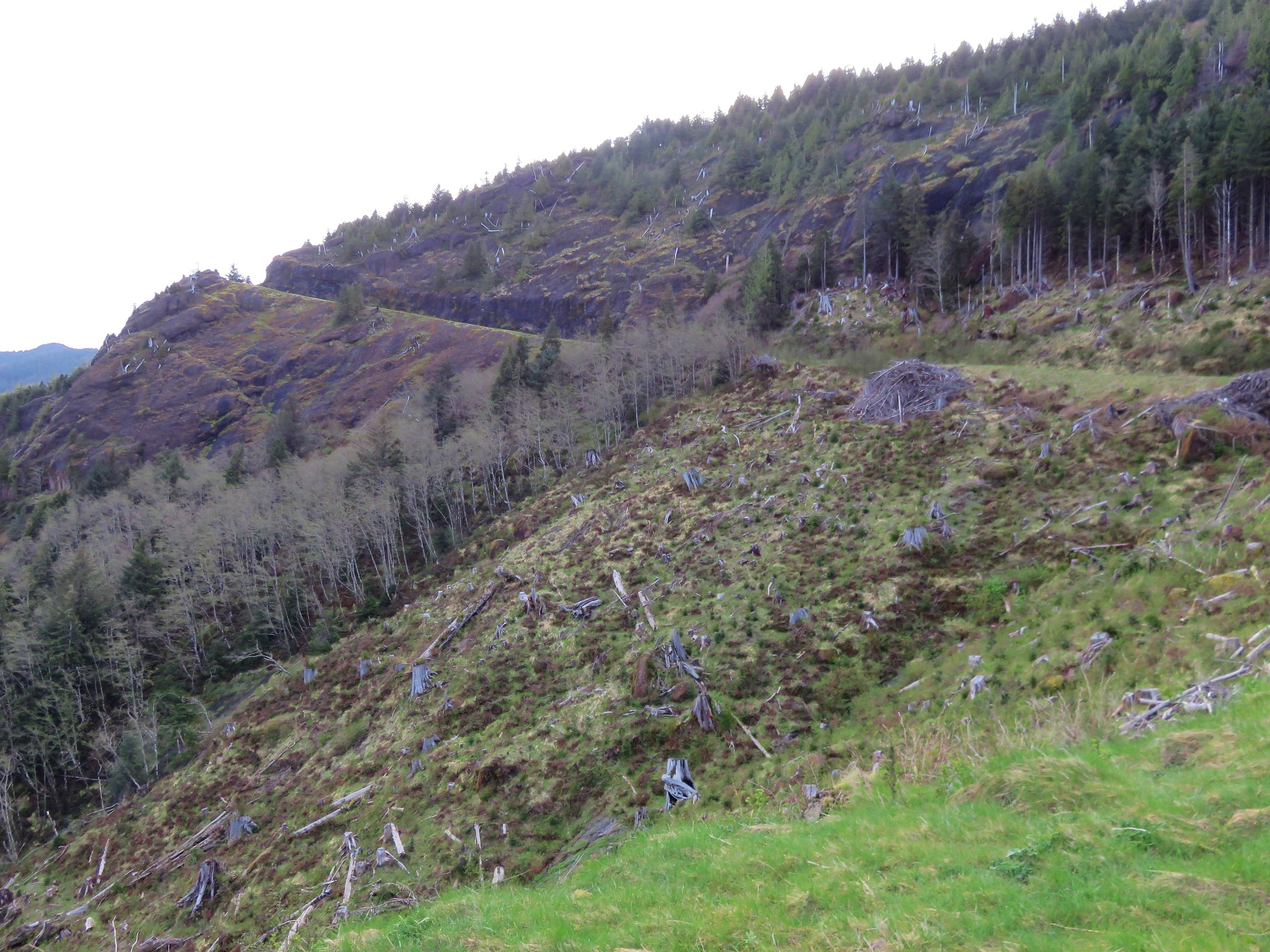
The road passes through a landscape of clear cuts with Angora Peak in the distance.
Logging road to Angora Peak

We stuck to what was obviously the main road and in about a mile passes a quarry.
Quarry on the way to Angora Peak

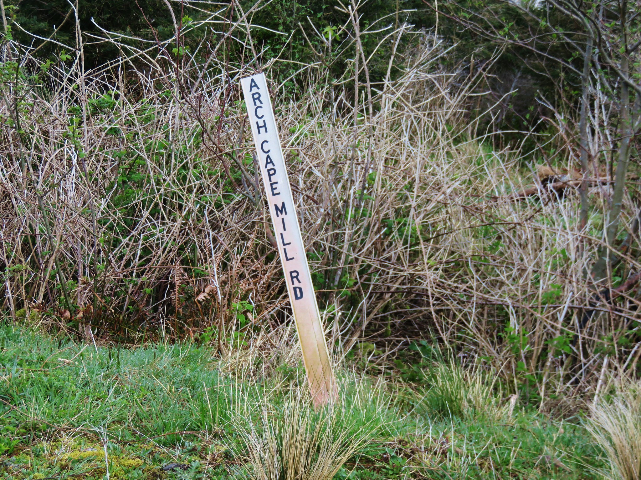
Beyond the quarry we forked left after passing a 1 mile marker (blue spray painted 1 on a concrete slab). This road ended in tenth of a mile at a T-shaped junction with Arch Cape Mill Road.
Sign at the junction with Arch Cape Mill Road

We turned right on Arch Cape Mill Road passing another gate.
Gate on Arch Cape Mill Road

As we climbed higher up the road views back to the Pacific Ocean improved.
Pacific Ocean from Arch Cape Mill Road

Looking north past the clearcuts to Tillamook Head Tillamook Head

Tillamook Rock and Tillamook HeadTillamook Rock and Tillamook Head

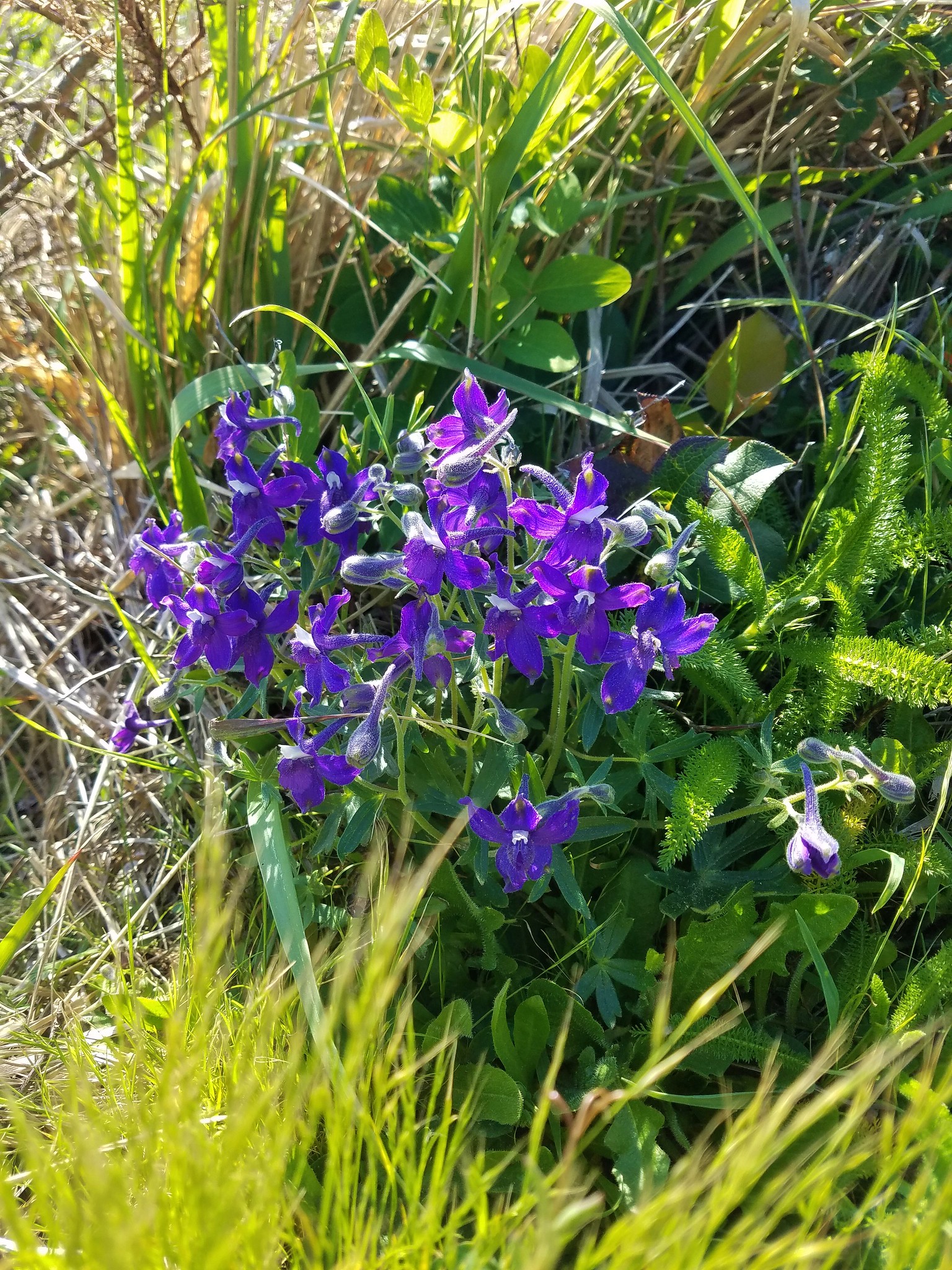
There weren’t a lot of flowers blooming yet but here a few were in bloom.
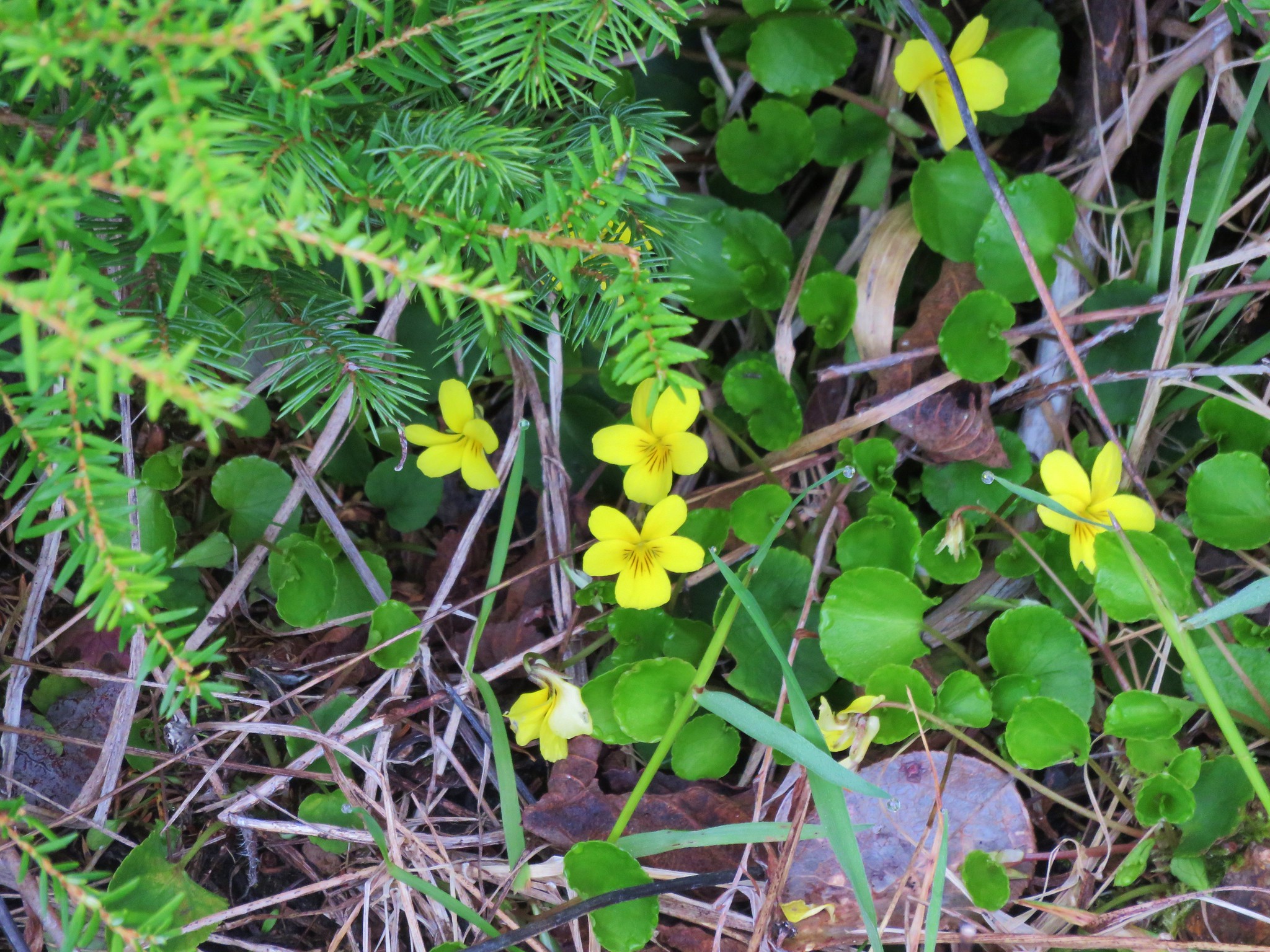
Wood violets Violets

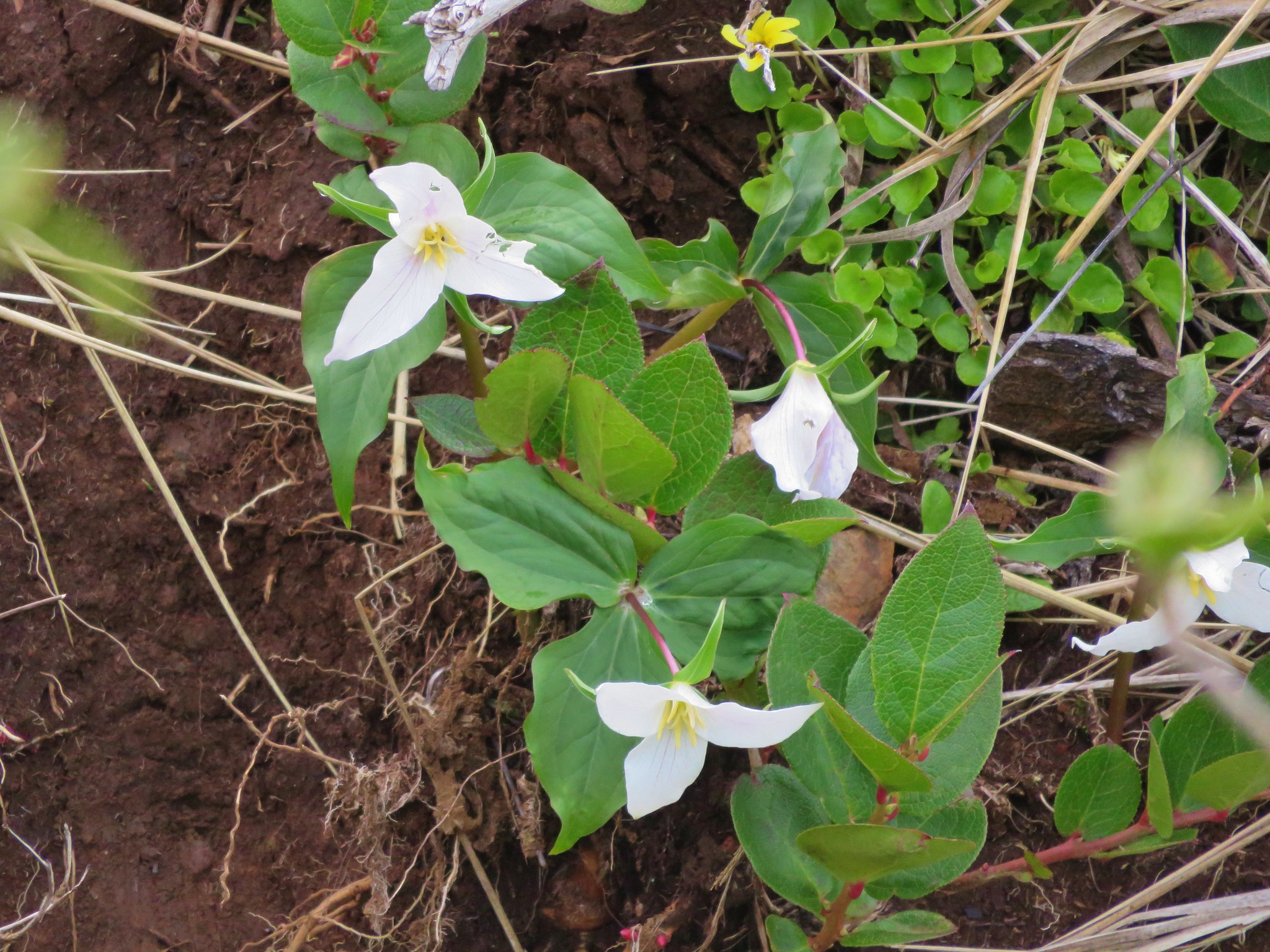
TrilliumTrillium

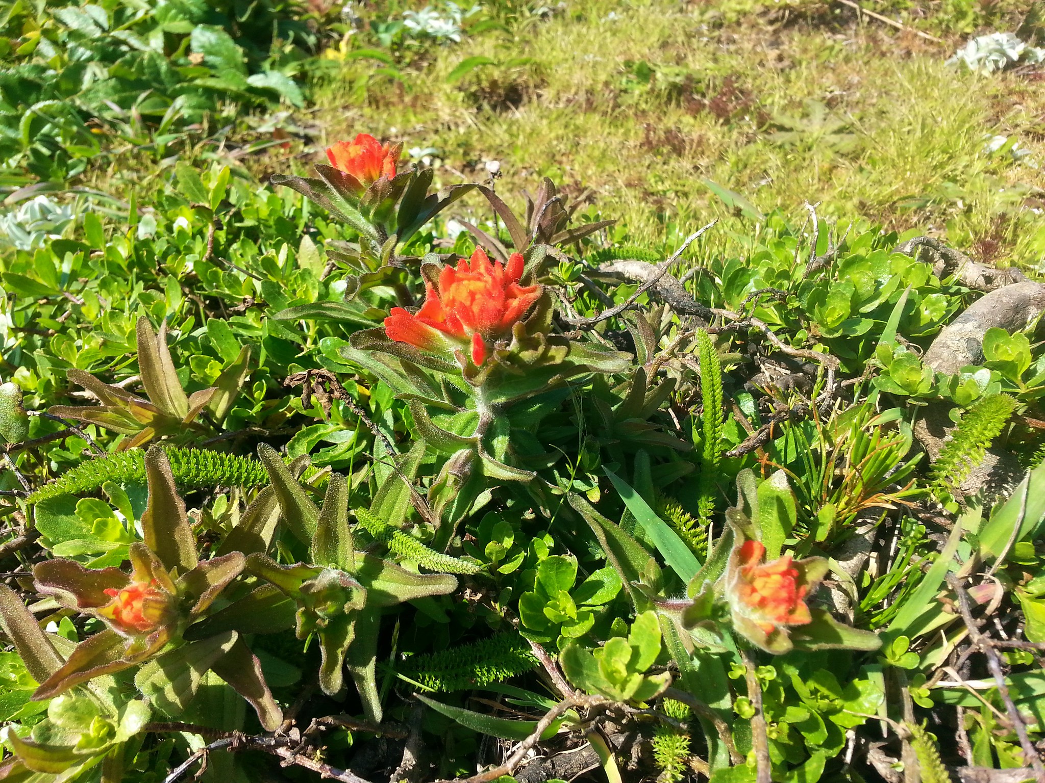
PaintbrushPaintbrush

SalmonberrySalmonberry

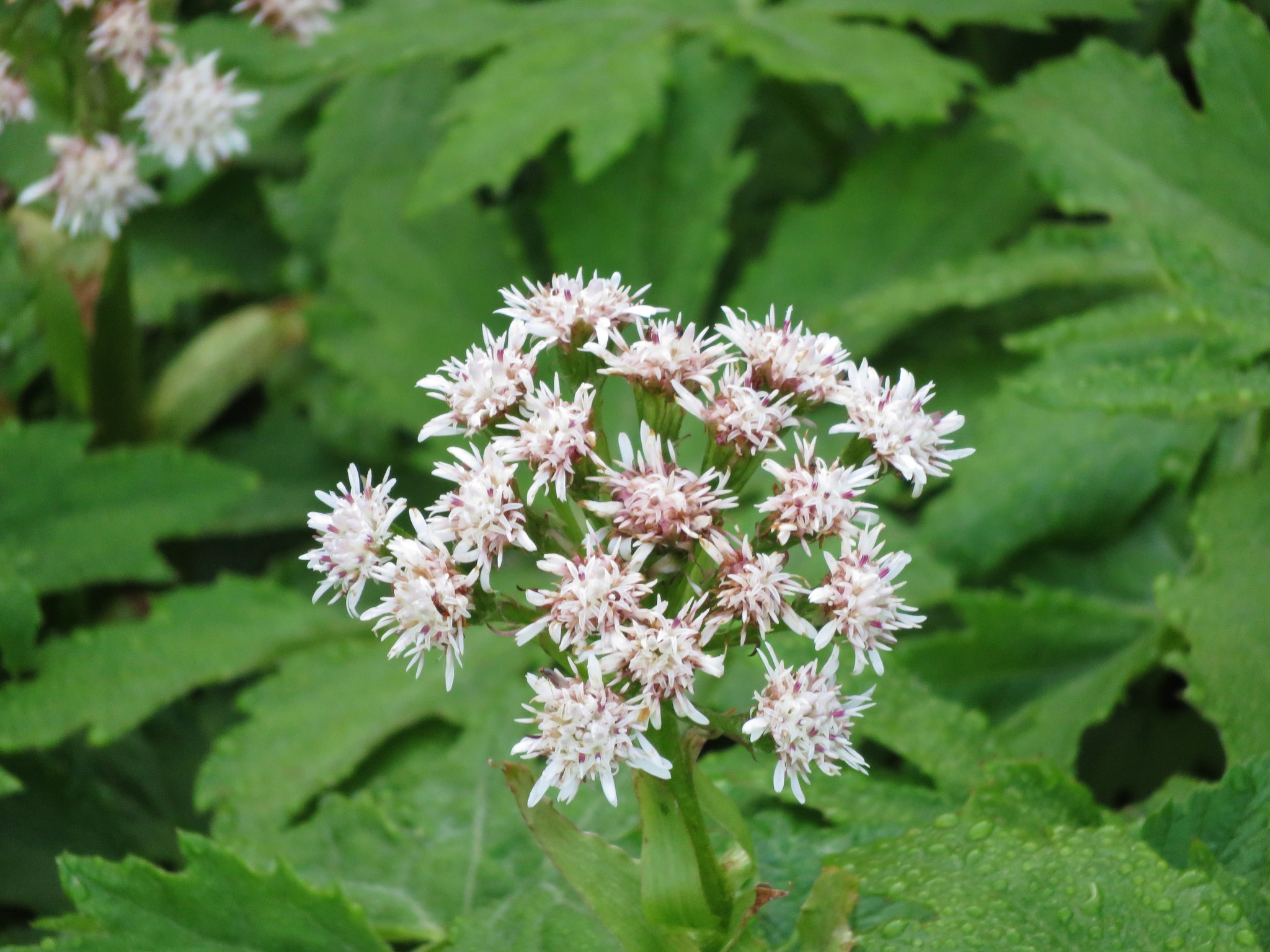
ColtsfootColtsfoot

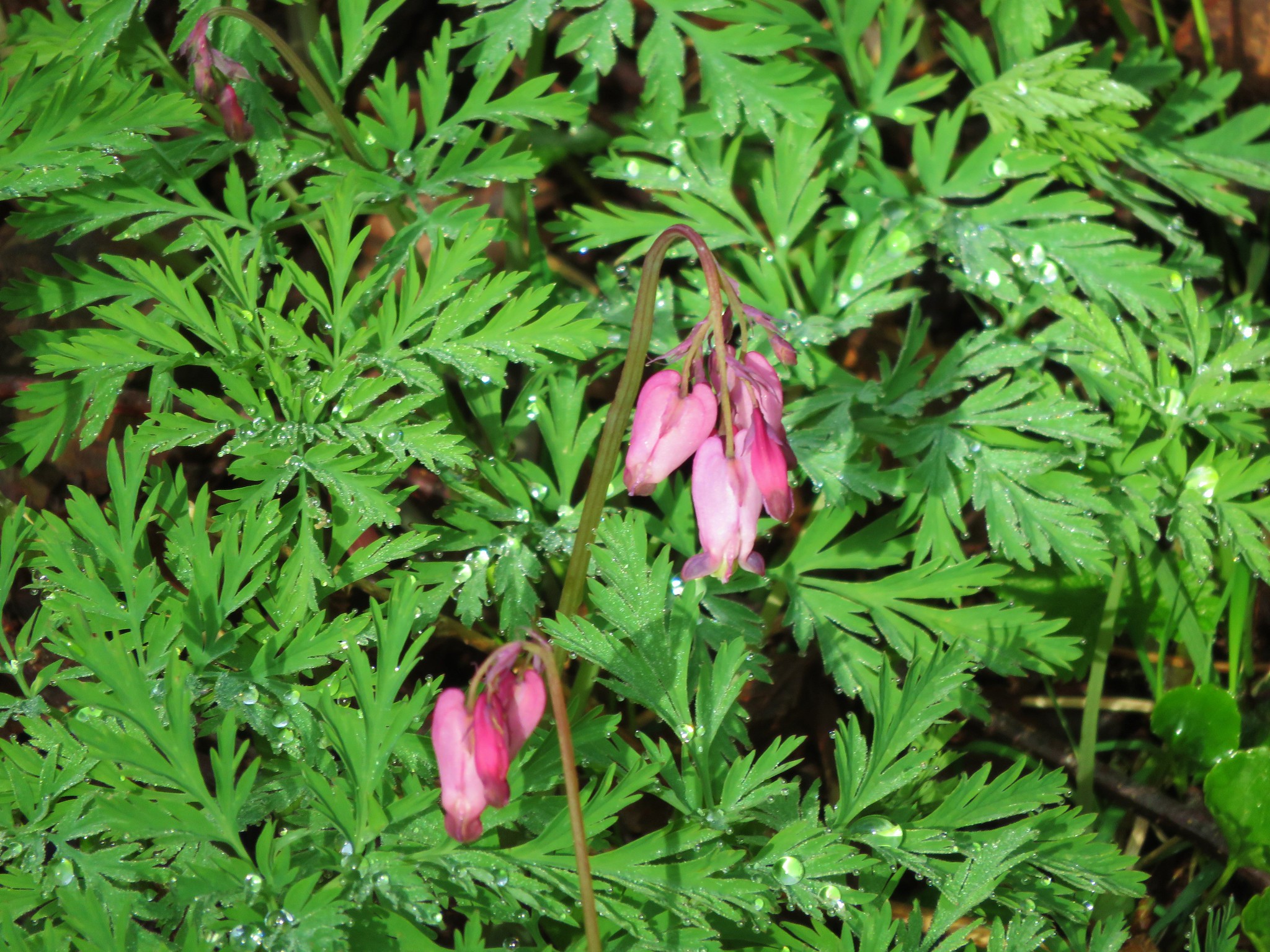
Bleeding heartBleeding heart

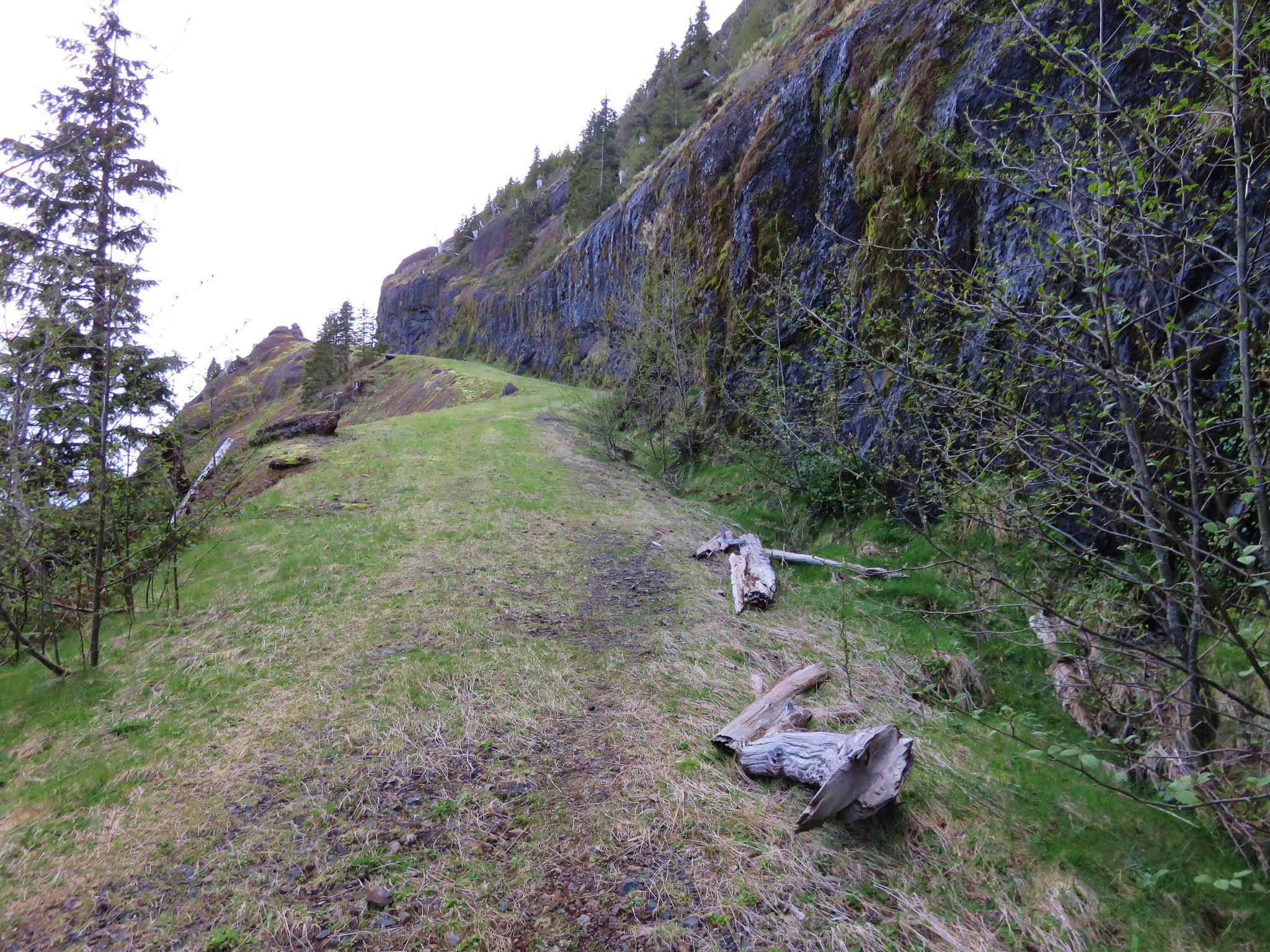
Arch Cape Mill Road wound up along a cliff face to a viewpoint in about 3/4 of a mile.
Arch Cape Mill Road

Arch Cape Mill Road

Viewpoint along Arch Cape Mill Road

We followed the road another half a mile before veering right onto a brushy trail at a small rock cairn.
User trail off of Arch Cape Mill Road

User Trail

After a couple of hundred yards we came to a grassy opening a where we headed uphill on another old road bed.
Heading to the stone shelter

A short distance up the old road bed we came to an old stone shelter which showed signs of recent use including a fire pit. Just the kind of activity that could prompt the lumber company to close access.
Stone shelter

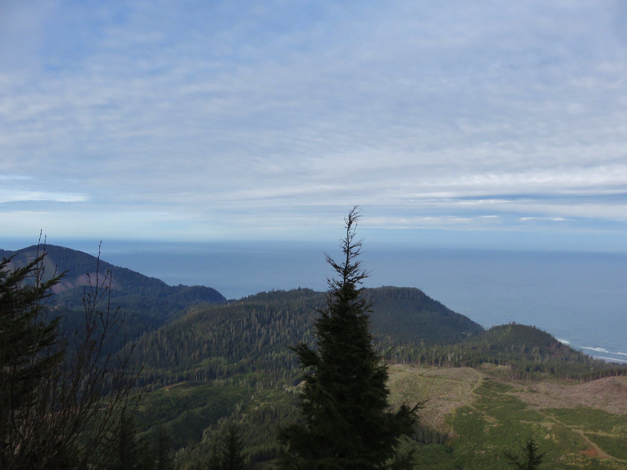
A short trail to the right from the shelter led to a viewpoint where we could see Neahkahnie Mountain and Cape Falcon in Oswald West State Park.
Neahkahnie Mountain and Cape Falcon

Up to this point we had been following Sullivan’s “100 Hikes/Travel Guide Oregon Coast & Coast Range” 4th edition which ended the hike at the viewpoint near the shelter. We decided to press on for Angora Peak following descriptions on Summitpost.org and in trip reports on Oregonhikers.org. We returned to Arch Cape Road and continued on. The road became very overgrown about 150 yards from the rock cairn so we followed another user trail for three tenths of a mile to a saddle where the conditions improved and views opened up.
Arch Cape Mill Road

To the south the green farmland along the Nehalem River stood out in stark contrast to the surrounding hills.
Nehalem to the south

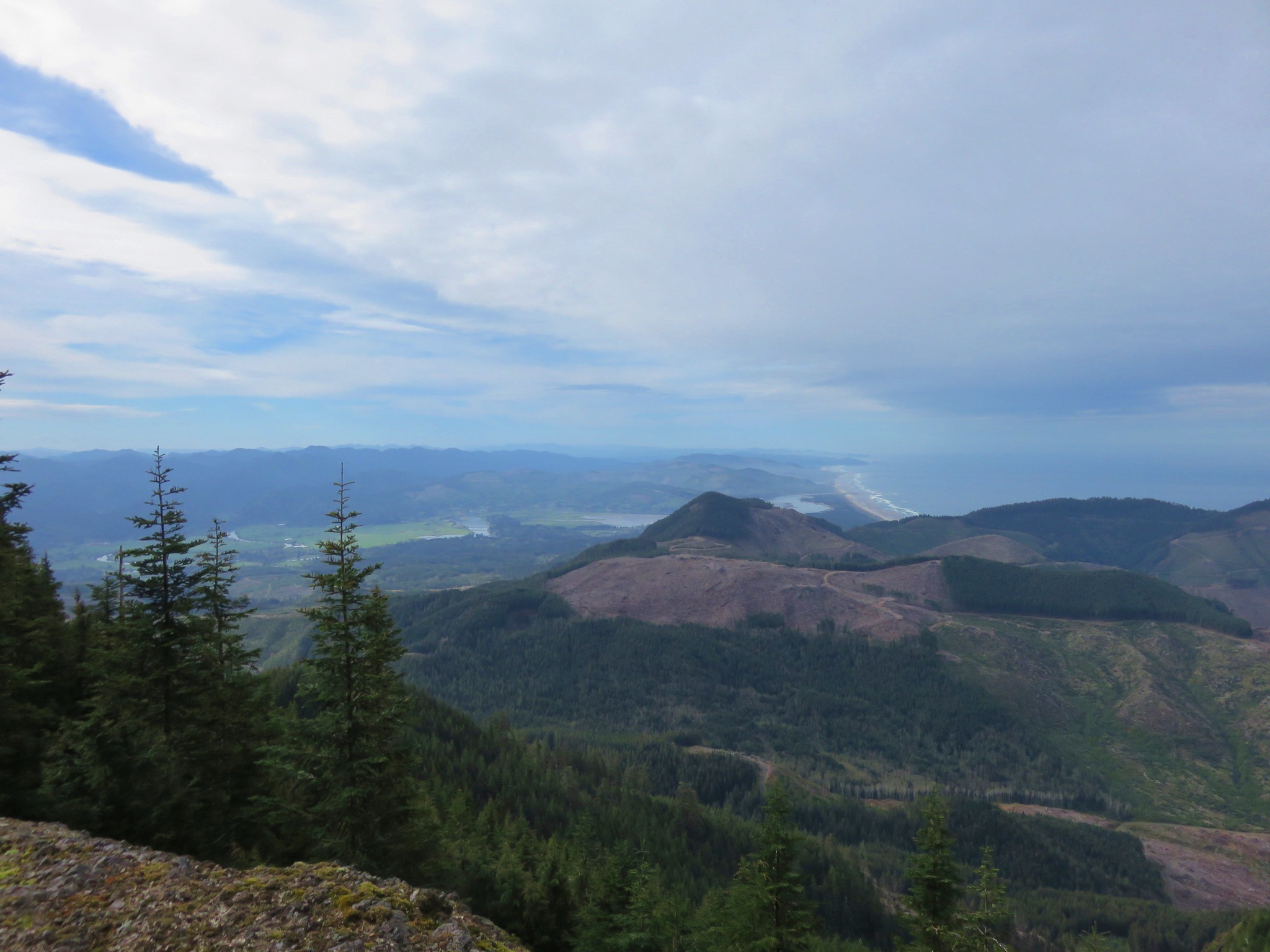
Following the Nehalem River west it emptied into the Pacific beyond Neahkahnie Mountain.
Looking south

To the west was more ocean beyond the western end of Angora Peaks ridge.
West end of Angora Peak

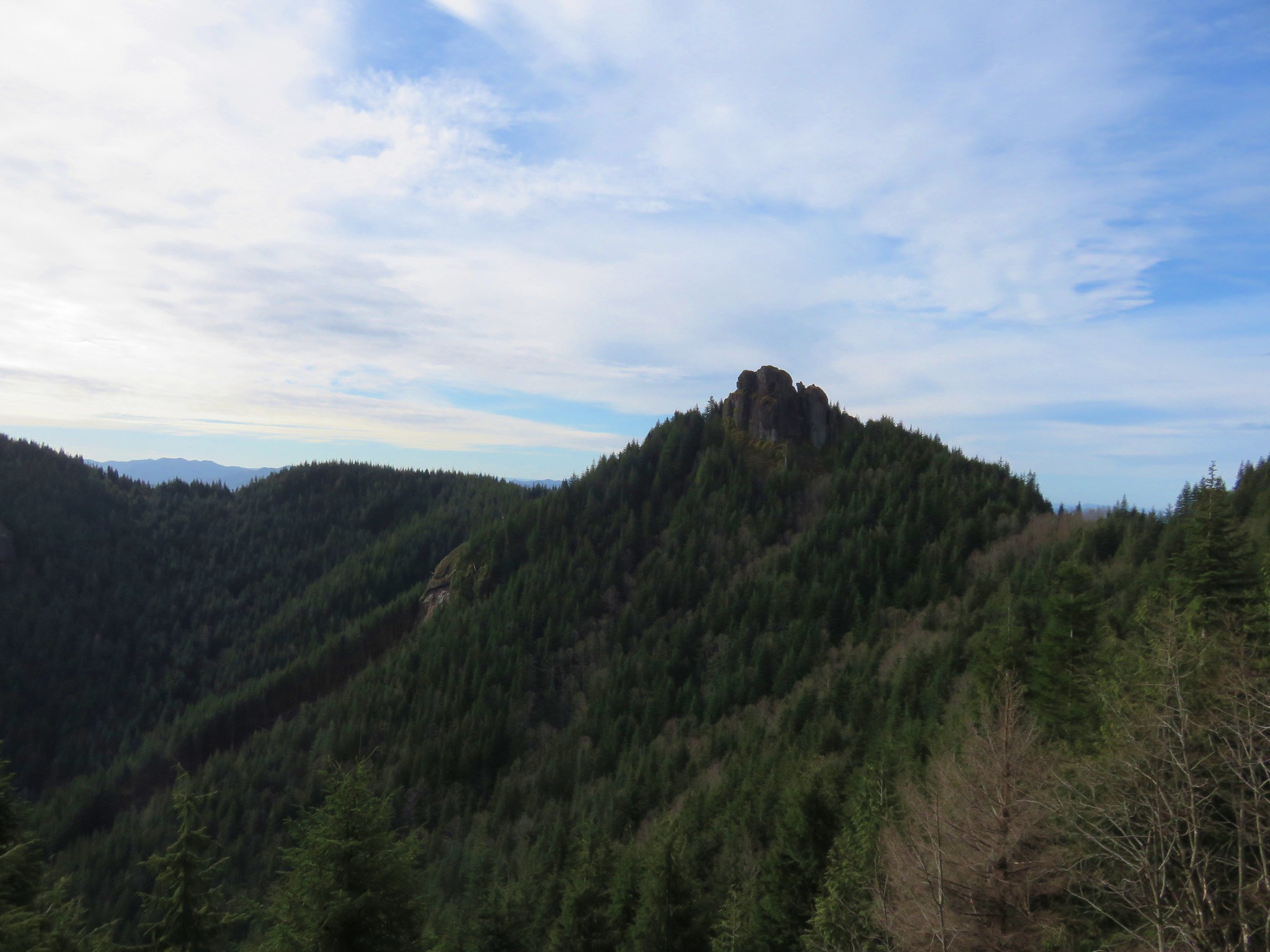
To the east Arch Cape Mill Road could be seen passing between the rock pinnacles of Revenge of Angora and Angora Pinnacle.
Revenge of Angora and Little Angora rock pinnacles

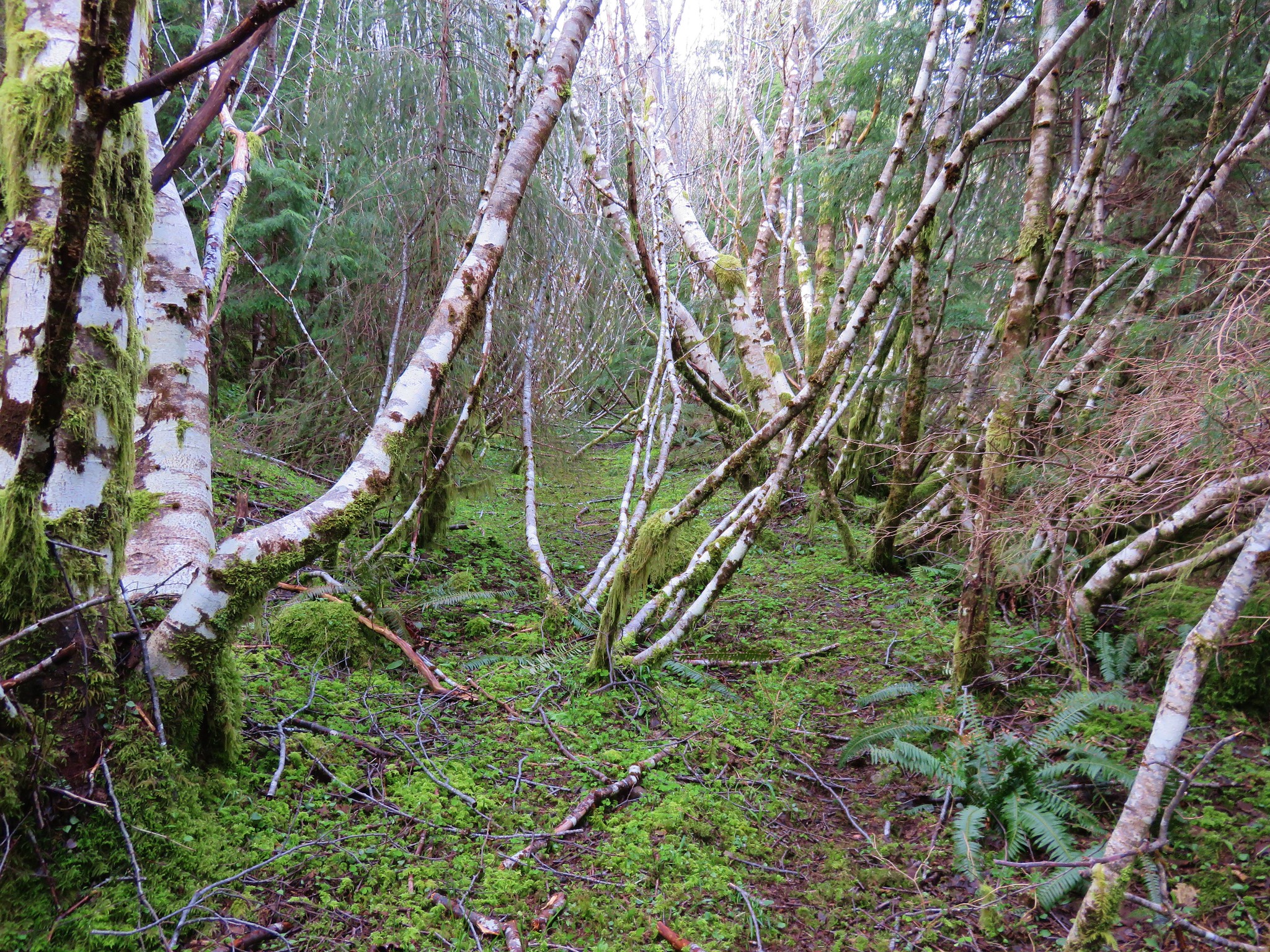
We followed the road to a saddle between the two rock pinnacle where we turned sharply north onto another abandoned logging road. The road here was so overgrown it looked more like a trail now.
Arch Cape Mill Road

Gaps in the trees offered views north to Onion Peak (and Saddle Mountain beyond).
Onion Peak and Saddle Mountain

Onion Peak and Saddle Mountain

To the NE we could just make out Mt. St. Helens and Mt. Rainier. The lighting and the clouds did their best to camouflage them but with a little effort they were visible.
Mt. St. Helens and Mt. Rainier in the distance

Mt. St. HelensMt. St. Helens

Slides are common in the coast range which we were reminded of along this stretch. A section of road was all but gone leaving a faint use trail as the only option. It is still passable for now but caution is warranted and a fear of heights would likely end the hike at this point.
Arch Cape Mill Road (what's left of it)

From the northern end of the slide we could see evidence of slide below Angora Pinnacle which may have happened this last winter.
Little Angora and a slide below it

Slide below Little Angora

Beyond the washout, the road made another brief appearance before becoming overgrown with trees.
Arch Cape Mill Road

Arch Cape Mill Road

When the GPS showed we were NW of the summit near the end of the road we turned off the road and headed uphill cross-country through the forest.
Forest on Angora Peak

We gained a ridge line and began to work our way toward the summit. The summit itself is reportedly view less due to trees but just to the west of actual summit is a rock out crop which did have a view and made for a perfect spot to sit and have a snack.
Nehalem River from a viewpoint just below the Angora Peak summit

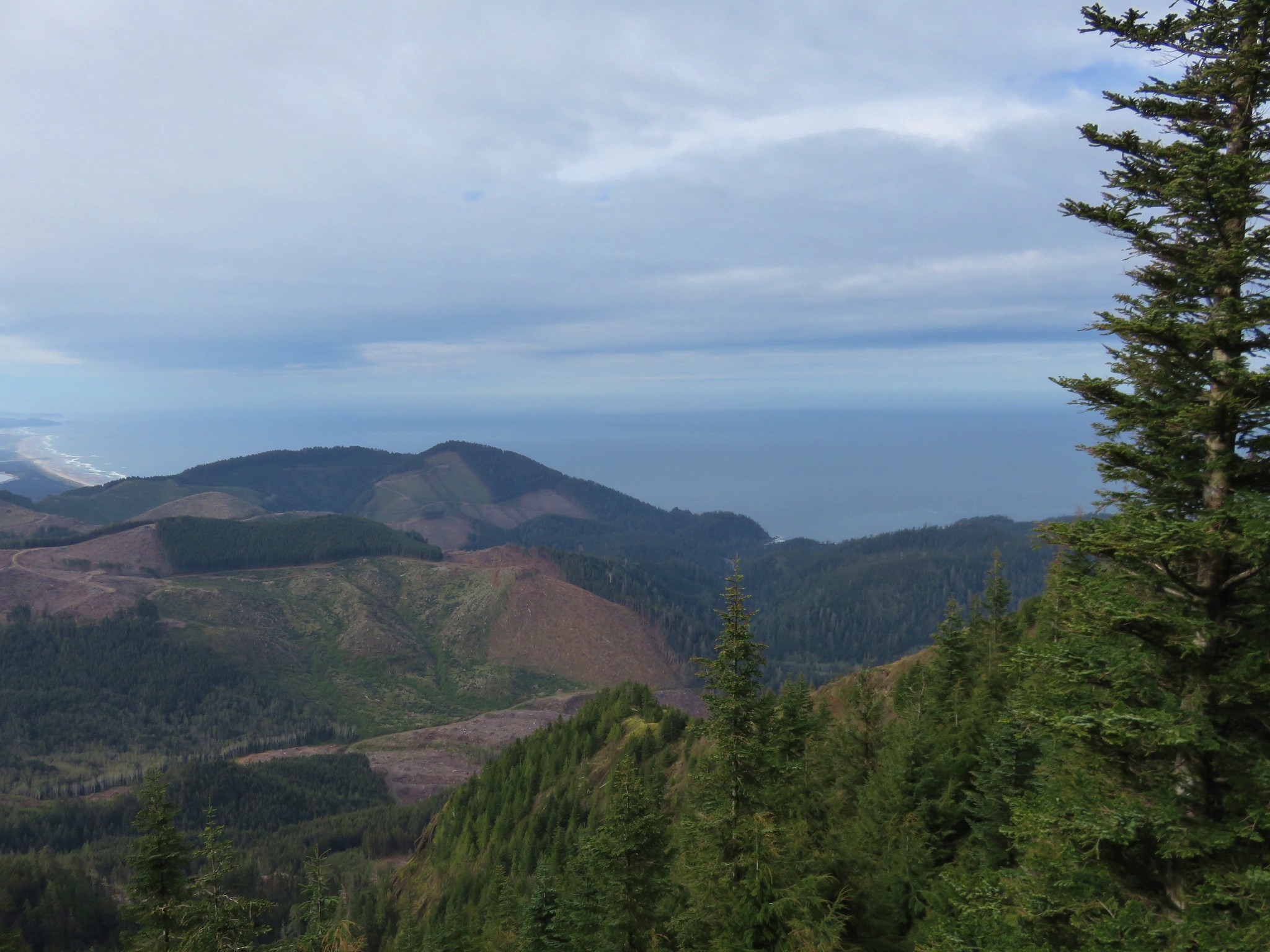
We could even make out our next destination, Cape Falcon, from the rocks.
Neahkahnie Mountain

Cape Falcon

We returned as we’d come, arriving back at the Oregon Coast Trail and heading toward Cape Falcon.
Oregon Coast Trail

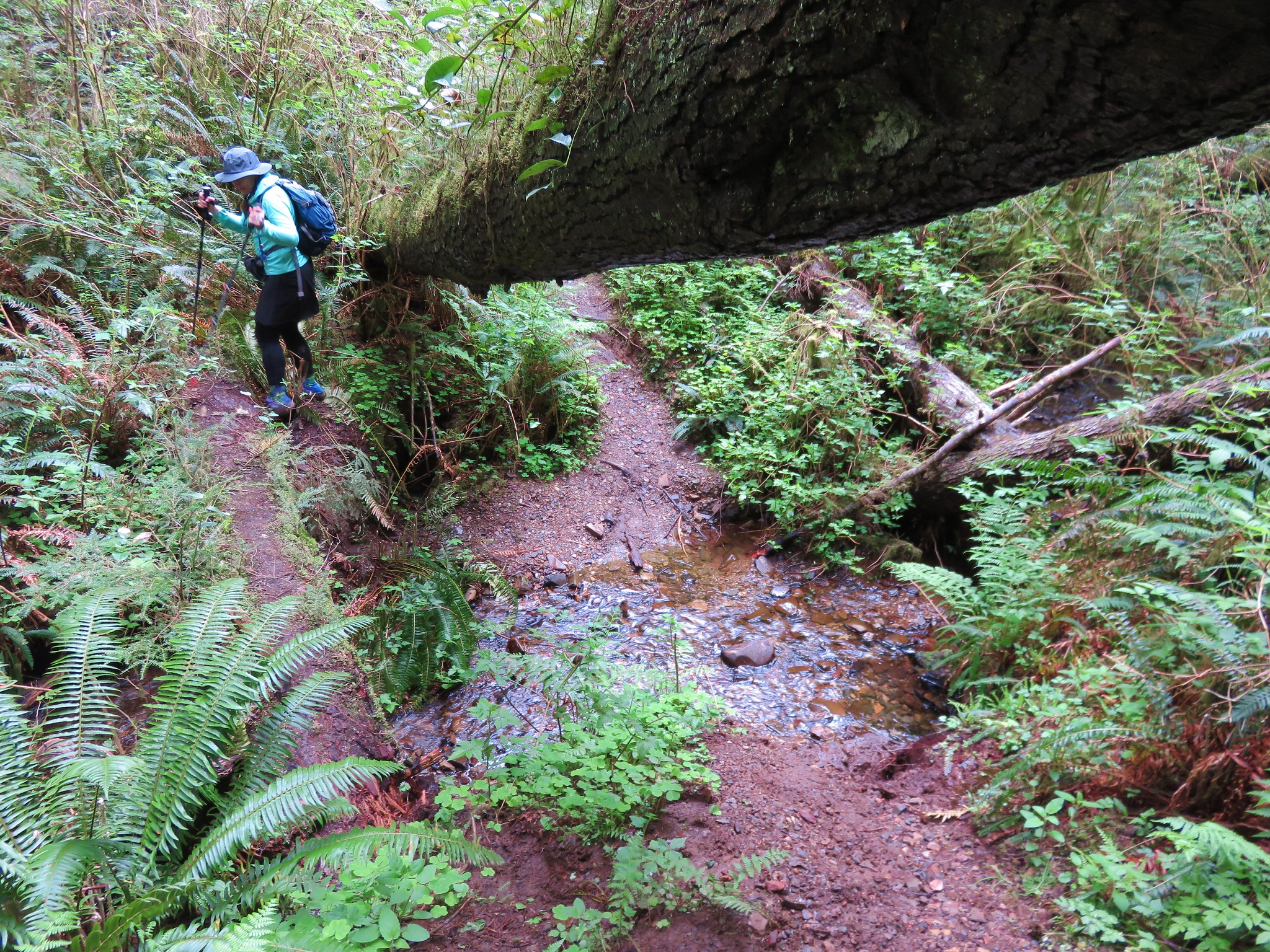
The trail crossed several streams on 5 footbridges before beginning to climb up and over a ridge. Much of the trail was muddy and there were several trees down which required some interesting maneuvers to get past.
Oregon Coast Trail

Oregon Coast Trail

Tree that shattered over the Oregon Coast Trail

Other sections were dry and lined with green sourgrass.
Oregon Coast Trail

Oregon Coast Trail

Sour grass

After approximately 2.5 miles we came to a familiar viewpoint looking north to Tillamook Head.
Tillamook Head from the Oregon Coast Trail

This is where we had turned around in 2012 having followed the OCT north after visiting Cape Falcon. In another 3/4 of a mile we reached a better viewpoint where we could see Cape Falcon and a number of colorful sea caves in the rocks below.
Cape Falcon

Cape Falcon

Seagulls near the sea caves

We continued on to a washed out creek crossing. Heather smartly used a nearby log instead of following my slippy effort to use the trail.
Oregon Coast Trail

Another quarter mile brought us to the spur trail out to Cape Falcon. Up to that point we’d seen one gentleman on the way to Angora Peak with his dogs on the lower portion of the logging road and two girls on the Oregon Coast Trail as we went over the ridge. Cape Falcon was a different story. There were a number of hikers that had come from the south, a large group of which were attempting to navigate an extremely muddy section of the trail.

Beyond the mud pit the trail dried out nicely as it passed through a tall hedge of salal and fern.
Trail out Cape Falcon

As we made our way out this .2 mile trail the brush got lower eventually opening up views to the south of Neahkahnie Mountain.
Cape Falcon

Neahkahnie Mountain

The trail extended out the cape to viewpoints along its rocky end.
Cape Falcon

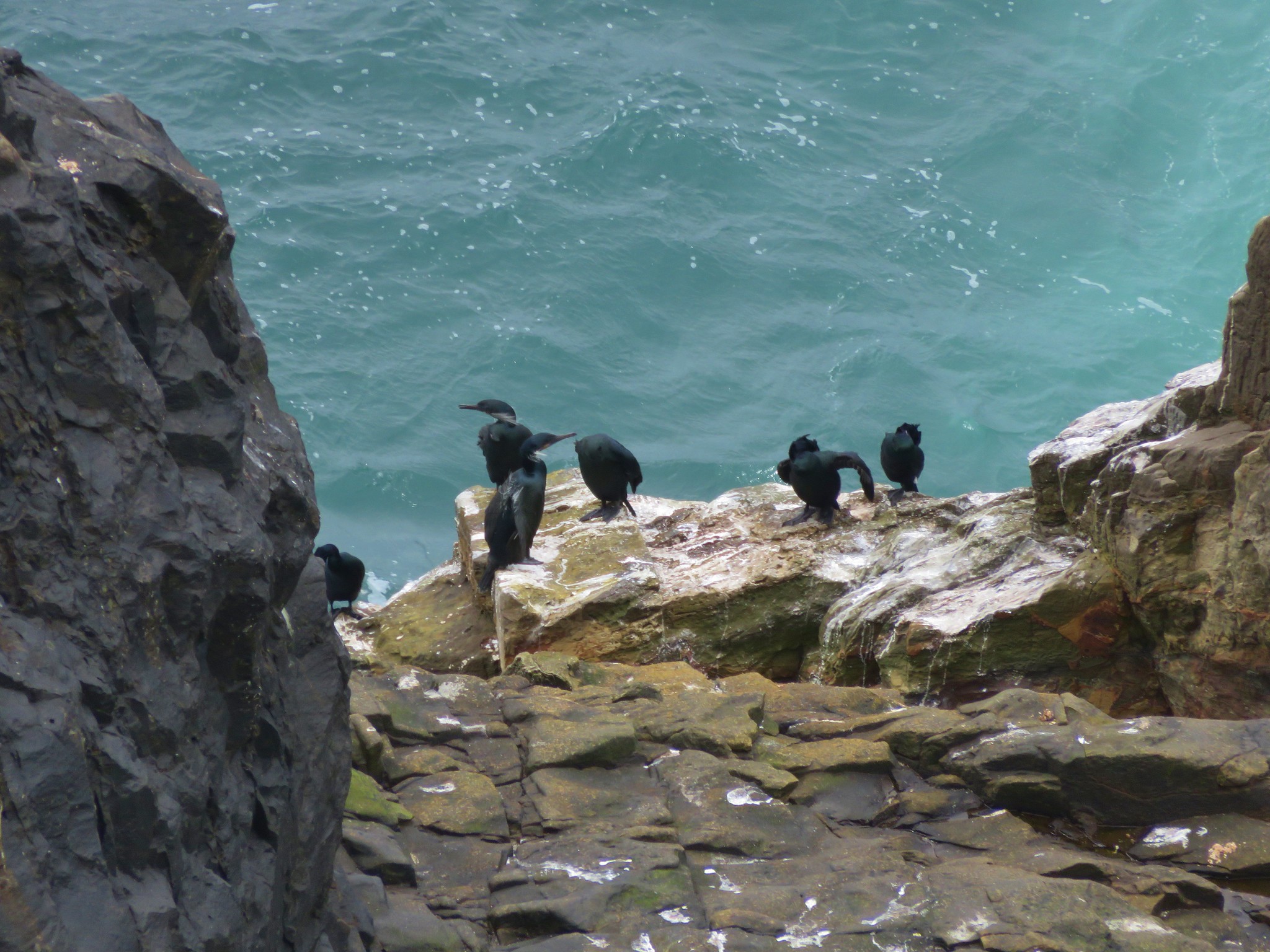
Seabirds occupied the furthest reaches.
Birds on Cape Falcon

Birds on Cape Falcon

After a short break we headed back. On our way back up the ridge we may have spotted a northern flying squirrel. Something crossed my line of vision through the air from the left to the right appearing to land on a tree near a dark opening. At first I couldn’t see anything but then something moved on the tree so I quickly zoomed in and took a picture. It immediately darted into the opening without my being able to make our what it was but I thought it might have been a woodpecker. I was surprised when I uploaded the picture later to see a squirrel.
Possibly a norther flying squirrel

The picture quality makes an id nearly impossible and it may be that this squirrel came out of the opening in response to whatever I had seen but at this point there is still a possibility that it was a flying squirrel.

The rest of the hike back was uneventful as we passed back through the forest to Cape Falcon Road. We ended the day with 17 miles showing on the GPS, 8.9 during the Angora Peak portion and 8.1 to Cape Falcon and back. As we were changing out of our muddy clothes at the car a light rain started. We’d somehow timed it perfectly. Happy Trails!
Flickr:Angora Peak & Cape Falcon

Categories
Central Coast Coastal Range Hiking Oregon Oregon Coast Trip report

Niagara Falls and Neskowin

We took advantage of a favorable forecast and headed out for our February hike to visit a pair of coastal waterfalls and then the beach near Neskowin.  We’ve had a lot of snow and rain this winter making it a good time to catch the waterfalls assuming you can reach them.  The storms have left their mark on some of the trails and roads so we weren’t sure what to expect as we prepared to head out, but a quick check of the Forest Service website listed the Niagara Falls Trailhead as open so we were optimistic.

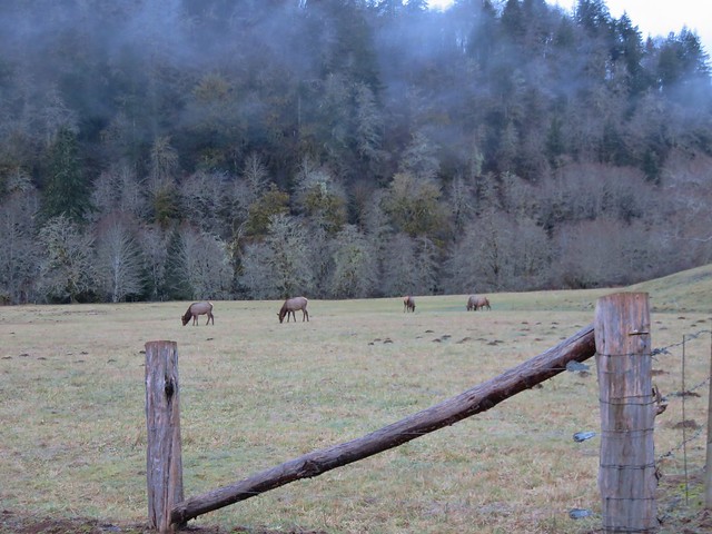
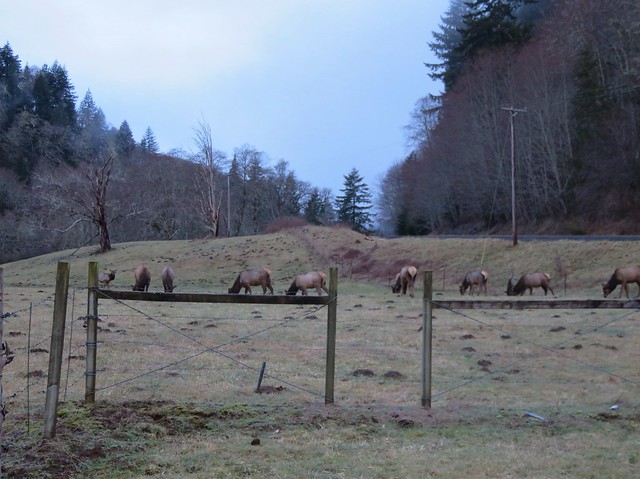
The Niagara Falls Trailhead is located east of Mt. Hebo in the Siuslaw National Forest. There was good signage along the route which took us  5 miles east of Blaine, OR on Upper Nestucca Road (Forest  Road 85) where we turned right onto Niagara Road (Forest Road 8533). A small herd of elk were grazing in the field at this turn.
IMG_8536

IMG_8538

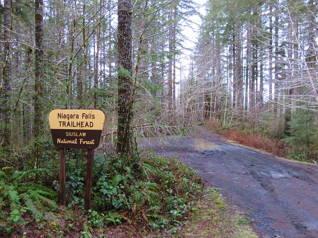
We followed this gravel road for 4.3 miles. The road was in pretty good shape and had obviously been cleared recently. At the 4.3 mile mark we forked right following signs for the trail for another .7 miles to the trailhead.
IMG_8543

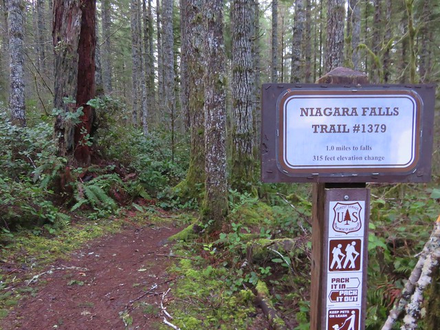
The mile long Niagara Falls Trail led downhill through a fern filled forest crossing a small creek three times on footbridges.
IMG_8545

IMG_8551

This small creek was flowing well enough to create its own decent, albeit hard to see little fall.
IMG_8553

As the trail leveled out along Pheasant Creek the first fall to come into view was Niagara Falls.
IMG_8556

IMG_8563

As the trail neared Niagara Falls an opening to the left revealed Pheasant Falls.
IMG_8576

A footbridge below Pheasant Falls brought us to a picnic table at the end of the Niagara Falls Trail.
IMG_8579

IMG_8582

IMG_8590

We returned the way we’d come. The 2 mile hike had been a nice warm up and now we were headed back to Highway 101 and then south to Neskowin.

We stared our second hike of the day at the Winema Road Beach Access which is located near the Wi-Ne-Ma Christian Camp. The beach access can be reached by driving .6 miles on Winema Road which is 4 miles north of Neskowin along Highway 101.
IMG_8604

From the beach the view south extended to Cascade Head and to the north to Cape Lookout beyond Haystack Rock.
IMG_8614

IMG_8615

Our timing wasn’t great as it was a little before 10am when we started and high tide would be just after 12:30 so it was already coming in. This meant we would not be getting to a couple of places that would have been accessible at lower tide. We headed north first for .4 miles to some rocks jutting out onto the beach. Along the way we passed a small waterfall that we had not been expecting.
IMG_8618

IMG_8619

At low tide it is possible to continue .6 miles to the mouth of the Nestucca River across from Bob Straub State Park but the waves were already reaching the rocks and we knew if we continued we’d be stuck until the tide went back out so after playing around on the rocks for a minute we turned around and headed south.
IMG_8621

We hadn’t gone too far to the south when we reached the outlet creek of Daley Lake which wasn’t mentioned in our guidebook. The only way across was to ford the creek, but luckily it was only ankle deep and not too cold.
IMG_8627

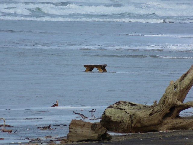
On the other side of creek was a picnic table that seemed really out of place. Heather noted that it appeared to be close enough that the ocean would reach it, although it wasn’t very close at that time. The rest of the sights were pretty typical of a beach walk. Driftwood, rocks, pieces of shells, seaweed, boats, sea birds, and lots of washed up garbage.
IMG_8628

IMG_8633

IMG_8624

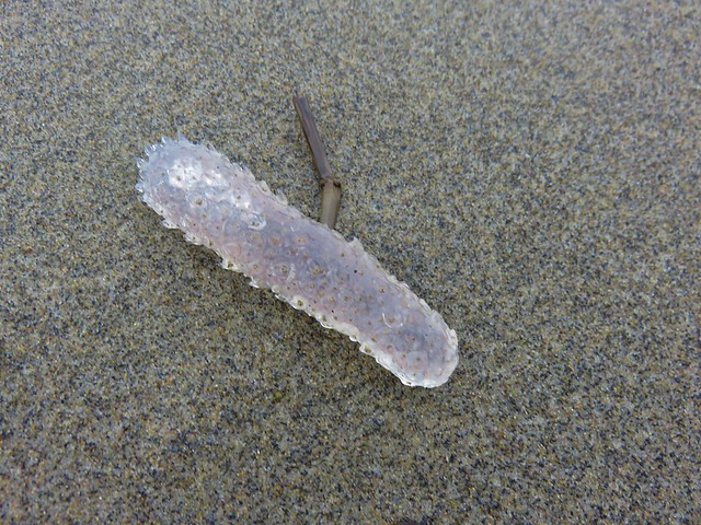
There was something we couldn’t recall seeing before though. Large numbers of pickle shaped jelly fish looking things of various sizes.
IMG_8622

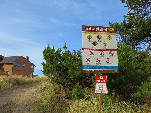
A little under 2.5 miles from the Winema Beach Access the beach became impassable due to the tide reaching the rock wall protecting the houses at Neskowin. Luckily the Mt. Angel St. access was located at the north end of the rock wall so we left the beach and walked inland to Breakers Blvd.
IMG_8634

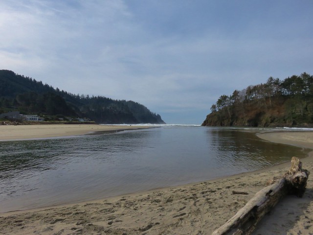
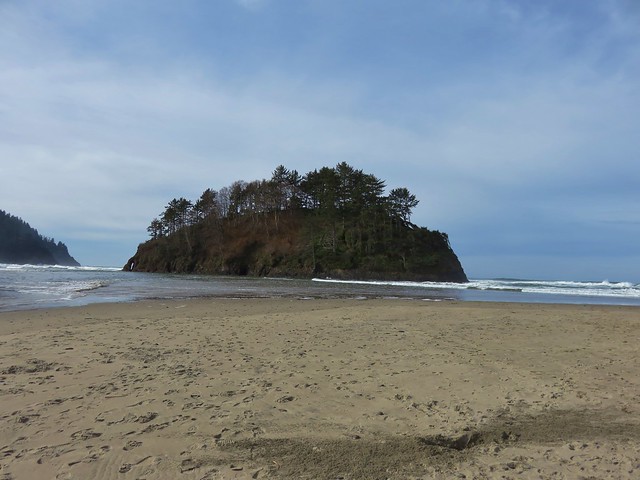
We turned right on the paved street and walked for .7 miles to Carlton Ave. where we turned left toward the Proposal Rock Inn which was on the far side of Neskowin Creek. At the creek we turned right and followed it to Proposal Rock.
IMG_8638

IMG_8639

Our guidebook indicated it was possible to continue another .6 miles south to Cascade Head but the creek was far too swollen for us to ford it. Likewise we were unable to reach Proposal Rock due to it’s being surrounded by water.
IMG_8644

With the tide in we couldn’t walk back along the beach from there so we took the paved streets of Neskowin once again back to the Mt. Angle St. access. We then hiked back along the beach where we discovered that Heather had been right about the ocean reaching that odd picnic table.
IMG_8653

IMG_8654

IMG_8651

You just never know what you’re going to see along the Oregon Coast. Happy Trails!
Flickr: Niagara Falls & Neskowin