
It has been a couple of years since we kicked off a new year with a hike but January 1st, 2023 was forecast to be a lone dry day in the foreseeable future. Not only was the day supposed to be rain free, it was also going to be at least partly sunny. While Heather works back from her injury we are targeting shorter hikes that don’t involve too much elevation gain. Specifically looking for hikes that fit these criteria has led us to some hikes that we might have otherwise overlooked. We discovered several such trails in Lincoln City.
I put together a plan to visit five of the city’s open space areas over the course of four stops. The four stops would be just under six and a half miles with approximately 800′ of cumulative elevation gain. Following the hikes our plan was to have lunch at the newly opened Pelican Brewing Siletz Bay Brewpub.
Since the brewpub is located just south of Lincoln City we planned to start at the northern most trailhead and worked our way south. This meant that the Friends of Wildwoods Trailhead. The hike here was supposed to be a 1 mile out-and-back with a short side spur to a platform overlooking a swamp.
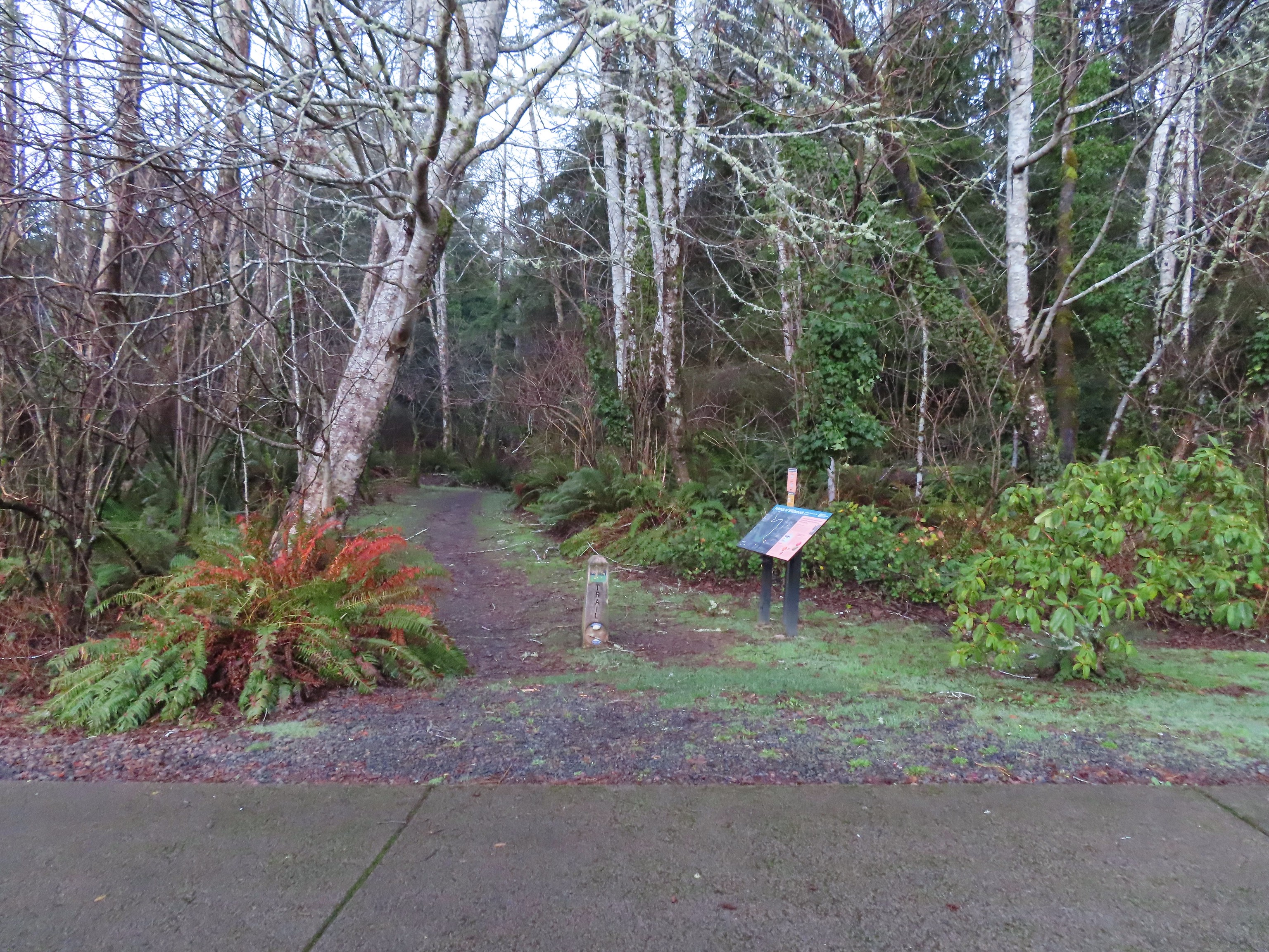

We somehow managed to turn it into a 1.5-mile hike including a loop that isn’t shown on any maps. It’s worth noting that in all of these open space areas we visited on this day there were multiple use trails leading off in different directions. We used our GPS a surprising number of times throughout the day. One nice feature was that there were QR codes available at the trailheads which accessed maps for our phones. Even so we somehow managed to not find the viewing platform but instead wound up overlooking the wetlands from a different spot.
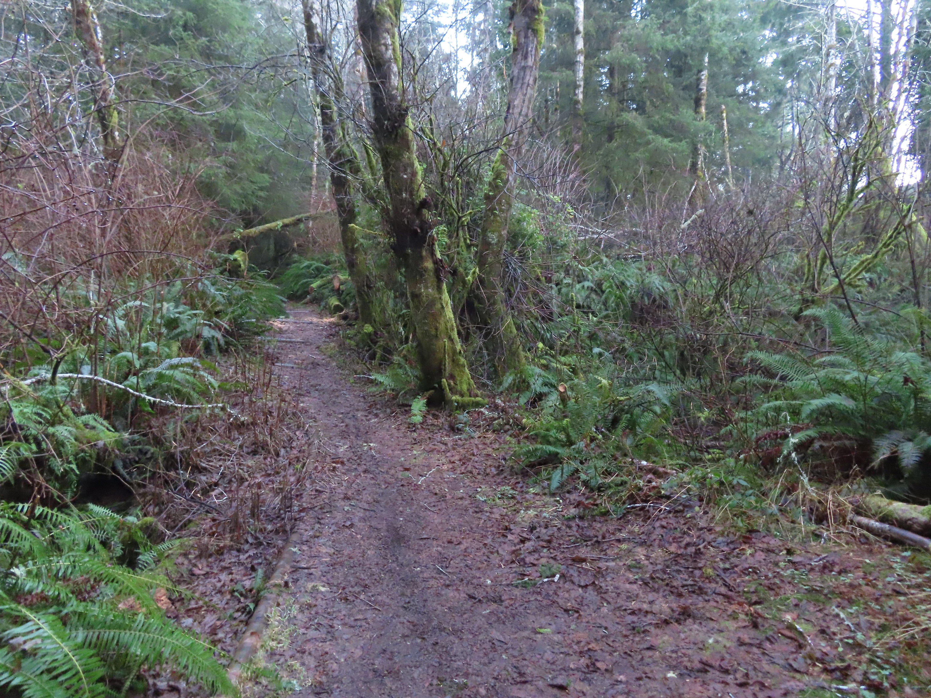
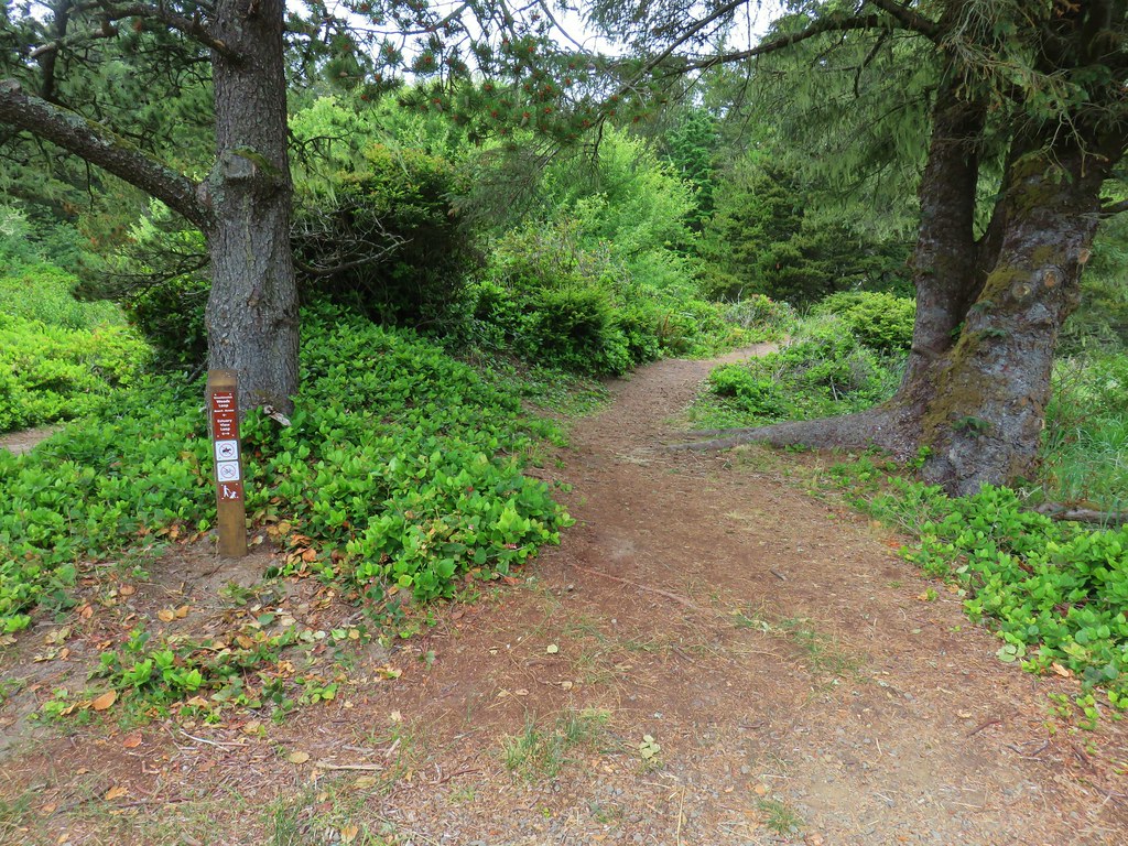
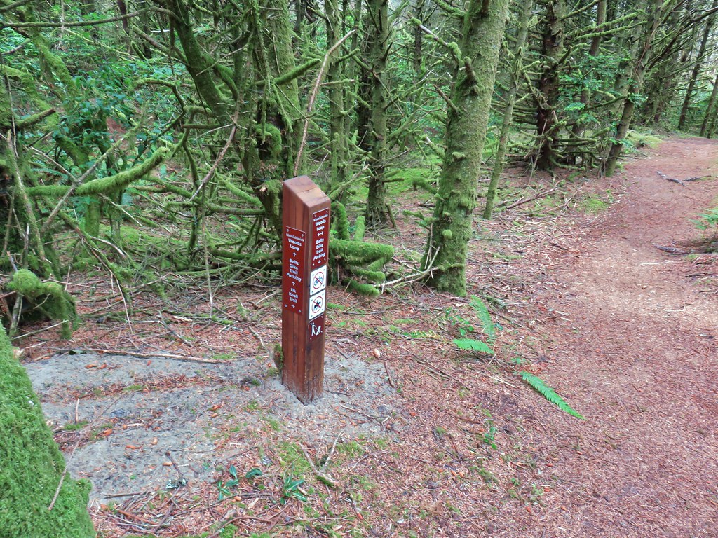
 Junction with the spur Wetlands Trail. The larger sign on the left is a Trail Challenge sign. We would see several more over the course of the day. The challenge, we learned later, is to visit all eight of the Open Spaces.
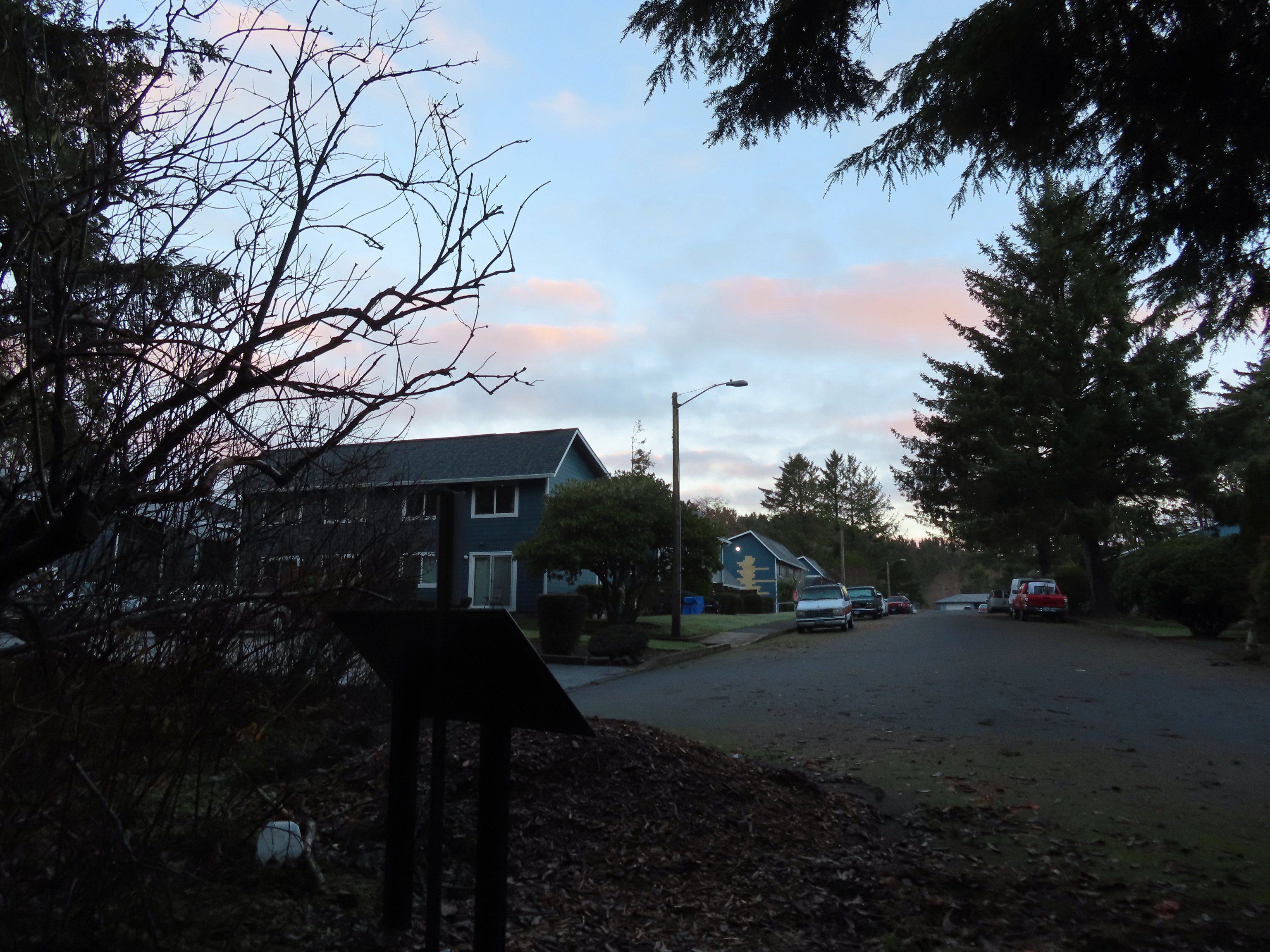 End of the trail at East Tide Ave.
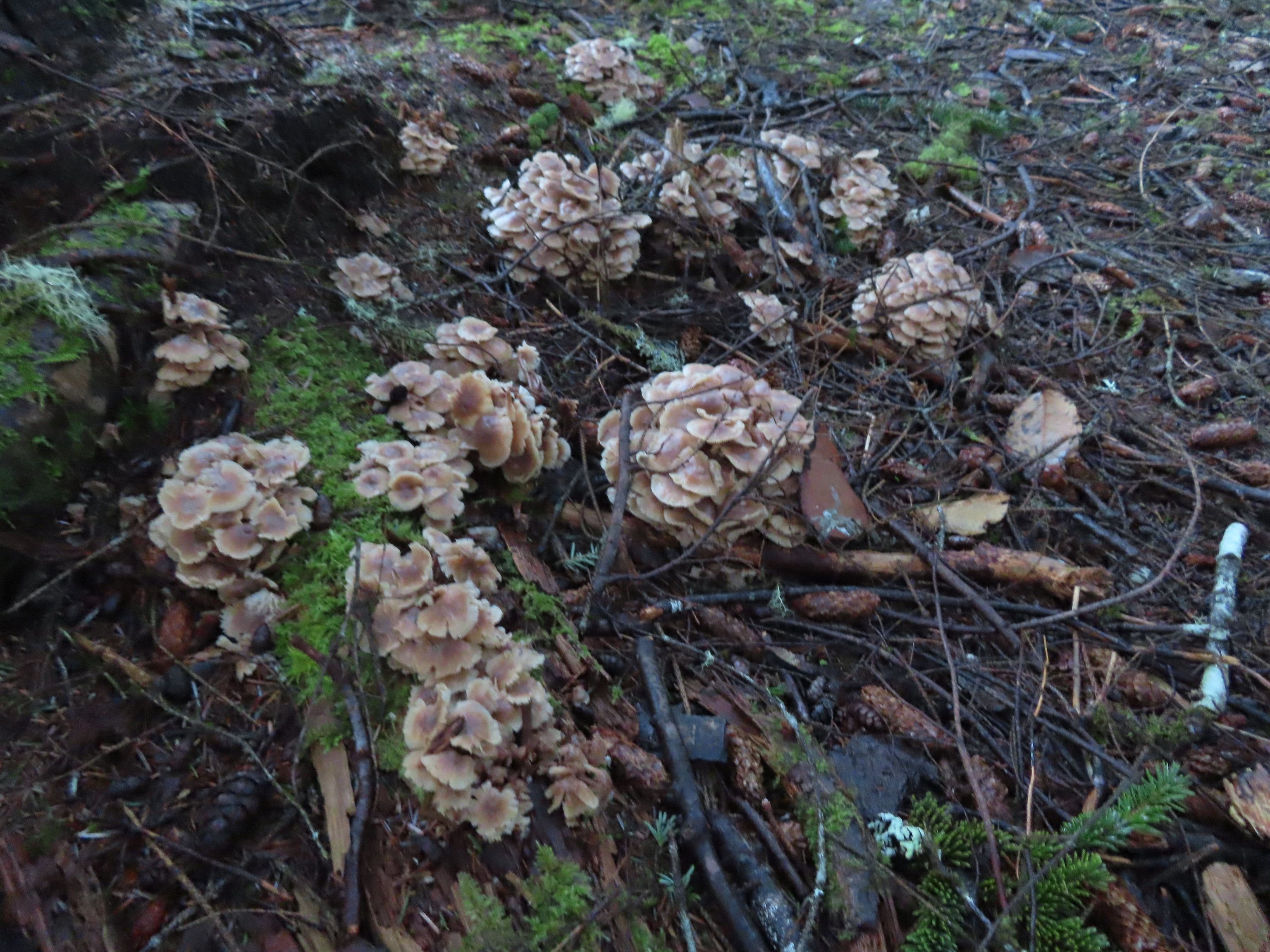
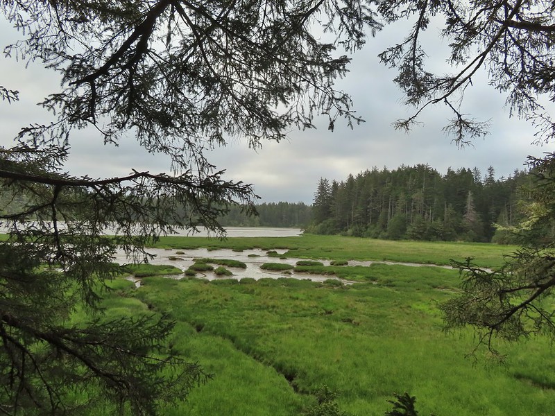
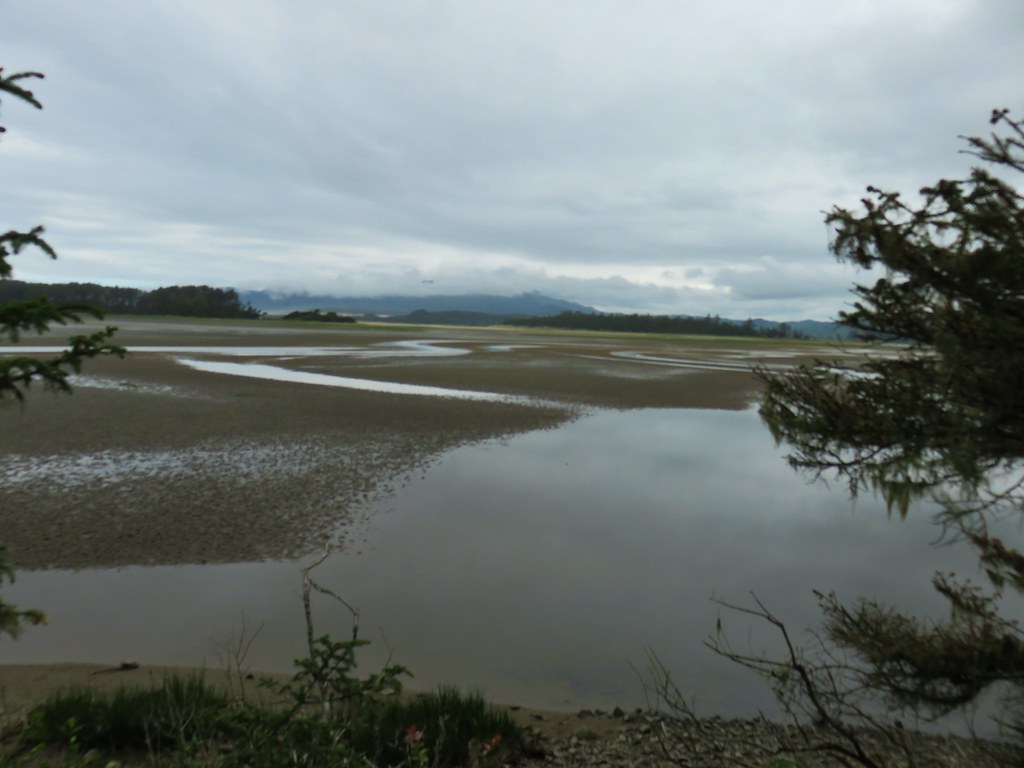
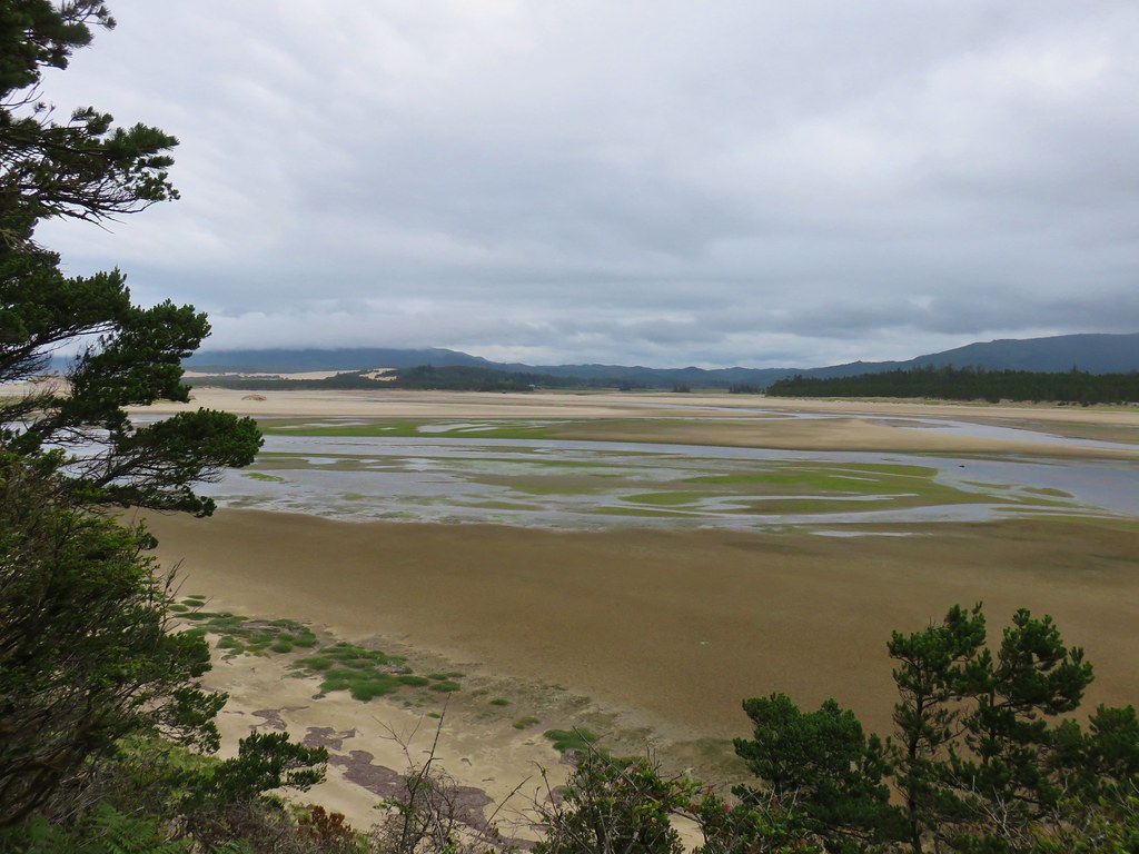
 The wetlands.
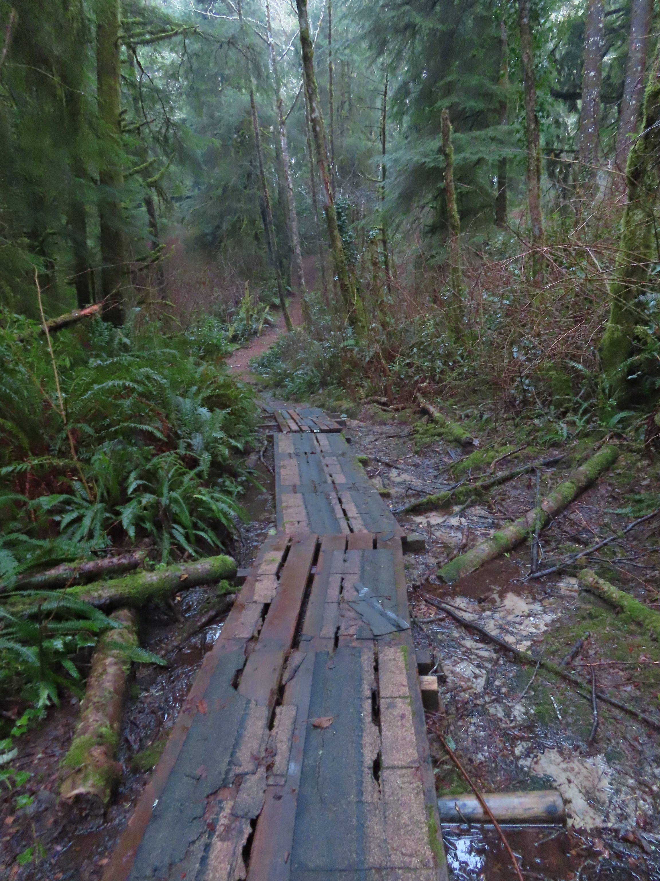
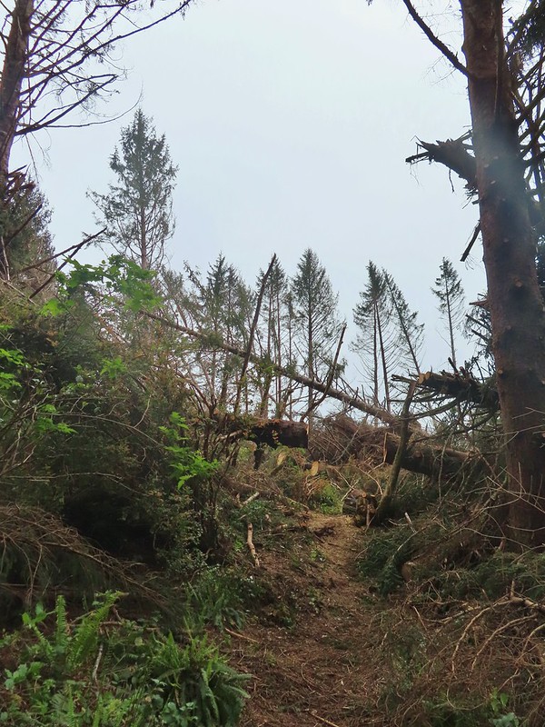
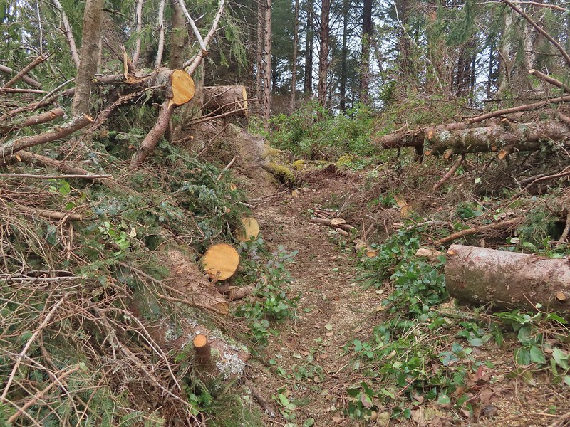
We may have overlooked the trail down to the platform due to debris left over from a big storm the week before which packed wind gusts over 70 mph. We had been prepared for the possibility that some of the trail might be inaccessible due to damage but overall they were in good shape.
After finishing our hike we hopped in the car and drove less than a mile south to our second stop at Regatta Park.
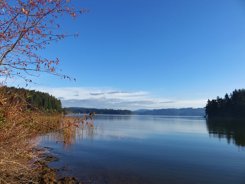
 Devil’s Lake from Regatta Park.
From this trailhead we would visit two open spaces, Regatta and Spring Lake. Before hitting the trails though we walked down to the shore of Devil’s Lake to get a closer look.


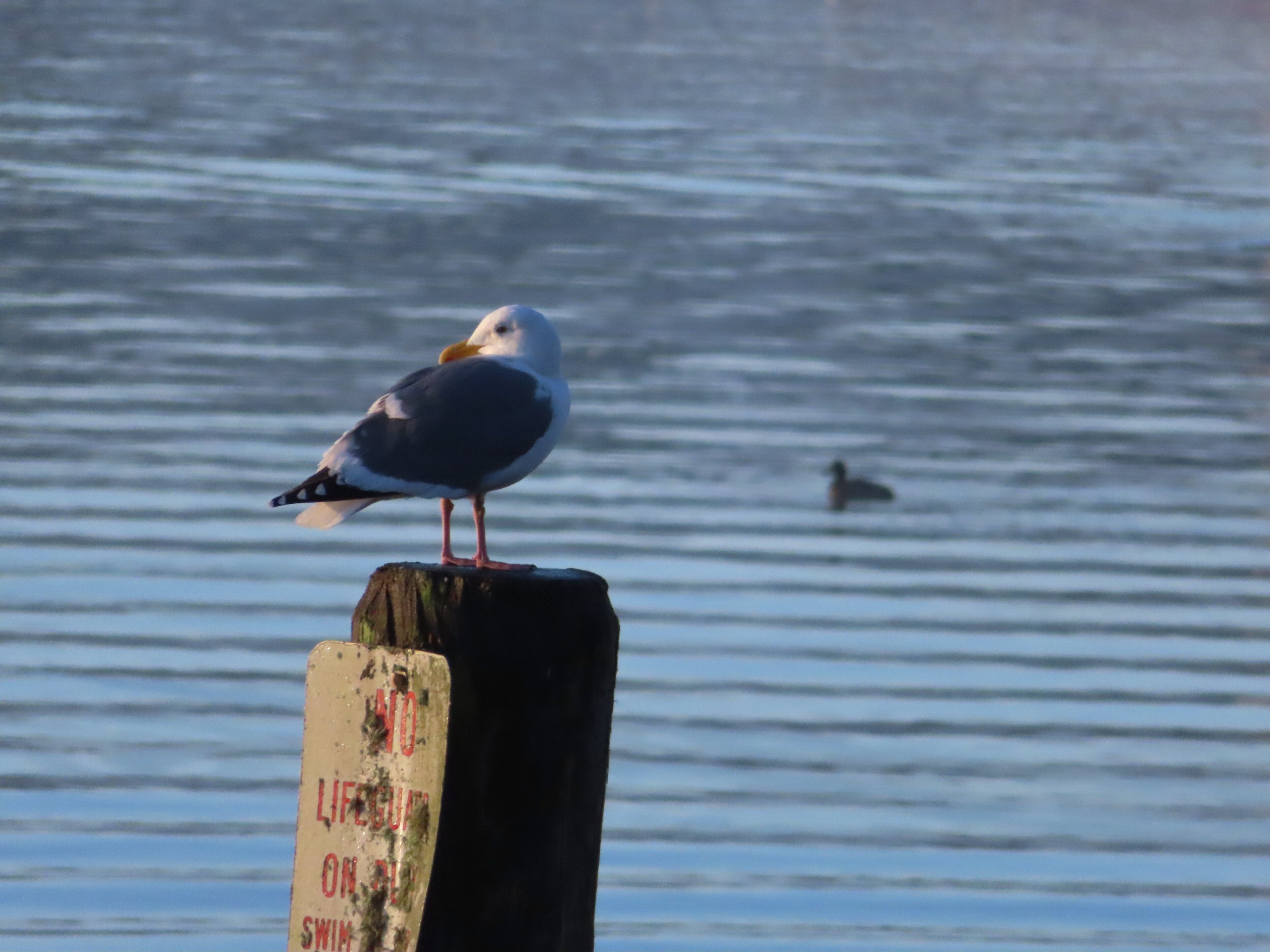

From the lake we walked back uphill across the parking lot to a large Nature Trail sign.

Once again the plethora of trails got the best of us and our route through the Regatta Open Space was not how we’d meant to do it, but we managed to see what we had wanted to.
 Pointer for a heritage tree.

Sitka Spruce. This approximately 400-year-old Oregon Heritage Tree is 212′ tall with a 32 1/2′ diameter.

 Another Trail Challenge sign.
After looping through the Regatta Open Space we walked uphill out of the park to West Devil’s Lake Road where we turned left for 400′ to a trail on the far side of the road.
 Heading out of Regatta Park
 Neat dragon sculpture.
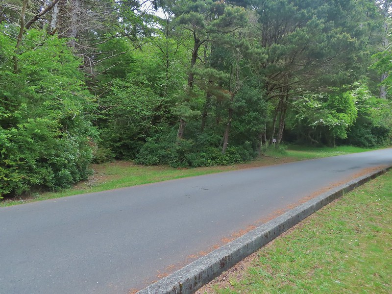
 West Devil’s Lake Road. The trail is ahead on the right just beyond the driveway on that side.
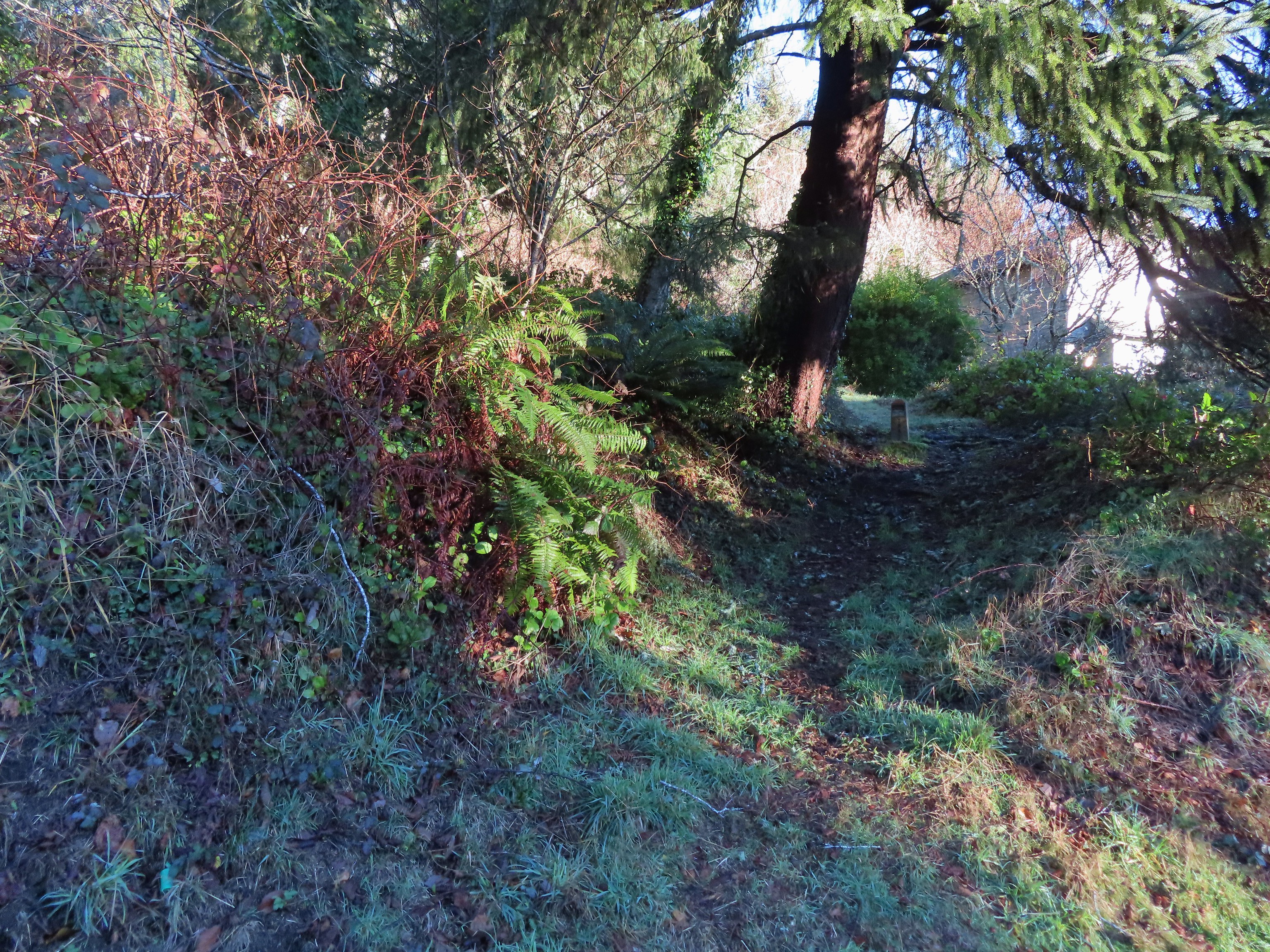 There was no sign along the road but there was a trail marker just uphill.
This was the Spring Lake Trail which made a short steep climb to a ridge top.

 The trail briefly leveled out atop the ridge before diving down the other side.
The area around Spring Lake was by far the most confusing of the day with numerous trails crisscrossing and intersecting seemingly every few feet. We used the GPS quite a bit here as we made our way counterclockwise around the lake.
 This junction is where our loop began and ended.
 Another fork just beyond the one in the previous photo.
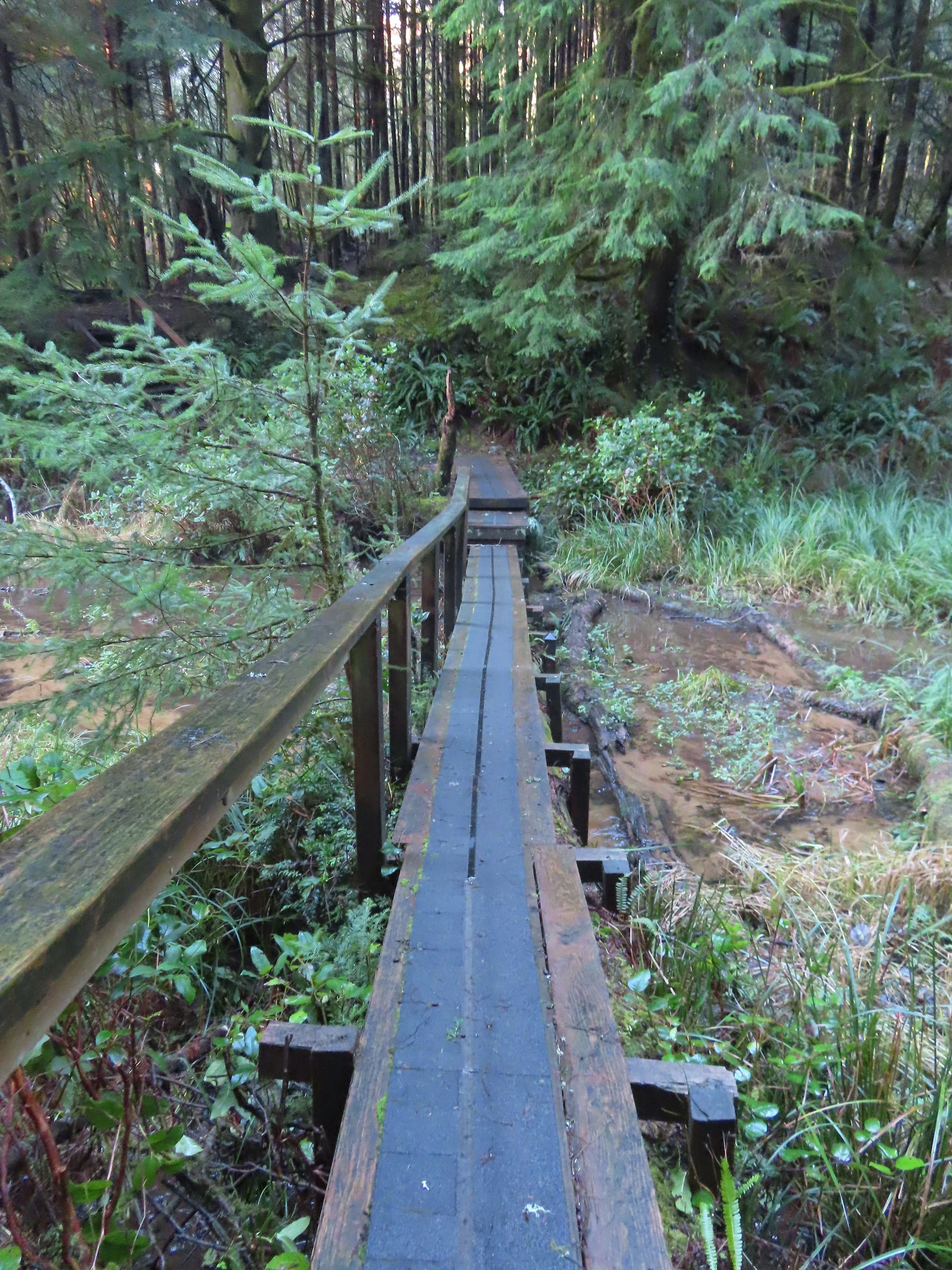 Footbridge over the northern arm of the lake.
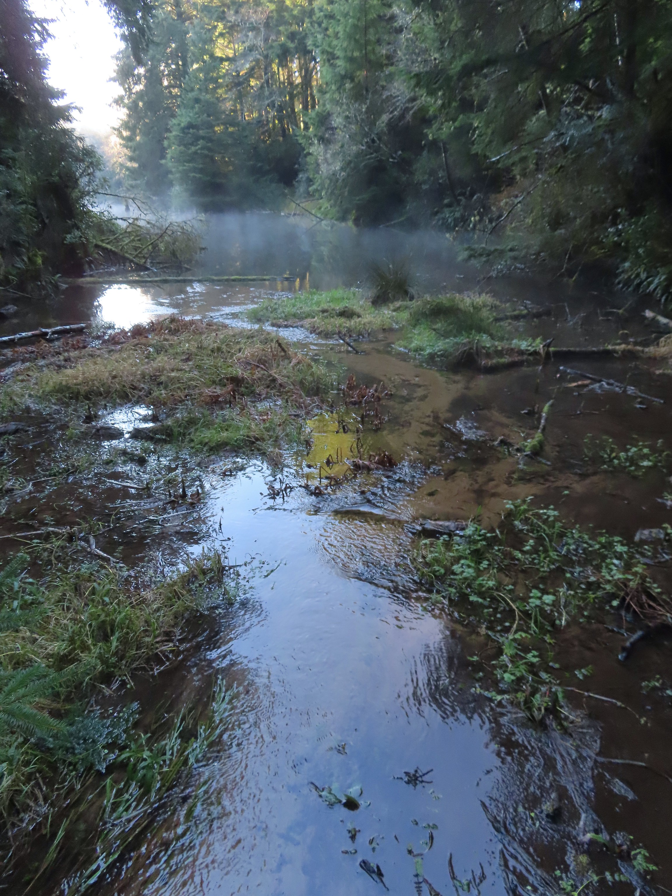 Spring Lake from the footbridge.
 Found another one.

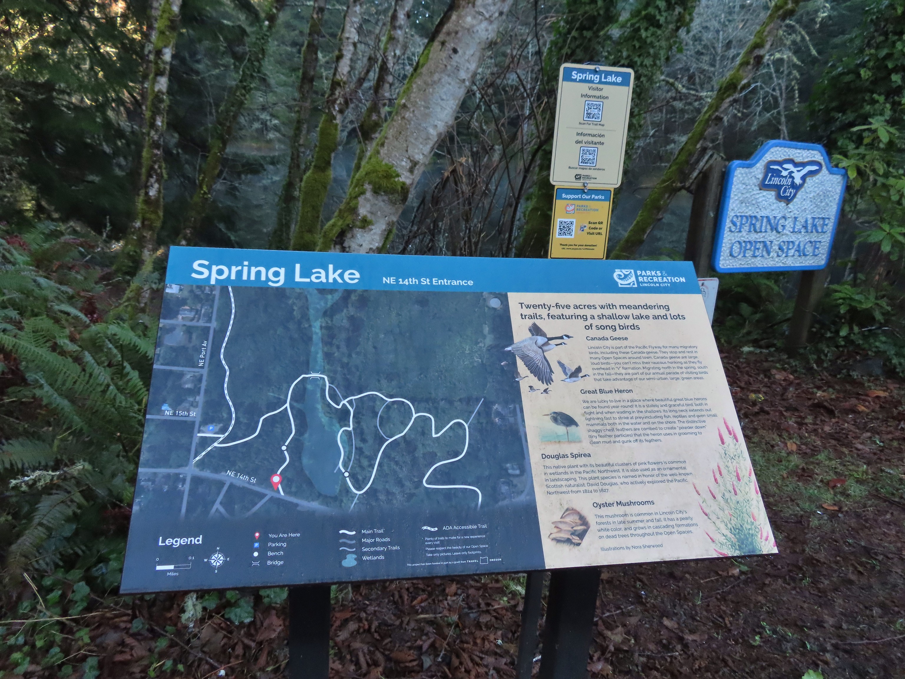 Small trailhead at 14th Street.
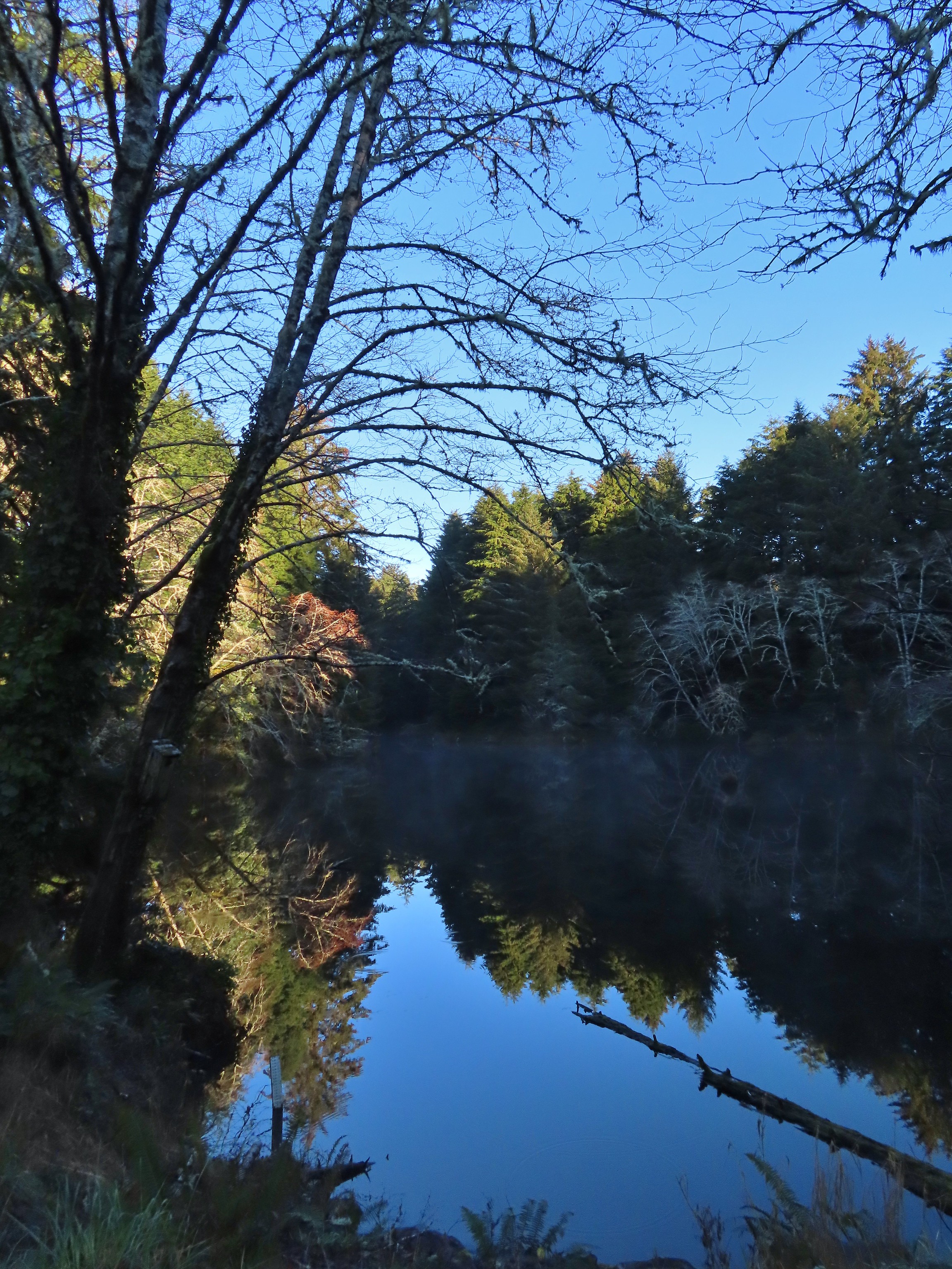 Spring Lake from the 14th Street Trailhead.
 We had to walk a few feet along 14th Street to find the trail on the east side of the lake.

 Approaching the junction at the end of our loop.
After completing the loop around the lake we returned to our car and drove another 2.7 miles south to the Agness Creek Open Space.
There are two trailheads here, a north and a south, separated by 200′. We parked at the South Agness Creek Trailhead and started with the 0.3-mile loop there.
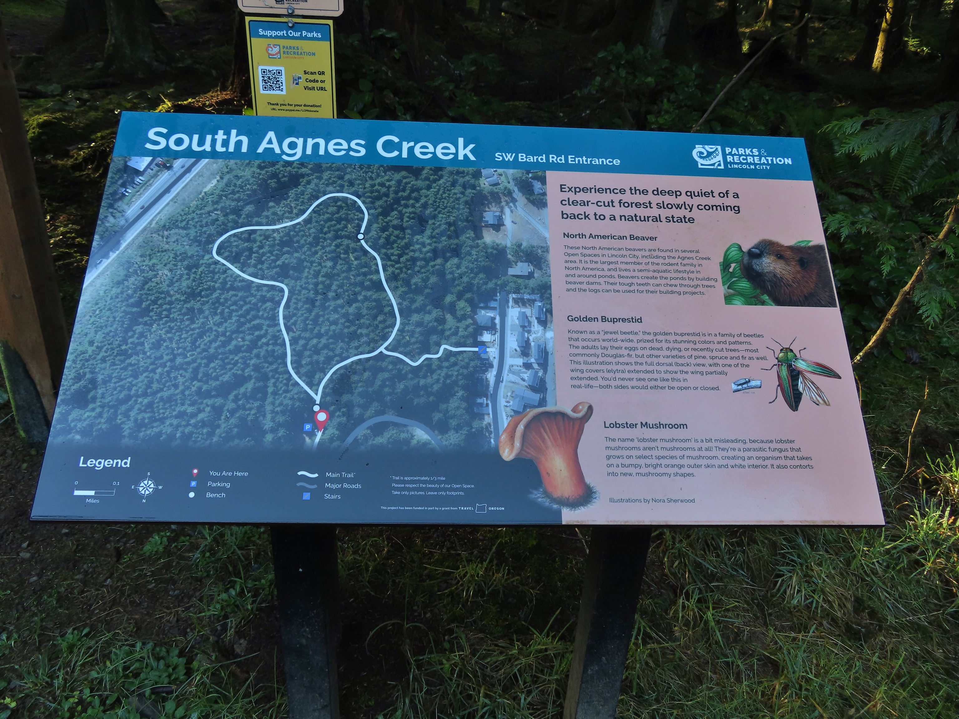

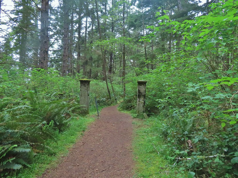
 This forested loop was full of bright green mossed covered ground.


After completing the loop we took a connector trail between the two trailheads to reach the North Agness Creek Trailhead.
 The connector trail at the south trailhead.
 Two short out-and-back trails begin at the north trailhead. We started with the left hand trail.
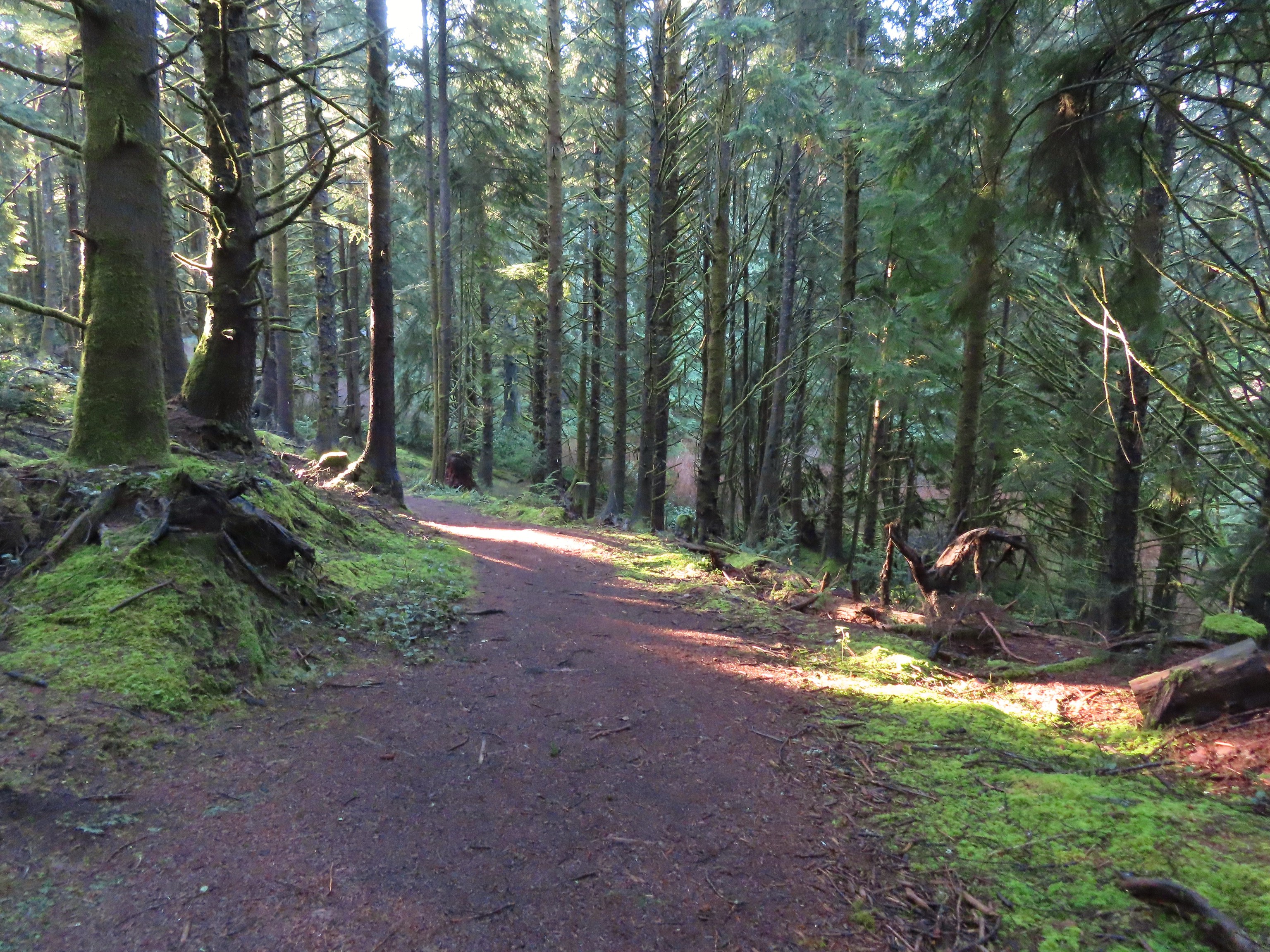

 The left hand spur abruptly ends on a ridge above what we assume was Agness Creek although we couldn’t really make out an actual creek.
 Agness Creek?
We returned to the trailhead and took the right hand fork which led a third of a mile to SW 19th Street.
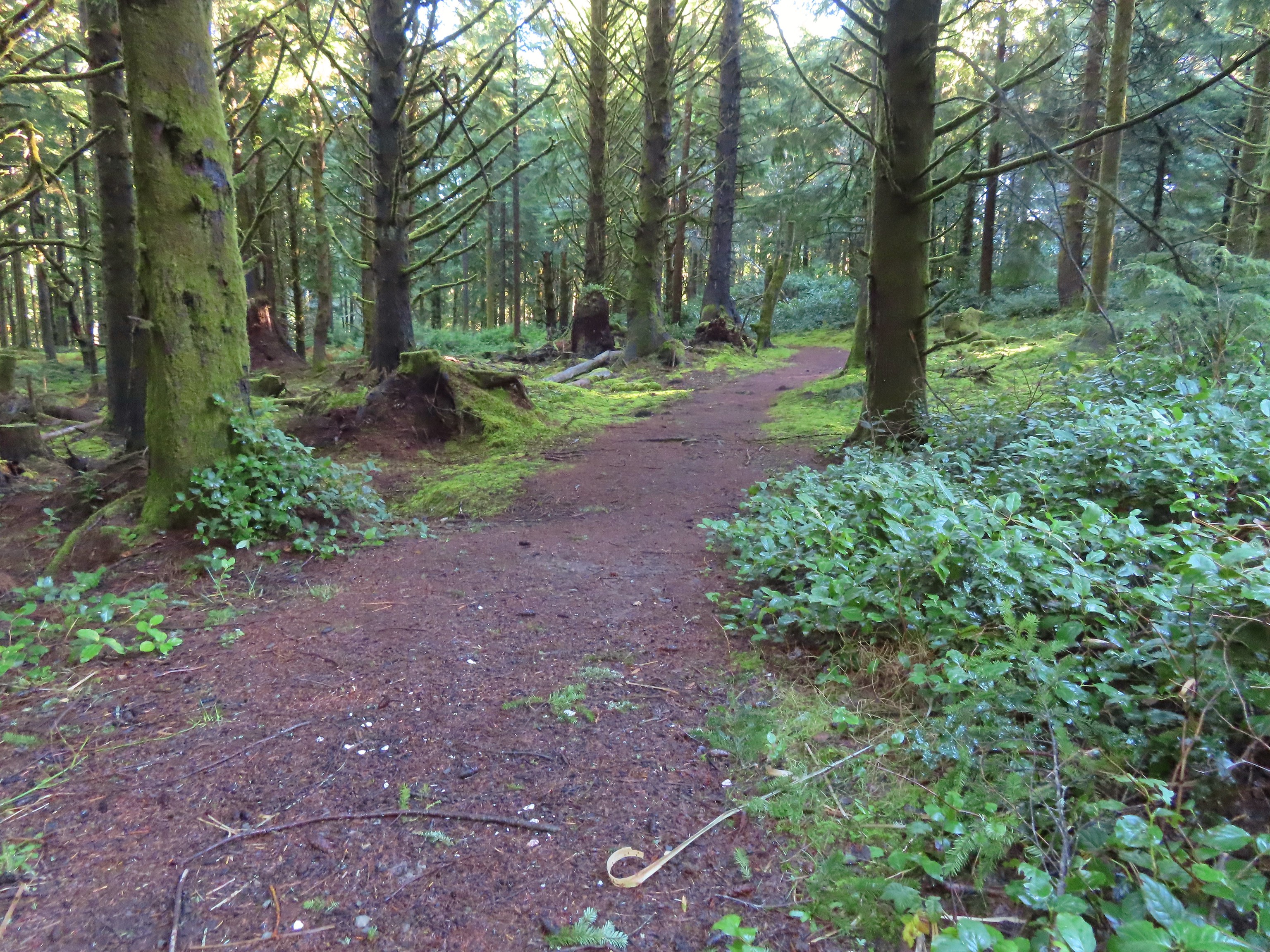


 Approaching SW 19th Street.

After reaching the neighborhood at the end of this trail we returned to the south trailhead and drove 1.8 miles to our final stop at the Spyglass Open Space.

Sticking with the theme for the day we got turned around a bit here as well and instead of doing a 1.4-mile loop around the perimeter we followed an old roadbed directly up the middle of the open space. We had planned on doing a counterclockwise loop but didn’t see the trail we actually wanted which was right next to a chain link fence.
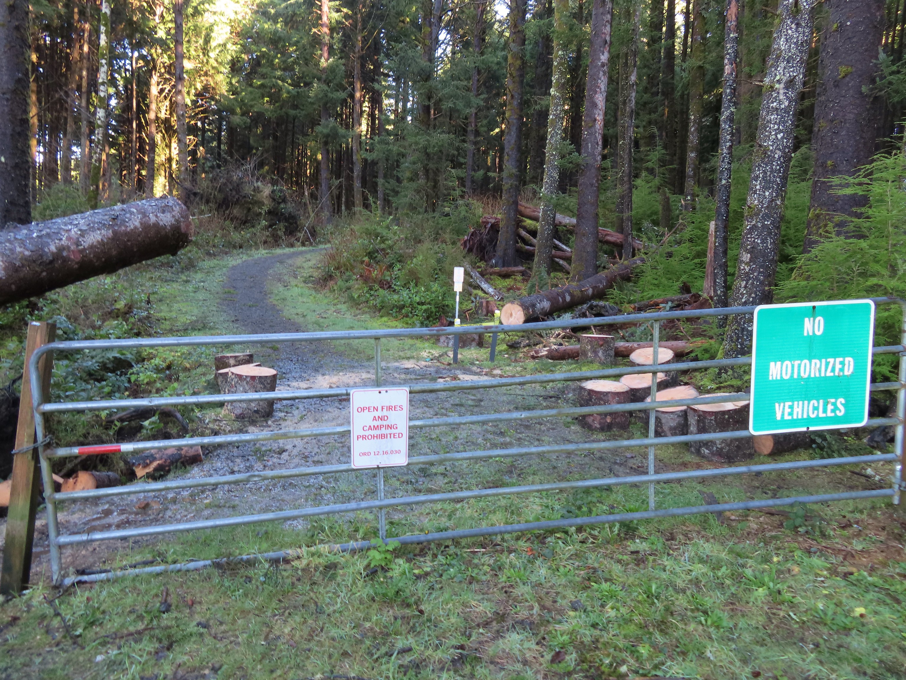 This should have been the end of our loop, not the beginning. Had we realized we weren’t on the perimeter trail we would have taken the first left hand trail which would have allowed us to do our planned loop in reverse (clockwise). Instead we headed straight up the ridge.
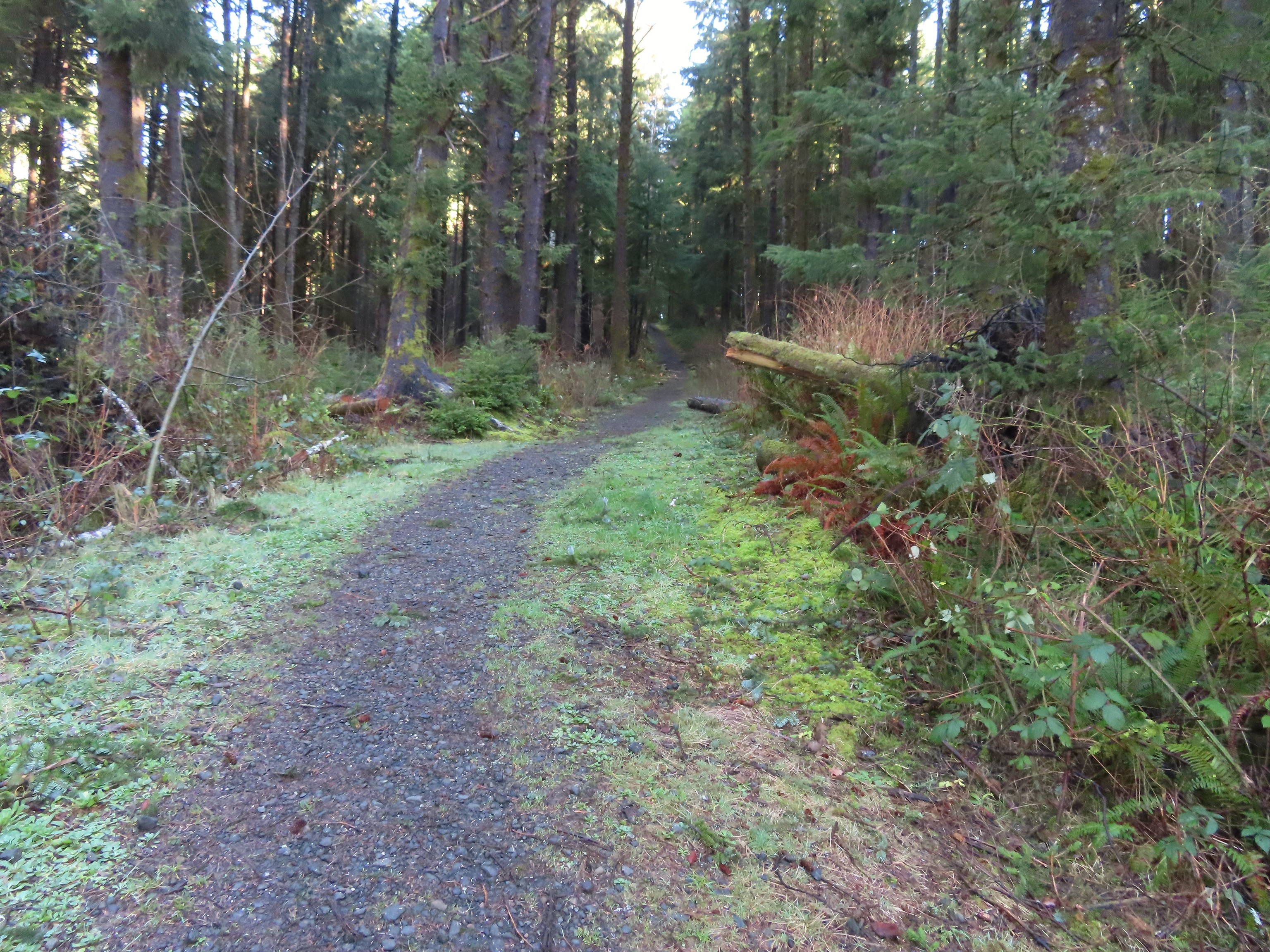
 The Trail Challenge sign here was located at a second junction, near the ridge top. A short distance beyond was another junction with an unsigned trail veering off to the right. We still hadn’t figured out our mistake and thought that the right hand trail was a spur trail shown on the map leading to a neighborhood so we went left.
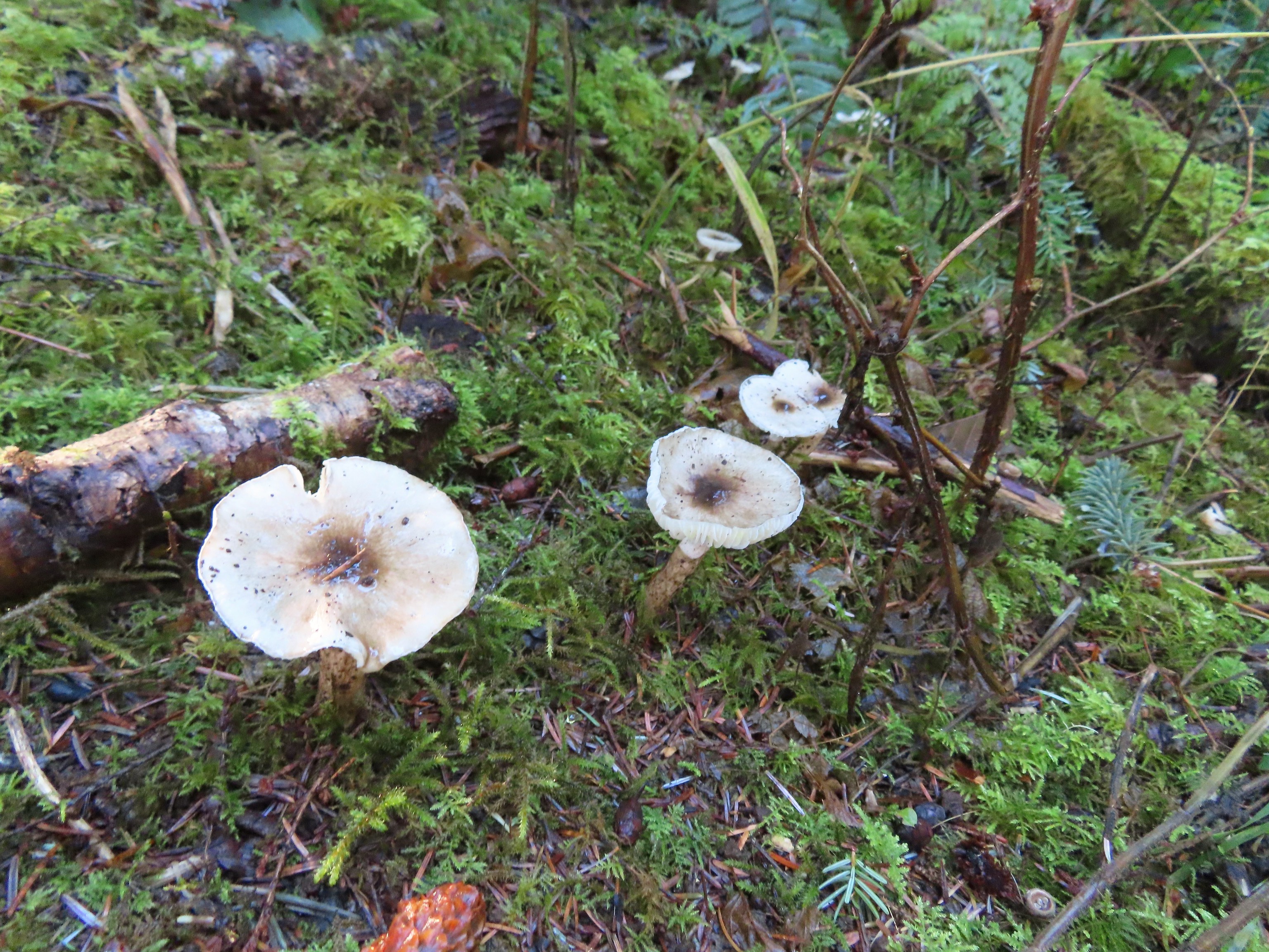
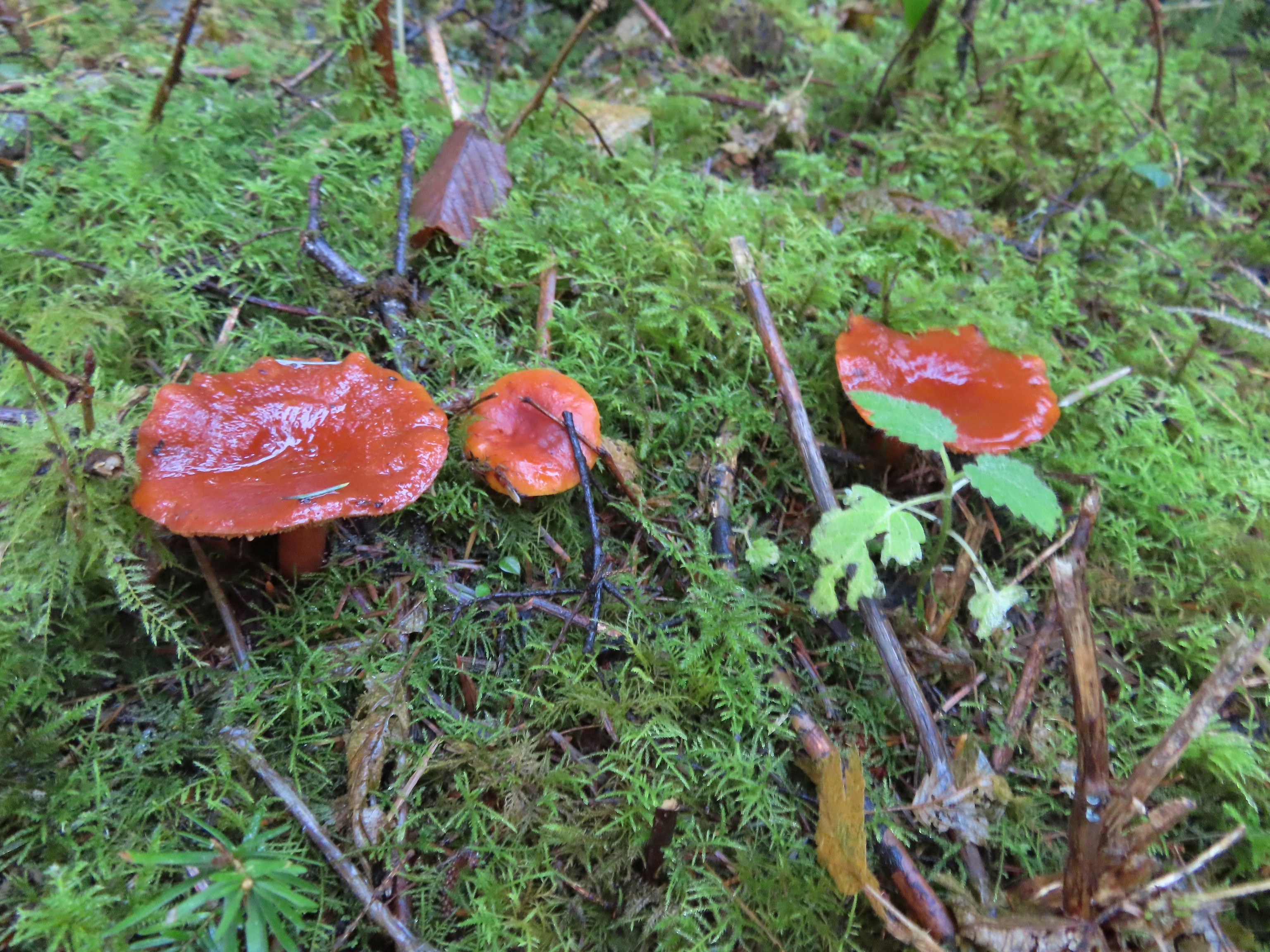
The trail never quite reached the ridge top as it veered left in the forest below.

I scrambled up one of several use trails to see what kind of a view the ridge offered.
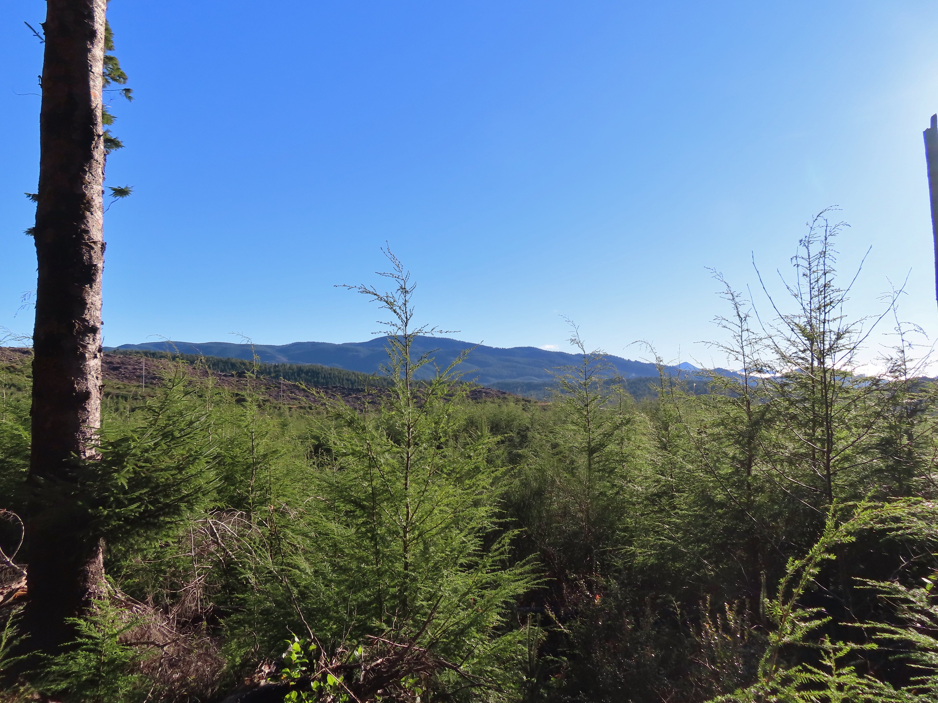 A lot of clearcuts is what I could see.
When the trail made a sharp turn left and suddenly headed downhill we began to realize that we hadn’t been where we thought we were. We pulled up the map and GPS track and began comparing and figured out what we’d done. We weren’t sure where we had missed the right turn at the beginning of the hike though. When we reached another split in the trail we went left, leaving the perimeter to cut back uphill to the junction at the Trail Challenge sign.

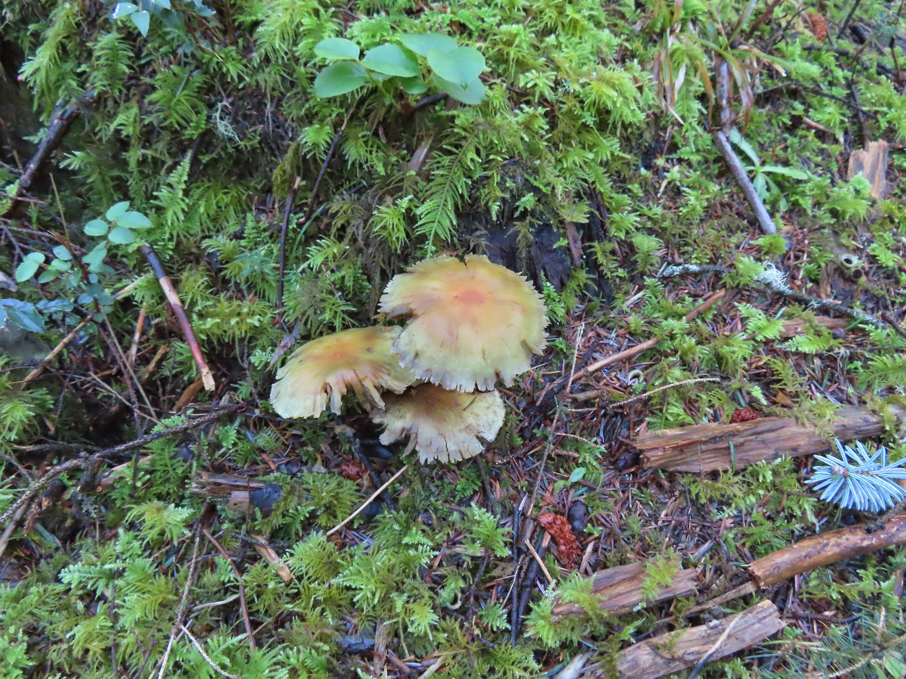
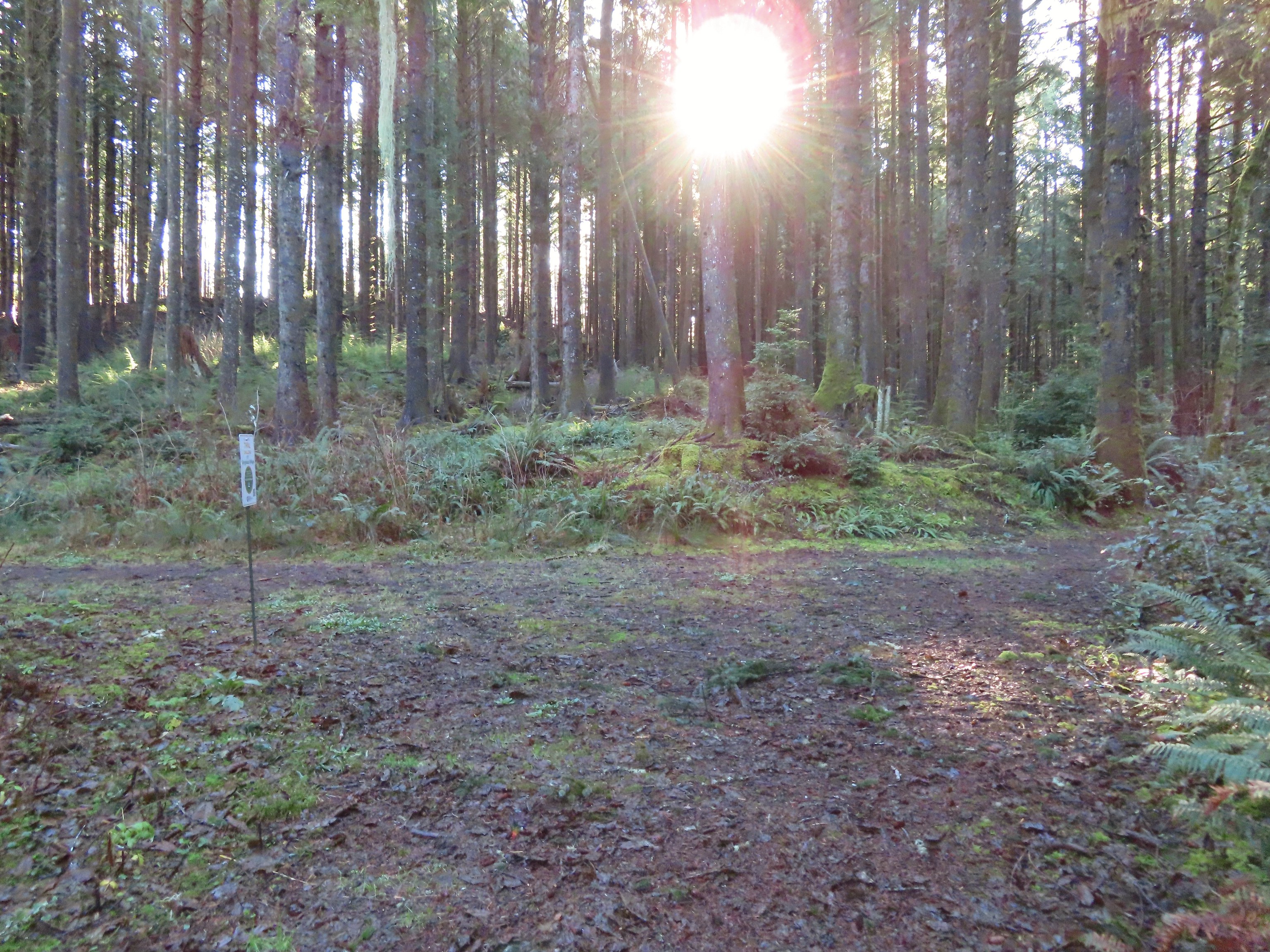
We turned left at the junction and then took the right hand spur that we’d mistook for the spur to the neighborhood. We followed this trail uphill, encountering our first and only downed tree for the day, to a junction with the actual spur. This section was fainter and a little harder to follow but we stayed left along the ridge as much as possible.

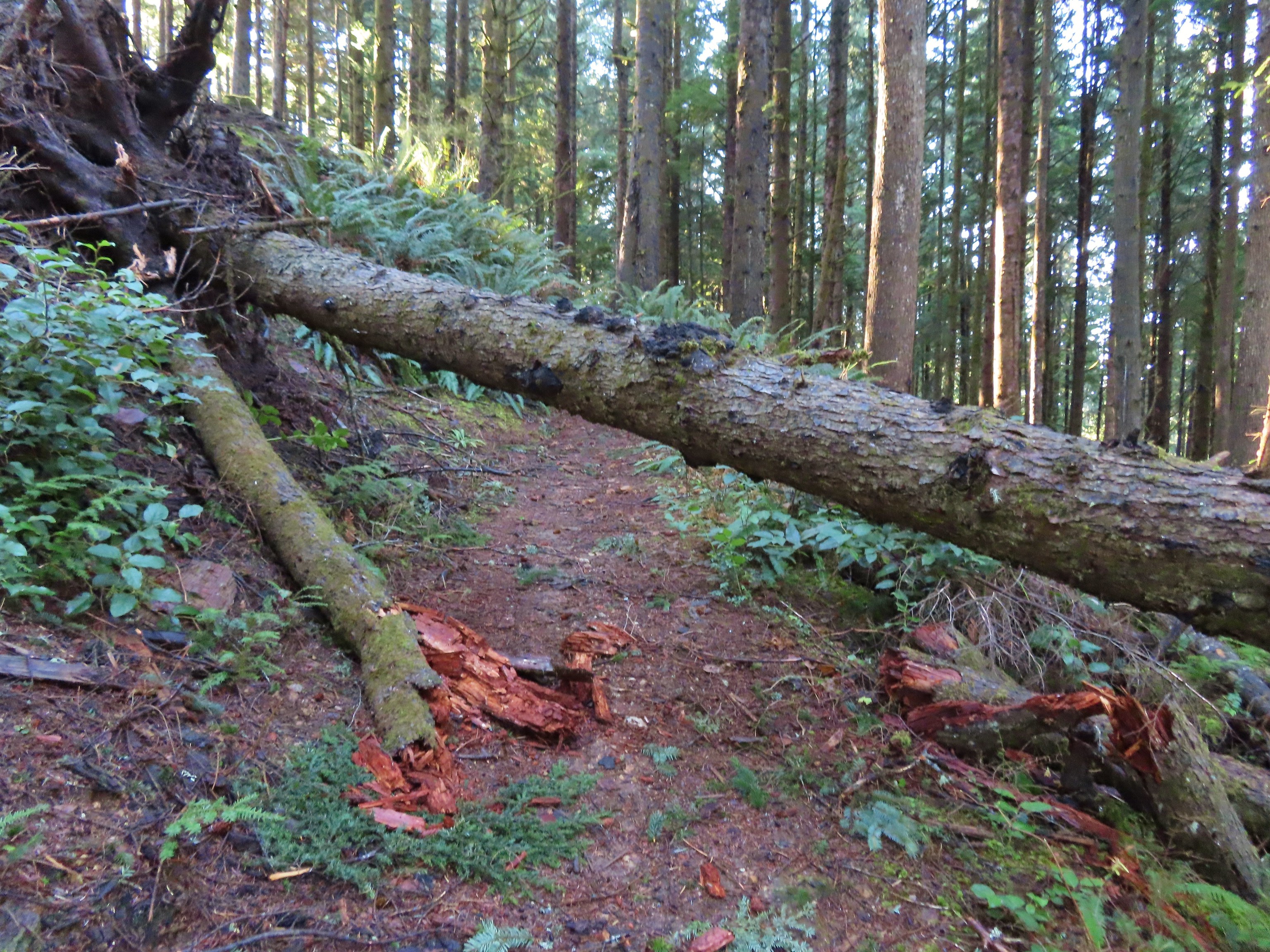 We were really surprised that this was the only real obstacle we encountered all day given the recent storm.
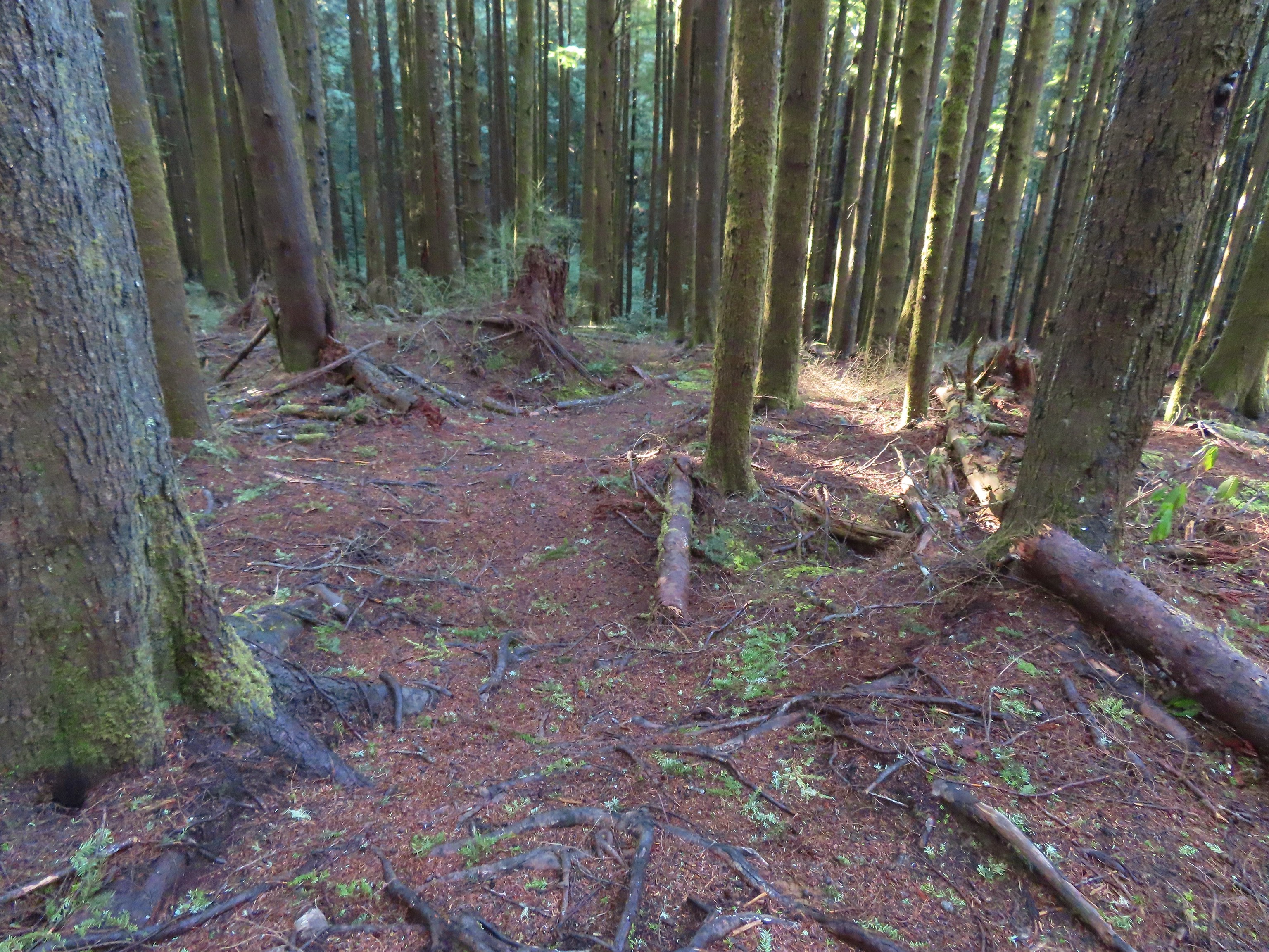 An example of the fainter tread along this section.
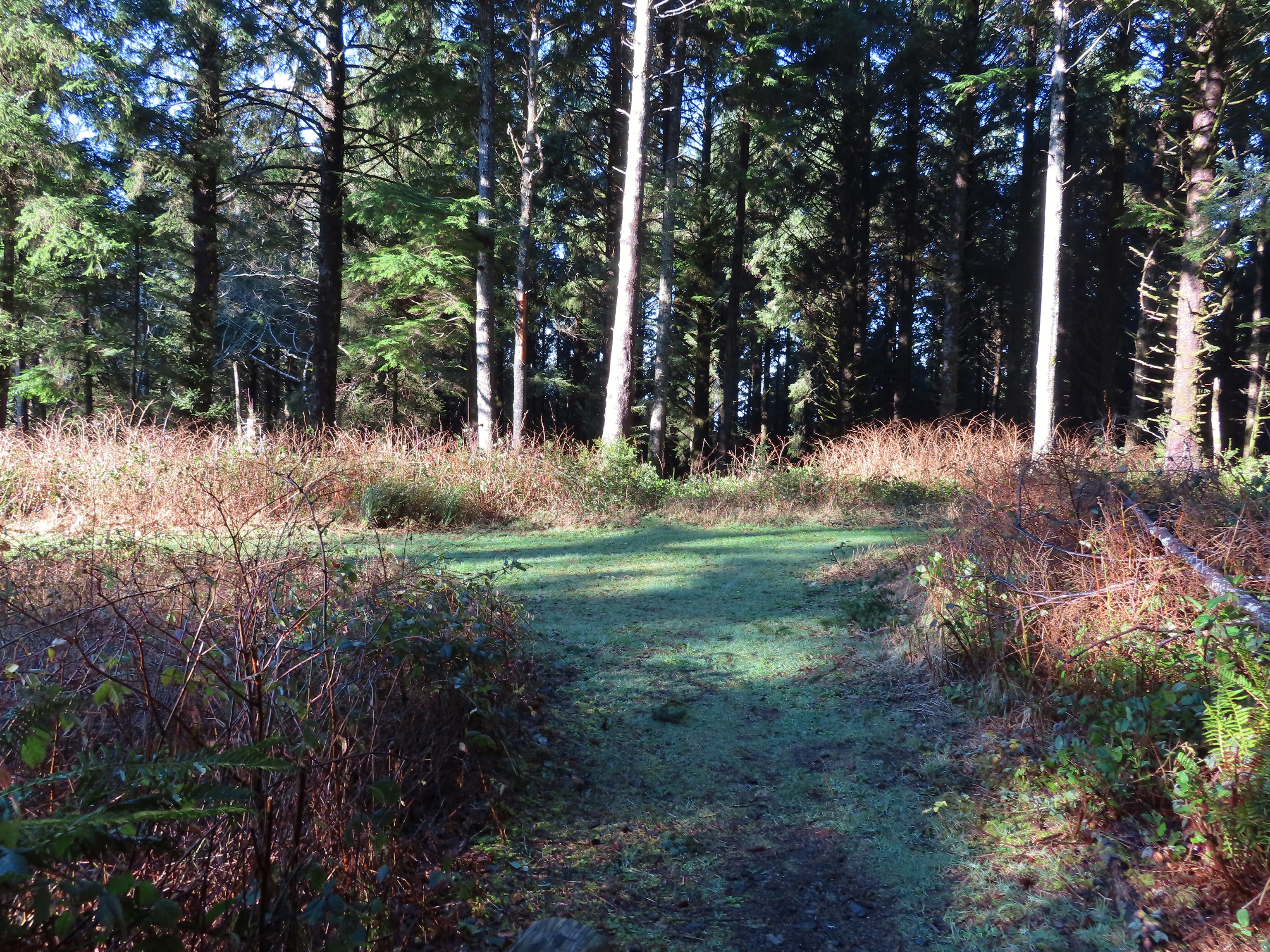 The spur to the left led to a neighborhood so we turned right.


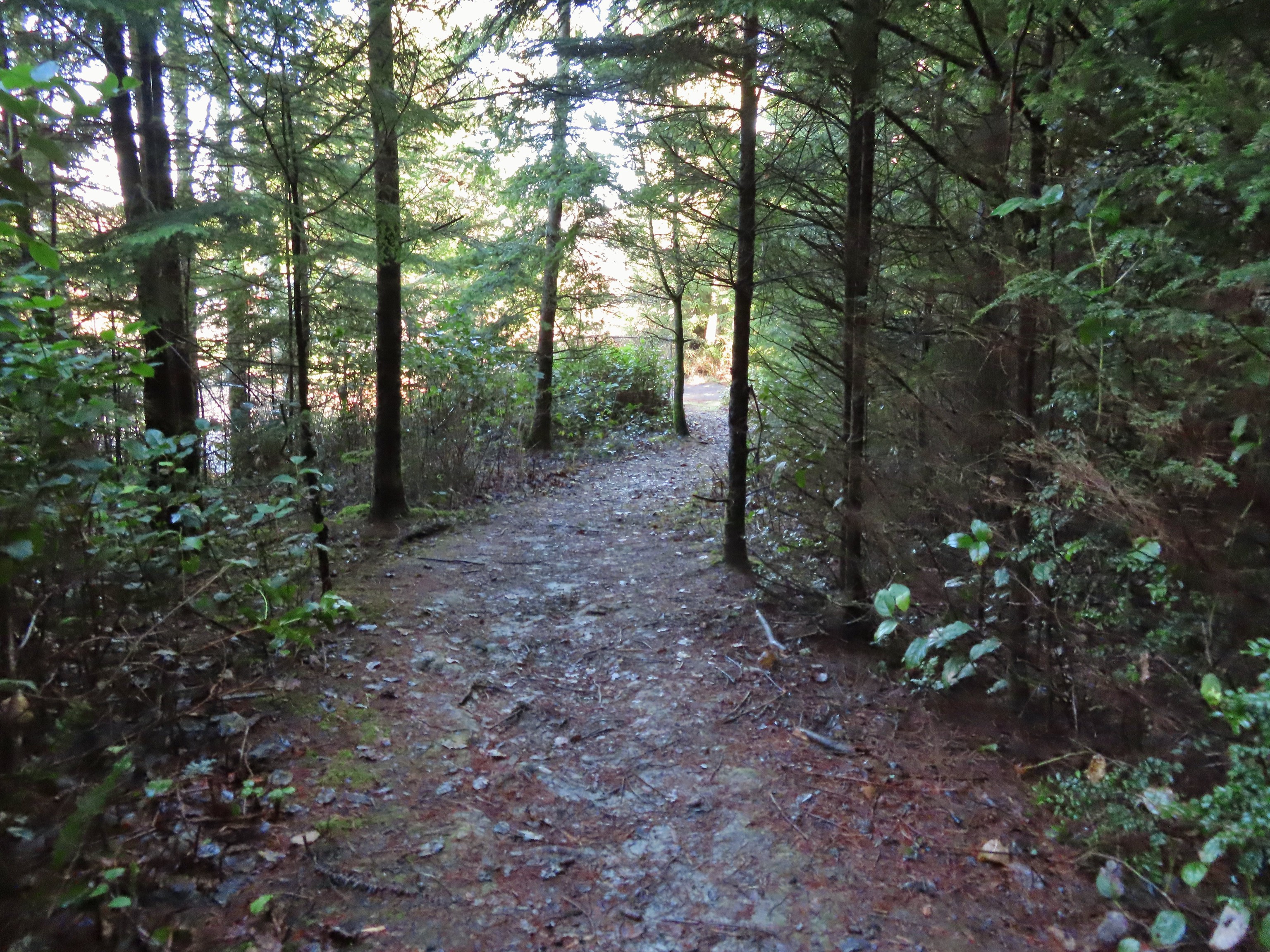 The trail arriving at the trailhead entrance road. The chain link fence at Taft High is on the left.
Our hike here was just over 1.5-miles long with a little over 300′ of elevation gain which was the most of the fours stops. We changed at the car and drove on to the Pelican Brewery arriving just before they opened at Noon. We watched the birds in Siletz Bay while we waited for the restaurant to open then enjoyed a great lunch before heading home.
 Siletz Bay from the brewpub.
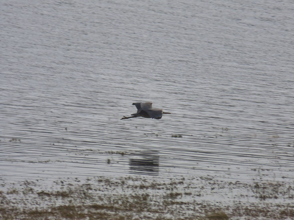
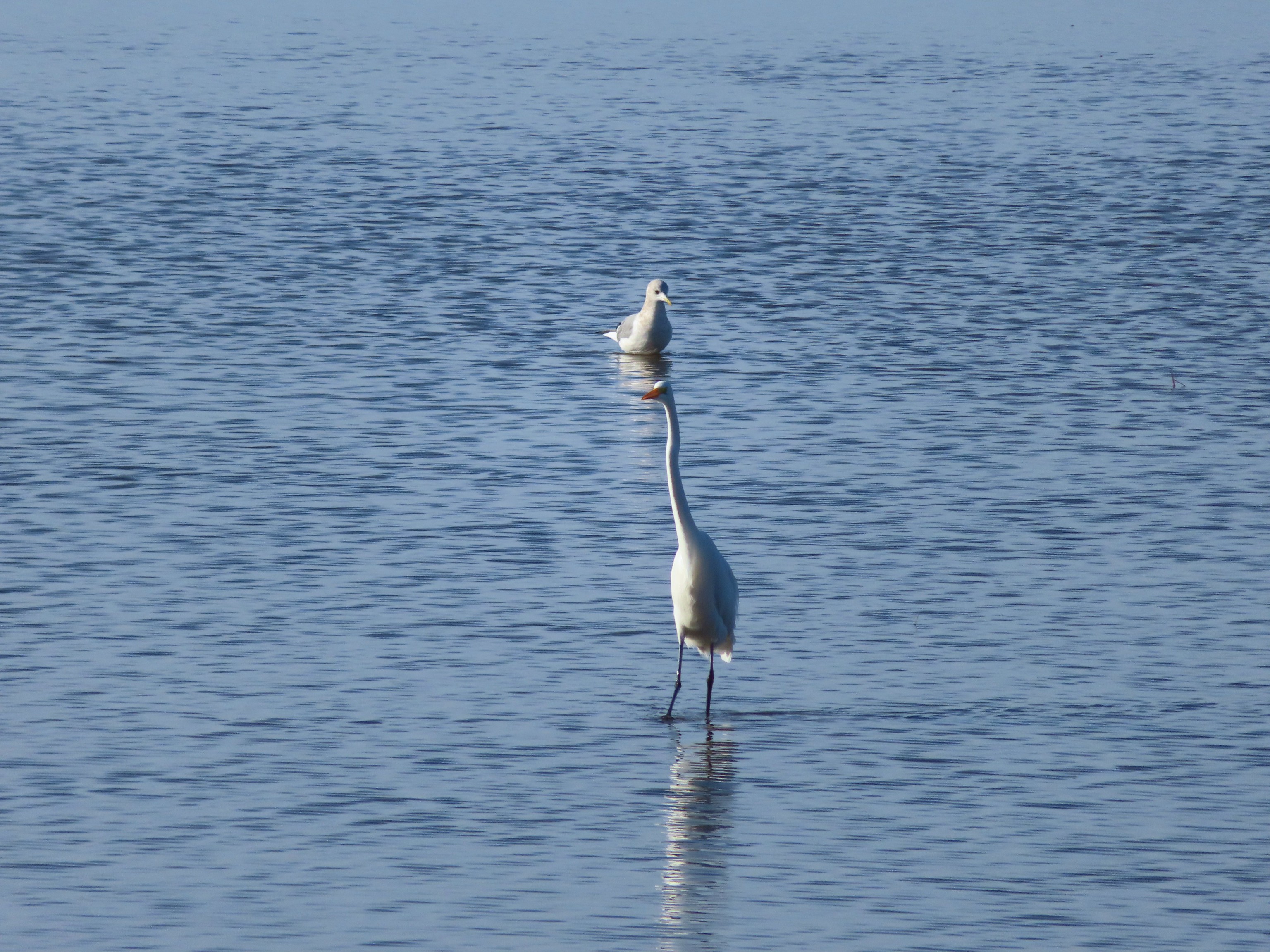 A gull and an egret.
Once we were home we did a little research on the Trail Challenge which is when we learned that the challenge involves eight open spaces. The five we visited on this day plus The Knoll which we had visited back in 2020 (post), Cutler Wetlands, and Nesika Park. It looks like we have a couple of reasons to head back to Lincoln City (and the Pelican Brewpub) sometime soon. Happy Trails!
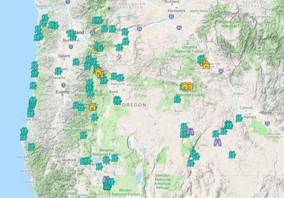
Flickr: Lincoln City Parks


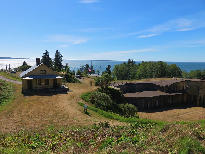



 Four County Point
 Sunset Rest Area


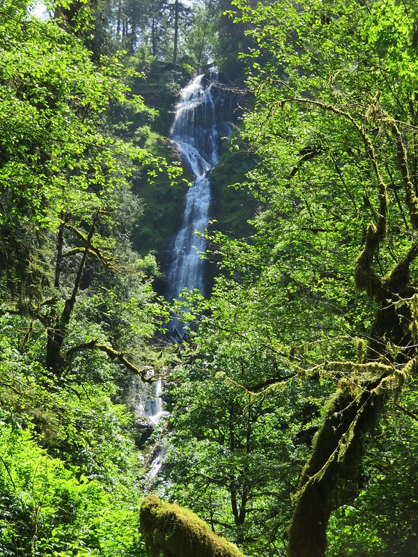
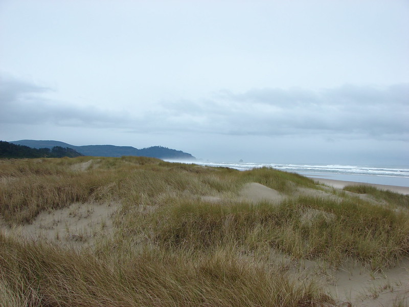
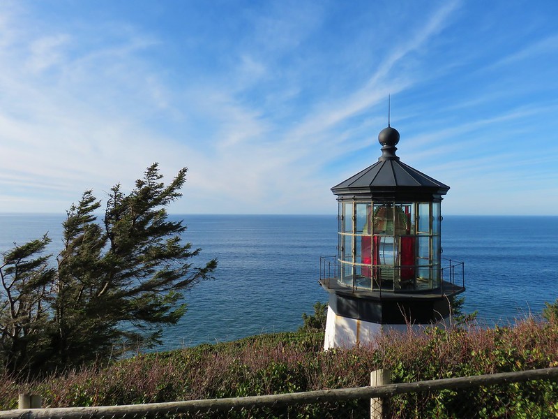


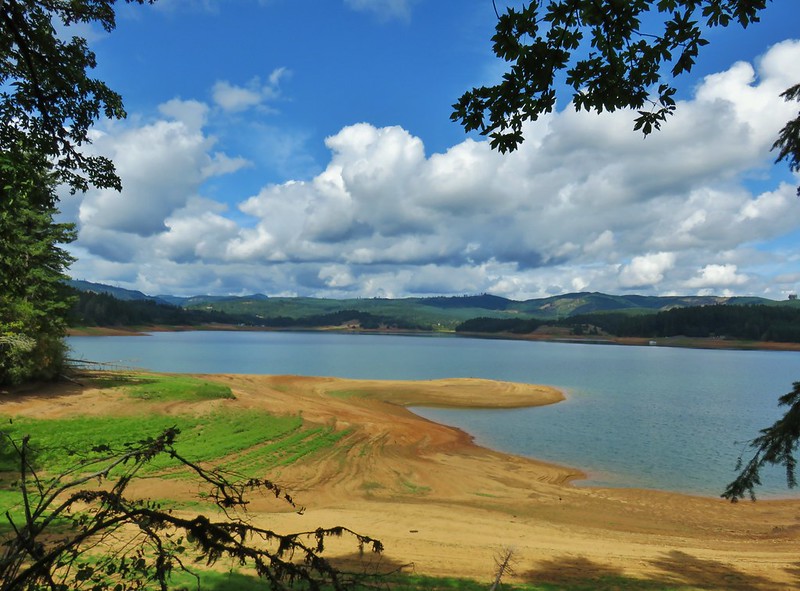


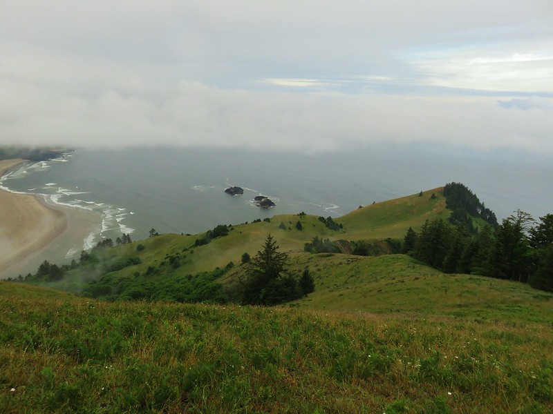
 Inland (Rainforest) Trail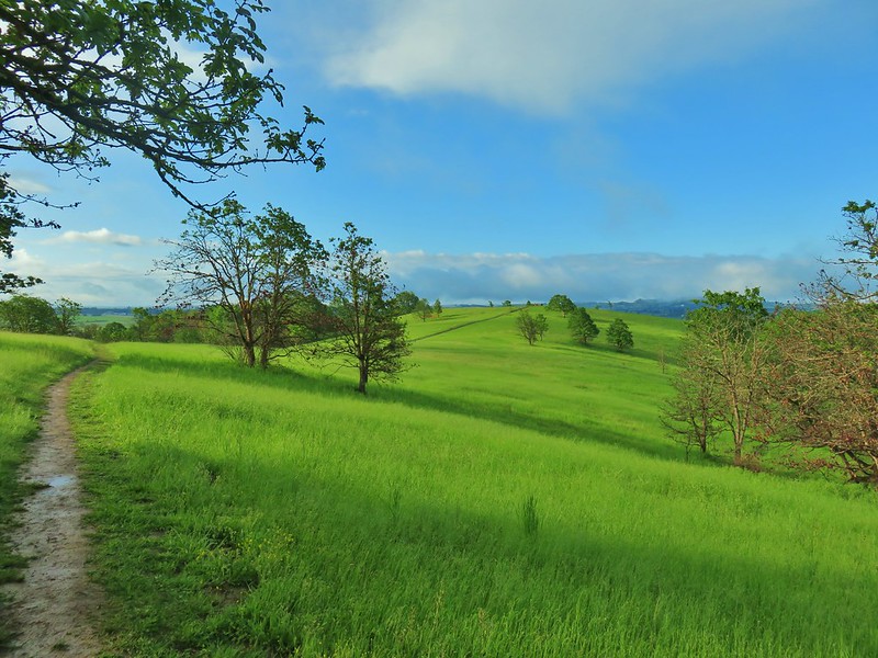
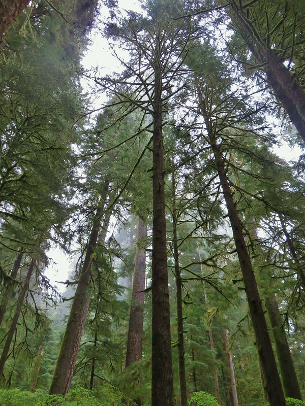


 Yaquina Head
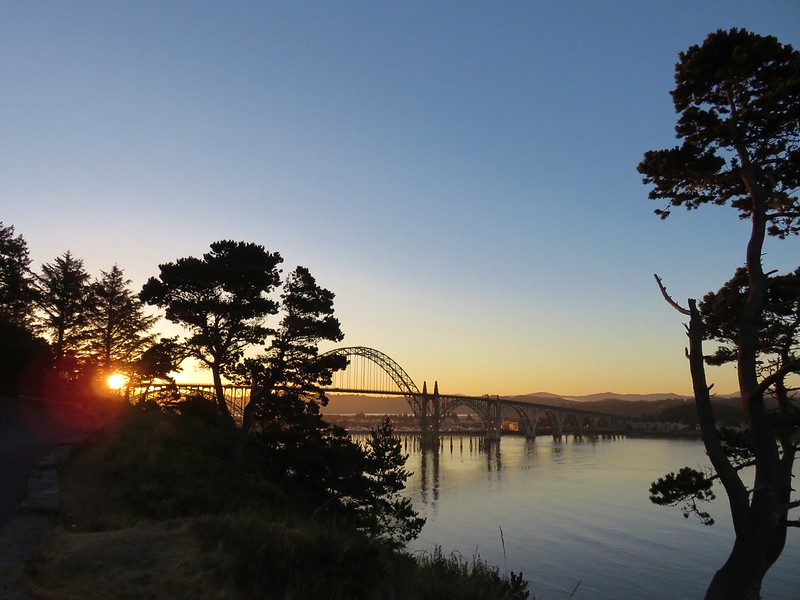 Yaquina Bay
 Estuary Trail
 South Jetty
 Mike Miller Trail


 Fort Hoskins
 Beazell Forest



 Pioneer Hill Trail
 Pawn Old Growth Trail
 Old Growth Ridge Trail
 Clay Creek Trail




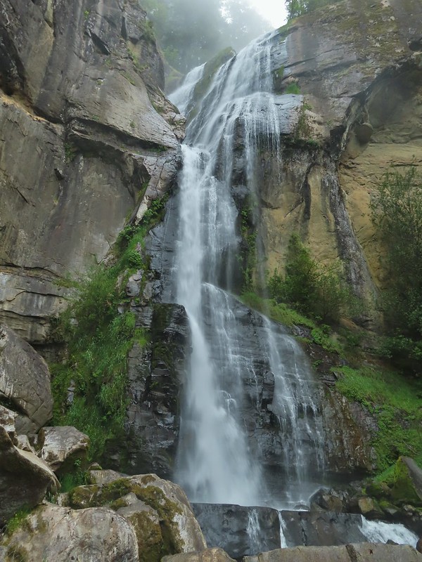






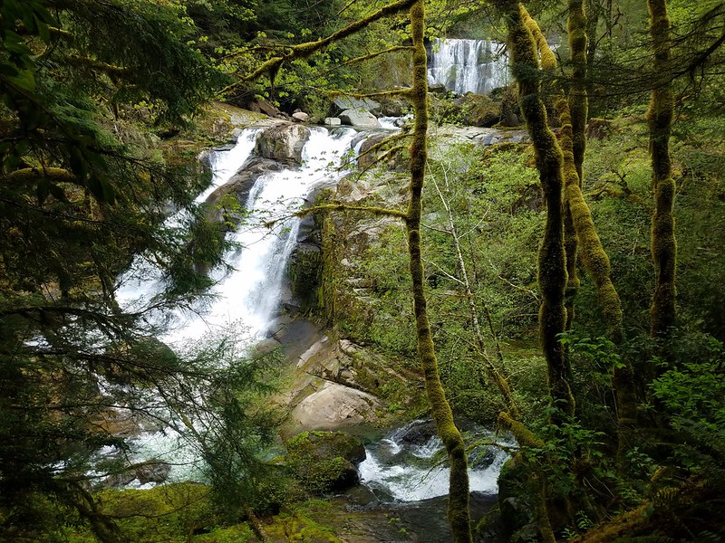 Coquille River Falls
 Elk Creek Falls
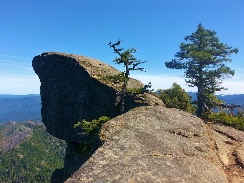 Hanging Rock

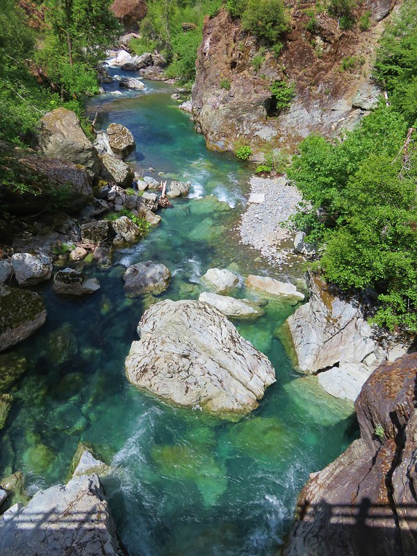
 Shrader Old Growth Trail
 Myrtle Tree Trail
 Vulcan Lake
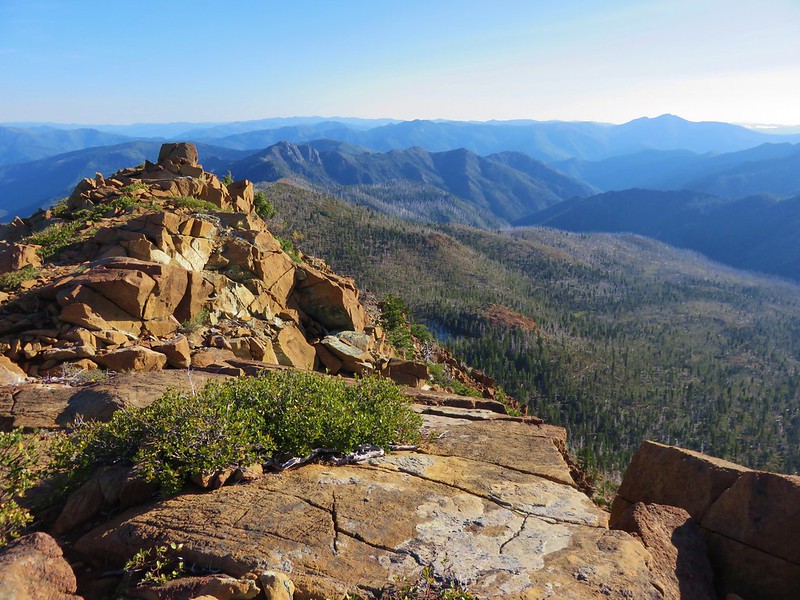 Vulcan Peak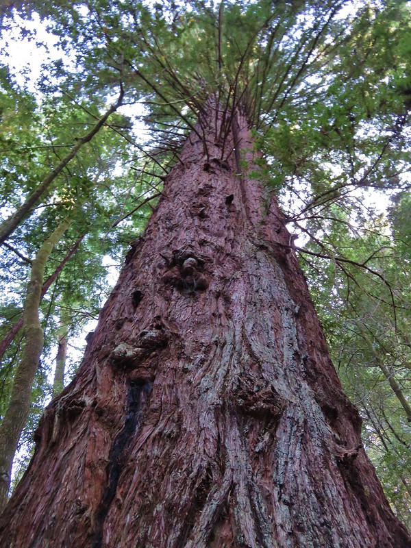



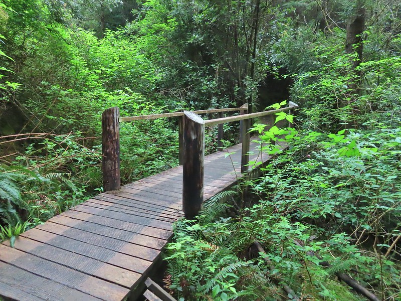
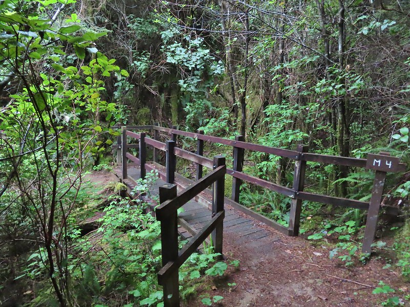 All the bridges had labels consisting of the first initial of the trail and then the bridge number making this the 4th bridge along the Middle Creek Trail.
 Interesting seat.
 That’s a fancy hat for a stump.


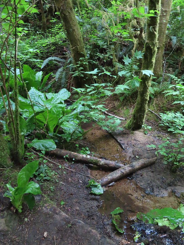


 We saw a lot of rough skinned newts on the trails, but what we were really hopping for was a Pacific Giant Salamander. No luck there this time.
 A few trillium still had petals.
 Woodpecker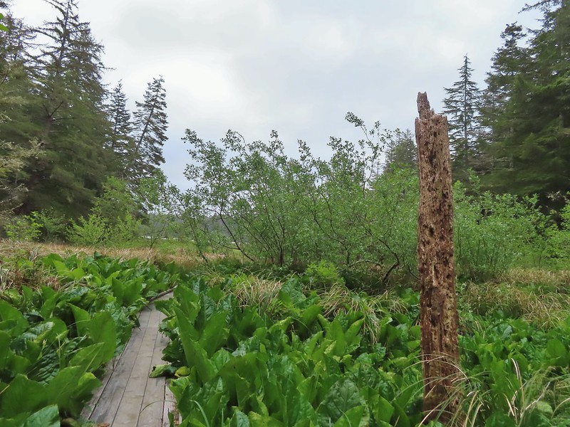
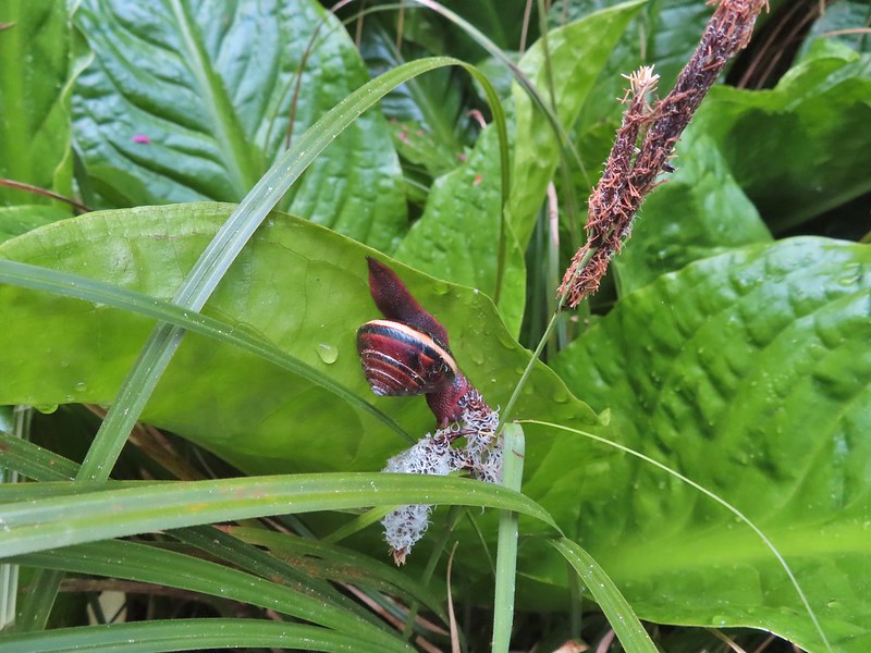

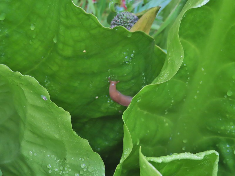

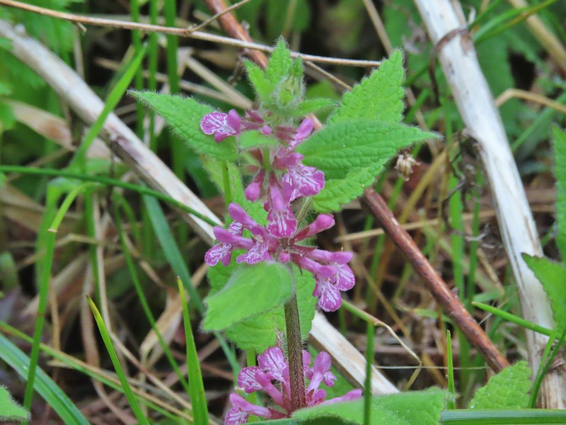 A hedgenettle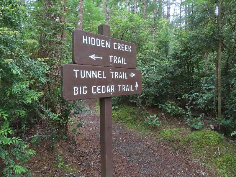


 Tunnel Trail indeed.




 Castilleja ambigua – Estuarine Paintbrush
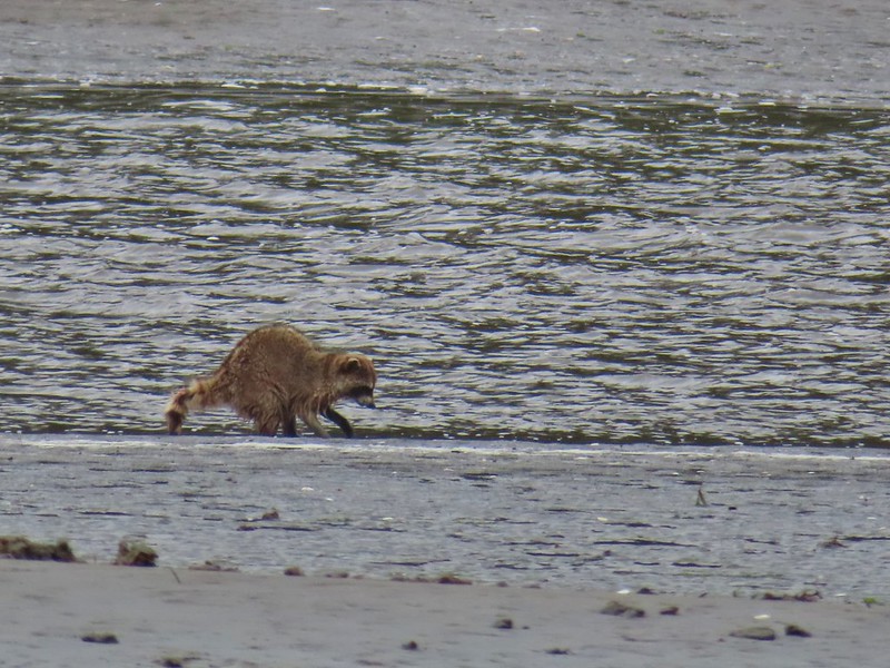


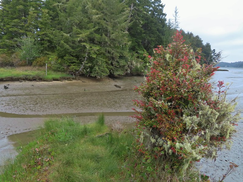 End of the line.
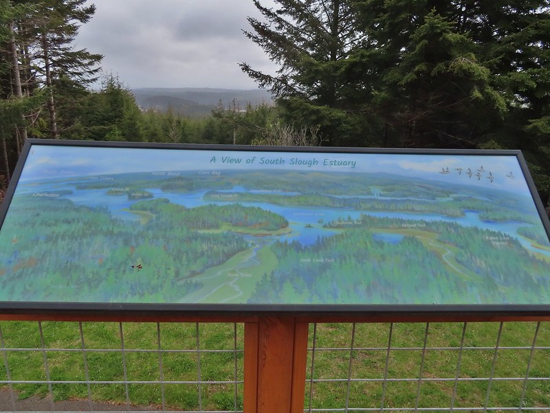
 South Slough
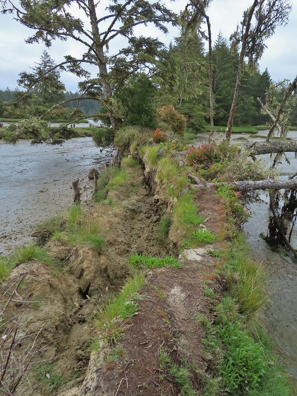 It was interesting to see how this uprooted tree peeled back a layer of the ground.
 Rhoades Marsh
 Rhododendron


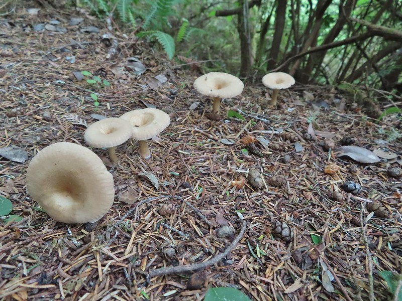
 Bleeding heart, fairy bells, and youth-on-age.


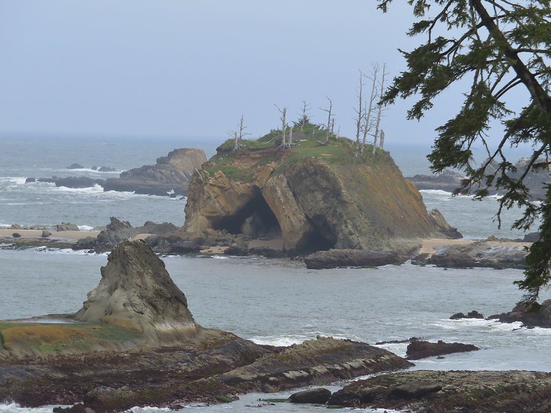
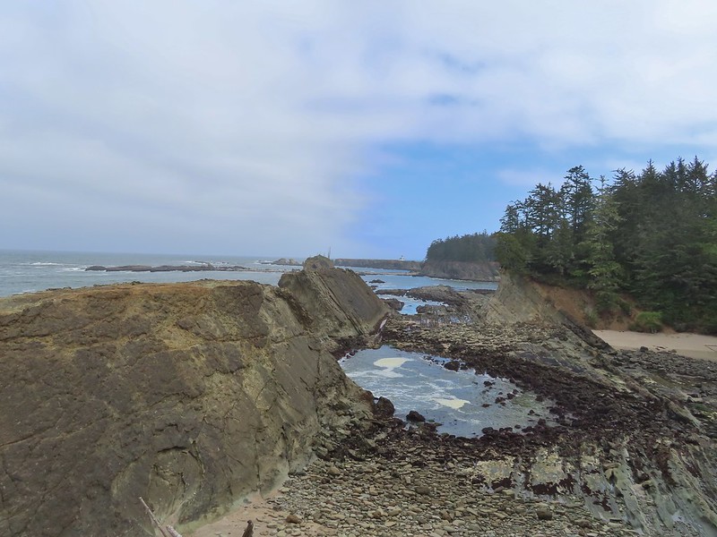
 Cape Arago Lighthouse (not on Cape Arago) on Chiefs Island.
 Salal
Salal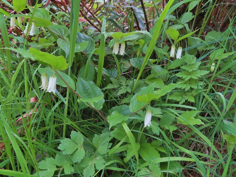
 The group campsite.
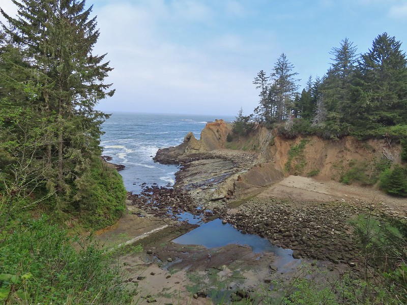



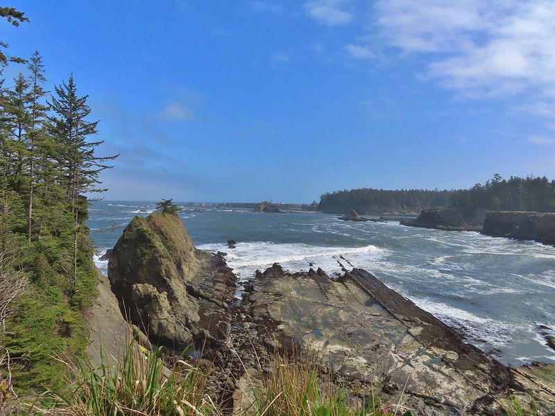


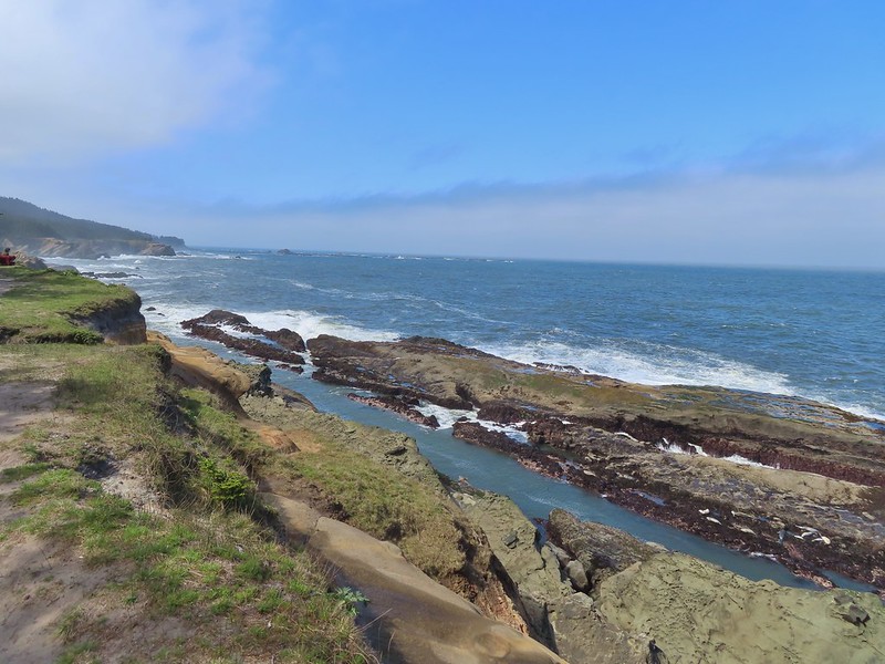 Harbor seals in the lower right hand corner on the rocks.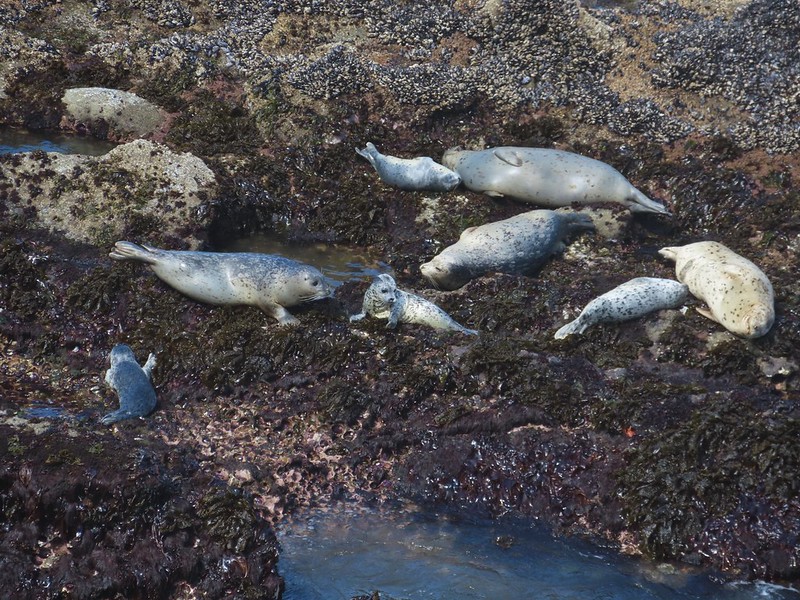

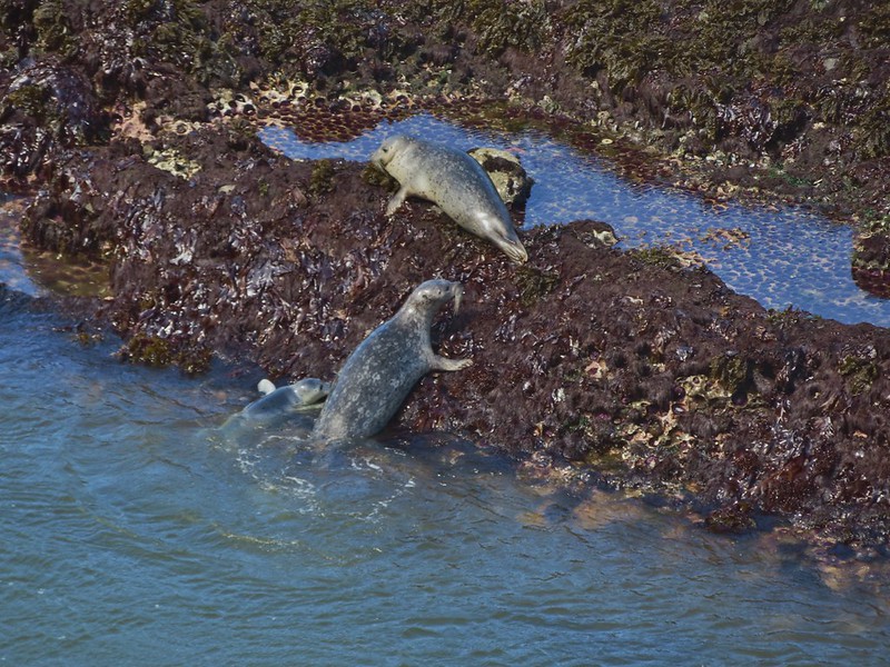
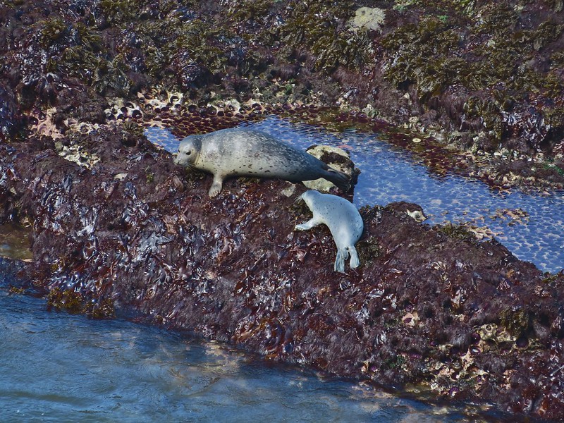 Success!
 Paintbrush
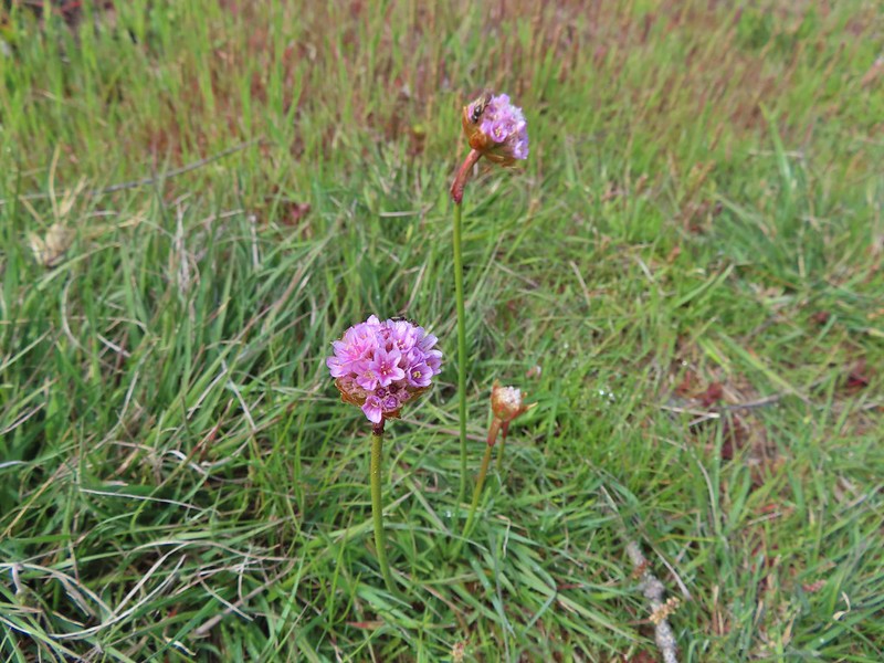 Sea thrift
 Mariposa lilies
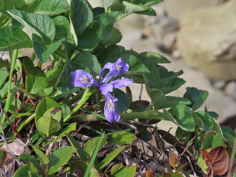 Iris
Iris Former tennis courts.
 View near the tennis courts.
 These roots explain how some of the trees that look like they should be plunging into the ocean don’t.
 Observation Building ahead on the cliff.



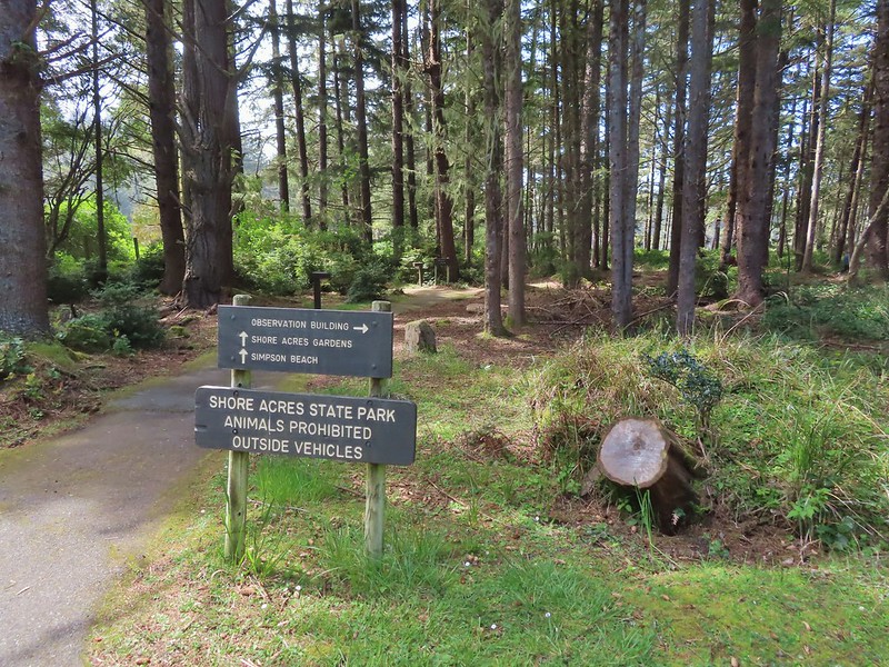


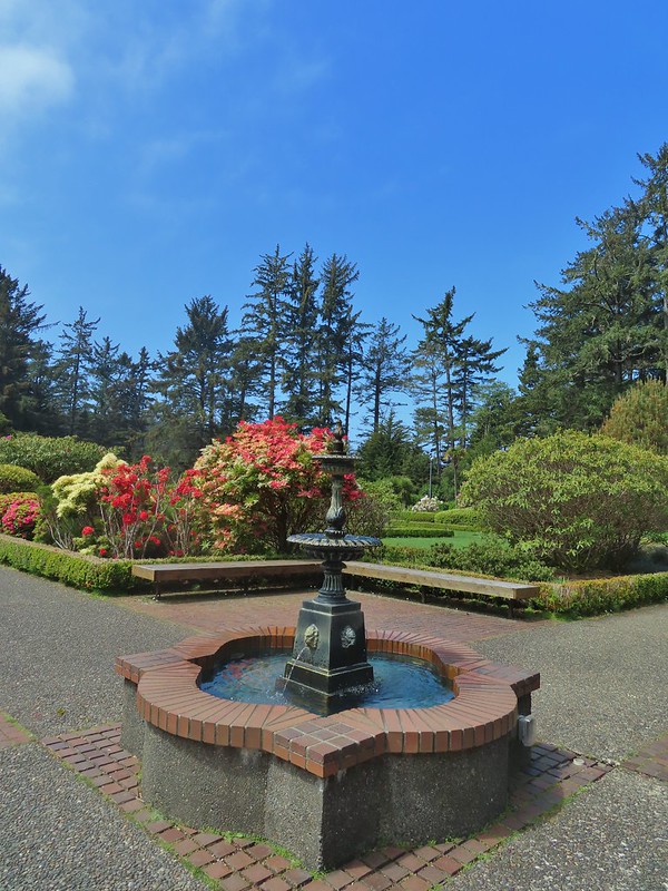


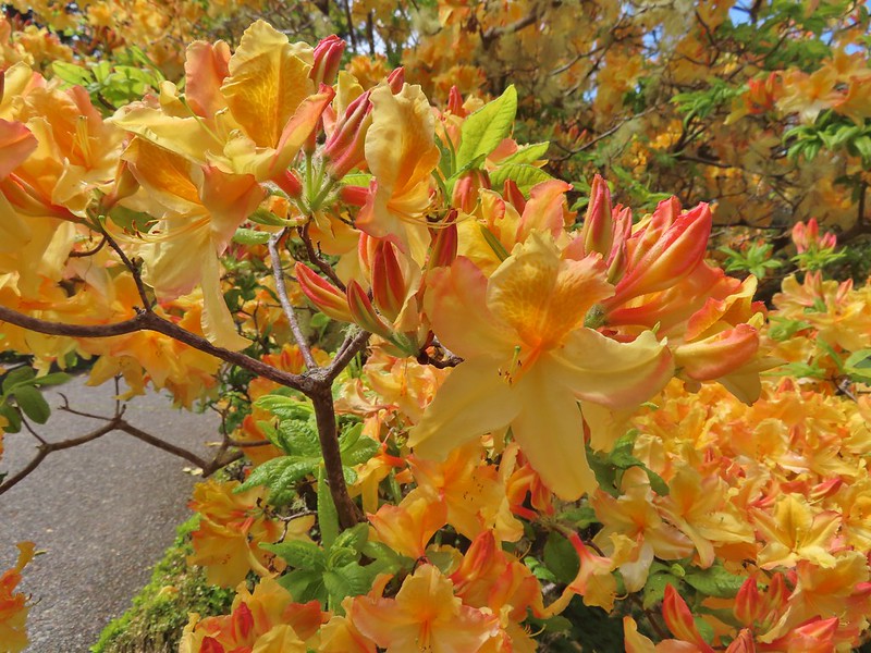

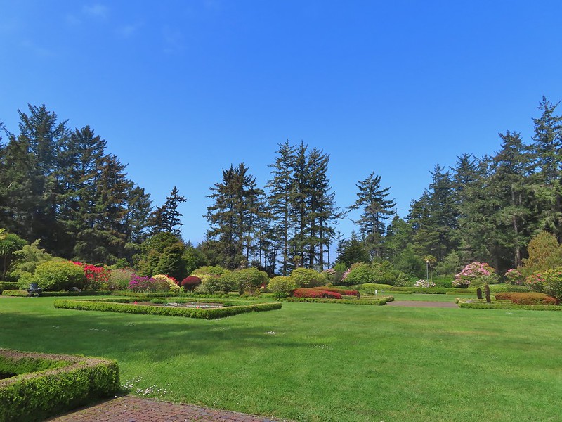

 Prickly Rhubarb from Chile

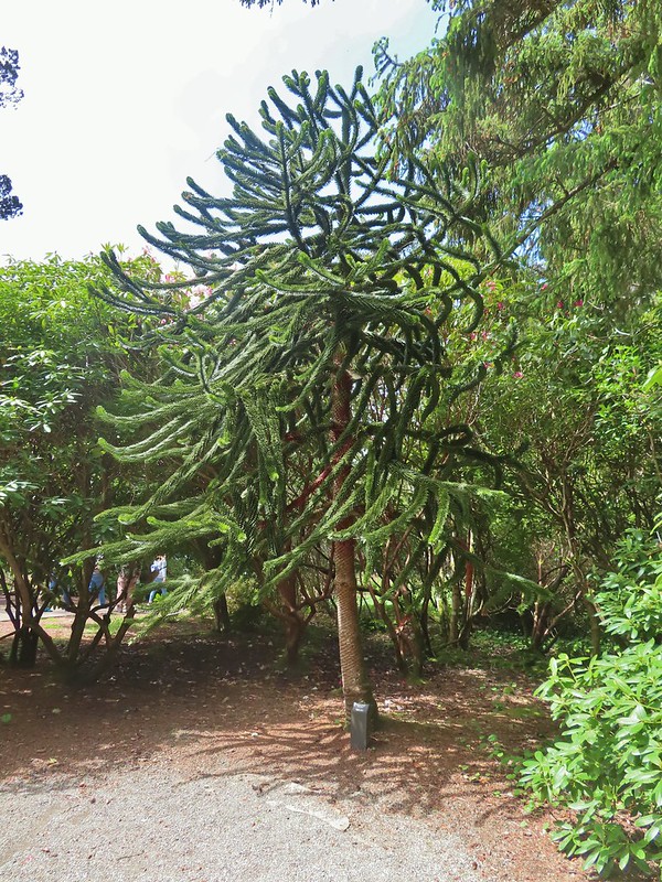 Monkey Puzzle Tree from South America
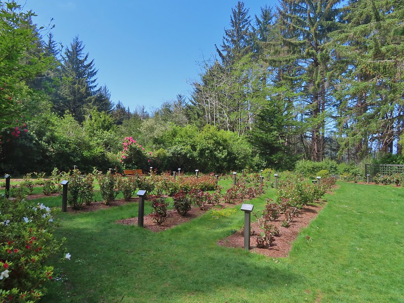 The yet to bloom rose garden.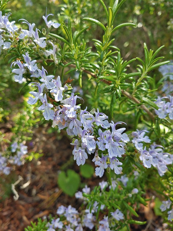
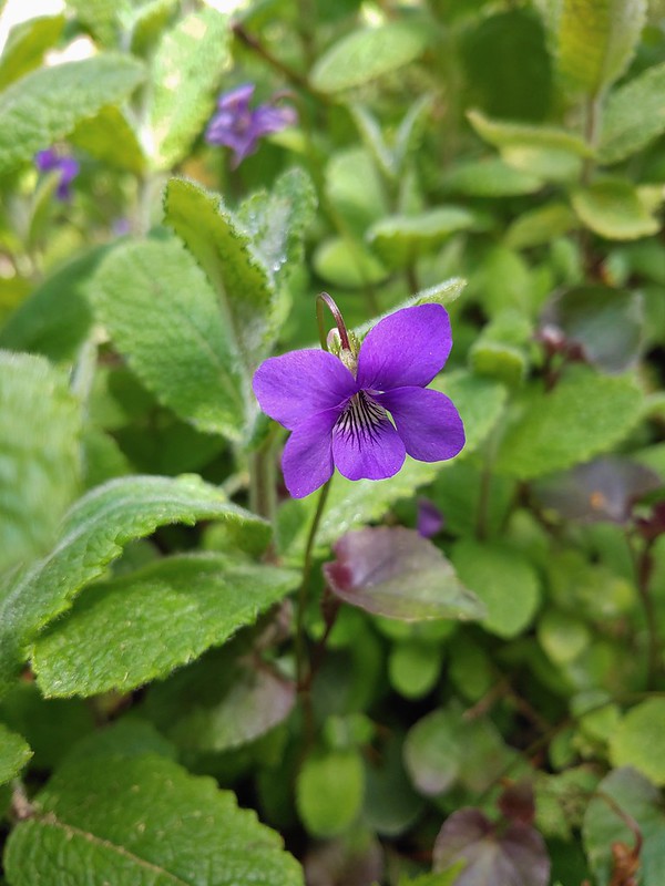

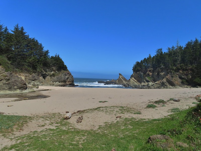

 Looking back across Simpson Cove to the Observation Building.
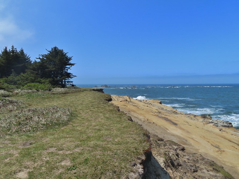 Simpson Reef extending into the Pacific.
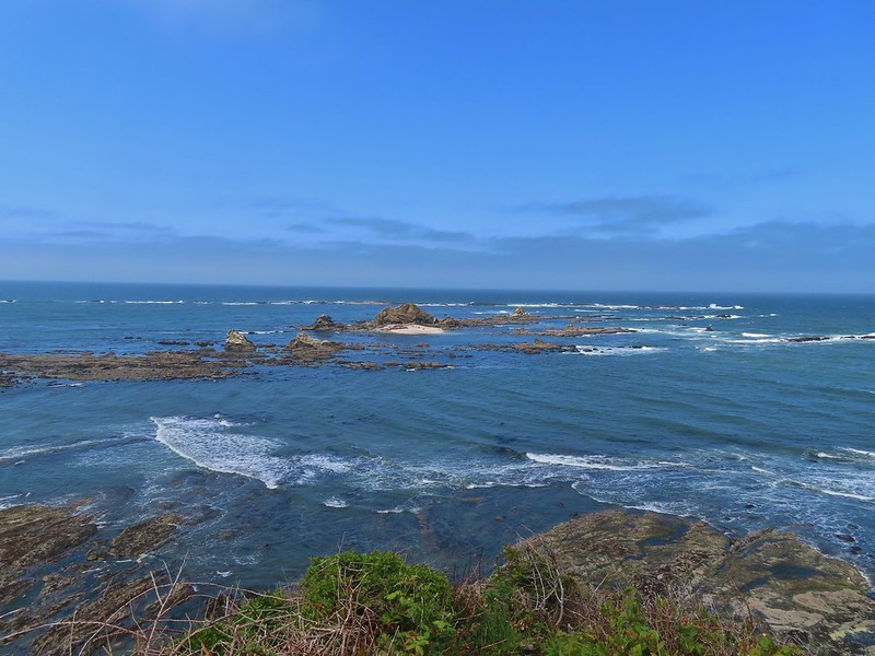 Shell Island in the middle of Simpson Reef.
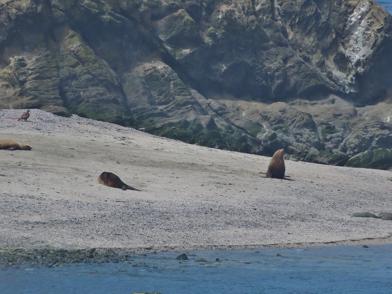
 Sea lions and juvenile bald eagles on Shell Island.


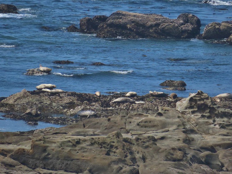 Harbor seals on the reef.

 Coltsfoot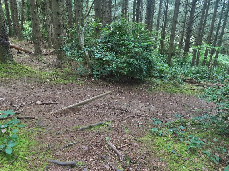
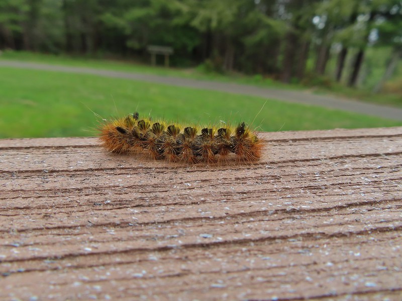
 Woolly bear caterpillar
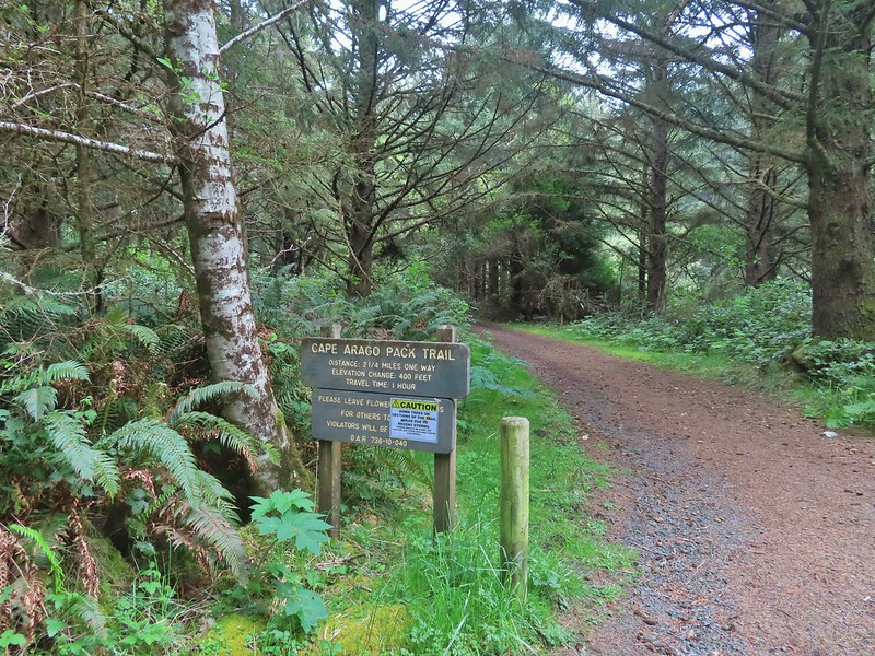 Looking back up the Pack Trail.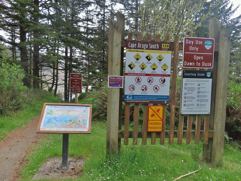

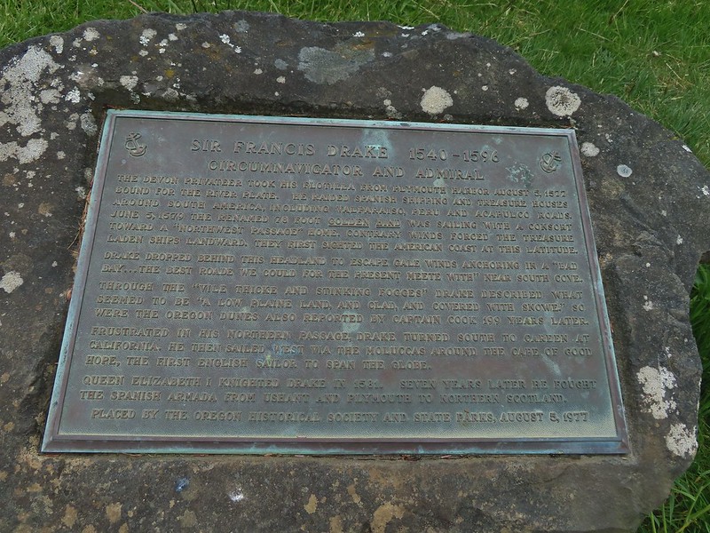 Plaque near the bench commermorating Sir Frances Drake’s visit to the area in 1579.
 Our stalker while we sat at the bench hoping we would leave some food behind (we didn’t).
 We thought we might be hearing things, but no it was a rooster crowing.
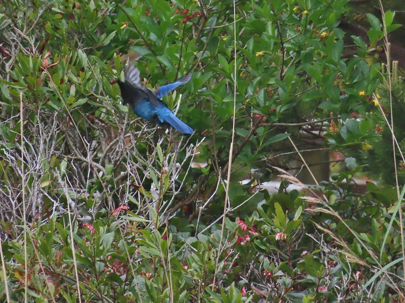 Stellar’s jay
 North Cove (A trail down to that beach was closed for the season.)



 Heading down.
 Going up.

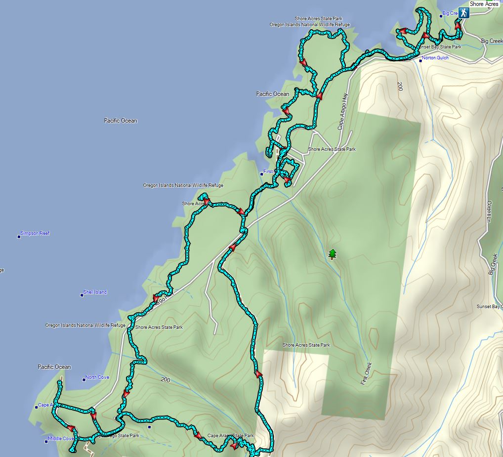
 The Cape Arago Pack Trail at the highway.



 Thimbleberry
 Salmonberry
 McLeod Creek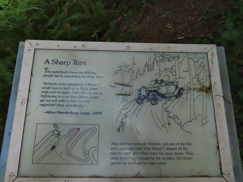
 One of the sharp turns.
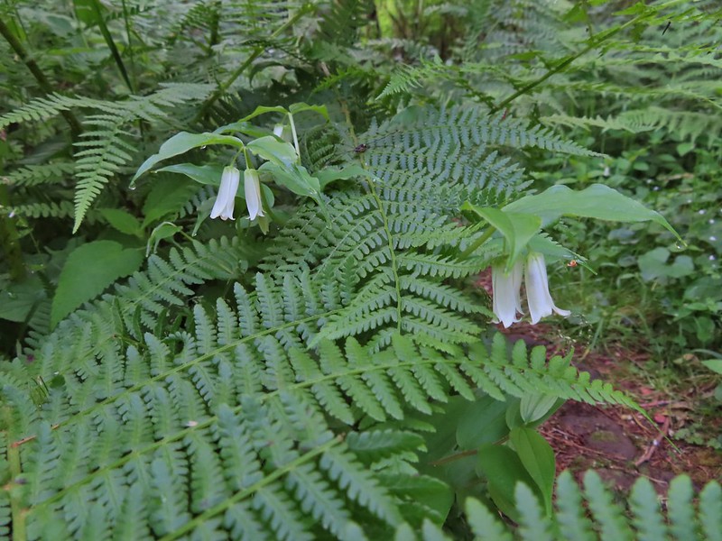 Fairy bells
 Columbine
 Bleeding heart
 Monkeyflower
 Sourgrass
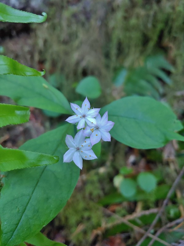 Star flower
 Trillium
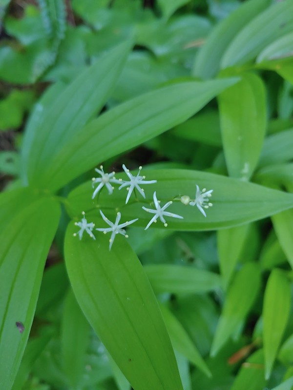 Star flower solomonseal
 Twisted stalk
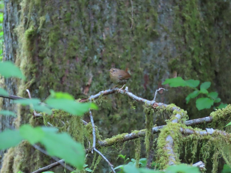 Wren – We heard lots of birds but didn’t see many of them.

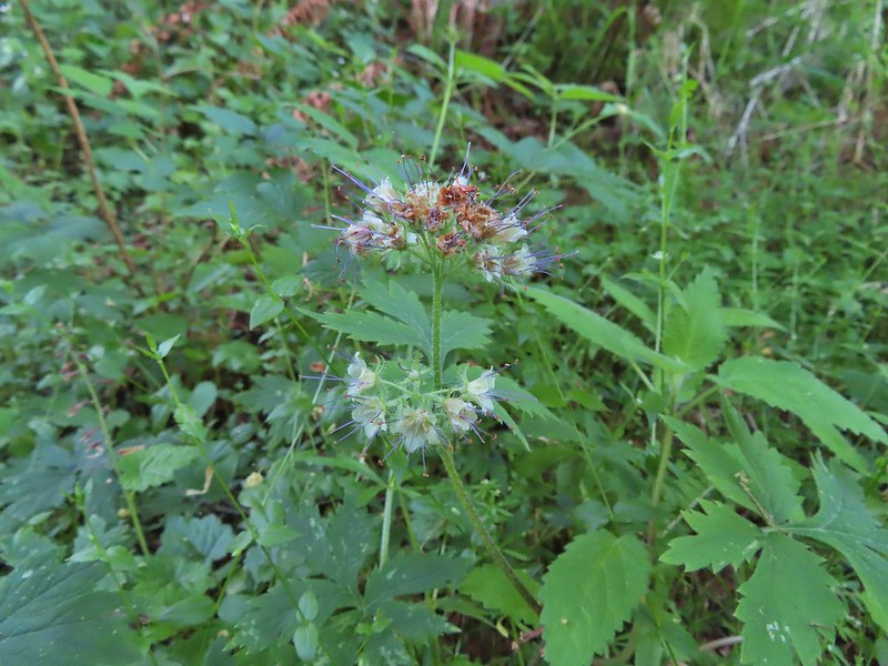 Waterleaf

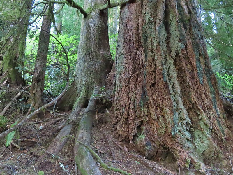
 Marker for a fire scarred Douglas fir. According to the brochure the last major fire in the area was in the 1860s.

 We had to climb over this big tree.

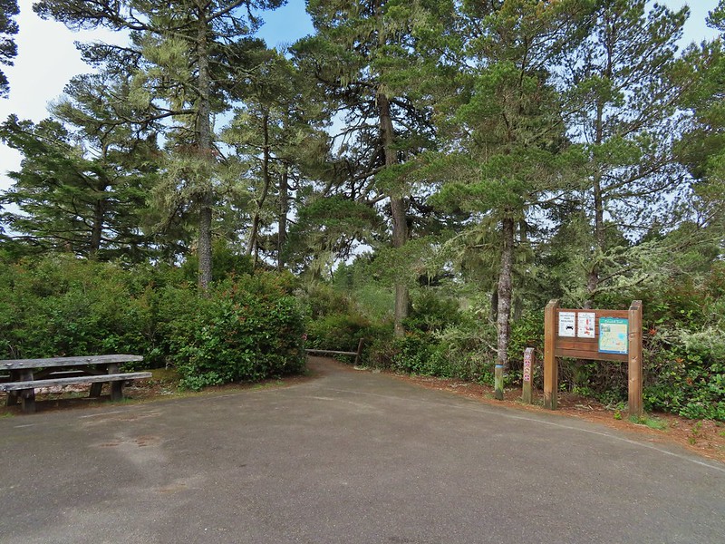

 Looking at the bridge at the north end of the lake.
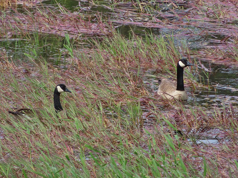 Canada geese
 Cormorants flying above the lake.
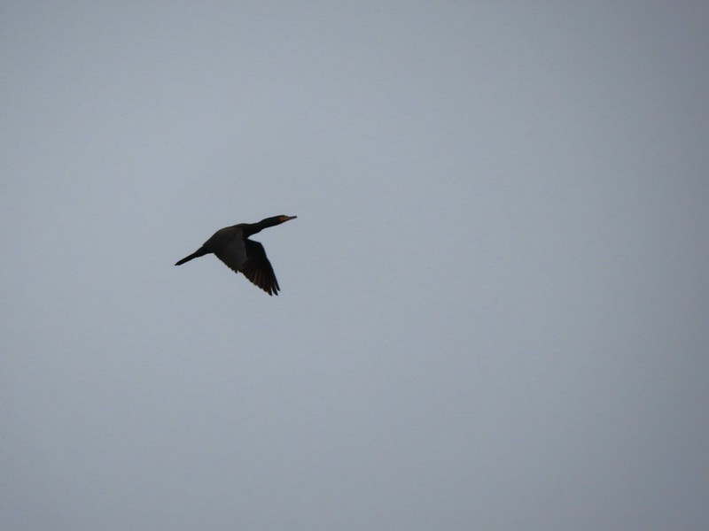 Cormorant
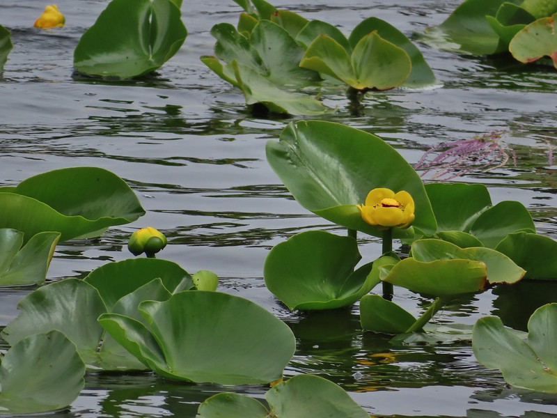
 Ring necked ducks
 Rhododendron
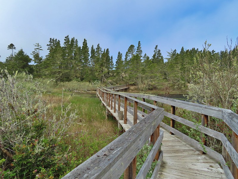 Boardwalk at the south end of the lake.
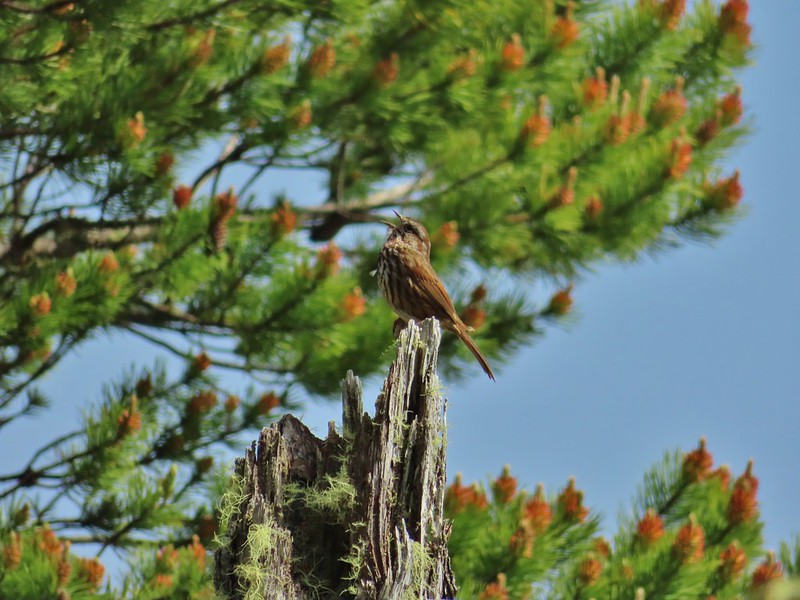 Sparrow
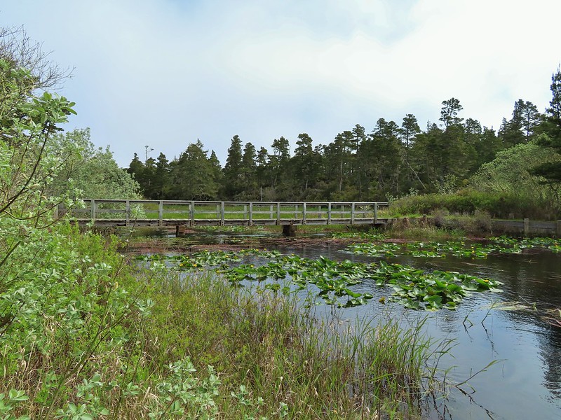 Coming up on the bridge at the north end.
 Yellow rumped warbler
 Finch
Finch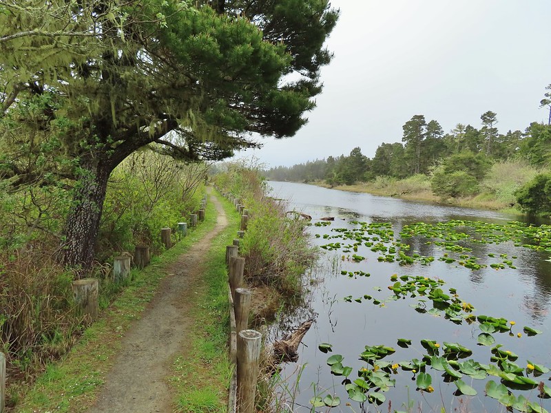
 The trail on the far side of the track.

 One of three panels on a signboard at the start of the trails.
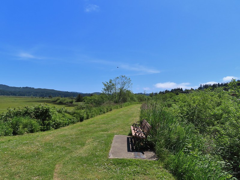 This bench is at the junction.
 Sparrow near the junction.
 Heading to the observation structure.
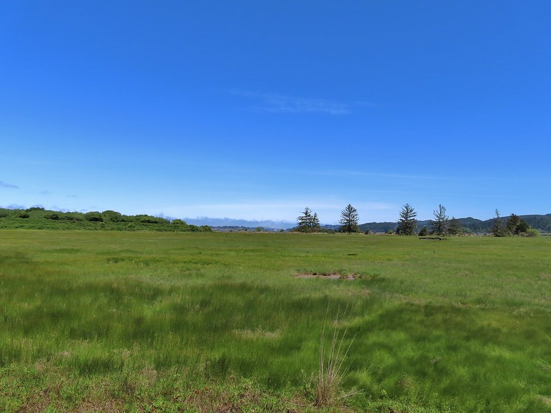 Looking toward Coos Bay along the Coos River.
 McCullough Memorial Bridge spanning Coos Bay.
 Wetlands from the end of the spur.
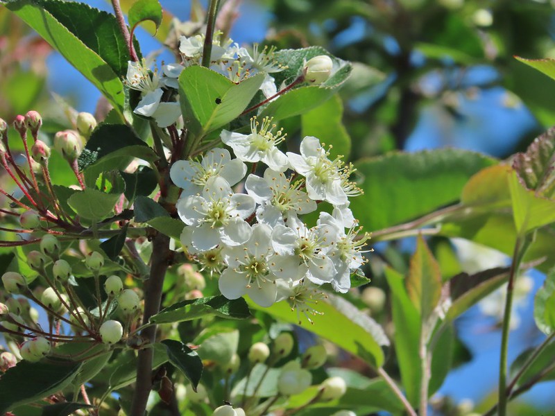 Bitter cherry
 Crow
Crow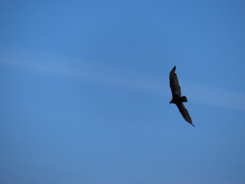 Turkey vulture
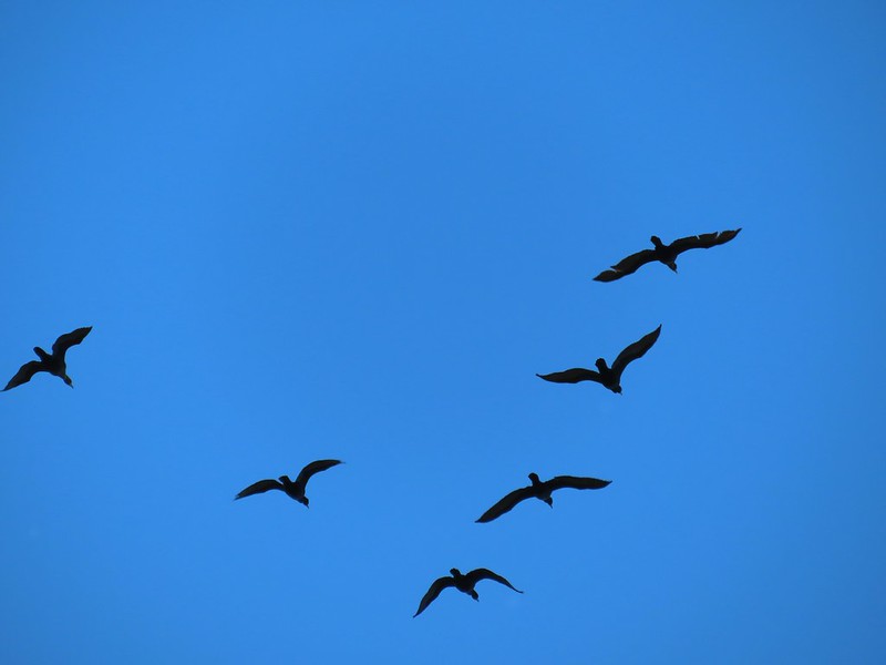 Cormorants overhead
 Canada goose with goslings
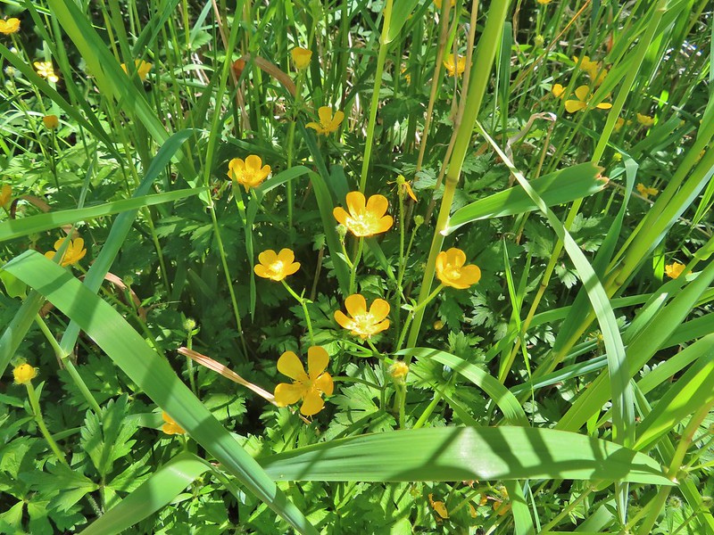 Buttercups
 Pale flax
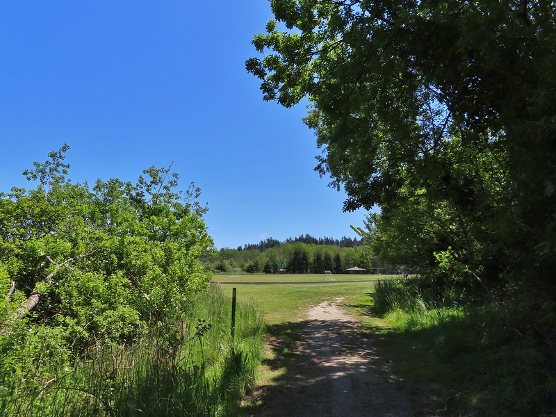 Arriving back at the field.
 Ground squirrel enjoying the view.
 Twomile Creek
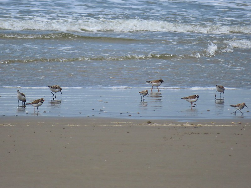
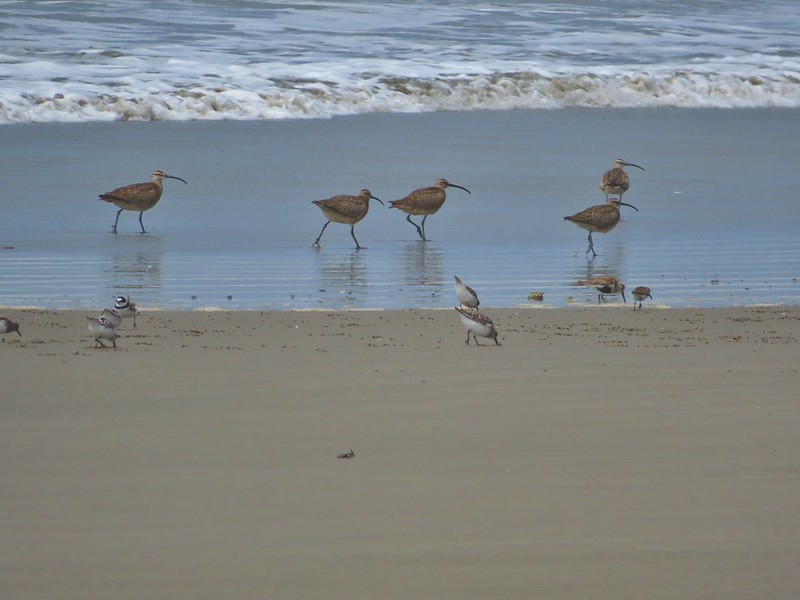
 Shore bird in the creek.


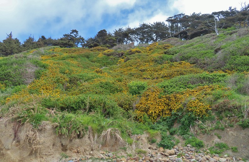
 Brass buttons (another non-native)

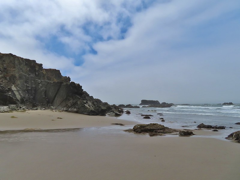 Whiskey Run Beach lay on the other side of the rocks with another parking area 0.8 further south.
 A cormorant off Fivemile Point



 View from the bench.


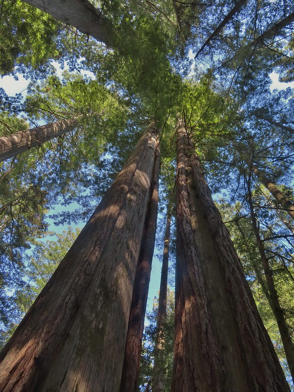
 Coming up on the hollow trunk straight ahead.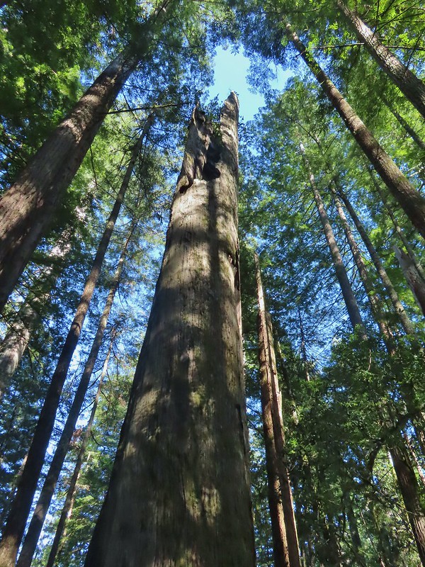


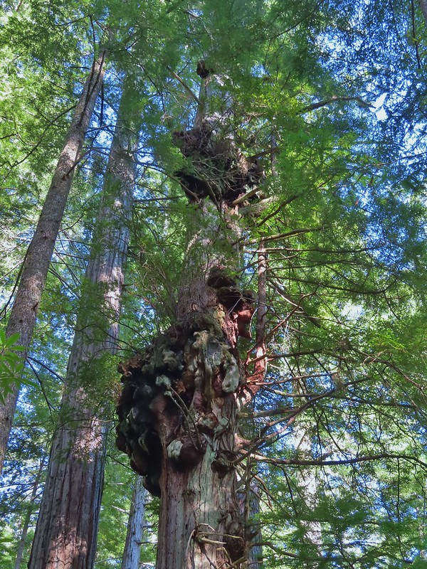


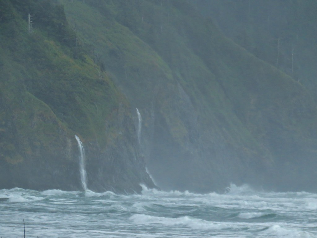

 Ocean coming right up to the rocks.




 Trail at lower right with a little standing water.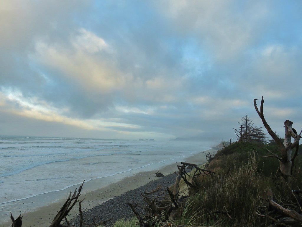
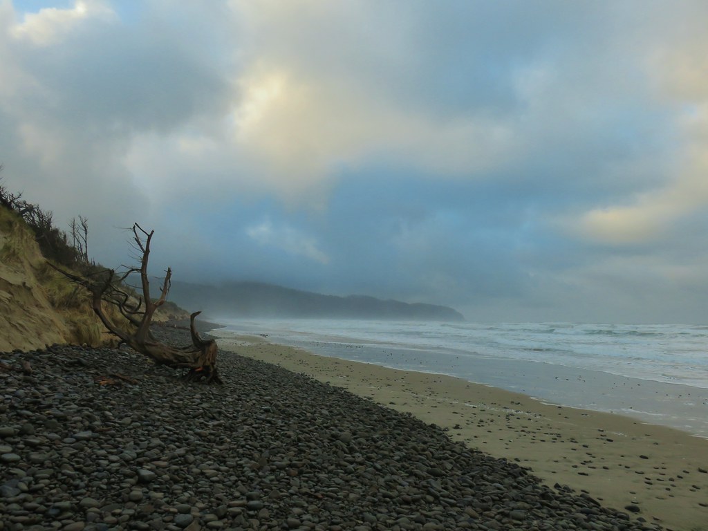
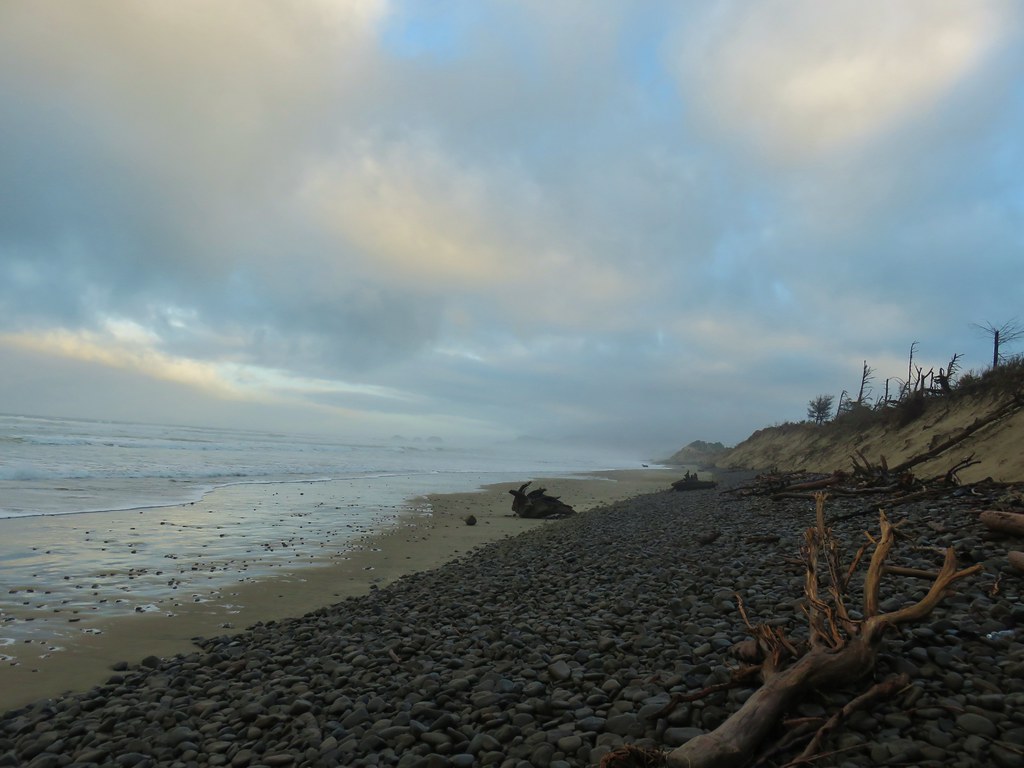
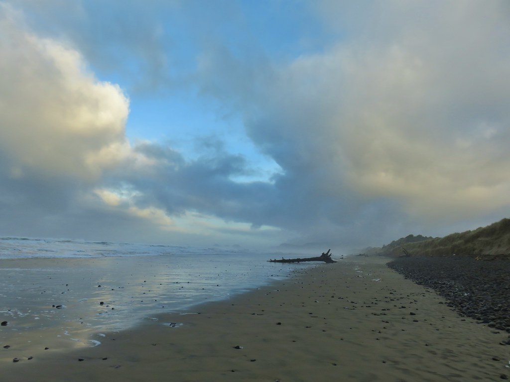
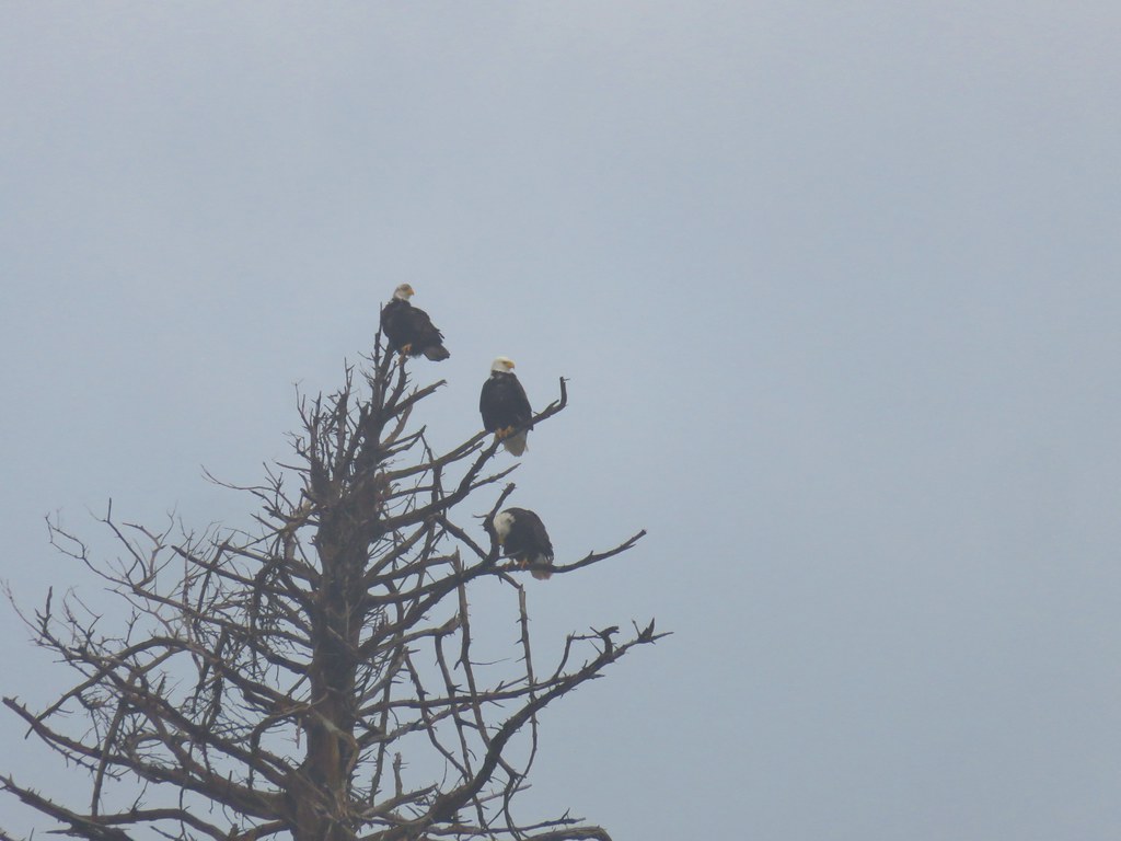
 Three Arch Rocks – one of two wilderness areas in Oregon off limits to visitors.


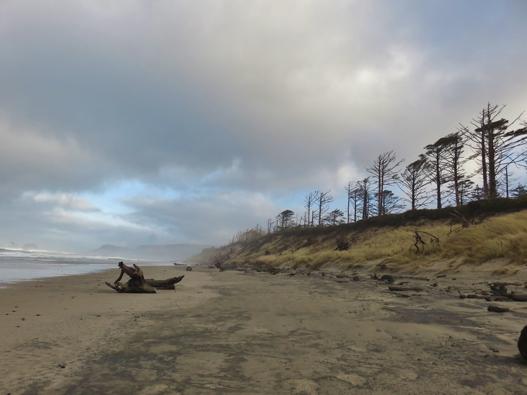


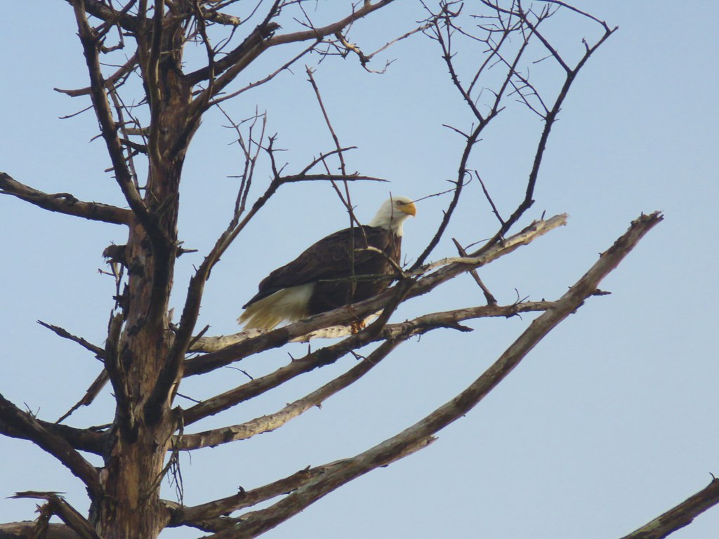

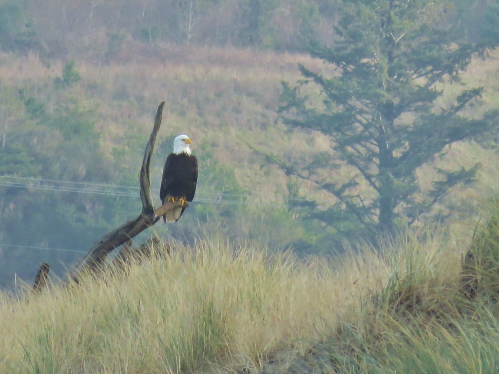
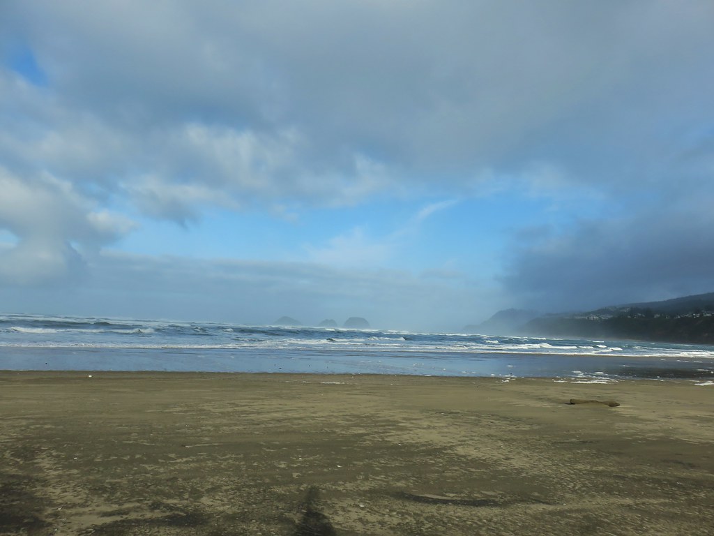


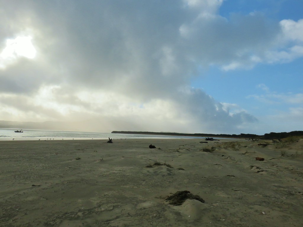
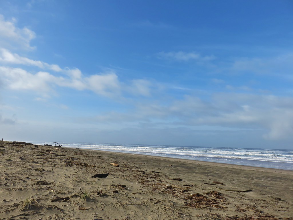

 Looking back north from the dune crest.
 Looking north at what was to come.
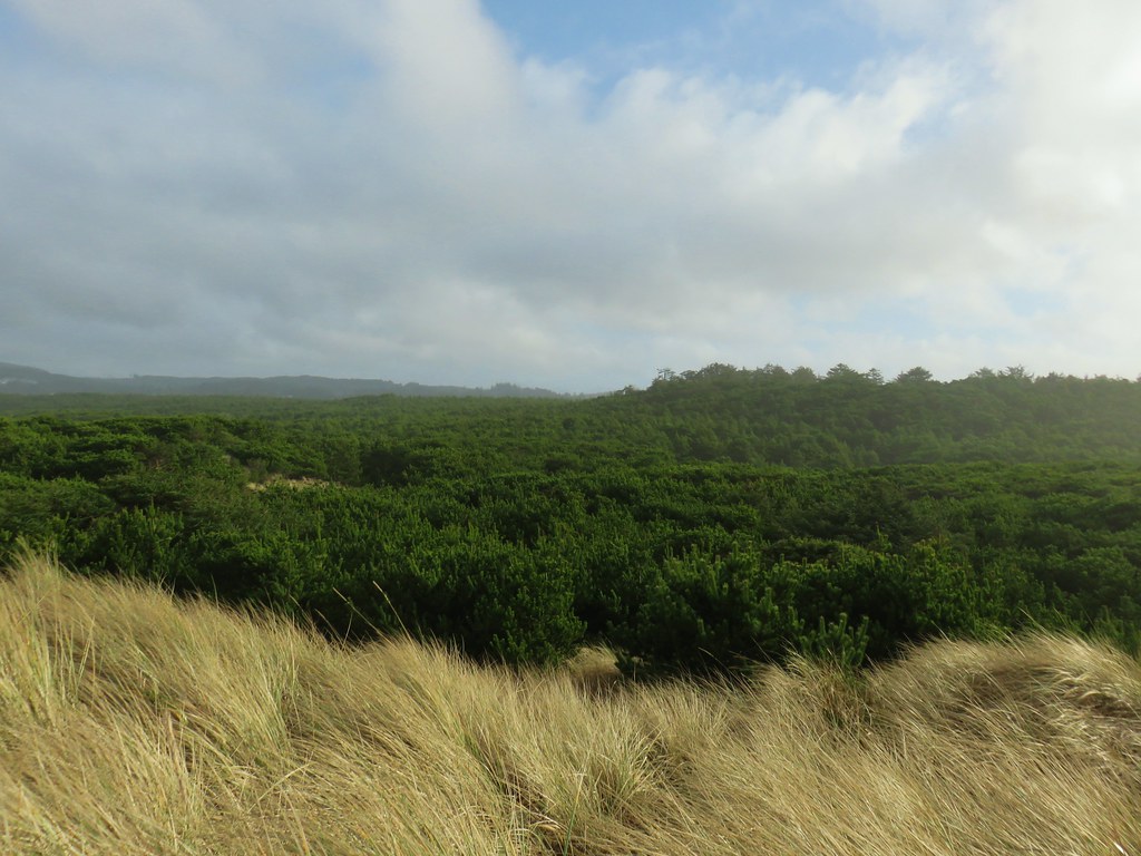 Thick forest between the bay and the dune.
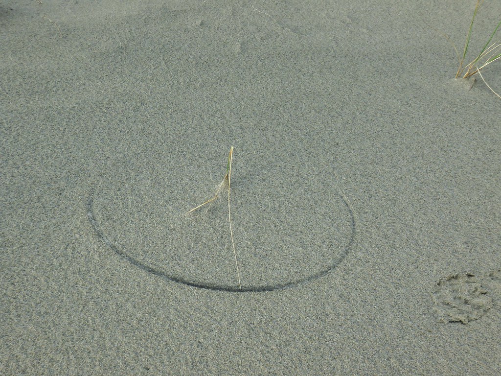 One of several semi-circles created by grass going back and forth.

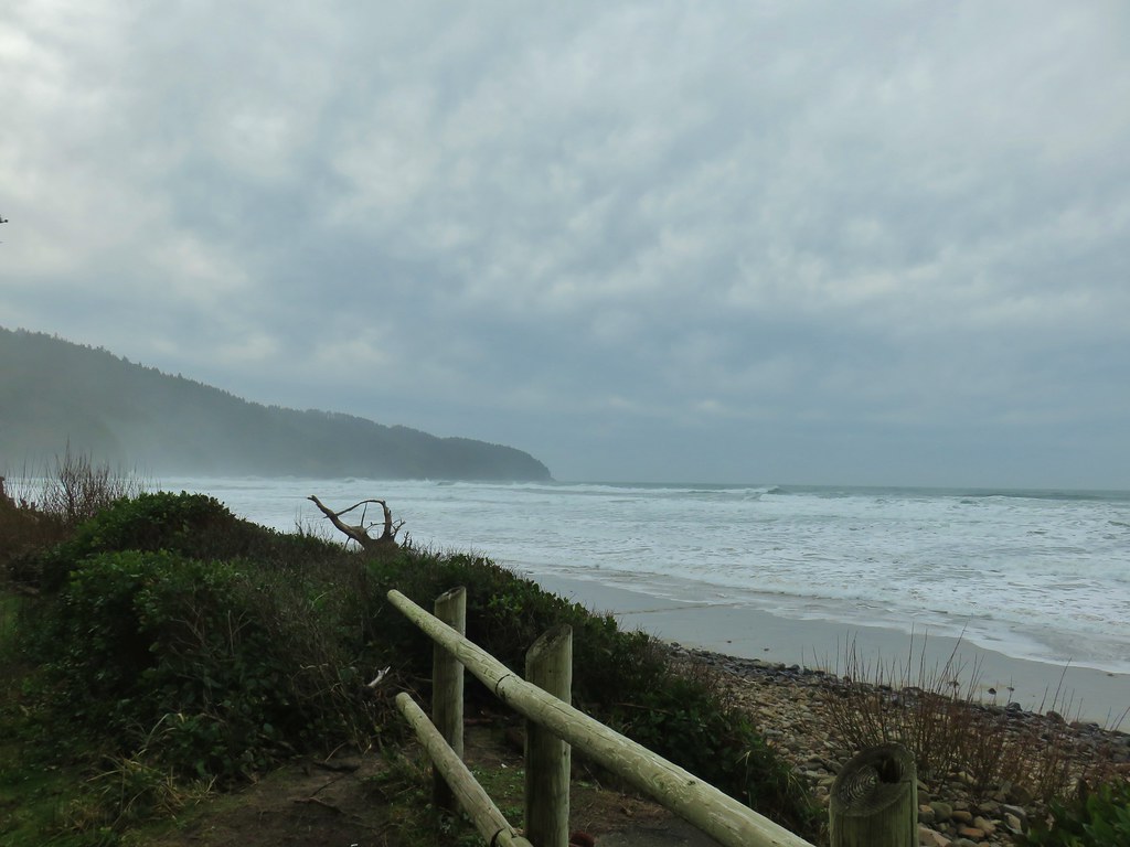 Cape Lookout from the trail to the picnic shelter.
 Seagull atop the shelter.


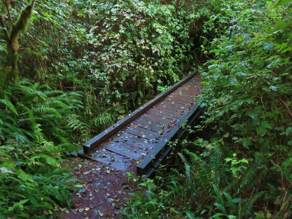
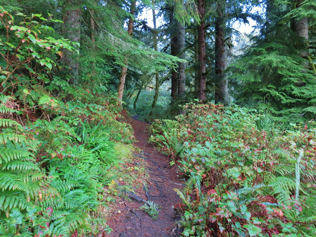

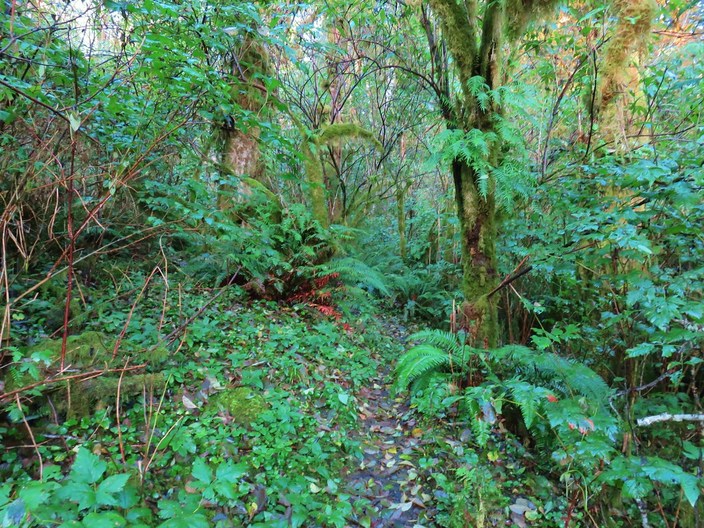
 Ferns on a tree trunk.
 Lichen overhanging the trail.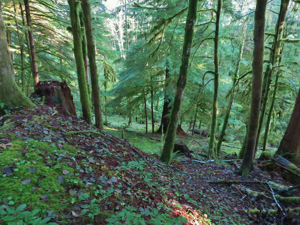
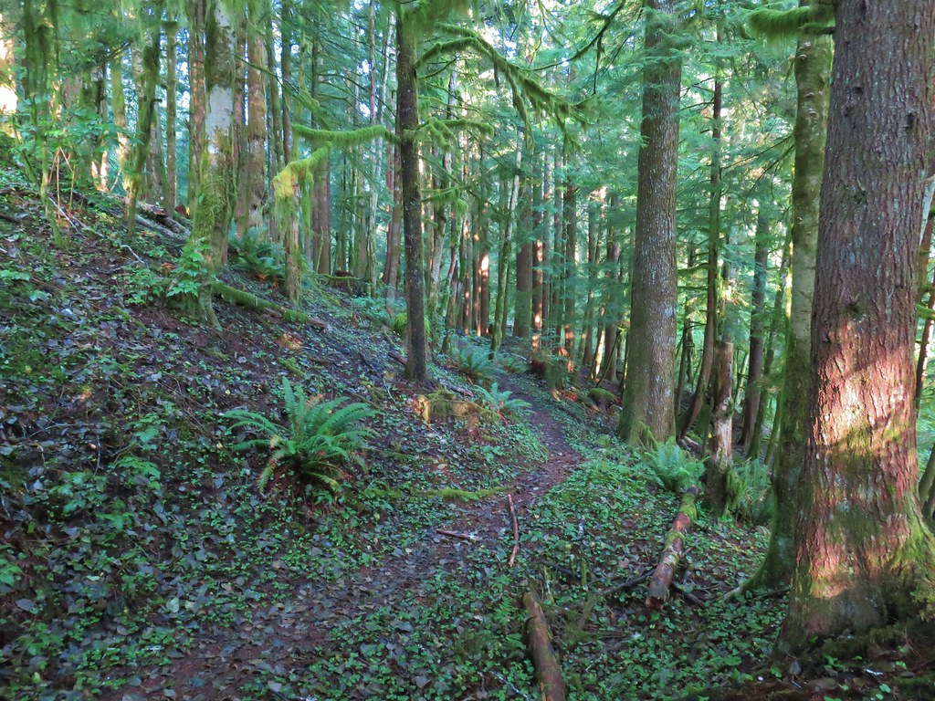

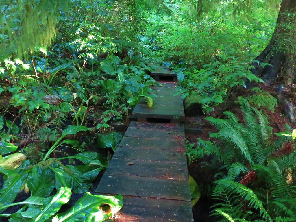 The boardwalk
 Nursery stump
 Spider finishing its morning web.

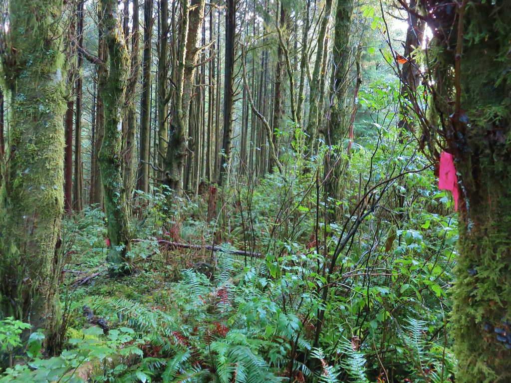
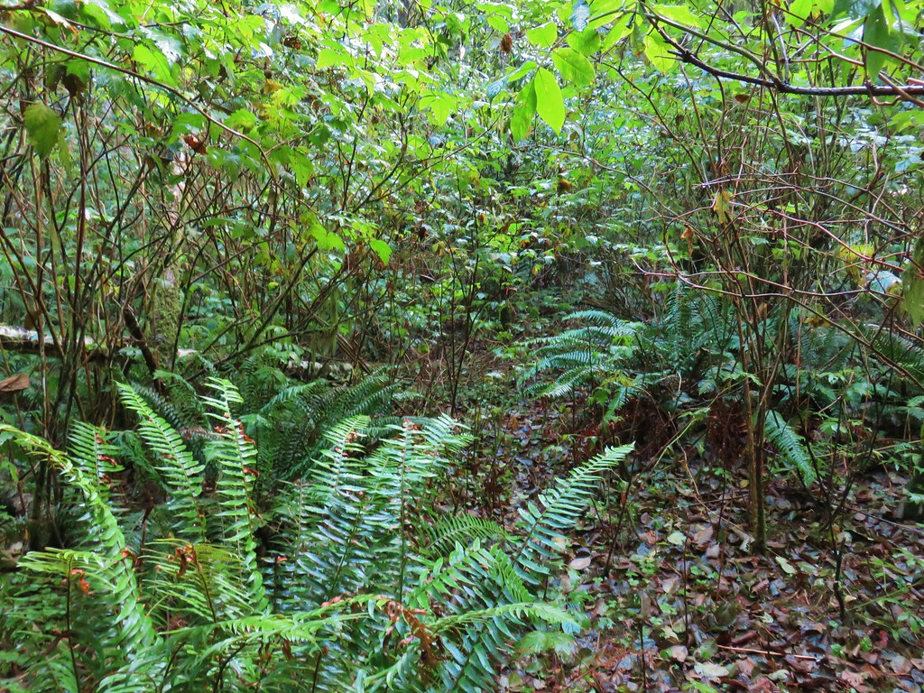 There is a flag in there.
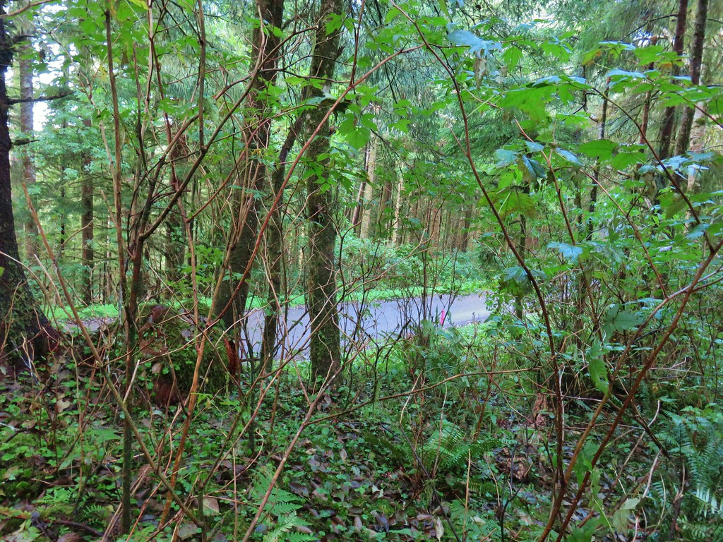

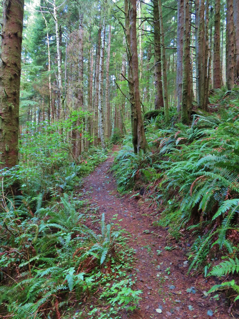
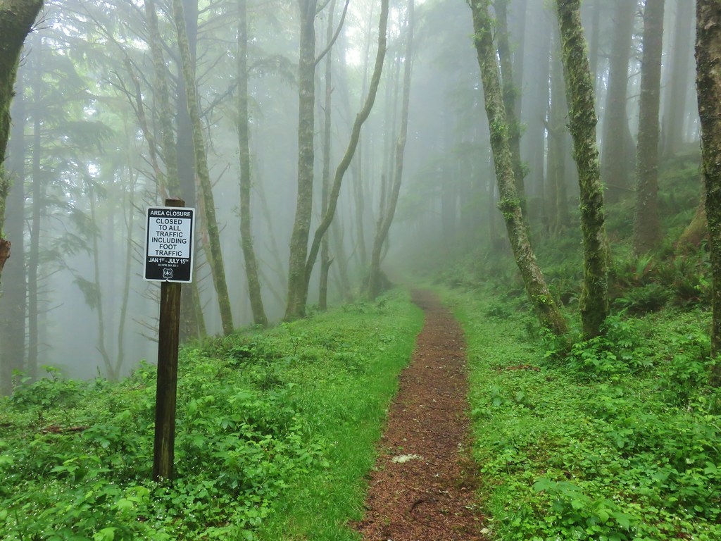
 Flagging along the trail.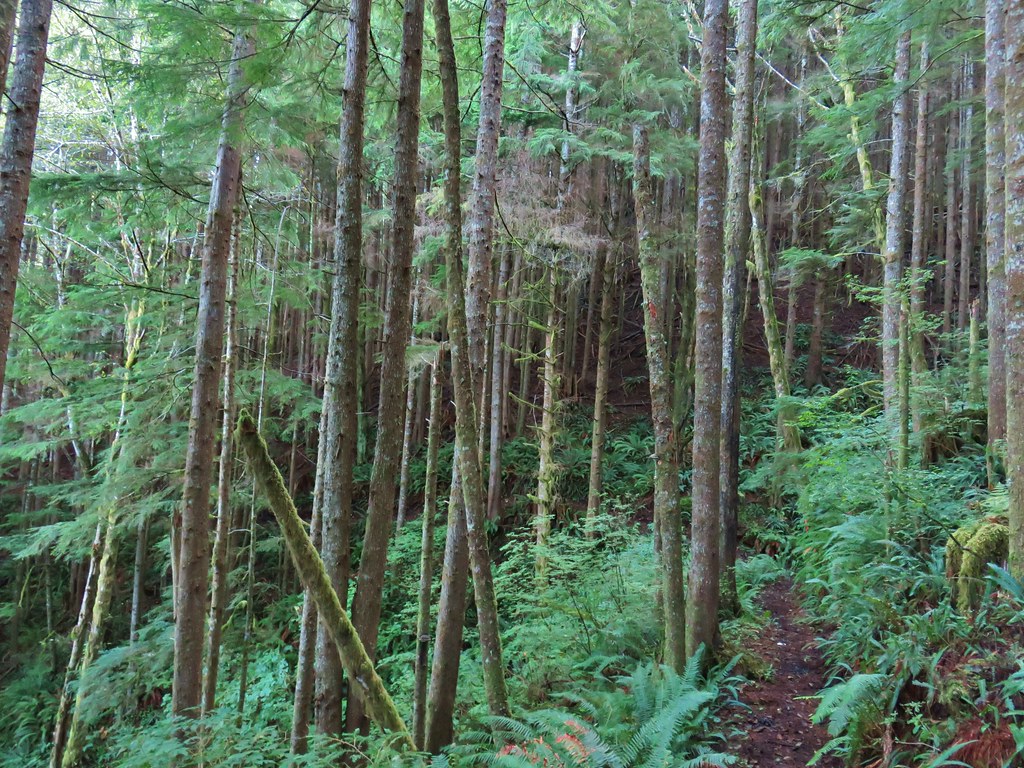
 Elk had obviously been on the trail recently.
 Fern covered hillside.
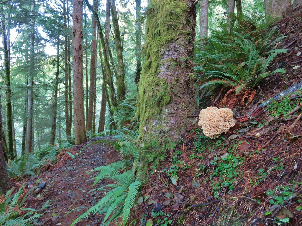

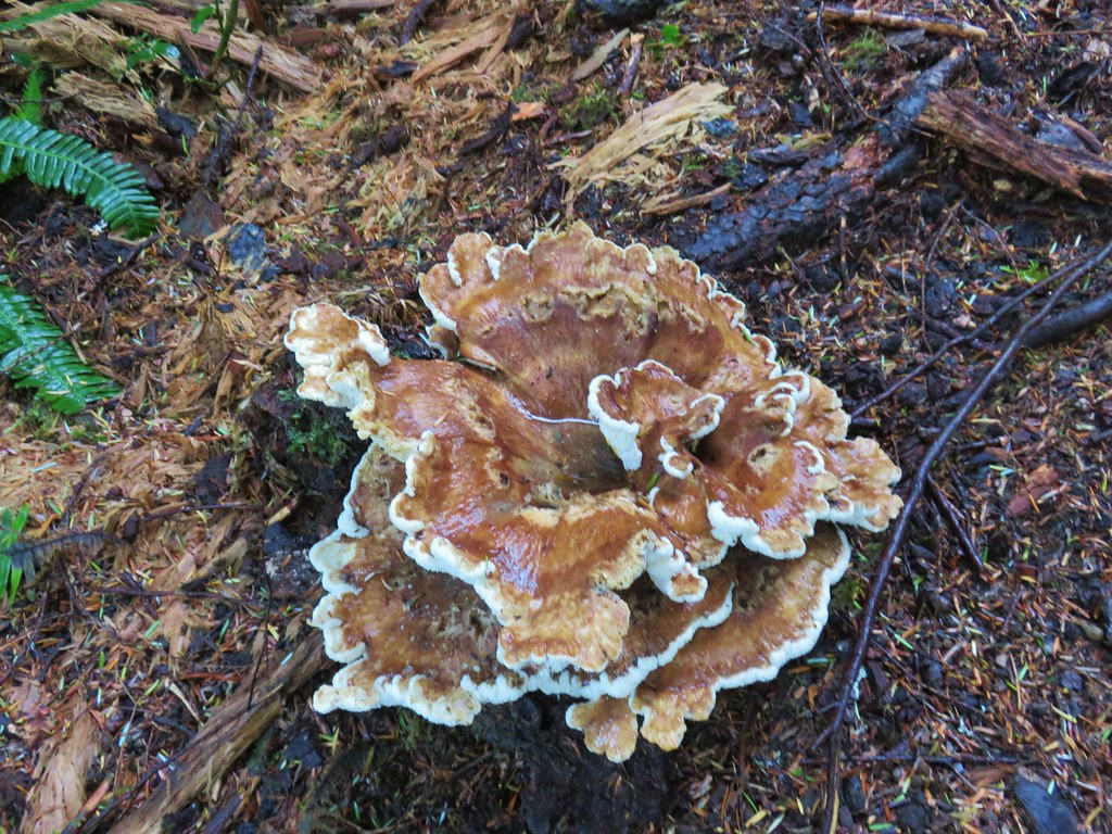

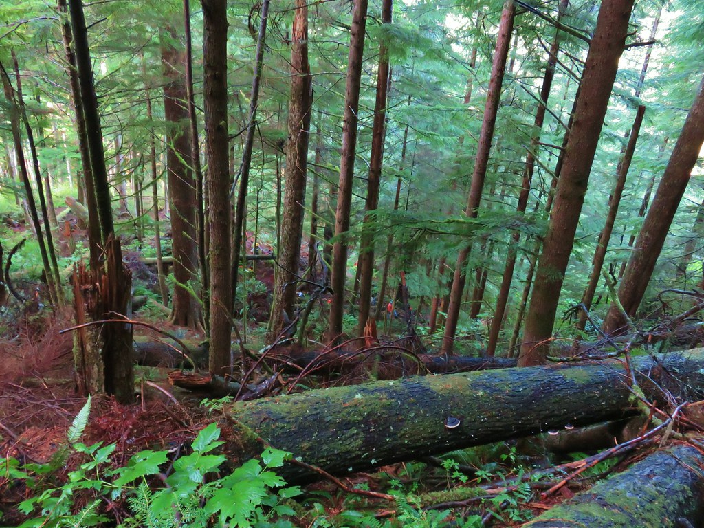
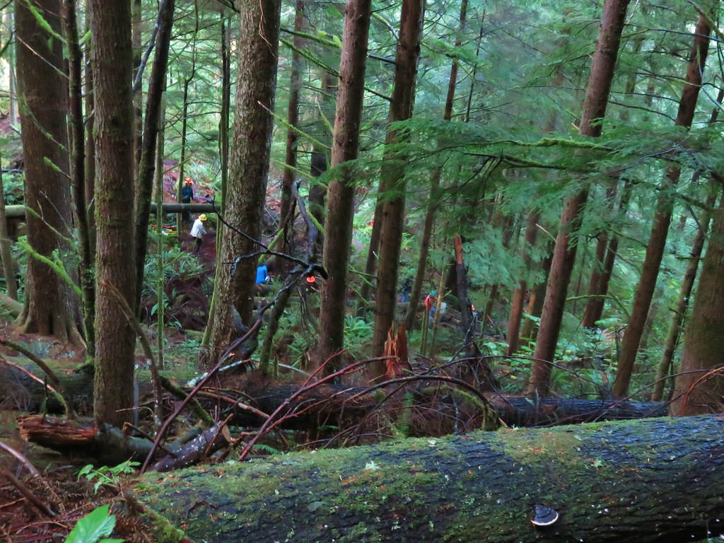
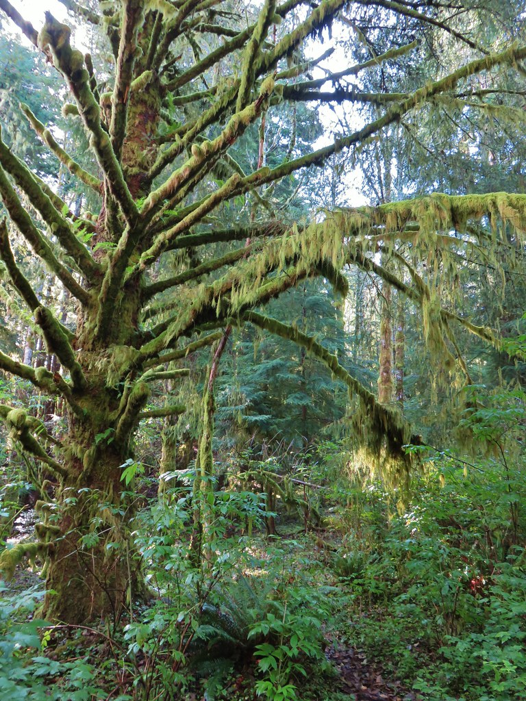

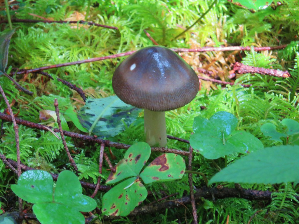





 Fern clippings in the trail showing some trimming had been done.
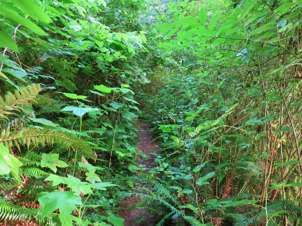 Whoever had done the brushing hadn’t made it down the whole trail.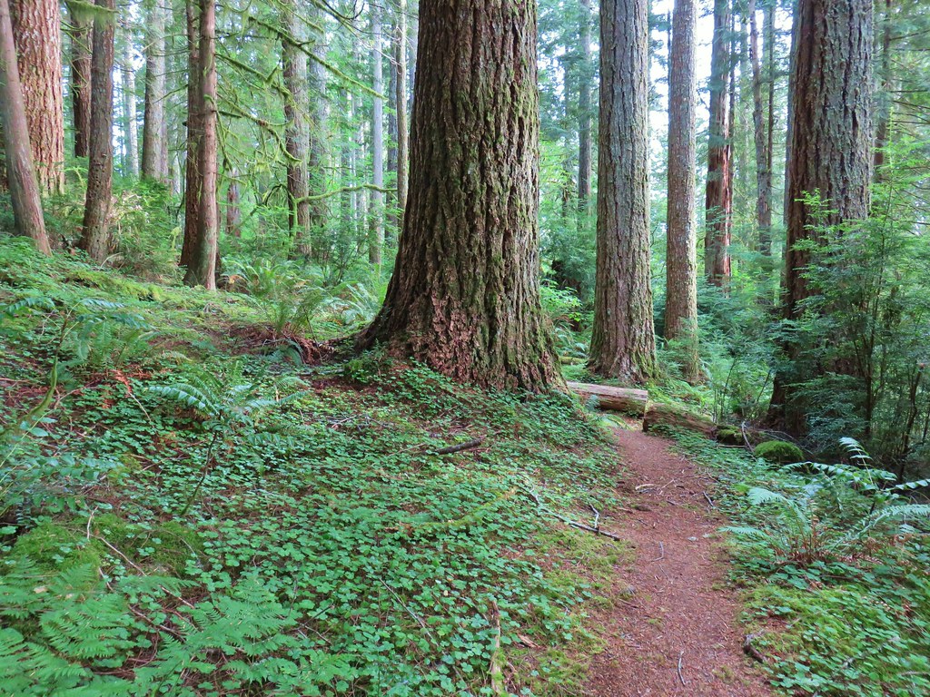
 There were a few monkey flowers scattered about.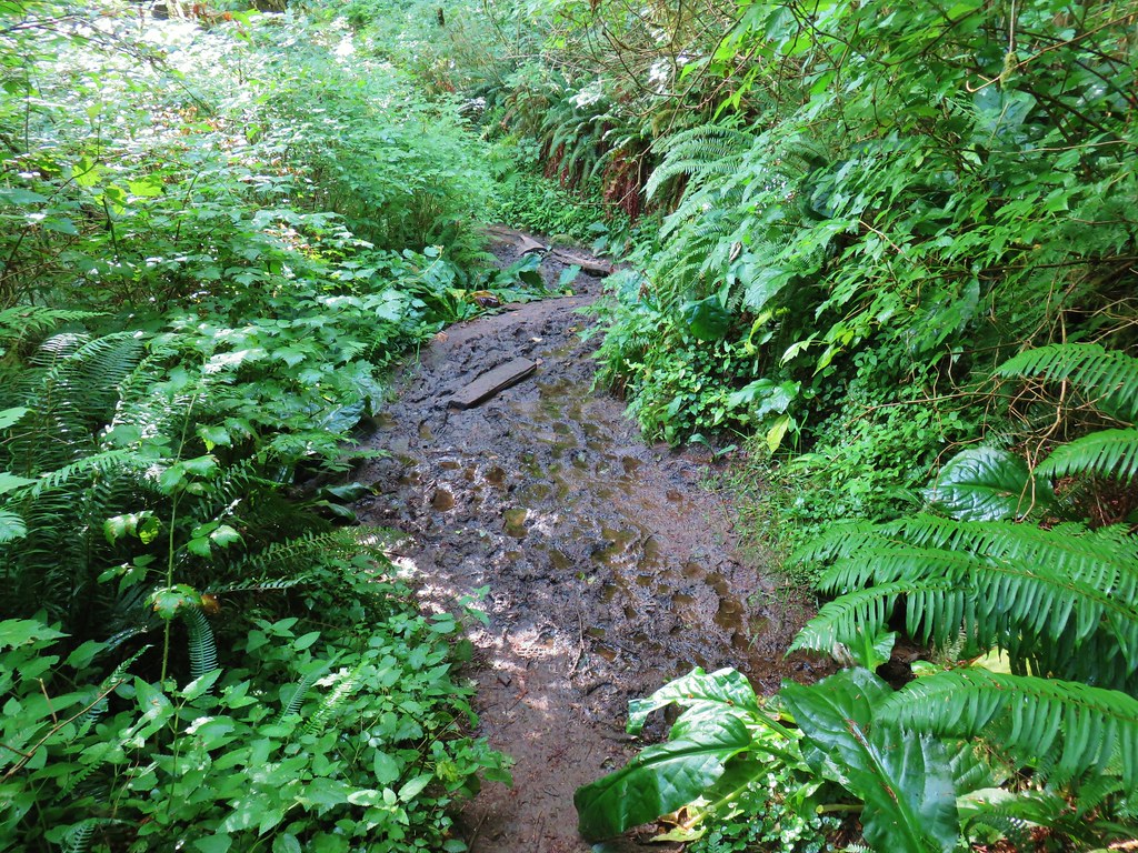
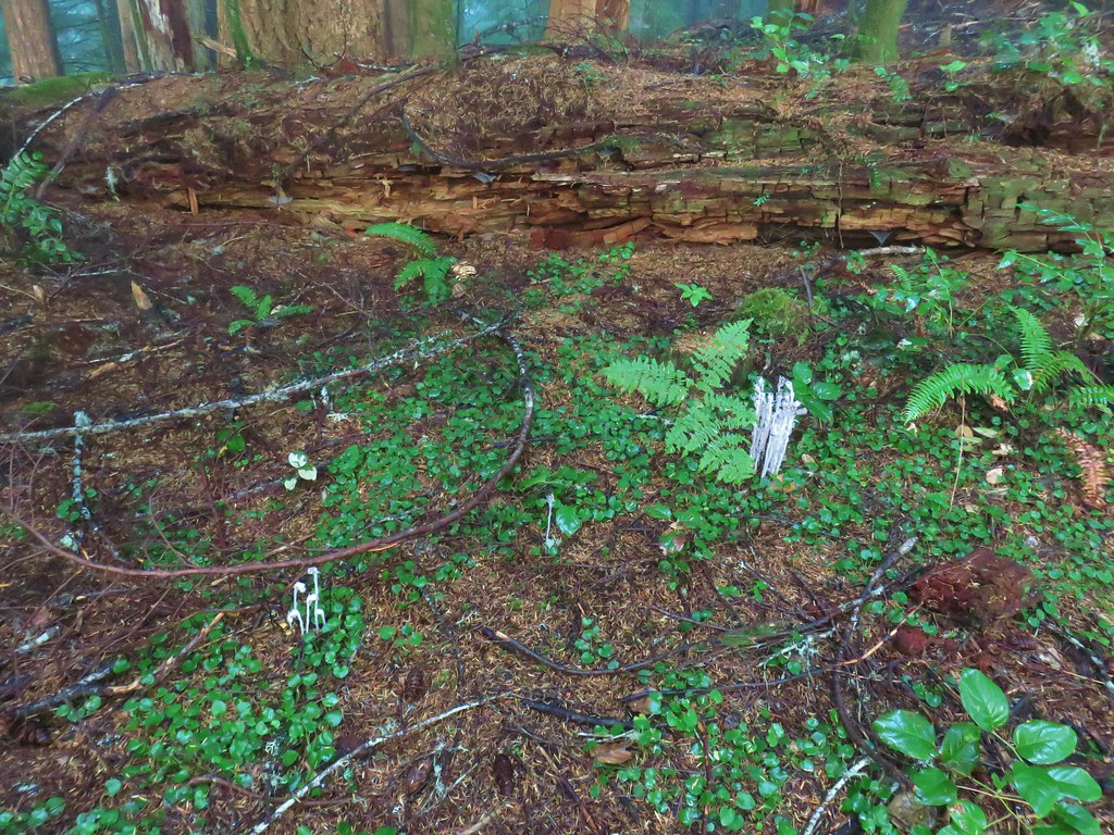





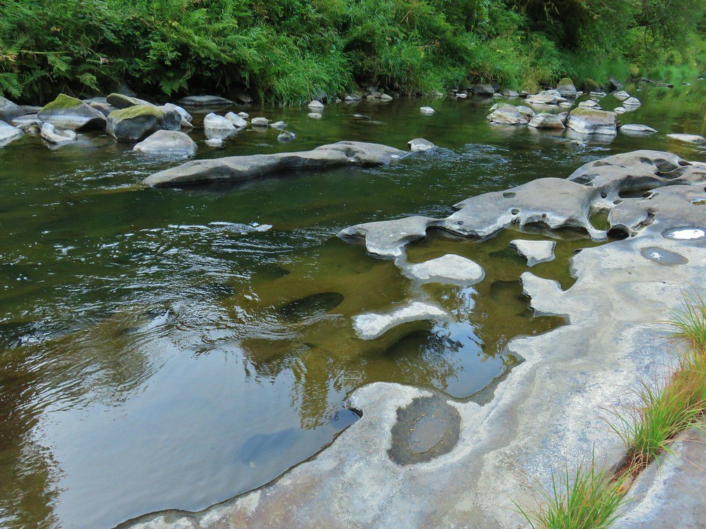


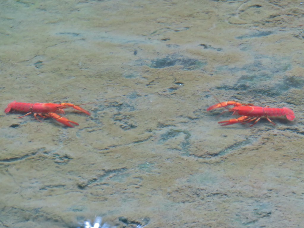 >
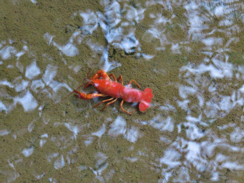
>


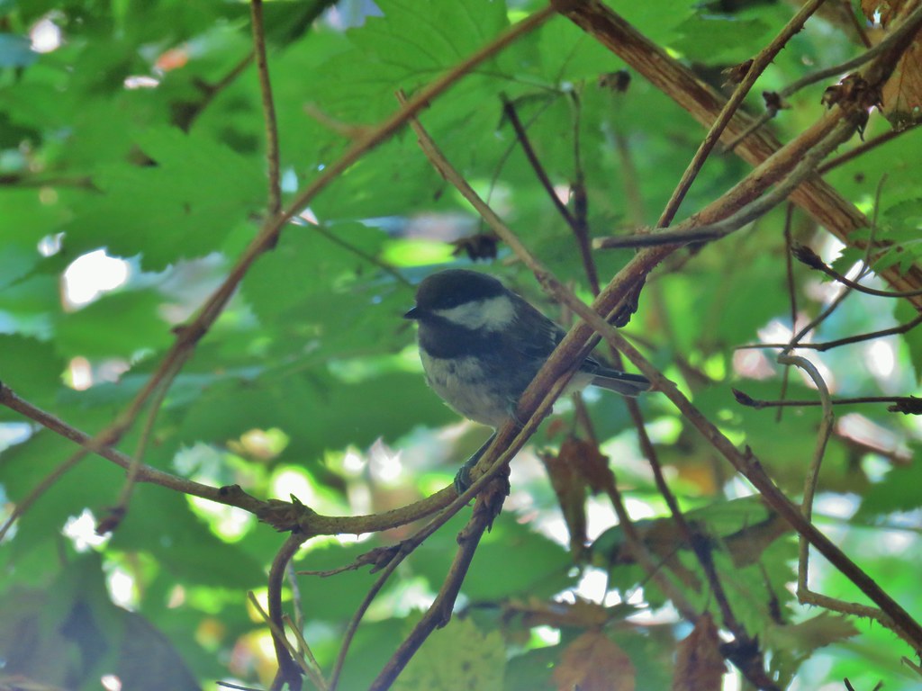 Chickadee
 Woodpecker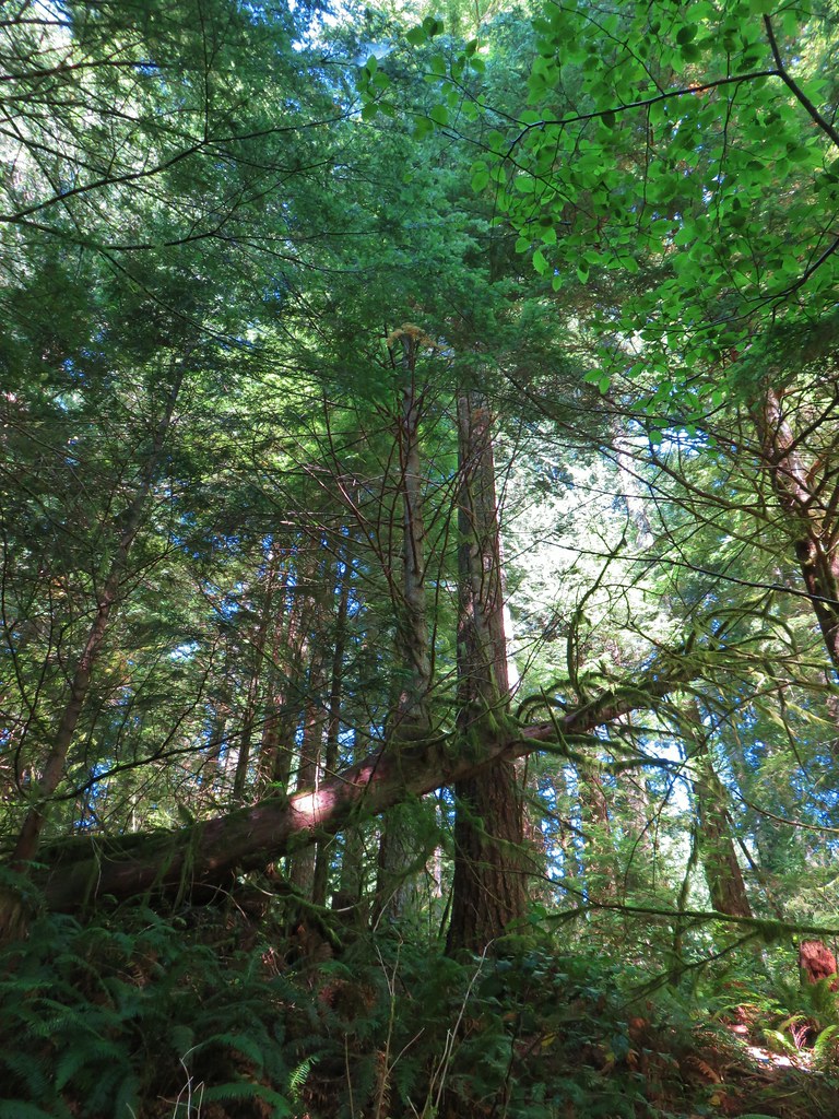


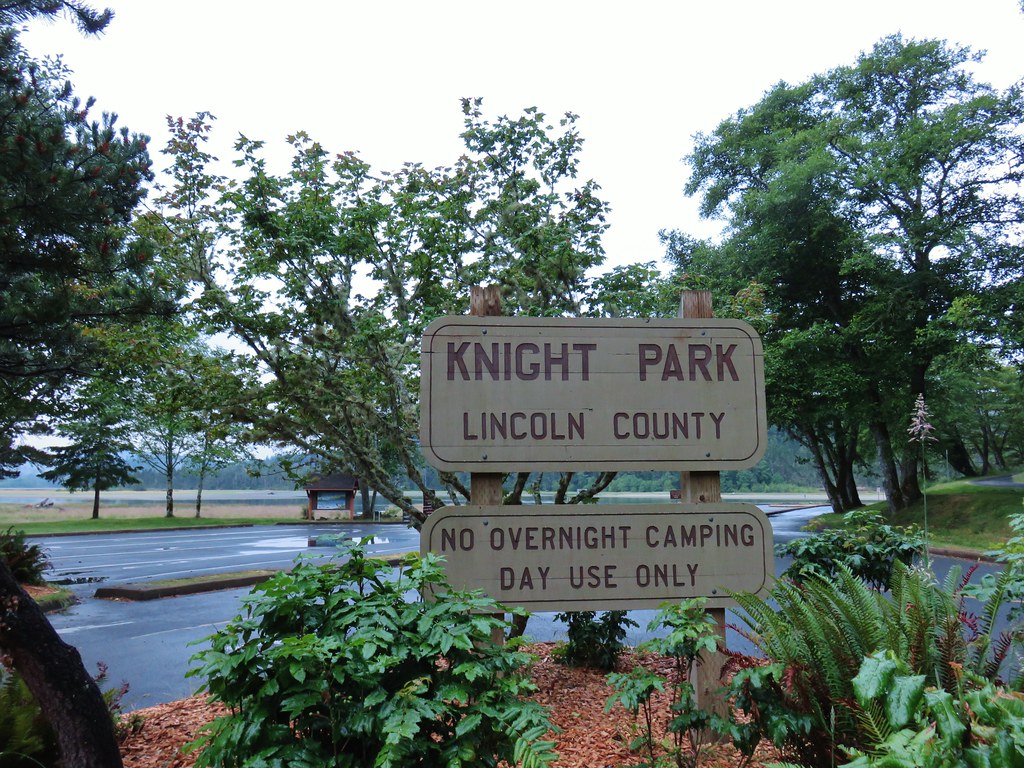
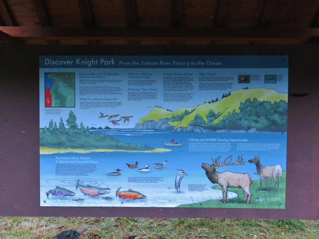
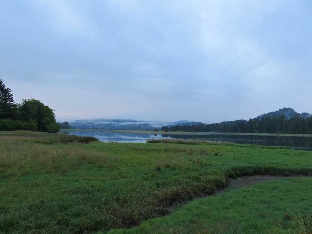 Salmon River at Knight County Park



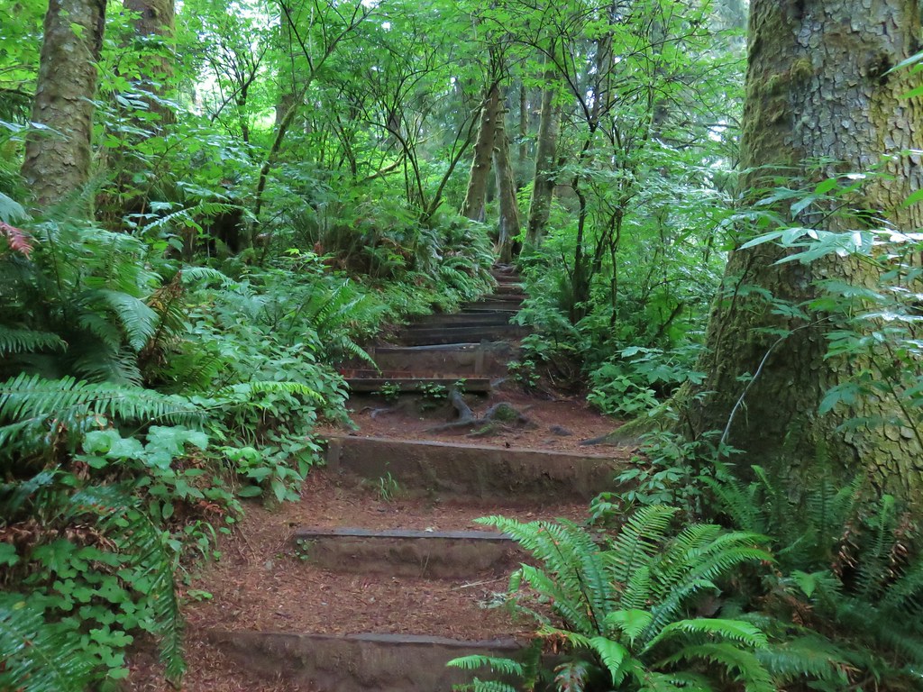
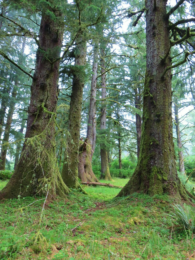
 One of the bridges.
 Overgrown stream
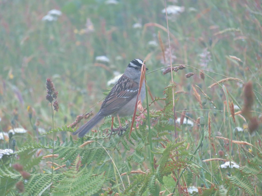 White crowned sparrow
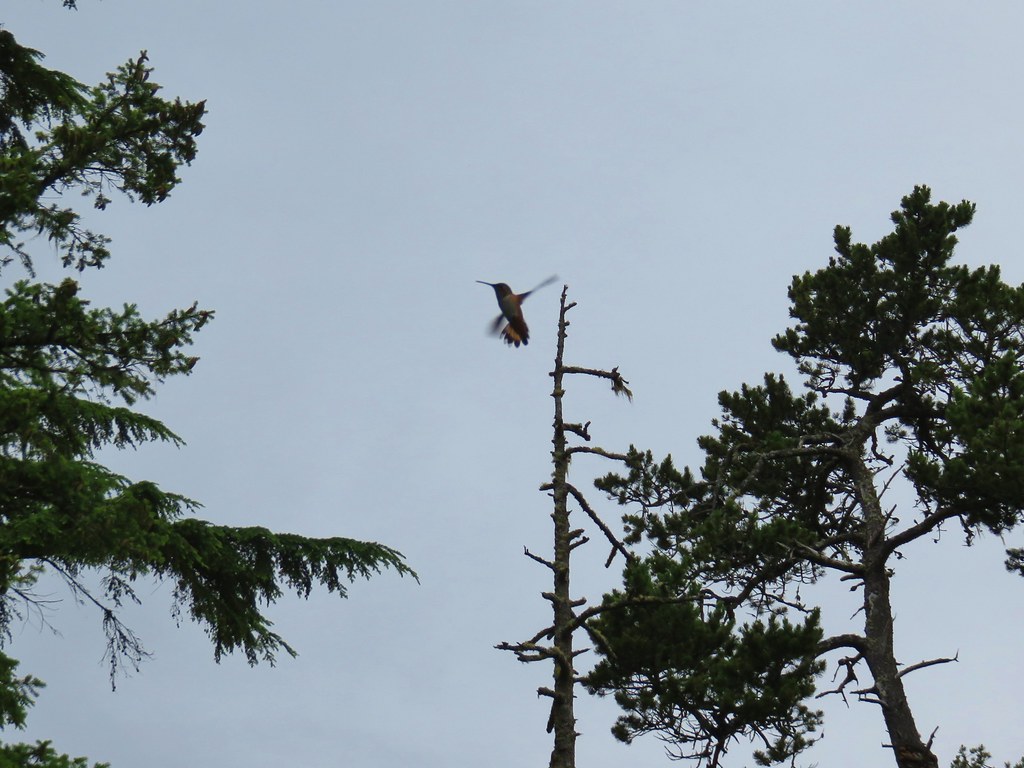
 One of three hummingbirds
 Another white crowned sparrow
 Checkerbloom
 Monkeyflower
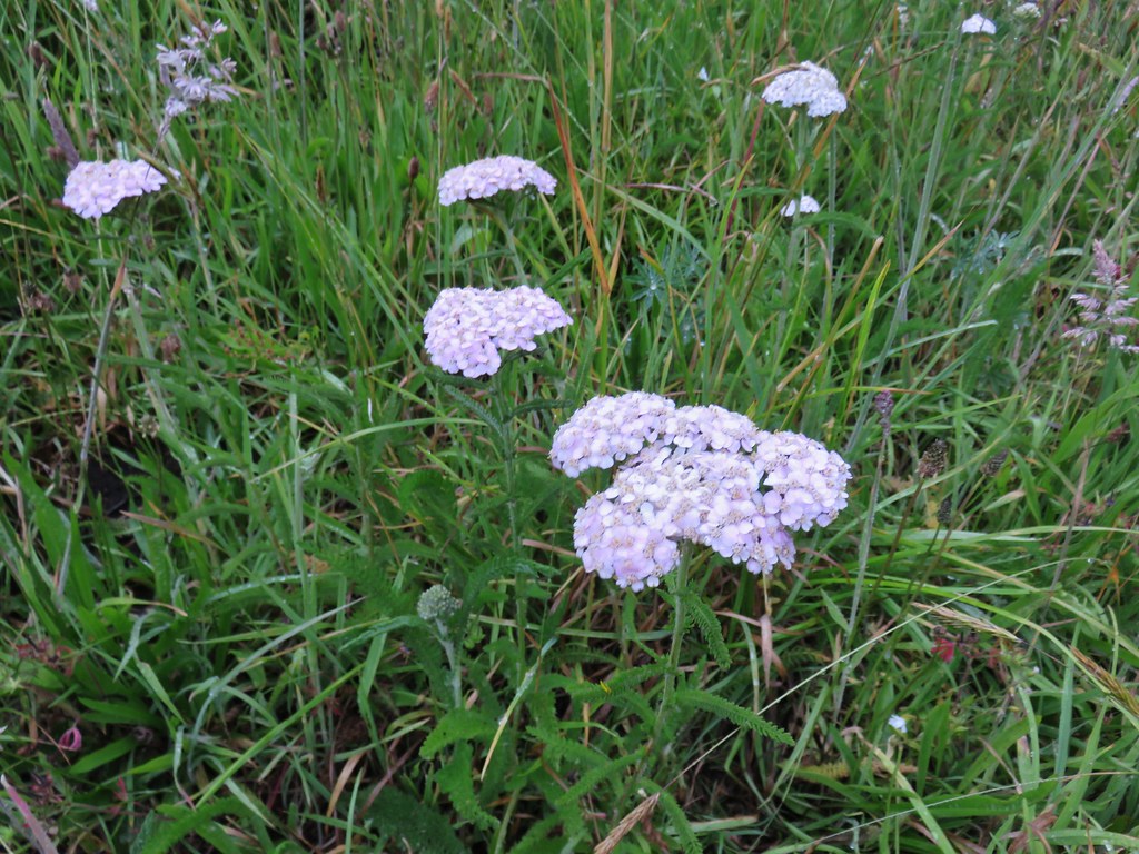 Yarrow
 Field chickweed
 Lupine
 Foxglove with a spider web
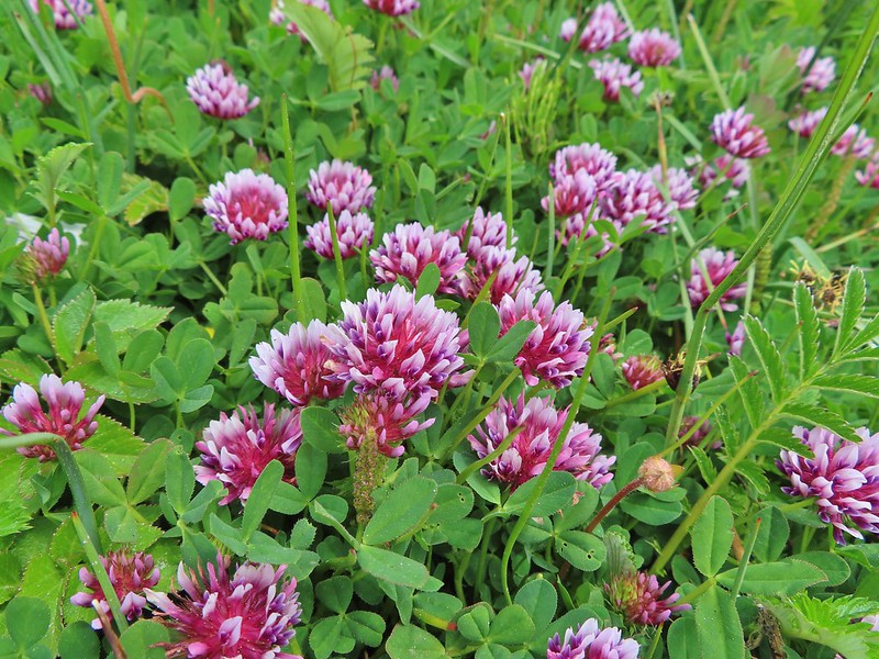
 Clovers
 Iris
Iris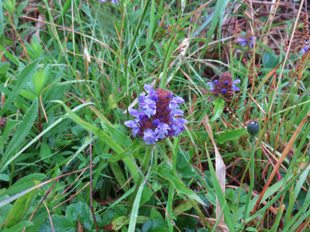 Self-heal
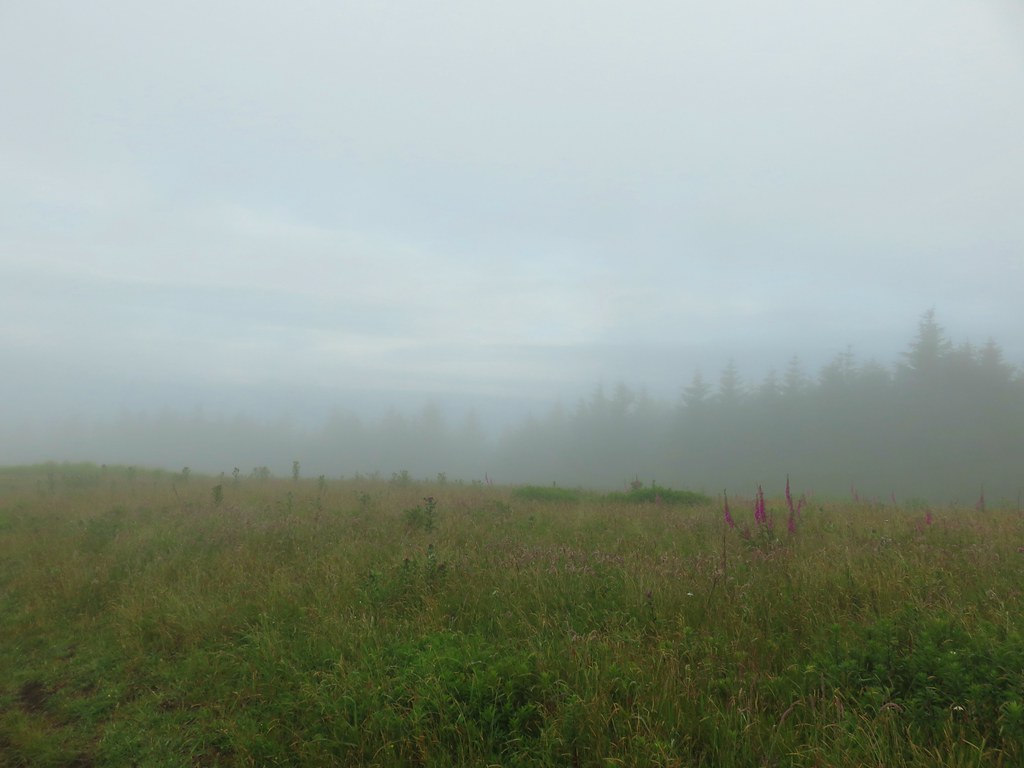
 Look for the head to the right of the tall foxglove stalk.
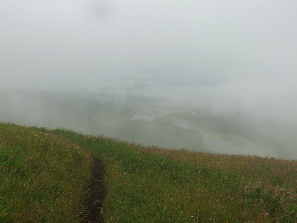
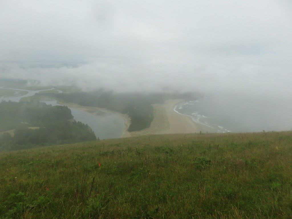
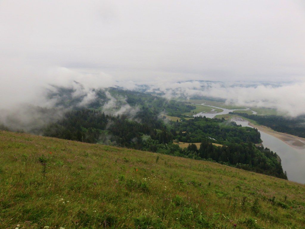


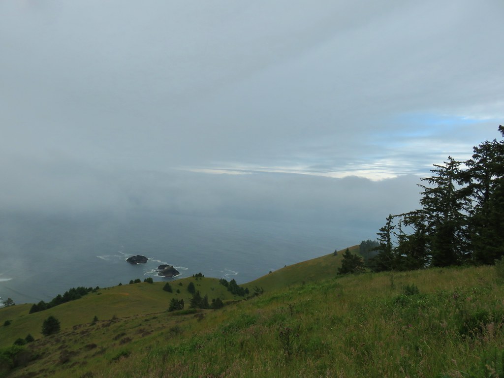


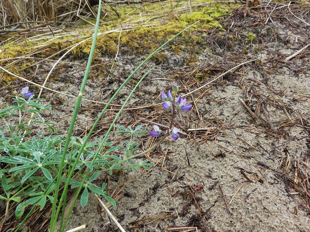 Lupine
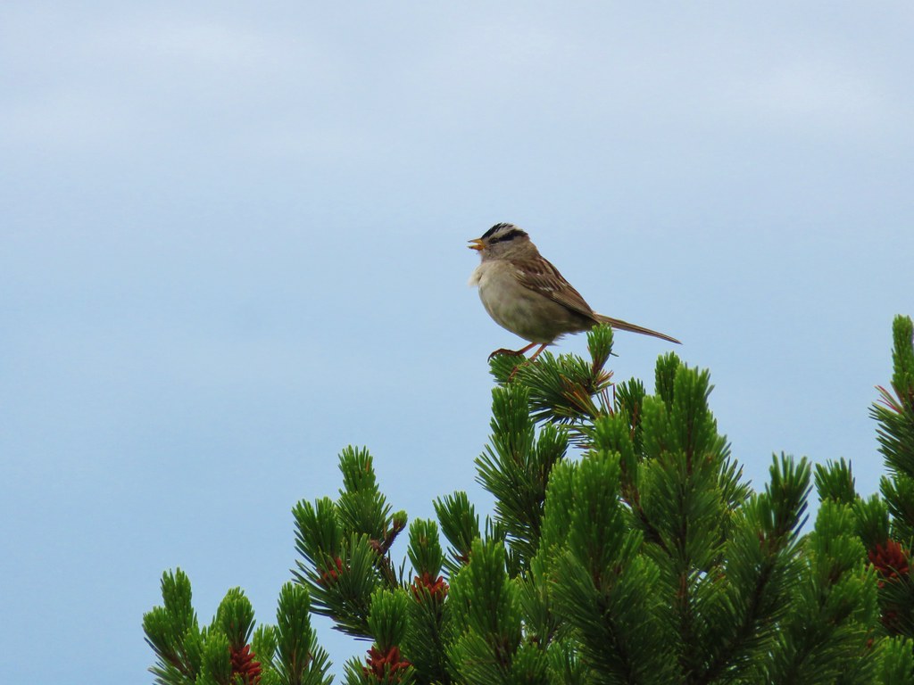 White crowned sparrow
 Cape Lookout (
 Beach morning glory
 Groundcone
 Tiger lily











 Obstacle hanging over the trail.
















 wanderingyuncks
