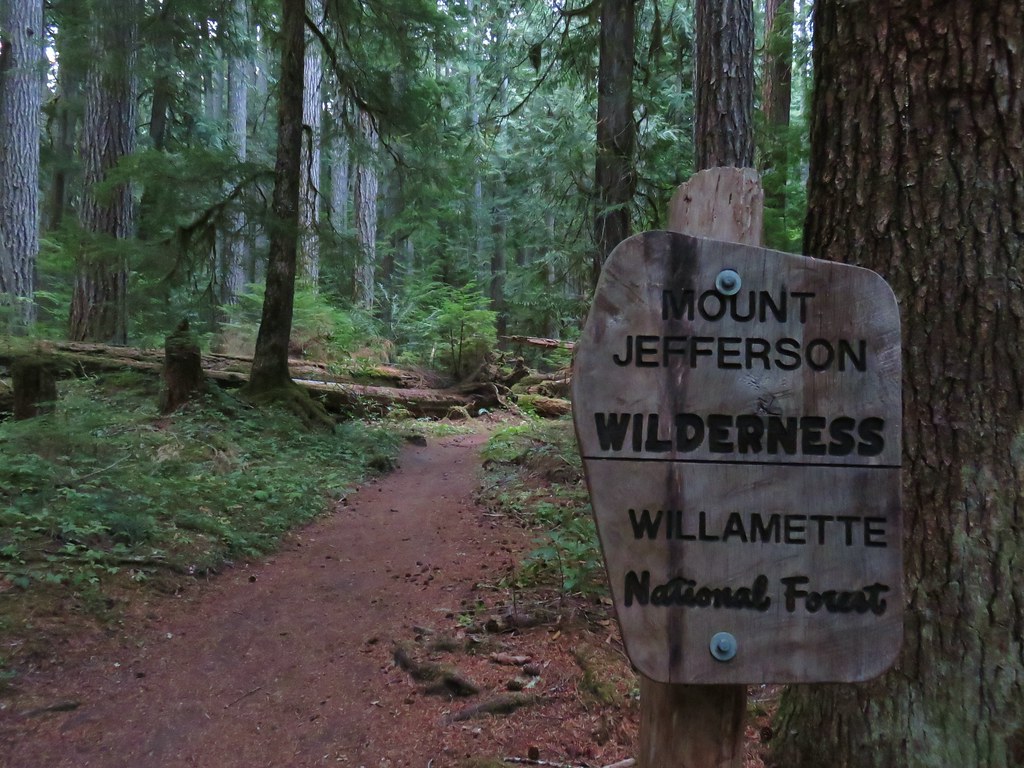
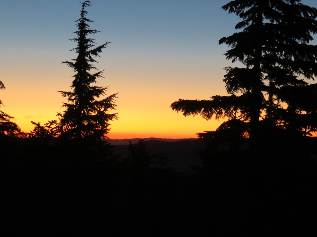
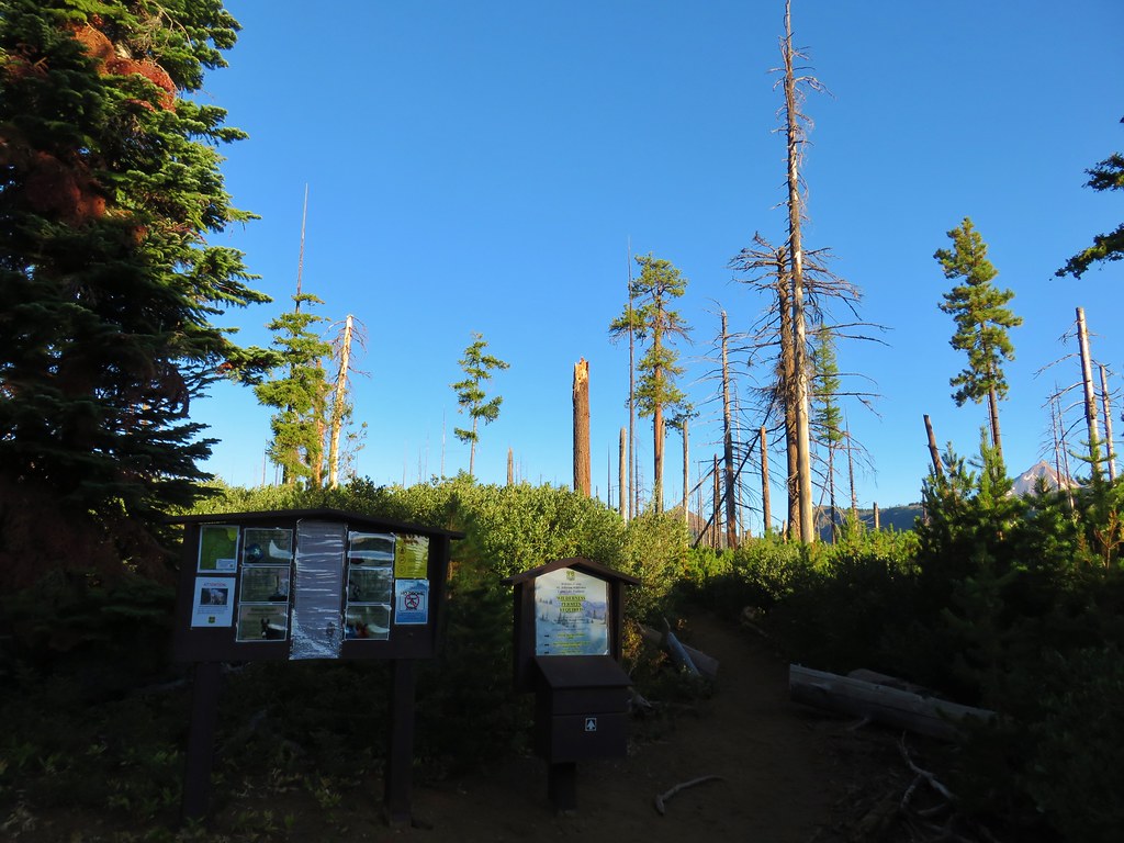
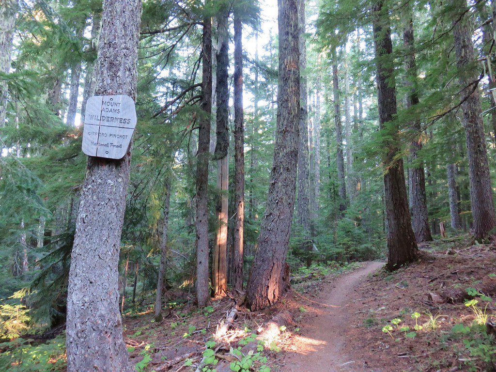
As I mentioned in our recent Table Lake Loop Trip Report (post)we had plans to visit Goat Peak, a 7159′ peak just south of Mt. Jefferson. We had obtained a Pamelia Limited Area Entry Permit in May when they became available for September 8th and 9th. It was a roll of the dice not knowing what the wildfire or weather situations would be four months down the road but it ensured that we would be able to go if conditions permitted it. Aside from a slight chance of showers the morning of the 8th the forecast looked good so that morning we drove to the Pamelia Lake Trailhead and set off.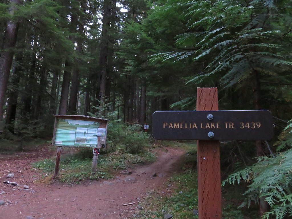
We had been here once before in 2013 on a long loop to Hunts Cove (post).
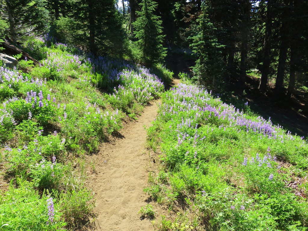
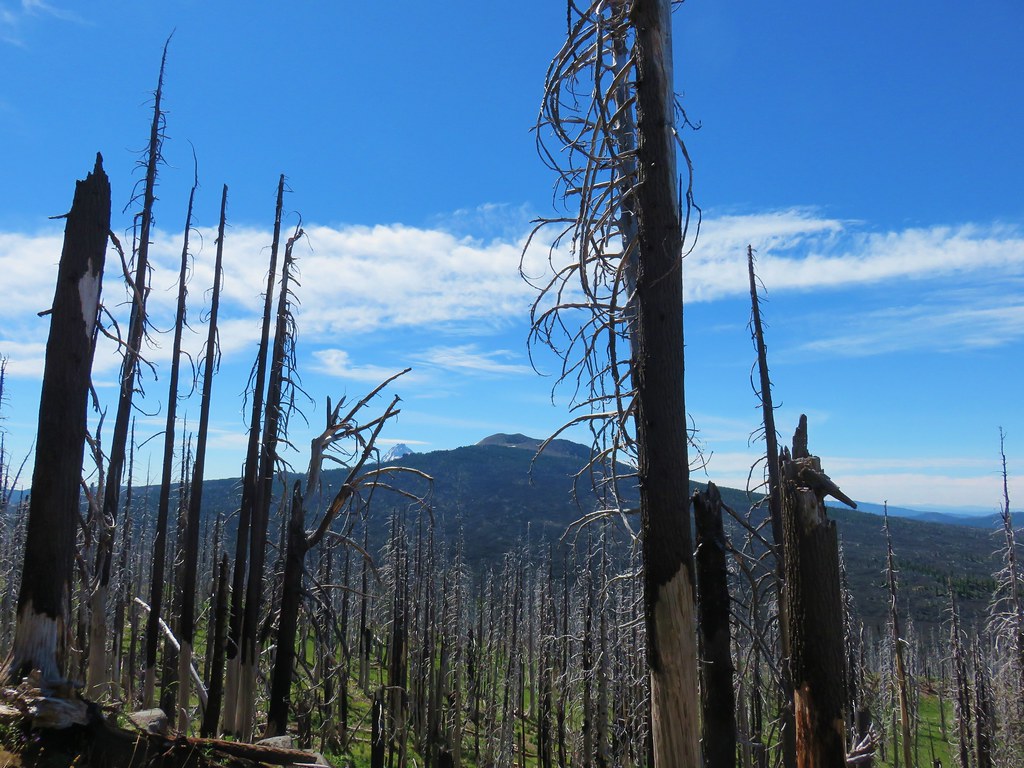
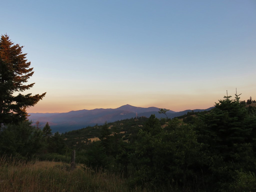
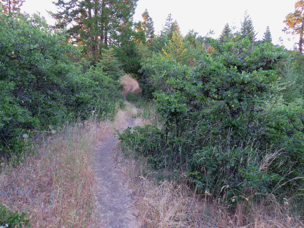
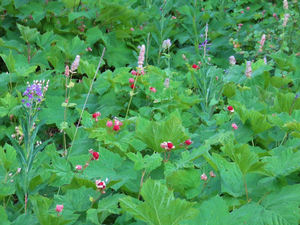
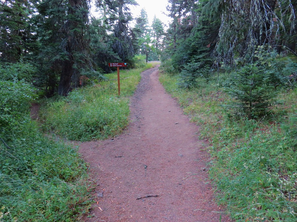
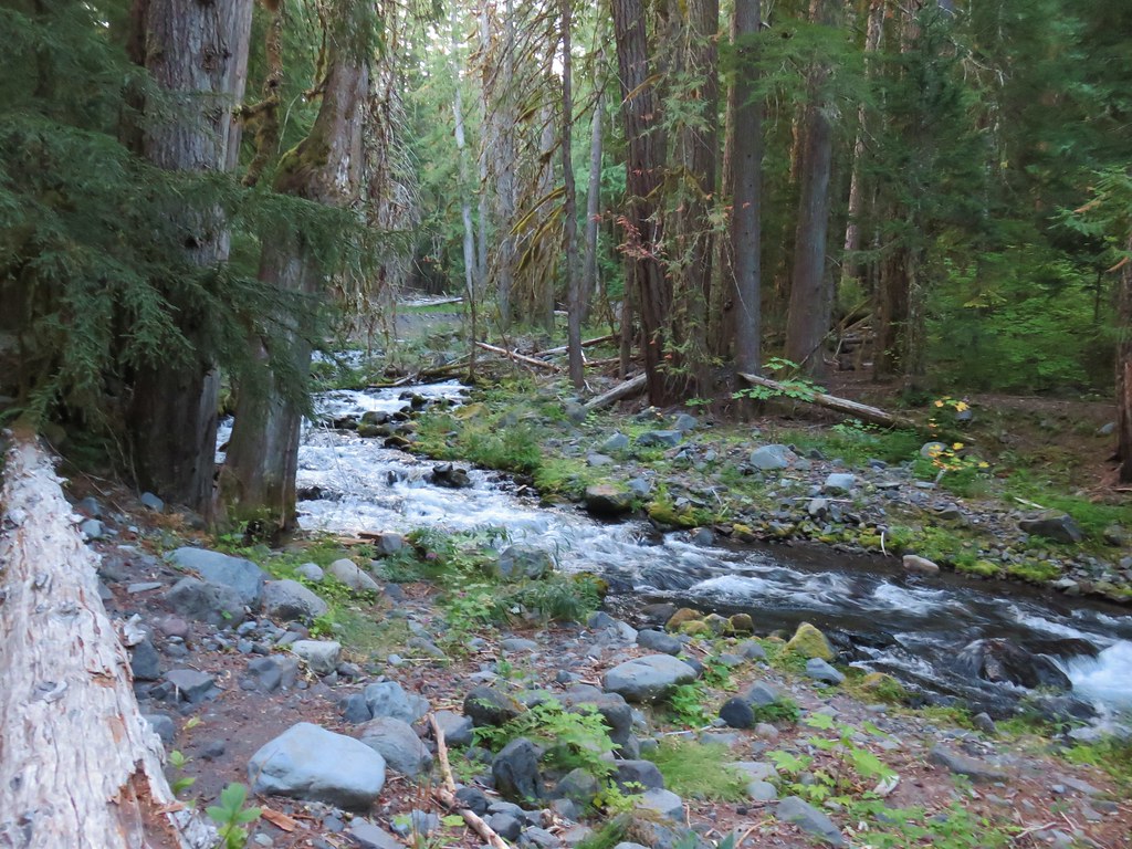
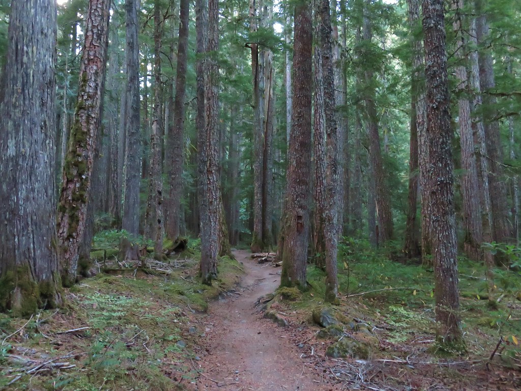
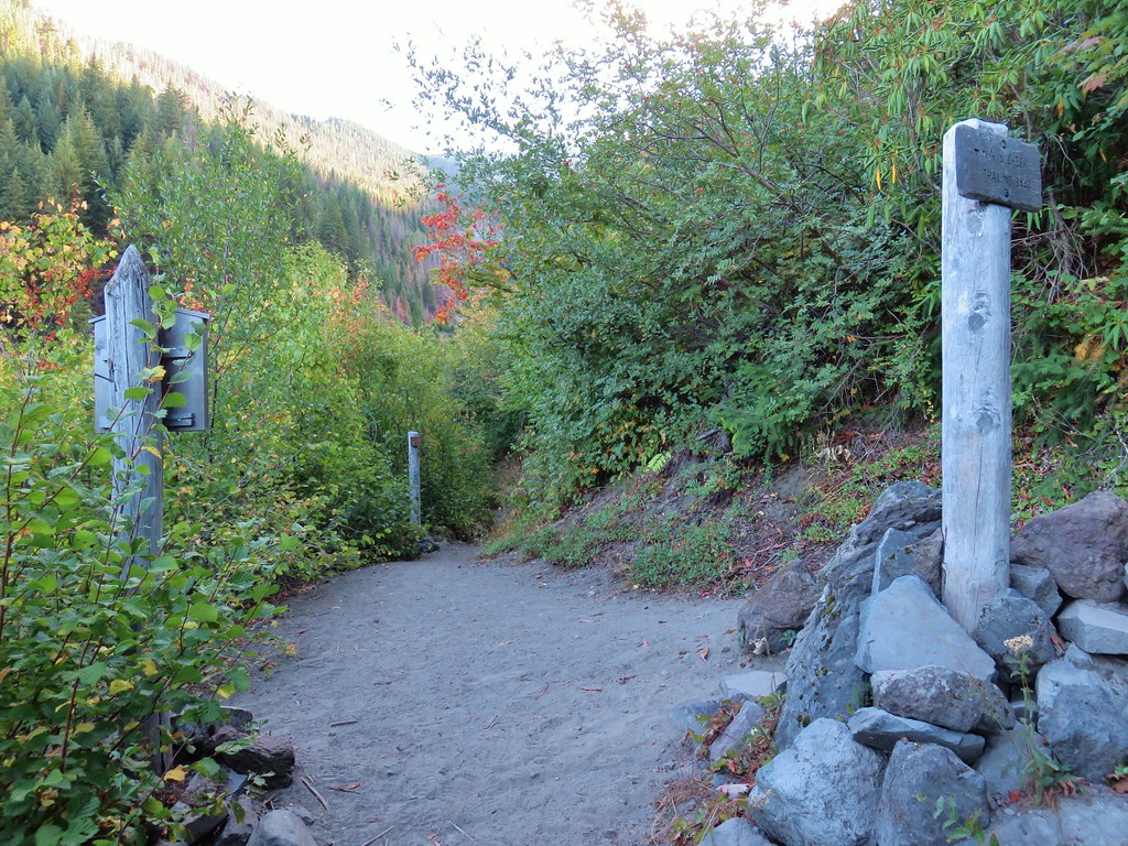
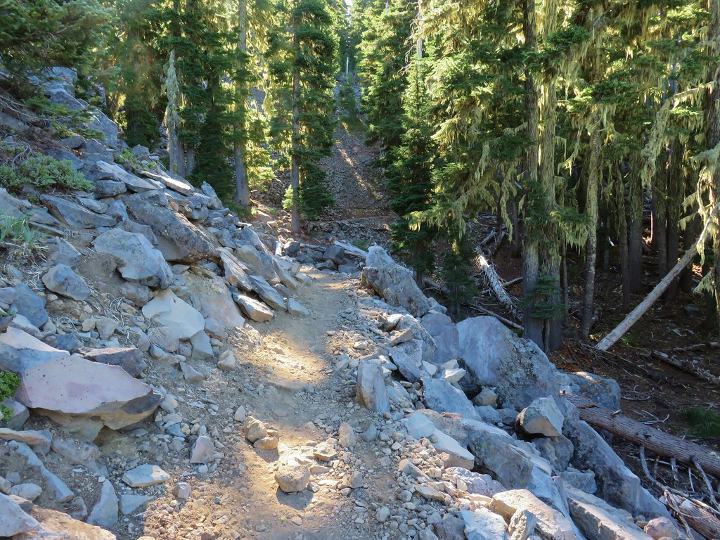
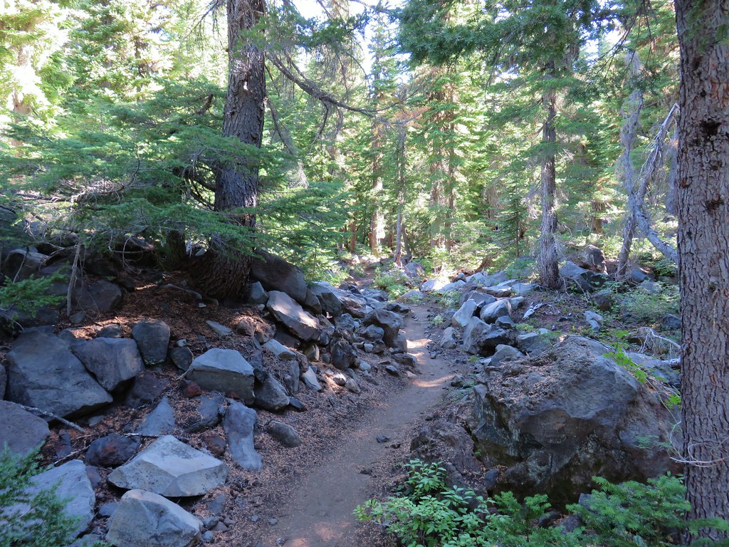
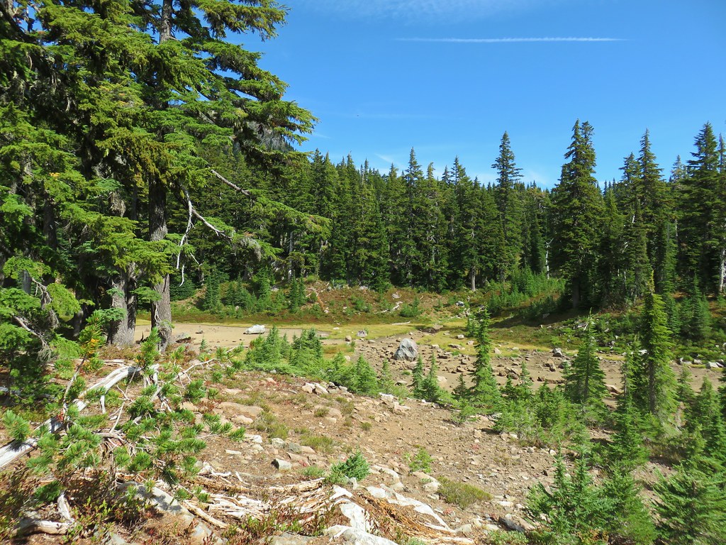
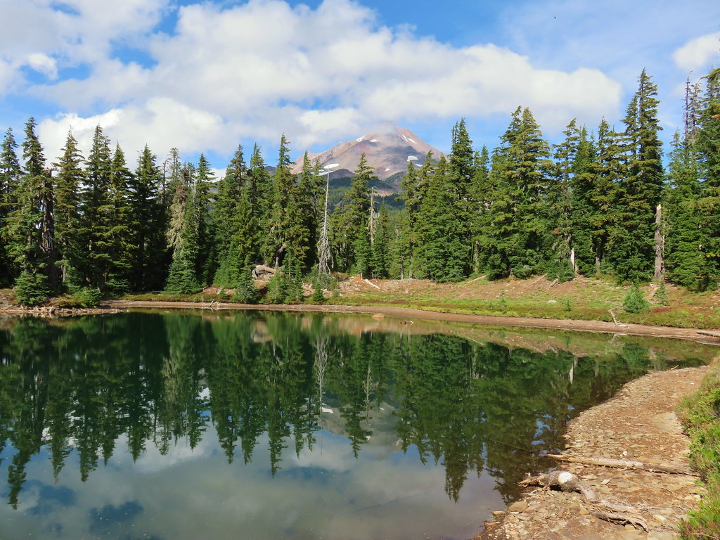
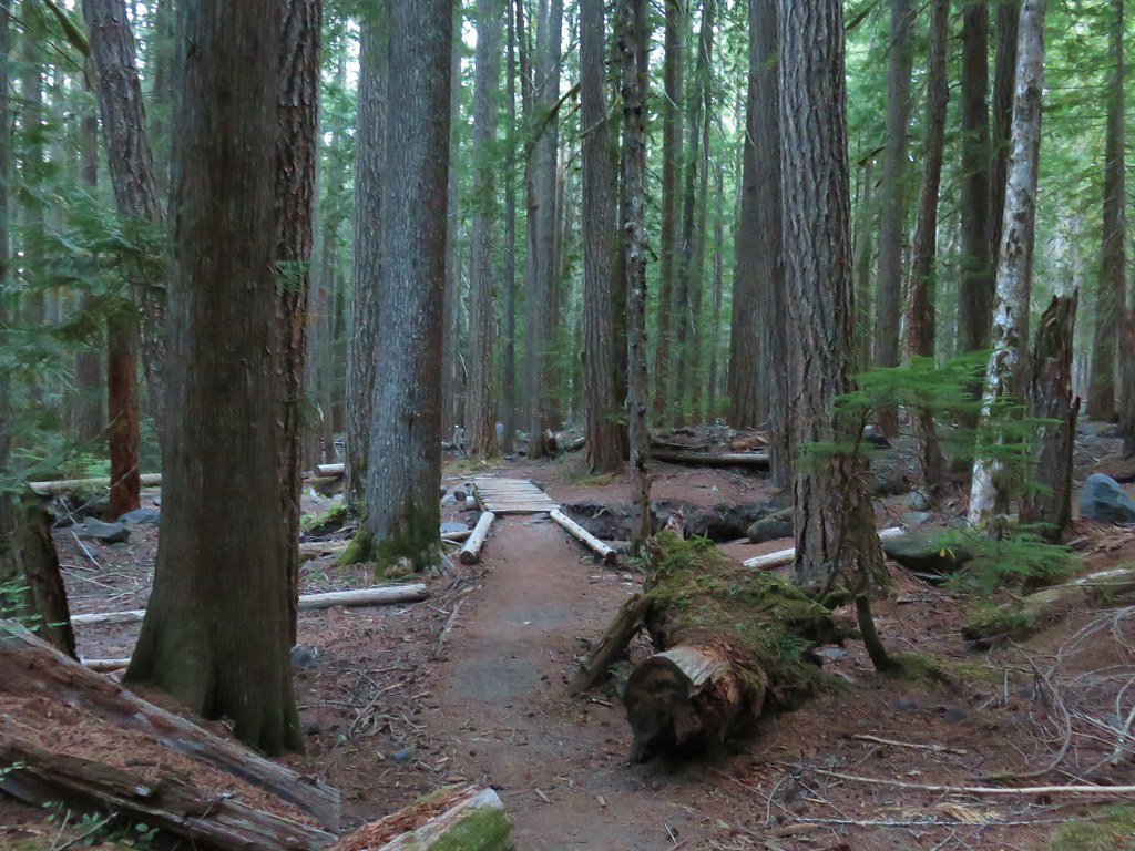
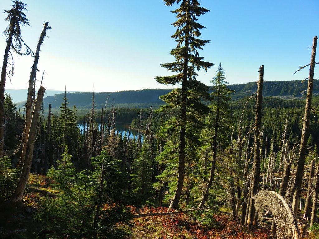
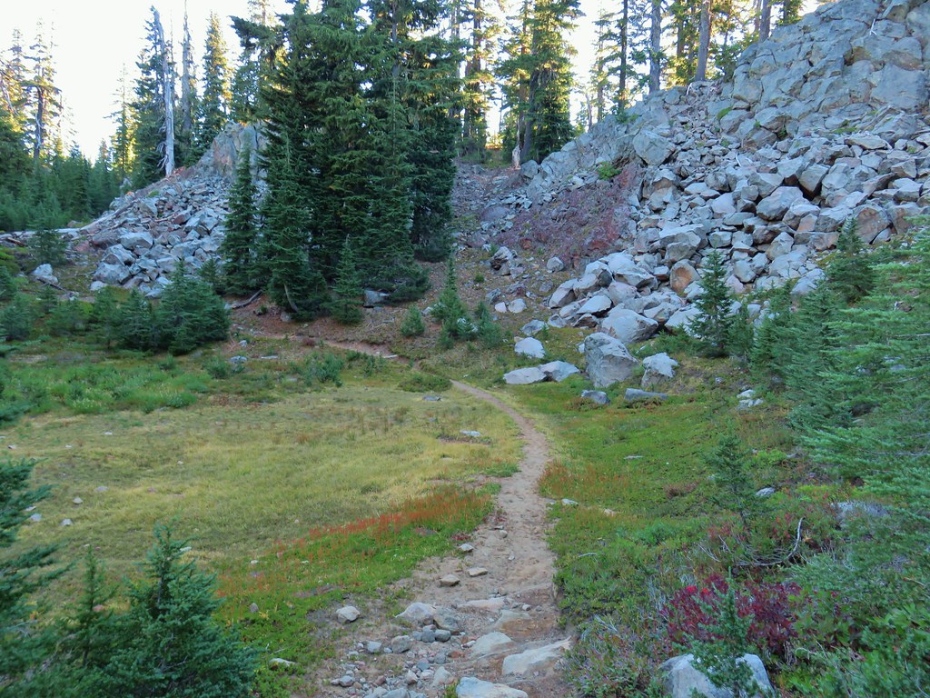
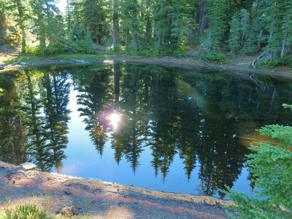
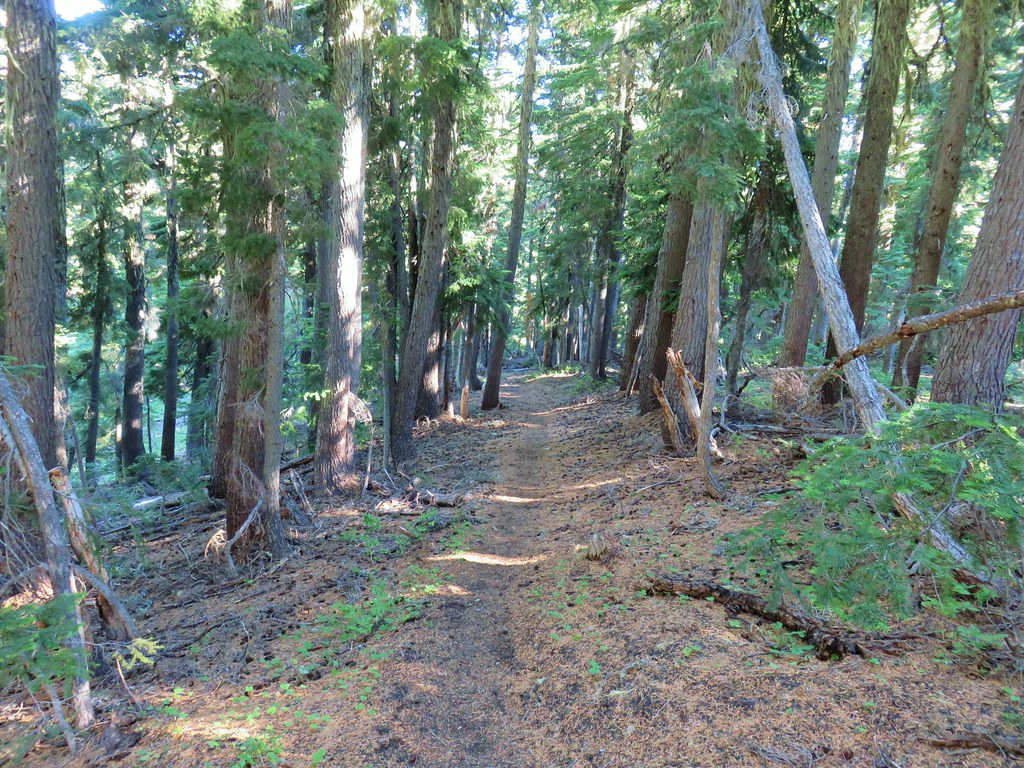
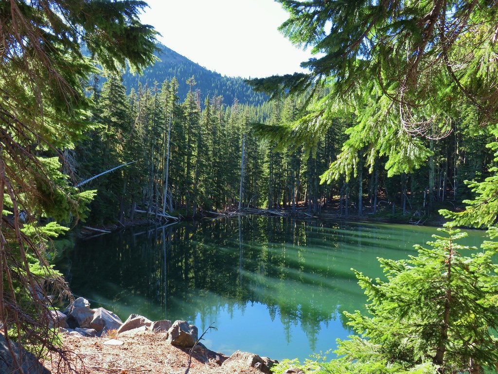
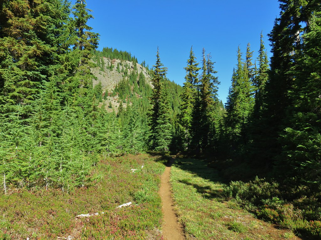
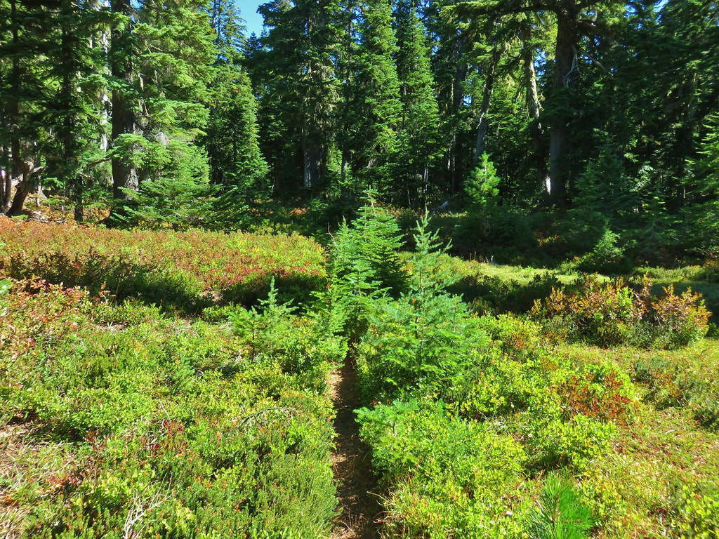
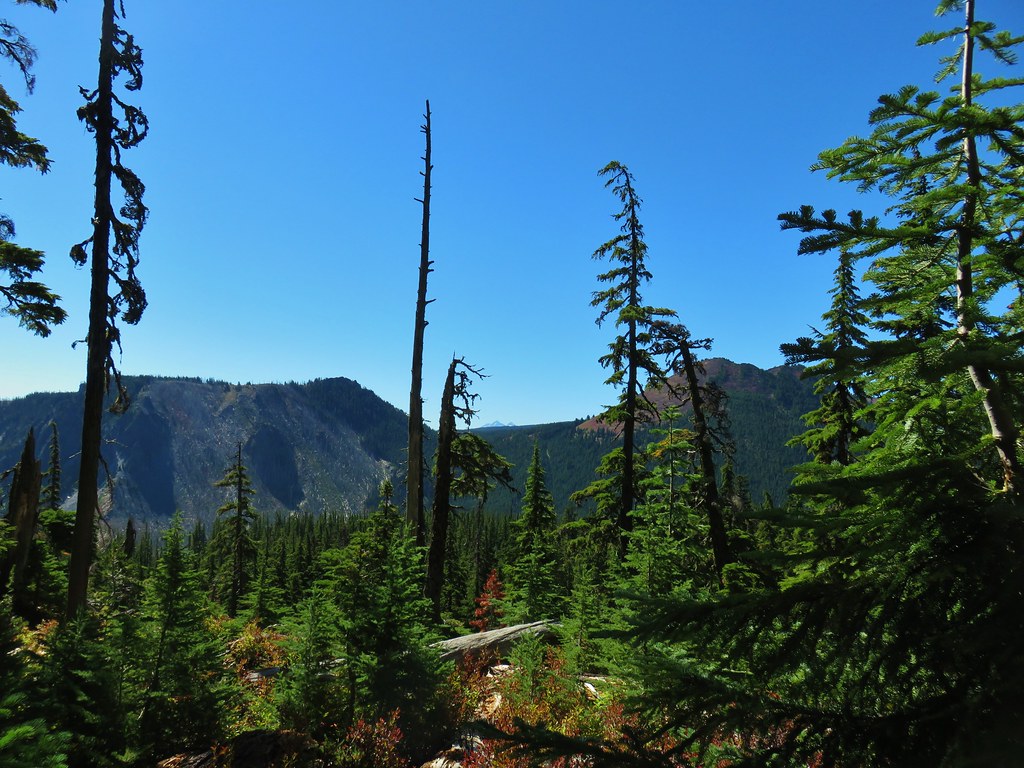
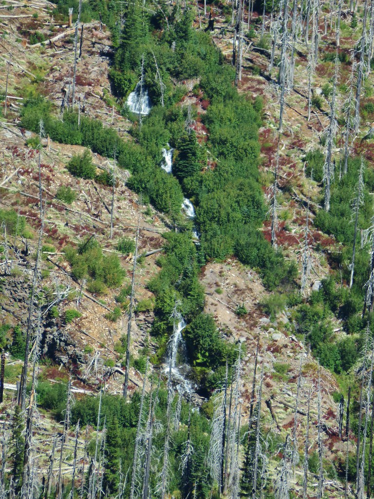
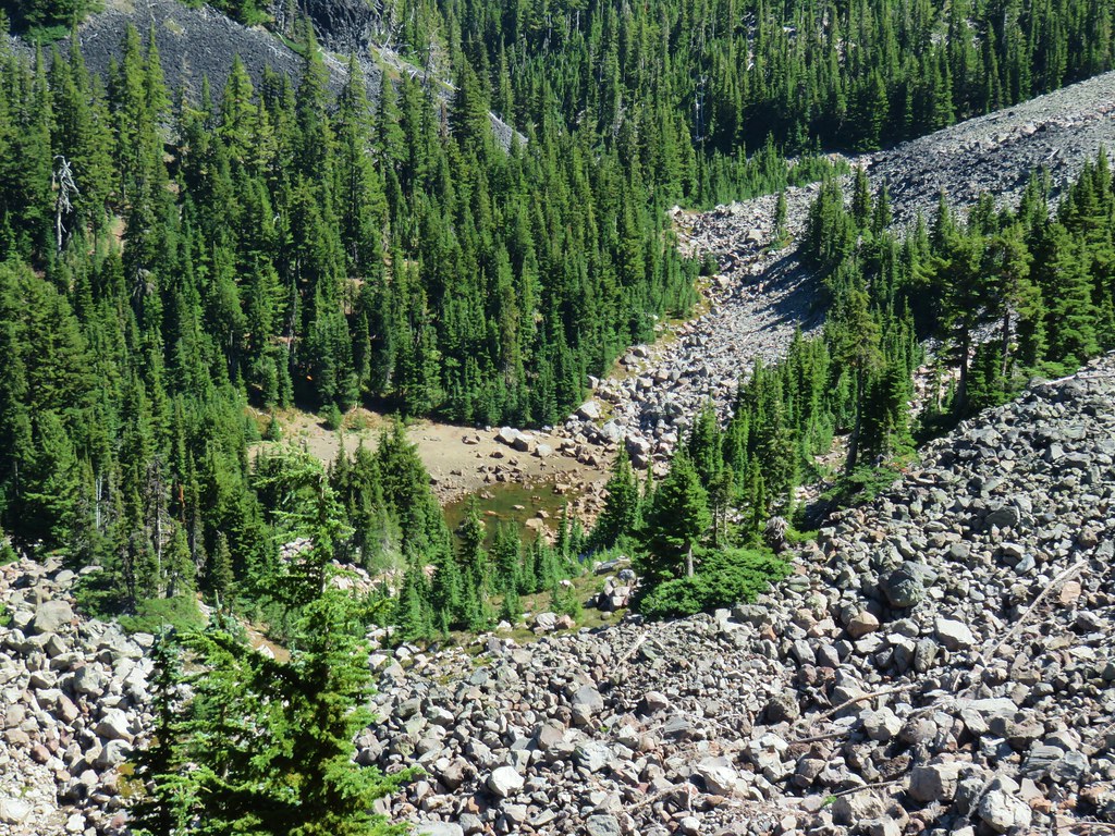
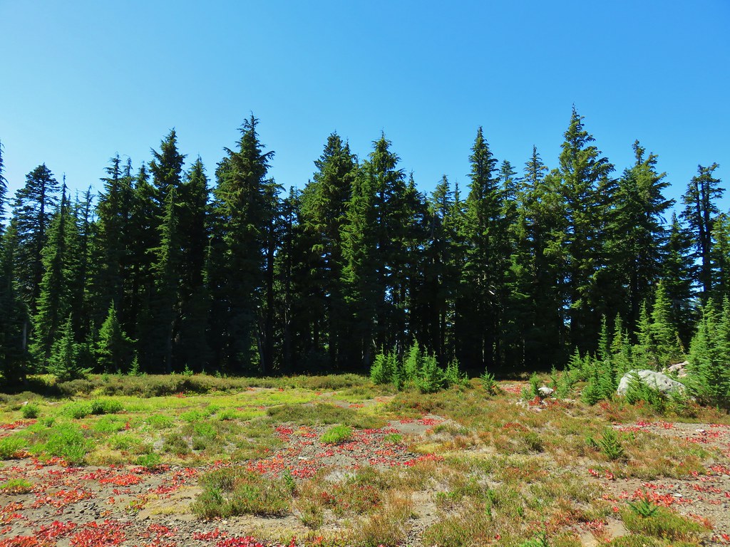
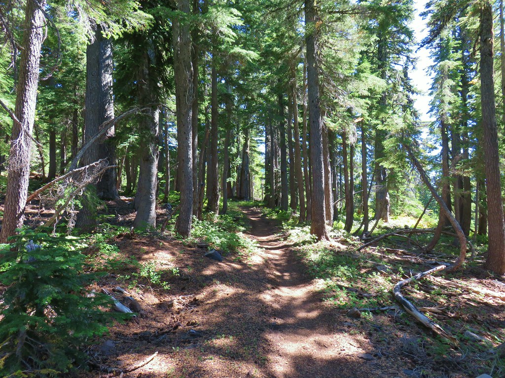
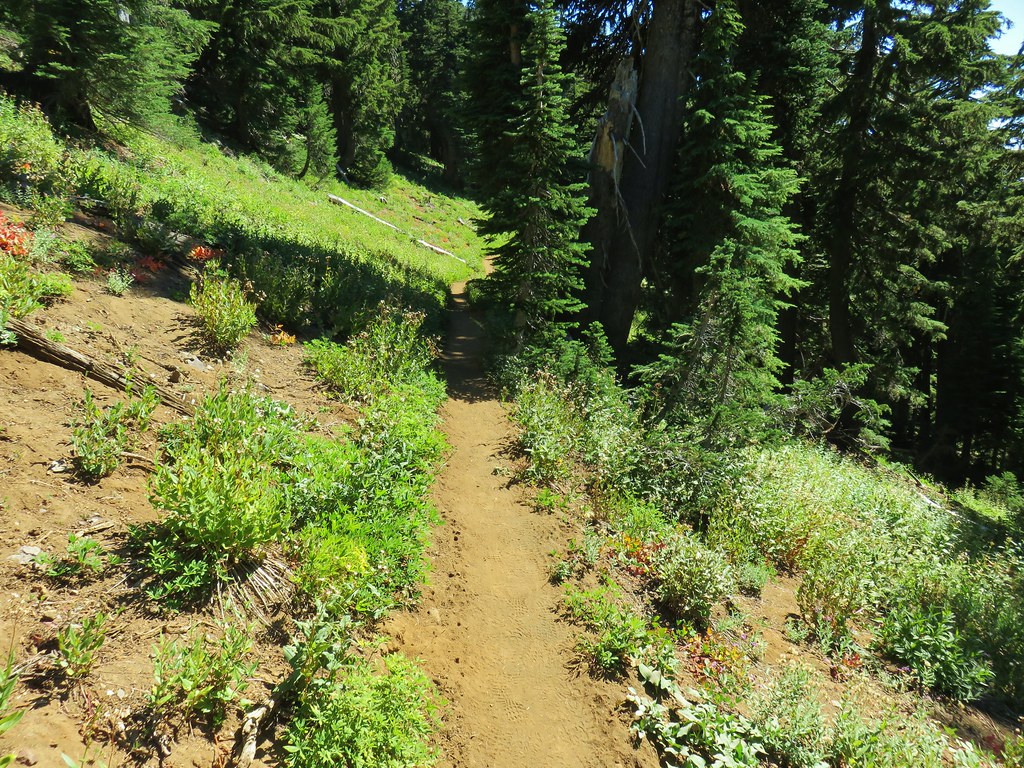
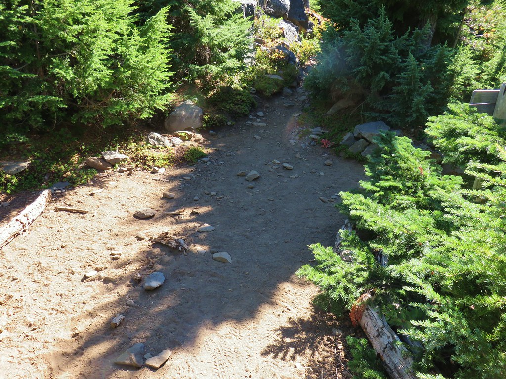
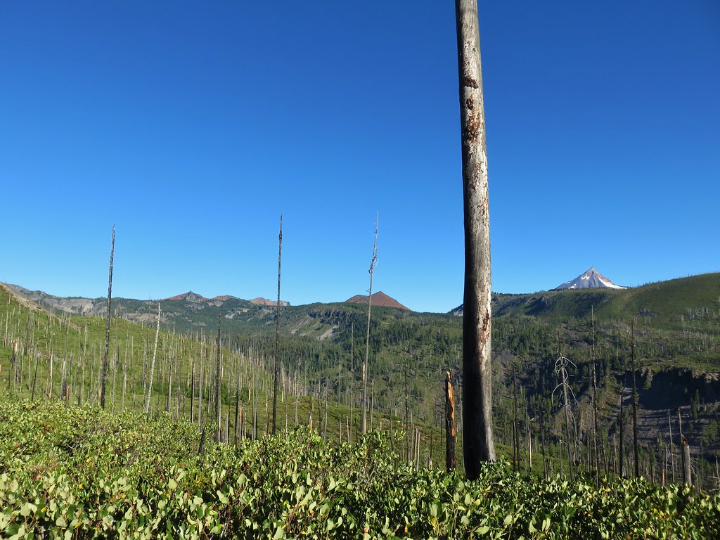
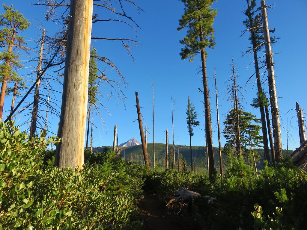
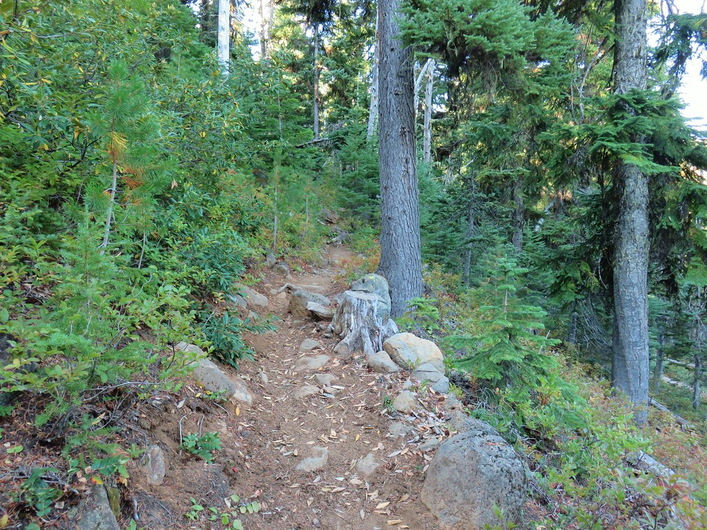
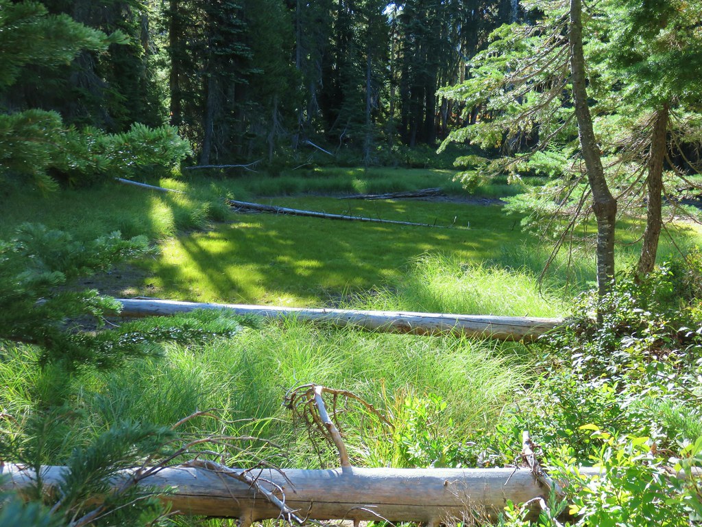
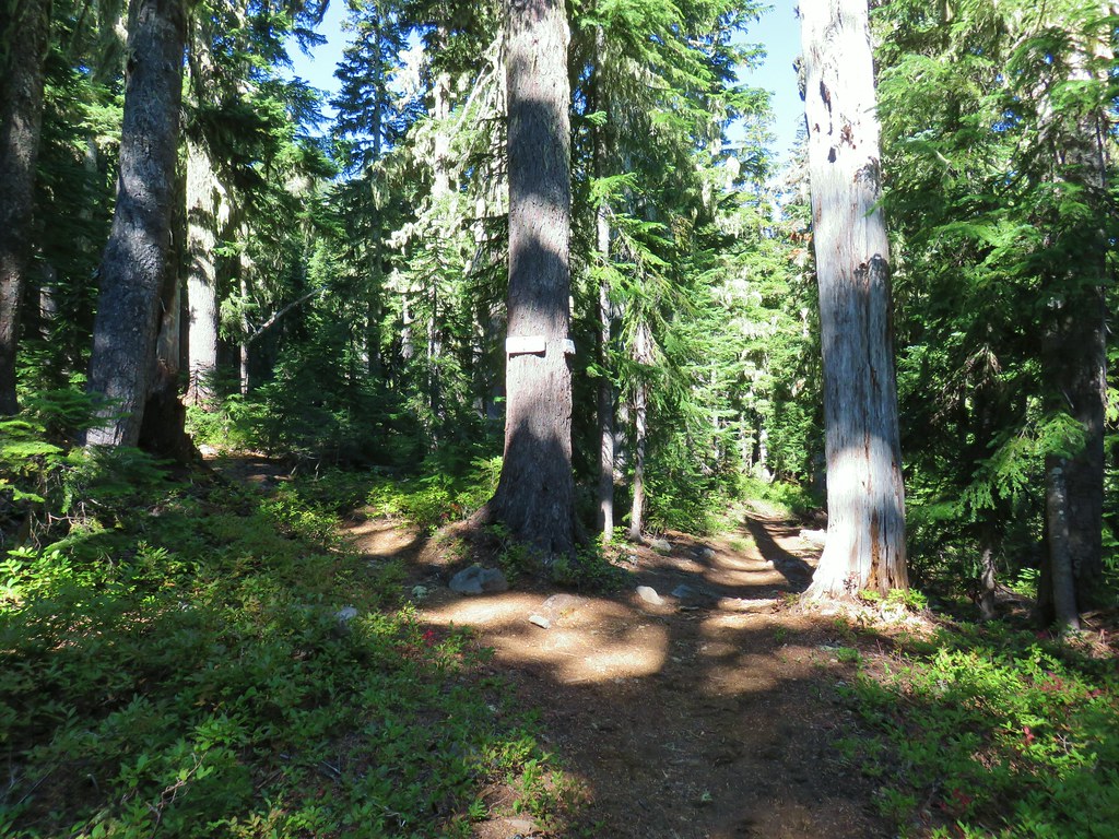
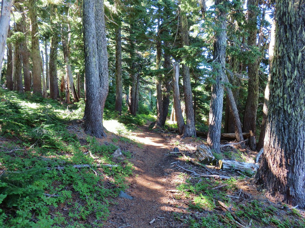
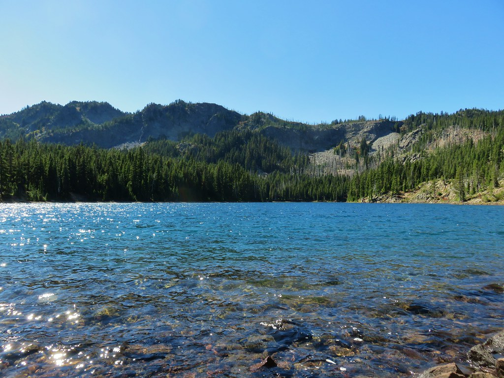
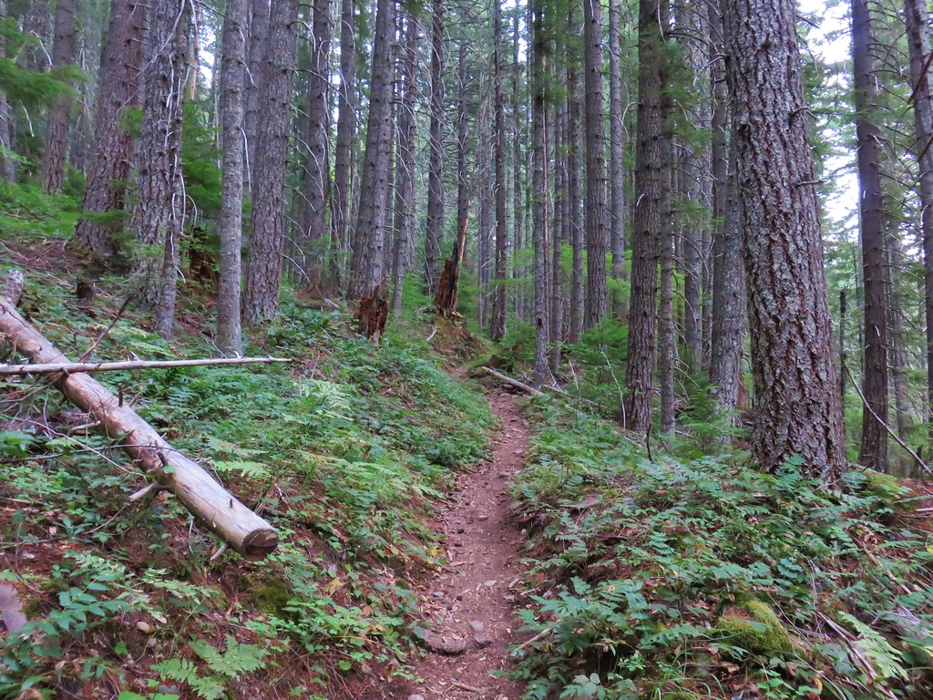
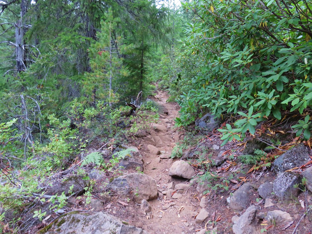
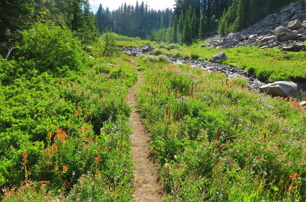
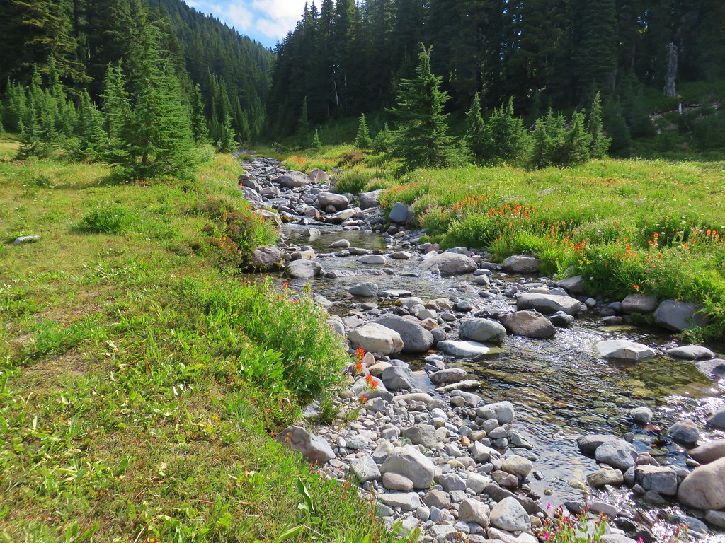
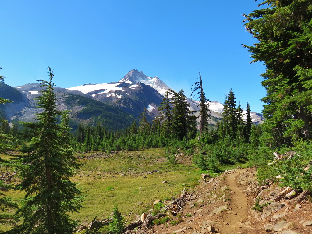
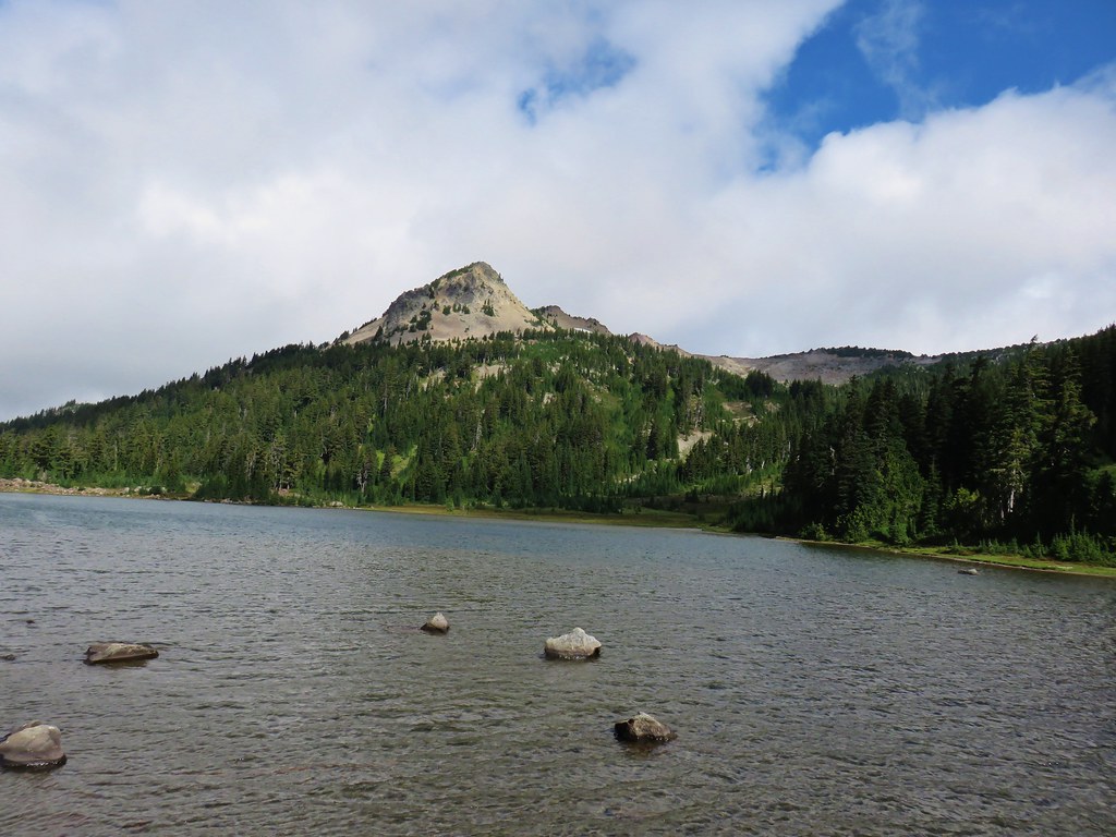
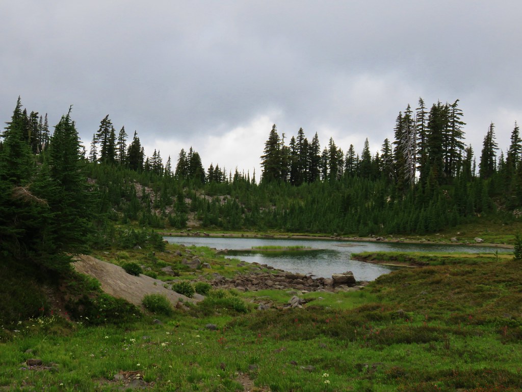
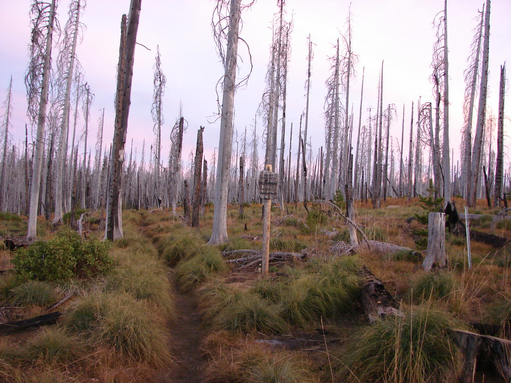
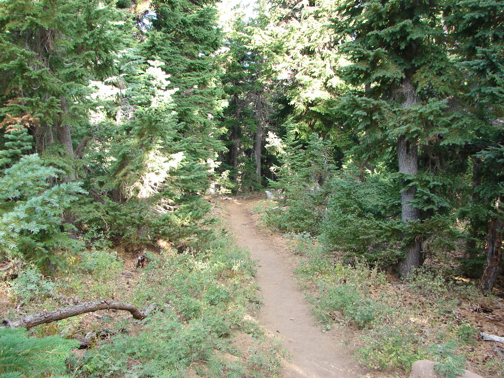
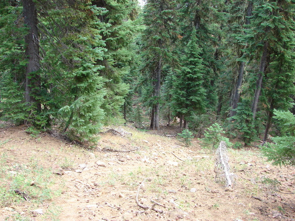
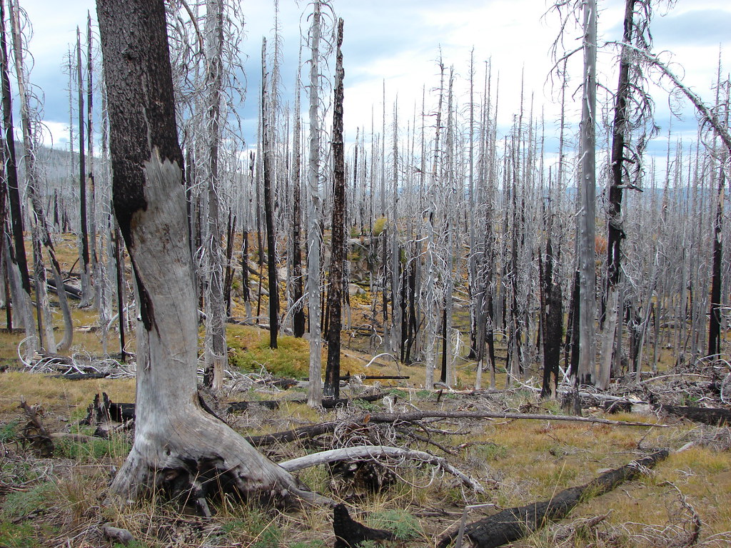
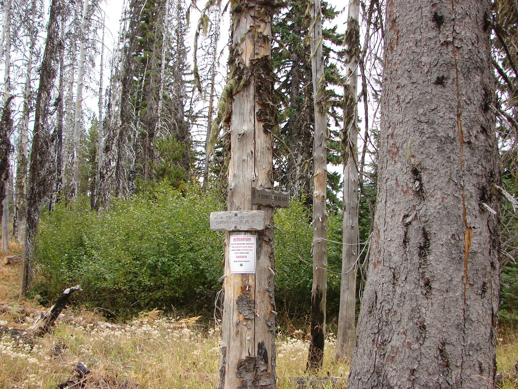
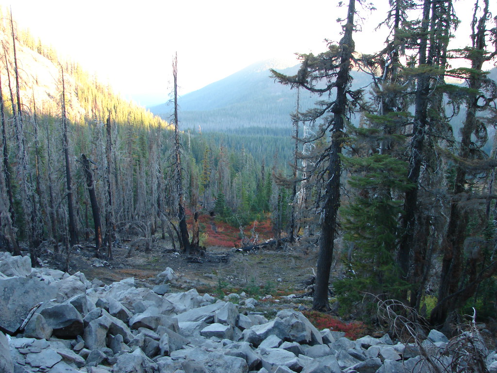
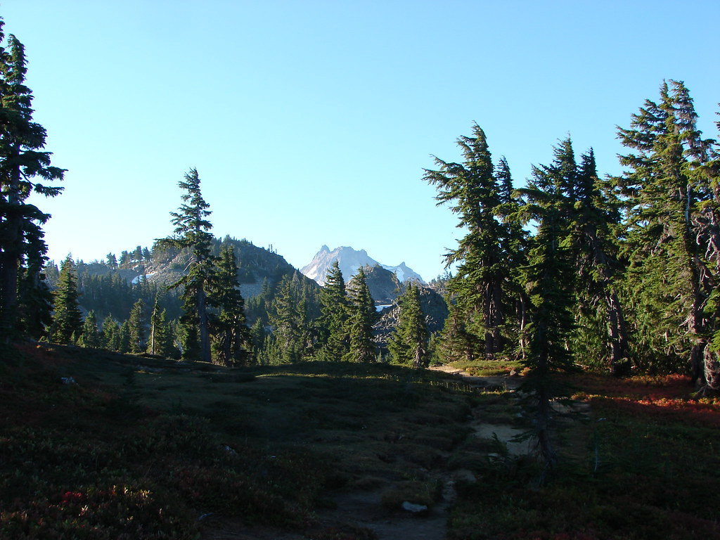
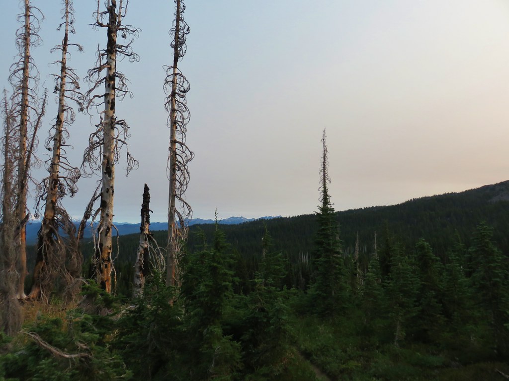
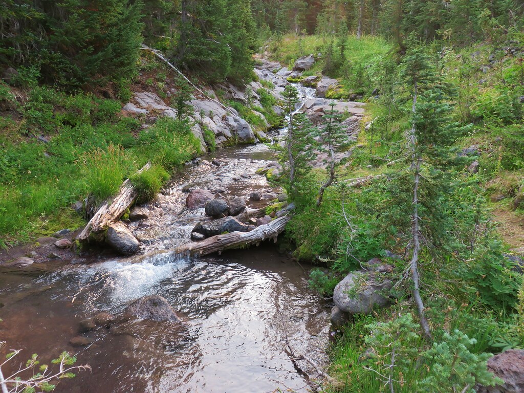
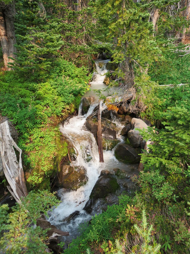
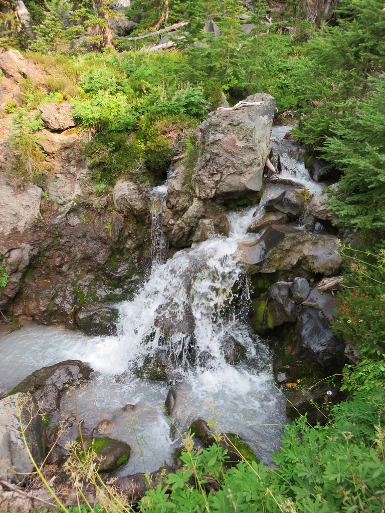
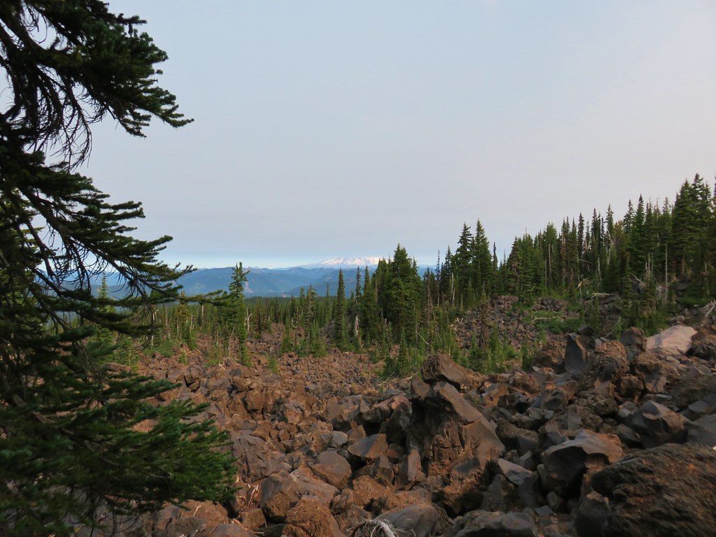
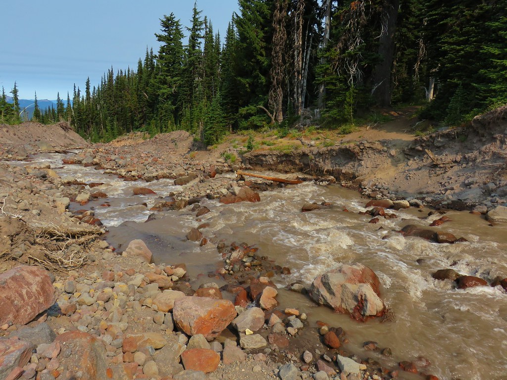
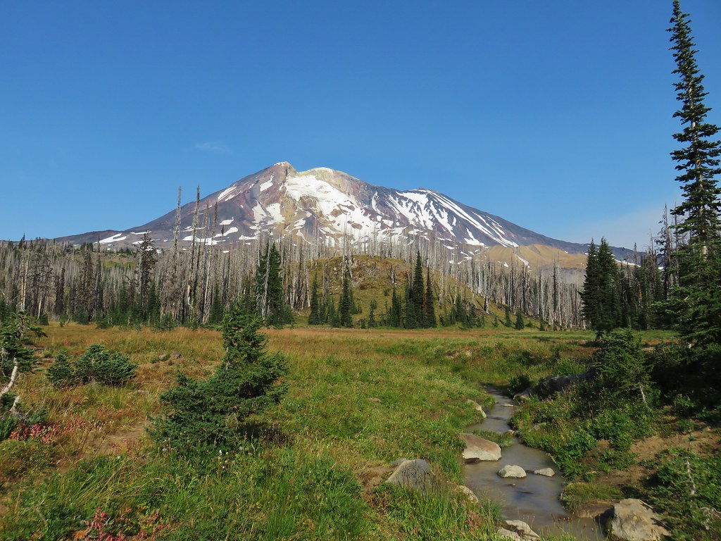
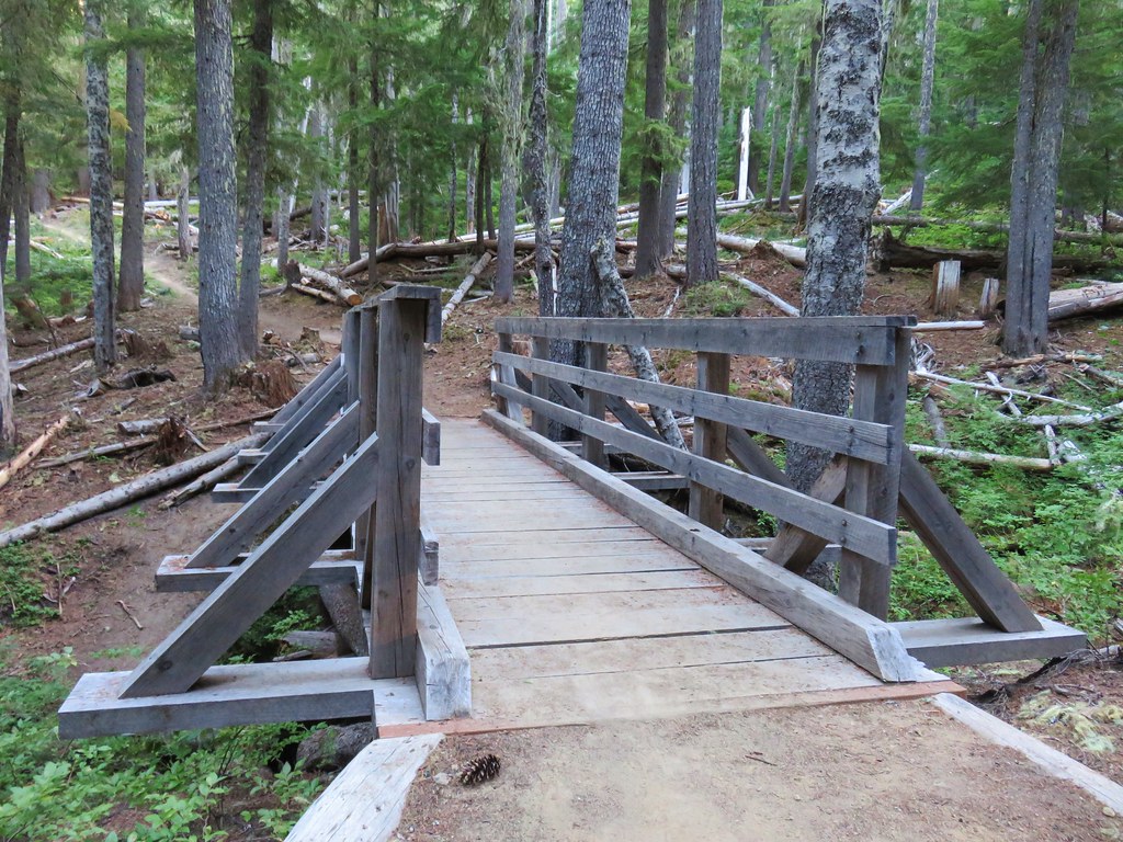
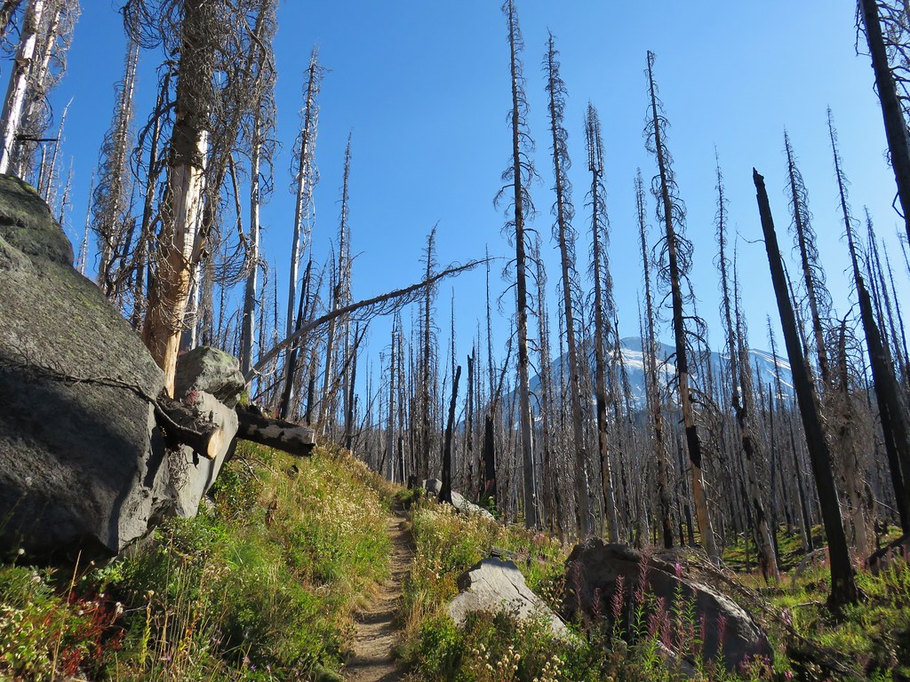
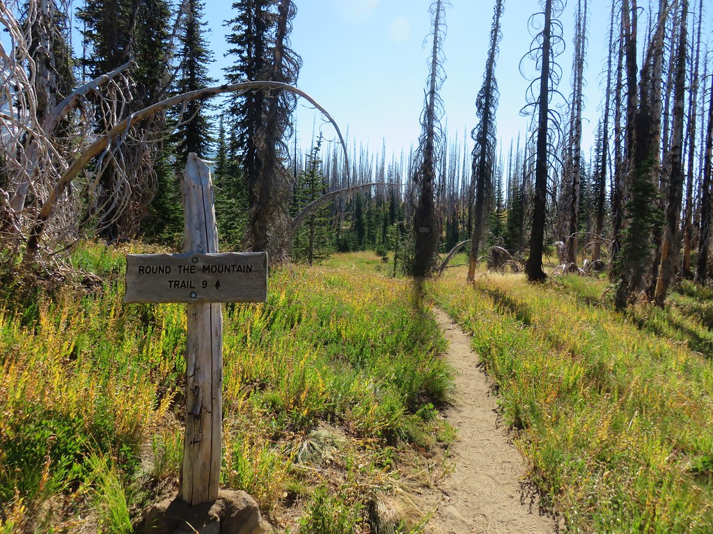
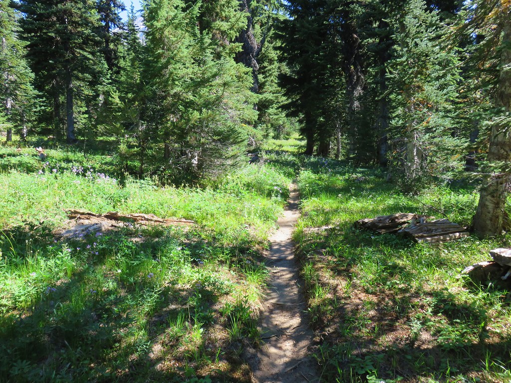
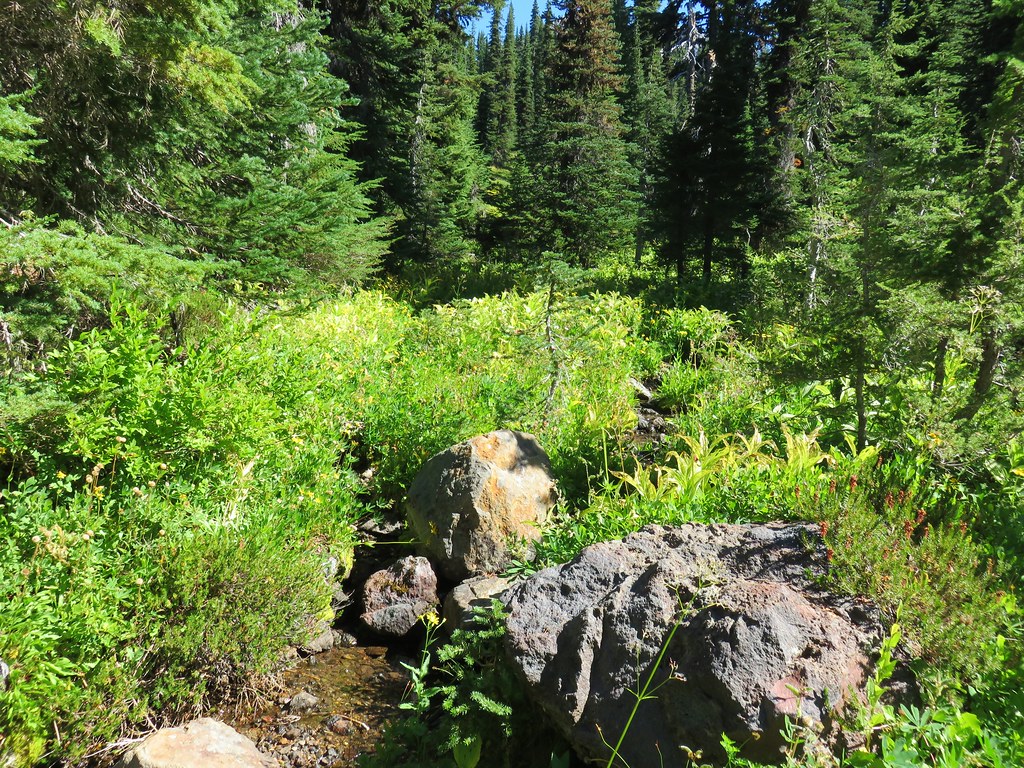
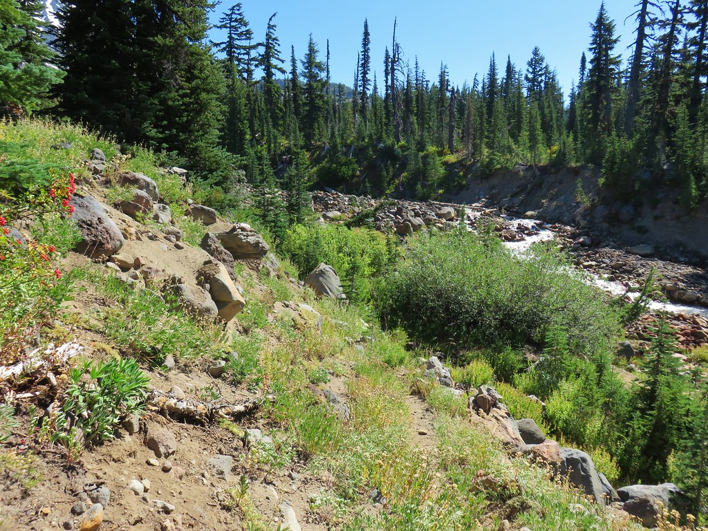
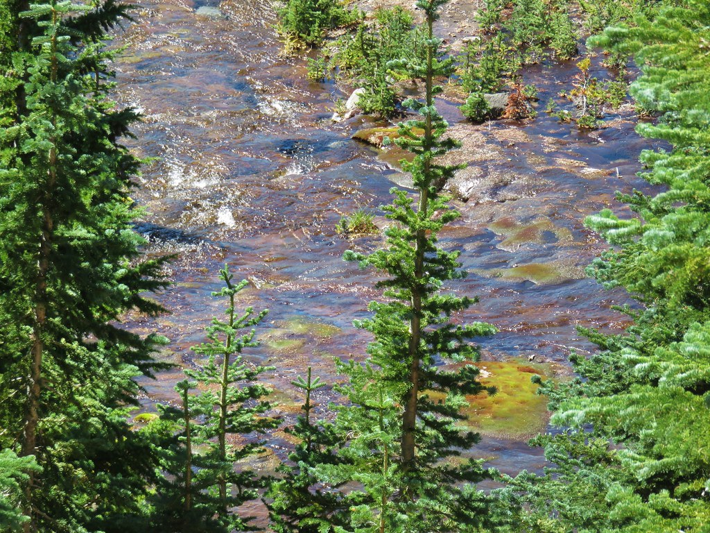
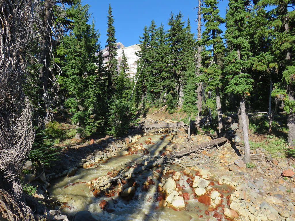
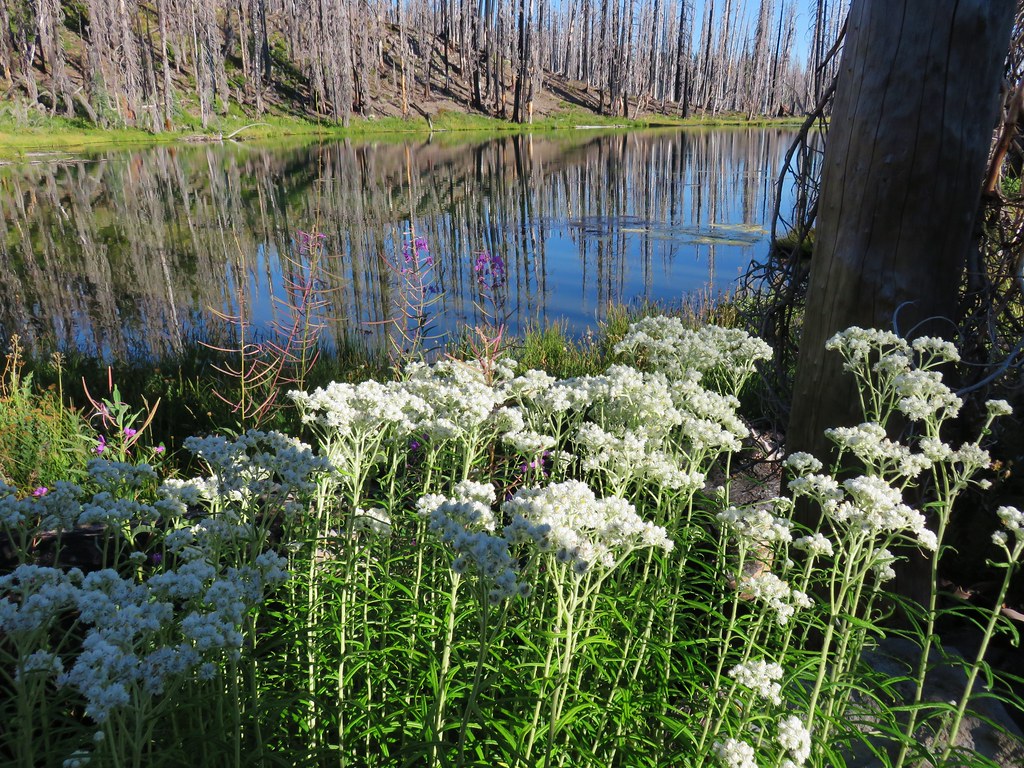
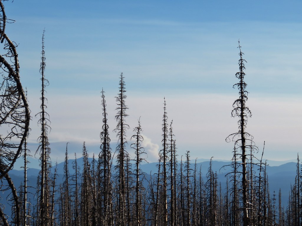
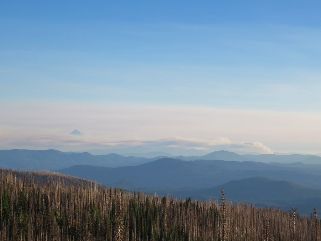
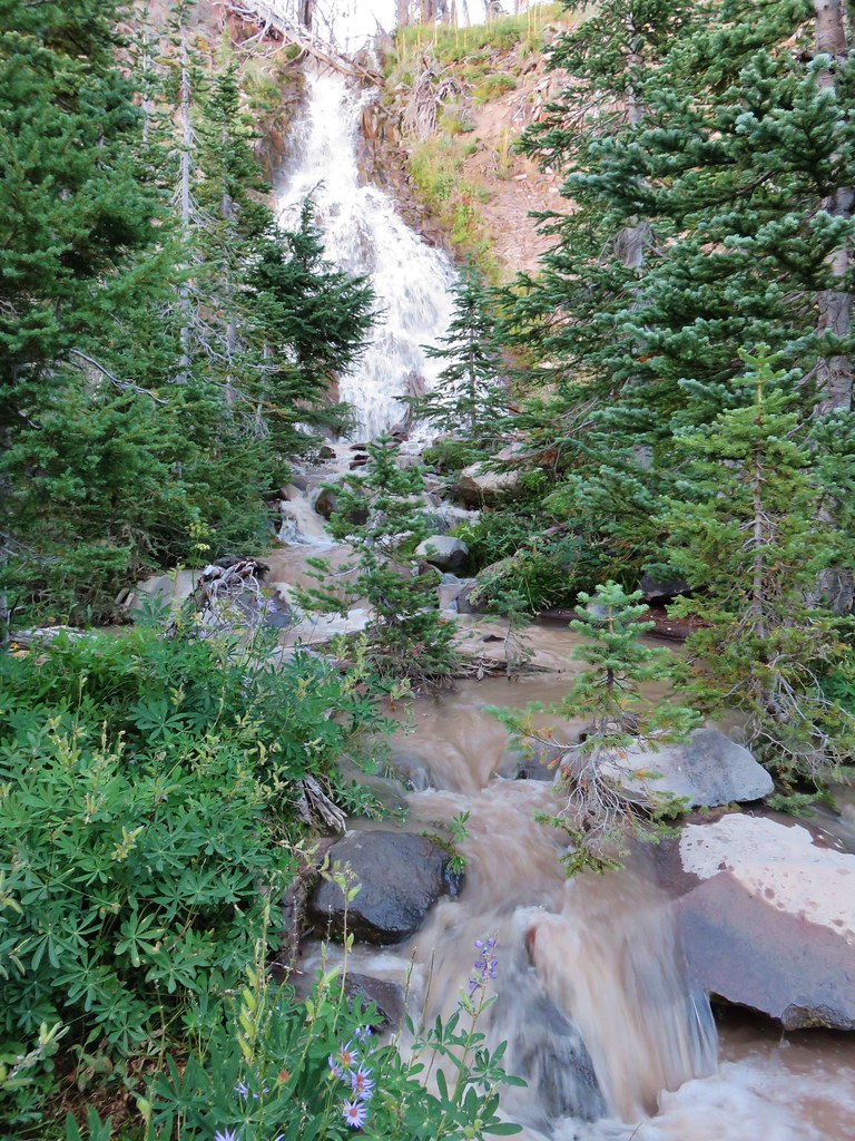
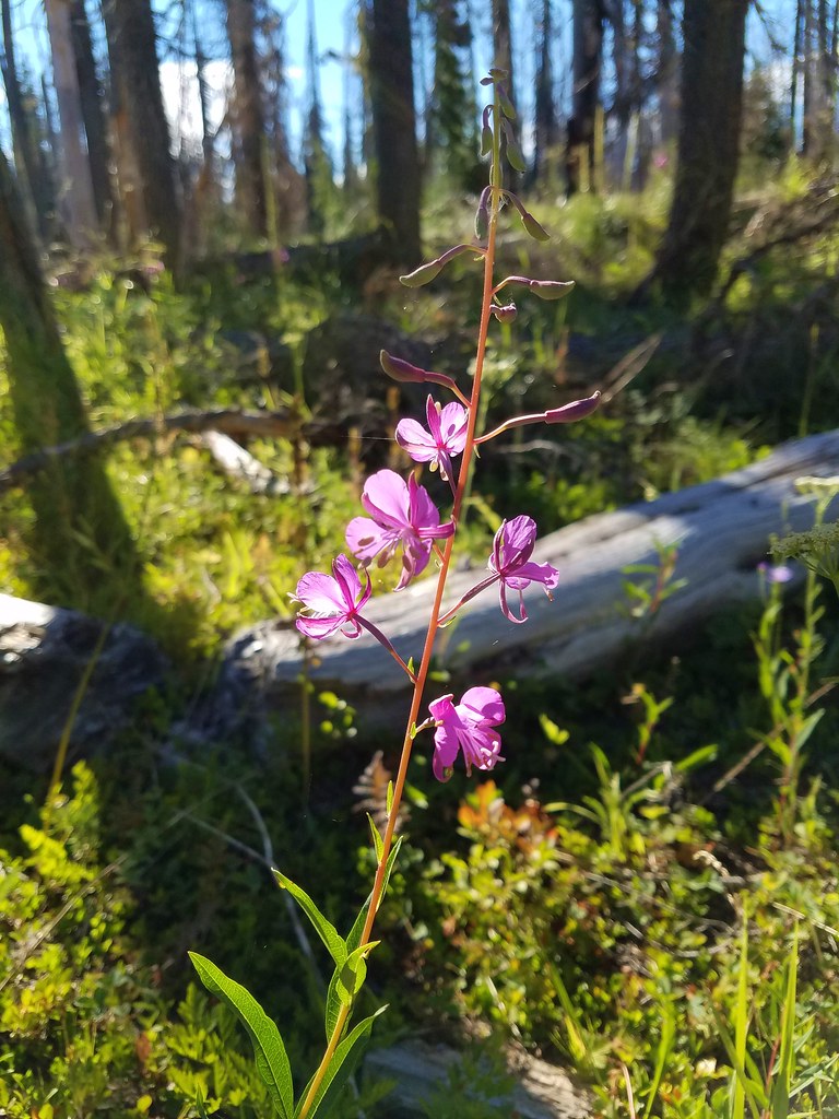
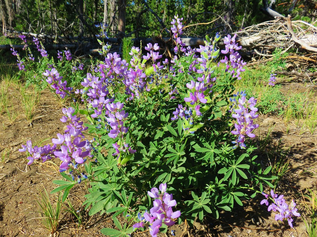
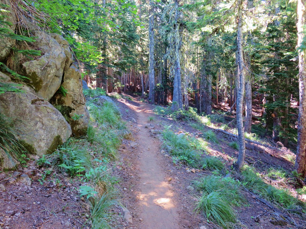
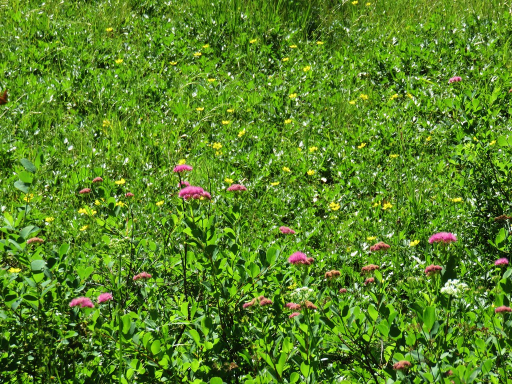
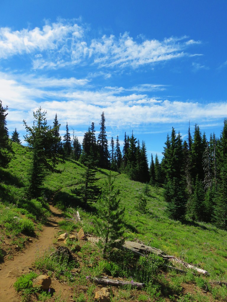
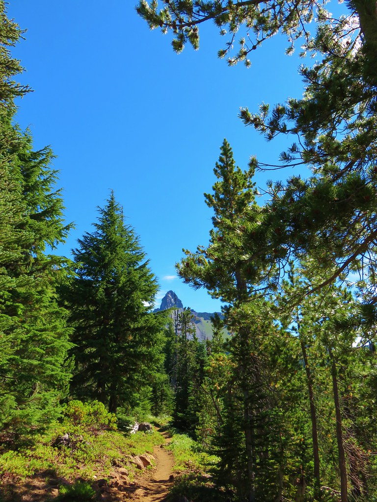
From the trailhead the Pamelia Lake Trail travels just under two and a quarter miles to the lake. Along the way the trail passes through some very nice forest scenery with several views of Pamelia Creek.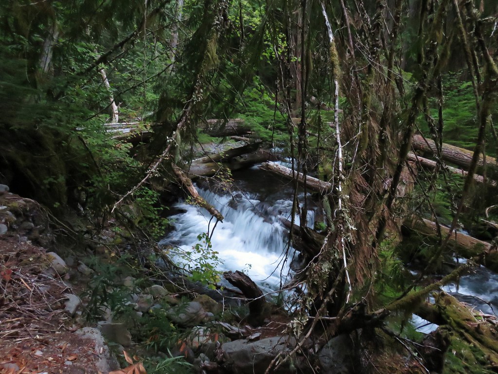
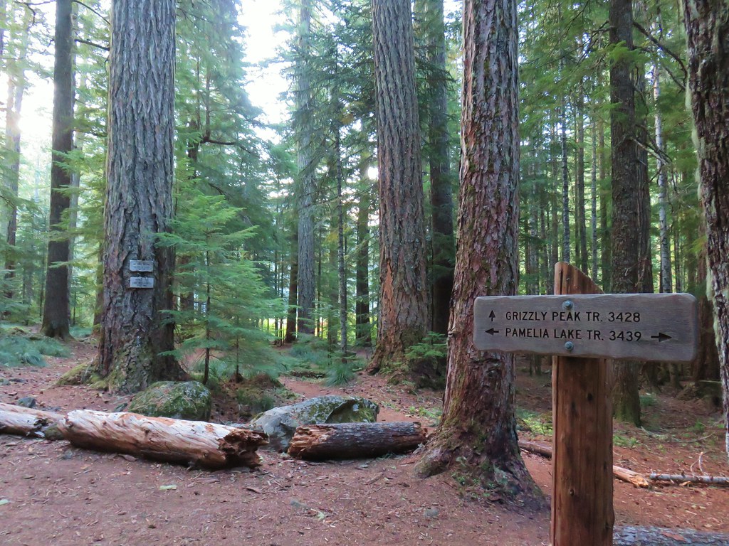
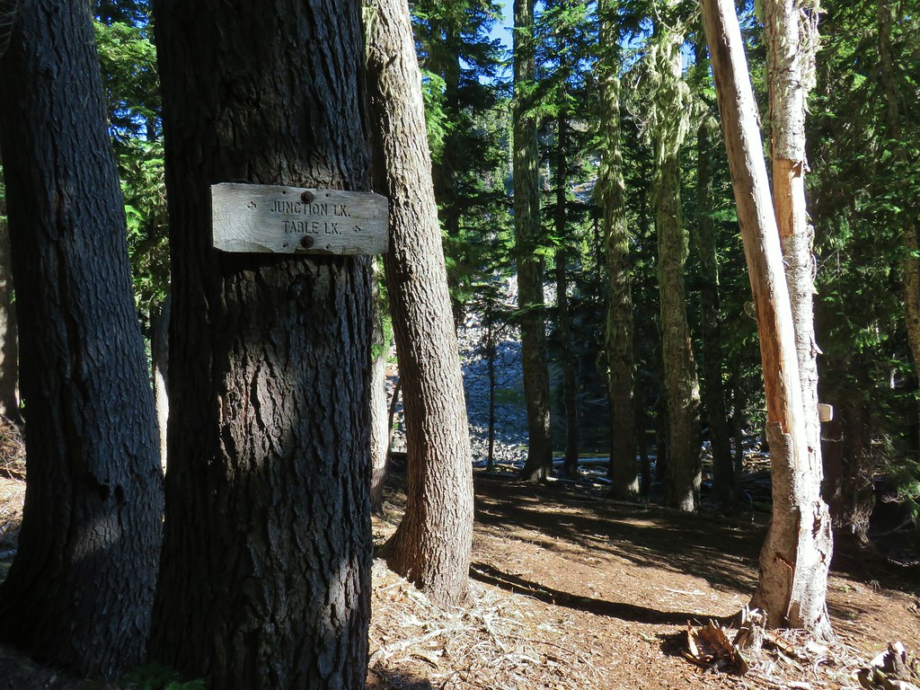
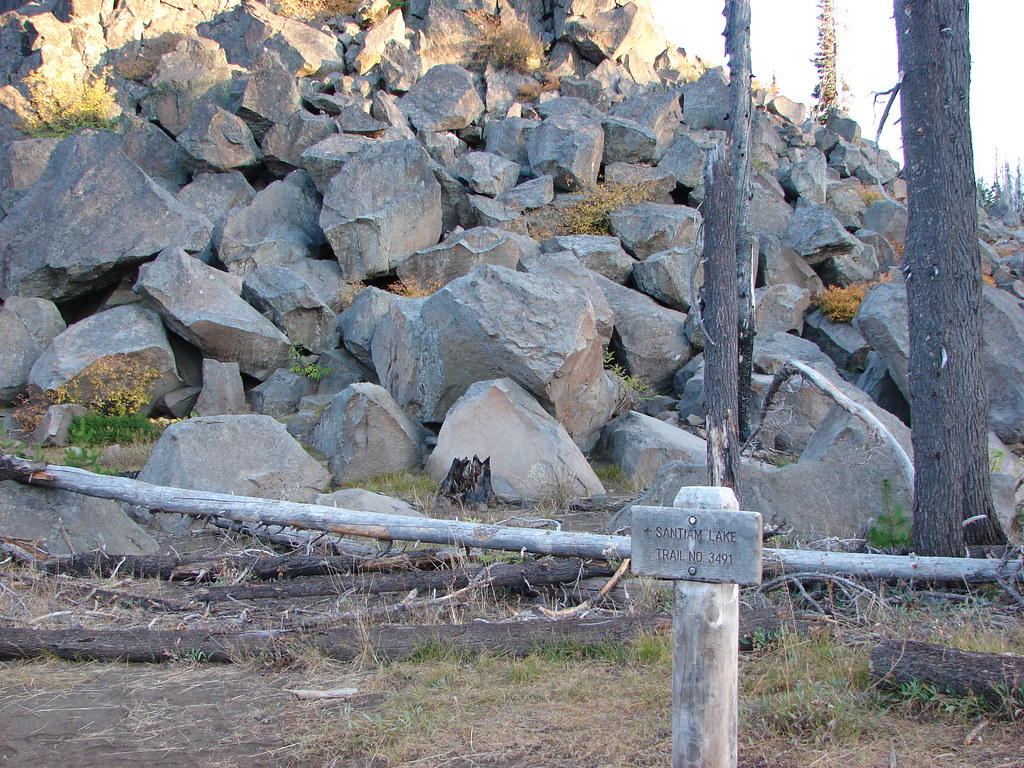
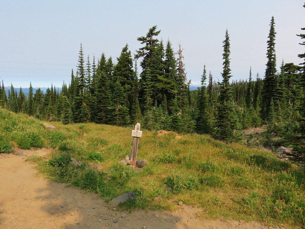
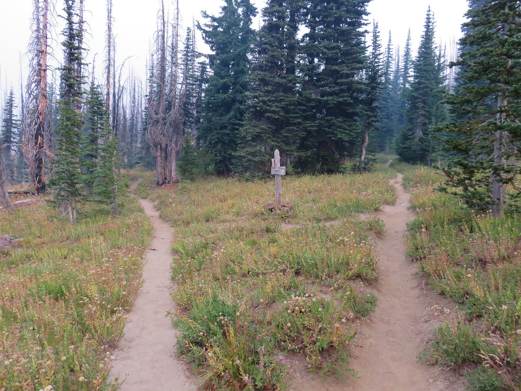
Just prior to arriving at the Pamelia Lake the trail veers left at a junction with the Grizzly Peak Trail which heads to the right.
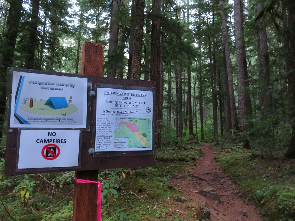
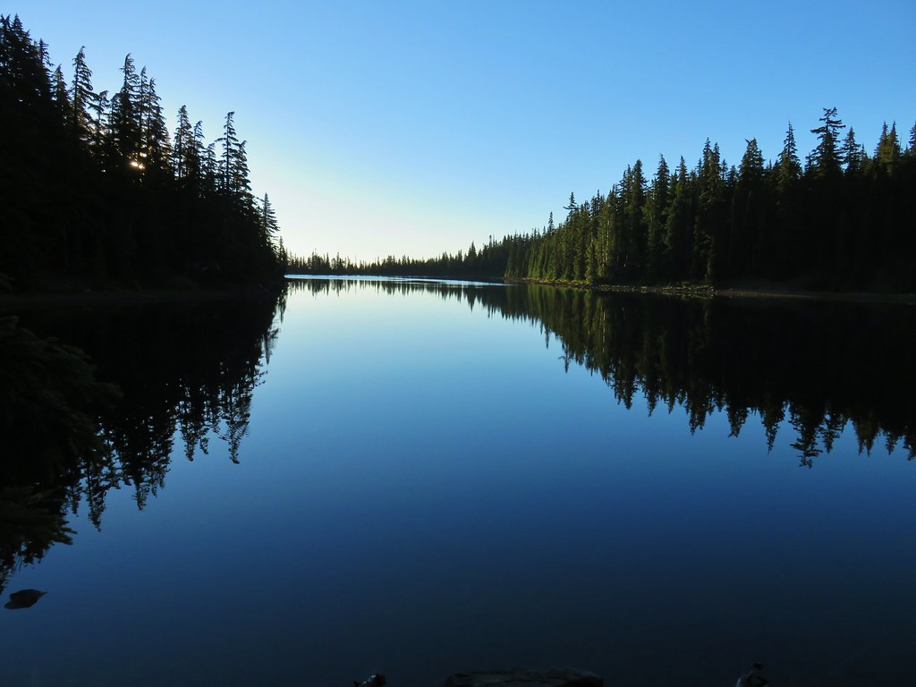
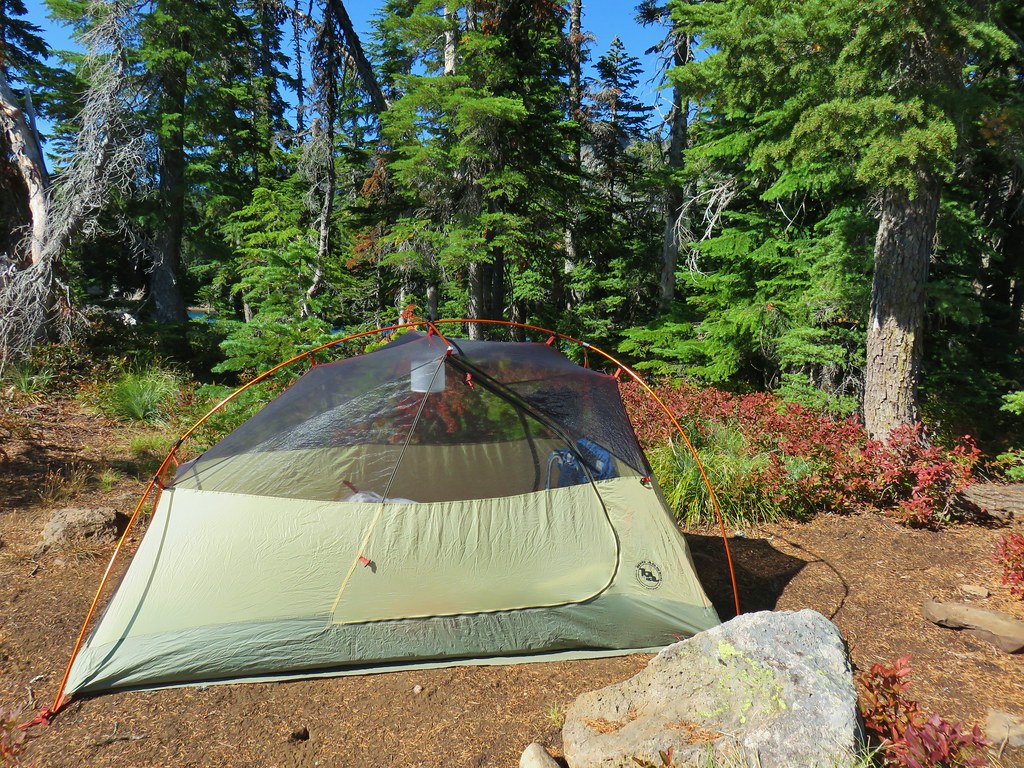
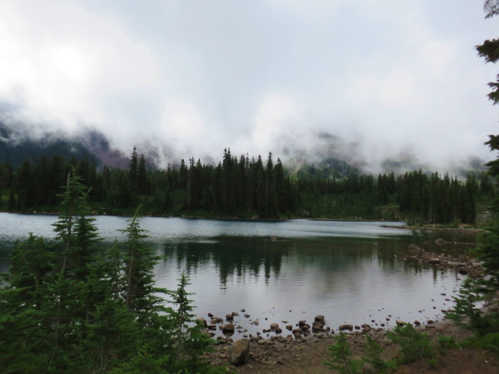
Our original plan for this trip had been to take the Pamelia Lake Trail to the Pacific Crest Trail via the Hunts Creek Trail and follow the PCT up to Coyote (aka Mud) and Shale Lakes where we would set up camp before attempting to reach Goat Peak. After some additional consideration though we decided that setting up camp at Pamelia Lake might be a better option. Setting up camp there would eliminate the need to haul our heavy backpacks up the PCT while also leaving us with a hike out the next day of less than two and a half miles. It did mean we would be adding nearly 4.5 miles to Saturdays hike, but on paper it would still only be around 15 miles. The designated campsites at the lake were all along its left (north) side so we followed a use trail straight ahead from the junction and started looking for an open site.
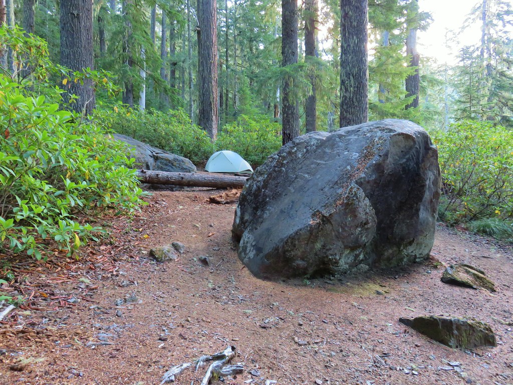
We wound up choosing site #3 which kept us relatively close to the Grizzly Peak Trail junction as well as the Hunts Creek Trail junction.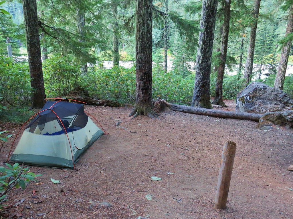
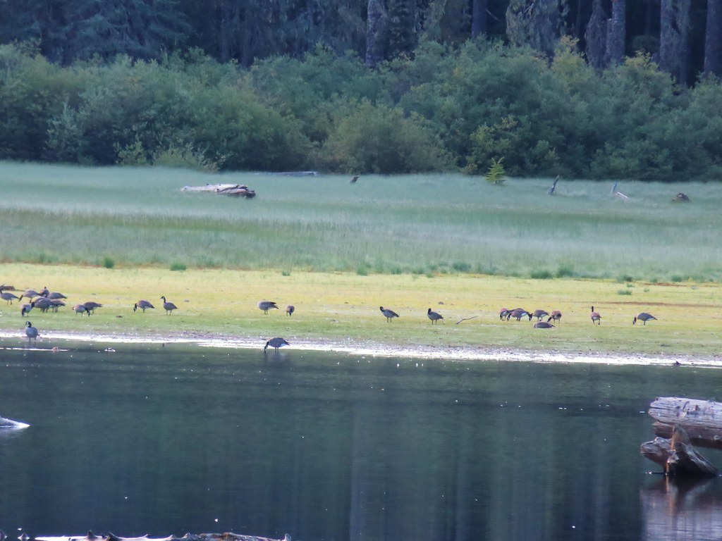
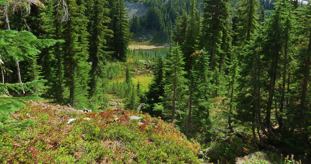
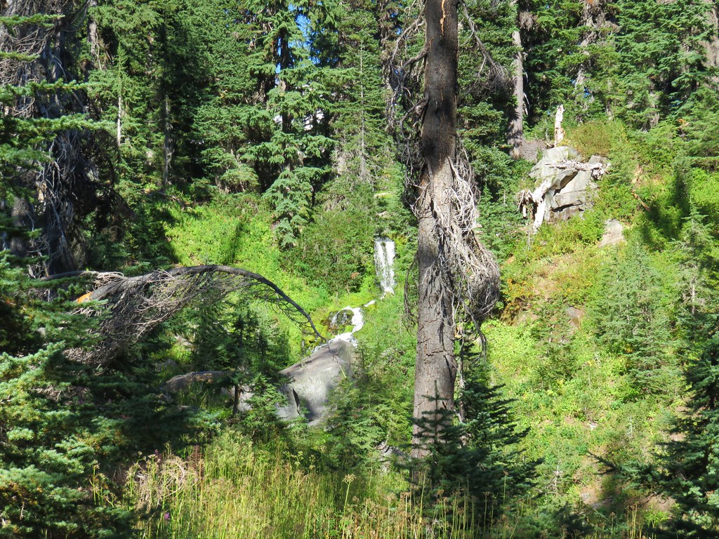
After setting up camp we briefly visited the shore of Pamelia Lake then we headed up to the Hunts Creek Trail.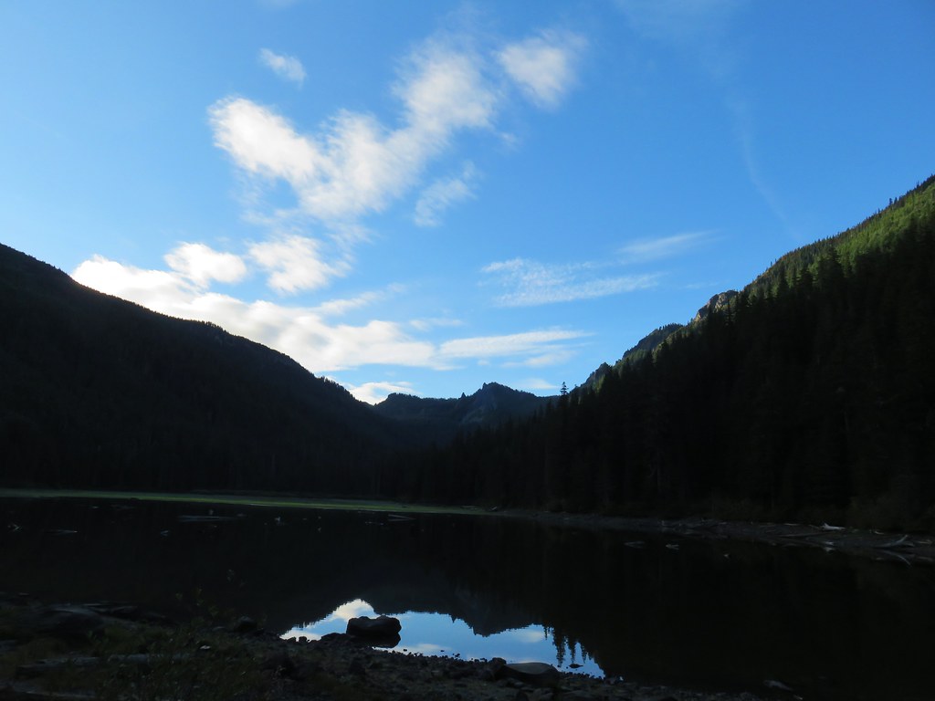

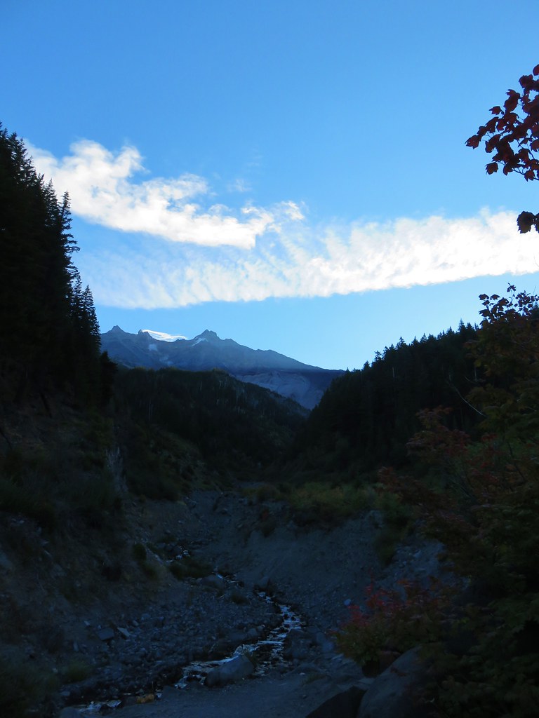
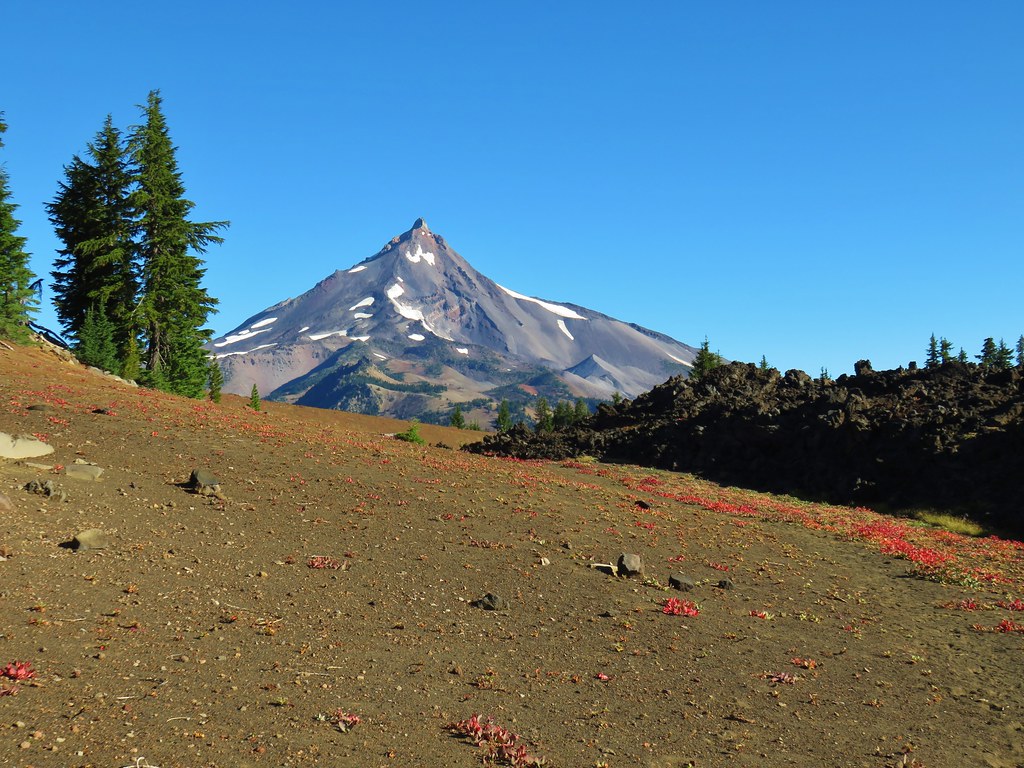
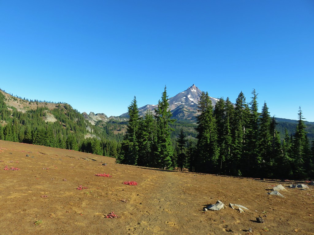
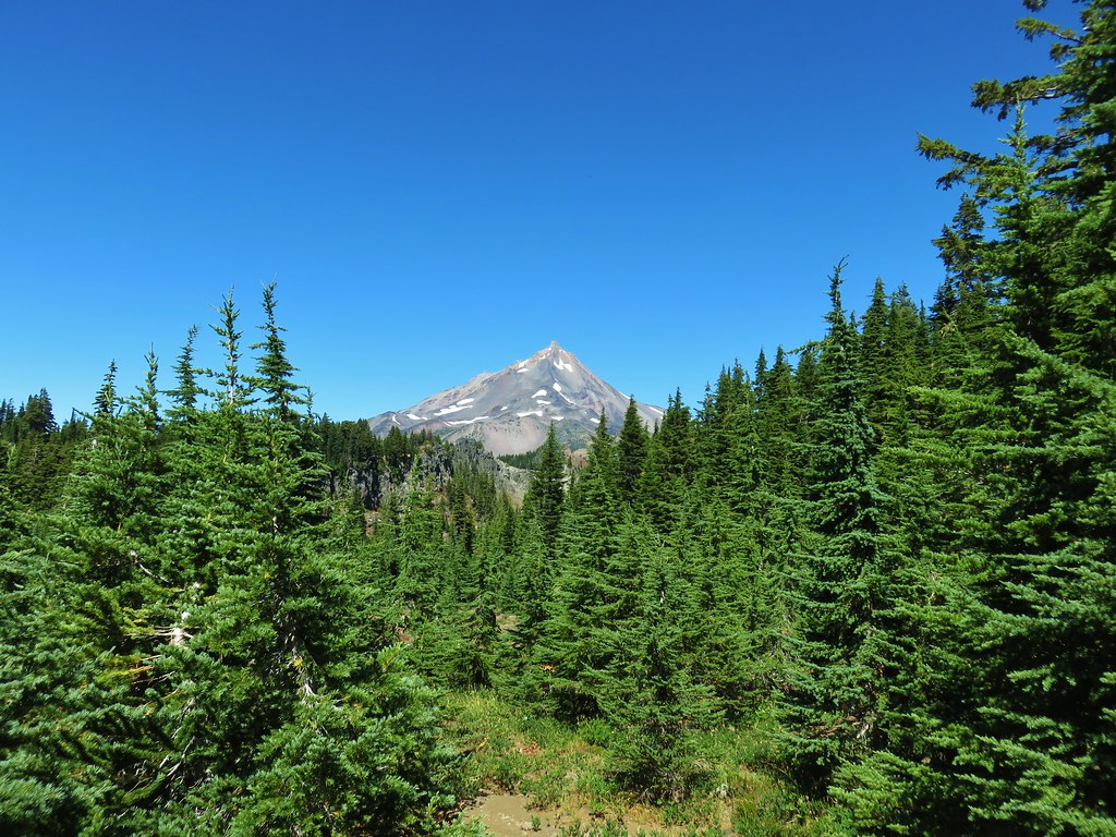
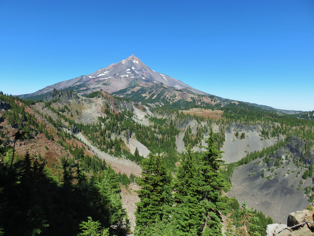
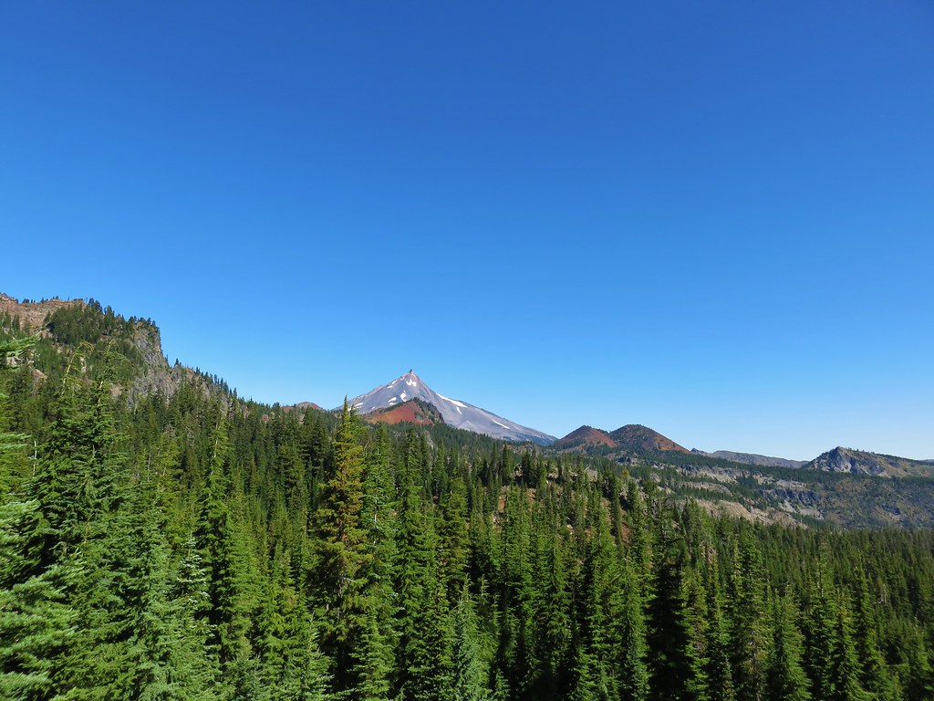
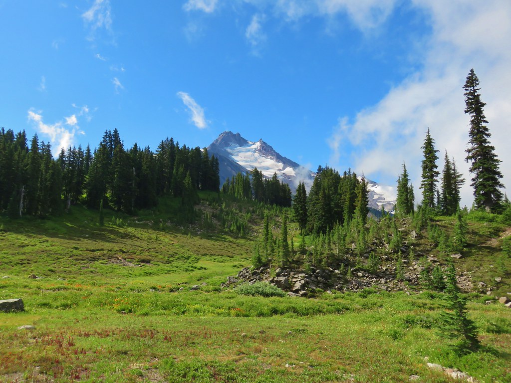
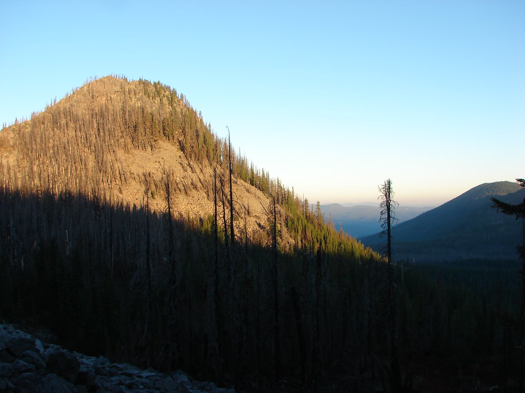
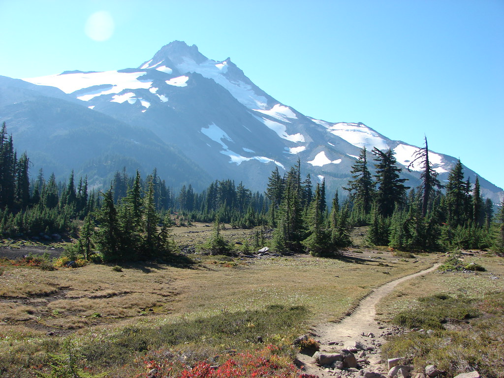
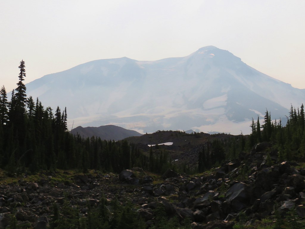
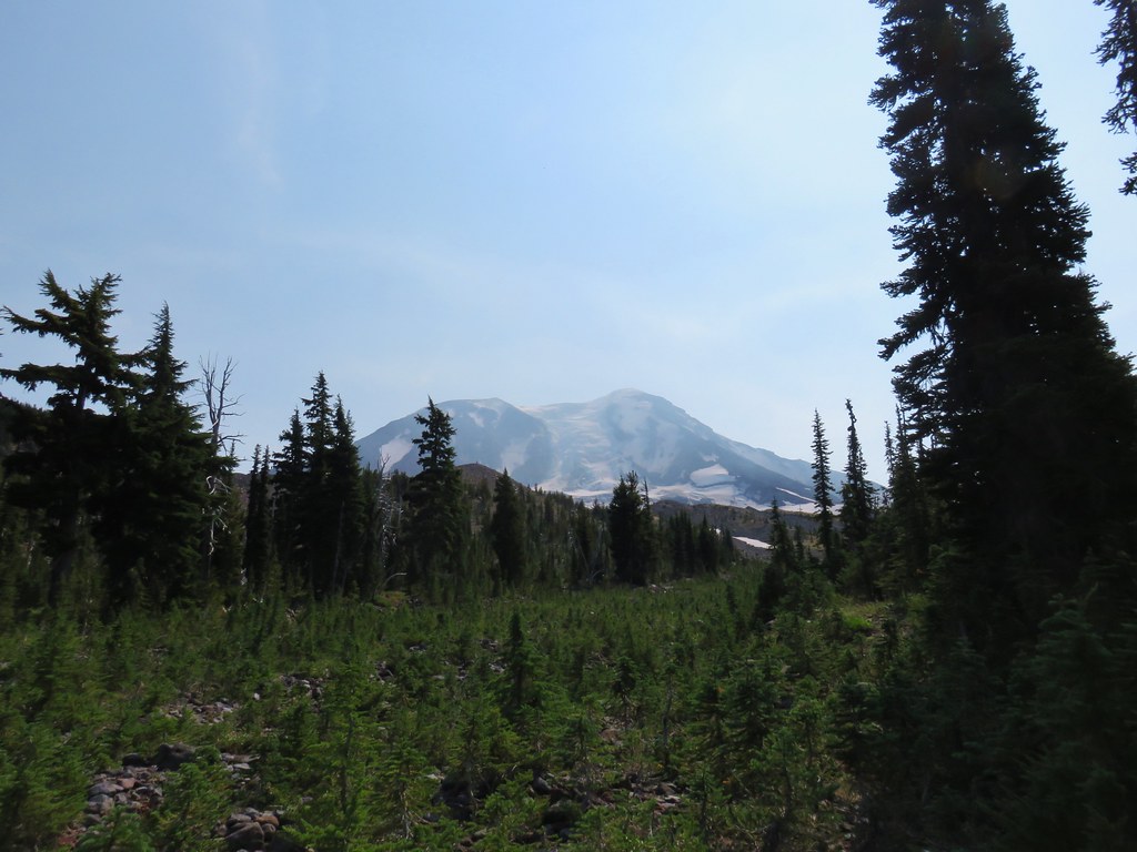
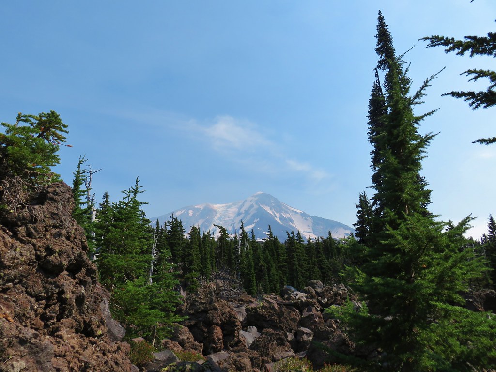
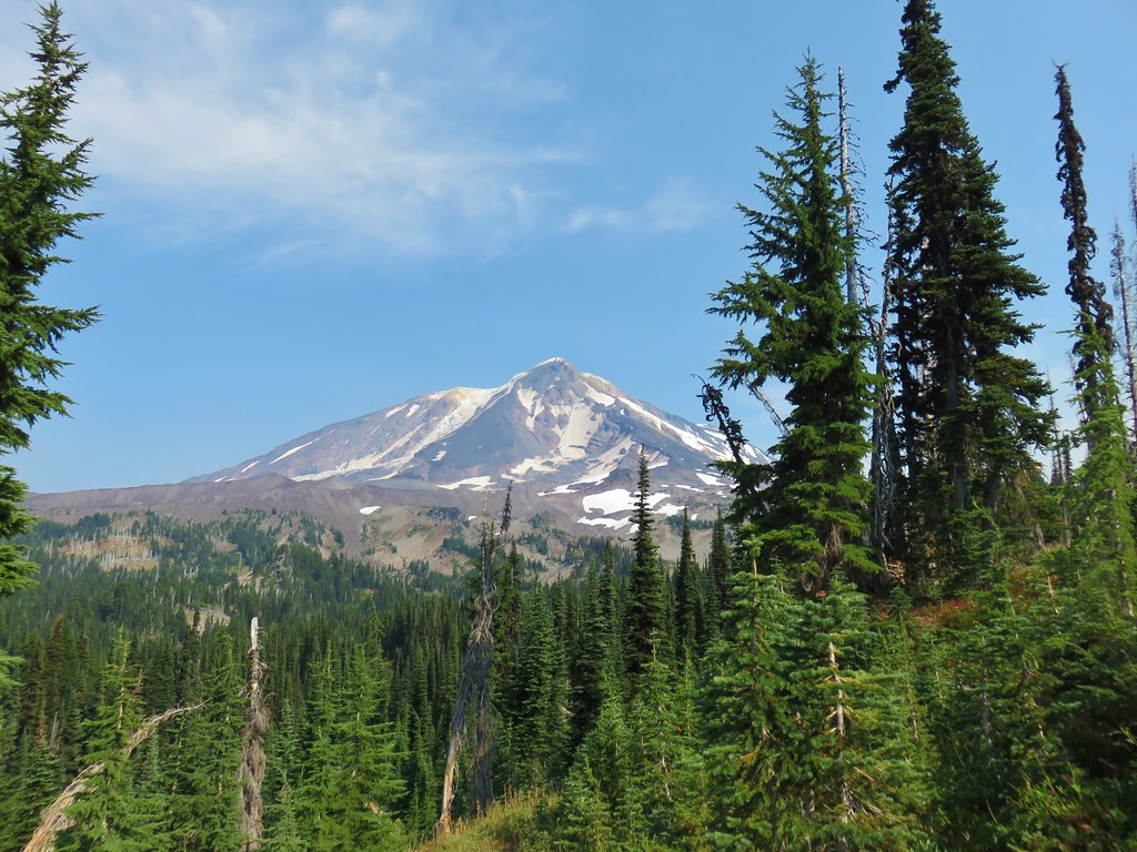
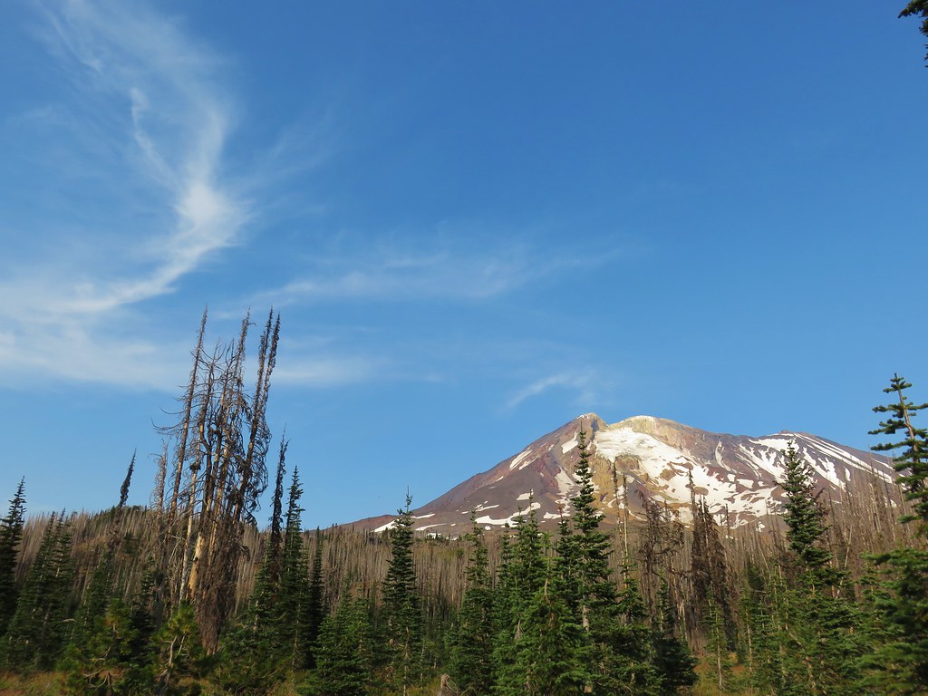
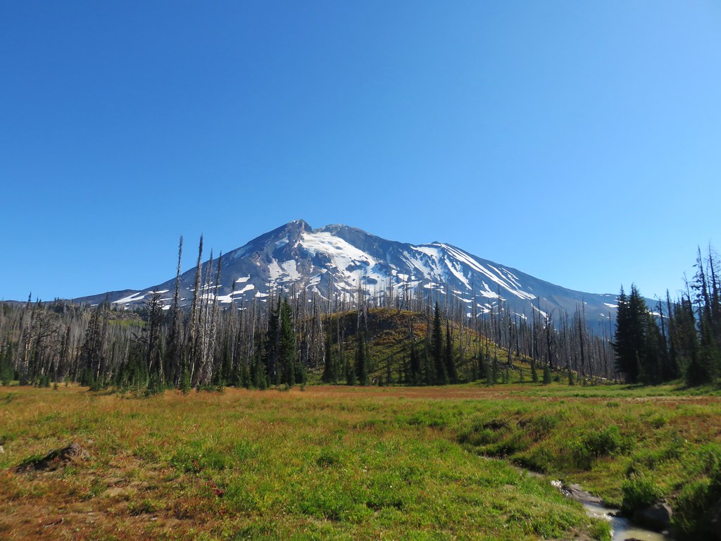
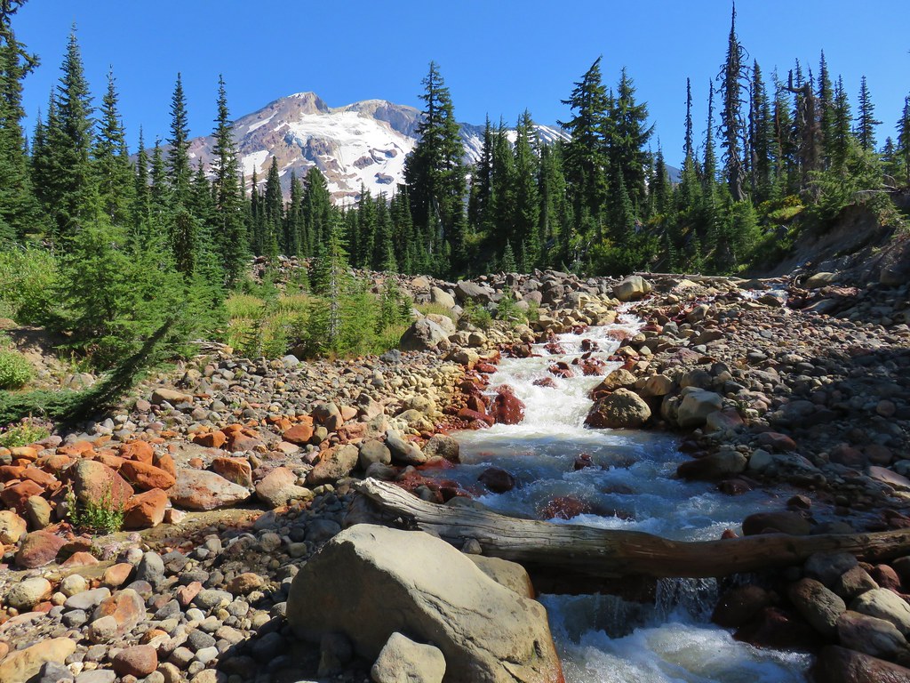
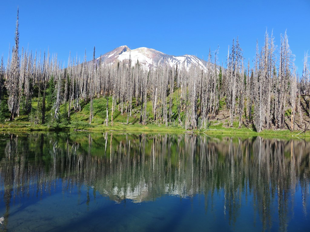
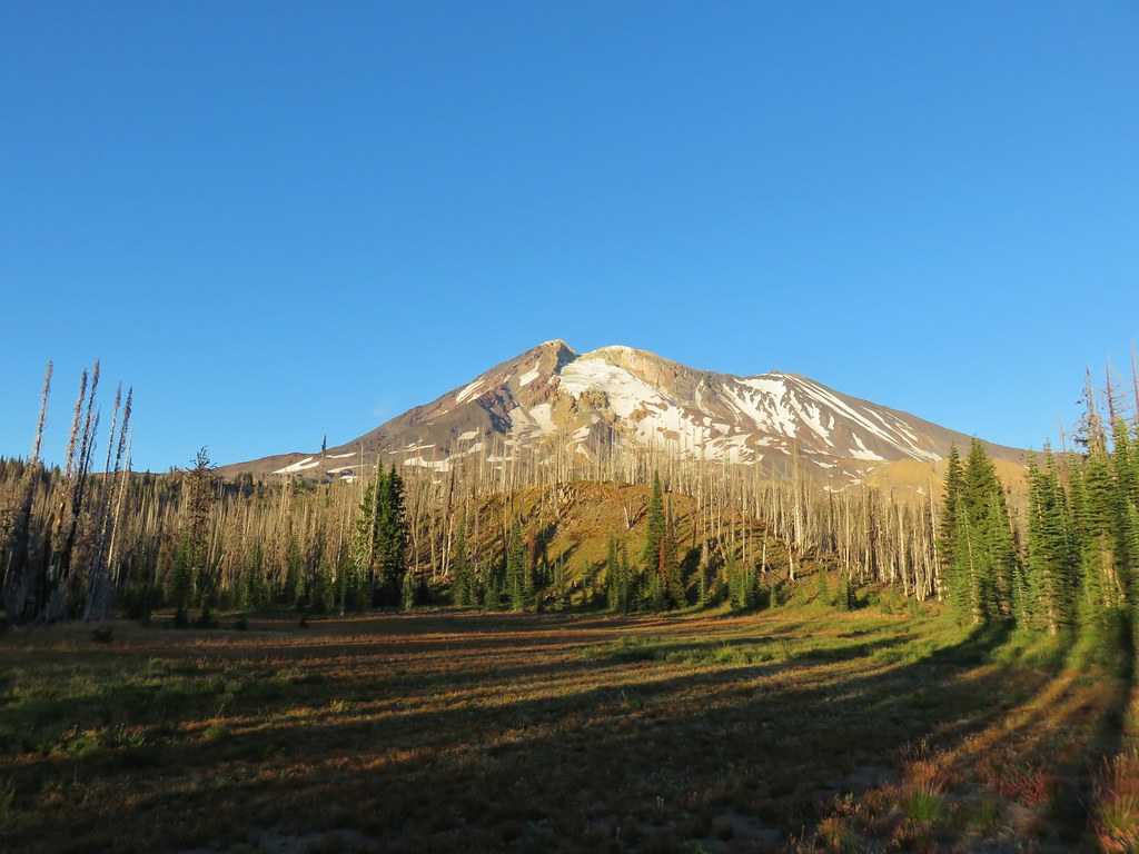
We turned left onto the Hunts Creek Trail and followed it around a ridge for nearly three quarters of a mile to its end at a junction with the Pacific Crest Trail gaining a view of Mt. Jefferson along the way.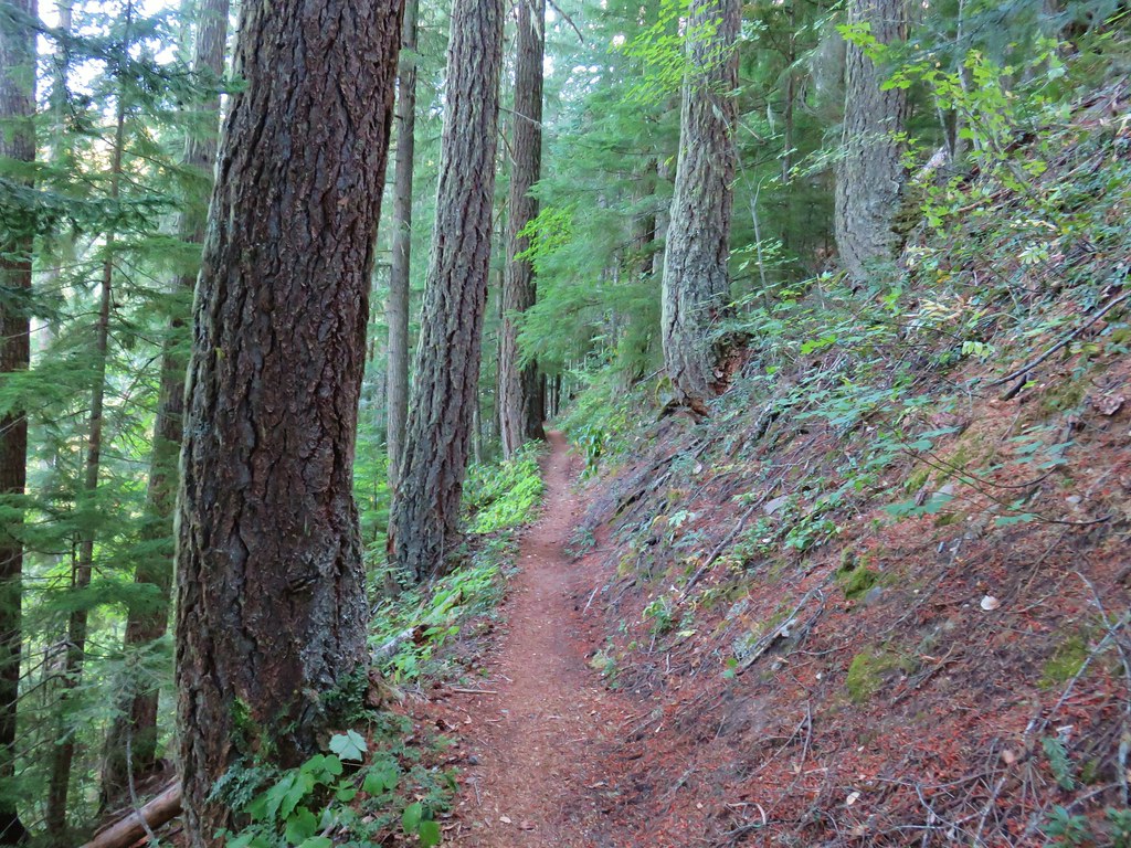
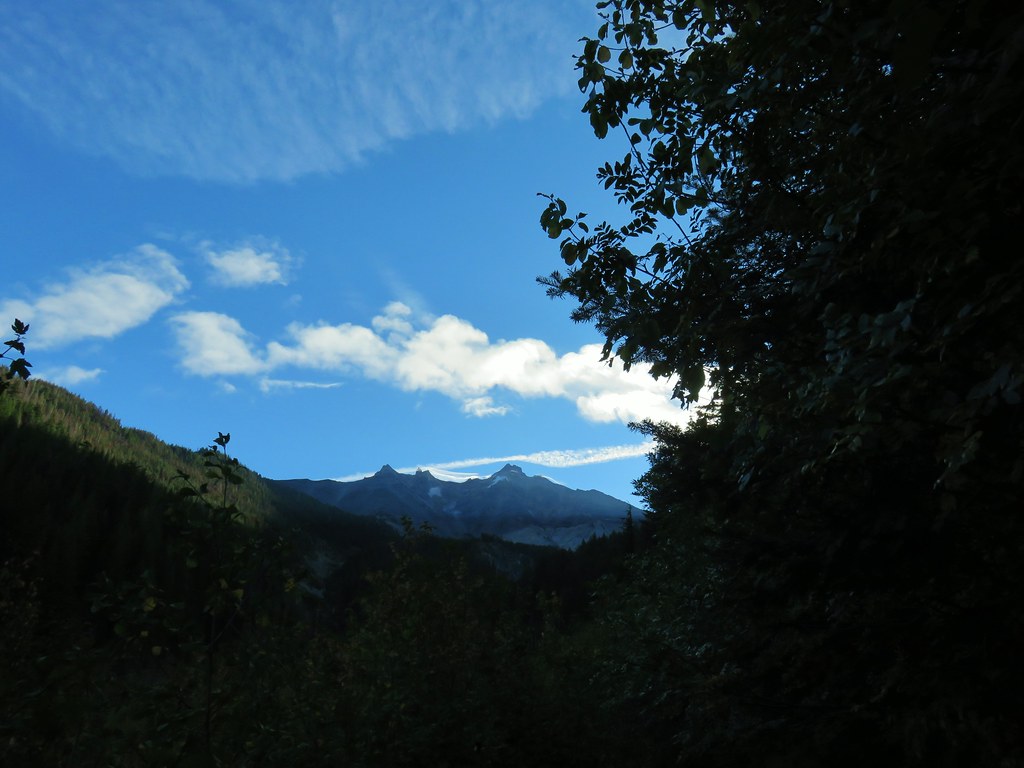
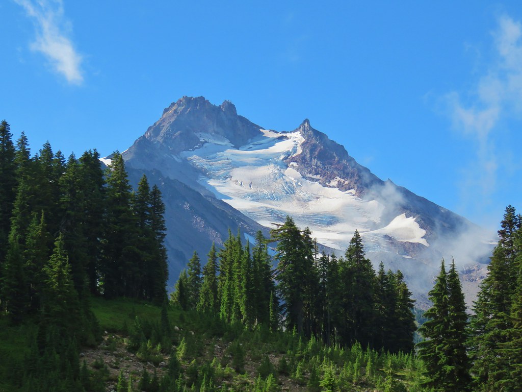
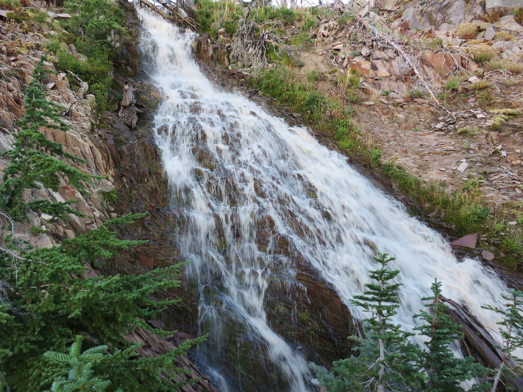
On our loop to Hunts Cove I had taken the short side trip north on the PCT to see Milk Creek but Heather had not so we turned left at the junction and followed the PCT for a tenth of a mile through vine maple donning its fall colors to a viewpoint above the creek of Mt. Jefferson.
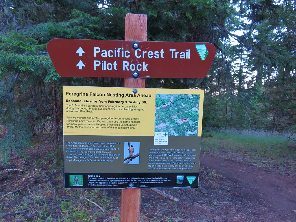
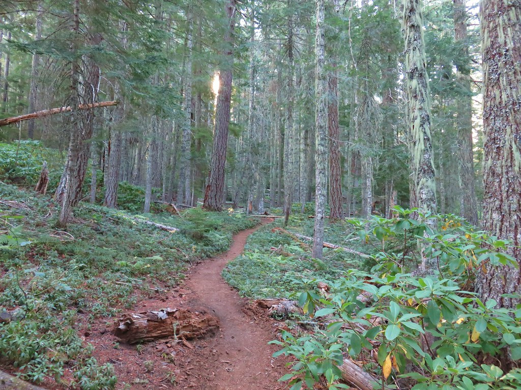
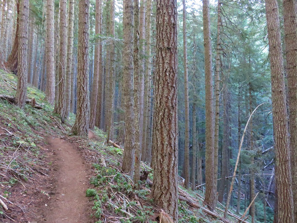
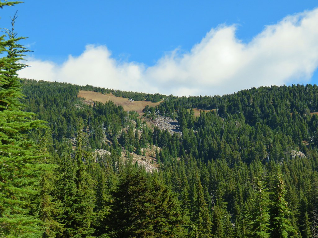
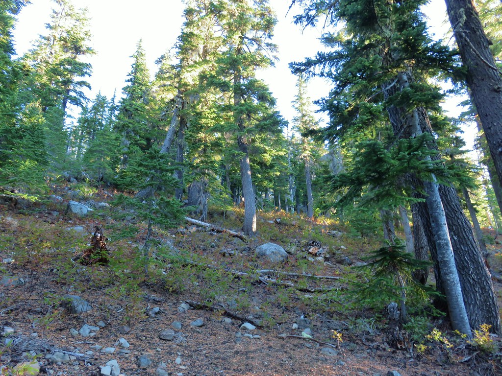
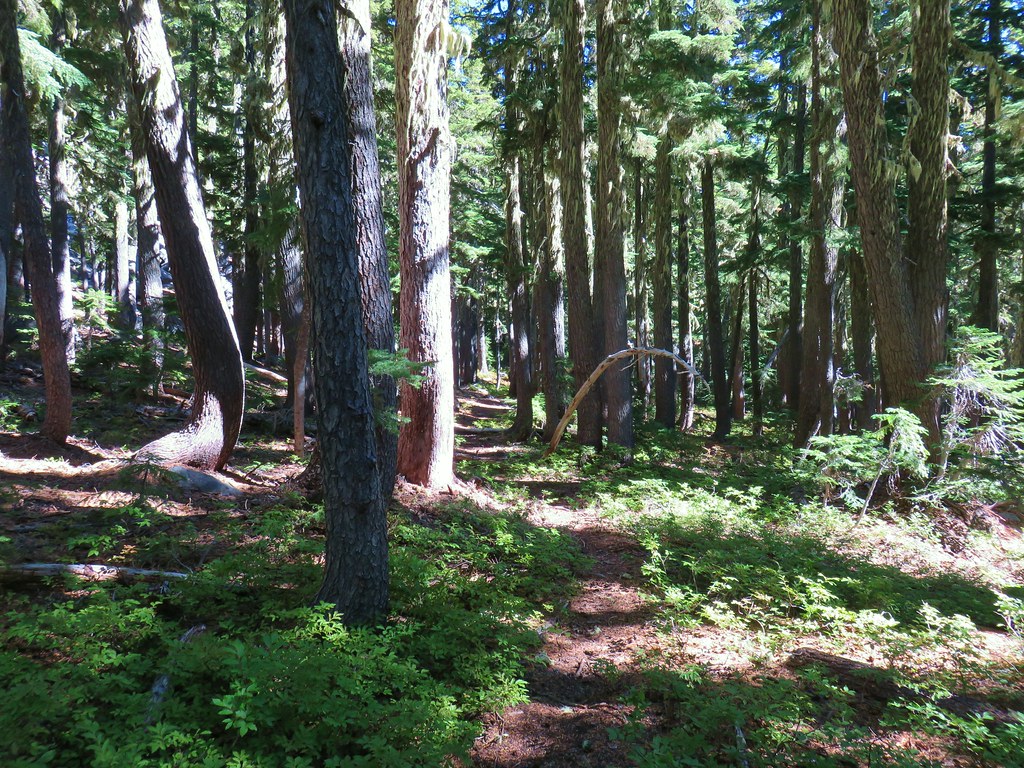
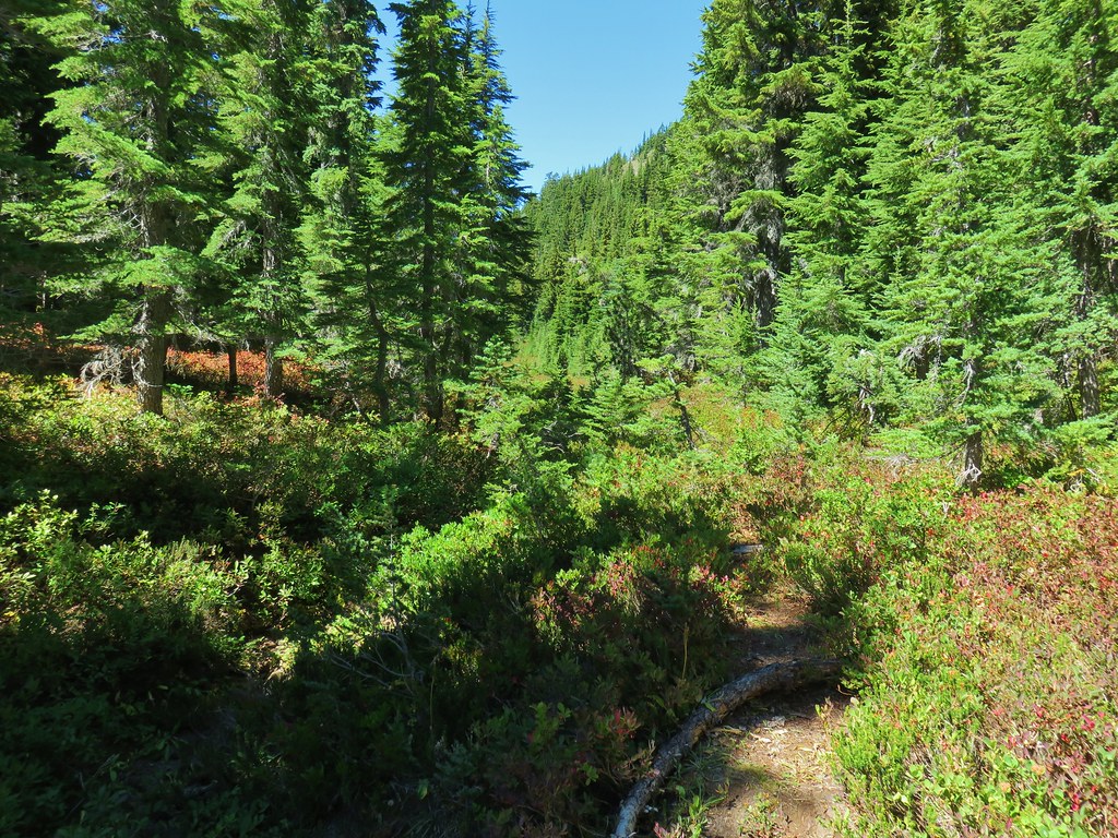
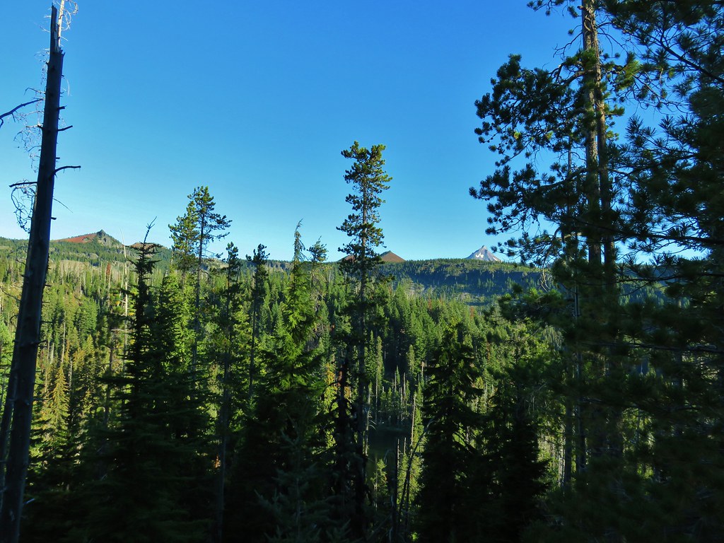
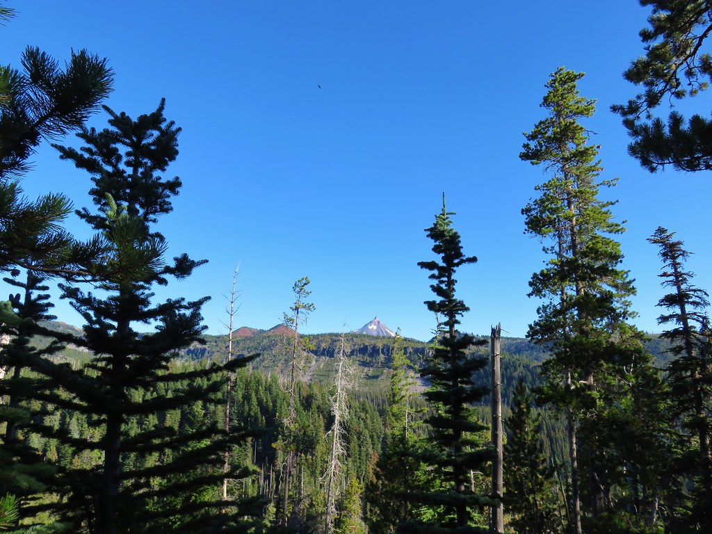
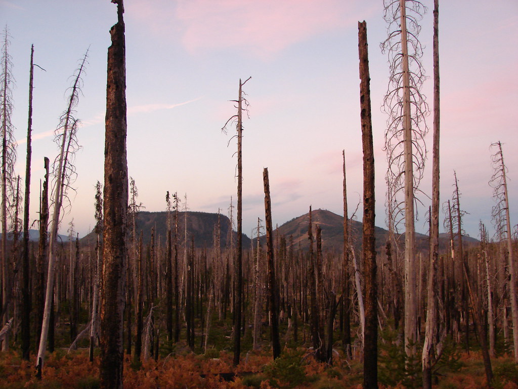
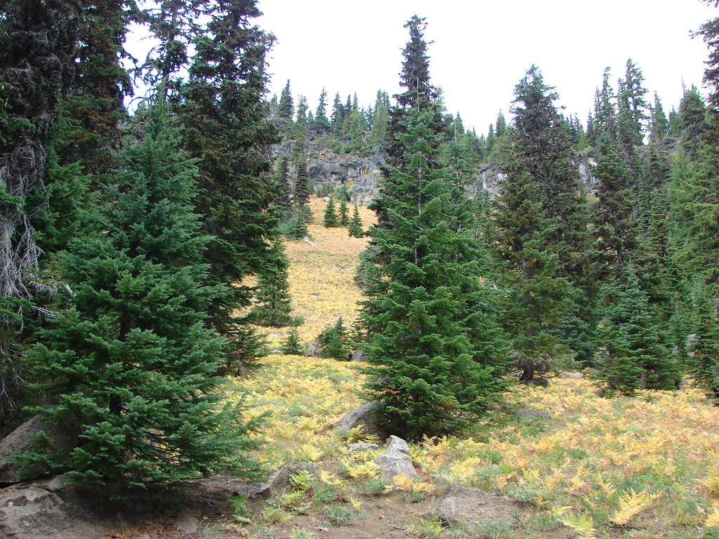
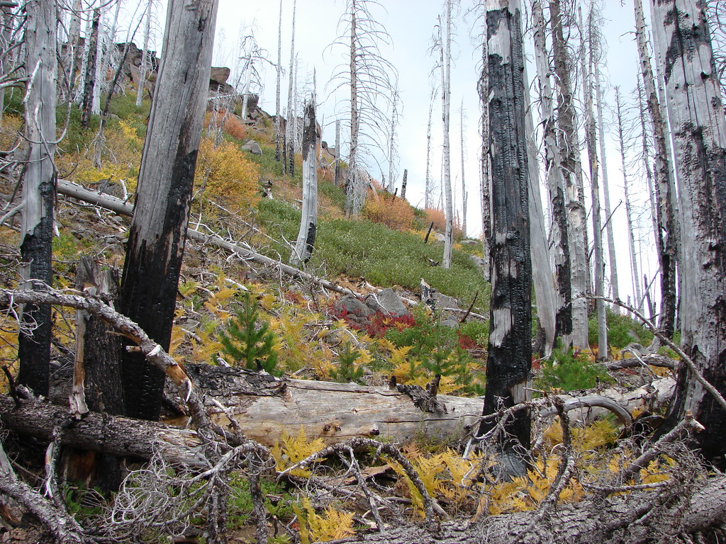
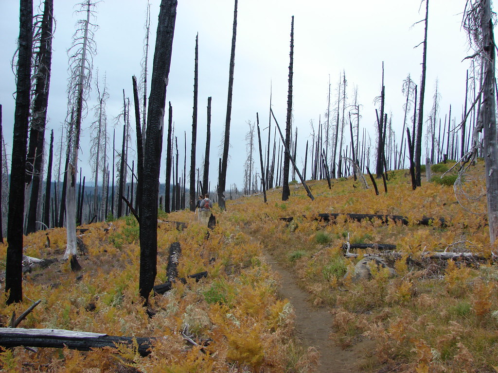
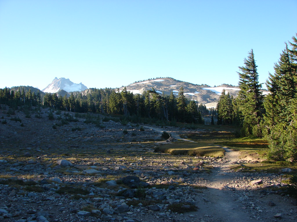
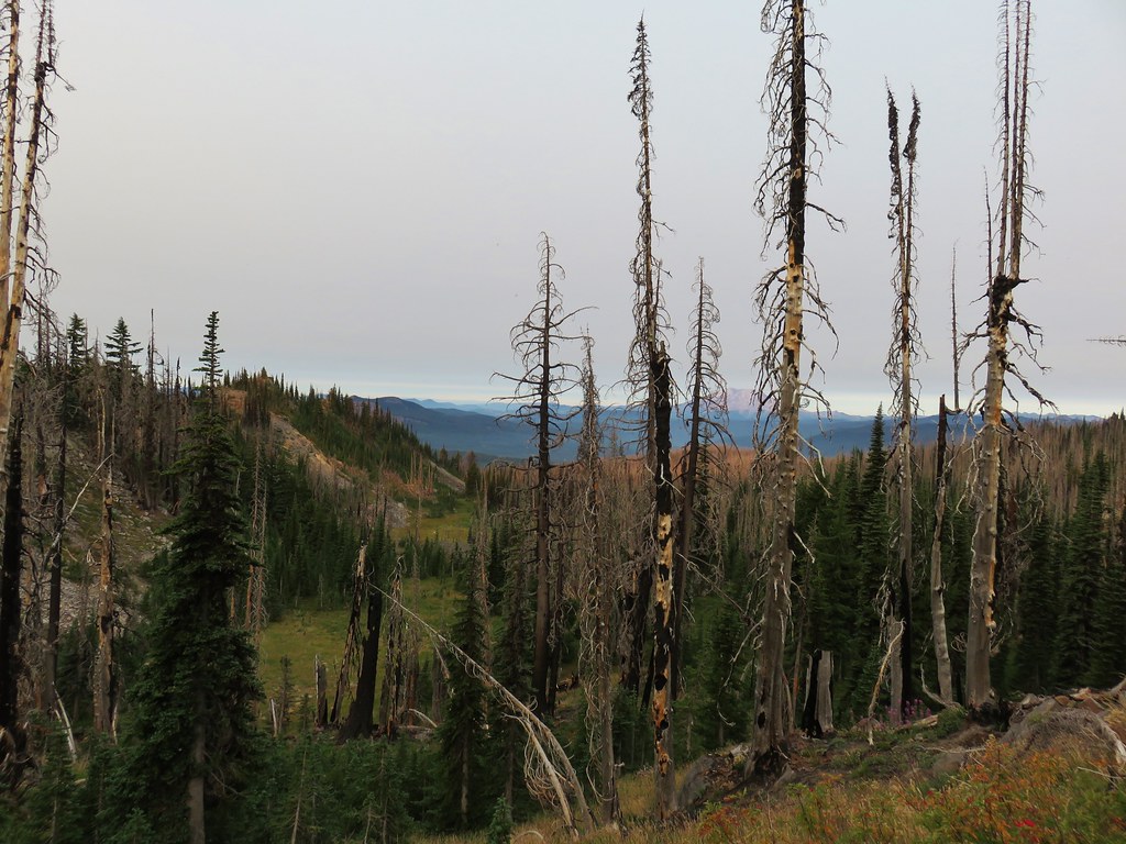
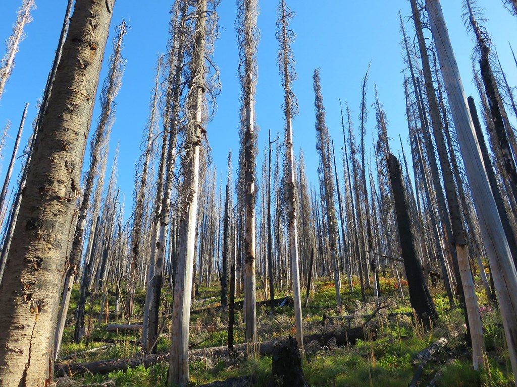
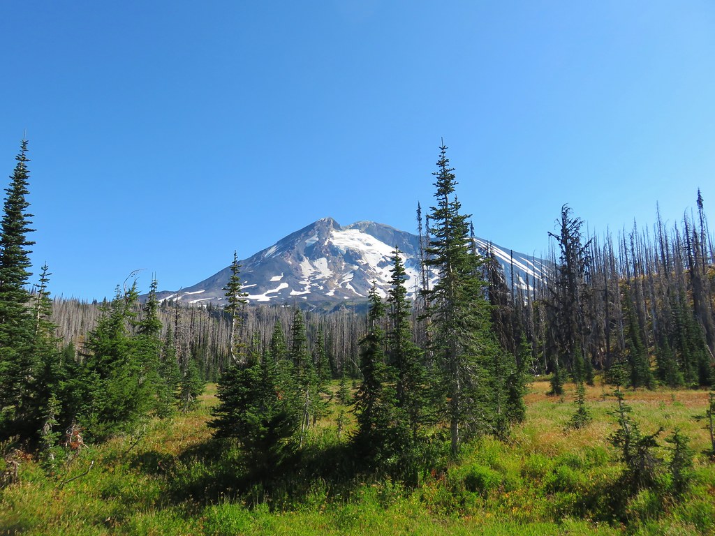
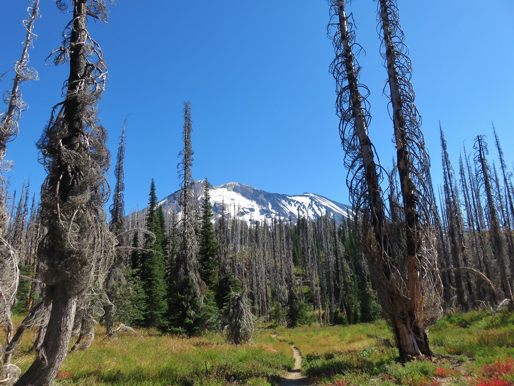
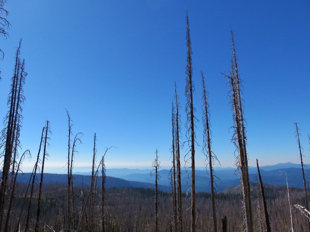
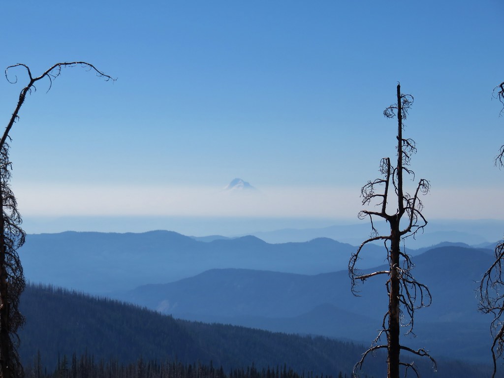
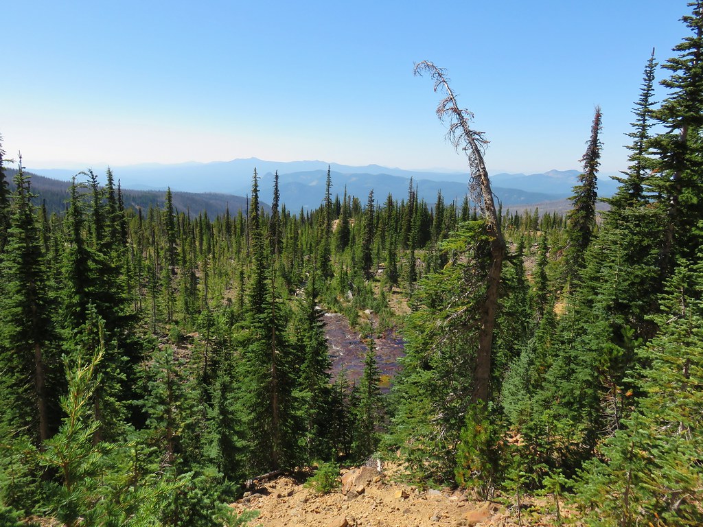
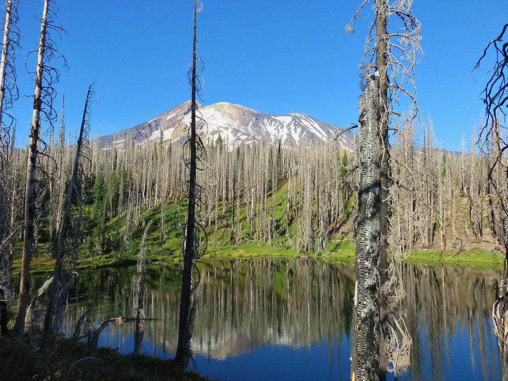
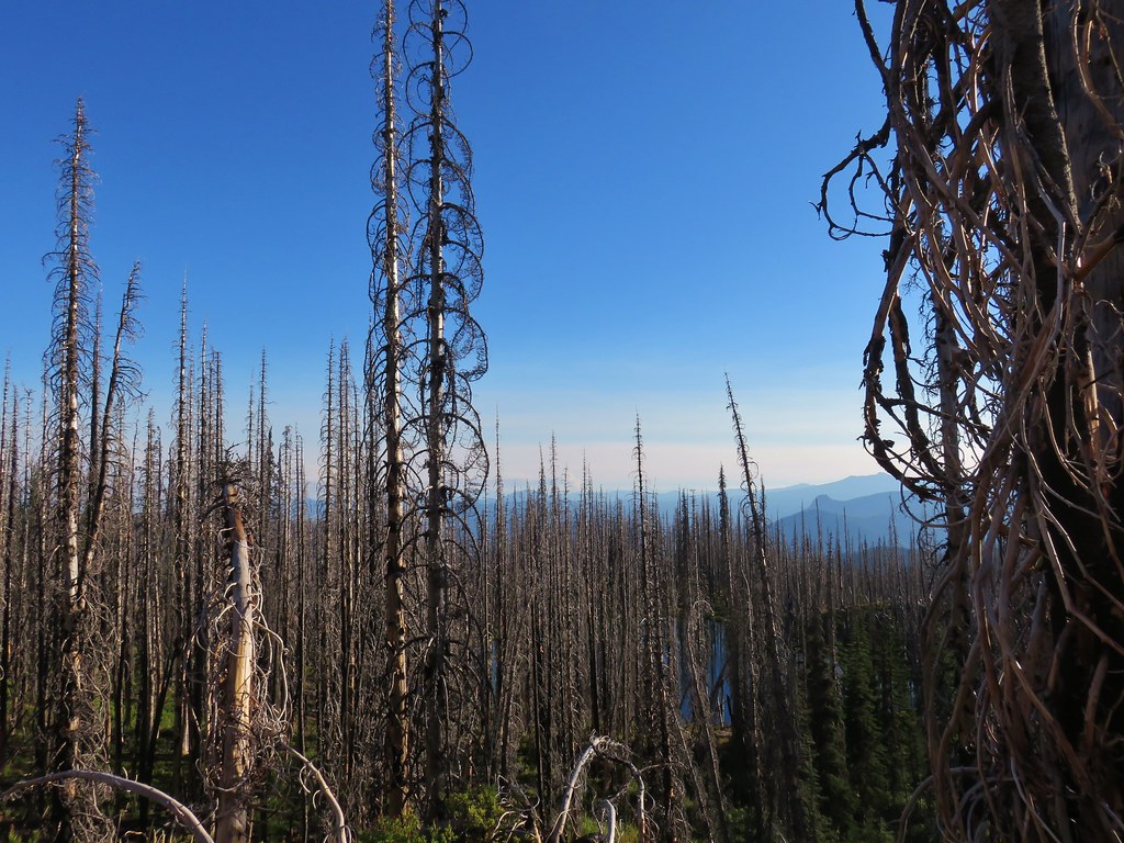
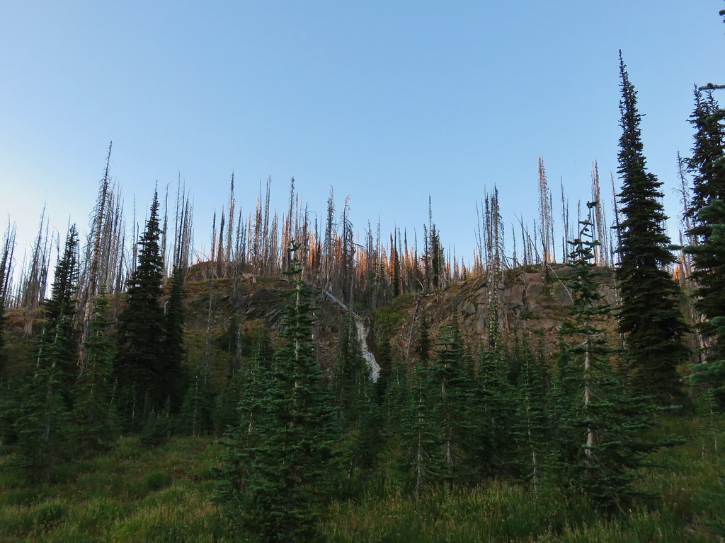
After checking off the viewpoint we turned around and headed south on the PCT which climbed gradually through a varied forest.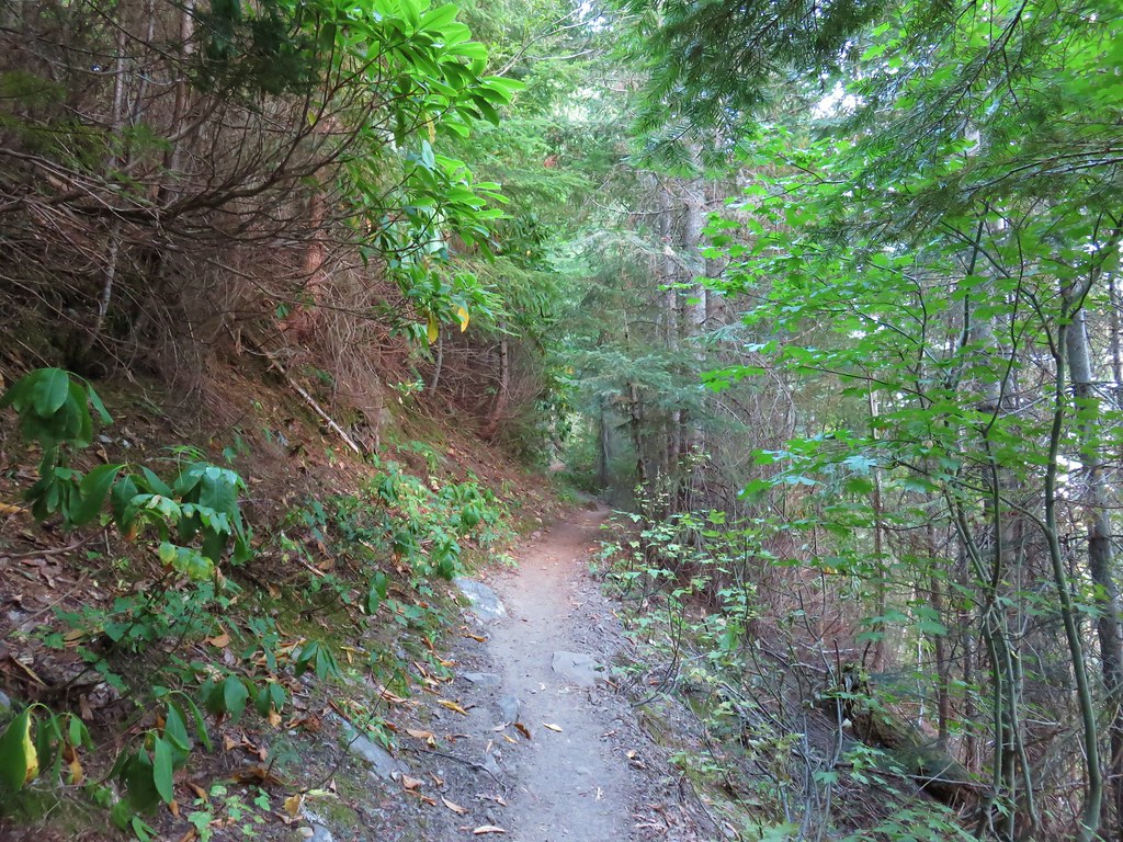
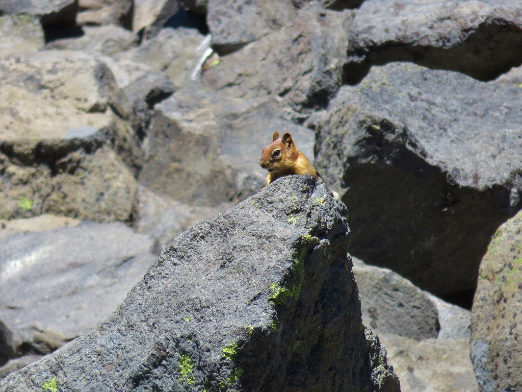
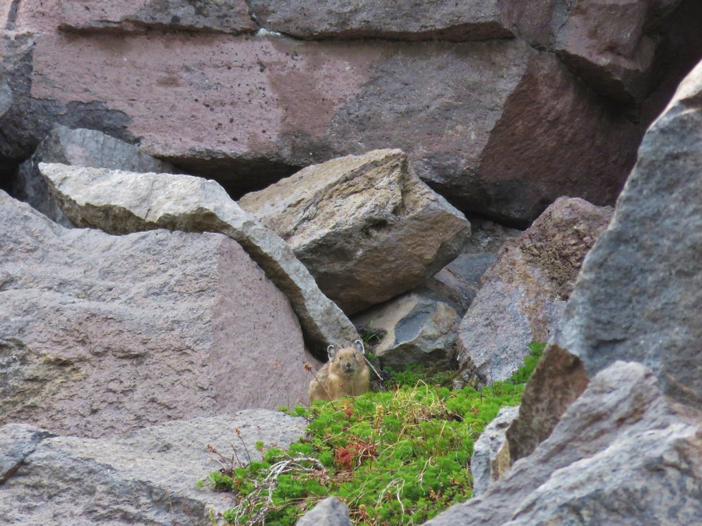
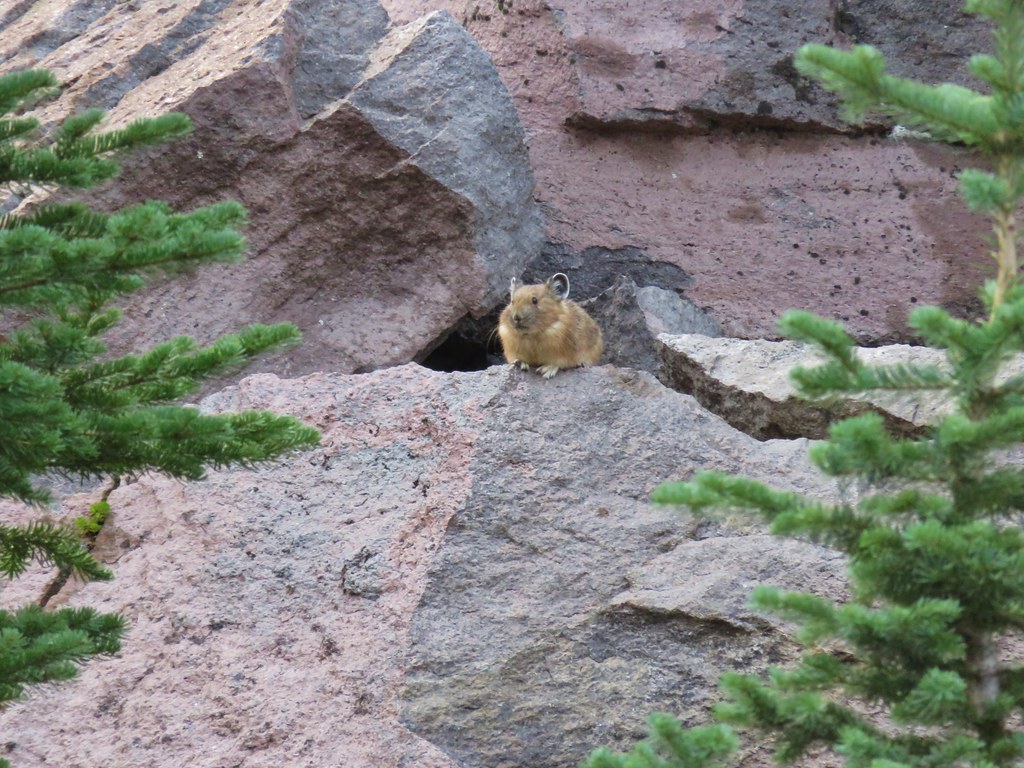
Along the way some movement in a fir tree caught our attention. At first we thought it might be a medium sized mammal of some kind but it turned out to be a squirrel harvesting cones that were crashing down through the limbs after being detached.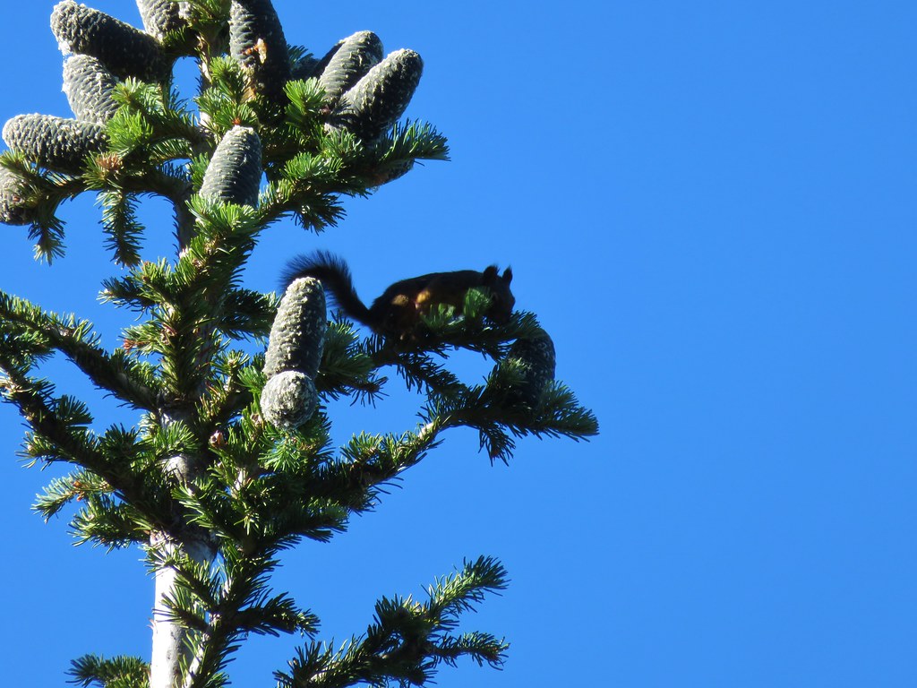
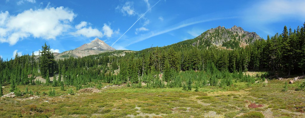
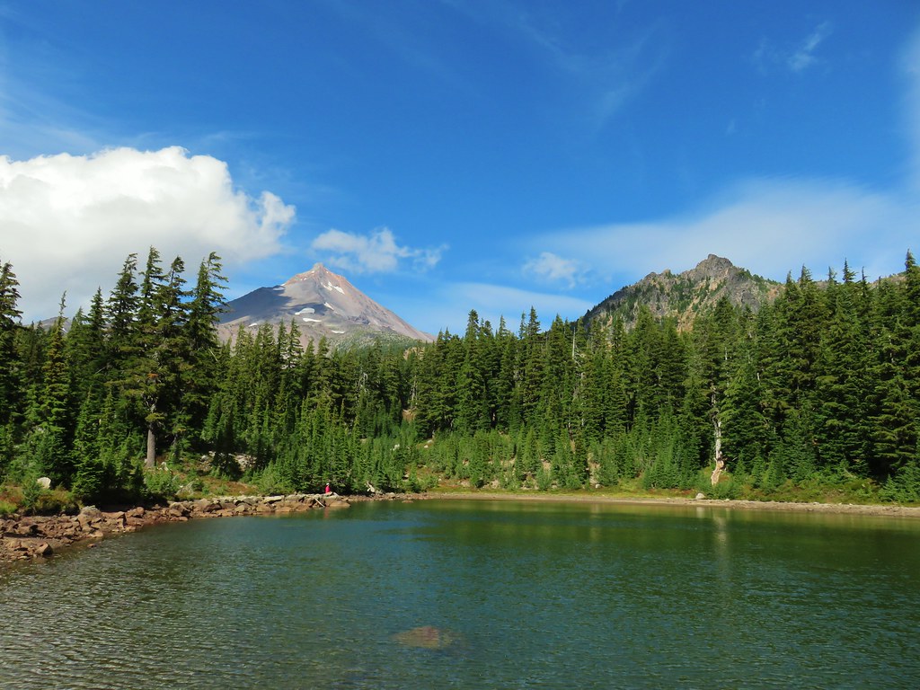
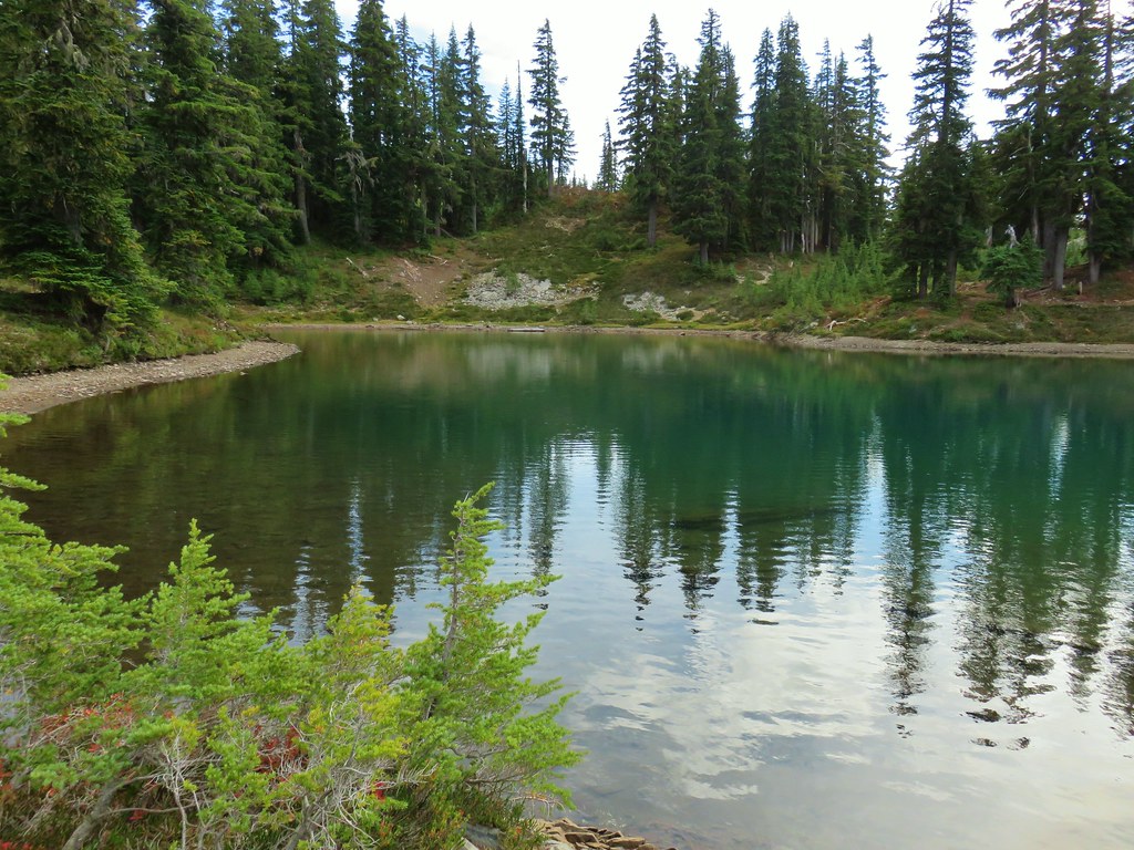
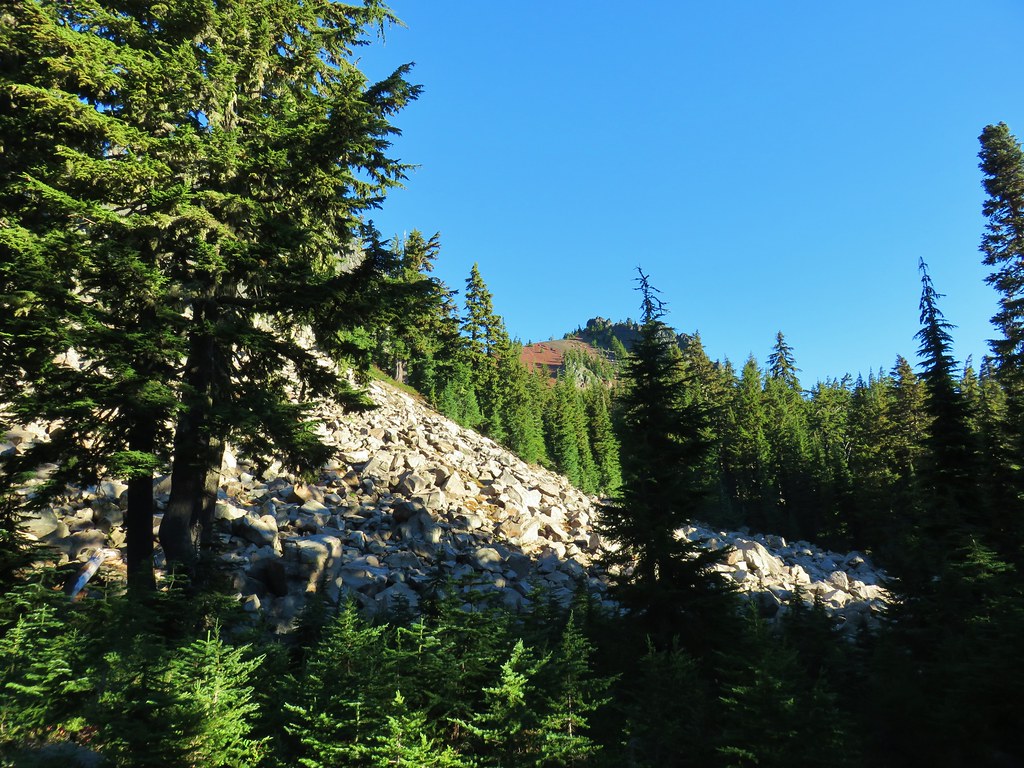
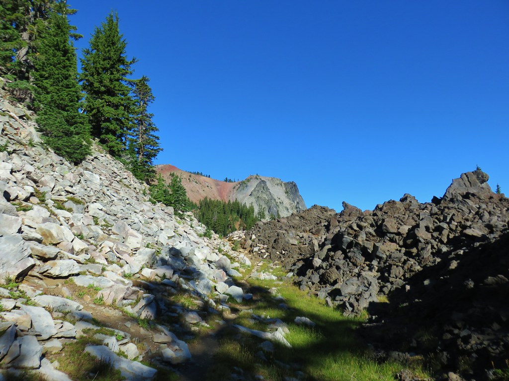
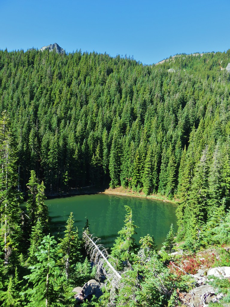
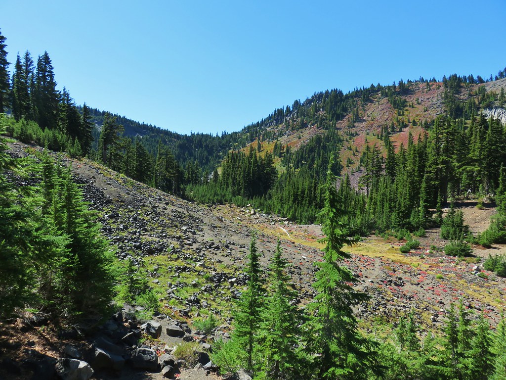
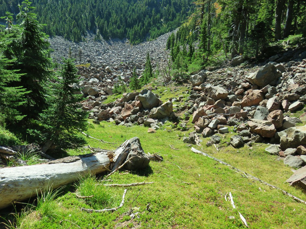
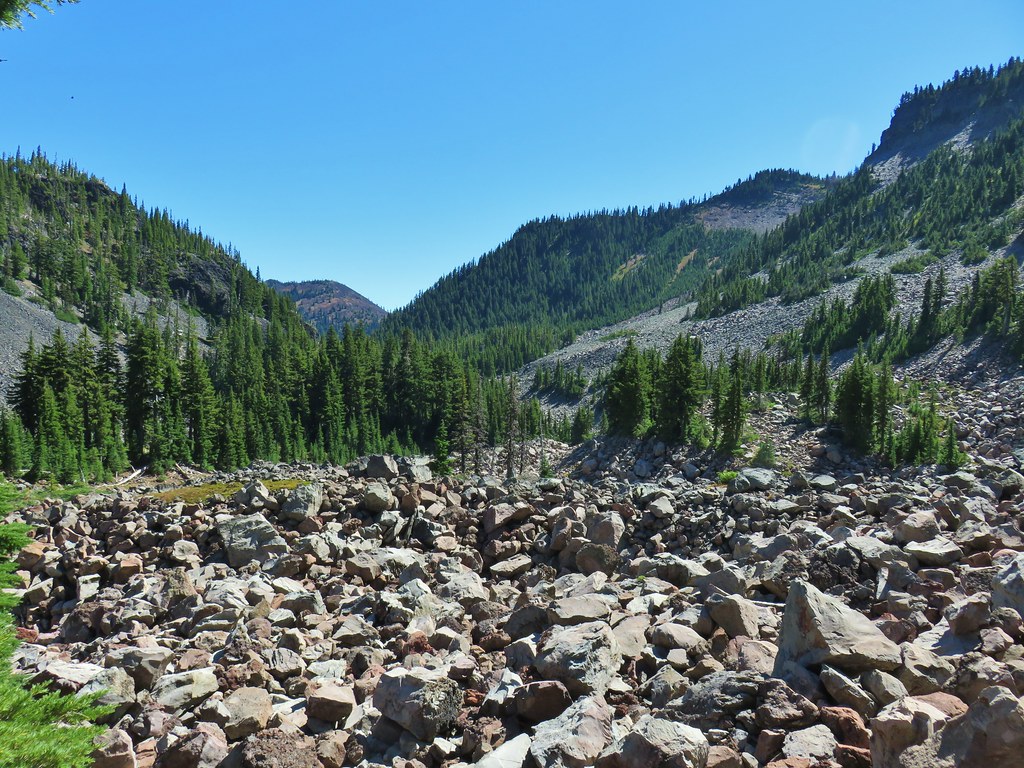
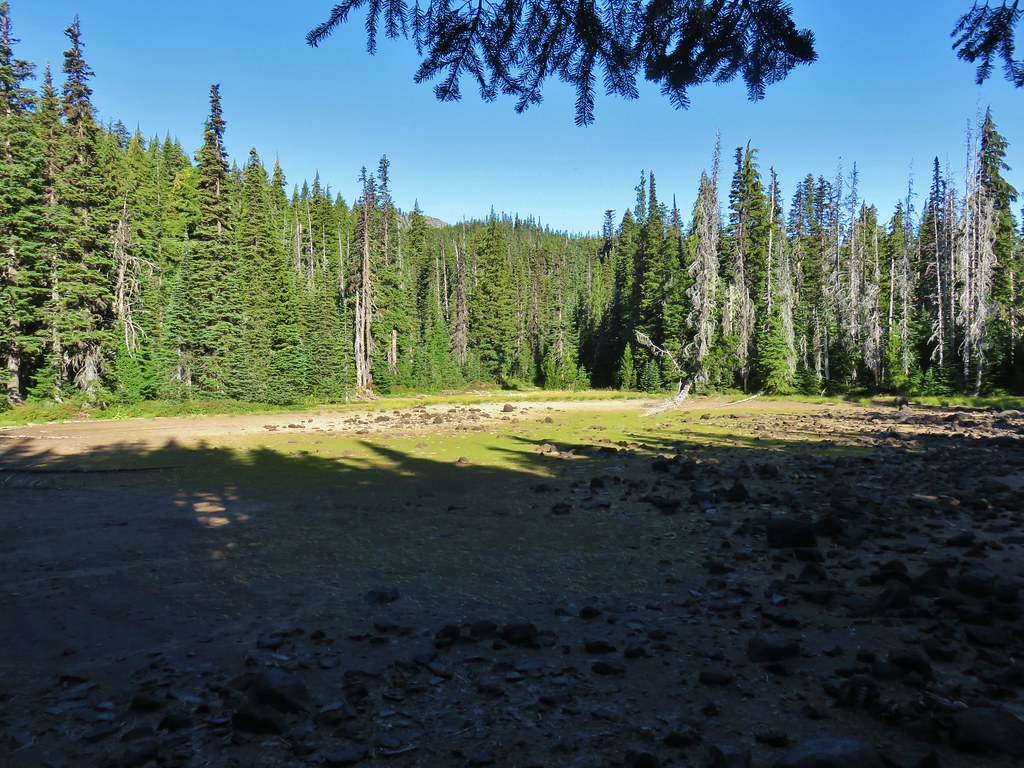
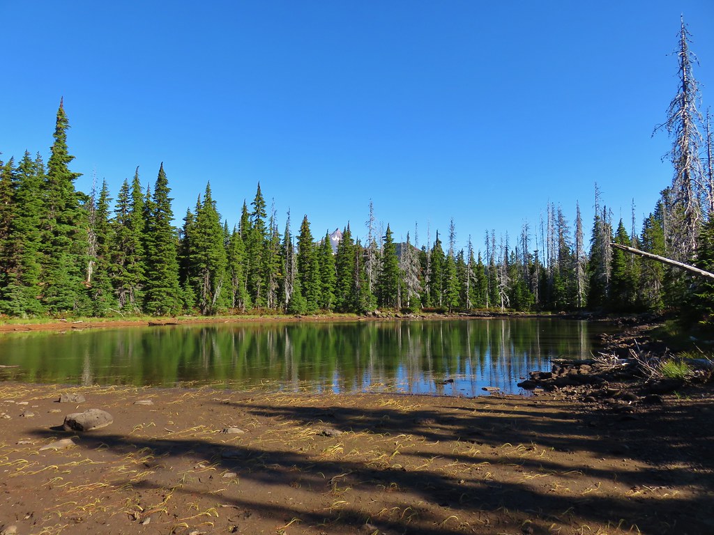
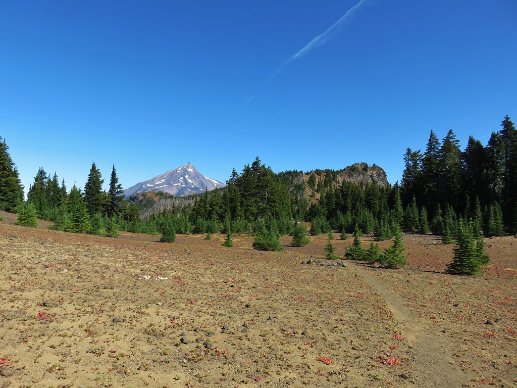
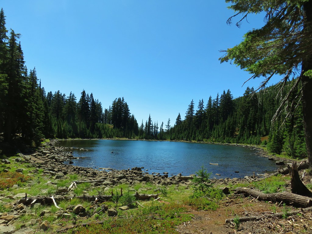
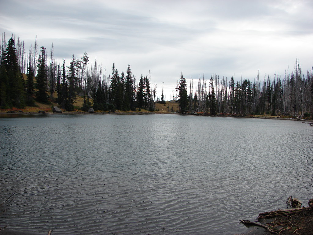
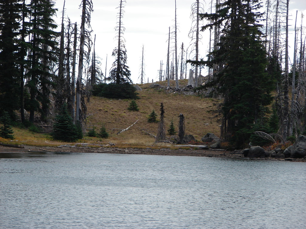
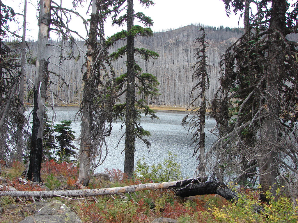
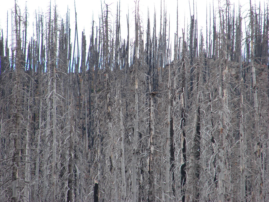
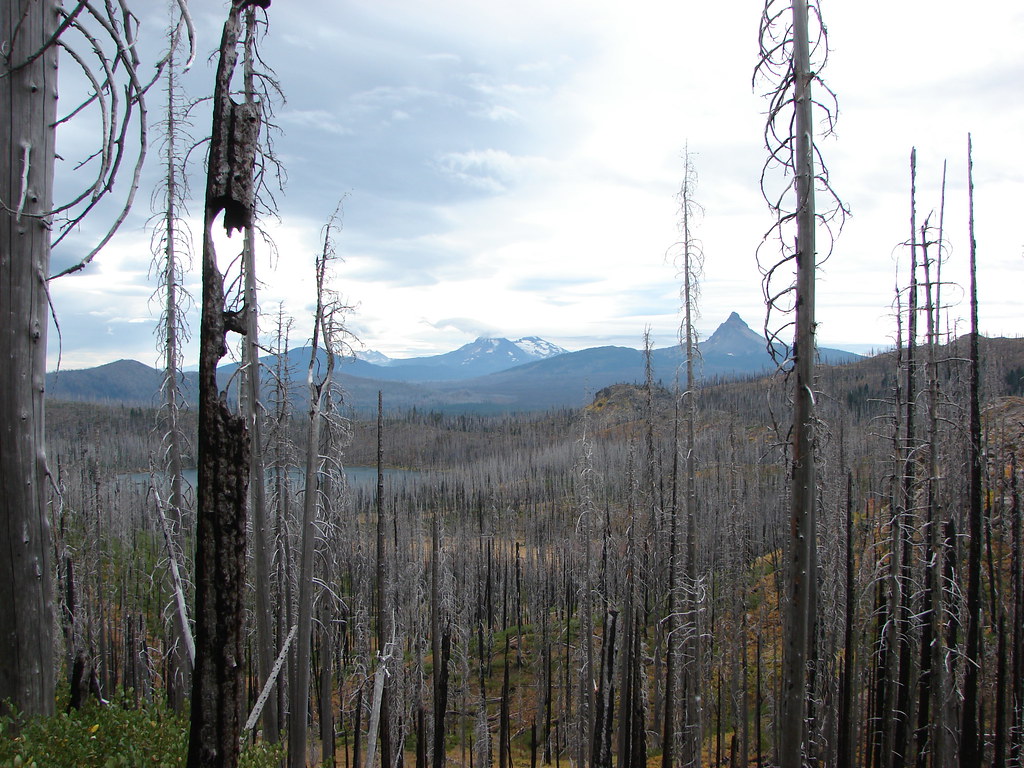
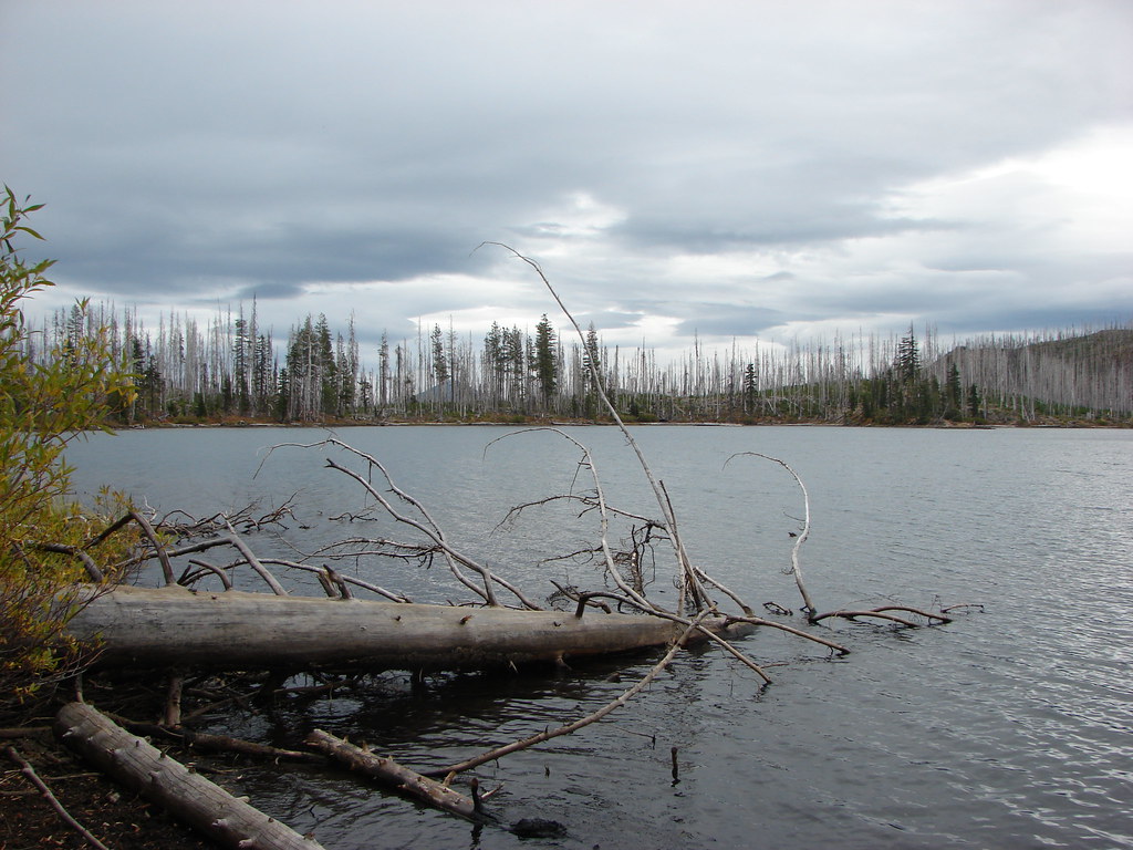
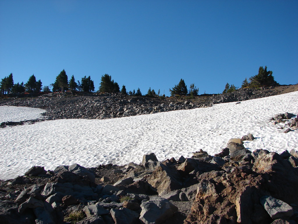
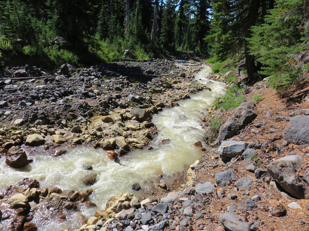
Approximately four and a quarter miles from the junction we arrived at Mud Hole Lake. (On some maps it is identified as Coyote Lake but on the USGS Topographic Map the name Coyote Lake is assigned to another lake on the west side of the PCT.)
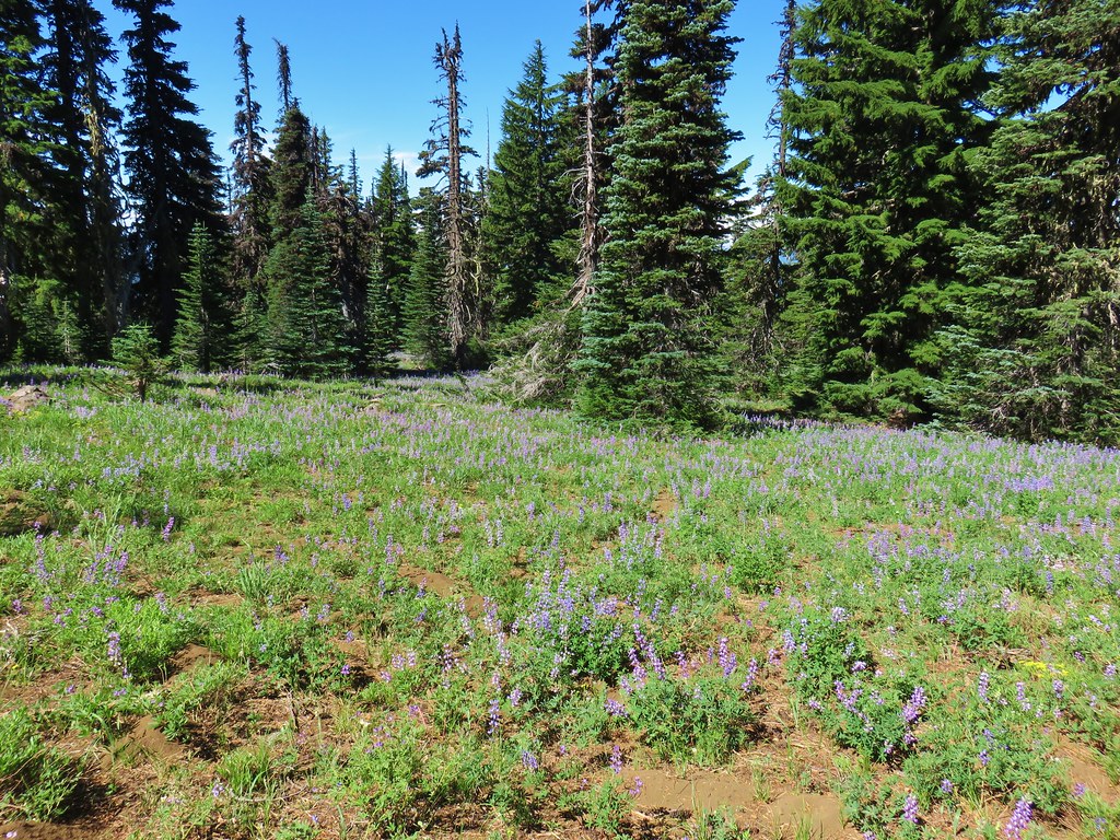
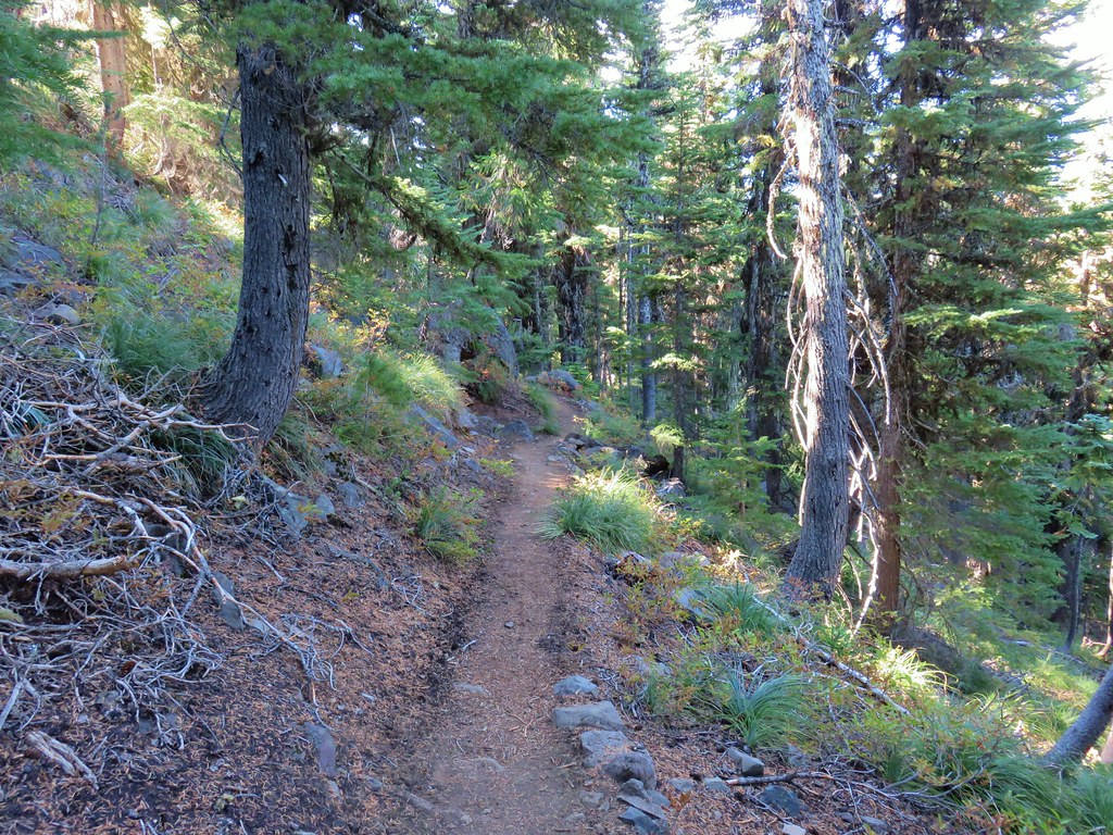
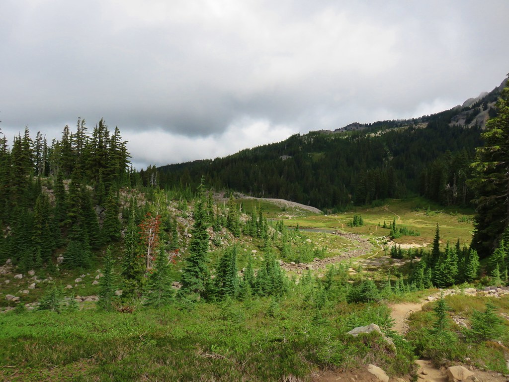
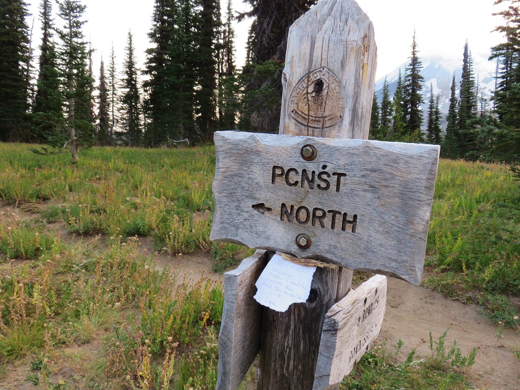
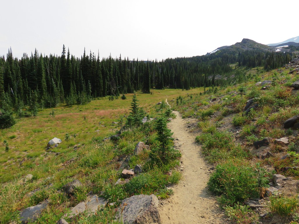
We turned off the PCT just before the lake on an unsigned but clear trail leading NE through a meadow.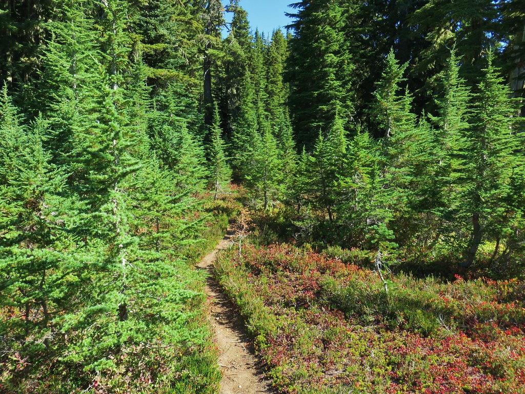
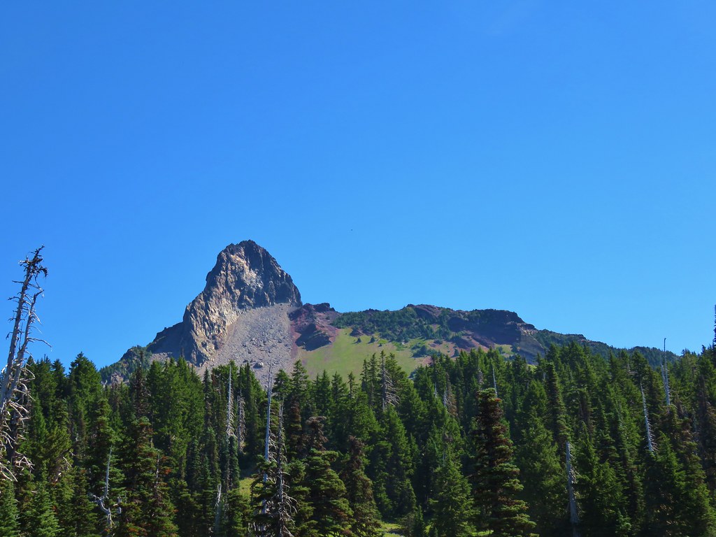
We were using “75 Scrambles in Oregon: Best Non-Technical Ascents” by Barbara I. Bond as our reference for the hike. This was our first time using this particular guidebook but so far everything was going smoothly. The book did not mention that there was a clear trail to follow but we were headed straight for Goat Peak and we’d turned off the PCT at the right spot so we figured we were good to go.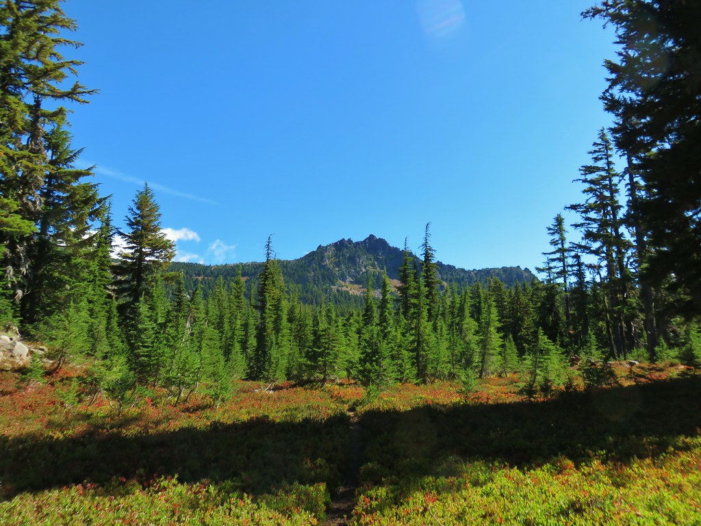
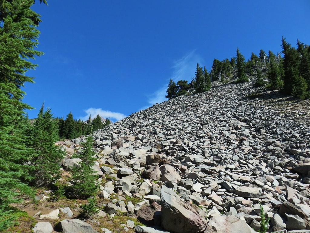
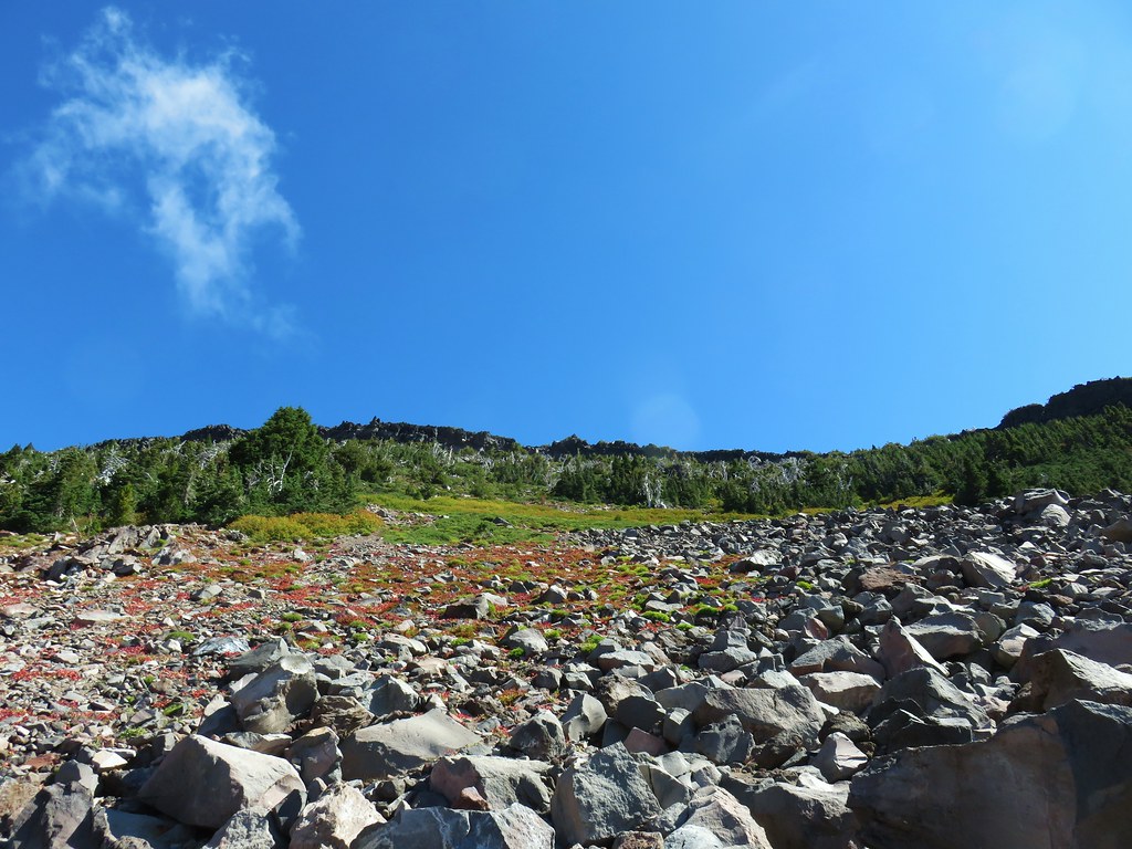
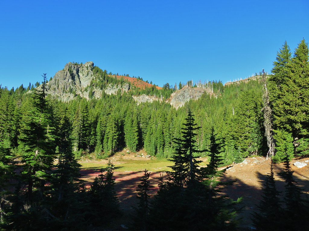
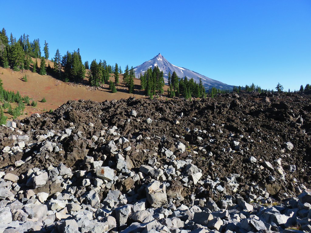
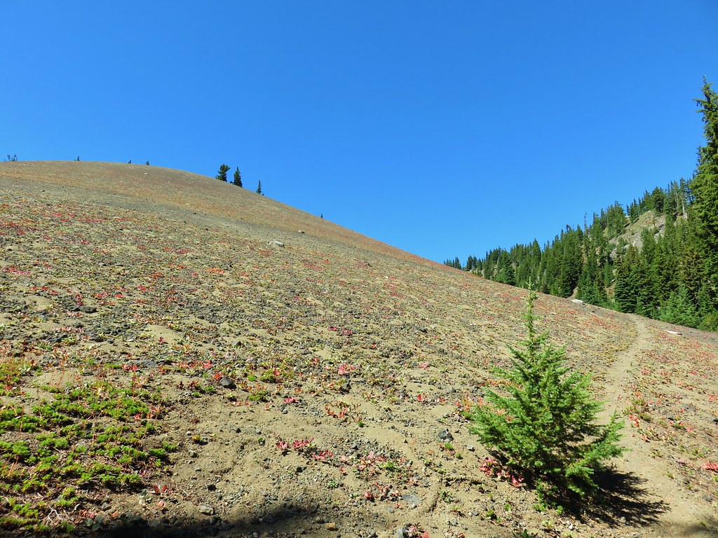
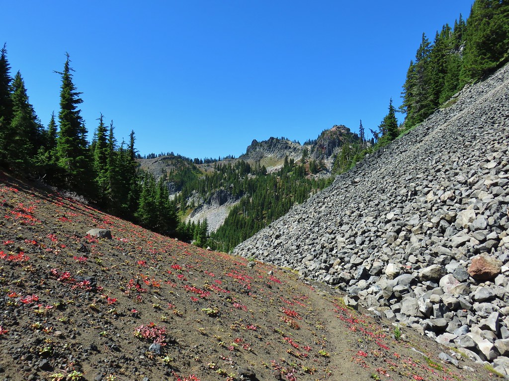
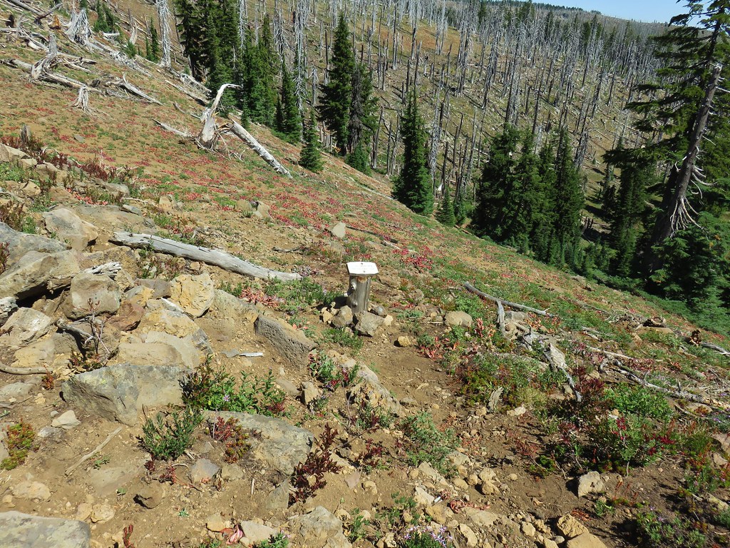
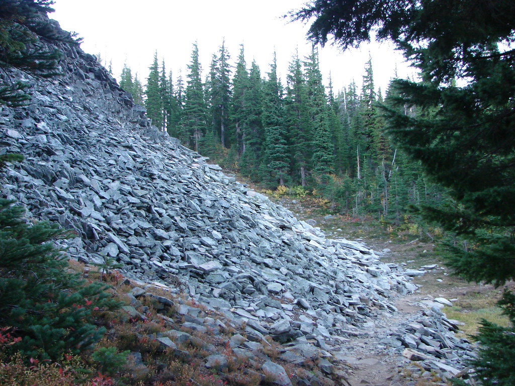
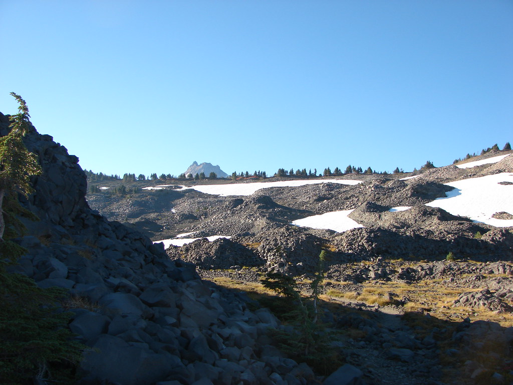
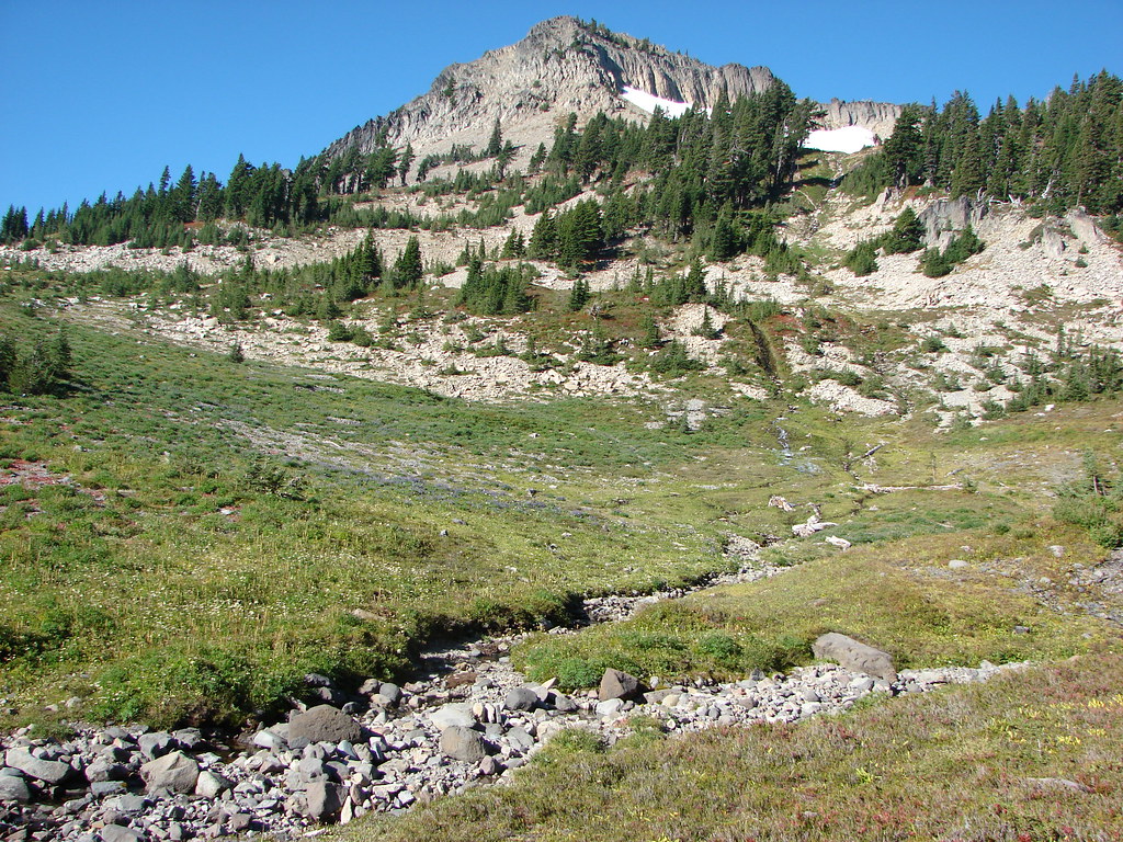
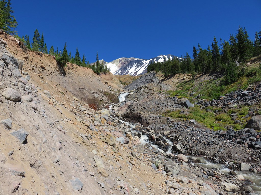
Our intended route would lead us up above a talus slope to the north (left) of Goat Peak where we would then bend to the south at about 6800′.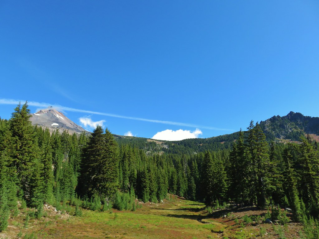
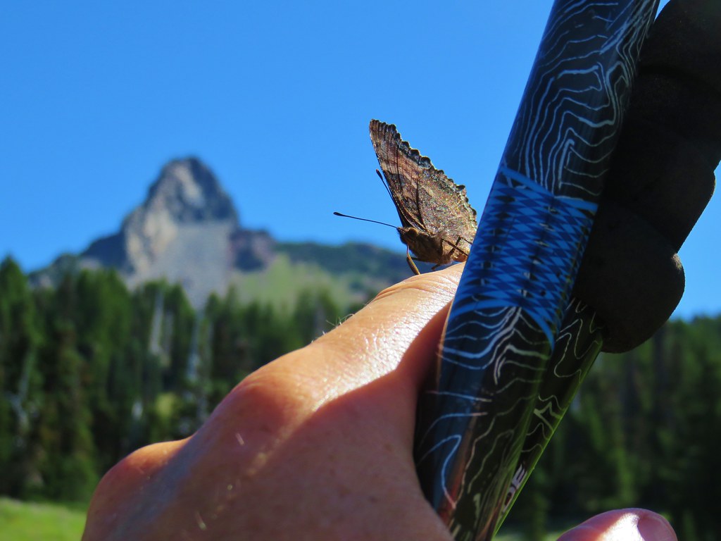
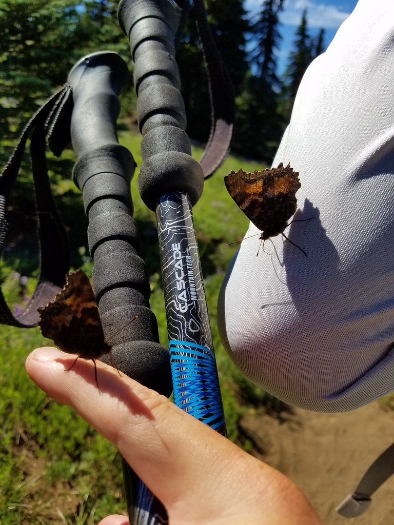
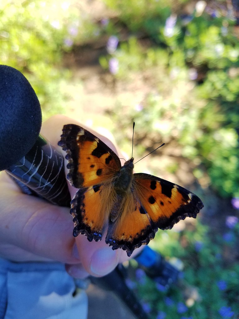
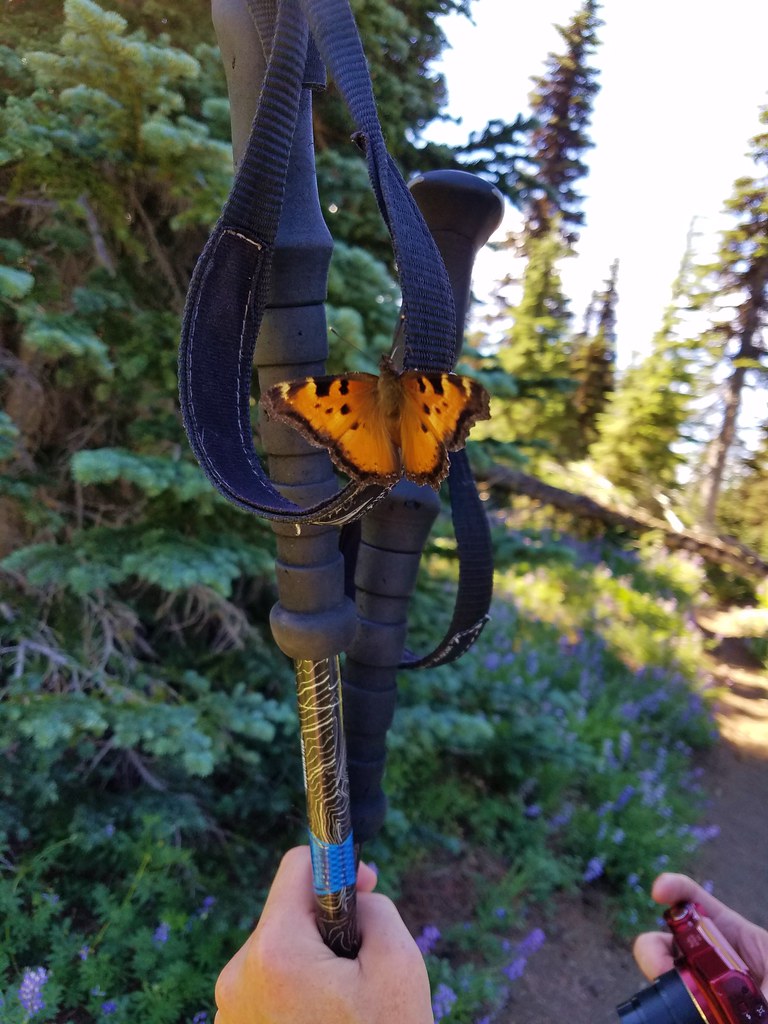
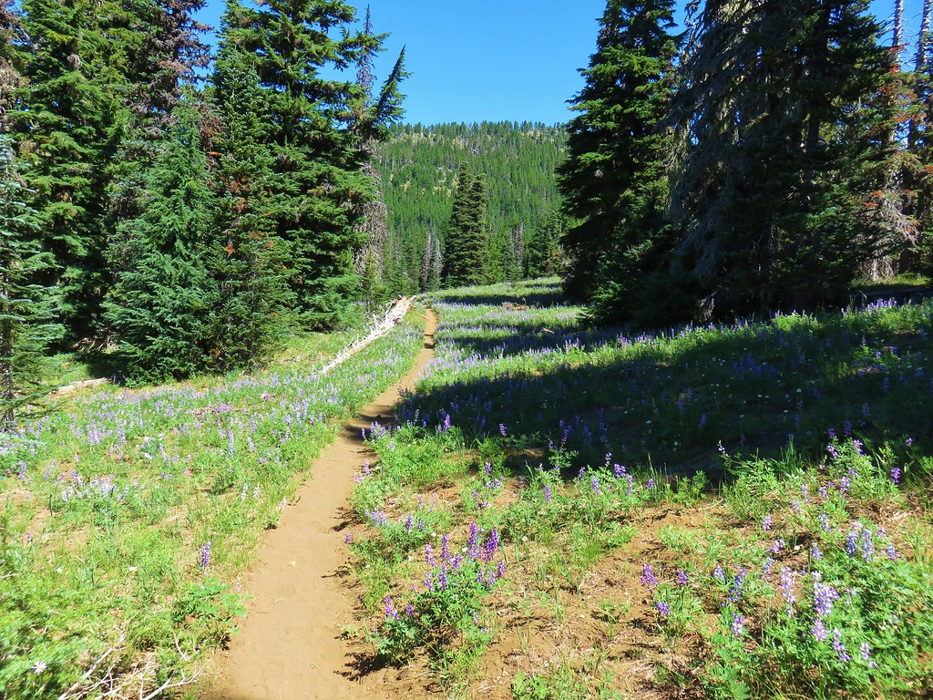
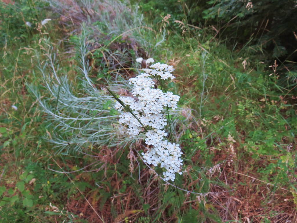
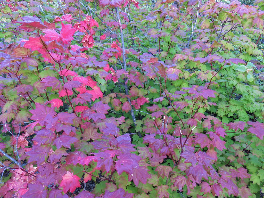
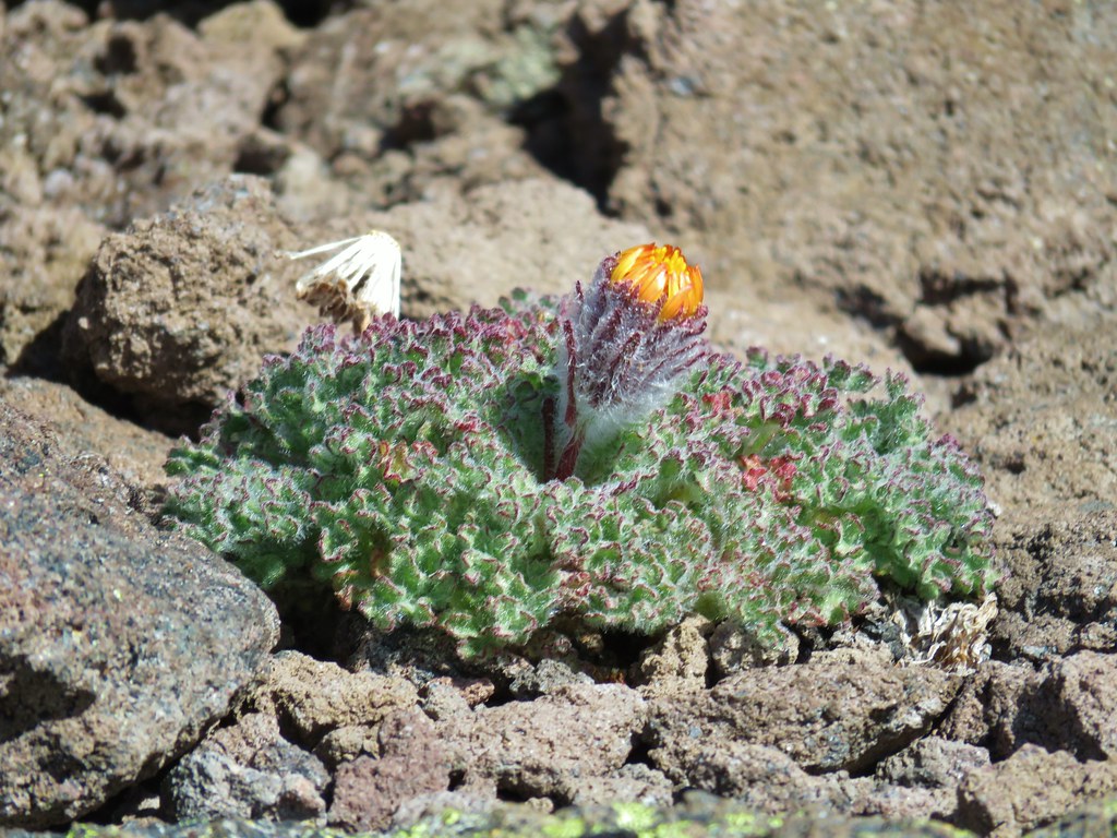
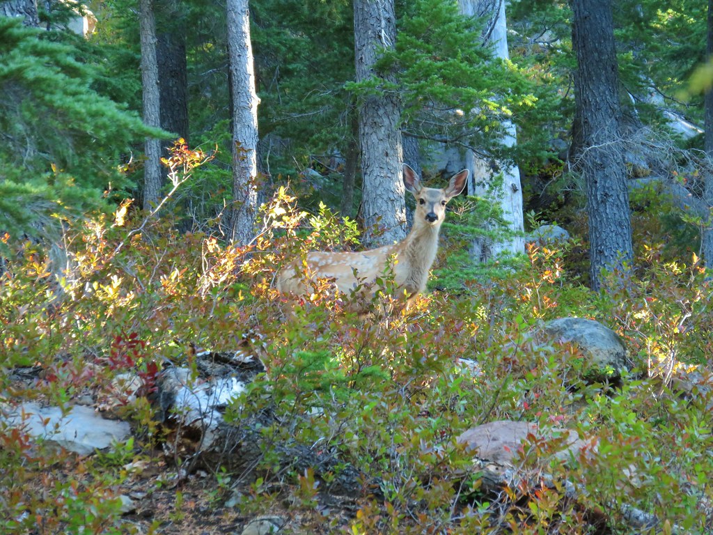
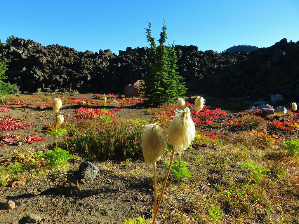
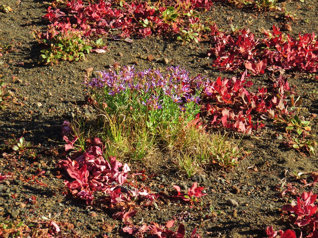
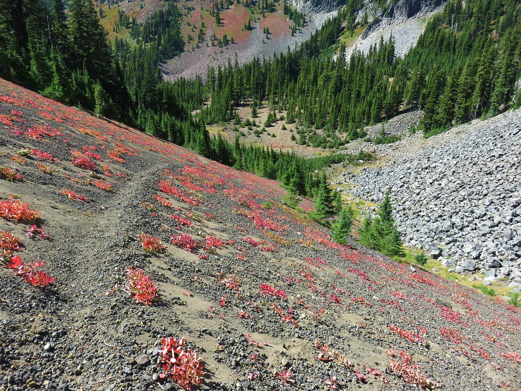
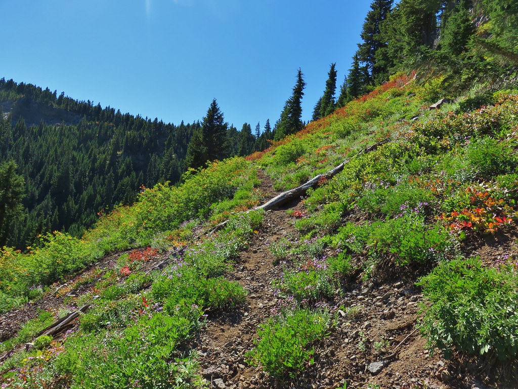
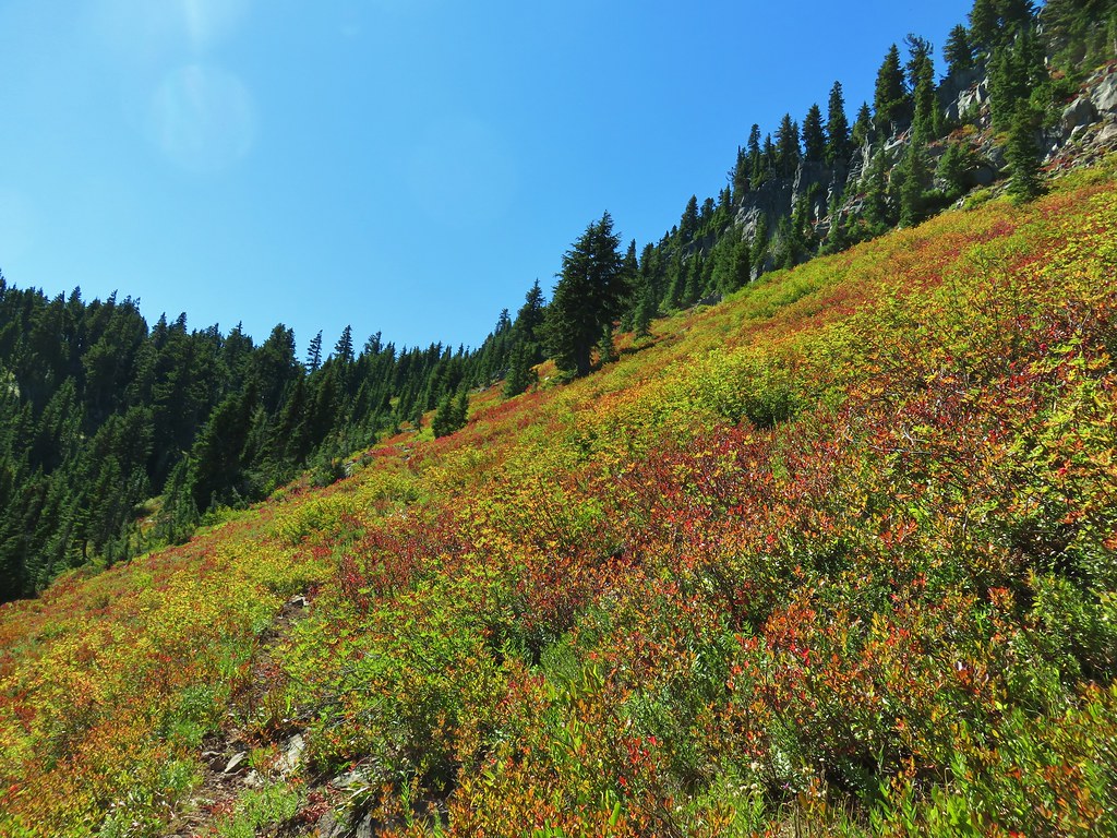
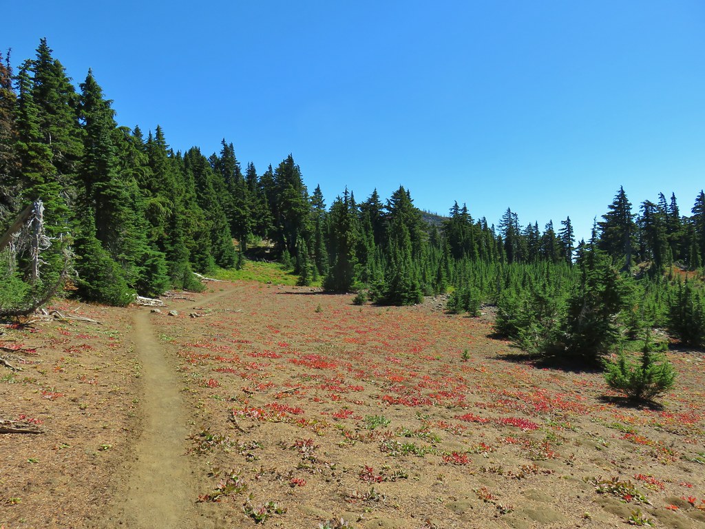
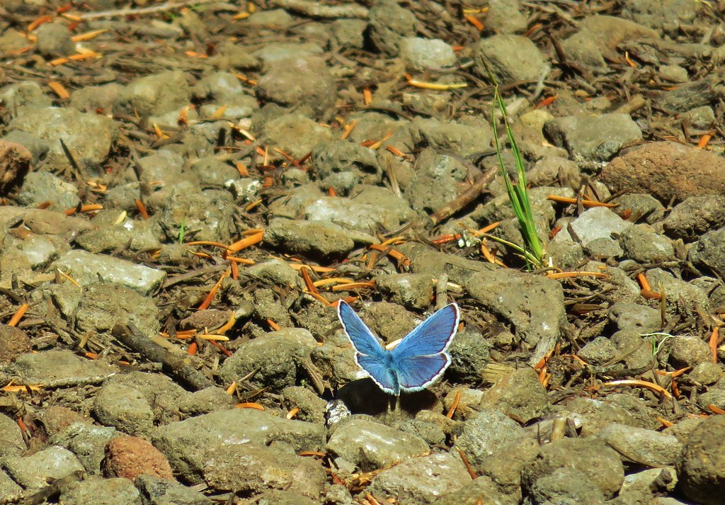
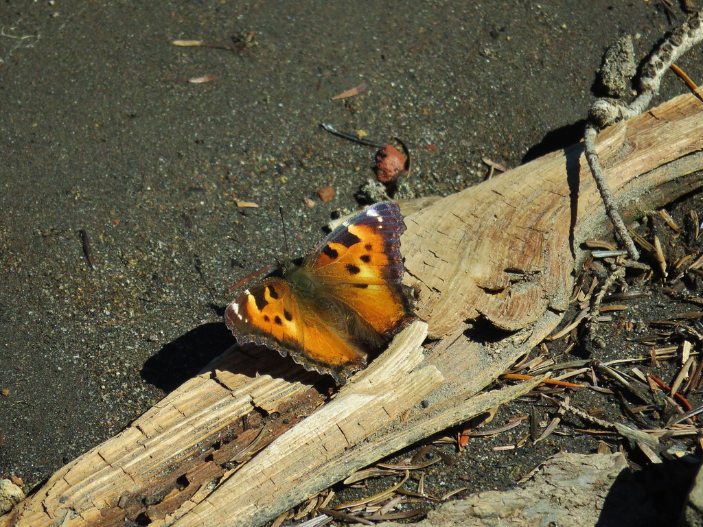
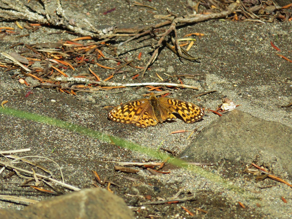
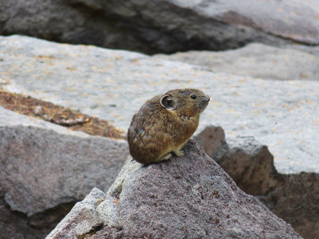
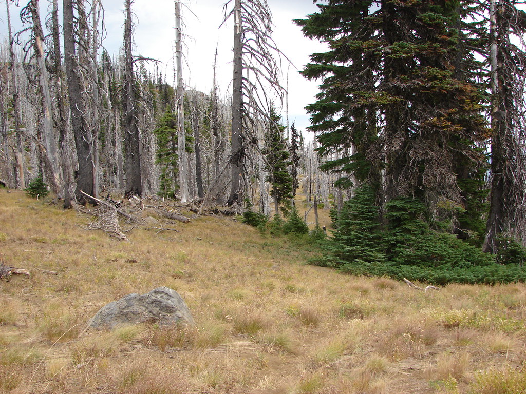
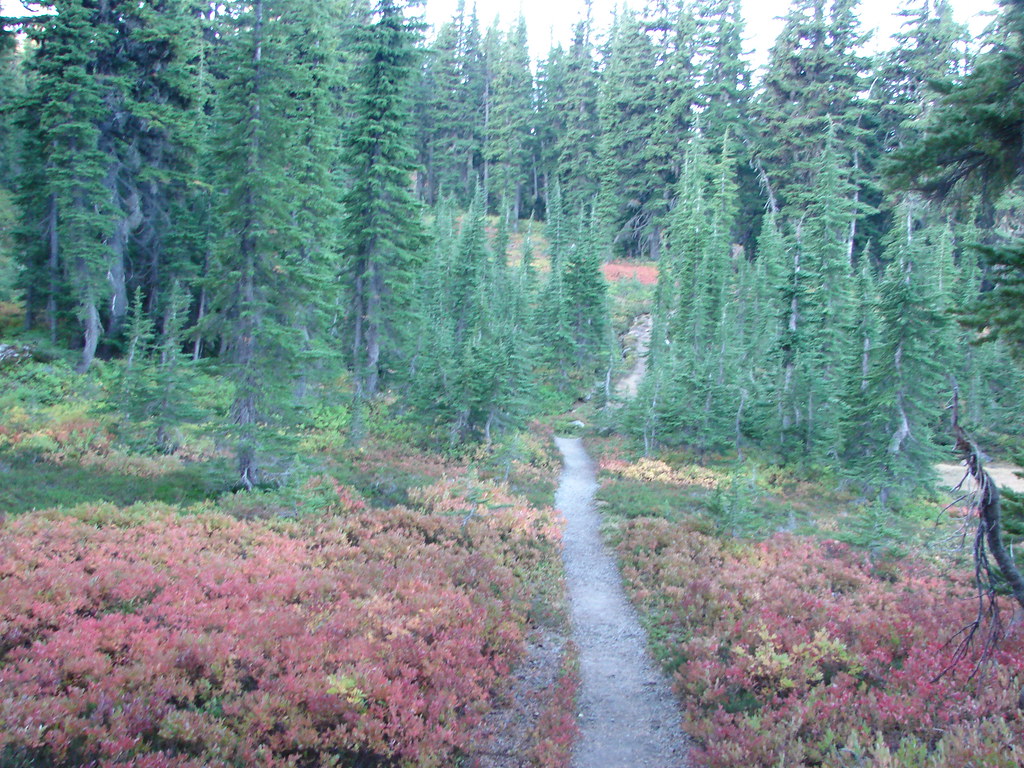
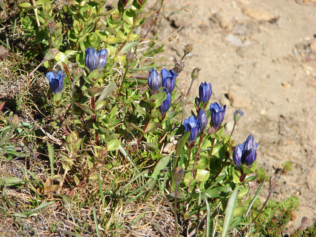
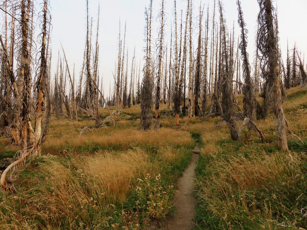
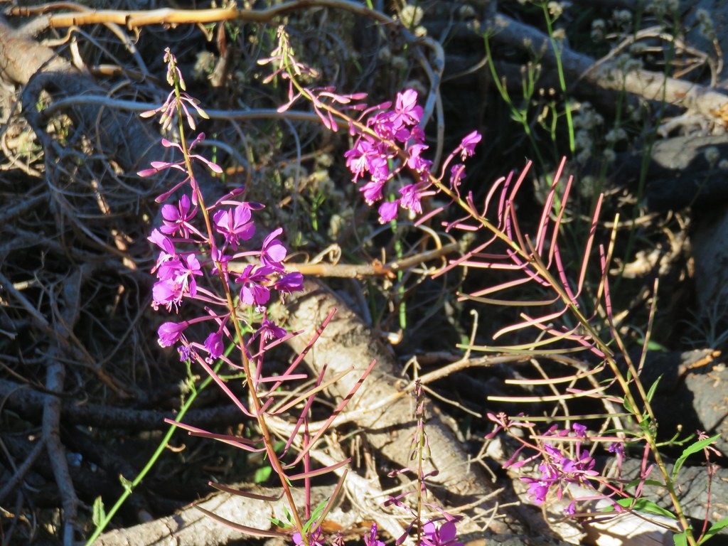
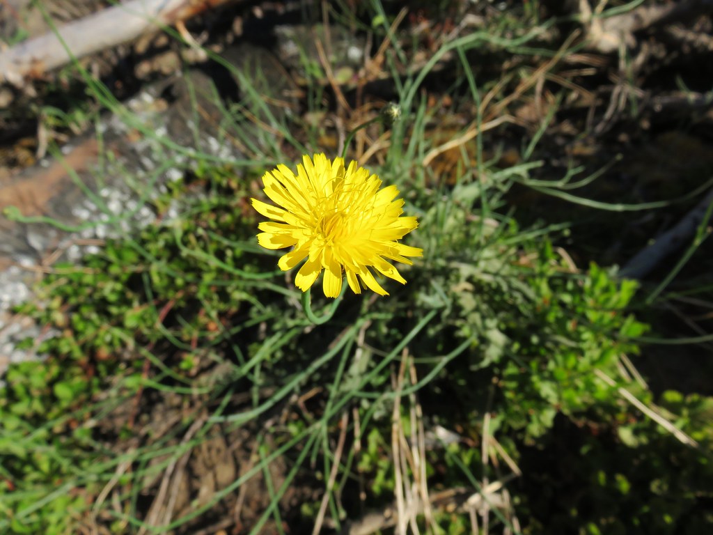
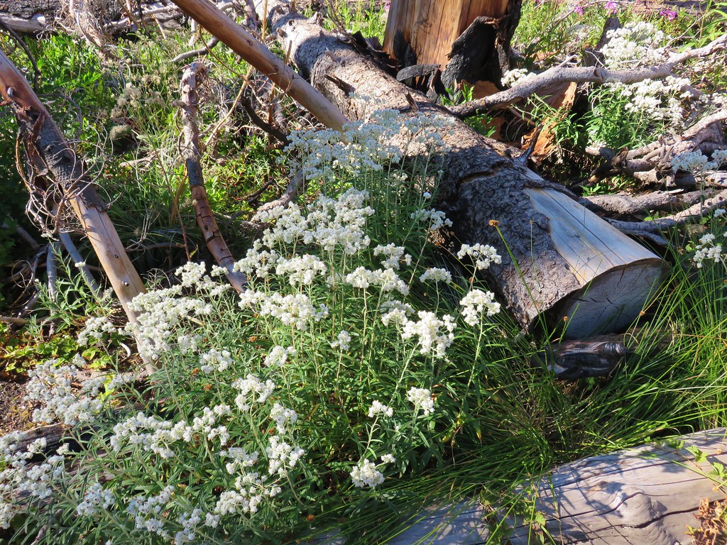
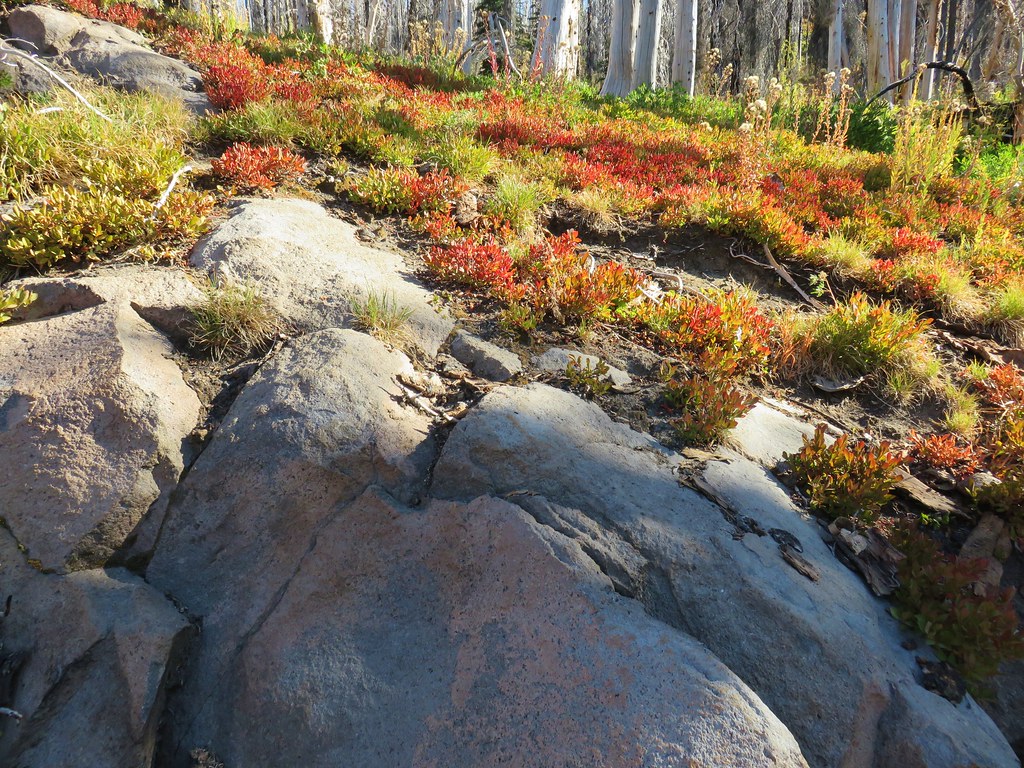
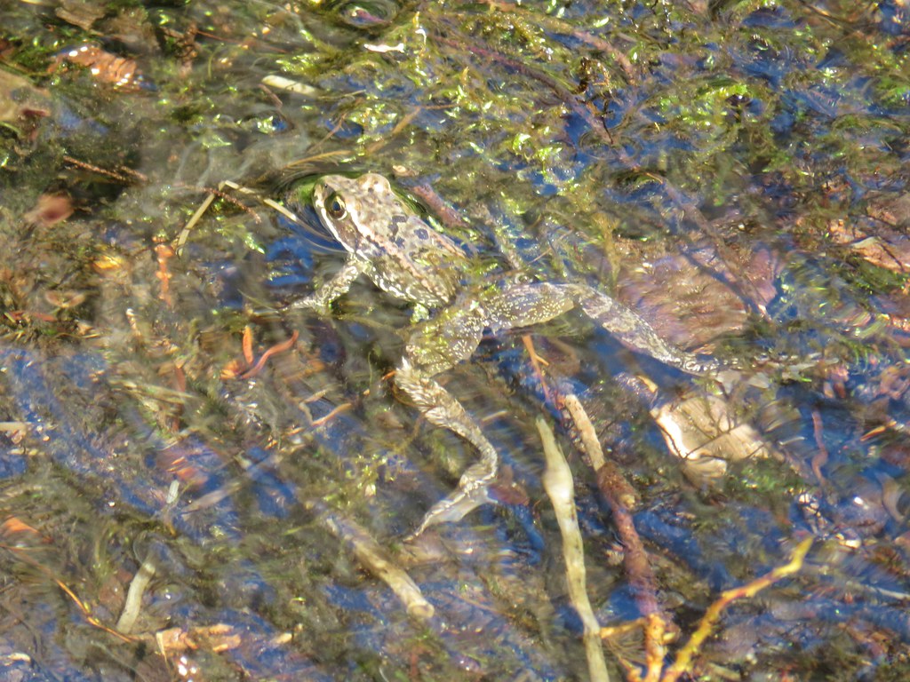
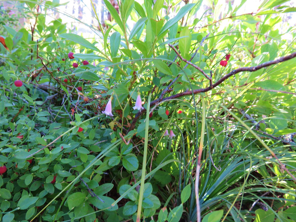
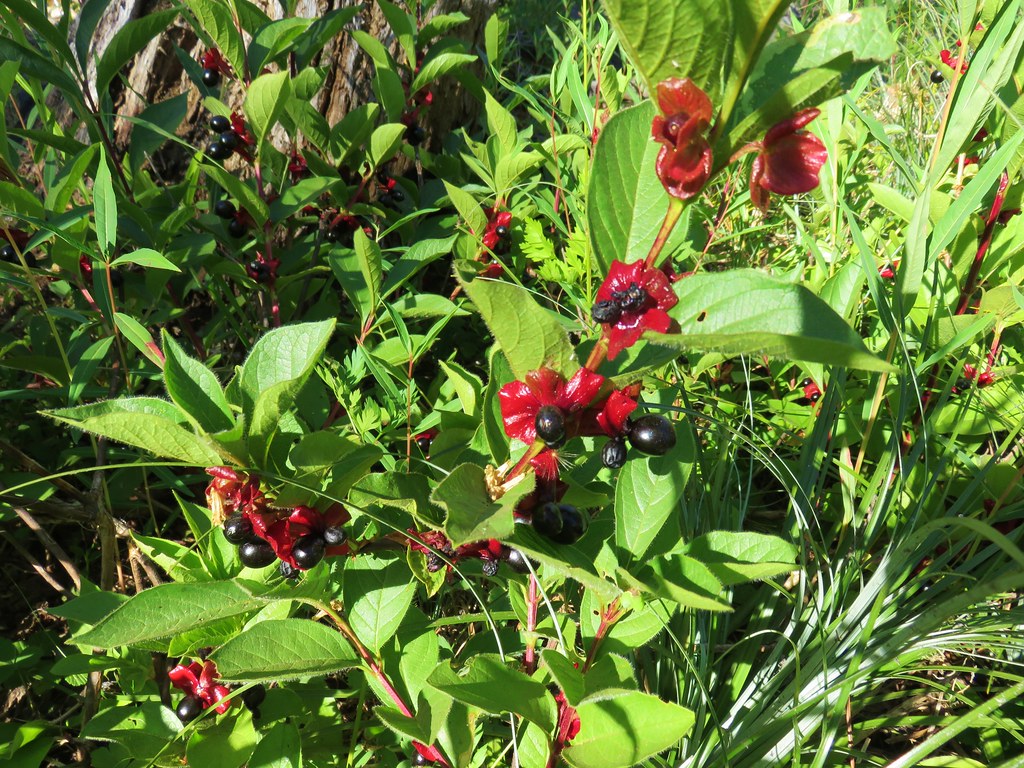
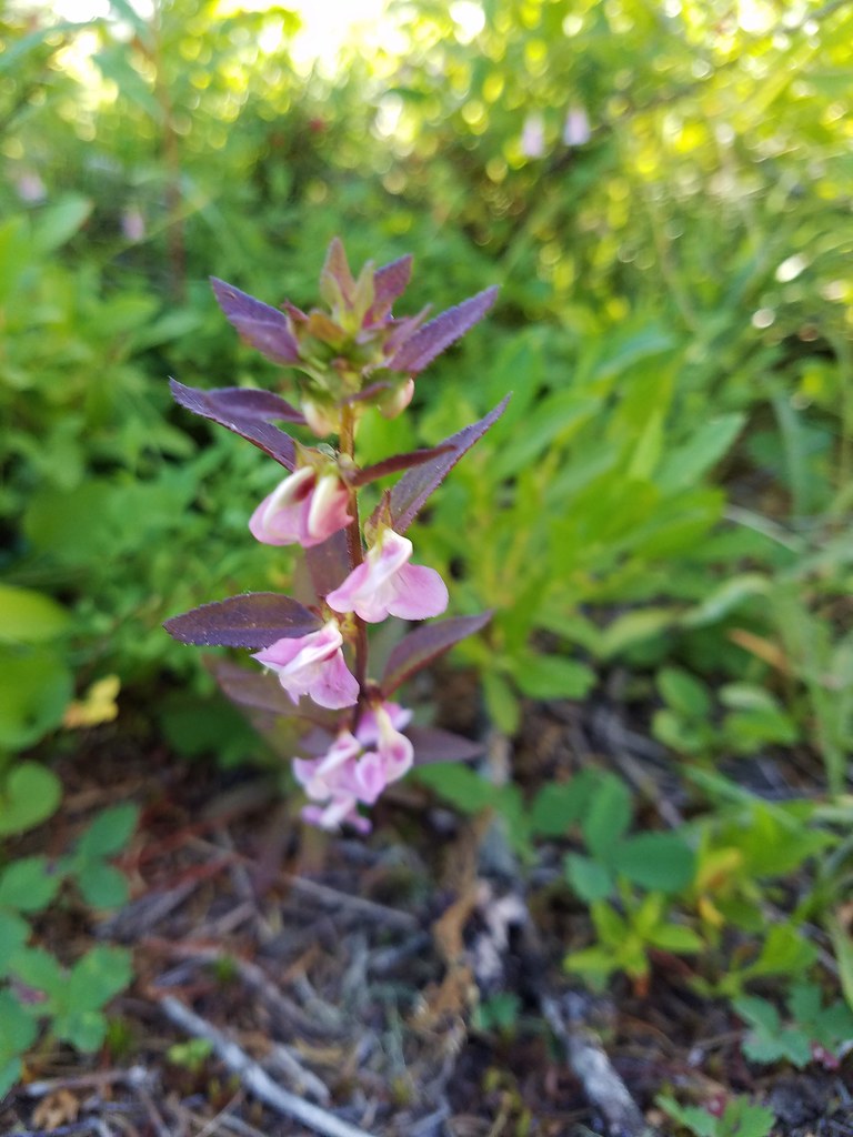
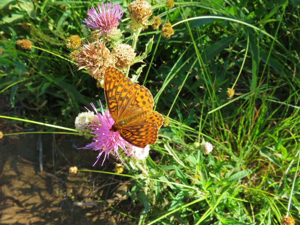
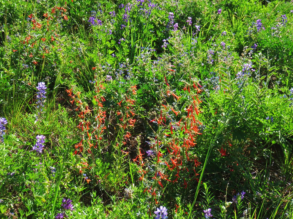
It was a lovely area with red huckleberry leaves and a few butterflies still flying about.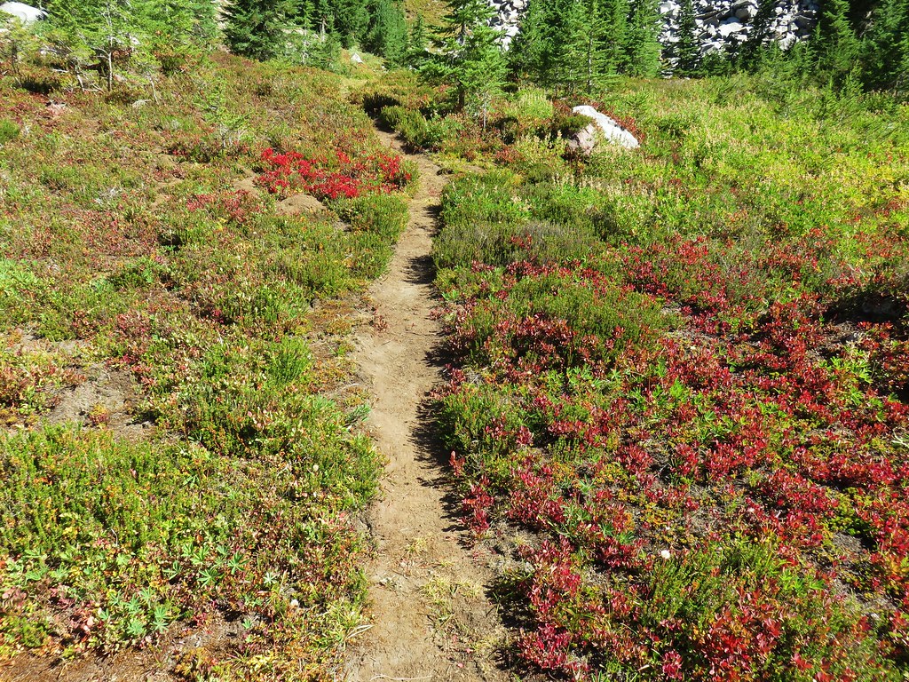

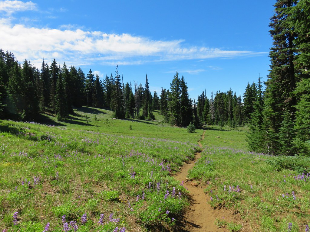
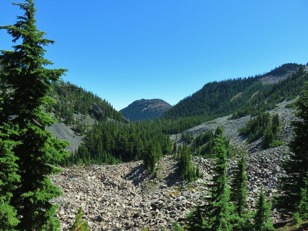
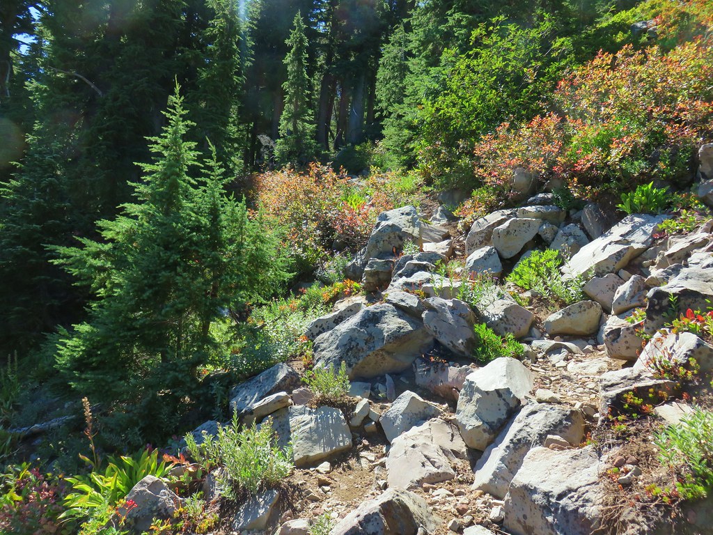
The tread petered out for a bit in one meadow in particular but small cairns helped lead the way.
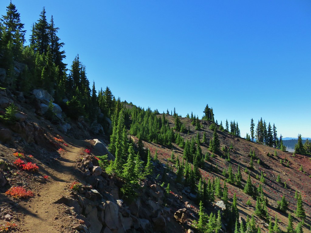
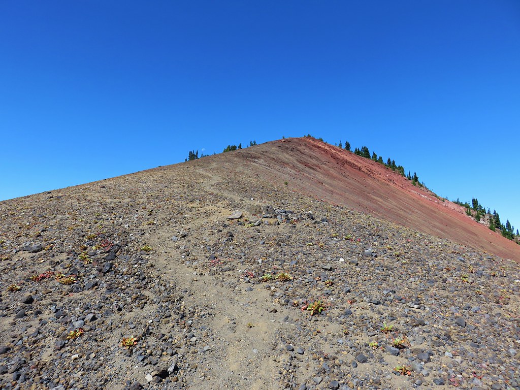
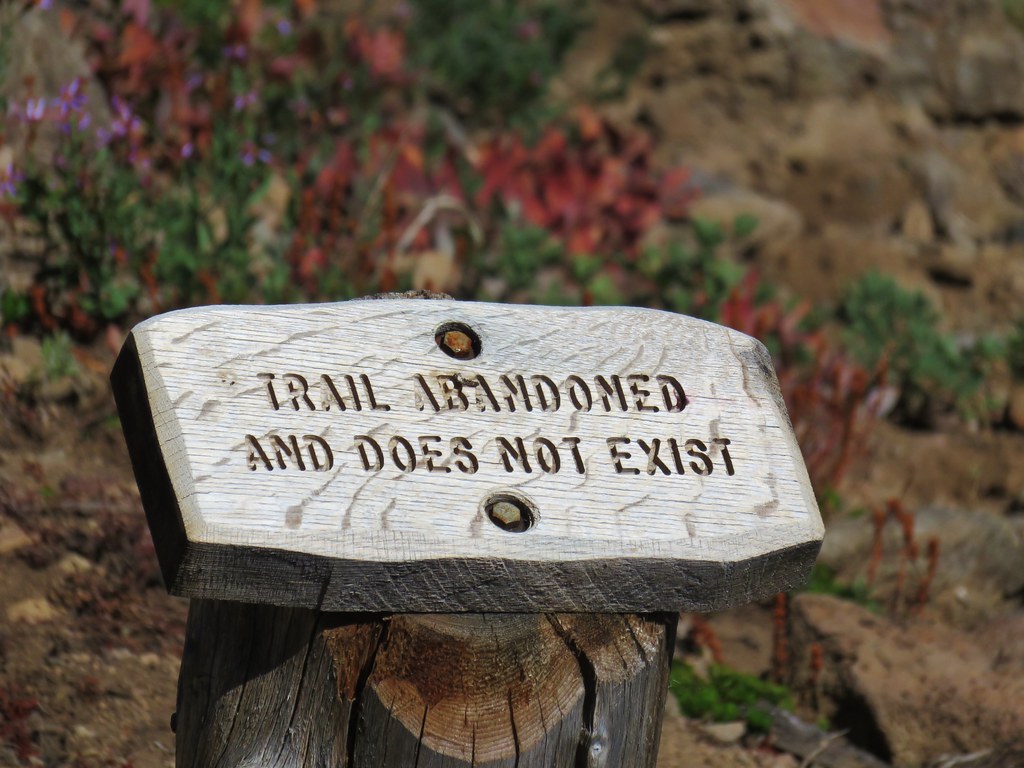
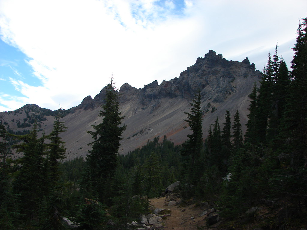
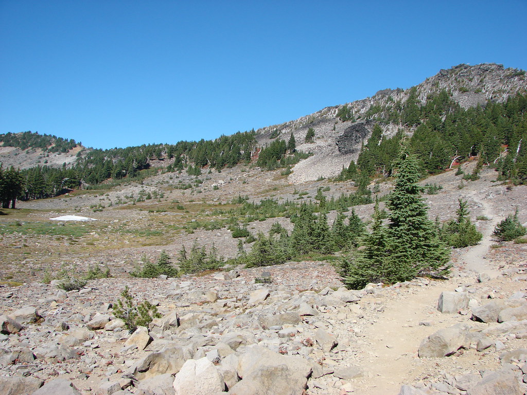
The unexpected presence of the well marked trail got us off our guard and we weren’t paying enough attention to the fact that our heading was drifting further north than we’d intended. In the meadow where the trail grew faint the cairns led to the left of a rocky ridge end. In order to reach Goat Peak we should have veered to the right here to find the correct gully uphill.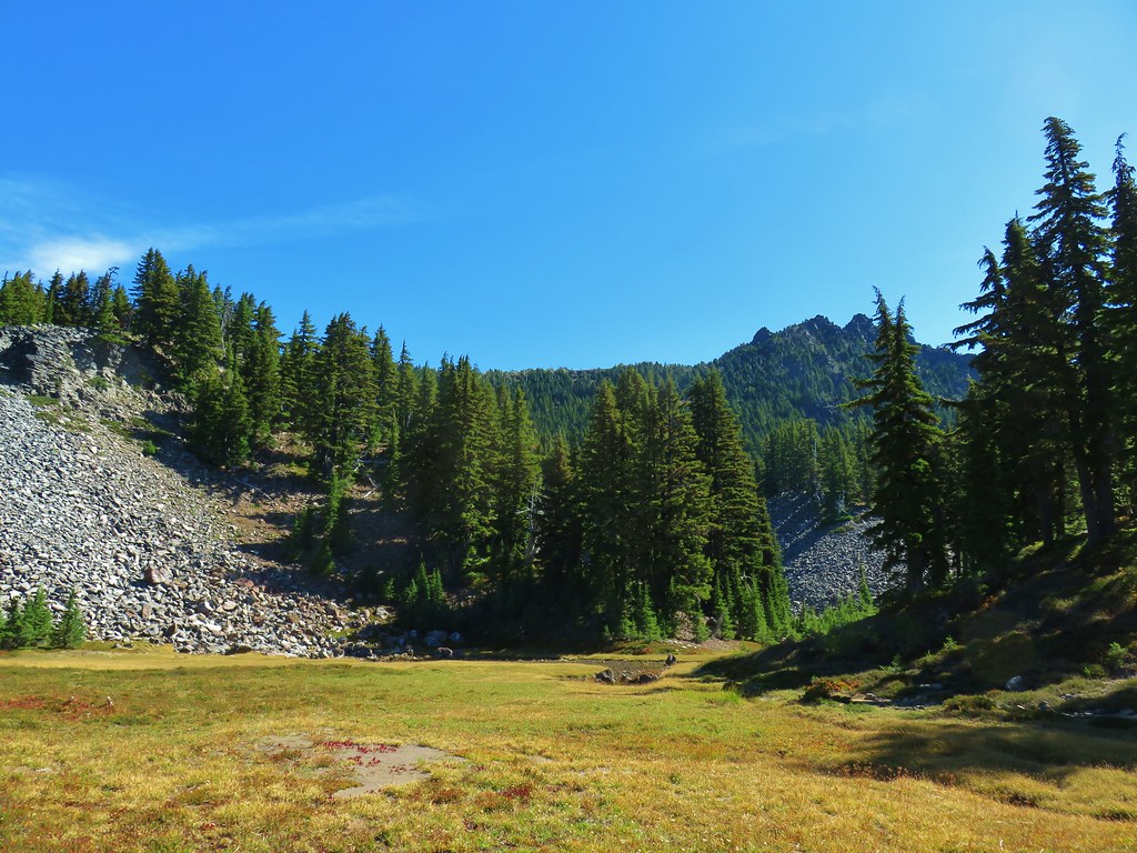
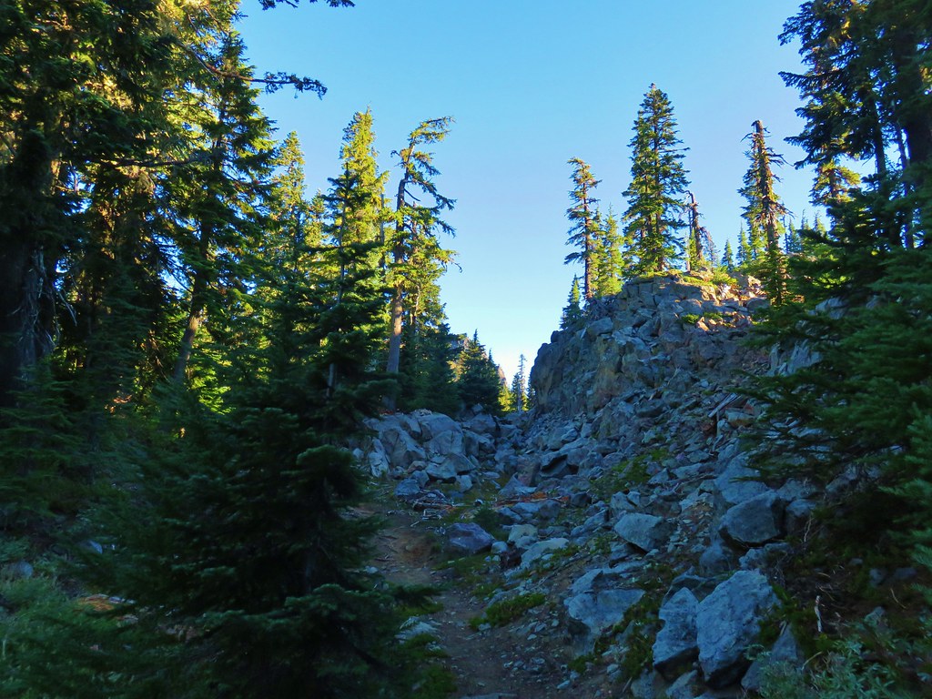
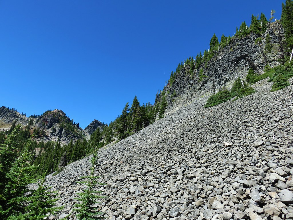
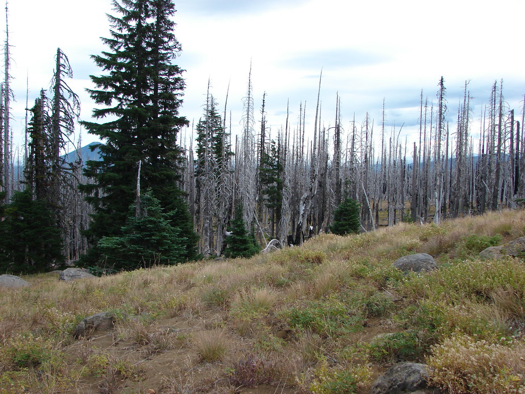
Instead we continued to follow the trail as we now were hearing other voices ahead. The trail began to climb away from the meadow passing more rock covered hillsides.
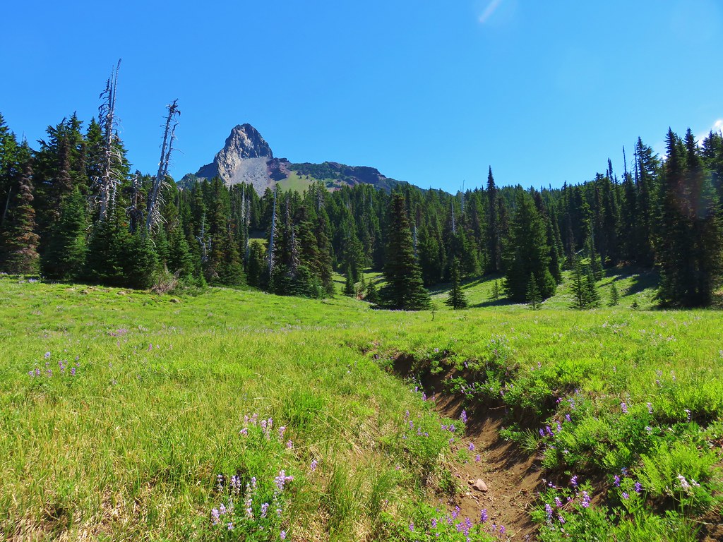
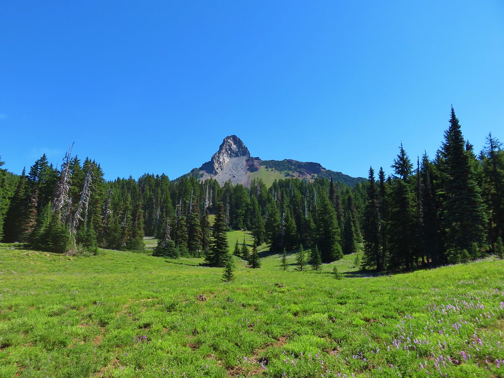
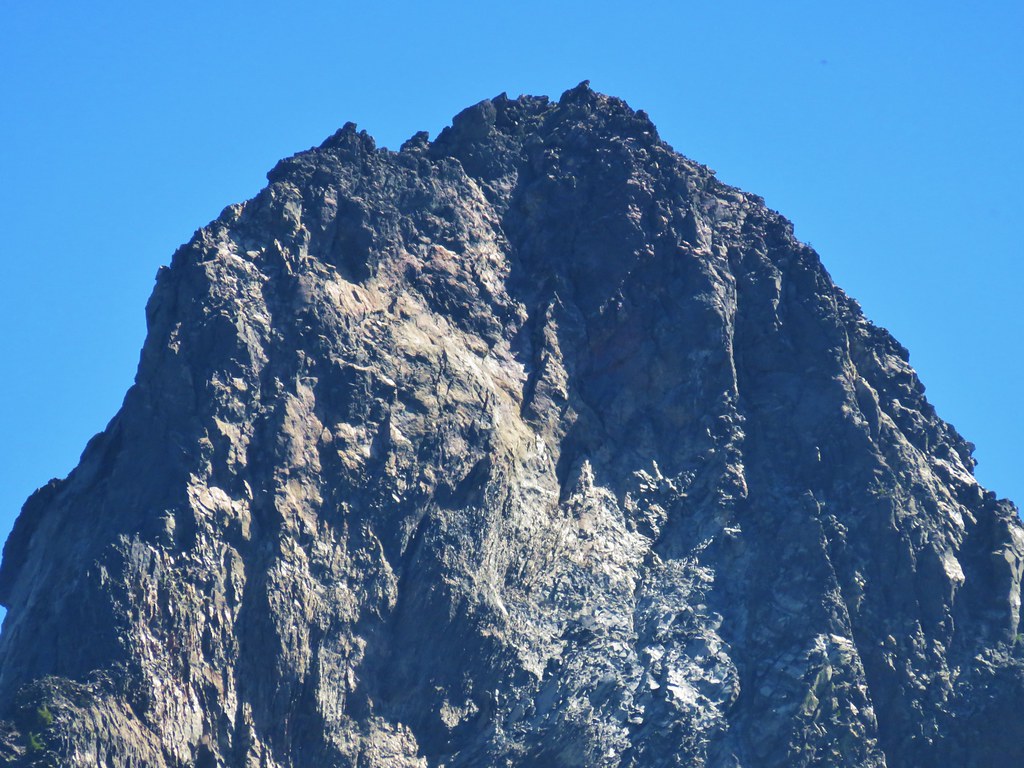
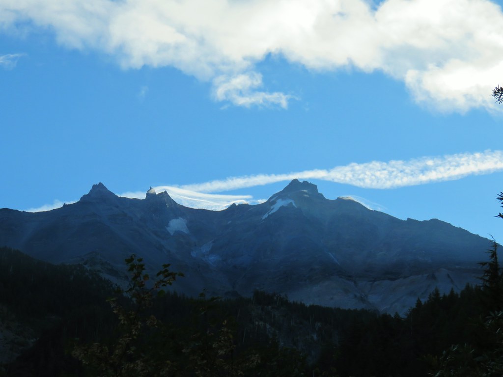
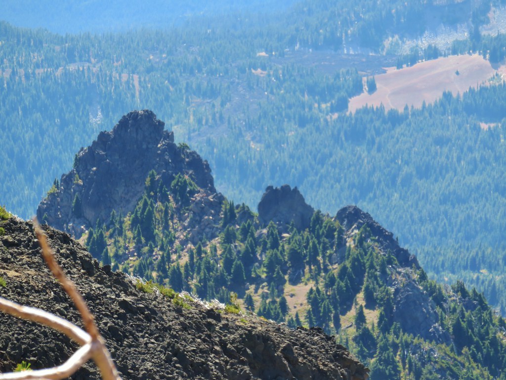
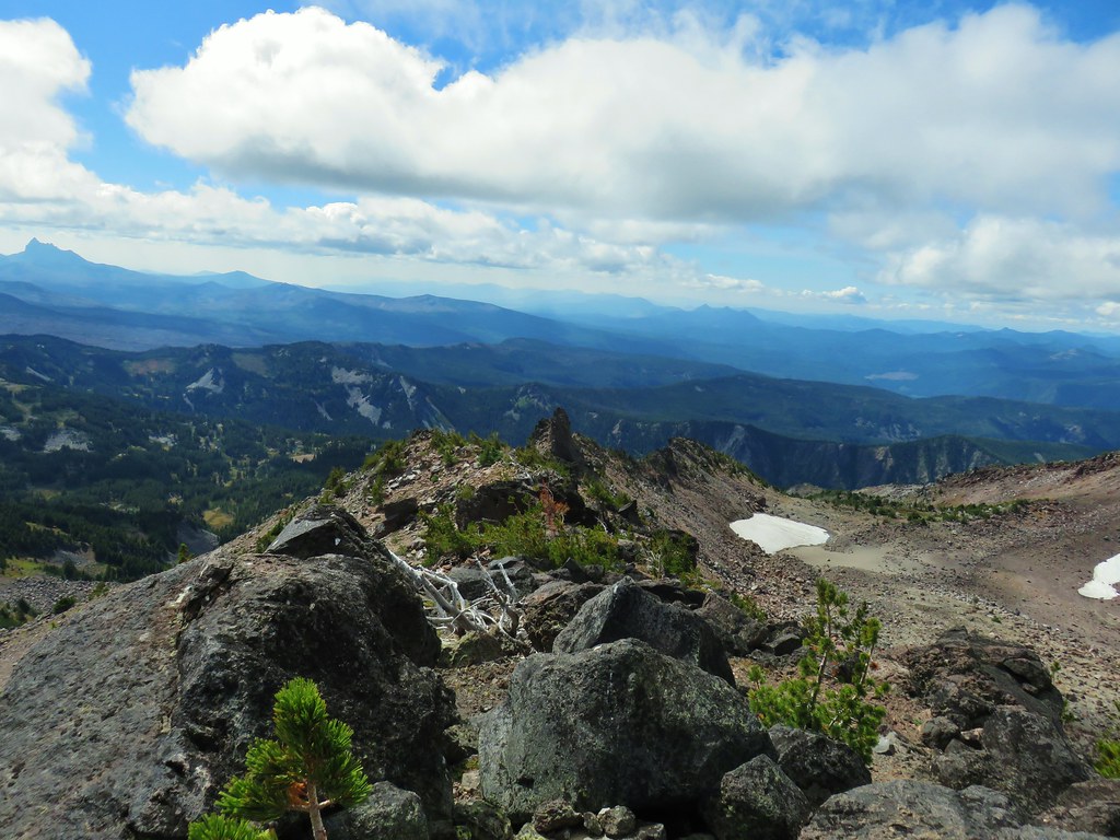
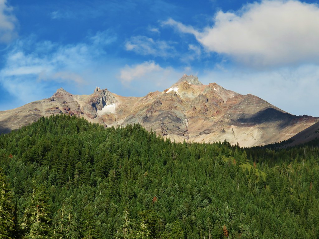
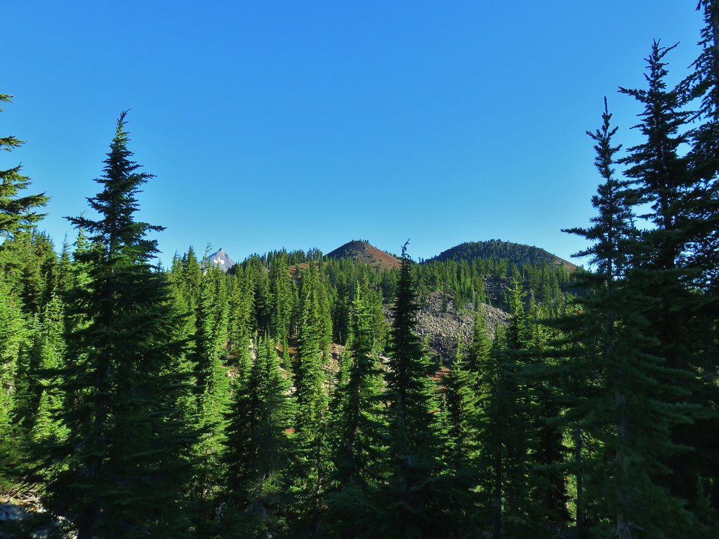
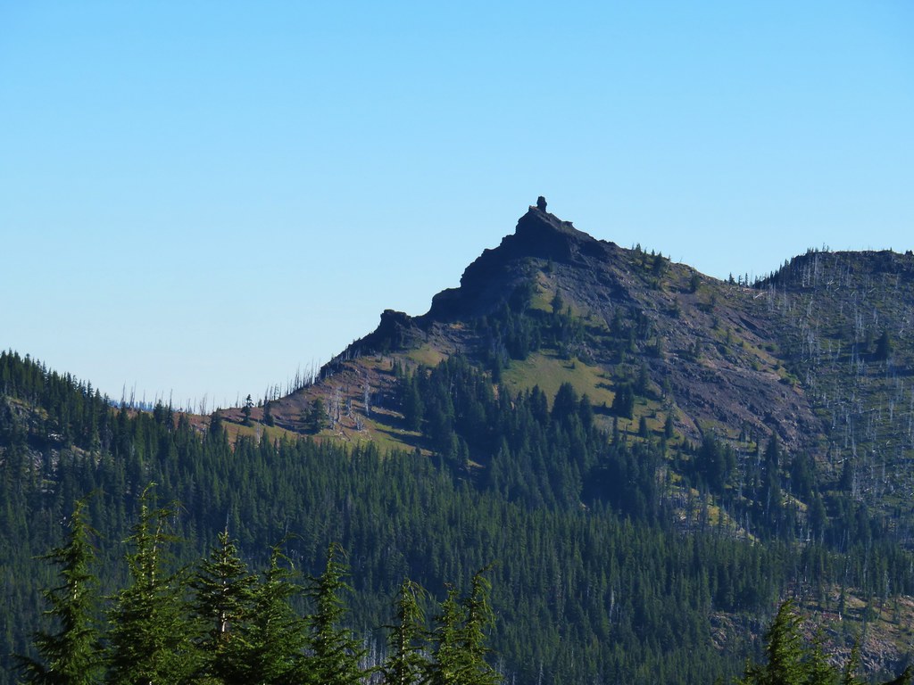
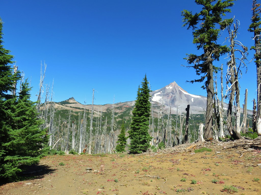
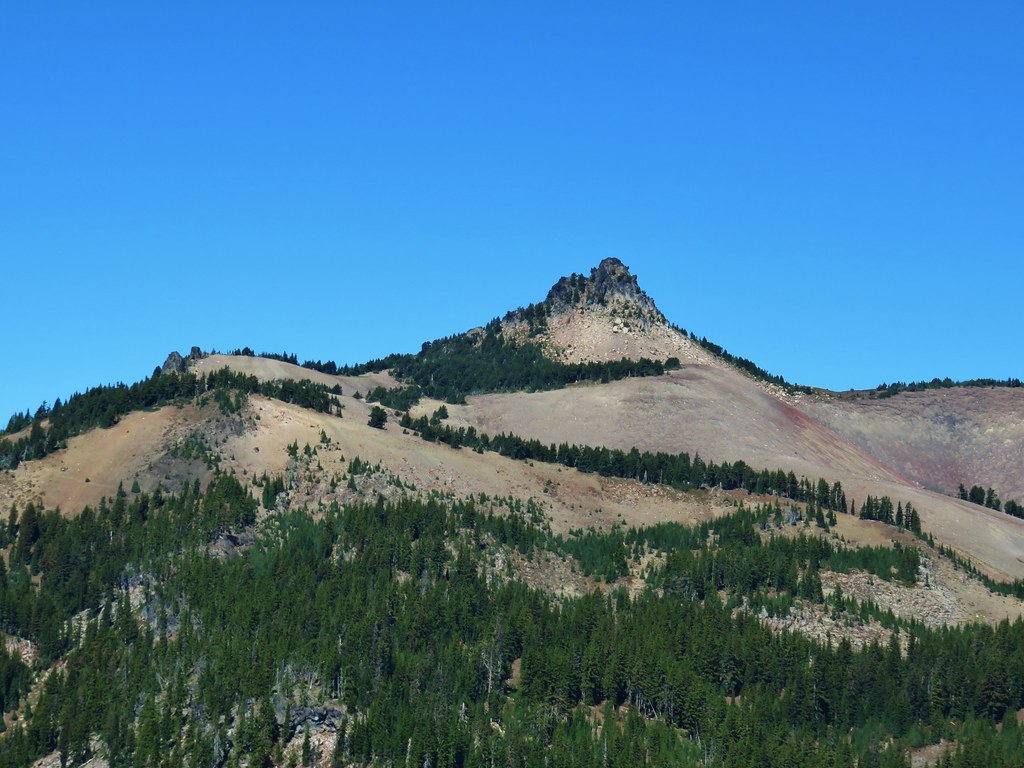
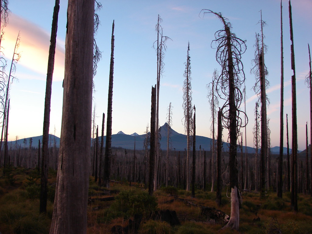
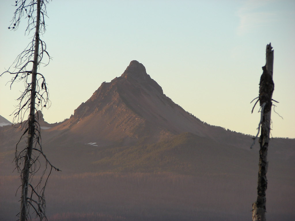
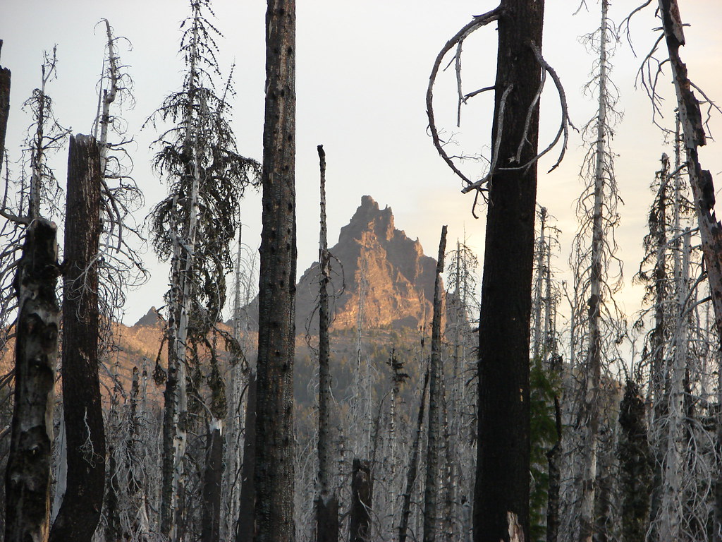
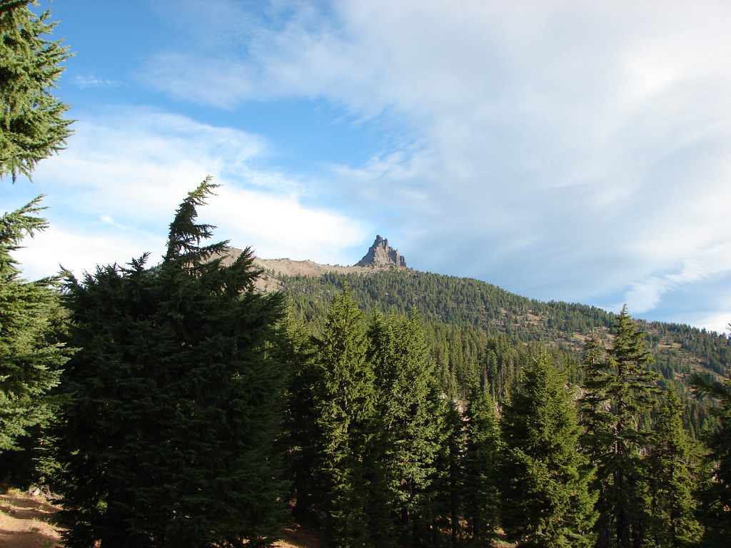
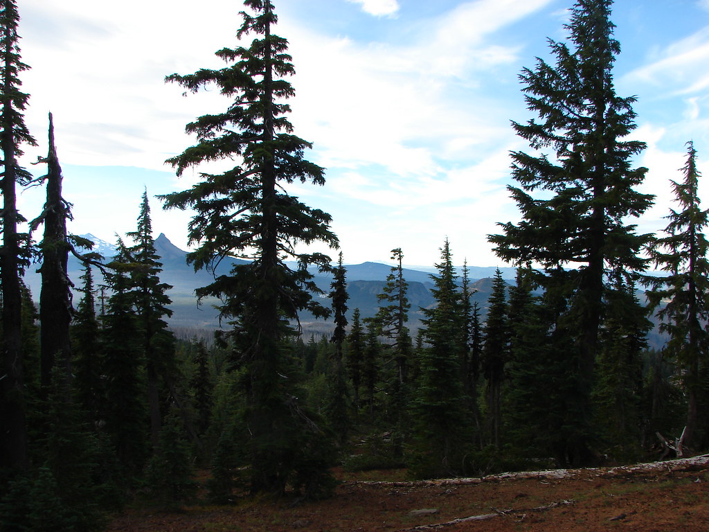
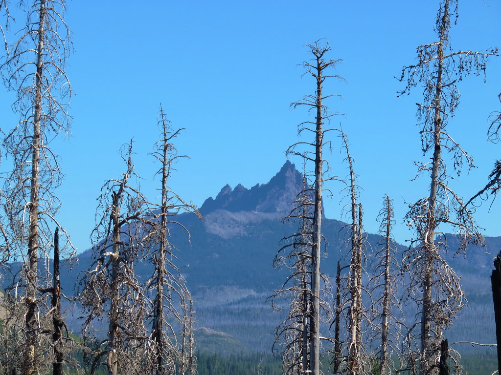
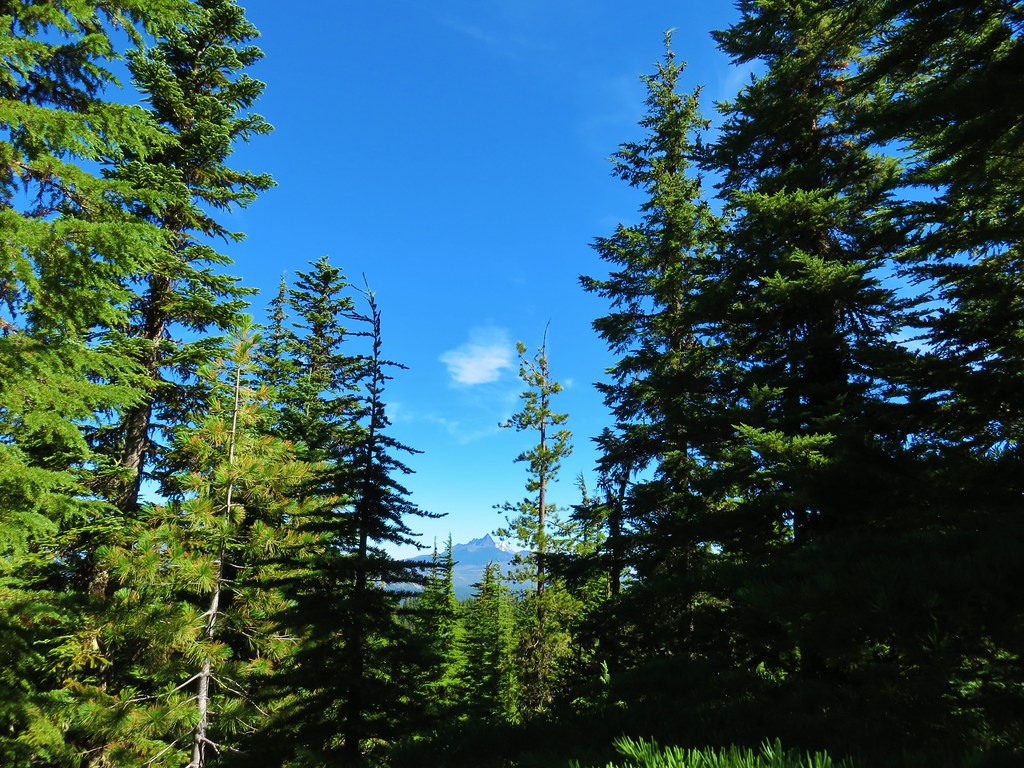
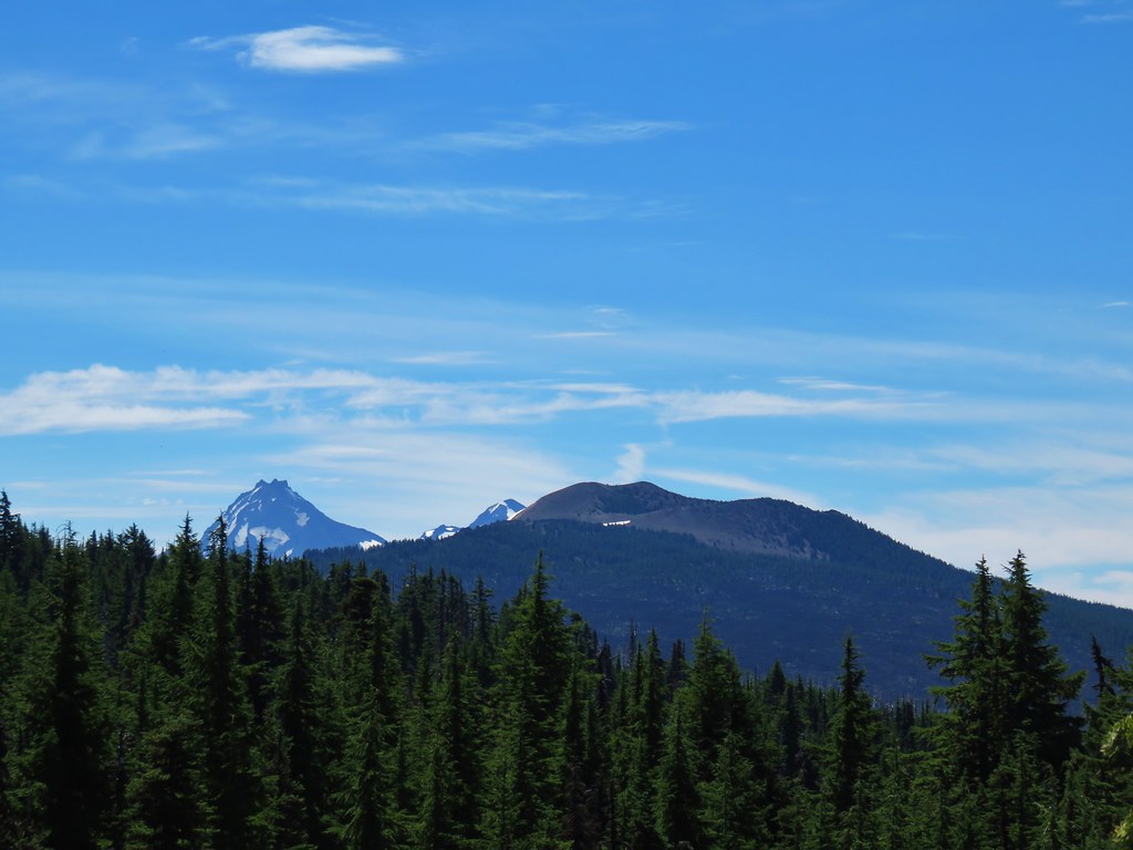
Three Fingered Jack
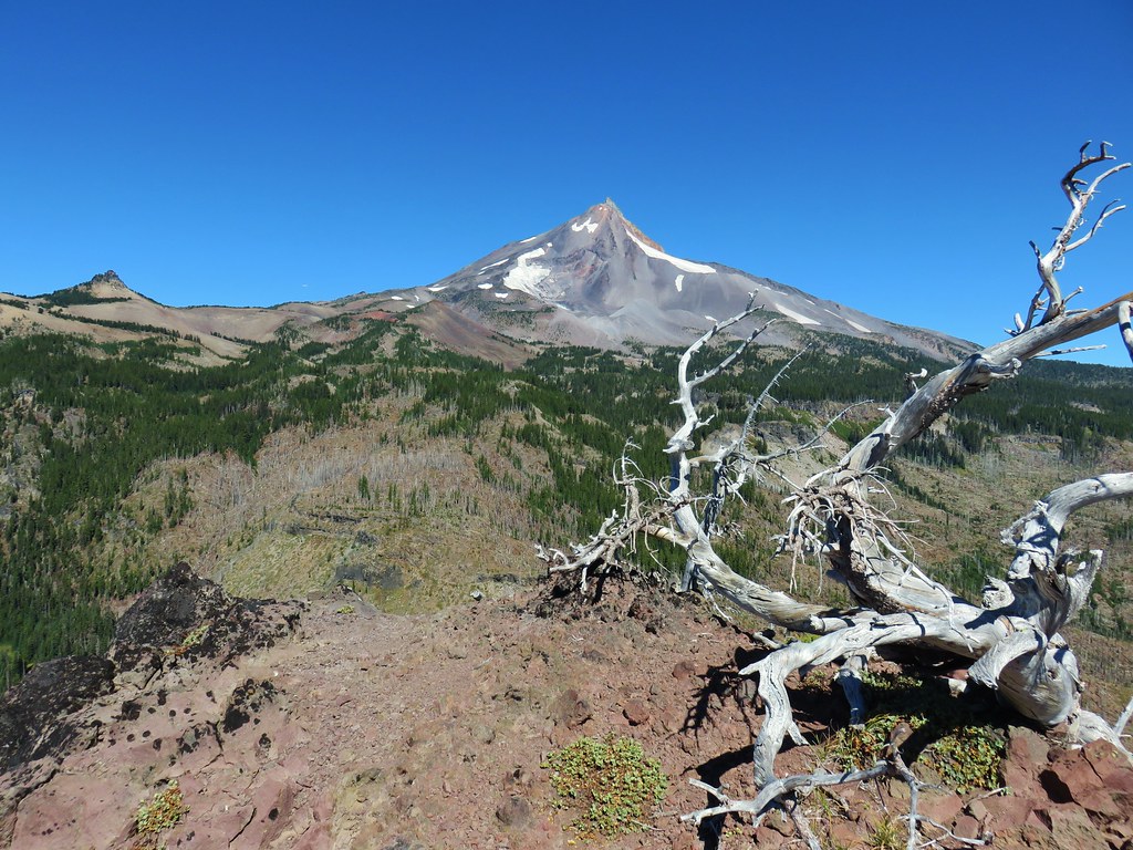
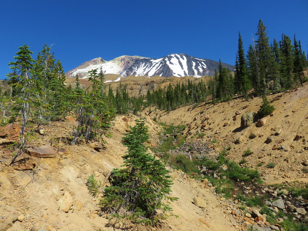
It started seeming really odd that we seemed to be heading directly at Mt. Jefferson but kept thinking that maybe the trail would bend right around some geologic feature.
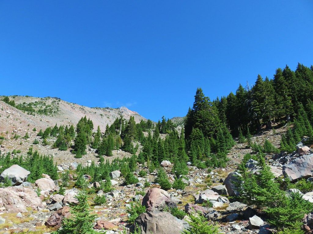
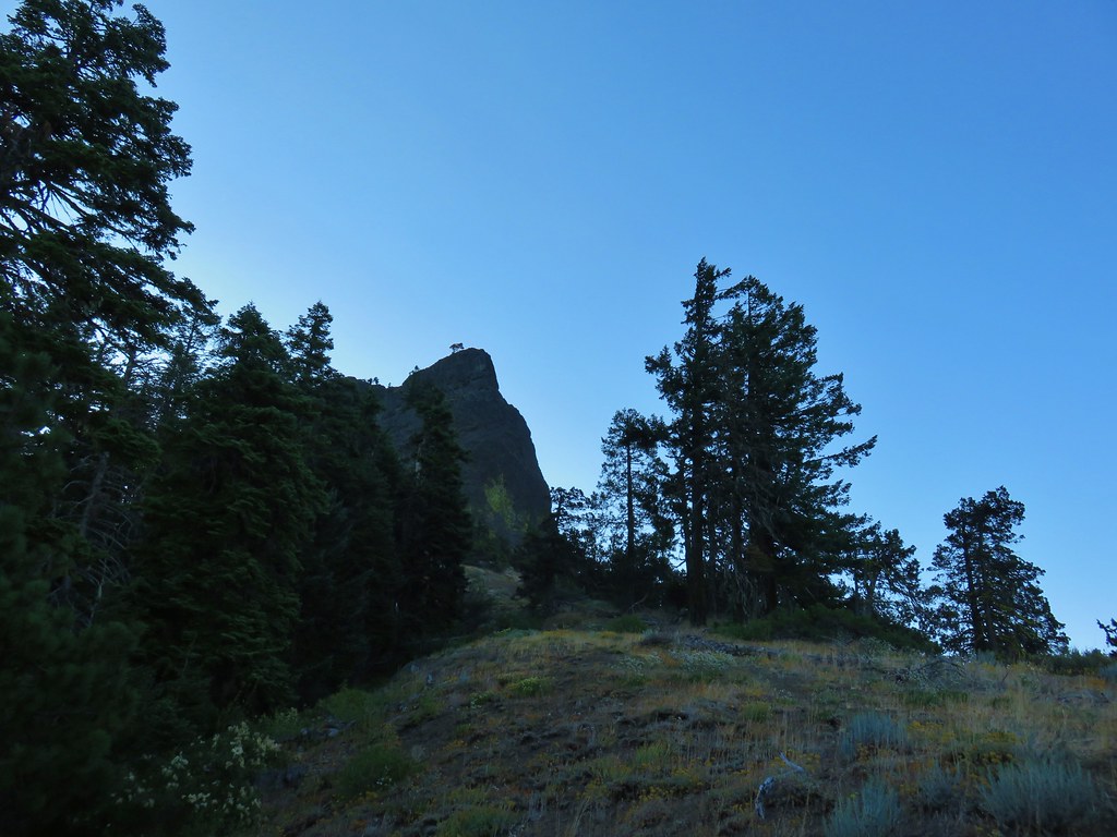
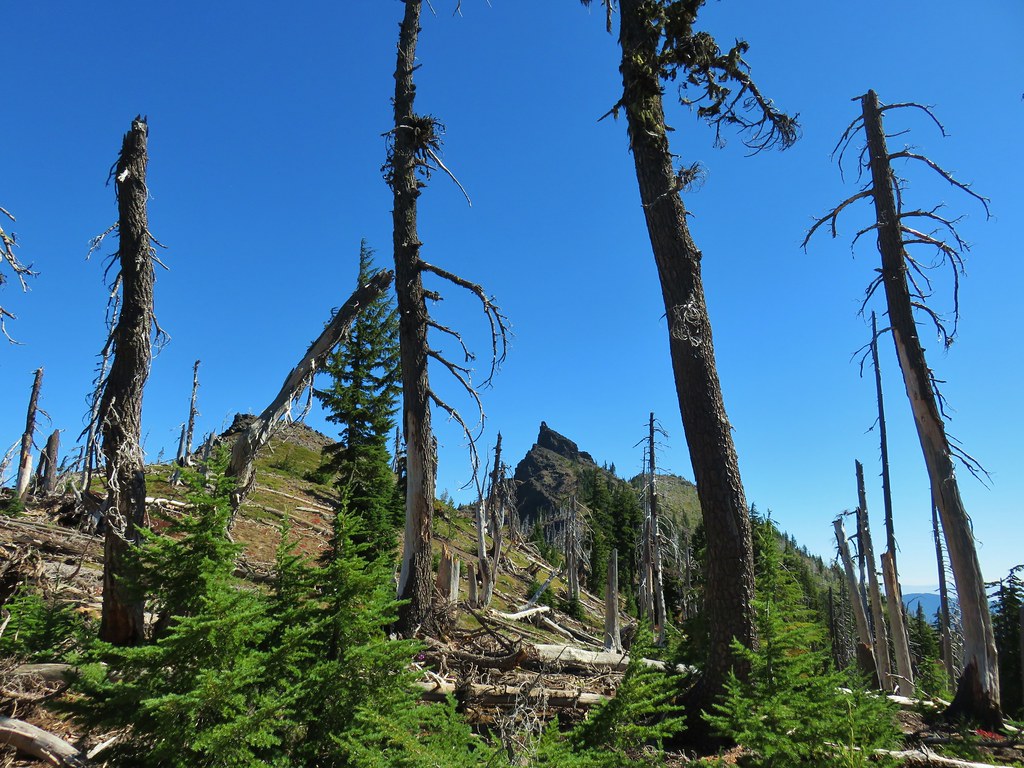
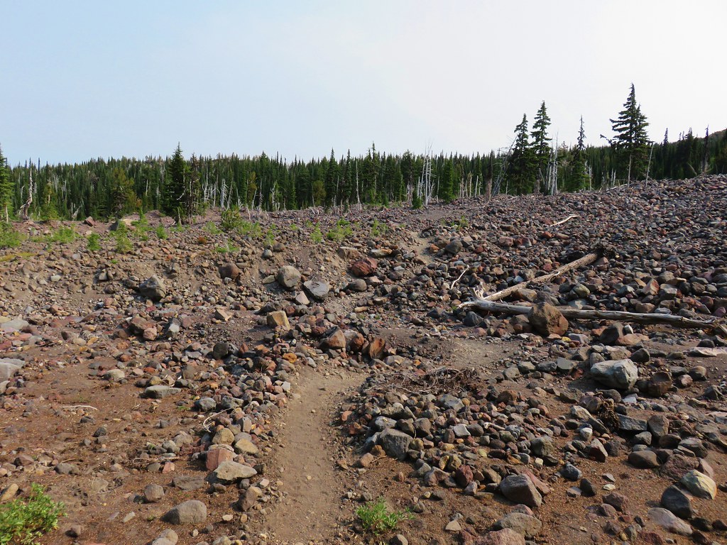
I really started to question things when we caught up to the group of gentleman who were ahead of us. They asked how high we were planning on going which is when I became fairly certain we were on a climbers route and not the scramble route to Goat Peak. I replied “as high as our legs will take us”, knowing that if this wasn’t the right way to Goat Peak we’d gone to far to correct it by then. Shortly after we crested a rise and left the tress. We were now at the bottom of a boulder filled gully.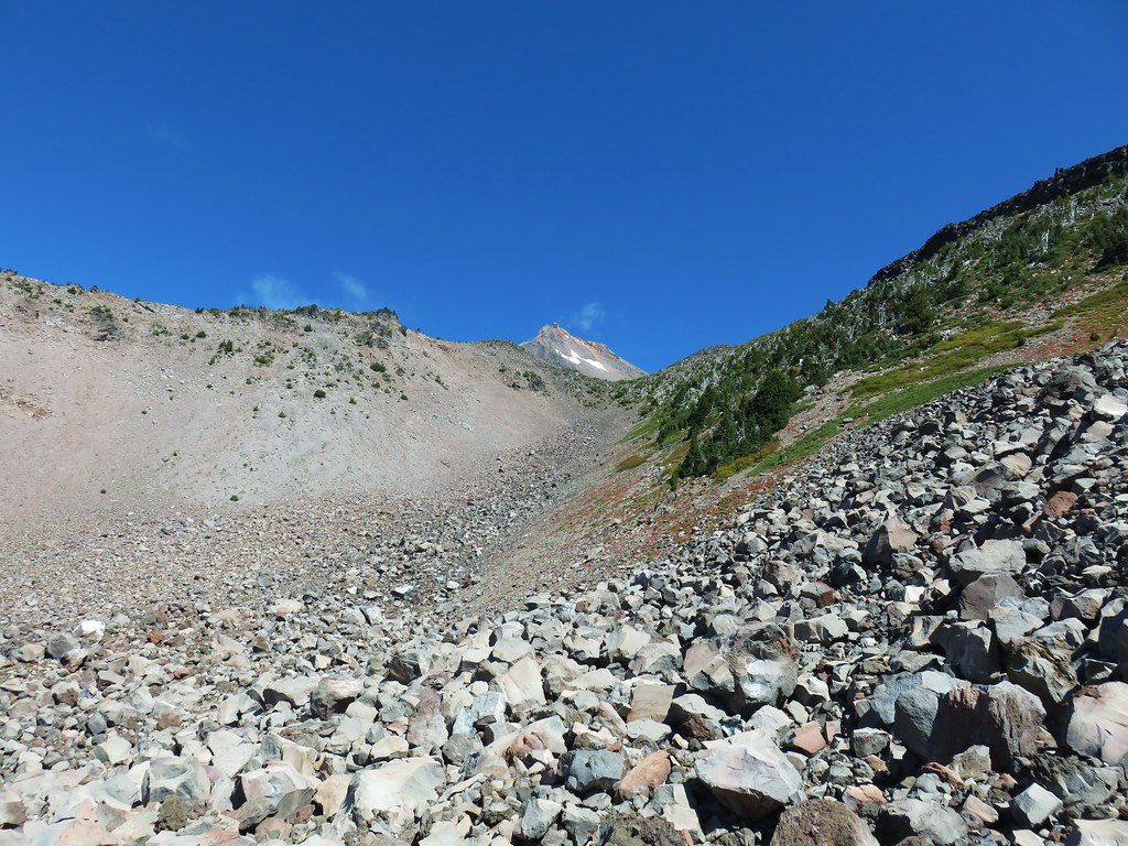
There wasn’t much we could do at that point other than go back or continue on so up we went.
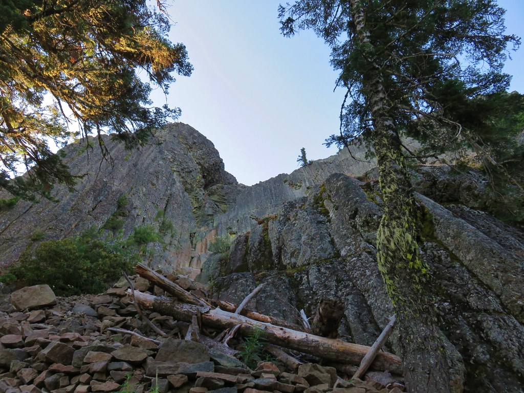
Cliffs on the right side of the gully.
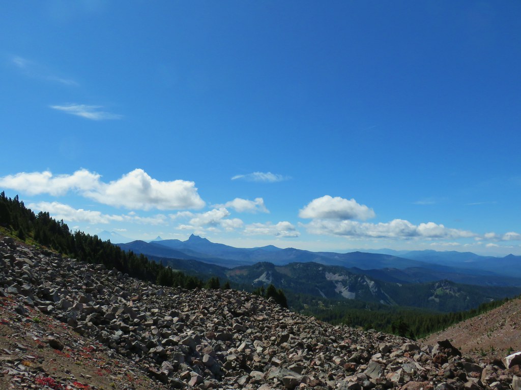
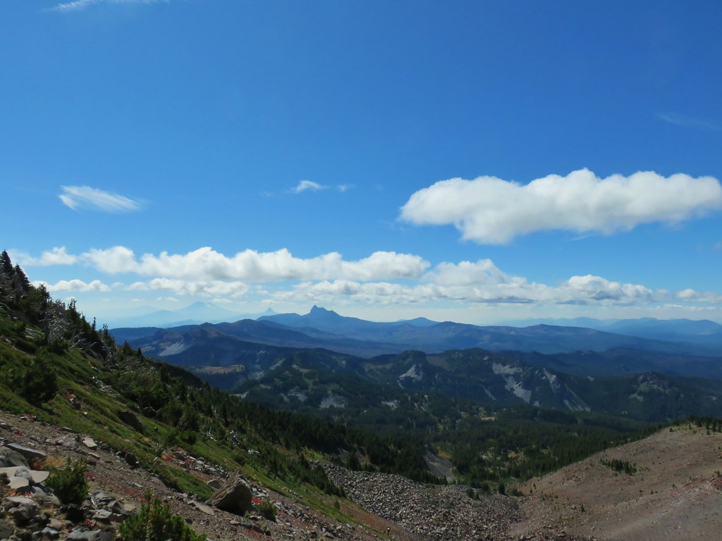
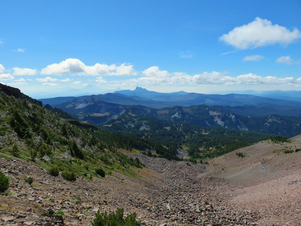
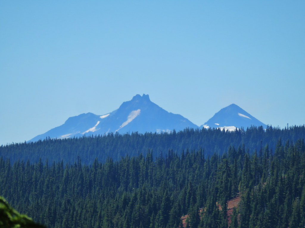
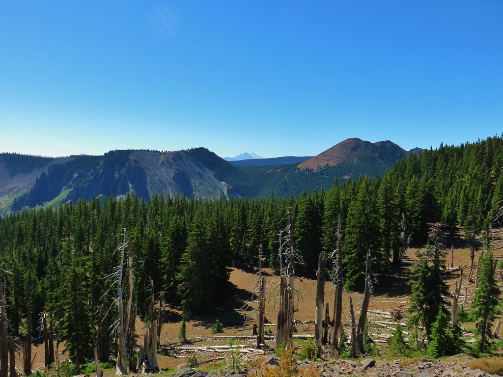
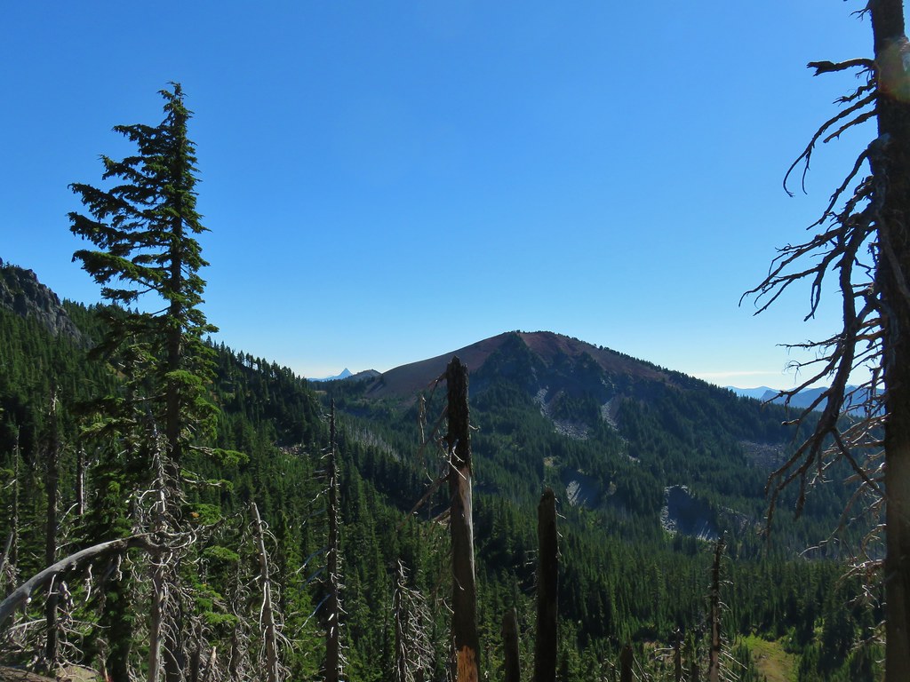
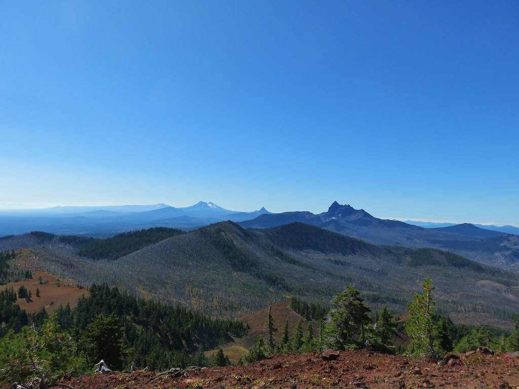
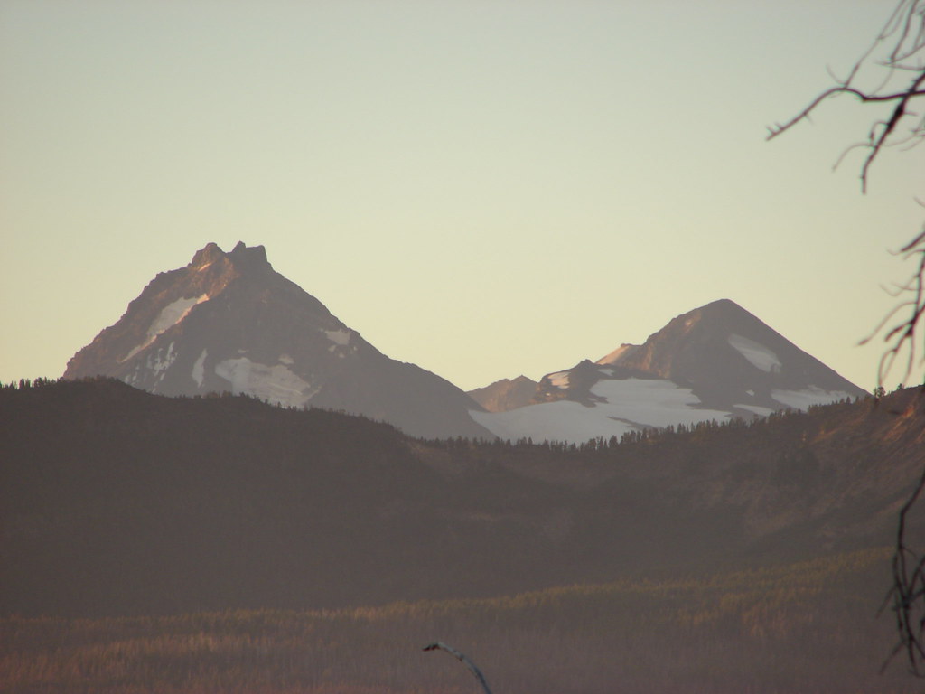
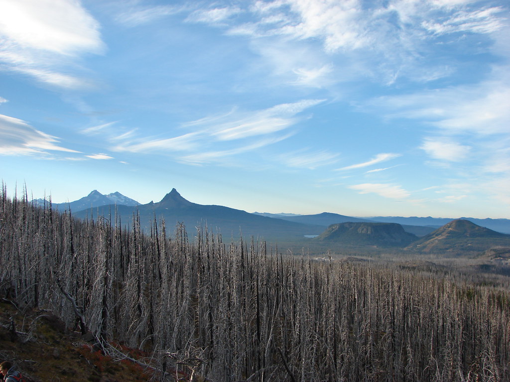
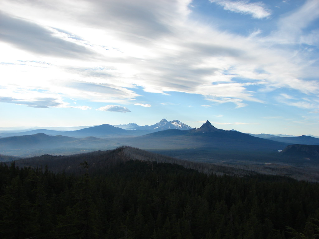
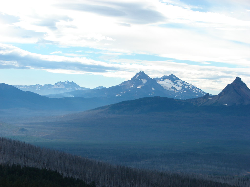
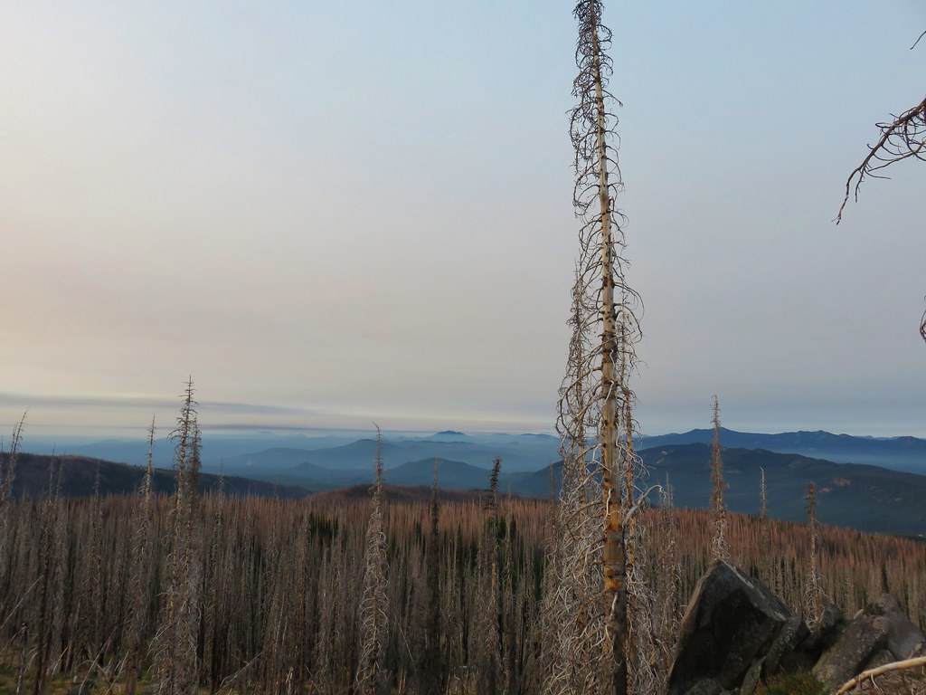
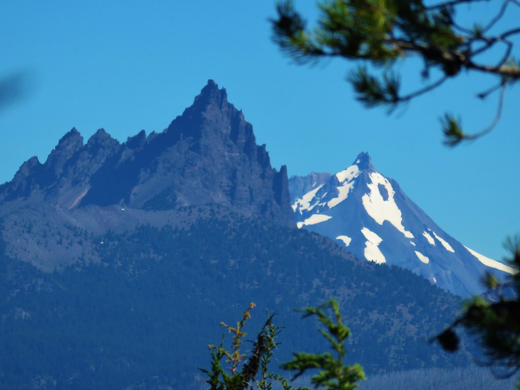
As we gained elevation the views to the south opened up and the Three Sisters joined Three Fingered Jack on the horizon.
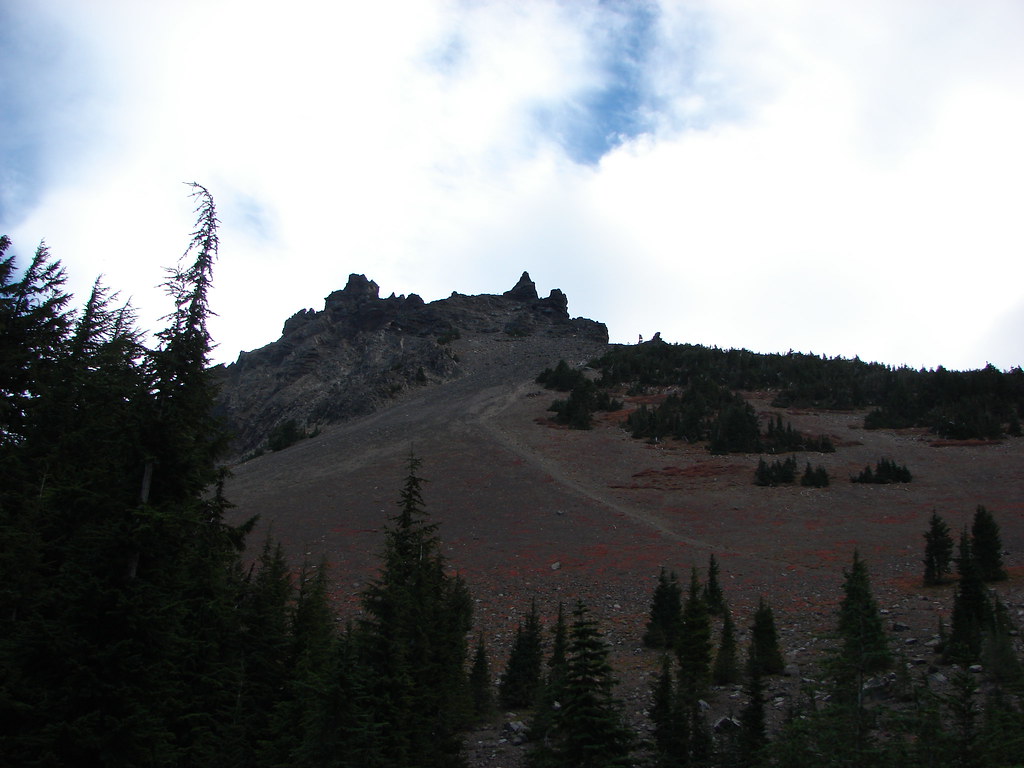
We were well above the summit of Goat Peak by the time we reached the lip of the gully where stunted white bark pines clung to the steep slope.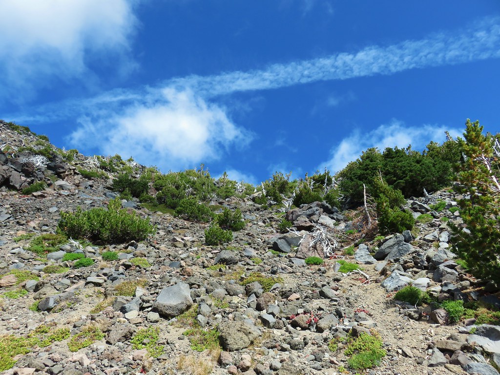
Anxious to see what spectacular view awaited I charged up the final pitch only to find a second albeit smaller gully.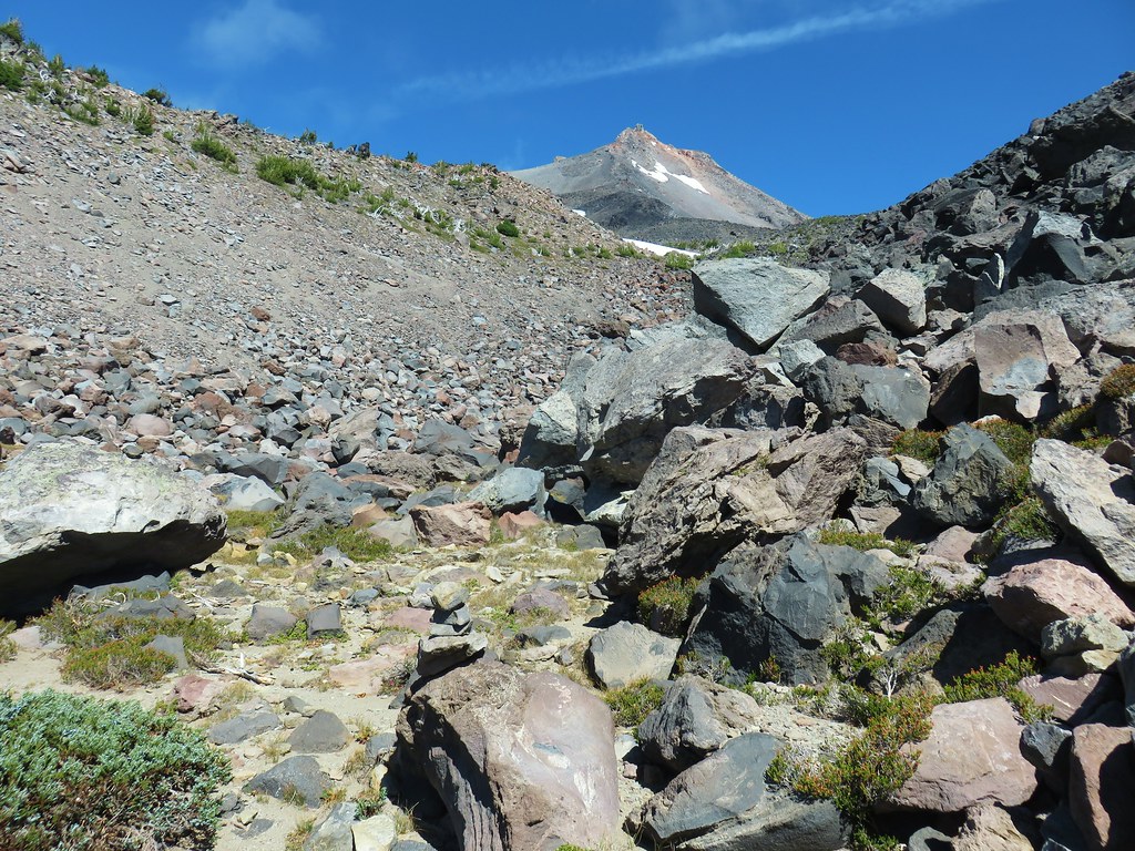
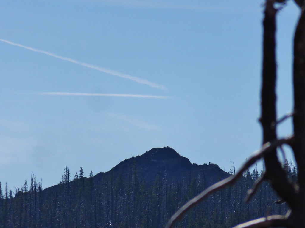
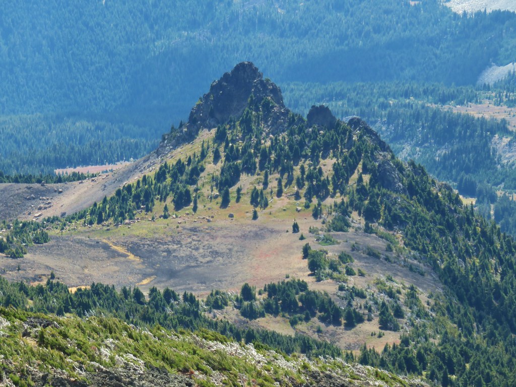
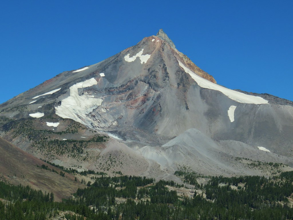
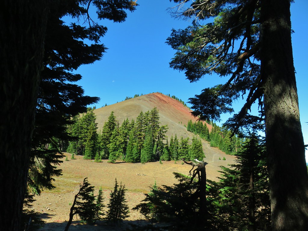
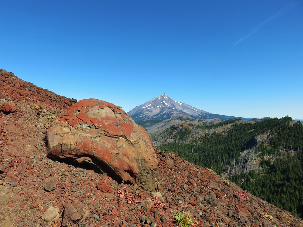
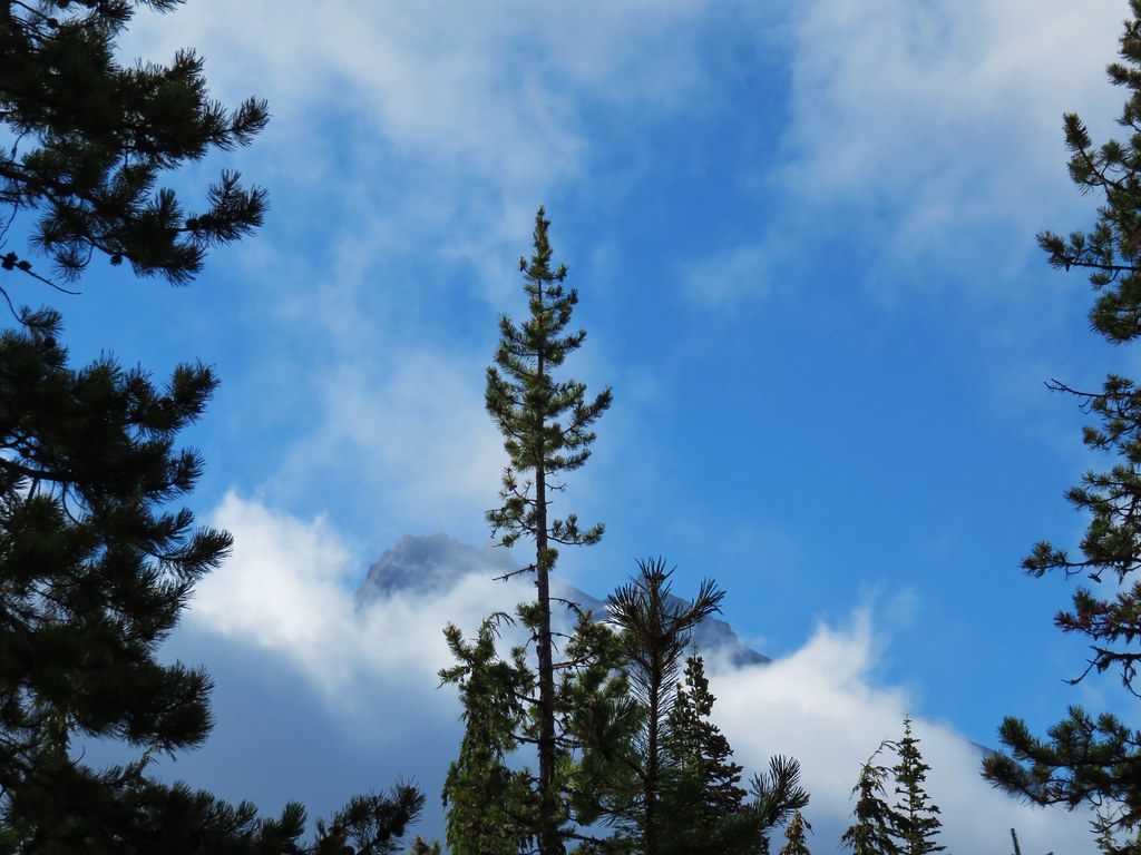
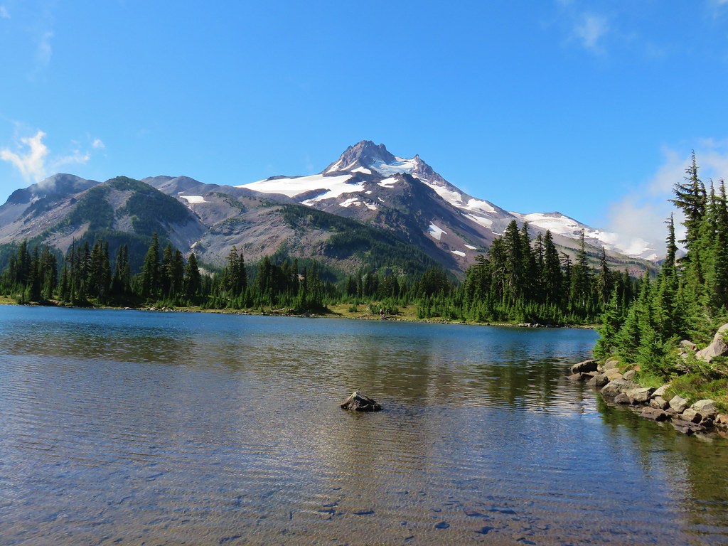
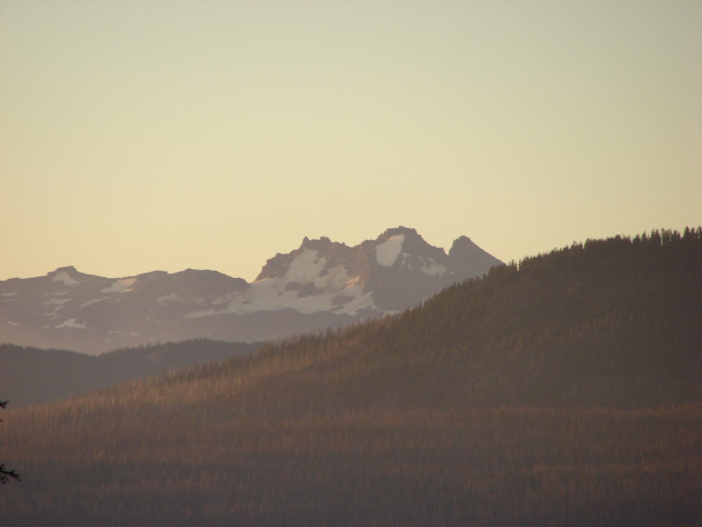
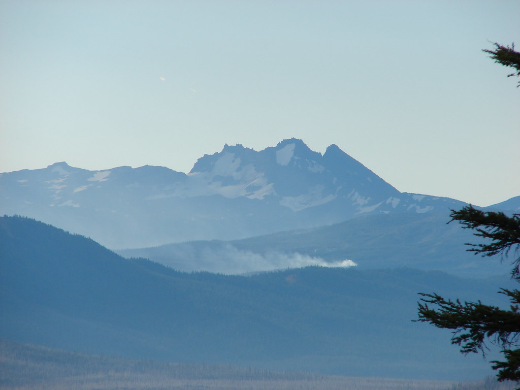
At least it had a view of Mt. Jefferson. There were a couple of bivouacs here and I waited for Heather to decide our next course of action. When she reached the second gully I decided to continue on and told her I would wave her up if I thought there was something that she just had to see. From where we were I could already see the top of Goat Peak below to the south as well as The Table and Cathedral Rocks.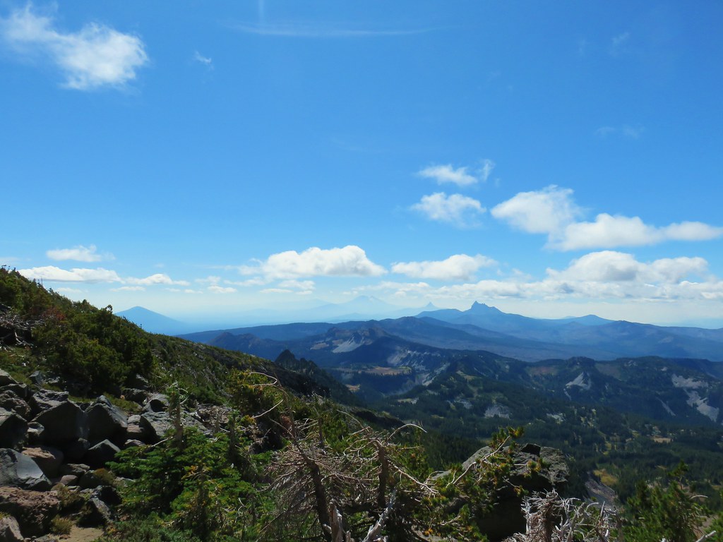
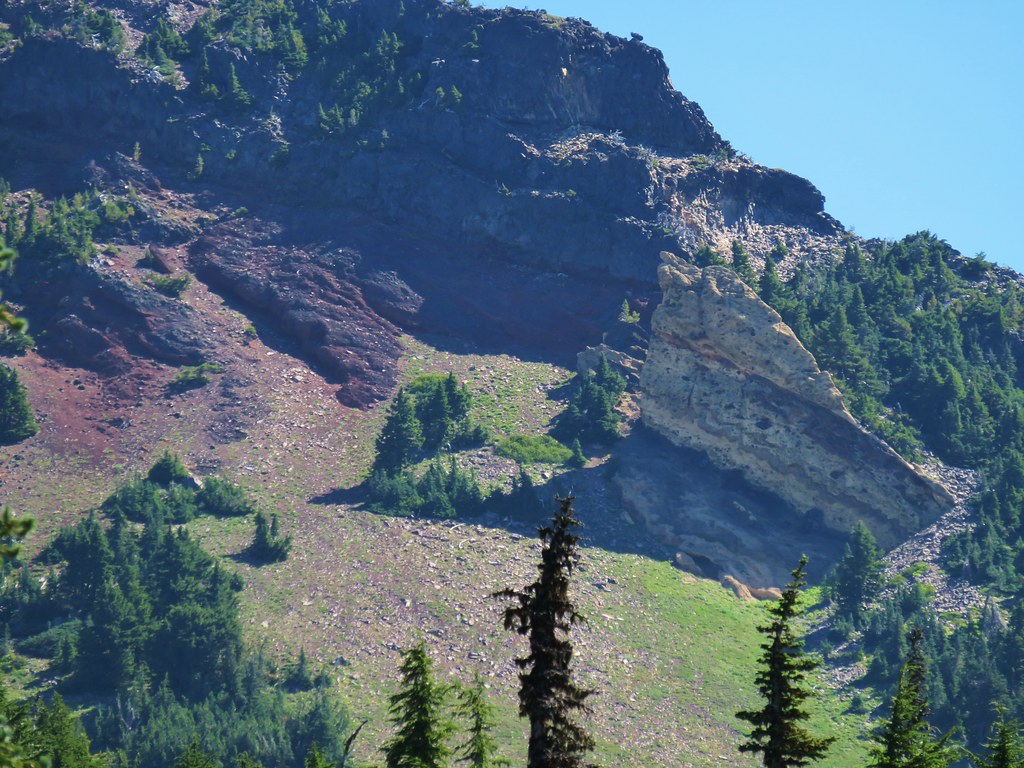
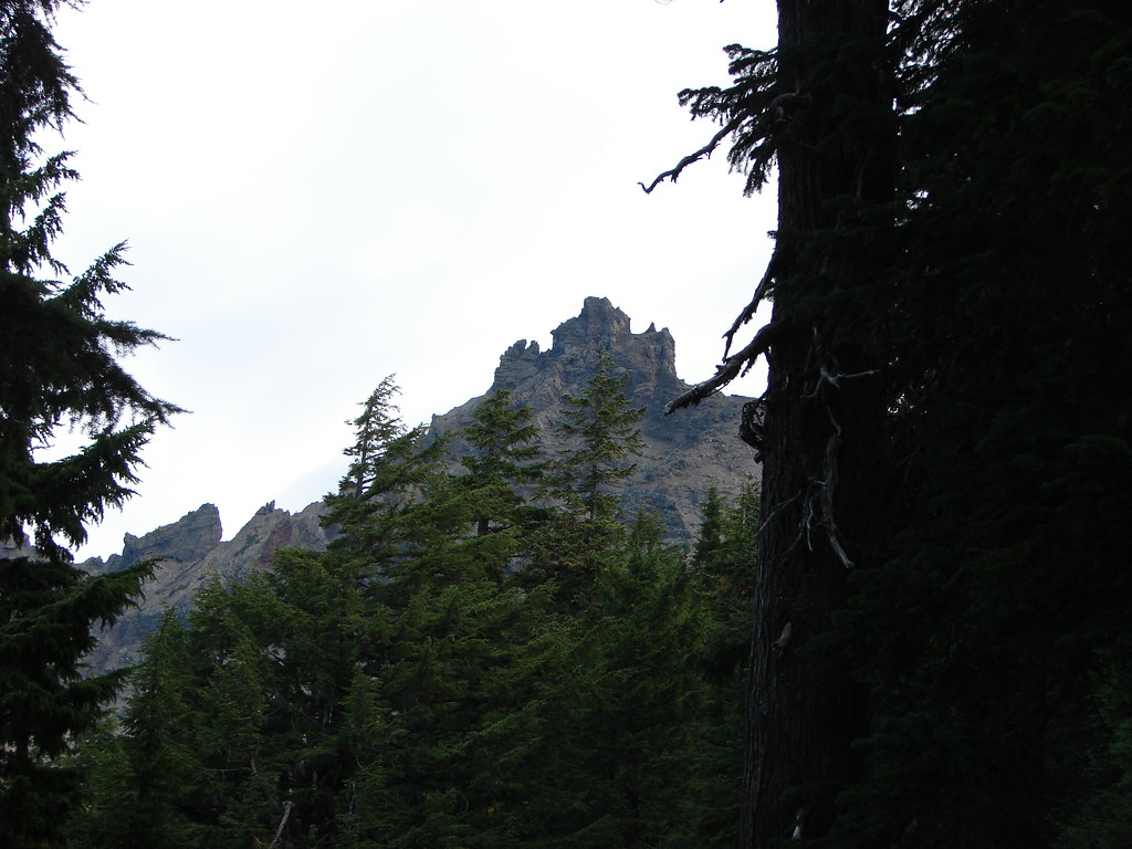
Goat Peak
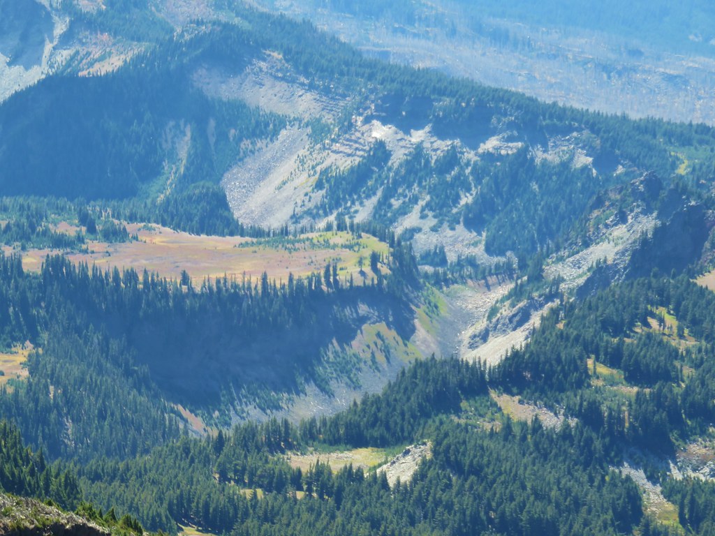
The Table
Cathedral Rocks
Getting out of the second gully was much easier than the first and I soon found myself walking along a snowfield.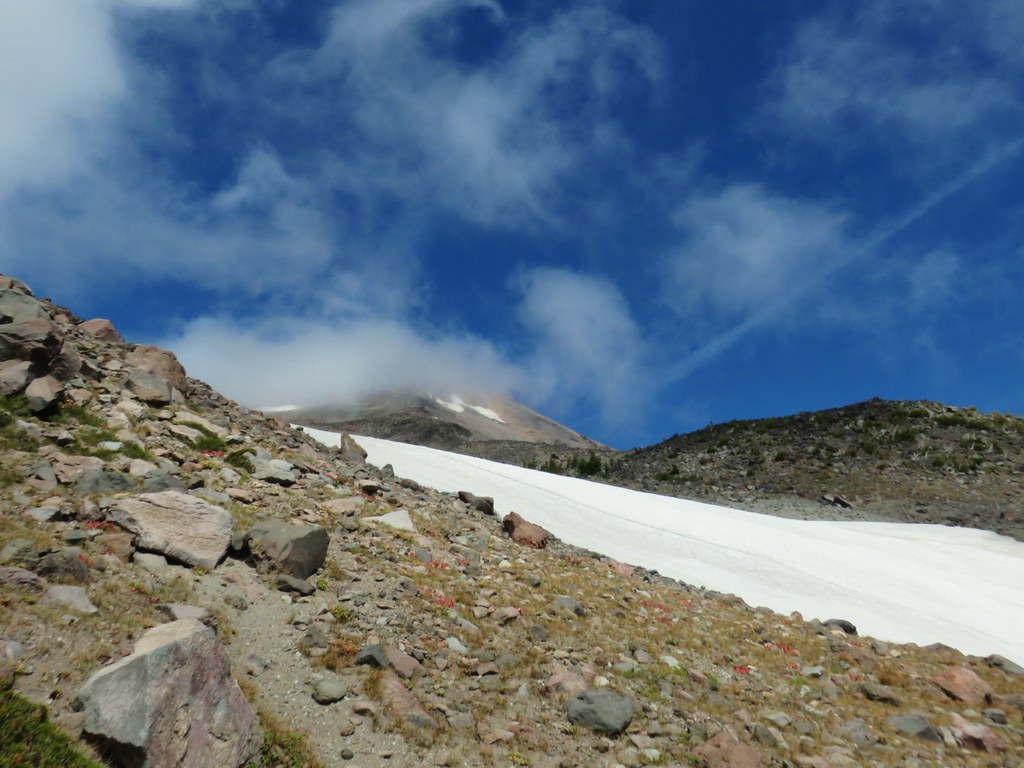
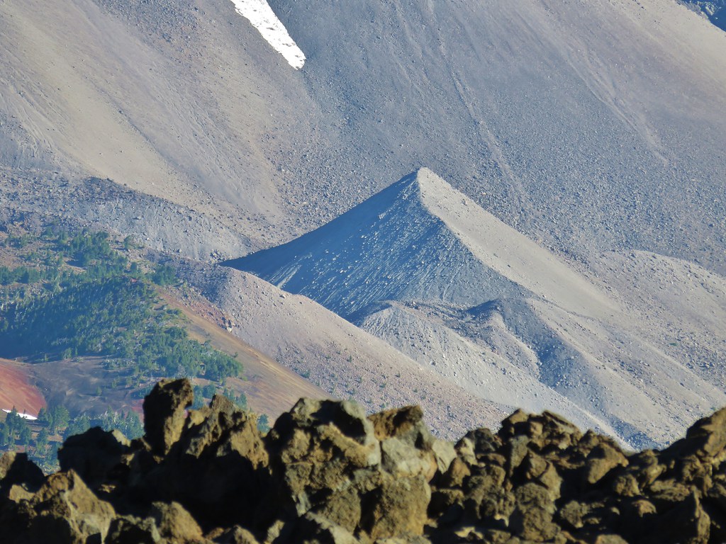
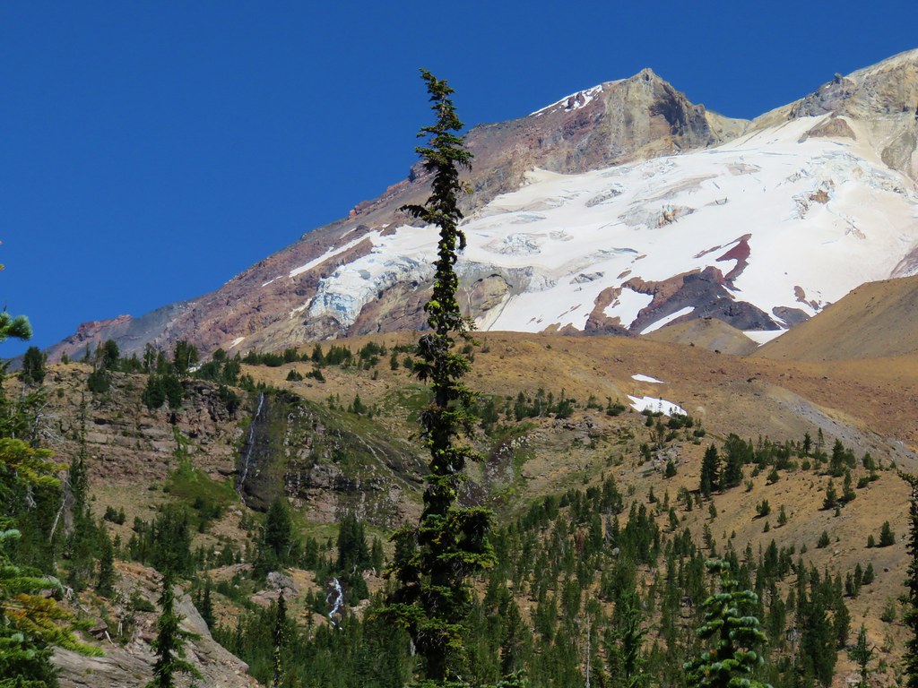
Later research would reveal that we were indeed following a climbers trail to the South Ridge Route up Mt. Jefferson. I ended my climb at the top of the snowfield but did a little exploring to the high points on either side of the gully.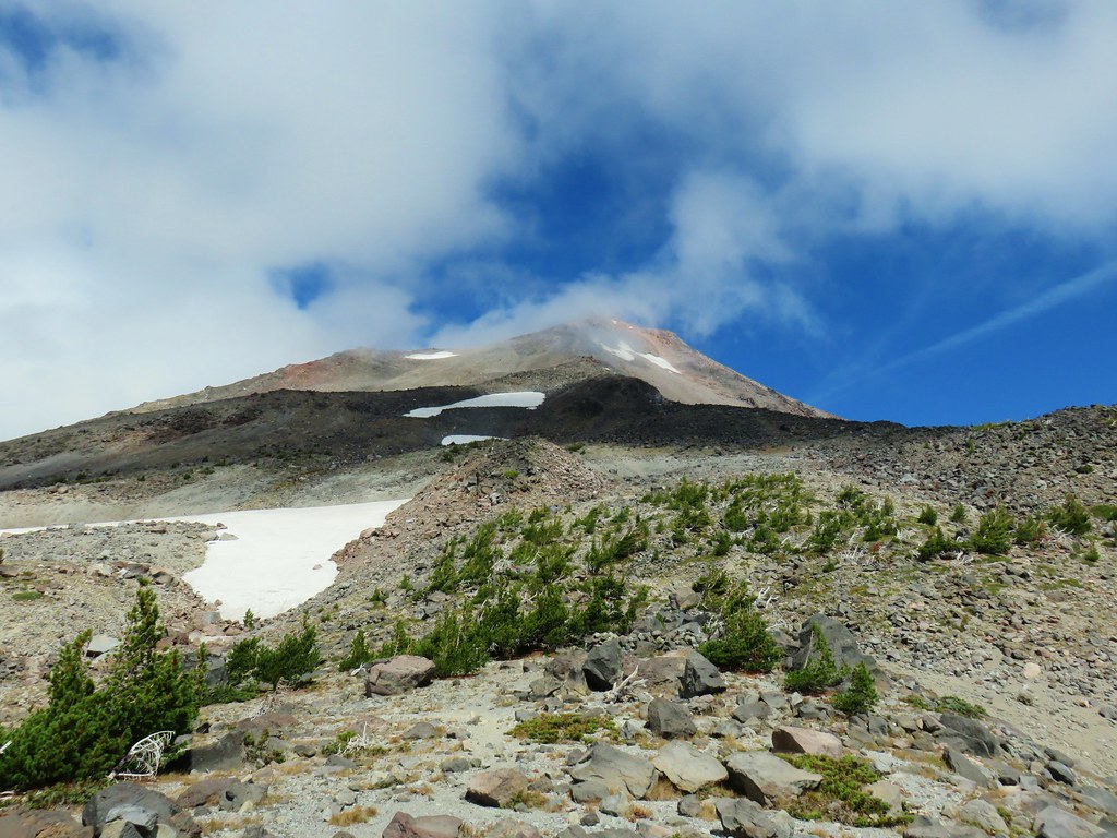
Climbers trail continuing up Mt. Jefferson

View south from the ridge to the north of the gully.
Looking out along the ridge.

Where we had intended to be.
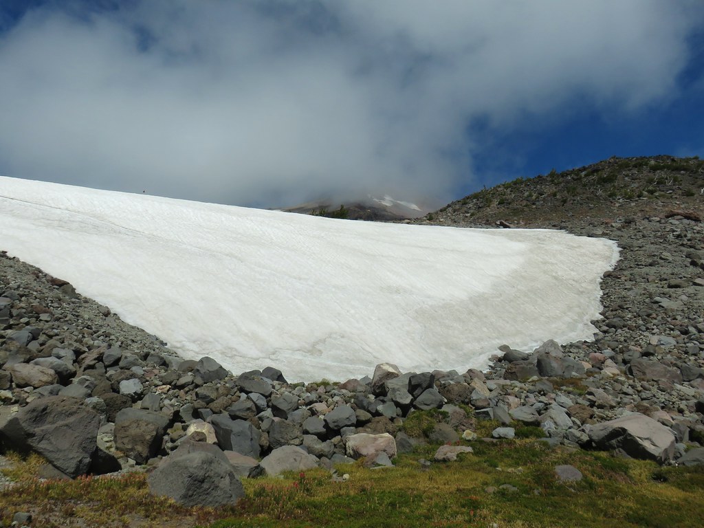
View from below the snowfield.
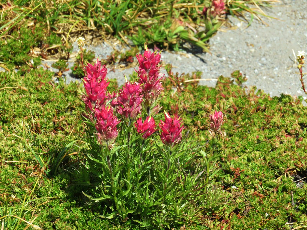
Paintbrush below the snow.

Looking south from the opposite ridge top.
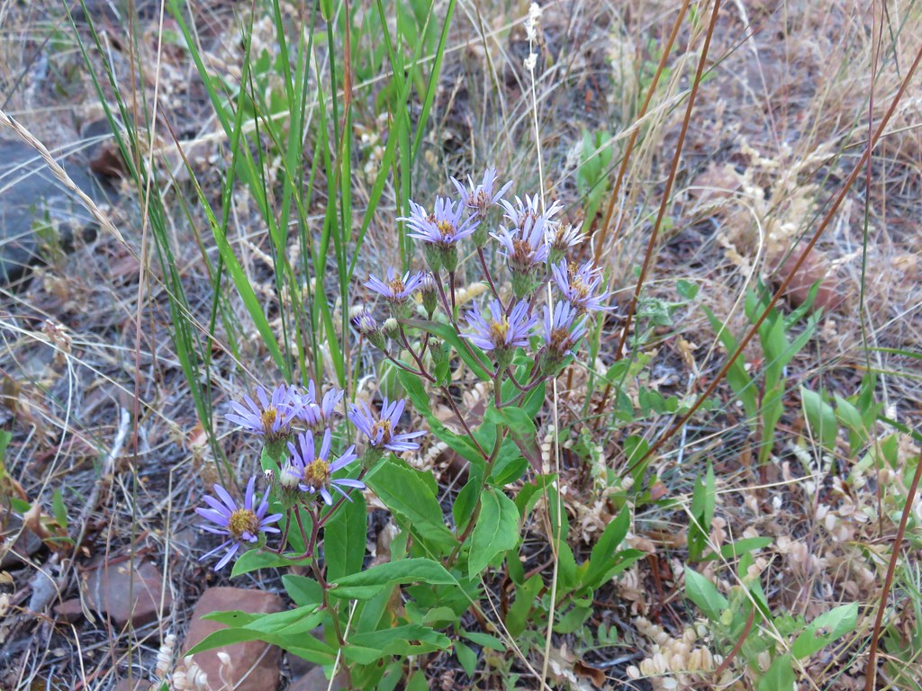
Wildflower atop the ridge.

Bear Butte along the nearest ridge.
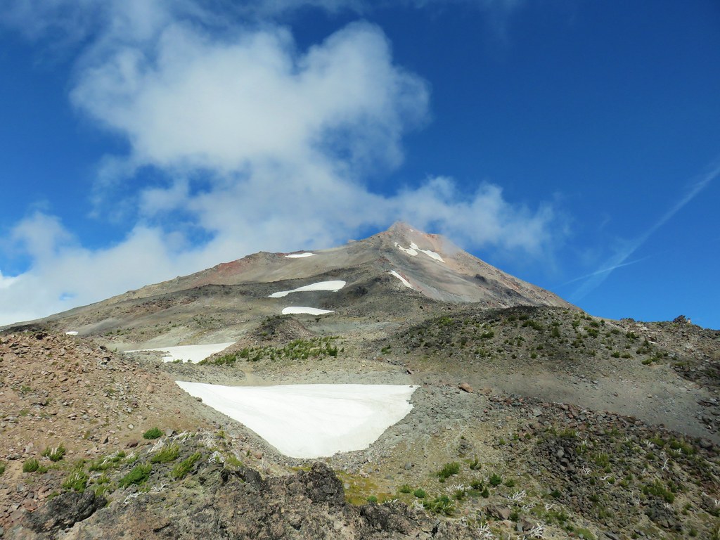
Looking back at Mt. Jefferson
The views were nice but I didn’t think they warranted waving Heather up so I headed back down to where she was waiting. After a short break and a snack we began the half mile decent down the lower gully.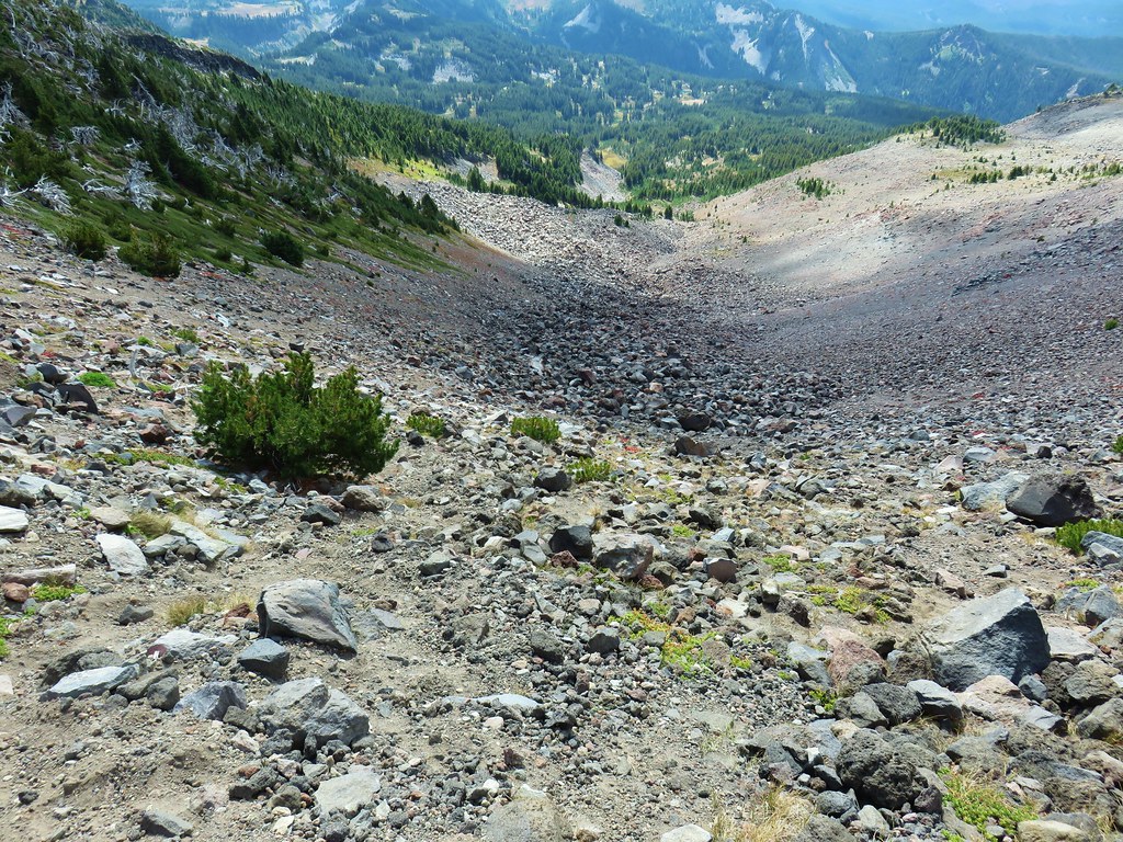
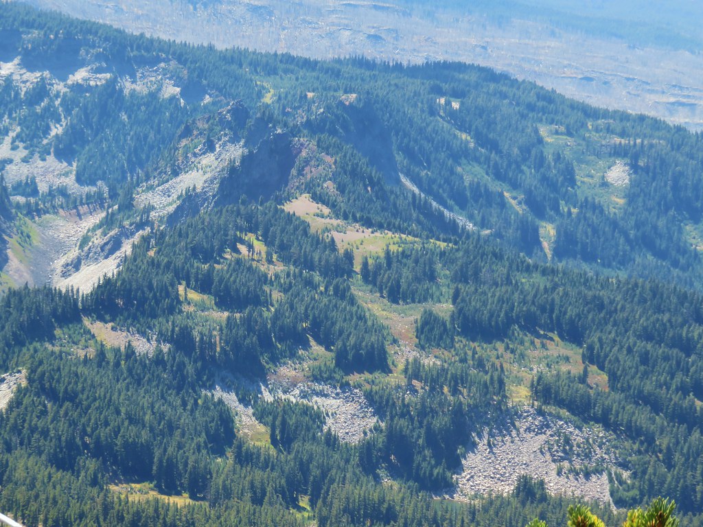
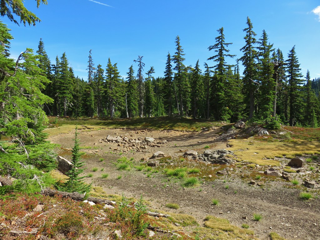
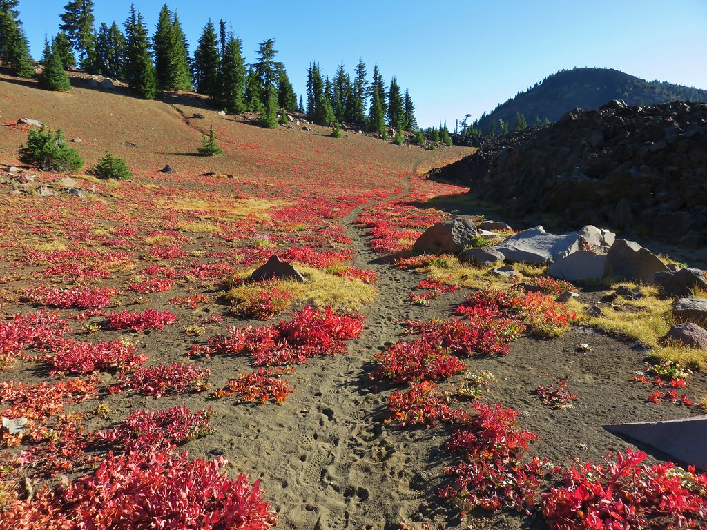
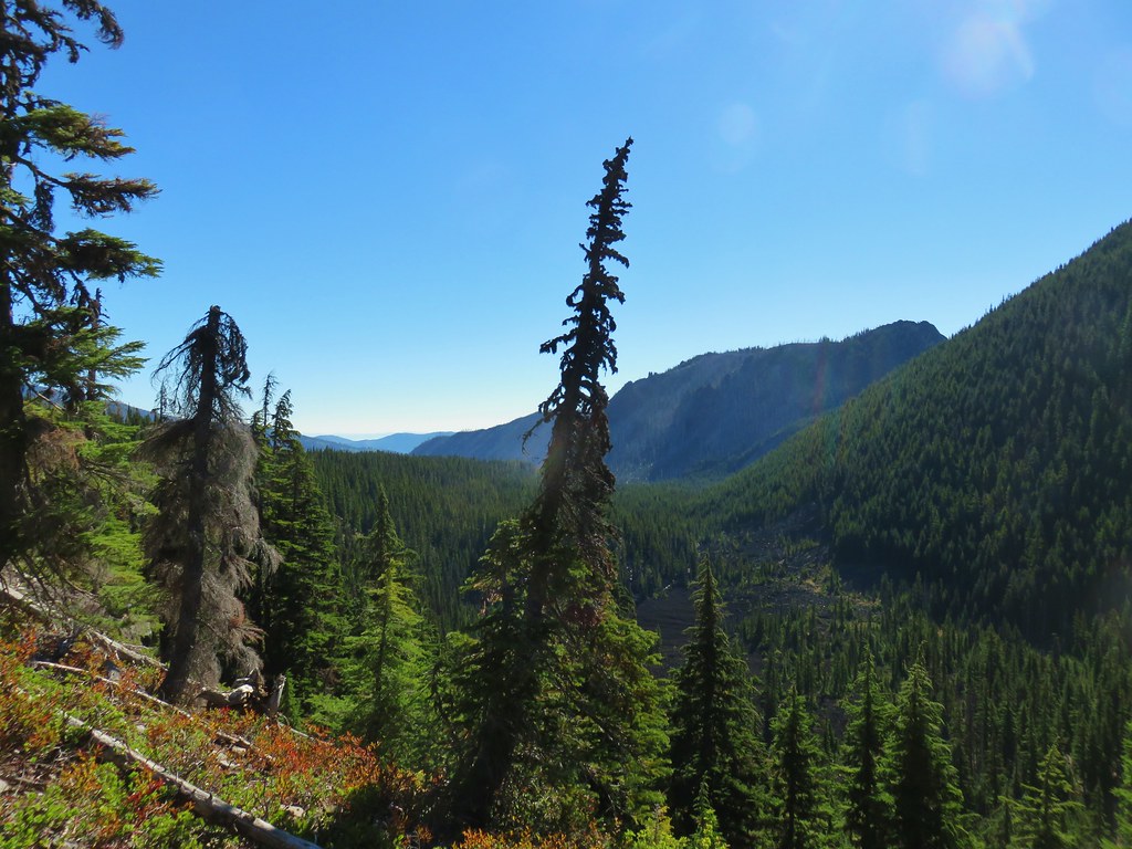
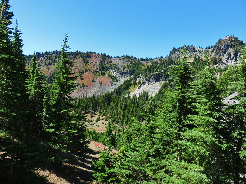
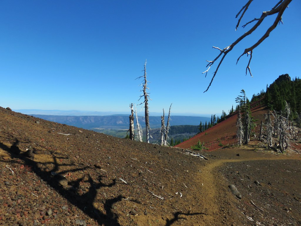
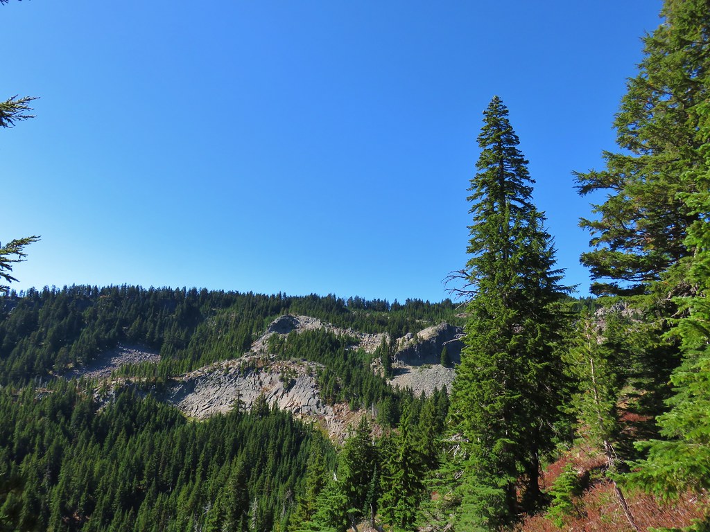
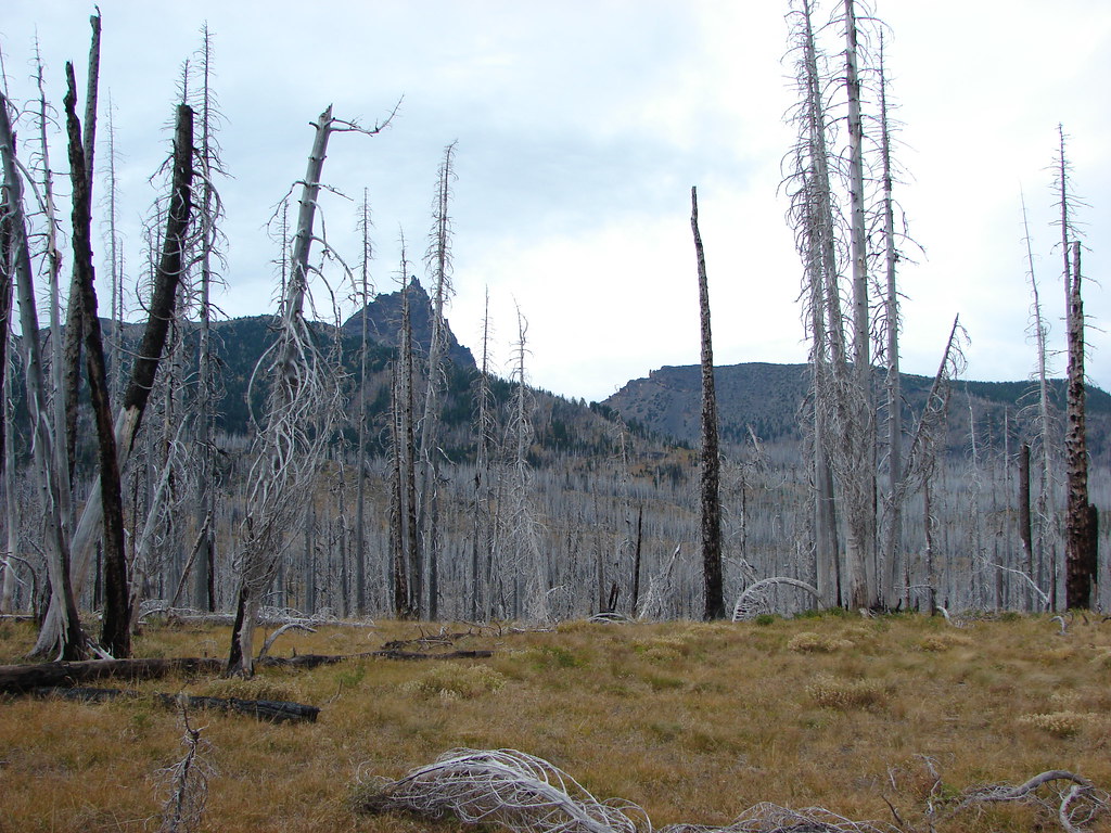
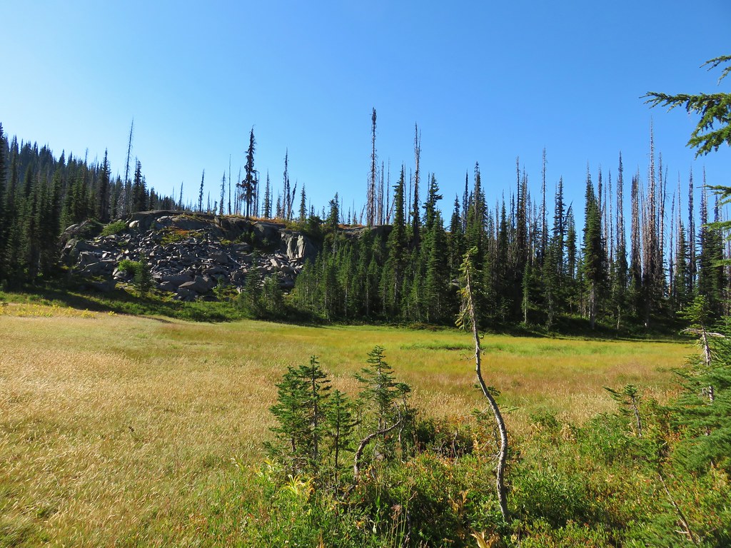
We passed the other group, who were still on their way up the lower gully, just after starting our descent. When we’d finally gotten back to level ground in the meadow we decided to check out the other side of the ridge to see if we find any sign of a trail we’d missed.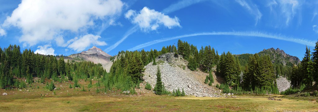
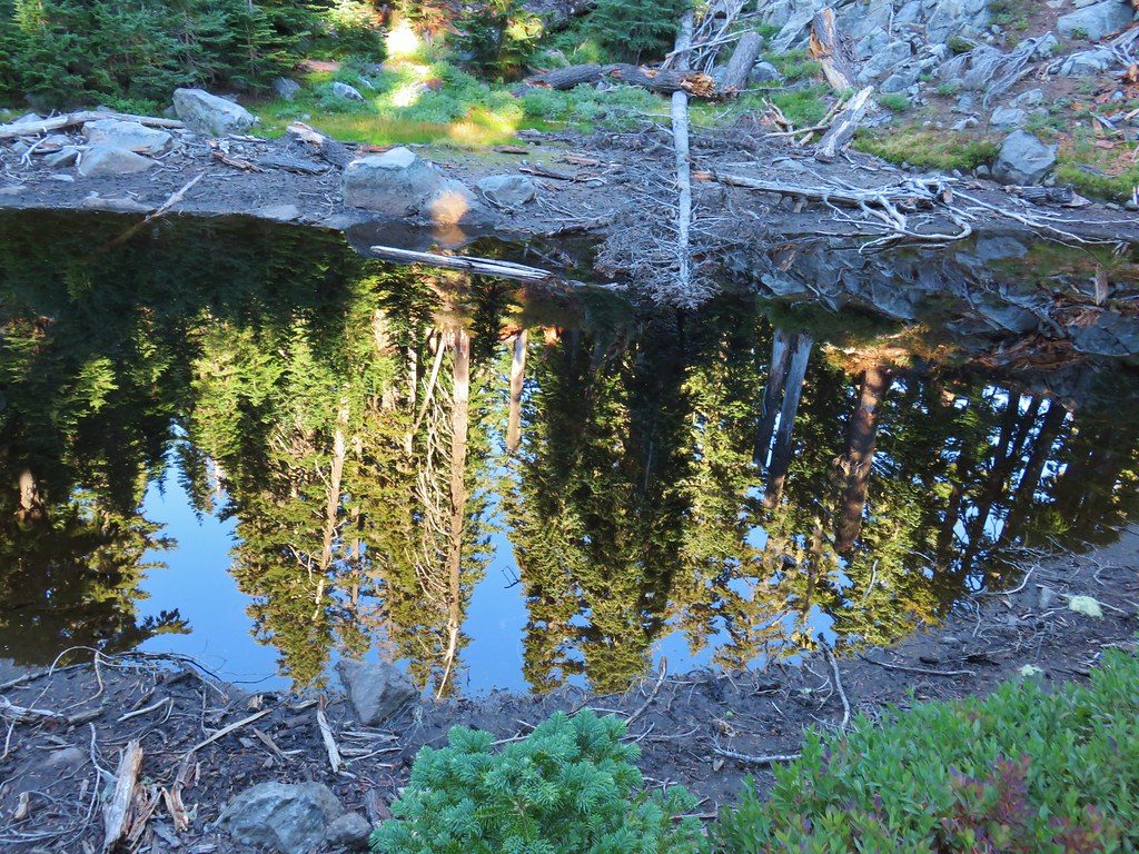
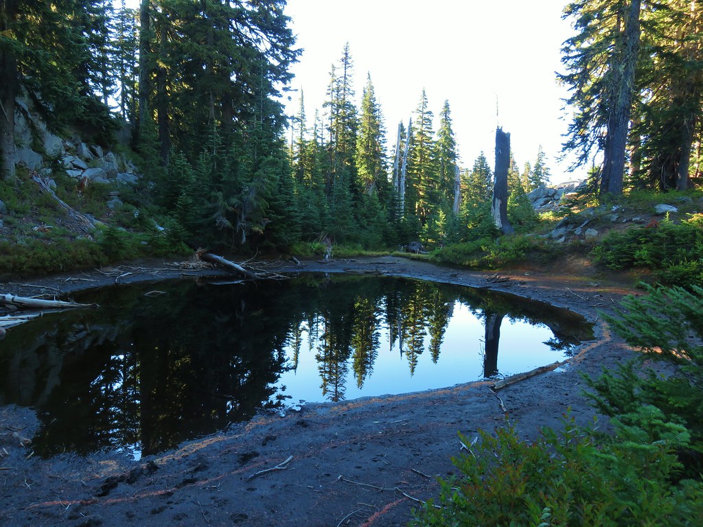
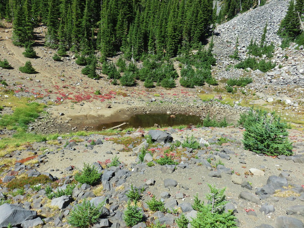
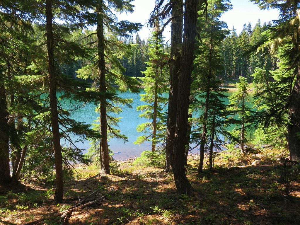
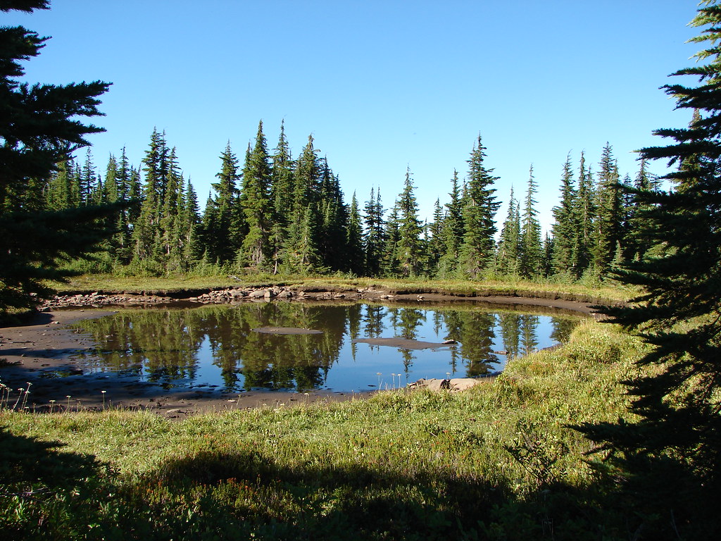
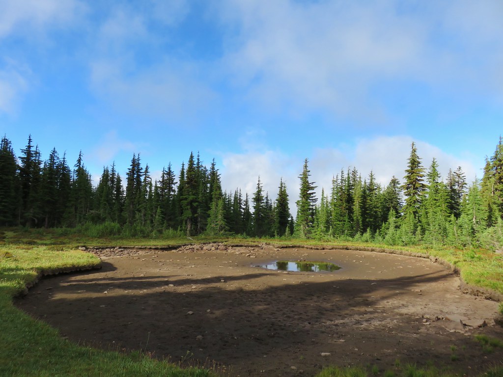
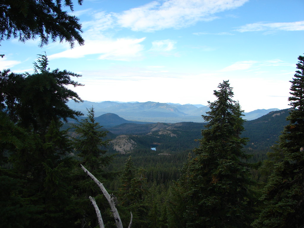
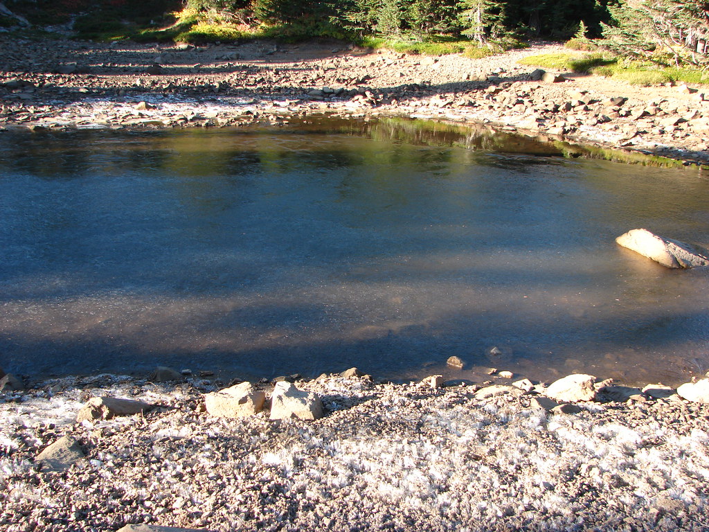
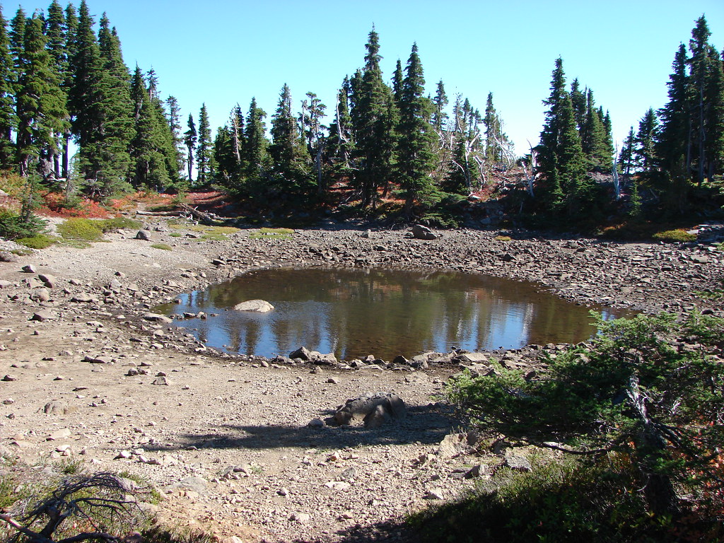
There wasn’t anything we could see, but based on all the information in the book including the map and GPS coordinates we definitely had wanted to be on this side of the ridge. Once we had gotten into the area we noticed that there were several ponds/lakes showing on the map to the south. The terrain appeared to be level enough to make a cross country jaunt inviting.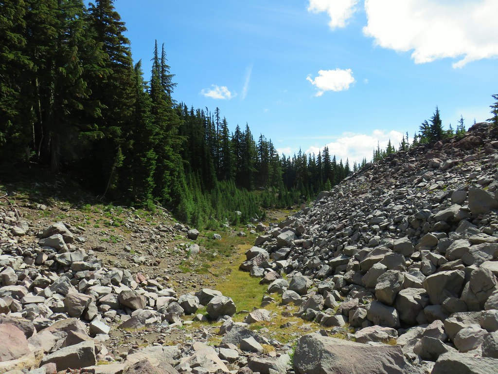
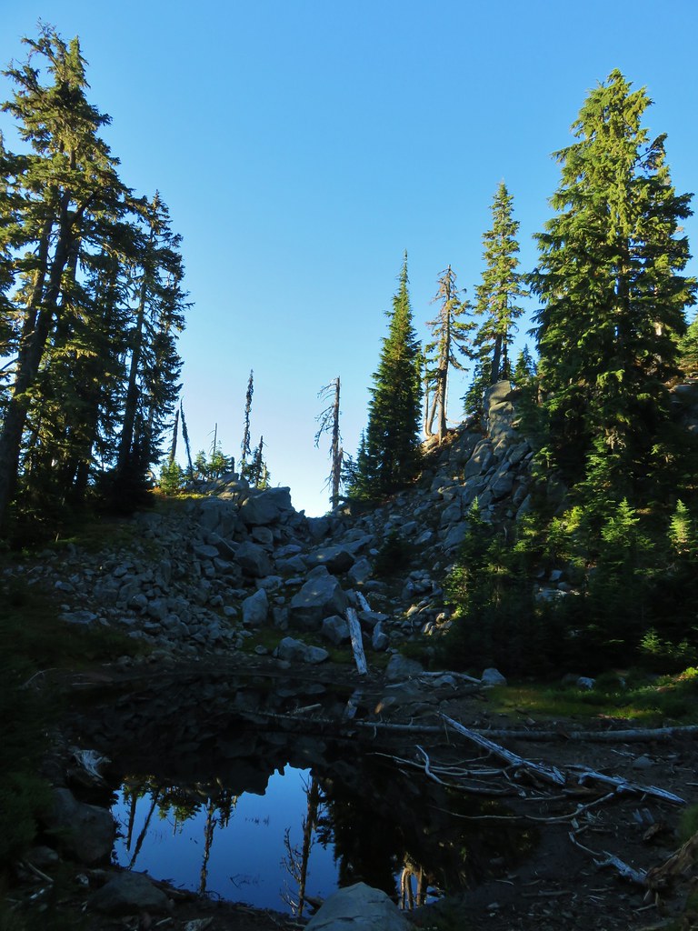
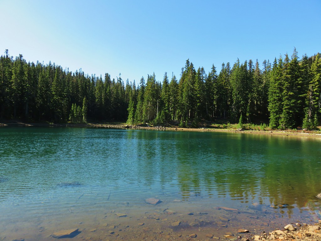
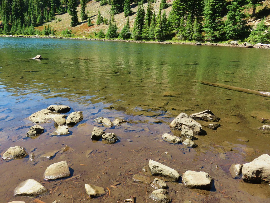
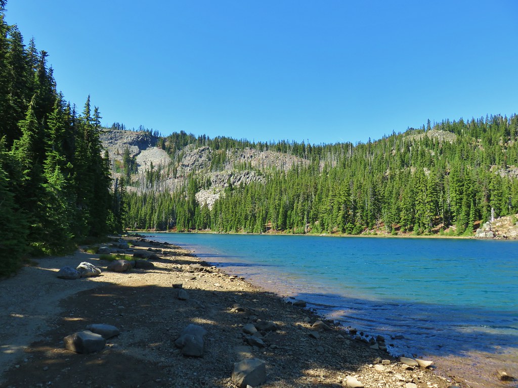
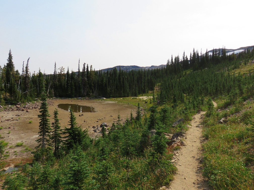
We used the map and GPS to locate several of the ponds but they were all dry save one unnamed lake. We did get some really nice views of Goat Peak though.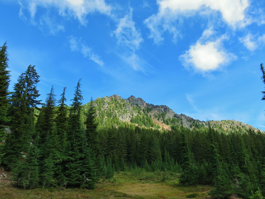
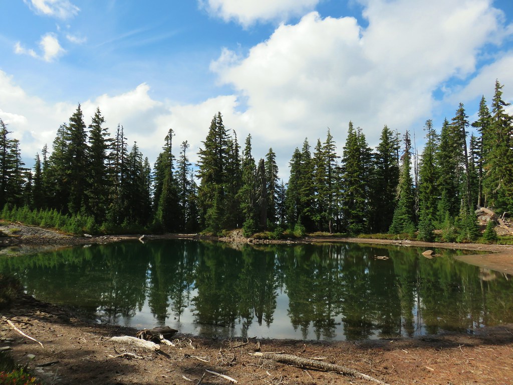
We took another break at the lake.

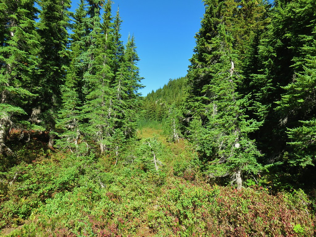
There were some tents set up nearby in the trees so we thought that there might be a trail somewhere nearby and set off looking for it when we left the lake. It didn’t take us long to spot the clear tread.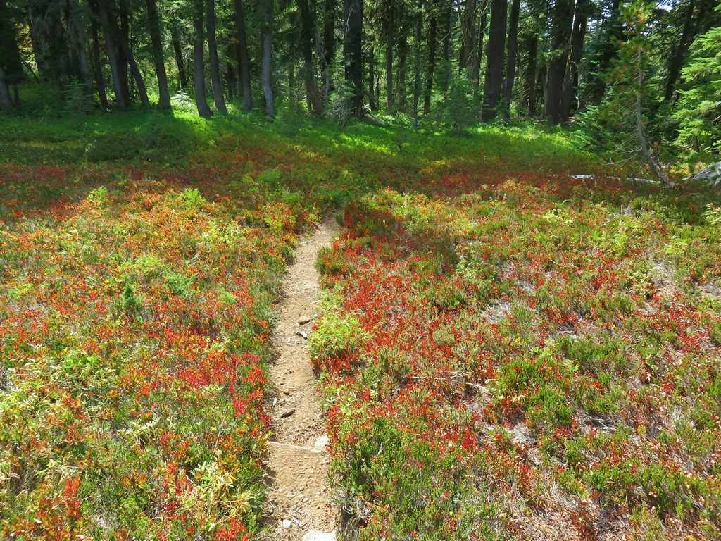
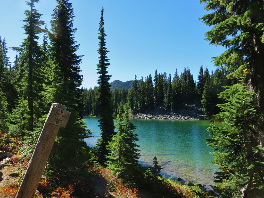
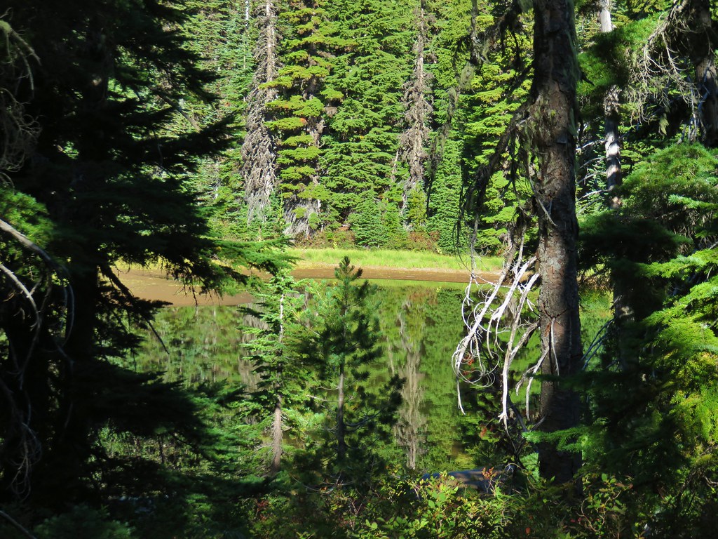
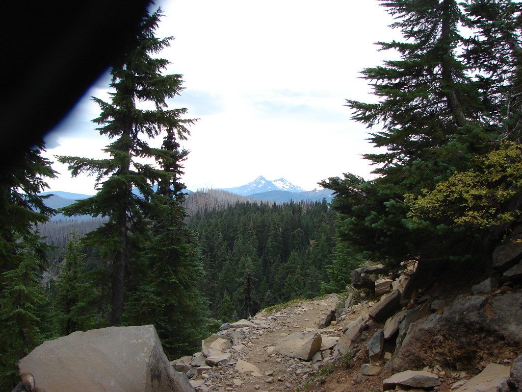
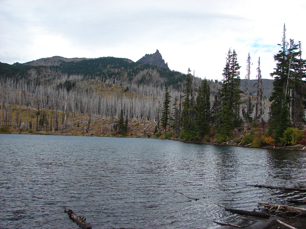
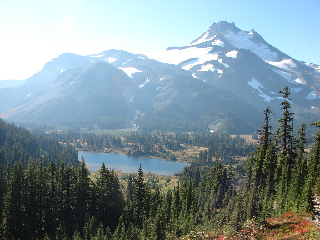
This path led us west between Mud Hole and Shale Lakes and back to the PCT.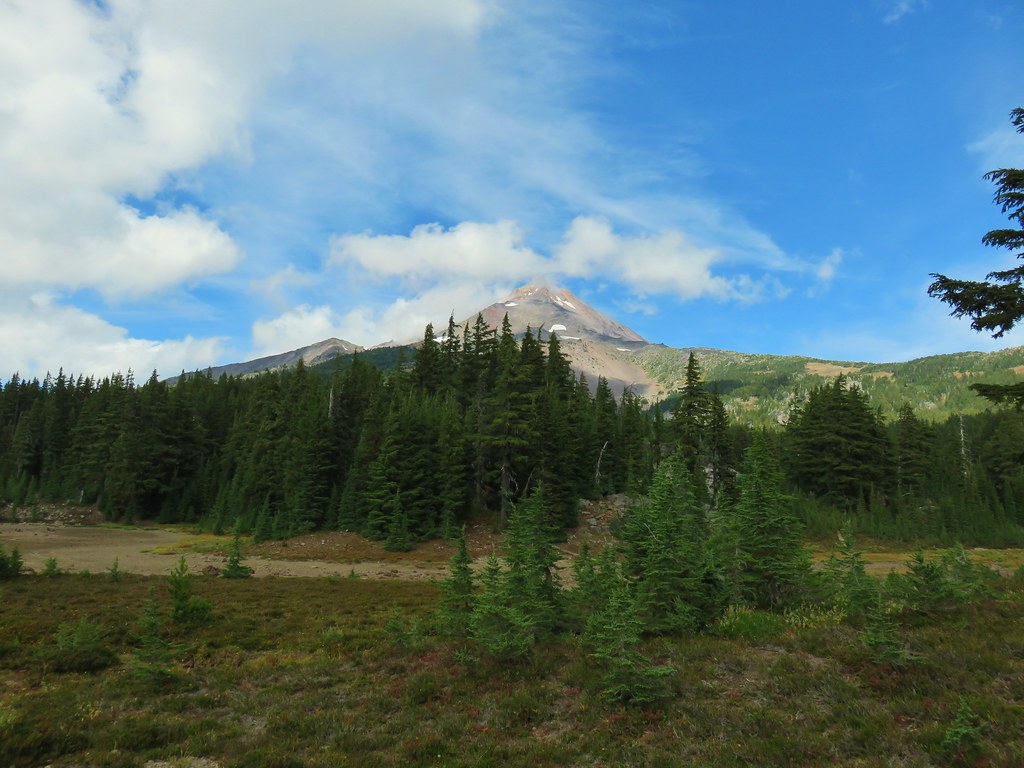
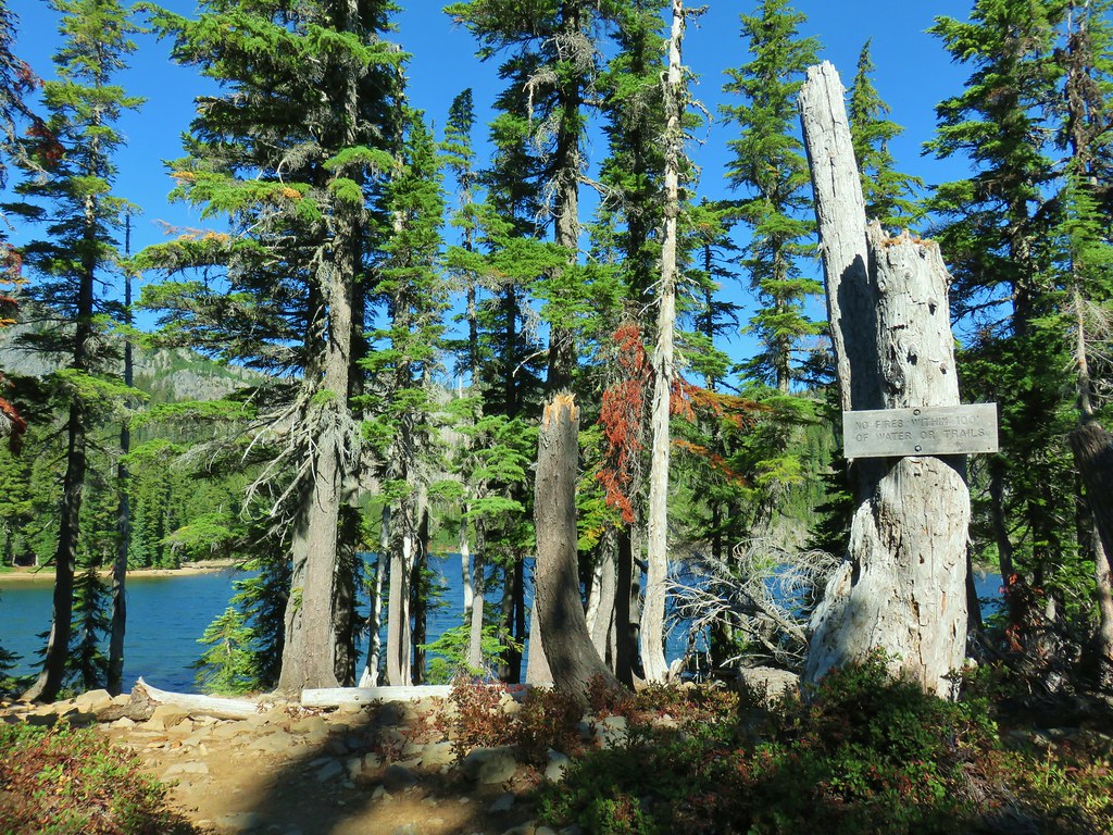
Mud Hole Lake
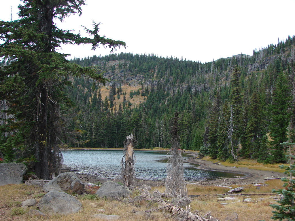
Shale Lake
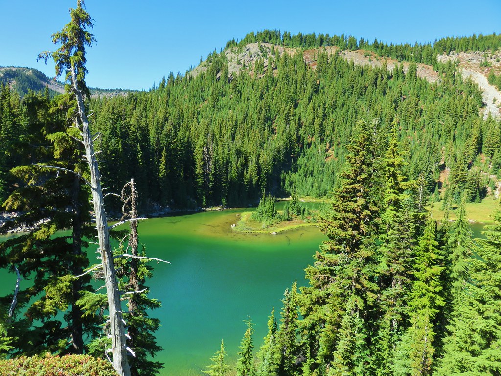
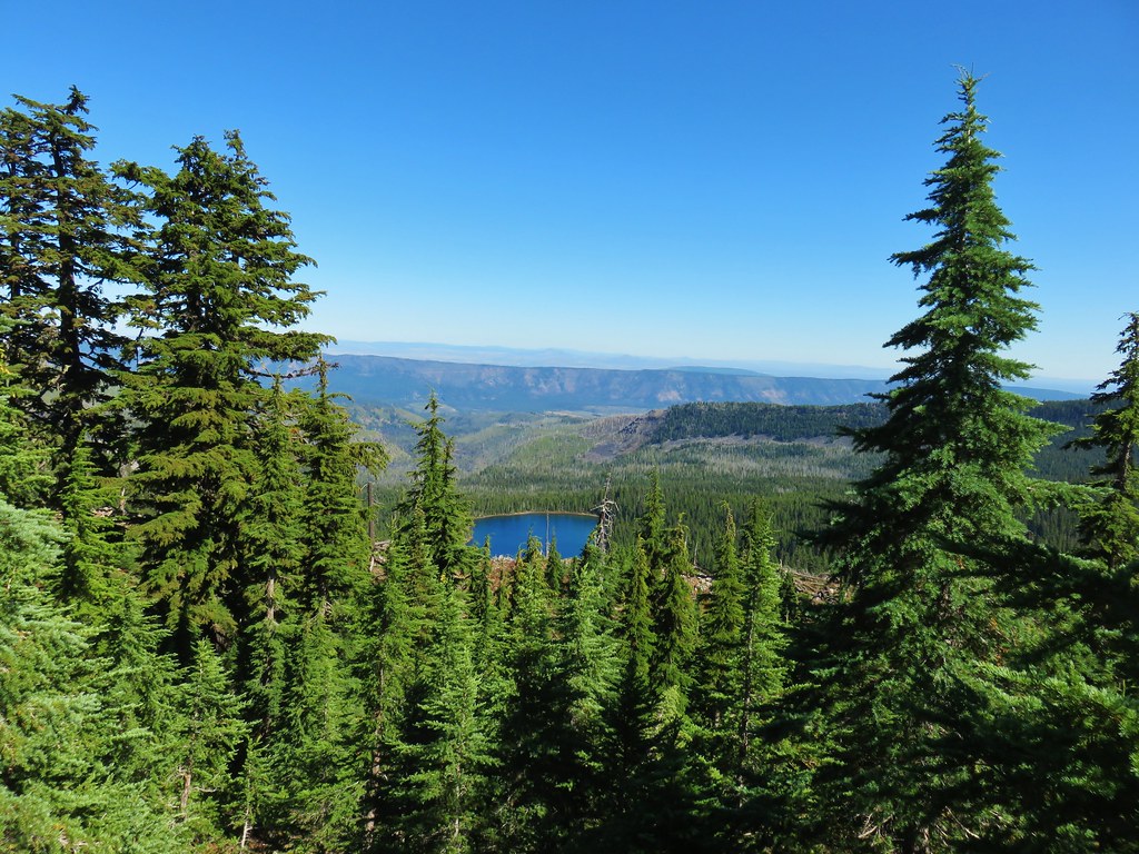
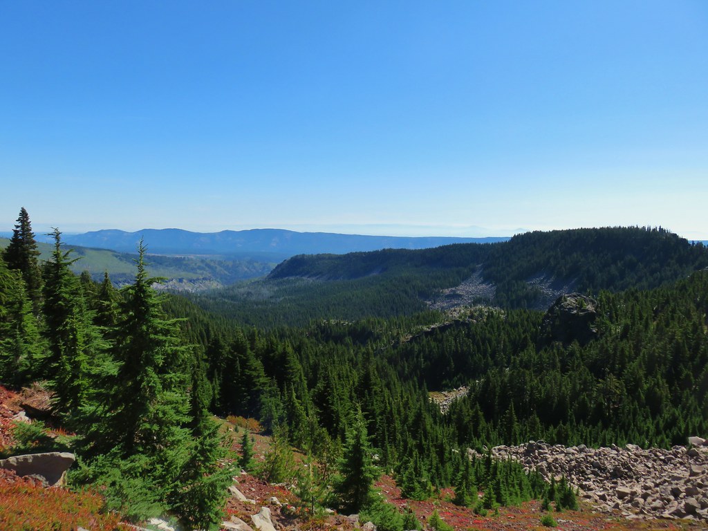
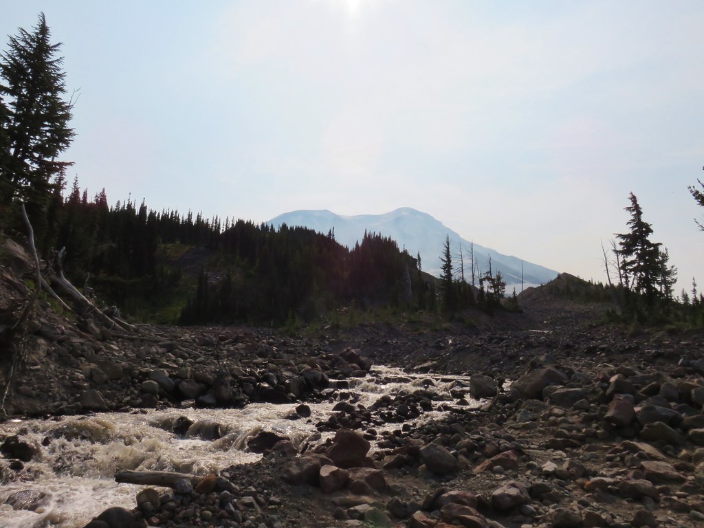
We turned right on the PCT and continued a short distance until we spotted another use trail heading further west. We followed this path past more dry (or nearly dry) ponds to Coyote Lake.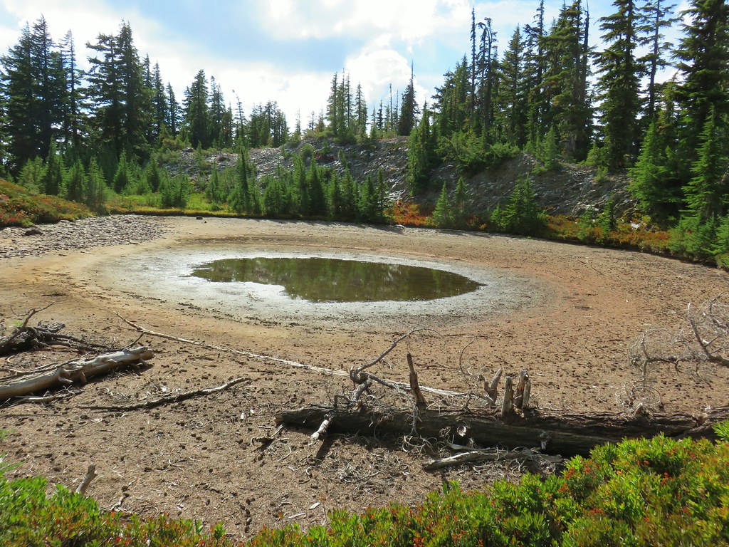
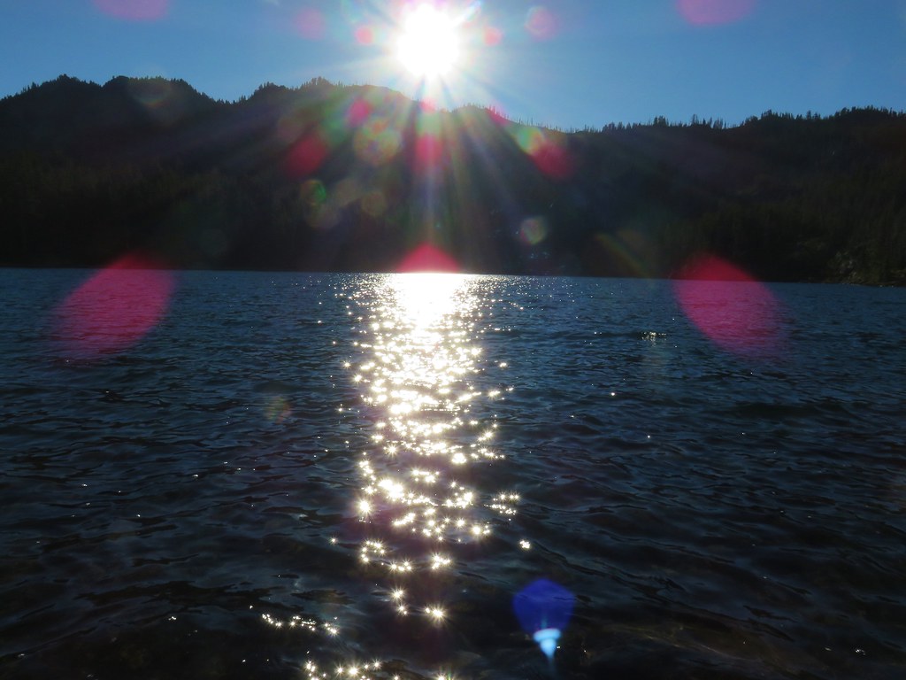
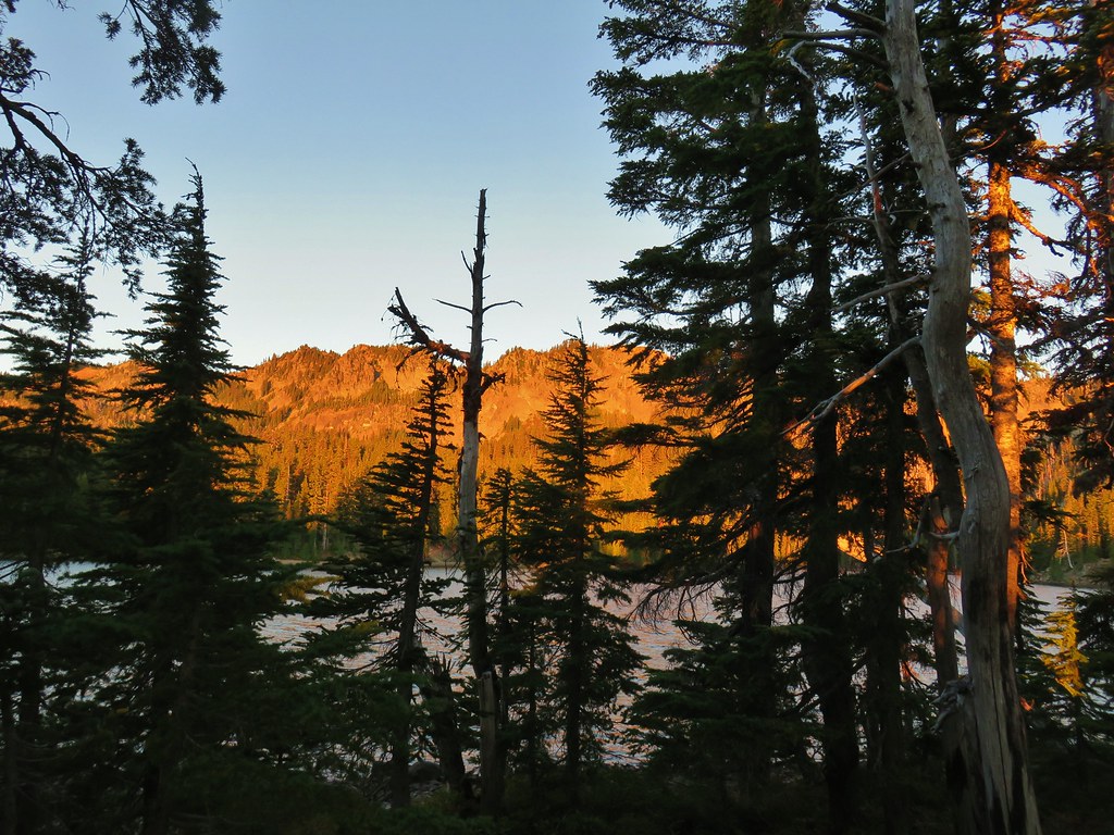
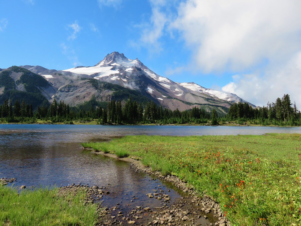
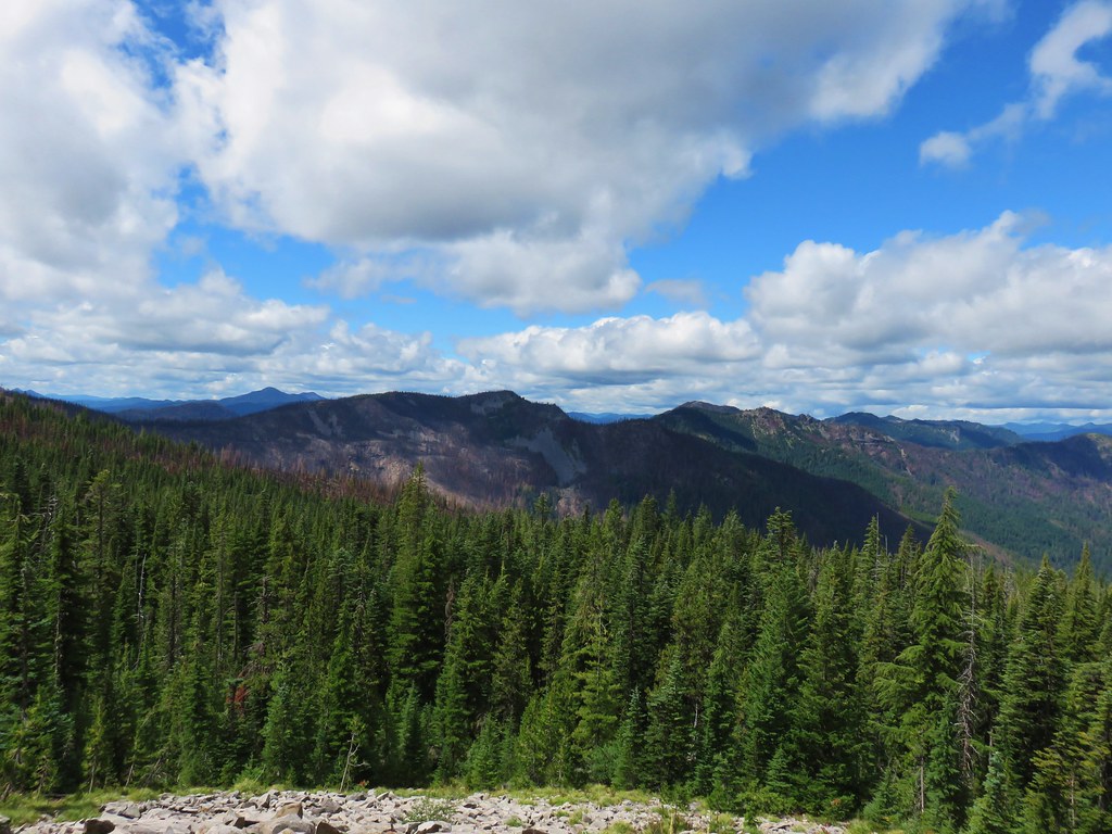
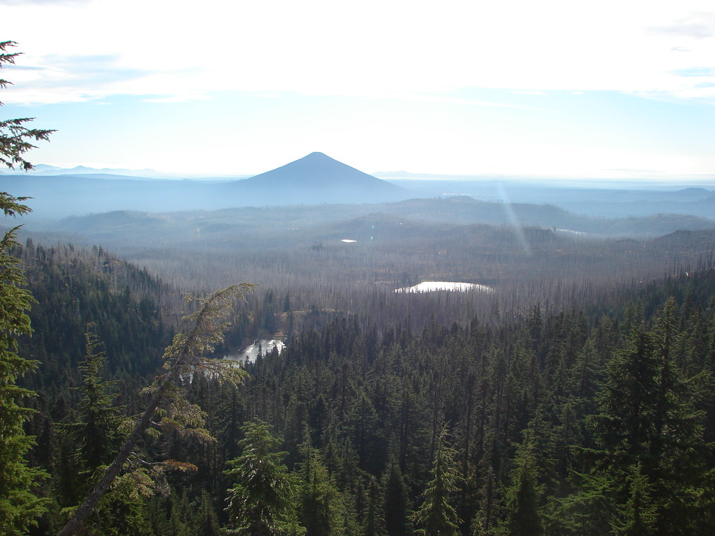
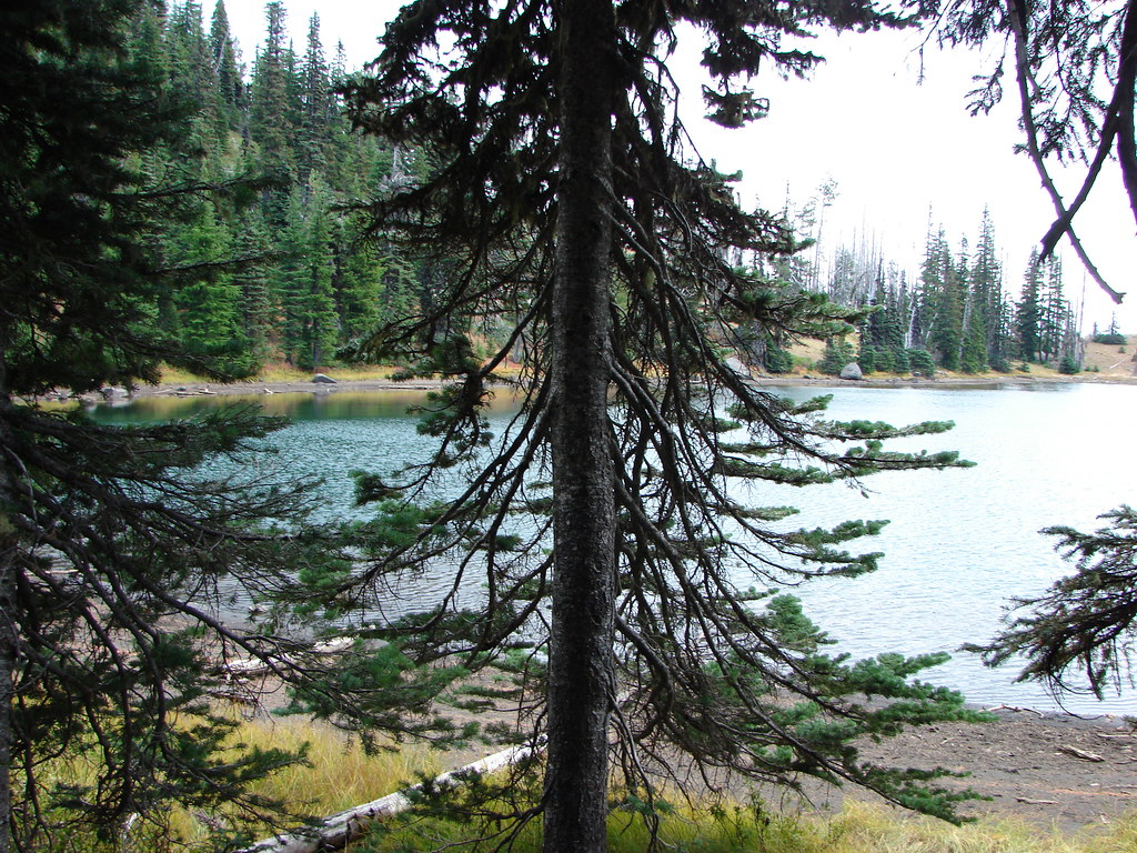
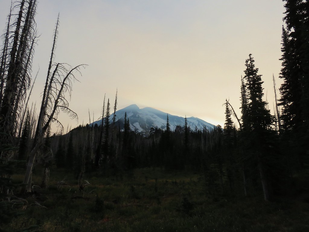
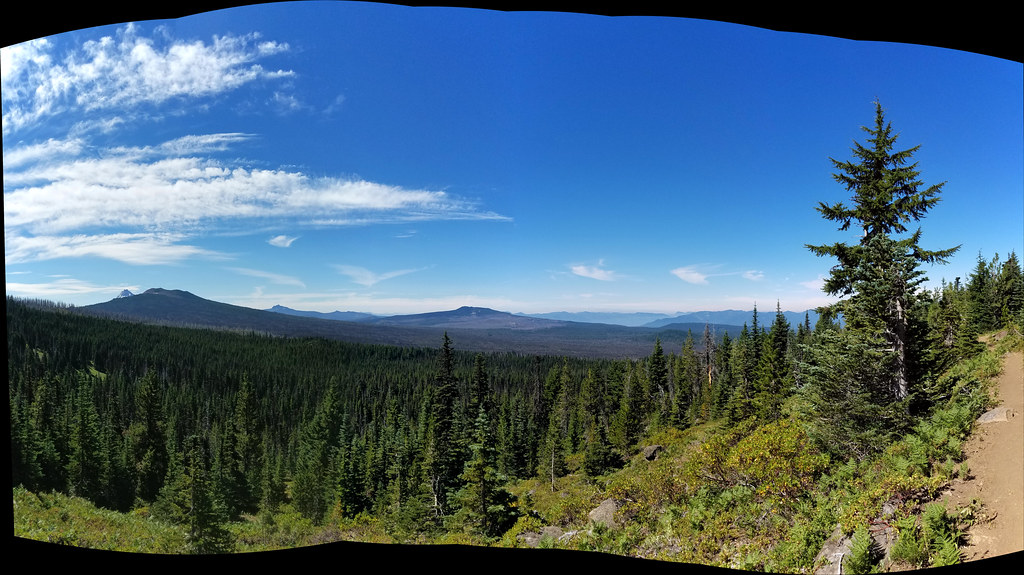
Our urge to explore was now satisfied and we returned to the PCT and headed back to Pamelia Lake, which looked like it was way, way down below us.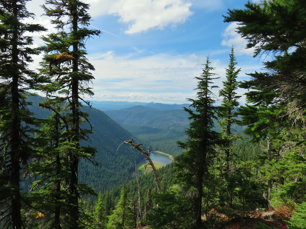
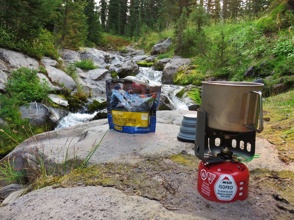
It was closing in on 6pm when we finally made it back to camp. We went down to the lake to get water then cooked dinner and relaxed in our camp chairs.
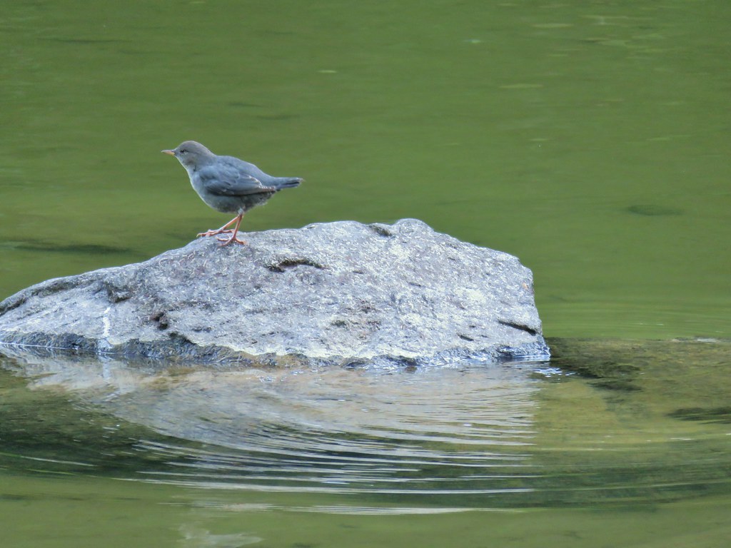
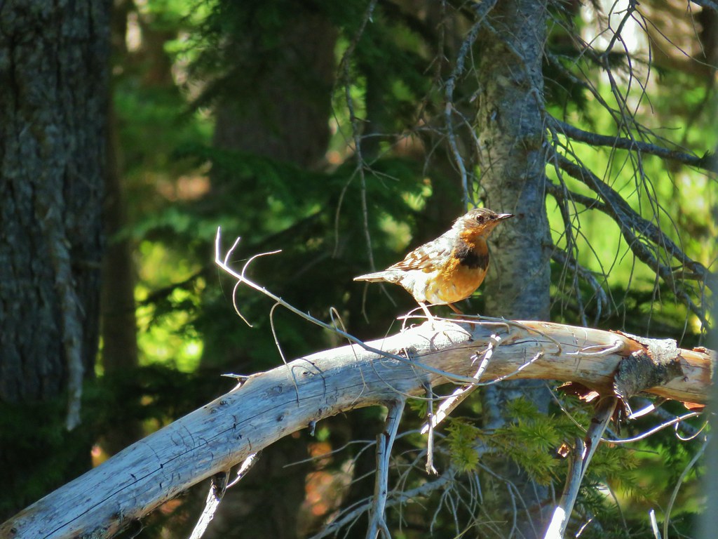
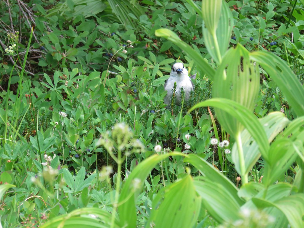
Ouzel

Marty, a wilderness ranger, stopped by to check our permit and make sure we were aware of the campfire ban. She seemed relieved that we had a permit and knew about the ban. We got the feeling that a fair number of folks aren’t as friendly as we were which is a shame.
Even though we hadn’t made it to Goat Peak and we’d hiked much further than originally intended (19.4 miles) it had been a great day. It helped knowing that we only need to hike 2.5 miles the next day to reach our car.
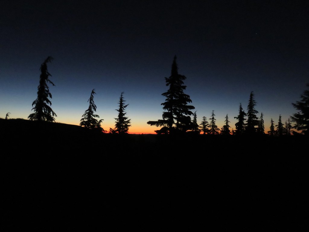
The next morning we were up before 5am and on the trail by 6:30.

We made it home just after 9am which gave us plenty of time to unpack, clean up, and do some laundry. Happy Trails!
Flickr: Pamelia Lake Overnighter
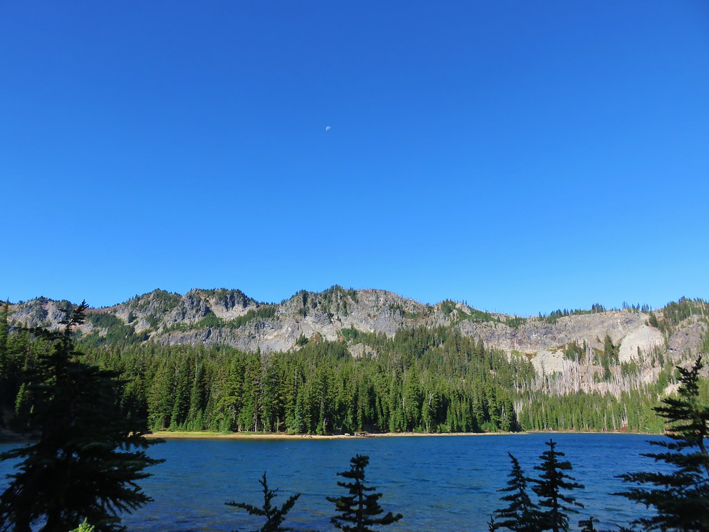
 Carl Lake
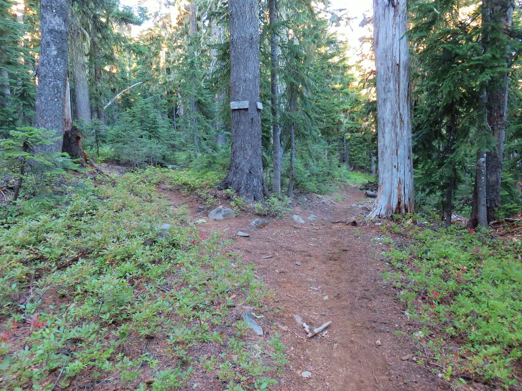

 Mt. Jefferson and Forked Butte poking up over the trees.
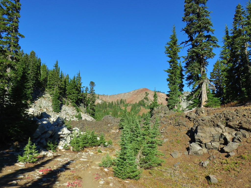 North Cinder Peak
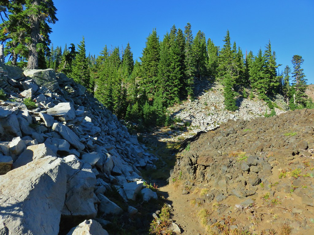

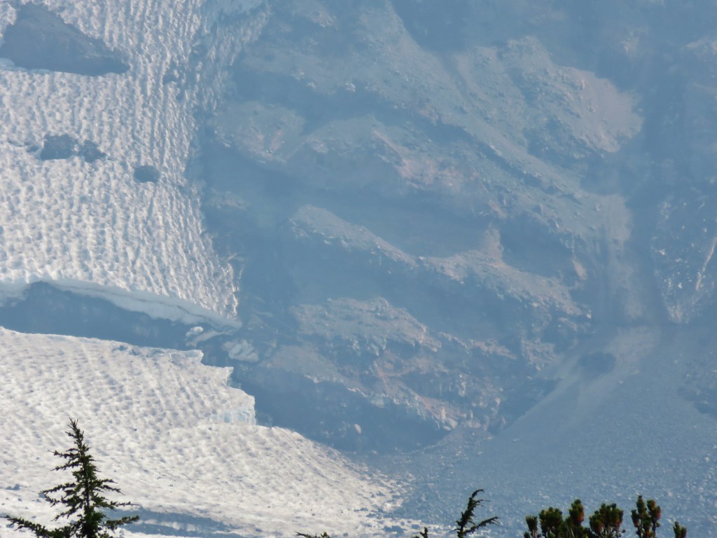
 Moraine below the Waldo Glacier on Mt. Jefferson.
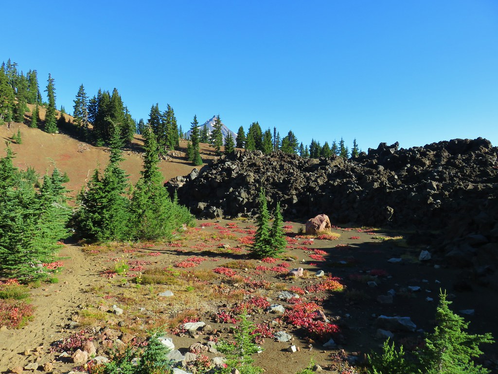


 The Jefferson Lake Trail used to come up this valley.

 The end of The Table to the left of the trail.
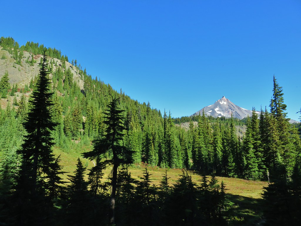
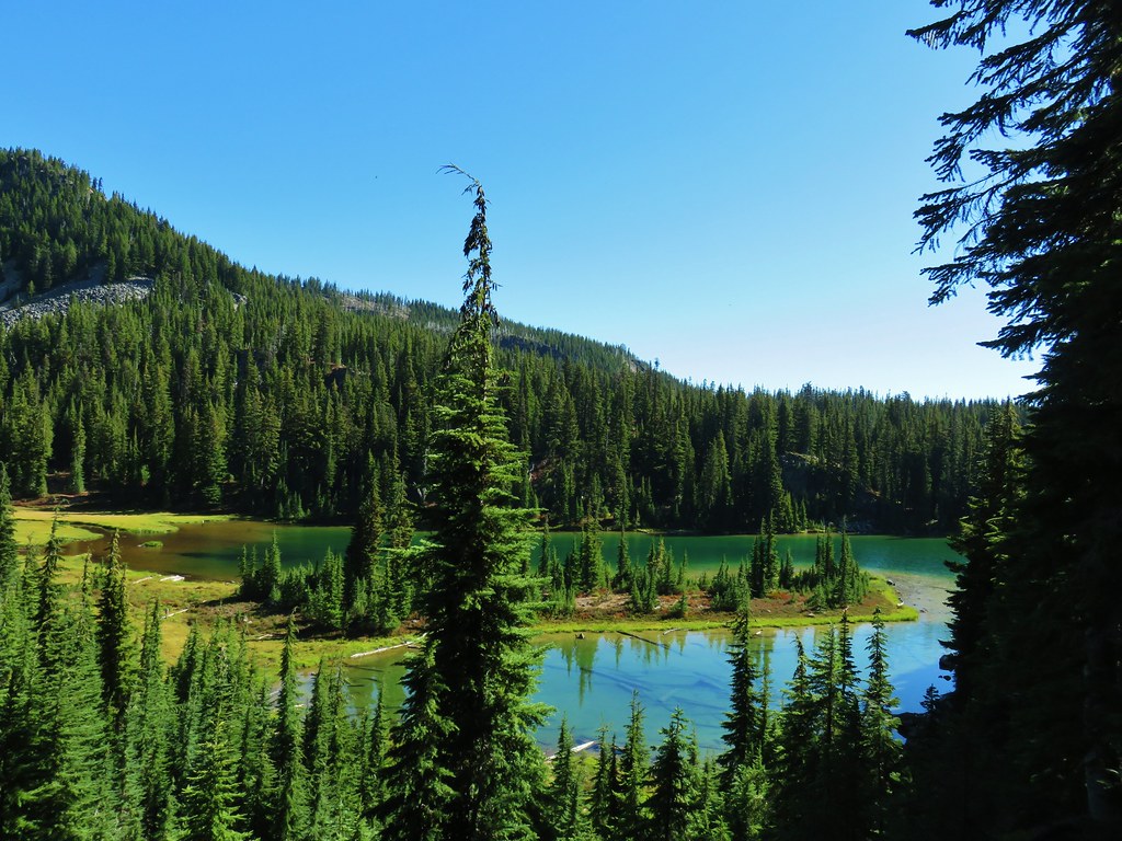
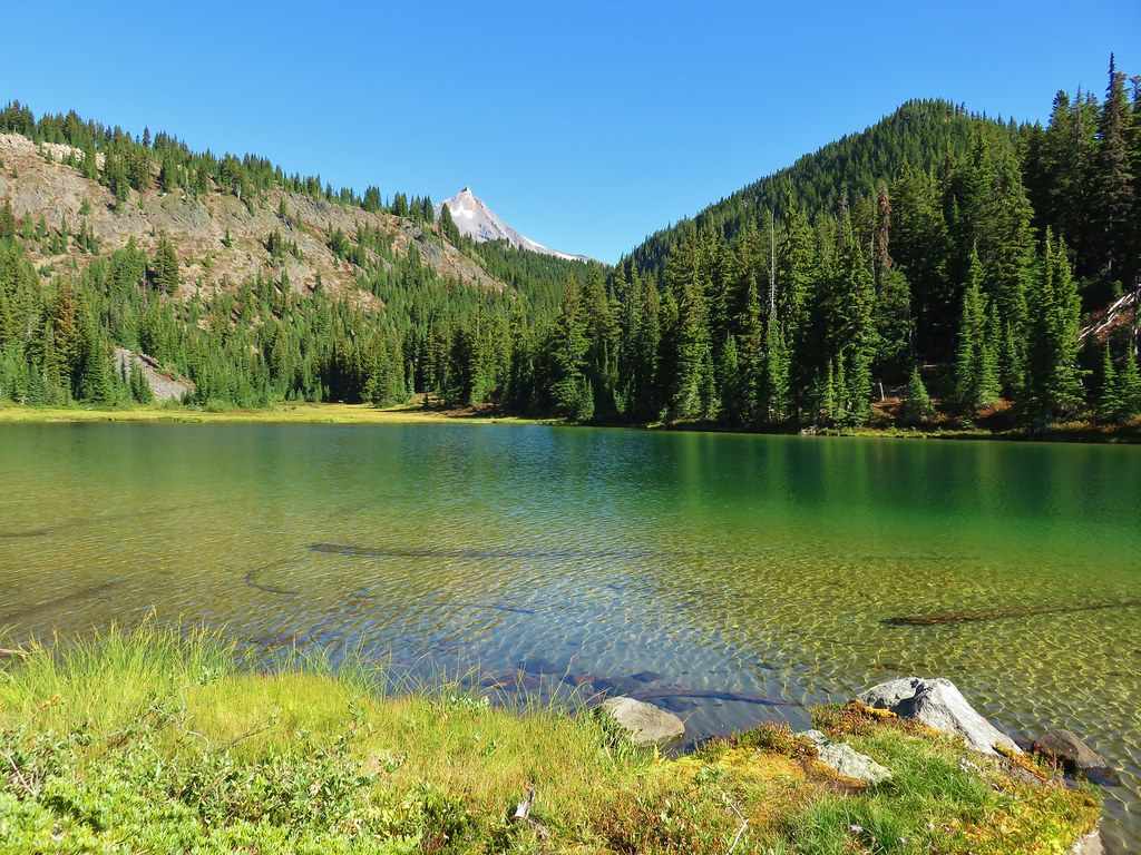
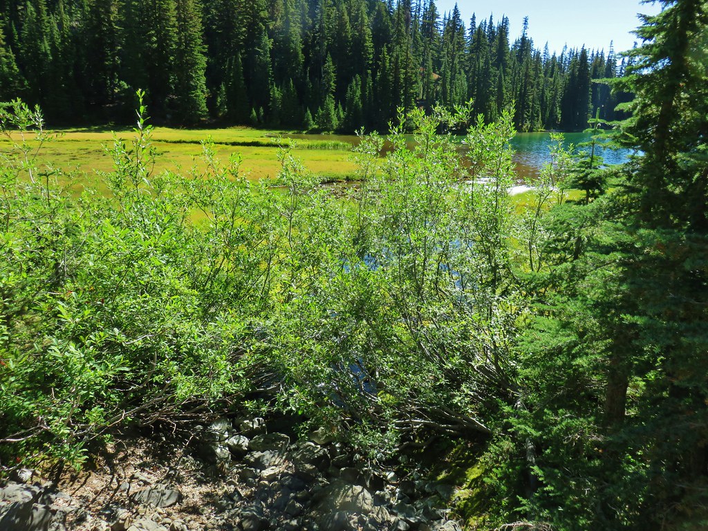
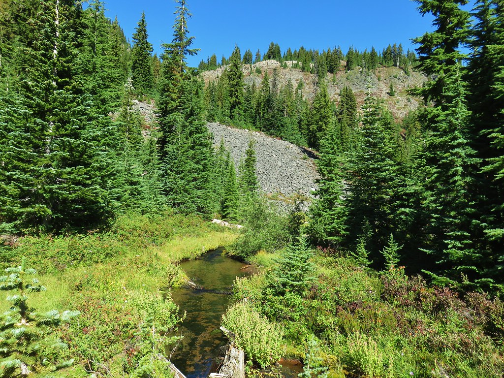
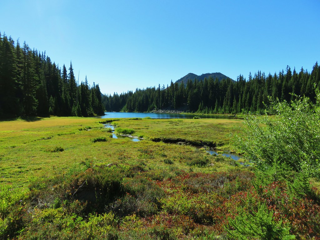 Table Lake and Forked Butte
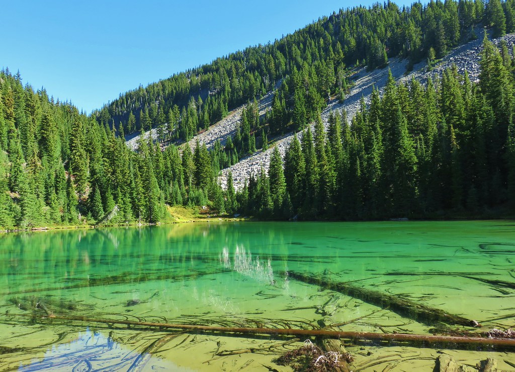


 First pond on the right.
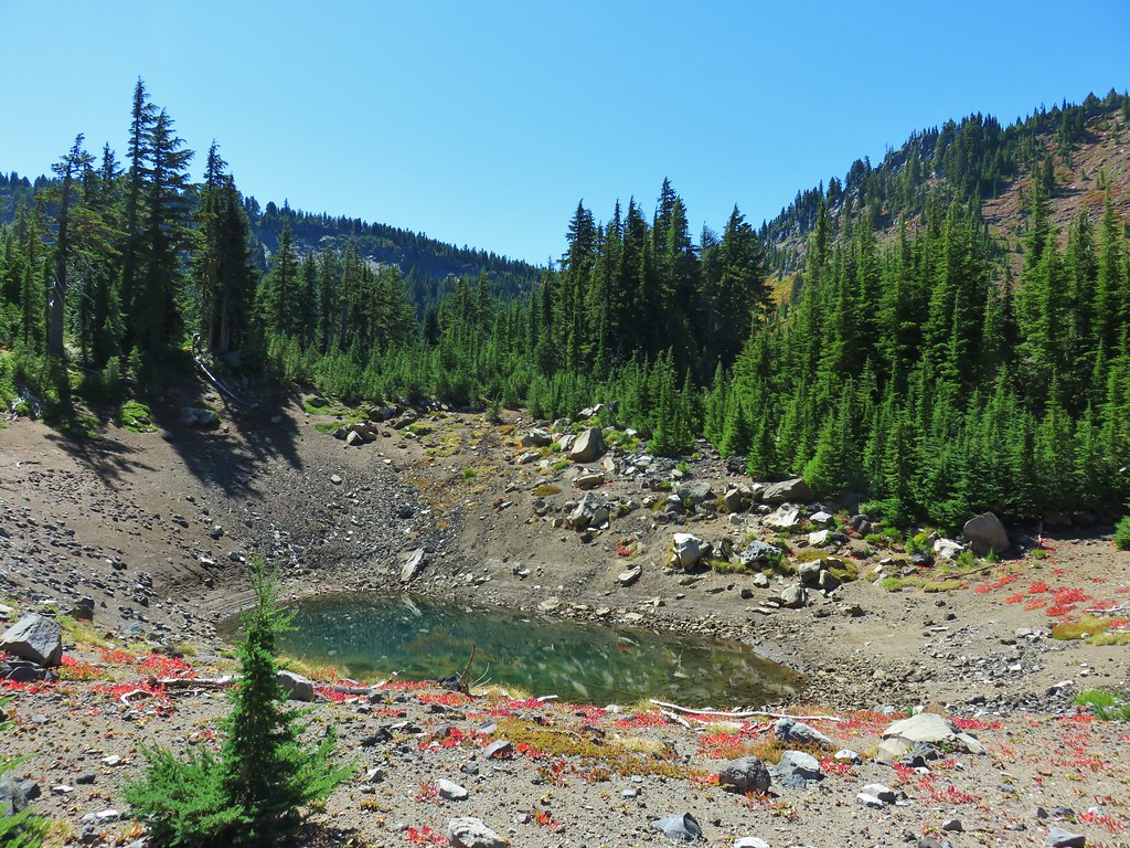
 Bear Butte
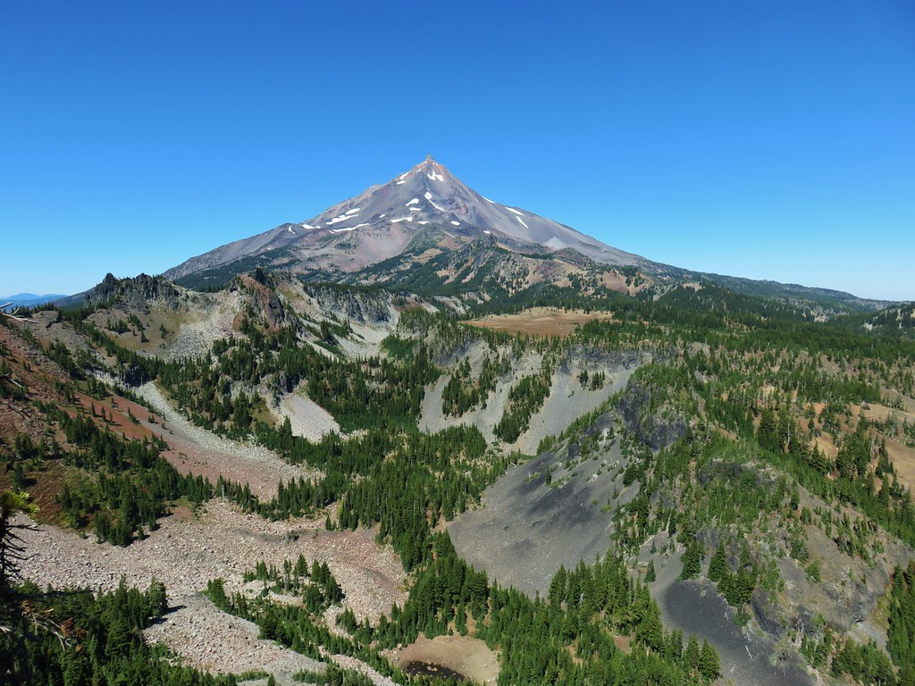 Another viewpoint overlooking the valley we climbed out of.
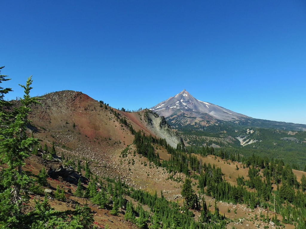 North Cinder Peak and Mt. Jefferson
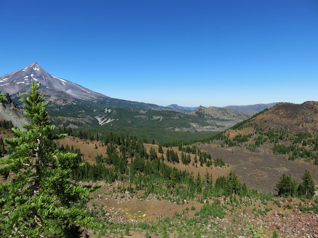 Cabot Lake Trail along the Forked Butte Lava Flow
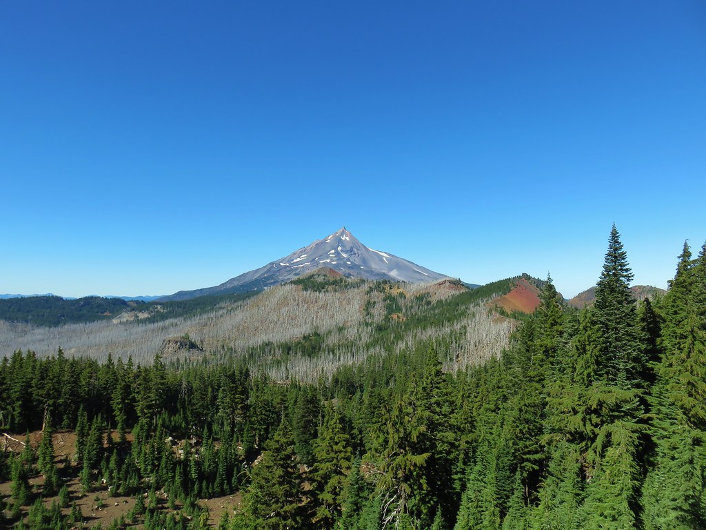


 Cabot Lake in the trees below and Mt. Jefferson in the distance.
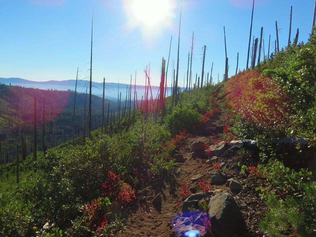
 From left to right – North Cinder Peak, Forked Butte, and Mt. Jefferson
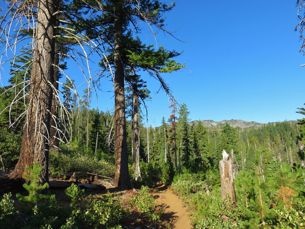

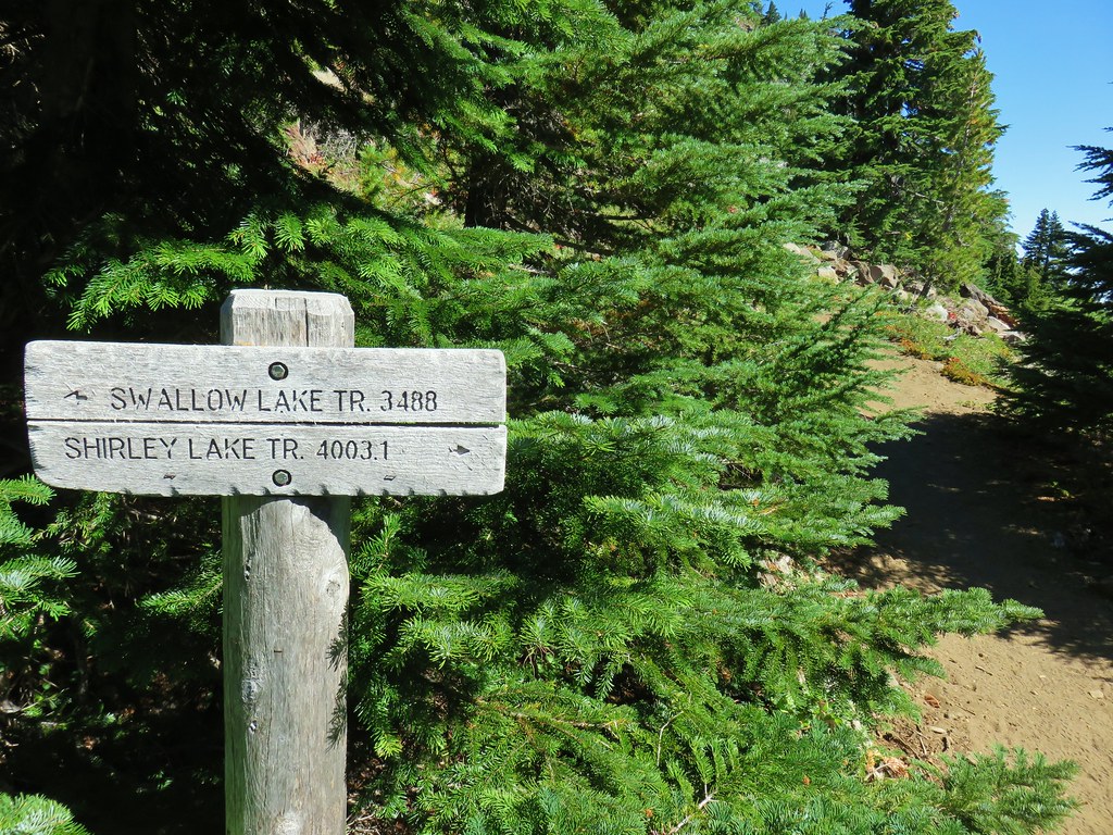
 Mt. Jefferson and the Swallow Lake Trail
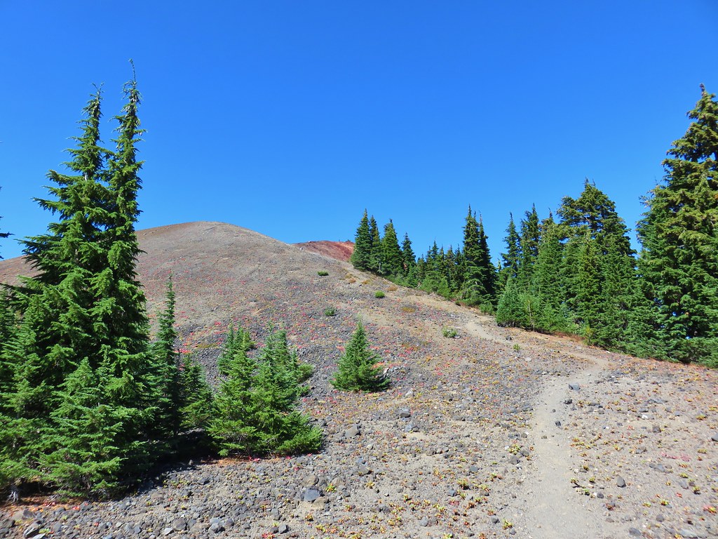
 Broken Top, The Three Sisters, Mt. Washington, and Three Fingered Jack to the south.
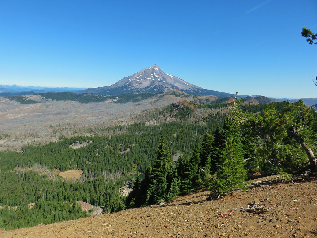 Mt. Jefferson to the north.
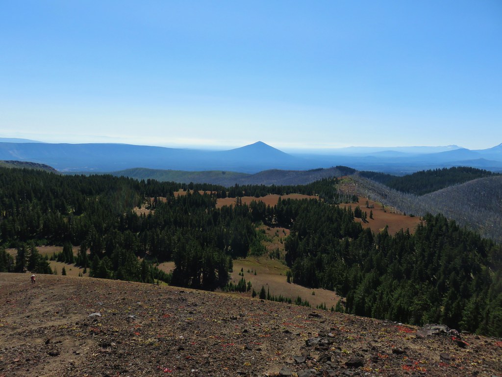 Black Butte to the SE
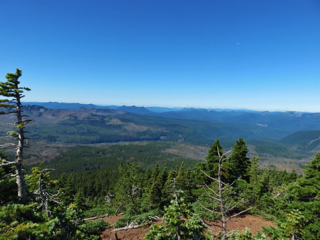 The Three Pyramids and Marion Lake to the west
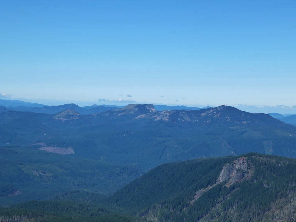 Coffin Mountain and Bachelor Mountain to the NW
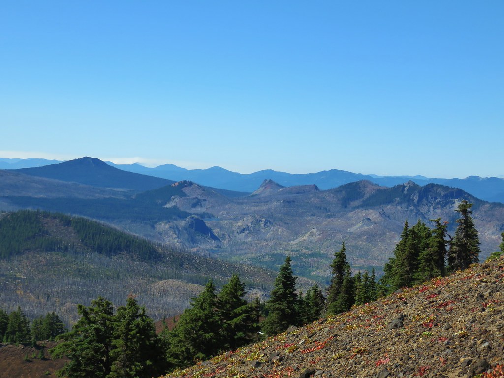 Maxwell Butte, Red Butte, and Duffy Butte to the SW
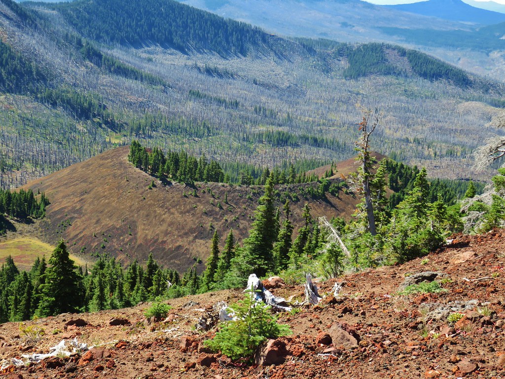 Cinder cone below South Cinder Peak


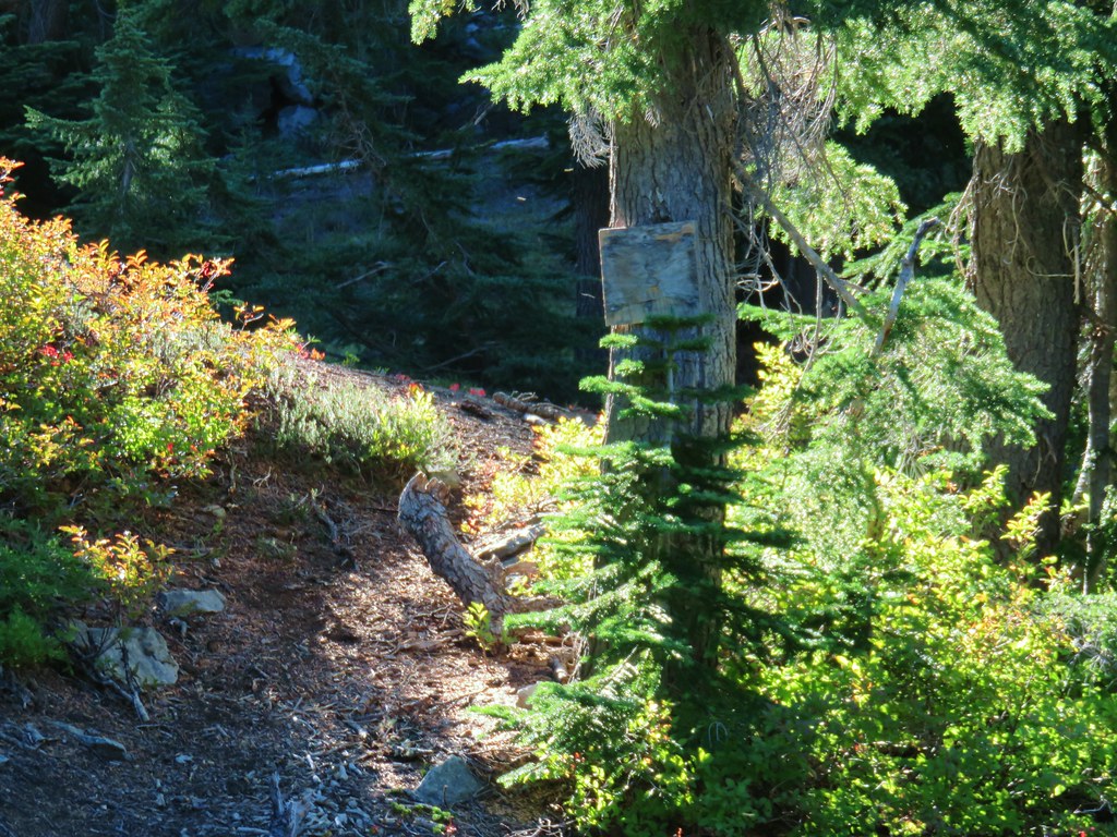
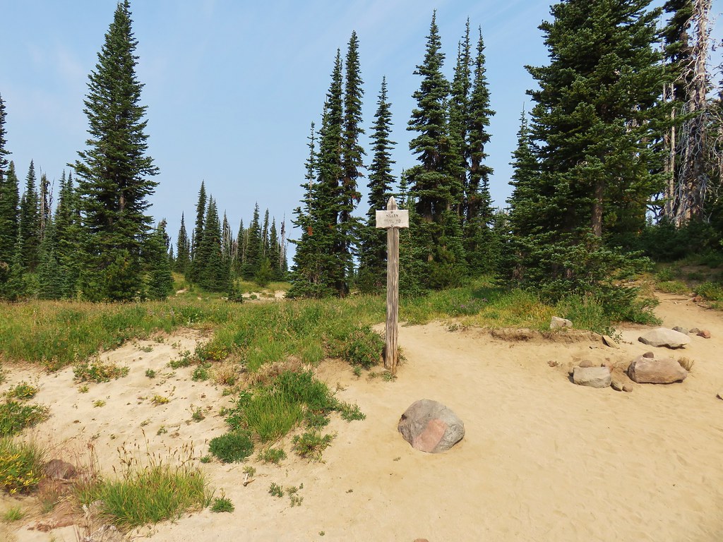
 Bear Point Trail sign 2013
 Bear Point Trail sign 2018
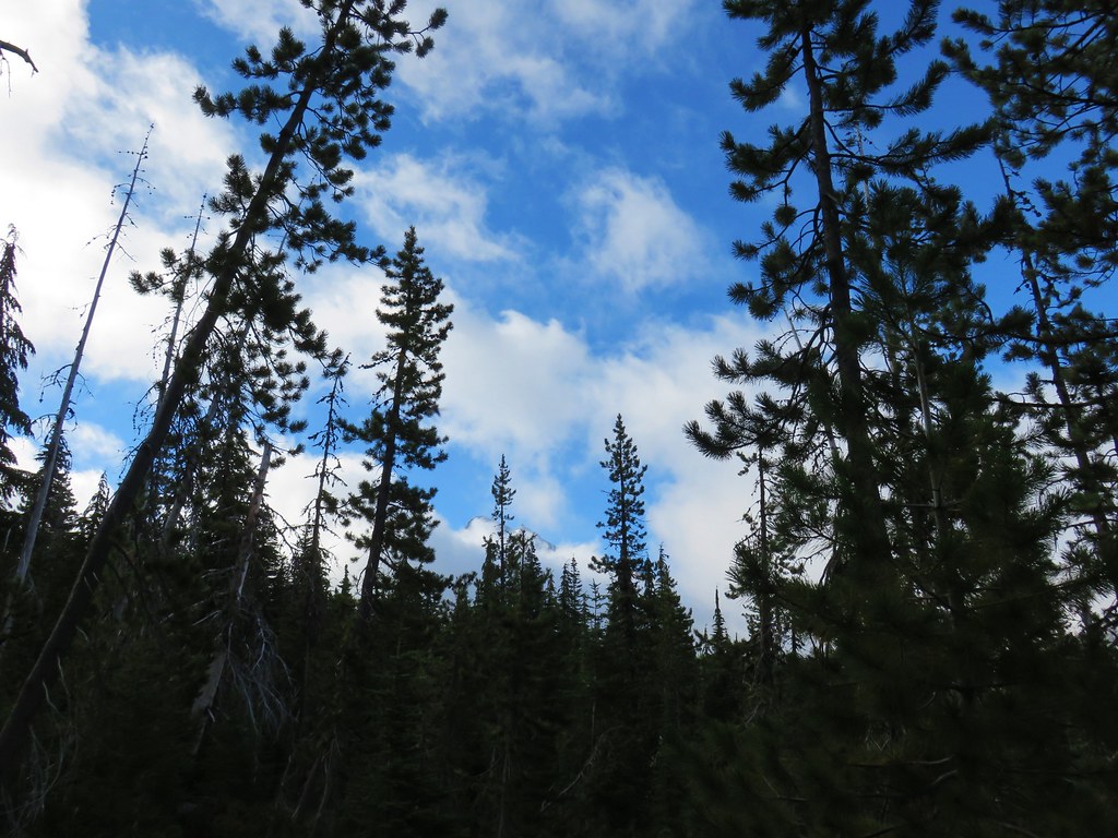
 8/11/2018
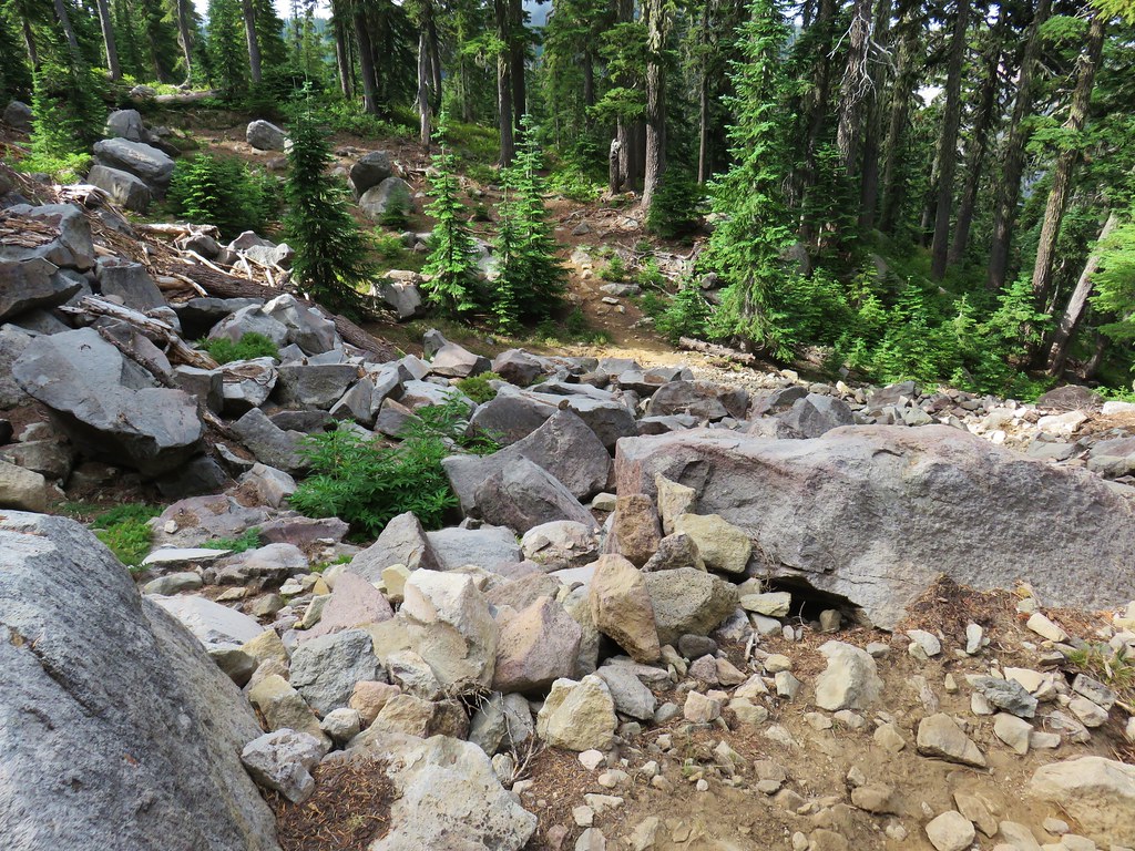


 PCT heading south through Jefferson Park.
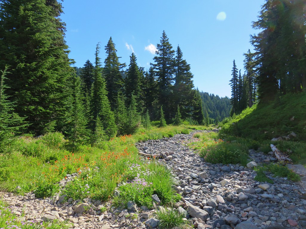

 Park Butte


 FR 4220 visible below the rocky slope.
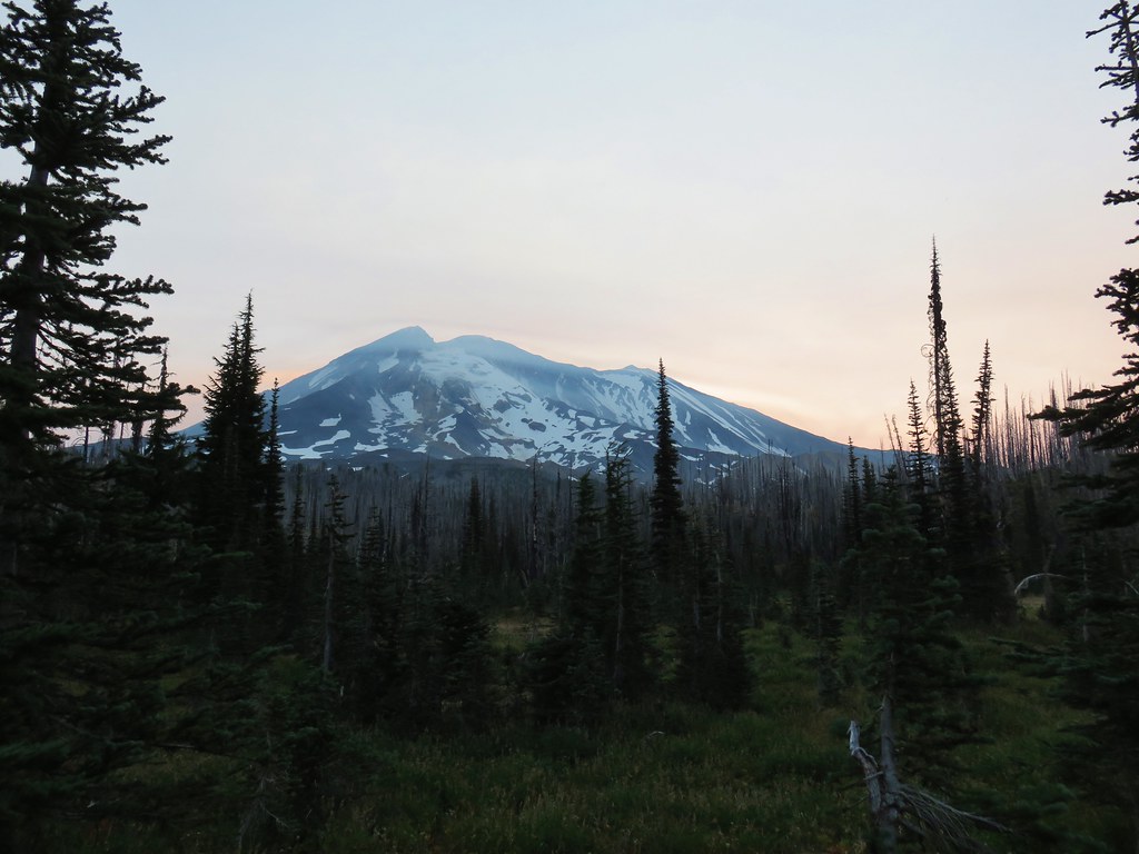


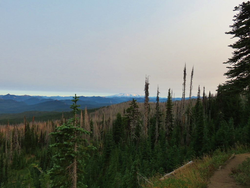
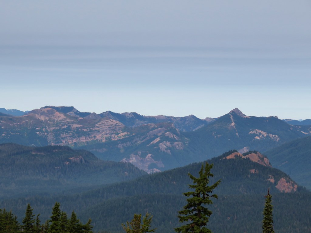
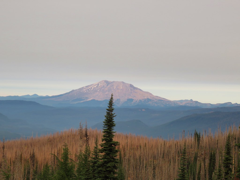 Mt. St. Helens
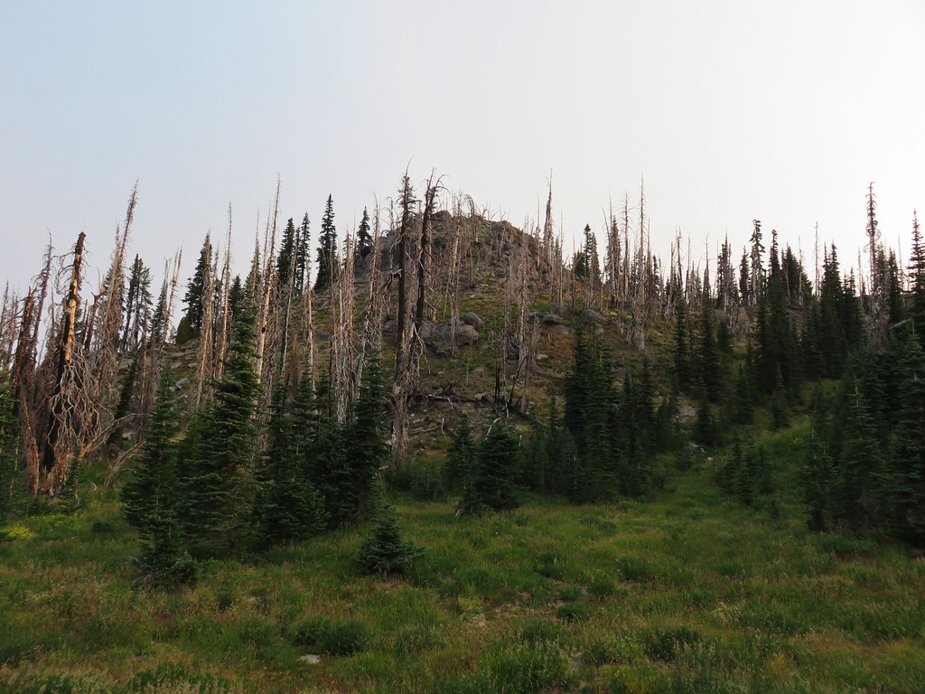
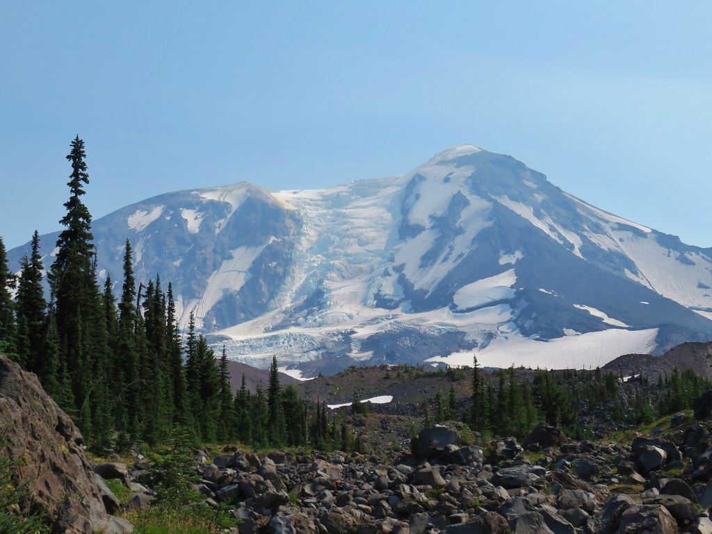
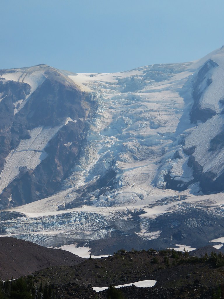
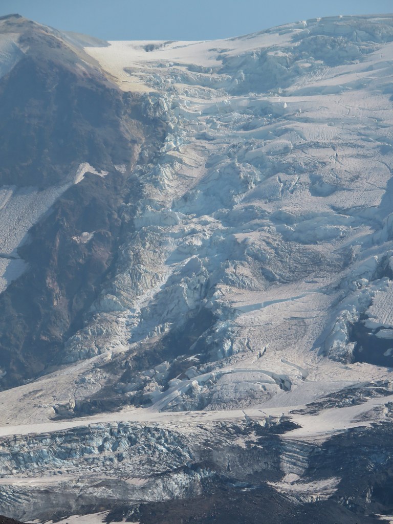
 The bottom of Mt. Rainier
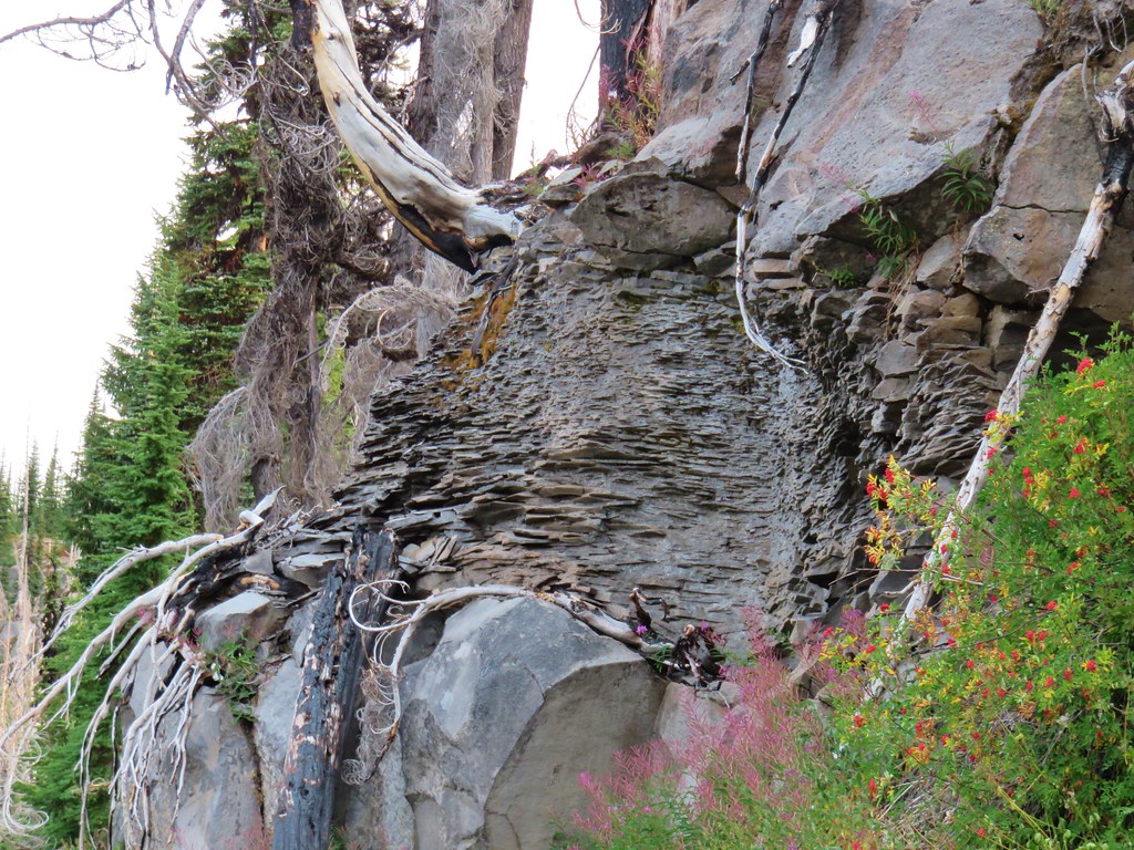
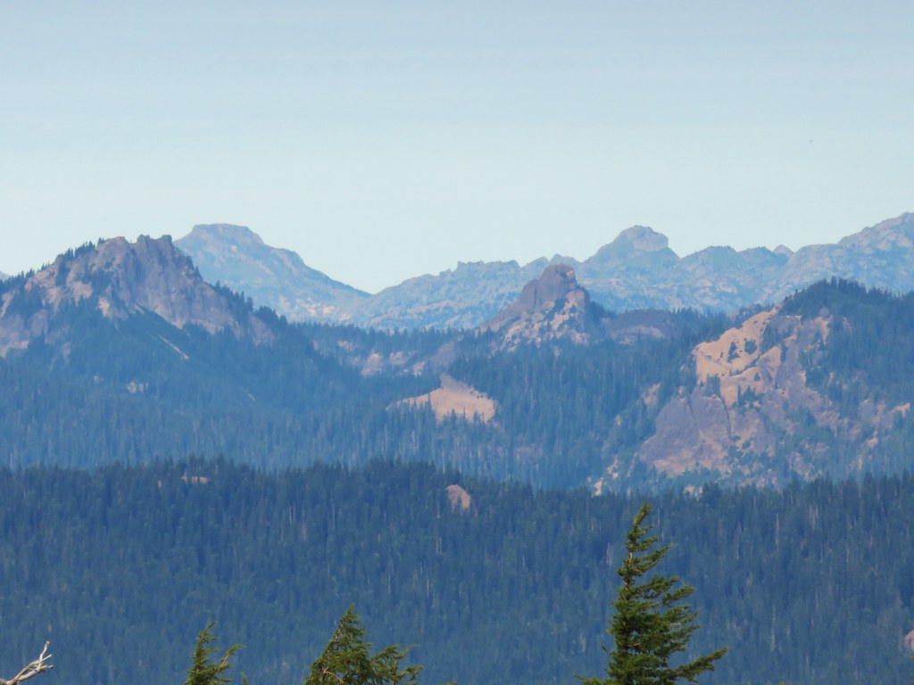
 Goat Rocks
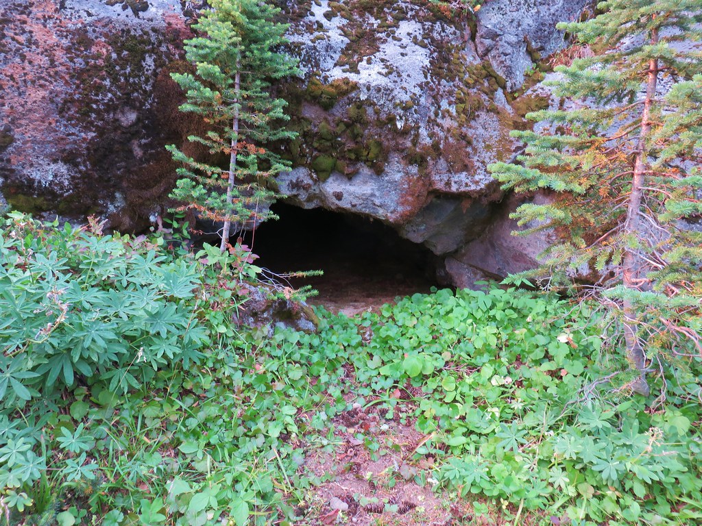 Small cave along the PCT
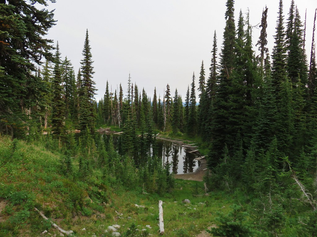


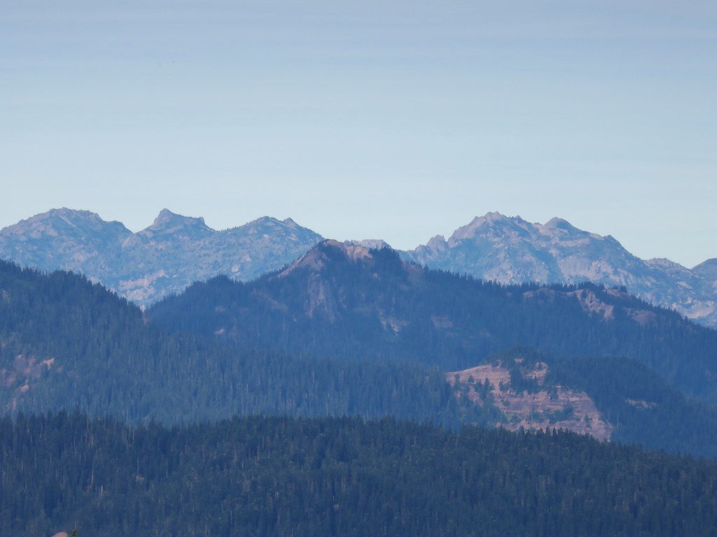


 Patjens Lake Trail – August 2012
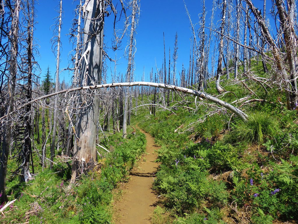 Pacific Crest Trail – August 2017
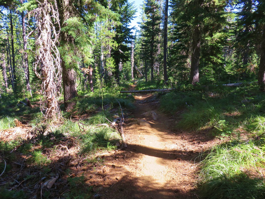


 North & Middle Sister with Belknap Crater
 Scott Mountain