We were hoping to get a backpacking trip in over the holiday weekend but the forecast called for rain/snow in the mountains starting Saturday night through the rest of the weekend so we opted instead for a day hike instead. The good news was that the forecast for Saturday was for partly to mostly sunny skies so we were hoping for some nice views. We’d chosen a hike to Round and Square Lakes near Three Fingered Jack and the Mt. Jefferson Wilderness which was the shortest of the drives (a little over 1 1/2 hours from Salem) that we had been considering. While we hadn’t been to Round Lake yet we had passed by Square Lake on a loop hike in 2012 (post). Earlier this year on our hike to Santiam Lake (post) we had retraced some the beginning of that loop. For this hike we would also be starting at the Pacific Crest Trailhead at Santiam Pass but would be retracing the final 4.5 miles of the 2012 loop between Booth Lake and the trailhead.
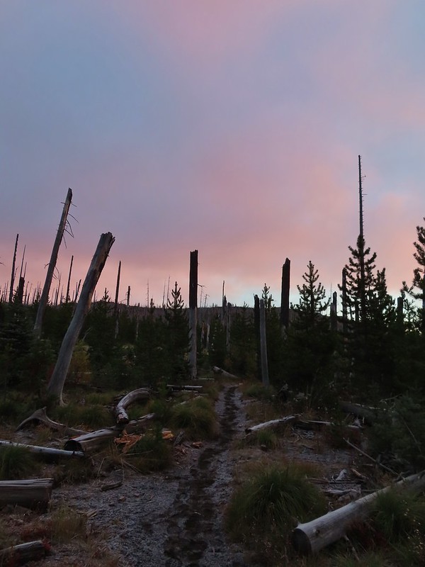
Both Reeder and Sullivan describe hikes to Round and Square Lakes but each of their descriptions are for out and back hikes starting at the Round Lake Trailhead which is closer to the Sisters/Bend area. Starting at Santiam Pass cut off some driving but it did add approximately 5 miles of hiking to our days total. We arrived at the trailhead just in time to catch a bit of color from the sunrise.

 Black Crater (post)
After 0.2 miles we turned right at the junction with the Old Summit Trail.
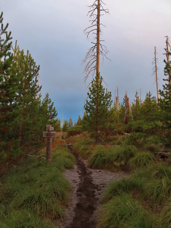

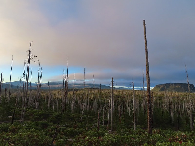
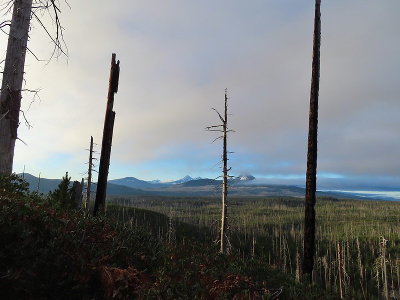
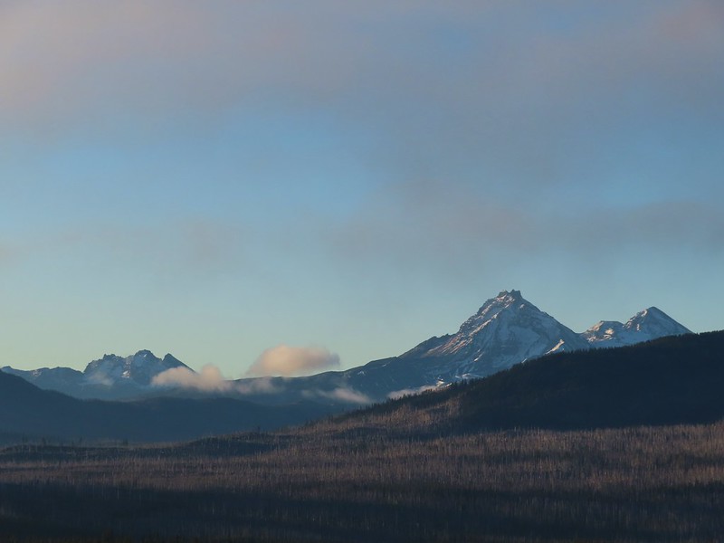
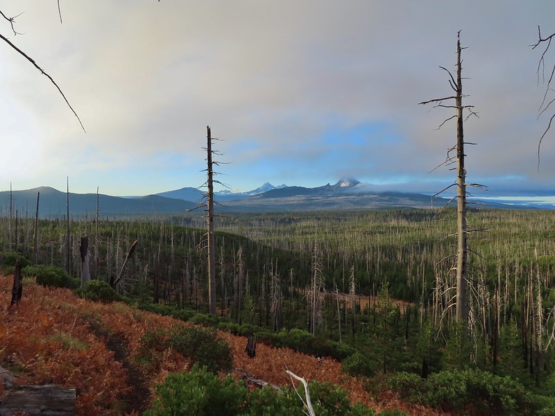
The Old Summit Trail traverses a hillside above Highway 20 through snags left over from the 2003 B & B Complex (Bear and Booth Fires). The lack of larger trees provides plenty of views south to Black Crater, Broken Top, the Three Sisters, Mt. Washington, Hayrick Butte and Hoodoo Butte. The over night clouds were quickly breaking up as we hiked revealing more and more of the mountains.
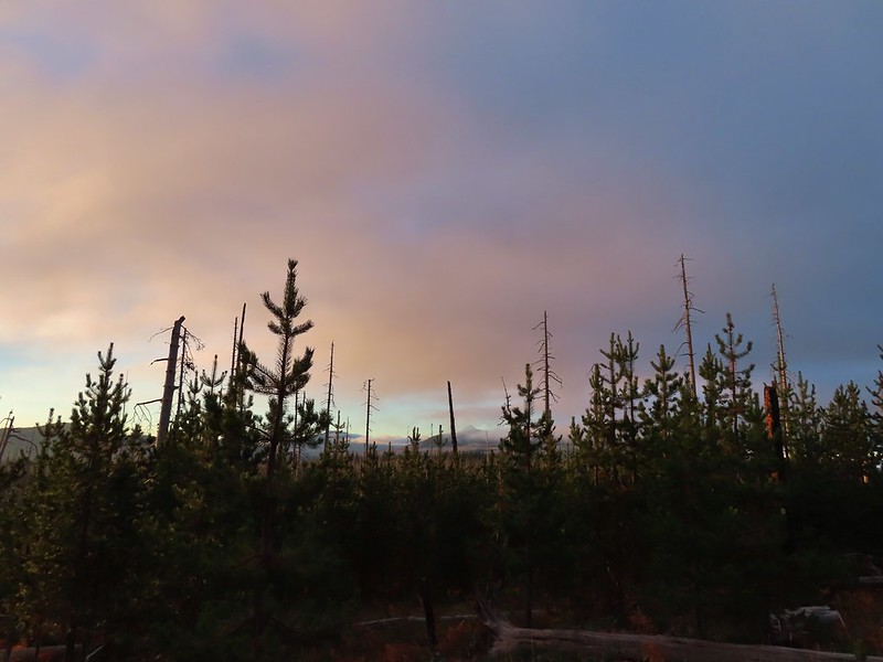 Black Crater and North Sister
 Black Crater, the top of Broken Top, some of the Sisters, and part of Mt. Washington.
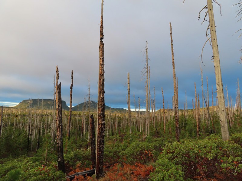 Hayrick and Hoodoo
 Between Mt. Washington and Hayrick Butte is Scott Mountain (post).
 Cache Mountain is the high point furthest to the left.
 Broken Top and the Three Sisters
 Mt. Washington
 The Three Sisters. The summit of South Sister is between North and Middle Sister behind 9321′ Prouty Point.

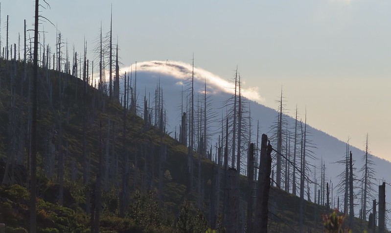 Black Butte (post)
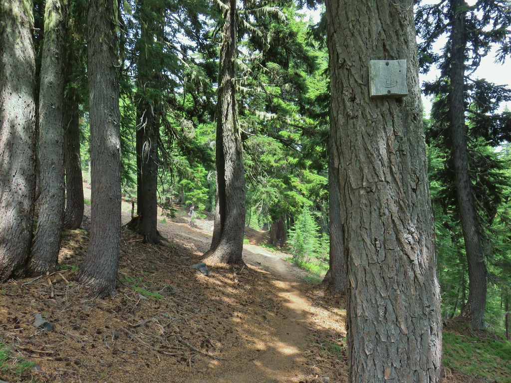
Near the 2 mile mark we entered the Mt. Jefferson Wilderness. The wilderness sign provided a good reference for comparing how much taller the trees were this time versus in 2012.
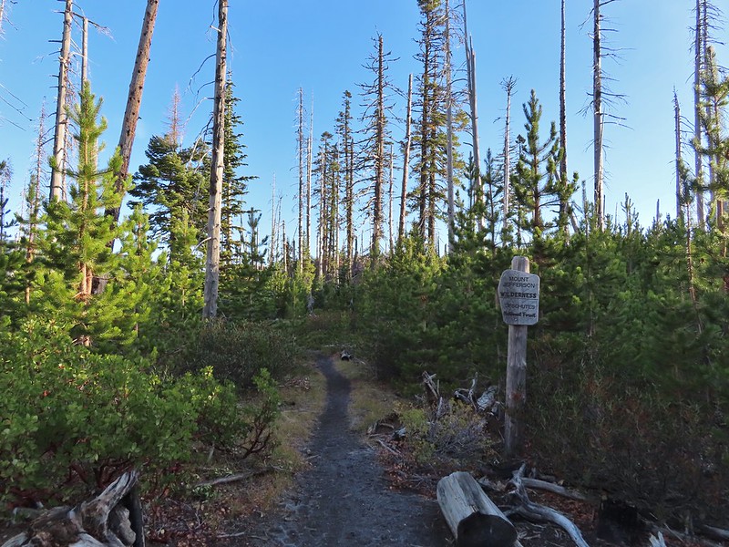
 A different angle from 2012.

Shortly after entering the wilderness we began descending toward Square Lake. Three Fingered Jack was somewhat hidden behind a cloud further to the north.

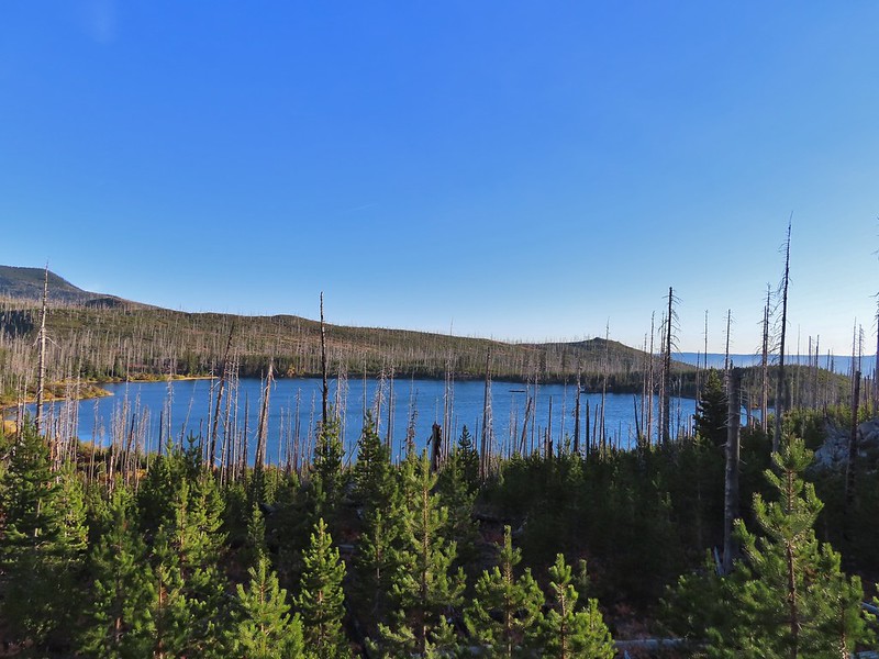
The only deer we spotted during the hike popped out of some brush below the trail for just a moment before disappearing back into it. As has been the case more often than not this year I did not have my camera at the ready so all I got was one of their white rumps.
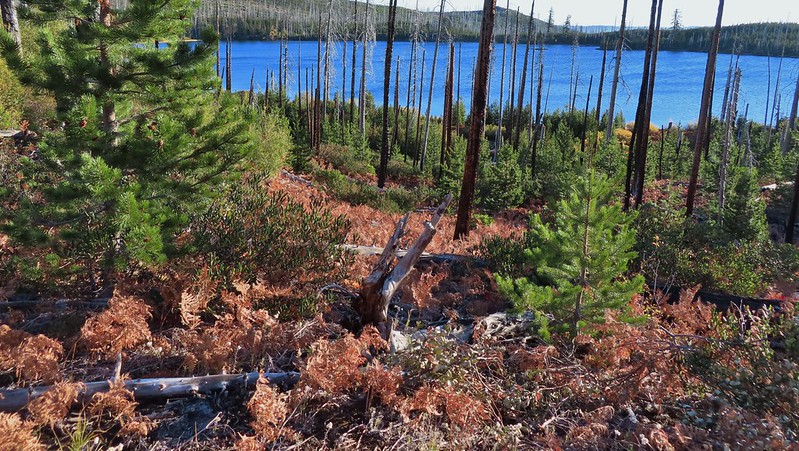 One white rump with a black tail amid the ferns near the center of the photo (good luck).
The trail wrapped around the lake past a large campsite to a junction with the Round Lake trail approximately 2.5 miles from the trailhead.

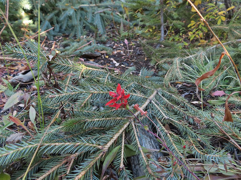 The only paintbrush we would see all day.
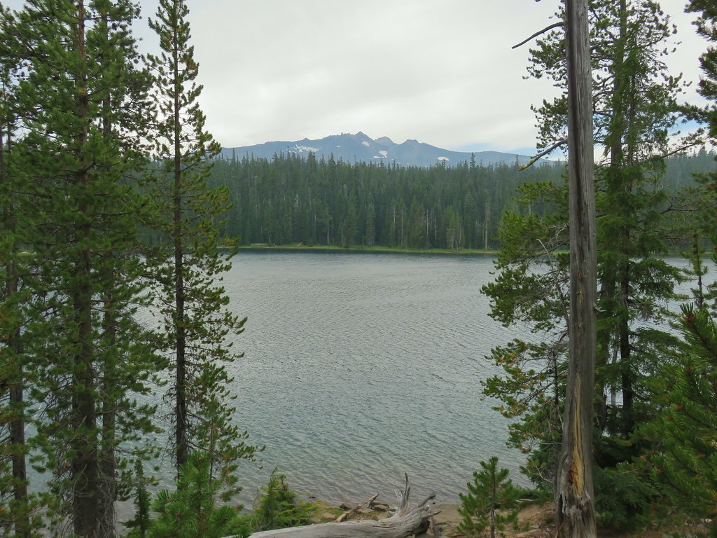
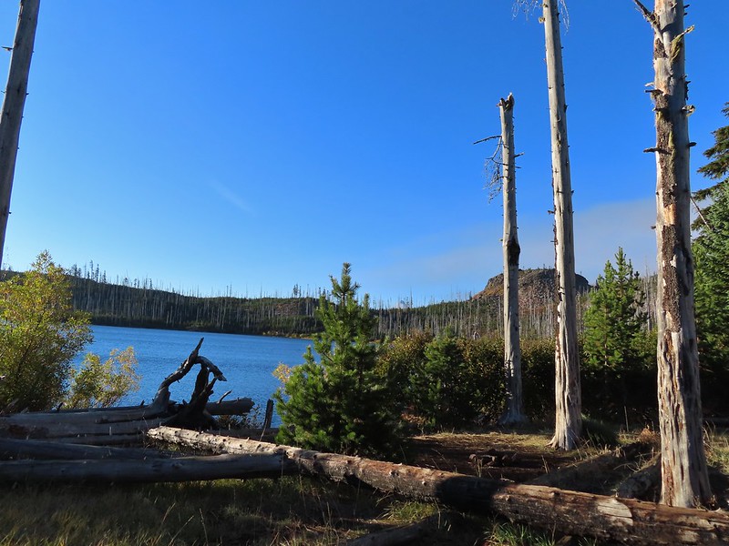 The top of Mt. Washington is just visible on the other side of Square Lake.

At the junction we followed the pointer for the Round Lake Trail and continued along Square Lake.

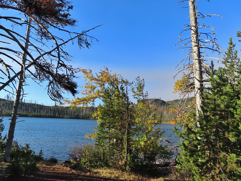
 Mt. Washington’s spire again.
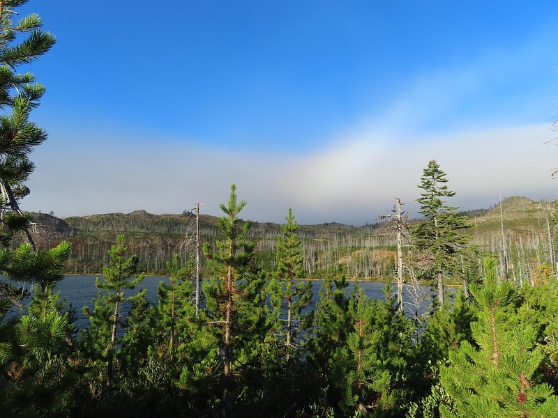 A rainbow was trying to form to the west.
We soon left Square Lake and continued through the recovering forest.


 Lodgepole pine seeds require fire in order to be released from their tight cones.
The Round Lake Trail is just about 2 miles long running between the junction and the Round Lake Trailhead to the east. Several maps show the trail passing near Long Lake Lake along the way. It does not but rather veers away form that lake. It may have been an older pre-fire alignment but Reeder mentions this discrepancy in the map and warns “don’t even bother trying to find it unless you’ve got lots of time and patience”. I’ll be honest and say this sounded like a little bit of a challenge so when we were able to spot the western end of Long Lake we decided to make an attempt for it.
 Our first sighting of Long Lake (zoomed in).
Using our GPS and a paper map as backup we angled cross country toward the lake which quickly was hidden from sight. There were plenty of downed trees to climb over or around and one line of snowbrush to push through but we also were able to follow some game trails which helped us find ways through the obstacles. It was also evident that the area around the lake can be pretty wet and probably muddy meaning getting as close as we did probably wouldn’t be possible at other times.
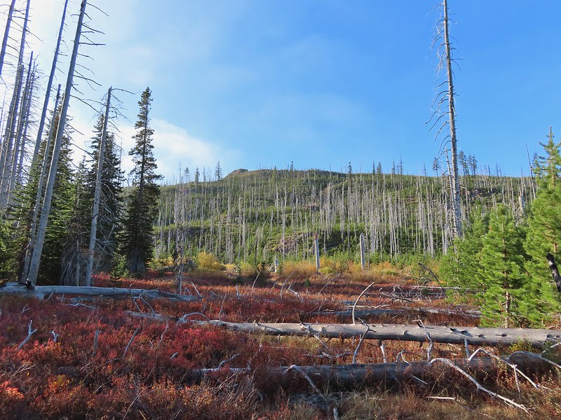
We reached the western end of the lake after three tenths of a mile. It took less than 15 minutes but without a map and some route finding skills we wouldn’t advise it.
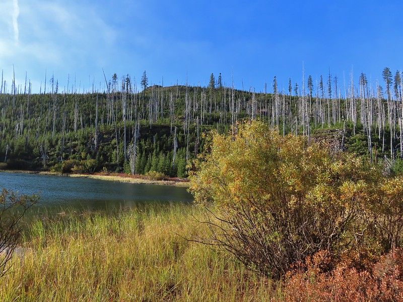

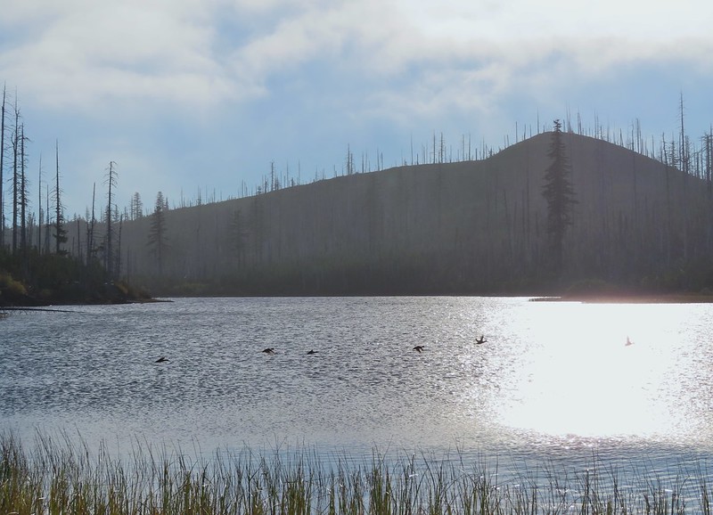 Ducks taking off from Long Lake.
Any thoughts of walking around the north side of the lake quickly vanished when we saw how dense the vegetation and downed trees were.

We did however return to the Round Lake Trail by bearing NE. It took a little over 21 minutes to find the trail just over a half mile from the lake.
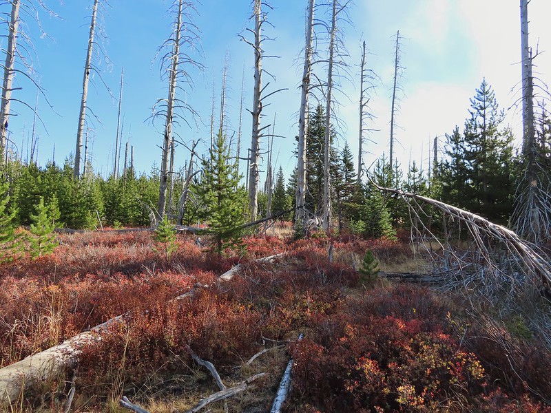
 This is one of the areas that we could see getting pretty muddy/wet.

 Rainbow
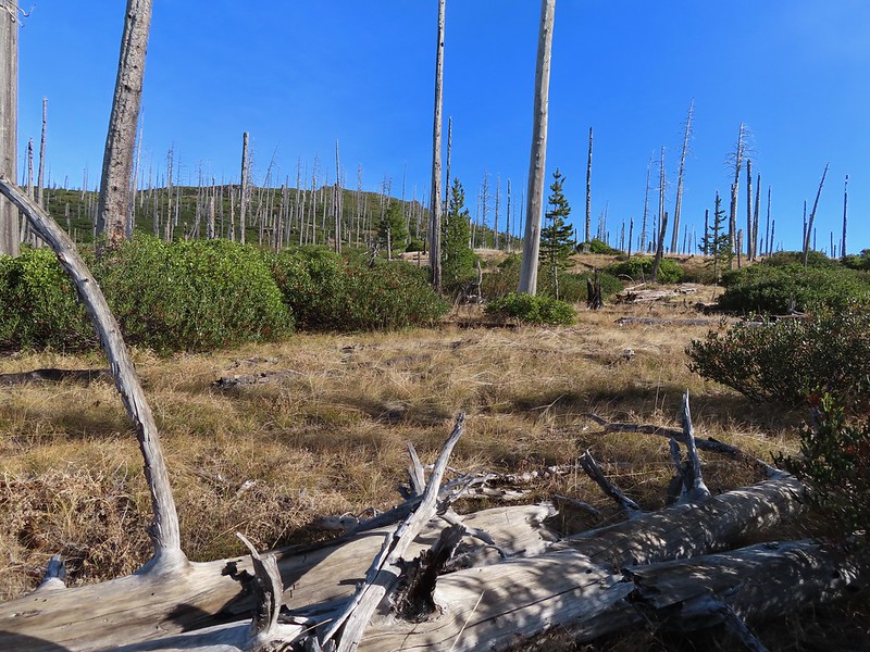 The Round Lake Trail just on the other side of the downed tree.
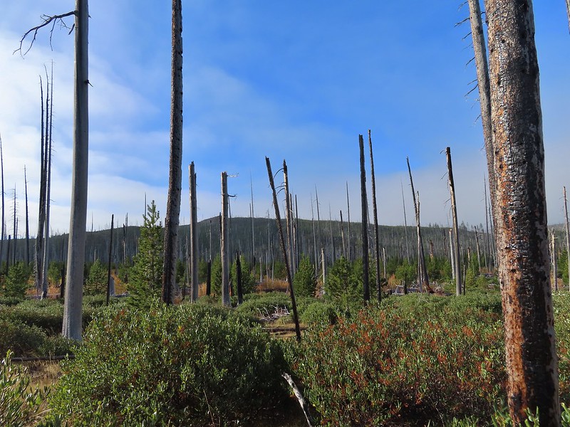 Long Lake is back down that way somewhere.
We turned right and continued east on the Round Lake Trail.
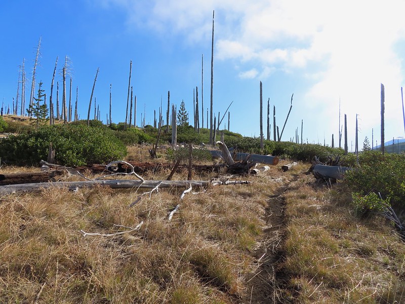 Back on the Round Lake Trail.
 Black Butte shedding the morning clouds.
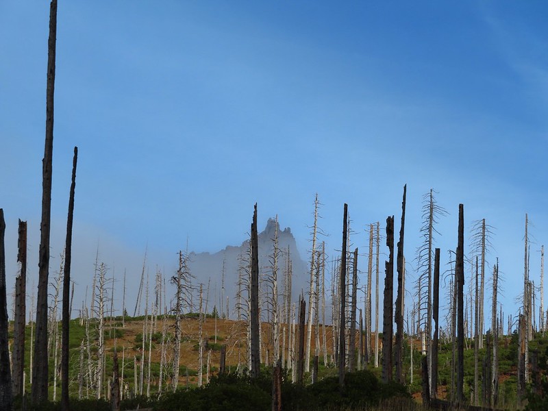
 The top of Three Fingered Jack behind some thin clouds.
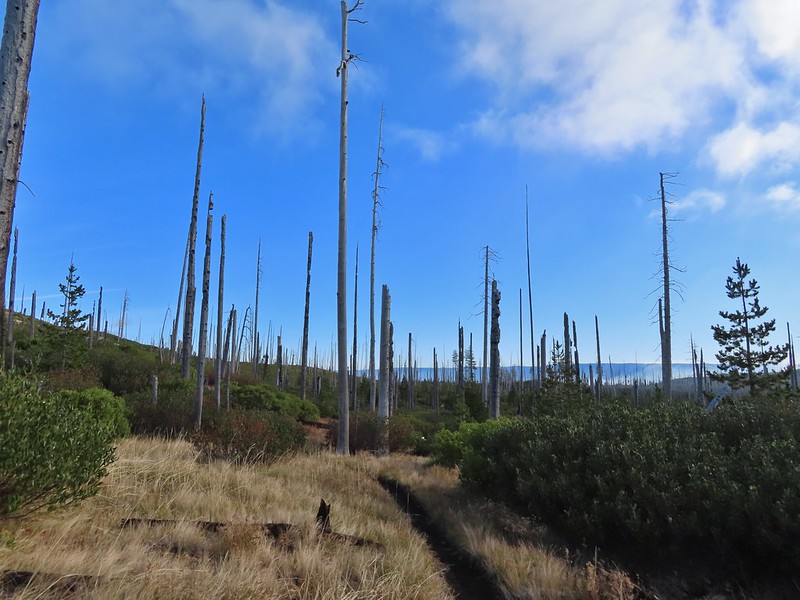 Green Ridge (post) in the distance with a little smoke rising from the Metolious Basin where the Forest Service had ignited a prescribed burn over the preceding two days.
 A better look at Three Fingered Jack.
 First glimpse of Round Lake.
The trail descended to a small parking area at the trailhead next to the Wilderness Lakes Retreat.

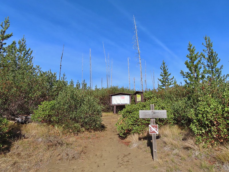
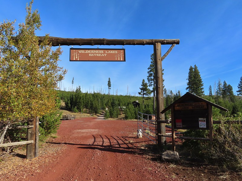
We’d seen some maps showing a trail around the north side of the lake through the retreat to some camp sites on the eastern end but we weren’t sure if the retreat was private property or if it was okay to hike through so we opted to follow Forest Road 600 from the trailhead around the south side of the lake.

When we spotted a path heading down off the road we took it and made our way down to the lake shore.
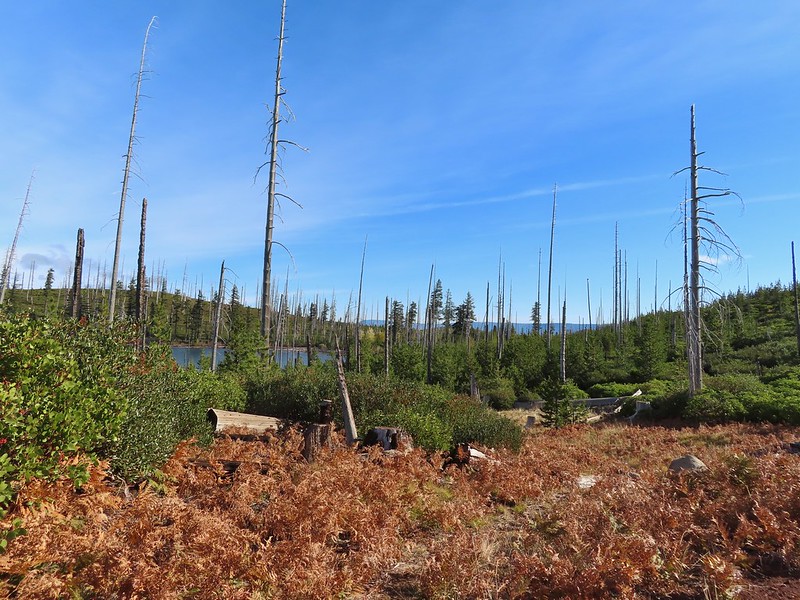

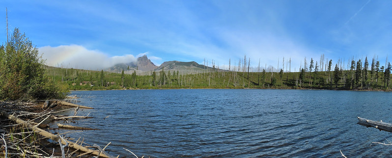
The partial rainbow returned as we took a break at the lake.


We eventually pulled ourselves away from Round Lake and headed back toward Square Lake. We were feeling a little moisture in the air and based on the clouds ahead we were expecting to find ourselves in some misty fog at best by the time we made it back to the Old Summit Trail.
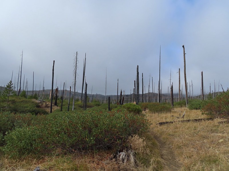
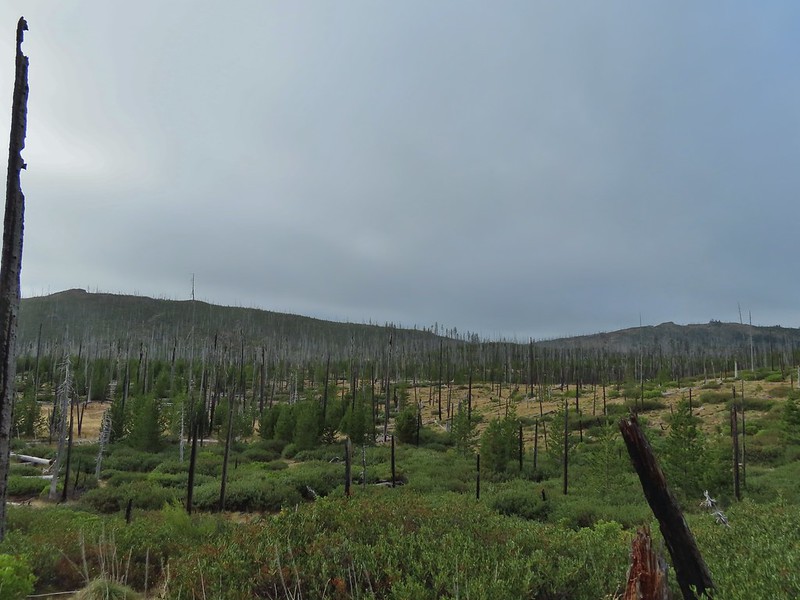 Starting to look kind of grey.
 A mountain bluebird adding a splash of blue to the green backdrop.
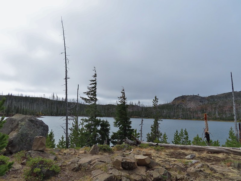 Clouds over Square Lake.
 A few scarlet gilia blossoms.
Instead of heading straight back onto the Old Summit Trail we turned right in order to revisit Booth Lake. From Square Lake the Old Summit Trail switchbacked uphill gaining 400′ in the next mile to a gap between a rock outcrop and a rocky hill. We remembered seeing a small lake amid the rocks over on the opposite hill and as we climbed this time we began thinking that it might be possible to get to the unnamed lake.
 The unnamed lake is about halfway up the far hillside.
 Black Butte and Long Lake from the trail.
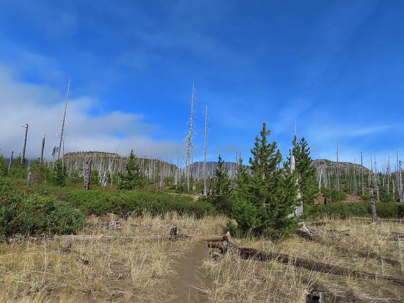 Heading toward Three Fingered Jack we got back under blue skies.
 Square Lake still under a clouds,
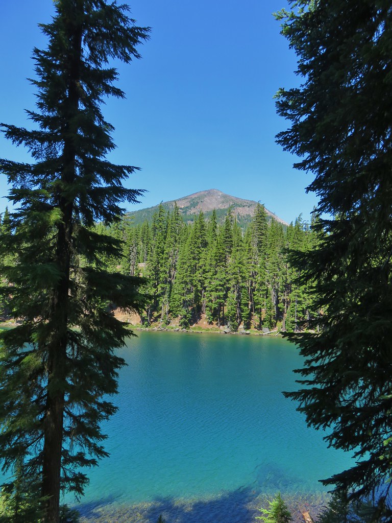
 The unnamed lake that drew our attention.
 Similar view from 2012.
We stopped momentarily at the gap discussing what route we would take if we did try and reach the lake. I was pretty certain I wanted to give it a shot but I decided to wait until we were headed back in case I changed my mind after reaching Booth Lake.
 The trail at the gap. It was grey and cloudy to the west.
 Still at the gap, it was blue skies to the east.
Beyond the gap the trail climbed just a bit arriving at its high point above Booth Lake in 0.3 miles.
 There is Three Fingered Jack.
 A good look at Green Ridge.
 A lupine that was late to the party.
 Booth Lake
Heather opted to stay at the high point instead of visiting the lake which was roughly 0.4 miles away and 150′ below. I shuffled down the trail and made my way to the familiar sandy lake shore.
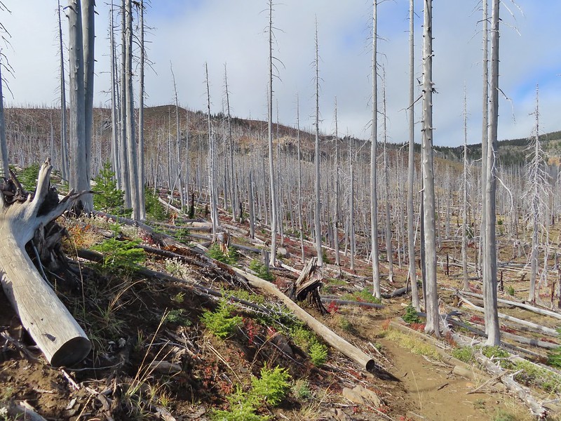
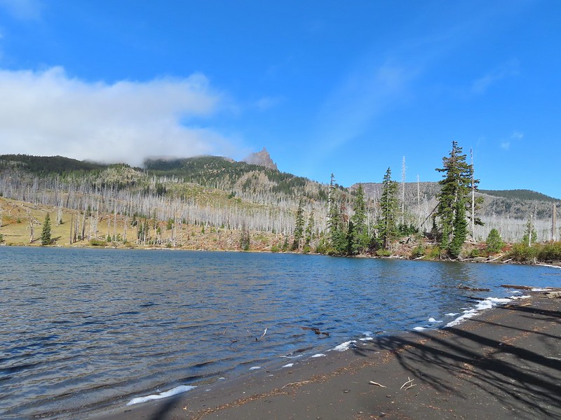

It didn’t look that much different than it had in 2012.

I returned to Heather and we started back toward the gap. I was still planning on trying to reach the off trail lake but Heather was not. She had decided that she would only attempt it if the Three Sisters had been uncovered from the clouds. I went ahead of her and left the trail at the gap working my way up around rocks and over downed trees while climbing up a semi-steep slope. I trusted the deer tracks that I was trying to follow and sure enough made it to the little lake.

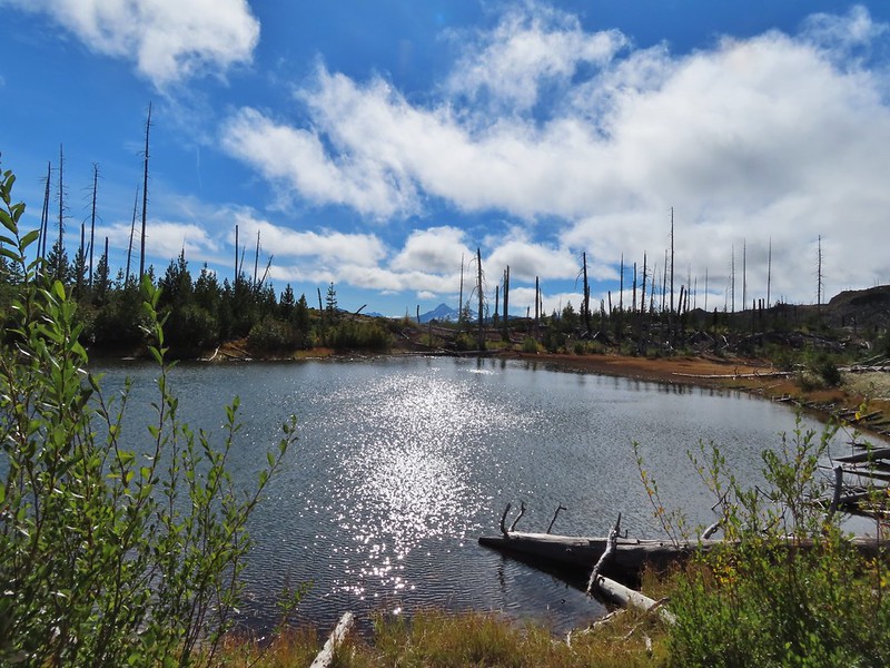
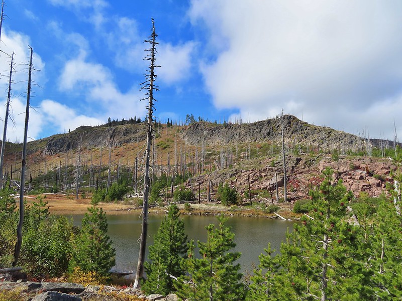
 The trail cut on the far hillside.
The rock cliffs holding the water on the eastern side made for some easy walking and great views down to Square Lake.
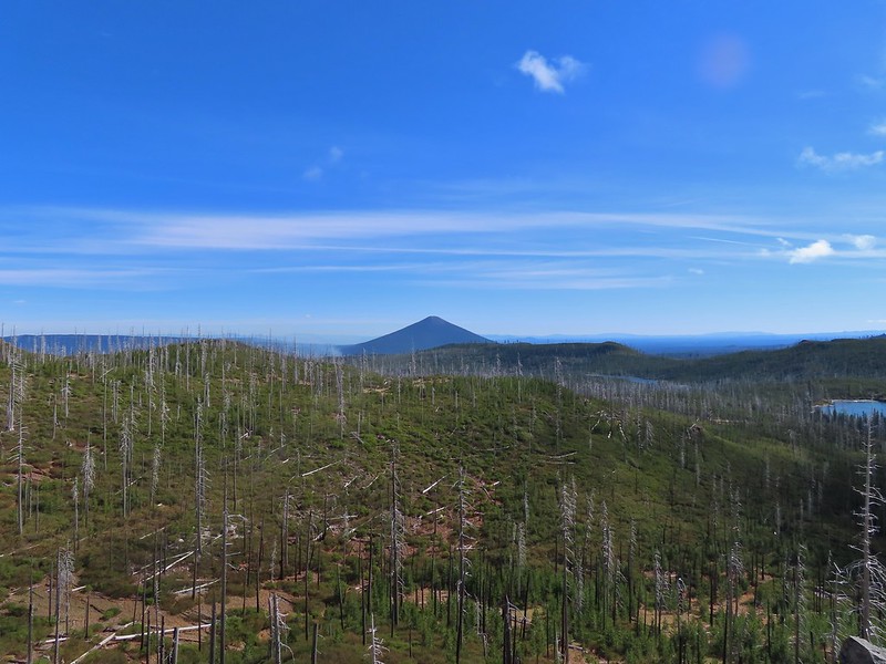 Black Butte, Long Lake, and part of Square Lake.
 Square Lake along with Broken Top and the Three Sisters (Mt. Washington was hiding in the clouds still).
 Part of the rock ledge.
 Three Fingered Jack had once again disappeared.
As I was admiring the view I thought was hearing things but as I was making my way back along the ledge I spotted Heather on a small hill on the opposite side of the lake. The Three Sisters had been visible so she stuck to her word and had followed me up.
 Where’s Heather.
After satisfying our desire for adventure we returned to the trail and headed back to Square Lake where we made a quick stop at the campsite.


We spent the return hike watching the clouds almost clear from Mt. Washington just to reform over around its top.
 View climbing away from Square Lake.
 Similar view in 2012.
 2012
2012

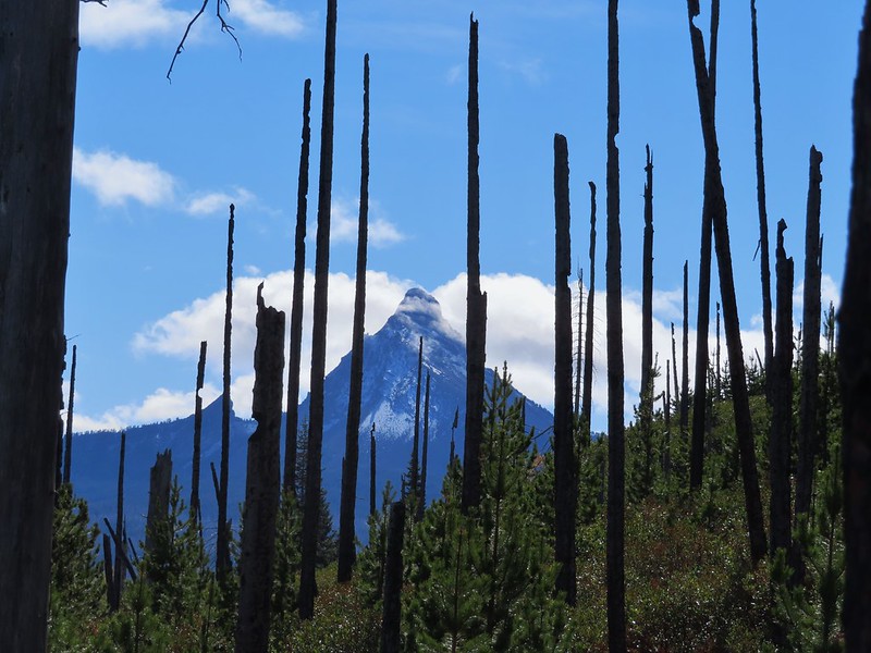

 Finally clear!
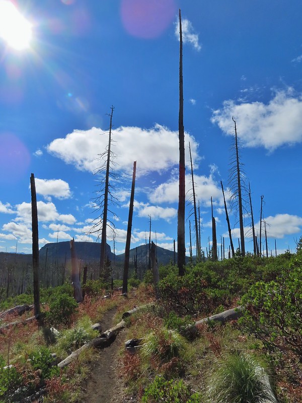 Hayrick Butte and Hoodo as we neared the trailhead.
This hike was a lot of fun with some new sights and some familiar but different sights. I wound up doing 14.8 miles according to the GPS and although no climbs were particularly long the up and down nature of the hike provided approximately 2000′ of cumulative elevation gain. 

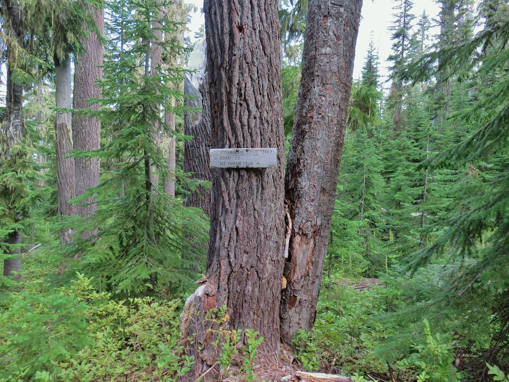
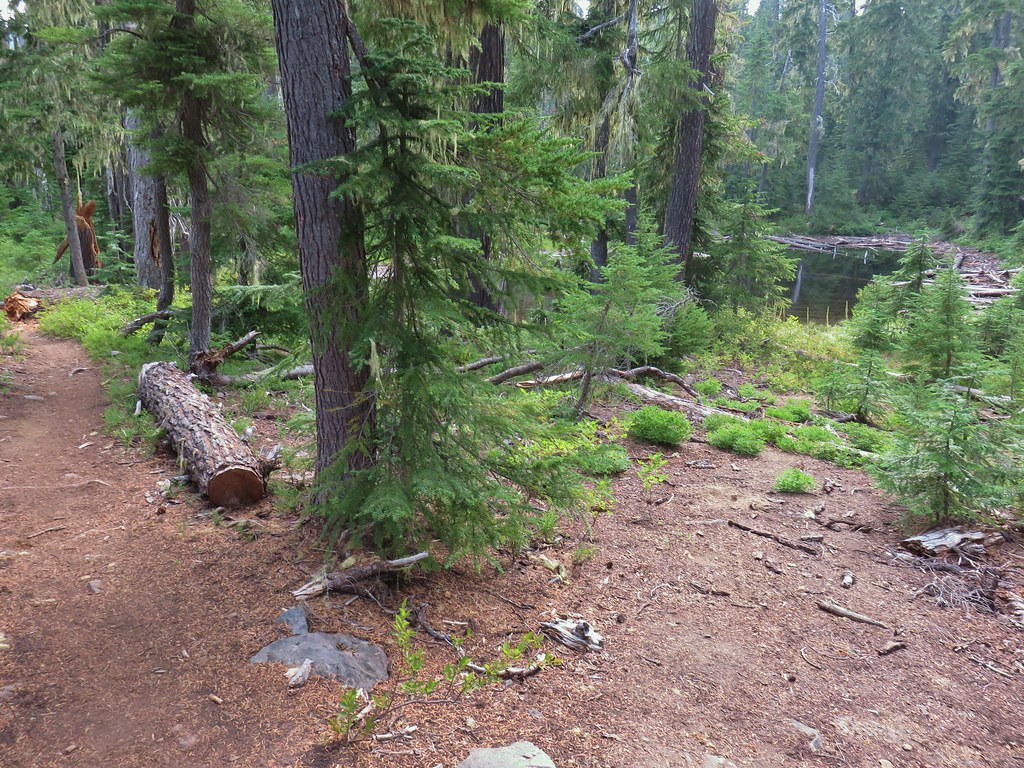
 There were no signs for the obvious trail.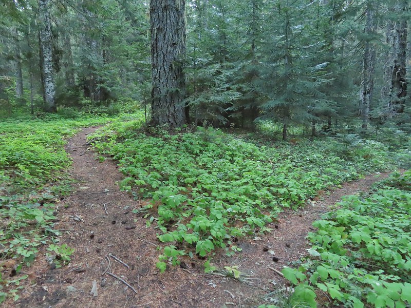
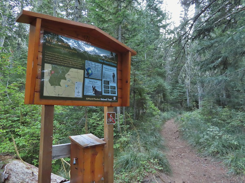

 Entering the


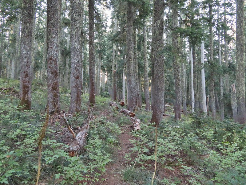


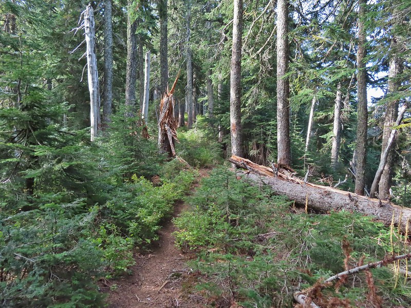
 Typical vegetation and trees on the ridge.
 We rediscovered tread as we dropped to a saddle near Janet Lake.
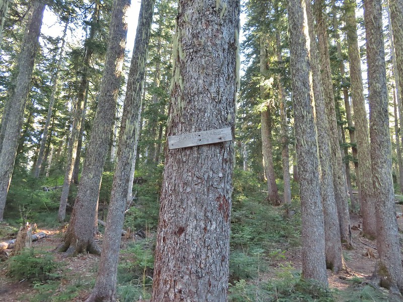 Sign at the saddle between Peggy and Janet Lakes.



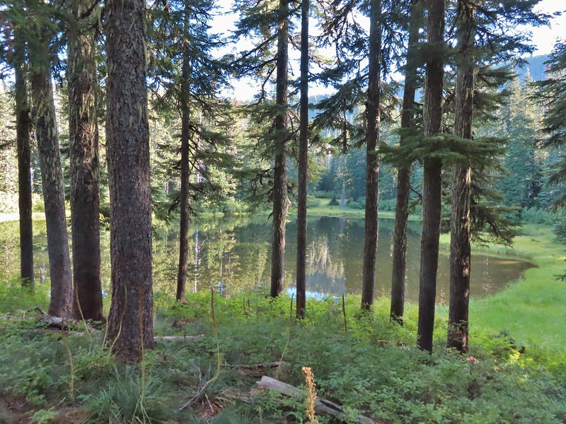
 Sleepy ducks
 I believe Oregon Hikers calls this one “Cindy Lake”.

 The small saddle we’d been aiming for.

 Heather down to the right between a couple of trees.
 Me getting close to the top.
 The top of the ridge.
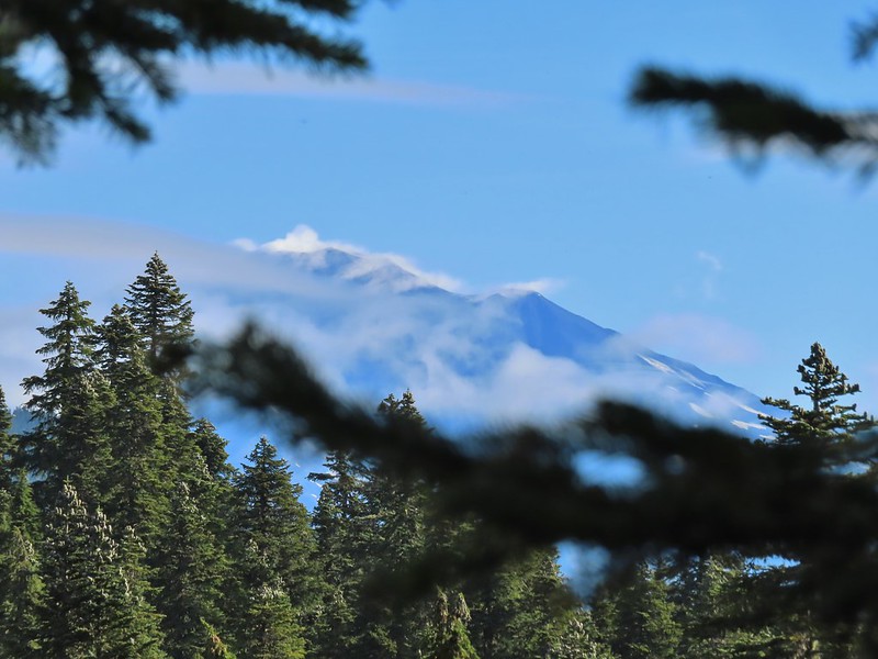 Mt. Adams in some clouds.
 Mt. St. Helens behind a line of clouds.
 Gifford Peak (
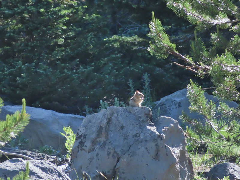
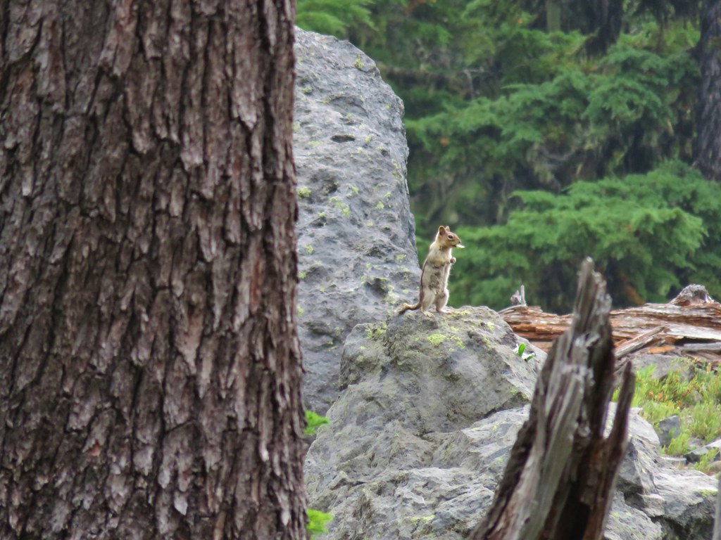
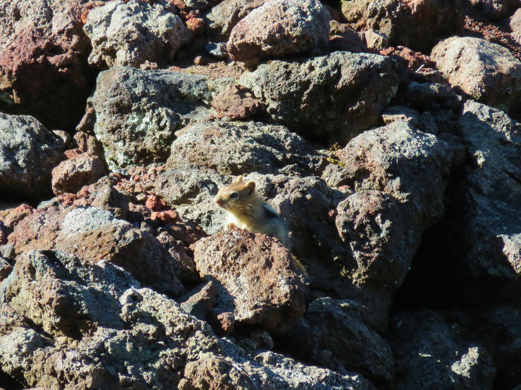
 Chipmunk
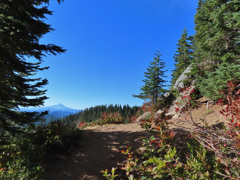

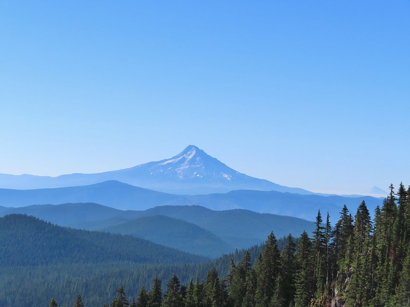 Mt. Jefferson was also visible to the right of Mt. Hood. Unfortunately so was the smoke being produced by the Bull Complex Fire which destroyed the historic Bull of the Woods Lookout (
 Autumn is on the way, bring on the rain please.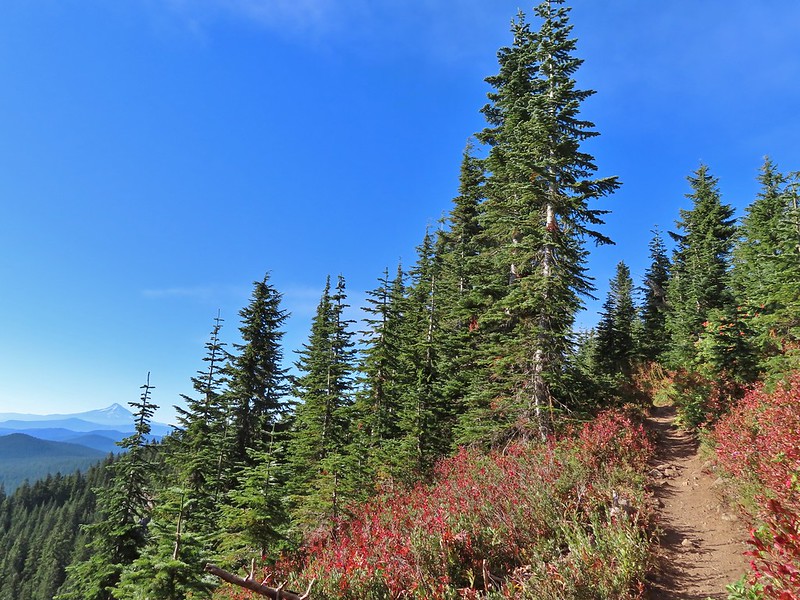
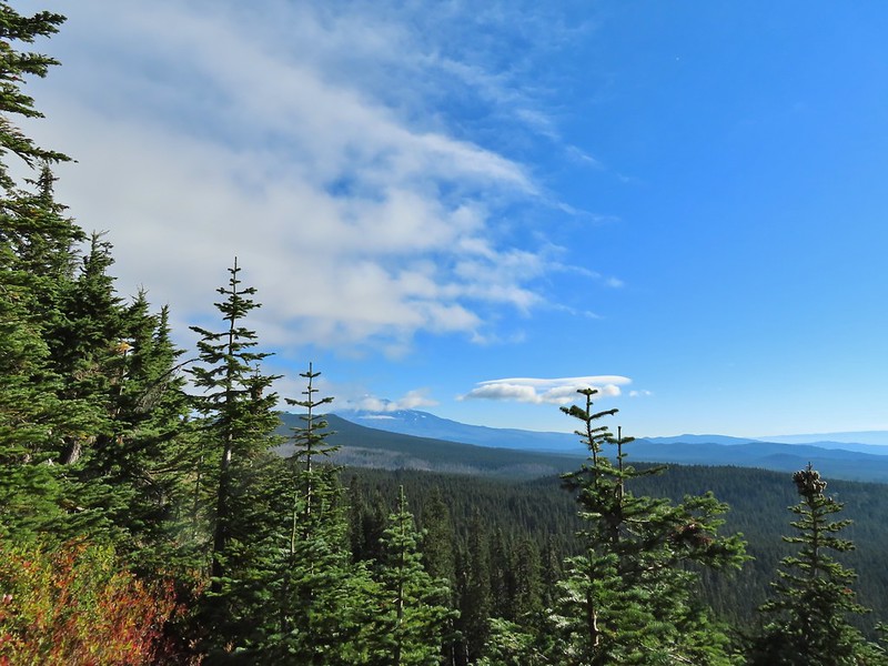 Mt. Adams
 Looking toward Mt. St. Helens
 The peaks in the Trapper Creek Wilderness (
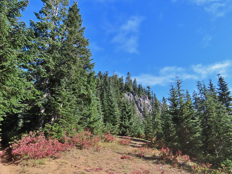 Cliffs on Berry Mountain
 Mt. Hood as we headed downhill.
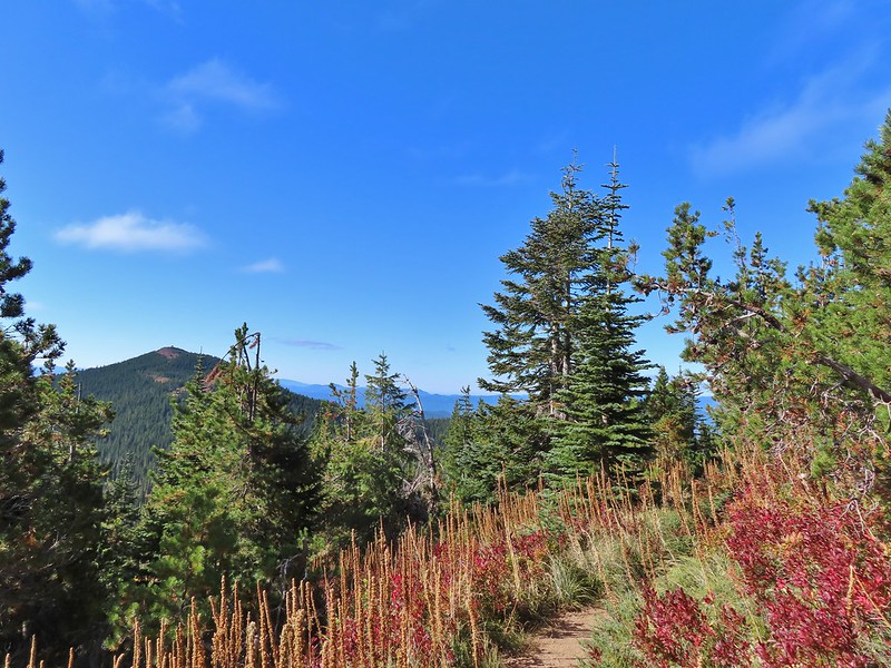 Red Mountain and its lookout tower.
 This beargrass is way off schedule.


 Mt. Adams from a viewpoint along the way.
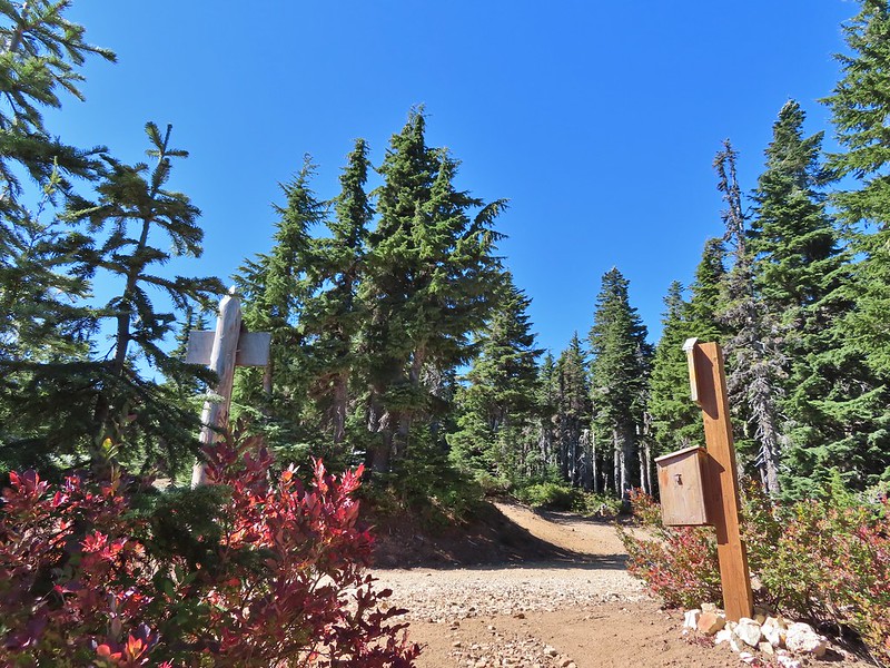
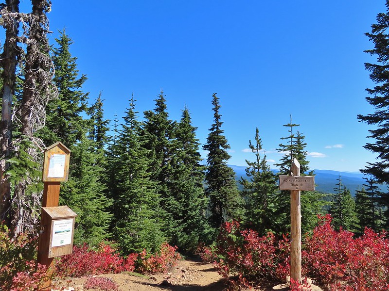
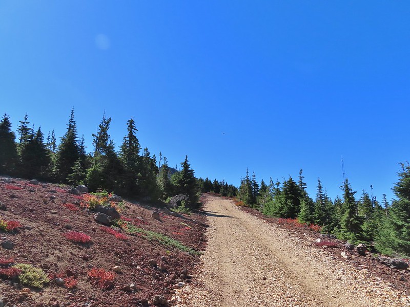


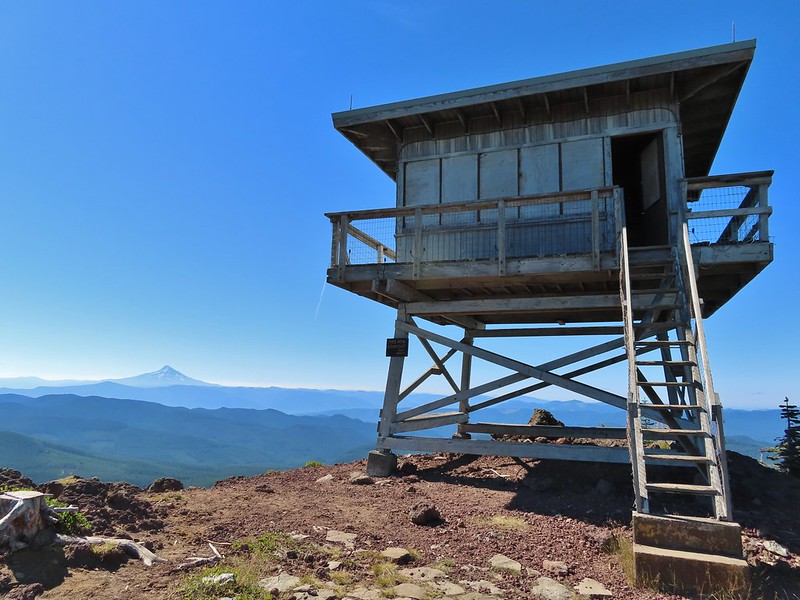 Not sure if someone forced the door open too or not.
 View of Mt. Adams beyond Indian Heaven.
 Photo taken from the doorway, it looked like nothing had been vandalized.
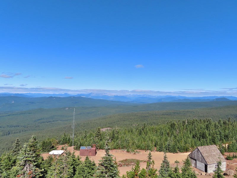 Mt. St. Helens still hiding behind that line of clouds.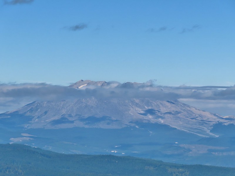
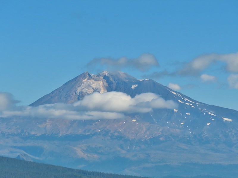 Mt. Adams with a few clouds passing by.
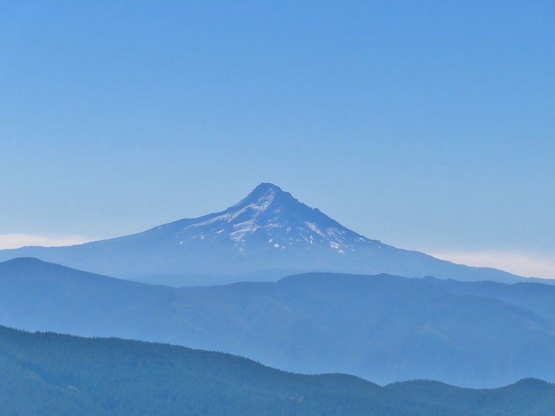 Mt. Hood with smoke from the Bull Complex behind.
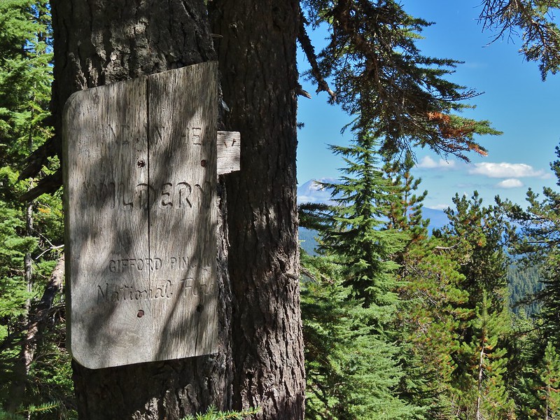 Indian Heaven Wilderness sign on Red Mountain with Mt. Adams in the background.
 Race Track Lake on the left.

 Hardhack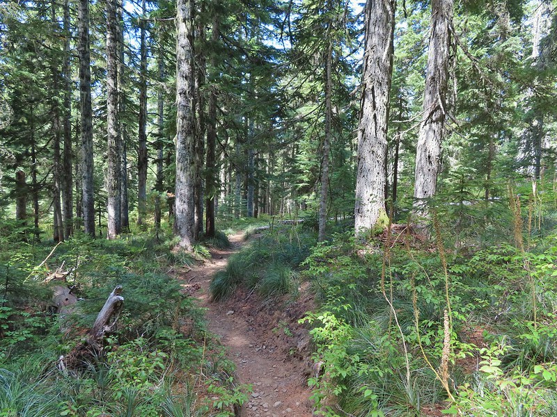
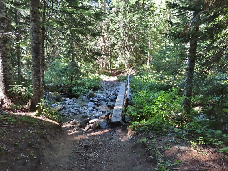 Footbridge over Falls Creek.
 Falls Creek
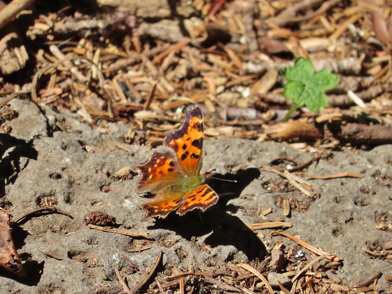 Butterfly near Falls Creek.
 Sign at the final trail junction near FR 65.


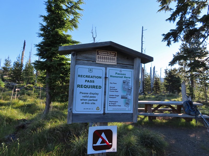
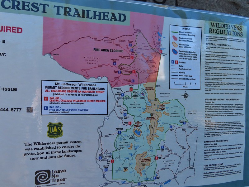
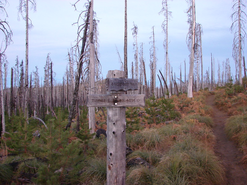 Trail sign at the junction on 10/13/2012.
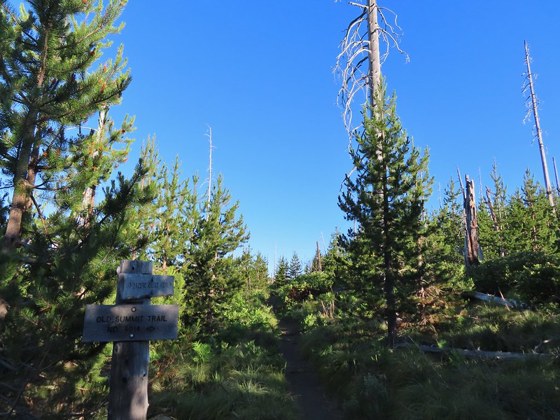 Trail sign at the junction on 07/03/2021.
 Entering the Mt. Jefferson Wilderness in 2012 (0.3 miles from the TH).
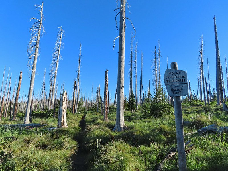 Entering the wilderness in 2021.
 Cache Mountain, Black Crater (post), Tam McArthur Rim & Broken Top (post), North & Middle Sister, Mt. Washington, and Hayrick Butte (flat top on the right).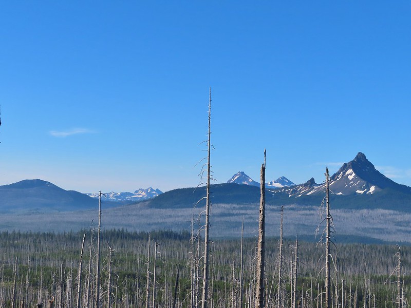

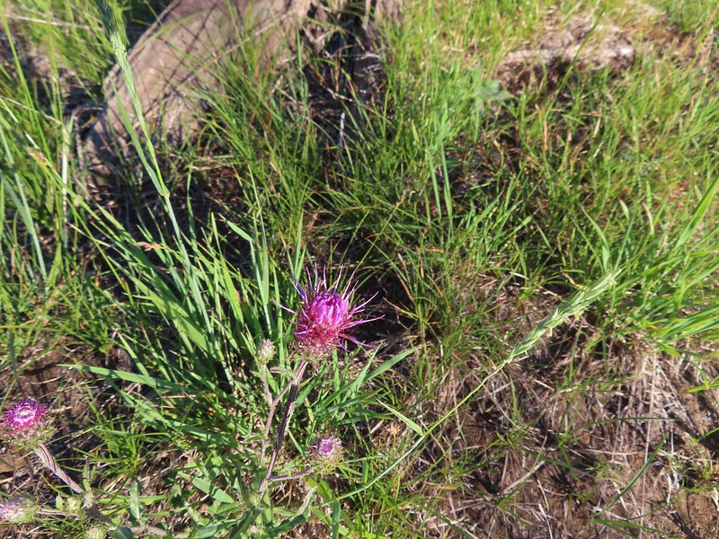 A thistle
 Penstemon
 Bleeding heart
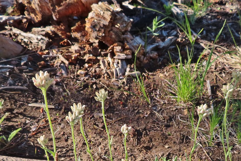 Pussytoes
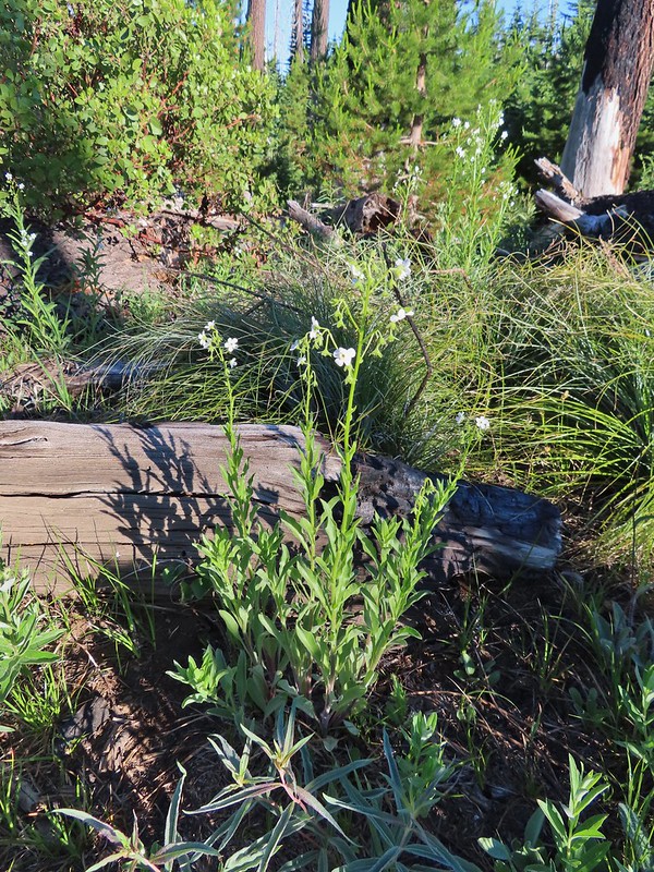 California stickseed
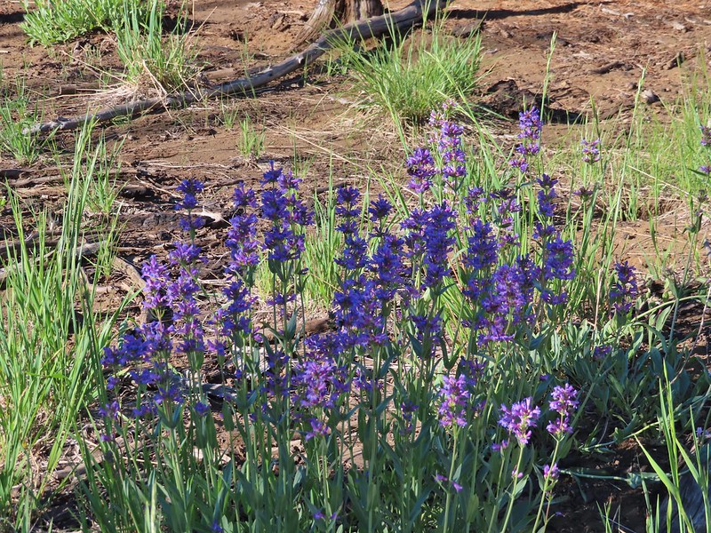 Another penstemon
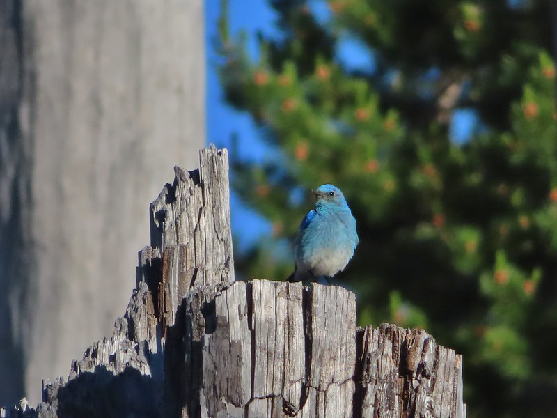 Mountain bluebird by the lake.

 There was a good amount of scarlet gilia blooming along this section of trail.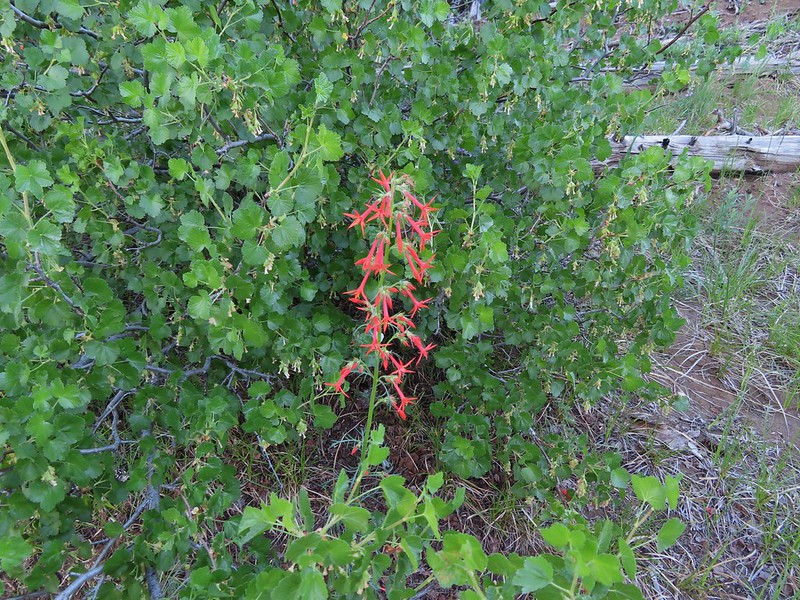
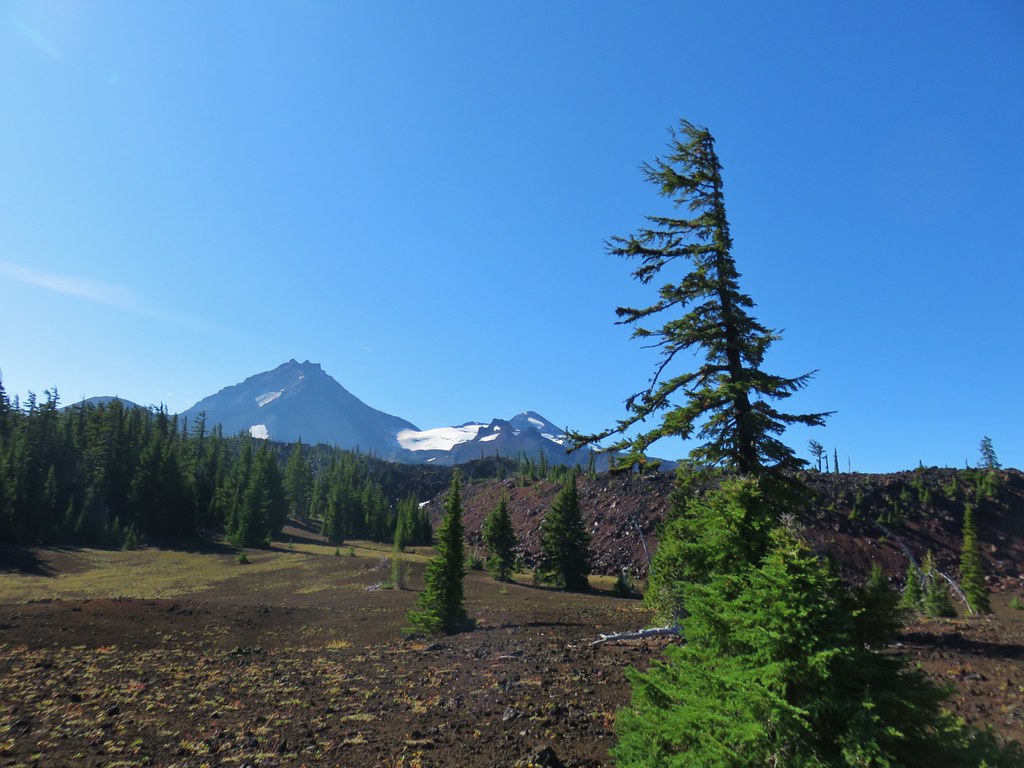
 Three Fingered Jack
 One of the ponds.
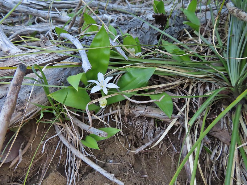 Queen’s cup
 Another pond with Maxwell Butte (
 Unnamed lake along the trail with Maxwell Butte behind.
 Lupine
 Dark-eyed junco
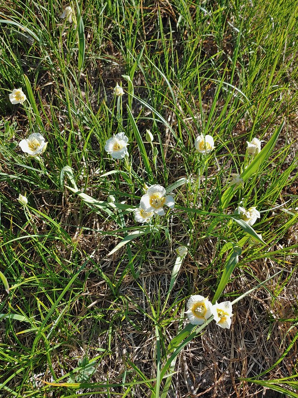 Sub-alpine mariposa lilies
 Woodpecker
 The view south.

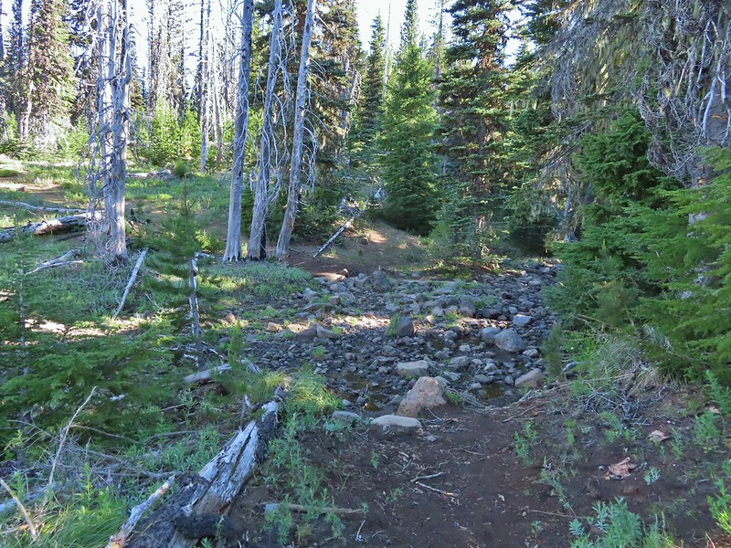
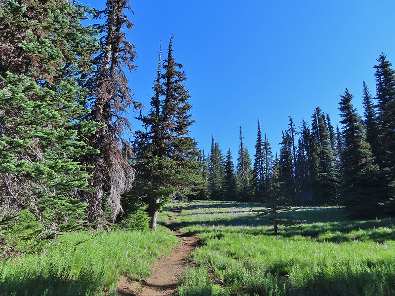


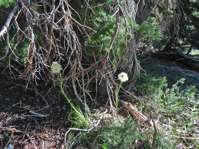 Beargrass
 Recent snow melt is another recipe for mosquitos.
 Another creek crossing.
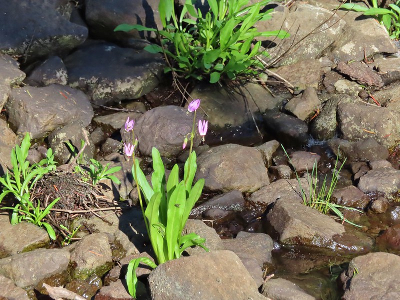 Shooting star
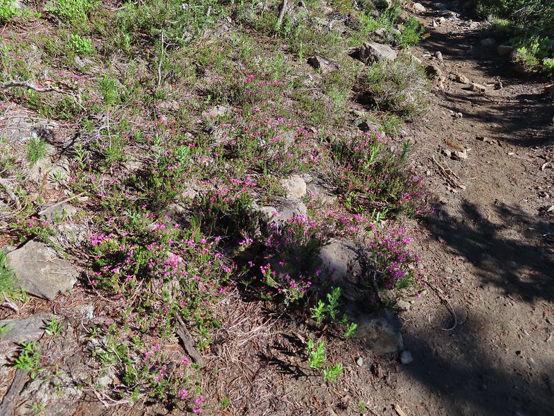 Mountain heather. Typically if we see this blooming we expect there to be mosquitos.
 A sulphur
 Alpine false dandelion
 One of several snow patches at the tree line.
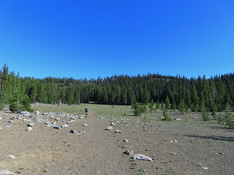 Nearing the end of the opening.
 More snow in the trees.
 A checkerspot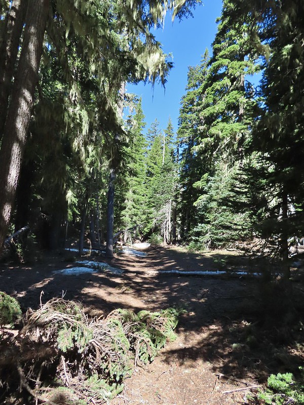
 Trees & melting snow = more mosquitos.
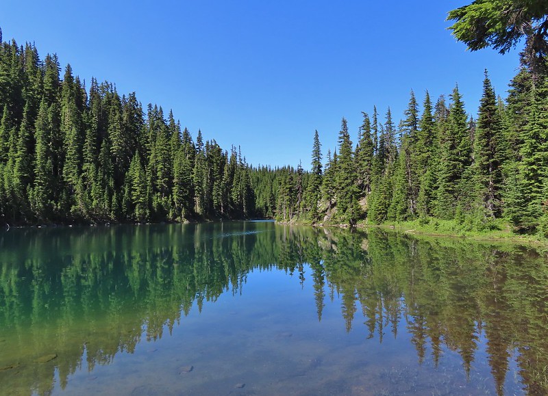
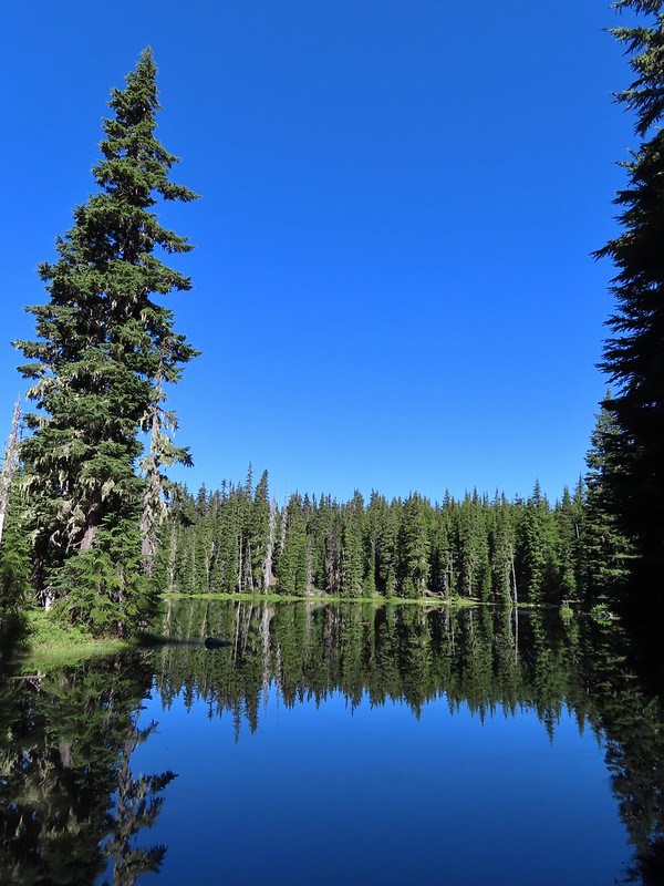 Not Santiam Lake but a very pretty unnamed lake just to the left of the trail approximately 0.4 miles from Santiam Lake.
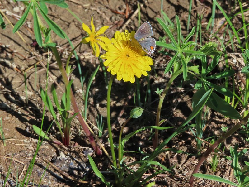 Not sure what type this is but the orange on the wing was pretty.
 Mt. Jefferson behind Red Butte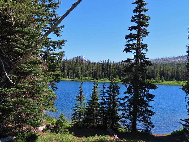
 Duffy Butte on the left.
 Three Fingered Jack
 Paintbrush, shooting stars, and buttercups.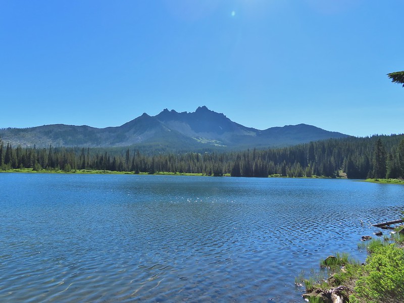
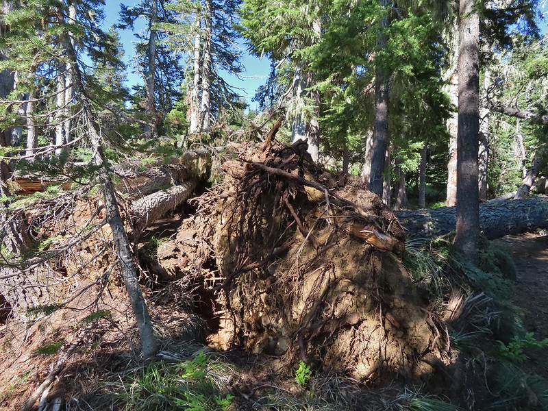 Just one of several large uprooted trees along the shore.
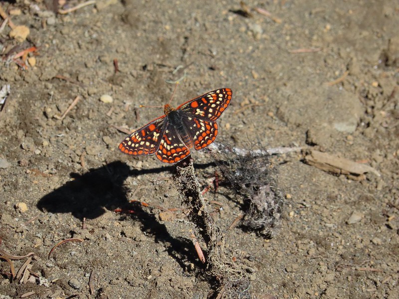

 The “topographic feature” ahead on the right where we planned on turning for Lower Berley Lake.
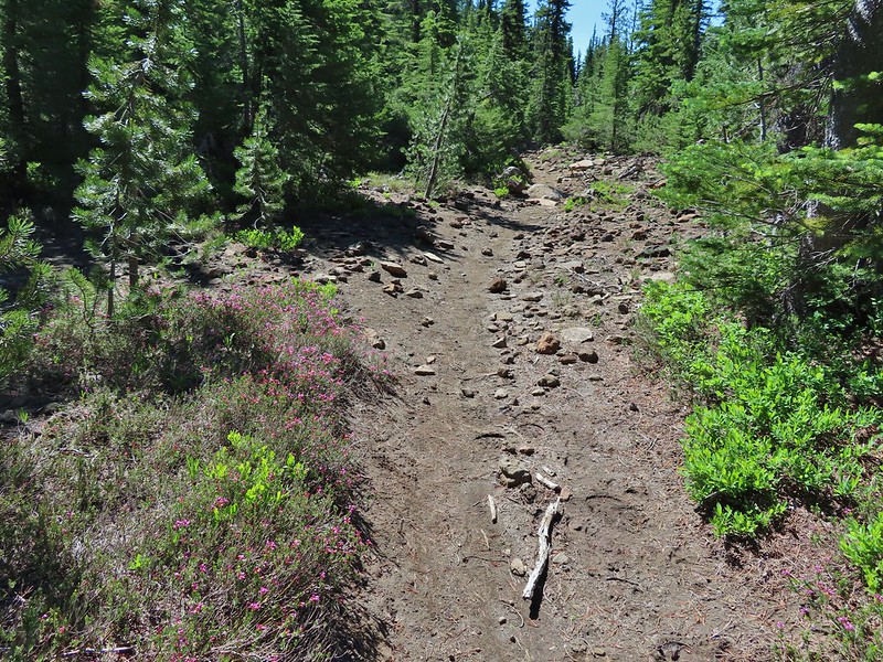 Mountain heather along the trail, it was warm and sunny enough that the mosquitos weren’t as bad this time by.
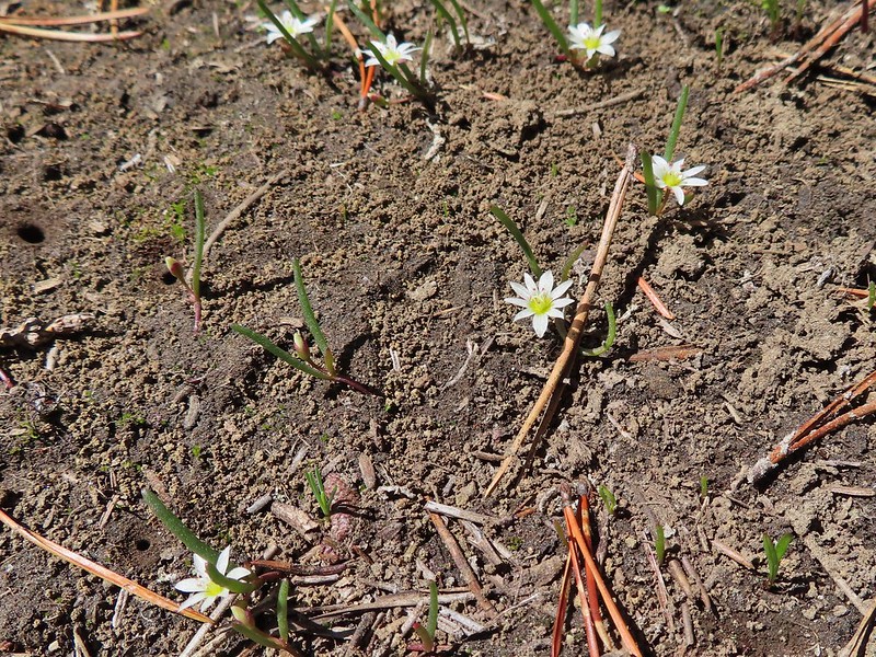 Threeleaf lewisia
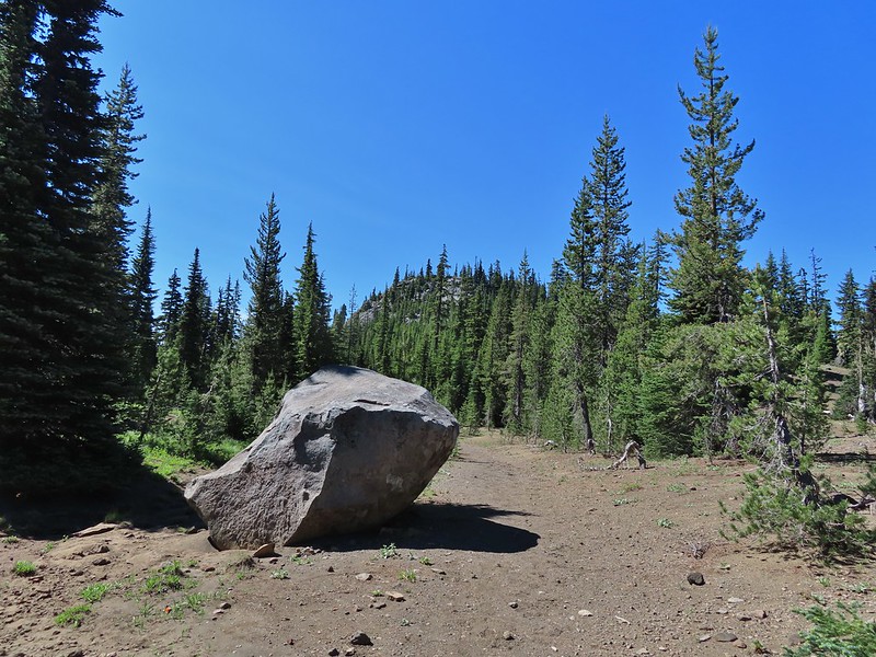 Getting closer to the hill where we planned on turning.
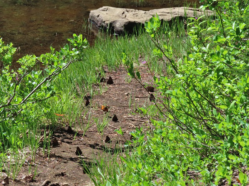
 California tortoiseshell butterflies in the bed of Lost Lake Creek.


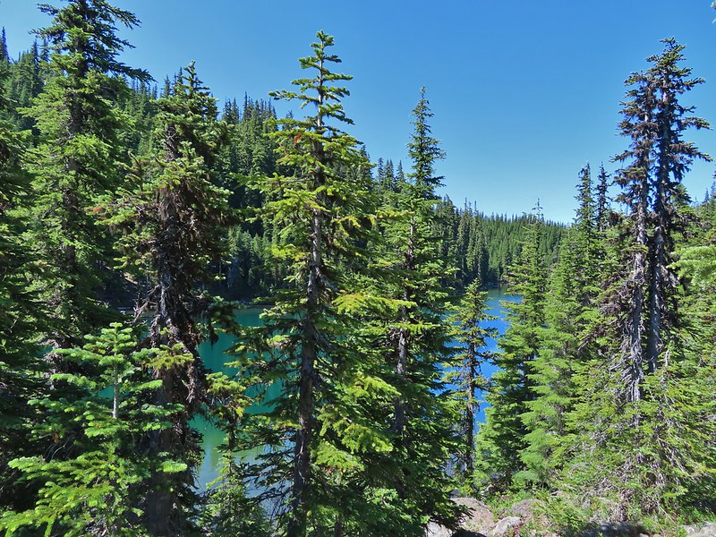
 Three Fingered Jack from the rocks.
 More tortoiseshells
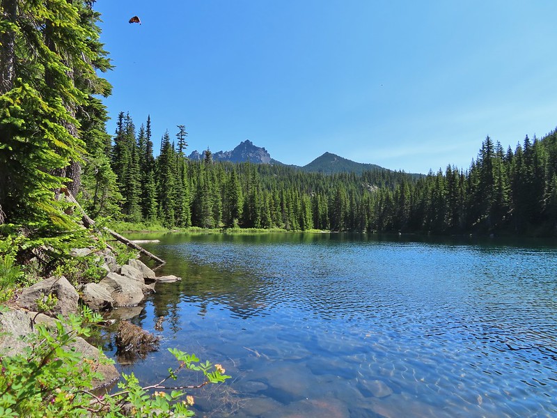 A butterfly photo bomb


 The bed was popular with the butterflies.
 Cross country to Upper Berley Lake, the doe was in this meadow and headed in the direction of the patch of snow at the far end.
 Upper Berley Lake
 We wound up finding the same “user trail” and followed it down to the lower lake.
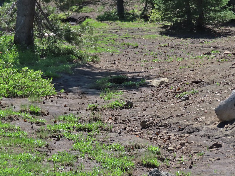 California tortoiseshell butterflies along Lower Berley Lake.
 Three Fingered Jack and about a half dozen butterflies.
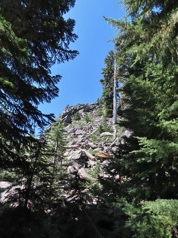 The hillside on the right was rocky.
 The trail dropping down from the saddle with Mt. Washington and the North Sister ahead.

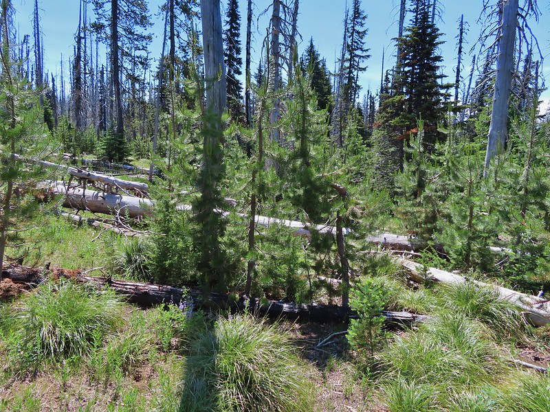
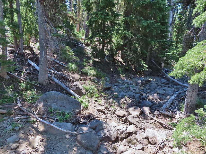
 Found it!


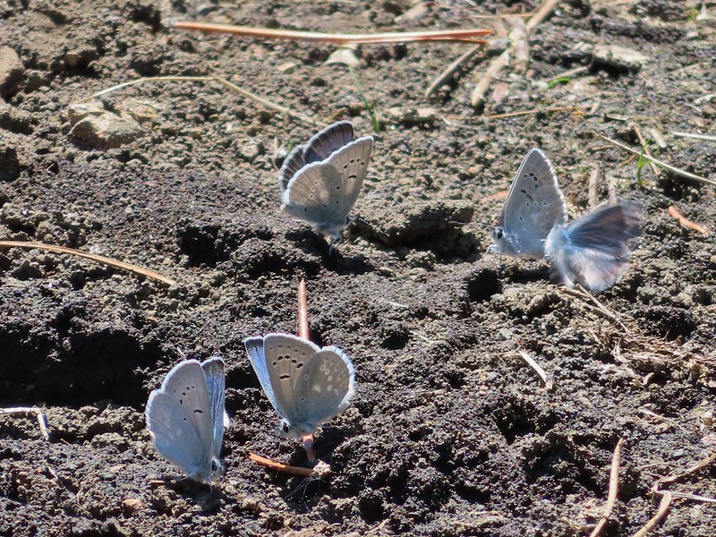
 Yellow beetle on lupine.
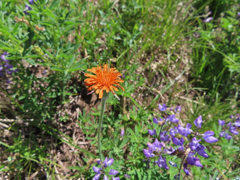 Orange agoseris
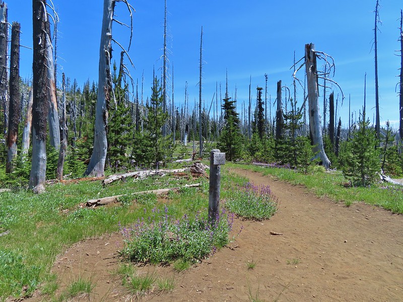 Back at the PCT.
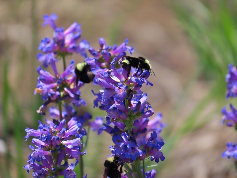 Bumble bees on penstemon.
 Cicada in the grass.
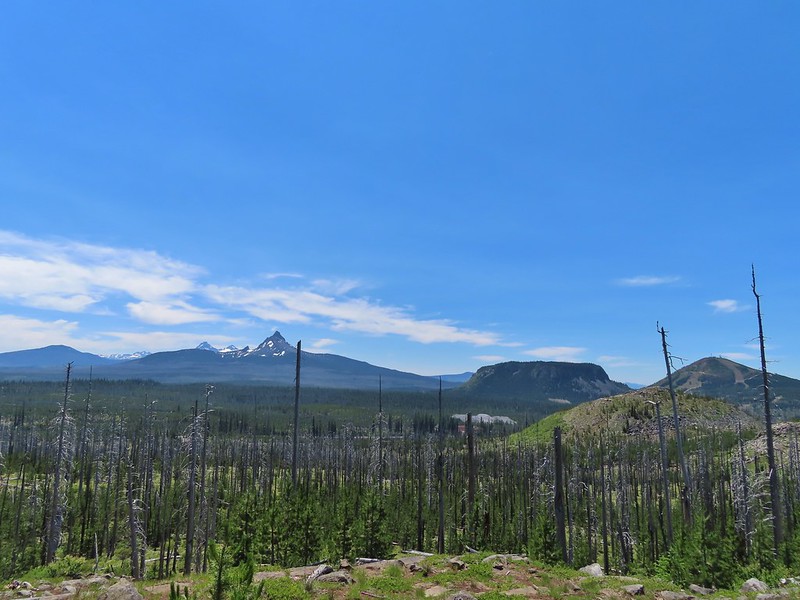 Black Crater, Broken Top, North & Middle Sister, Mt. Washington, Hayrick Butte, and Hoodoo Butte from the viewpoint.


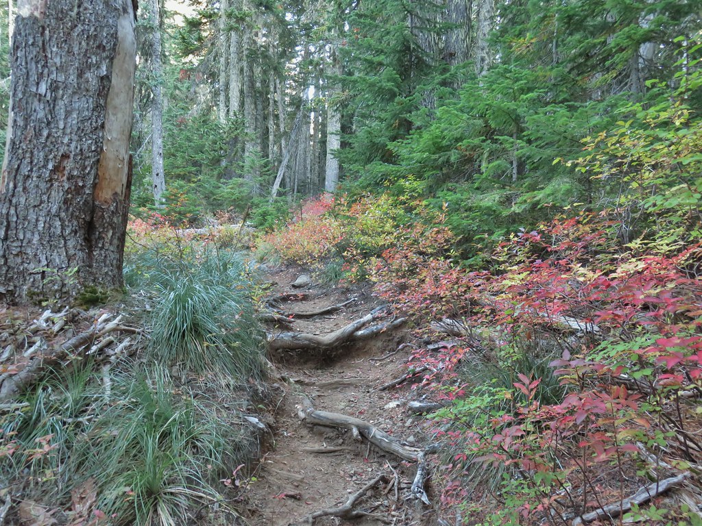


 Still some fireweed blooming in the fire scar.
 East Crater beyond a pond.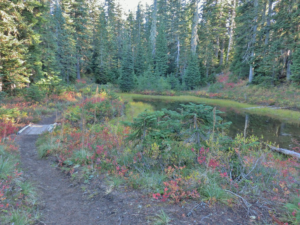
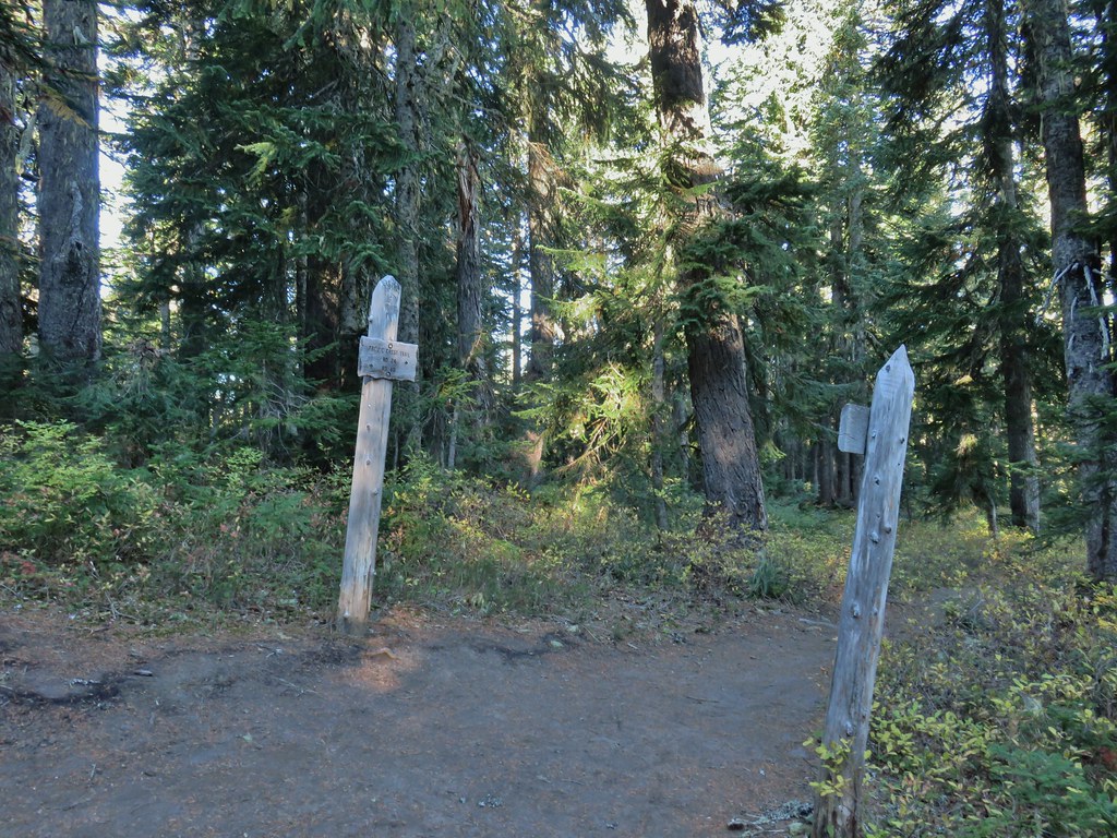
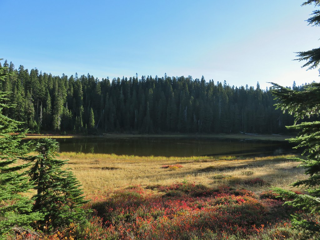 Junction Lake
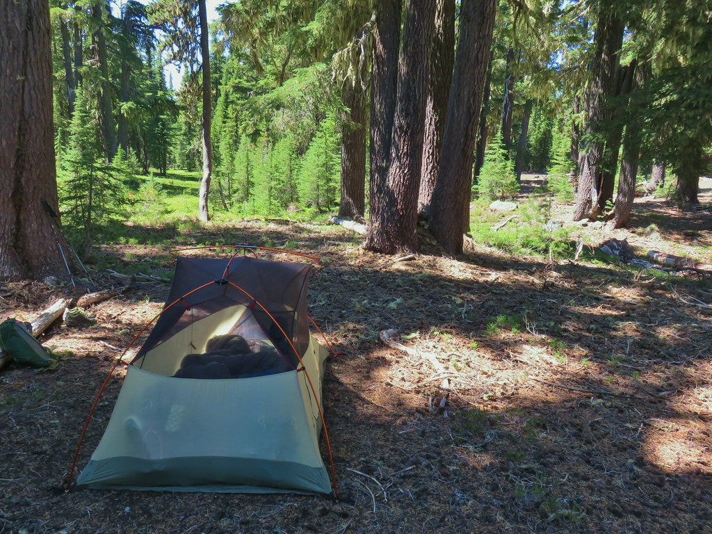
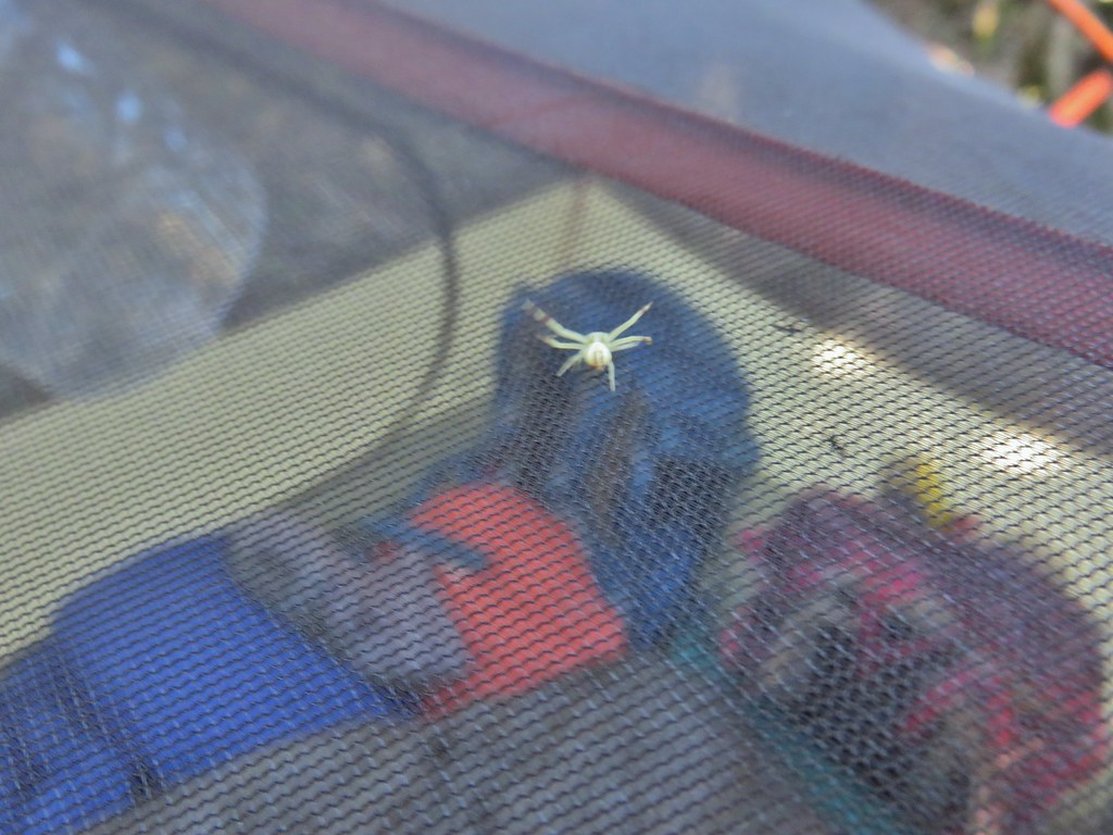 This crab spider offered to watch our tent for us while we were away.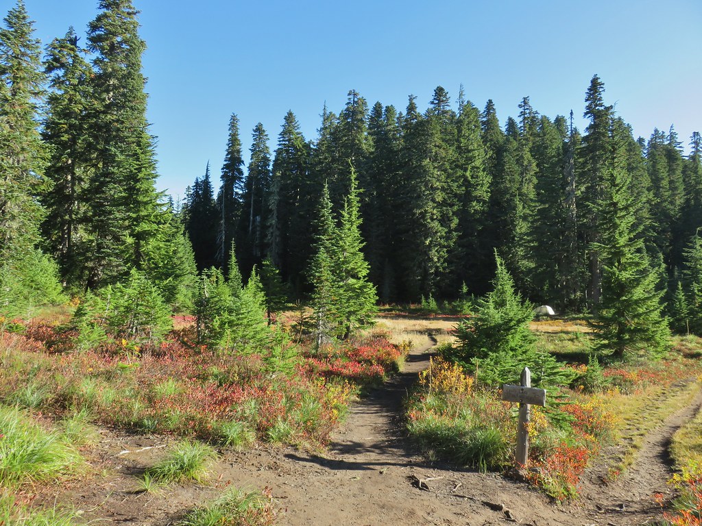


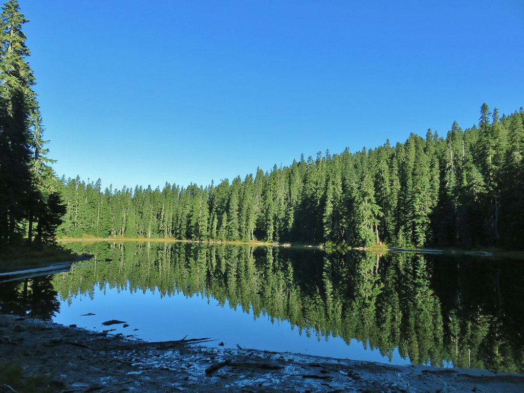

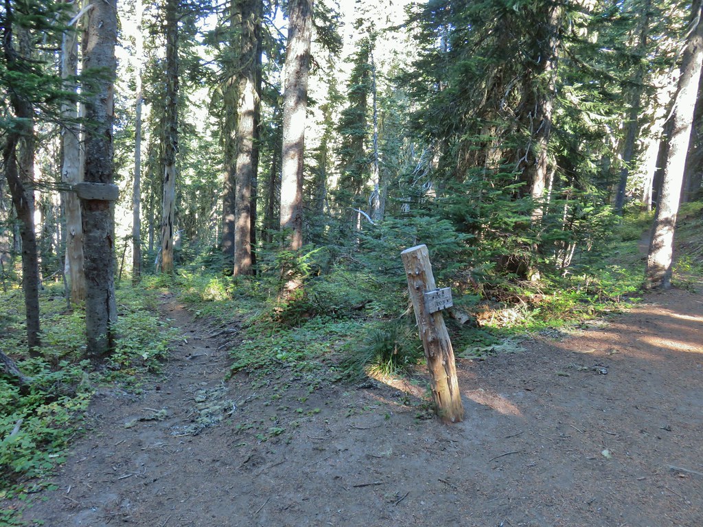 Placid Lake Trail on the left.
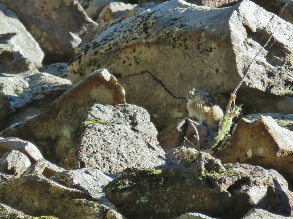
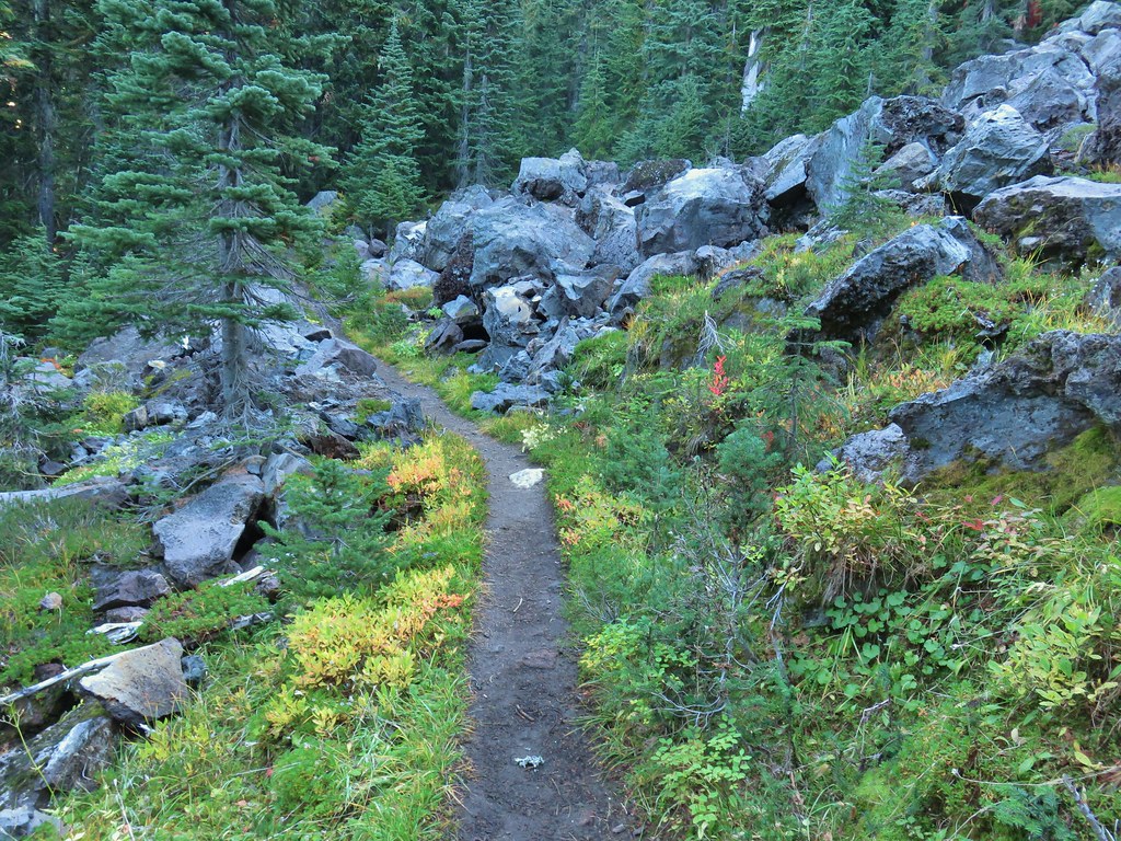 No pikas in these rocks, that we saw.
 PCT at the 4-way junction.
 Cultus Creek Trail heading uphill to the right.

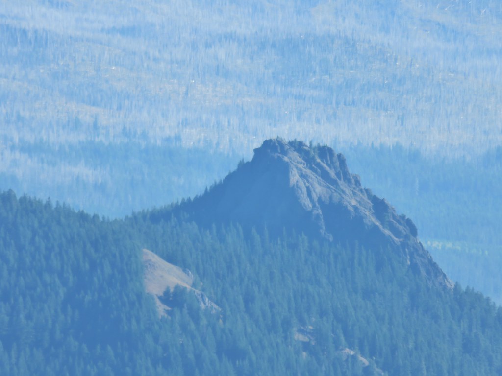
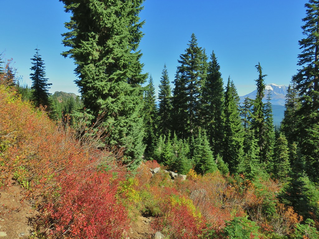
 Goat Rocks with Mt. Adams hiding behind trees.
 Mt. Rainier behind Sawtooth Mountain (and Steamboat Mountain to the right)
 Mt. Rainier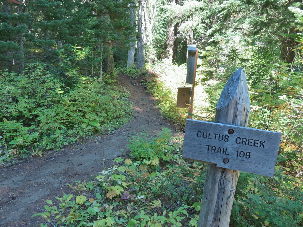

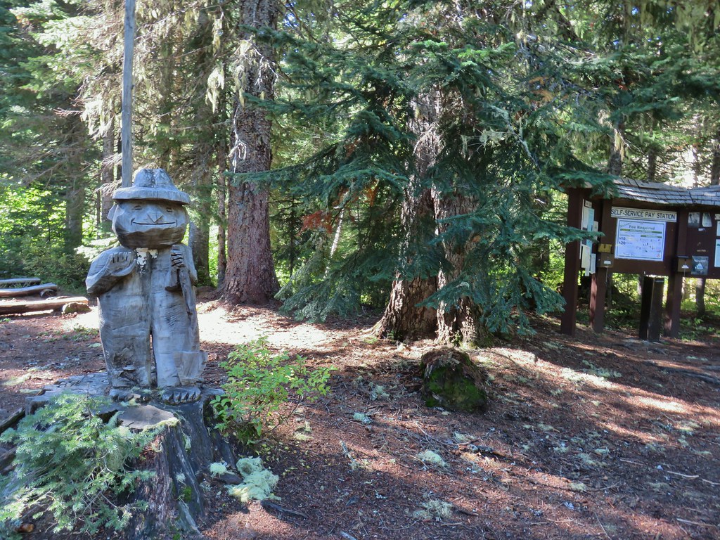

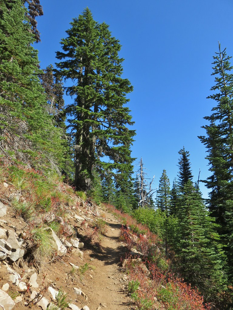


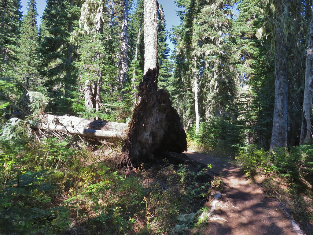 The Labor Day wind storm had knocked a number of trees down but the trails we took had mostly been cleared already.

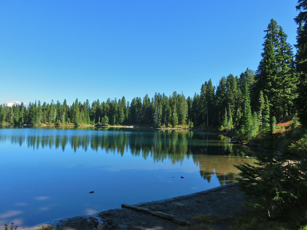
 Cultus Lake from the Deep Lake Trail.
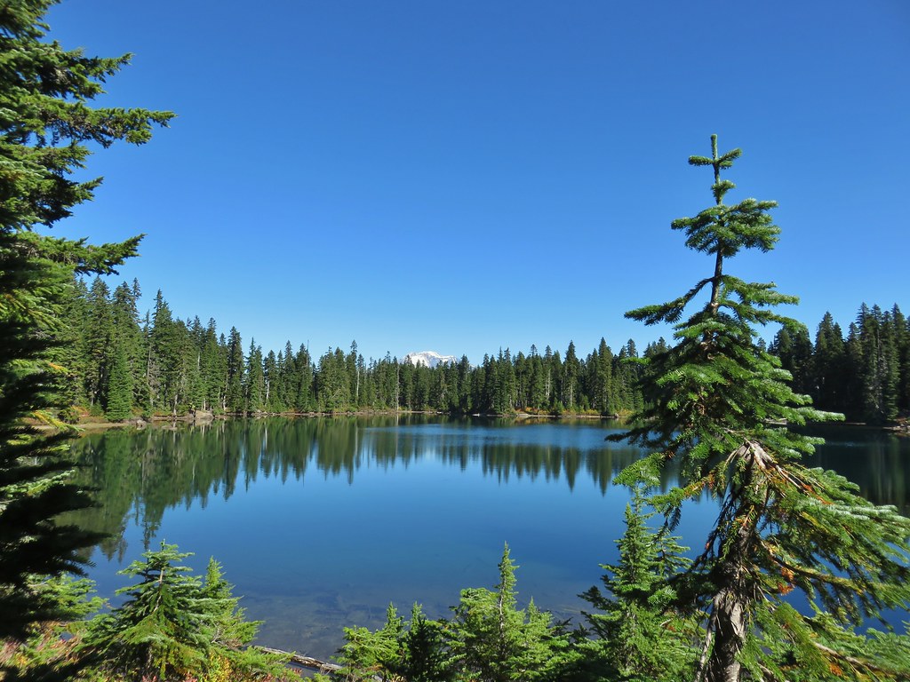
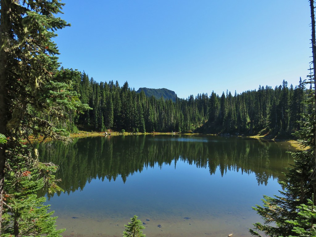 Lemi Rock beyond Cultus Lake
 Cultus Lake from the Lemi Trail.

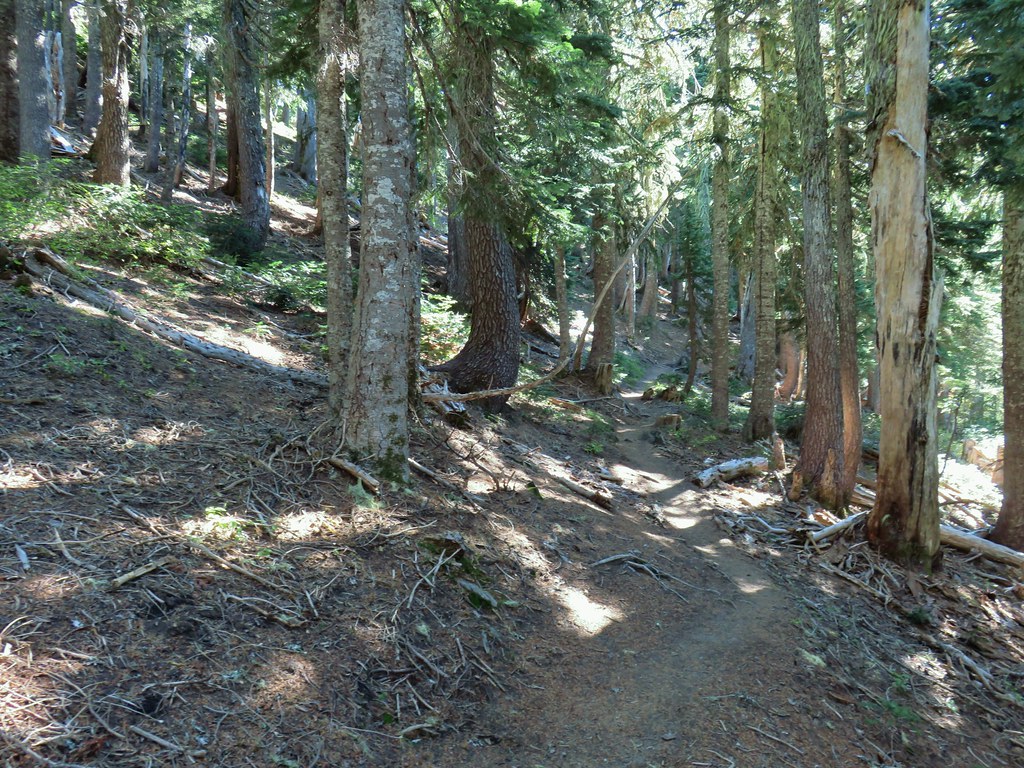 The climb was up a forested hillside.
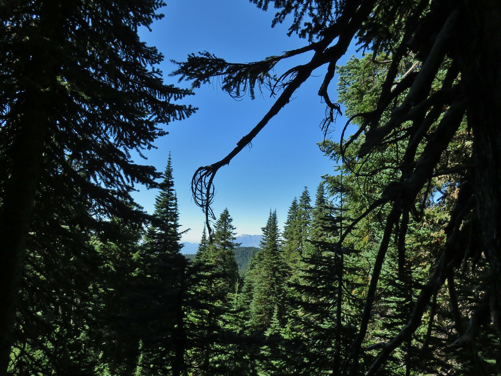 Mt. St. Helens

 Mt. Adams as we approached the viewpoint.
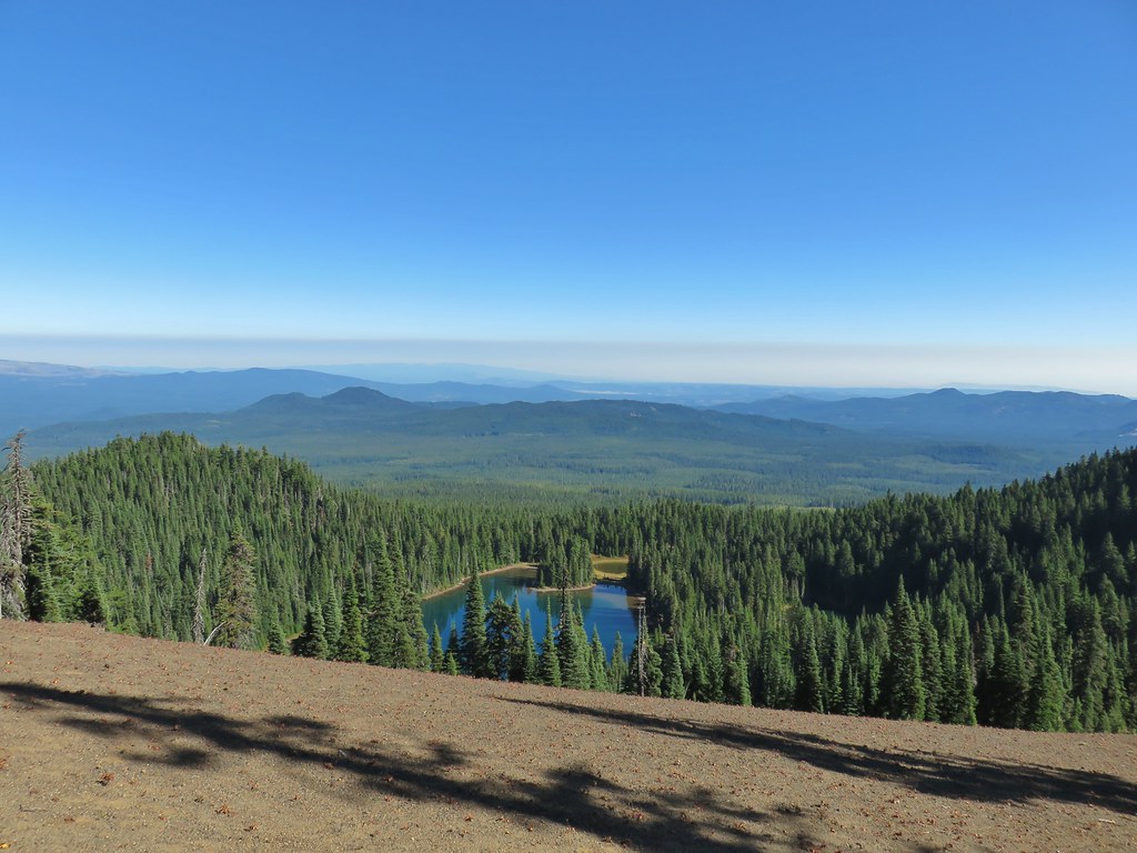 Lake Wapiki
 Mt. Hood


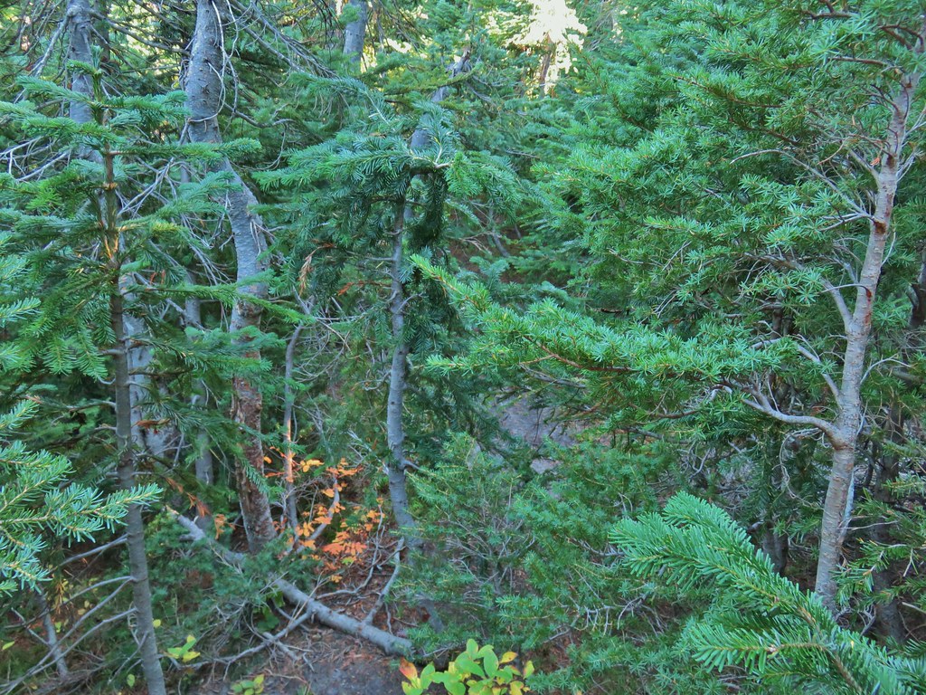
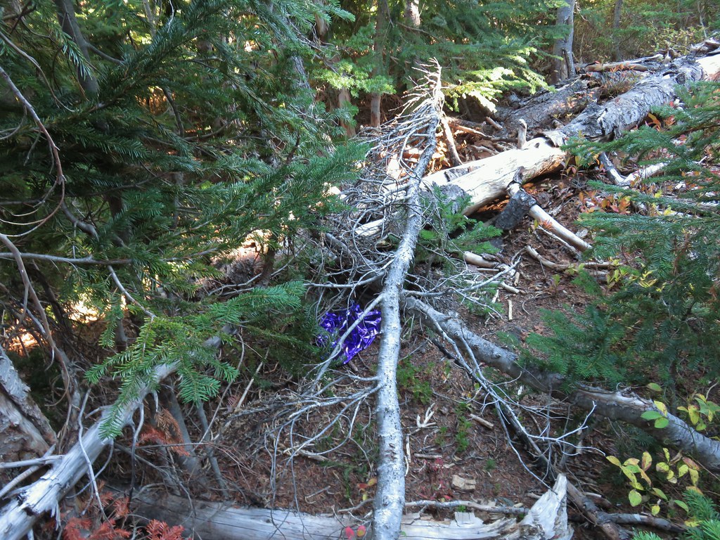
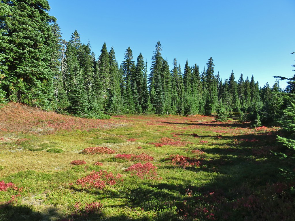
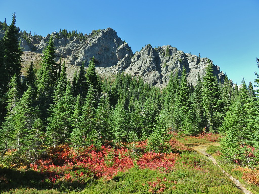


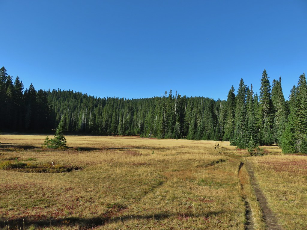

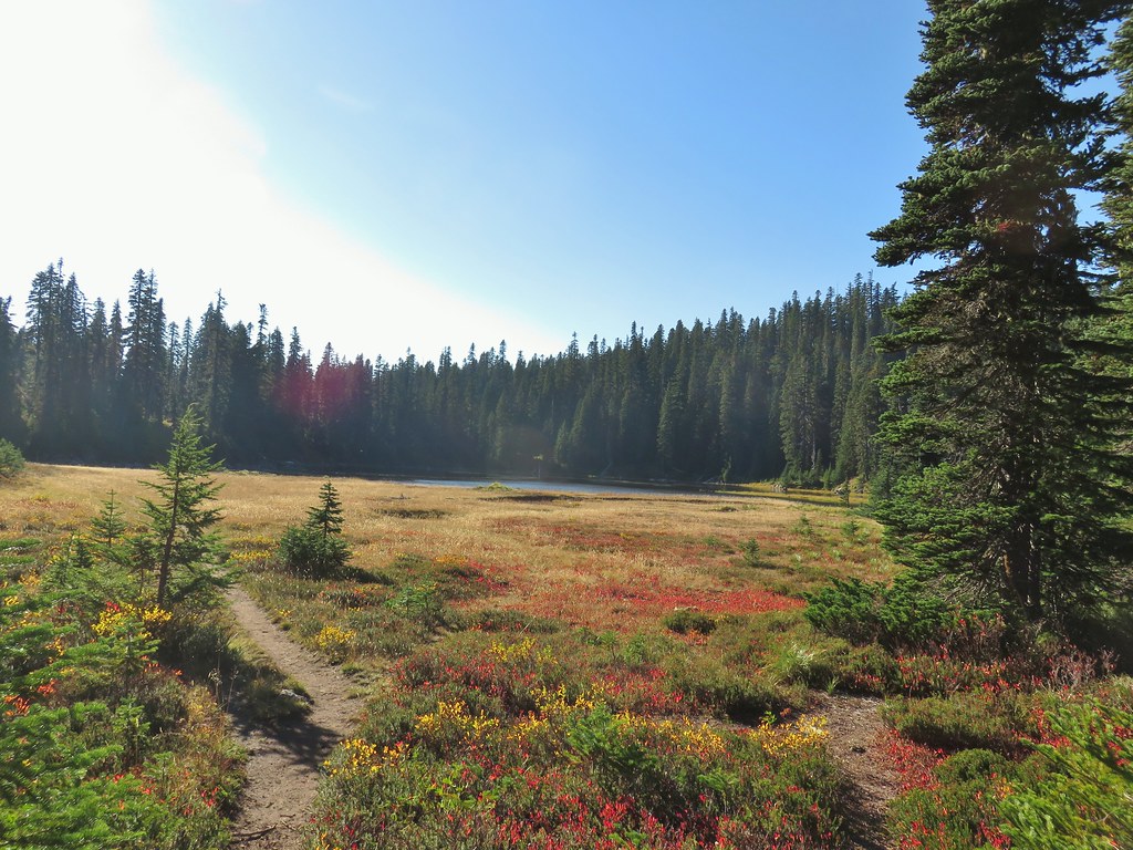 Lemi Lake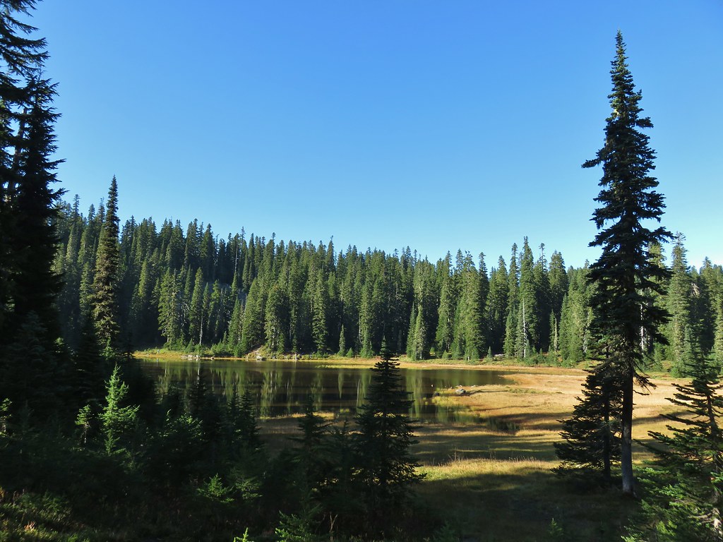


 Pearly everlasting
 Lemi Rock from the Lemi Lake Trail.

 Junction Lake
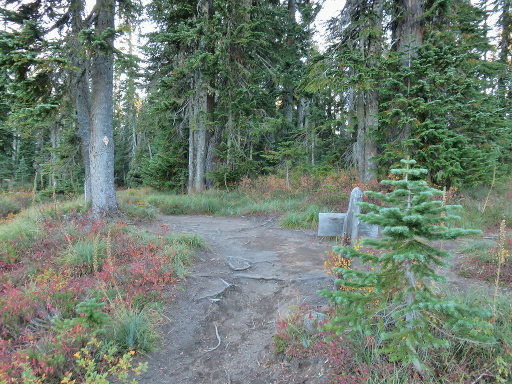 Back to the PCT.
 Junction Lake from the PCT/Lemi Lake Trail junction.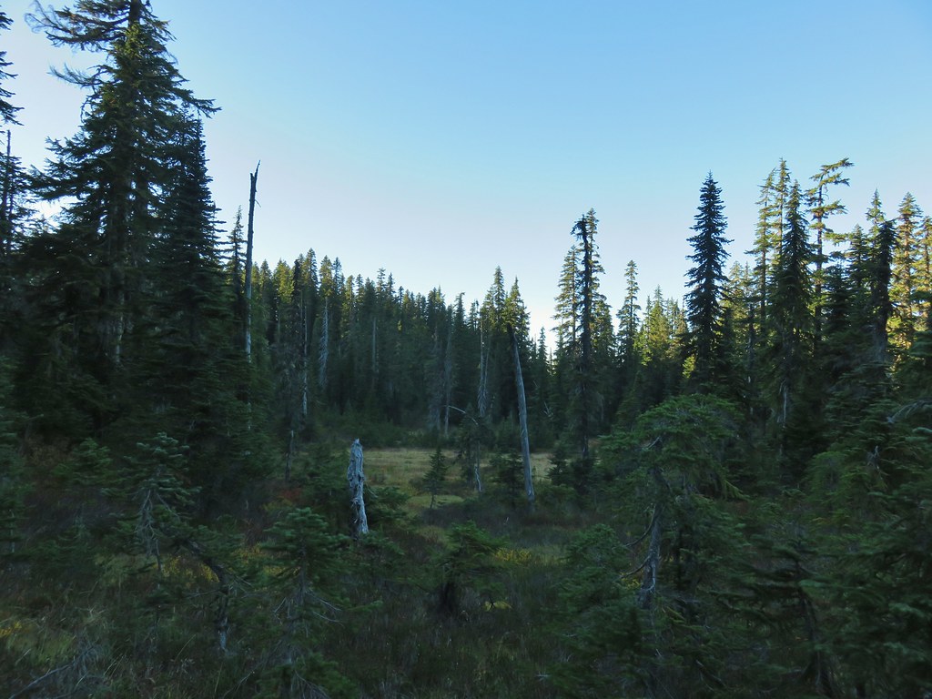


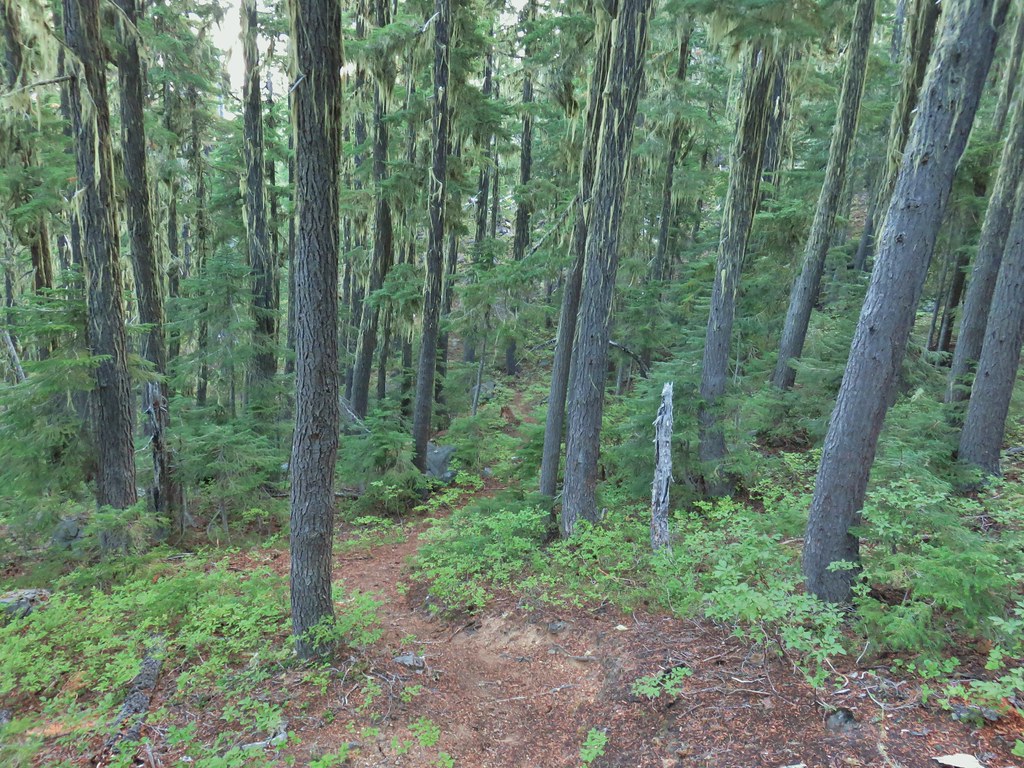
 Some blue sky again.
 Happy Lake Trail junction.
 Just a small part of the meadow.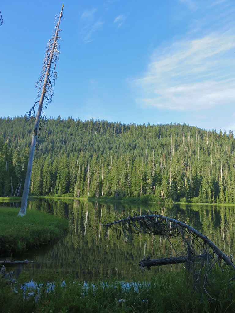
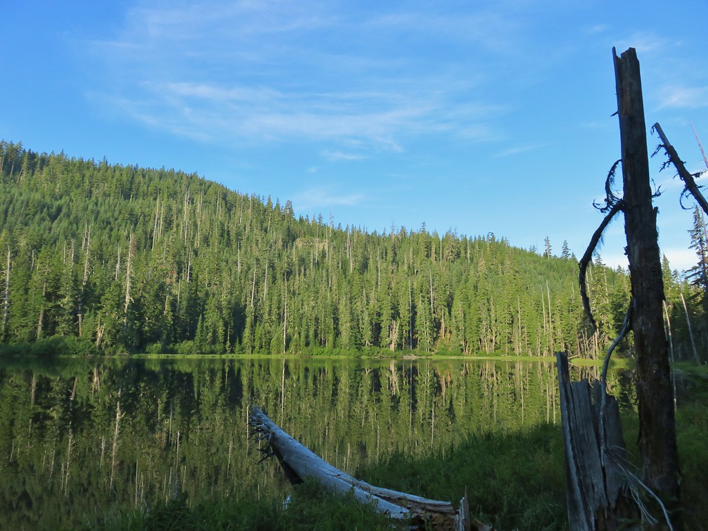
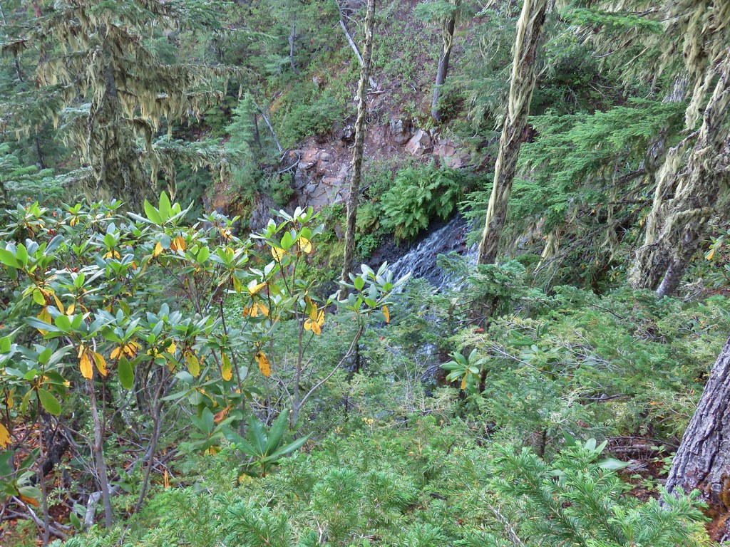

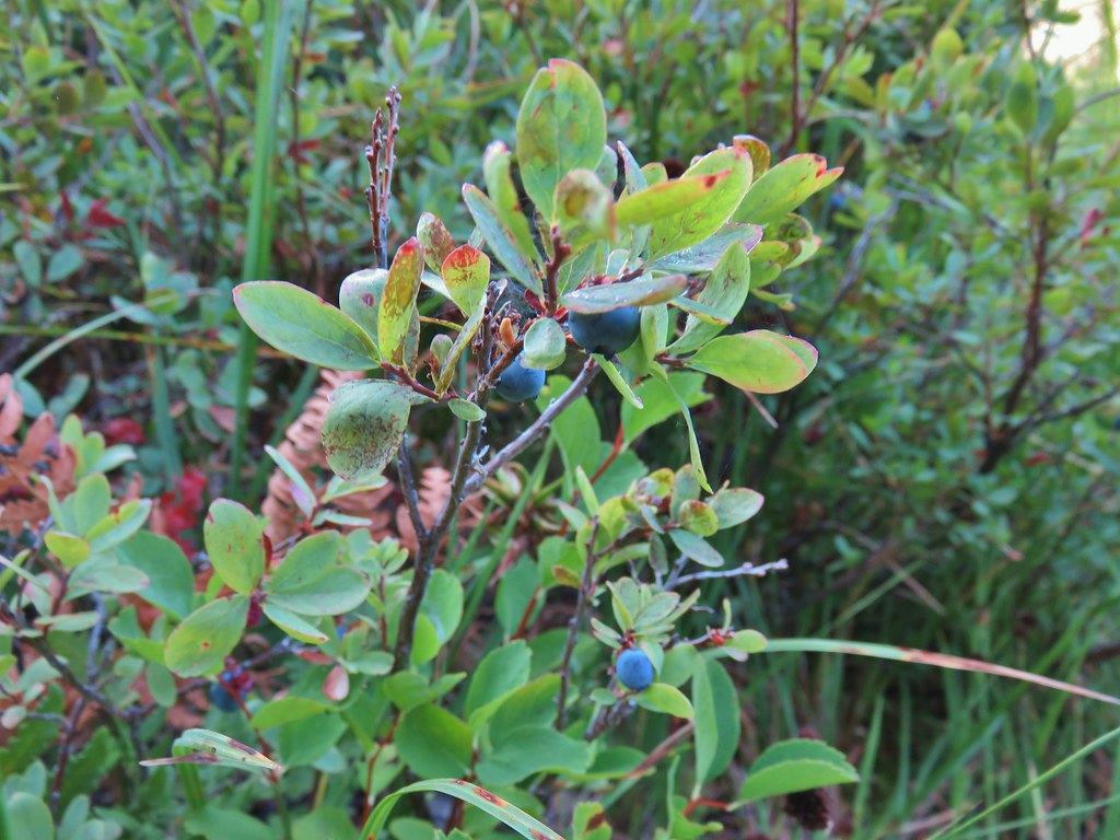


 We think this was Bear Creek. Other than the outlet of Happy Creek no other creek beds had flowing water on this side of the mountain.
 Diamond Peak from the trail.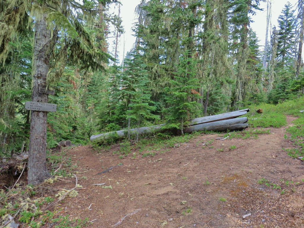


 One of several damp meadows.
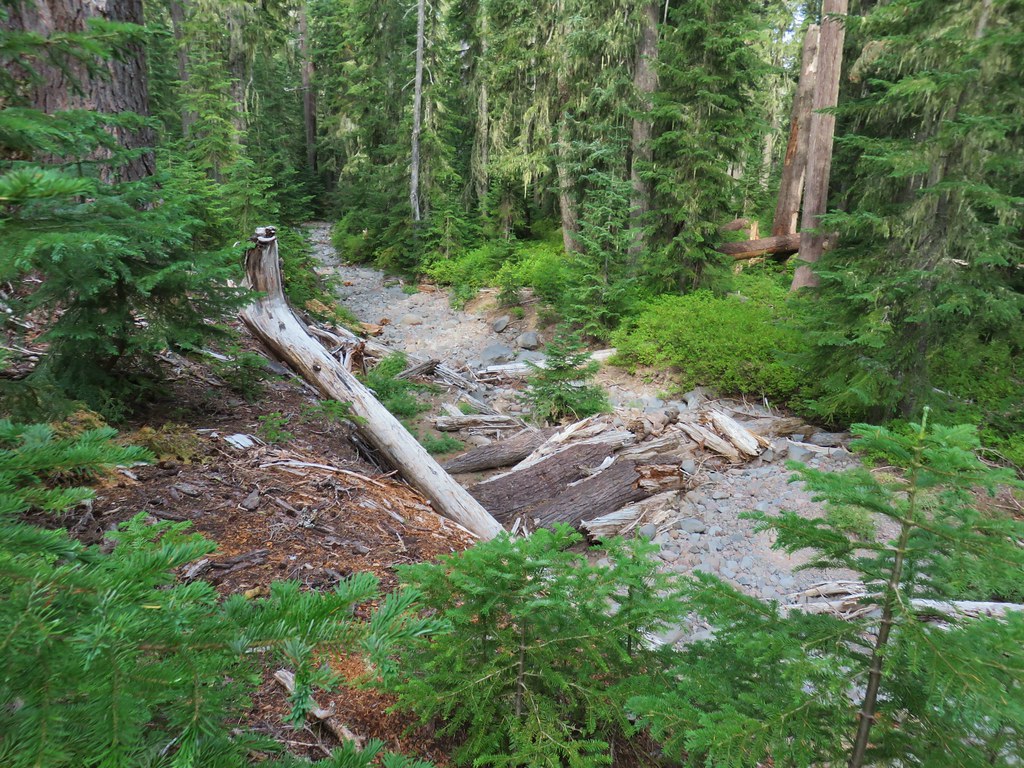 The creeks were still dry though.
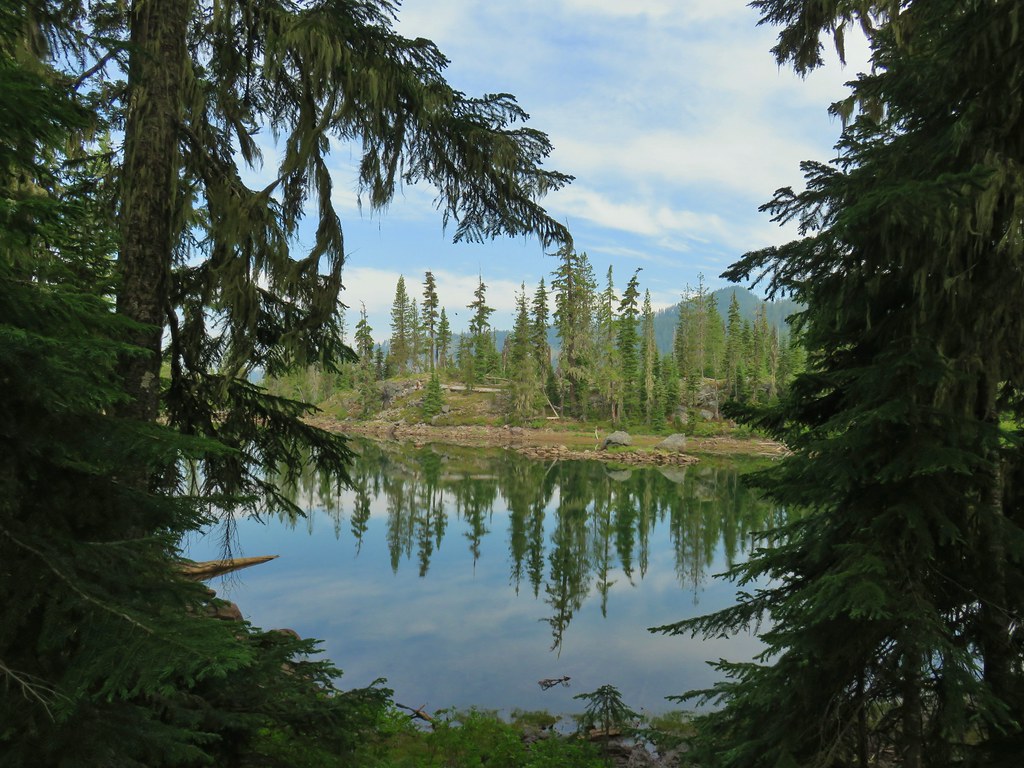
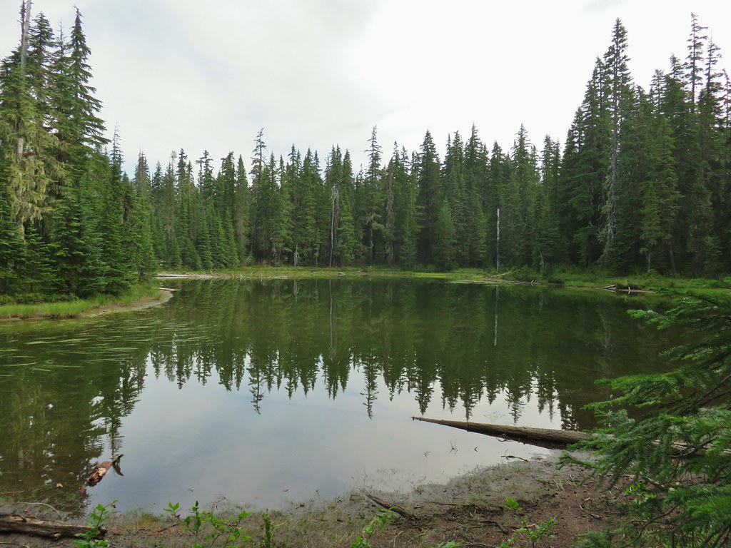 An unnamed lake.
 Small unnamed lake just before Notch Lake.
 Another little lake/pond near Notch Lake.
 Notch Lake

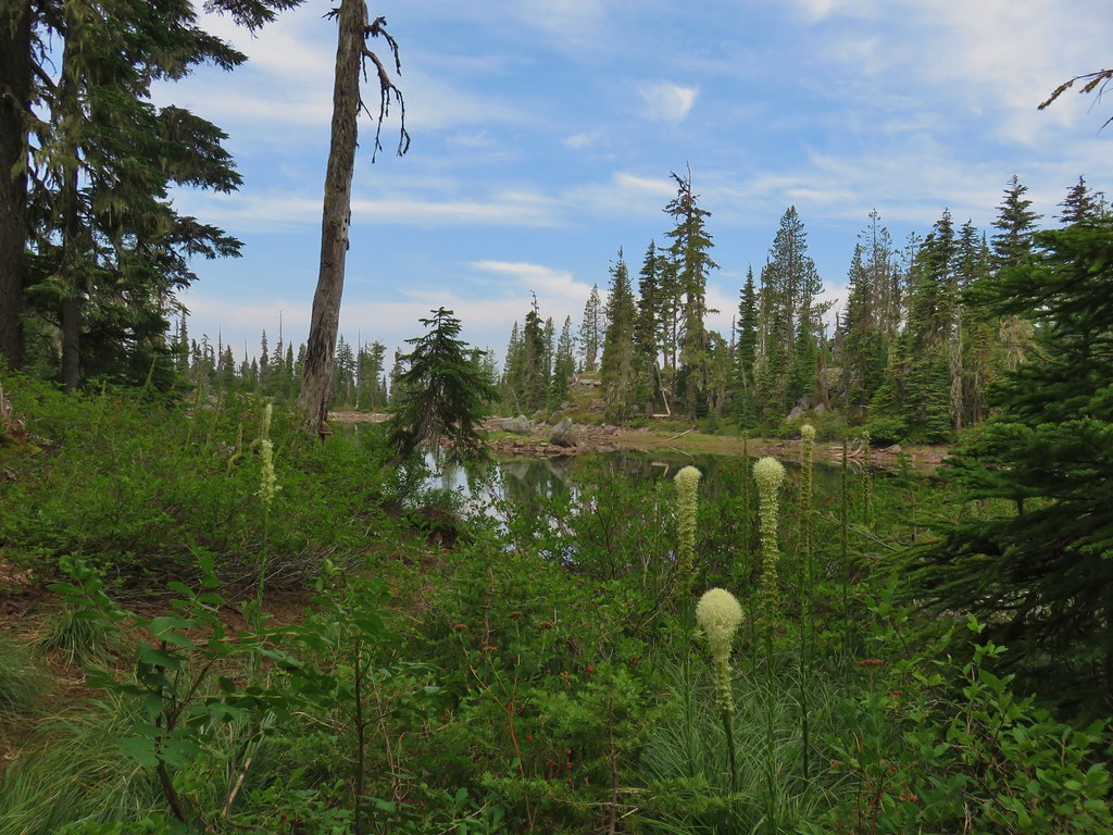 Beargrass
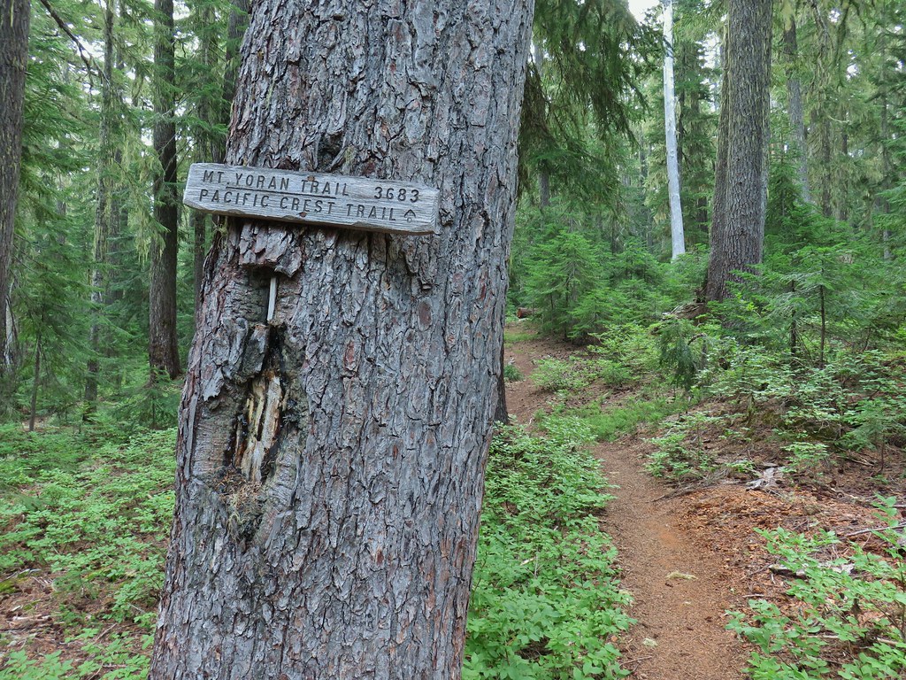

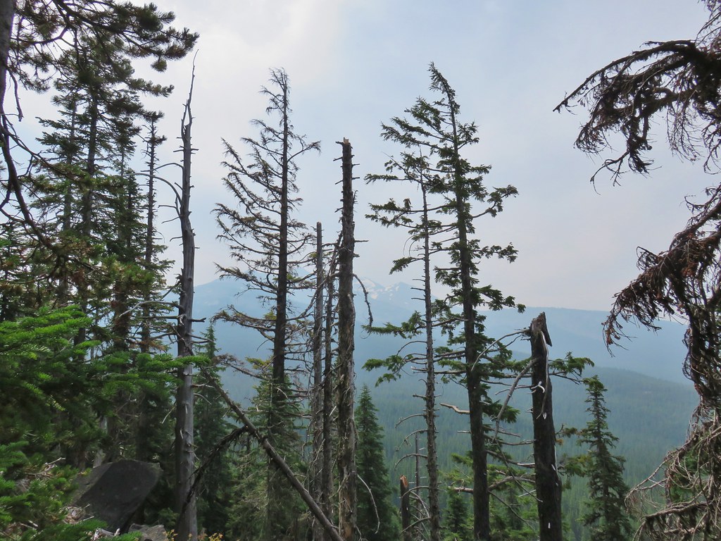 Diamond Peak from the trail; the smoke was back.
 Textured mushroom
 On the ridge.
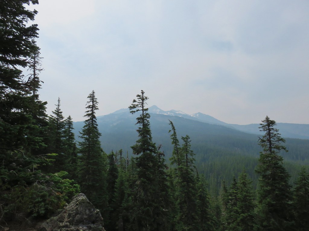 Diamond Peak
 Lousewort
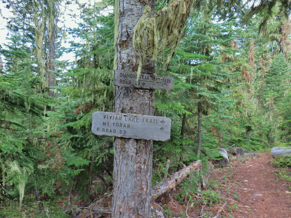
 Mt. Yoran from the trail.
 Diamond Peak again.
 Mt. Yoran on the left and the divide on the right.
 Passing under Mt. Yoran.
 Please tell me that’s a seed and not that the ground squirrels have taken up smoking.
 Divide Lake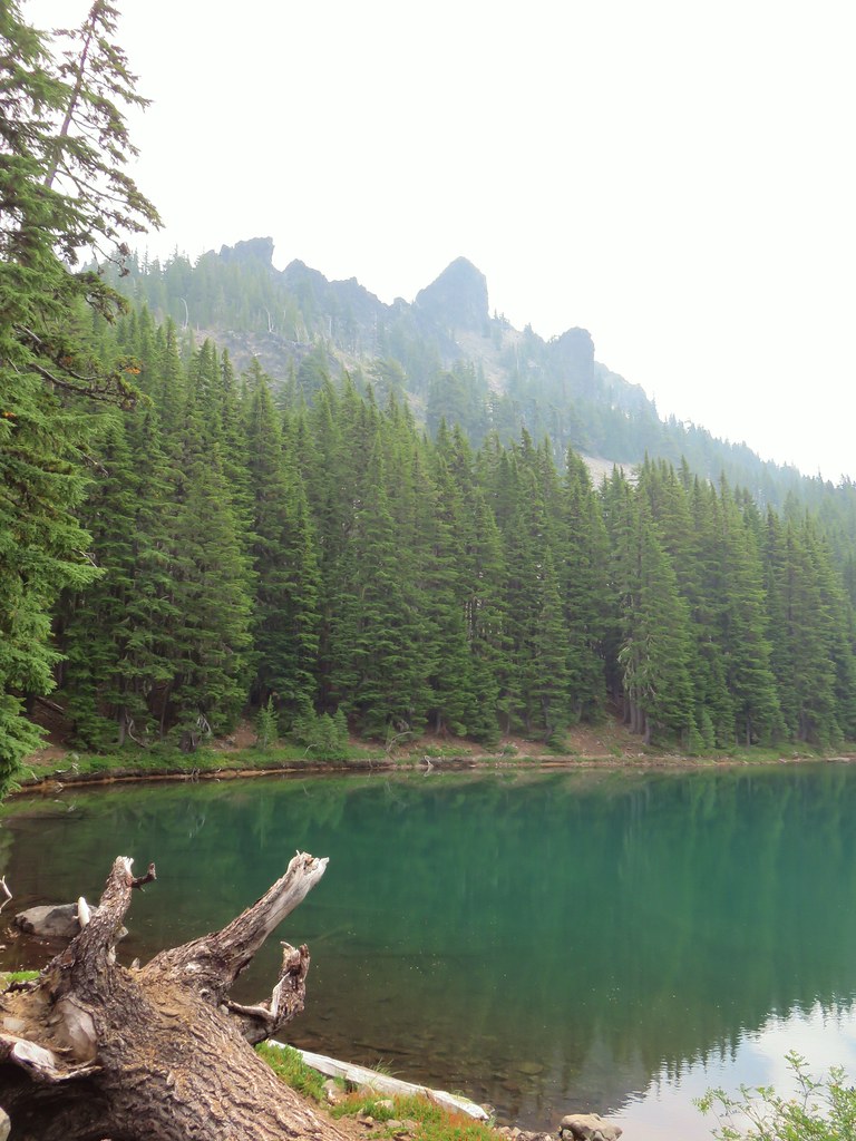

 Blue sky making a comeback.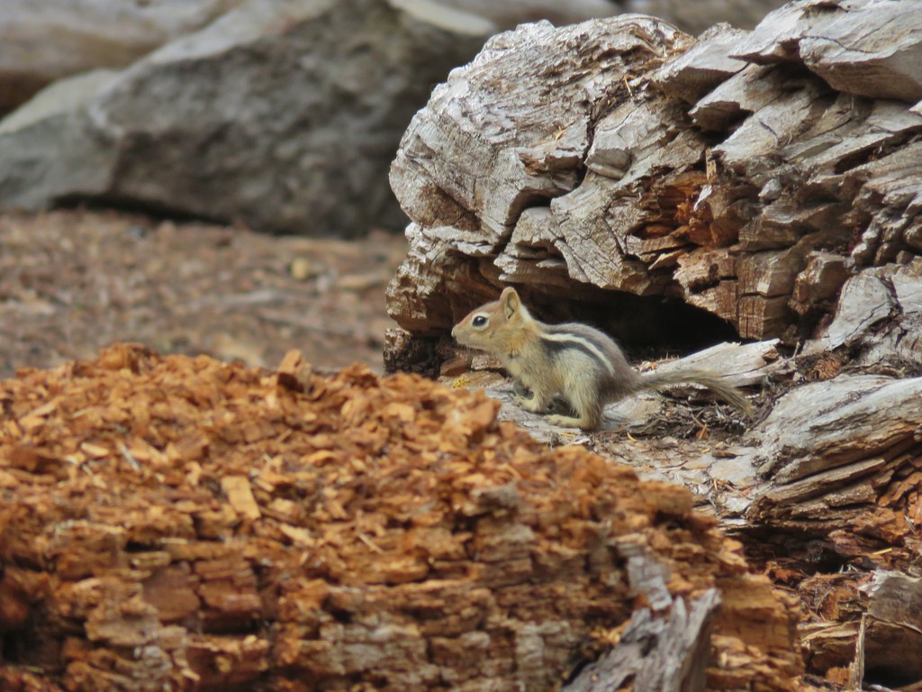
 Diamond Peak from Divide Lake
 Climbers trail to Mt. Yoran.
 Thank goodness it was a seed.
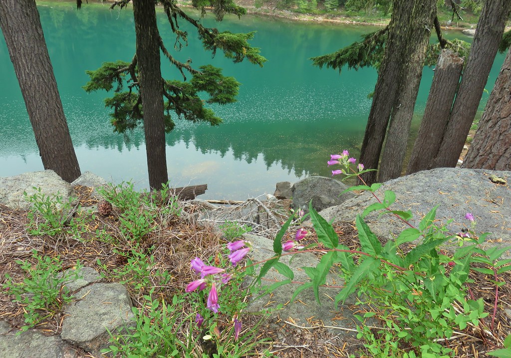 Beardtongue
 Mt. Yoran from Divide Lake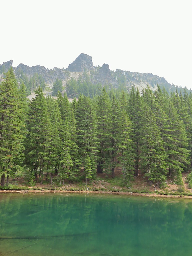
 One of the unnamed lakes.
 Starting up to the divide.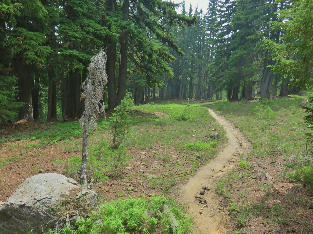
 PCT
PCT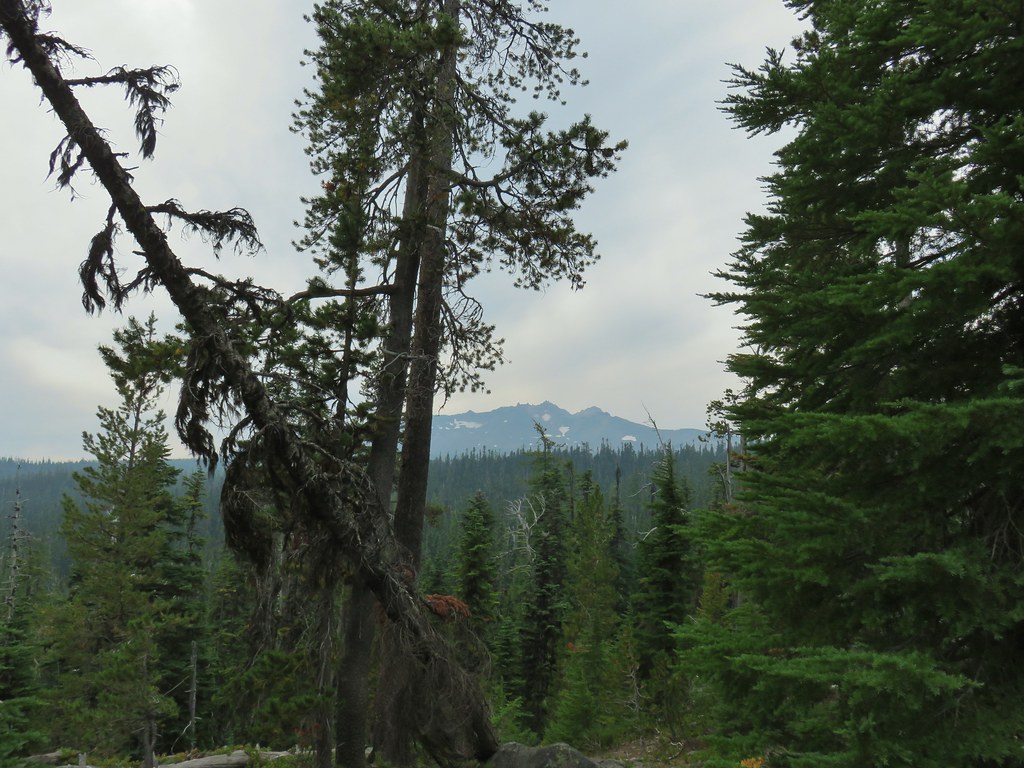 Diamond Peak from the PCT.
 Lakeview Mountain
 New looking sign at the newly extended Yoran Lake Trail.
 Huge tree mushroom at the junction.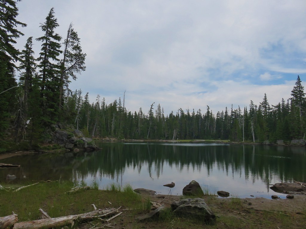
 Diamond Peak from Yoran Lake.
 Dry creek bed (this feeds Trapper Creek).
 Right hand fork to Karen Lake.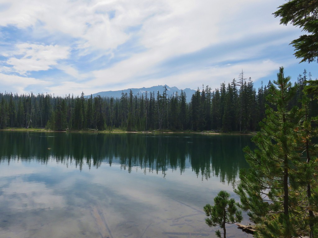
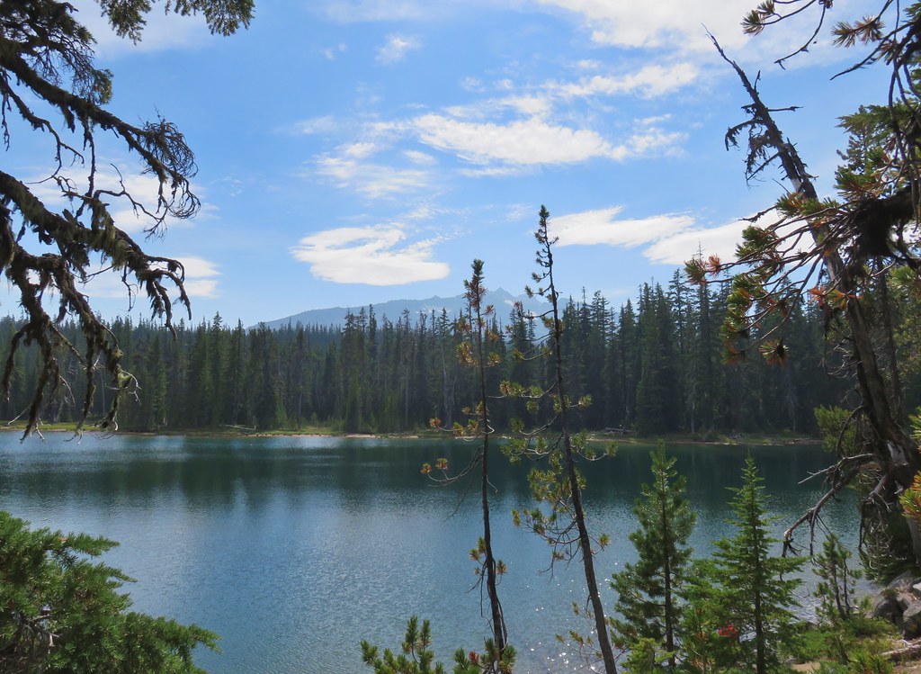
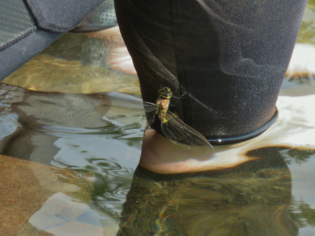 Dragon fly visit.
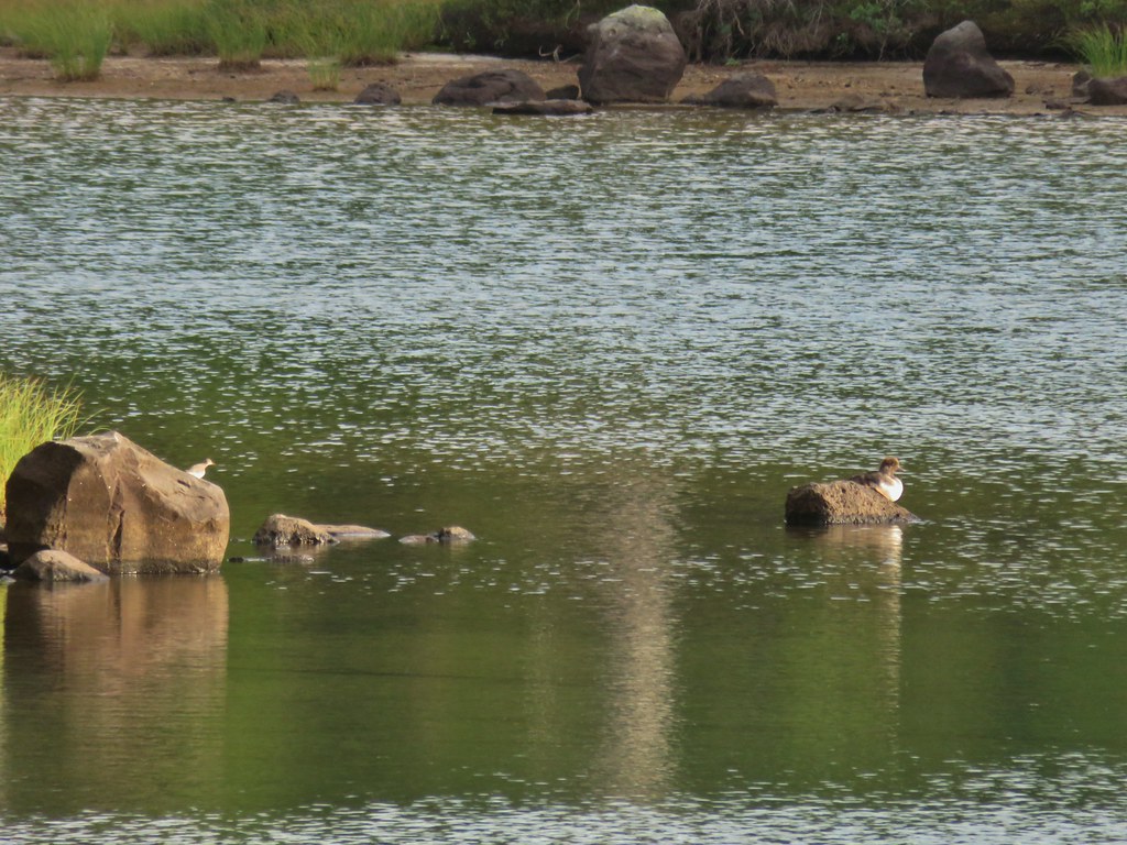 A little bird joining the duck on the rocks.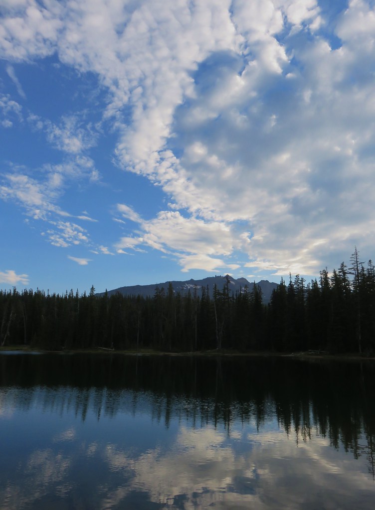
 Is this a tadpole? We first thought it was a newt then a fish but it’s got feet.
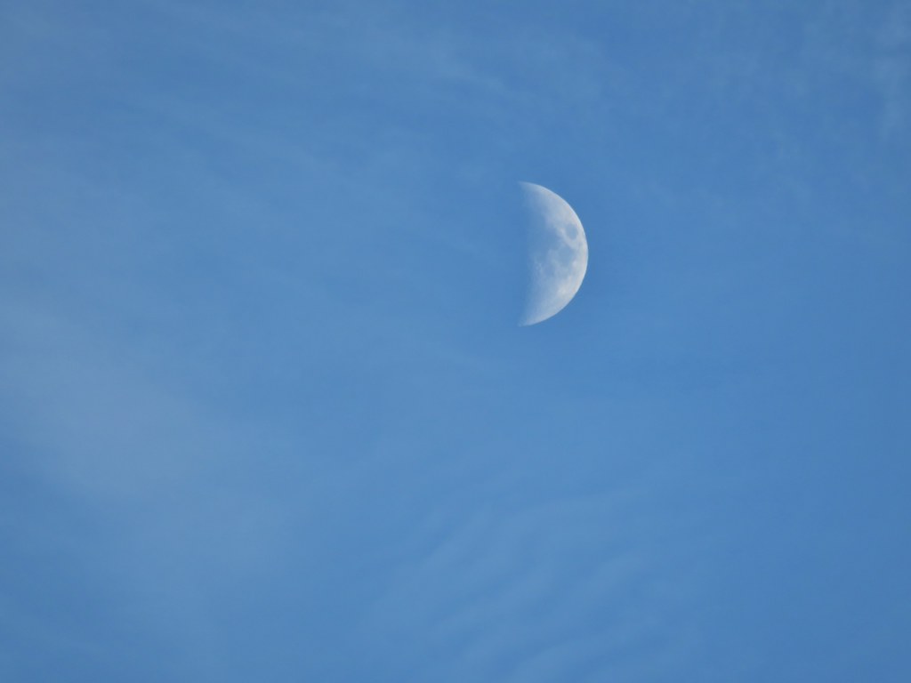 The moon was really showing up well over the mountain.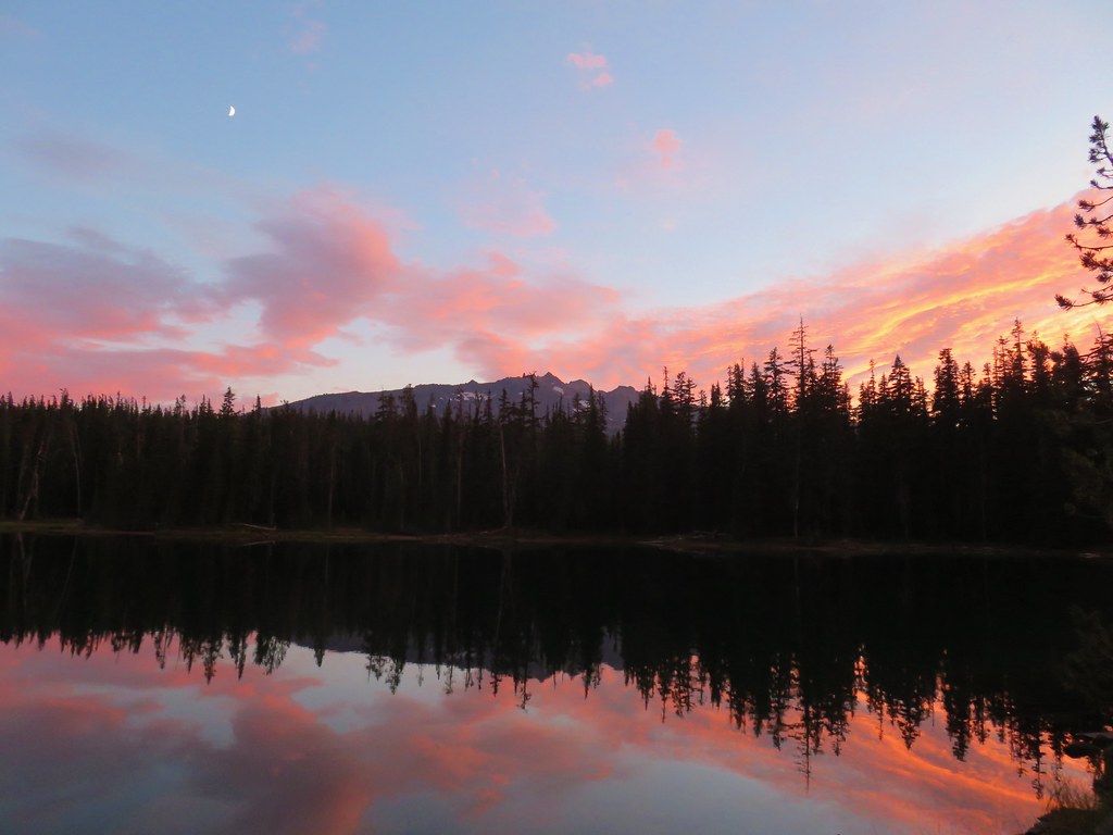

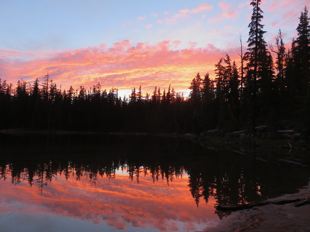


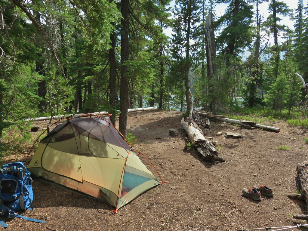
 Rainfly deployed
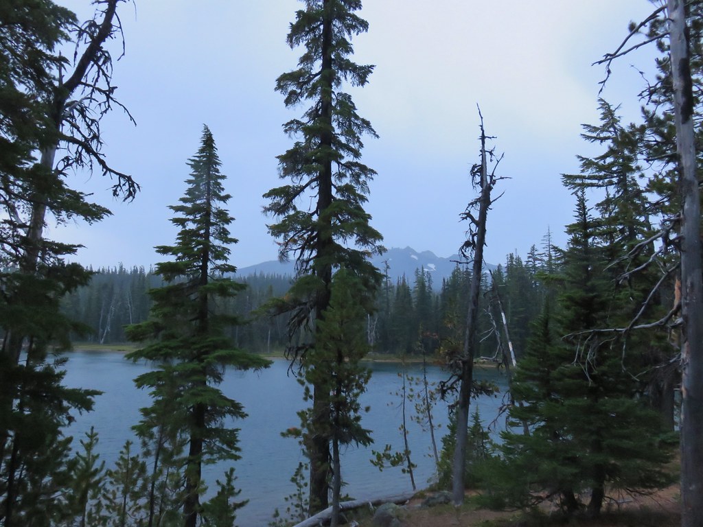 Another light shower passing over as we were leaving.
 Some funny looking beargrass along the trail.


 The lake doesn’t show a name on the map but West Bay Creek flows out of it (of course it too was dry at this time of year).



 The writing on the sign made us chuckle, it says “If you need a map you should stay home”. All kidding aside you should always carry a map and refer to it as often as necessary.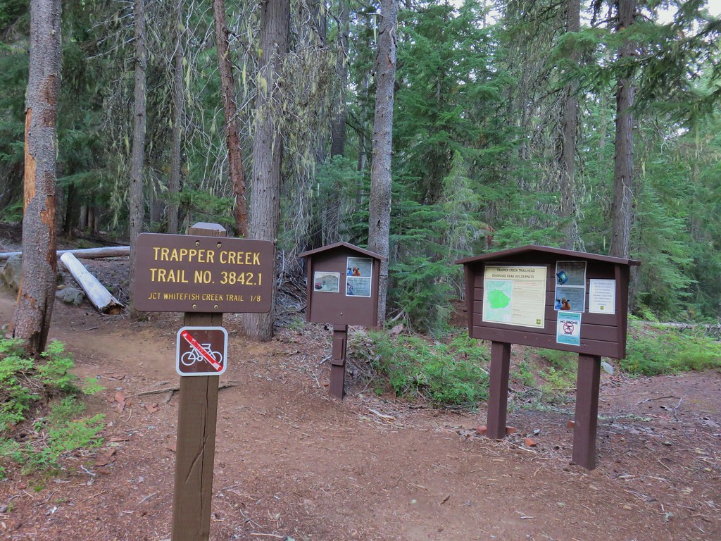



 Breakfast time.
 Unnamed lake along the Whitefish Trail
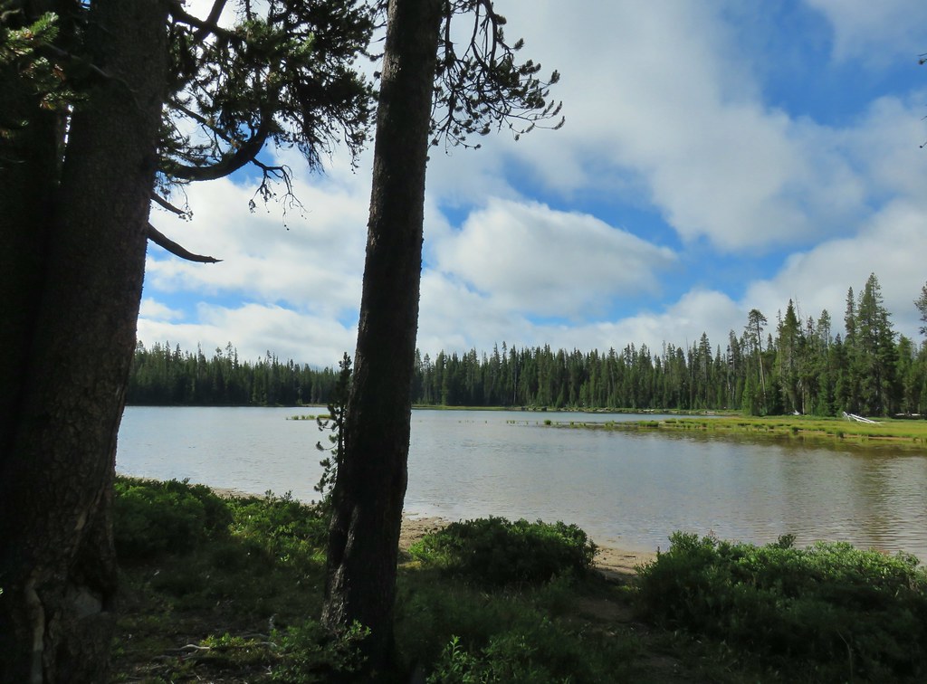 Arriving at Diamond View Lake
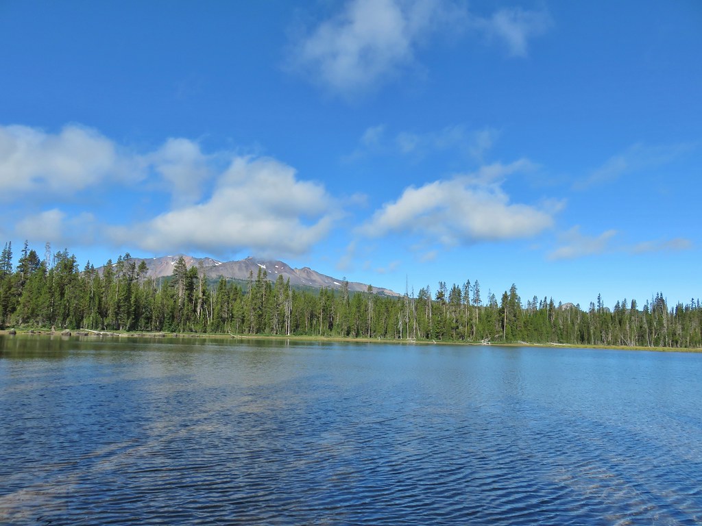 Diamond Peak with Mt. Yoran to the right.
 Sharing our break spot with a butterfly
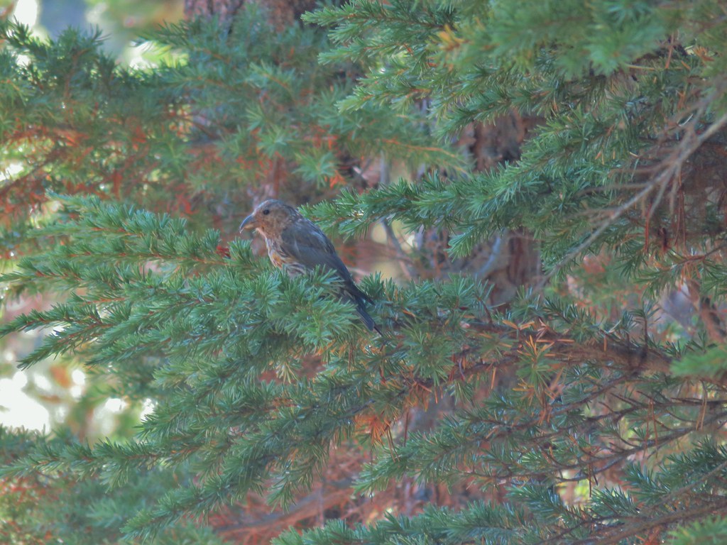 Crossbill near Diamond View Lake
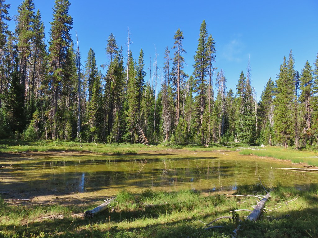

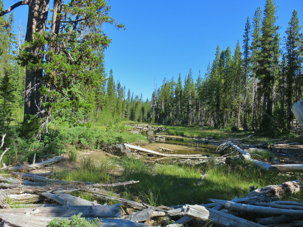
 Mile marker?
 A lone lupine
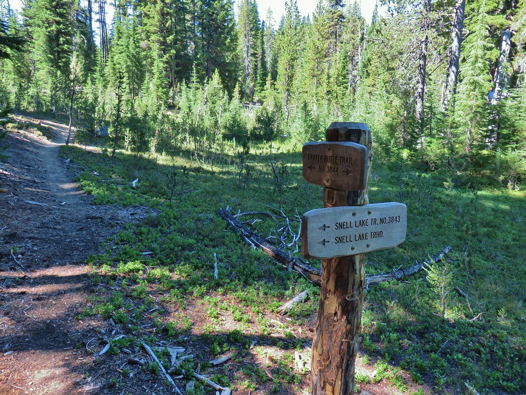 Nice looking sign for the Snell Lake Trail.
 It didn’t look like the Snell Lake Trail sees much use, at least at this end.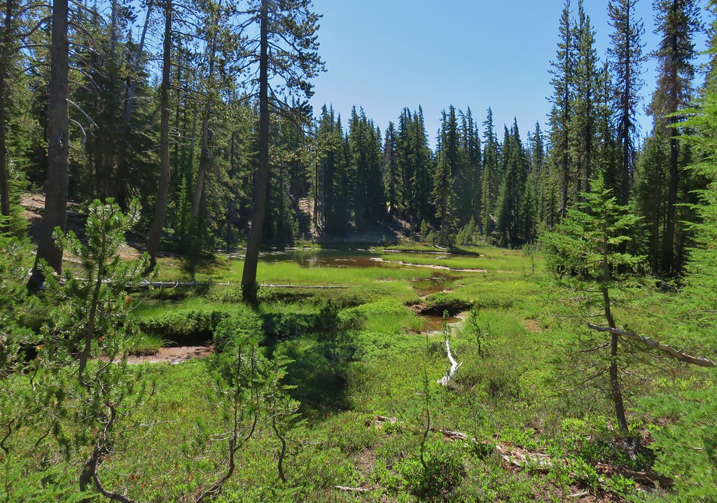
 The heather was all done blooming but there was a lot of dried blossoms.

 The summit of Diamond Peak.


 Diamond Peak from the Rockpile Trail
 Rockpile Lake

 Hikers on the trail to the right coming down from the false summit.
 Dragon fly

 Little bee landing on fireweed at the trailhead.

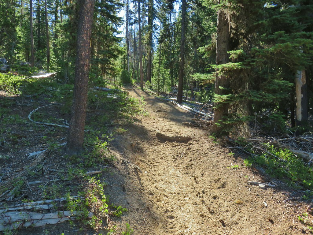

 Sample of the blowdown.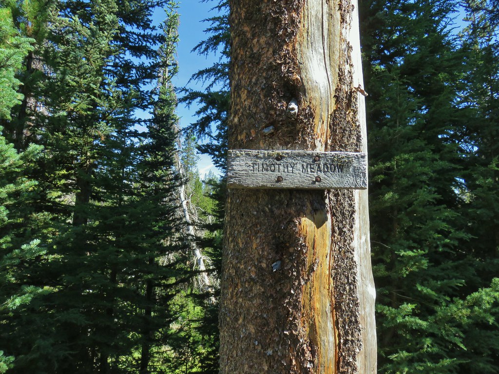

 Fittingly a downed log welcomed us to the wilderness.
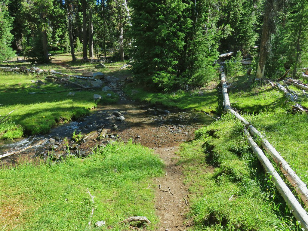 Thielsen Creek at the head of Timothy Meadows
 flower at Timothy Meadows
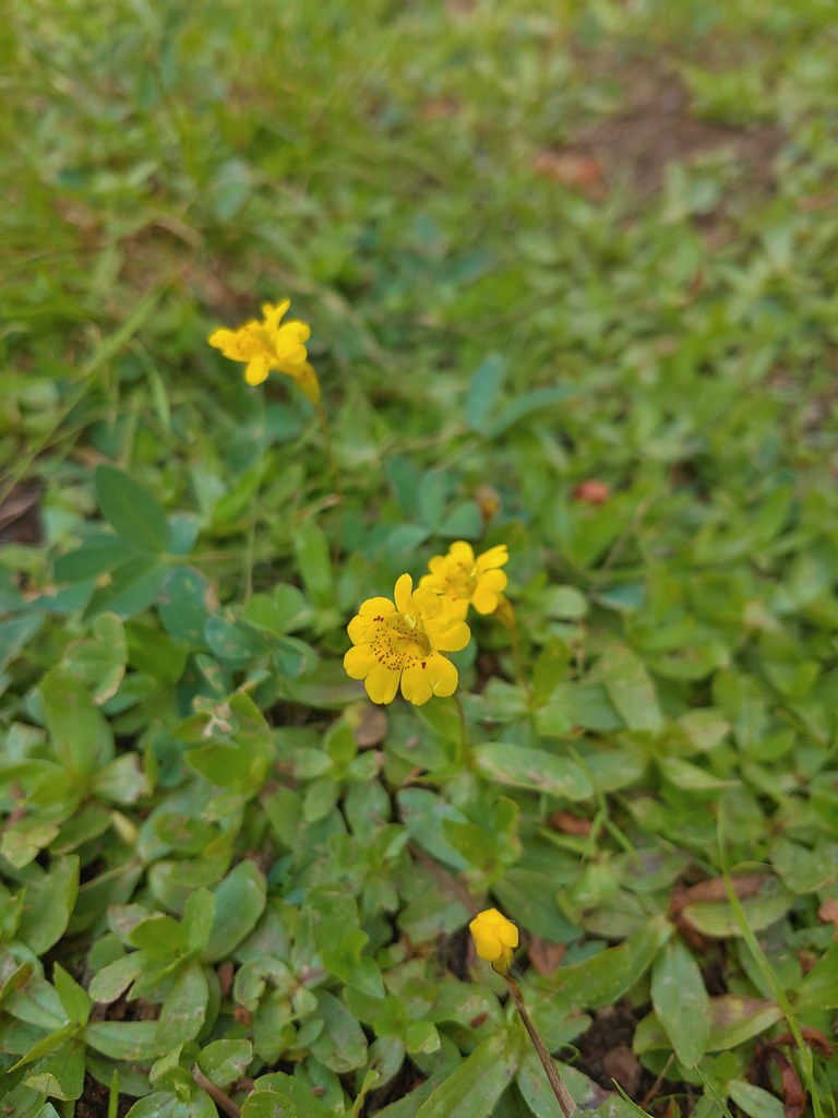 Musk monkeyflower?
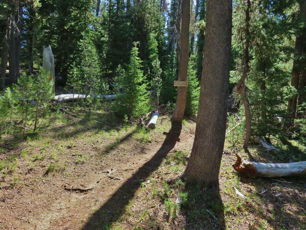 Thielsen Creek Trail
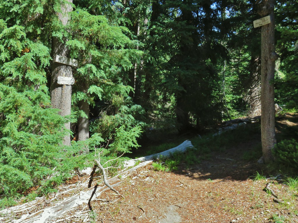 Howlock Mountain Trail
 Pinesap
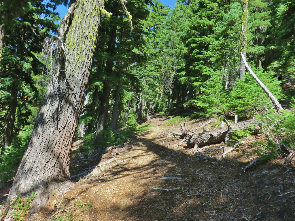 As the trail climbed around a ridge end the forest thinned enough to get some views of both Mt. Thielsen and Mt. Bailey (
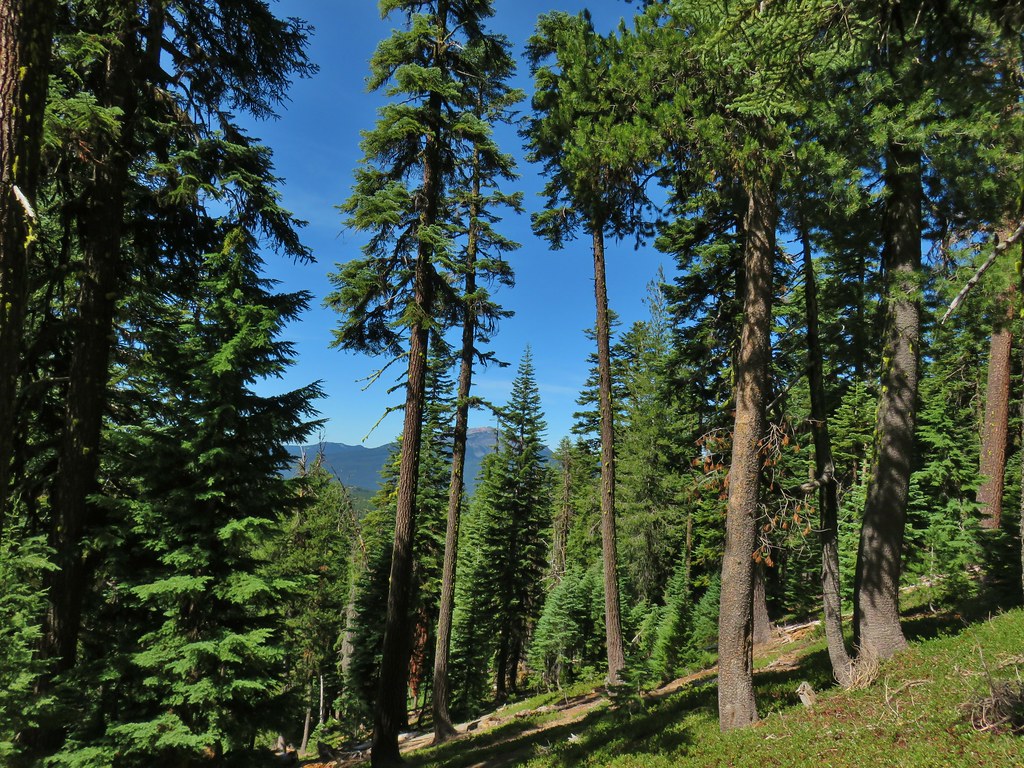 Mt. Bailey
 Mt. Thielsen
 After rounding the ridge the trail remained mostly in the trees until it neared Howlock Meadows and then Howlock Mountain started to come into view.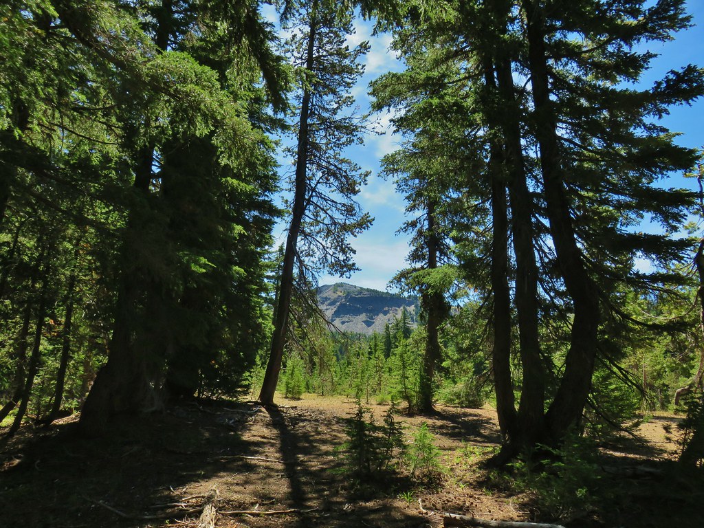
 Orange agoseris
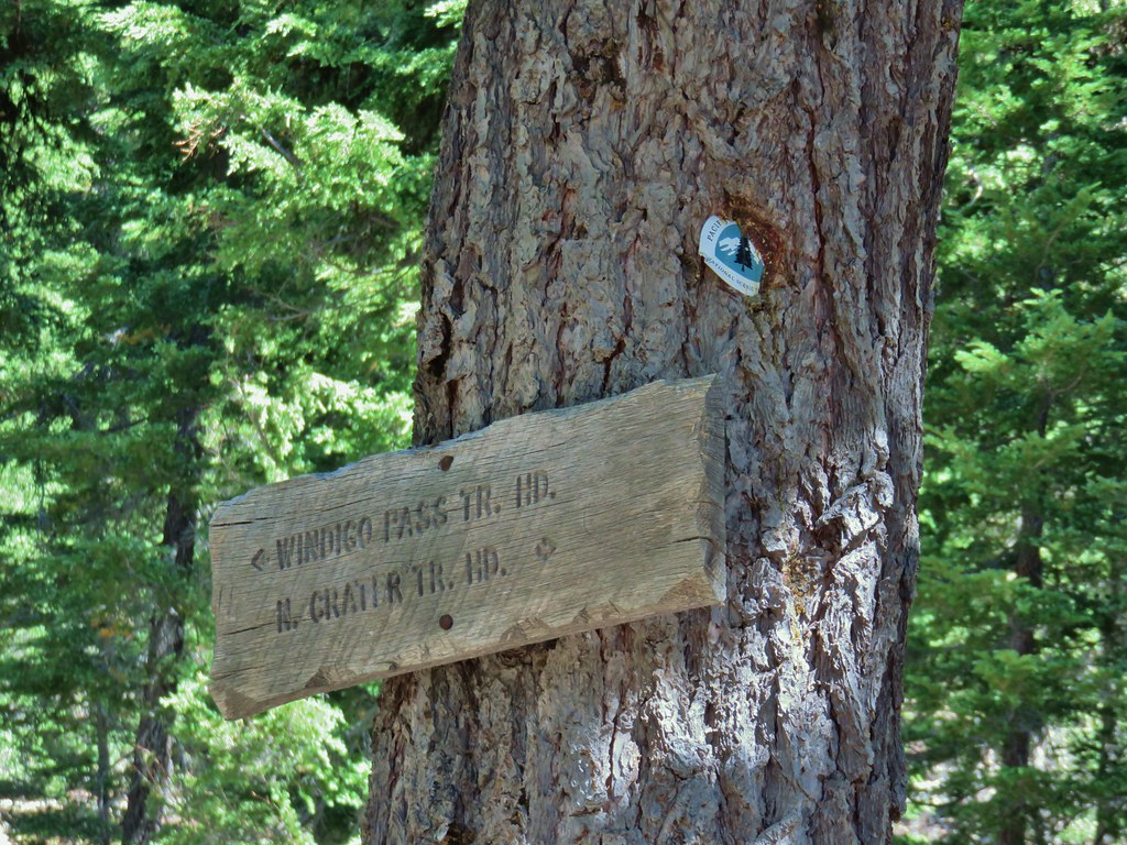

 Butterfly on pumice
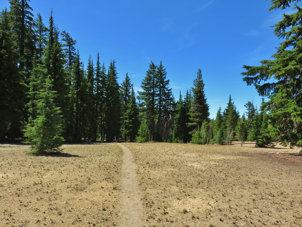 PCT leaving Howlock Meadows.
 Mt. Bailey from the PCT.
 Talus slope above the PCT.
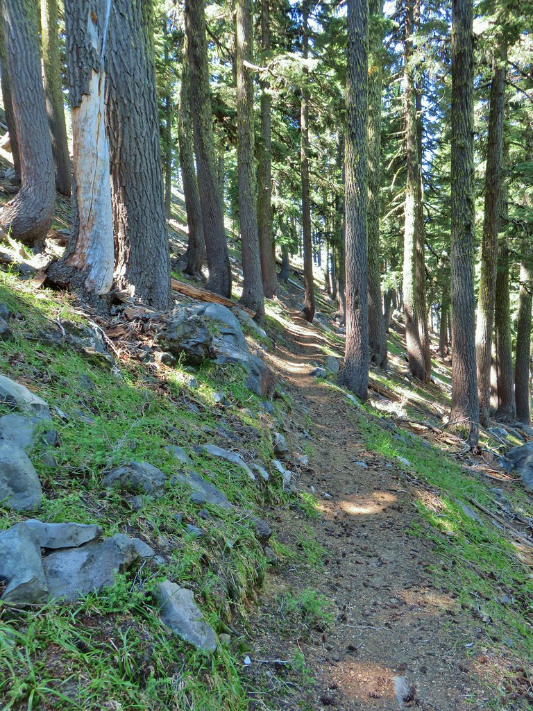 Lots of rocks along the hillside.

 PCT crossing Thielsen Creek
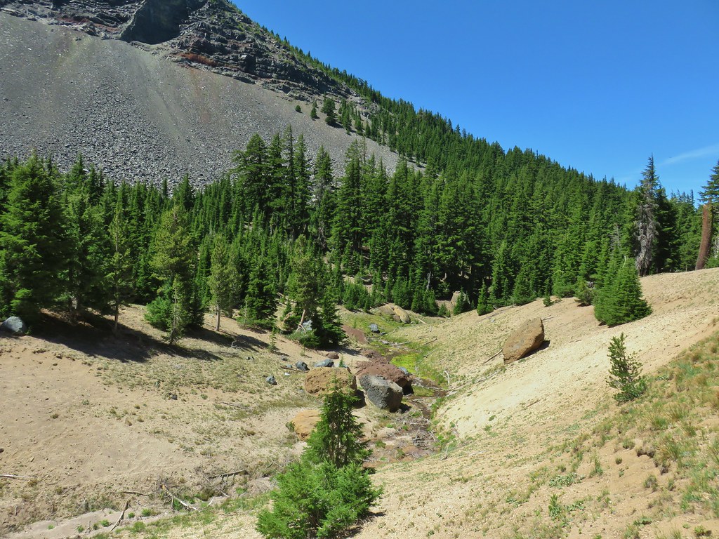
 Use trails on the left and right hand side of Thielsen Creek.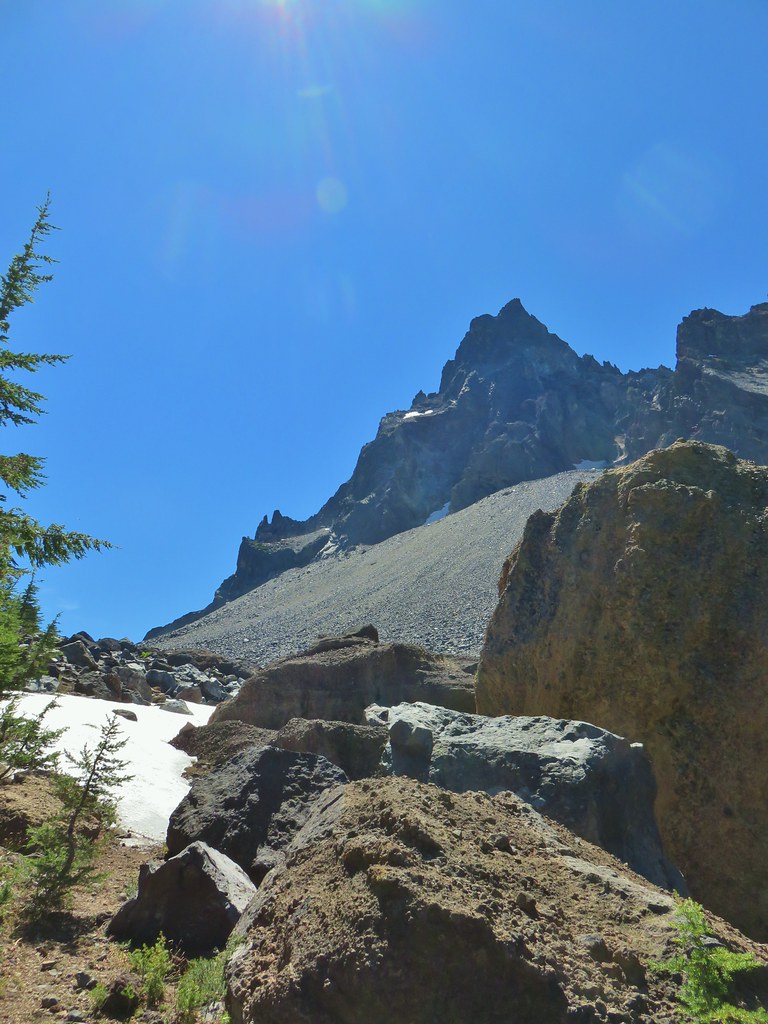
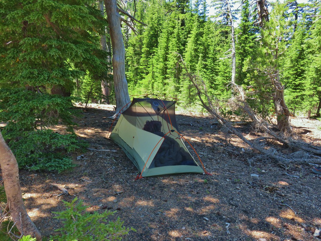 Found our tent.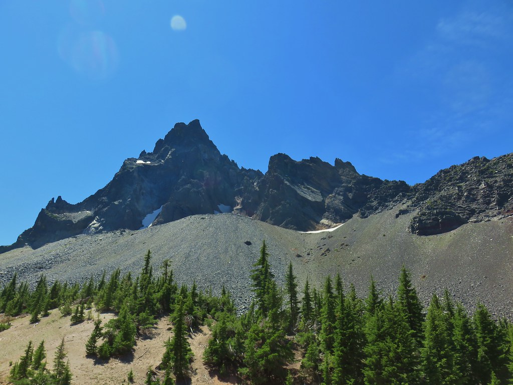
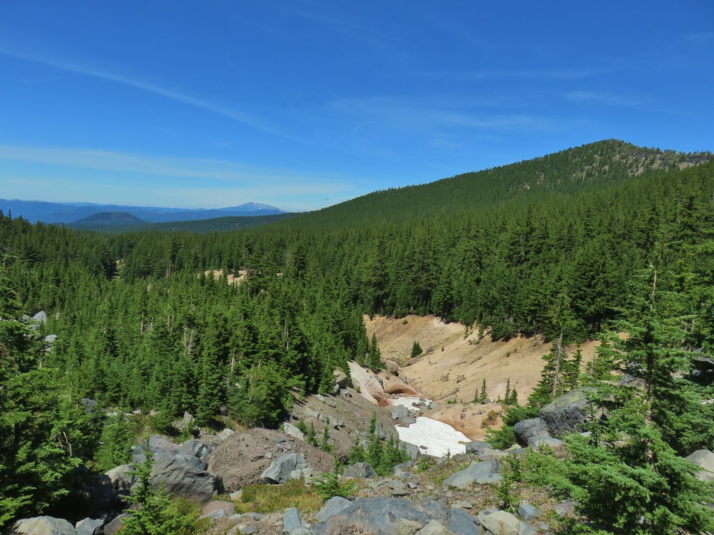
 I was also looking at the saddle between Mt. Thielsen and Sawtooth Ridge which we needed to climb over in order to reach the falls.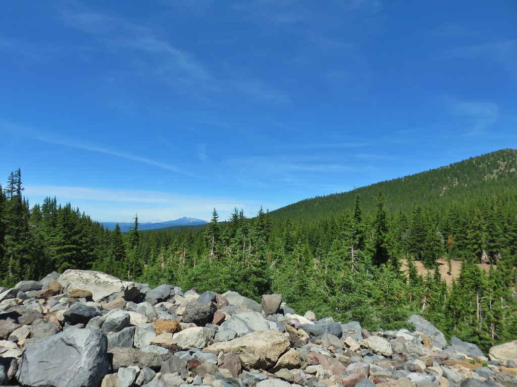


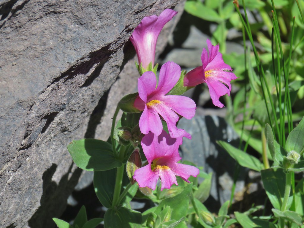

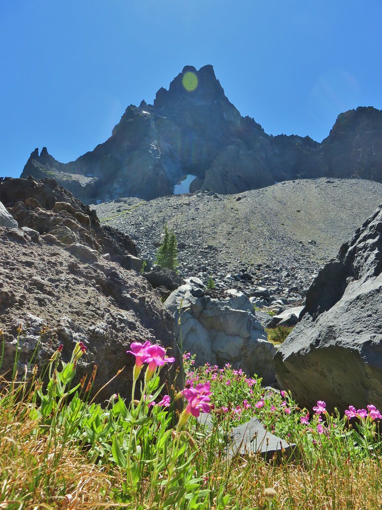
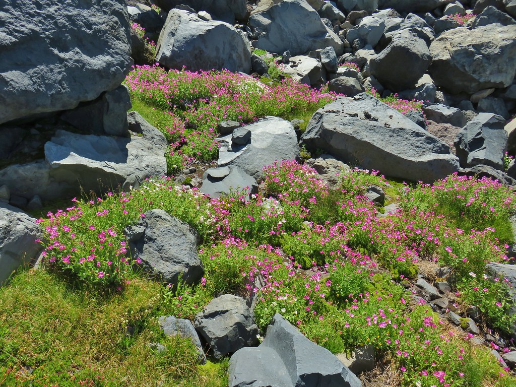
 Pink and white blossoms
 Some yellow monkeyflower too.
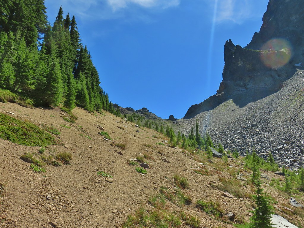 Maybe “clear” use trail isn’t exactly the correct term.
 It’s clearer here.
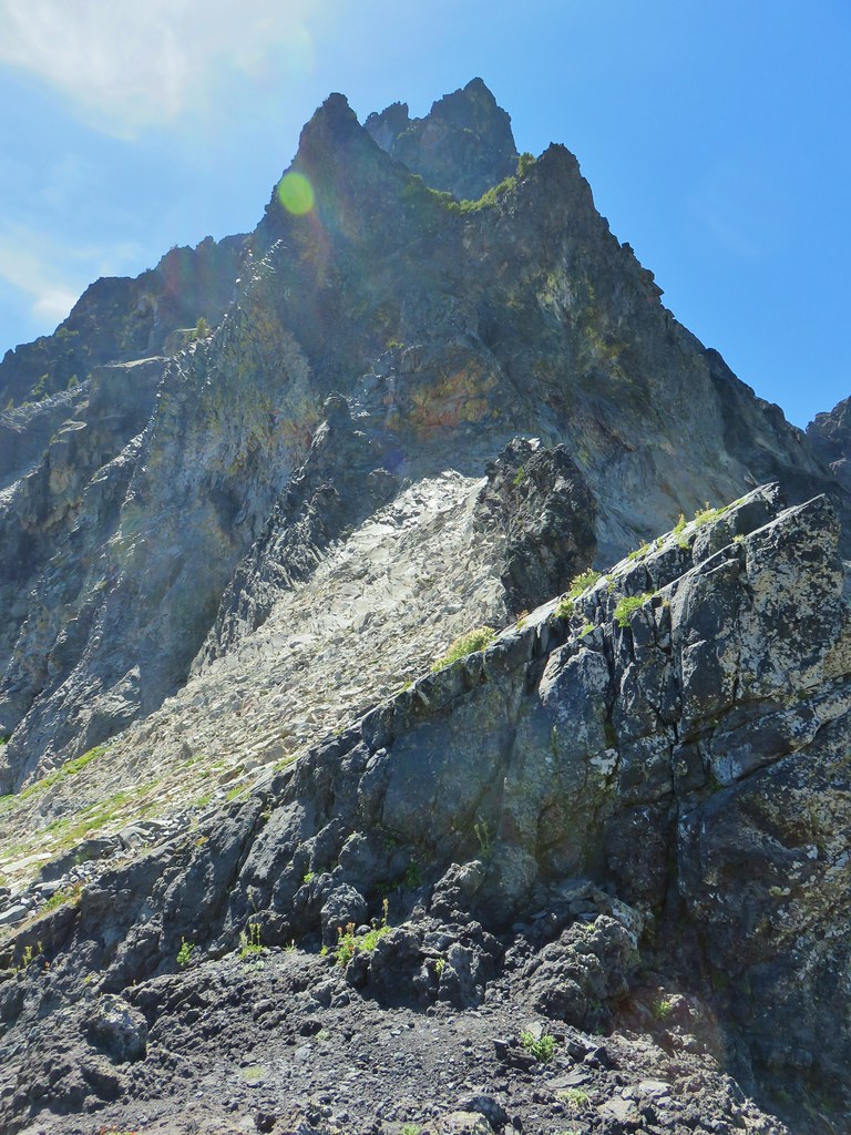 Mt. Thielsen
 Sawtooth Ridge
 East side of Mt. Thielsen
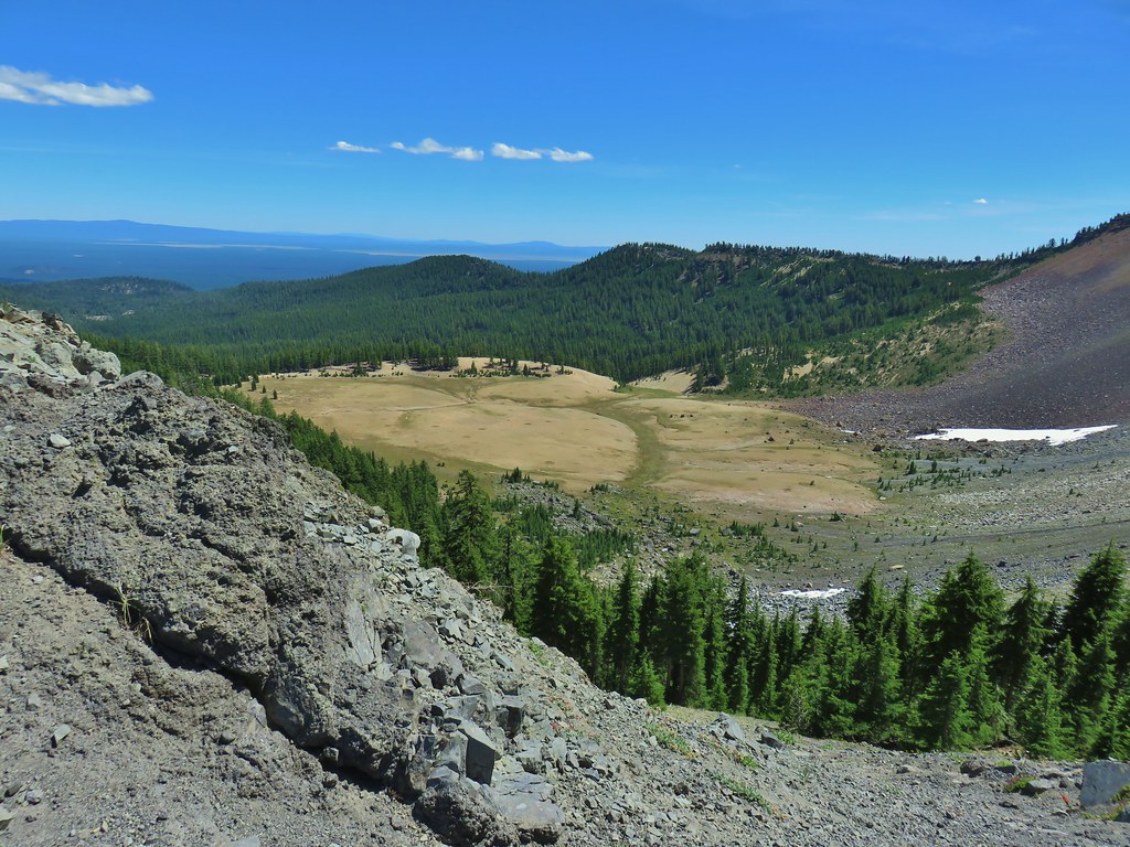 Cottonwood Falls was on the far side of the pumice plain.
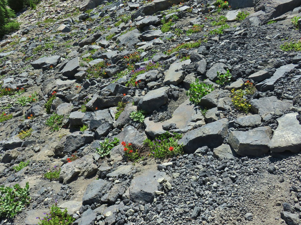 Paintbrush, penstemon, and buckwheat near the saddle.
 I had to drop below this neat rock feature which I got too close to and had a difficult time finding my footing to get around.
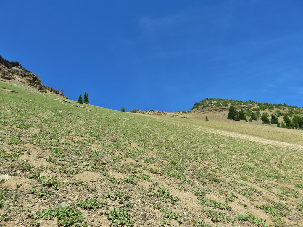 Looking up the hillside.
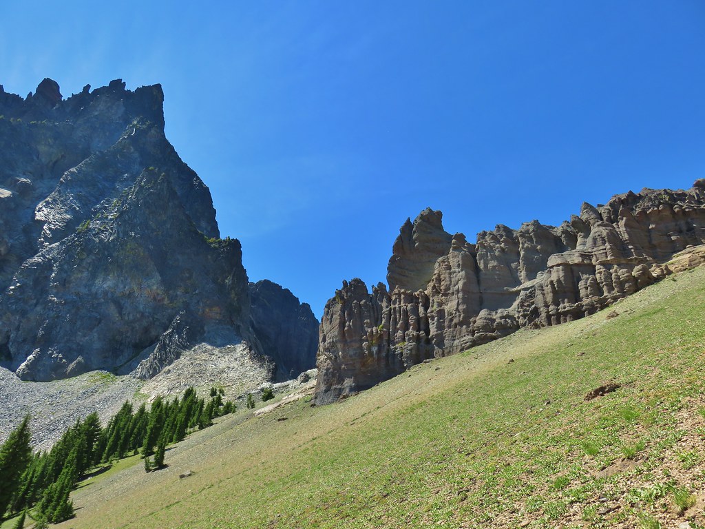 Looking back at the rock formation.

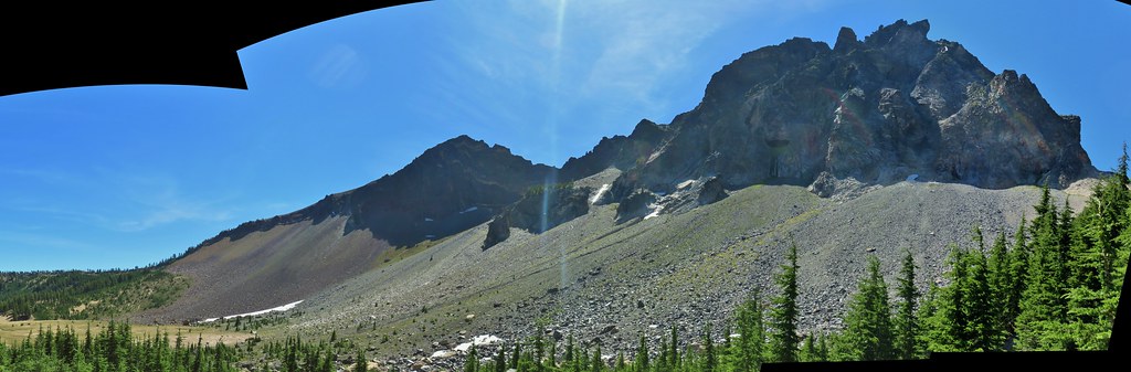
 Impressively large cave on the face of Mt. Thielsen.
 Penstemon
 The saddle doesn’t look too bad from this angle.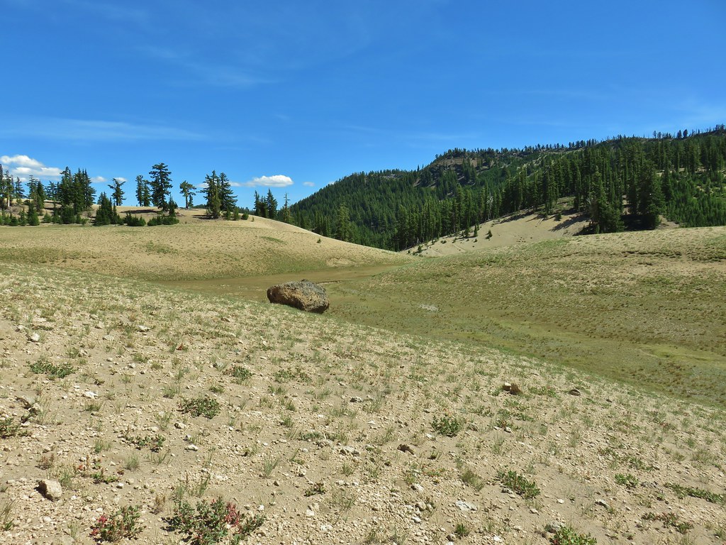
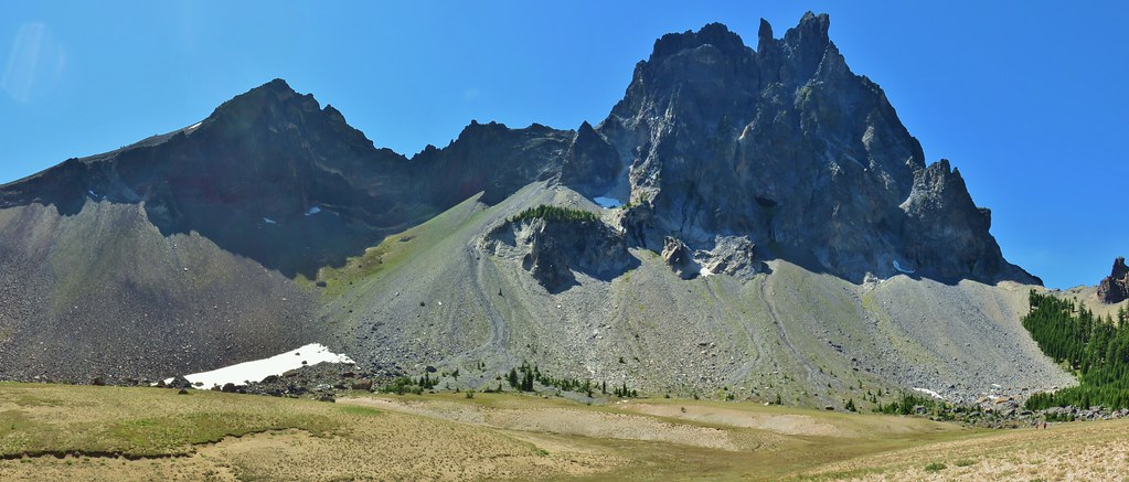


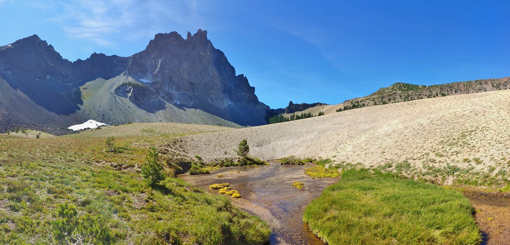
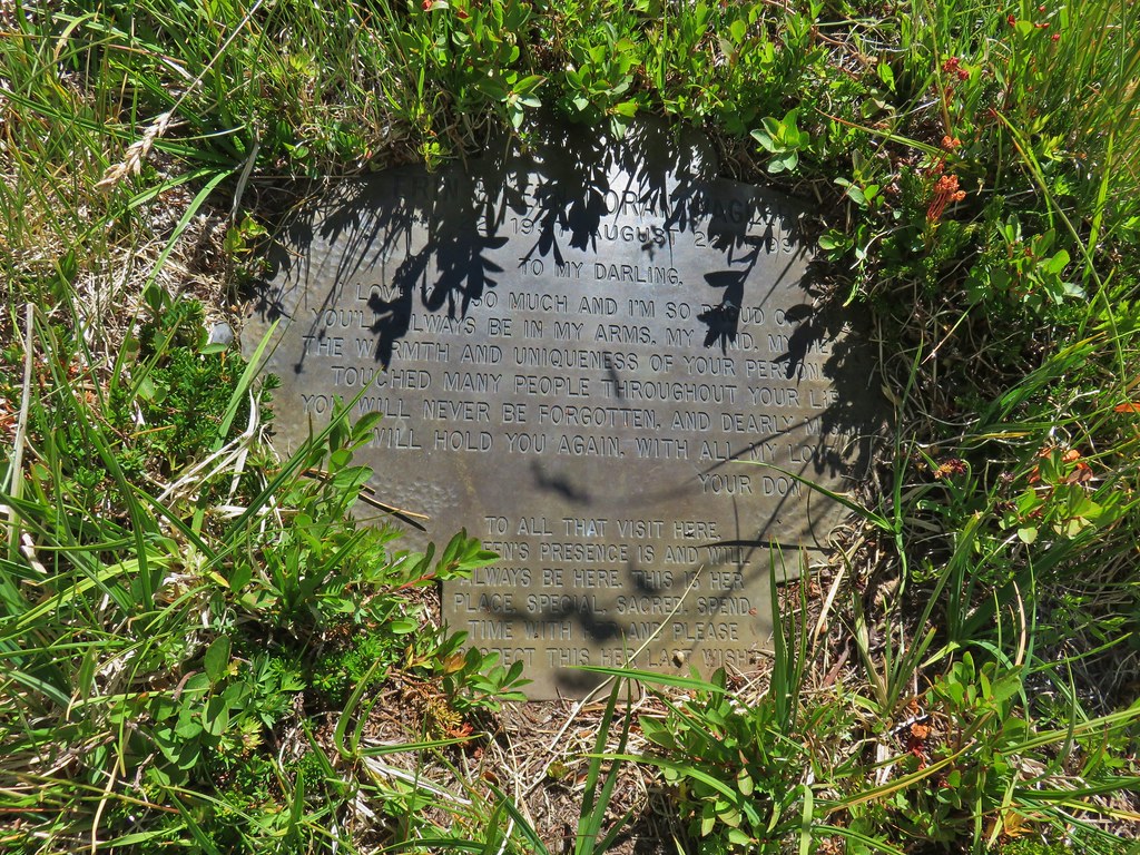



 We got onto the use/game trail as soon as we could going back up.
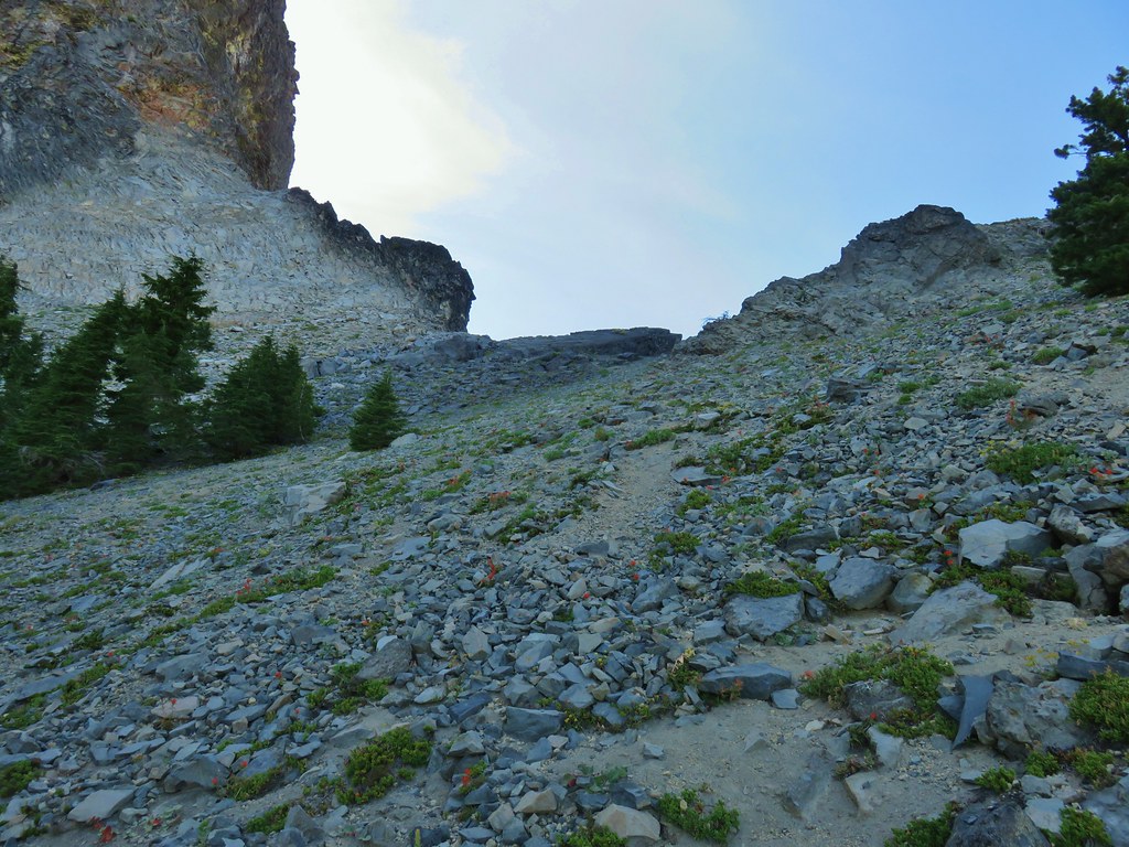 The “trail” leading up to the saddle.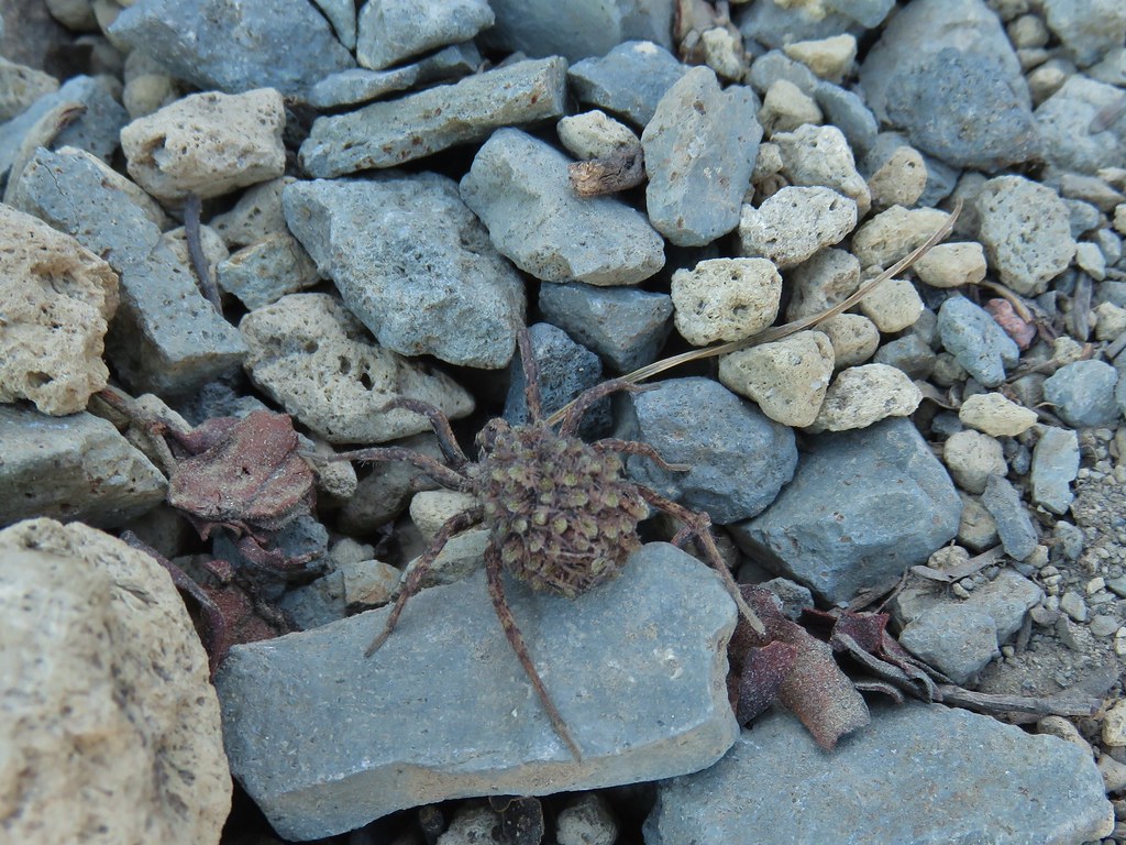
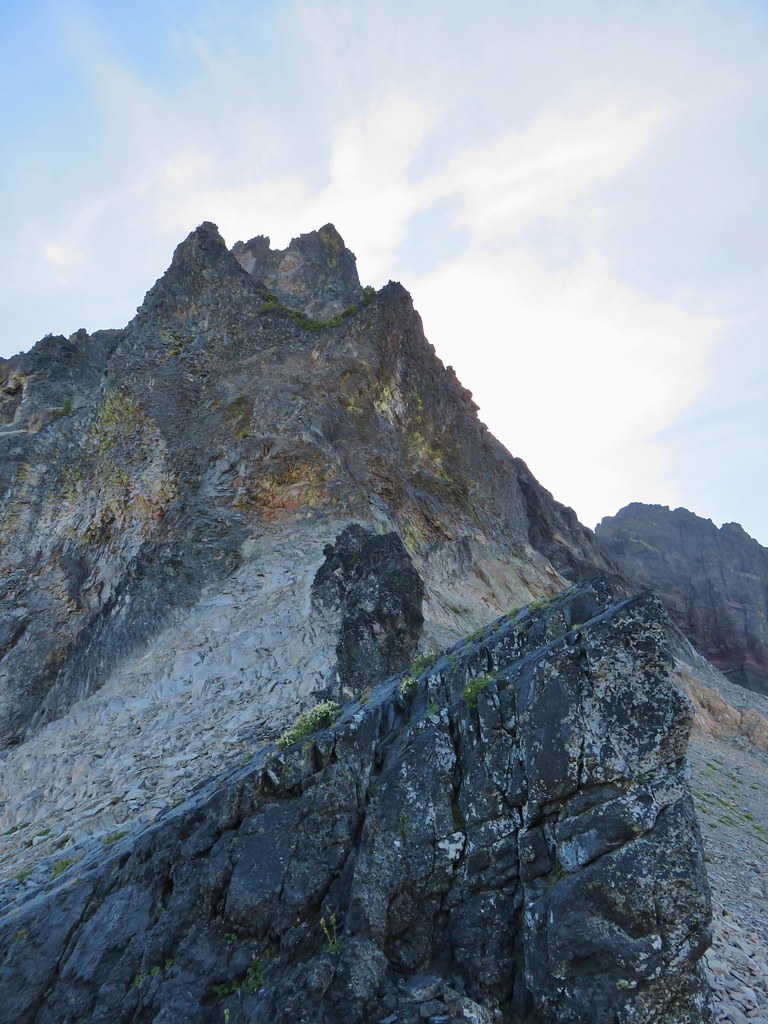 Mt. Thielsen with the Sun behind.
 Howlock Mountain
 Unfortunately the lighting wasn’t all that great due to the position of the Sun so we never really could capture all the colorful rocks on the mountain.
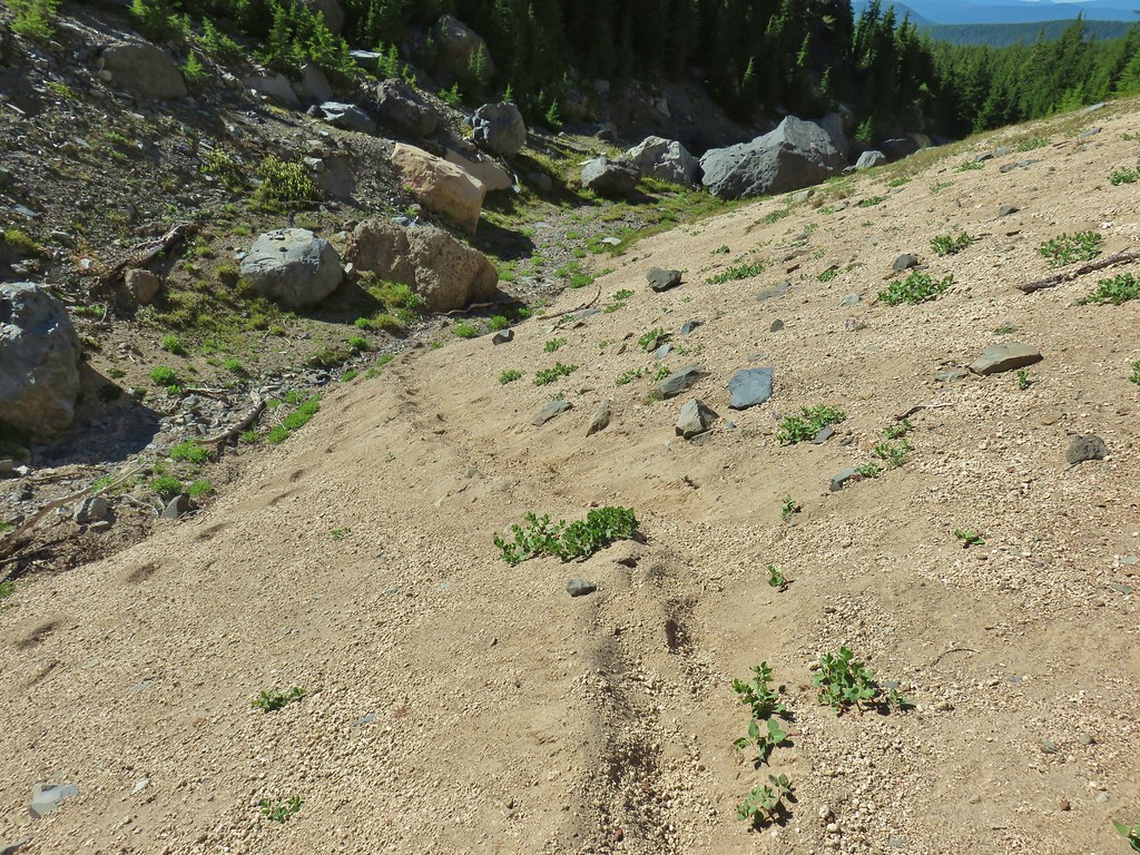
 Junco near camp.
 Mt. Thielsen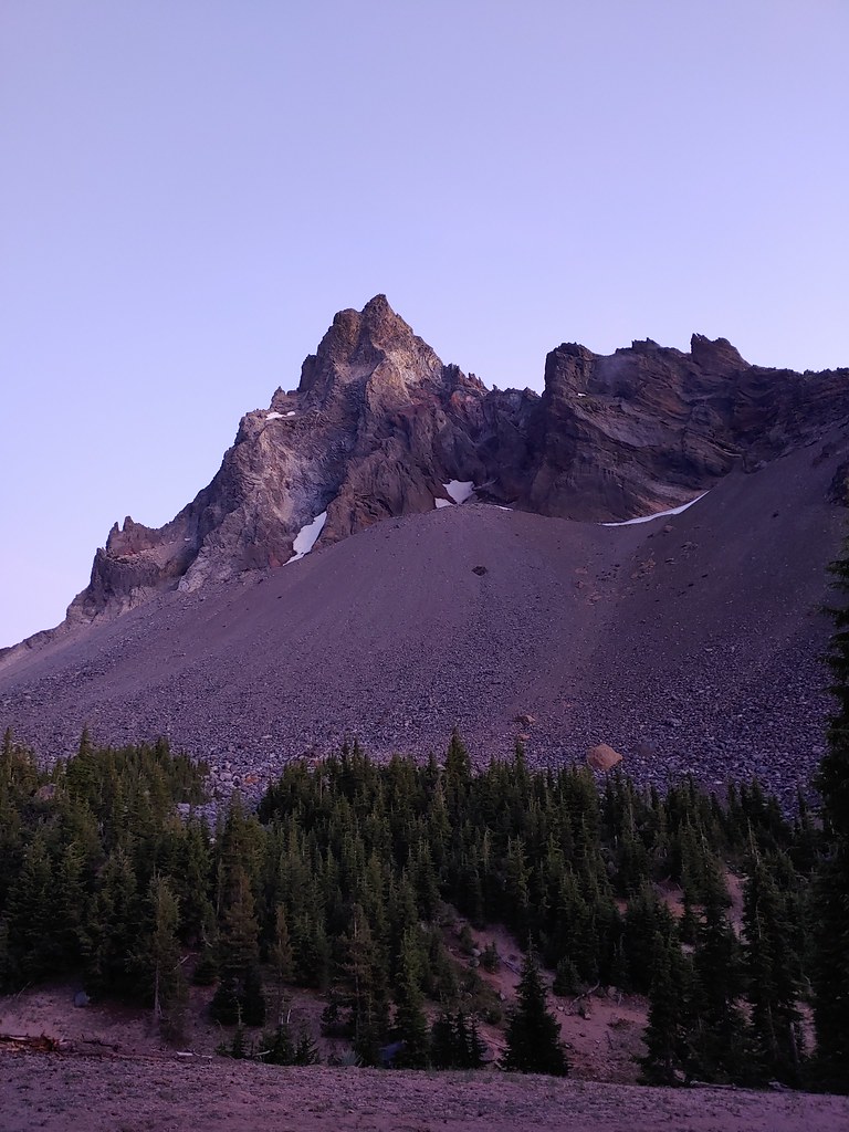
 Anyone know what the celestial body to the right of the Moon is?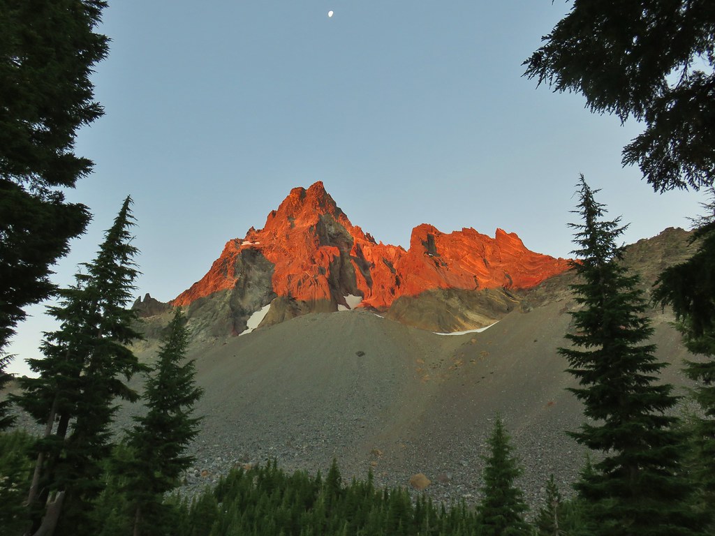


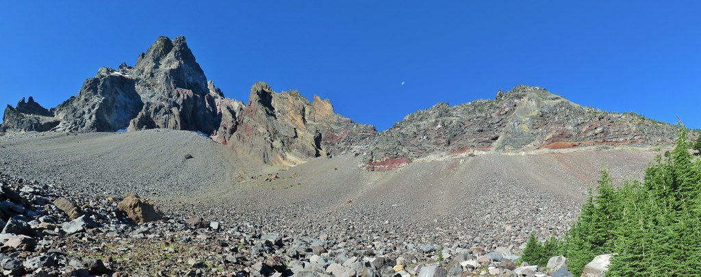 Searching for pikas in the rocks.
 Jackpot
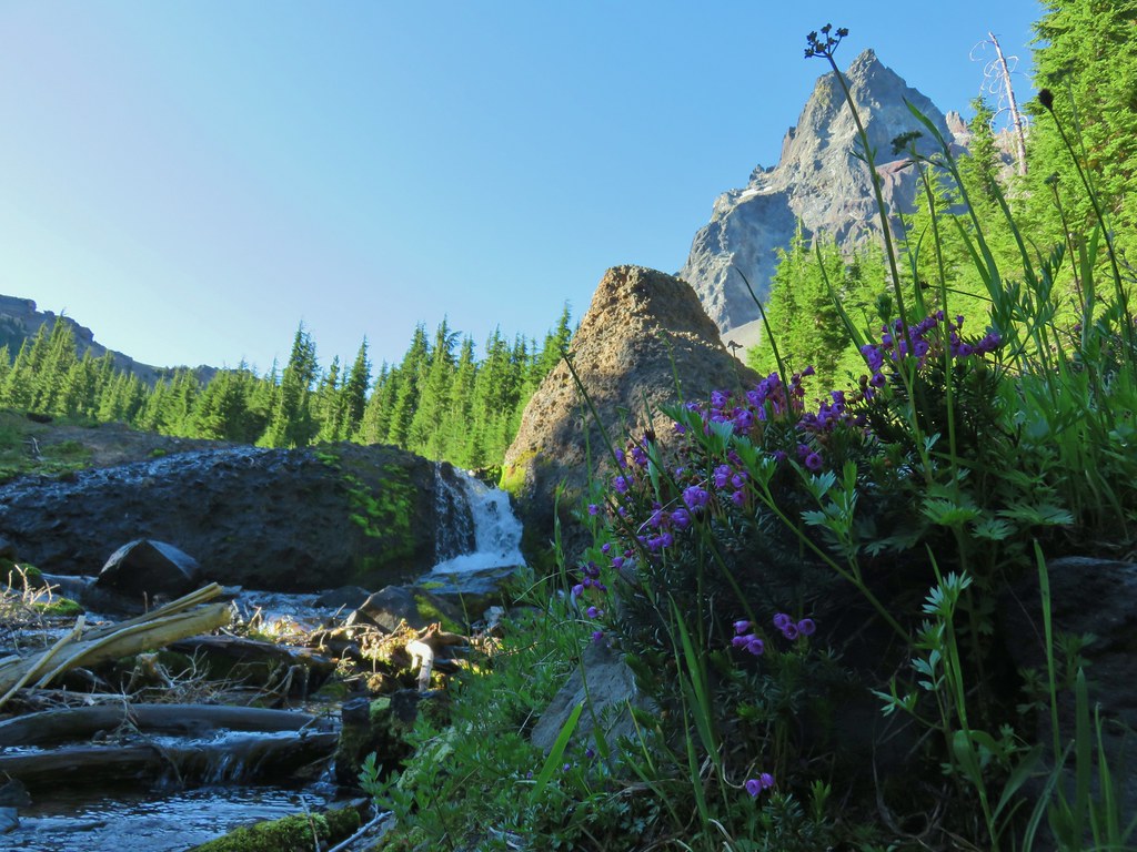 Mountain heather
 Monkeyflower
 Partridge foot
 Golden-mantled ground squirrel
 Lupine
 Merten’s rush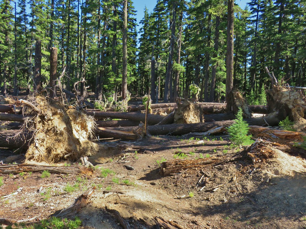
 Another angle of the tree fall.

 Just picture a good sized buck in the trees, I snapped this hoping to get lucky but I don’t see him at all.


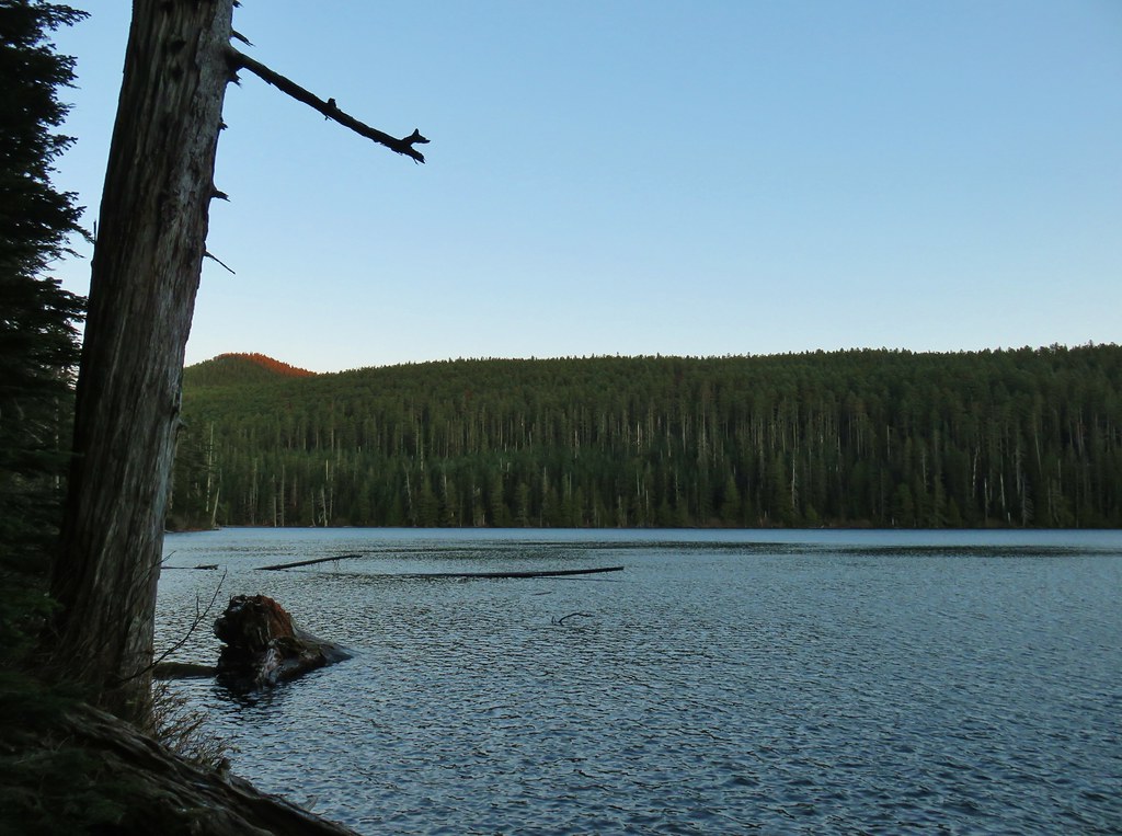 Chindrie Mountain from across Wahtum Lake.


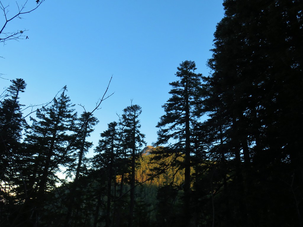 Chindrie Mountain
 Tanner Butte
 Table Mountain
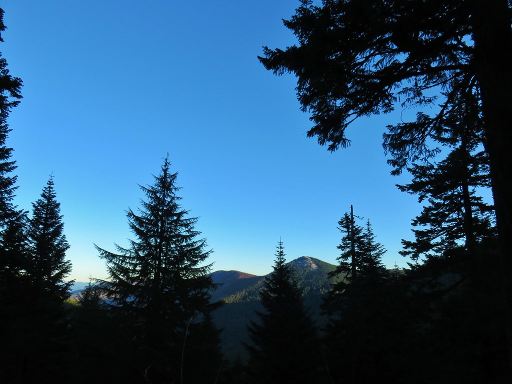 Chindrie Mountain again.
 Indian Mountain
 Mt. Hood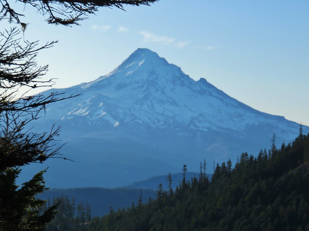


 Crossing FR 660 near Indian Springs
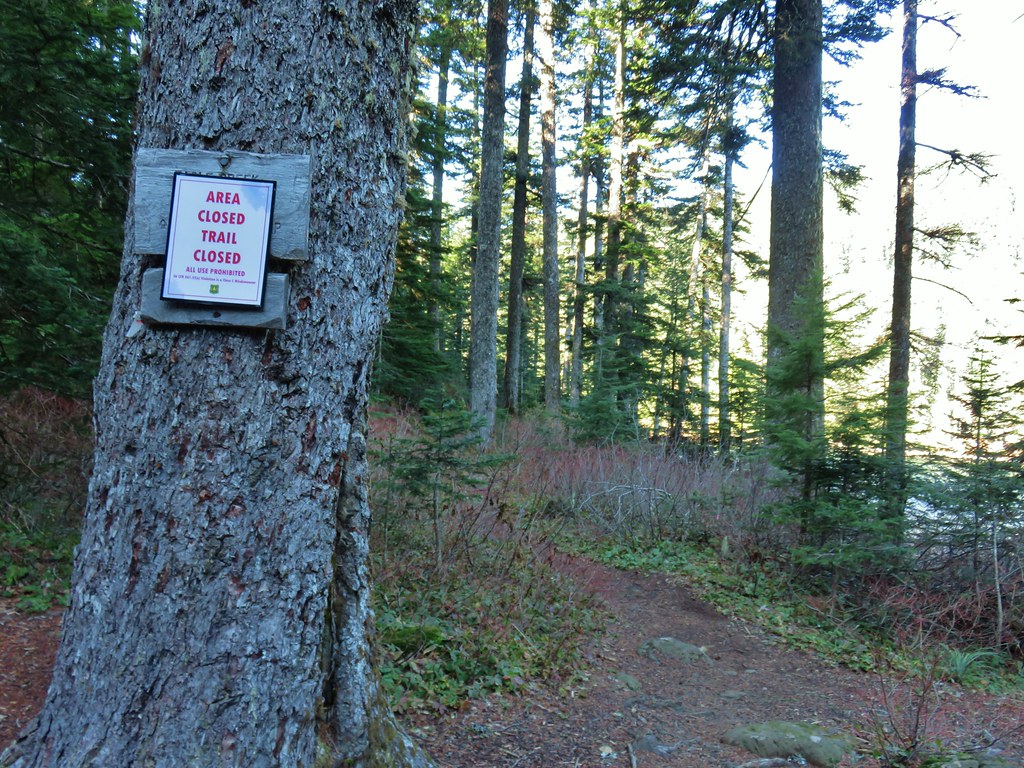
 Trail sign at the junction with the currently closed Indian Springs Trail.


 Table Mountain and Greenleaf Peak with Mt. St. Helens in the background.
 Mt. St. Helens
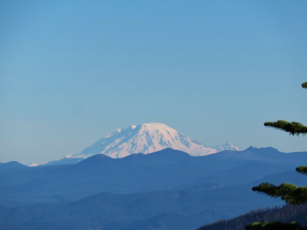 Mt. Rainier
 Goat Rocks
 Mt. Adams and Chindrie Mountain


 Mt. Hood and Mt. Jefferson
 Mt. Jefferson
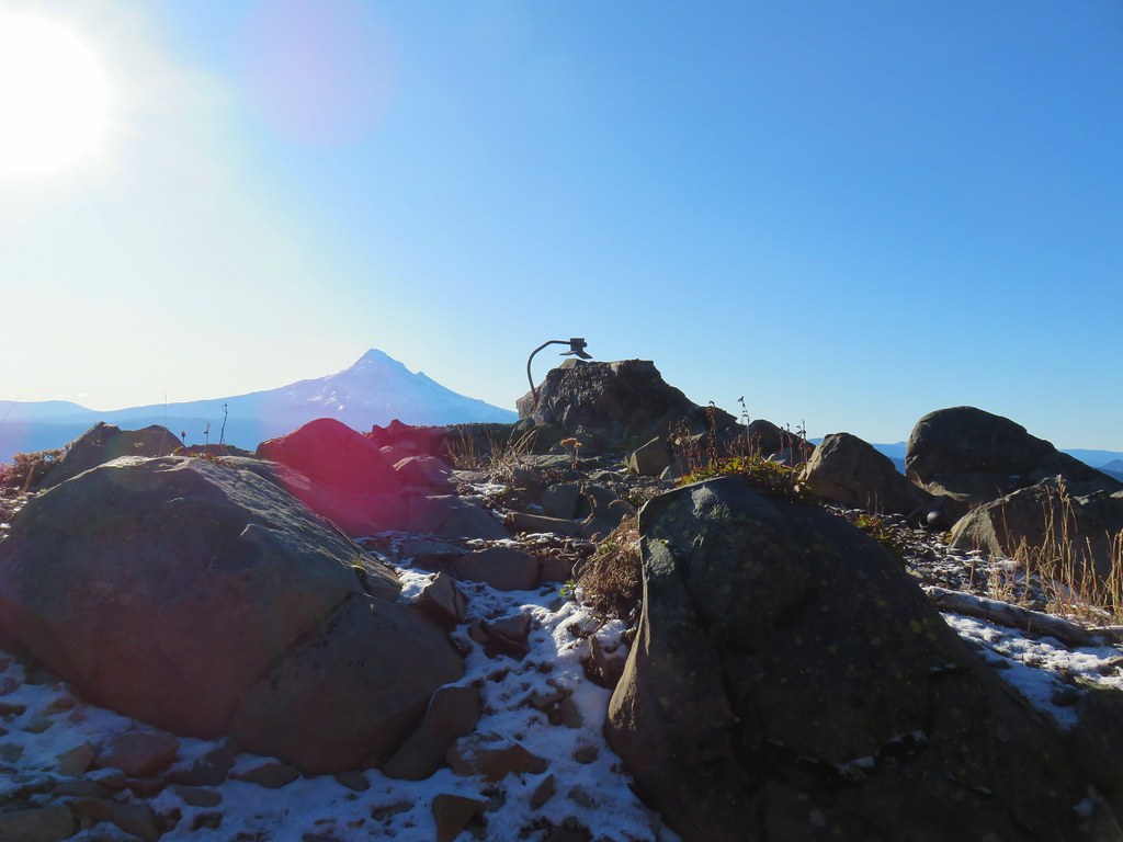 Mt. Hood from the former lookout site.
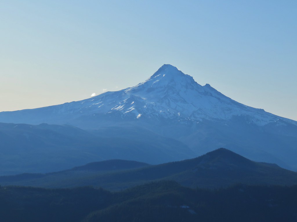 Mt. Hood with Lost Lake Butte (
 Snow on the north side, green on the south.
 Mt. St. Helens with some snow on the trees in the foreground.
 Crystals on a bush.

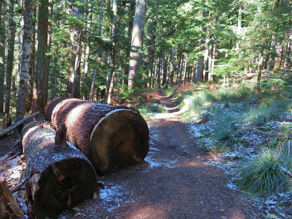
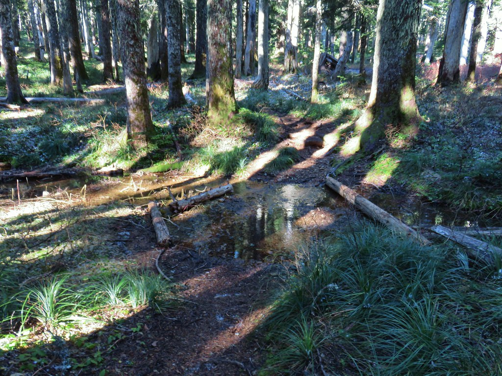 Stream crossing
 Herman Creek Trail junction.


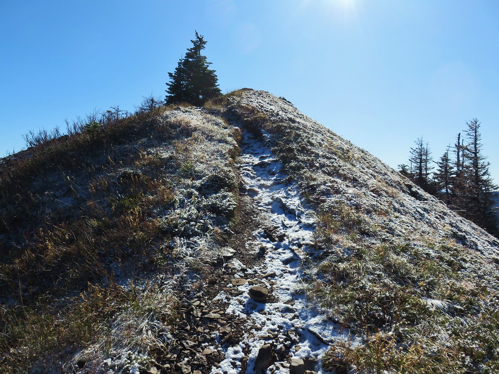
 Looking at the summit from the trail.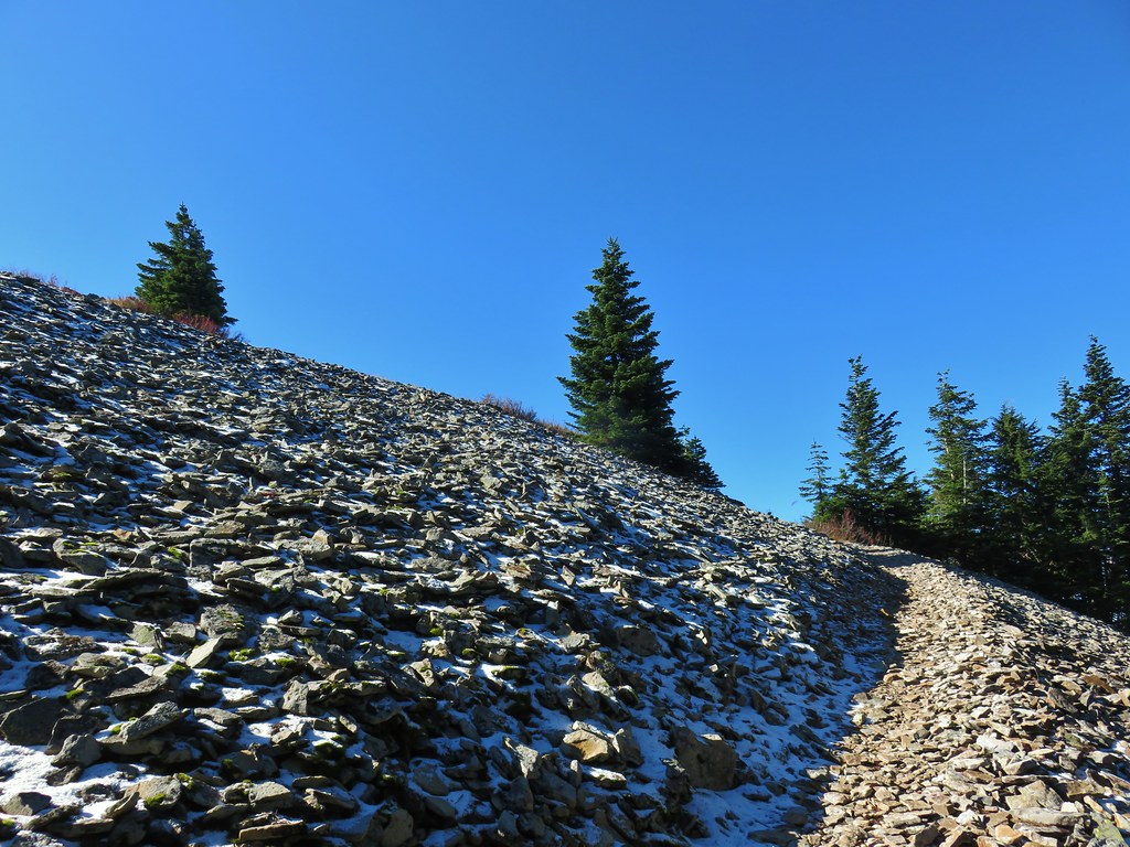
 Mt. Hood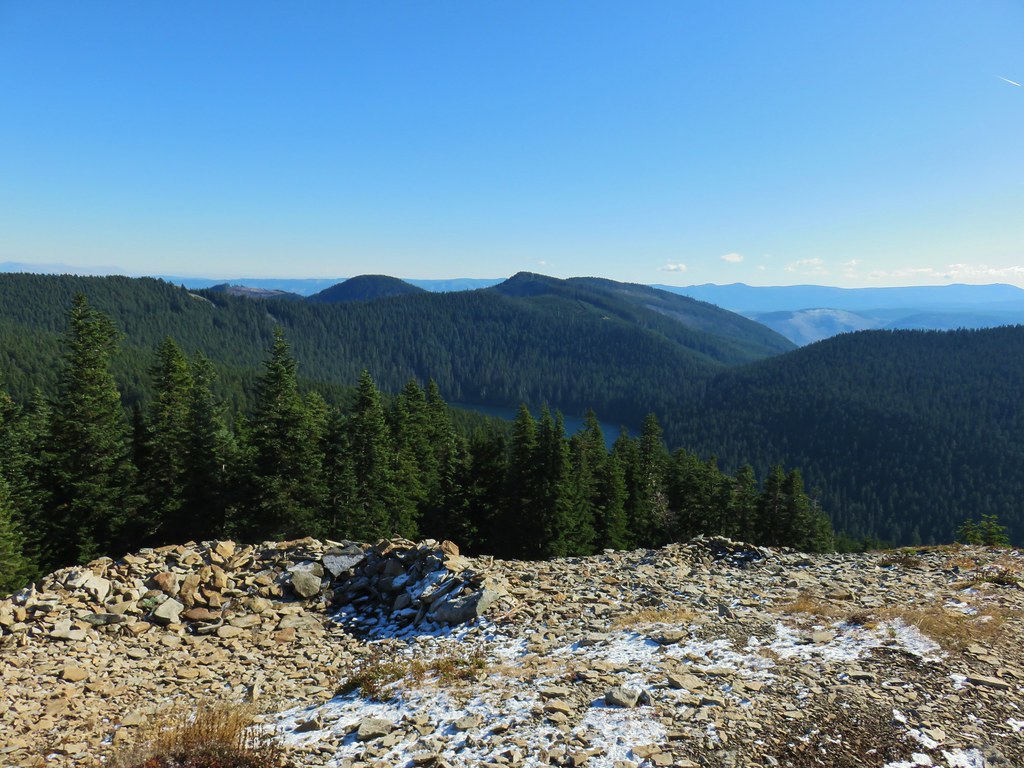


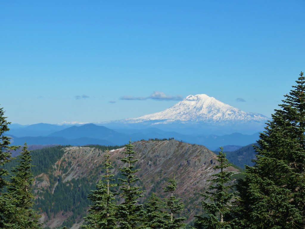


 Lots of beargrass clumps.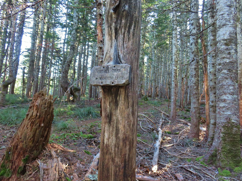
 Trail to Tomlike on the left.


 There’s at least one cairn here.

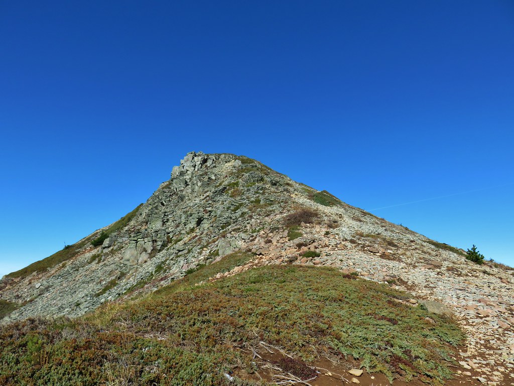
 Mt. Adams to the right.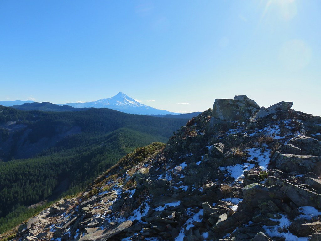
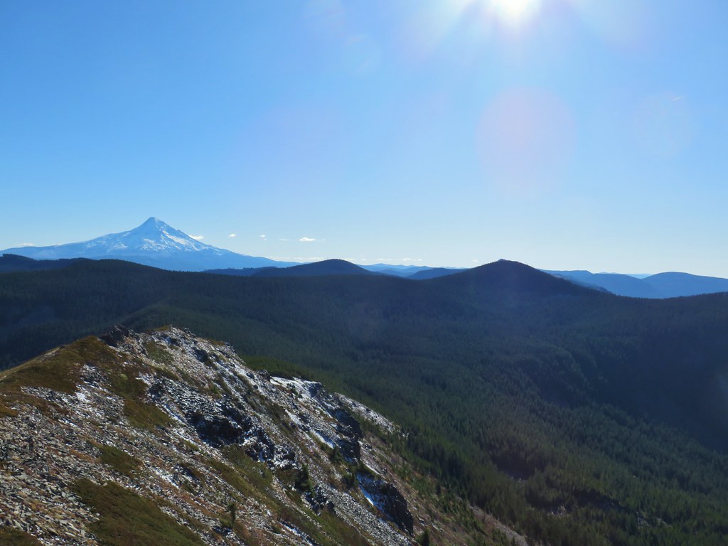 Mt. Hood with Indian Mountain rising up behind Chindrie Mountain to the right.
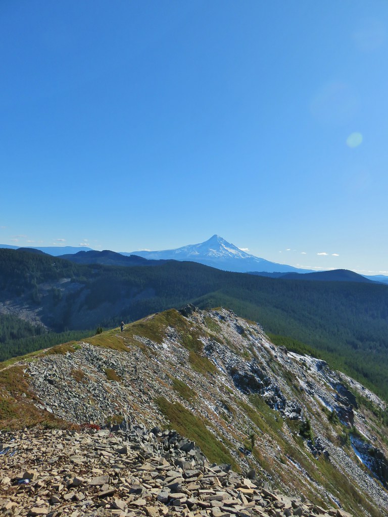 Heather crossing the ridge below the summit.

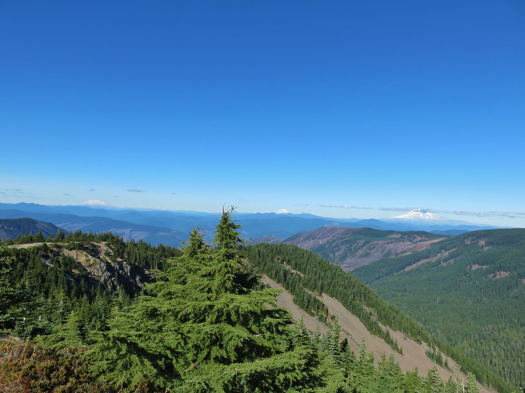 Mt. St. Helens, Mt. Rainier, Goat Rocks and Mt. Adams from left to right.
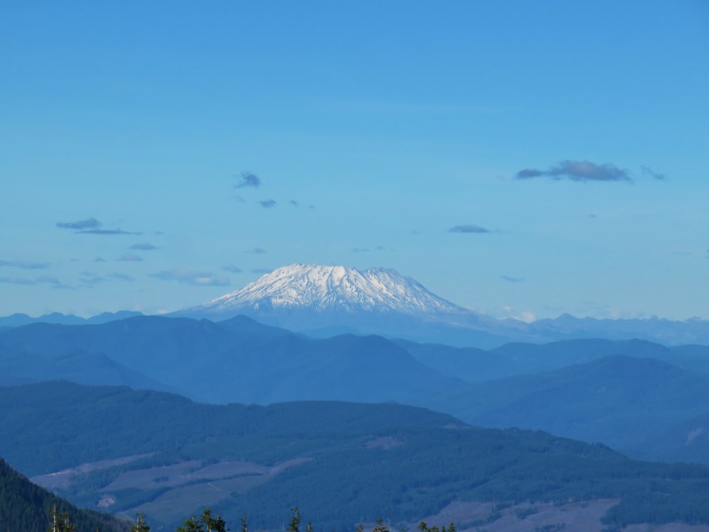 Mt. St. Helens
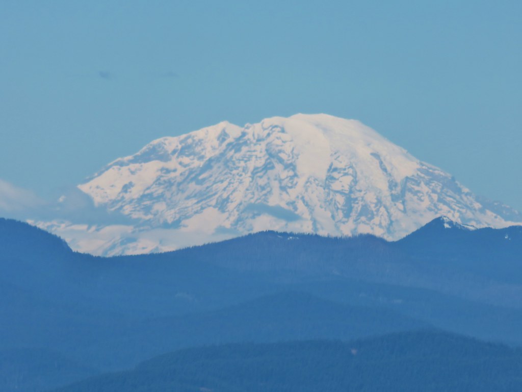 Mt. Rainier
 Goat Rocks
 Mt. Adams
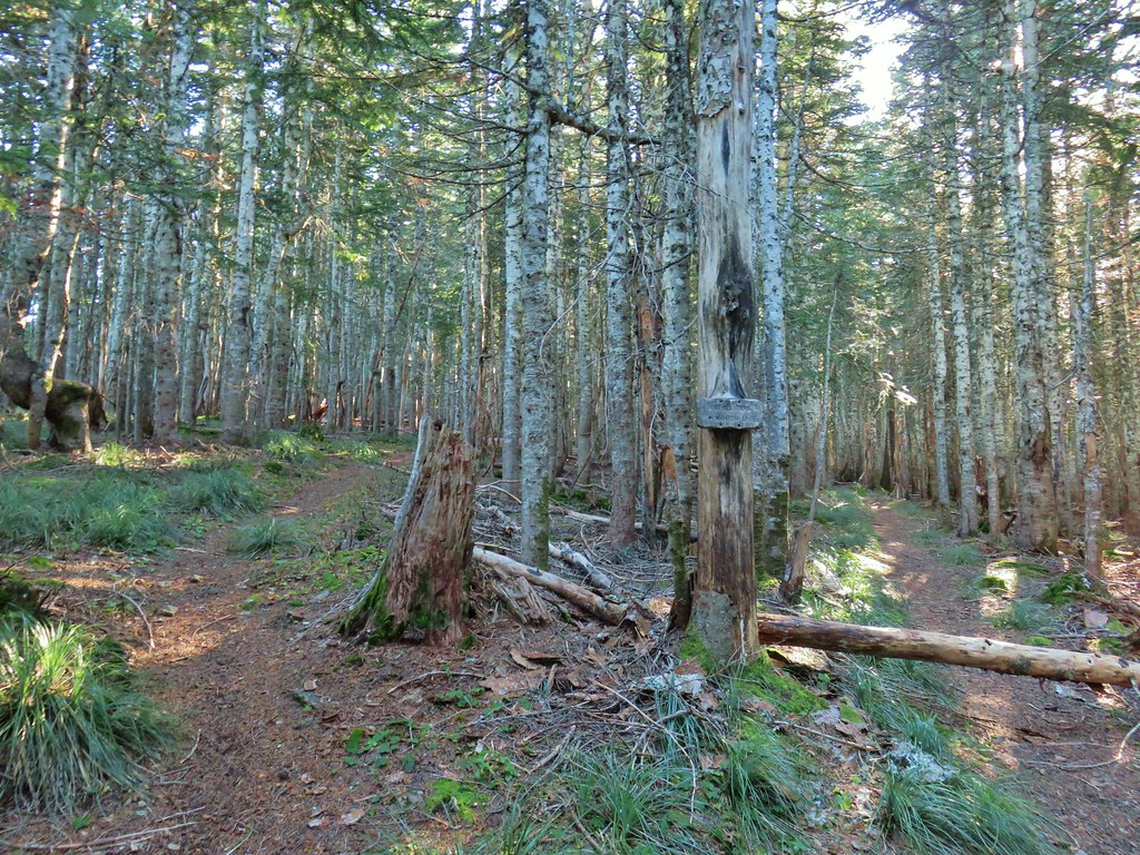 Anthill Trail on the left.


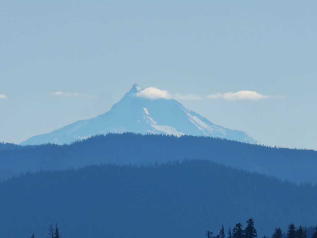 Mt. Jefferson
 Wahtum Lake and Chindrie Mountain

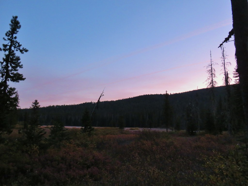








 Olallie Butte

 Mt. Jefferson
 Olallie Lake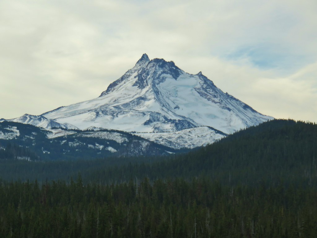

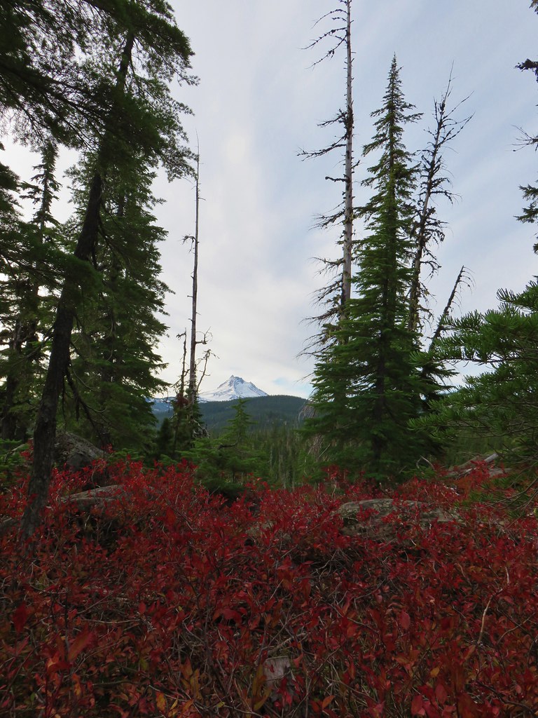 Mt. Jefferson
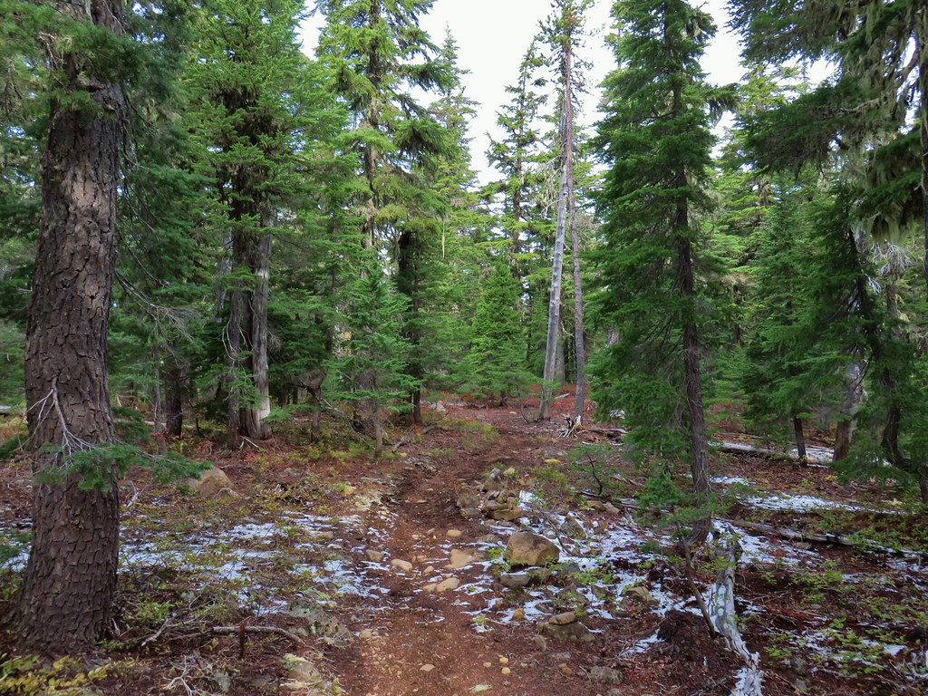


 Potato Butte ahead.
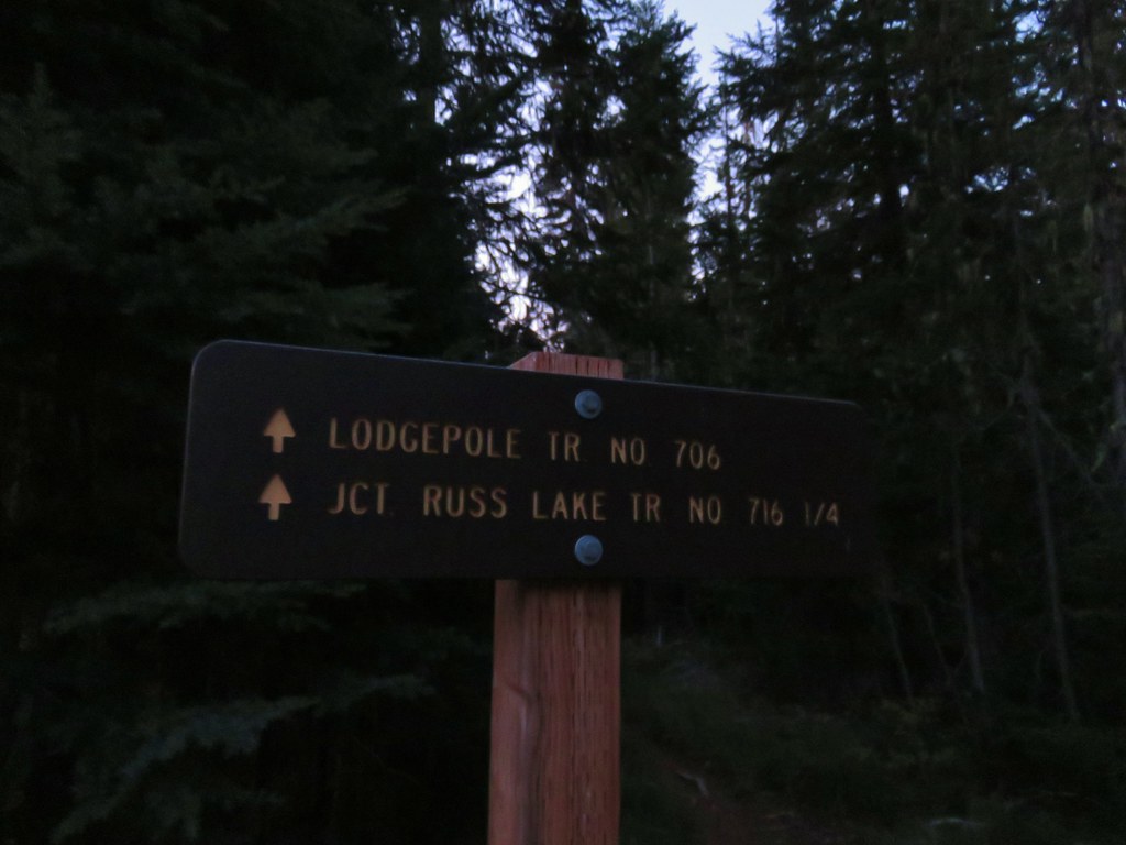
 Lodgepole Trail junction.
 One of the causes of the noisy steps.
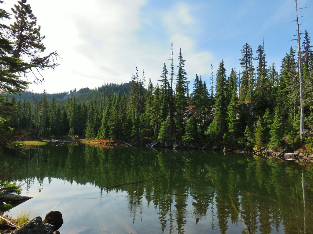 Twin Peaks on the other side of Middle Lake.
 Colors along Middle Lake.

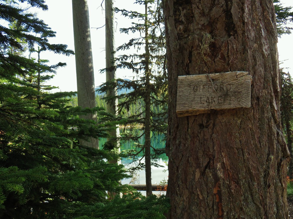
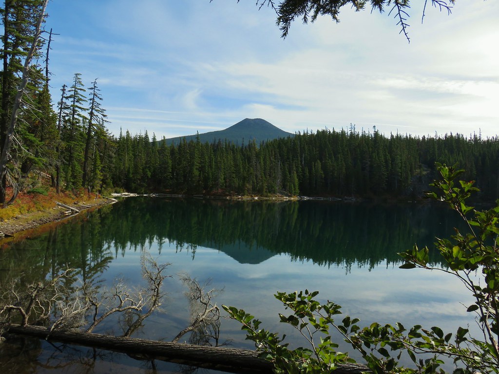 Olallie Butte
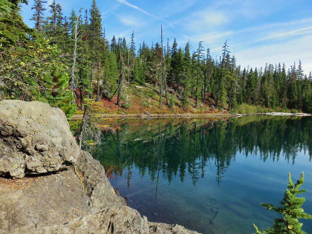
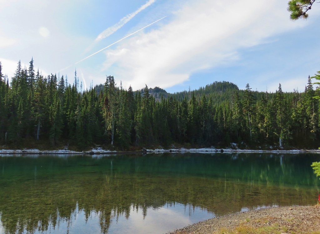 Twin Peaks from Gifford Lake.


 Sign for the Fish Lake Trail.
 Lower Lake
 Olallie Butte
 Sign for the Lodgepole Trail.
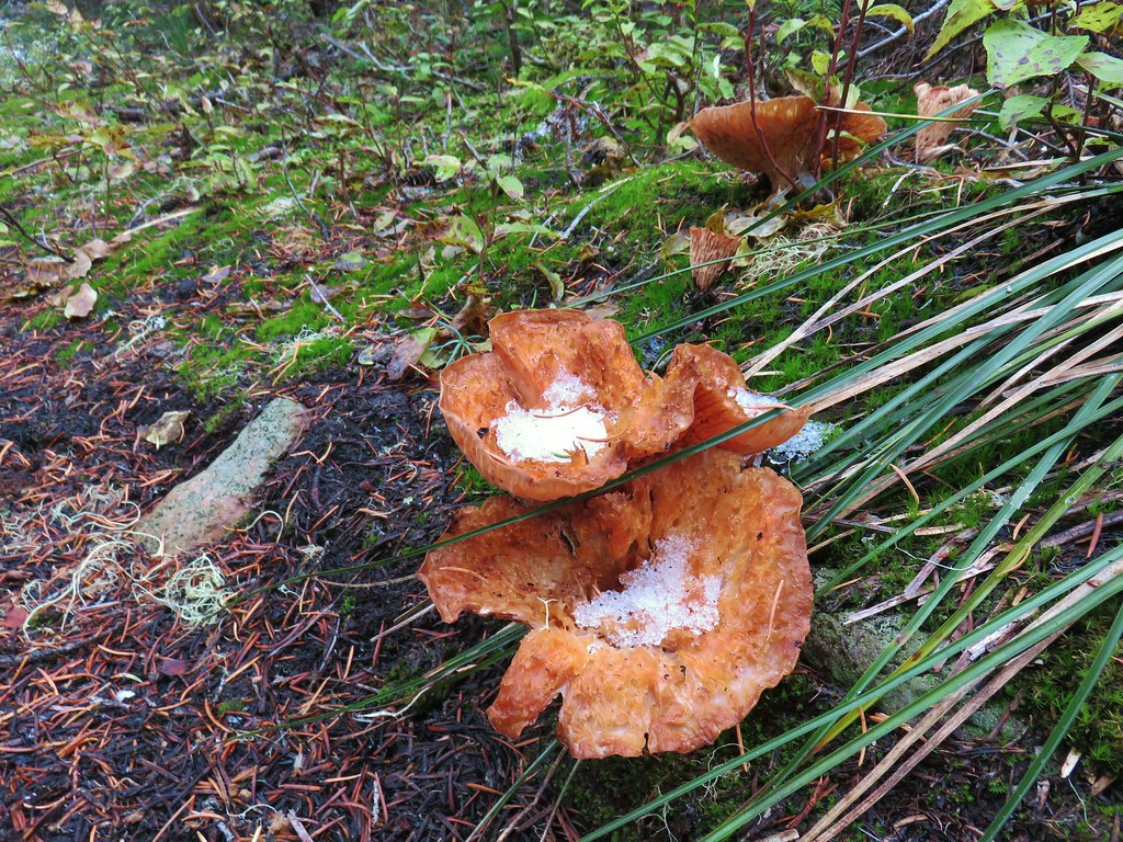
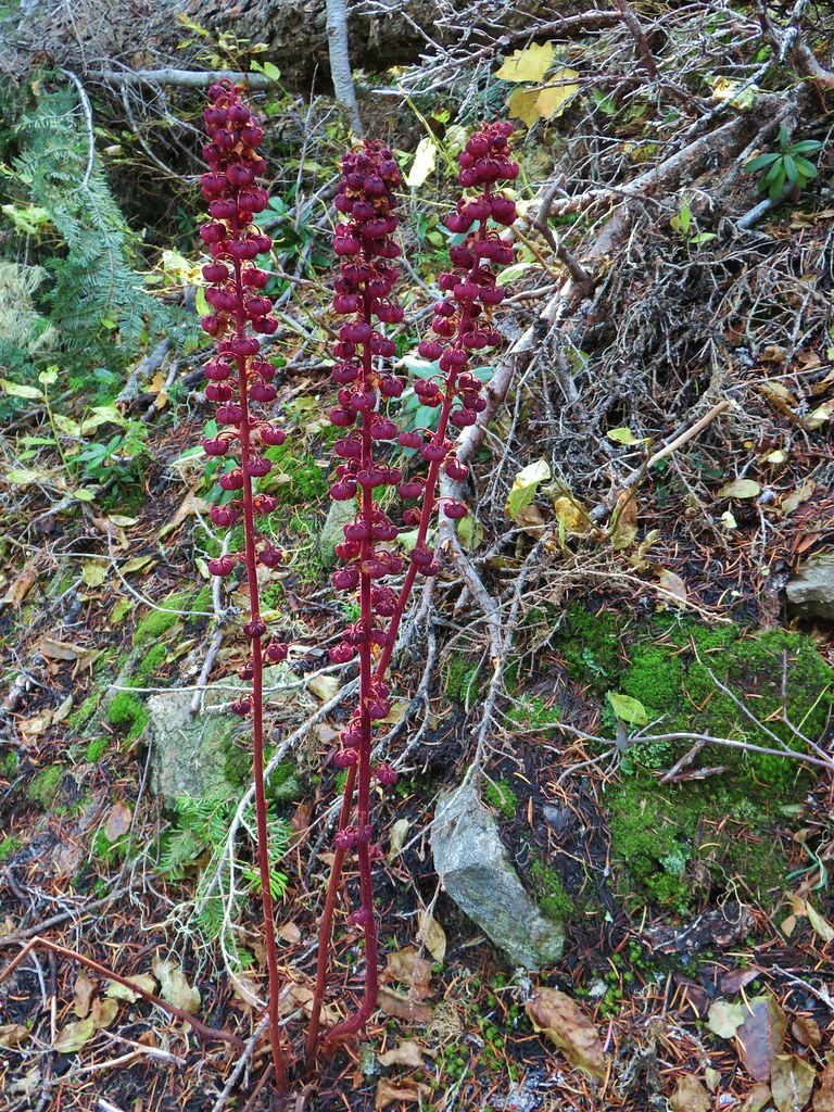 Pinedrops
 The trail was actually the fainter track to the left leading to the bridge, but that wasn’t obvious until we reached the trees.
 A lone yarrow.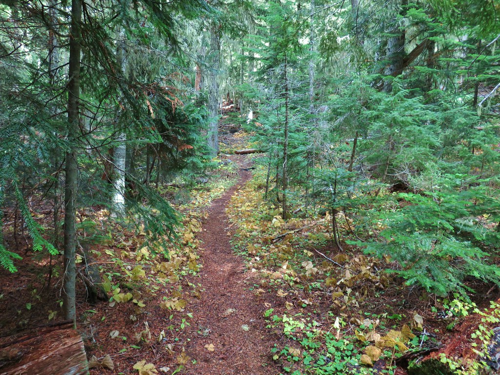


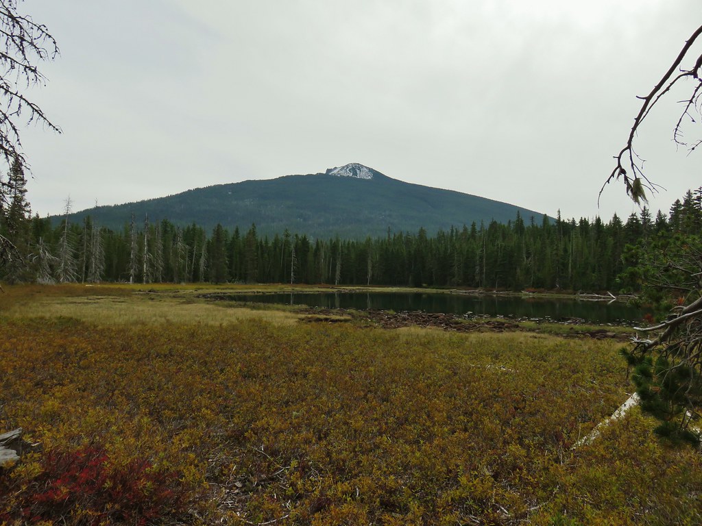
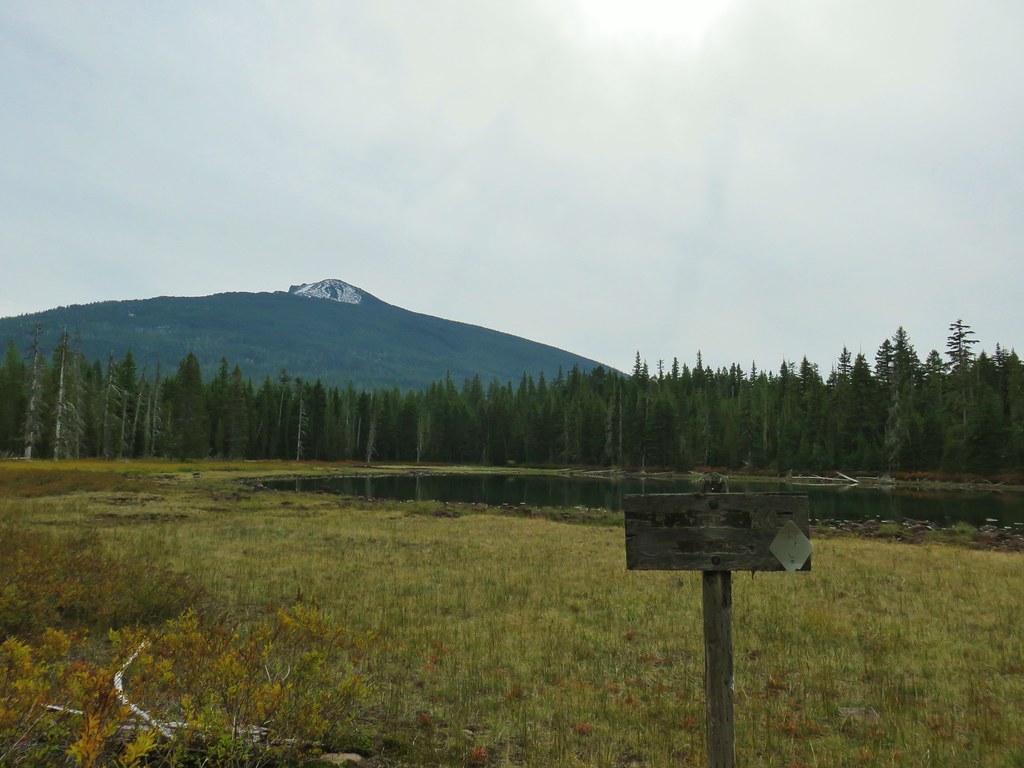
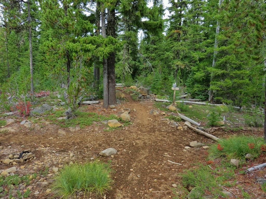
 Approaching the junction.
 Quite the camouflage isn’t it?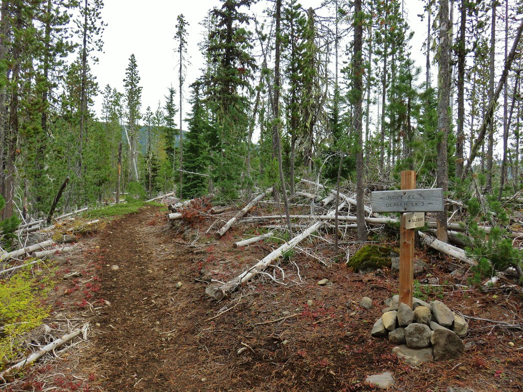

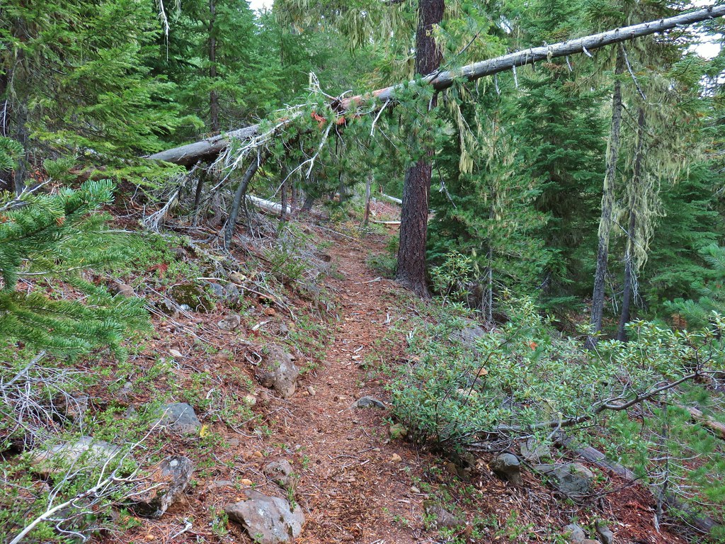
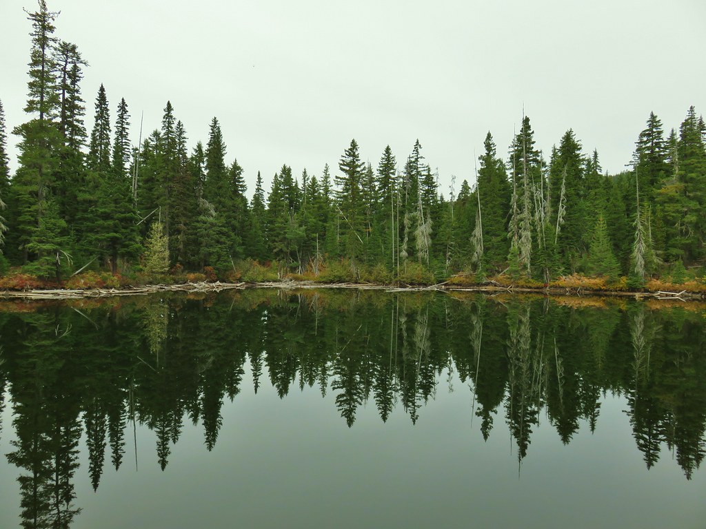
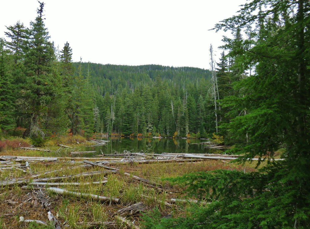 Jude Lake
 Jude Lake
 Jude Lake
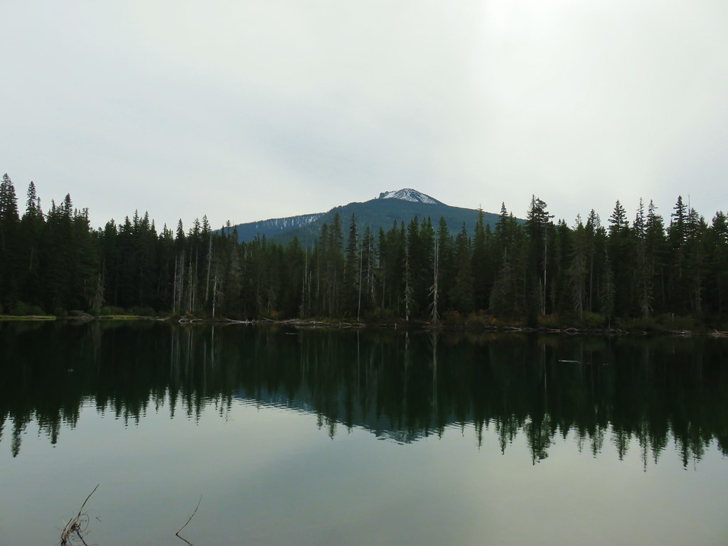 Russ Lake
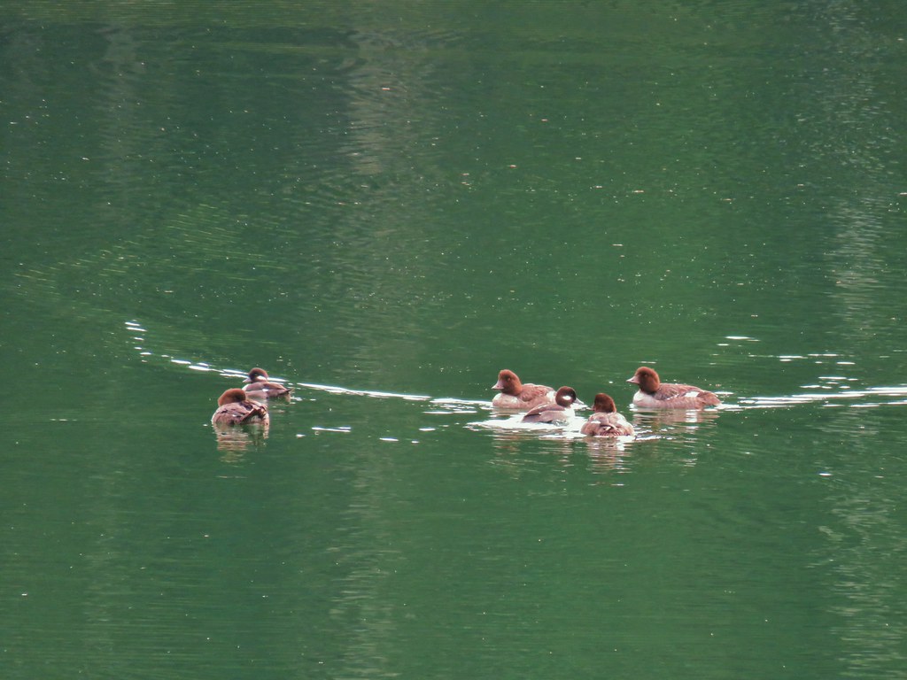




 Pinesap
 A very blurry deer spotted through the trees.



 North Sister
 Middle Sister
 More spies watching us.


 North and Middle Sister behind the Little Brother.
 Mt. Jefferson beyond Four-In-One Cone
 Mt. Hood over the right shoulder of Mt. Jefferson.
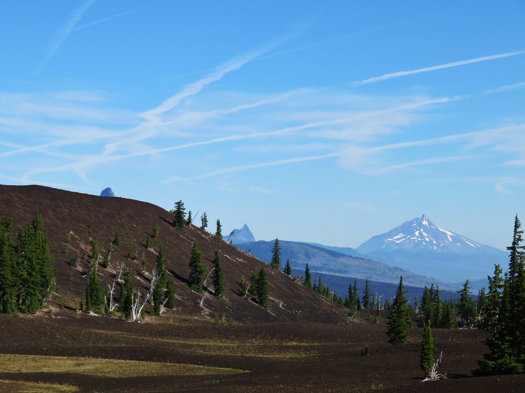 Mt. Washington’s spire behind the cone with Three Fingered Jack and Mt. Jefferson.
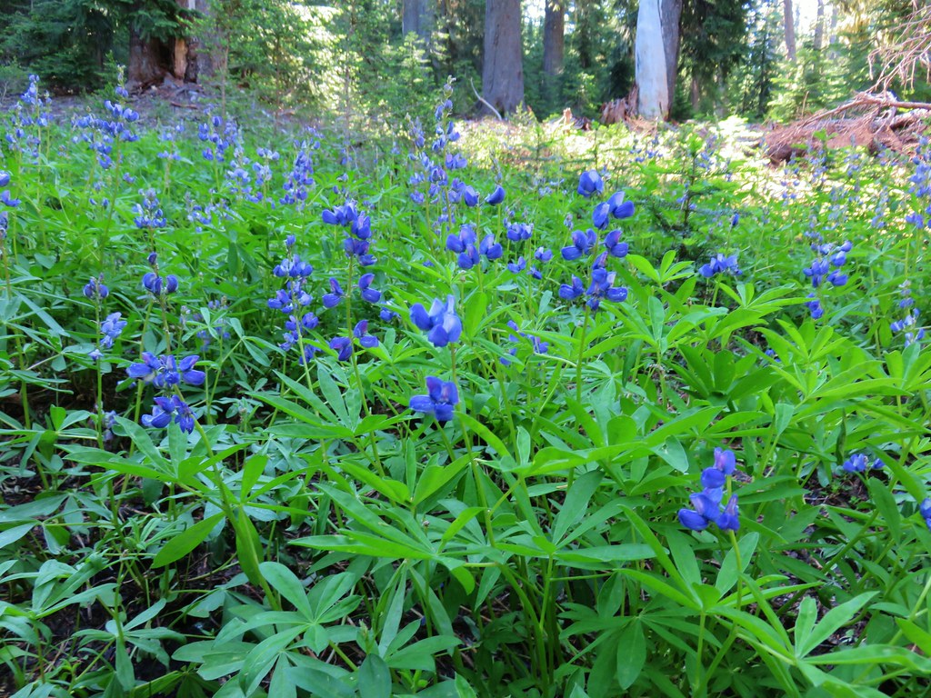
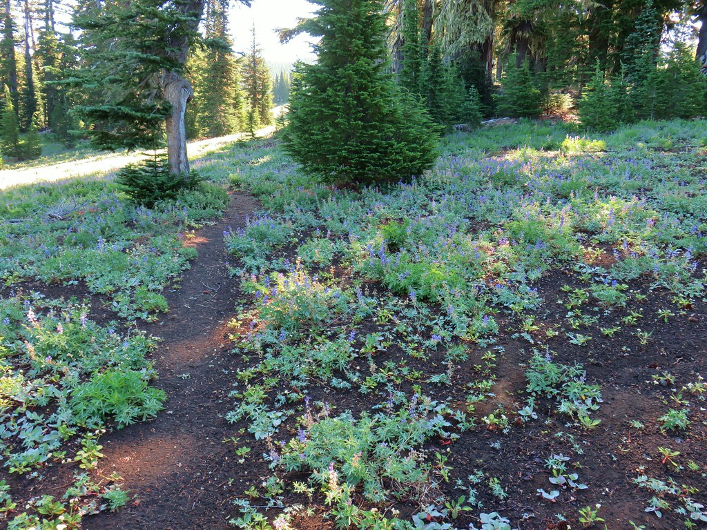

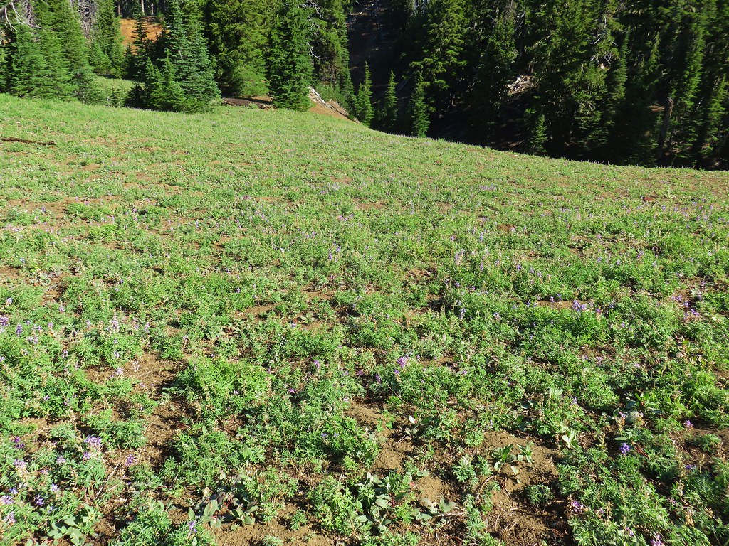
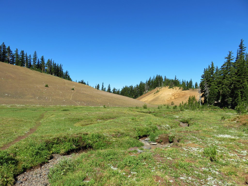
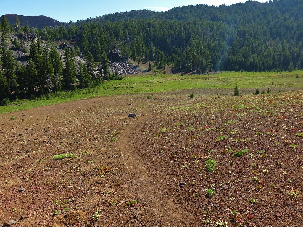 Scott Meadow


 North Sister, Middle Sisters behind Little Brother and The Husband.
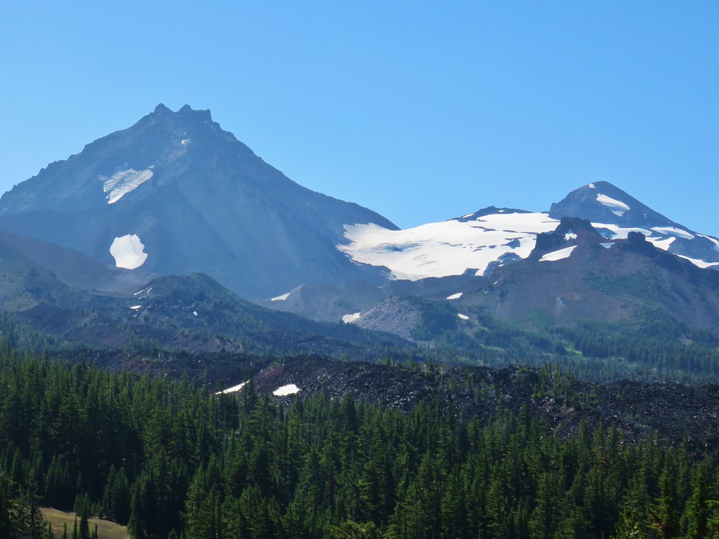 North Sister with Collier Cone in front and South Sister behind Little Brother.
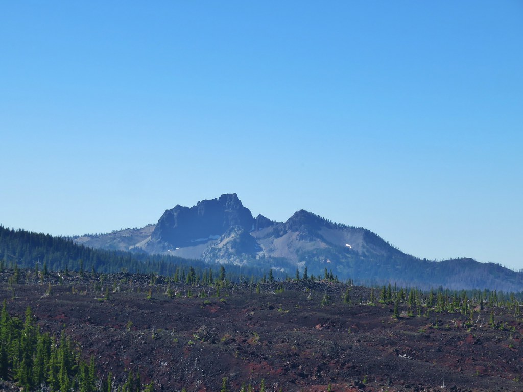 The Husband
 Scott Mountain (
 One of the craters.
 Mt. Washington, Three Fingered Jack, Mt. Jefferson, Mt. Hood, and Black Crater (
 Looking back south.
 Belknap Crater (
 Mt. Washington beyond Little Belknap Crater with Three Fingered Jack behind.
 Mt. Jefferson and Mt. Hood
