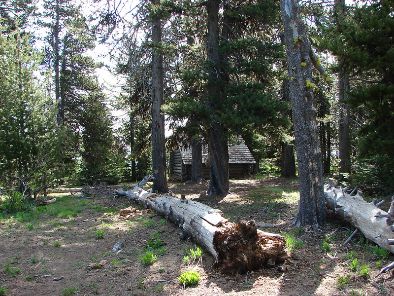
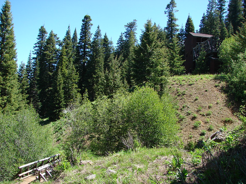
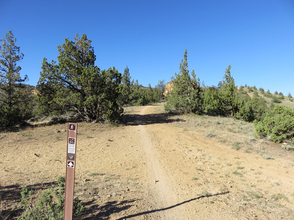
We were in Central Oregon to pick Dominique up from college and took the opportunity to hike in the Smith Rock area. We had hiked in the state park twice before, both times taking the Misery Ridge Trail up and over the summit and completing a loop via the River Trail. For this visit we decided to access the park via the Gray Butte Trail which passed through the Forest Service administered Crooked River Grassland and BLM managed lands before reaching the park trails. We parked at a trail junction along Gray Butte Saddle where the Cole Loop Trail (854) meets the Gray Butte Trail (852).
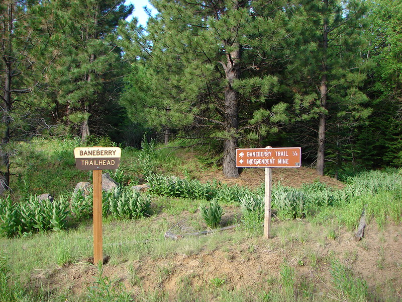
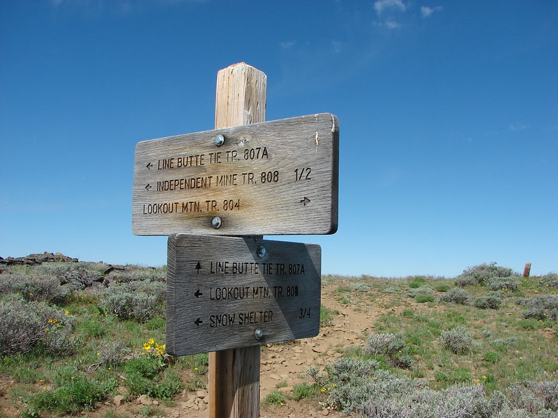
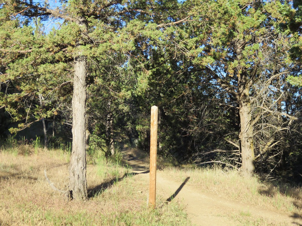
The trail was marked by a lone unsigned post.
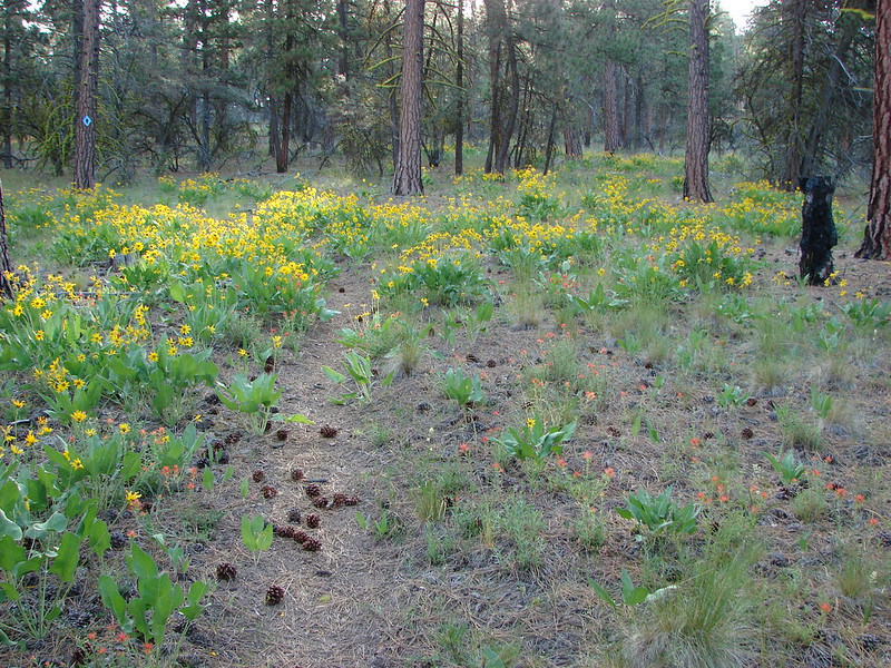
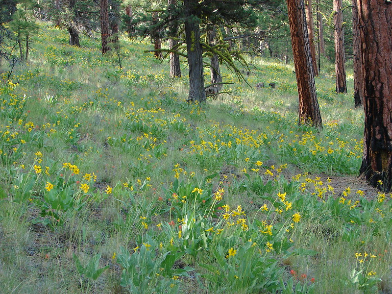
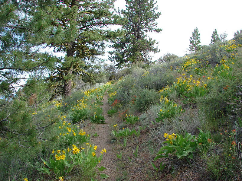
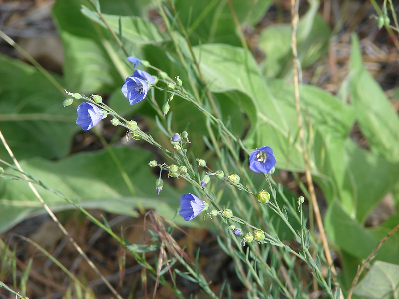
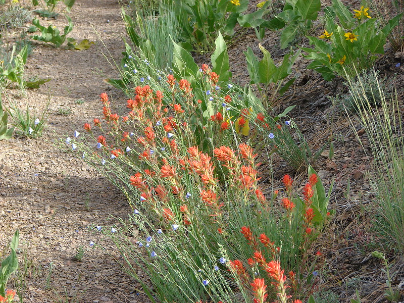
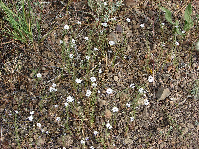
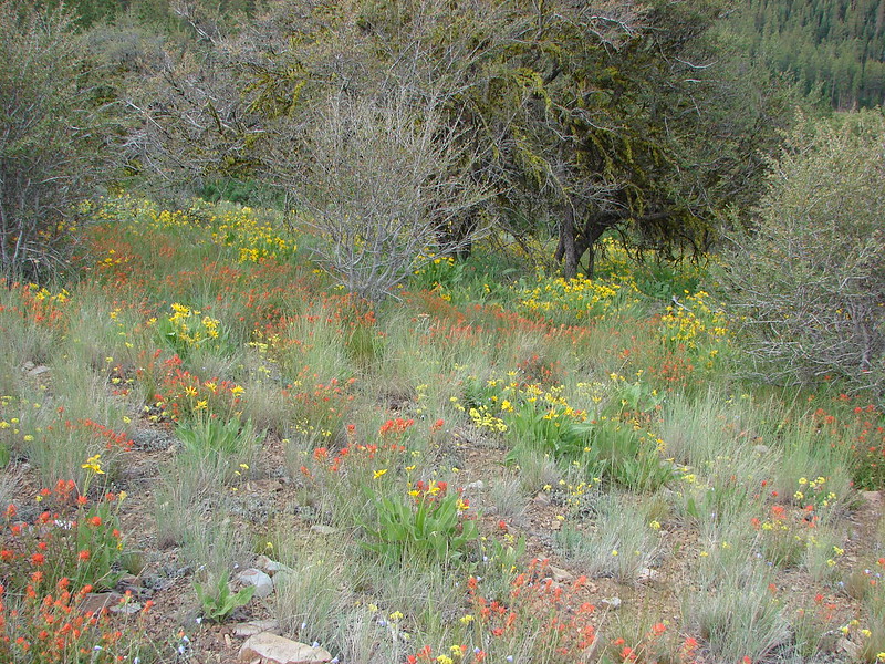
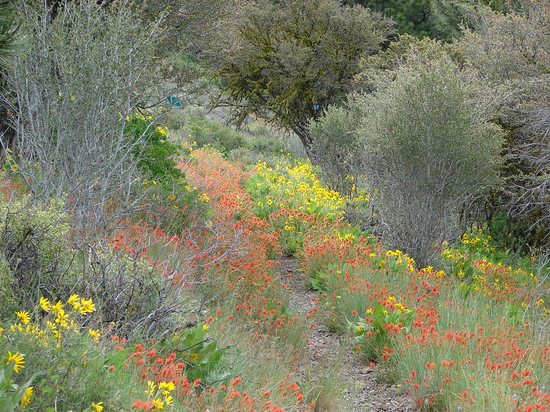
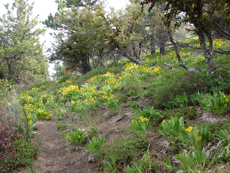
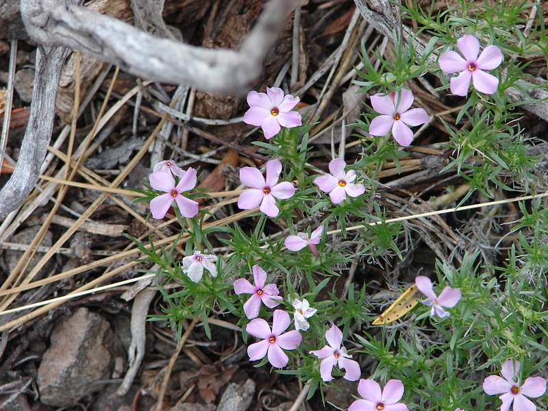
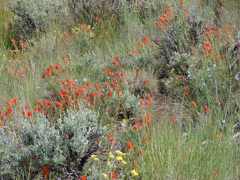
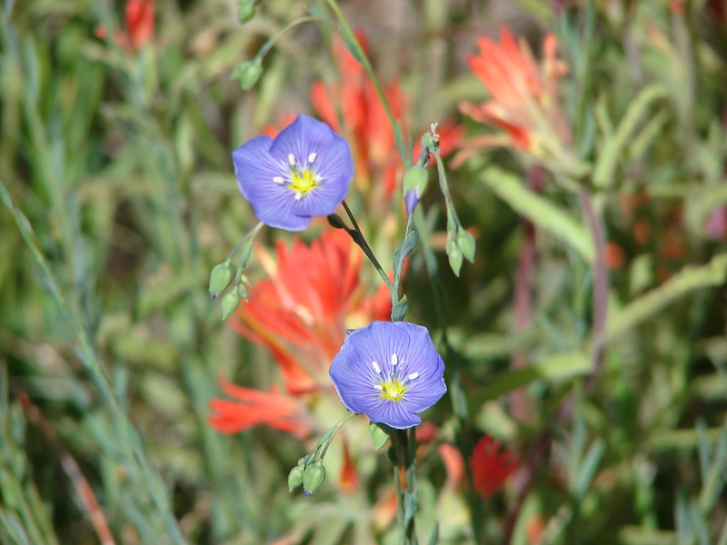
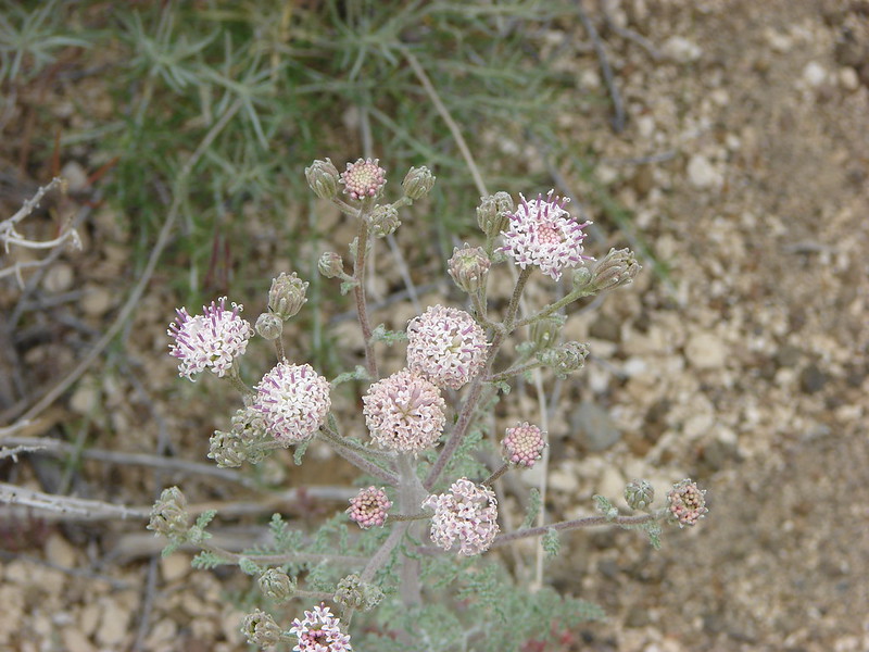
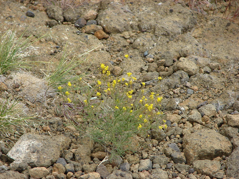
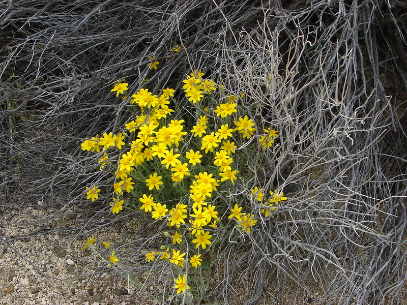
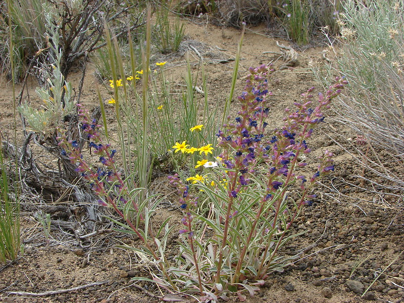
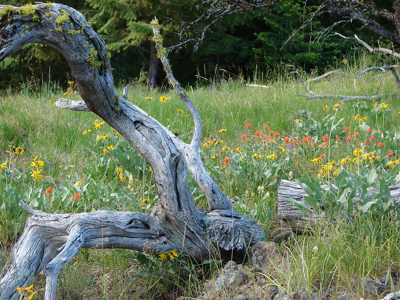
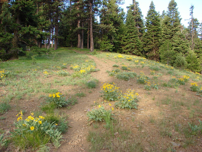
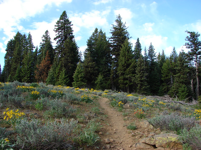
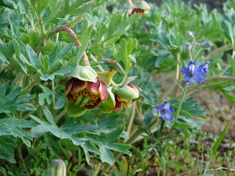
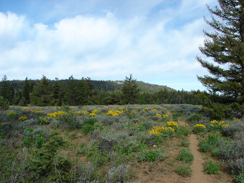
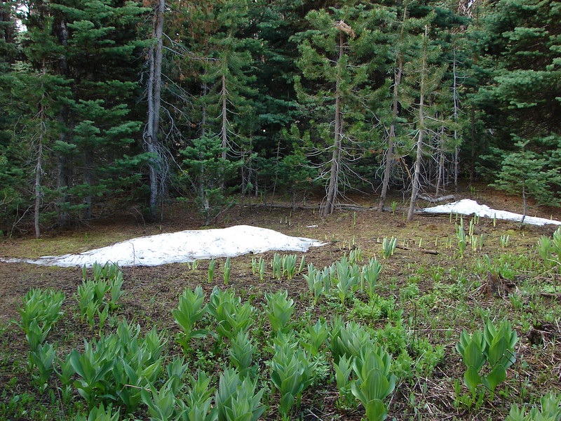
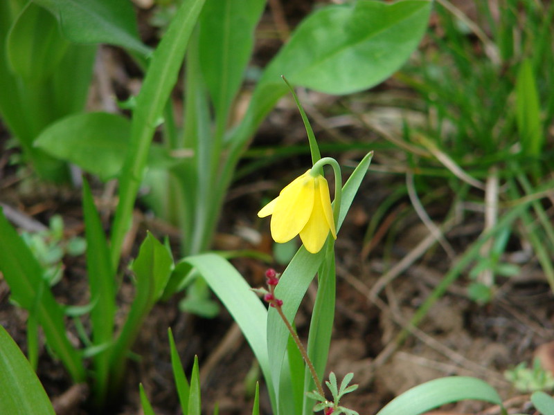
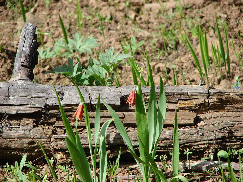
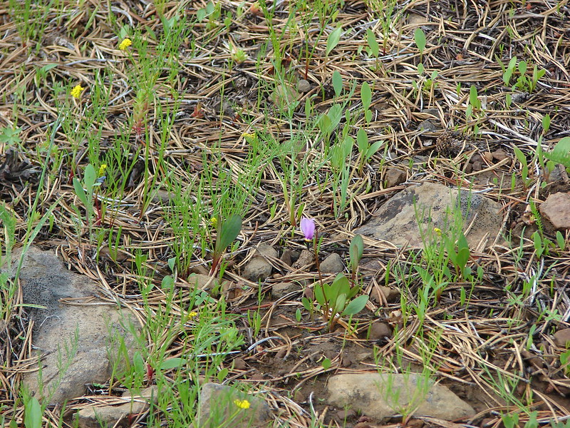
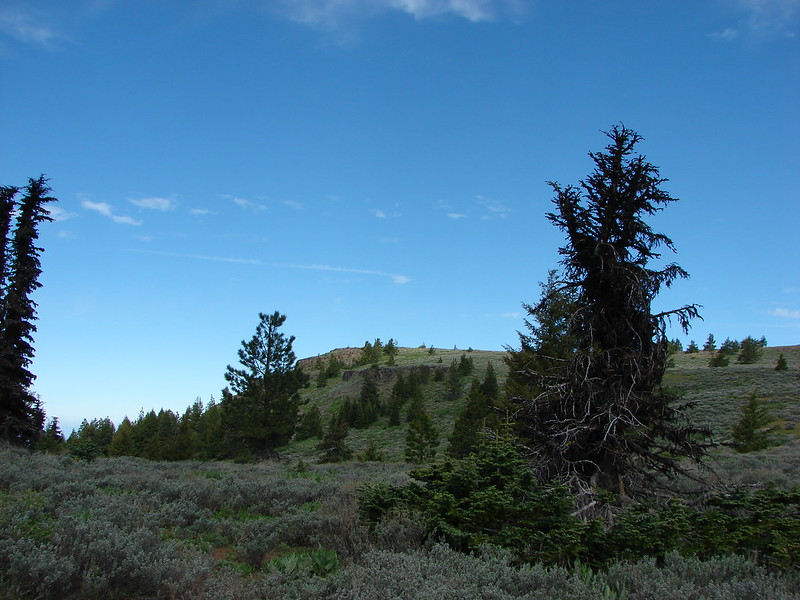
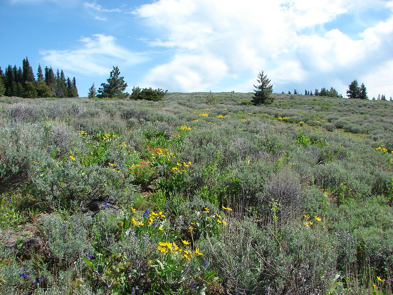
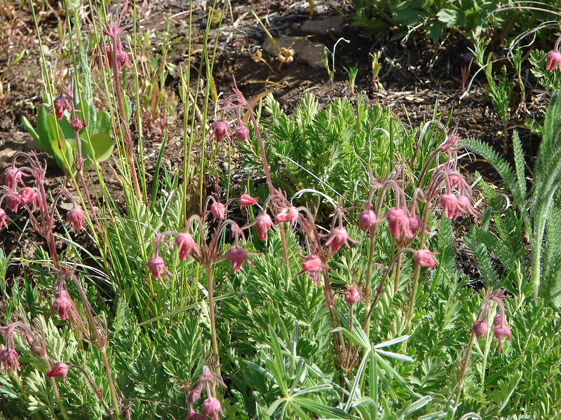
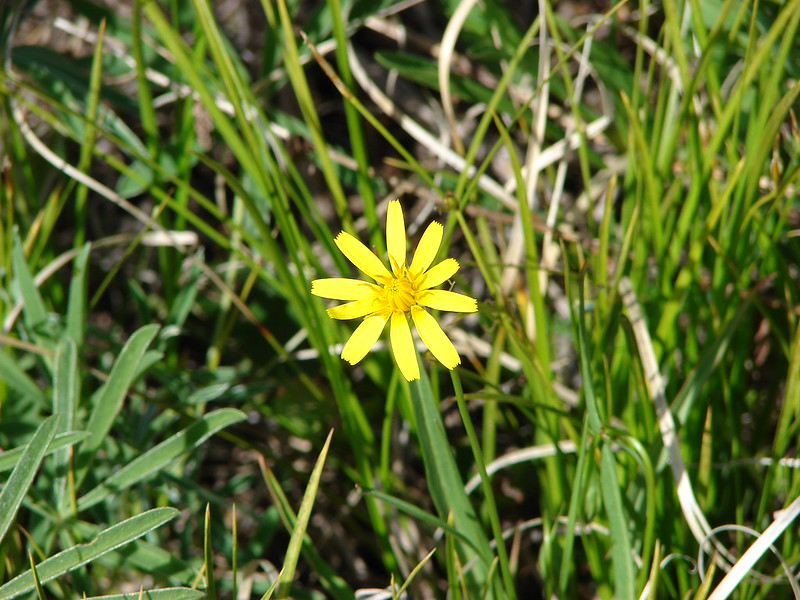
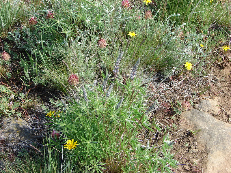
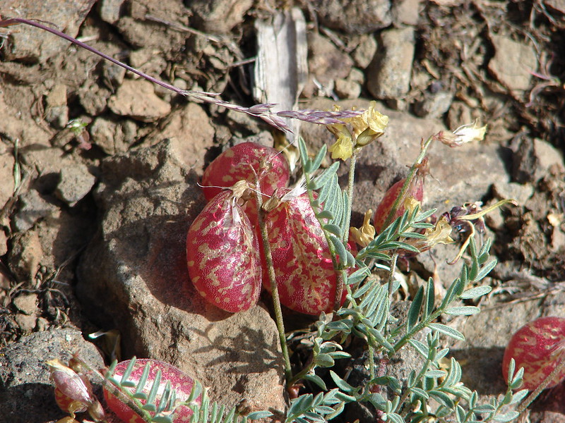
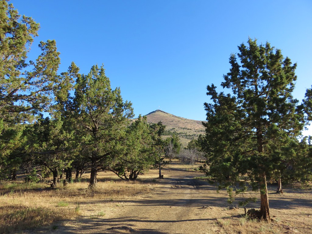
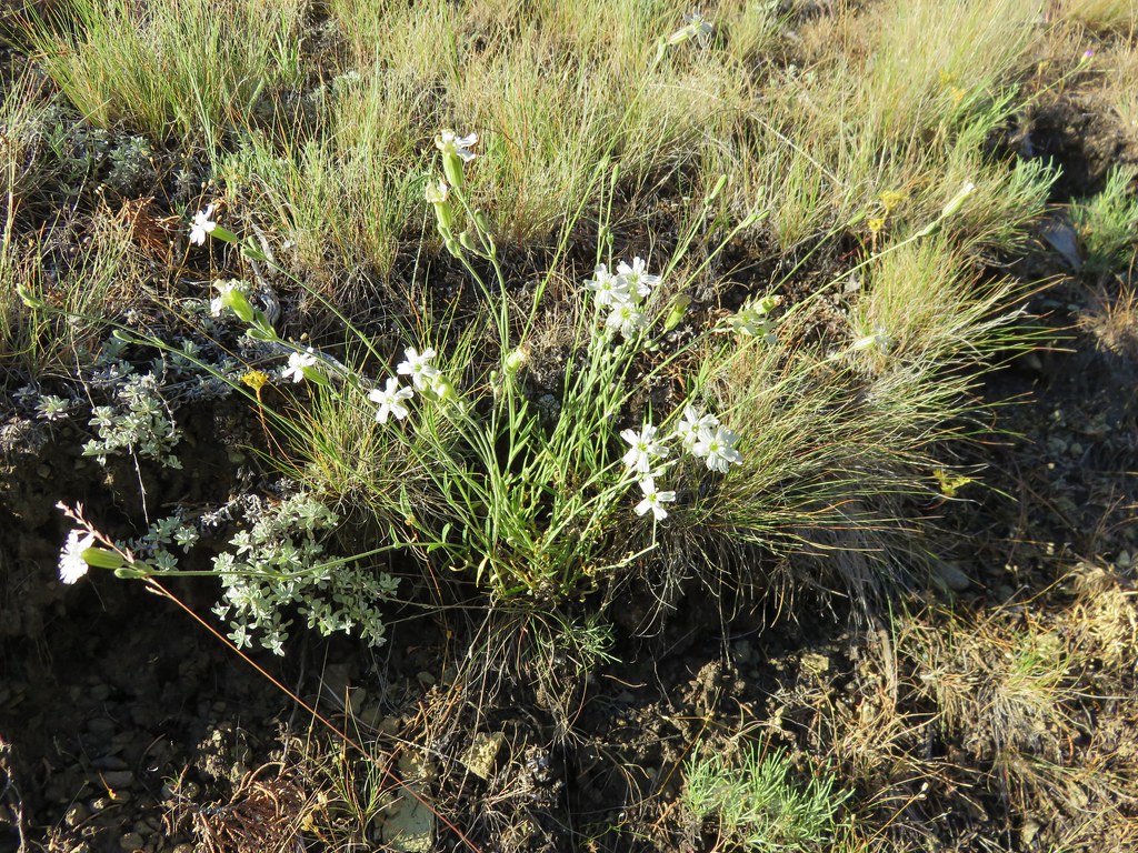
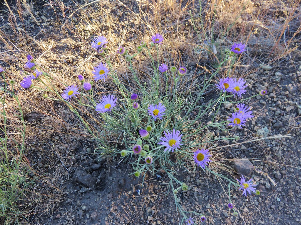
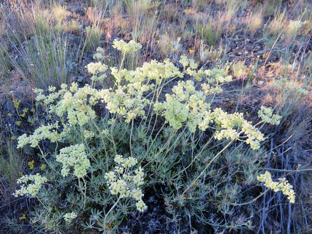
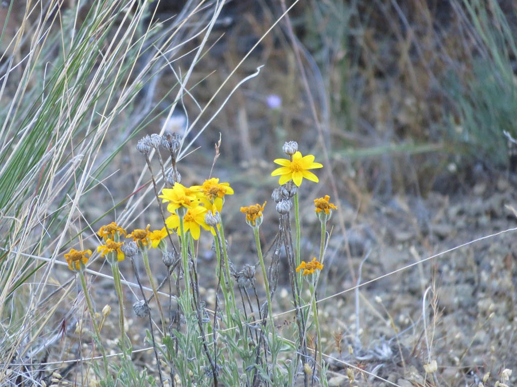
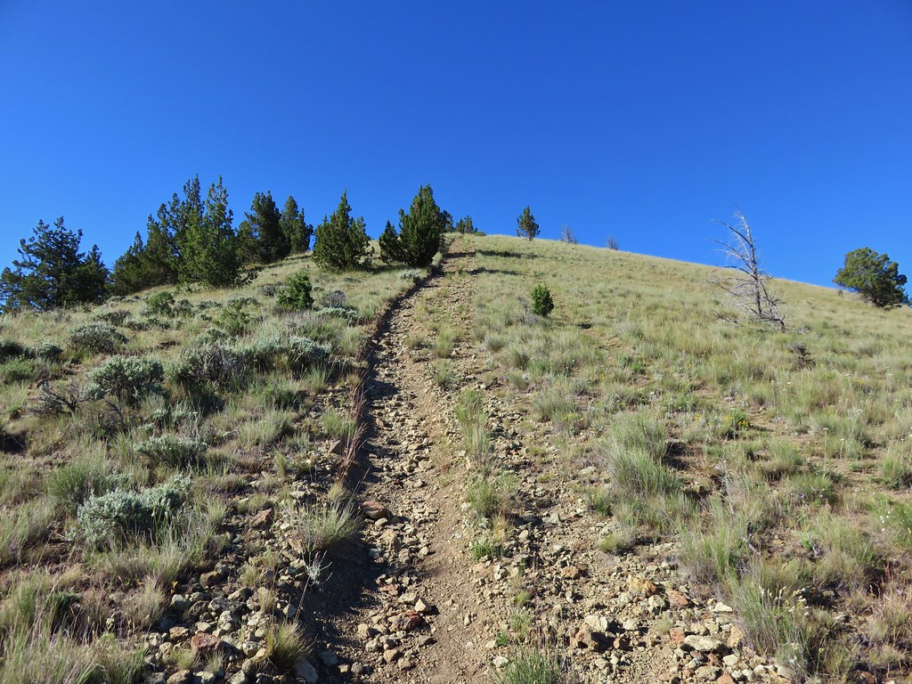
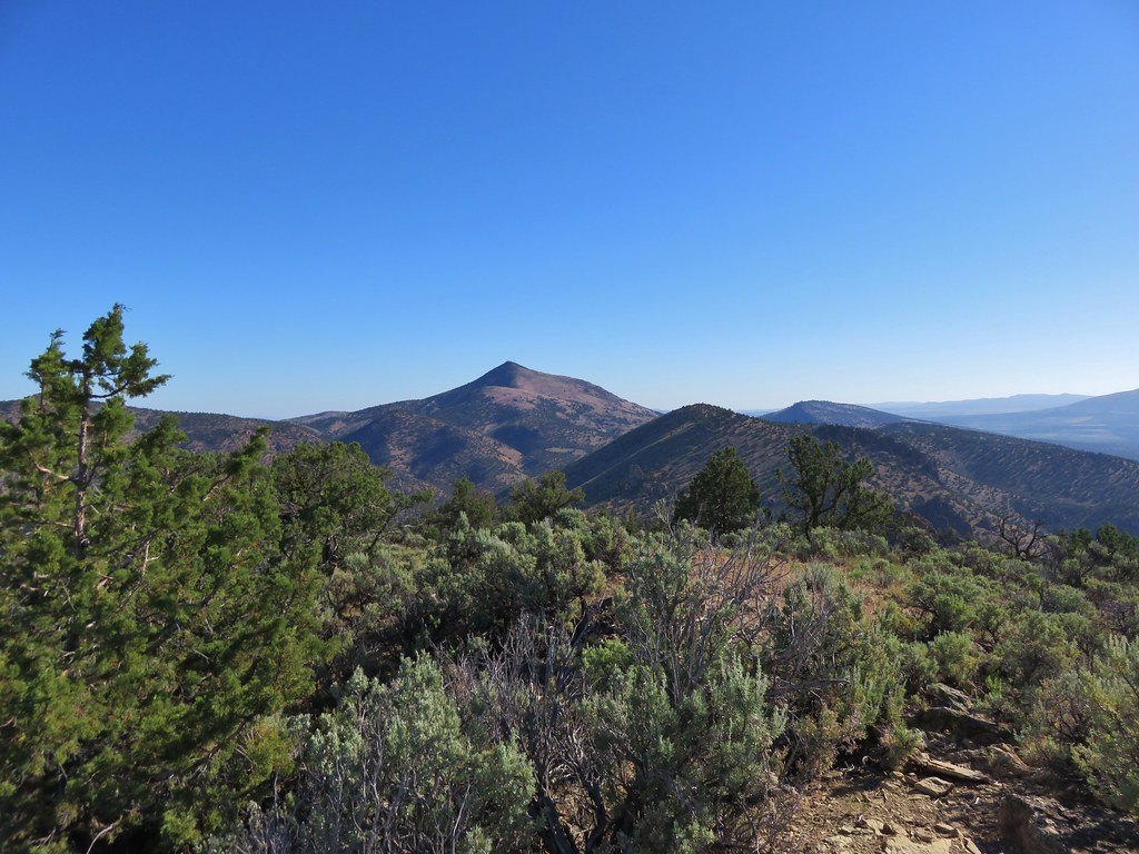
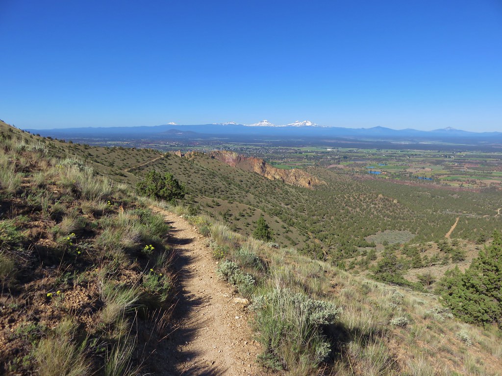
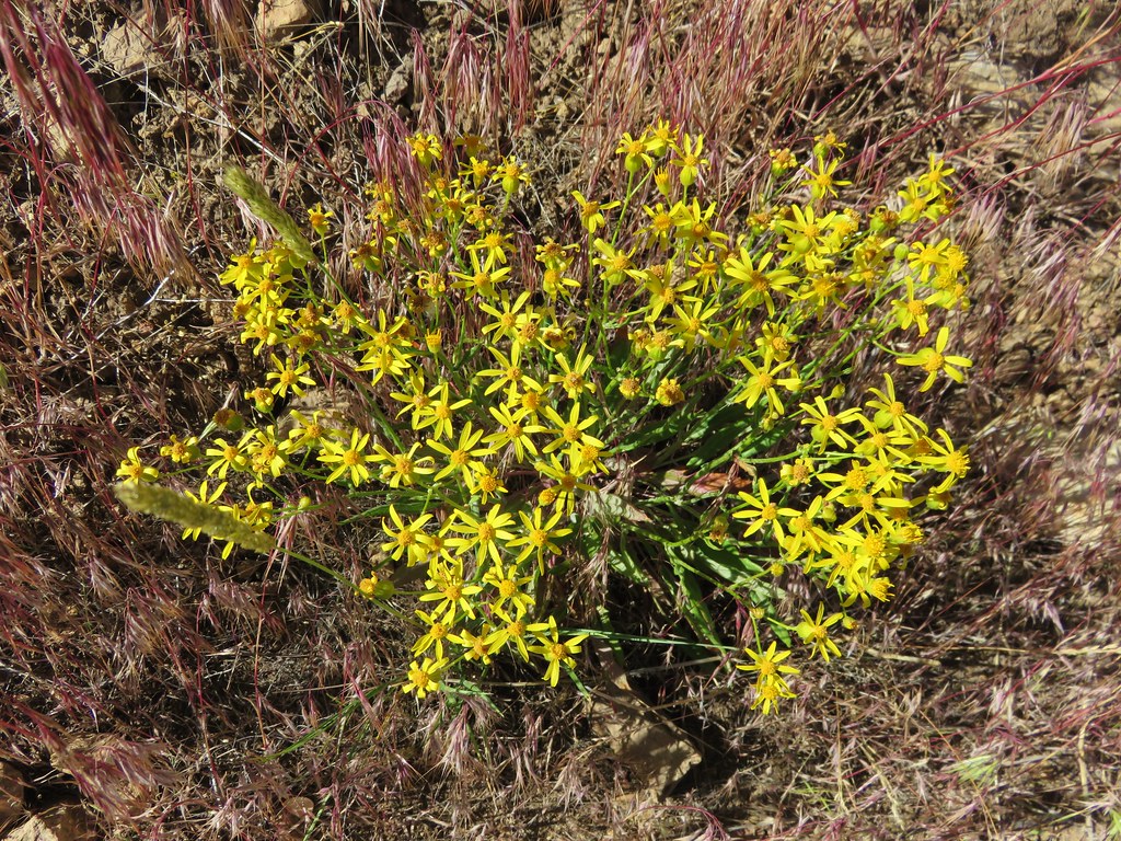
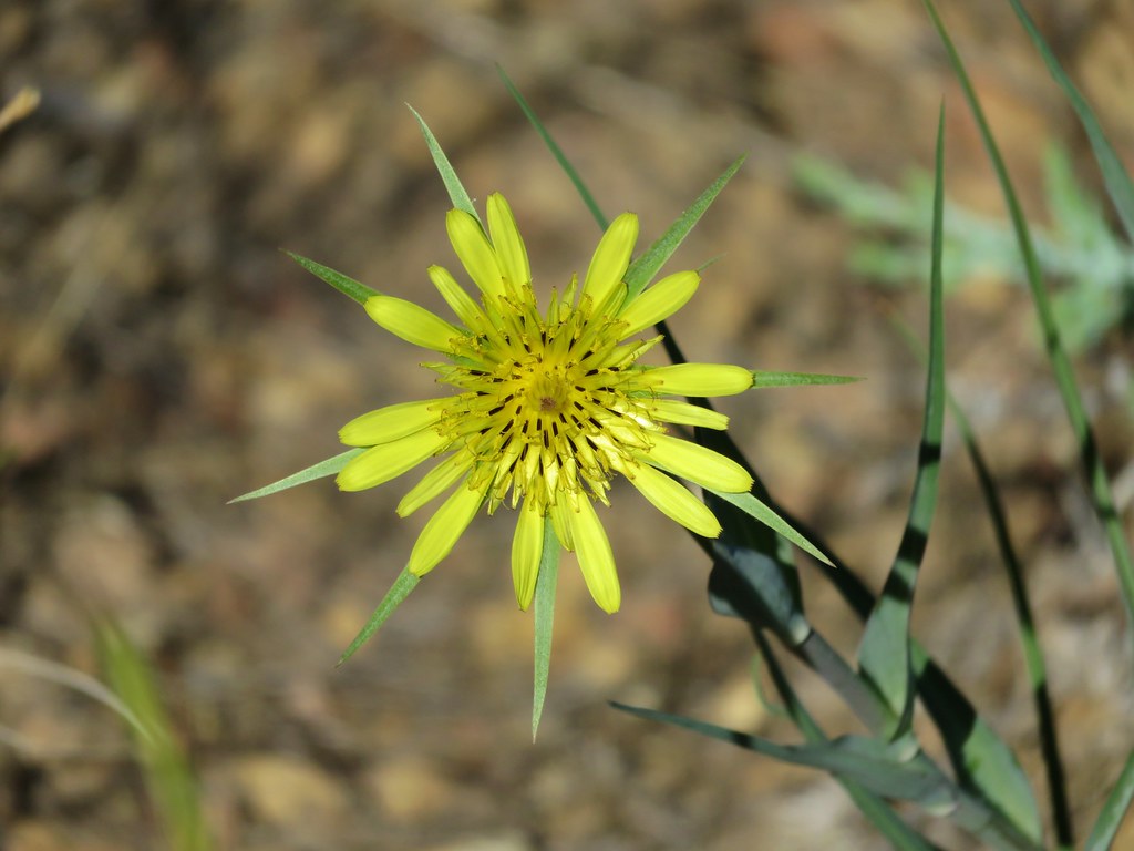
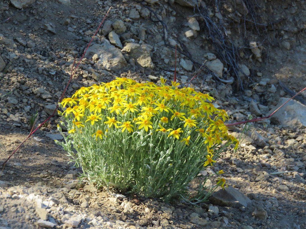
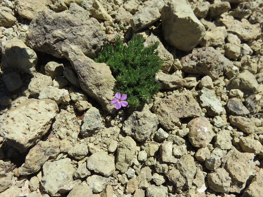
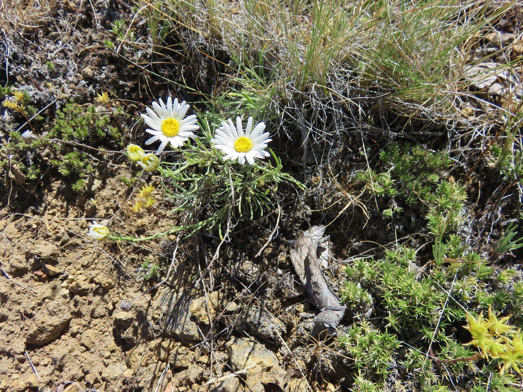
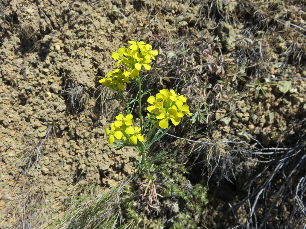
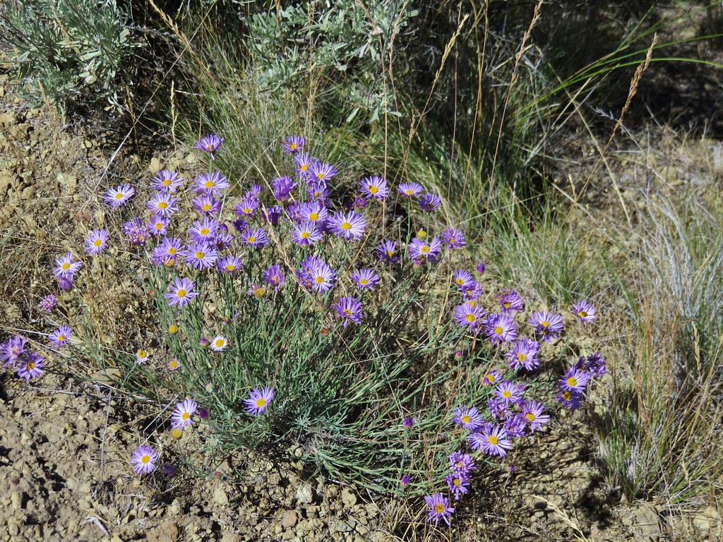
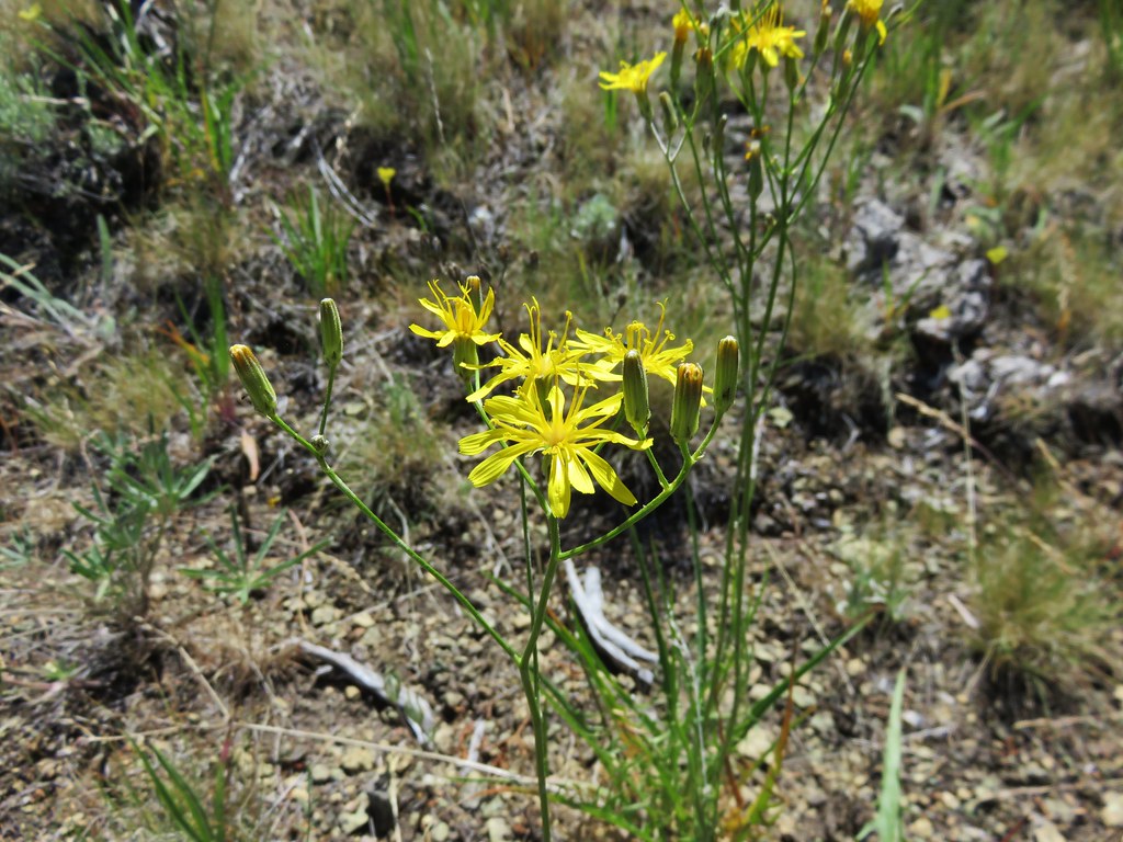
The trail traversed a hillside amid scattered juniper trees and sagebrush. Despite being a little late in the year for the best flower displays there were still clumps of color scattered along the trail.
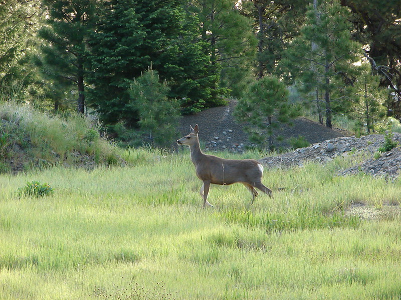
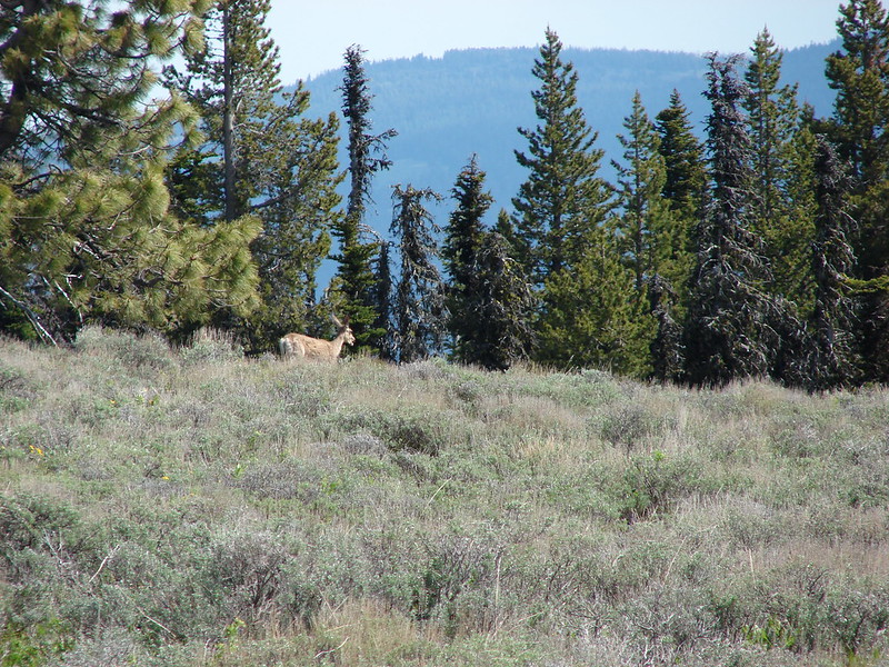
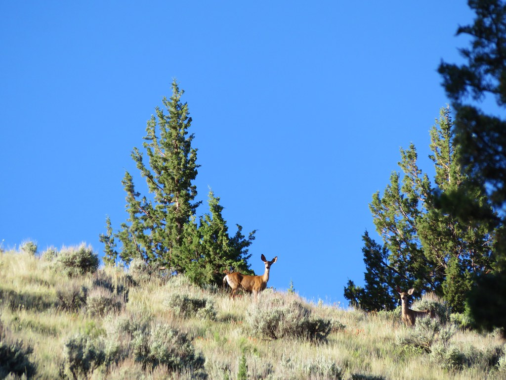
We also spotted a couple of deer above us on the hill.
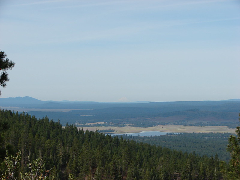
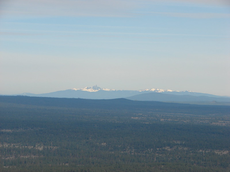
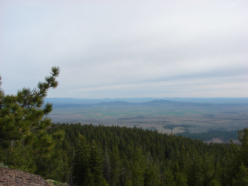
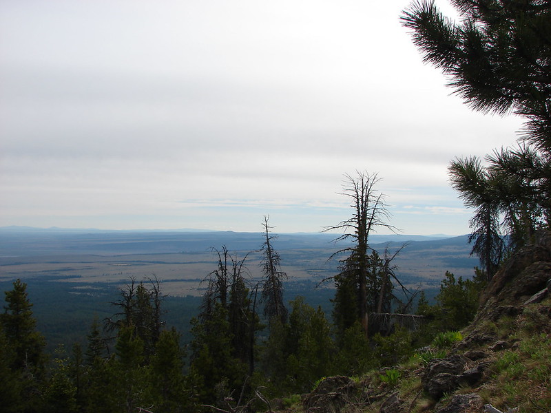
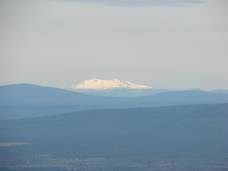
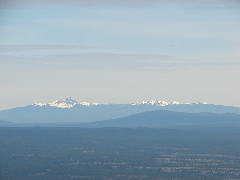
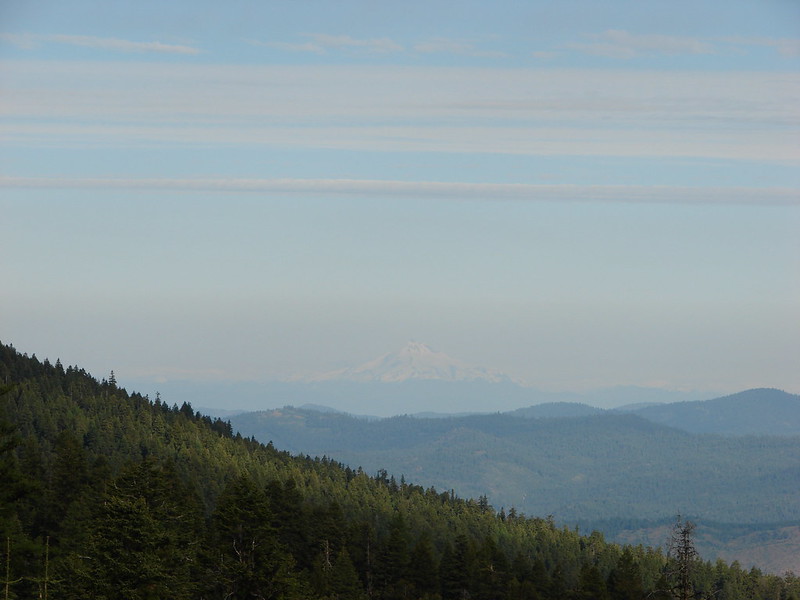
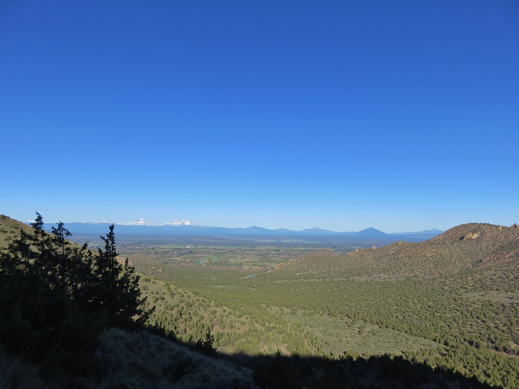
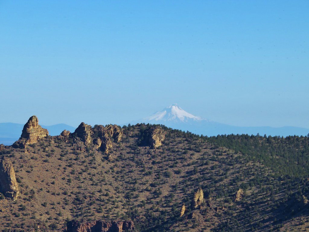
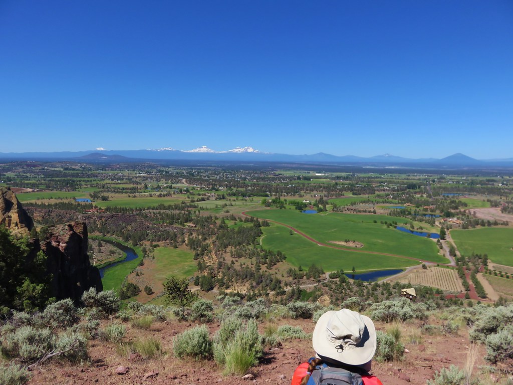
One of the nice things about the trail was, as it passed through the sagebrush filled grassland, the snowy peaks of the Cascades lined up on the horizon.
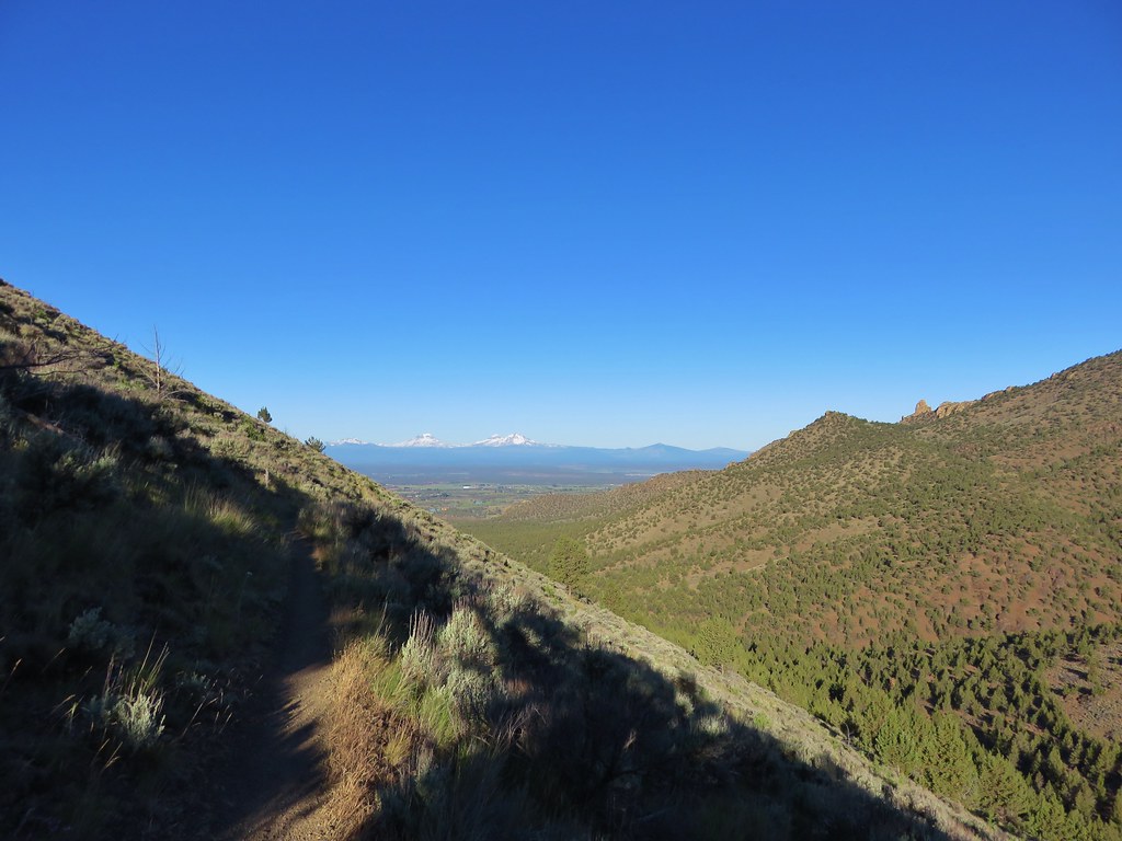
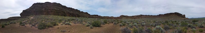
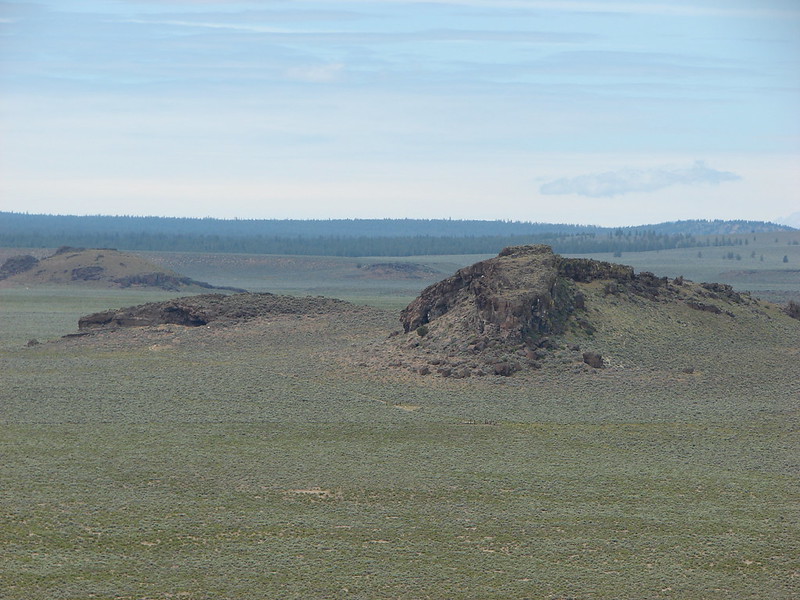
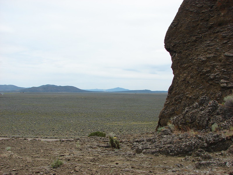
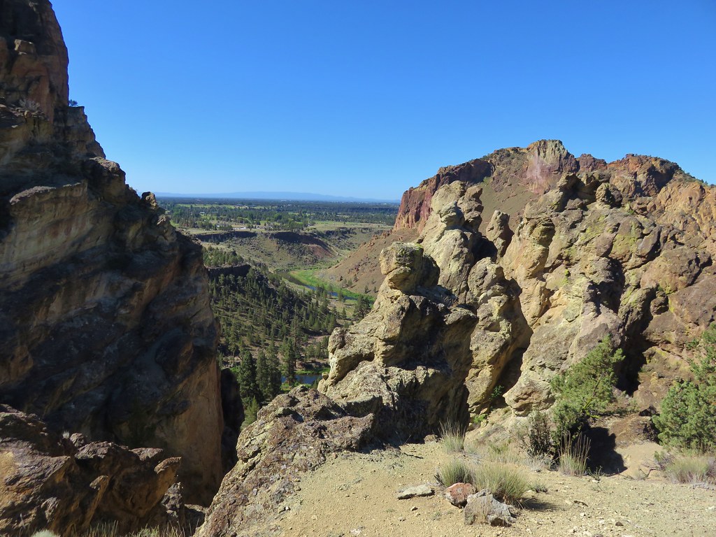
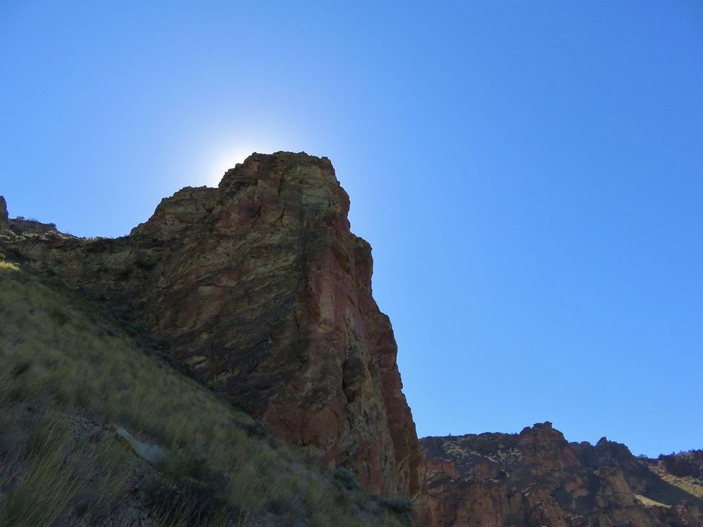
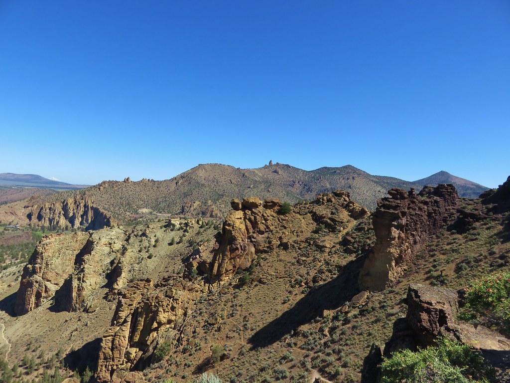
The views were spectacular and as we continued around the trail more of the mountains came into view as well as many nearby rock formations.
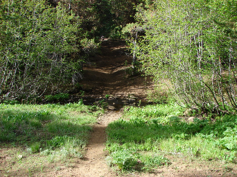
At the 1.4 mile mark we arrived at Bitterroot Pass where the trail crossed a dirt road.
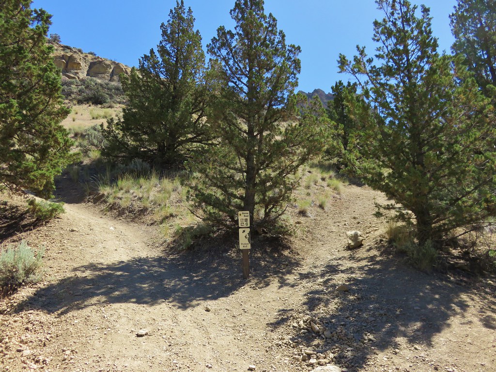
Shortly after crossing the road the trail and road intersected again. This second junction proved confusing and after several minutes reviewing our maps we decided to head up a hillside along another old road.
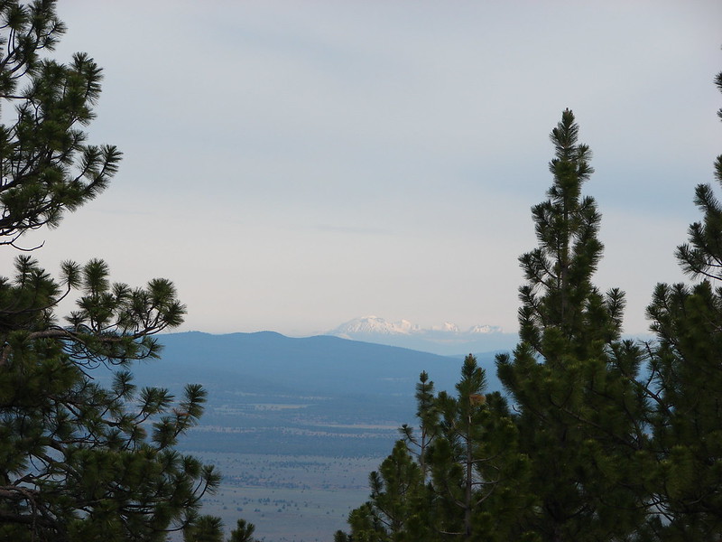
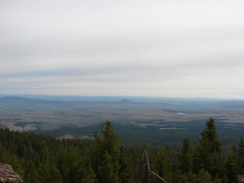
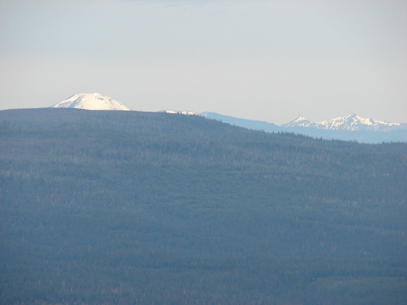
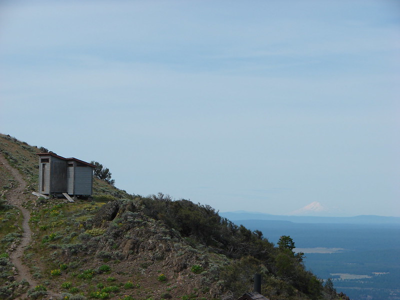
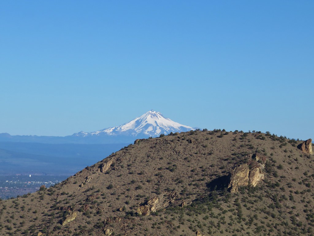
This wound up being incorrect. At the second junction we should have taken a clear trail that veered down and slightly to the right along the side of the ridge. There was also a trail further to the right that just ended atop a little crest. The route we took led almost 400′ up to the summit of an unnamed butte. We climbed steeply for over half a mile before arriving at the rocky summit. It was only after reaching the top that we knew we had taken a wrong turn. Actually Dominique had been fairly certain we should have taken the right hand fork but that didn’t seem to jive with the map we were looking at. In any event the views from the top were amazing including a good look at Mt. Hood far to the NW.
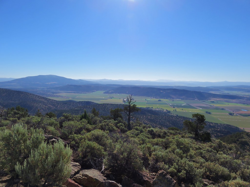
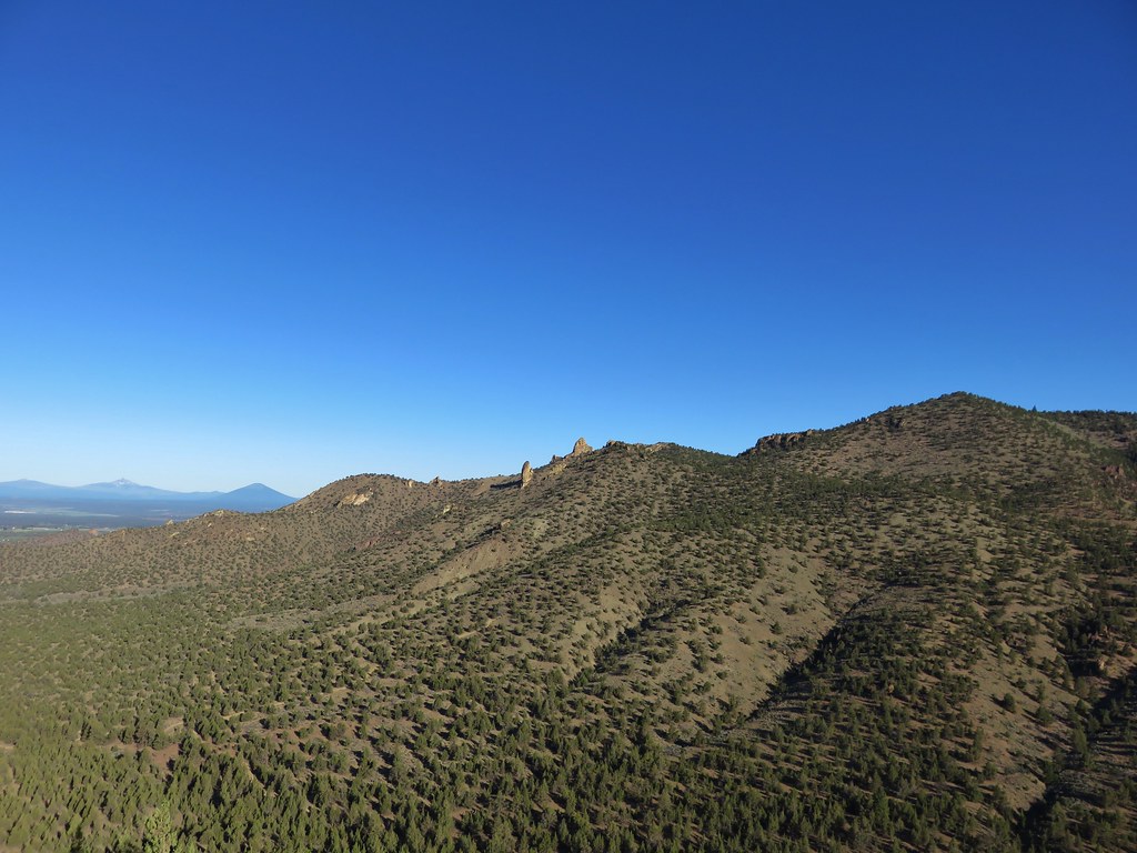
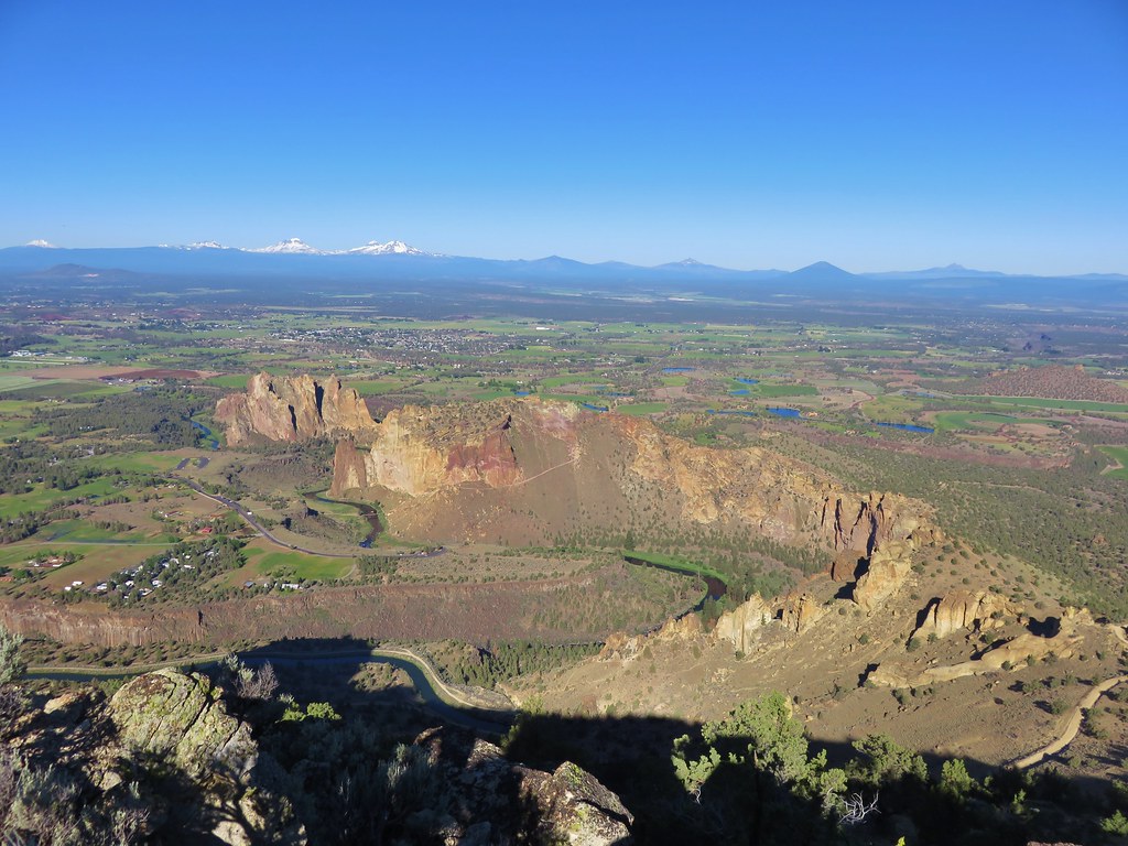
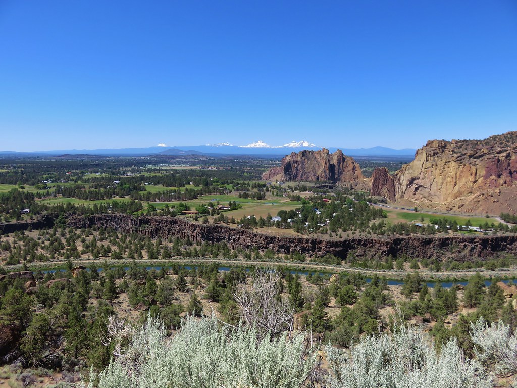
We could see Smith Rock below us as well as the trail we were trying to get too at a junction with Burma Road.

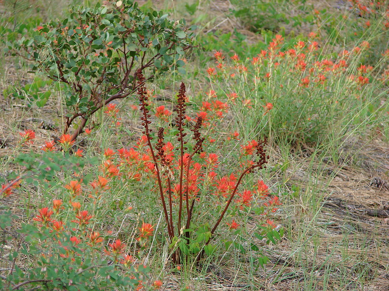
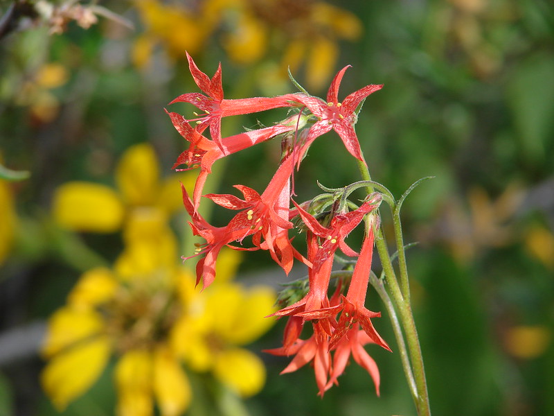
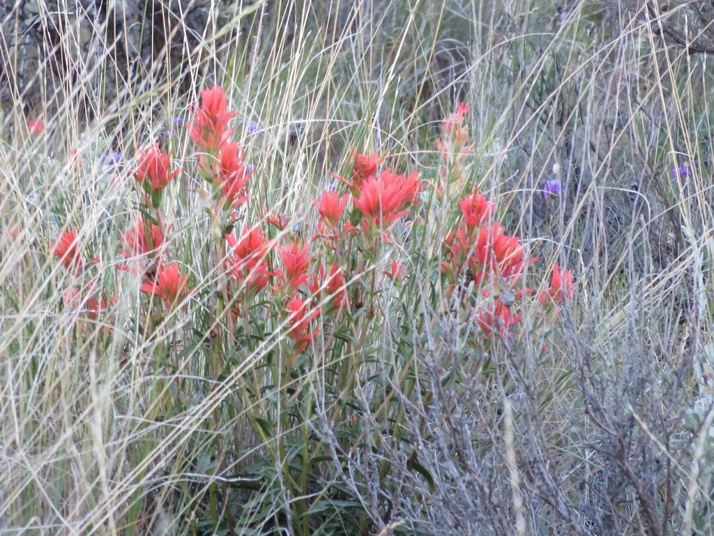
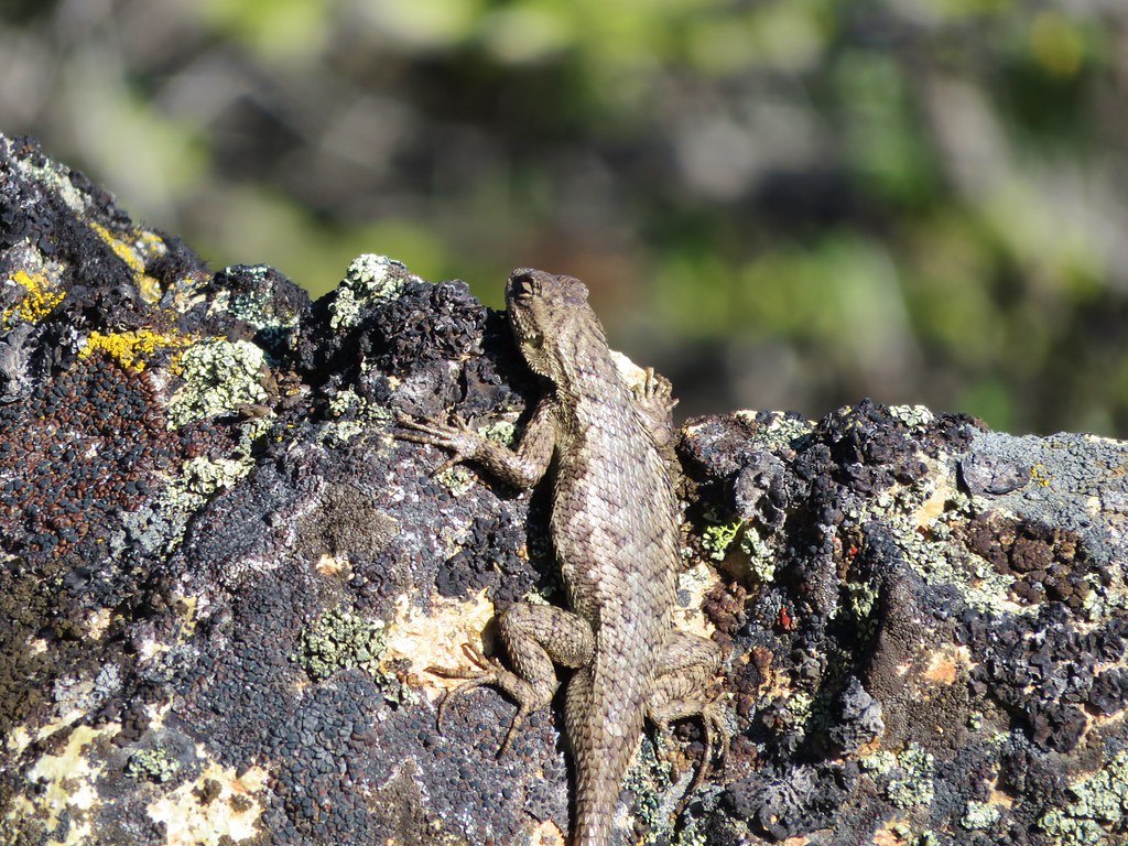
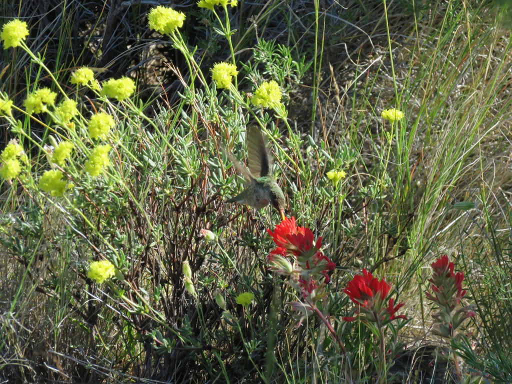
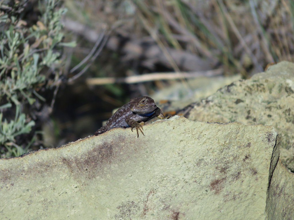
On the way back down we passed a western fence lizard sunning on the rocks and a hummingbird busy collecting nectar from paintbrush.
We got back on the correct trail and continued to head toward Smith Rock.
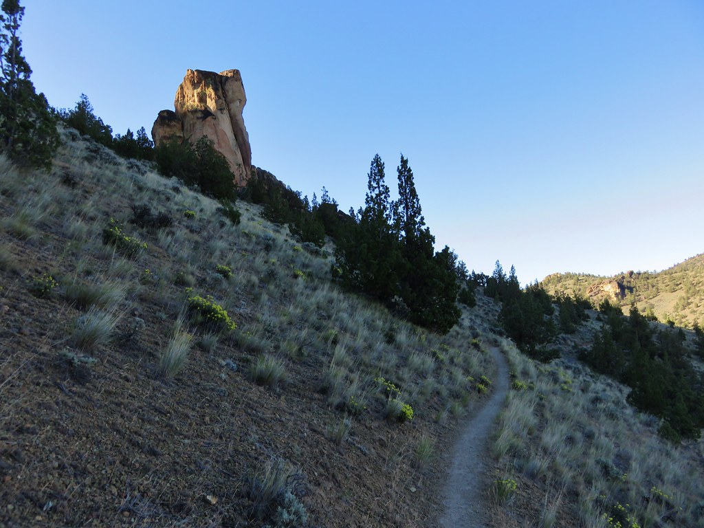
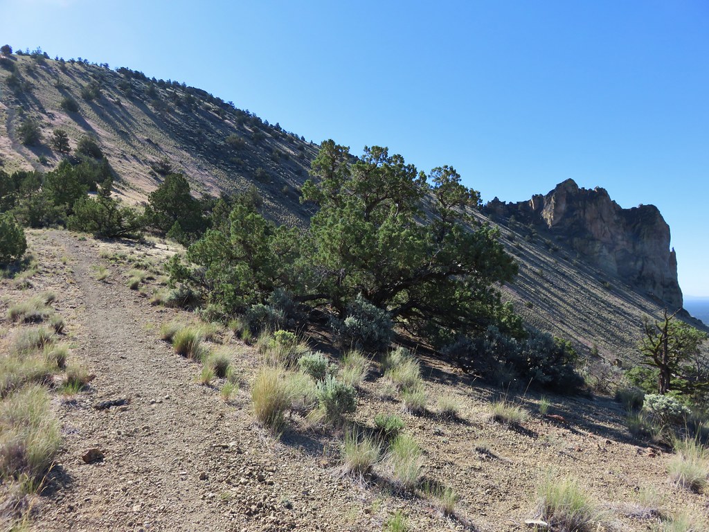
We passed along the side of the butte we had detoured up before arriving at the trail junction we had seen from above.
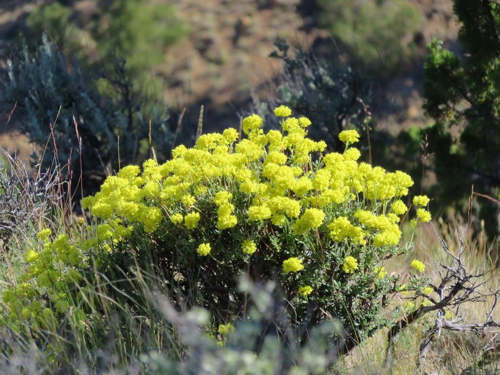
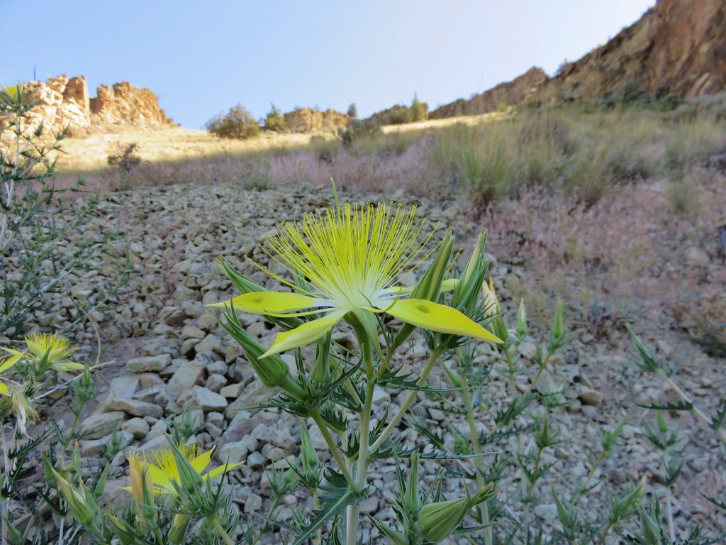
Even though the grassland doesn’t put on the kind of flower show that alpine meadows or the Columbia Gorge can we continued to see various flowers all throughout the hike.


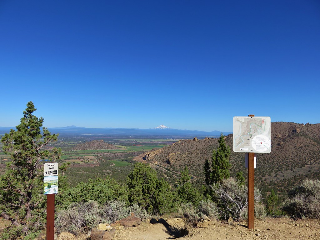
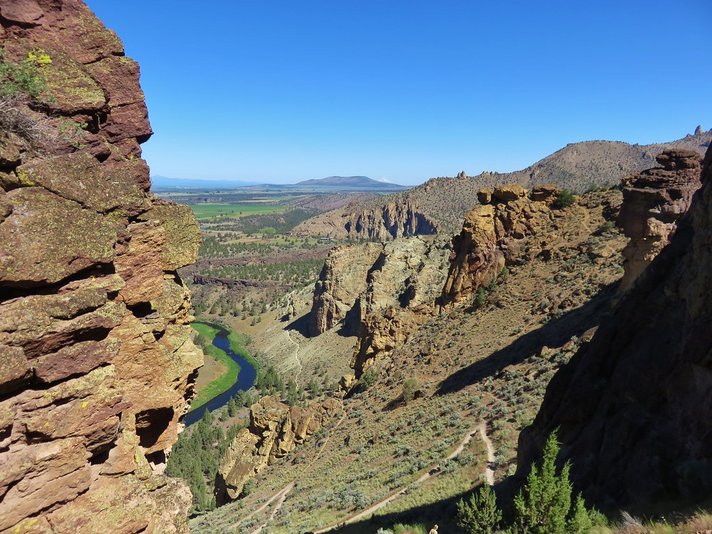
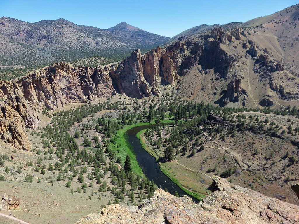
We were now on the Summit Trail in Smith Rock State Park and heading for the Mesa Verde Trail. At a viewpoint along the way we could see the Crooked River as it was winding through the park as well as a section of the Misery Ridge Trail that we would be descending later on.
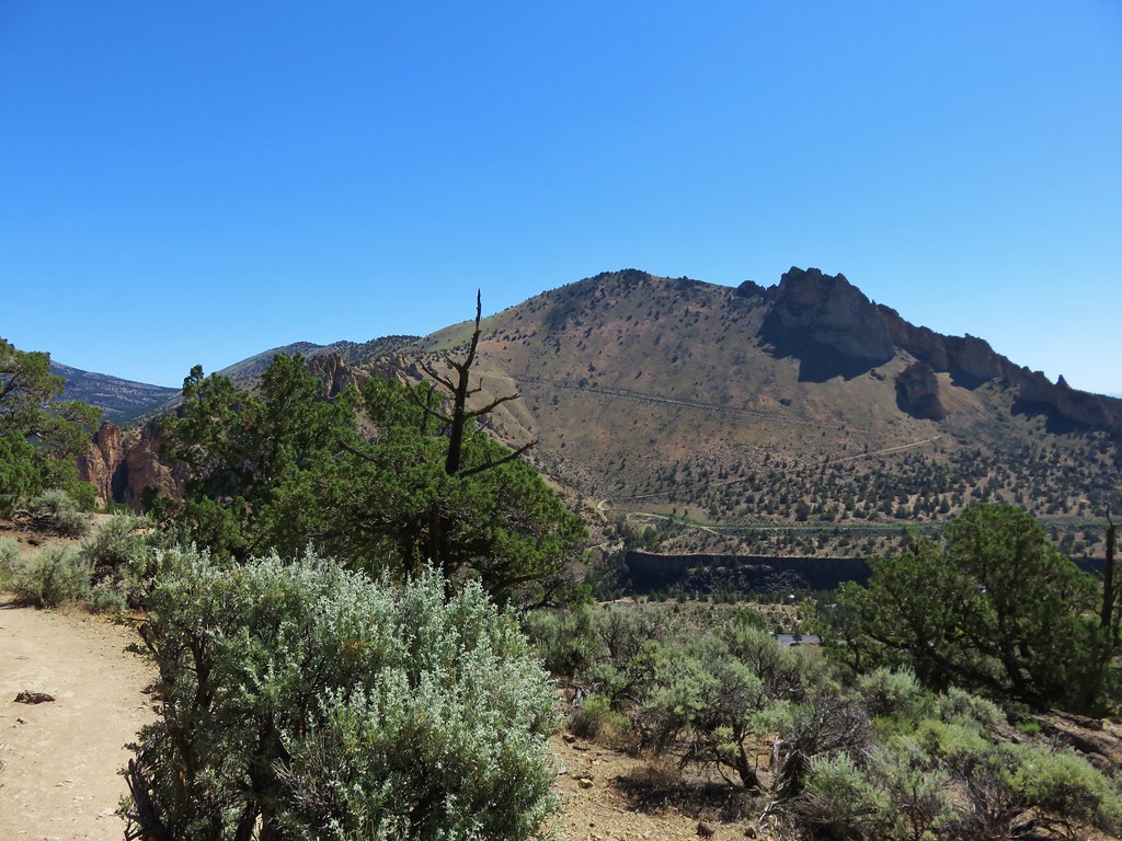
We could also see Gray Butte and the hillsides we had traversed earlier.

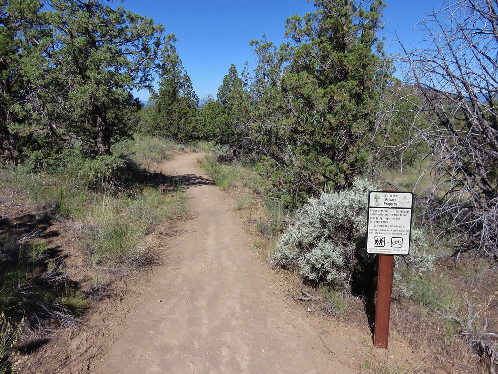
We had already passed through Forest Service, BLM, and Oregon State Park lands when the Summit Trail entered a short section of privately owned lands.
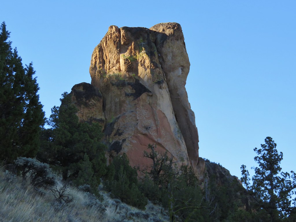
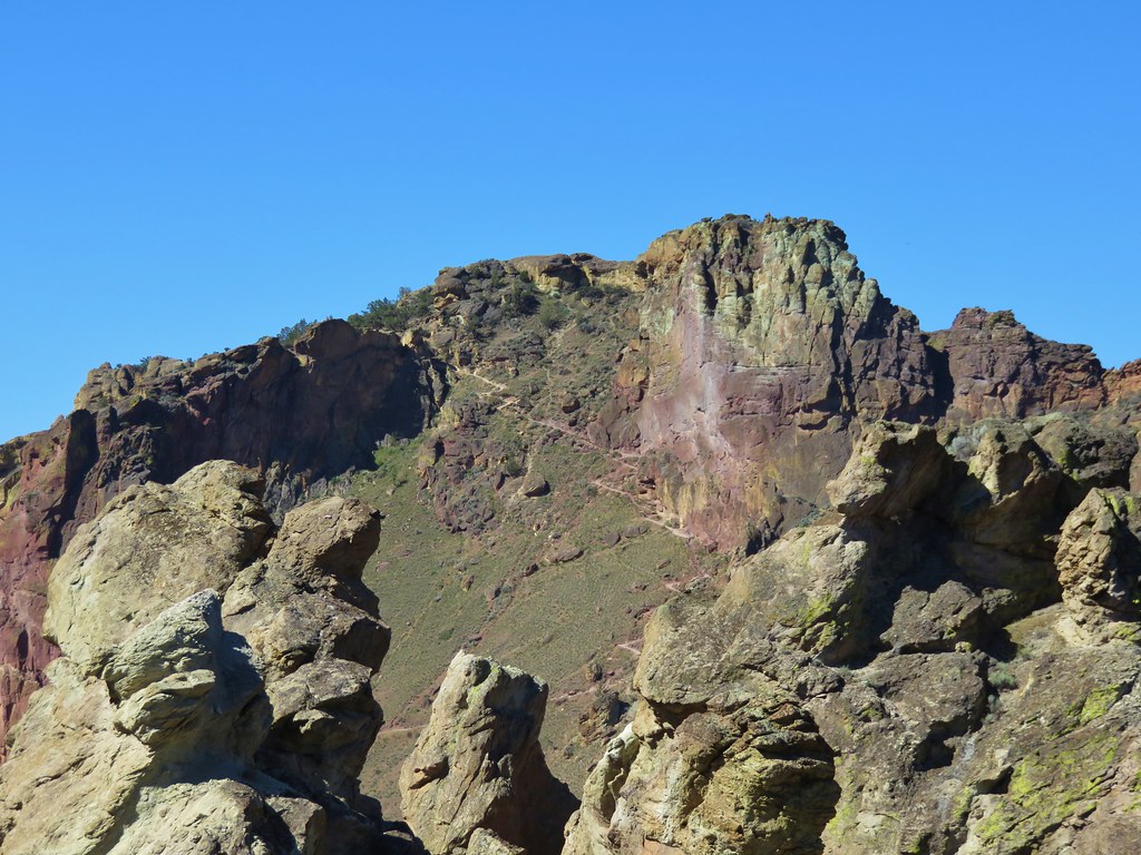
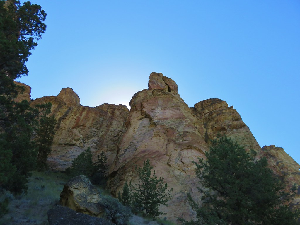
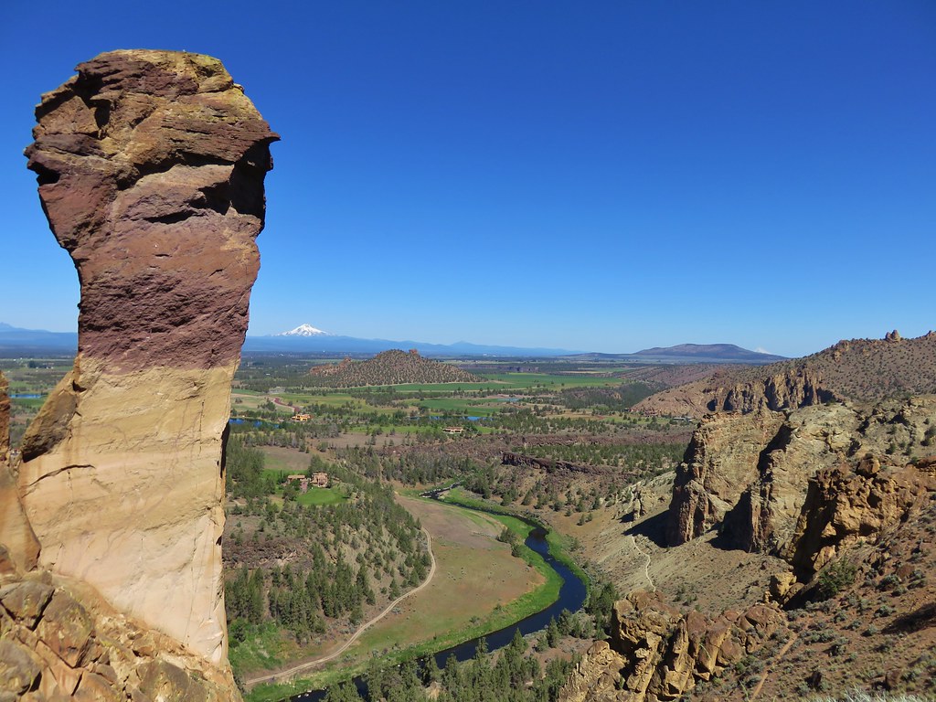
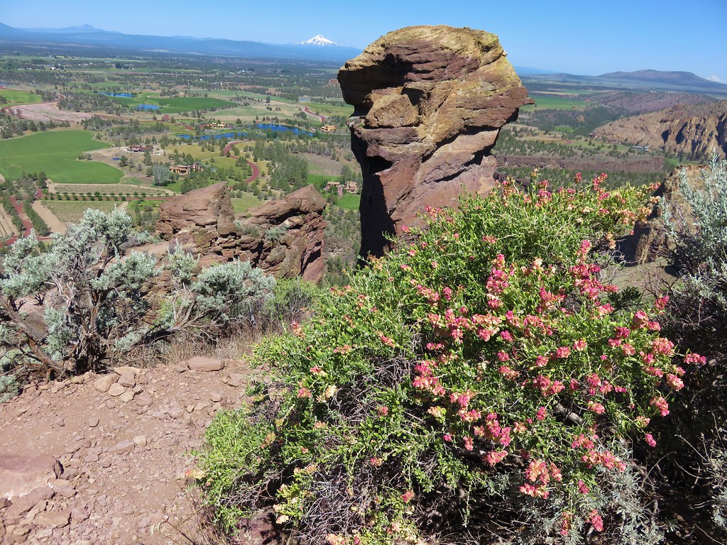
The Crooked River and Smith Rock’s most famous feature, Monkey Face, came into view as we reentered the park.

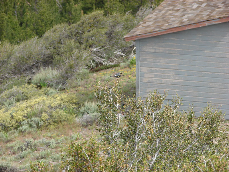
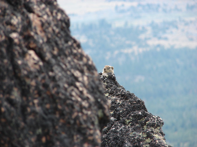
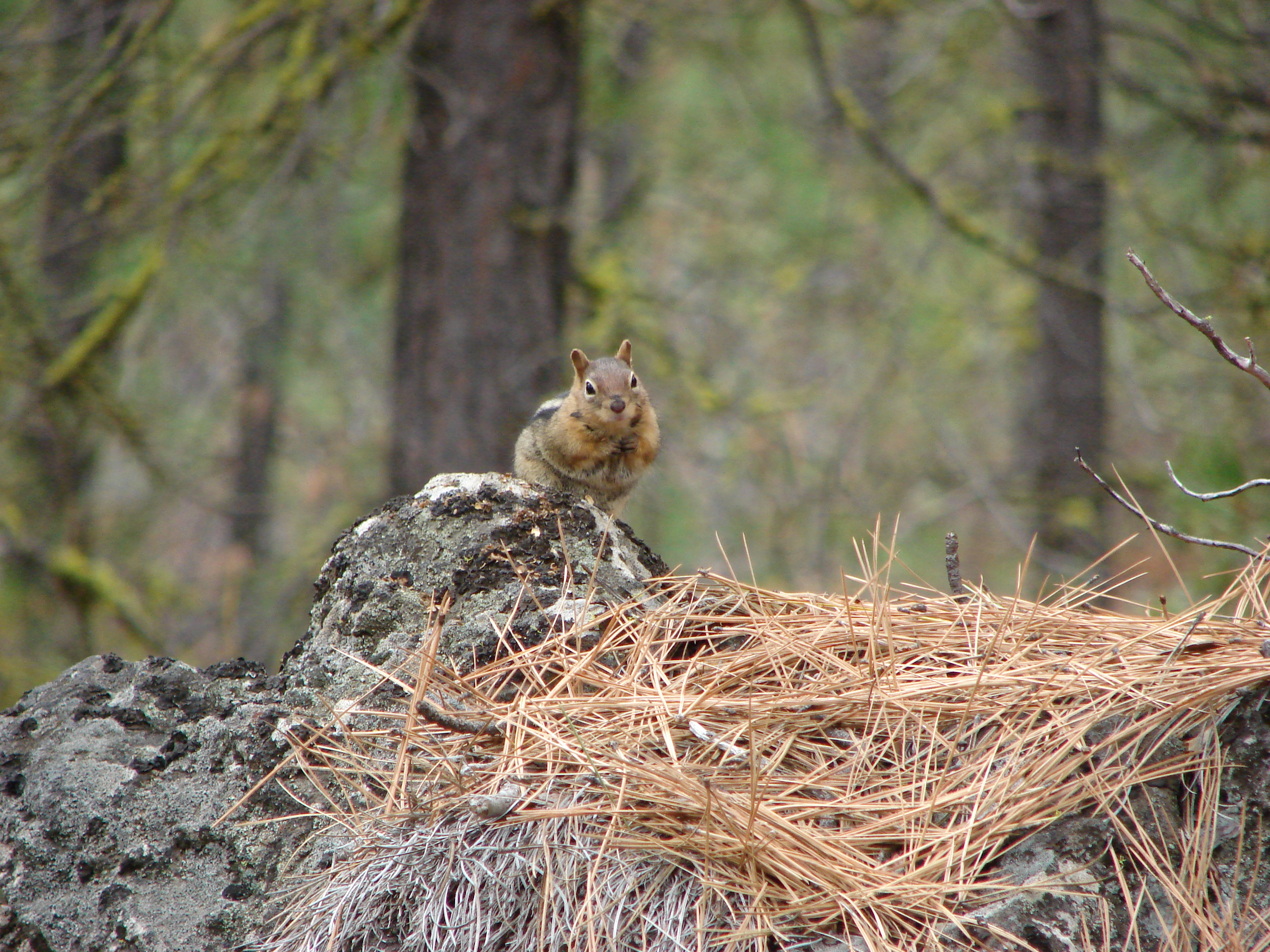
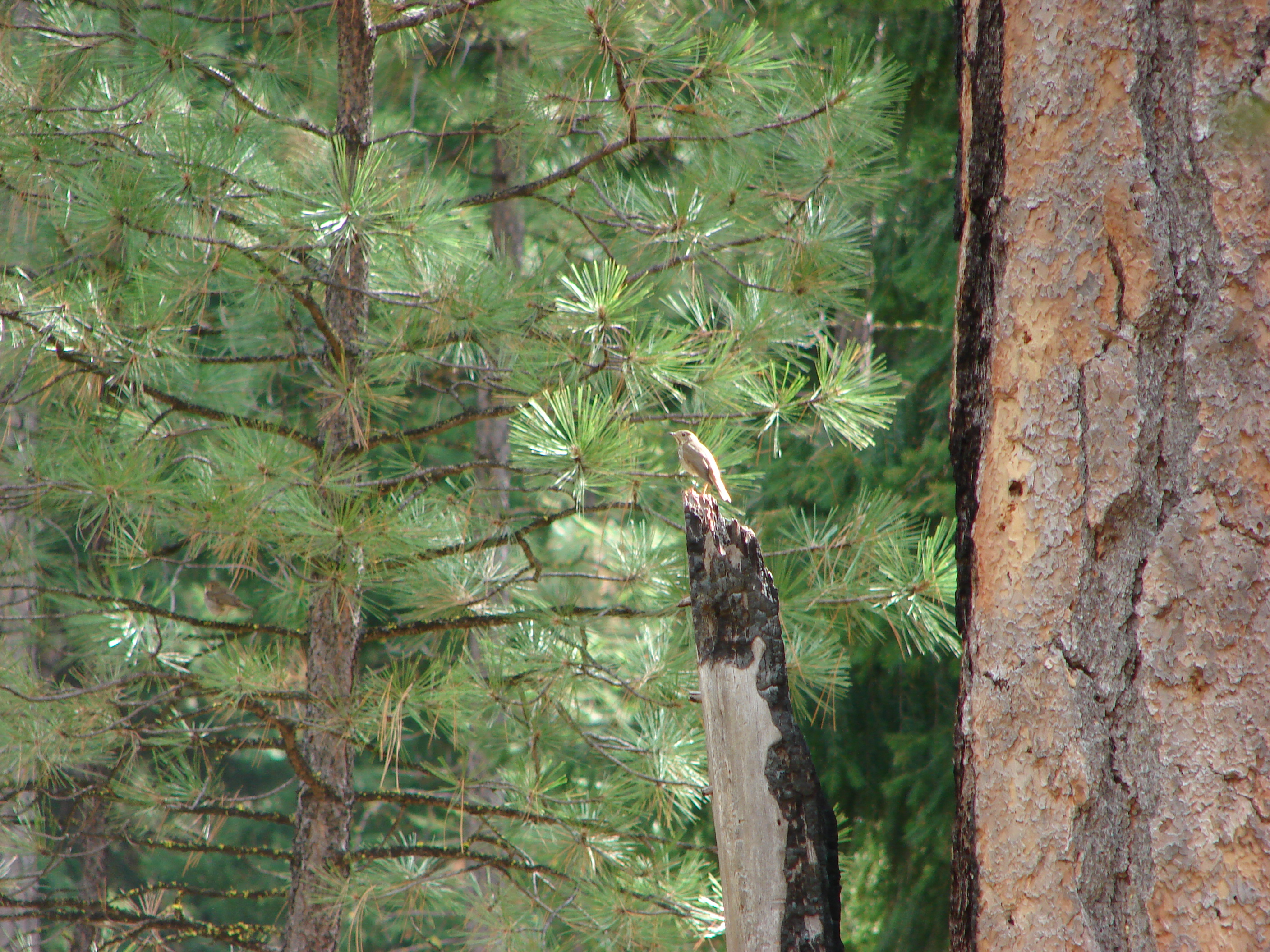
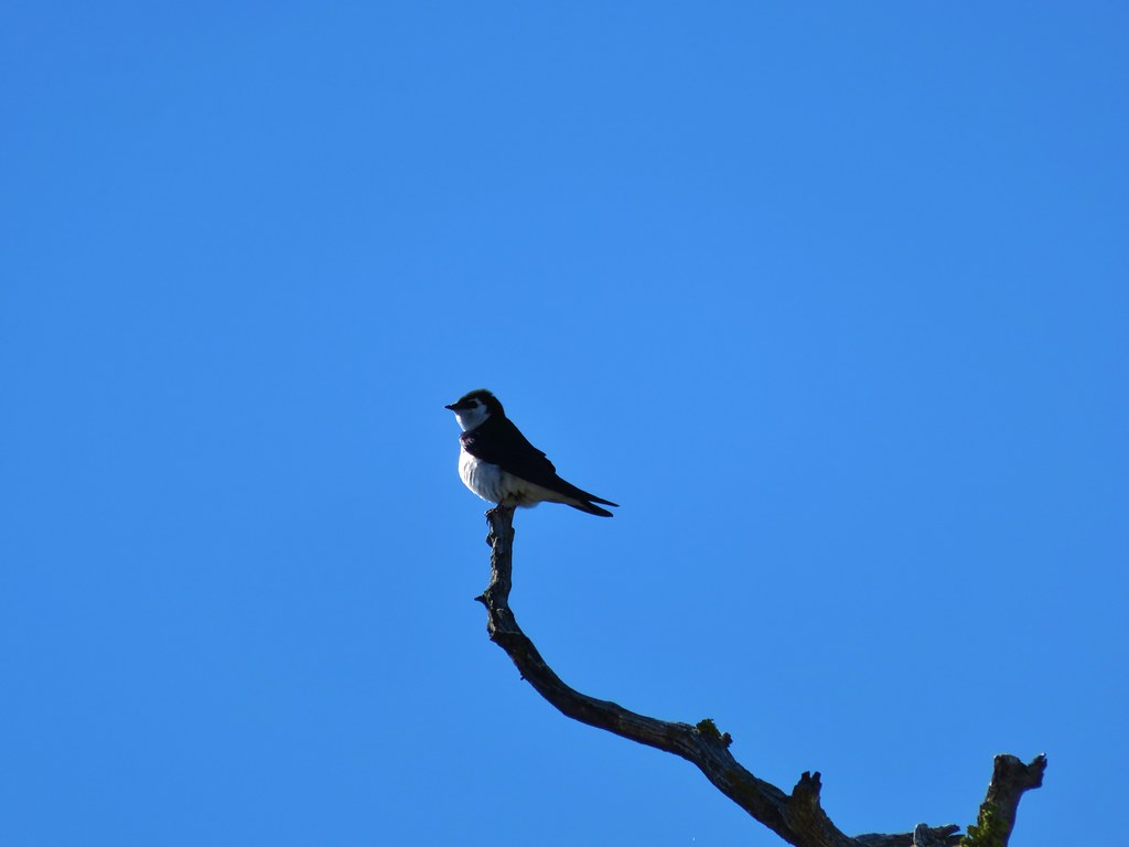
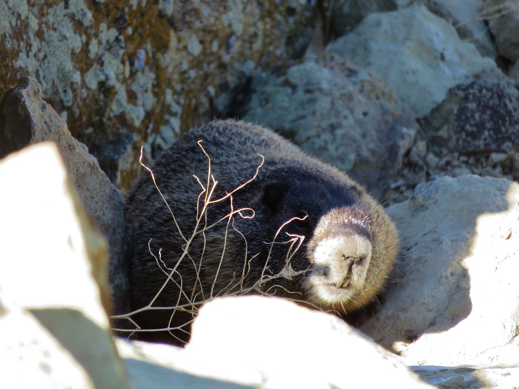
We were greeted by number of locals.
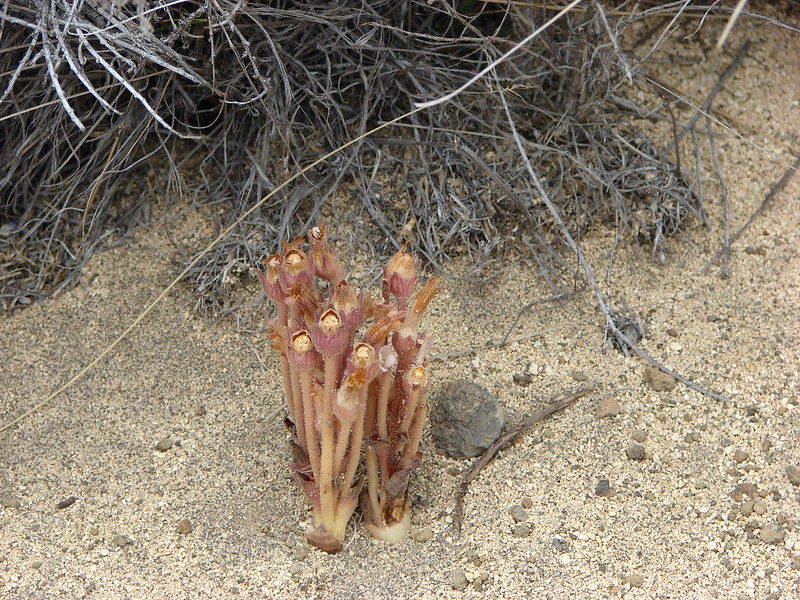
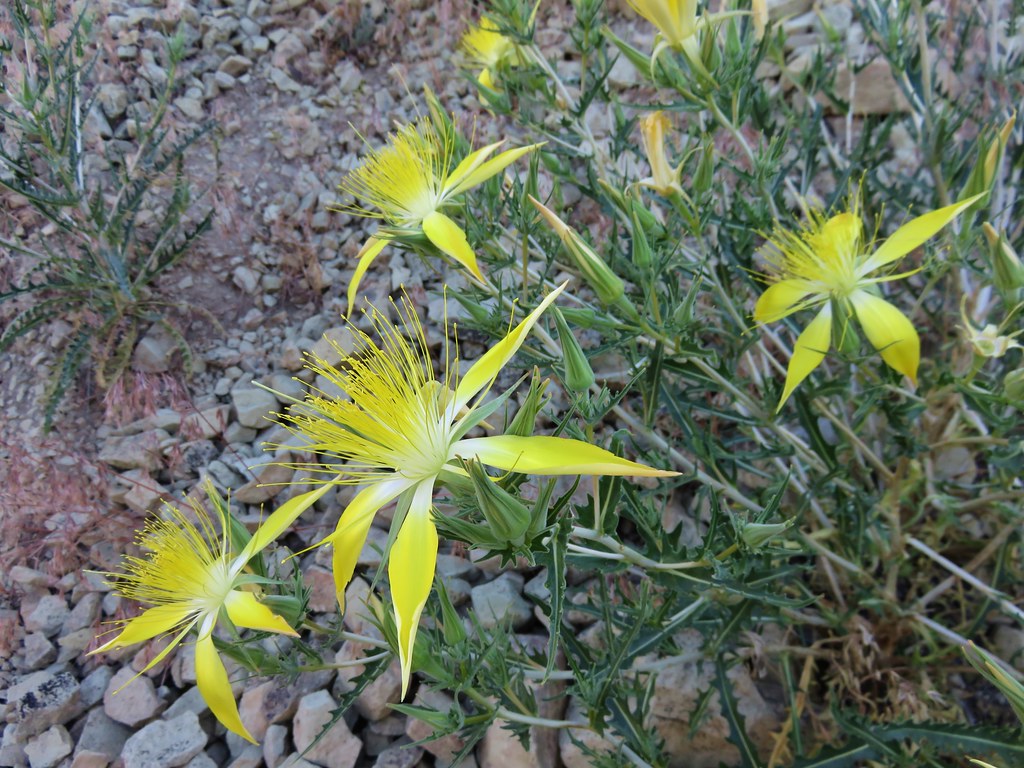
As we passed by a rockfield we noticed a group of rather large very interesting flowers. They turned out to be smoothstem blazing-star.

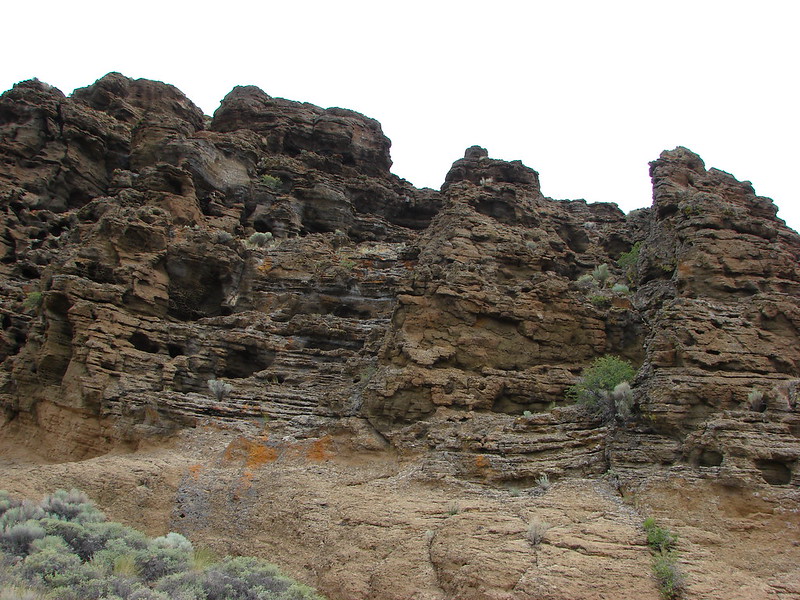
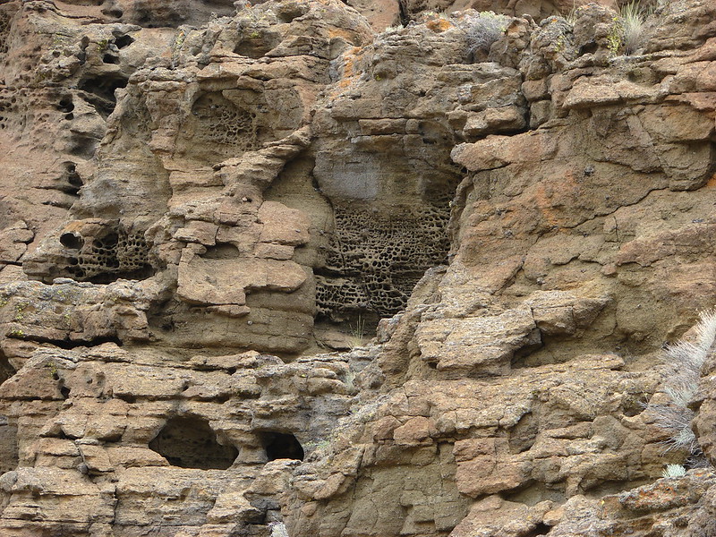
The colors and textures of the rocks in the park never ceases to impress.
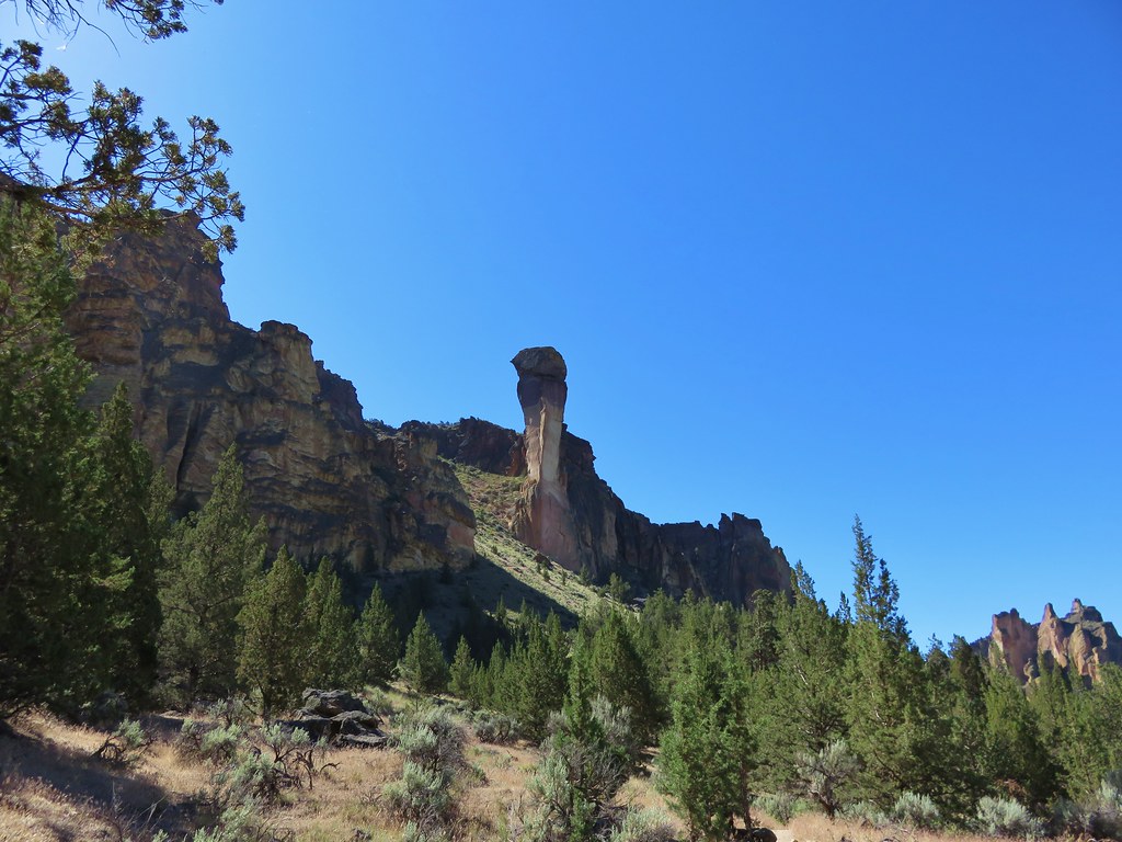
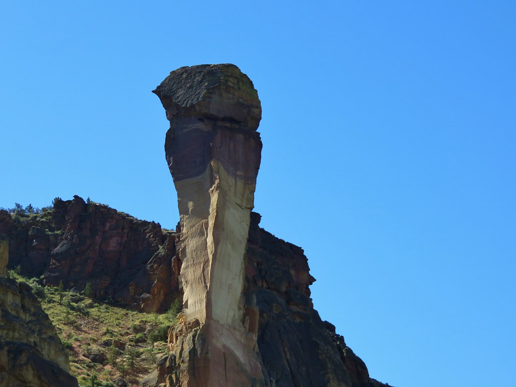
We turned up the Mesa Verde Trail and climbed to a junction with the Misery Ridge Trail below Monkey Face.
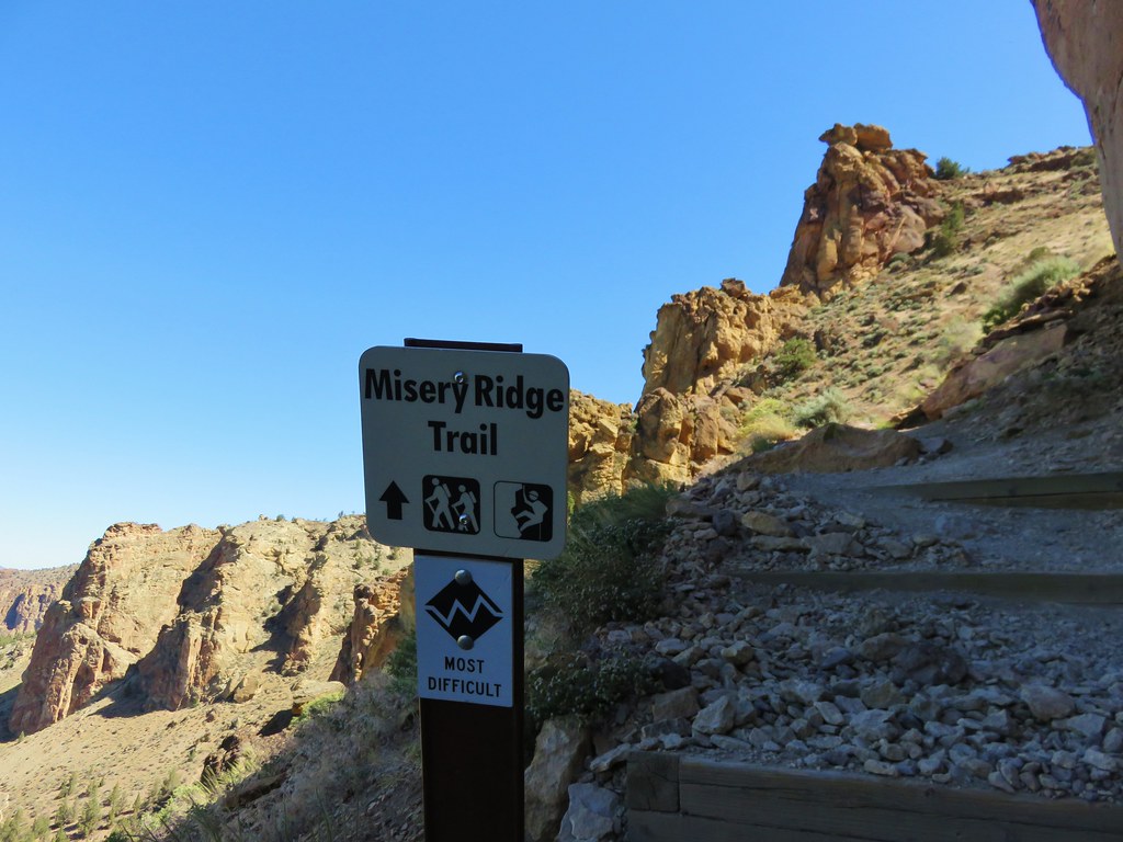
As mentioned before this was our third time on the Misery Ridge Trail but the first time we had gone up from this side. We all agreed it was actually easier to go up this side than down it due to the loose dirt and rocks that make the trail slick. We followed the switchbacks up along Monkey Face to the busy summit where the view is worthy of a long look.
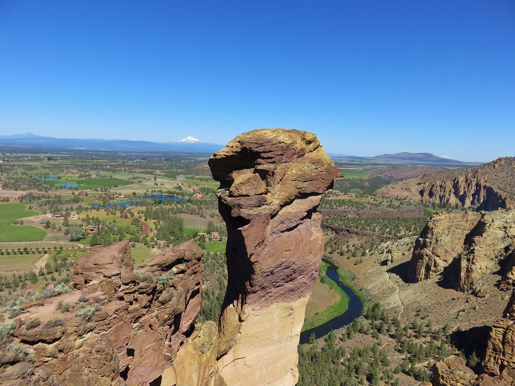
We could once again see Mt. Hood and Gray Butte.
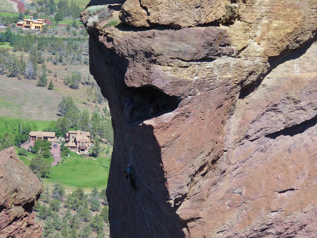
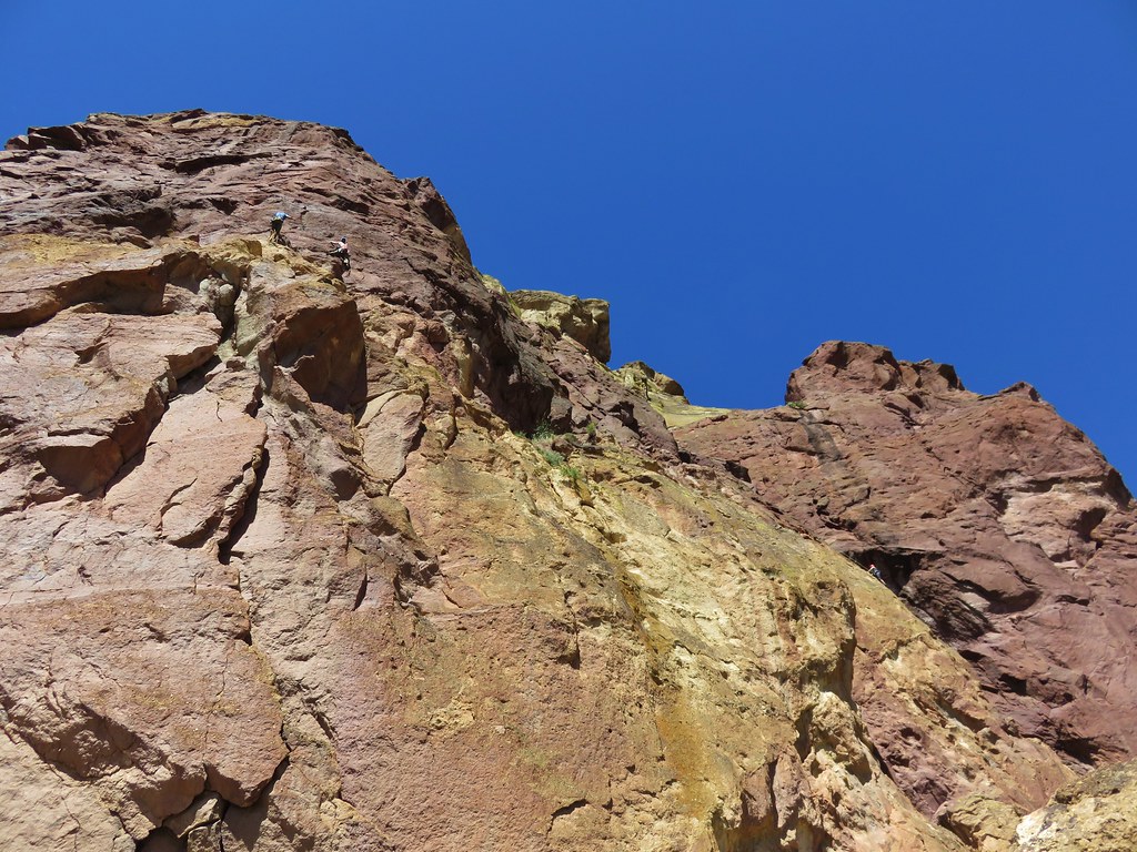
Climbers were busy making their way up Monkey Face.
We could also see our return route along Burma Road which ran along the hillside below our earlier unscheduled summit.
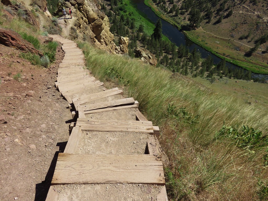
We crossed the summit and got ready for our descent down Misery Ridge to the Crooked River below.
Unlike the other end of the trail we had many steps to use.
We passed under a number of rock climbers before reaching another trail junction near the only footbridge over the river in the park.
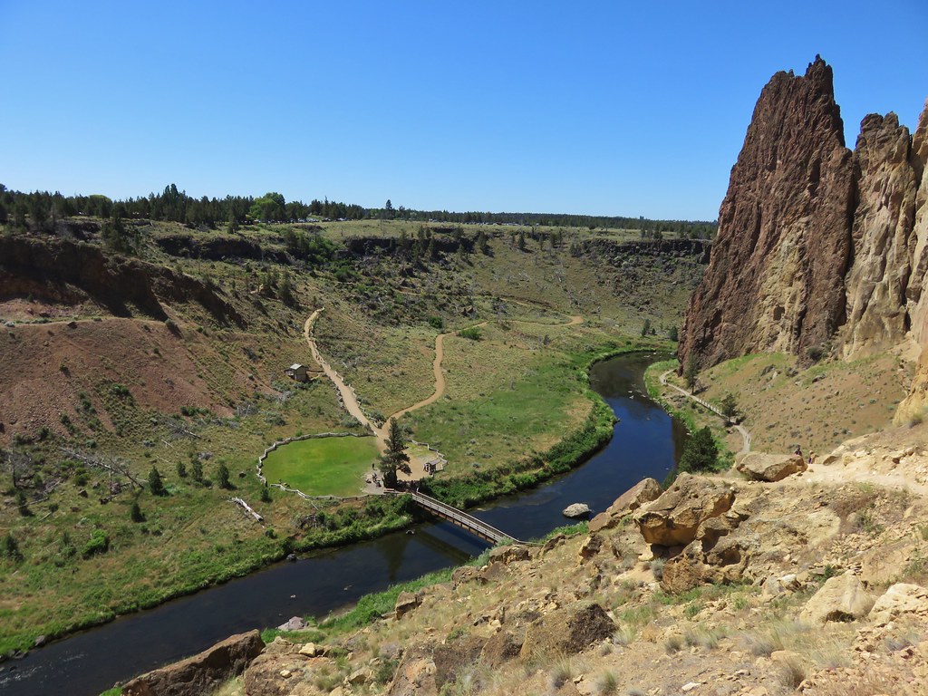
We turned left along the Wolf Tree Trail which traveled along the Crooked River.
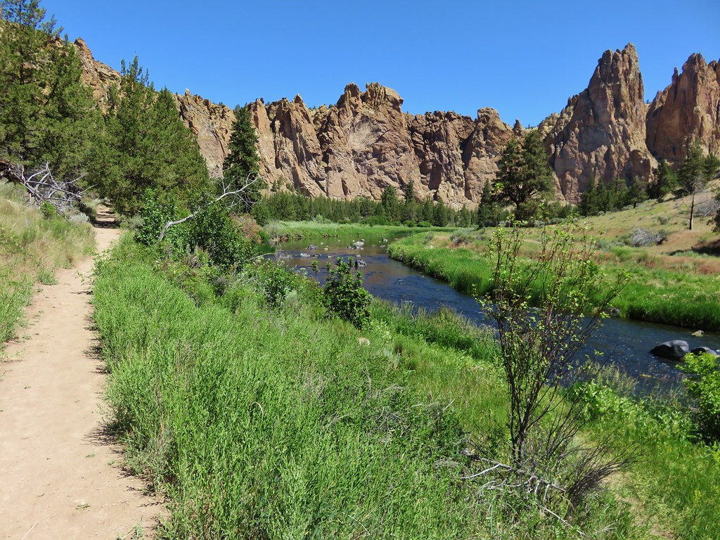
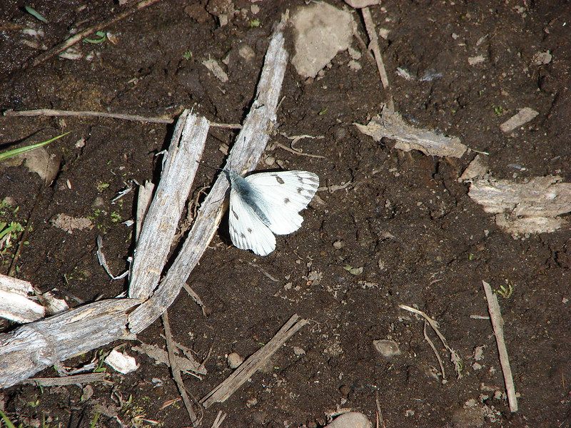
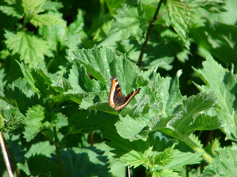
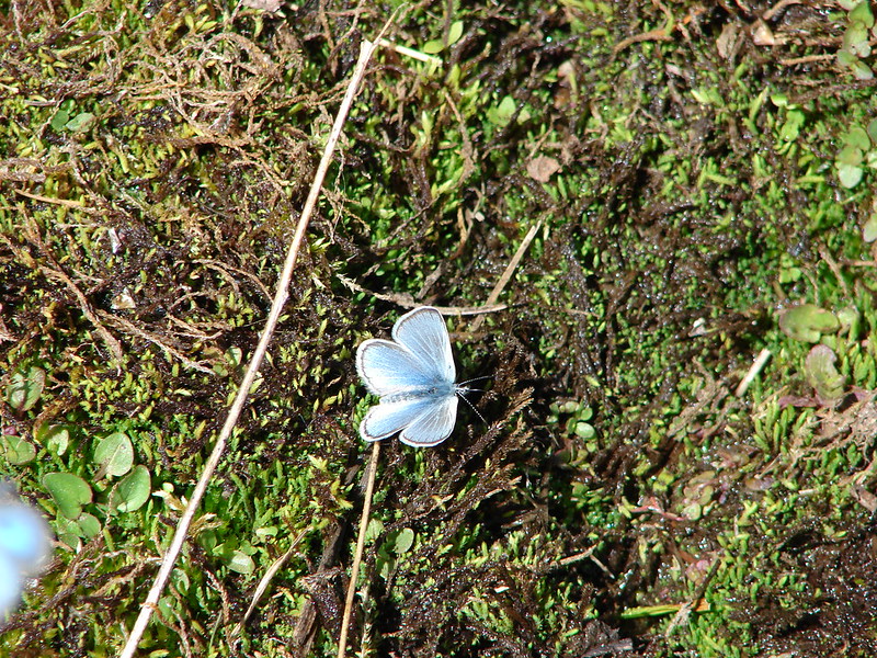
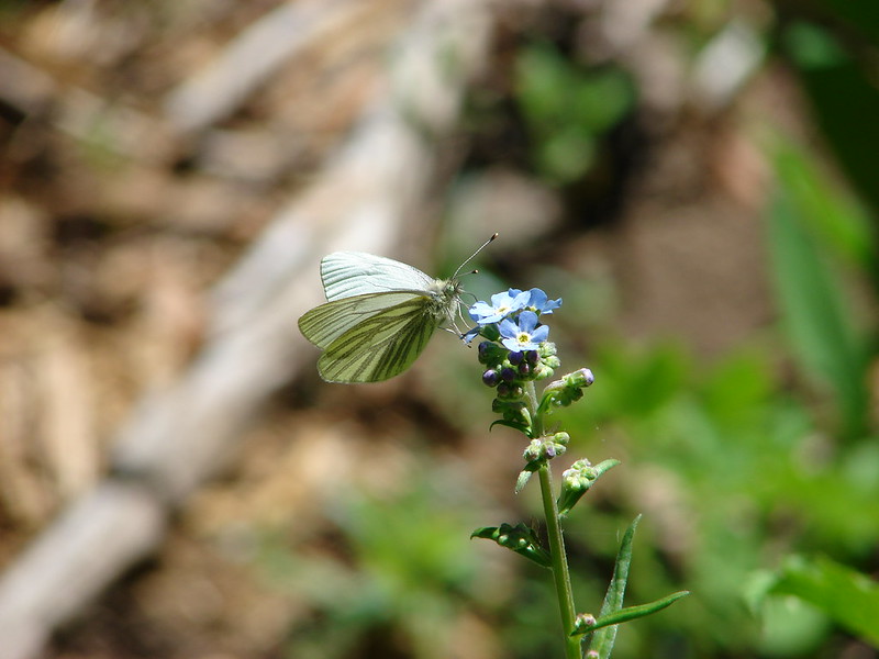
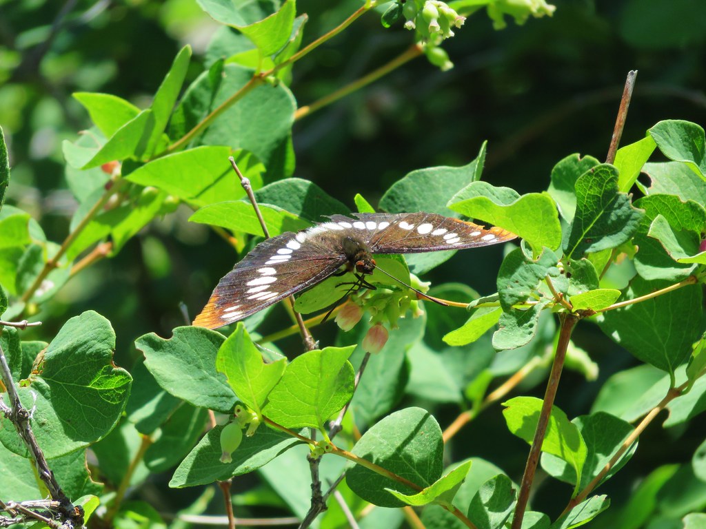
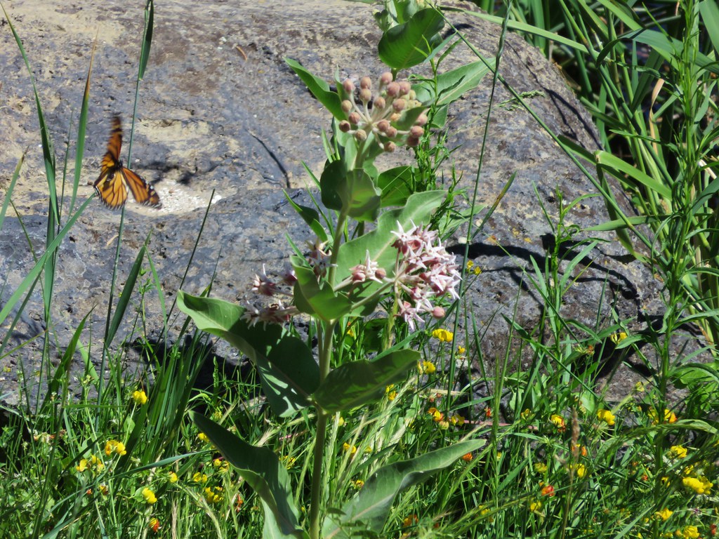
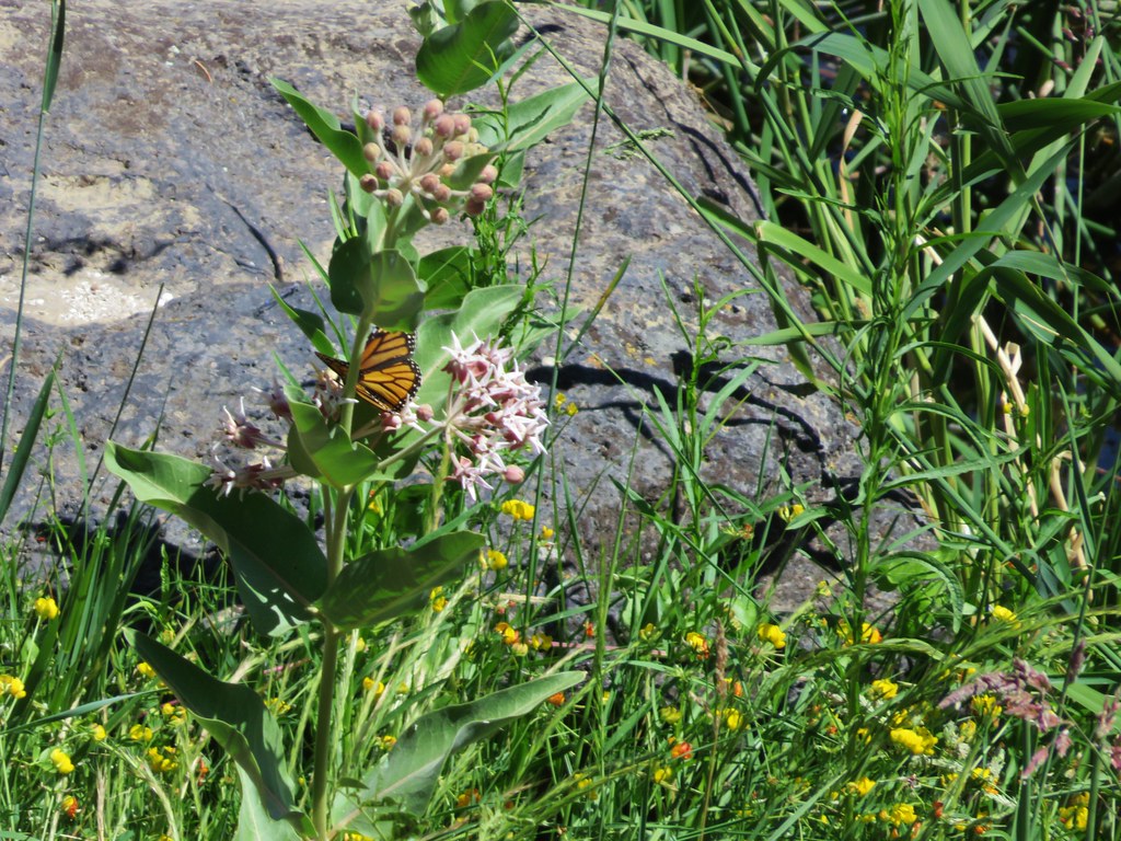
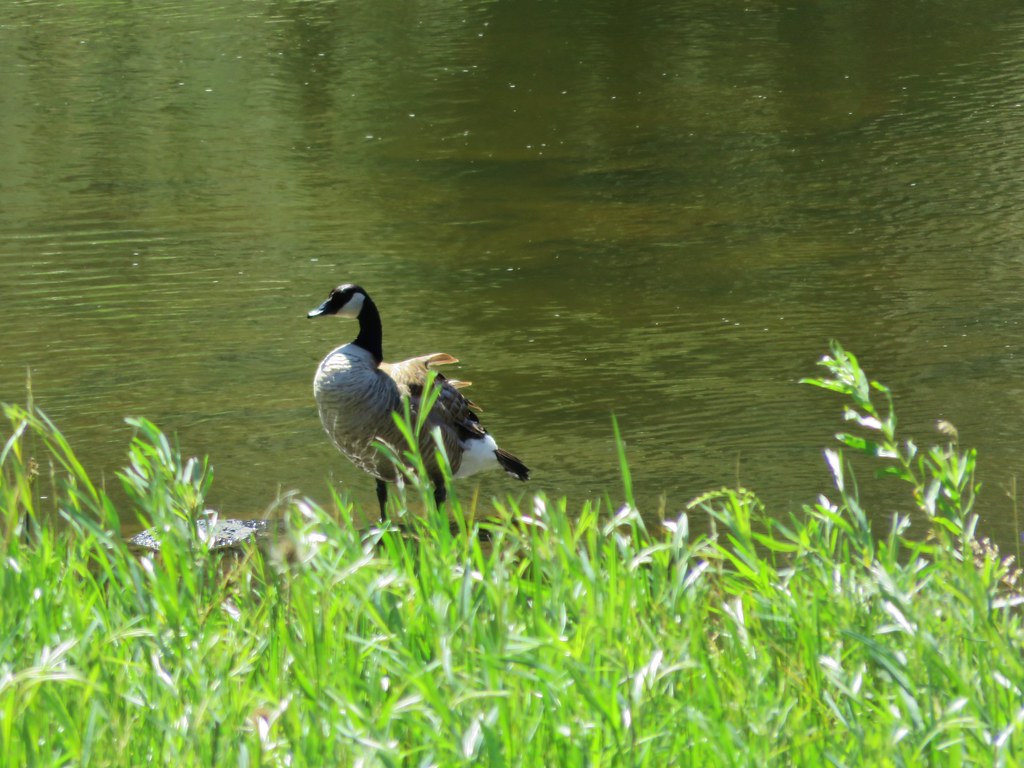
Butterflies were flitting along the banks while geese enjoyed the water.

After almost a mile we reached a sign for Burma Road.
We had a .9 mile climb up Burma Road to get back to the Gray Butte Trail junction. The road passed by a canal and reentered BLM lands. It was another fairly steep climb with the sun beating down on us, but we managed to make it up to the junction.

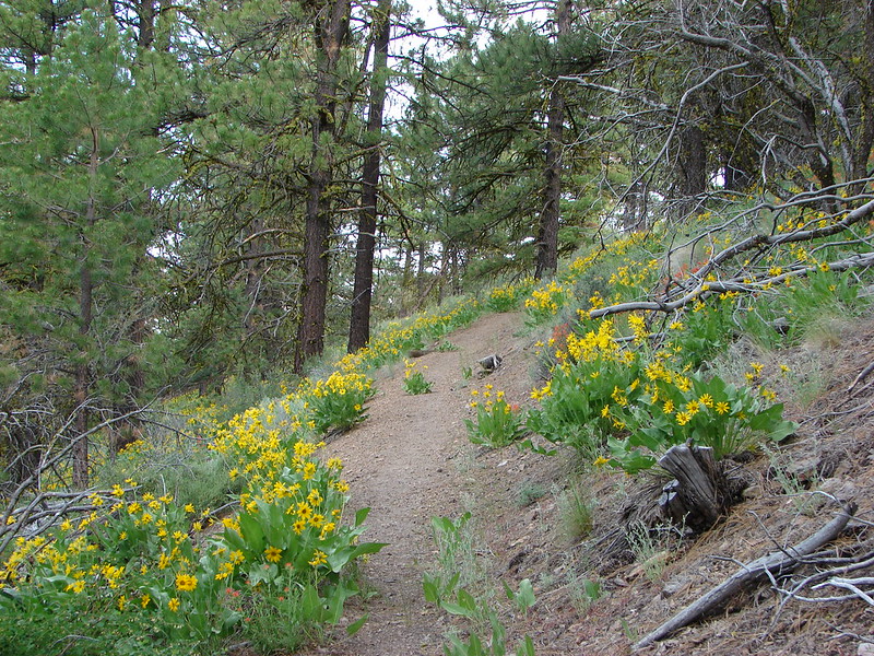
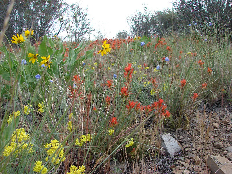
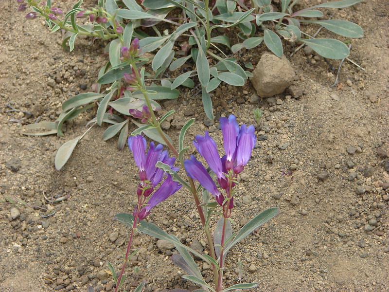
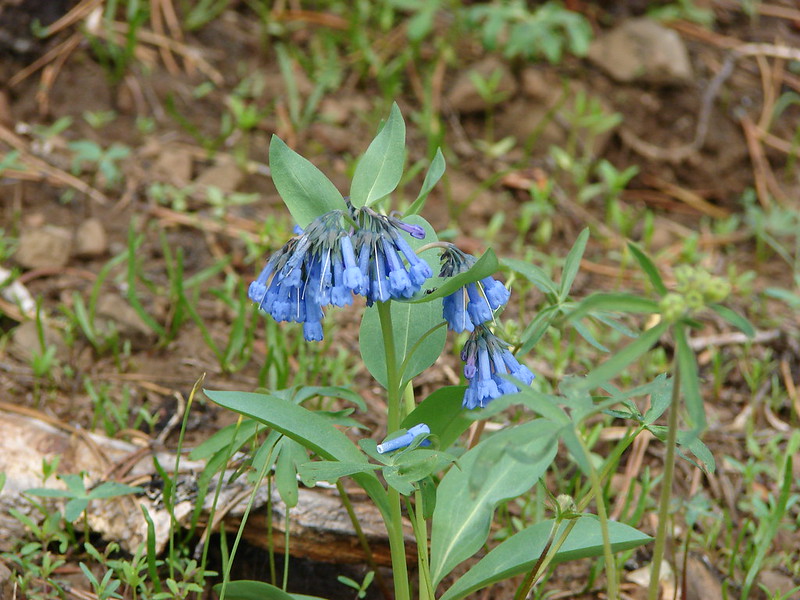
Our backs were to the park and mountains for most of the return trip on the Gray Butte Trail, so we focused on spotting additional wildflowers as we went.

What should have been a 10.5 mile hike had turned into 12.1 miles thanks to our little detour but it had been well worth it. This was a tough hike and probably best during the month of May, but it was packed with big views, plenty of wildlife, various wildflowers, and lots interesting scenery. Happy Trails!
flickr: https://www.flickr.com/photos/9319235@N02/sets/72157652211766433