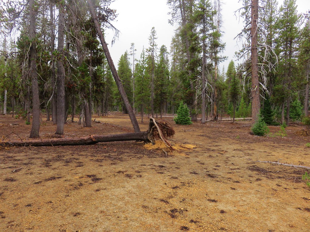
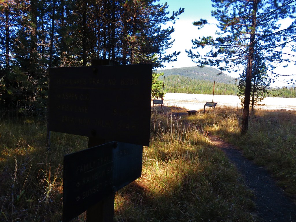
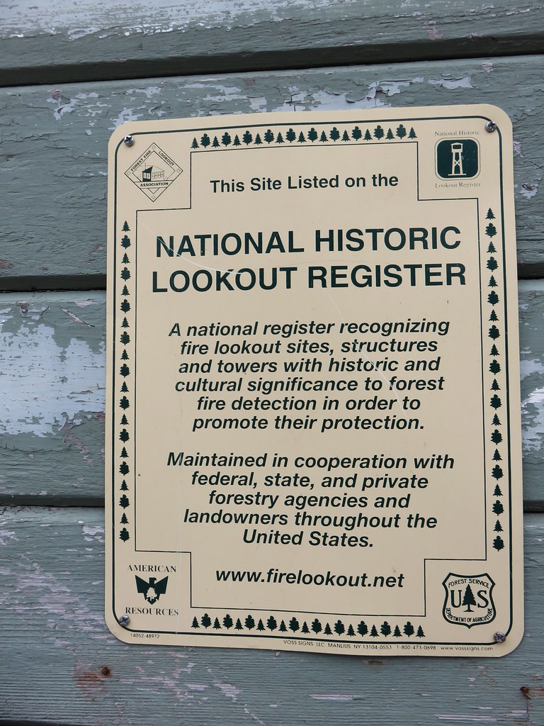
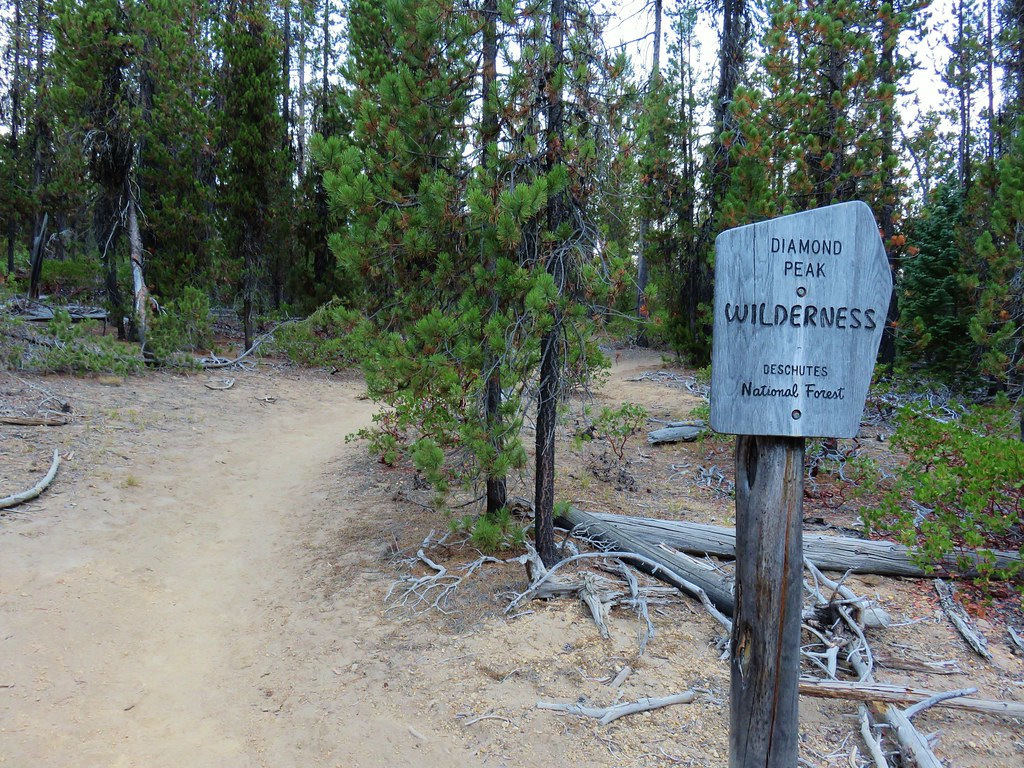
**Note the 2020 Lionshead Fire burned the area covered by this hike.**
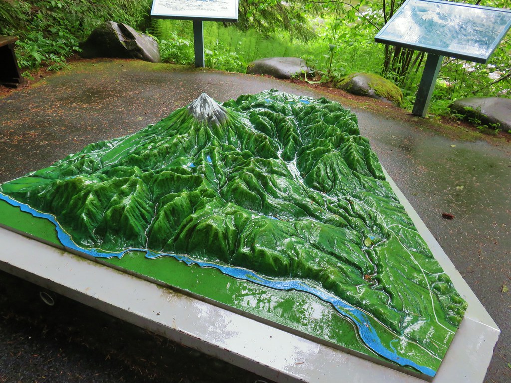
We were looking for a relatively short, nearby hike so that we could get back to Salem early. It was Salem Summit Companys (our favorite local outdoor store)7th anniversary so they were having a sale, raffle, and free pizza. We turned to Matt Reeder’s “101 Hikes in the Majestic Mt. Jefferson Region” for inspiration and chose a pair of hikes not far outside of Detroit, OR.
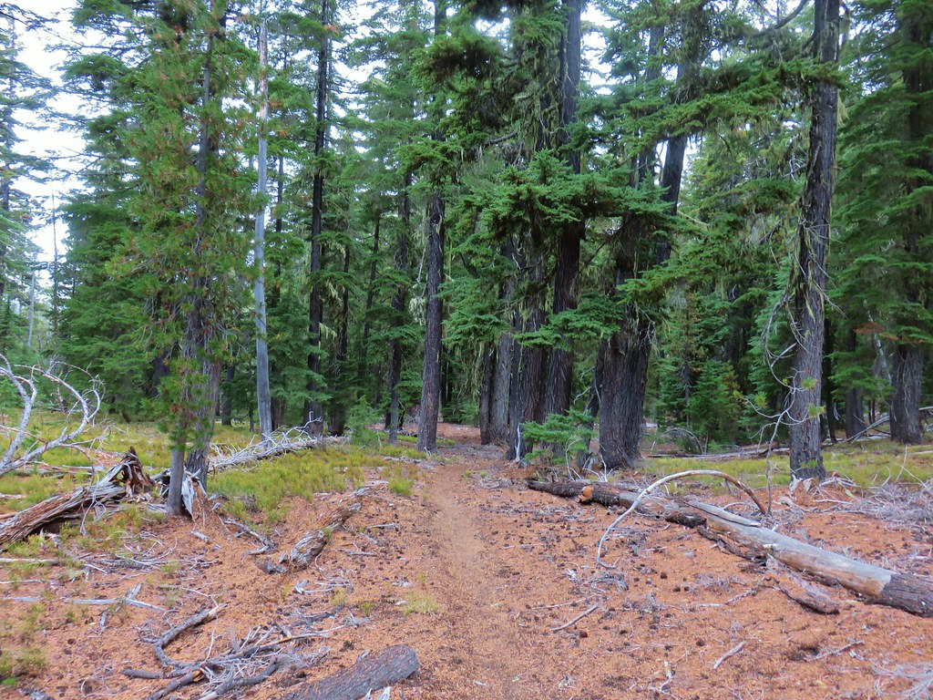
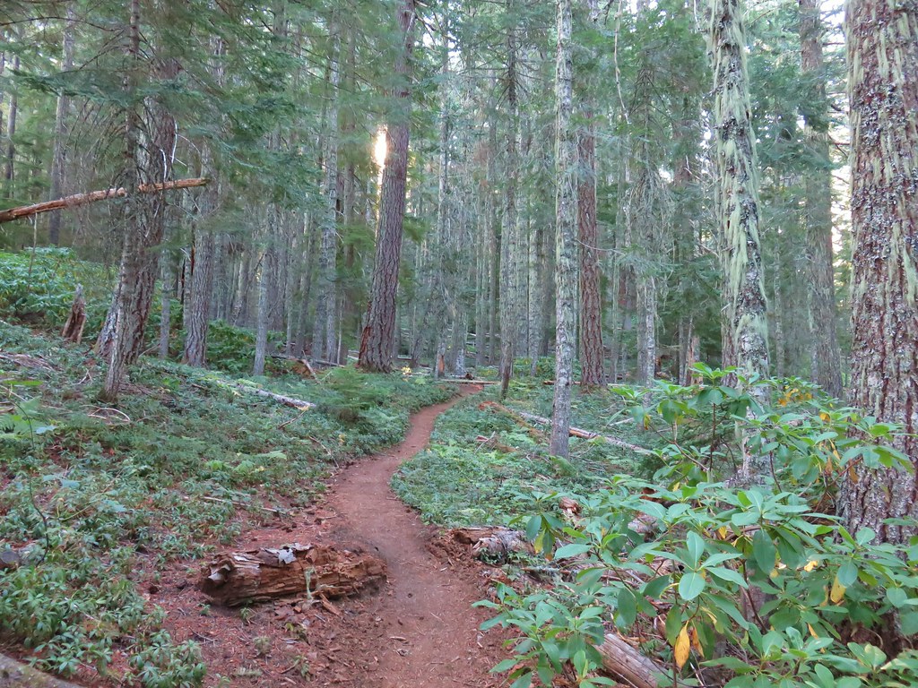
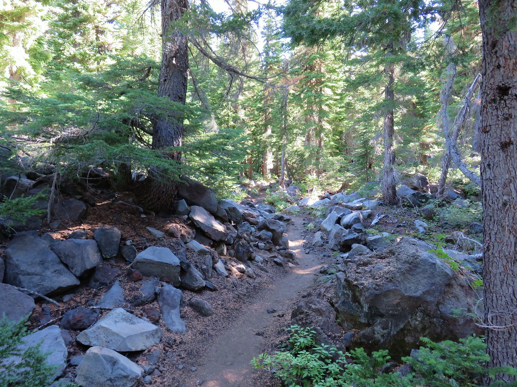
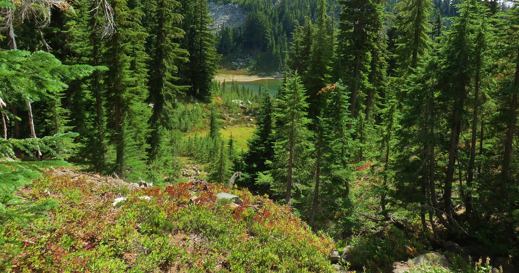
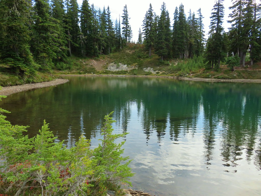
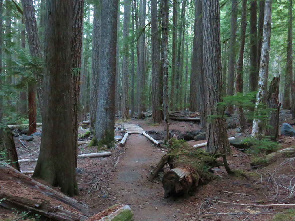
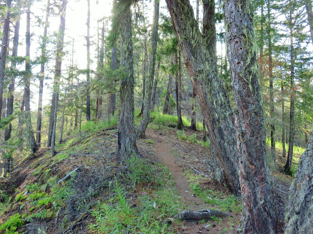
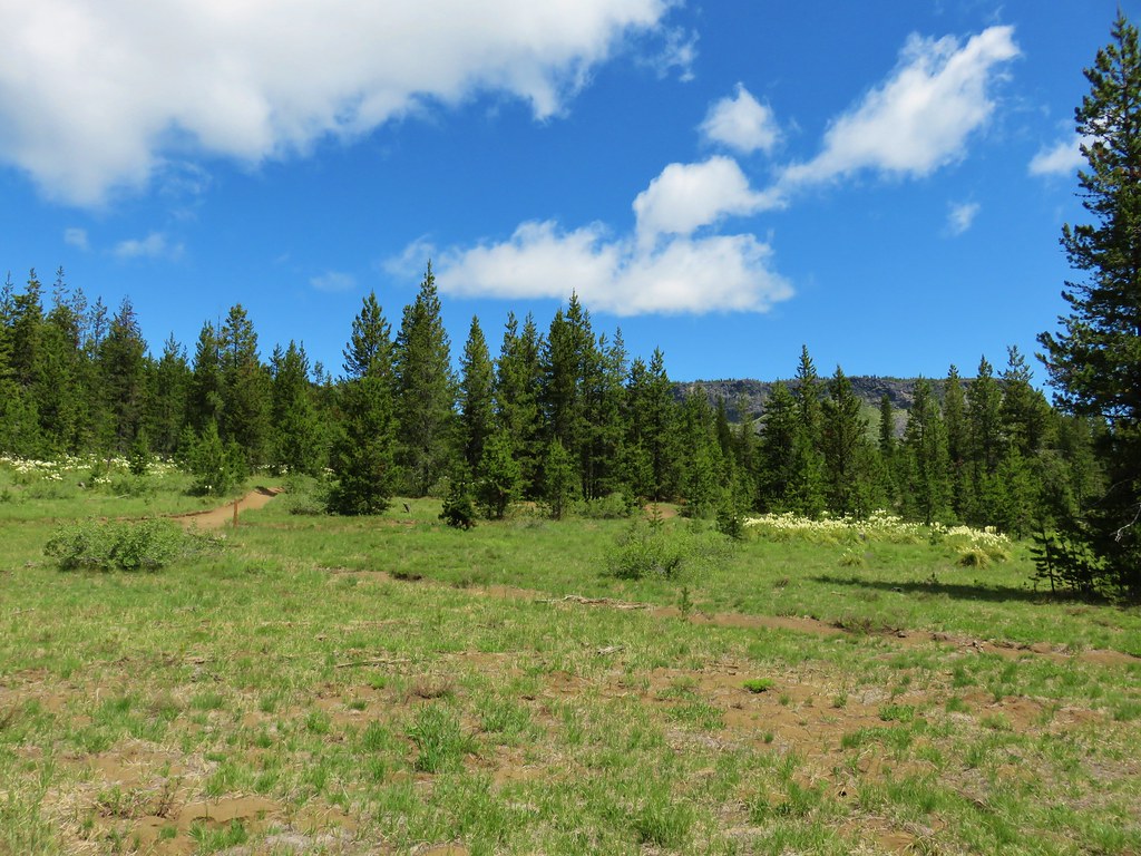
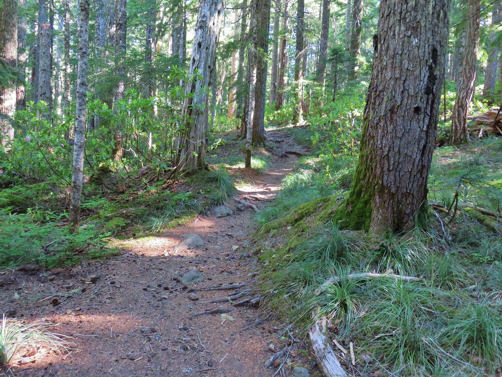
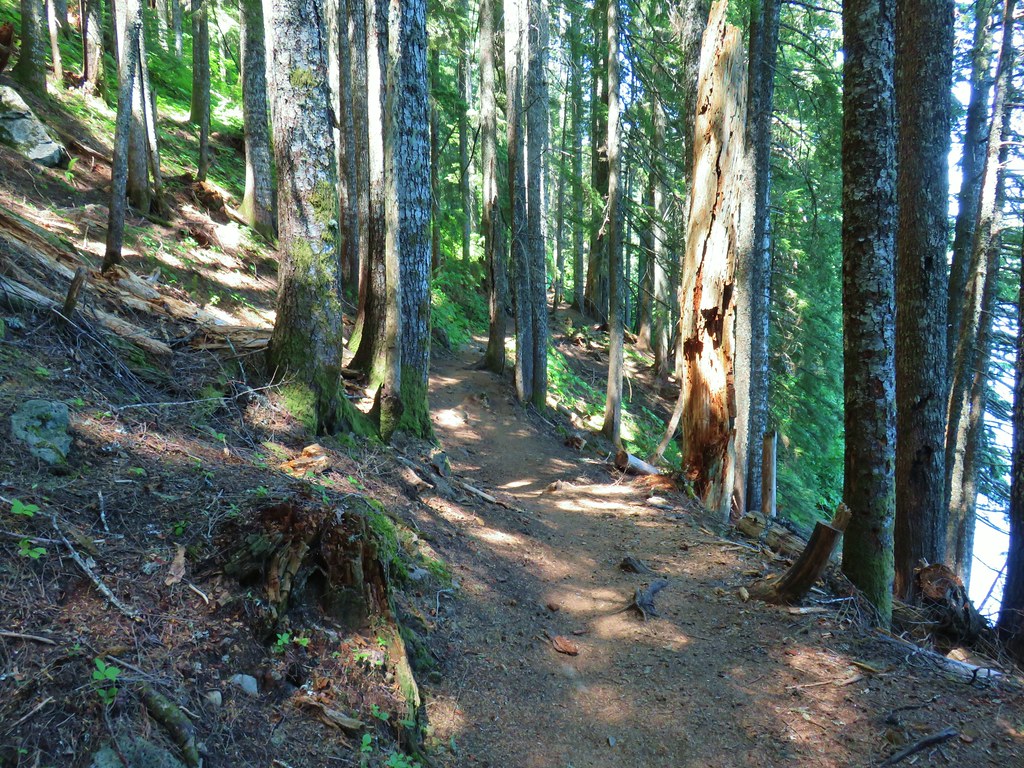
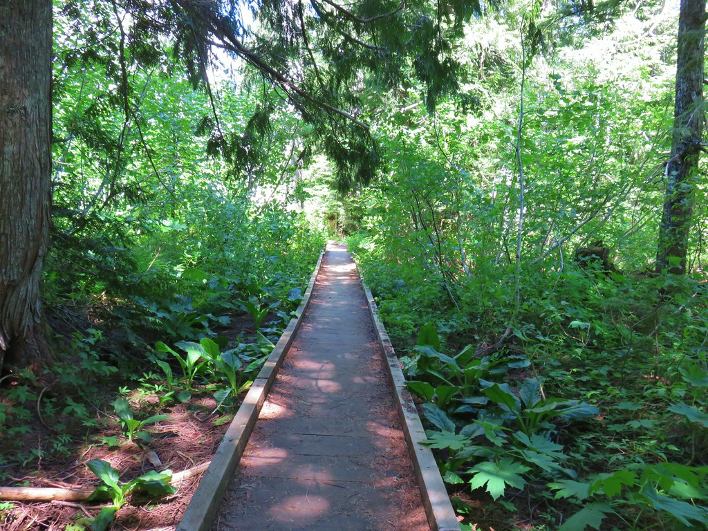
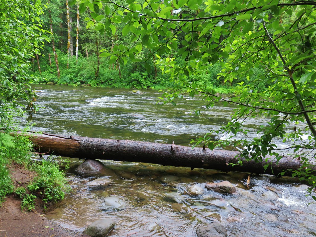
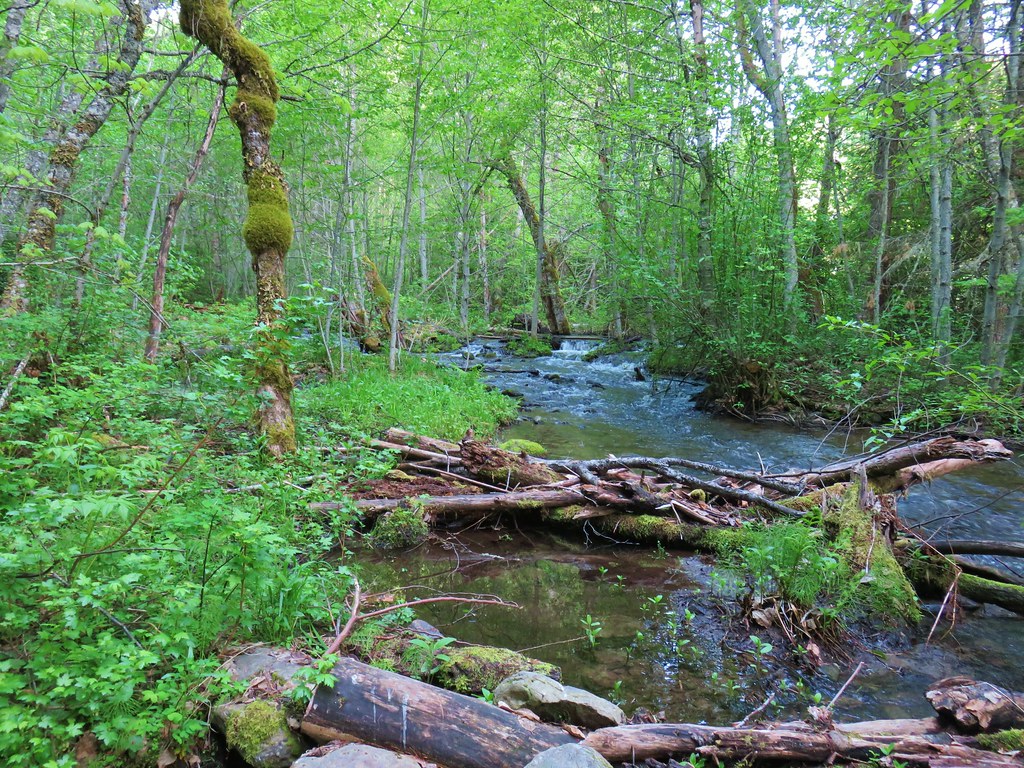
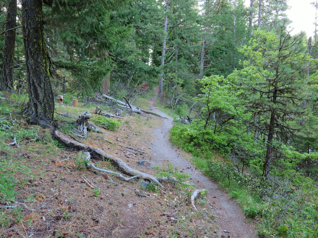
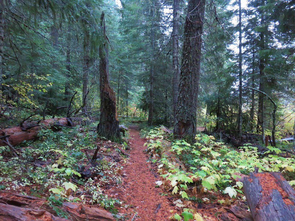
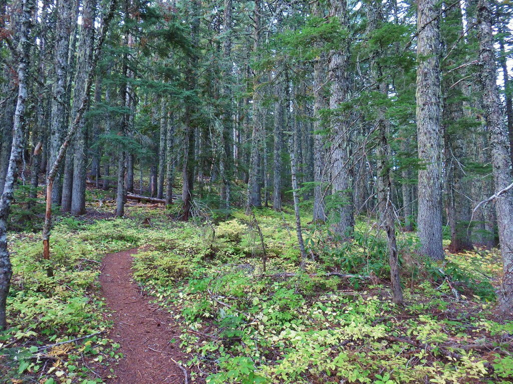
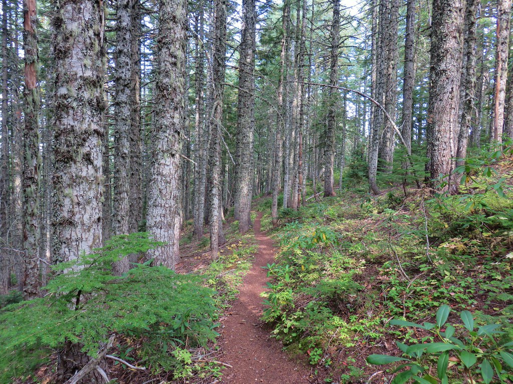
Our first stop was at the Breitenbush Cascades. The trailhead for this short (a third of a mile) hike is located on one of the worst Forest Service roads in NW Oregon, FR 4220 aka Skyline Road. We had braved this road once before on a hike to Jefferson Park Ridge (post). That had been a much longer drive on this road than the 3.5 miles we had to endure to reach the pullout on the right shortly before the the road crossed North Fork Breitenbush River. A very small temporary Forest Service sign was all that marked the trailhead where a pair of paths led into the forest. In hindsight we should have taken the path leaving to the left of the parking area, but instead we took the path straight ahead.
As we would discover in a few minutes the trail to the left went straight to the river then turned right along the water to meet up with the path we’d taken. The path we took descended a bit and also brought us to the river near a small cascade.


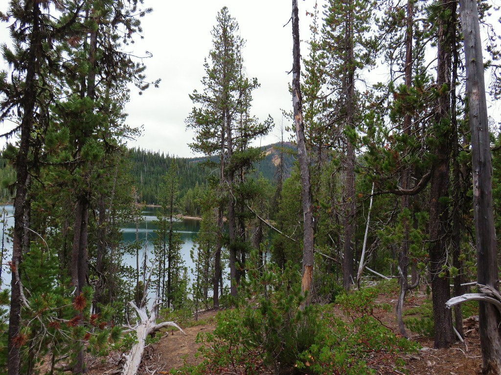
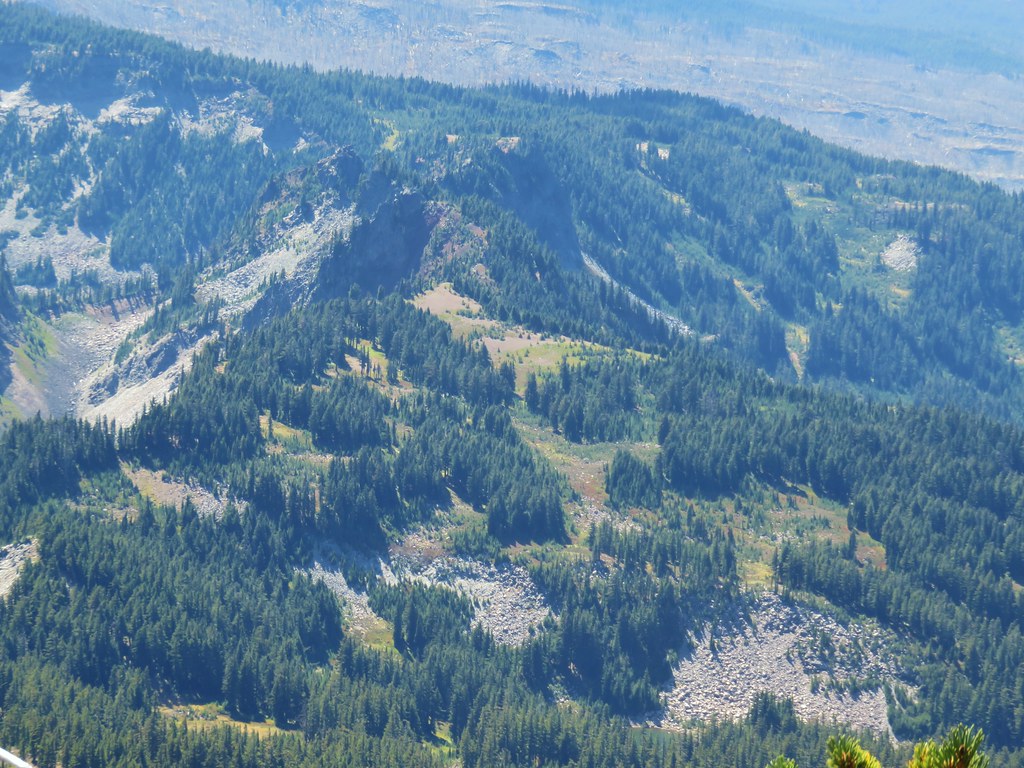
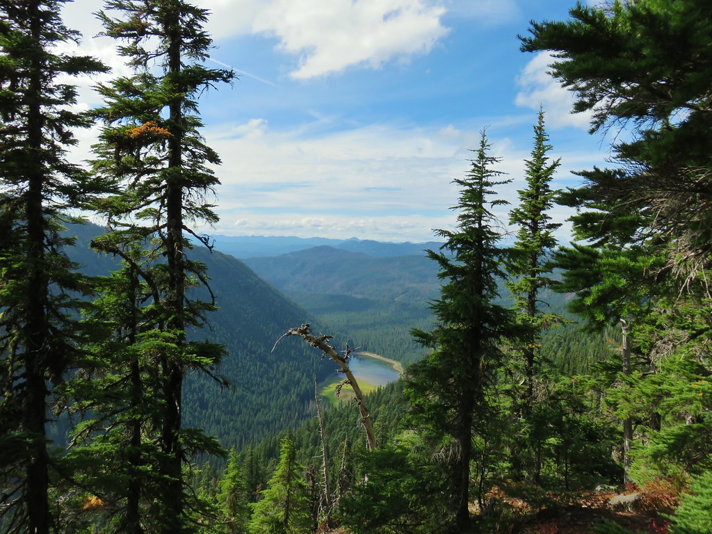
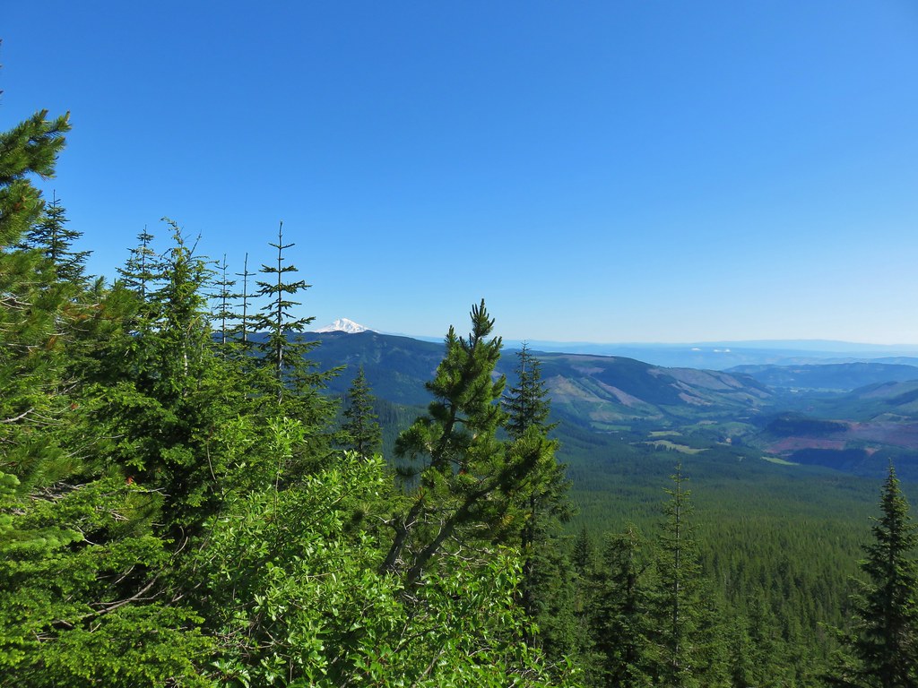
There was also a view here to Bear Point across the valley, a hike that we are hoping to do later this month.

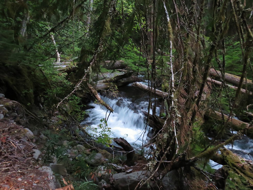
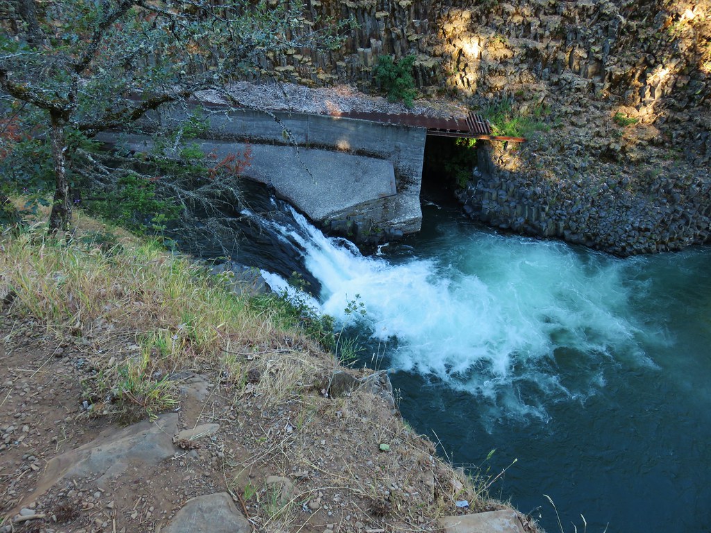
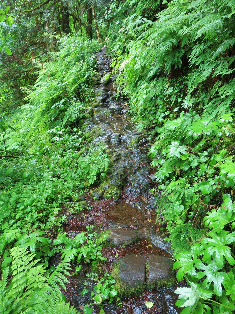
The trail switchbacked down to what Reeder describes as the top tier of the Breitenbush Cascades.
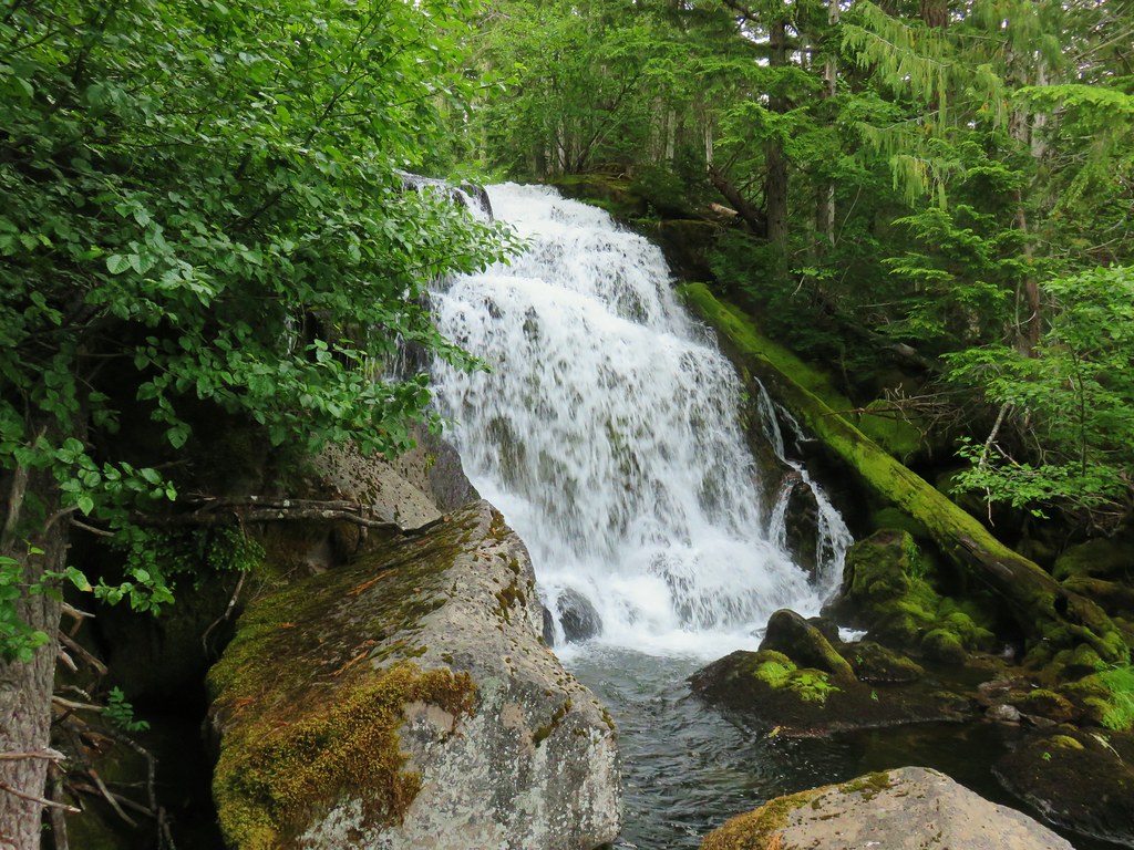

The river almost immediately spills over the lip of another cascade.
This second tier is reachable via another switchback although the trail down is steeper and there is a bit of an awkward drop down some exposed rock.

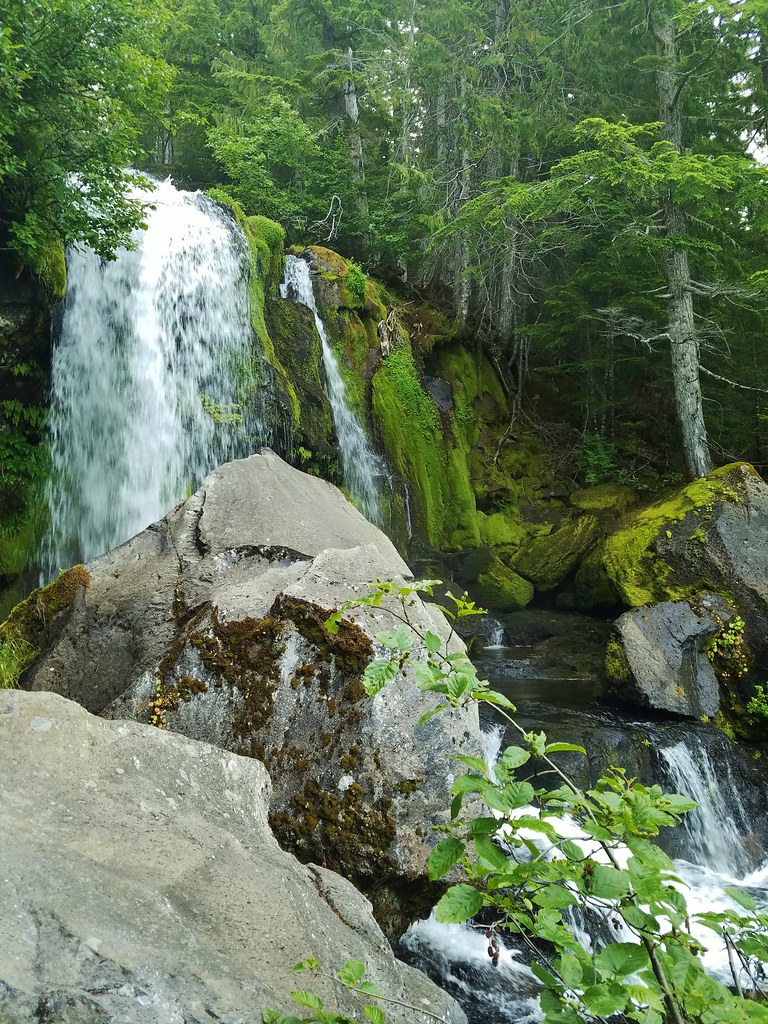
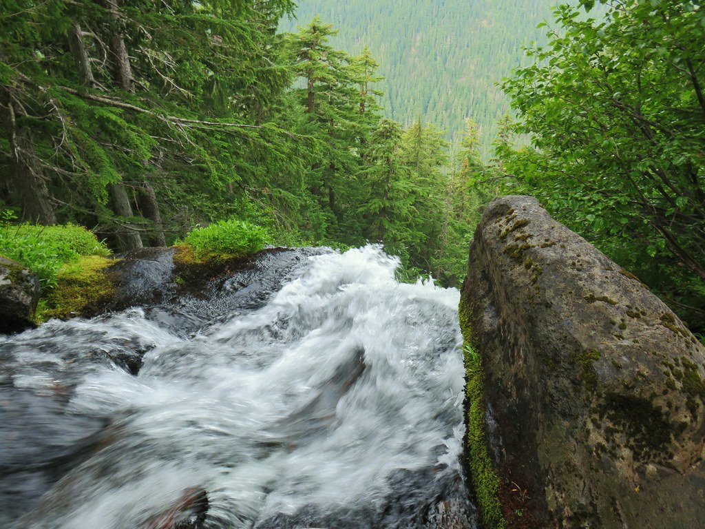
Slick rocks and moss make caution here important as the river plunges downhill yet again beyond the second tier.
 The river below the second tier.
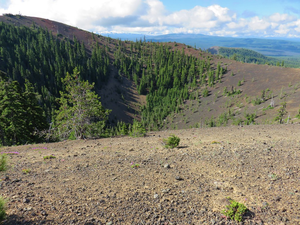
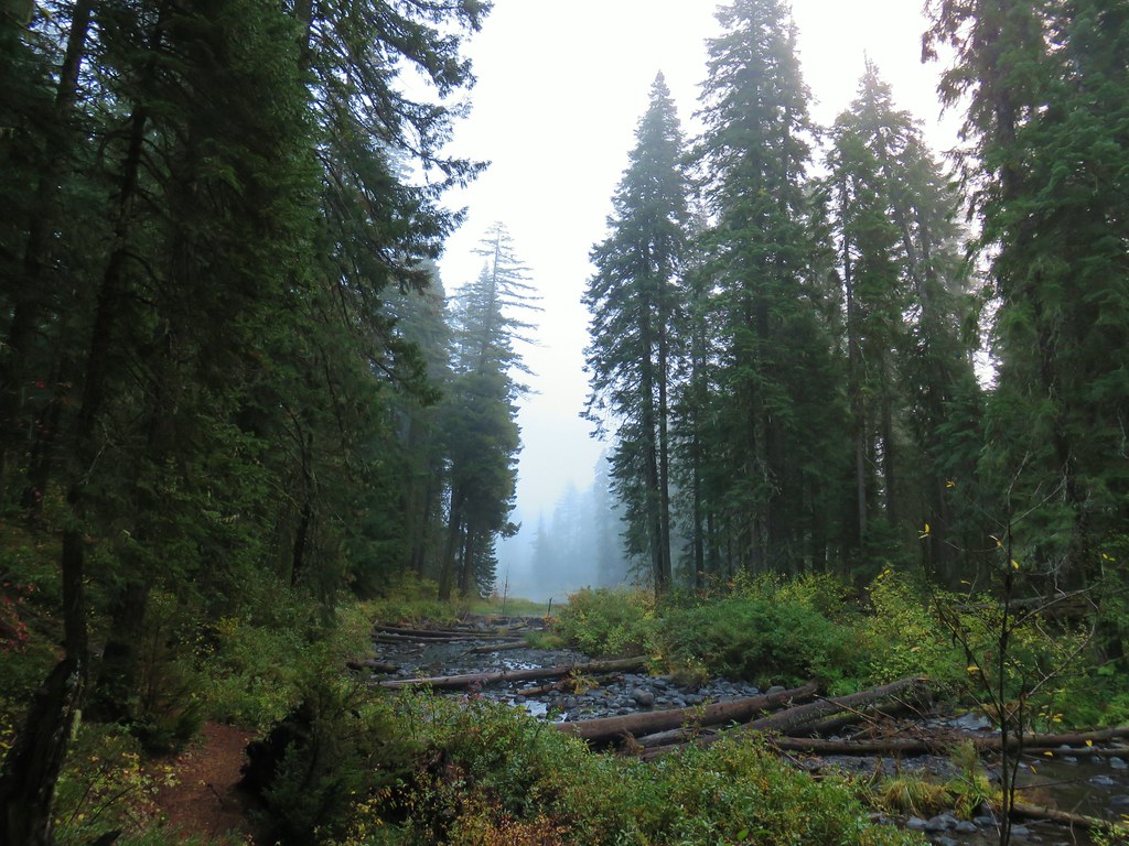
The river actually loses over 1200′ from this second tier as it cascades down to join the South Fork North Fork Breitenbush River. By all accounts this is likely the tallest waterfall in Oregon if the cascades are considered a single feature, but the steepness of the terrain make this second tier the final tier that is safely reachable, at least without special equipment.
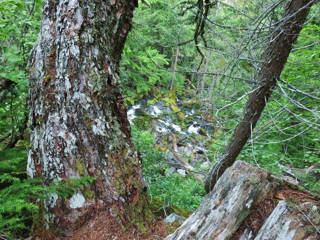
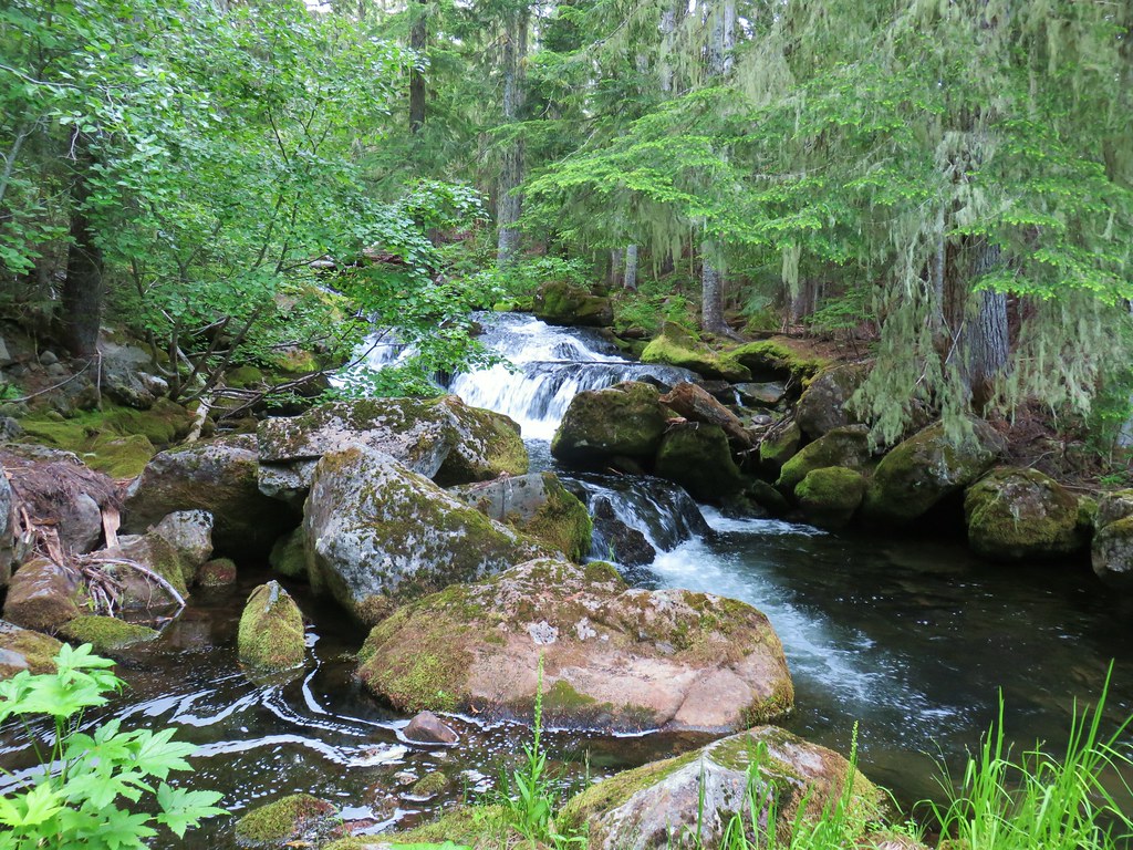
We headed back uphill to the small cascade above the first tier where we stayed right along the water. This led us back to the parking area via that left hand trail and past another nice little cascade on the river.

We drove back down FR 4220 and wound up passing what appeared to be a brand new Mercedes SUV (complete with dealer plates) coming up the rocky, rutted road. I guess that’s one way to break a new car in.
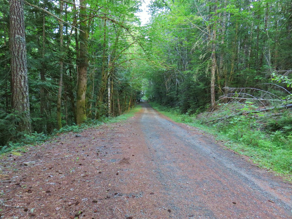
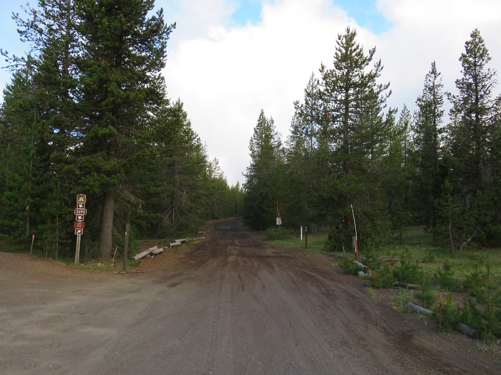
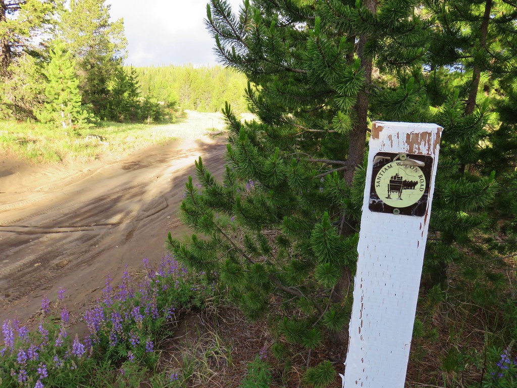
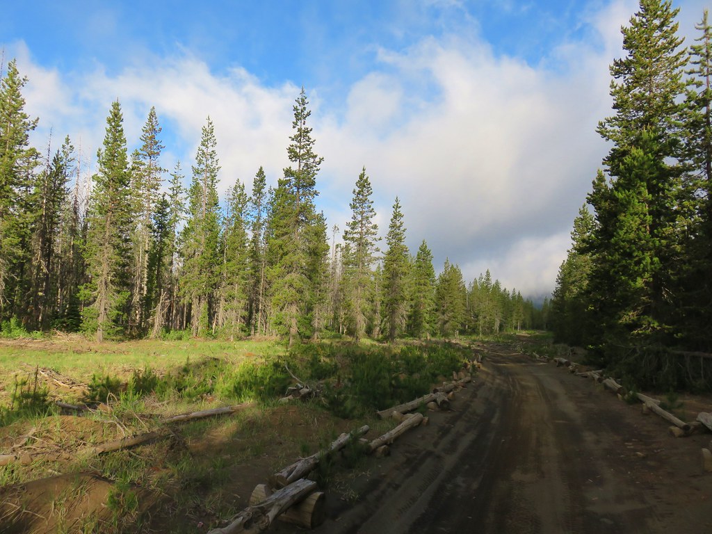
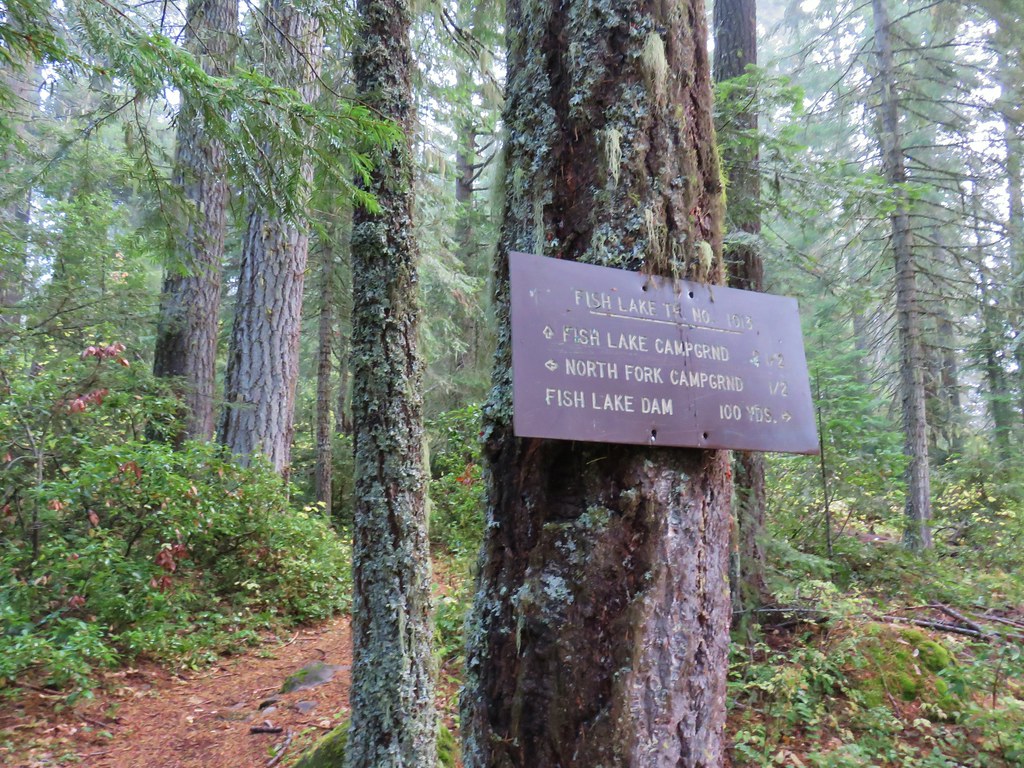
Once we’d finished with the 3.5 miles of FR 4220 we turned left on paved FR 46 and drove 5.6 miles to FR 50 (11 miles from Highway 22 at Detroit). After .2 miles of potholes on this gravel road we parked at a pullout on the left at the remains of a guard station that burned in 2000.

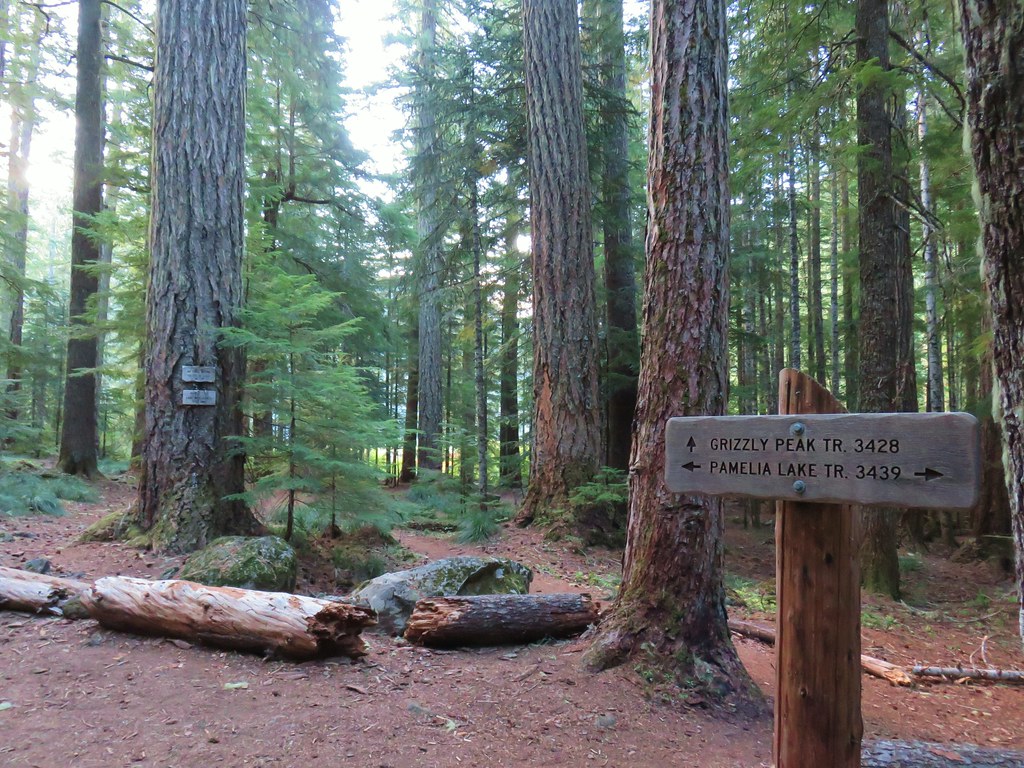
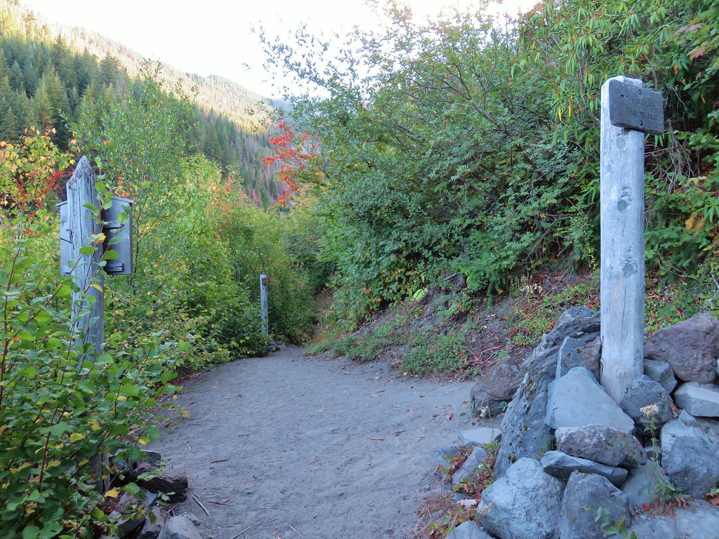
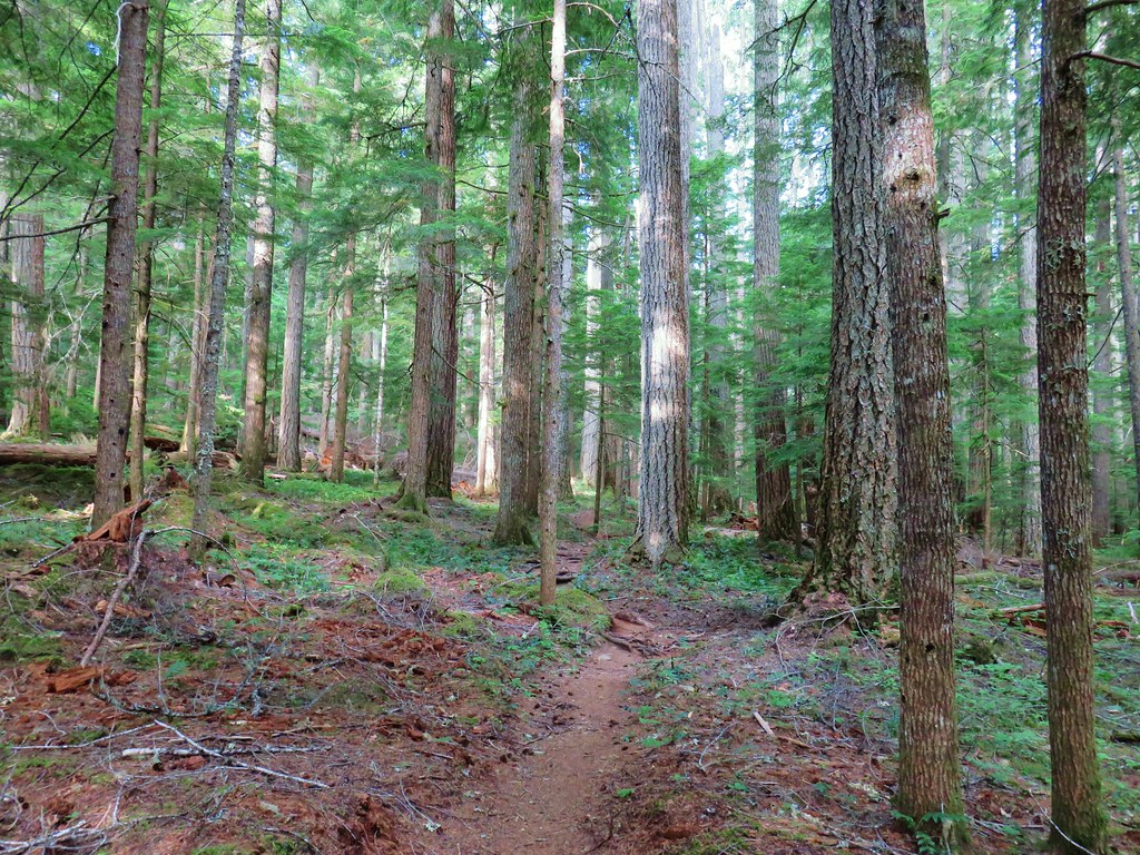
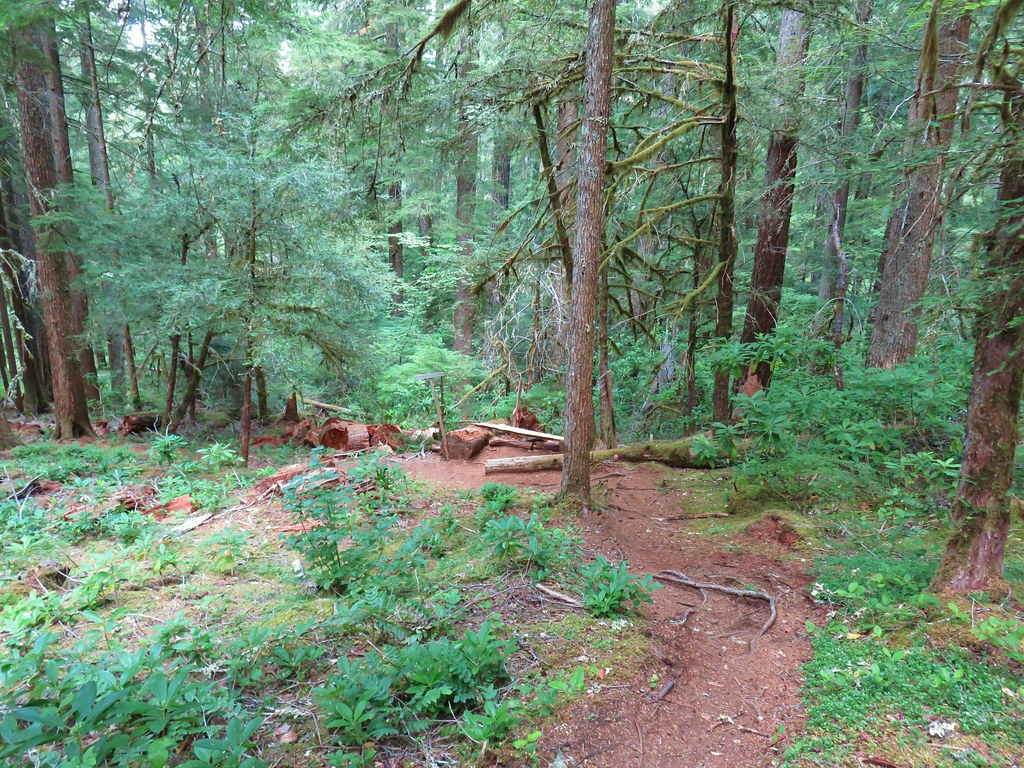
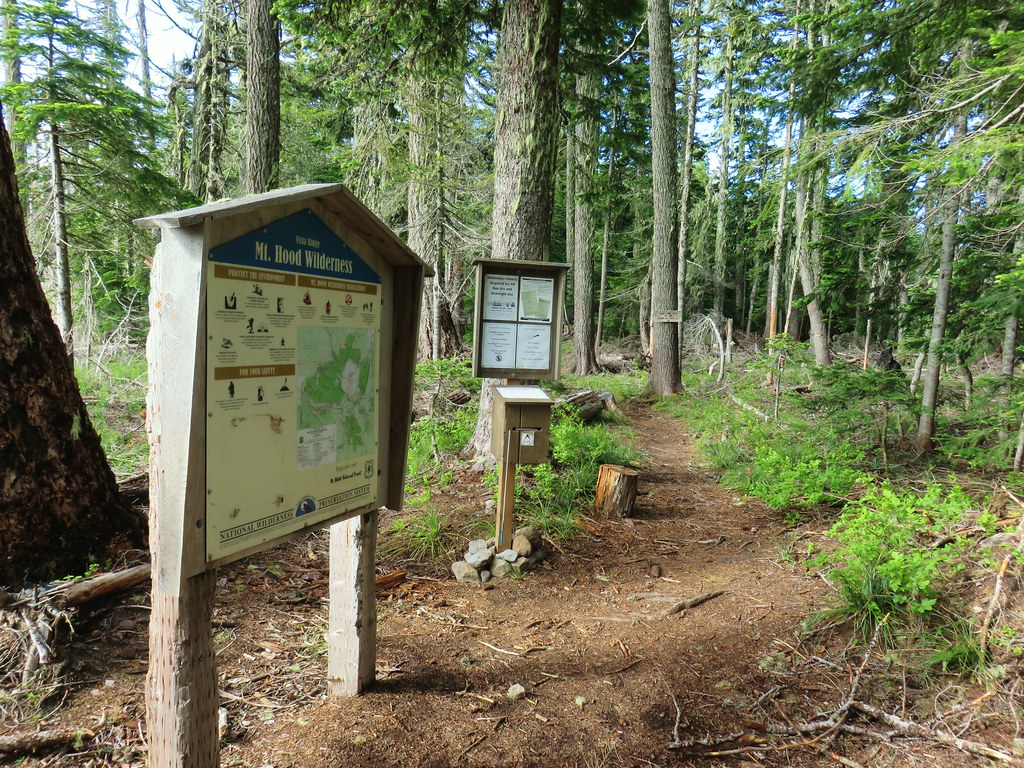
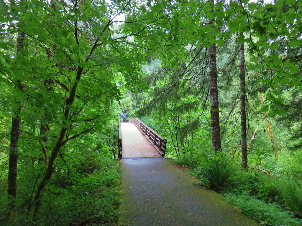
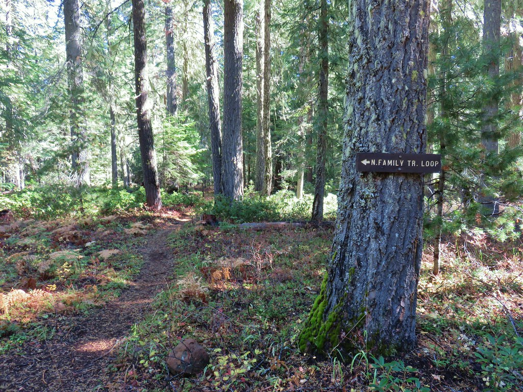
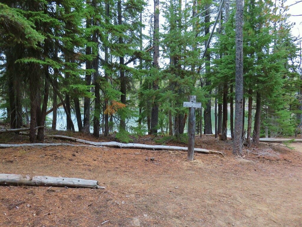
From the pullout we walked down the road to a gate for the Breitenbush Hot Springs Resort and turned left onto the signed Gorge Trail.

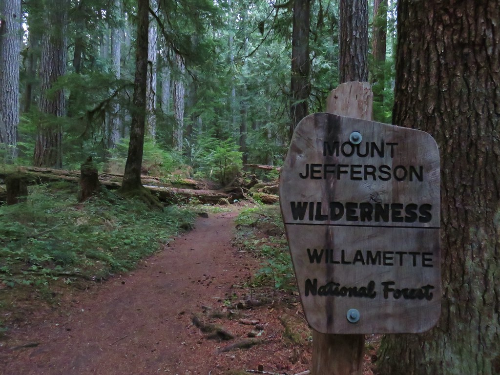
We had been on this trail before in 2013 (post). This time we planned on the more strenuous hike to Devil’s Peak.
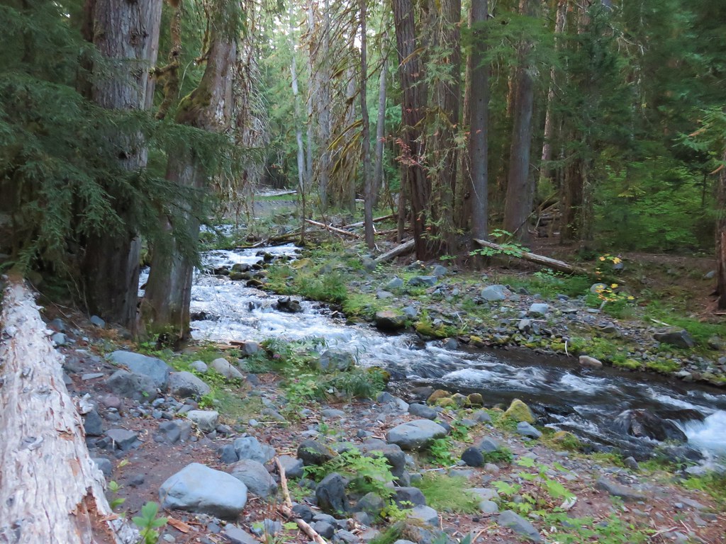
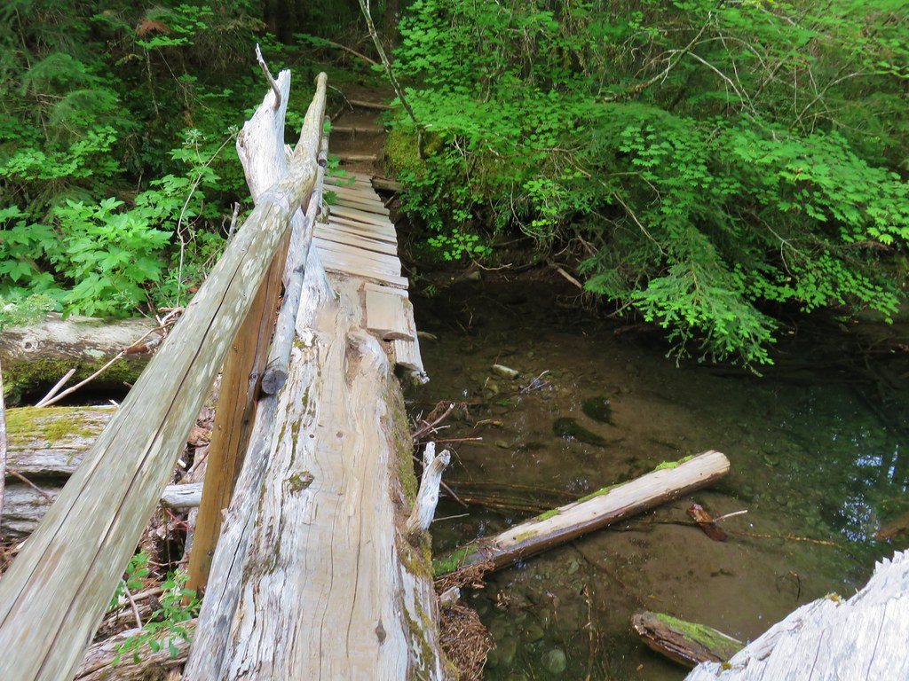
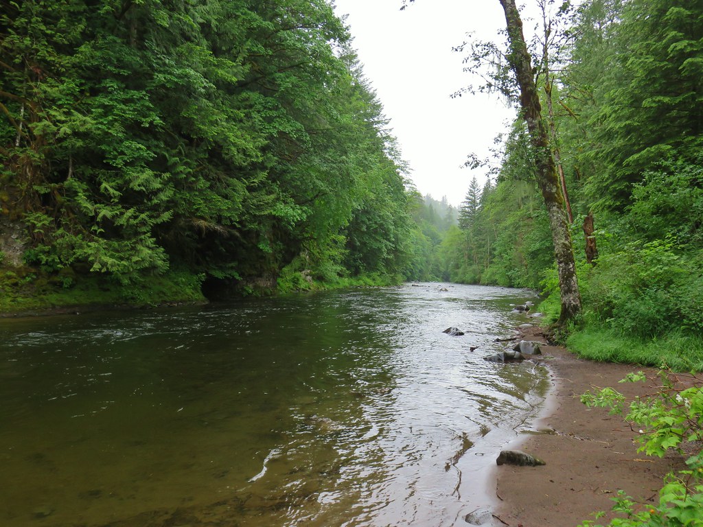
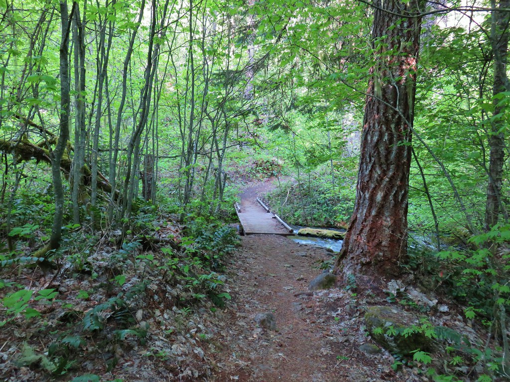
Even thought we’d been on this first section of trail there had been some changes. Namely the footbridges that lead across the North Fork Breitenbush River which need to be repaired or replaced routinely.


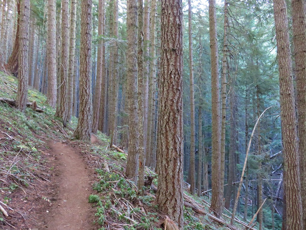
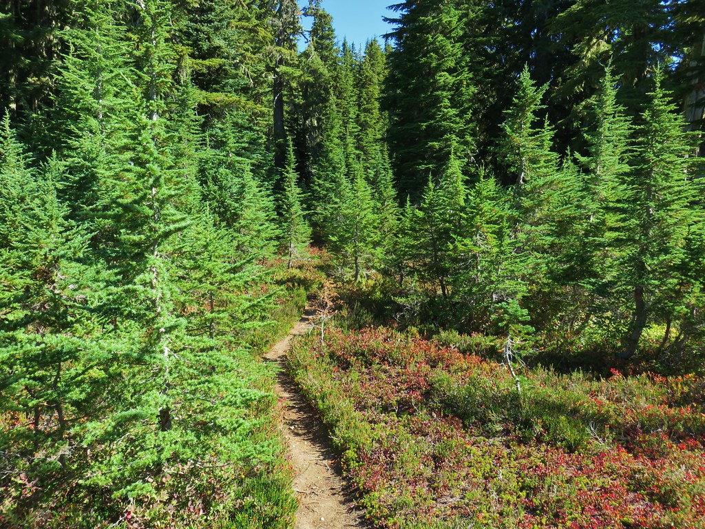
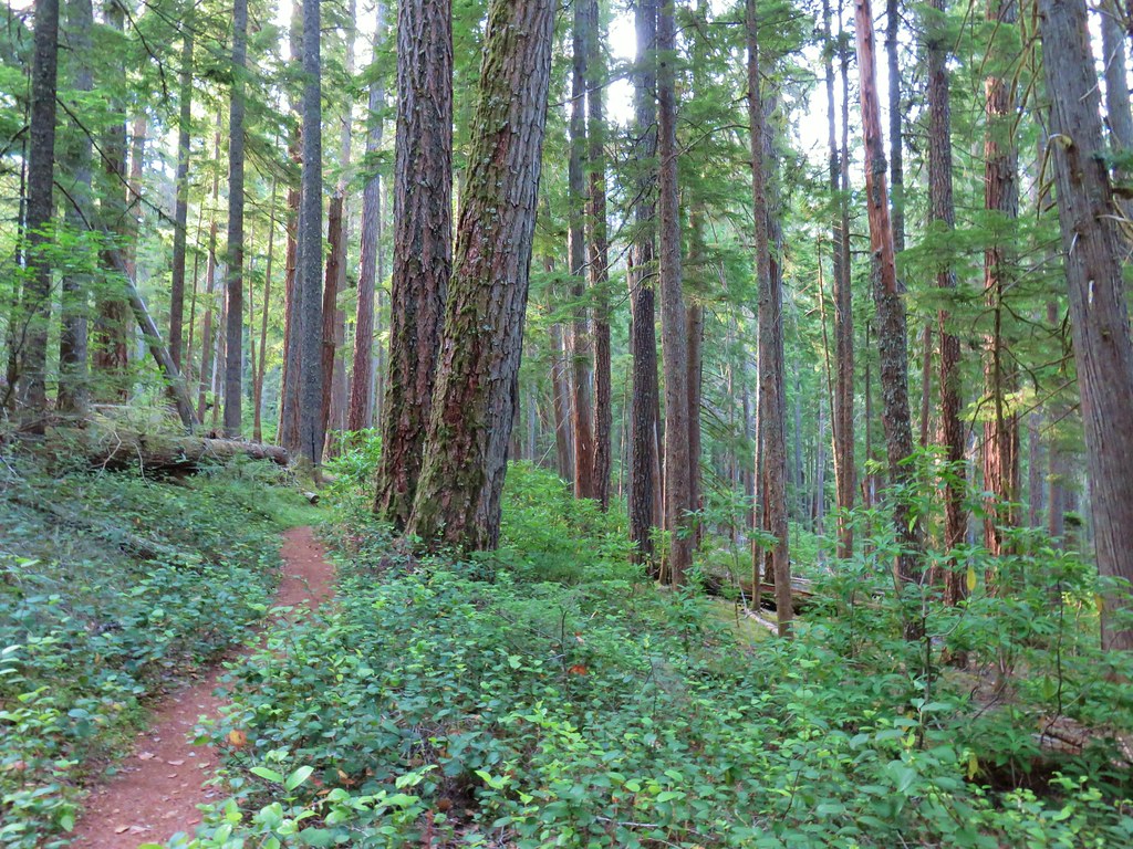
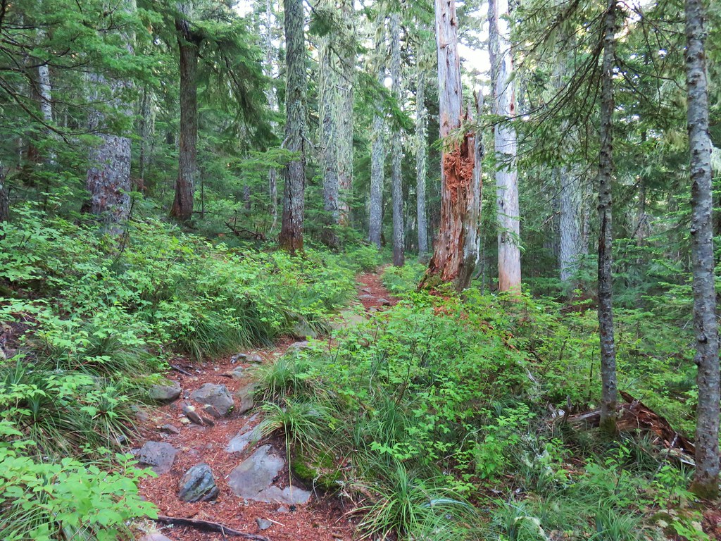
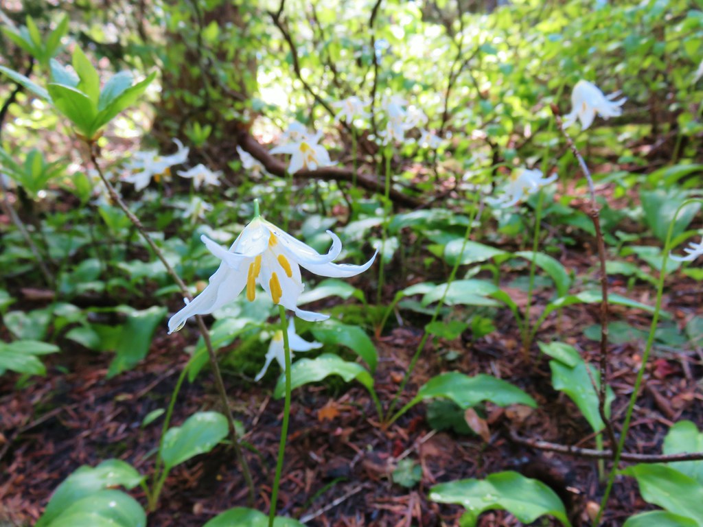
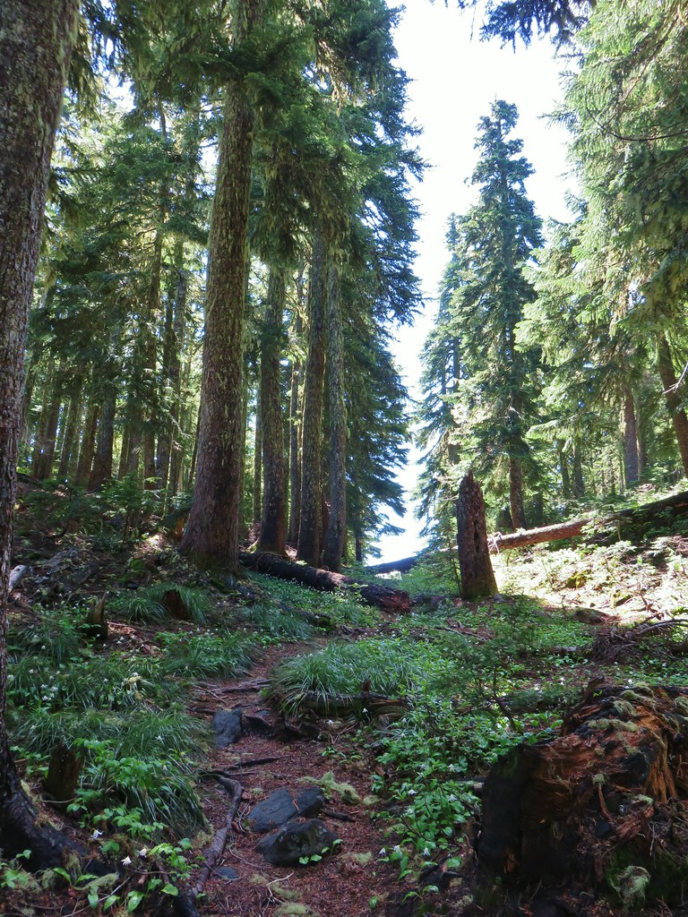
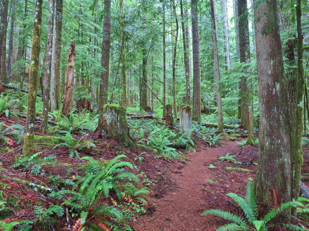
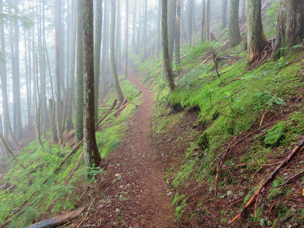
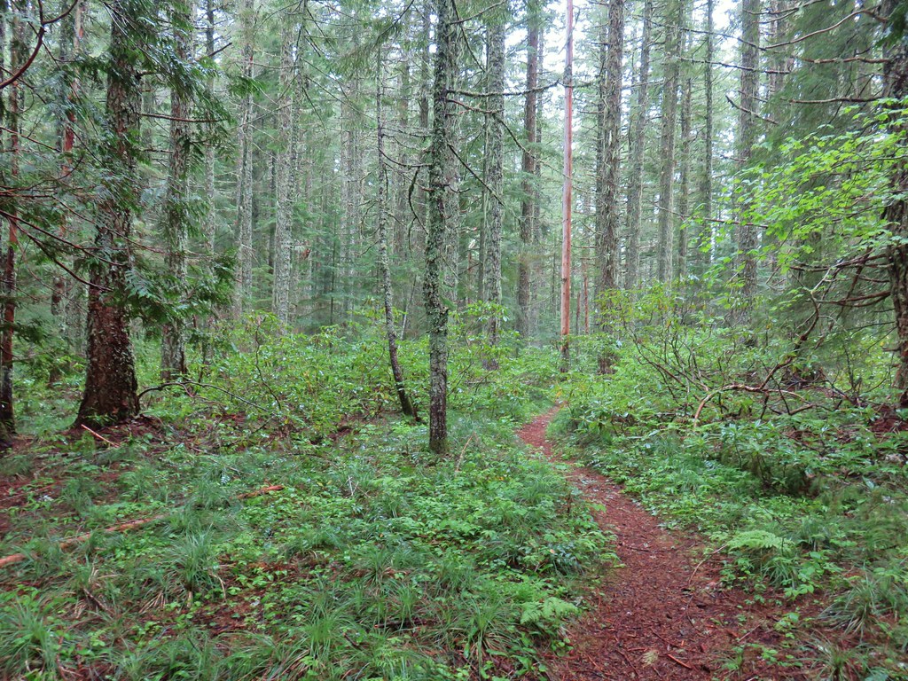
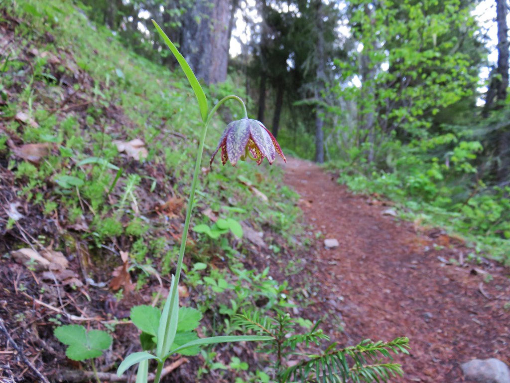
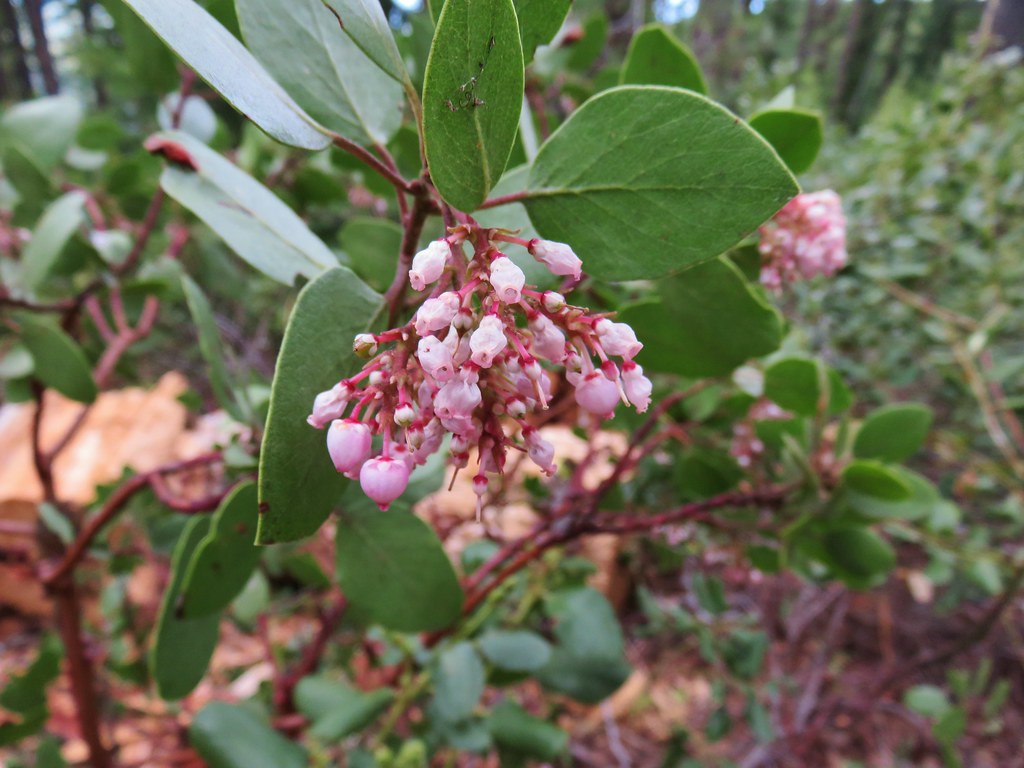
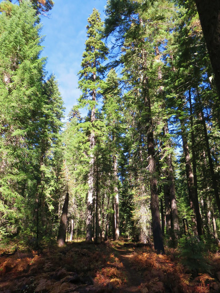
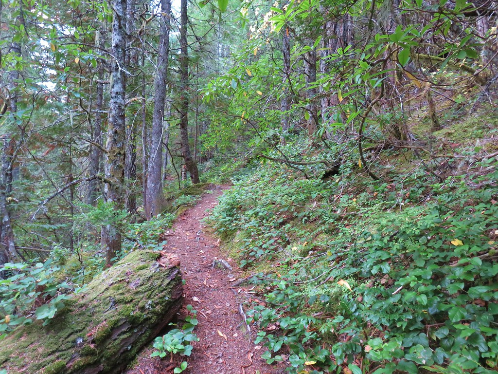
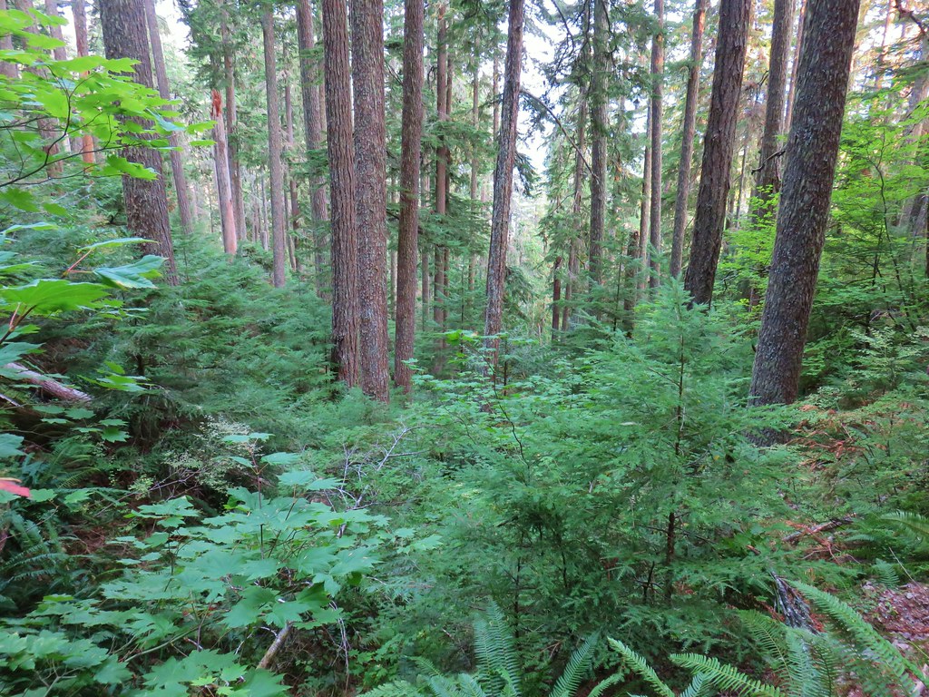
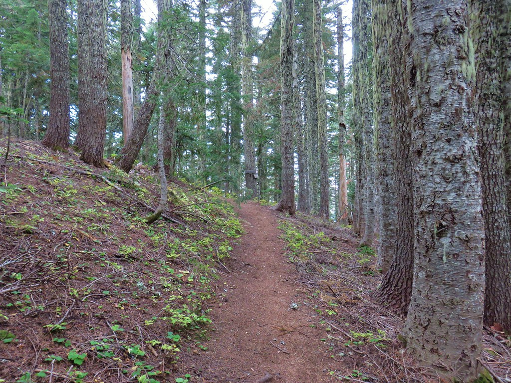
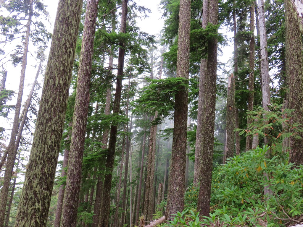
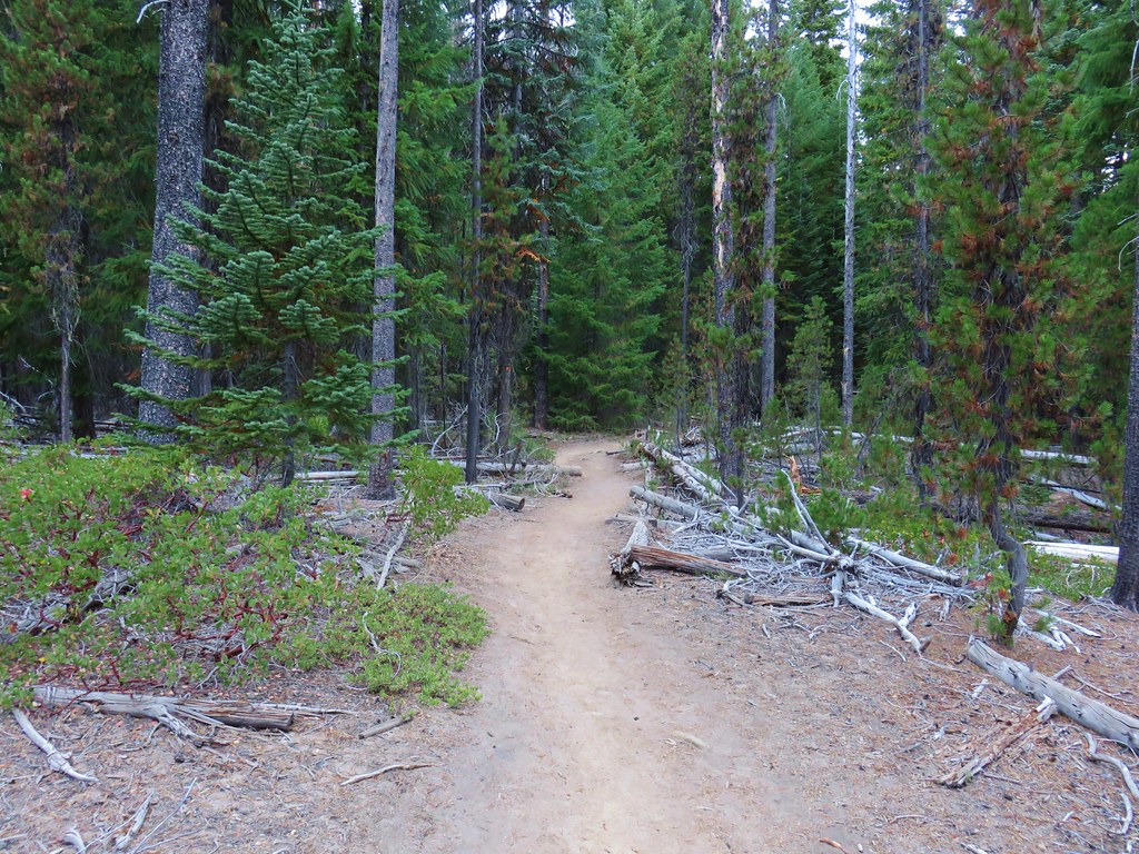
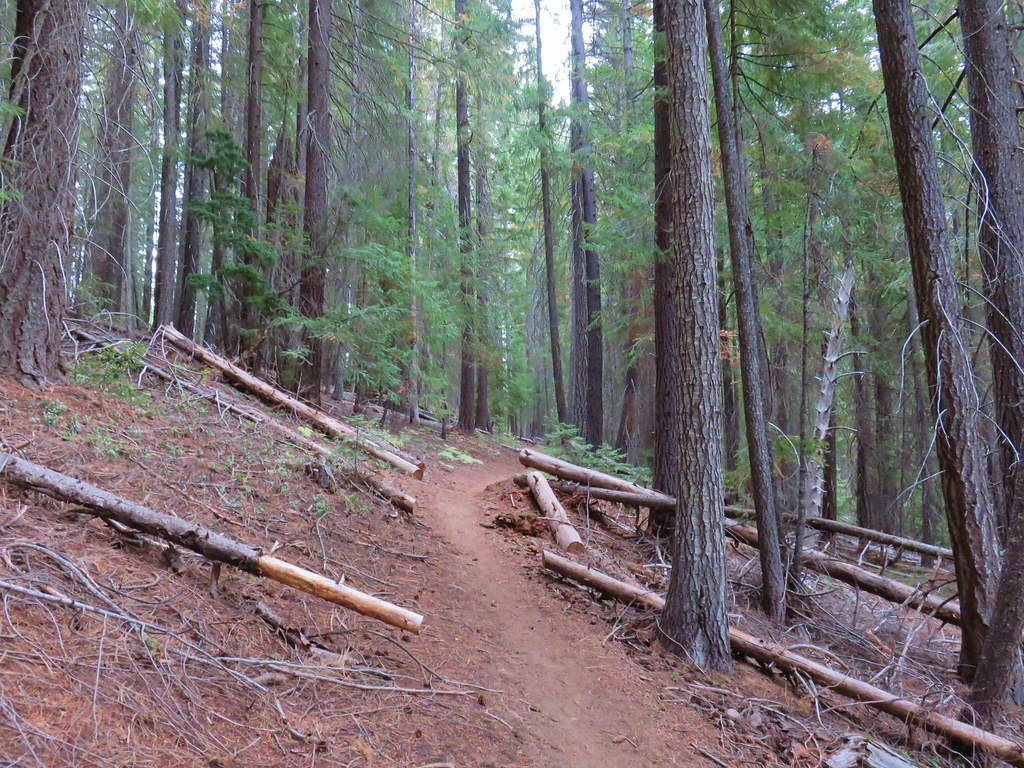
After crossing the river the trail climbed gradually through the forest where we spotted our first blooming Washington lily and prince’s pine of the year.


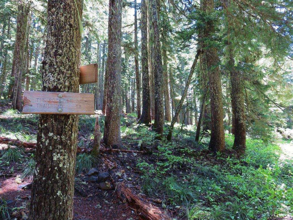
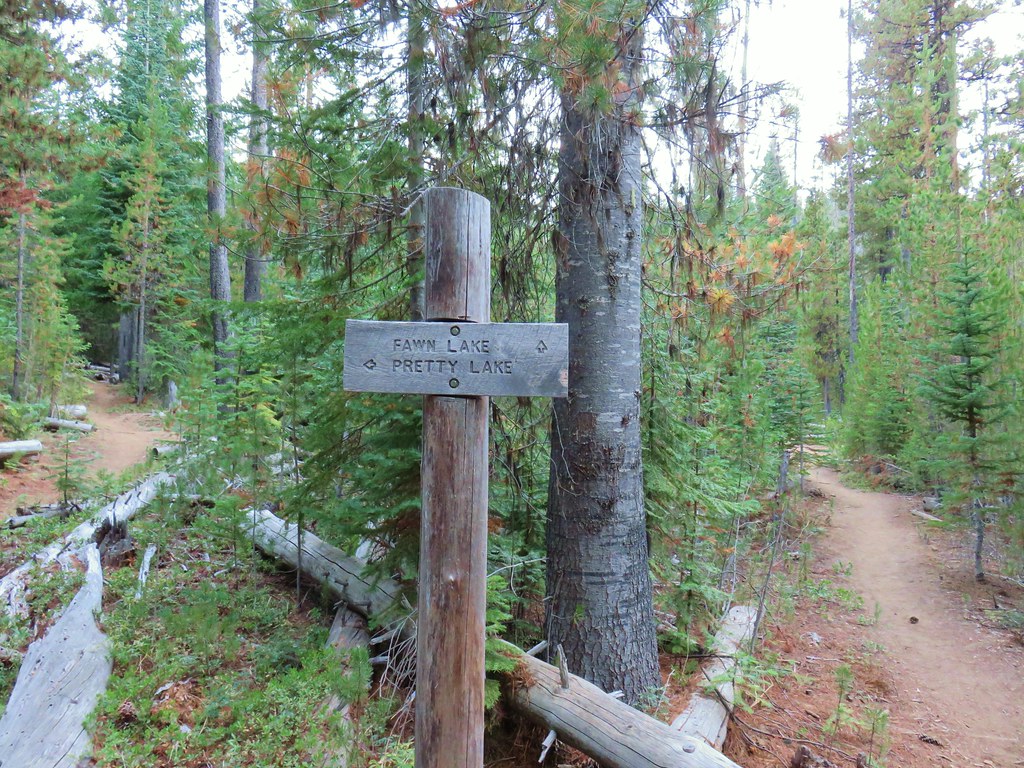
Just over a mile from the parking area we passed a spur trail on the left joining from South Breitenbush Gorge Trailhead.
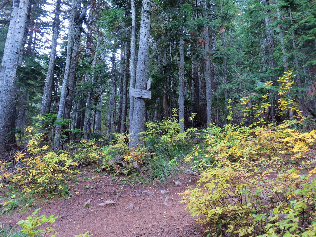
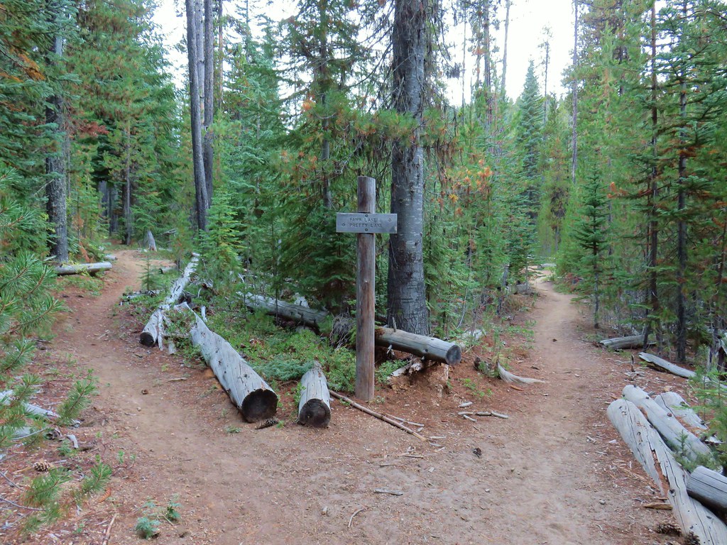
At the 1.5 mile mark we arrived at the signed junction with the Emerald Forest Trail.


While the South Breitenbush Gorge Trail is maintained by the Forest Service a network of trails including the Emerald Forest and Devil’s Ridge Trails are maintained by the Breitenbush Hot Springs Retreat and Conference Center.
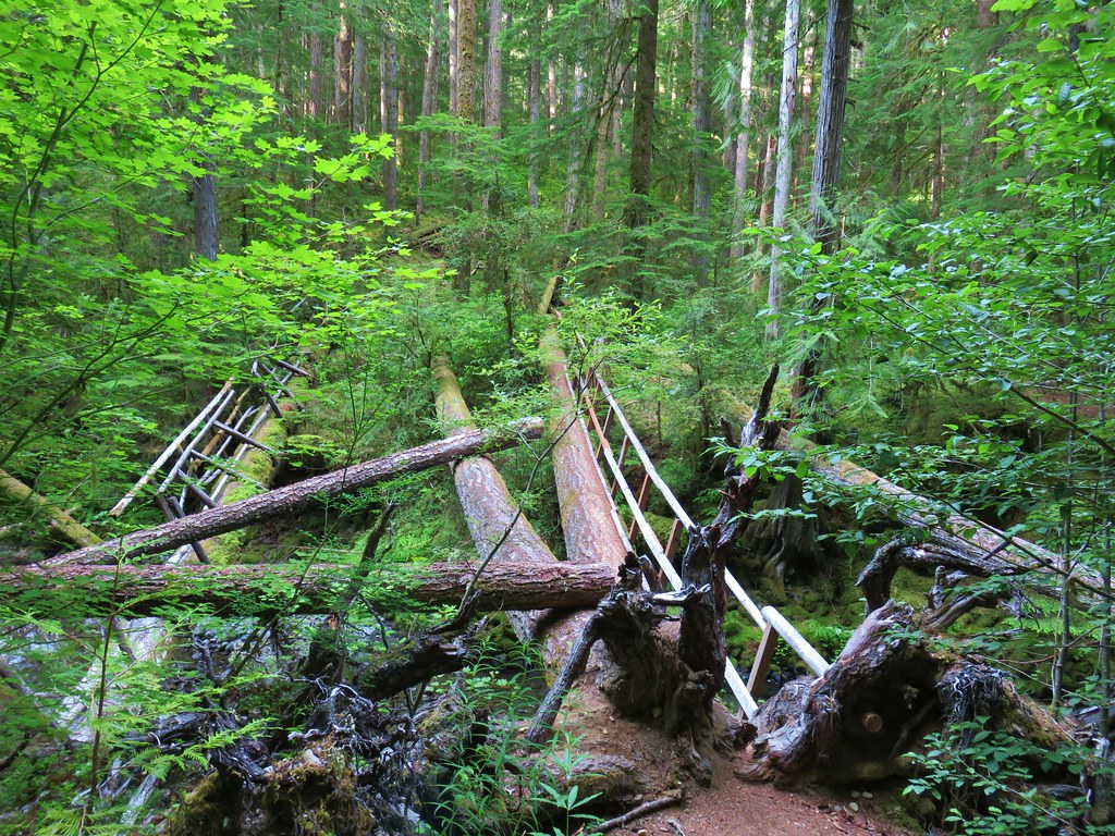
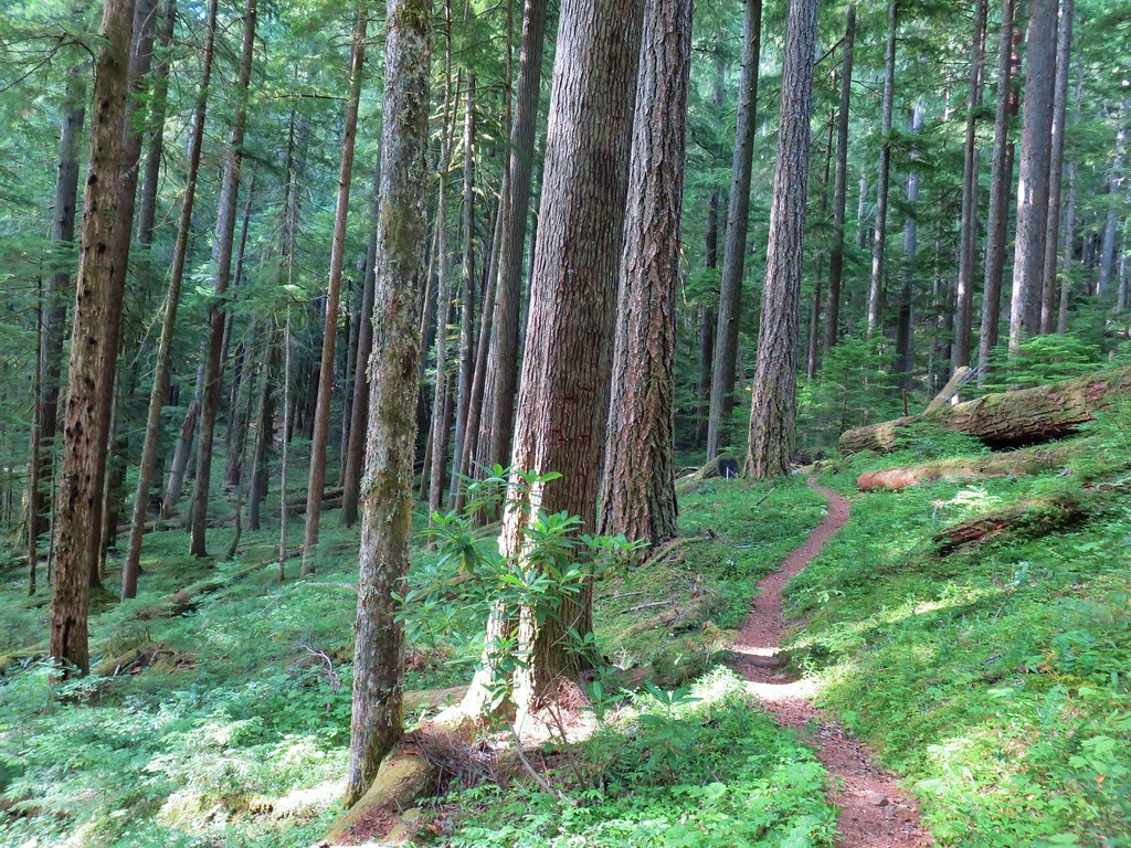
We turned onto the Emerald Forest Trail which descended for 100 yards to a footbridge over the South Fork Breitenbush River. A previous version of the bridge could be seen to the left.

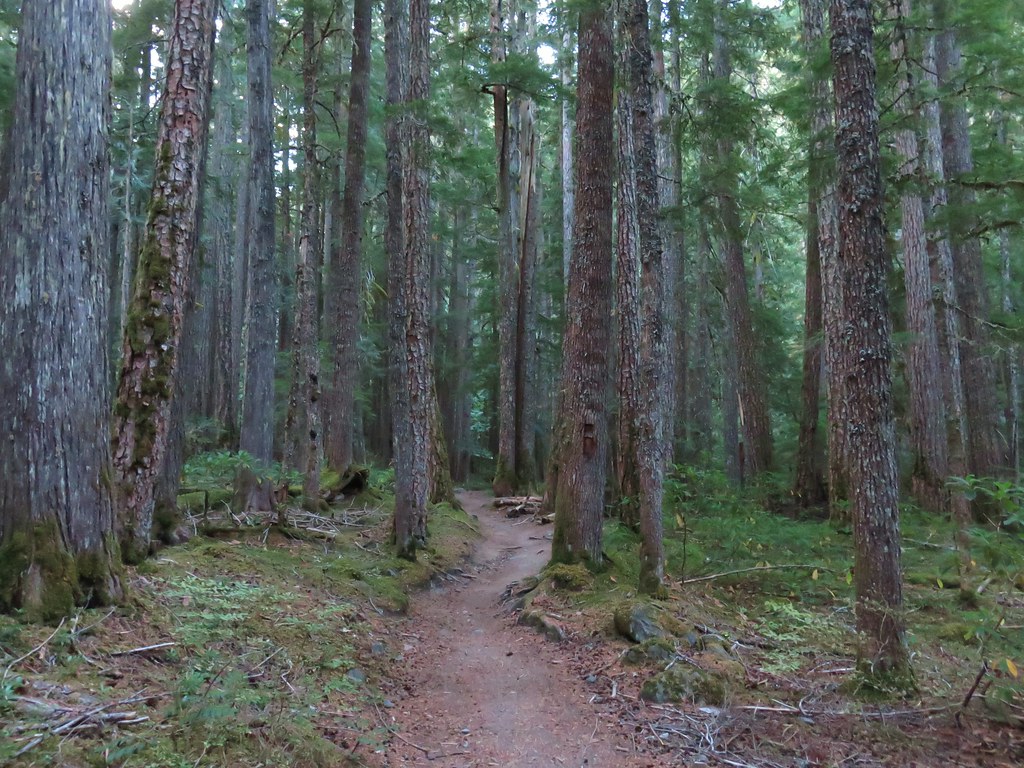
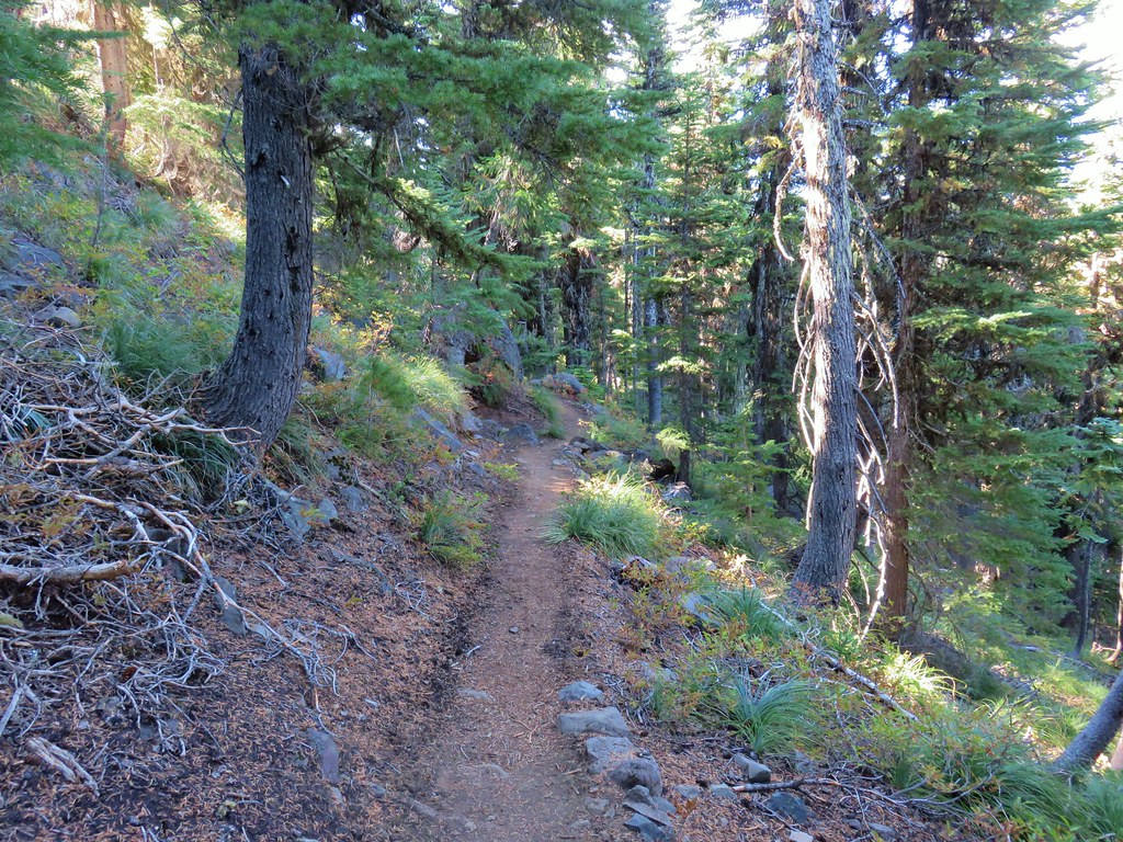
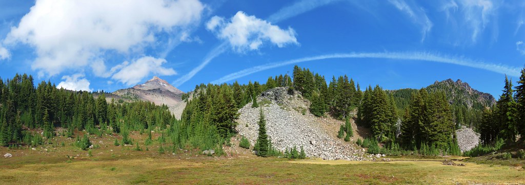
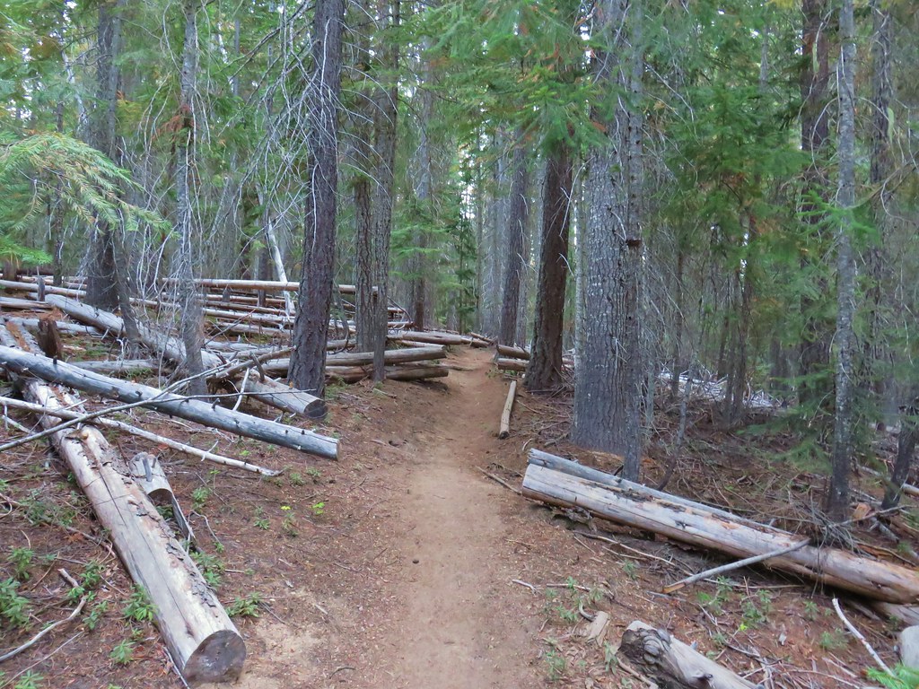
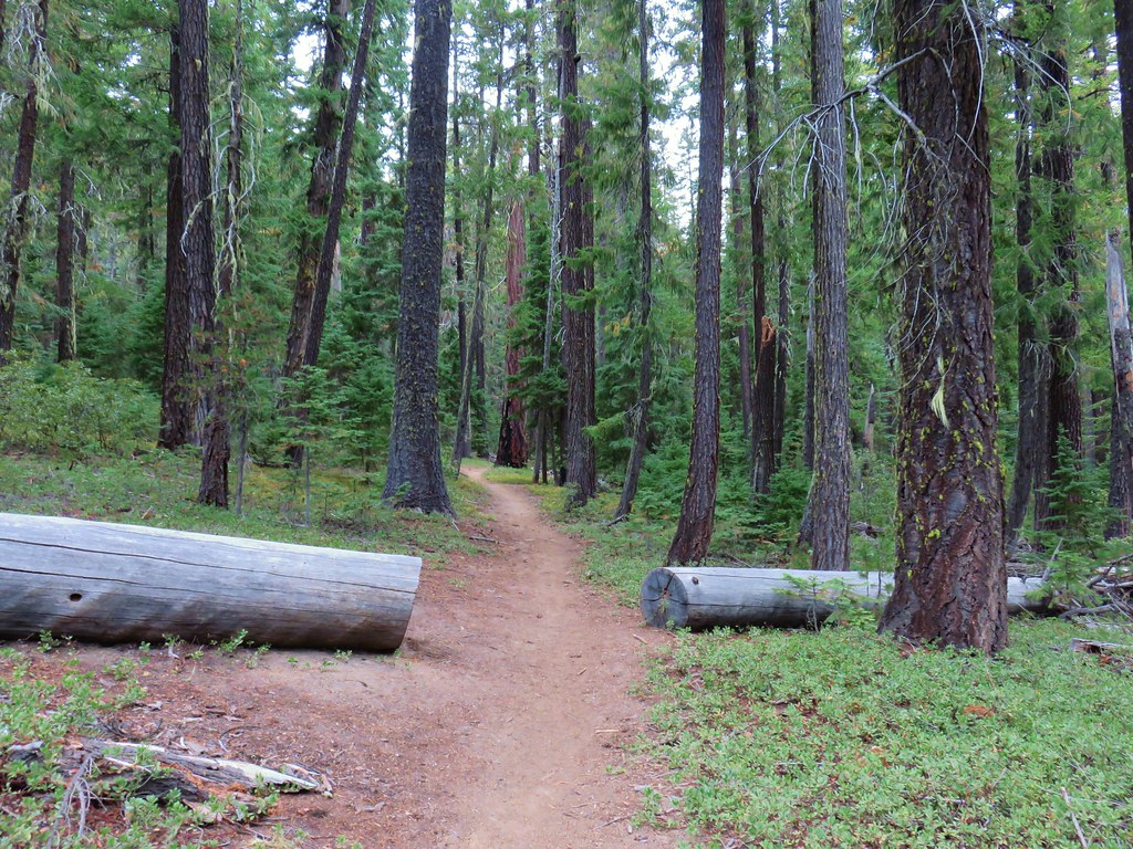
Beyond the river the trail steadily climbed for nearly a mile to a junction with the Spotted Owl Trail. Here we turned left following pointers for the Cliff Trail and Devil’s Lookout.


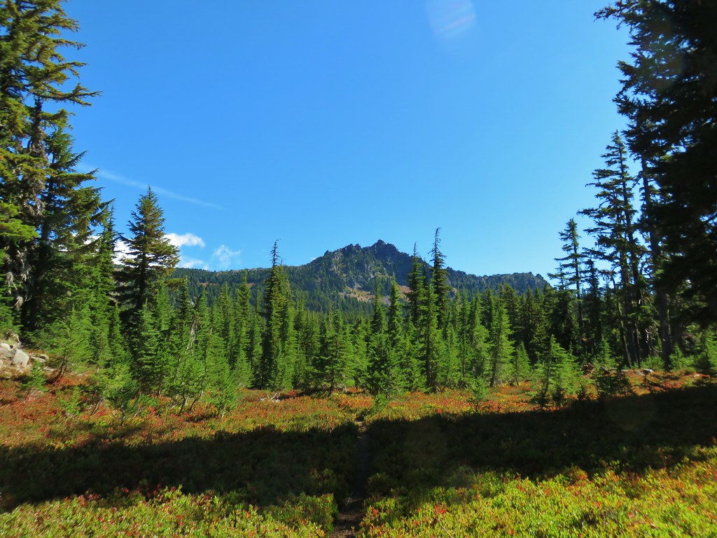
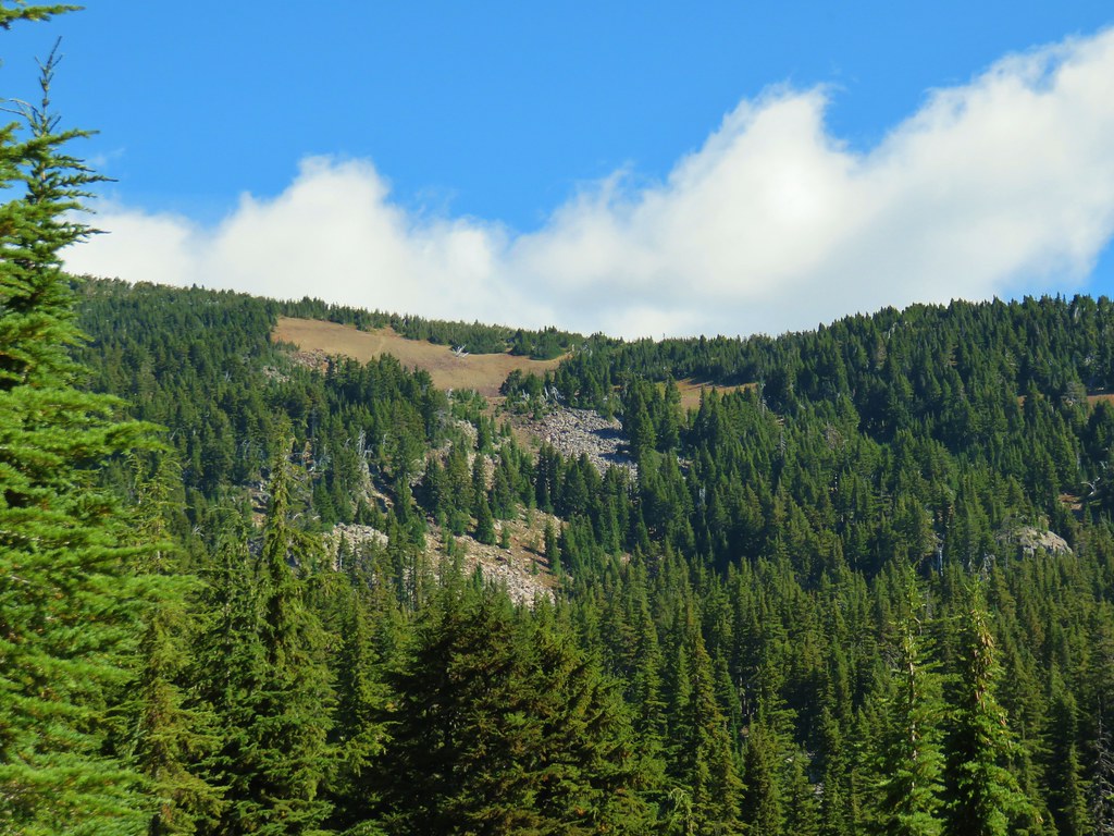
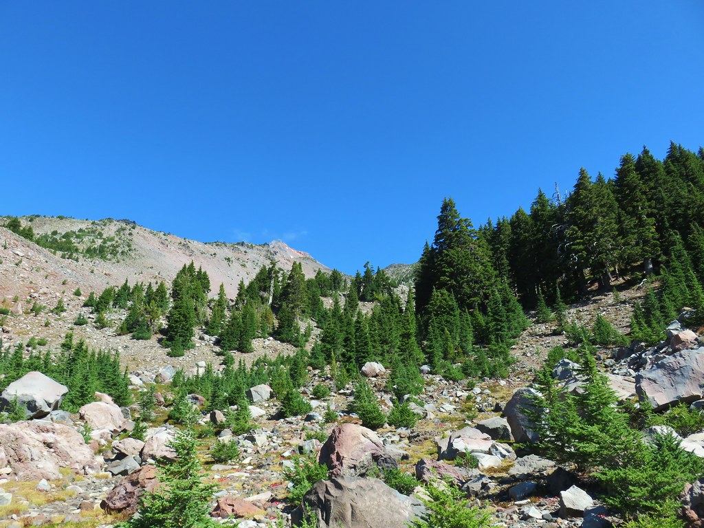
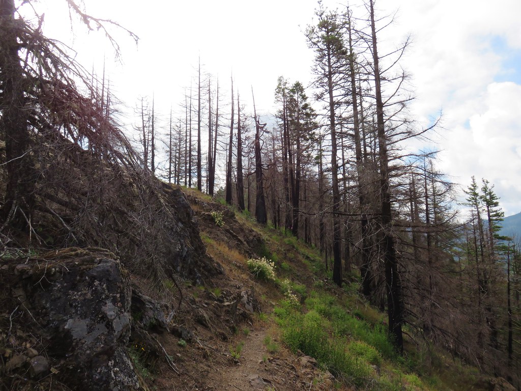
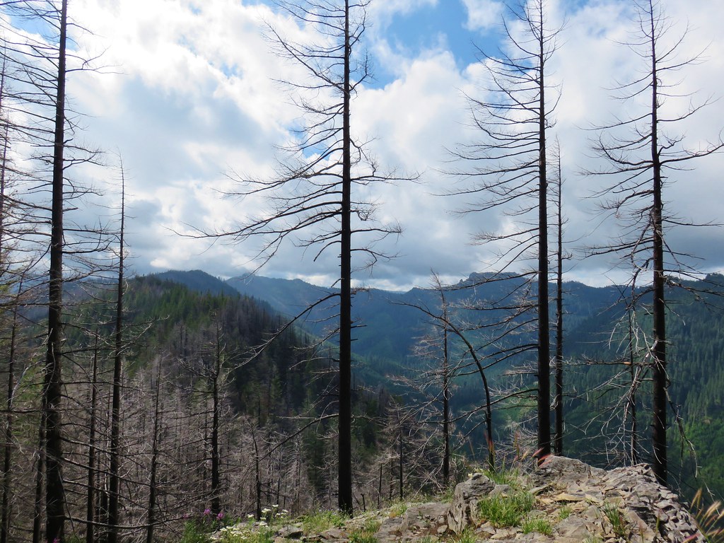
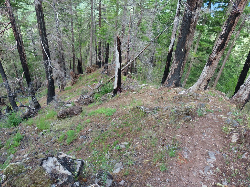
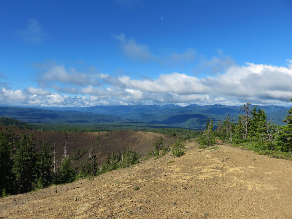
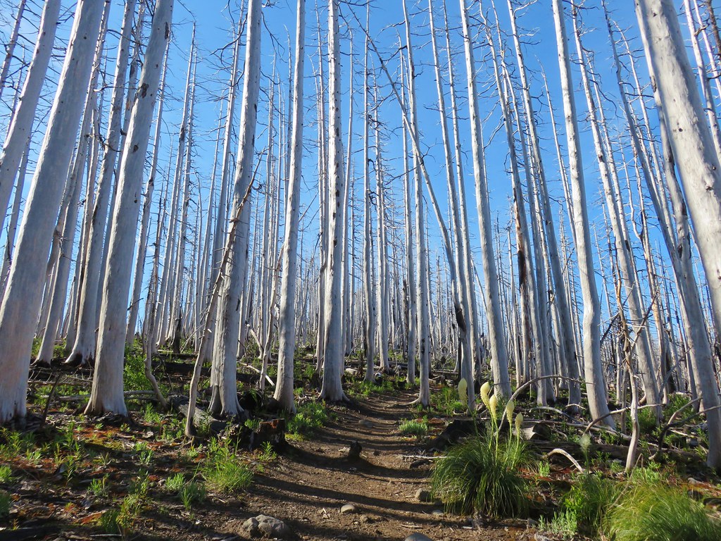
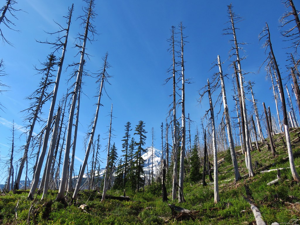
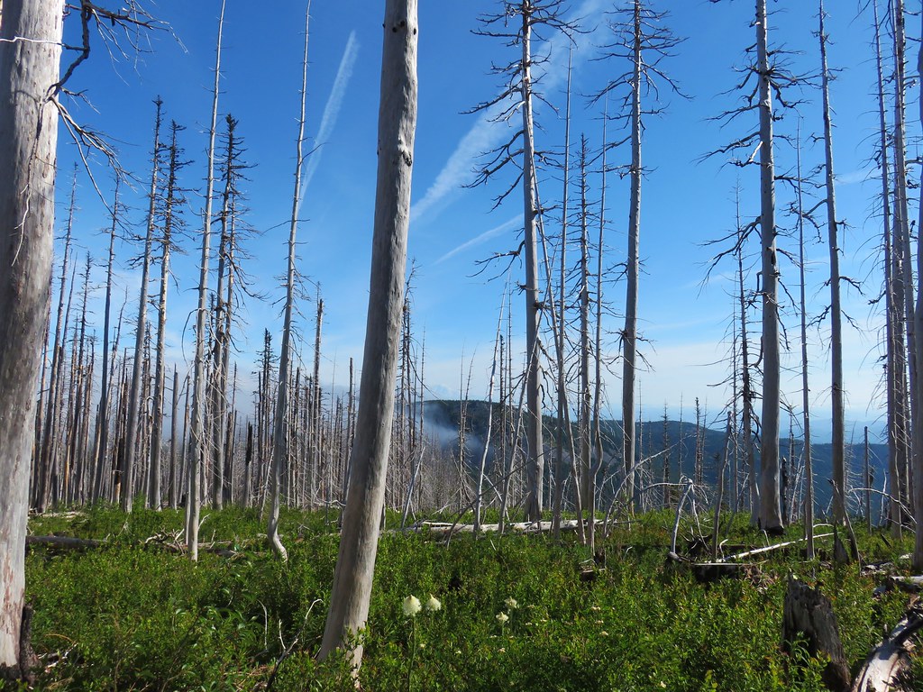
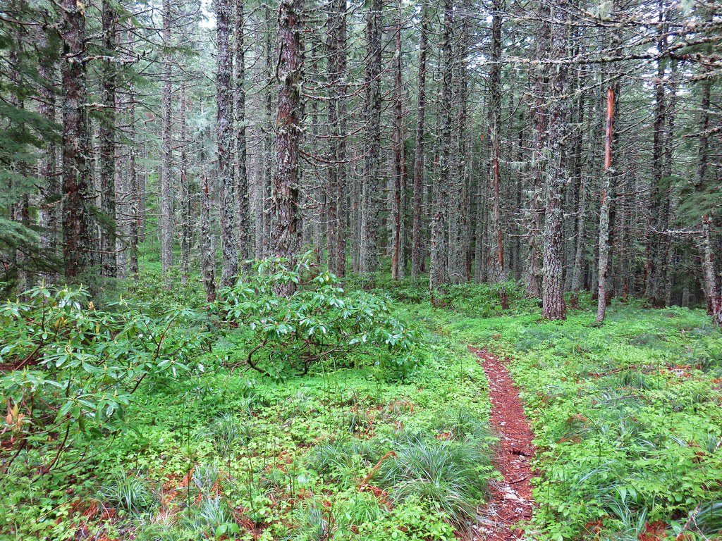
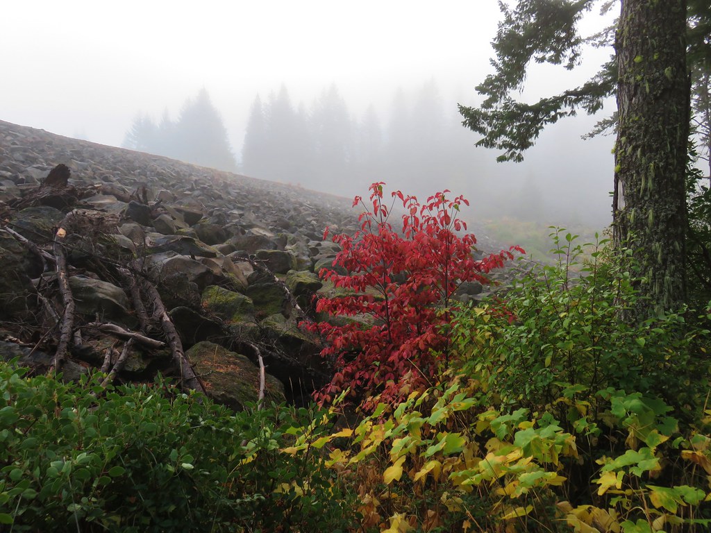
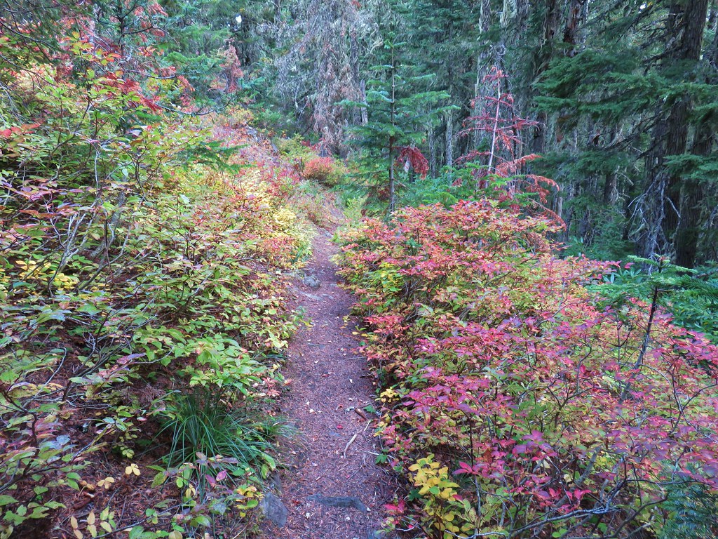
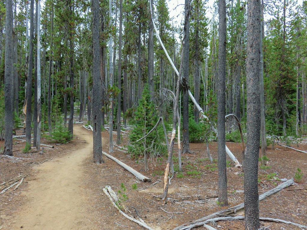
This trail also climbed as it transitioned from unburned forest to the fire scar of the 2017 Little Devil Fire.

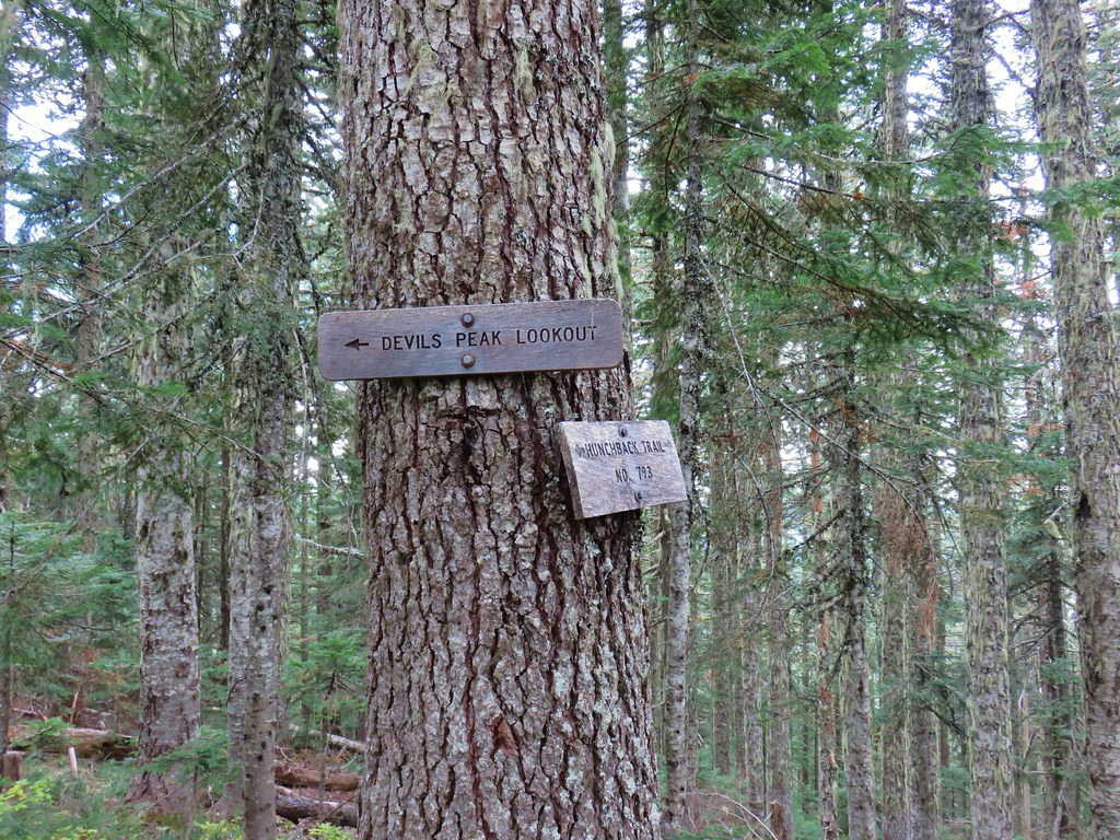
Just over a quarter mile from the trail junction we arrived at a second junction along a ridge where the Devil’s Ridge Trail continued climbing to the left while the Cliff Trail dropped to the right.
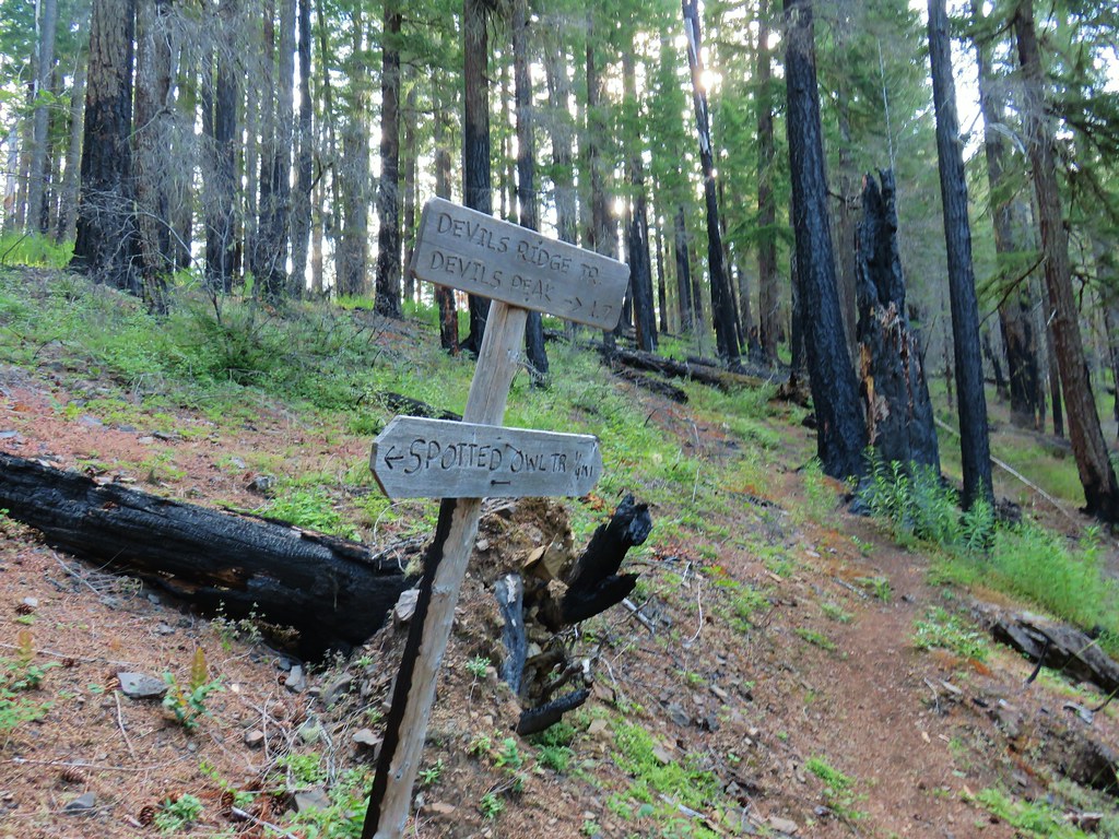

We turned left and as we started what would be a fairly intense climb a woodpecker tapped away at the trees.

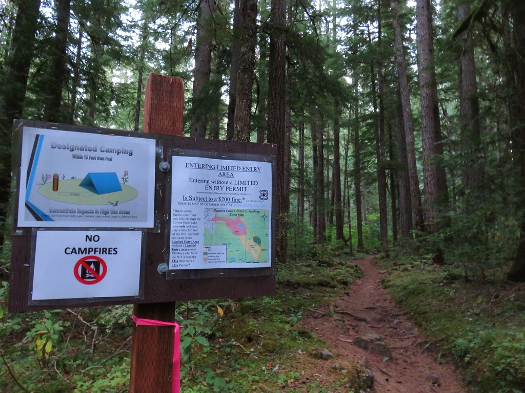
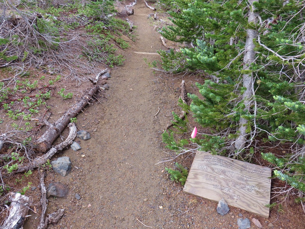
A little less than a quarter mile from the junction we came to a somewhat ominous sign.

While “at your own risk” gave us something to think about at least the trail wasn’t closed so we ducked under the sign and continued. We were ready to turn back if either of us felt uncomfortable but in the meantime we continued to climb.
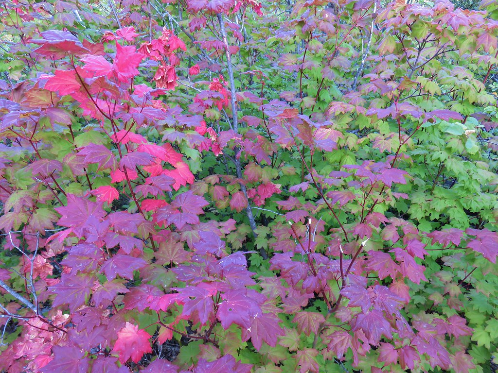
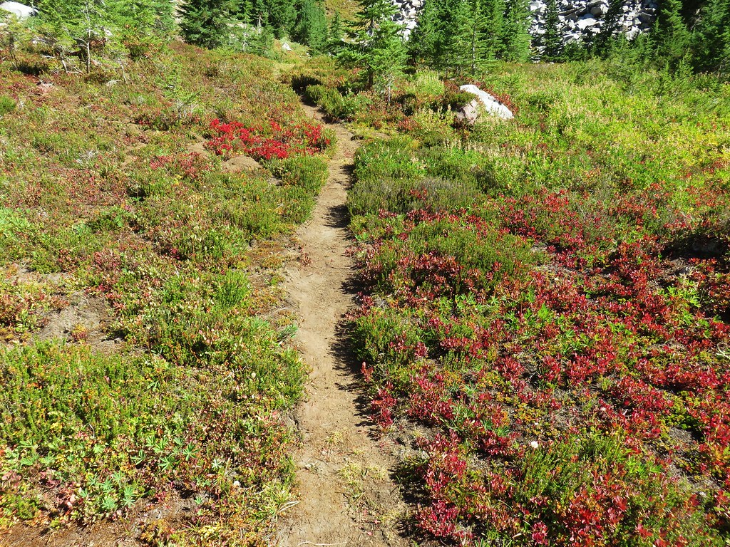
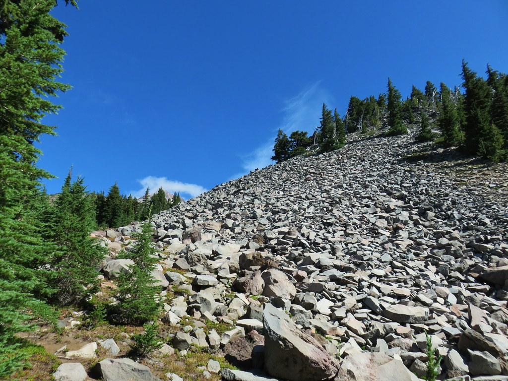
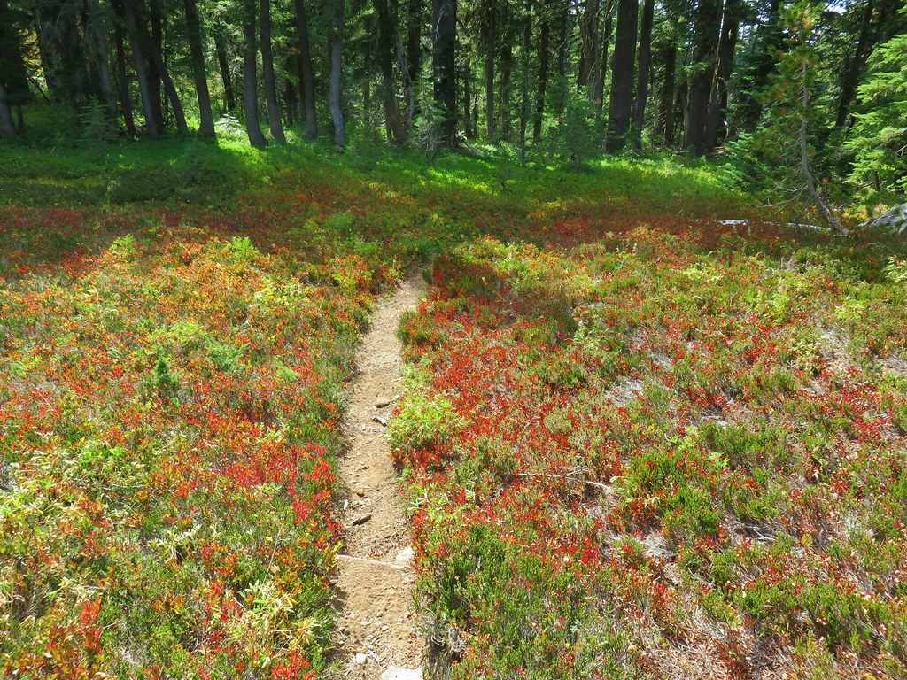
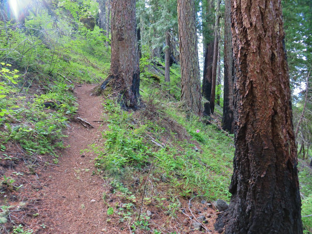
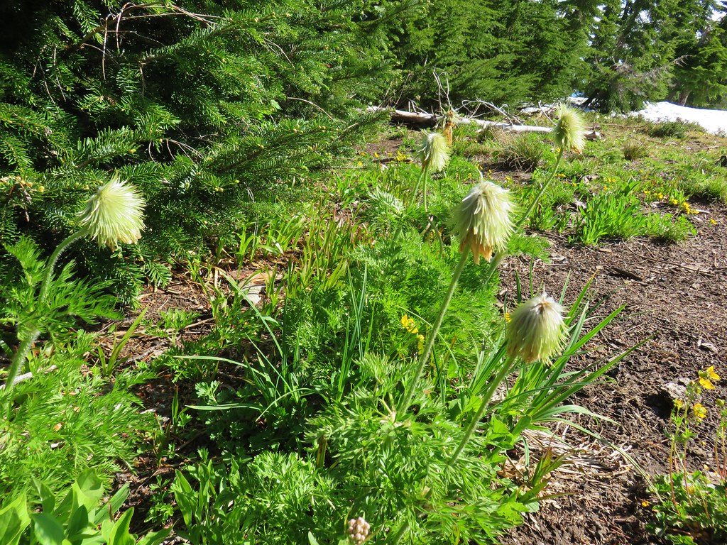
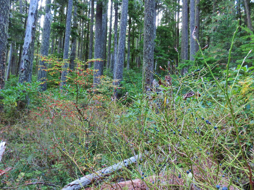
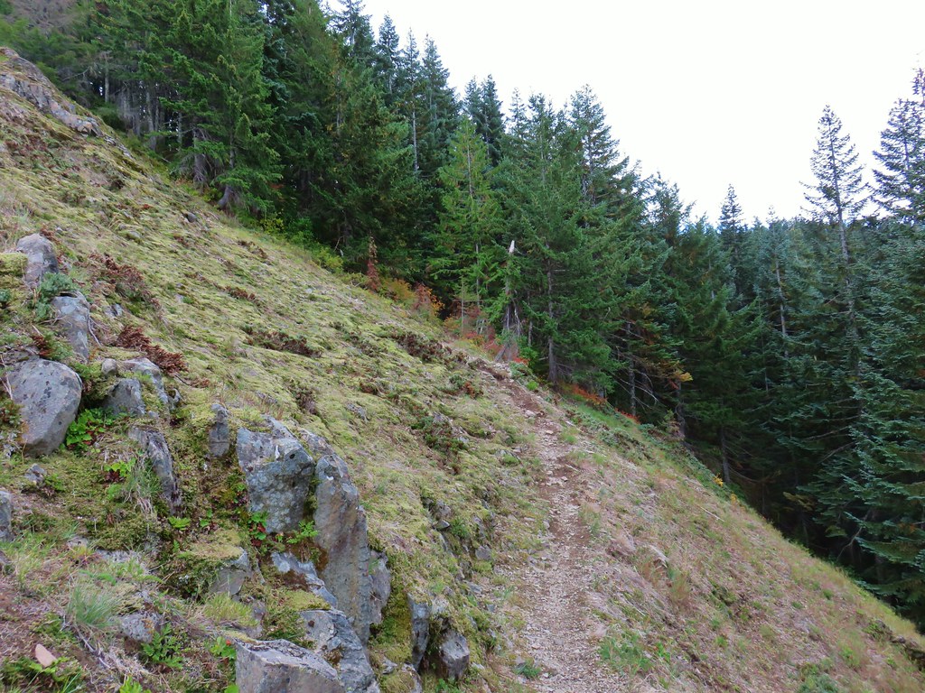
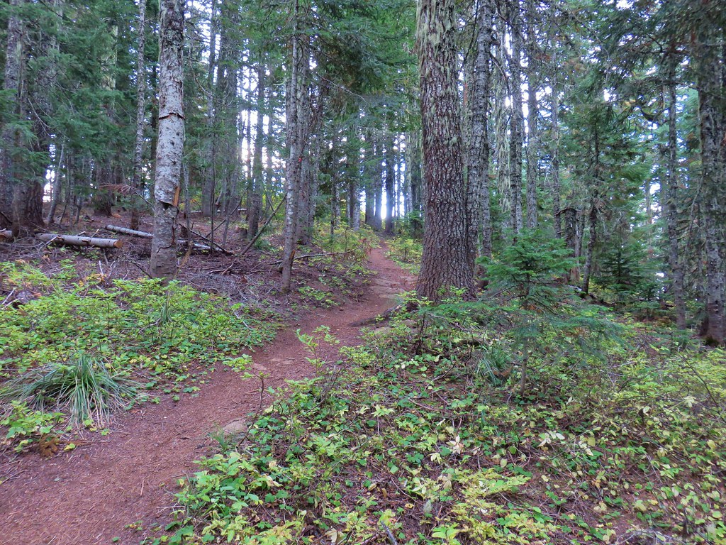
Because the trail follows the spine of a ridge there isn’t a lot of room for it to zigzag up so at times it was brutally steep. We tried to entertain ourselves with the remaining flowers which included our first fireweed, diamond clarkia, scouler’s bluebells (lots), and pearly everlasting of the year.
 A clump of fireweed.

 Scouler’s bluebells
 Diamond clarkia
 Cat’s ear lily
 yarrow
 Pearly everlasting
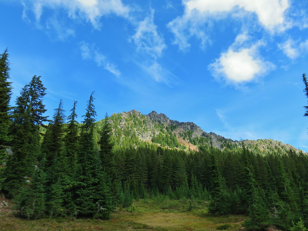
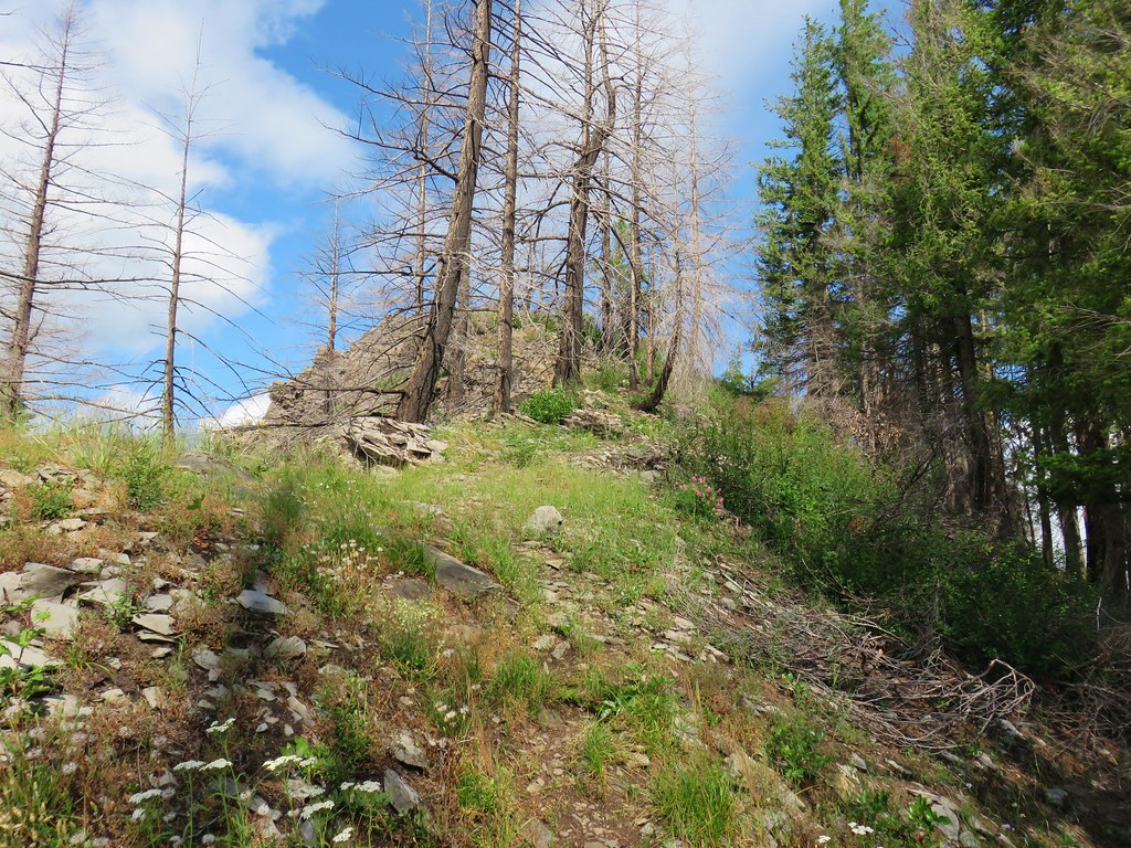
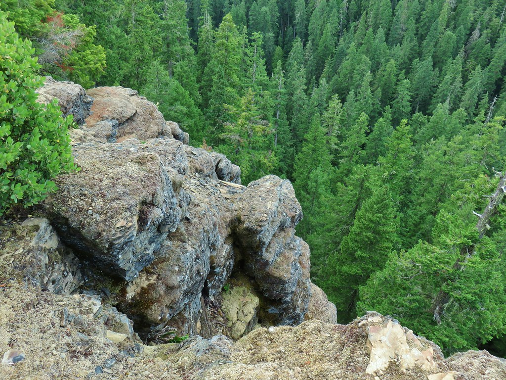
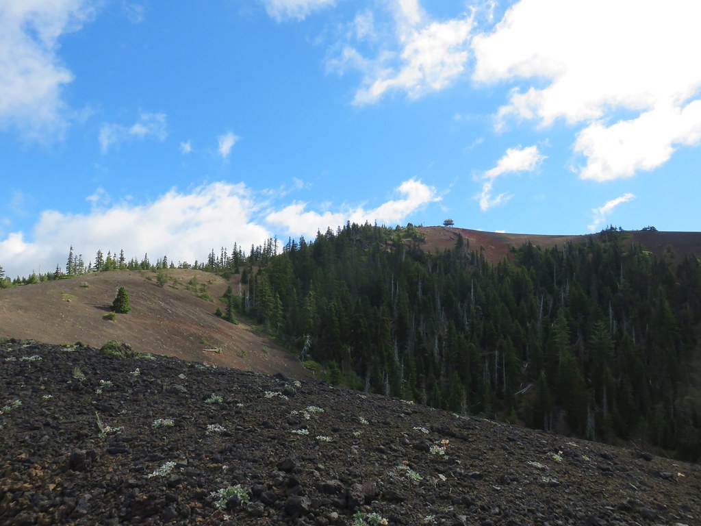
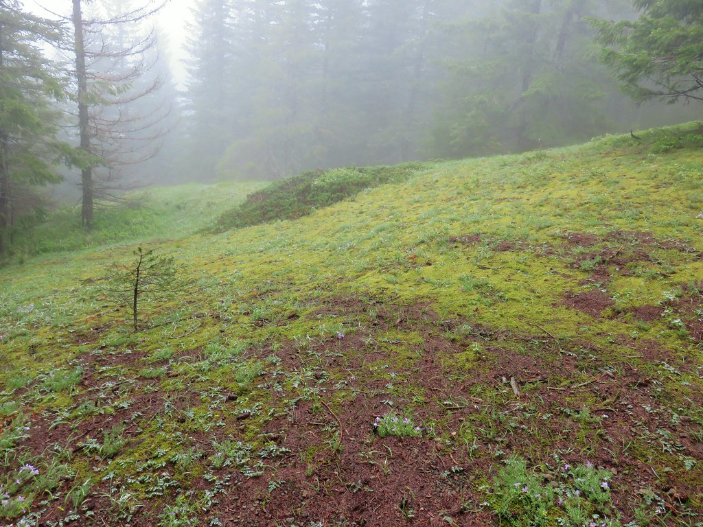
A little over a half mile from the junction we arrived at the Devil’s Lookout, a rocky viewpoint. Although we had some blue sky overhead clouds seemed to be encircling us.

The trail then dropped a bit as it crossed a somewhat level saddle before launching itself uphill again.

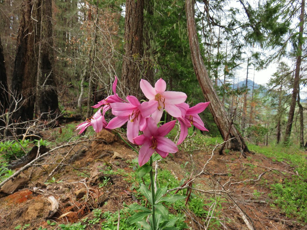 Another Washington lily

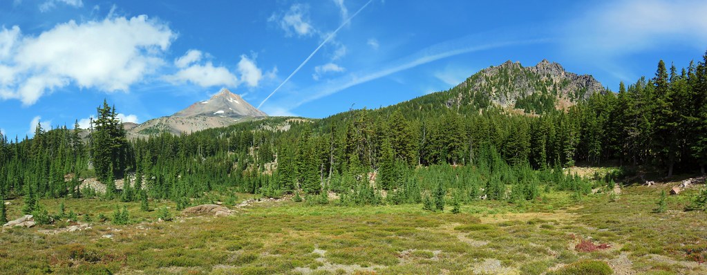
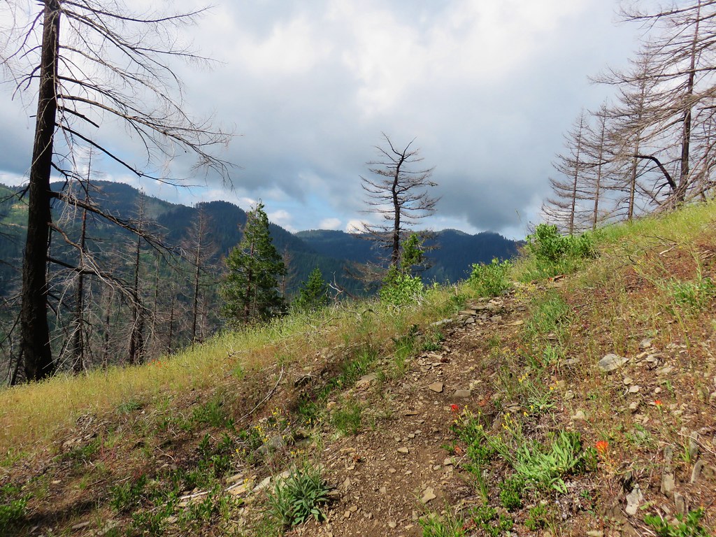
After gaining 200′ in a tenth of a mile the trail became more reasonable as it climbed along a much gentler slope. There were some interesting rock formations along this section.

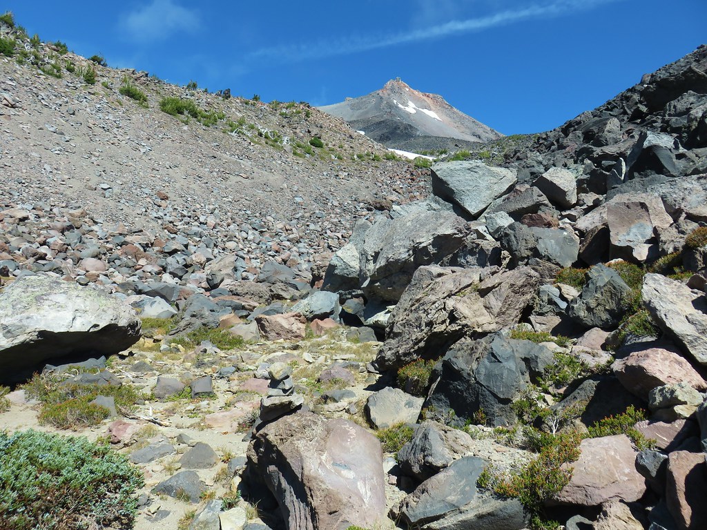
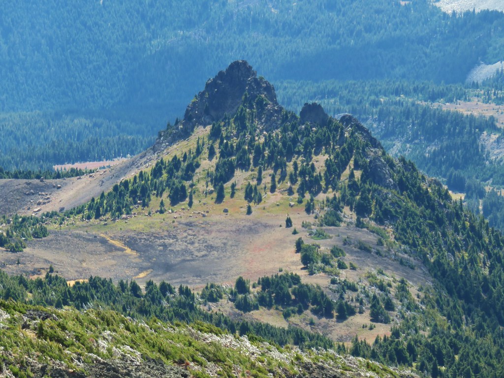
 Devil’s Peak ahead
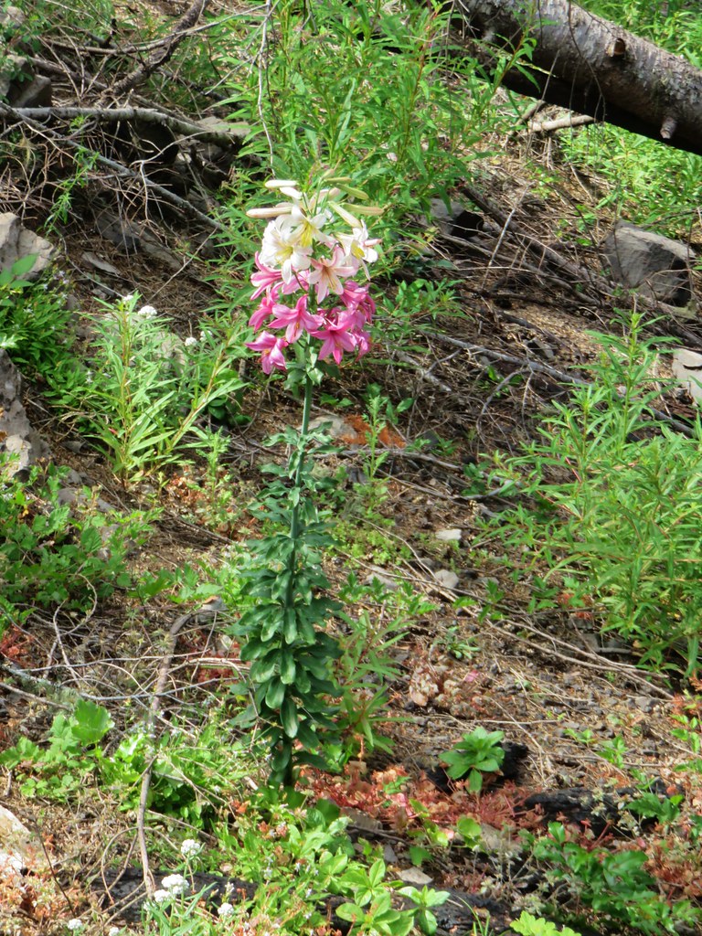
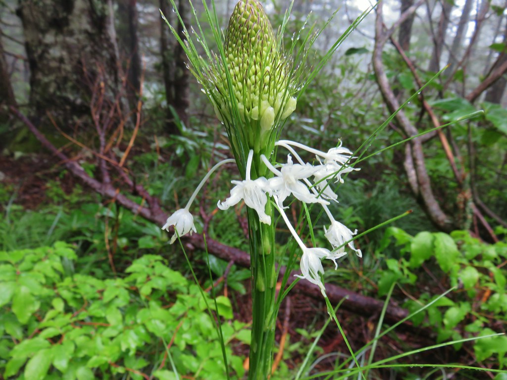
In addition to the rocks we spotted a spectacular Washington Lily with various stages of blooms. It smelled just as good as it looked too.


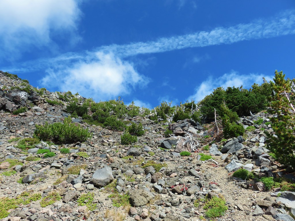
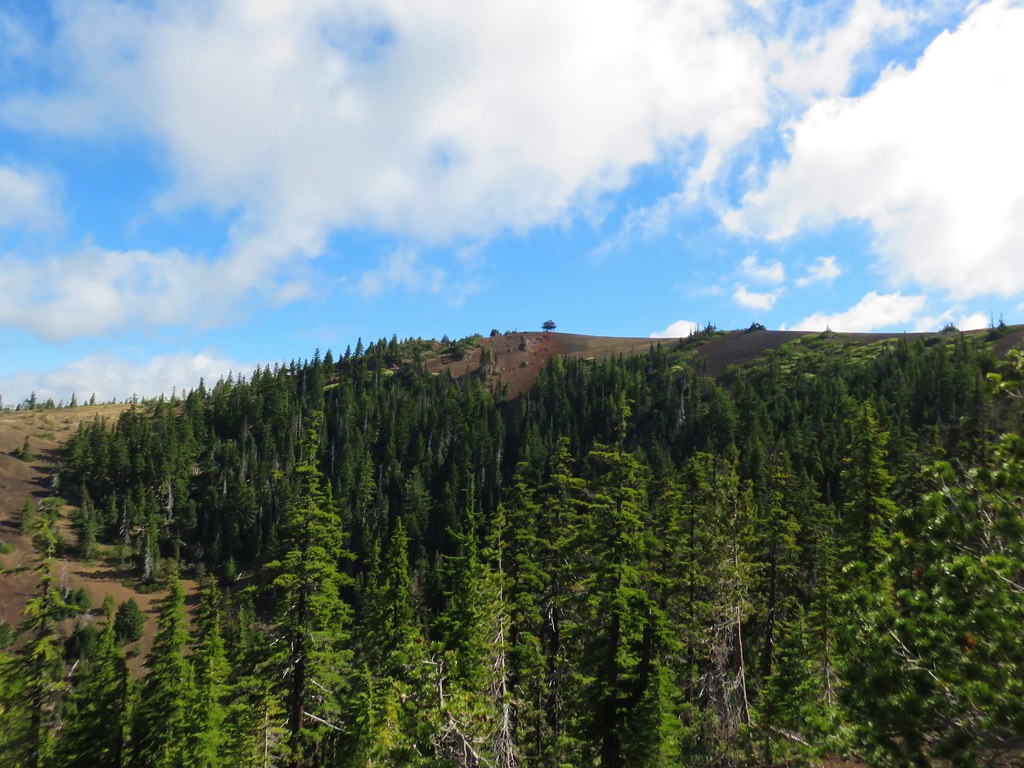
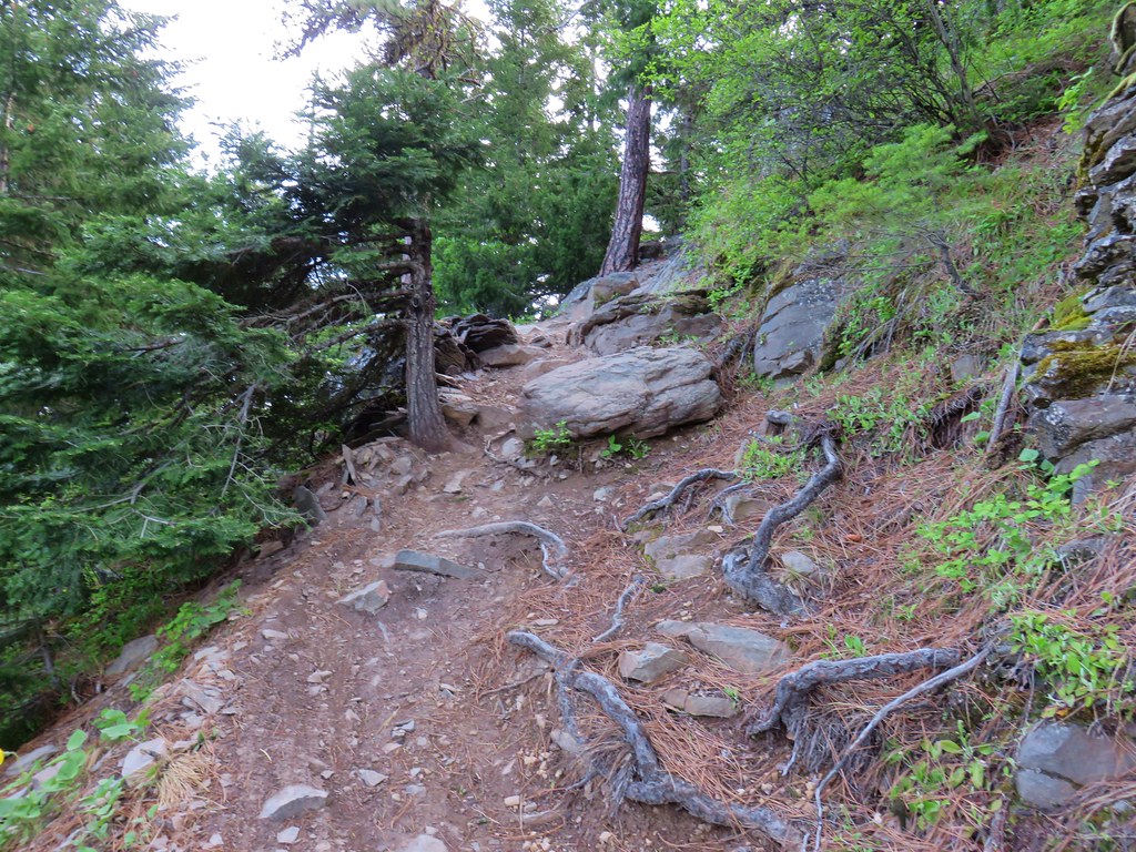
As the trail neared Devil’s Peak it took a different approach than launching straight uphill and wound around to the left. The tread along the hillside had been damaged by the fire and required a little caution.


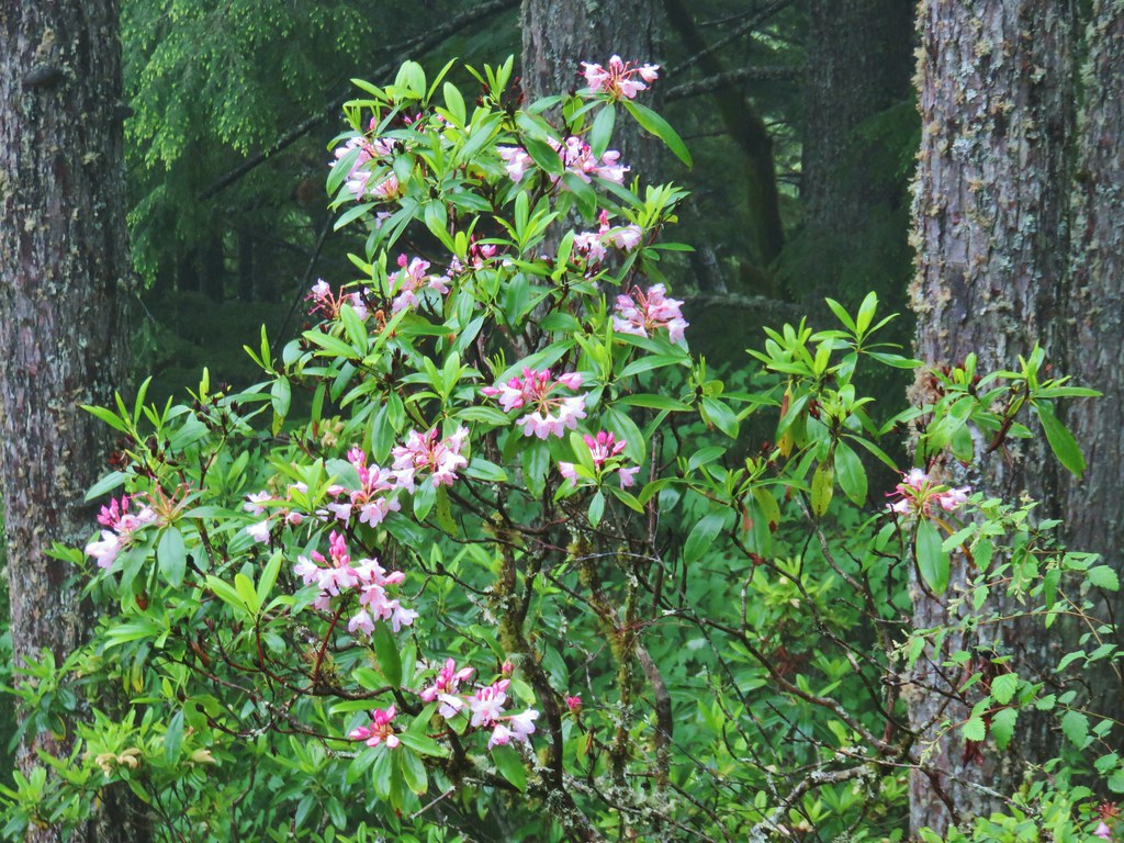
The trail wrapped around to the opposite side of Devil’s Peak where there were a few reaming wildflowers from what looked like it had been a decent display.
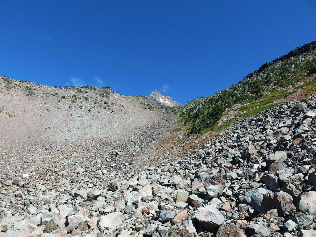
A trail used to continue along the ridge all the way to Triangulation Peak (post) but that trail had long been abandoned before the fire.

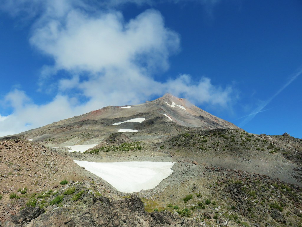
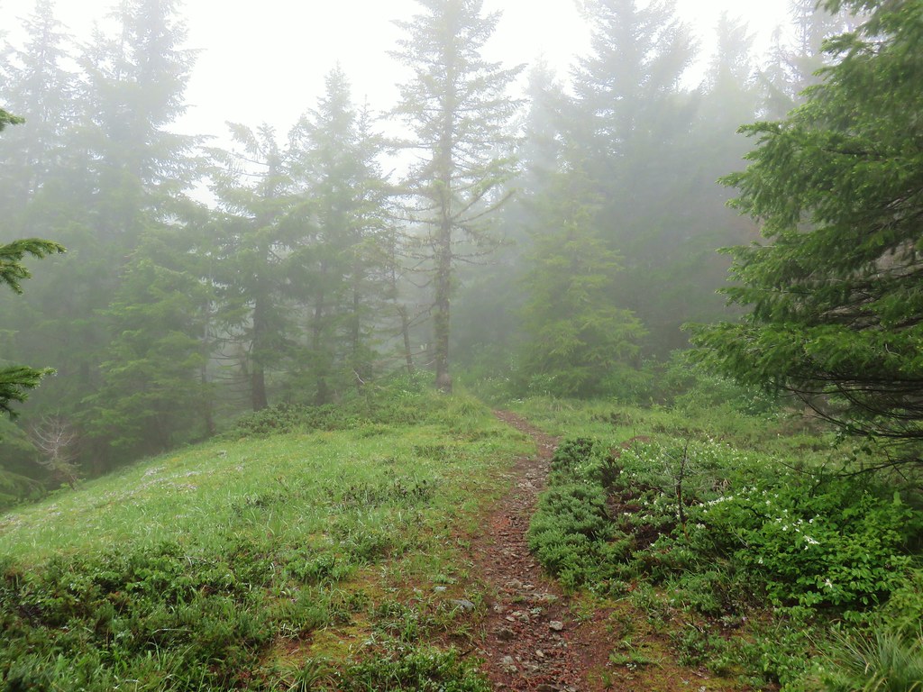
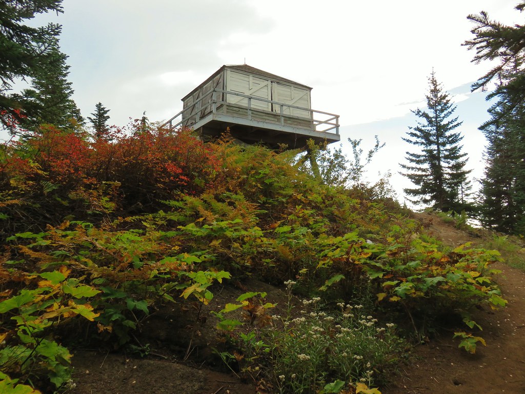
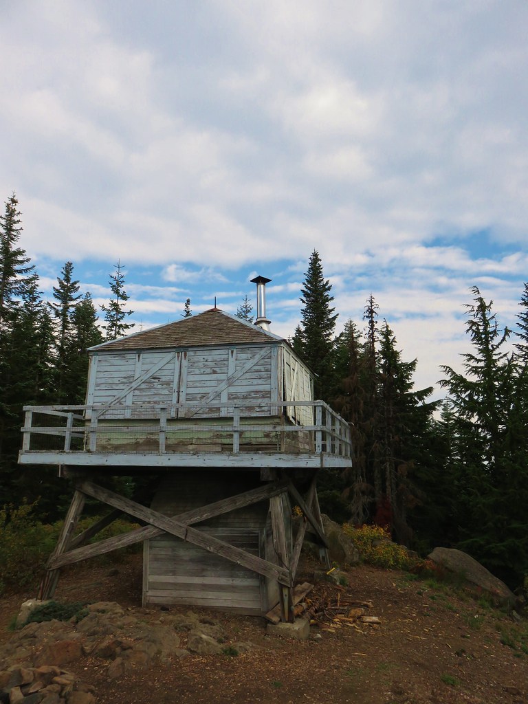
The trail now got back to business and did indeed head basically straight up to the top of Devil’s Peak.
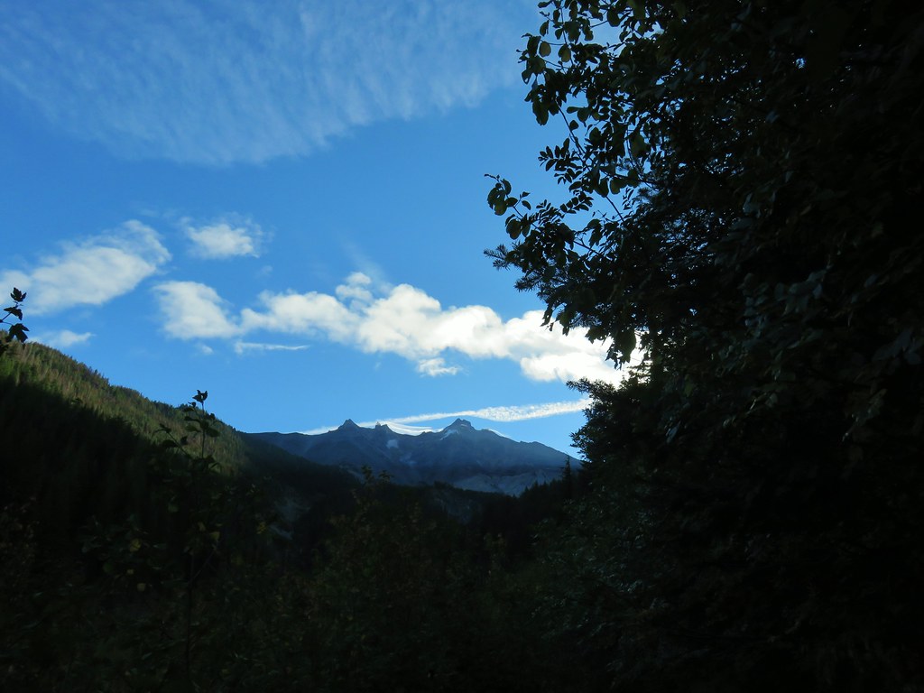
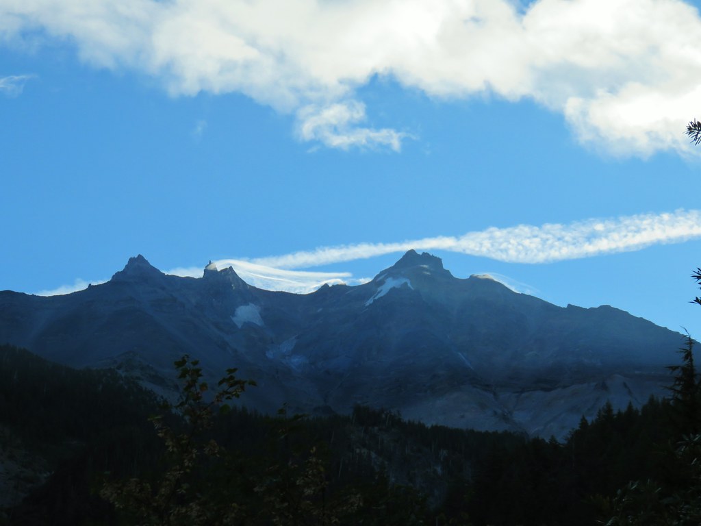
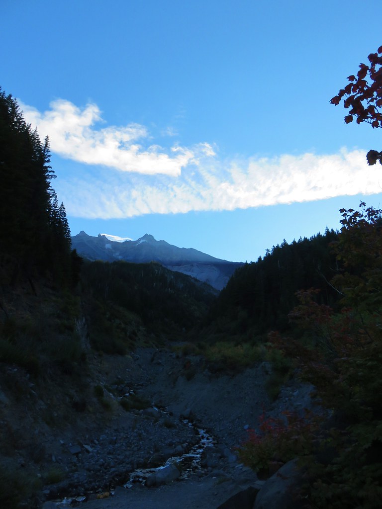
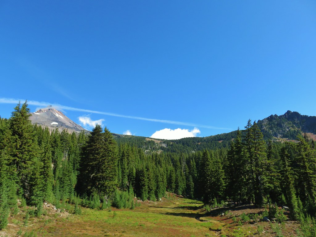
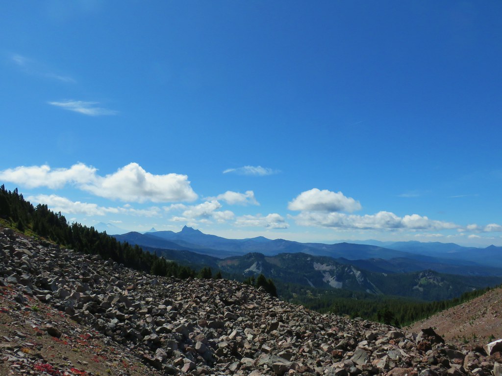
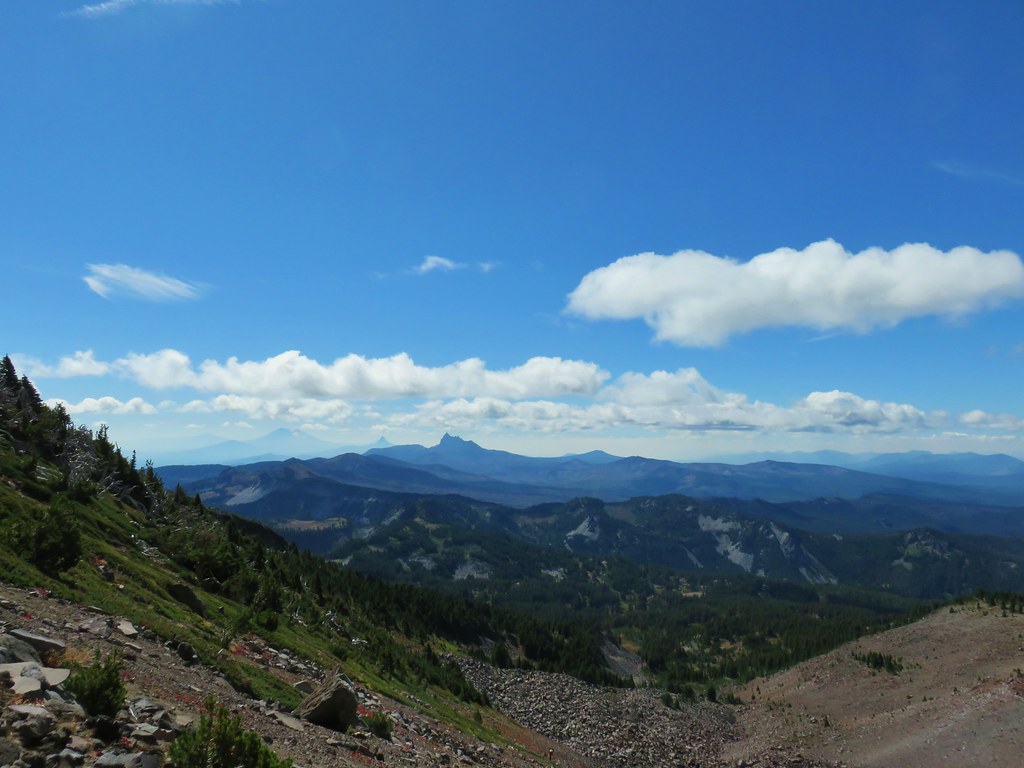
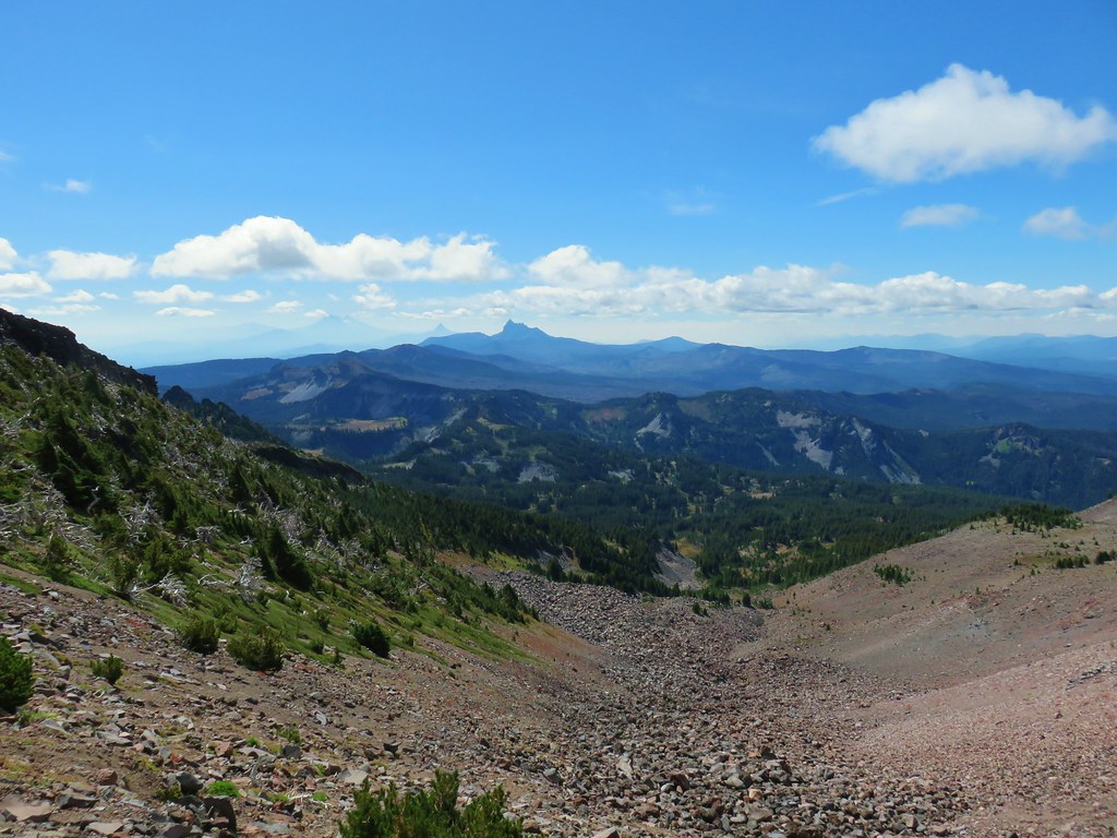
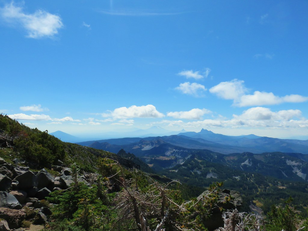
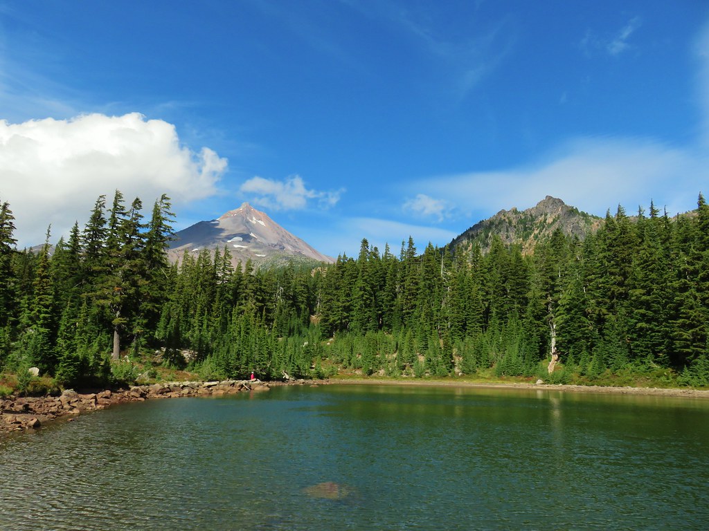
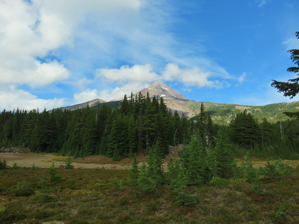
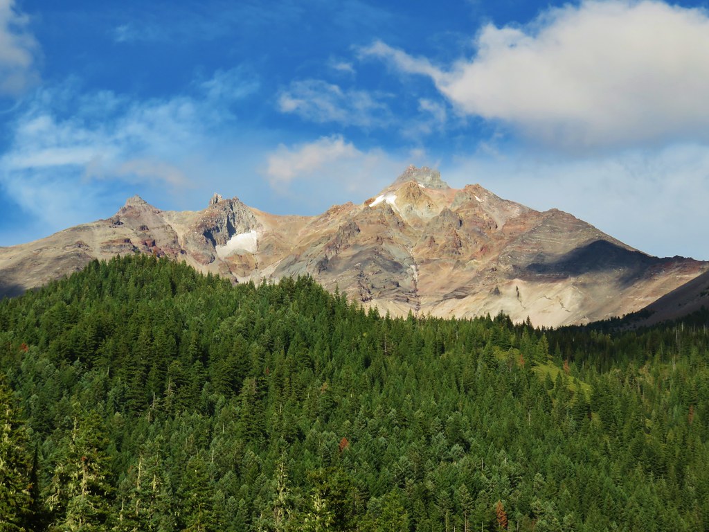
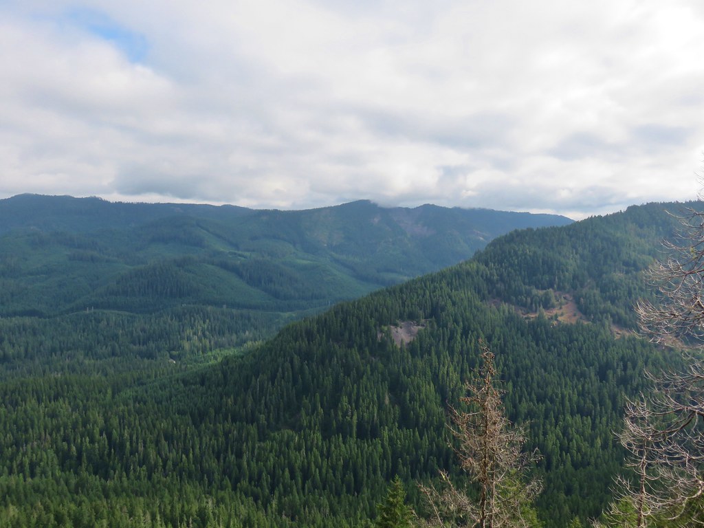
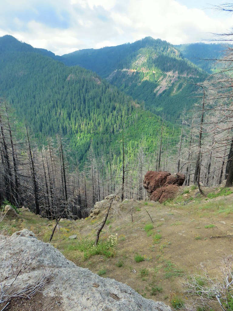
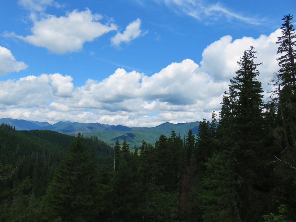
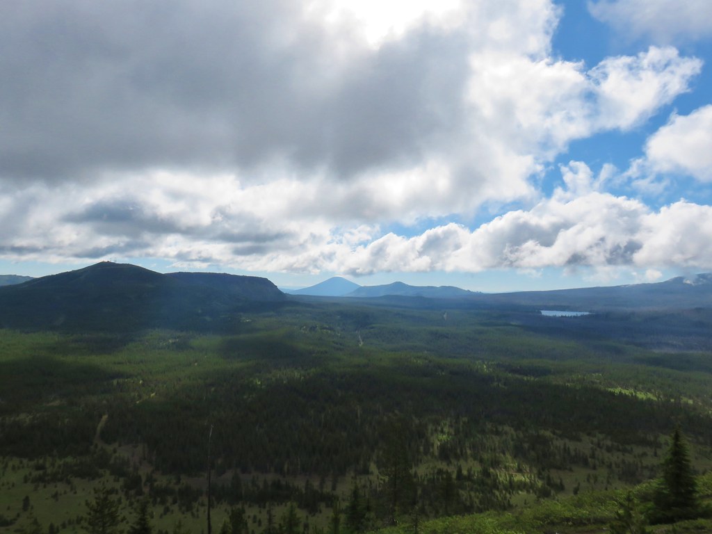
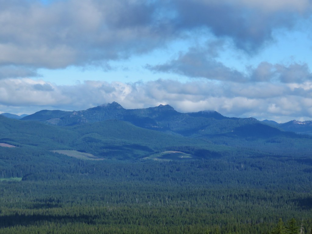
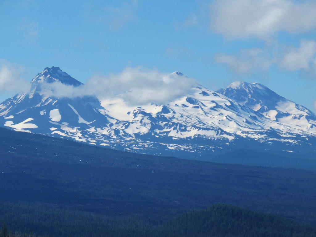
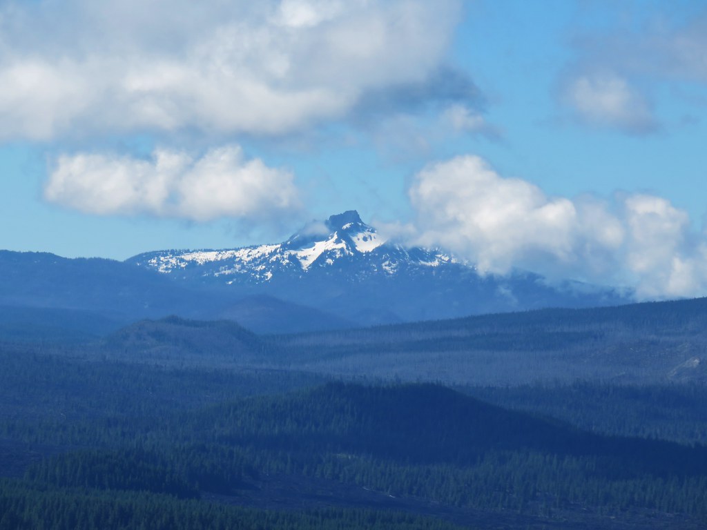
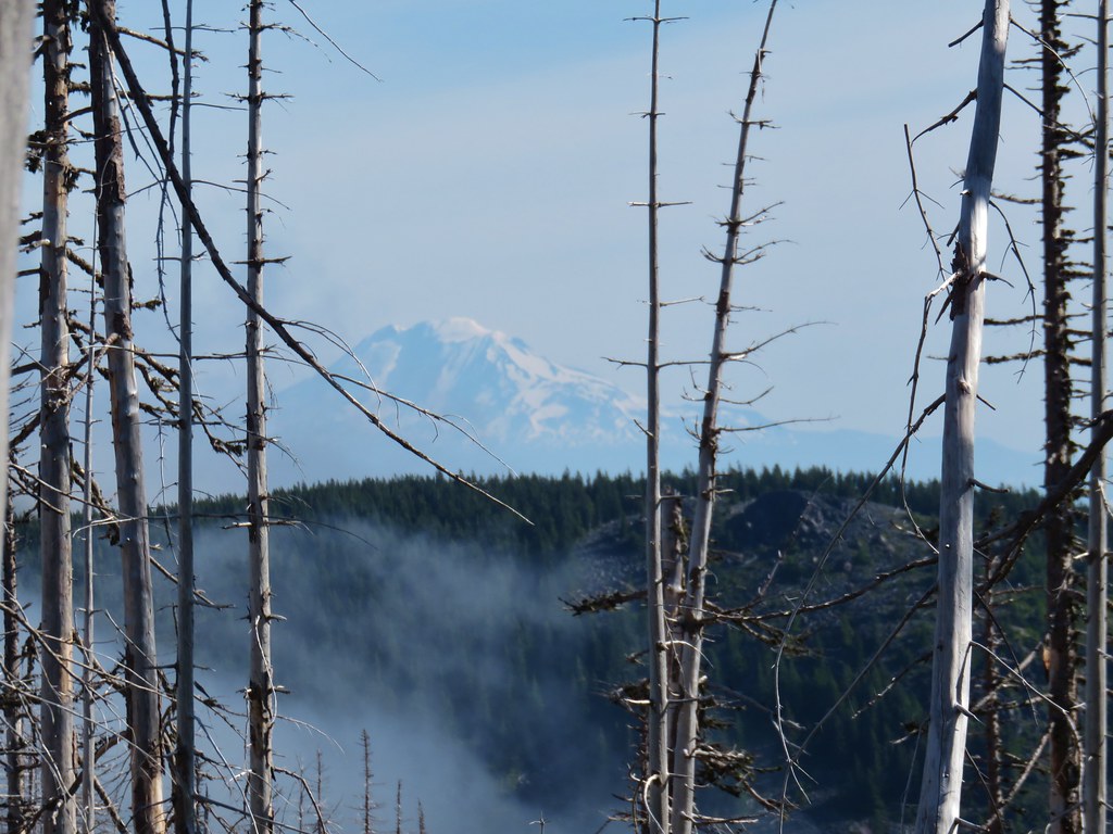
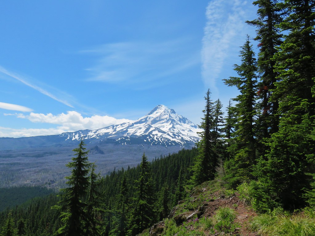
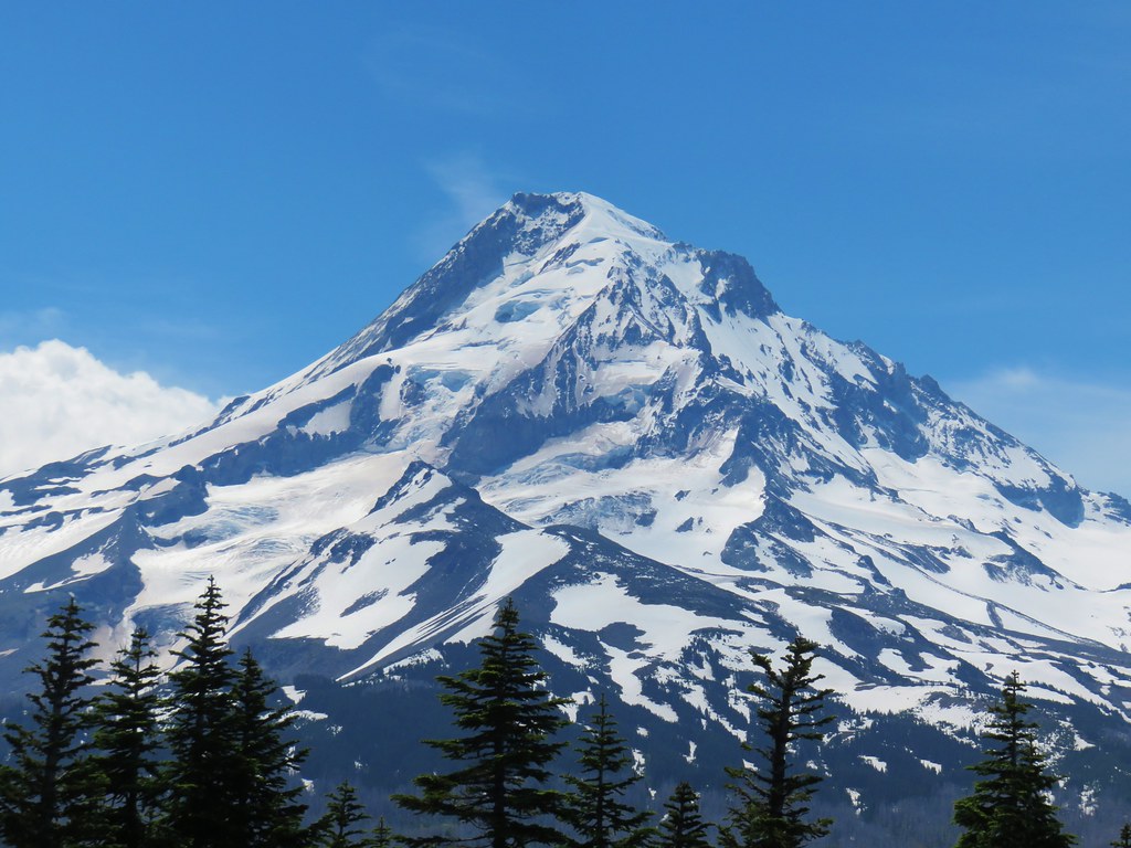
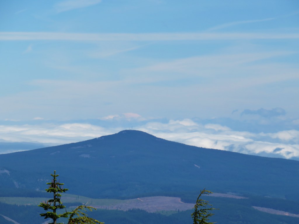
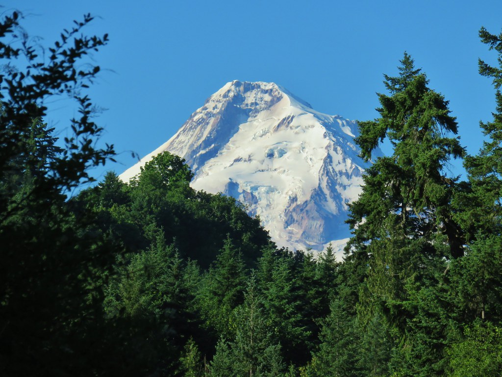
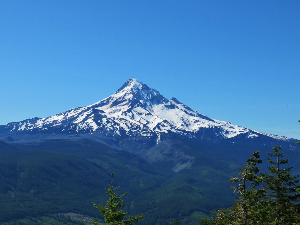
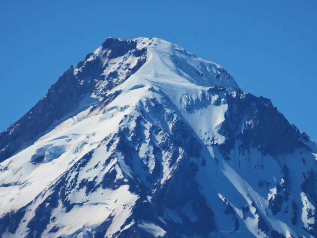
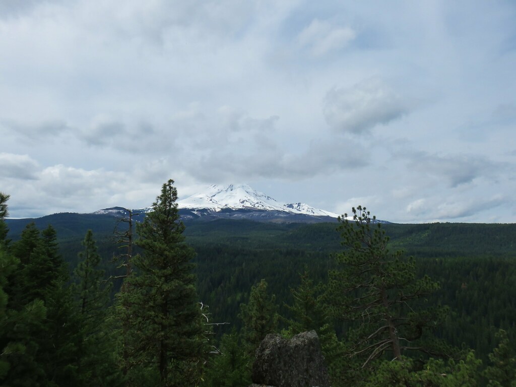
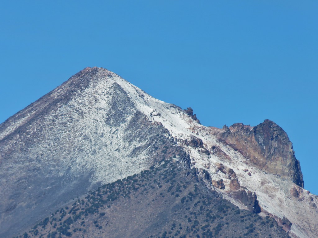
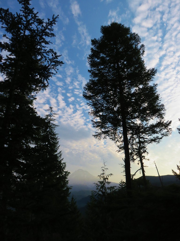
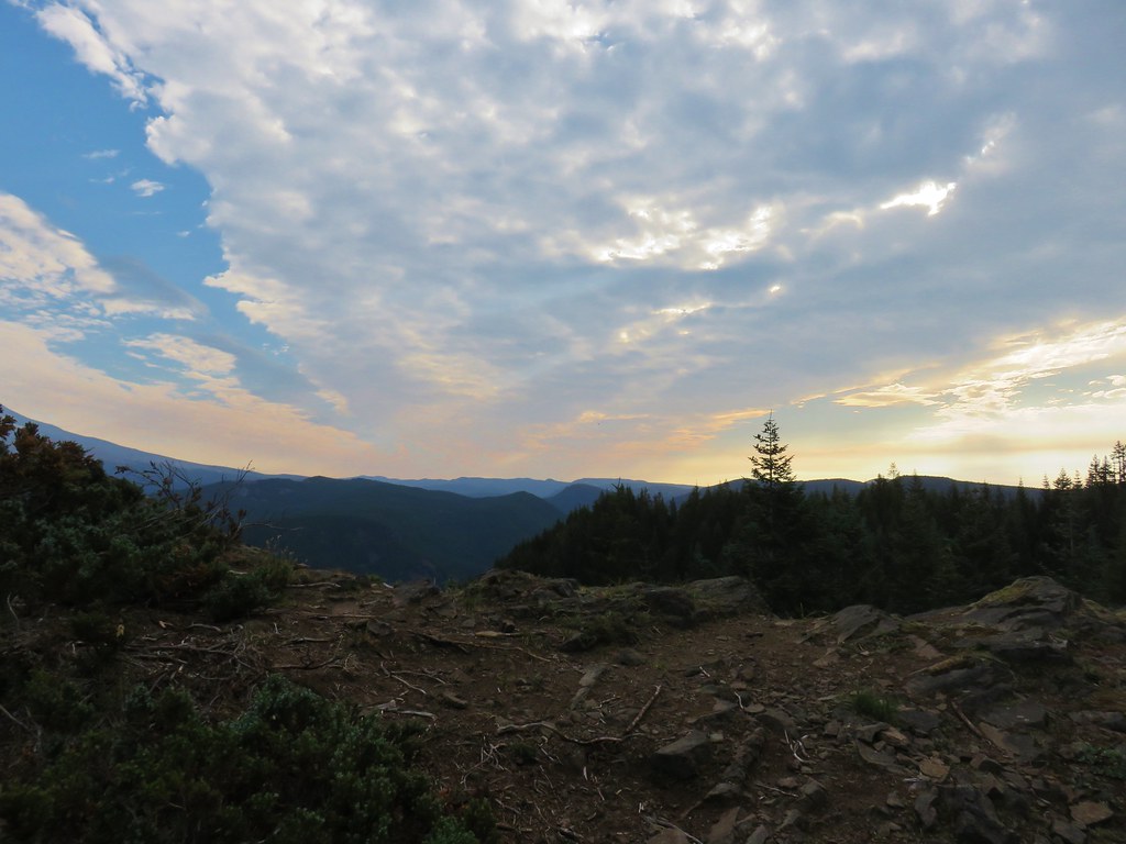
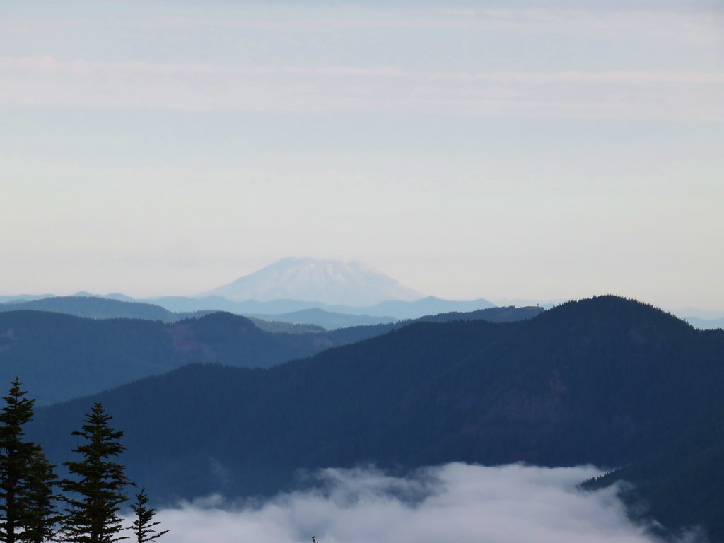
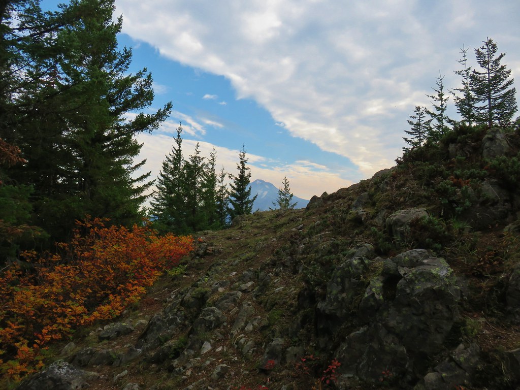
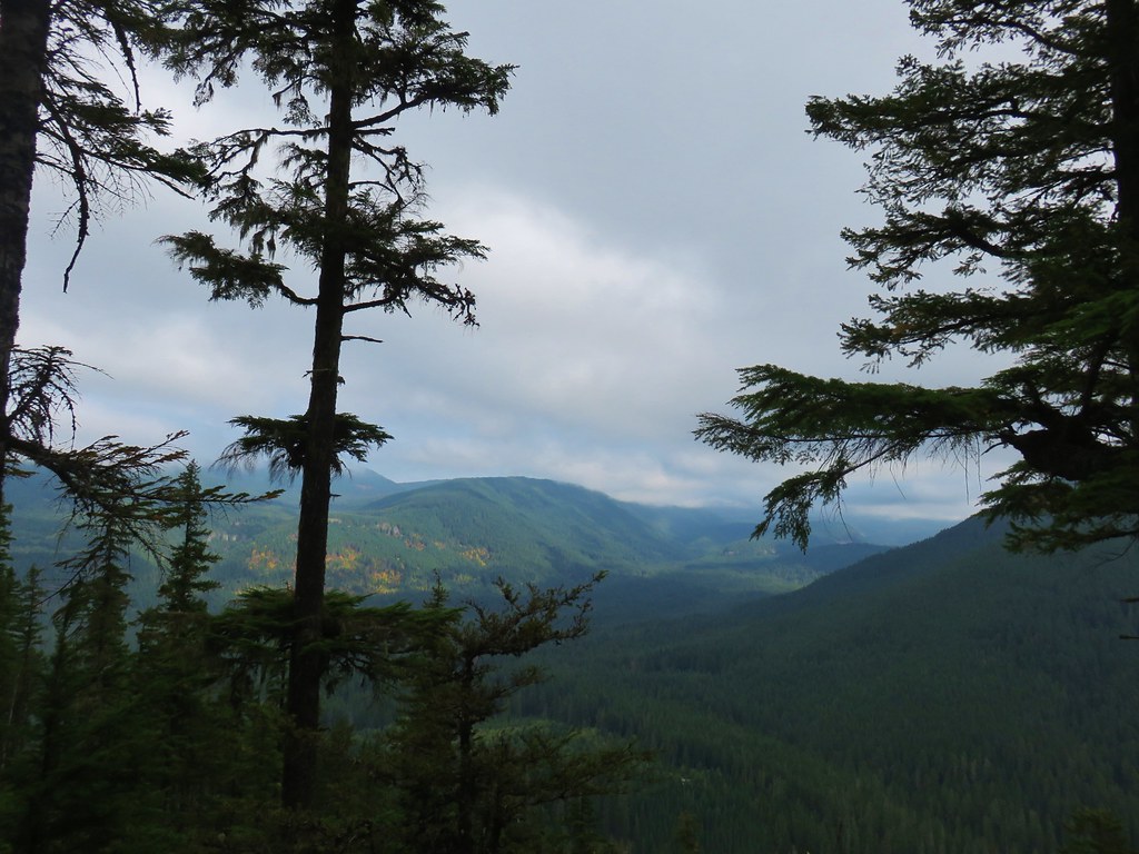
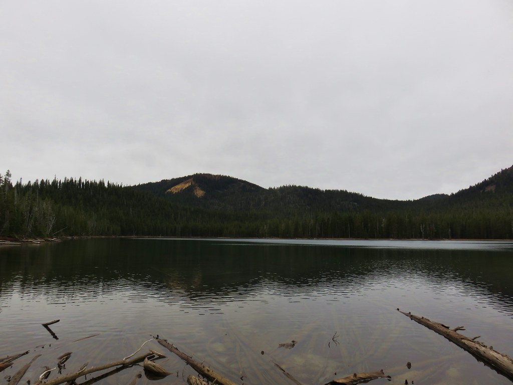
The view had reportedly been great of Mt. Jefferson before the fire and with many trees now burned the view was even more open, but those pesky clouds just weren’t cooperating.
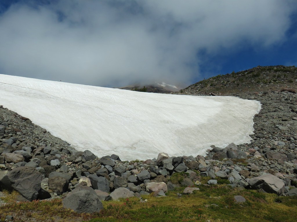
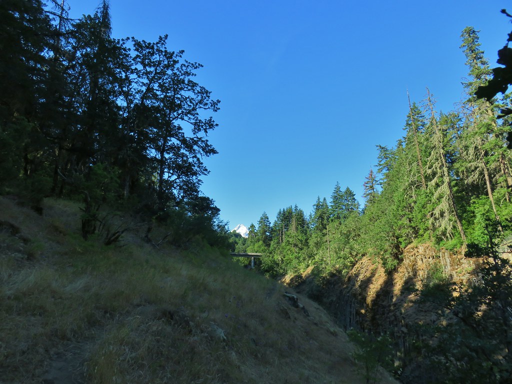
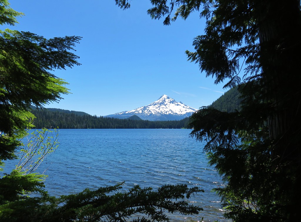
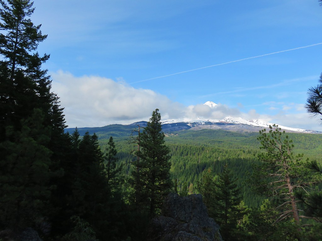
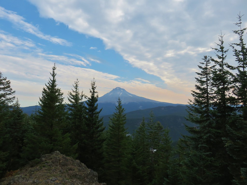
Ironically we had been able to see Mt. Jefferson clear as a bell during our drive to Detroit but the best we could get now that we were closer was a glimpse of the snowy lower flank.

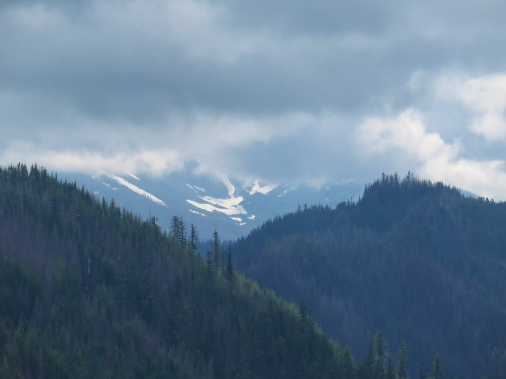
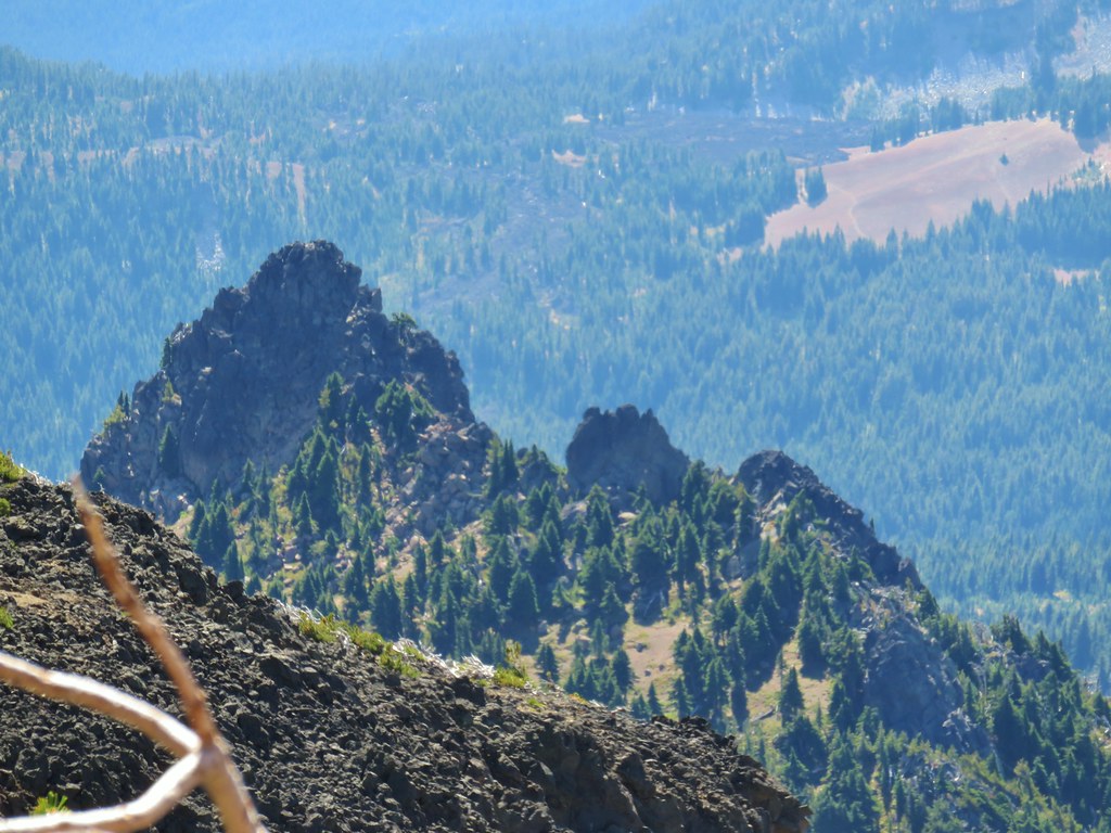
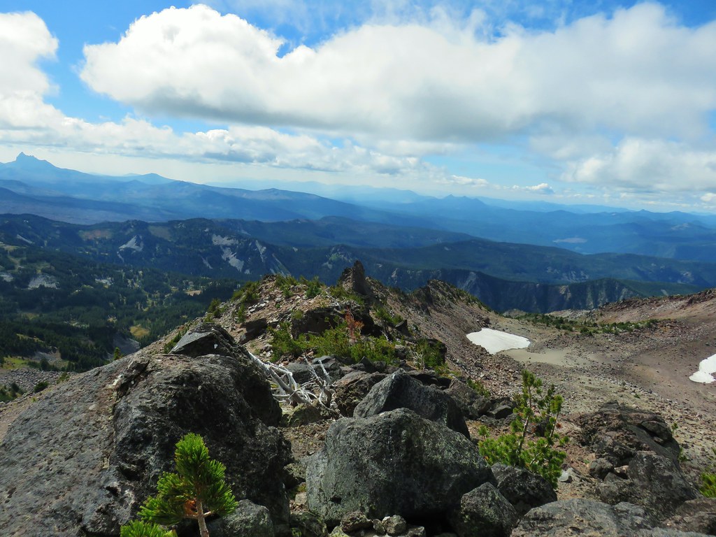
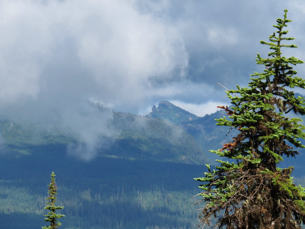
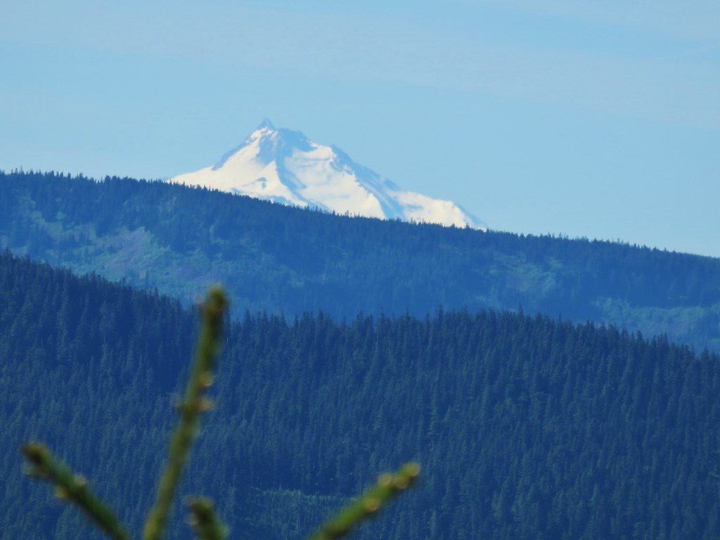
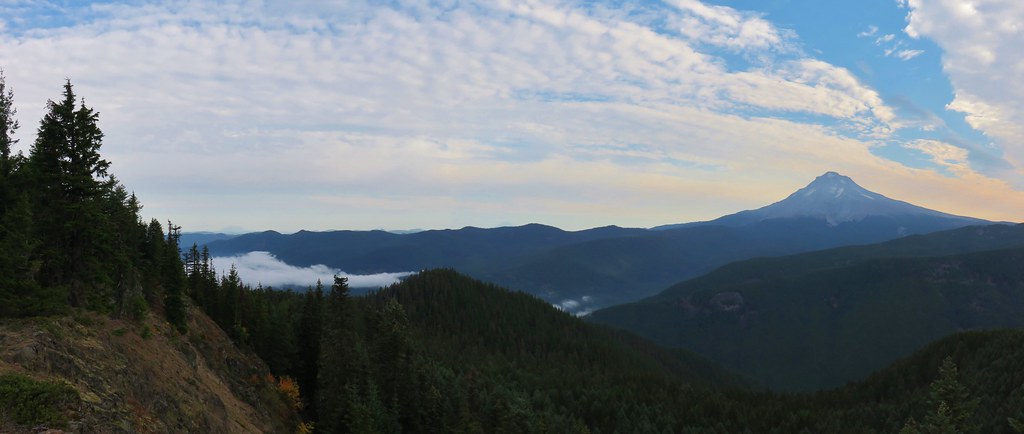
Triangulation Peak was below the clouds though.


We spent some time resting and exploring the summit which had some excellent rocks to sit on.

After a nice break we stared down. The steepness of the descent made it necessary to keep our speed under control and it was tough on the knees.
 A typical steep section.
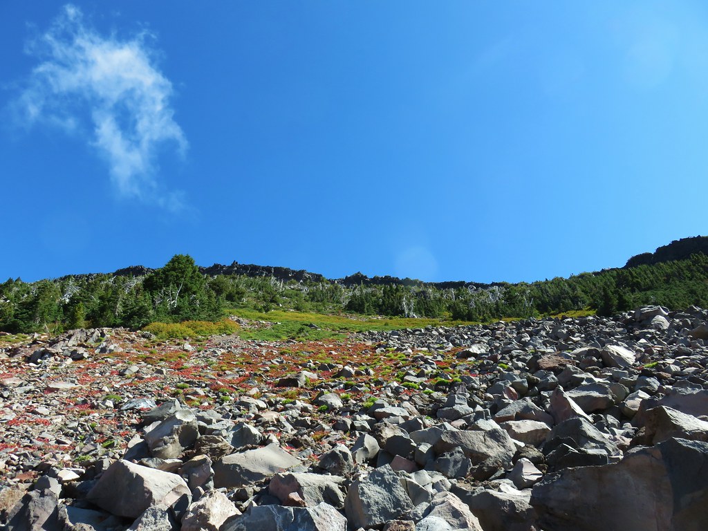
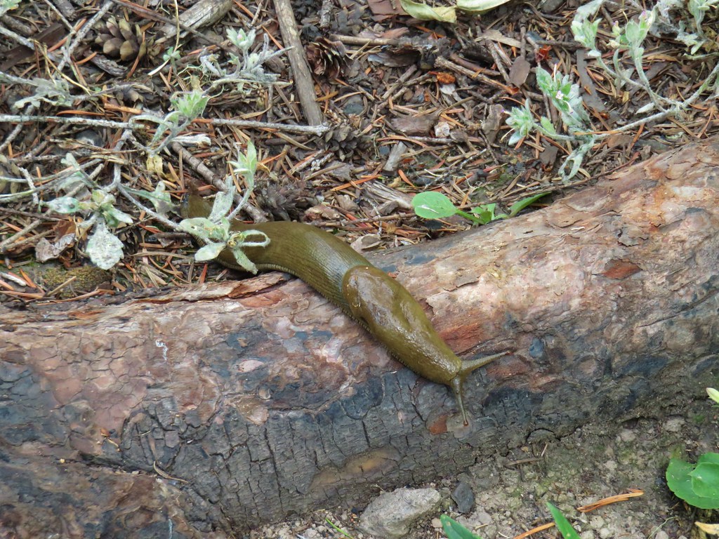
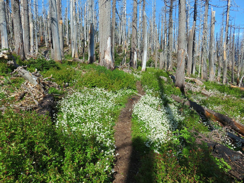
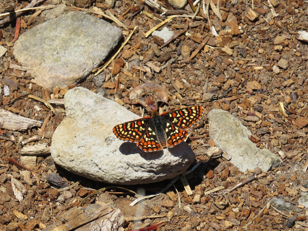
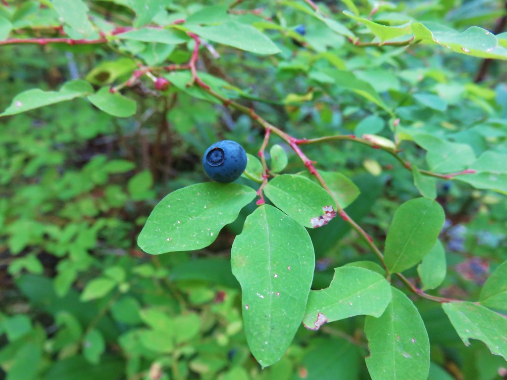
We stopped when we could, breaking for insects and ripe strawberries.


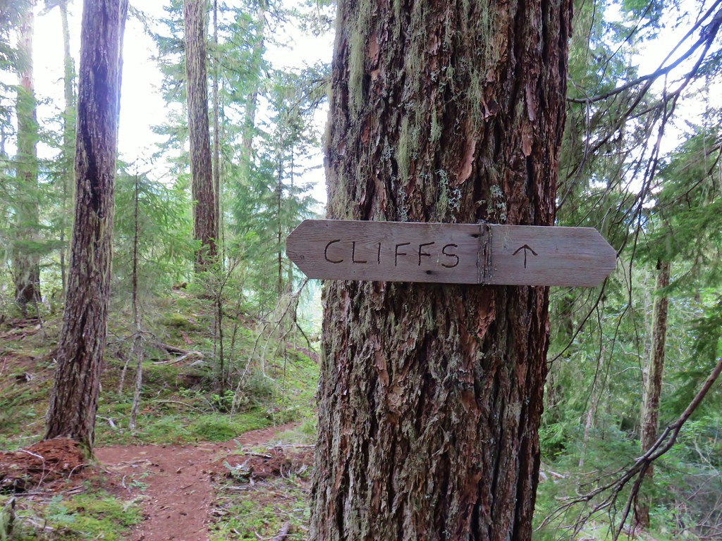
When we arrived back at the trail junction we stayed straight on the Cliff Trail which continued the theme of steep descents. After just 200 feet we veered left at a “Cliffs” pointer.

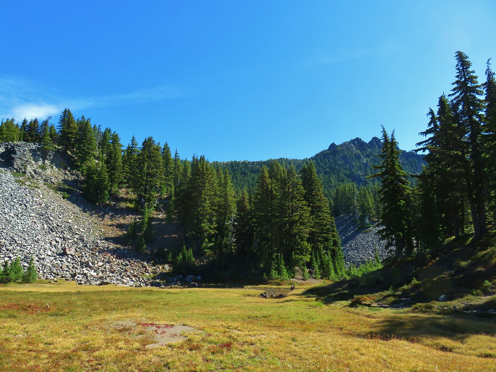
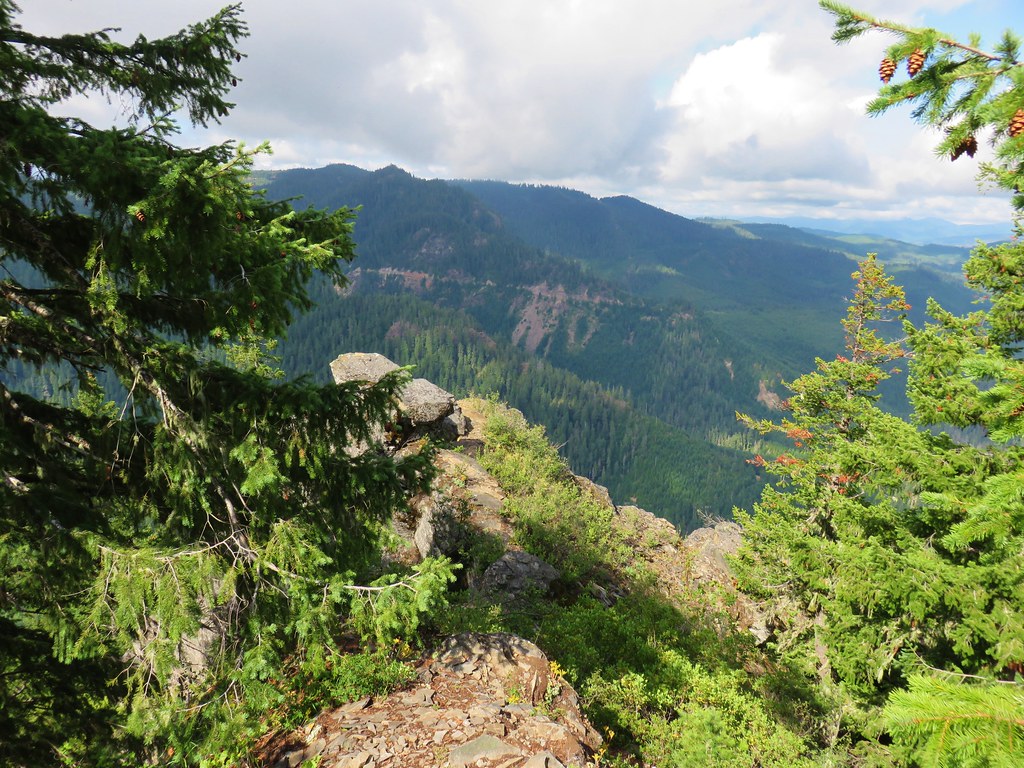
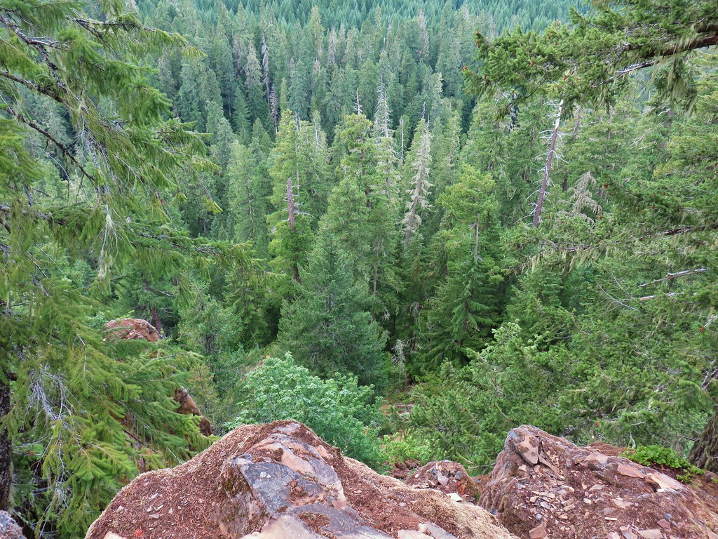
Short spur trails led out to a couple of cliff top viewpoints which overlooked the forest.


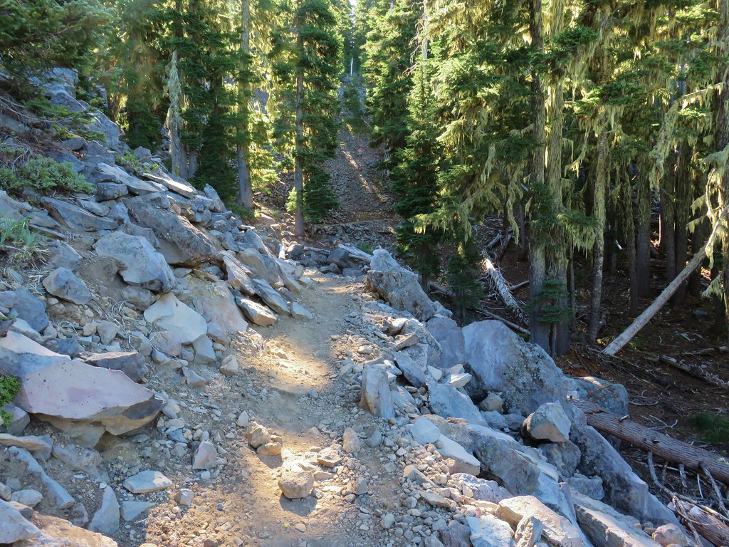
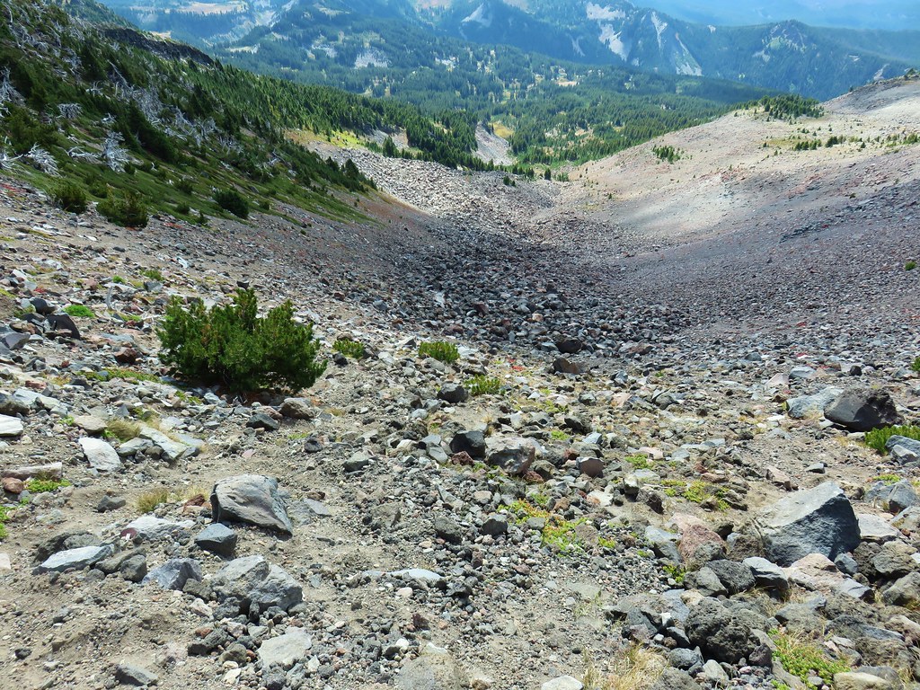
Beyond the cliffs the trail really dropped as it descended into a narrow valley.
 Looking back up from the bottom.
 Still dropping but much more gradually.
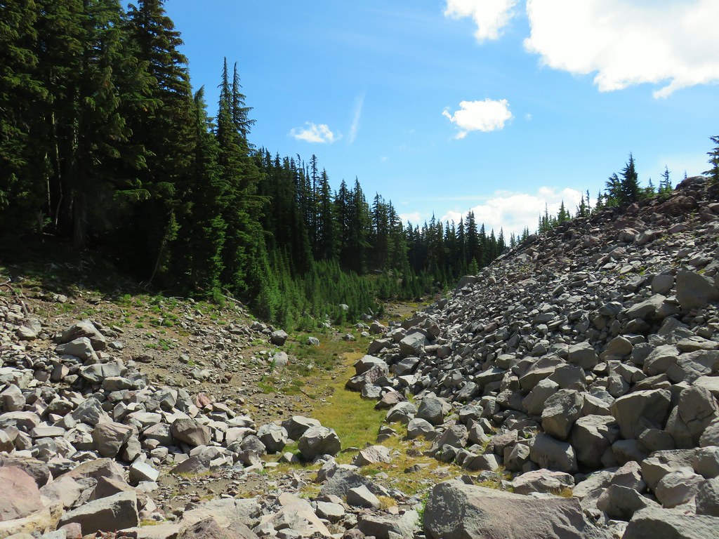
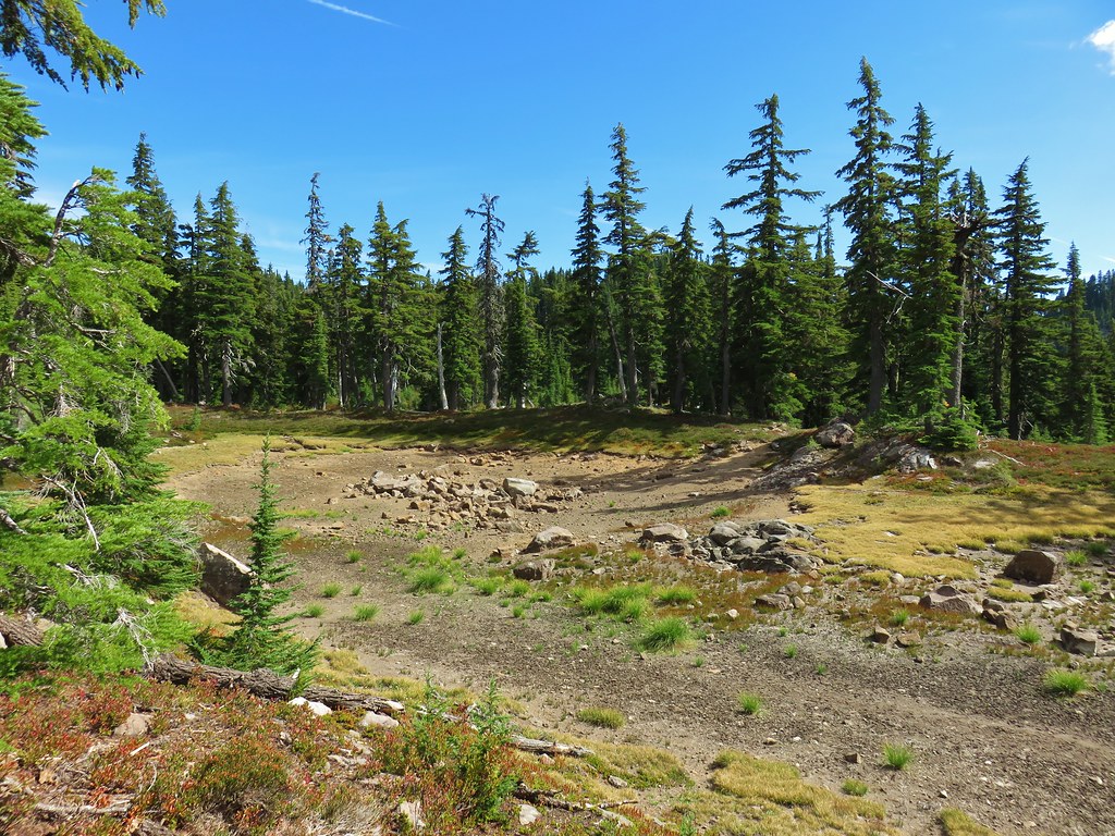
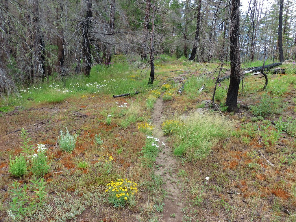
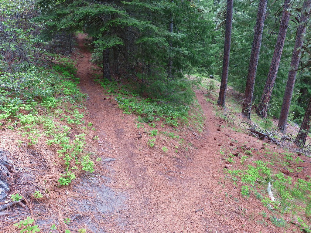
Approximately a half mile from the cliffs the trail ended at the Spotted Owl Trail. Here a right turn takes you back to the Emerald Forest Trail in half a mile where you can then return to the trailhead via the earlier route.

If you have a shuttle car that you left at the Spotted Owl Trailhead or if you are a guest at the resort you can turn left here and follow the Spotted Owl Trail a little over a mile to the visitor parking area at Breitenbush Hot Springs. The description in Reeder’s book has you loop through the resort but the resort has apparently hardened their stance on allowing hikers to pass through the resort itself.
This wasn’t a particularly long hike (9-10 miles) and the roughly 2400′ of elevation gain isn’t all that high a number but the steepness of those gains made this a surprisingly tough hike. It would have been nice to have had a view of Mt. Jefferson but this year seems to be the year of partly cloudy skies so all we can do is keep trying. In any event it was a nice hike and gave us a good excuse to check out the Breitenbush Cascades. Happy Trails!

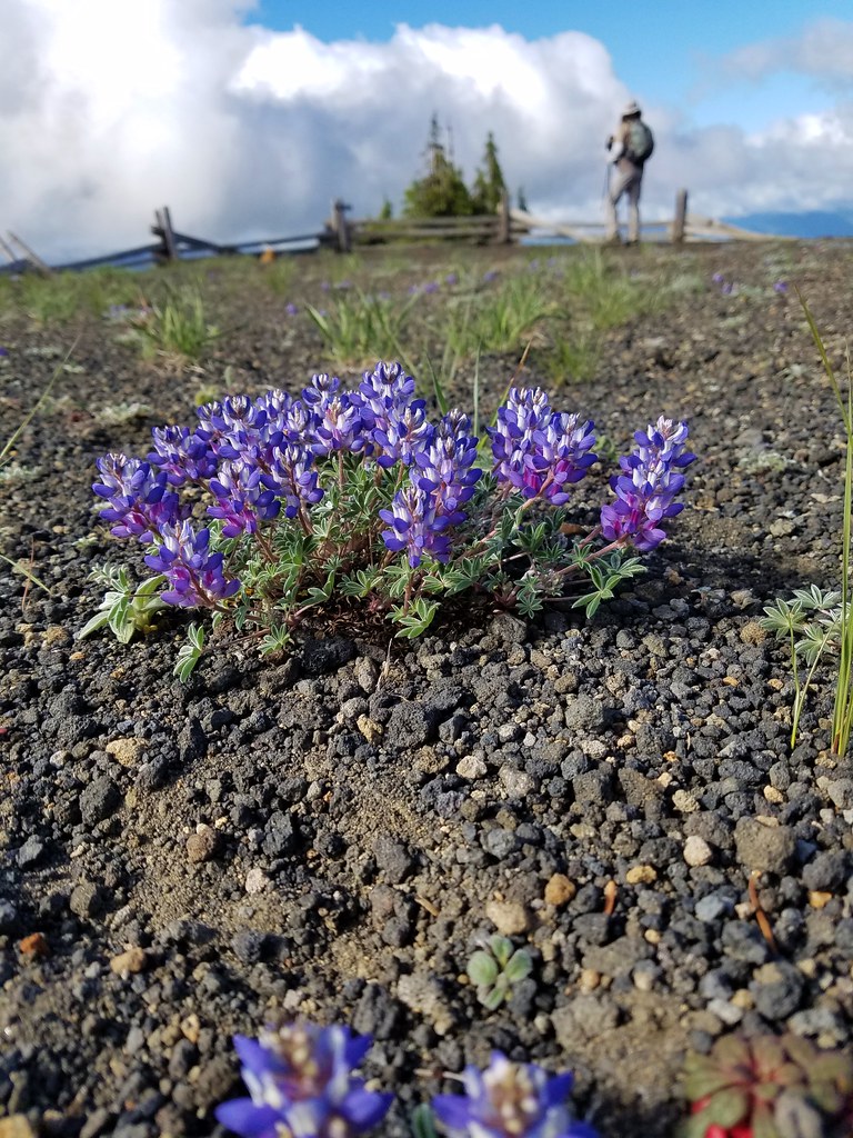
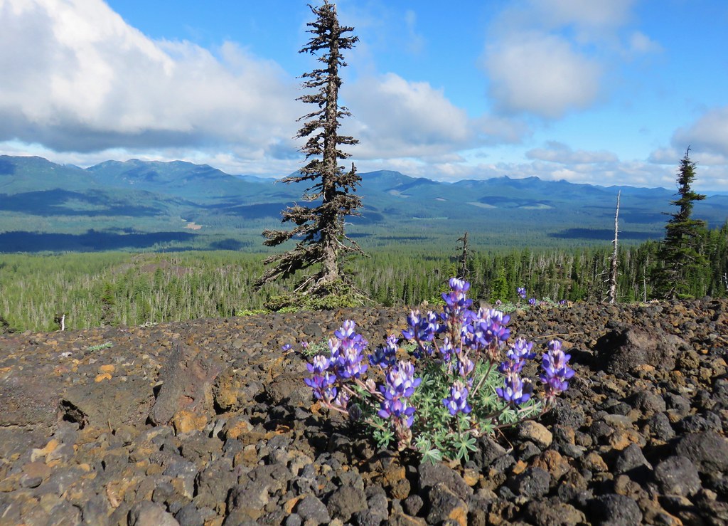
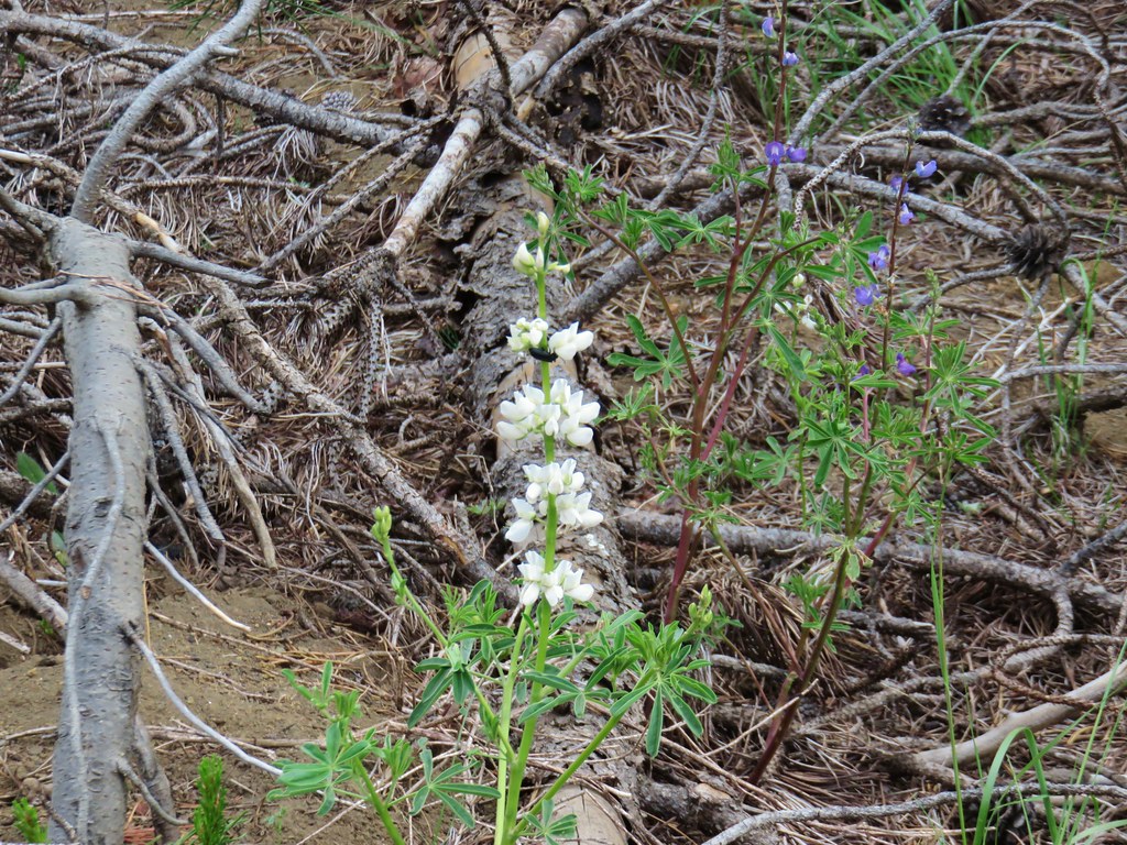 Lupine
 Beargrass plumes amid the trees
 Pussypaws


 Iron Mountain


 From left to right – Hoodoo, flat topped Hayrick Butte, and Black Butte (behind Cache Mountain).


 Dwarf lupine at the viewpoint.
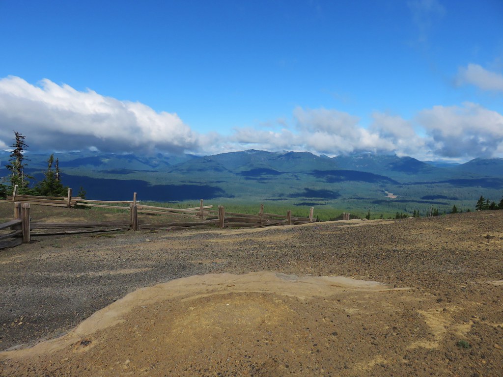

 Starting the loop from the viewpoint.
 Penstemon and snowbrush


 The Three Pyramids with Scar Mountain (
 Crescent Mountain (
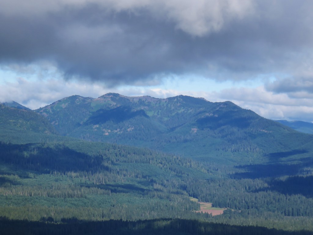


 Mt. Washington joining the show.
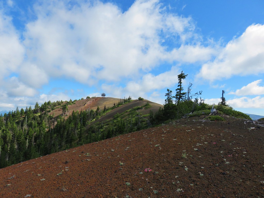


 Can you see Heather’s hat?
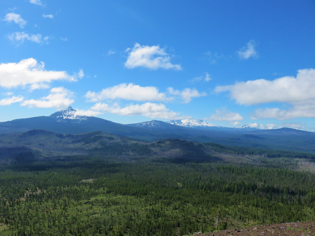
 The Husband
 Mt. Washington
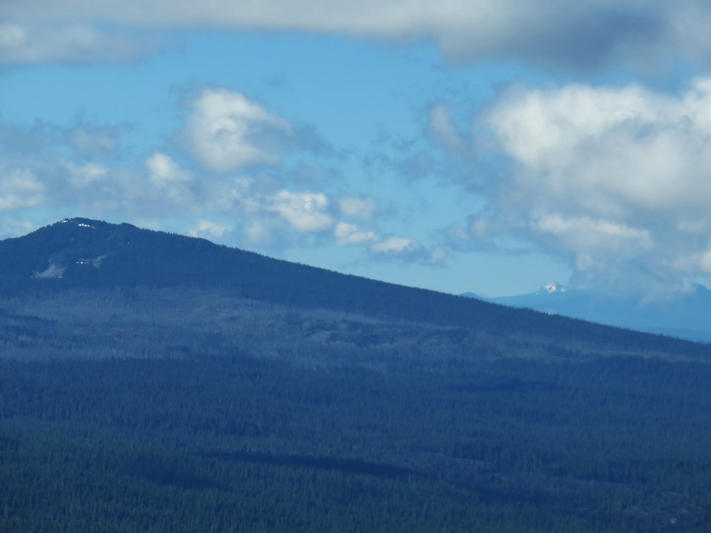


 Maxwell Butte (
 Looking toward Mt. Jefferson and Three Fingered Jack at a quarter to ten.
 Looking toward Mt. Jefferson and Three Fingered Jack at a quarter after ten.
 Looking toward Mt. Jefferson and Three Fingered Jack at a 10:23am.


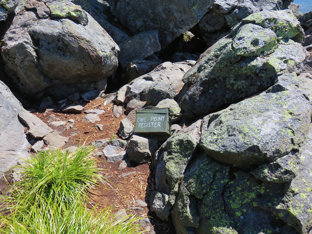
 Mt. Adams beyond Owl Point


 Eden Park Trail


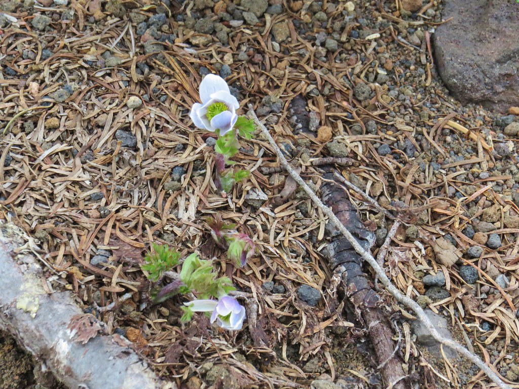
 western pasque flowers already going to seed
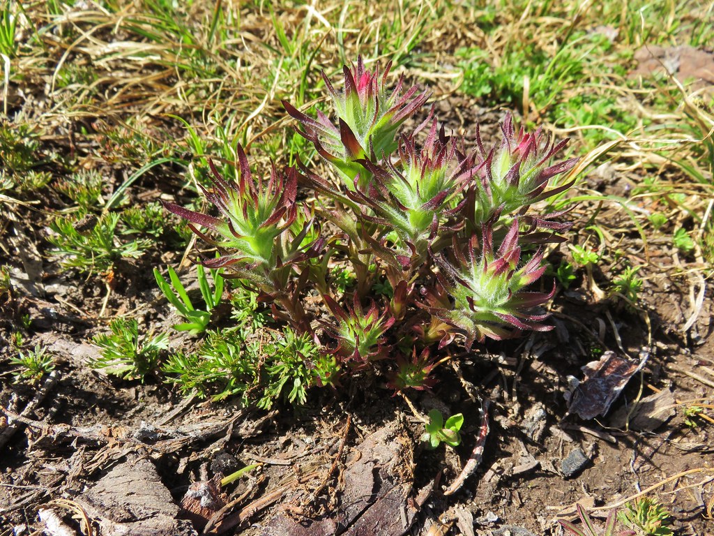


 Mt. Rainier (sort of)
 Mt. Adams


 Looking down the scramble route.
 Some of the obstacles
 First sight of Gorton Creek Falls through the trees.


 one of the pullouts


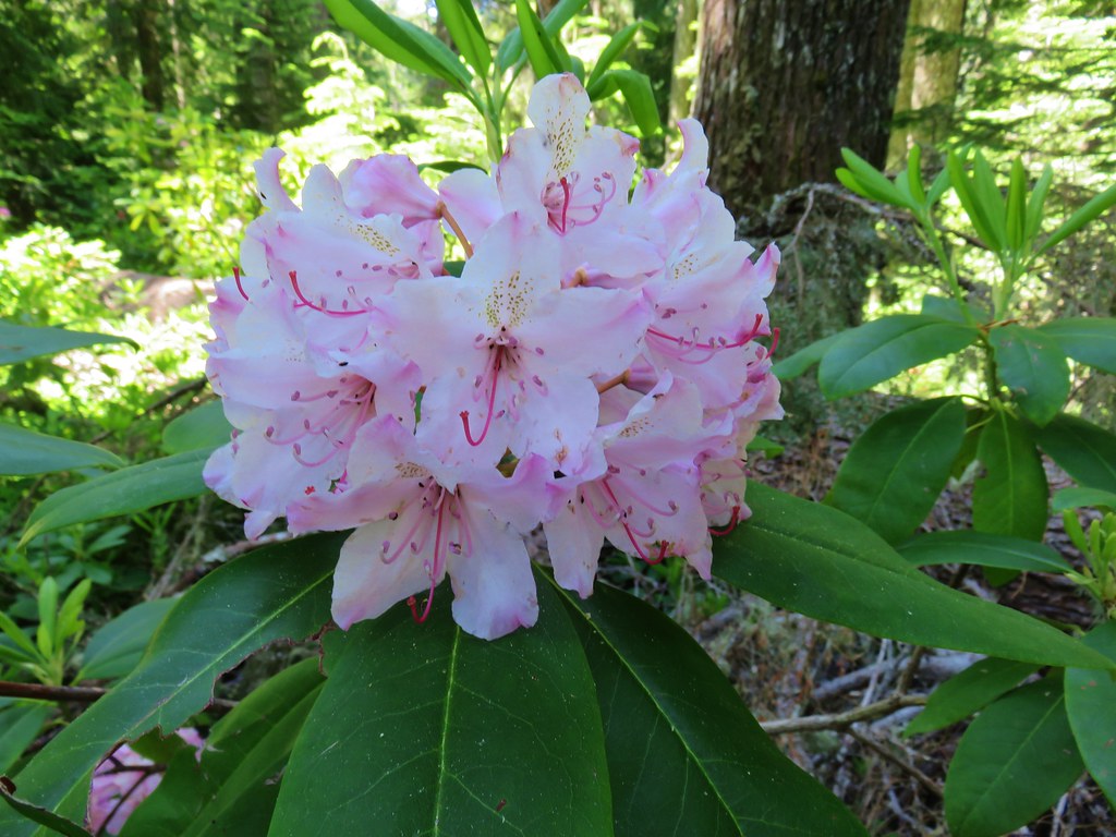


 Rhododendron
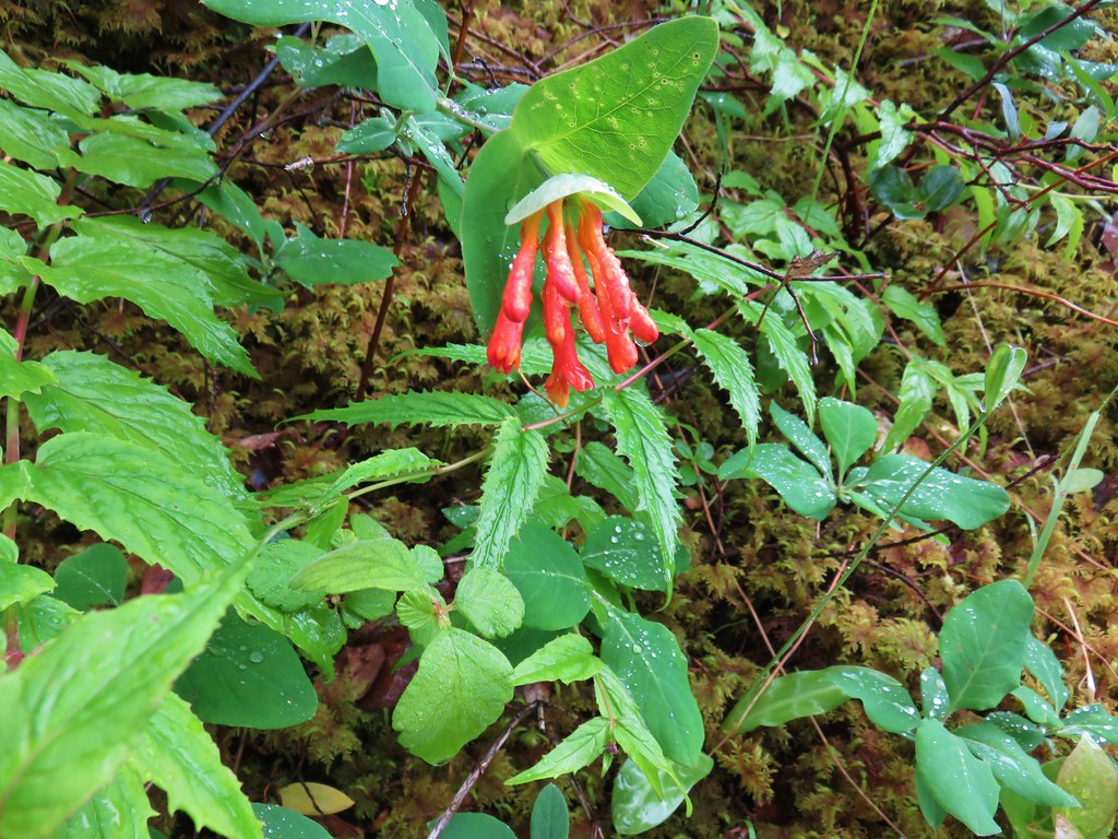 Honeysuckle
 Beargrass and rhododendron along the trail.
 Coralroot and sourgrass
 Candy stick
 Damp iris

 Green lichen
 A few trees peaking through the clouds along McIntyre Ridge (
 Penstemon
 Paintbrush
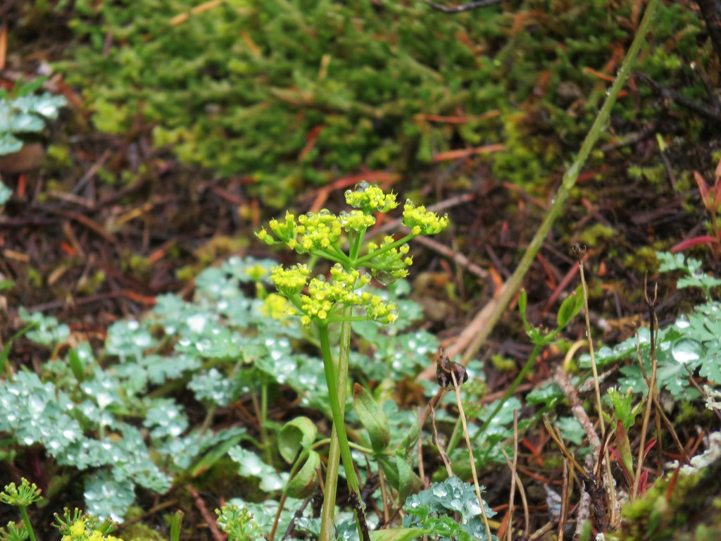 Biscuitroot
 Beargrass
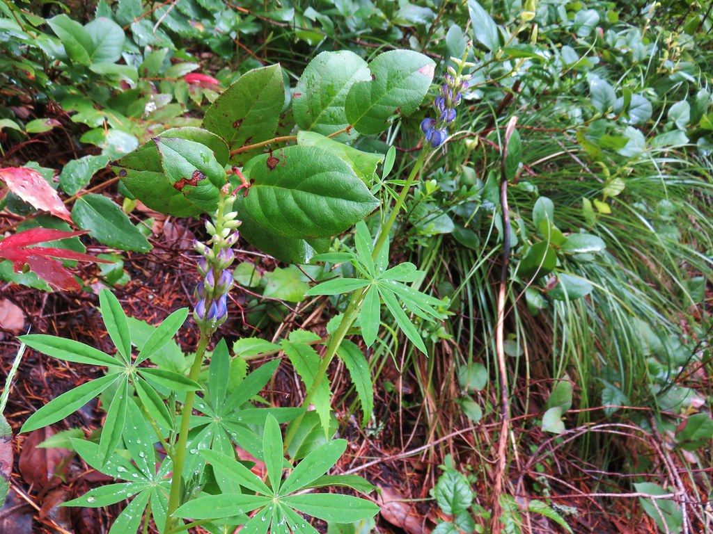 Lupine


 2019
2019 2015
2015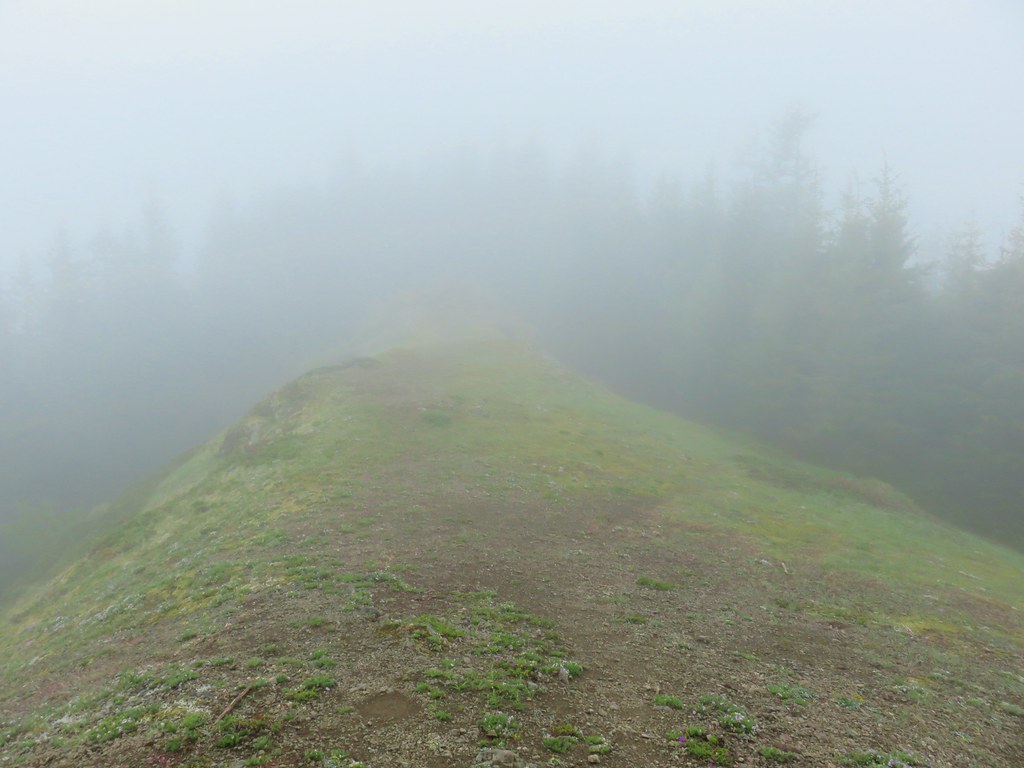
 Phlox
Phlox Paintbrush
 Penstemon
 Avalanch lily
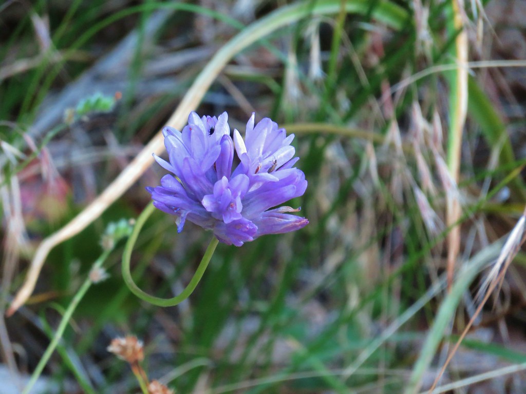
 Wild onion


 Chocolate lily
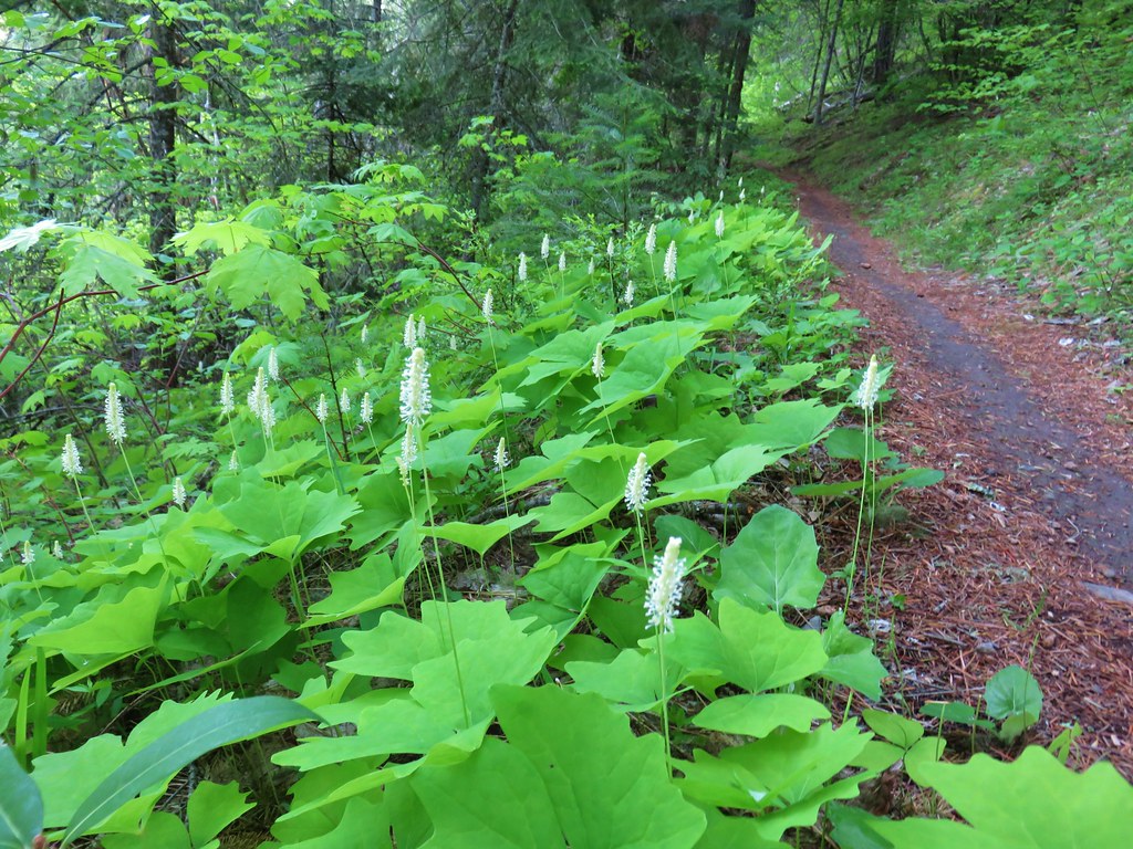 Vanilla leaf
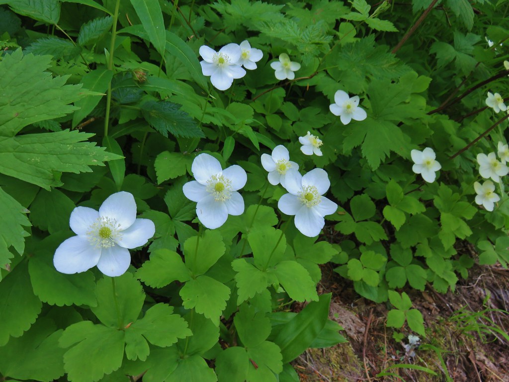
 Columbia windflower (anemone)
 Red flowering currant
 Ball-head waterleaf
 Dogwood (and a crab spider)
 Arnica
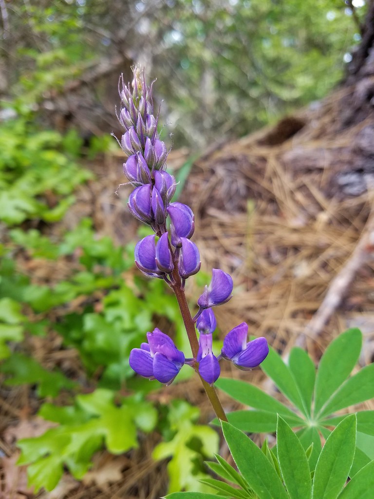 Lupine
 Lupine yet to bloom
 Woodland stars
 Larkspur with biscuitroot in the background
 Fairy slippers
 Indian paintbrush
 Popcorn flower
 Sandwort
 Sticky blue-eyed mary
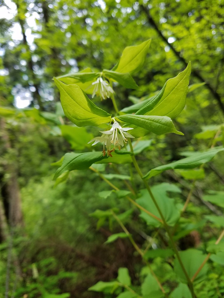 Hooker’s fairy bells
 Solomon’s seal
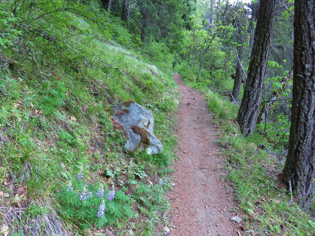


 Penstemon
 Phlox
Phlox


 Manzanita
 A currant
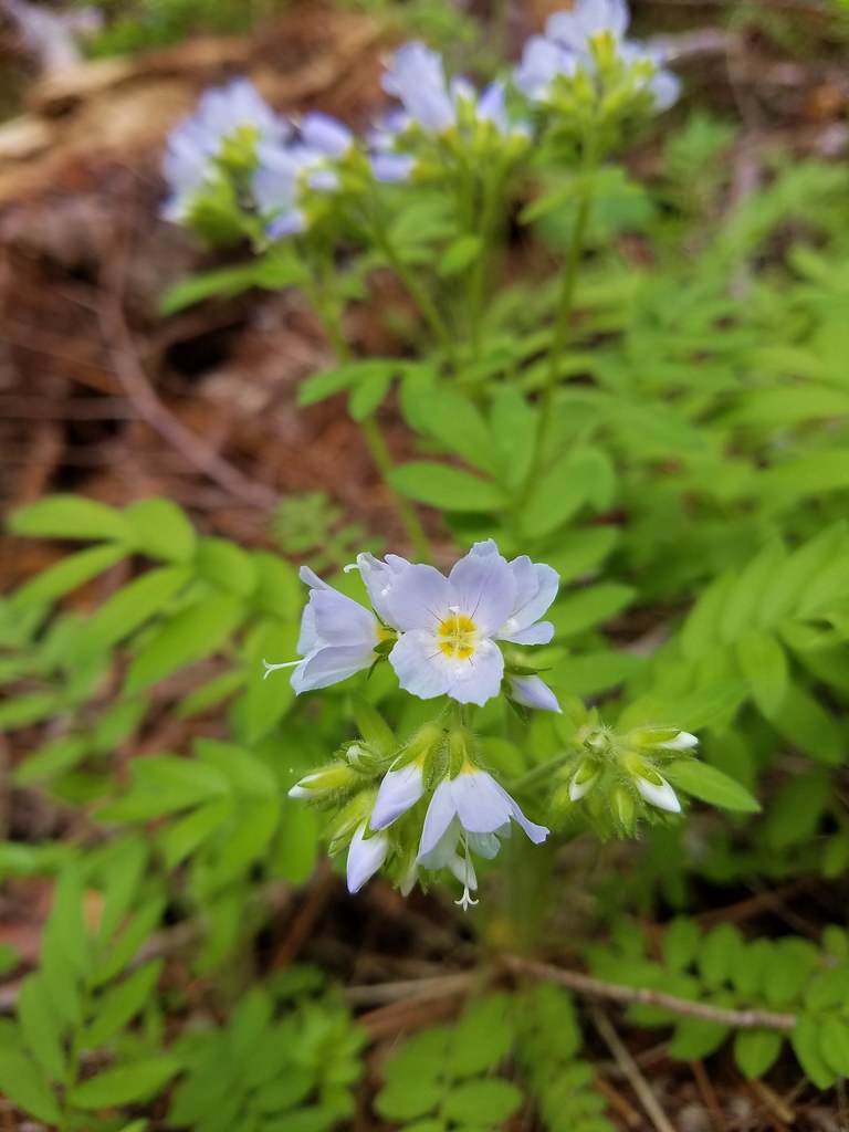 Jacob’s ladder
 Popular tree


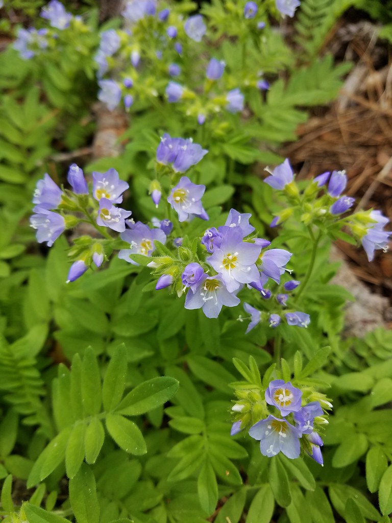 There was quite a bit of Jacob’s ladder along this stretch of trail.
 Oregon anemone
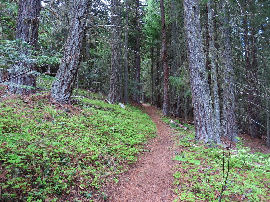
 Forest Road 620.


 A still cloudy Mt. Hood
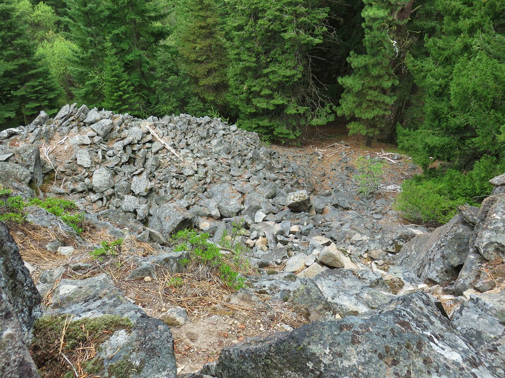 Looking down the talus slope with the Dog River Trail visible between the trees to the right.


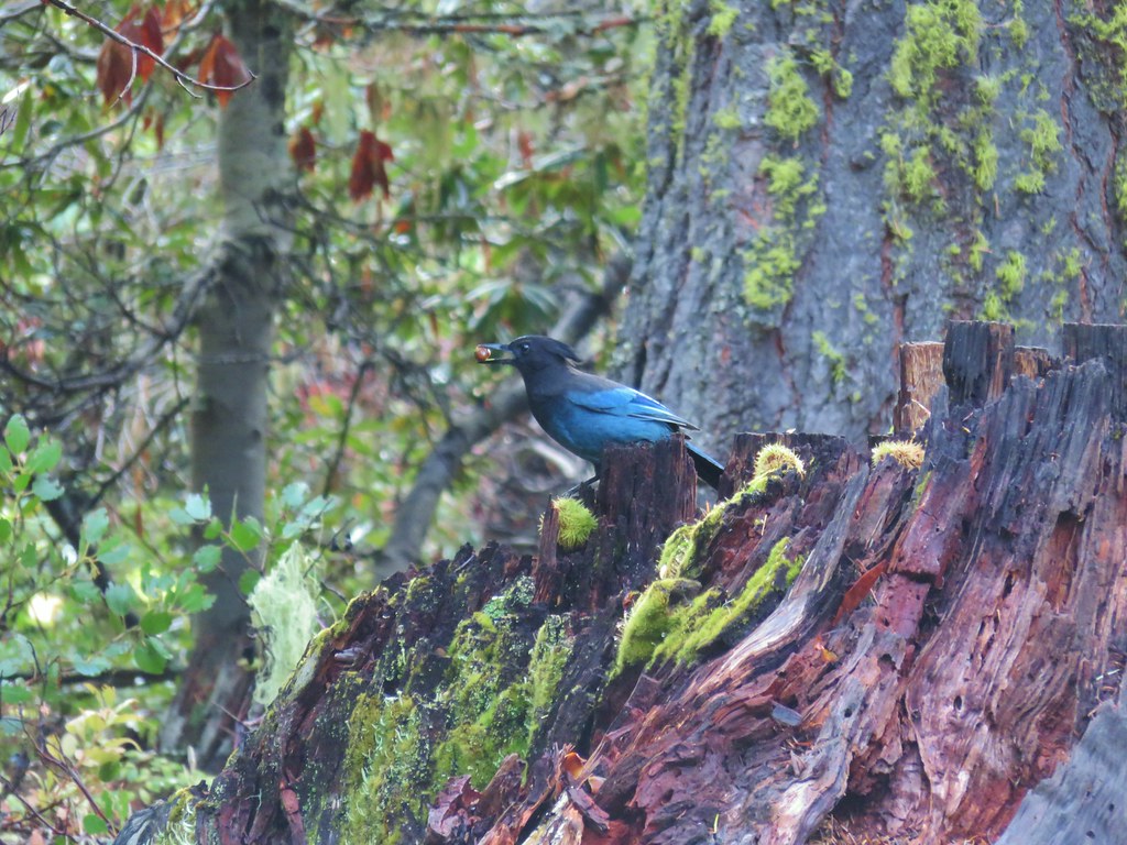 Stellar’s jay
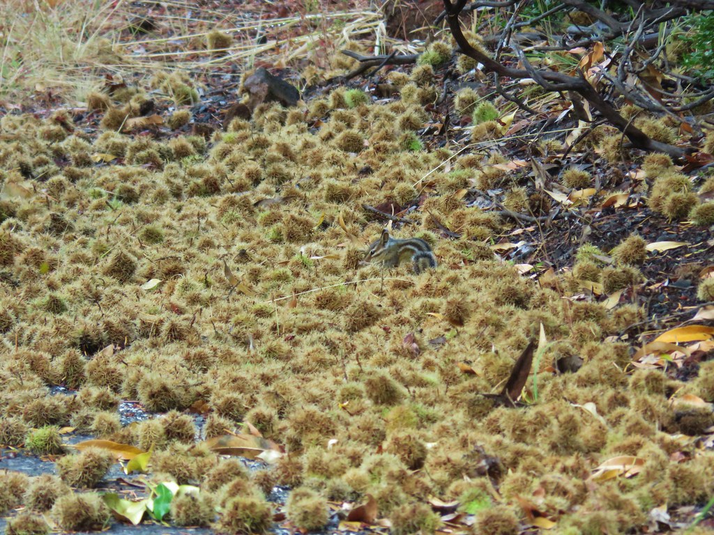 Chipmunk
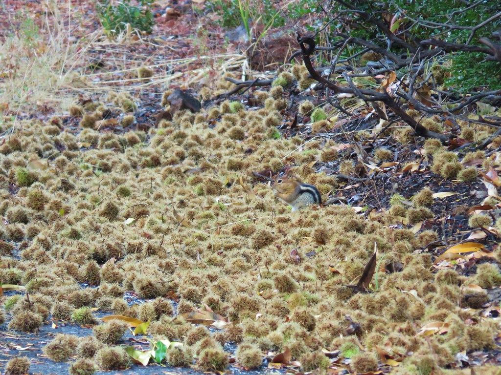 Golden-mantled ground squirrel


 <
<

 The rocky ridge
 Mt. St. Helens
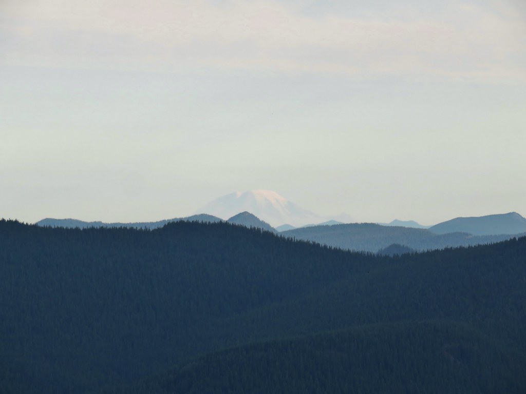 Mt. Rainier
 Mt. Adams
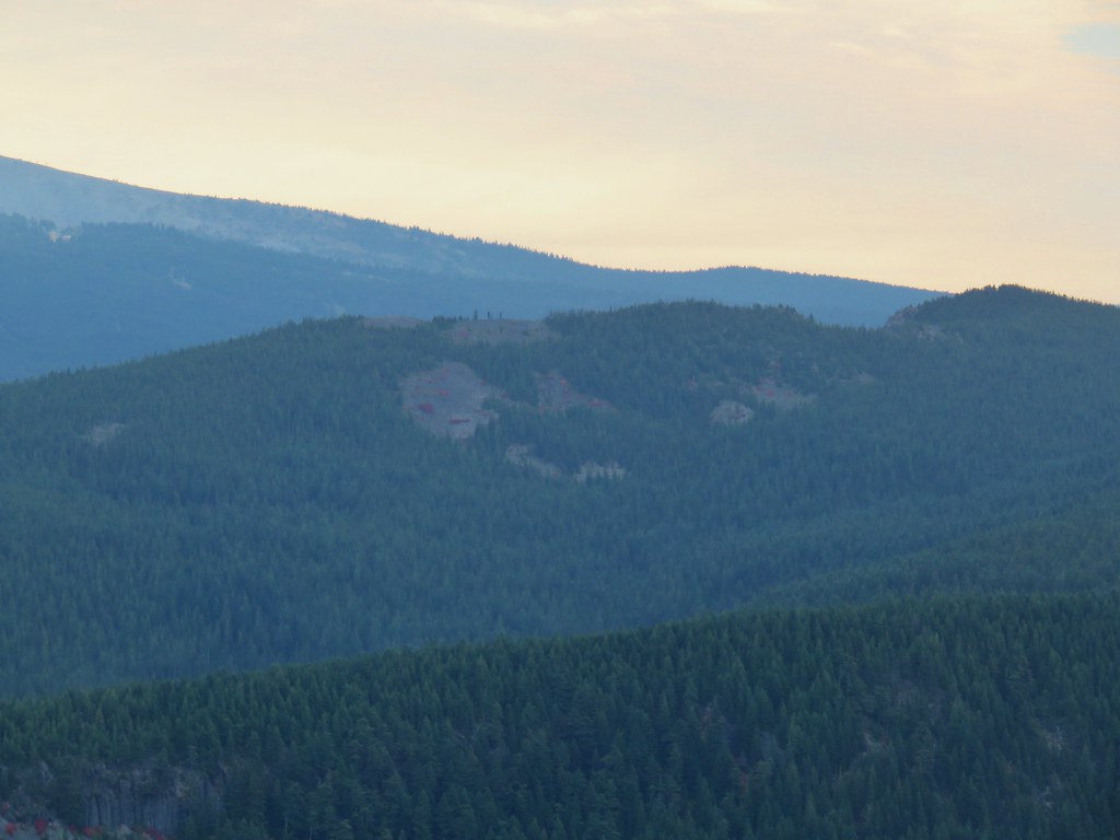

 Mt. Jefferson in some haze to the south.
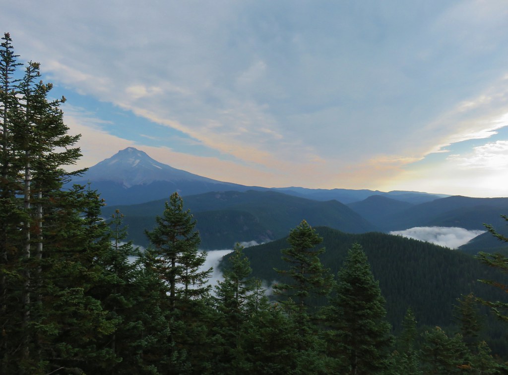 Mt. Hood
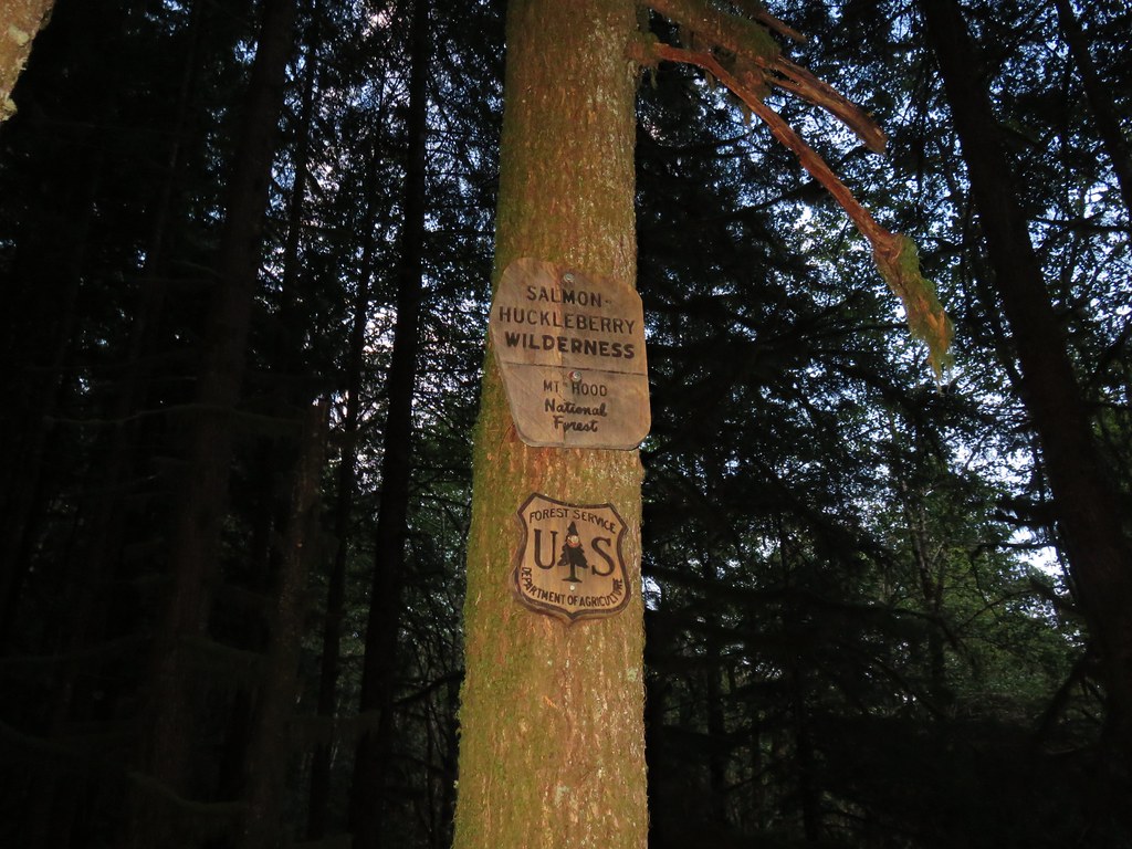
 Salmon-Huckleberry Wilderness
 Clouds coming up the Salmon River Valley
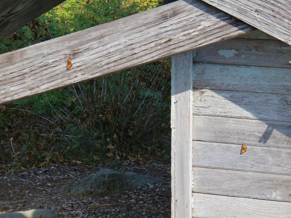 Butterflies on the lookout.
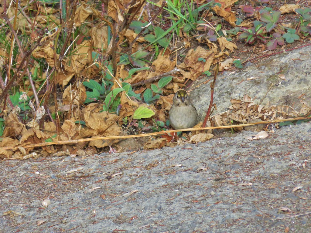 One of several birds foraging in the bushes near the lookout.


 Redtop Mountain
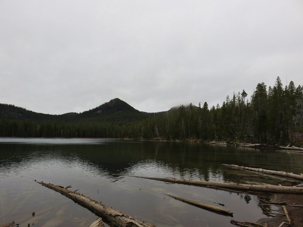 Lakeview Mountain (to the right behind clouds)