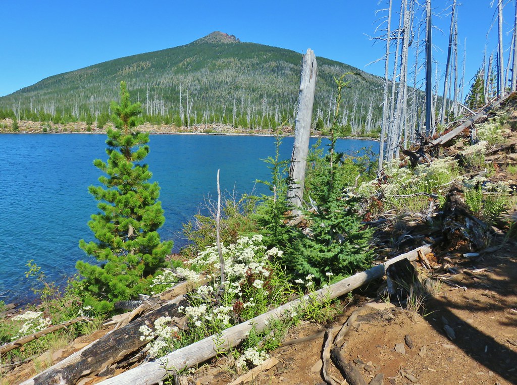
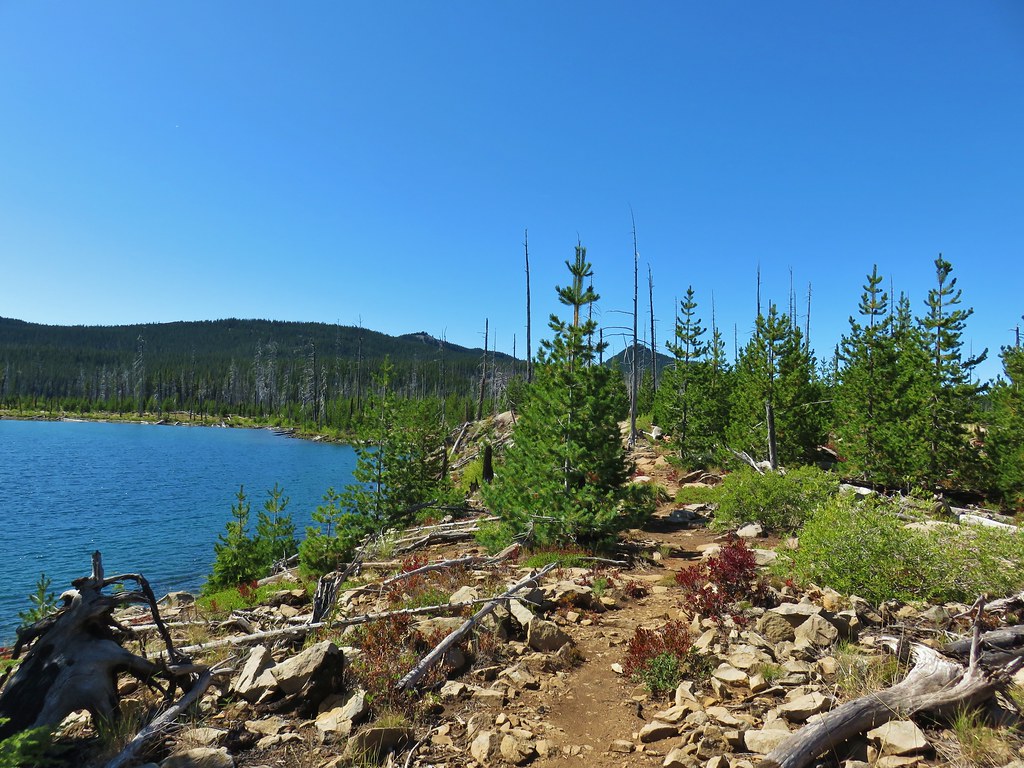
As I write up this trip report the Diamond Lake Resort, like many other areas in Oregon, has been evacuated due to a wildfire. The tragic loss of homes and lives happening right now is truly heartbreaking. Right now the Thielsen Fire is moving away from the lake but a shift in the winds could change that in an instant.
We visited Diamond Lake to kick off our Labor Day Weekend hiking the full loop around the 3,015 acre lake. There are numerous possible starting points for the loop and we chose to park at Horse Lake where we could follow the Horse N Teal Trail to the Dellenback Trail which is the paved trail around Diamond Lake. There was quite a bit of smoke from wildfires in California in the air which limited visibility as we set off from Horse Lake on the trail.

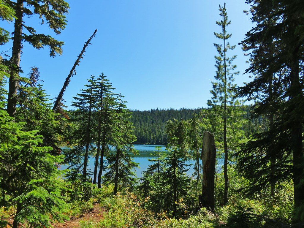
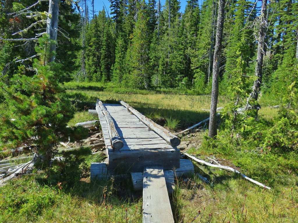
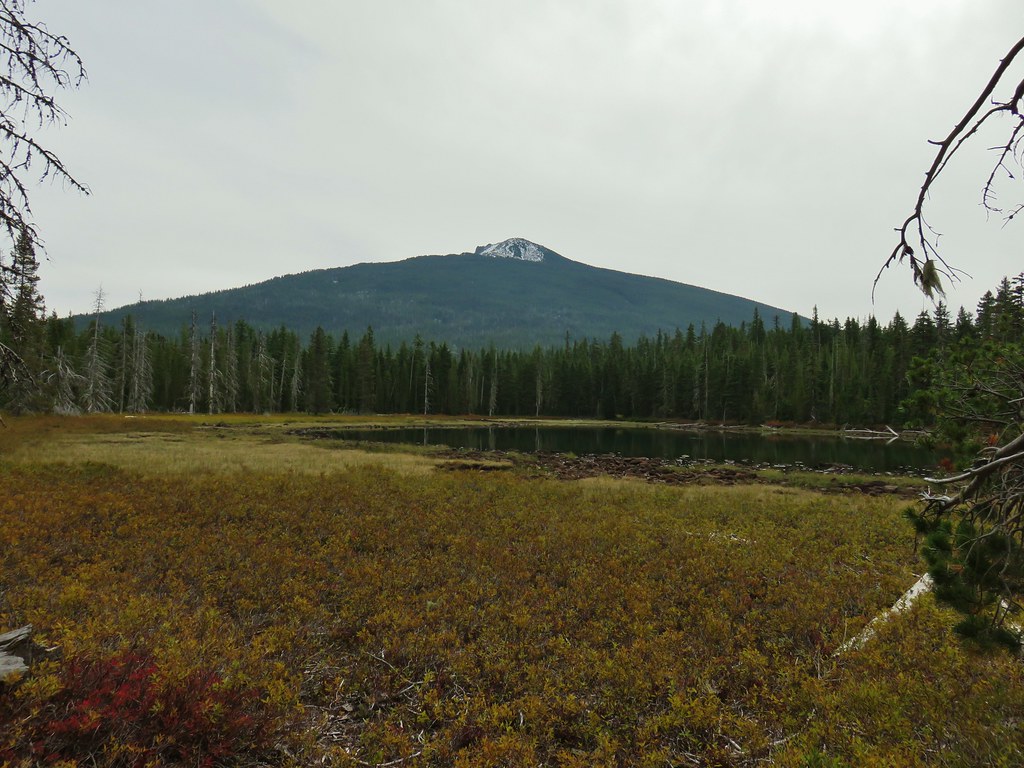
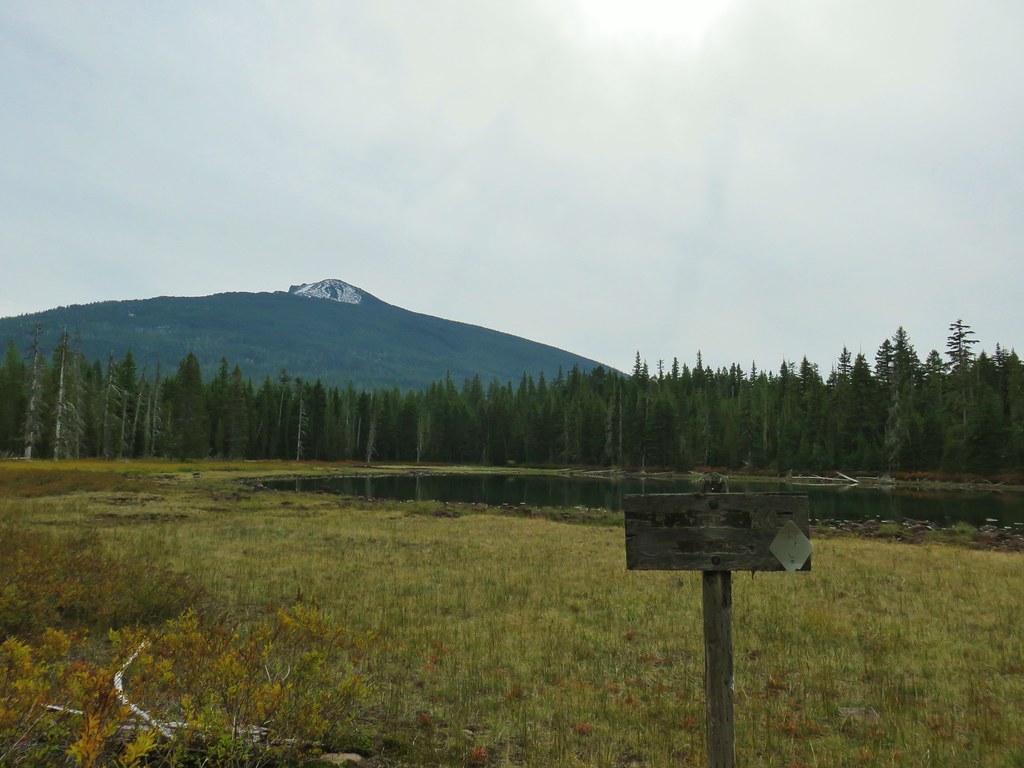
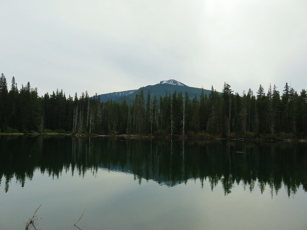
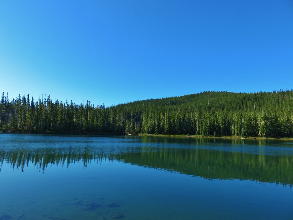
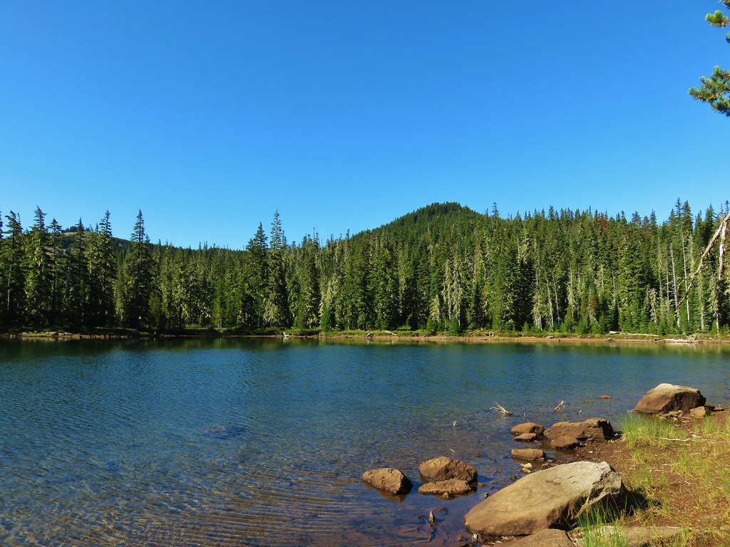
 Horse Lake
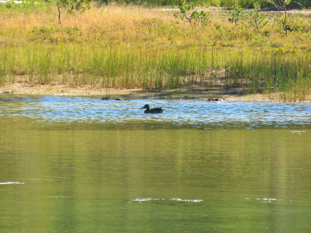
 Lesser yellowlegs
We opted not to make the short loop around Horse Lake and turned right at a junction toward Forest Road 4795 and Teal Lake.
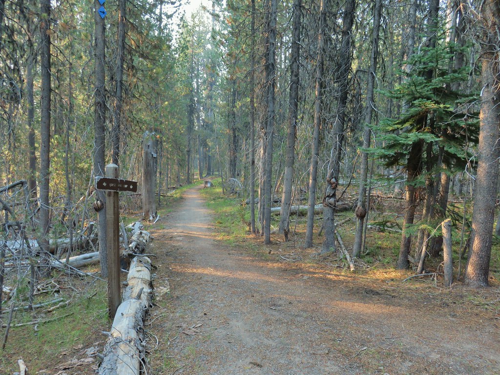
The trail crossed the road and then descended a short distance to Teal Lake.

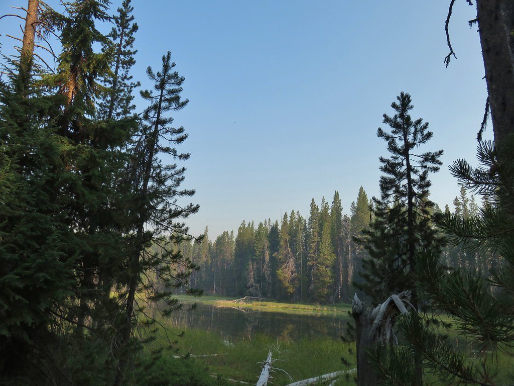

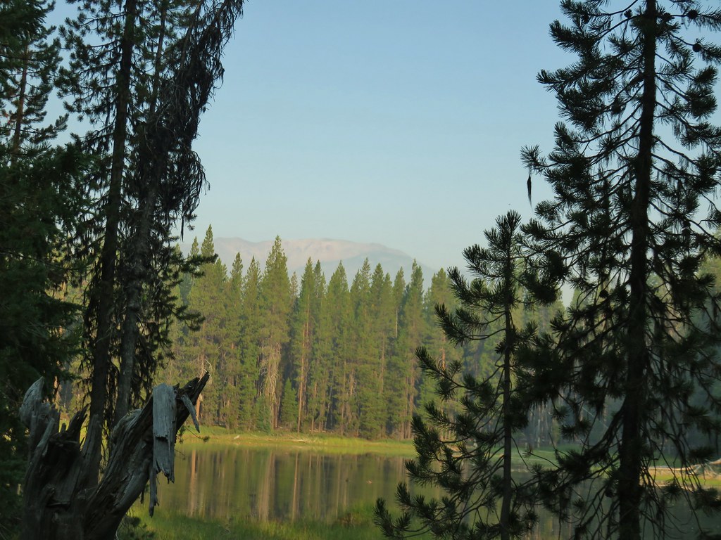
There is also a loop around Teal Lake so we had the choice of going left or right. We had planned on hiking counter-clockwise around Diamond Lake so we went right here and passed around the east side of Teal Lake where there was a hazy view of Mt. Bailey (post).
At the north end of the lake a very short connector trail led to the paved Dellenback Trail where we again turned right.


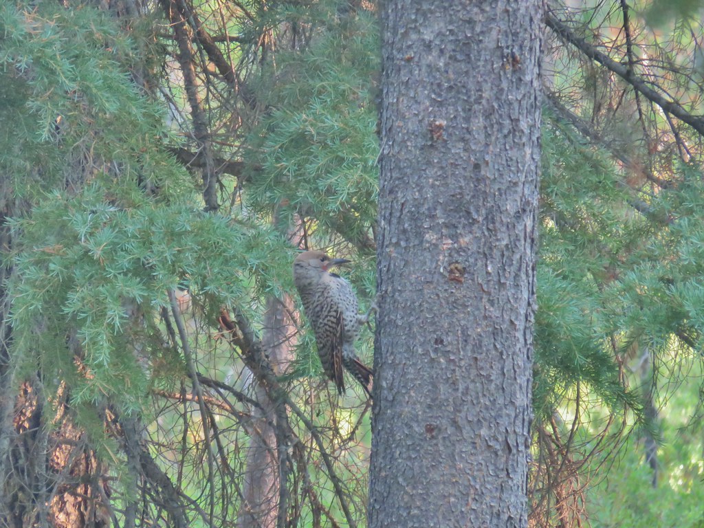 Northern flicker
A large meadow separates the trail from the lake here.

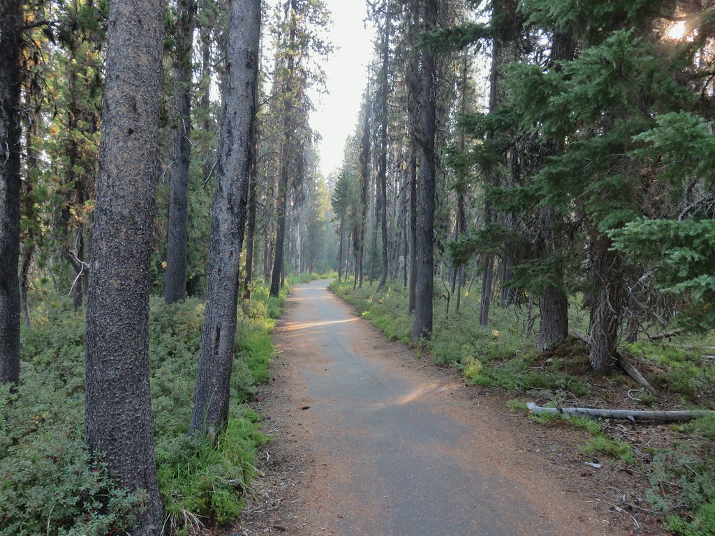
We followed the path through the forest ignoring side trails for a mile where we arrived at the South Shore Picnic Area.

 Mt. Bailey beyond the meadow.

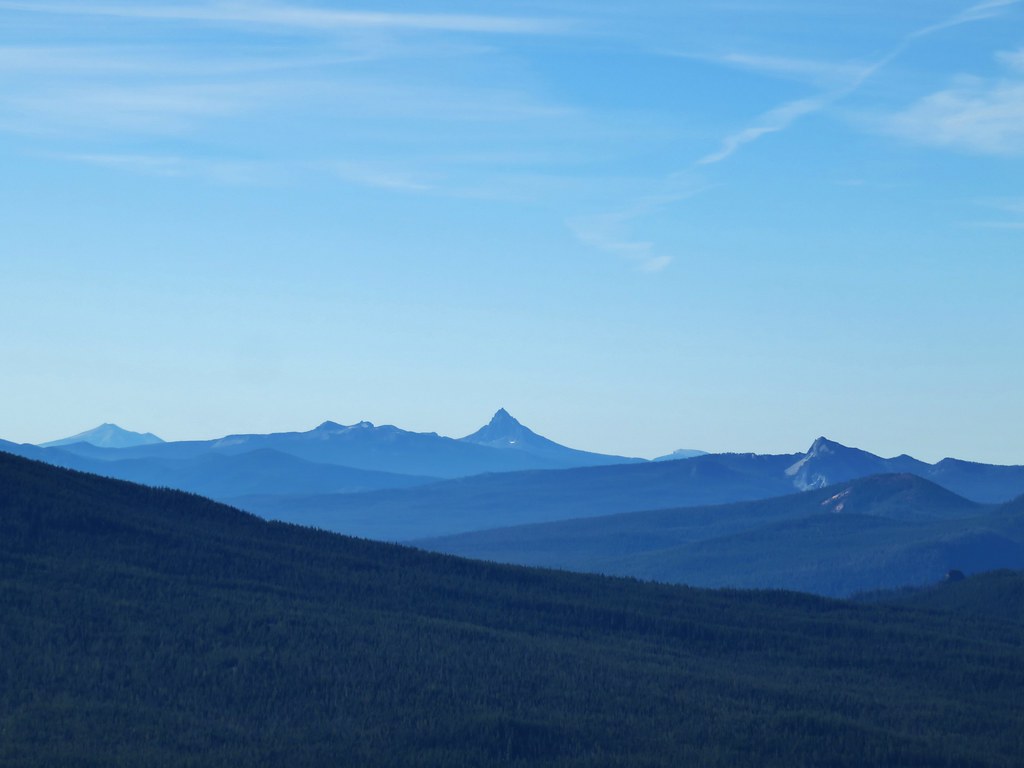
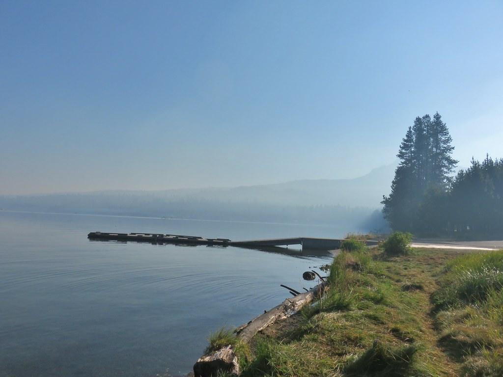 Mt. Thielsen from the South Shore Picnic Area
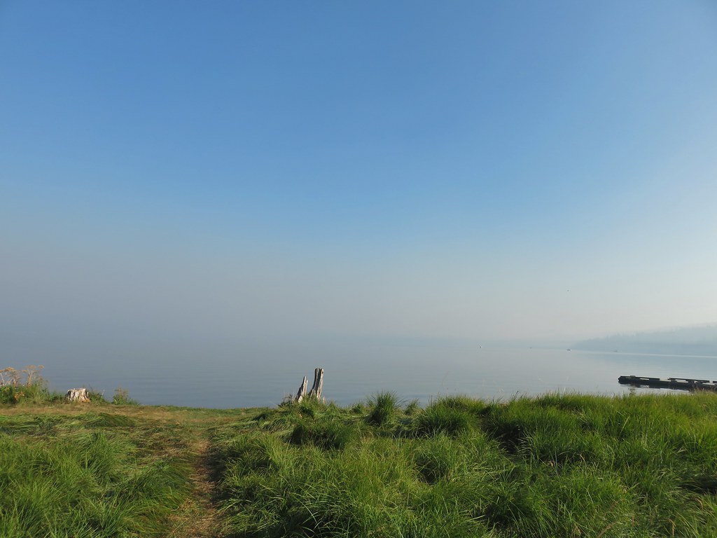 Diamond Lake underneath the smoke.
 Mt. Bailey
 Mt. Thielsen from the boat dock.
We had expected the lake to be busy given it was Labor Day weekend and Diamond Lake is a very popular spot and we were right. We utilized our masks as we passed through the picnic area and continued past an RV park and into the Diamond Lake Campground which stretches along most of the eastern side of the lake.
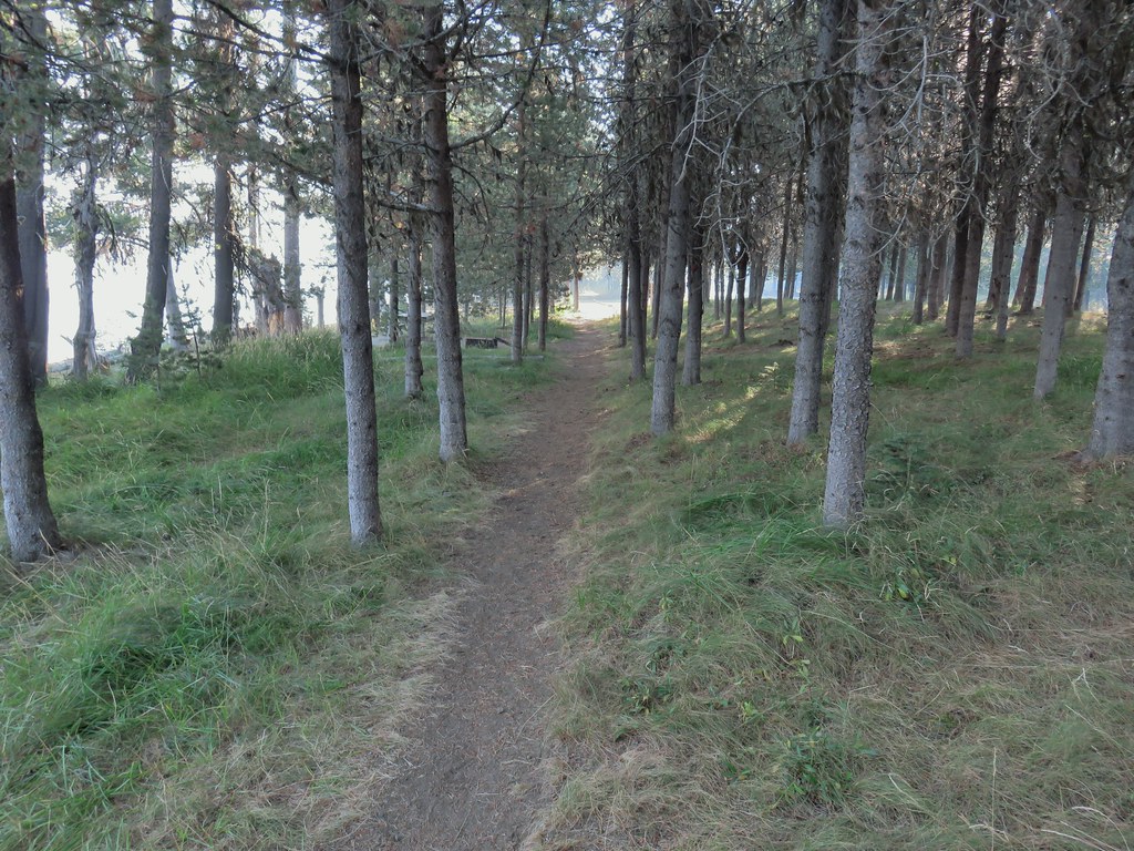 Picnic tables in the picnic area.

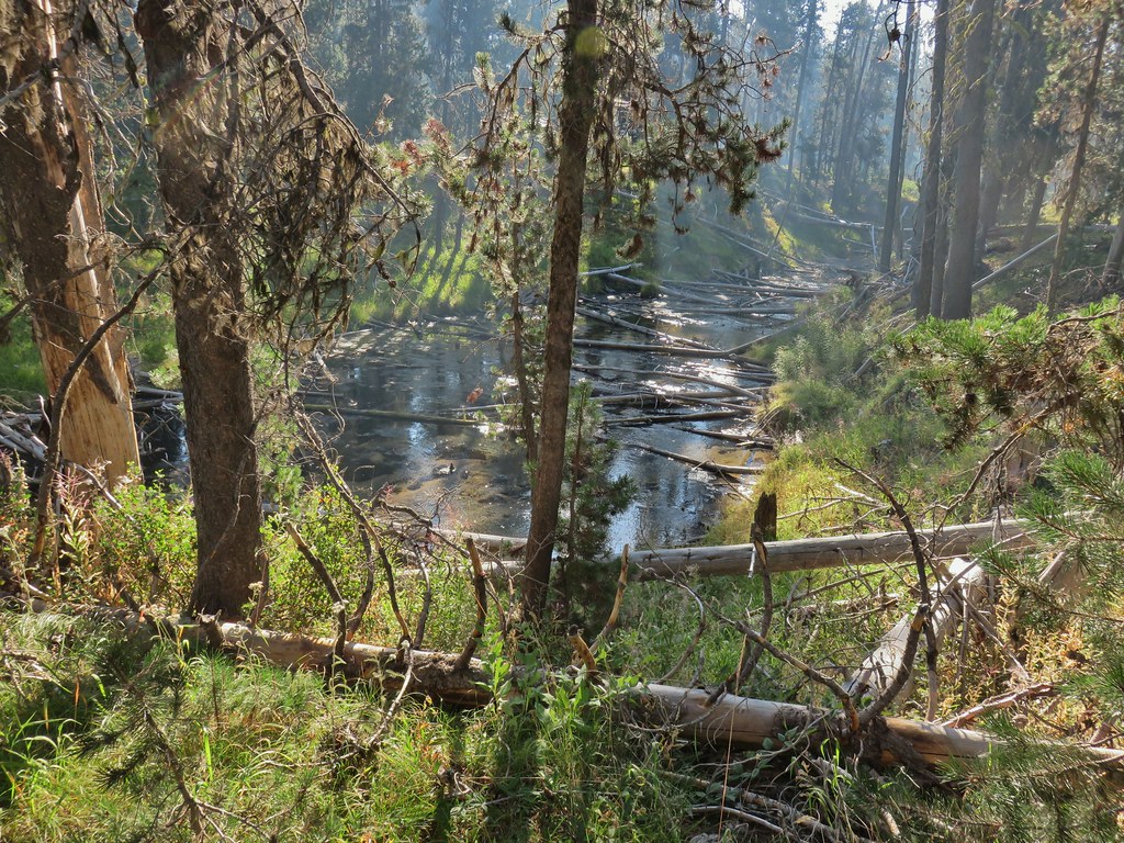 Short Creek (it really is short)
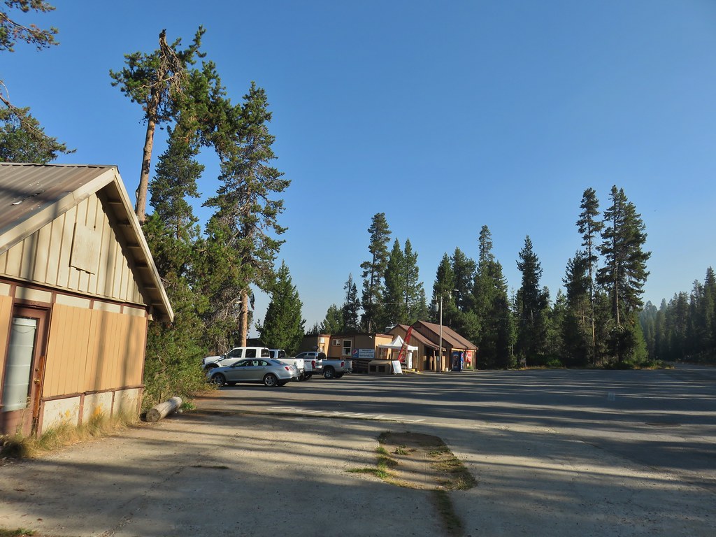 Resort buildings between the RV park and campground.
 Sign instructing users to follow painted bike symbols through the campground.
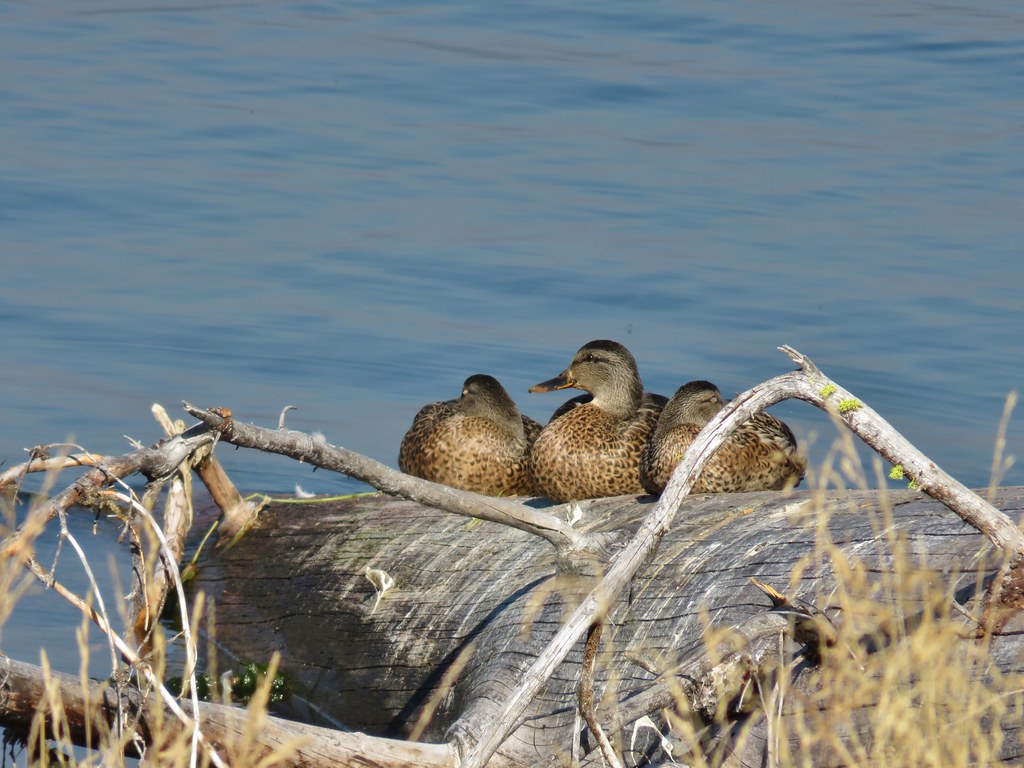
Despite passing through the busy campground there were a number of good views of Mt. Bailey across the lake. There were also quite a few ducks in the area.
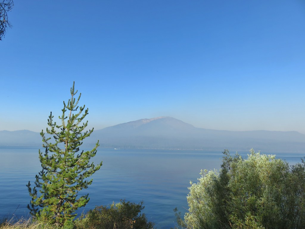
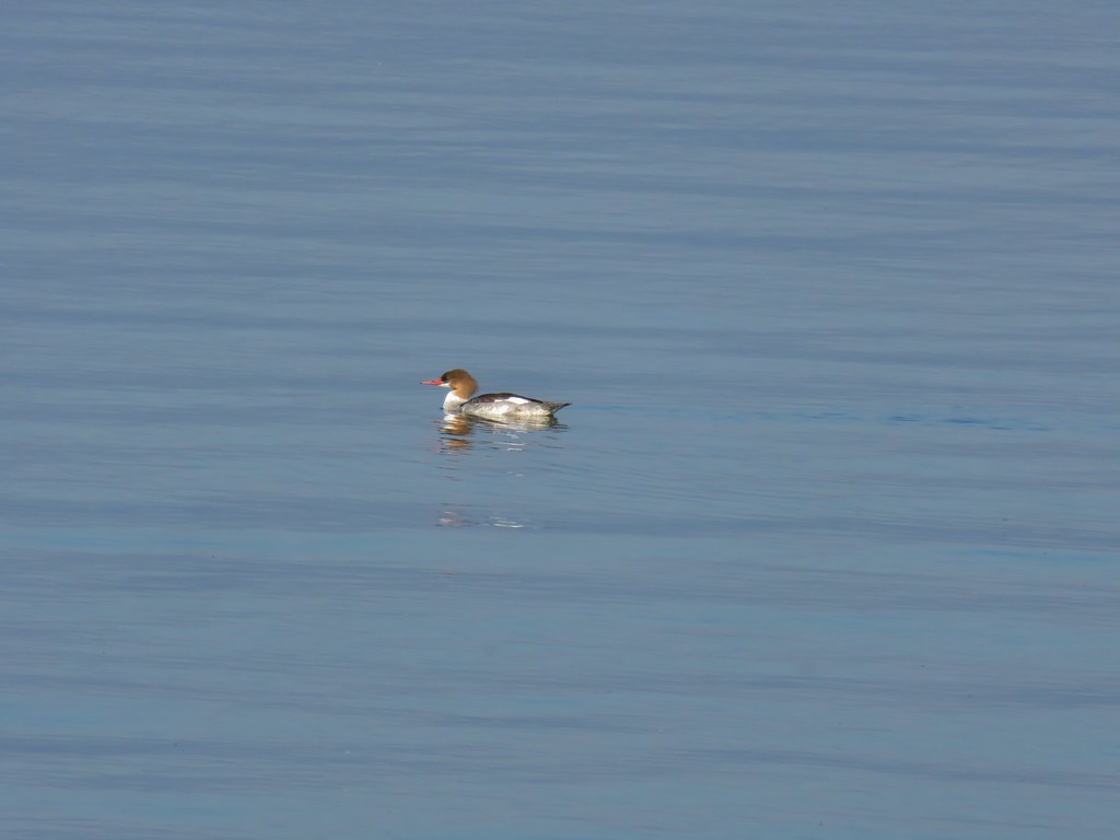 Common merganser

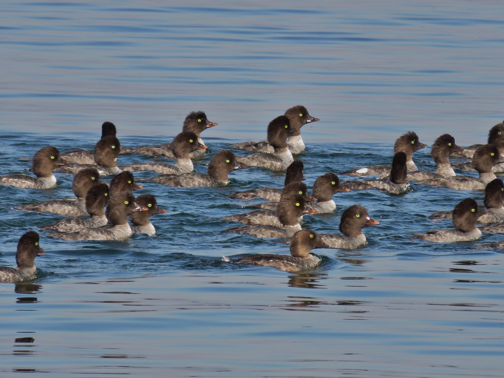
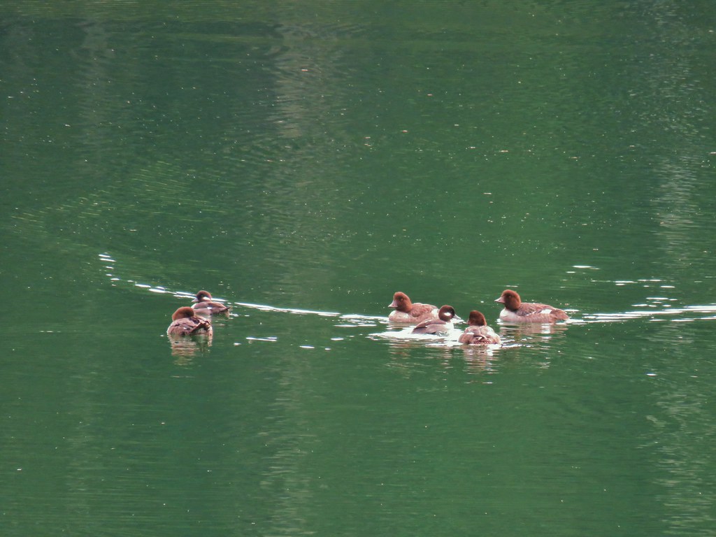
 Goldeneyes
The trail left the campground and then in a quarter mile arrived at the Diamond Lake Lodge area.

 Mt. Bailey again.
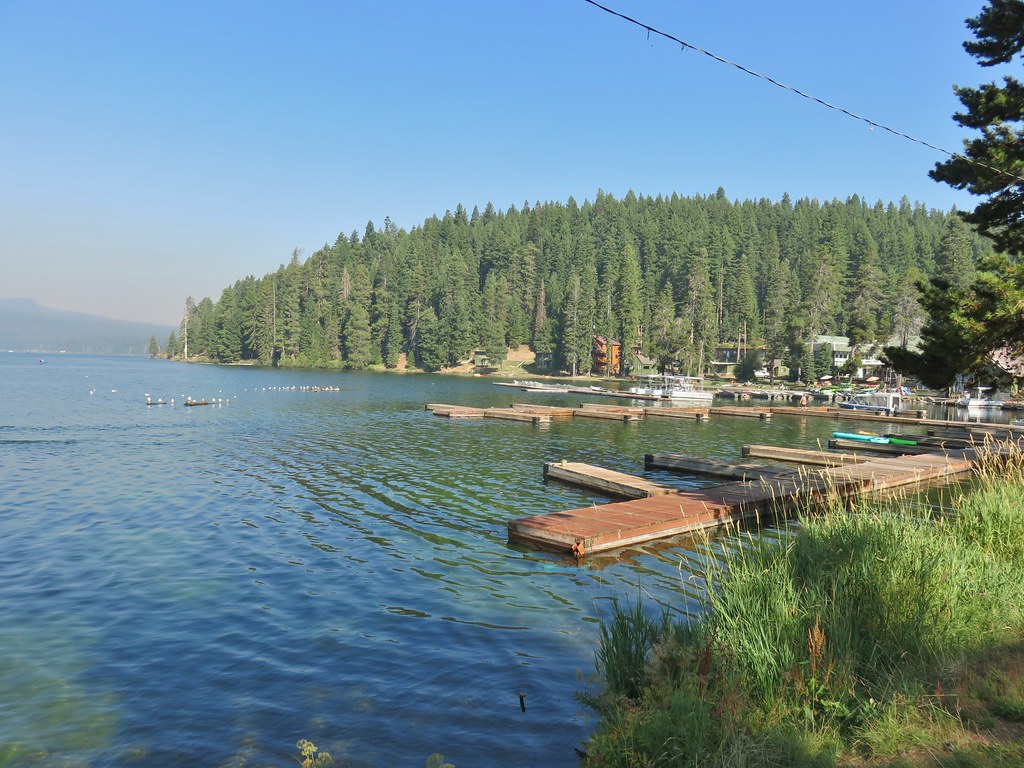 Arriving at the lodge area.
 Seagulls


We passed by the lodge along the grassy lake shore and then returned to the trail on the far side. We were now far enough around the lake that we could once again see Mt. Thielsen.

This section of trail was lined with larger and more diverse trees and is also the side closest to the Thielsen Fire as of this writing.
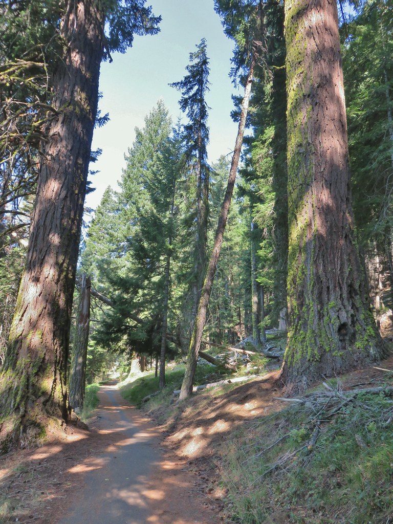

There were fewer people along this stretch but a steady stream of bicycle riders did pass by. More entertaining though were the birds.
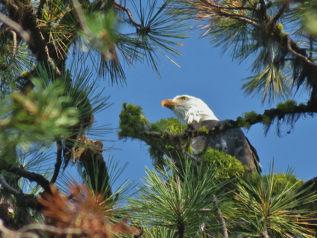 Bald eagle
 I’ve been spotted
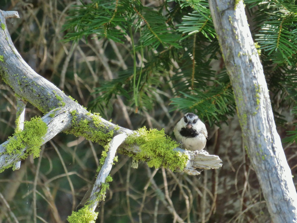 Chickadee with a seed or nut.
 Junco in some fireweed.
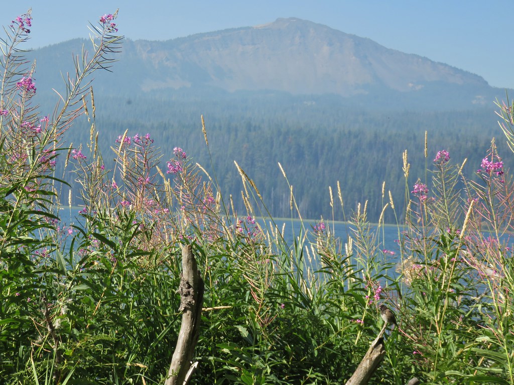 The junco with Mt. Bailey in the background.
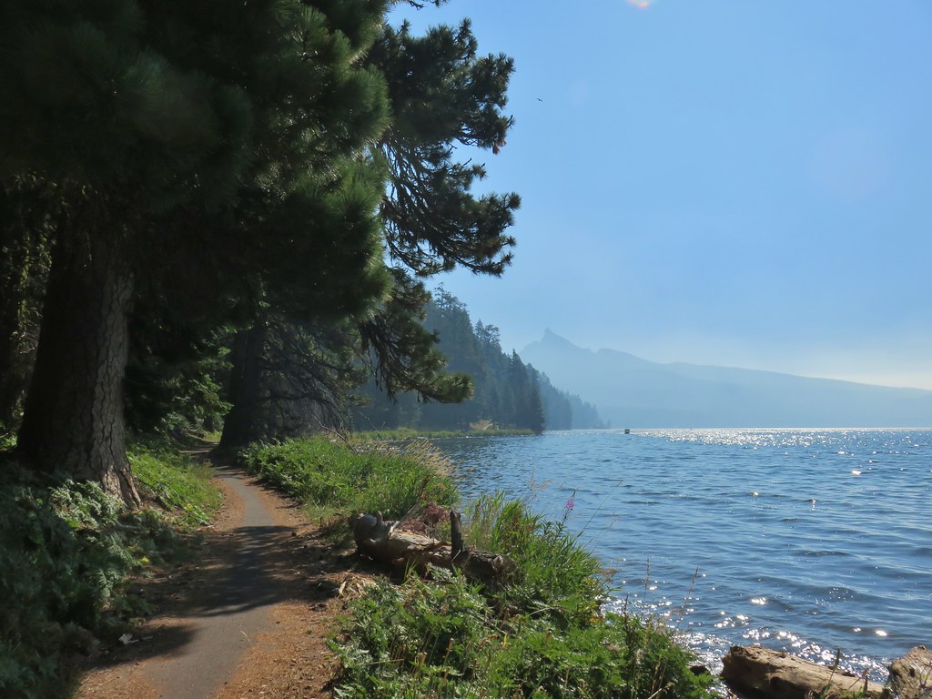 Looking back at Mt. Thielsen
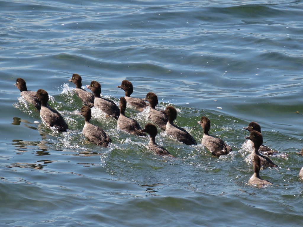 More goldeneyes
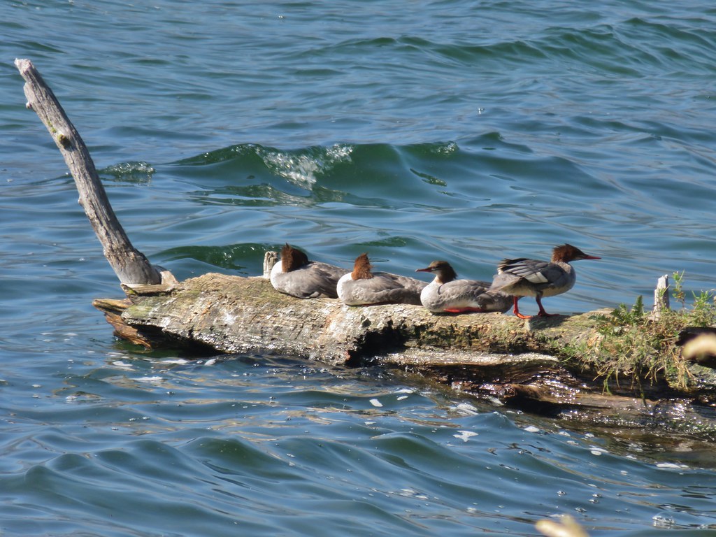 Mergansers
The trail joined FR 4795 again 1.7 miles from the lodge to avoid what appeared to be an old guard station or possibly just a private cabin near Lake Creek.


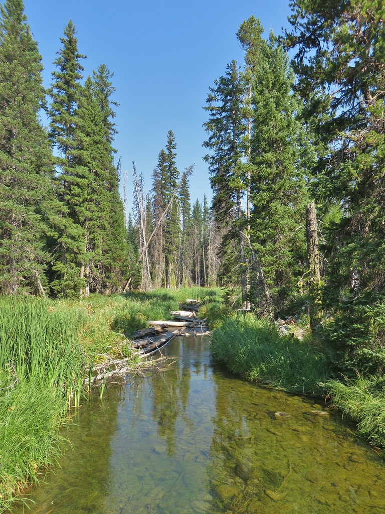
After crossing the creek the trail continued with the Rodley Butte Trail on the opposite side of the road.

The trail then passed a nice little sandy beach with a view of Mt. Thielsen.
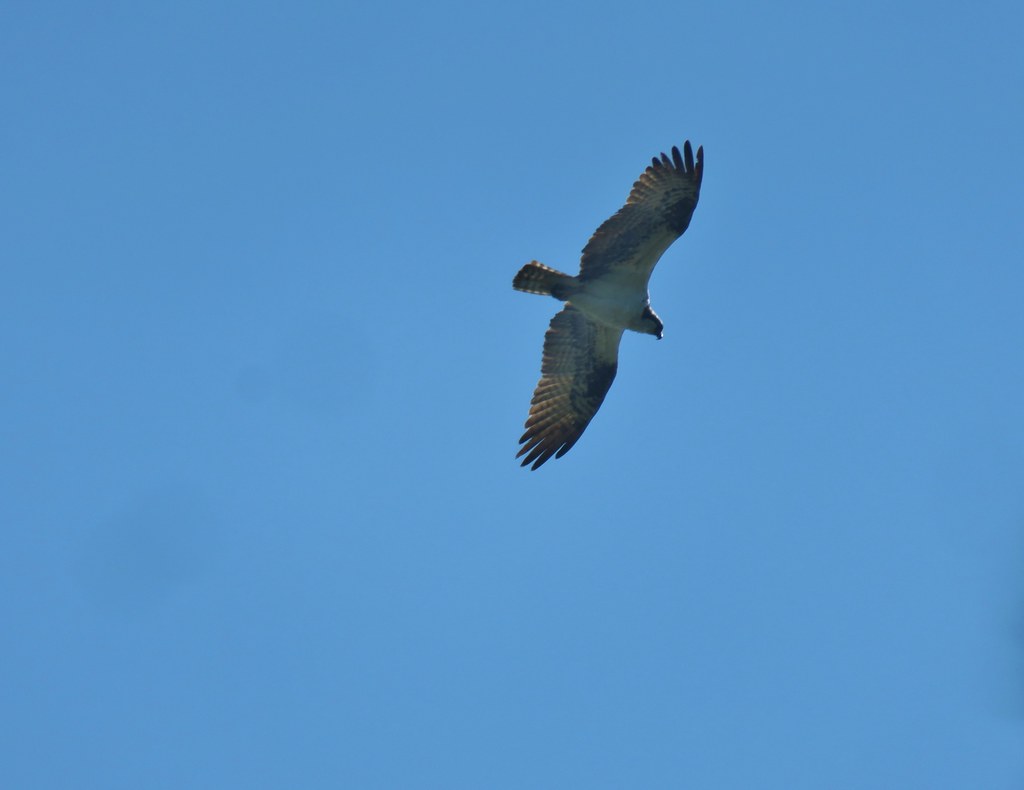 Osprey
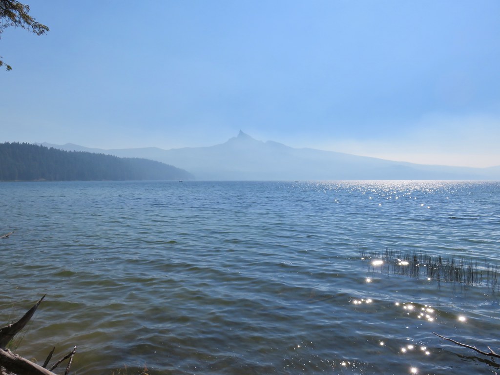
We were now heading south along the western side of the lake which provided good views of Mt. Thielsen and Howlock Mountain despite the smoke.
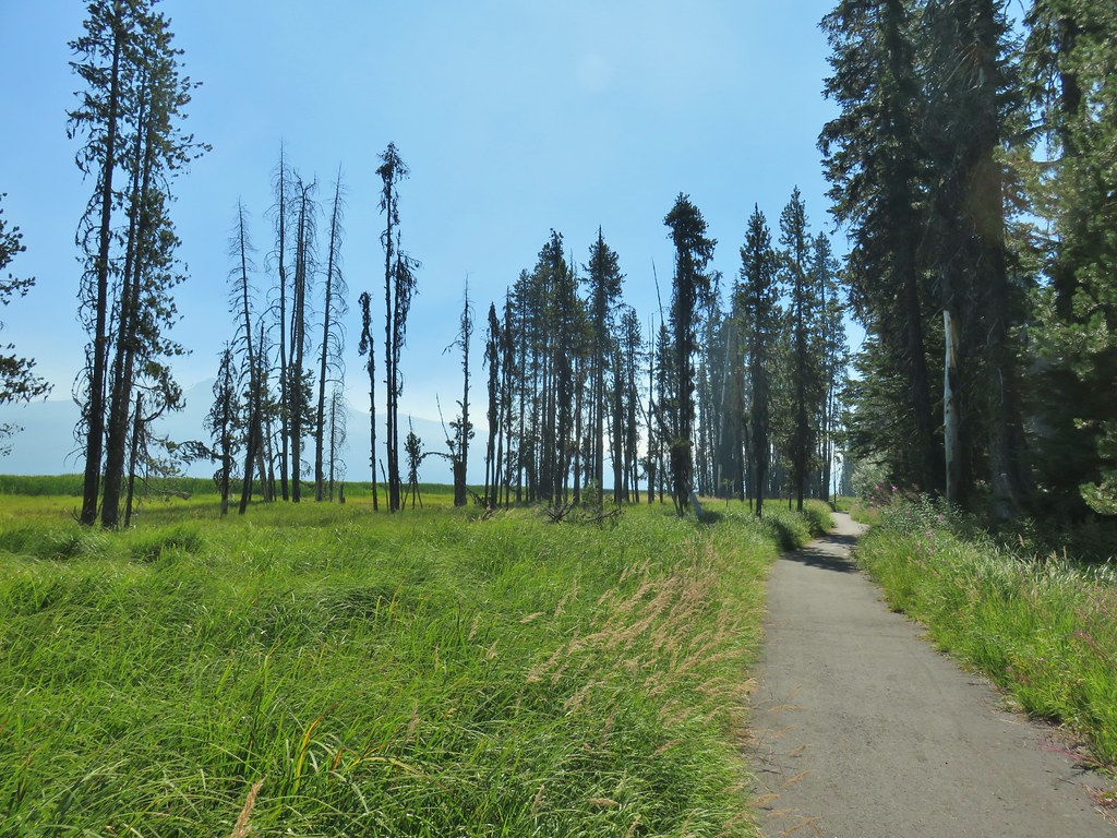

 Cormorant
 Howlock Mountain to the left and Mt. Thielsen
The mountain views would be interrupted just over a mile from Lake Creek when the Dellenback Trail veered away from the lake to avoid the Thielsen View Campground.
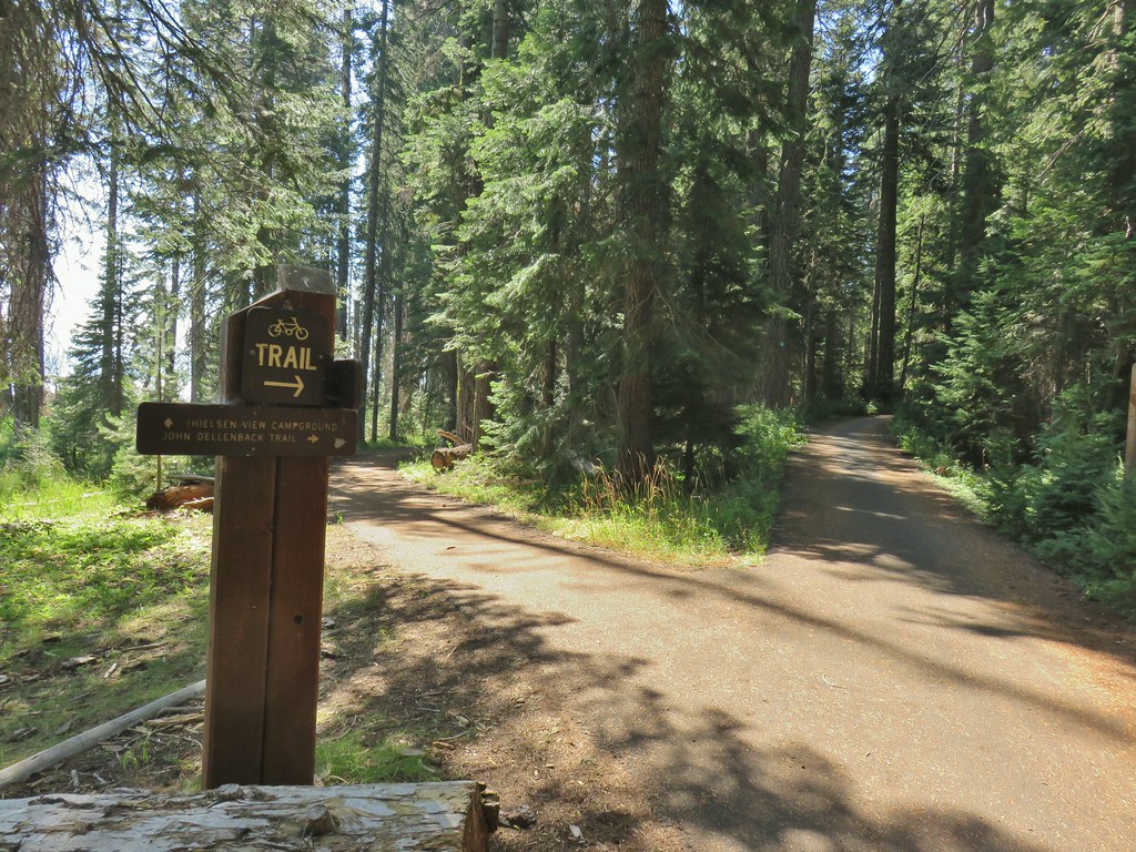
We again crossed FR 4795 and continued through the trees for nearly three miles before recrossing the road.


 Back on the lake side of FR 4795.
We were now passing by the large meadow at the south end of the lake, only this time it was Mt. Thielsen not Mt. Bailey beyond the meadow.


Just under a mile after recrossing FR 4795 we arrived at a scenic footbridge over Silent Creek.


A quarter mile beyond Silent Creek we arrived back at the Horse N Teal Trail junction near Teal Lake.
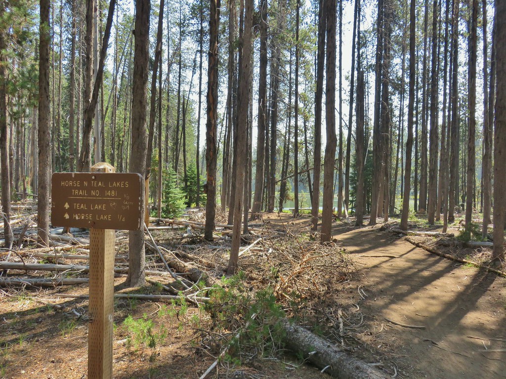
We turned up this trail and passed by Teal Lake on the opposite side from that morning thus completing that loop.
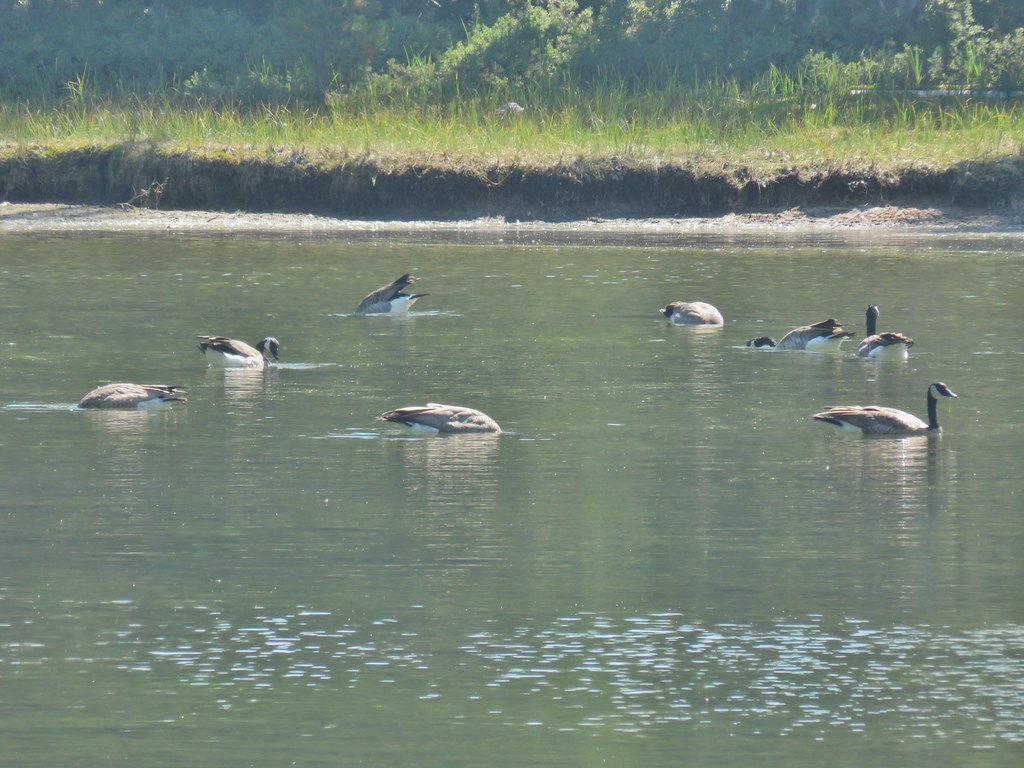
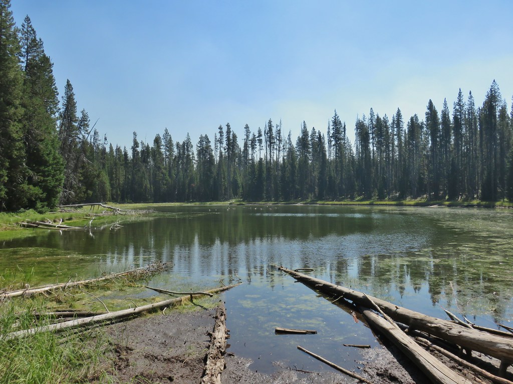 Canada geese at Teal Lake.
We arrived back at Horse Lake after 11.6 miles of hiking. This managed to be a somewhat easy yet hard hike at the same time. The lack of elevation change and obstacles along the trail made for easy, quick hiking, but the paved surface is a lot harder on the feet than dirt. We hadn’t stopped much at all along the way either due to the number of other trail users and our attempting to do our best to stay properly socially distanced.
Our day wasn’t done after the lake loop though. We were planning on spending the weekend in the area with Sunday’s hike being to Rattlesnake Mountain in the Rogue-Umpqua Divide Wilderness. We left Diamond Lake and took Highway 230 toward Medford to the Hummingbird Meadows Trailhead which was devoid of other vehicles.
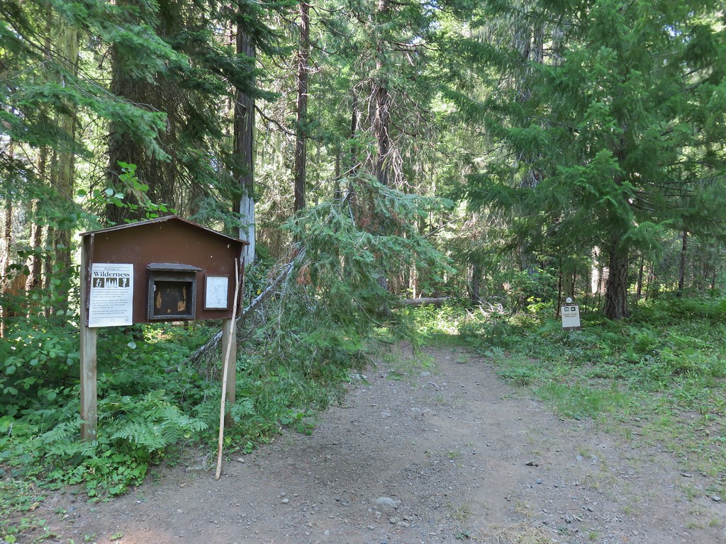
We had brought our backpacking gear with thoughts of setting up camp somewhere between the trailhead and Wiley Camp.

We had been to Hummingbrid Meadows before (post) but on that hike we had come in on the Buck Canyon Trail. On that trip we had also not visited Wiley Camp. For this trip we were planning on spending the night in our tent then using the Wiley Camp Trail to hike up to the Rogue-Umpqua Divide Trail and complete the Rattlesnake Mountain hike described in Sullivan’s “100 Hikes/Travel Guide Southern Oregon & Northern California” guidebook. The status of Wiley Camp and the Wiley Camp Trail was a little confusing. The Forest Service websites mention the trail but in almost every instance “area not available” followed the reference. A 2018 trip report from vanmarmot.org though showed that just two years before the trail was still there and passable.
We followed the Hummingbird Meadows Trail into the wilderness where we were quickly met with some downed trees.
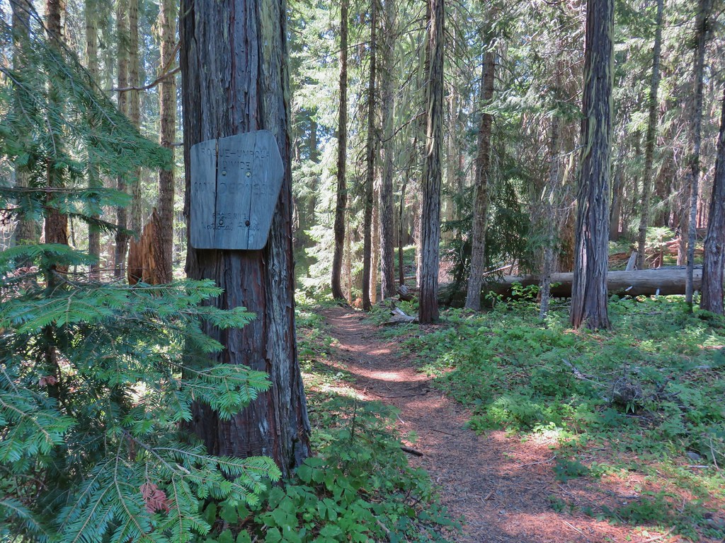
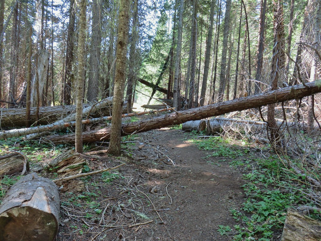
The trail then passed through a meadow and dropped to a crossing of the West Fork Muir Creek where we thought we might find a campsite but there really wasn’t anything that caught our eye.


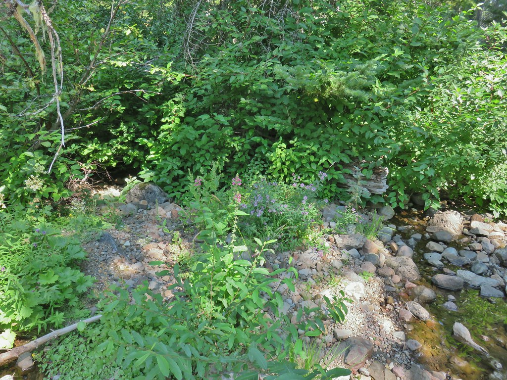 hedgenettle and aster.
 Monkeyflower
The trail climbed away from the creek and in 100 yards arrived at the Buck Canyon Trail junction (approx .4 miles from the trailhead).
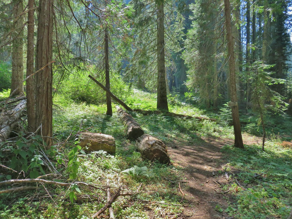

We turned right onto the Buck Canyon Trail which passed through Hummingbird Meadows before arriving at the Wiley Camp Trail junction in 1.6 miles. There were quite a few downed logs as trail maintenance in the area appears to be way down the Forest Service’s list of priorities but nothing was unmanageable. We had been watching for any campsites but nothing stood out so we decided to just go to Wiley Camp since it was only a little over 2 miles from the Hummingbird Meadows Trailhead.

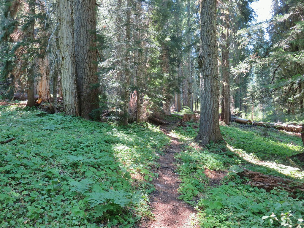
 Wiley Camp Trail on the right.
We turned down the Wiley Camp Trail which was in no worse/better shape than the Buck Canyon Trail arriving at Wiley Camp after a quarter of a mile.
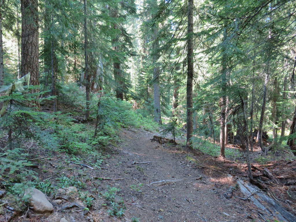

 Wiley Camp sign
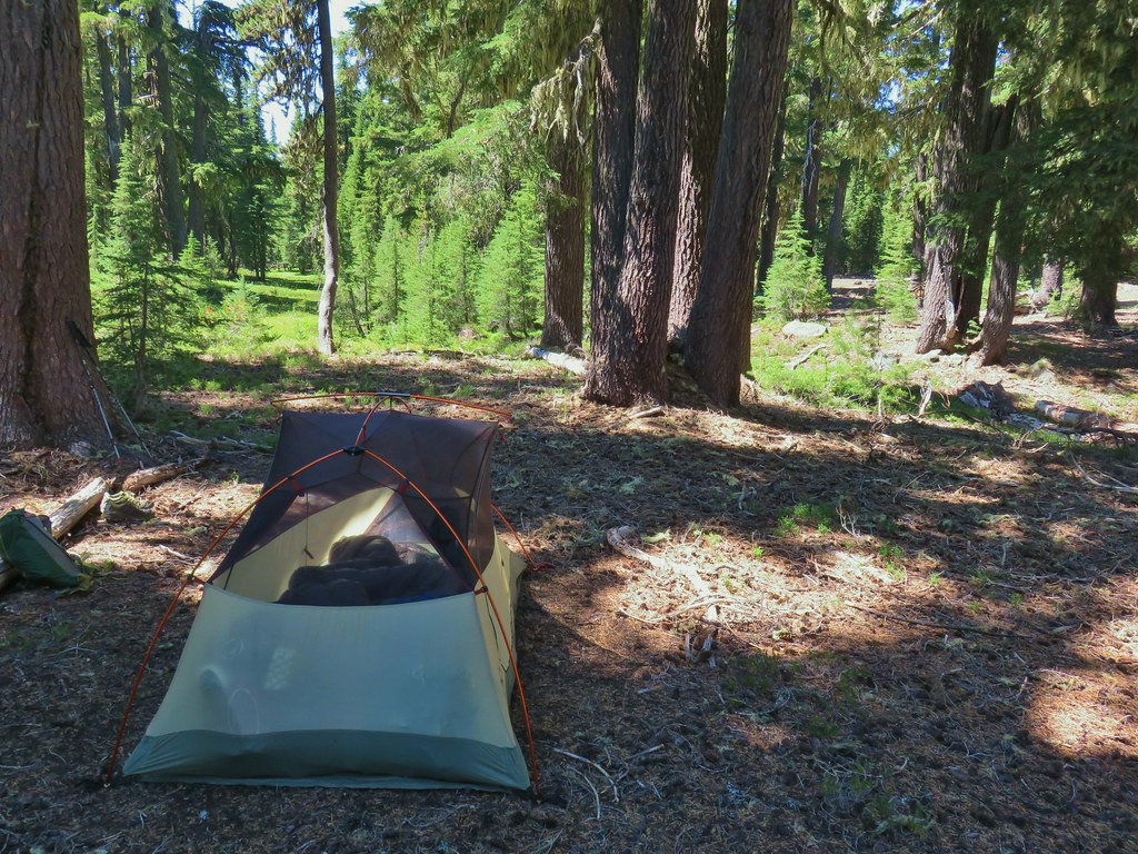
Unlike the busy Diamond Lake area there was no one else to be seen in this area. We picked a tent site and set up camp on the hillside above the West Fork Muir Creek.
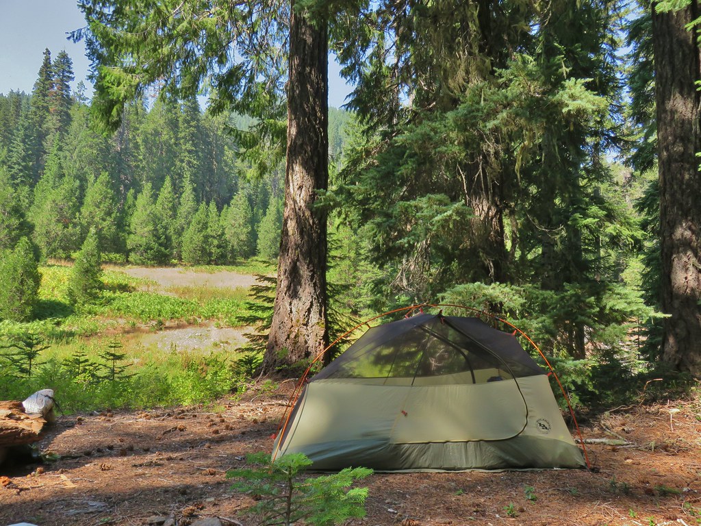
We spent the rest of the afternoon/evening down at the creek and doing a quick survey of the Wiley Camp Trail for the next day. Clear tread led up from the creek into the meadow on the far side where it quickly vanished. After heading too far left (west) into some trees we located a small cairn and some pink flagging leading the way out of the meadow.

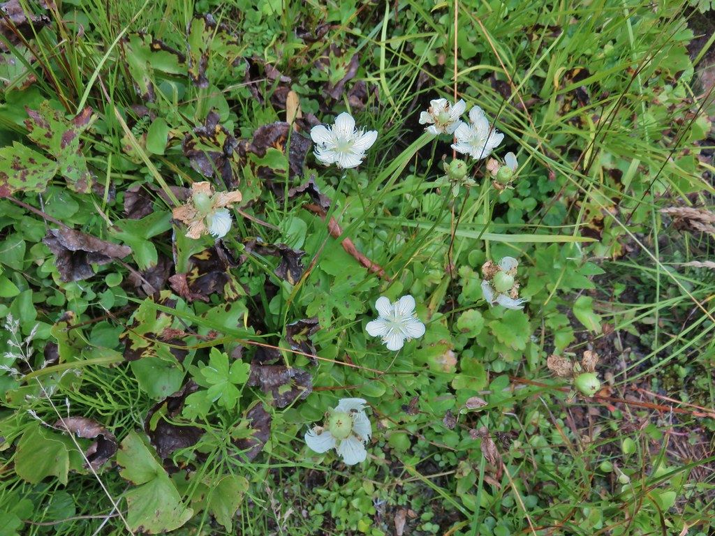 Grass of parnassus
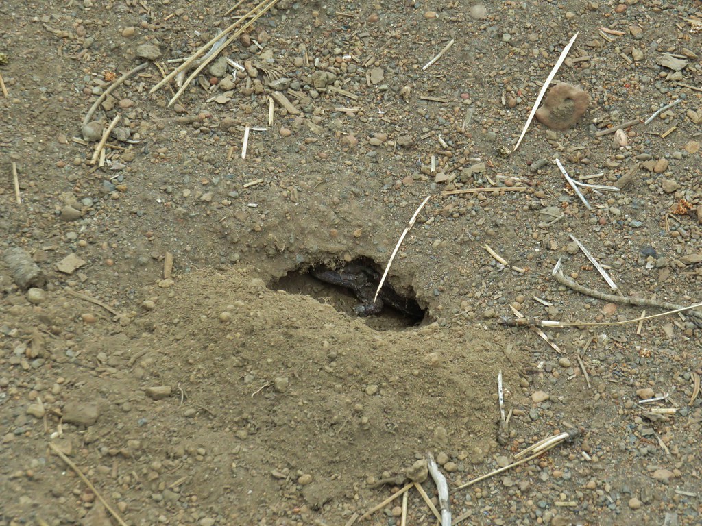
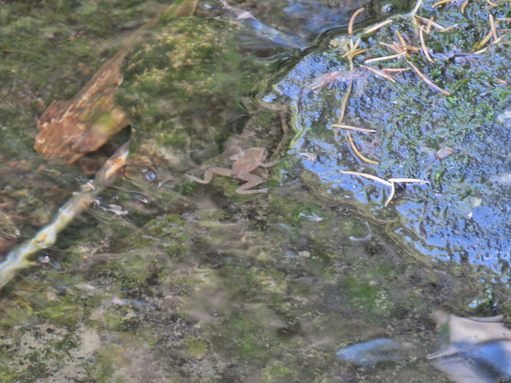 Frog
Frog
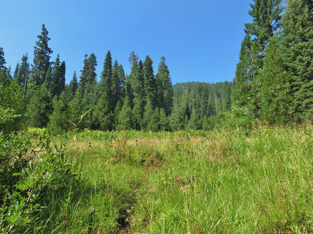 Trail leading up from the creek into the meadow.
 Big cedar at the edge of the meadow.
 Cairn and pink flagging (small tree to the right) marking the Wiley Camp Trail.
 Elder berry
 Twisted stalk
No one else ever showed up to Wiley Camp, at least no people. A bright Moon helped light the area where we could see many bats darting about.


Hopefully the forest and features in this trip report will look similar for years to come and this isn’t a memorial of what once was. Happy Trails!
Flickr: Diamond Lake Loop








 Lower Erma Bell Lake from the climb.
 Above the falls.

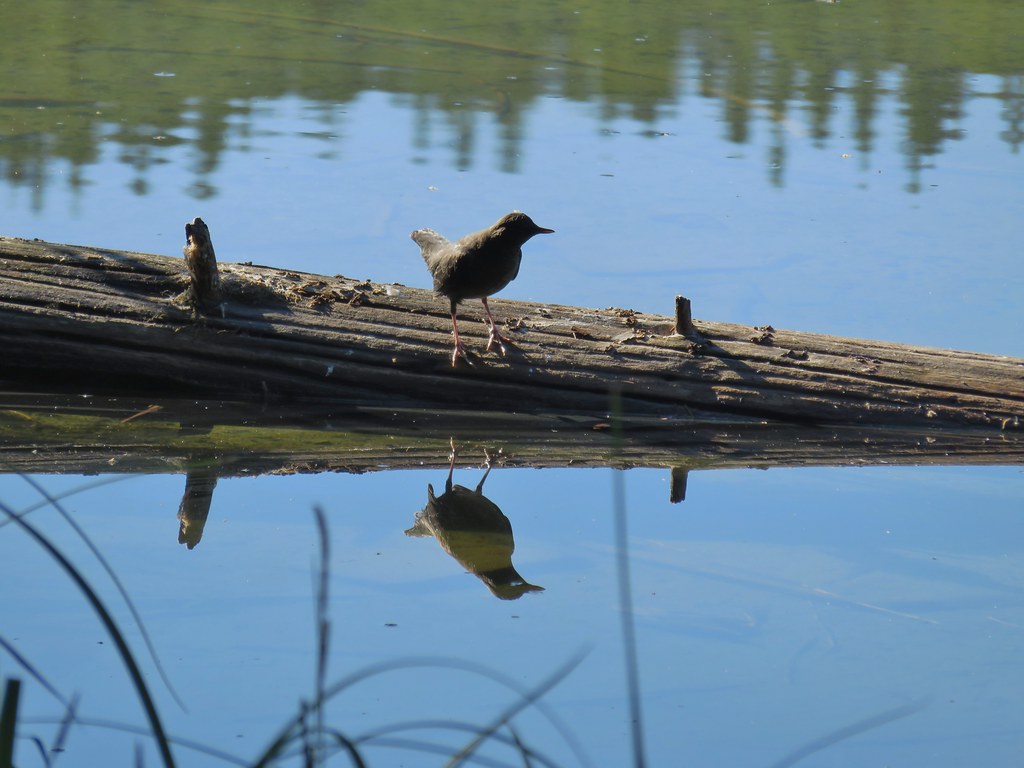 Ouzel
Ouzel Ducks
Ducks Pond along the trail.
 Spur trail on the right to Upper Erma Bell Lakes.
 Paintbrush and aster along the lake shore.
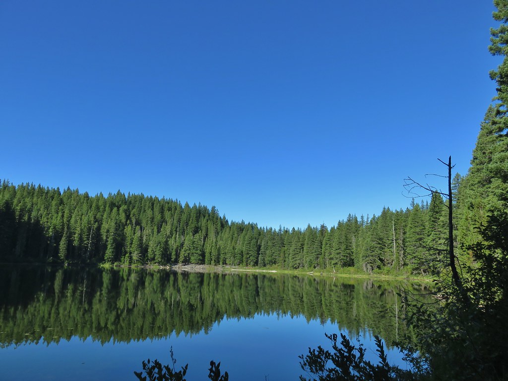 Upper Erma Bell Lake
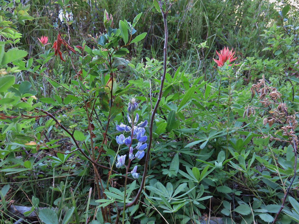 Lupine and paintrbush
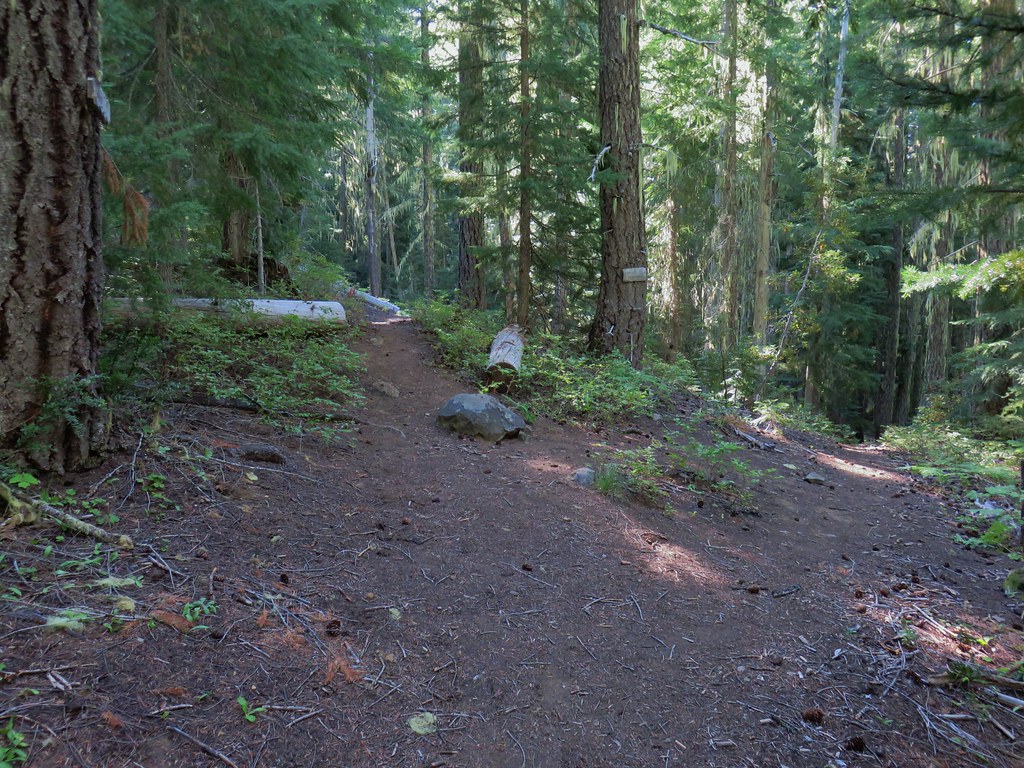 Judy Lake Trail on the right.
 Williams Lake Trail joining from the right.
 Grouse giving us the what for from a tree.
 Williams Lake
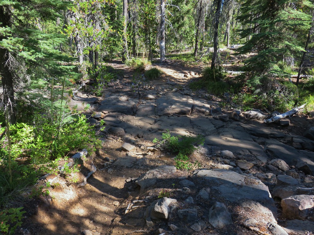 Dry creek bed near Williams Lake.

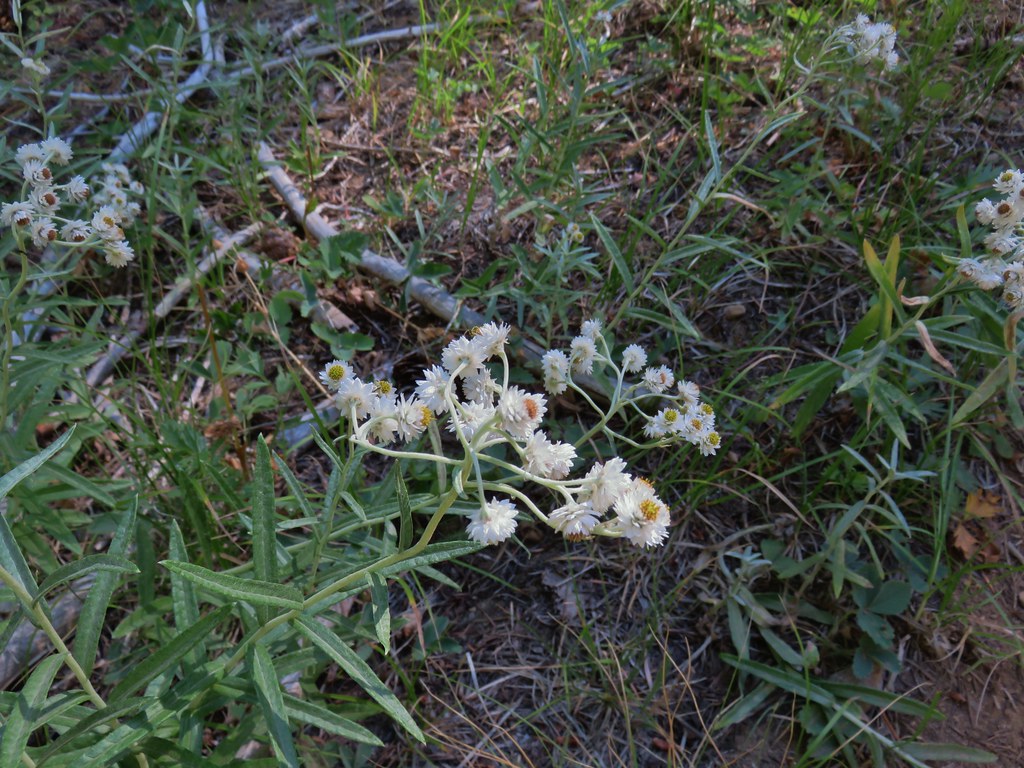 Pearly everlasting
 Fleabane
 Prince’s pine
 Mushroom
 Aster
Aster
 Coneflower
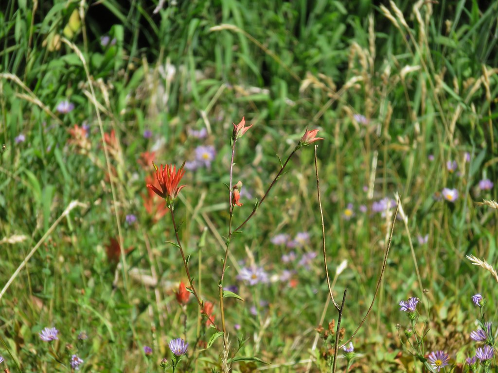 Paintbrush
 Paintbrush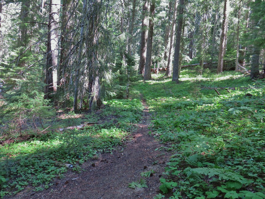

 Curious dragonfly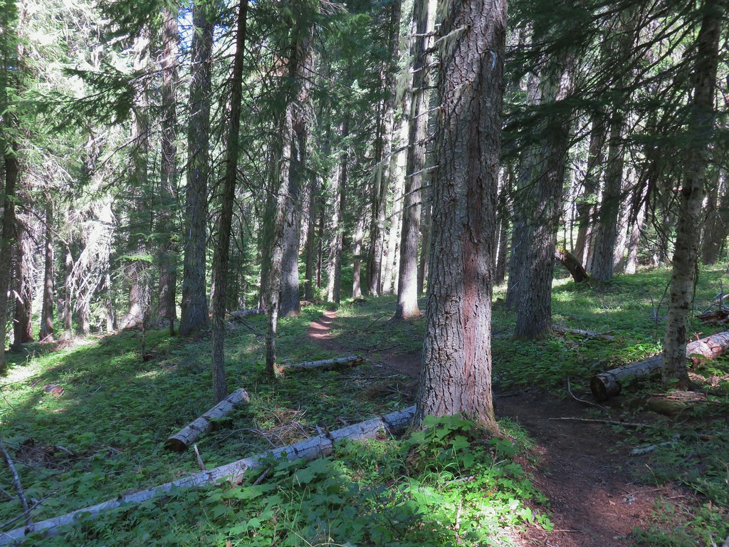


 Ghost Pipe aka Indian Pipe


 Arriving at Cedar Bog.
 One of a couple dry channels.
 North Fork Middle Fork
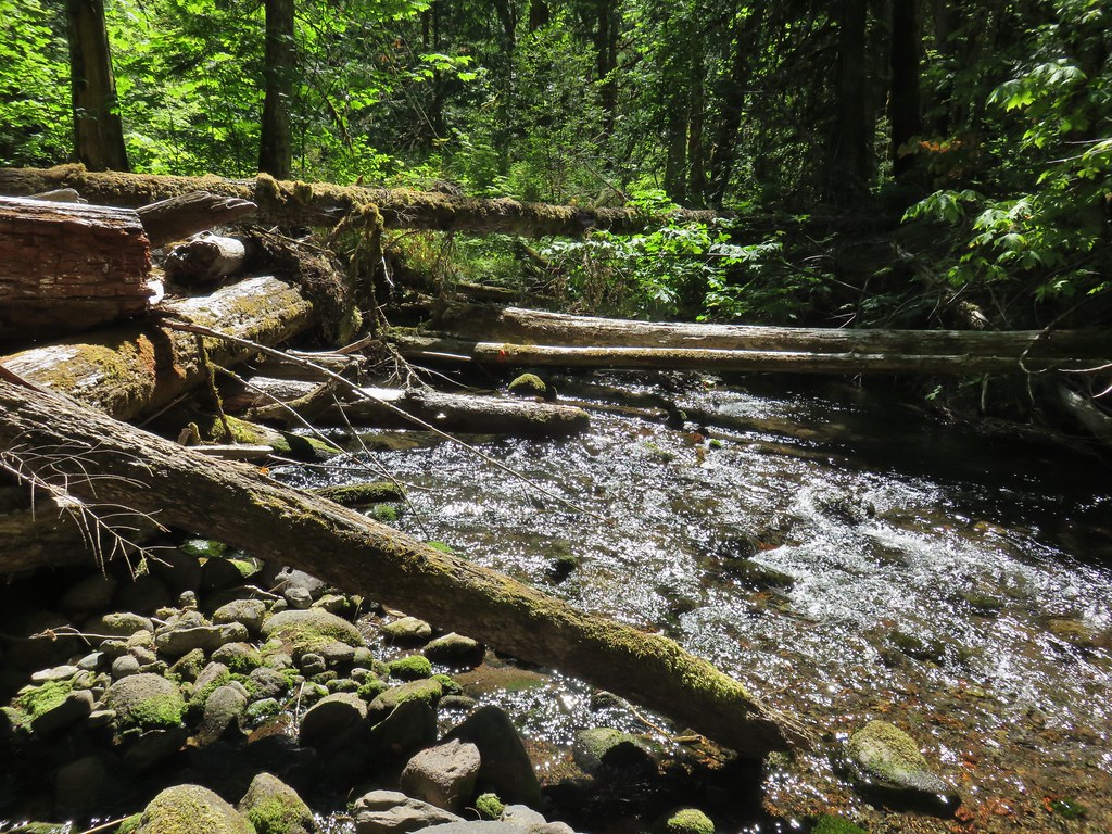 Flagging on a downed tree marking the continuation of the Shale Ridge Trail.
 North Fork Middle Fork at Cedar Bog
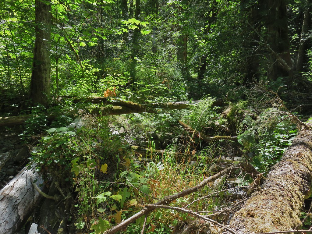 Orange flagging on the far side of the river.
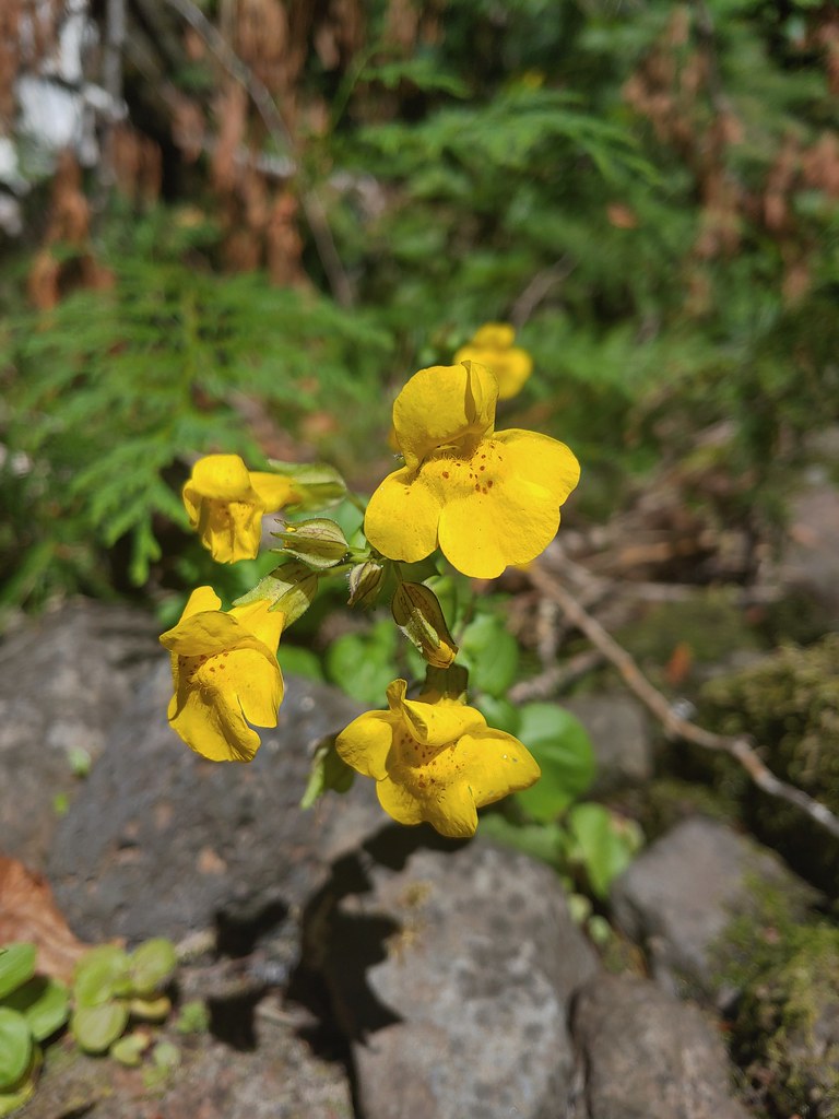 Monkeyflower at Cedar Bog
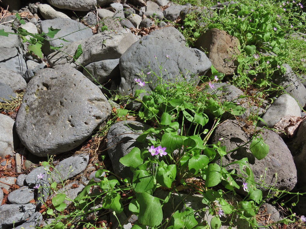 Candy flower
 The writing on the sign made us chuckle, it says “If you need a map you should stay home”. All kidding aside you should always carry a map and refer to it as often as necessary.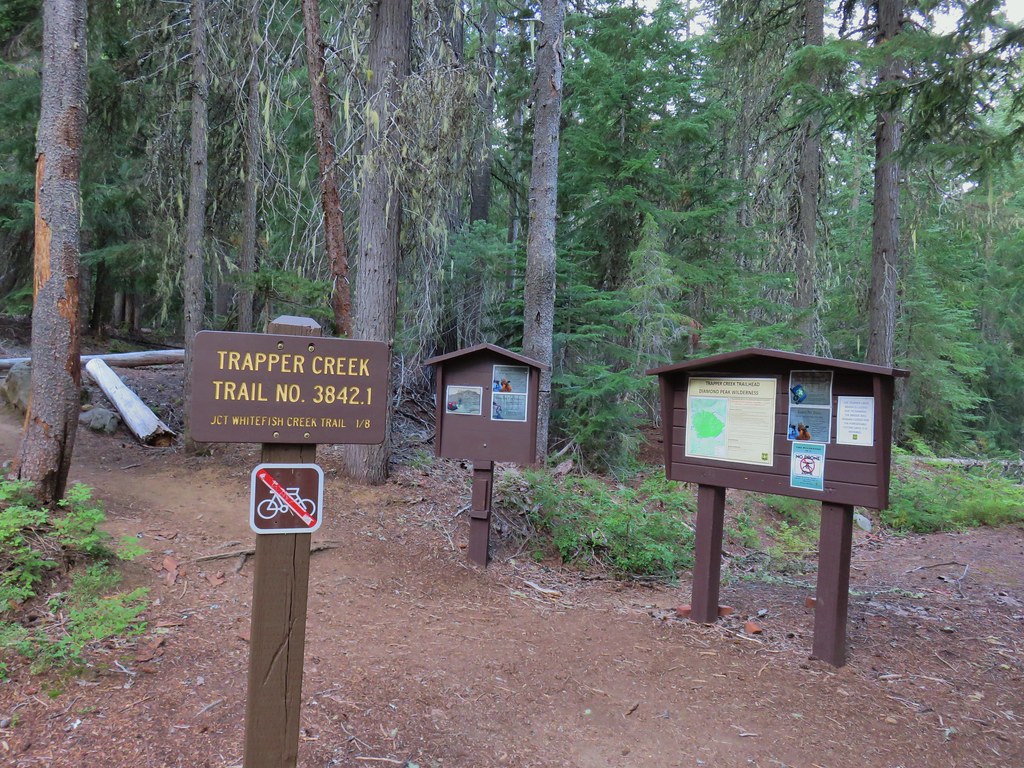

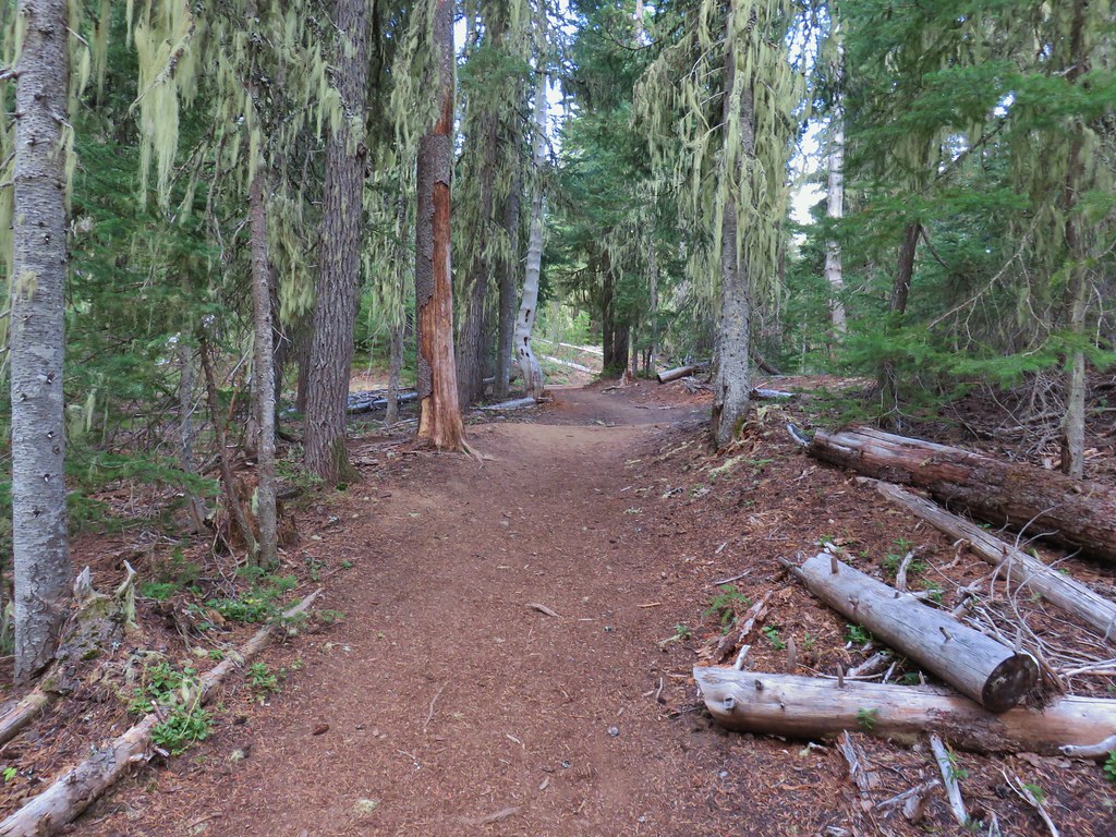


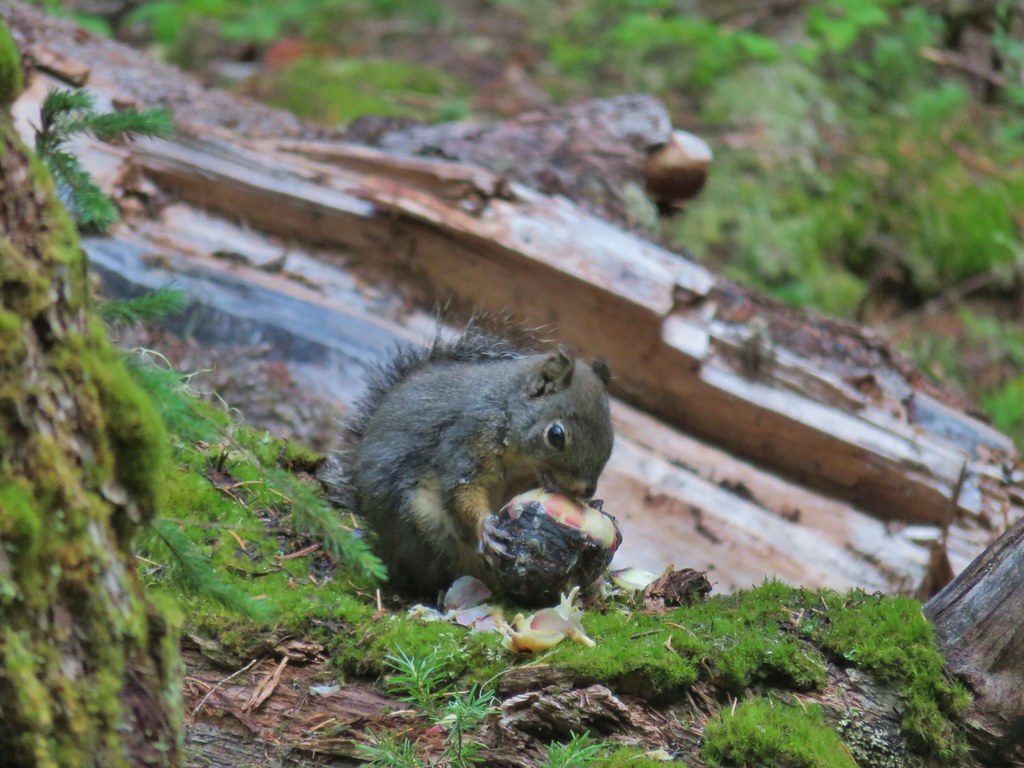 Breakfast time.
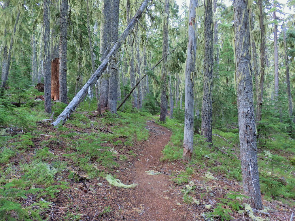
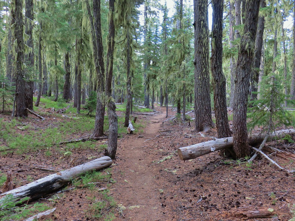
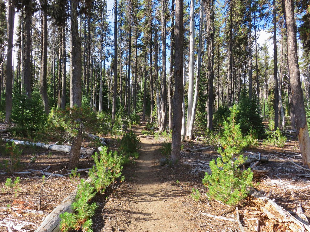
 Unnamed lake along the Whitefish Trail
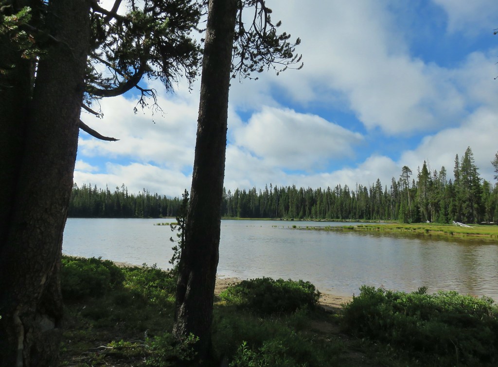 Arriving at Diamond View Lake
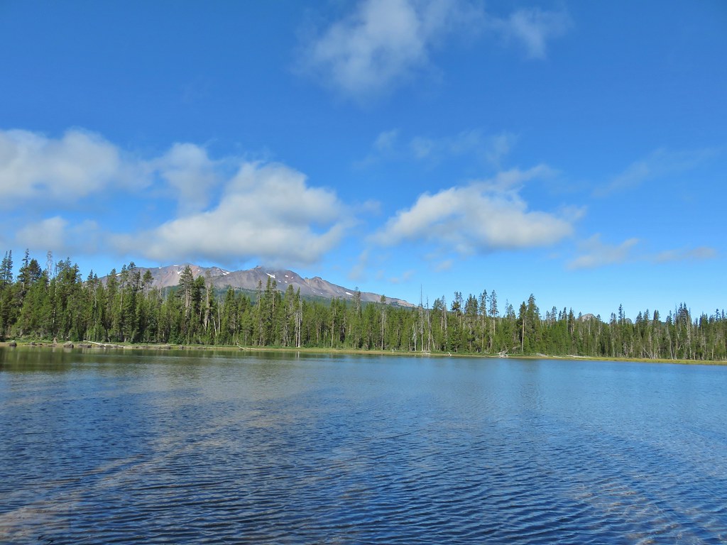 Diamond Peak with Mt. Yoran to the right.
 Sharing our break spot with a butterfly
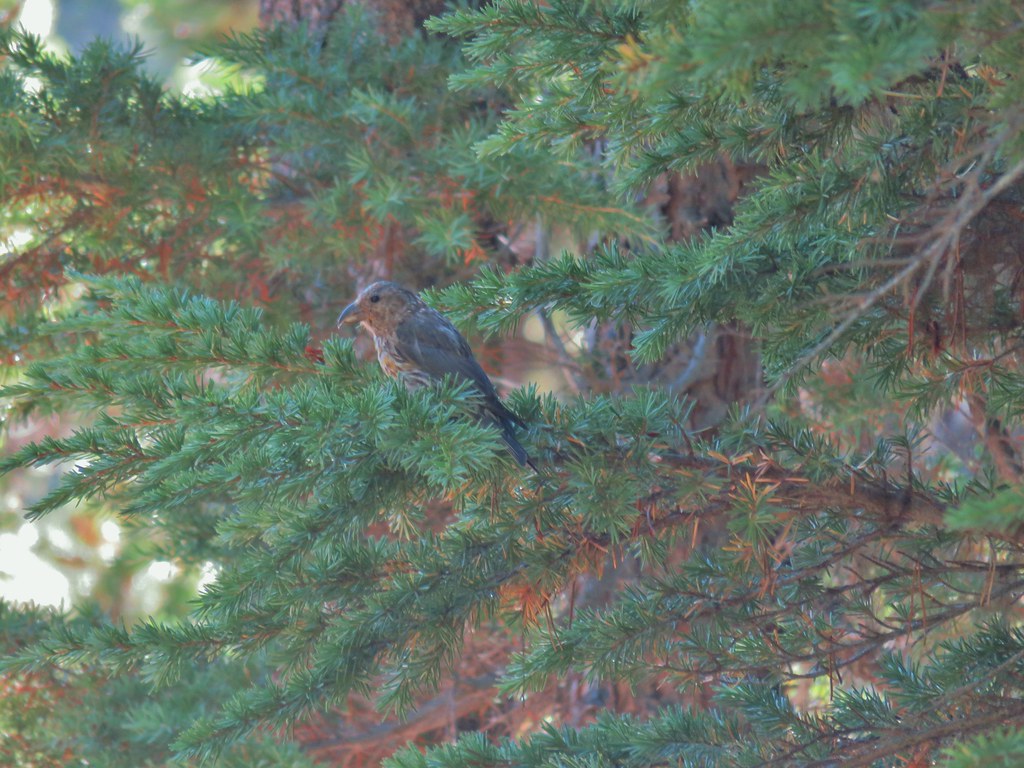 Crossbill near Diamond View Lake
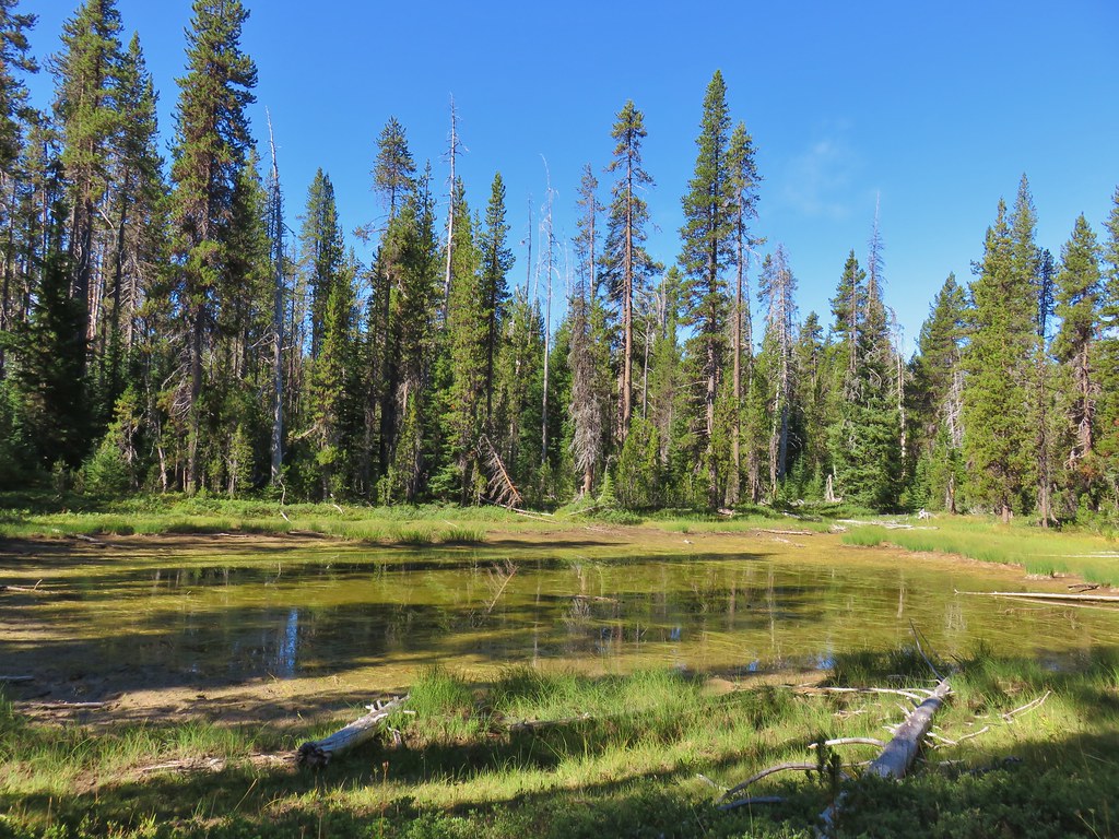

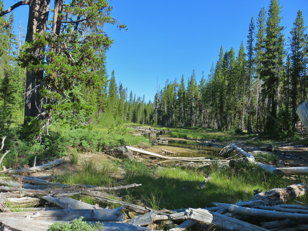
 Mile marker?
 A lone lupine
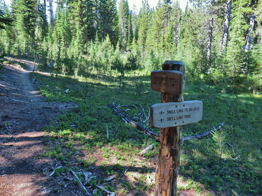 Nice looking sign for the Snell Lake Trail.
 It didn’t look like the Snell Lake Trail sees much use, at least at this end.
 The heather was all done blooming but there was a lot of dried blossoms.

 The summit of Diamond Peak.


 Diamond Peak from the Rockpile Trail
 Rockpile Lake

 Hikers on the trail to the right coming down from the false summit.
 Dragon fly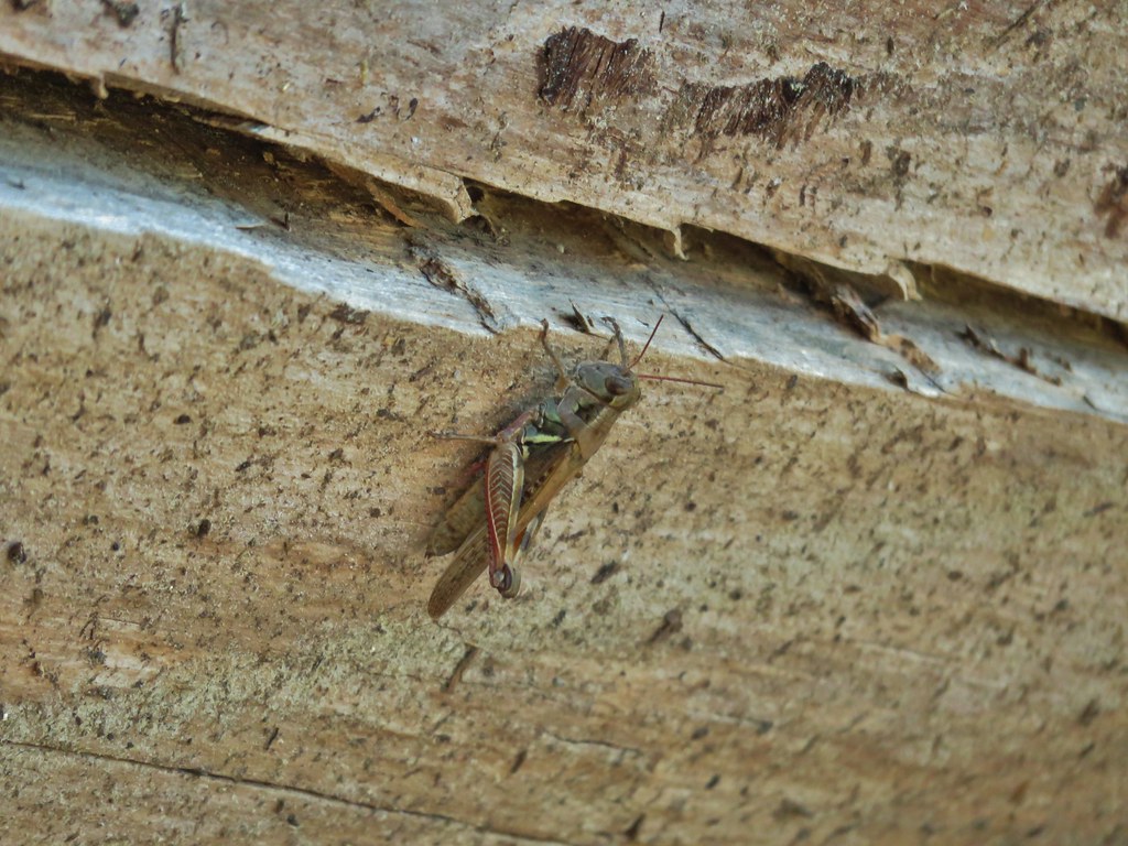

 Little bee landing on fireweed at the trailhead.

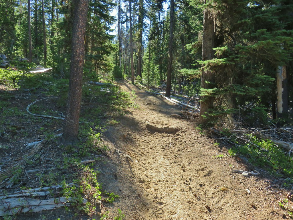

 Sample of the blowdown.

 Fittingly a downed log welcomed us to the wilderness.
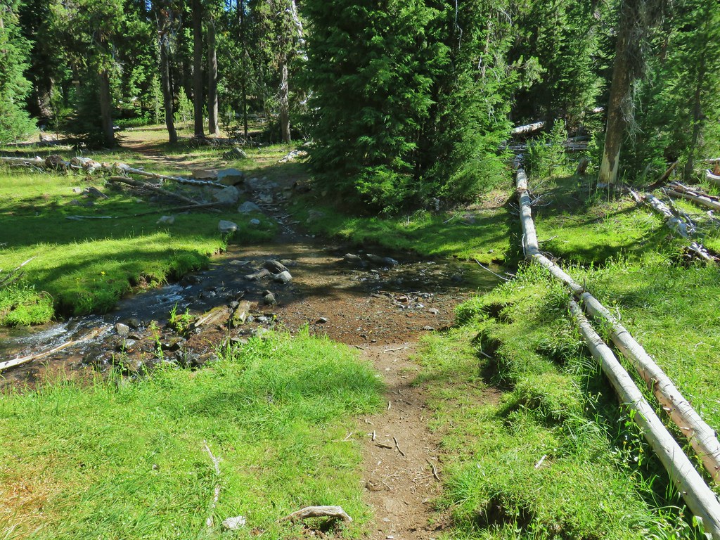 Thielsen Creek at the head of Timothy Meadows
 flower at Timothy Meadows
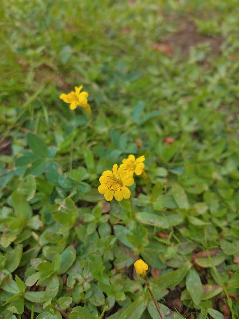 Musk monkeyflower?
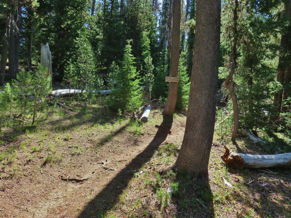 Thielsen Creek Trail
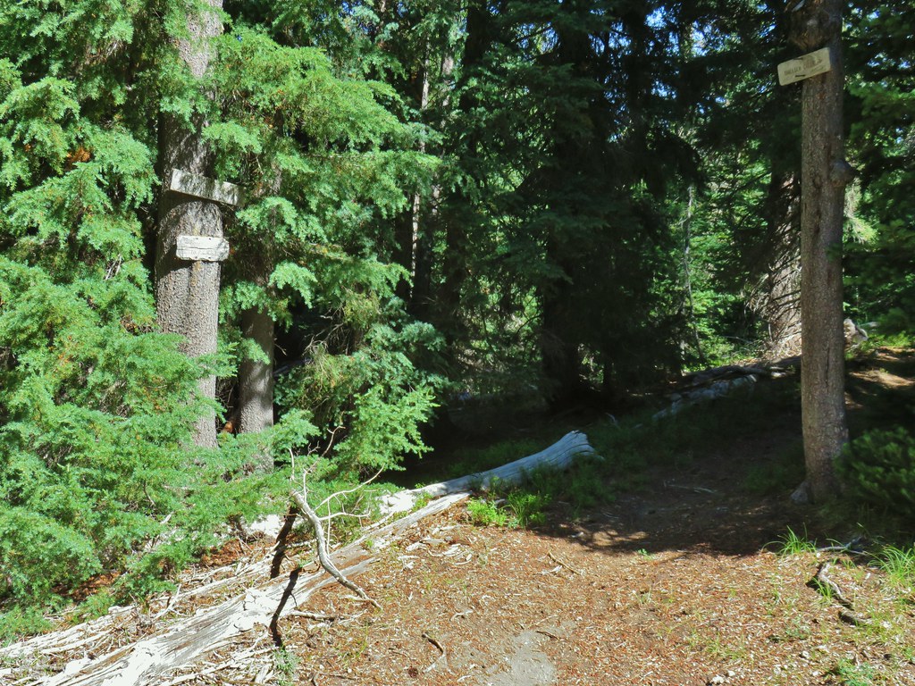 Howlock Mountain Trail
 Pinesap
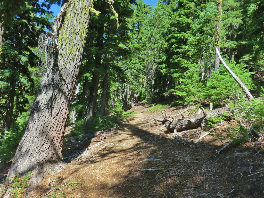 As the trail climbed around a ridge end the forest thinned enough to get some views of both Mt. Thielsen and Mt. Bailey (
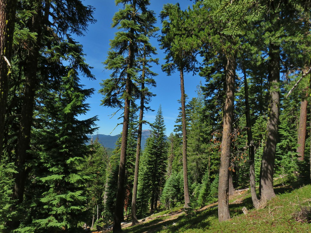 Mt. Bailey
 Mt. Thielsen
 After rounding the ridge the trail remained mostly in the trees until it neared Howlock Meadows and then Howlock Mountain started to come into view.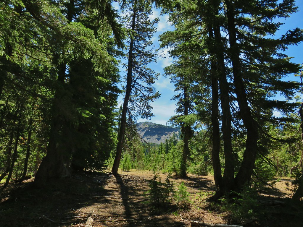
 Orange agoseris
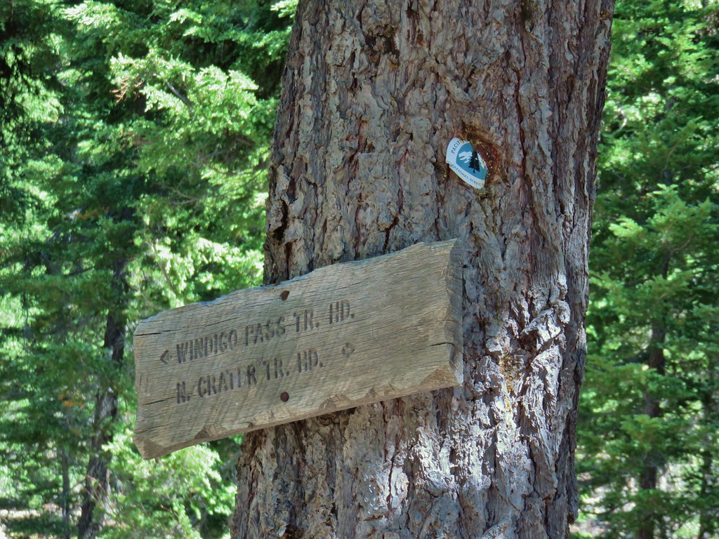

 Butterfly on pumice
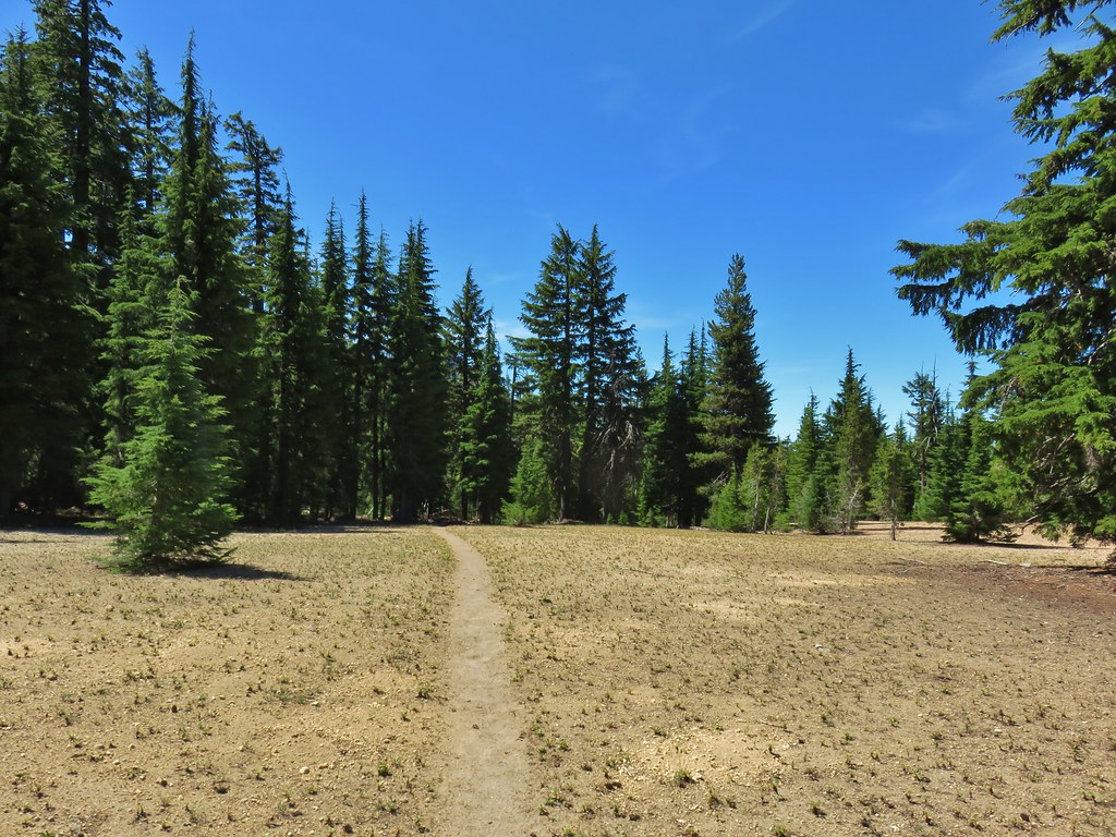 PCT leaving Howlock Meadows.
 Mt. Bailey from the PCT.
 Talus slope above the PCT.
 Lots of rocks along the hillside.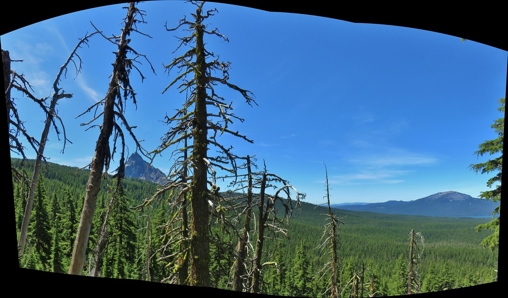

 PCT crossing Thielsen Creek
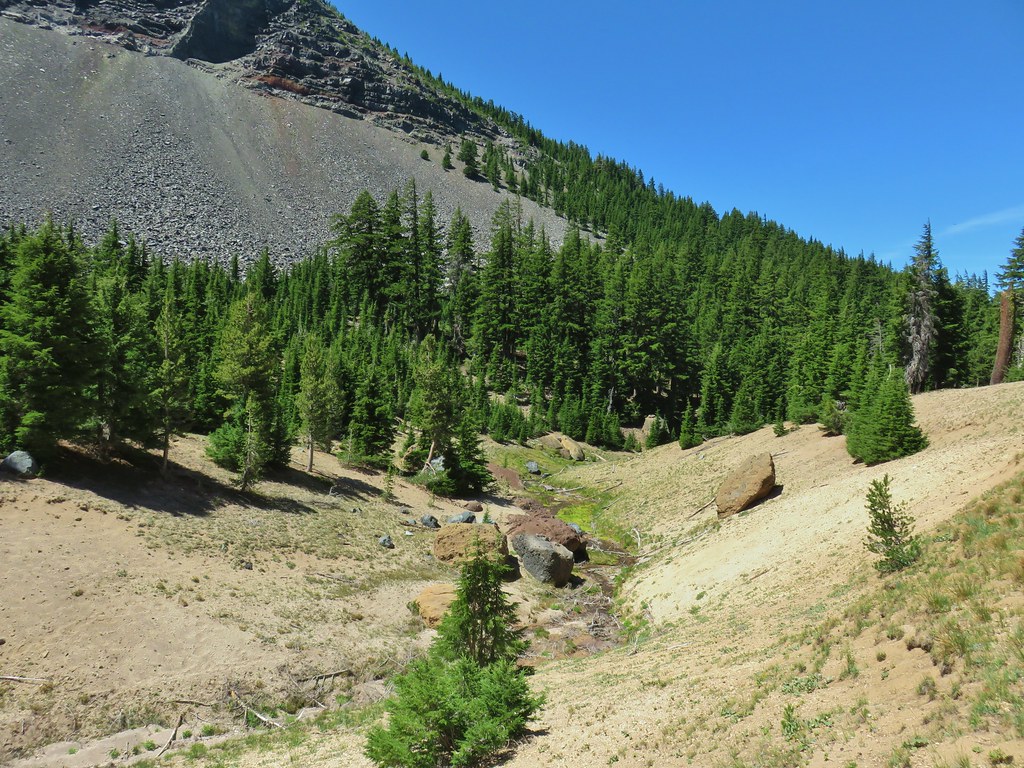
 Use trails on the left and right hand side of Thielsen Creek.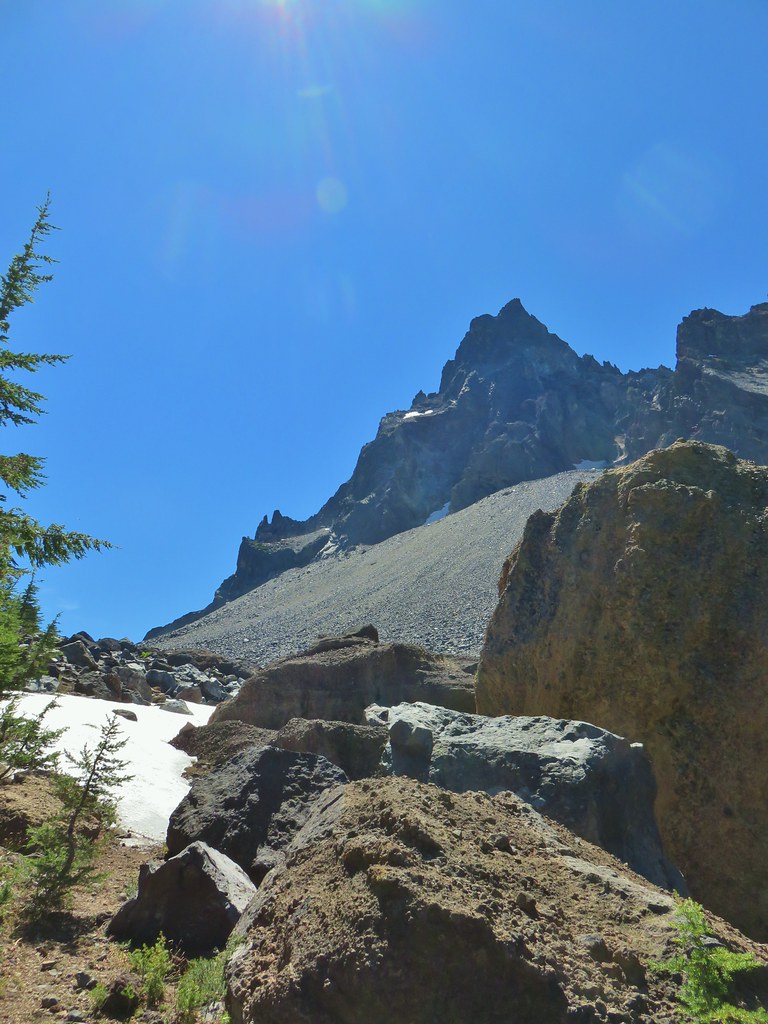
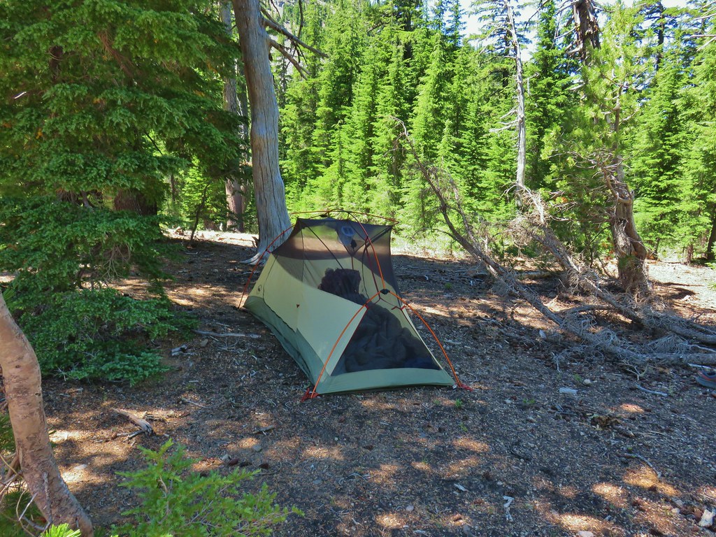 Found our tent.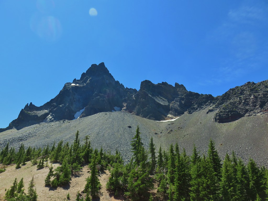
 I was also looking at the saddle between Mt. Thielsen and Sawtooth Ridge which we needed to climb over in order to reach the falls.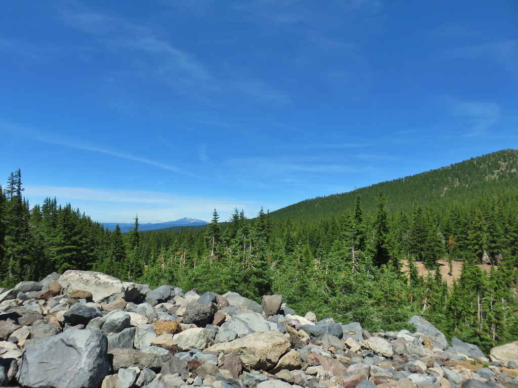

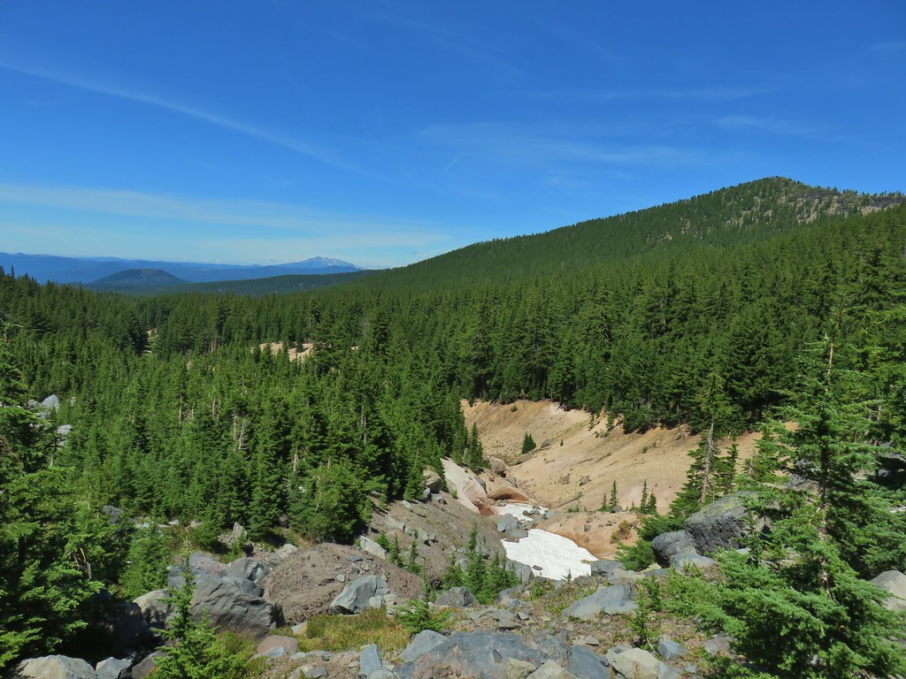

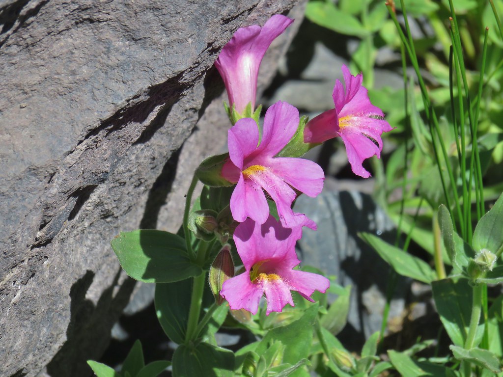

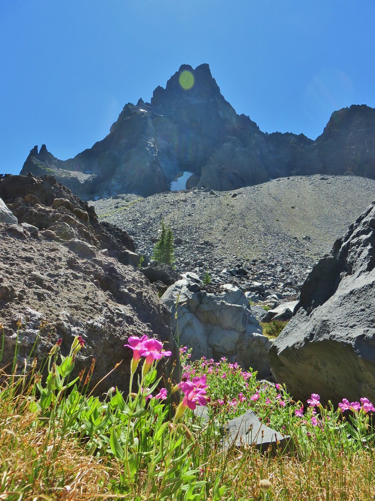
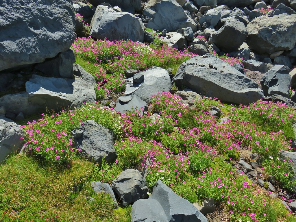
 Pink and white blossoms
 Some yellow monkeyflower too.
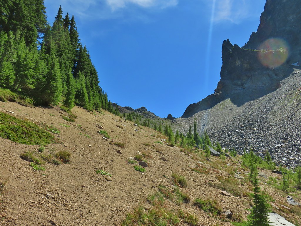 Maybe “clear” use trail isn’t exactly the correct term.
 It’s clearer here.
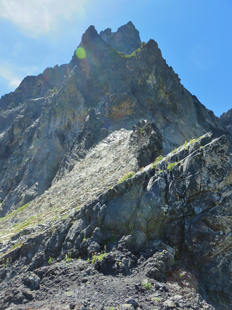 Mt. Thielsen
 Sawtooth Ridge
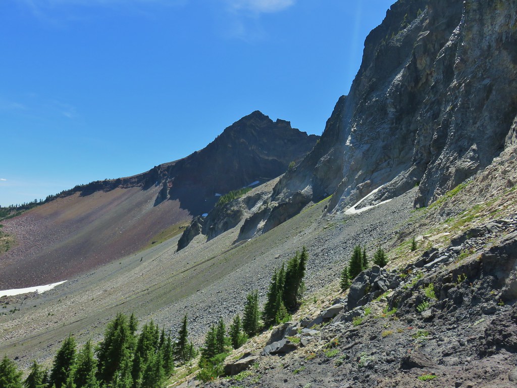 East side of Mt. Thielsen
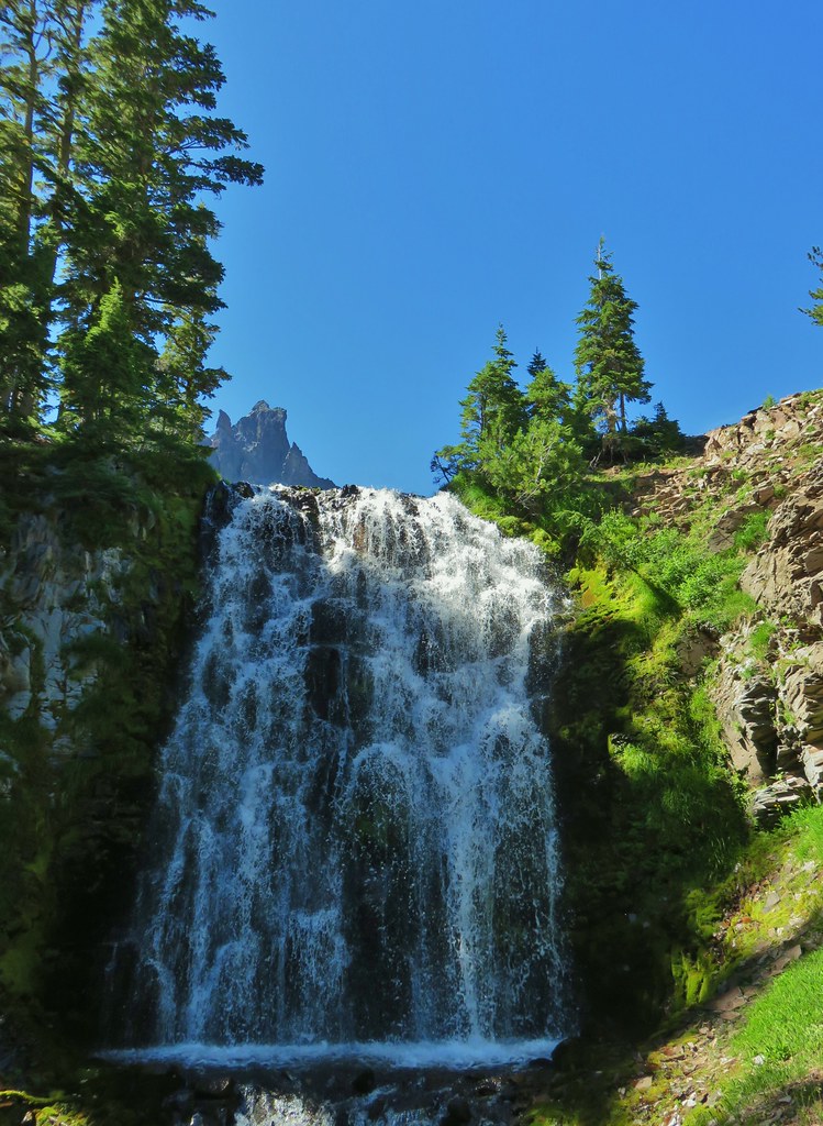
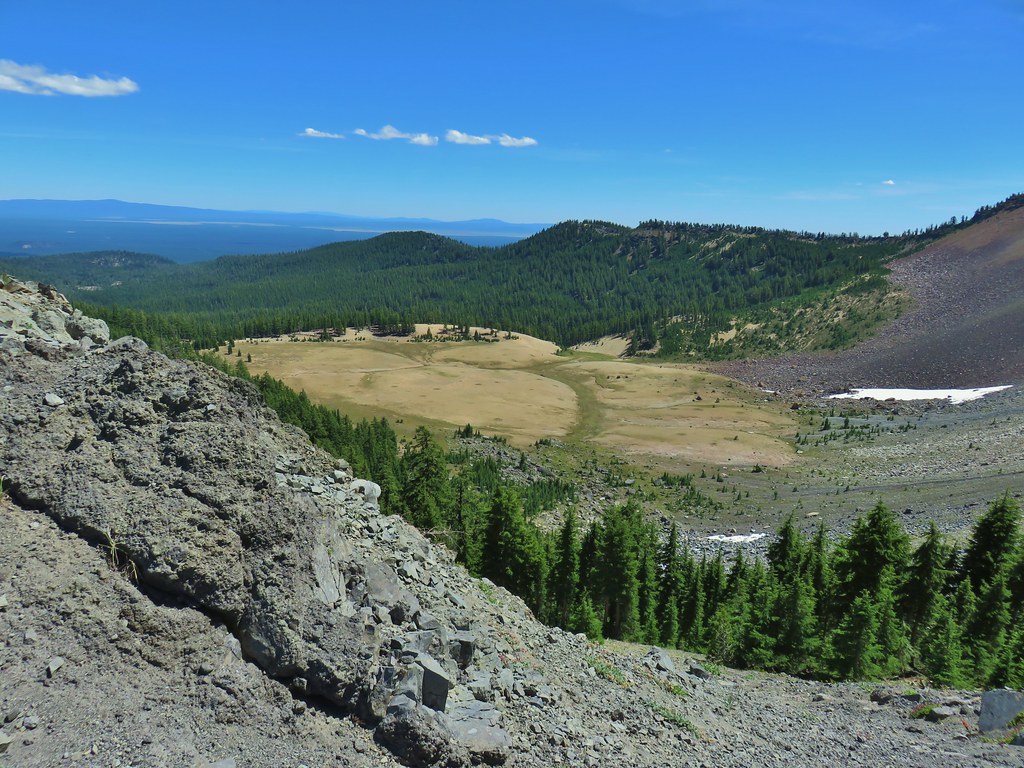 Cottonwood Falls was on the far side of the pumice plain.
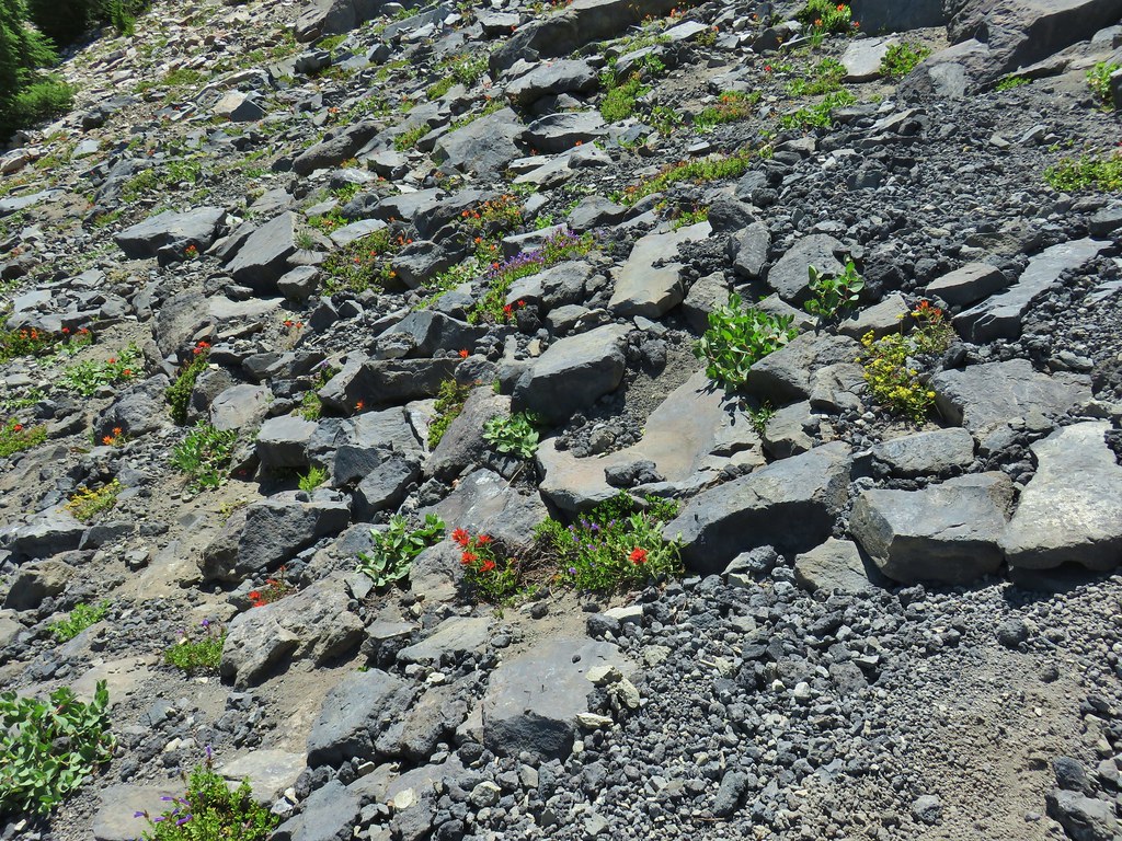 Paintbrush, penstemon, and buckwheat near the saddle.
 I had to drop below this neat rock feature which I got too close to and had a difficult time finding my footing to get around.
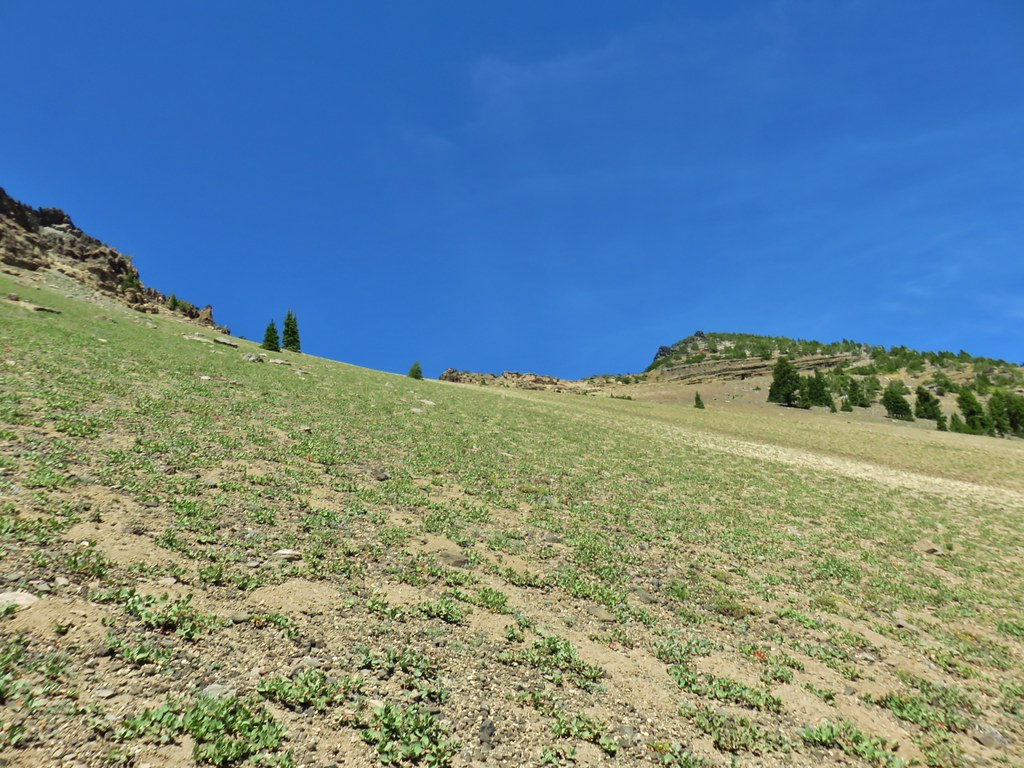 Looking up the hillside.
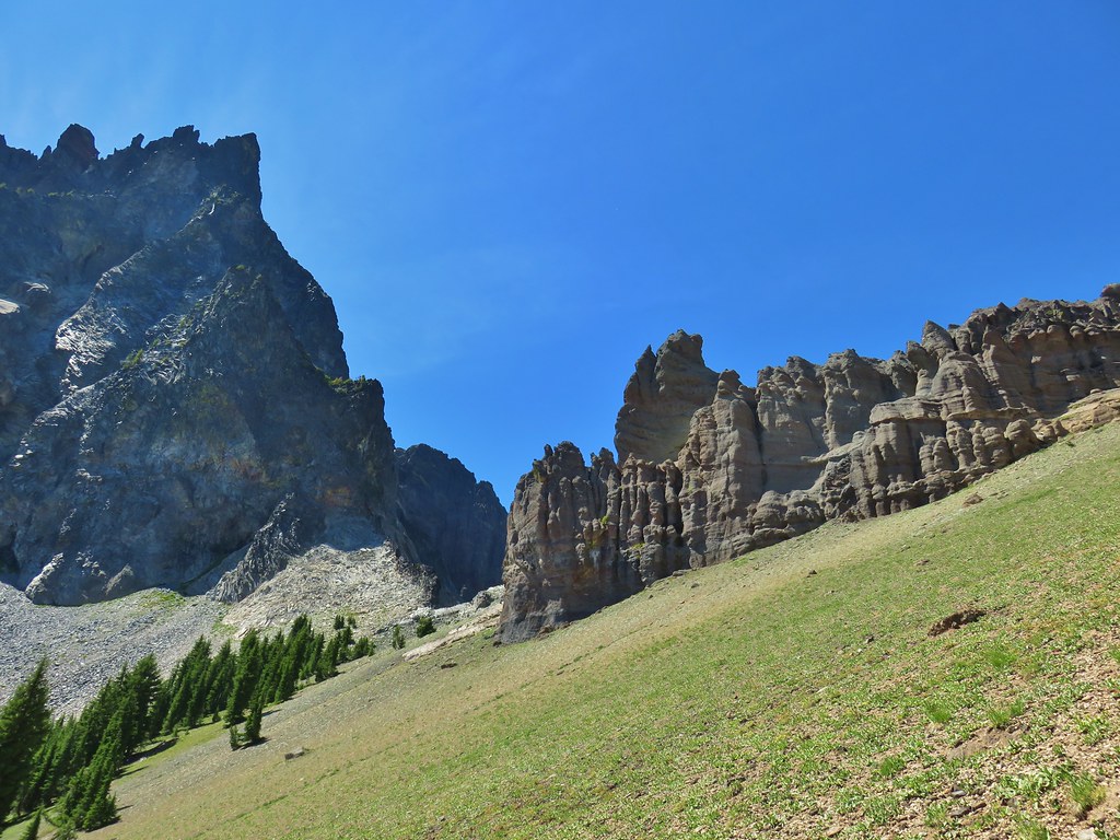 Looking back at the rock formation.

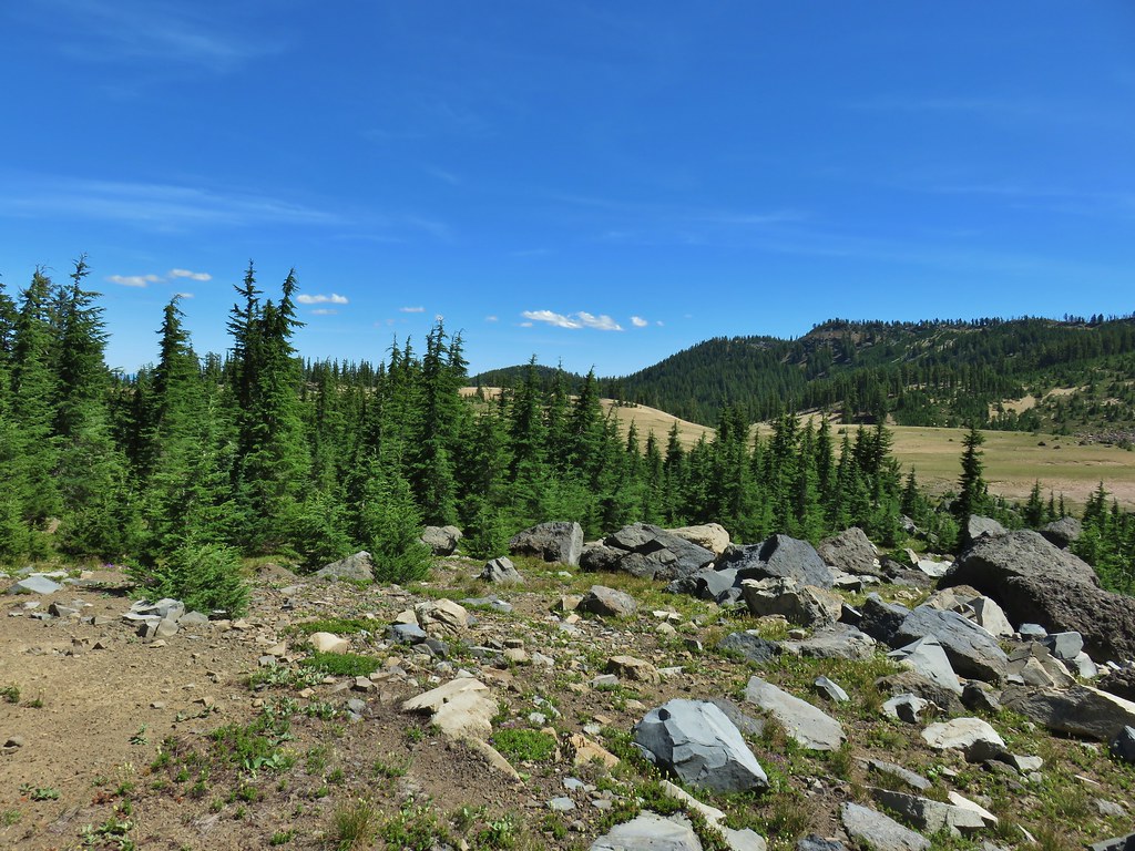
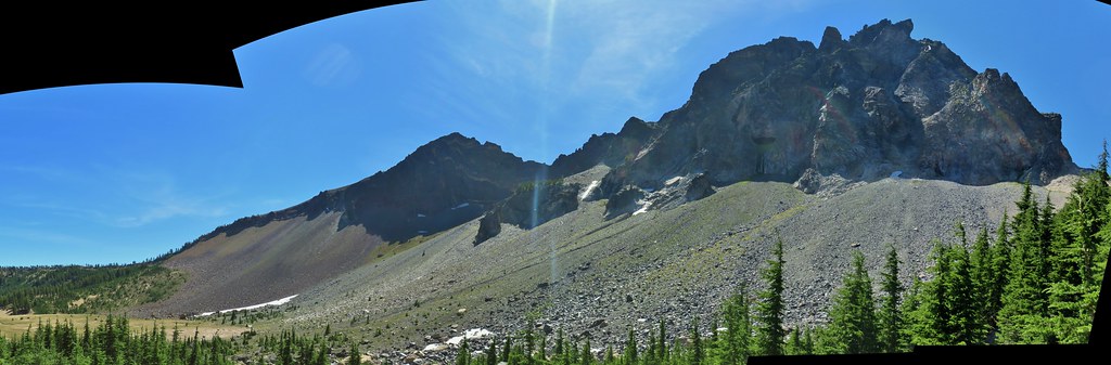
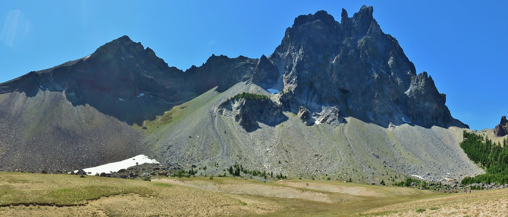
 Impressively large cave on the face of Mt. Thielsen.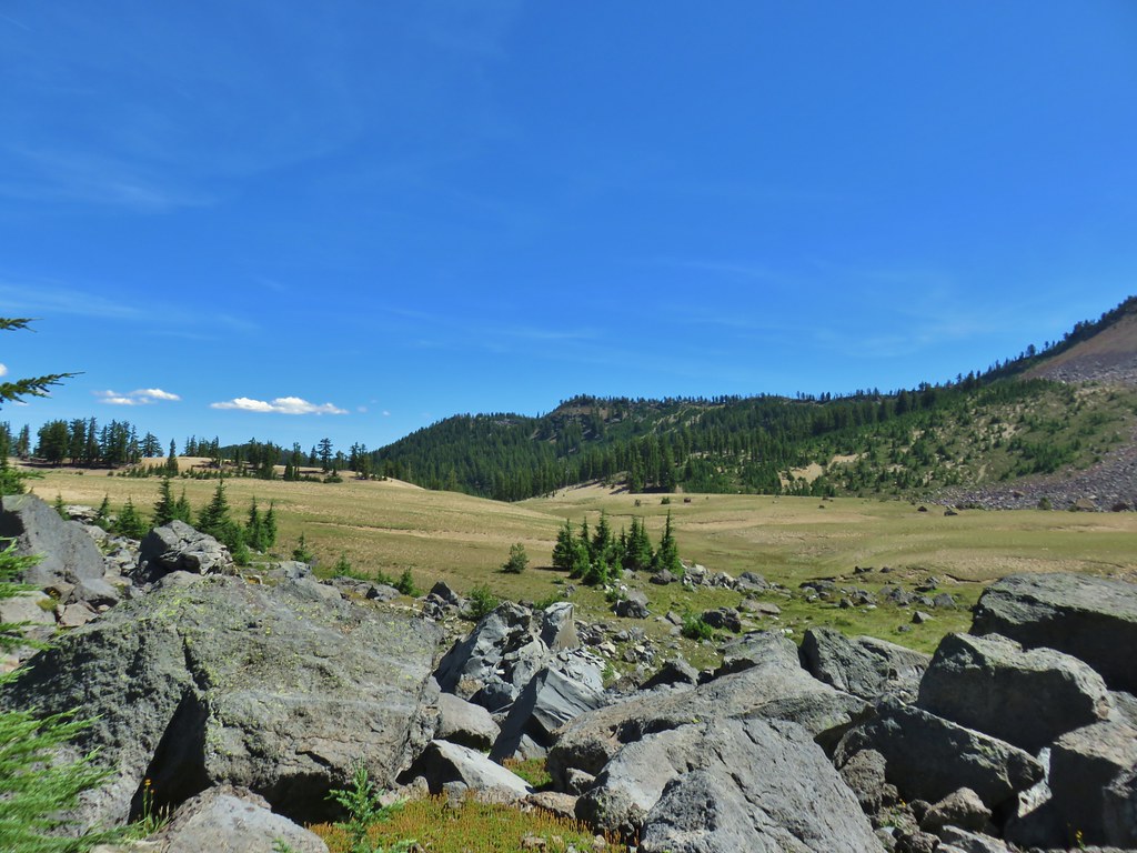
 Penstemon
 The saddle doesn’t look too bad from this angle.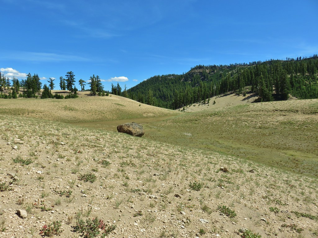


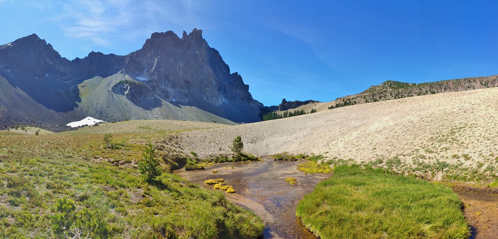
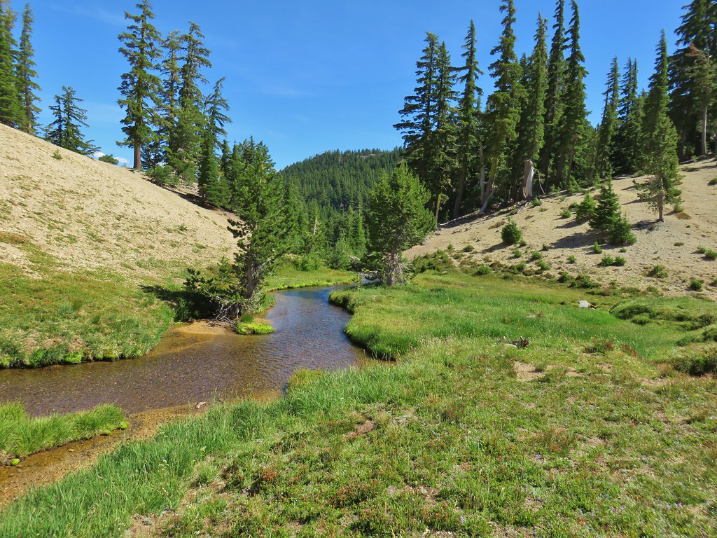
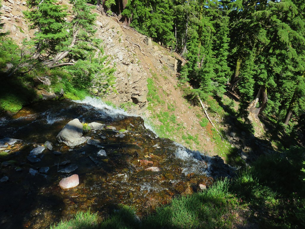

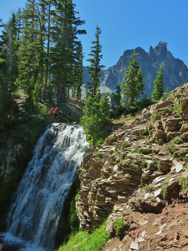


 We got onto the use/game trail as soon as we could going back up.
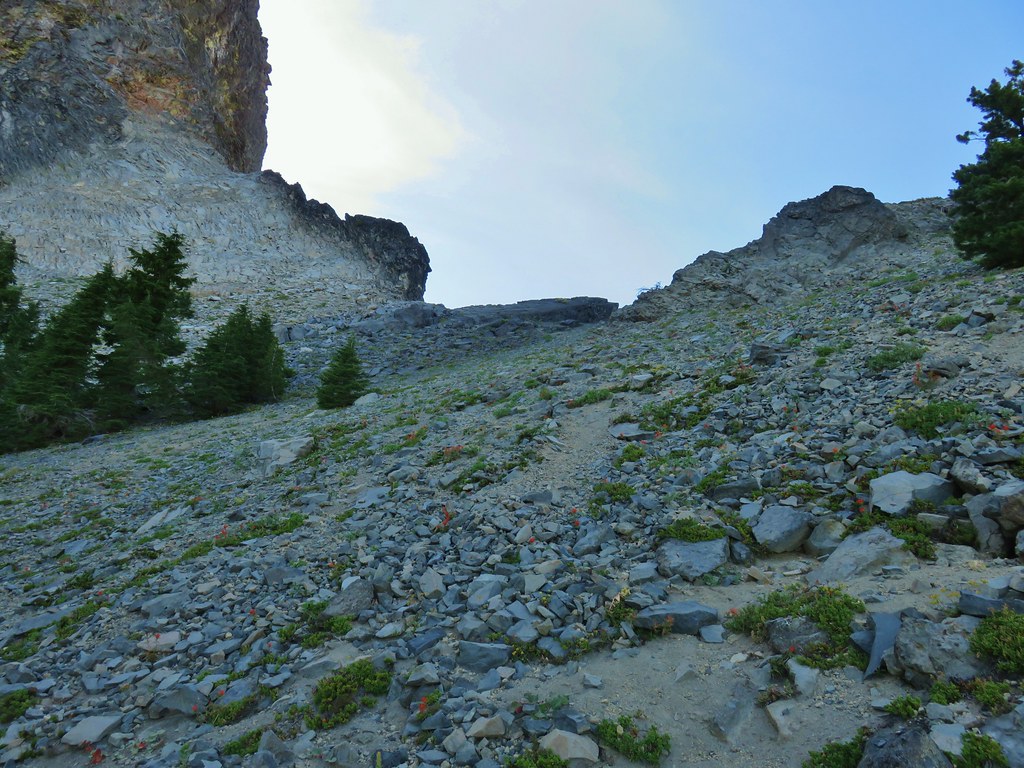 The “trail” leading up to the saddle.
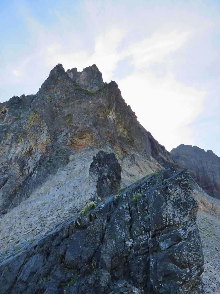 Mt. Thielsen with the Sun behind.
 Howlock Mountain
 Unfortunately the lighting wasn’t all that great due to the position of the Sun so we never really could capture all the colorful rocks on the mountain.
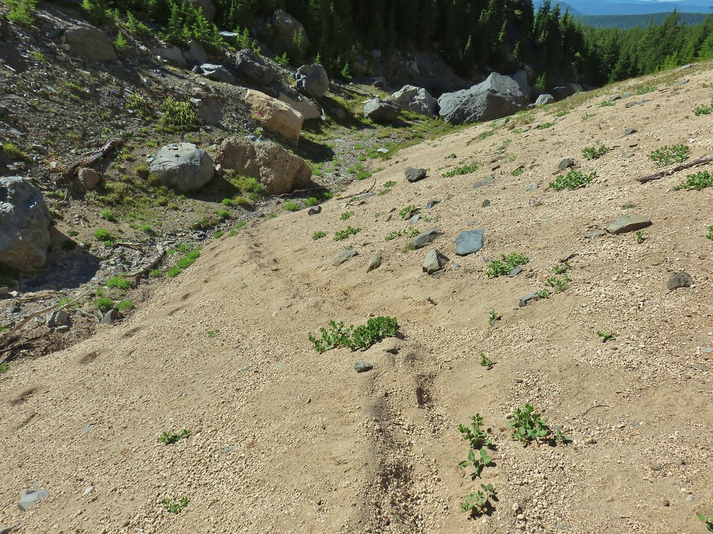
 Junco near camp.
 Mt. Thielsen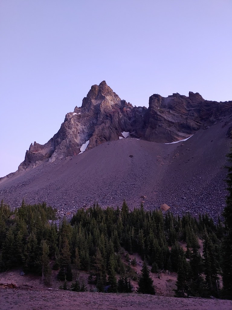
 Anyone know what the celestial body to the right of the Moon is?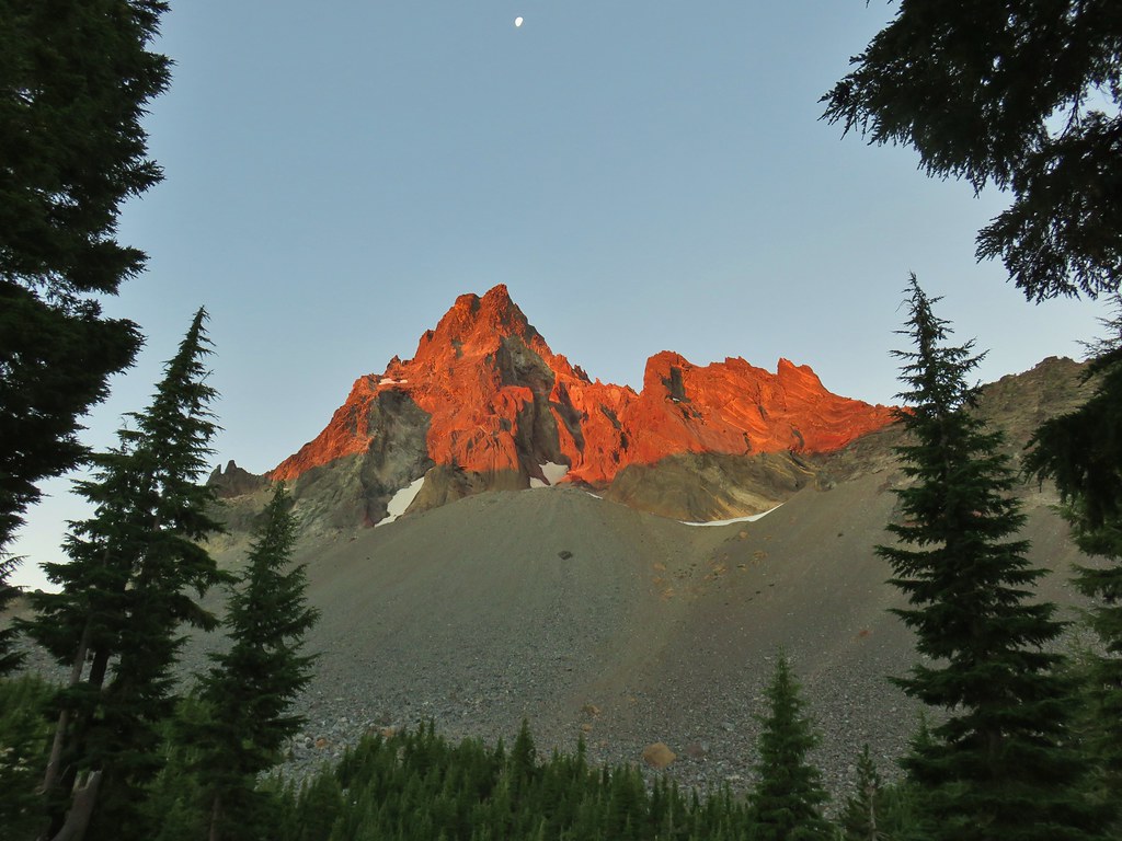


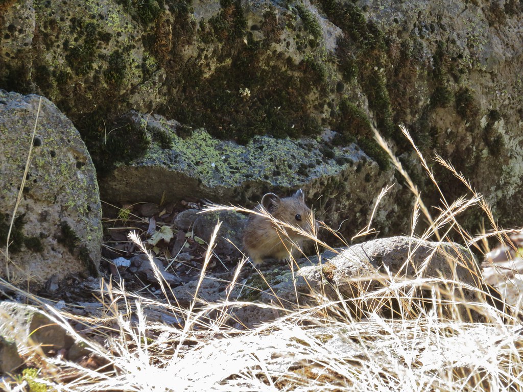
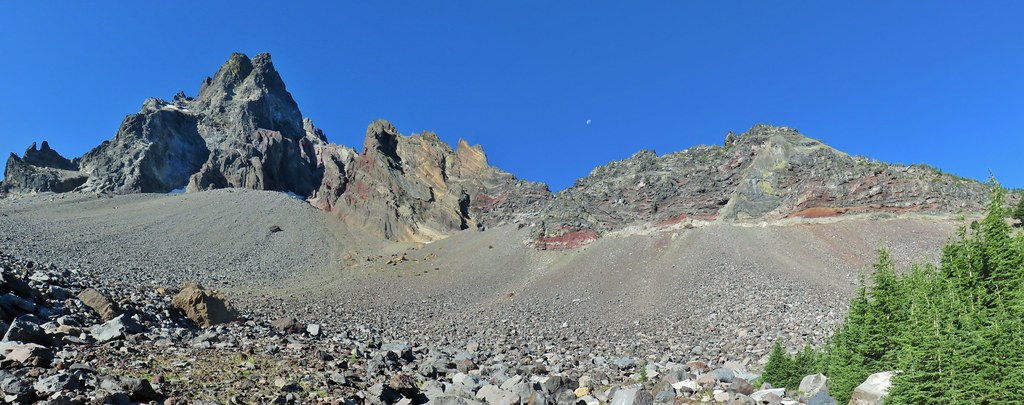 Searching for pikas in the rocks.
 Jackpot
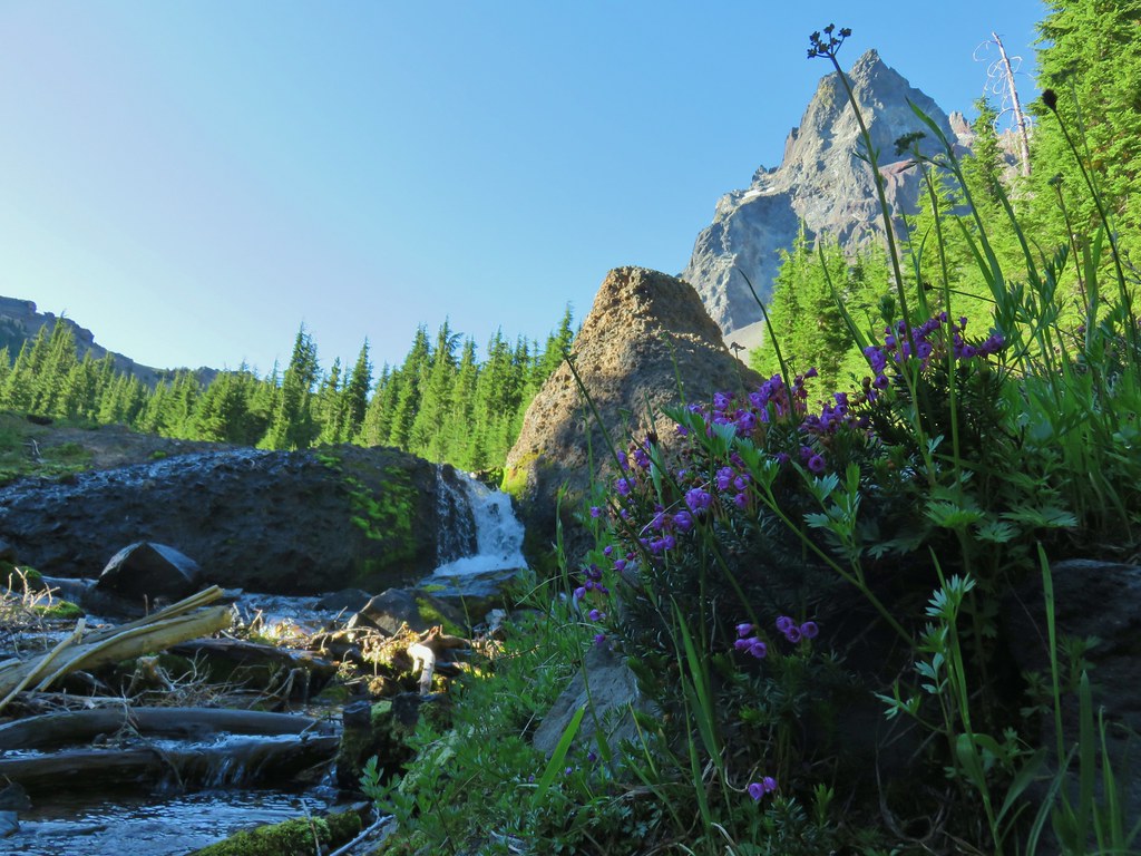 Mountain heather
 Monkeyflower
 Partridge foot
 Golden-mantled ground squirrel
 Lupine
 Merten’s rush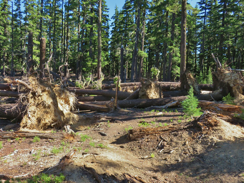
 Another angle of the tree fall.

 Just picture a good sized buck in the trees, I snapped this hoping to get lucky but I don’t see him at all.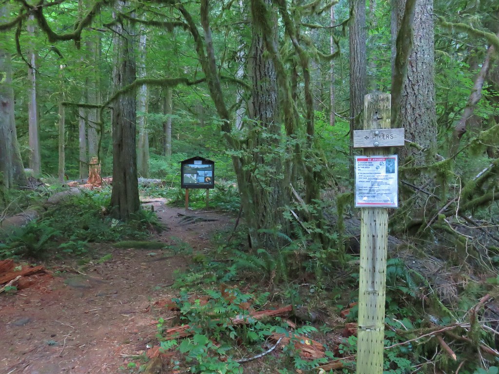


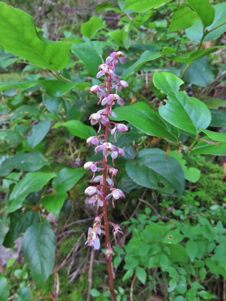 Pink pyrola
 Switchback below a rock outcrop.
 Looking down the hillside from the trail.
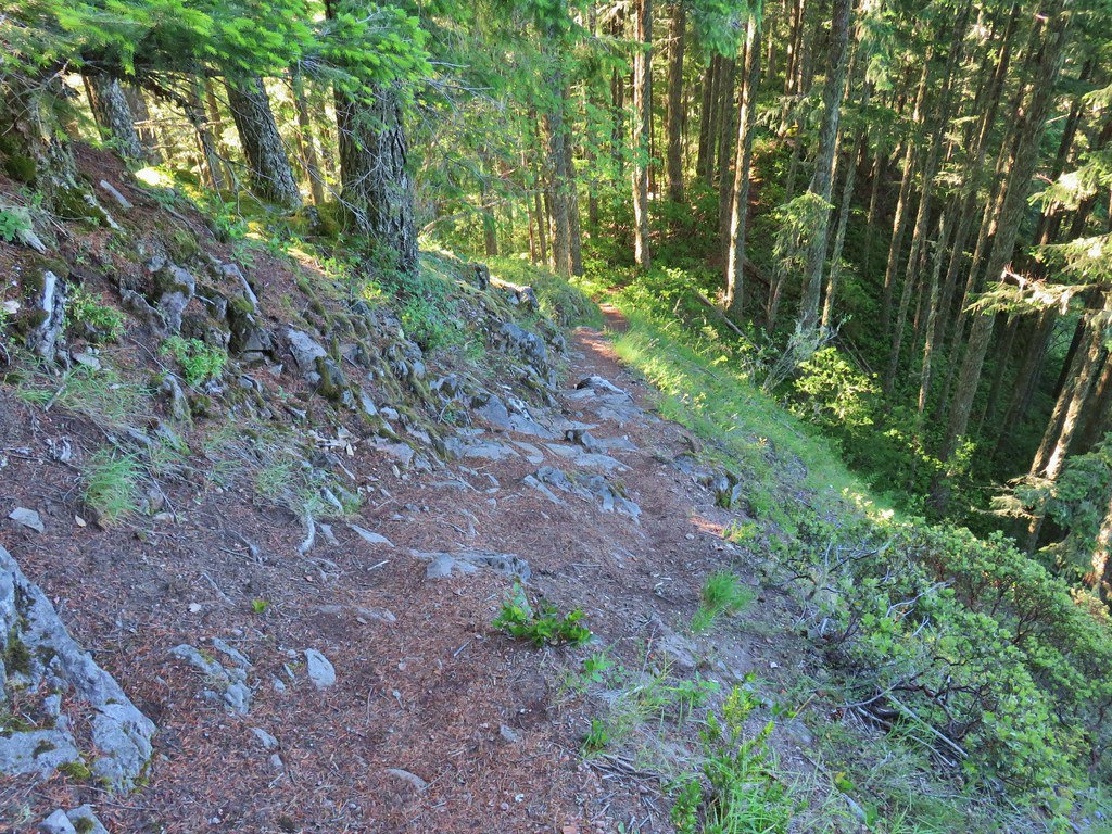 Trail dropping to a saddle.
 Looking south across the Salmon River valley. The Bonanza Trail (
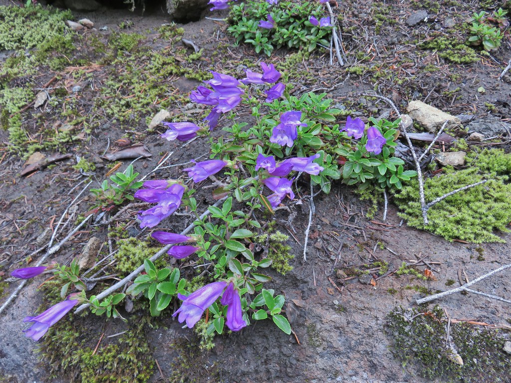
 Beardstongue (penstemon)
 Washington lily
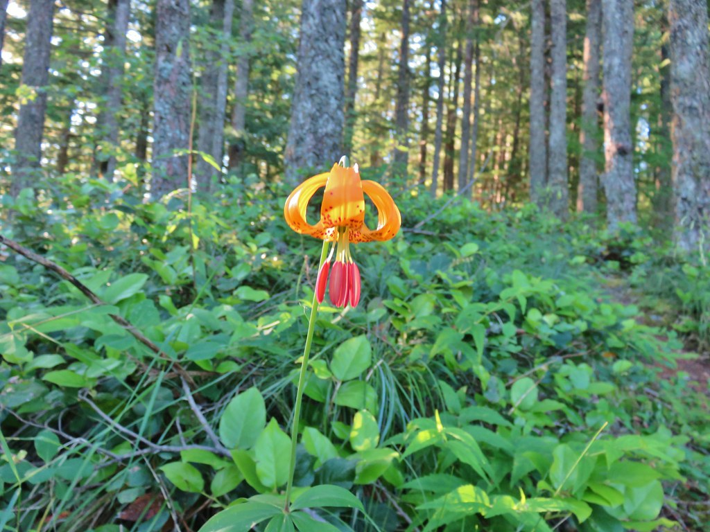 Tiger lily
 Penstemon
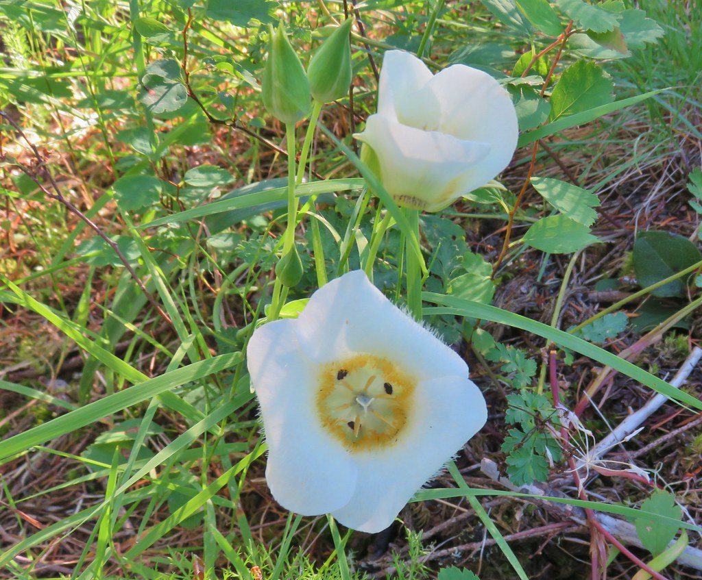 Sub-alpine mariposa lily (cat’s ear lily)
 Yarrow
 Starting the steep climb.
 Coming up to the cliffs.
 Cliffs along the trail.
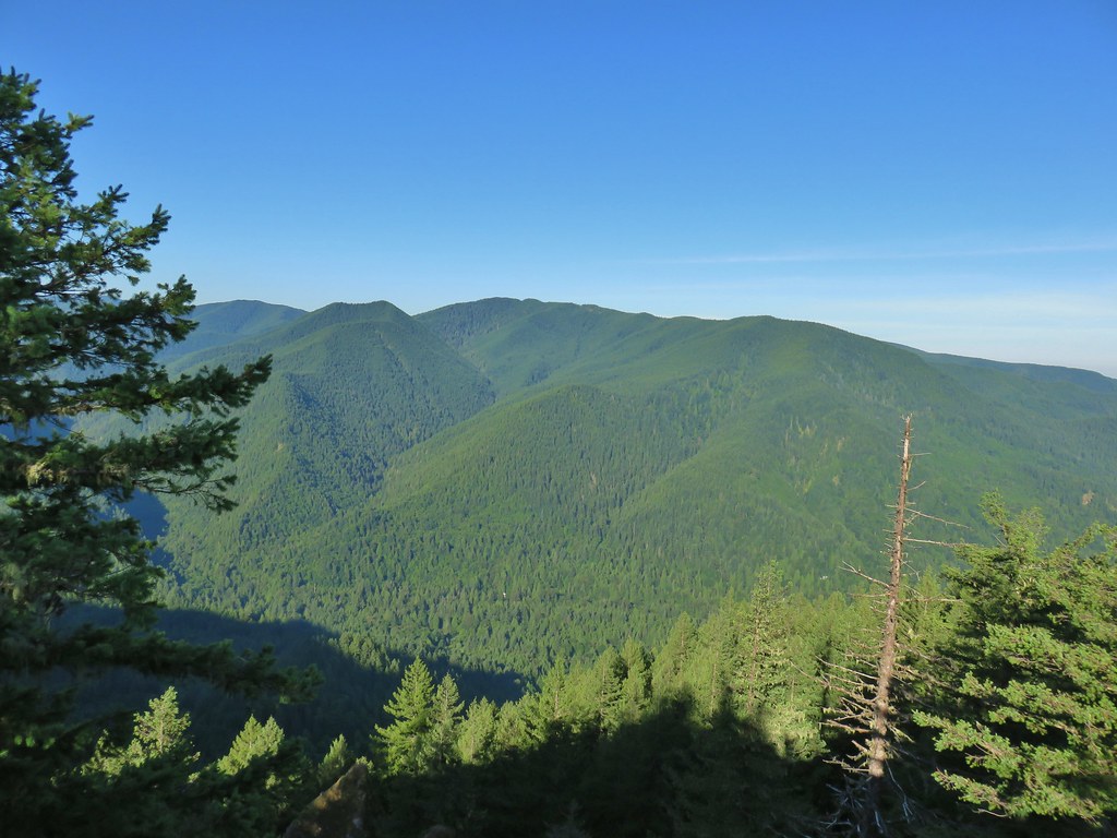 Huckleberry Mountain
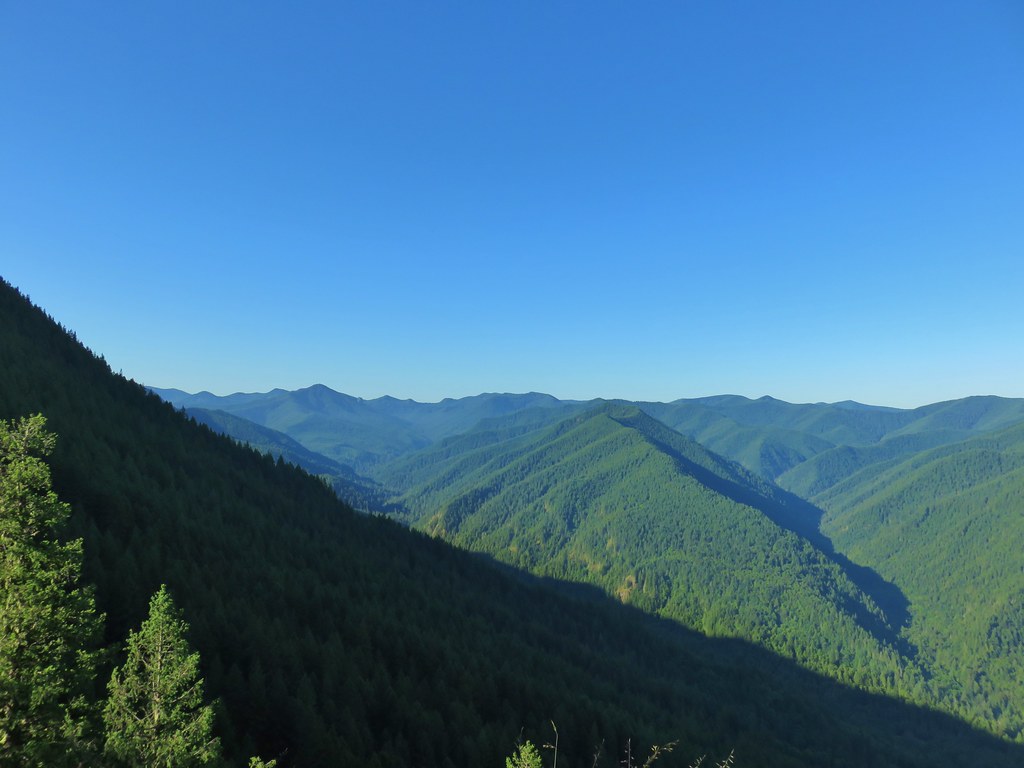 Salmon Butte (
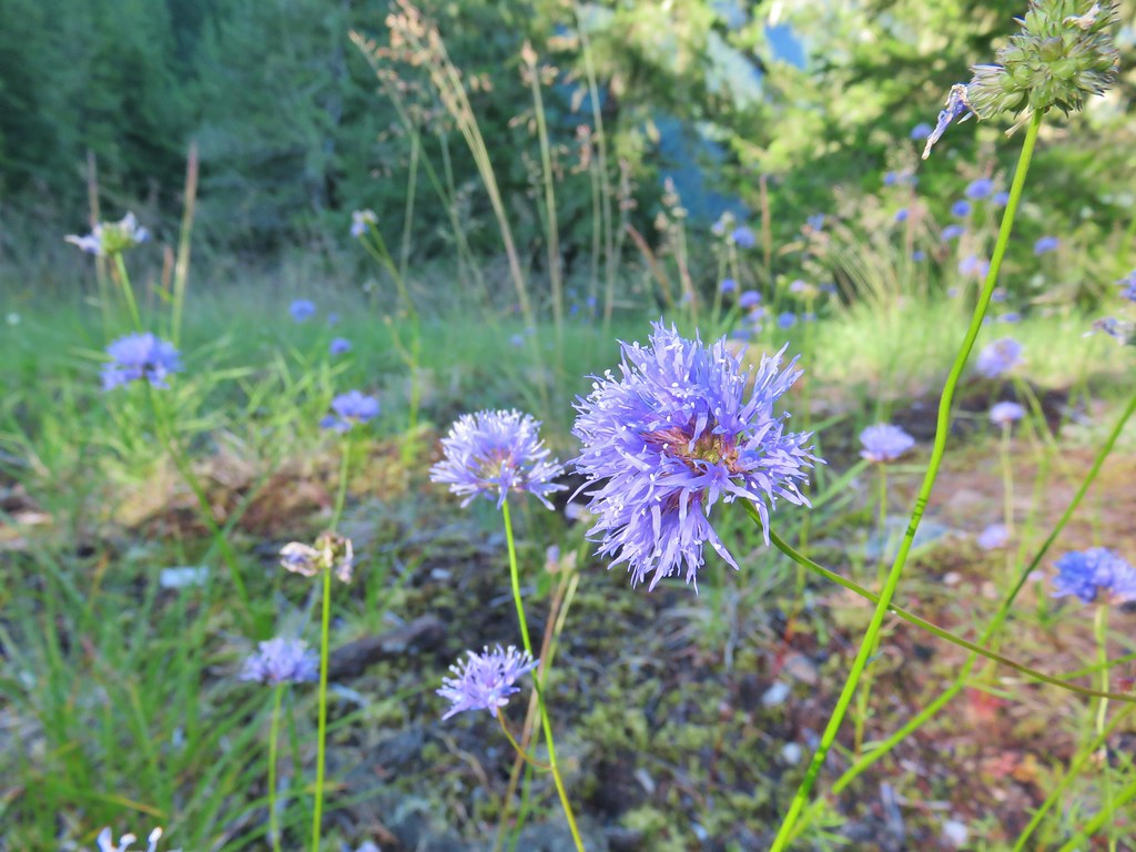 Blue-head gilia
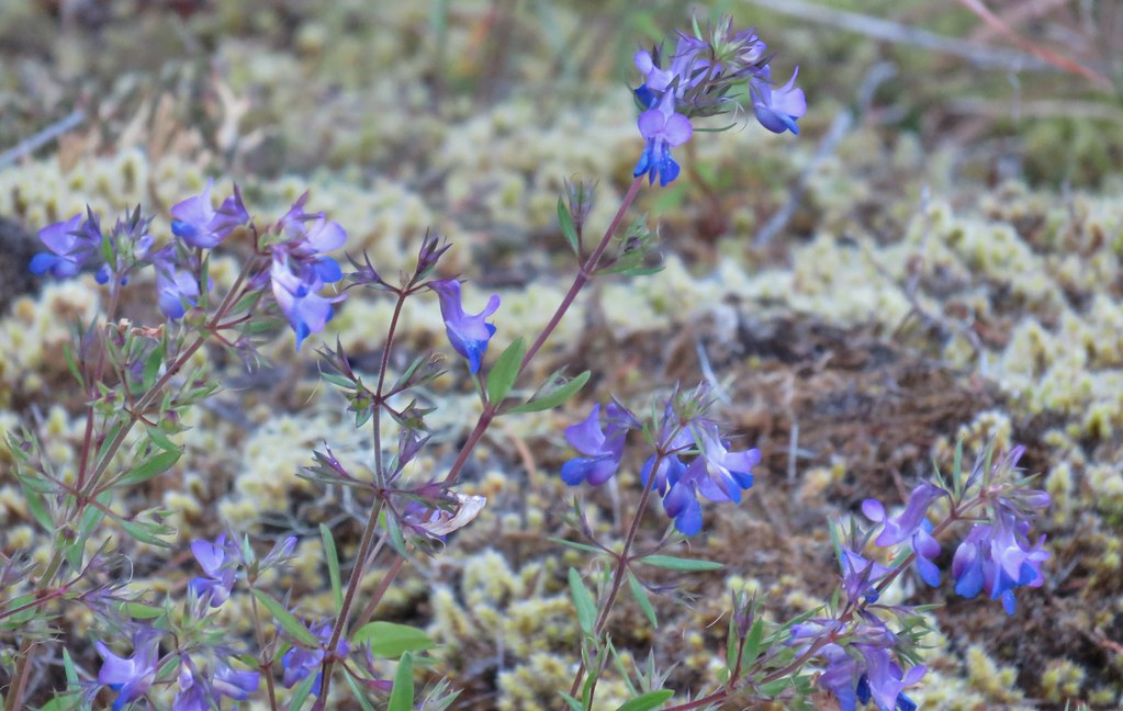 Blue-eyed Mary
 Oregon sunshine, blue-head gilia, penstemon and yarrow.
 Trail dropping toward the forest.
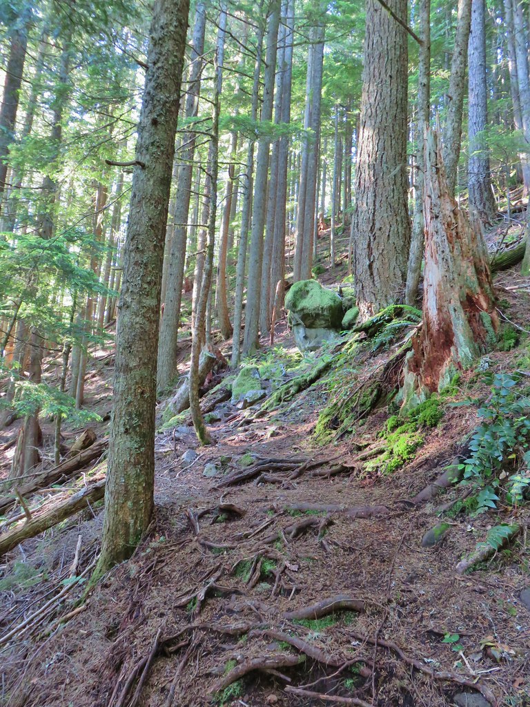 Trail starting to climb again.
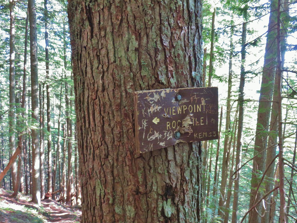 Sign for the viewpoint.
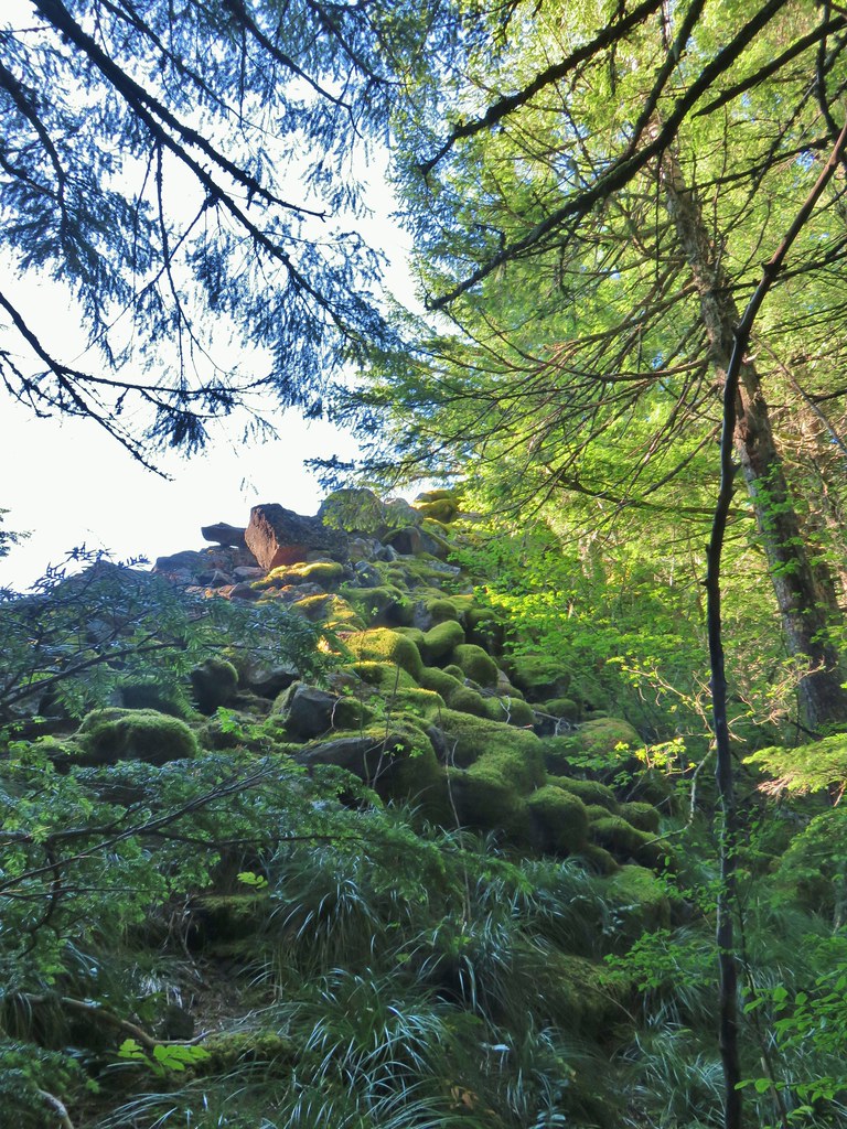
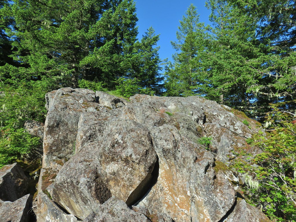 The top of the rocks.
 Washed out view of Mt. Hood

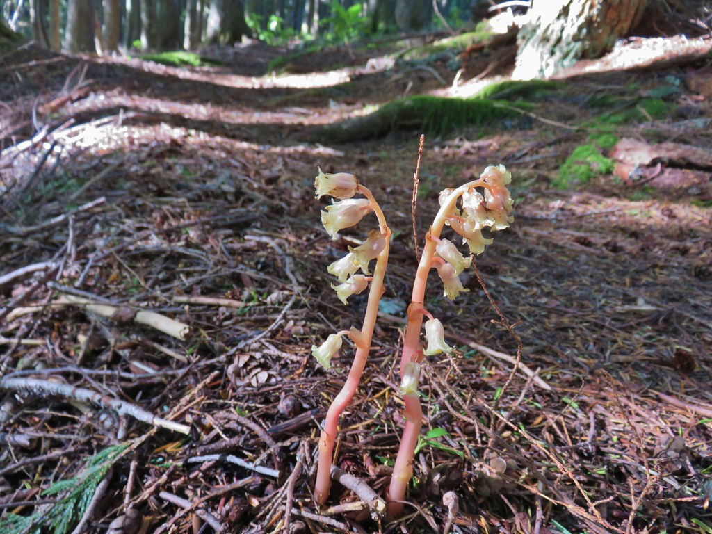 Pinesap
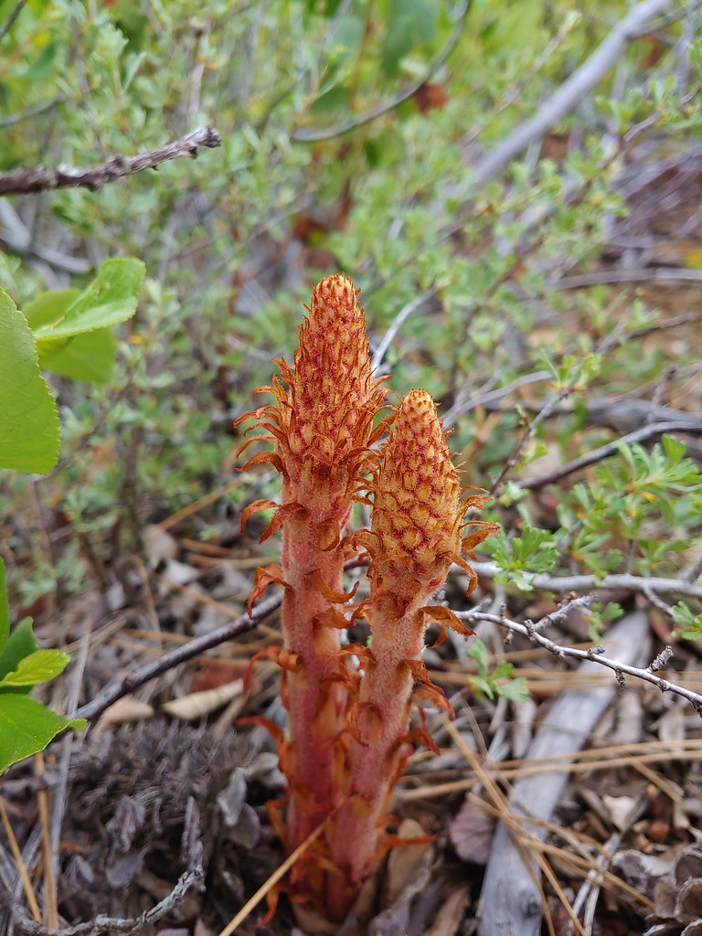
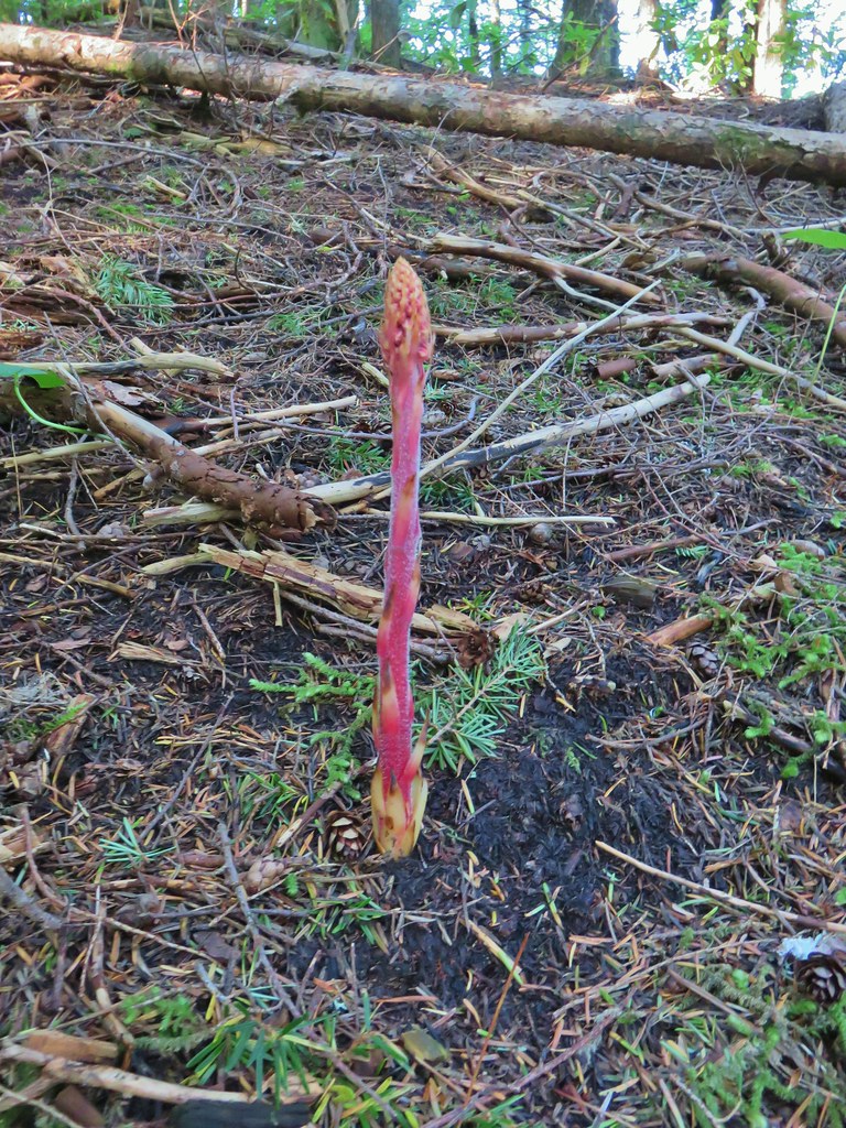 Pinedrop
 Pacific coralroot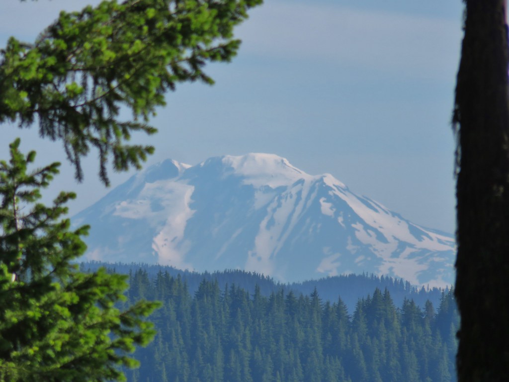


 Passing a rock outcrop on narrower tread.
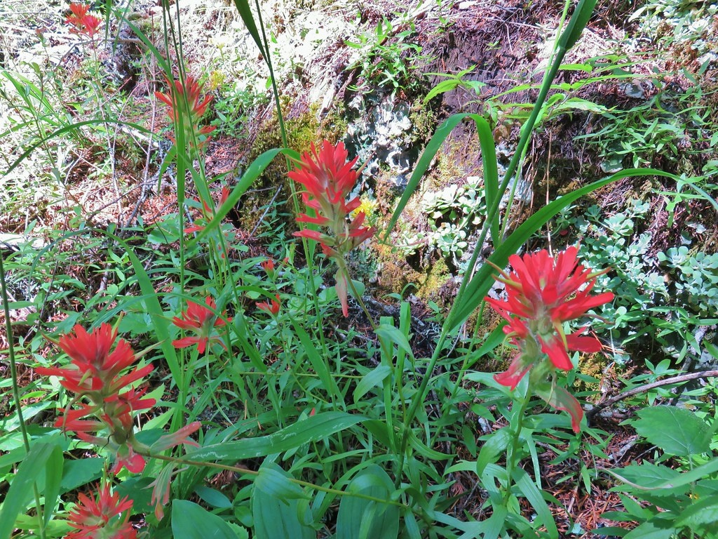 Paintbrush
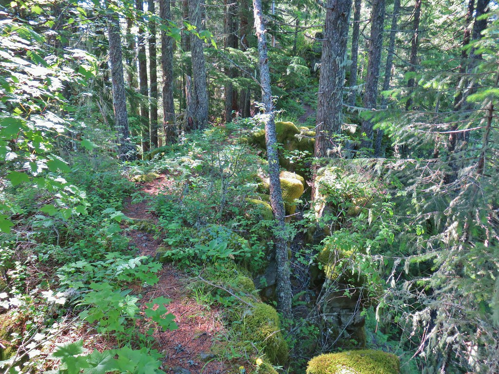 Rocky spine
 Columbine
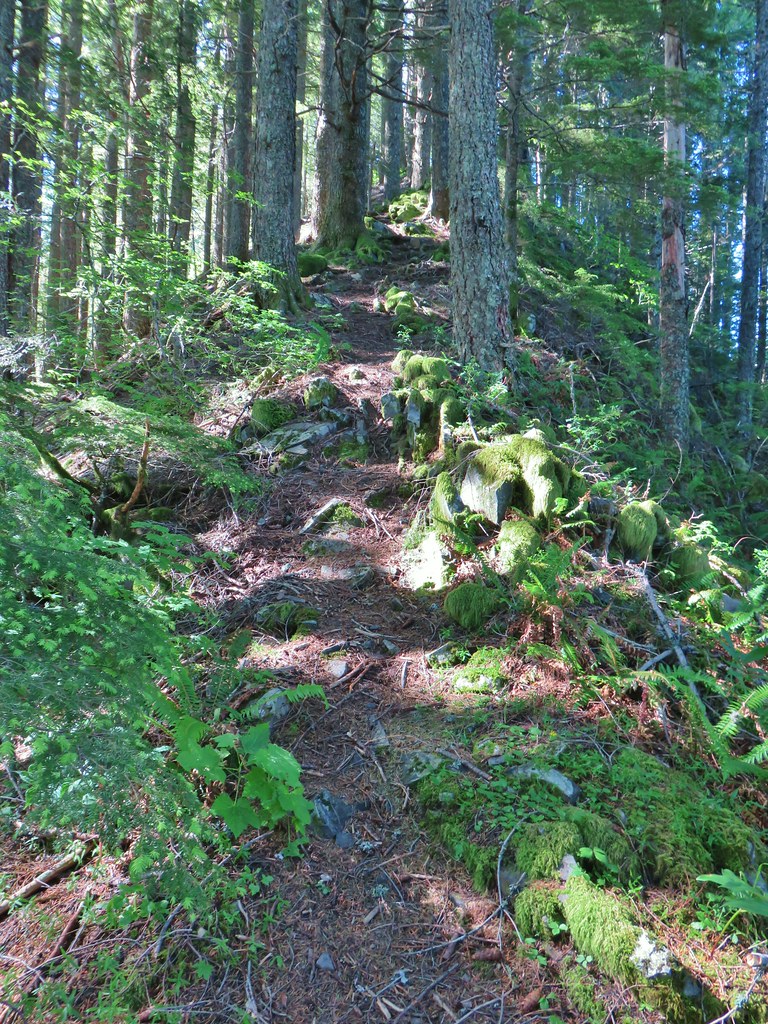 Climbing up the Hunchback Trail.
 Heather coming up the trail.
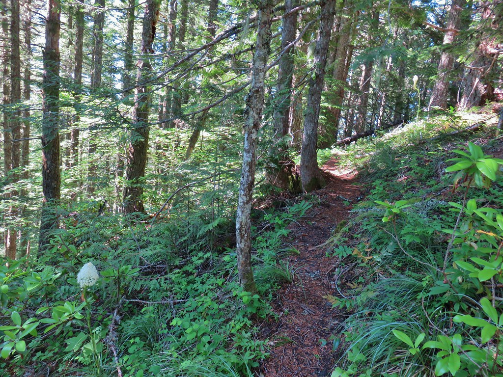 Beargrass near the 4000′ elevation.
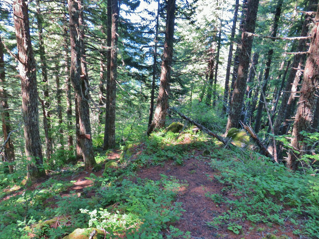 Heading down to the viewpoint sign.
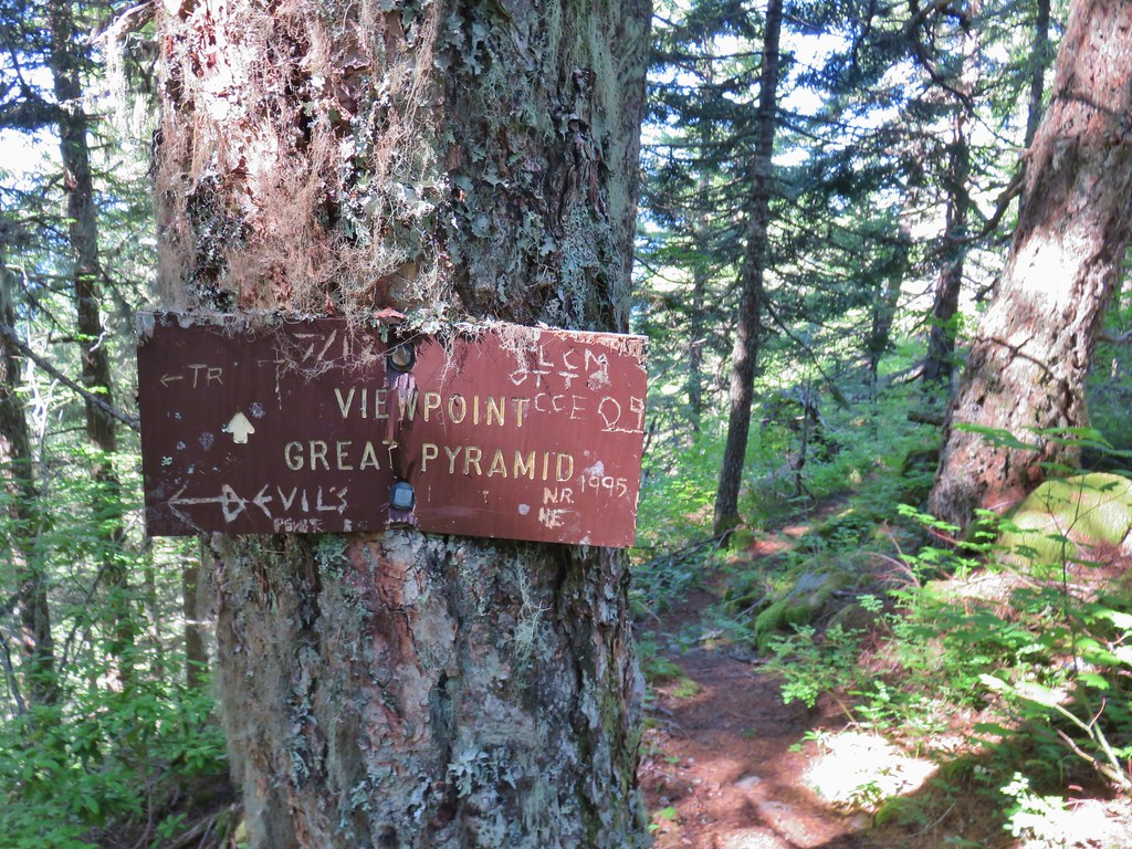 Side trail to the Great Pyramid.


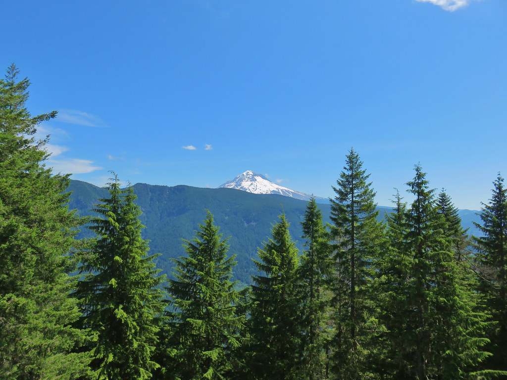 The cliffs of West Zigzag Mountain to the left of Mt. Hood where we’d been the week before (
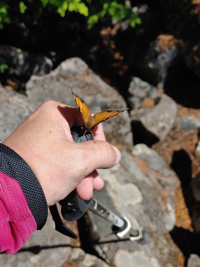 We weren’t entirely alone as Heather was visited by a butterfly.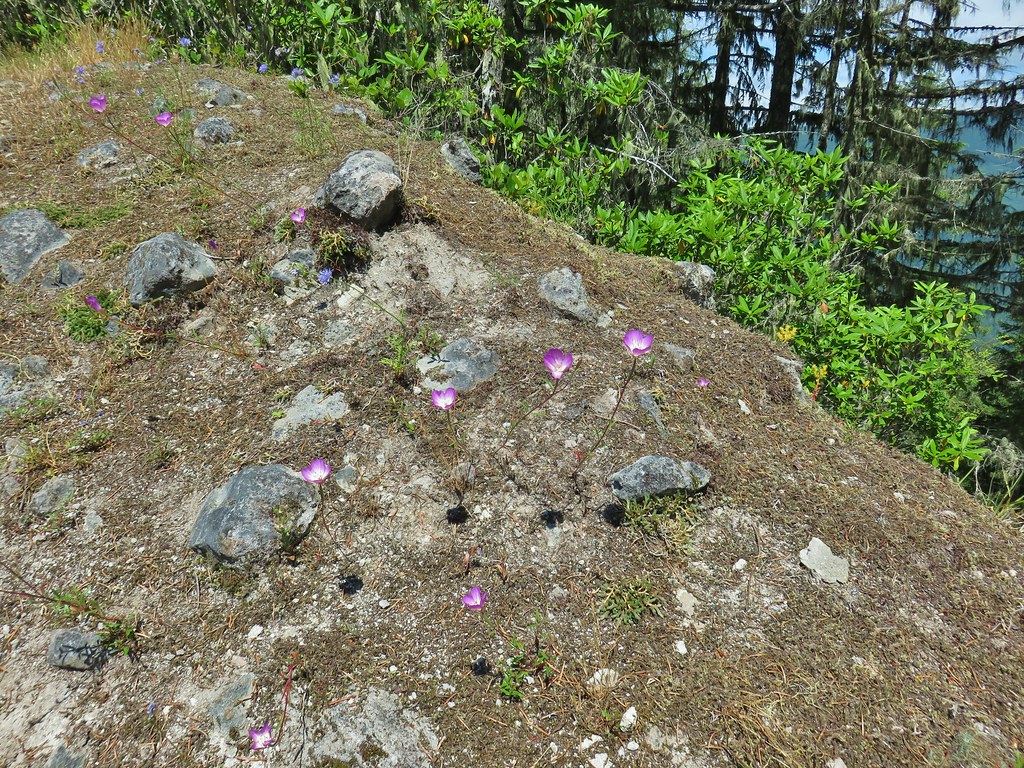
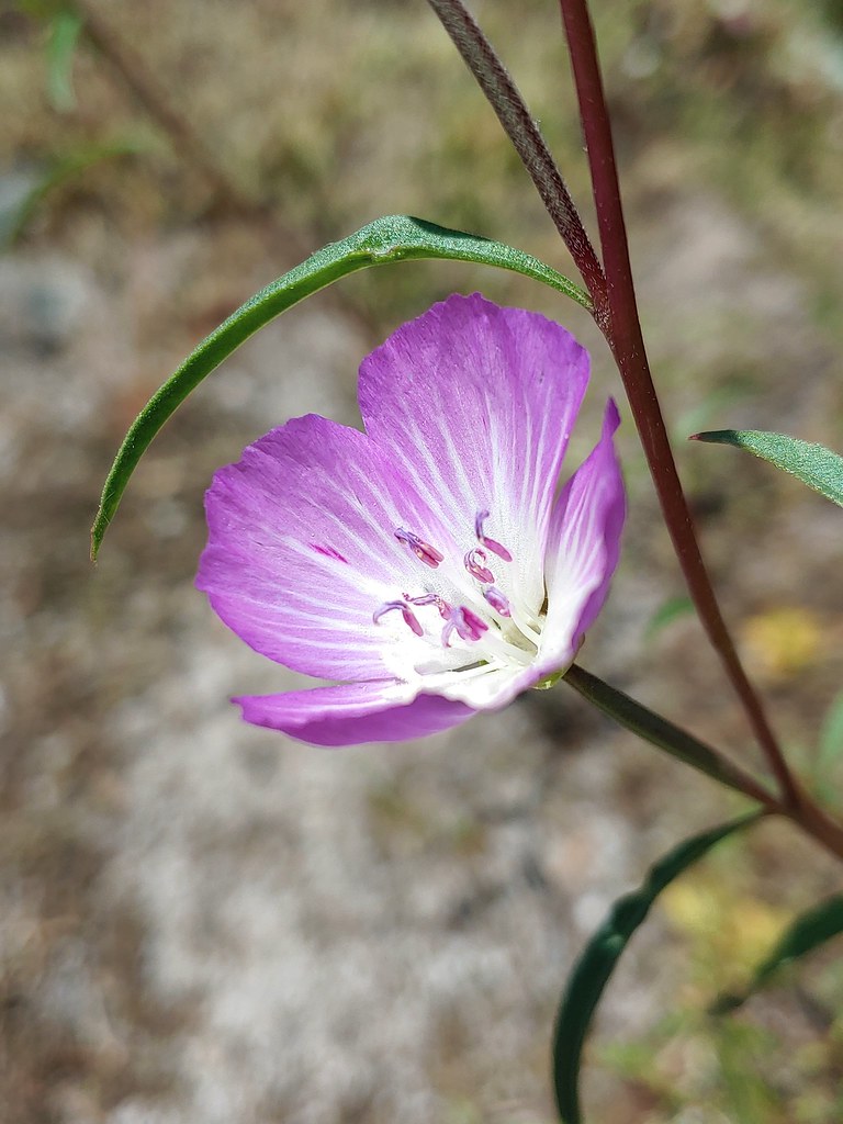
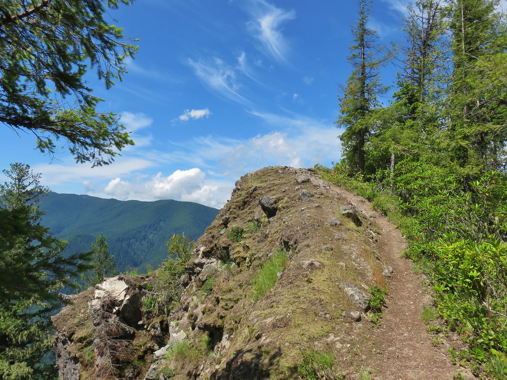
 Looking down into the Salmon River valley
 Looking west toward Highway 26
 Blue-head gilia
 Penstemon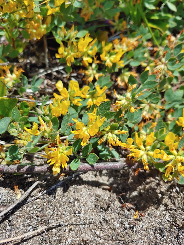
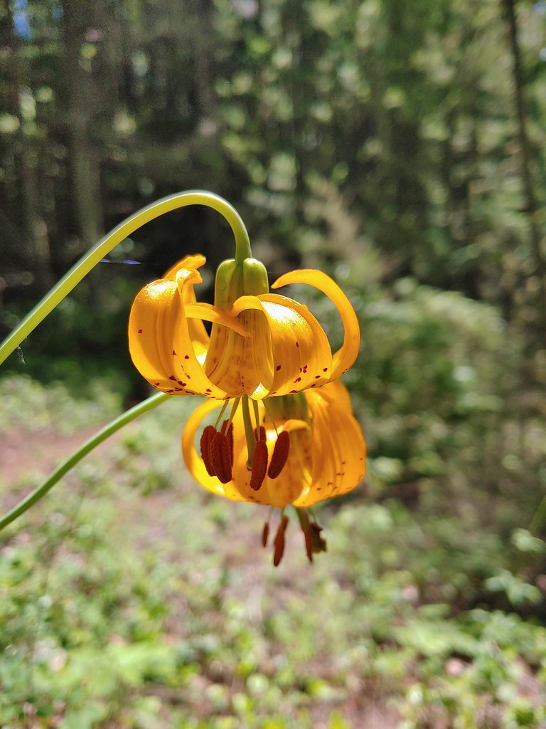 Tiger lilies
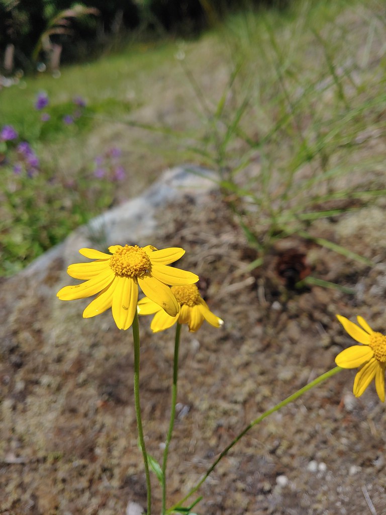 Oregon sunshine
 Cat’s ear lilies
 Parking area is just a wide spot in the road.
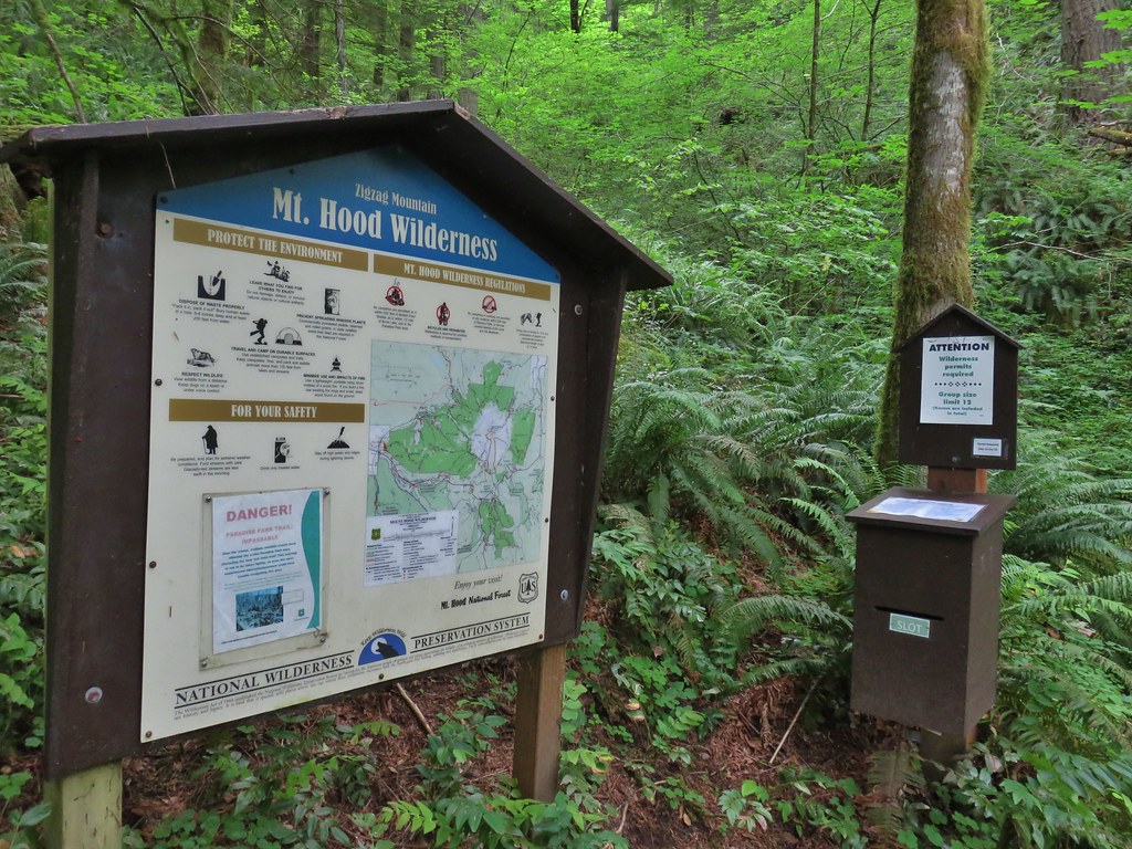
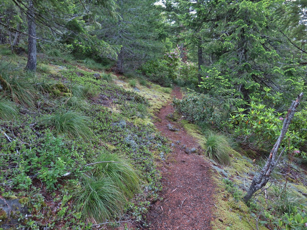
 Zigzag Mountain Trail entering the Mt. Hood Wilderness.
 Washington lilies
 Tiger lilies
 Self-heal
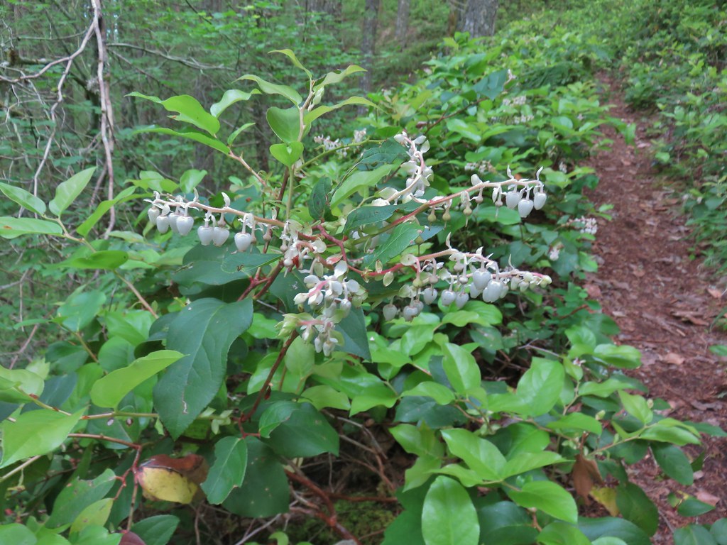 Salal
Salal Candy sticks
 Queen’s cup and bunchberry
 Anemone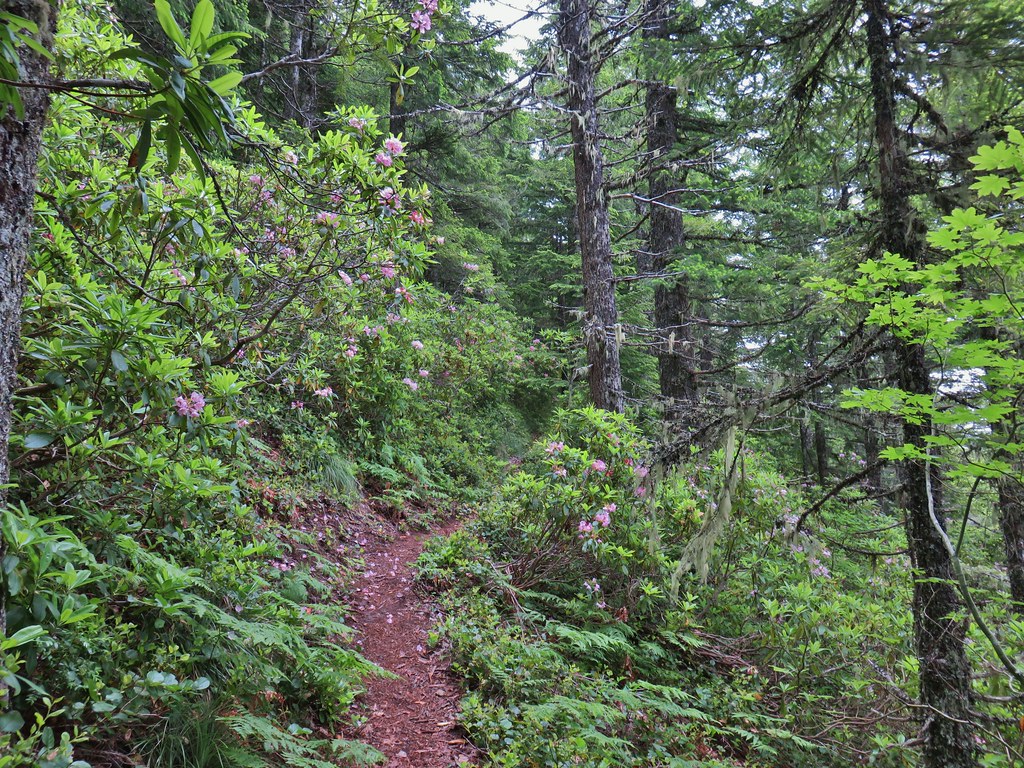
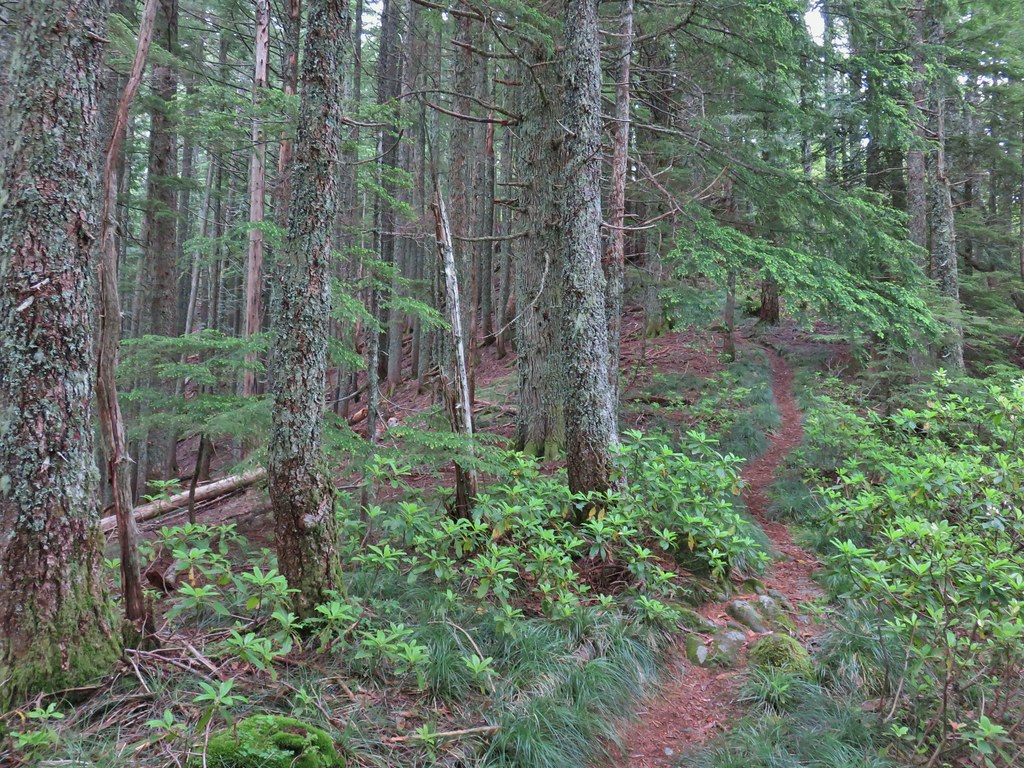


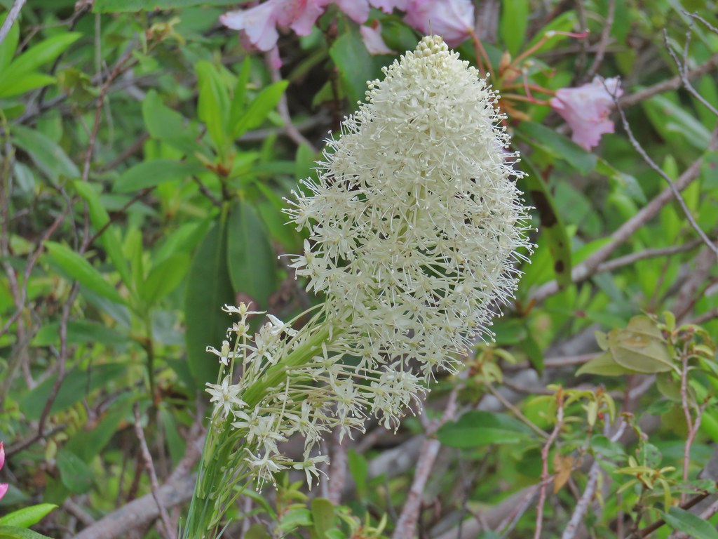 Beargrass
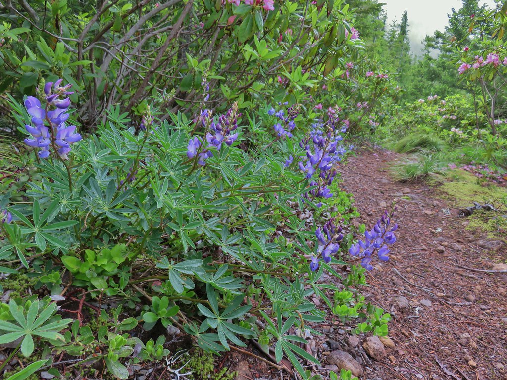 Lupine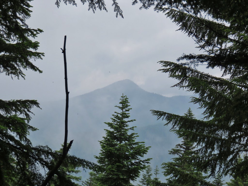
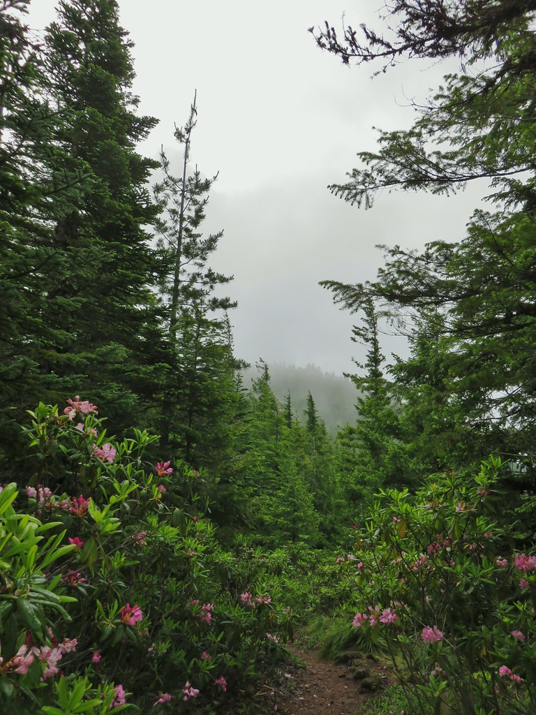
 Trillium along the north facing side of the ridge.
 Mushroom
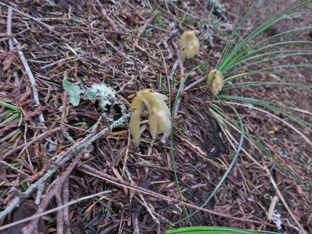 Pinesap
 Passing a rock outcrop.
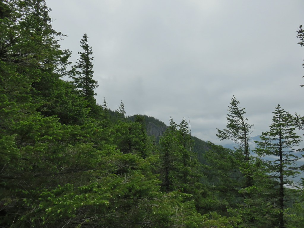 West Zigzag Mountain from the trail.
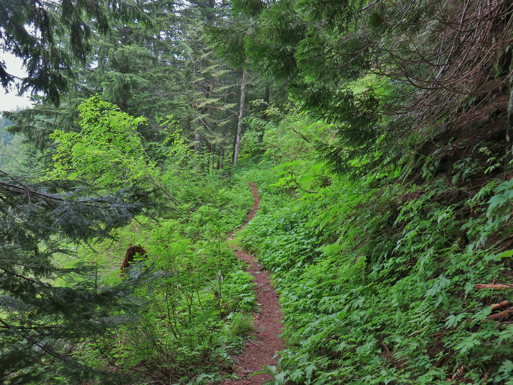 Back to the north facing side.
 Now on the south facing side.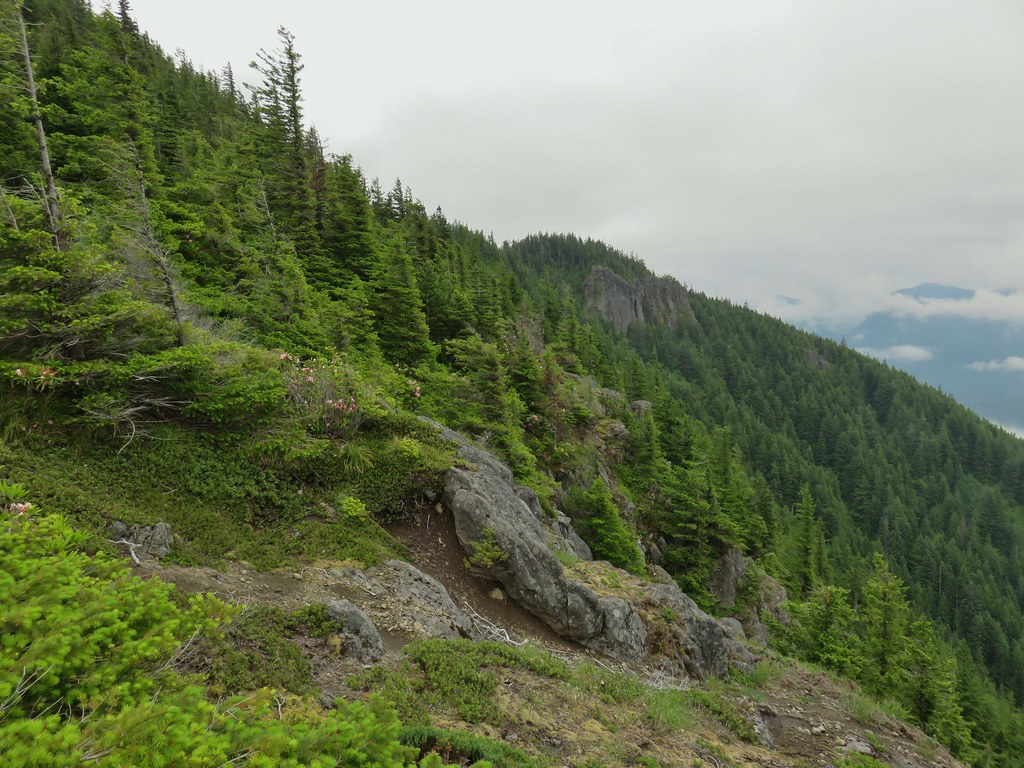

 Sub-alpine mariposa lily at the viewpoint.
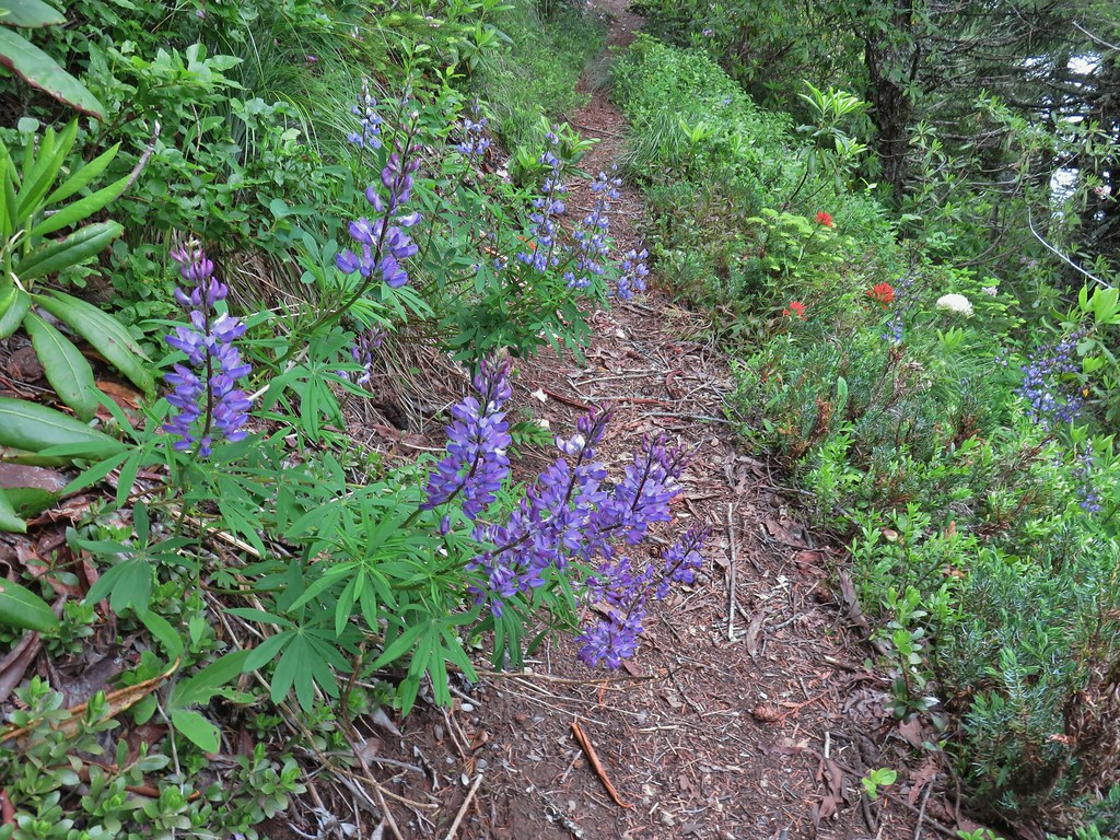 Lupine and paintbrush
 Beargrass and rhododendron
 Huckleberry
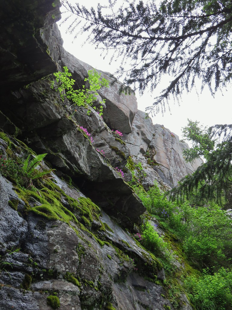 Cliff beardtongue
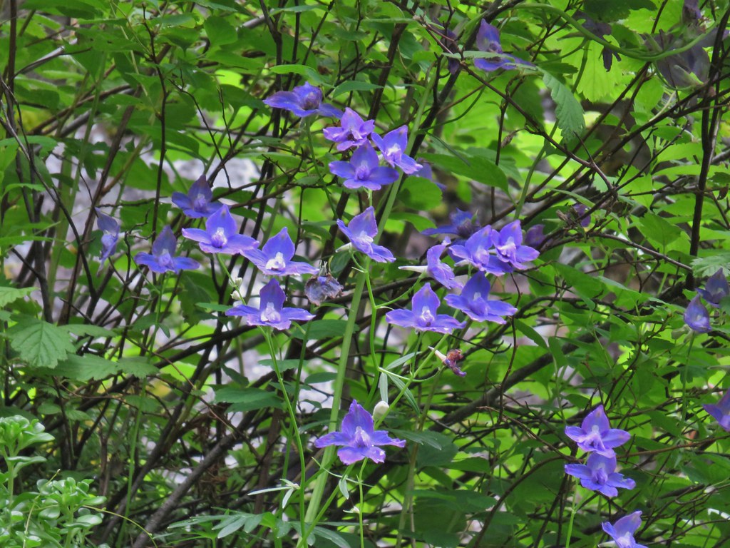 Larkspur
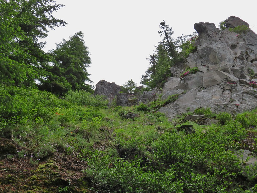
 Phlox
Phlox More cliff beardtongue
 Penstemon
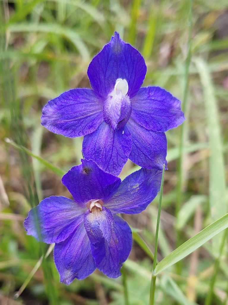 Larkspur
 On the ridge just before reaching the lookout site.


 Former lookout site in the tress to the left.

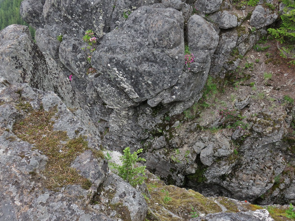
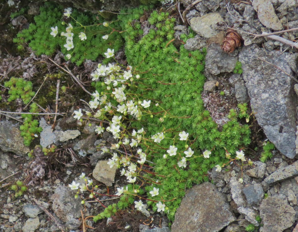 Tufted saxifrage
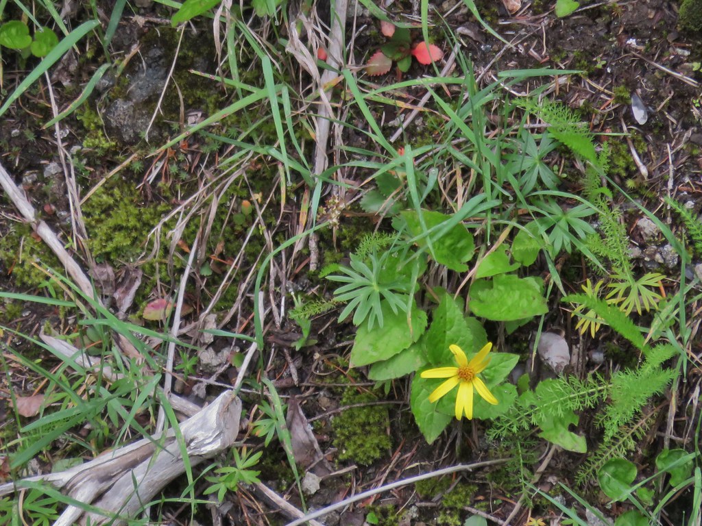 Arnica
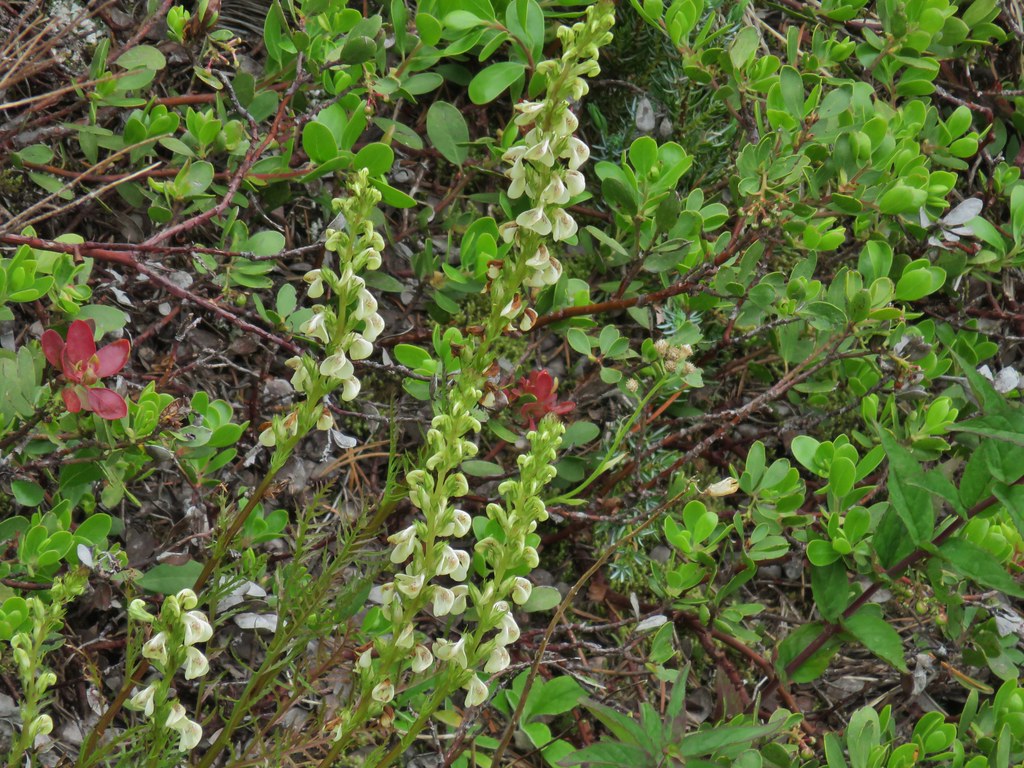 Lousewort
 Some of the rocks in Castle Canyon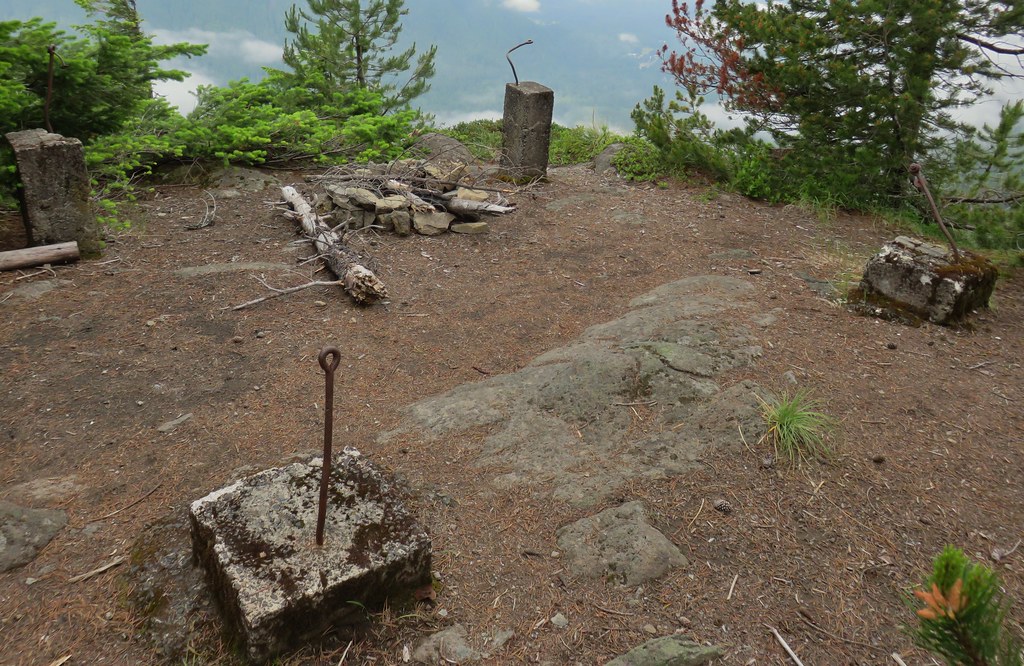
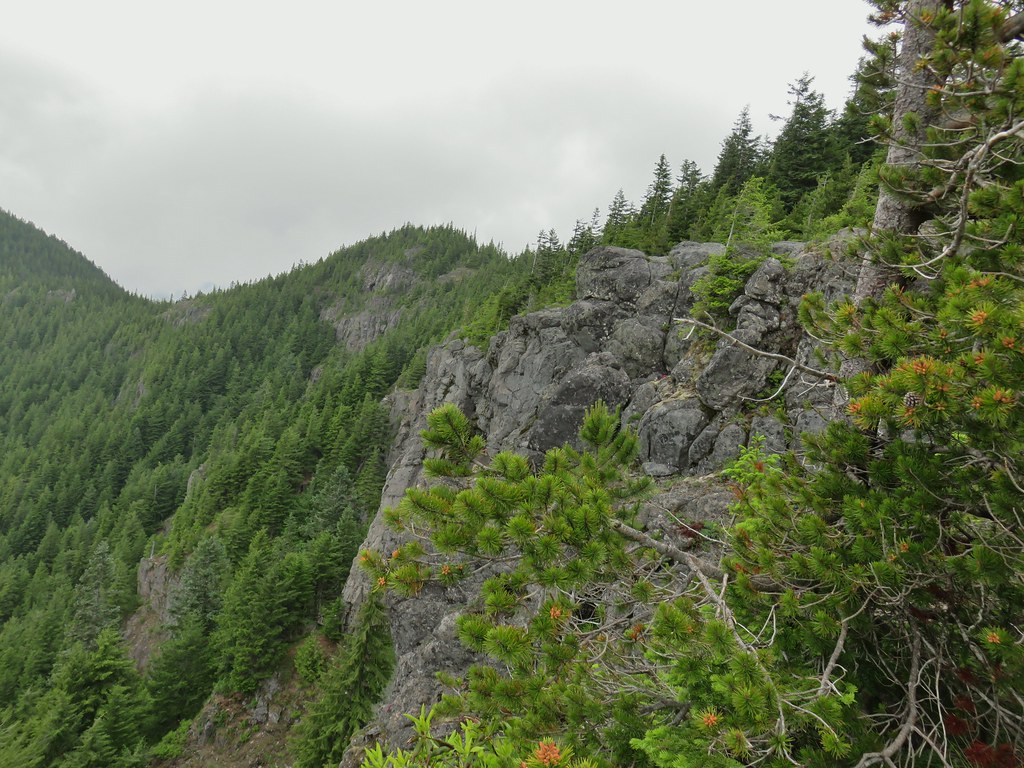 View of the outcrop from the lookout site.
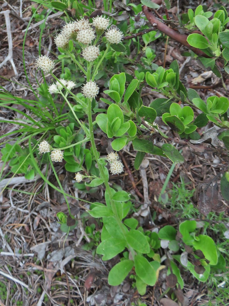 Raceme pussytoes
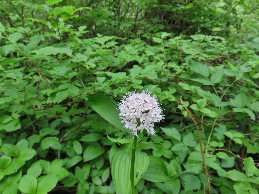 Valerian
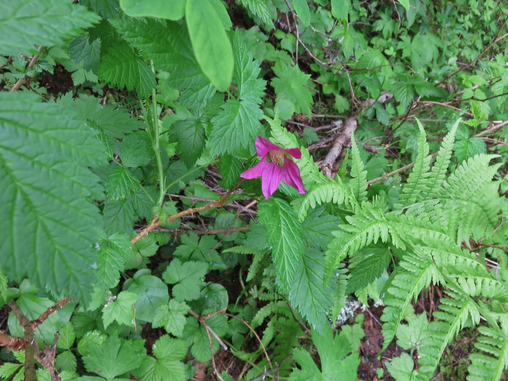 Salmonberry
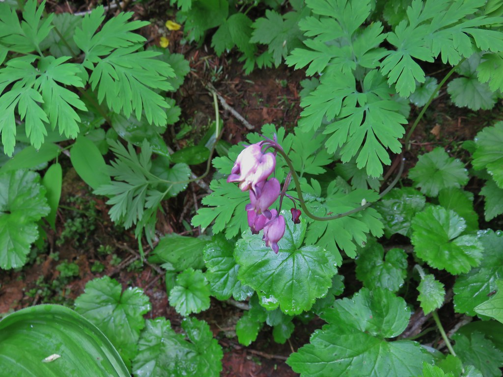 Bleeding heart
 Violet
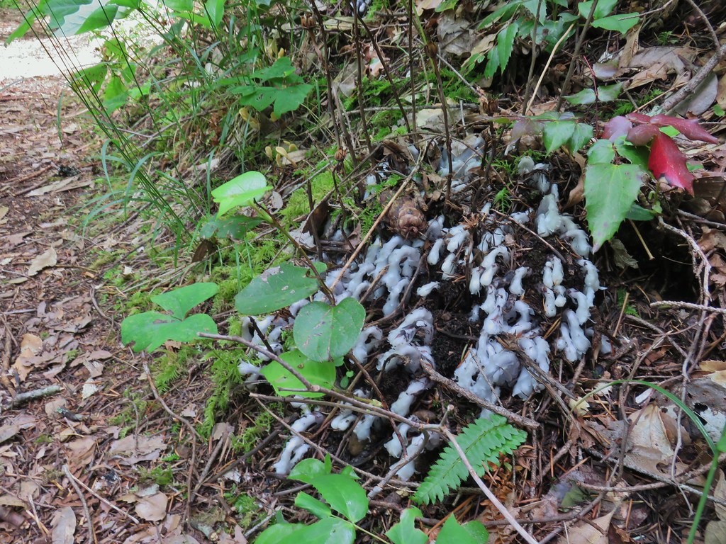 Monotropa uniflora aka ghost plant

 Paintbrush
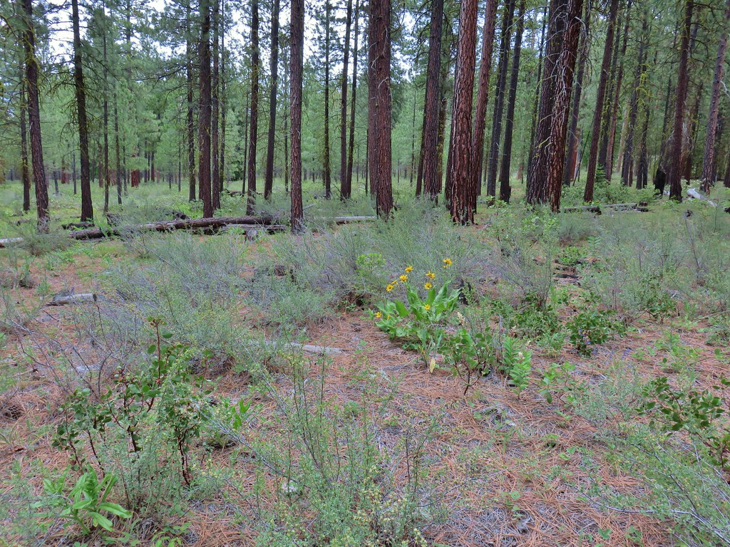 Balsamroot
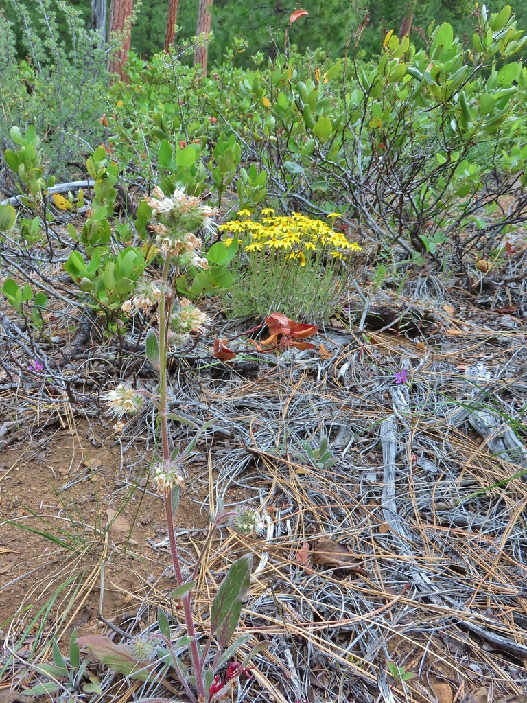 A phacelia, Oregon sunshine, and a little pink diamond clarkia.
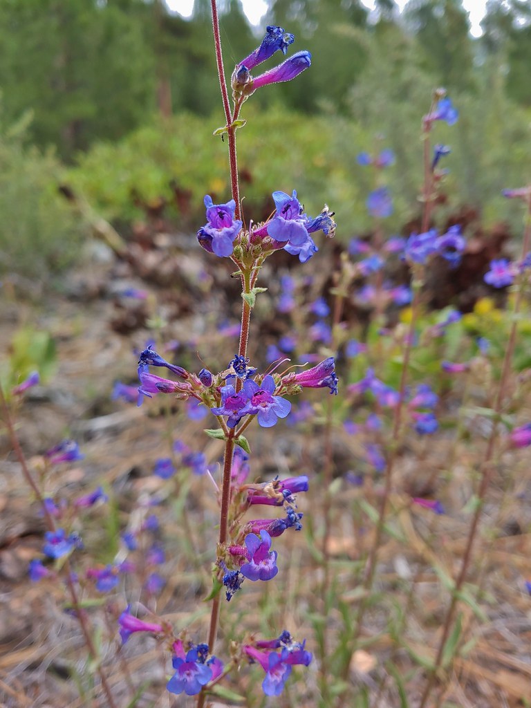 A penstemon
 Washington lily
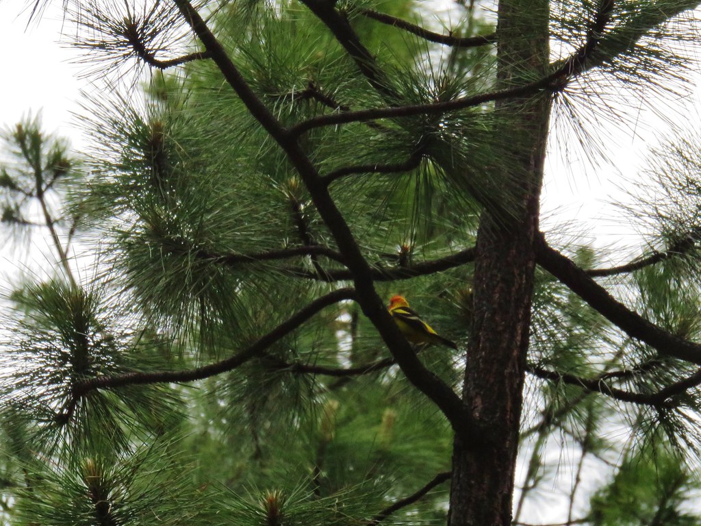 I couldn’t get a good shot of this western tanager but he was really colorful.
 Buckwheat
 Bird with breakfast
 Three Fingered Jack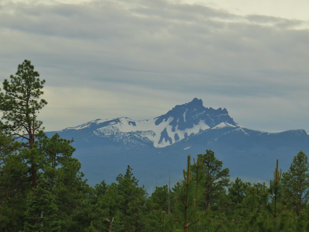
 Pinedrops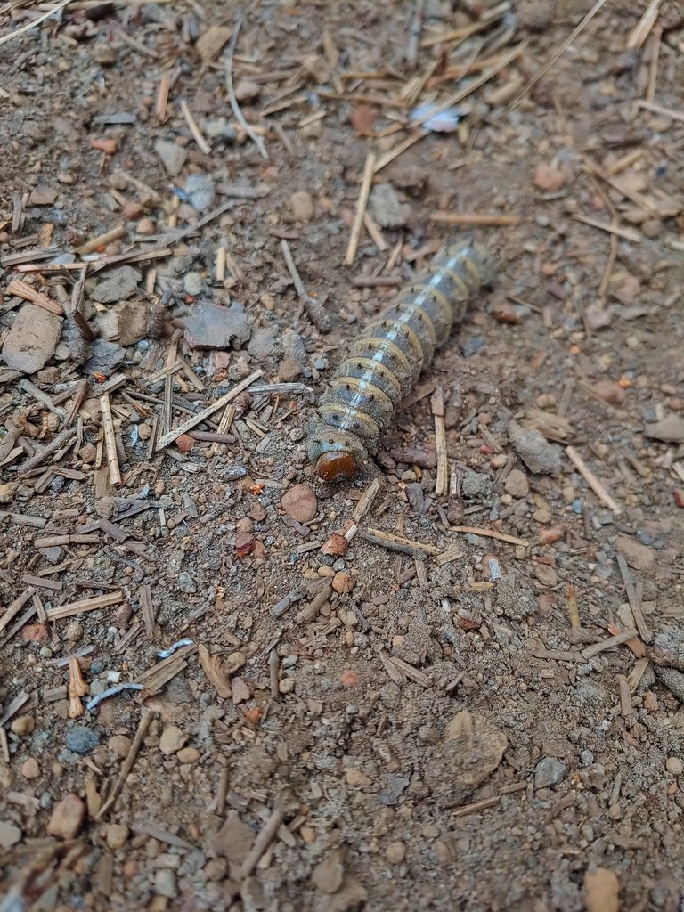




 South Cinder Peak (
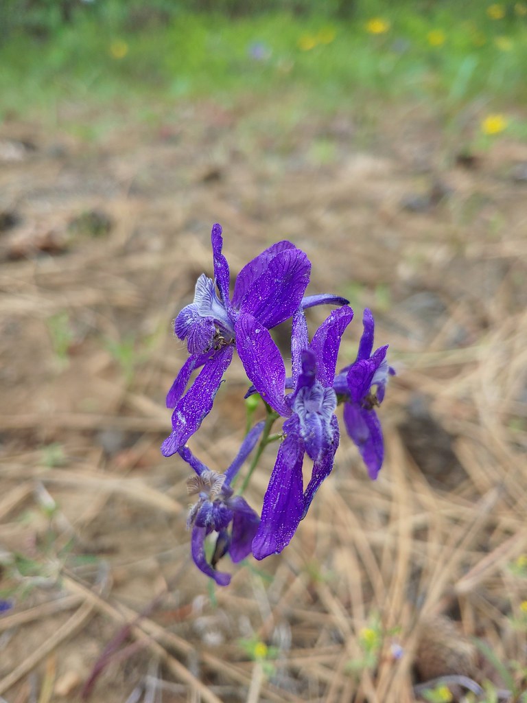


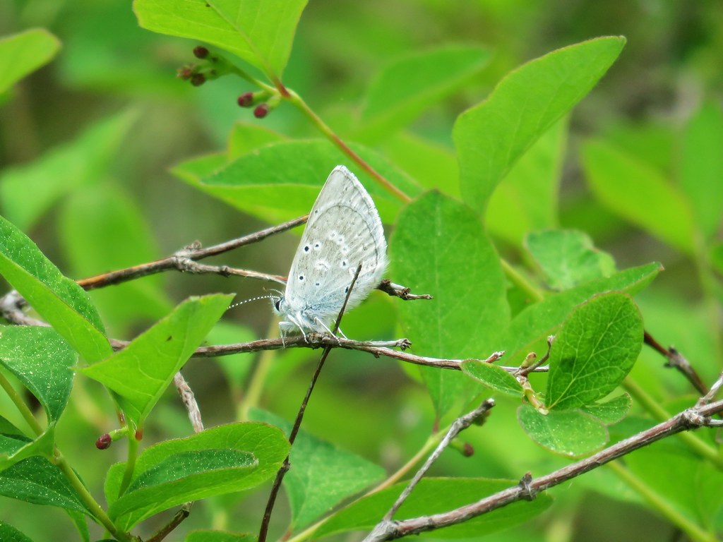
 Lupine
 Columbine
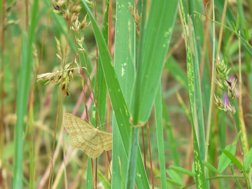 A moth but not a Pandora moth. 🙂
 Sticky cinquefoil
 Salsify
 Tortoiseshell butterfly
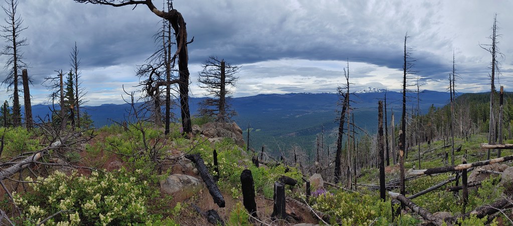

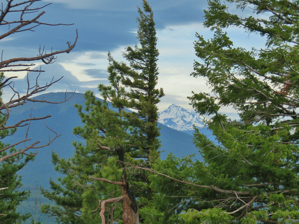 Black Butte and the North Sister
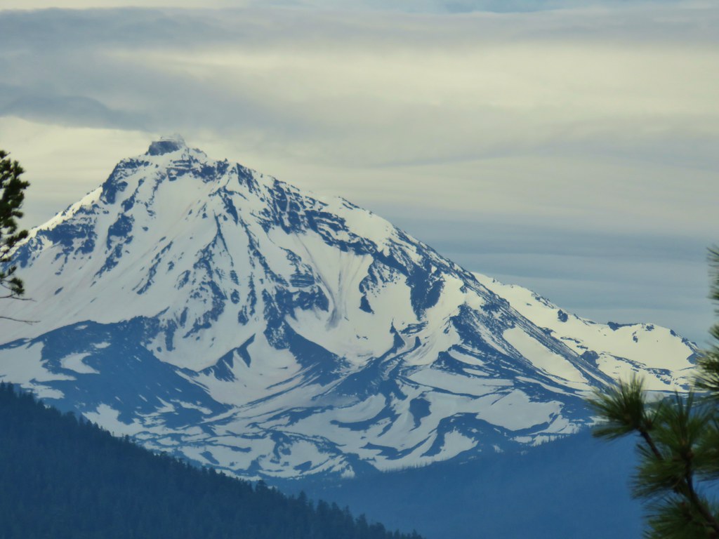 North Sister
 Three Fingered Jack
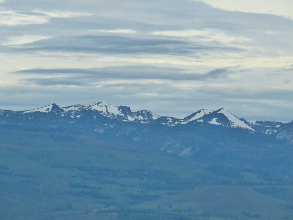 North Cinder Peak and Forked Butte (
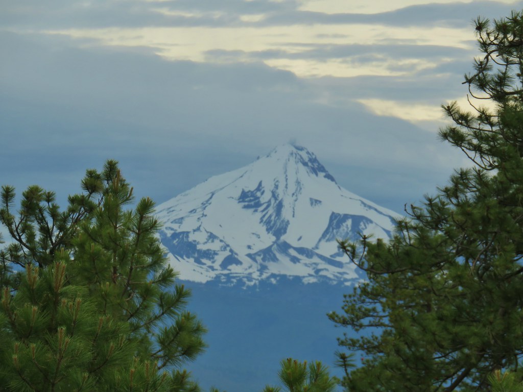
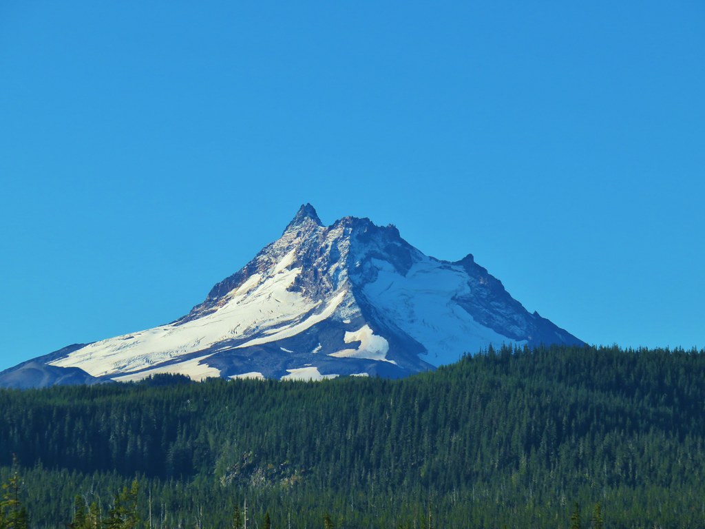
 Mt. Jefferson
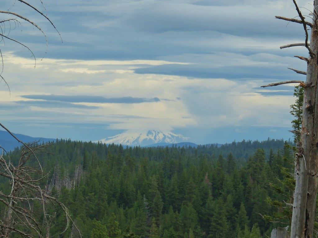 Mt. Hood

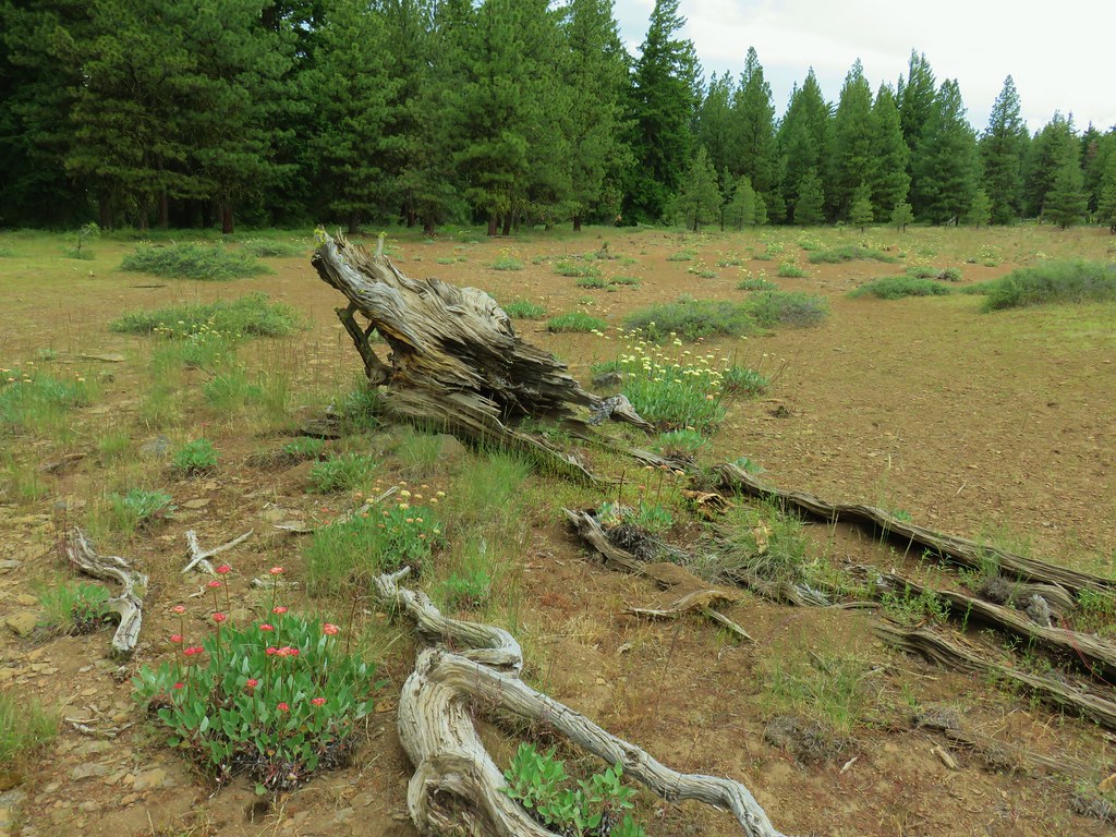 Buckwheat in the center.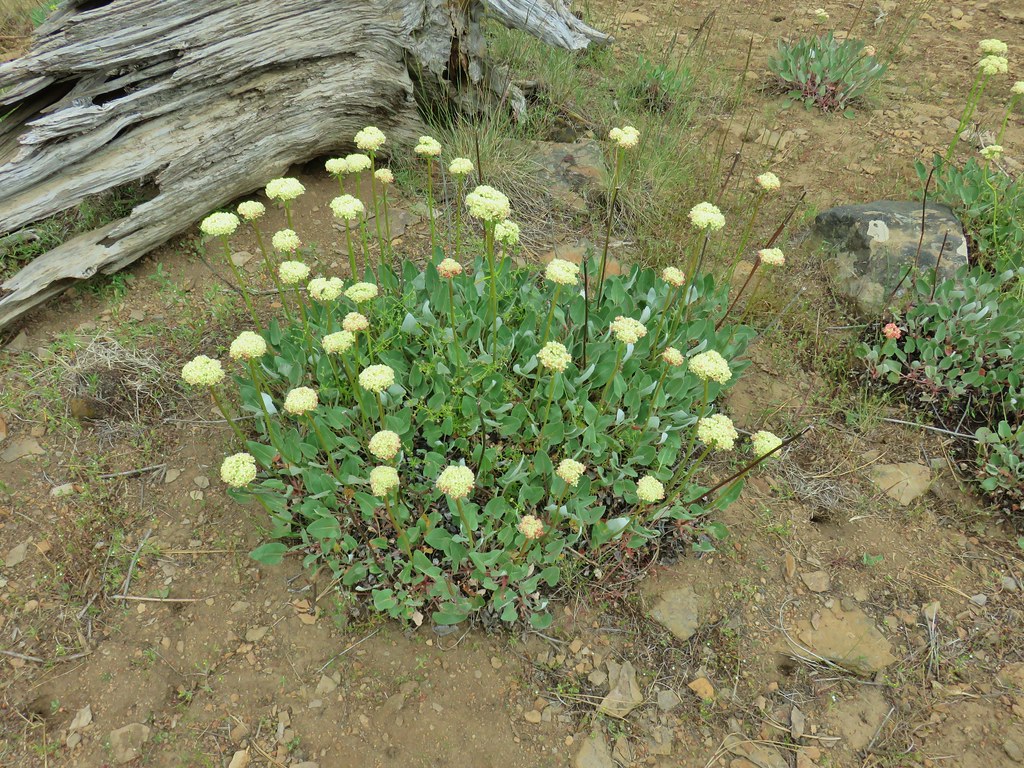

 Balsamroot near the trees.


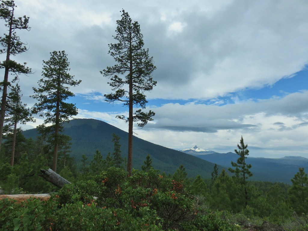 A sliver of blue sky over Black Butte and Mt. Washington.
 Mt. Washington
 Three Fingered Jack with some blue sky.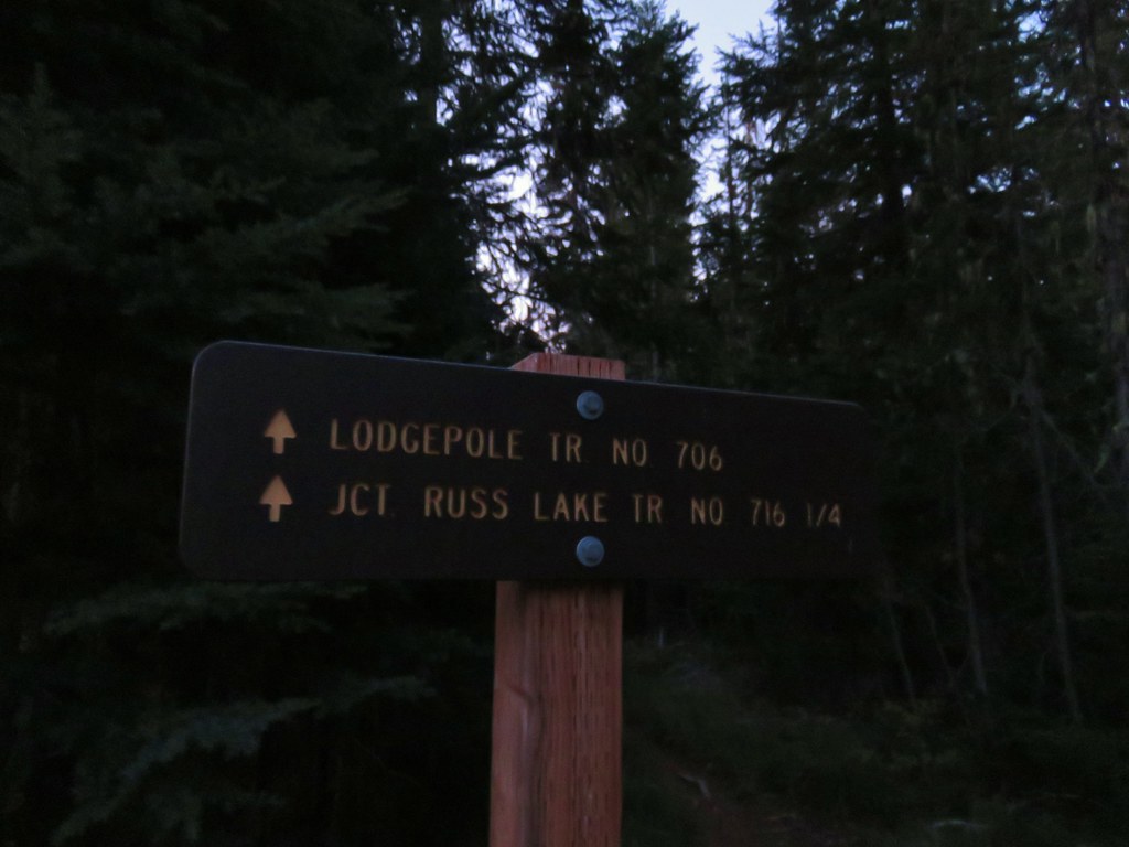








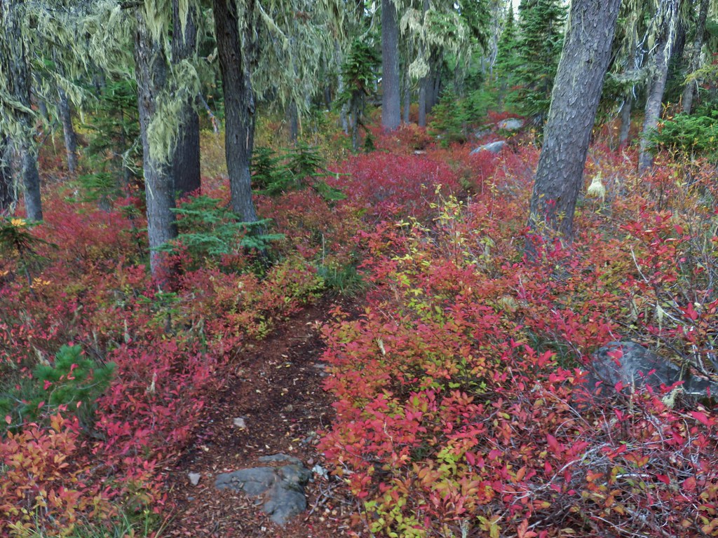
 Olallie Butte

 Mt. Jefferson
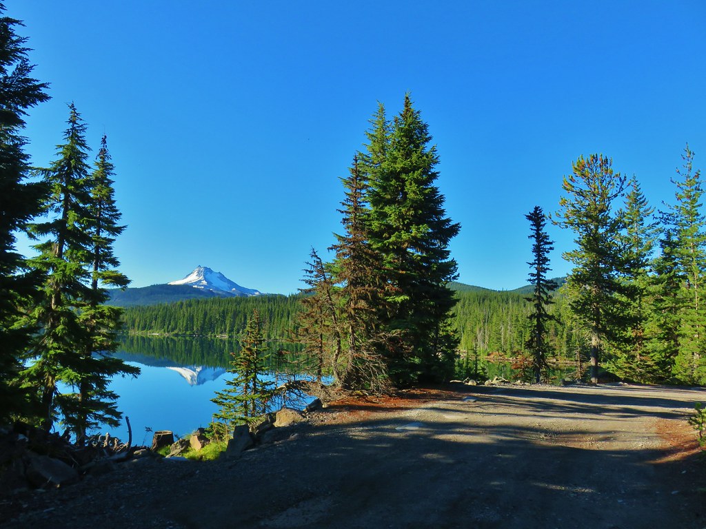
 Olallie Lake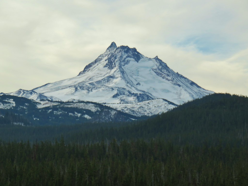

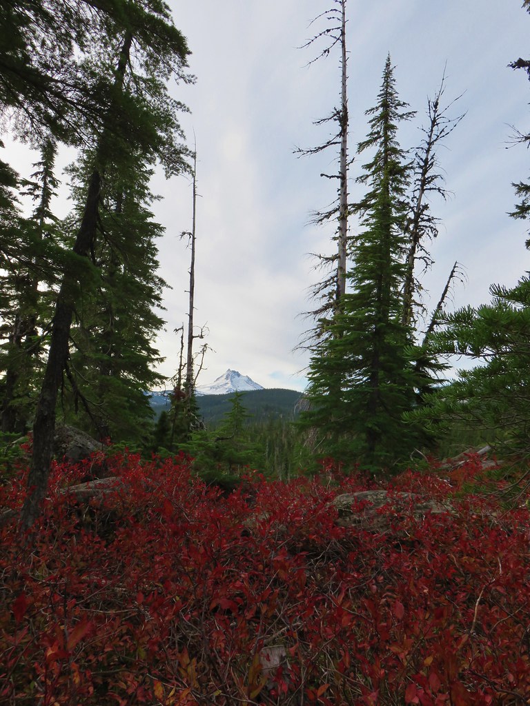 Mt. Jefferson
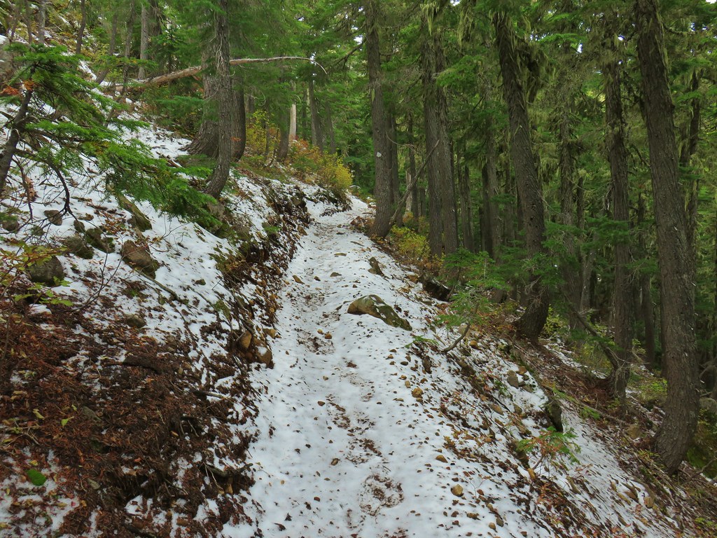
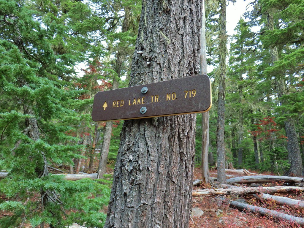
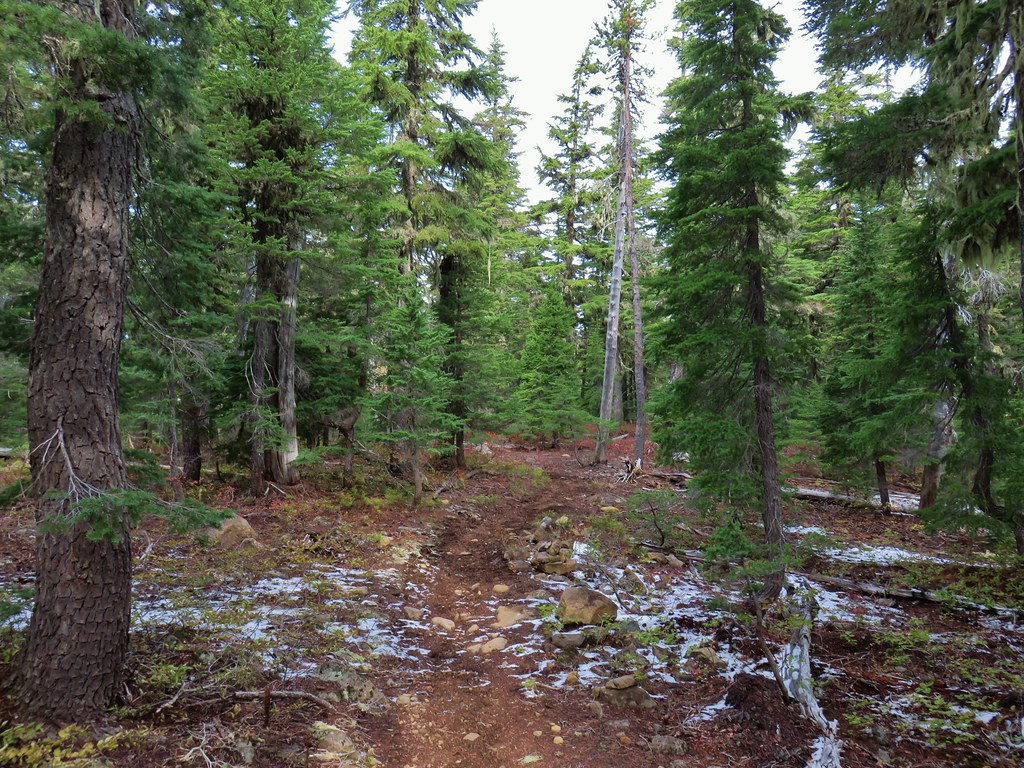


 Potato Butte ahead.
 Lodgepole Trail junction.
 One of the causes of the noisy steps.
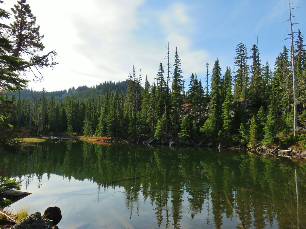 Twin Peaks on the other side of Middle Lake.
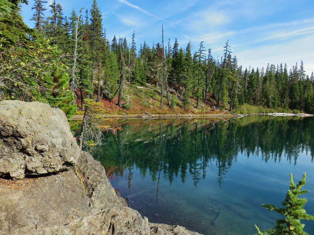
 Colors along Middle Lake.

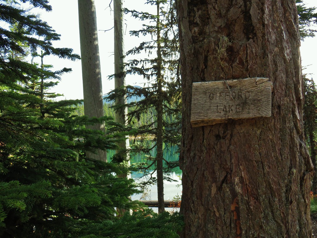
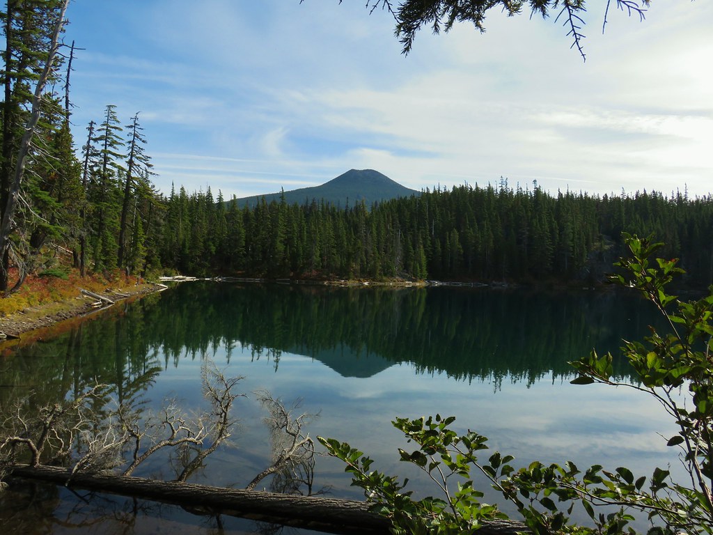 Olallie Butte
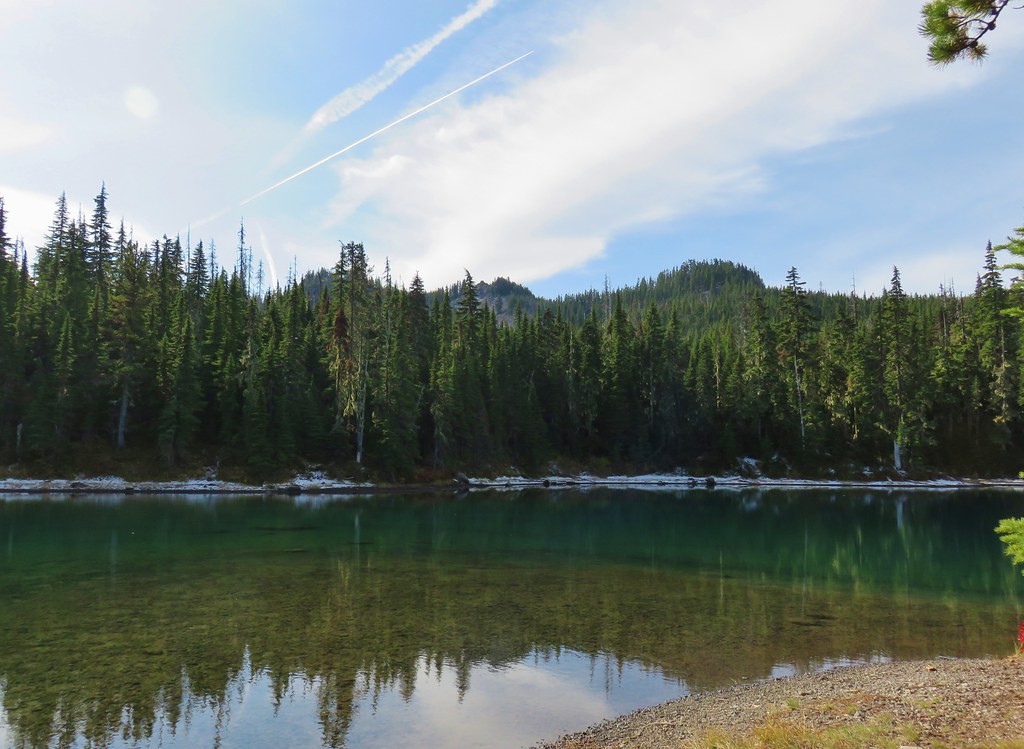 Twin Peaks from Gifford Lake.


 Sign for the Fish Lake Trail.
 Lower Lake
 Olallie Butte
 Sign for the Lodgepole Trail.
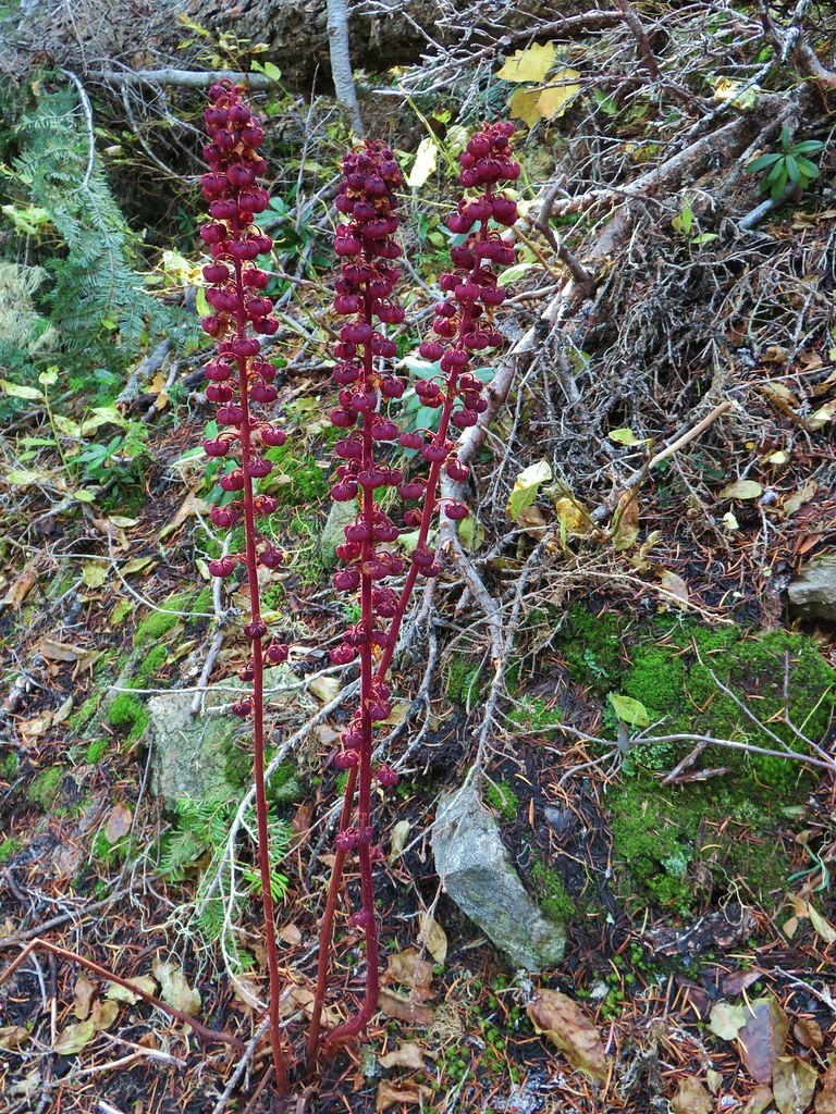 Pinedrops
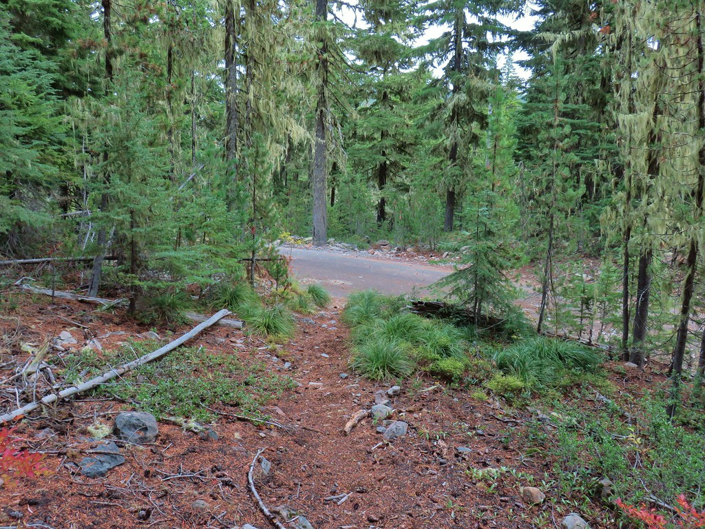
 The trail was actually the fainter track to the left leading to the bridge, but that wasn’t obvious until we reached the trees.
 A lone yarrow.


 Approaching the junction.
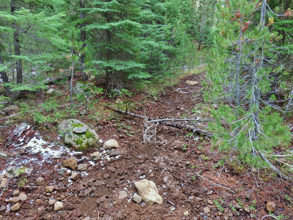 Quite the camouflage isn’t it?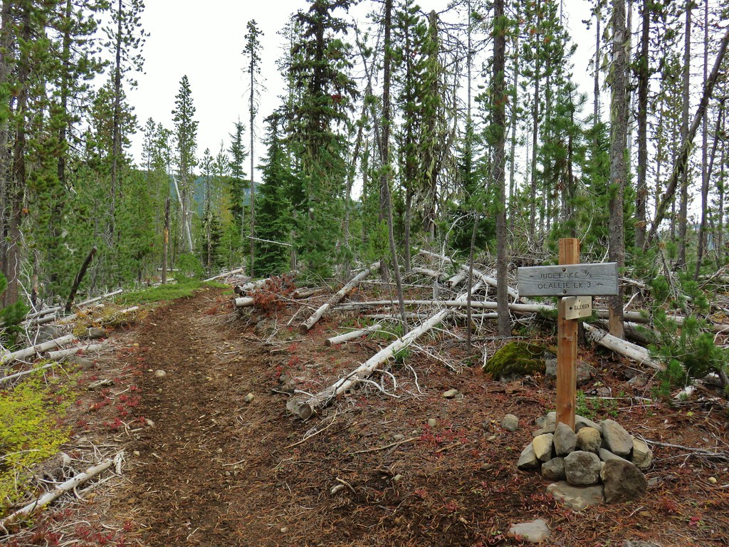

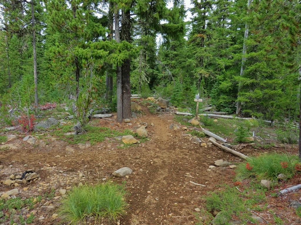
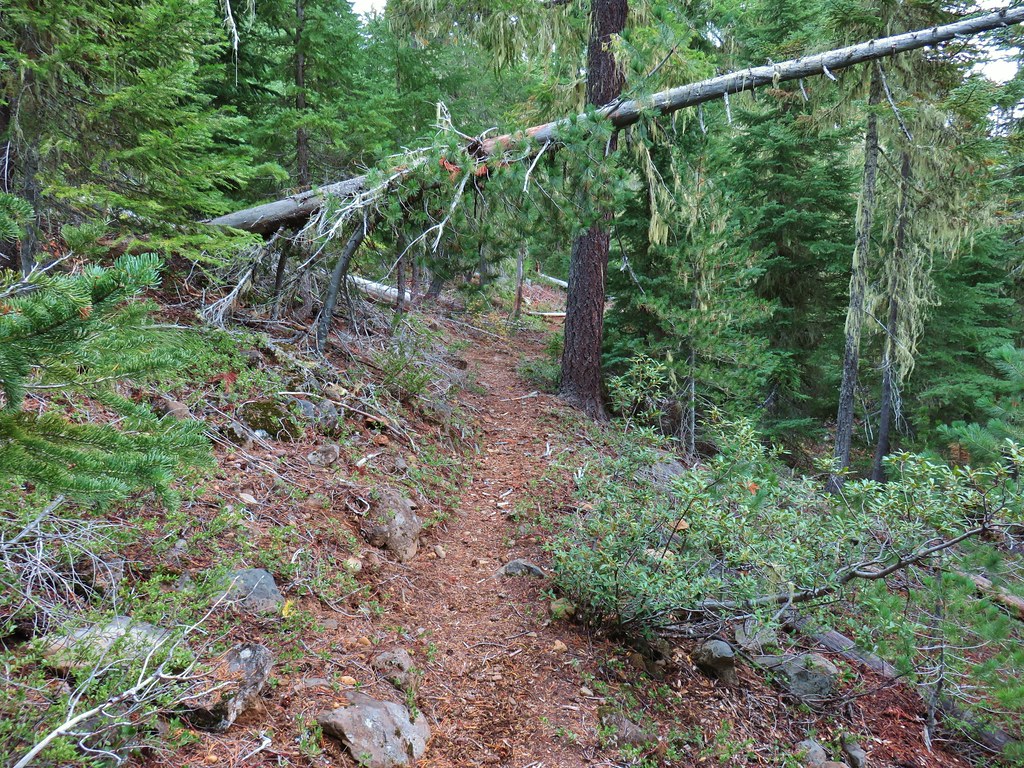
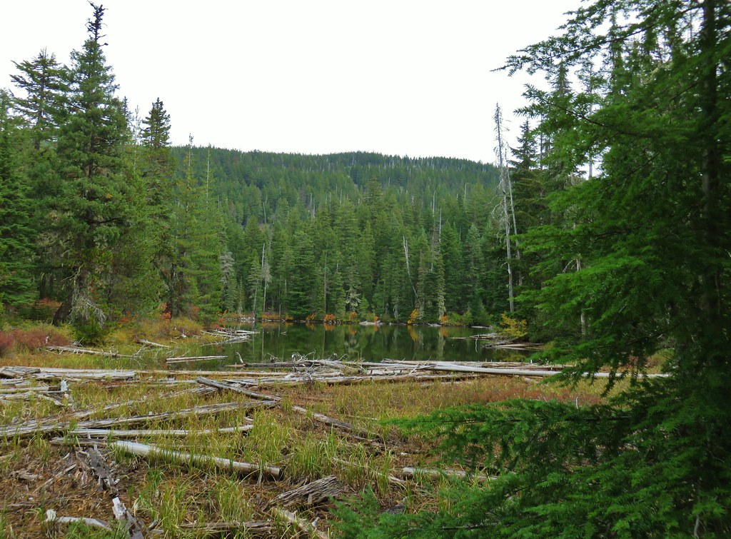 Jude Lake
 Jude Lake
 Jude Lake
 Russ Lake




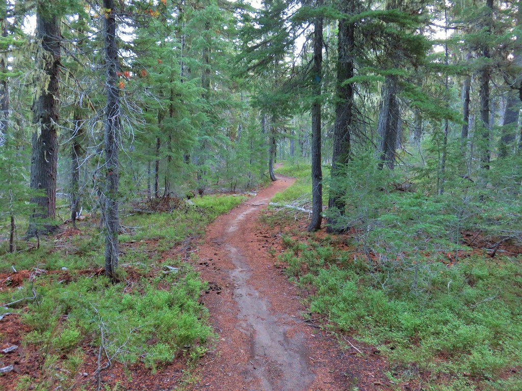

 PCT junction.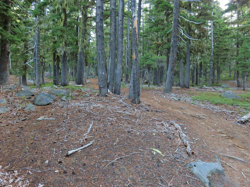
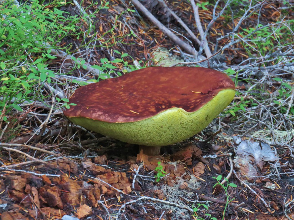
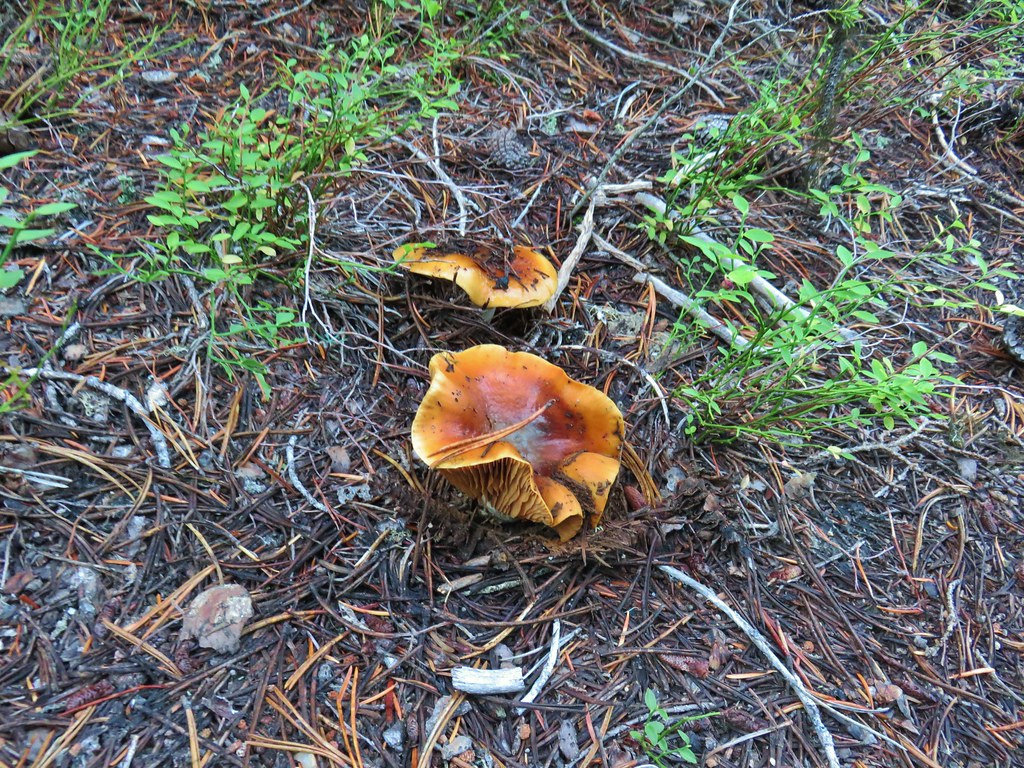
 More cool mushrooms.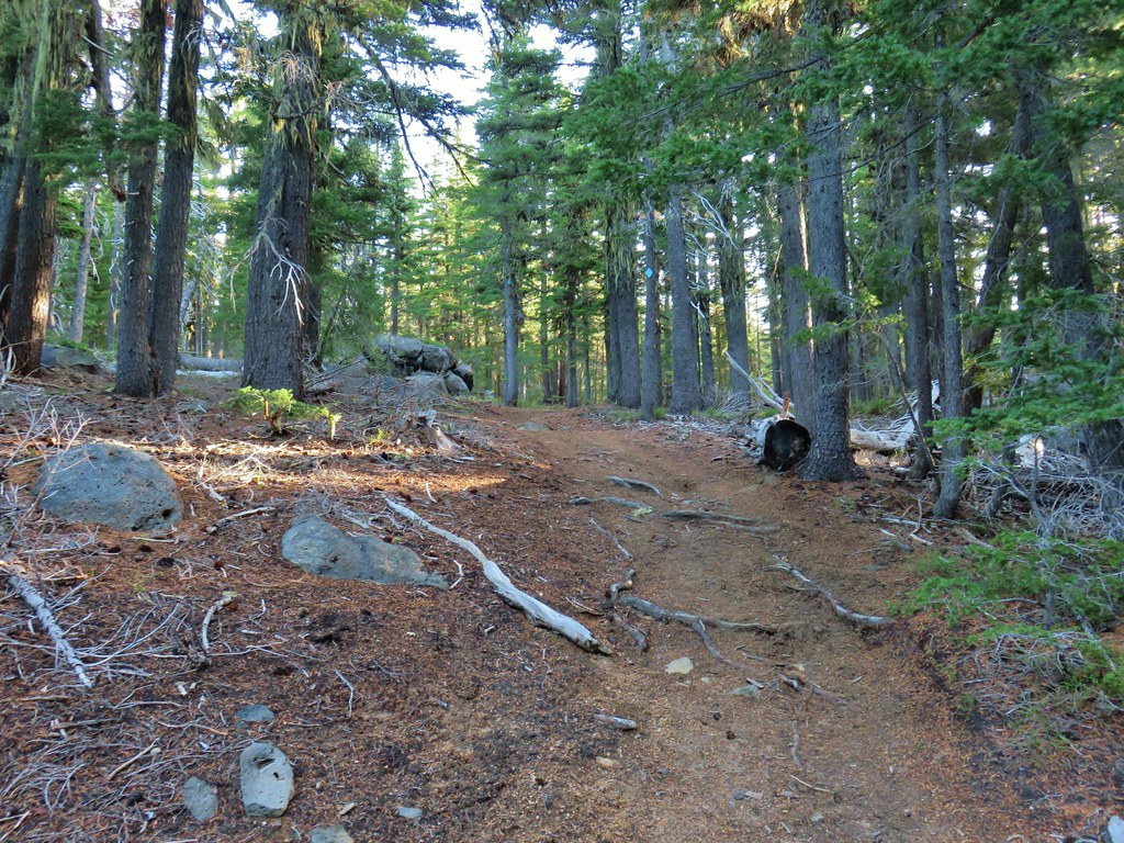
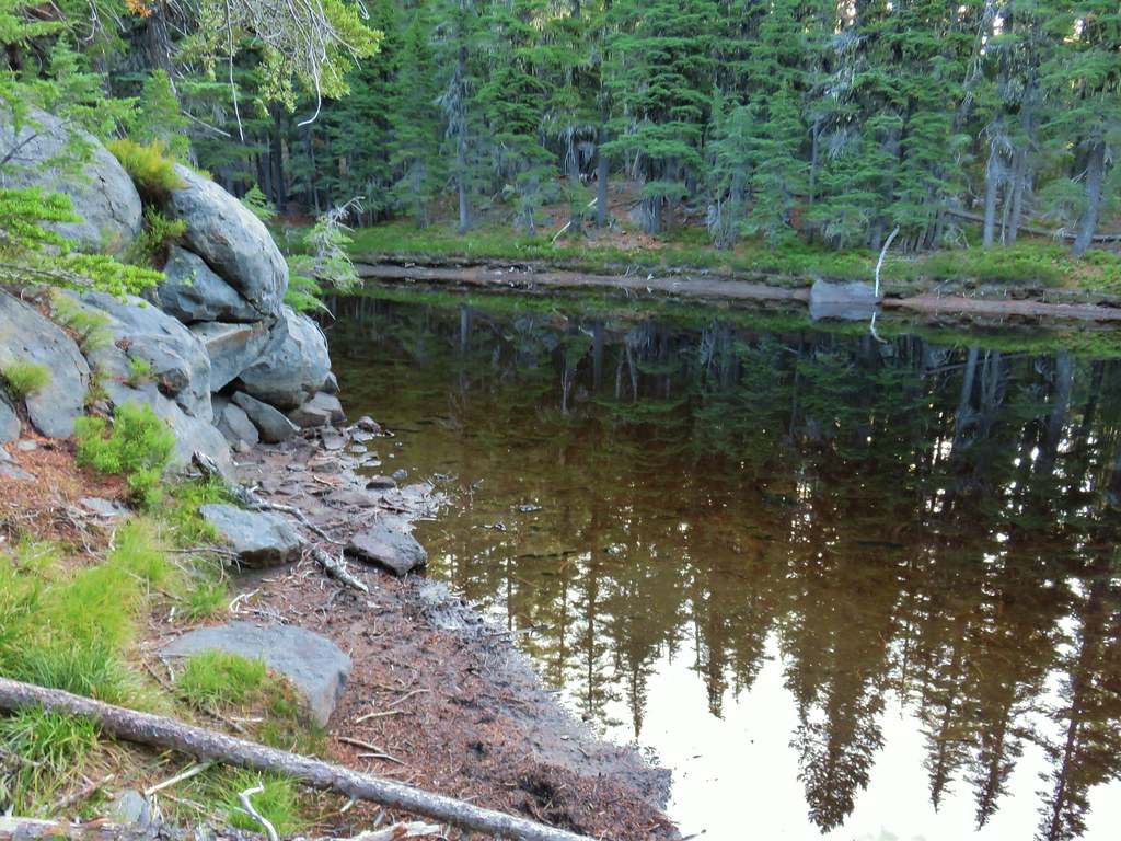 First pond
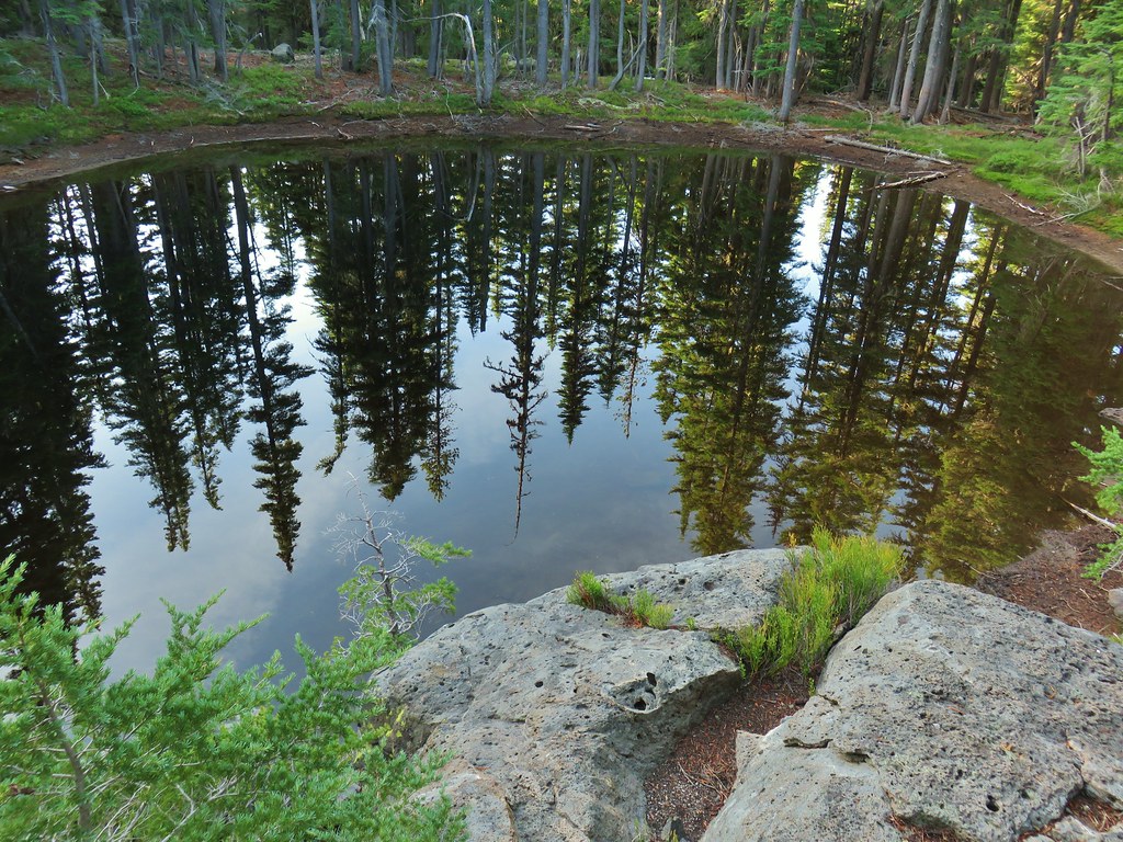 Looking down on the first pond.
 Liked the pattern on this shroom.
 A smaller pond.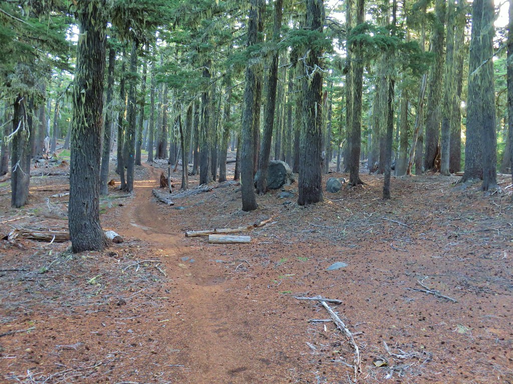

 Found a few blooming bleeding heart.


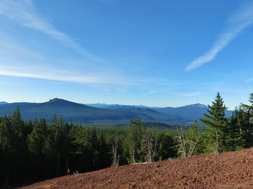
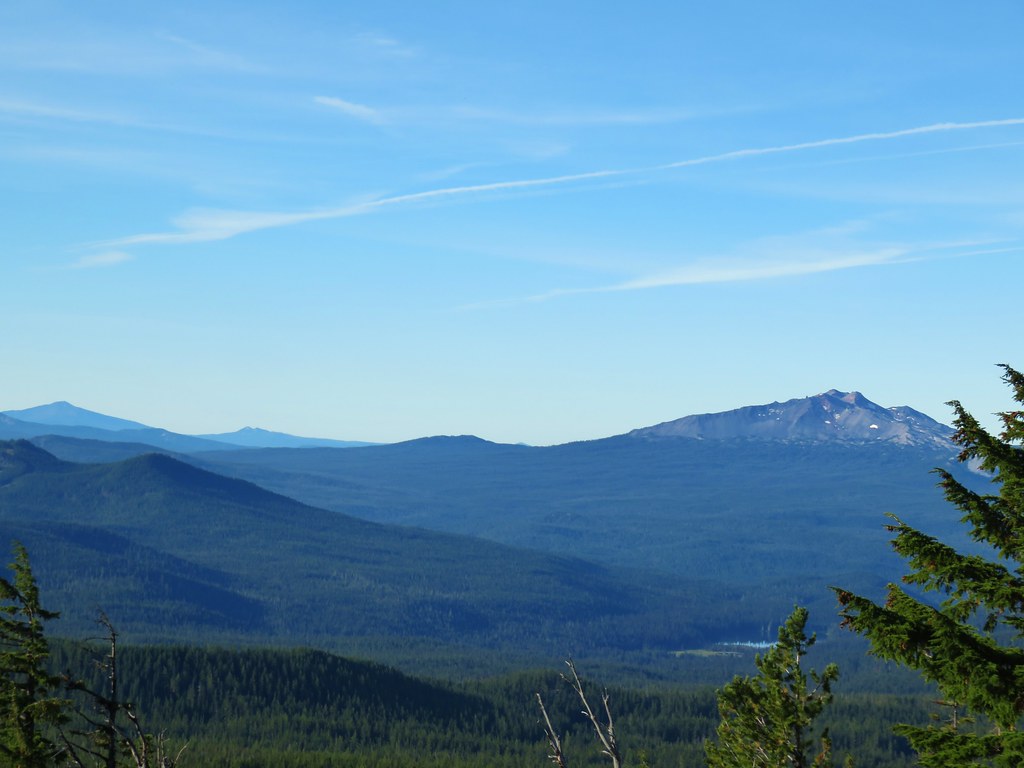 Diamond Peak on the right and Mt. Bailey (
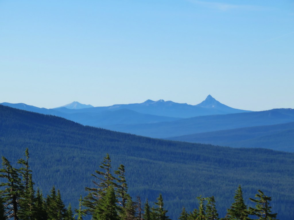 Mt. Scott (
 Maiden Peak (
 Close up of Diamond Peak
 Waldo Mountain Lookout (
 Rigdon Butte (
 Mt. Jefferson (with Three Fingered Jack in front), Mt. Washington, and The Husband
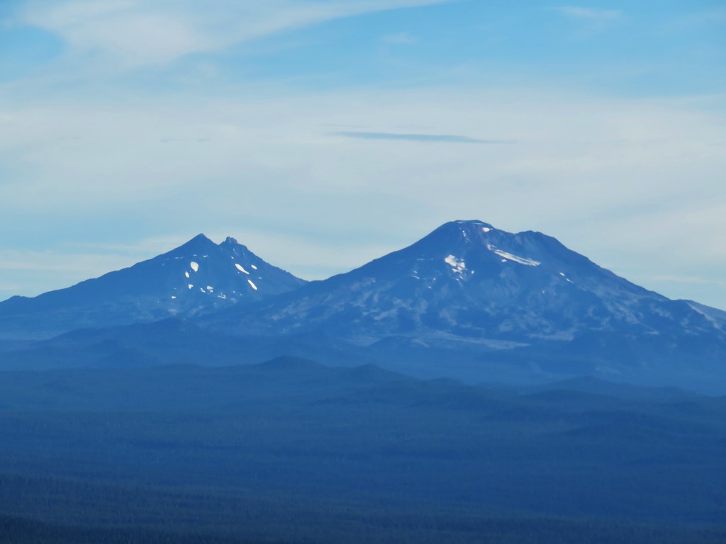 The Three Sisters
 Broken Top
 Mt. Bachelor


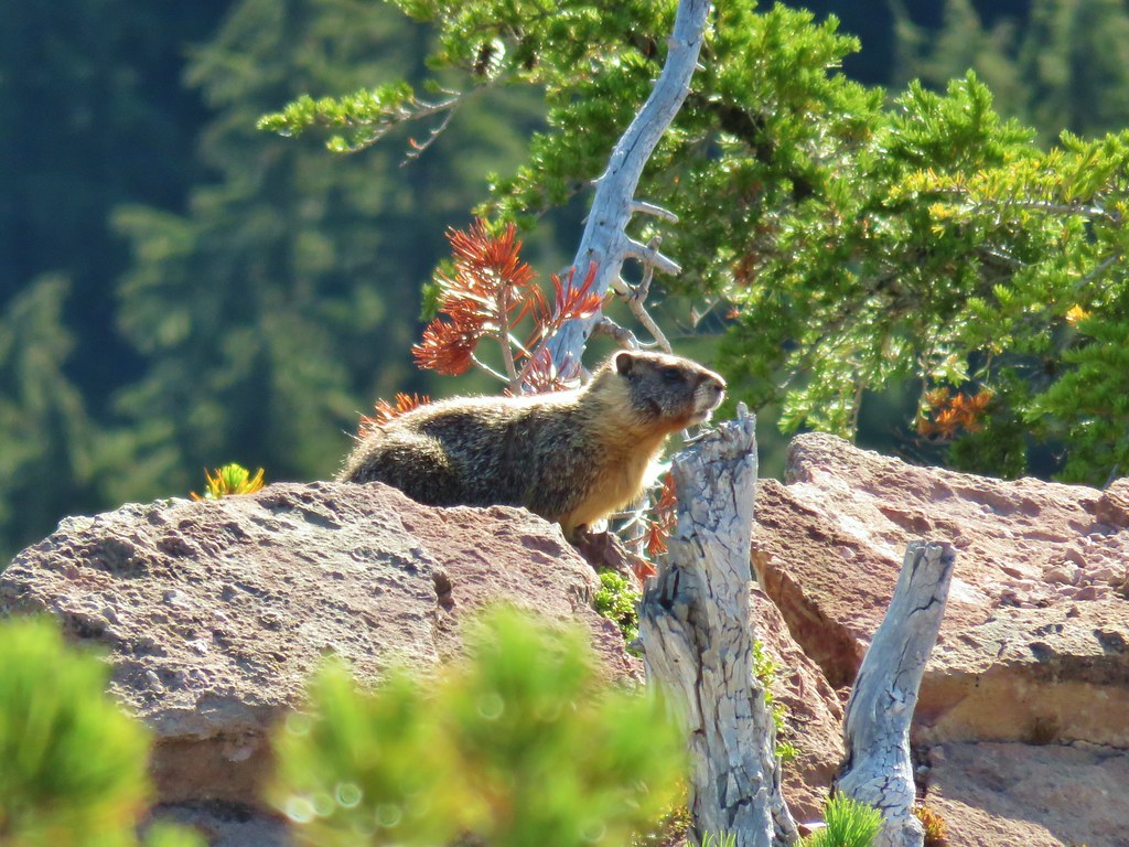
 The marmot on a rock ledge with Crane Prairie Reservoir in the background.


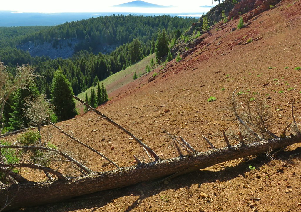


 That’s Bobby Lake below Maiden Peak.
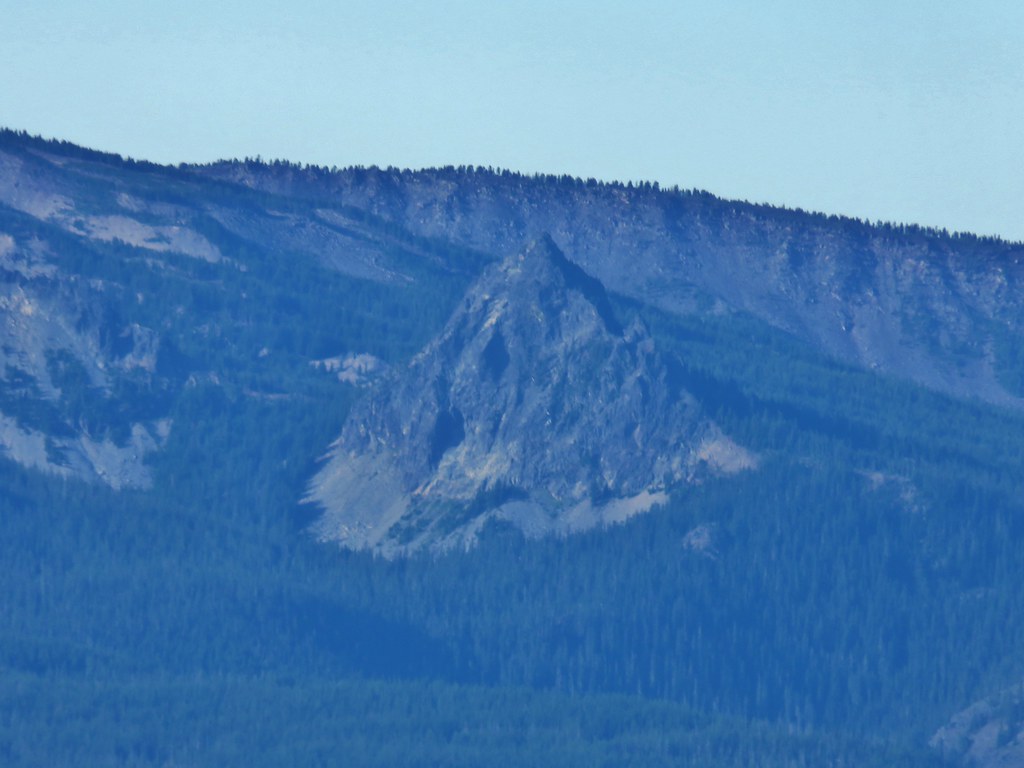 Mt. Yoran near Diamond Peak
 Gold Lake
 Fuji Mountain (
 The closest rocky peak to the right of the photo is Cowhorn Mountain (




 Tiny PCT frog.
 One of the unnamed lakes.
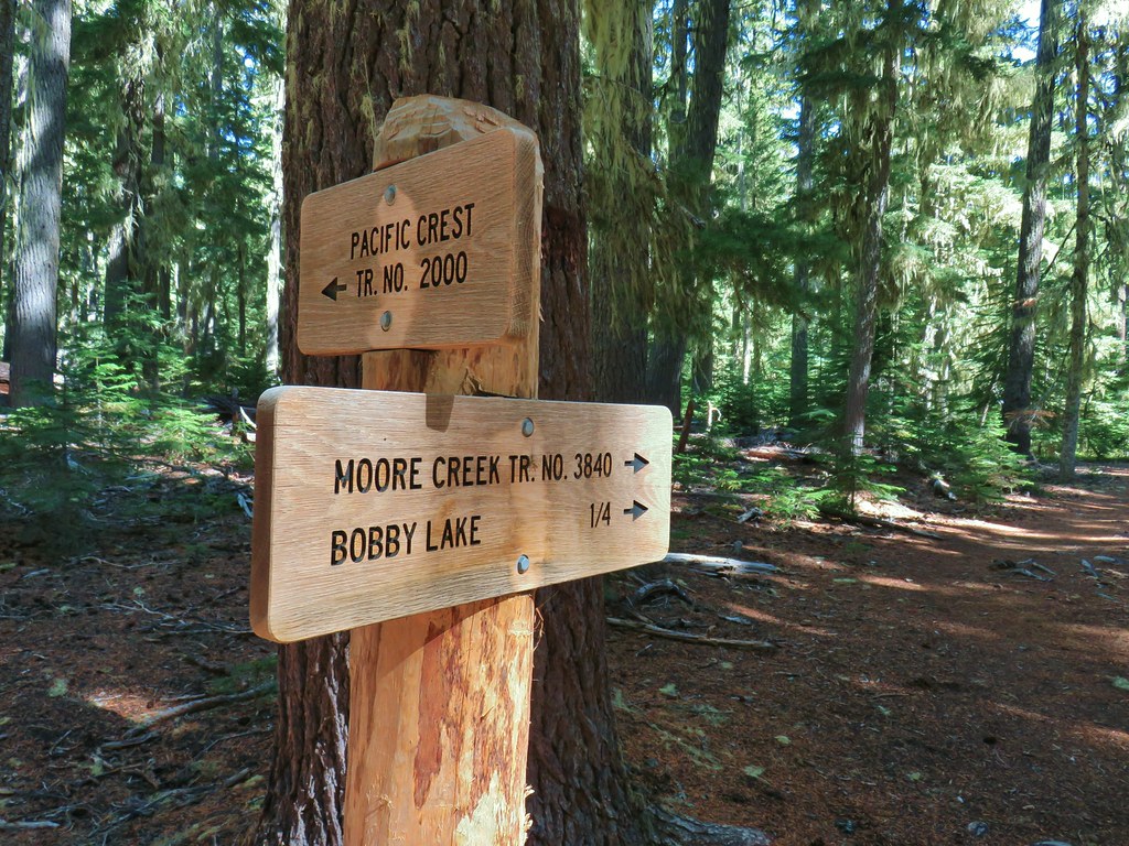 Trail sign at the 4-way junction.
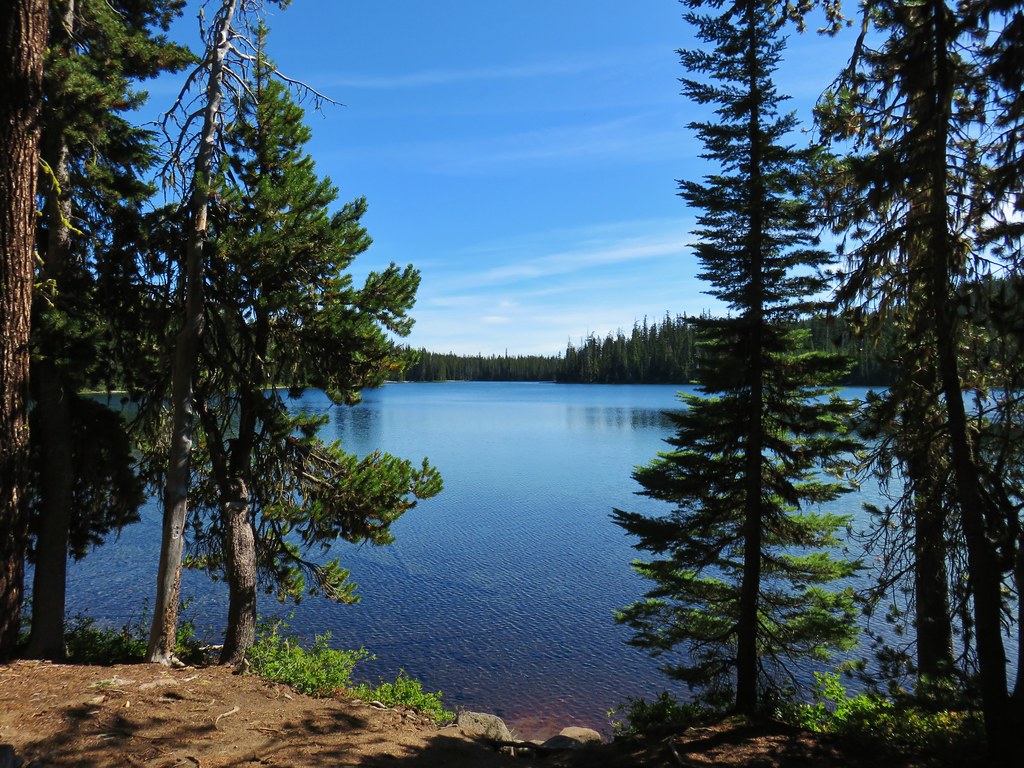
 Maiden Peak above the lake.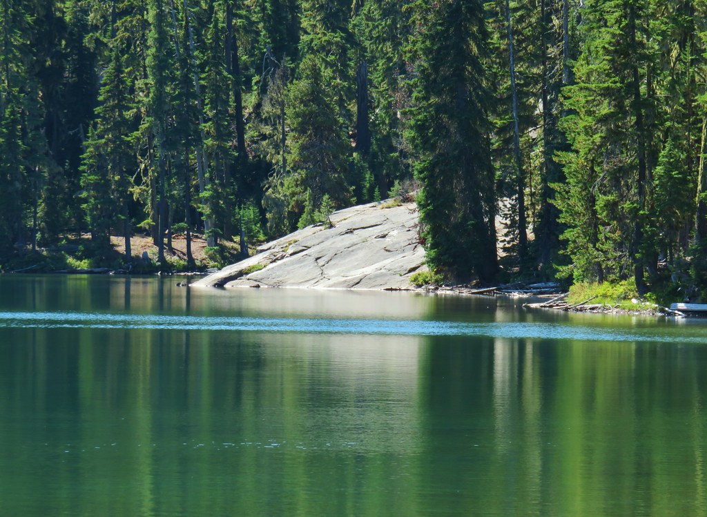

 The Twins
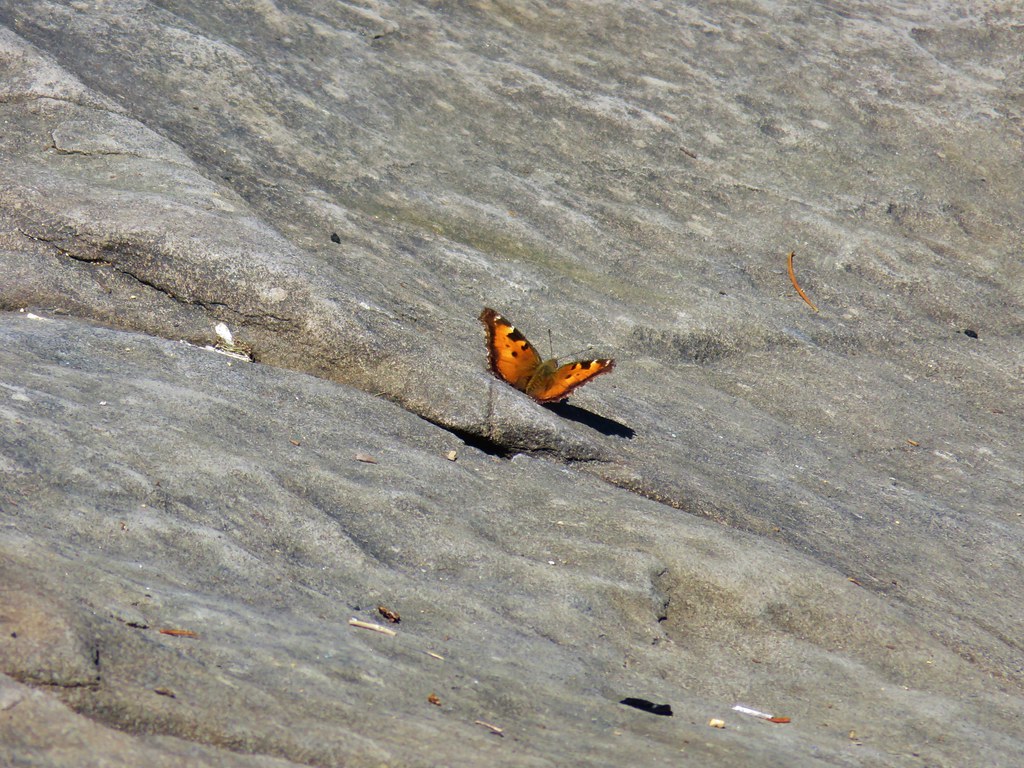 One of several butterflies.


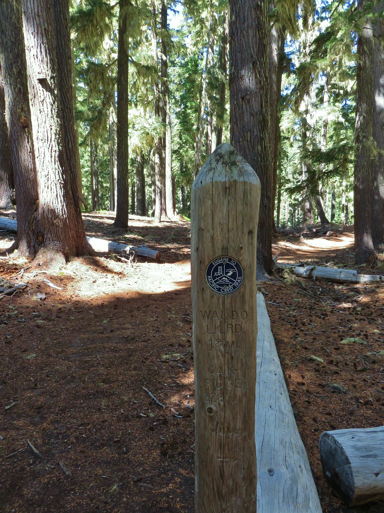


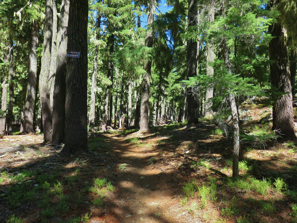 Nordic trail sign high on the tree.

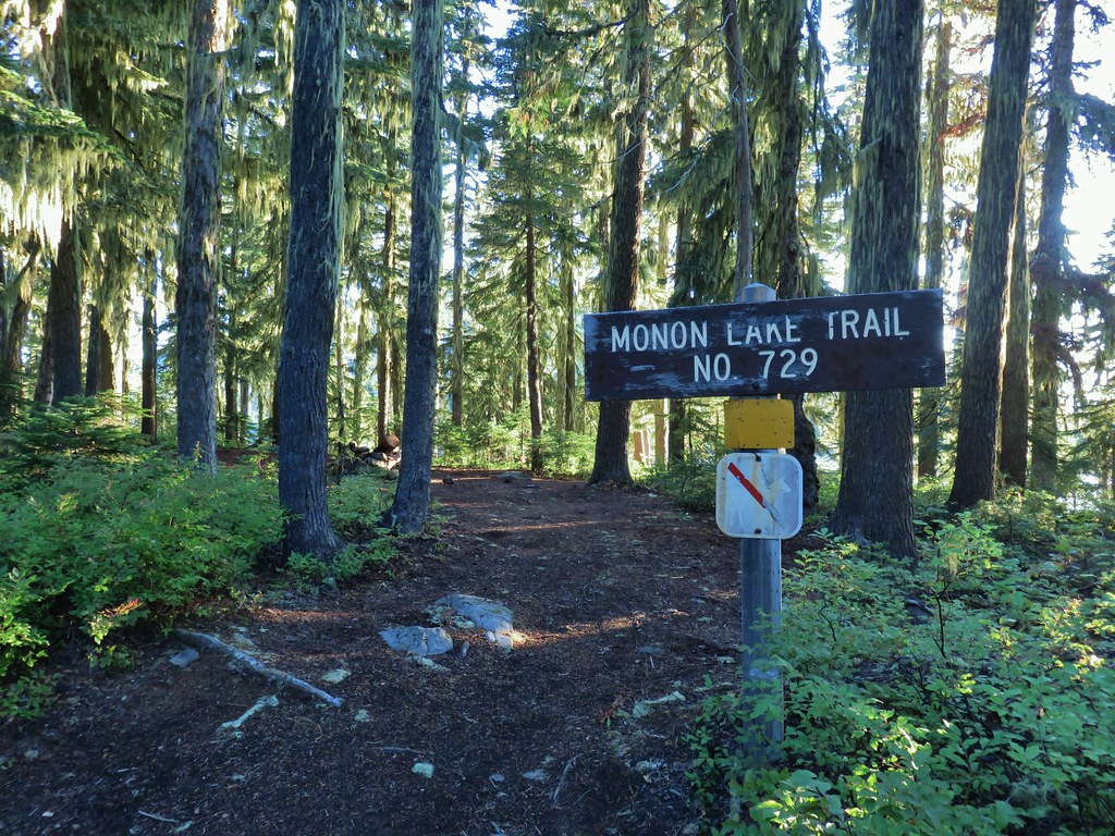
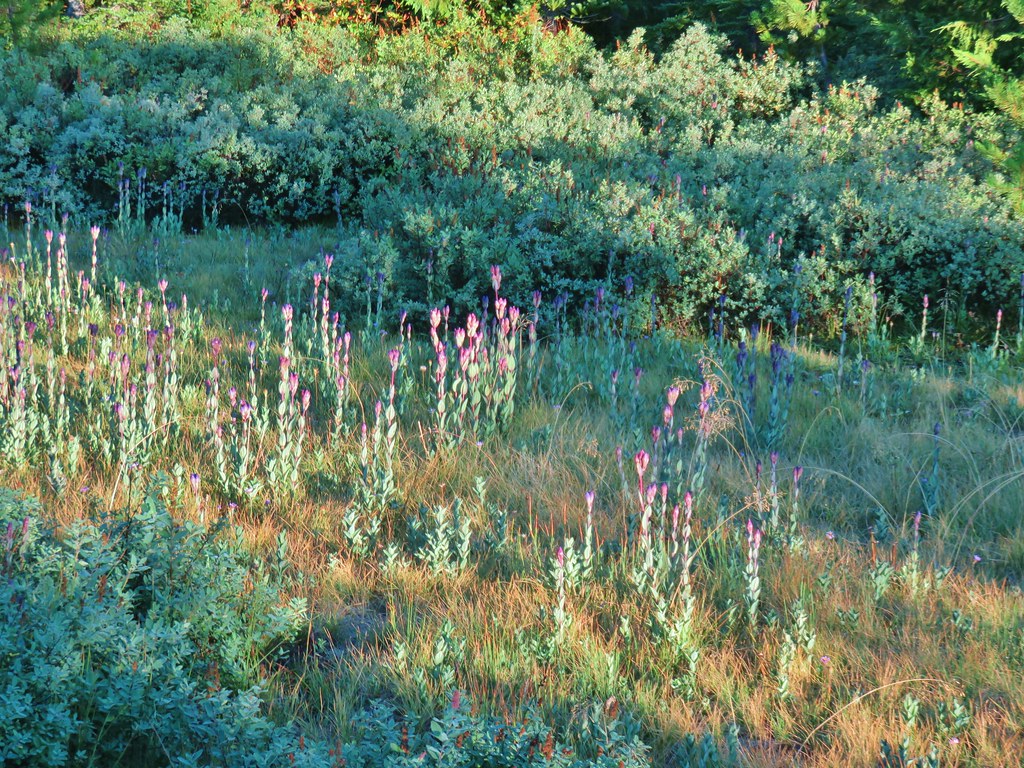 Fading gentians
 A few gentians still holding their blue color.
 Olallie Butte and the unnamed lake.
 The tip of Mt. Jefferson sticking up above the high point on the ridge.
 Dusting of new snow on Mt. Jefferson
 Duck on the lake.
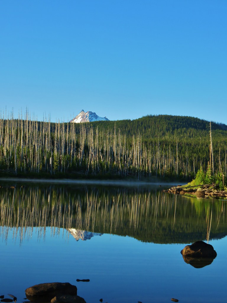 A little more of Mt. Jefferson showing.
 View from atop the rocks.
 The small rock cairn coming from the opposite direction on the Monon Lake Trail later in the day.
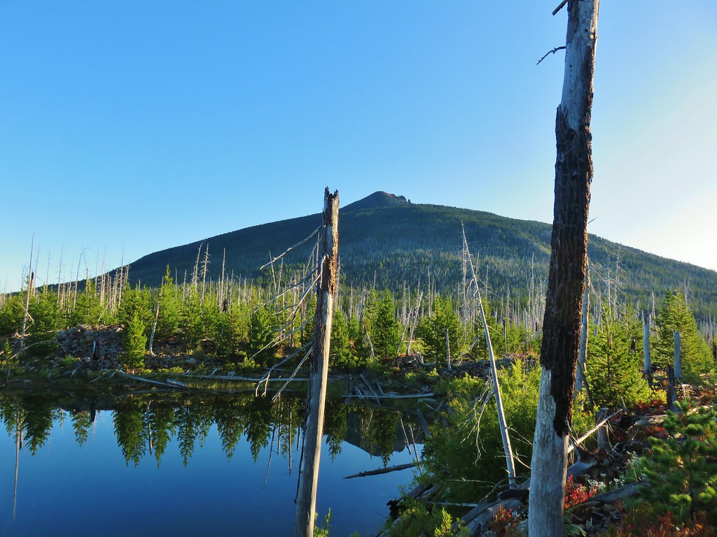

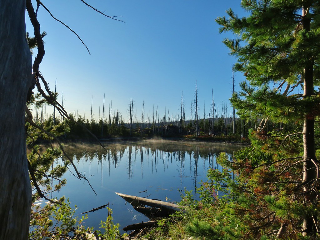
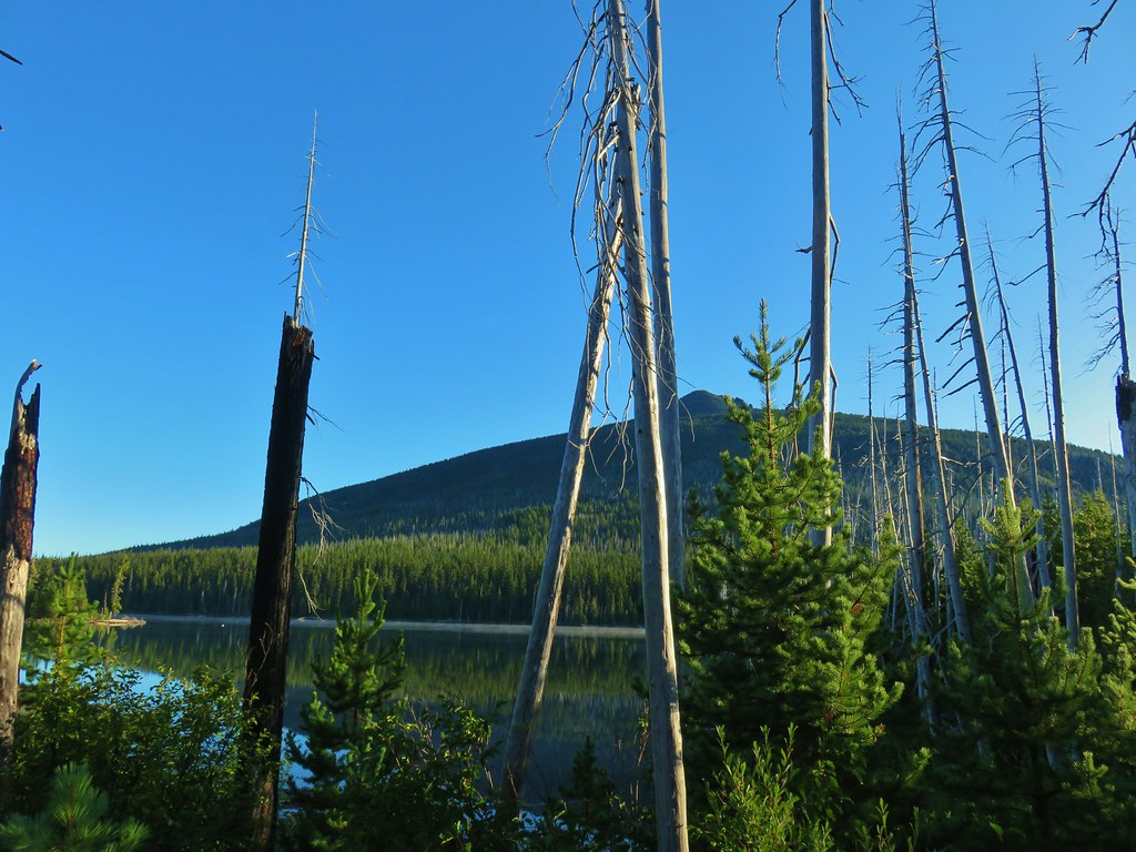
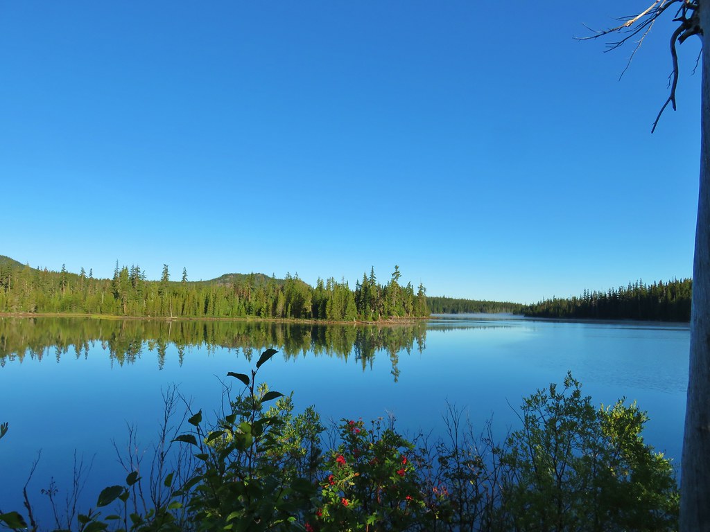

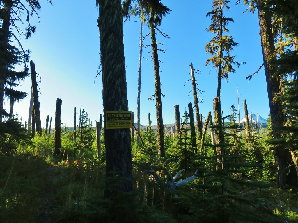

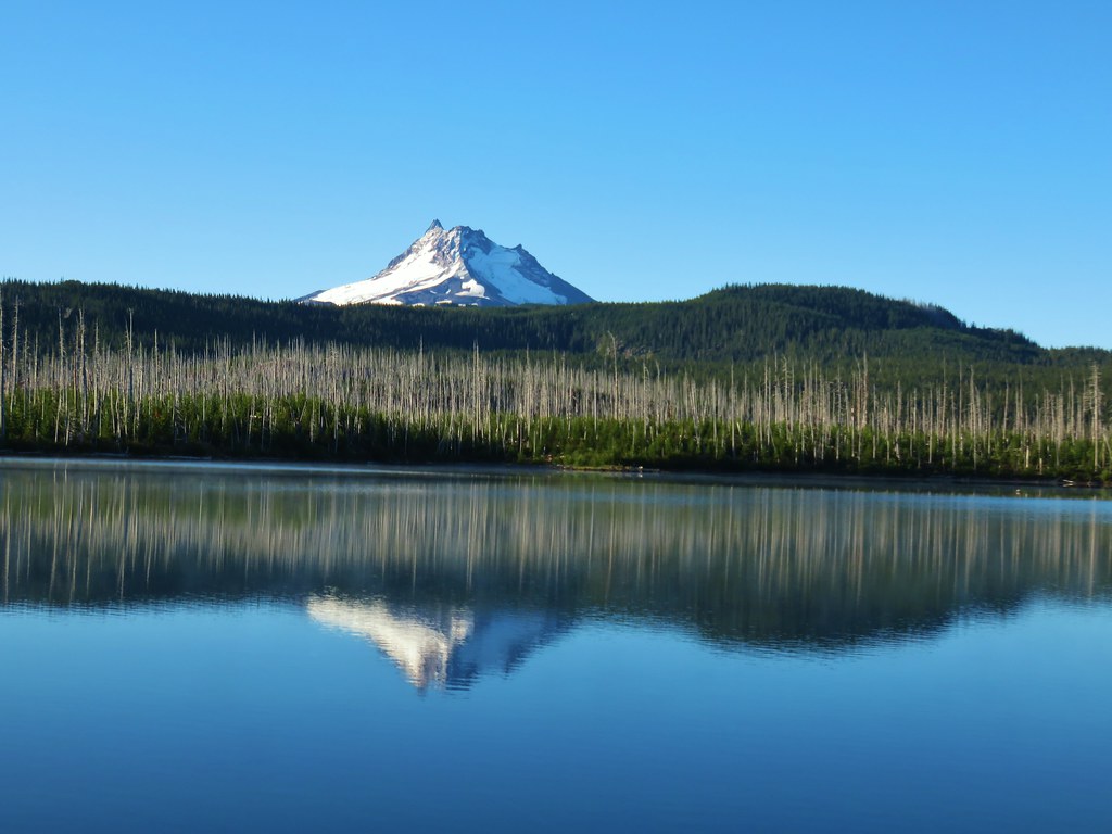
 Mergansers




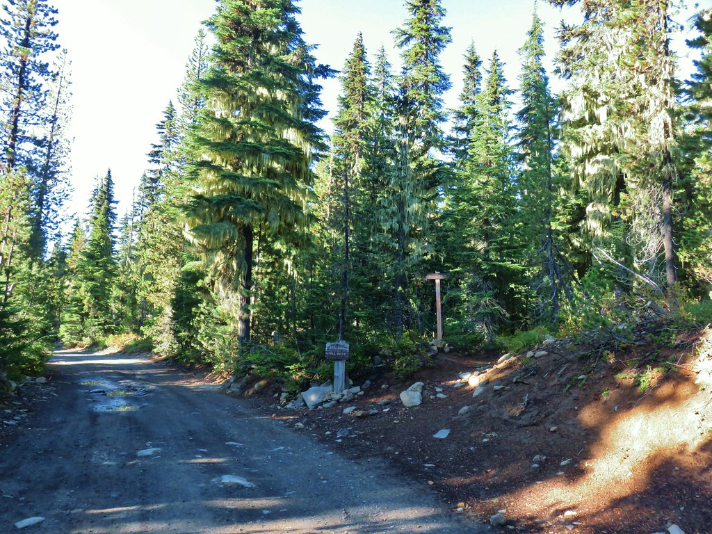

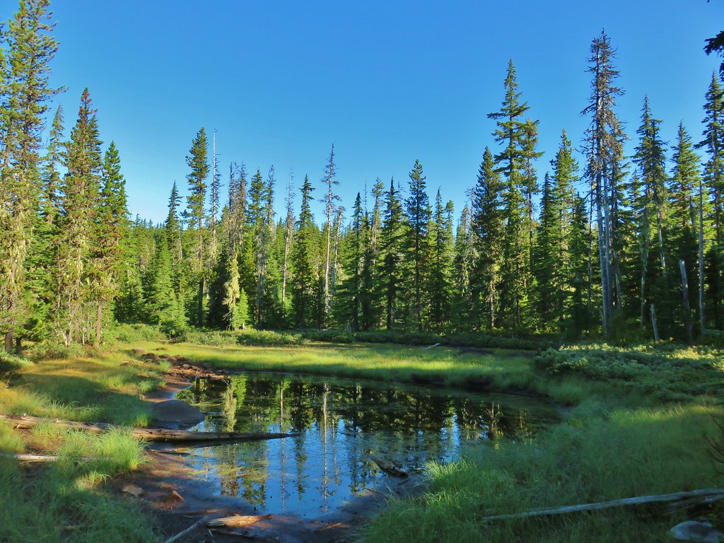
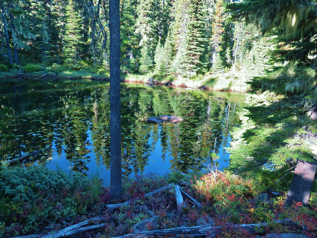

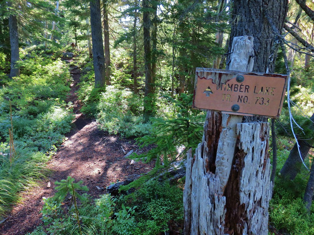
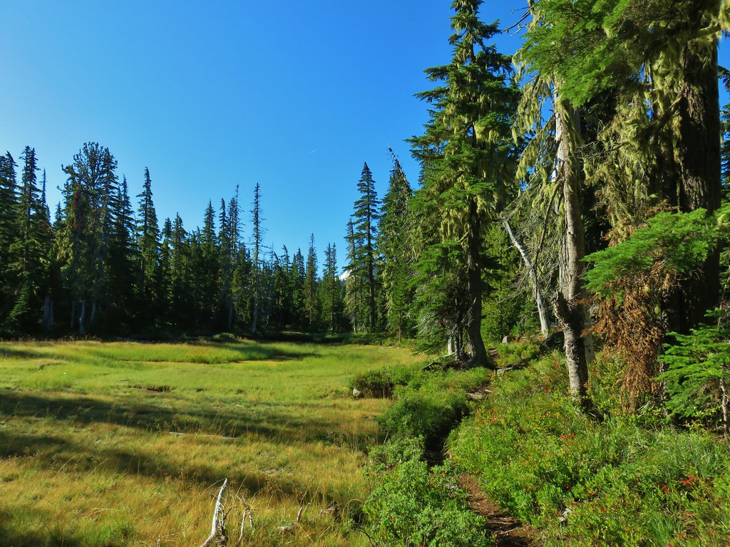



 Rock cairn along the PCT marking the connector trail.
 PCT lookout.
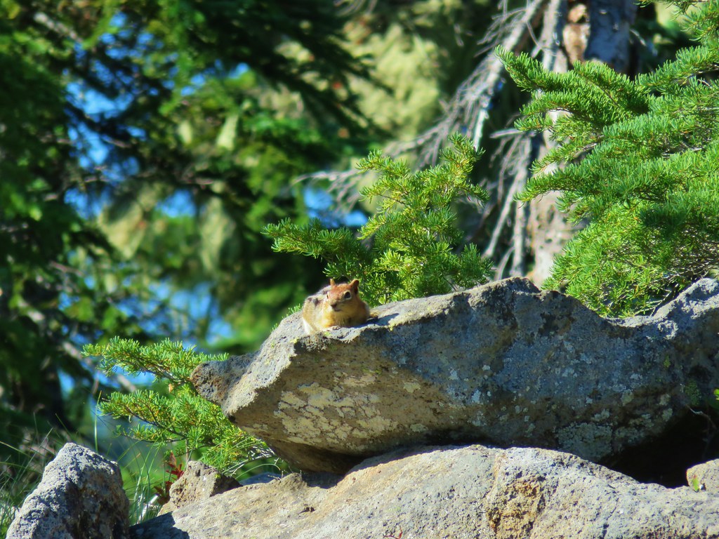
 Golden-mantled ground squirrels at Cigar Lake.
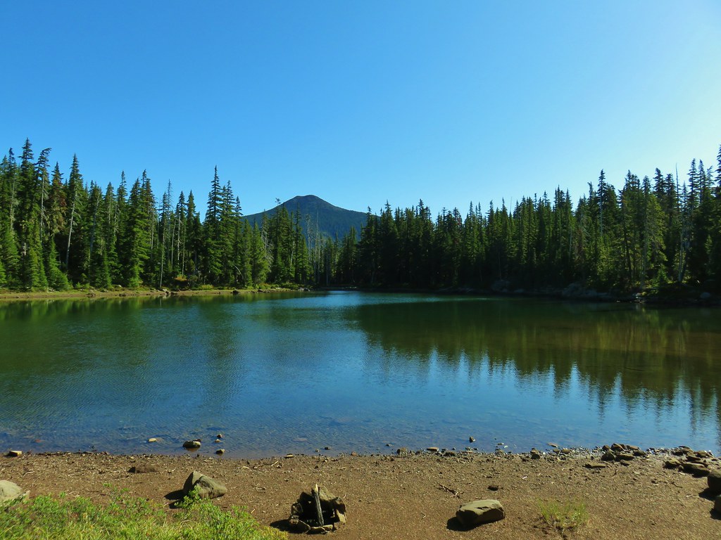
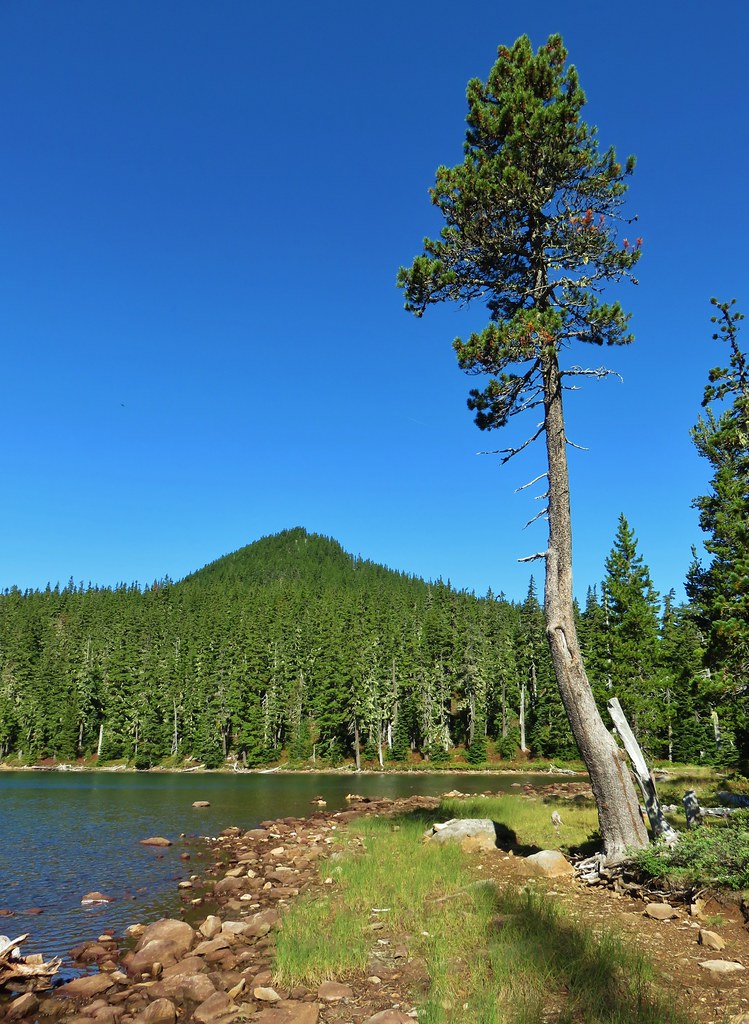 Double Peaks from Upper Lake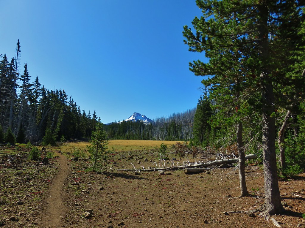

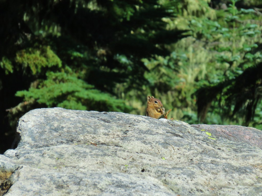 Company at the viewpoint.
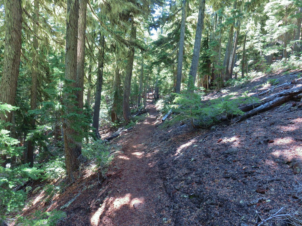 Approximate location when we heard the “elk” bugle.


 Flat topped Battle Ax Mountain to the left to the fire scarred summit of Schreiner Peak to the right.
 Battle Ax (
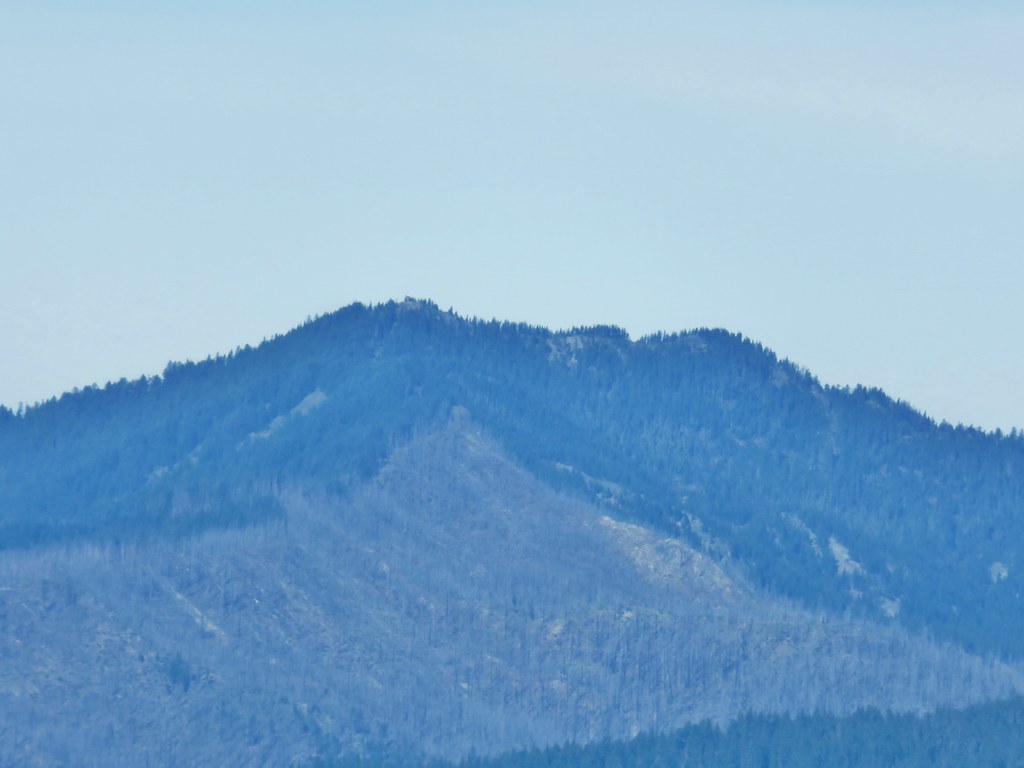 Bull of the Woods (