**Note the 2024 Young Grasshopper Fire burned over a portion of this hike including Grasshopper Meadow.**
In 2017 we did an overnight backpack to Grasshopper Meadow via Chucksney Mountain (post). During that trip we hiked a 9.8-mile section of the 13.5-mile long Grasshopper Mountain Trail #3569. The section covered was from the Box Canyon Trailhead to the base of Grasshopper Mountain. The trail does not go up the mountain’s summit but instead from the saddle at the base heads around the mountain and then follows Hiyu Ridge down to the Grasshopper Trailhead (approx 4 miles from the saddle).
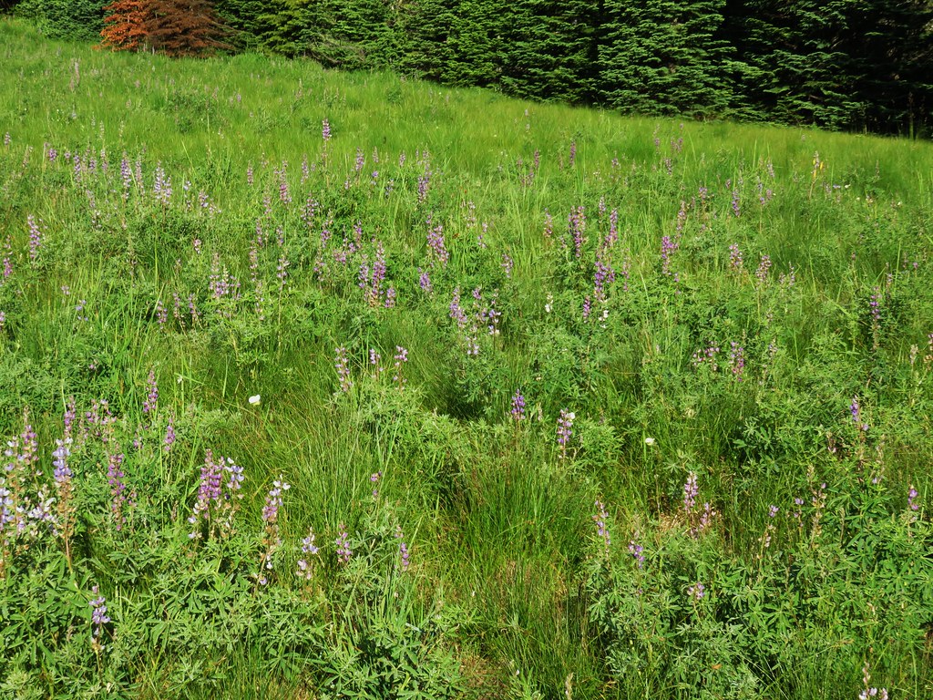
Grasshopper Meadow was a beautiful destination making a second visit appealing and including the remainder of the Grasshopper Mountain Trail pushed it up on our list of planned hikes. We had a decision to make regarding where to start for this second visit though. In his “100 Hikes Central Oregon Cascades” guidebook Sullivan includes the hike from the Grasshopper Trailhead along Hiyu Ridge in the more hikes section at the back of the book. He also includes a hike to Grasshopper Meadow via the Grasshopper Meadow Trail in the back of the book beginning 850′ below the ridge at the top of the meadow at what is marked on Google Maps as the Grasshopper Meadow Trailhead. Hike Oregon also covers the same hike on their website here. Interestingly the Forest Service map and website do not mention this trailhead, but they do show the Grasshopper Meadow Trail #3314. We opted to start at the Grasshopper Meadow Trailhead for two main reasons. First it would allow us to pass through Grasshopper Meadow at two different times of the day instead of it being our turnaround point. The second, and more important reason, was Sullivan’s description of the hike along Hiyu Ridge indicated that we should be prepared to step over some logs. That’s code for lack of trail maintenance which could mean that this section of the trail could be impassable. The Forest Service website didn’t provide any trail conditions. We could have called to check, but we figured worst case scenario we could redo some of the 2017 hike if necessary.

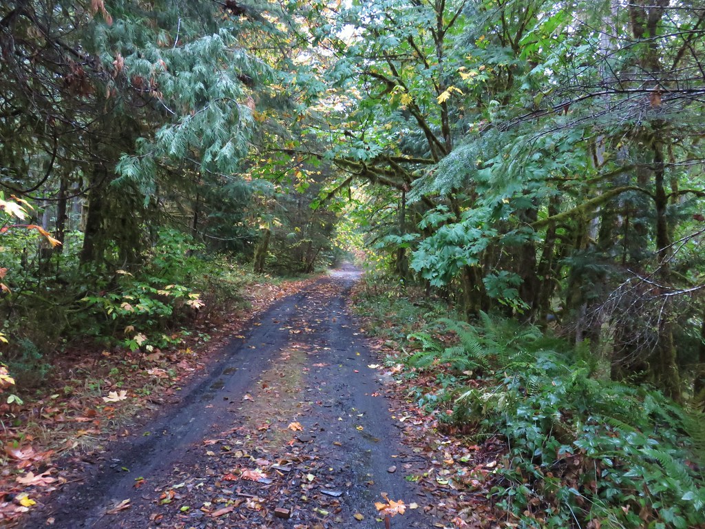
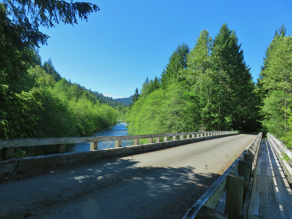
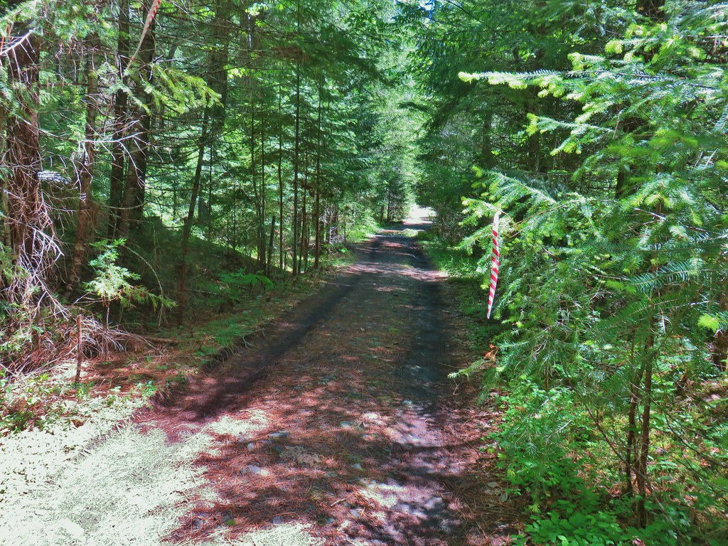
A word of warning regarding the drive to this trailhead. There was about a half mile section of Road 1929 where a good amount of gullying has occurred. We’d recommend high clearance, but somehow there was a Toyota Prius parked here (just out of frame).
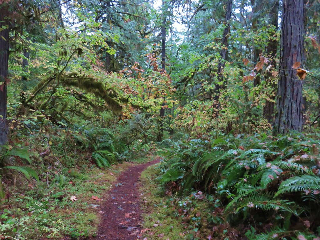
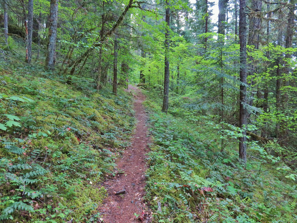
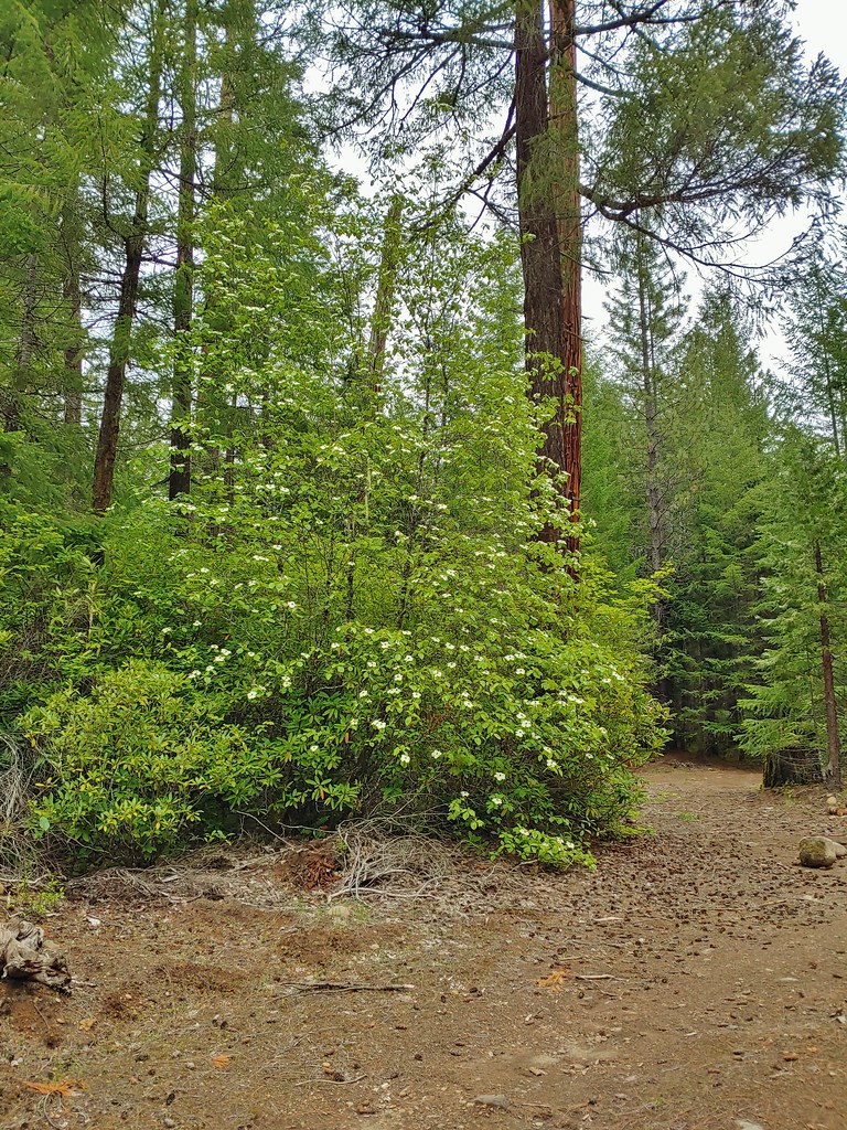
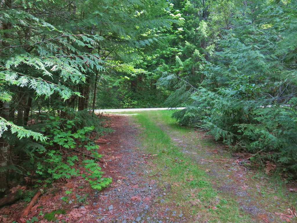
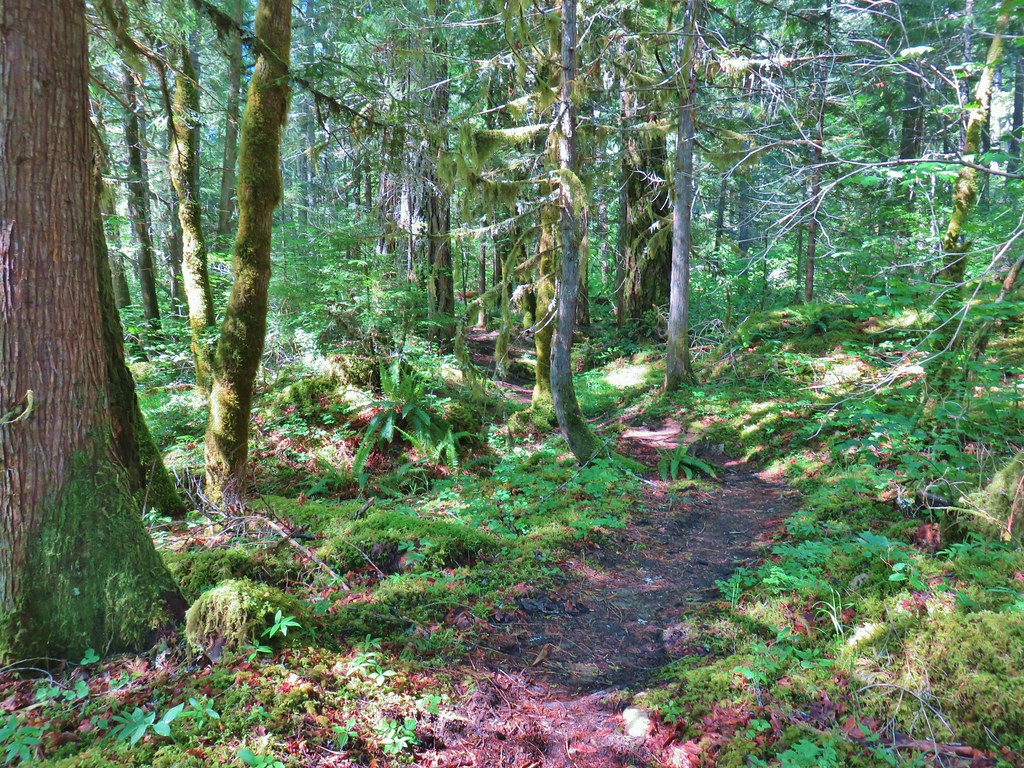
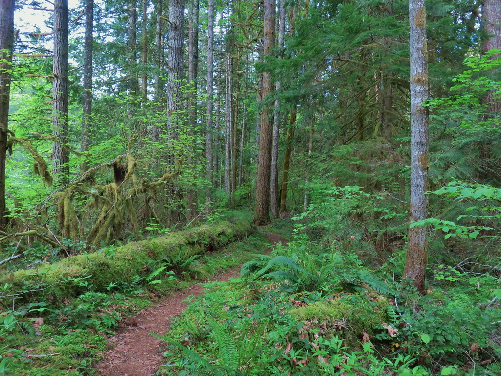
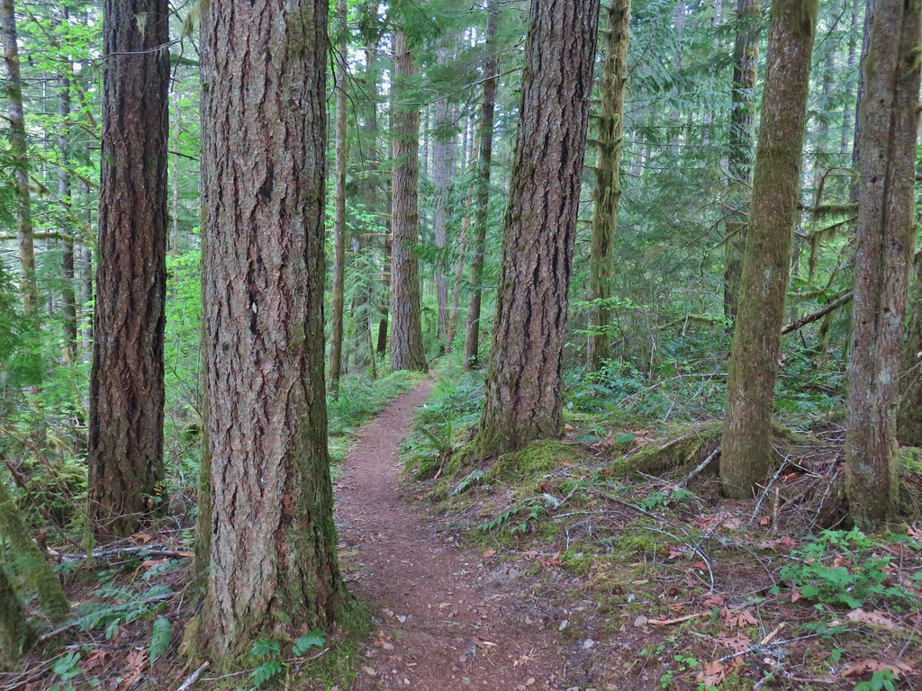
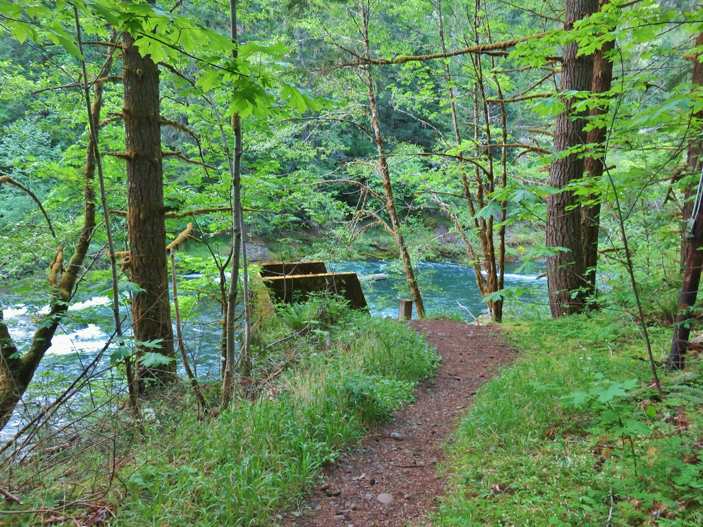
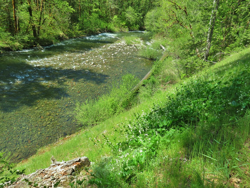
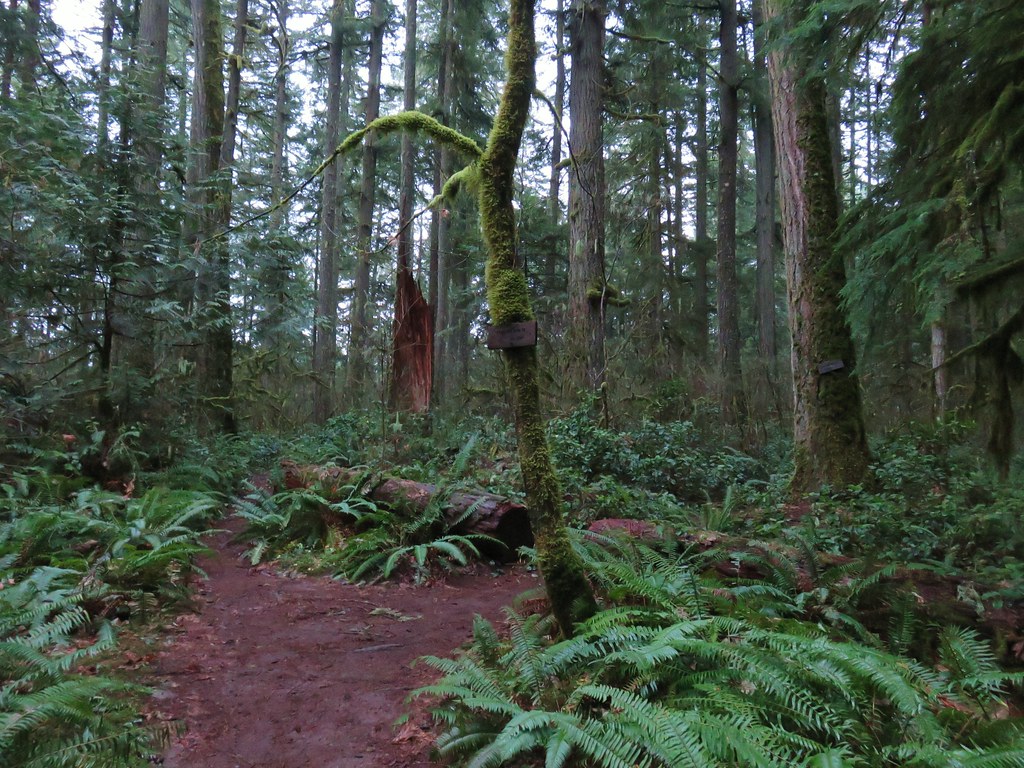
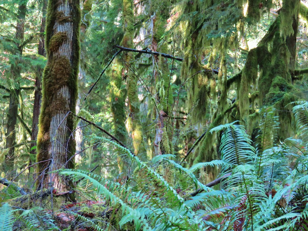
The trail began with a gradual climb through a mixed conifer forest before steepening as the meadows began.
 Valerian along the trail.
 Vanilla leaf and anemones carpeting the forest floor.
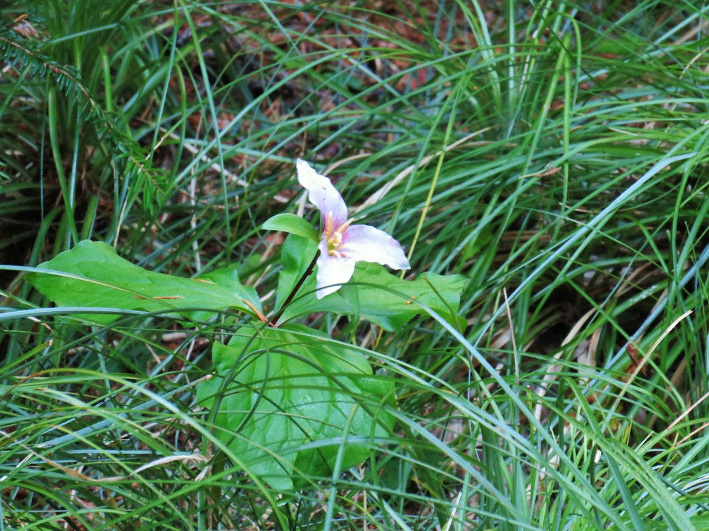
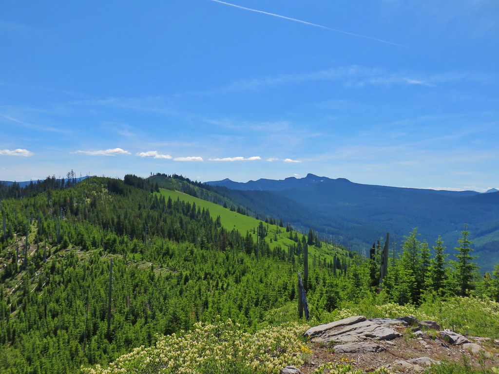
There were wildflowers along the vast majority of this hike which resulted in our taking way too many photos. I will try and limit what I include here, just know that what gets shared will be a small portion of what we saw.
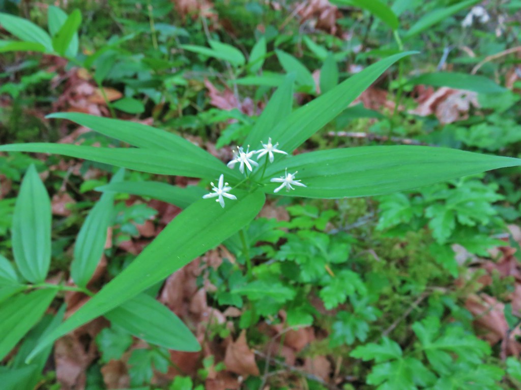
 Star-flowered false solomonseal.

 Coneflower with lupine behind.

 Penstemon

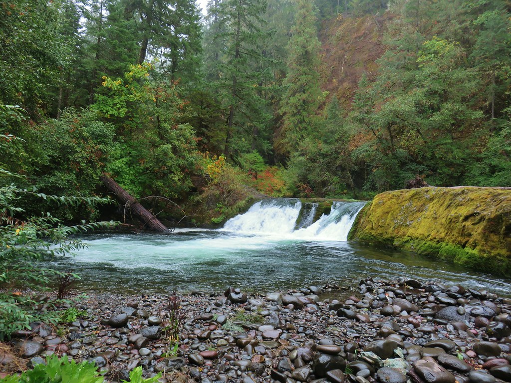
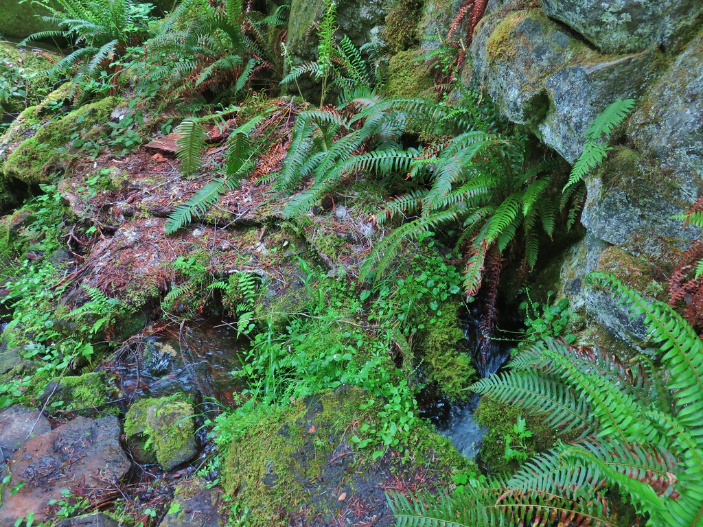
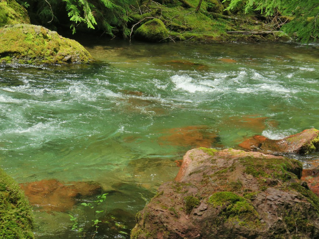
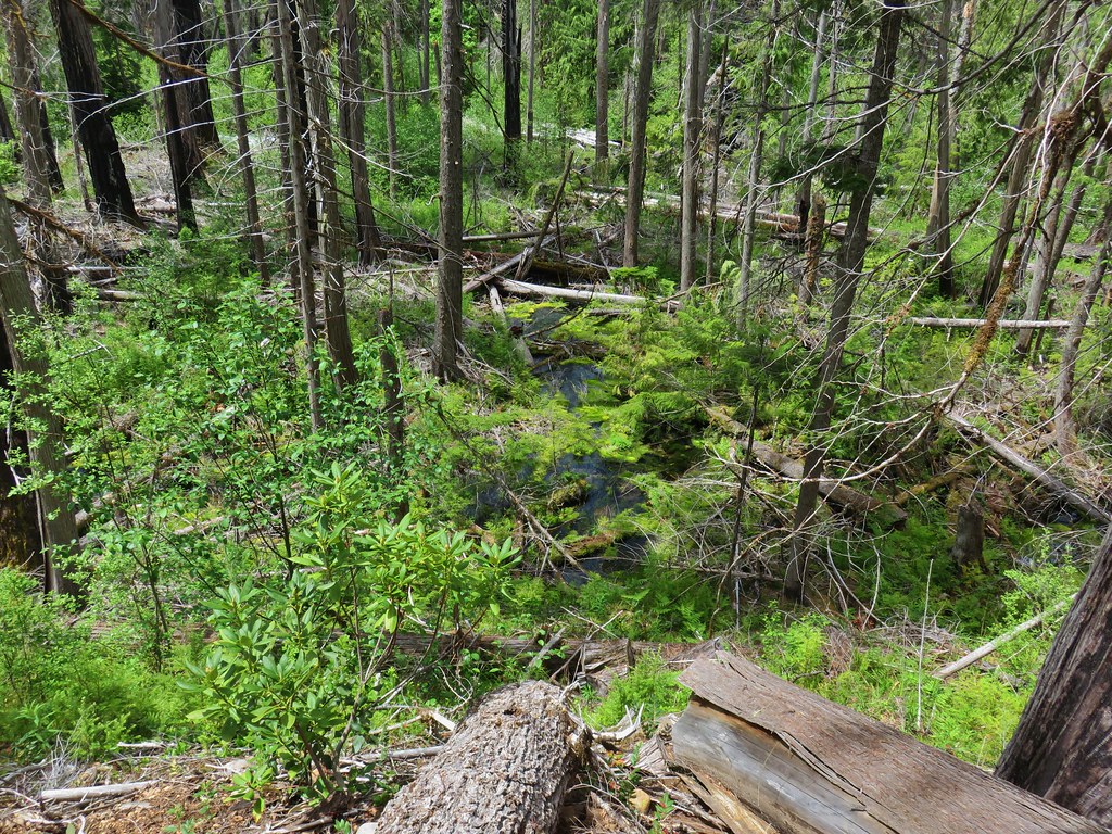
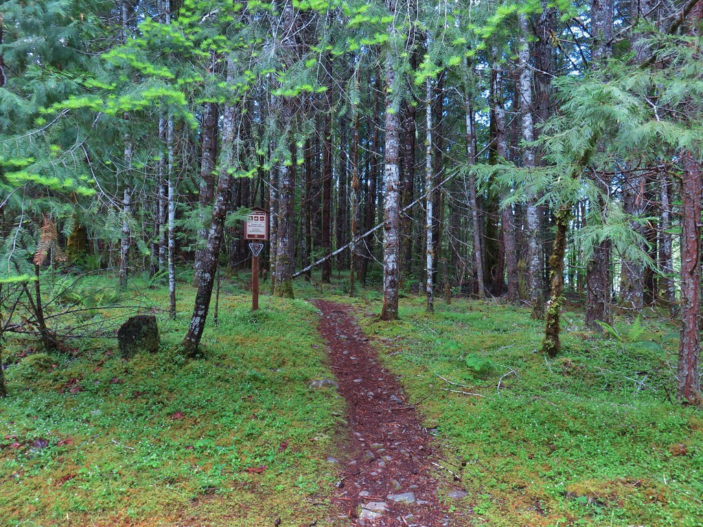
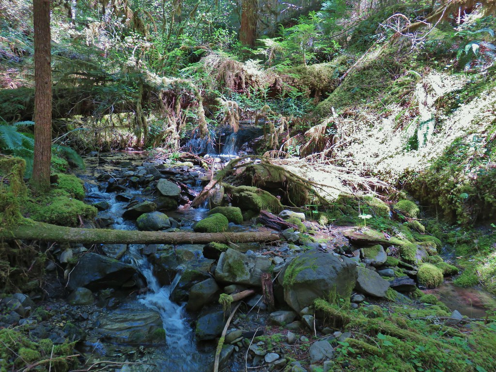
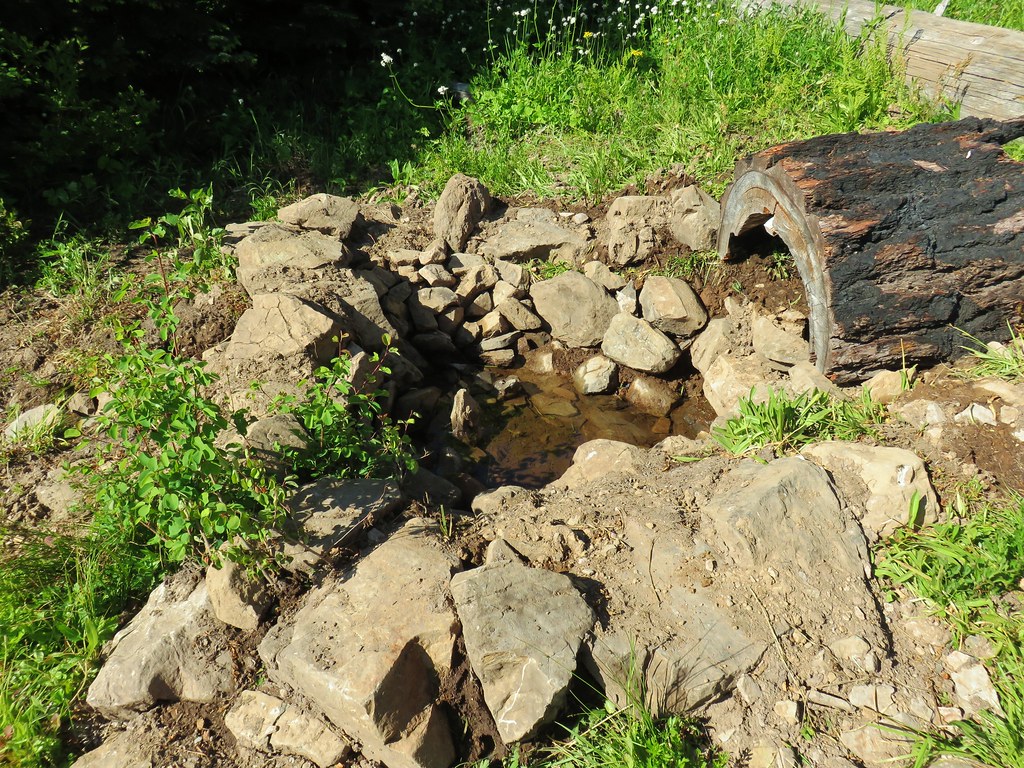
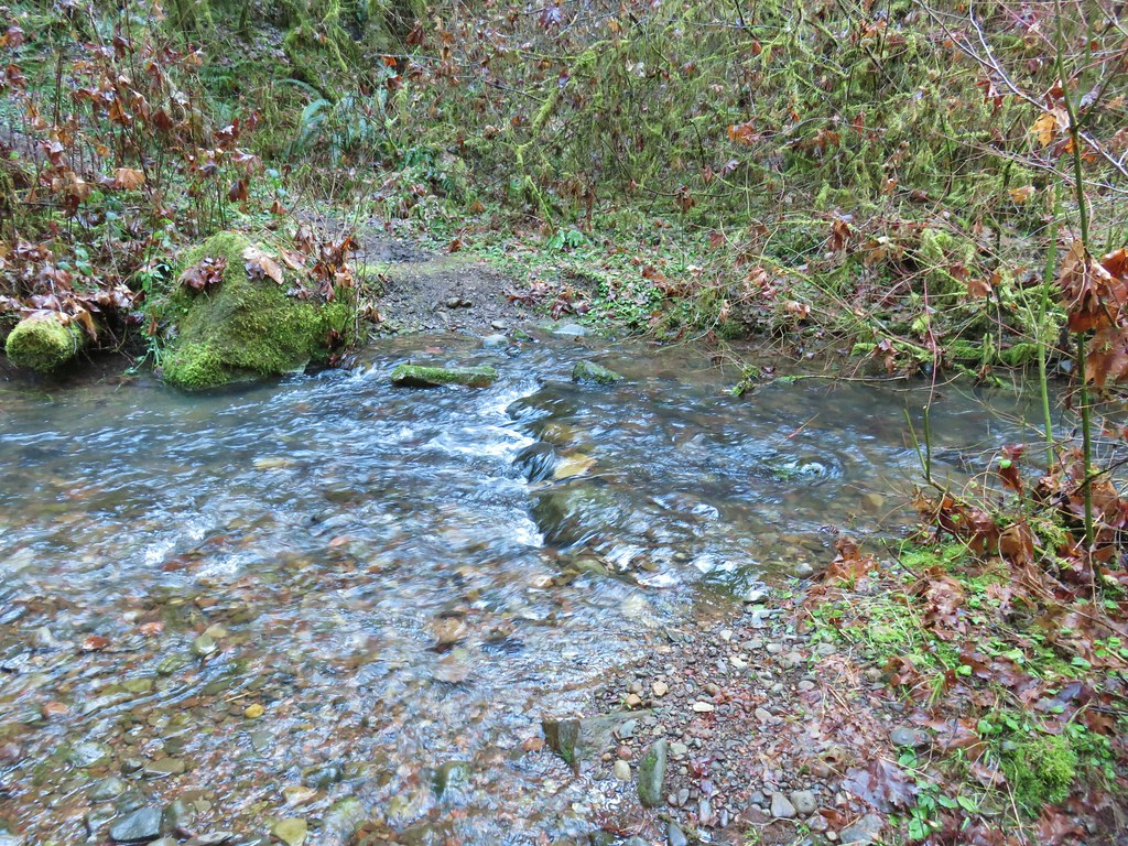
Near the three-quarter mile mark we took a short spur trail to the left to visit a spring at the base of a post.


 Monkeyflower
We continued steeply uphill from the spring for 0.3-miles where we took another short spur trail, this time to the right and a view of Diamond Peak.

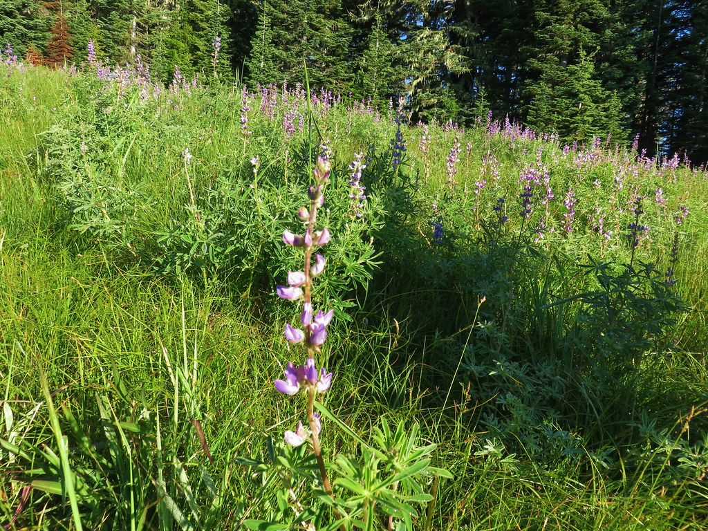
 Lupine
 Sub-alpine mariposa lily
 Moth on fleabane.
 Waterleaf
 Tiger lily
 Pussytoes

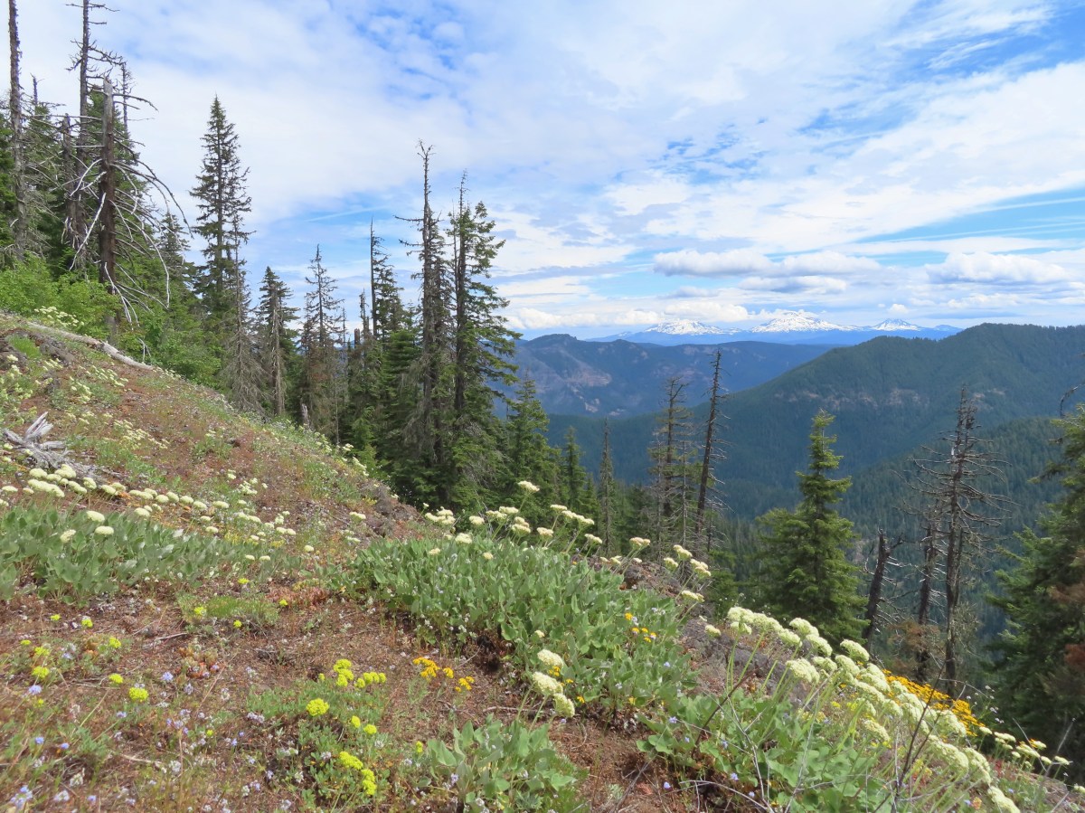
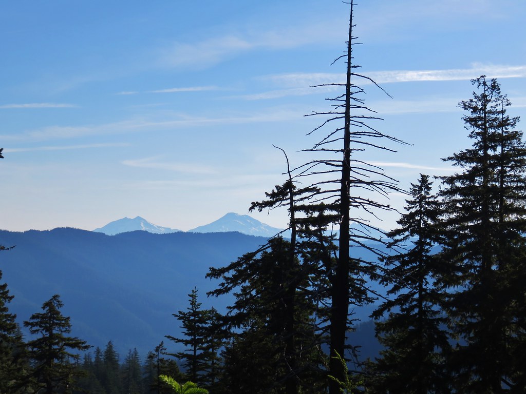
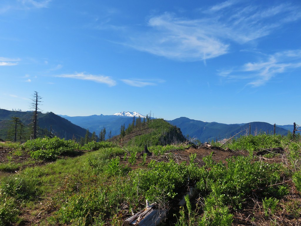
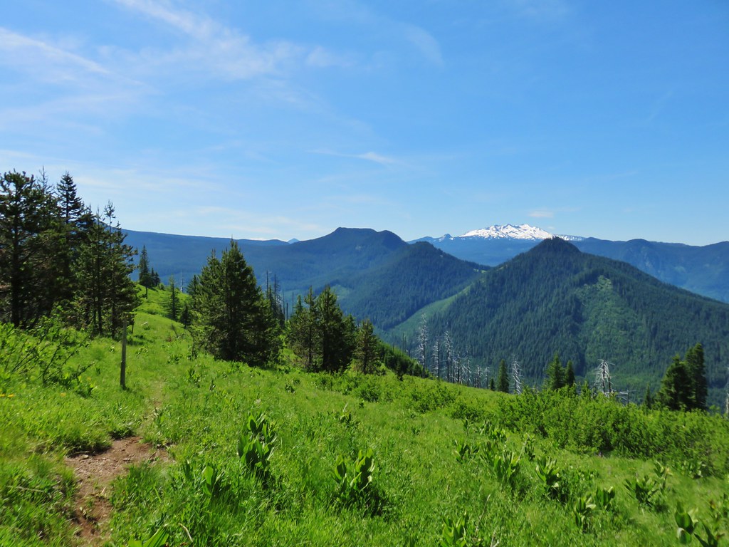
 From left to right the peaks with snow are: The Twins (post), Maiden Peak (post), Fuji Mountain (post), and Diamond Peak (post).
 Diamond Peak
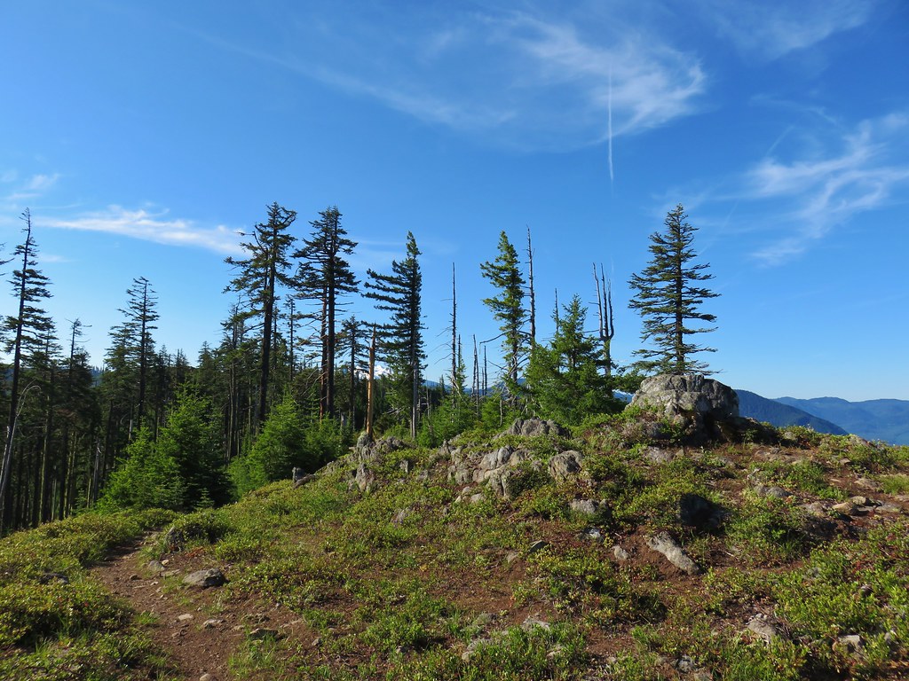
We continued uphill from the viewpoint following the trail to a post in a large rocky area that was filled with larkspur.

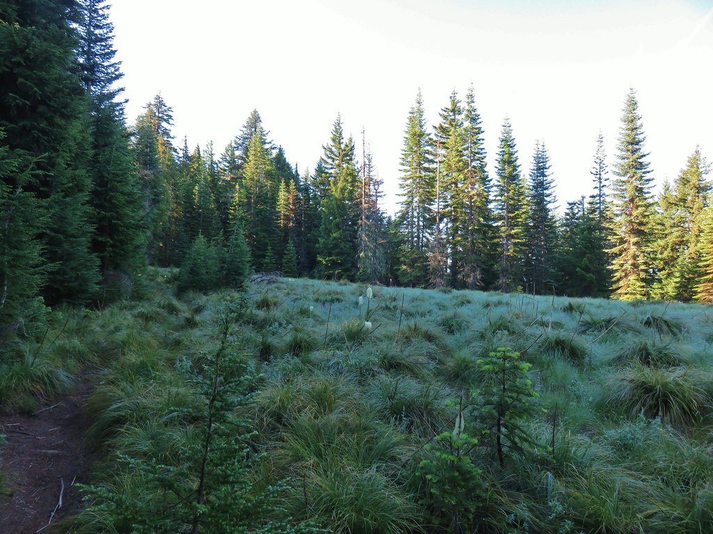
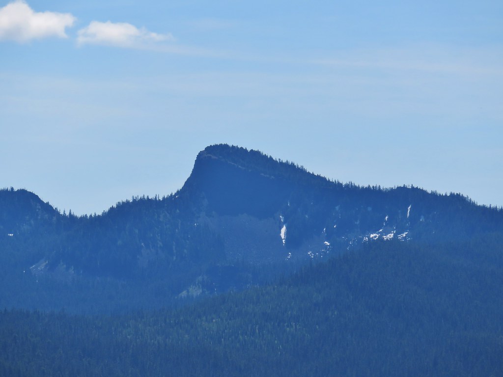
 Grasshopper Mountain above the meadow.
 The post in the rocky area.
 When we visited in 2017 it had been mid-July, and the larkspur show was over.
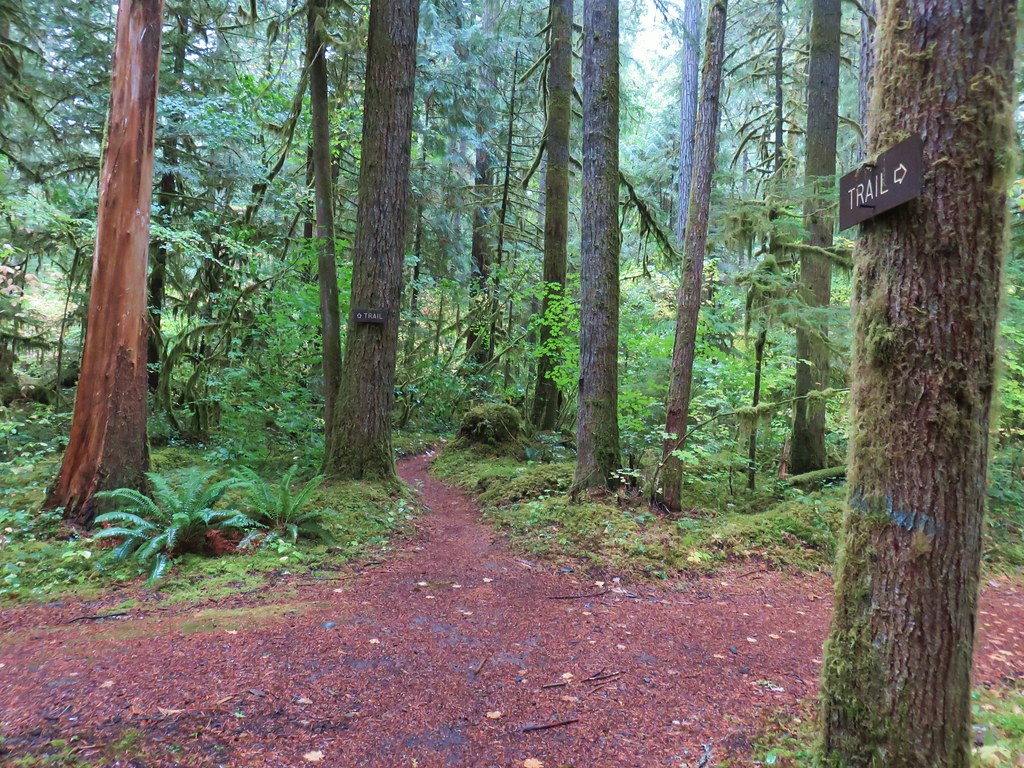
The Grasshopper Meadow Trail ends at these rocks for all intents and purposes. There is no clear path from the post up to the Grasshopper Mountain Trail which is approximately 150′ above running along the ridge. We made our way uphill trying to avoid as many plants as possible and picked up the trail which was marked by periodic rock cairns.
 A cairn marks the Grasshopper Mountain Trail.
We turned left on the trail and headed toward Grasshopper Mountain.


 Looking out over the meadow.
 Fuji Mountain and Diamond Peak
 The saddle below Grasshopper Mountain.
From the ridgetop we gained a view to the NE which included the Three Sisters, Broken Top, and Mt. Bachelor (post).

 The Three Sisters and Broken Top
 Mt. Bachelor
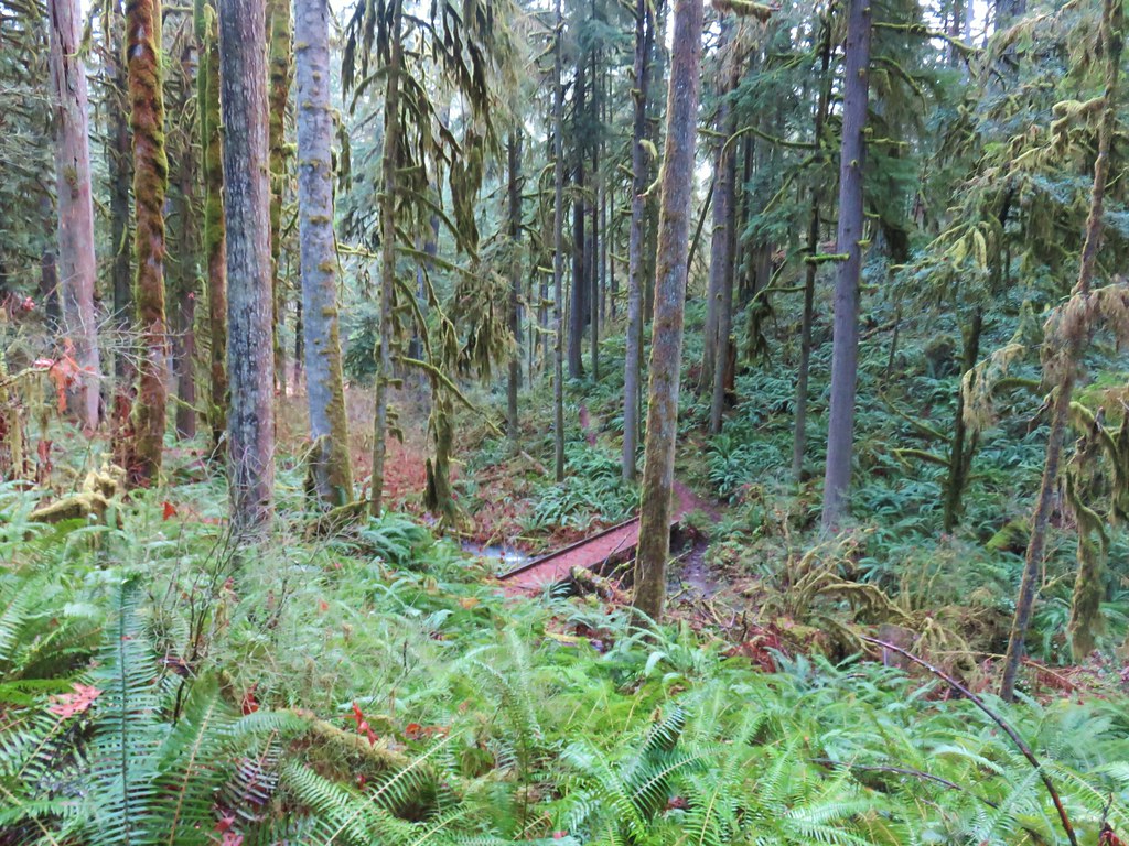
We crossed over the ridge and continued on the Grasshopper Mountain Trail which was, as we had suspected, in need of some trail maintenance.
 The last of the snow, at least it is all we saw.
 Glacier lilies near the tiny snow patch.

 It was evident that the trail does get maintained on occasion, but none of it appeared recent near Grasshopper Mountain.
Crossing over the ridge changed the mix of wildflowers we’d been seeing adding in some early season bloomers such as trillium.

 Anemone
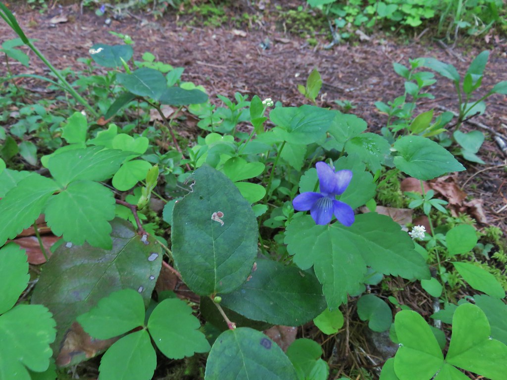
 Violets
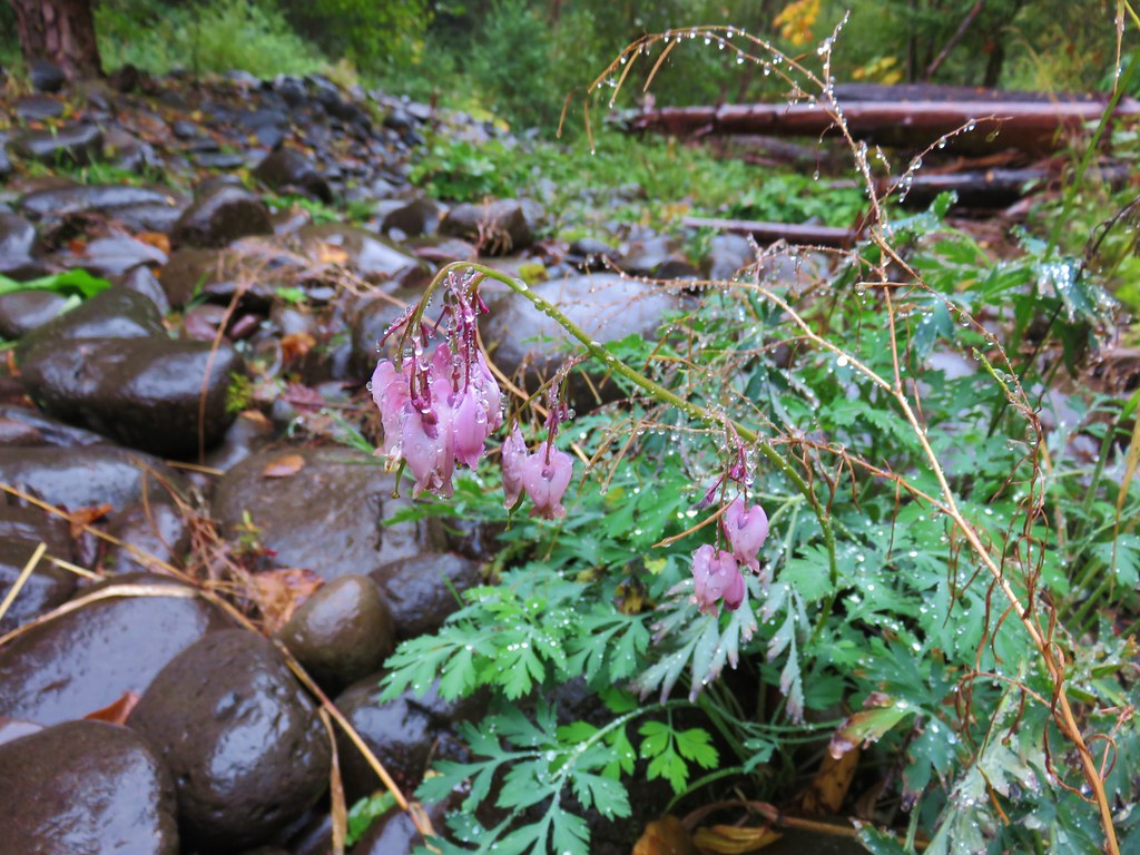
 Bleeding heart
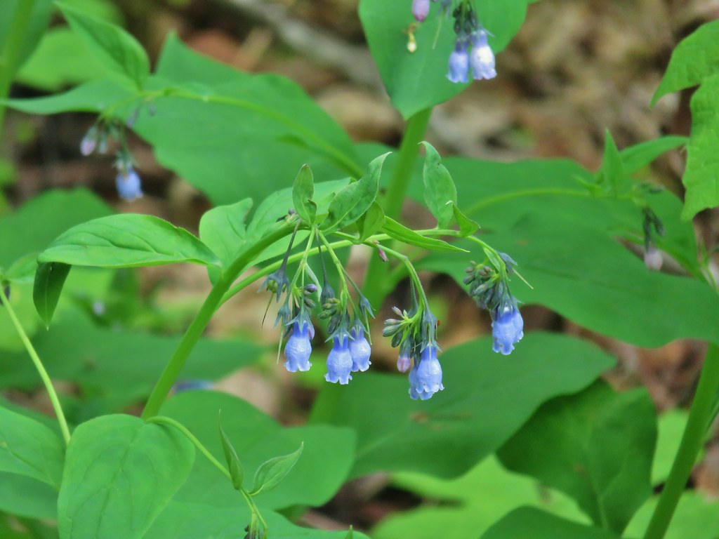
 Oregon bluebells
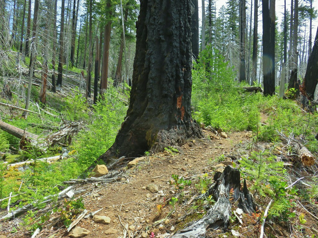
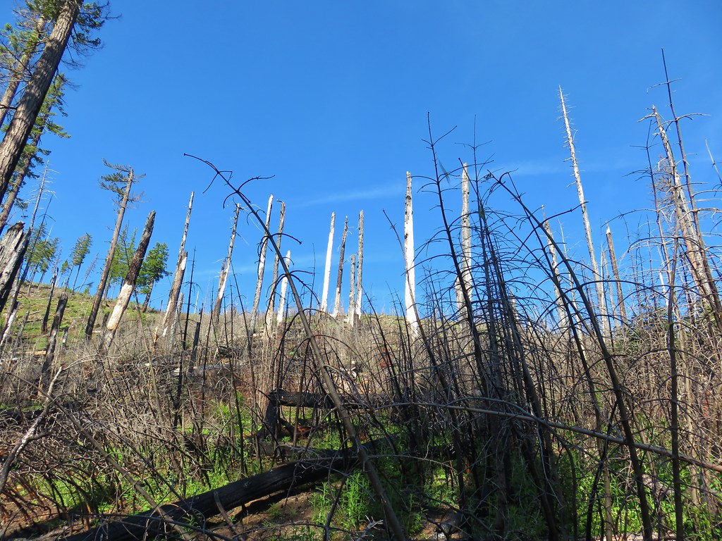
The trail passed through a small fire scar on the backside of Grasshopper Mountain where we had to briefly leave the trail to find a way over and around blowdown.

 The Three Sisters and Broken Top were visible from this area.
 Back on the slightly overgrown trail.
As we made our way through the fire scar more mountains joined the view including Mt. Washington, Three Fingered Jack, and Mt. Jefferson.

 Mt. Jefferson and Three Fingered Jack
 Bears appear to use the trail more than hikers. This was the largest of three piles we’d pass on the day.
 Arnica
After navigating the fire scar we were able to more or less stay on the tread save for a couple of brief detours around blowdown. That being said there were numerous trees that we had to step, or in some cases climb over. There were also numerous burrows to watch out for along with a lot of forest debris which made for a slow and hard hike. The other thing that slowed us down was the sheer number and variety of flowers.
 This is both the trail and a front (back) door.
 Valerian and tall bluebells
 Fairy bells
 Meadowrue
 Moth on valerian.
 Jacob’s-ladder
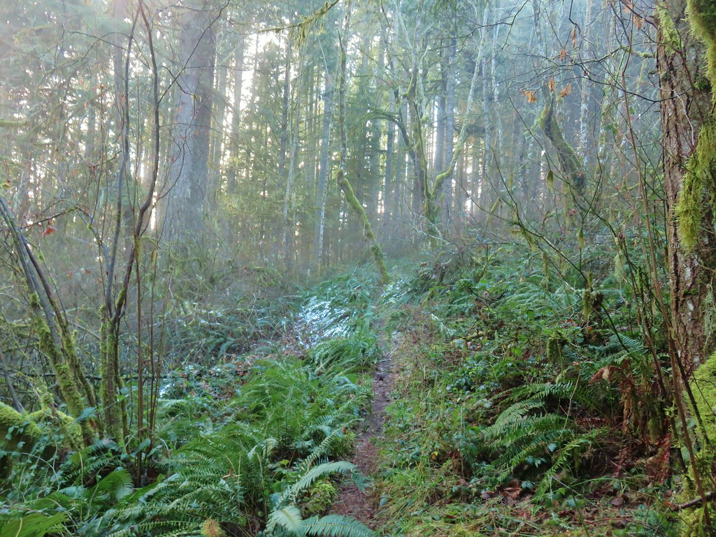
 While the trail was overgrown in places it was passable and the tread was in pretty good shape.
 Fringecup
 Possibly a speedwell but unsure and it was the only one we saw.
 More blowdown to maneuver around.
 Edith’s checkerspot
 Trail passing through an area full of monkeyflower and larkspur.
 Cinquefoil, larkspur, and buckwheat
 Scarlet gilia
 Paintbrush
 Bluehead gilia and silverleaf phacelia
Approximately 1.5-miles from the saddle below Grasshopper Mountain the trail again crossed the ridge to avoid a rocky cliff area.
 The rocky area from the trail as it crossed the ridge.
We could see that there were a lot of flowers on the rocks, but the trail dropped below the ridge quickly and my first attempt to scramble up to see the flowers was too soon and I just ended up in the brush on the ridgetop. On our way back I tried again, this time finding the correct spot where I was awarded not only with the amazing flowers but also another great mountain view.
 Columbine crowding the trail.

 The wildflower covered rocks on the way back.
 Arrowleaf buckwheat and Oregon sunshine
 The Three Sisters and Broken Top with some clouds moving in.


 Paintbrush surrounded by buckwheat, bluehead gilia, and stonecrop.
 Scarlet gilia
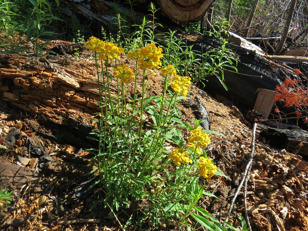
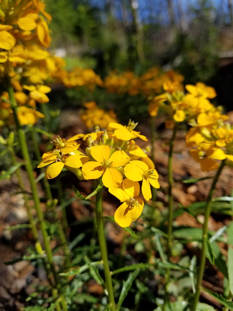
 Wallflower
 Wild rose
The trail stayed on the west side of the ridge for the remaining 2.3-miles. Just over a third of a mile from the rocky viewpoint the trail passed a small rock outcrop which we thought looked like and it might be a good spot for a break on the way back. Not far beyond the outcrop we came to another tricky downed log where Heather decided that was enough. She would go back to the outcrop and while I would continue. If the trail was passable I would continue for no more than 45 minutes as it looked like that would be enough time to reach the Grasshopper Trailhead based on the distance shown on the GPS.

 Beargrass near the outcrop.
 The outcrop from the trail.
 Blowdown
 More blowdown
 Western meadow fritillary
 Bunchberry
 Recent trail maintenance! There were a couple of cut trees in the final mile, but there were also still many to step over.
I had misjudged two things when Heather and I had split up. One was just how far the trailhead was, and the other was how much elevation I would be losing to get there.
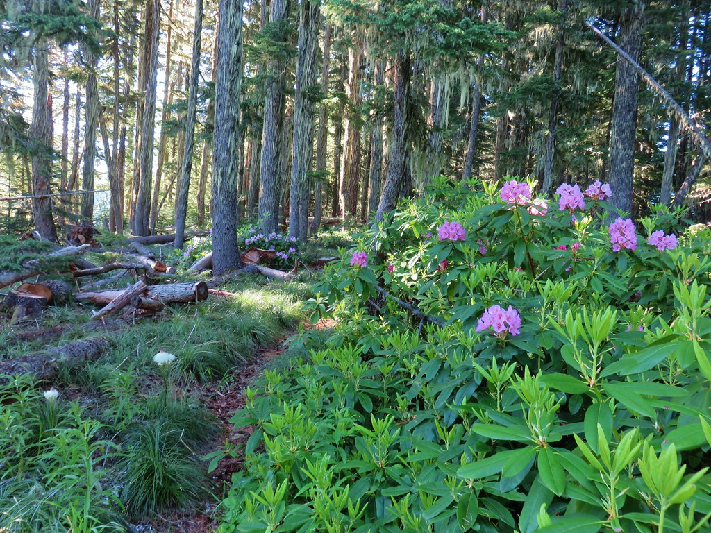
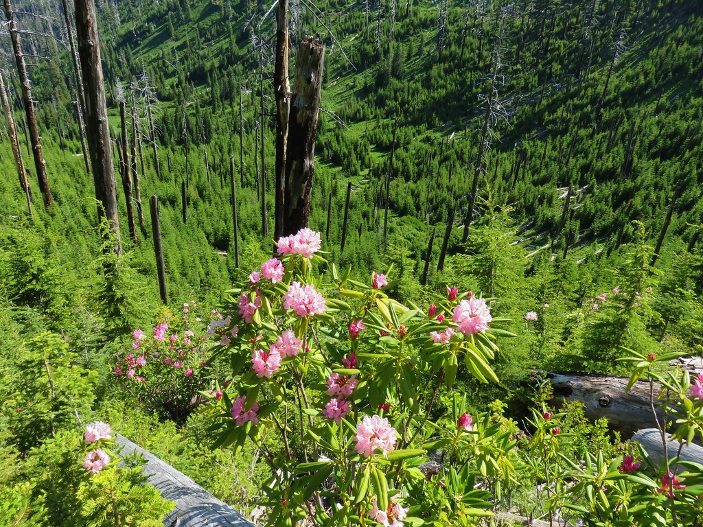
 The trail dropped low enough that there were several rhododendron blooming.
 Queen’s cup.
 South Sister (post) and Broken Top (post).
It turned out I had been almost 2-miles from the trailhead and needed to lose over 850′ of elevation to reach it. Luckily the trail was in a little better shape at this end again. I was able to keep a good pace and I arrived at Grasshopper Saddle with a couple of minutes to spare.


Given that the Forest Service lists this as an official trailhead I was expecting a little more than a post with a road number and a faded laminated sheet of paper.
 Had I not just come down the trail I might not have even noticed it was there.
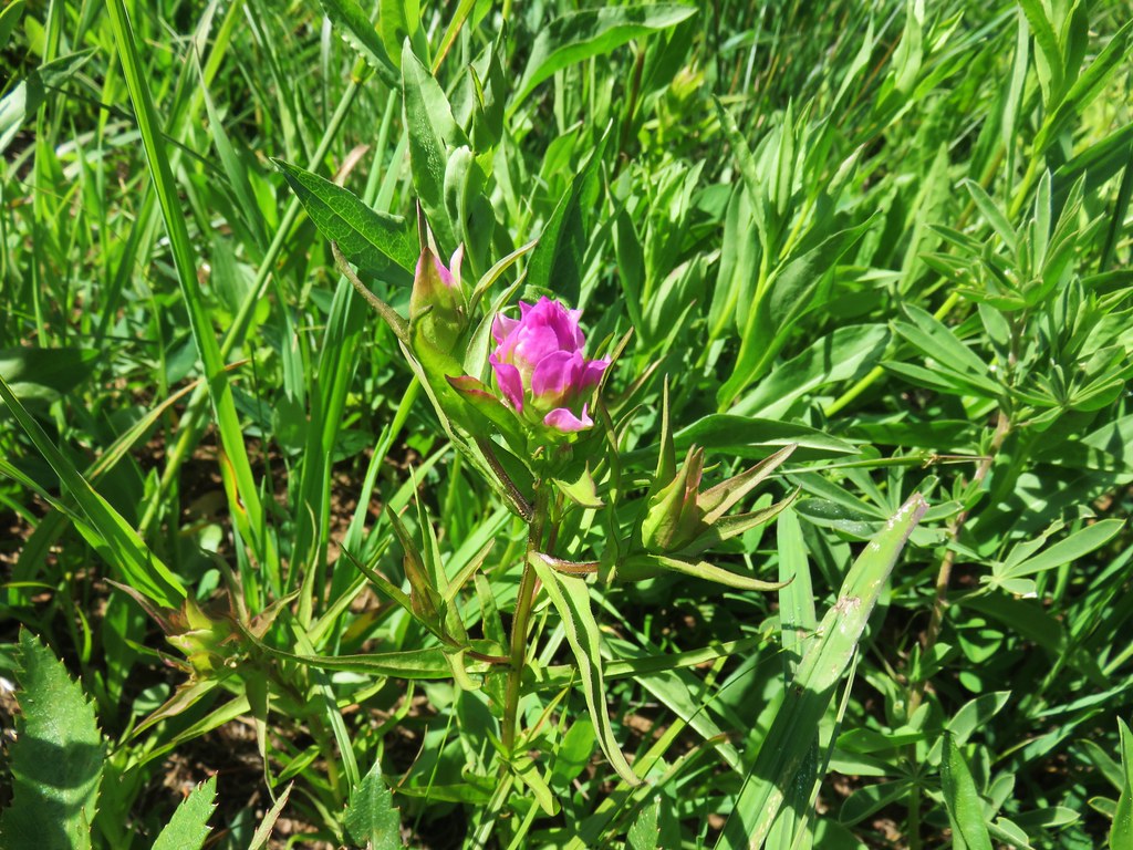
 Cardwell’s penstemon
I realized on my way down that while I was making good time going in that direction, I was going to be hard pressed to maintain the same pace going uphill. Fortunately for me it wasn’t a particularly warm day, so it only took me an extra five minutes to make it back to the outcrop. When I joined Heather on the outcrop she said she was just starting to wonder if she should start to worry. (I might have made a little better time had I not kept taking pictures, but then again, those breaks let me catch my breath.)
 Starflower
 Ginger
 Mt. Bachelor through the trees.
 Musk monkeyflower
 Grasshopper Mountain from the outcrop.

 Cliff beardtongue
After I took a much-needed break we headed back. We kept our eyes out for flowers we’d missed on our first pass while we watched the various pollinators visiting the blossoms.
 Blue-eyed Mary
 Cicada, not a pollinator but interesting to see.
 Solomonseal
 Variable-leaf collomia
 Honeysuckle
 Oregon grape
 Pollinator 1
 Pollinator 2
 Pollinator 3 (Clodius parnassian)
 Bees on bastard toadflax
 Checkerspot on groundsel
 Naked broomrape (Aphyllon purpureum)
 Penstemon
 Our guess is this is mile three from Grasshopper Saddle. We didn’t notice any other numbers and missed this one on our first pass.
 Dwarf bramble
 Strawberry

 Cinquefoil
 It started clouding up in the afternoon.
 Back at the saddle below Grasshopper Mountain.
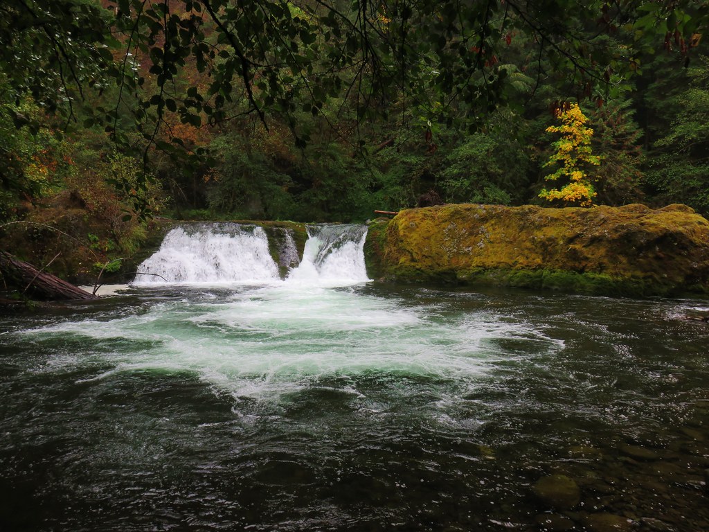
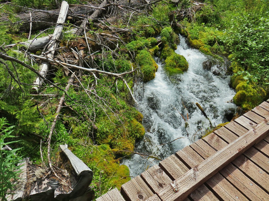
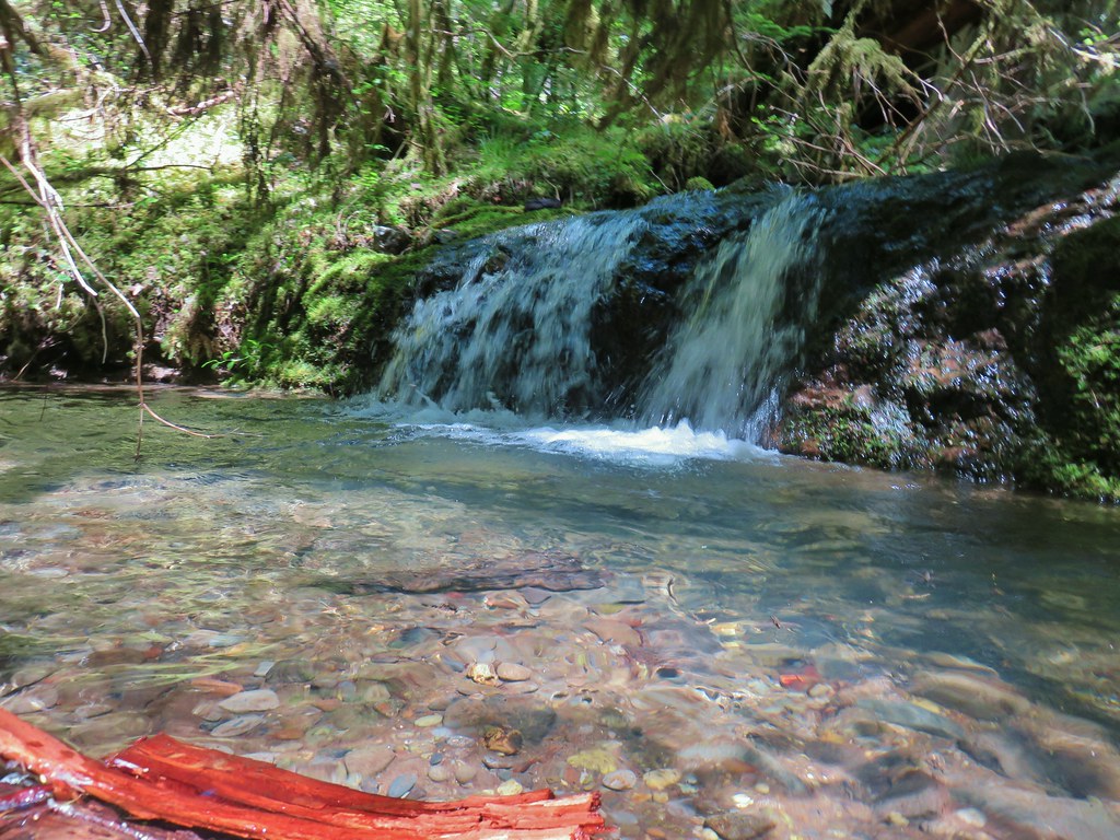
We took another break shortly after reaching Grasshopper Meadow then headed down to the spring where we both cooled off using the spring water.

 Great artic butterfly. There were a lot of these flying about. Their dorsum is a bright orange, but they rarely would open their wings when they landed.
 The checkerspots on the other hand are happy to open their wings.
 False hellebore
 It clouded up over Diamond Peak as well.
 Lewis flax
 Orange agoseris
 A Lycaendae on a lupine leaf.
 Moth on a mariposa lily.
 Butterflies gathering at the spring.
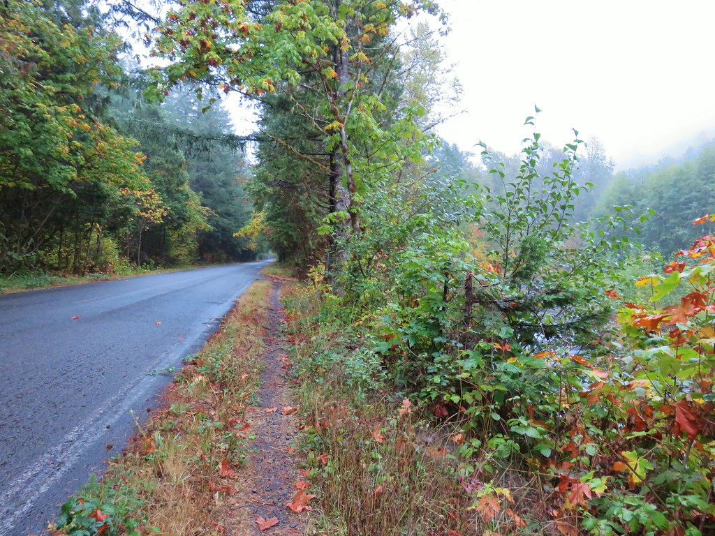
After refreshing ourselves with the spring water we continued back to the trailhead where we found the Prius still there. We never saw or heard another person on this hike. Not seeing anyone along Hiyu Ridge isn’t all that surprising given the trail conditions, but not seeing anyone in the meadow was a little surprising.

 The Prius at the TH. We parked on the shoulder in a pullout.
The hike from trailhead to trailhead came to 11.5-miles (according to the GPS) with a little over 2000′ of elevation gain (according to the topo maps, and my legs).

Despite the rough trail conditions this was a beautiful hike. The flowers were the highlight, but there were several good mountain views scattered throughout. Hopefully the gullies in FR 1929 can be repaired or at least kept from getting any worse. Forest Road 1927 at Grasshopper Saddle seemed to be a good gravel road, but for that to be a viable option for anyone other than those that don’t mind a challenge the trail needs to be cleaned up. Happy Trails!
Flickr: Hiyu Ridge via Grasshopper Meadow


 Arnica


 Spirea, tiger lilies, columbine, valerian, and cinquefoil.


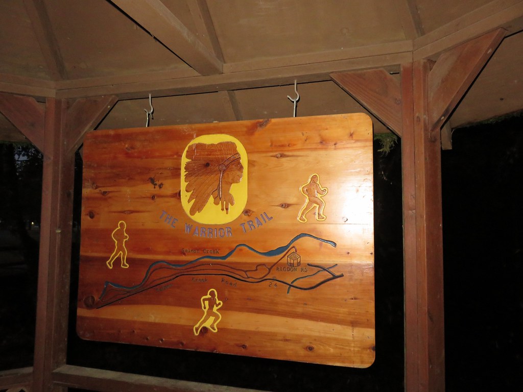
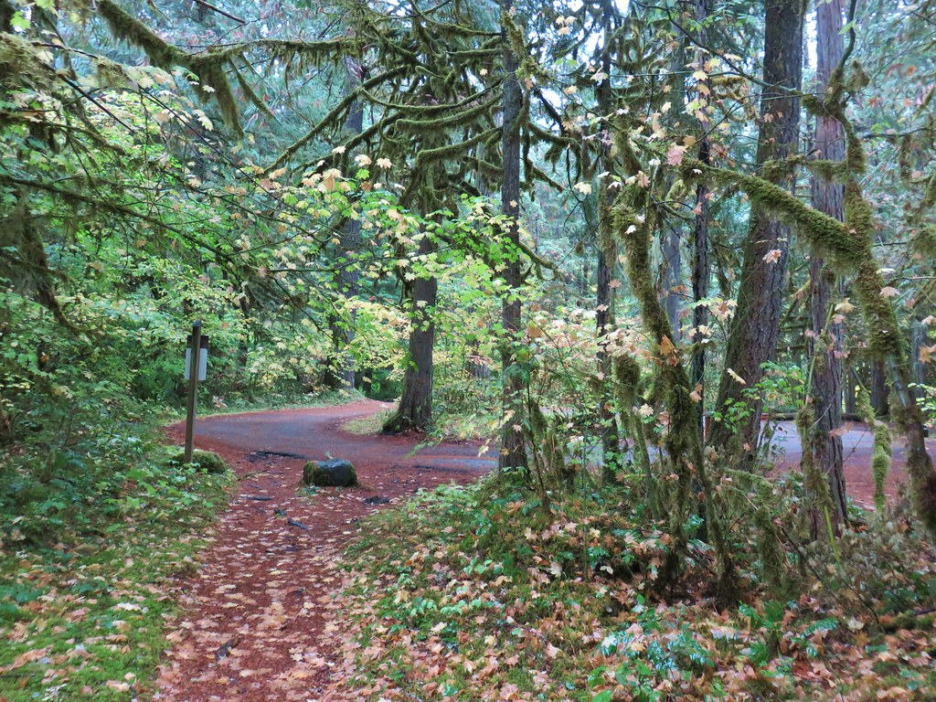
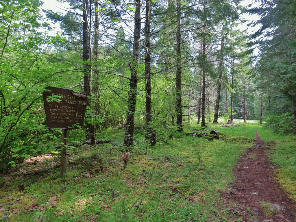
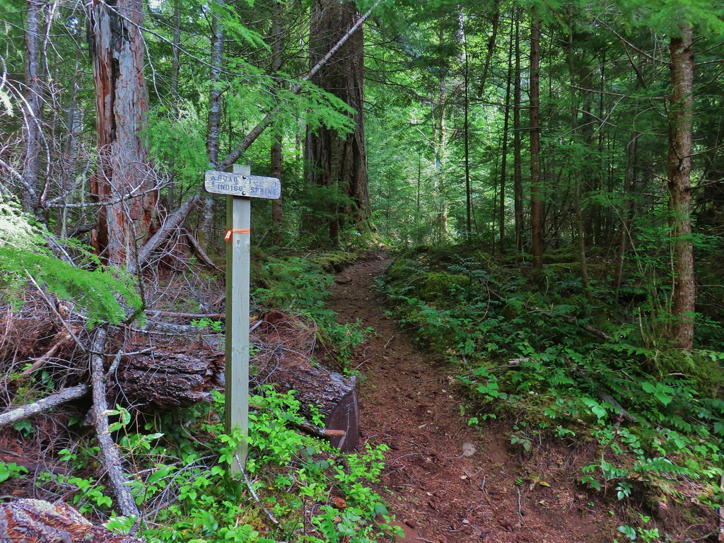
 Signboard about a tenth of a mile from the trailhead.
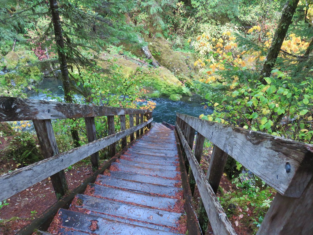
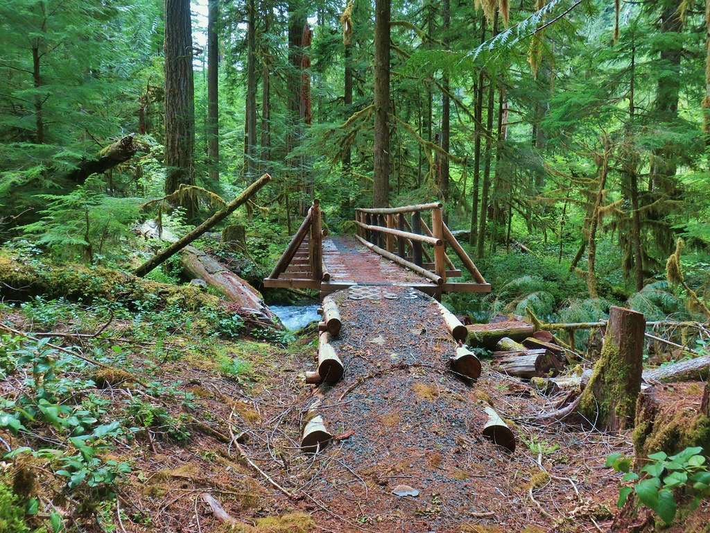
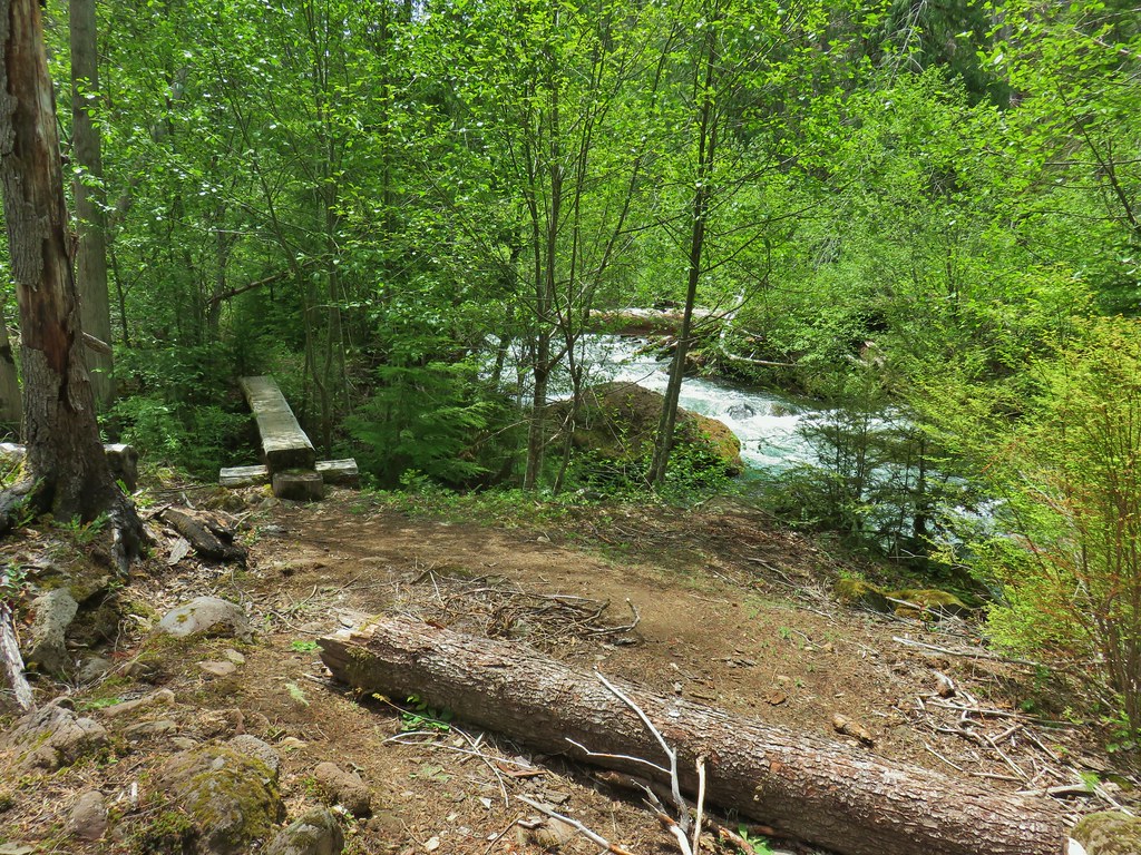
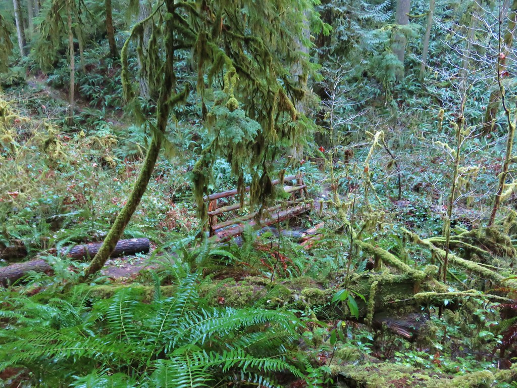
 The loop began on the far side of the footbridge.
 As far as we could remember we’d never seen a bench on the other side of a fence before.
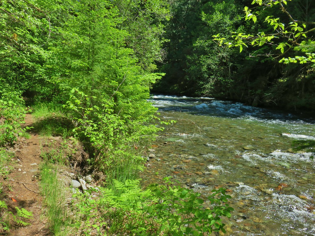
 Middle Fork Willamette River through the vegetation.
 Tiger lily
 Self-heal
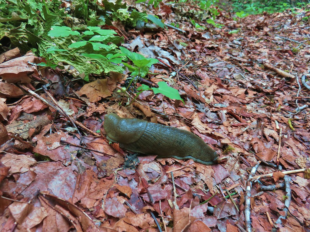
 Snail
Snail Mock orange

 Anemone
 There are a few junctions prior to reaching the footbridge. The first was the only one with any signage. We stayed on the correct trail by ignoring side trails to the left that headed uphill and on the right that led down to Deception Creek.
 We turned left at the signed junction following half a sign for the Deception Butte Trail.

 At the last unsigned junction there was a signboard, but with nothing on it. (We went straight.)
 Warning sign for the burned area ahead.
 The footbridge over Deception Creek.
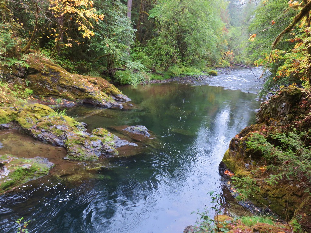
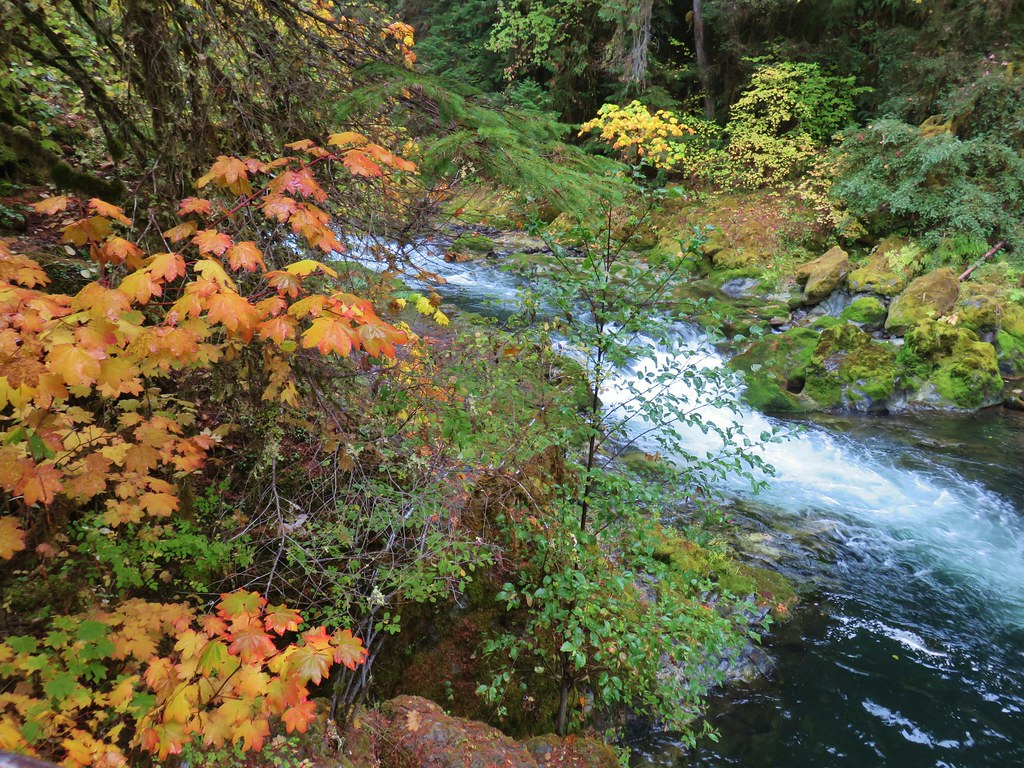
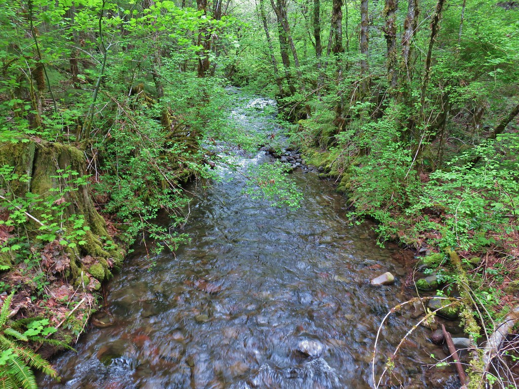
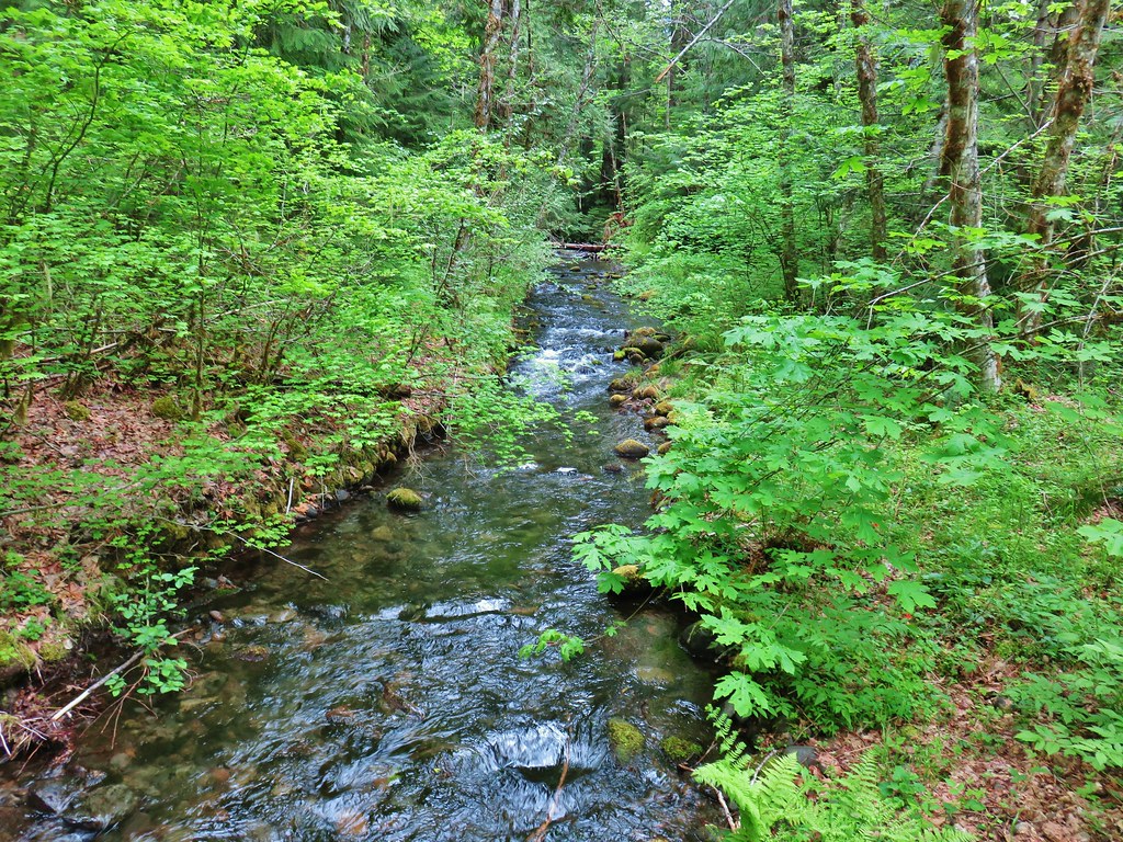
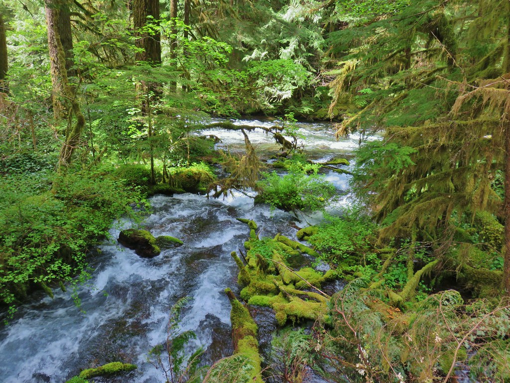
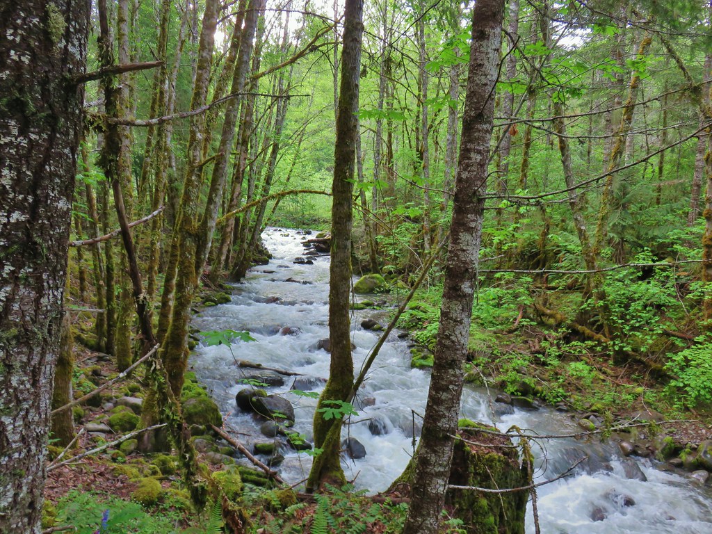
 Deception Creek

 The amount of trail work needed to clear the trail was evident by the sheer number of cut trees along the length of the trail.
 This was from 2017 near the same stretch of trail.
 View up the canyon from the trail.
 Clodius parnassian
 There was a lot of vegetation along the trail, so we had to keep an eye out for poison oak which was present at times on the lower two-thirds of the trail. It was never much of a problem, but there were a couple of plants crowding the trail that we had to maneuver around.
 Moth
Moth Starflower
 Rhododendron
 Northern cloudywing
 Big deervetch
 Hummingbird
 Groundsel
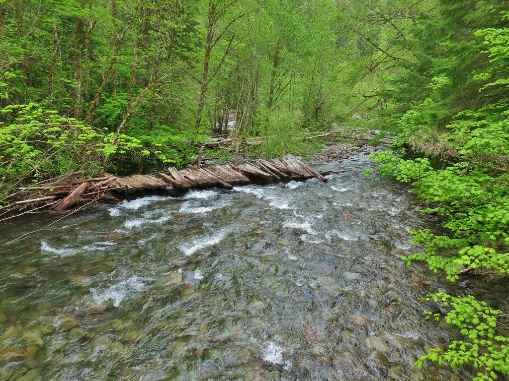
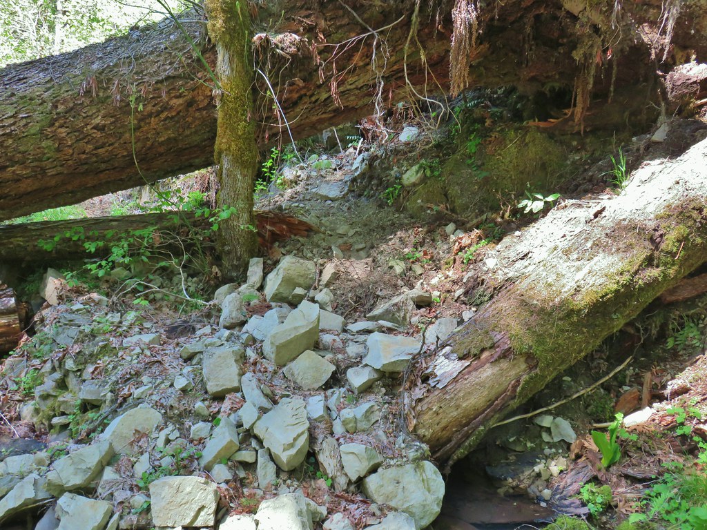
 One of the damaged sections of trail.
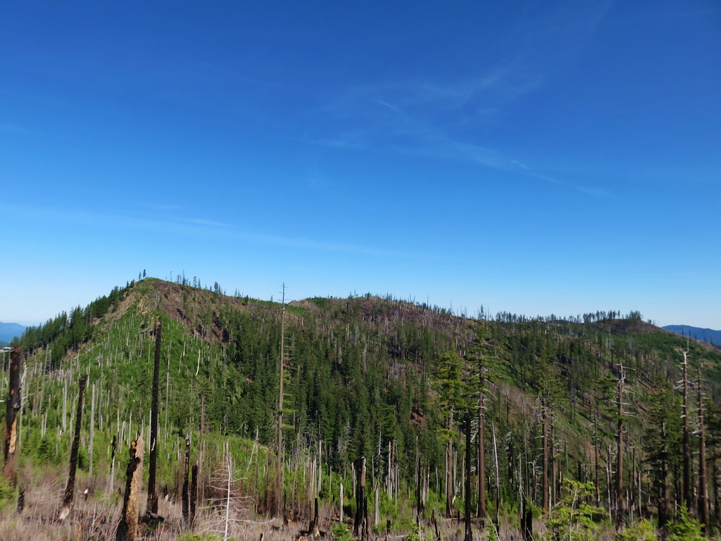
 There was some forest that survived the fire starting near the 3.5-mile mark where the fire burned less intensely.
 Townsend’s solitaire
 Canada jay
 There were a few views of the Three Sisters through the remaining trees. (Middle & South Sister here)
 Inside-out flower
 Looking up as the trail neared the summit.
 Woodpecker
 Common whipplea
 Anemone
 The Deception Butte Trail arriving at Deception Butte.
 Beargrass


 Looking down at the saddle and wondering if it was really worth having to climb back up.
 Northern flicker
 Lizard
 Rock outcrop on the other side of the saddle.
 Tolmie’s mariposa lilies
 Bluehead gilia
 Squirrel
 Oakridge in the valley below with Diamond Peak (
 Diamond Peak
 Oakridge
 Leafy fleabane
 Oregon sunshine on the hillside looking up Deception Butte from the saddle.
 Wild onion
 One of the fritillary butterflies.
 Fly inside a Tolmie’s mariposa lily.
 There is a very steep trail just below the summit that leads to an upper trailhead. The Forest Service does not recommend using these though as the trail is said to be slippery and steep. We can vouch for the steep just by having looked down from the Deception Butte Trail.
 Plectris and stonecrop
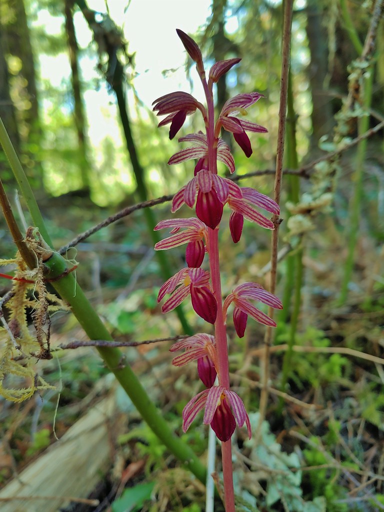
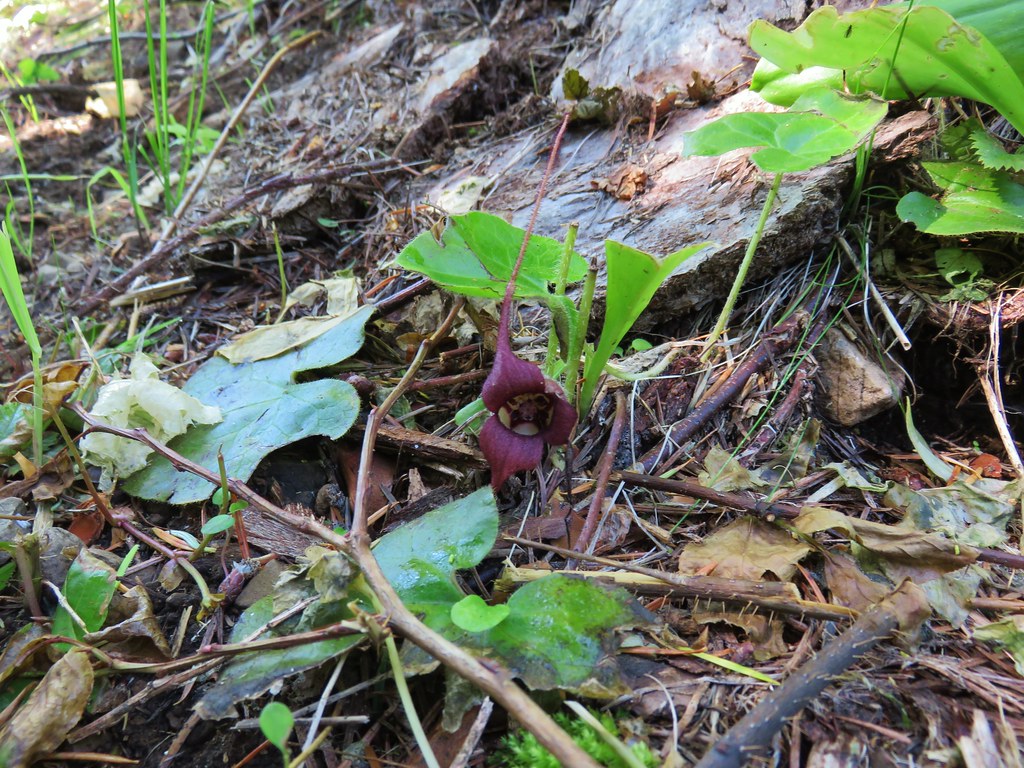
 Coralroot
 The best view of the Three Sisters that we got all day.
 Butterflies enjoying some vetch. There were at least a half dozen butterflies visiting this patch.
 Brown creeper
 Pink pyrola

 Pearly everlasting
 Turkey vulture
 Fireweed
 Entering the trees near the footbridge over Deception Creek.
 Columbine
 Tiger lilies


 Camas and buttercups at Rigdon Meadows.


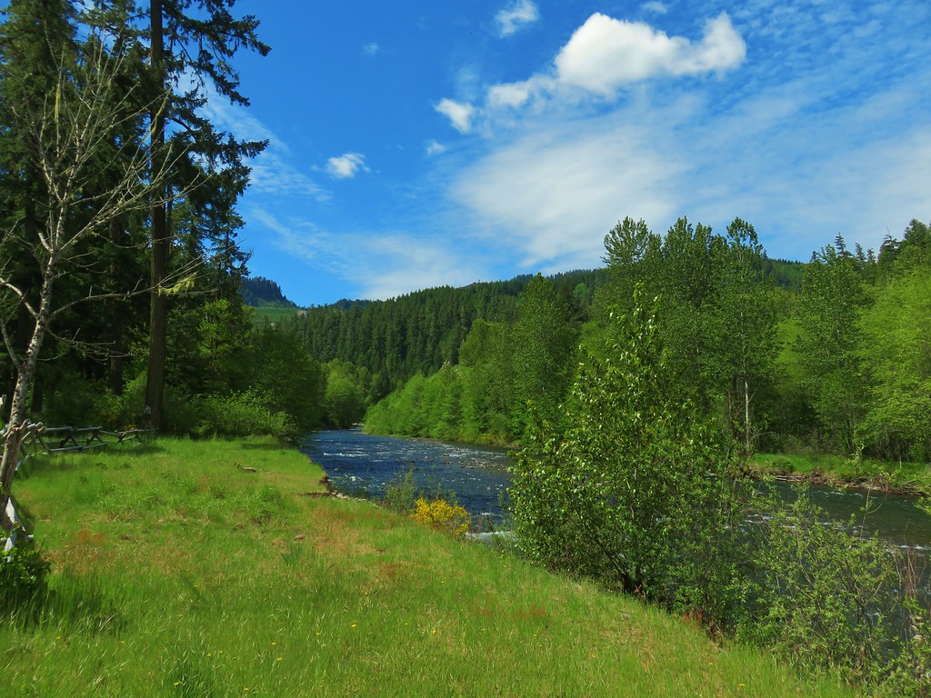
 Middle Fork Trail along FR 21.
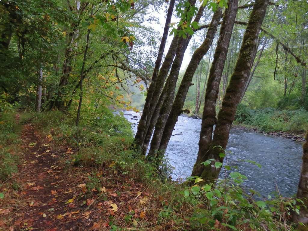
 One of only a couple of spots where we were able to get to the river.
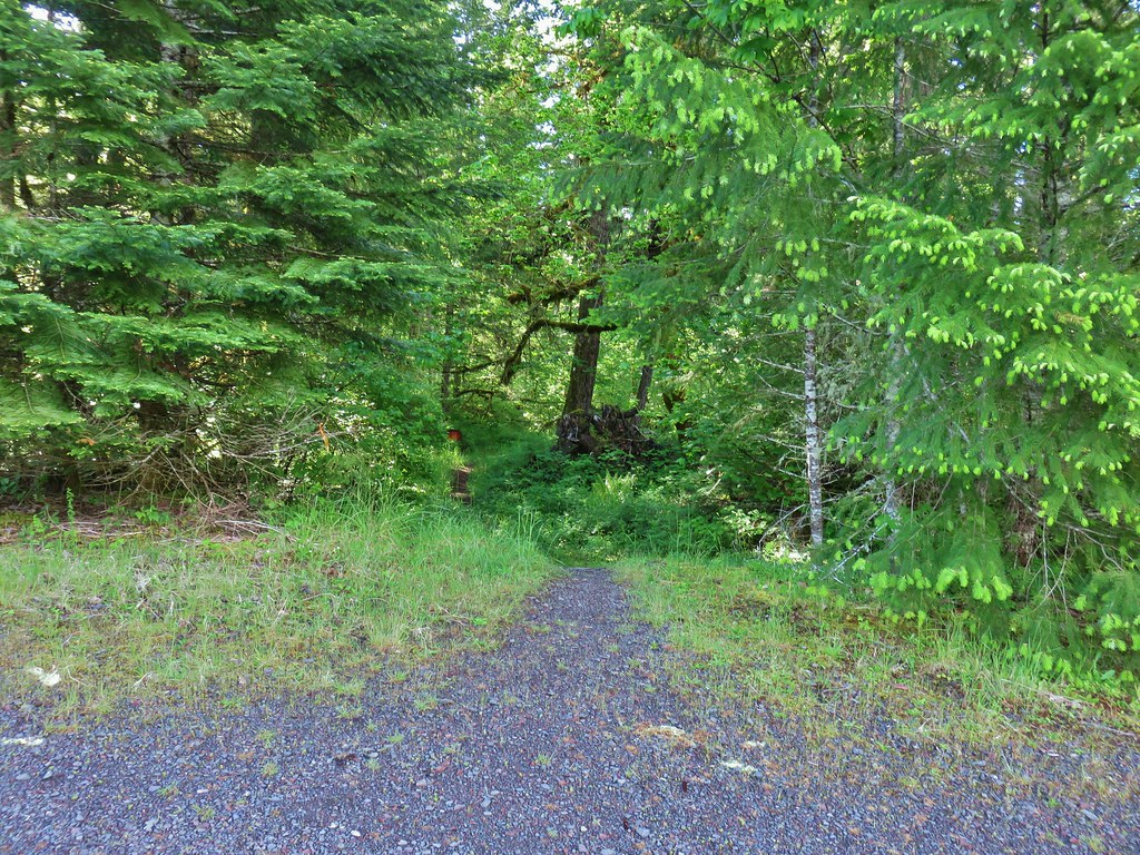 Orange flagging on the left after crossing a gravel road.
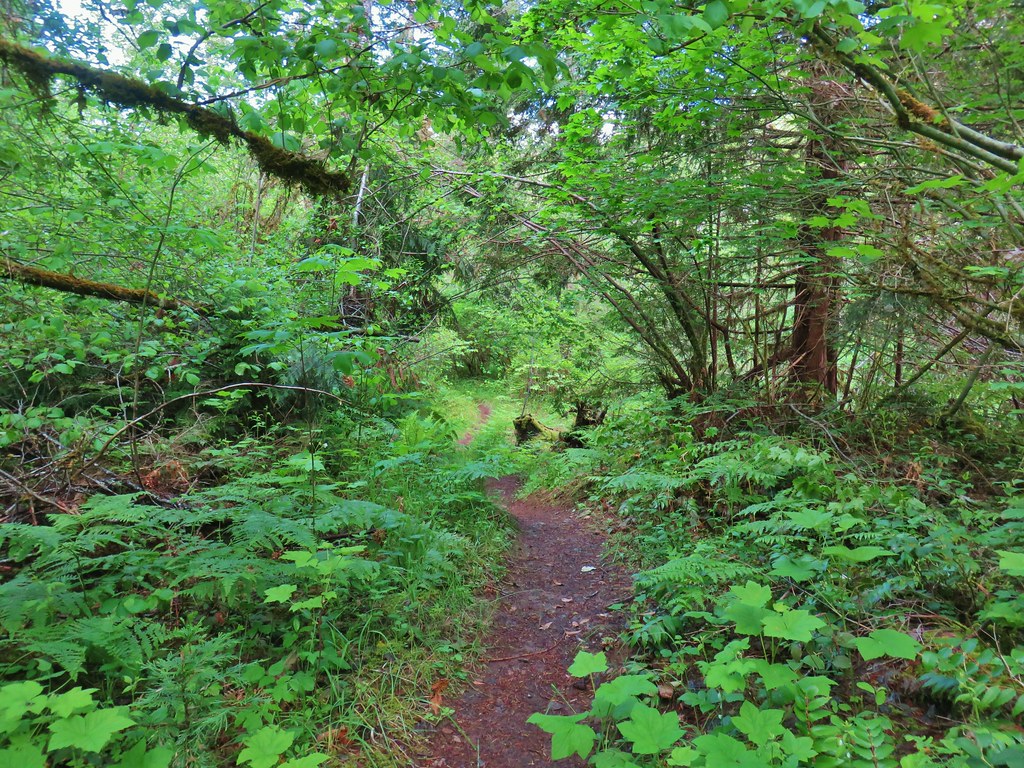
 Thimbleberry
 Cone Creek
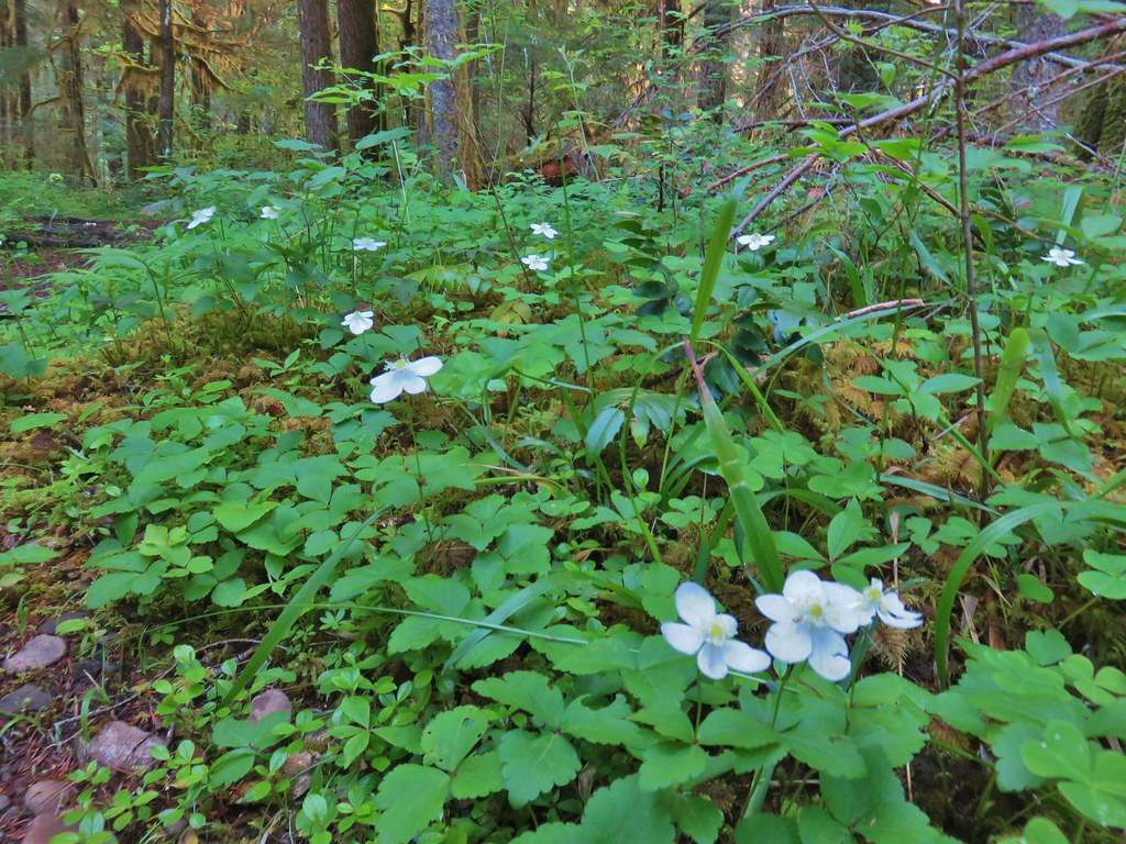 Anemones
 Footbridge over Bills Creek
 Queen’s cup

 Columbine
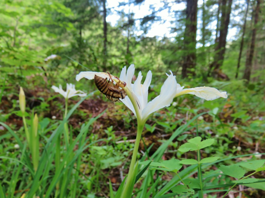
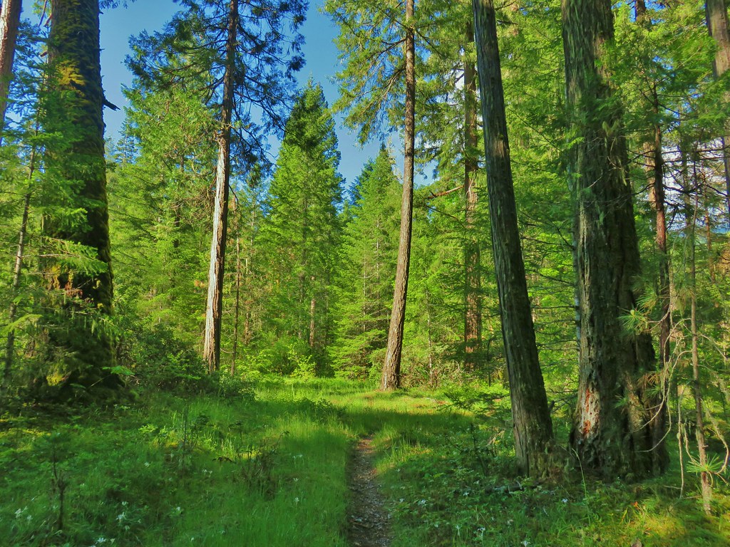 Yellowleaf iris along the Middle Fork Trail.
 Pine Creek – At first it looked like they put the bridge in the wrong spot, but there was another branch to the creek.
 Small meadow along the trail.


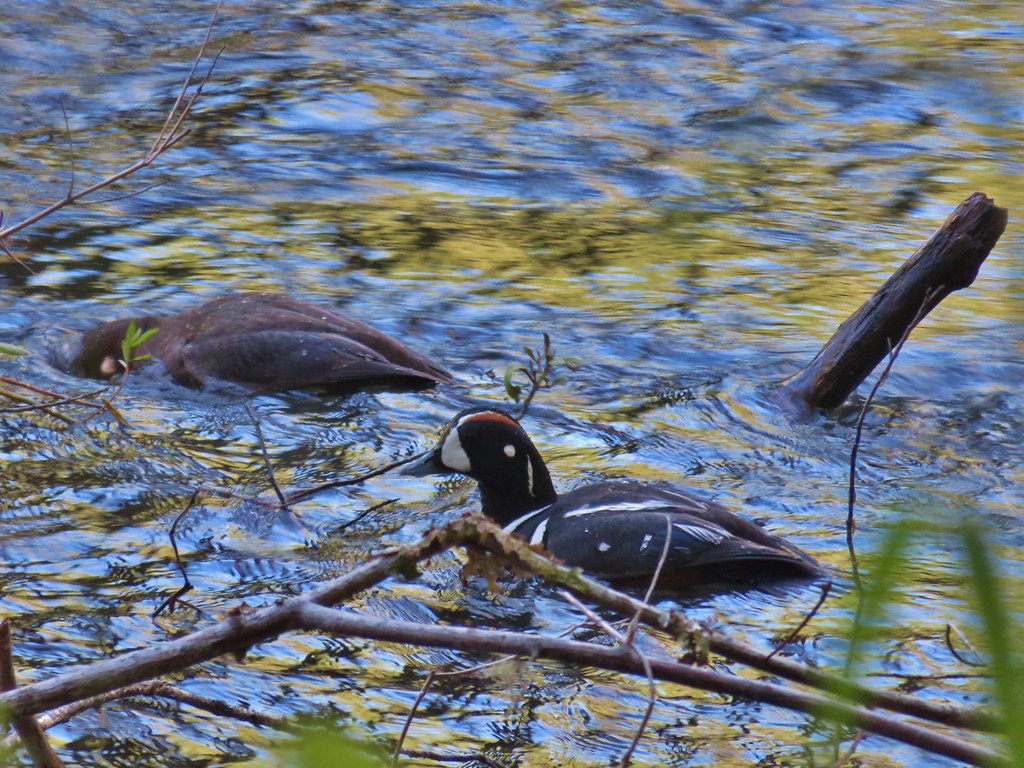
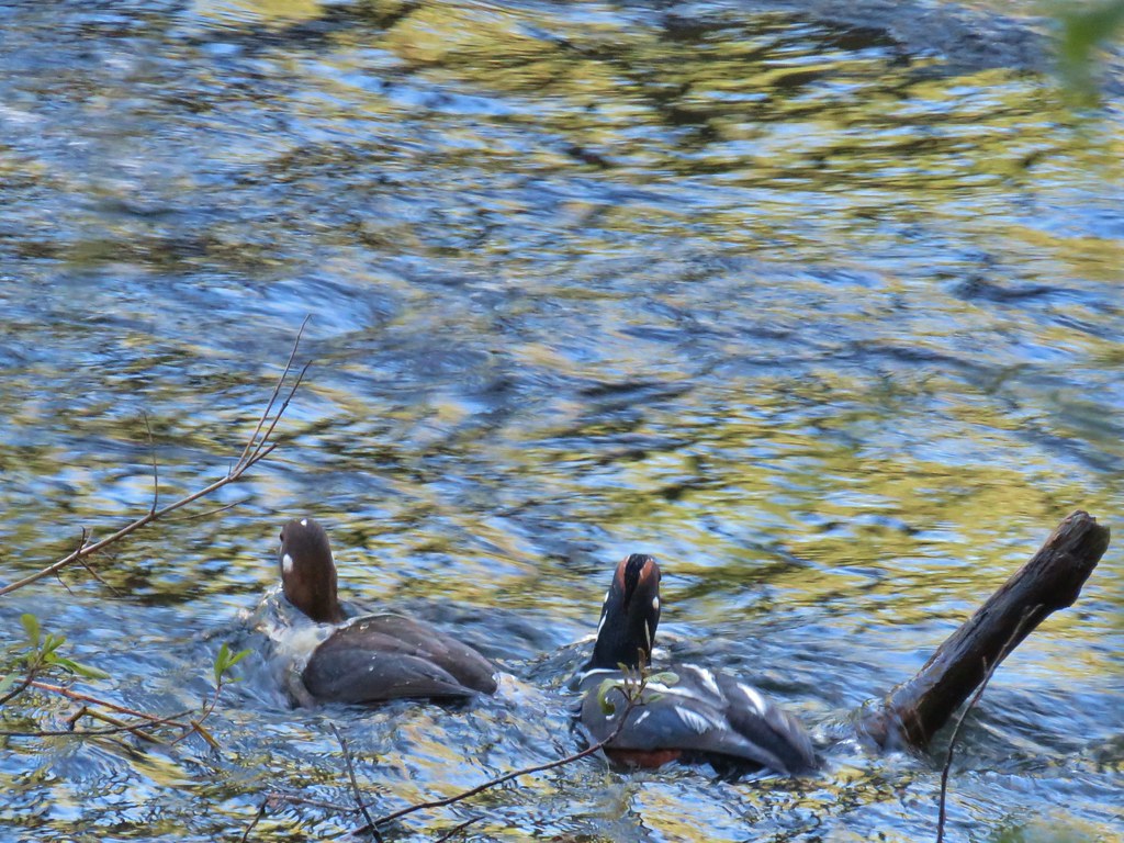
 Common merganser on the river below the bridge.
 Sign at the
 Mossy stump along the trail.
 Lots of grass along portions of the trail, one of these areas was probably where the tick hopped on.

 The ookow wasn’t quite blooming yet.
 Tolmie’s mariposa lily
 Monkeyflower and tomcat clover
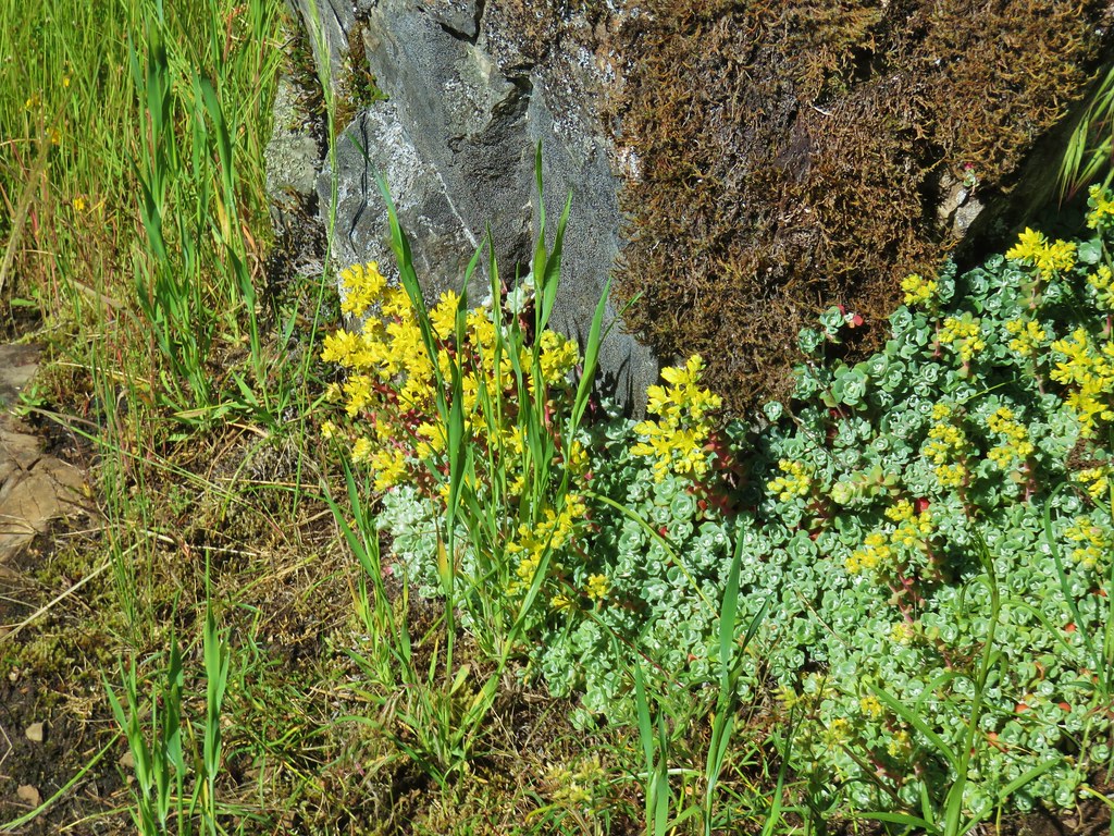 Stonecrop
 Plectritis and giant blue-eyed Mary
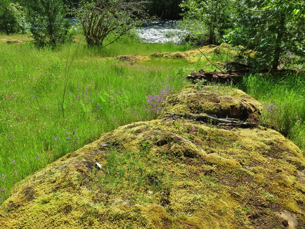
 Giant blue-eyed Mary
 Buttercups
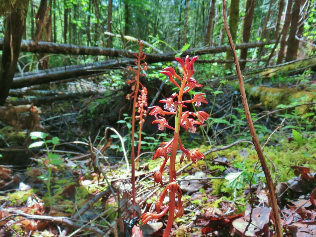 Spotted coralroot (with a caterpillar)
 Striped coralroot


 Chocolate lilies
 Completed section of the reroute.
 More signs at FR 201
 FR 201 crossing Coal Creek.
 Coal Creek
 Road walking on FR 2133


 Simpson Creek
 Northern phlox
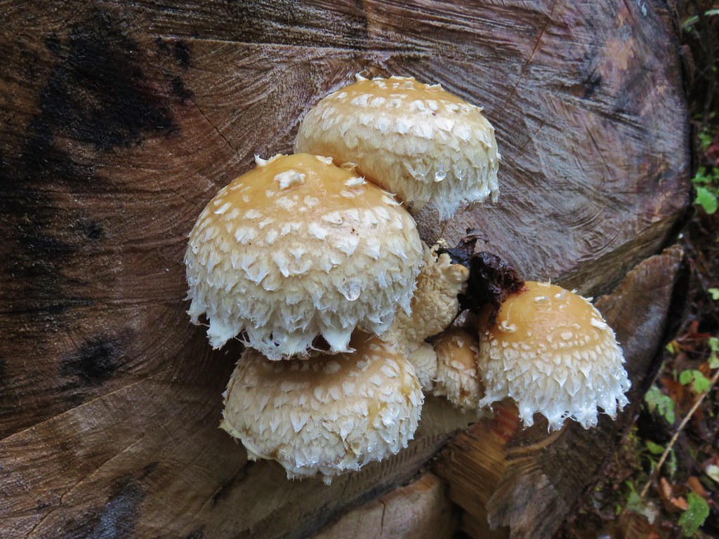
 Don’t know what type of fungus this is but it looked neat.


 Star-flowered solomonseal
 Anemone
 Trillium
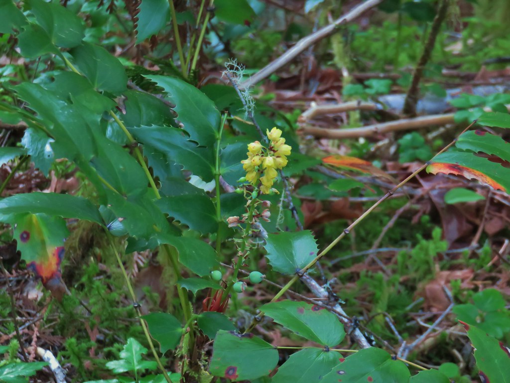 Oregon grape
 Starflower
 Yellowleaf iris
 Looking back at FR 1910’s bridge over the River.

 Valerian
 Spotted coralroot
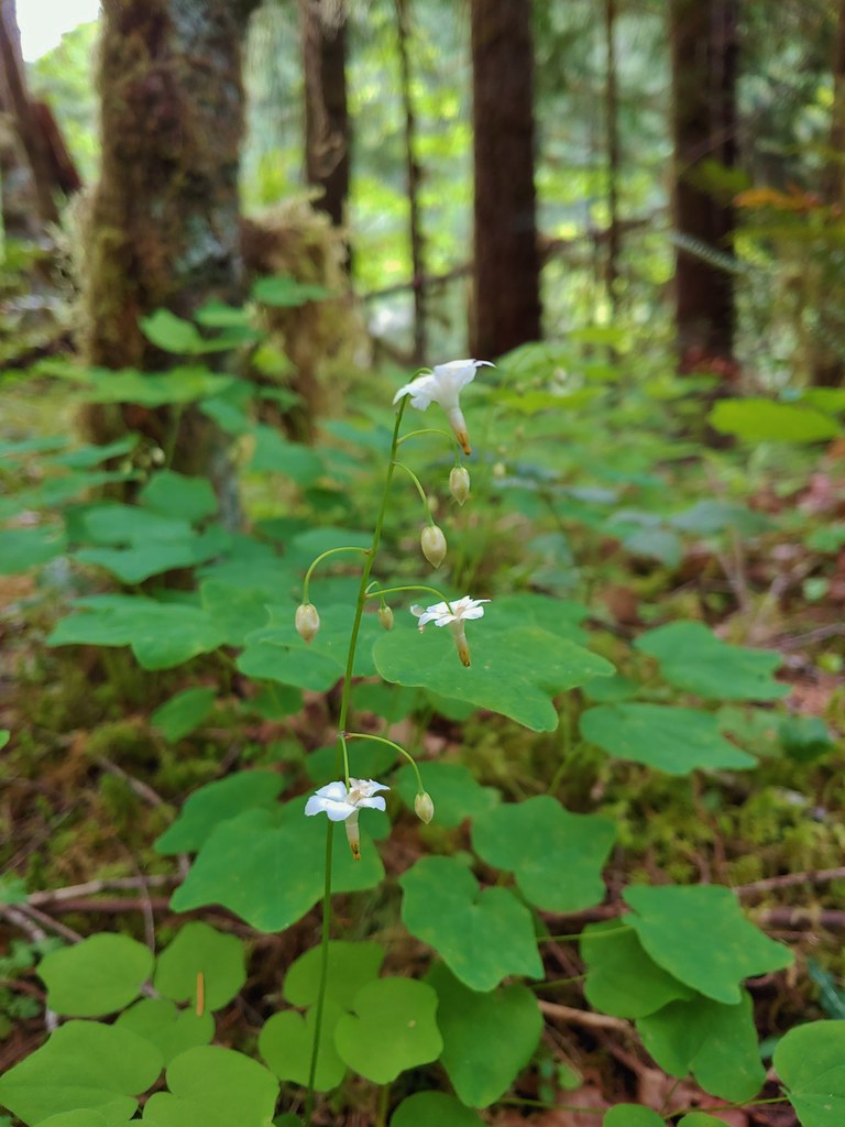 Inside-out flower
 Hookedspur violet
 Fairy slipper
 Dogwood blossom
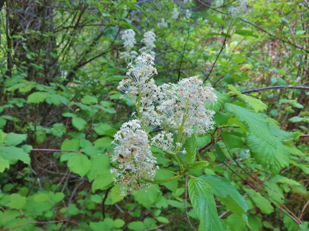 Buck brush
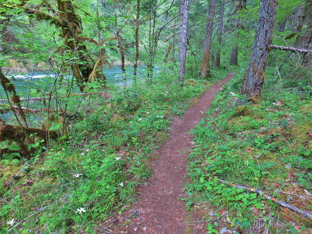

 Shed cicada skin
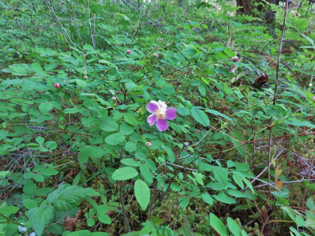 Wood rose
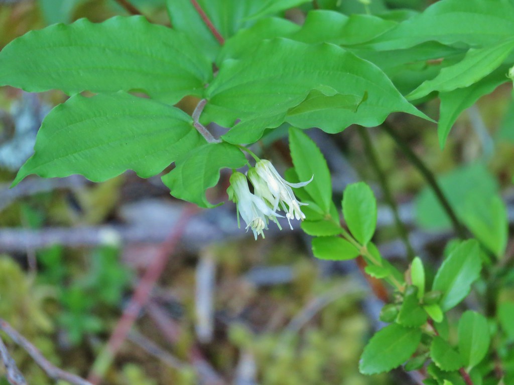 Fairy bells
 Northern phlox
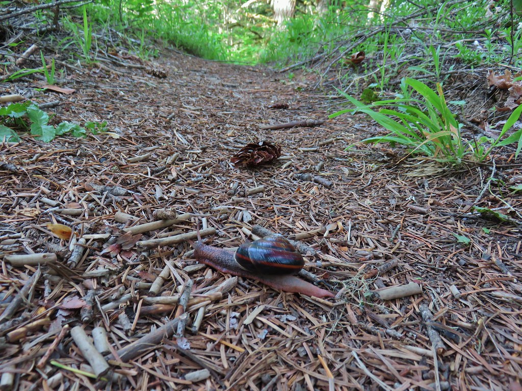 Trail snail
 Honeysuckle
 Columbine
 Lupine
 Youth-on-age
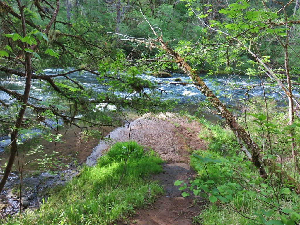 Rock ledge along the river.
 View from the rock ledge.
 Monkey flower
 Camas
Camas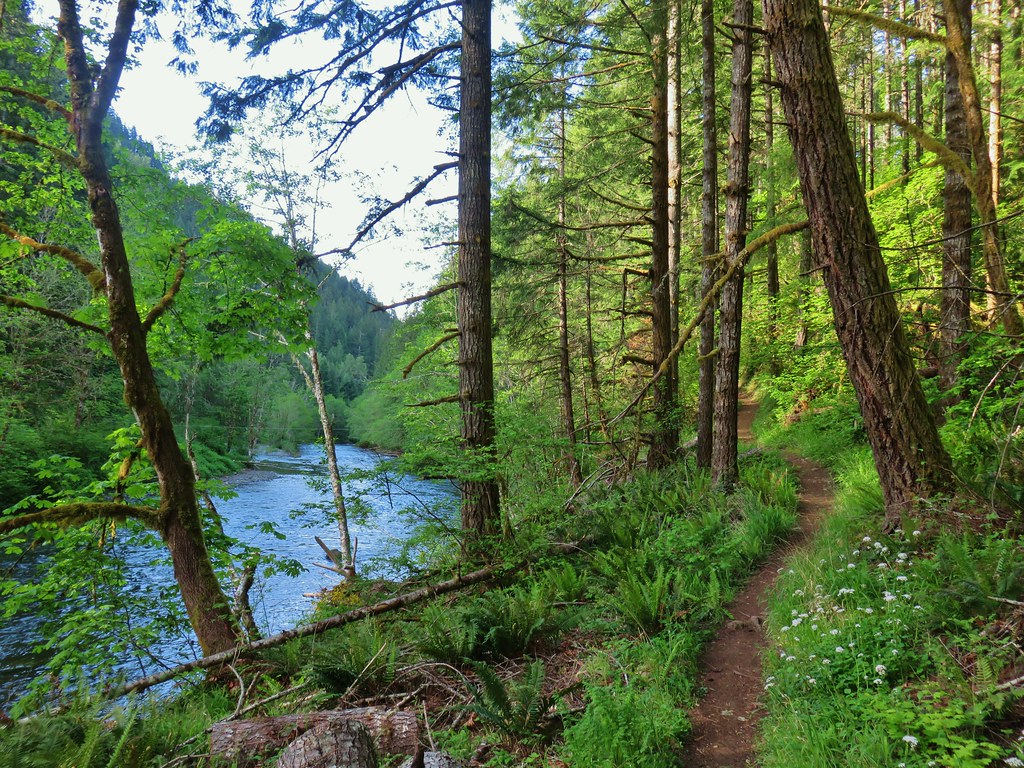
 Concrete tower
 Pale flax
 Roadbed near the trailhead.
 Vanilla leaf
 Wild ginger


 Candy flower growing out of a mossy tree trunk.
 Western meadowrue
 Largeleaf sandwort
 Striped coralroot
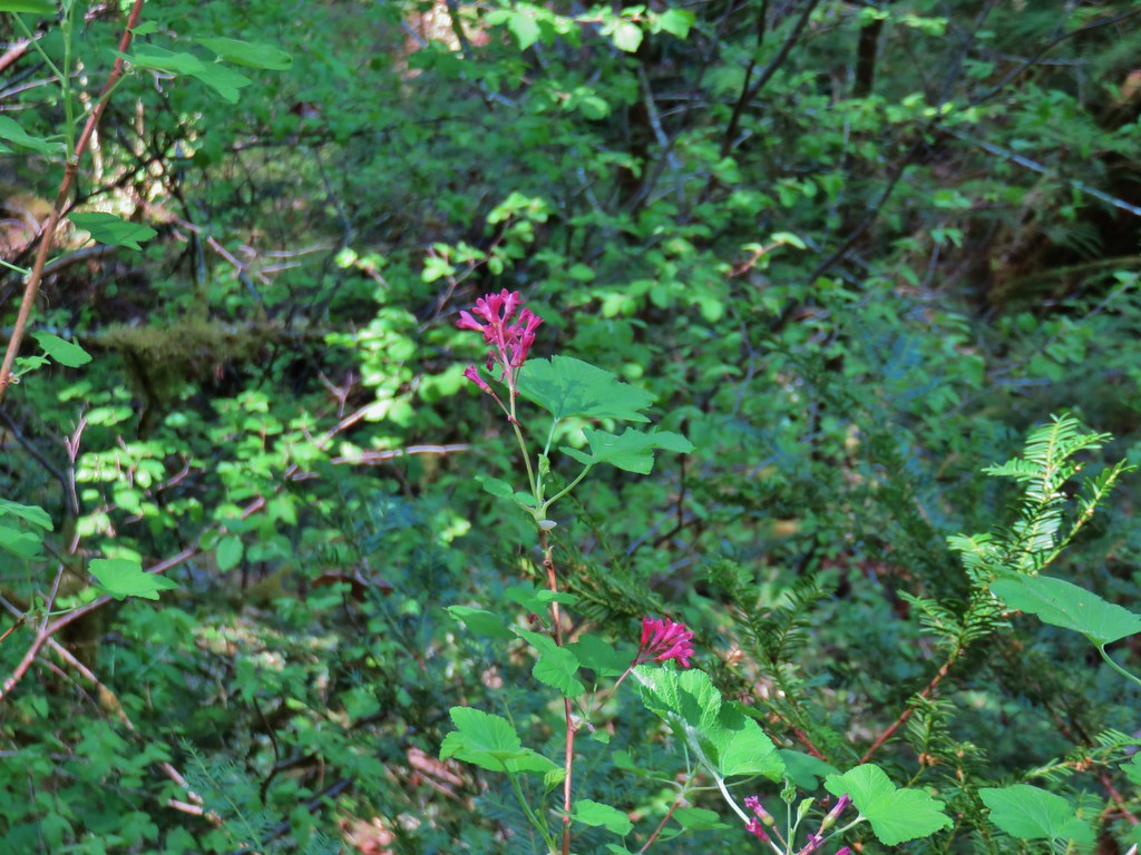 Red flowering currant
 The second creek crossing.
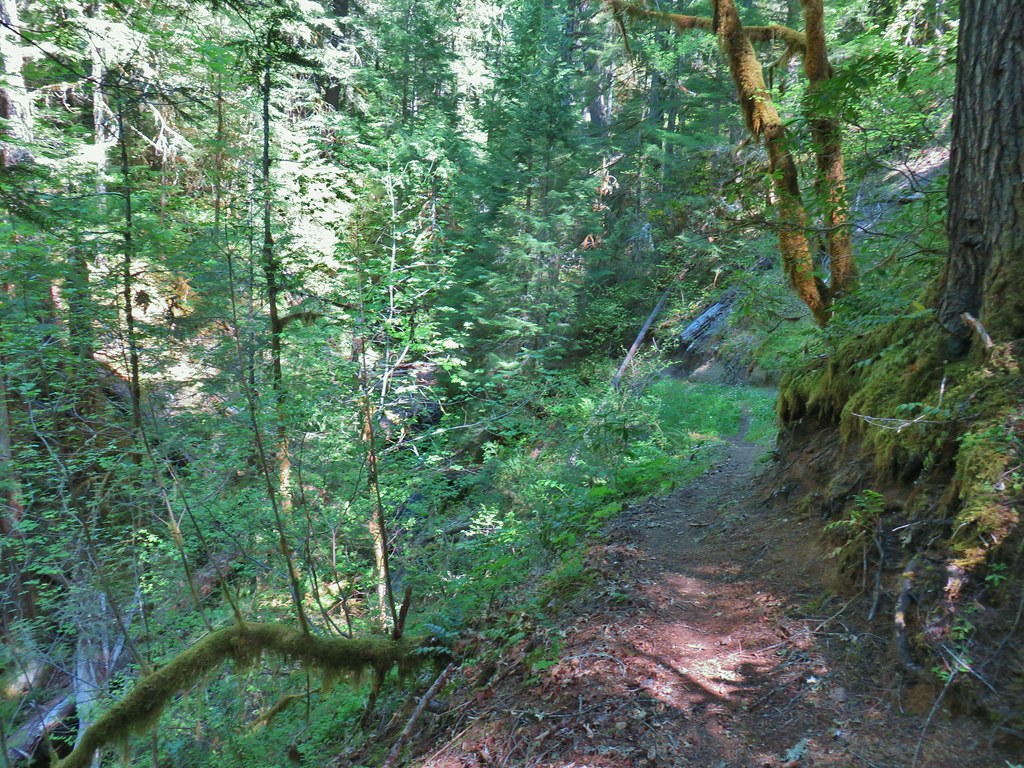


 Coastal manroot
 Sticky cinquefoil
 Popcorn
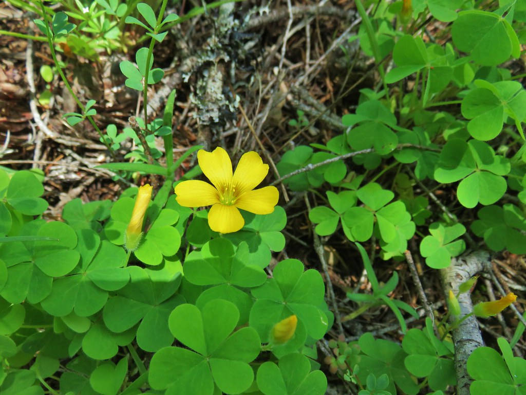 Western yellow oxalis
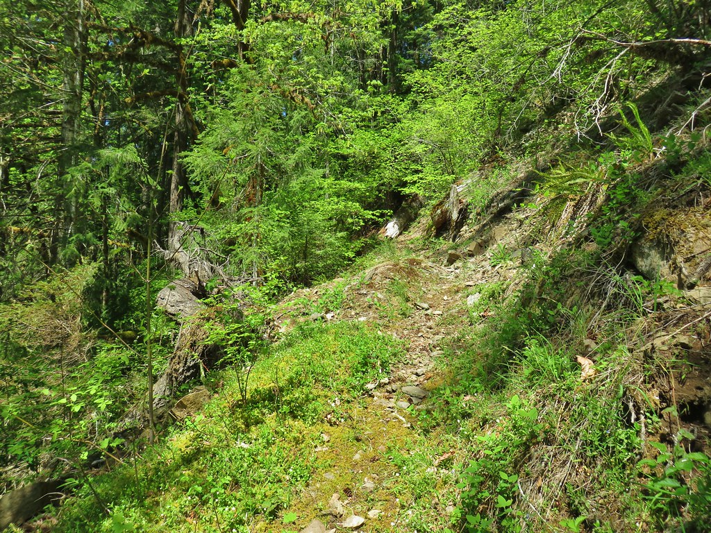

 Variable collomia
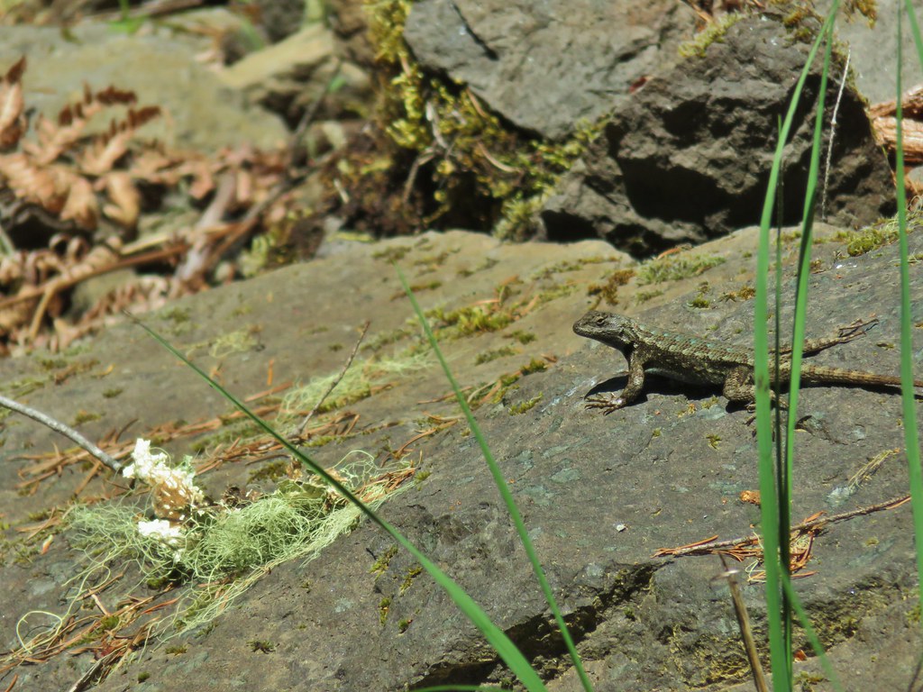 Western fence lizard
 Giant blue-eyed Mary
 Larkspur
 Had to climb over this on the left side by the standing tree.
 The only choice here was to use this tree as the trail.
 Minor debris on the trail.
 Cuts most likely from the original establishment of the trail.
 This one required a detour to the right around the end of the tree.
 Forest reclaiming the trail tread.
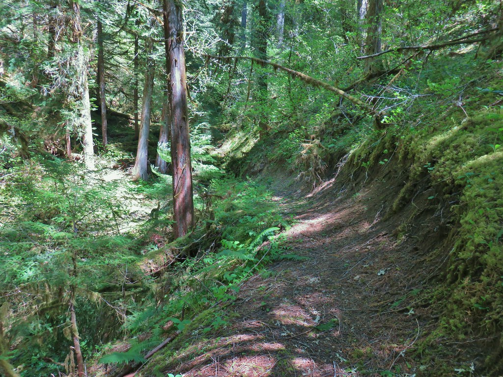


 The only tiger lily that seemed to be open yet.
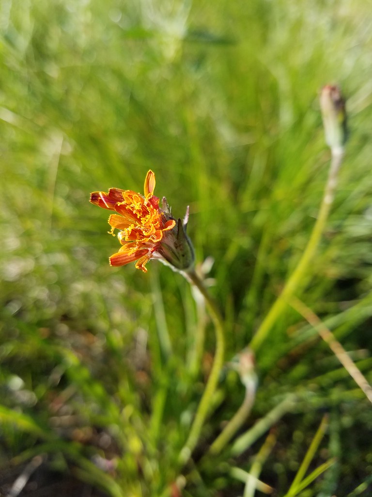 orange agoseris beginning to open.
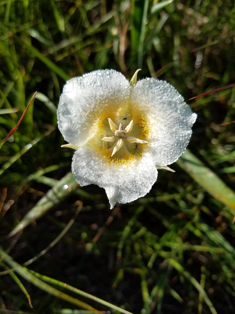 Cat’s ear lily
 Pussytoes
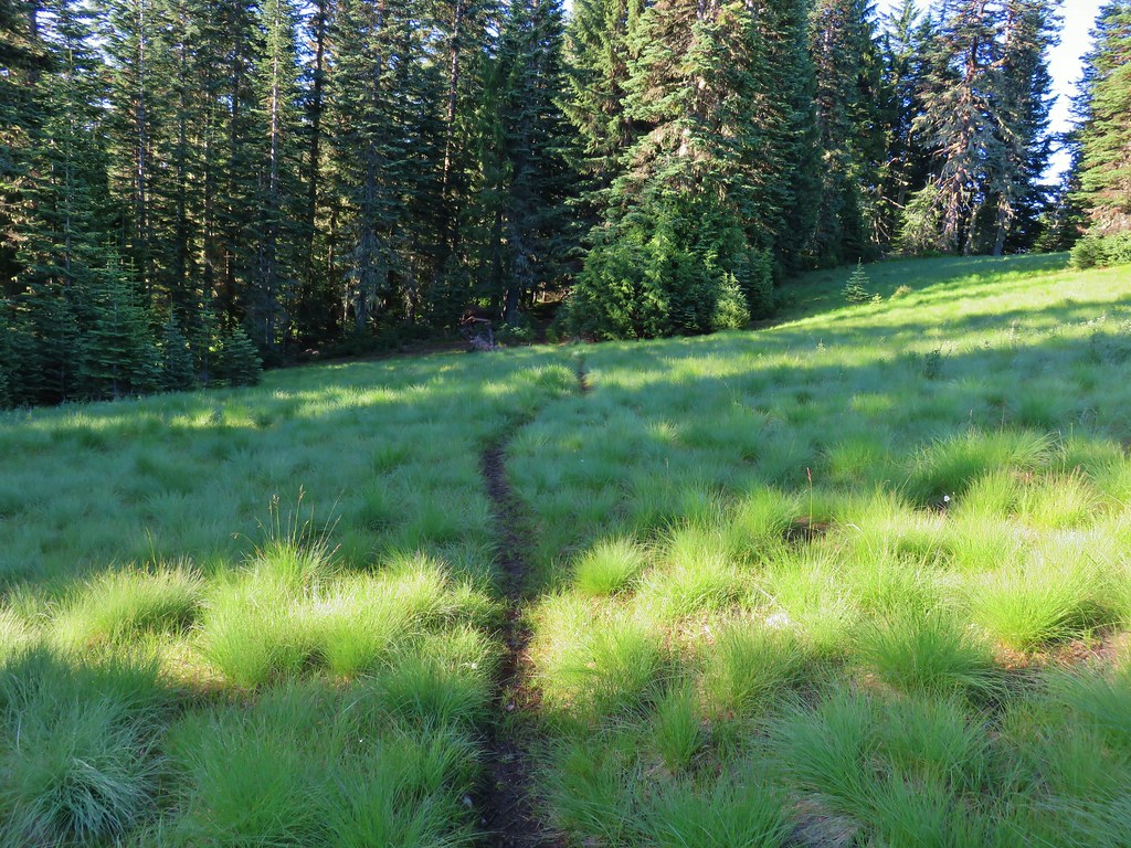


 The Three Sisters and Broken Top
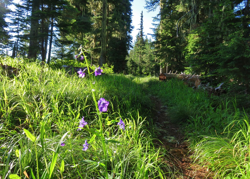 Larkspur along the trail.
 Bunchberry
 Anemone
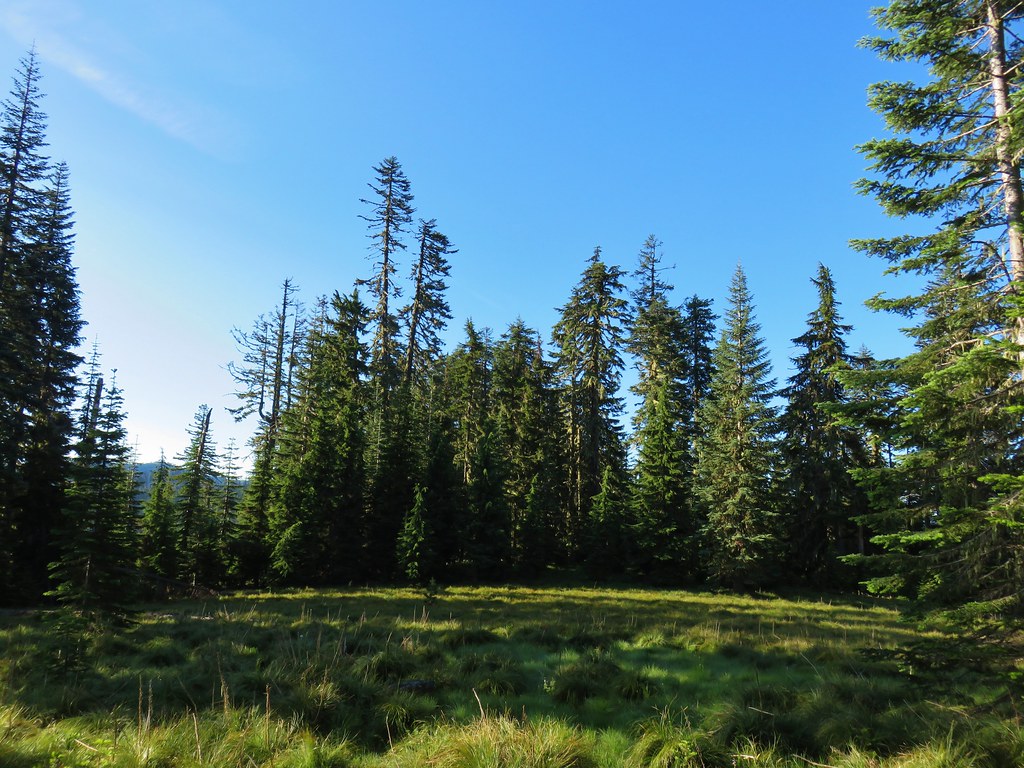 Another meadow
 The Three Sisters and Broken Top
 Queen’s cup
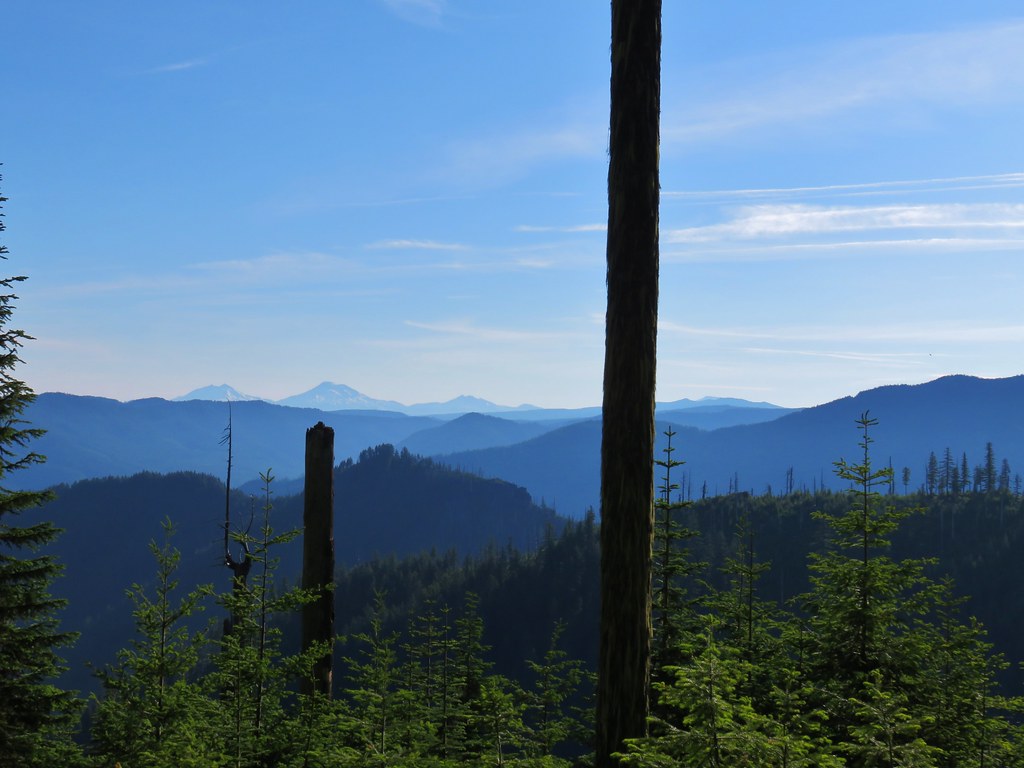 The Three Sisters, Broken Top, and a bit of Mt. Bachelor
 Rhododendron
 Another meadow full of not-in-bloom beargrass.
 View from the SW facing hillside.
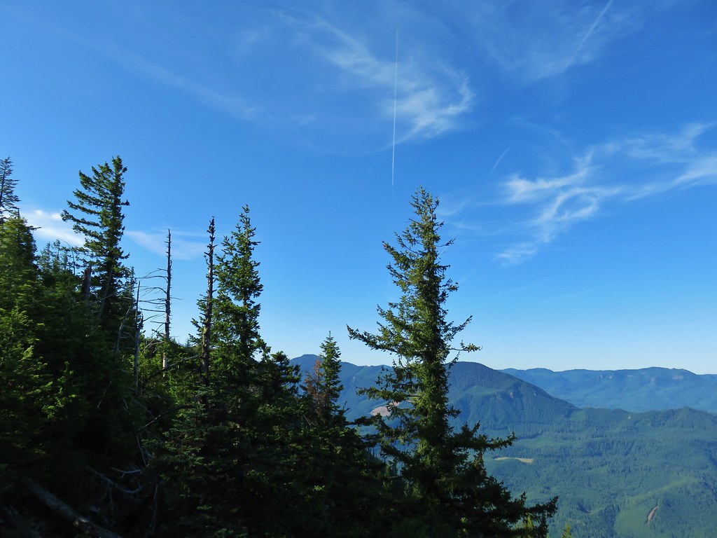 Looking SE

 Diamond Peak through the trees.
 Valerian in the saddle.


 Mt. Yoran, Diamond Peak, and Mt. Bailey
 Mt. Yoran and Diamond Peak
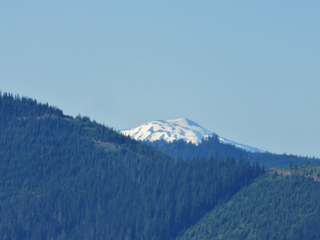 Mt. Bailey
 View to the NE (from the afternoon on the way back)
 The Husband, Three Sisters, Broken Top, and Ball Butte(from the afternoon on the way back)
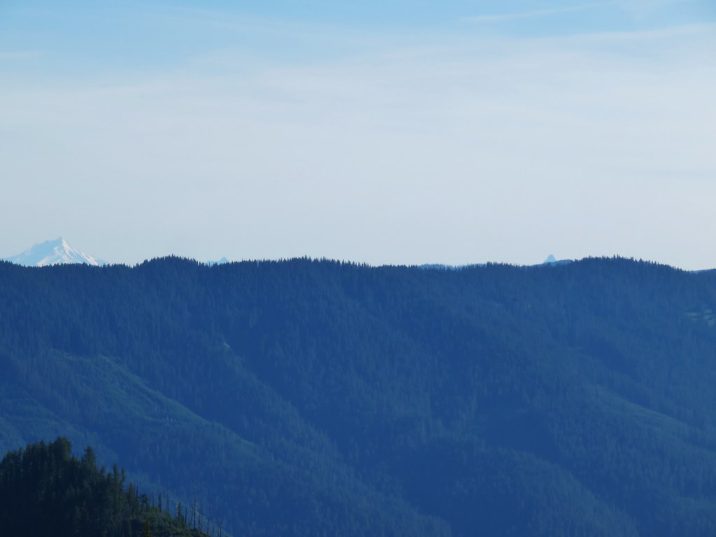 Mt. Jefferson and the tips of Three Fingered Jack and Mt. Washington


 Giant blue-eyed Mary
 Giant blue-eyed Mary
 Giant blue-eyed Mary and blue-head gilia
 Cat’s ear lily and blue-head gilia
 Coneflower
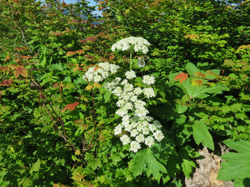 Cow parsnip
 Tall mountain bluebell
 More of the blue flowers
 Larkspur
 Jacob’s ladder
 An aster or fleabane
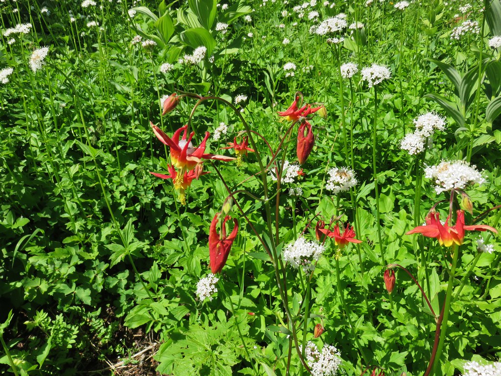 Columbine and valerian
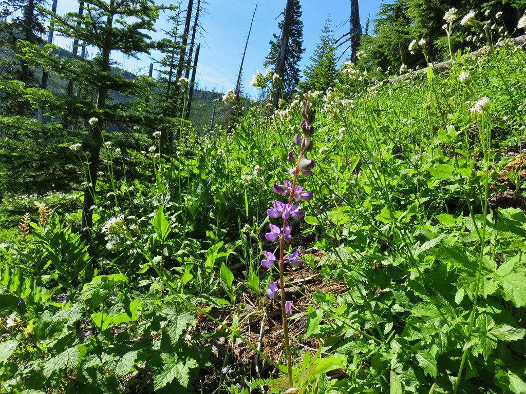 Lupine
 Not sure what type of flower this one is.
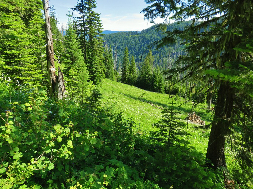 Valerian filled meadow below the trail.
 White yarrow, giant blue-eyed Mary, and tall mountain bluebells
 Looking back at our route so far.
 The trail coming around Kelsey Creek is visible on the hillside behind us.

 Fuji Mountain (left), flat topped Mt. David Douglass, Mt. Yoran (shorter thumb to the left of Diamond Peak), and Diamond Peak.
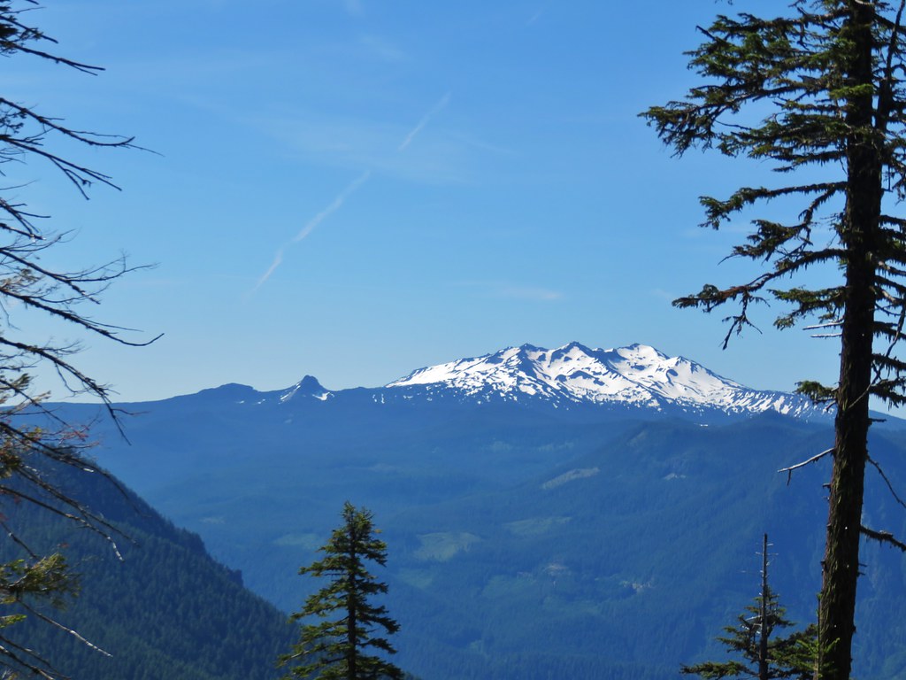 Mt. Yoran and Diamond Peak
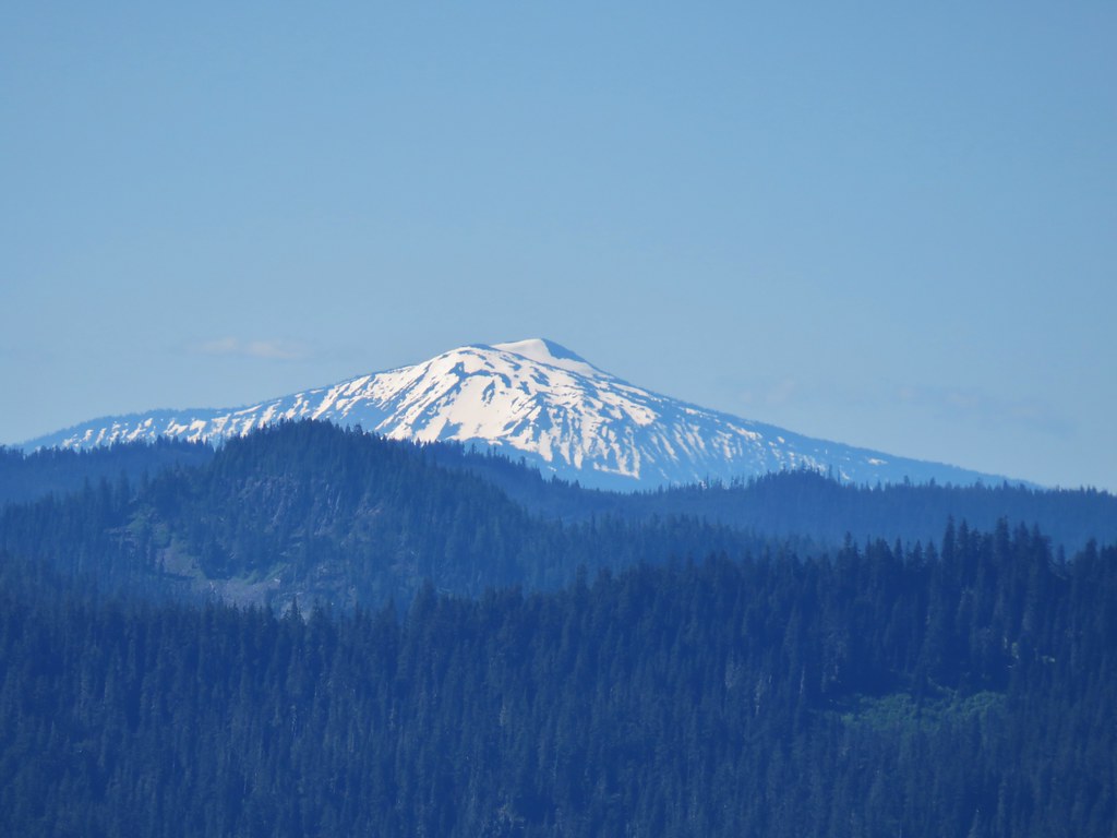 Mt. Bailey

 A few orange agoseris were scattered about.
 Scarlet gilia
 More scarlet gilia
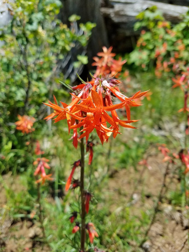 Skyrocket
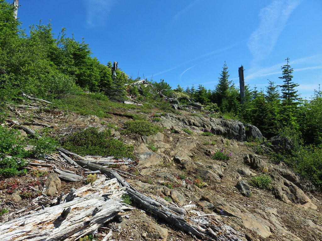

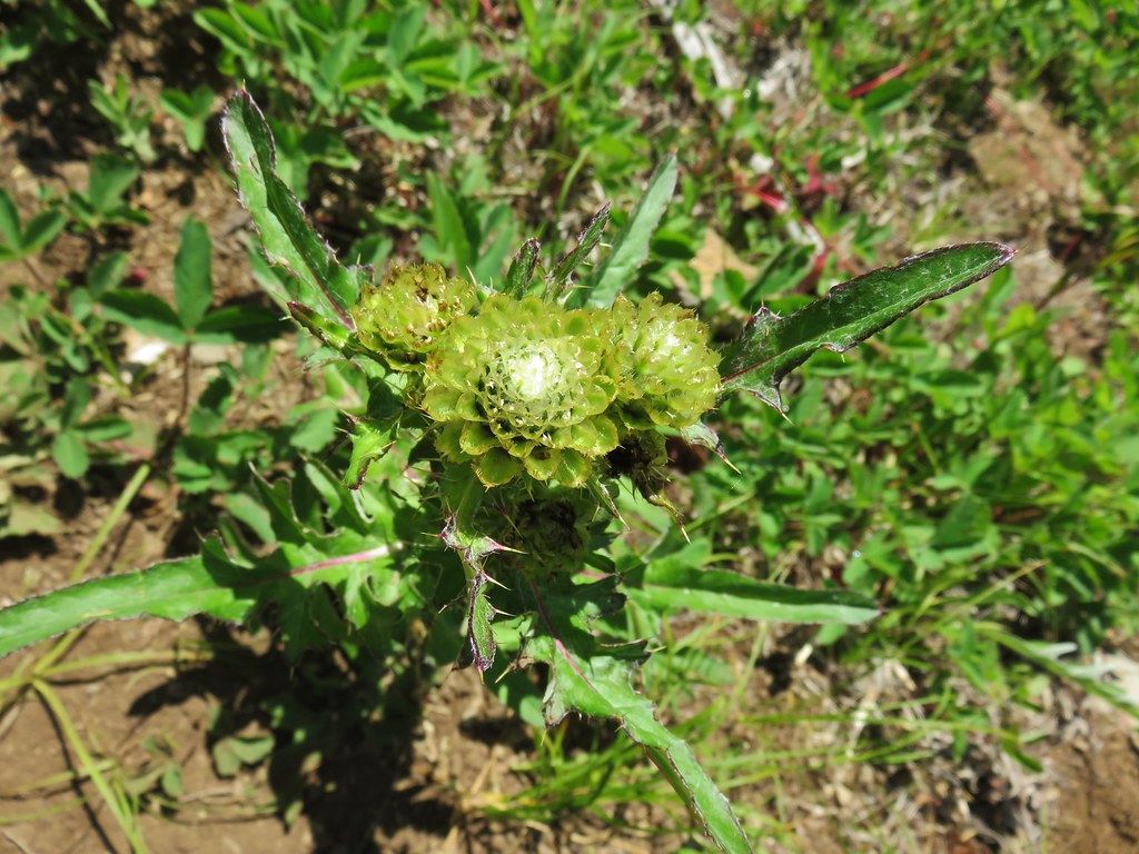 A thistle that was getting ready to bloom.
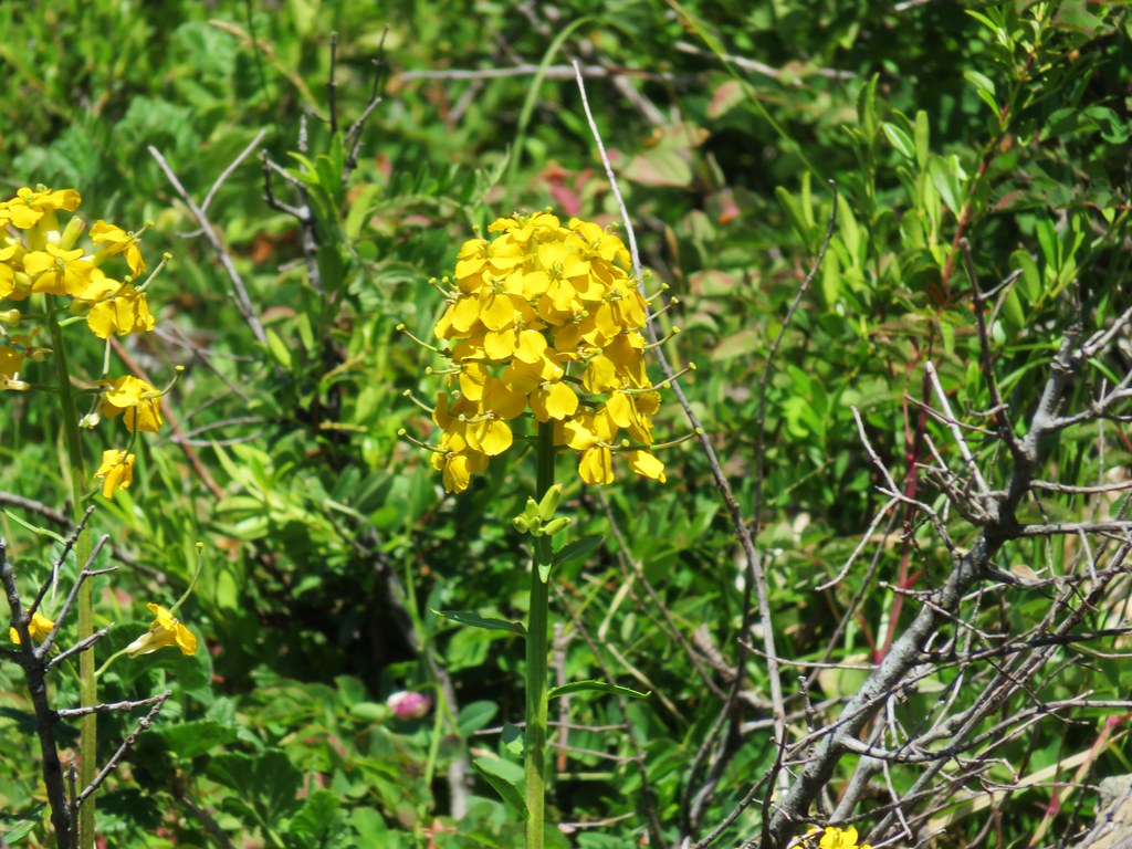 Wallflower


 Owl’s head clover
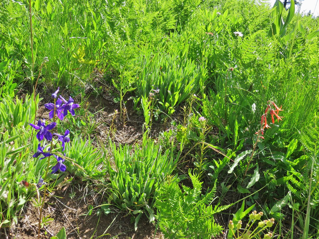 Larkspur, an owl’s head clover, and scarlet gilia
 Aster or fleabane and an orange agoseris
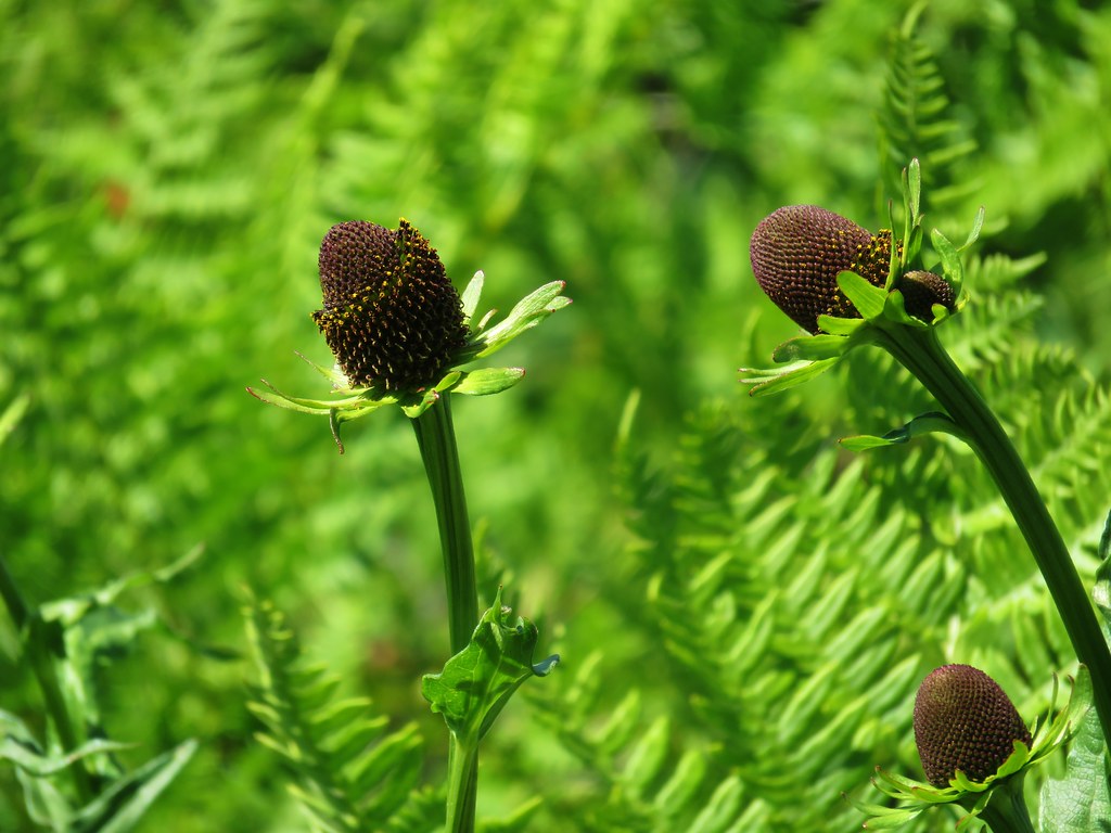 Coneflower
 Hyssop
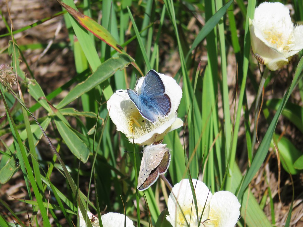 Butterflies on a cat’s ear lily

 Wait that’s not a butterfly.
 Fuji Mountain
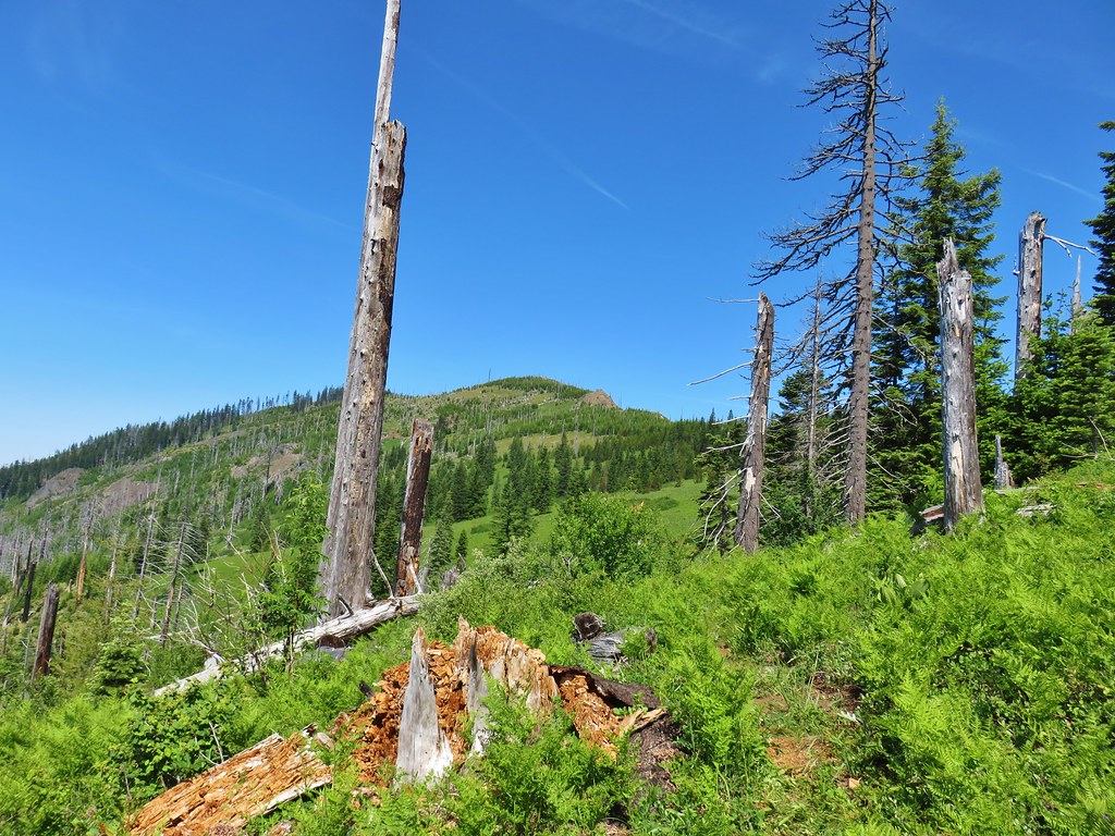
 The post, with an orange top, is up and to the right in front of a tree.
 Heather at the rock outcrop.
 Big Bunchgrass Meadow and Fuji Mountain
 Diamond Peak
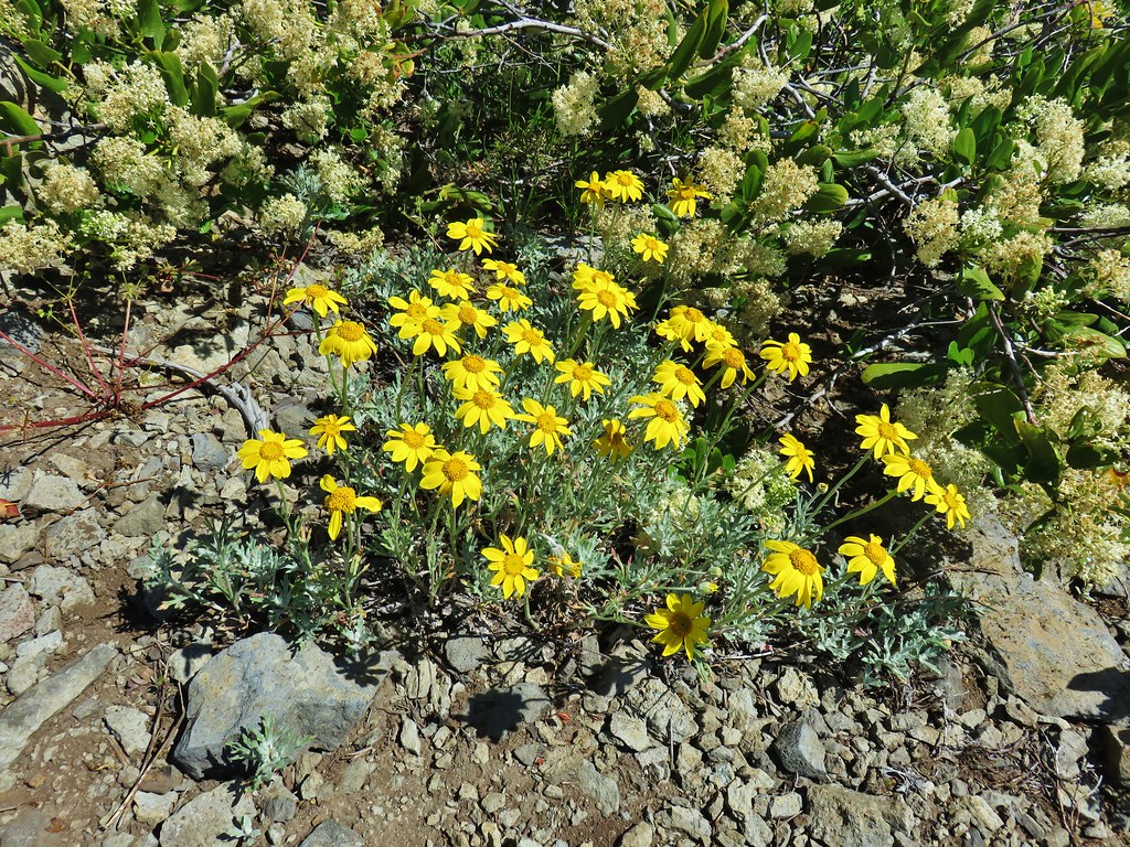

 Crab spider (probably waiting for that Washington lily to open)
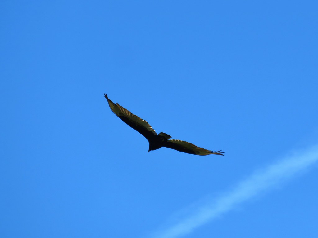 Turkey vulture
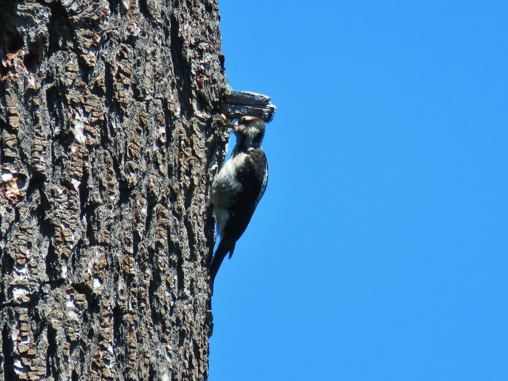
 Back in the valerian meadows
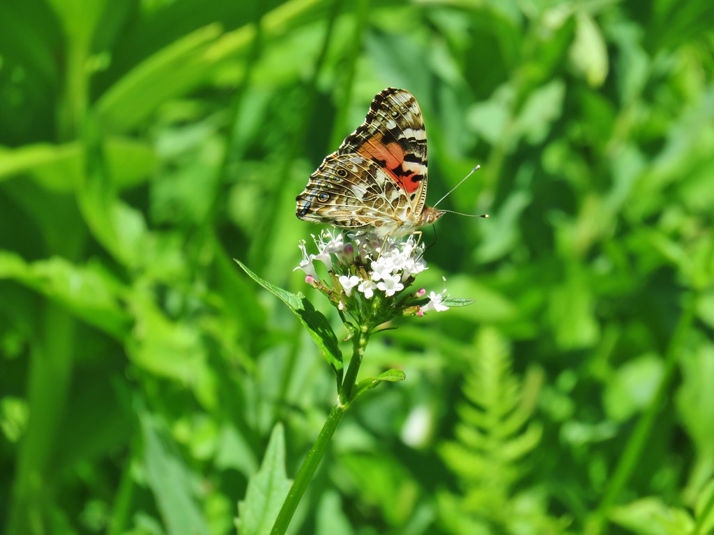


 Not sure what this is going to be either.
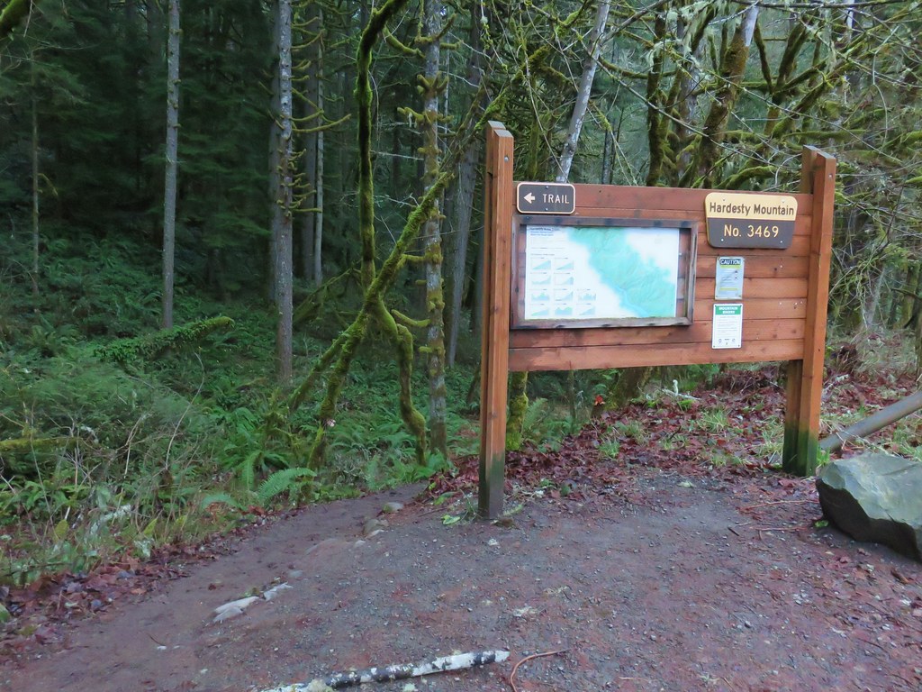


 Wren signing along the trail