**Note the 2024 Pine Bench Fire burned over a portion of this hike.**
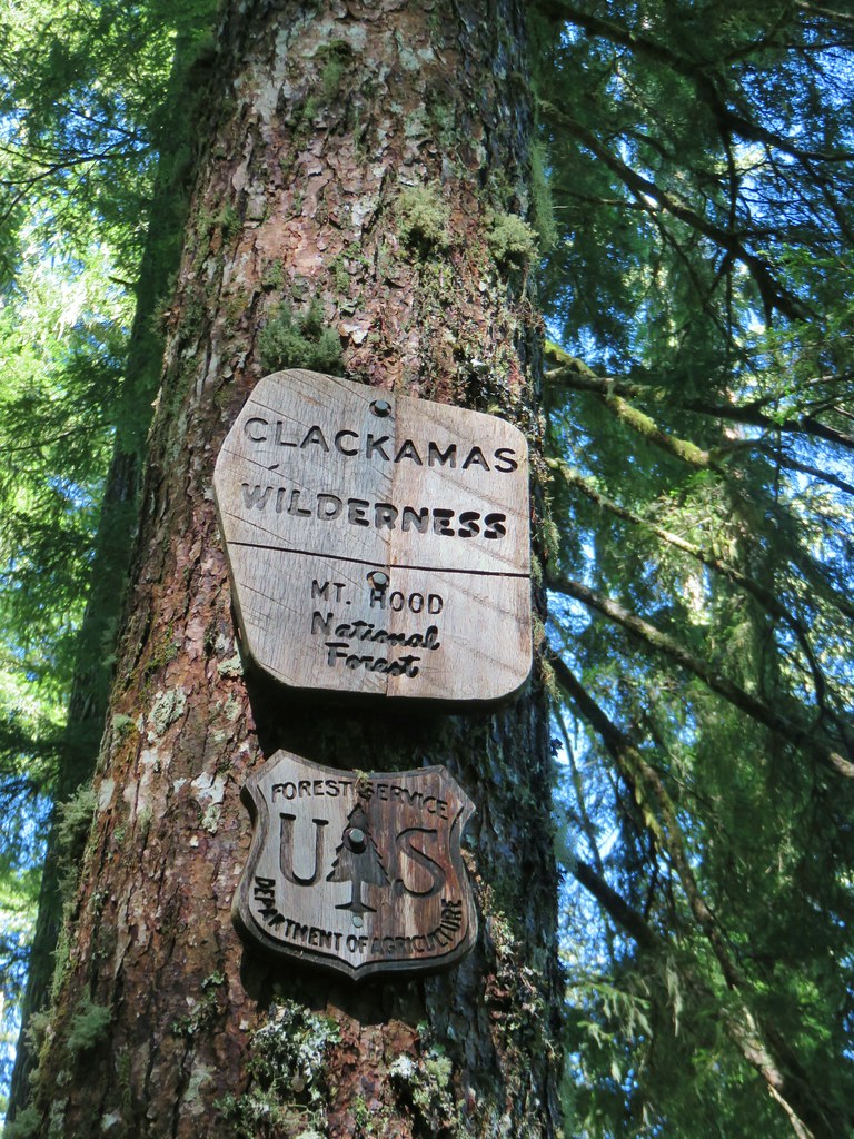
We woke up at Wiley Camp on Labor Day and got ready to head back to the Hummingbird Meadows Trailhead. Our plan for the day was to drive back to Salem via Highway 138 and stop at the Boulder Creek Wilderness, one of the five remaining Oregon wilderness areas we had yet to visit (post) and one of Sullivan’s featured hikes.
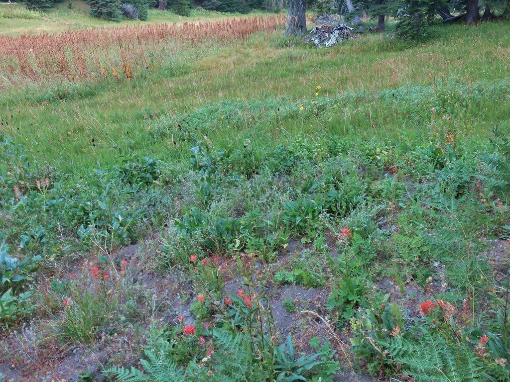
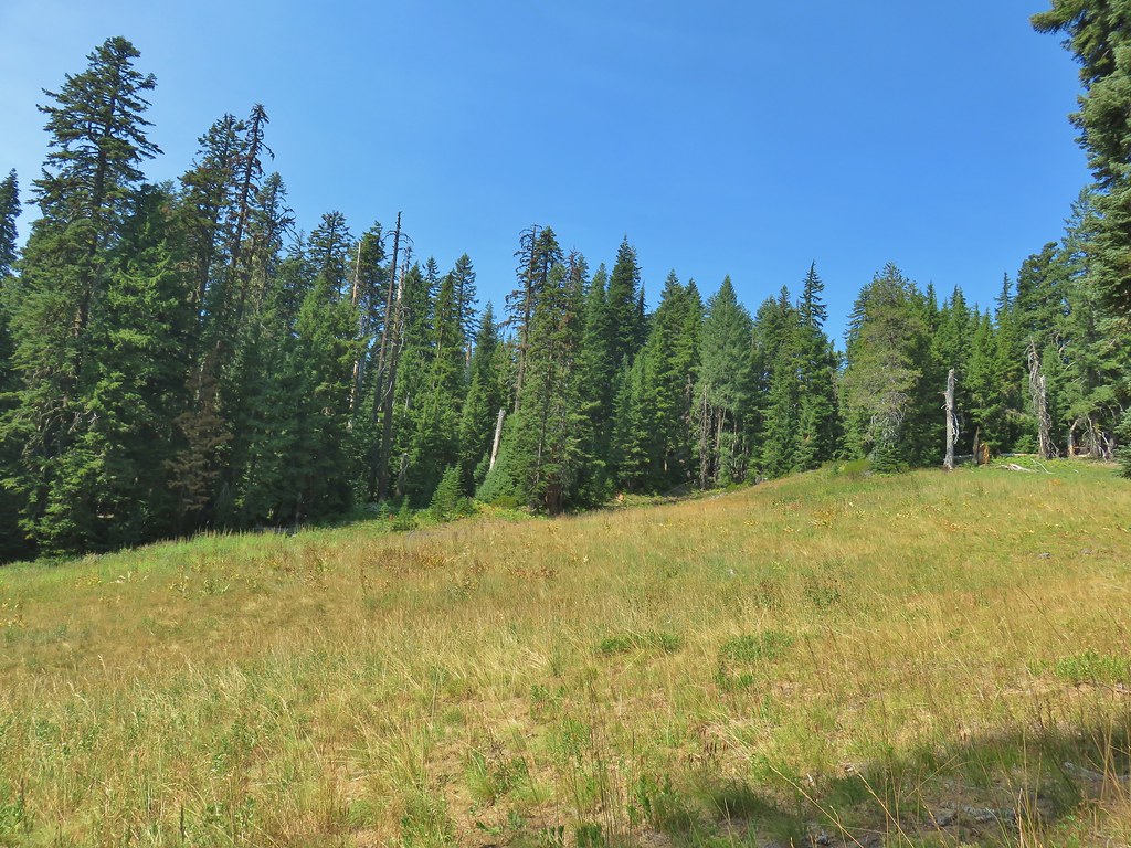
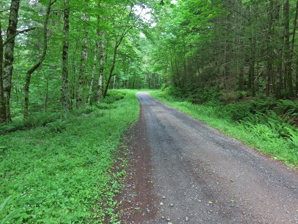
It was the least smokey morning of the weekend which made for a pleasant 2 mile hike back to our car.
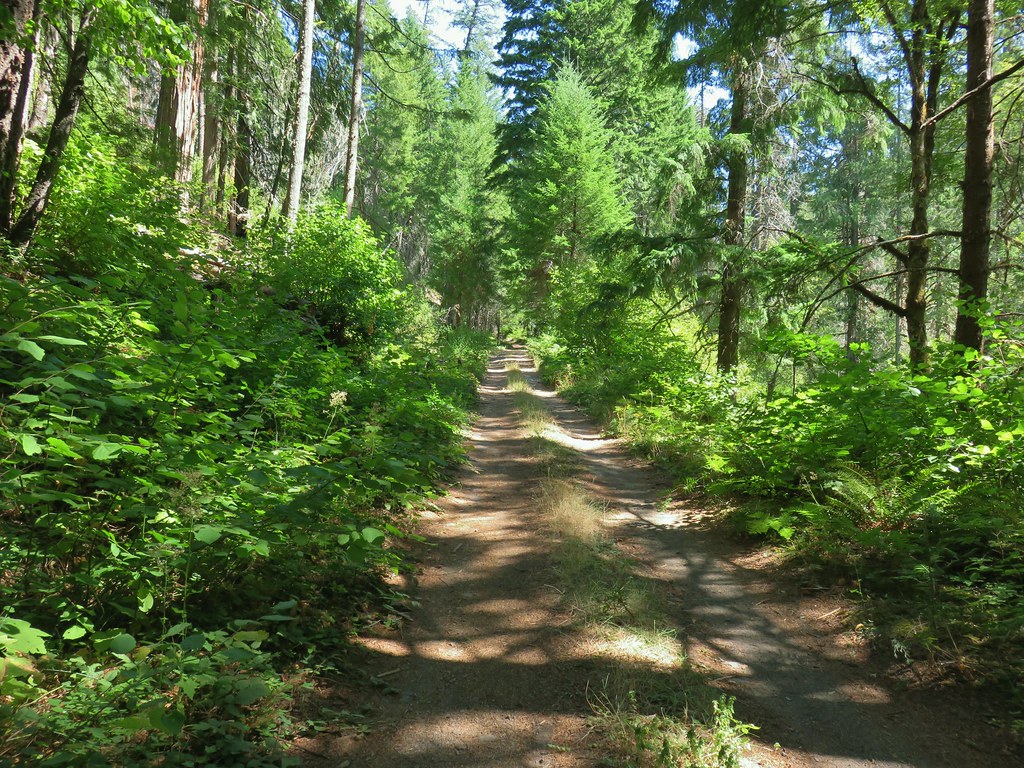
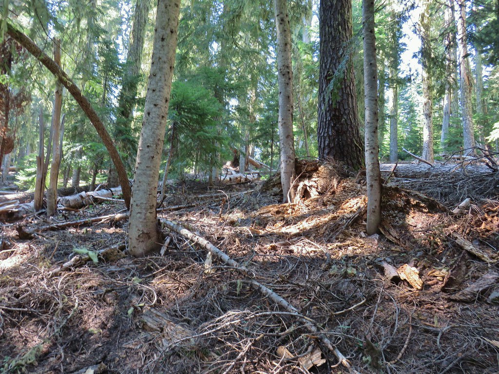
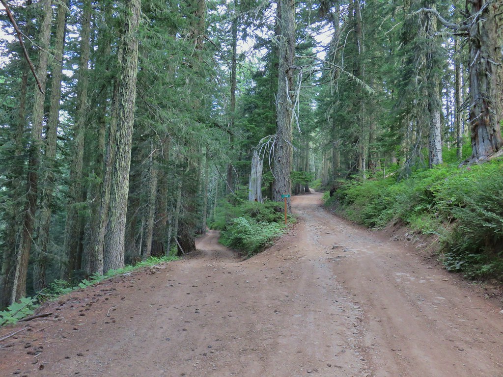
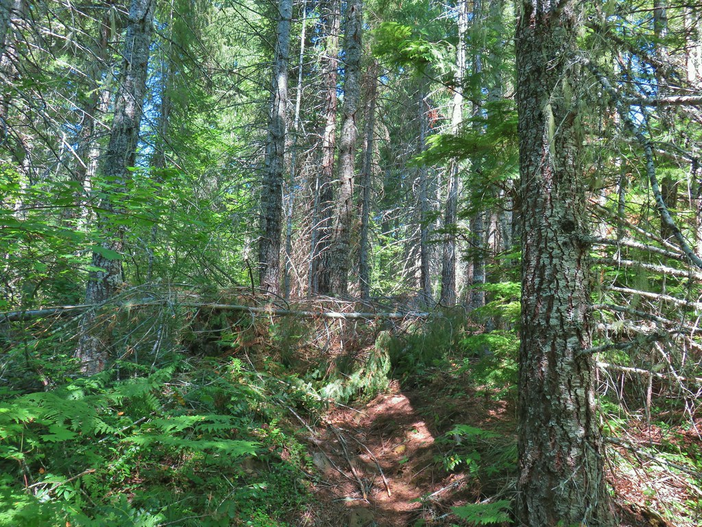
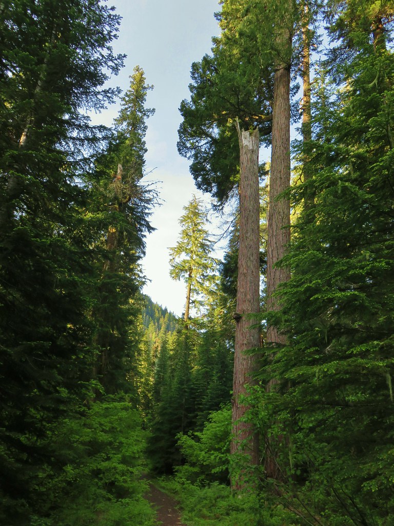
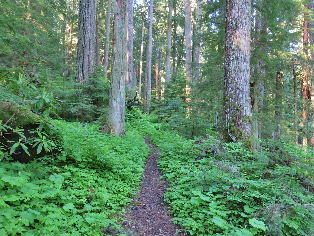
 Buck Canyon Trail
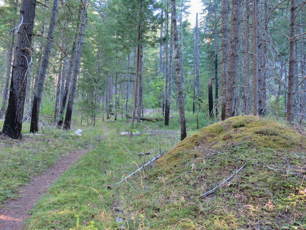
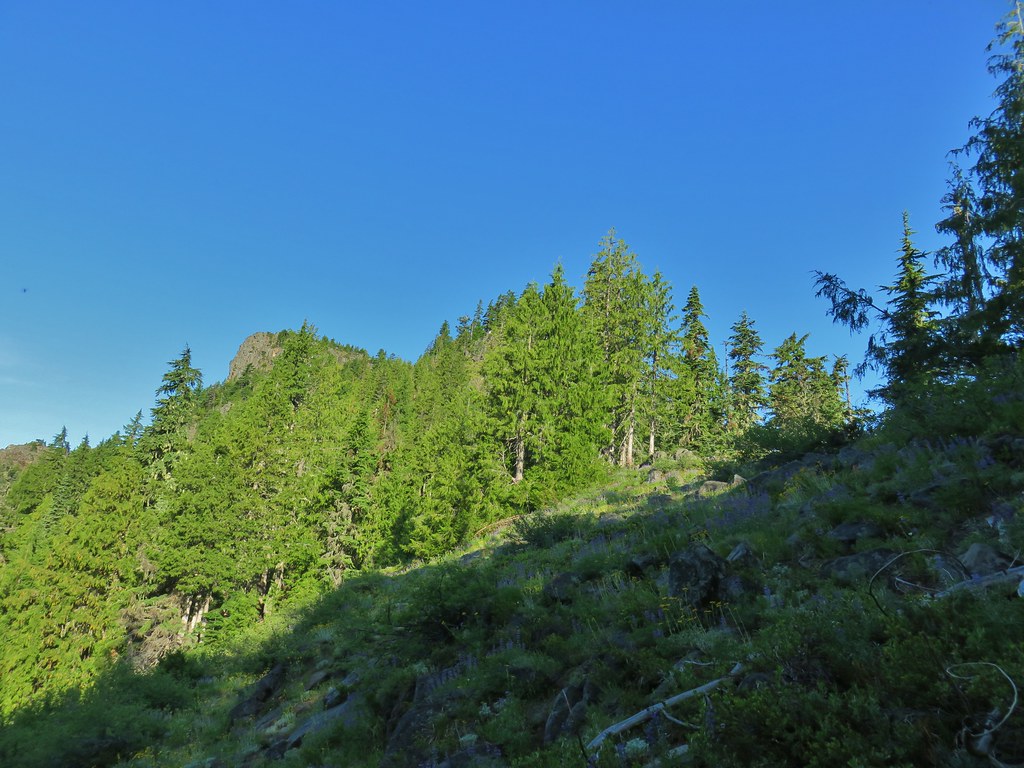
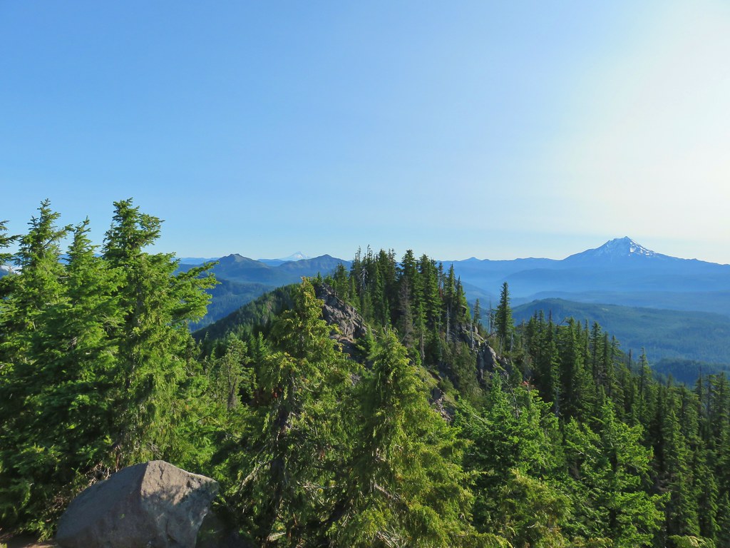
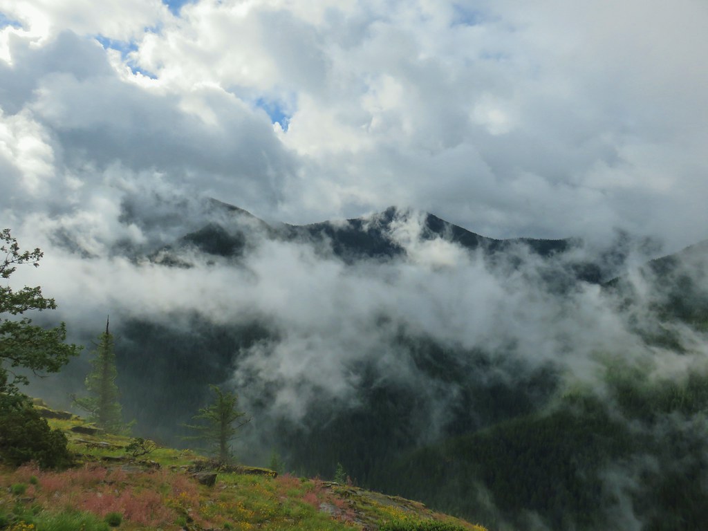
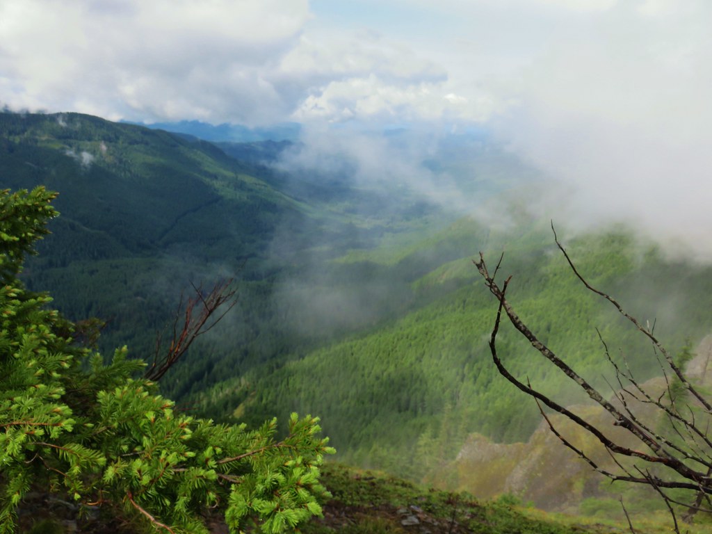
 View from the Buck Canyon Trail
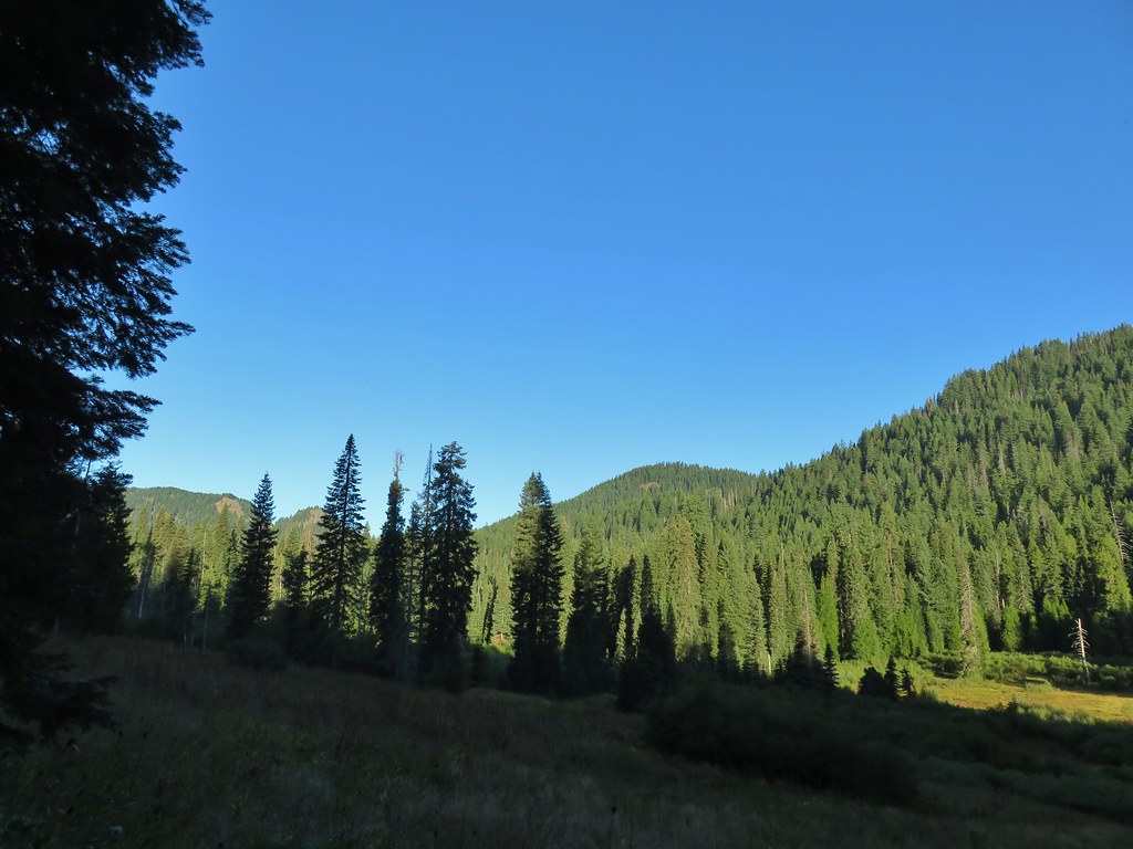
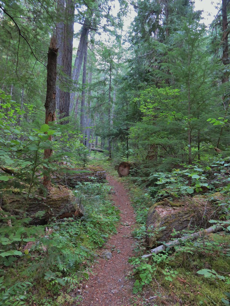
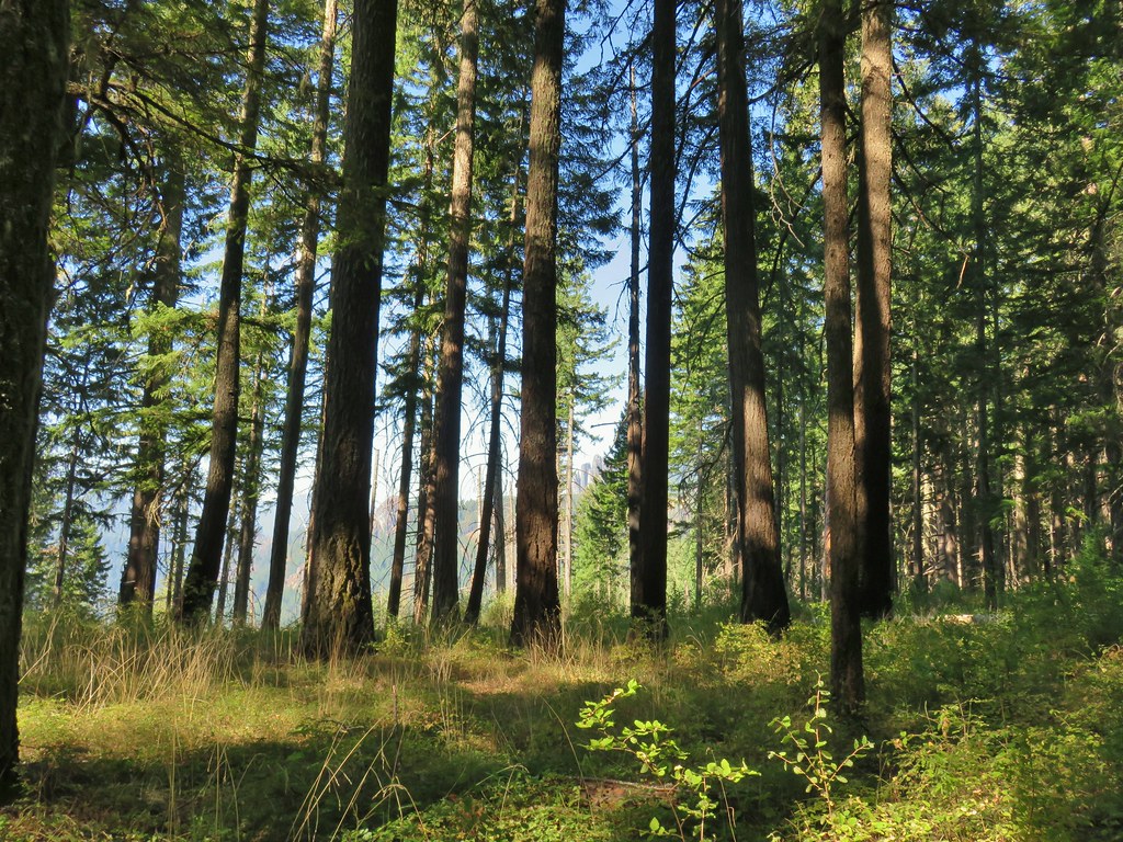
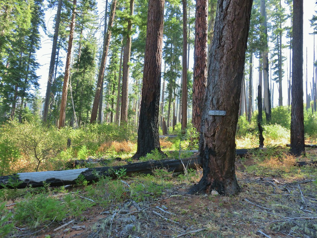
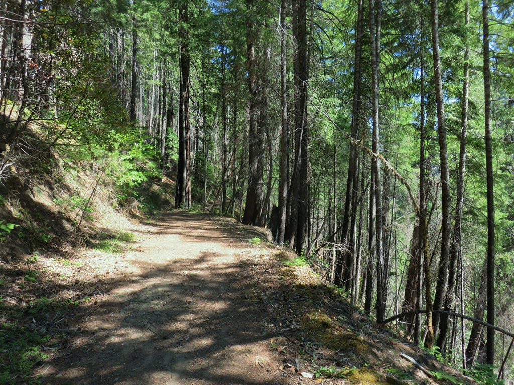
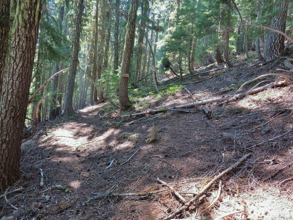
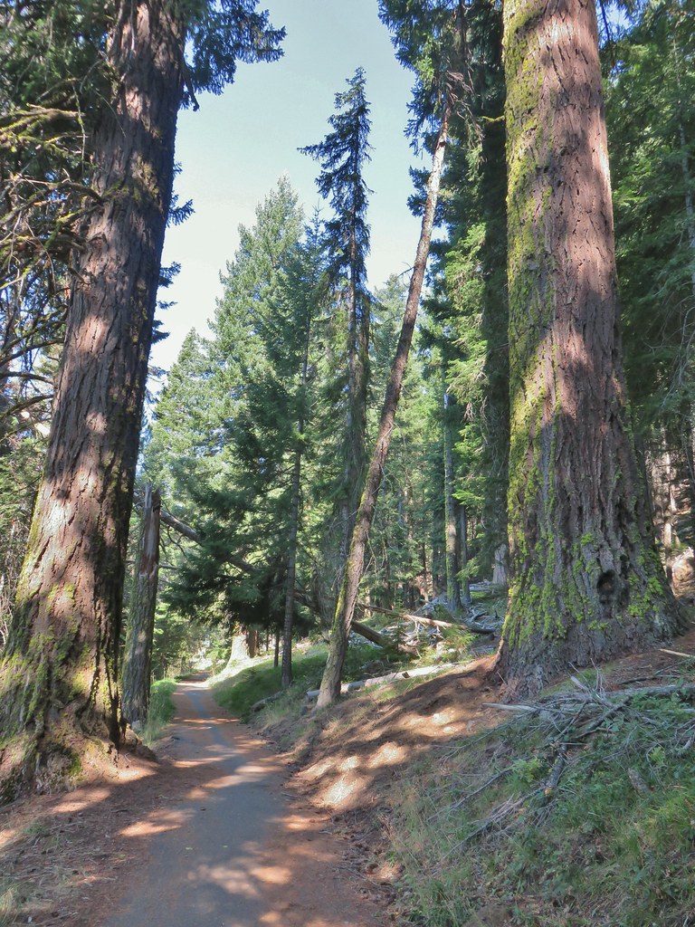
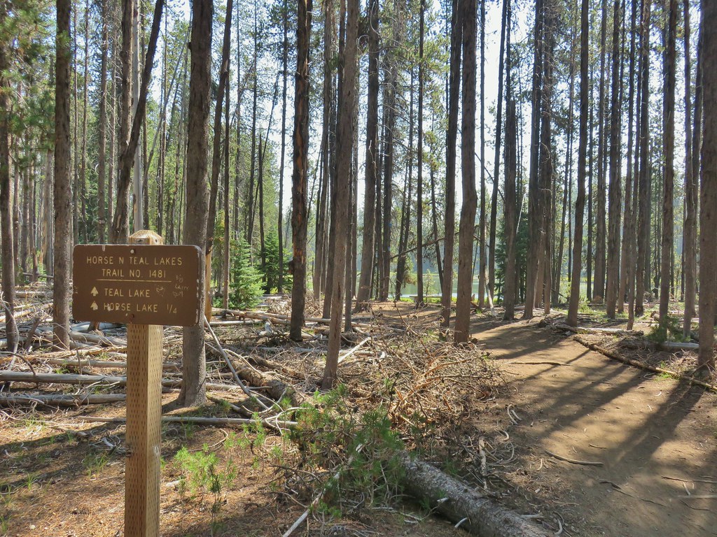
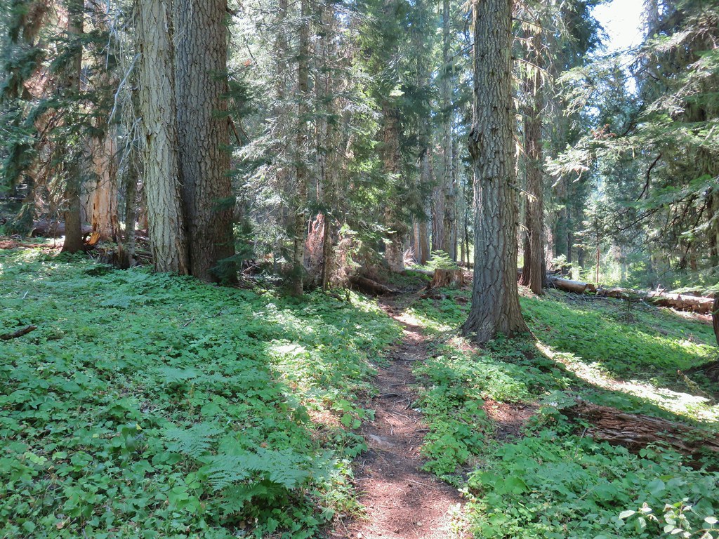
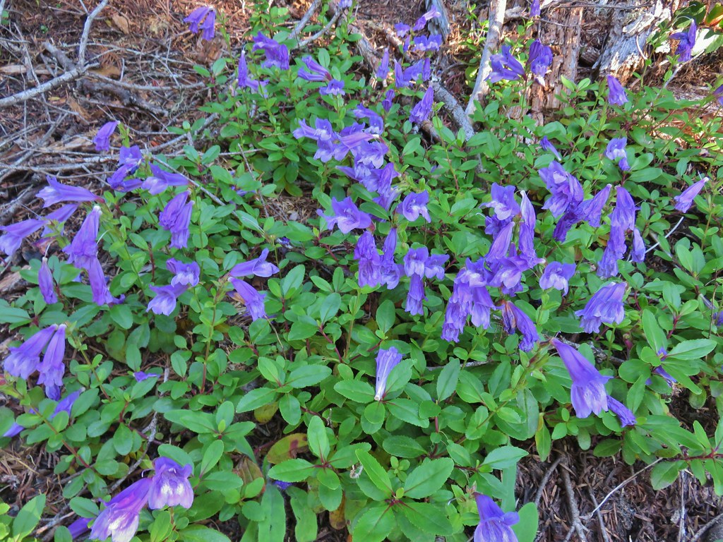
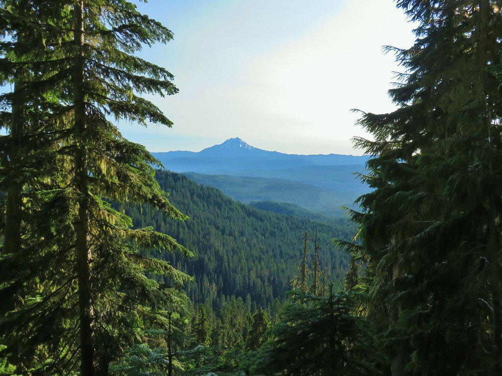
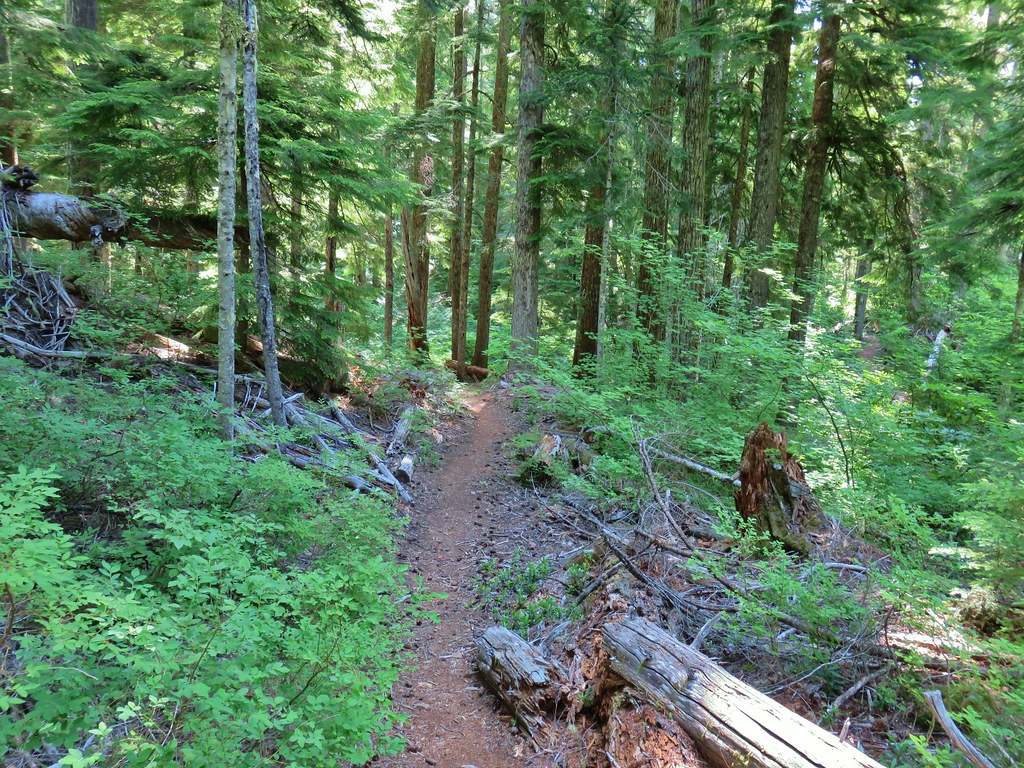
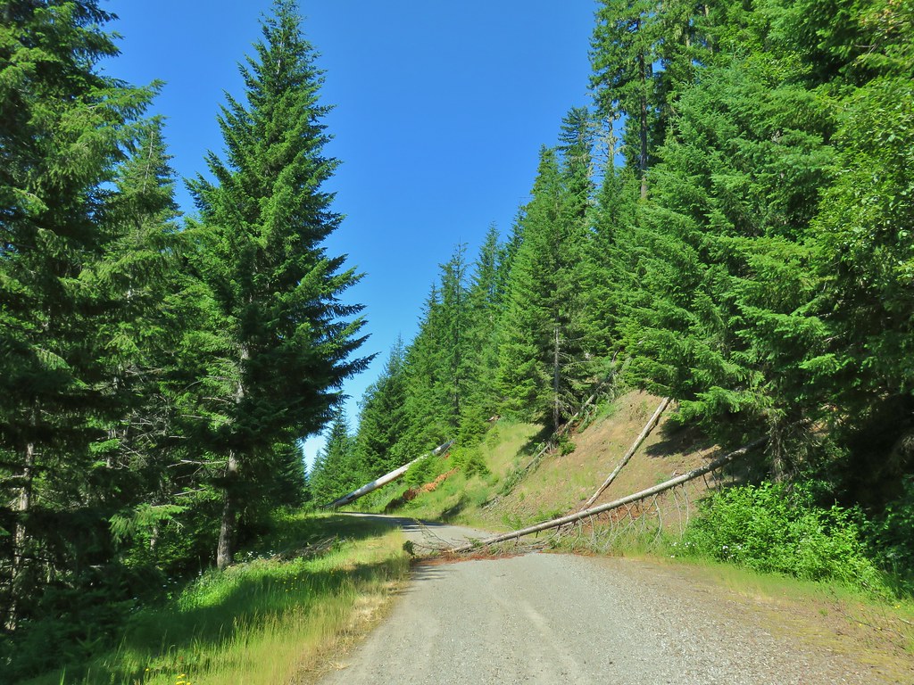
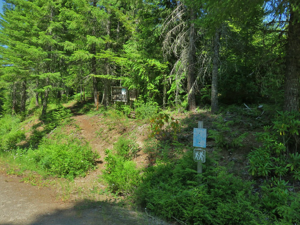
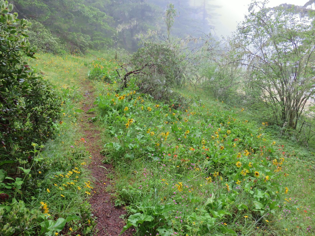
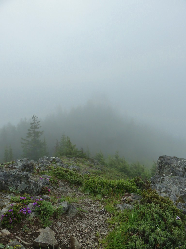
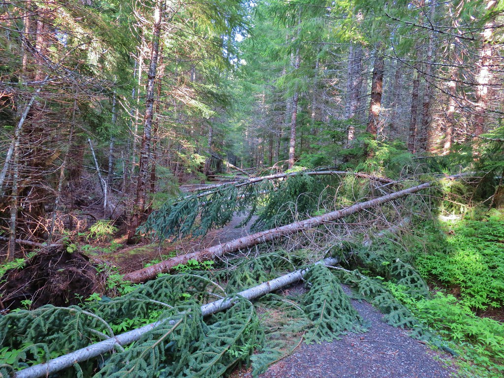
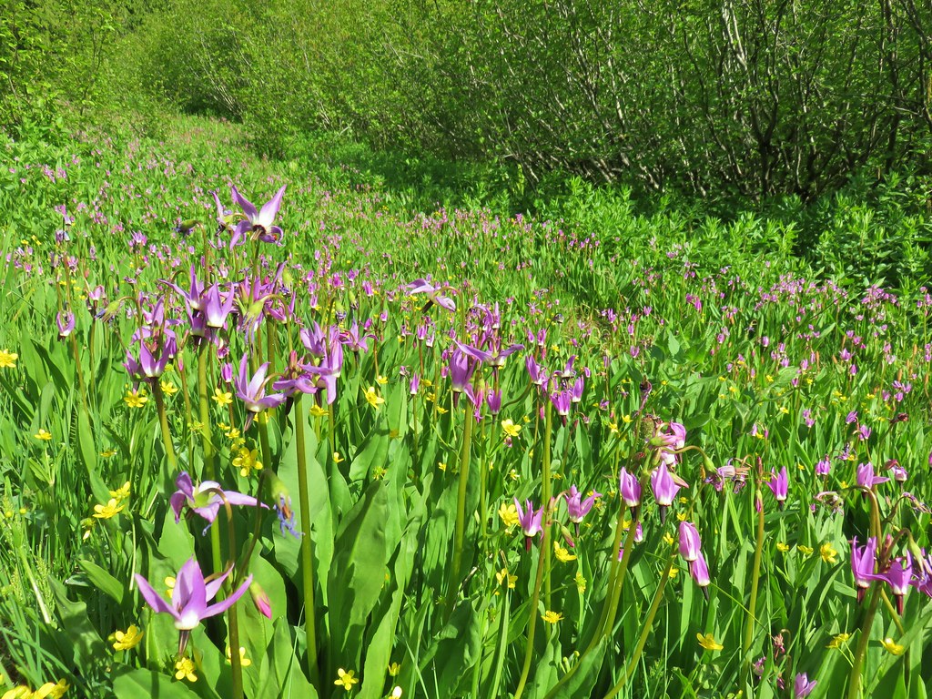
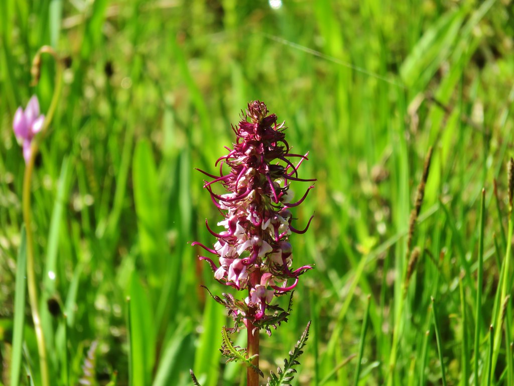
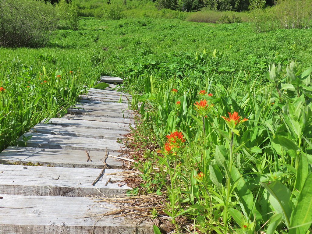
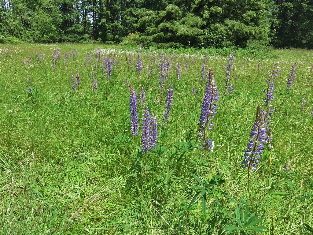
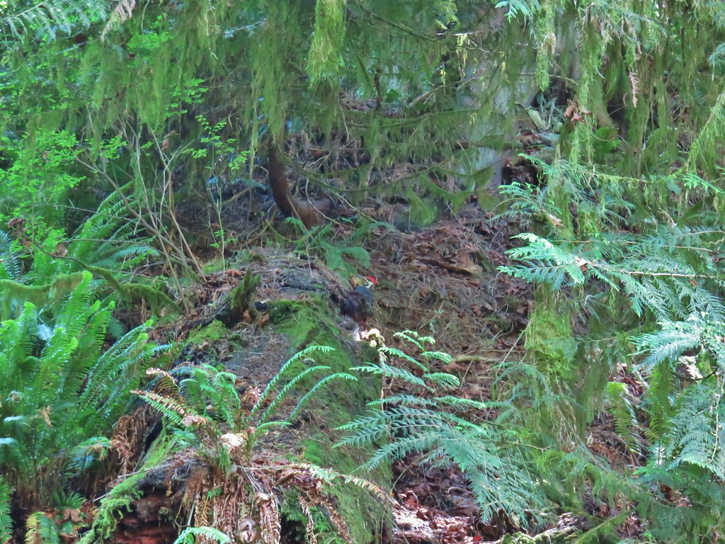
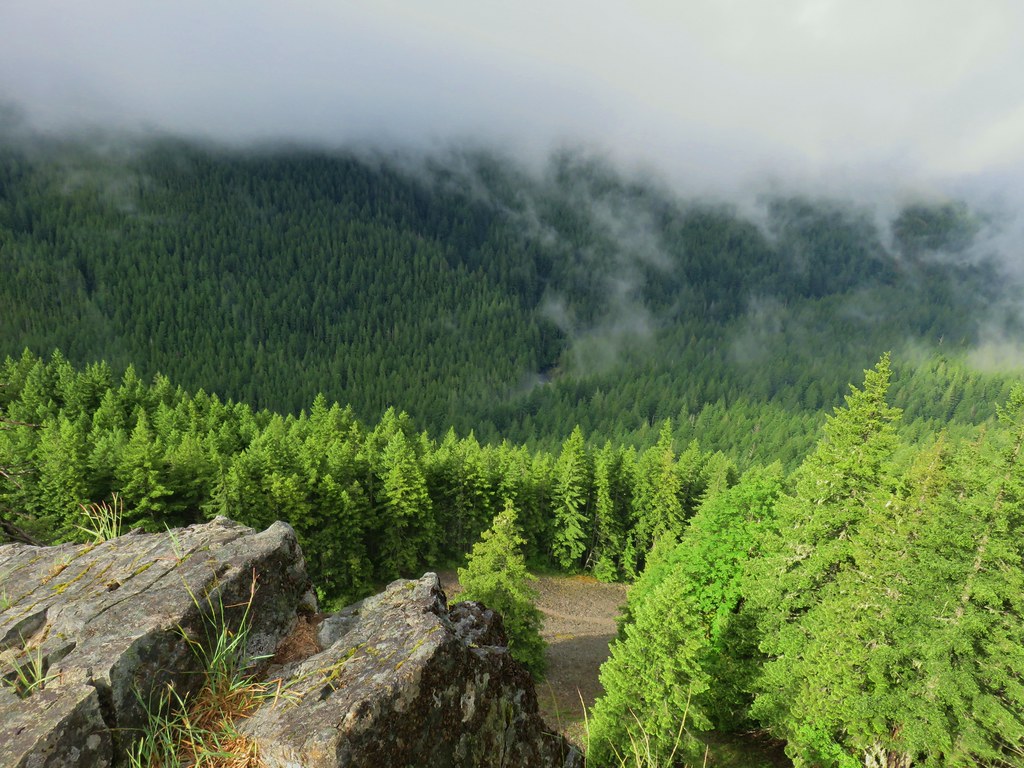
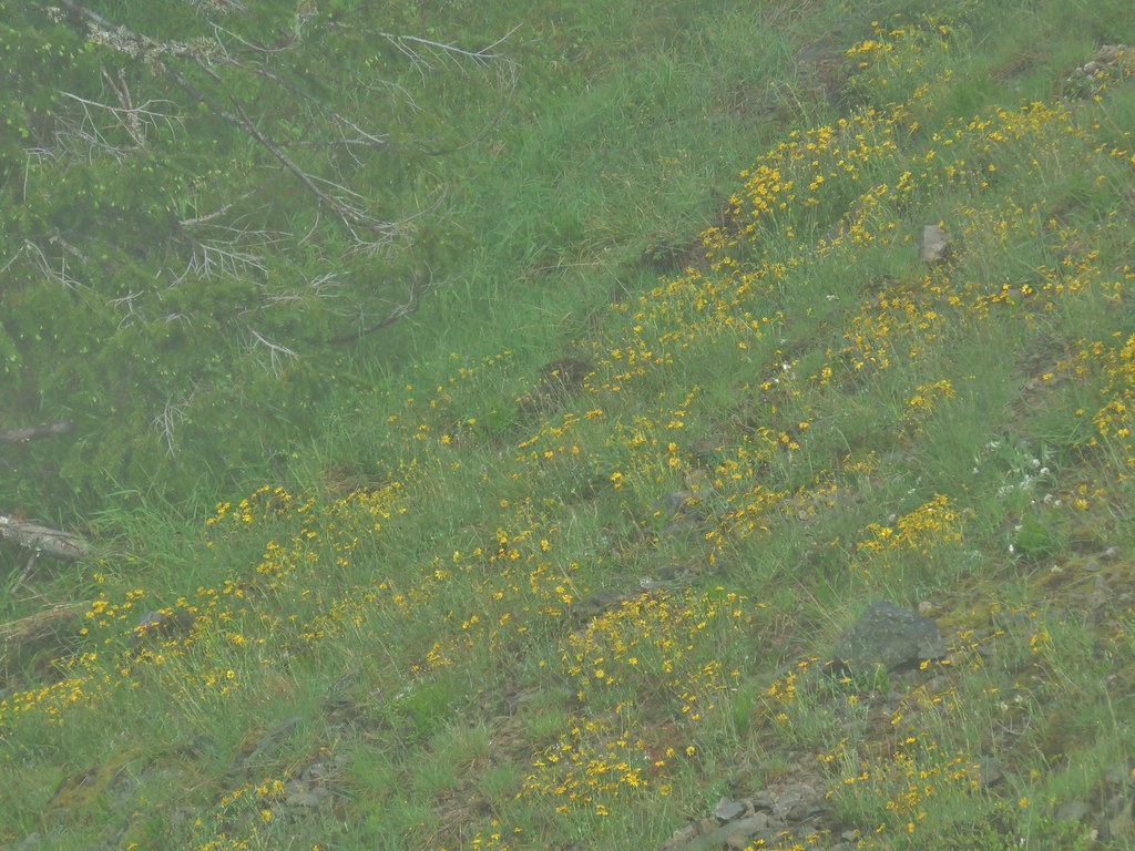
 Hummingbird Meadows Trail
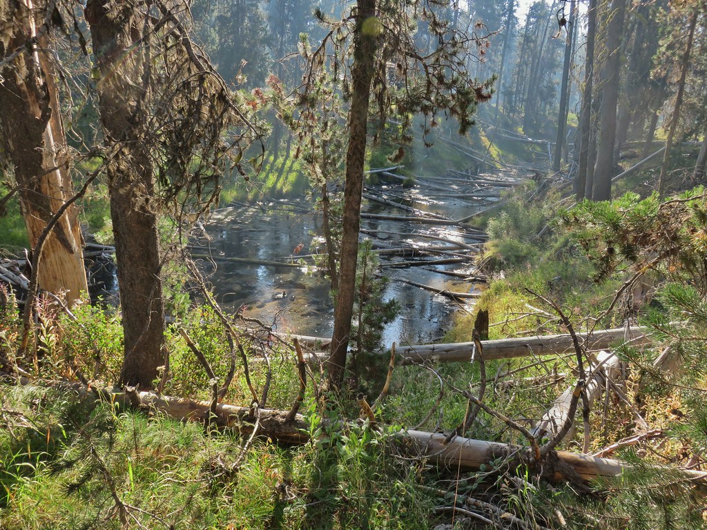
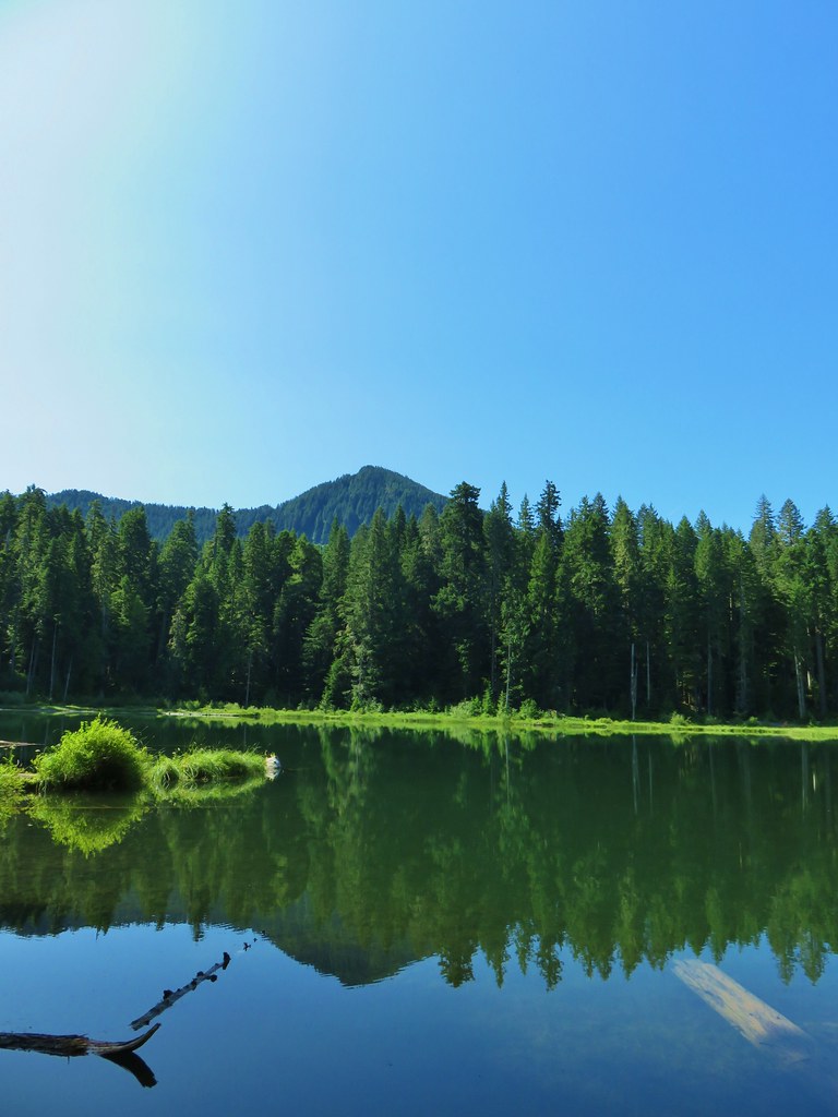
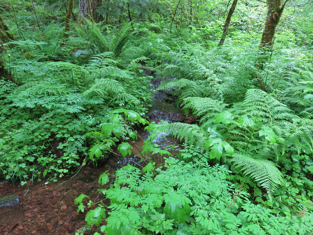
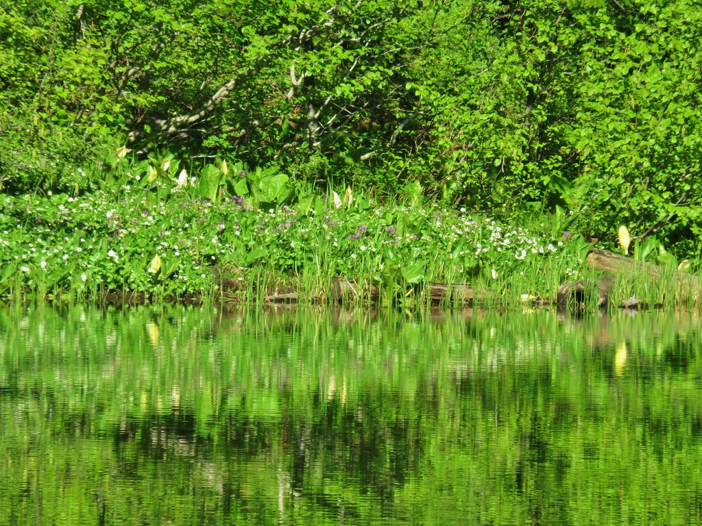
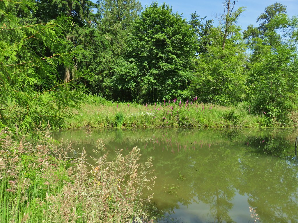
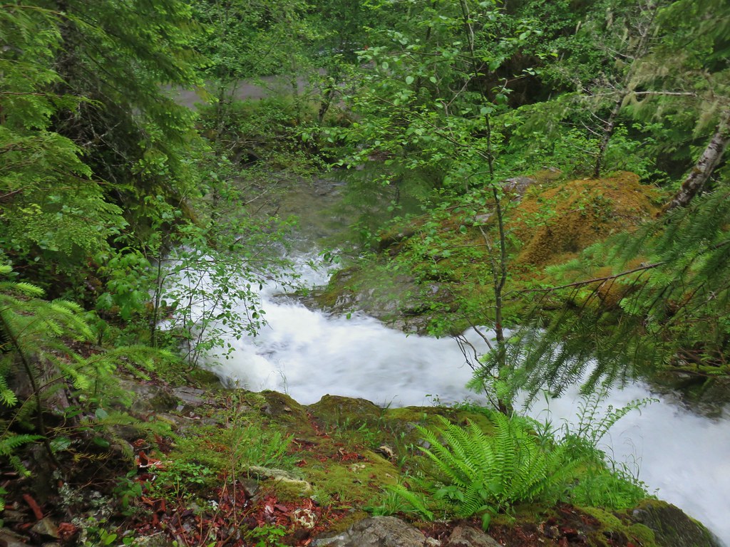
West Fork Muir Creek
We drove back to Diamond Lake (post) from the trailhead then took Highway 138 toward Roseburg to milepost 55. There we turned right onto Medicine Creek Road and made an immediate left onto Soda Springs Road following it for 1.3 miles to the Soda Springs Trailhead.
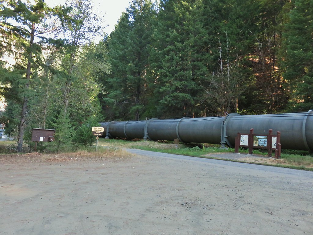
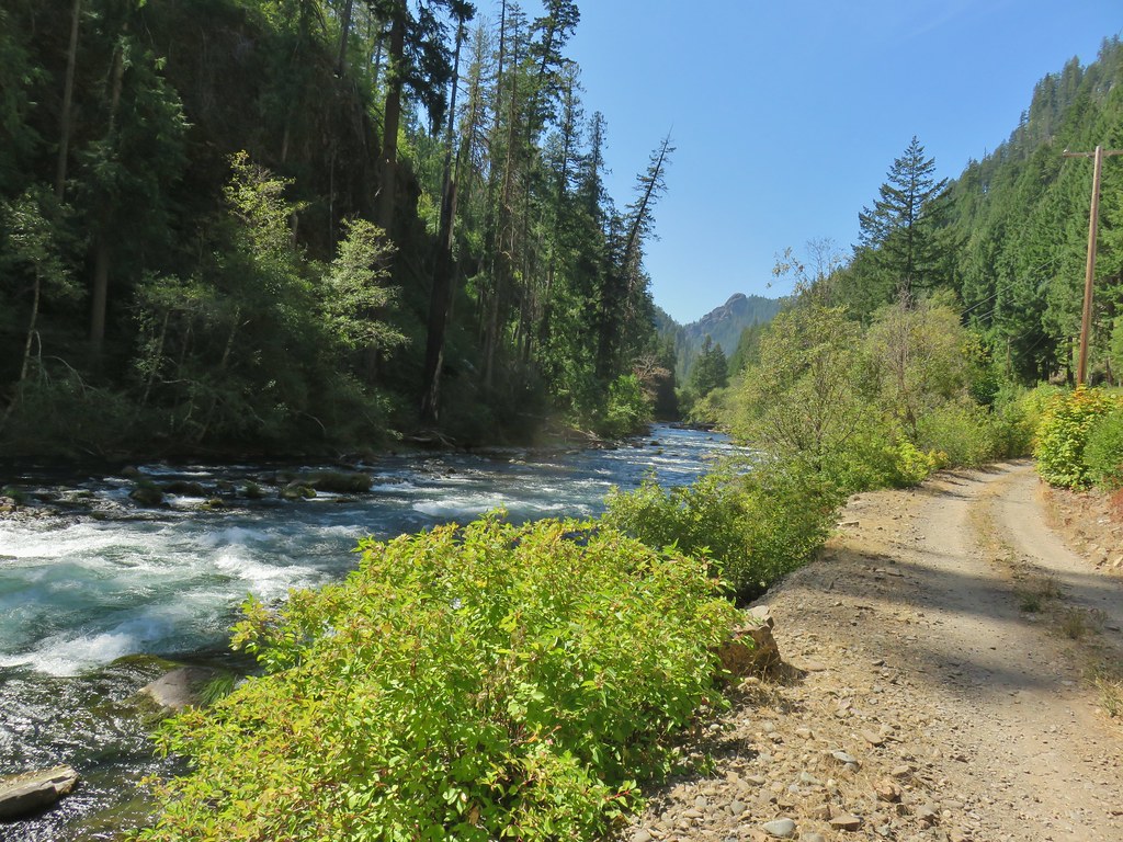
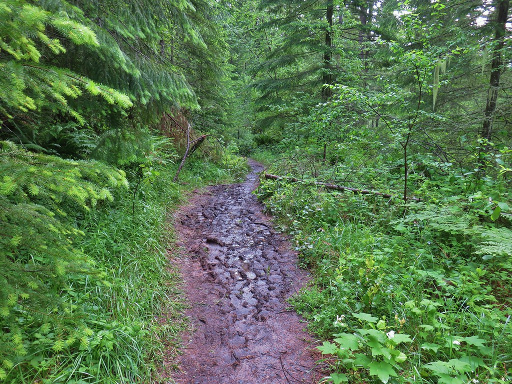
From the trailhead we took the Soda Springs Trail which ducked beneath a large steel pipe diverting water from the North Umpqua River to a nearby power station.
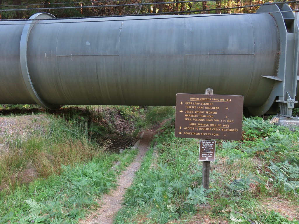
The trail began climbing immediately after passing under the pipe and quickly arrived at a signed junction where the North Umpqua Trail forked to the right.
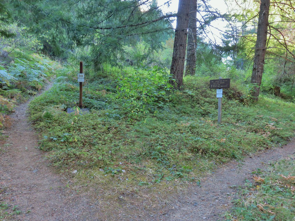
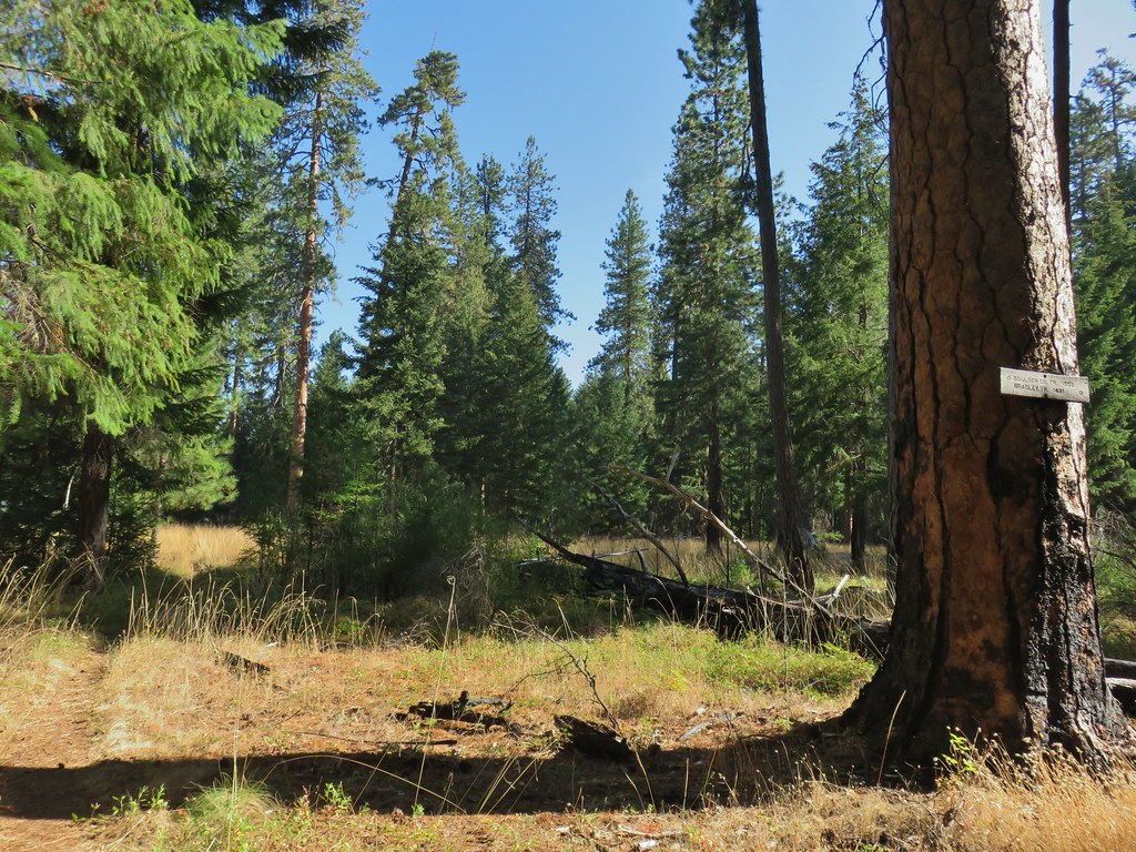
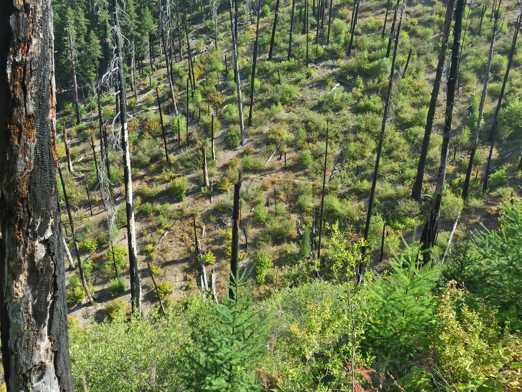
The trail continued to climb through previously burned woods to another junction .4 miles from the trailhead.


This was the Bradley Trail onto which we turned left following pointers for Pine Bench.

This trail climbed over 650′ in the next mile before leveling out along the broad plateau of Pine Bench. There was an increasing presence of poison oak along the trail which we kept our eyes out for. It was especially bad along the hillside after we entered a more recent (2017) fire scar.

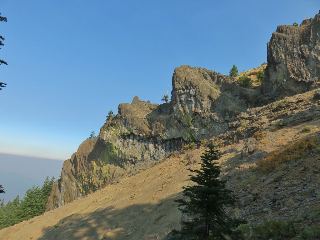
 Bradley Trail passing below some cliffs.

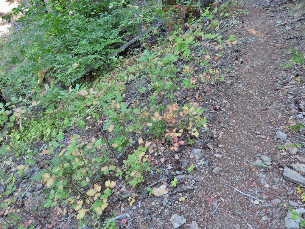 A lot of the poison oak was turning color which made it easier to spot.
 Entering the 2017 fire scar.
 Lizard
 Bradley Trail arriving at Pine Bench.
It was a hot climb in the exposed sun so reaching the forest atop Pine Bench was a nice reprise from both the heat and the vast majority of poison oak.
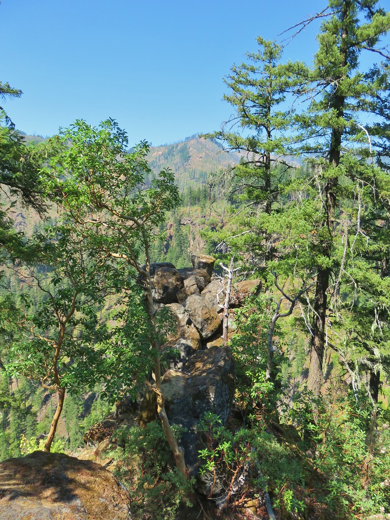
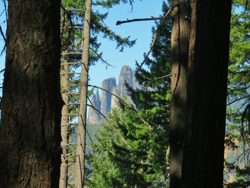 Rock formation visible from the Bradley Trail.
A little over a mile and a half from the Soda Springs/Bradley Trail junction we arrived at the Boulder Creek Trail.

We turned right here looking for a side trail to a spring near a campsite.

 Common wood nymph

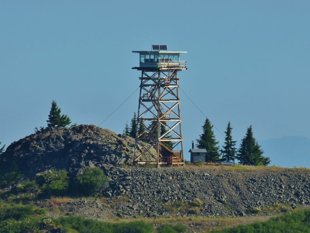
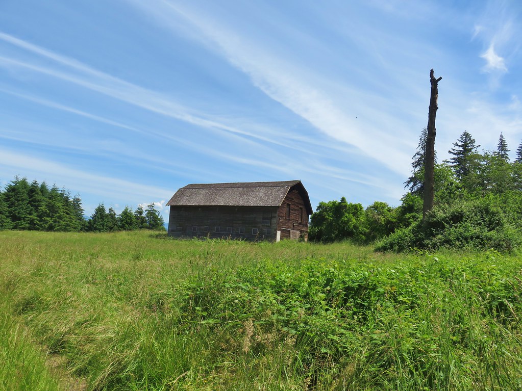
 Illahee Rock Lookout

We passed the campsite after .4 miles but we didn’t take the unsigned spur trail down to the spring due to the GPS map showing the trail further off.

 Spur trail to the left.
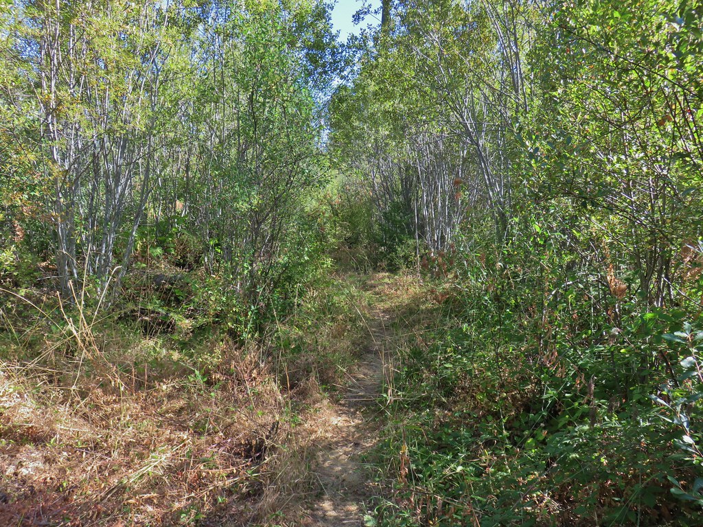
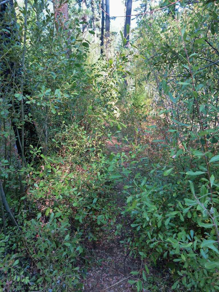
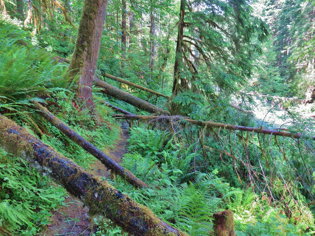
We quickly realized that the trail we had seen must have been the one we wanted but decided to continue on for now. From the campsite the trail continued to Boulder Creek after 1.7 miles. We were seeing very little poison oak and it was a nice day on the bench so we opted to do Sullivan’s longer described hike to the creek. The trail made a few unexpectedly steep up and downs and it grew fainter with a few downed snags but it was passable and there were signs of recent brushing/trail maintenance.
 Just over half a mile from the campsite we passed the very faint Perry Butte Trail.
 Trail maintenance and ripe blackberries.
 Looking up the Boulder Creek Valley
 Looking down at the trail across a side drainage.
 Looking across the Boulder Creek valley.
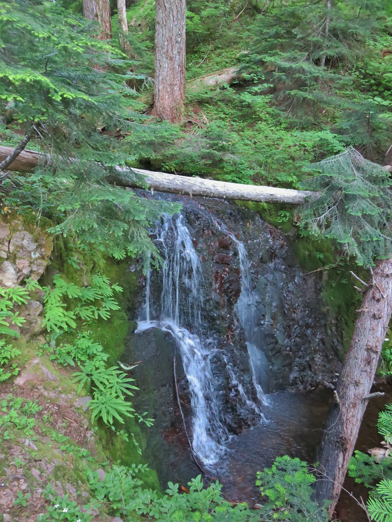
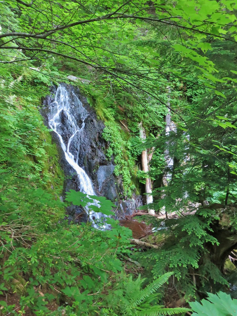
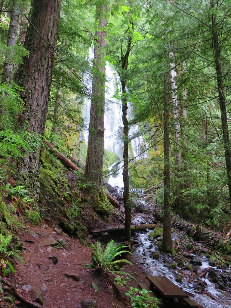
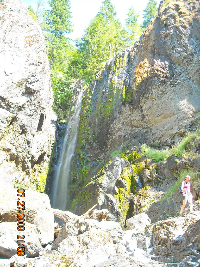
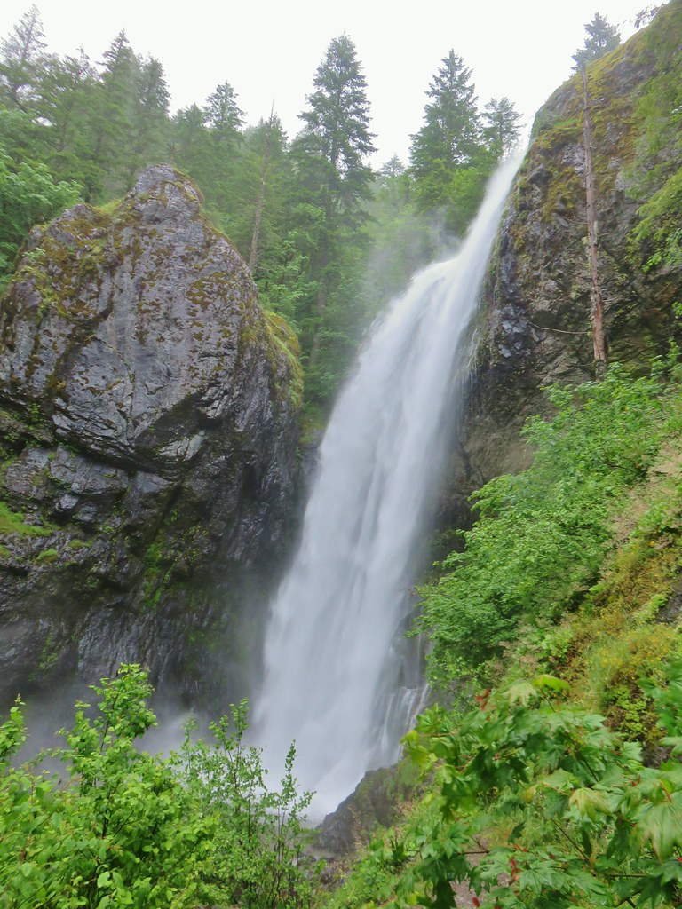
 Small fall on Boulder Creek
 Final drop down to Boulder Creek.
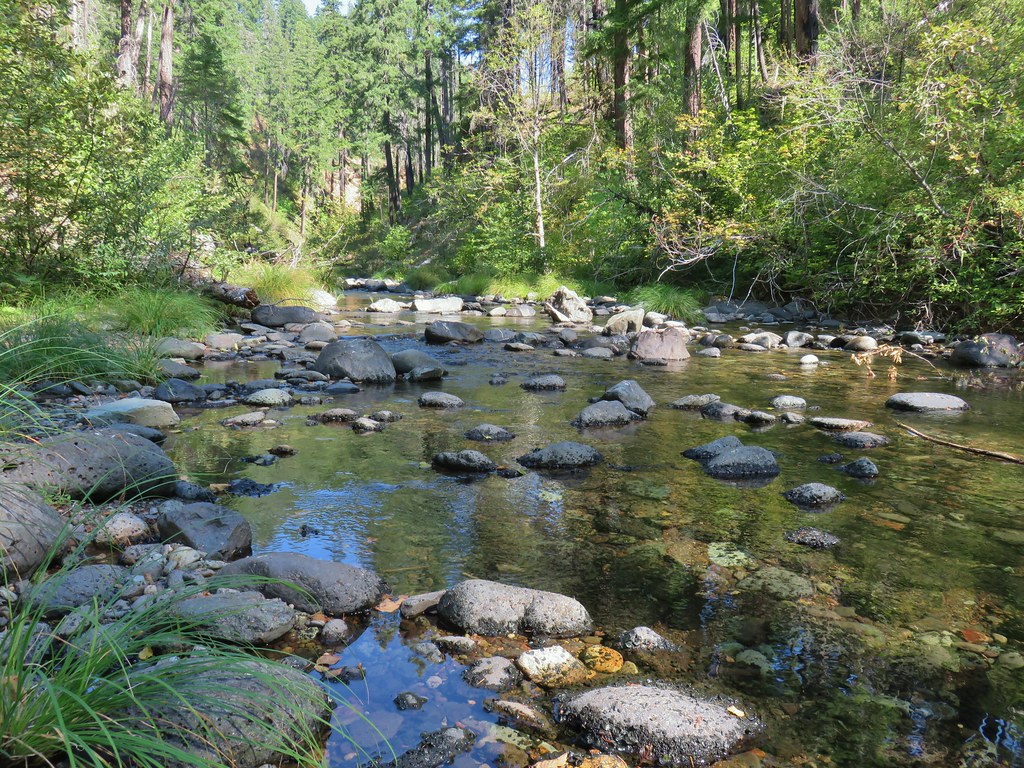
 Boulder Creek
We took a short break on the rocks along the creek before turning back.

 The continuation of the Boulder Creek Trail on the far side of Boulder Creek which reportedly becomes even fainter and more wild.

After cooling off a bit we started the process of climbing back up to the campsite and the spur trail to the spring.

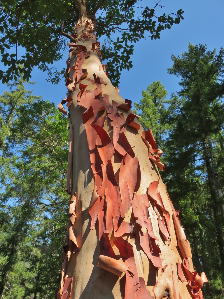
When we made it back to the spur trail we turned down it for 100 yards to a wide open area with madrone trees.


The spring was just below some rocks on the left but there wasn’t much water flowing this time of year.

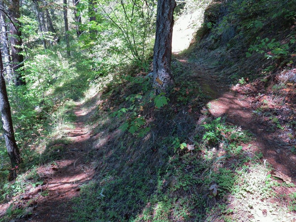
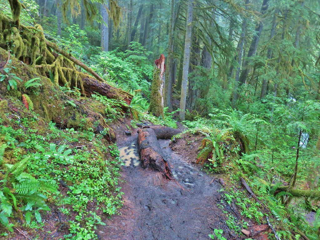
After another short break we continued back to the Bradley Trail junction. We stayed straight here following the Boulder Creek Trail downhill through the 2017 fire scar. While there had been a good deal of poison oak along the Bradley Trail this trail put that one to shame. It was all avoidable but it was thick along the trail as it switchbacked downhill. There was also one switchback near the top where we were forced to walk down a large downed tree.
 Fern tree along the Boulder Creek Trail.
 This log was the trail.
 Another switchback with poison oak on all sides of the trail.
The bright side of going down this way was there was a wilderness sign, or at least most of one (we hadn’t seen one on the other side).

After a approximately 1.5 miles we arrived at a junction with the North Umpqua Trail where we turned left on an old roadbed.
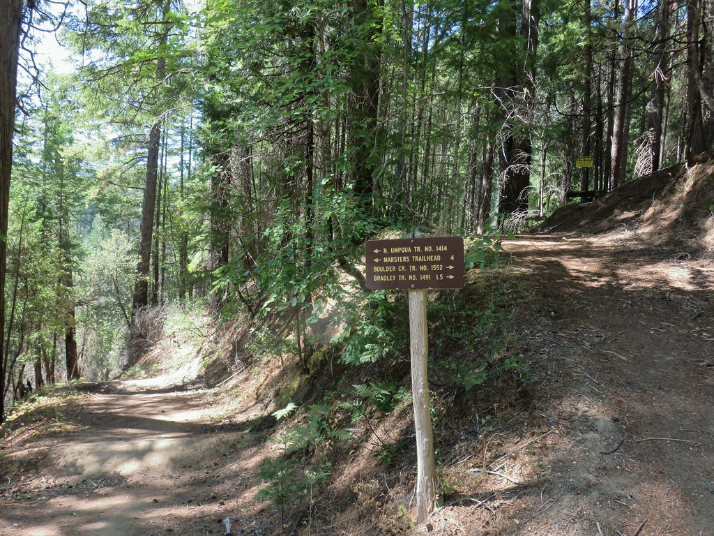
We followed the road another tenth of a mile or so to a gate blocking the road at the Boulder Creek Trailhead.


Not too far from the gate we came to a pair of boulders blocking the road meaning the actual trailhead is inaccessible via car although there was room to park at the boulders. We continued down the road which brought us close to the North Umpqua River near the power station.


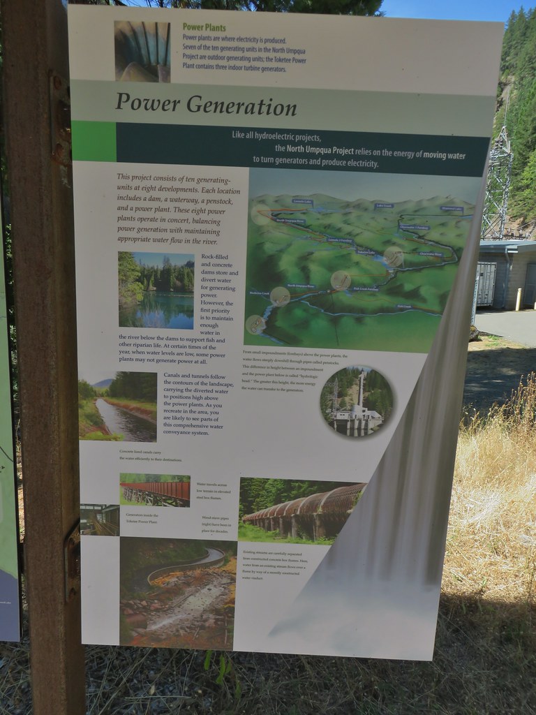
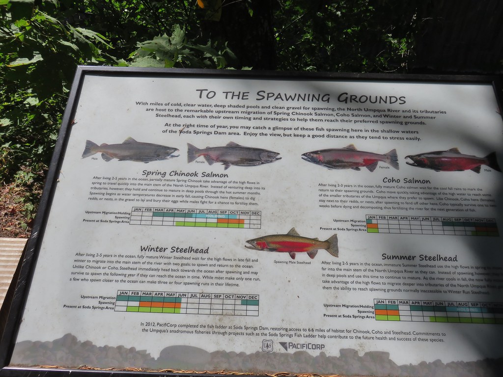
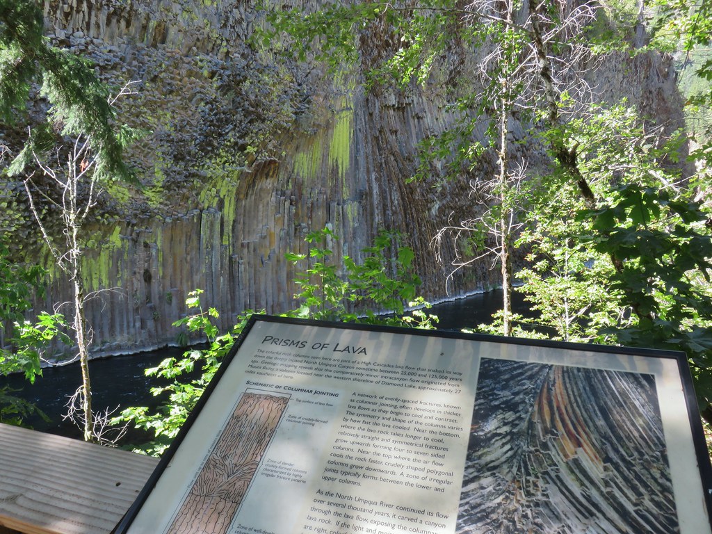
We stopped at the far end of the Soda Springs Day Use Area to read the interpretive signs before returning to our car.

We headed back to Salem and when we were back in cell range began receiving alerts about a hazardous wind event. By the time we made it back to Salem strong dry winds from the east had pushed the Lionshead and Beachie Creek Fires into the valley. Later that evening/night those fires would explode along with numerous other new fires up and down the West Coast. A slightly smokey but wonderful Labor Day Weekend turned into a nightmare for thousands. The fires continue to be a huge danger to many but the winds have shifted and rain is in the forecast so hopefully some relief is coming. Happy Trails and stay safe.
Flickr: Boulder Creek Wilderness

 Smokey skies turning the Sun red.


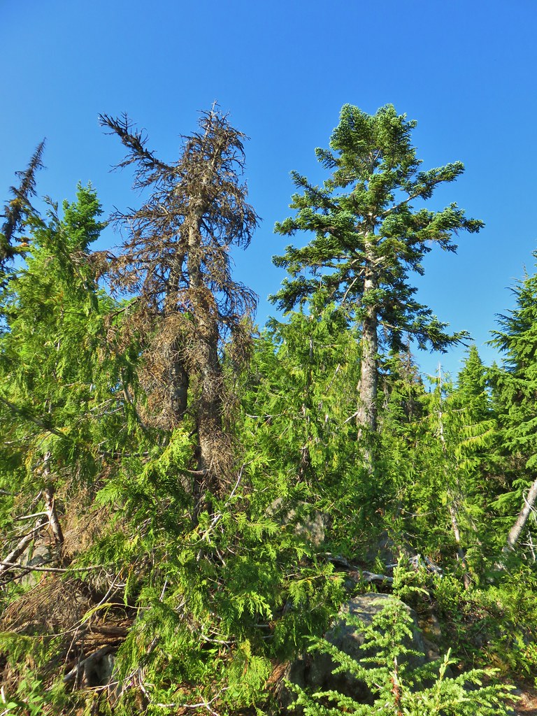
 Little trees surrounding a giant.
 A downed giant.
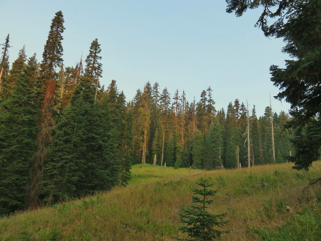

 Madia
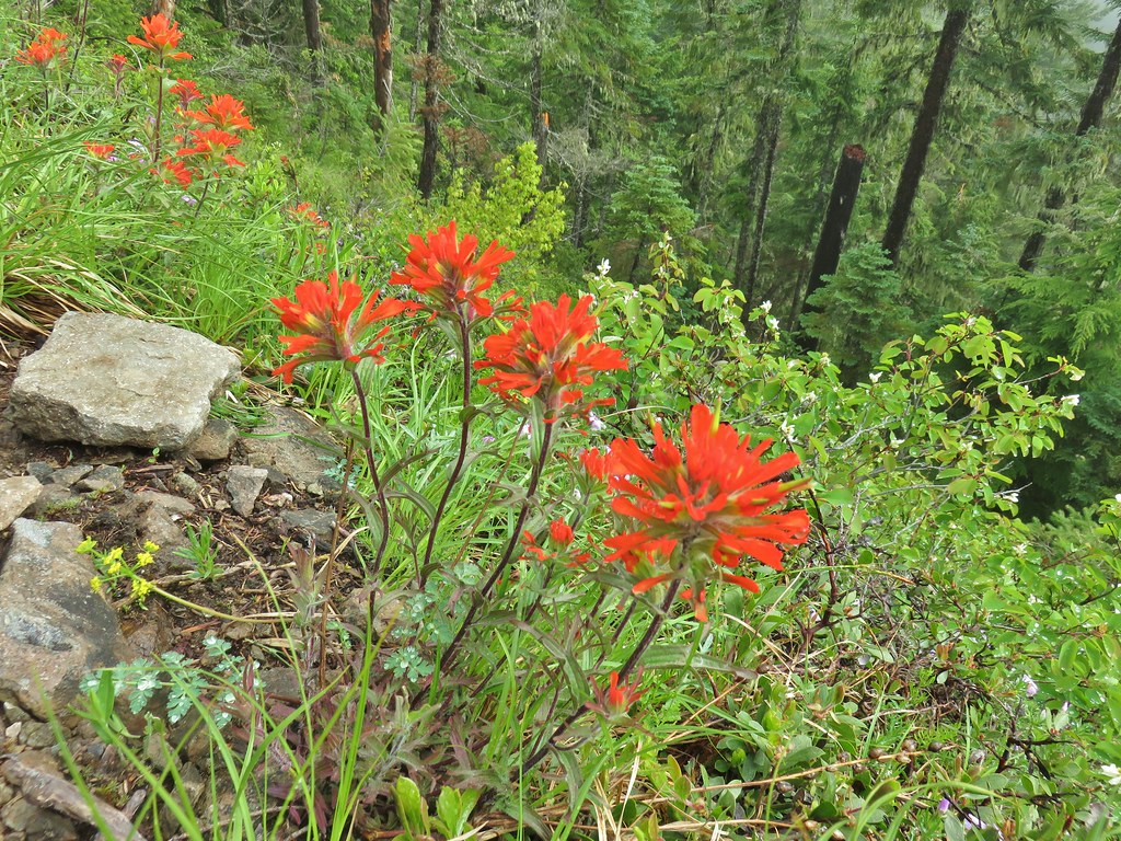
Madia Paintbrush


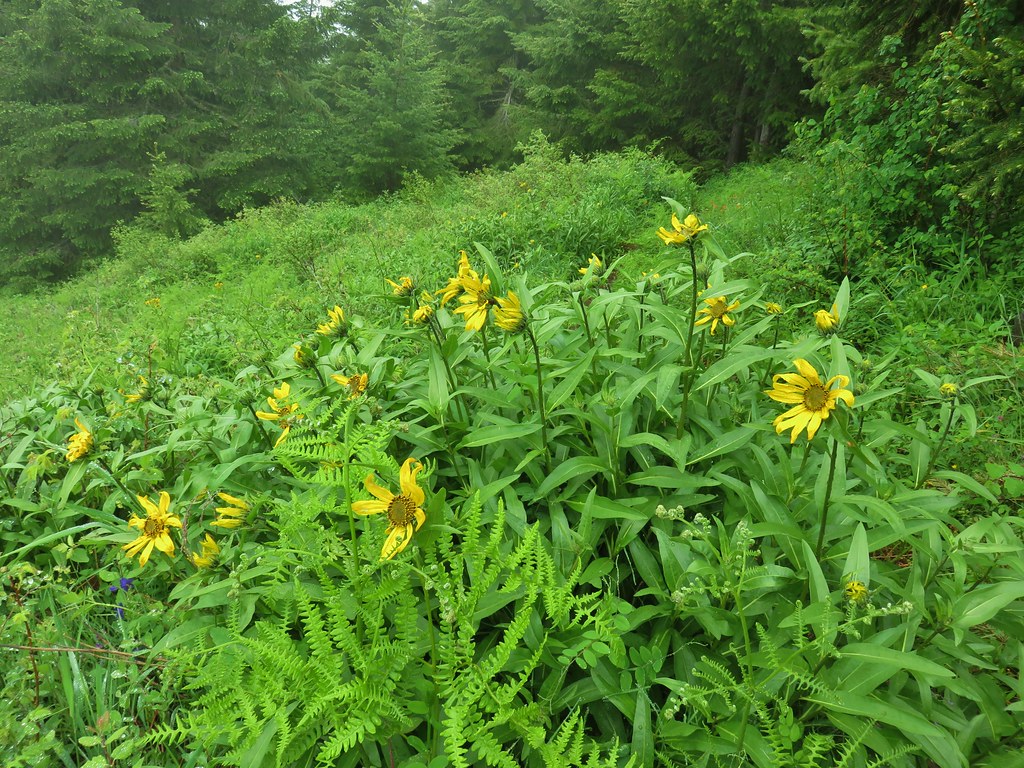
 Goldenrod and other flowers.
 Arnica?
 Columbine
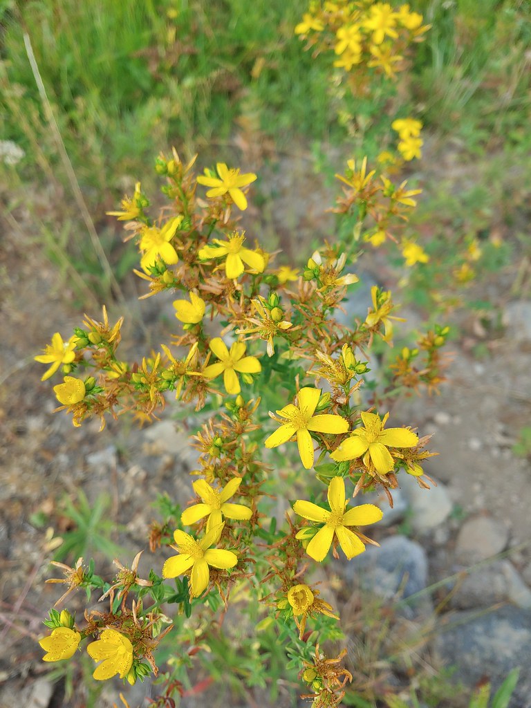 St. John’s wort
 Fleabane (or aster) and coneflower


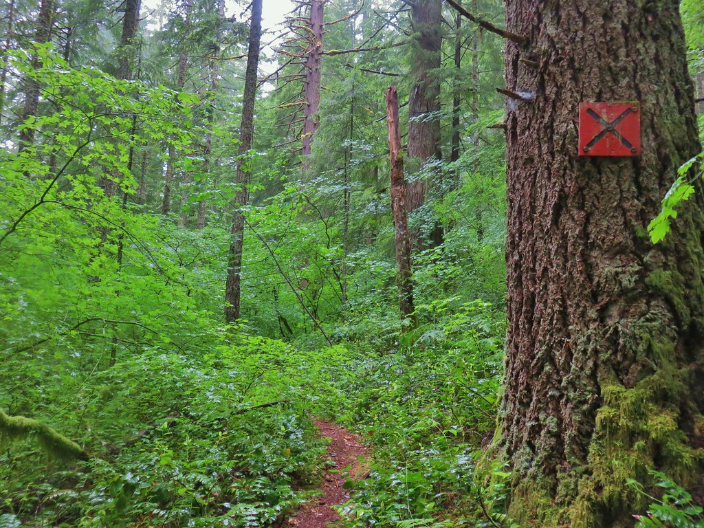
 The trail sign on the left wasn’t particularly descriptive.
 The owl is in the center of the picture behind the branch with green needles.
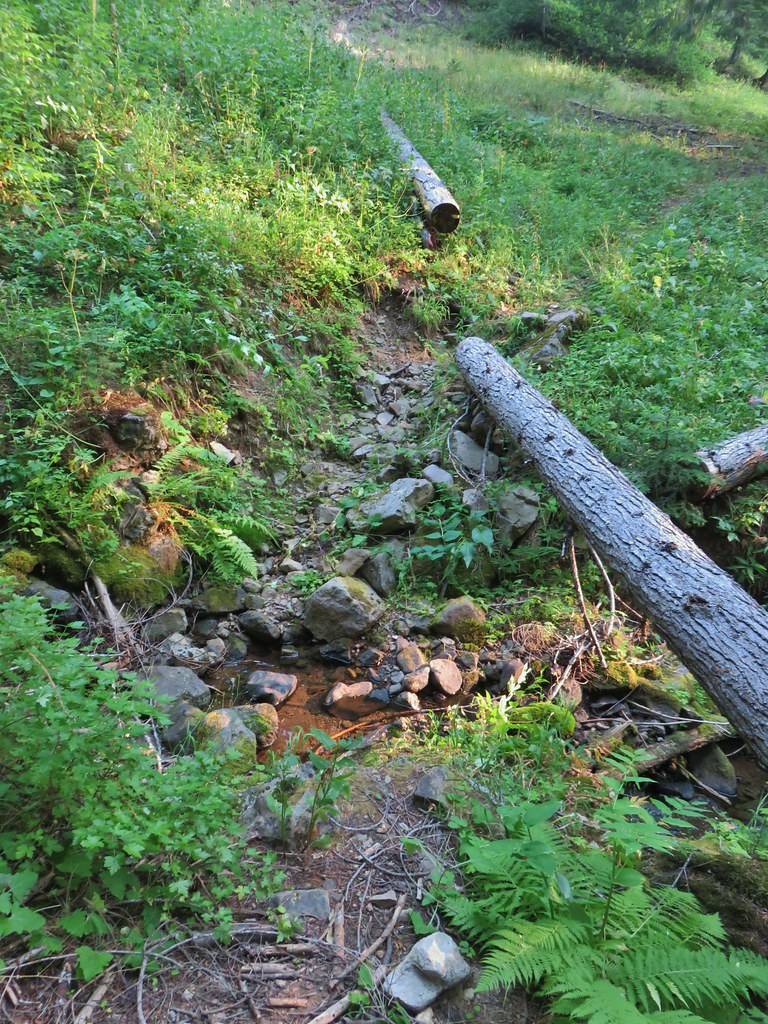 Small stream crossing
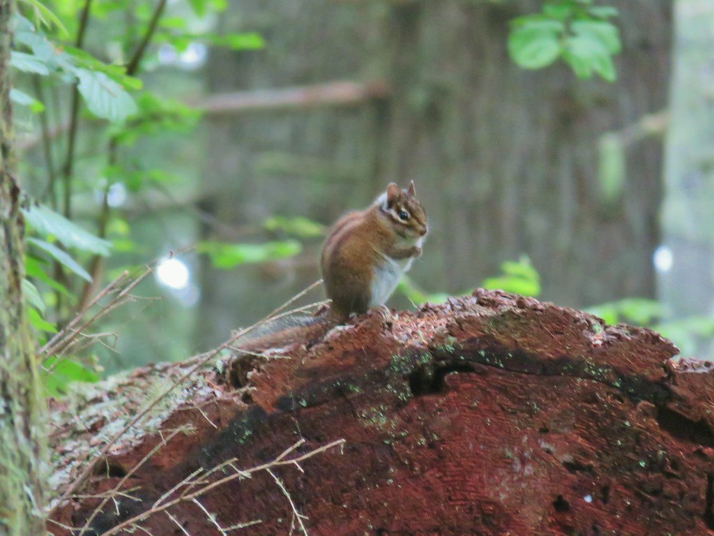
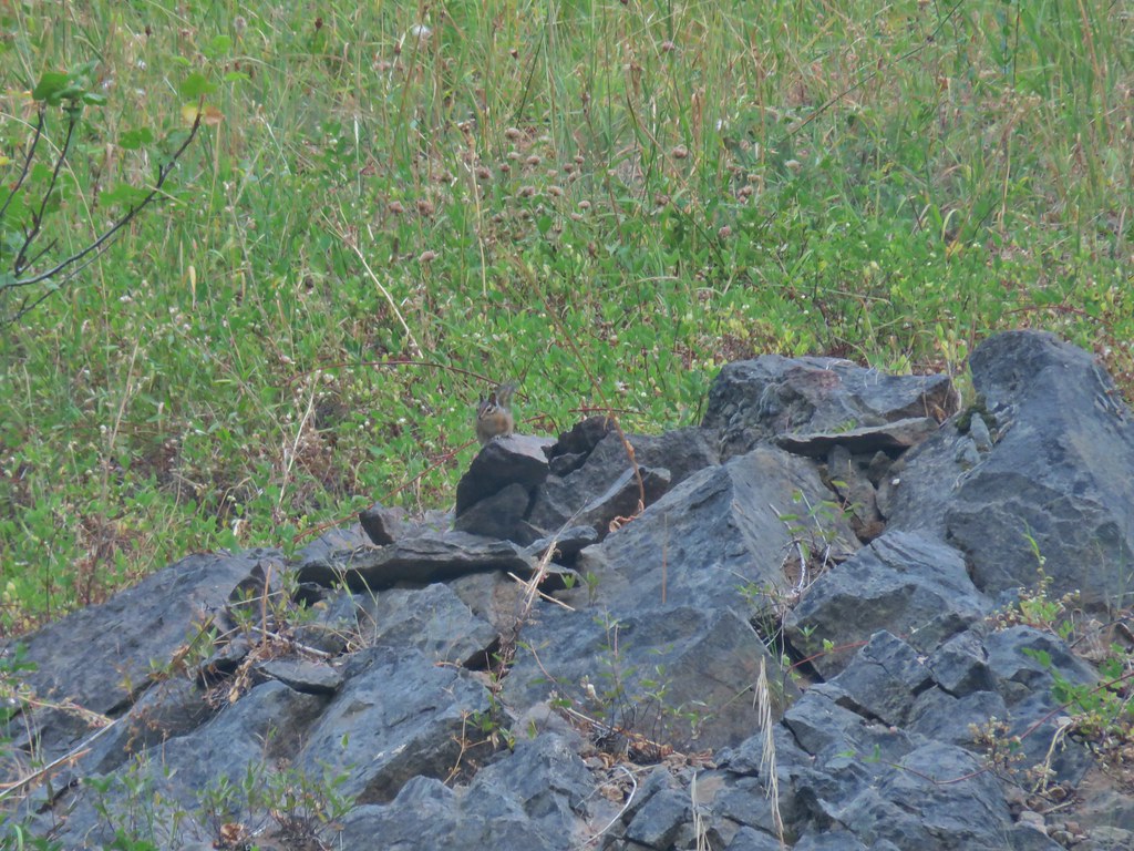 Chipmunk


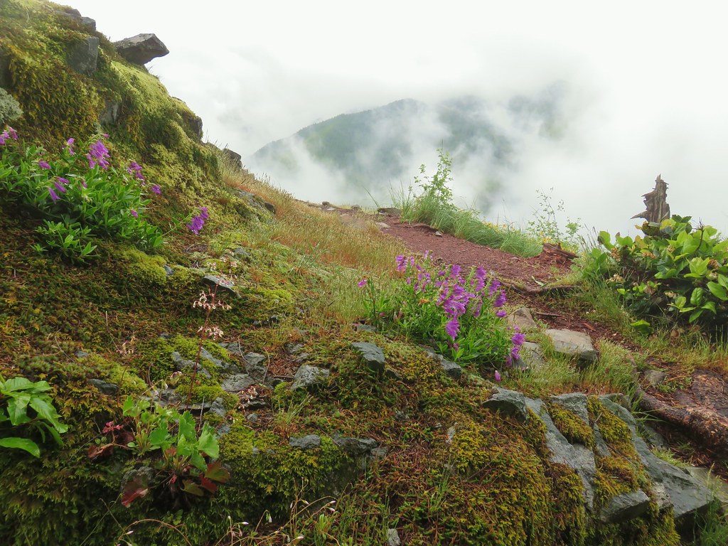
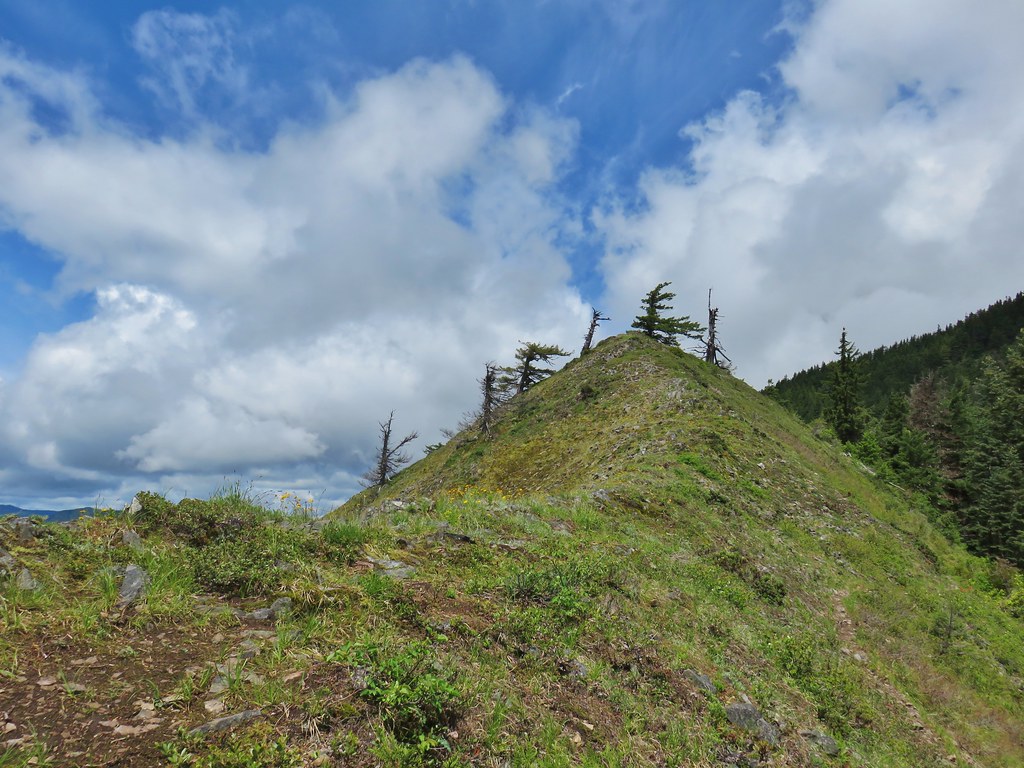
 Windy Gap
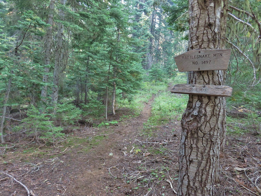


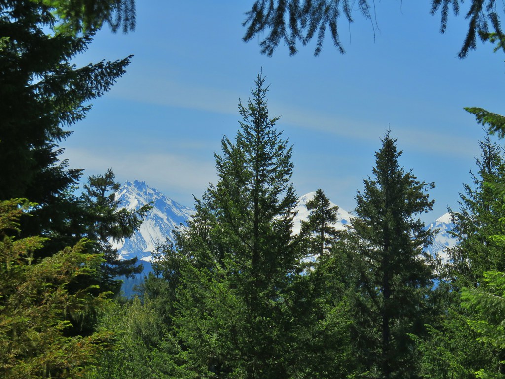
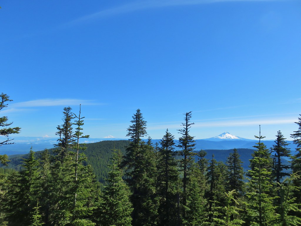
 Near the upper end of the 1.2 mile section we entered a burn scar with views of Mt. Bailey, Mt. Thielsen and Crater Lake.
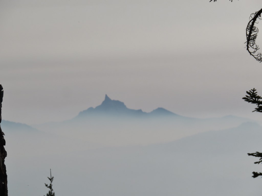 Mt. Thielsen
 High points along the rim of Crater Lake above the smoke.
 A bee photobomb with Mt. Bailey and Mt. Thielsen to it’s right.
 Flagging in the burn scar.
 Nuttall’s linanthus
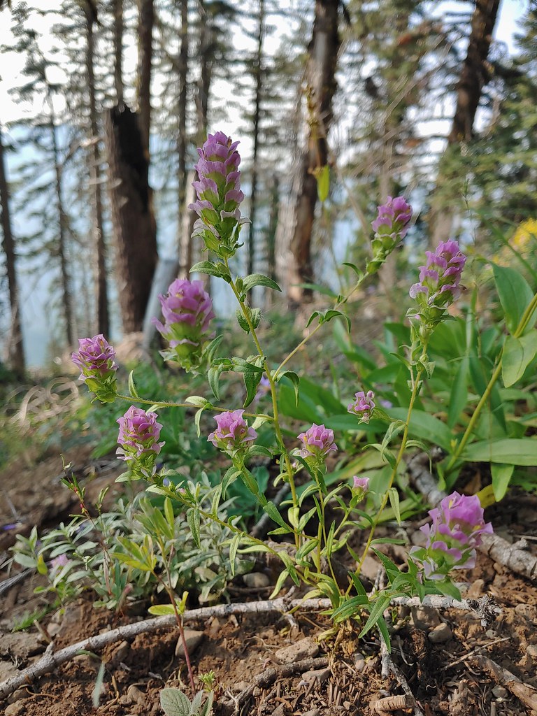 Owls clover
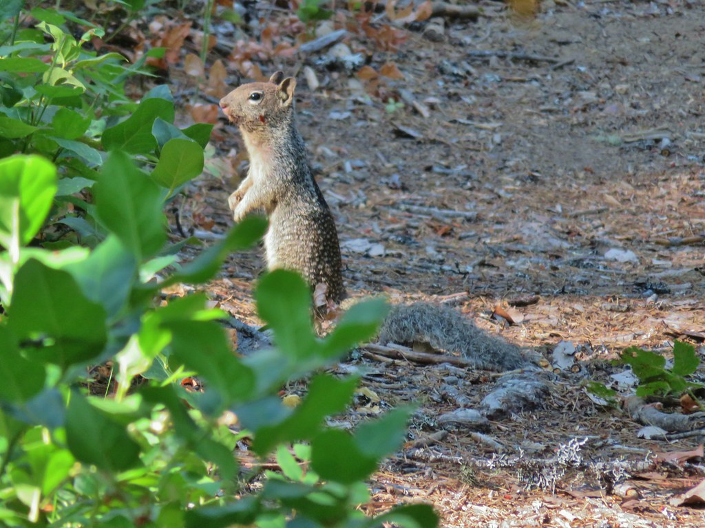
 Golden-mantled ground squirrel.
 The rock cairn.
 Nearing the summit.
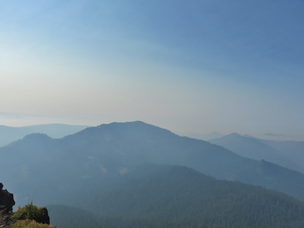
 Mt. McLoughlin
 Hillman Peak and The Watchman at Crater Lake
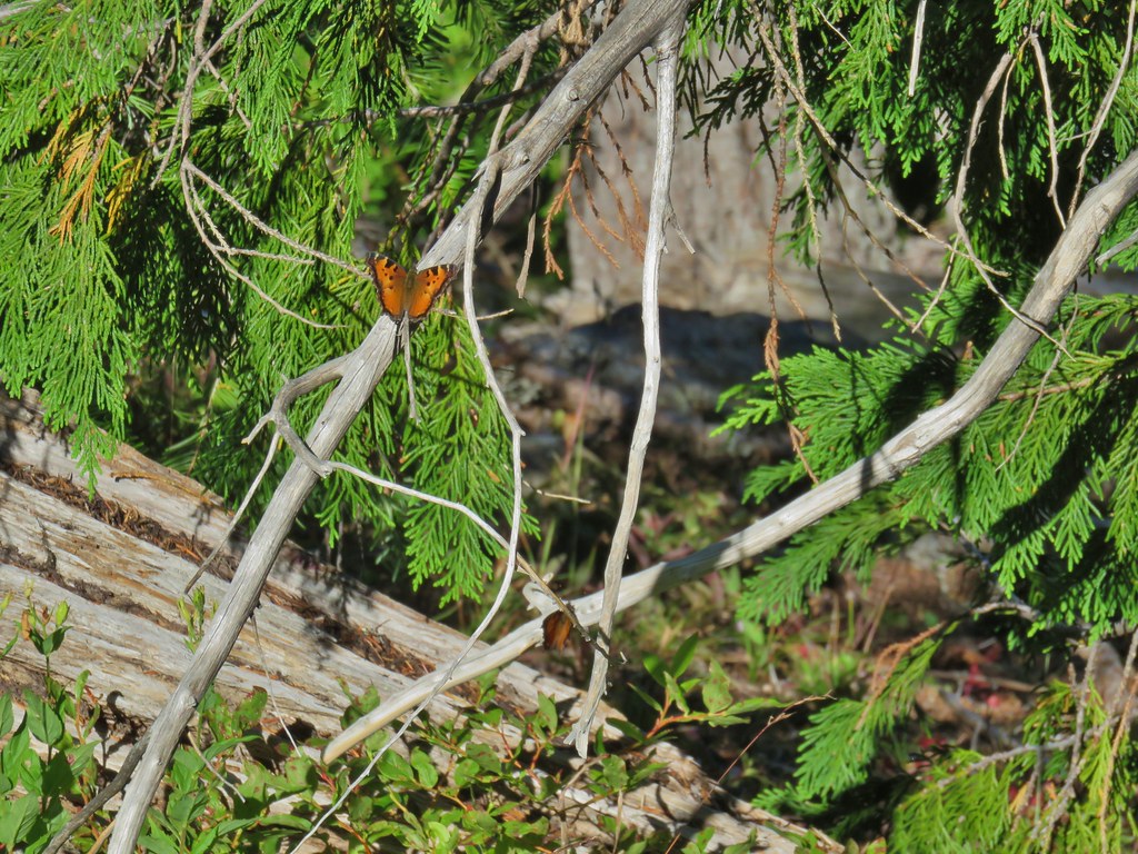
 Butterfly and bees.
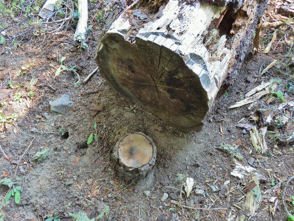 For some reason this cracked us up.
 Heather spotted this cricket on my shoulder (I always have some sort of insect on me for some reason).

 We’d lost the trail here and were just heading for the Castle Creek Trail.
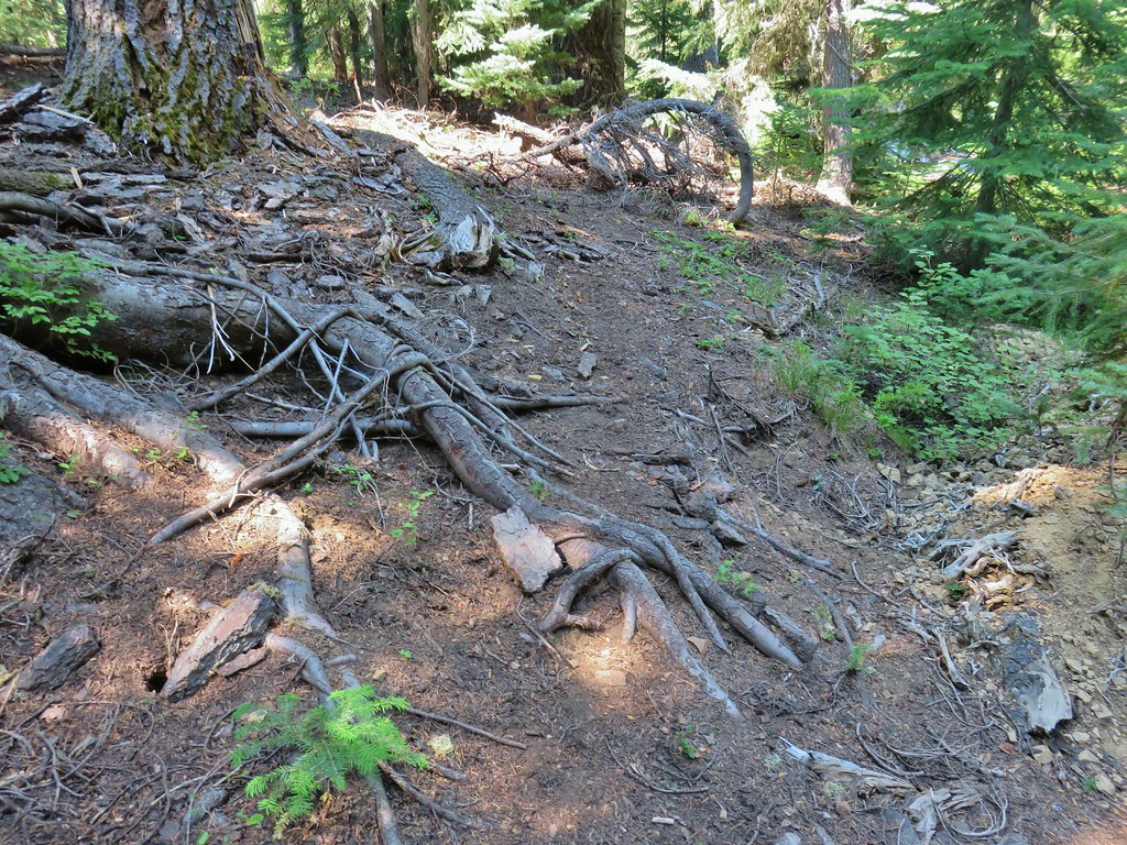 We came across this faint tread in the trees before reaching the Castle Creek Trail and started following it.
 Apparently it was the actual trail as it popped us out at a trail sign along the Castle Creek Trail.
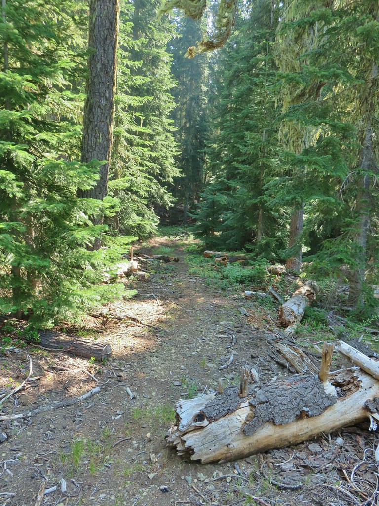

 Rattlesnake Mountain
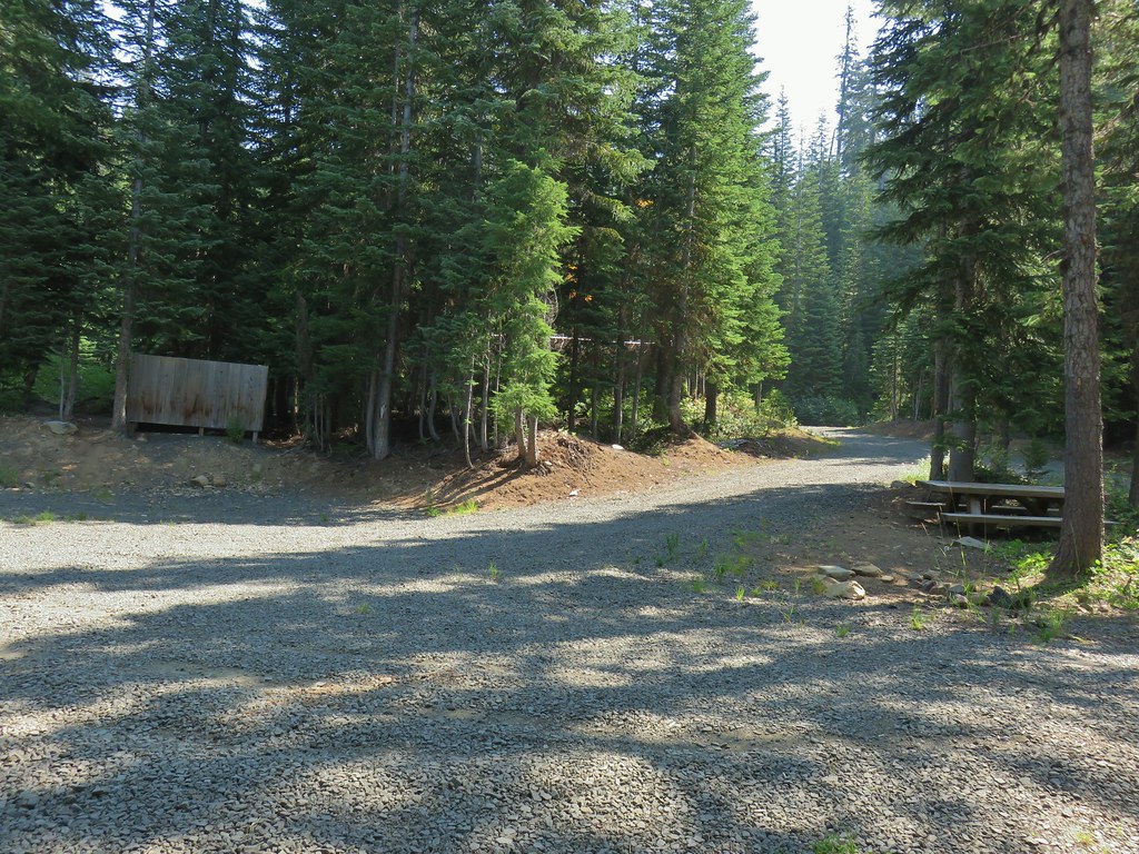 Happy Camp Trailhead
 Rattlesnake Mountain
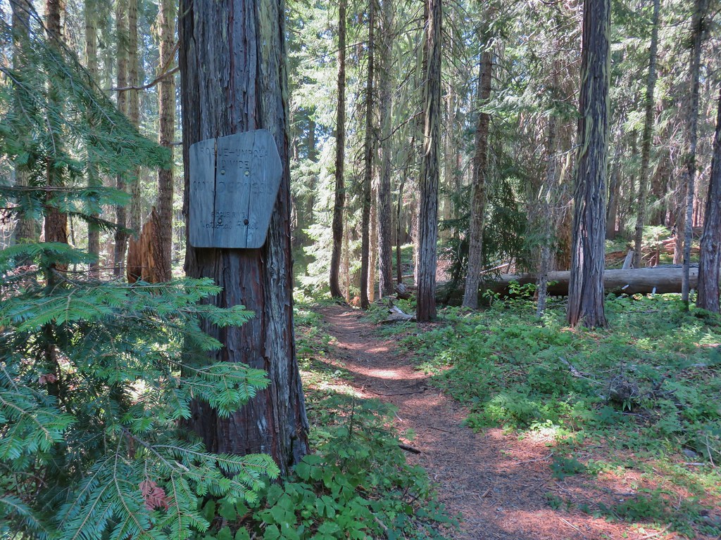
 Rogue-Umpqua Divide Trail
 Snake in Fish Creek
 Scarlet gilia
 Fish Creek
 Fish in Fish Creek
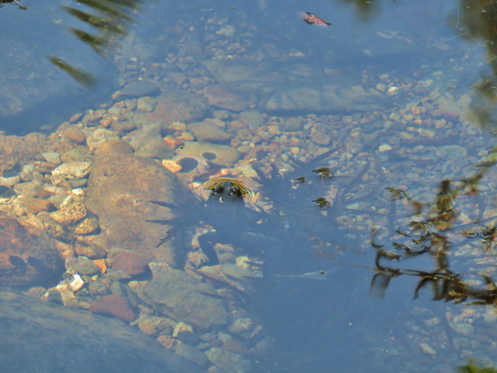 Frog in Fish Creek

 Monkshood
 This frog decided that under Heather’s pack was a nice spot to chill.
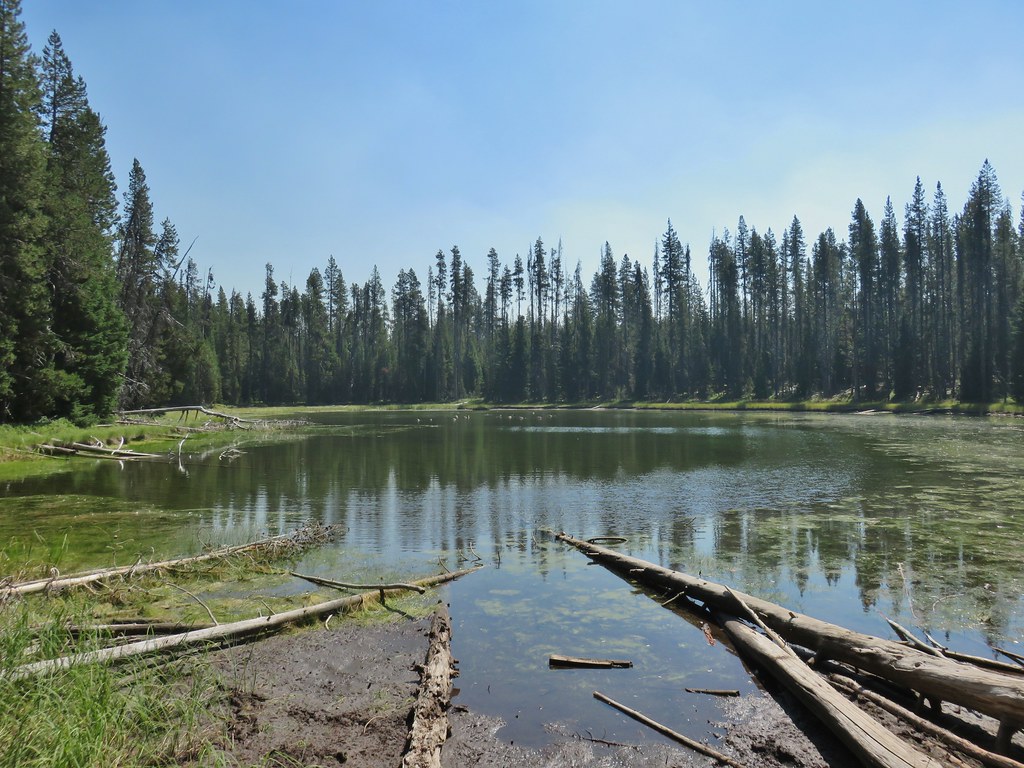
 Horse Lake
 Lesser yellowlegs
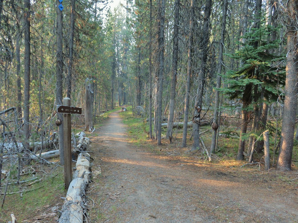


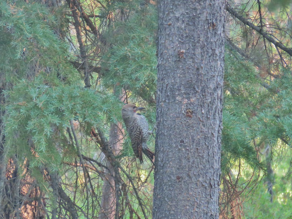 Northern flicker

 Mt. Bailey beyond the meadow.
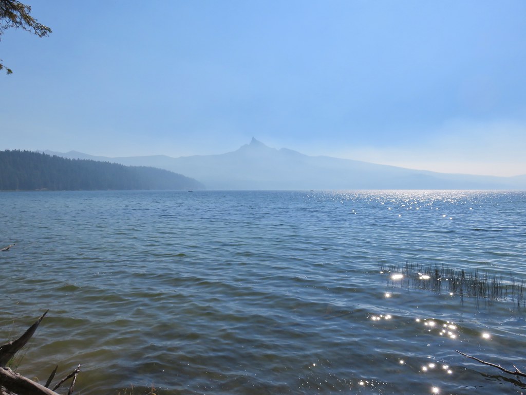
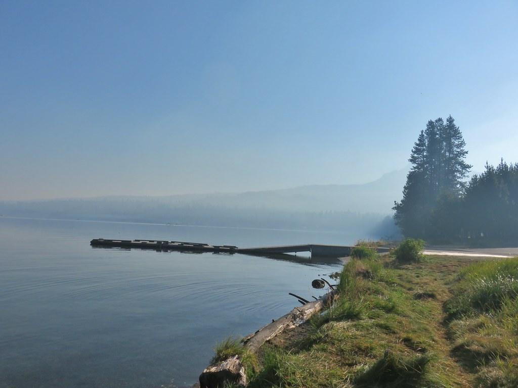 Mt. Thielsen from the South Shore Picnic Area
 Diamond Lake underneath the smoke.
 Mt. Bailey
 Mt. Thielsen from the boat dock.
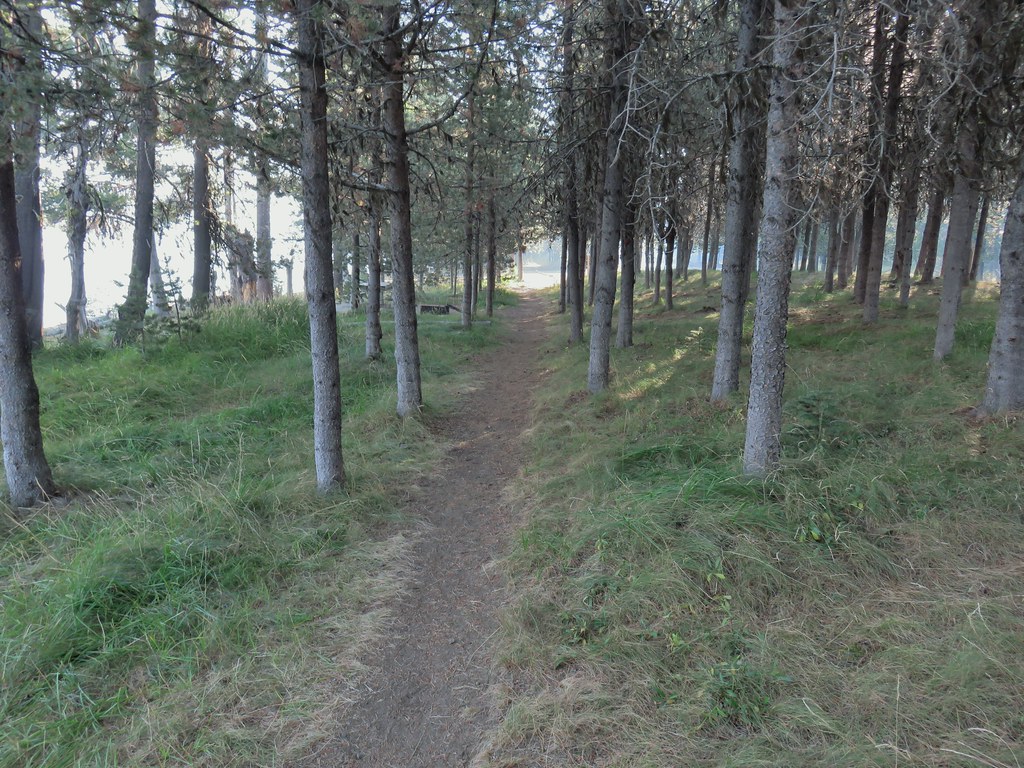 Picnic tables in the picnic area.
 Short Creek (it really is short)
 Resort buildings between the RV park and campground.
 Sign instructing users to follow painted bike symbols through the campground.
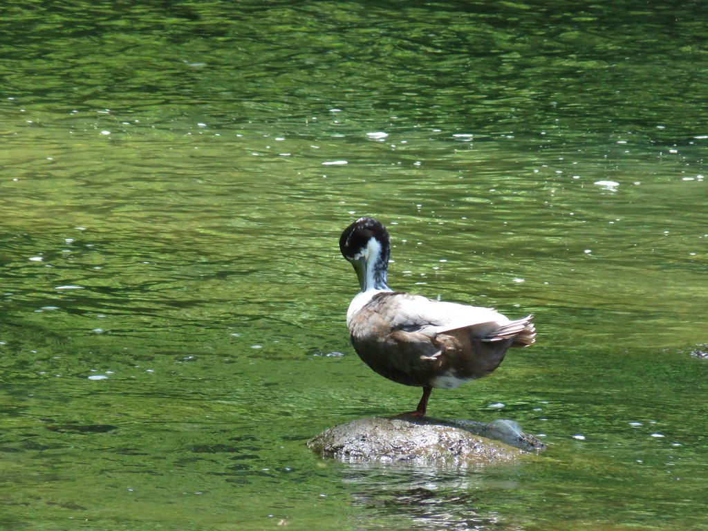
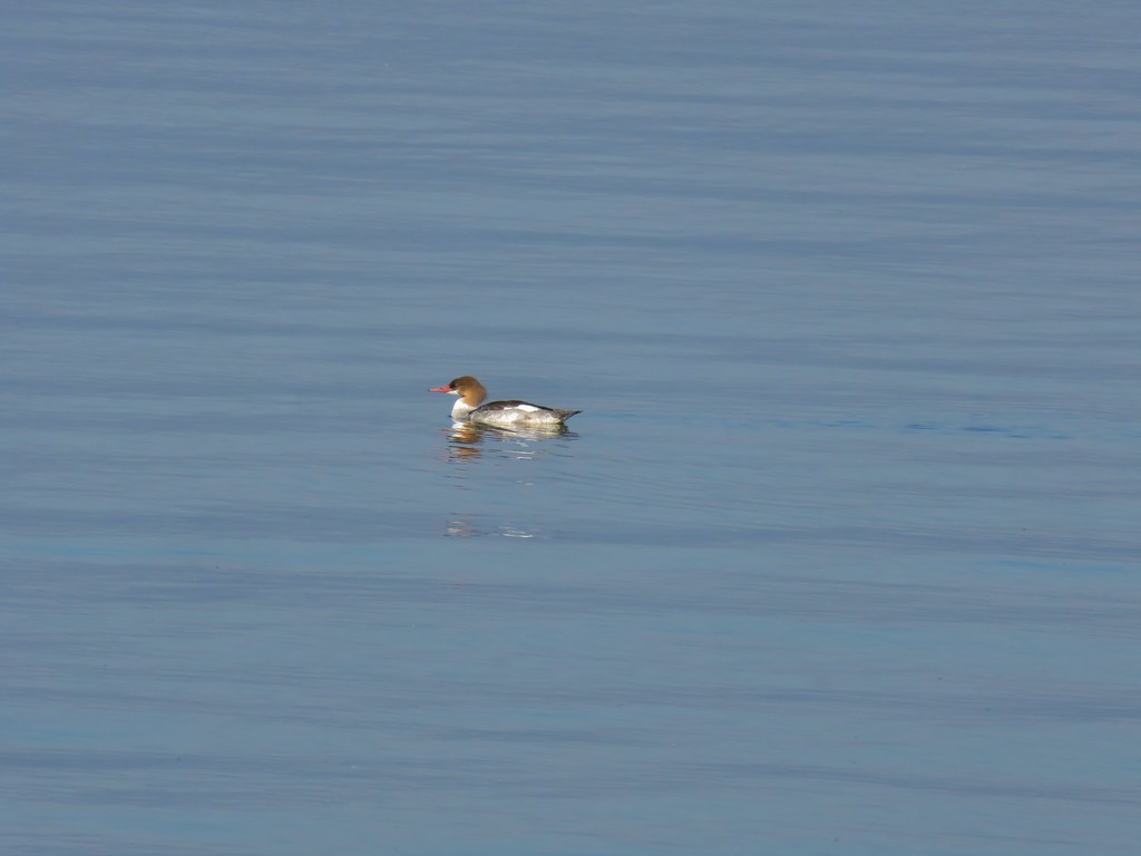 Common merganser
 Goldeneyes
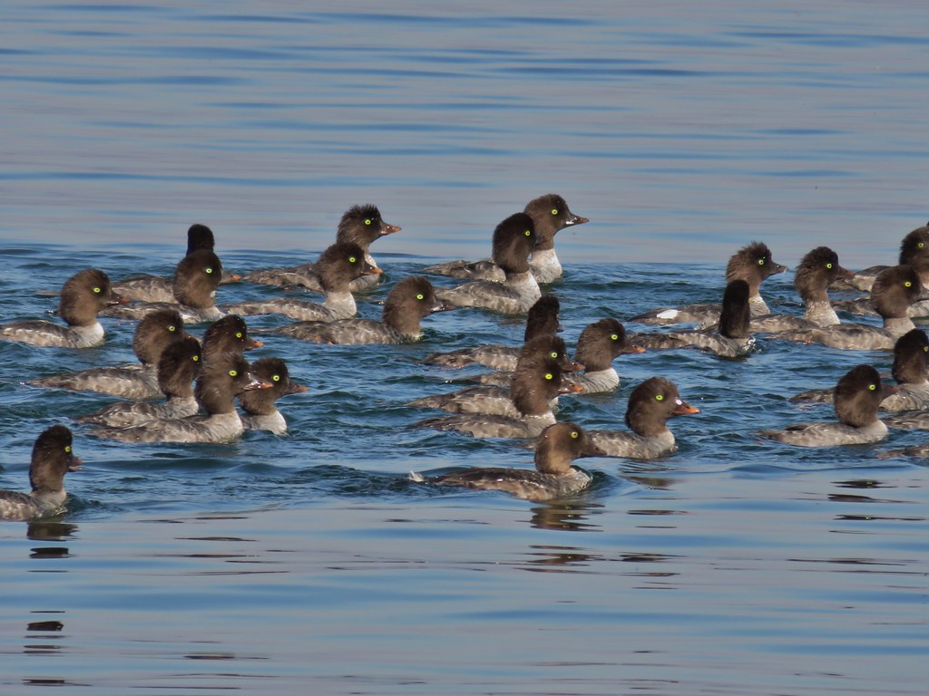

 Mt. Bailey again.
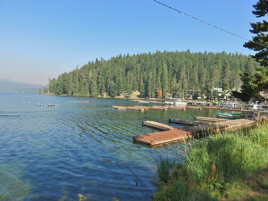 Arriving at the lodge area.
 Seagulls


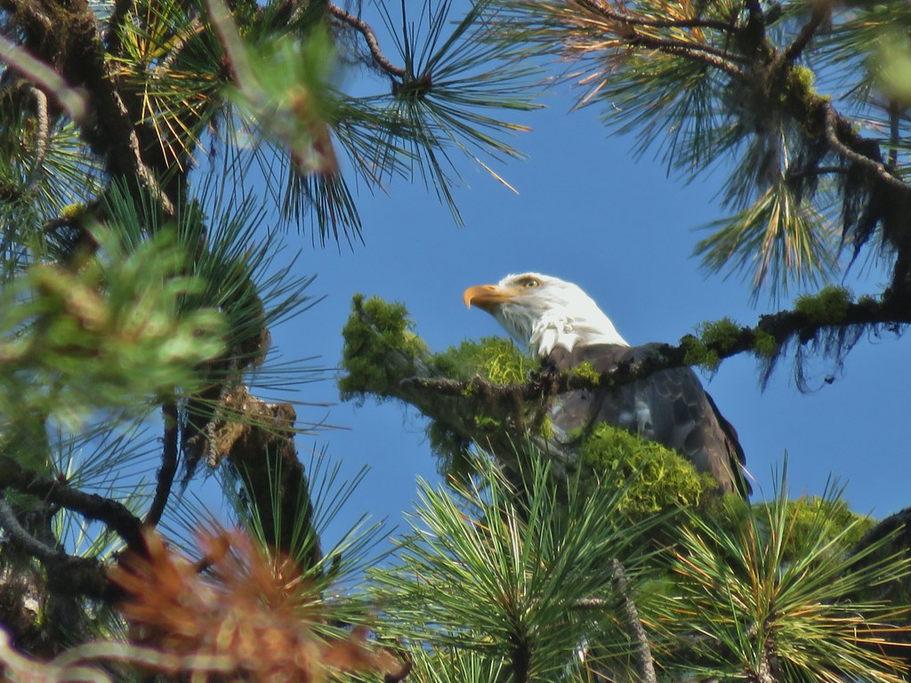 Bald eagle
 I’ve been spotted
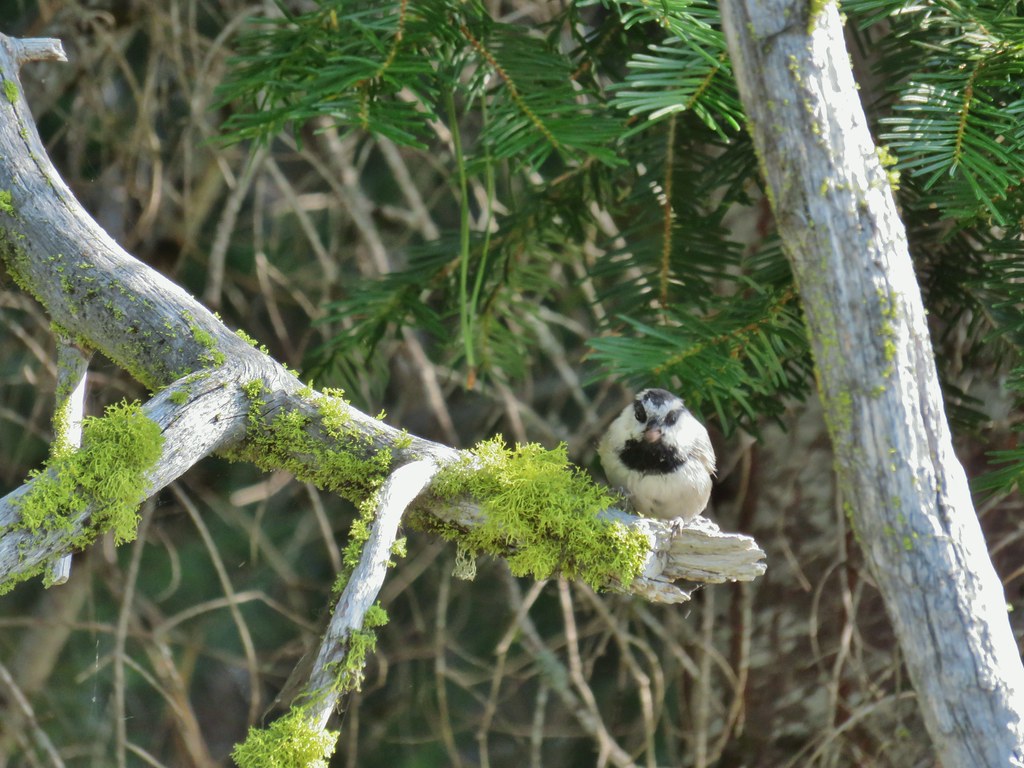 Chickadee with a seed or nut.
 Junco in some fireweed.
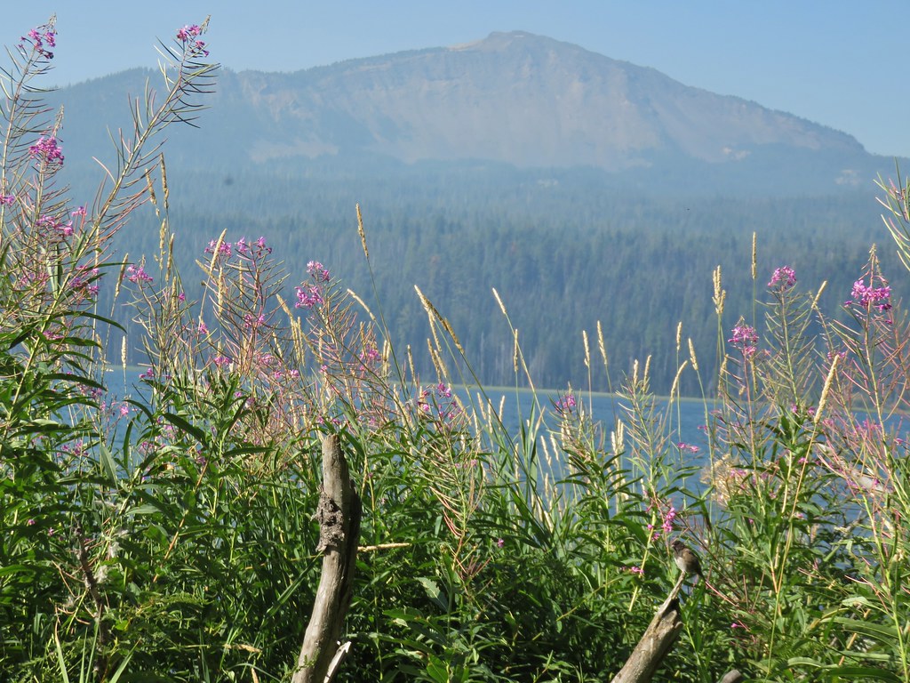 The junco with Mt. Bailey in the background.
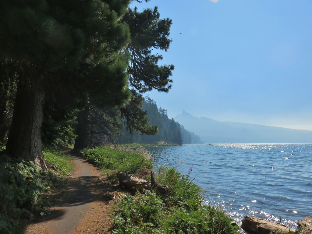 Looking back at Mt. Thielsen
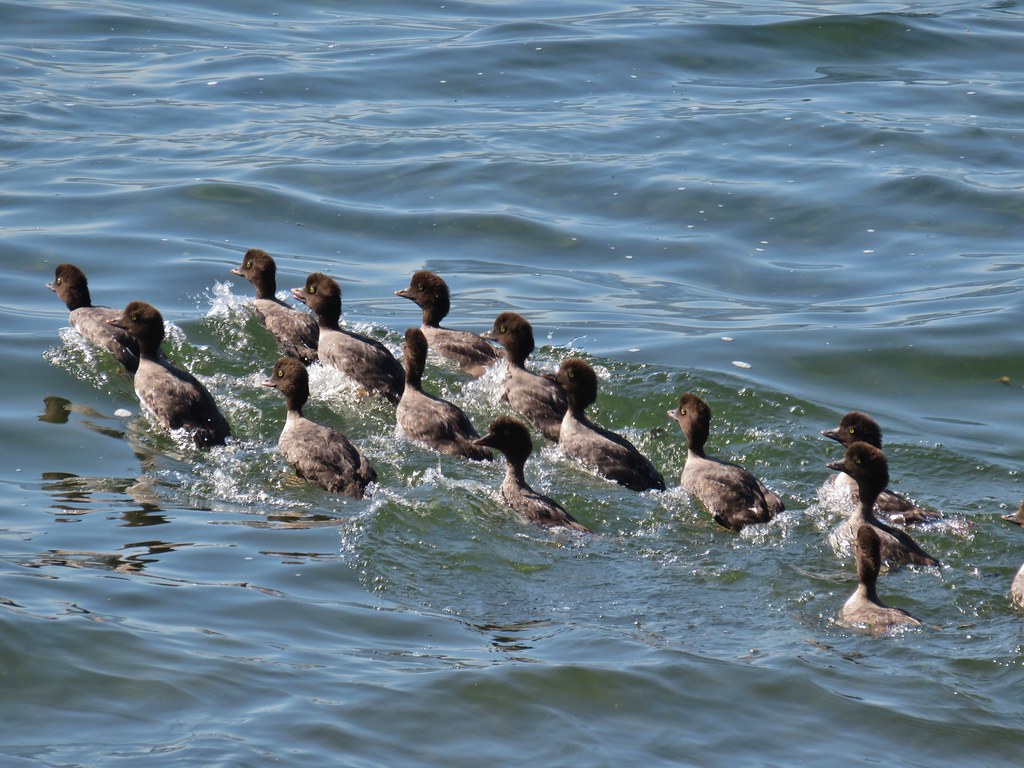 More goldeneyes
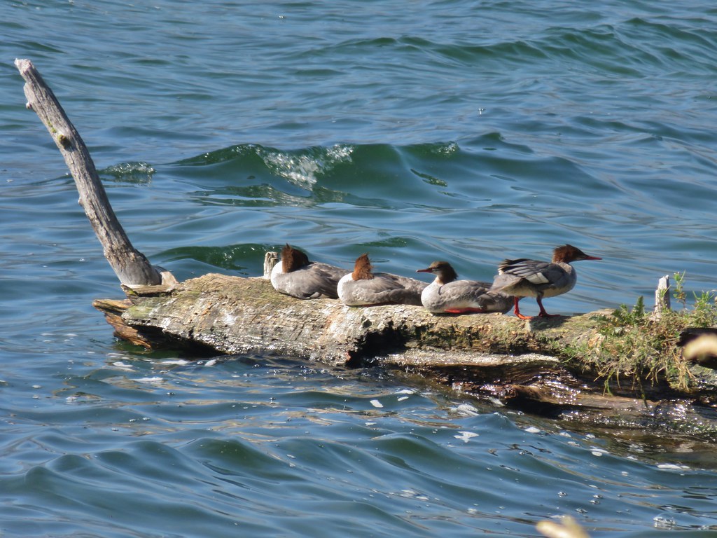 Mergansers


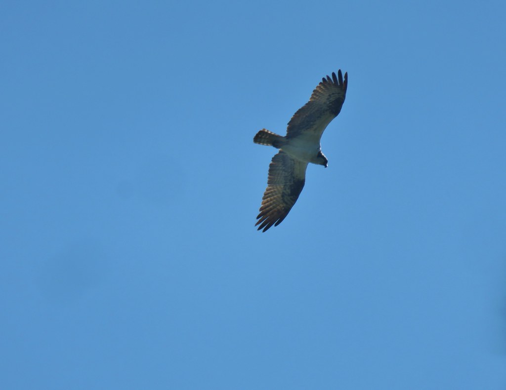 Osprey

 Cormorant
 Howlock Mountain to the left and Mt. Thielsen
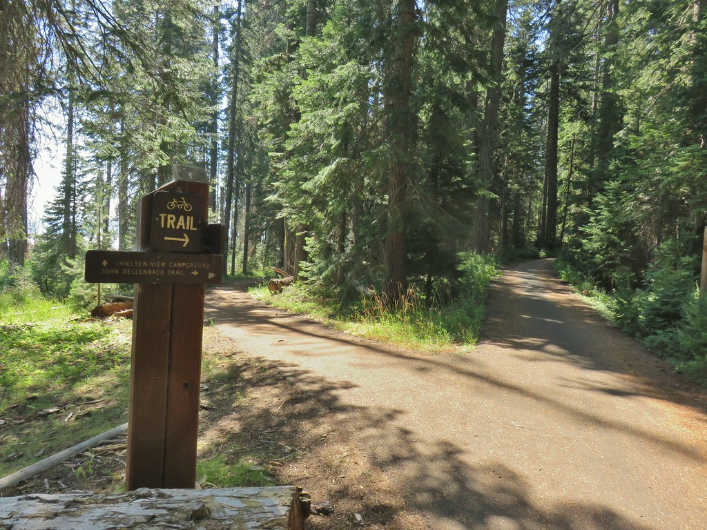


 Back on the lake side of FR 4795.


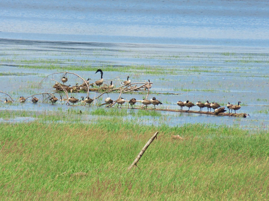
 Canada geese at Teal Lake.
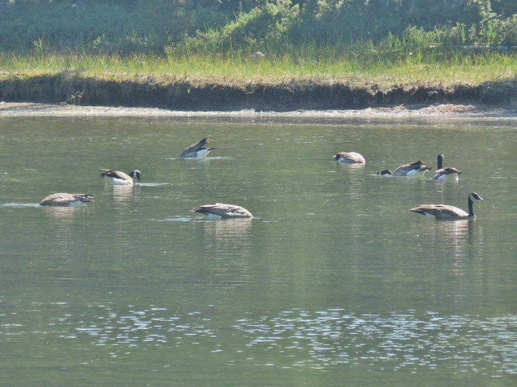


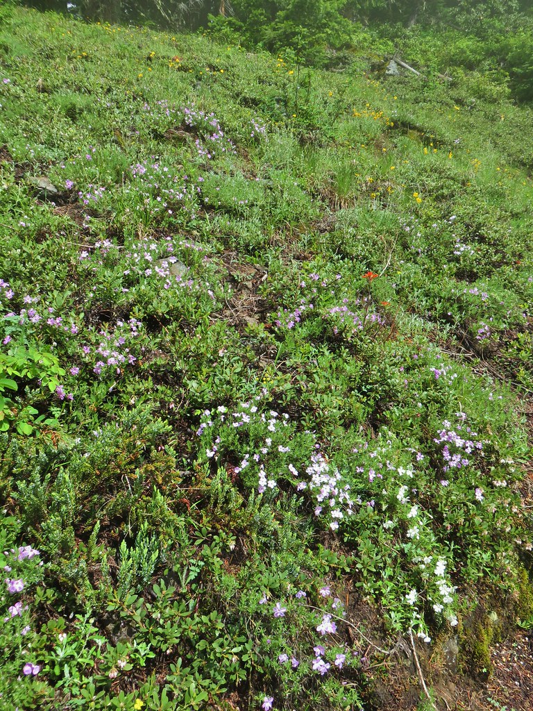
 hedgenettle and aster.
 Monkeyflower
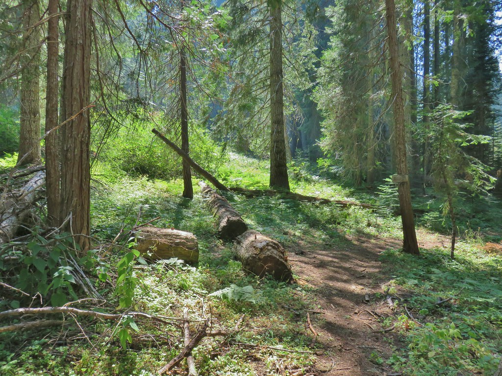


 Wiley Camp Trail on the right.
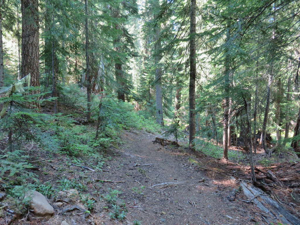

 Wiley Camp sign
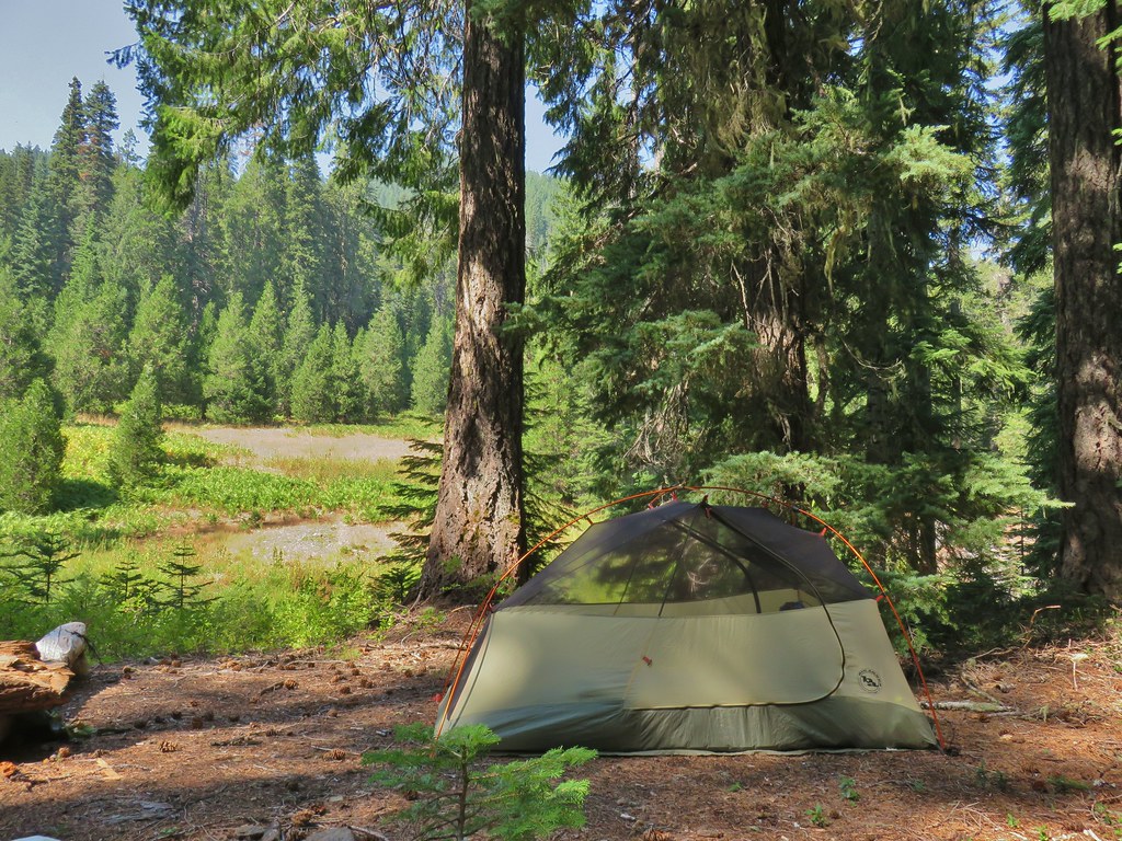

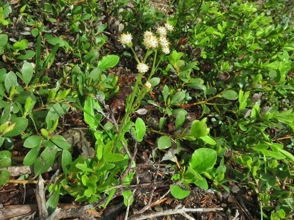
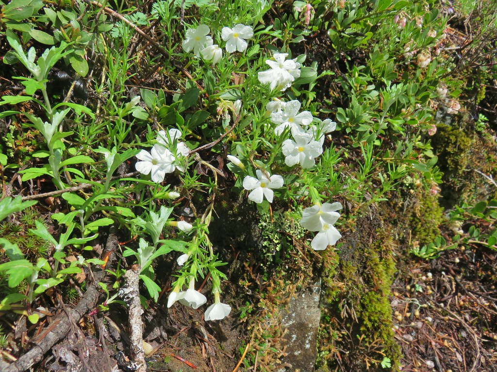
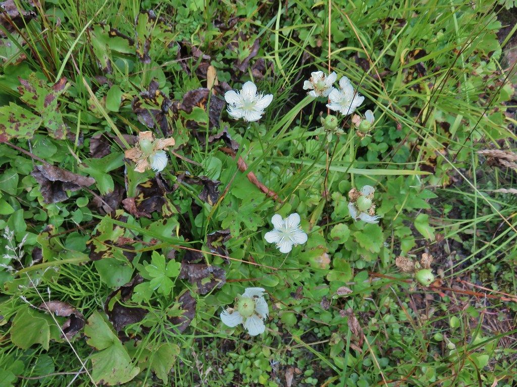 Grass of parnassus
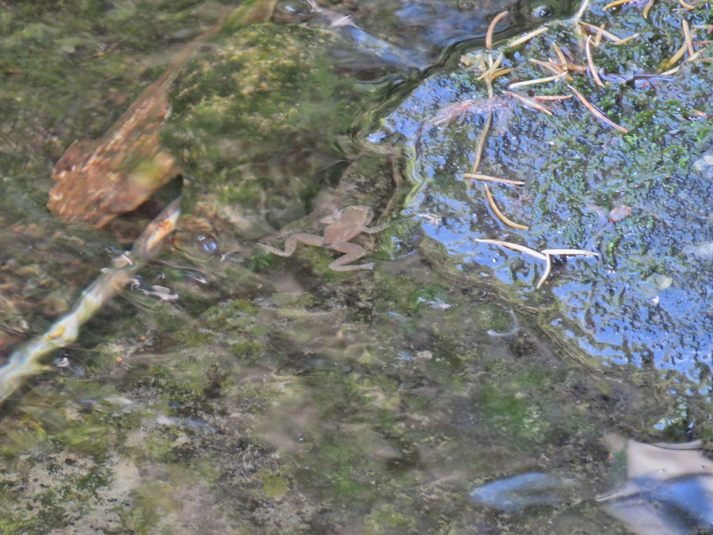 Frog
Frog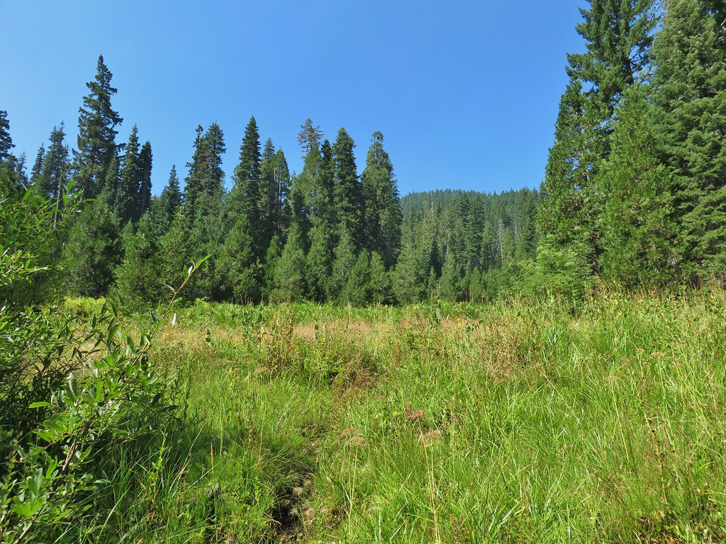 Trail leading up from the creek into the meadow.
 Big cedar at the edge of the meadow.
 Cairn and pink flagging (small tree to the right) marking the Wiley Camp Trail.
 Elder berry
 Twisted stalk


 Bohemia Mountain from the road.


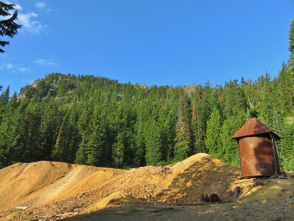 Old mining structure from the road near the post office.
 No miners were seen but I did spot a pika nearby.
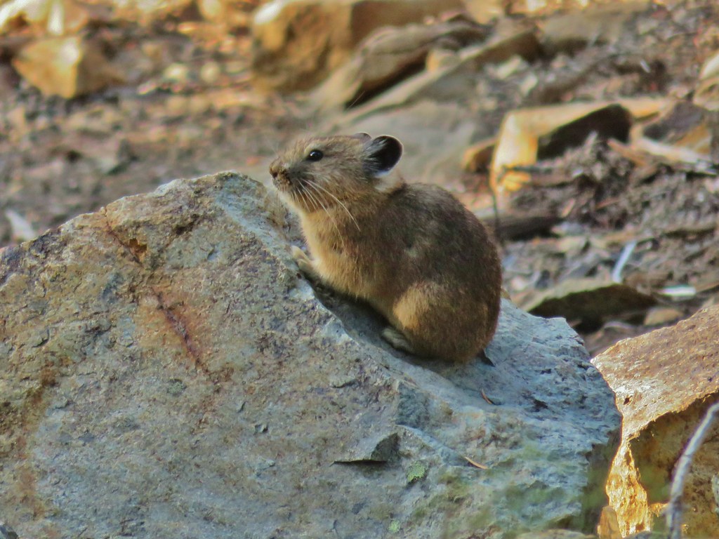
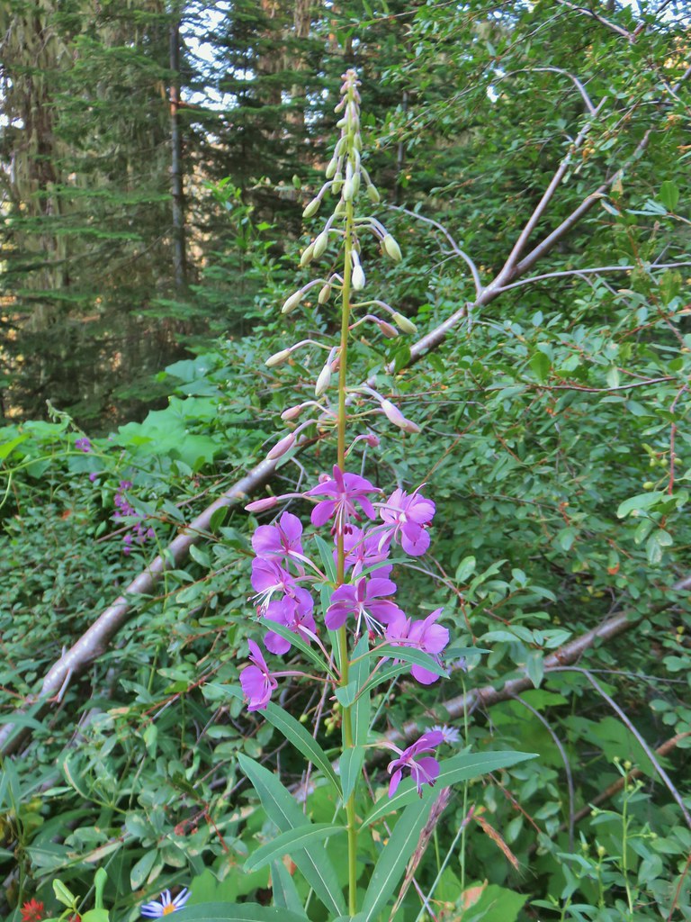 Fireweed
 Beardtongue
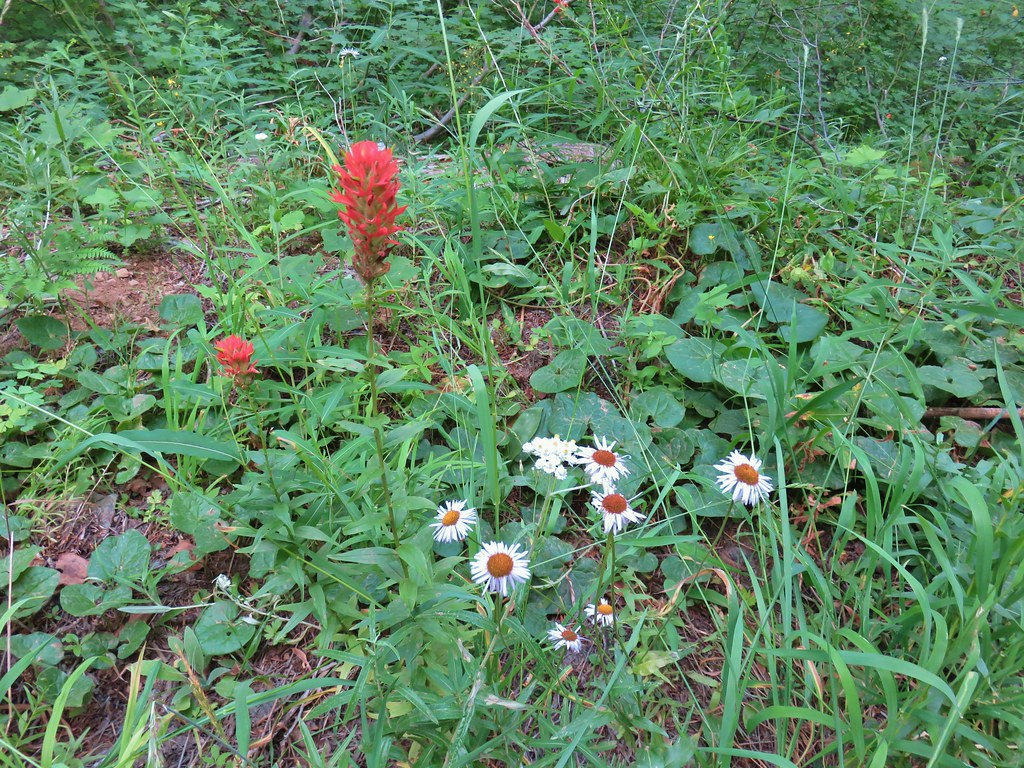 Paintbrush, pearly everlasting, and some type of fleabane
 Large boykinia
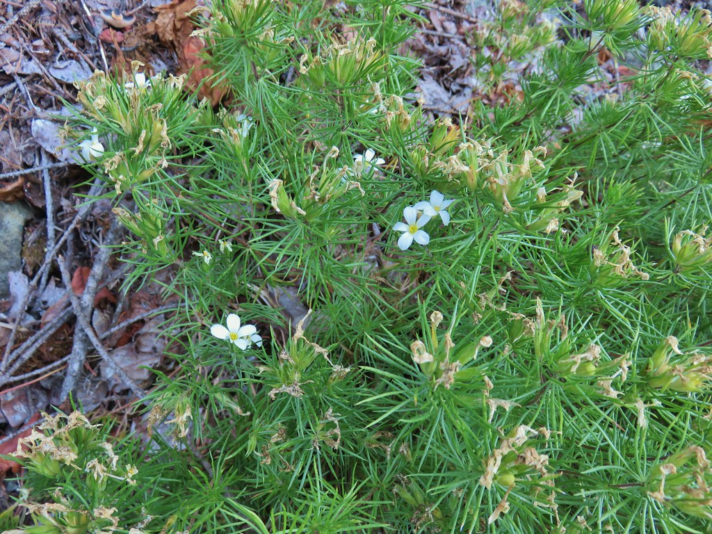
 Spreading dogbane
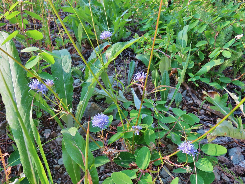 Blue head gilia
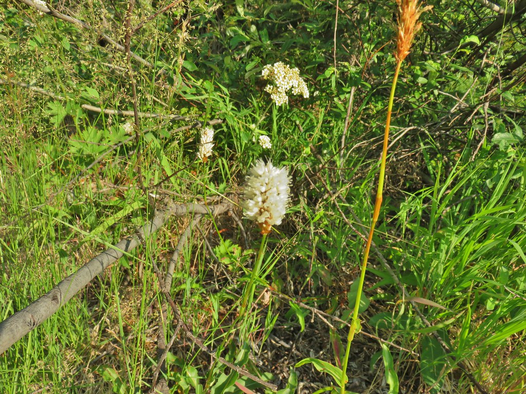 Bistort
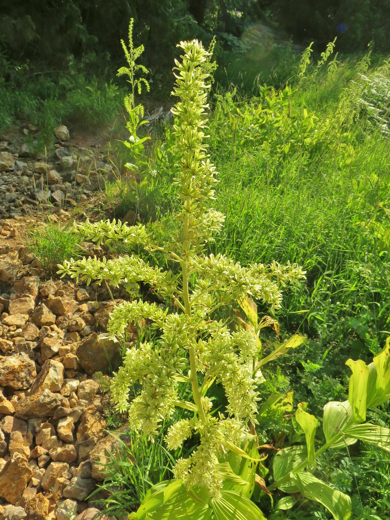 False hellebore
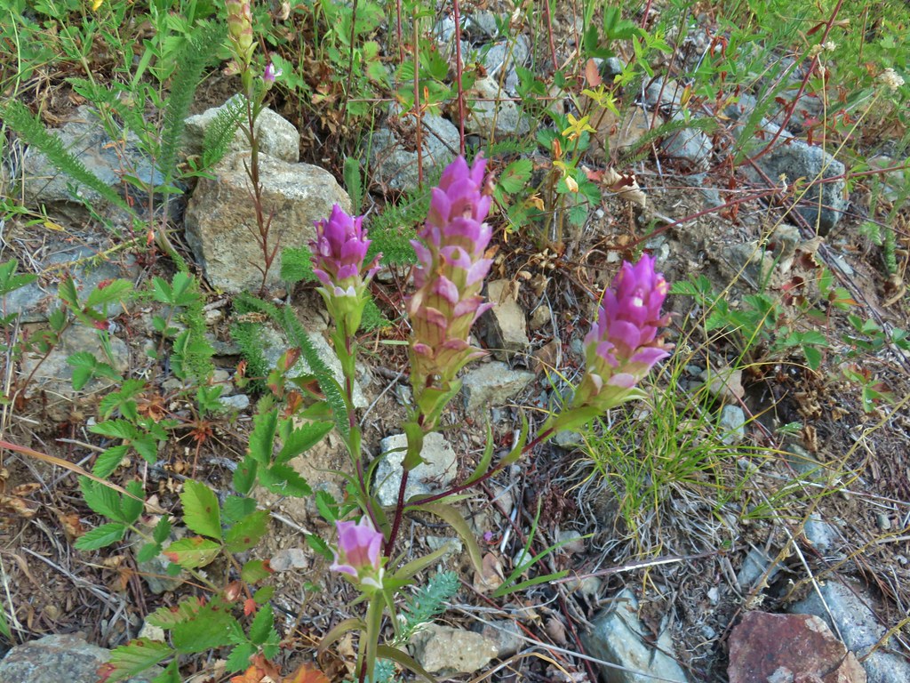 Owl’s clover
 Mountain parnassian butterfly on pearly everlasting.
 A lone lupine still in bloom.
 Skipper
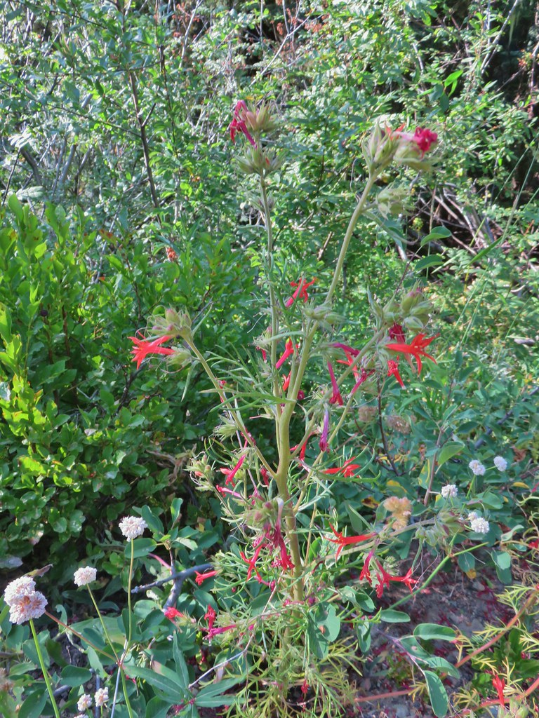 Scarlet gilia
 Bohemia Saddle
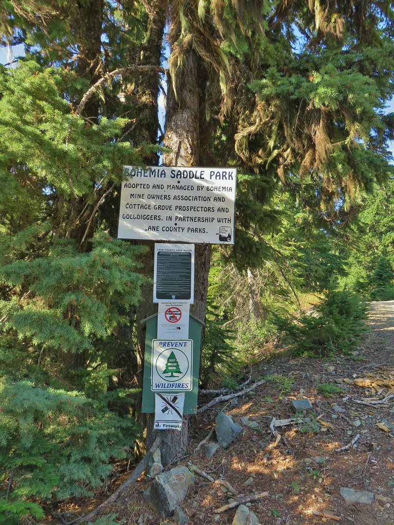 Signage at Bohemia Saddle
 Sign marking the start of the trail.
 Starting up Jackass Ridge
 Rainiera
 Paintbrush and fleabane
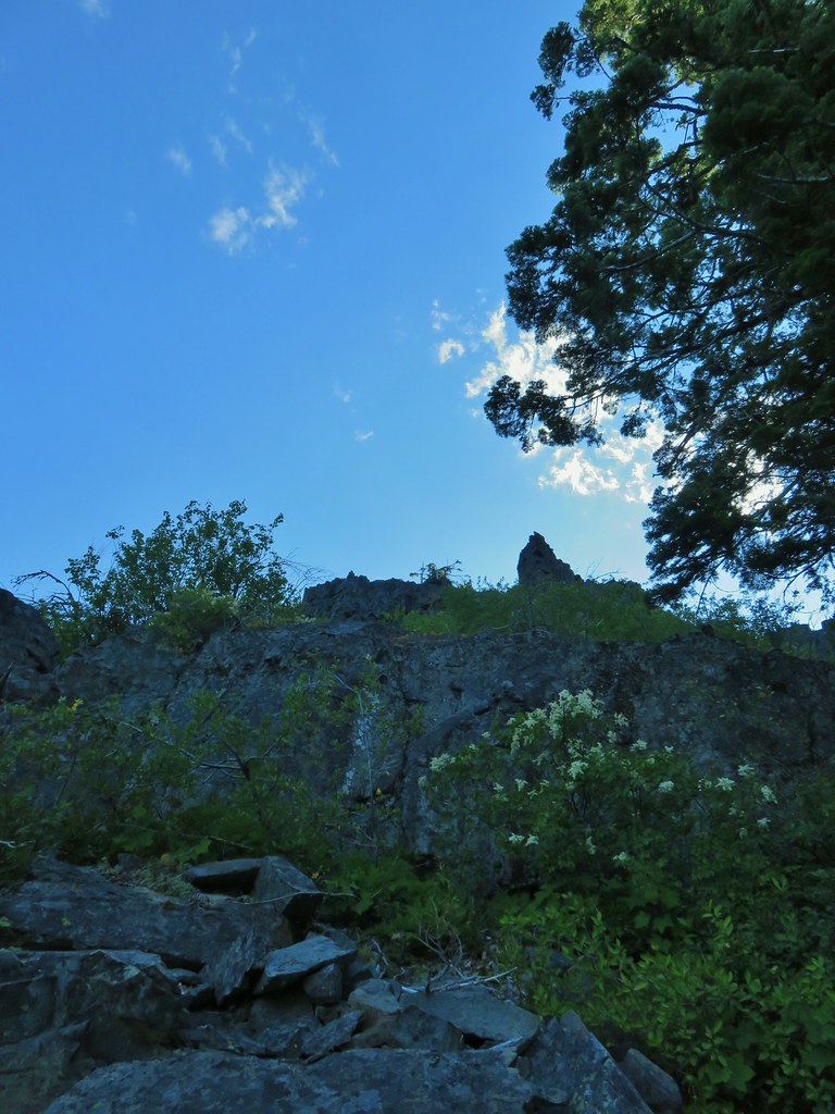 The rocky ridge provided shade during the climb.
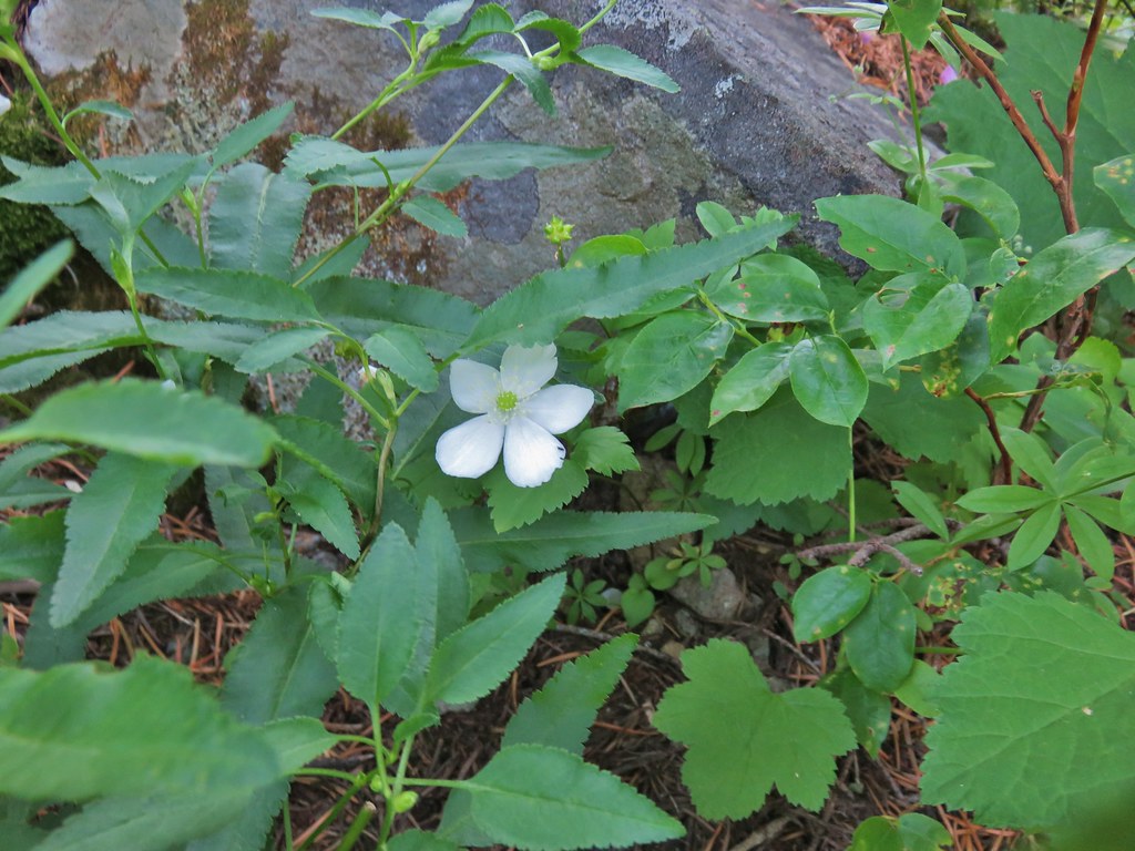 A lingering anemone.
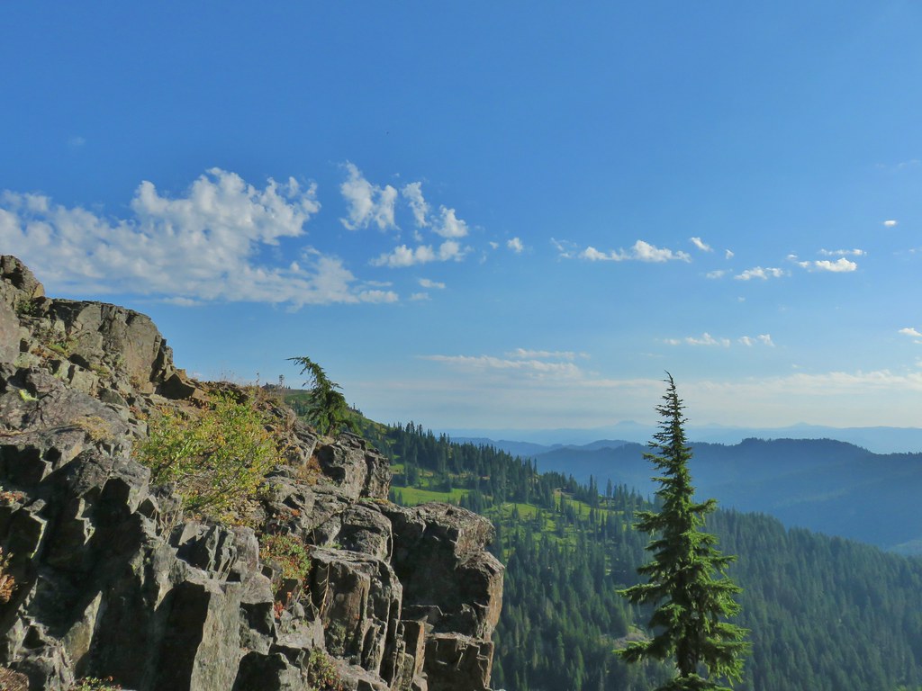 The Fairview Peak lookout tower to the left with the Three Sisters, Broken Top, and Mt. Bachelor in the distance.
 Three Sisters, Broken Top, and Mt. Bachelor in the distance.
 Nearing the summit.
 Mt. Bailey and Mt. Scott in the distance.
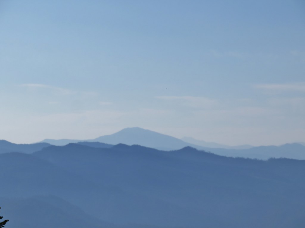 Mt. Bailey and Mt. Scott
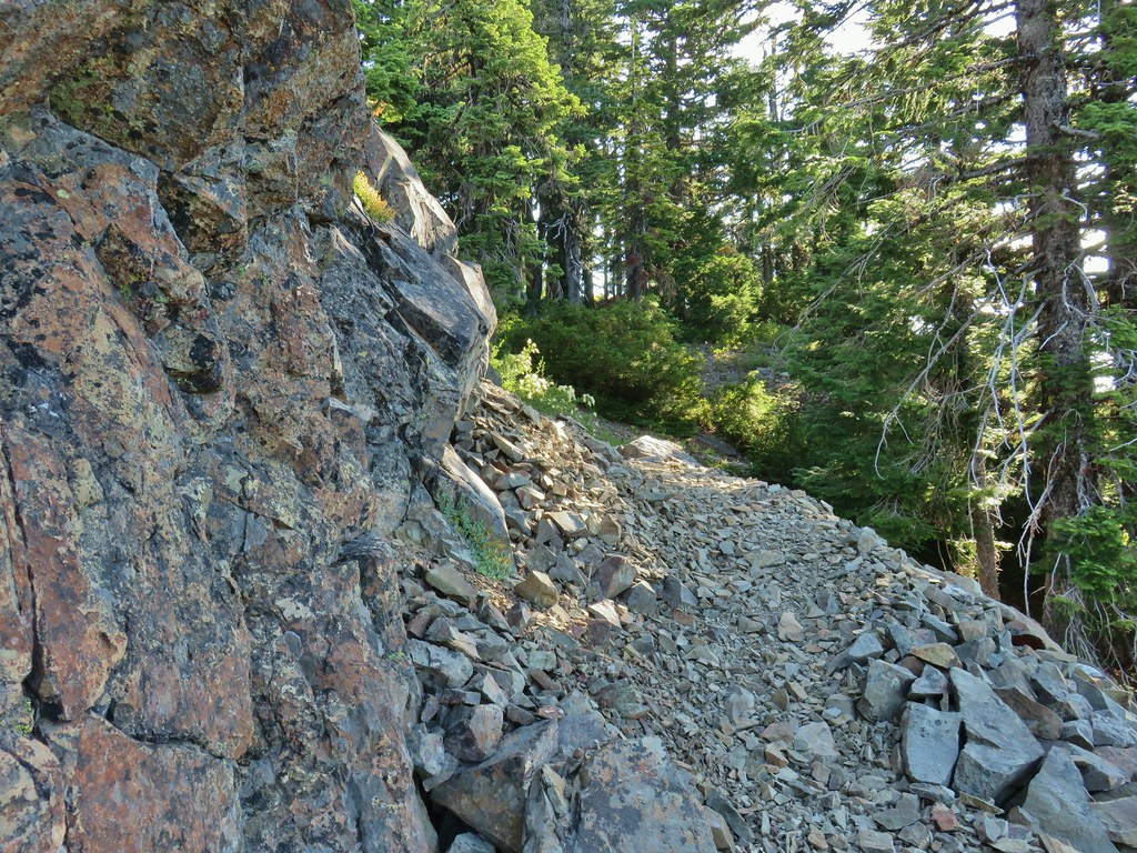
 Bohemia Mountain summit
 Mt. Jefferson and Three Fingered Jack
 Mt. Washington and the North & Middle Sisters
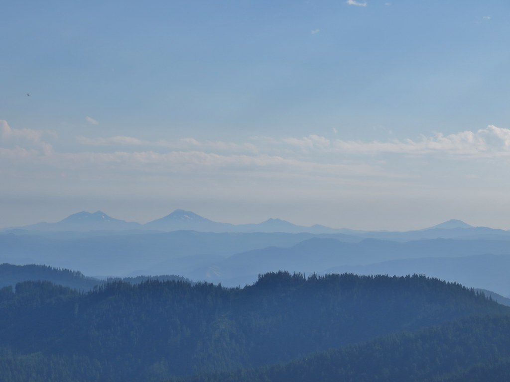 Three Sisters, Broken Top, and Mt. Bachelor
 Mount Yoran and Diamond Peak
 Tipsoo Peak, Howlock Mountain, Mt. Thielsen, Mt. Bailey, Mt. Scott, Hillman Peak and The Watchman.

 Fairview Peak lookout
 A lot more yet to ripen.
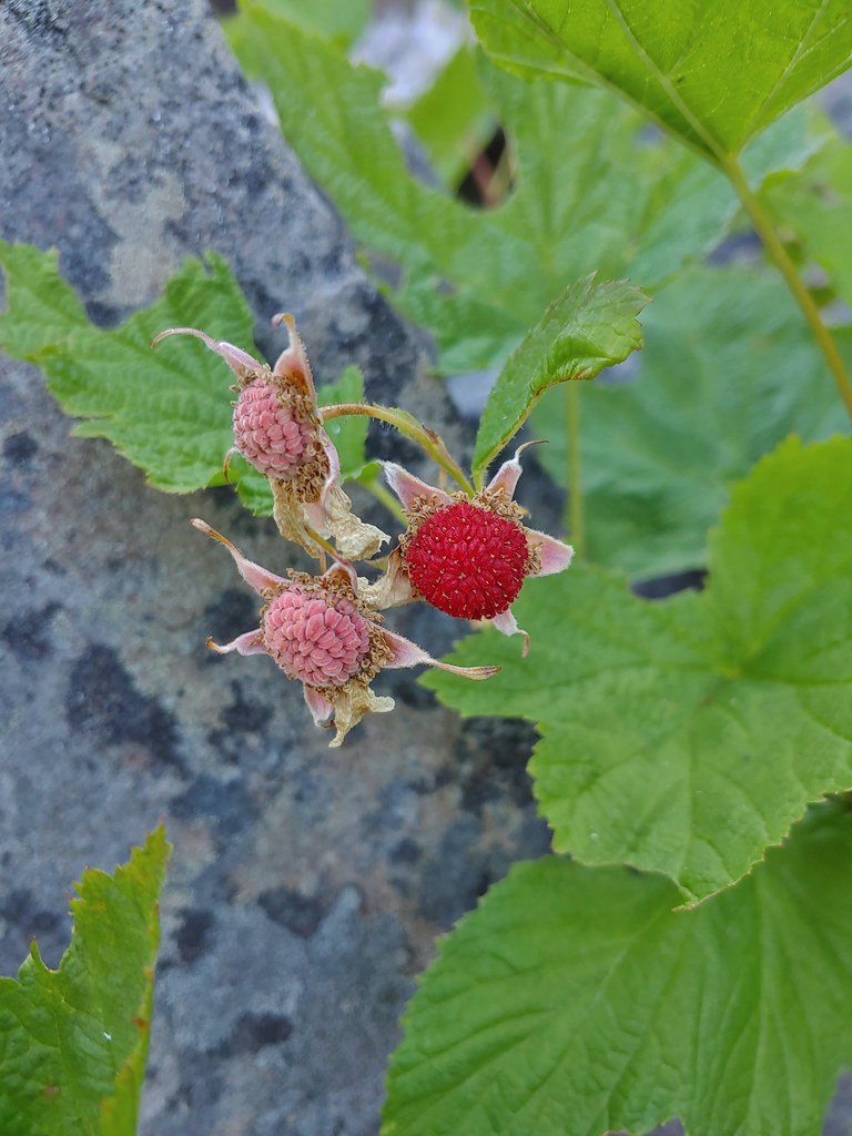 We also found a few ripe thimbleberries.
 Alligator lizard


 Coneflower
 Death camas


 Penstemon
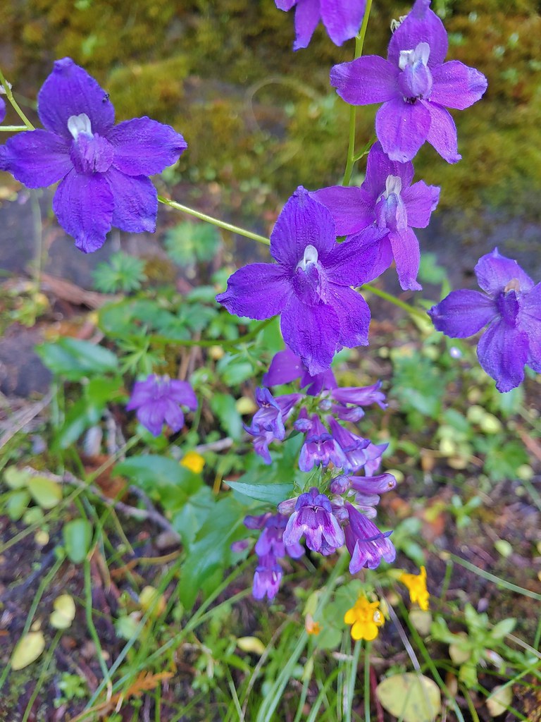 Larkspur and penstemon

 Middle Pyramid from the ridge.
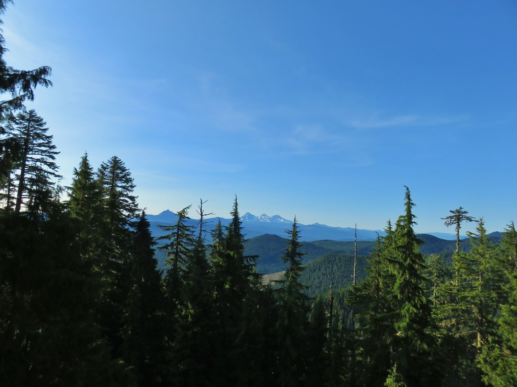 Mt. Washington and the Three Sisters

 Mt. Jefferson
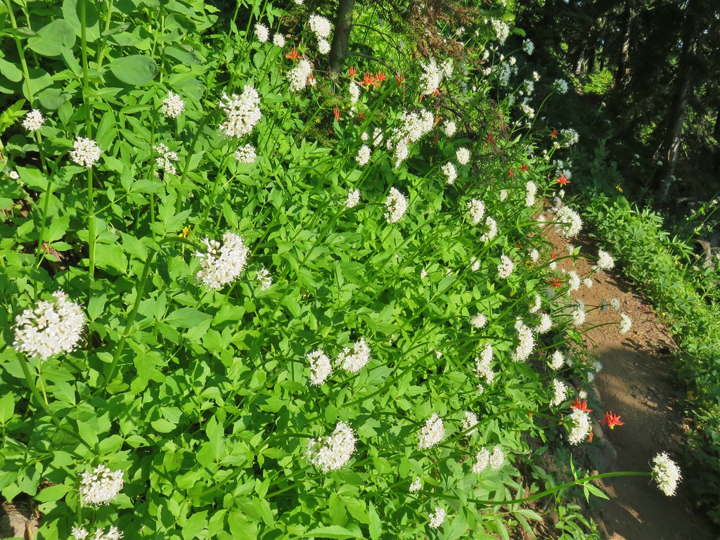 Valerian and columbine
 Mountain bluebells

 Looking up toward the summit from the saddle.
 Mt. Washington and the Three Sisters
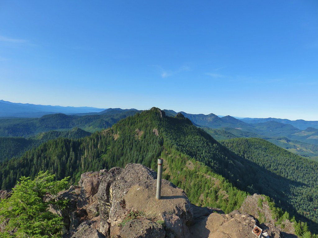 South Pyramid with snowy Diamond Peak to the left in the distance.
 A faint Mt. Adams to the left of Mt. Hood
 Meadow from the summit.
 North Pyramid
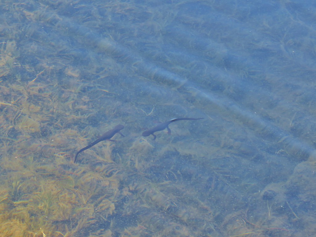 Rough skinned newts


 Crab spider on prince’s pine
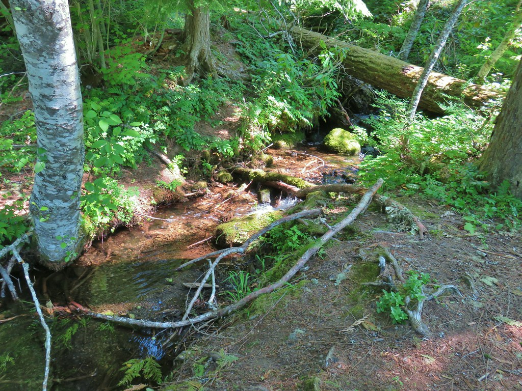 The trail used to continue on the other side of the inlet creek.

 Washington lilies
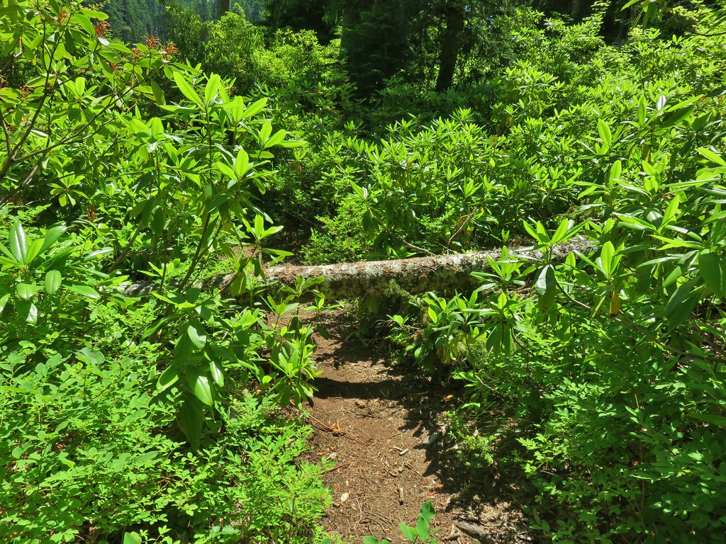
 Crossing on the outlet creek.
 Marsh at the outlet creek.
 Bog orchid
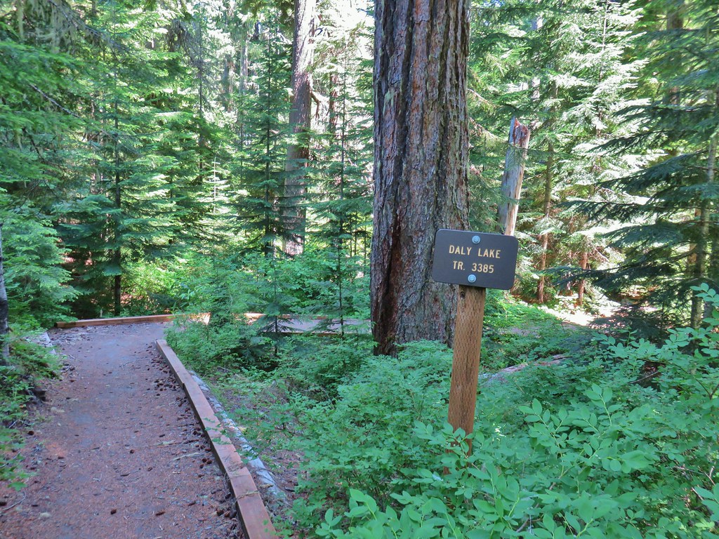
 The North Pyramid from Daly Lake

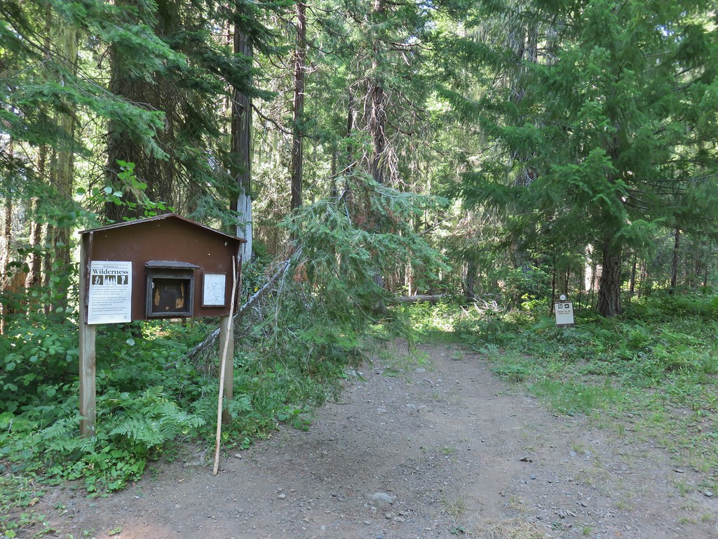
 A second signboard just up the trail from the trailhead.
 Wet leaves around an iris.

 Rhododendron
 Coralroot
 The small wildflower meadow.
 Paintbrush, Oregon sunshine, and plectritis
 Sub-alpine mariposa lily
 Death camas
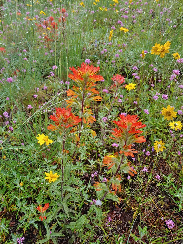 Paintbrush
 Blue-eyed Mary
 A penstemon
 Balsamroot at the edge of the meadow.
 Penstemon
 Larger meadow
 Honeysuckle
 Larkspur amid the paintbrush and Oregon sunshine
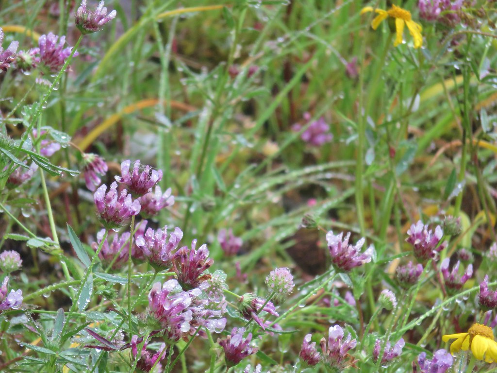 Tomcat clover
 Possibly a milk-vetch or some sort of vetch.
 Image Creek Trail and the High Ridge Trail.
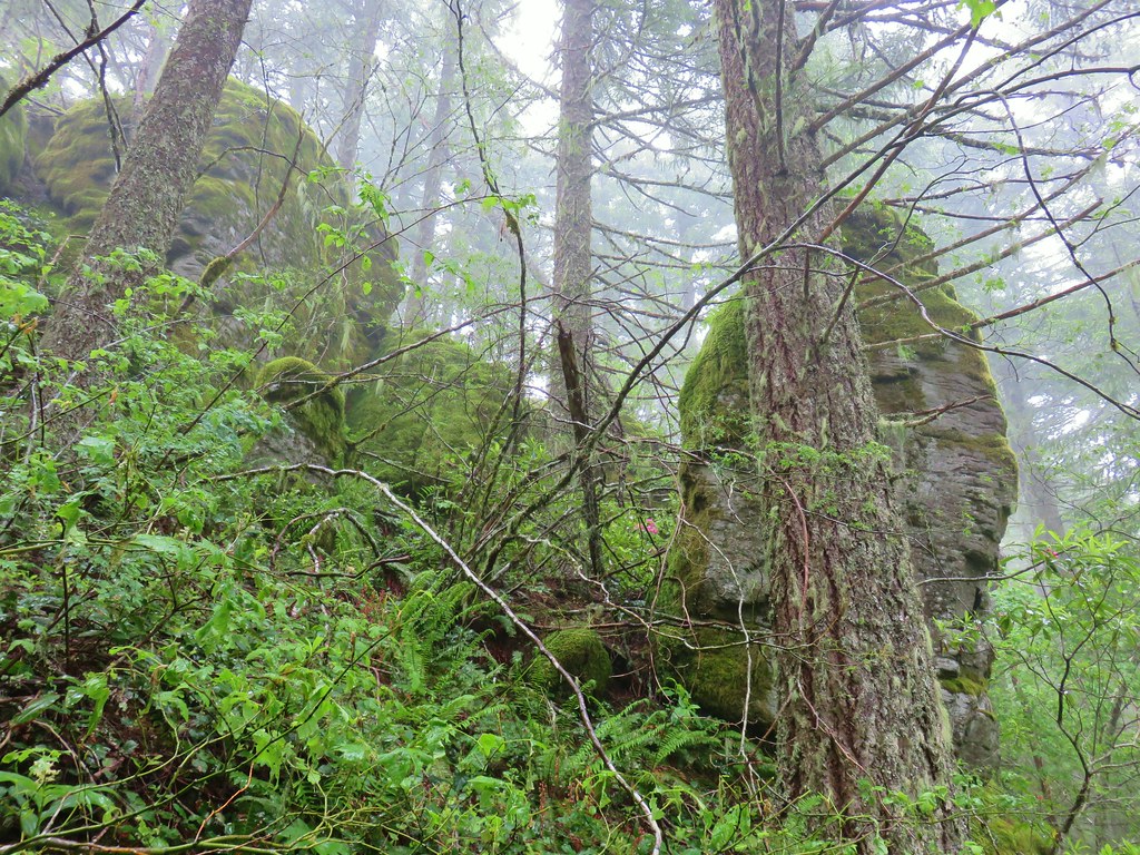 One of the sets of rocks along the way.
 In the middle of one of the climbs.
 The trail leveling off a bit.
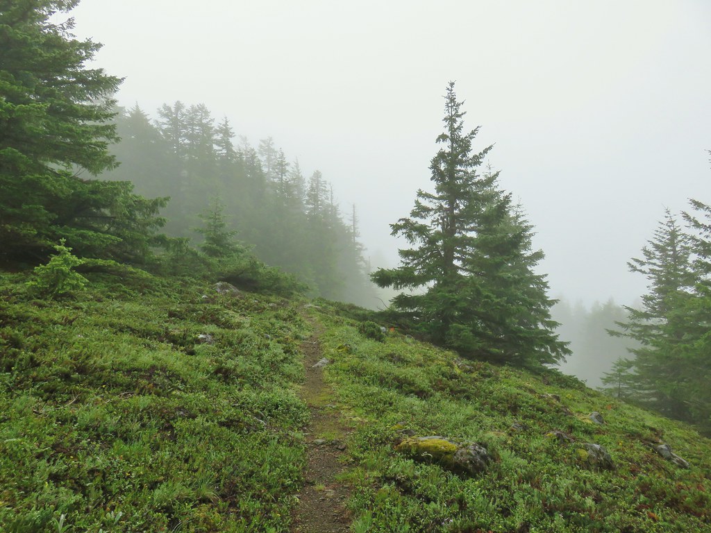
 Oregon sunshine
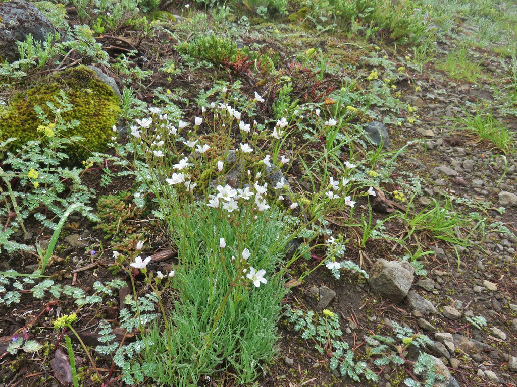 Mountain sandwort
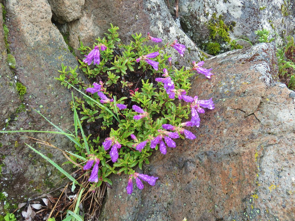 Penstemon
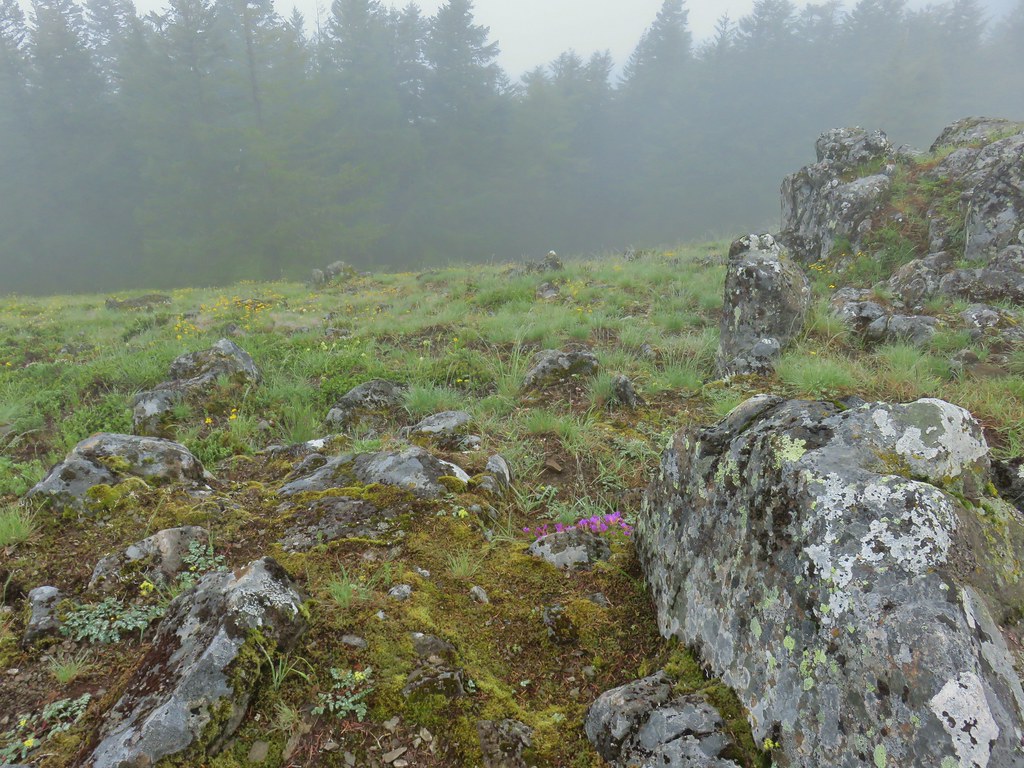
 Olympic onion
 Back in the trees.
 Fawn lilies
 The next little meadow.
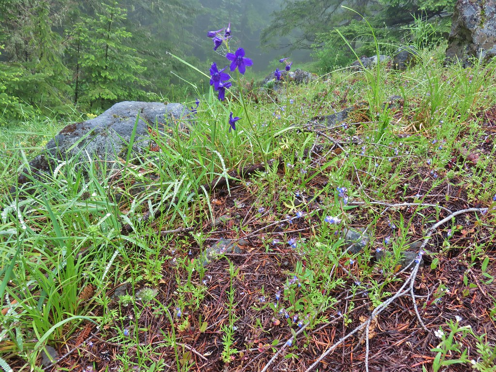 Larkspur and blue-eyed Mary
 Groundsel
 Trees again.
 Another meadow
 Phlox
Phlox Phlox
Phlox Chickweed
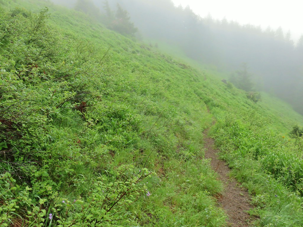

 Larkspur
 Lupine
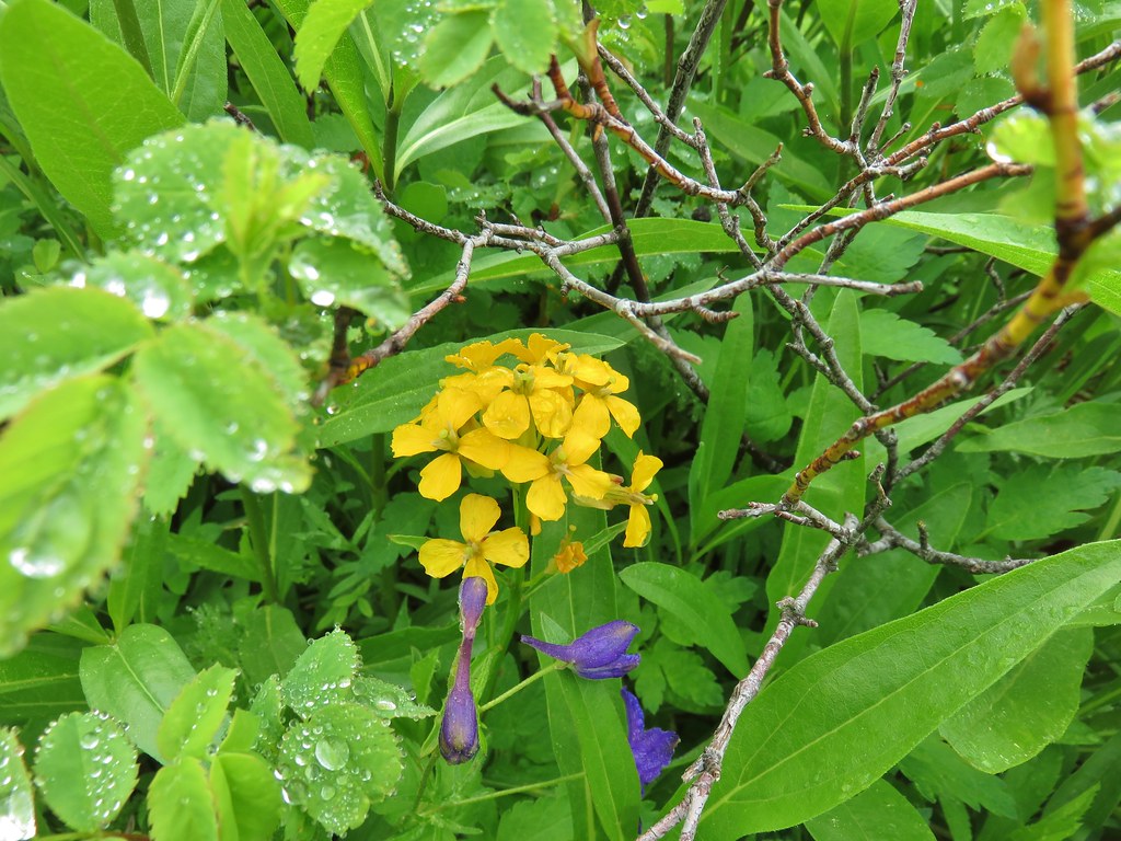 Wallflower
 Paintbrush
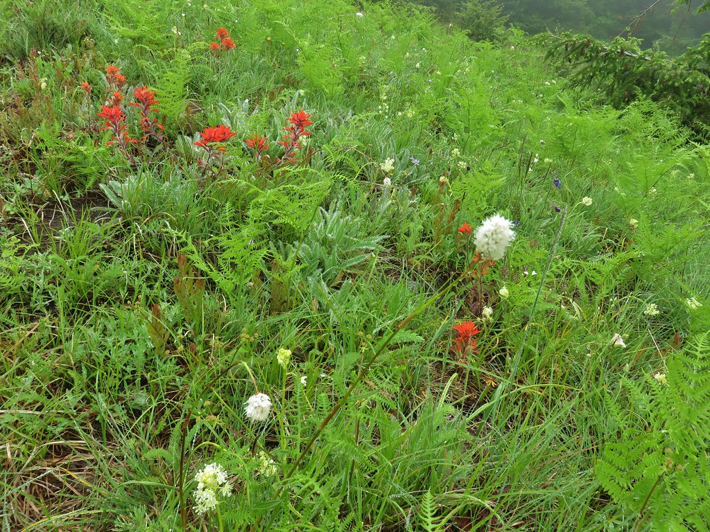 Bistort
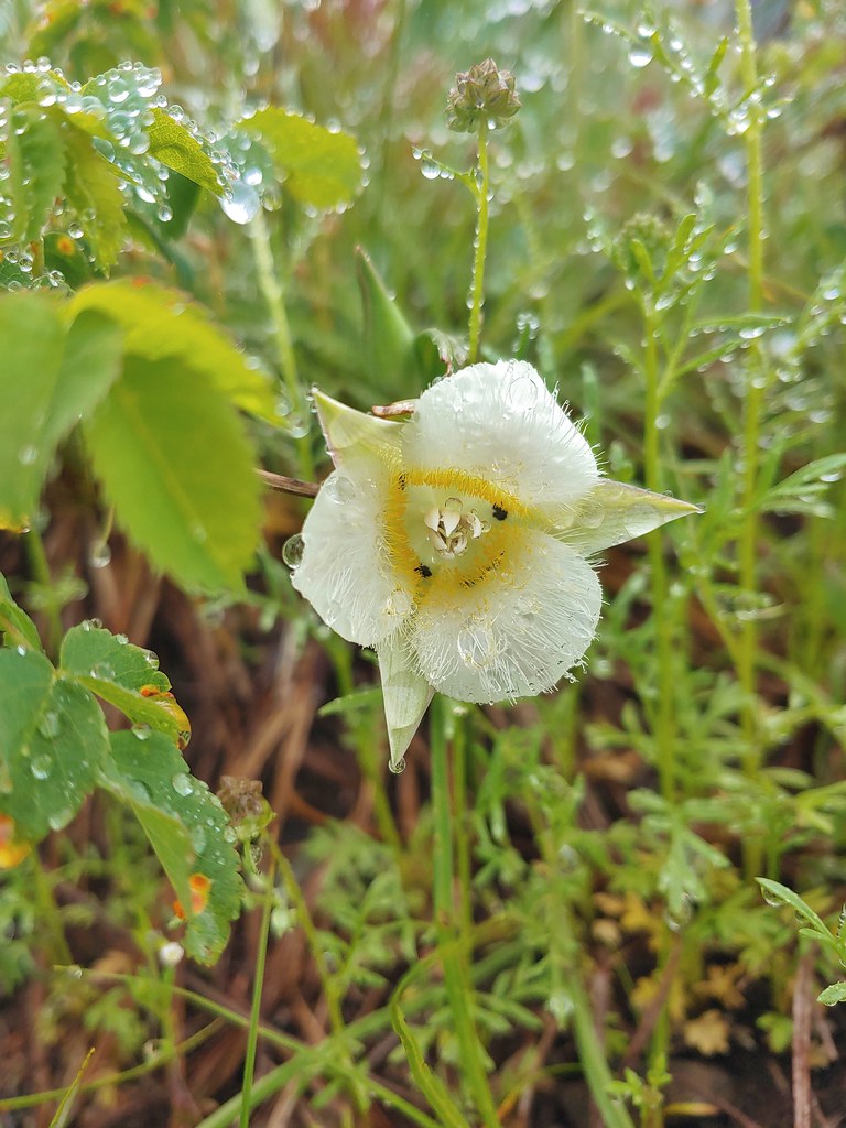 Sub-alpine mariposa lily


 For comparison.
 Sticky cinquefoil
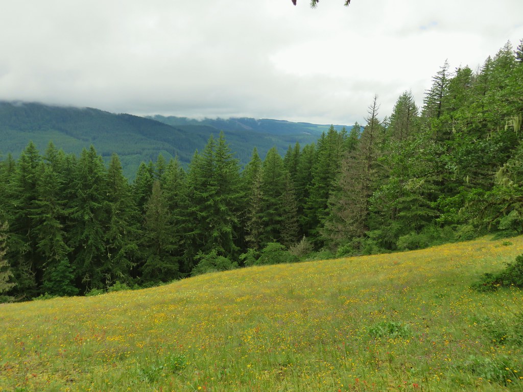


 Plectritis and Oregon sunshine
 A monkeyflower by some plectritis.

 Iris along the trail.

 I didn’t see the beetle until I was uploading this photo.
 Where’s the western tanager.


 The wheelchair friendly path.
 The hiker path.
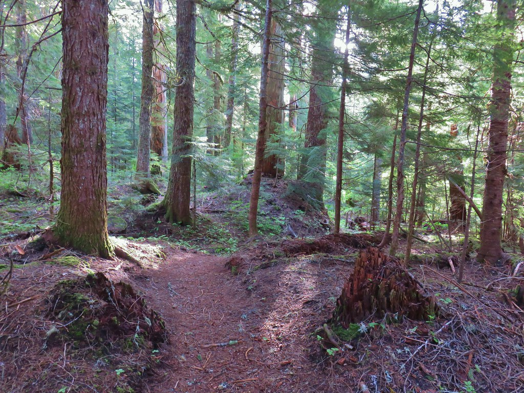 The hiker trail.
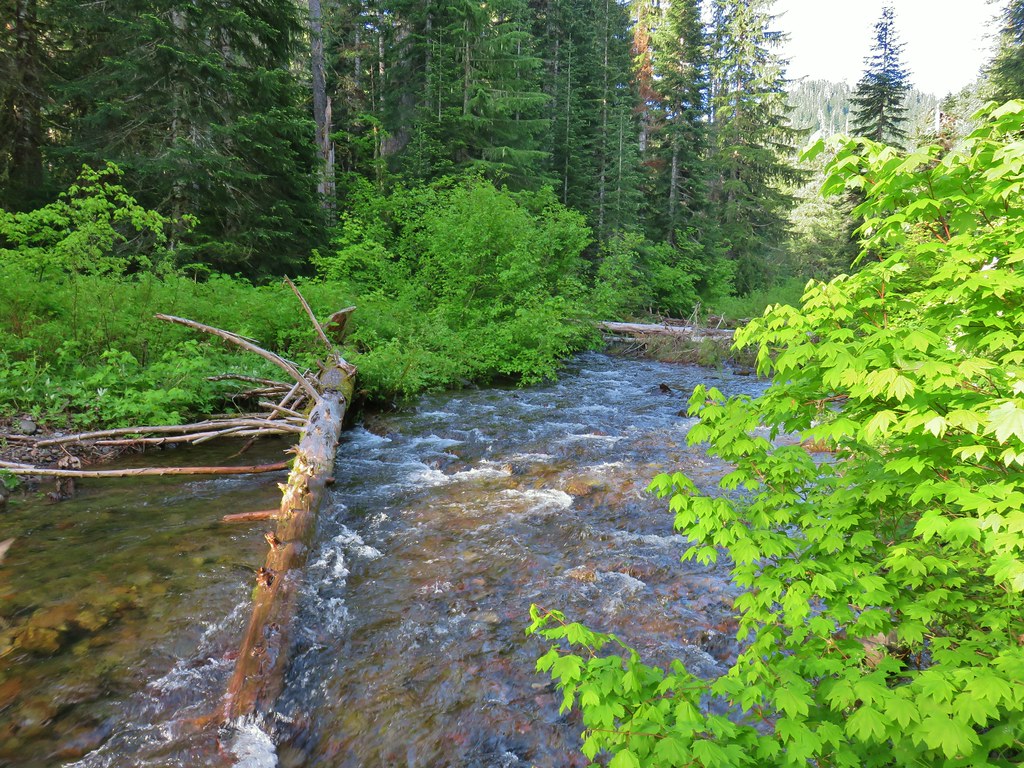
 Western meadowrue
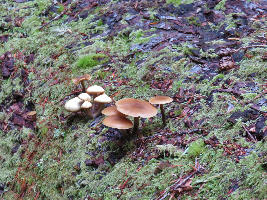 Mushrooms on a log.
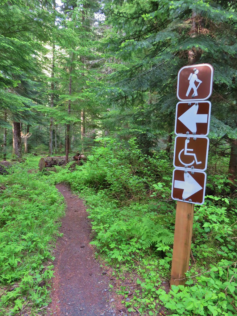
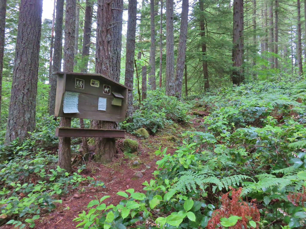
 Echo Basin Trail at FR 055.
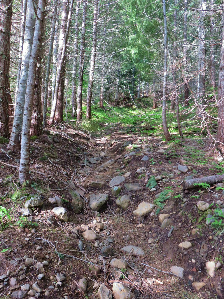 Rocky start to the trail.
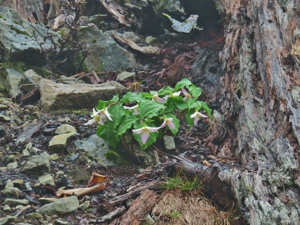
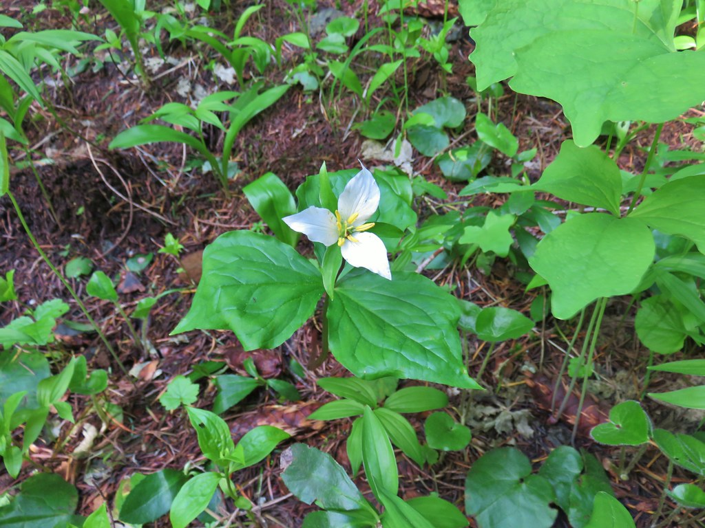 Trillium
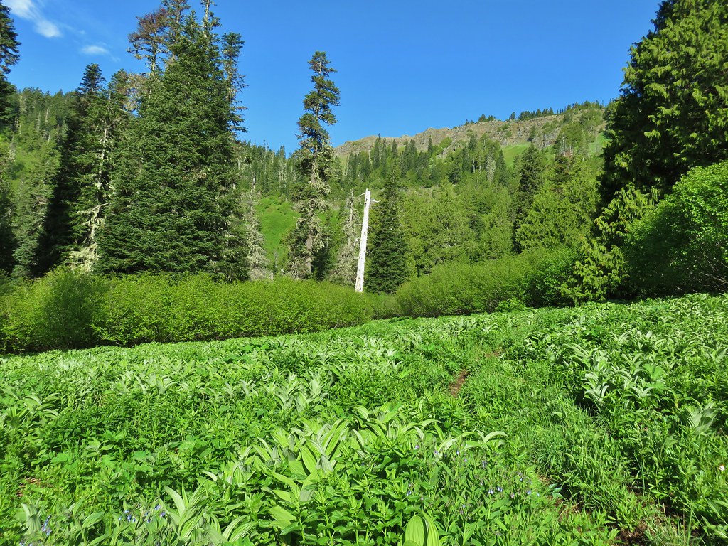
 More trillium along the meadow.
 Swallowtail on salmonberry blossoms.
 Start of the loop.
 Orange tip butterfly
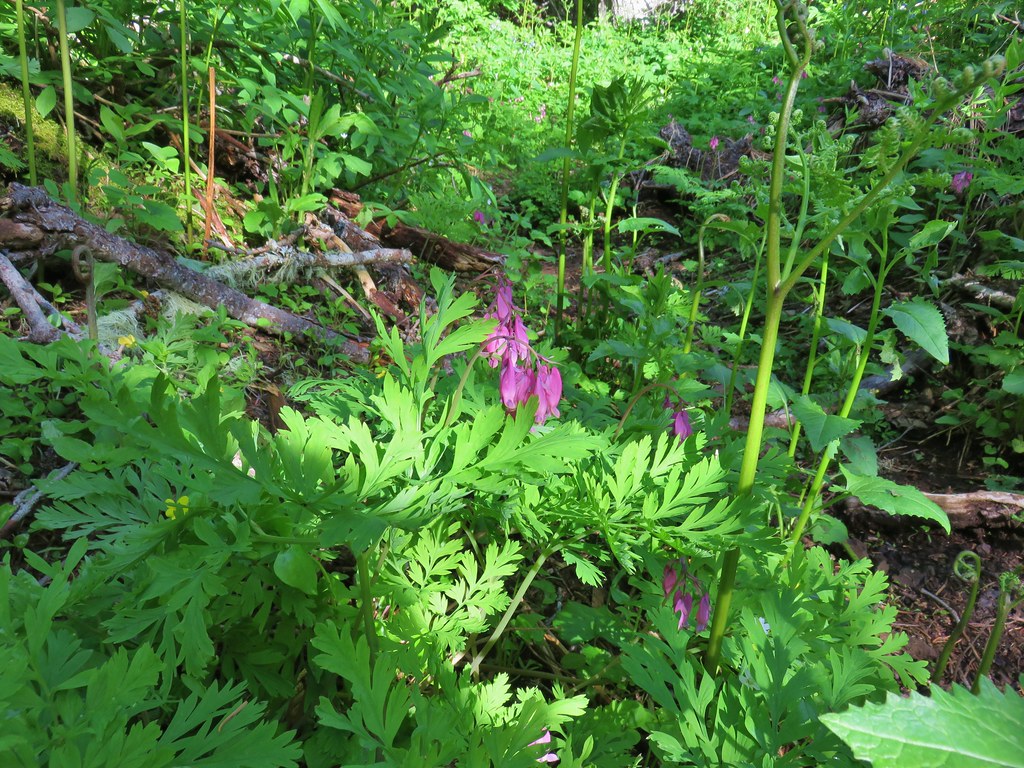 Bleeding heart
 Violets
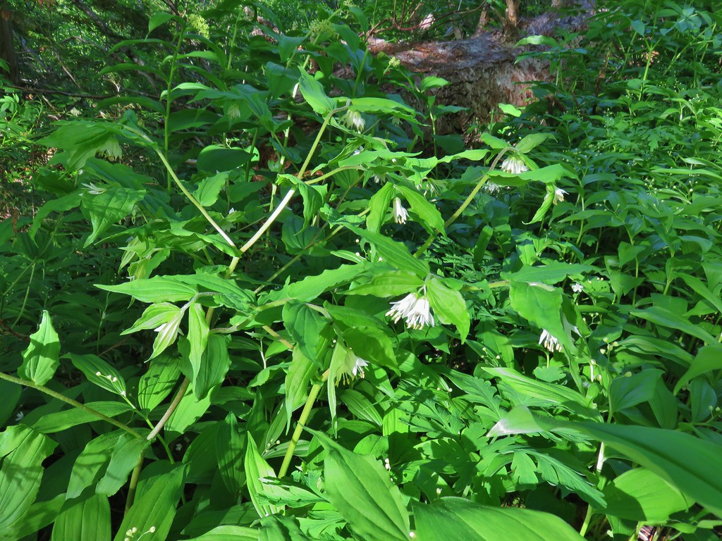 Fairybells
 Royal Jacob’s ladder
 Western meadowrue
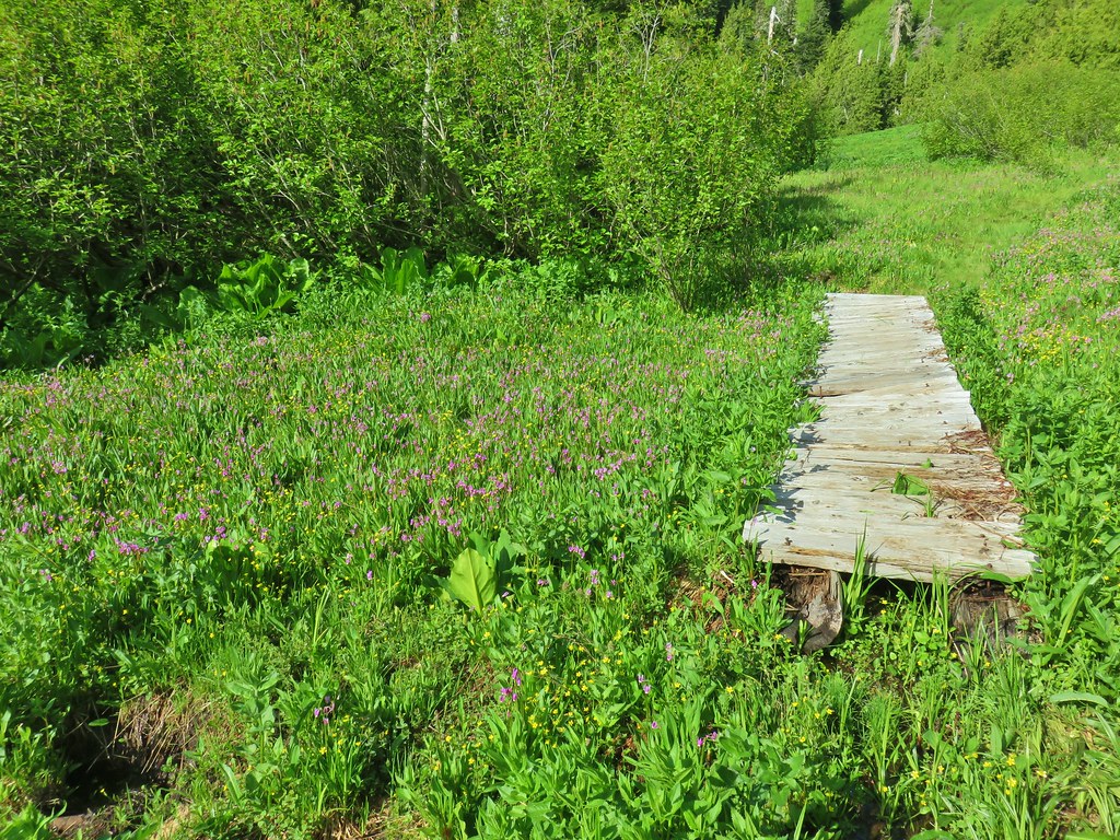


 Paintbrush
 Frog
Frog Looking back at the route through the meadow.
 The trailhead off of FR 2672.

 Iris
Iris Beargrass
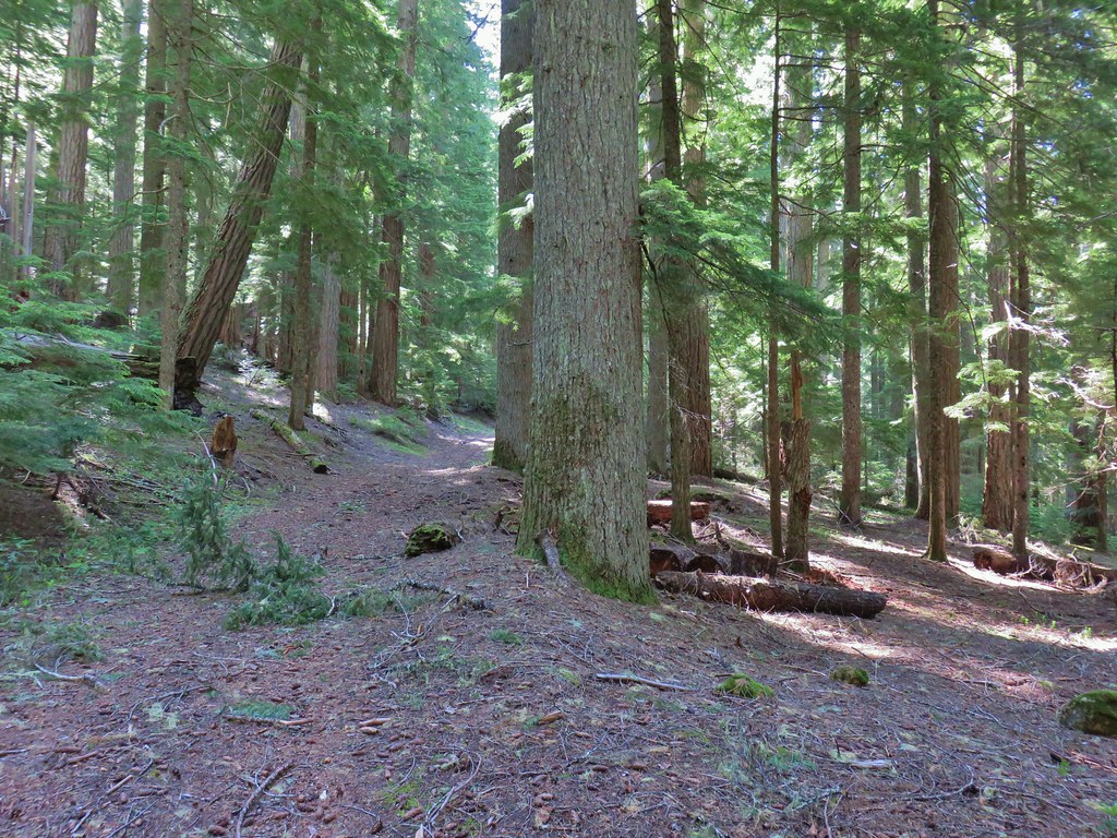 Santiam Wagon Road
 Bunchberry
 Musk monkeyflower
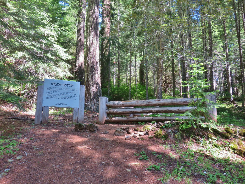

 Hall House
 Commissary Cabin
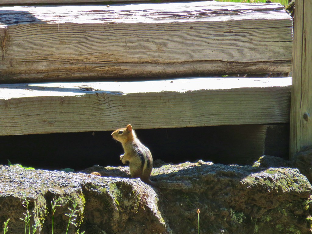 Commissary Cabin innkeeper?
 More from the remount station
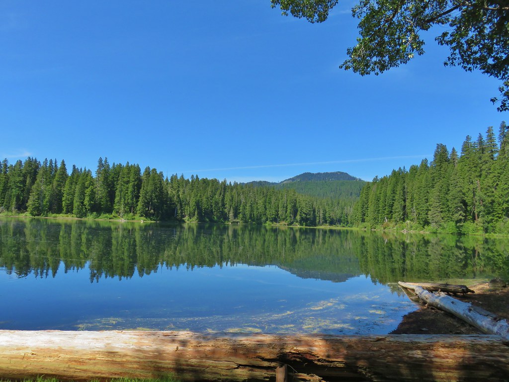 Browder Ridge (
 Interpretive signs for the remount station.


 Bunchberry
 Salmonberry
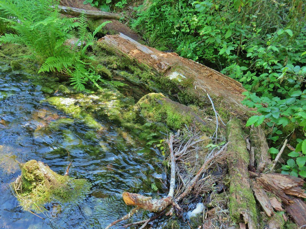
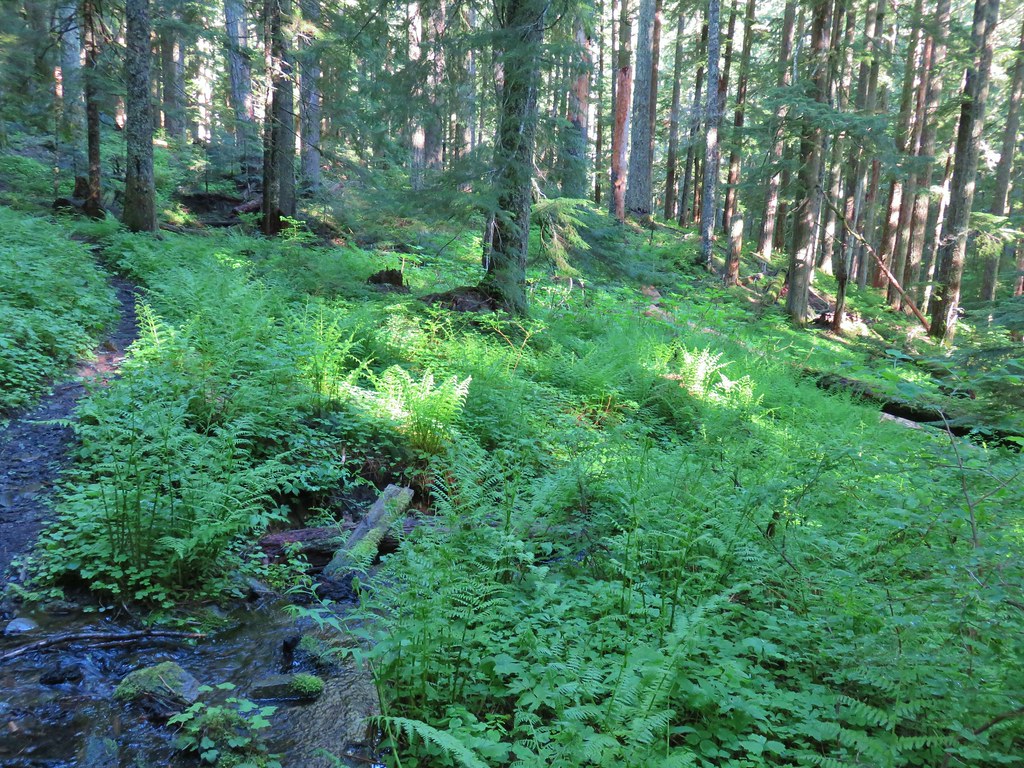 First little stream crossing.
 Another stream crossing, this one with skunk cabbage.
 Memaloose Creek crossing.
 Memaloose Creek above the crossing.
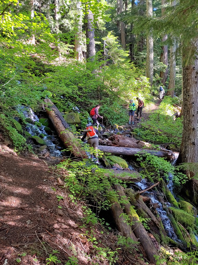
 Skunk cabbage, shooting stars, and marsh marigolds across the lake.


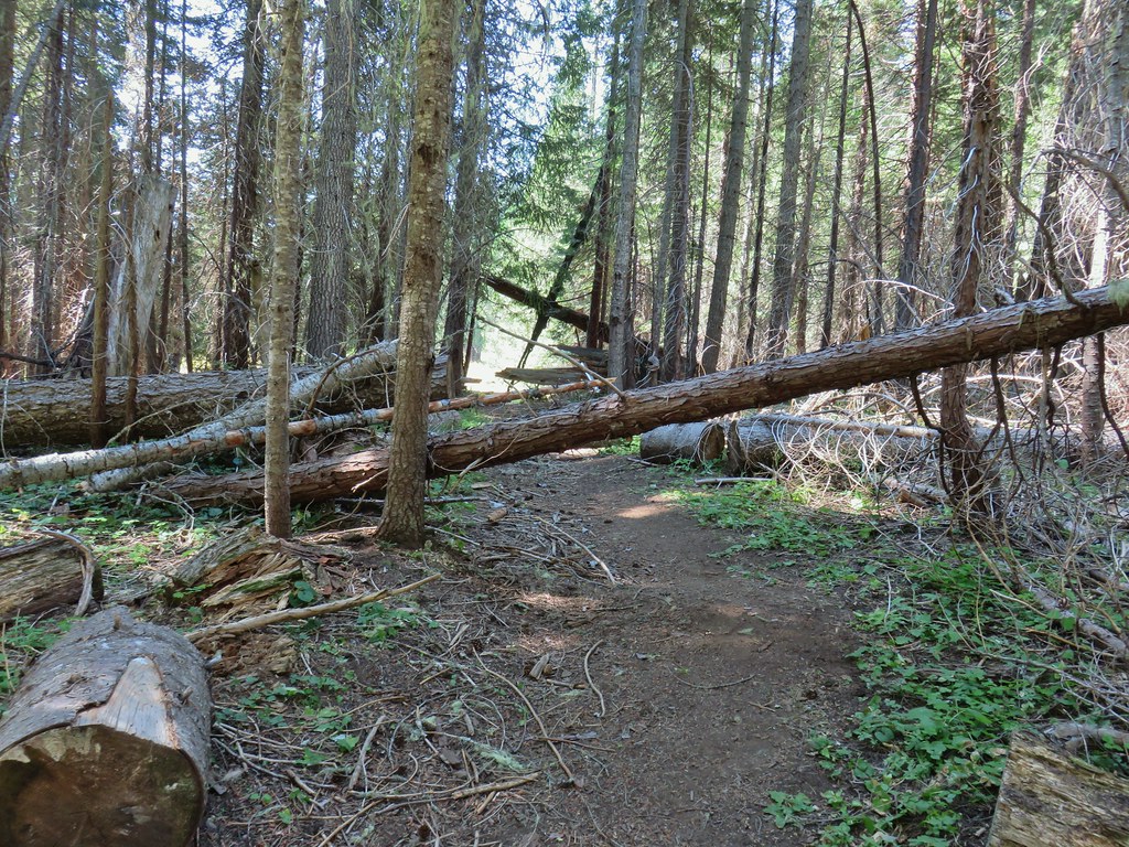
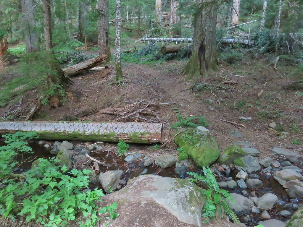
 Typical obstacles for the trail.
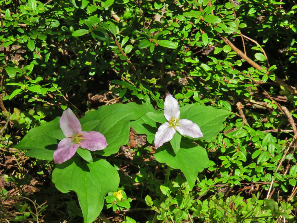 Trillium
 Mt. Rainier, Mt. Adams (with Goat Rocks the snowy patch just to the left), and Mt. Hood
 Mt. Rainier
 Goat Rocks to the left with Mt. Adams
 Mt. St. Helens
 Mt. Hood
 Mt. Jefferson, Three Fingered Jack, Broken Top, Mt. Washington, and the Three Sisters.
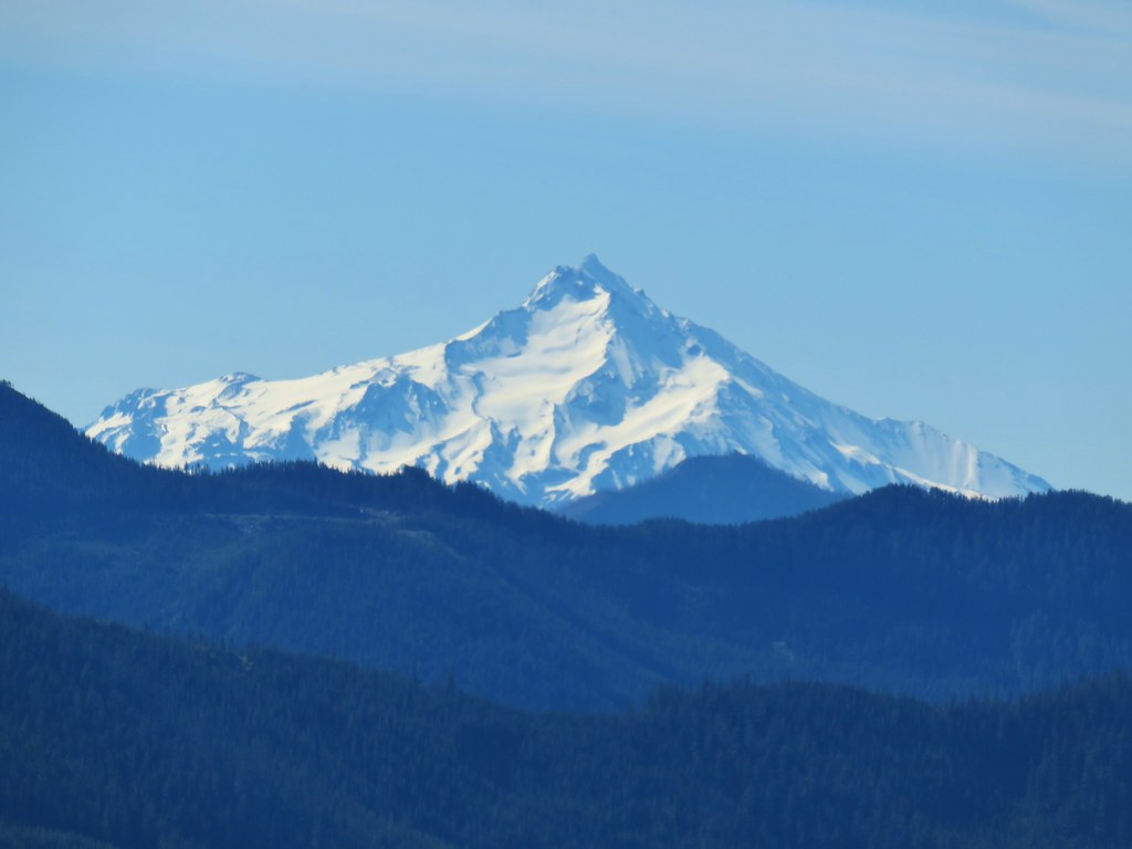 Mt. Jefferson
 Three Fingered Jack
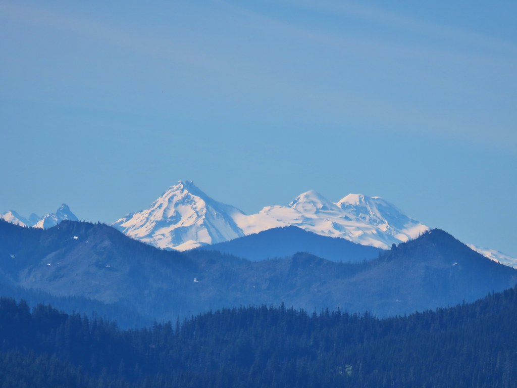 Broken Top, Mt. Washington, and the Three Sisters


 Red elderberries
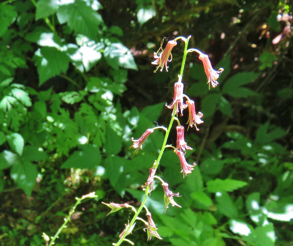 Youth-on-age
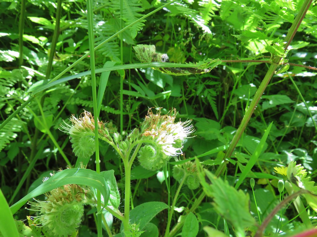 A phacelia
 Hedgenettle
 Tiger lily
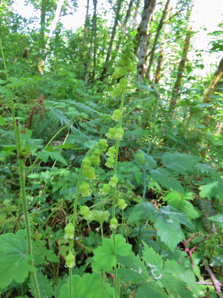 Fringecup
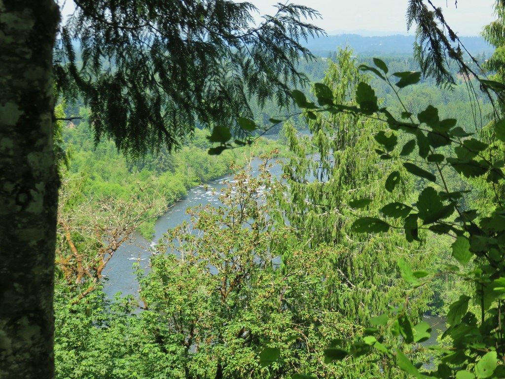


 Dragonfly near the pond.


 Downed tree across the road.
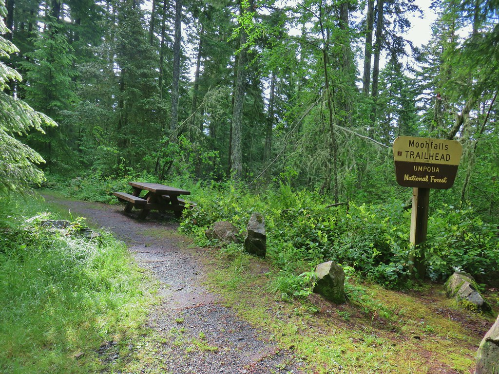


 Looking back at some of the obstacles.
 More obstacles ahead.
 Ferns along the Swordfern Trail.


 Self heal
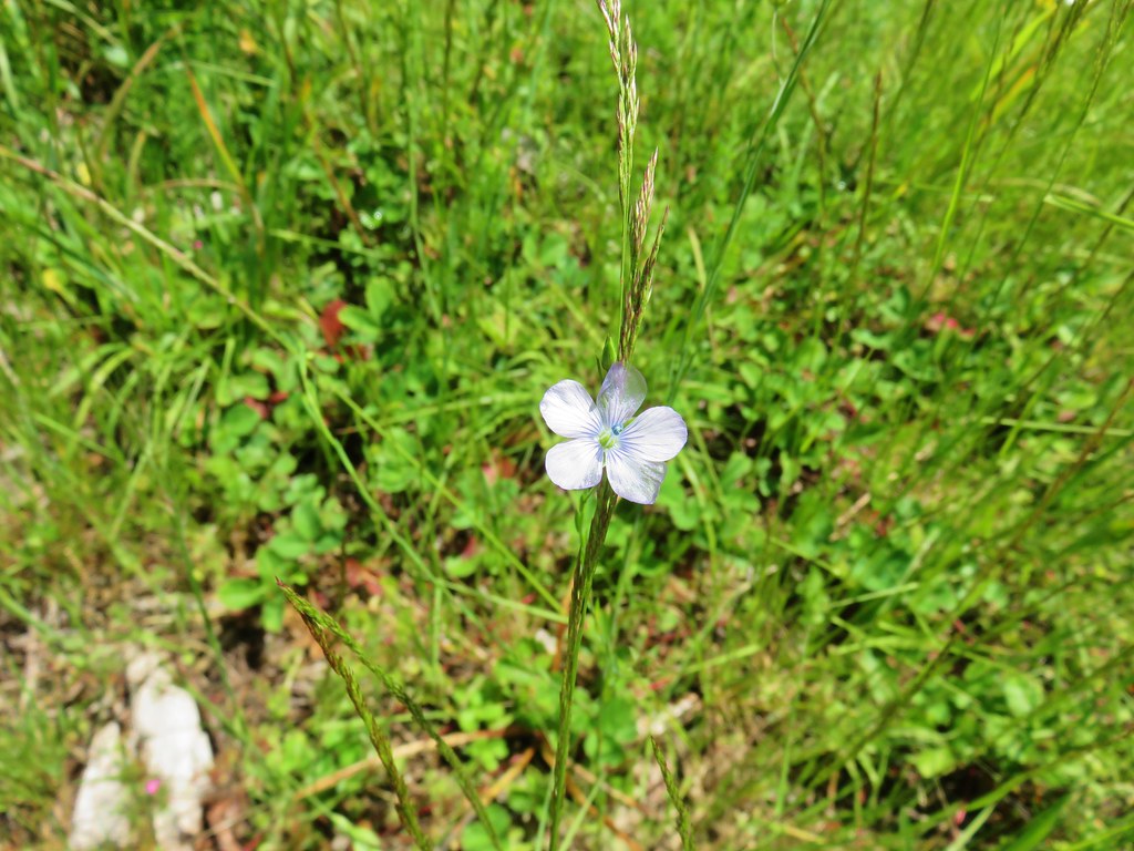 Pale flax
 Poppy
Poppy Looks like something in the mallow family.
 Red beetle
 Sneaky poison oak


 Approaching Dorena Lake
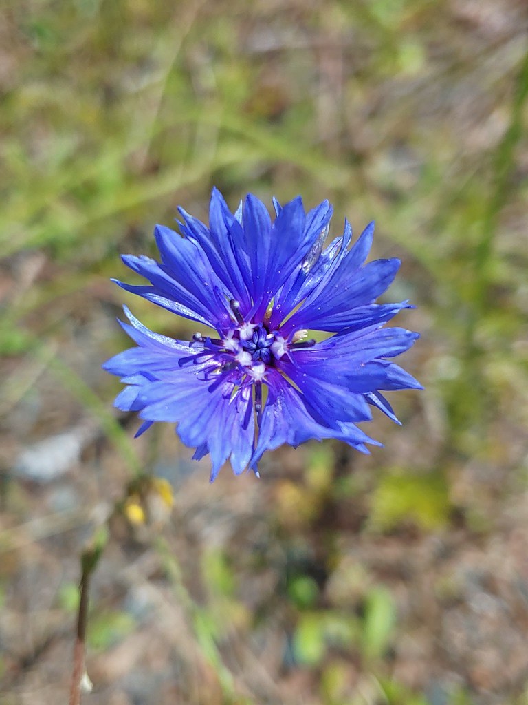 Bachelor button
 No idea what this is, possibly non-native.
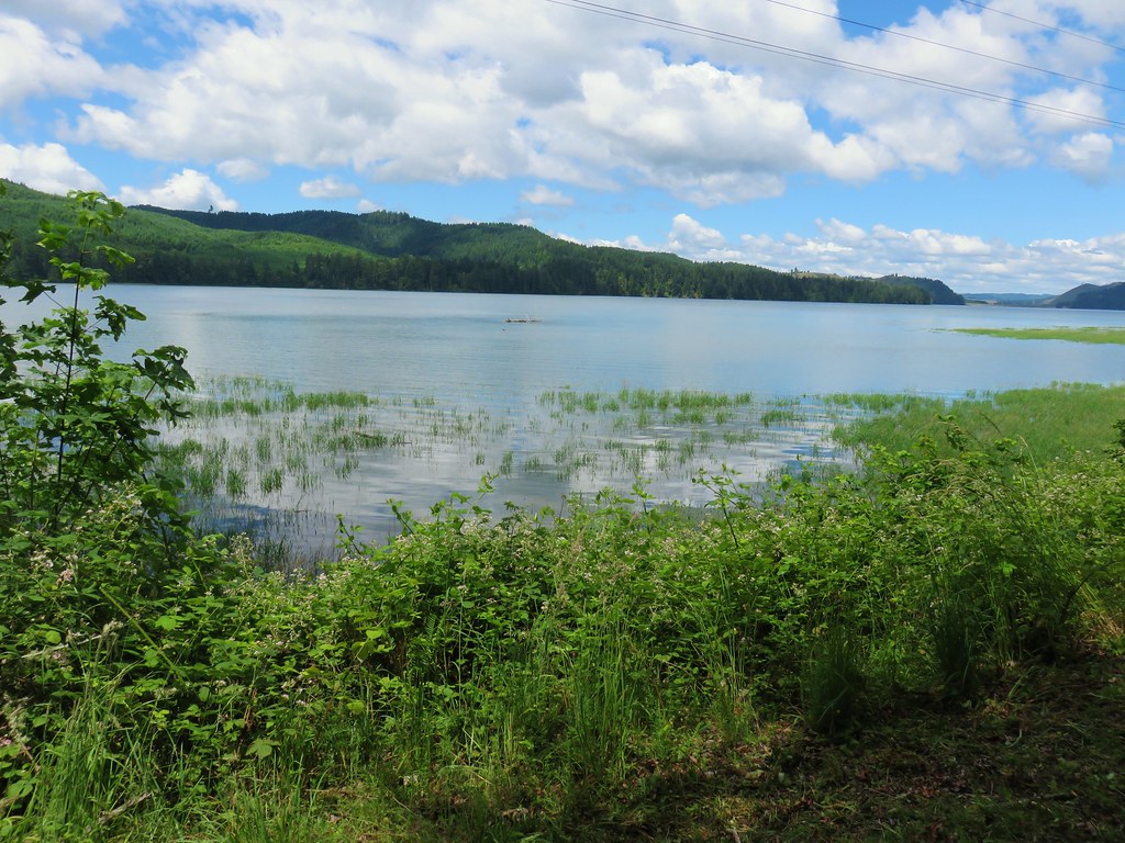


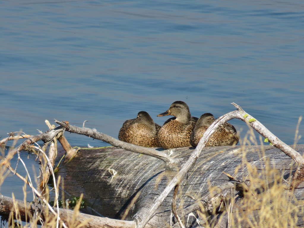
 Canada geese
 A great blue heron with at least one duck in the grass.

 You can see a bit of the rocks on the opposite side of the trail.
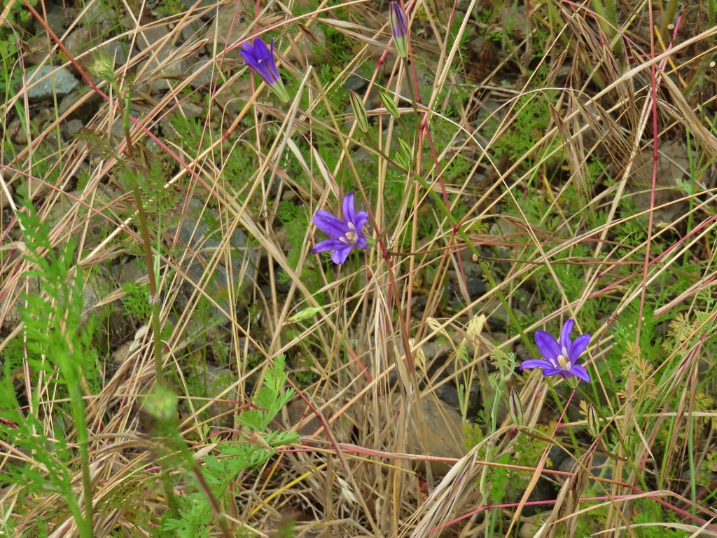 Brodiaea
 Poppy
Poppy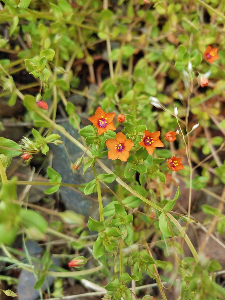 Scarlet pimpernel
 Dorena Lake from Rat Creek
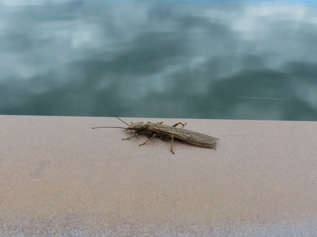 Bug on the Rat Creek bridge.


 The scramble trail.

 Not the Ogle Mountain Trail.
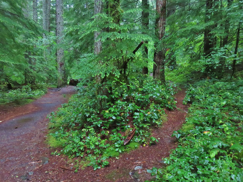 The Ogle Mountain Trail on the right.


 Penstemon with poison oak in the background along the trail near the trailhead.
 Little prince’s pine
 Twinflower
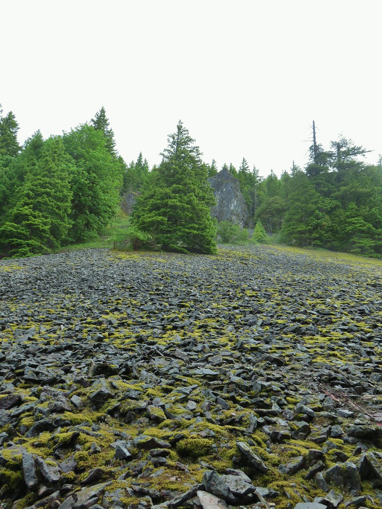 Looking up at the viewpoint from the talus slope.
 Spur trail to the viewpoint.
 The trail passing through the talus slope below.
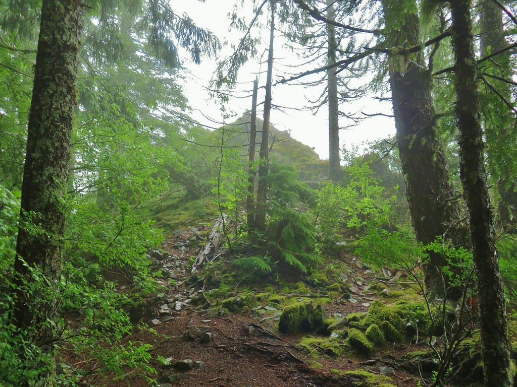
 Penstemon at the viewpoint.
 Oregon sunshine
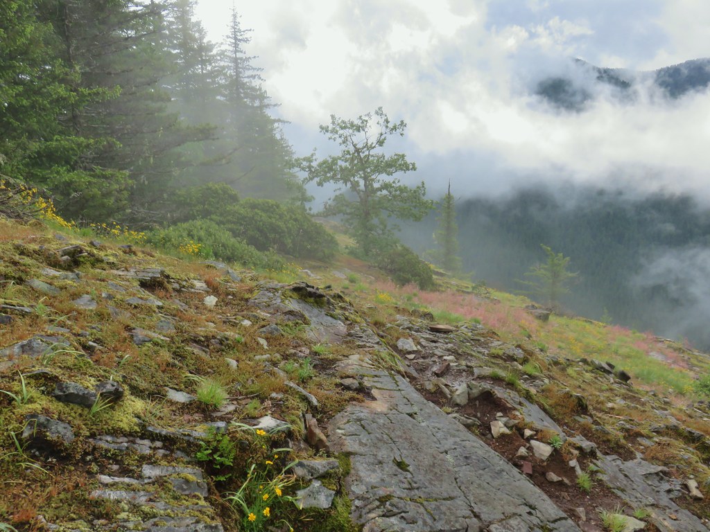
 I believe that is Rocky Top behind the clouds.
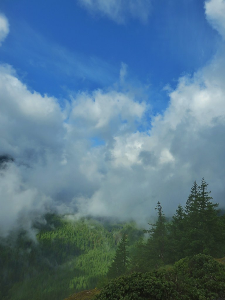 Blue sky to the west.

 Northwestern twayblade
 Penstemon
 Paintbrush
 Bunchberry
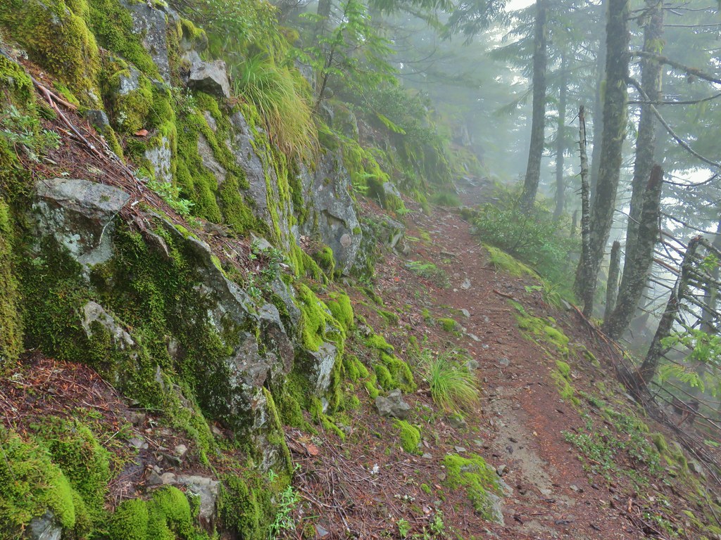
 Trillium
 Penstemon (cliff beardtongue)
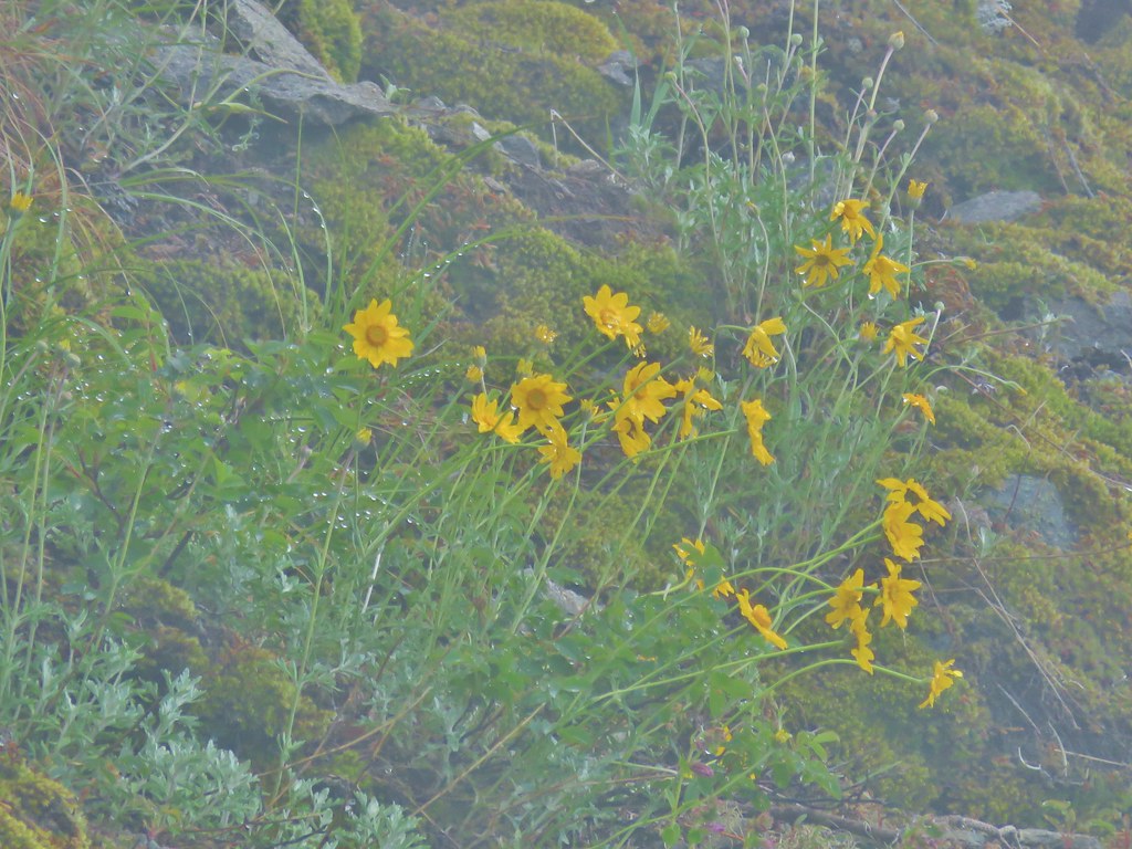 Oregon sunshine
 The ridge end beyond where the lookout was.
 Looking back toward the summit of Henline Mountain (it is beyond and above the visible trees).
 The falls are obsucred here by the clouds to the lower left.
 Elkhorn Mountain Falls
 Sub-alpine mariposa lily
 Mountain Ash
 Oregon sunshine and cat’s ear lilies
 Phlox
Phlox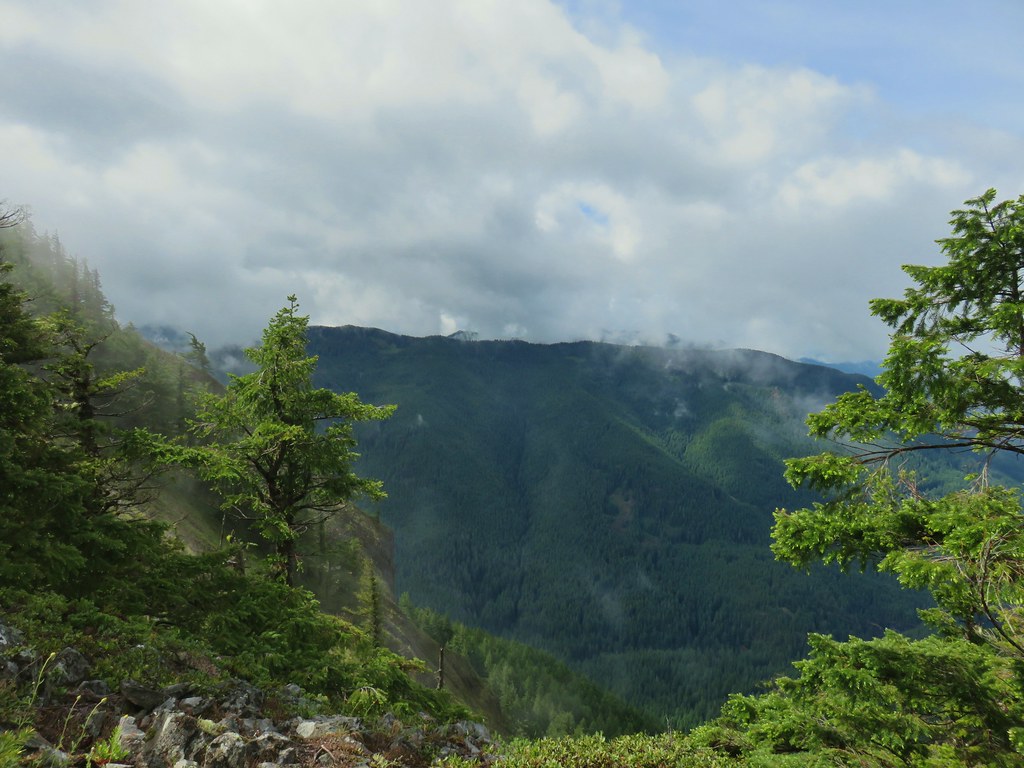
 Raceme pussytoes
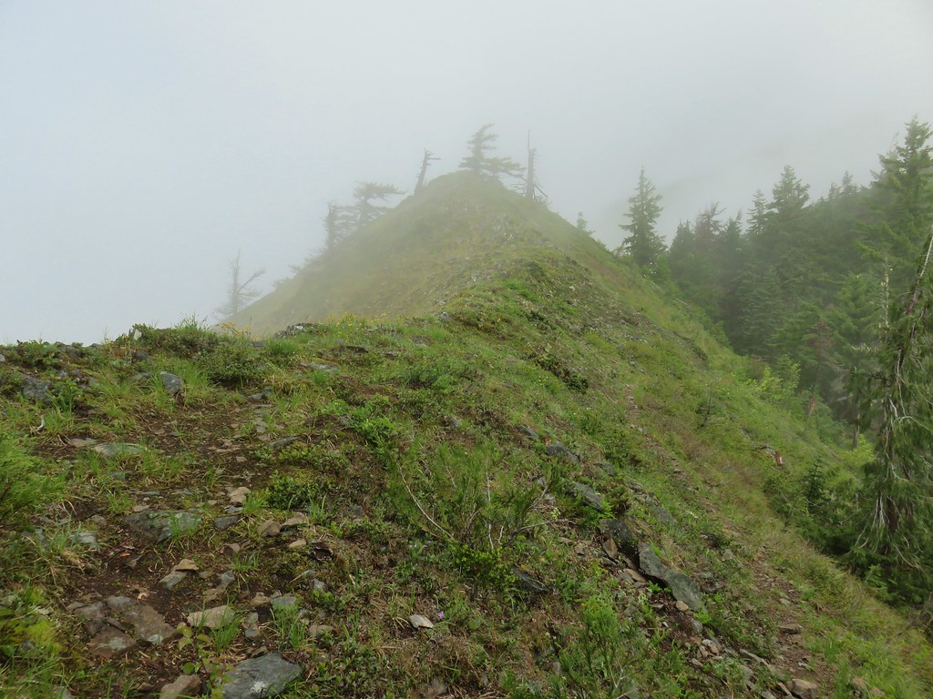
 Paintbrush
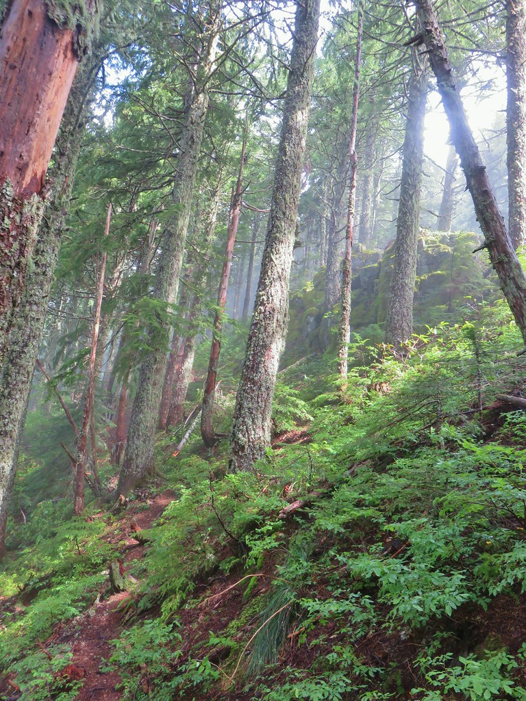


 Heading uphill after the little meadow.
 Snow in a basin below the trail.
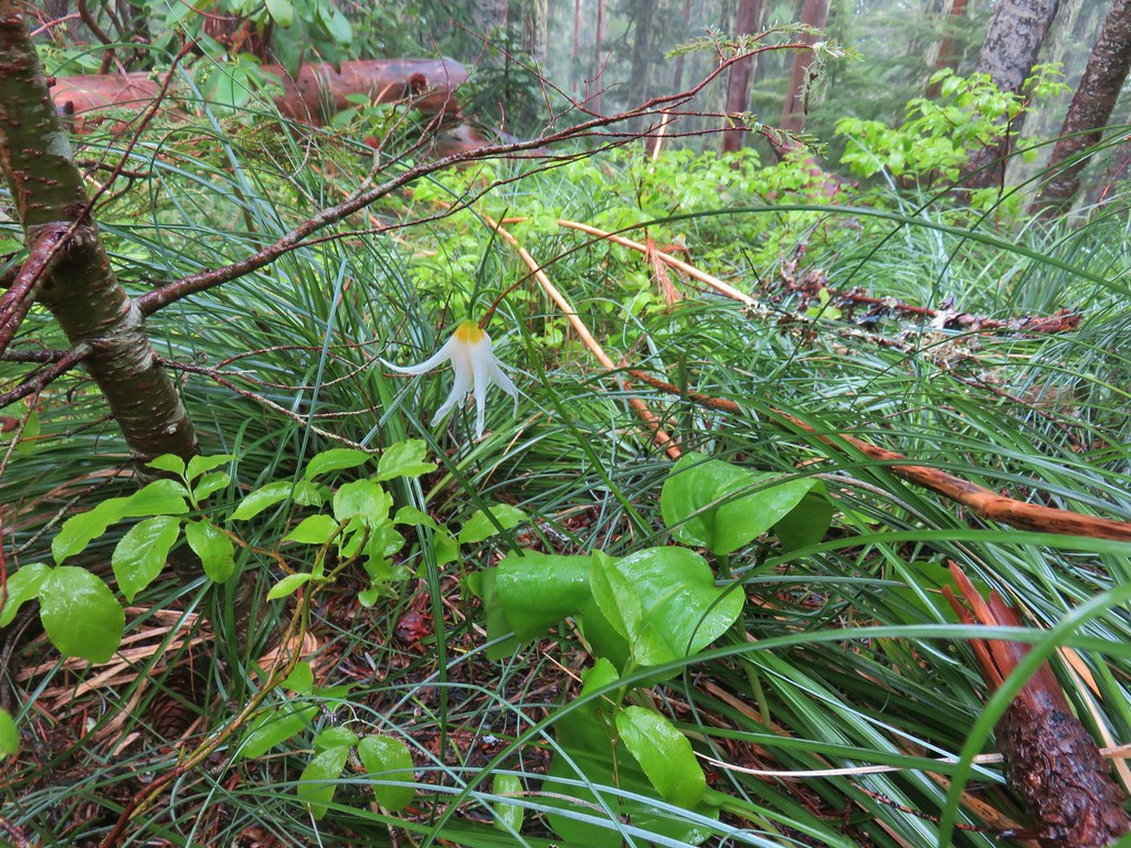 Fawn lily
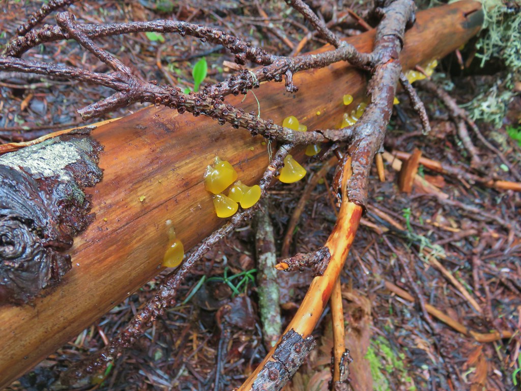 Jelly fungus
 Heading down to the saddle below the summit.
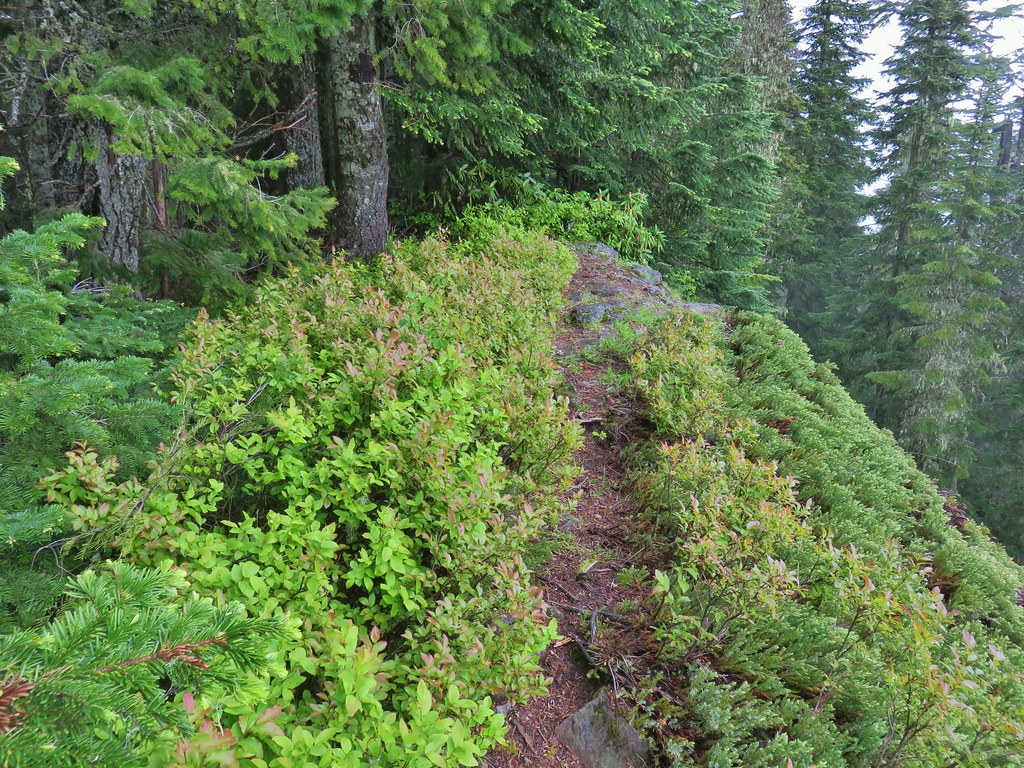
 The end of the trail.
 Bleeding heart near the end of the trail.

 Looking west down the Little North Santiam River.
 The high point to the left is Whetstone Mountain (
 Closer look at Battle Ax Mountain.
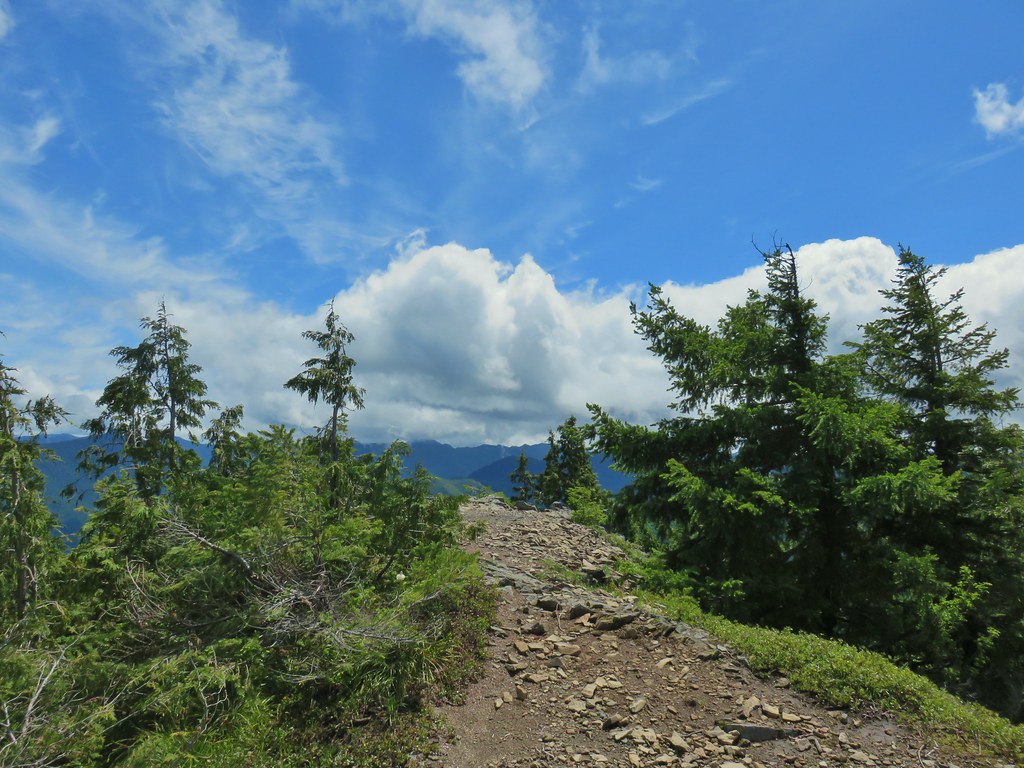
 Rocky Top still with a little cloud and Elkhorn Mountain in the foreground.
 Looking back at Henline Mountain’s summit.
 Whetstone Mountain (center high point) with Bull-of-the Woods (
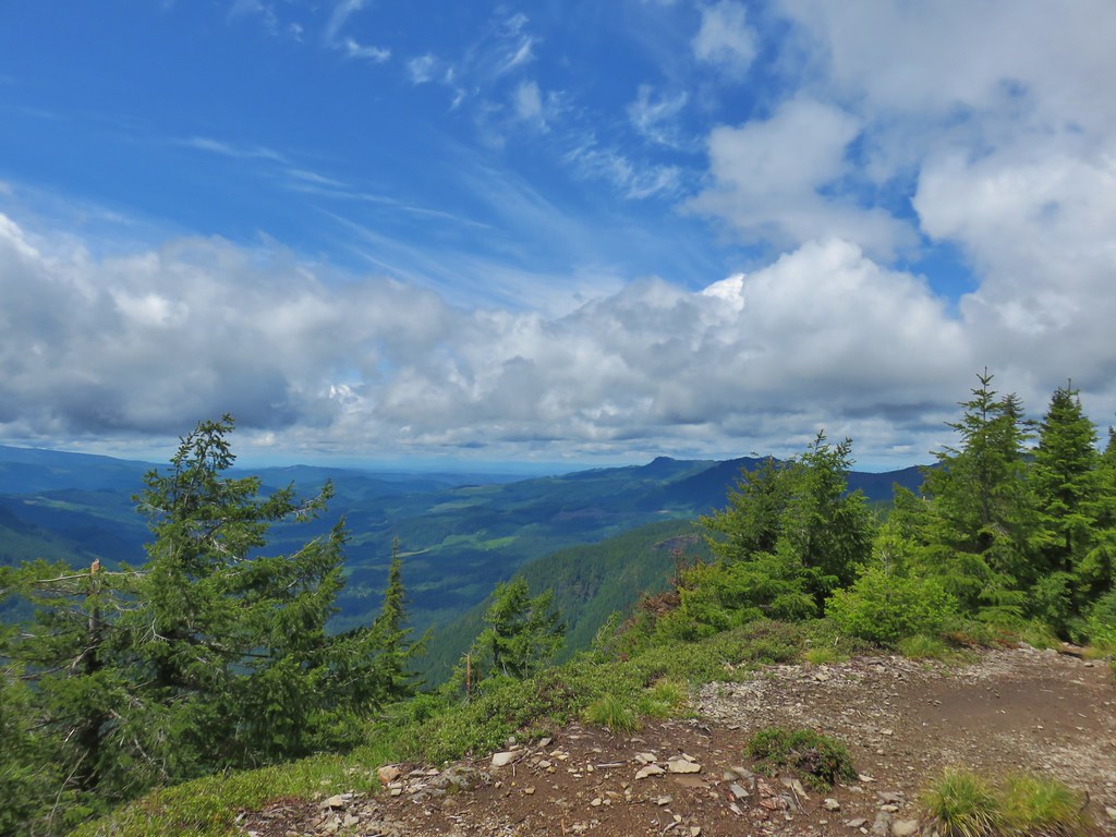 Looking west
 Yellow rumped warbler at the lookout site.
 Looking up at the ridge end of the former lookout site from below.
 Chipmunk drying out on the rocks.
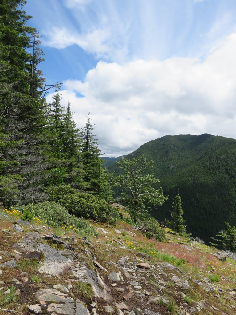 Looking east
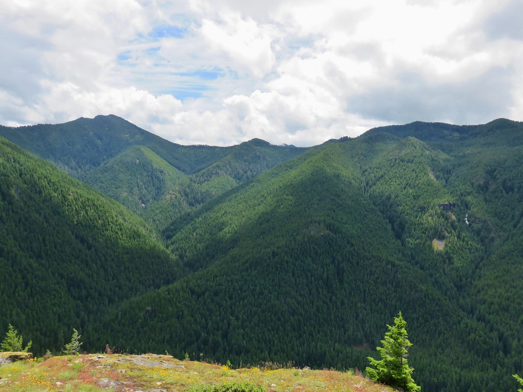 Looking south
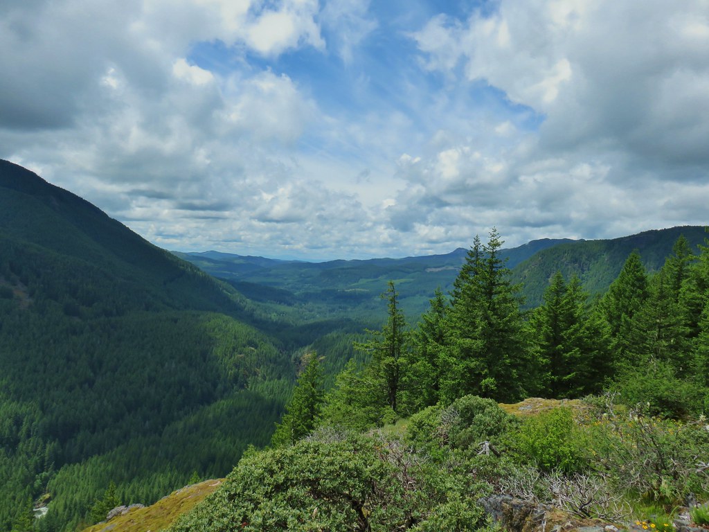 Looking west
 Rusty saxifrage at the viewpoint.