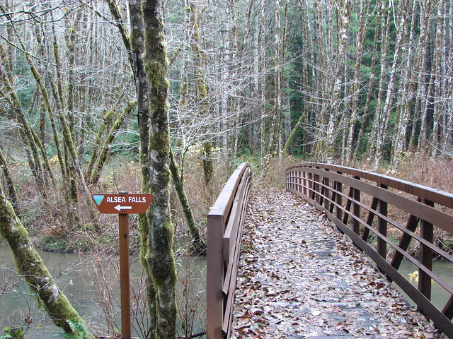
This week we are revisiting a pair of hikes we took on 9/8/12. A pair of Heather’s running buddies were going to be running the McKenzie River 50k that day and we wanted to be a the finish line to greet them so we found a hike in the area that we thought would make that possible. The 8.5 mile up Browder Ridge seemed to be a perfect fit.
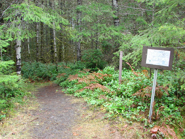
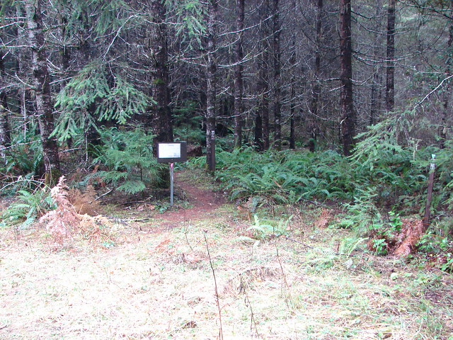
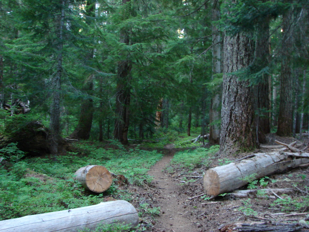
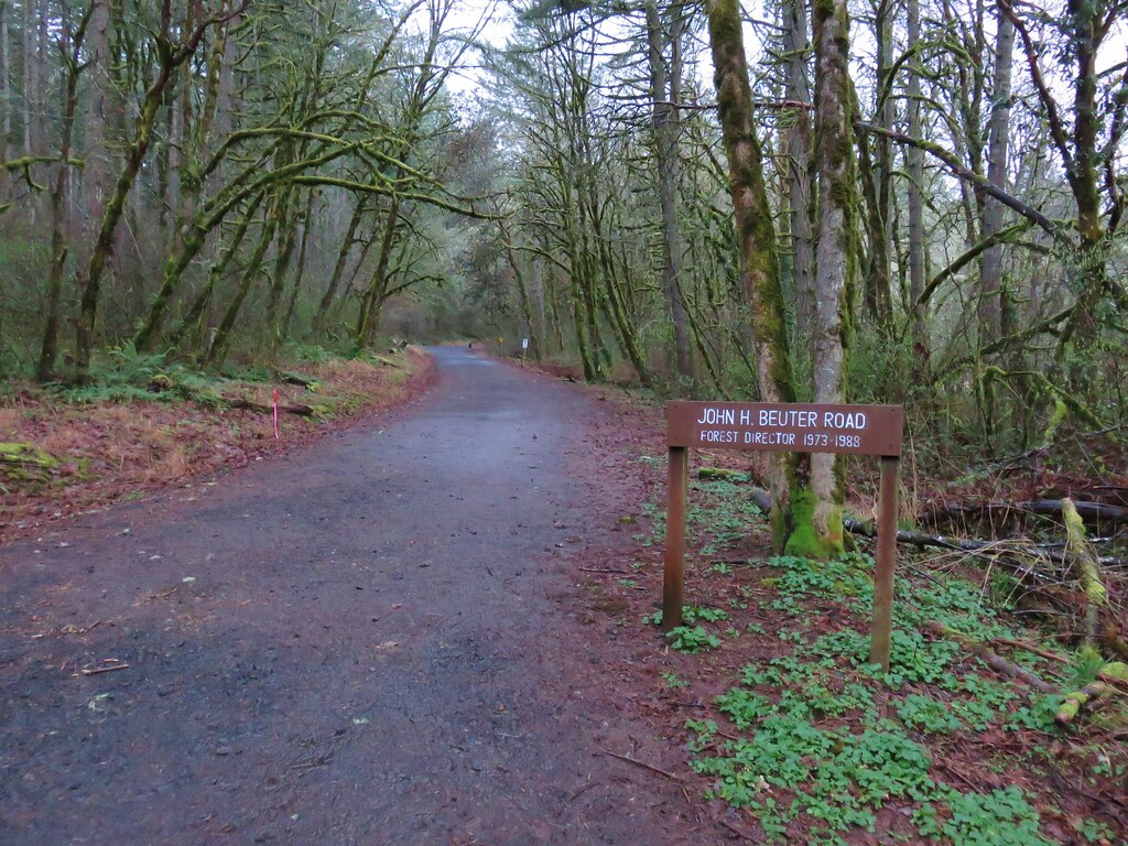
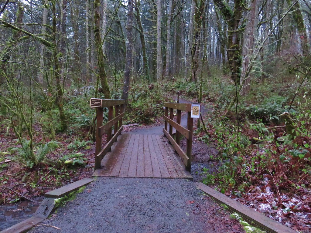
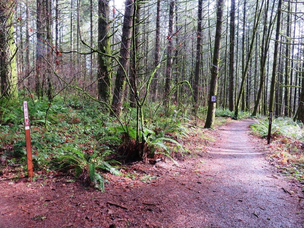
We started at the Gate Creek Trailhead just 4.5 miles off of Highway 20 via Hackleman Creek Road and Road 1598.

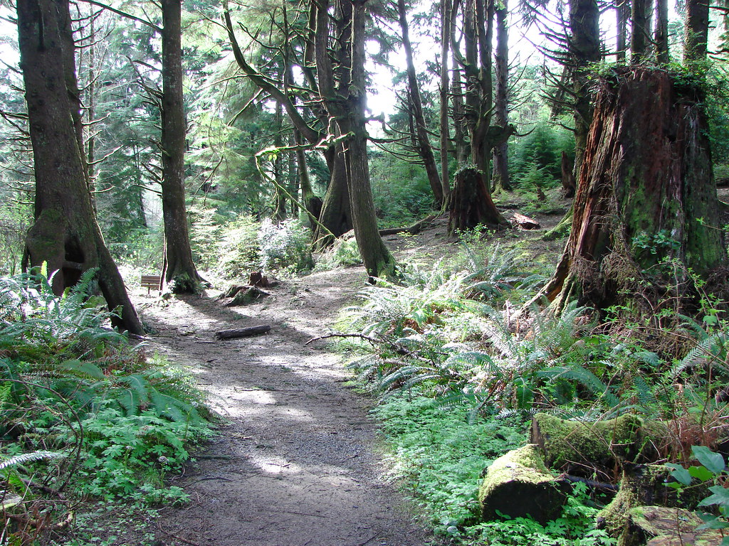
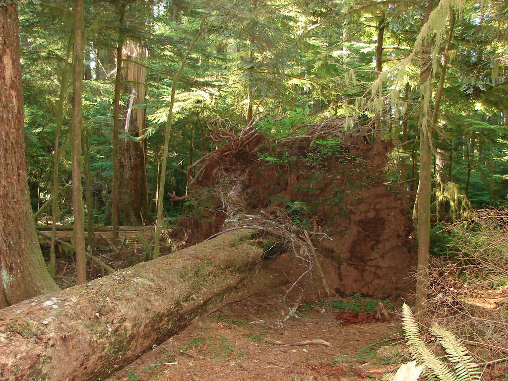
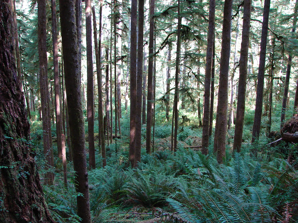
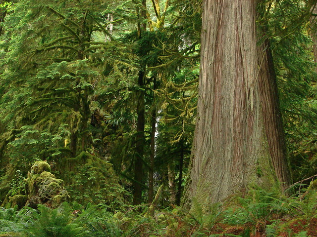
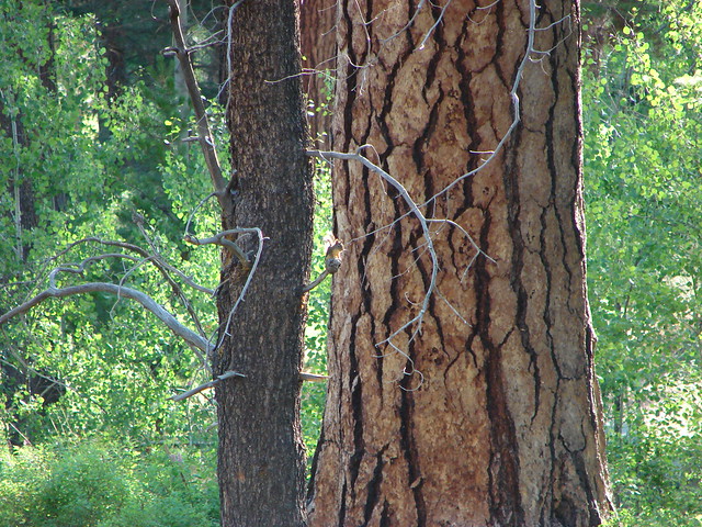
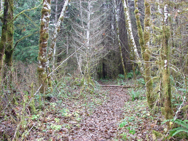
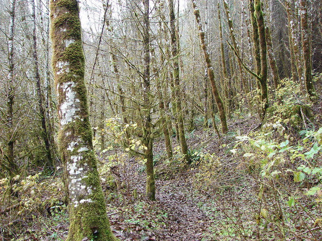
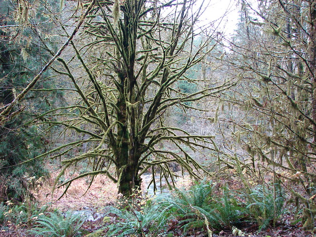
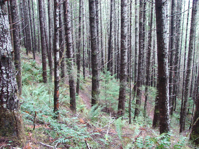
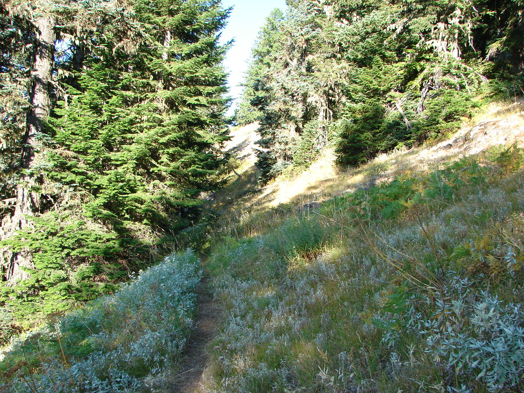
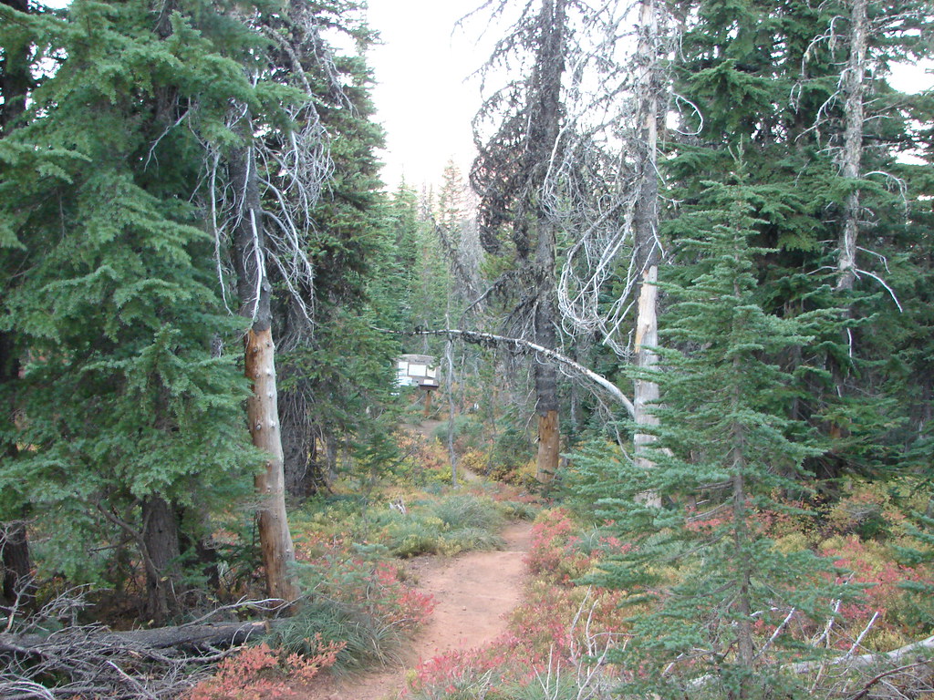
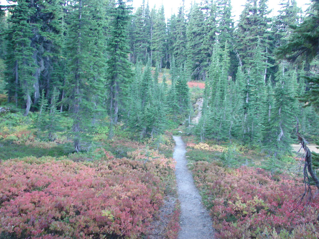
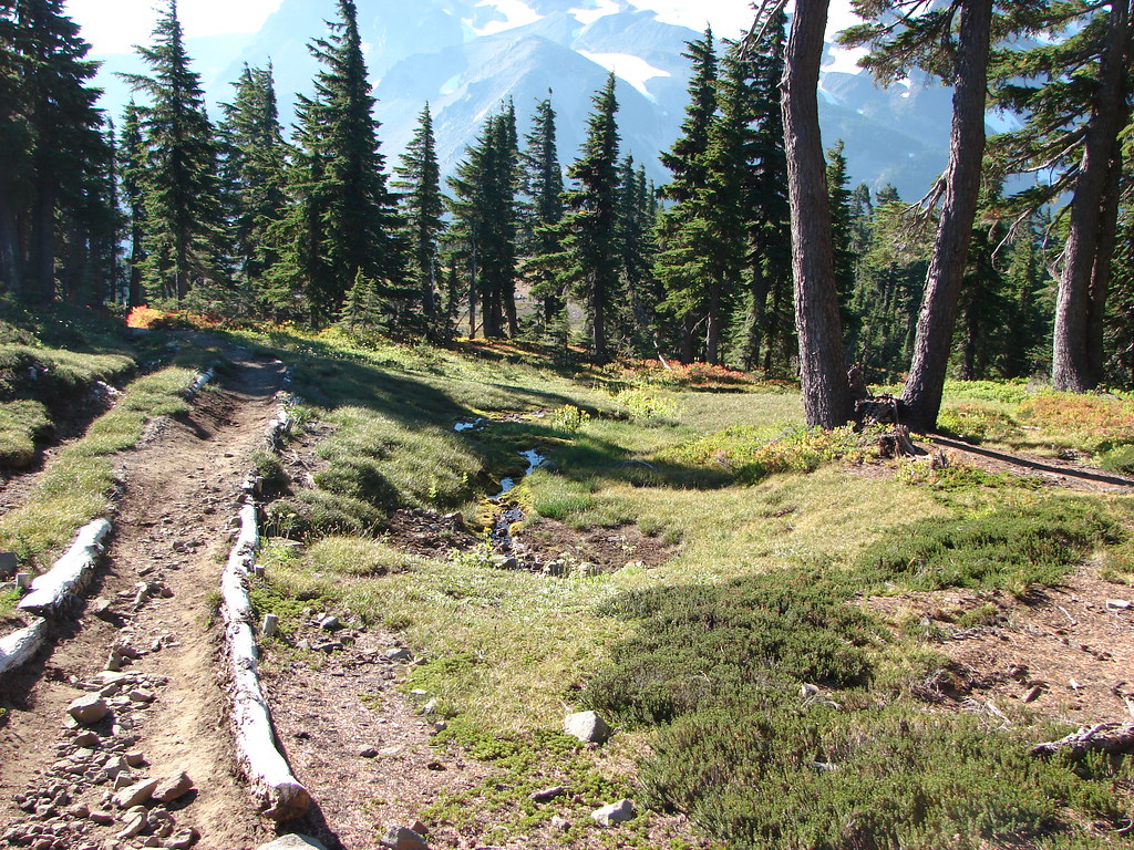
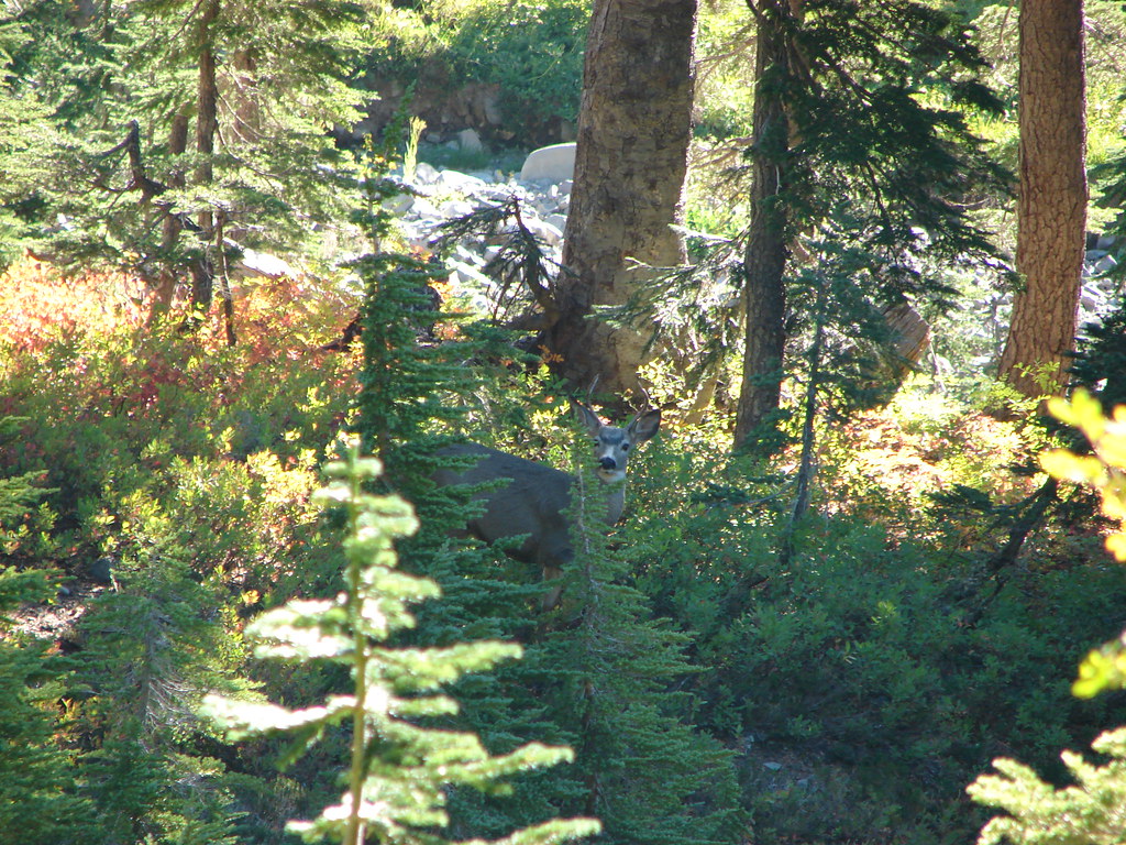
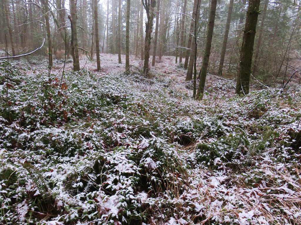
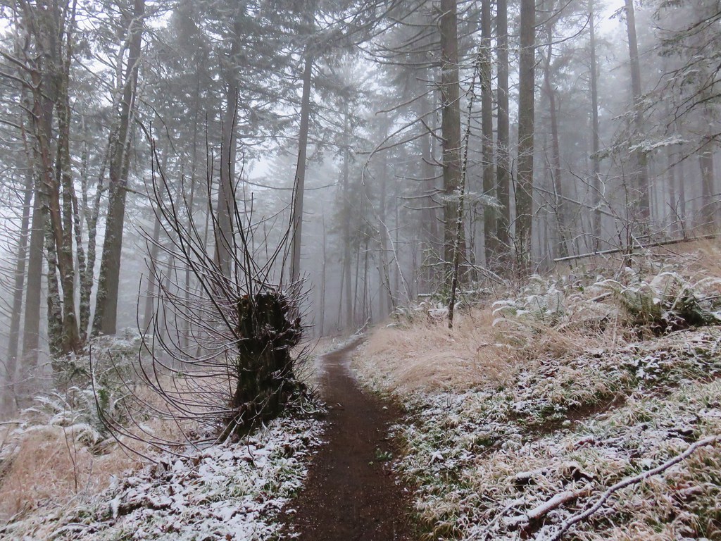
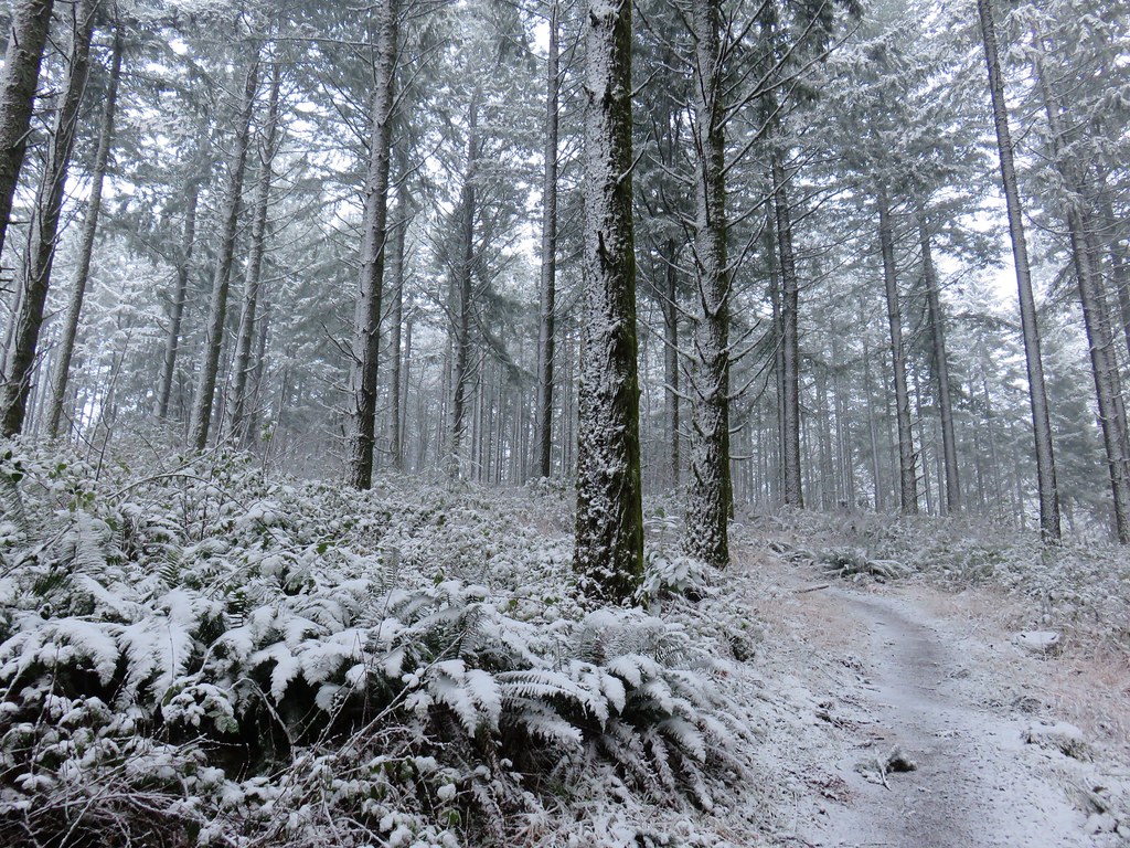
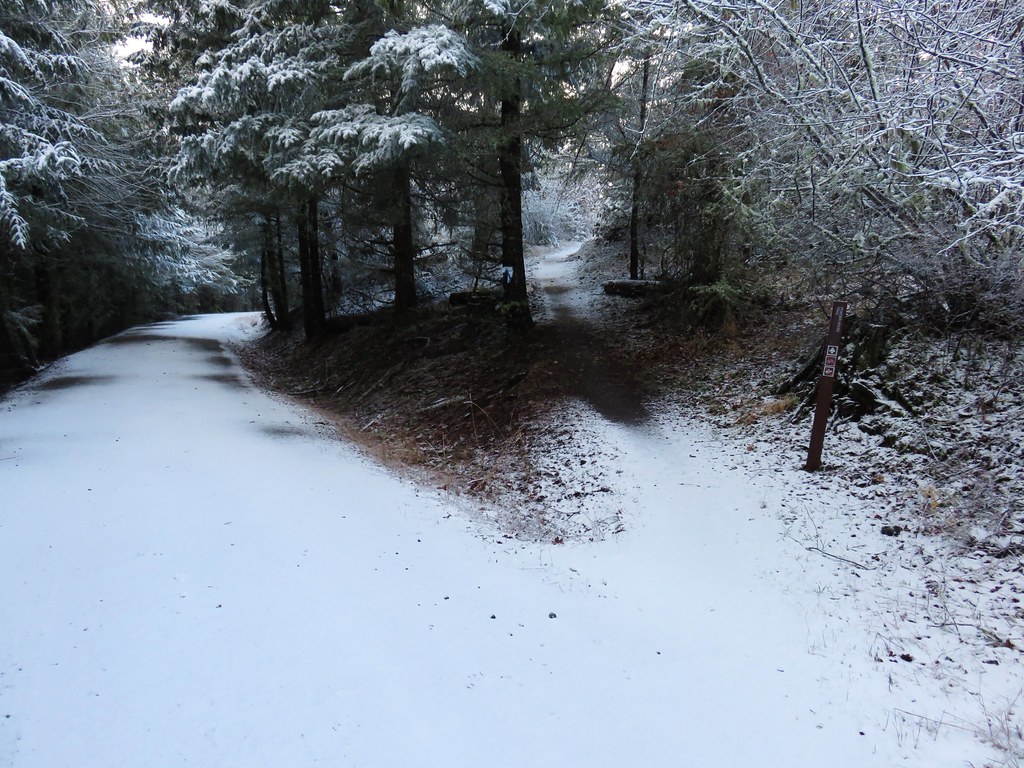
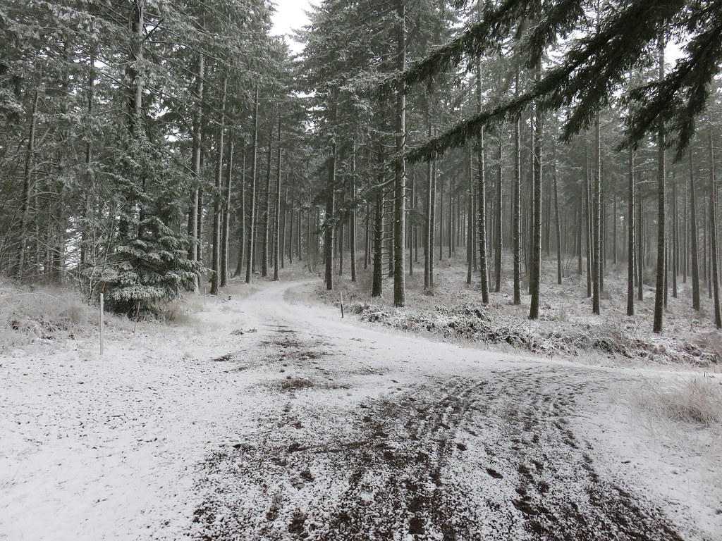
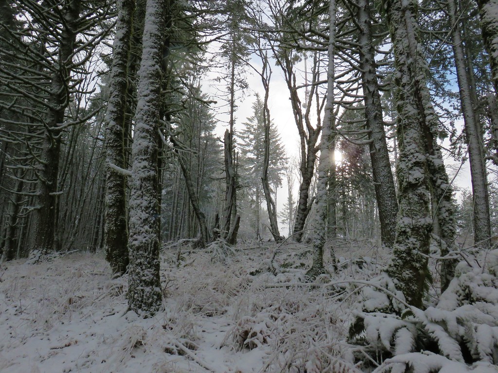
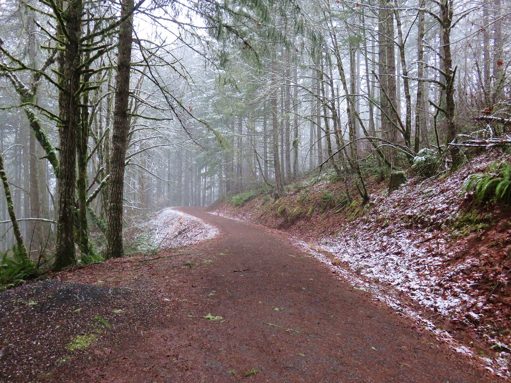
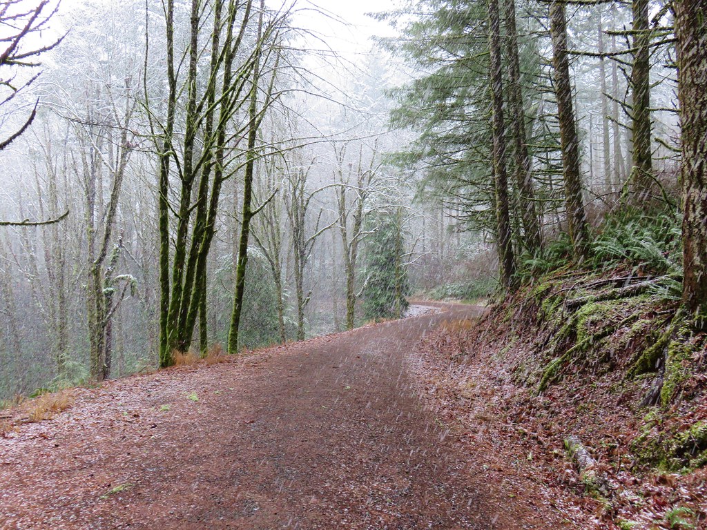
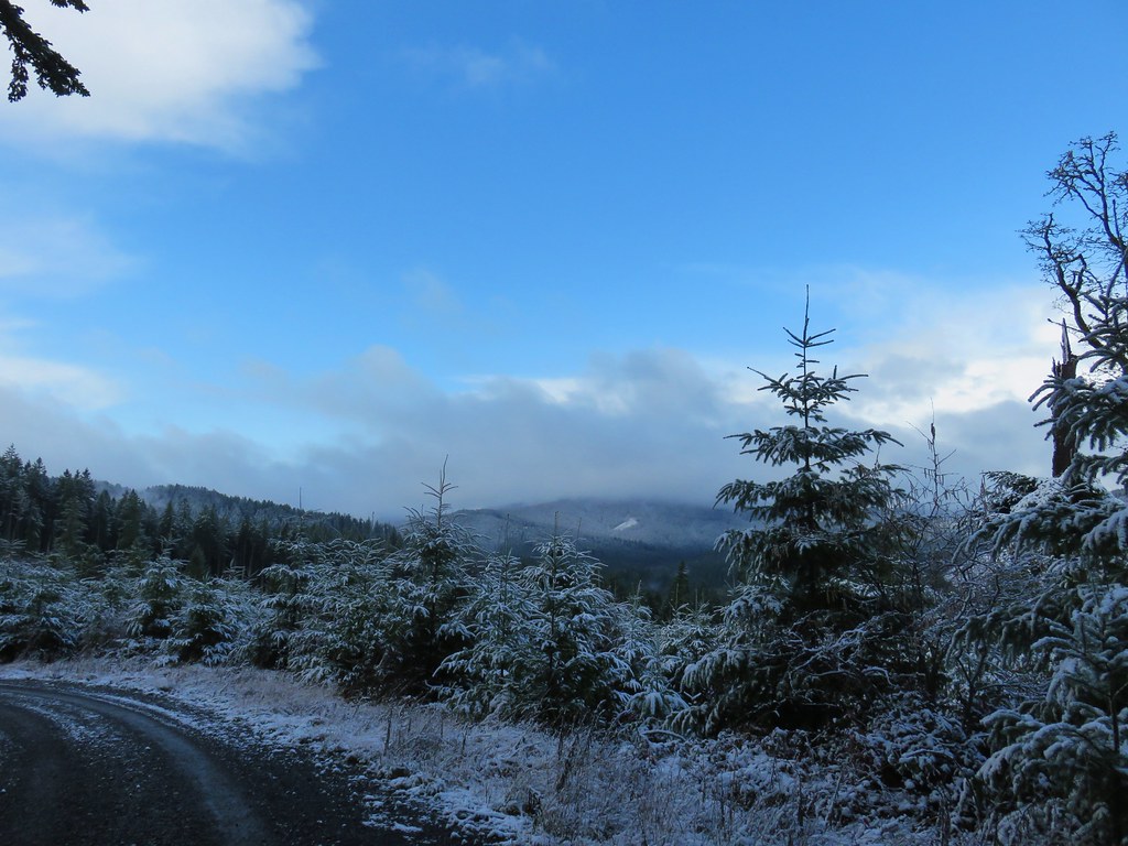
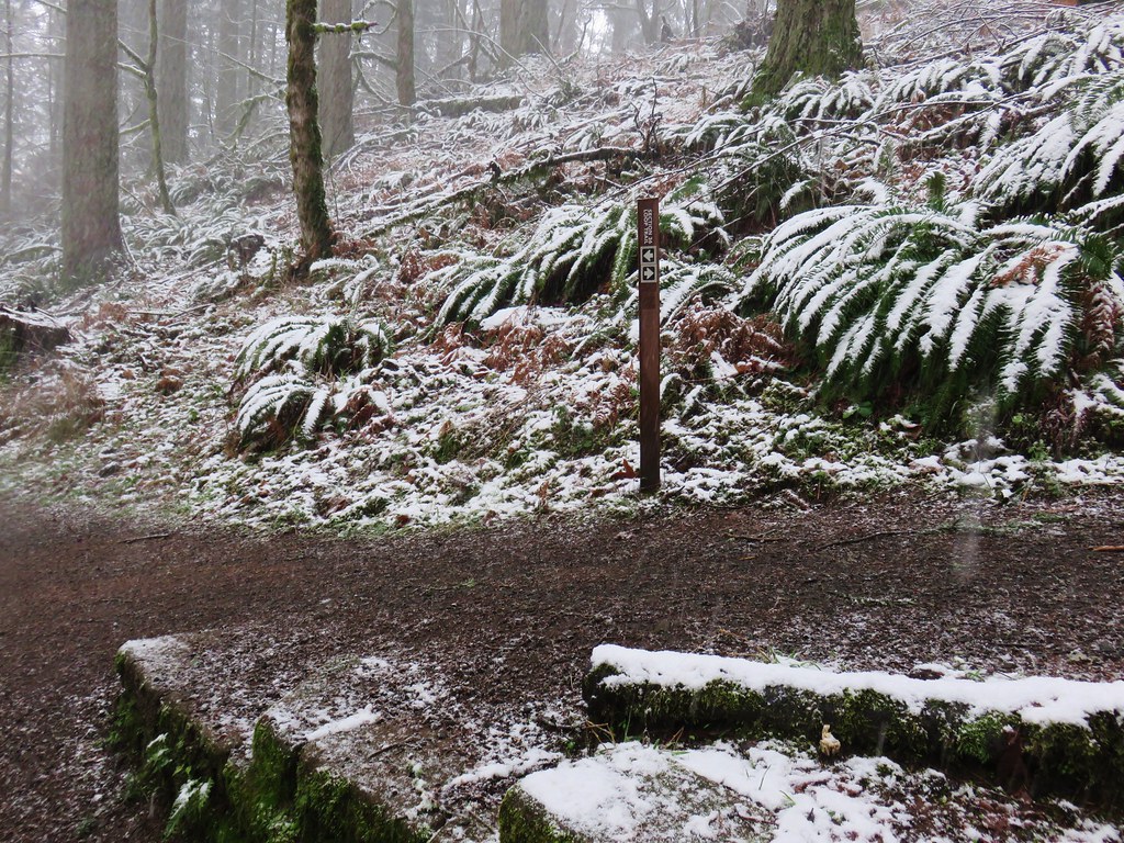
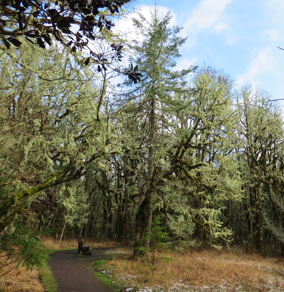
The trail never really got close to Gate Creek as it climbed through forest and fern filled meadows.
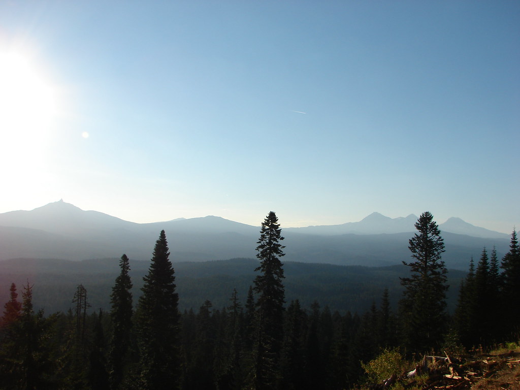
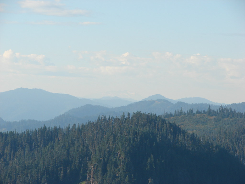
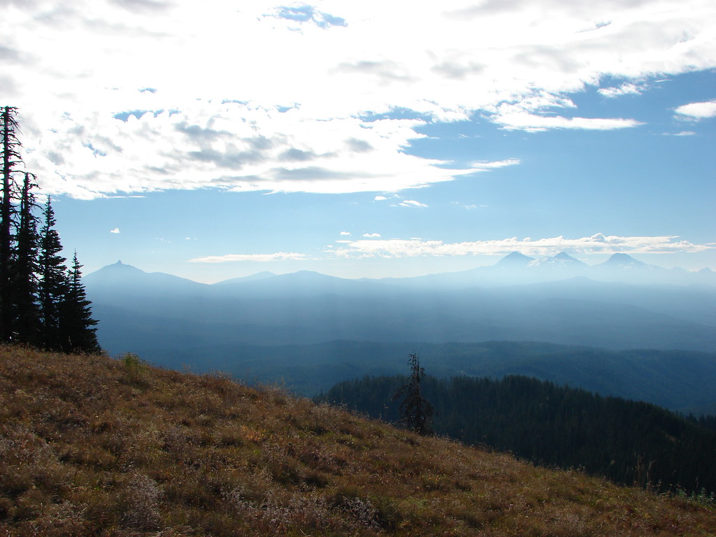
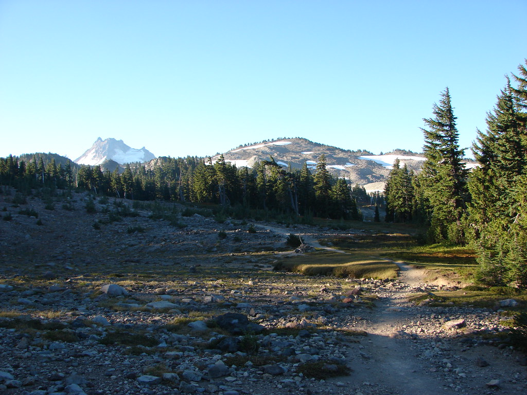
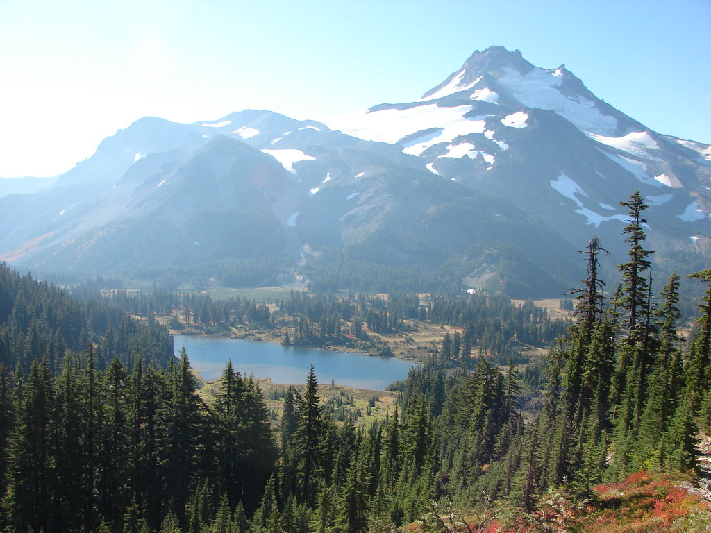
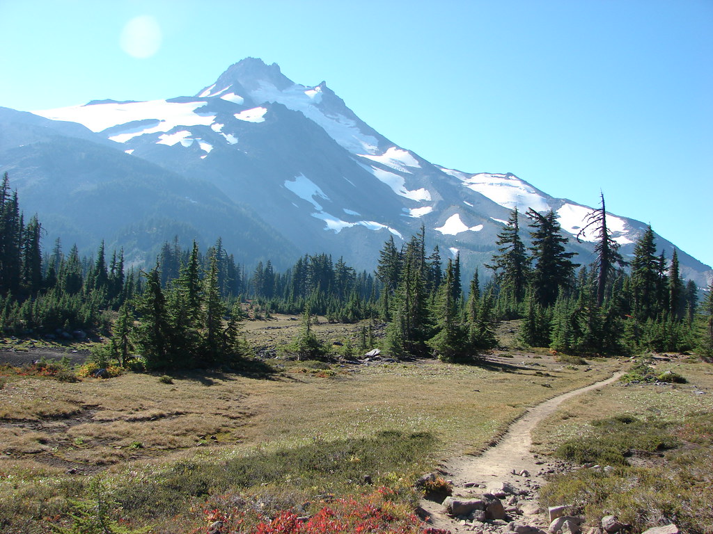
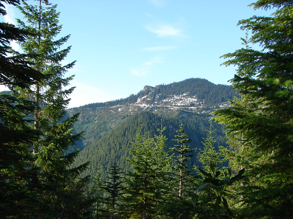
Just over a mile and a half from the trailhead we arrived at a viewpoint which provided views of the Cascade Mountains from Mt. Jefferson south to the Three Sisters. It was an unfortunately hazy view due to the sun still rising in the east and the presence of smoke from the Pole Creek Fire.
 Mt. Jefferson and Three Fingered Jack
 Mt. Washington and the Three Sisters
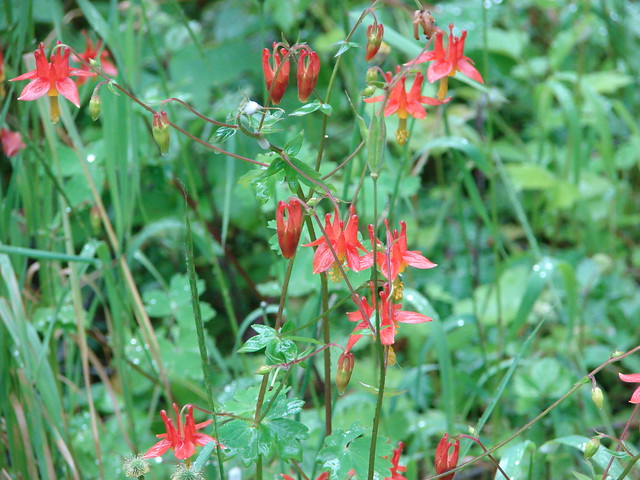
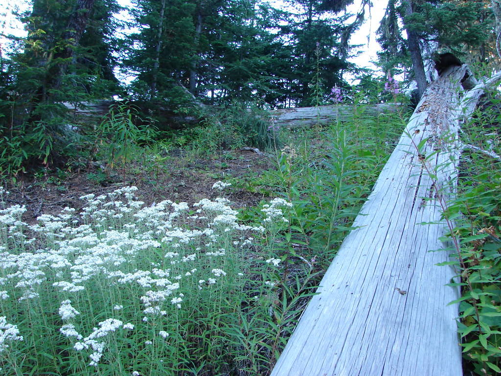
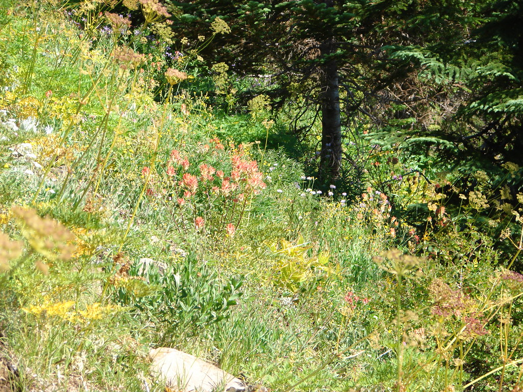
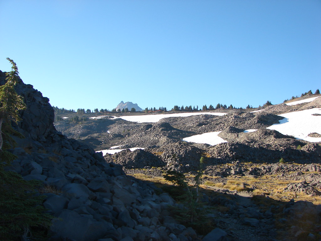
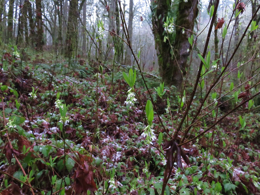
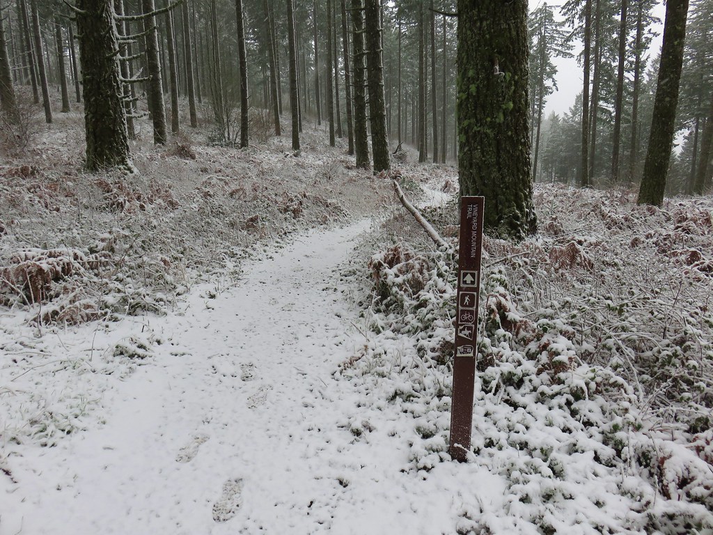
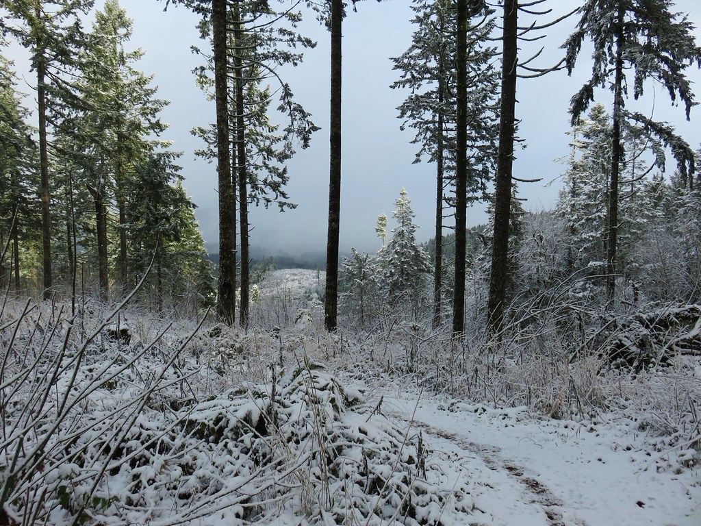
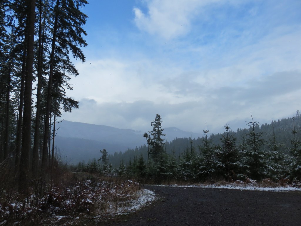
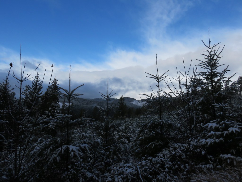
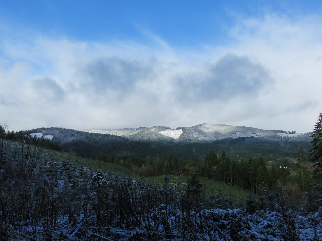
We continued on climbing gradually for another 1.5 miles to a junction. White pearly everlasting and pink fireweed could be seen along the trail. More hazy mountain views greeted us along the way with Diamond Peak joining the line of Cascade peaks.
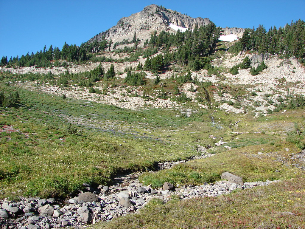
We also had a nice view of our ultimate goal – Browder Ridge.

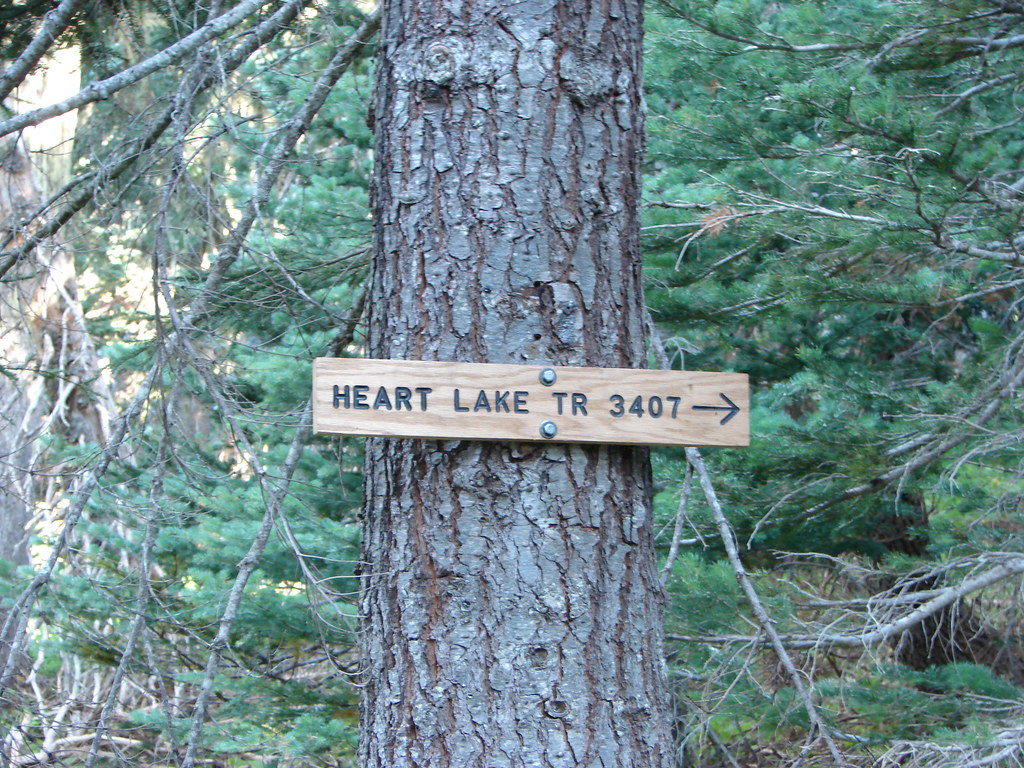
At the junction we turned right onto the Heart Lake Trail.
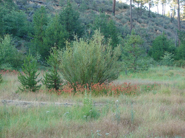
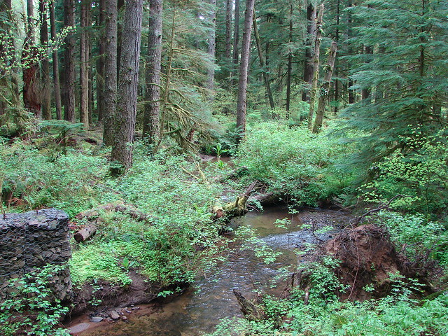
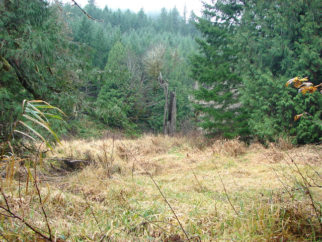
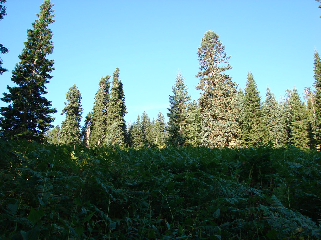
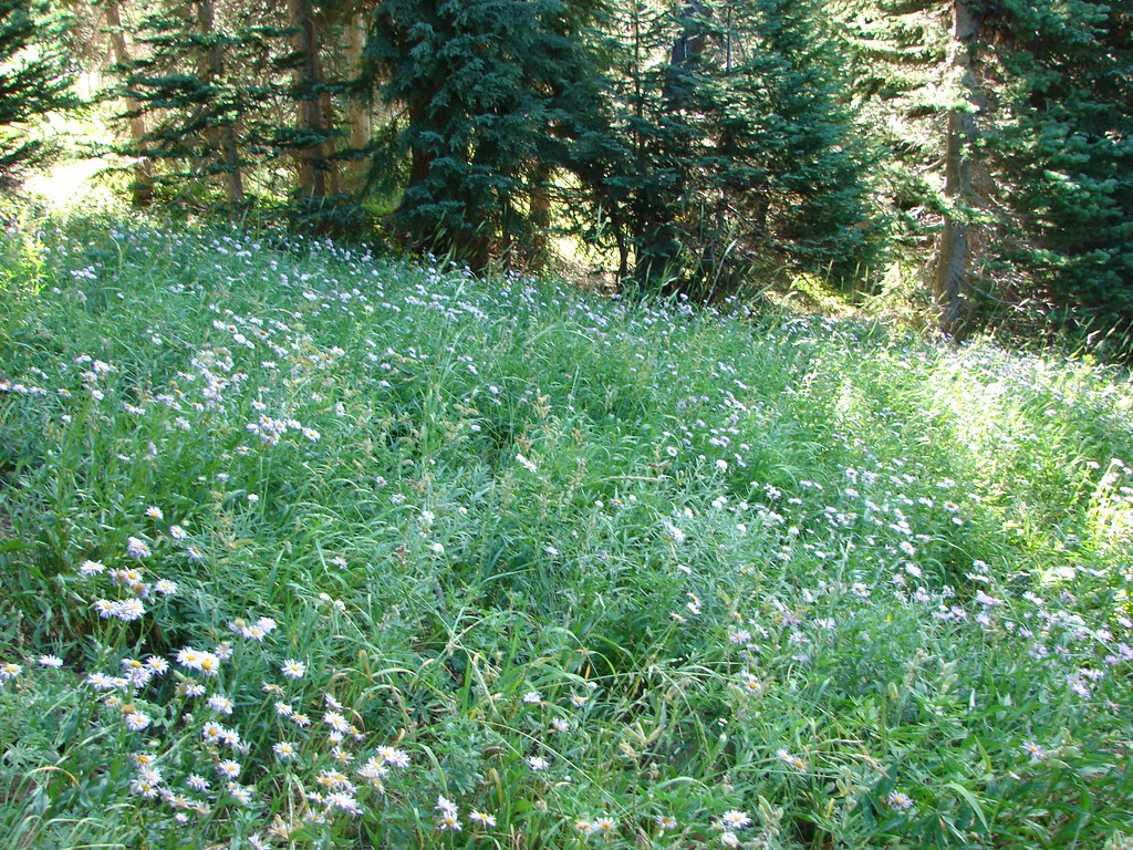
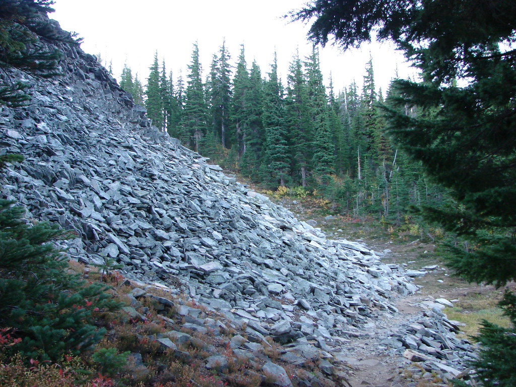
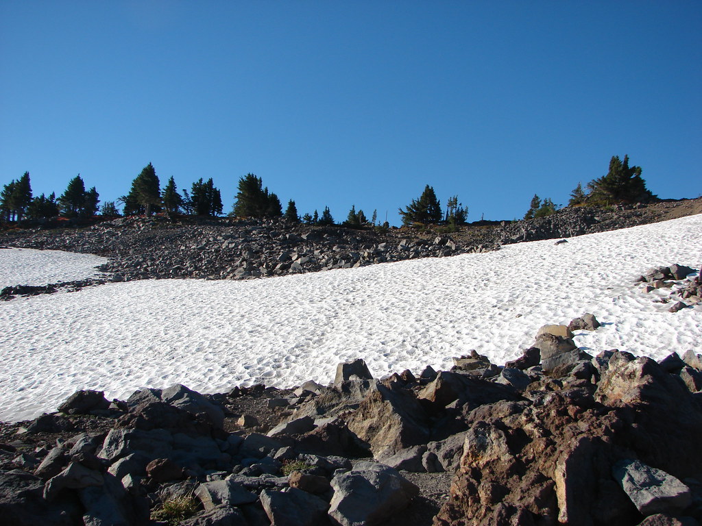
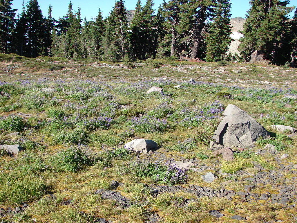
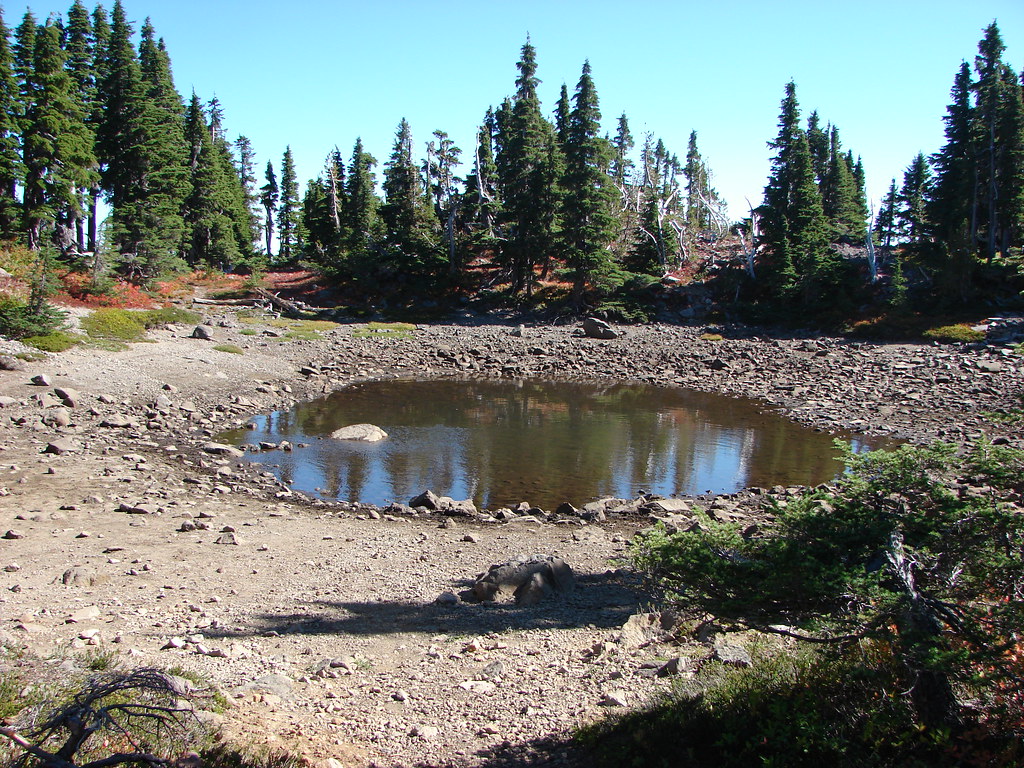
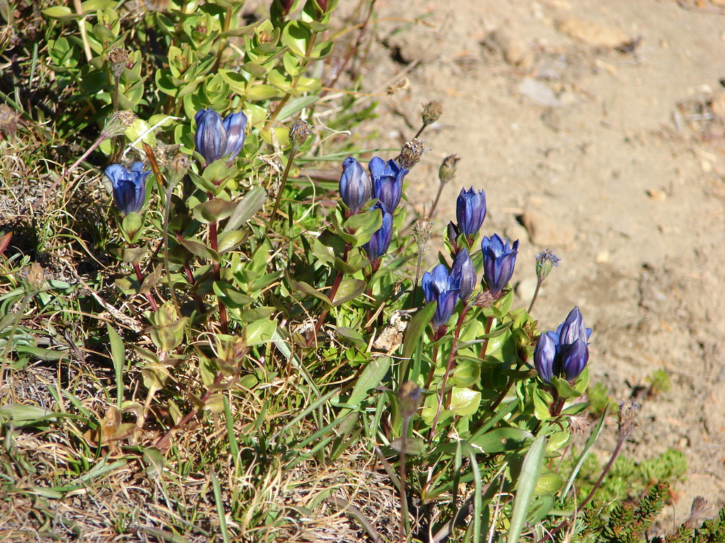
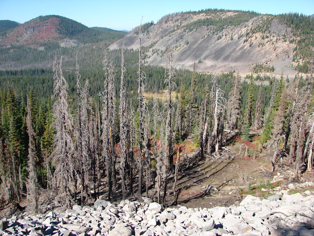
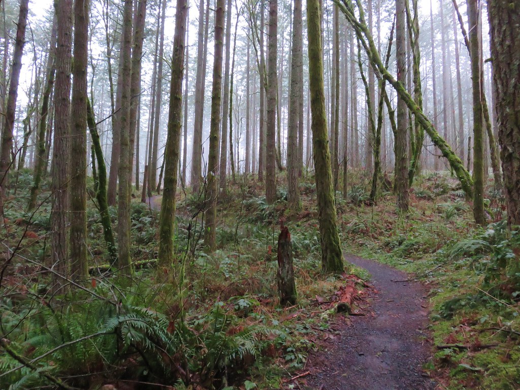
This trail passed below the rocky cliffs of Browder Ridge passing through the remains of an early summer wildflower meadow before reentering the forest.

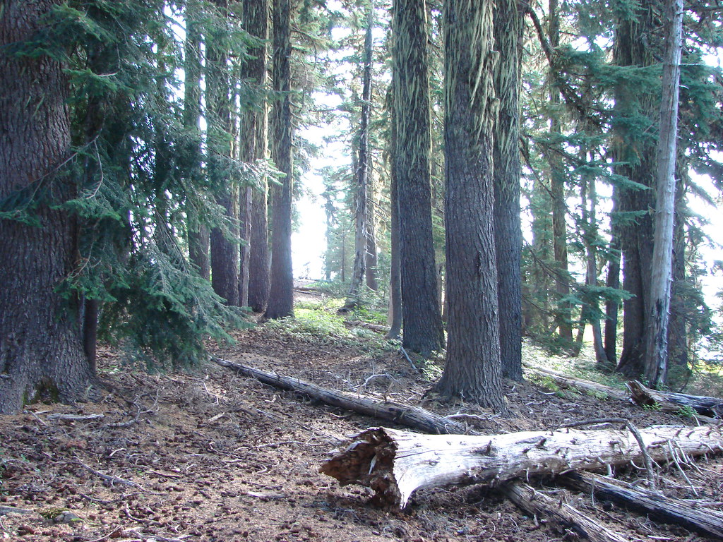
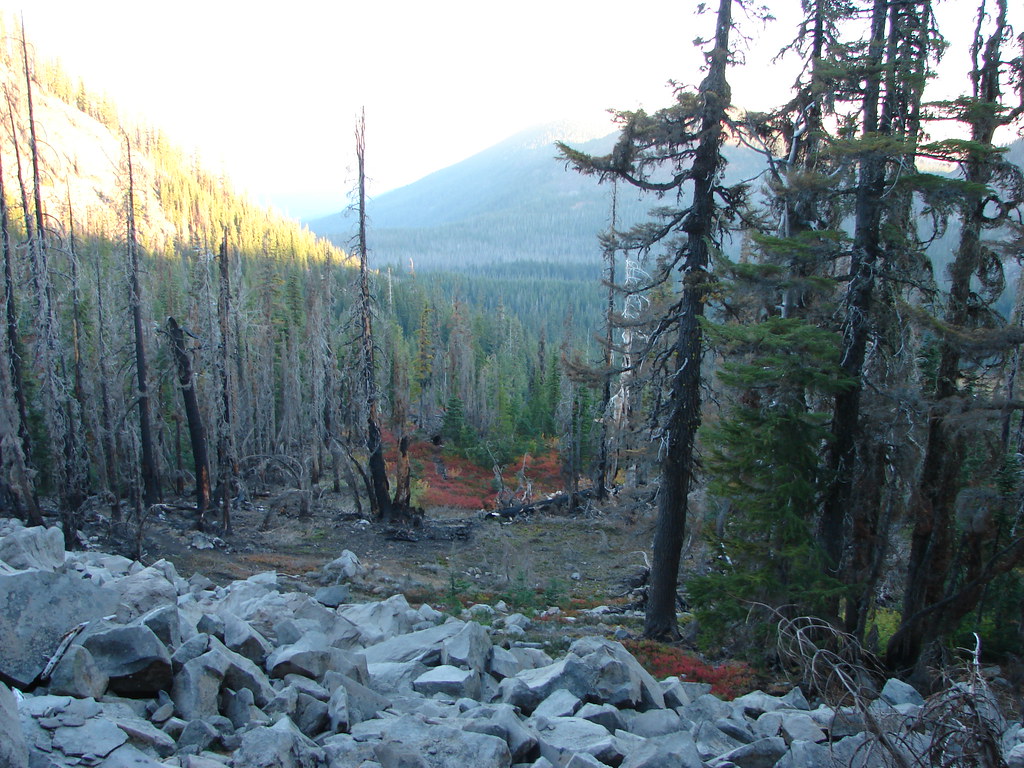
As the trail reentered the trees we left the Heart Lake Trail turning uphill along the rocky ridge.
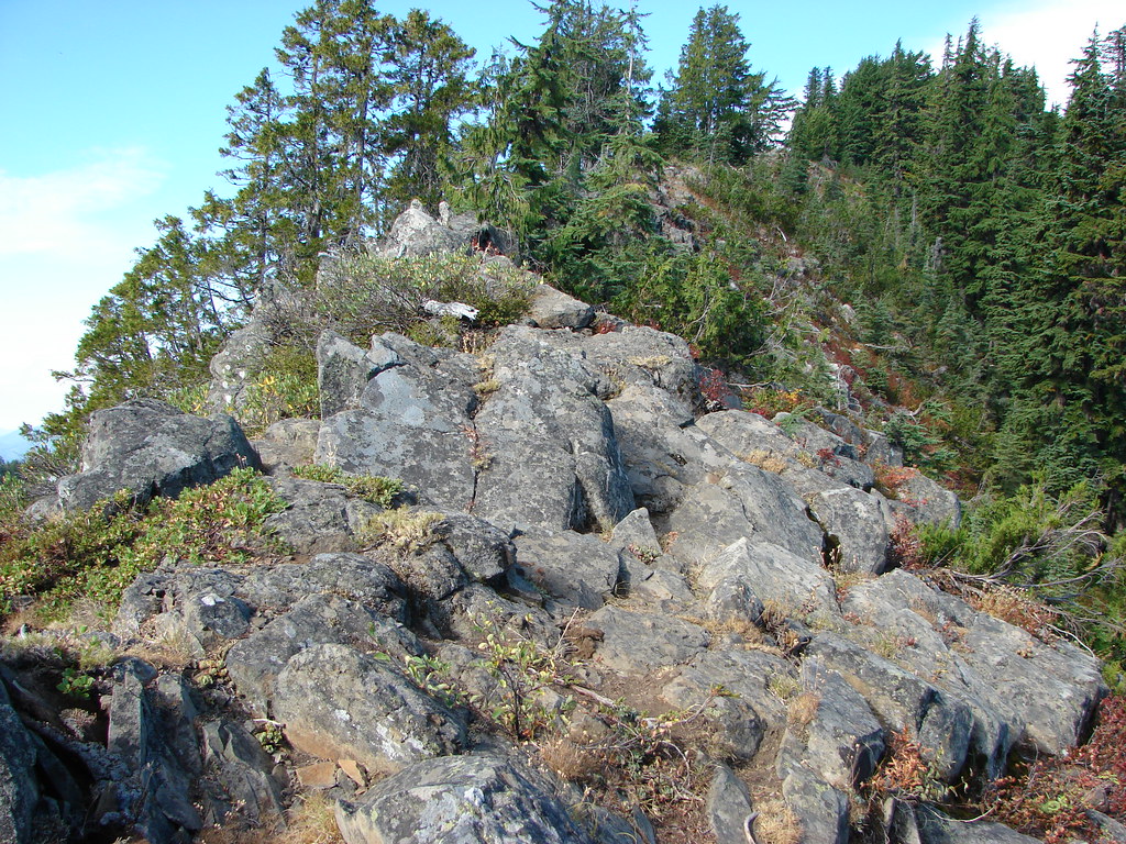
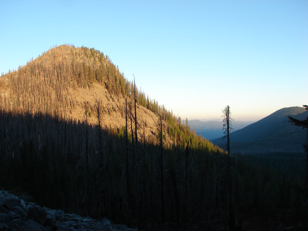
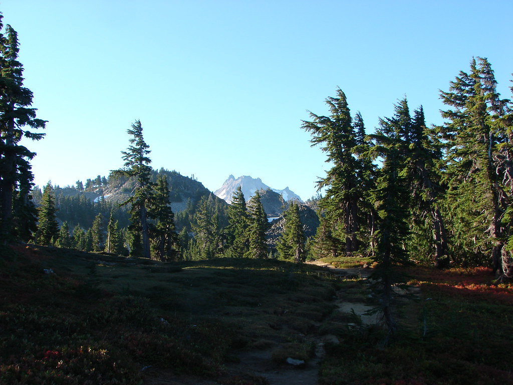
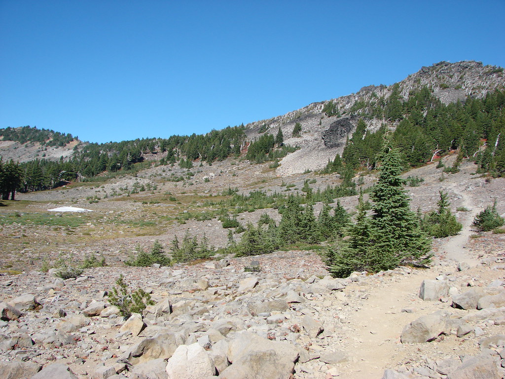
A .2 mile scramble along the ridge brought us to the 5760′ summit of Browder Ridge.

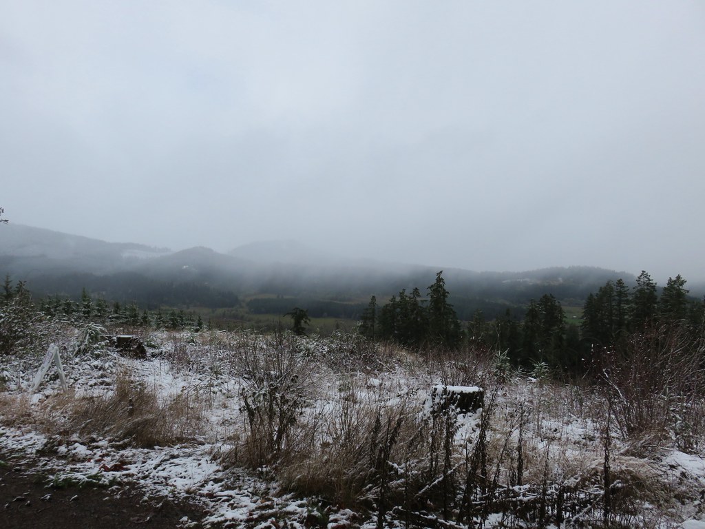
Despite the haze from the Pole Creek Fire the views were pretty good.


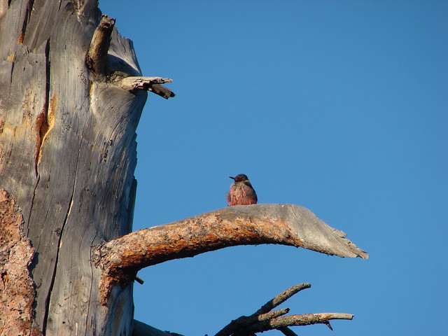
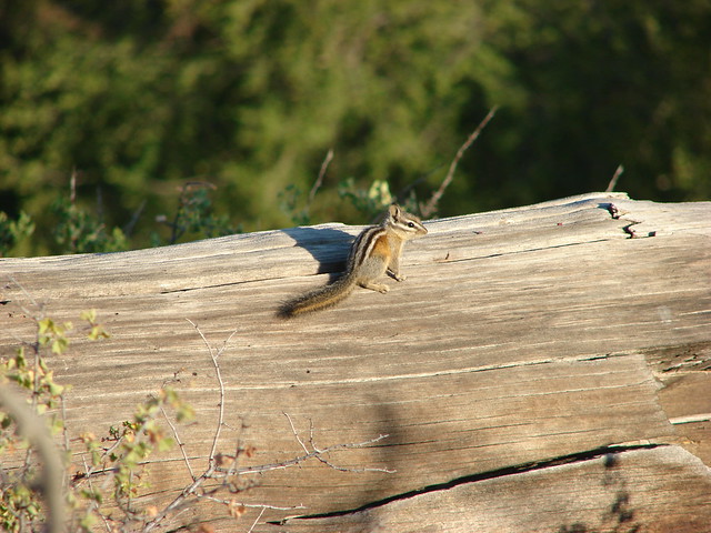
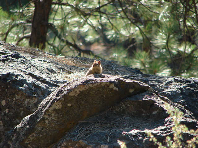
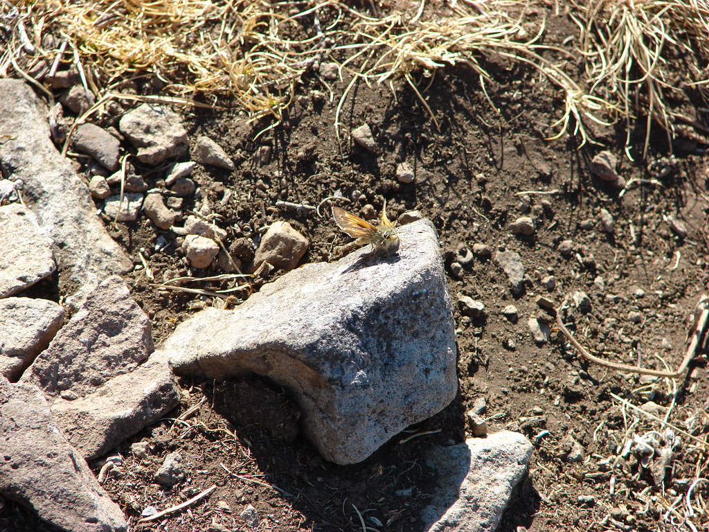
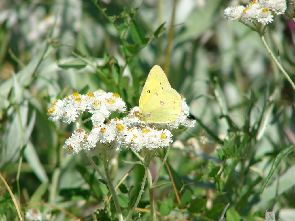
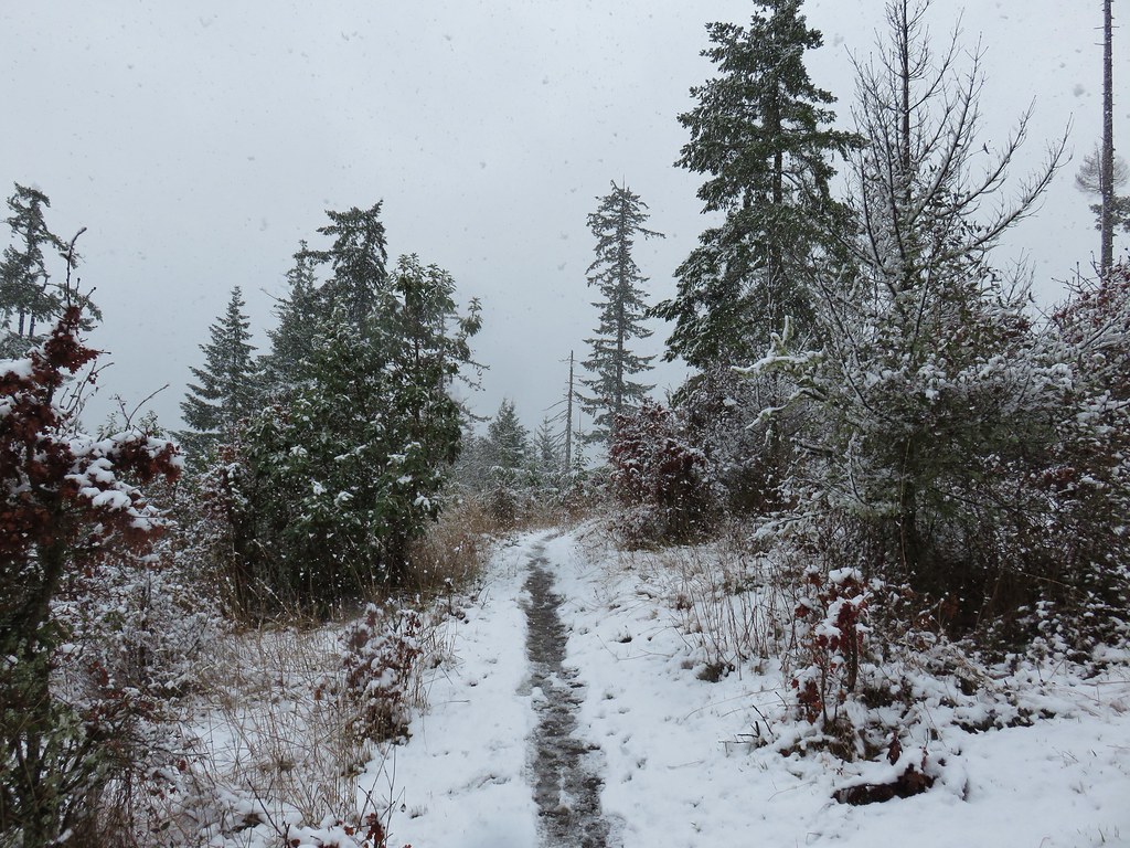
After enjoying the view we headed back down to the trailhead. Butterflies had begun to come out as we made our way back.

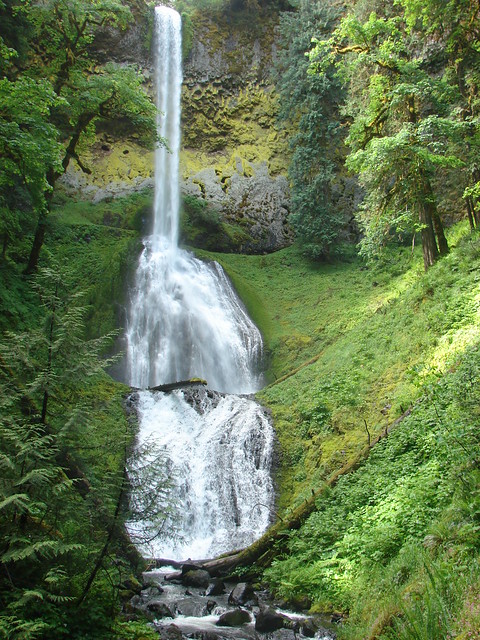
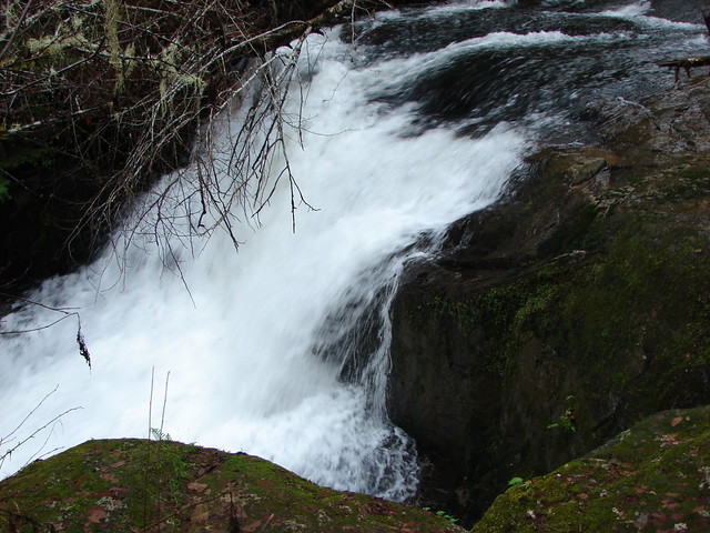
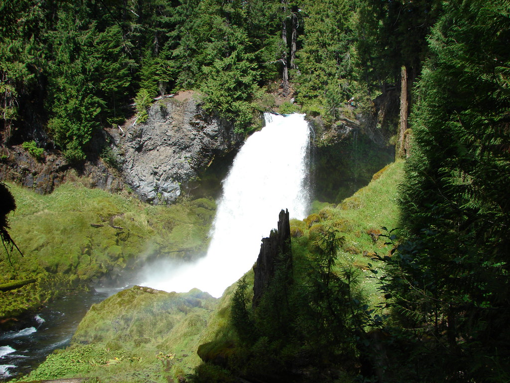
We got back to the car with time to spare before the end of the race so we made a second stop on the way to the finish line. We drove east on Highway 20 to its junction with Highway 126 where we turned right for 5.2 miles to the Sahalie Falls Trailhead.
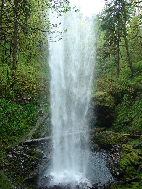
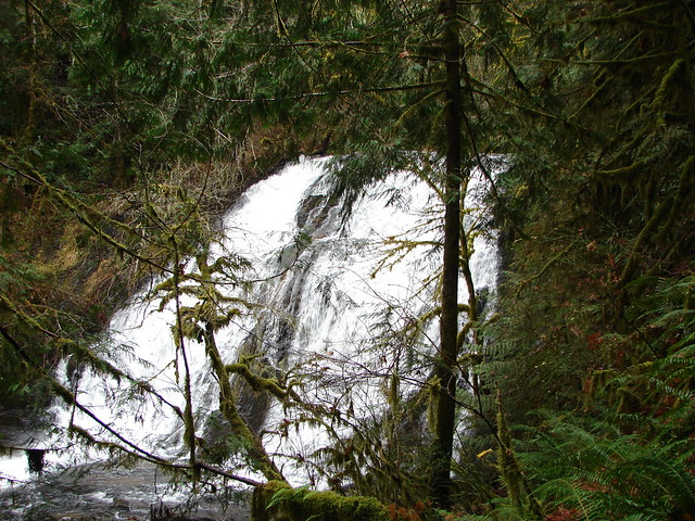
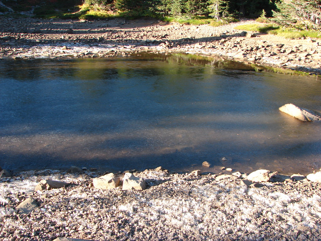
A half mile segment of the Waterfalls Loop Trail runs between Sahalie and Koosah Falls along the McKenzie River here. It’s possible to complete a 2.6 mile loop incorporating the McKenzie River Trail, but we wanted to make sure we didn’t miss the end of the race so we did an out and back past Sahalie Falls to Koosah Falls.
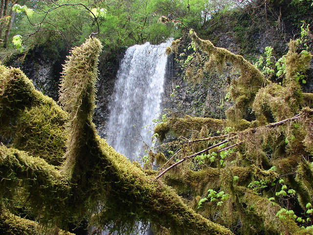
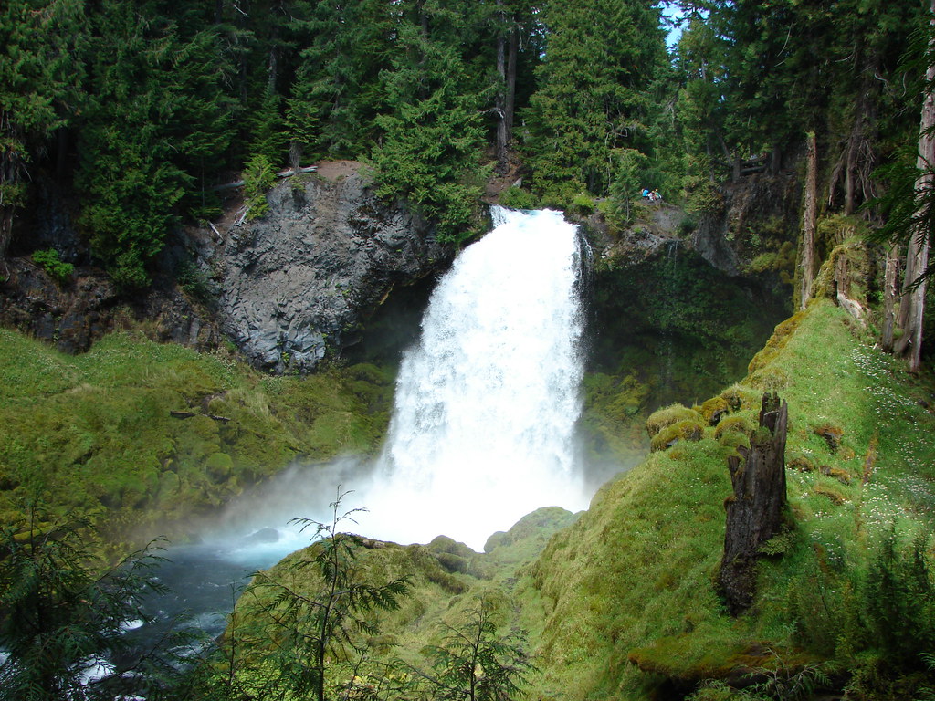
Sahalie Falls was not far at all from the parking area.
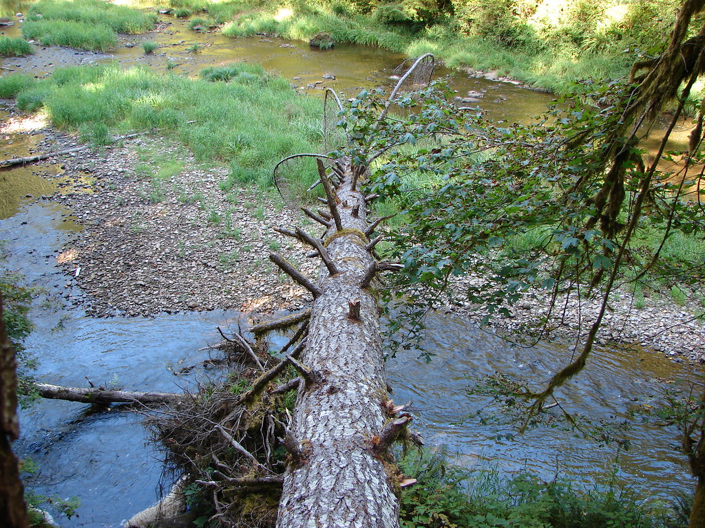
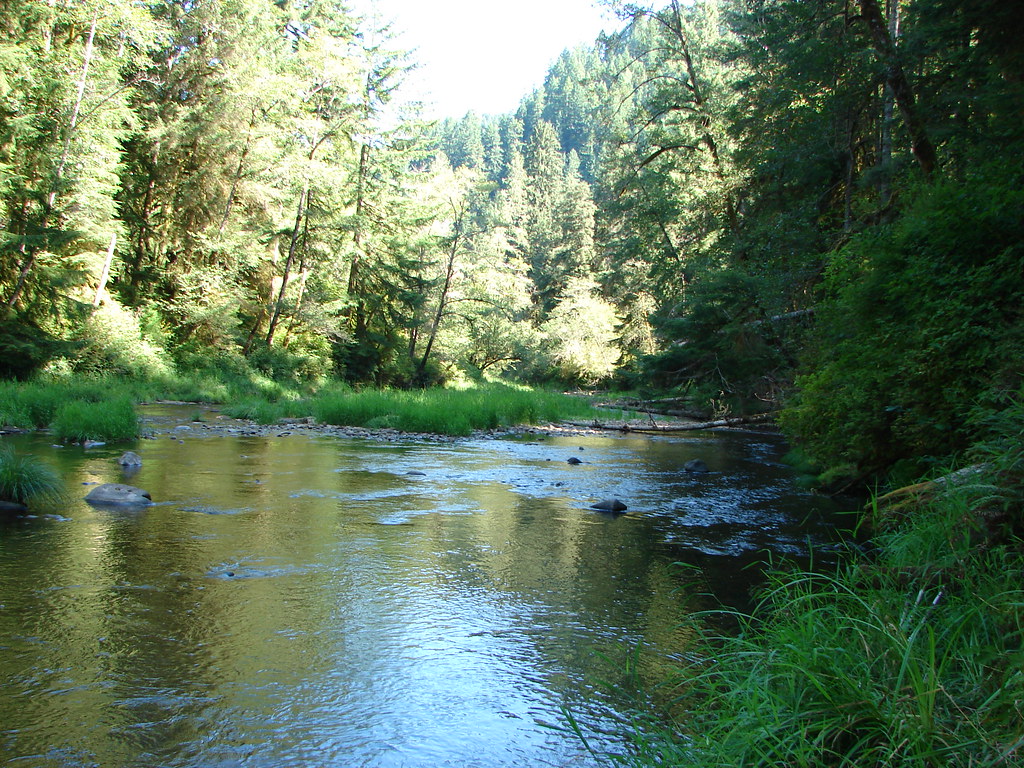
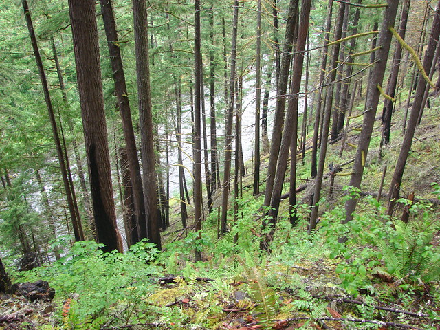
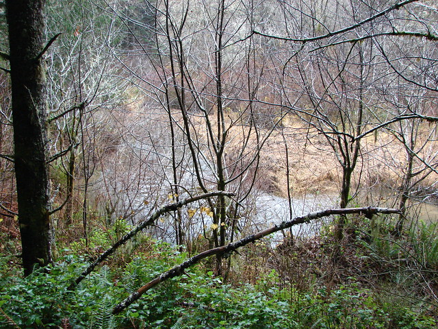
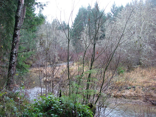
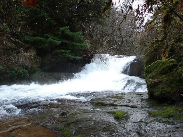
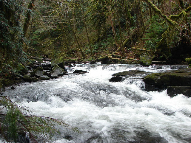
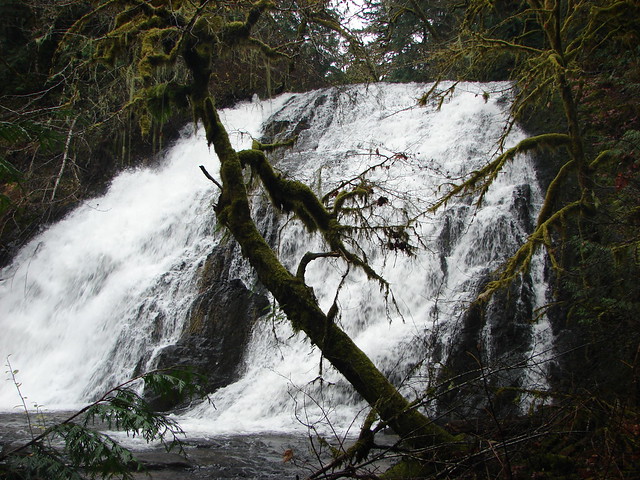
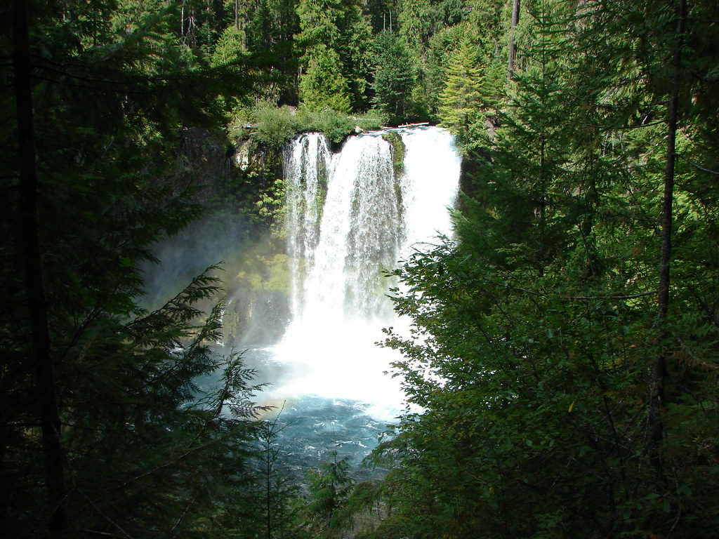
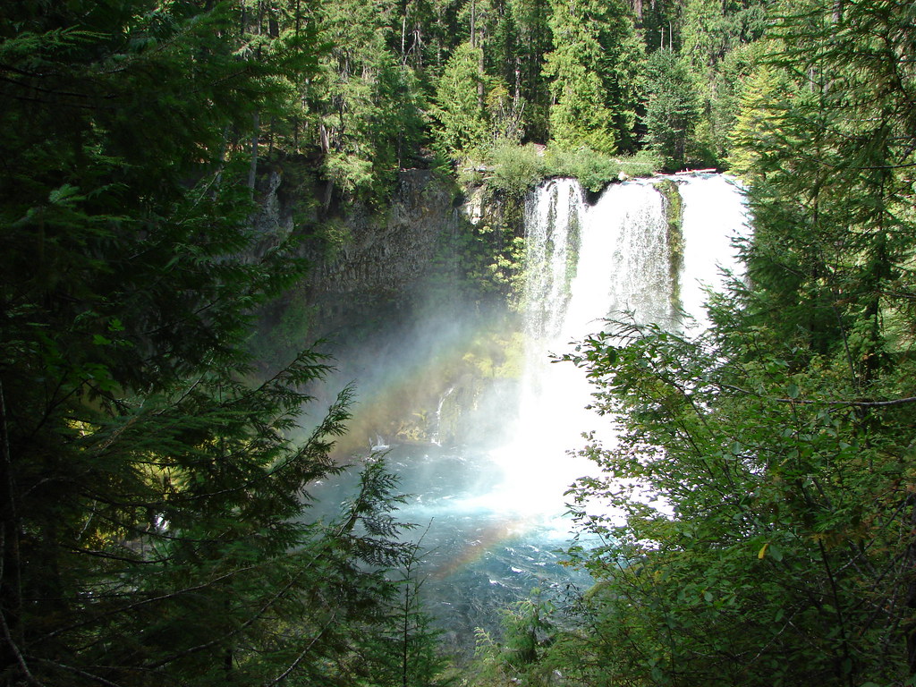
We headed downstream following the beautifully blue McKenzie River to Koosah Falls.


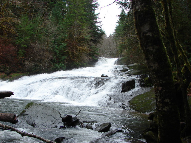
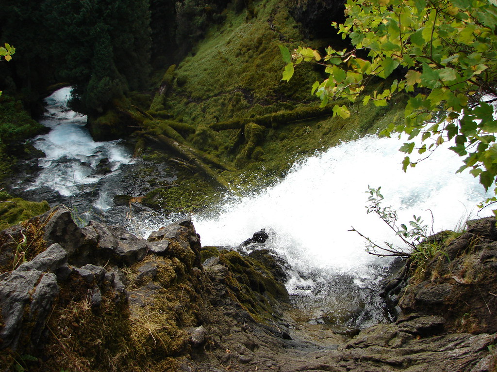
We returned the way we’d come but instead of returning to the car we had just enough time to visit the top of Sahalie Falls.
These are two really nice and easily accessed waterfalls. We returned to Koosah Falls in 2013 along the McKenzie River Trail but have yet to be back to Sahalie Falls.
We made it to the finish line of the race in plenty of time to see Heather’s friends finish their 50k making it a successful day.
We are planning on heading back to Browder Ridge this year to see what the meadows look like earlier in the Summer. If all goes well we will be coming from the other end of the Browder Ridge Trail and may even make an attempt to reach Heart Lake along an unmaintained portion of the Heart Lake Trail. Happy Trails!


 FR 4220 visible below the rocky slope.
 Rocky Top
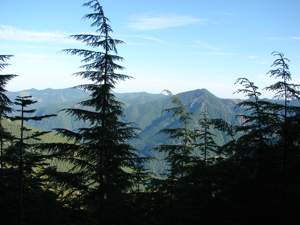 Henline Mountain
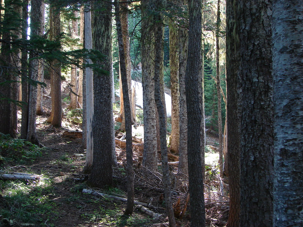

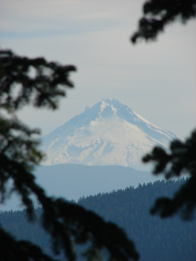 Mt. Hood
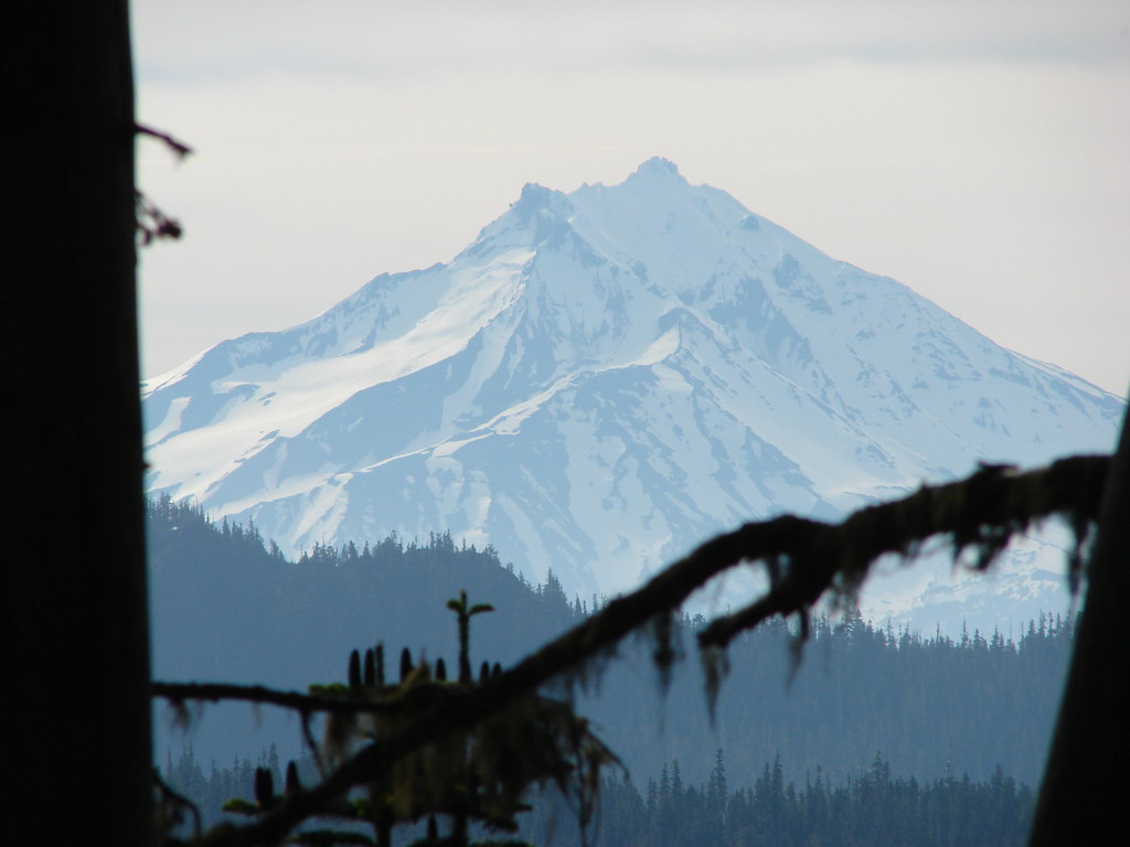 Mt. Jefferson


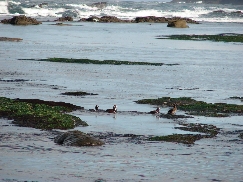 Harlequiin ducks
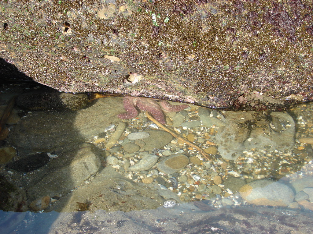 Starfish
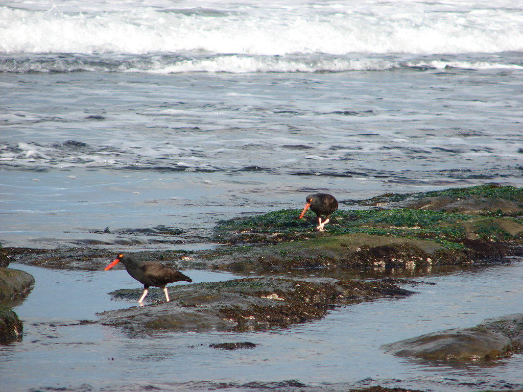 Oyster catchers
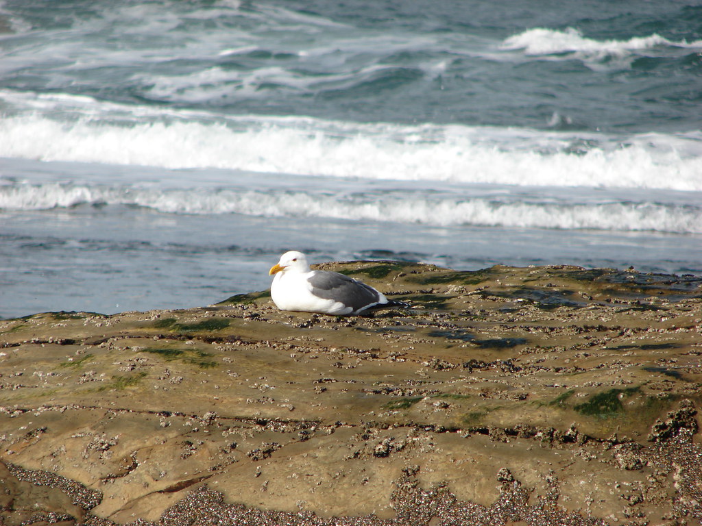 Seagull