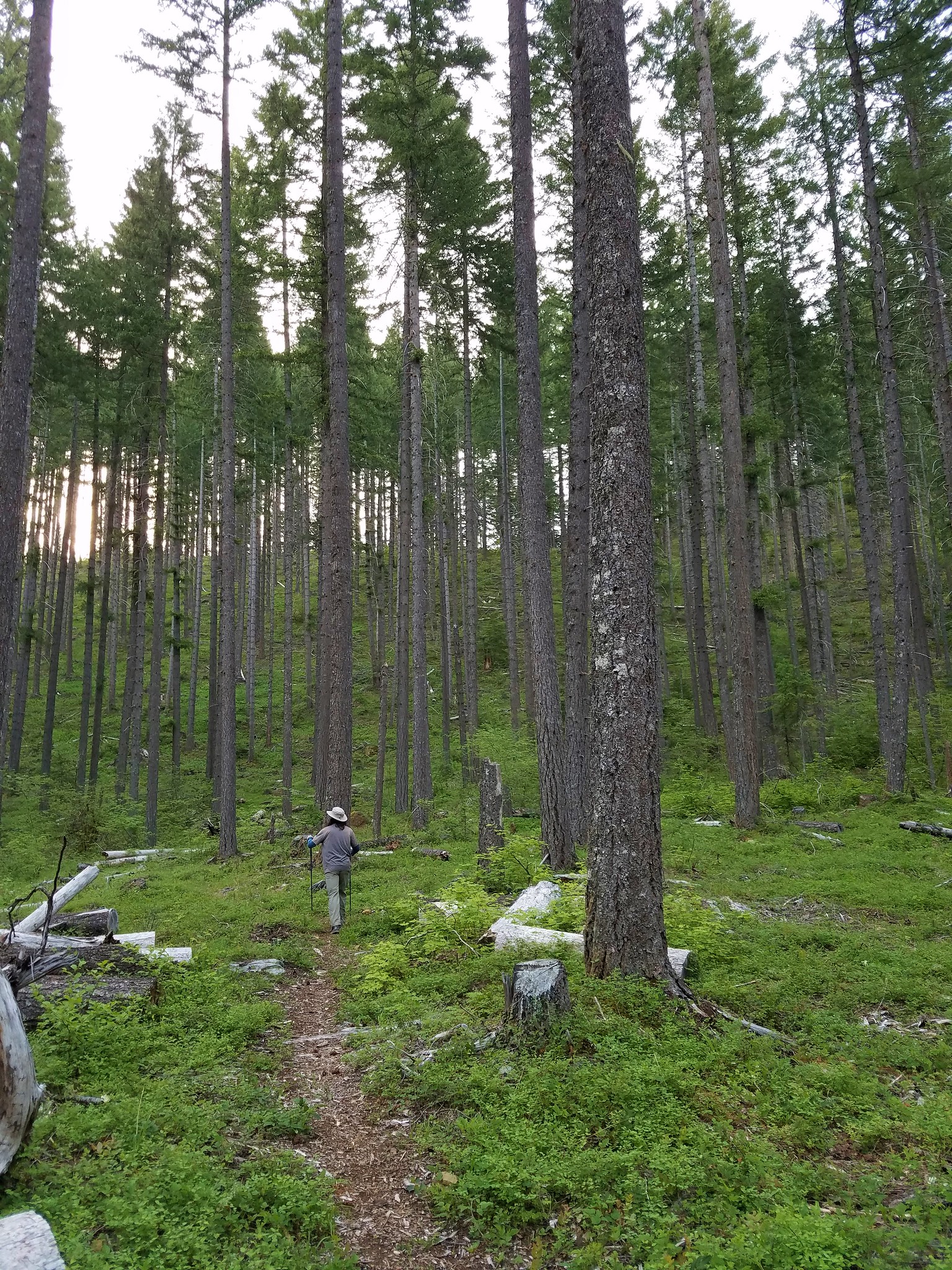
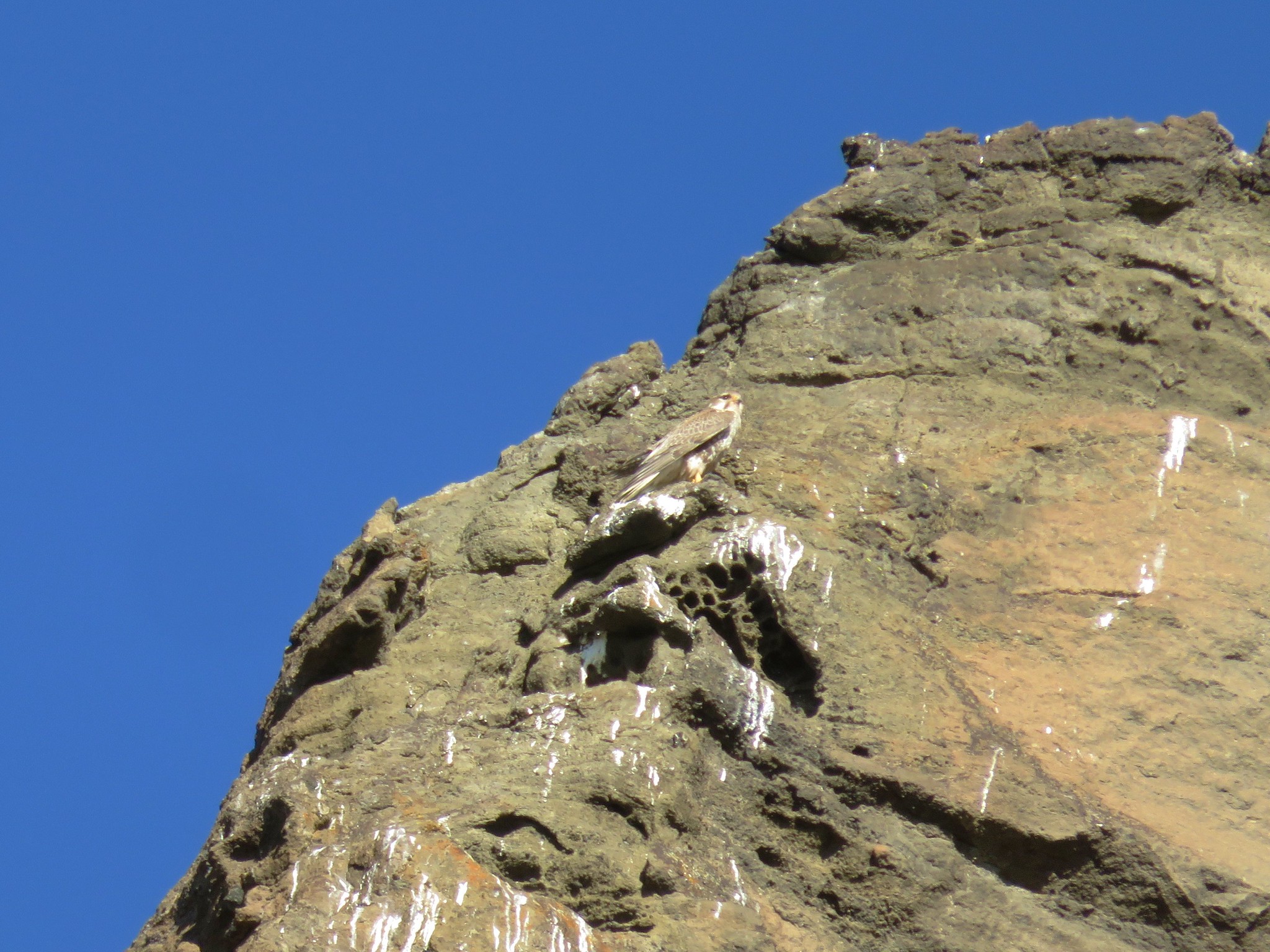
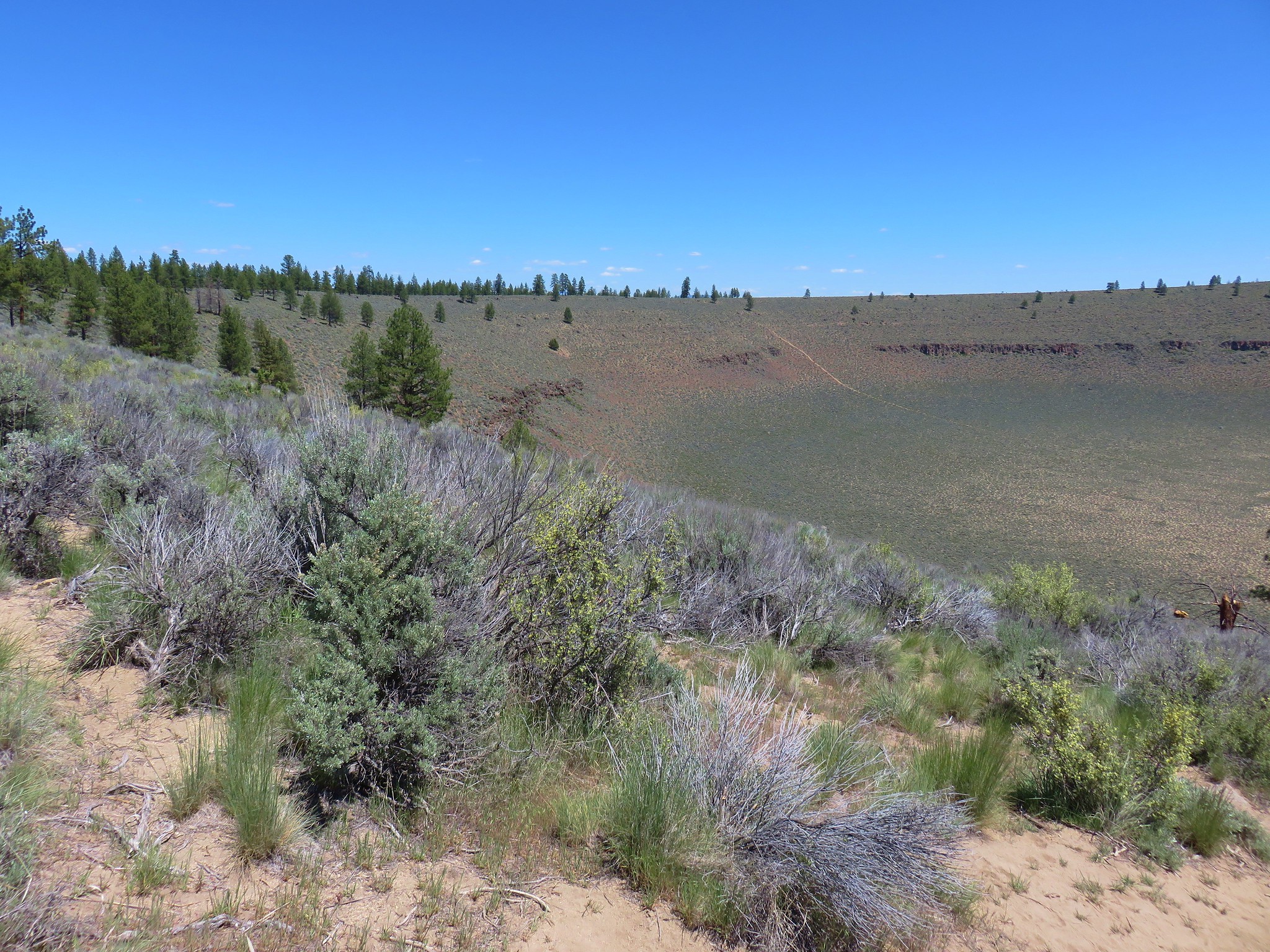
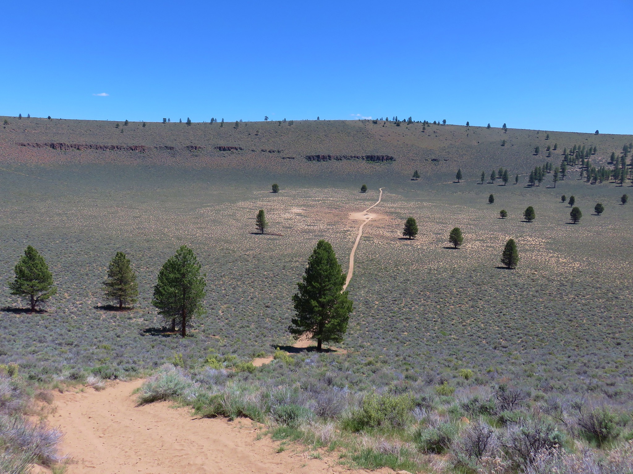
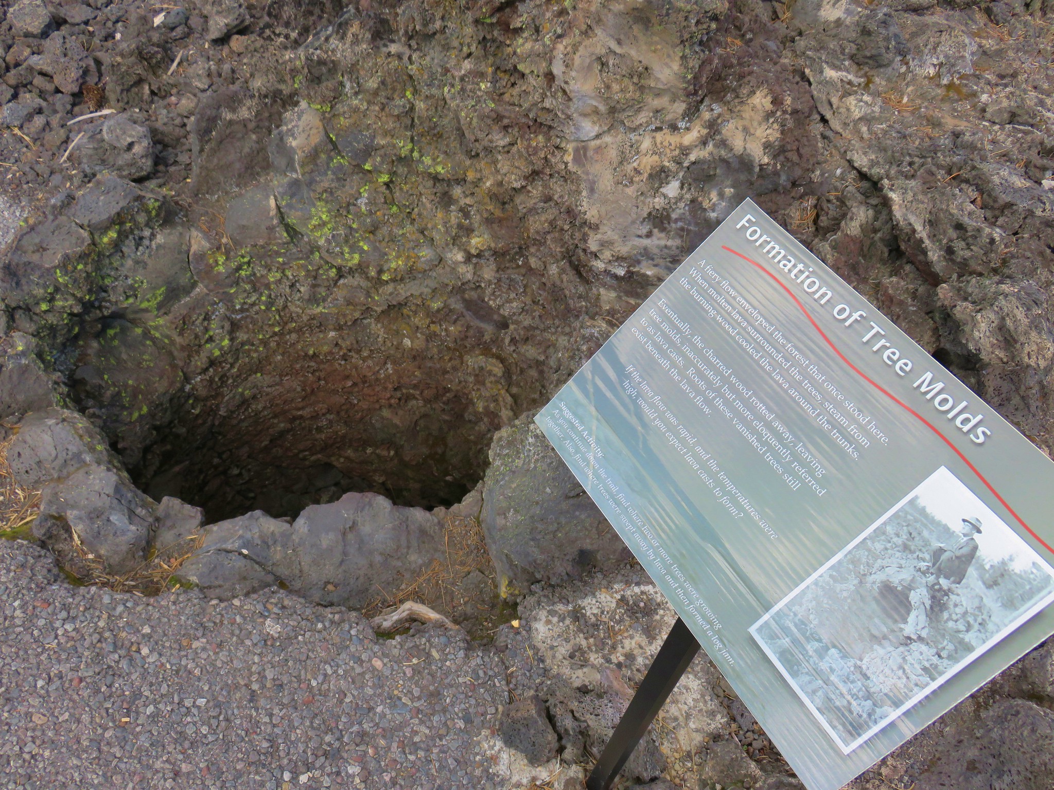
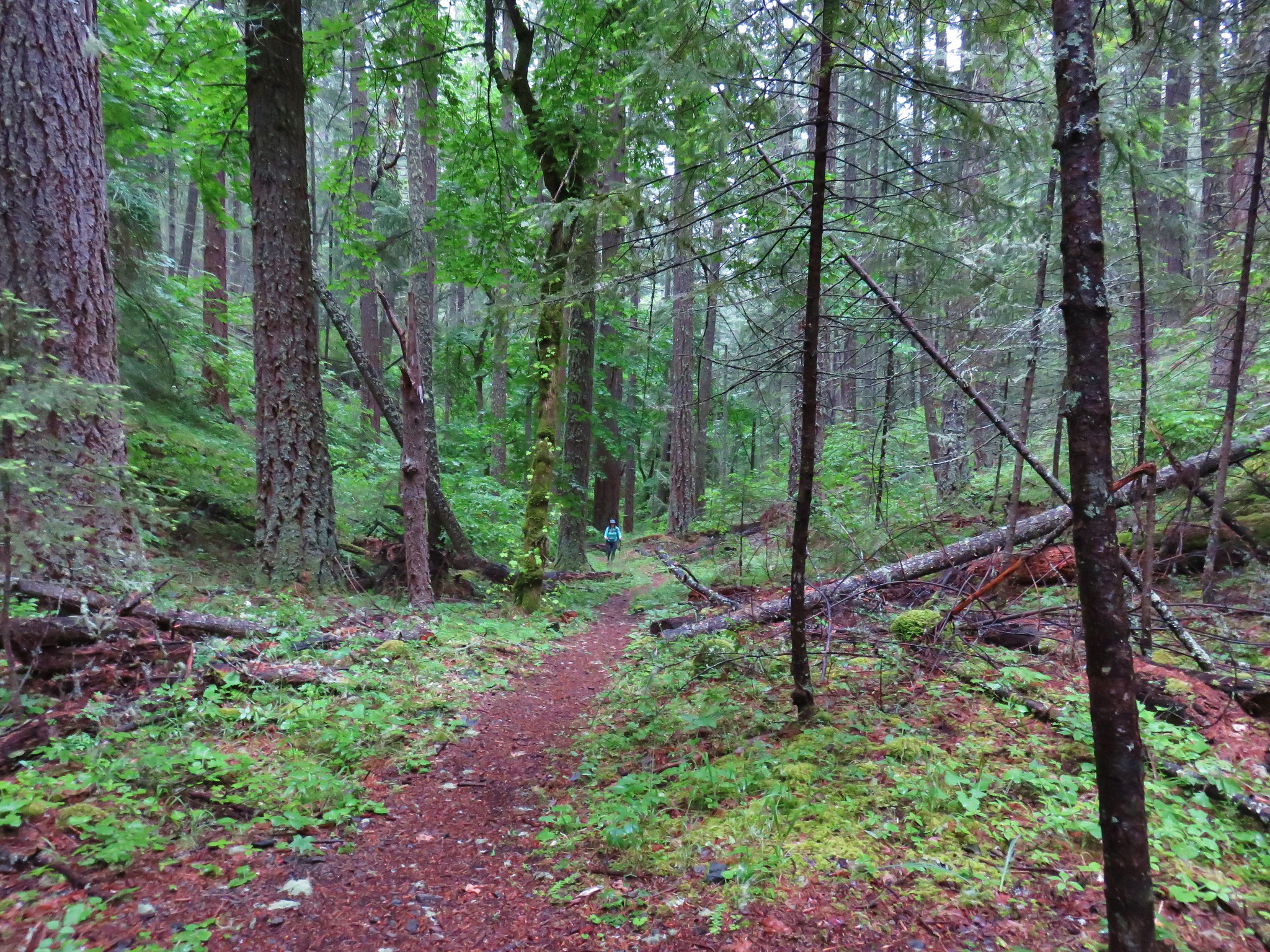
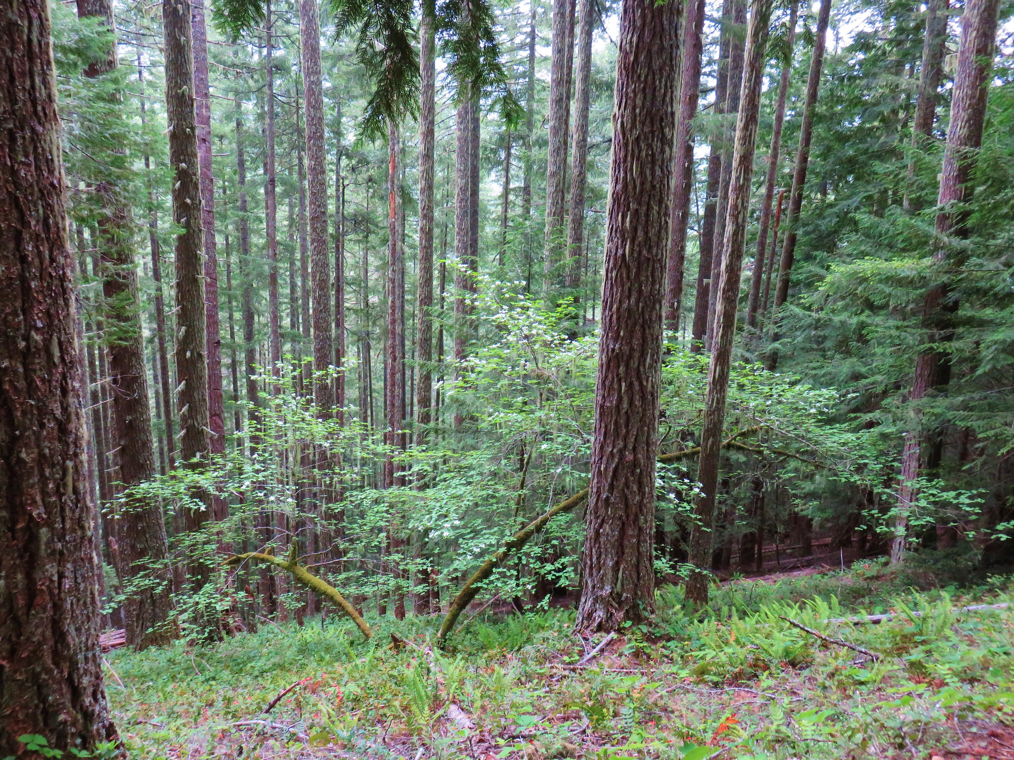
For Father’s Day weekend we headed over to Central Oregon to visit my Dad and our Son. On Saturday we headed to the Ochoco Mountains for a pair of hikes.
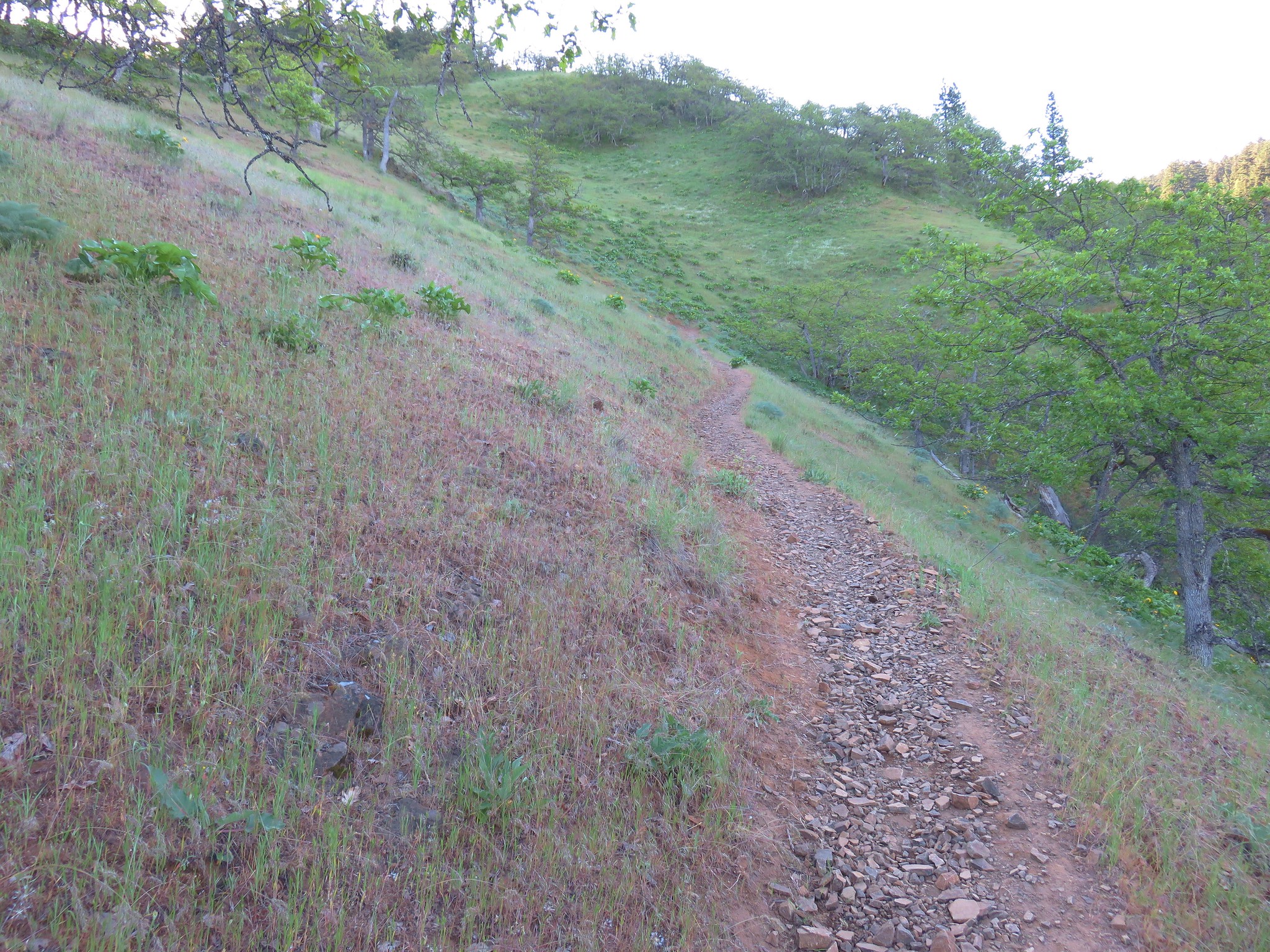
Our first destination was North Point in the trail-less Bridge Creek Wilderness. We started our hike near Pisgah Springs along Forest Road 2630. We made the mistake of following Google’s suggested route which led us over an extremely rough section of that road which we could have avoided. We had turned right off of Highway 26 at a sign for Walton Lake and Big Summit Prairie onto Ochoco Creek Road which becomes Forest Road 22. Just before crossing Ochoco Creek, Google had us fork left onto Road 2210 before turning right onto Rd 2630. That was where the road deteriorated quickly into a muddy, giant hole filled mess. Had we stayed on Road 22 past Walton Lake we could have turned left onto Road 2630 a mile and a half beyond the entrance road to the lake. That section and the remainder of Rd 2630 was a fairly good gravel road. We followed Rd 2630 to a fork at a Bridge Creek Wilderness sign where Road 450 went left and 2630 continued to the right.
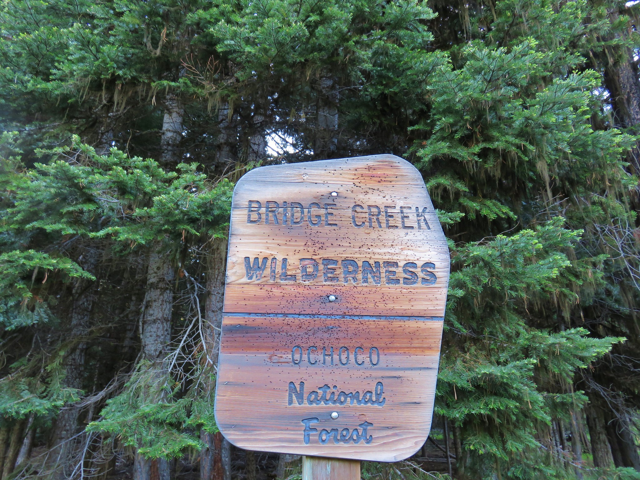
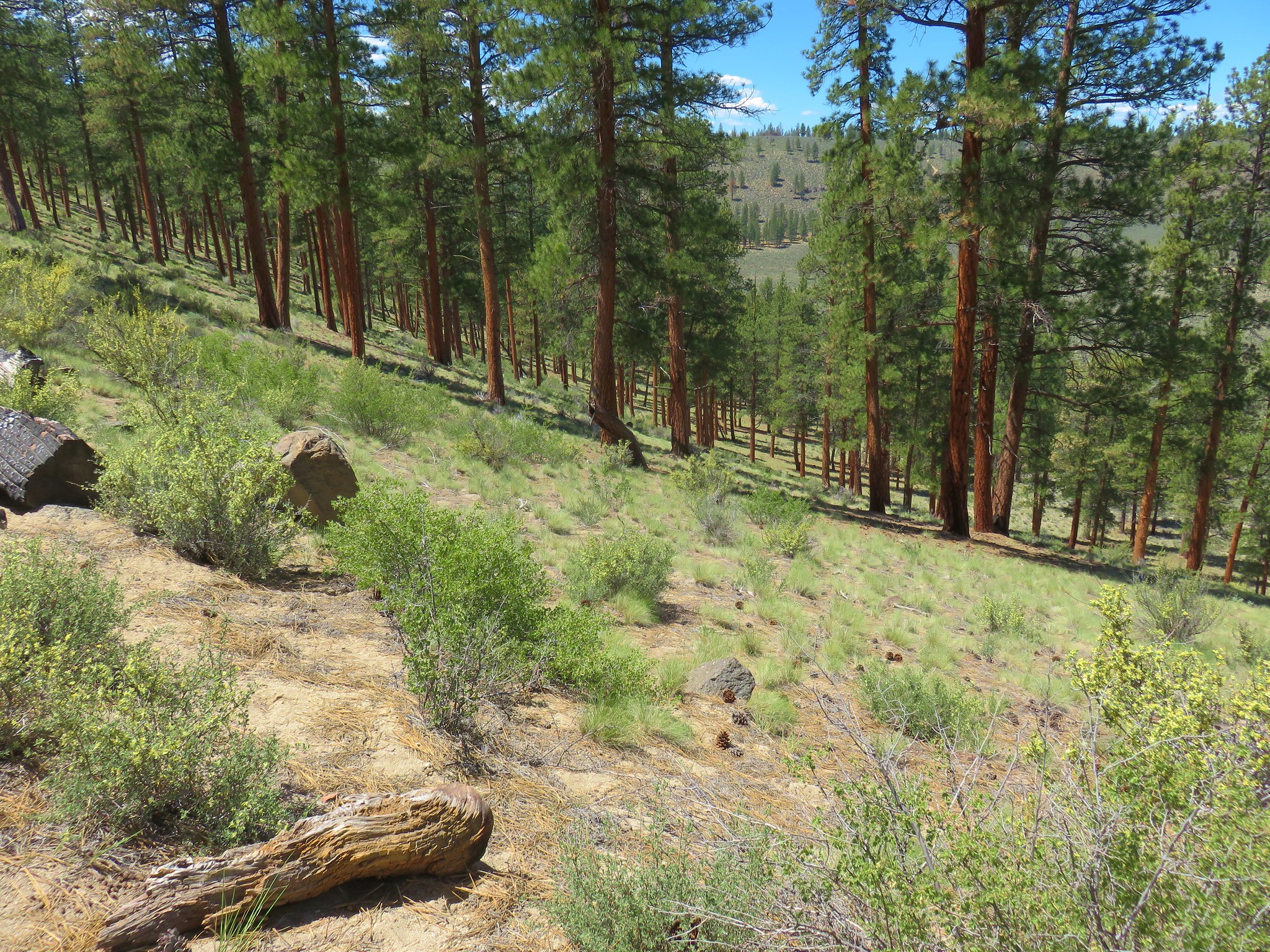
Road 2630 became rougher beyond the fork but nothing like the earlier section Google had taken us on. A May 2016 trip report mentioned that the road improved after the first couple hundred yards and this was still the case. A total of two miles from the fork we arrived at an old jeep track near Pisgah Springs.
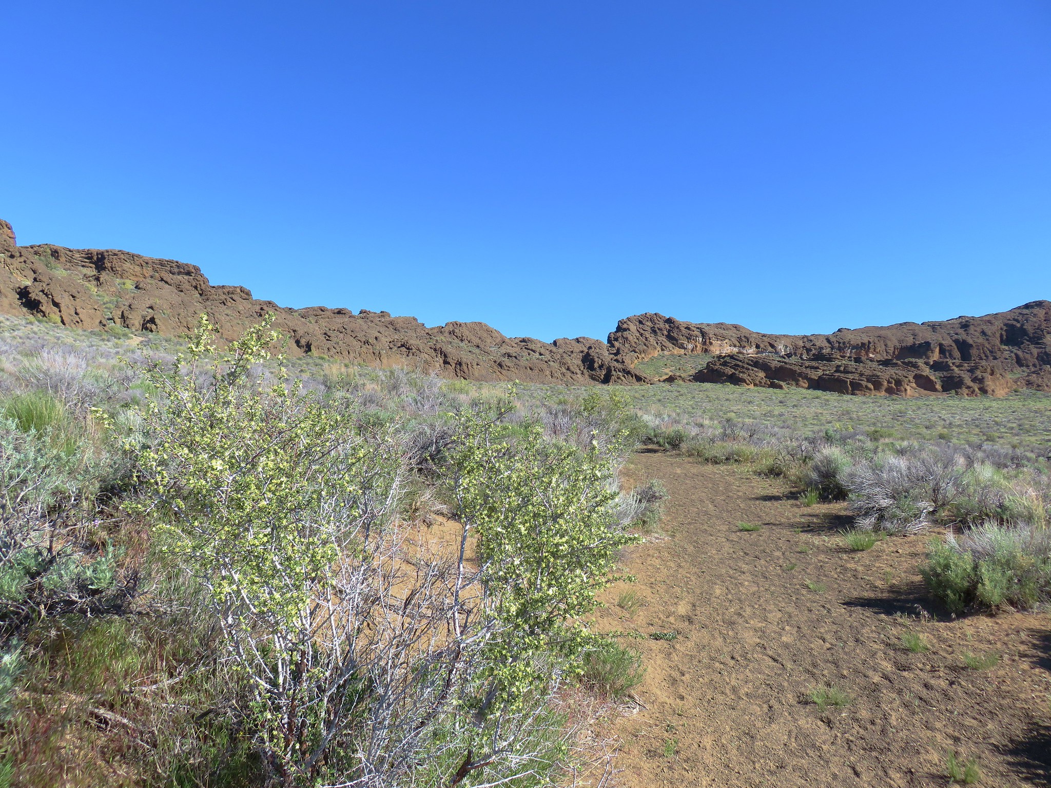
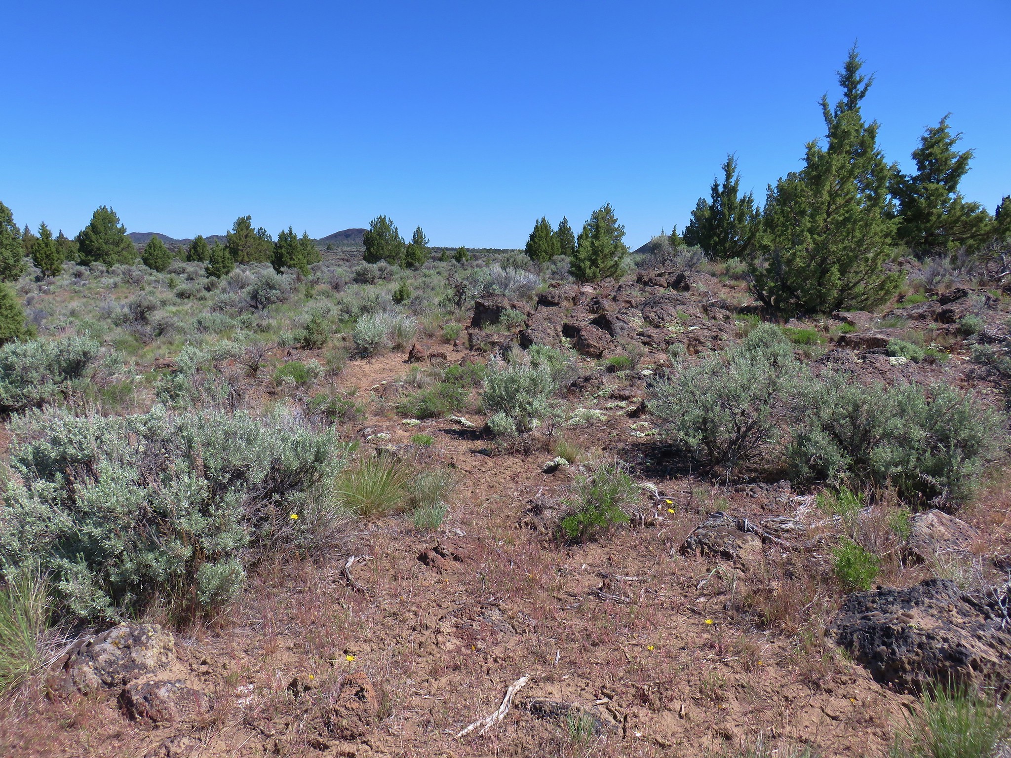
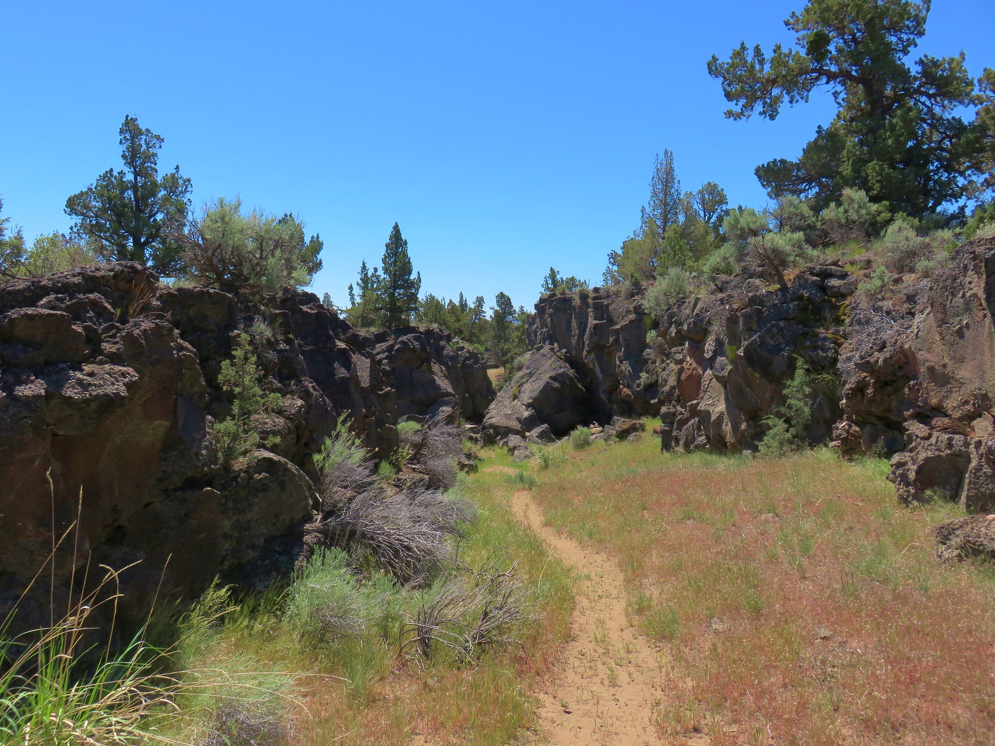
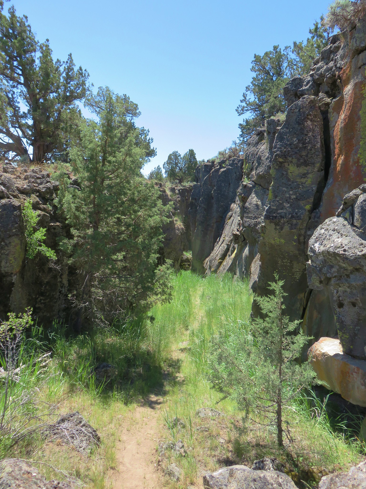
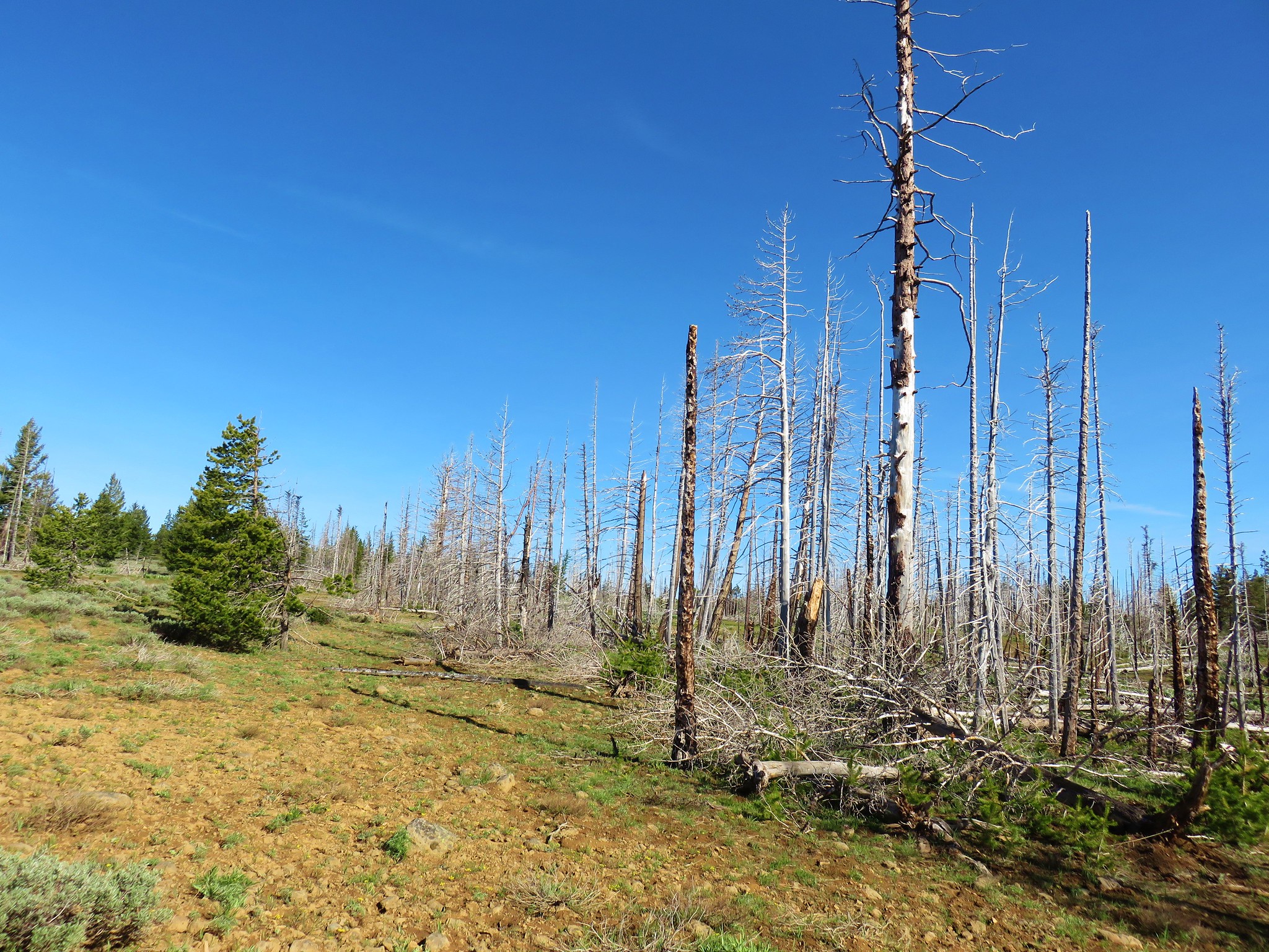
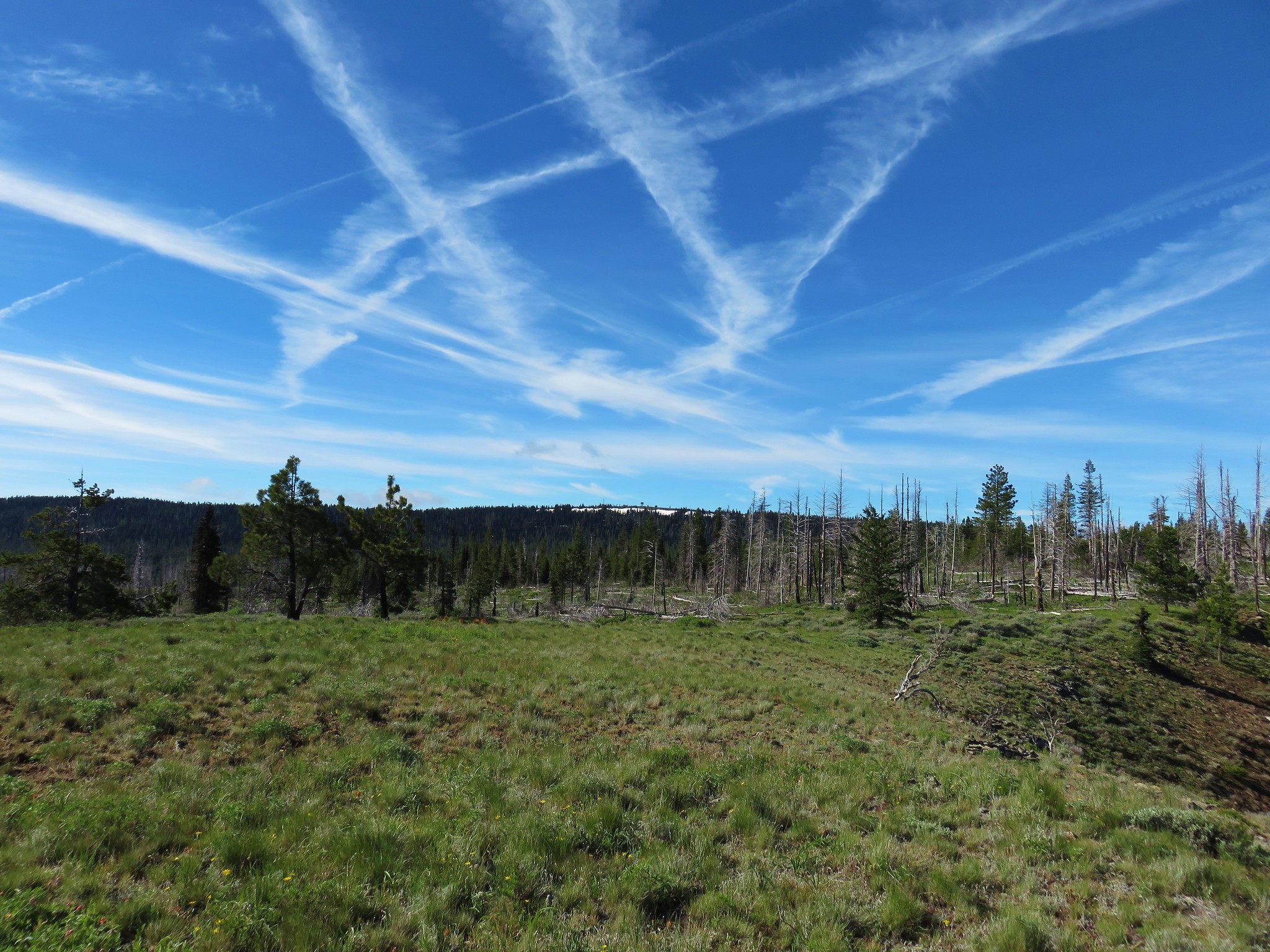
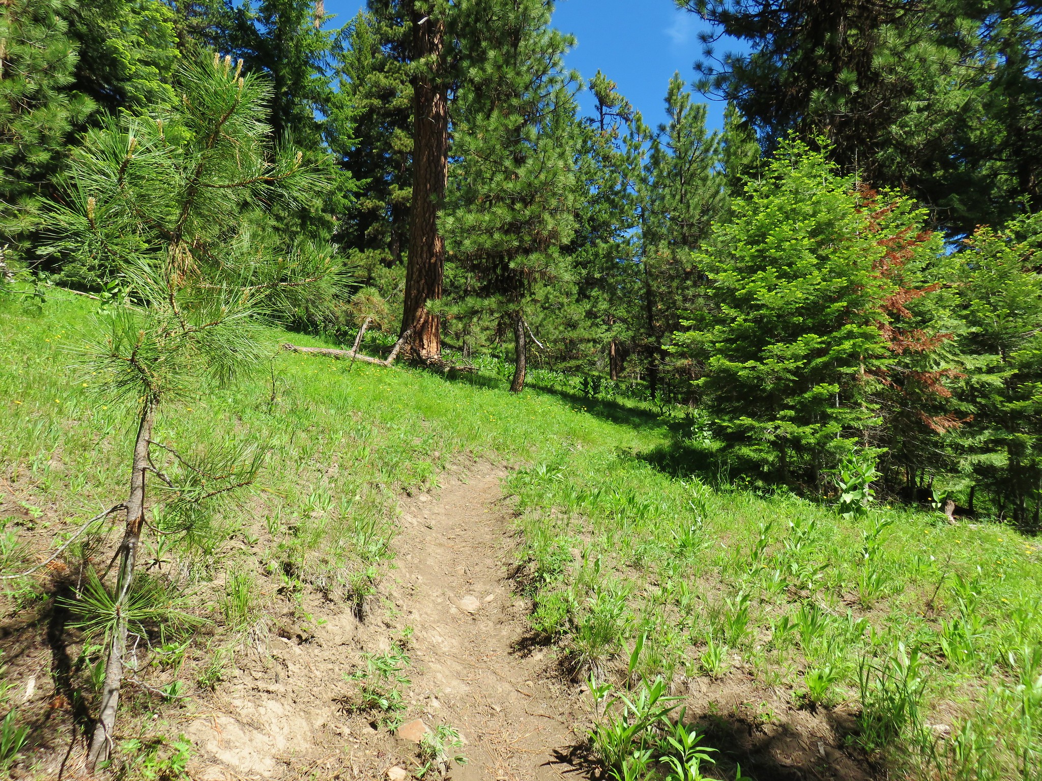
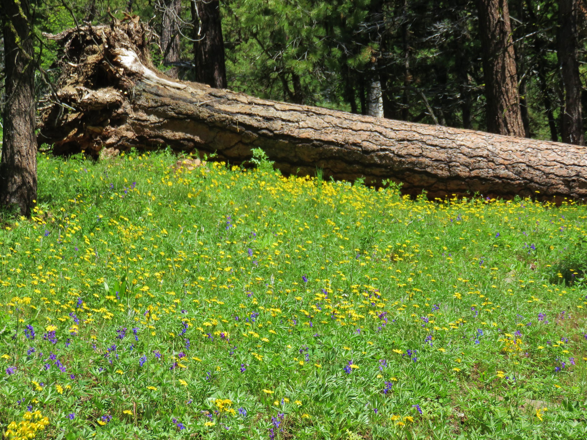
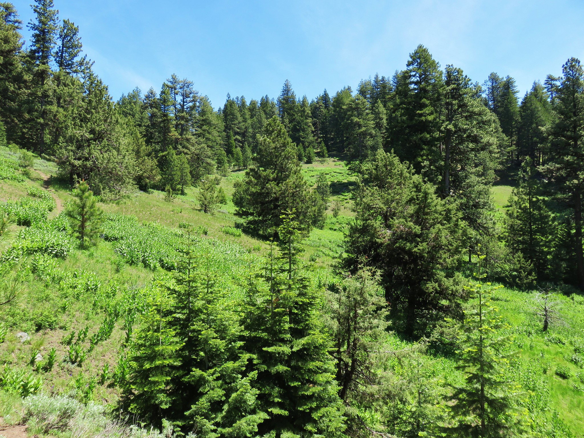
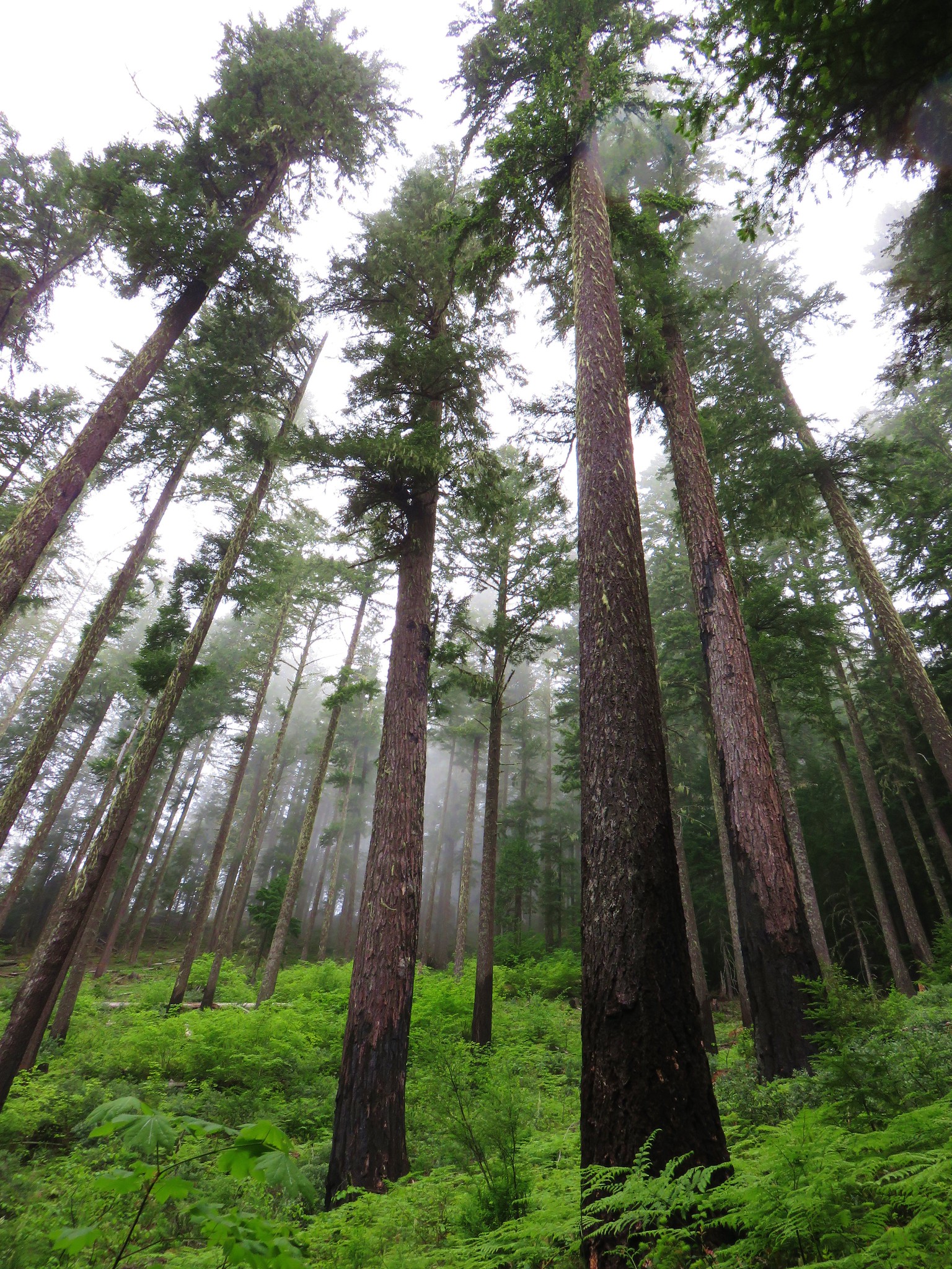
We pulled off the road at the jeep track which at one time went all the way out to North Point. Much of the wilderness burned in 2008 and many of the left over snags have begun falling and we’d heard that the track had a good deal of blowdown. Looking uphill from the jeep track we decided to angle left and skirt around the side of a stand of trees.
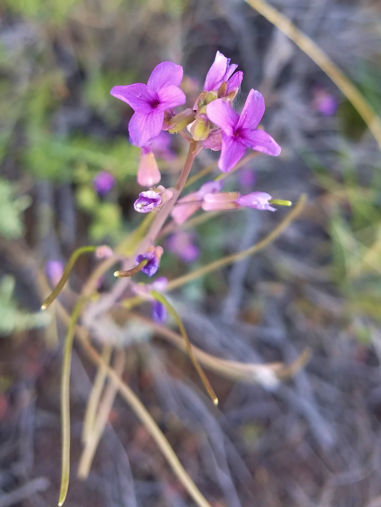
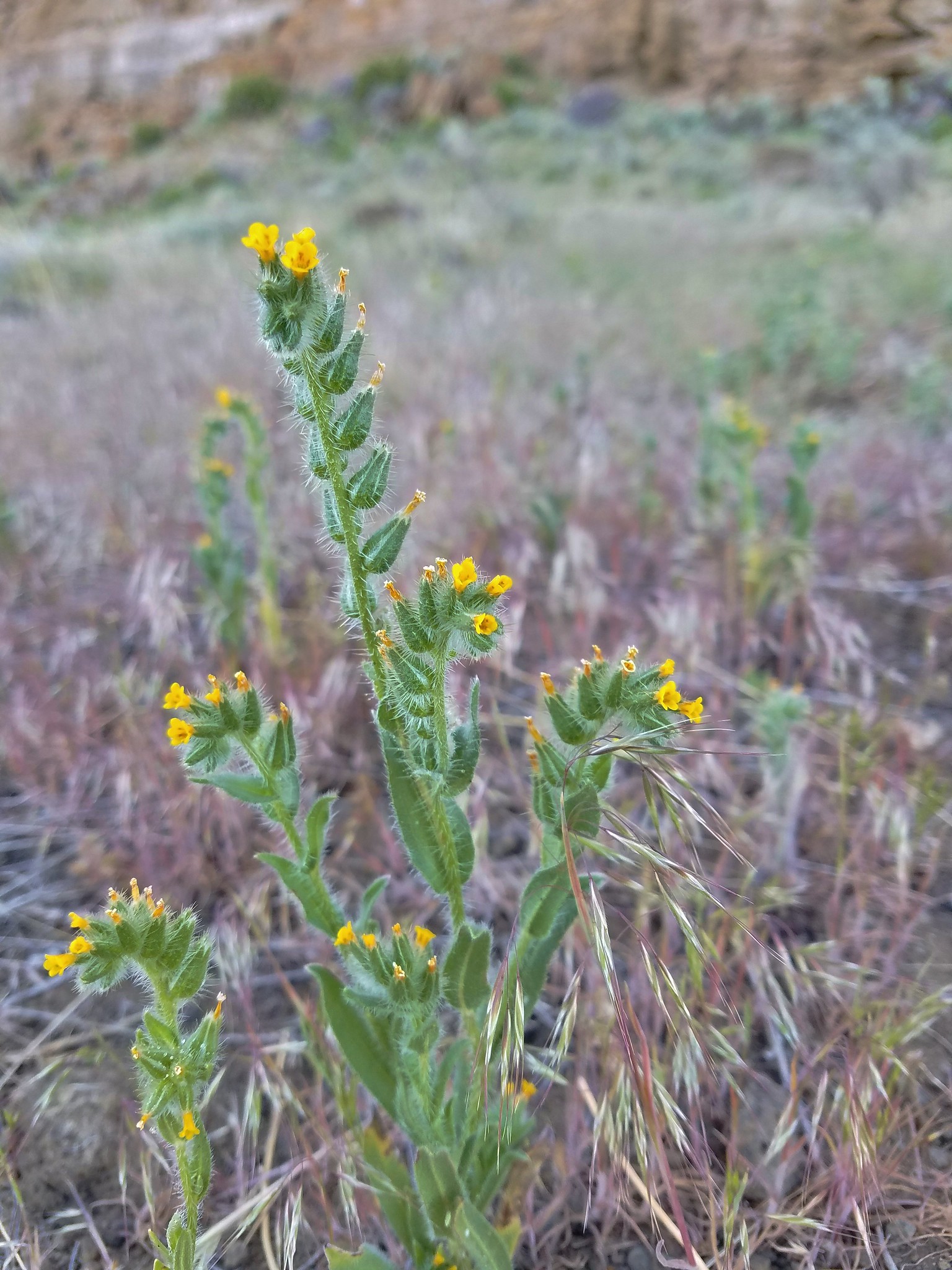
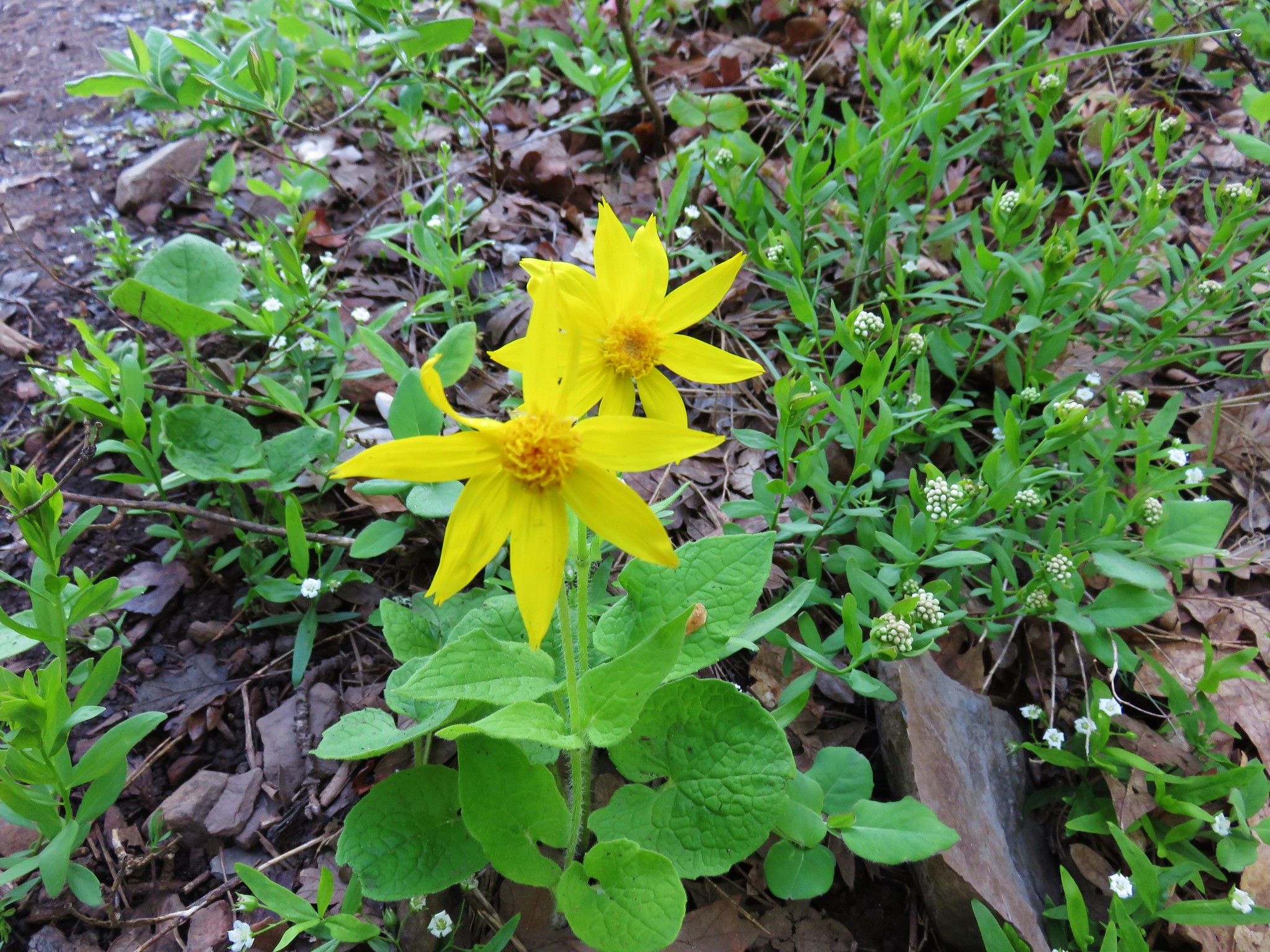
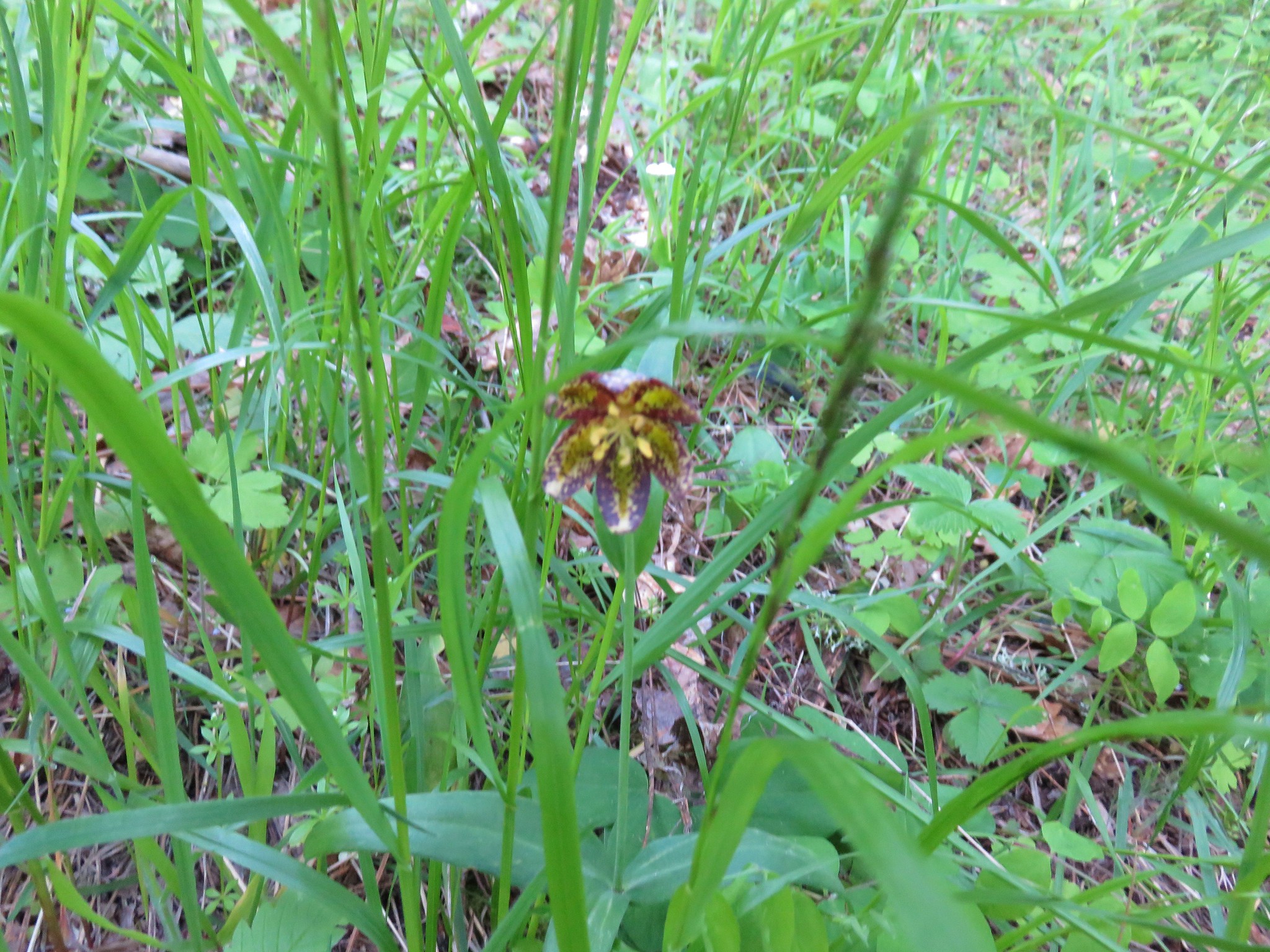
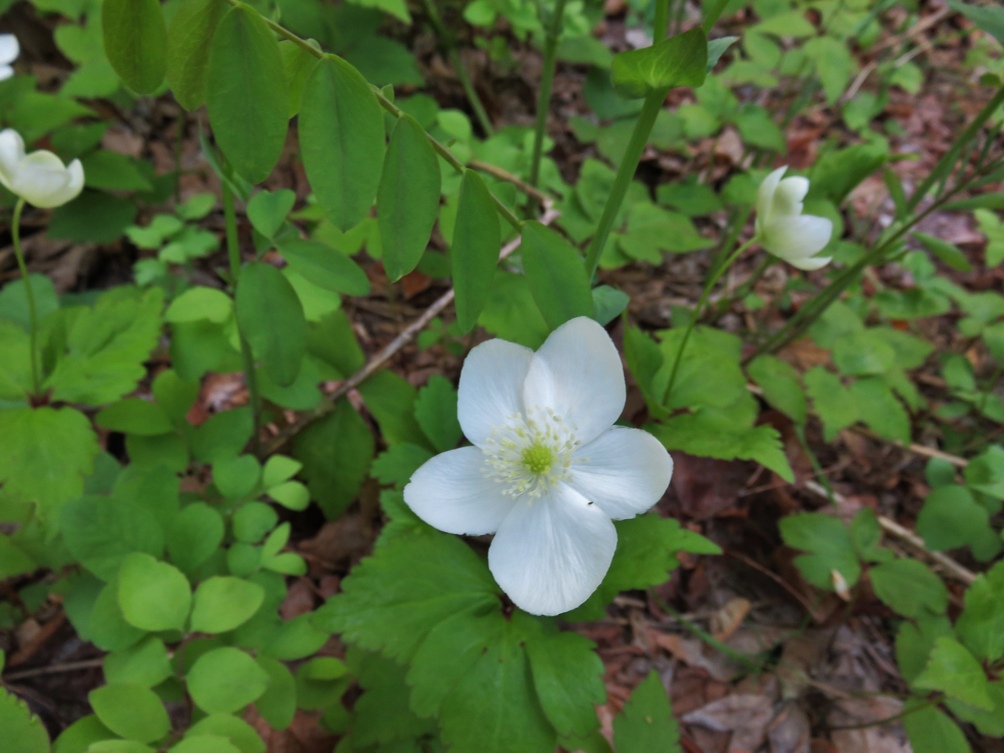
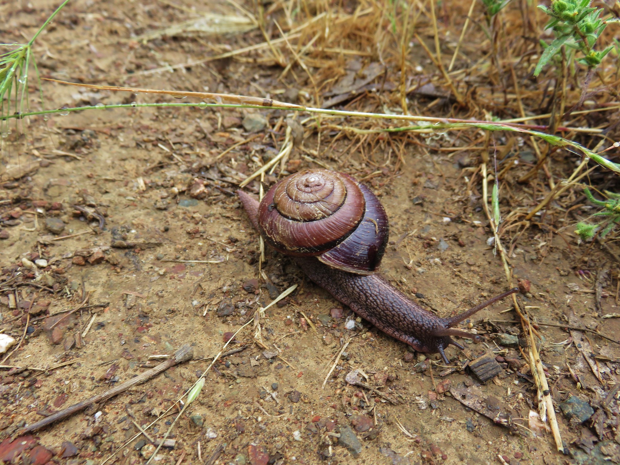
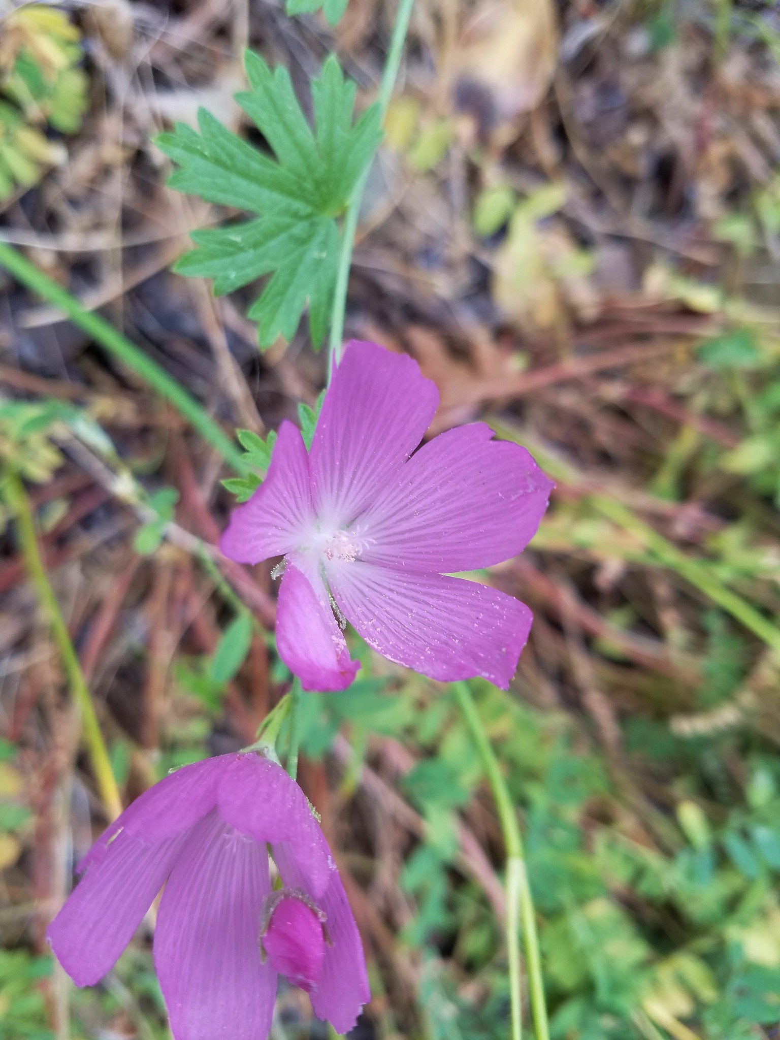
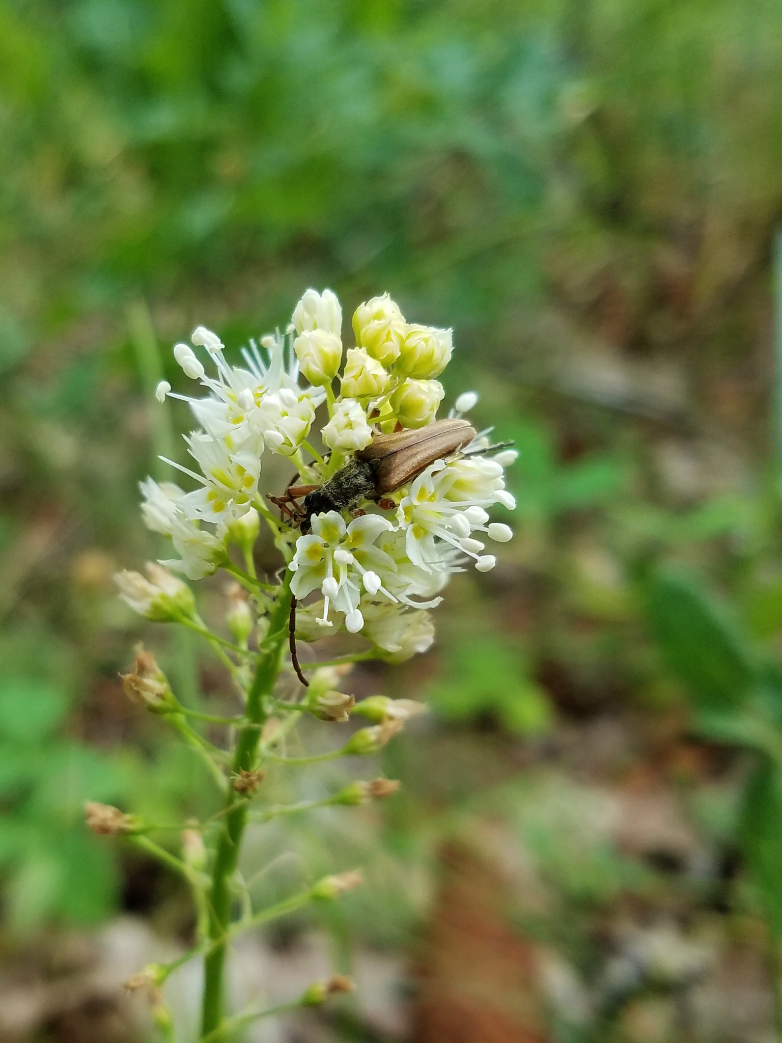
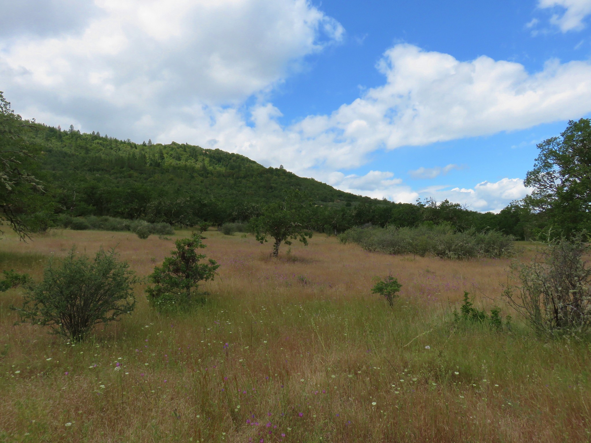
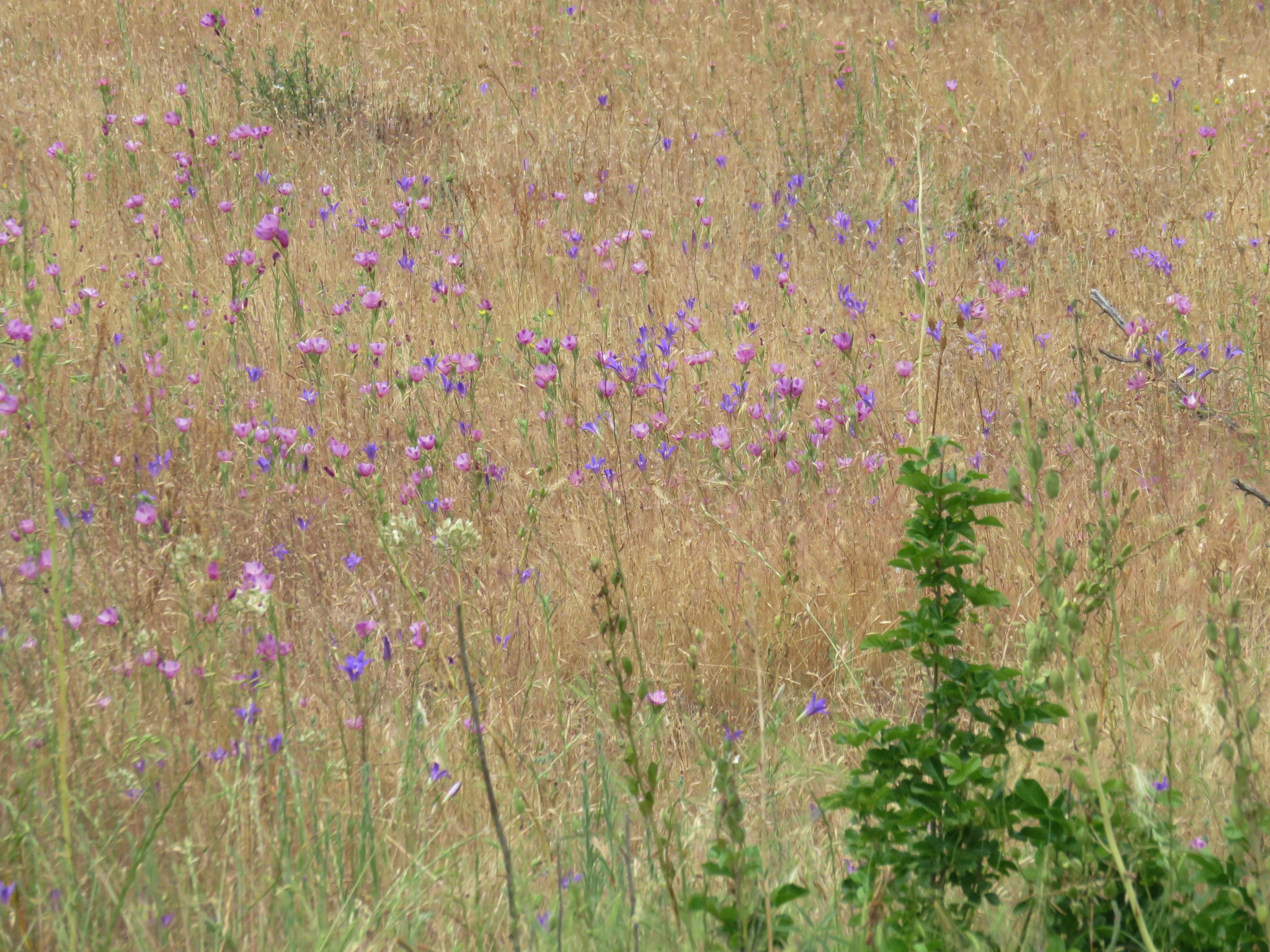
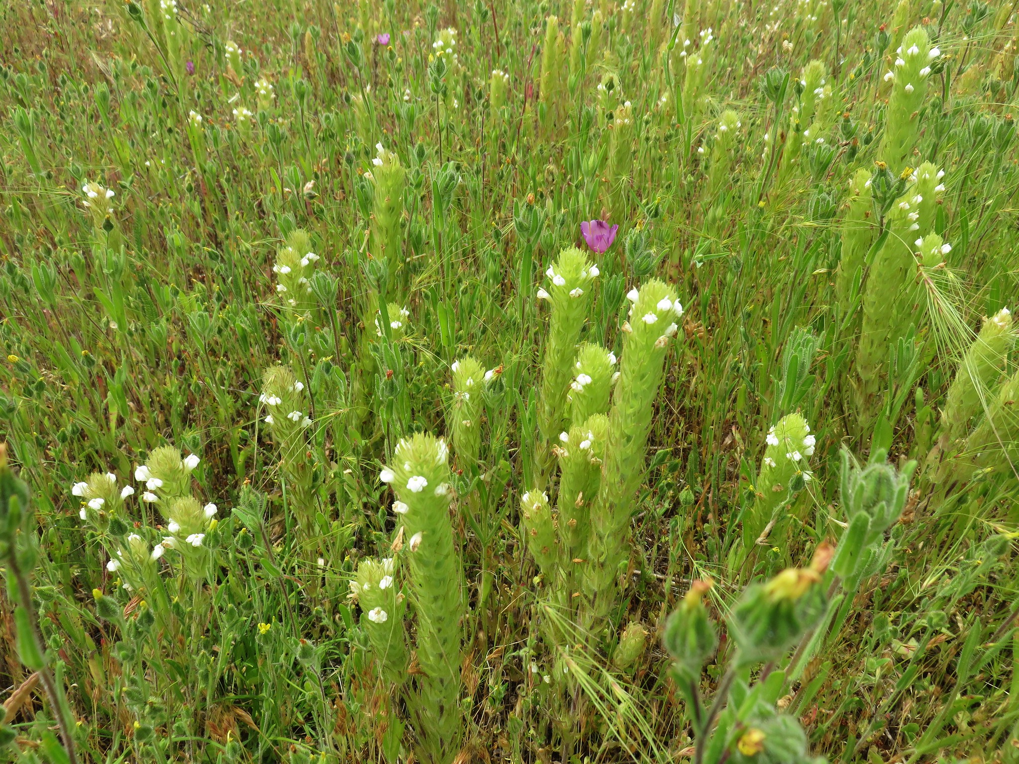
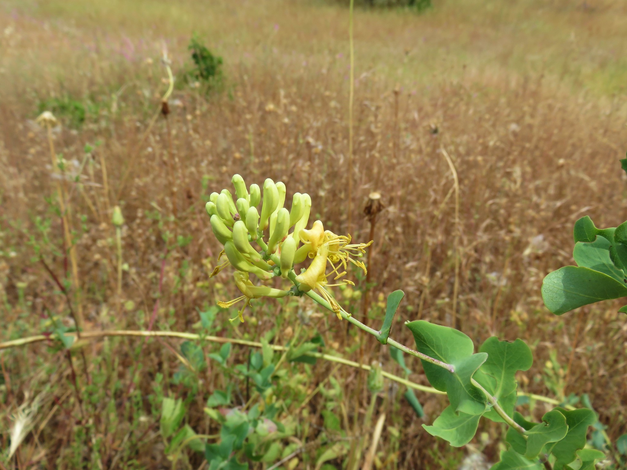
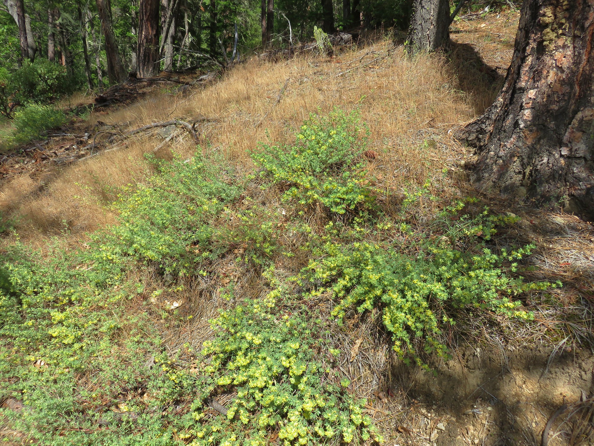
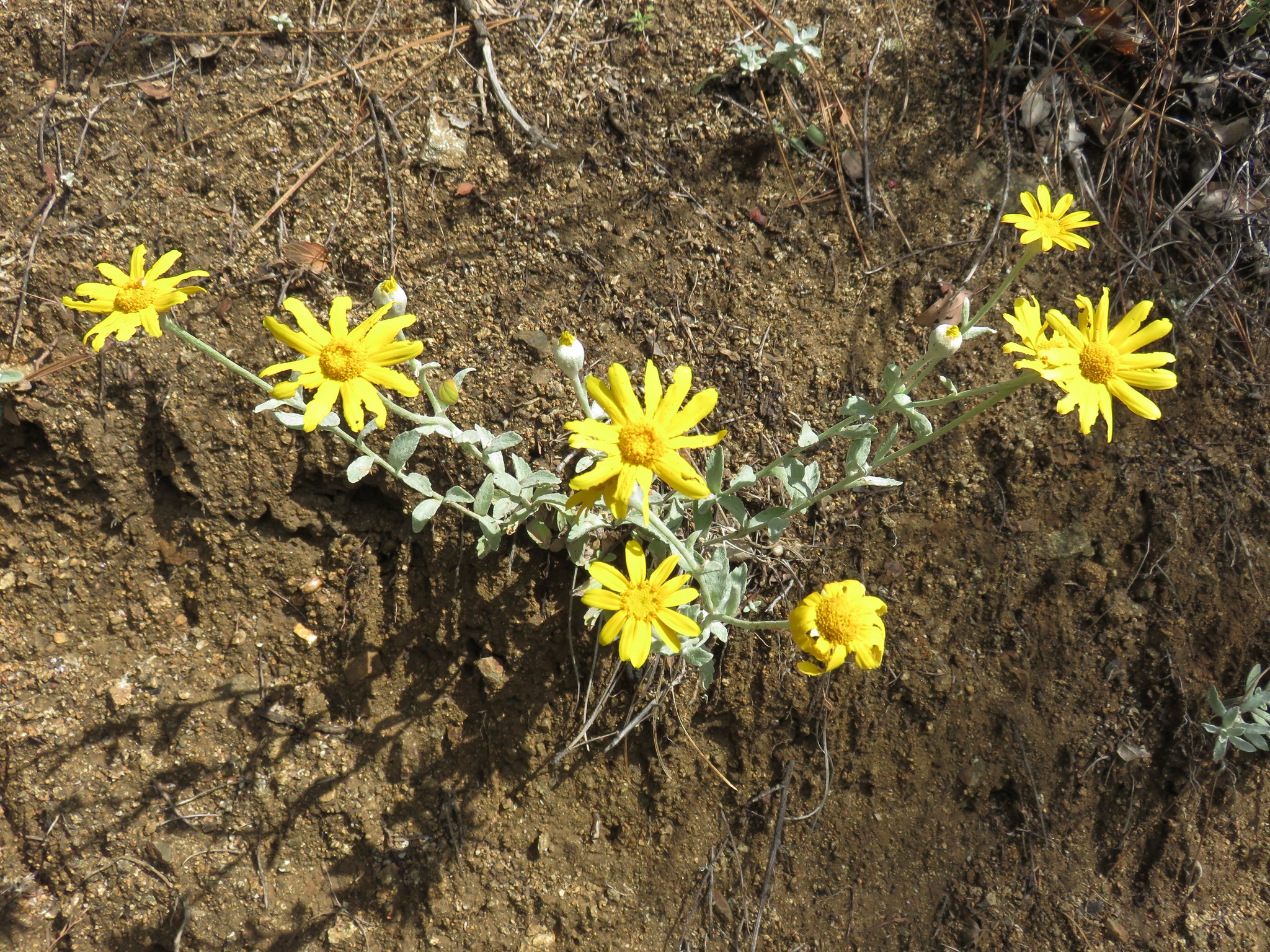
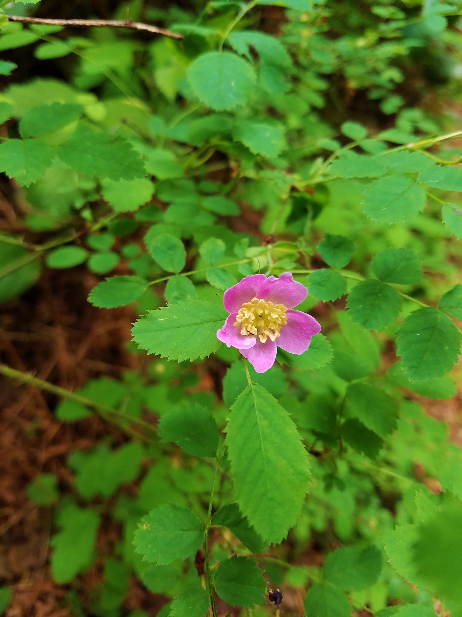
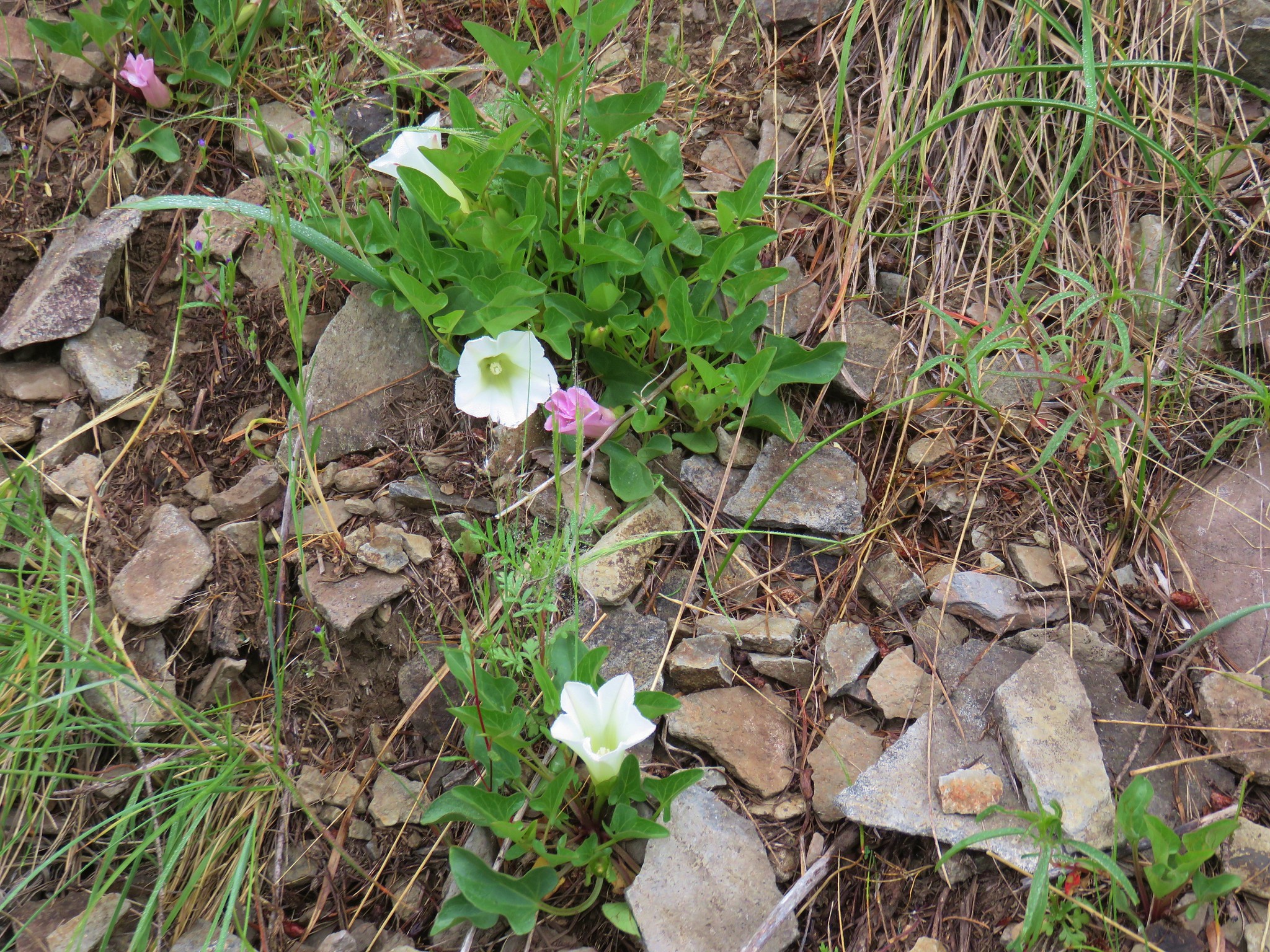
The cross country travel was easy through the sagebrush but our pace was slowed due to stopping to admire the many wildflowers along the way.

Brown’s Peony

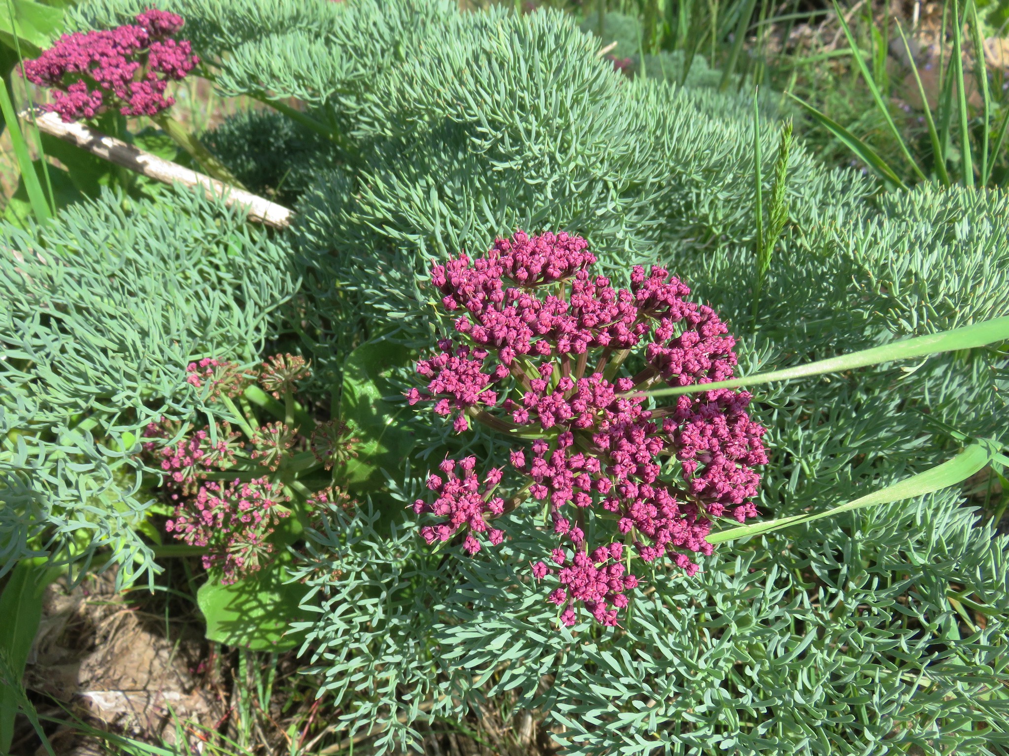
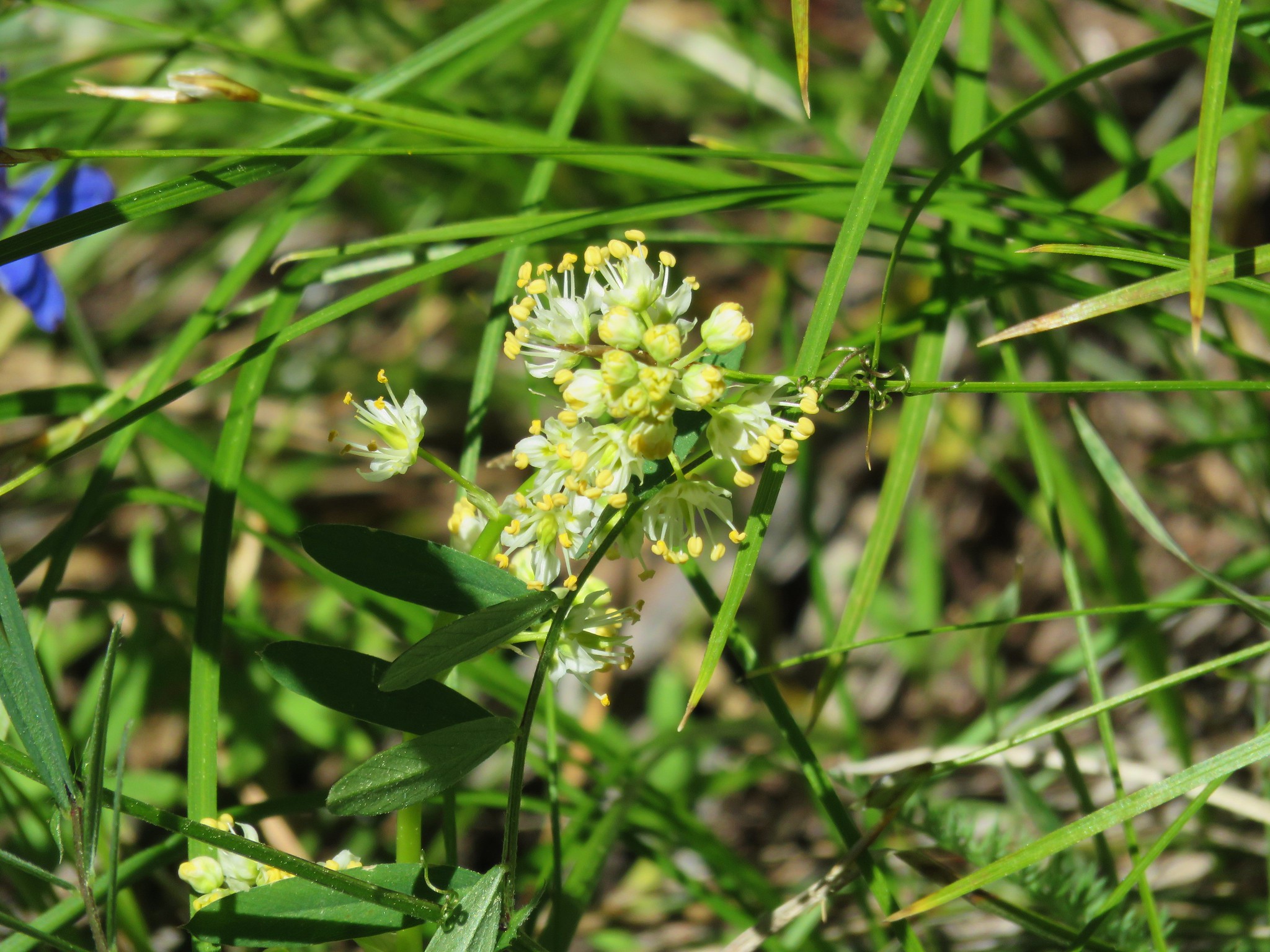
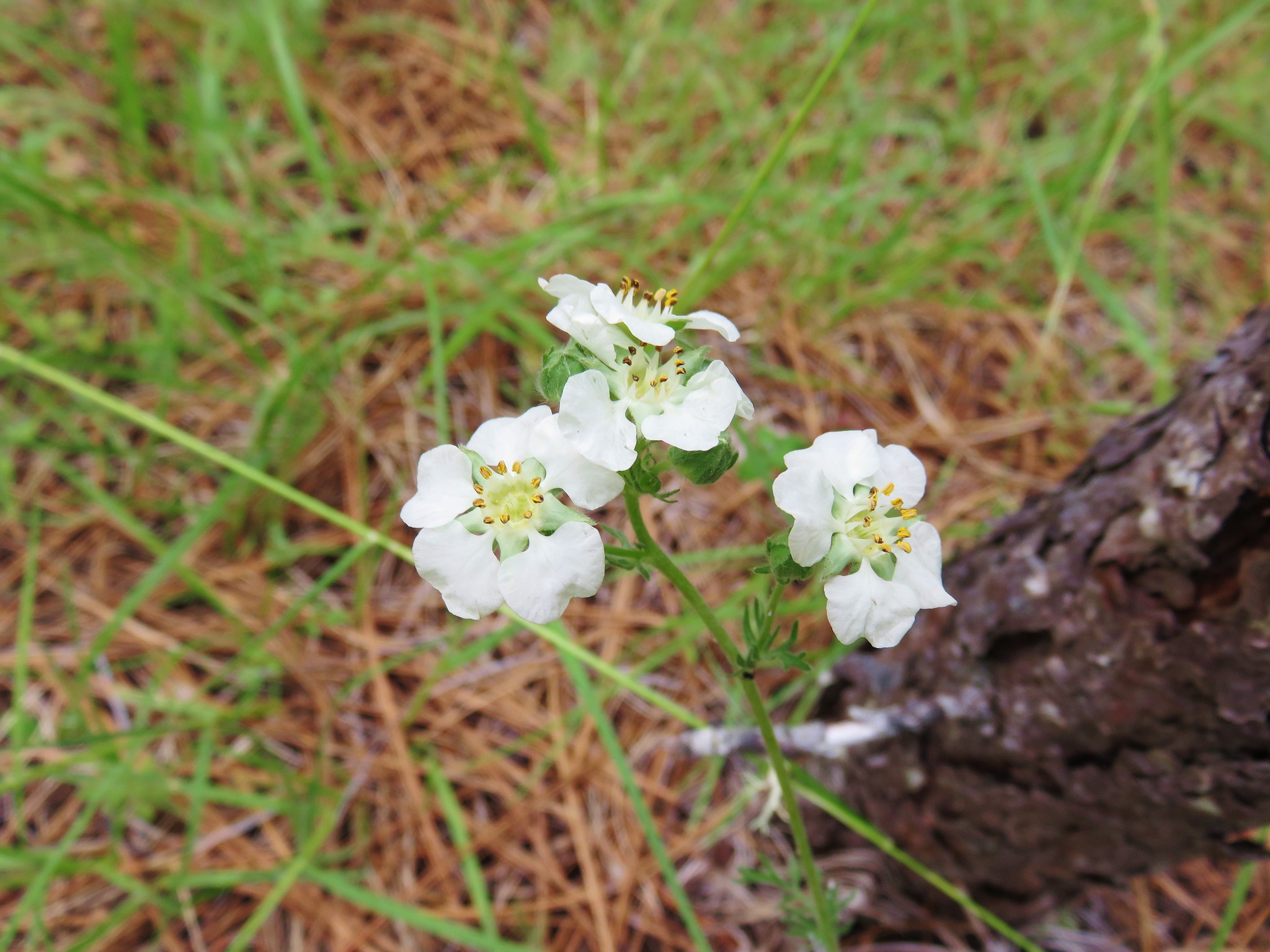
Parsley
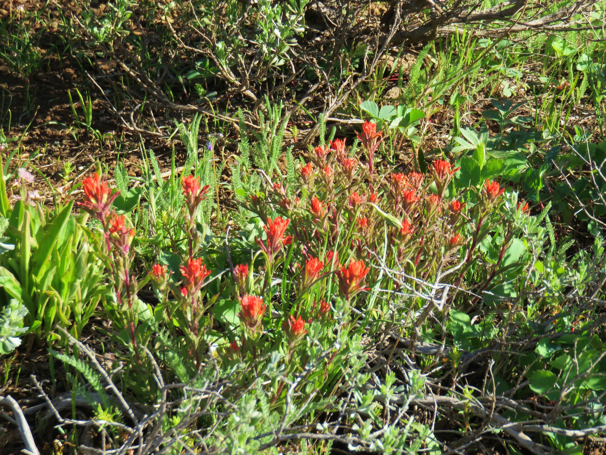
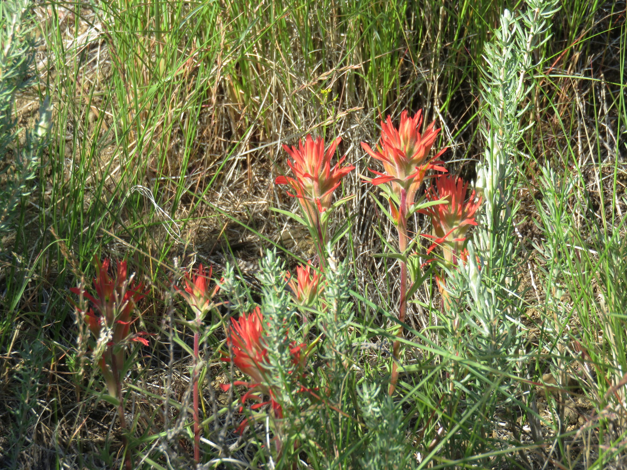
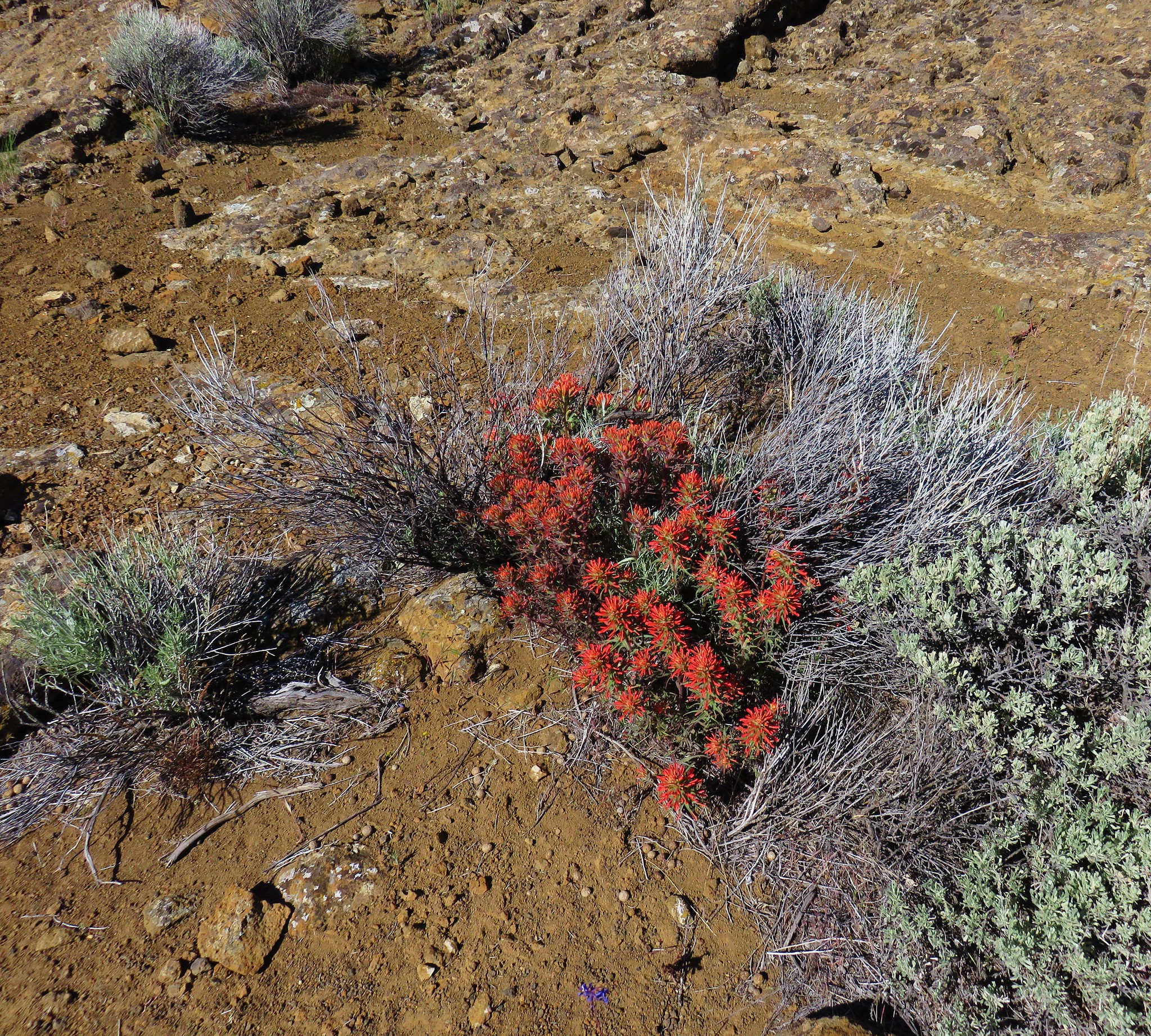
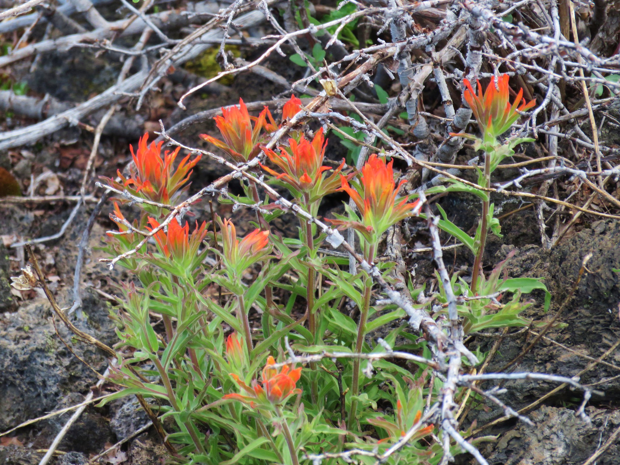
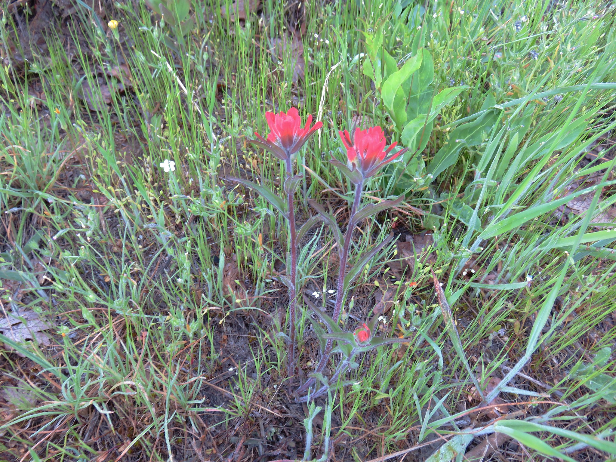
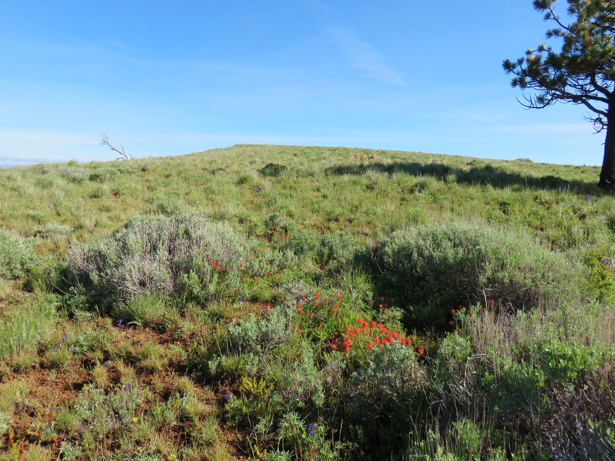
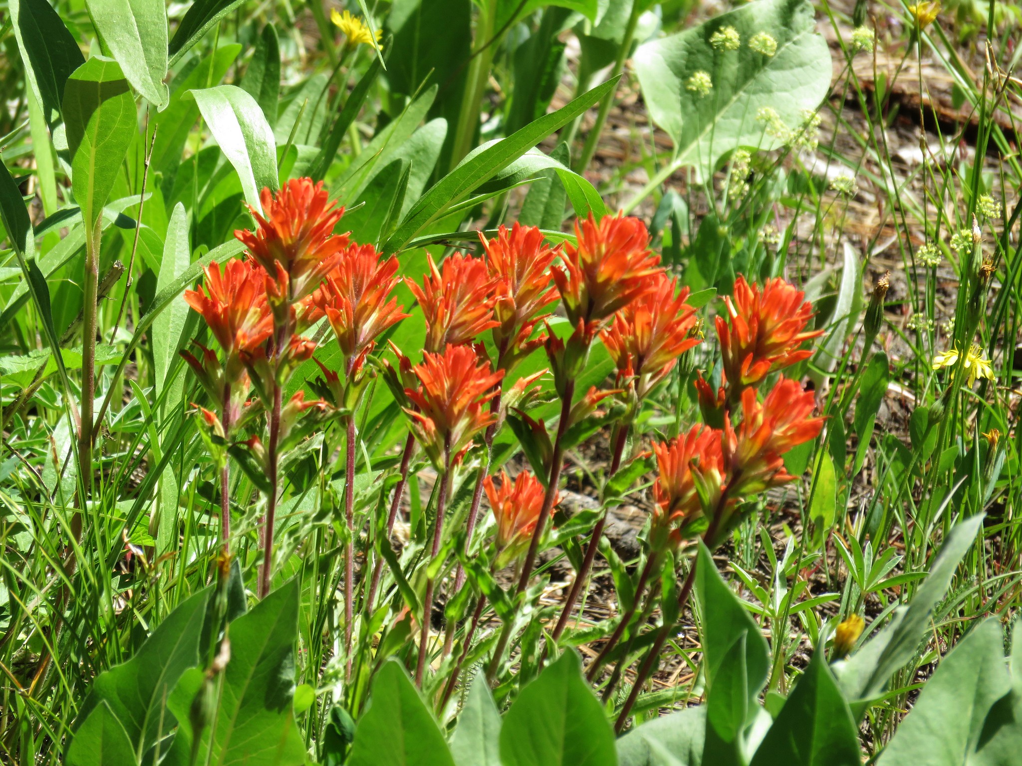
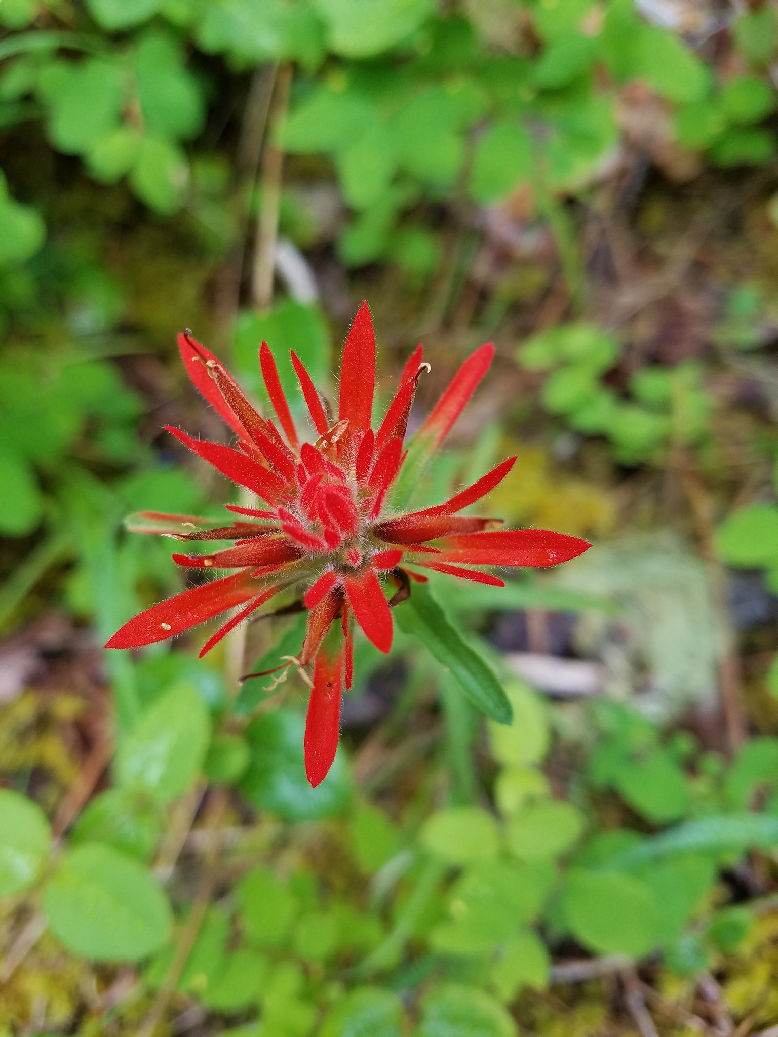
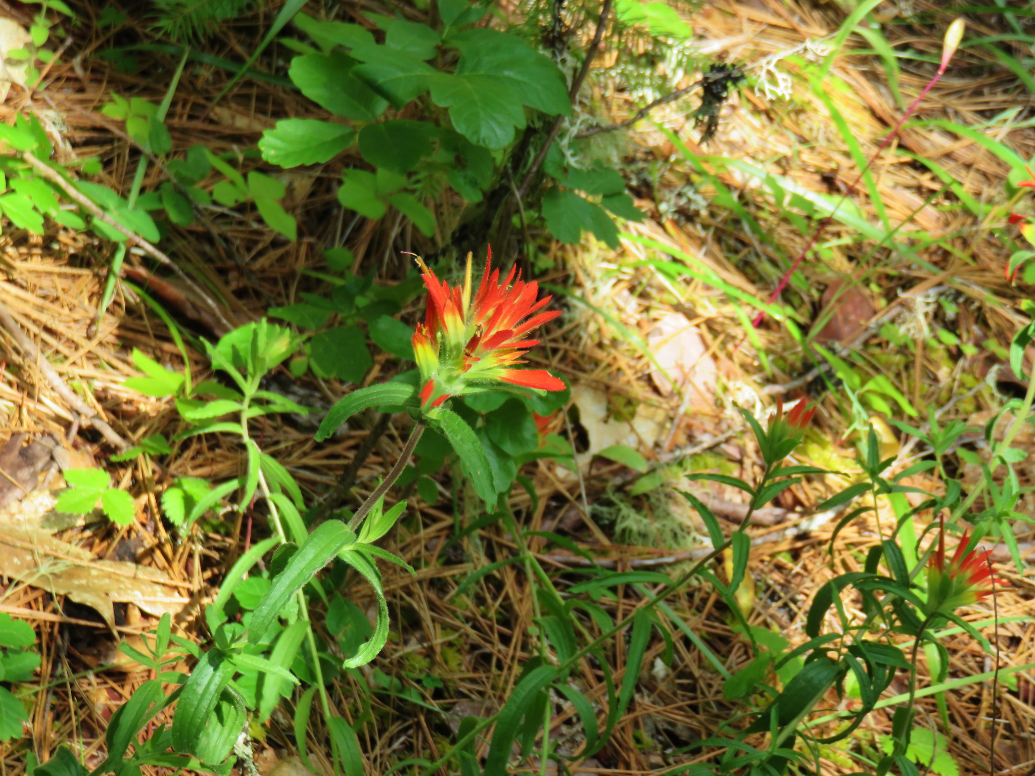
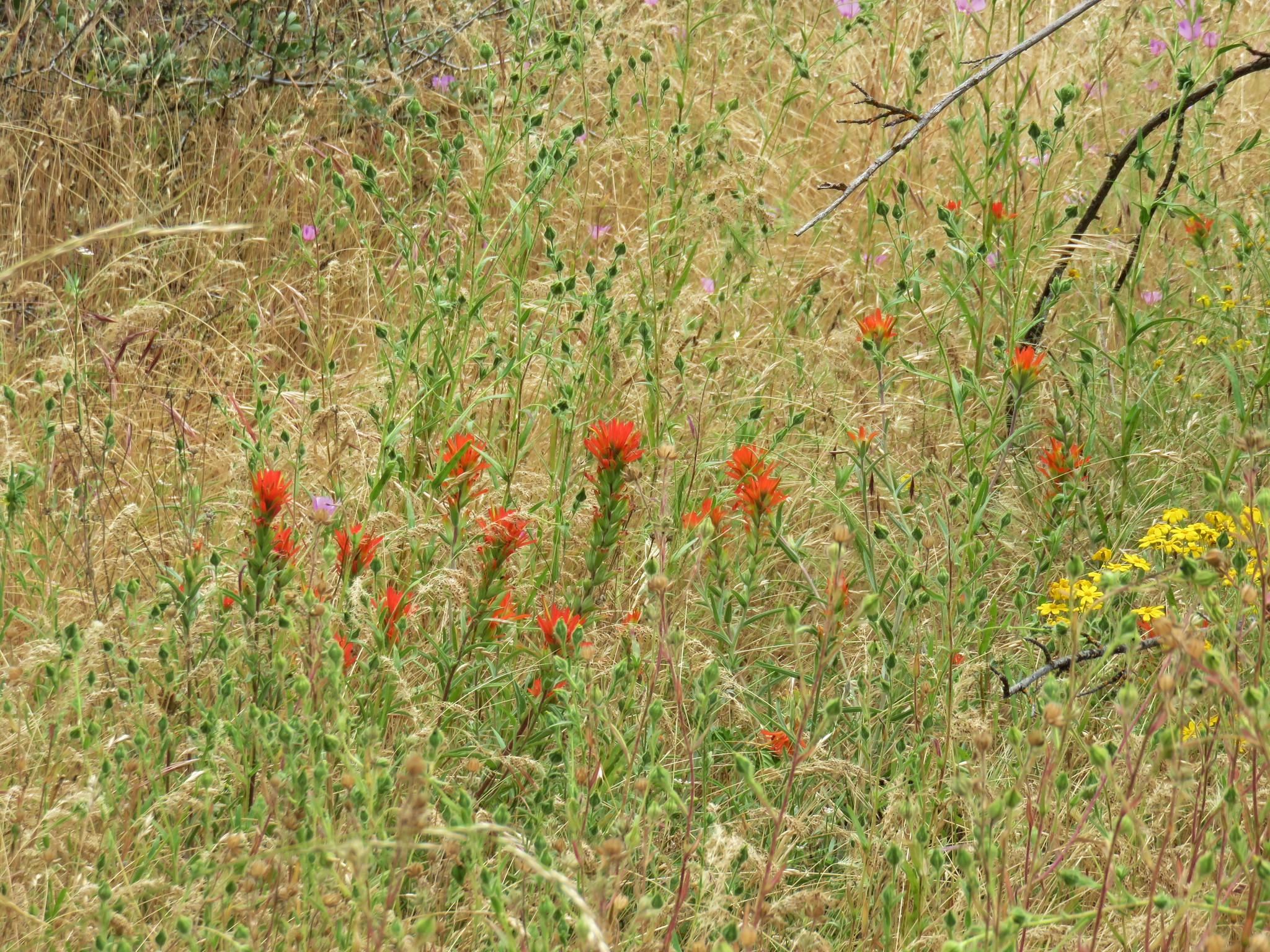
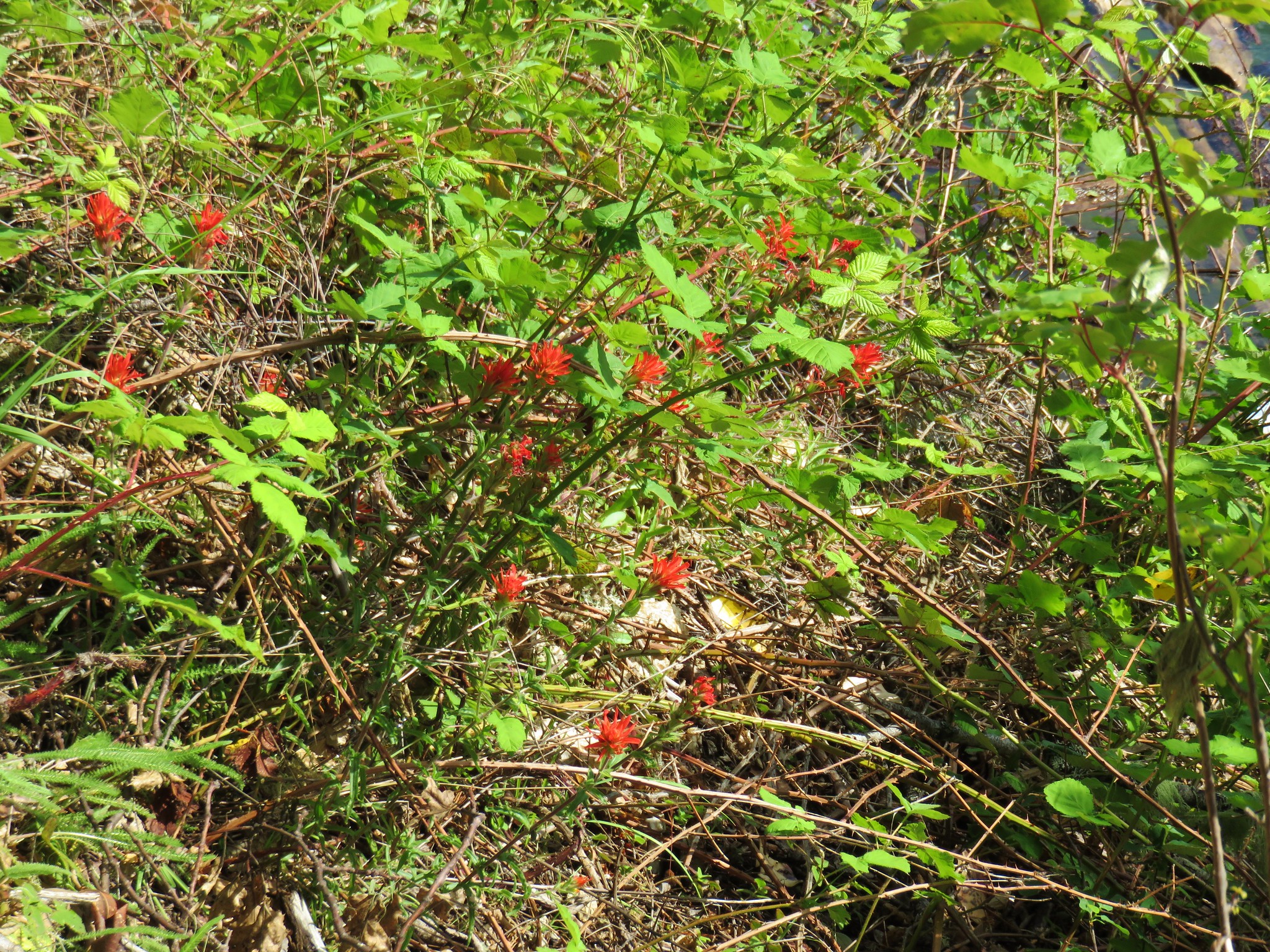
Paintbrush
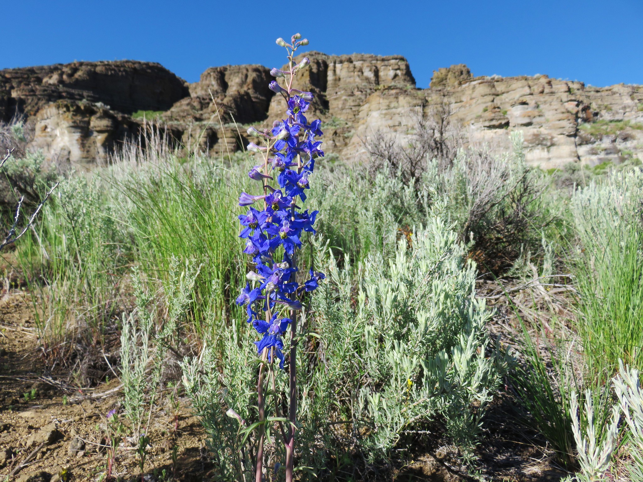
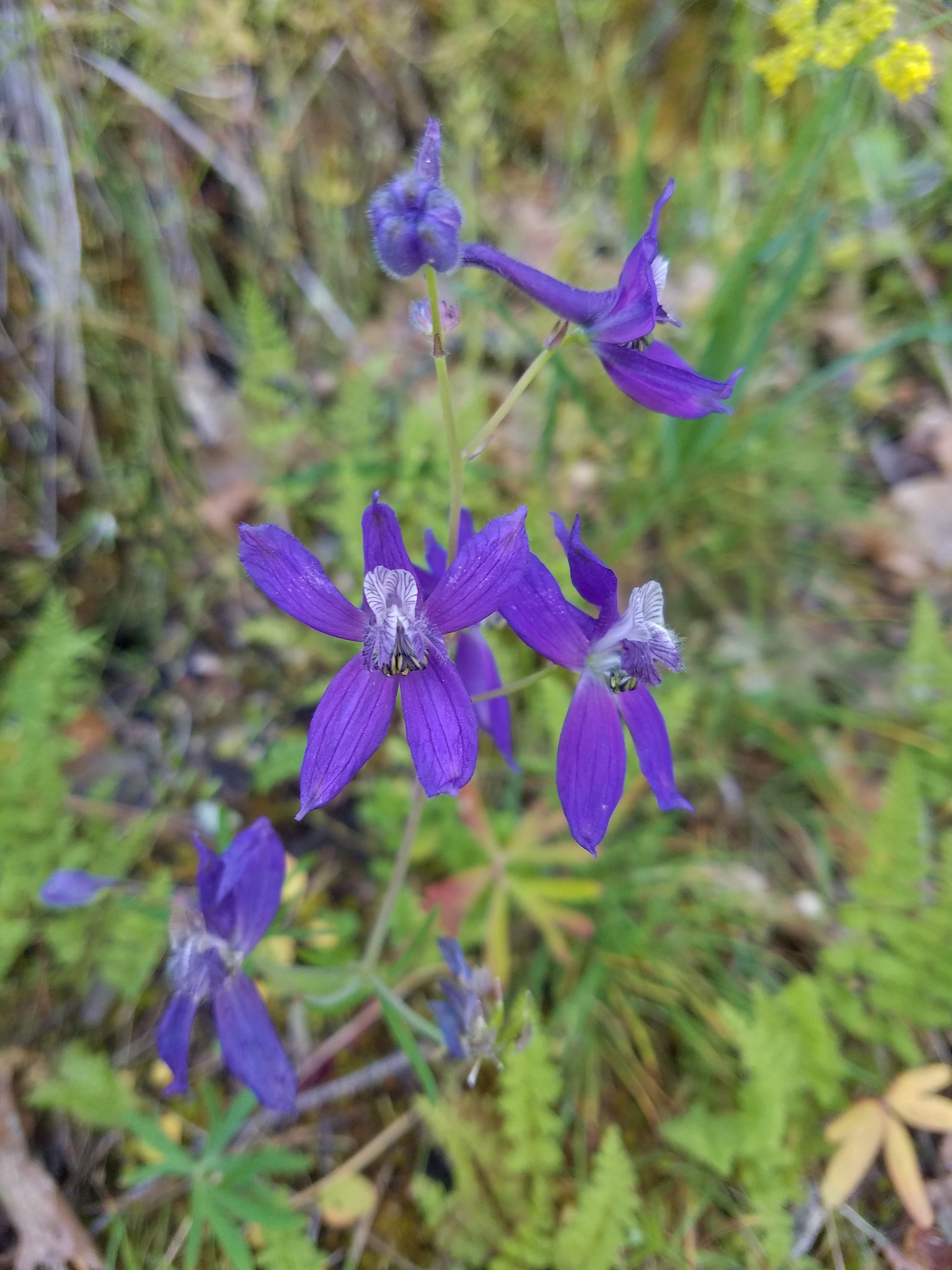
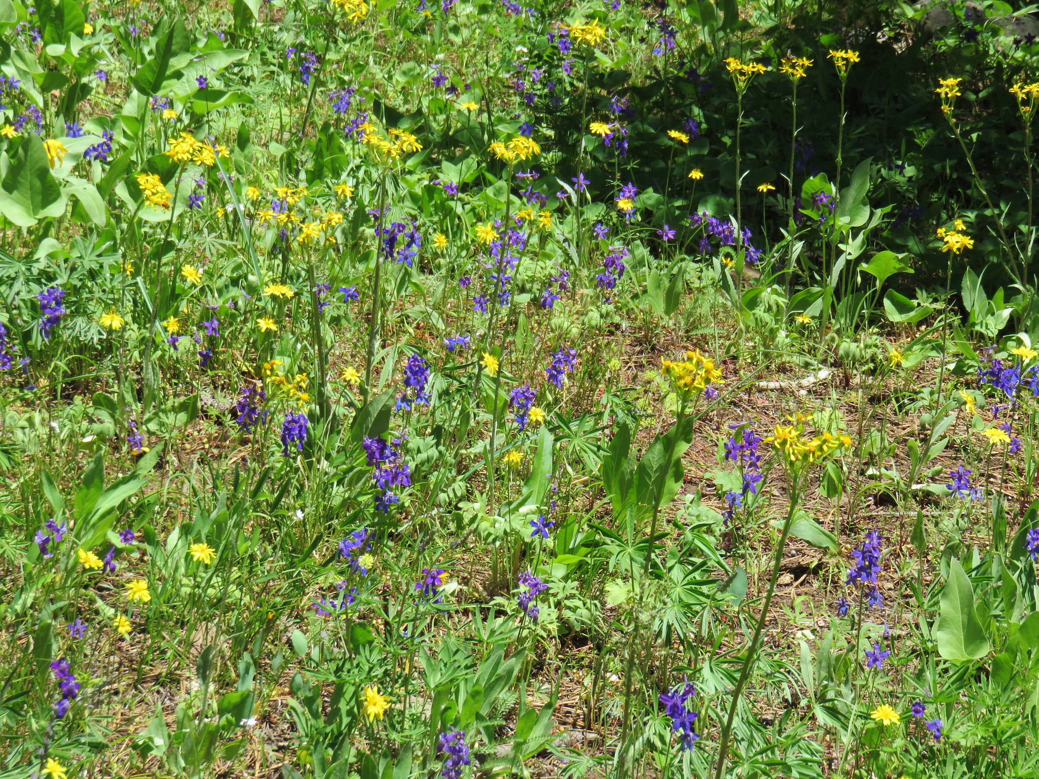
 Larkspur
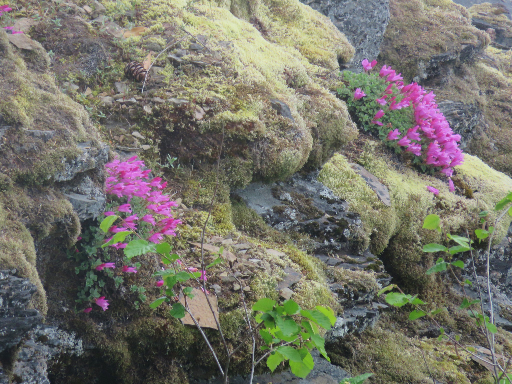
 Old man’s whiskers
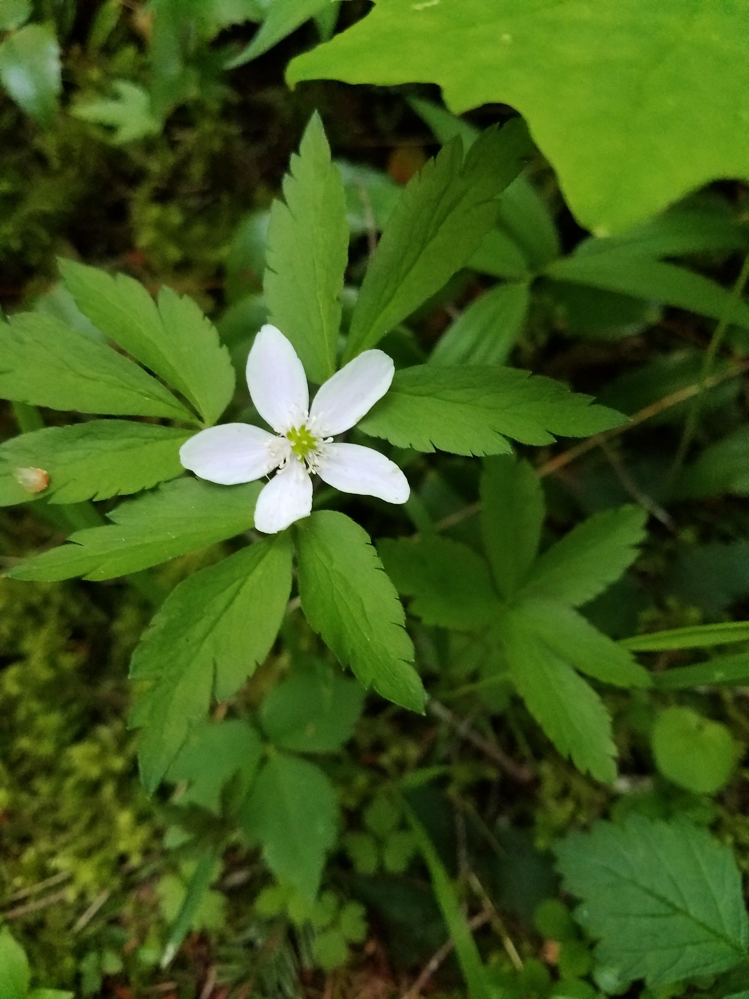
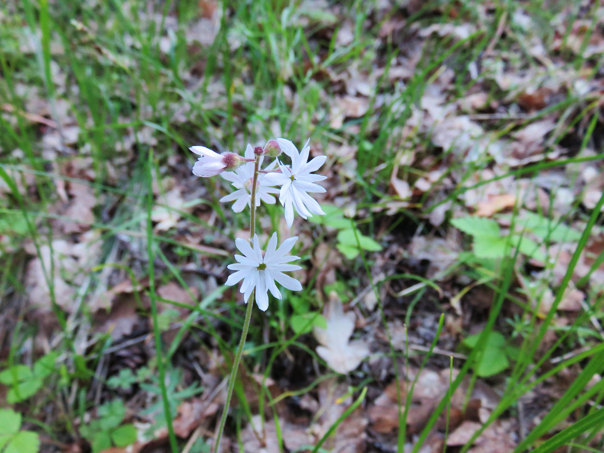
 Woodland stars
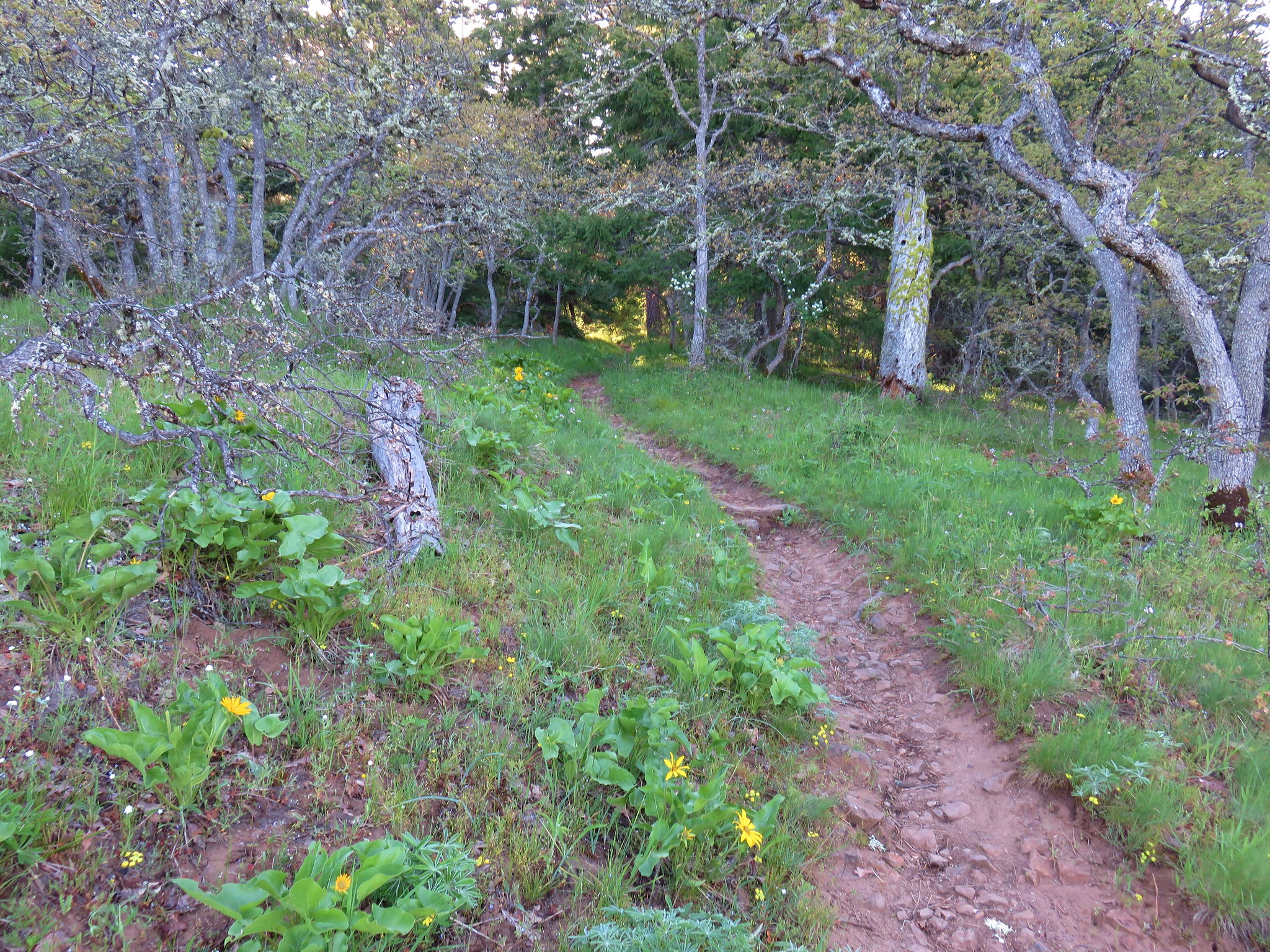
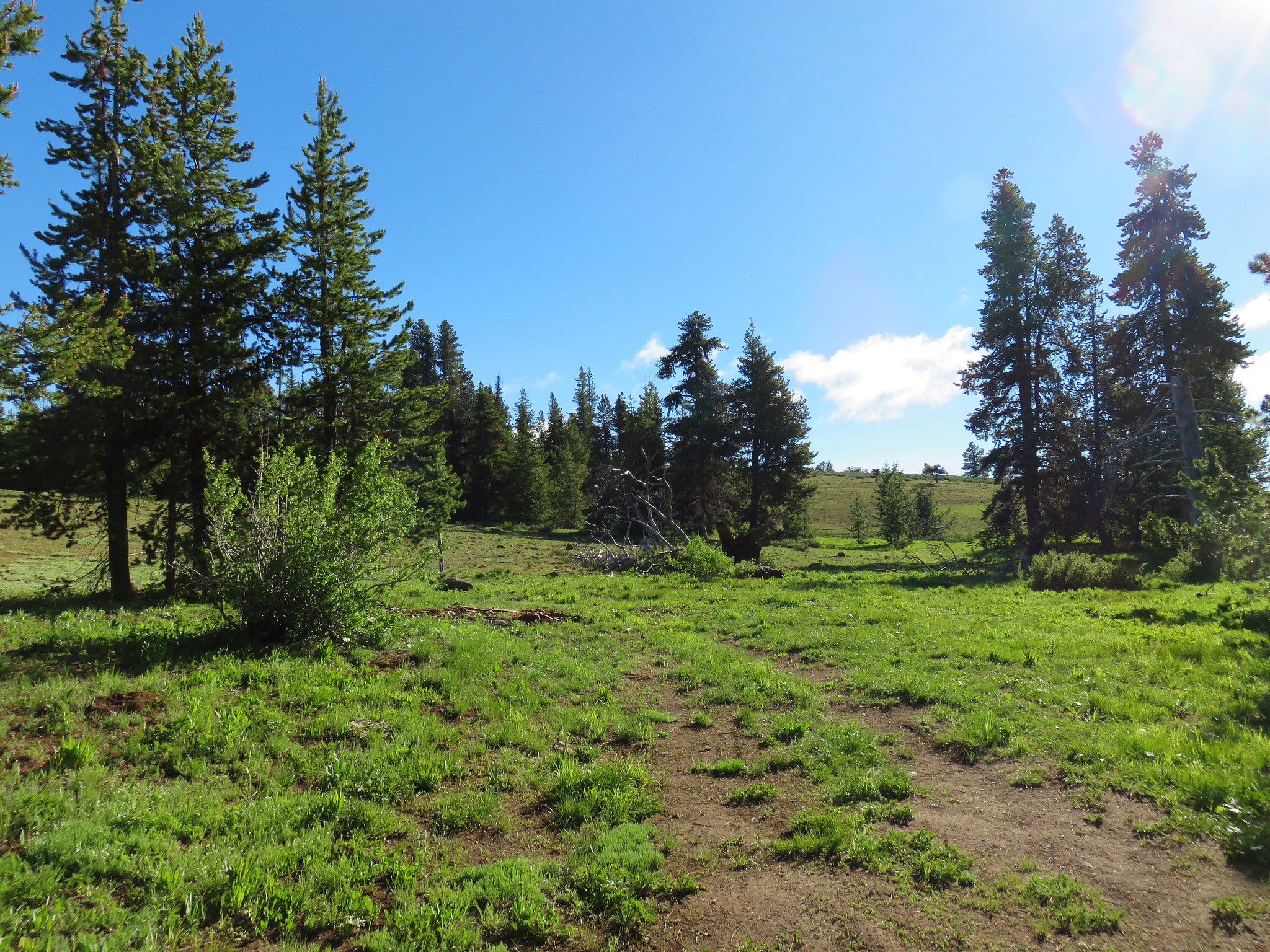
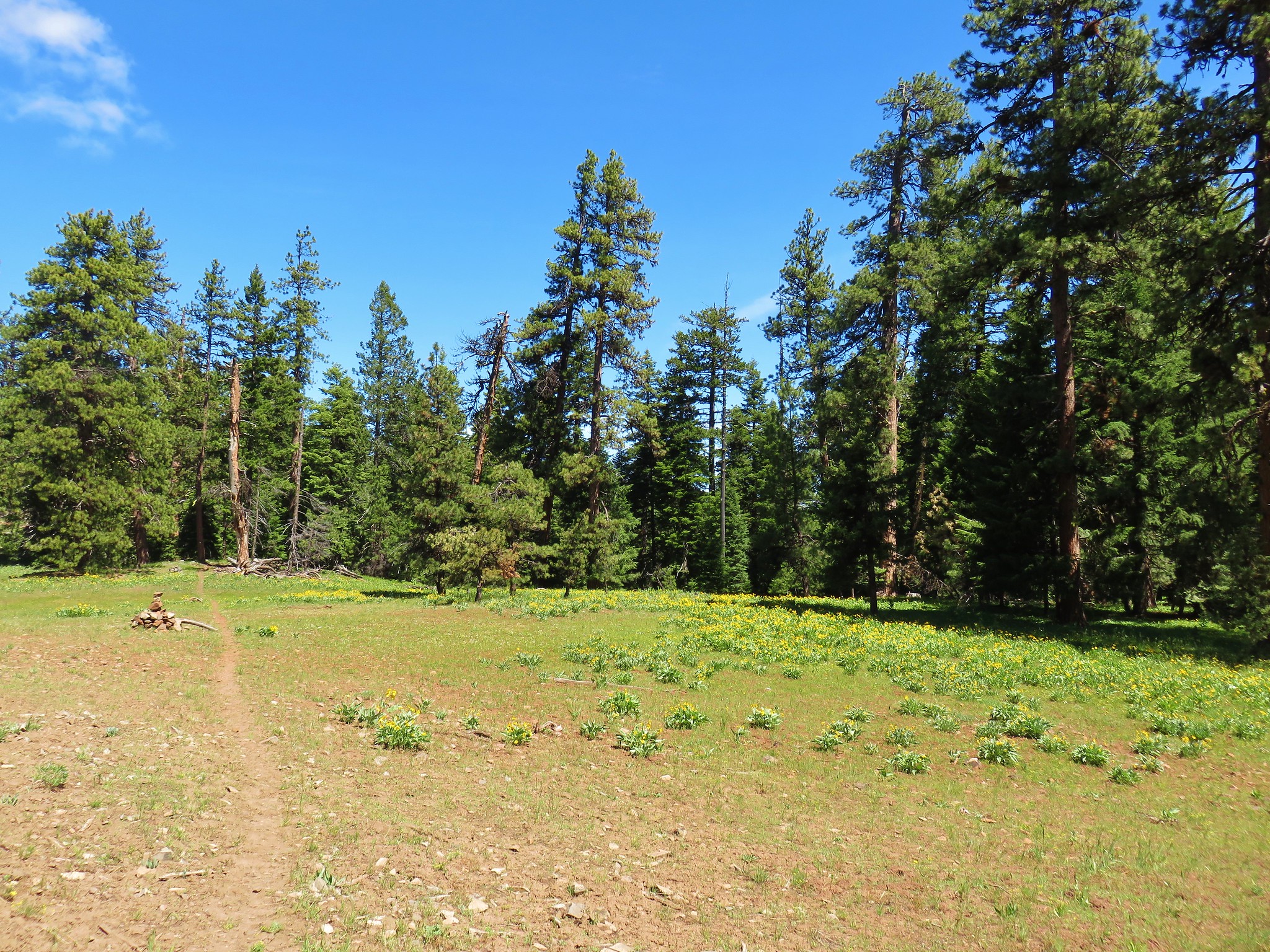
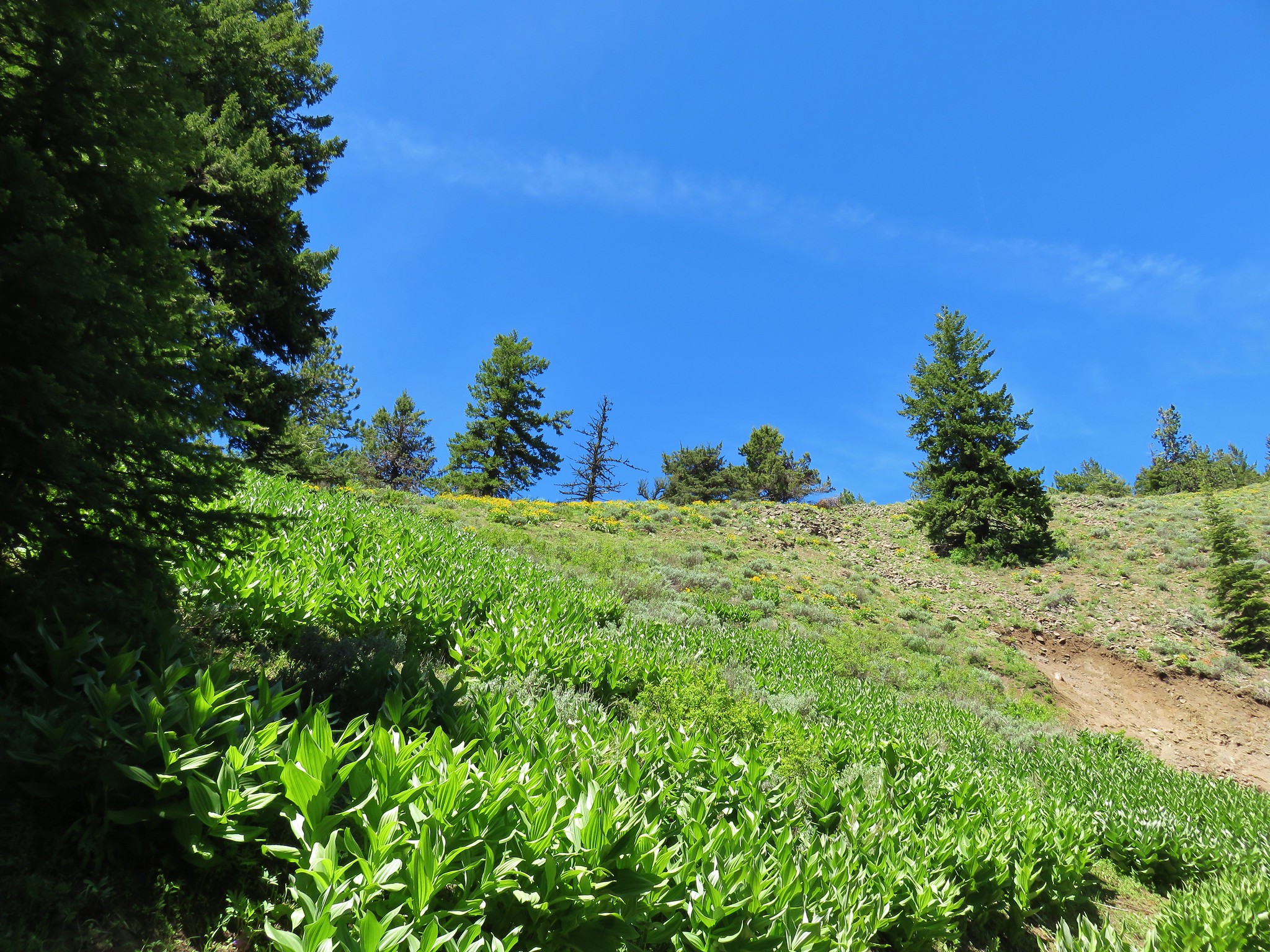
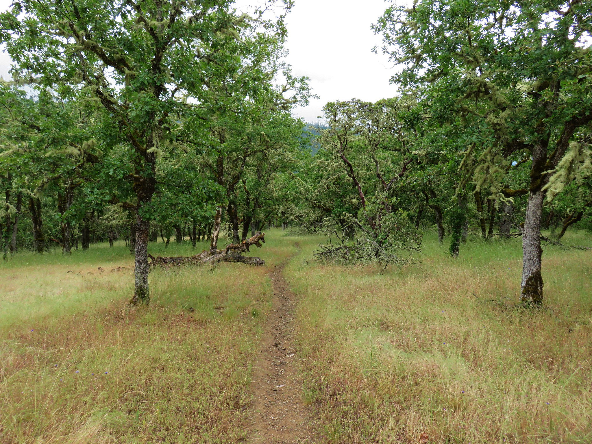
The terrain began to level after the initial climb (which was short and not at all steep) revealing some open meadows among the trees.
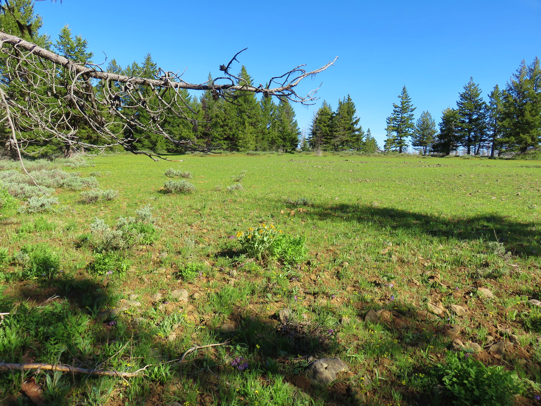
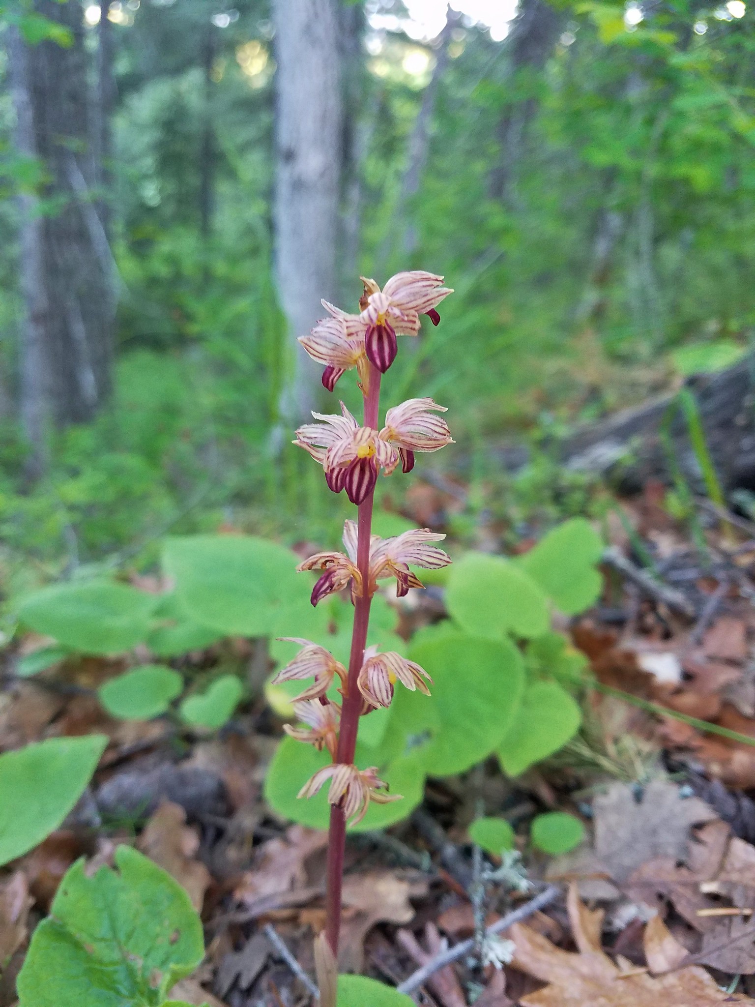
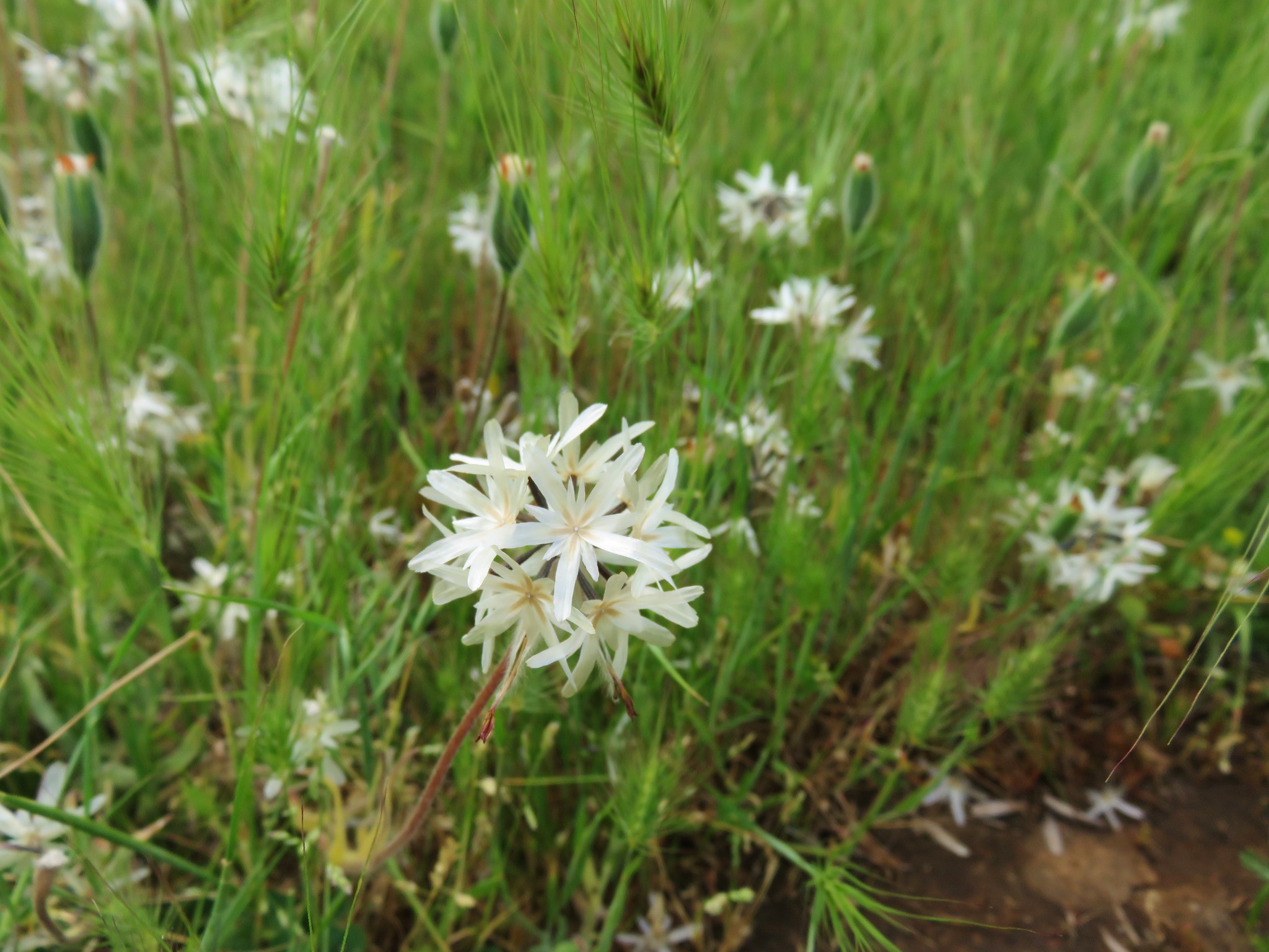
We encountered additional flowers in and around these meadows.
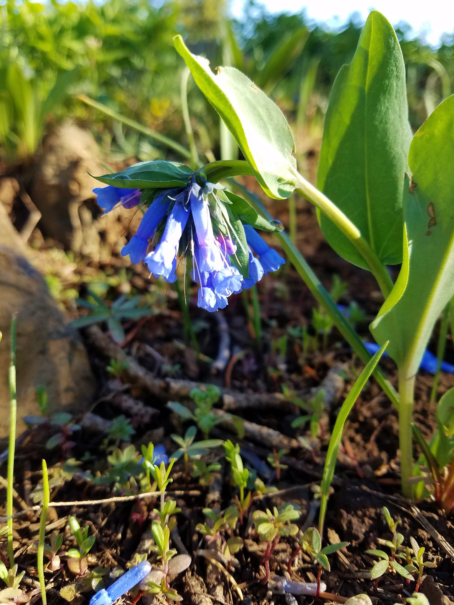 Bluebells
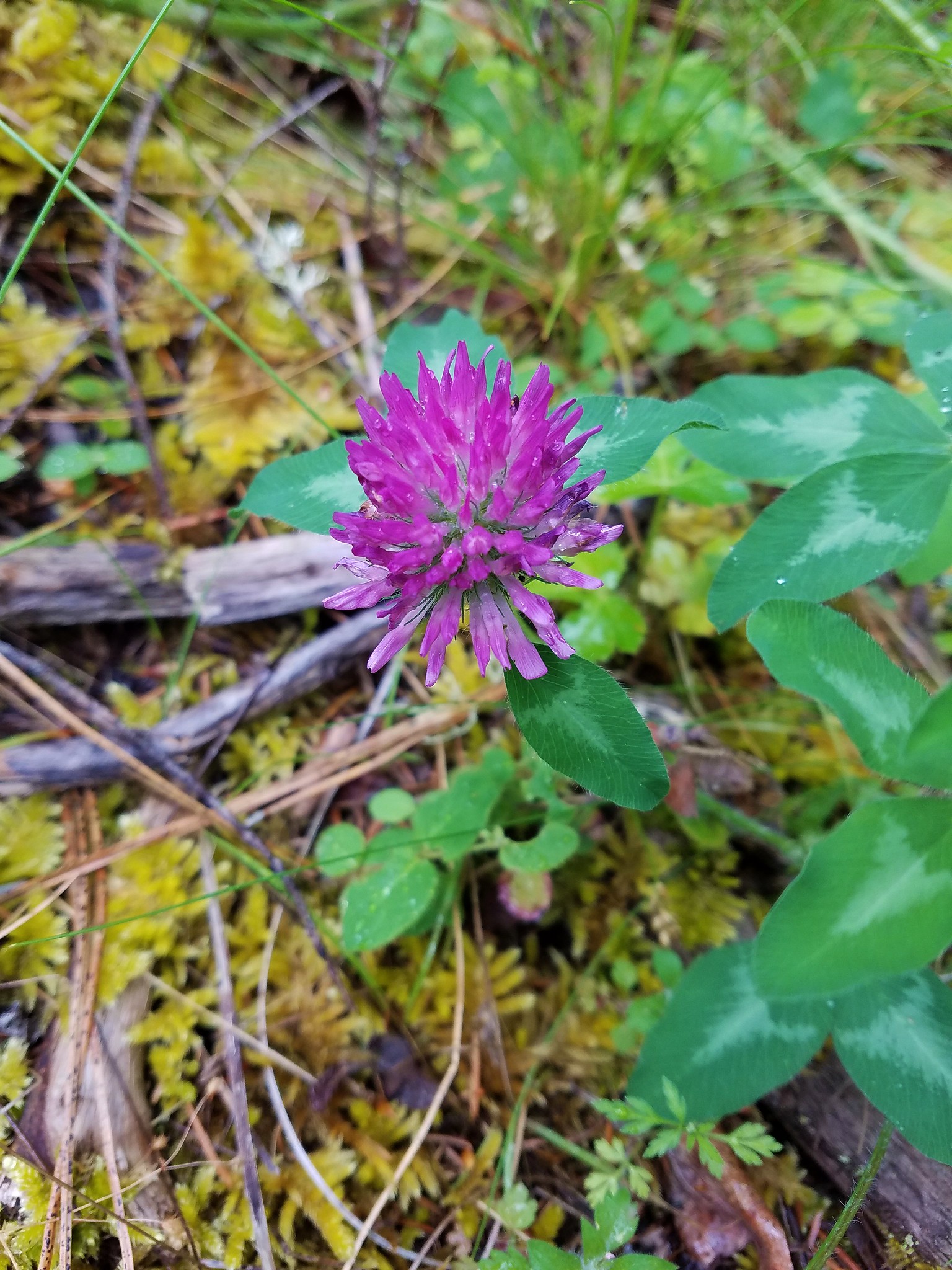
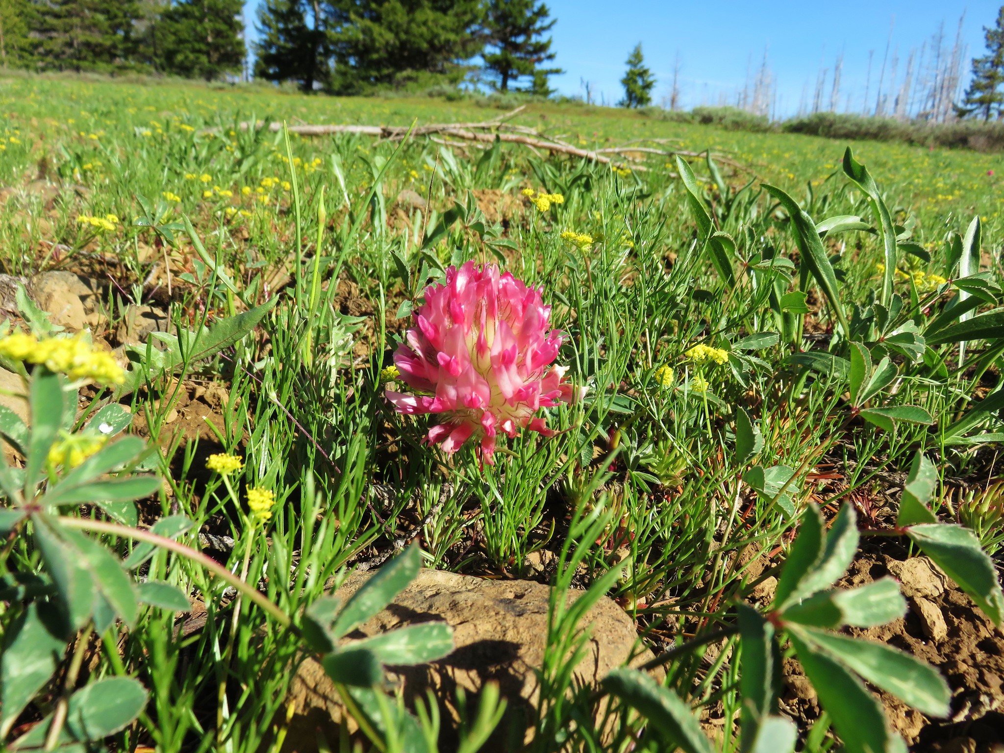 Big-head clover
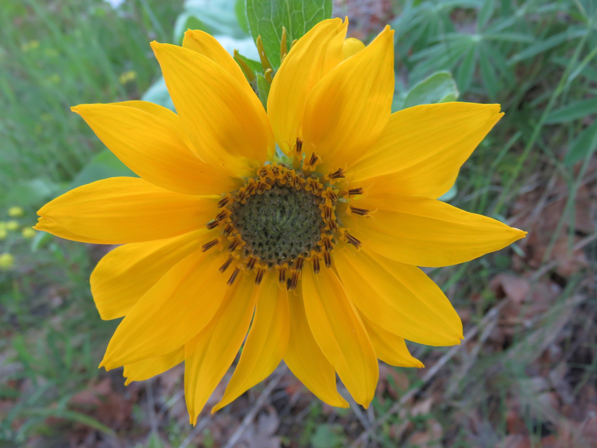
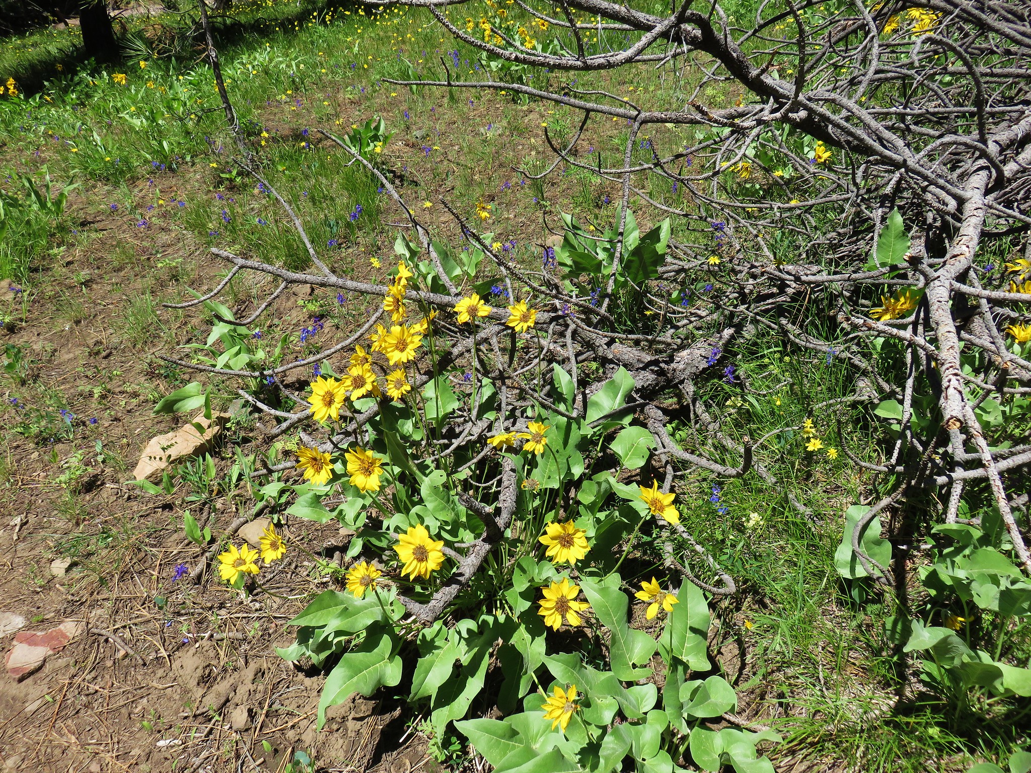
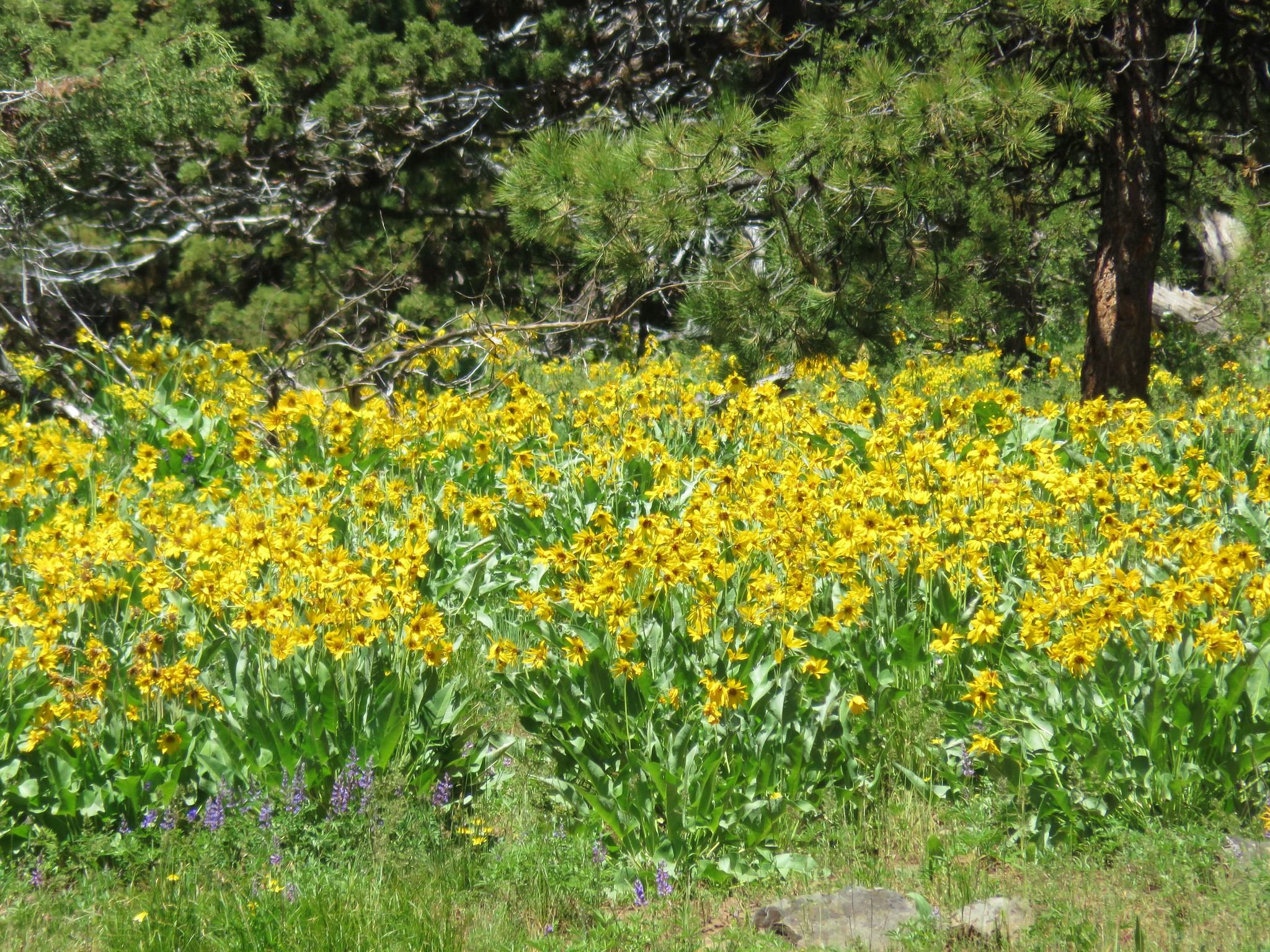
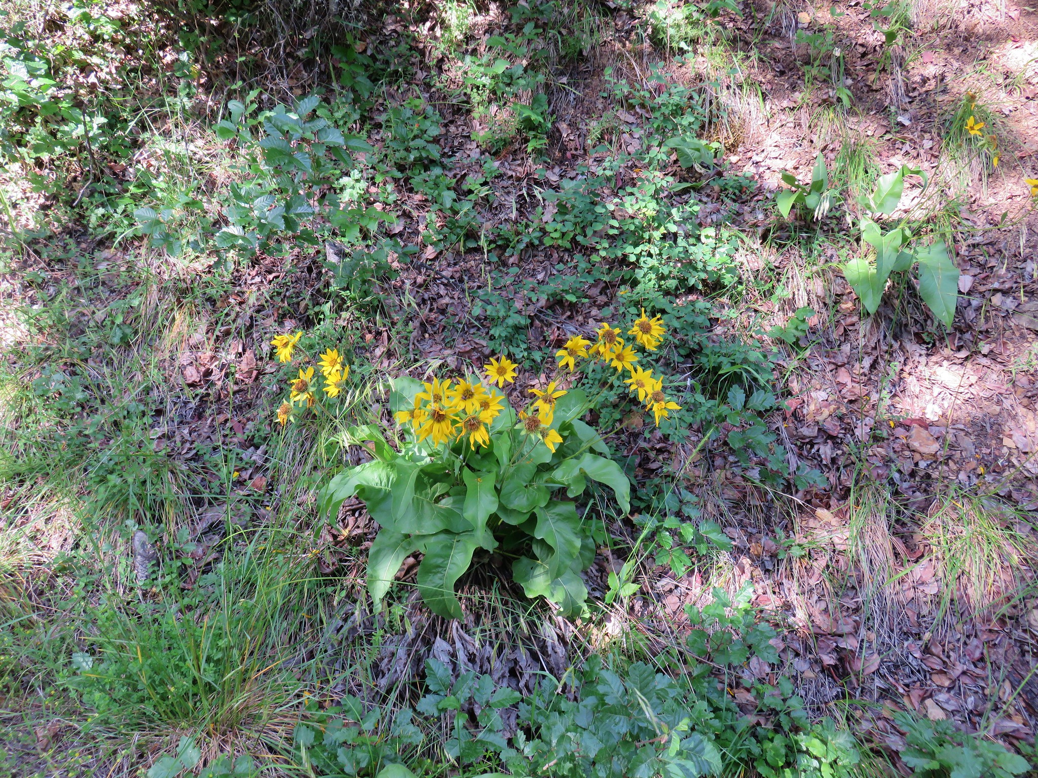
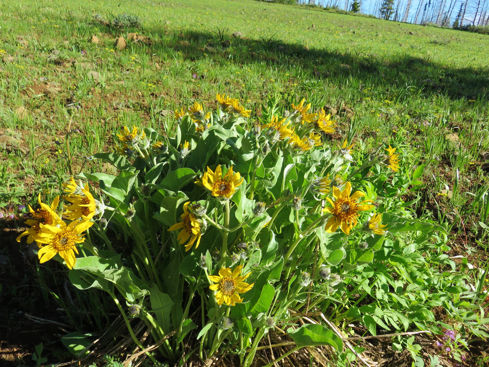 Balsamroot
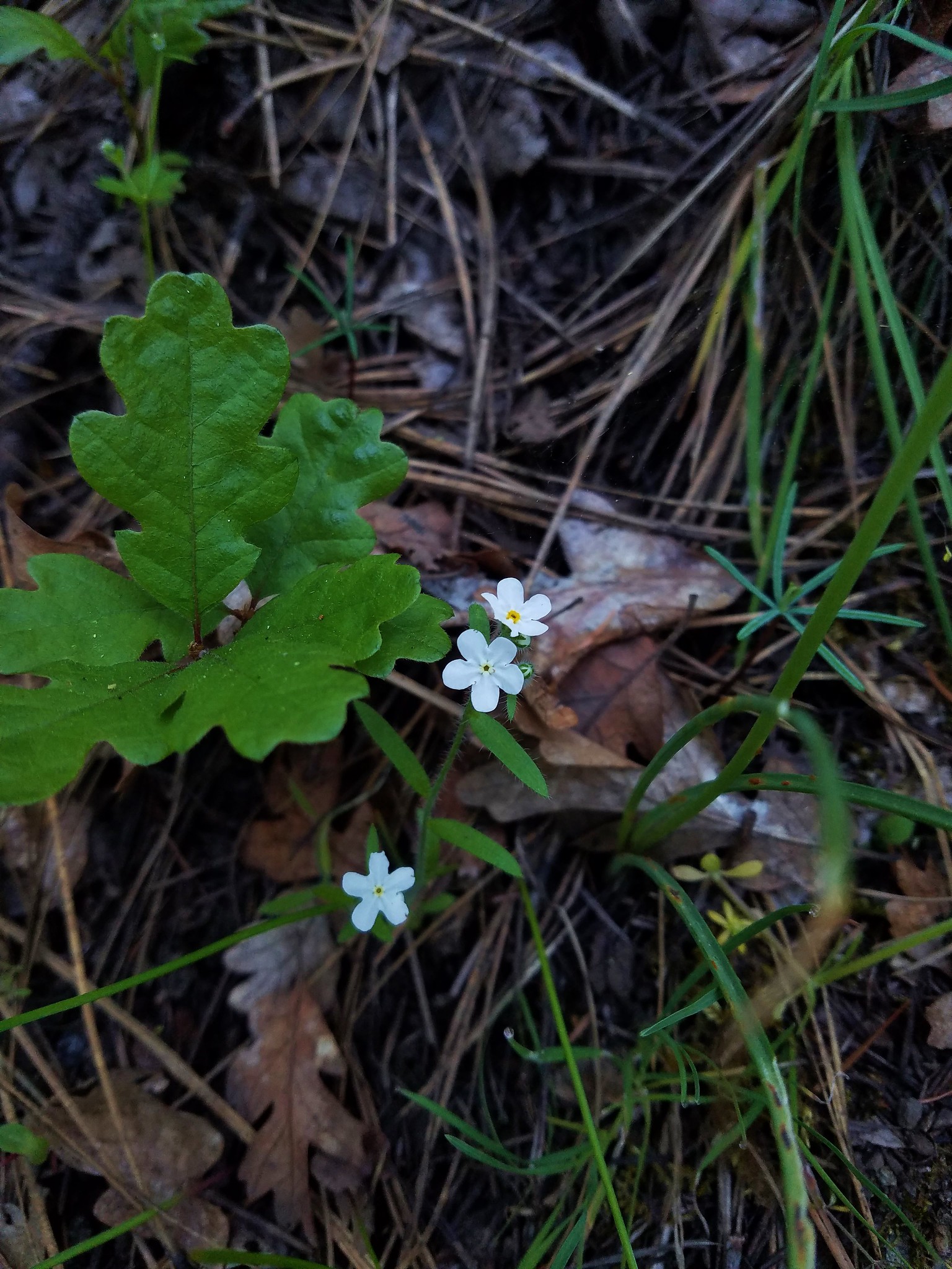
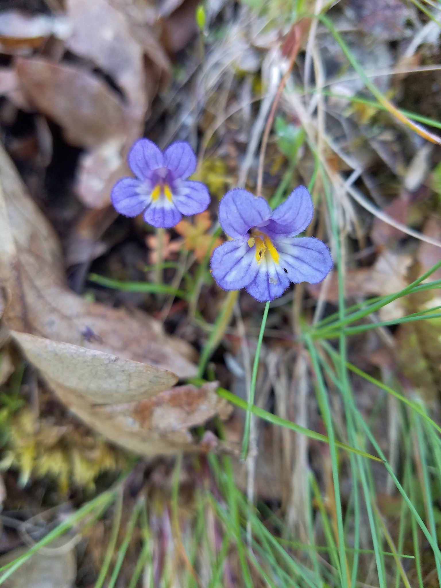
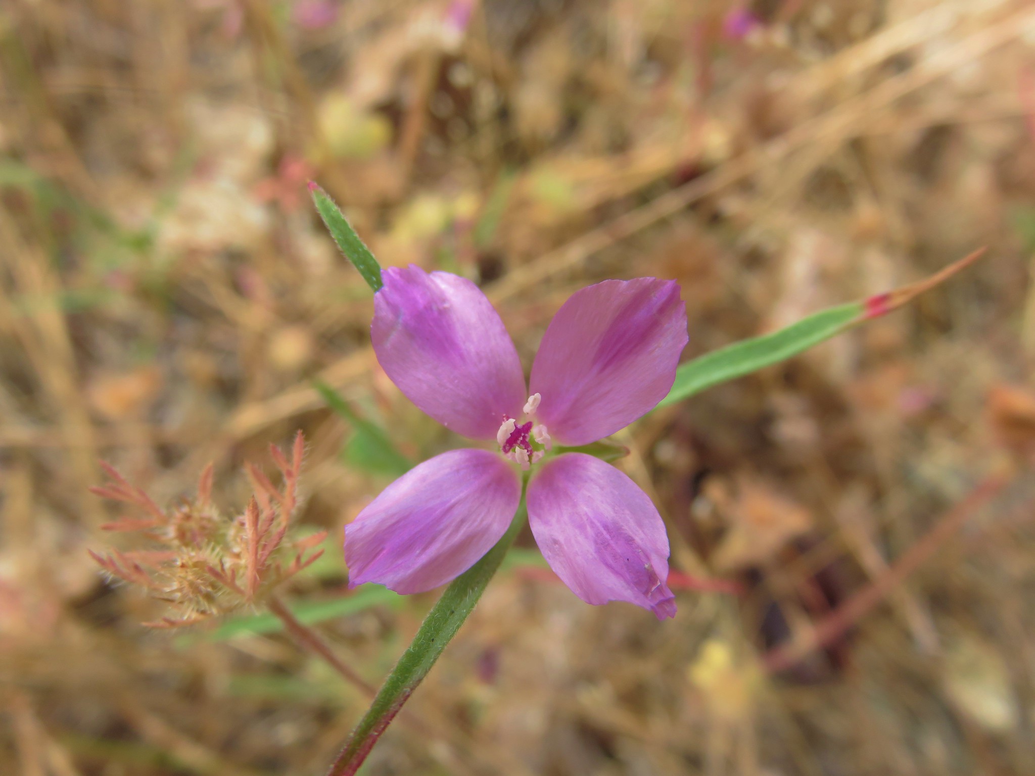
 Jessica sticktight
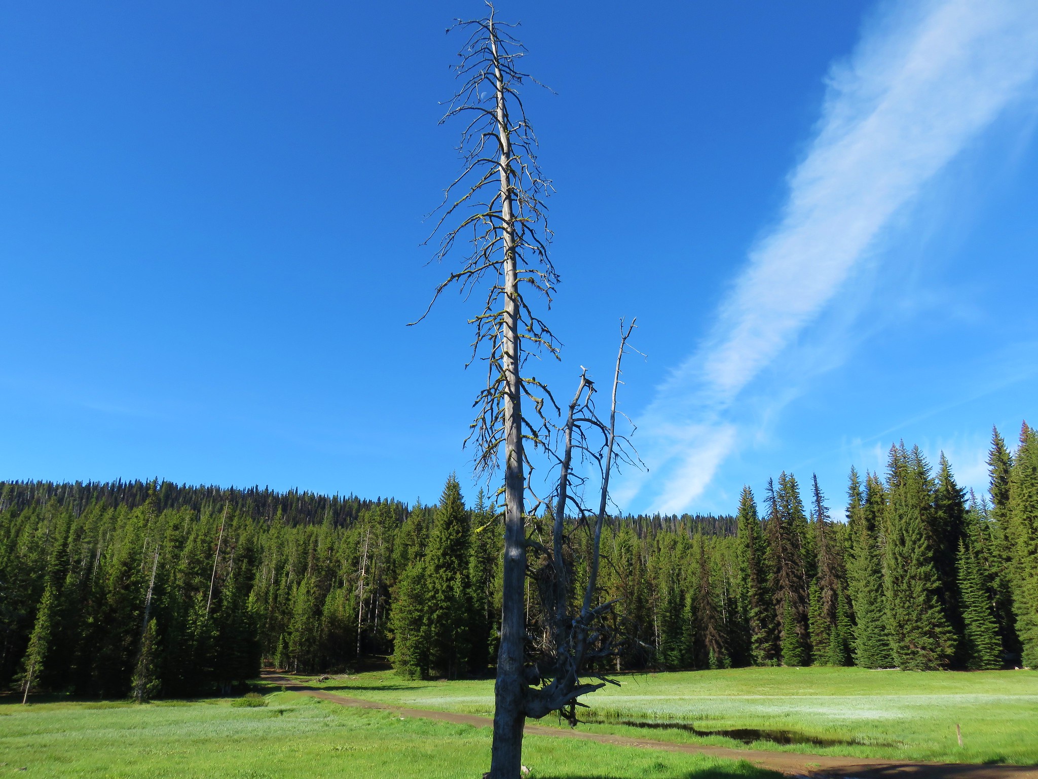
We took a line along between the meadows and a line of dead trees.
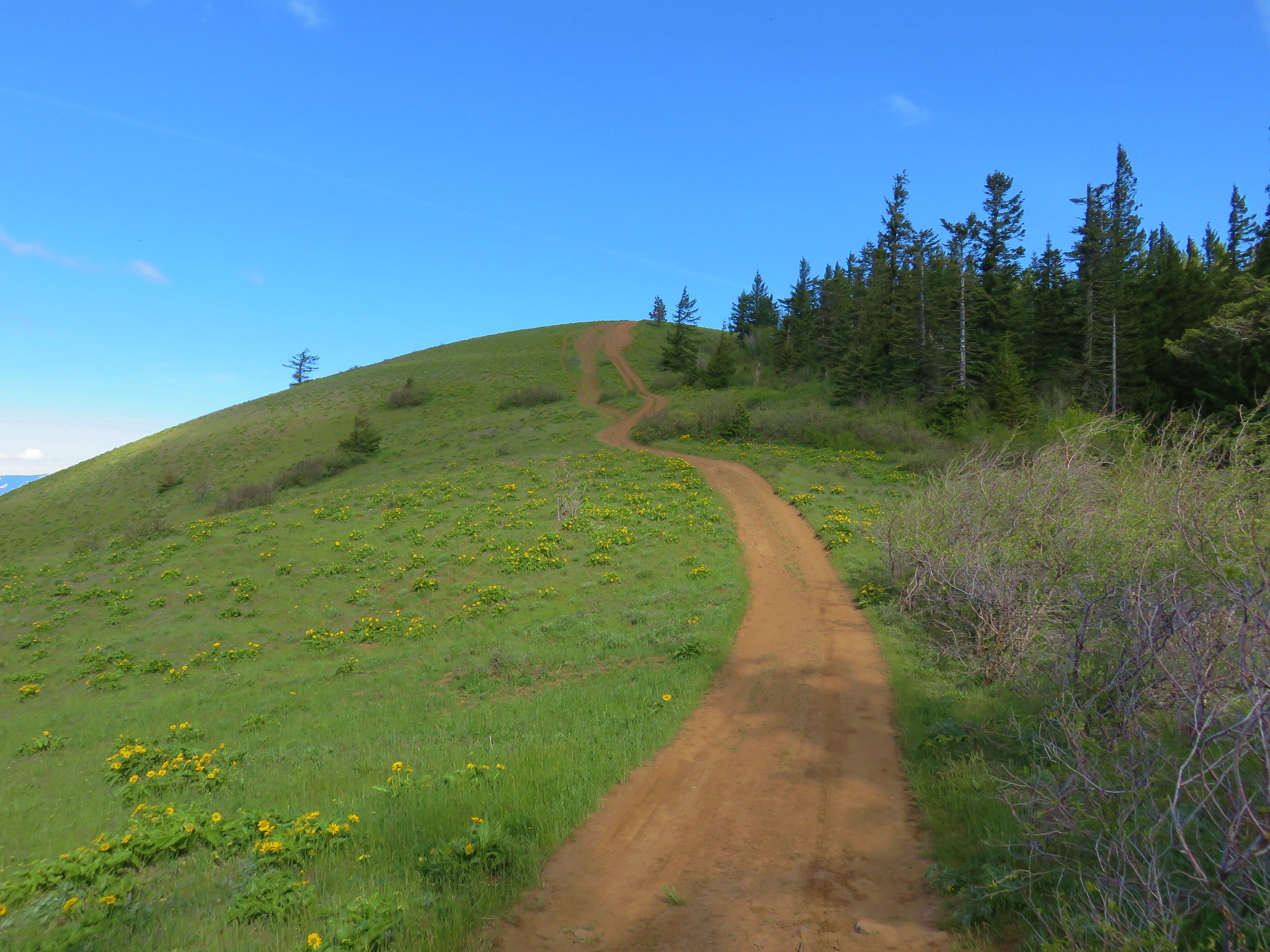
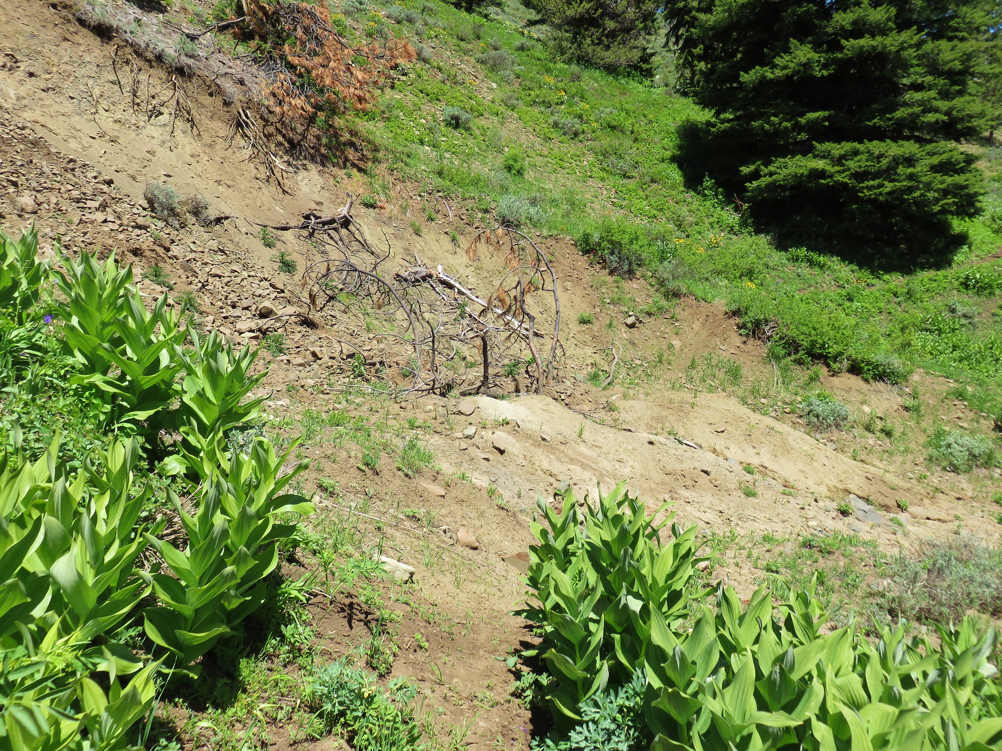
Using the GPS we eventually veered to the right stepping over a couple of downed snags then briefly following the jeep track toward the rim of the plateau.
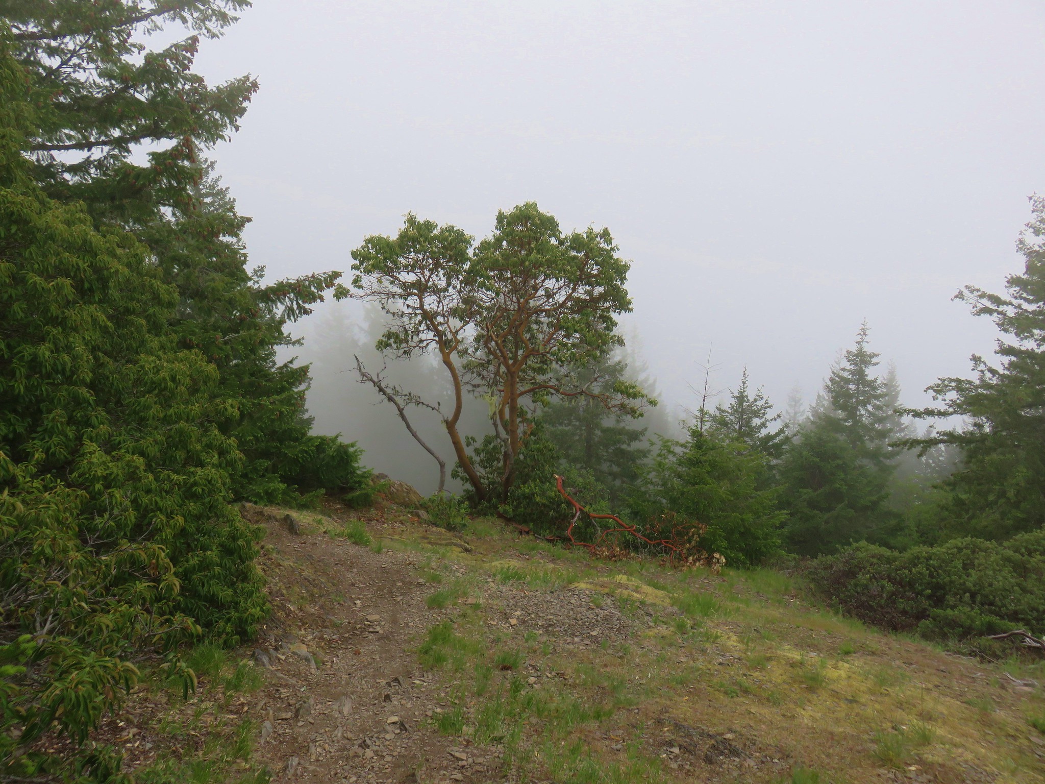
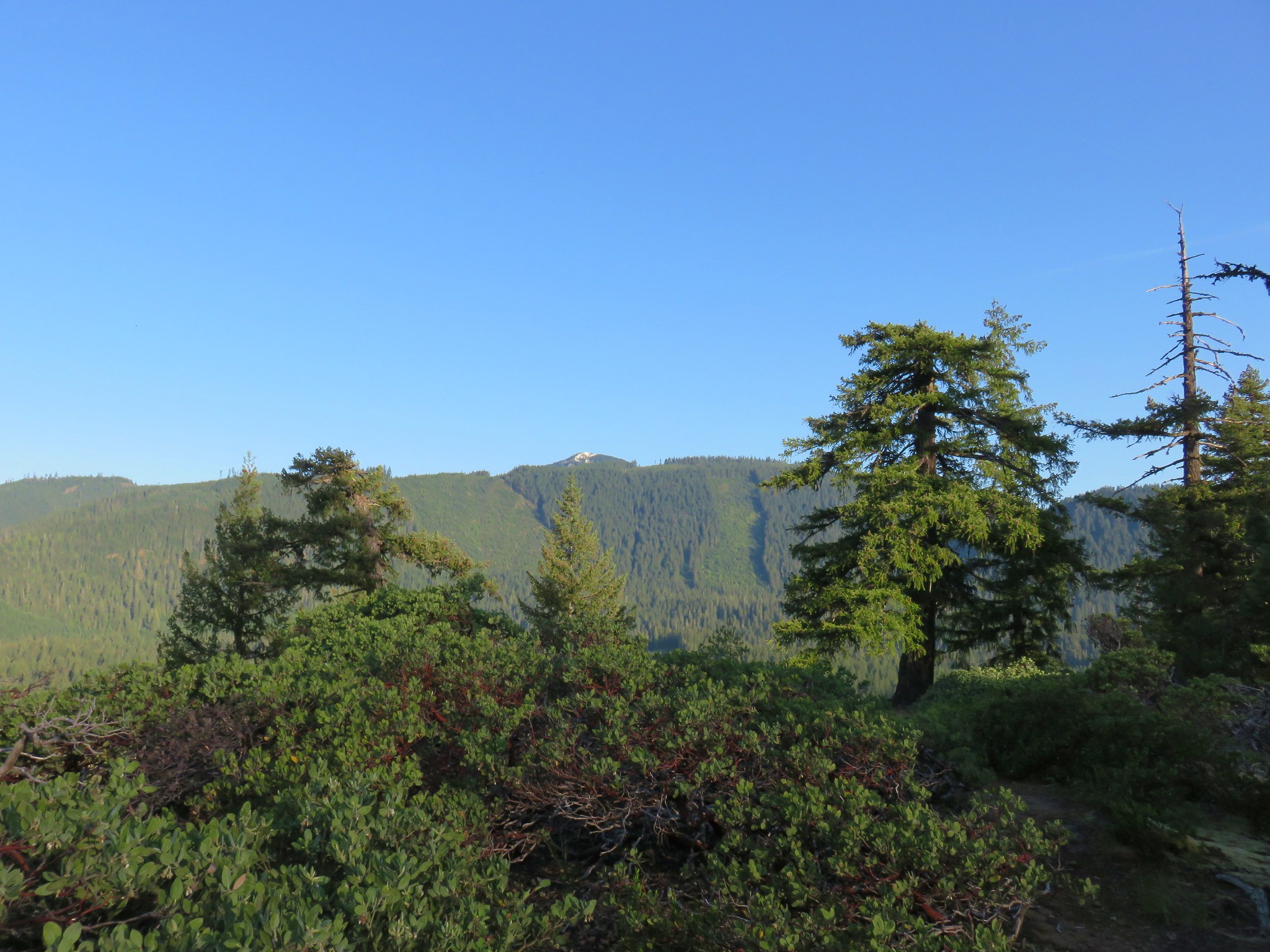
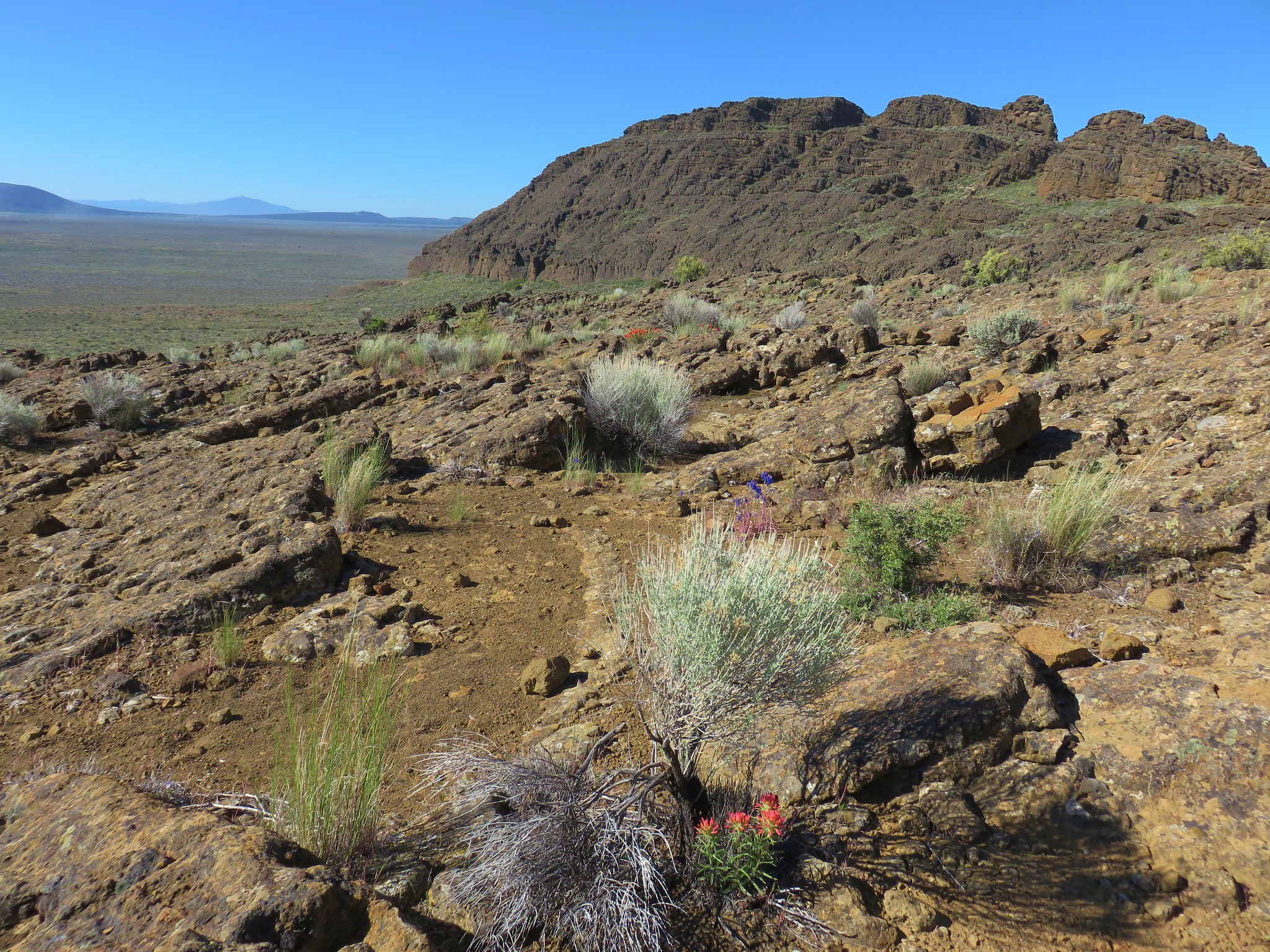
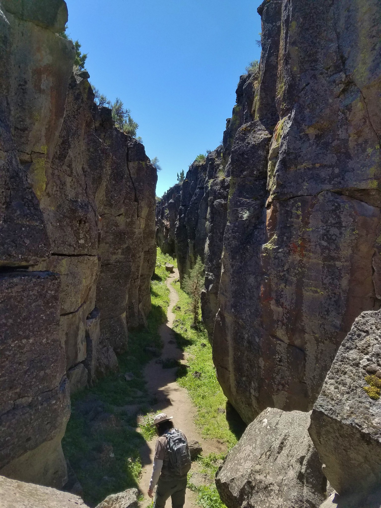
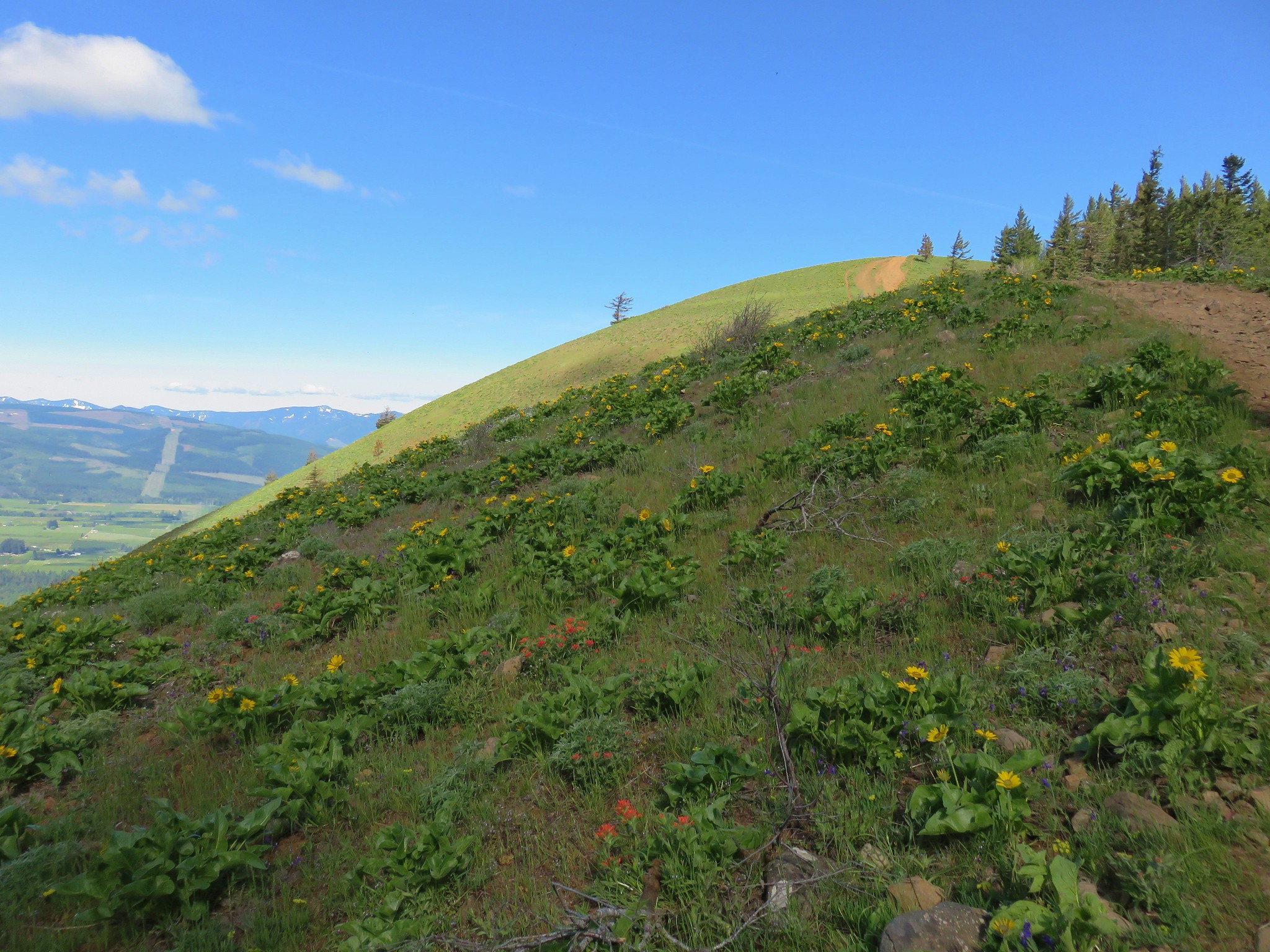
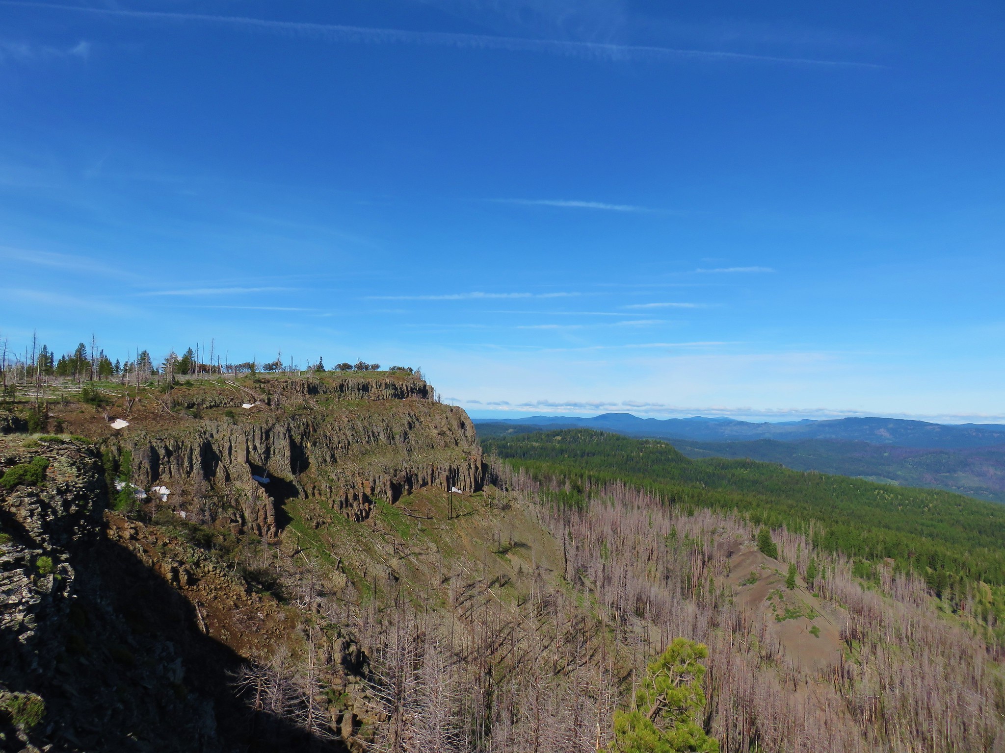
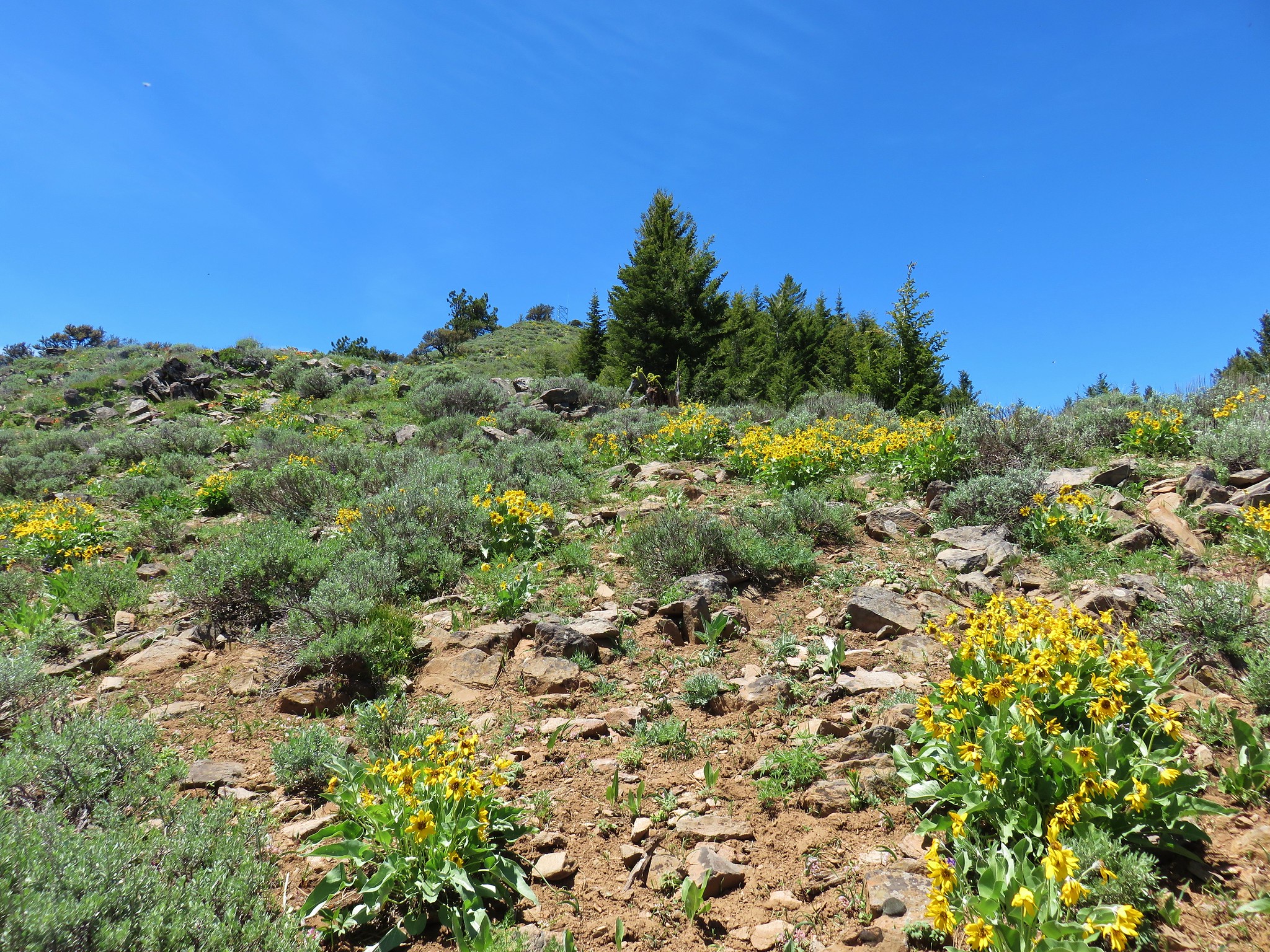
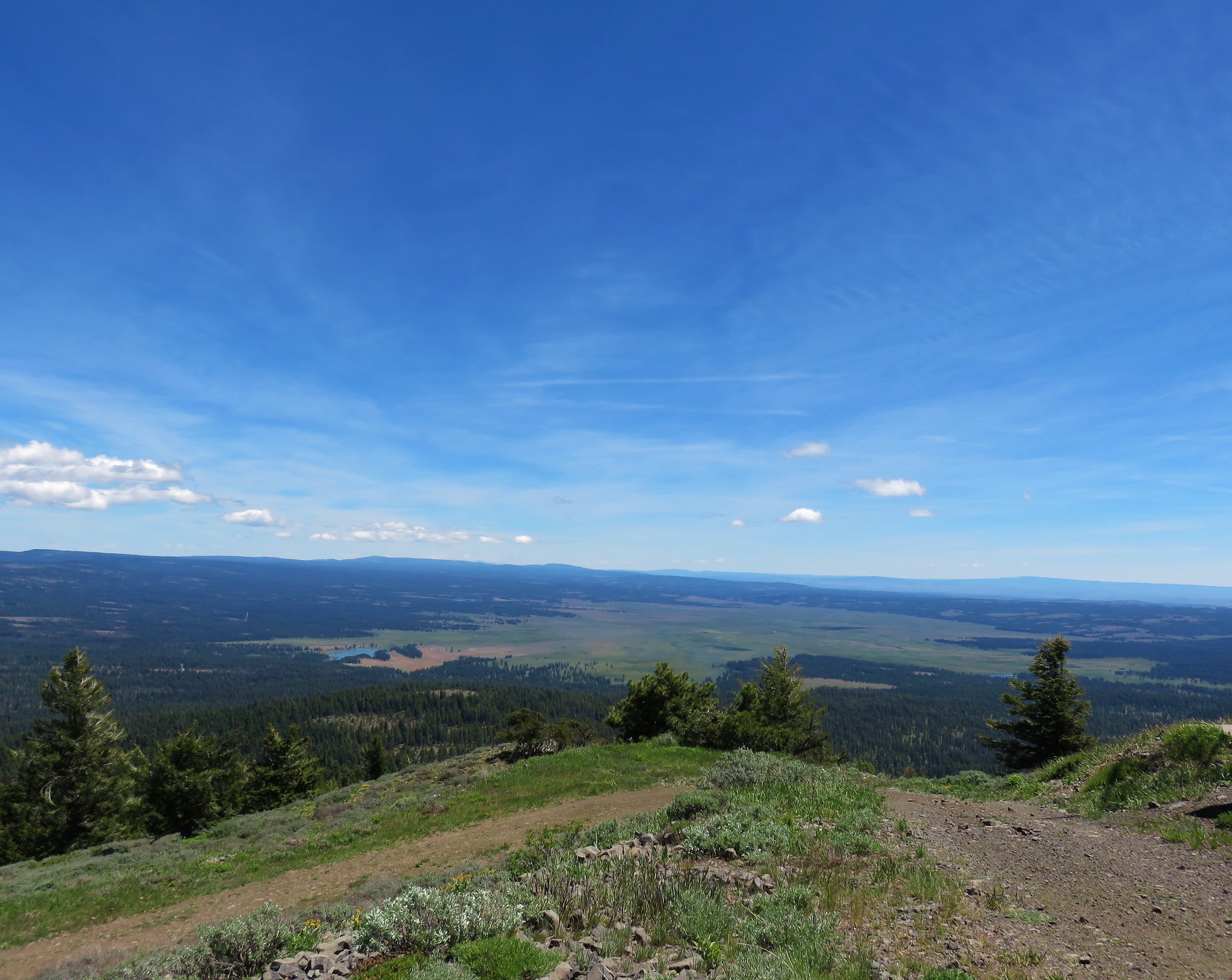
We arrived at the rim between point 6607 to the west and North Point to the east.
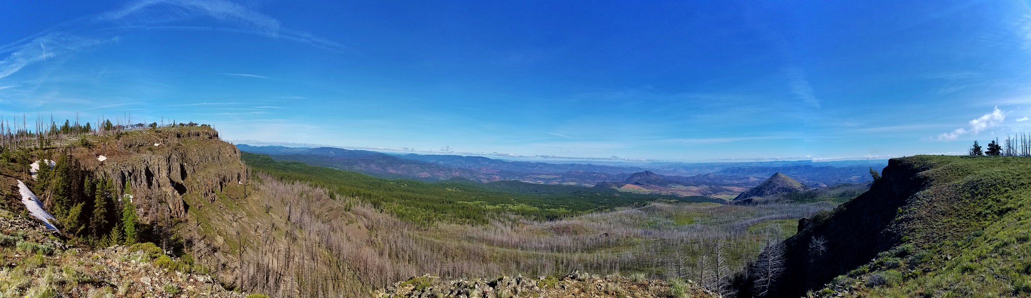
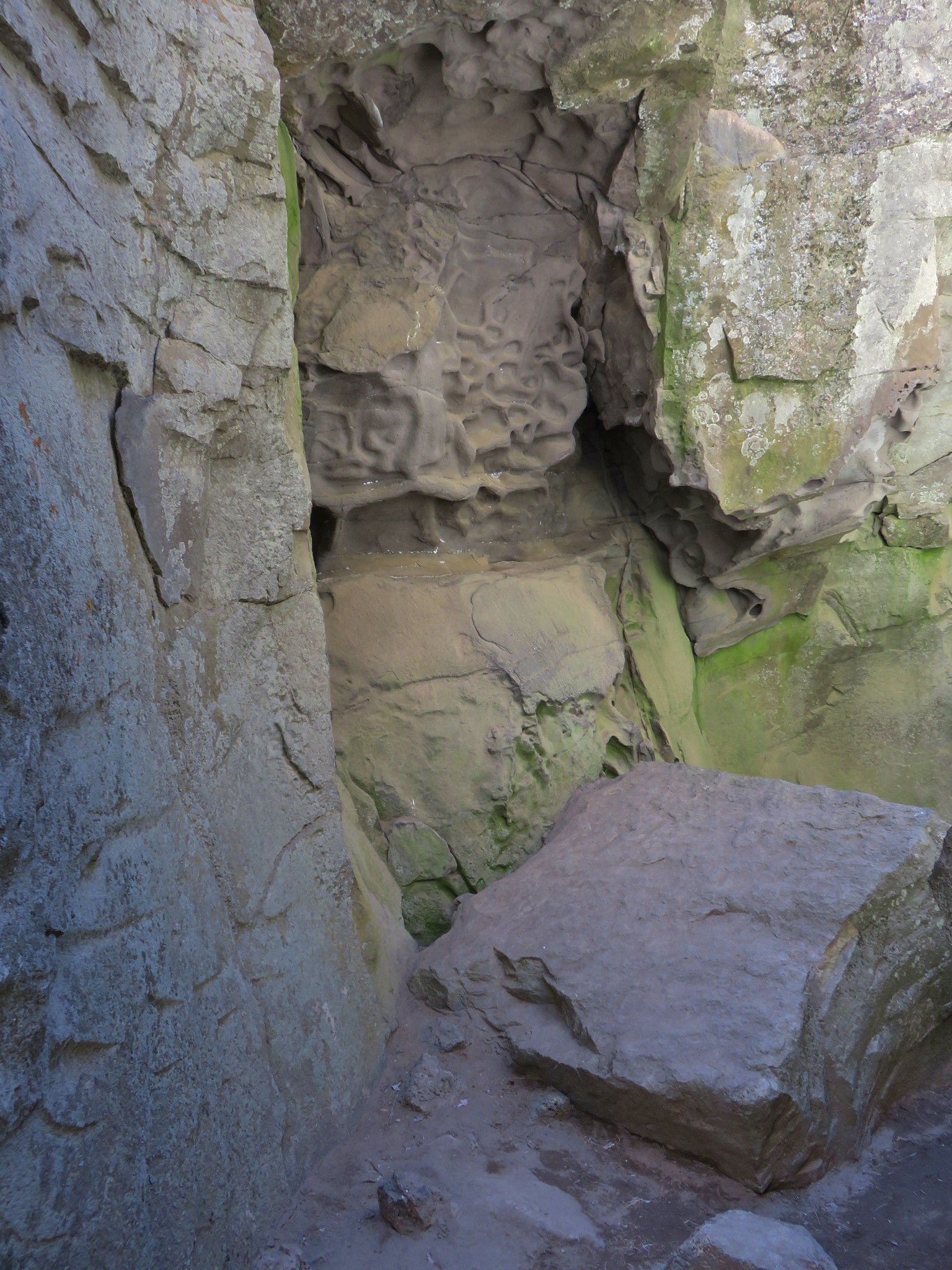
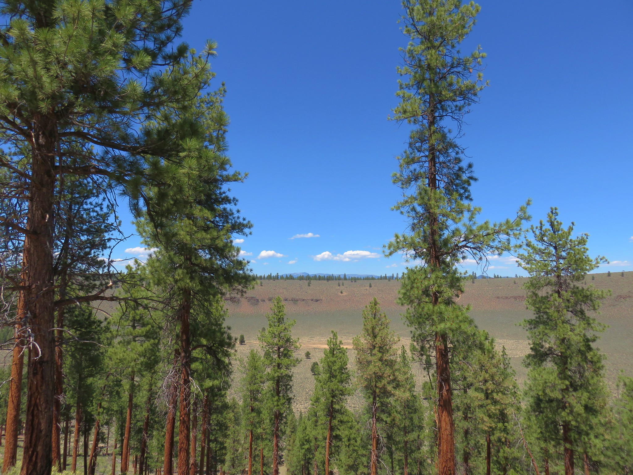
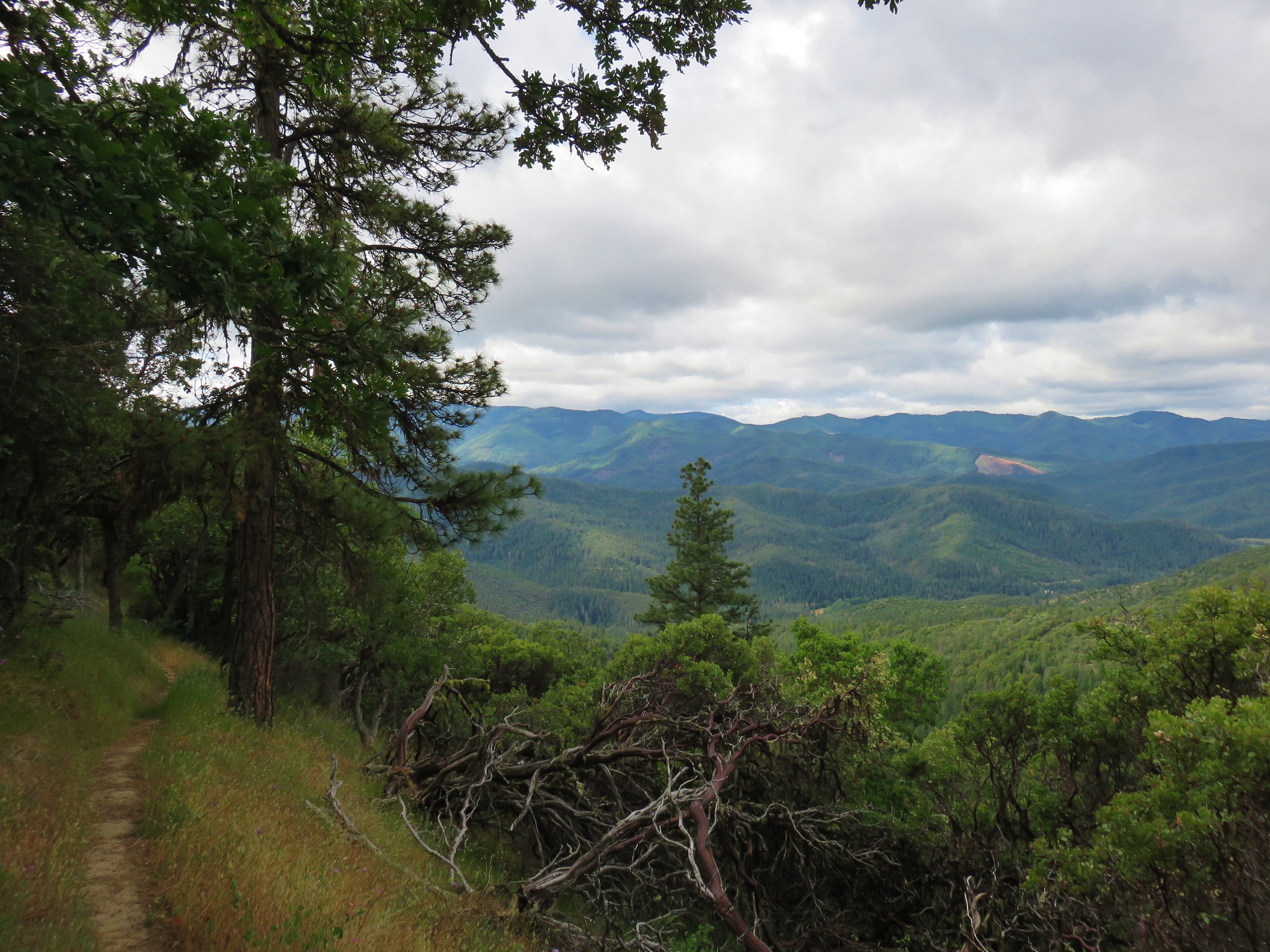
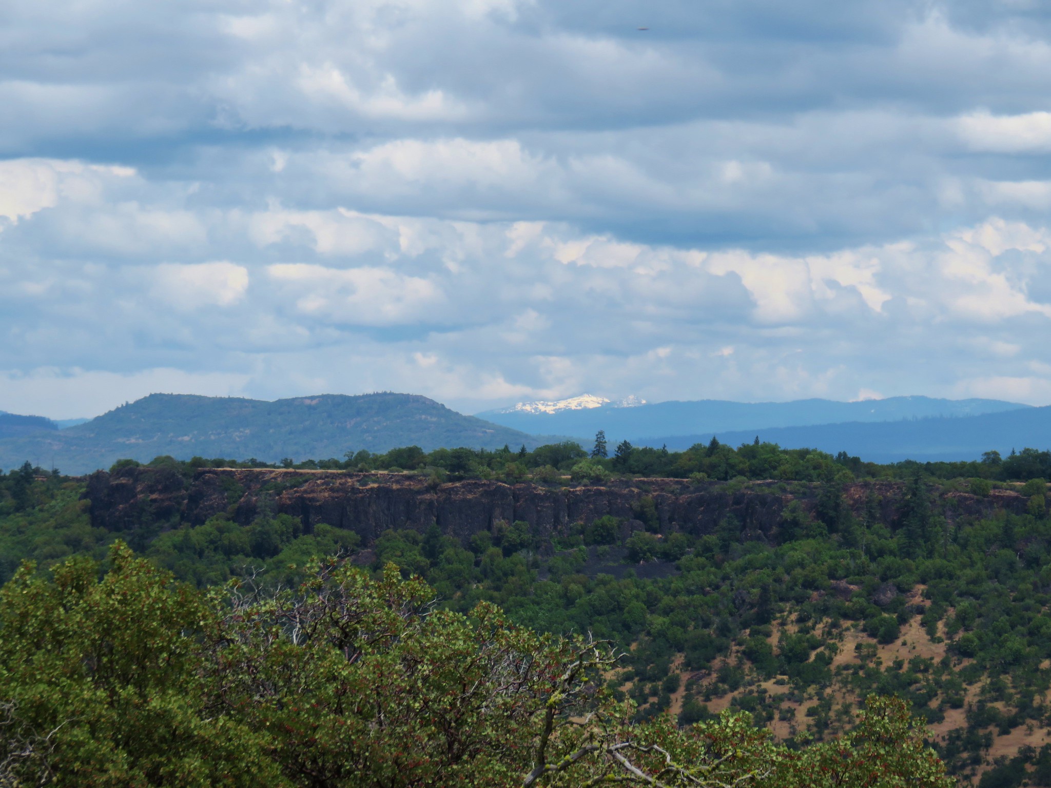
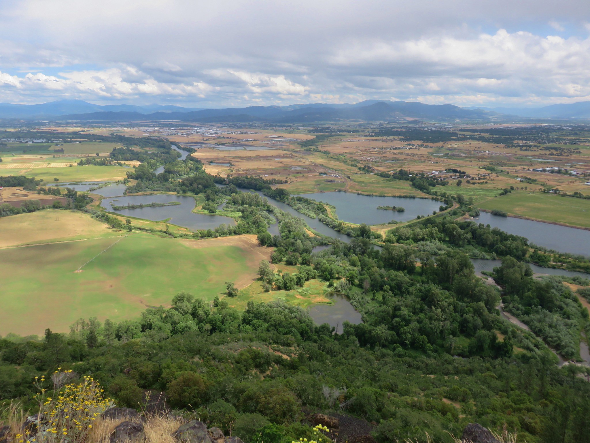
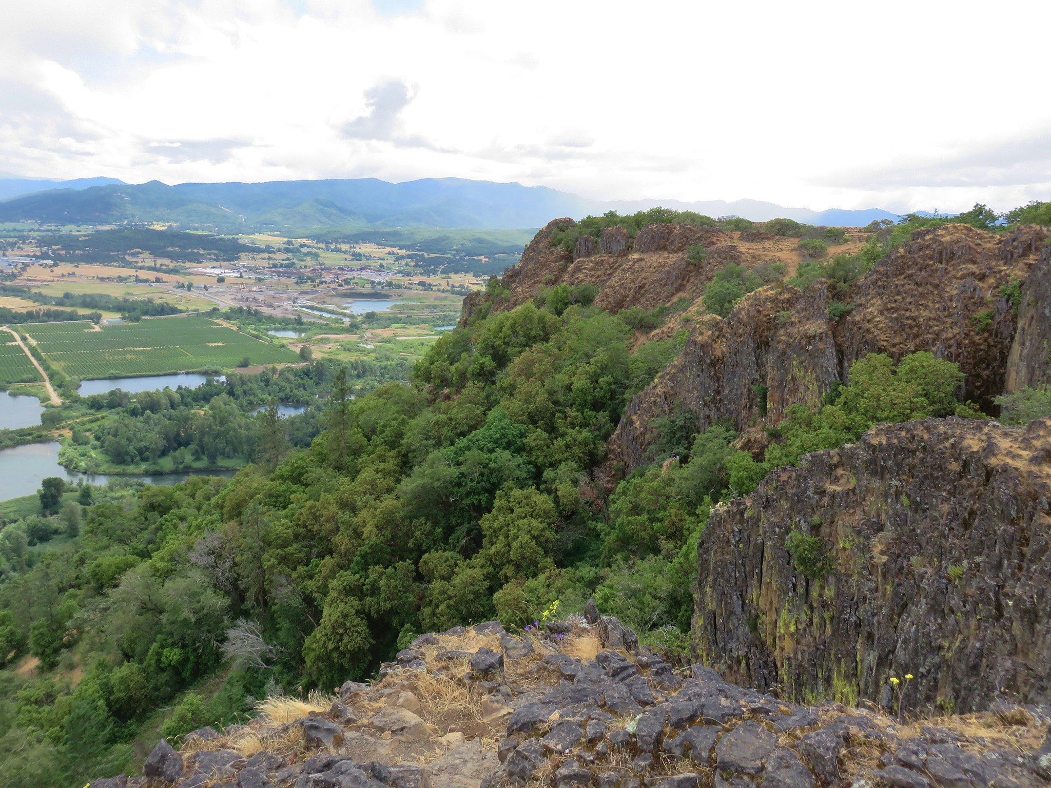
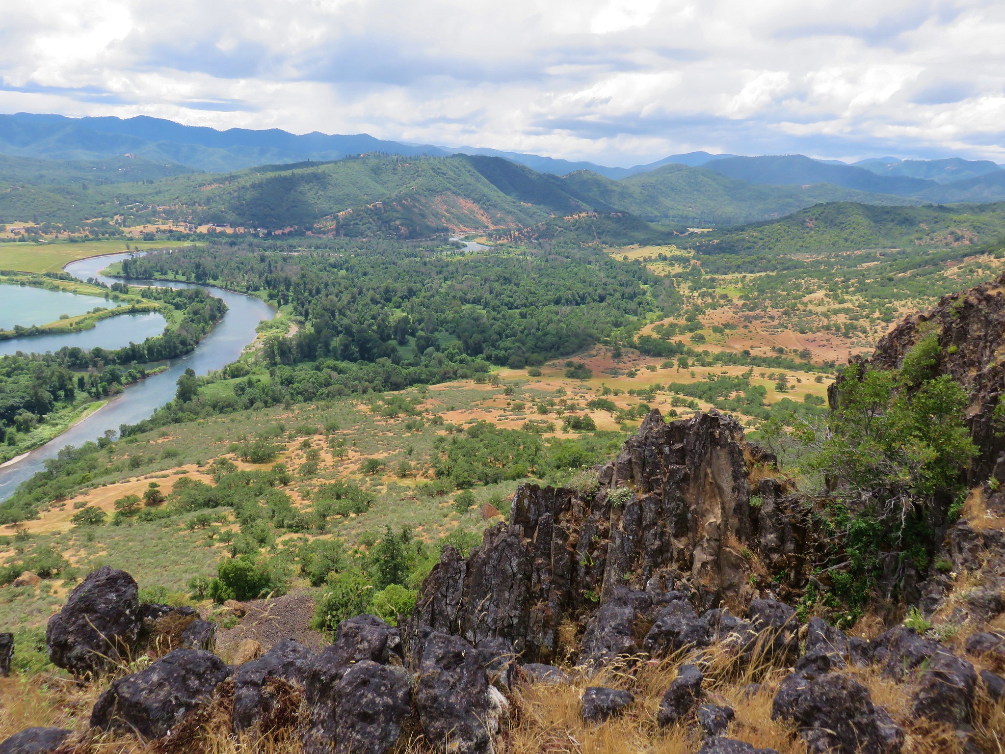
The view to the north was amazing and included some very interesting topographical formations.
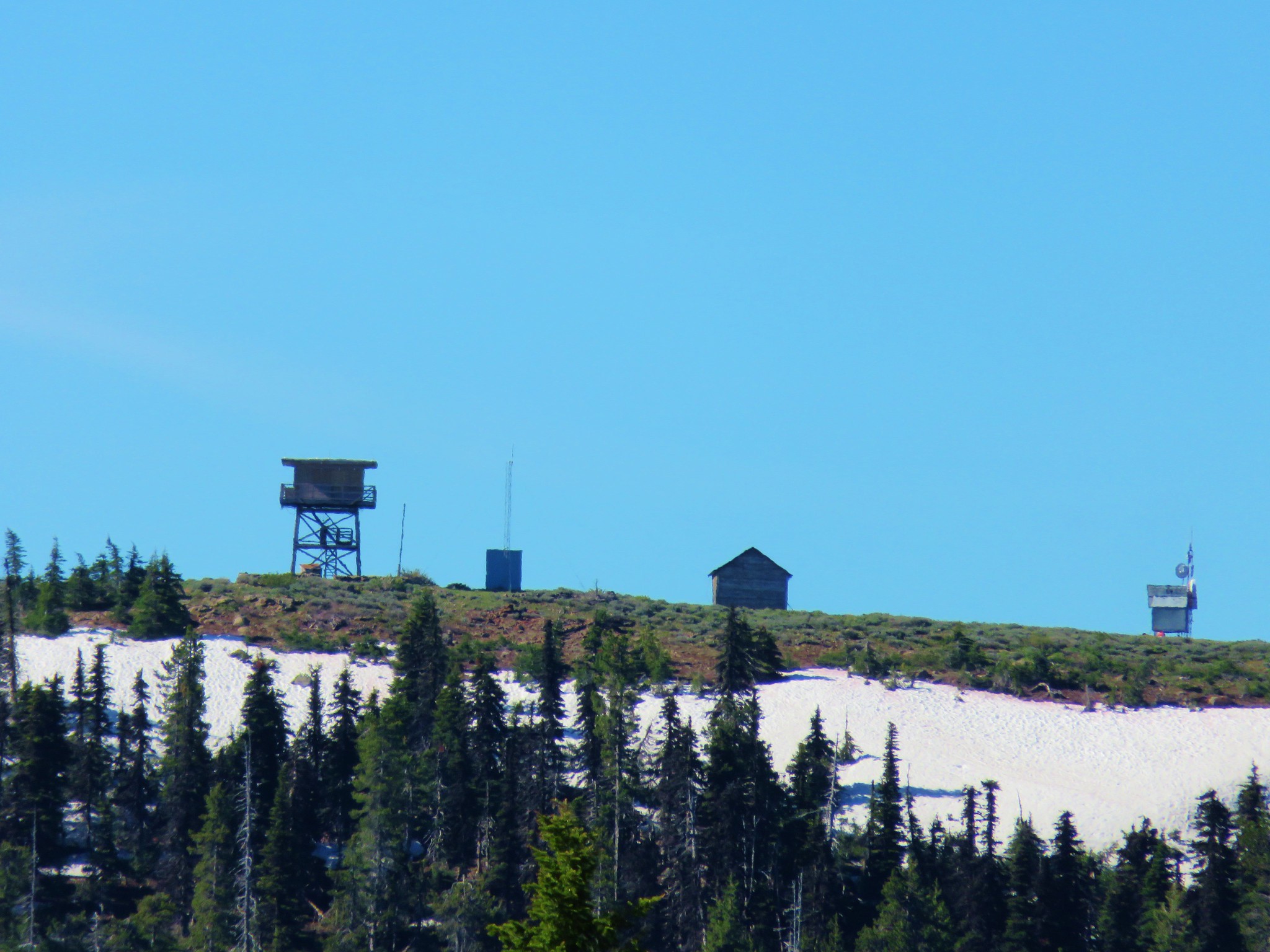
Behind us to the south lay Mt. Pisgah and the Mt. Pisgah Lookout
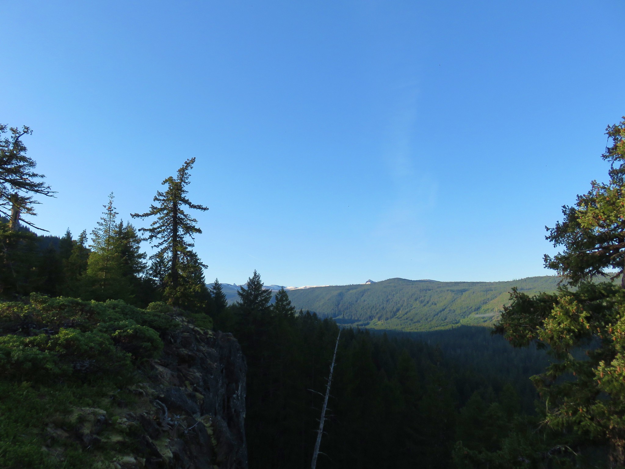
We made our way along the rim to North Point which was marked with a cairn.

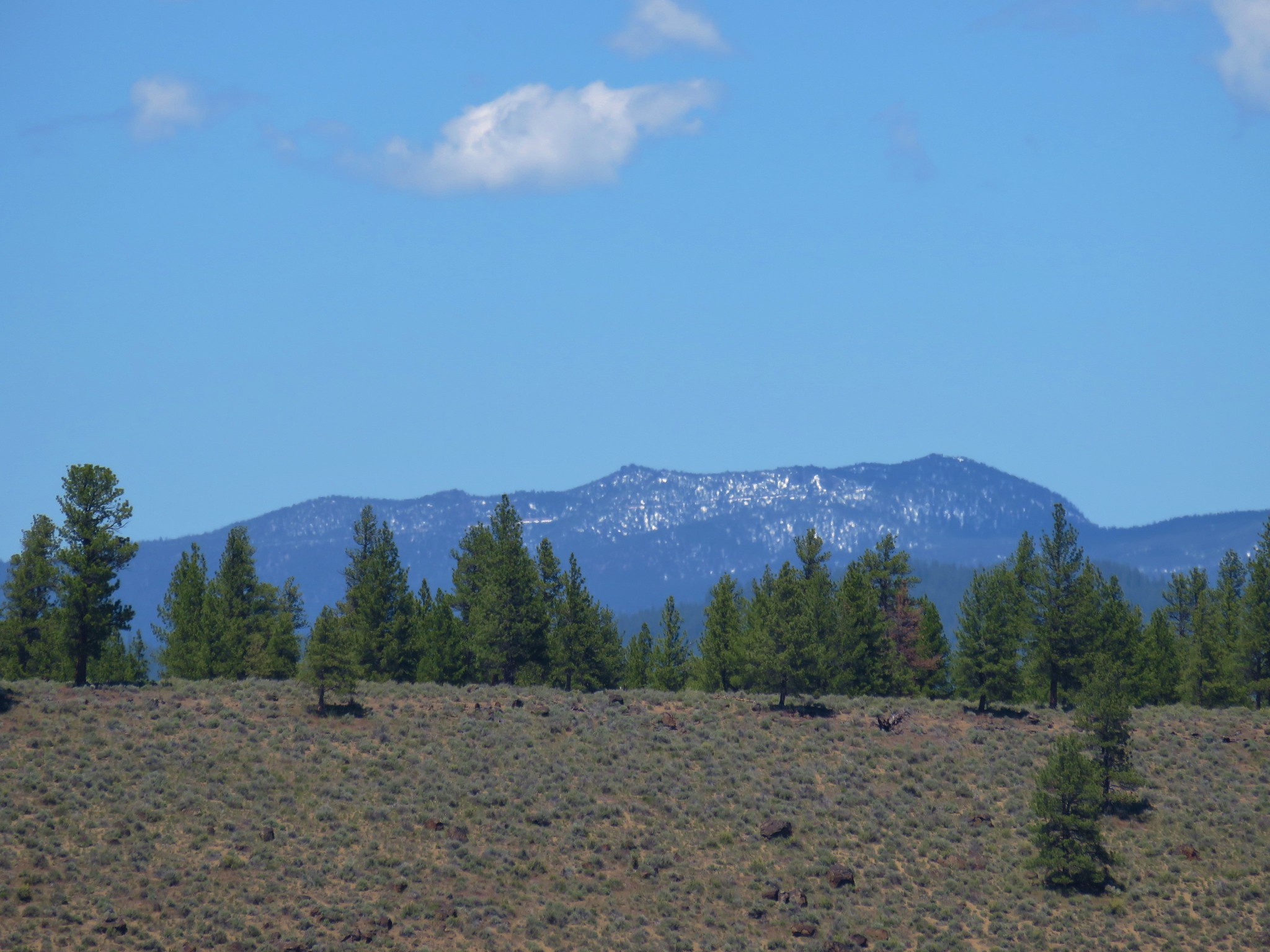
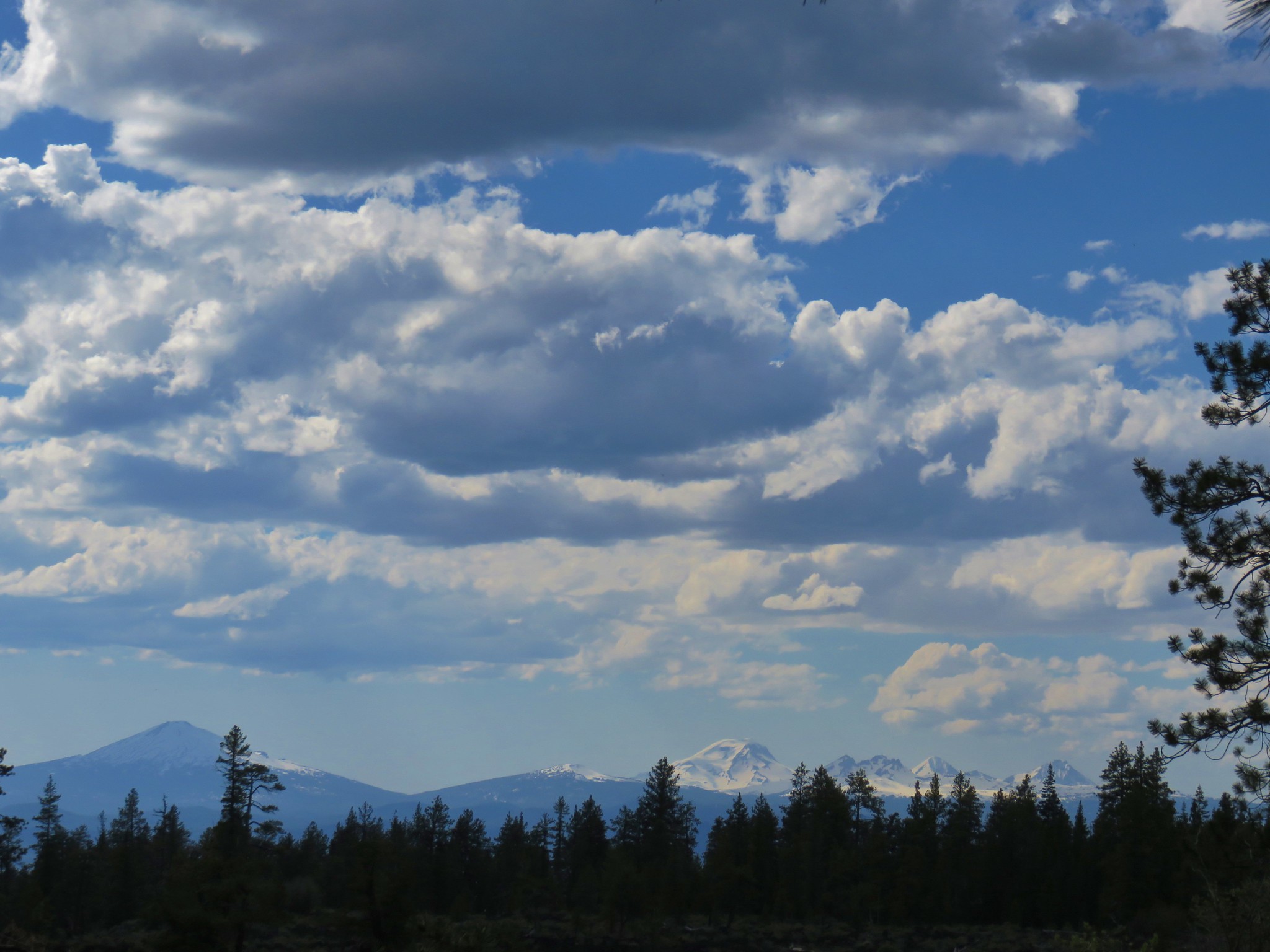
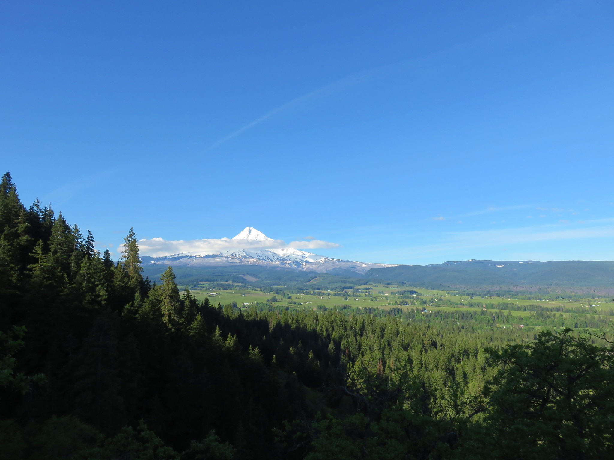
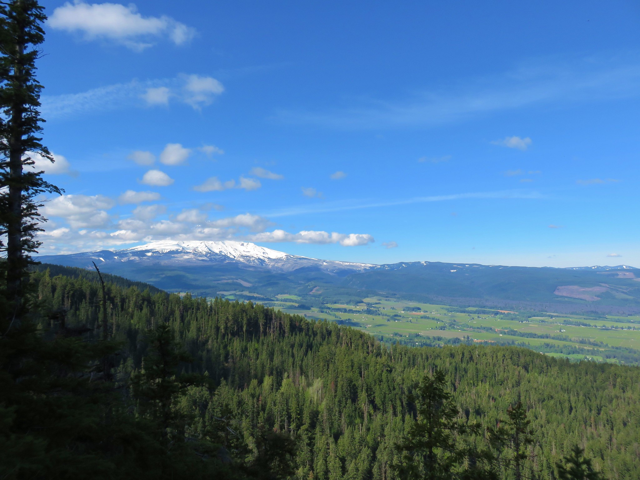
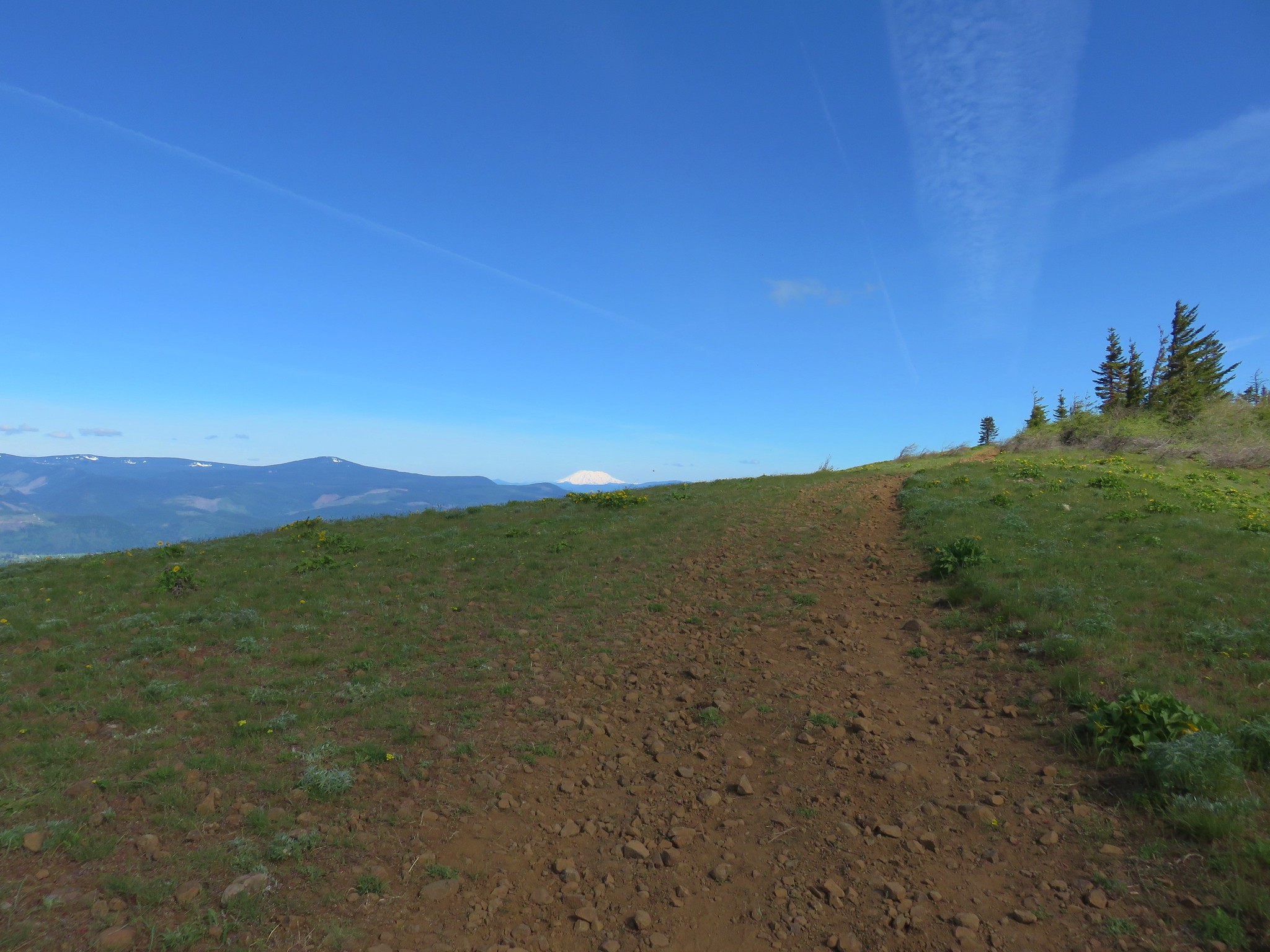
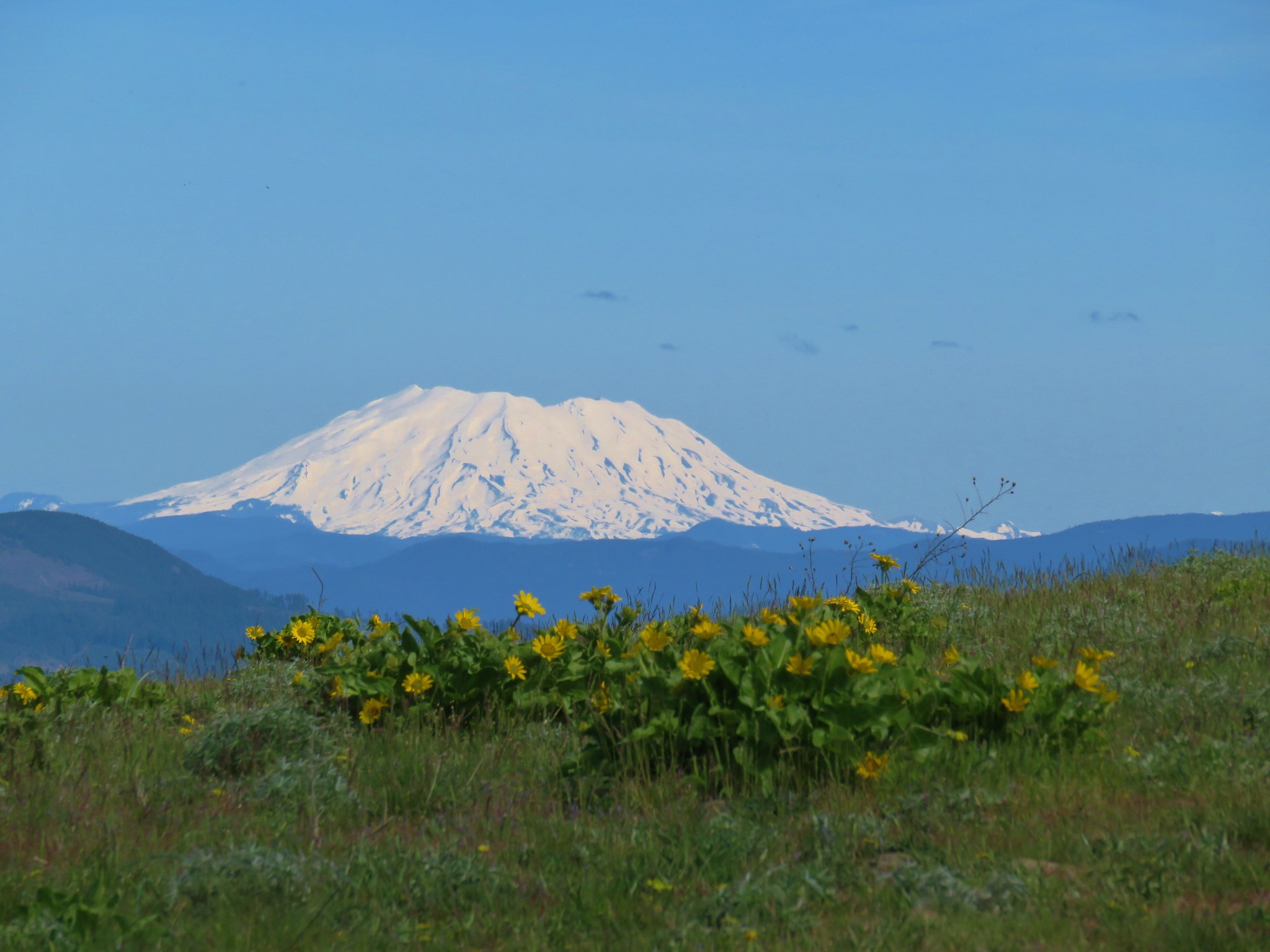
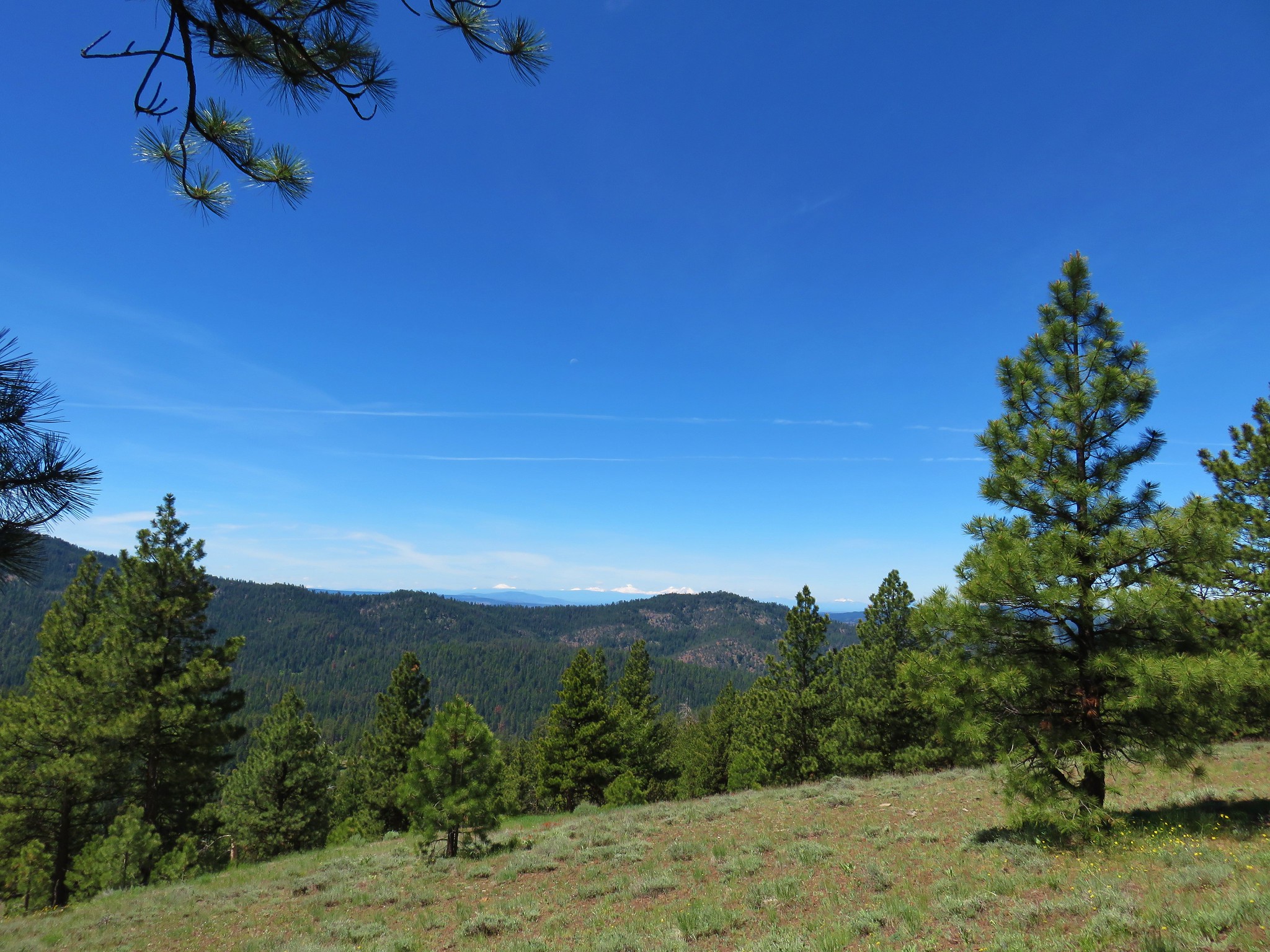
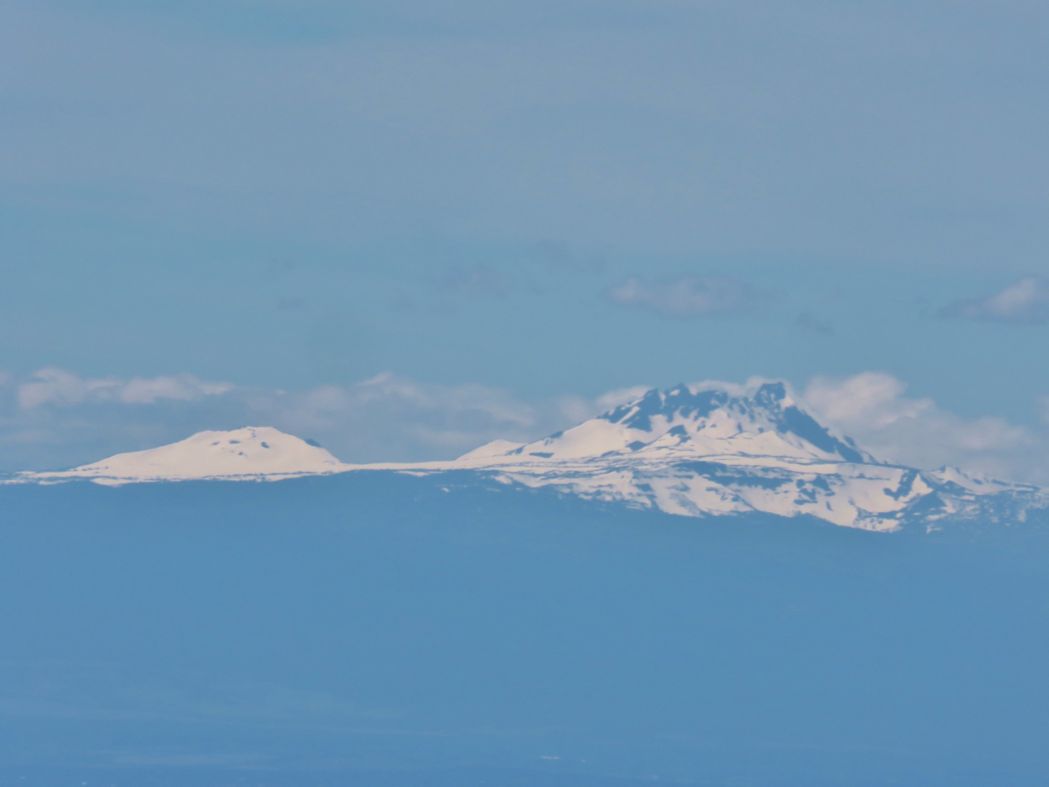
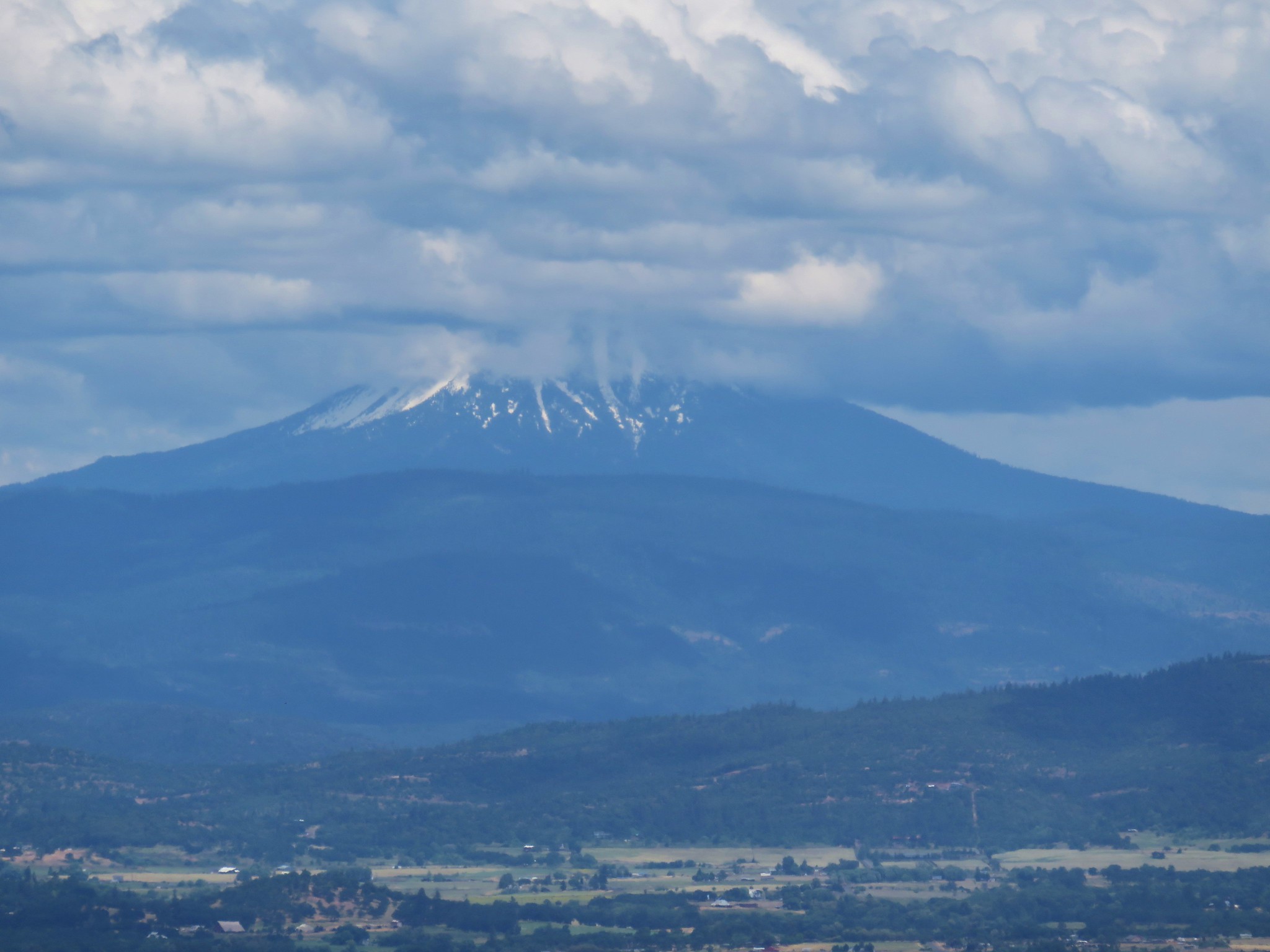
From North Point we could see parts of the Cascade Mountains from Mt. Bachelor to the south to Mt. Adams in Washington to the north. The only problem was a single line of clouds moving north right in our line of sight for the snowy volcanoes.

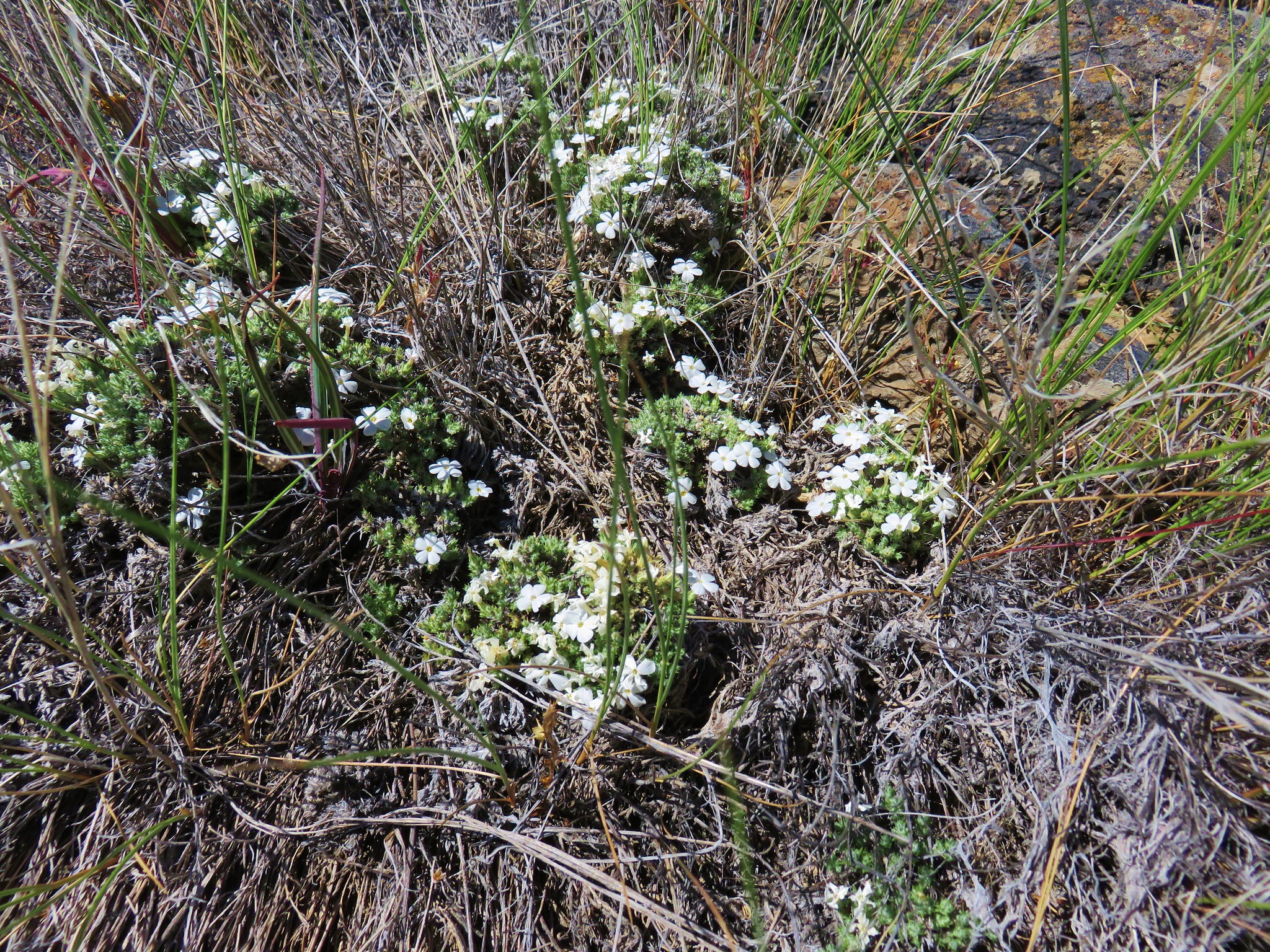
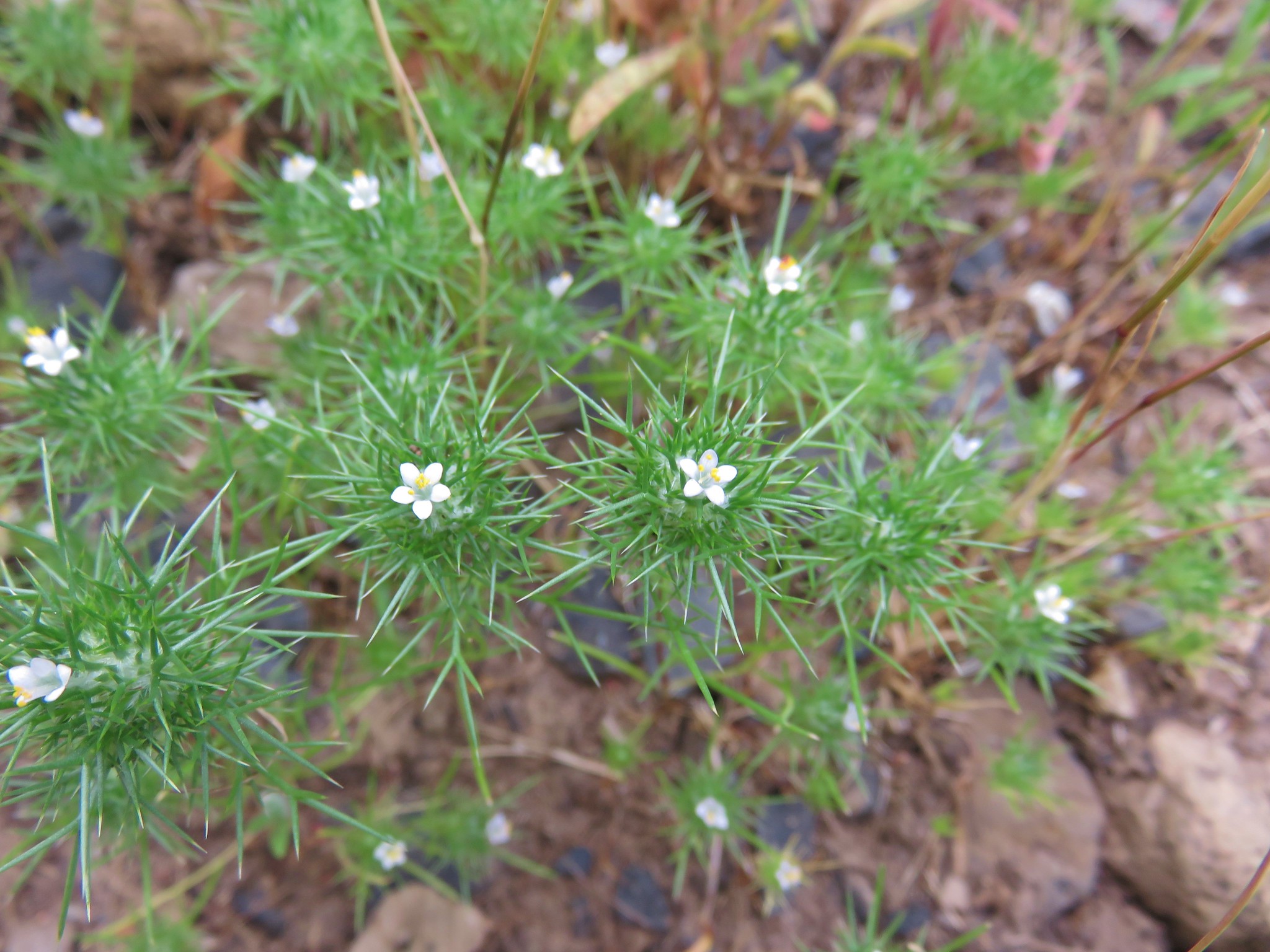
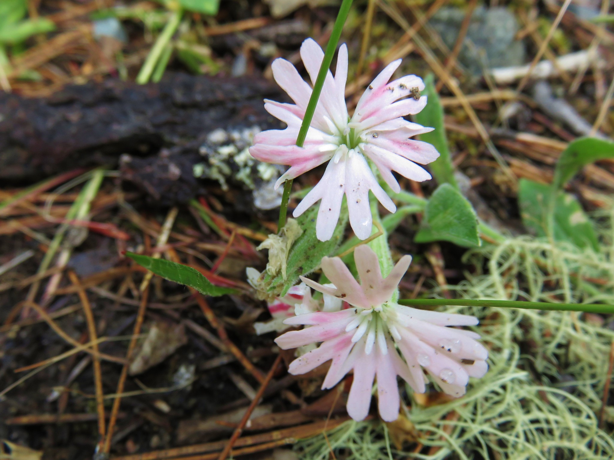
We spotted a few additional flowers on North Point.
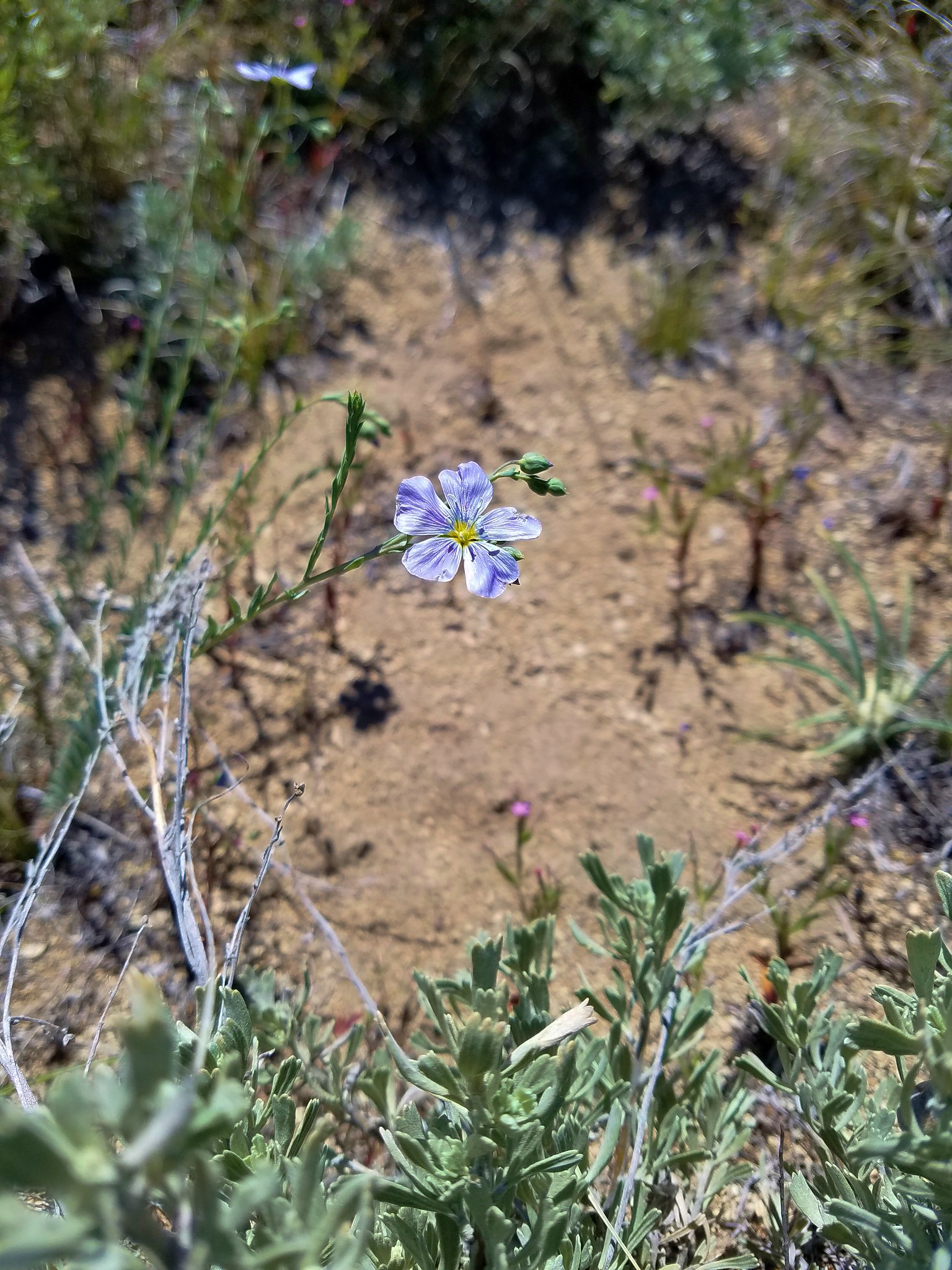
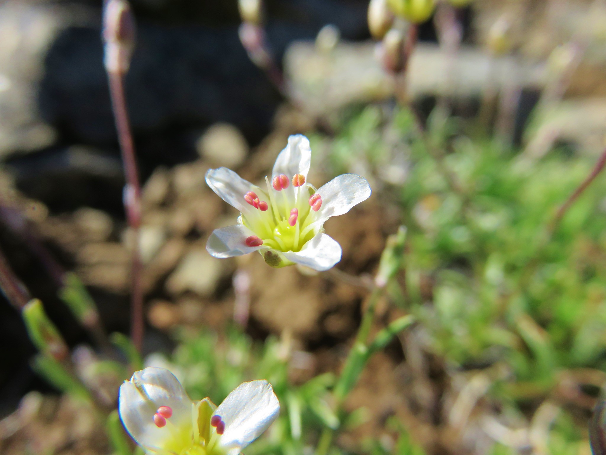 Sandwort
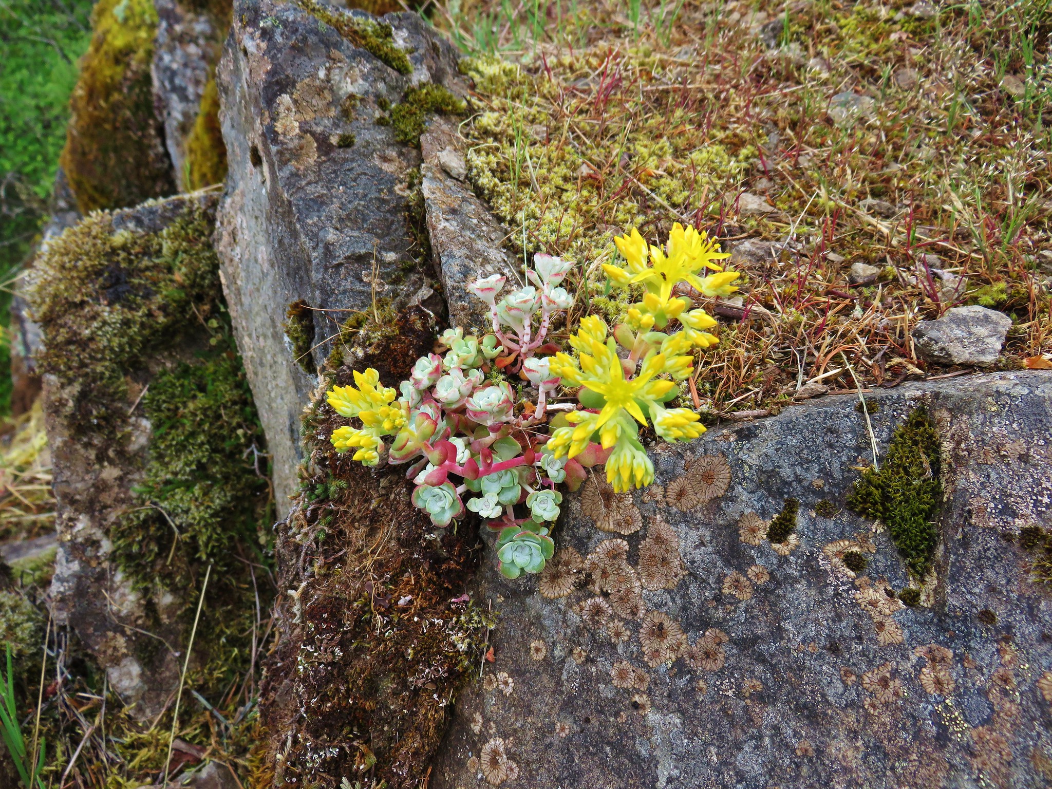
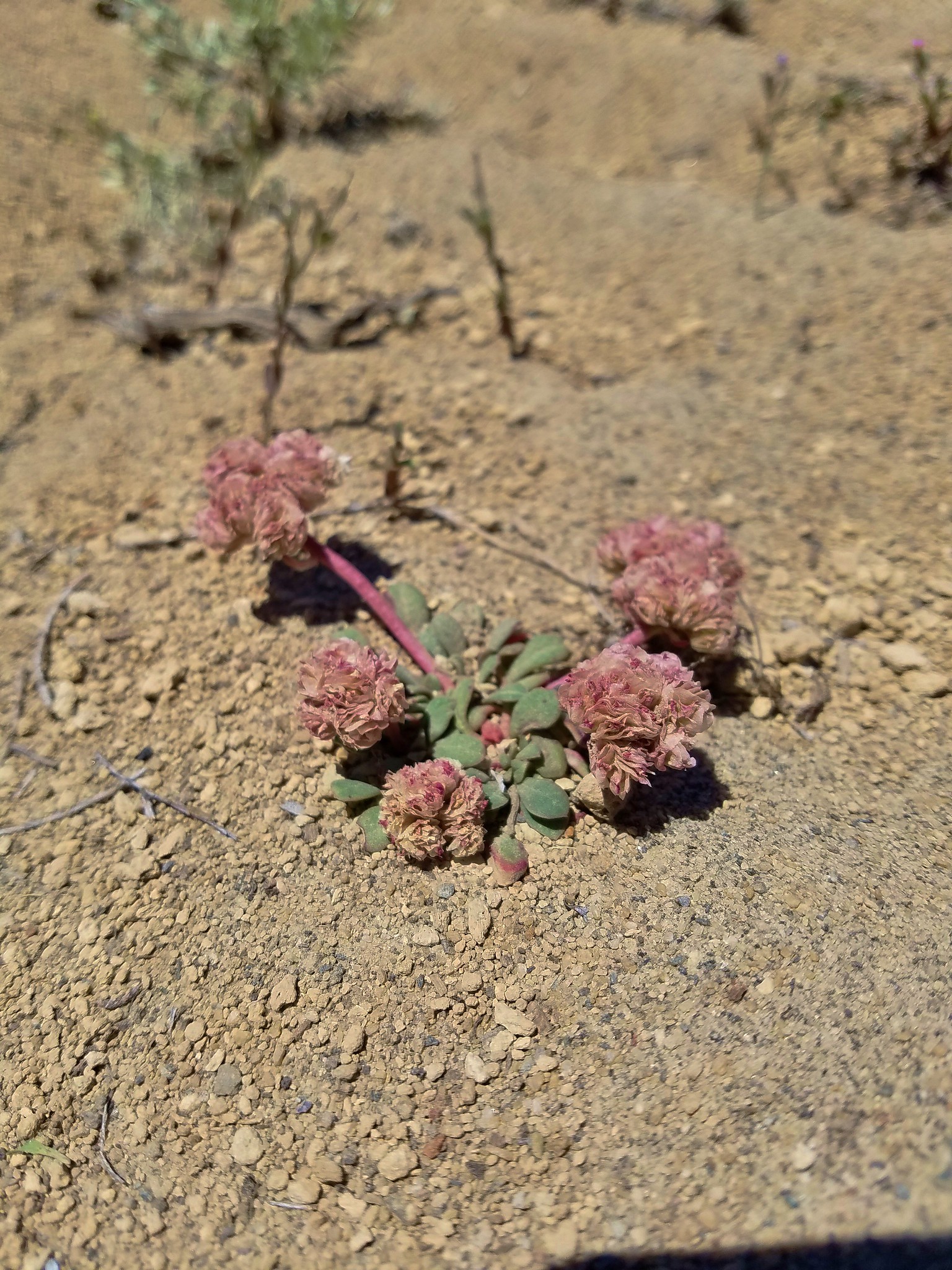
 A stonecrop?
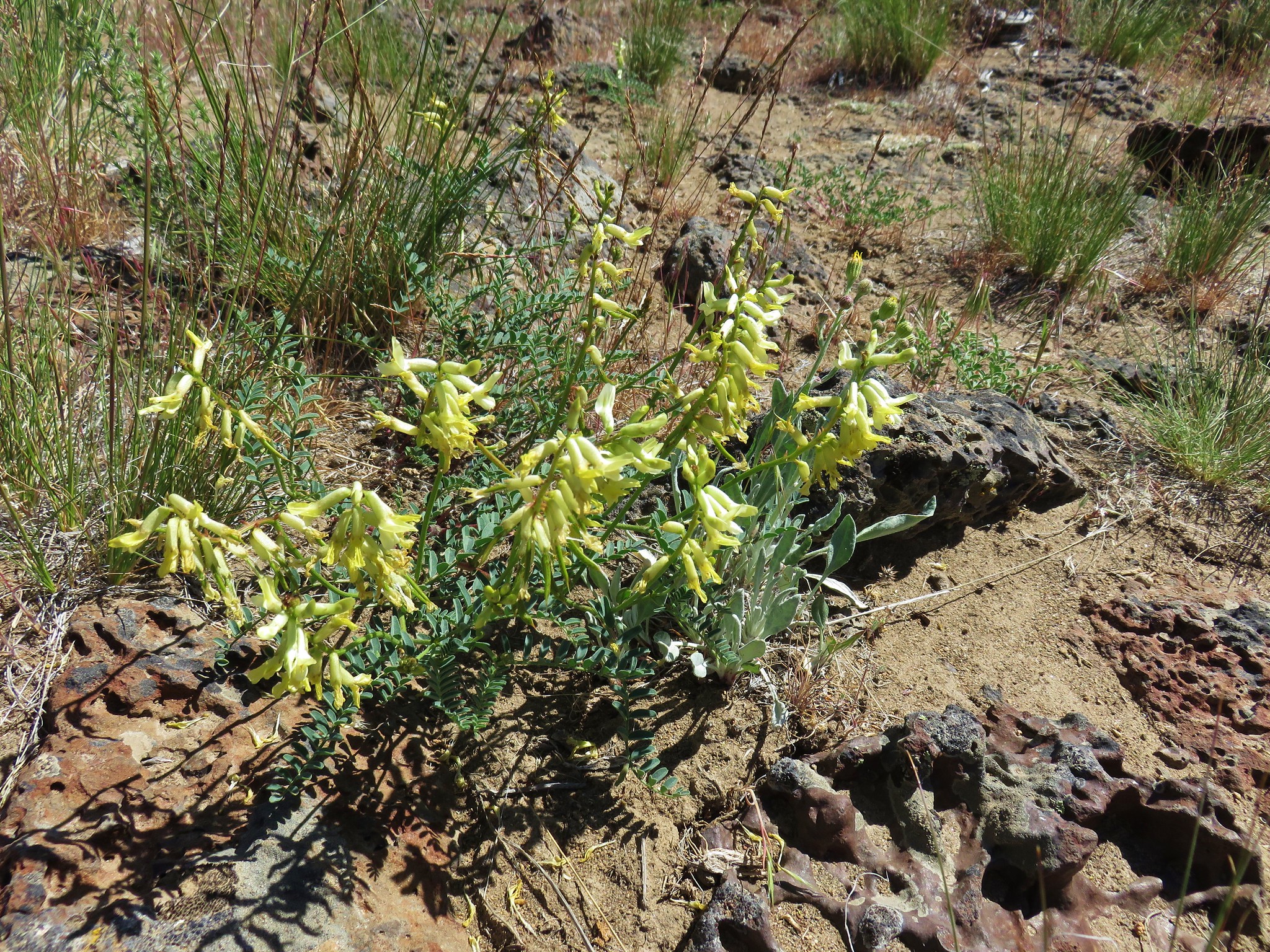
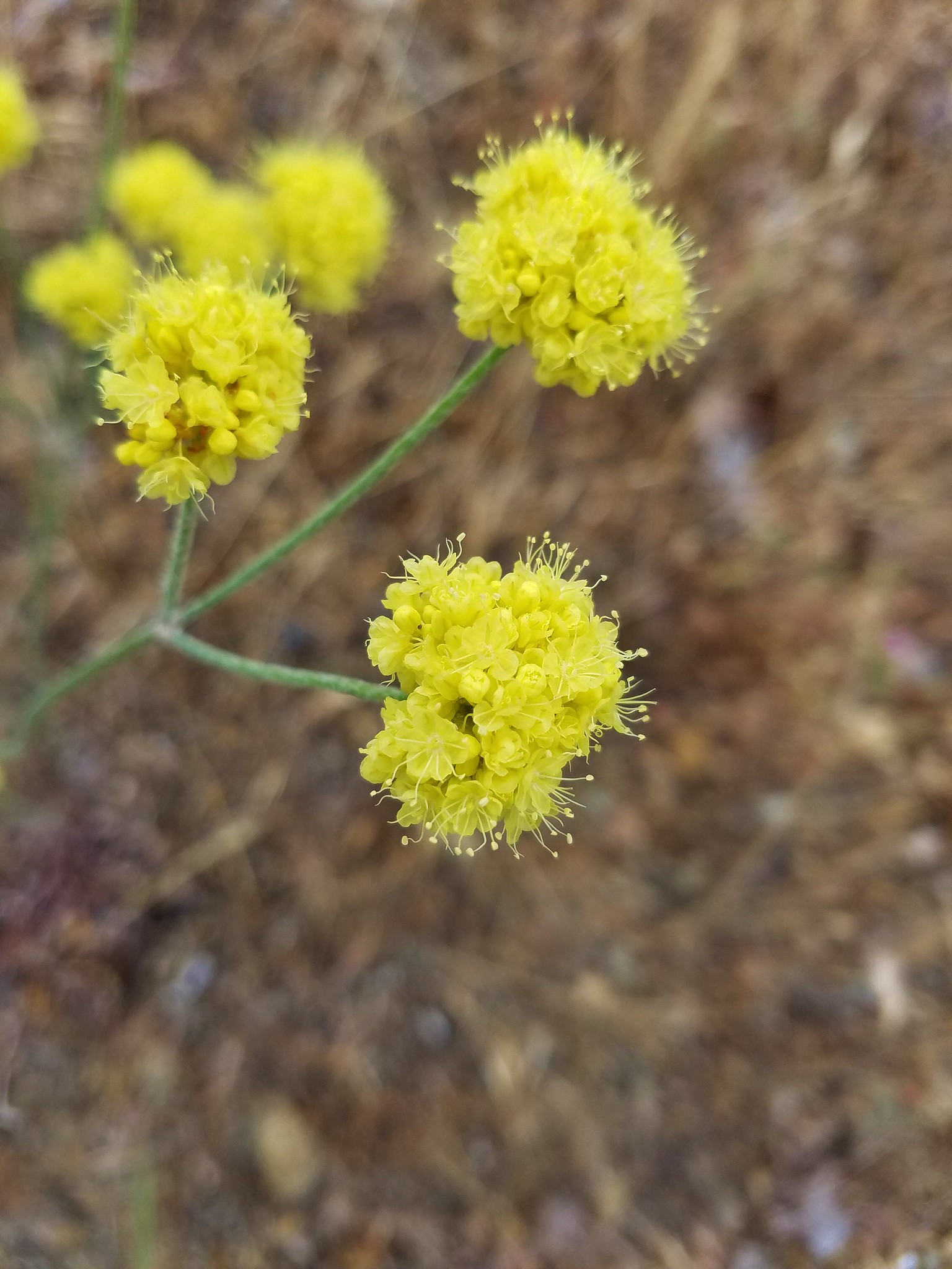
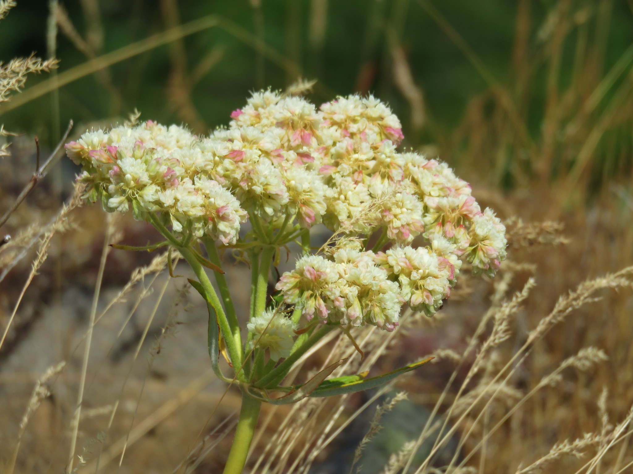
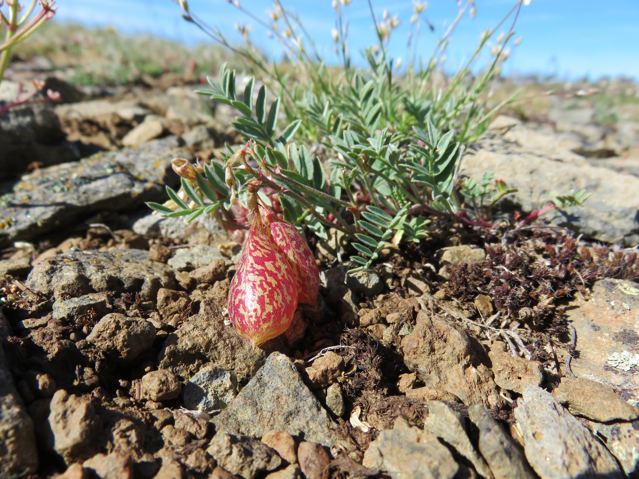 Balloon pod milk vetch
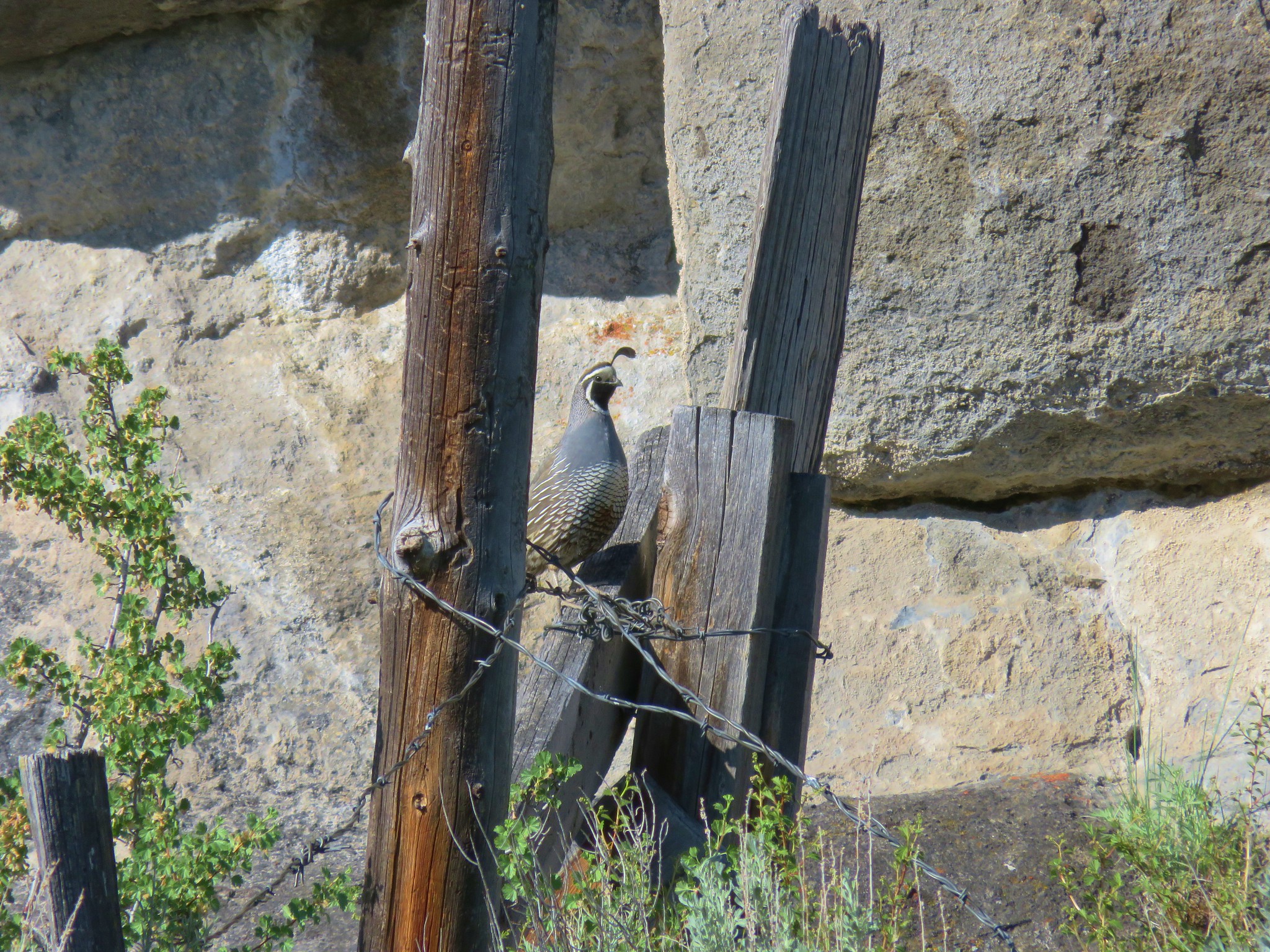
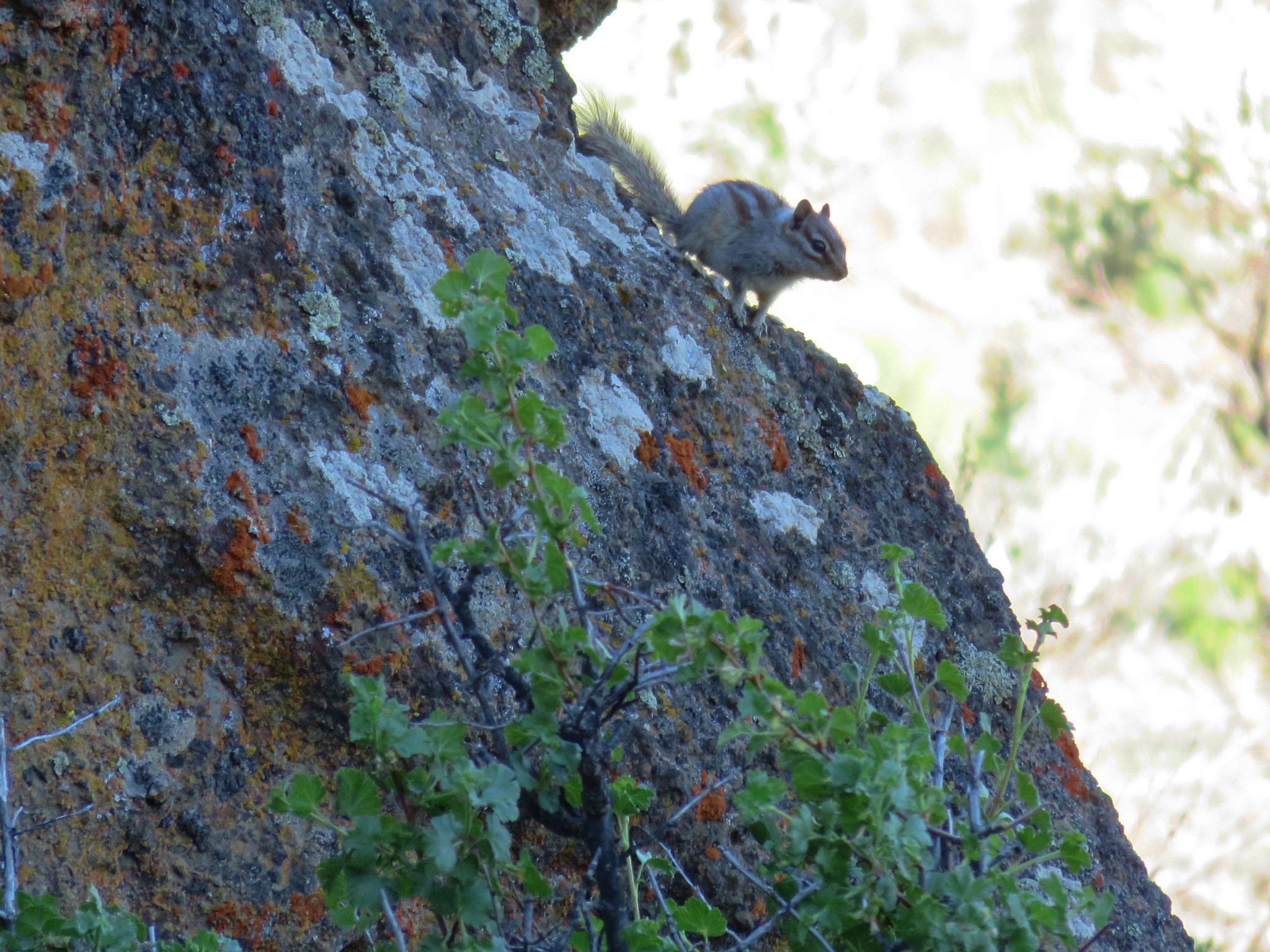
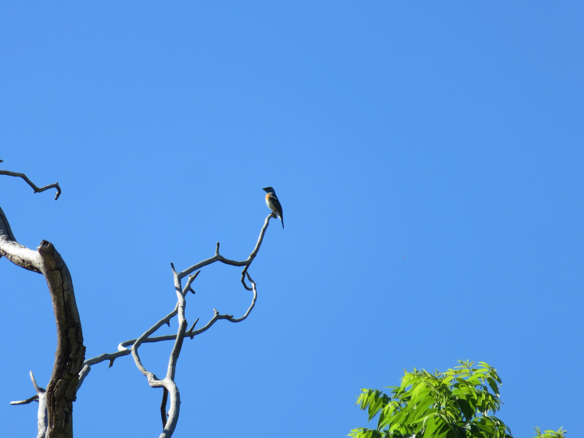
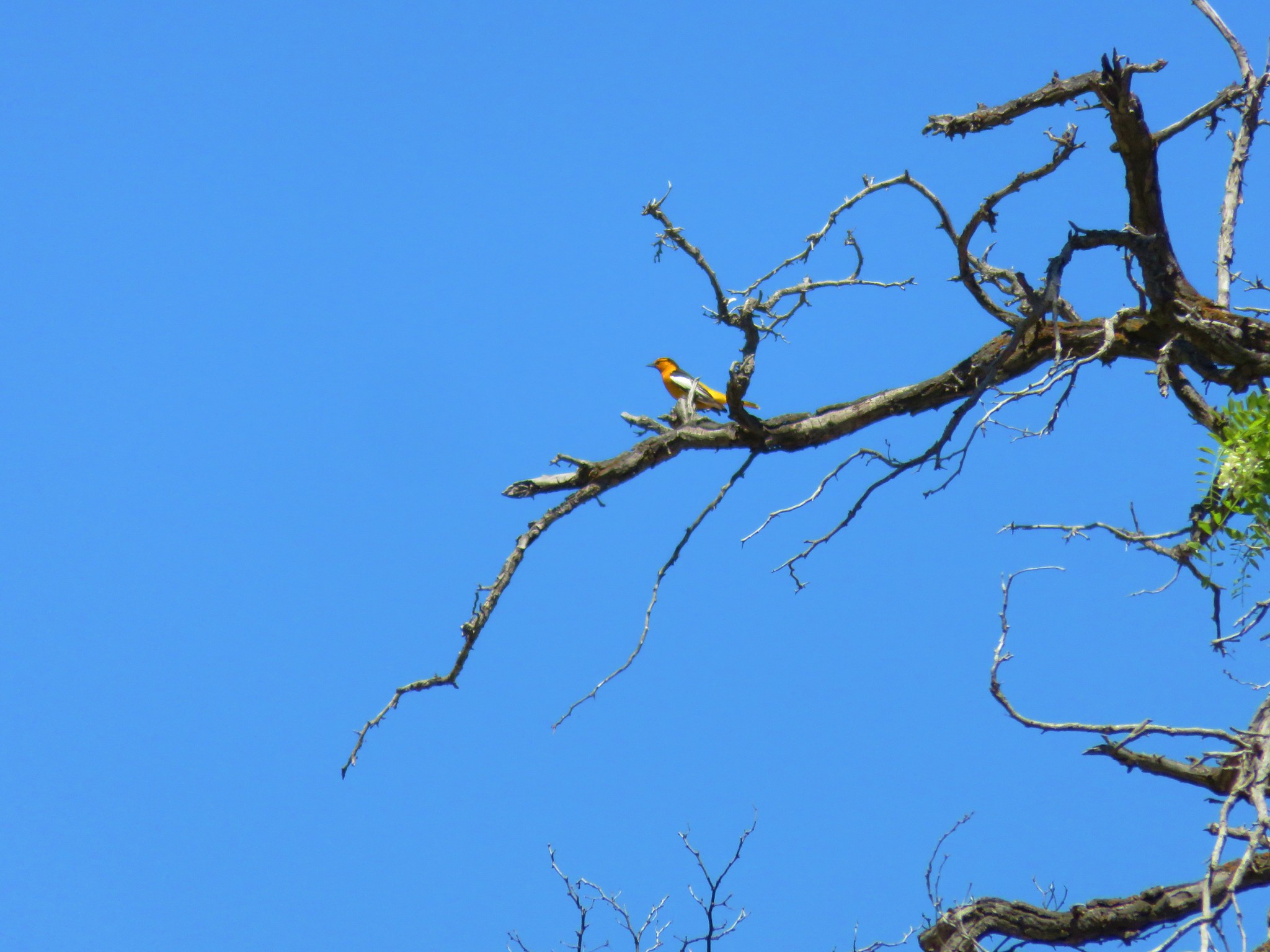
After taking in the views on what was shaping up to be a beautiful day we made our way back to our car amid the ever present sound of birds.


The hike to North Point had only been 2.2 miles round trip and we were heading for hike number two of the day, but first we wanted to check out Big Summit Prairie. After passing the point on Road 2630 where we had emerged from the apocalyptic section of road from the morning we continued on the gravel road .8 miles to NF-22 where we turned left. After 4.2 miles on NF-22 we turned right onto gravel South Howard Road for 1.6 miles then right again onto Badger Creek Road (NF 4210). We followed this road for 2.3 miles to Canyon Creek Road (NF-42) where we turned left. We drove 9.7 miles on NF 42 which travels along the southern side of Big Summit Prairie.
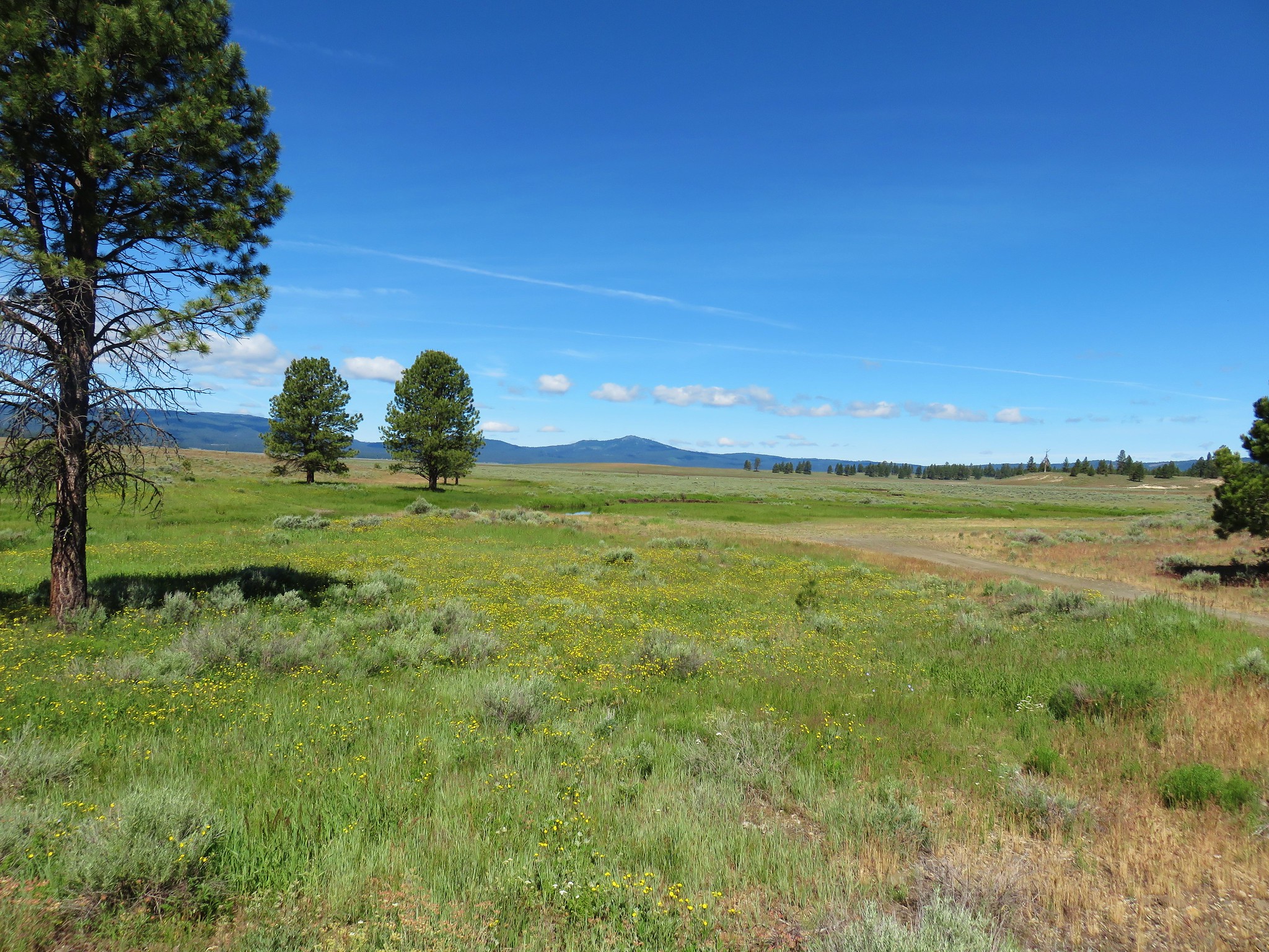
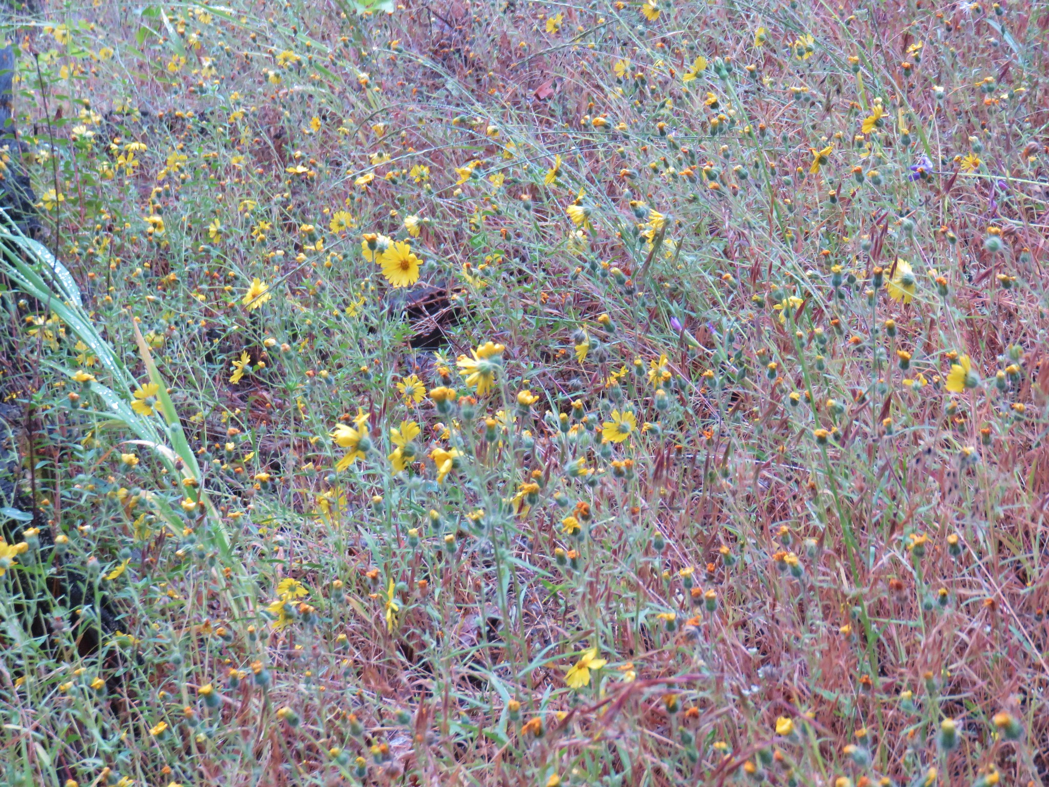
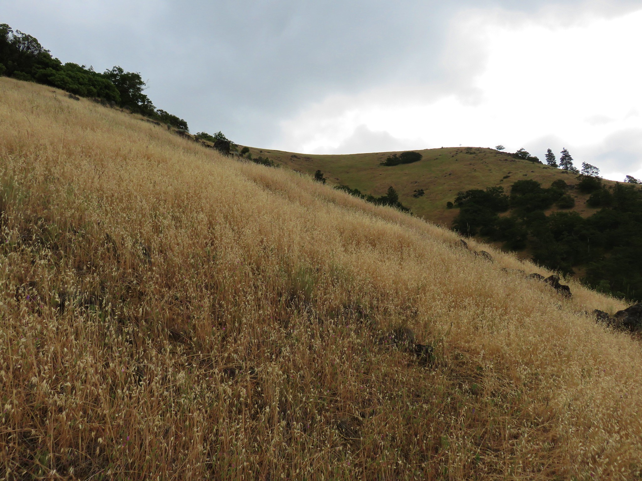
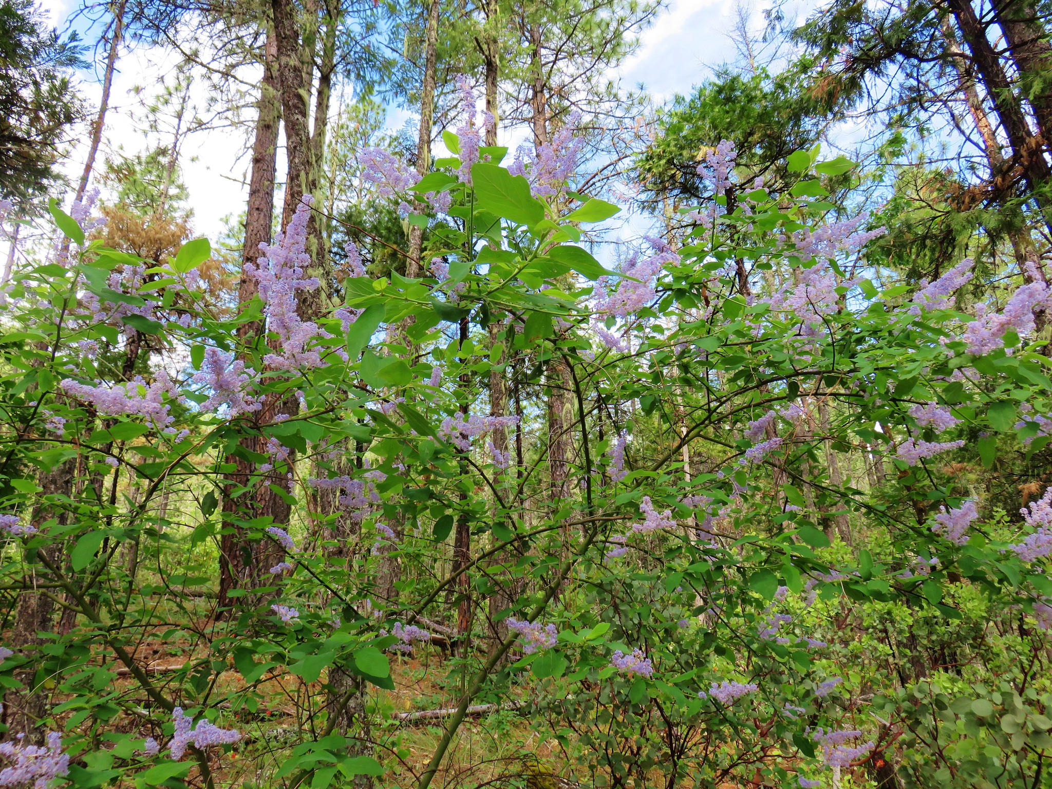
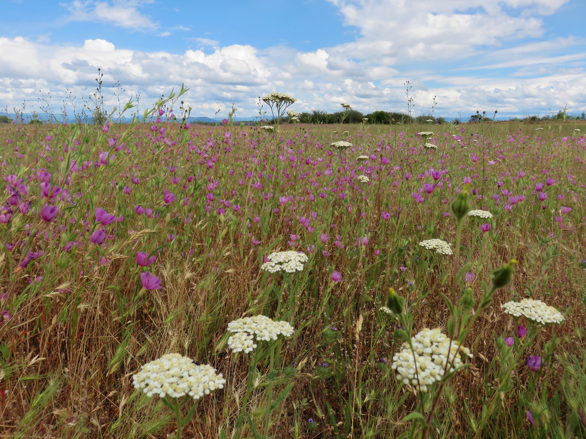
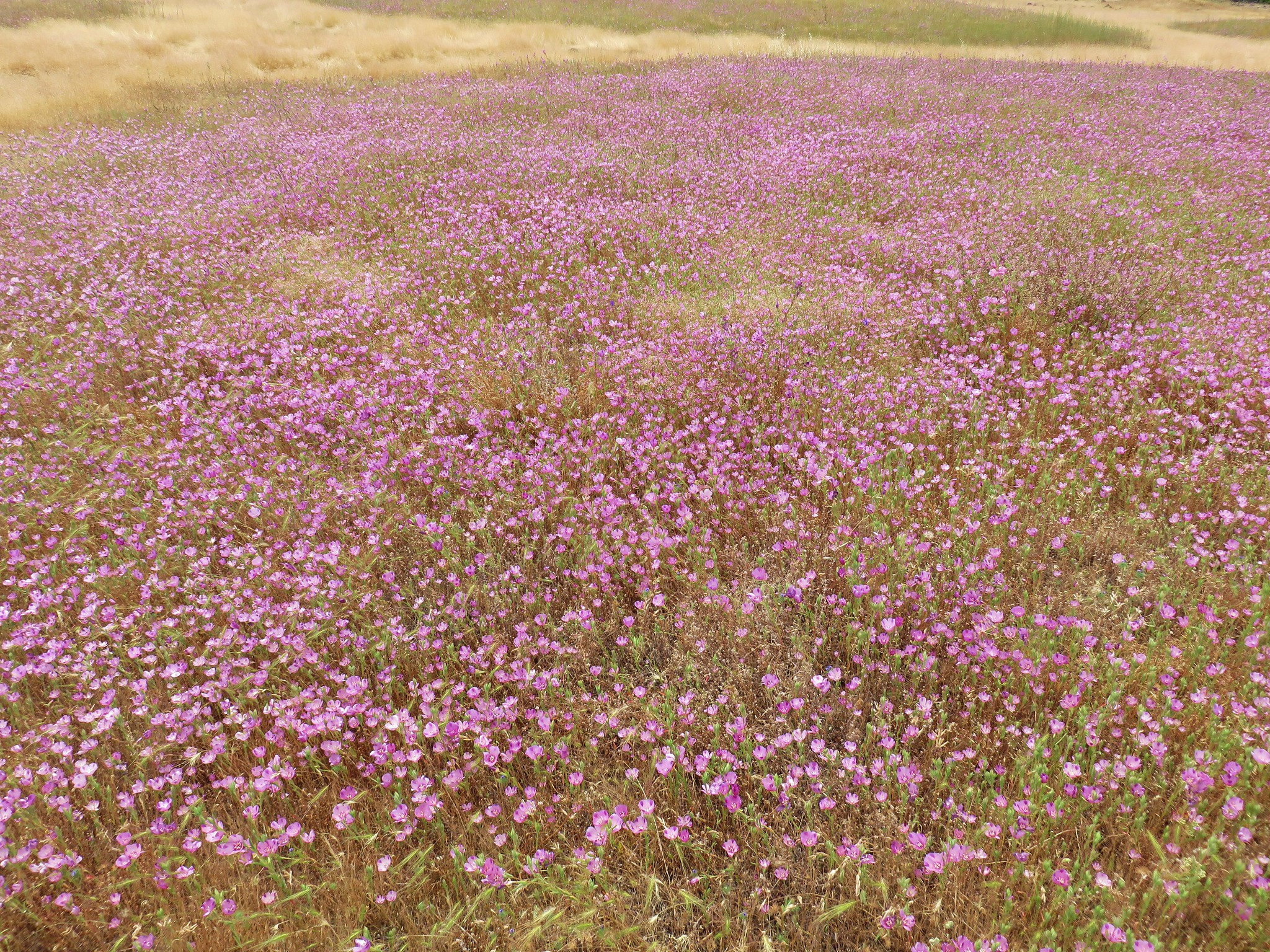
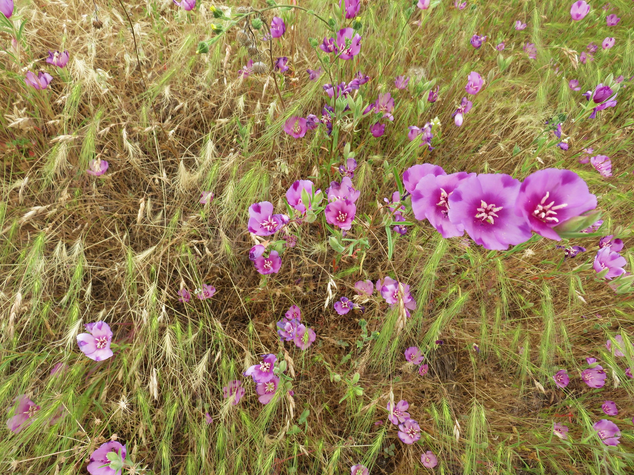
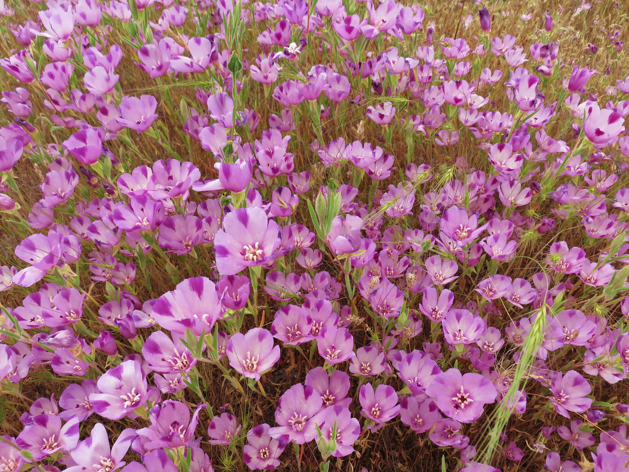
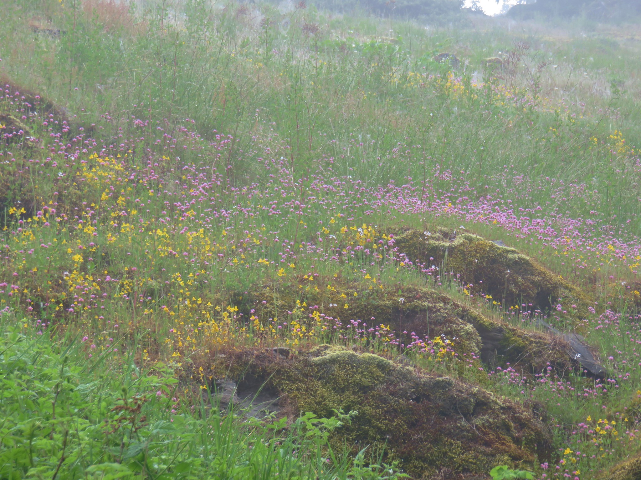
Covering several thousand acres in the middle of the Ochoco Mountains, Big Summit Prairie sports some impressive wildflower displays from April through Mid-June. We were hoping that we weren’t too late for the show, but alas we seemed to be on the tail-end of the last flowers.
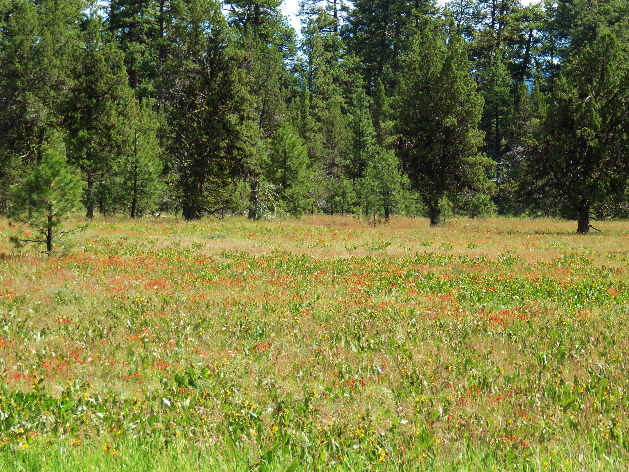

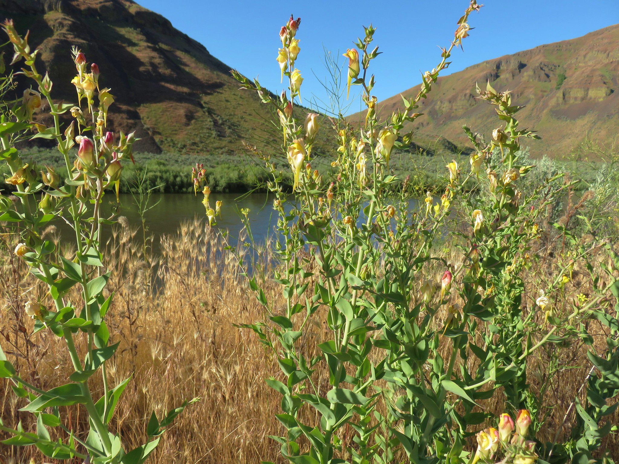
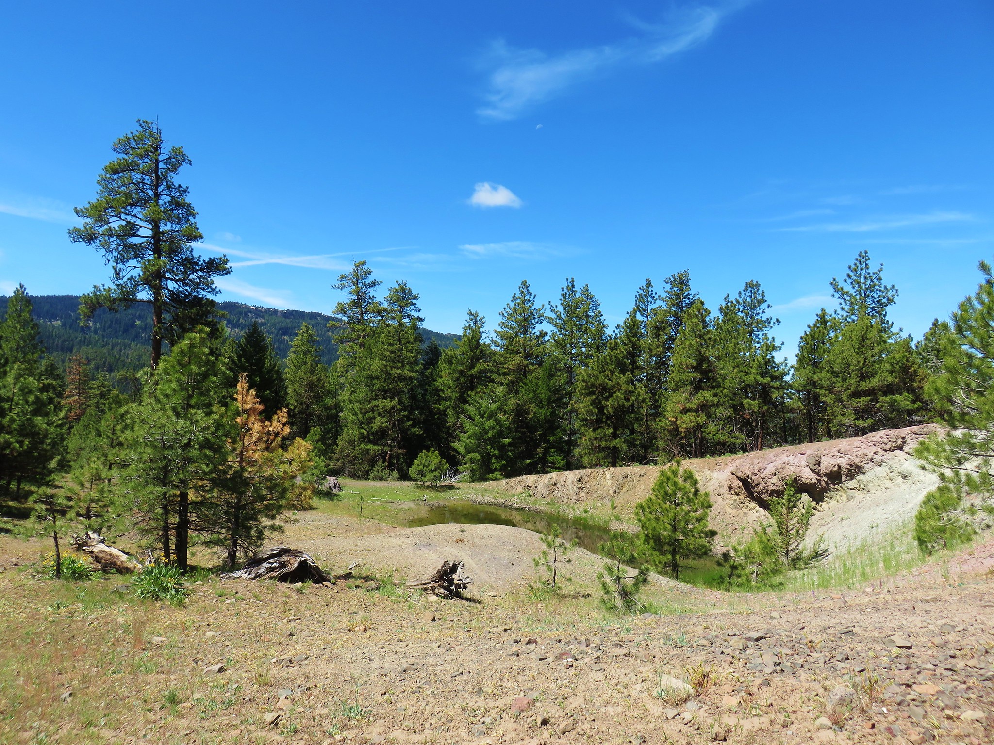
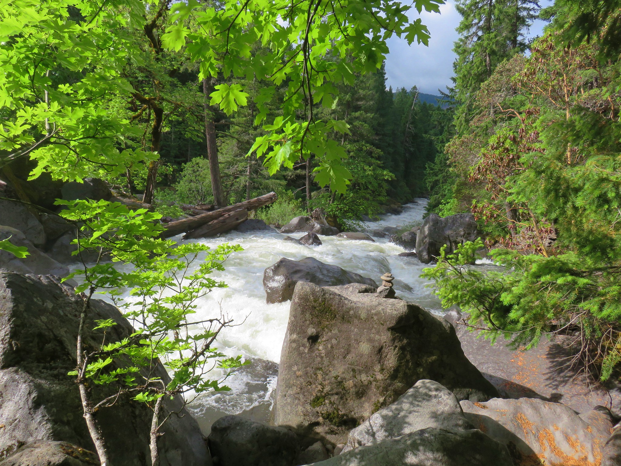
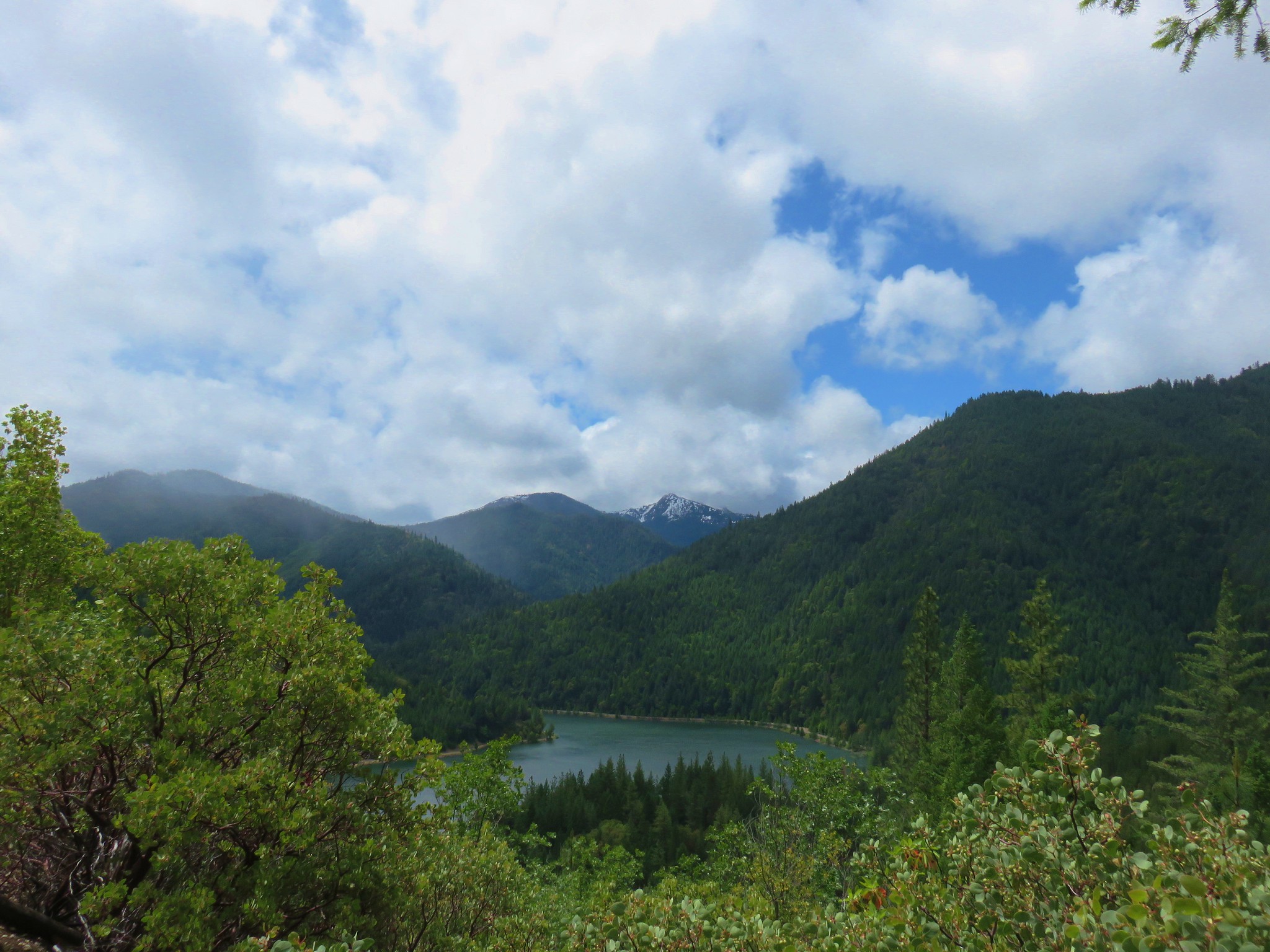
We stopped near the North Fork Crooked River bridge and took a look at our next goal, Round Mountain rising to the west.
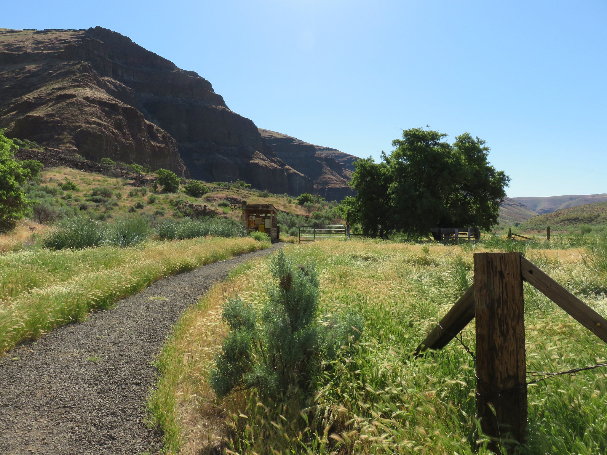
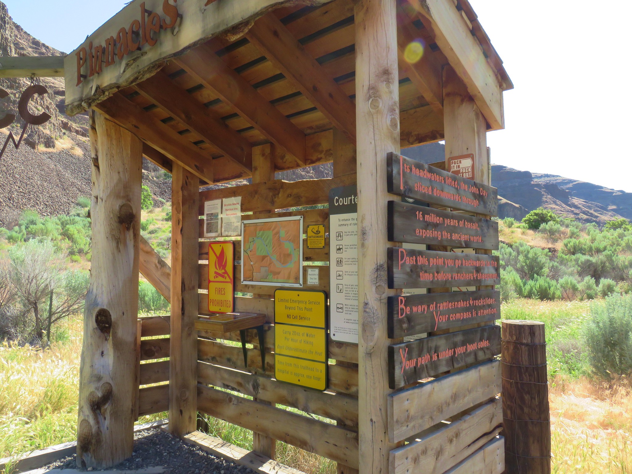
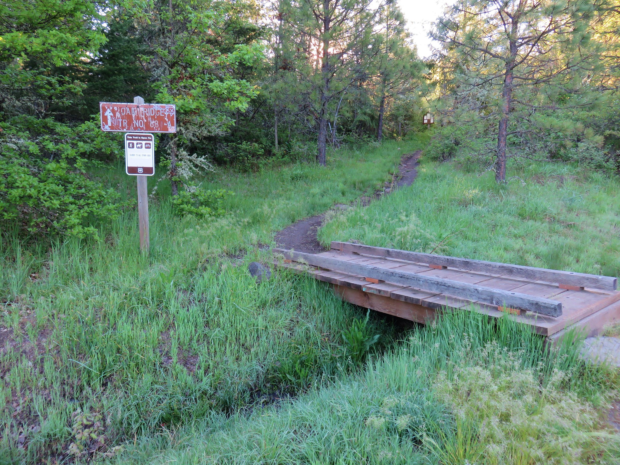
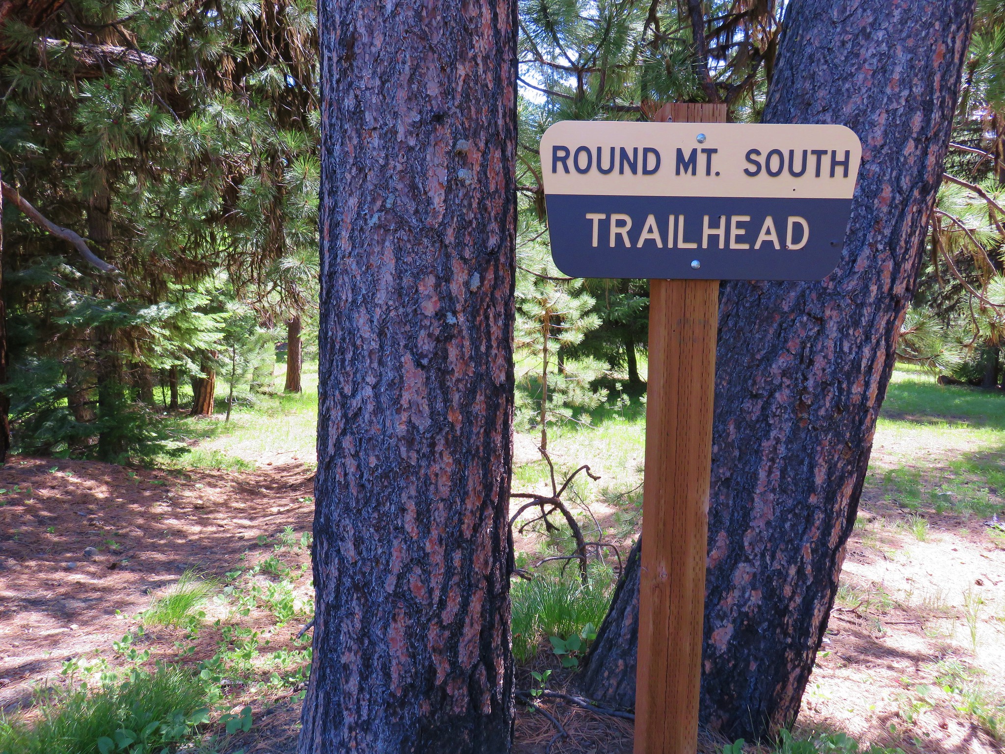
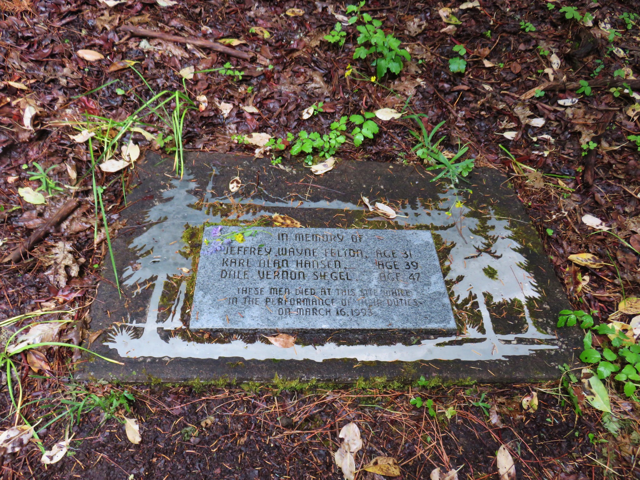
We drove back on NF-42 12.7 miles to a sign for the Independent Mine on the left. We had been here before in 2014 when we hiked to the summit of Lookout Mountain.
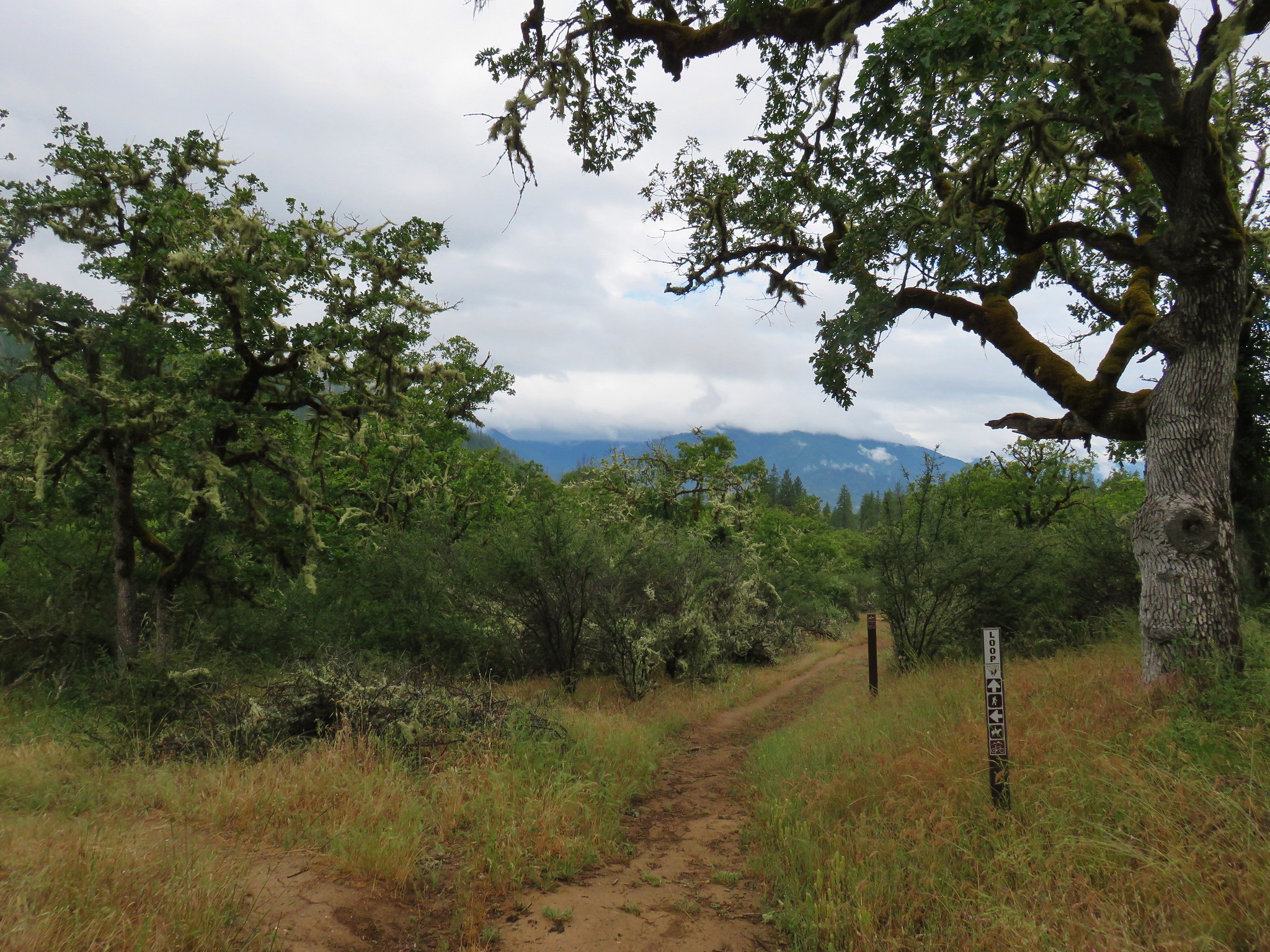
We parked at the same trailhead as before just a few hundred feet up Road 4205. A good sized parking area here doubles as the Lower Lookout Mountain and the Round Mountain South Trailheads.
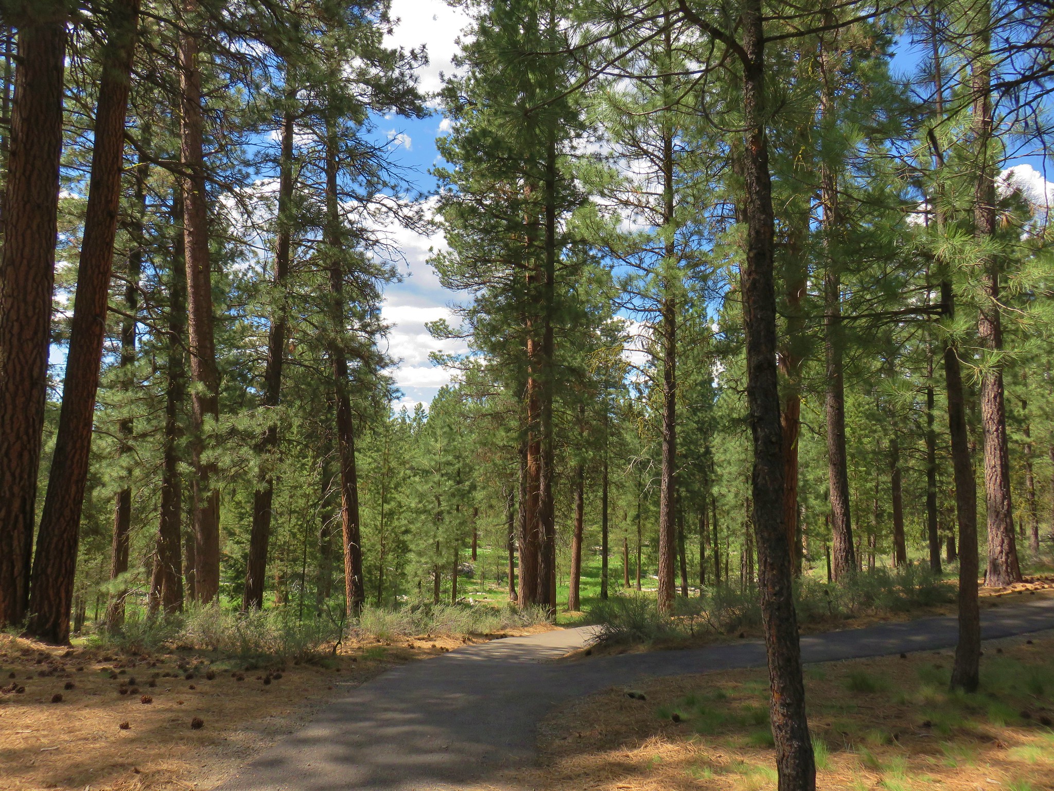
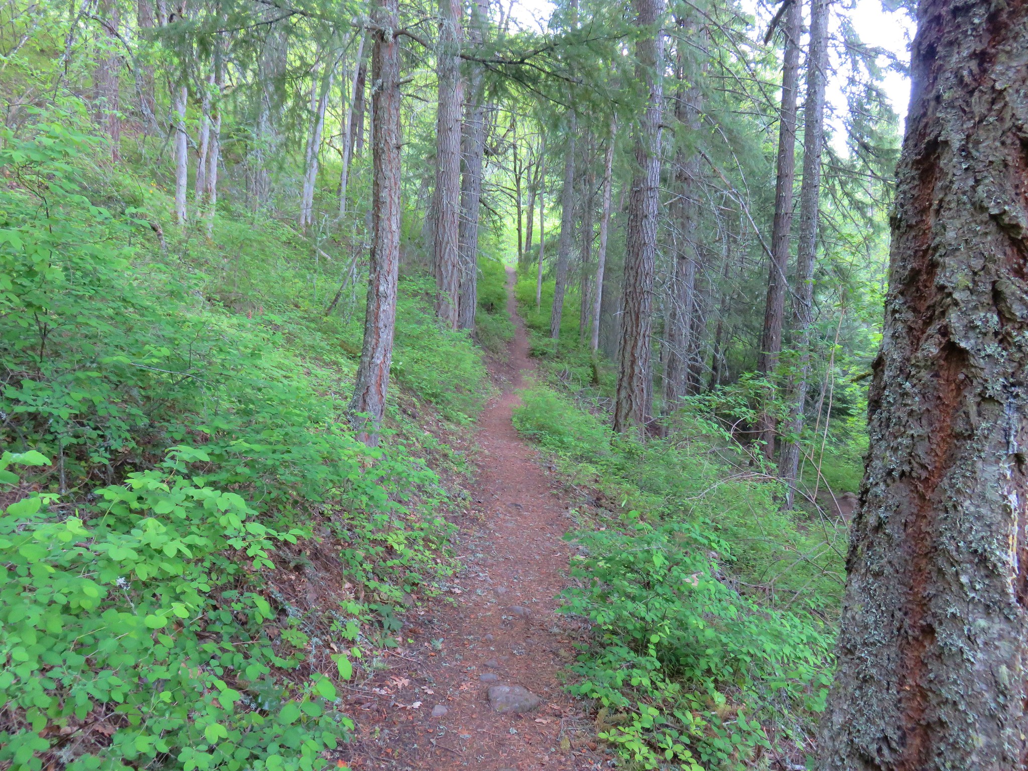
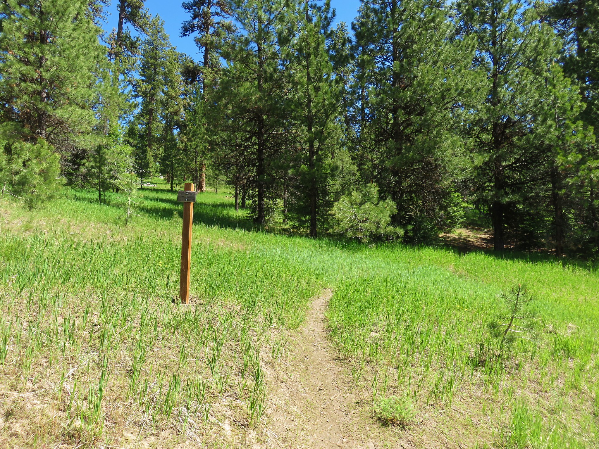
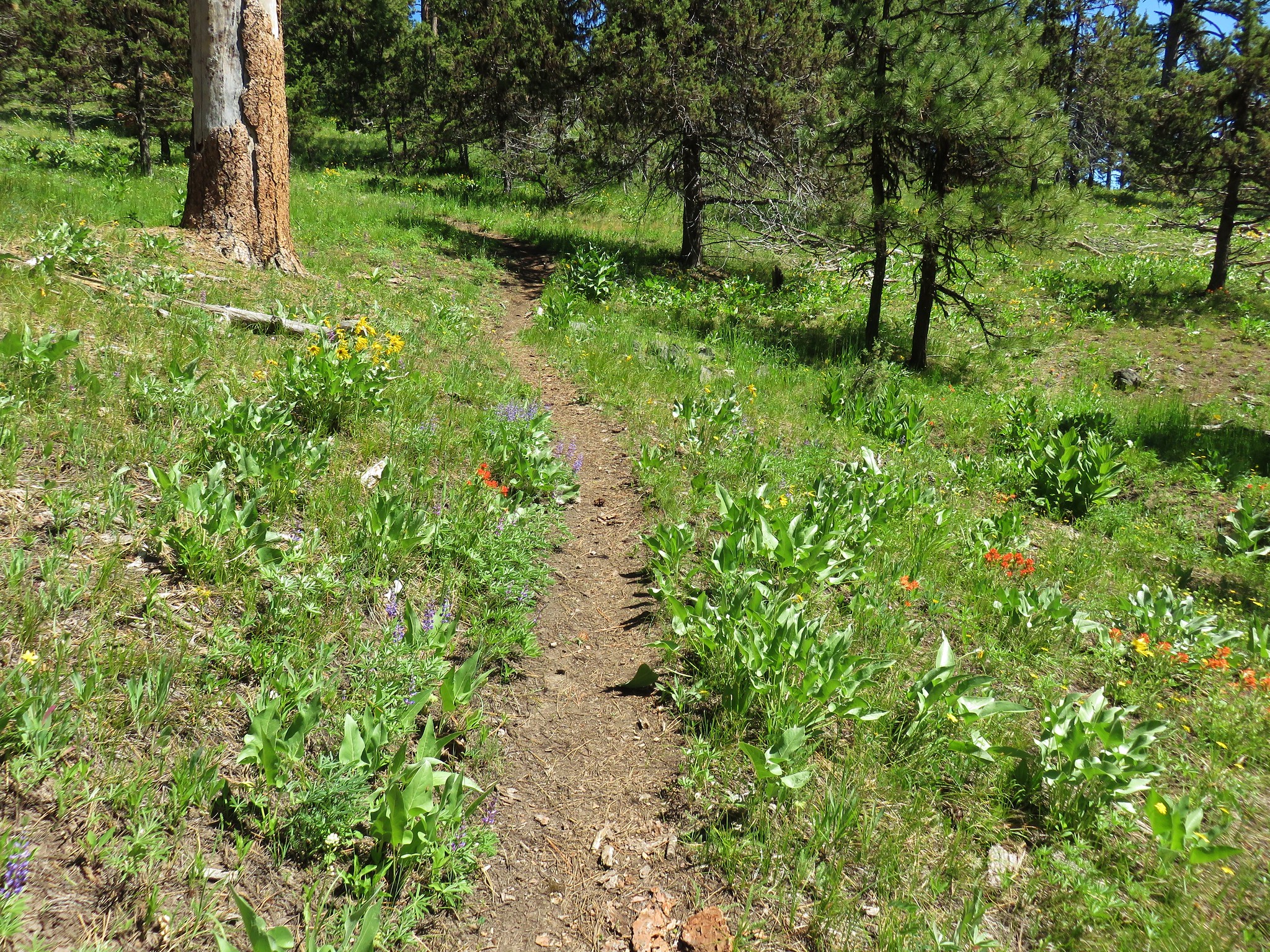
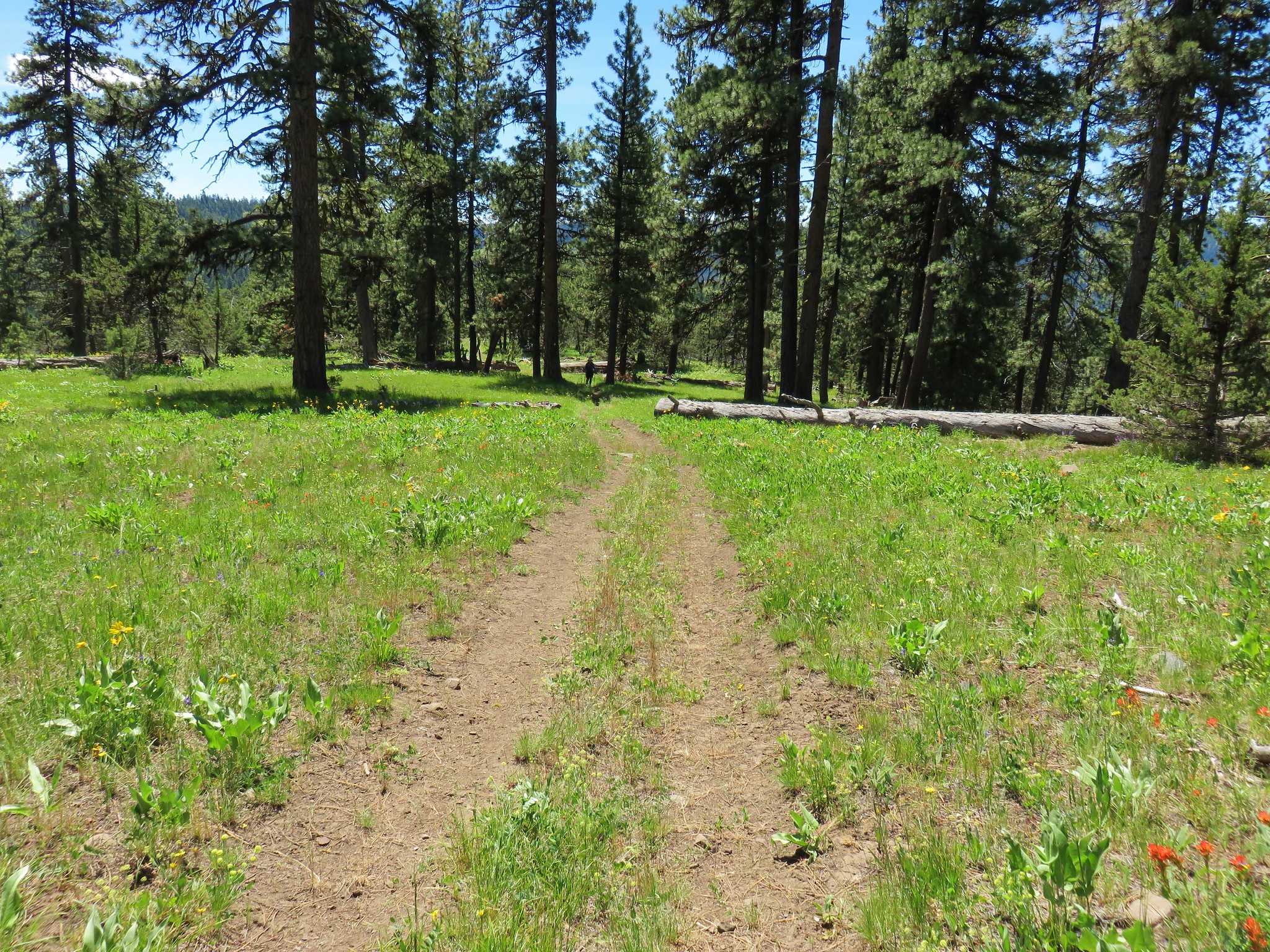
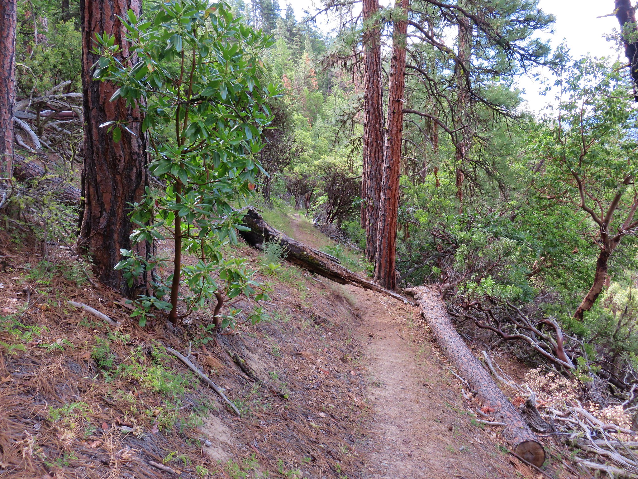
From the trailhead the Round Mountain Trail descended into a small meadow before entering some trees and climbing up to a crossing of NF-42.

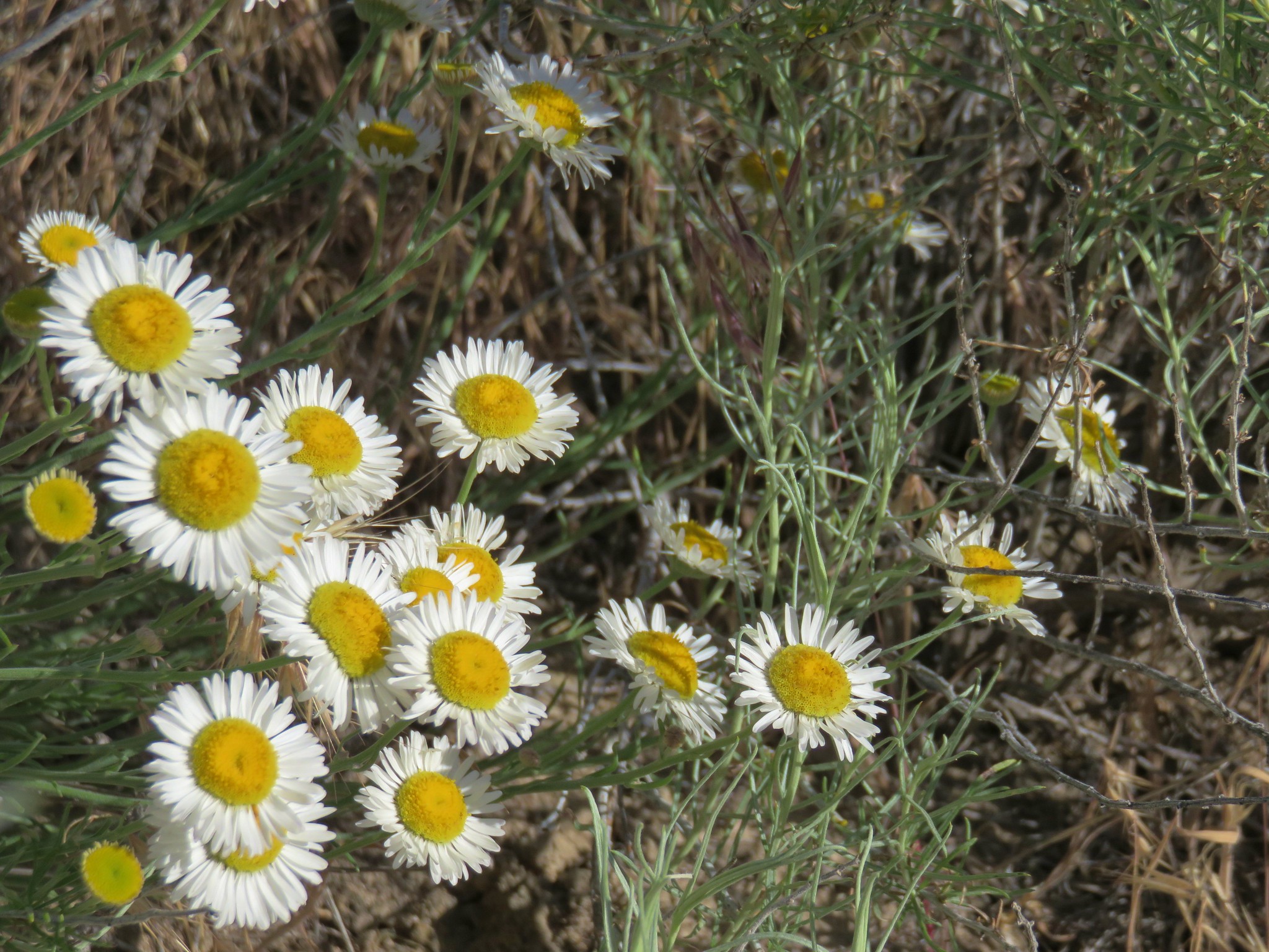
The trail climbed gradually through wildflower filled meadows to a view of little Prospect Pond.
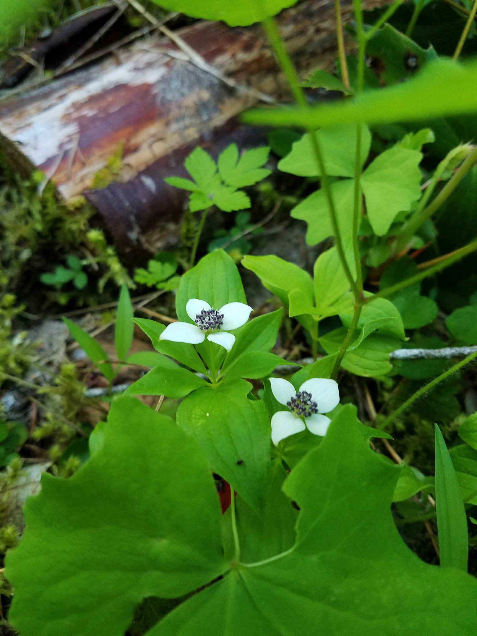
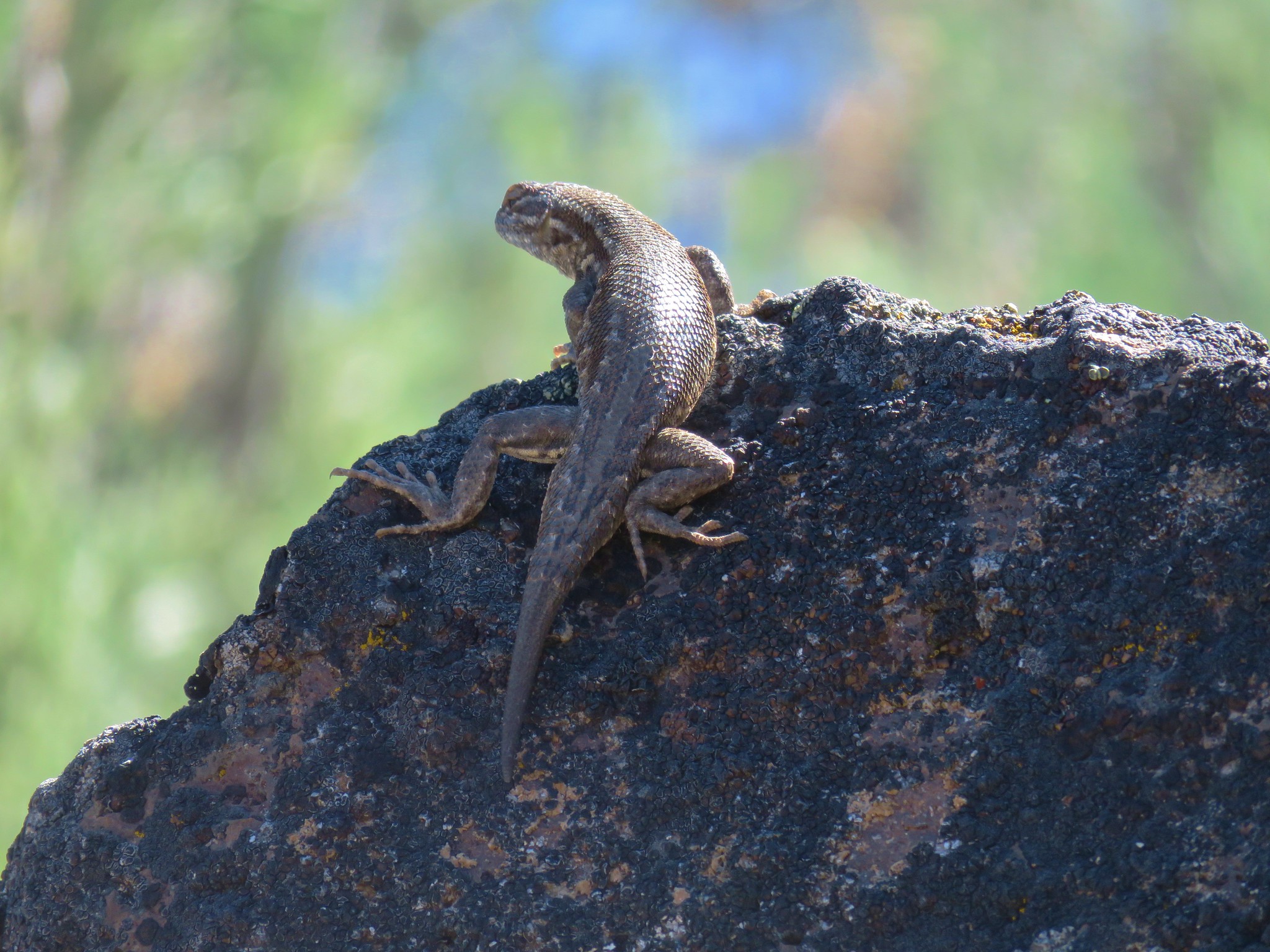
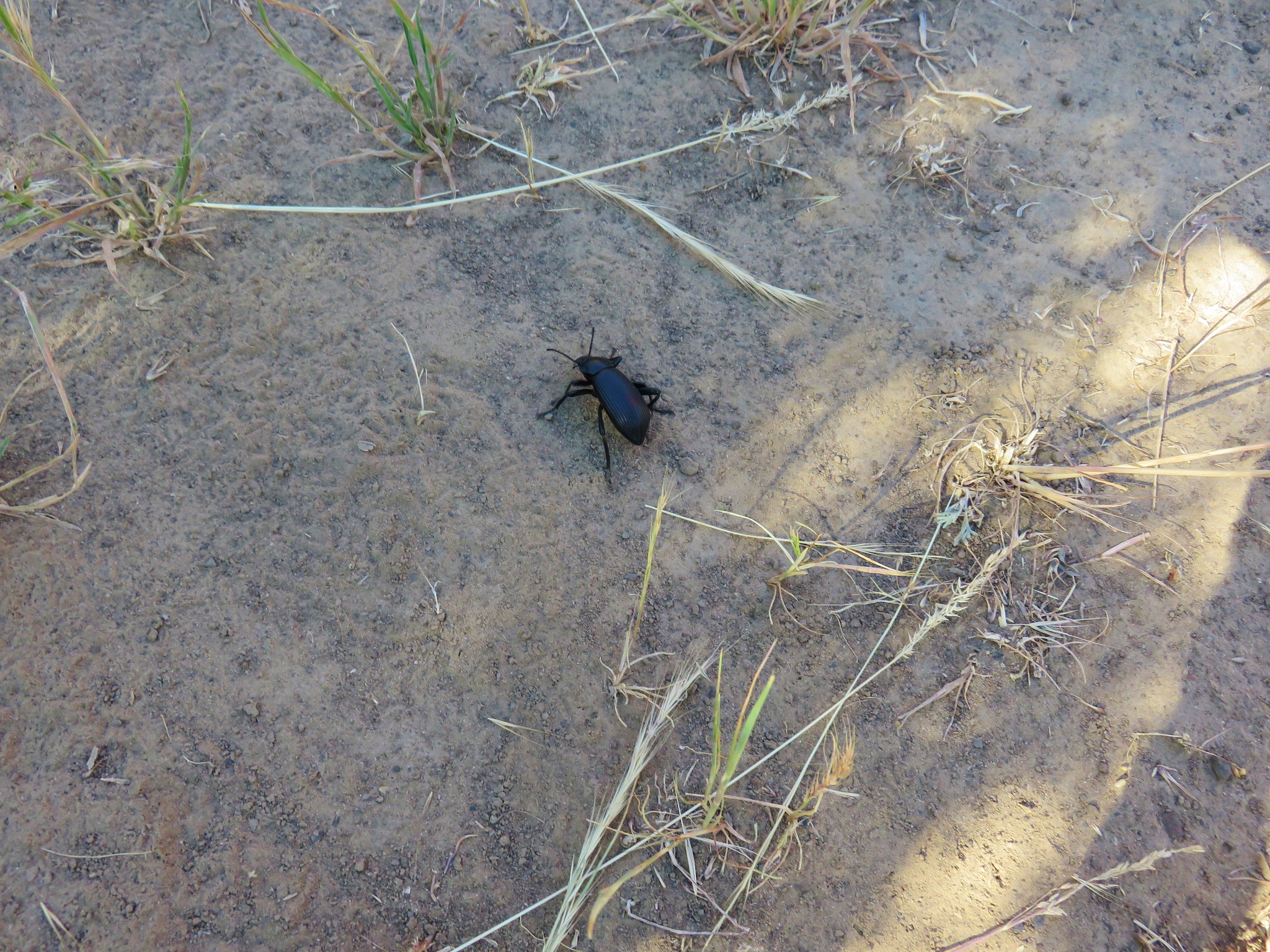
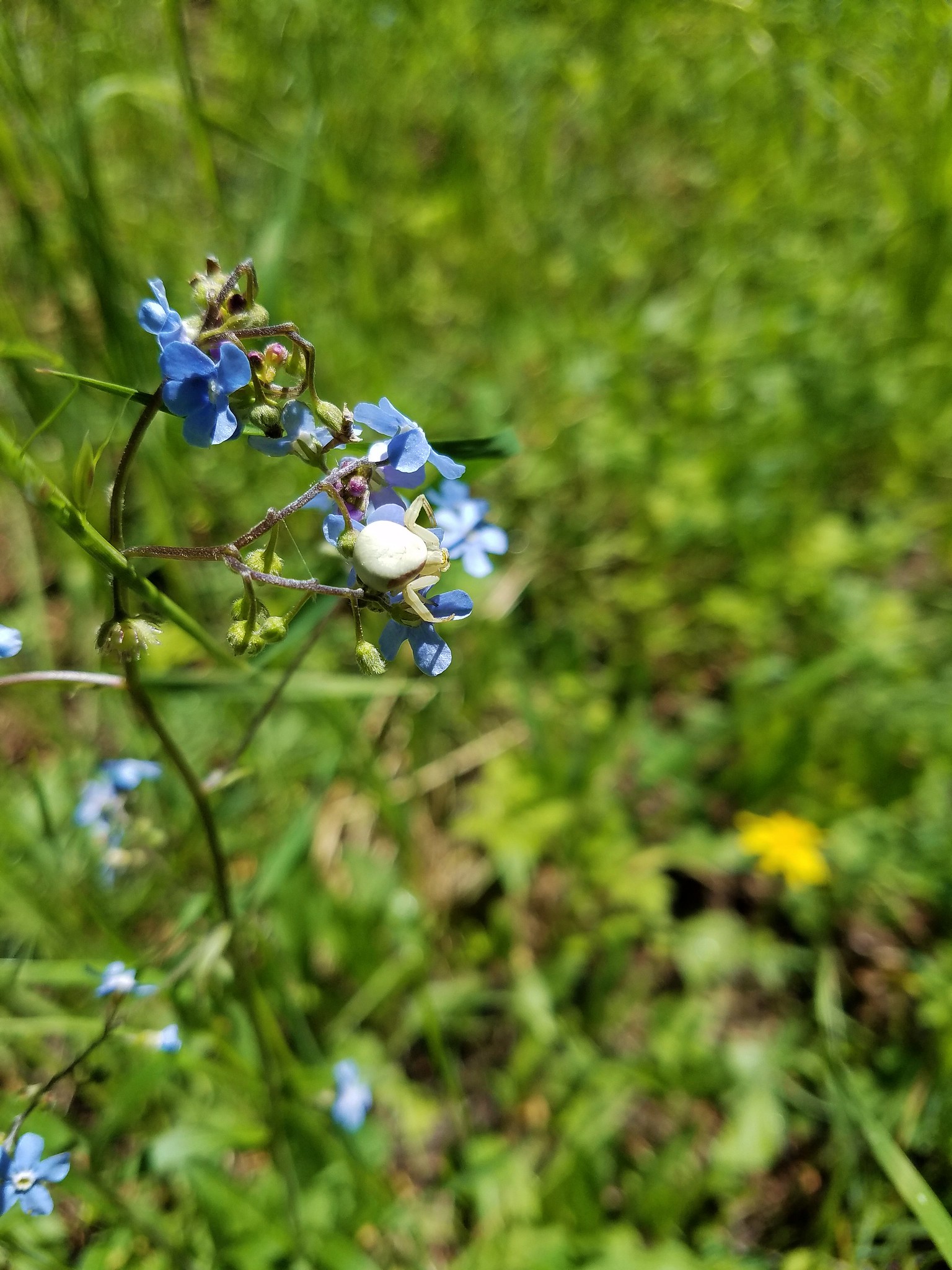 Crab spider
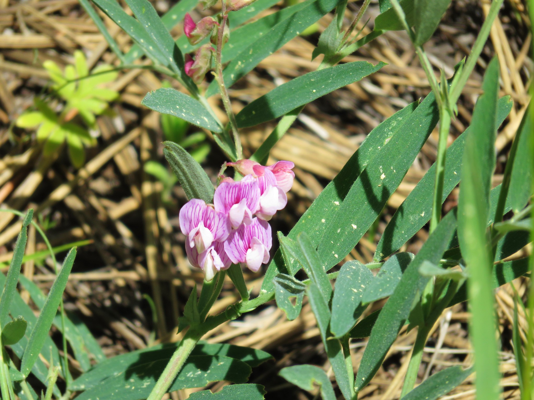 Torrey’s peavine
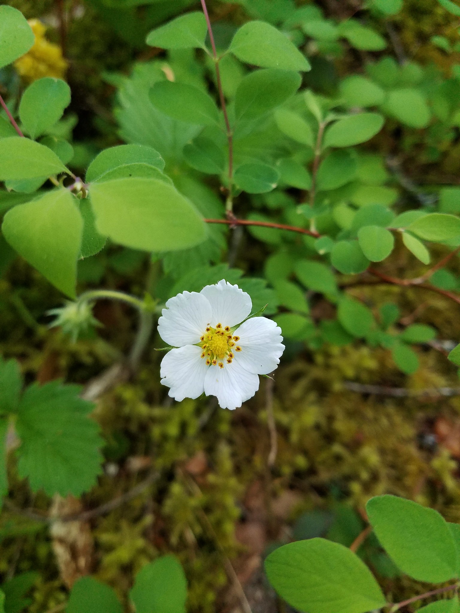
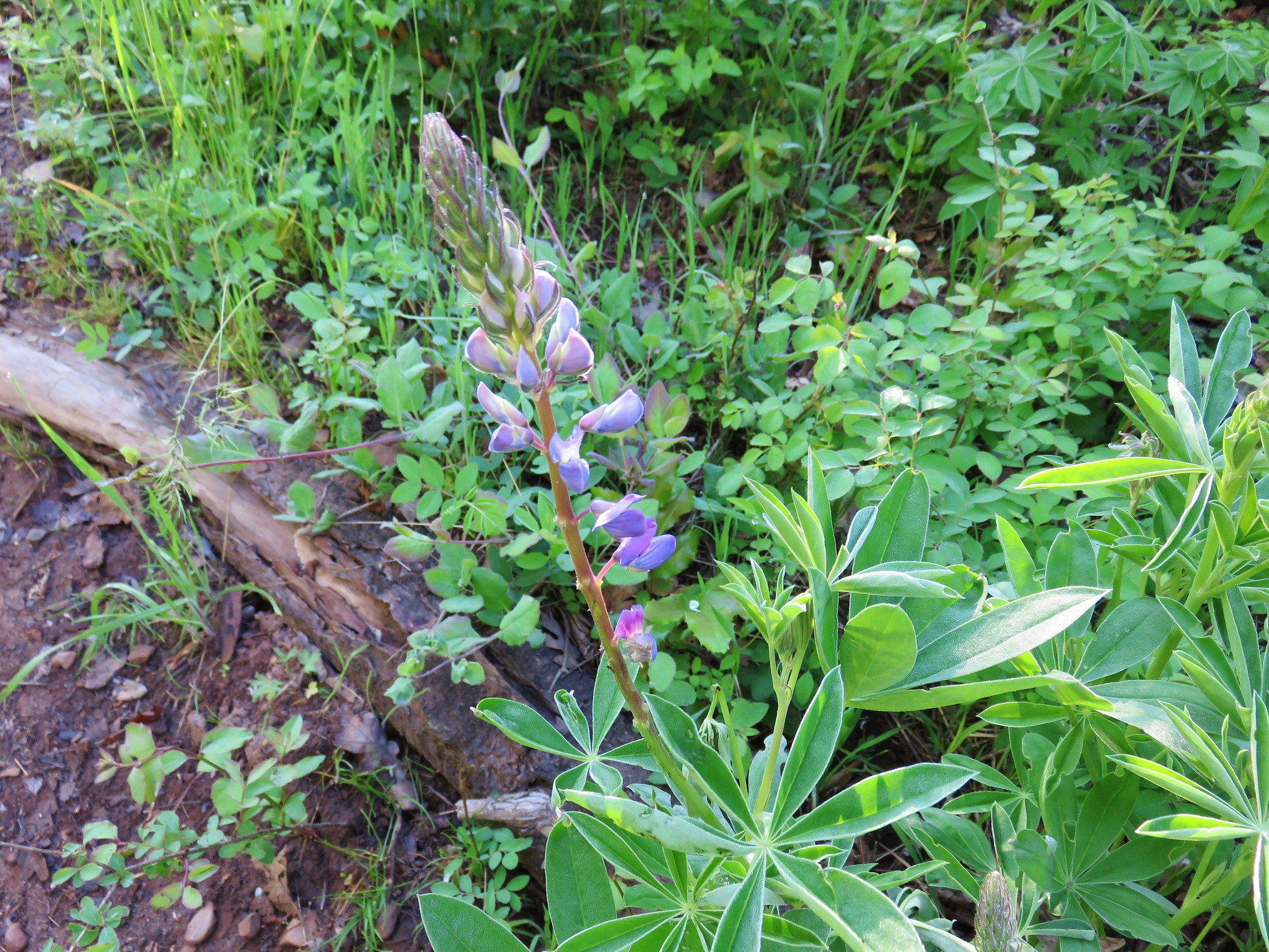
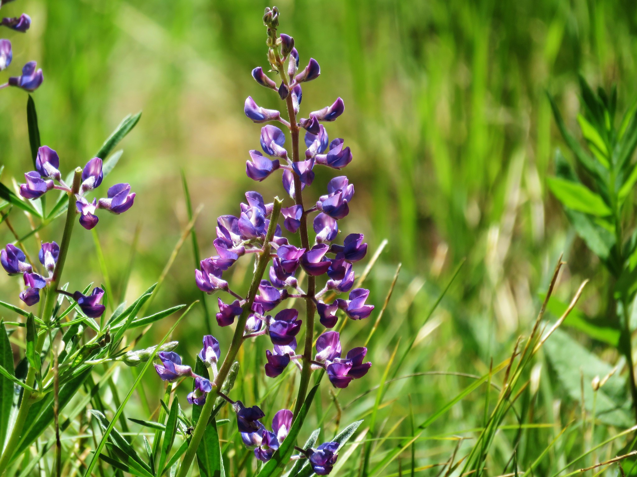 Lupine
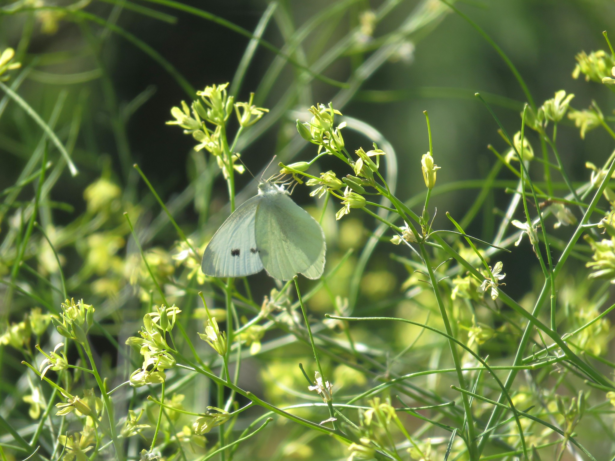
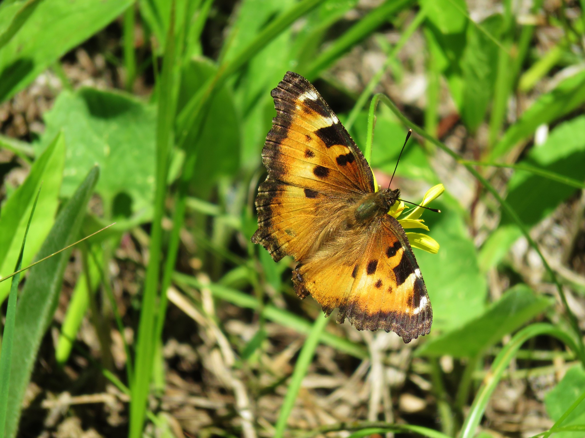 Tortoiseshell butterfly
 Balsamroot and larkspur
 Death camas
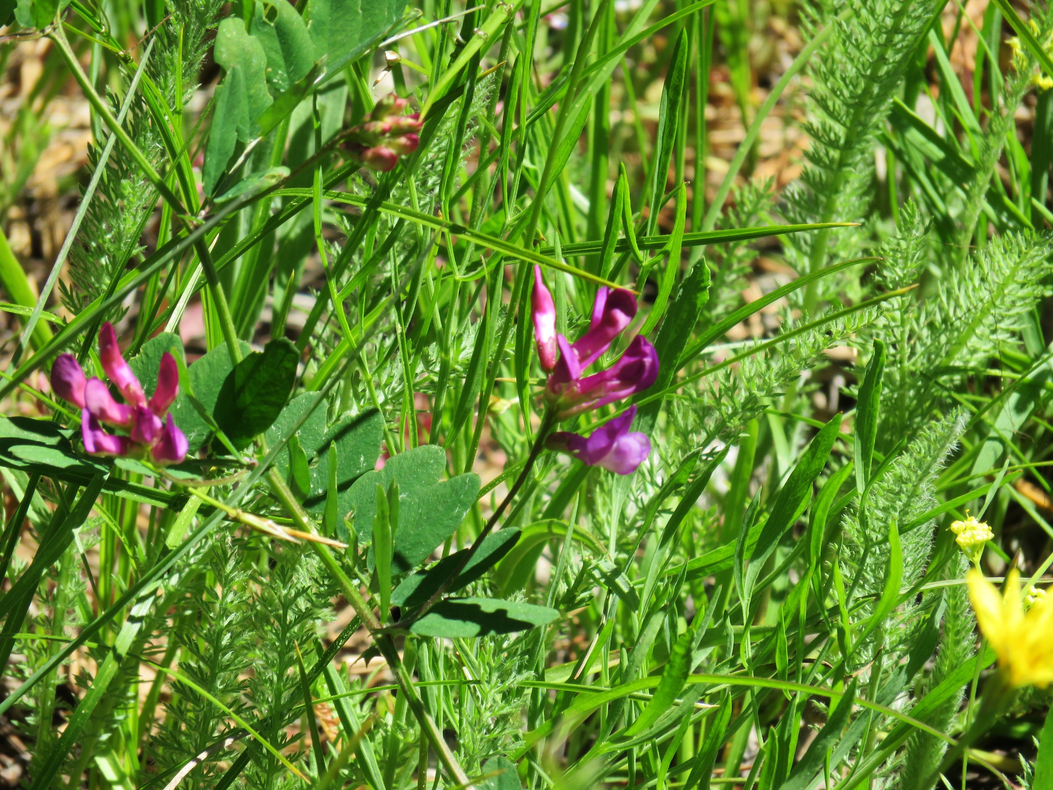 Vetch
Vetch
 Paintbrush
 Prospect Pond (and Lookout Mountain beyond)
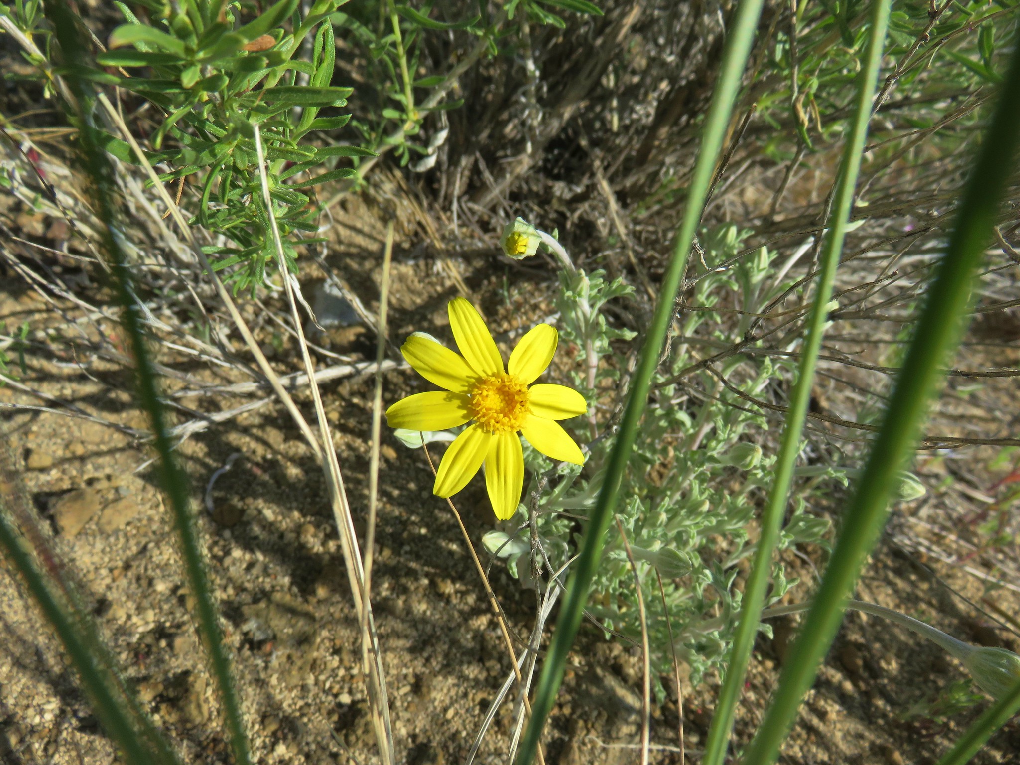
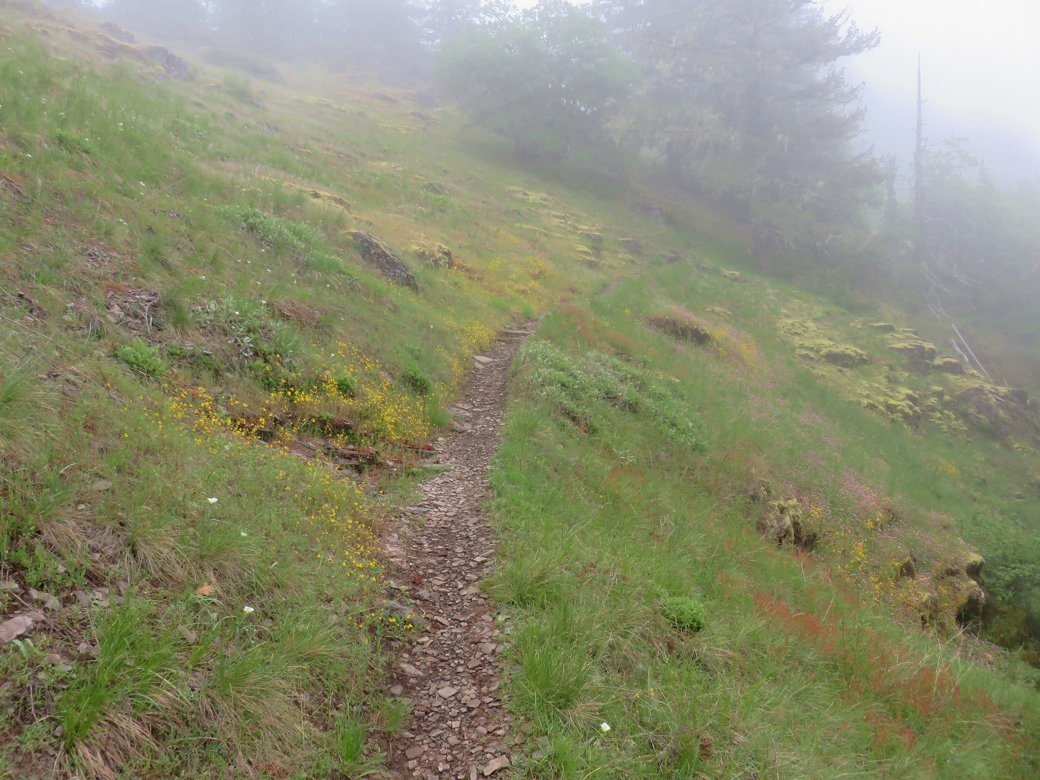
As the trail continued to follow a ridge uphill the wildflower displays kept getting better.
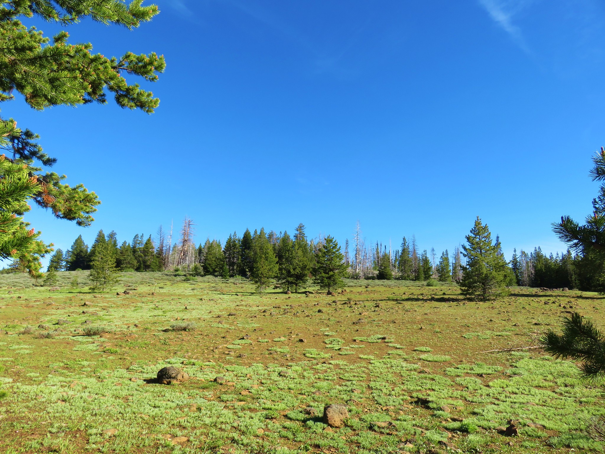
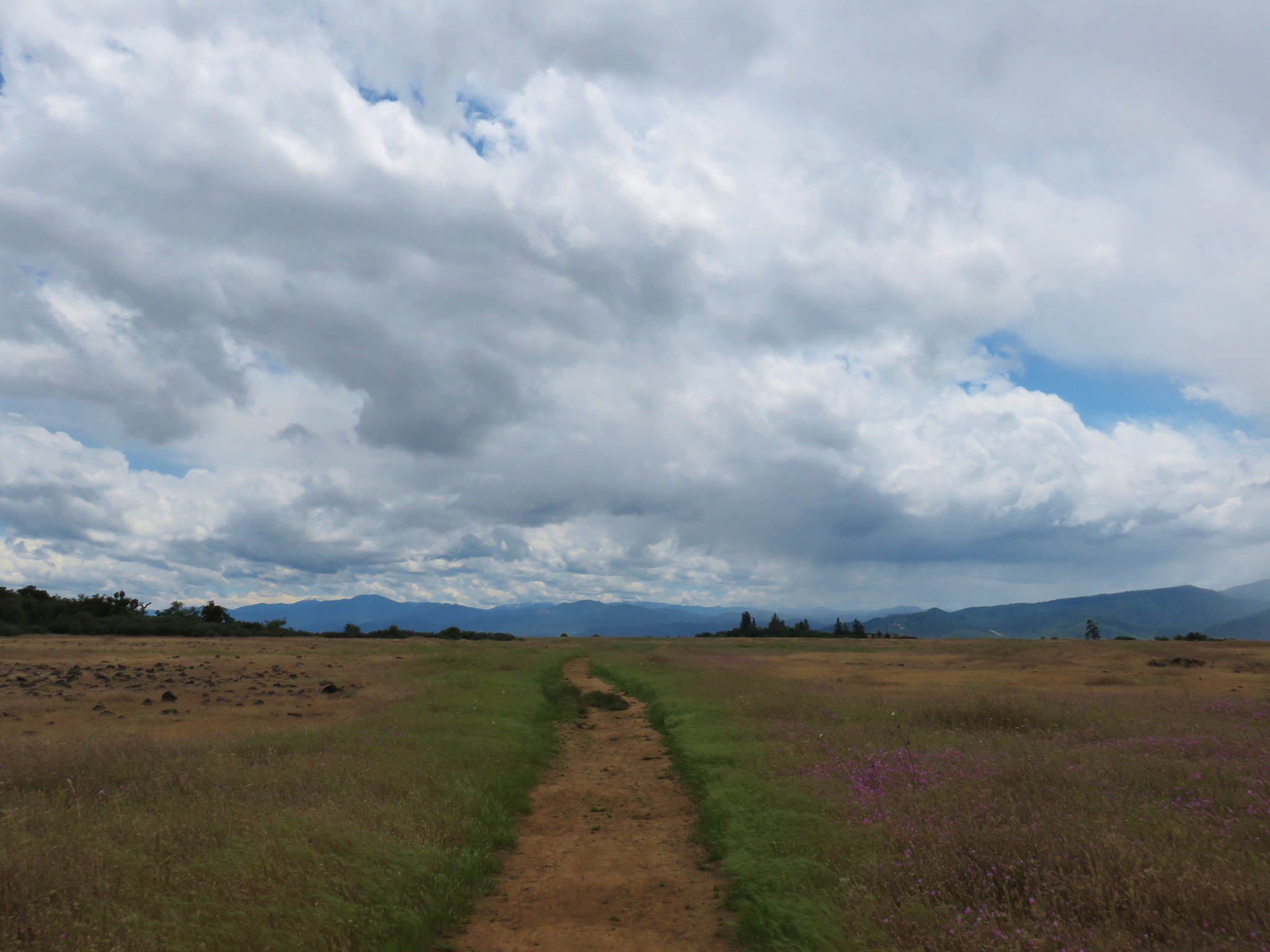
The trail briefly leveled off at the wide Onion Pass.
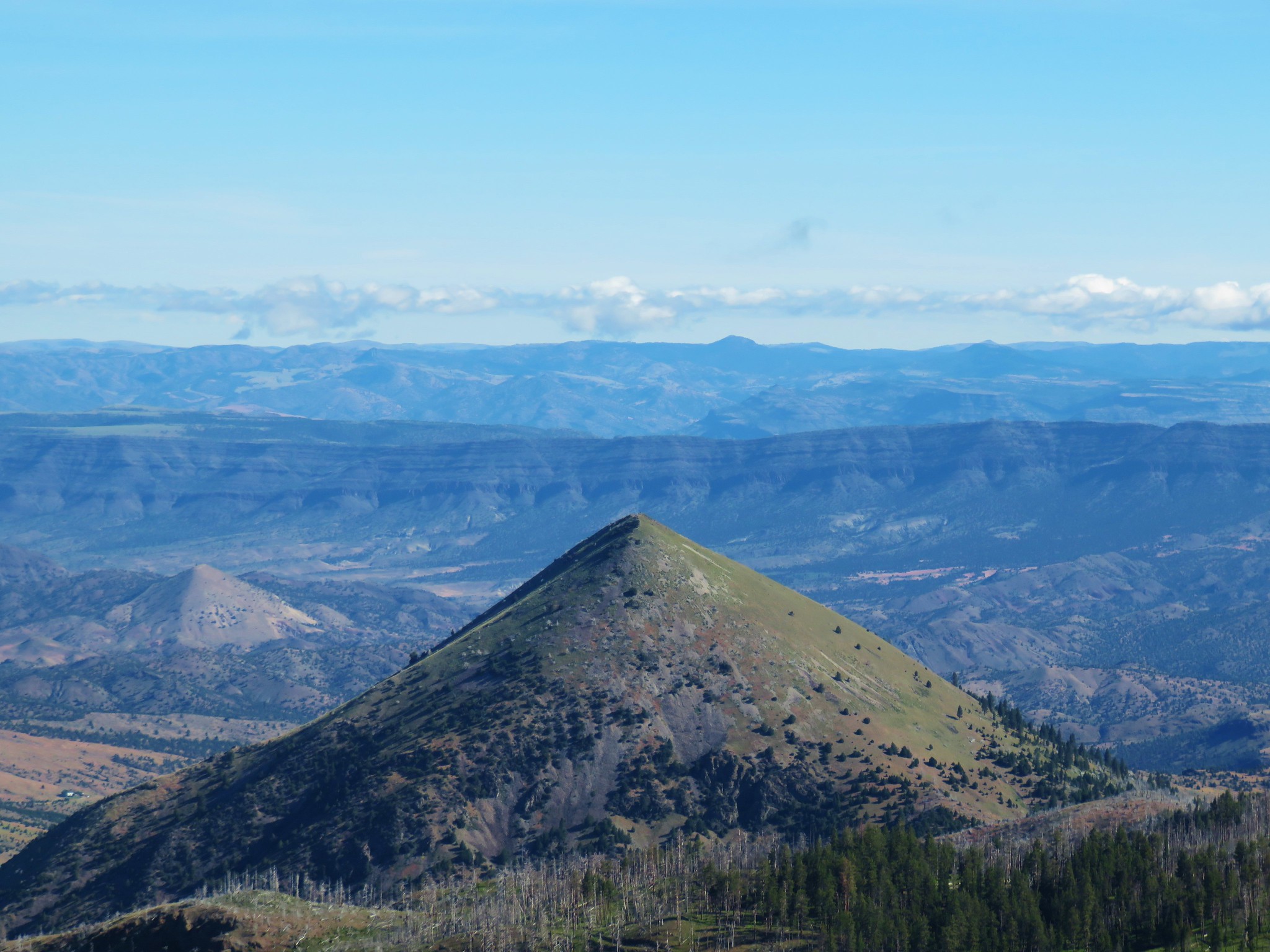
We soon got our first good look at our goal, Round Mountain.

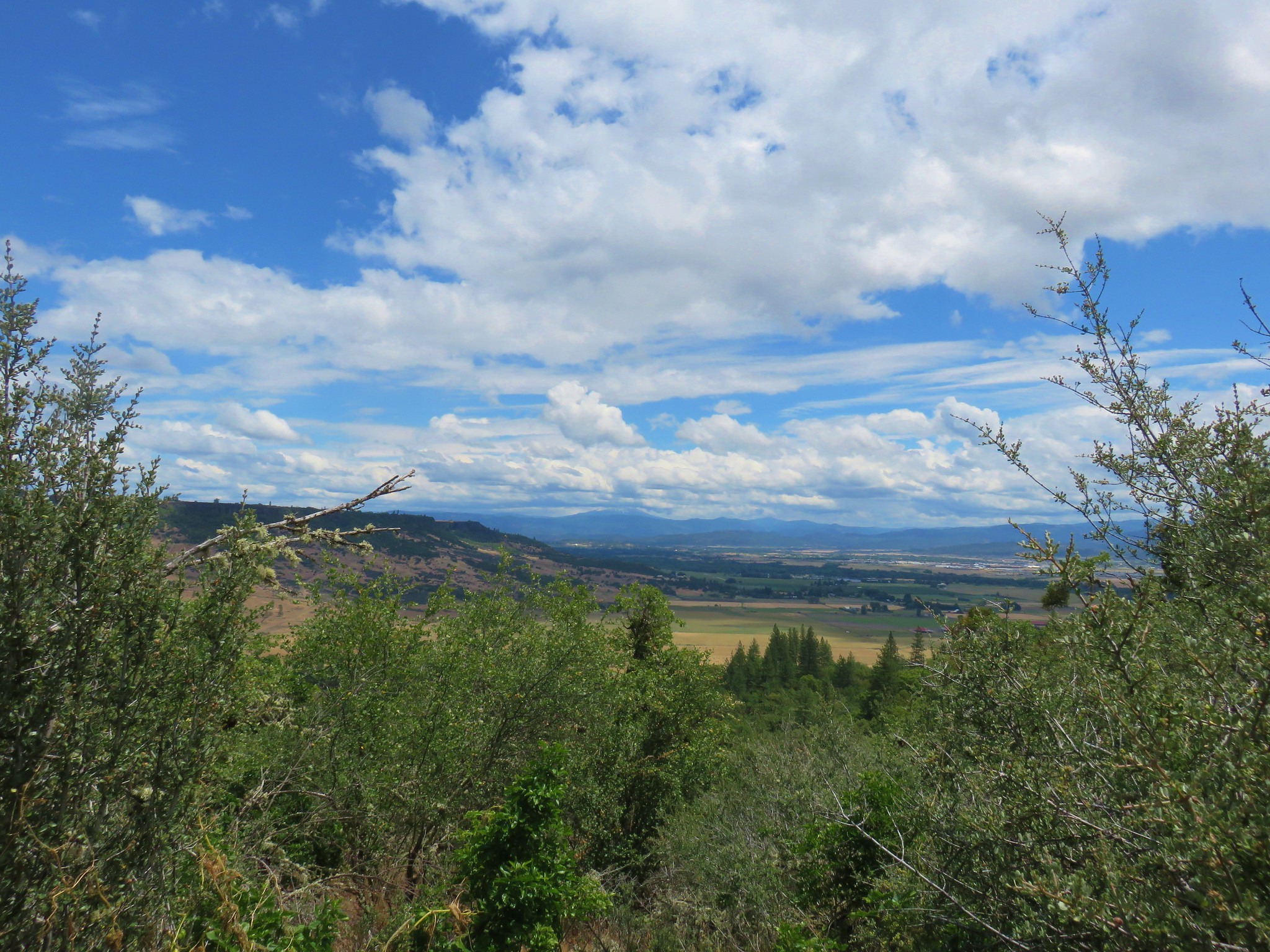
Shortly after crossing a road at the 2.3 mile mark the trail traversed an open slope with views of several Cascade Mountains.
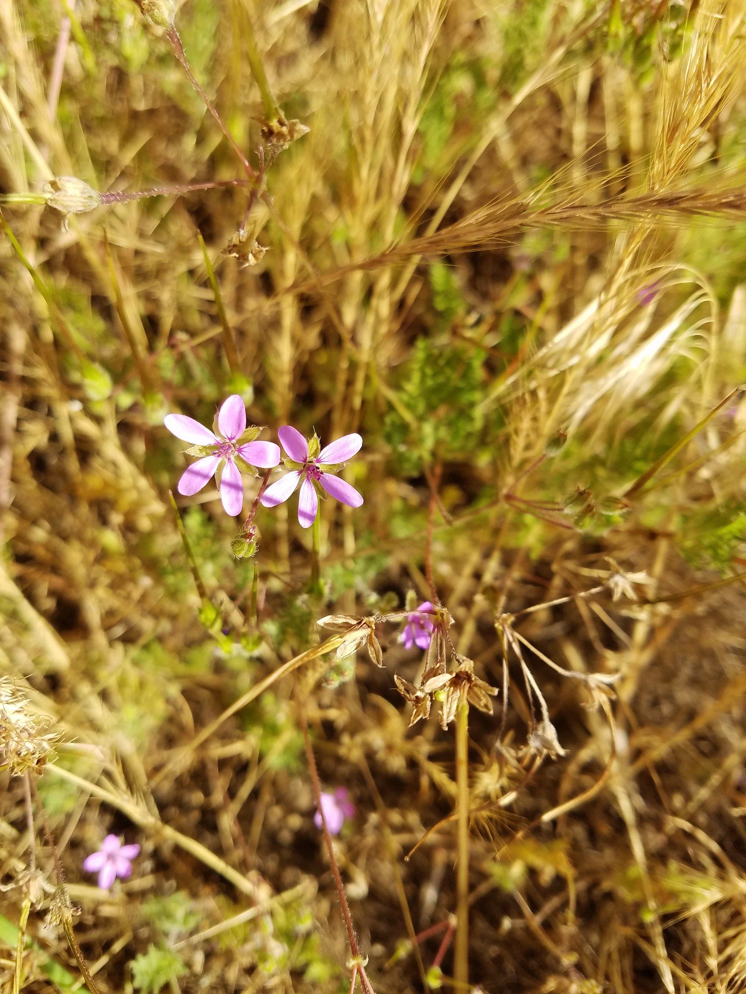
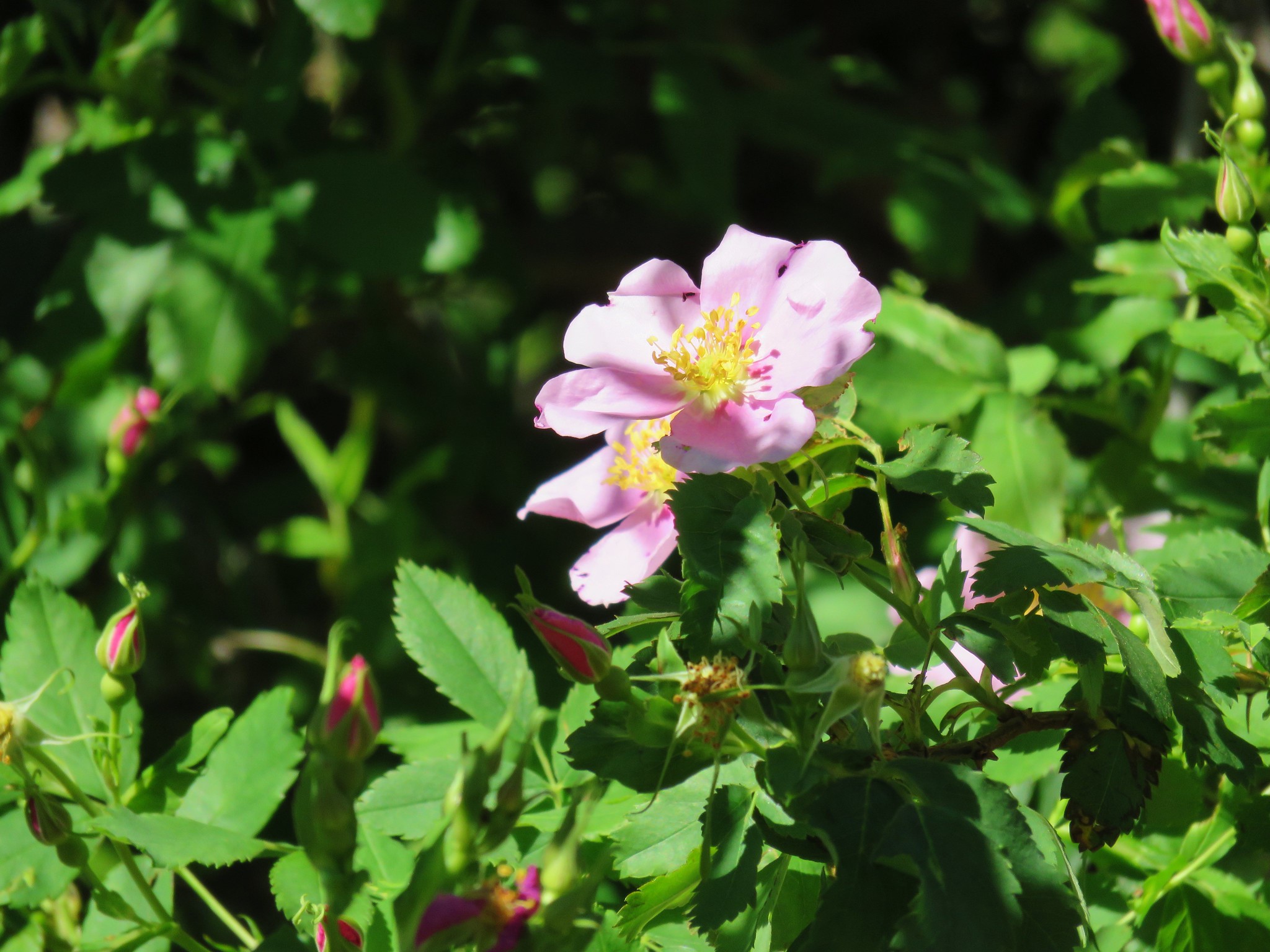
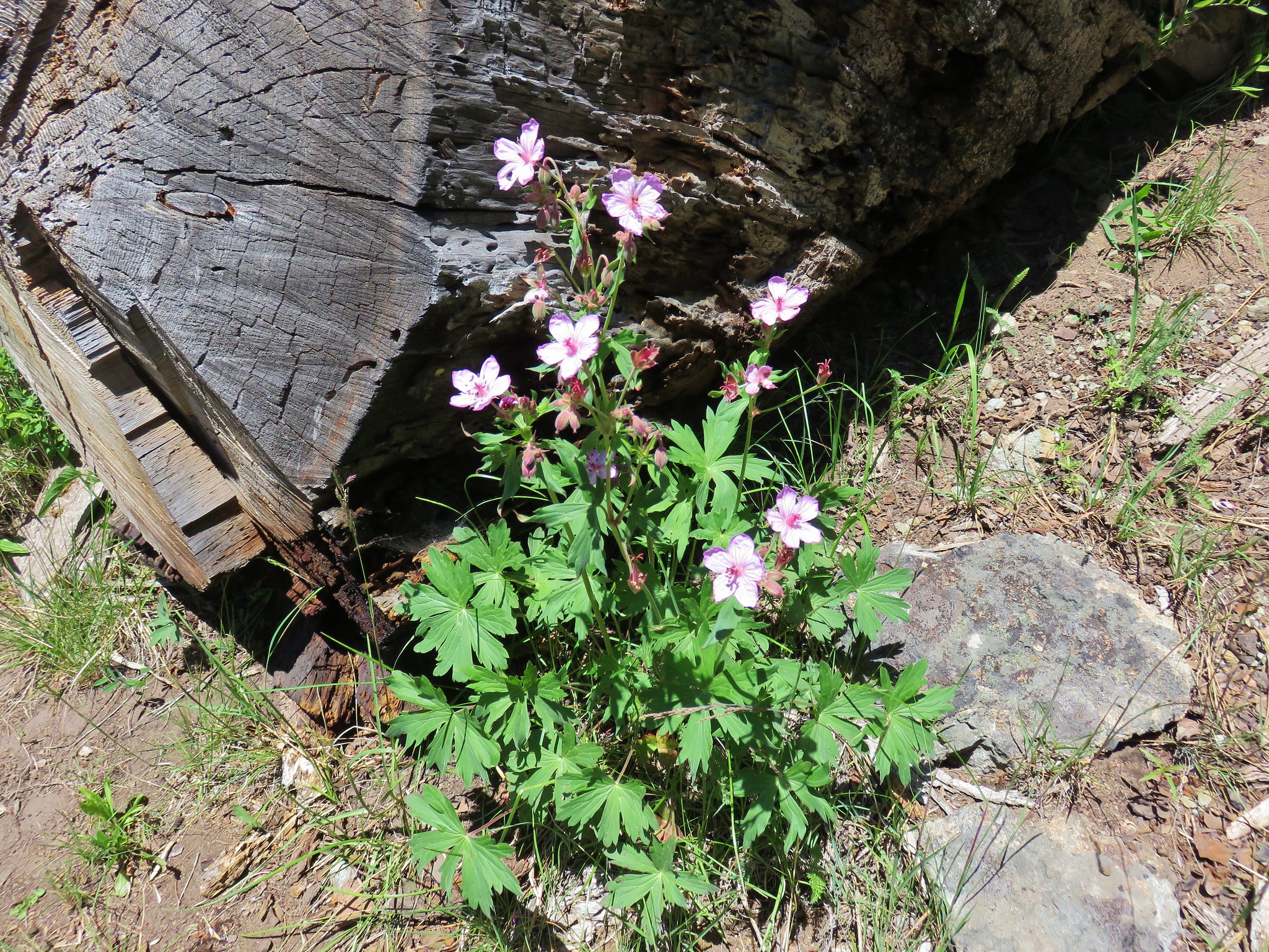
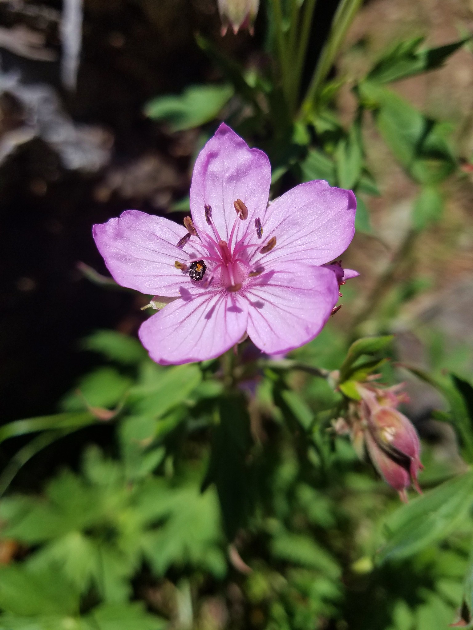
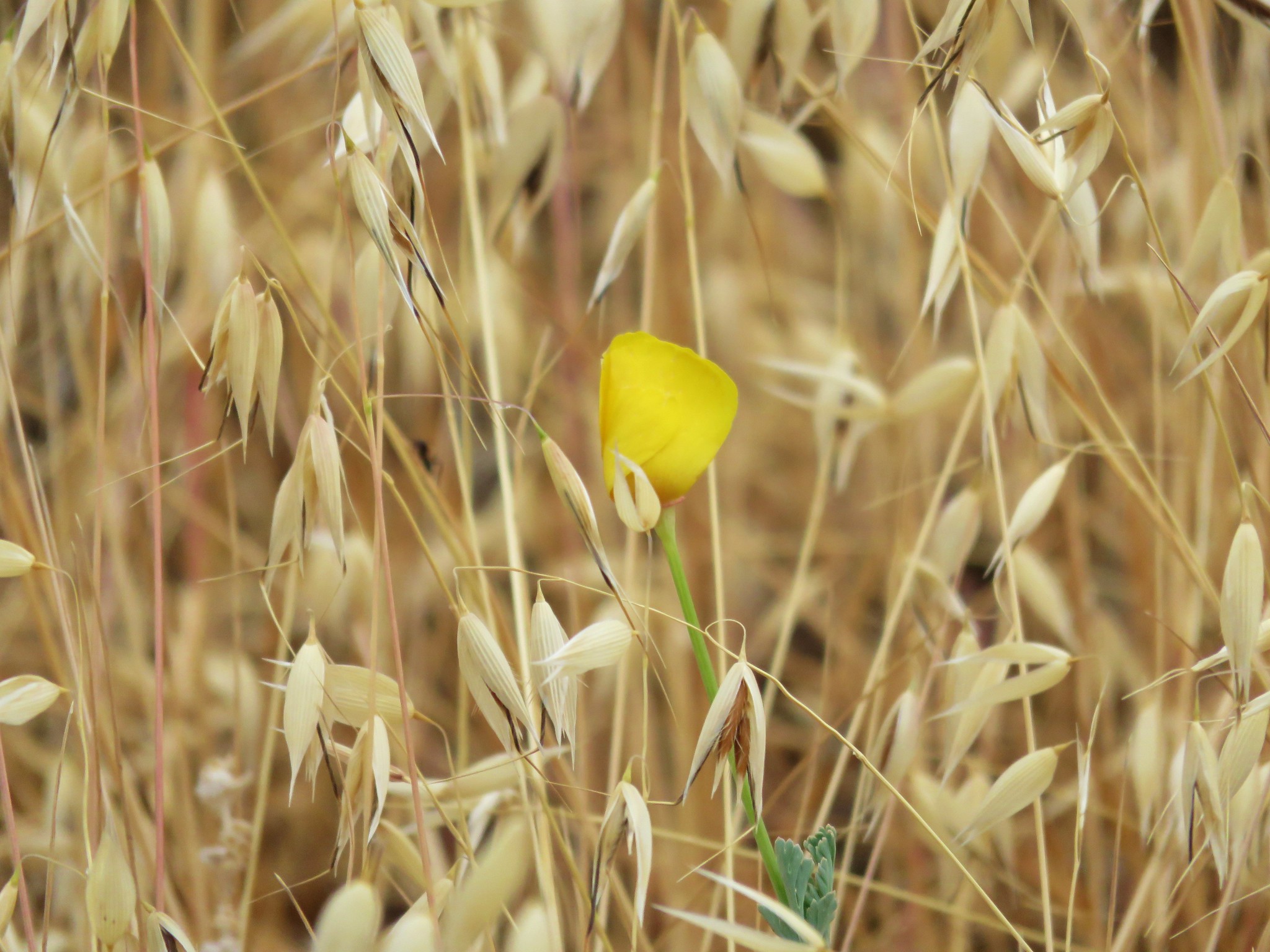
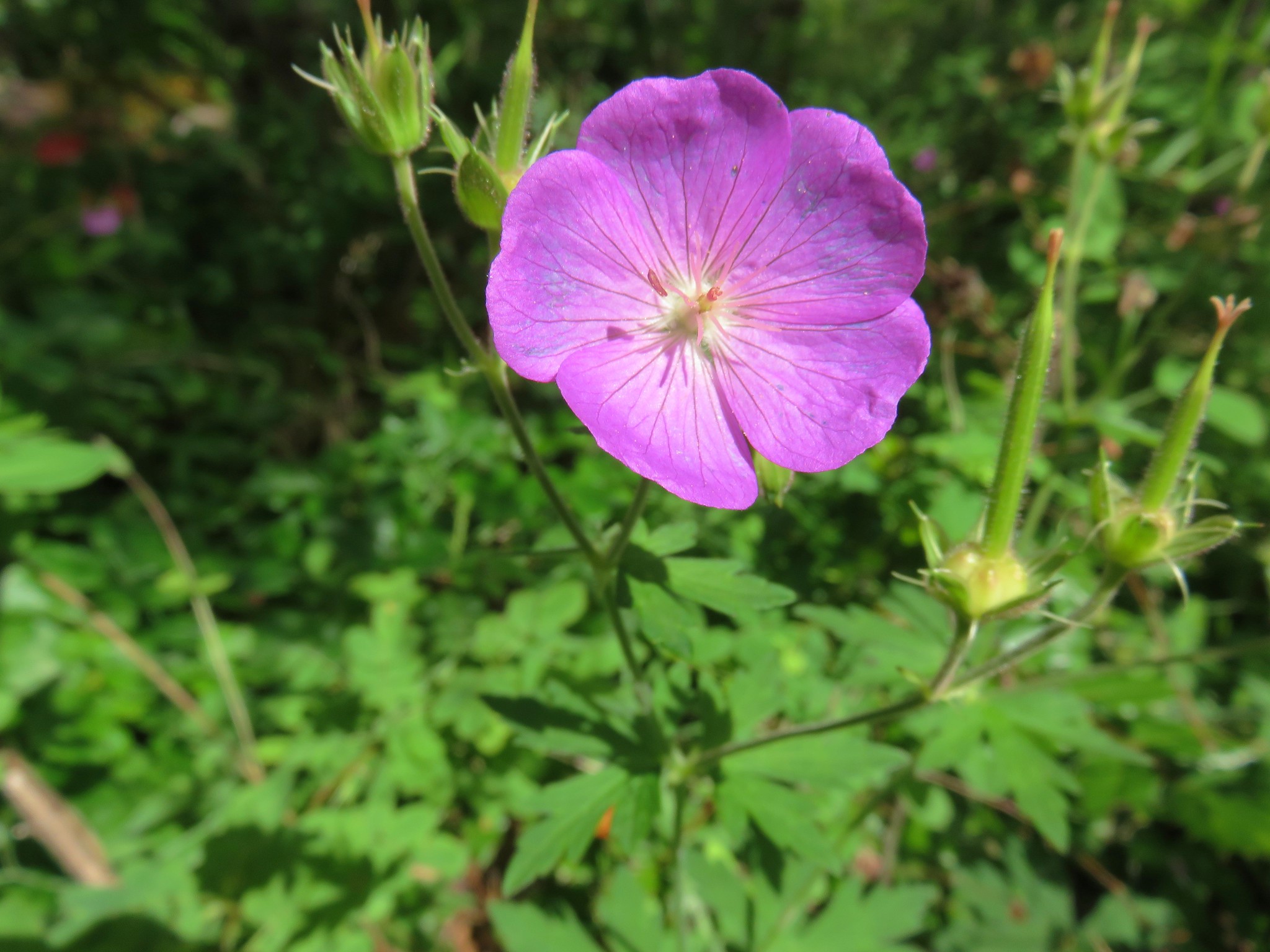
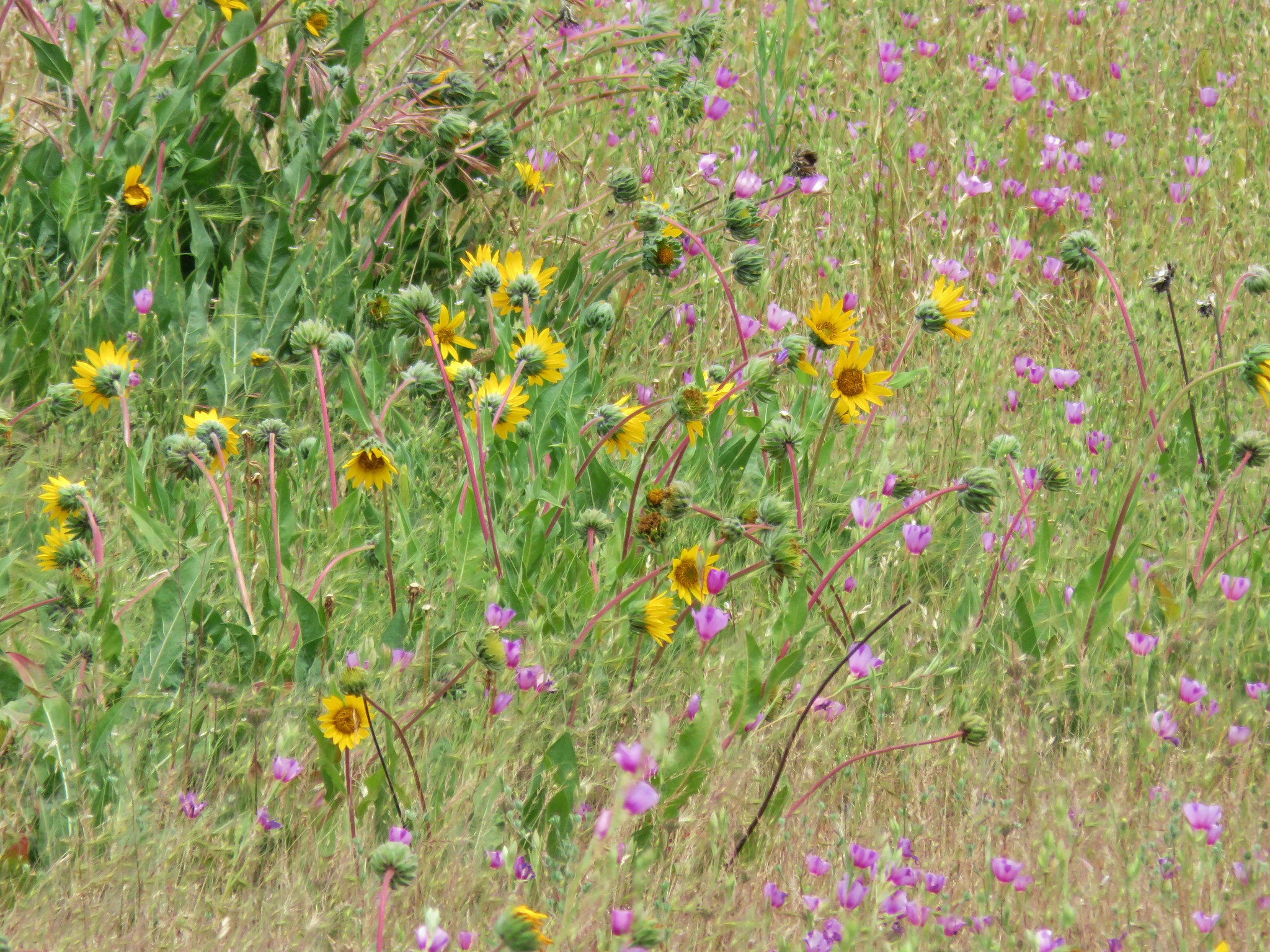
The flowers continued to impress along the entire trail with the pink Oregon geraniums being some of our favorites.
After another short level stretch along what appeared to be an old road track the trail finally began to climb with some urgency through a series of hellebore meadows.

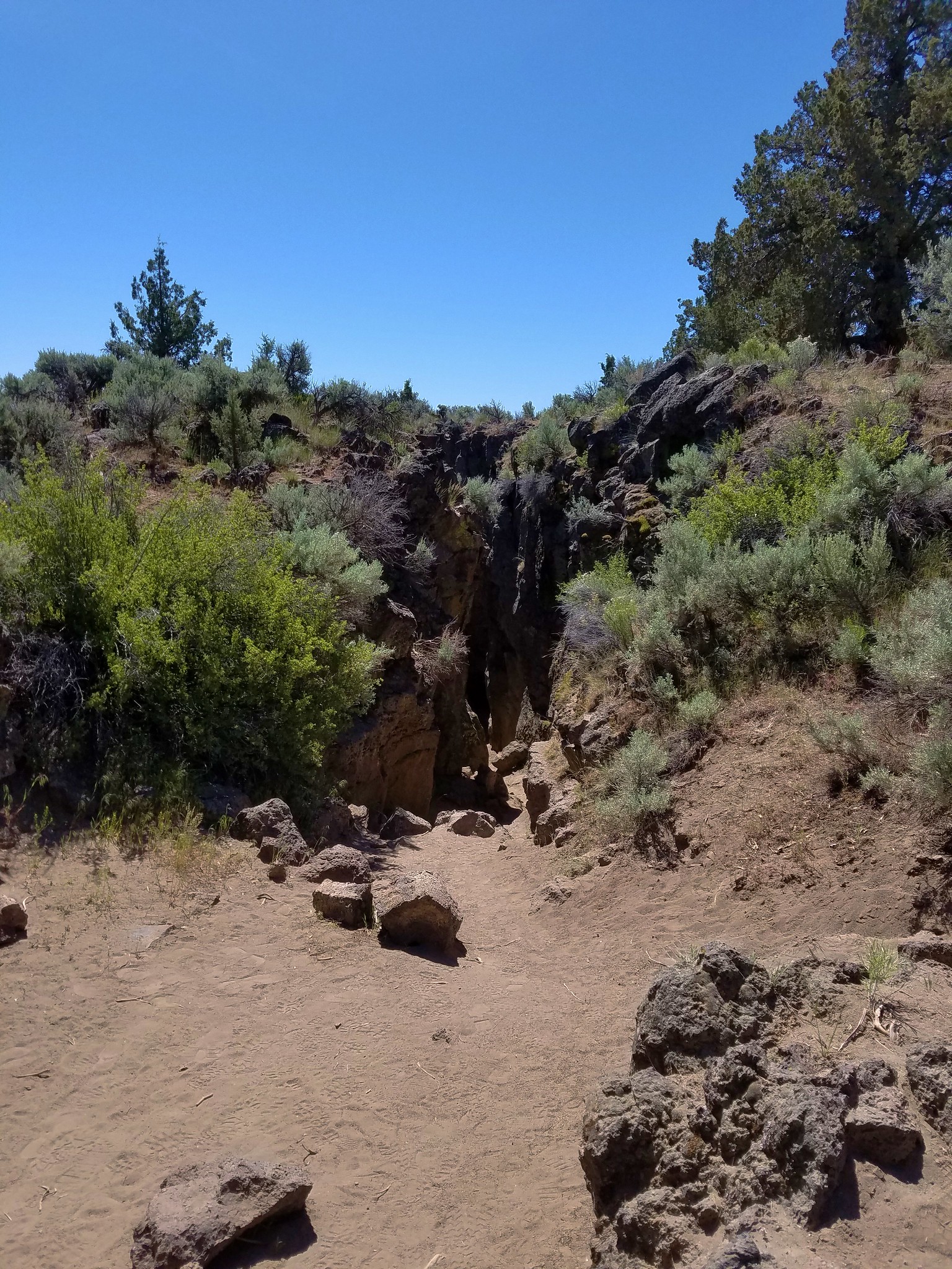
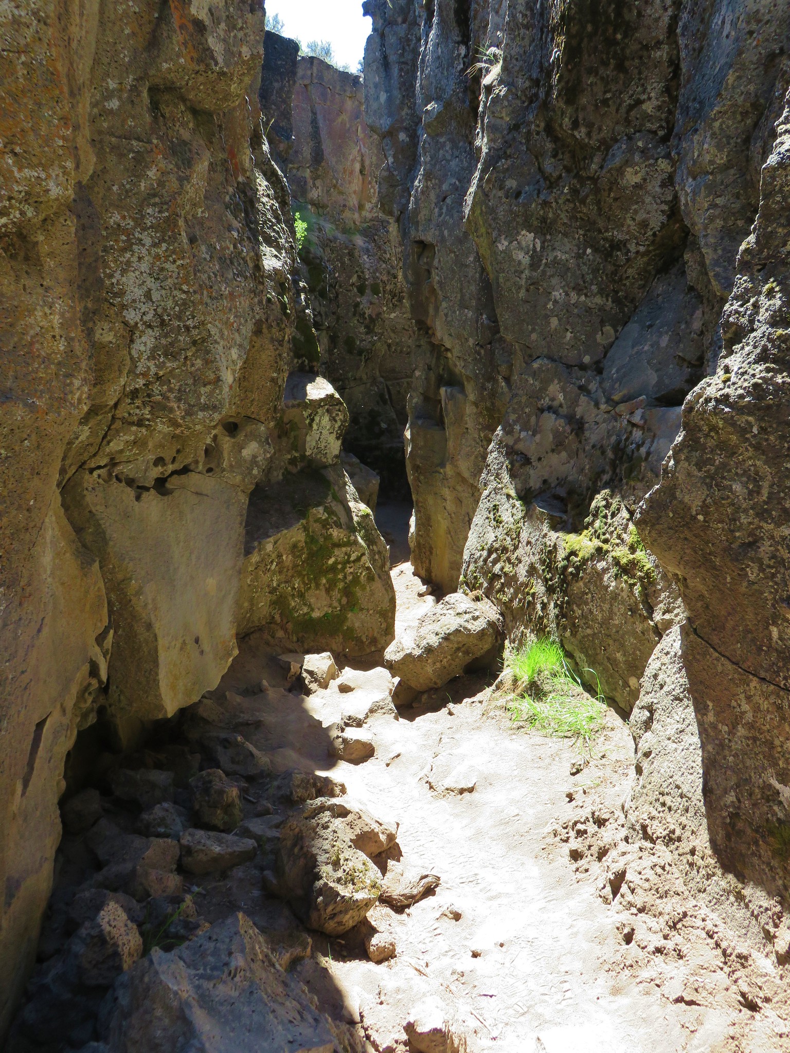
The trail was in great shape with only a minor slide which was easily passable.
The trail wrapped around under the summit of Round Mountain to Round Mountain Road (yes it is possible to drive up).
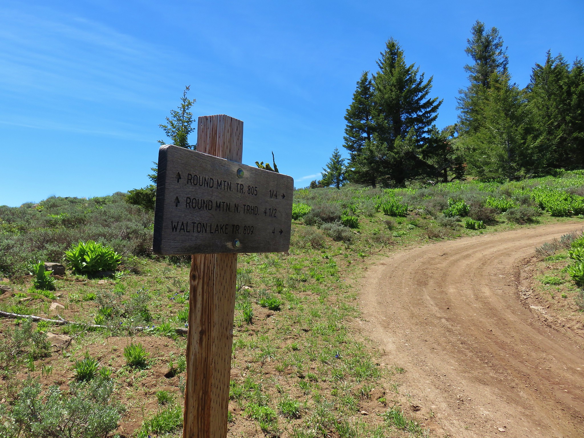
We followed the road up past the signed junction with the Round Mountain Trail coming up from the northern trailhead near Walton Lake.
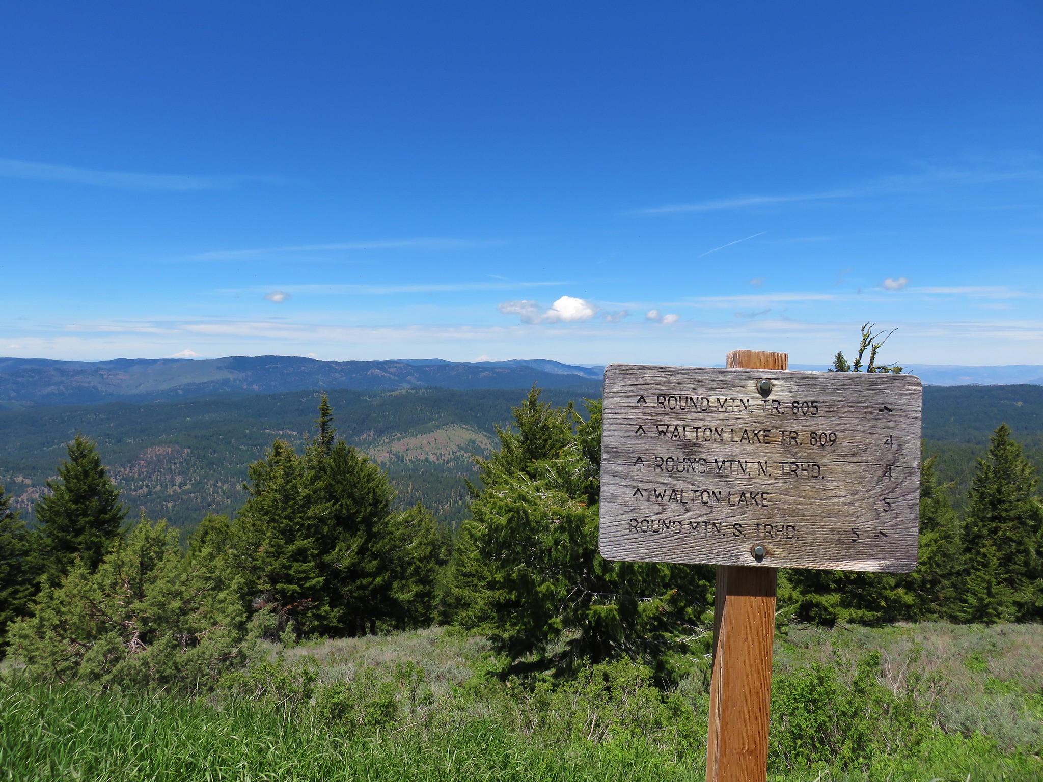
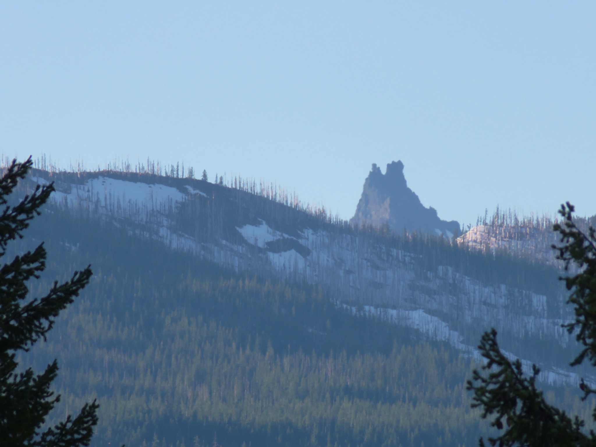
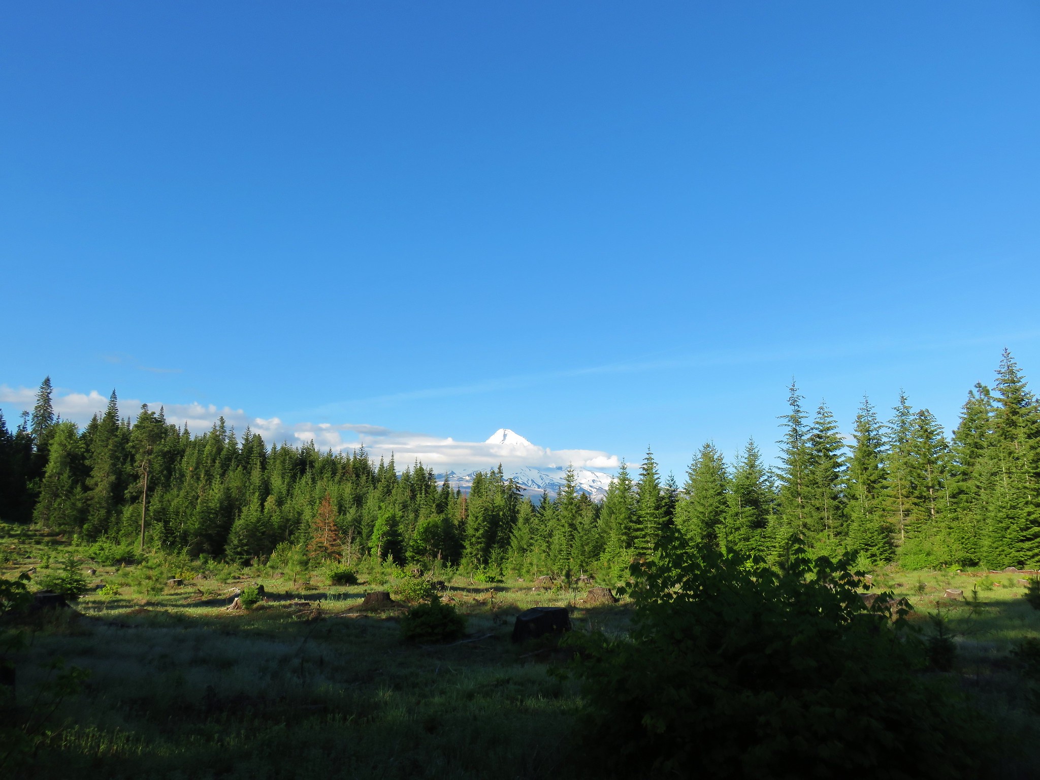
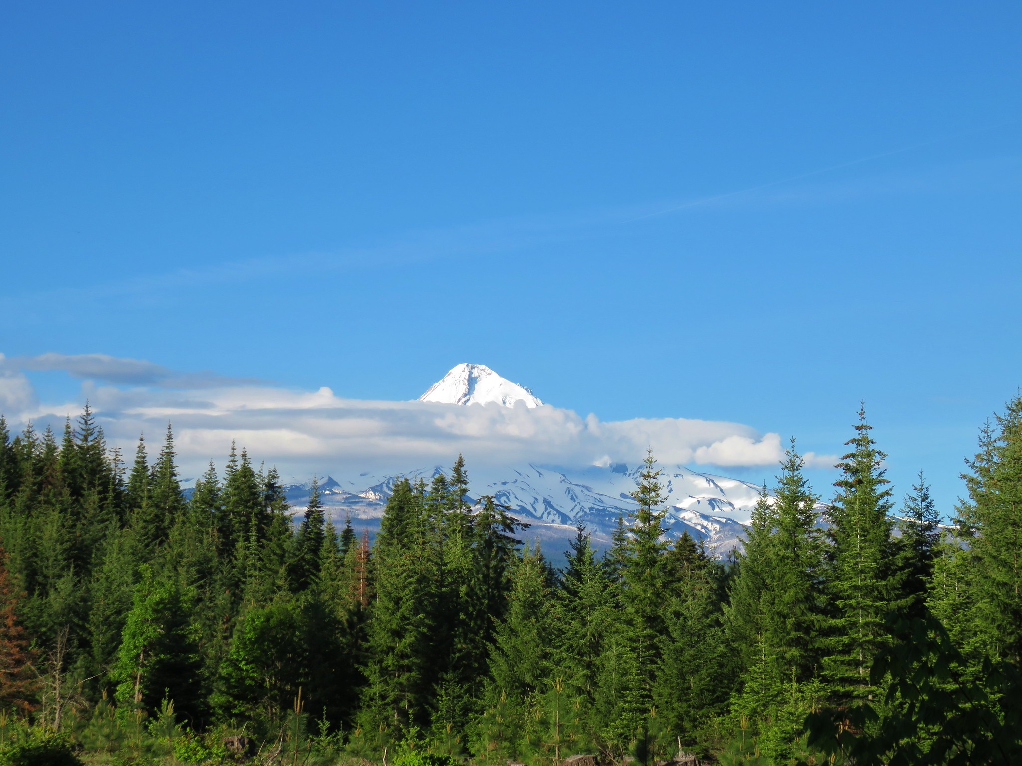
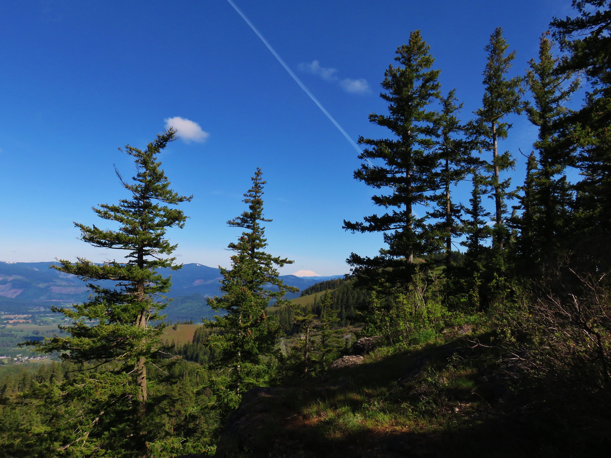
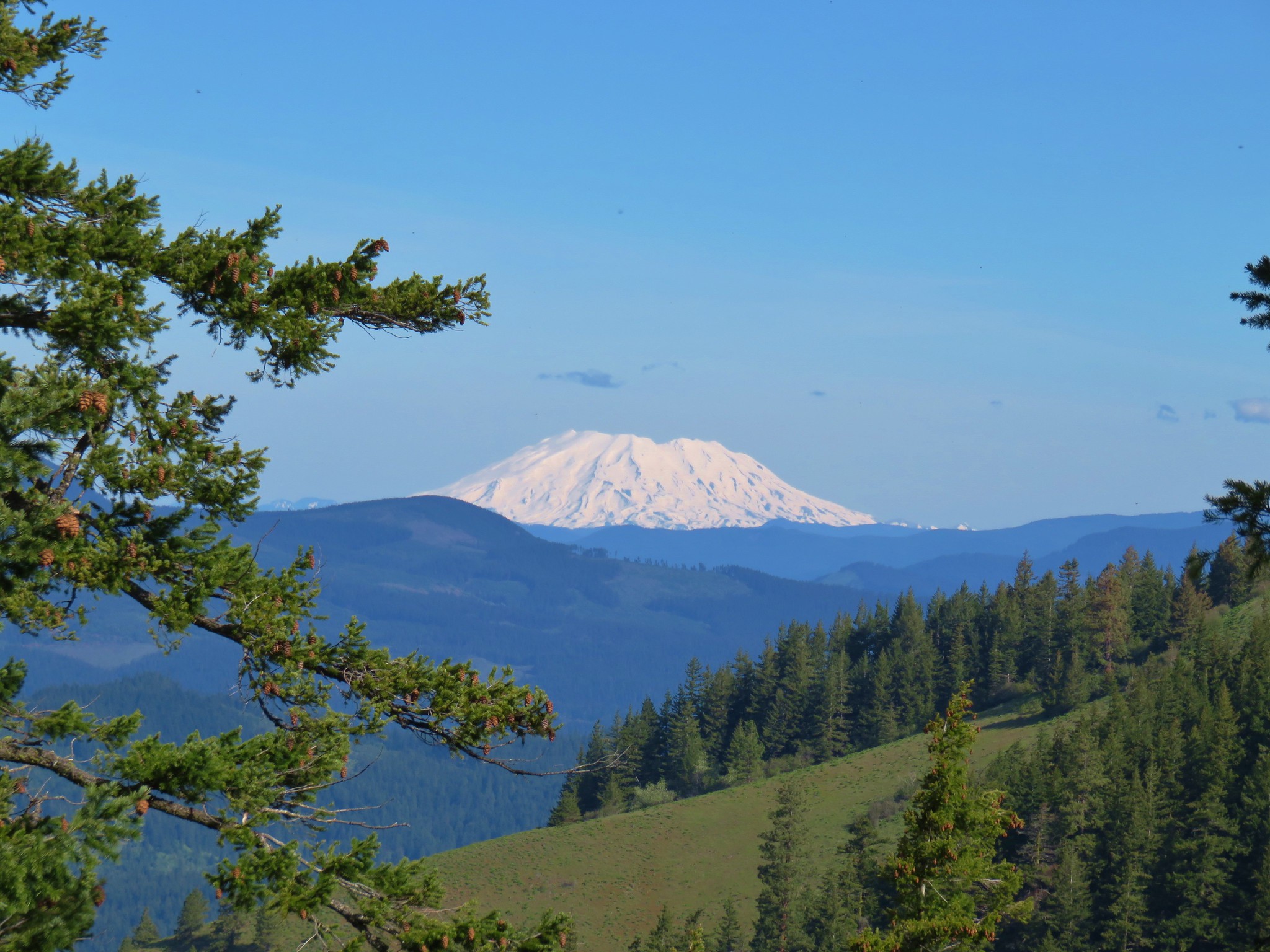
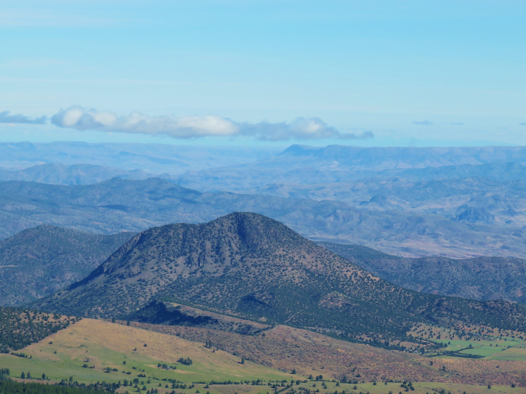
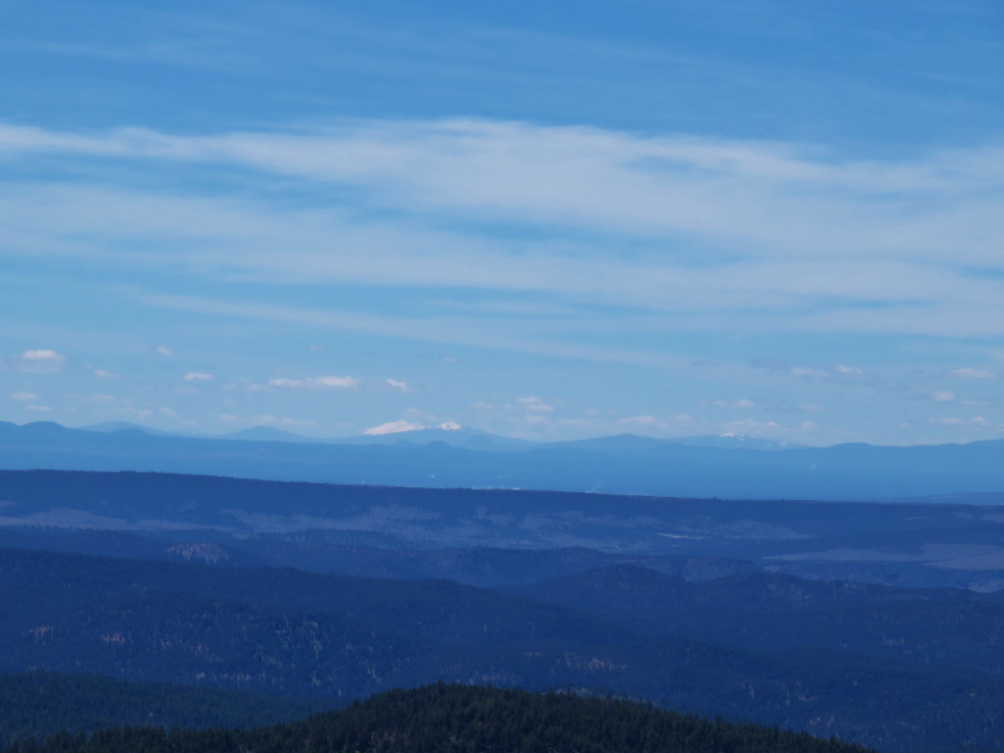
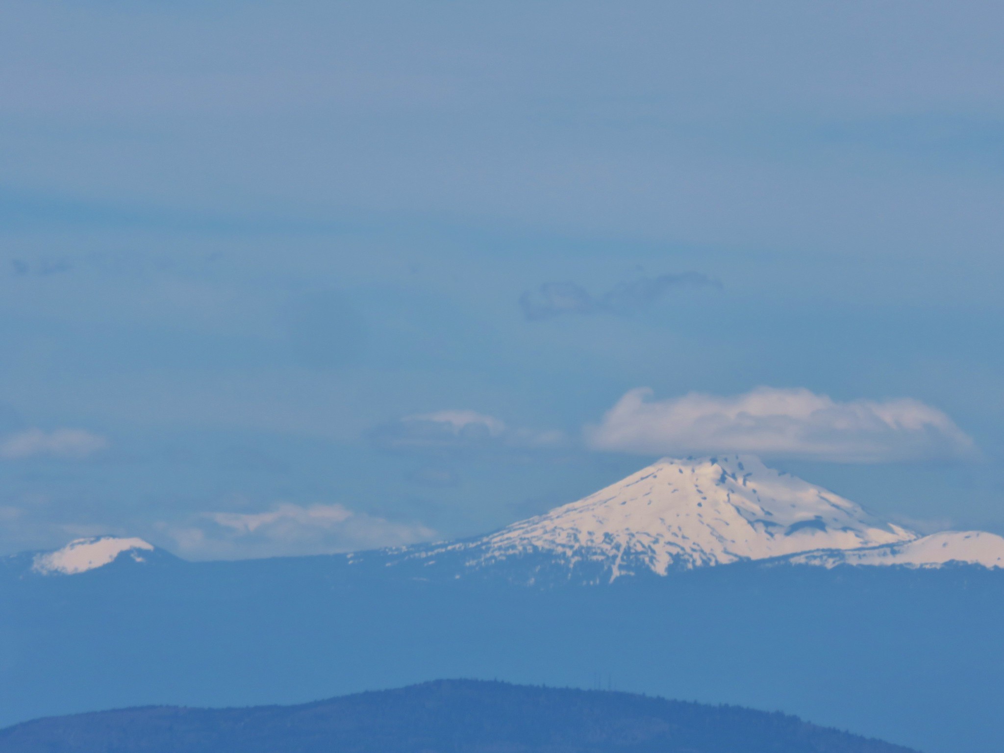
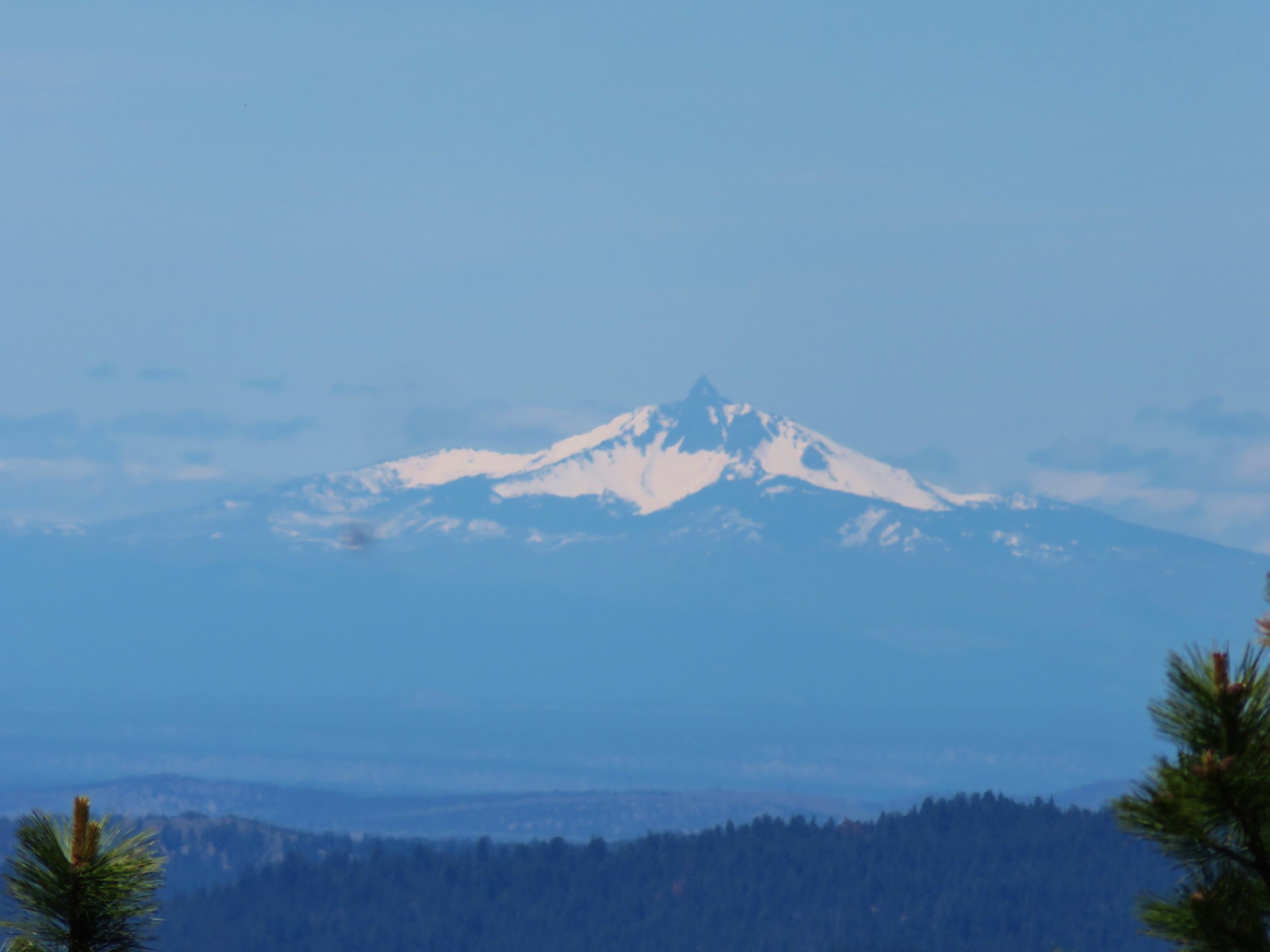
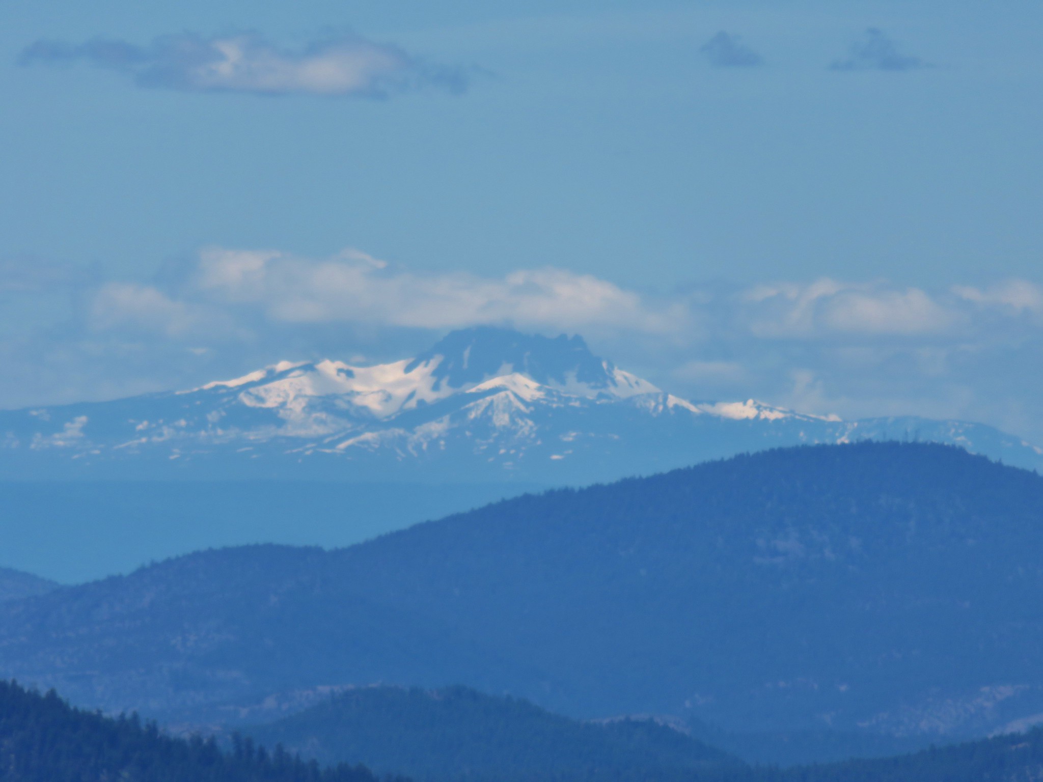
The 360 degree view from the 6755′ summit did not disappoint. The clouds that had hidden parts of the Cascades had mostly burned off (except for over Three Fingered Jack) and Diamond Peak joined the line of snow covered volcanoes.

 Diamond and Maiden Peaks
 Mt. Bachelor
 Ball Butte and Broken Top
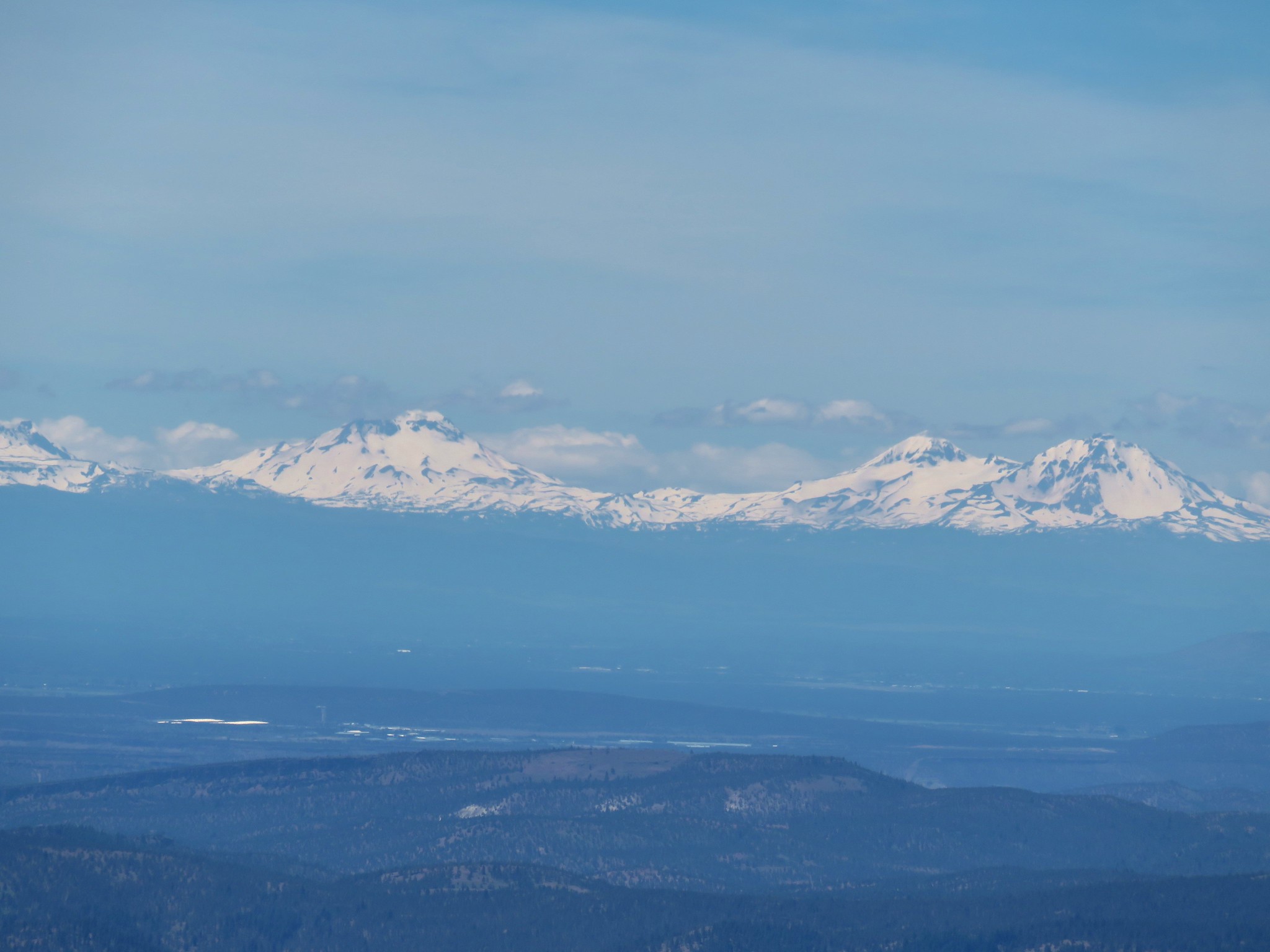 The Three Sisters
 Mt. Washington
 Three Fingered Jack
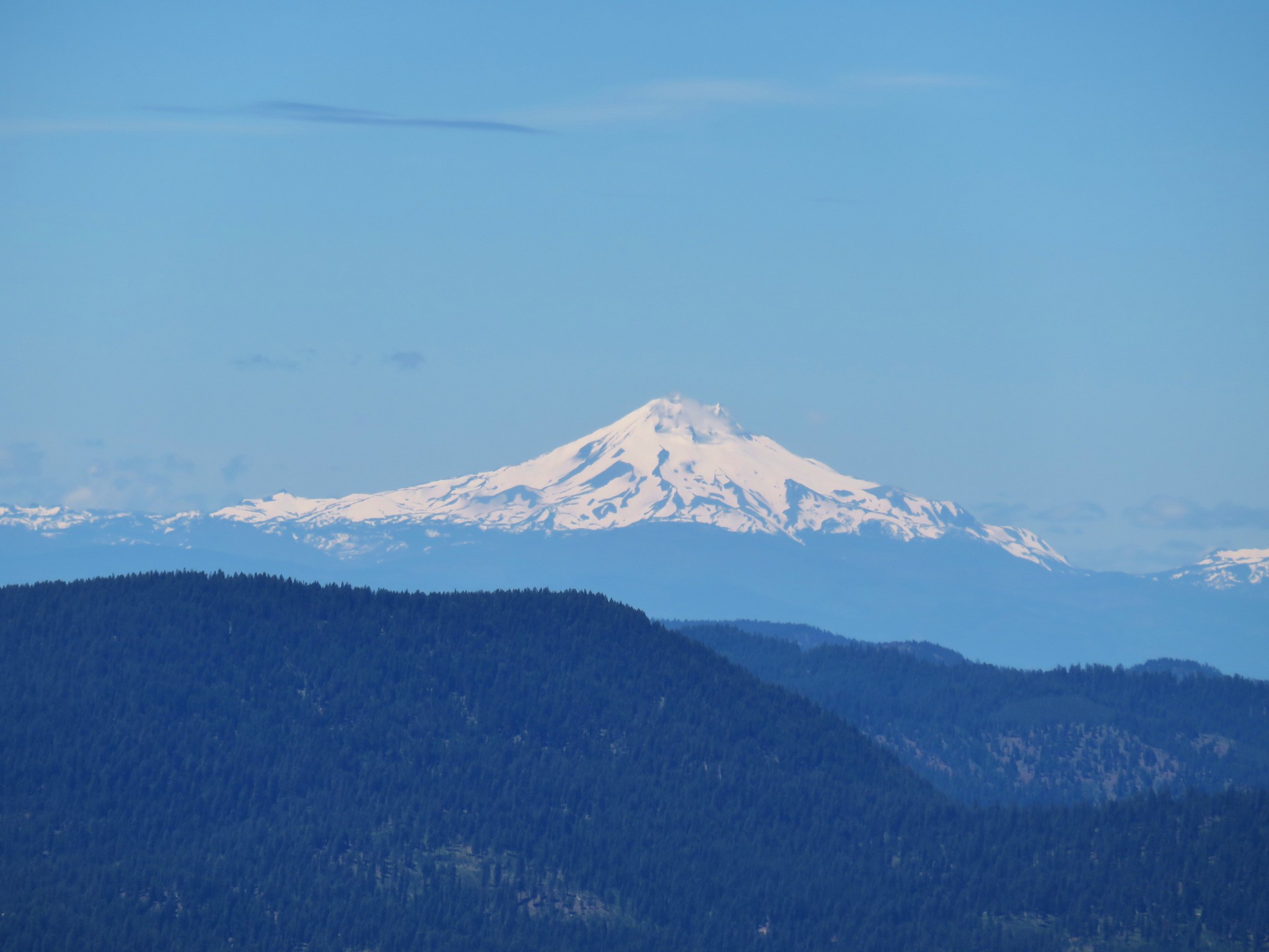 Mt. Jefferson
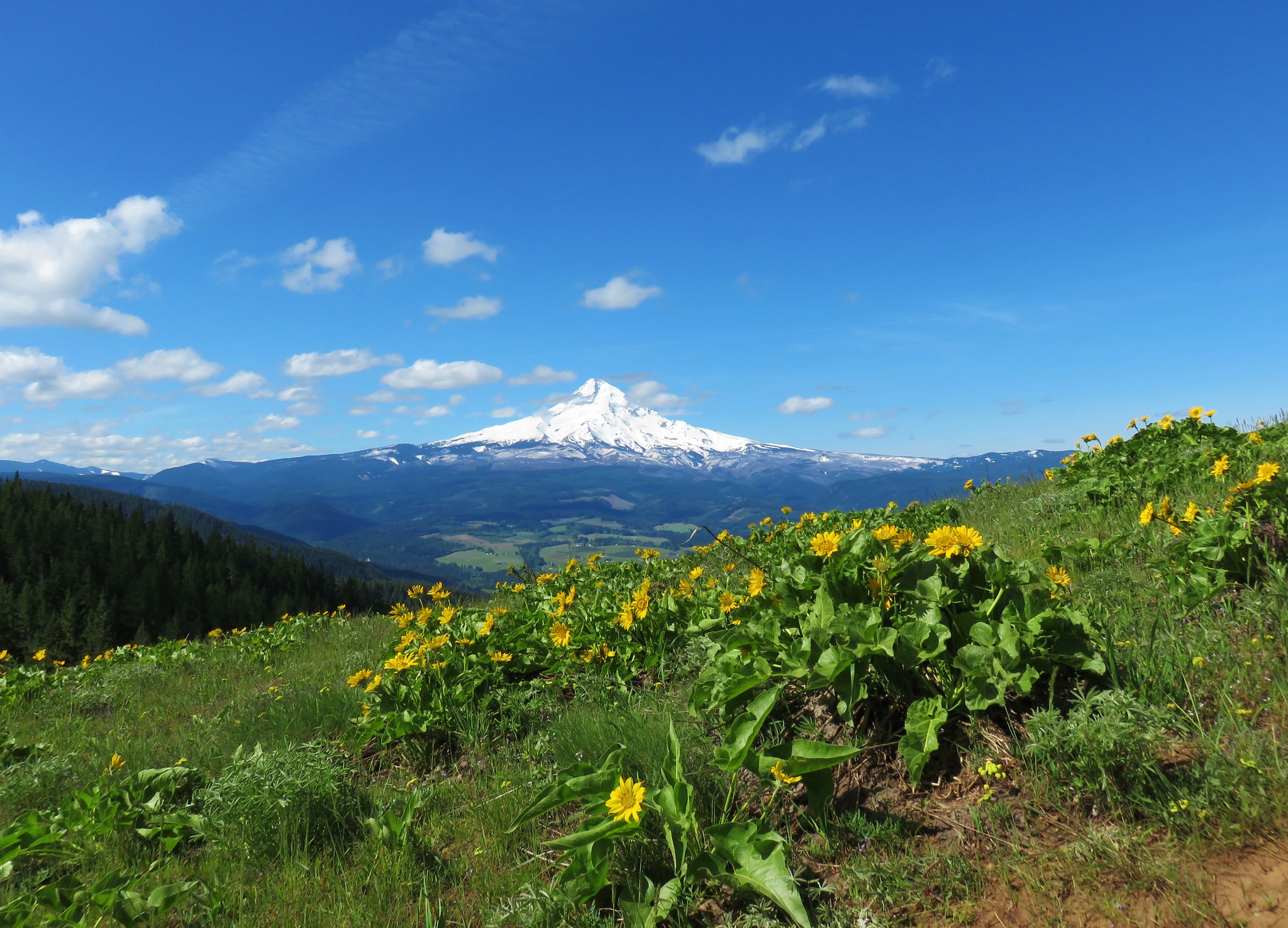
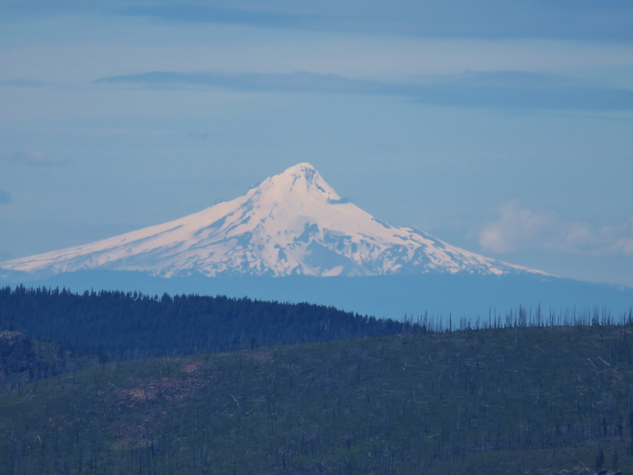 Mt. Hood
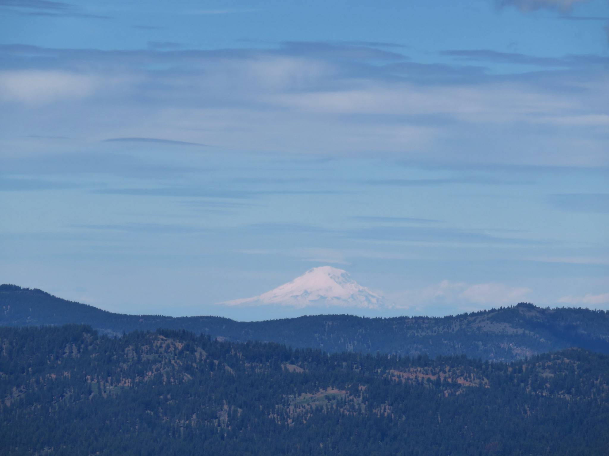 Mt. Adams
The plateau of the Bridge Creek Wilderness was visible to the NE.
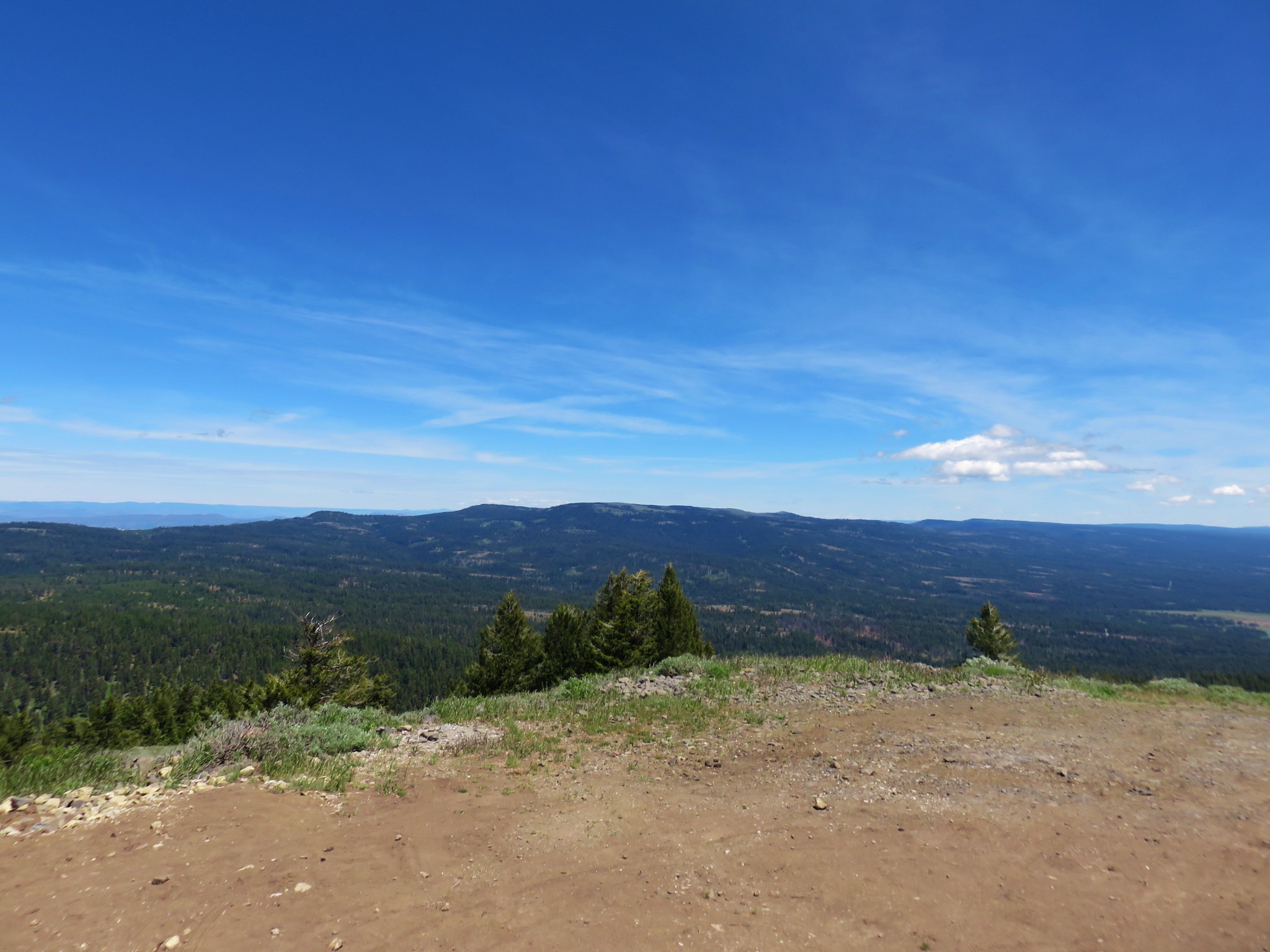
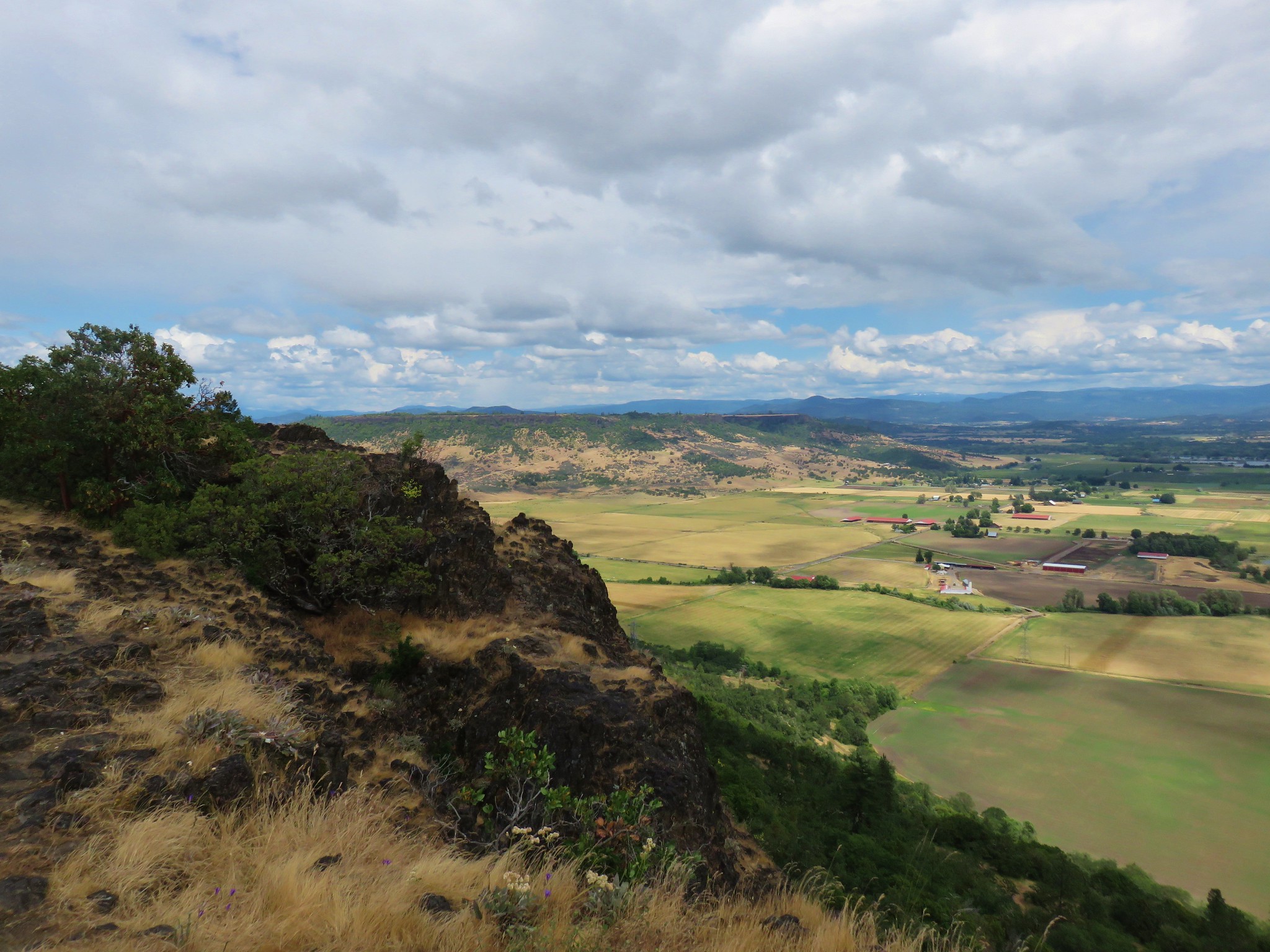
Lookout Mountain rose across NF-42 to the south.

While Big Summit Prairie stretched out to the east.
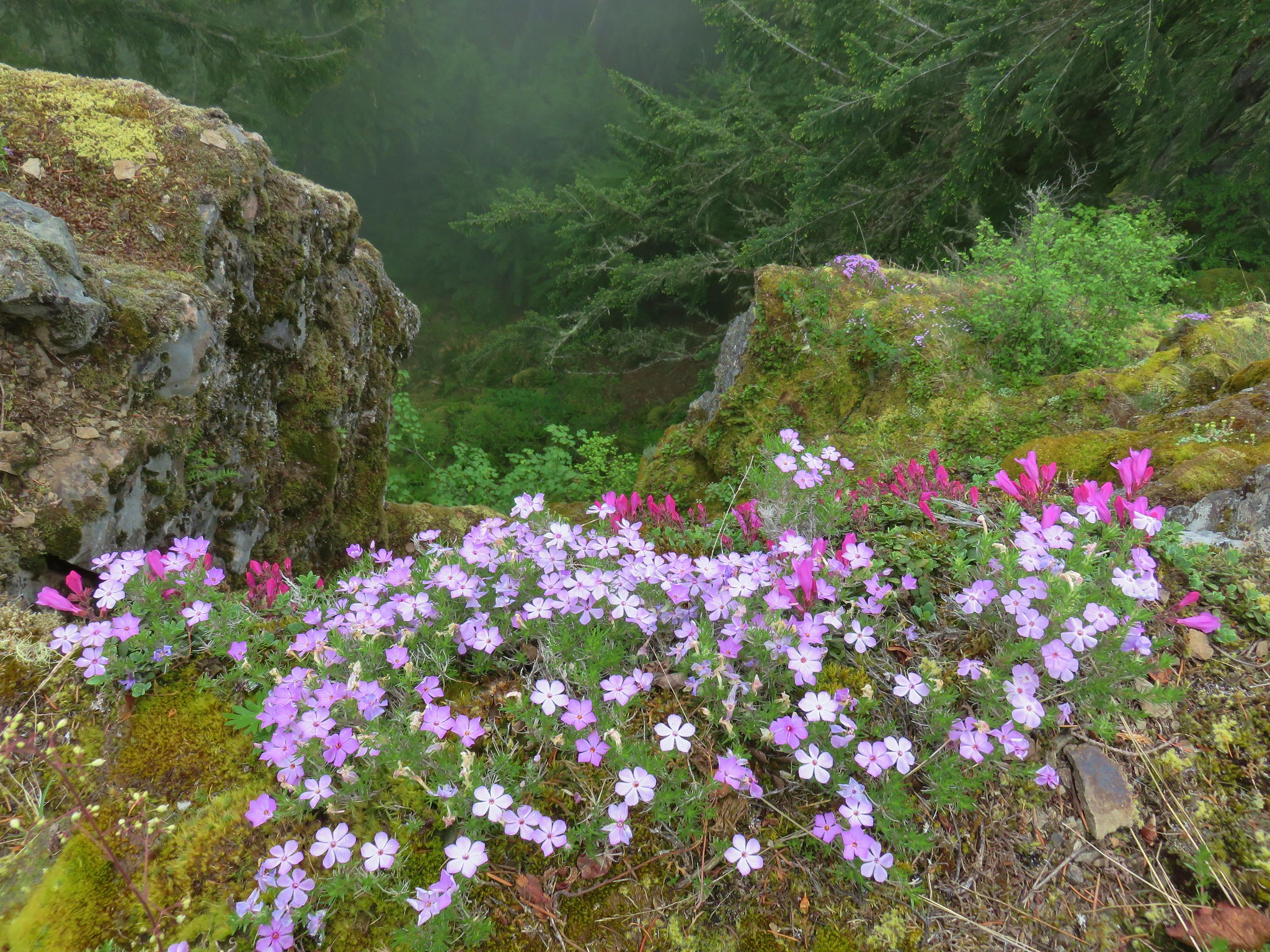
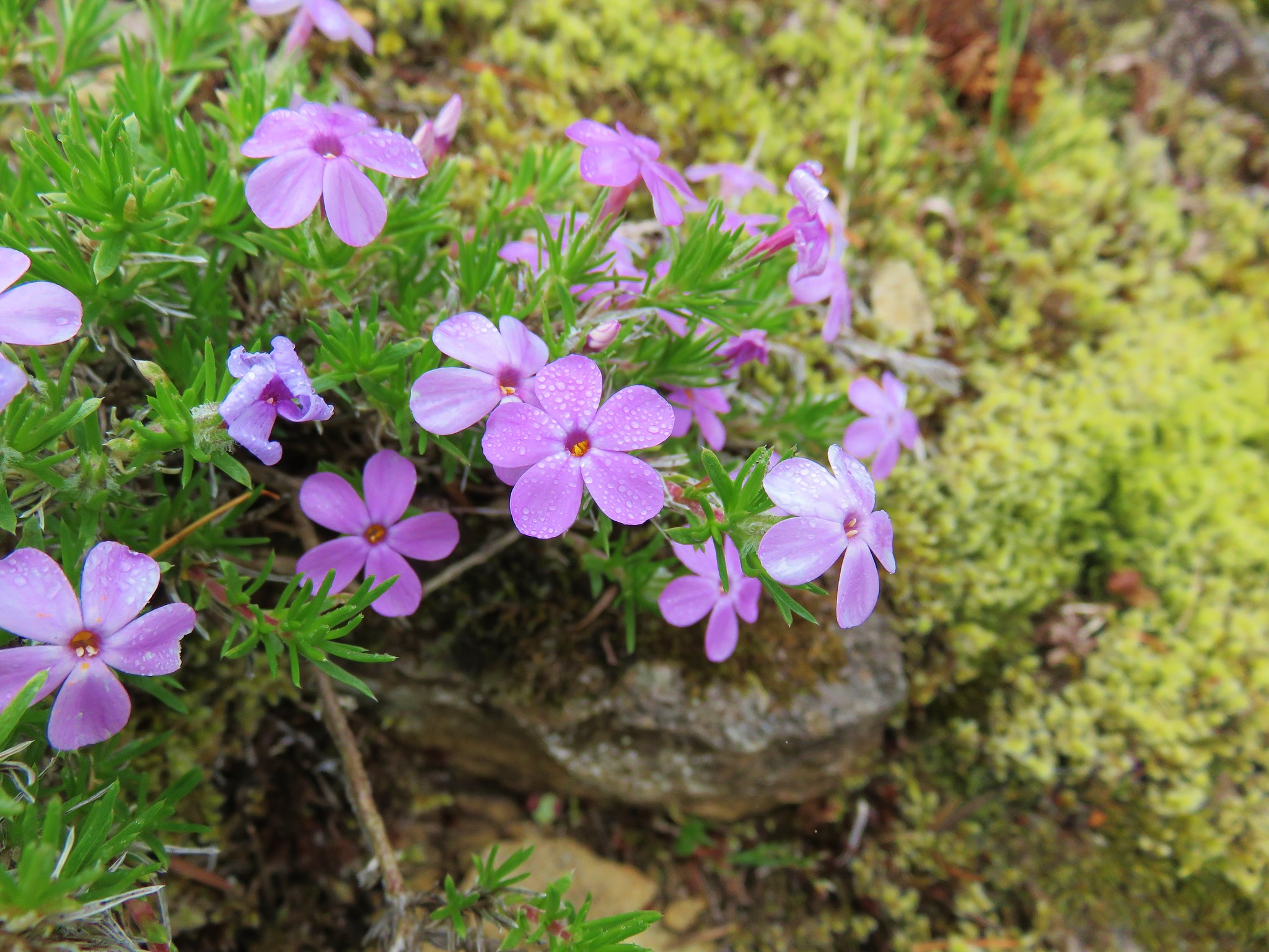
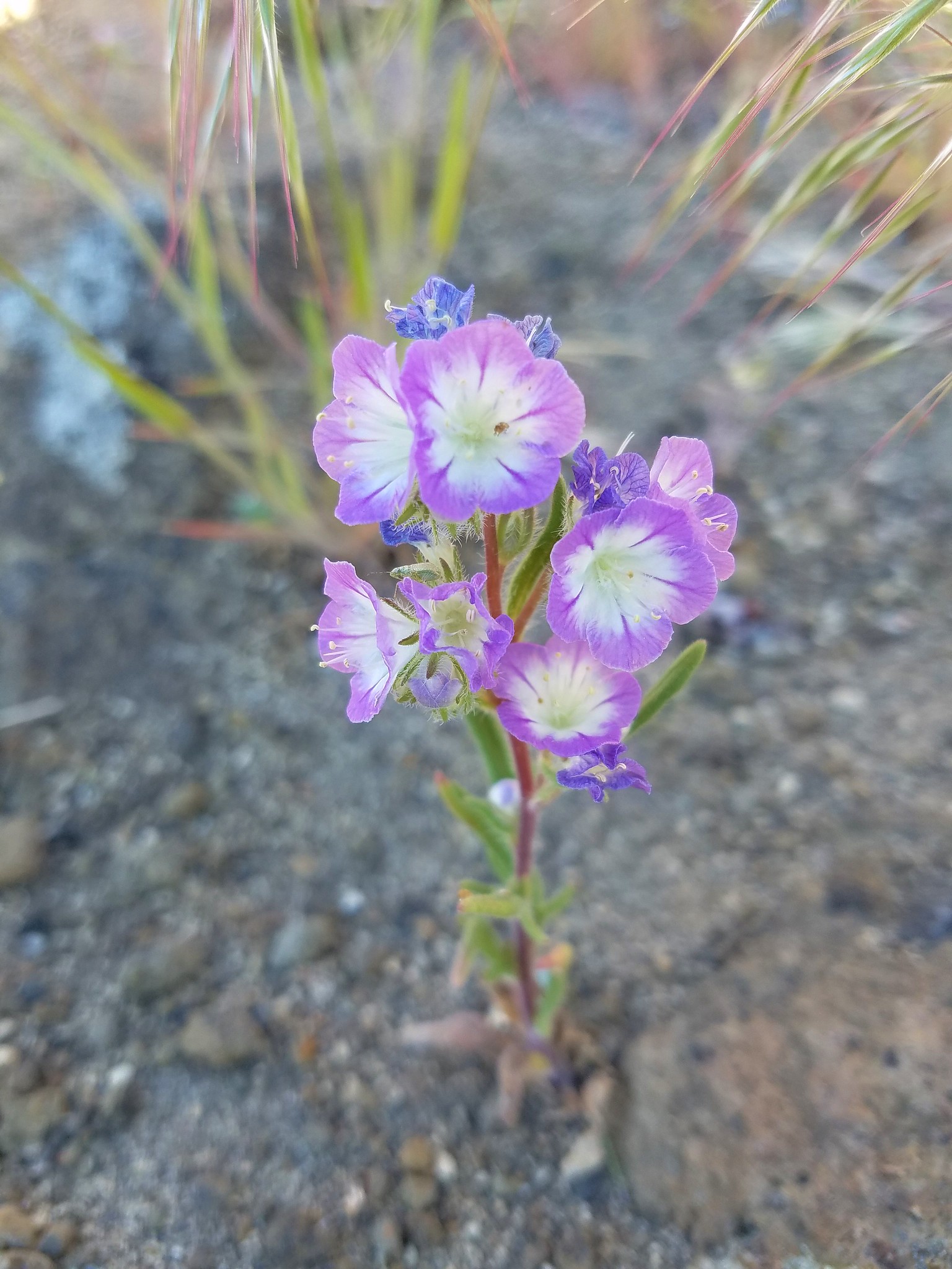
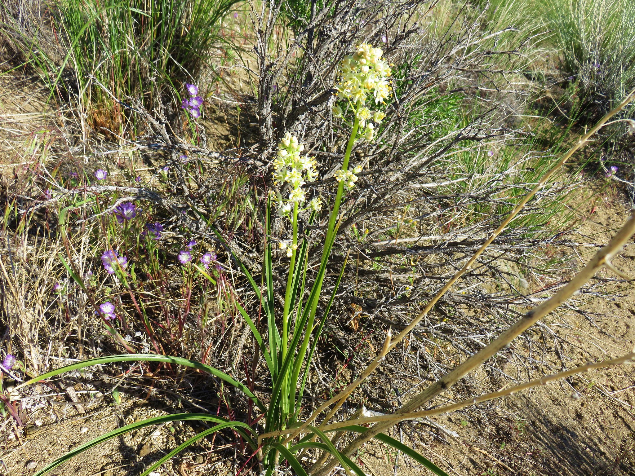
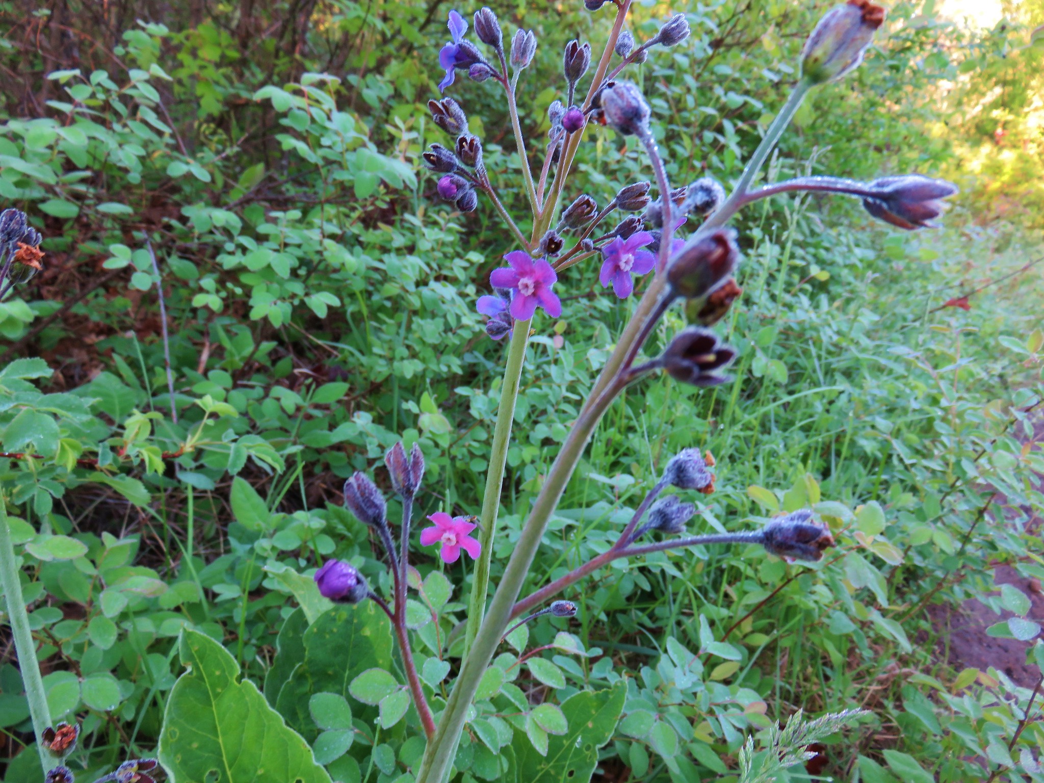
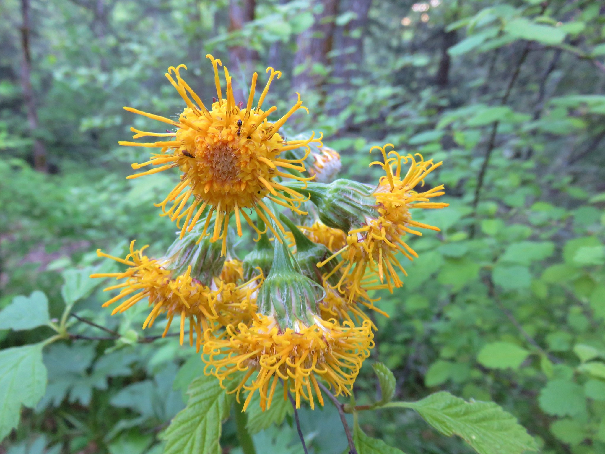
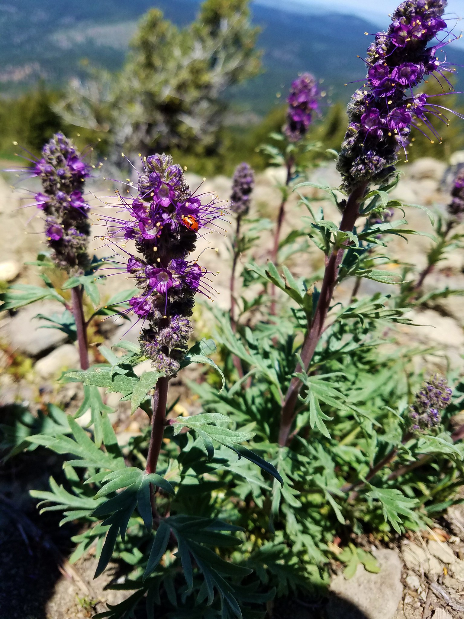
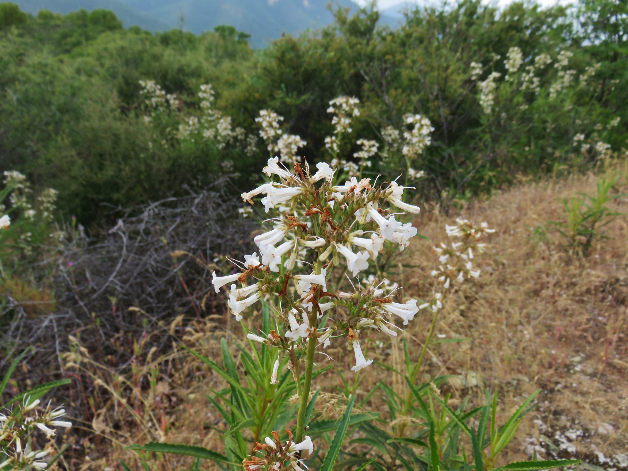
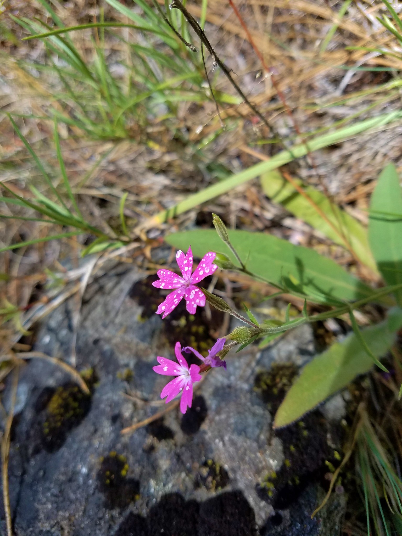
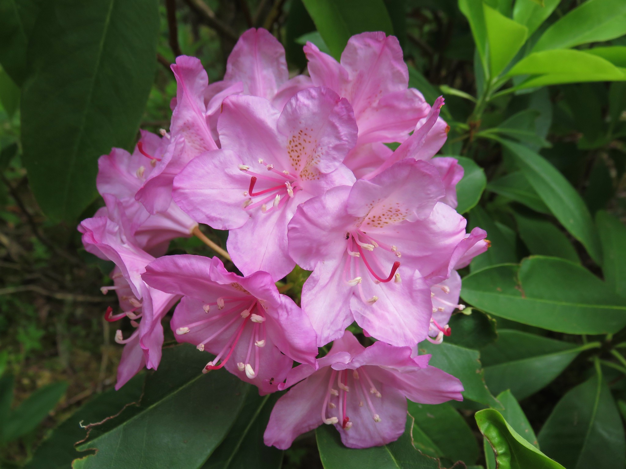
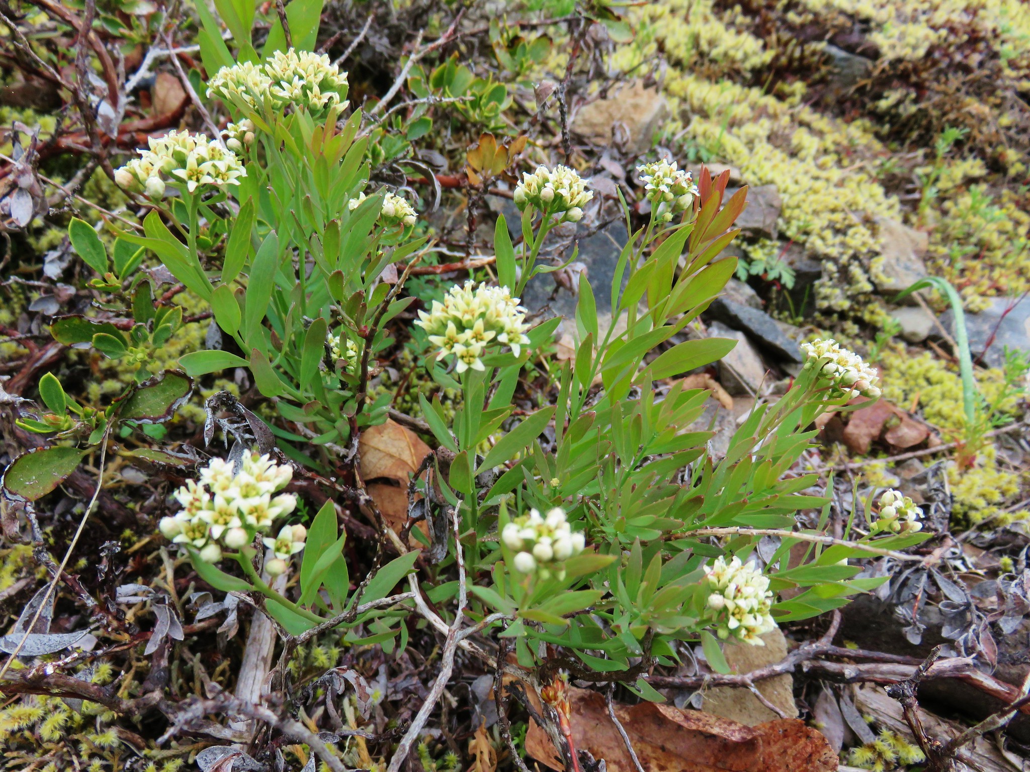
We spotted a couple of flowers near the summit that we hadn’t seen lower including a few pink phlox, a patch of purple silky phacelia, and some yellow bells along the road.


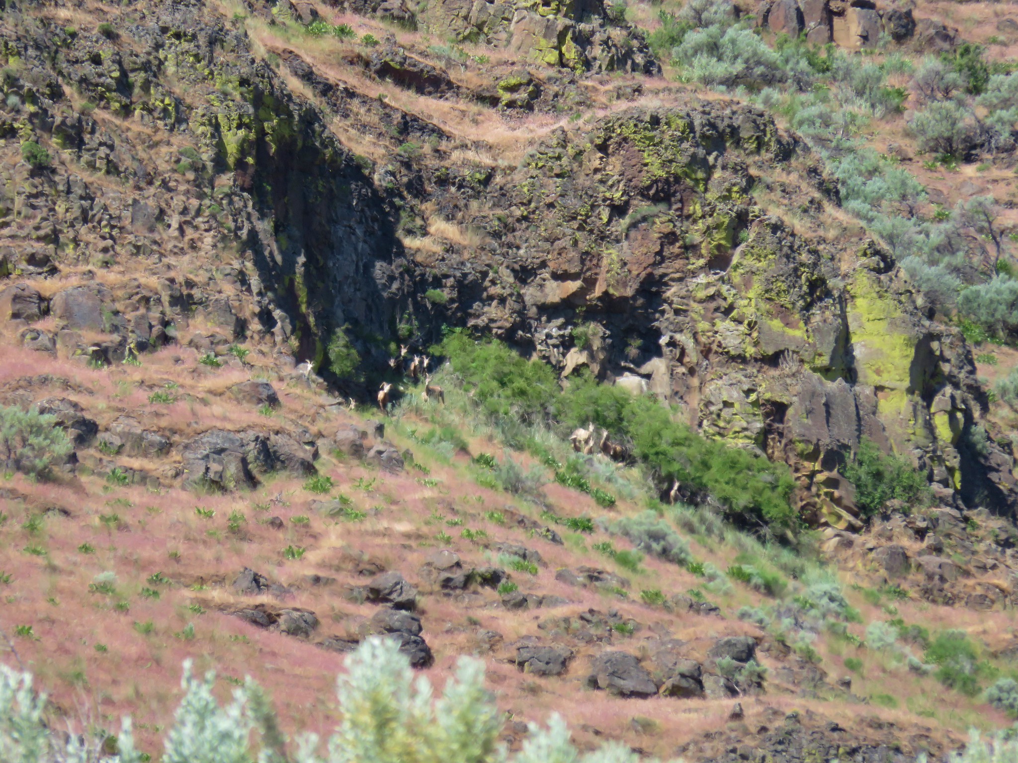
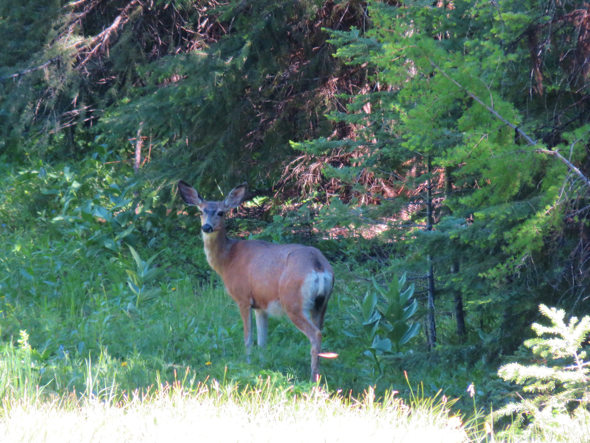
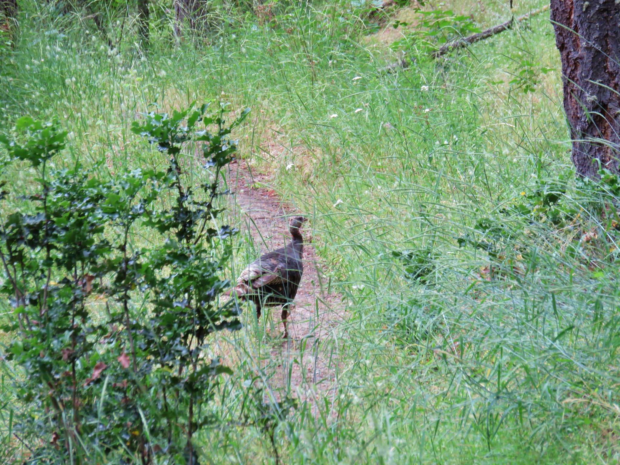
We returned the way we’d come. After crossing NF-42 we spotted a doe which seemed fitting since we were close to a road and we seem to see more deer from the roads than we do on the trails.
It was a great day in the Ochocos and it had felt really nice to finally spend some time in the mountains. Happy Trails!
Flickr: North Point & Round Mountain


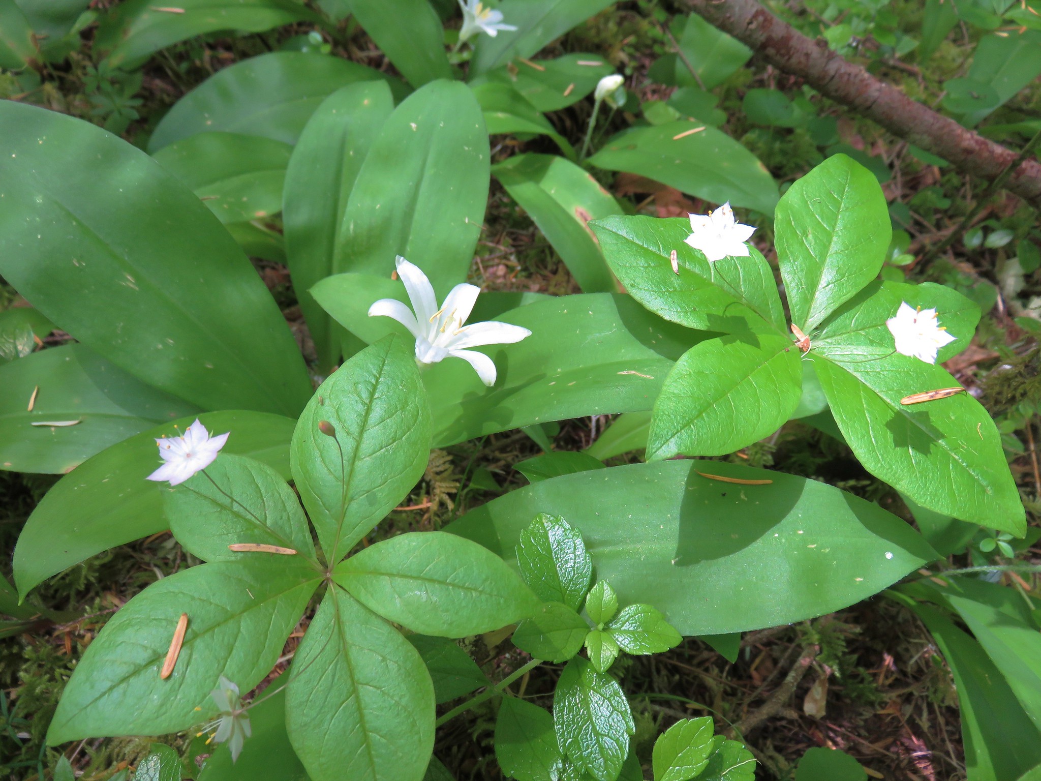
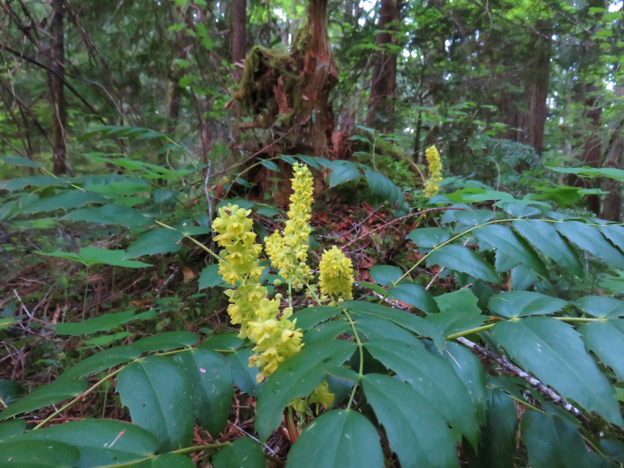
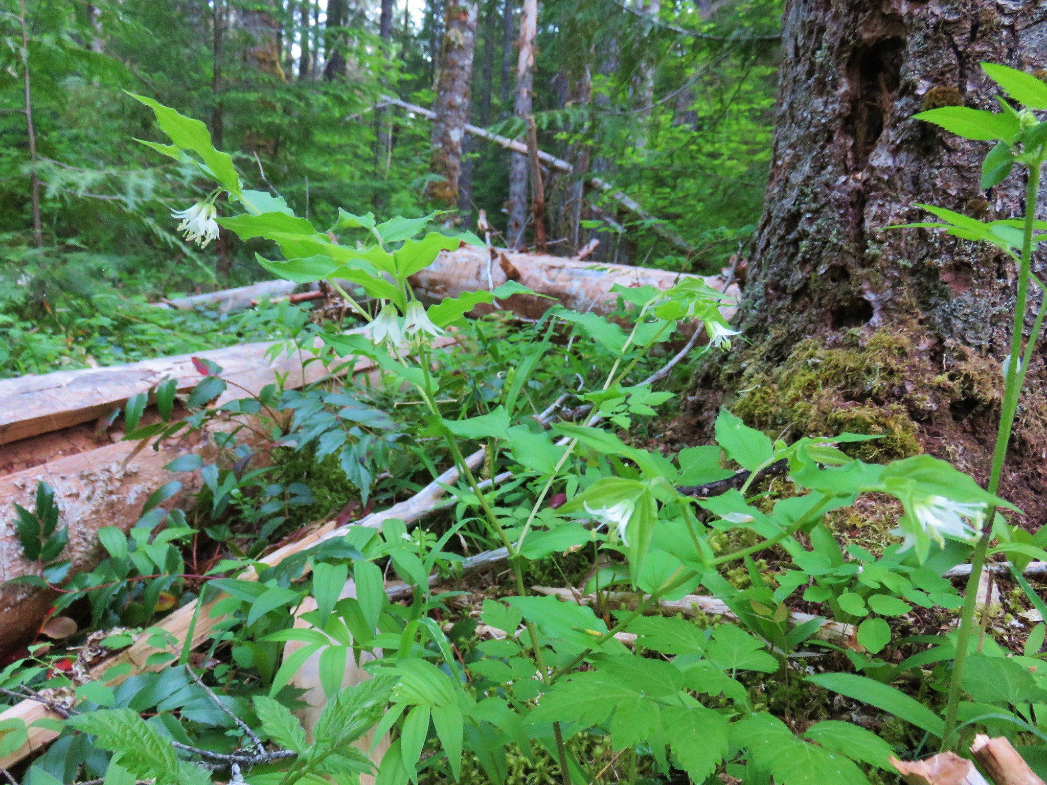
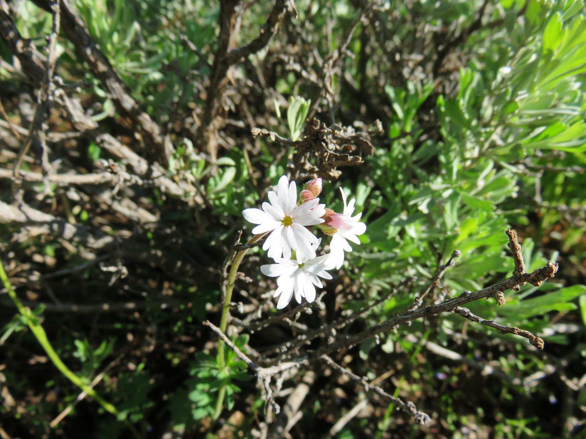
 Foam Flower
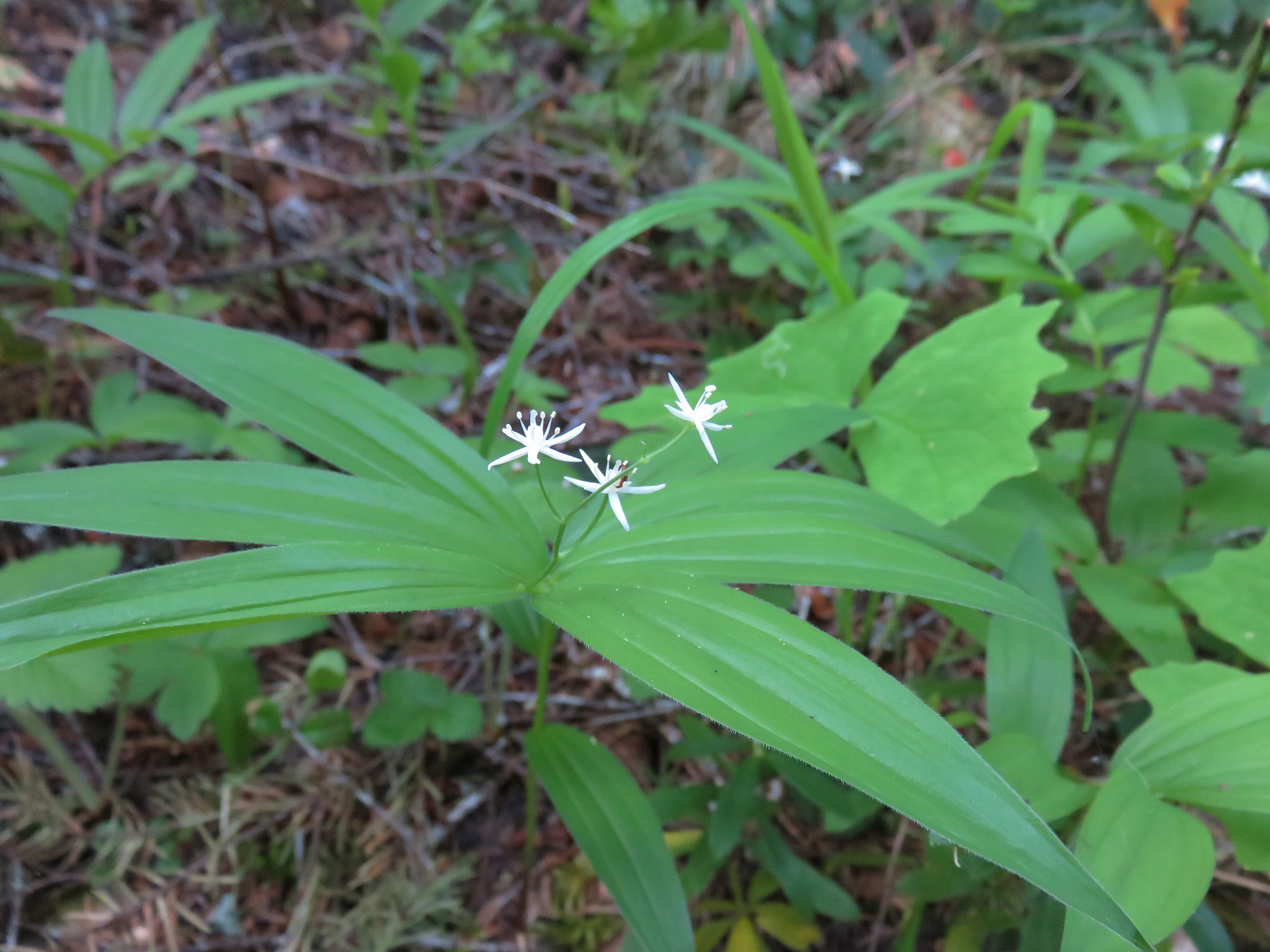
 Inside-out Flower
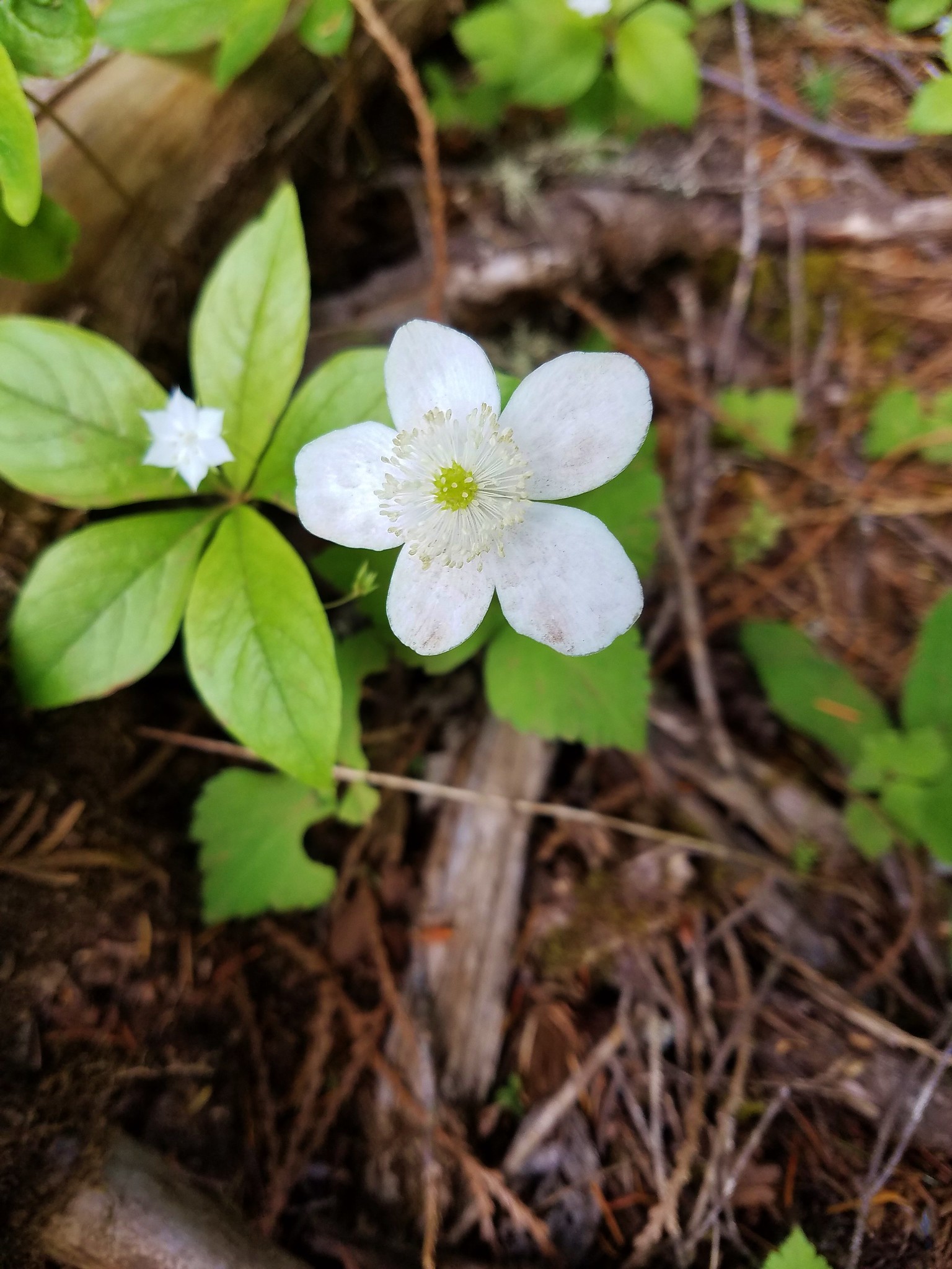
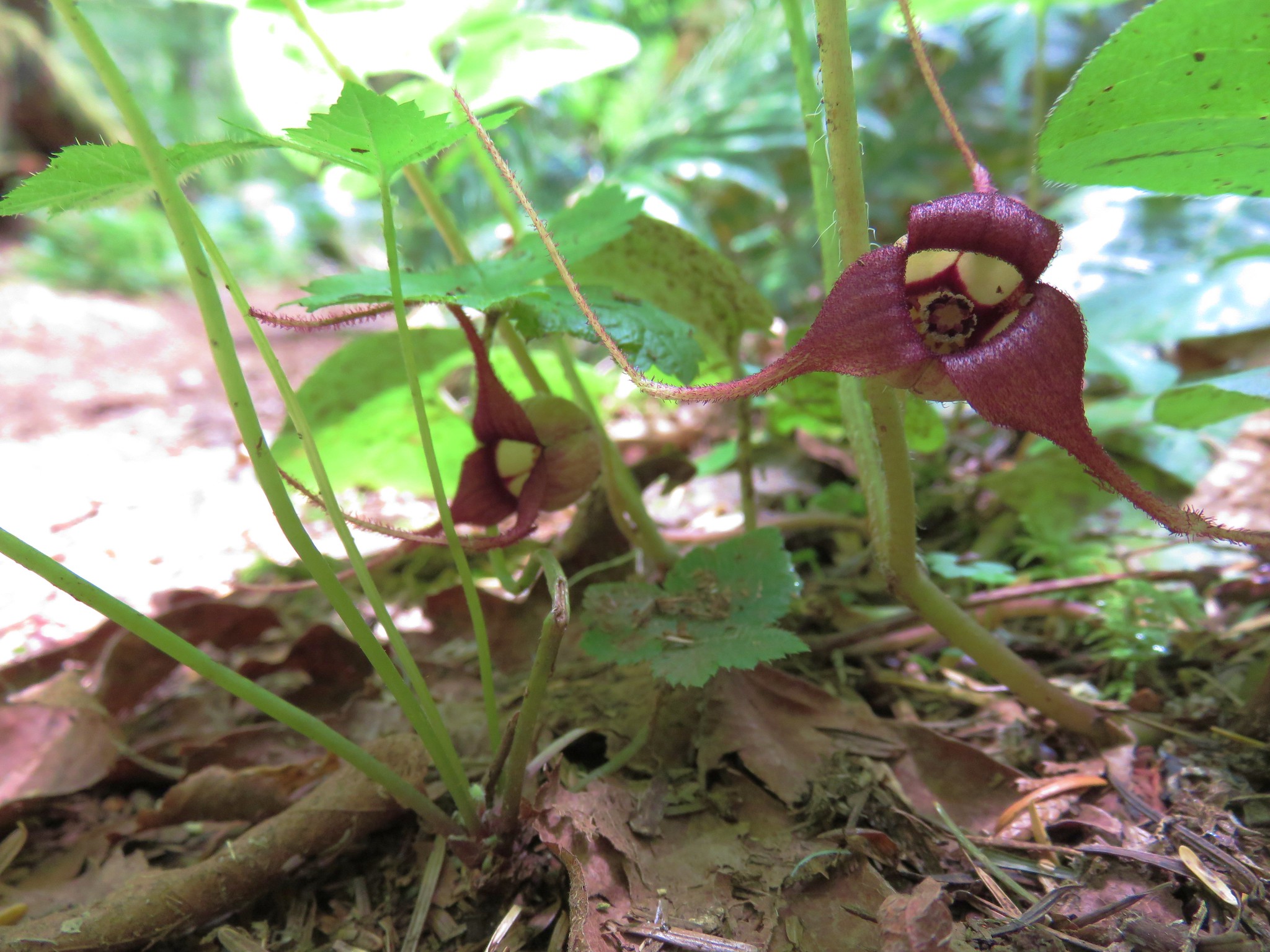 Wild Ginger
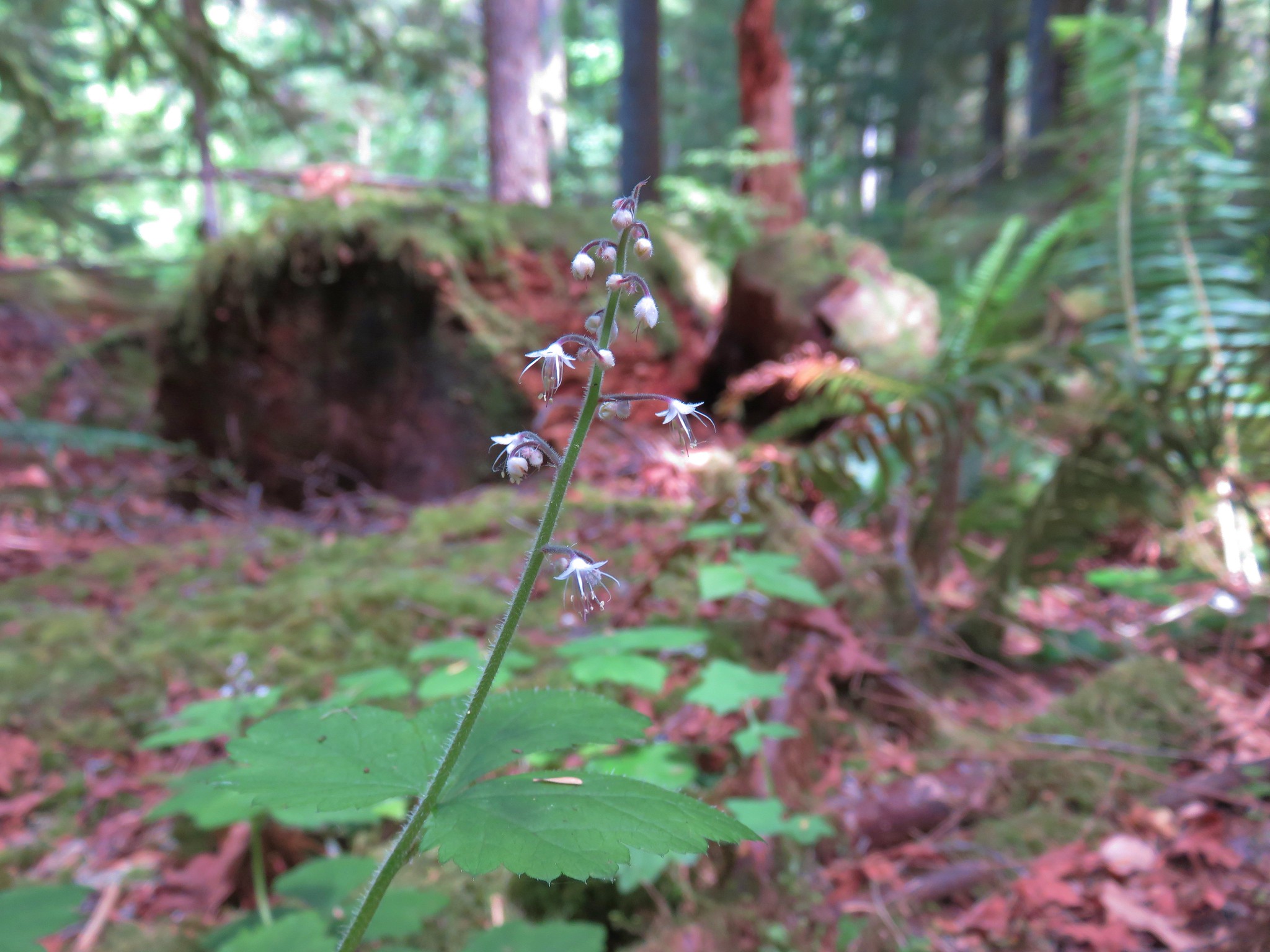
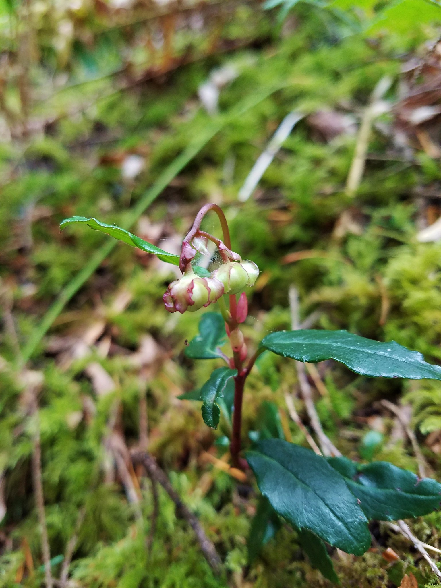 Wintergreen
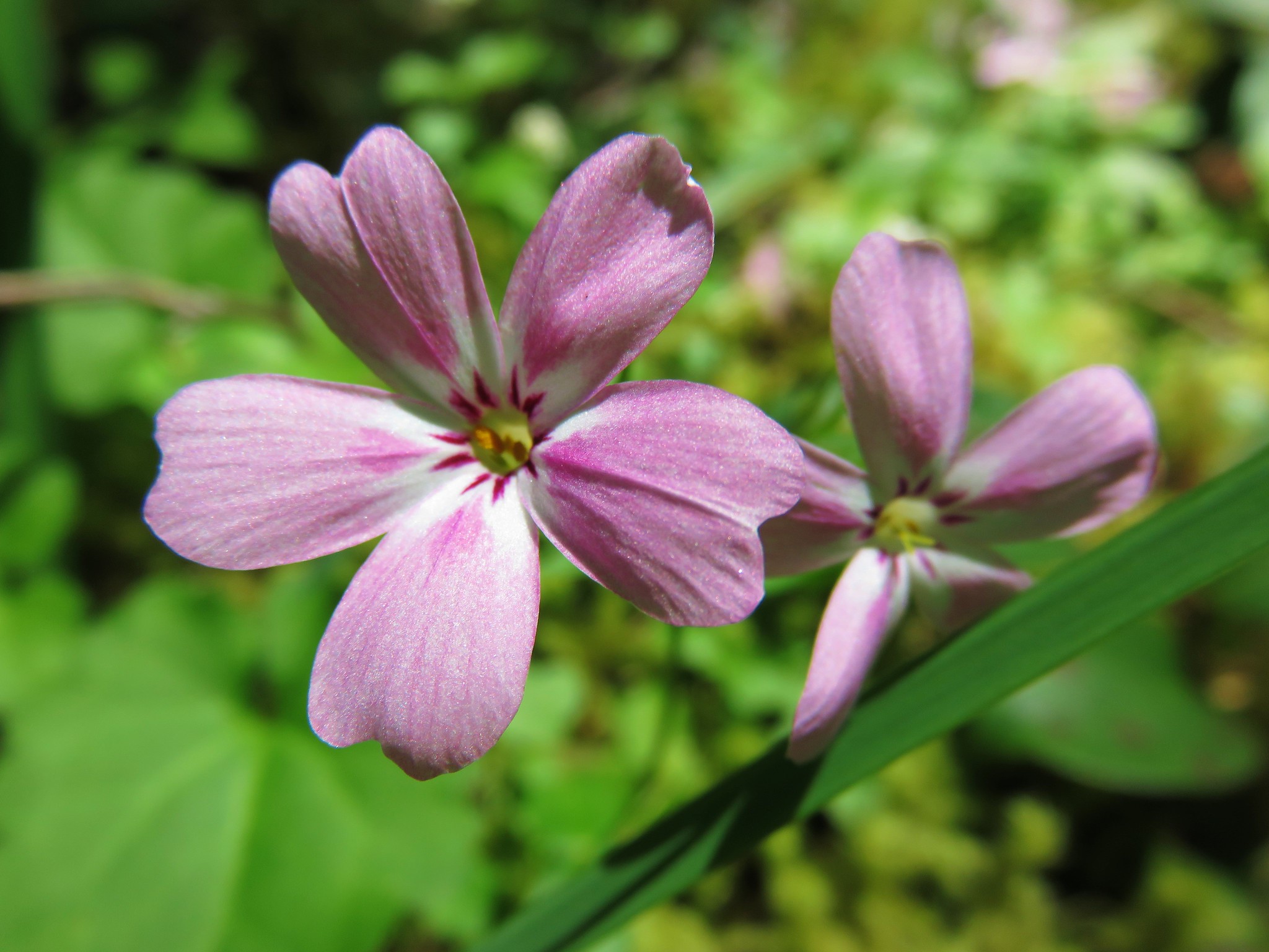 Northern Phlox
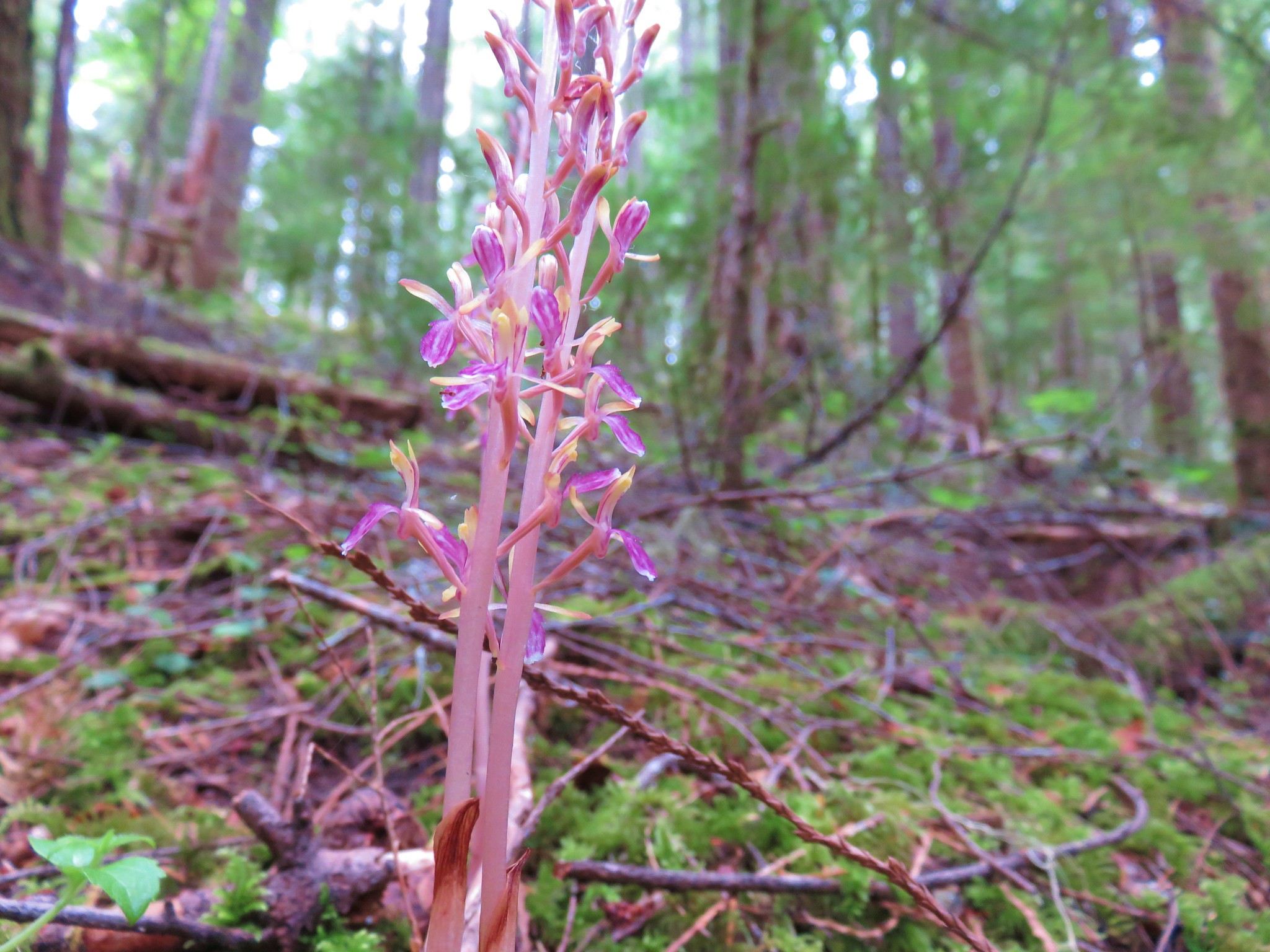


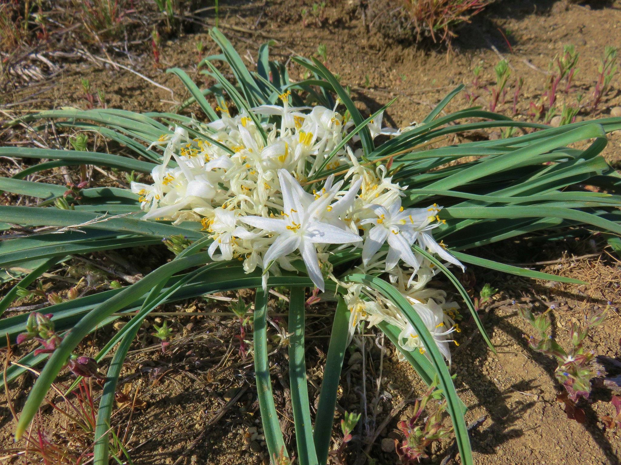
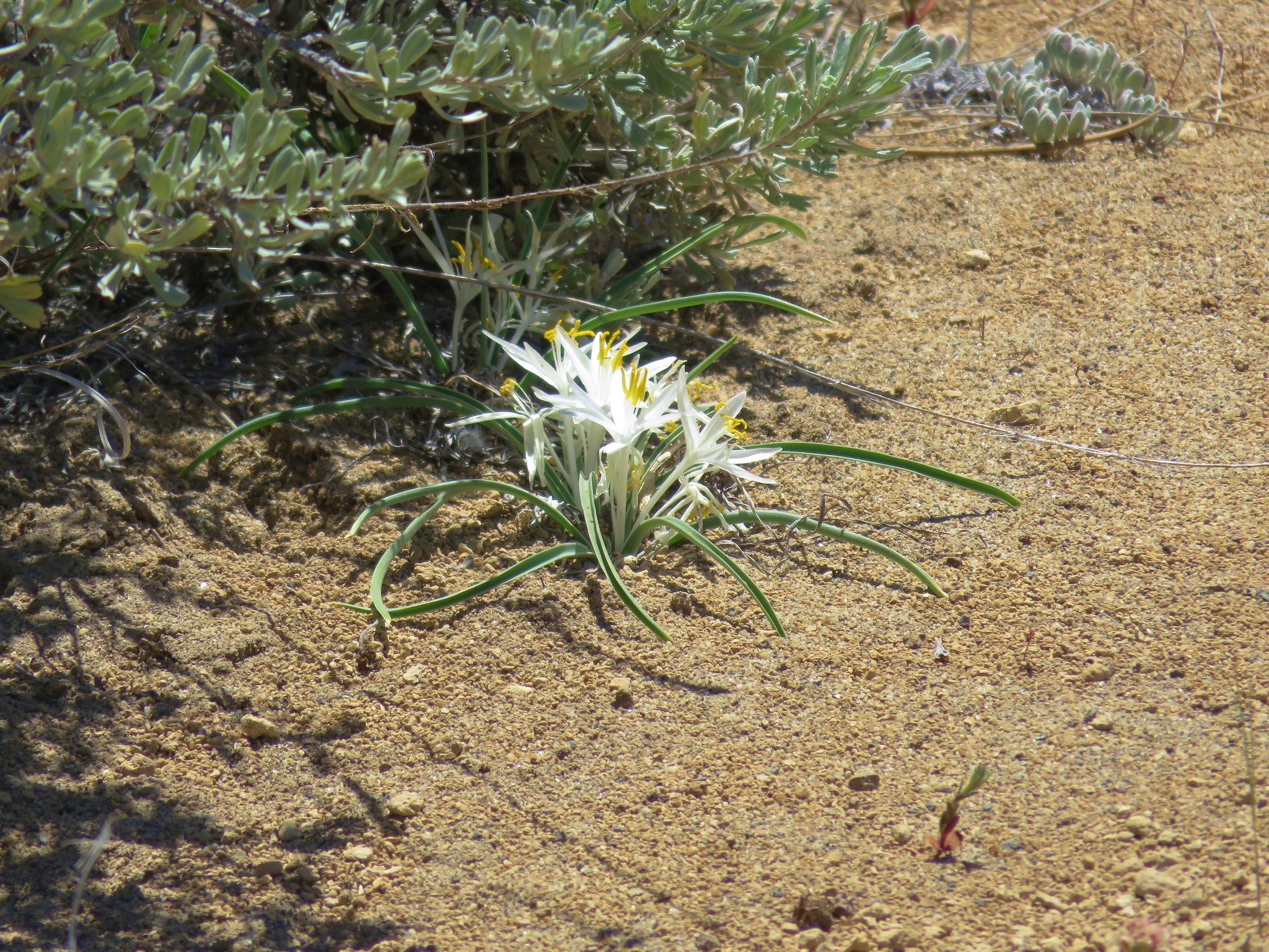
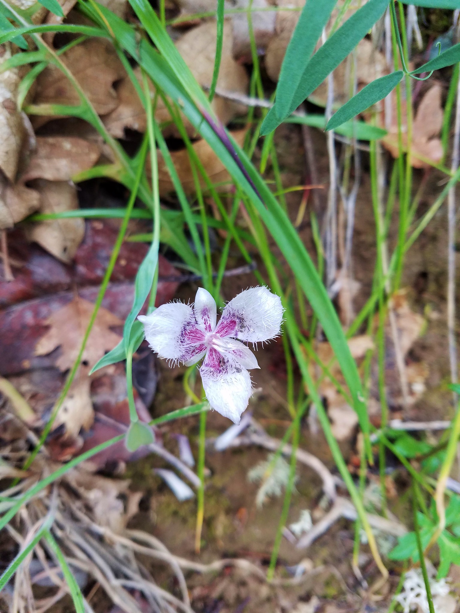
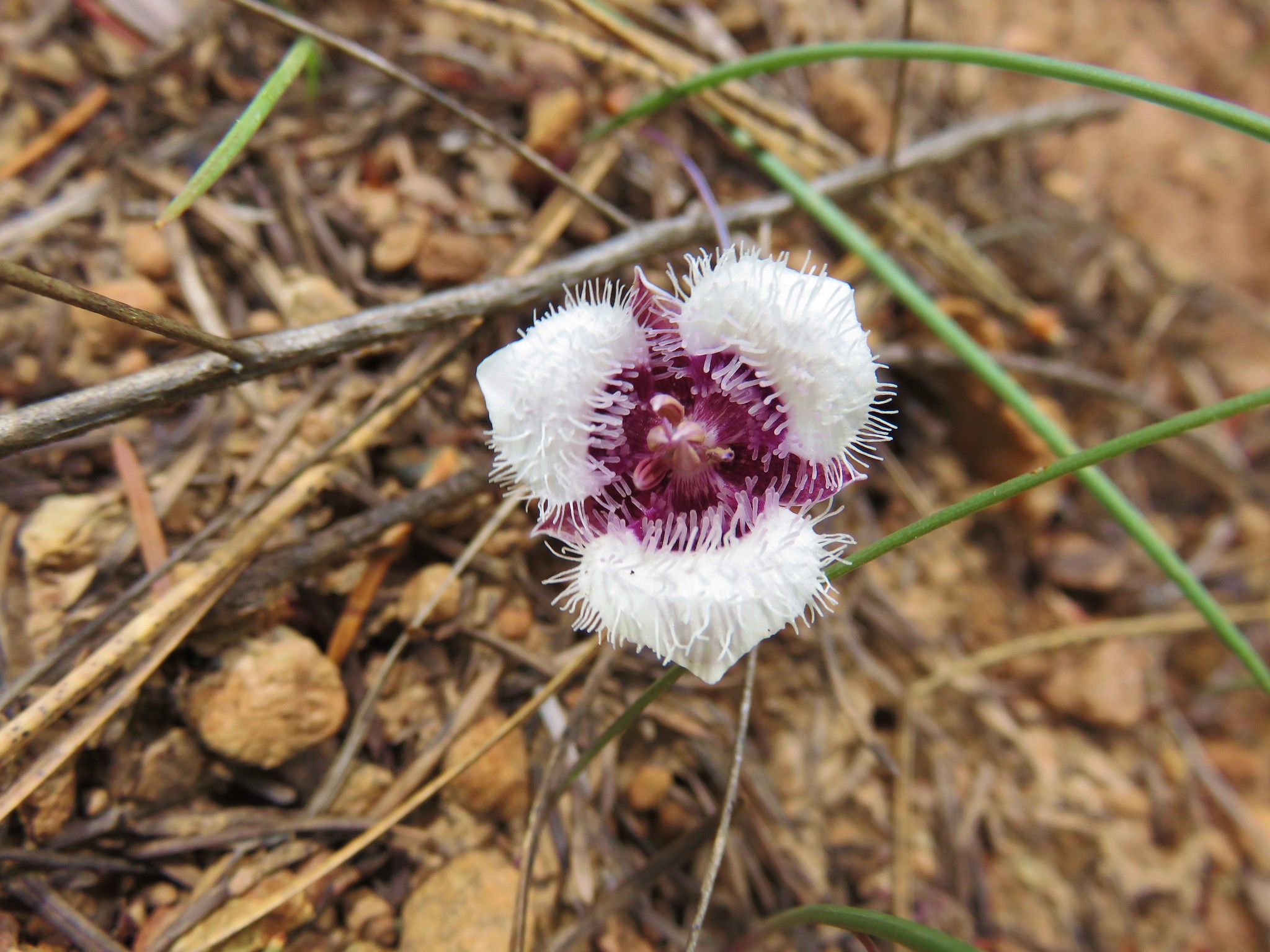
 Cat’s ear lilies
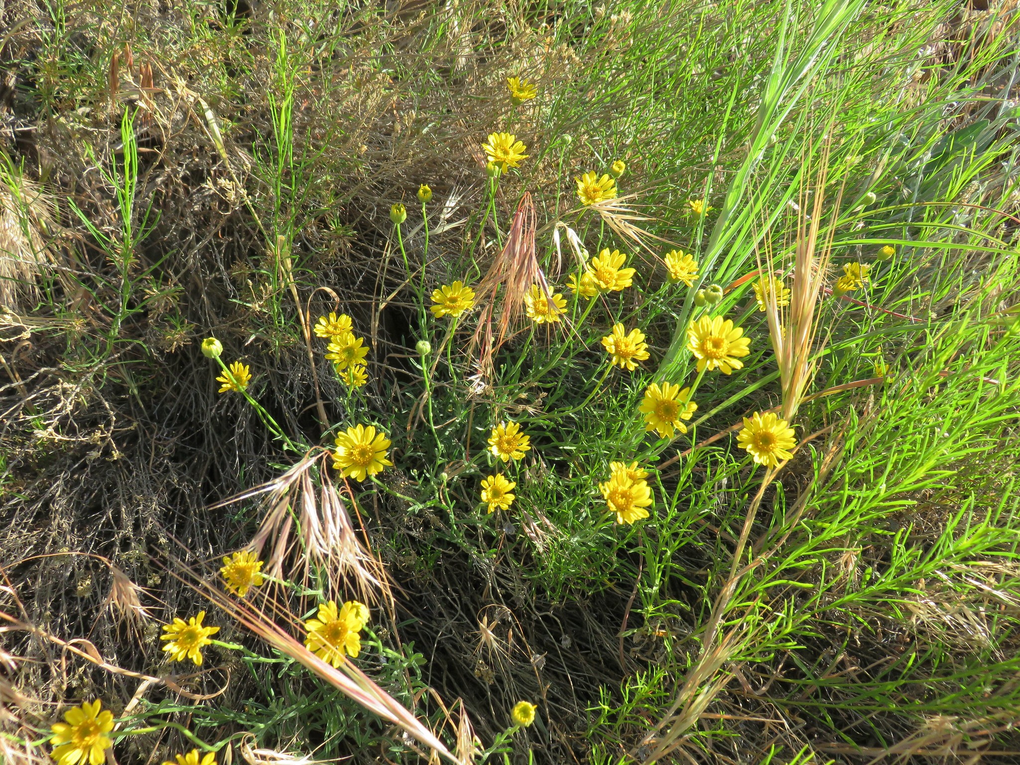
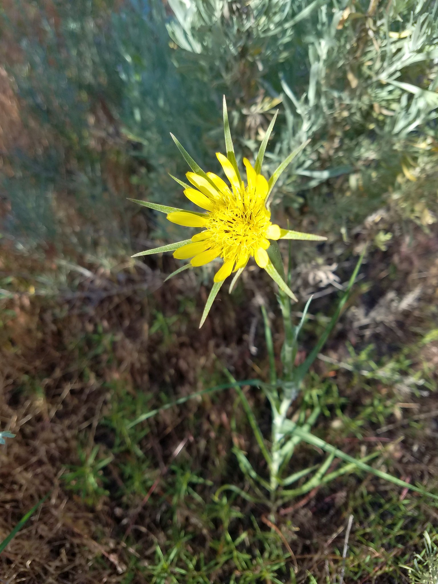
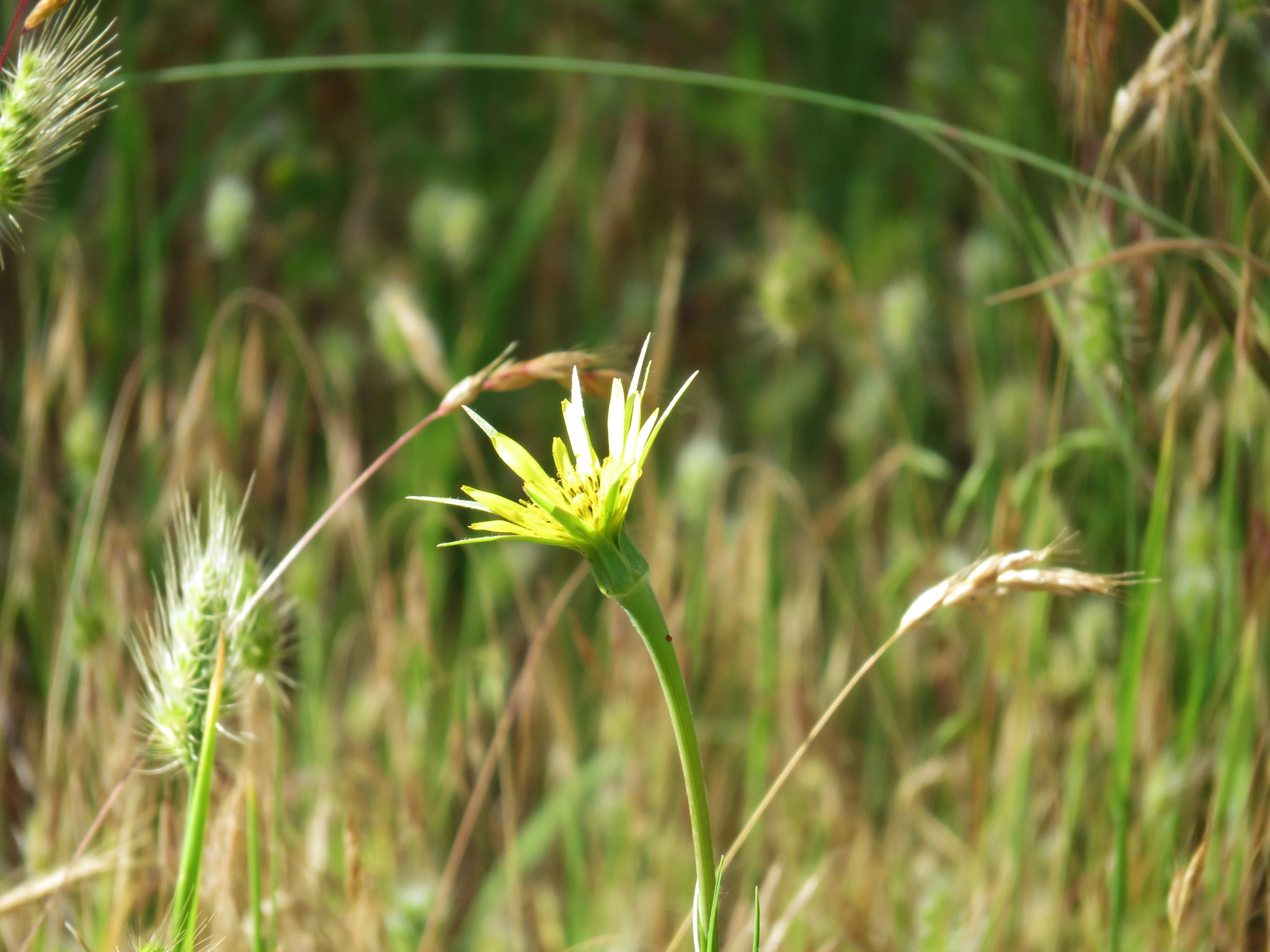
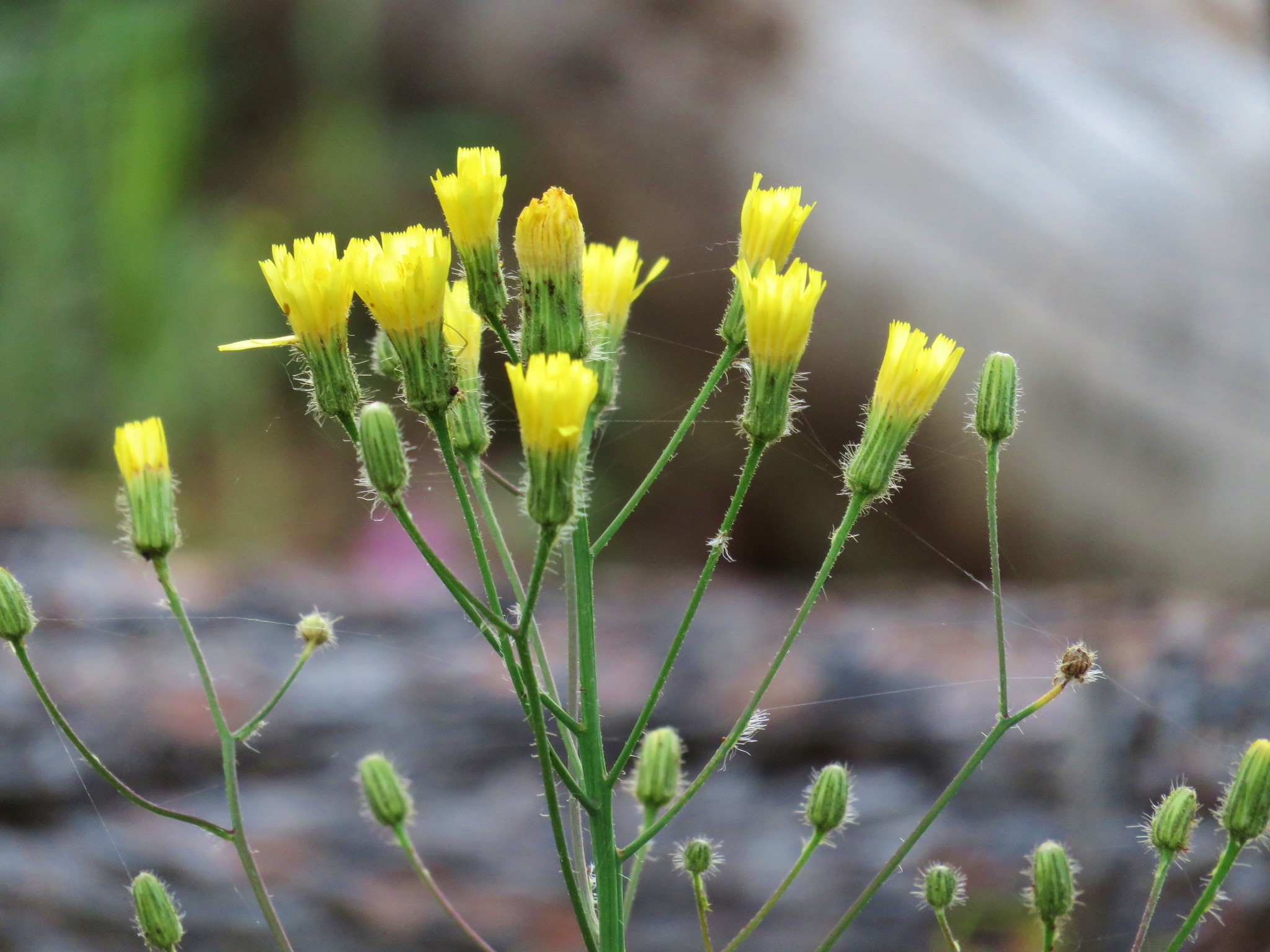
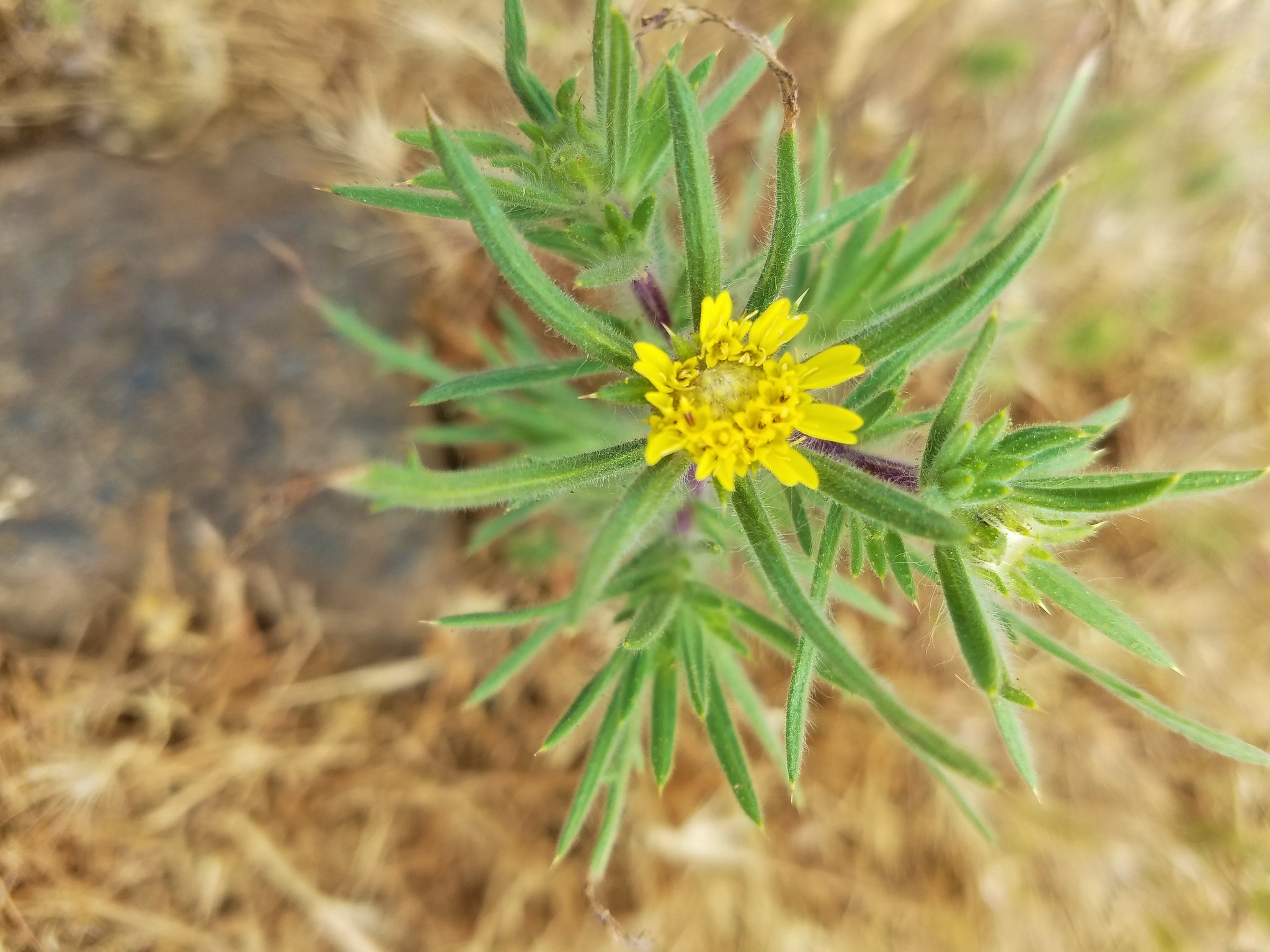
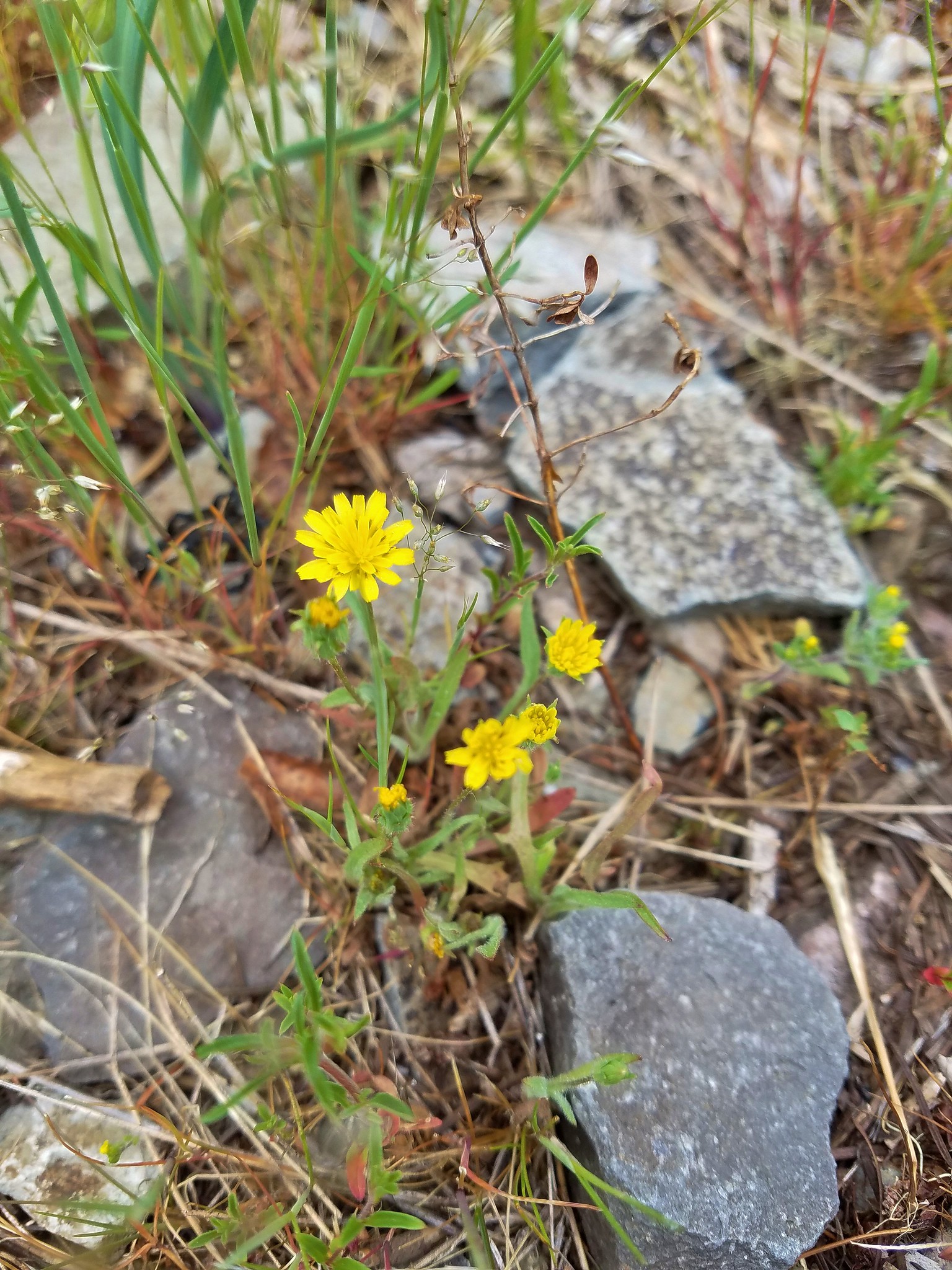 Annual agoseris
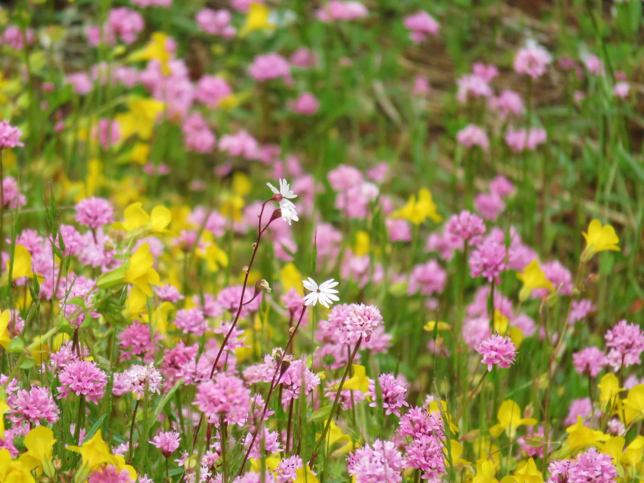 Prairie star and plectritis
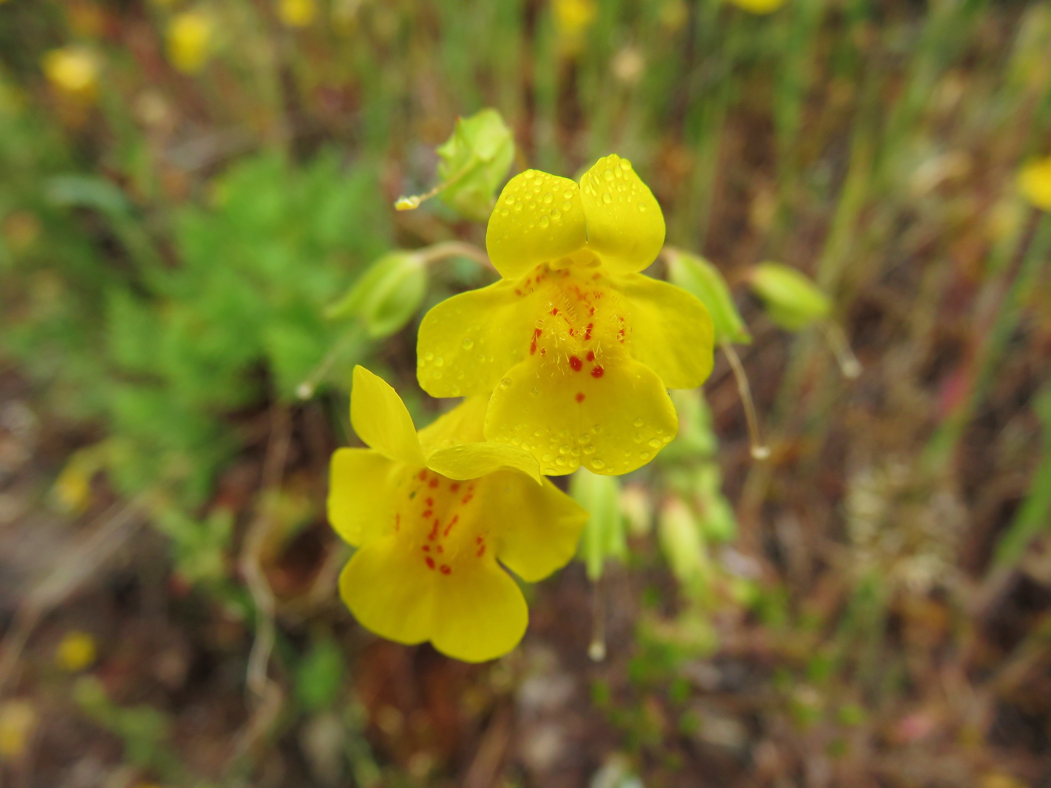 Monkeyflower
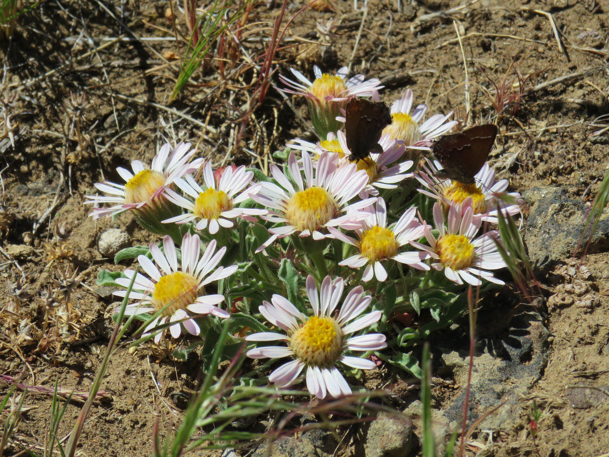
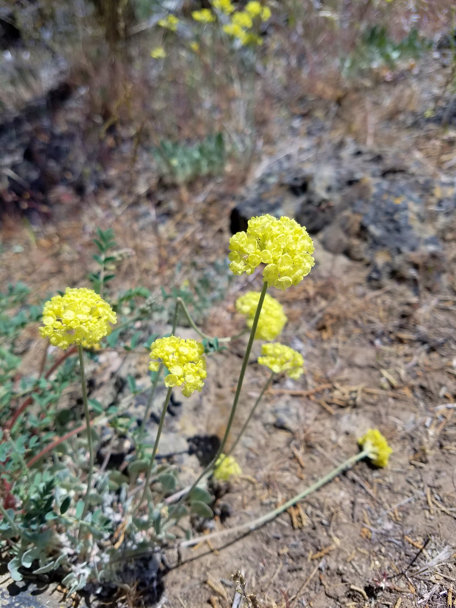
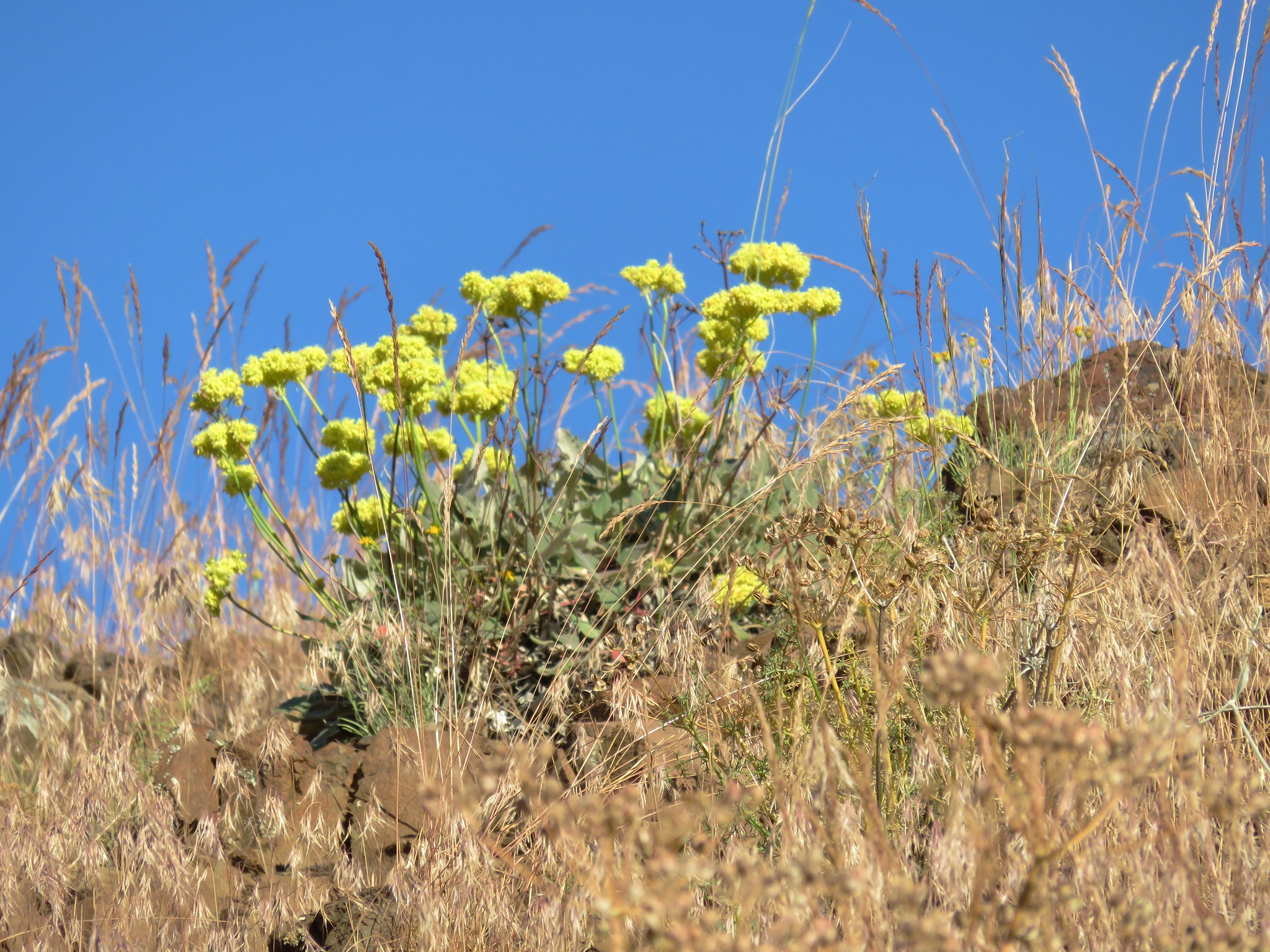
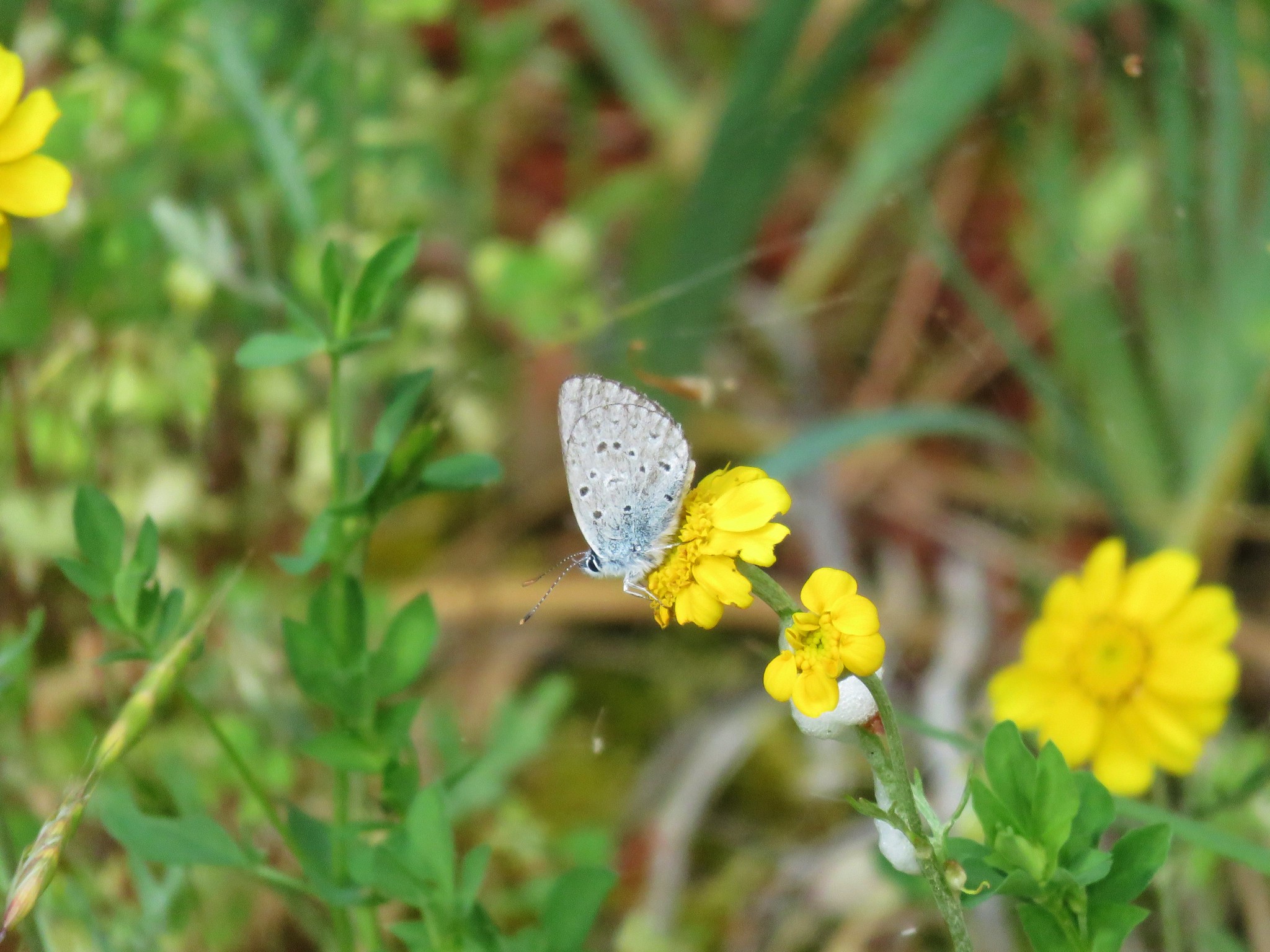
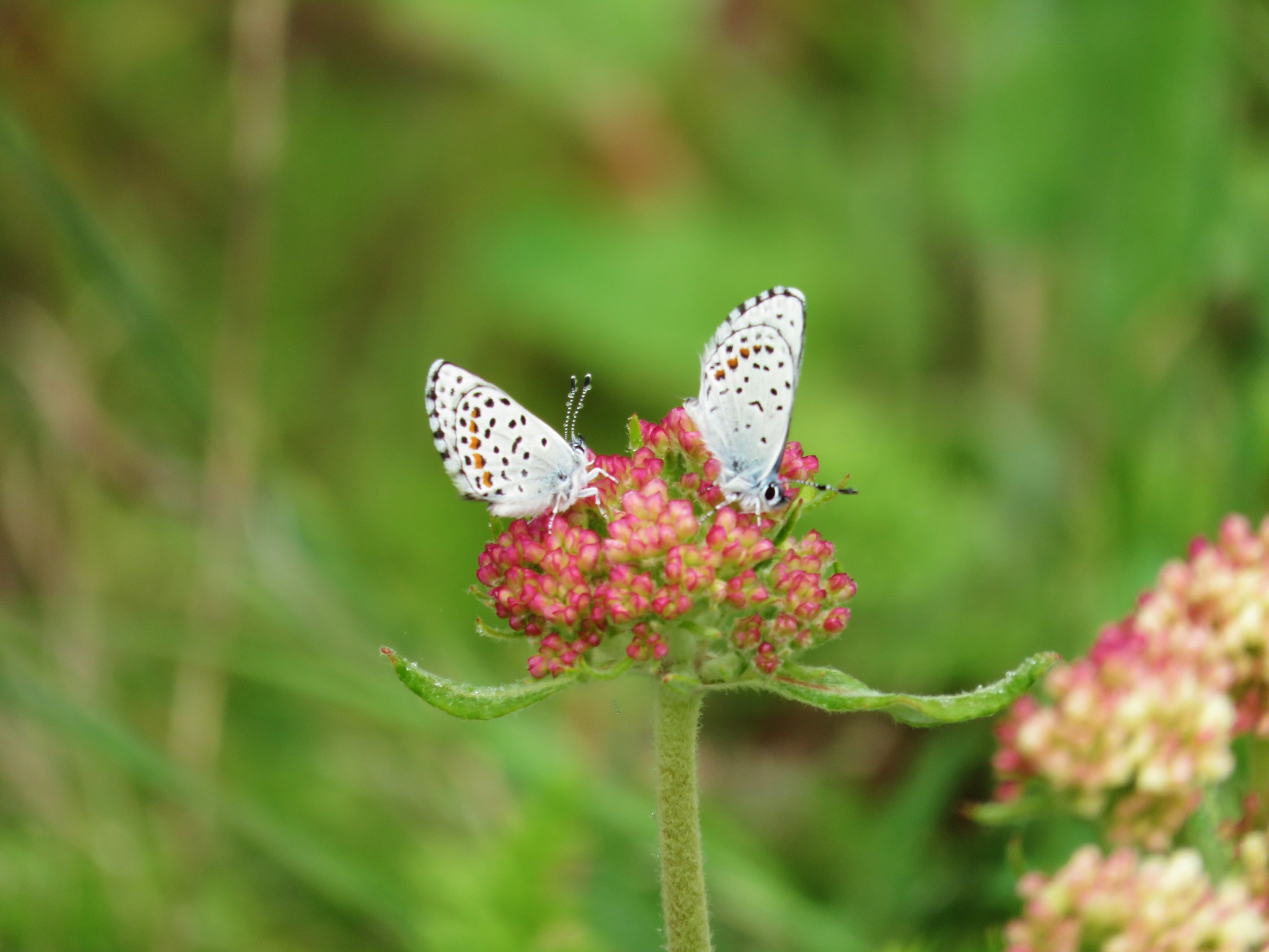 Butterflies on buckwheat
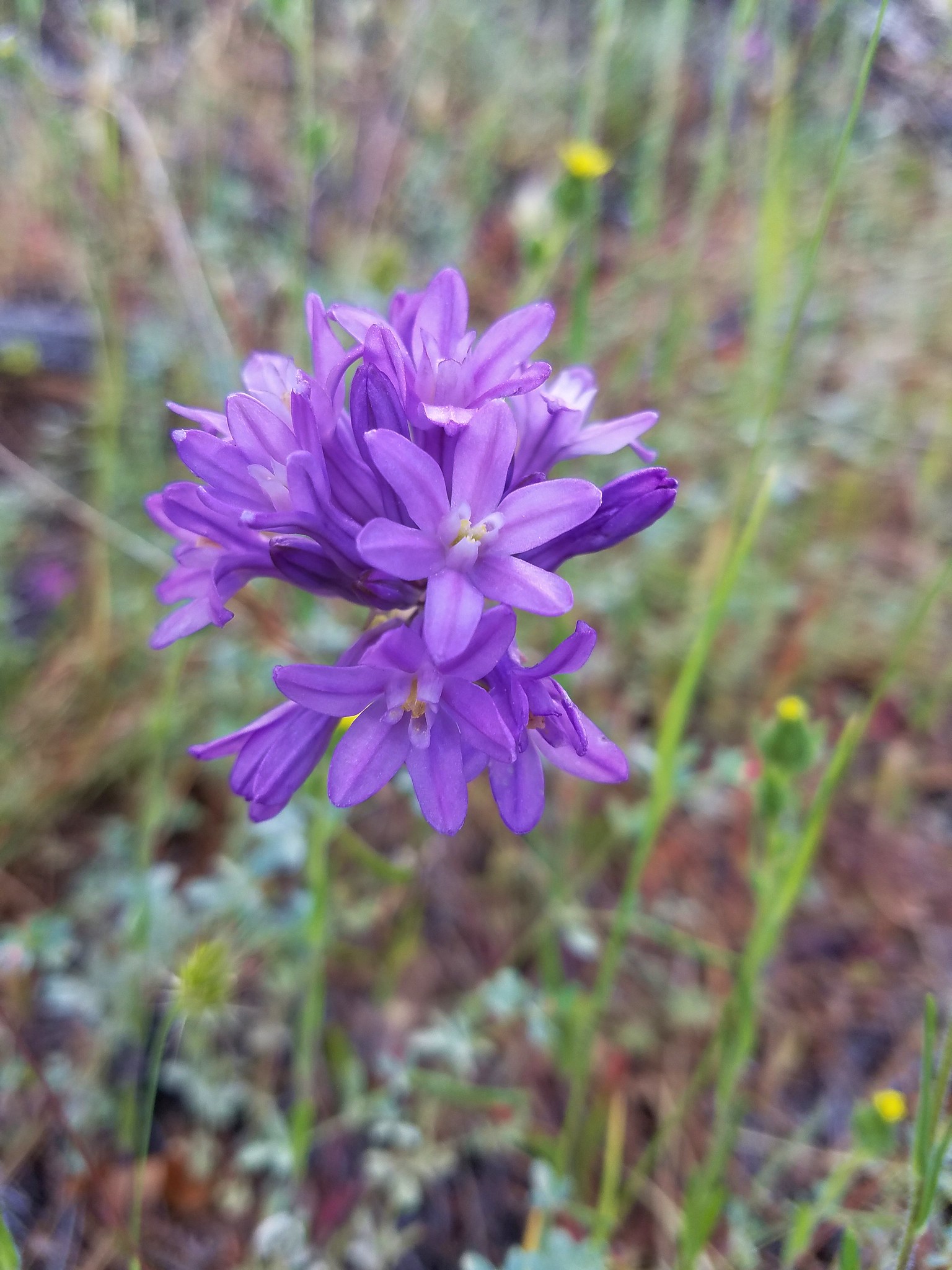
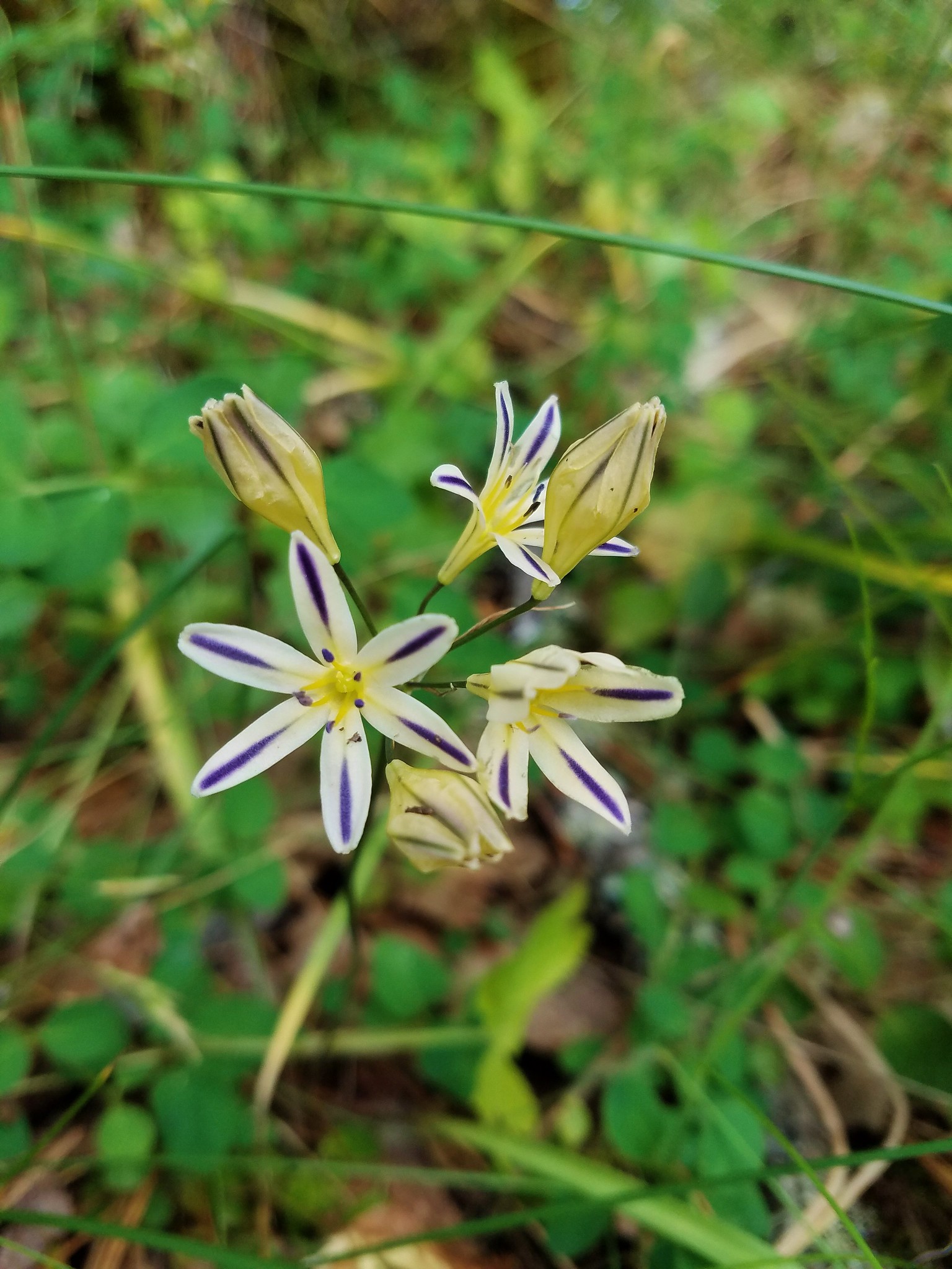
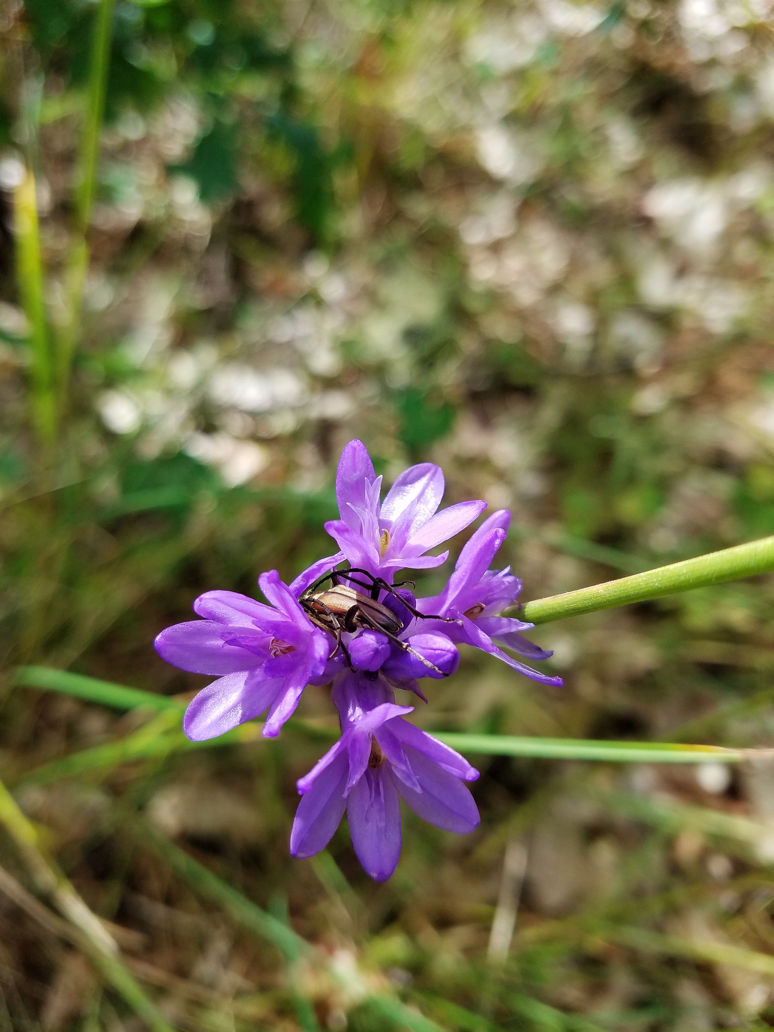
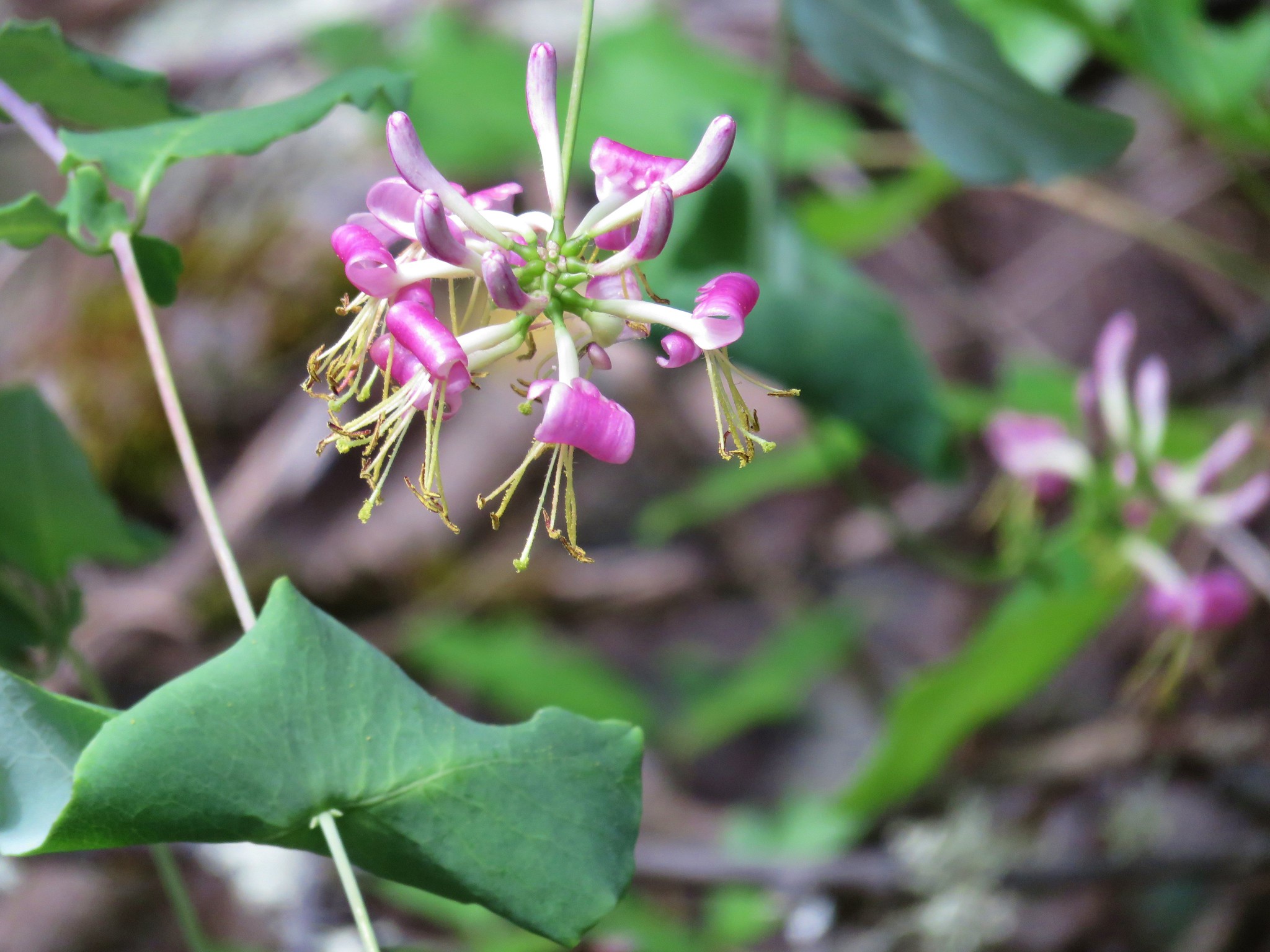
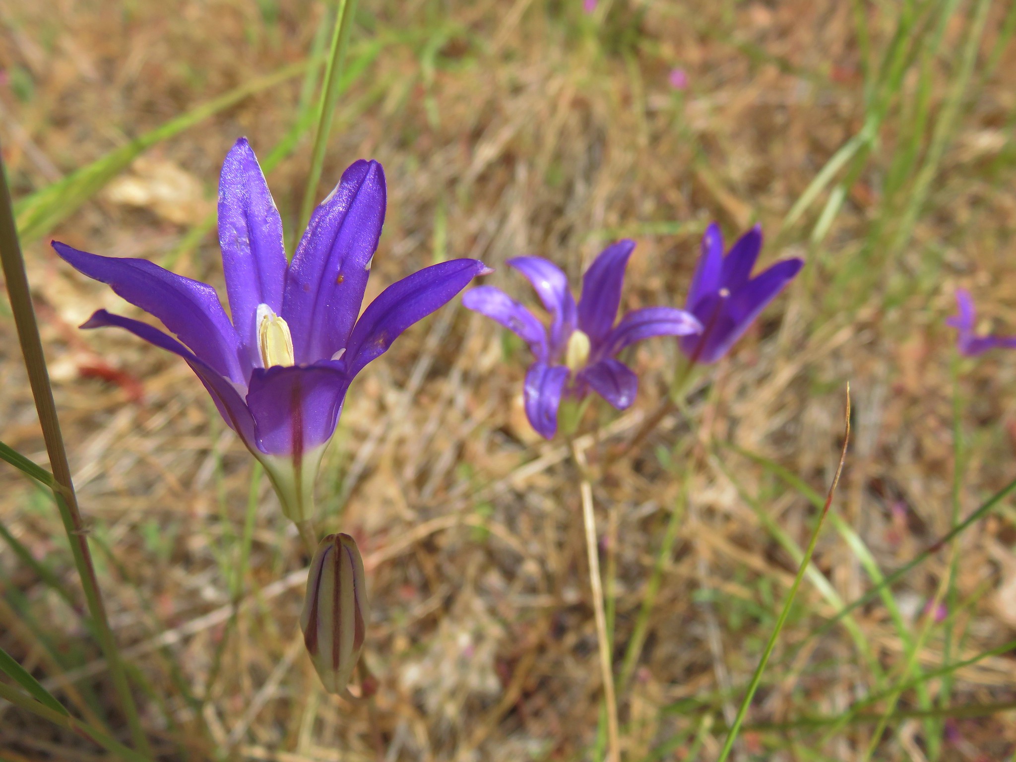
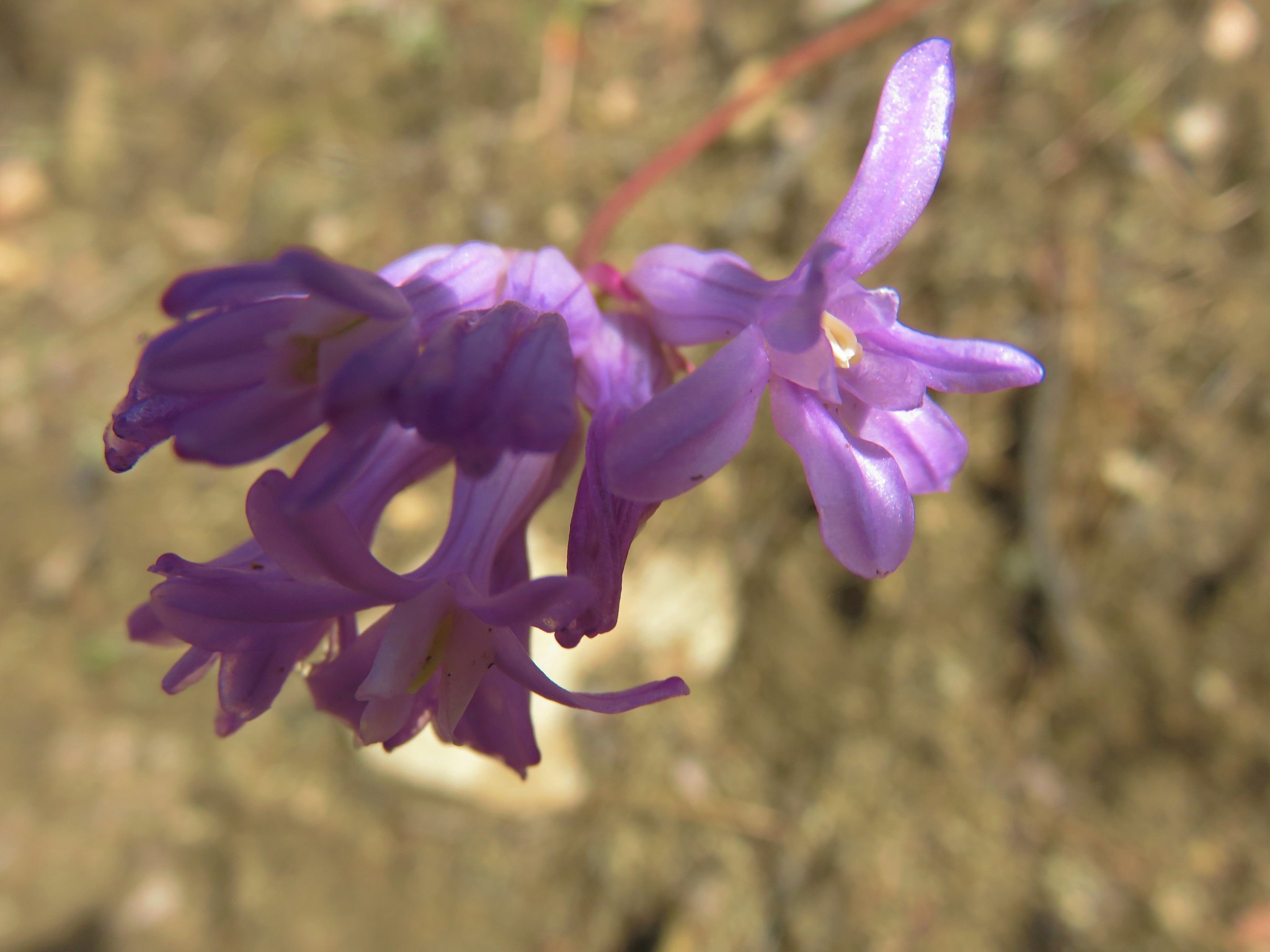
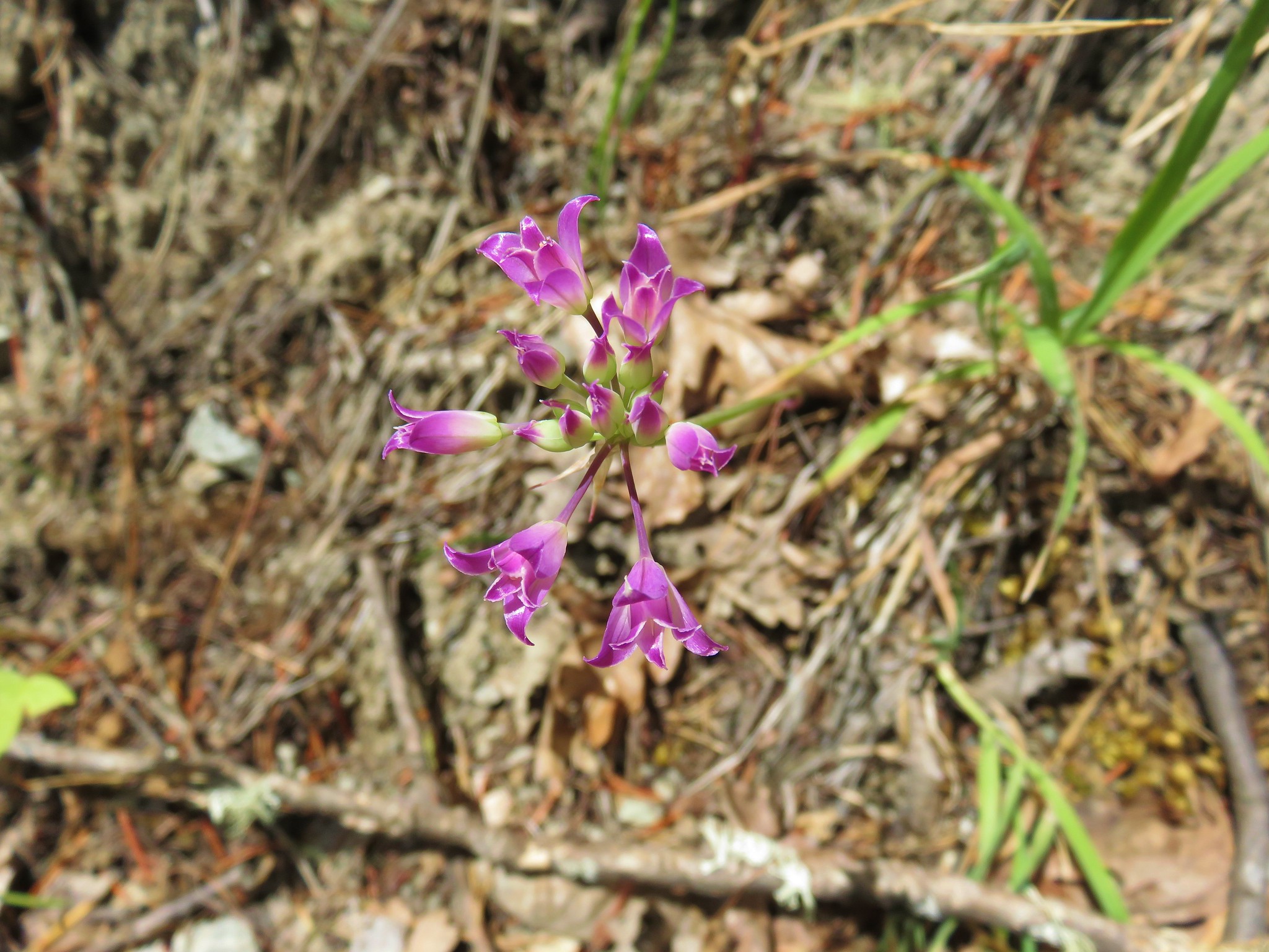
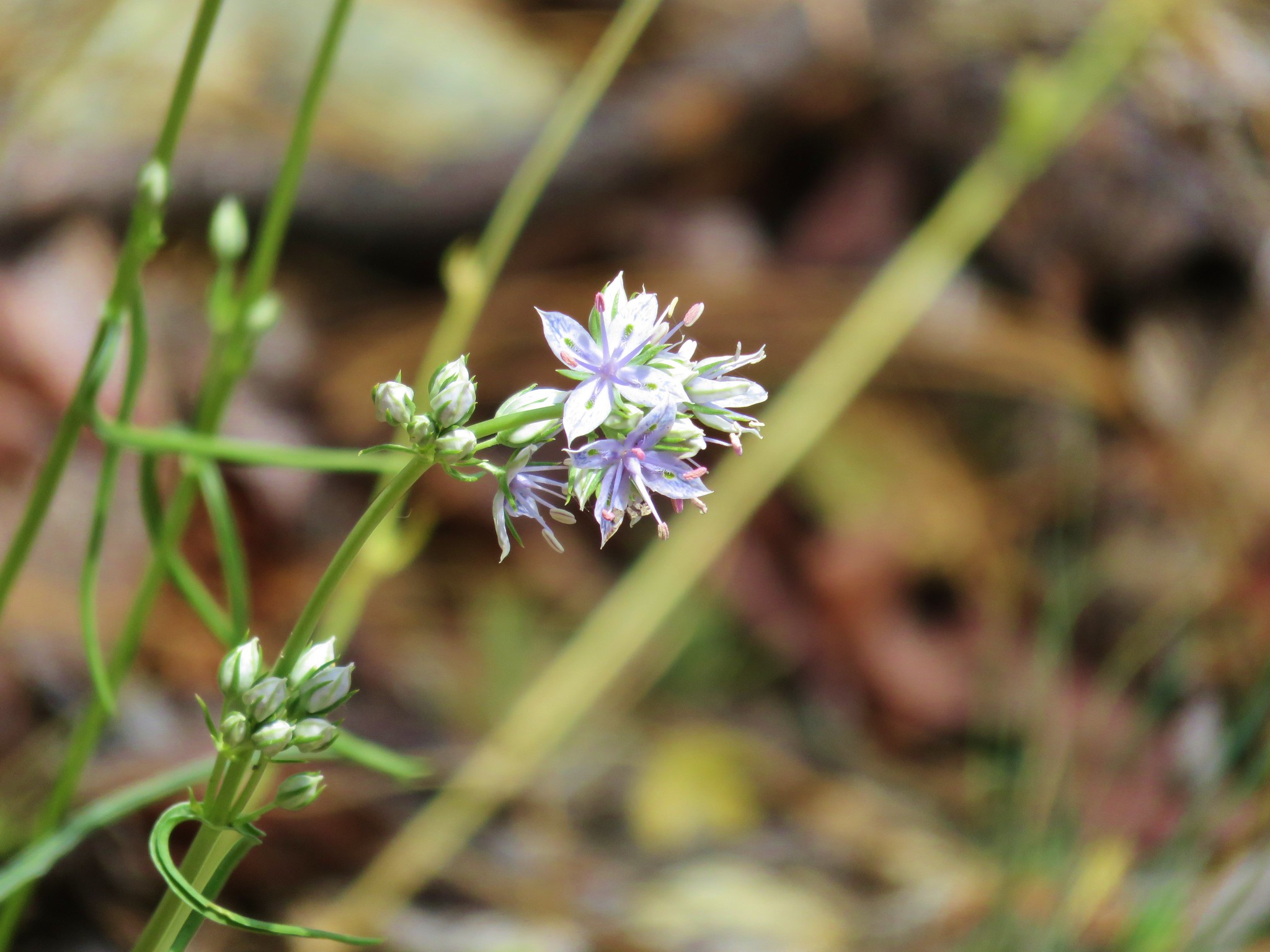
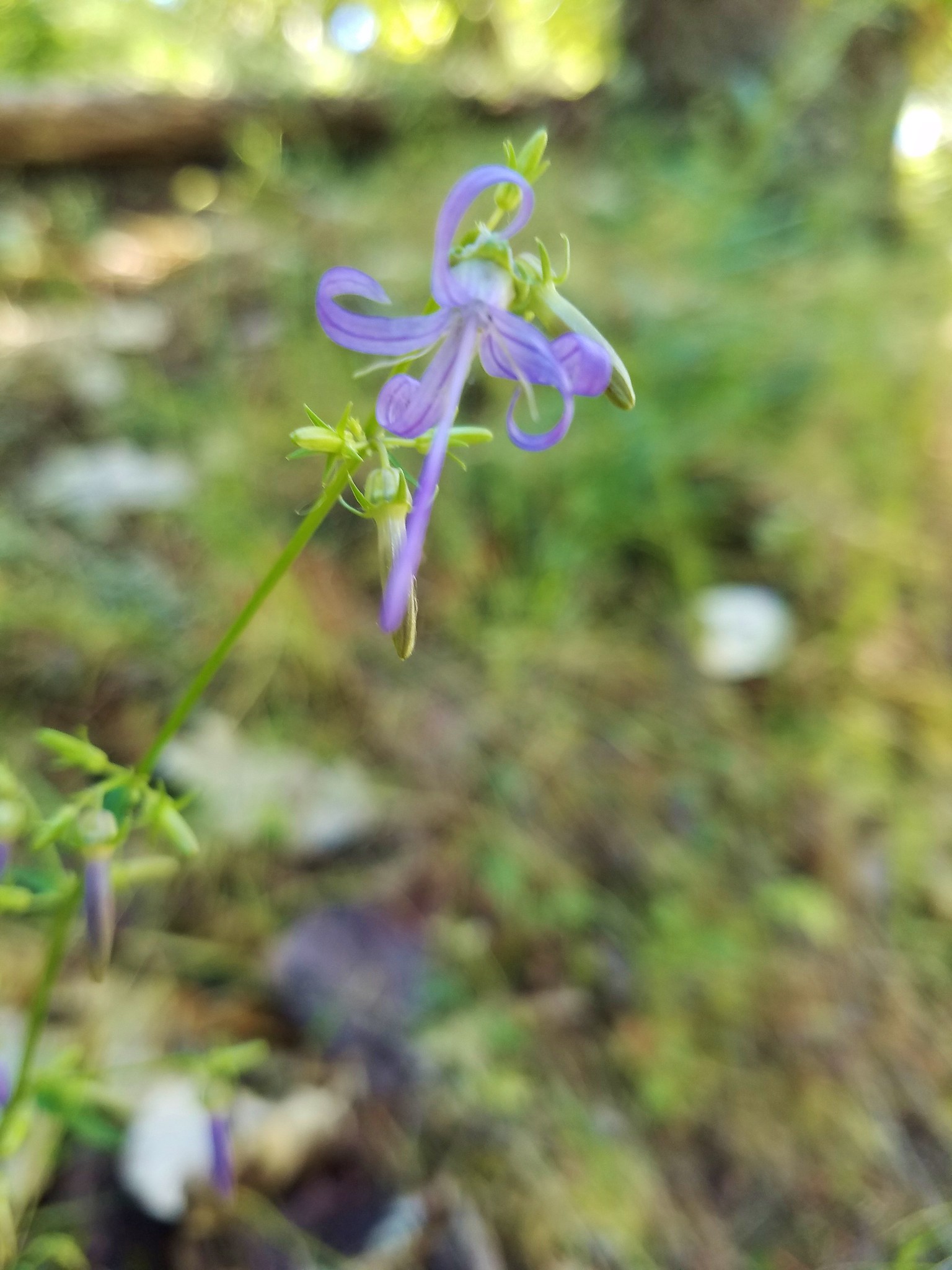
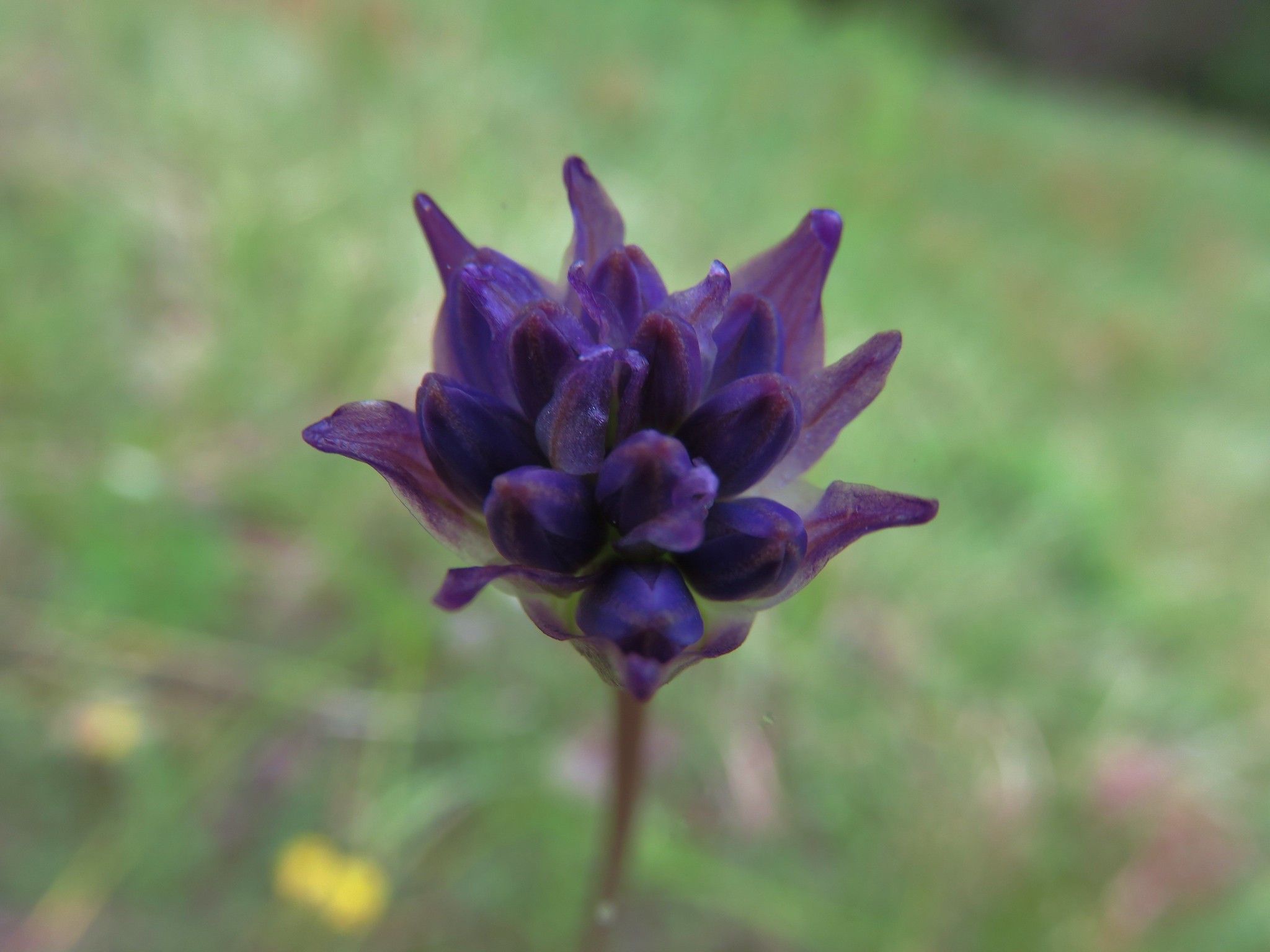 Ookow getting ready to bloom
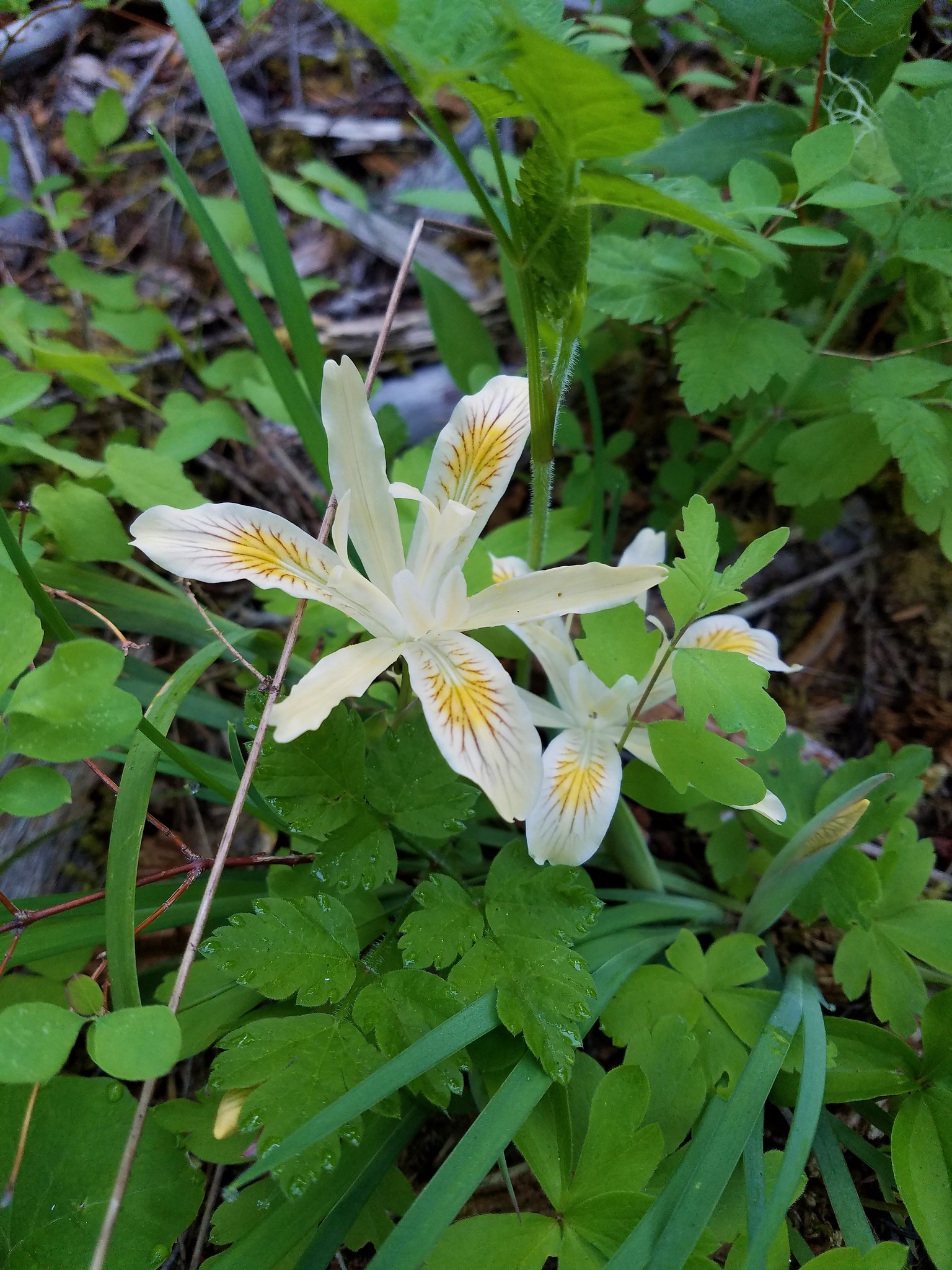
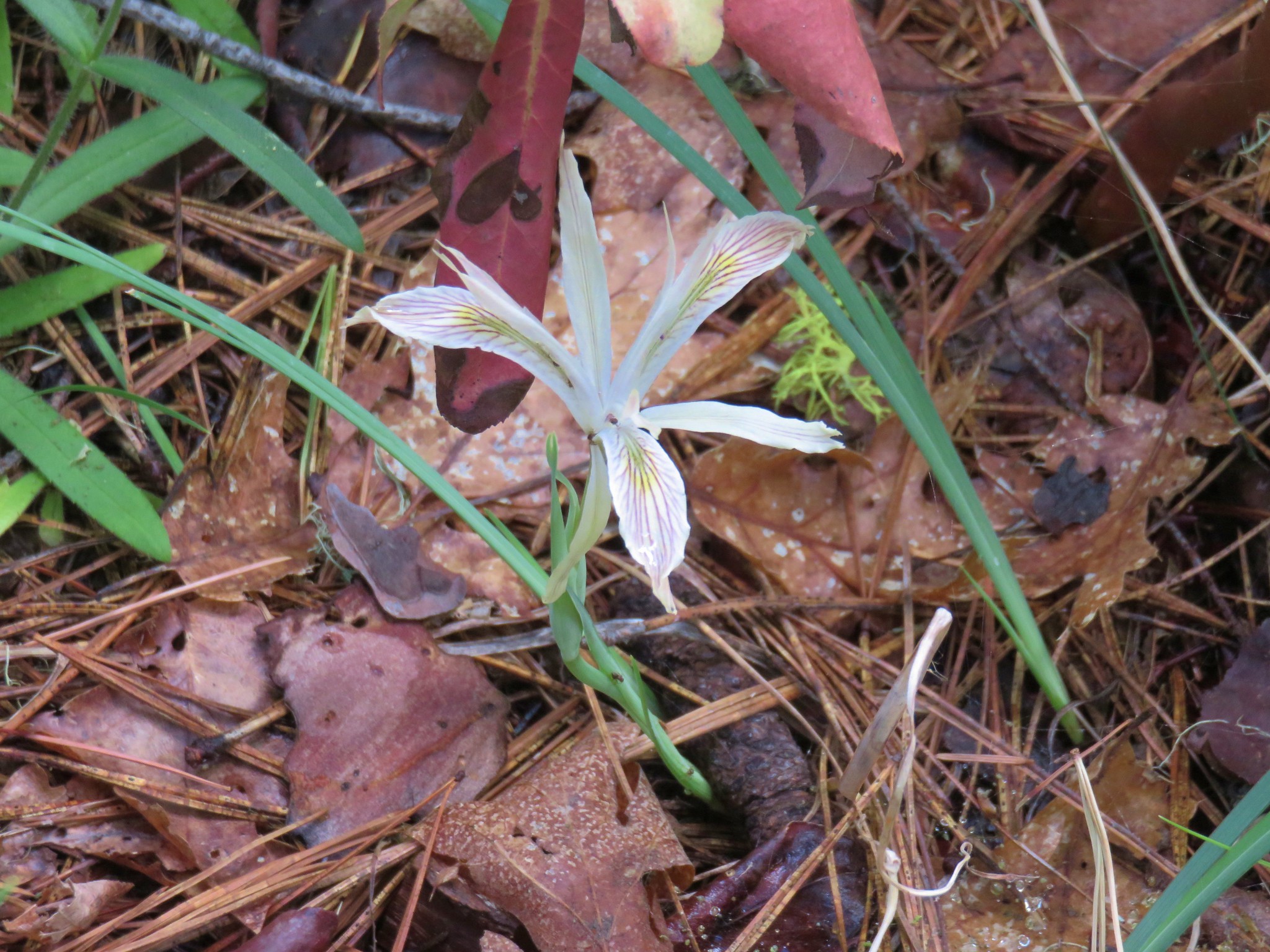
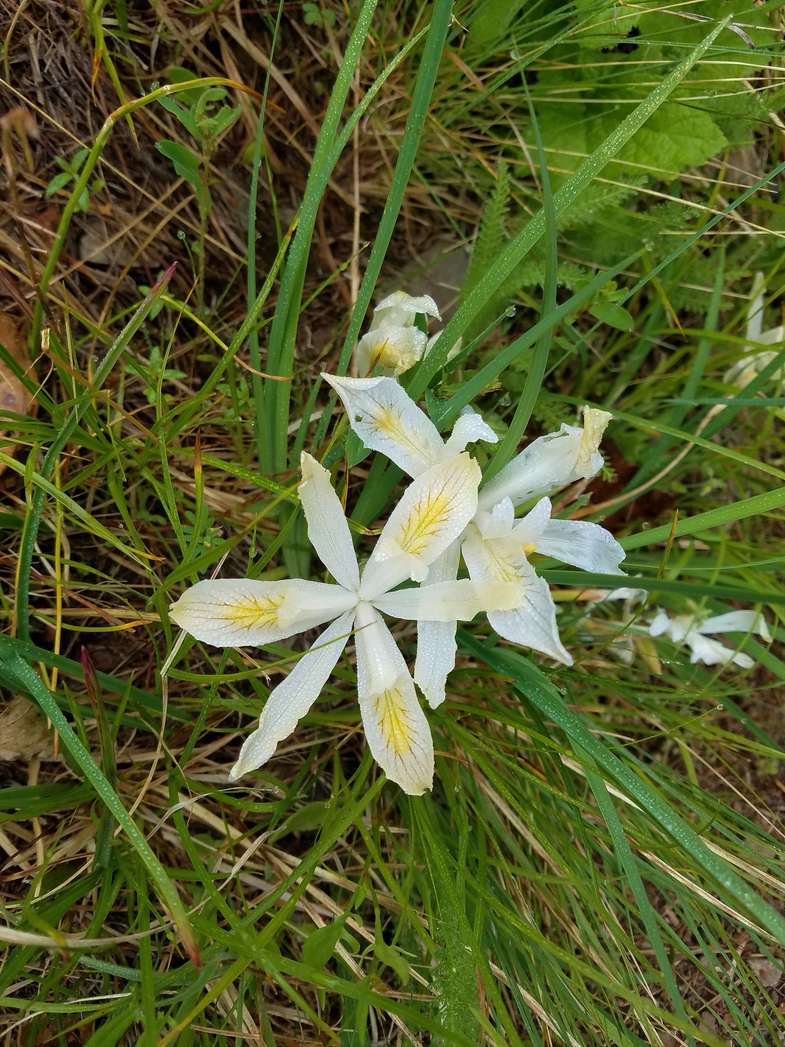 Yellowleaf iris
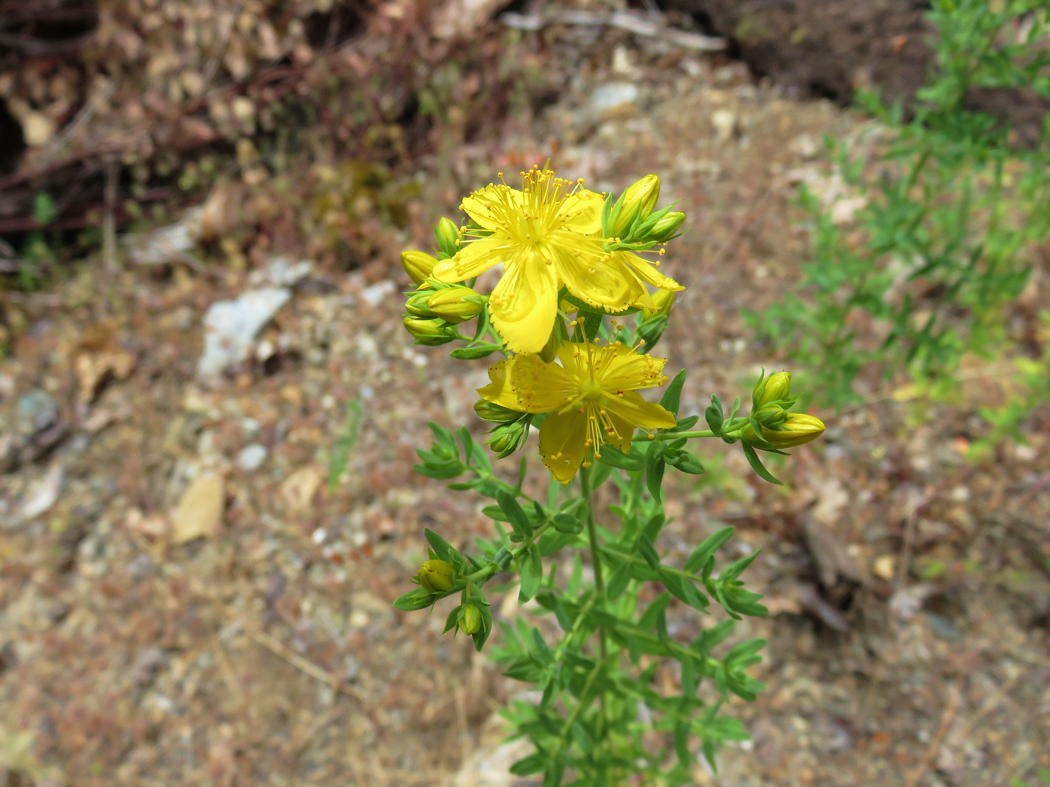
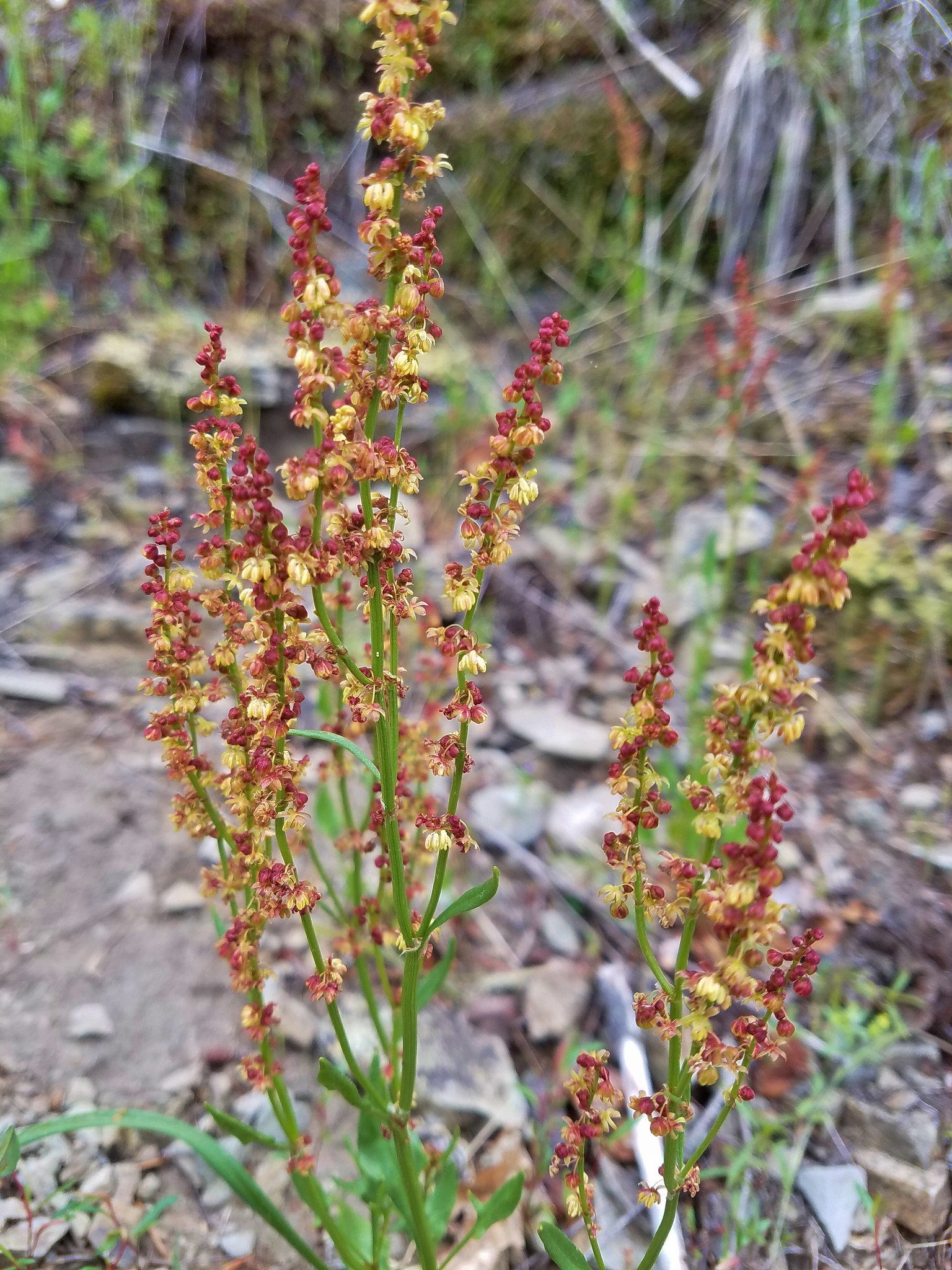 Sorrel
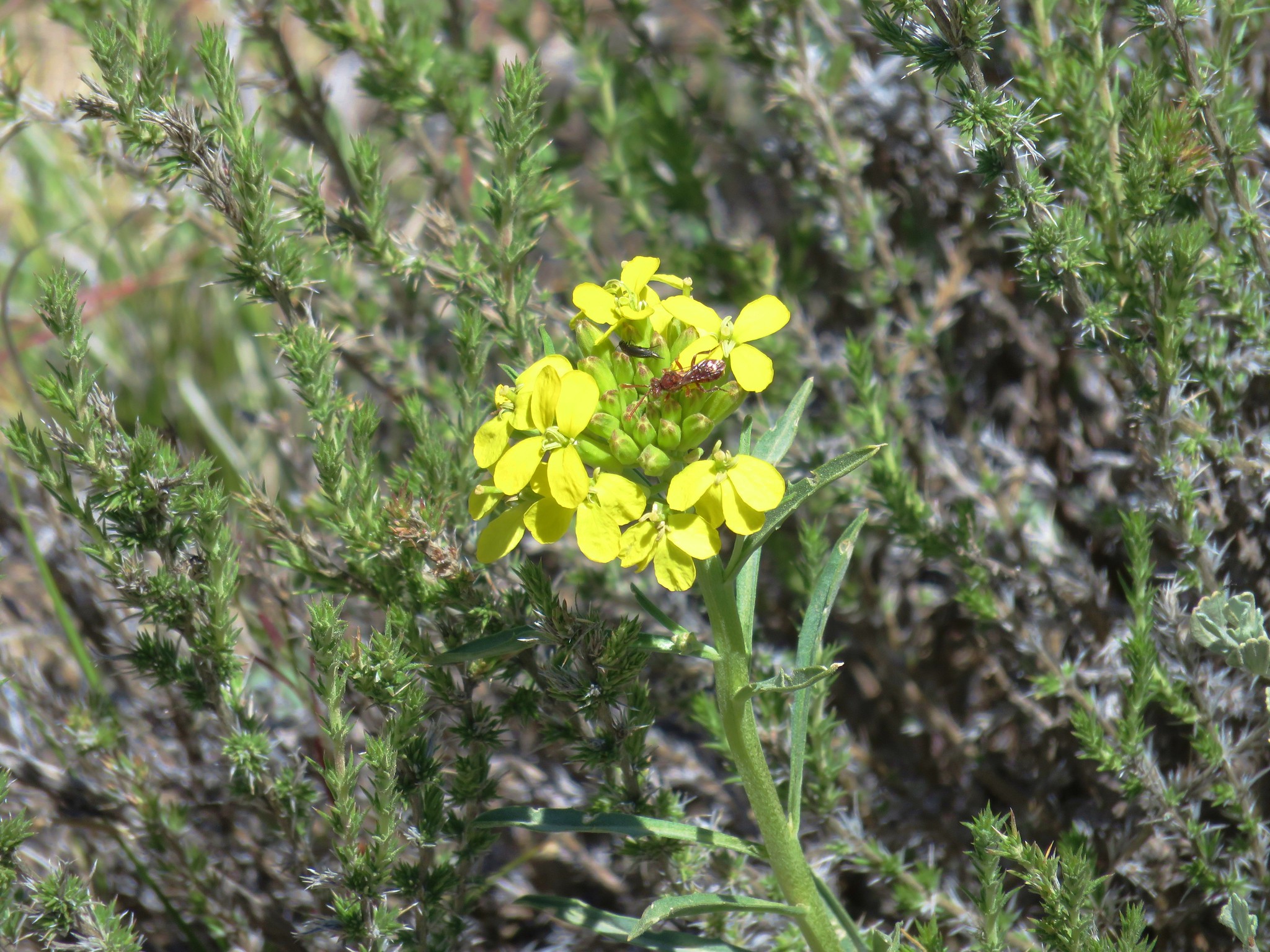
 Parsley
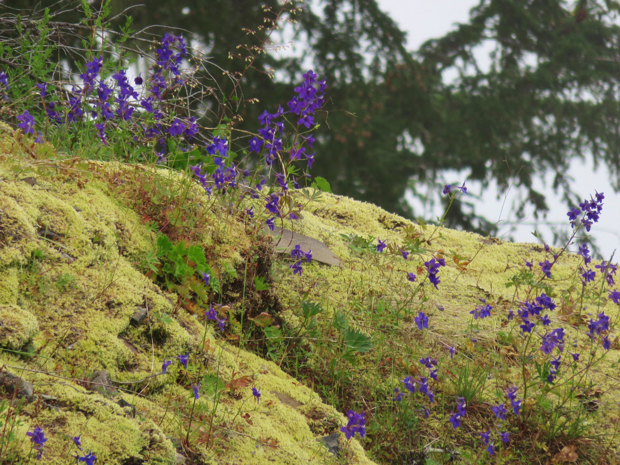
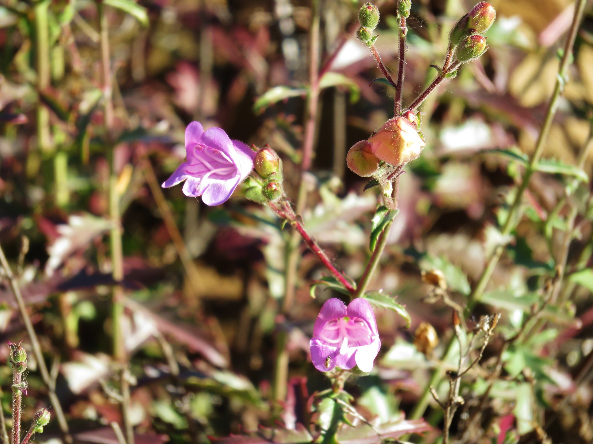
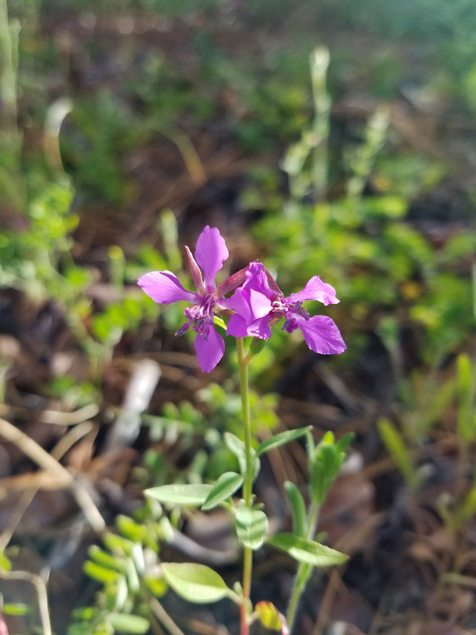
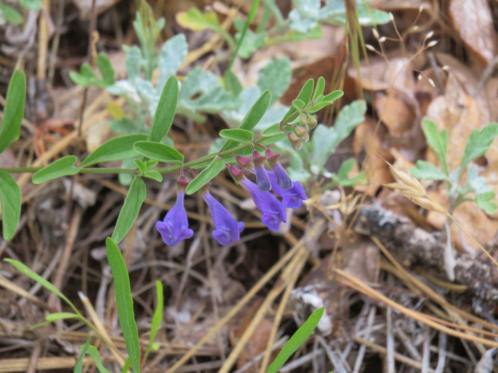
 Penstemon
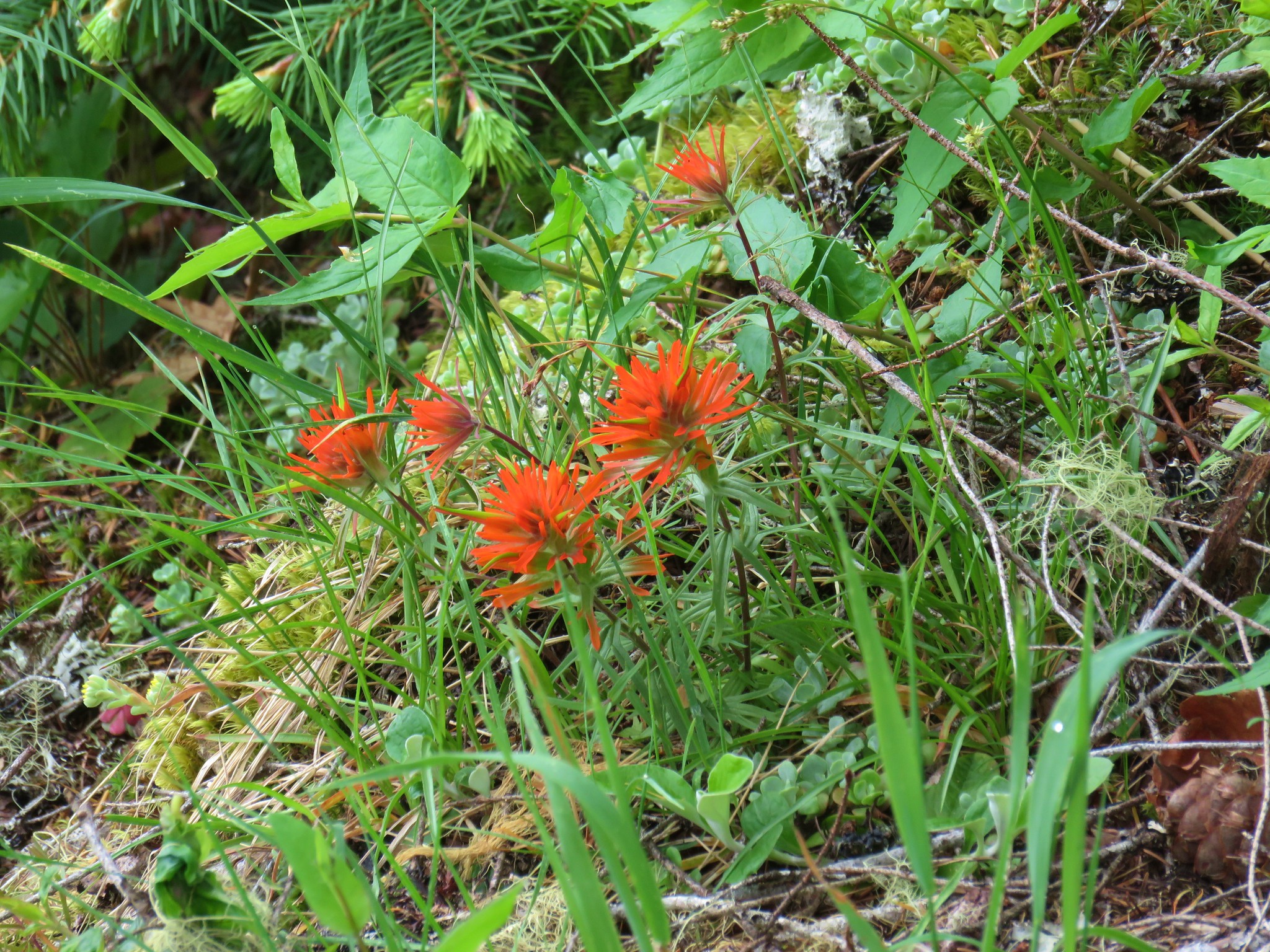 Paintbrush