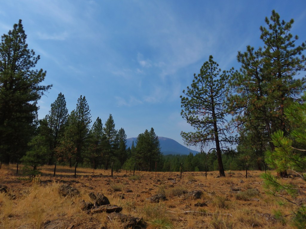
With the forecast calling for the possibility of snow at higher elevations from Monday through Friday of our vacation we were keeping a close eye on forecasts to help choose when to do each of the hikes we’d planned on. The really cold air wasn’t due to hit until about 11am Monday morning so we decided to do our planned loop past Olive Lake first knowing that the high point of the loop was at an elevation over 7400′ in the Greenhorn Mountains. We hoped that by starting early we could stay ahead of any snow that might fall so with that in mind we got an early start and arrived at the Lost Creek Trailhead just before 7am.
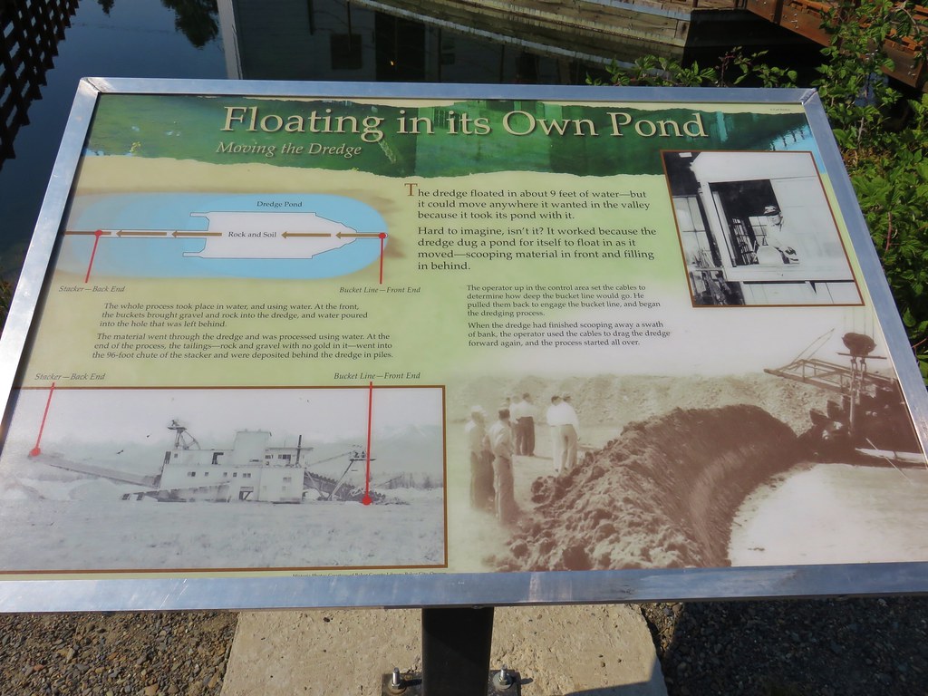
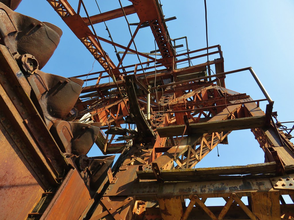
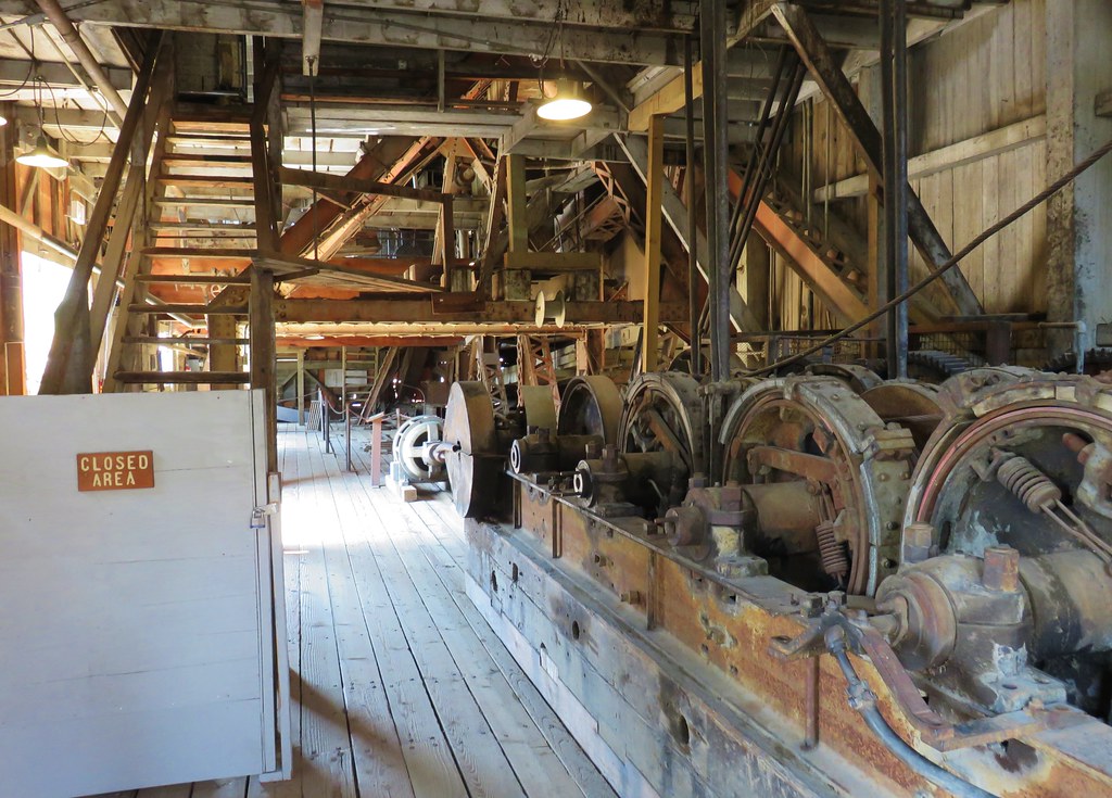
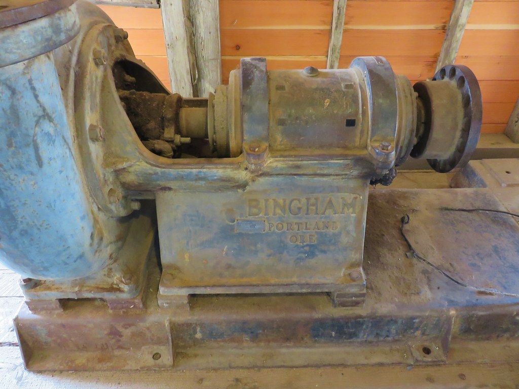
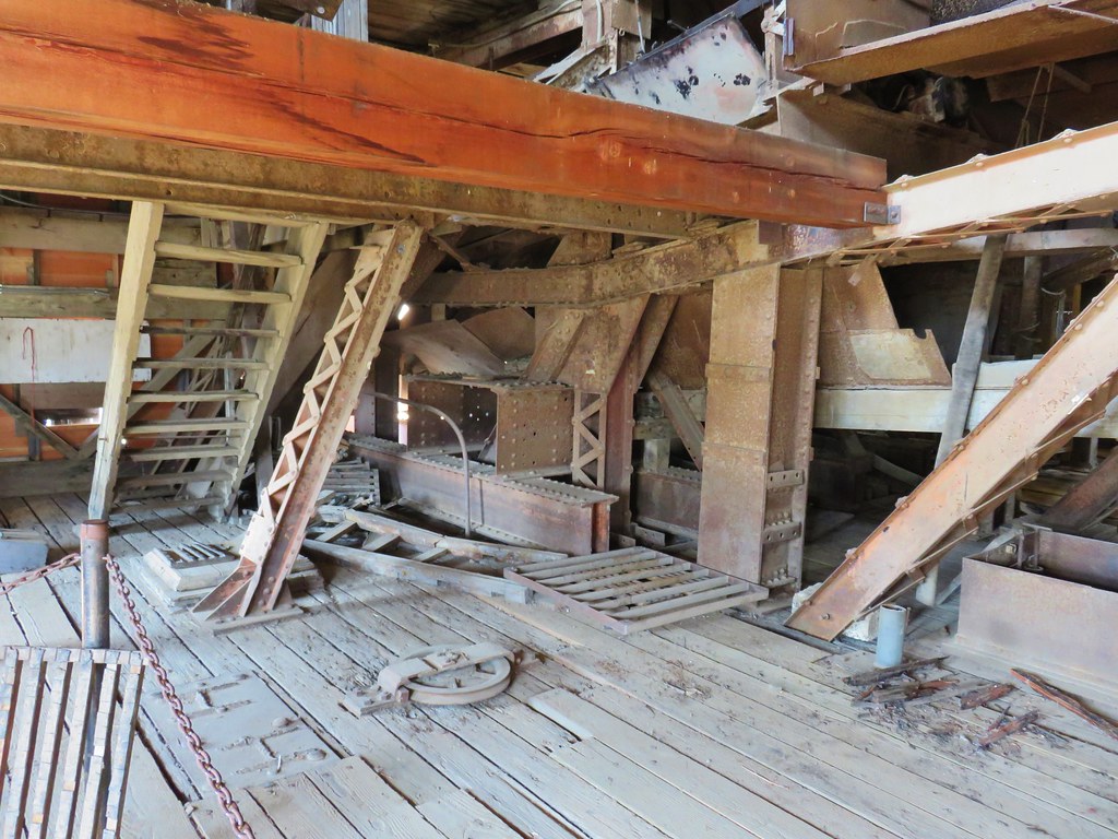
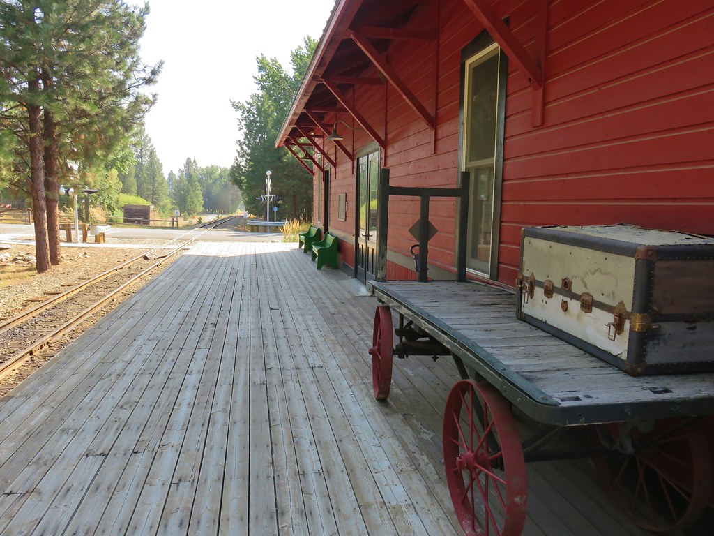
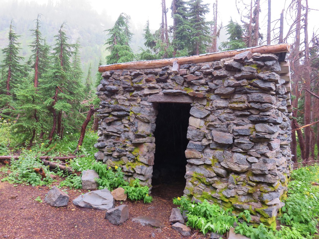
The trailhead is located 11.5 miles west of Granite along Road 10. Along the way to the trailhead the road passes the historic Fremont Powerhouse.
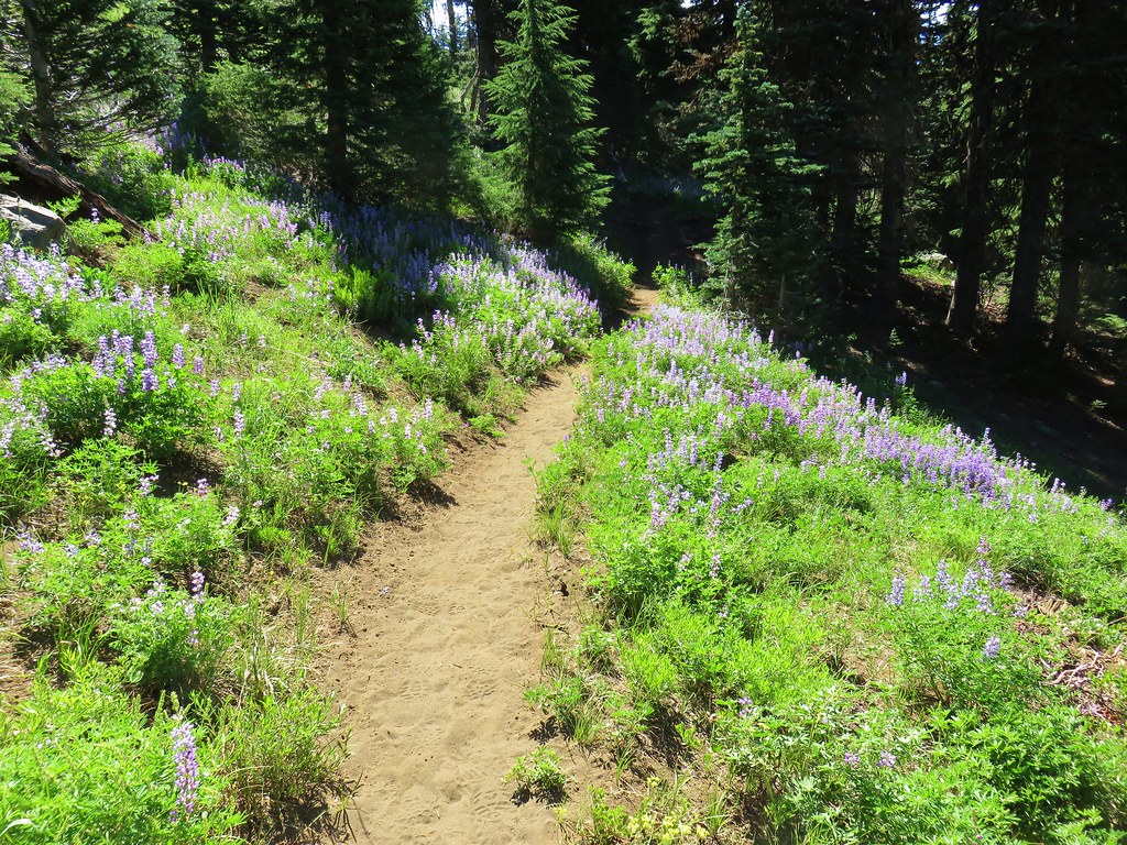
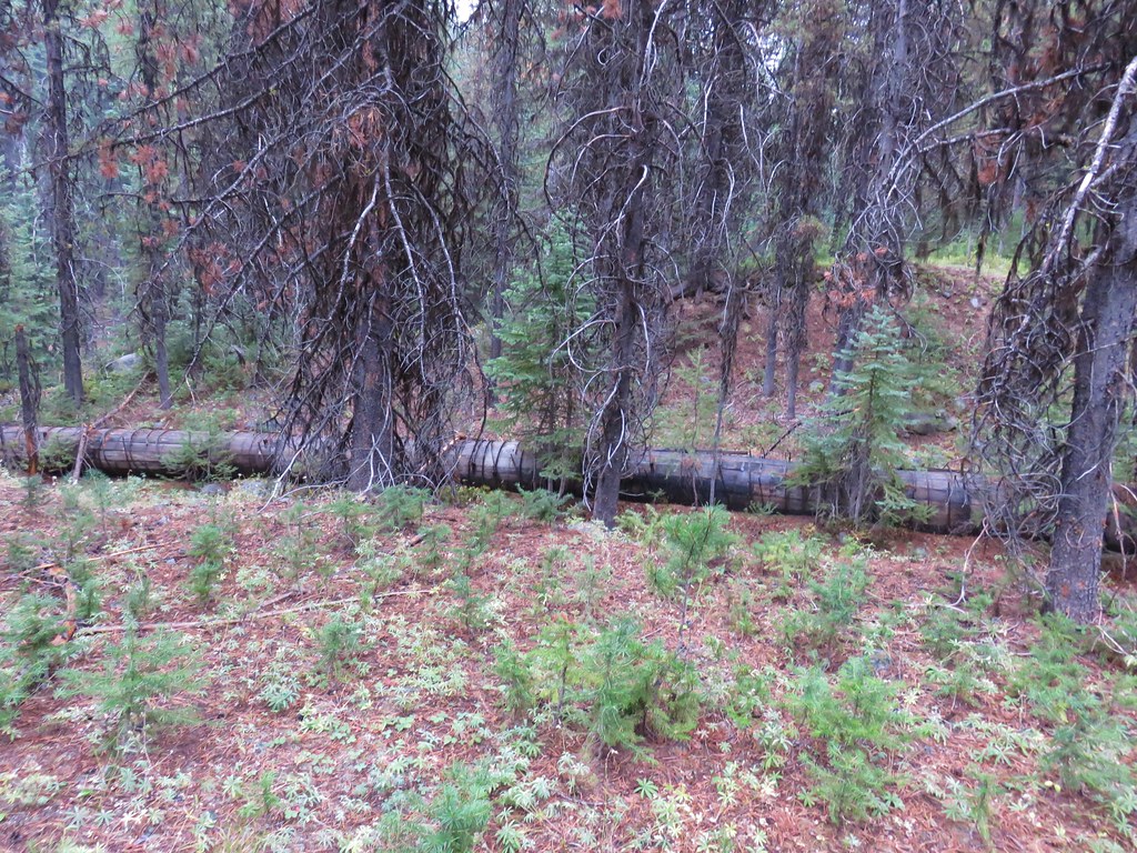
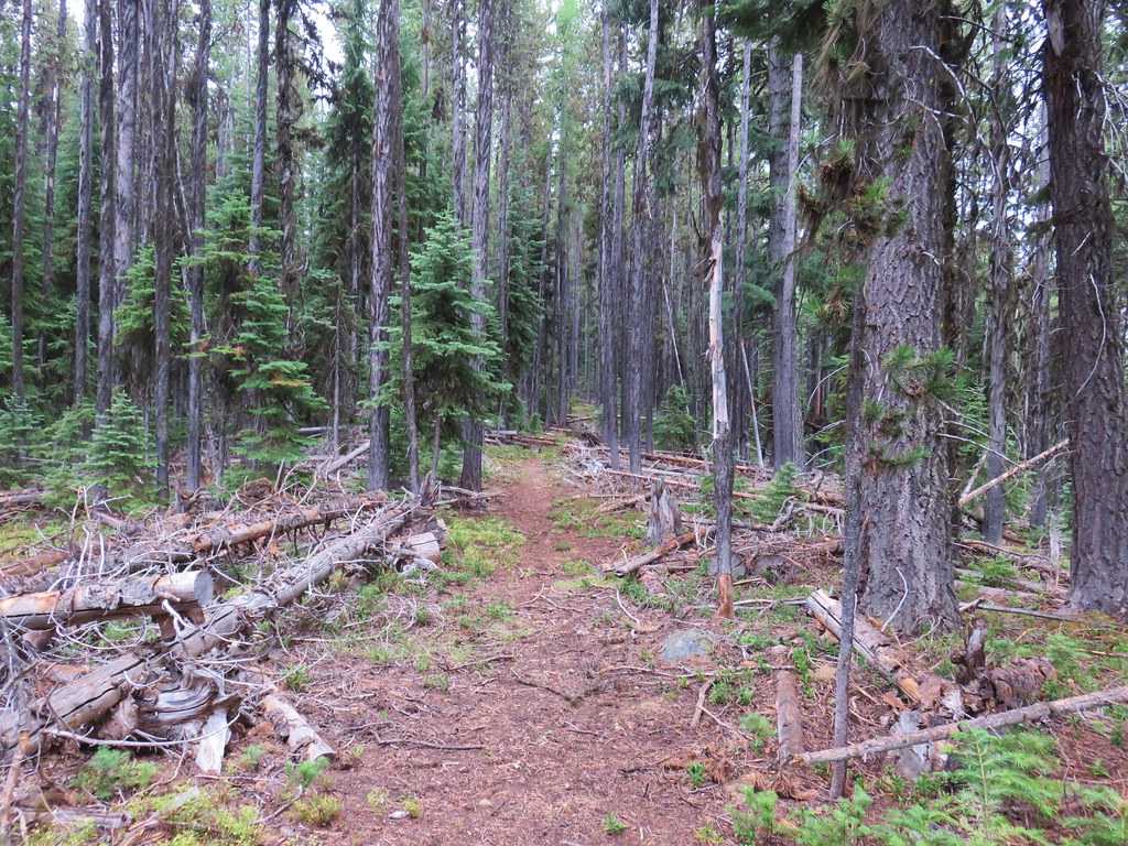
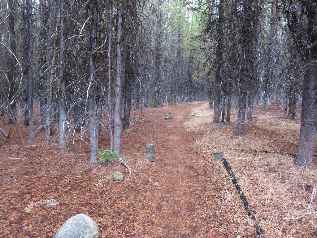
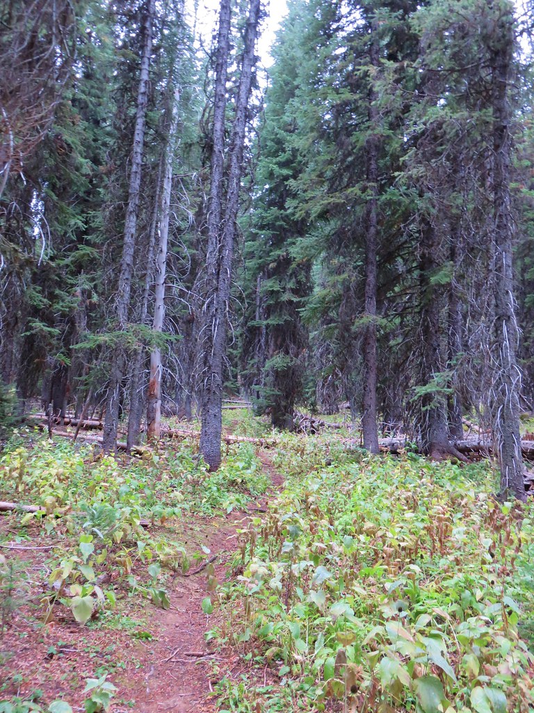
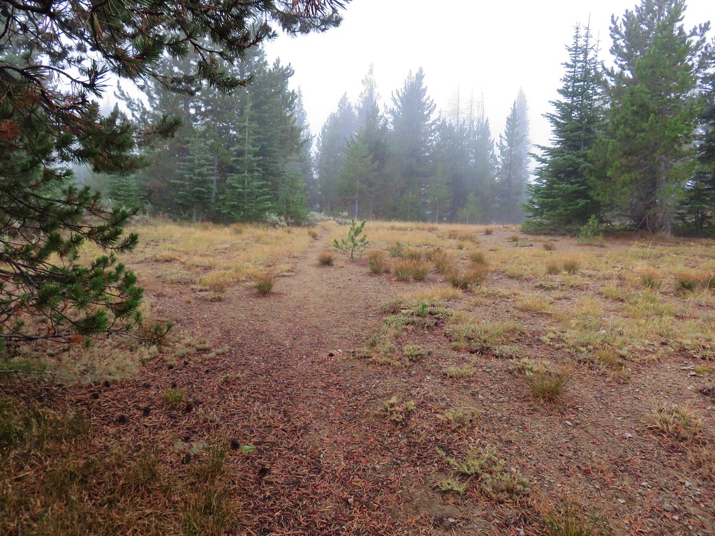
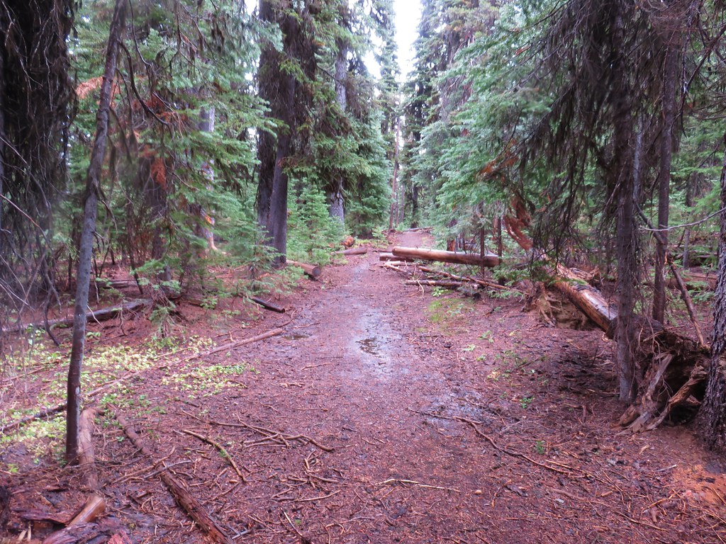
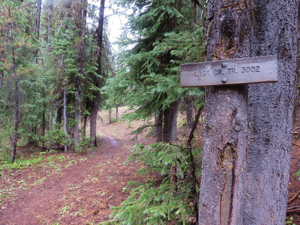
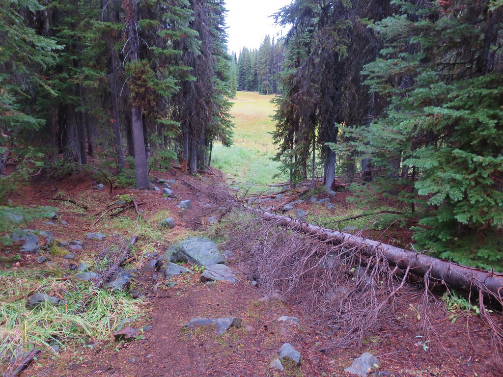
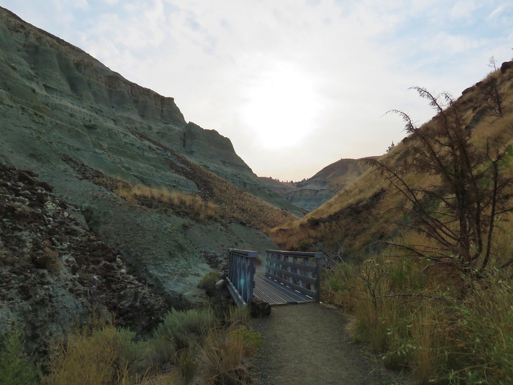
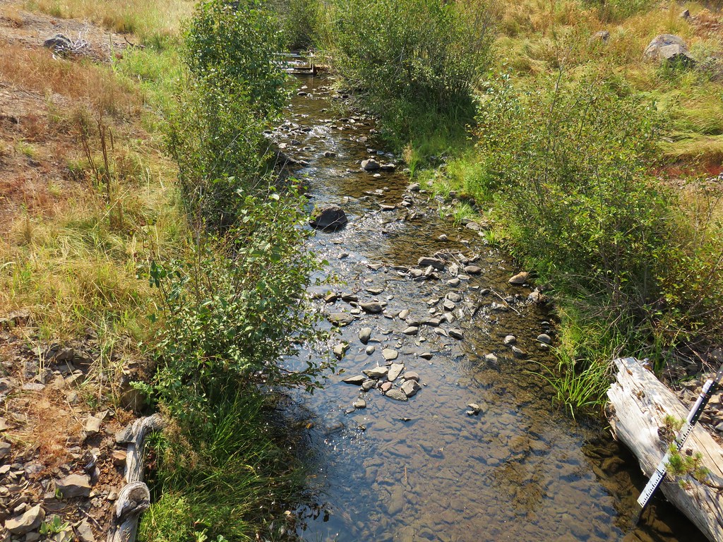
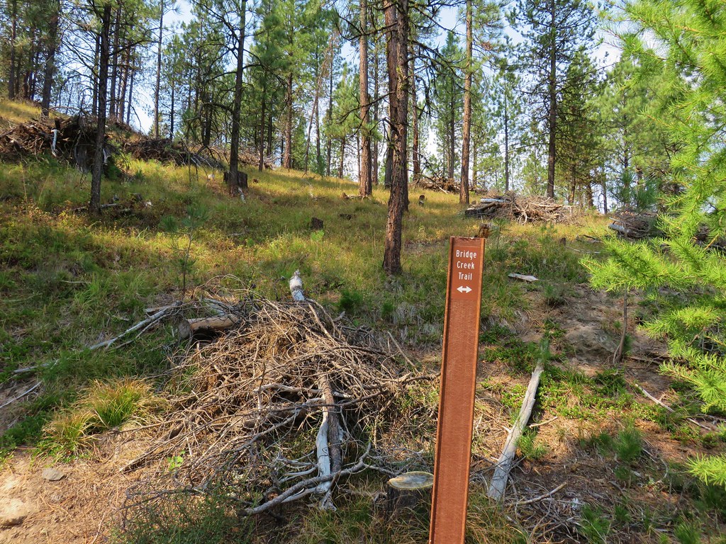
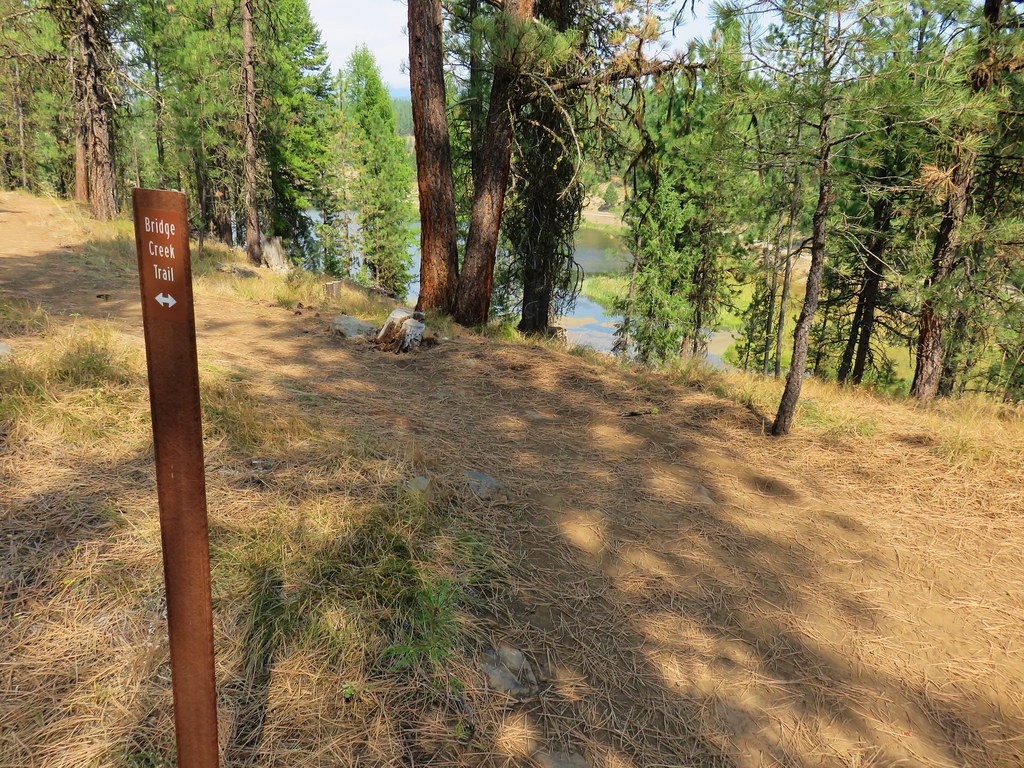
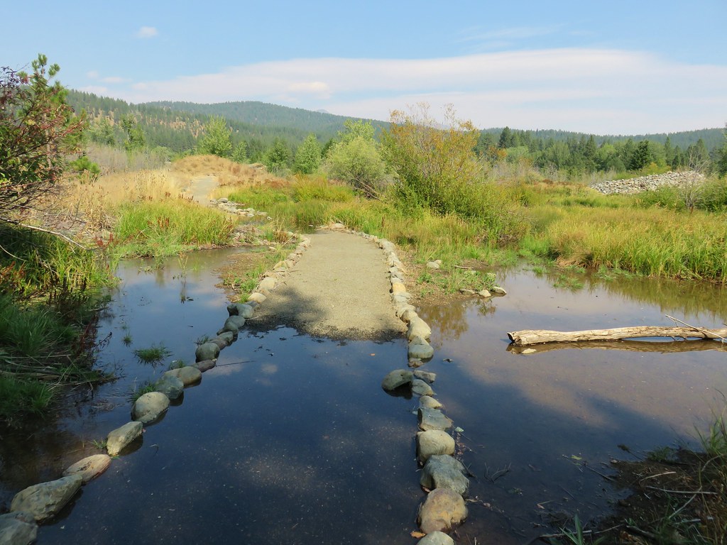
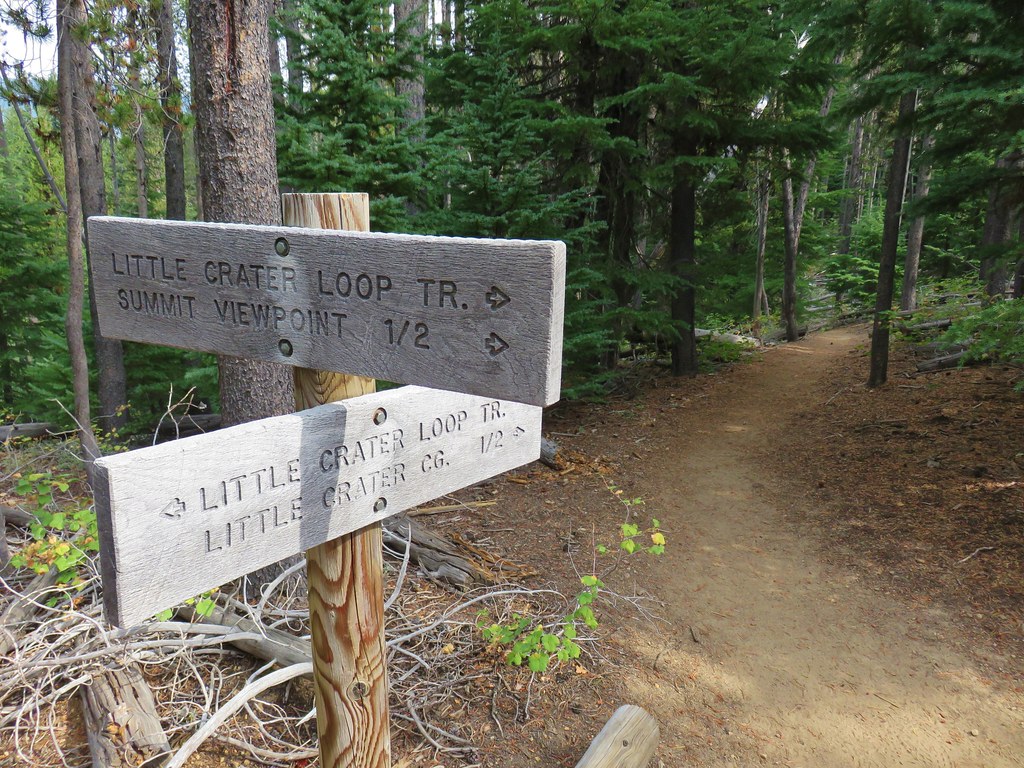
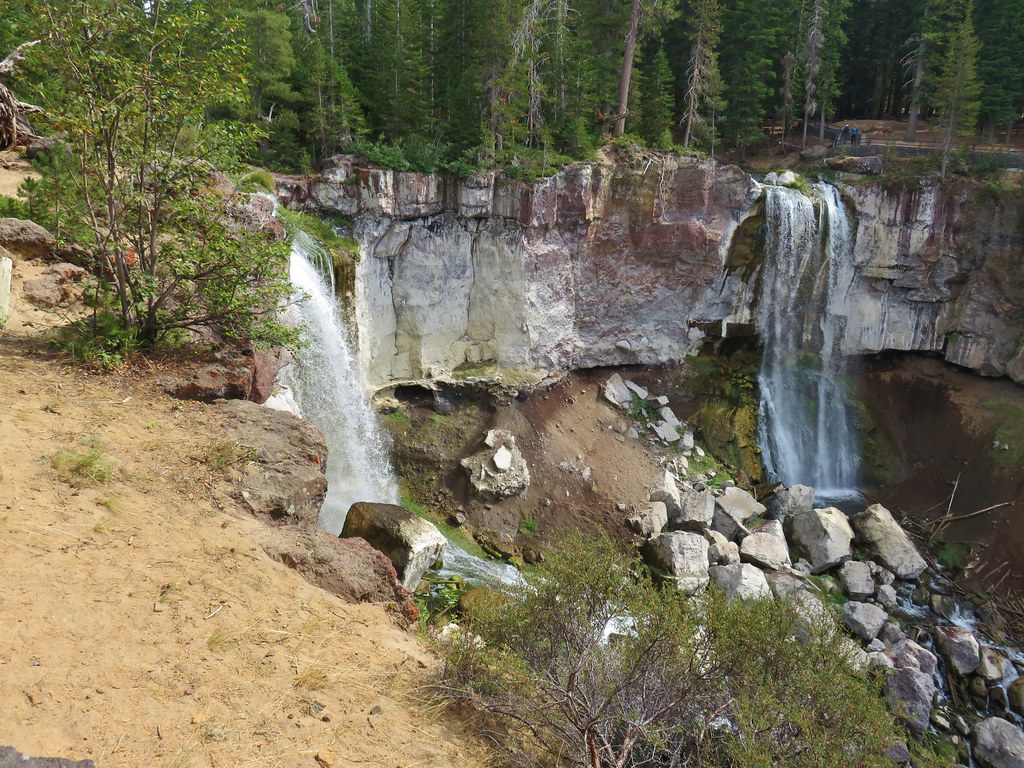
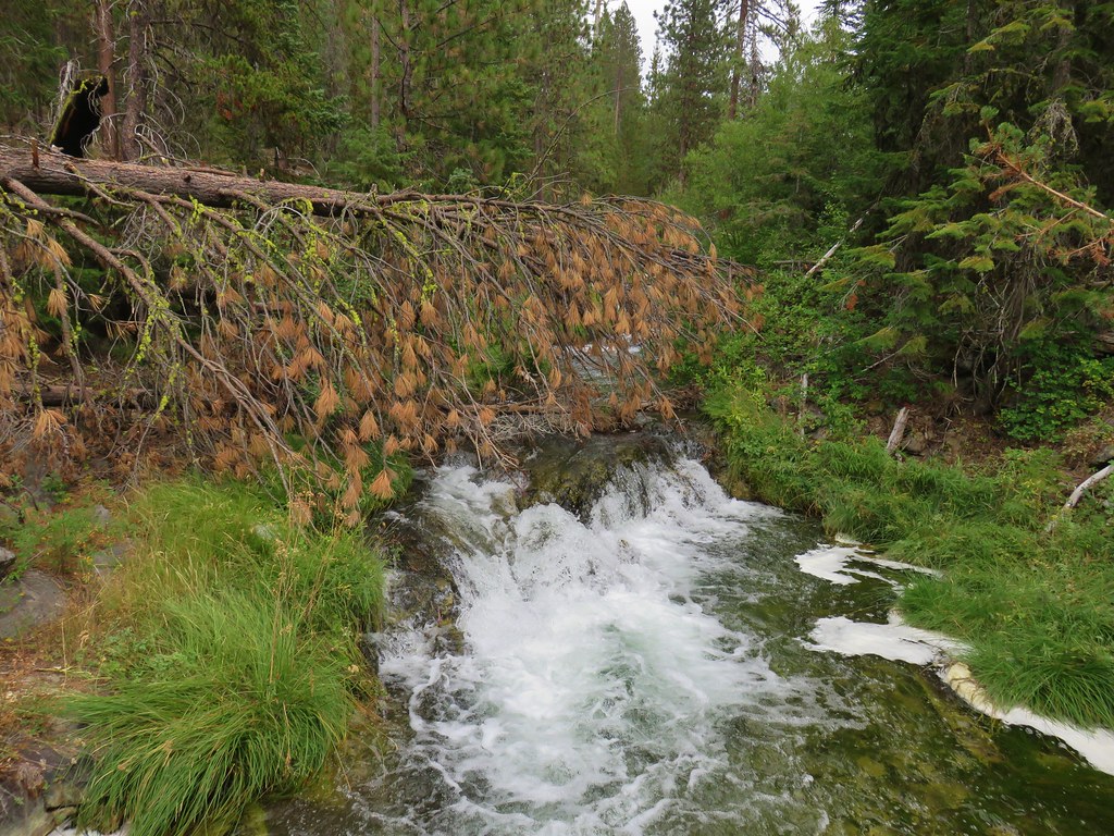
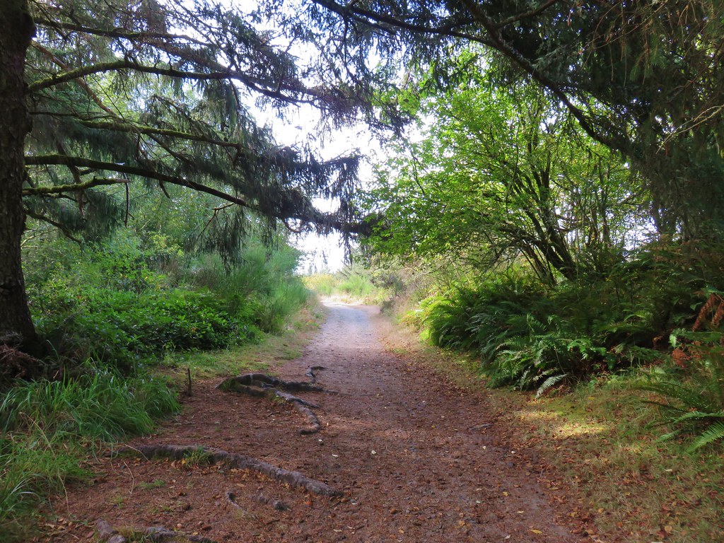
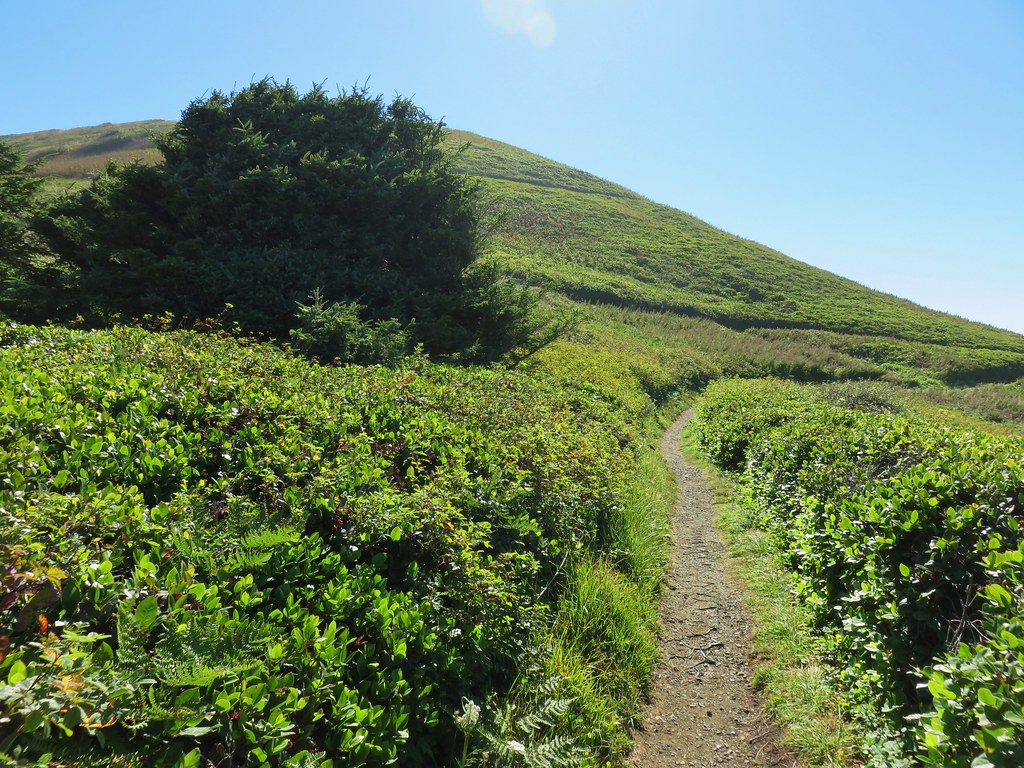
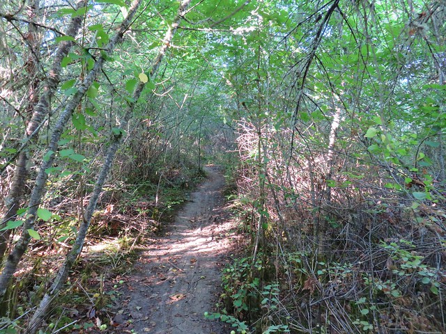
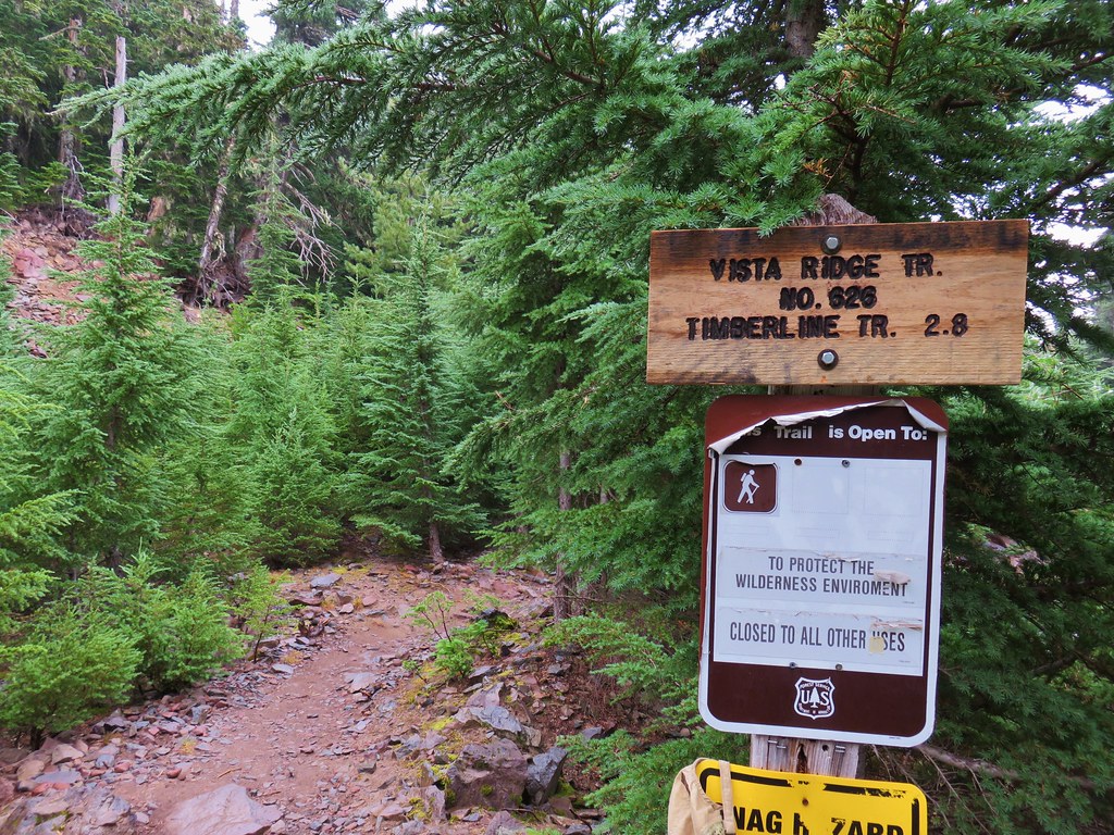
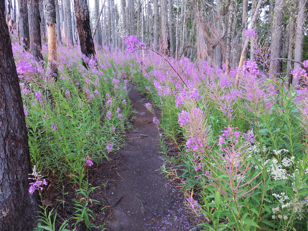
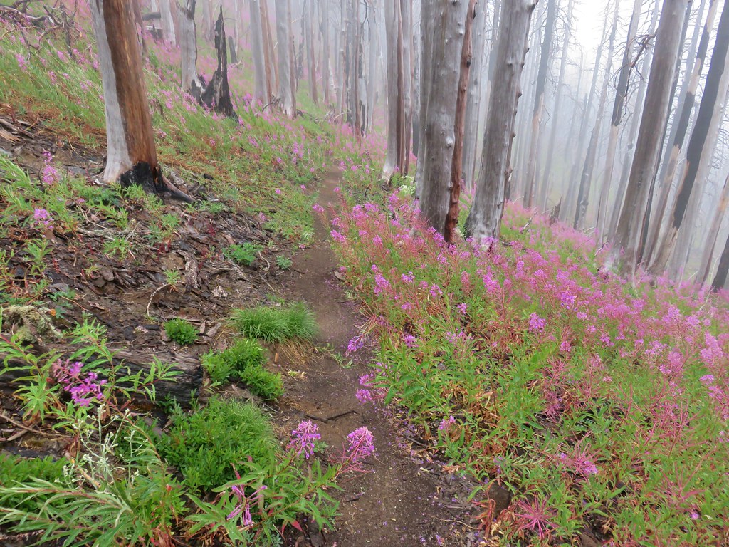
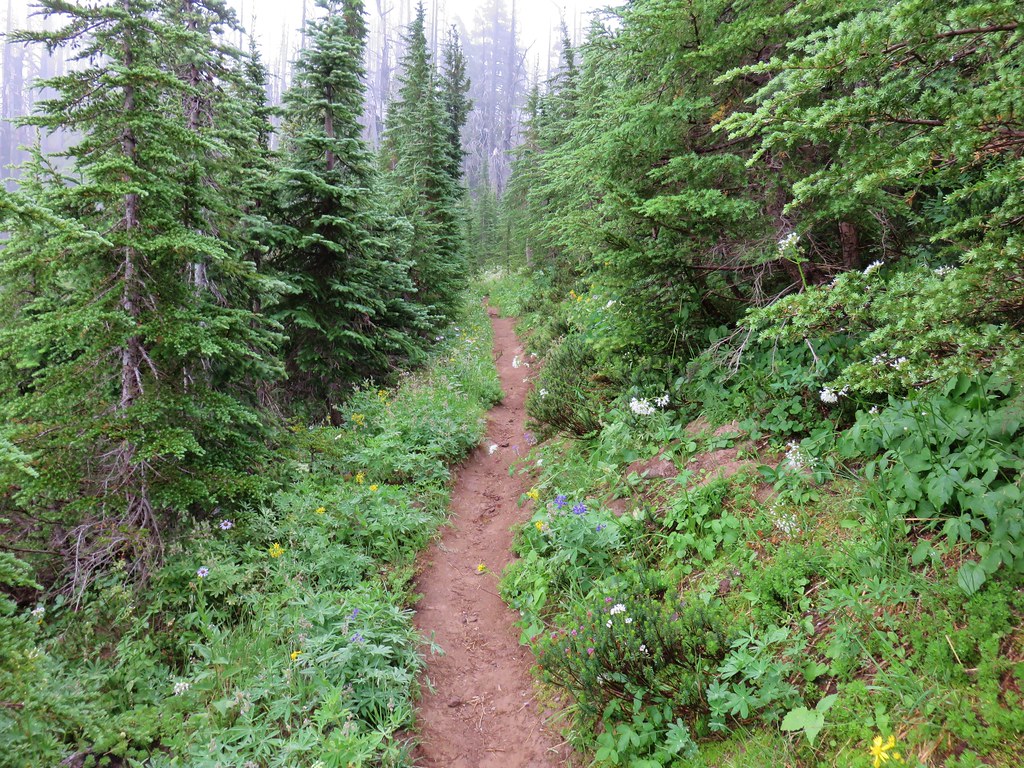
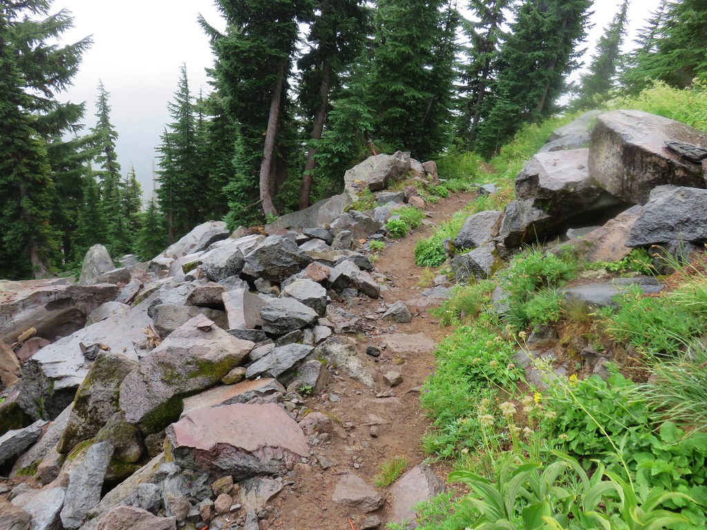
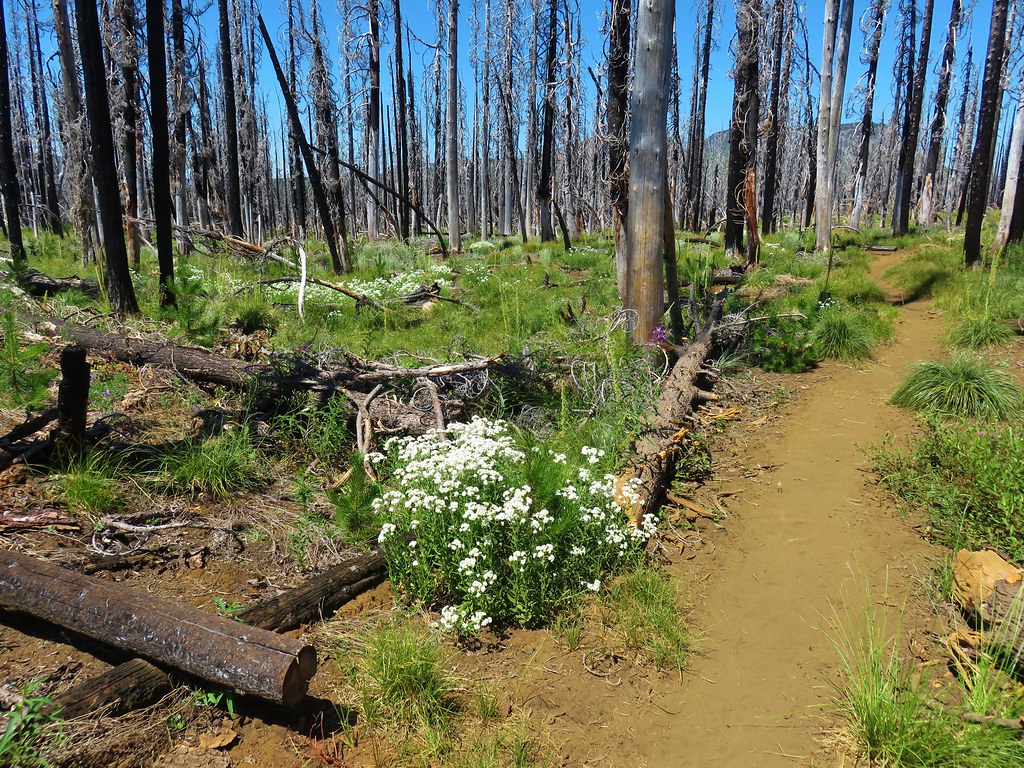
Our plan for the hike was to start on the Lost Creek Trail then take the Saddle Camp Trail to Olive Lake then continue up to Saddle Camp and take the Blue Mountain Trail SE to the Lost Creek Trail and take that back down to the trailhead. We set off on the trail and in .2 miles came to the remains of a redwood pipeline that supplied water from Olive Lake and Lost Creek to the Fremont Powerhouse.
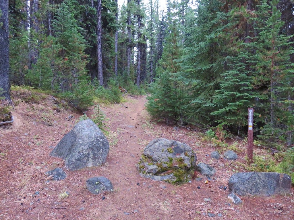

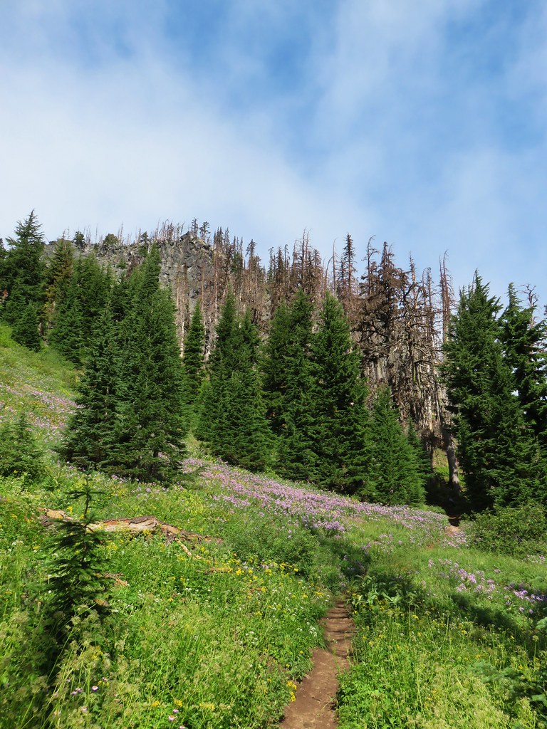
We got distracted by the pipeline and missed the right turn onto the Saddle Camp Trail. We’d gone almost a quarter mile past the junction when we caught our mistake. Shortly after passing a North Fork John Day Wilderness sign we realized we’d missed it since our map showed the junction prior to the wilderness boundary.
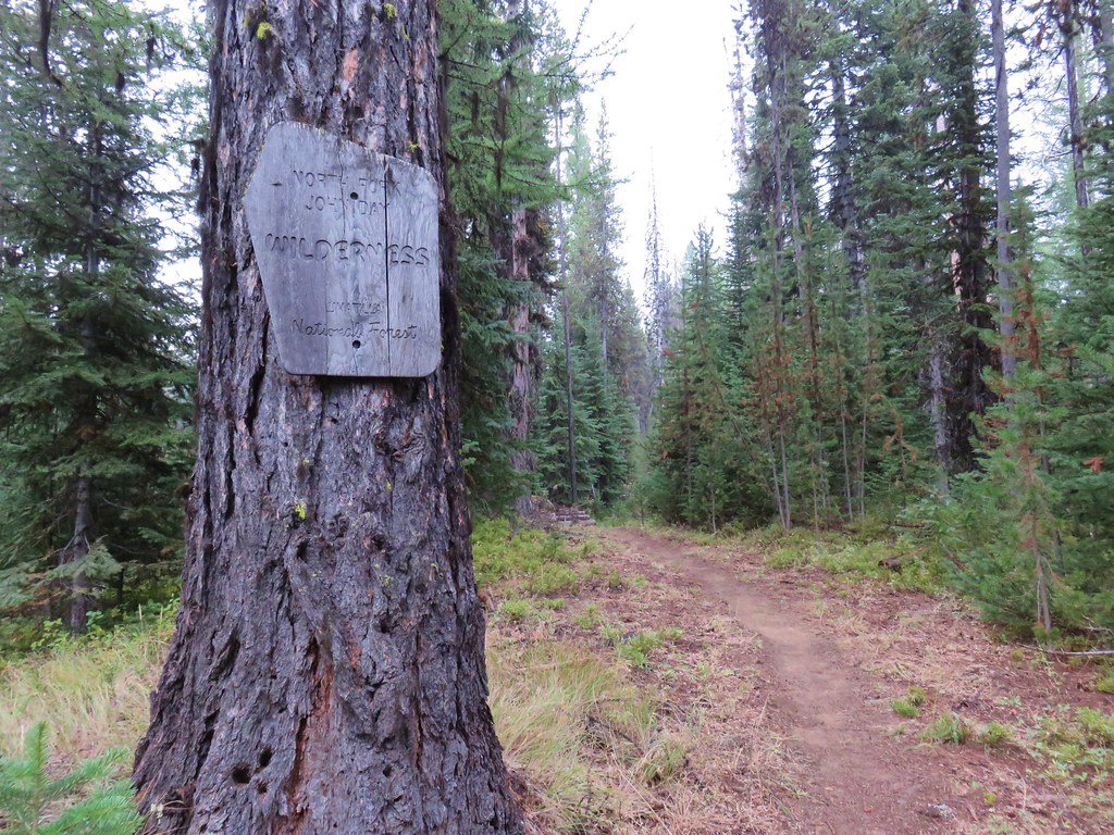
This was our first time in this particular wilderness checking one more Oregon Wilderness off our “need to visit” list.
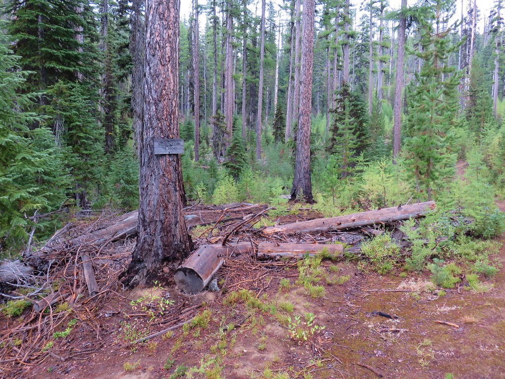
We turned around and headed back the way we’d come. The Saddle Camp Trail was marked with a sign that was much easier to spot from this direction.
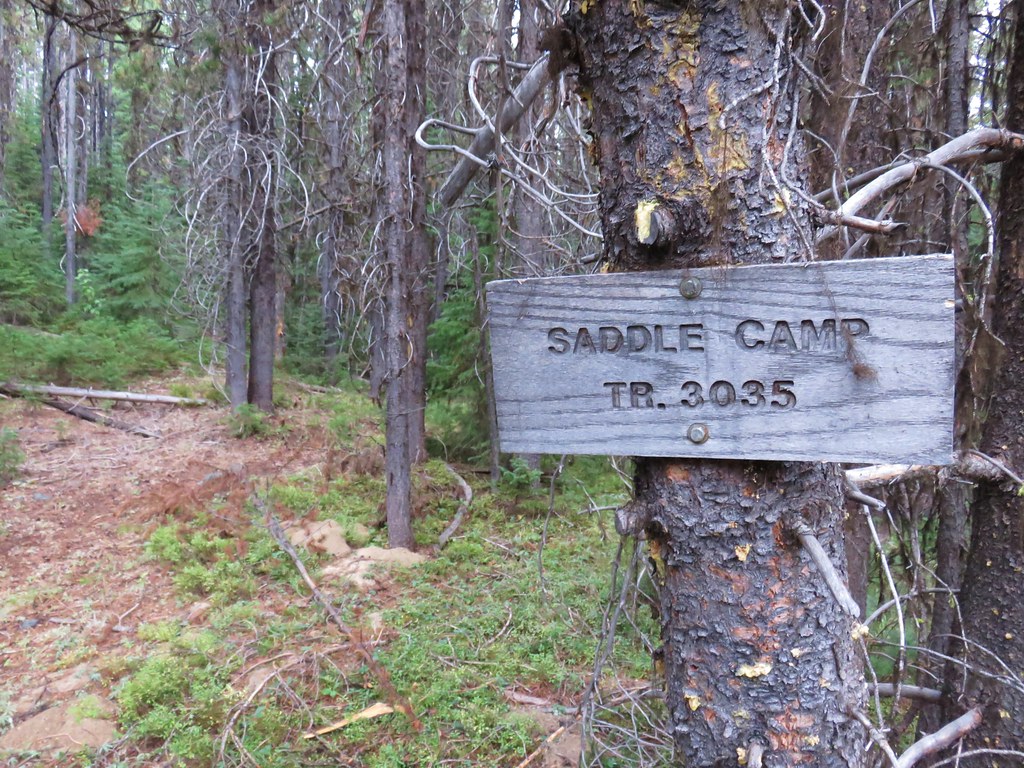

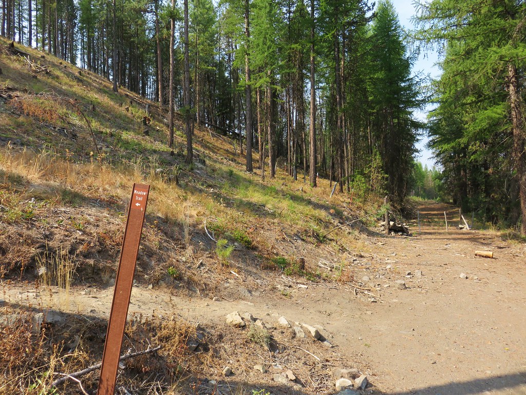
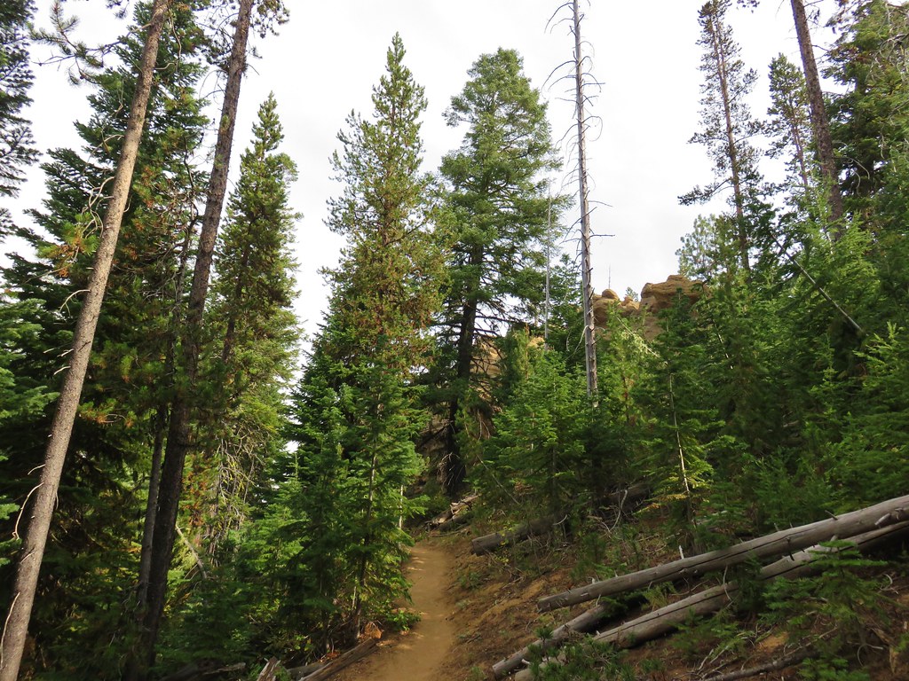
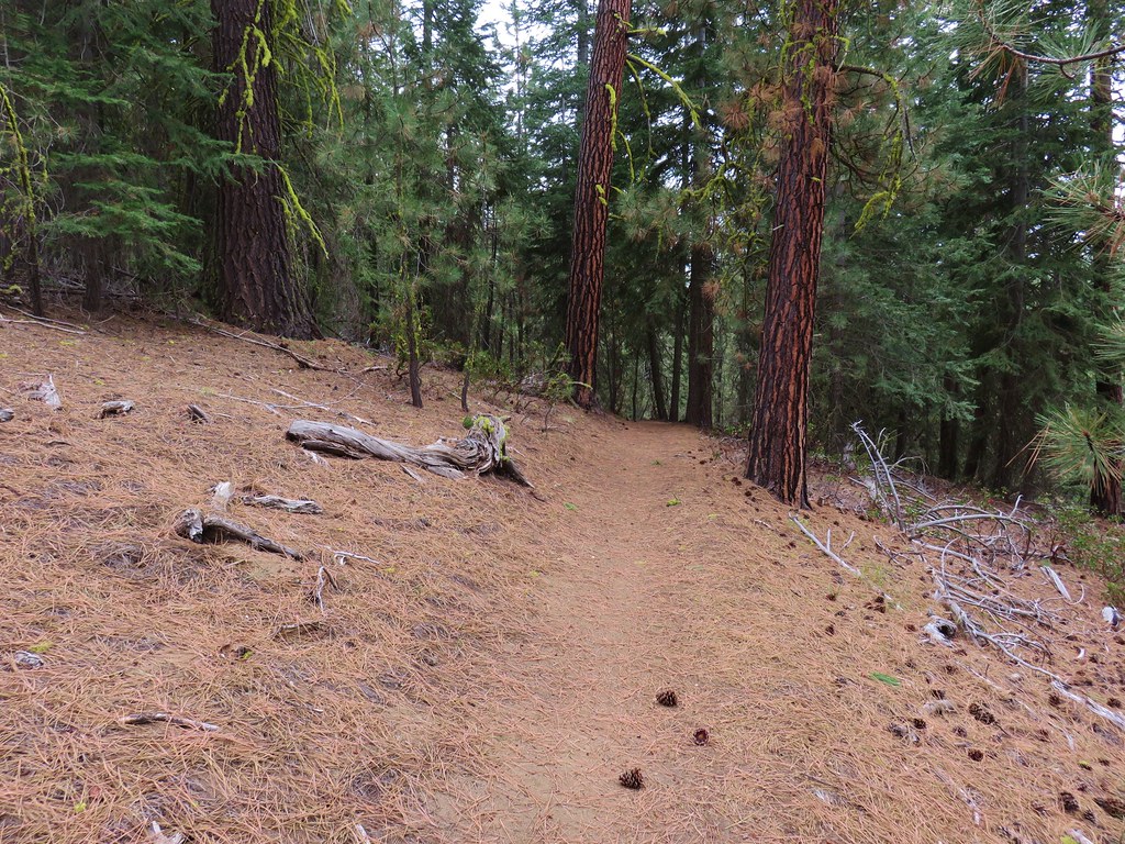
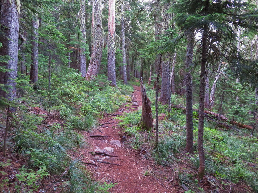
We followed this trail through the forest for a mile and a half to another junction.
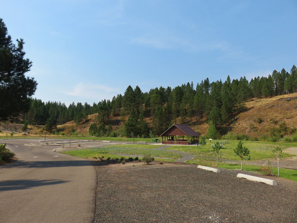
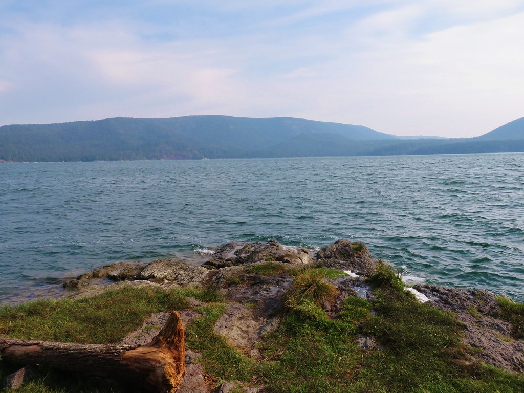
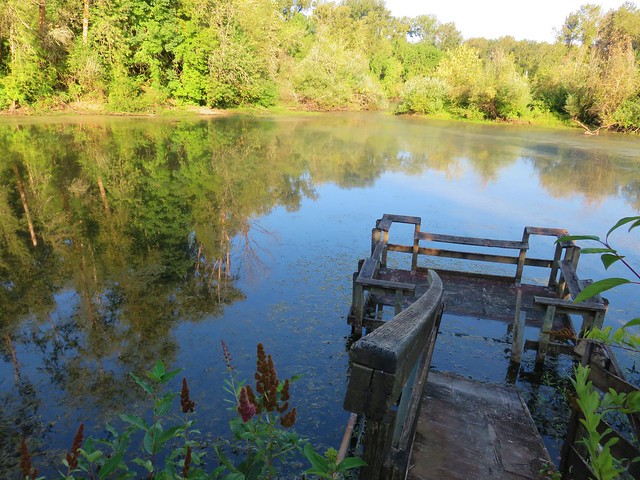
Here we turned right and headed downhill for .2 miles to the Olive Lake Campground.
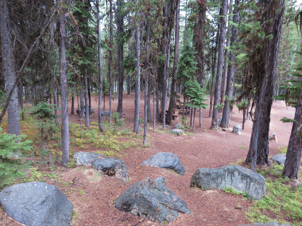
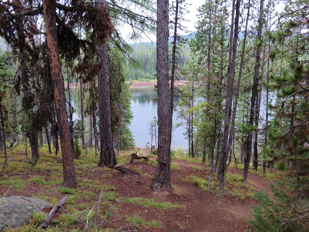
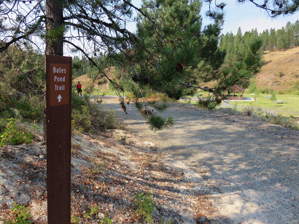
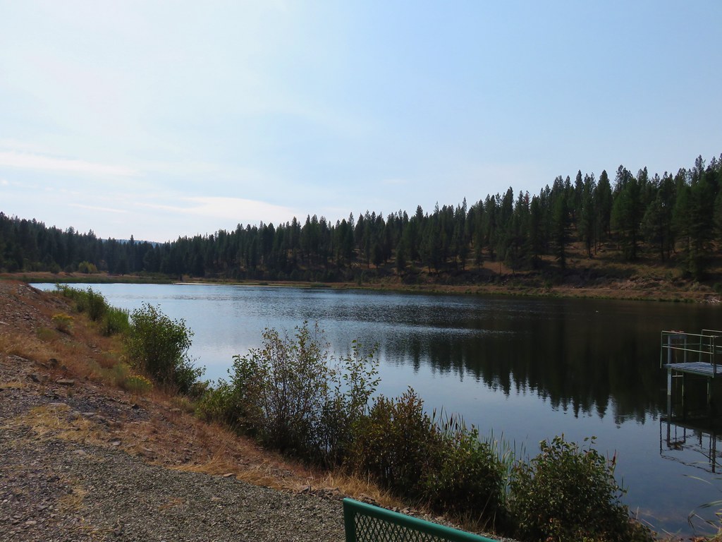
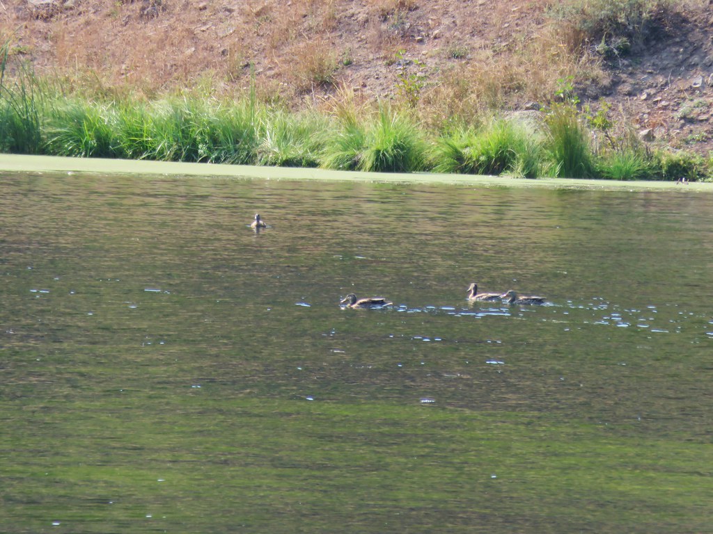
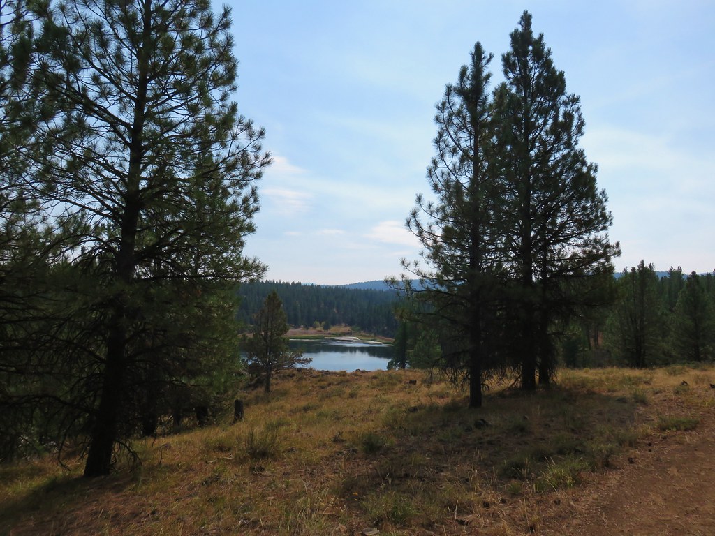
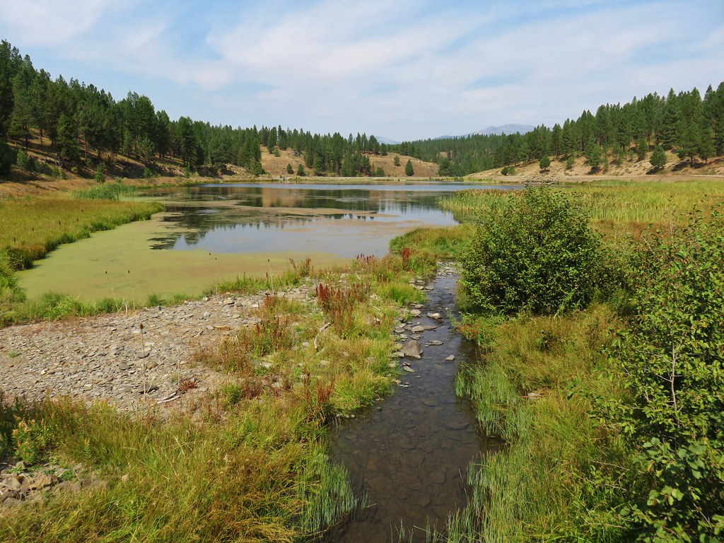
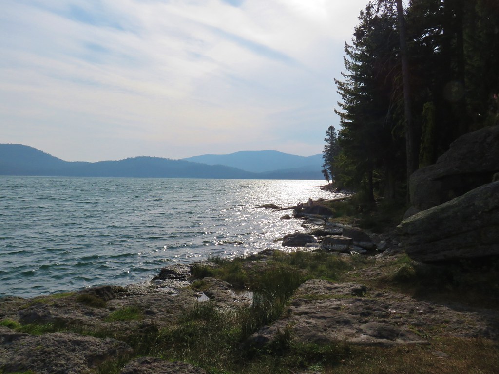
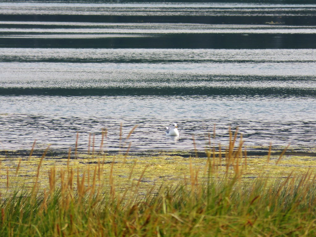
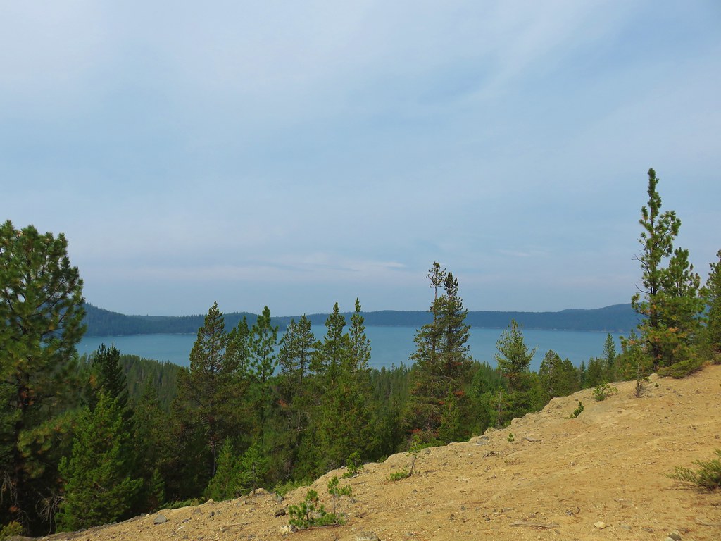
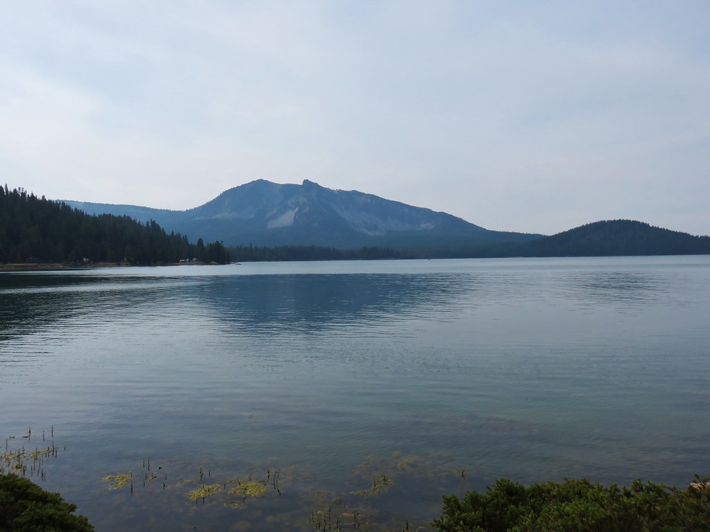
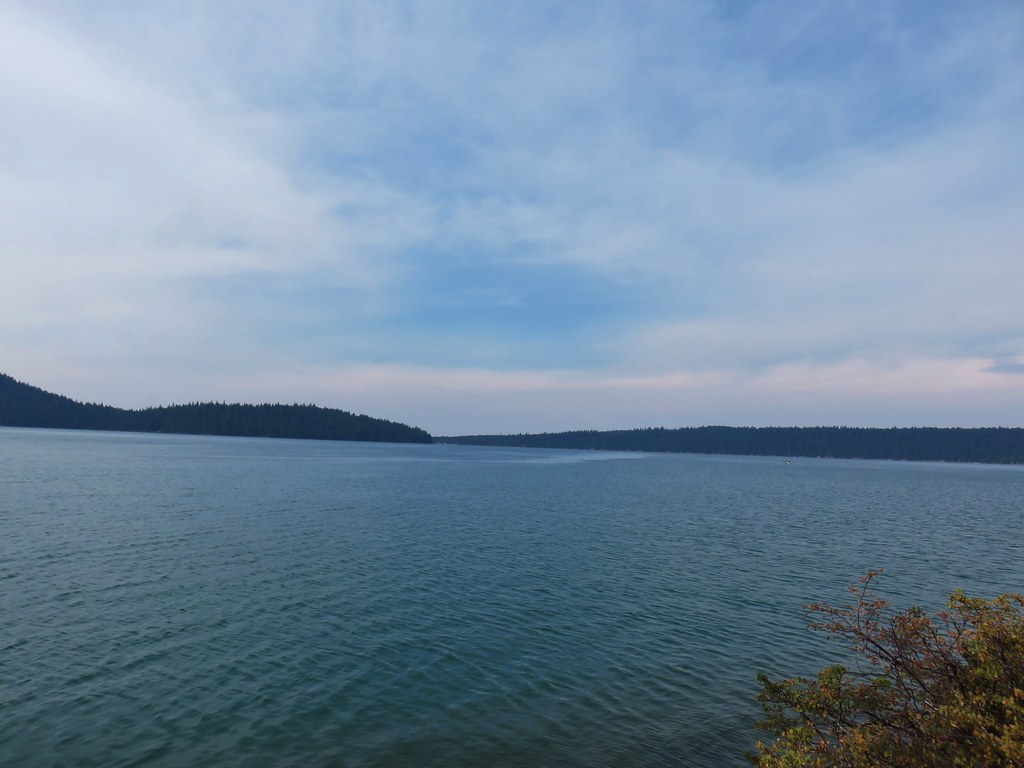
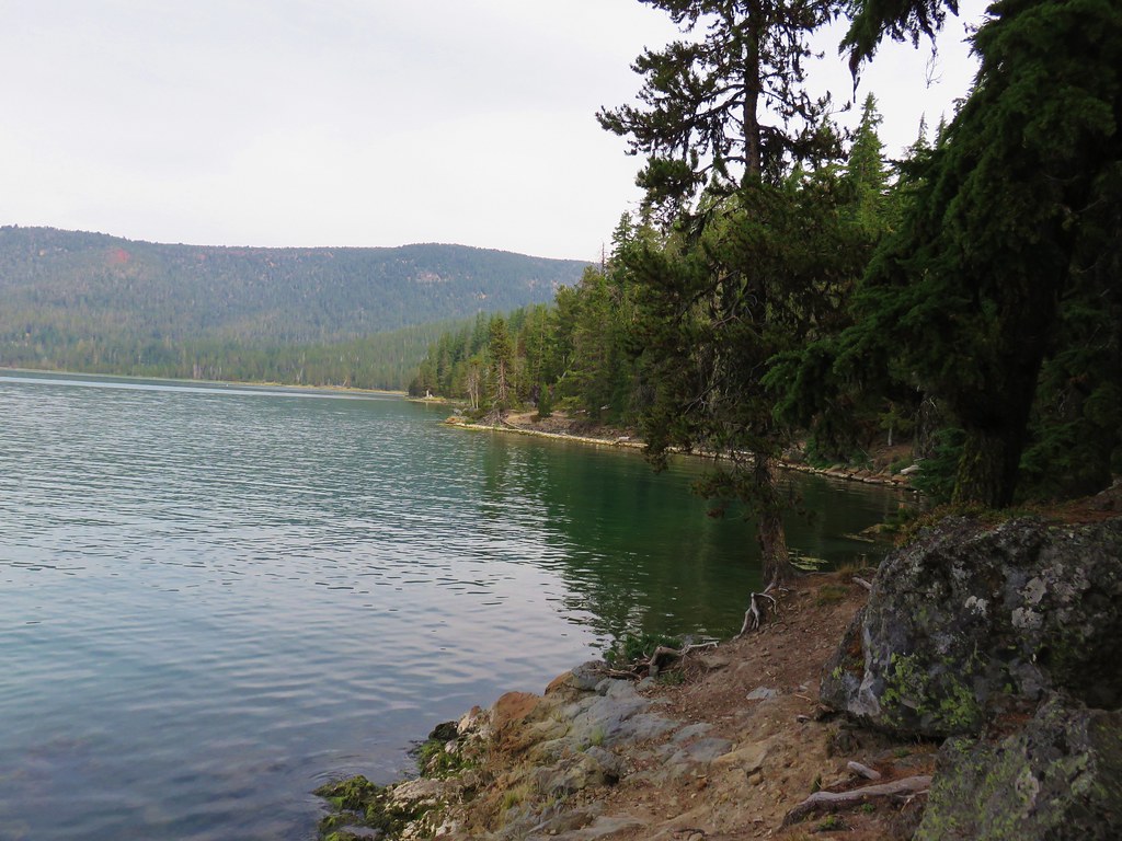
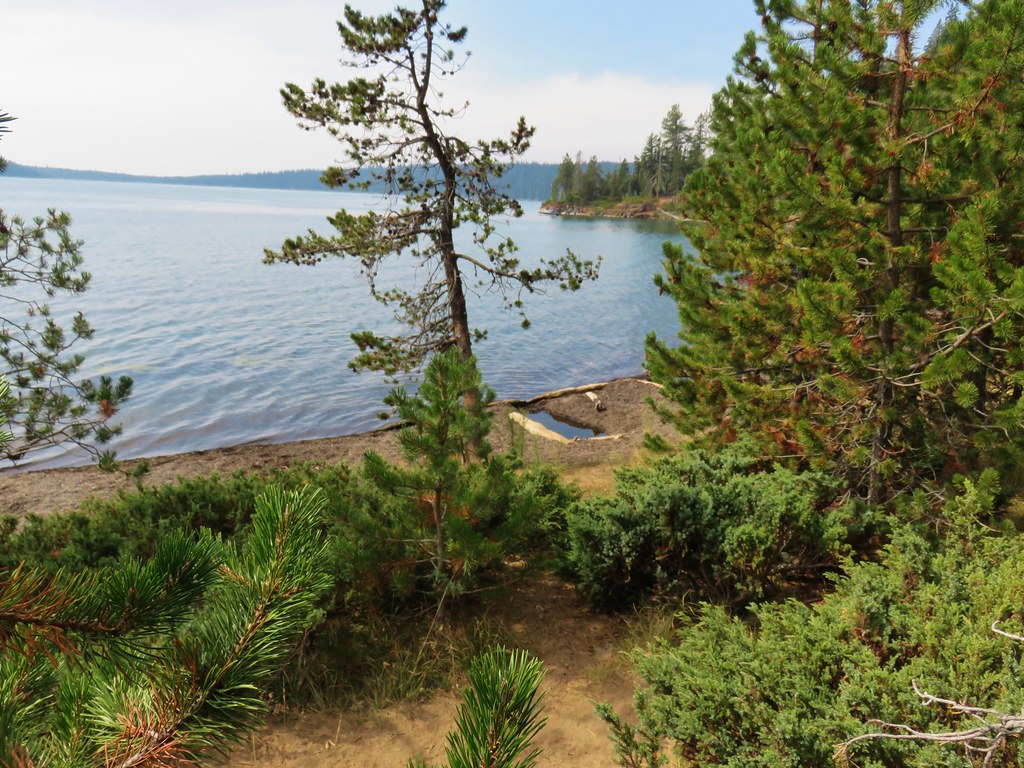
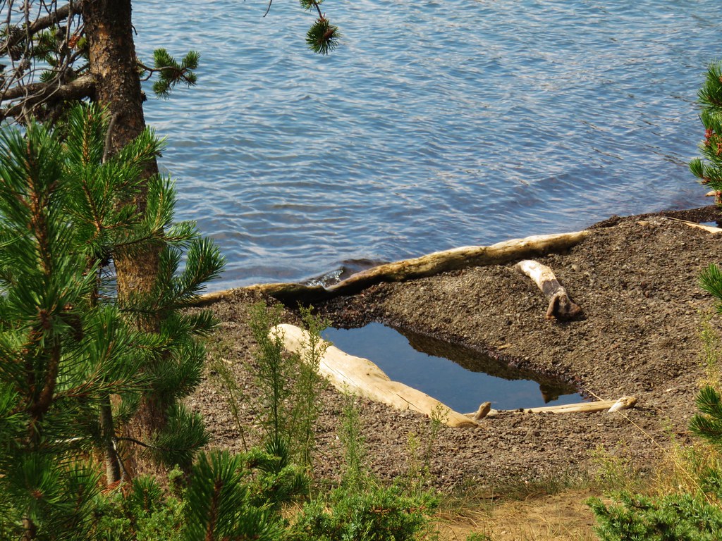
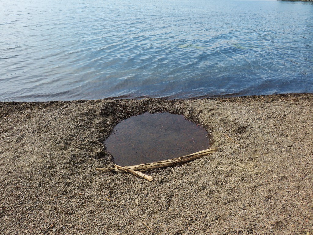
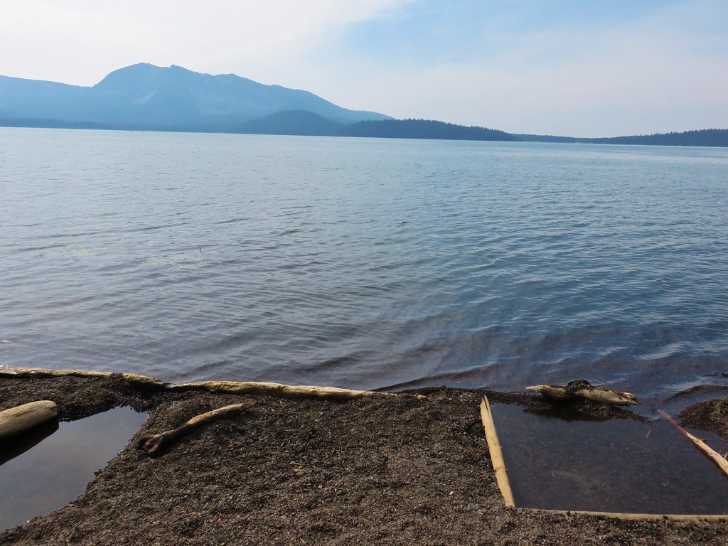
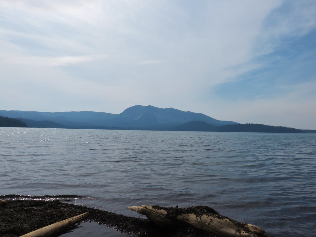
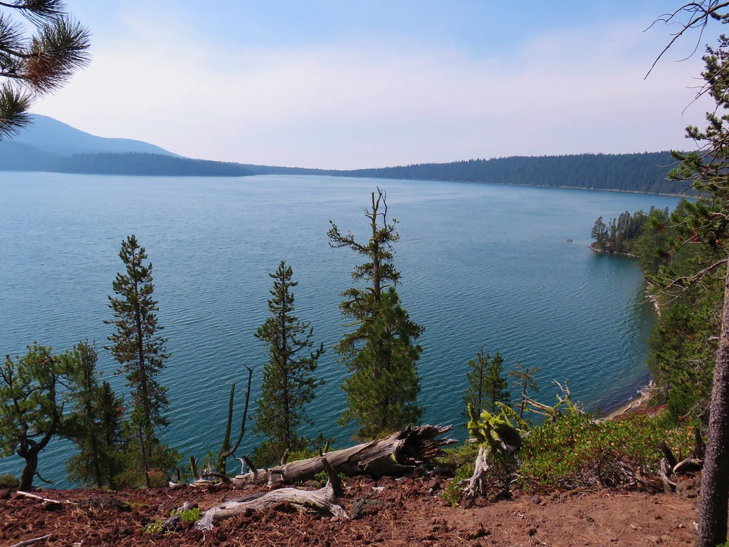
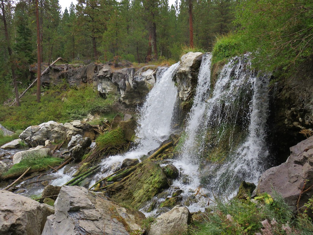
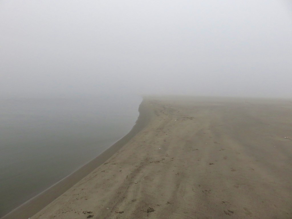
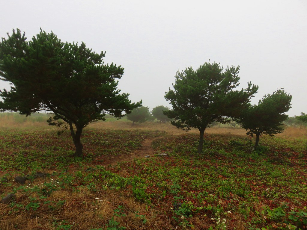
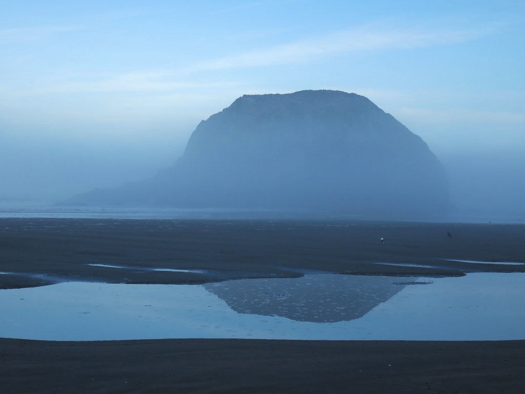
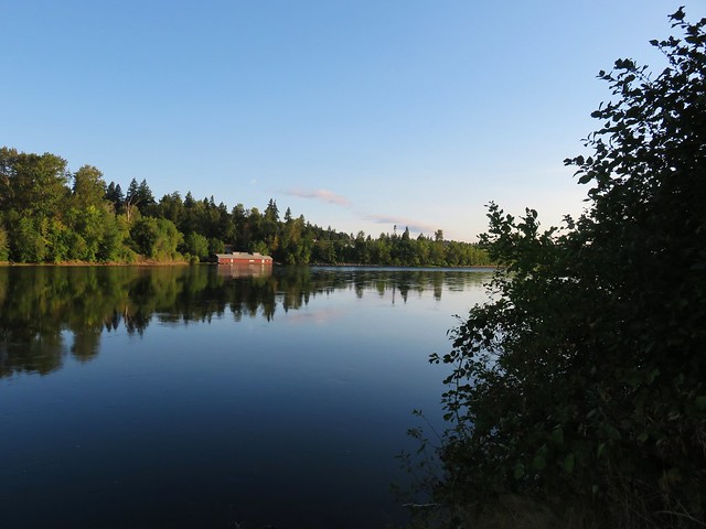
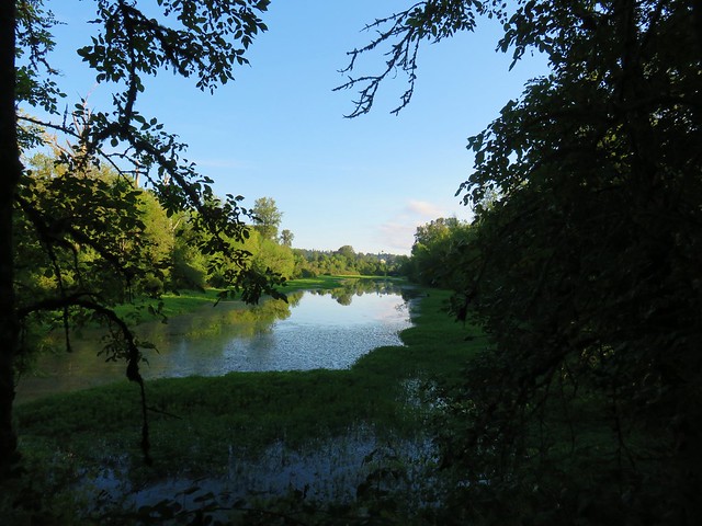
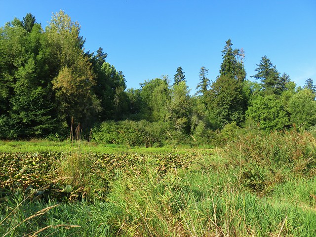
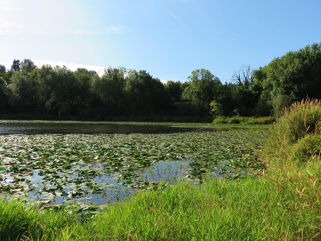
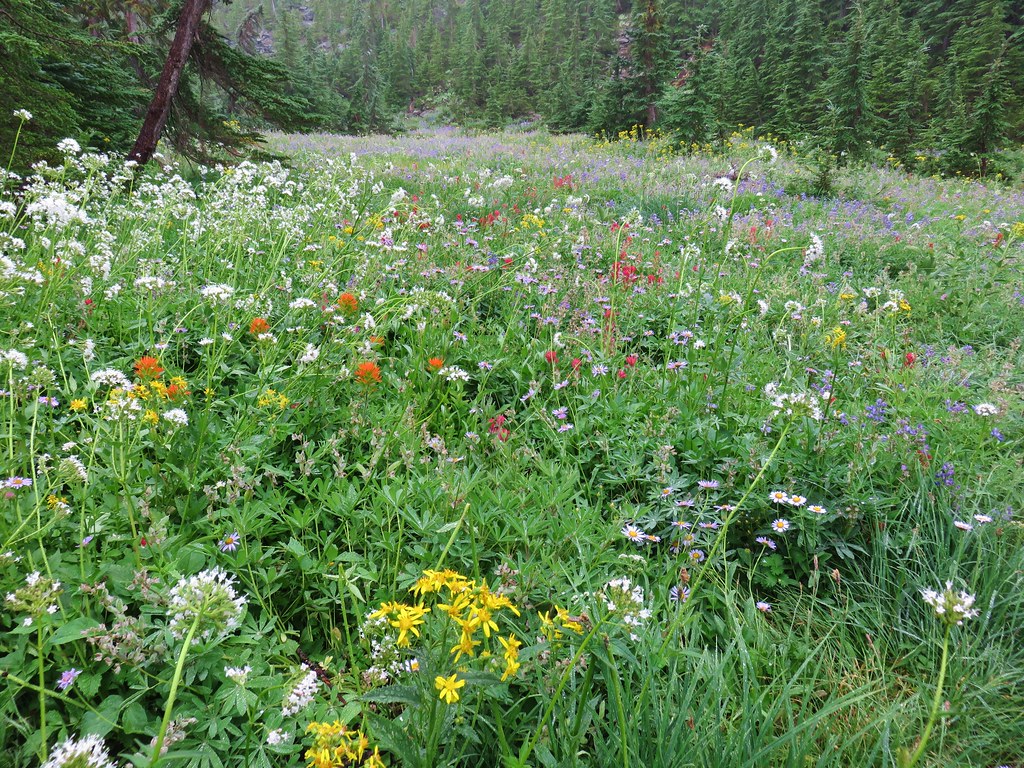
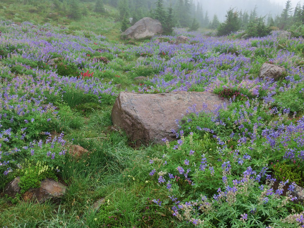
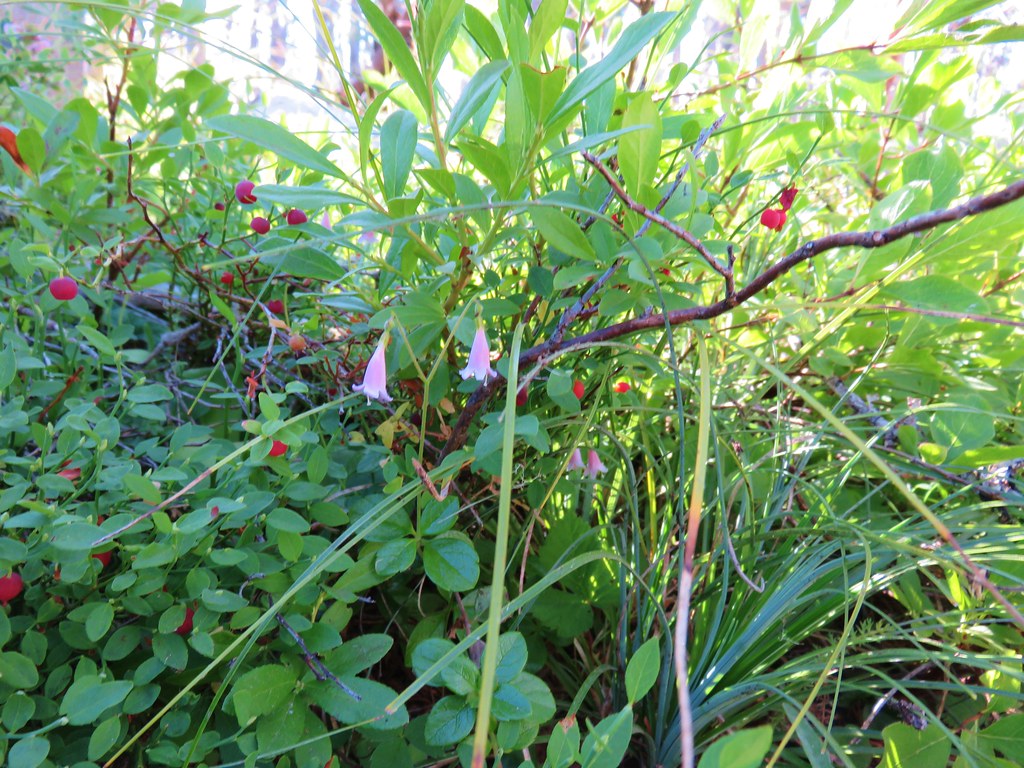
It is possible to drive to the campground and there is a 1.9 mile trail around the lake which we decided not to take on this day due to the presence of low clouds and wanting to get up and down as early as possible. We did however visit the lake shore.

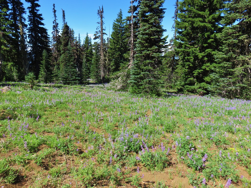
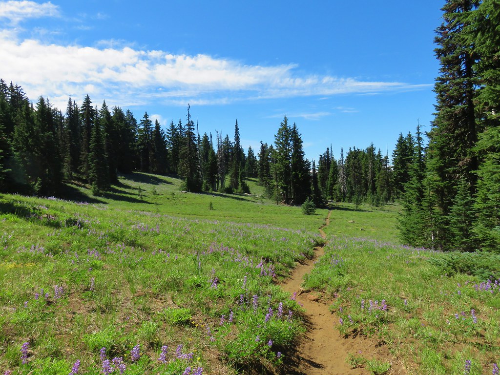
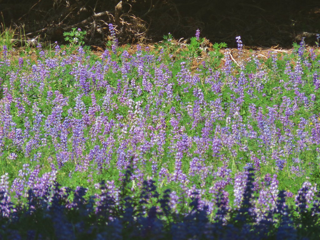
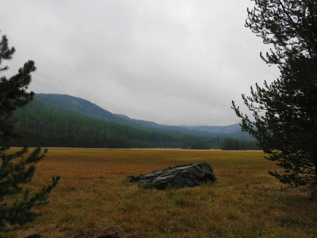
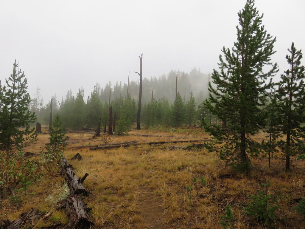
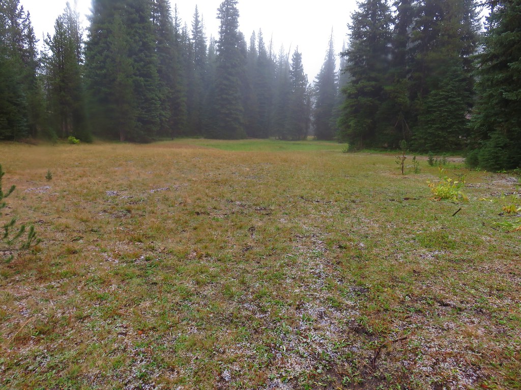
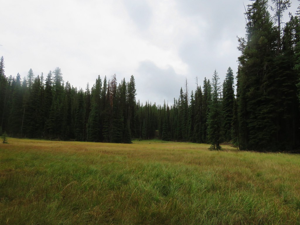
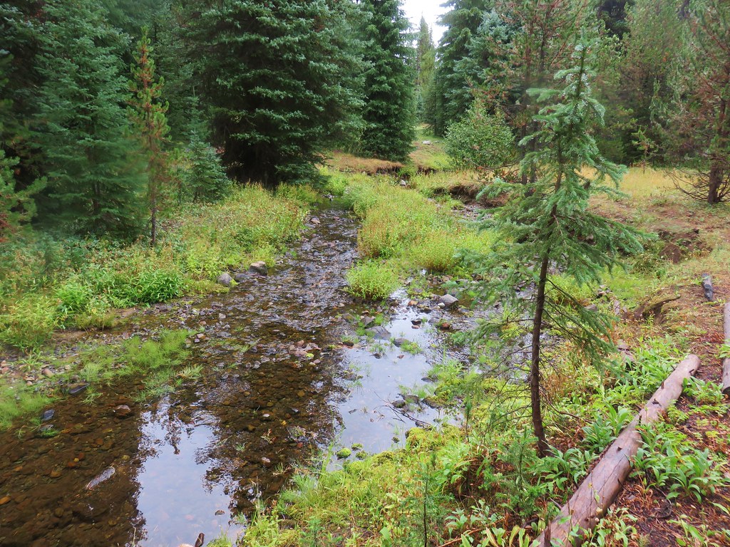
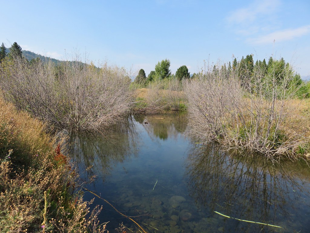
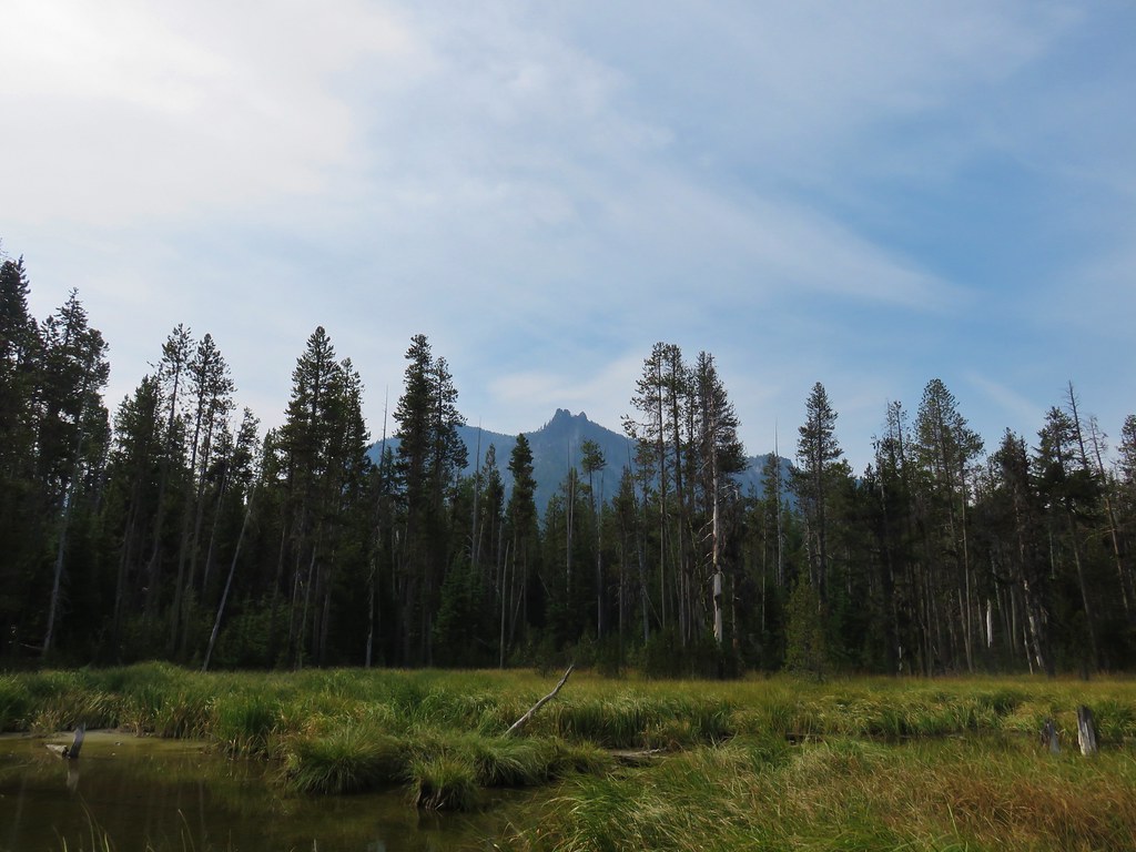
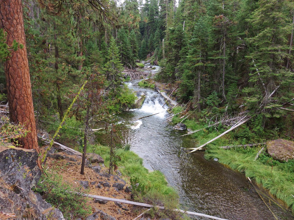
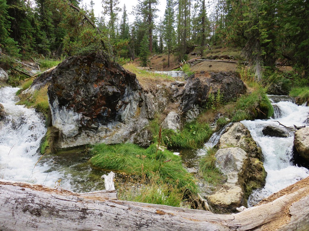
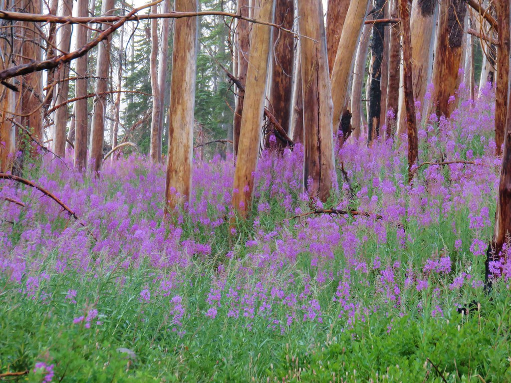
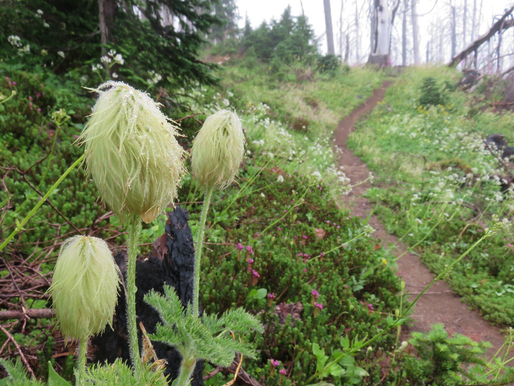
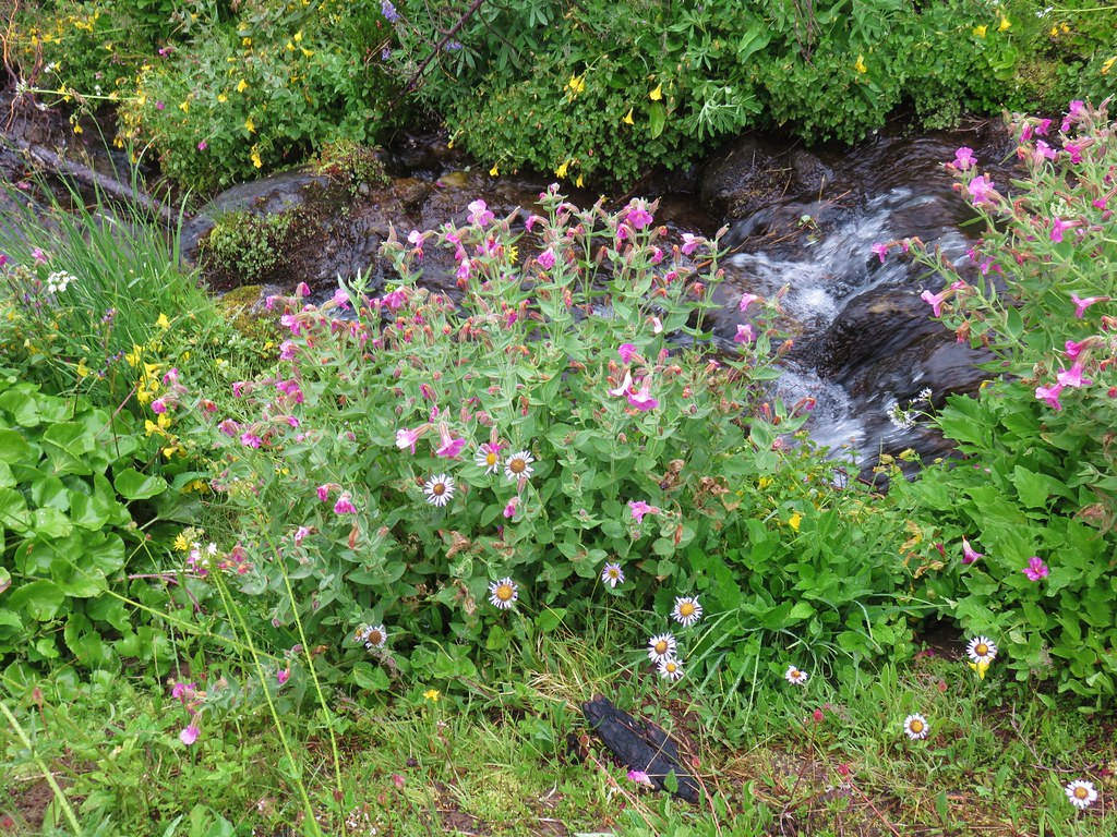
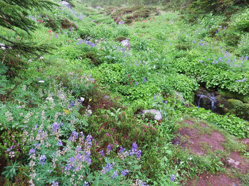
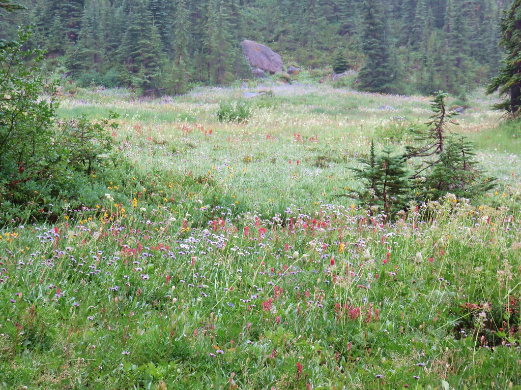
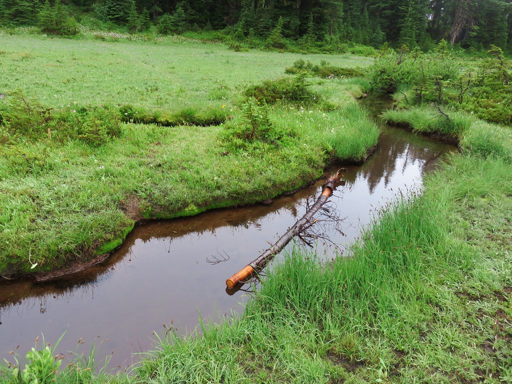
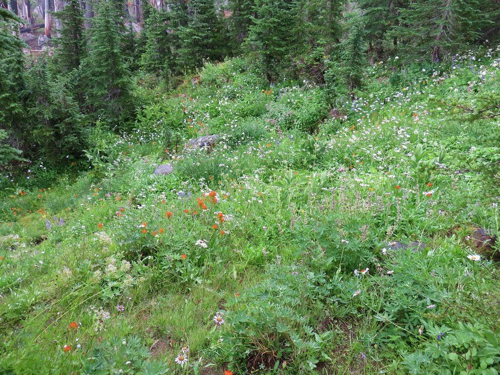
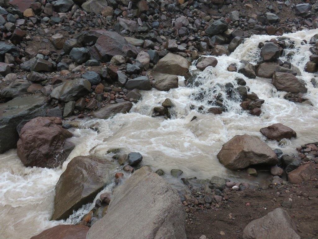
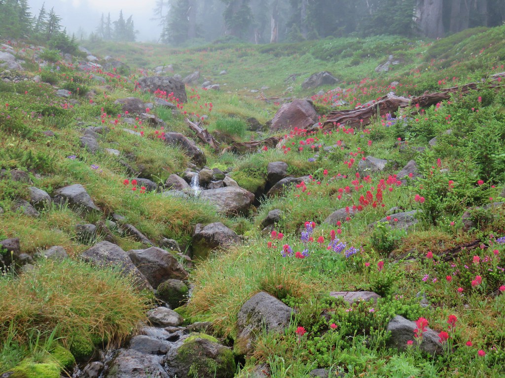
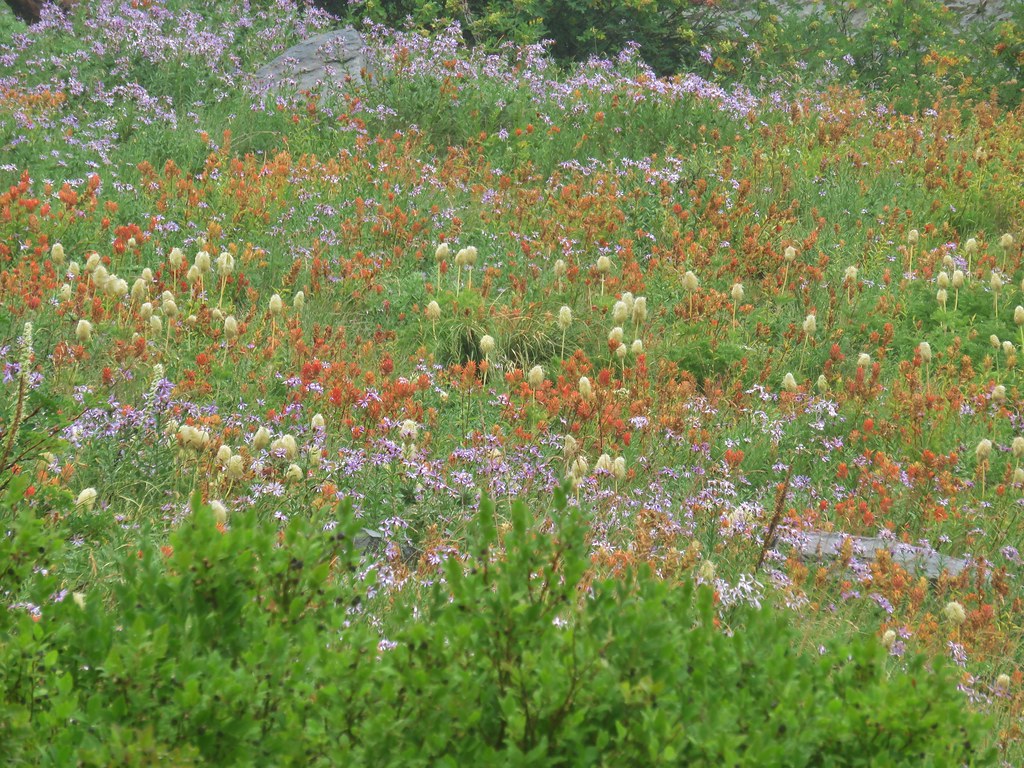
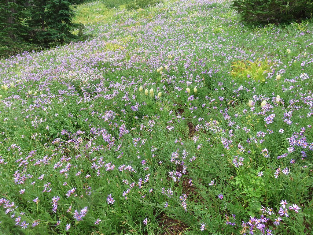
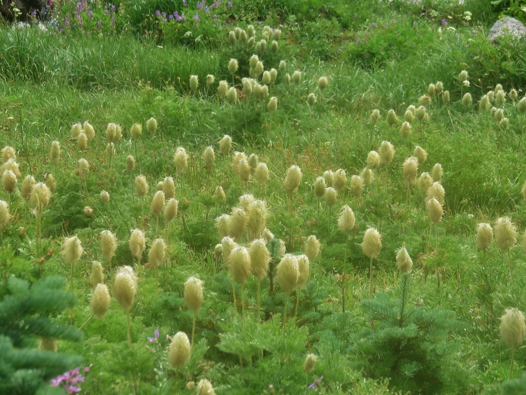
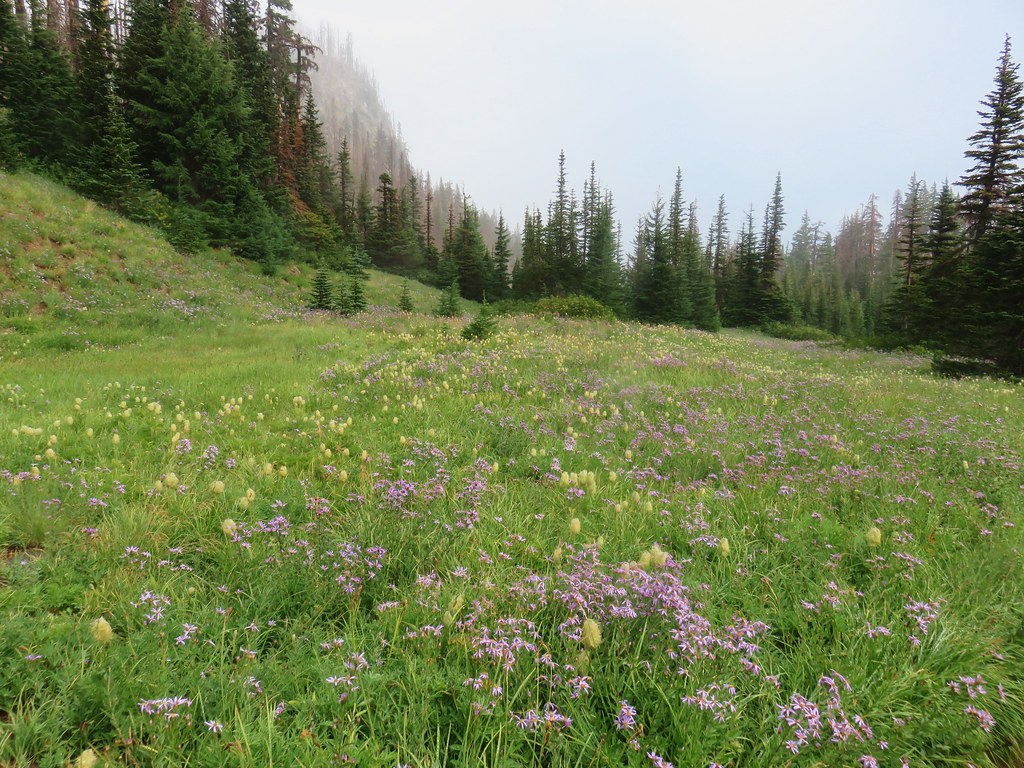
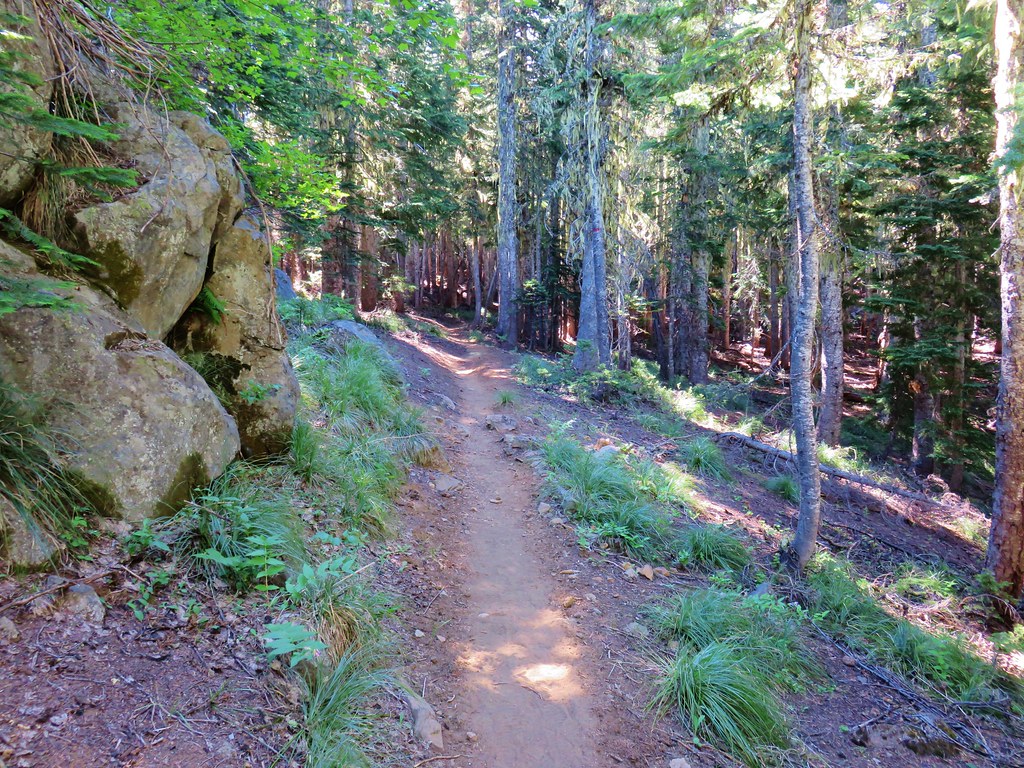
After checking out Olive Lake we returned to the junction and continued uphill on the Saddle Camp Trail. After .7 miles we crossed Lake Creek near Upper Reservoir, a large marshy meadow.

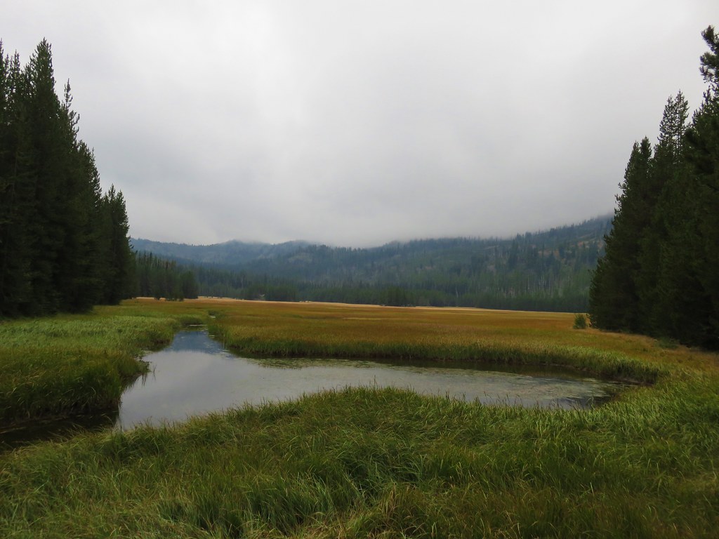

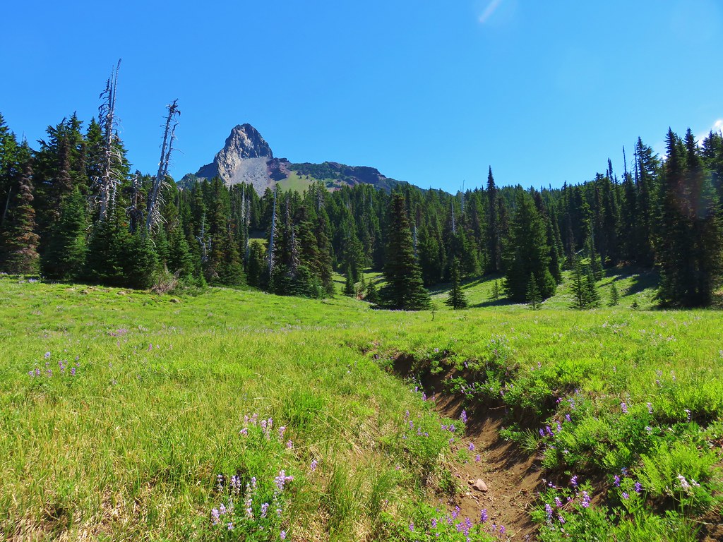
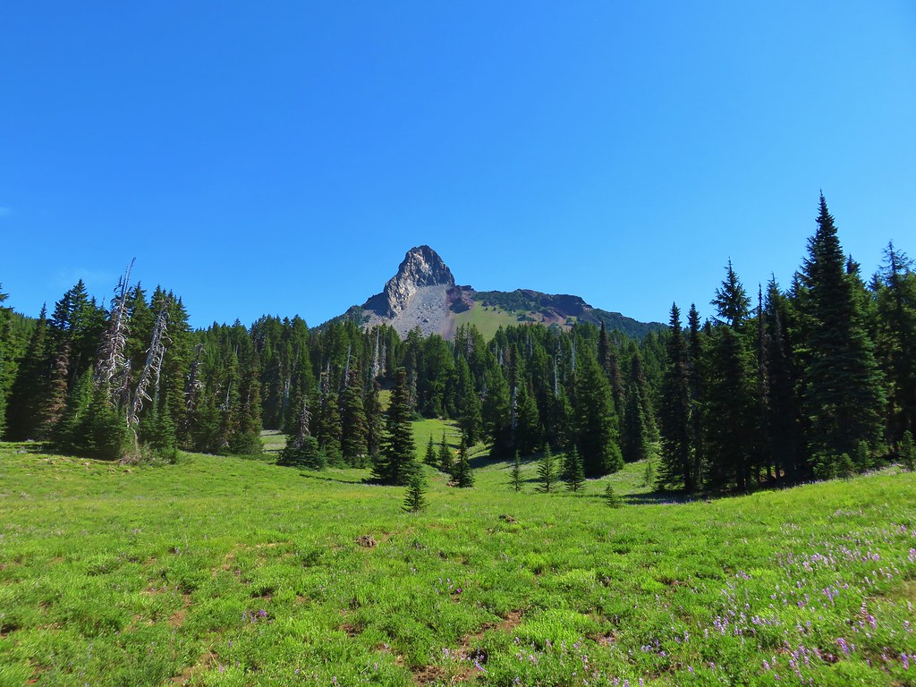
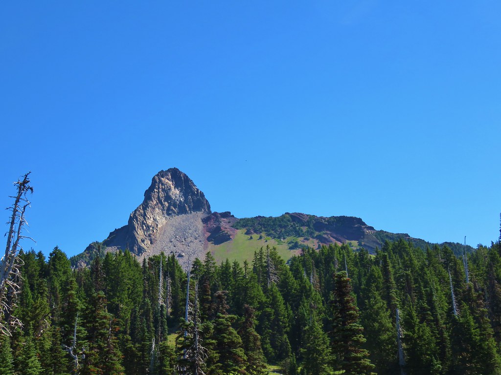
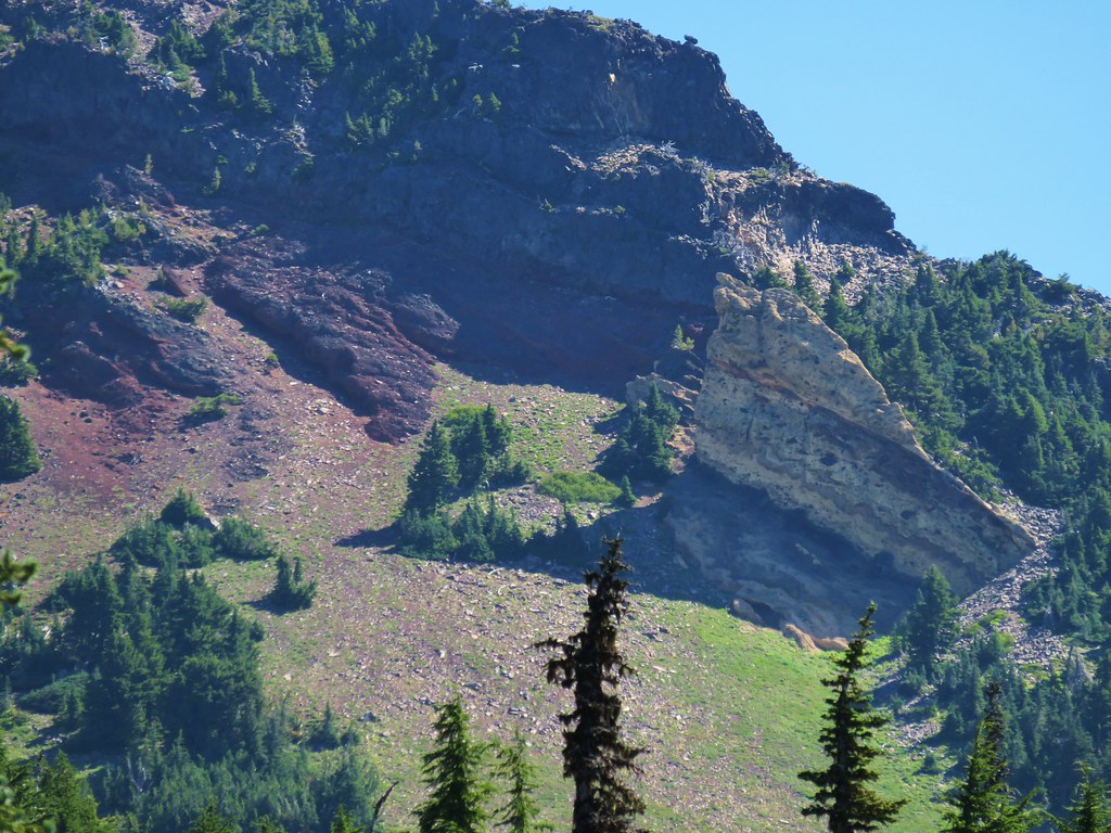
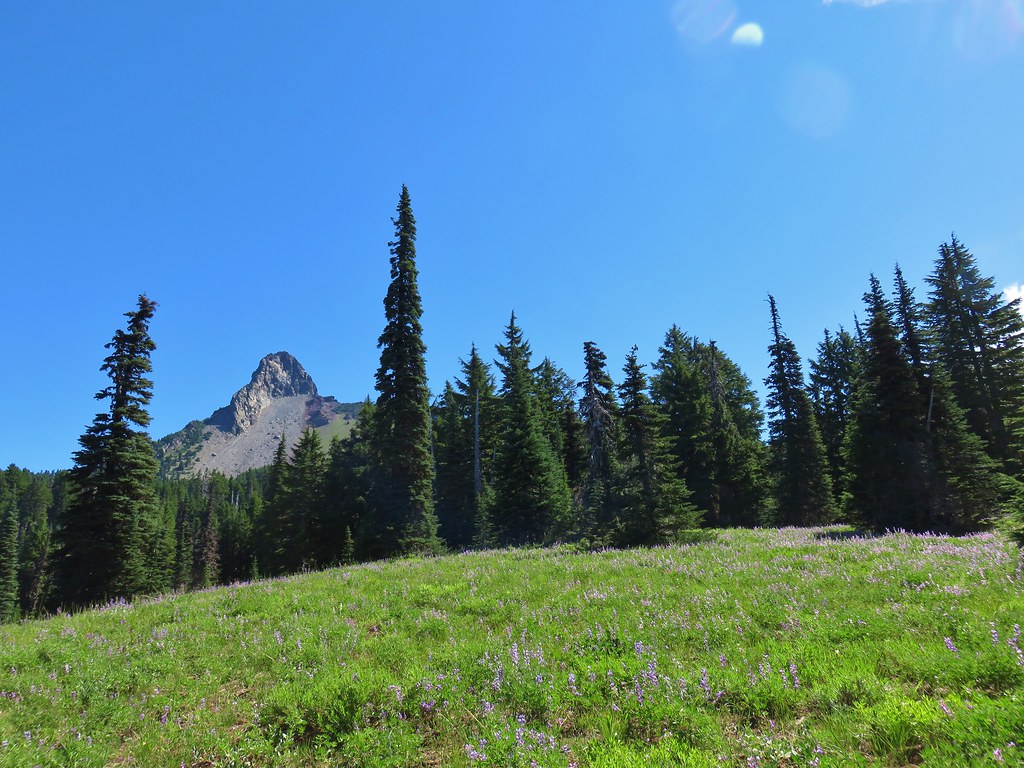
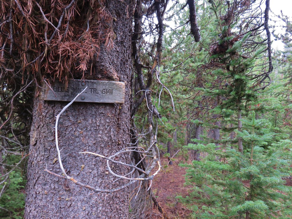
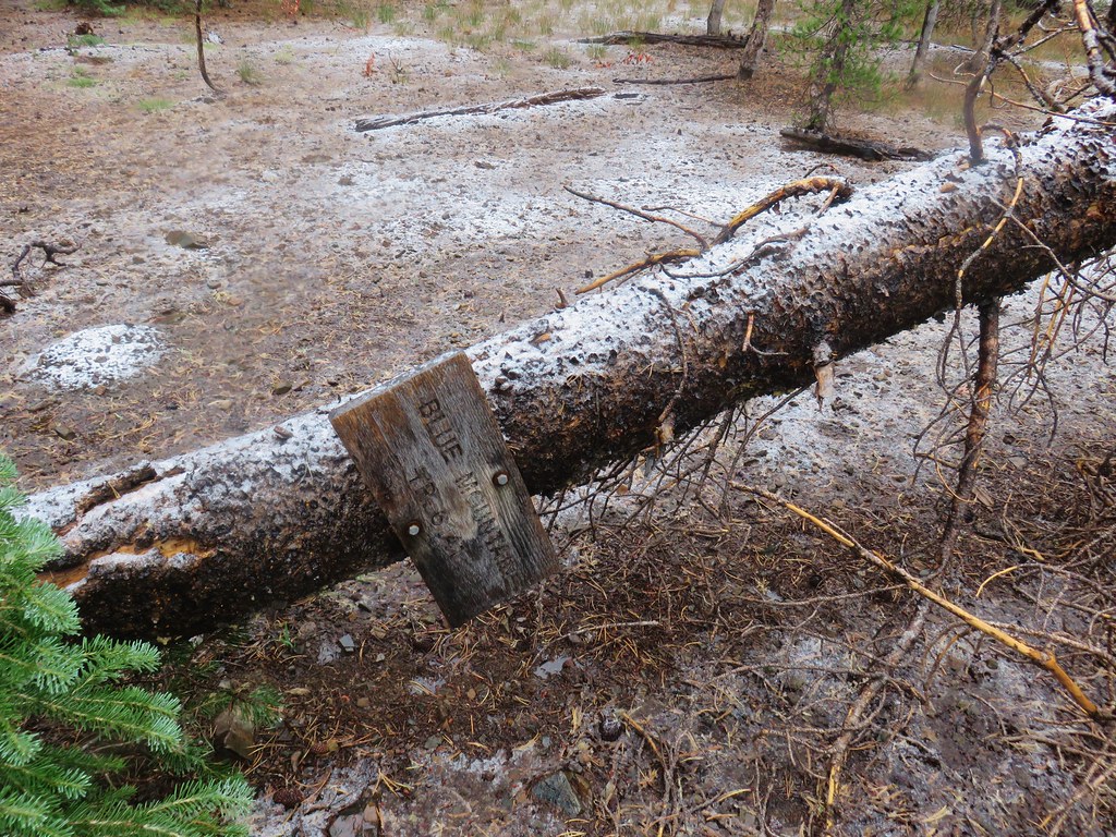
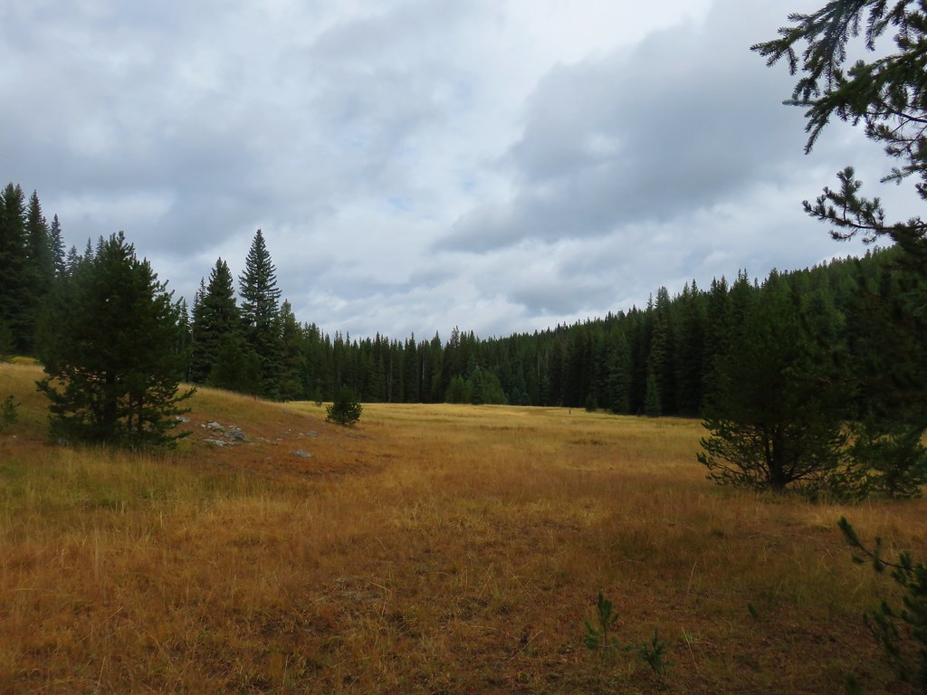
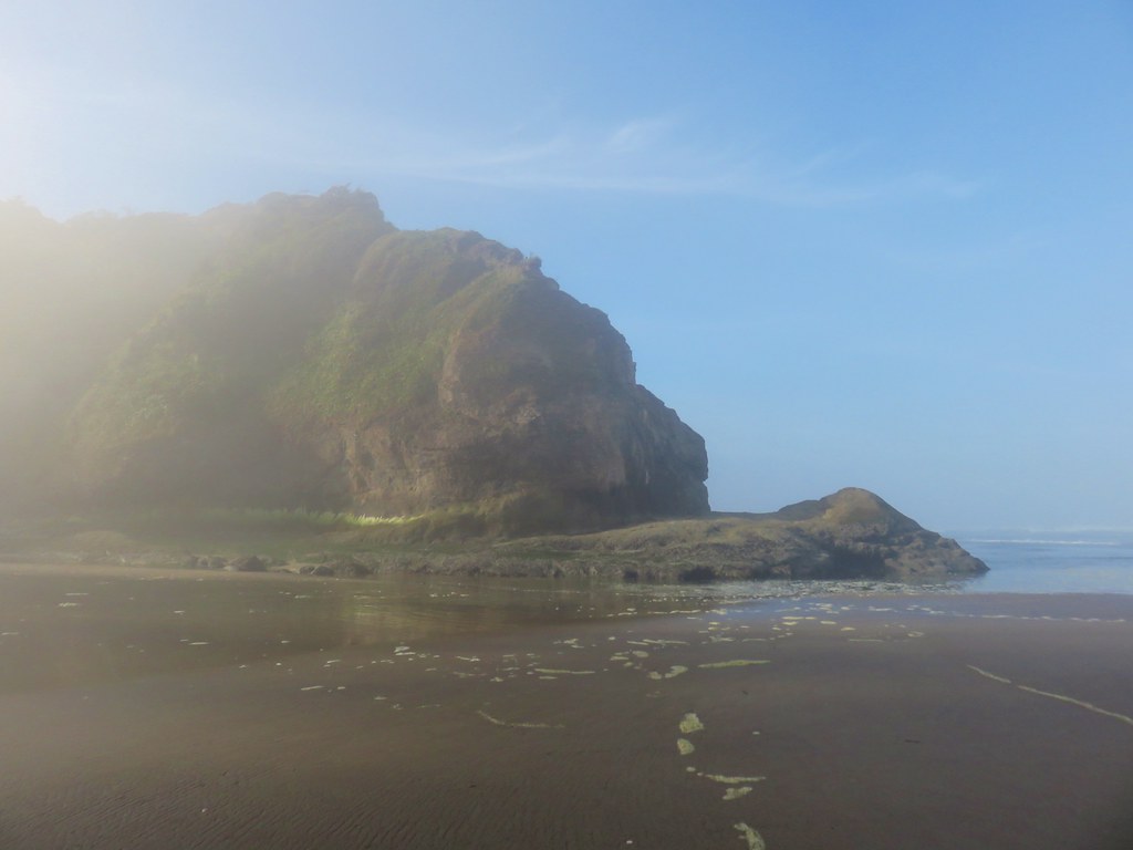
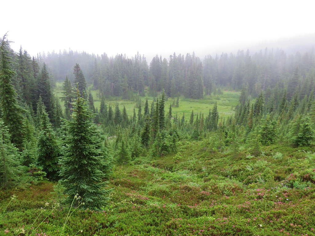
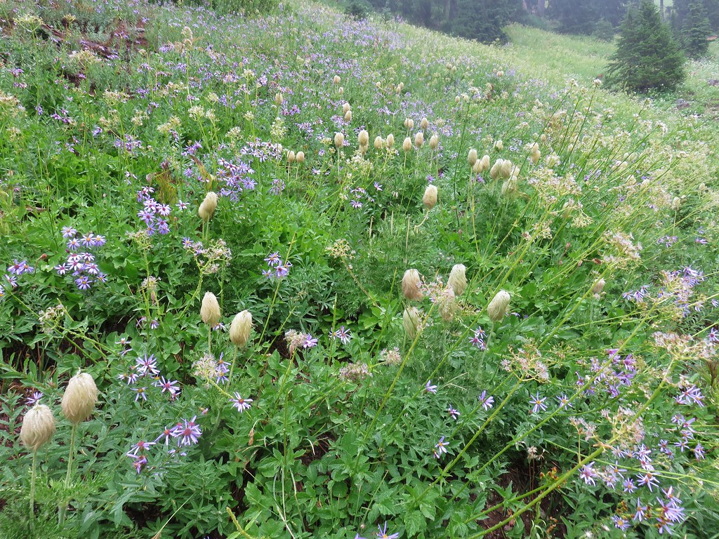
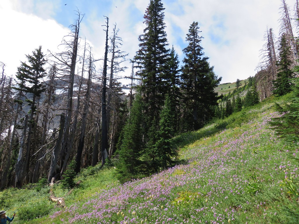
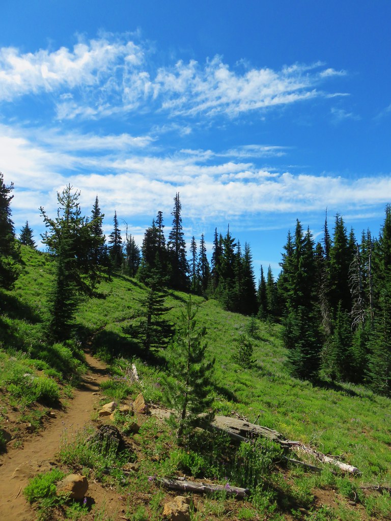
In the next 2 miles the trail passed along the meadow before climbing 600′ to Saddle Camp and a junction with the Blue Mountain Trail.
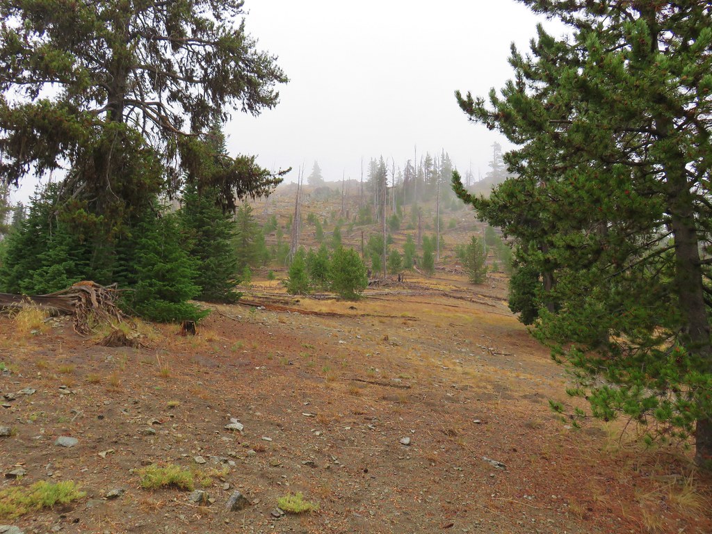

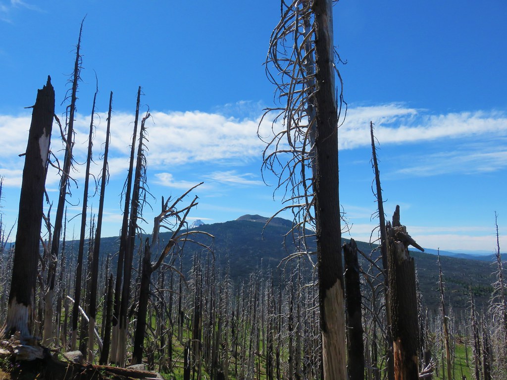
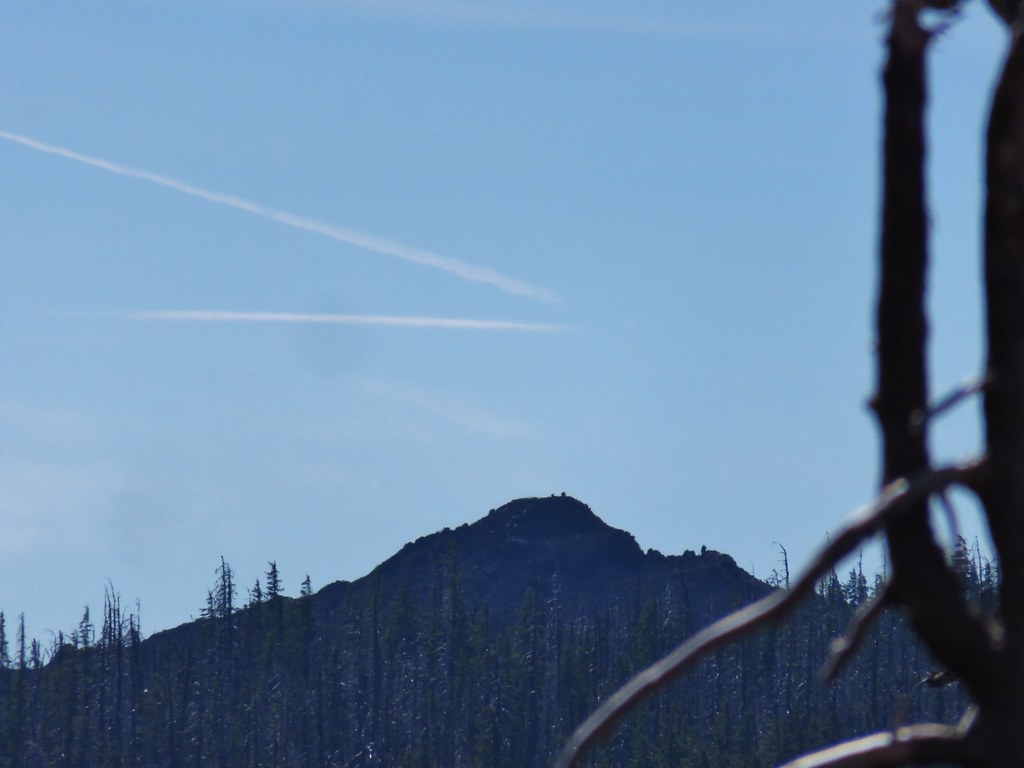
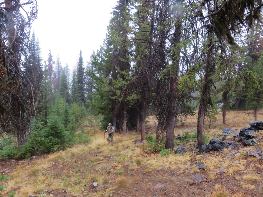
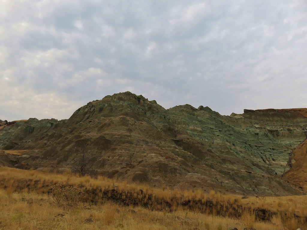
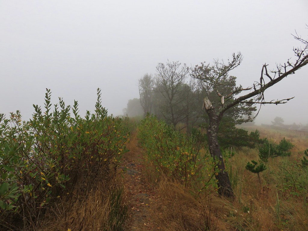
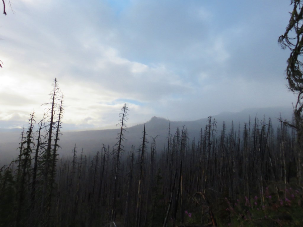
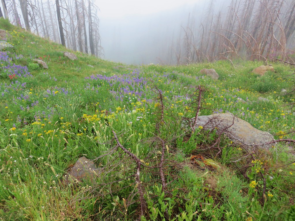
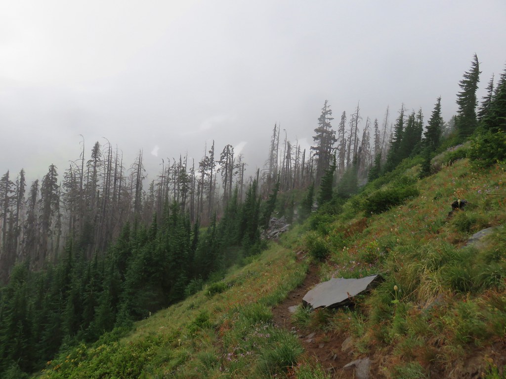
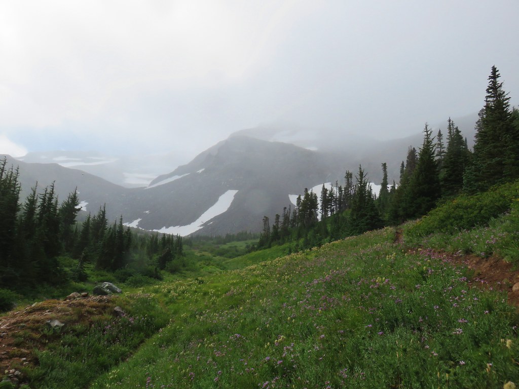
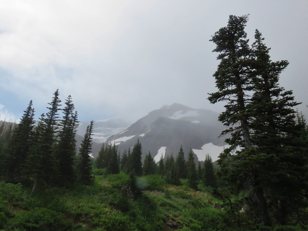
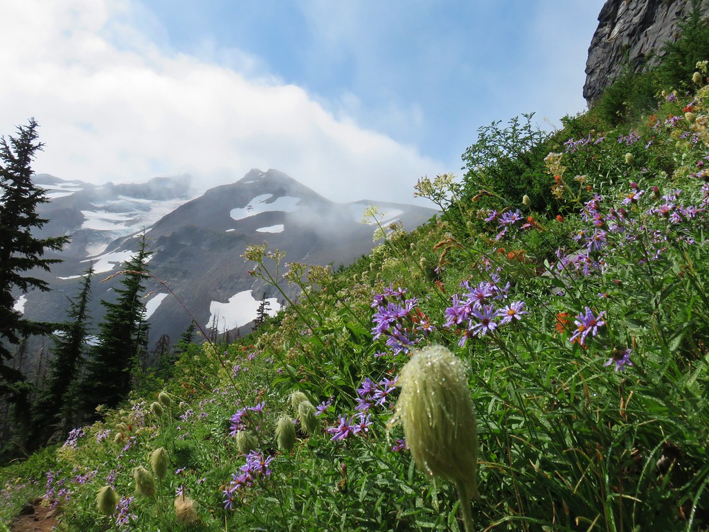
A light rain had fallen off and on and now at the saddle we were in the clouds so it was damp. Luckily we had our rain gear on and stayed relatively dry as we traversed along Saddle Ridge. It was a bit of a shame about the clouds because the open ridge would have provided some excellent views along the way.
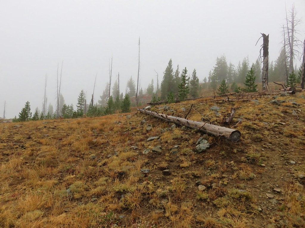
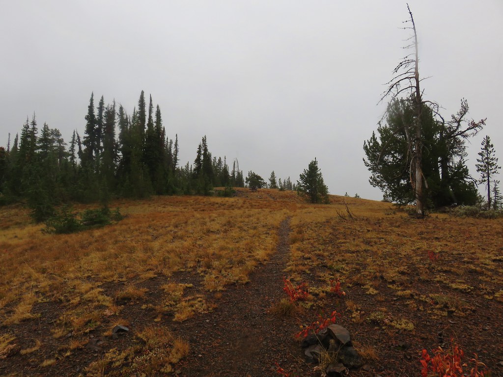
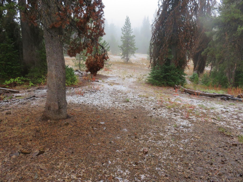
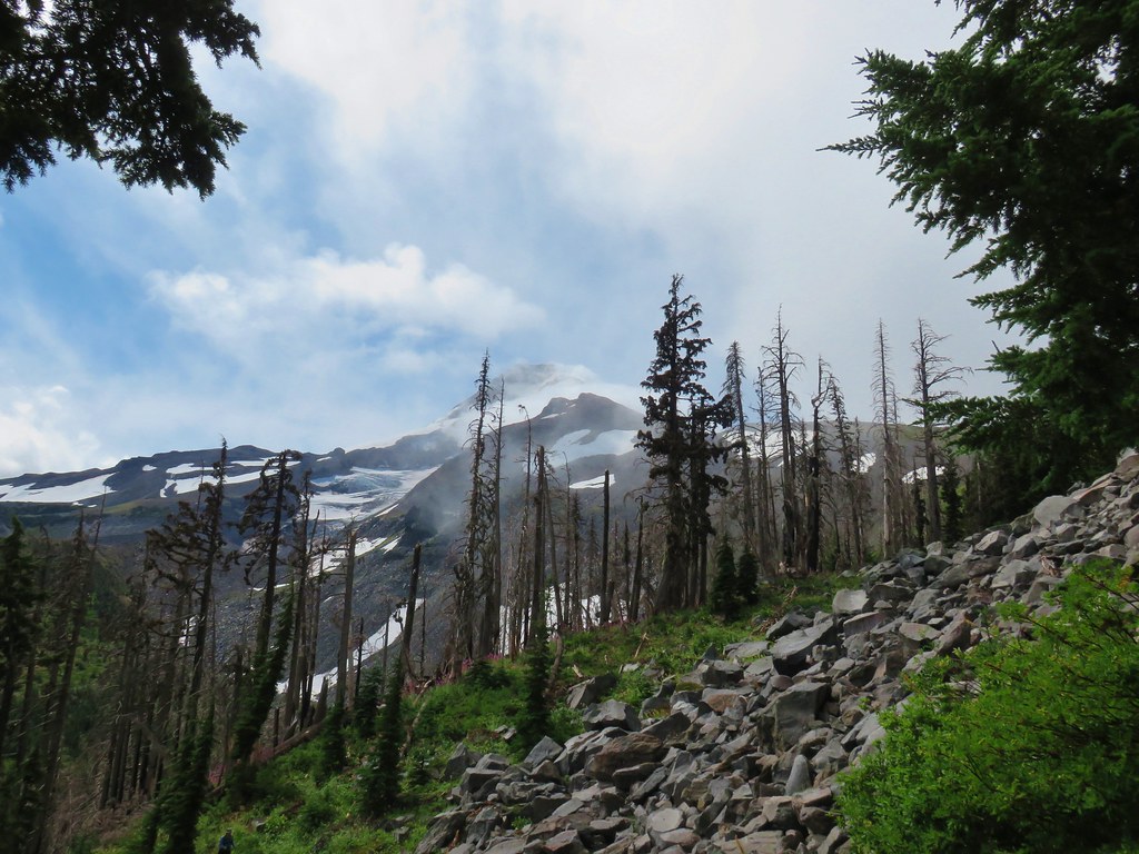
It was close to 10:30am when we spotted a cairn apparently marking the high point of the ridge. A few small snowflakes greeted us as we approached.
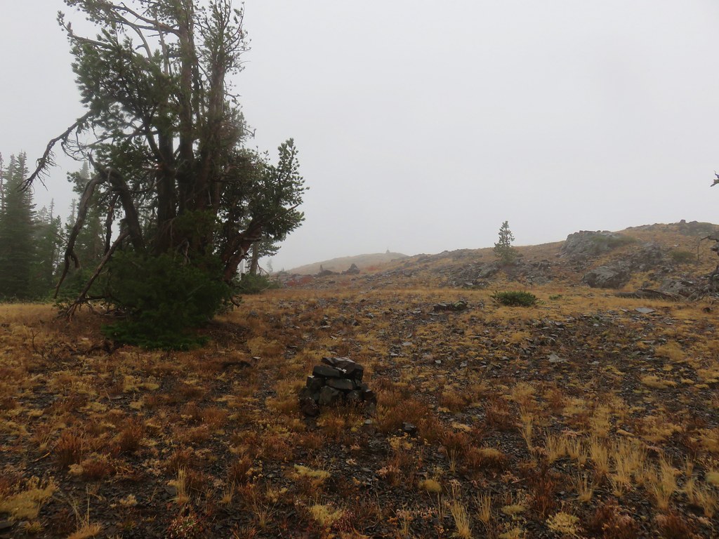

The wind had kicked up as well and it was getting cold fast as we passed the cairn.
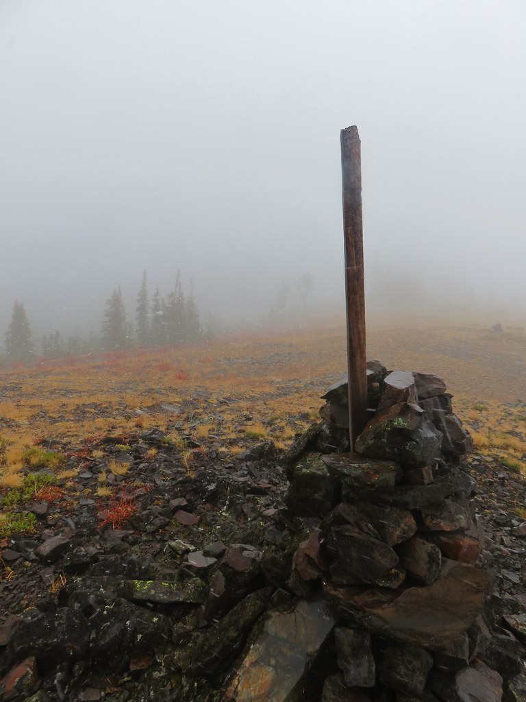
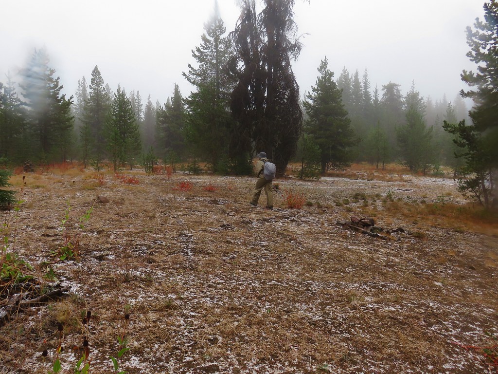
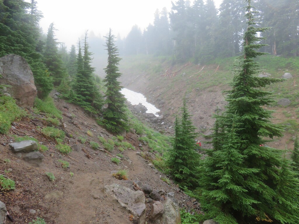
As we began to descend to a junction at Dupratt Springs Pass the snow began to accumulate.
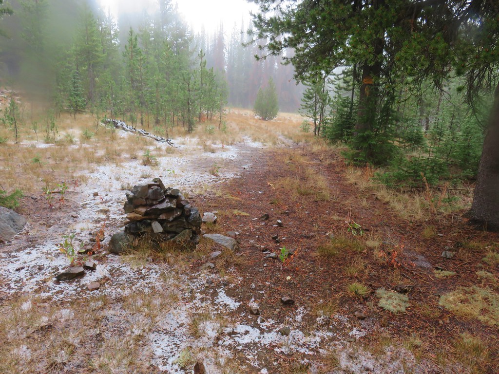
We had to hunt around just a bit to find the Lost Creek Trail sign at the pass but Heather located it and we headed downhill past a large cairn.

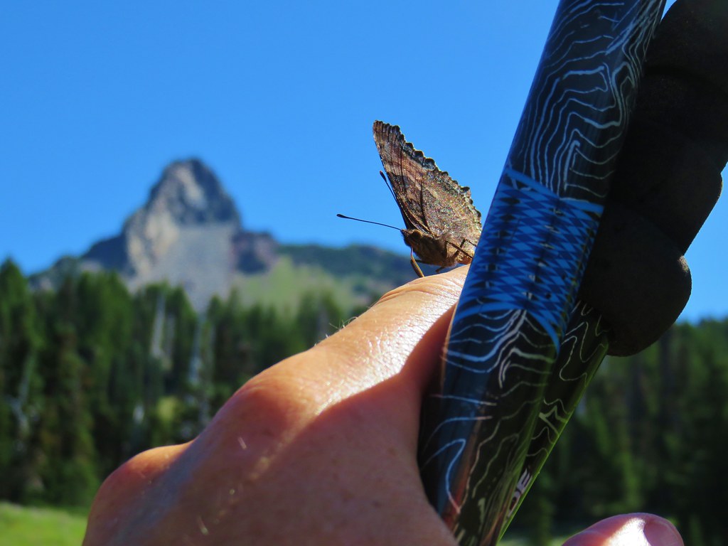
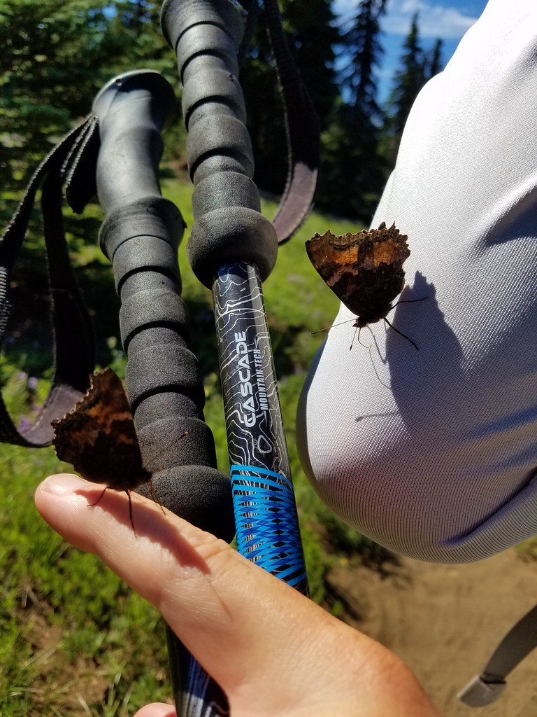
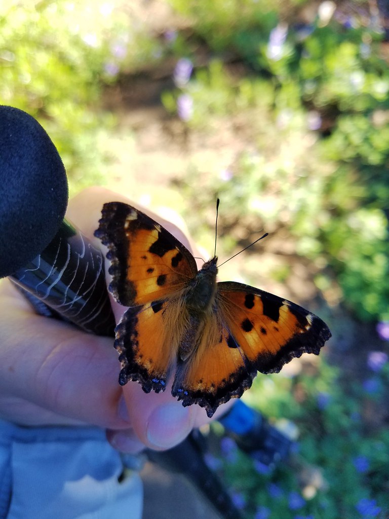
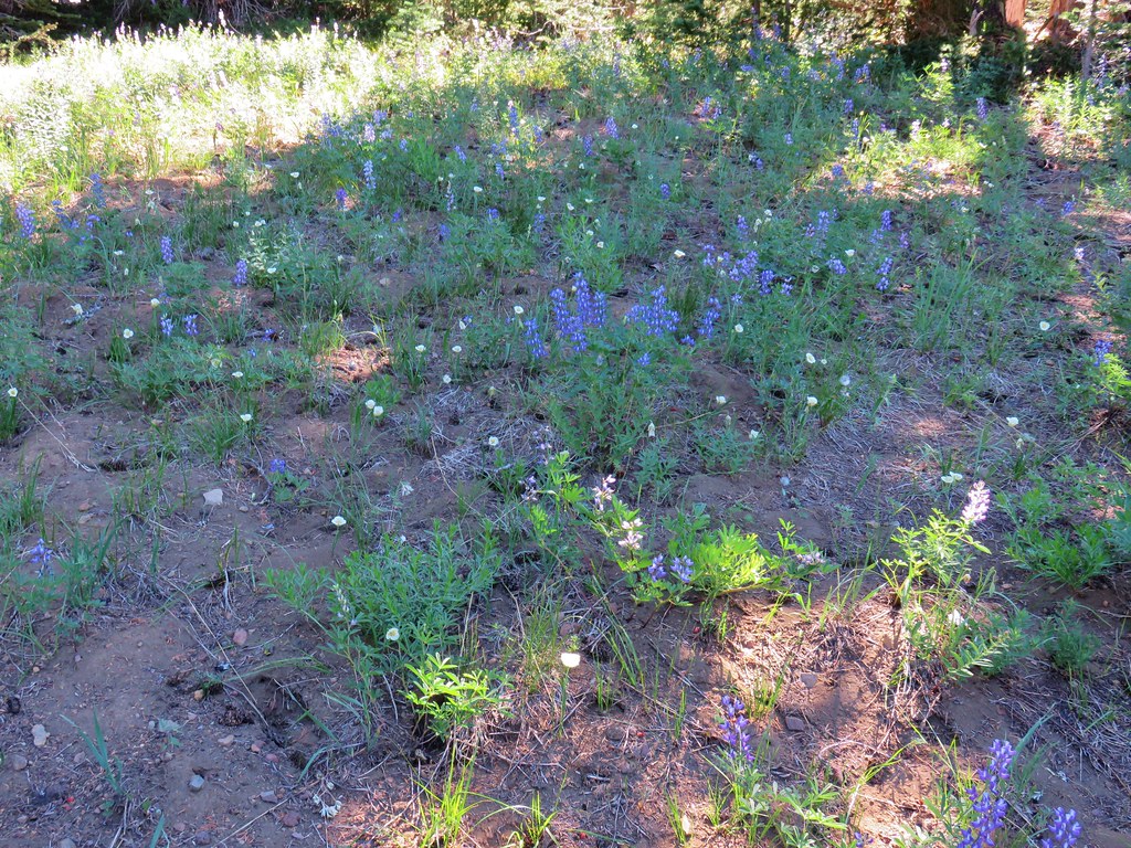
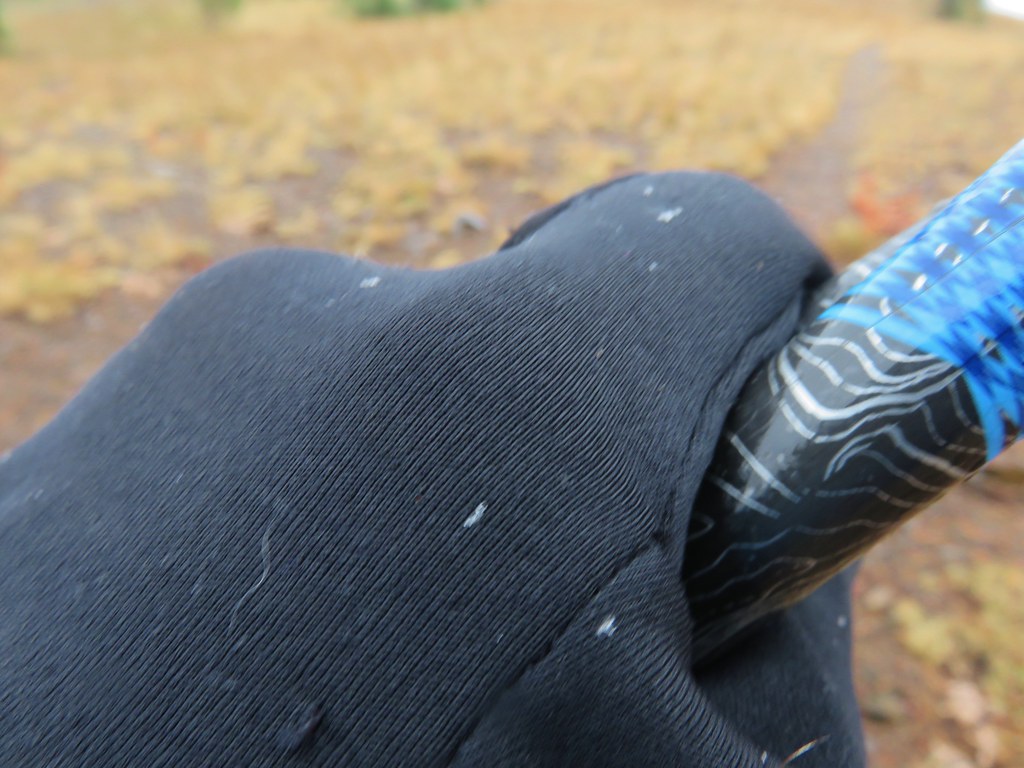
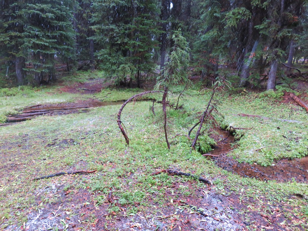
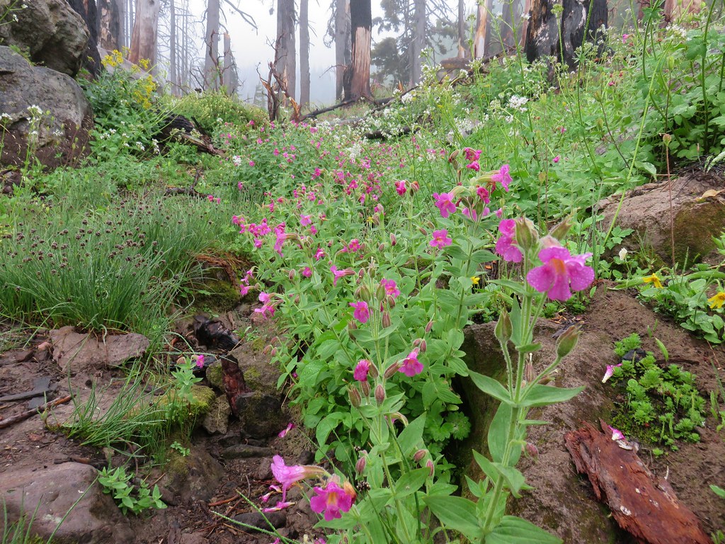
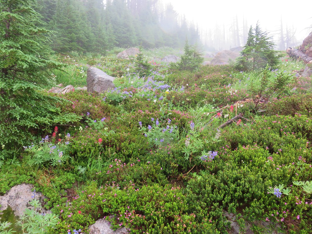
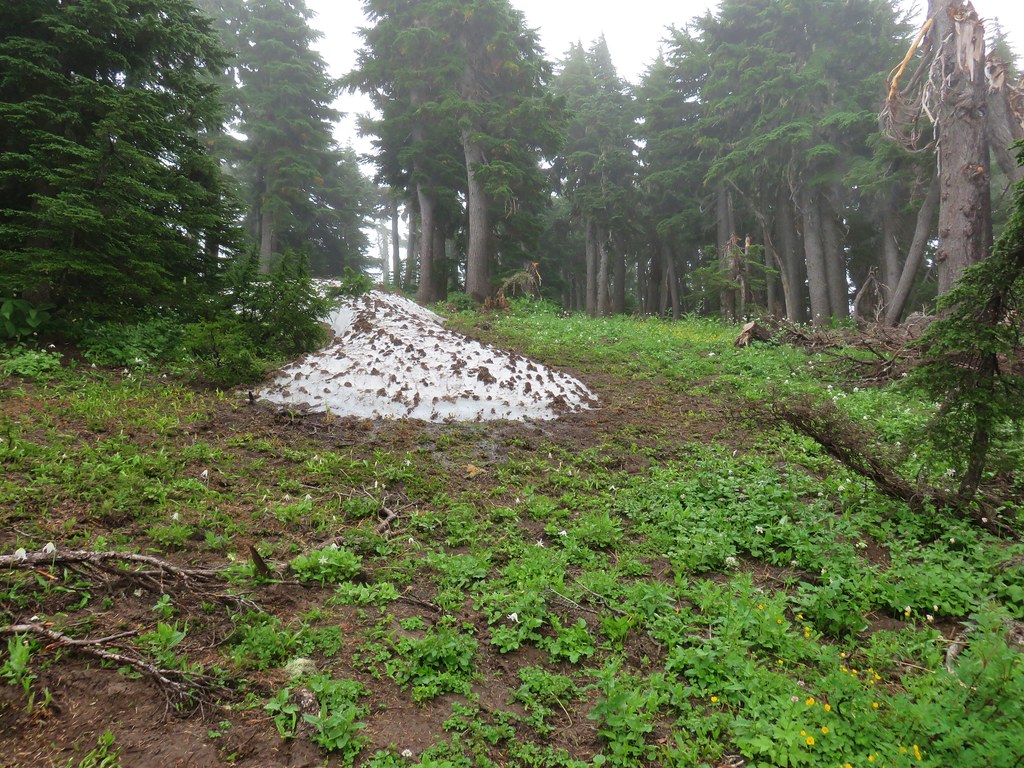
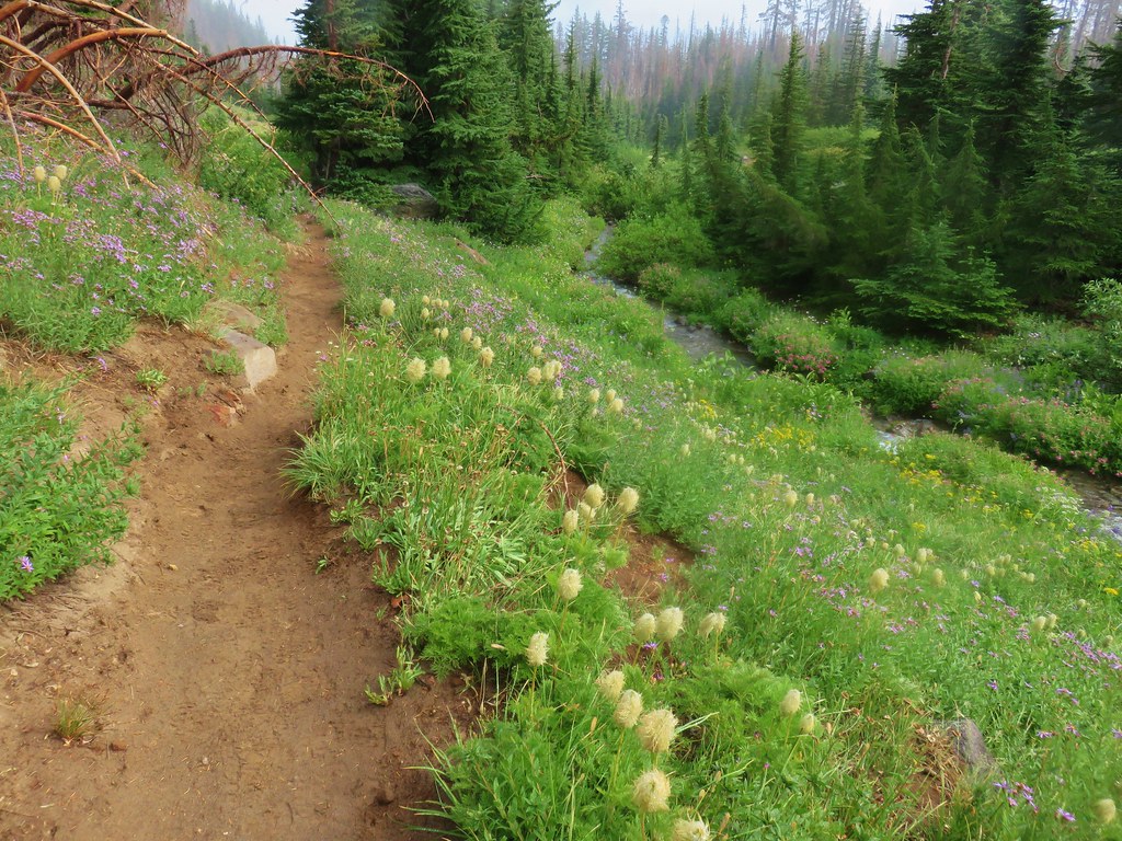
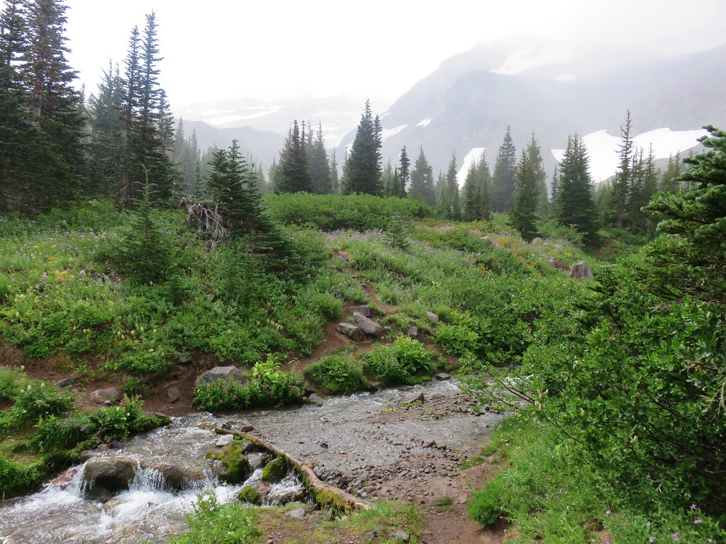
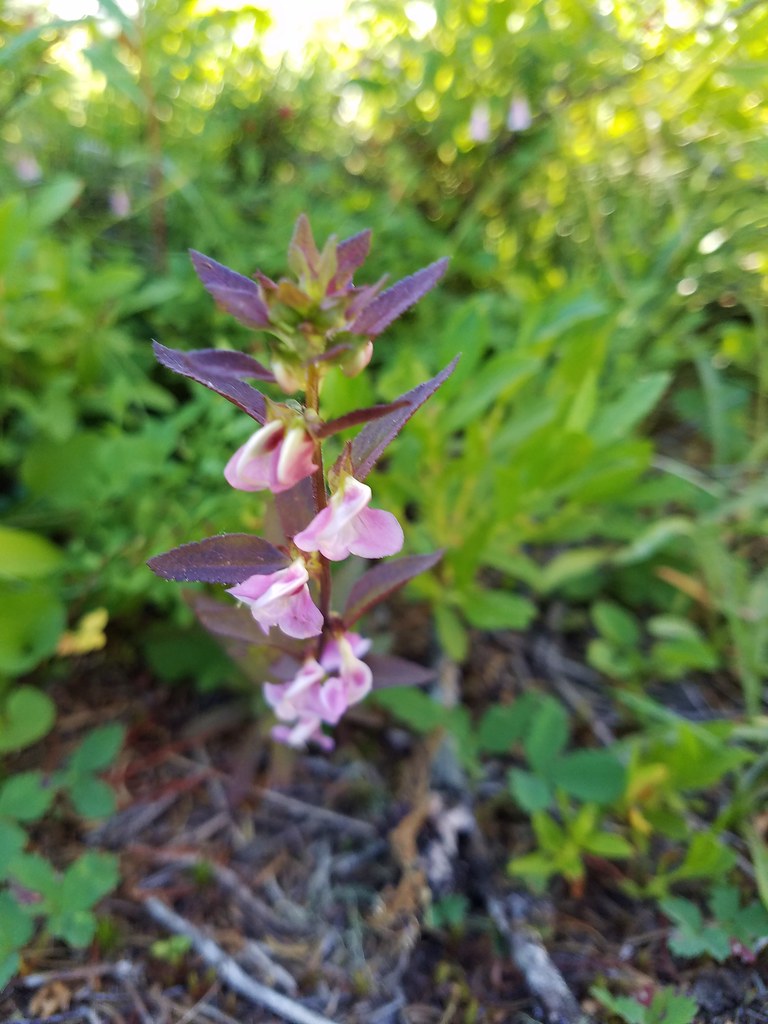
I don’t have a pair of waterproof boots/shoes and this was one of the rare times that I wish I had some and will probably be picking up a pair in the not too distant future. Both my feet and hands (due to taking pictures and not wearing my thicker waterproof gloves) were painfully cold as we entered the first of several meadows on our return route.
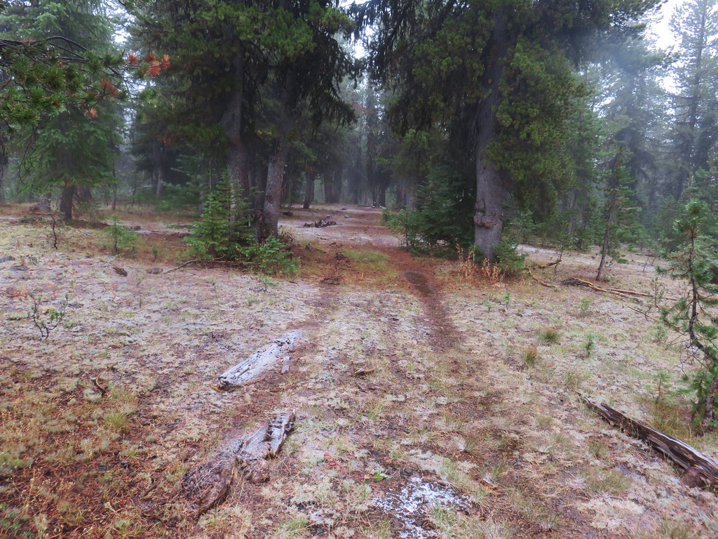
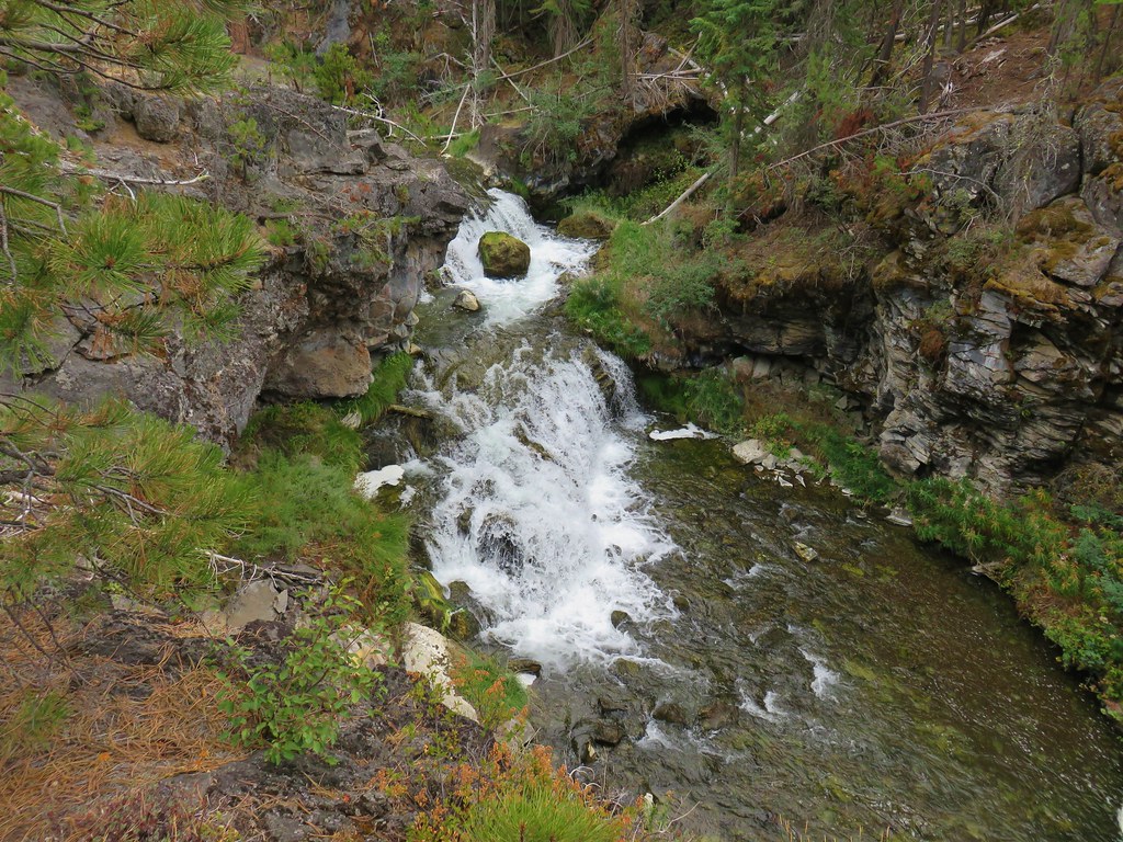
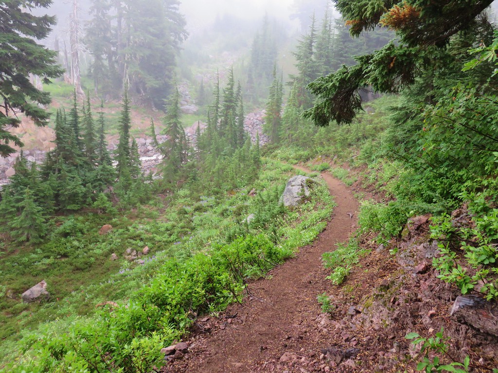
We wound up losing the trail somewhere near the end of the meadow and had to do a little bit of back and forth using the GPS to locate the tread again which we did in another small meadow where we crossed Lost Creek.
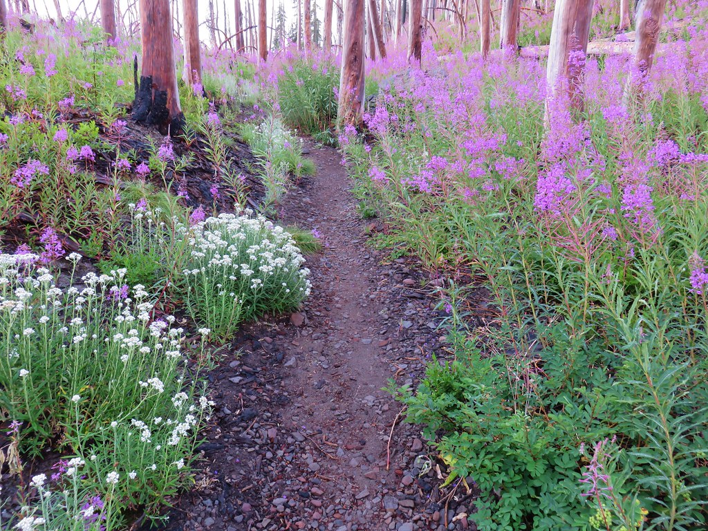
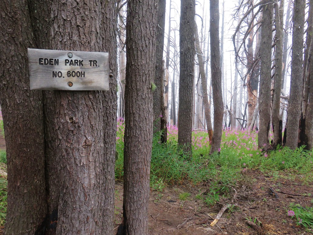
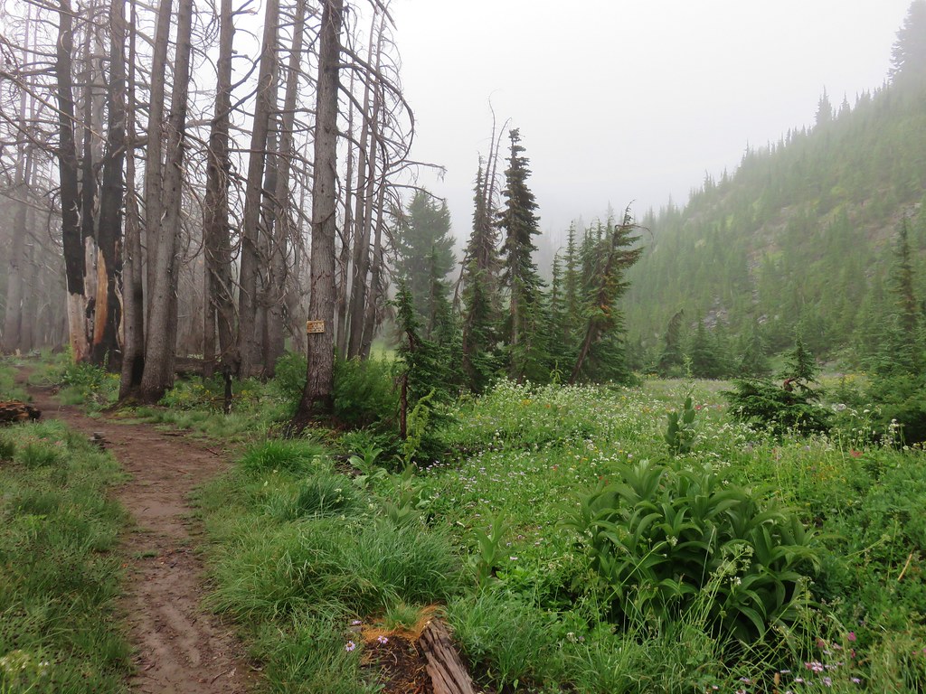
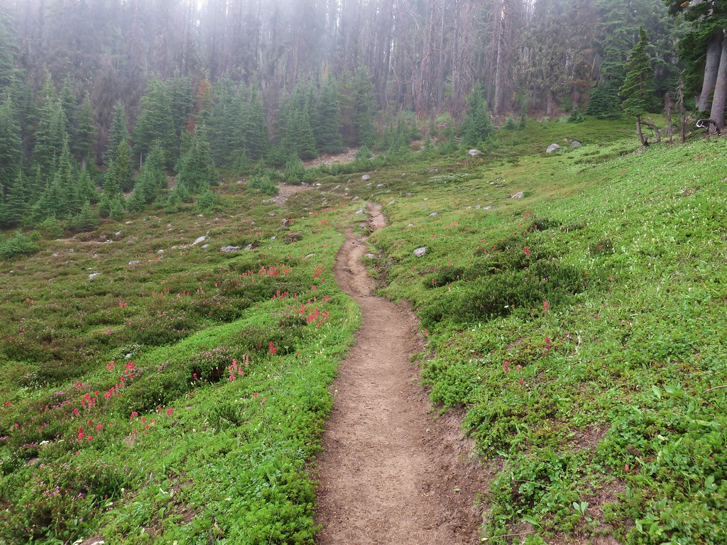
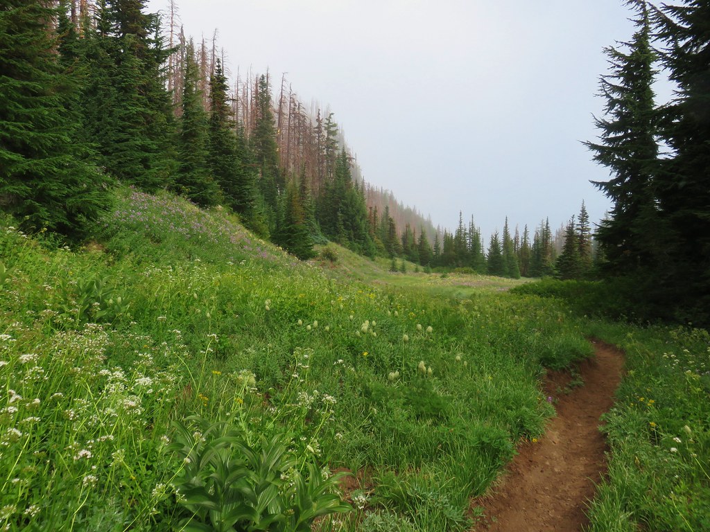
The trail wound up following an old roadbed before reaching the Lost Creek Trail junction at another saddle 2.3 miles from Dupratt Springs Pass.
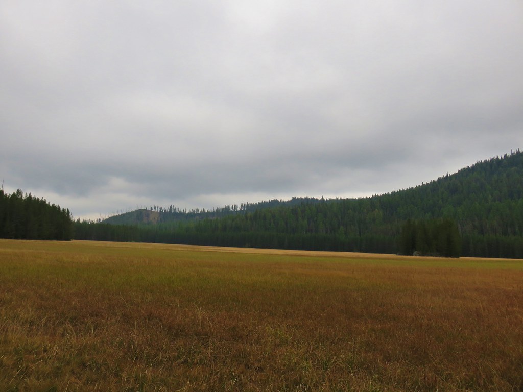
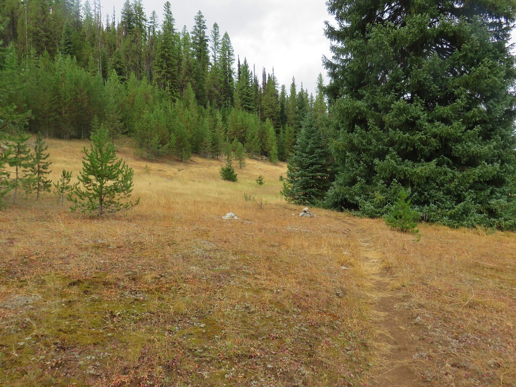
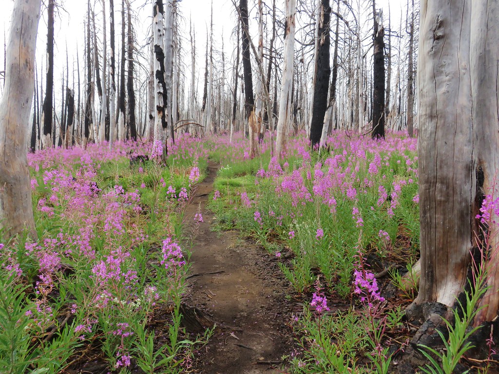
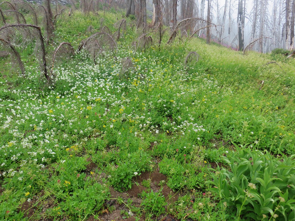
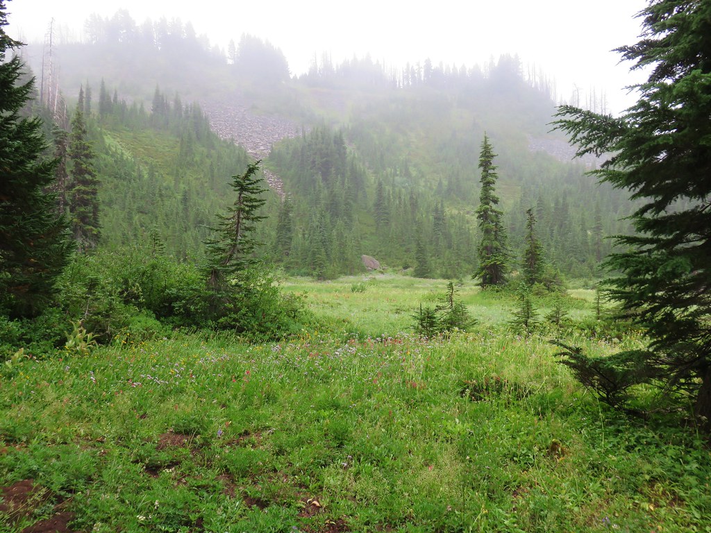
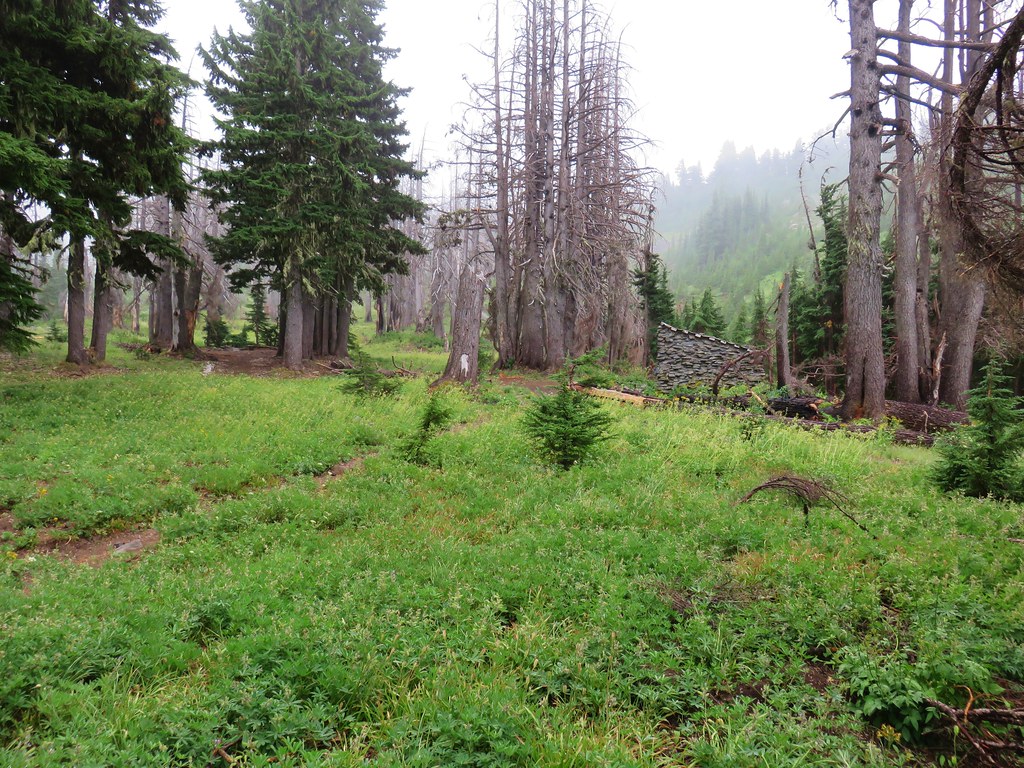
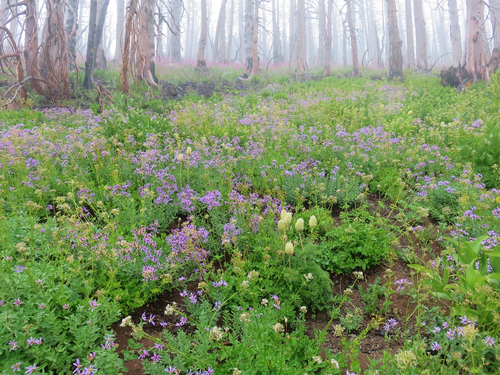
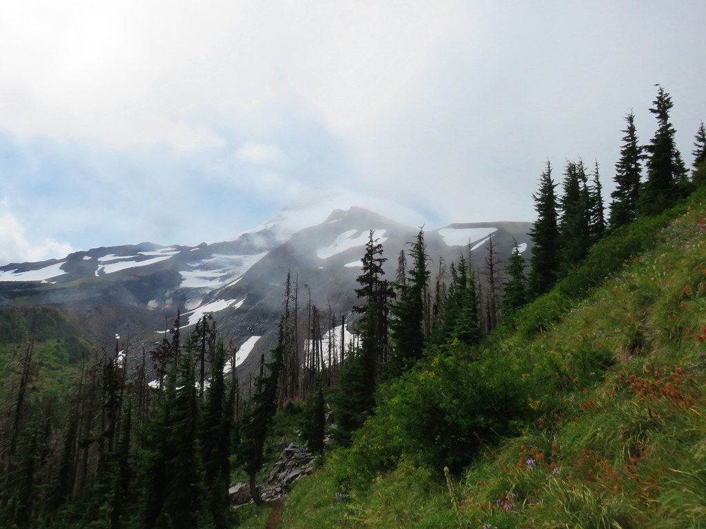
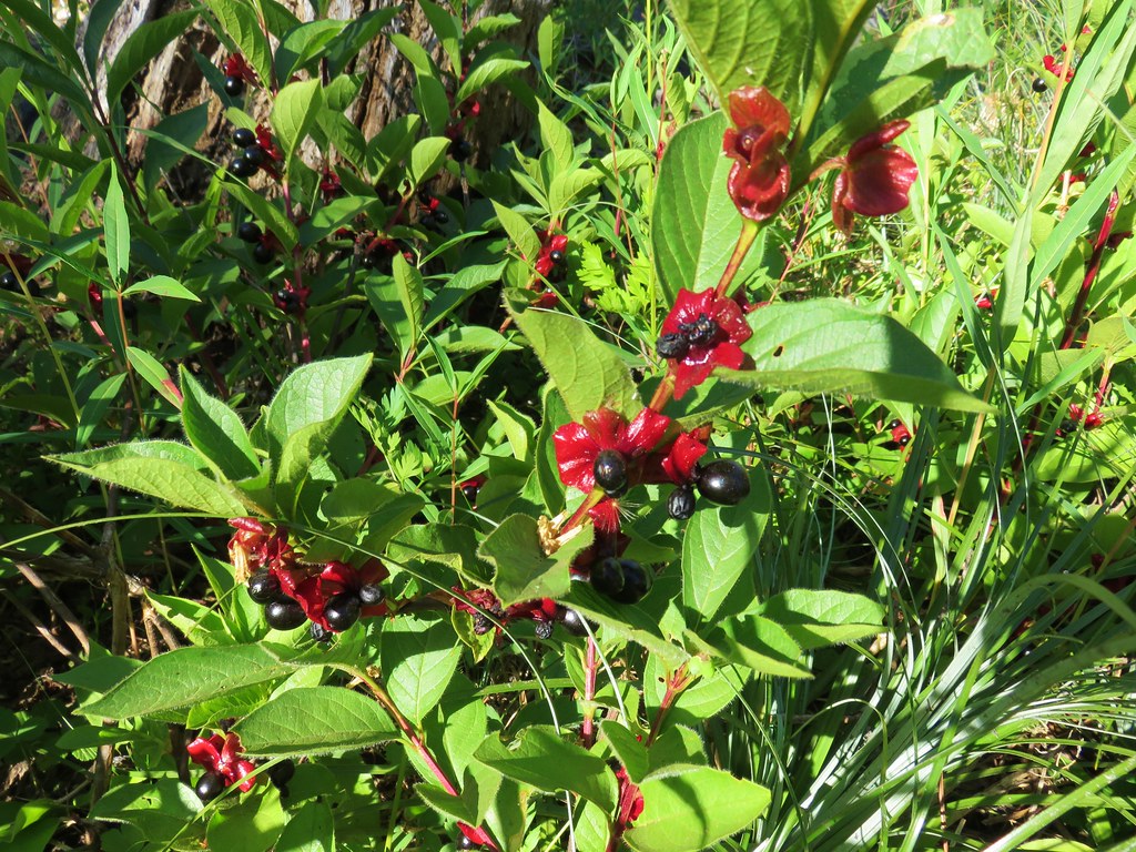
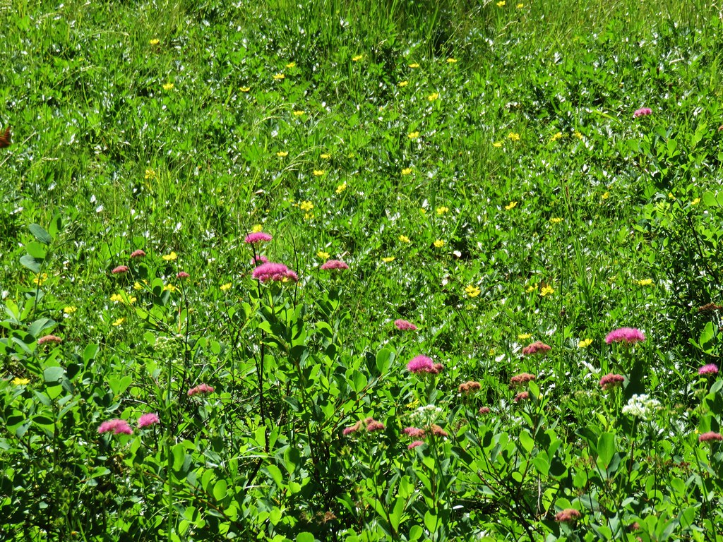
We’d dropped out of the snow and the air had warmed up enough that we were warming up some as we descended from the pass. It was just under three miles back to the trailhead from the junction. The trail passed through five meadows and crossed Lost Creek again before arriving back at the Saddle Camp Trail junction where we had turned that morning.
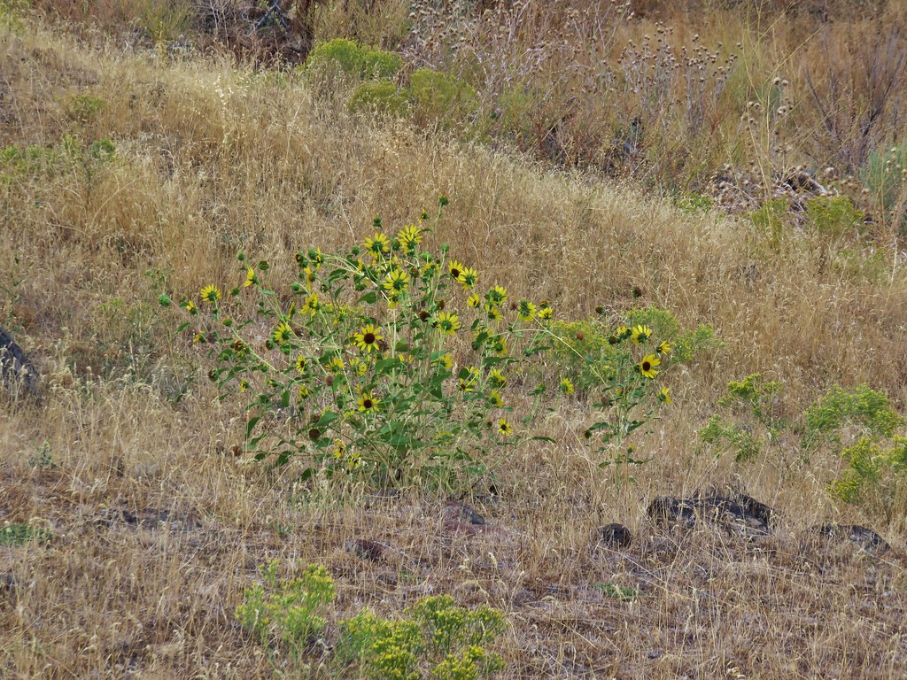
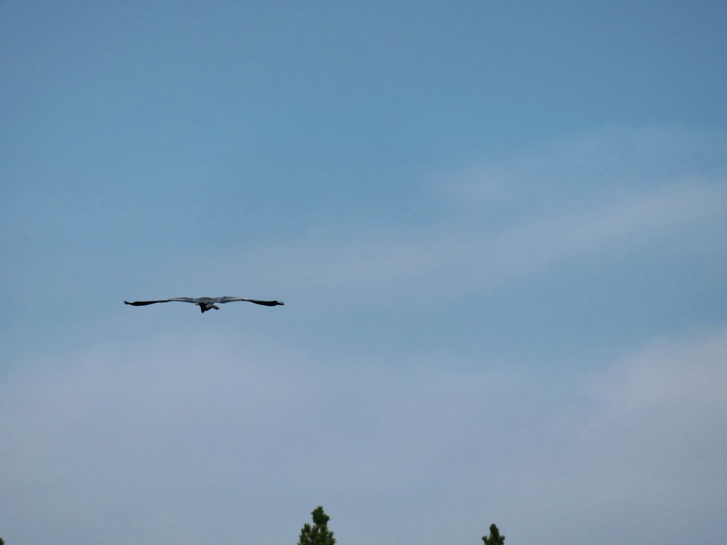
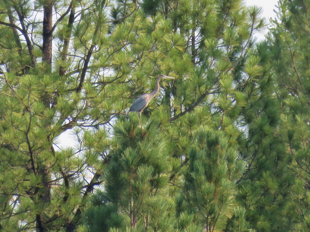
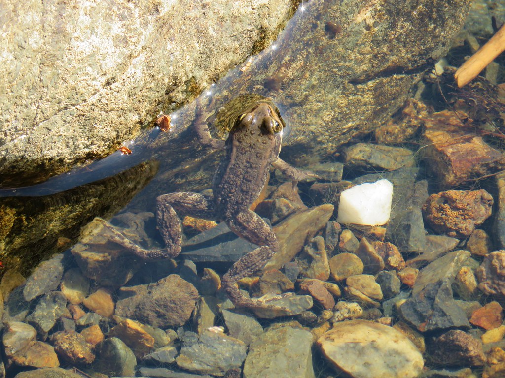
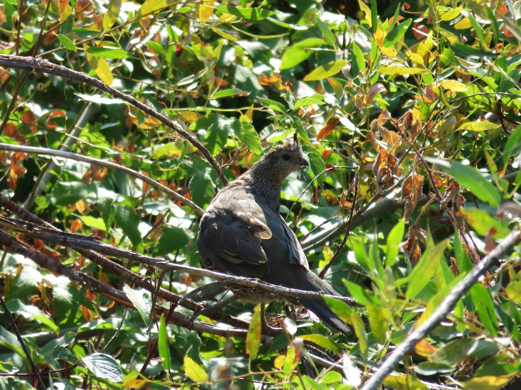
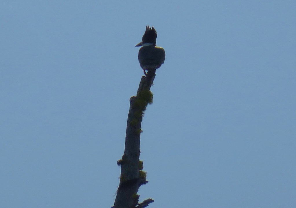
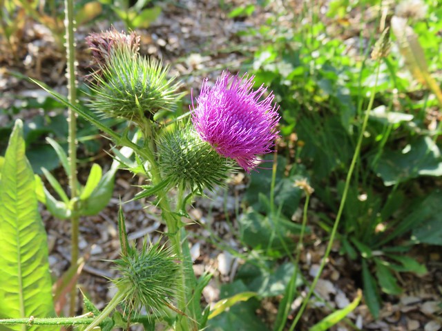
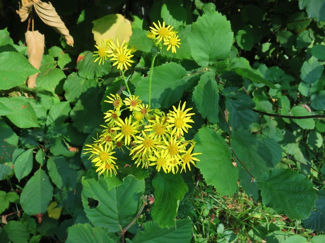
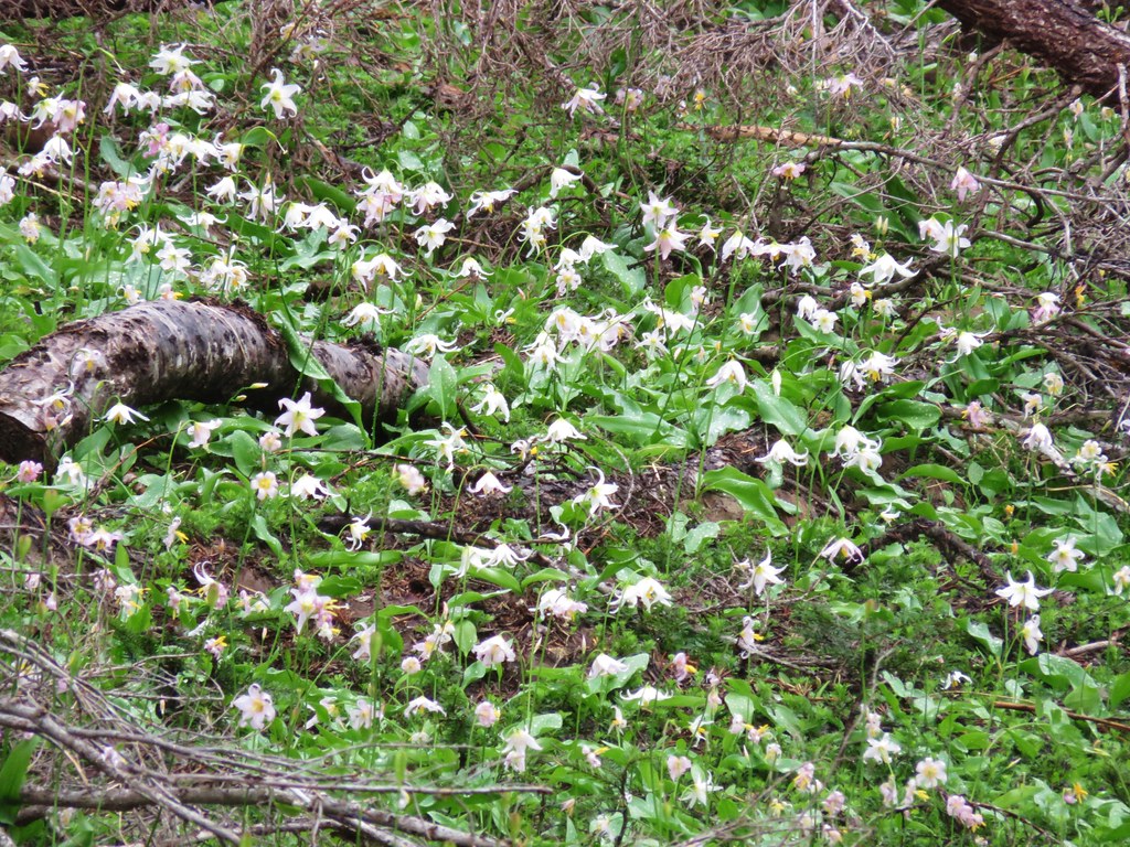
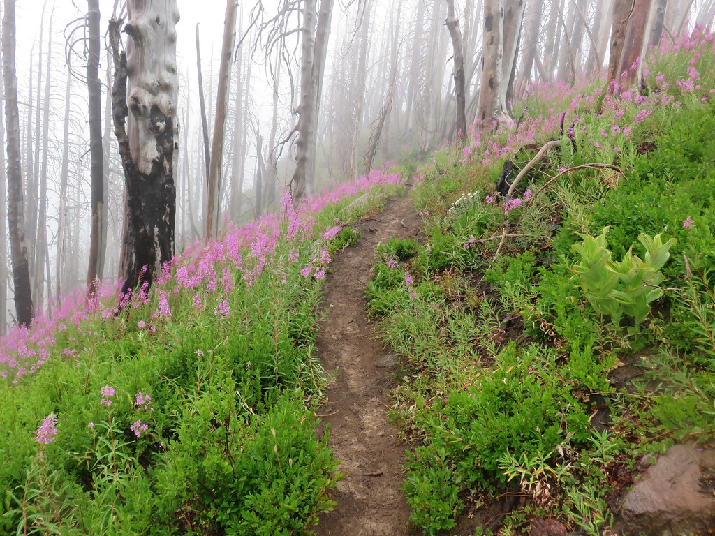
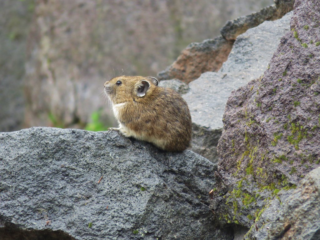
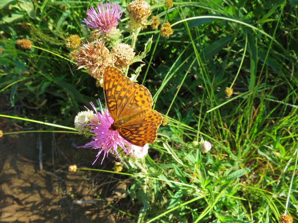
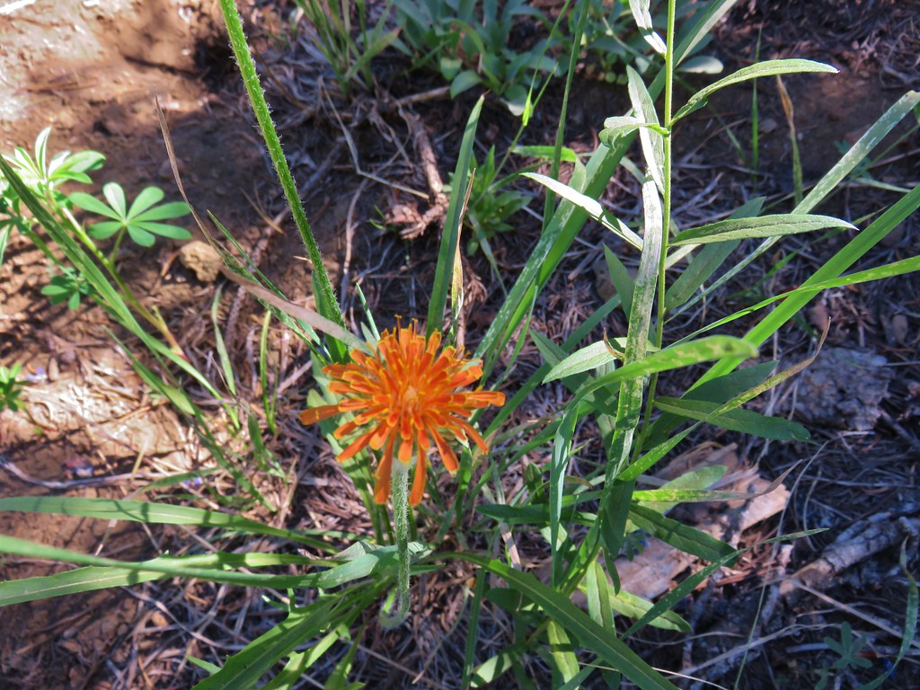
We passed a couple of bow hunting camps near the meadows but didn’t see any hikers on the trails. We did spot one doe near one of the meadows but she bolted before my cold hands could retrieve the camera.
Overall it was a nice hike that would have been a lot better without the clouds (and frozen extremities). We returned to Sumpter wondering if the 5800′ pass on the road between Granite and Sumpter would wind up being an issue at any point during the week. After changing and warming up we drove into Baker City and picked up some food and supplies from Safeway. We were all set for the week, now we just needed the weather to cooperate. Happy Trails!
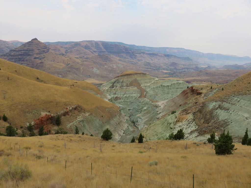
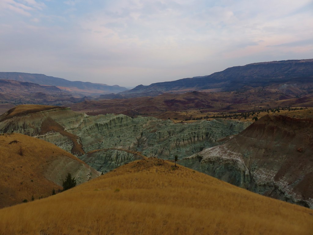
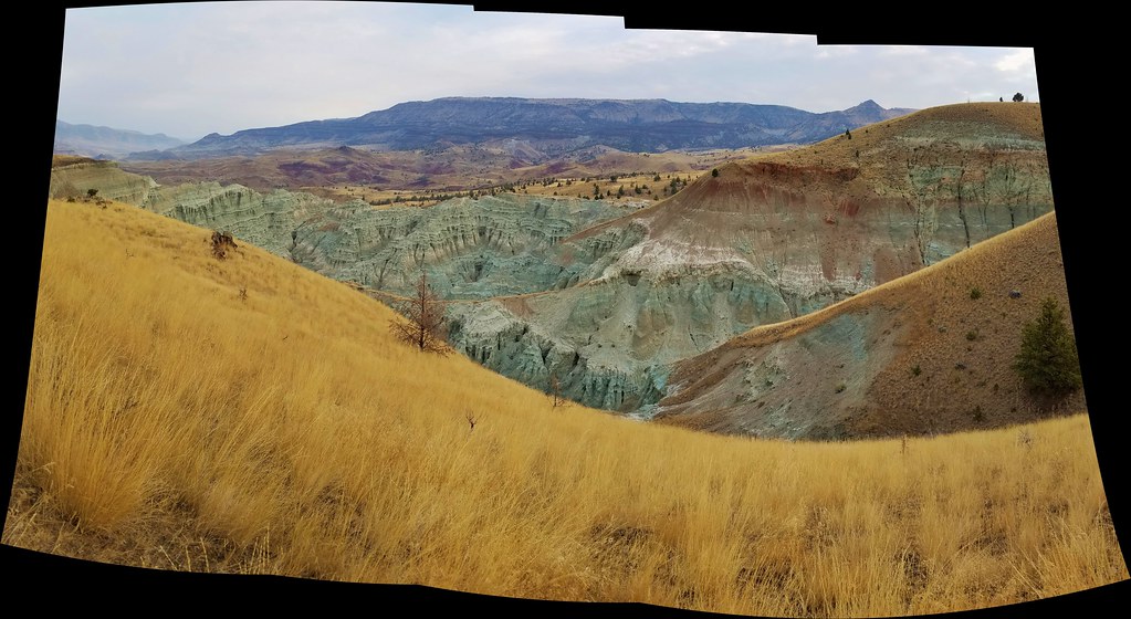
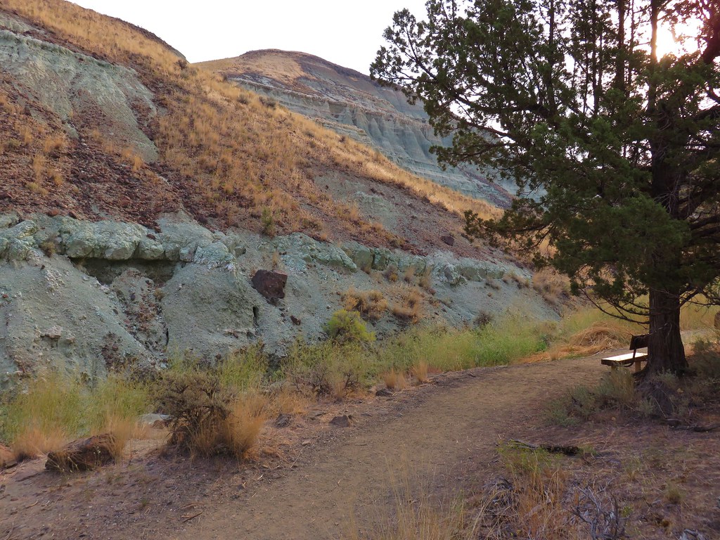
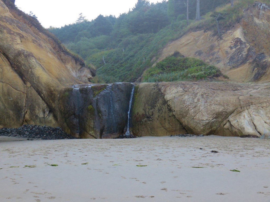
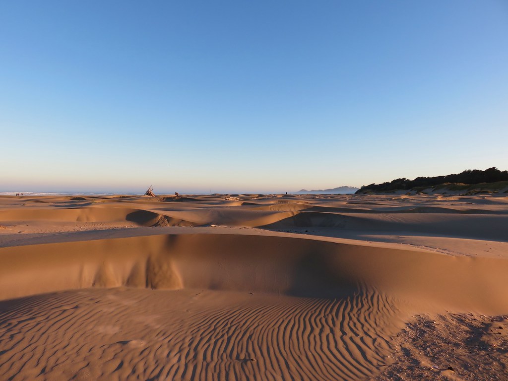
Flickr: Olive Lake


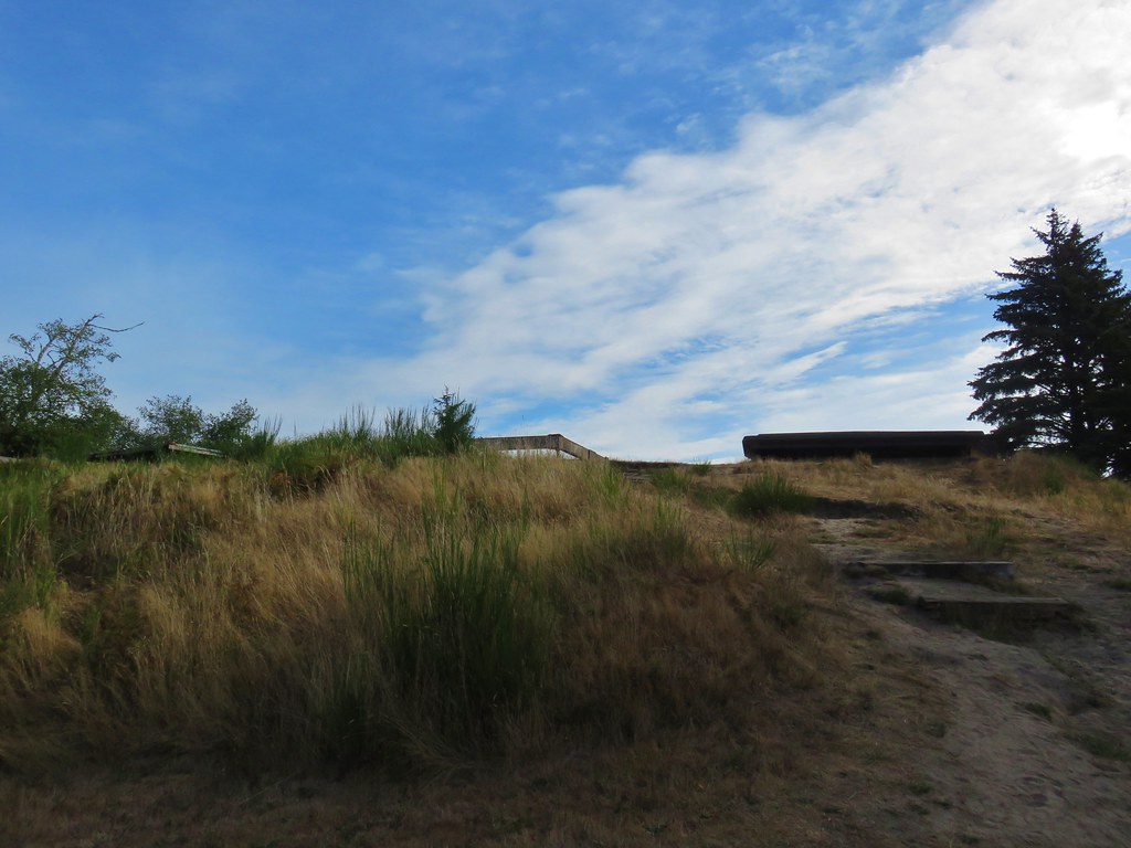
 Jockey Cap


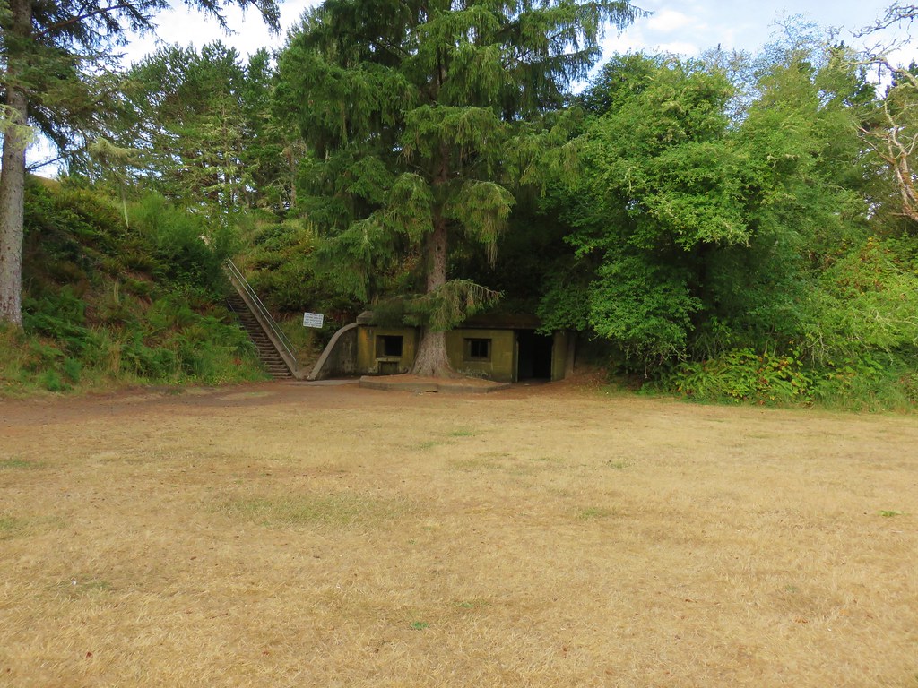
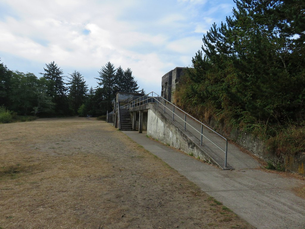
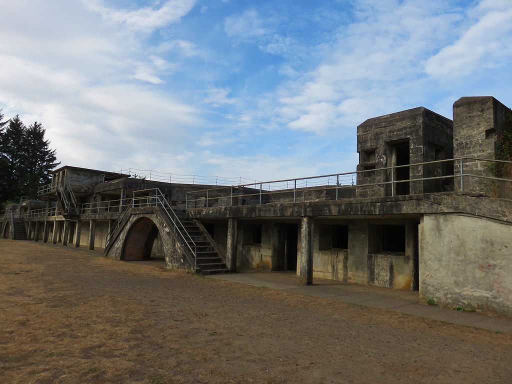
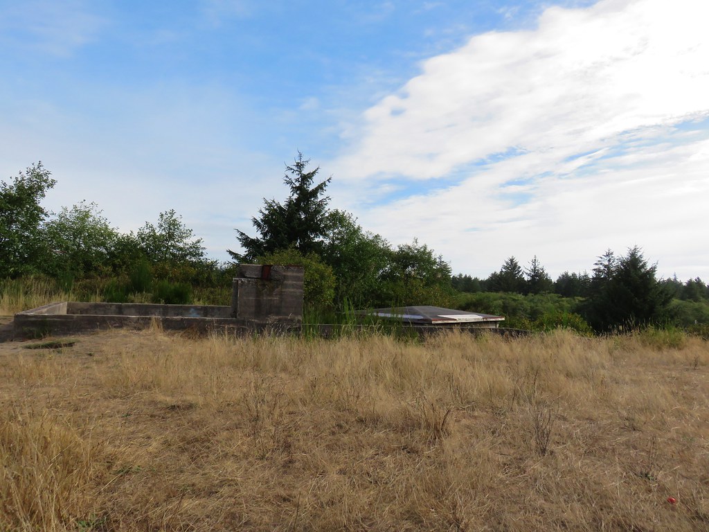
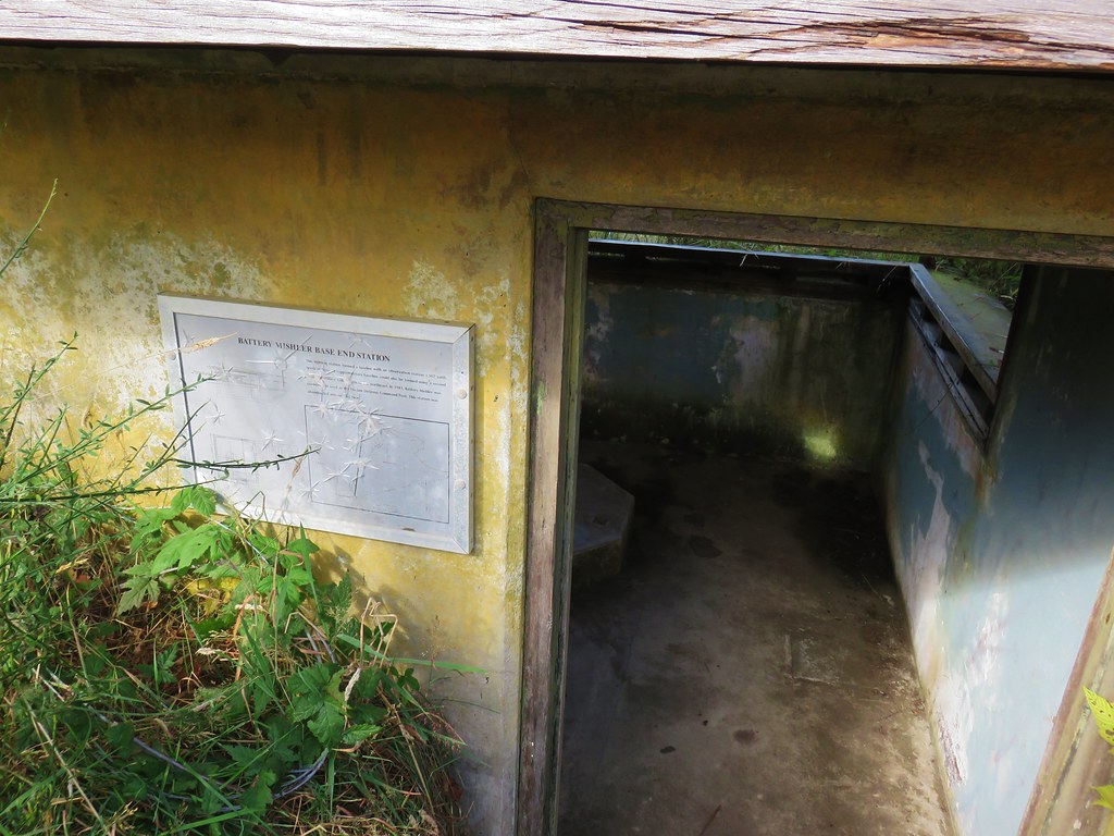
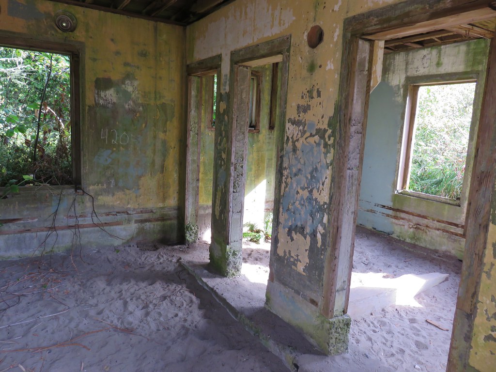
 view from the bunker.
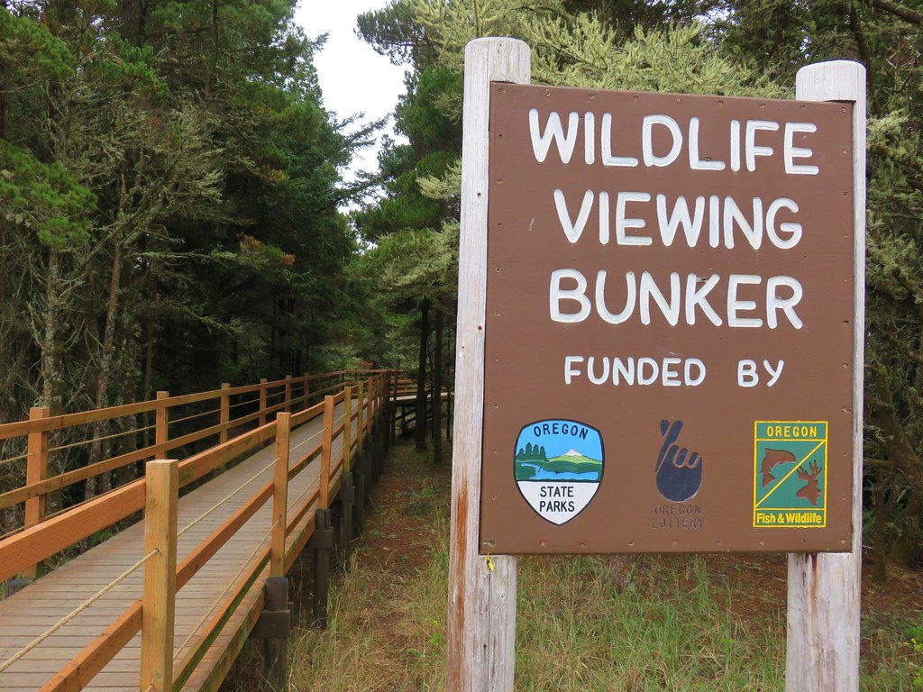


 Pinnacle Ridge
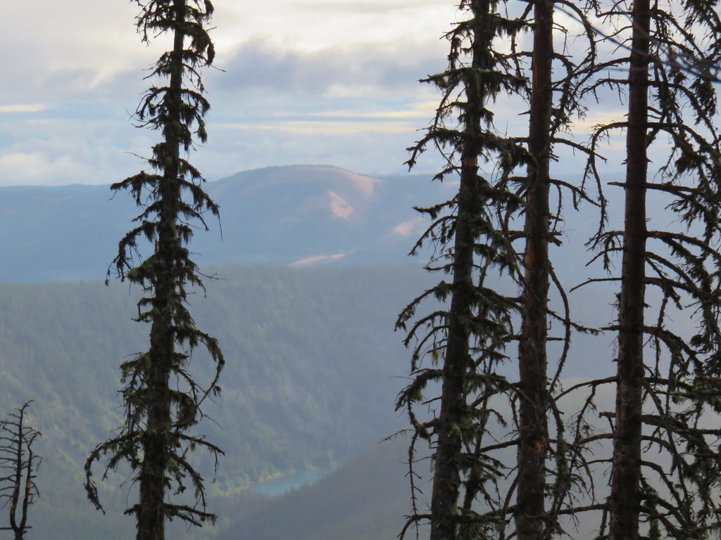


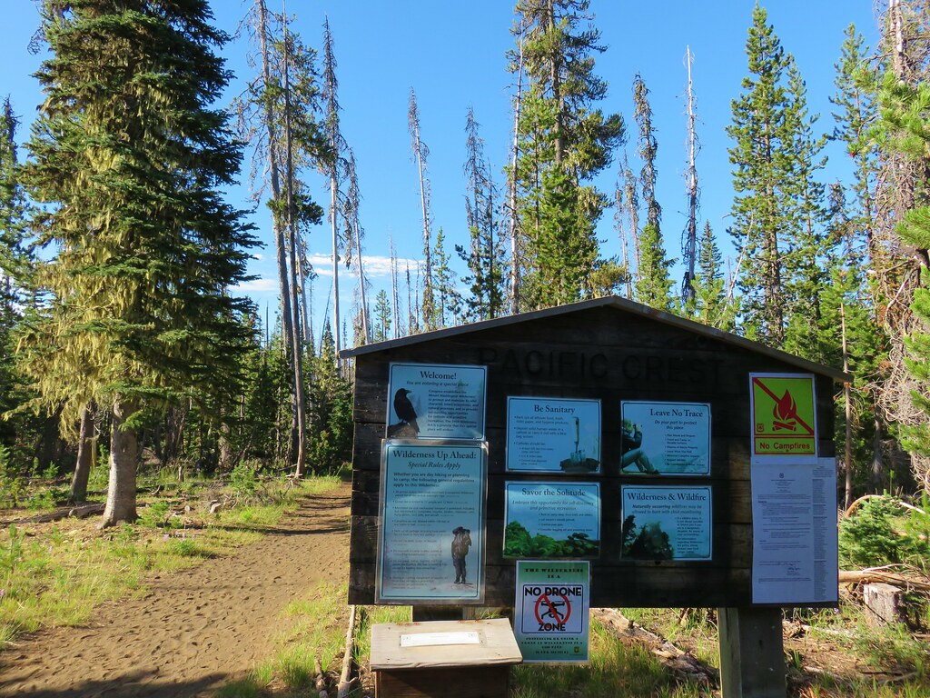


 Patjens Lake Trail – August 2012
 Pacific Crest Trail – August 2017
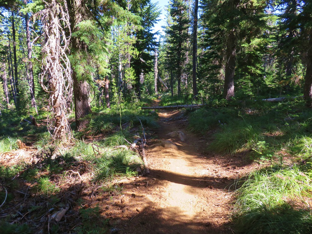


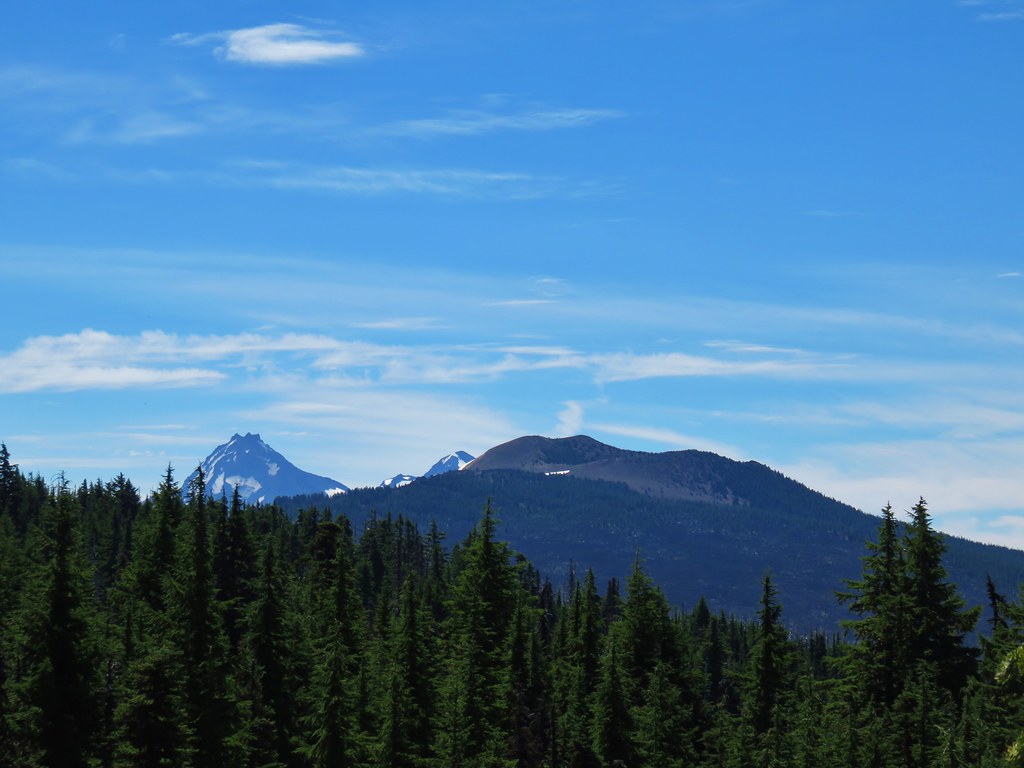 North & Middle Sister with Belknap Crater
 Scott Mountain