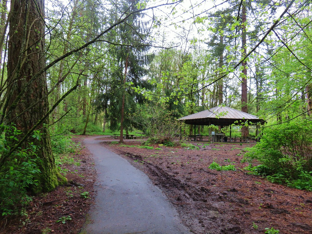
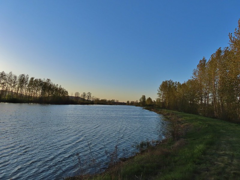
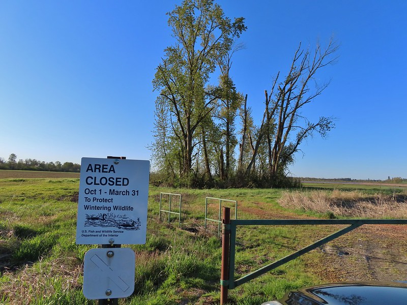
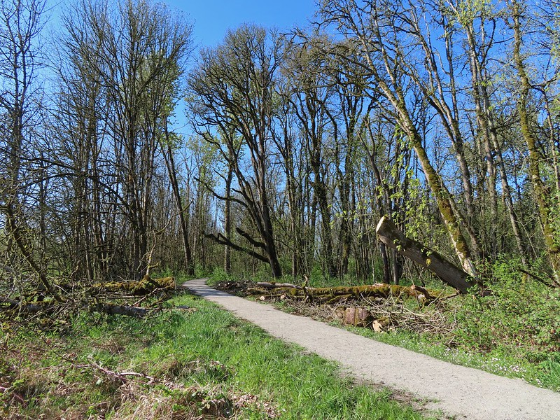
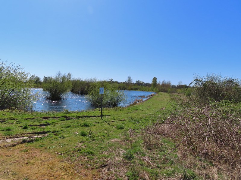
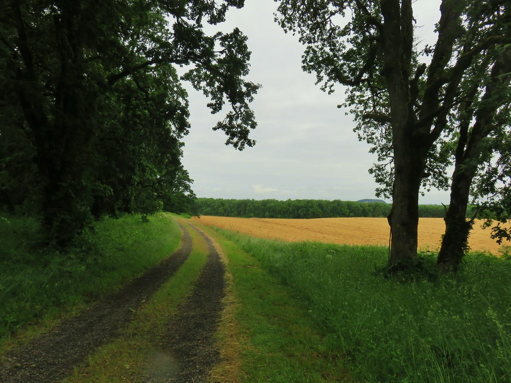
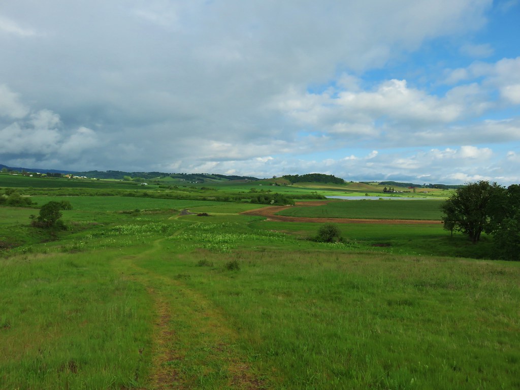
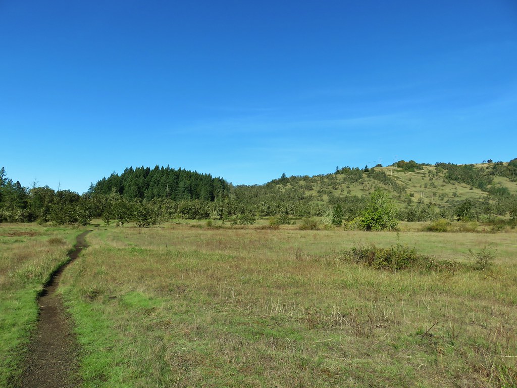
I found myself with some time off that Heather does not and after spending the first day getting the car serviced and receiving my first dose of COVID vaccine (YAY) I spent the next morning exploring the Ankeny Wildlife Refuge. We had visited once before in 2014 for a short hike described by Sullivan in his “100 Hikes in the Central Oregon Cascades” guidebook (post). This time I hoped to explore more of the refuge by hiking some of the dike trails that are open from April 1st to September 30th. I started my morning at the Eagle Marsh parking area on Buena Vista Road.

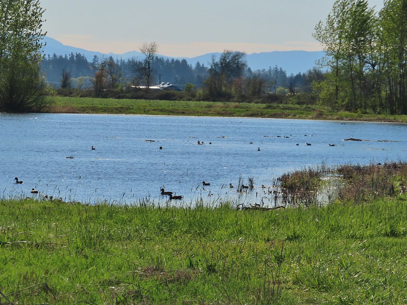
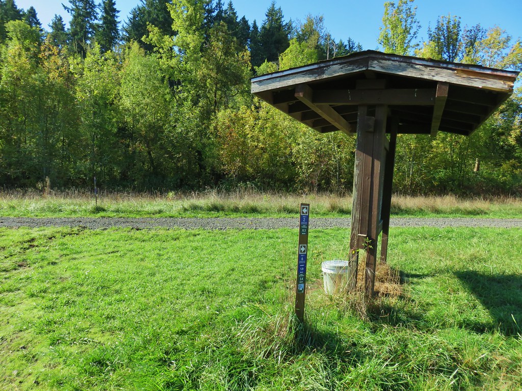
There is a nice kiosk there overlooking the marsh from which quite a few ducks and geese were visible.


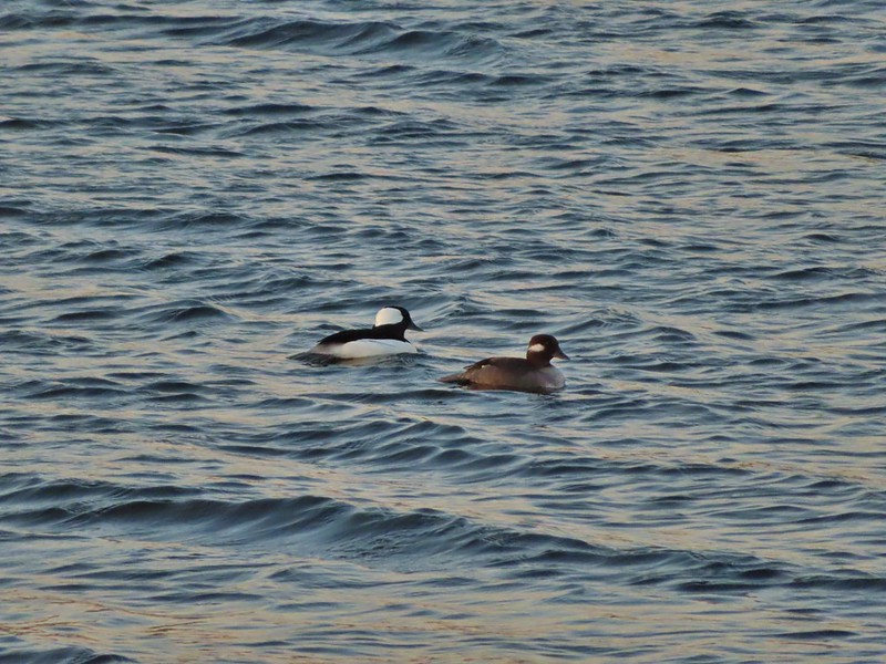 Buffleheads
 Canada goose and mallards
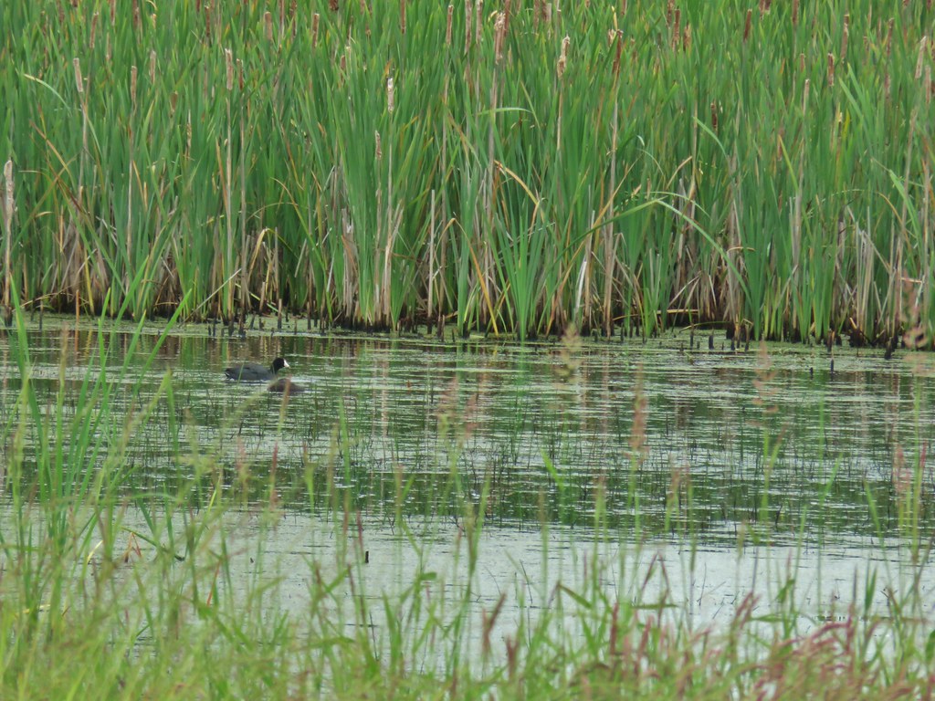
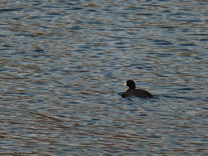 American coot
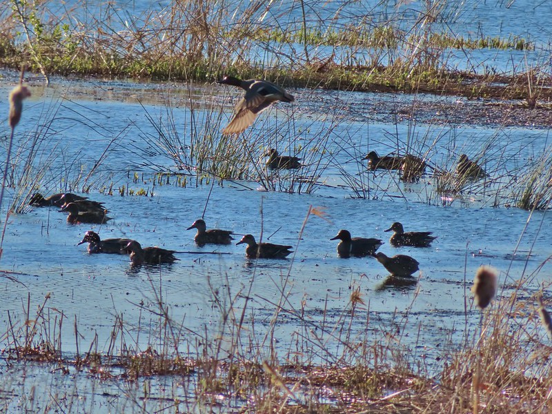
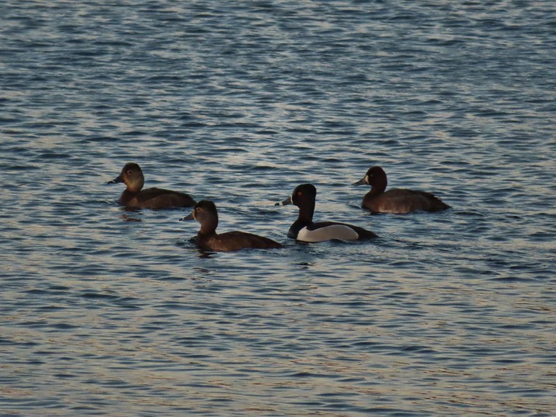 Ring-necked ducks (I’m not sure all the females are the same.)
 Geese flying over Eagle Marsh as the Sun rises.
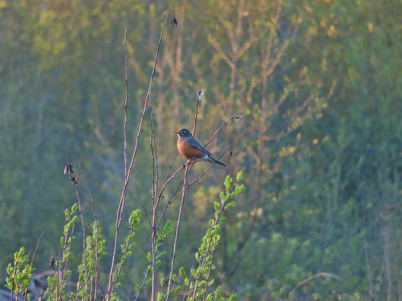
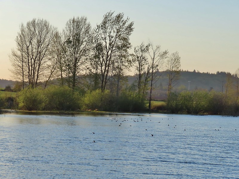
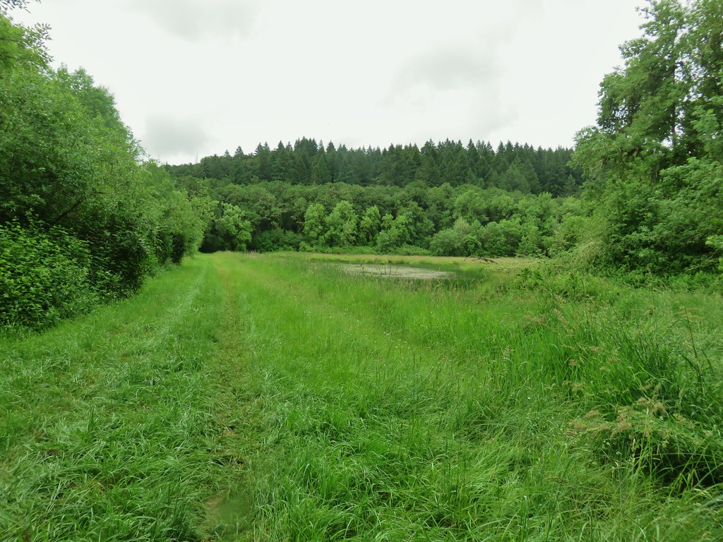
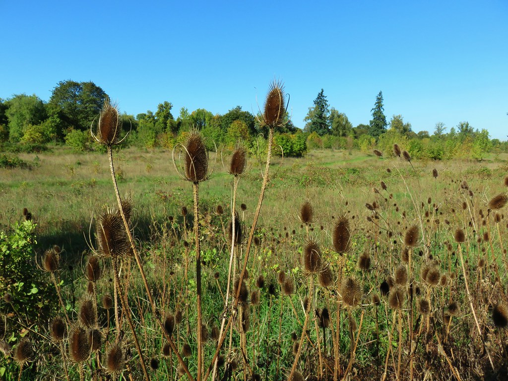
There was more vegetation at the southern end of the marsh where robins and blackbirds were singing.

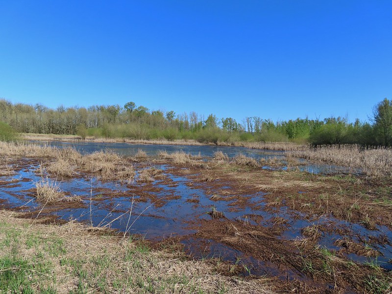
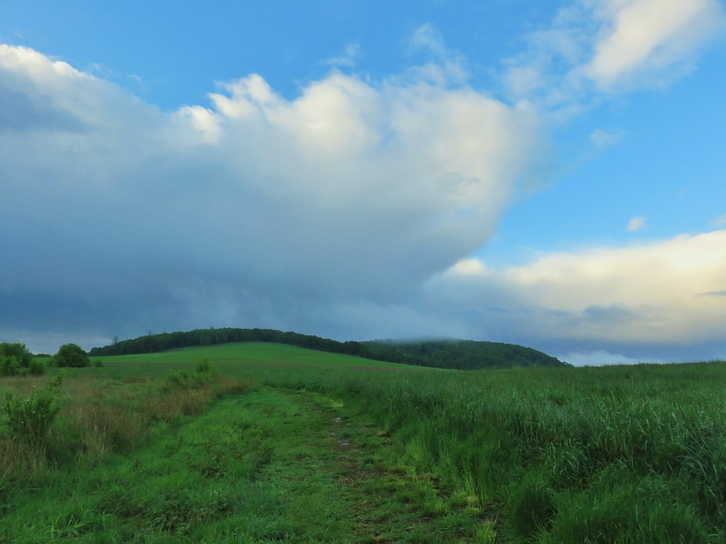
At the end of Eagle Marsh the dike split and I had intended to stay straight (the Refuge trail map appeared to show a possible loop around Willow Marsh but other maps do not show a dike at the southern end) but a sign there announced that dike was closed due to active nesting so I turned left instead.
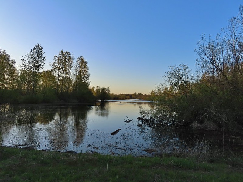 Willow Marsh
There were a lot of ducks in Willow Marsh but they were keeping a safe distance from me.
 A bufflehead and mallards
 Mallards and ring-necked ducks
I then turned right along a dike passing between Willow and Teal Marshes.
 Teal Marsh to the left of the dike.
It was more of the same treatment from the ducks in Teal Marsh.
 Mallards an northern shovelers
 Buffleheads
While the ducks stayed away I had better luck with the smaller birds.
 Spotted towhee
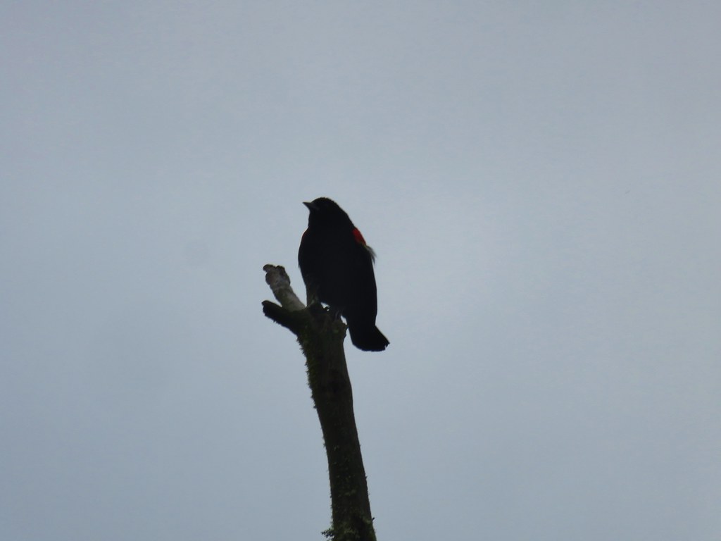
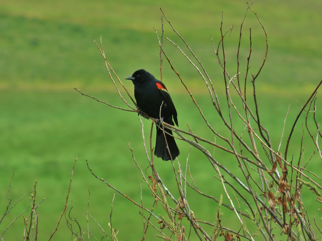
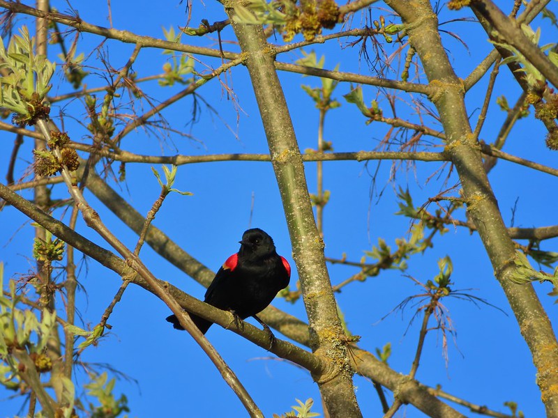 Red-winged blackbird
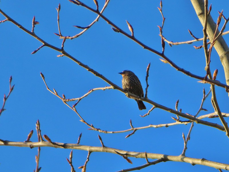
 Female red-winged blackbird
 Sparrow
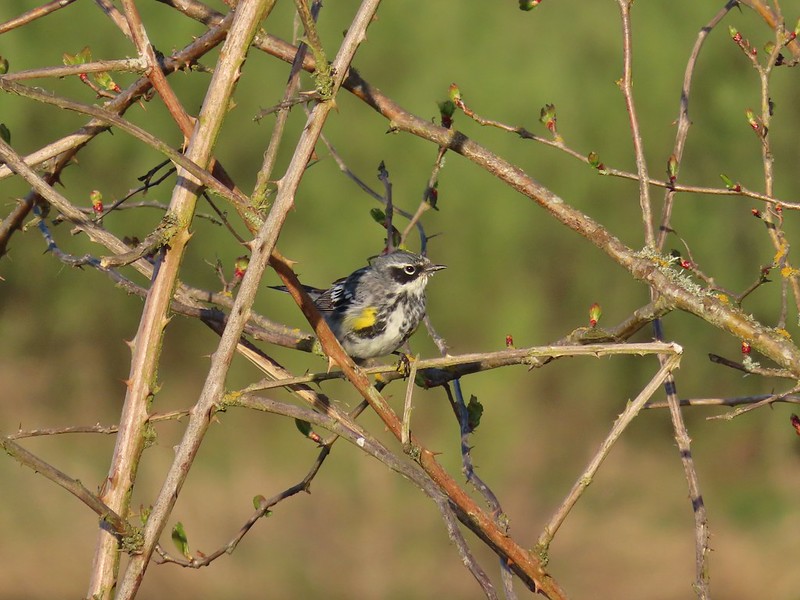 Yellow-rumped warbler
At the end of Teal Marsh I turned around and headed back past the ducks.

 Geese coming in for a landing on Teal Marsh
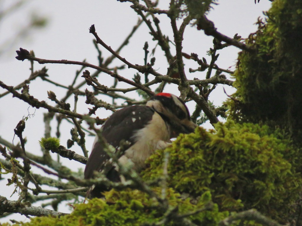
 Northern flicker
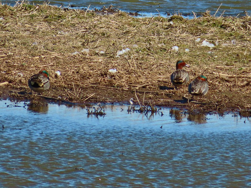
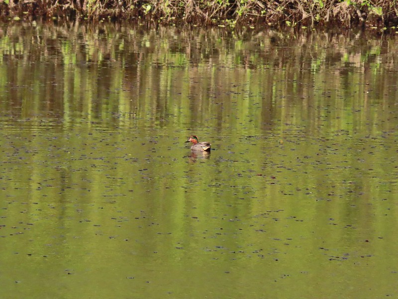 Green-winged teal
 Ring-necked ducks and a bufflehead pair
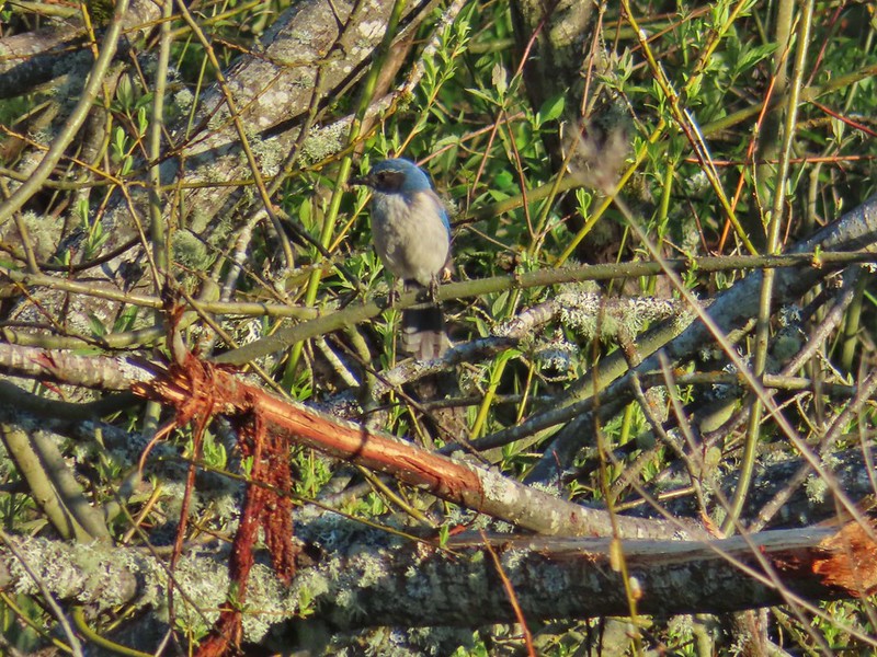 Scrub jay
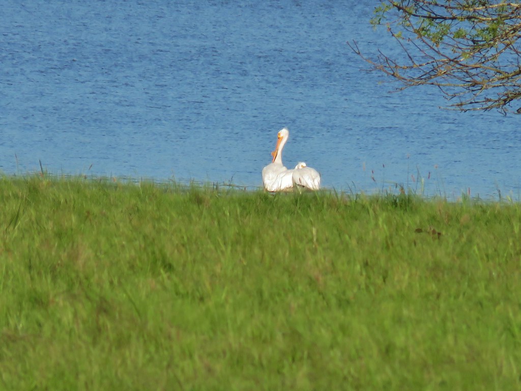
 Pie billed grebe at Eagle Marsh
The out-and-back was a nice, albeit windy, 3.2 mile walk with no elevation gain. From Eagle Marsh I turned left (SW) onto Buena Vista Road and drove a quarter mile to a small pullout at a green gate.
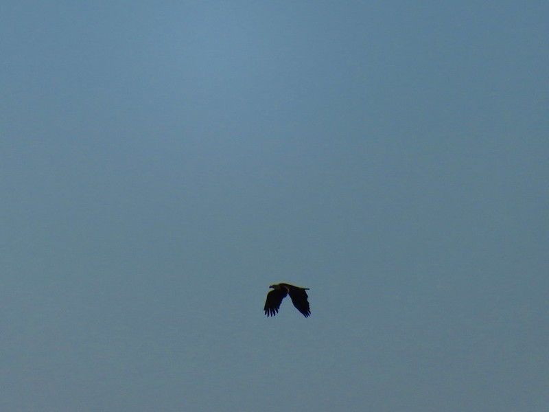
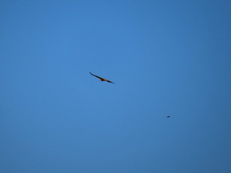
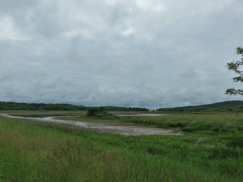
From here I planned on following another dike past Mohoff Pond and Pintail Marsh to Wintel Road and then follow that road briefly to the Rail Trail Loop Area which is where we had been on our first visit. A bald eagle flew over Mohoff Pond just as I set off.
Mohoff Pond was busy with a number of different ducks but primarily they seemed to be northern shovelers.


 I didn’t see it when I took the picture but it appears there is an eagle on the ground in the distance here.
The activity wasn’t only at Mohoff Pond though as a handful of egrets were mostly out of view in a field on the other side of the railroad tracks.
 One of the egrets taking off.
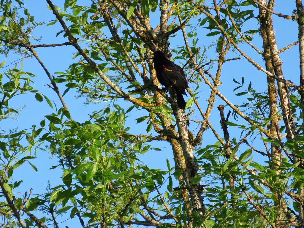
 Brewer’s blackbird on a tree along the railroad tracks.
I stayed right at a junction with a dike running between Mohoff Pond and Pintail Marsh.
 Pintail Marsh ahead on the left.
 The dike between Mohoff Pond and Pintail Marsh.
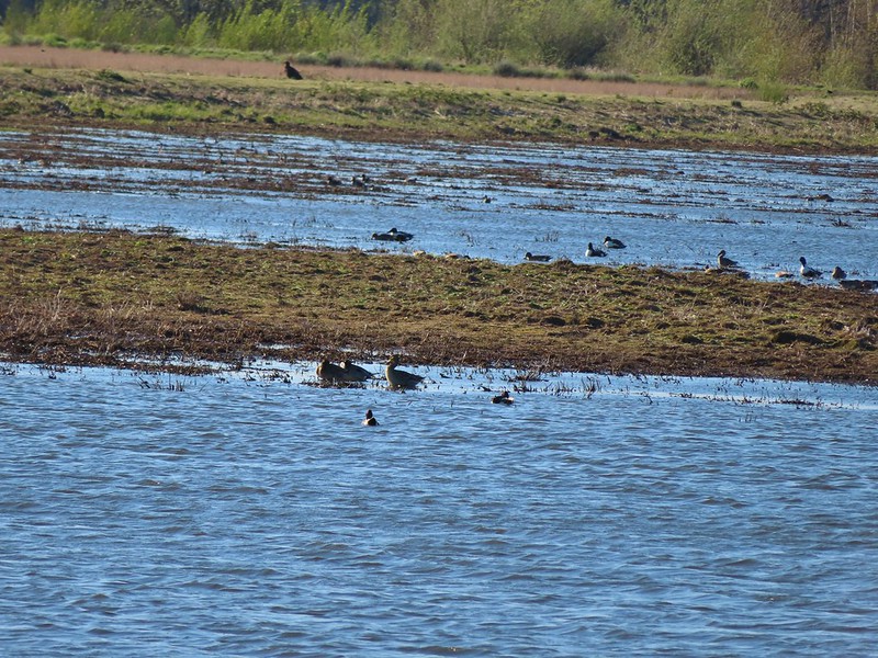
 Ducks at Pintail Marsh
There was a gravel parking area at the southern end of Pintail Marsh where I hopped onto Wintel Road and headed left following the narrow shoulder for .3 miles to another green gate on the right hand side of the road.
 Pintail Marsh
 Looking back at the gate and Wintel Road
I followed a grassy track which split 100 feet from the gate and turned right (left would have led me to the Rail Trail Parking area). The path led past a little standing water before leading onto a dike along Wood Duck Pond.

 Yellow legs

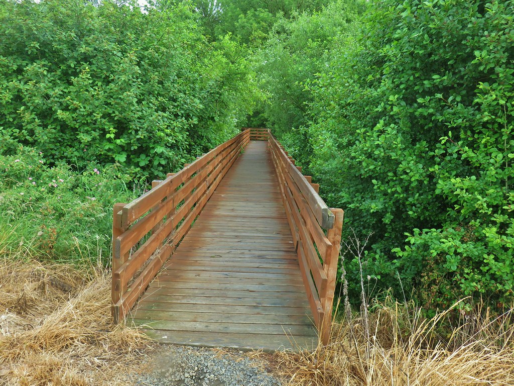
I passed the Rail Trail Boardwalk and stayed on the dike now retracing our steps from our first visit.
The dike turned south wrapping around Dunlin Pond.
 The boardwalk across Dunlin Pond from the dike.
 Ring-necked ducks
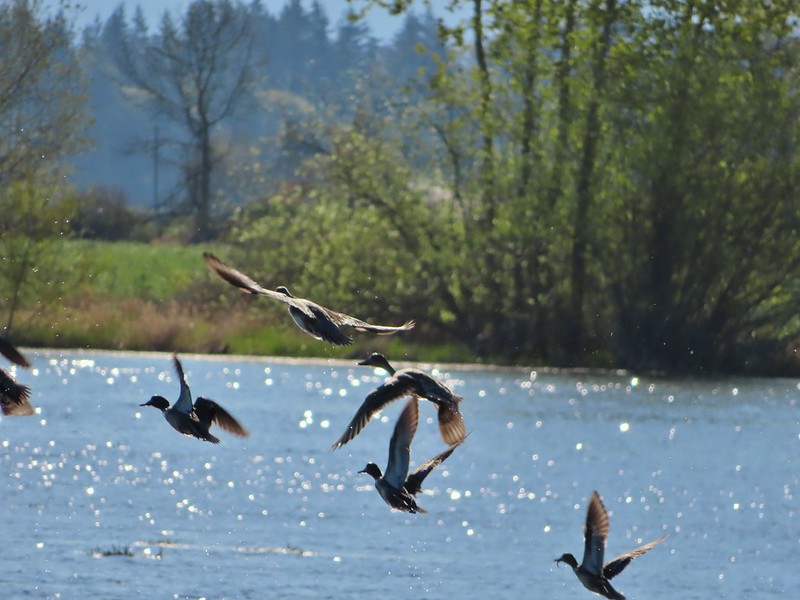
 Ring-necked ducks taking off.
 Sparrow
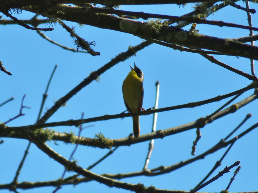
 Common yellowthroat
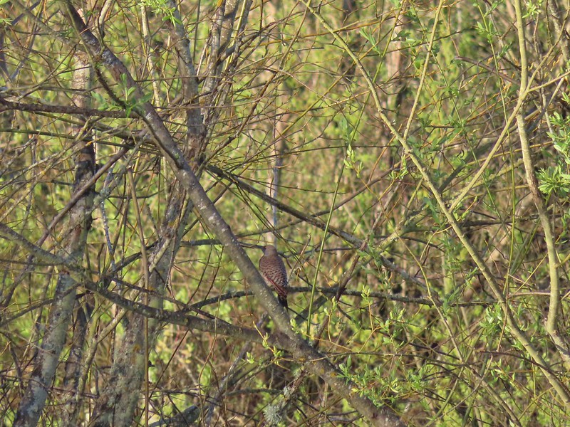
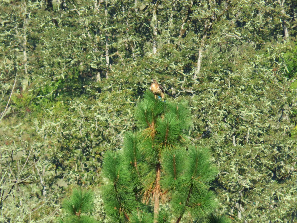
 Hawk and a sparrow
At the far end of Dunlin Pond the dike split again at Killdeer Marsh. Here I turned right and looped around Killdeer Marsh.
 Killdeer Marsh
 Another yellow legs?
 Mustard along Killdeer Marsh
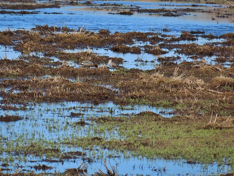
 A killdeer amid ducks at Killdeer Marsh
The dike didn’t quite go all the way around the marsh but it was easy walking along the edge of a field to get back to the dike on the north side of the marsh. The only issue was a 5 foot wide wet area between the field and dike where try as I might my shoes wound up wet. Once I was back on the dike I had the choice to go left back along Killdeer Marsh or a different dike veering off to the right along South Pond. I chose right and followed this dike around the end of South Pond.

 South Pond
 Cinnamon Teal in South Pond
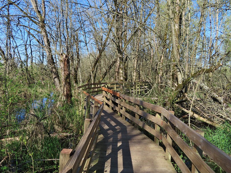
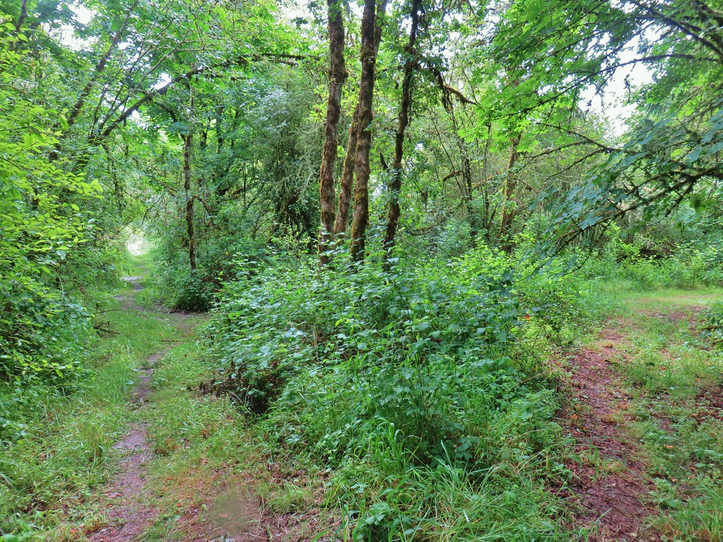
The dike led me to one of two actual trails in the Refuge, the Rail Trail.

 Damaged trees from the ice storm earlier this year.
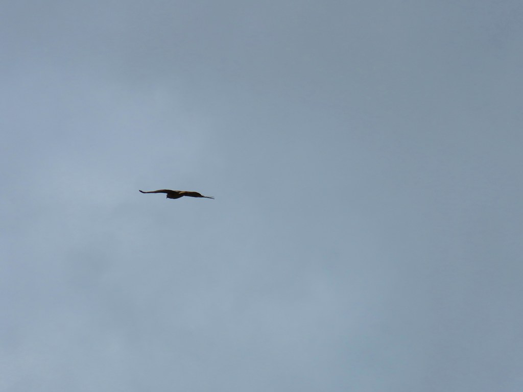
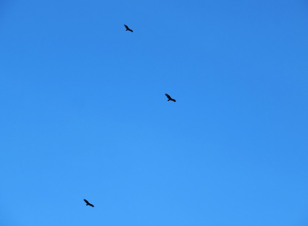
 Turkey vulture
 Candyflower
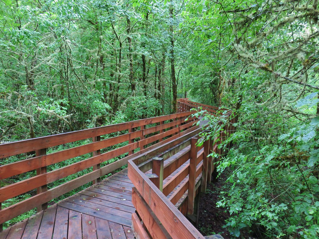
I turned right at the boardwalk and followed it over the water to the dike on the far side.


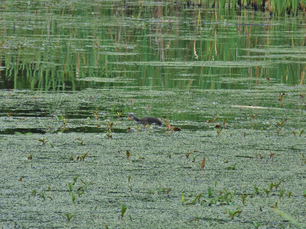
 American coots
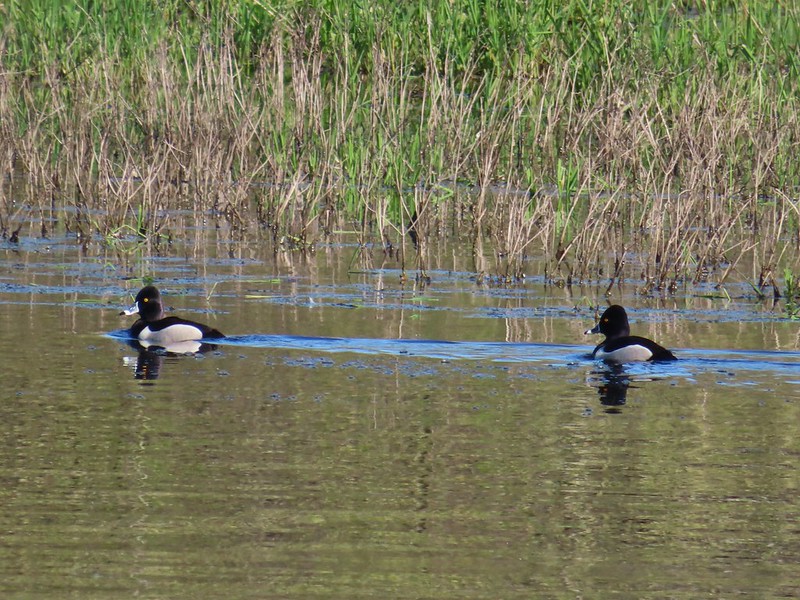
 I think this is a ring-necked duck and a lesser scaup.
At the dike I turned right and retraced my steps back to Witnel Road and headed back toward Pintail Marsh. Instead of going to the gravel parking lot that I had been at earlier I left the road at the Pintail/Egret Marsh Boardwalk Trailhead.

I followed this short boardwalk along and over Bashaw Creek to a bird blind.
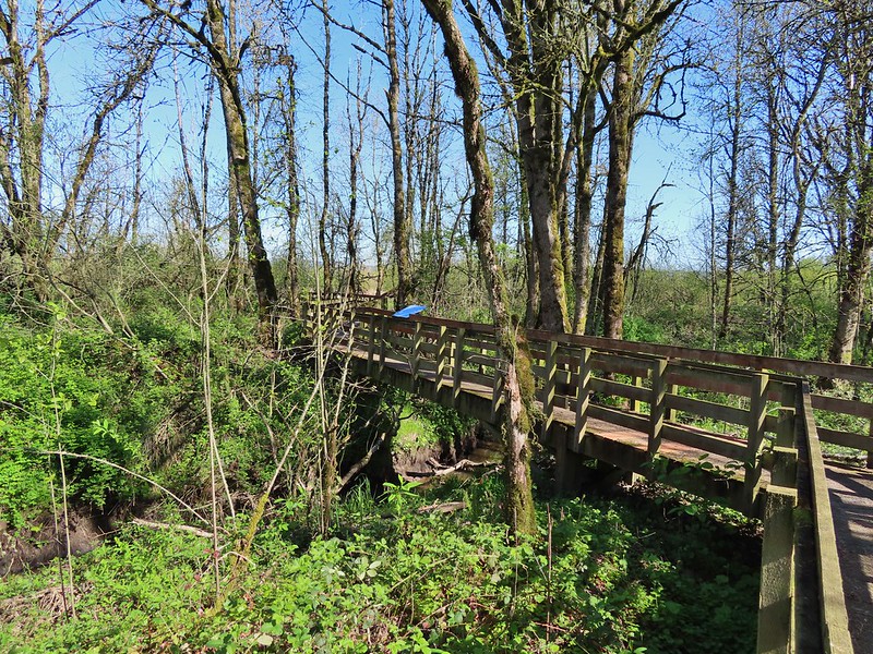
Again on the trail map it appeared that the boardwalk connect to a dike at Egret Marsh but it instead it dead ended at the blind.
 The dike from the blind.
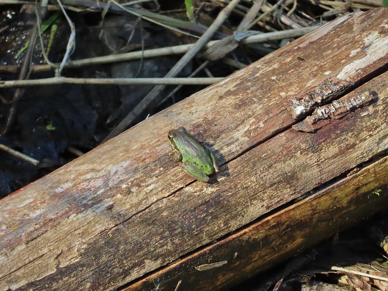
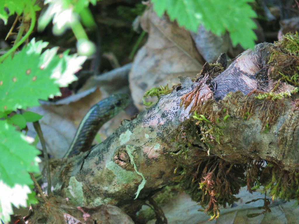
I turned around and headed back to Witnel Road a little dissapointed but then I spotted a little green frog on a log and all was good.
When I got back to the lot a Pintail Marsh I turned right thinking I would follow the dike on the other side Pintail Marsh and Mohoff Pond.

I stayed right when I passed another dike that allowed for a loop around Frog Marsh and stopped at a photo blind (reservable from 10/1-3/31).

At the junction with the other end of the Frog Marsh Loop I ran into another obstacle, more active nesting had closed the dike along Pintail Marsh so I did the loop around Frog Marsh and back to the gravel lot I went.

I retraced my steps on the dike along the west side of Pintail Marsh before turning right on the dike between the marsh and Mohoff Pond.
 Killdeer on the dike.
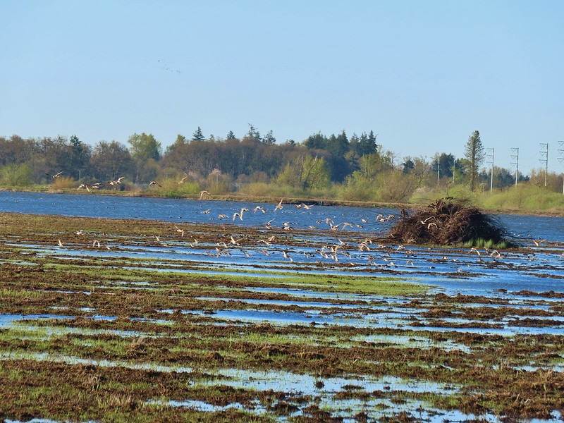
 A whole lot of geese in the air ahead.
I turned left at a four way junction where the closed dike joined from between Pintail and Egret Marshes.
I was now on a dike between Mohoff Pond (left) and Mallard Marsh (right).

Ducks and geese were everywhere as I trudged directly into the wind along the dike.
 Green-winged teals
 Northern shovelers
 Canada geese
 Another green-winged teal
 Various ducks
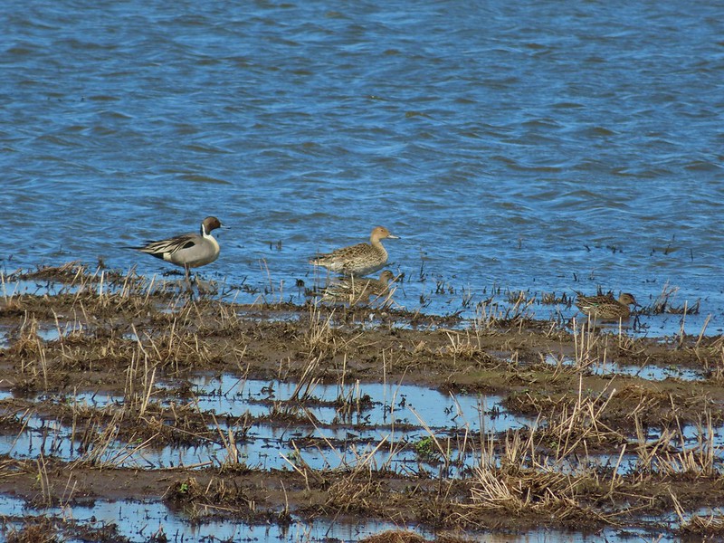 Northern pintails
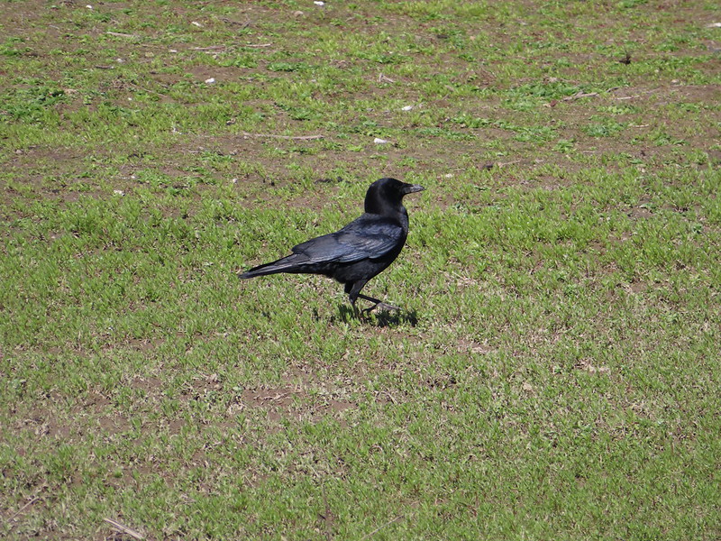 Crow
Crow
 A green-winged teal and a yellow legs
My second stop wound up coming to 7.5 miles making for a 10.7 mile day. I only passed two people all day and saw a lot of different birds which made for a great hike. If I were a more patient person I would have sat at a blind or two and waited for some closer encounters but I prefer to keep moving so I have to settle for the long distance shots more often than not. Either way Ankeny is a great place to visit. Happy Trails!
Flickr: Ankeny Wildlife Refuge
 .
.

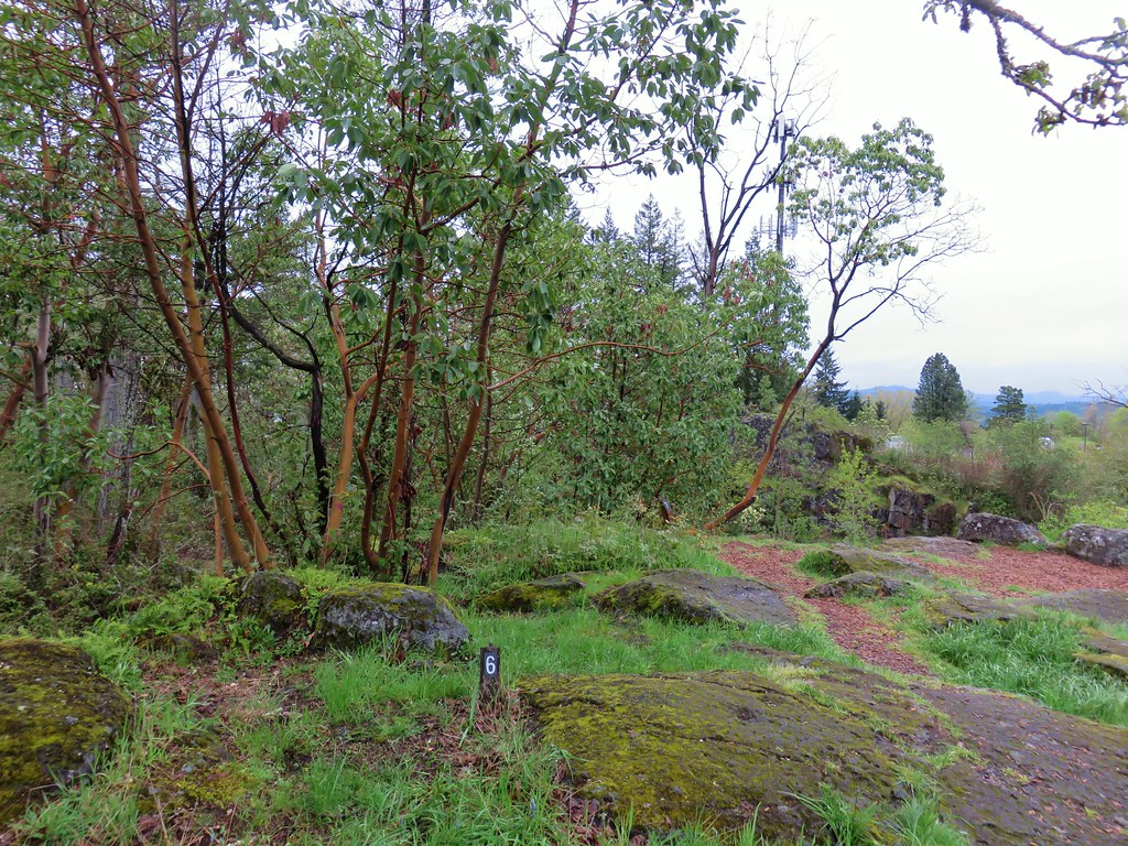
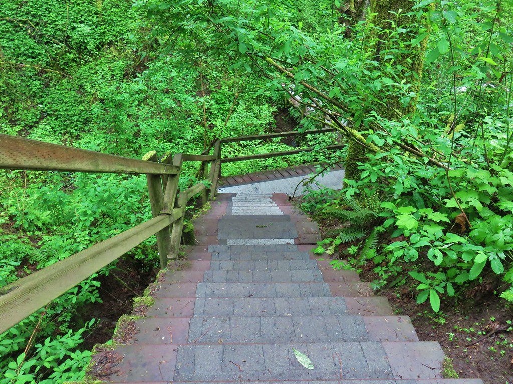
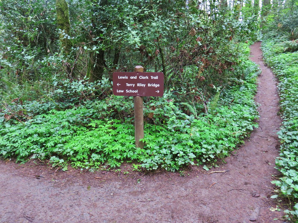
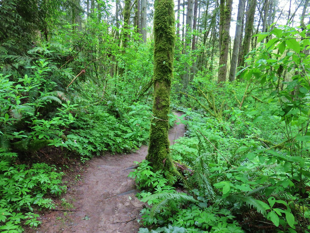
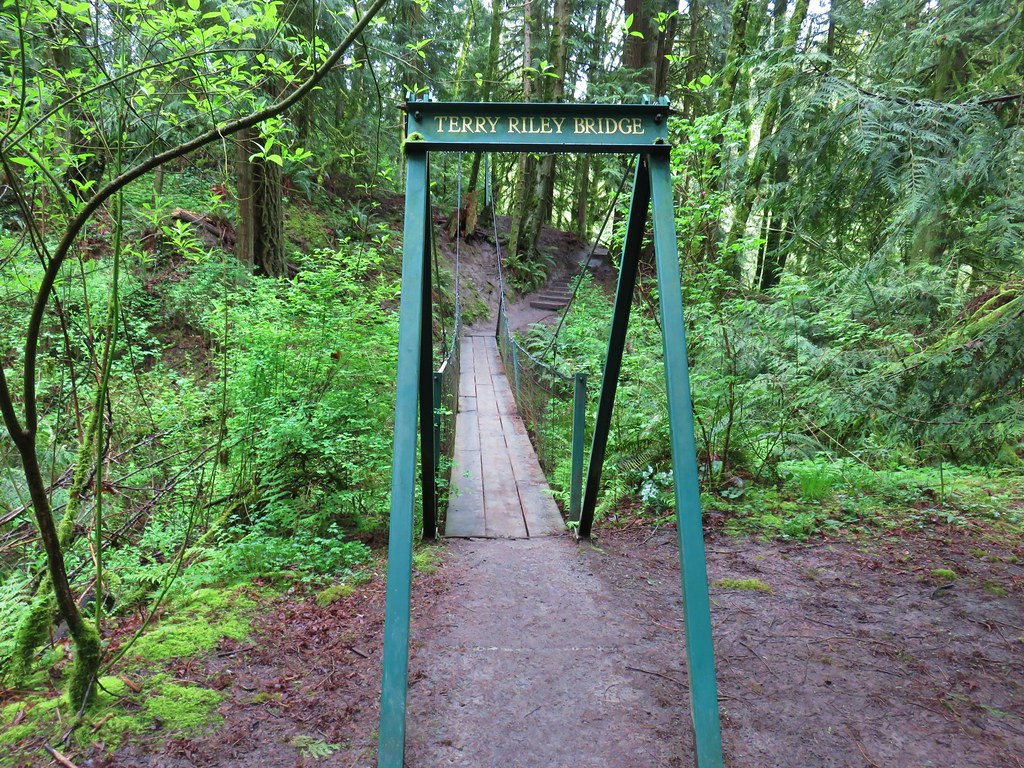
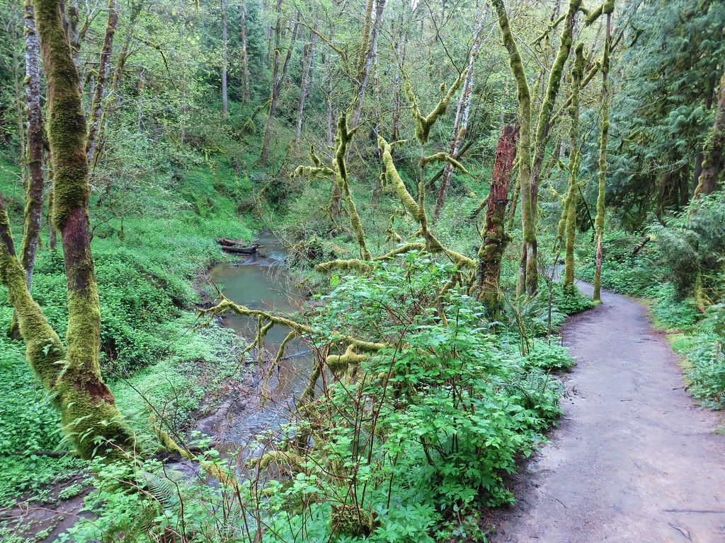
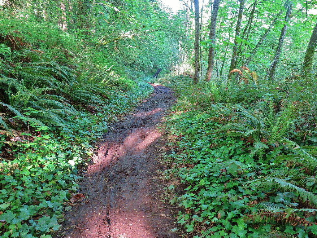
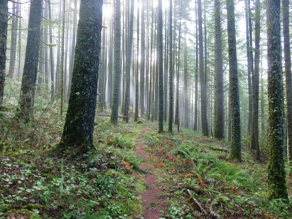
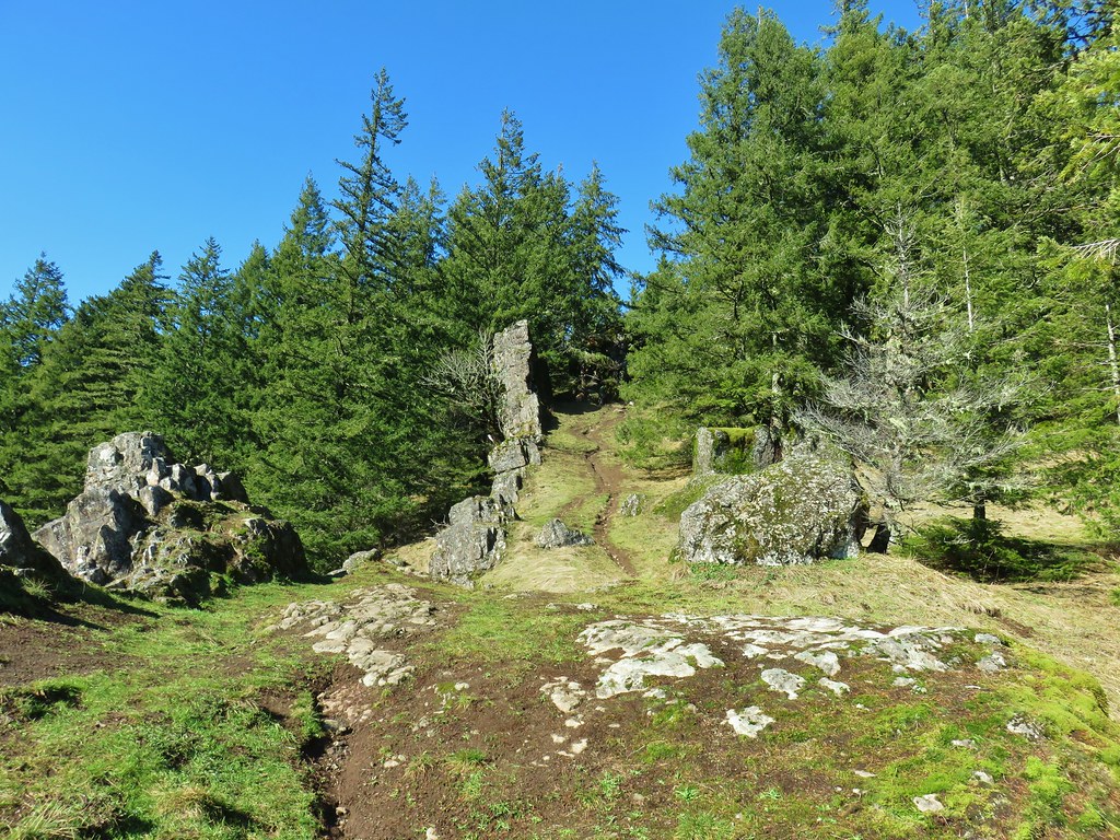
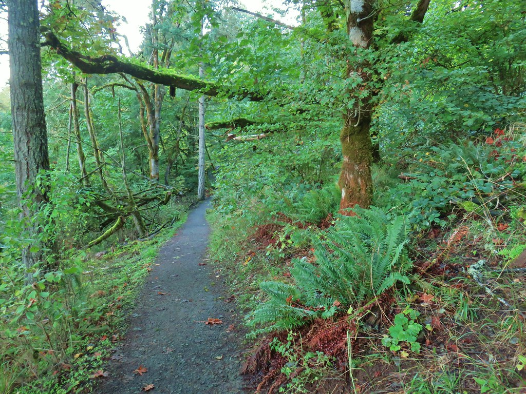
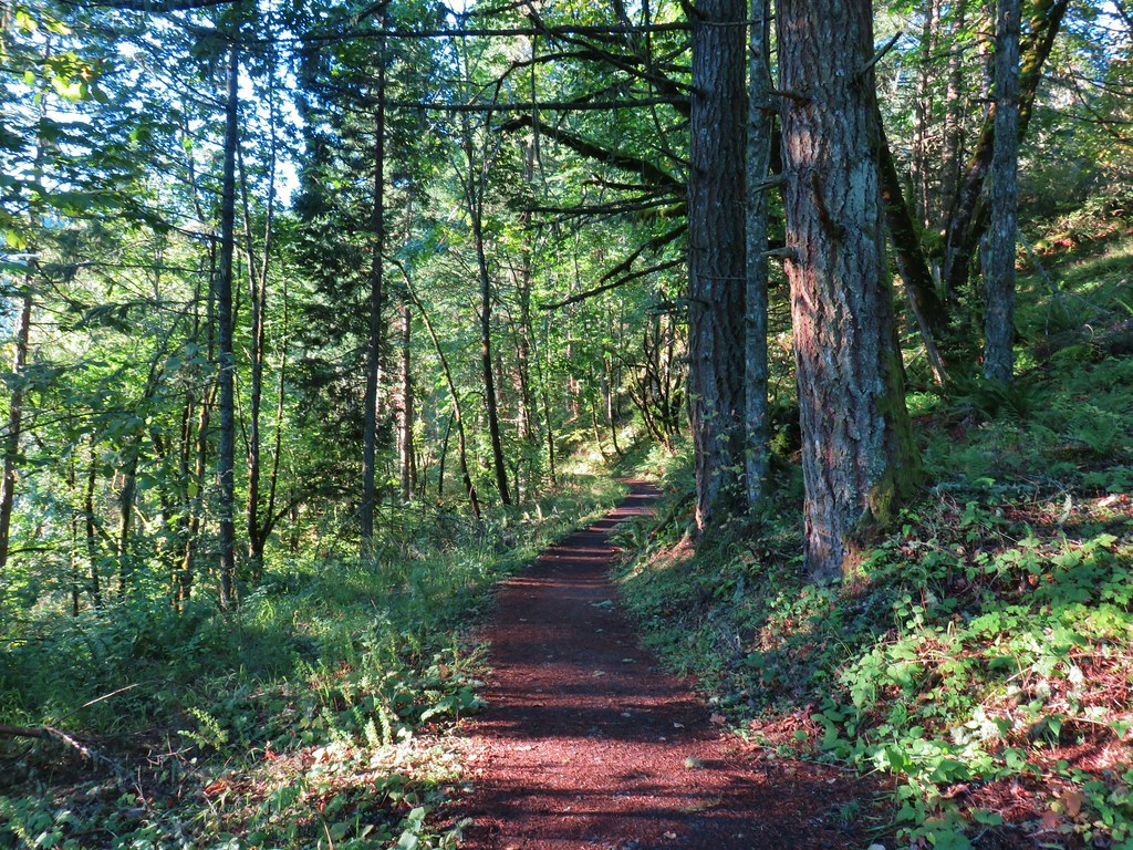
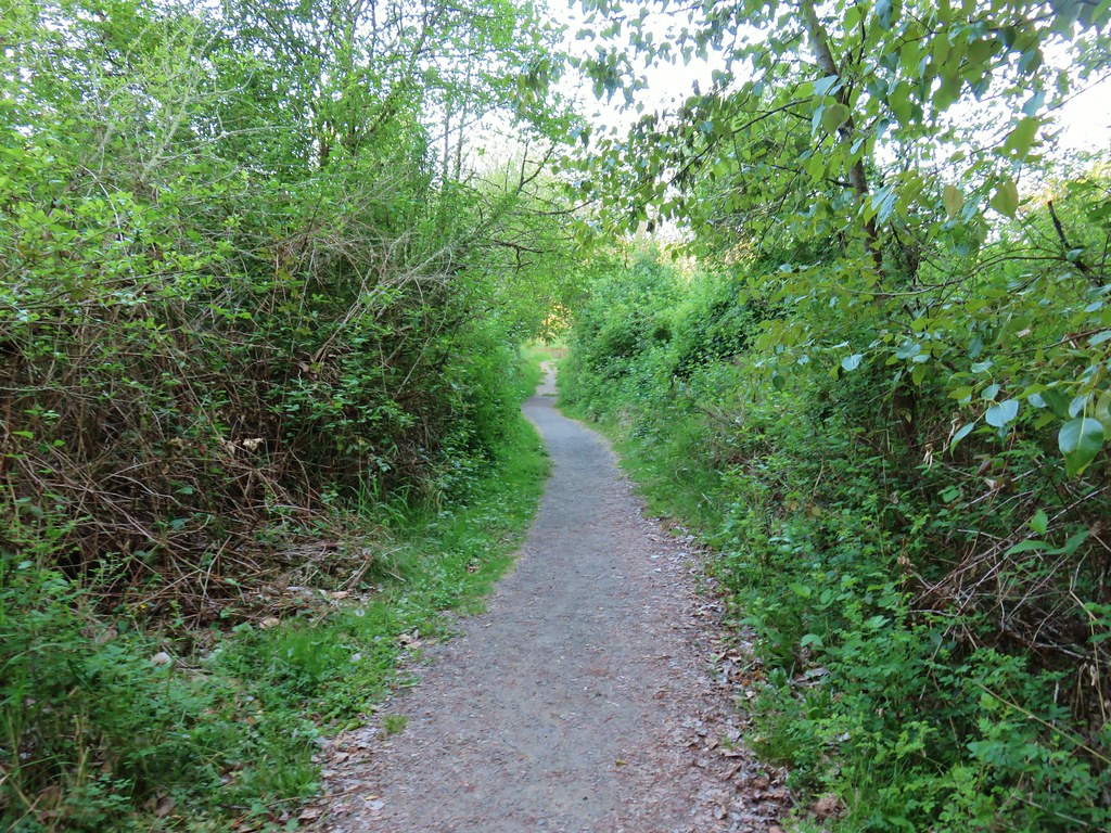
 Switchback along the Wild Cherry Trail.


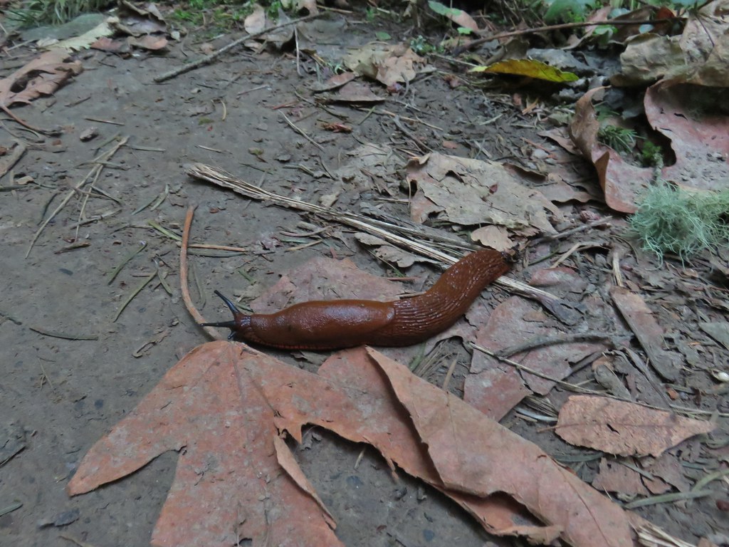 This was the first slug we recall seeing of this color.
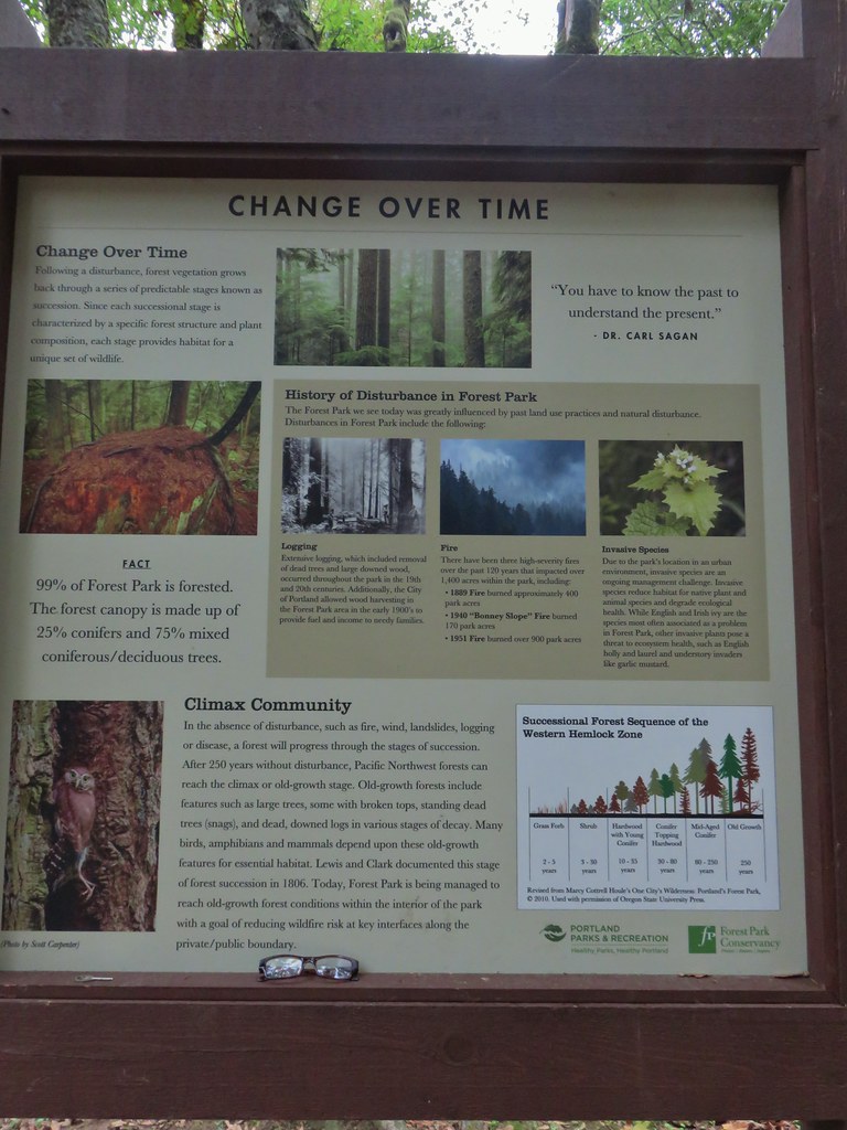 Interpretive sign at the NW 53rd parking area.
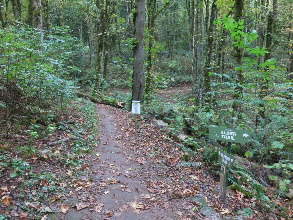


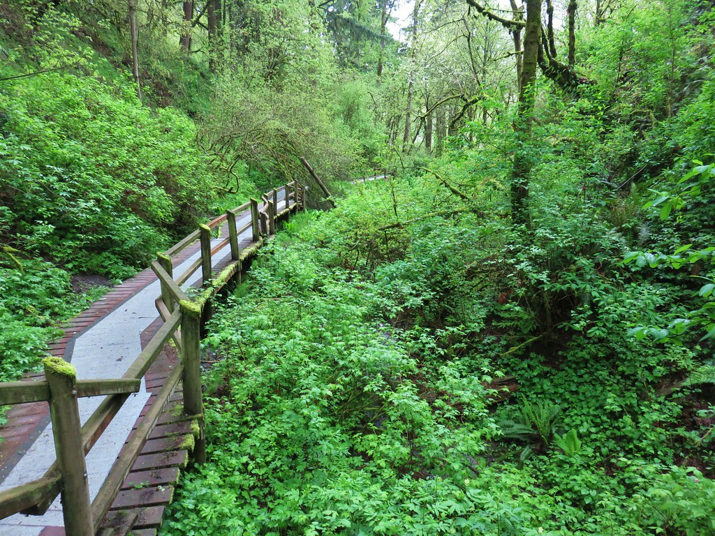
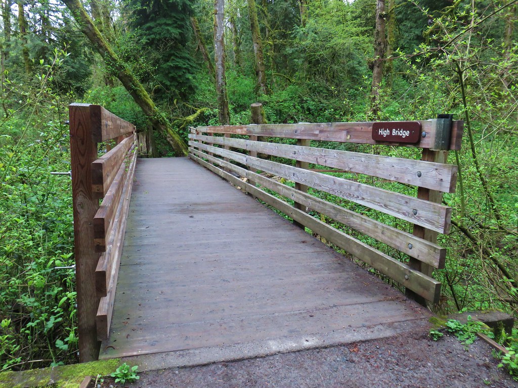
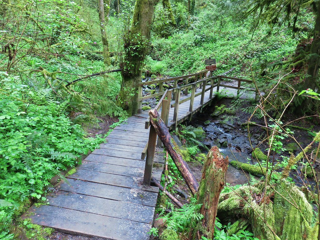
 The bridge damage was not an issue.
 Another bunch of musrhooms.

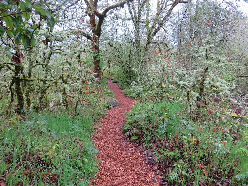
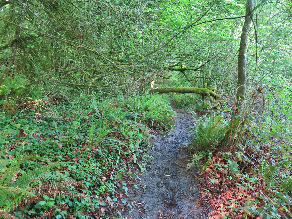
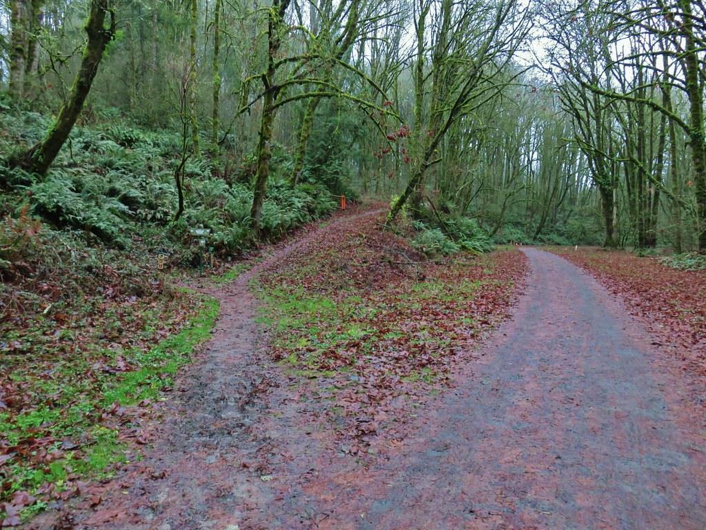
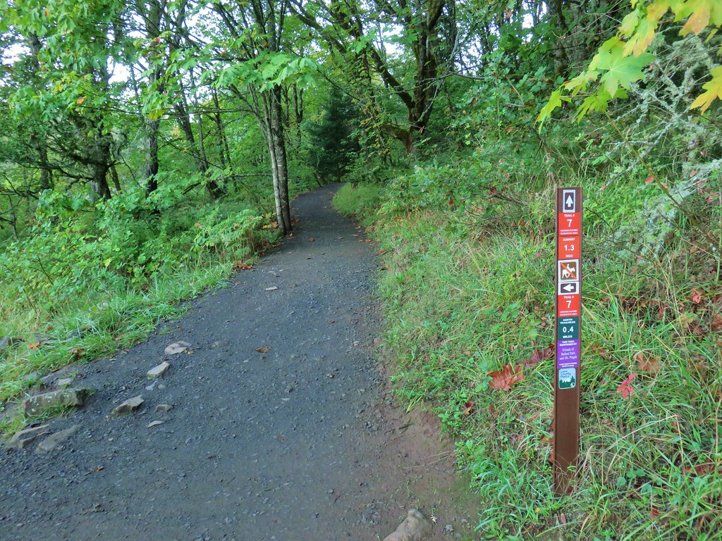
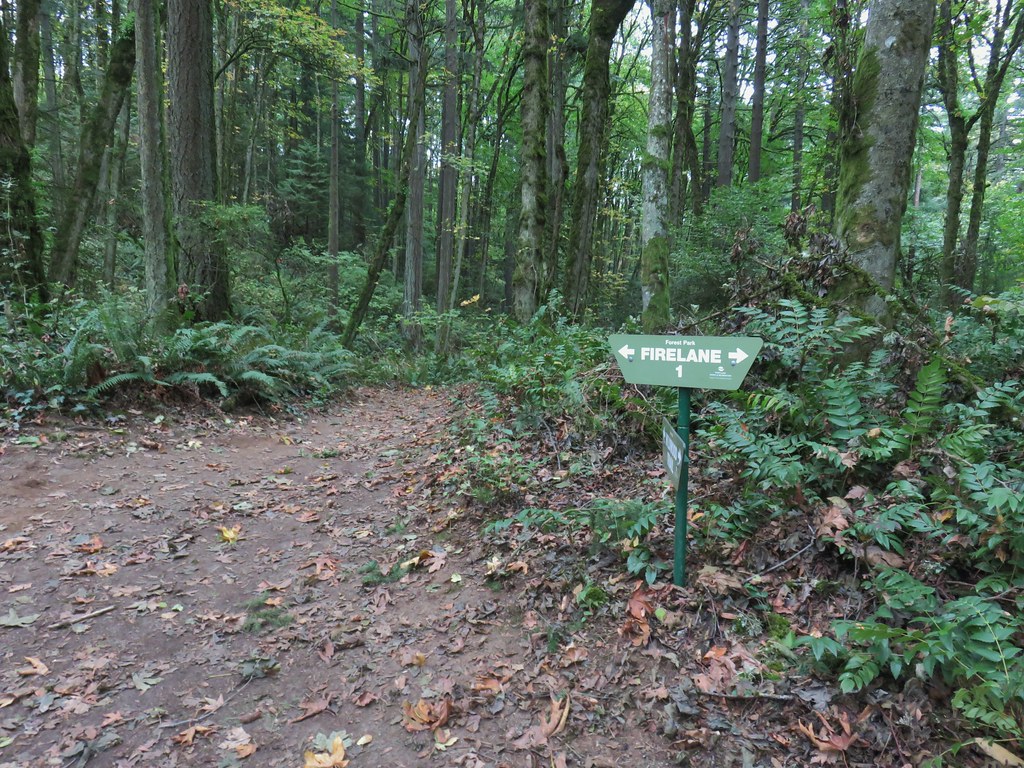 Firelane 1 junction.

 The fork, left was downhill right up.


 Firelane 1
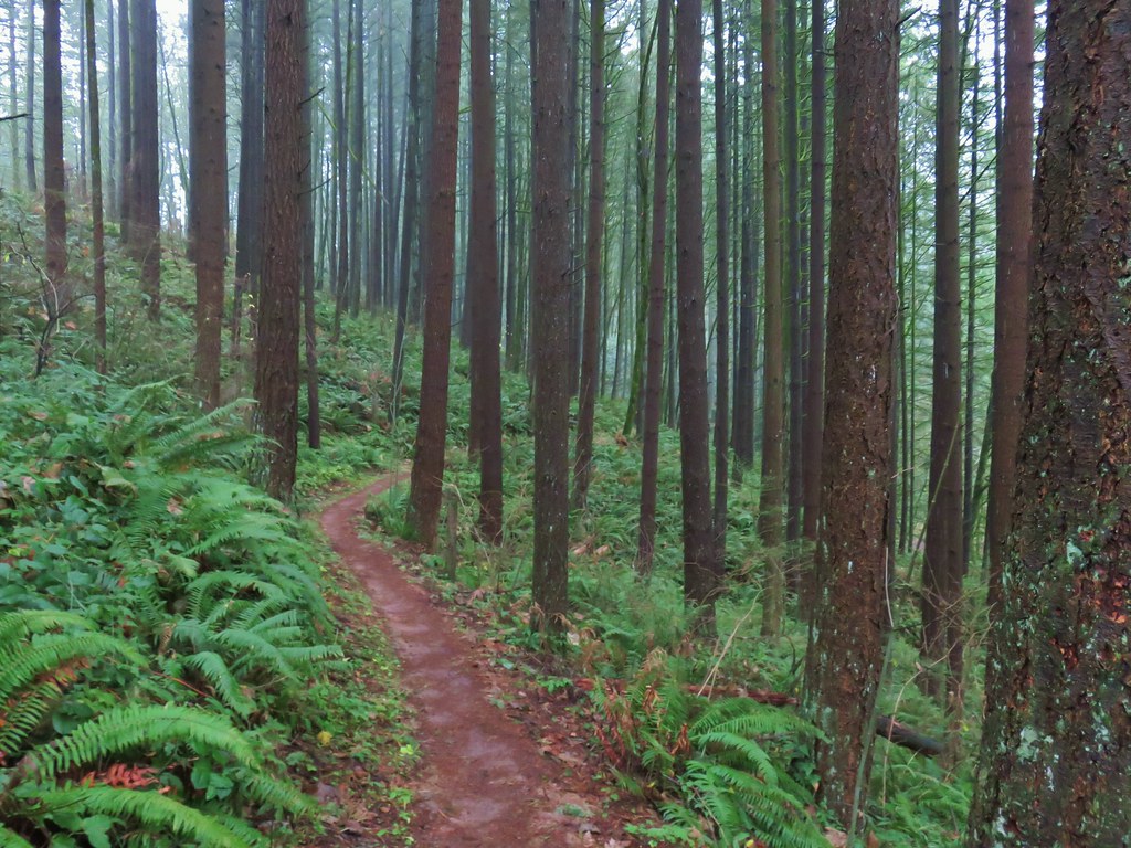
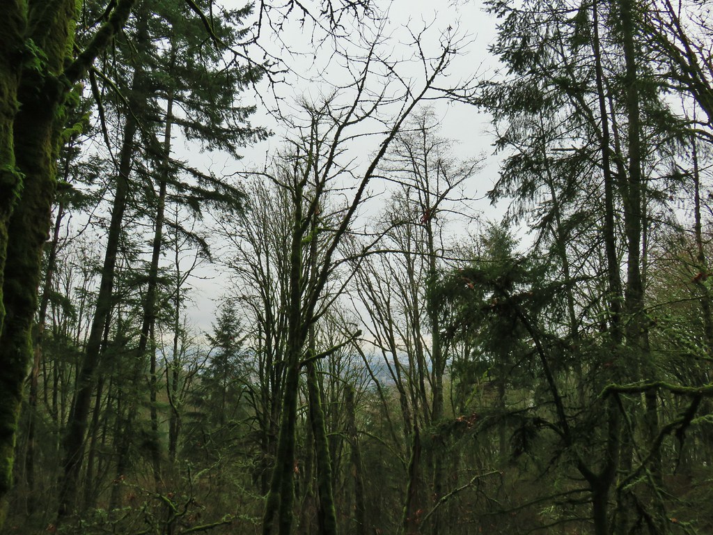
 Somewhere along Leif Erikson there was supposed to be a view of Mt. St. Helens, Mt. Adams and Mt. Hood along the way but the clouds never burned off like the forecast had called for.
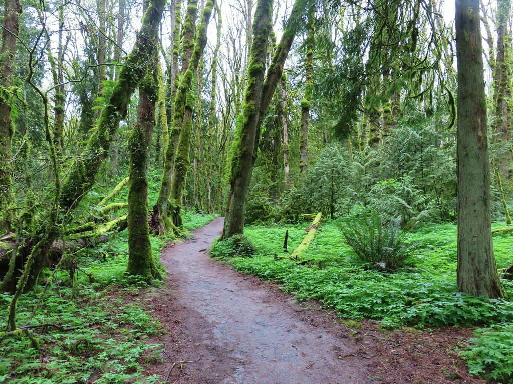
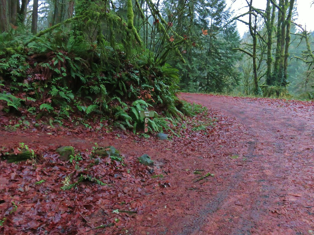
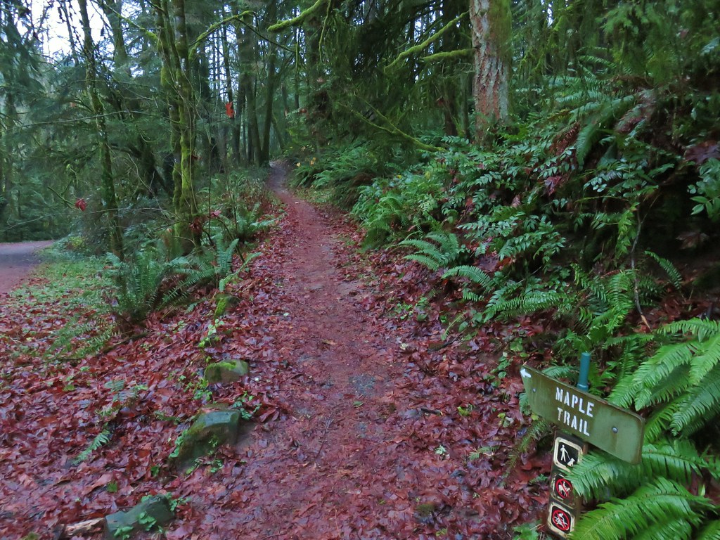
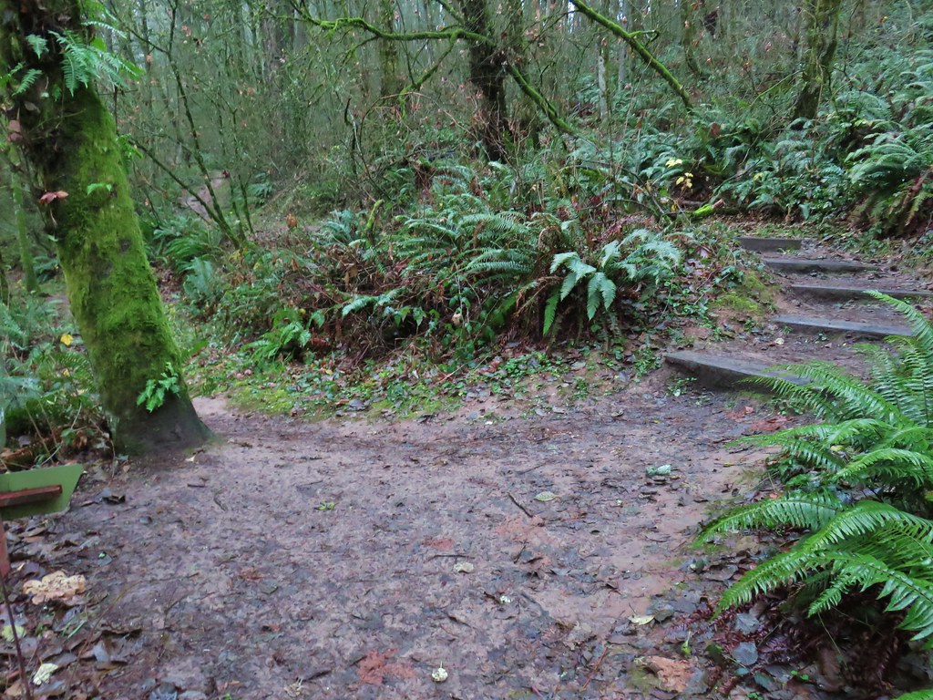
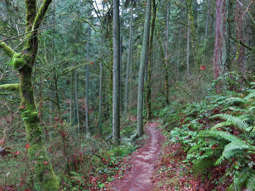
 The Alder Trail at Leif Erikson Dr.
 An orange one-way marker along Leif Erikson Drive between the Dogwood and Wild Cherry Trail junctions.


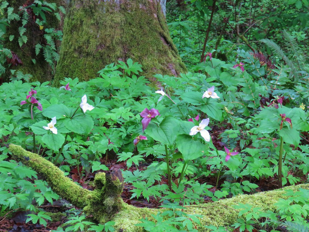
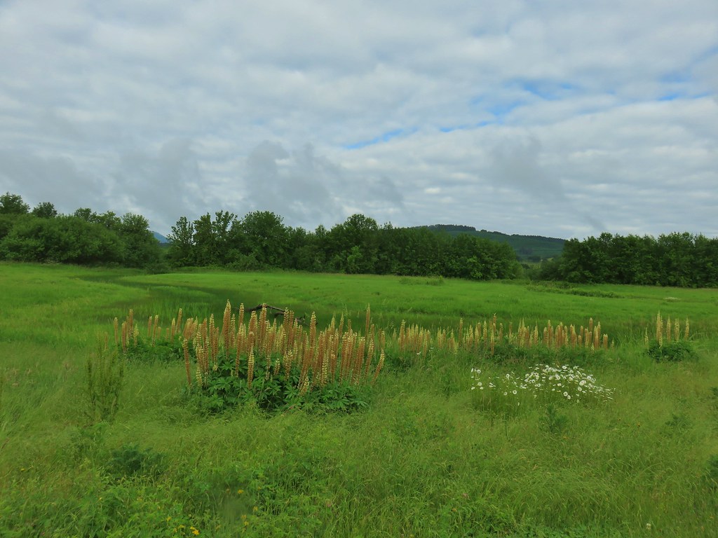
 Lupine along McFadden’s Marsh
 Small bird in the grass.
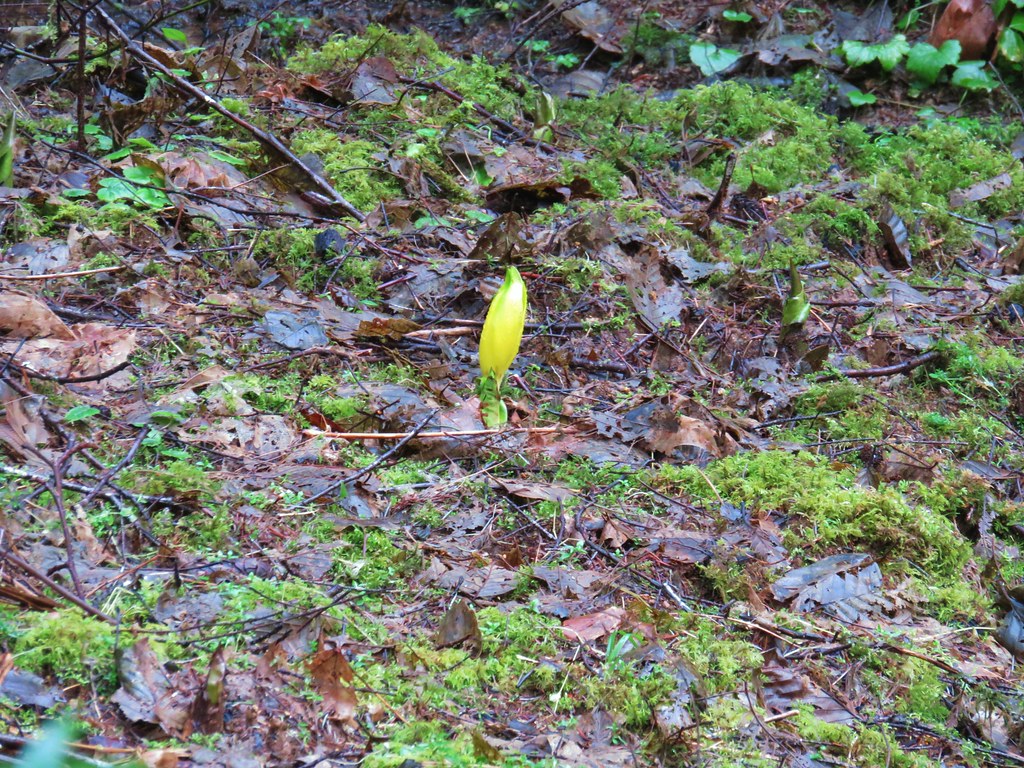
 I am almost never sure on yellow flowers like these which one it actually is.
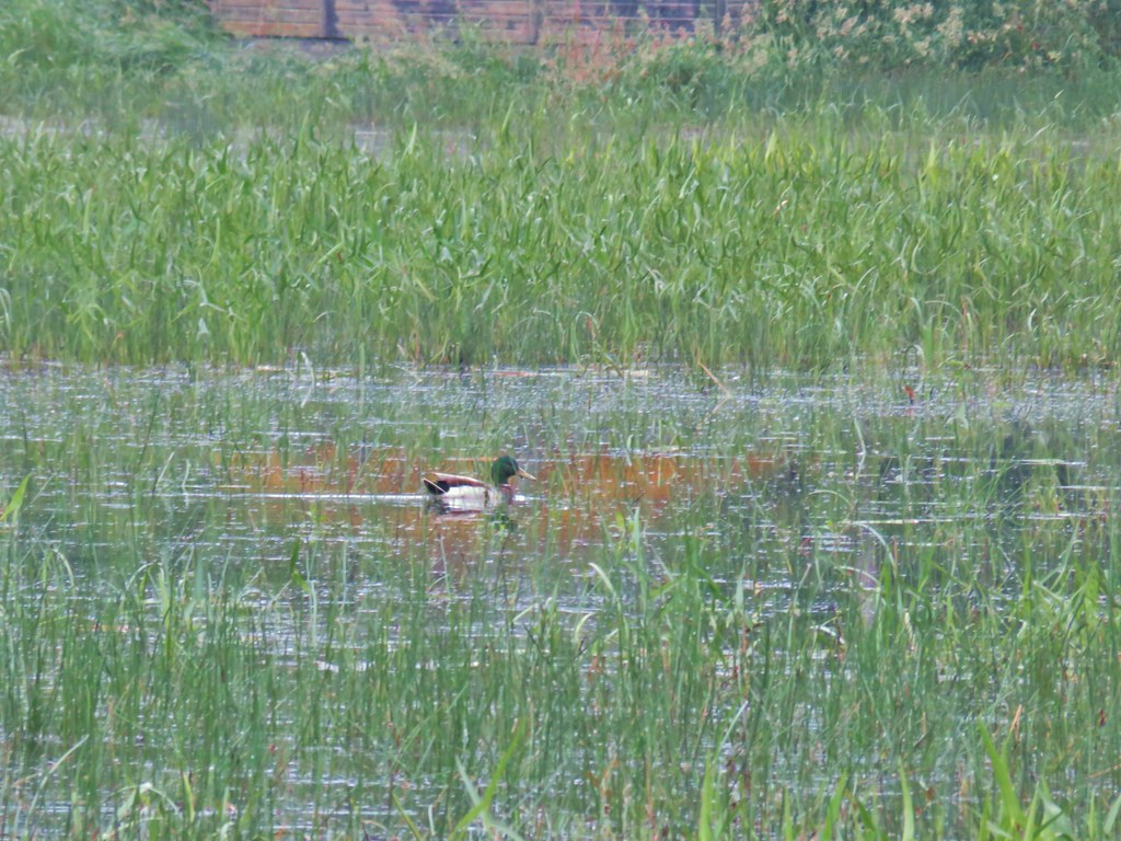 Mallard at McFadden’s Marsh.
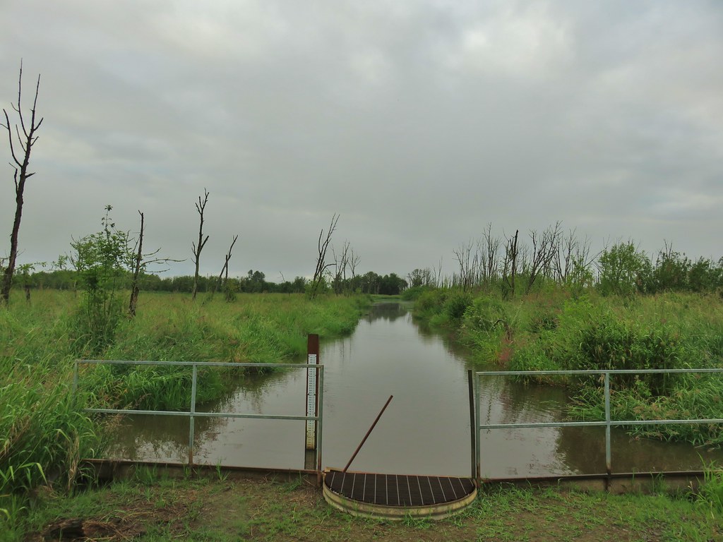 Ditch draining into the marsh.
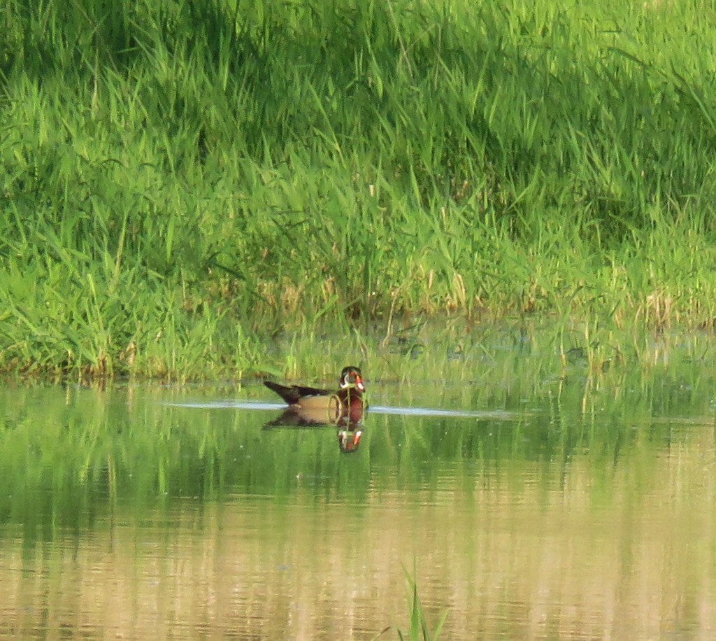
 Wood duck and duckling speeding away down the ditch.
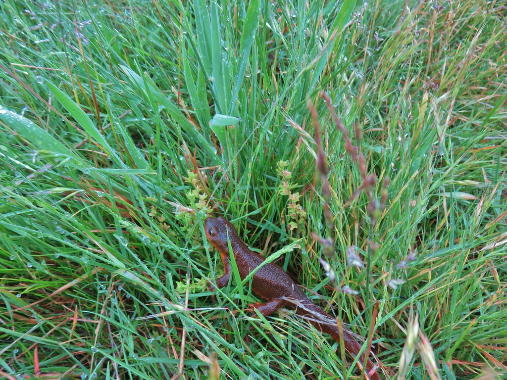 Watch your step in the grass!
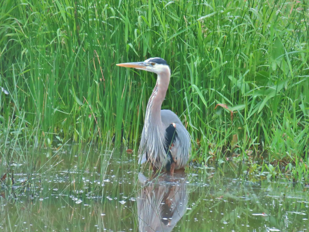
 Another heron standing in the marsh.
 Walking over Muddy Creek on Bruce Road.
 A pair of California quail and a rabbit on Bruce Road near the Cheadle Marsh Trailhead.
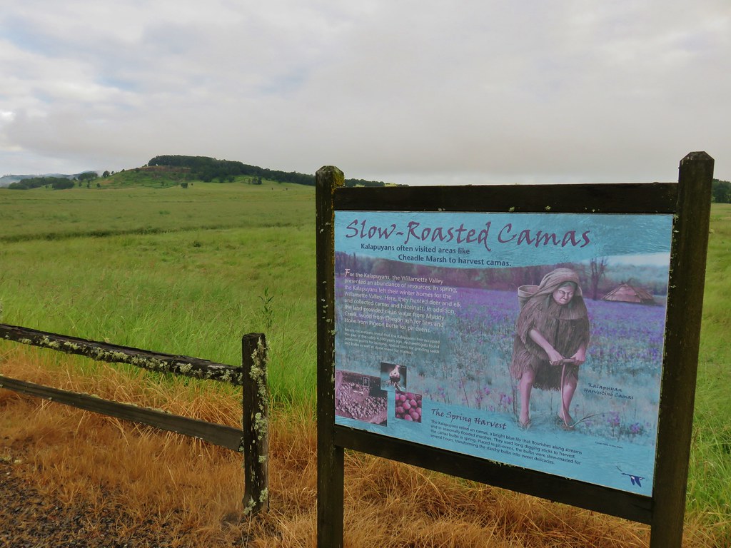


 Red-winged blackbird that did pose for a moment.
 Note the rabbit in the foreground, this was a theme on the day.
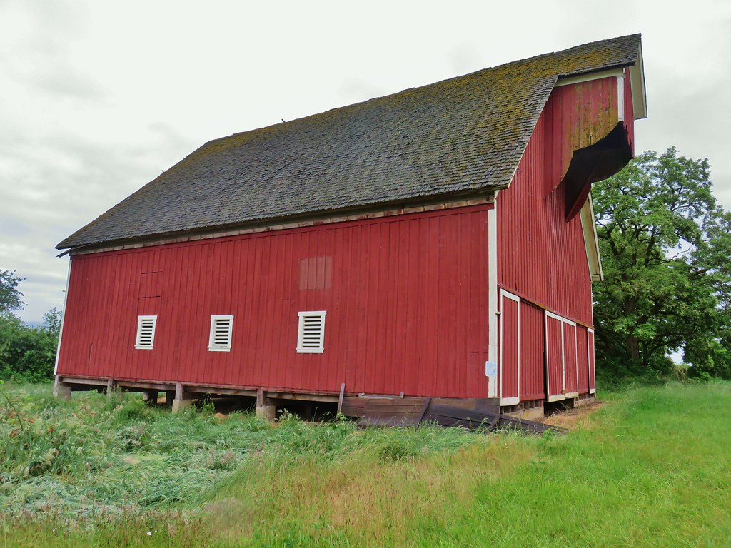
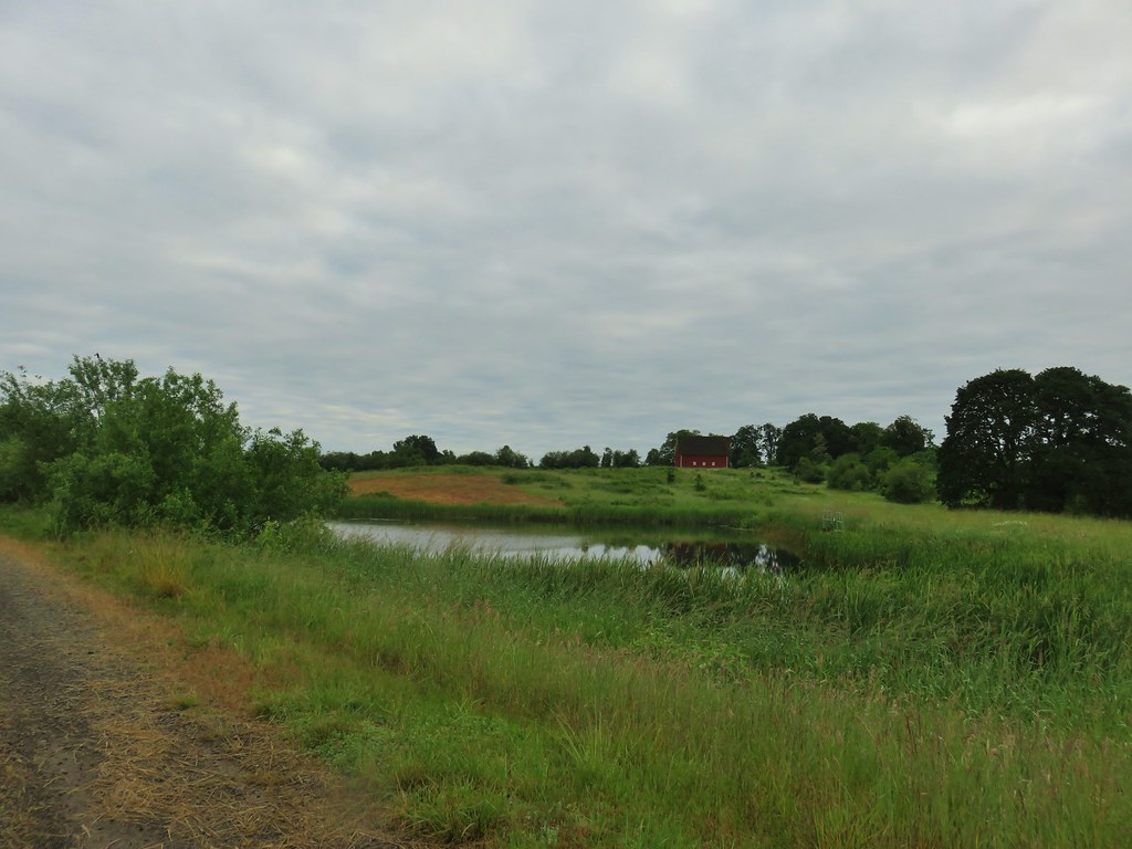 The pond and Cheadle Barn.
 Pied-billed grebe family at the pond.
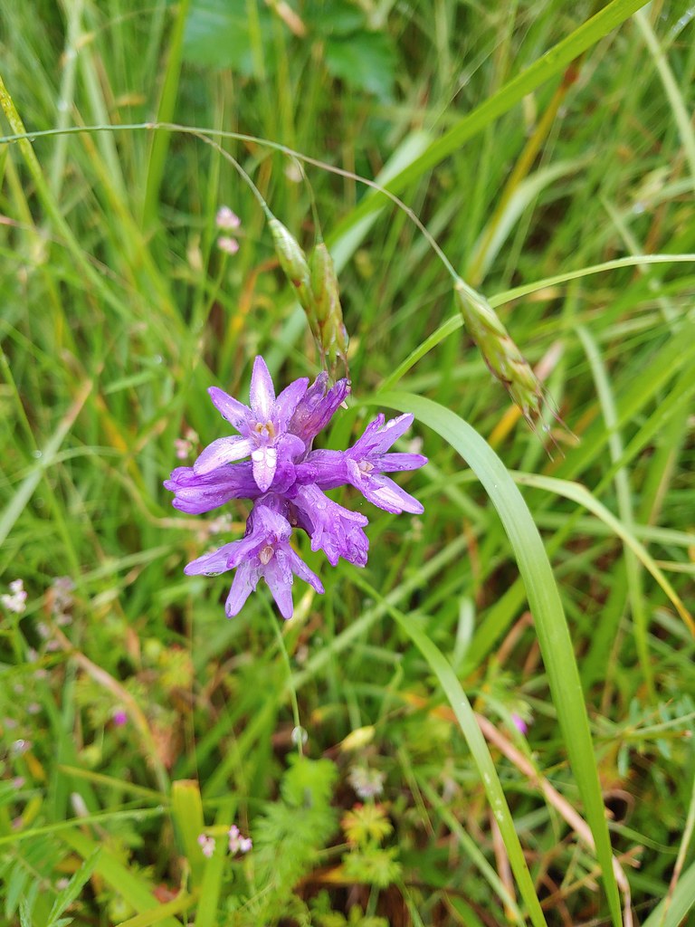 Ookow
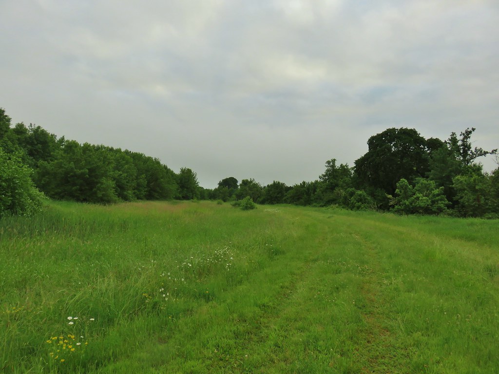
Ookow Heading toward Pigeon Butte.
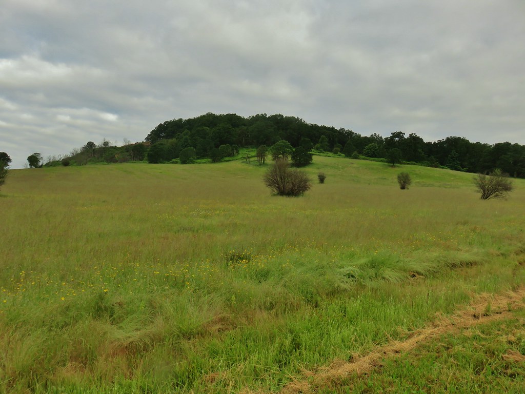
 Snail on a stick.
 Rough-skinned newt
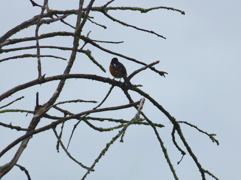 Spotted towhee that wouldn’t look at us.
 Quail on the road near the quarry.

 The trail is on the right of the mass of vetch blooming.
 Checkermallow


 With so little water there wasn’t really a reason to visit the blind.
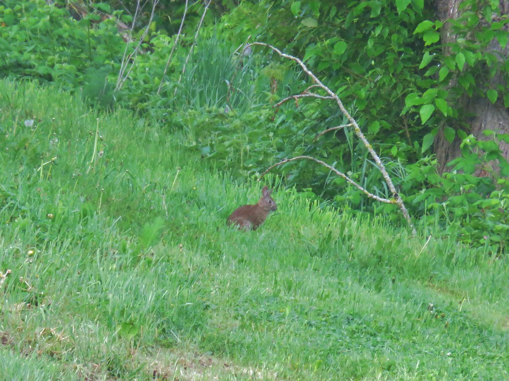
 Three rabbits at the parking area.
 Rabbit #1
 Rabbit #2
 Rabbit #3
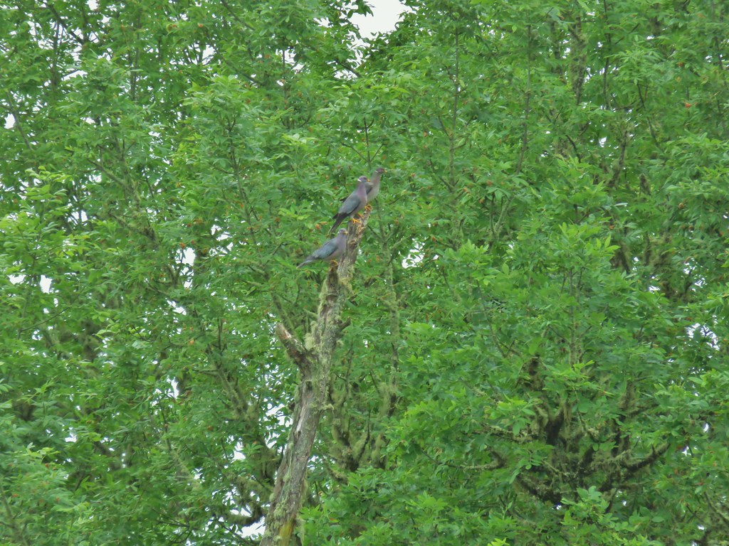 Band-tailed pigeons
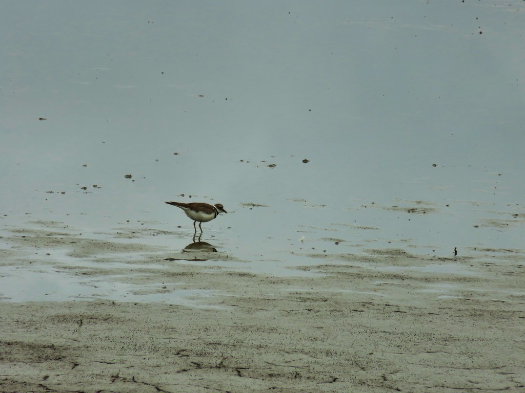 Killdeer
 One of several male American goldfinches we spotted along this stretch.
 Vegetation along Gray Creek.
 Mushrooms
 Roses along the roadbed.
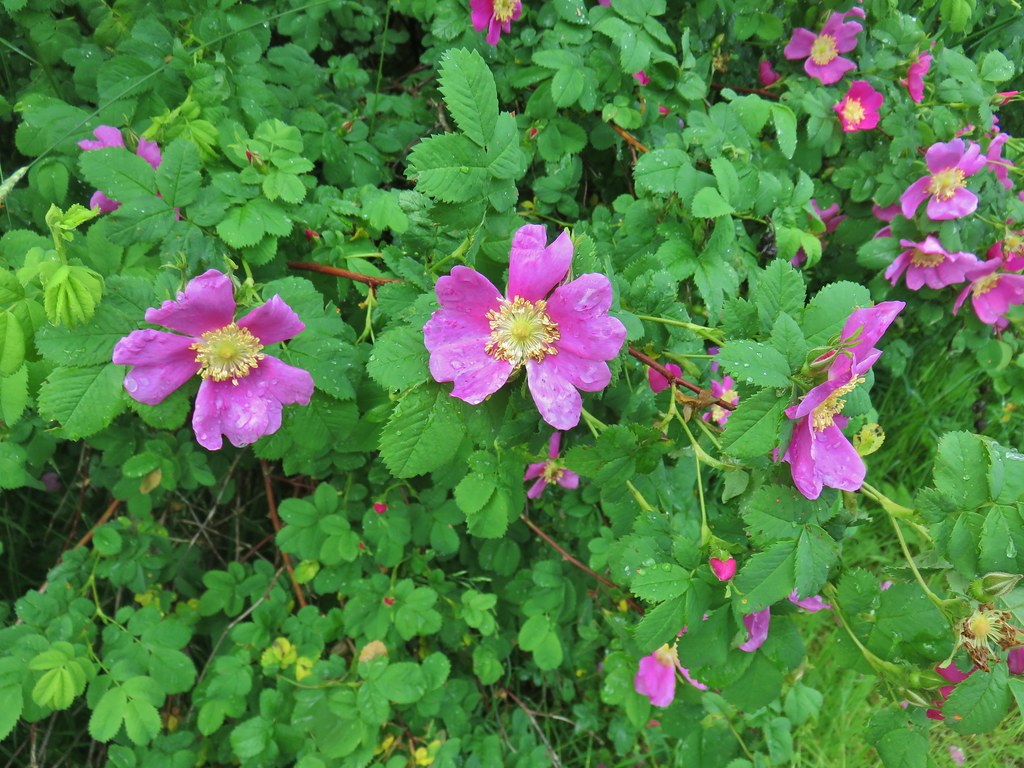
 Slug
Slug Yep, another rabbit.
 We started to think this rabbit wasn’t going to hop into the brush like all the others had.
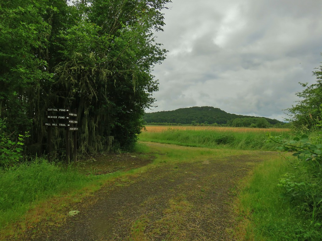
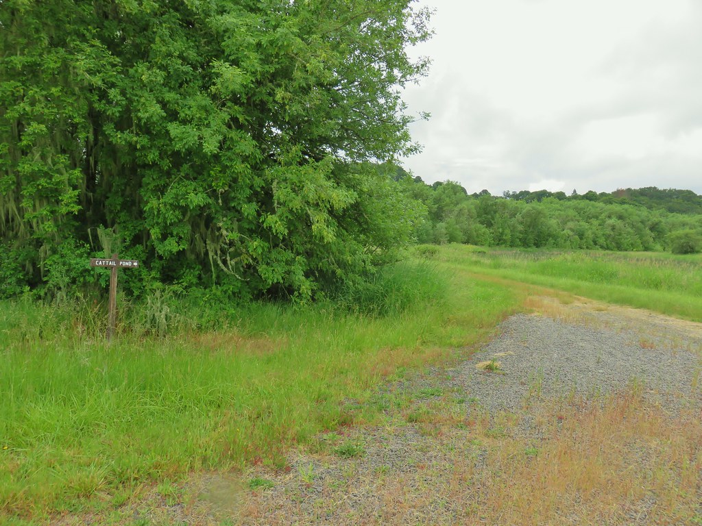 Sign for the Cattail Pond.
 Cattail Pond from the roadbed.
 Common yellowthroat


 The junction.
 Forest on Maple Knoll’s hillside.
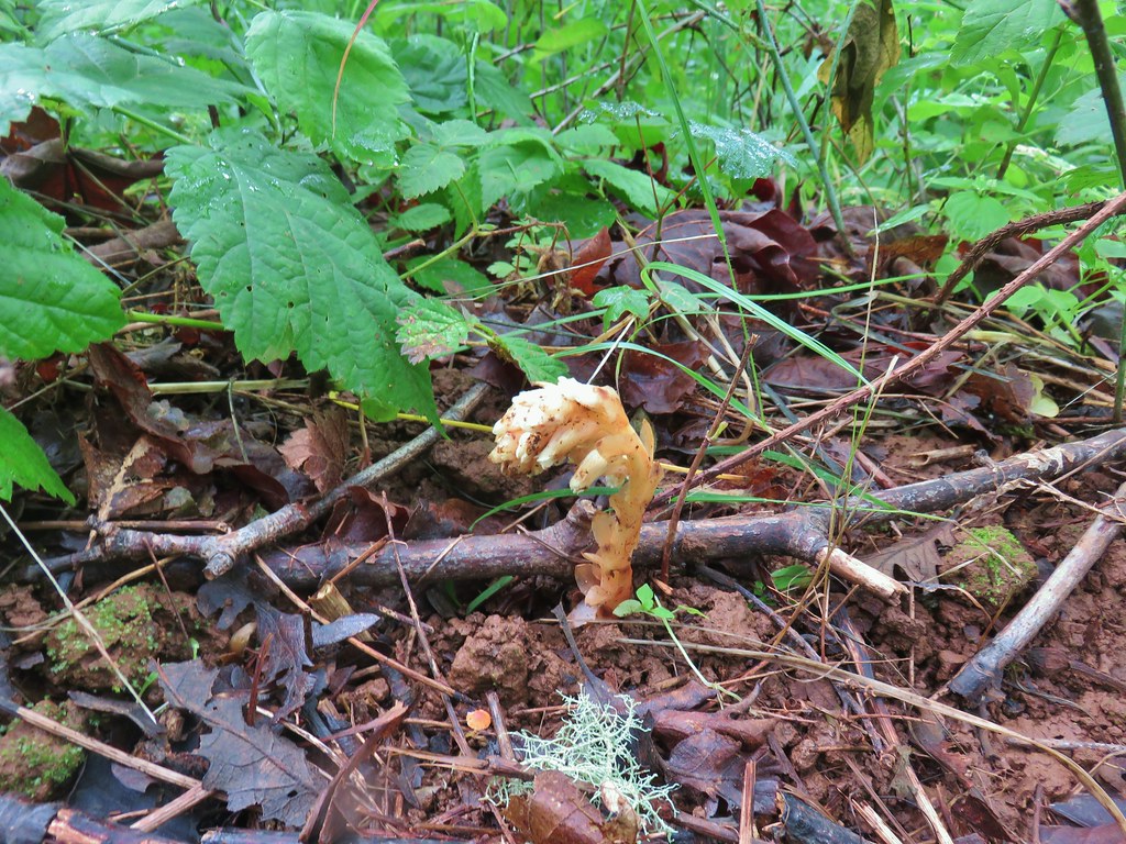 Pinesap


 It’s the one peaking out from behind the stump that had us the most concerned.
 Northern flicker
 Sparrow
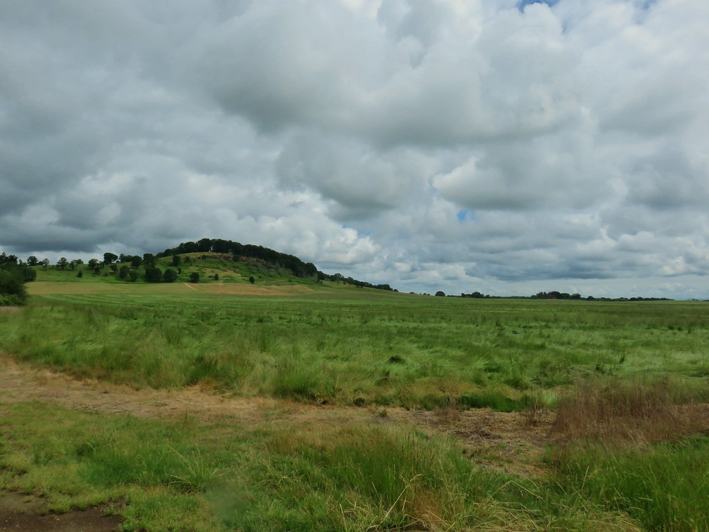 Pigeon Butte
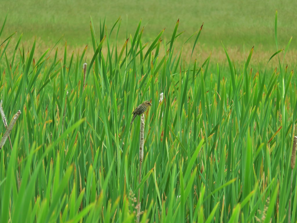
 Red-winged blackbird

 Pollinators in a poppy.
 Turkey vulture
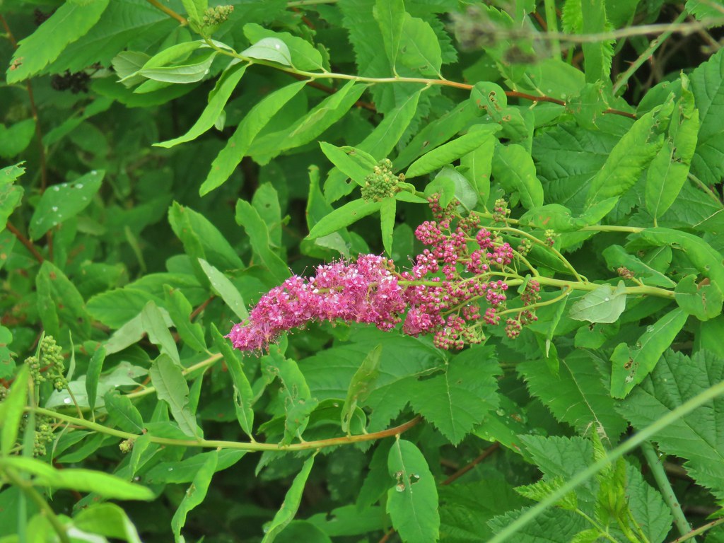 Douglas spirea
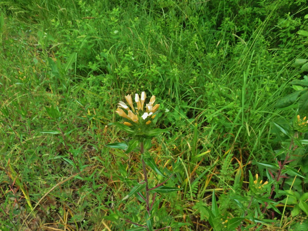 Grand collomia


 Mallards
 Crow
Crow Sparrow
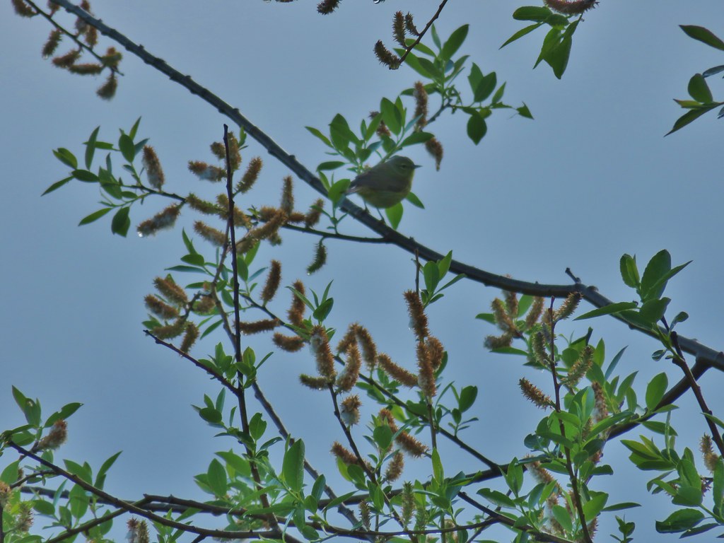 Guessing some sort of warbler
 California quail scattering

 Rabbit with sparrows behind.
 Rabbit with a quail behind.
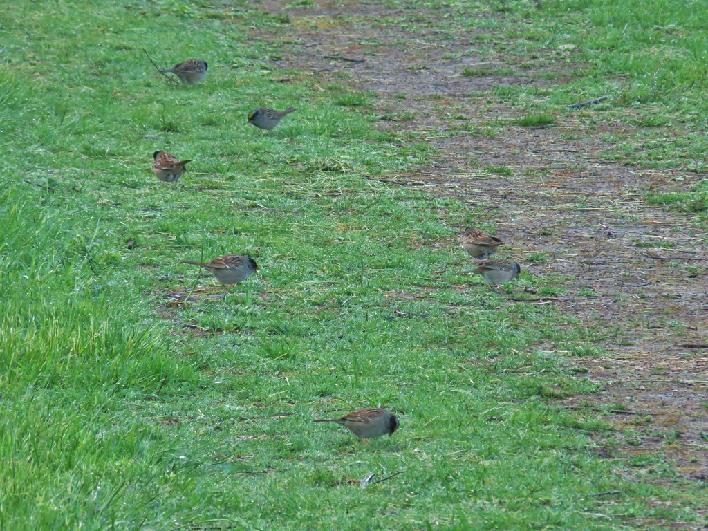 Golden-crowned sparrows
 Most of the rabbits we see run off right away but this little guy was pretty brave.
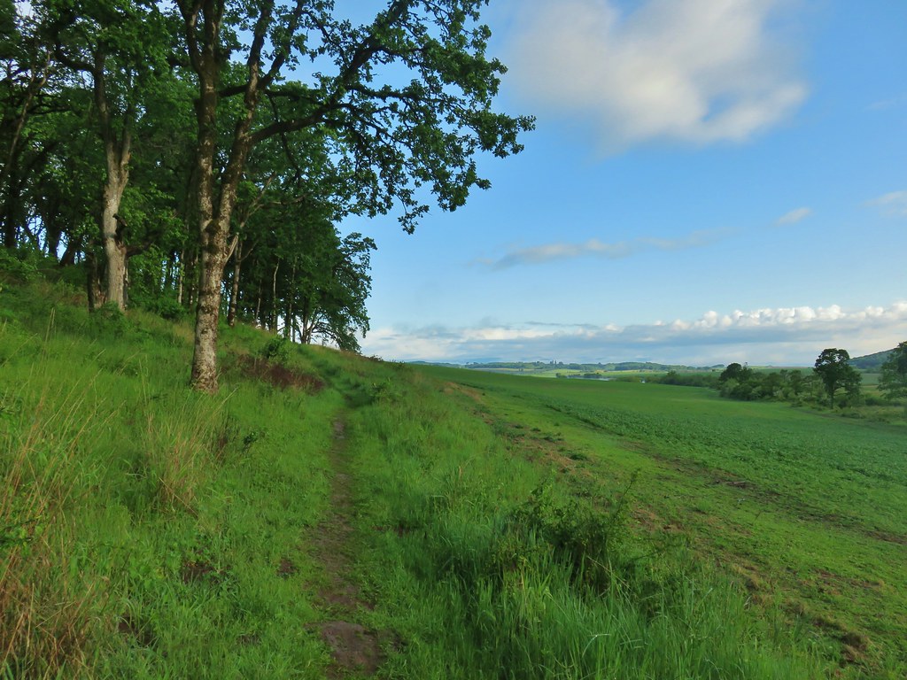
 Meadow checker-mallow
 Tough-leaved iris
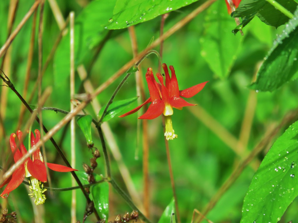 Columbine
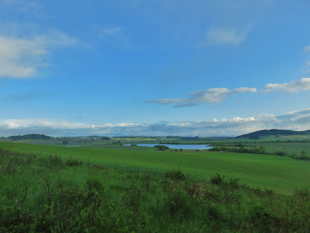 Morgan Lake from the trail.
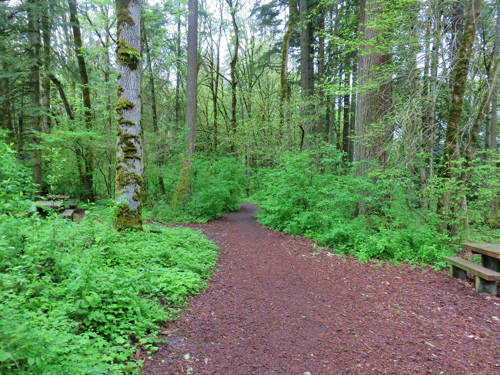
 Heading into the woods.
 Spotted towhee
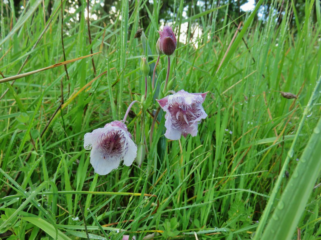


 Old tree trunk
 Ferns
Ferns Woodland stars
 Thin-leaf pea (and a spider behind the blossoms)
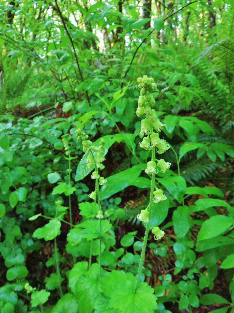 Fringecup
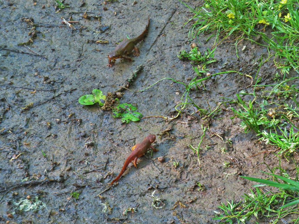 Given their size we believe this was proper social distancing for rough-skinned newts.
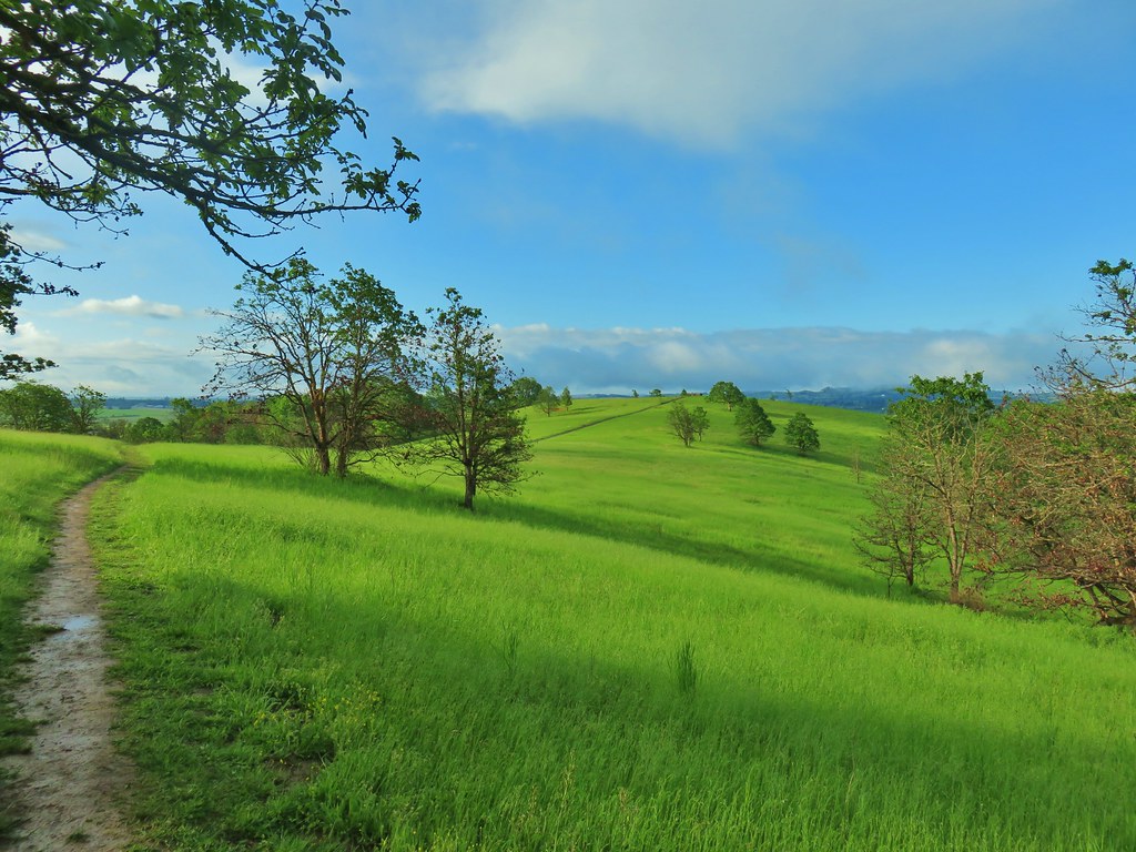
 Western meadowlark
 Tomcat clover
 Giant blue-eyed Mary
 A checker-mallow surrounded by pale flax
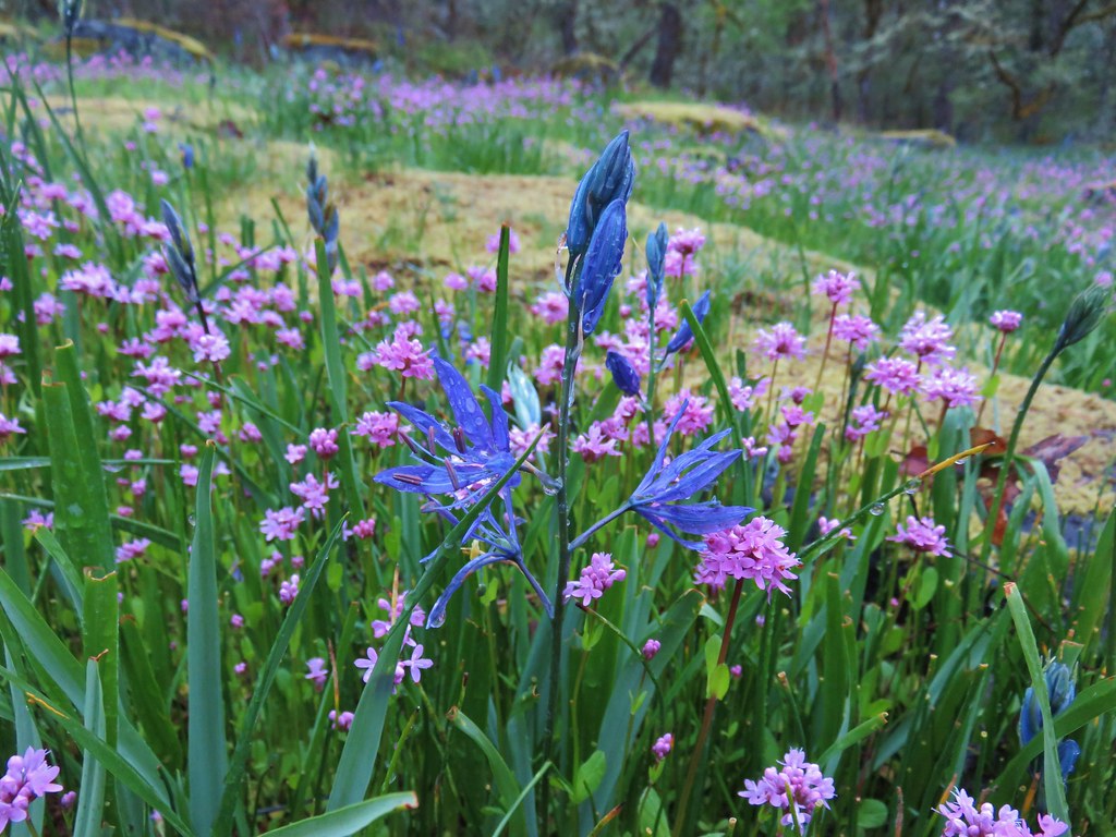
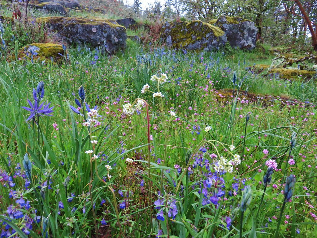
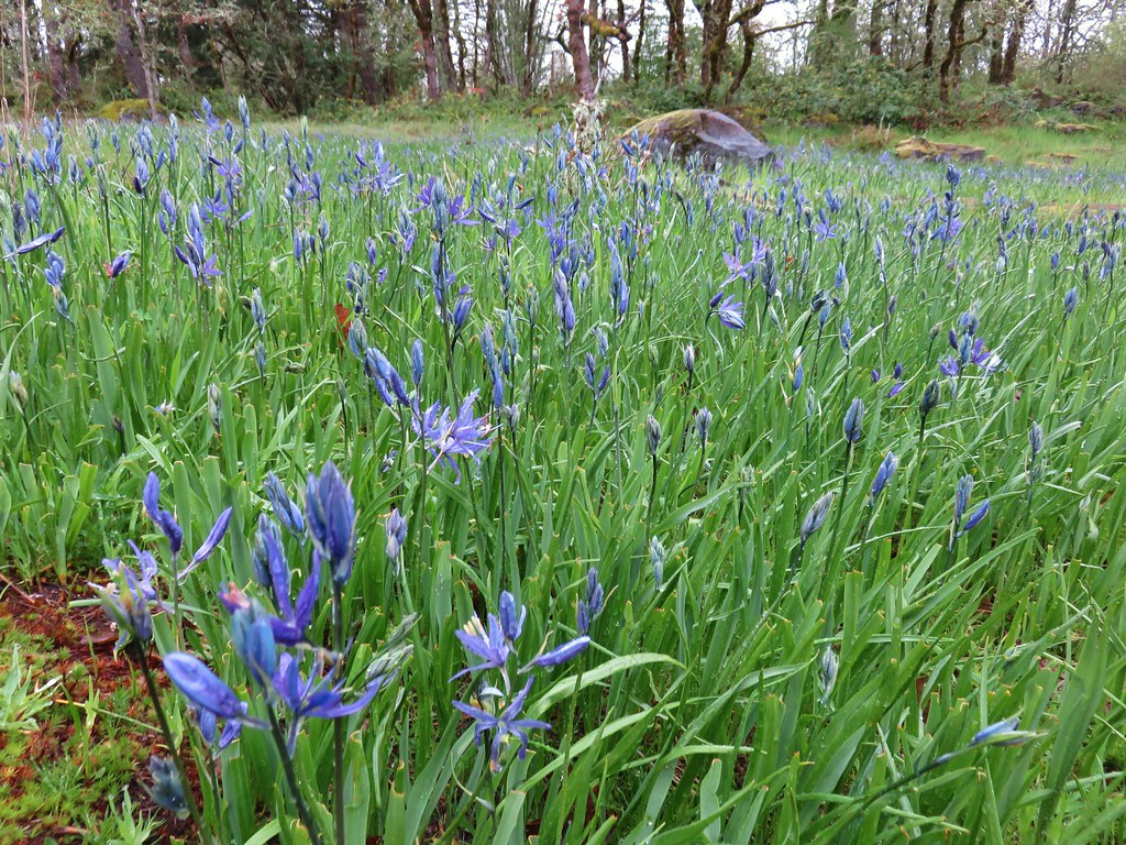
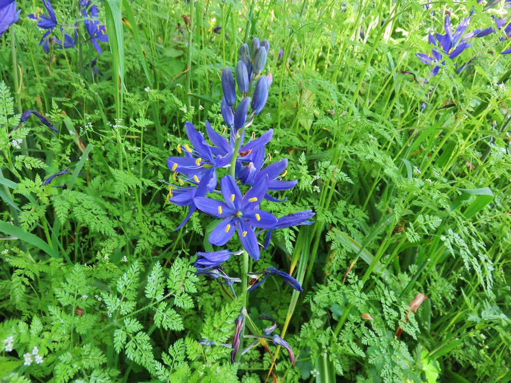
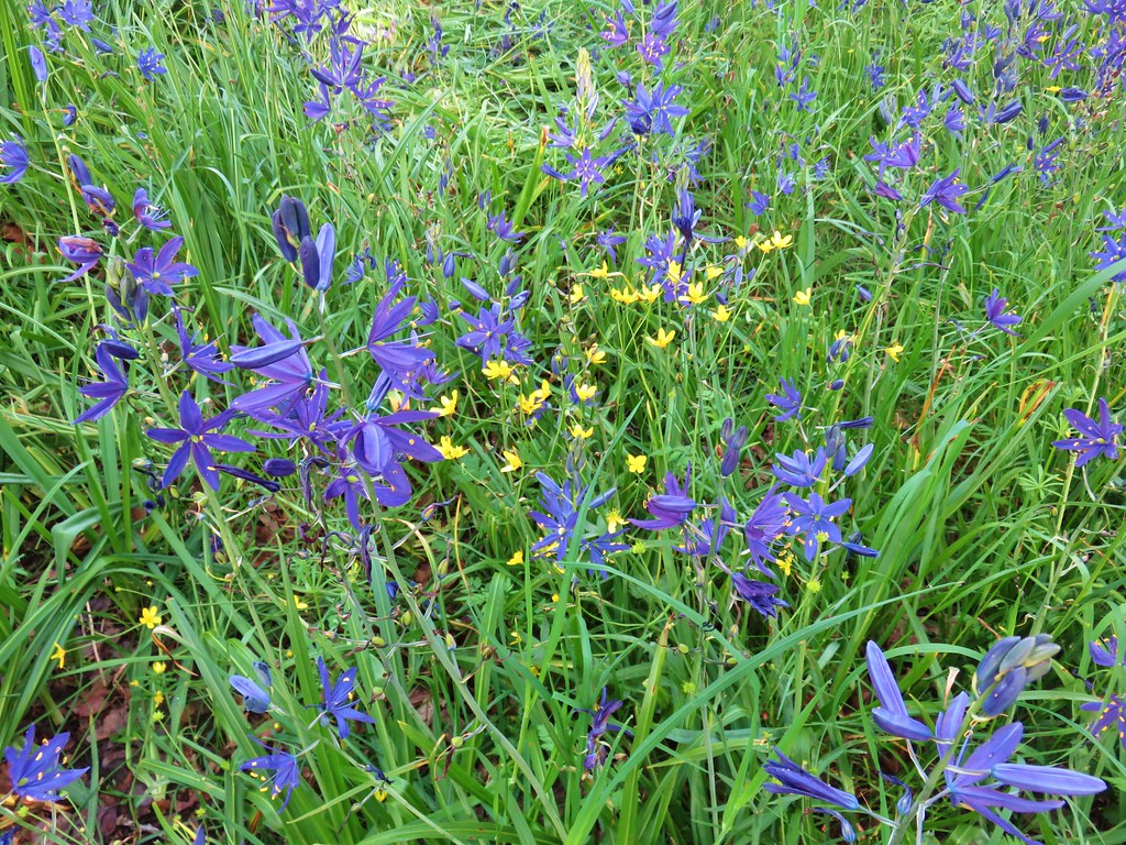
 Camas
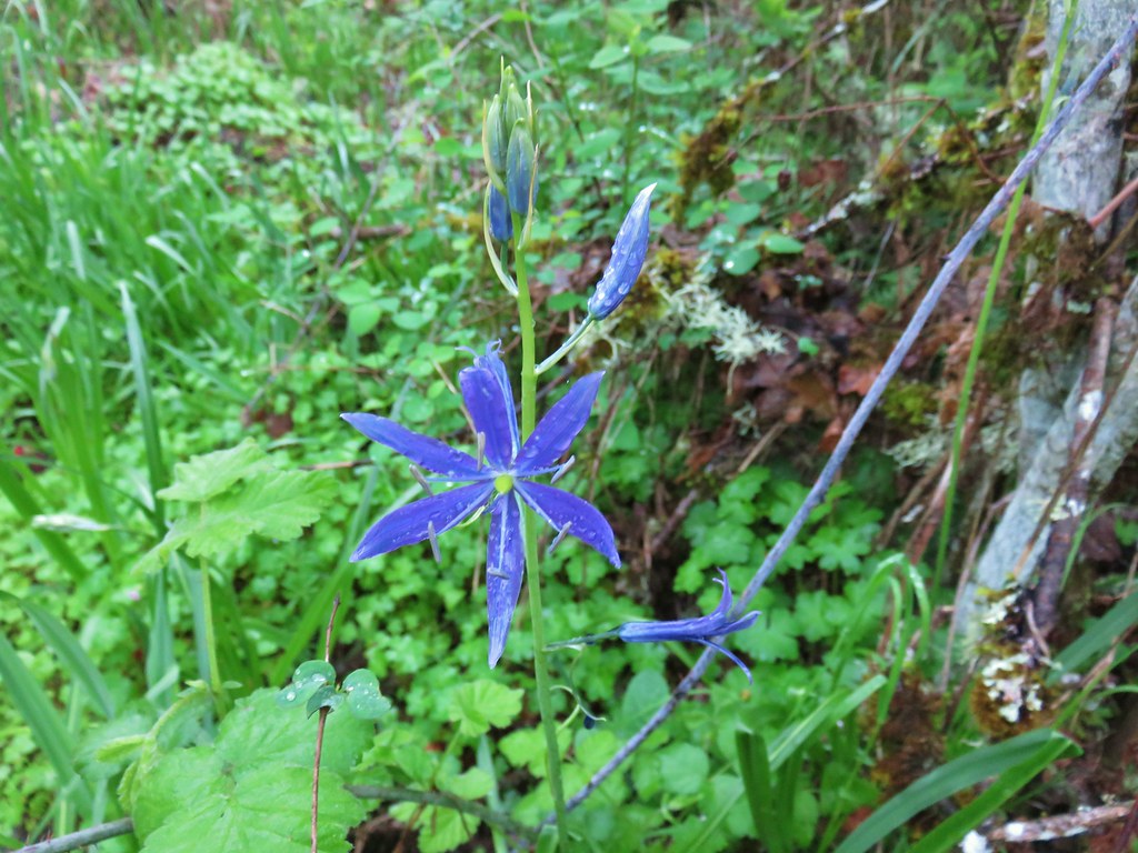
Camas
 Plectritis
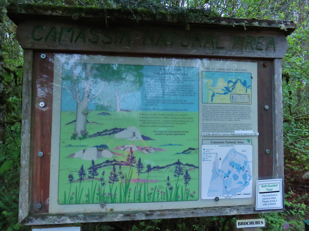
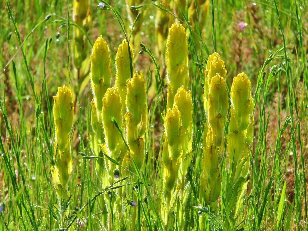 Castilleja levisecta – Golden Paintbrush which historically occurred in the grasslands and prairies of the Willamette Valley. The species had been extirpated from the valley with the last sighting in Oregon occurring in Linn County in 1938. It was reintroduced to various areas starting in 2010 including here at Baskett Slough. In the wetter areas it failed to take but the plant has managed to take hold on Baskett Butte.
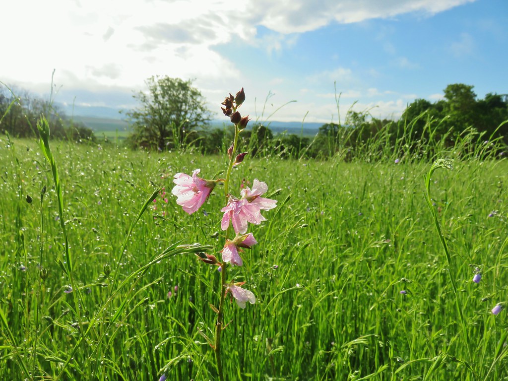

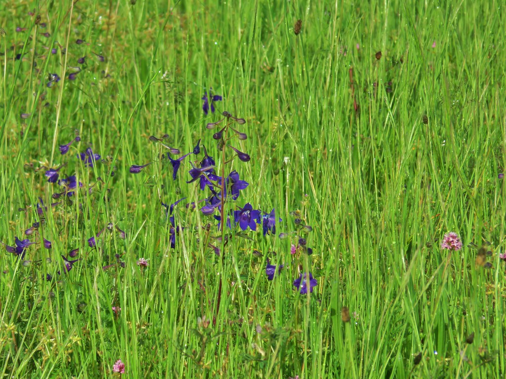 Larkspur
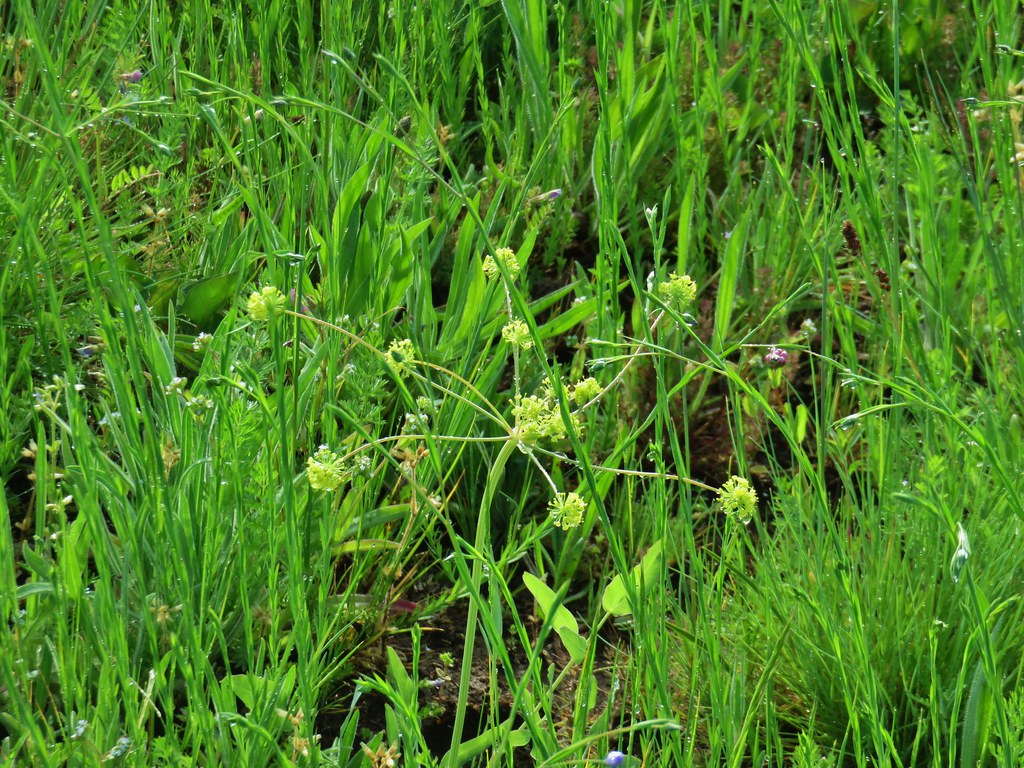 Biscuitroot
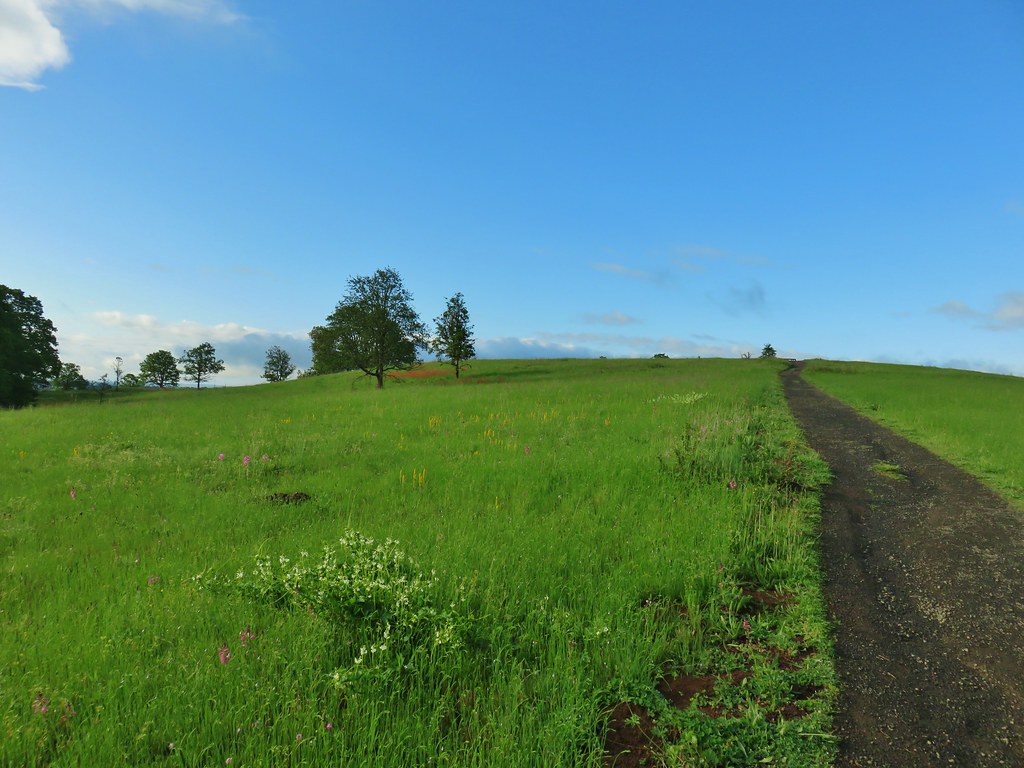 The white patch in the foreground is coastal manroot while the red patch uphill is columbine.
 Some of the mass of columbine.
 Tolmie’s mariposa lilies

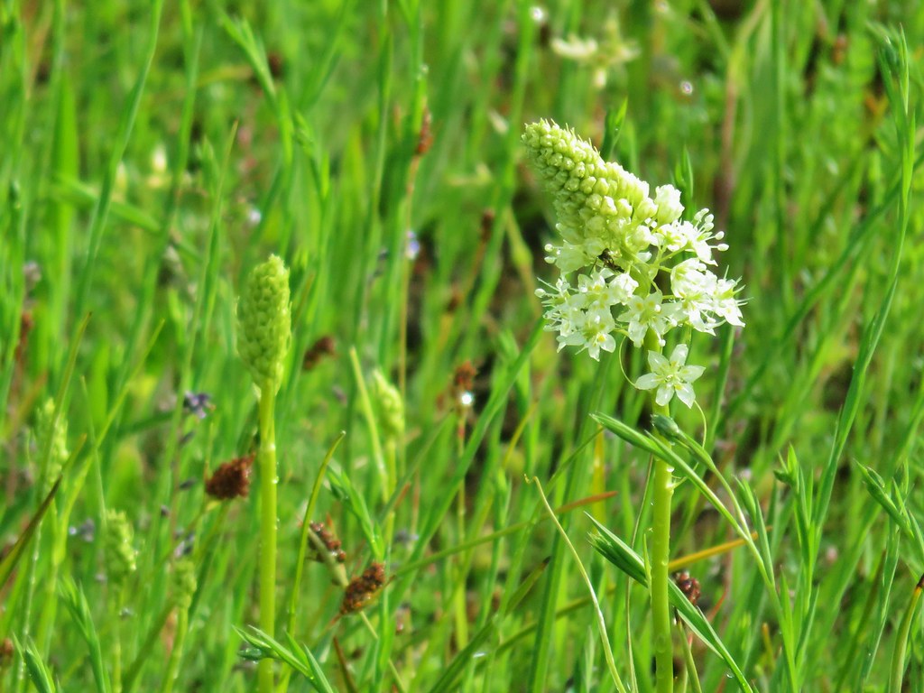 Meadow death camas
 Oregon sunshine
 Hairy vetch
 Purple sanicle

 Yarrow starting to bloom.
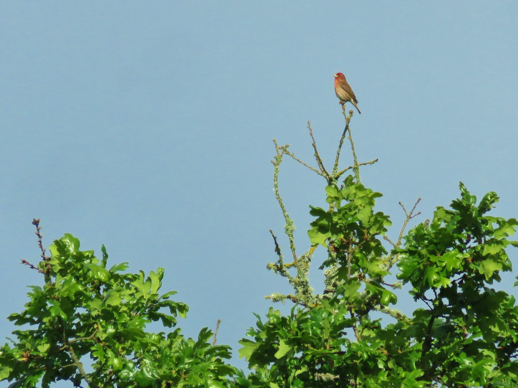

 A pair of American goldfinches
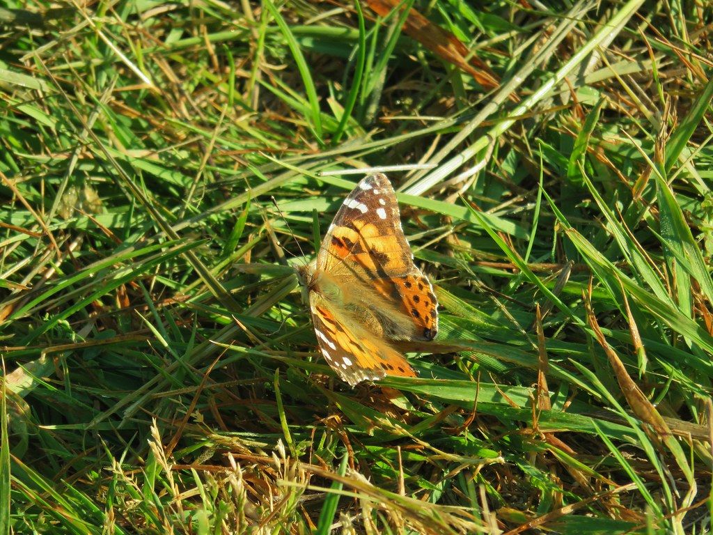
 Silvery blue butterfly
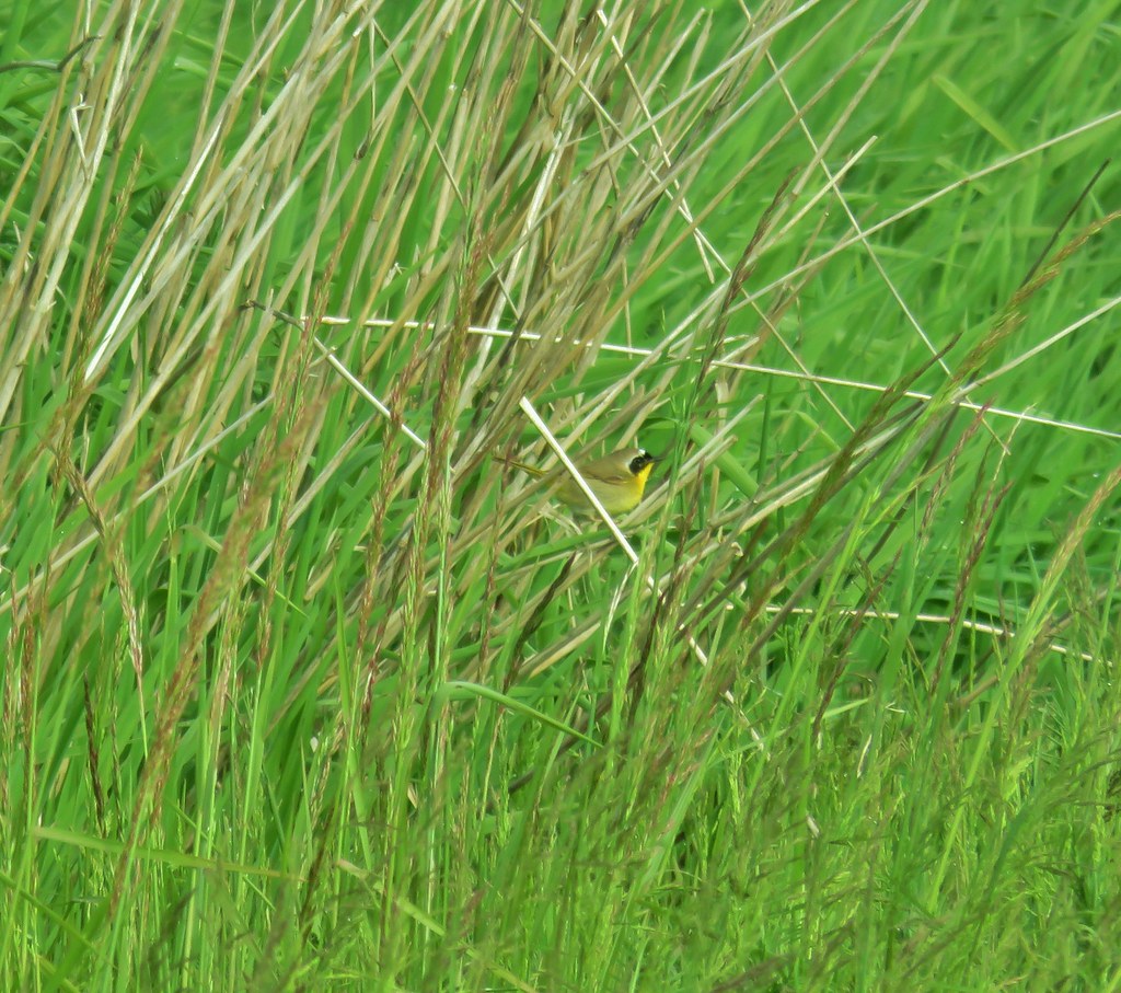 Common yellowthroat
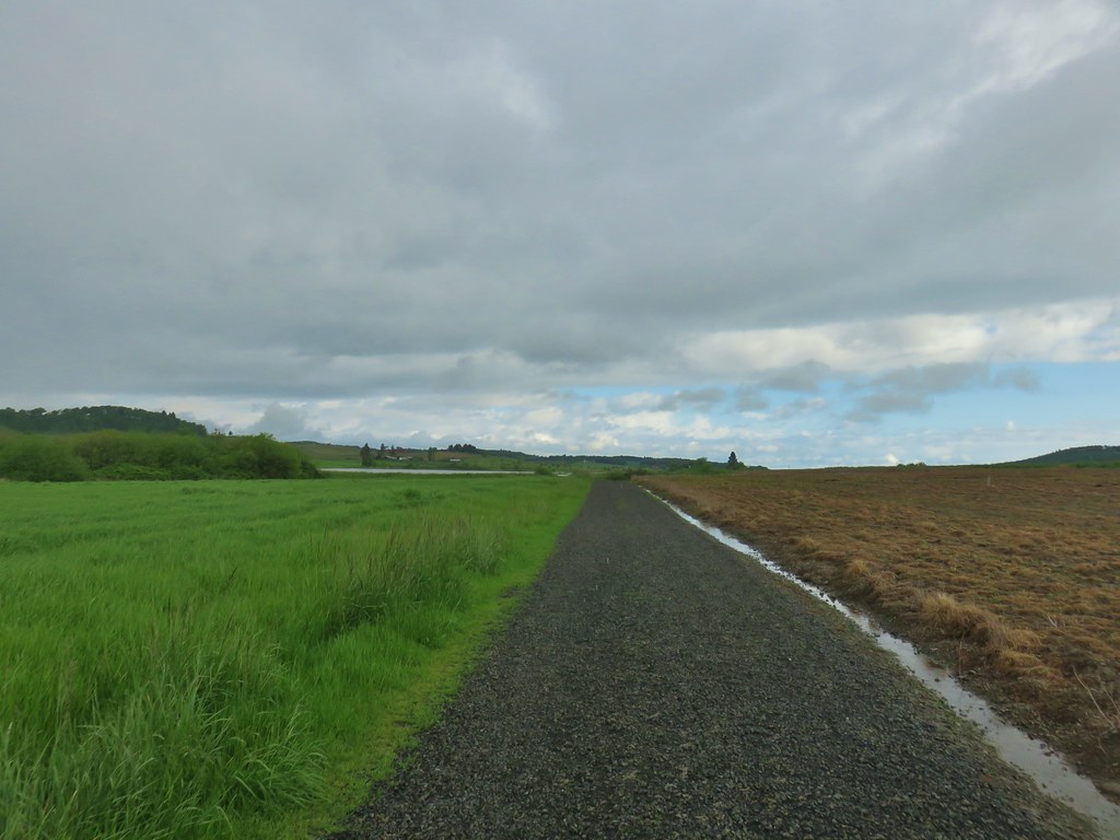
 Moffiti Marsh
 Great blue heron flying over
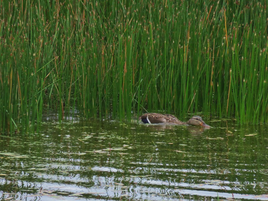
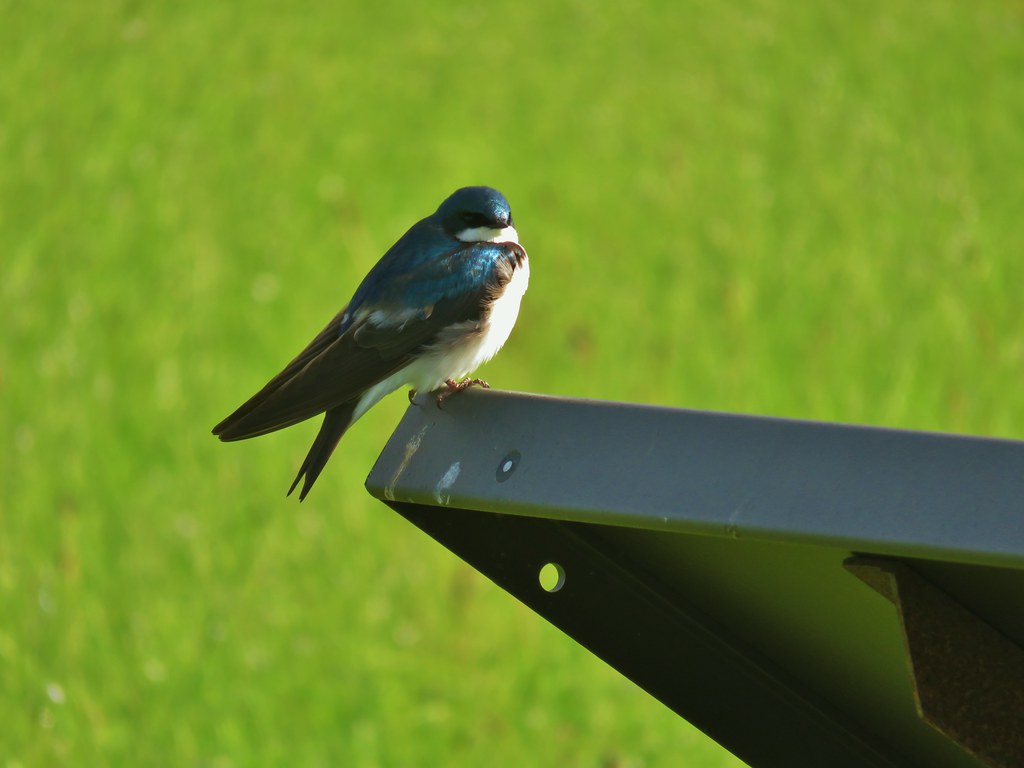
 Ducks on the water and swallows in the air.
 Northern shoveler on the left.
 A couple different types of ducks.
 Western bluebird
 Female western bluebird gathering items for a nest.
 Wild rose
 Canada geese flying over.
 Two pairs of American goldfinches.
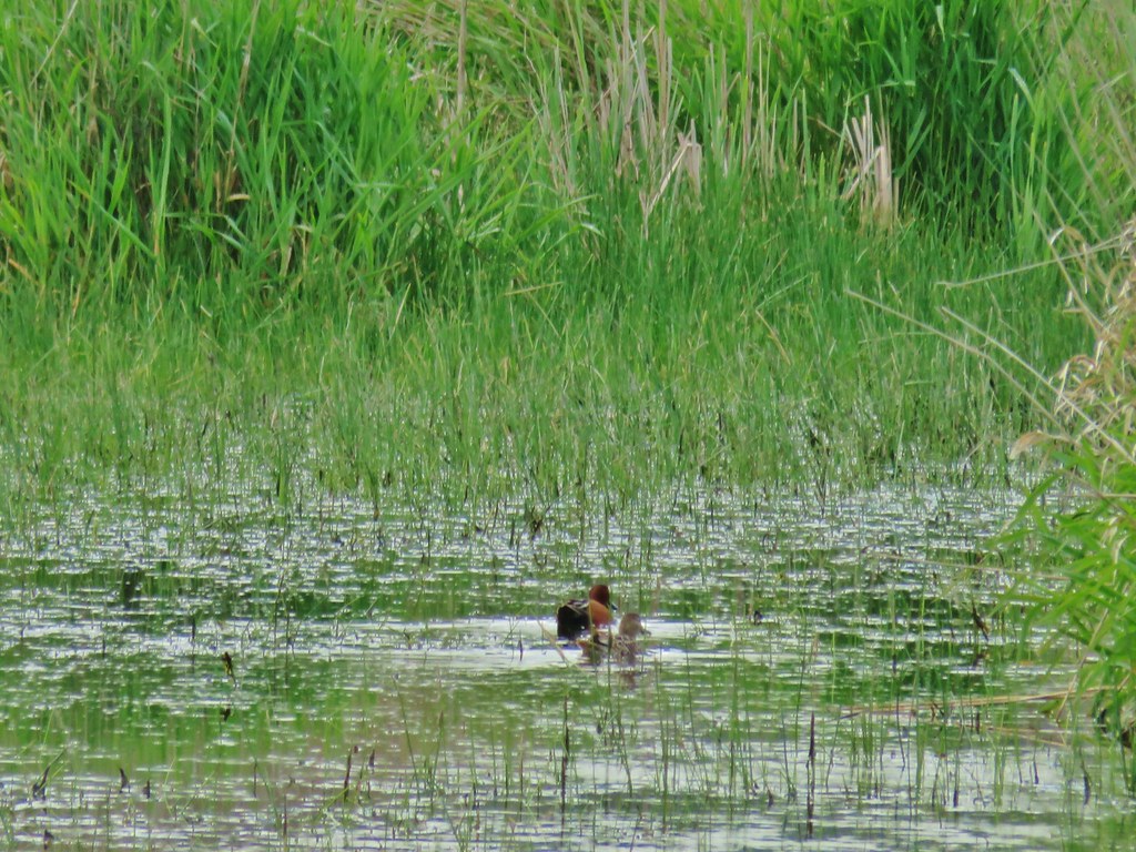 Cinnamon teal
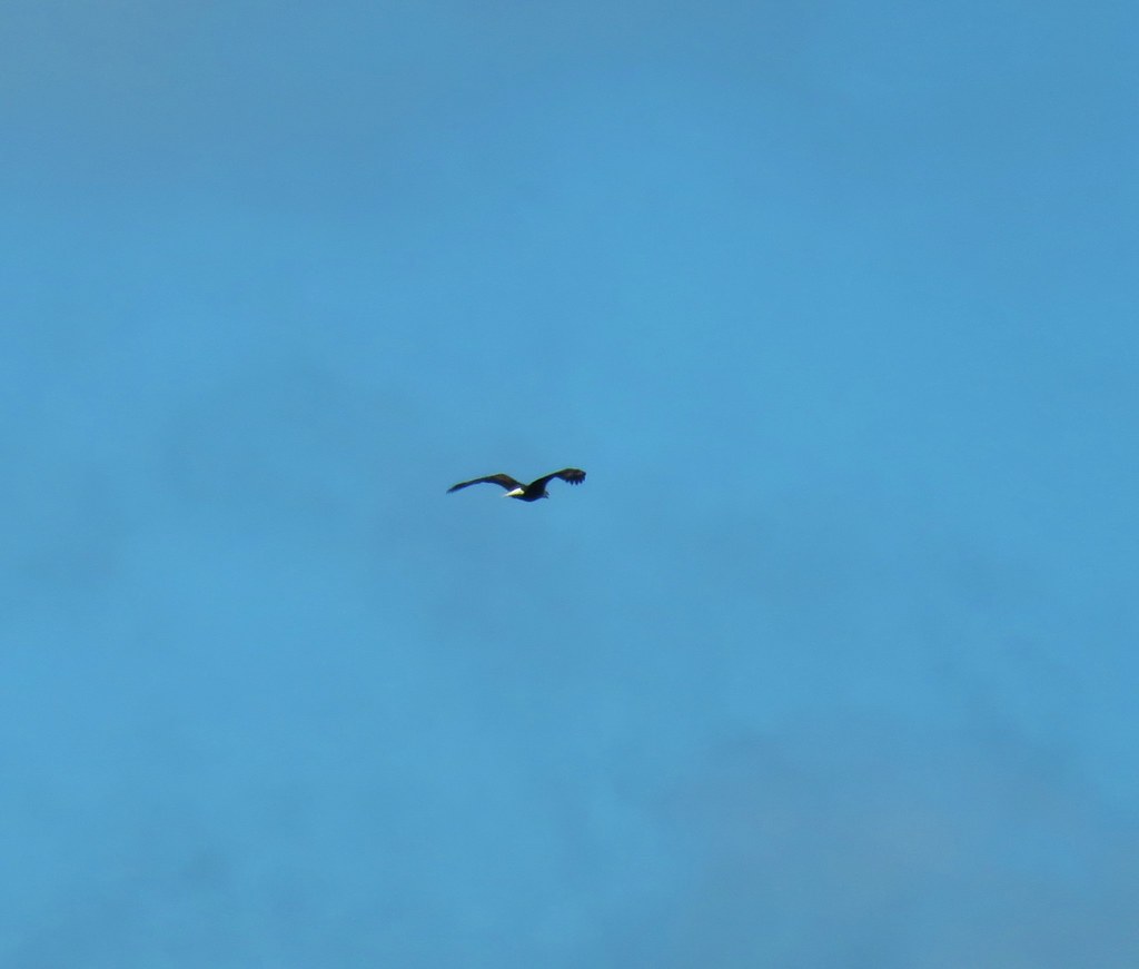 Bald eagle flying overhead
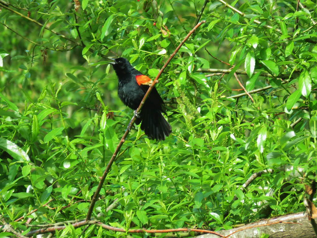 Red-winged blackbird
 Moffiti Marsh


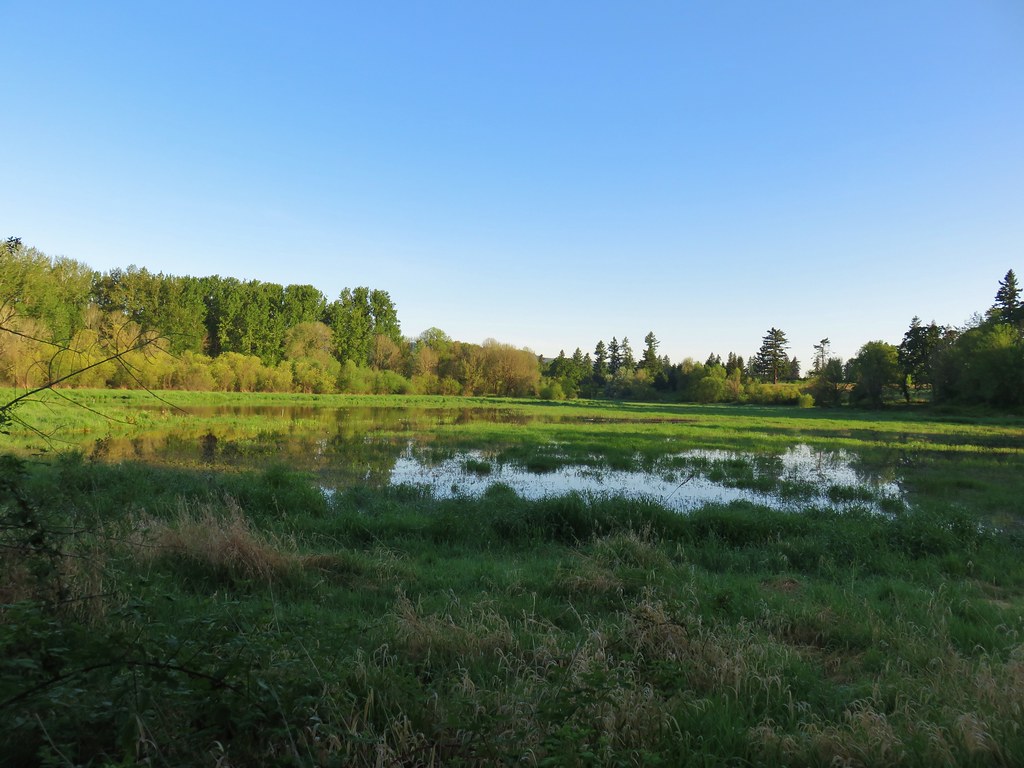
 Wetlands near Eola Ridge Park
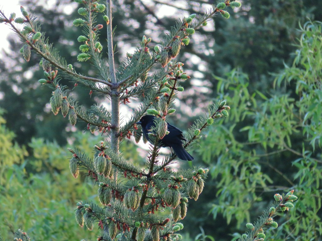 Red-winged blackbird
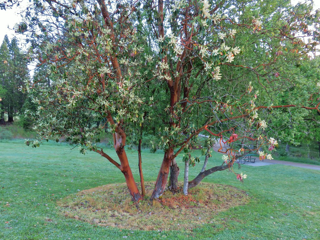 Madrone in Eola Ridge Park
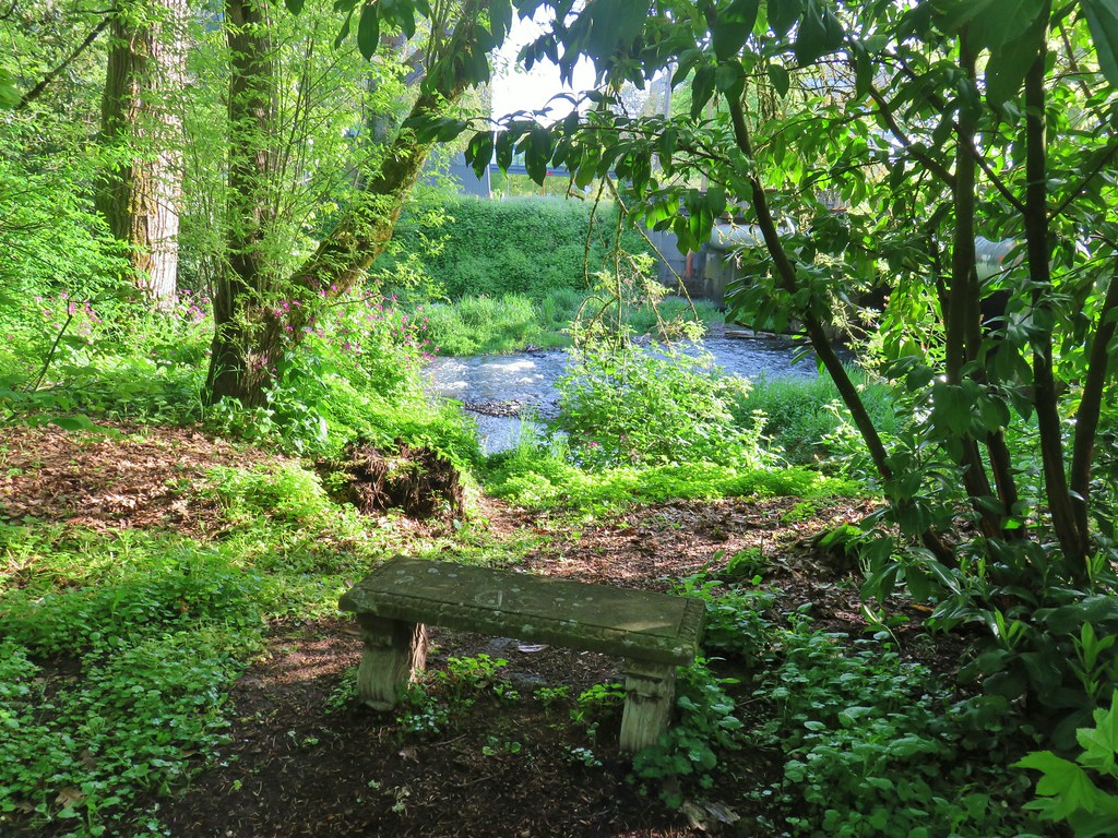
 Bleeding heart and miners lettuce around a small bench.

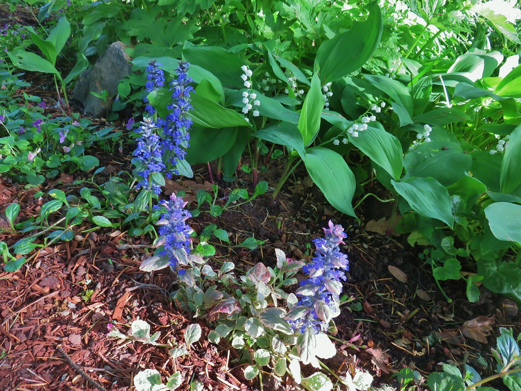
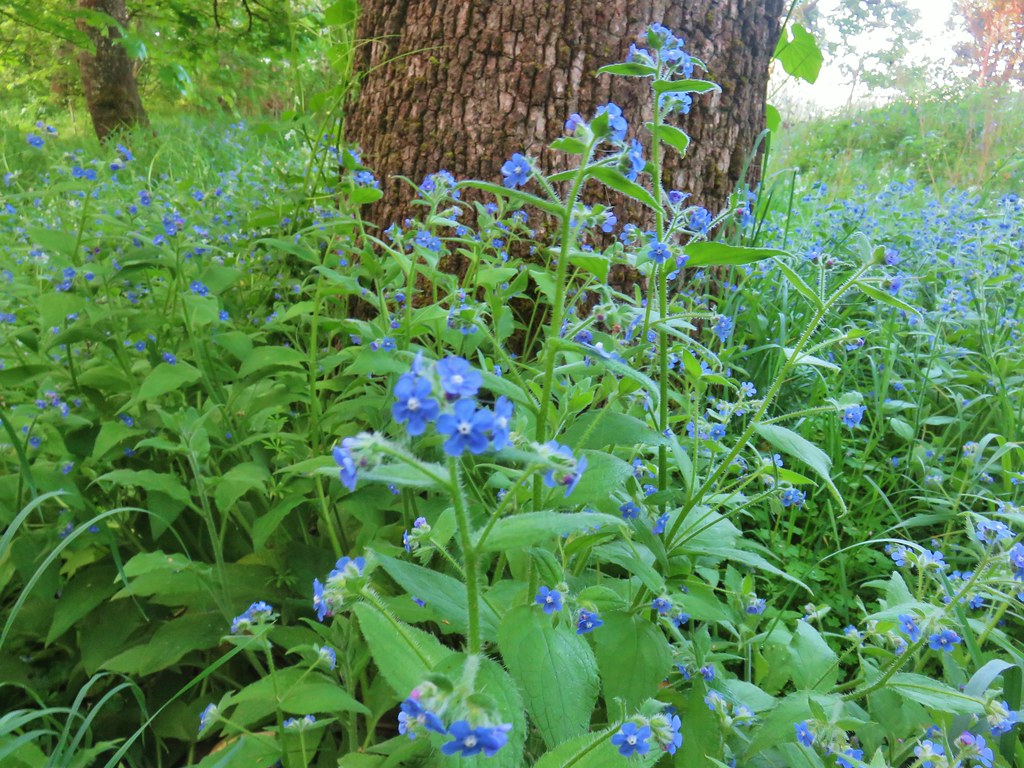 Possibly forget-me-nots.
 Fringecup
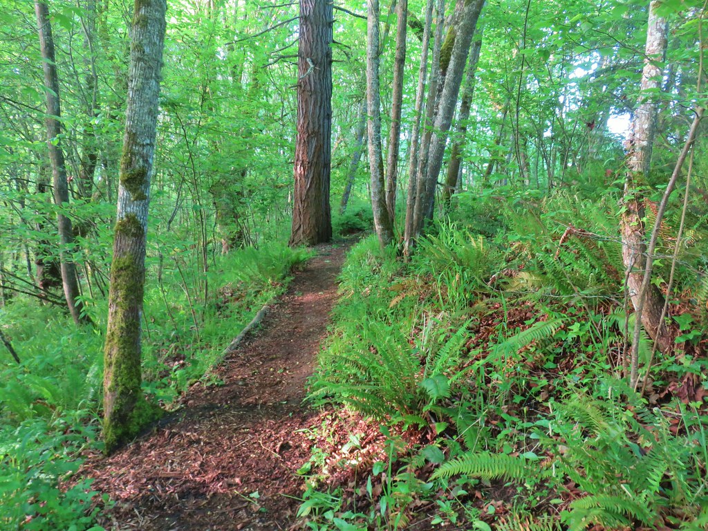
 Giant white wakerobbin
 Coastal manroot and annual honesty
 Blue-bells
 Plummed solomon’s seal
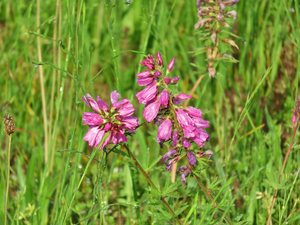
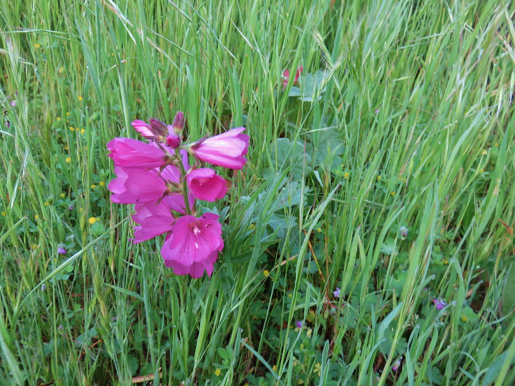 I think this is a checker-mallow but I’m never sure between the checker-mallows and checkerblooms.
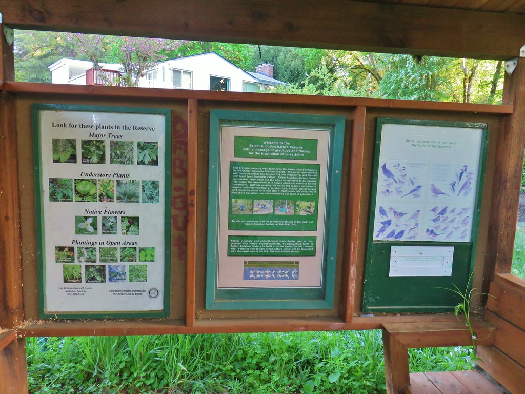
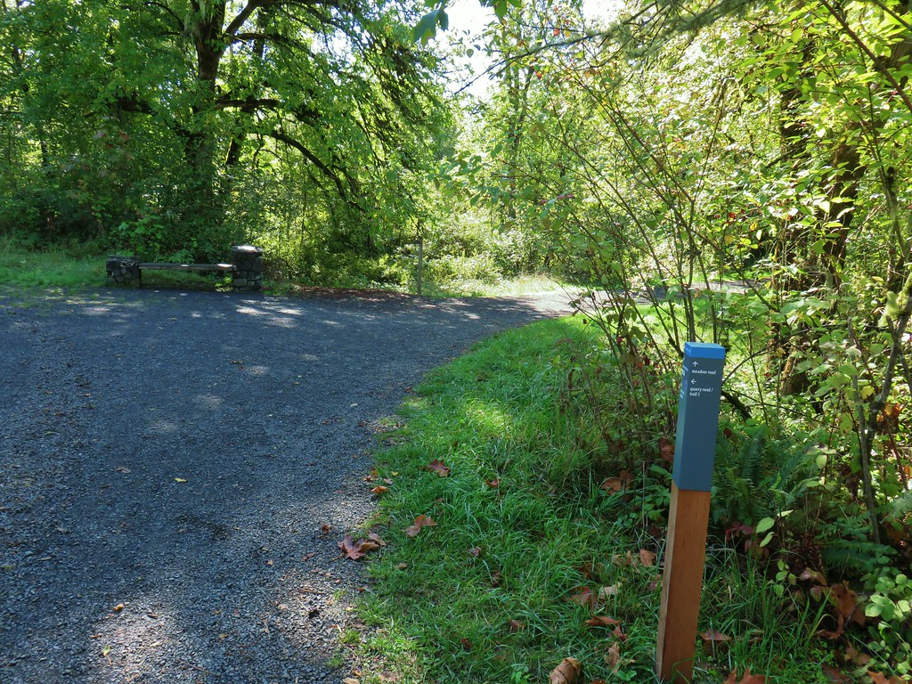
 The city has put up a number of these direction pointers all over Salem which are actually really helpful.
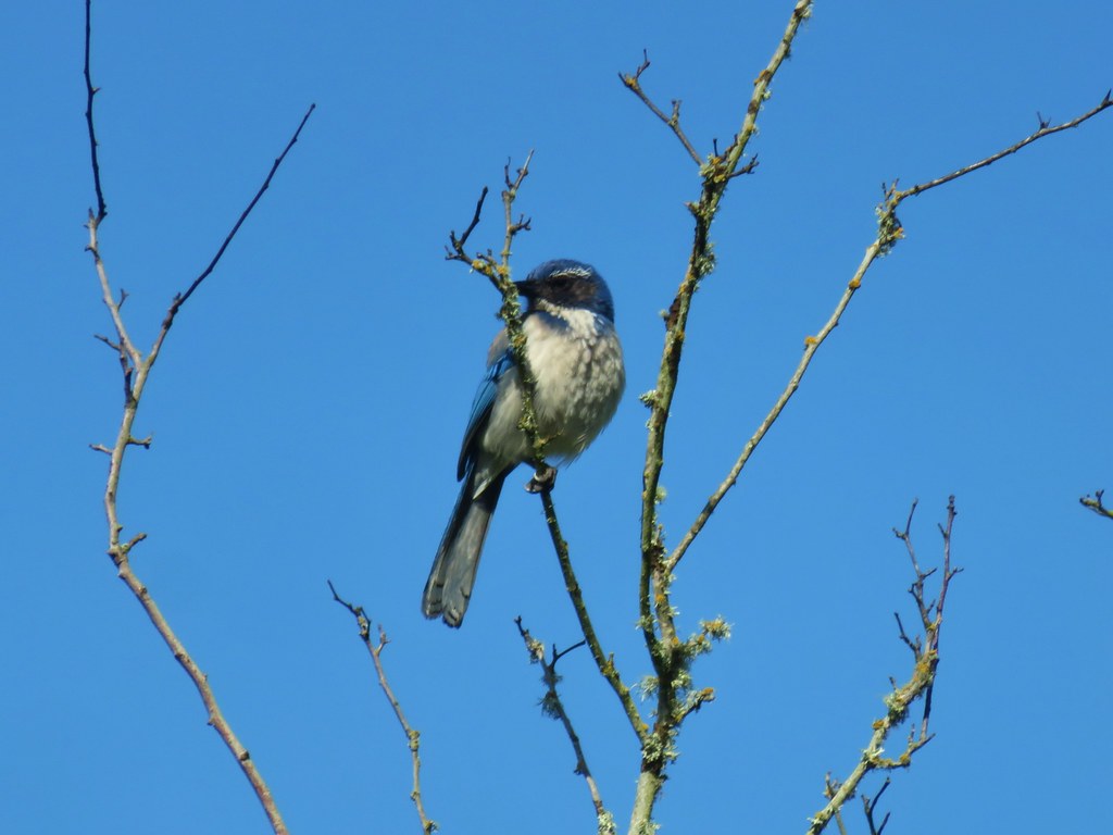
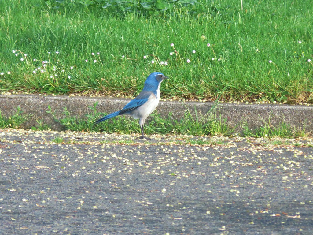 Scrub jay
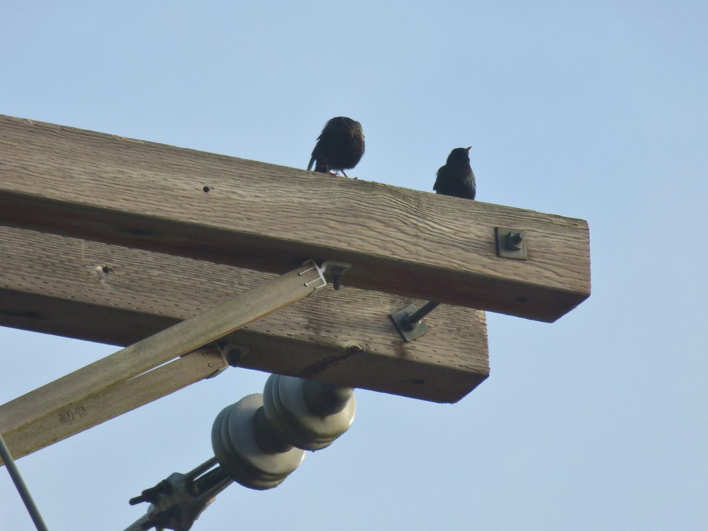 Starlings
 Spotted Towhee
 Path leading to the Union Street Bridge
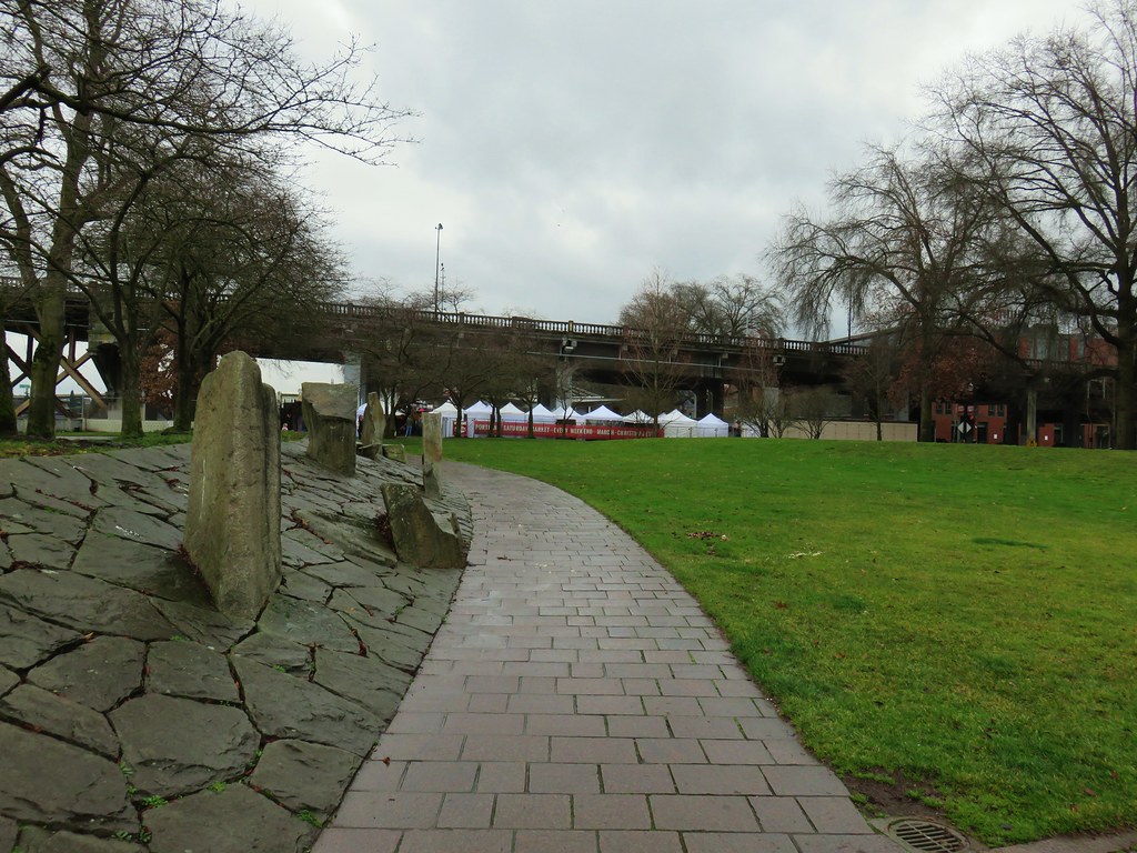
 Family of geese
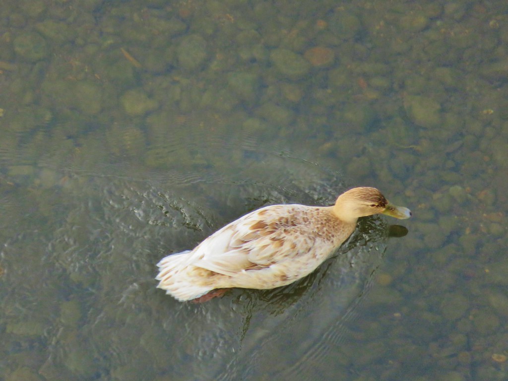 A very light colored mallard
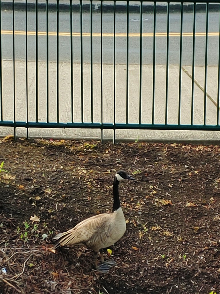

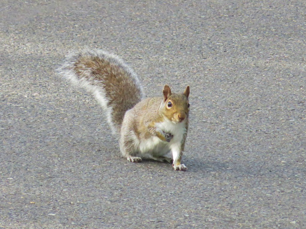
 Two squirrels on a tree.
 This squirrels was vigoursly attacking this bush.
 (We hope this mask was no longer usable because we’d hate to see them wasted, but it did make us chuckle.)
 Pringle Creek from Commercial Street with City Hall in the distance.
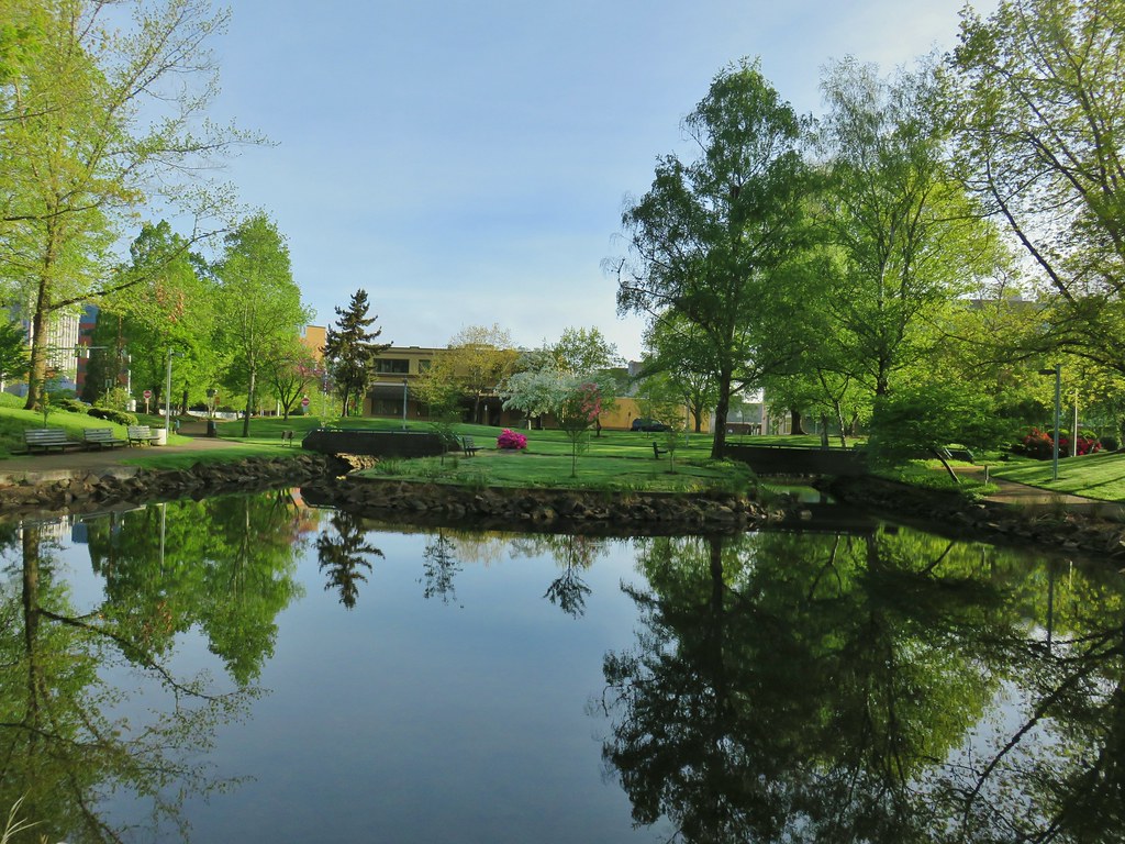
 The Mirror Pond
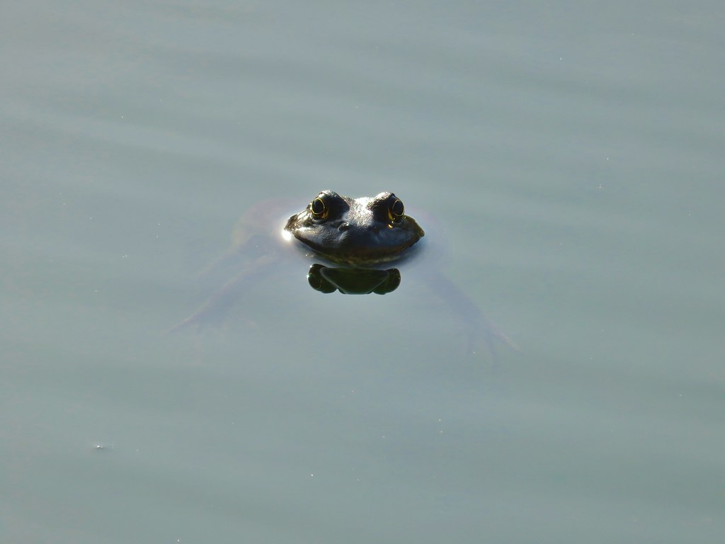

 The heron statue
 Mallards
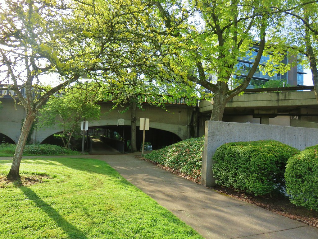


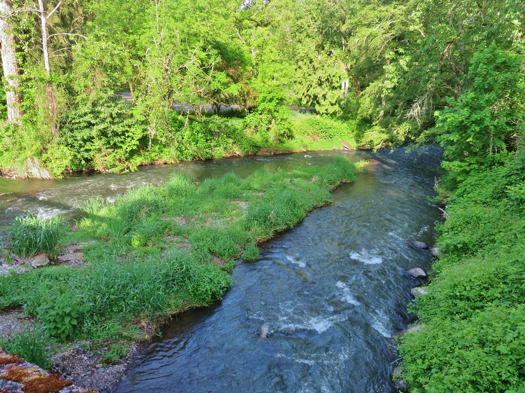 Pringle Creek at Church Street.
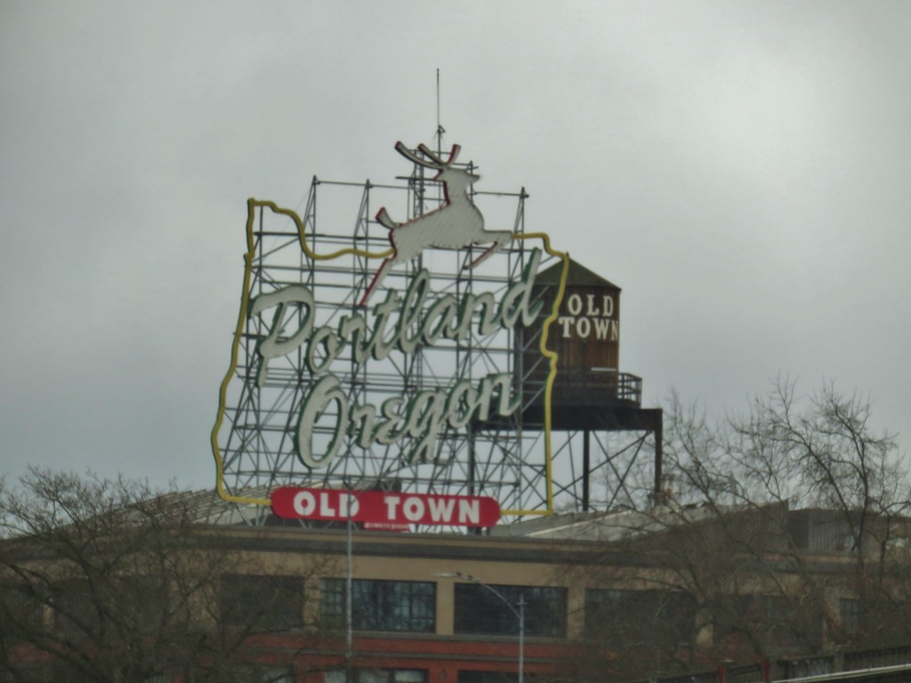
 Passing the
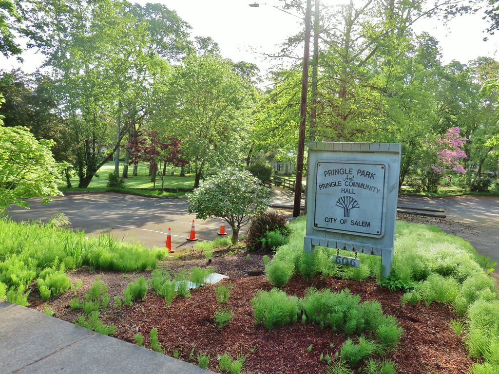
  Sign at Bush Park
 Bush House Museum
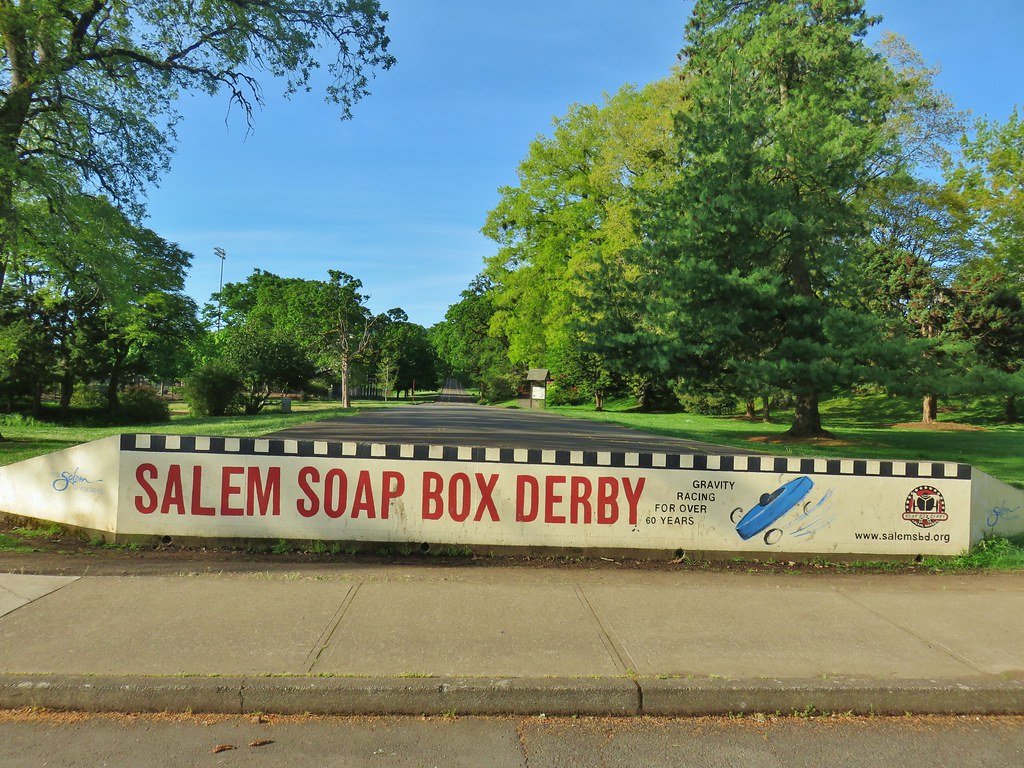


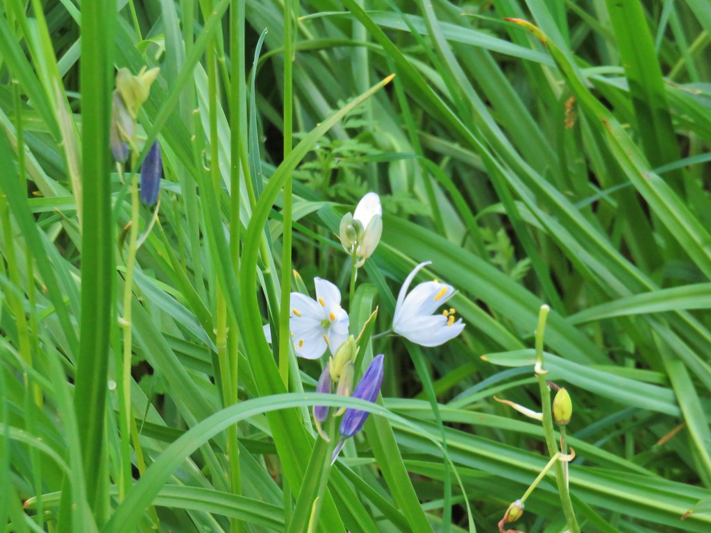 A white camas
 Western buttercups
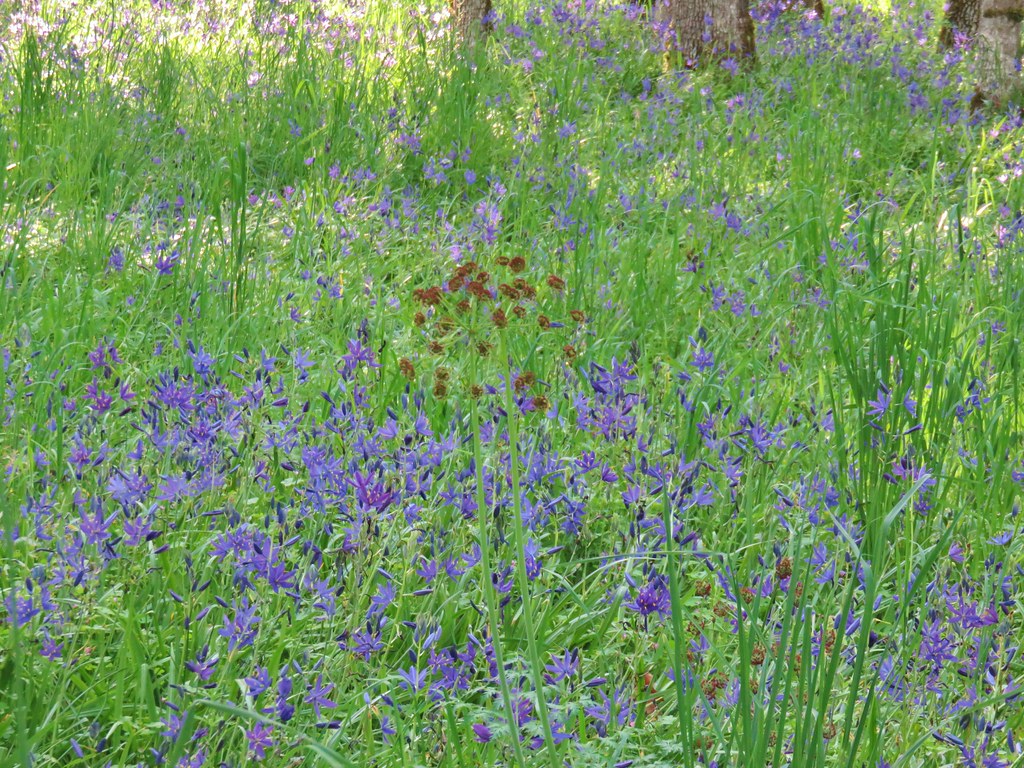 Buscuitroot
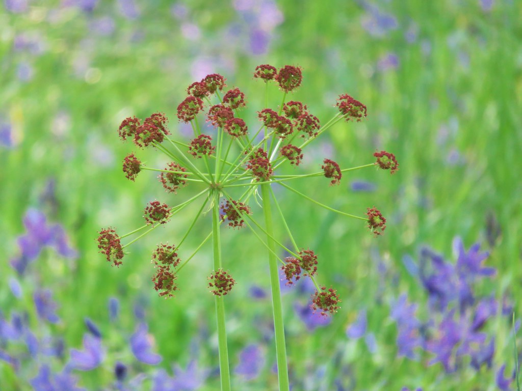

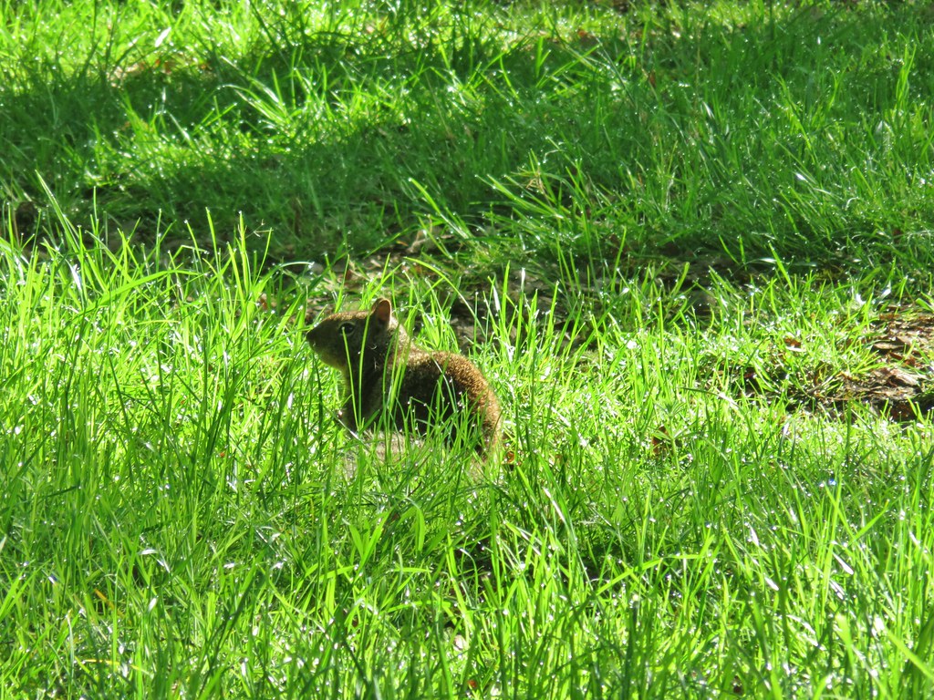 Ground squirrel


 Neat old carraige in a yard.
 Stellars Jay


 Another scrub jay
 We risked the caution for mud and high water since this was the shortest way to the bridge.
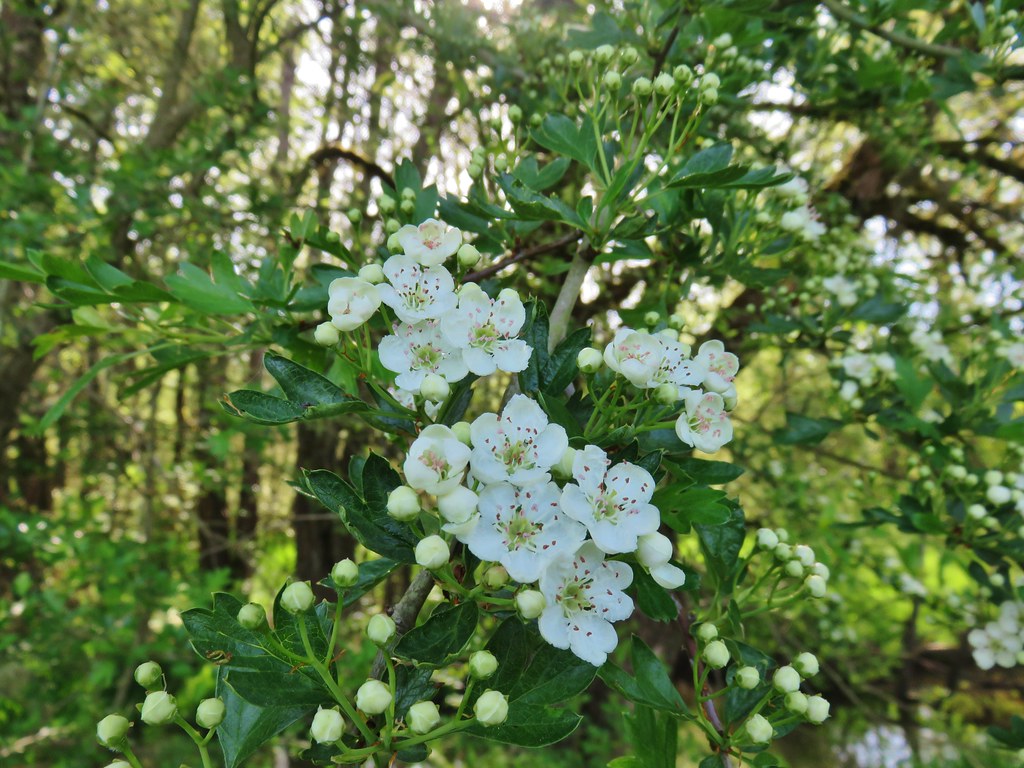 Tree blossoms
 The high water wasn’t an issue, but it was really muddy around that puddle.
 Sparrow
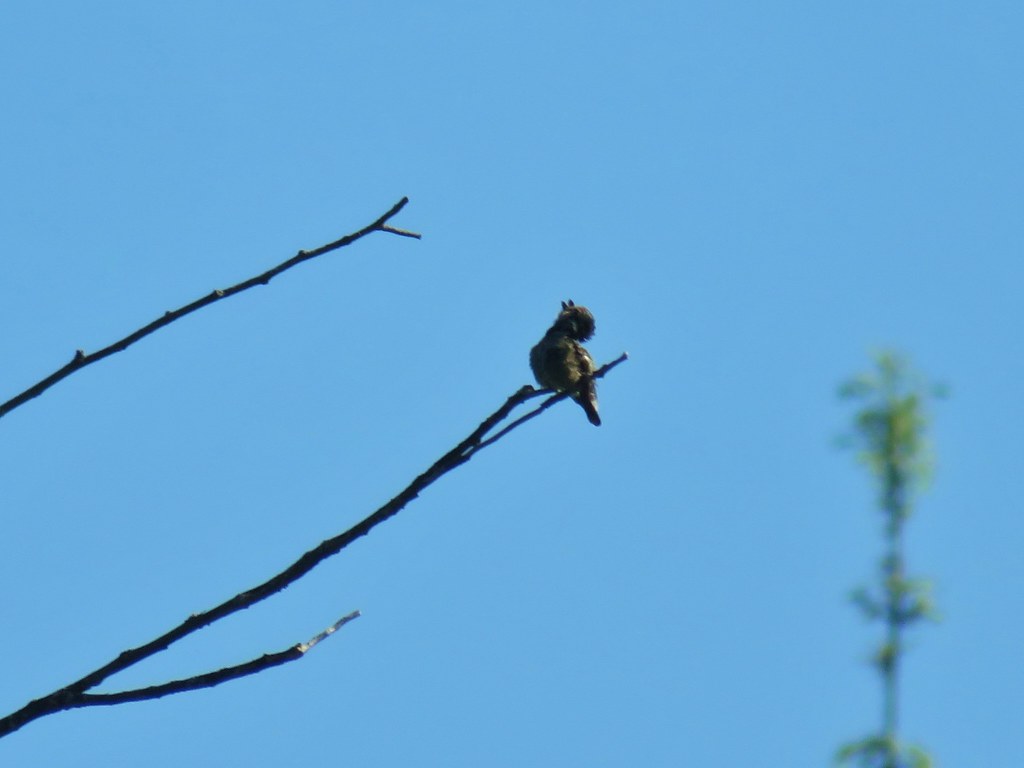 I mistook this small bird for a hummingbird but after looking at the photo it might just be a baby?
 We tried to take our first sit down break of the day here but the bench was still wet from the morning. On to Riverfront it is.
 Looking across a field to West Salem and its green water tower in the hills.
 California poppy
 Red flowering currant
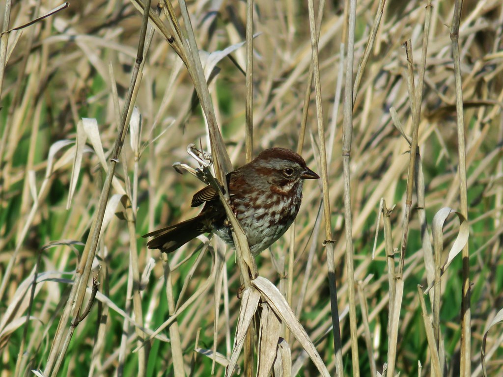 Sparrow
 Western service berry
 Crossing the Peter Courtney Bridge.
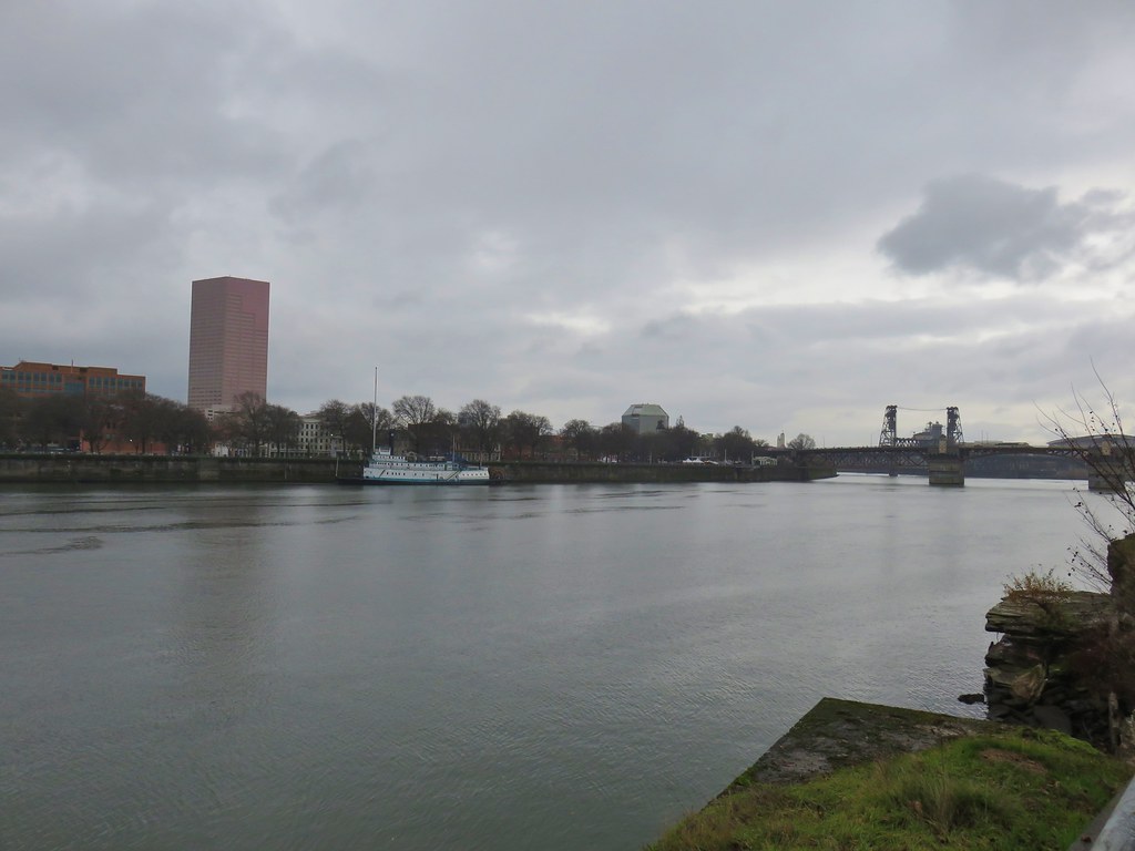
 Willamette River from the Union Street Bridge
 More geese
 Perriwinkle
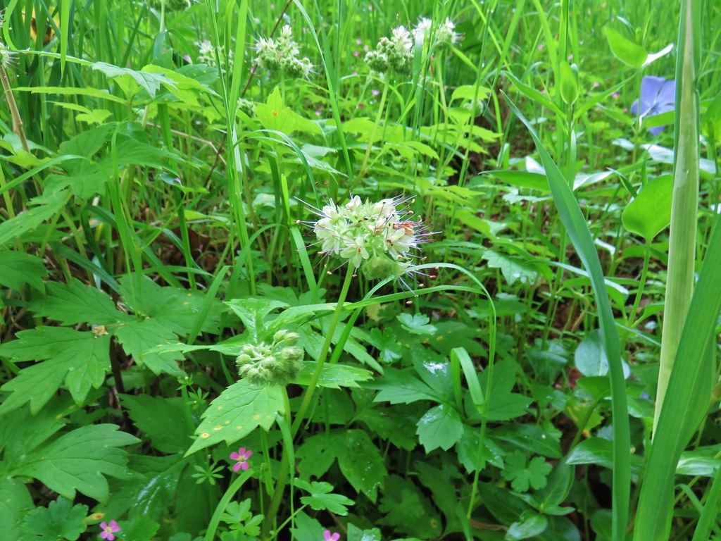 Pacific waterleaf
 Camas
Camas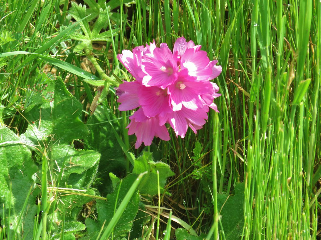 Another checker-mallow(or checkerbloom)
 California poppy
 Haven’t figured this one out yet.


 Mt. Hood beyond the green water tower.
 Mt. Adams through a little haze.


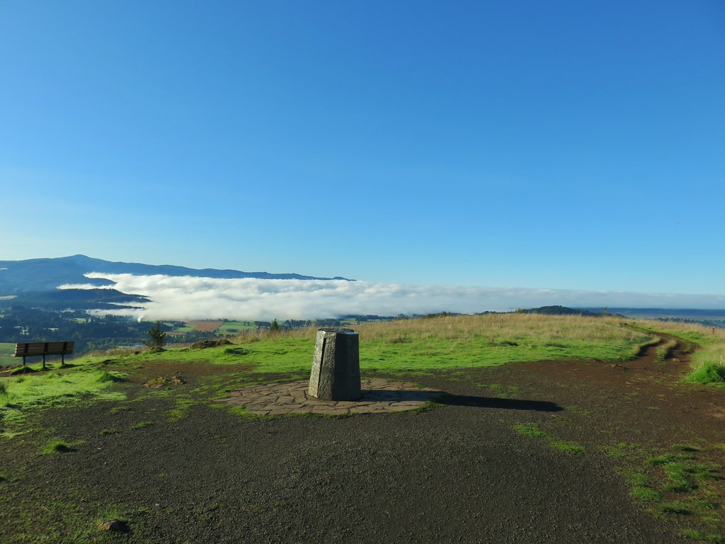
 Spencer Butte’s summit high point.
 View north from the high point towards Mary’s Peak (


 An older tree along the trail.
 Mushrooms on a trunk near the clear cut view.
 Violet


 Heather emerging from behind the outcrop.


 Bridge over a small stream.
 Heading into a little bit of fog.
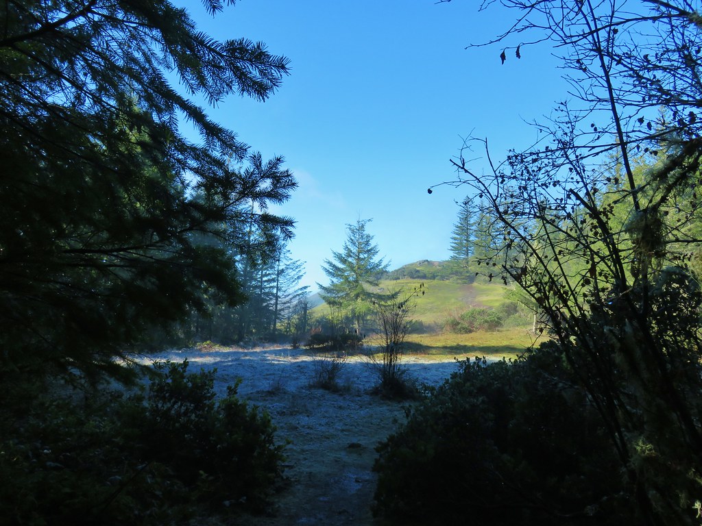
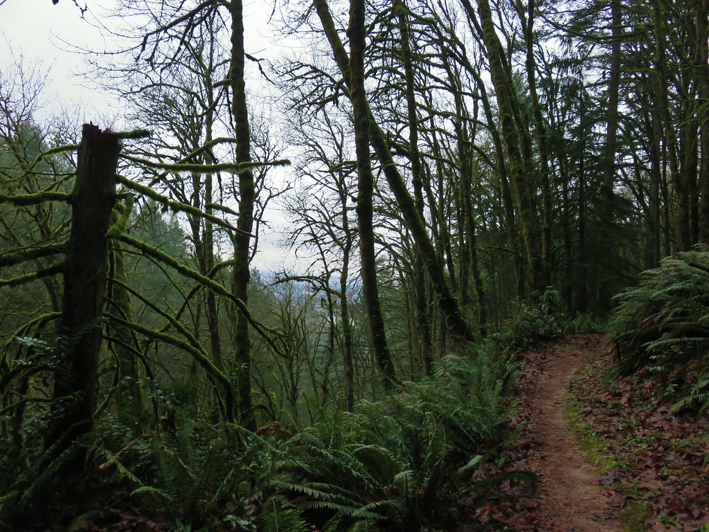 Too cloudy for any real views.


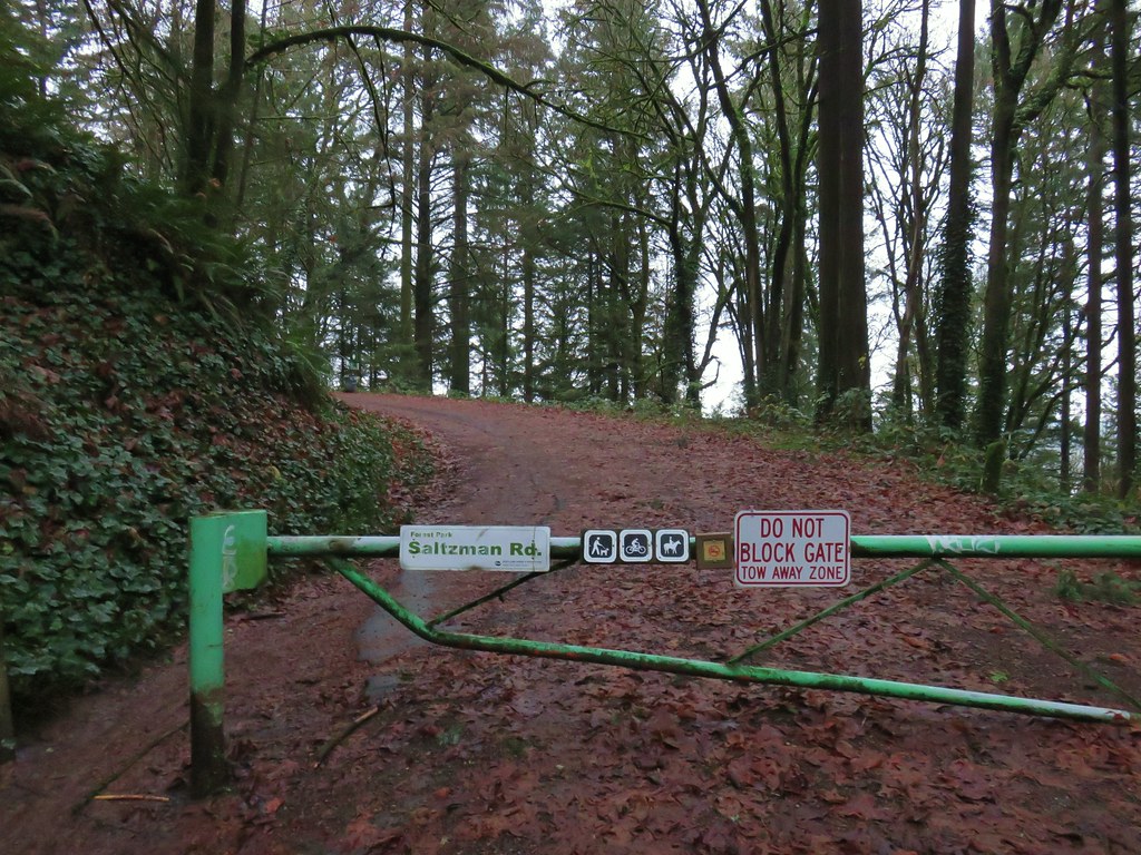
 Saltzman Road at the 2.5 mile mark of the 3.2 mile stretch.
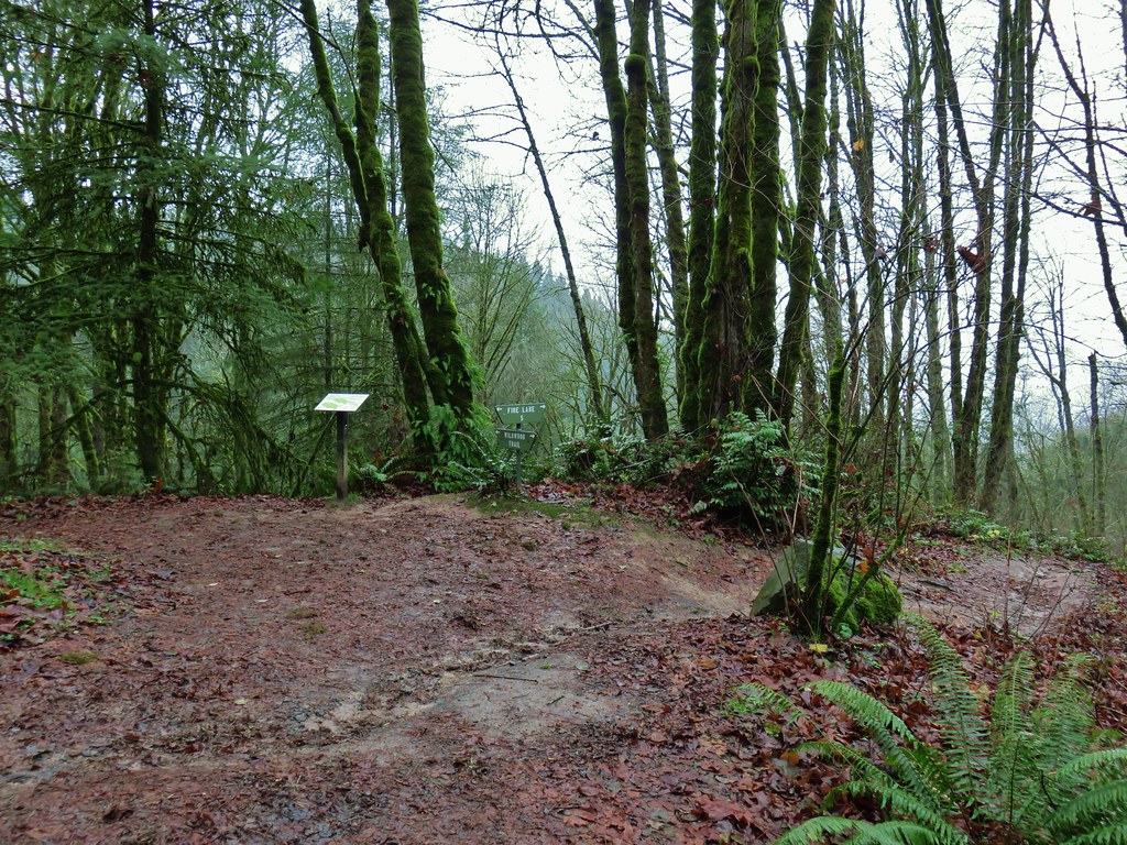

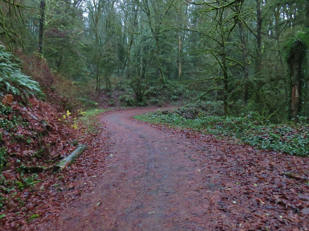
 Aproaching Leif Erikson Drive.


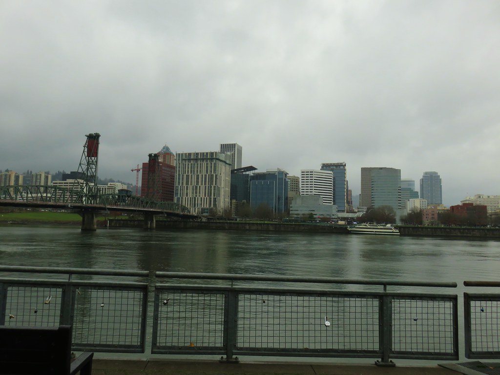
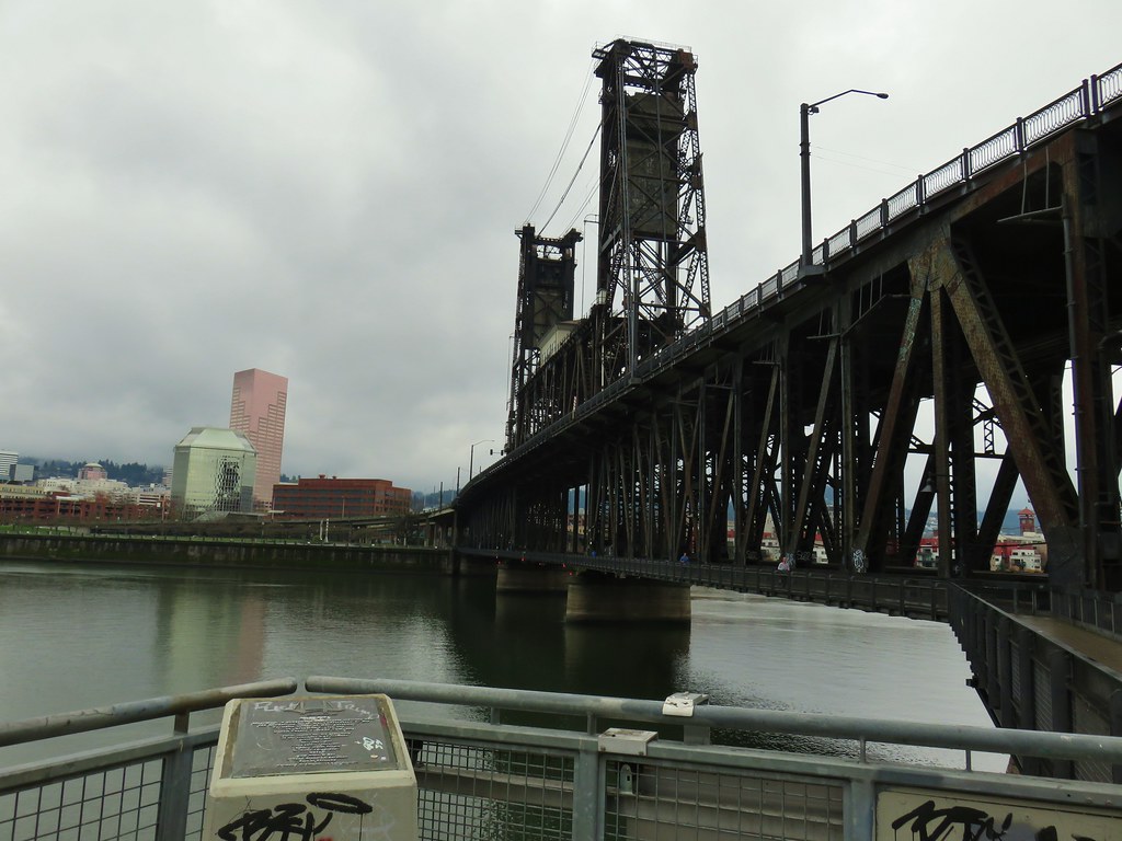
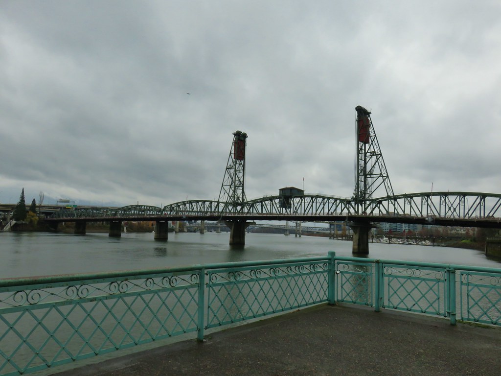 Hawthorn Bridge


 Marquam Bridge from Tilikum Crossing.
 Tilikum Crossing from the esplanade.
 Behind OMSI
 More geese.
 Cormorants
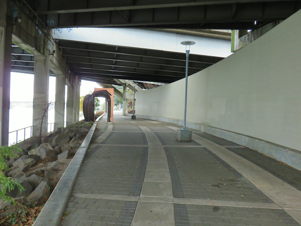


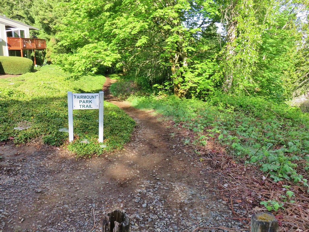
 Trail 17 to the left with Trail 1 straight ahead.


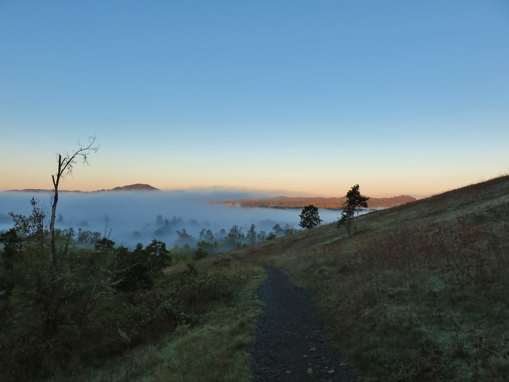 Some of the patchy fog in the valley over Eugene.
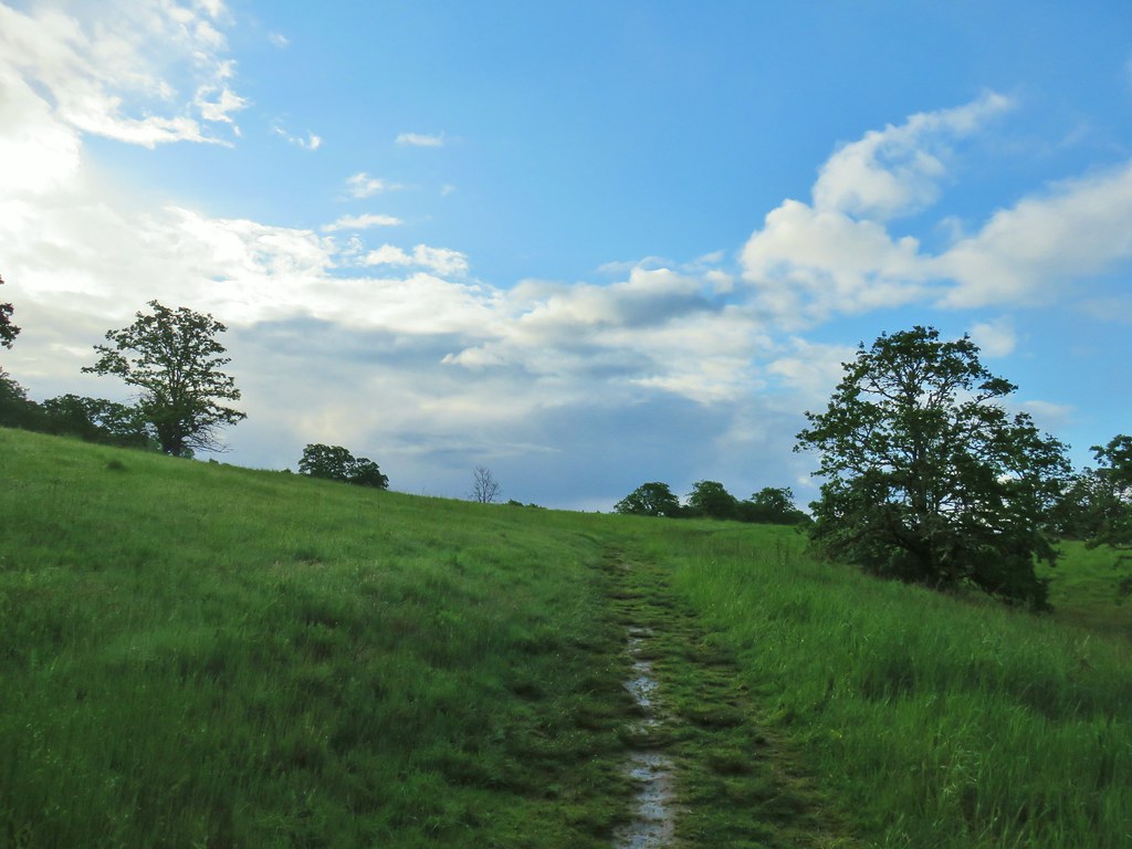
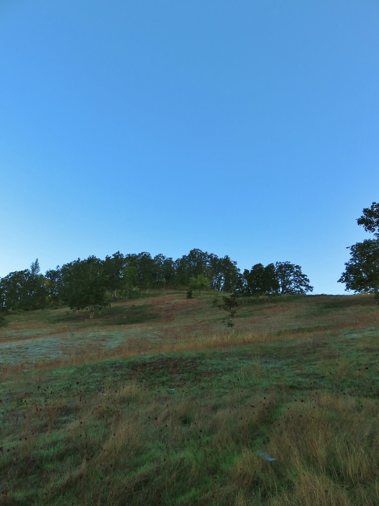 Swing Hill
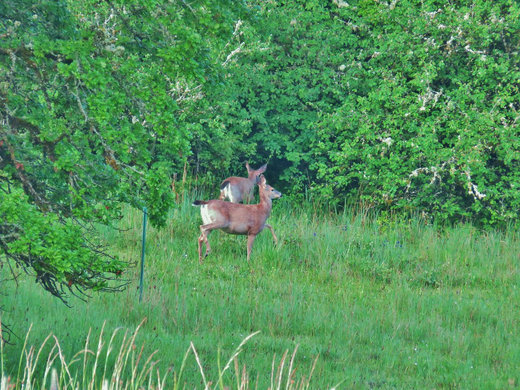
 Deer high up on the side of Swing Hill.
 Geese flying in front of the fog.
 There were a lot of wet spider webs shining in the brush.
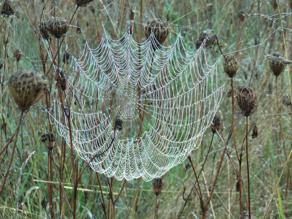


 The north side of Swing Hill was very forested.
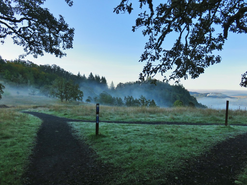 Saddle below Swing Hill
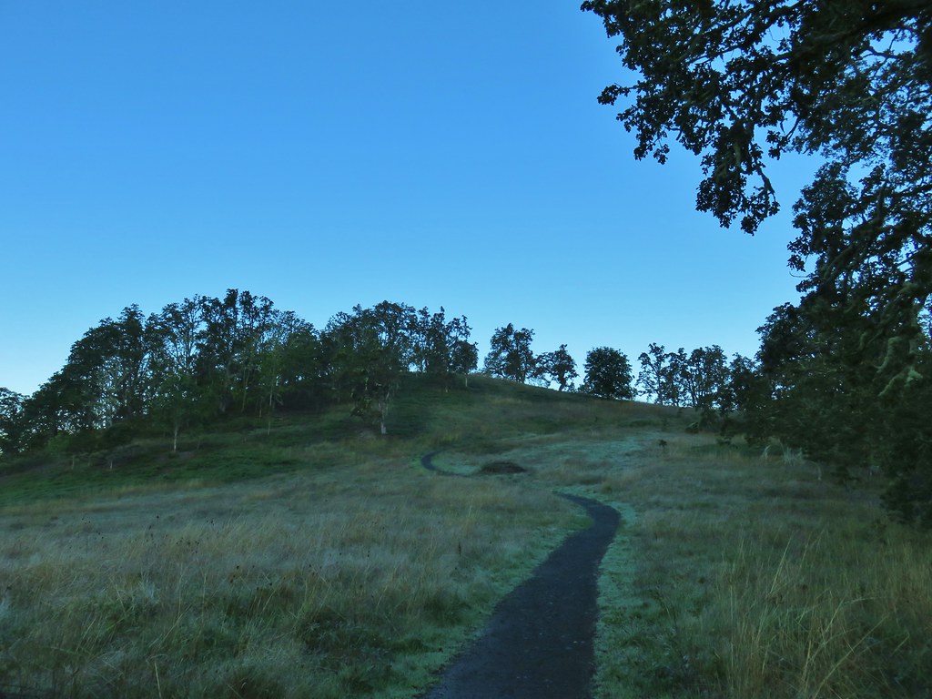

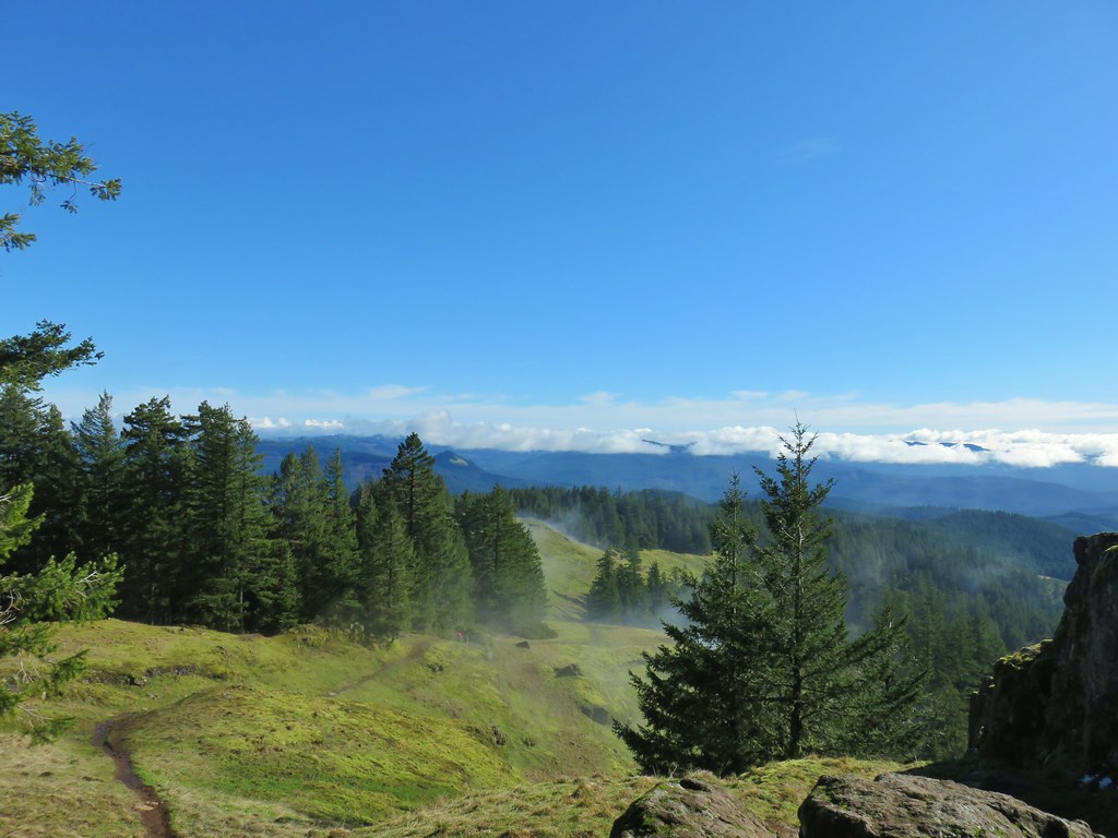
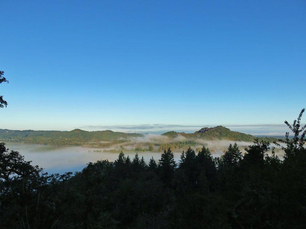 View from Swing Hill


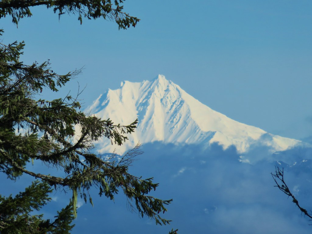
 Diamond Peak on the horizon.
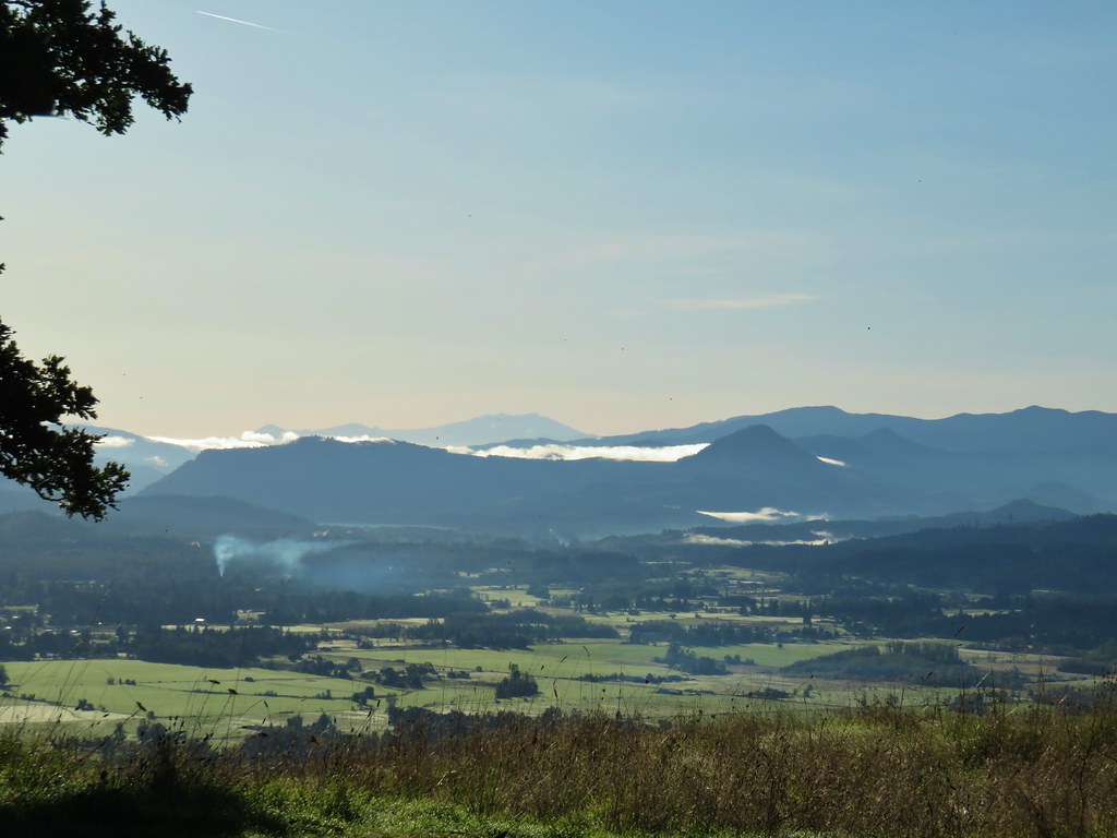 Diamond Peak
 Diamond Peak
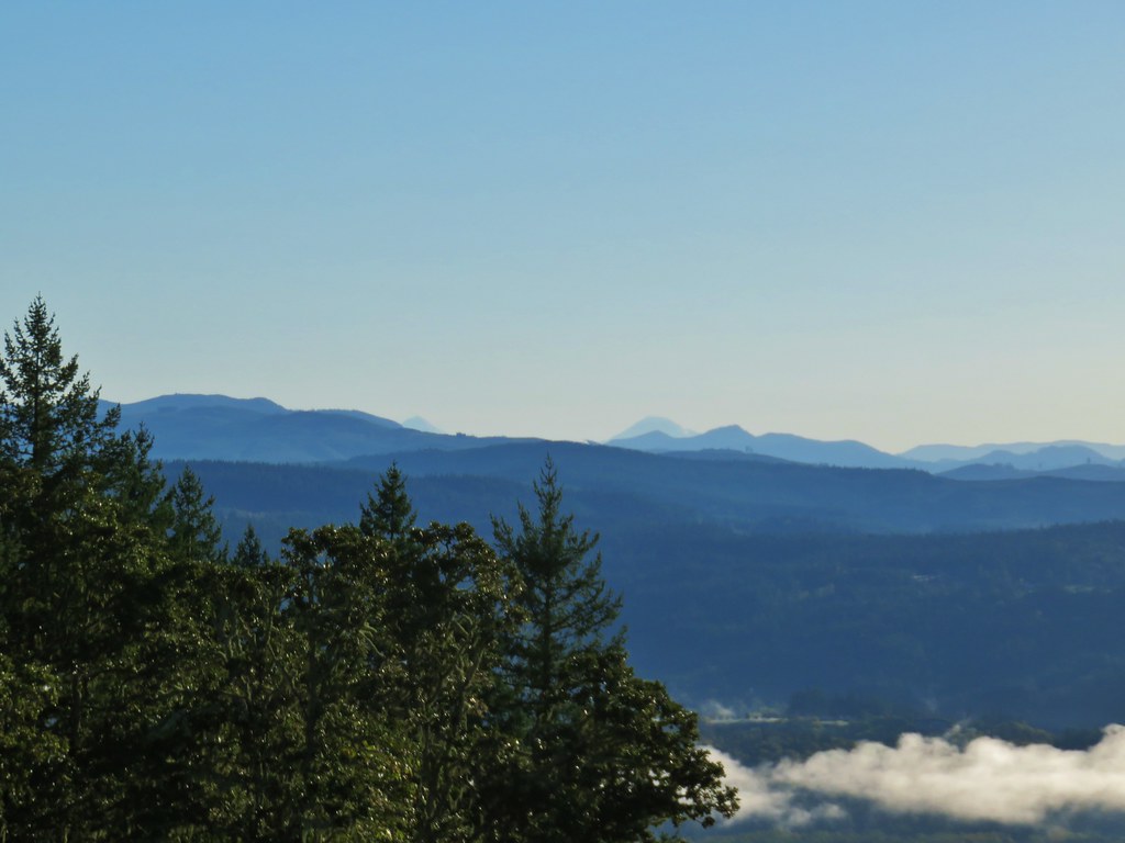 Middle and South Sister.
 Middle Sister
 South Sister photobomb by swallows
 South Sister without swallows.
 Spencer Butte to the west.
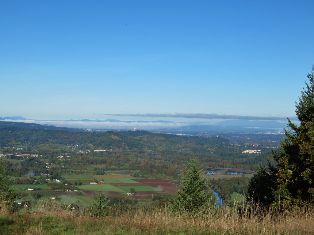 Eugene and the Coast and Middle Fork Willamette Rivers.
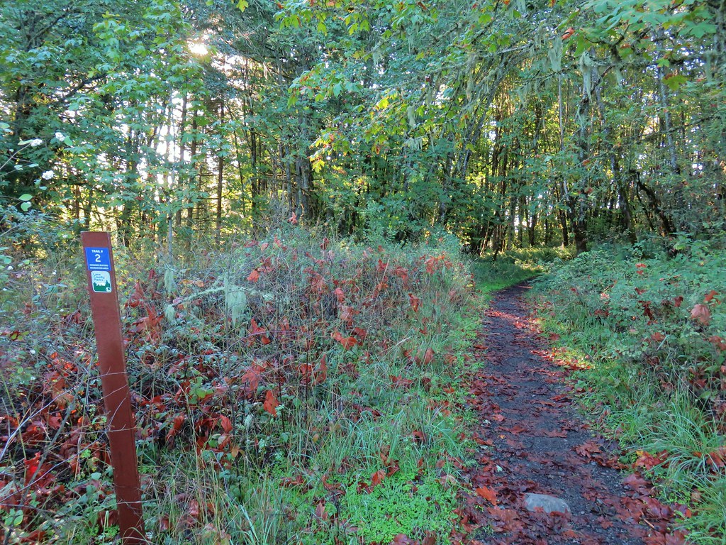
 Looking back uphill.
 Sun still causing problems with the view.
 Some red leaves of poison oak along Trail 24.
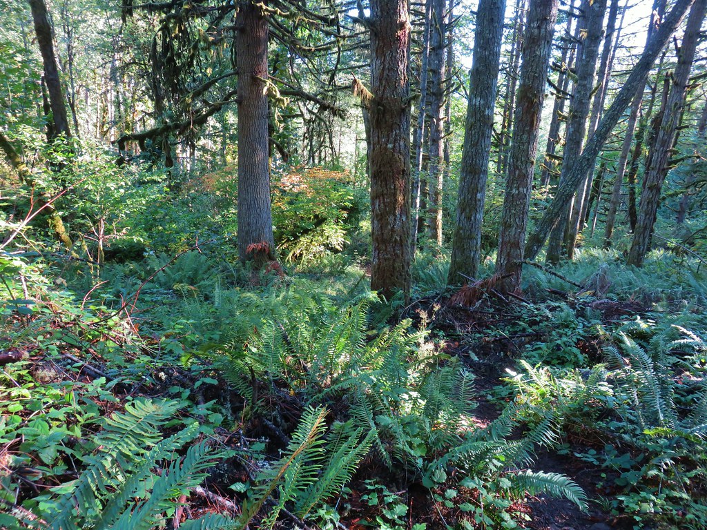
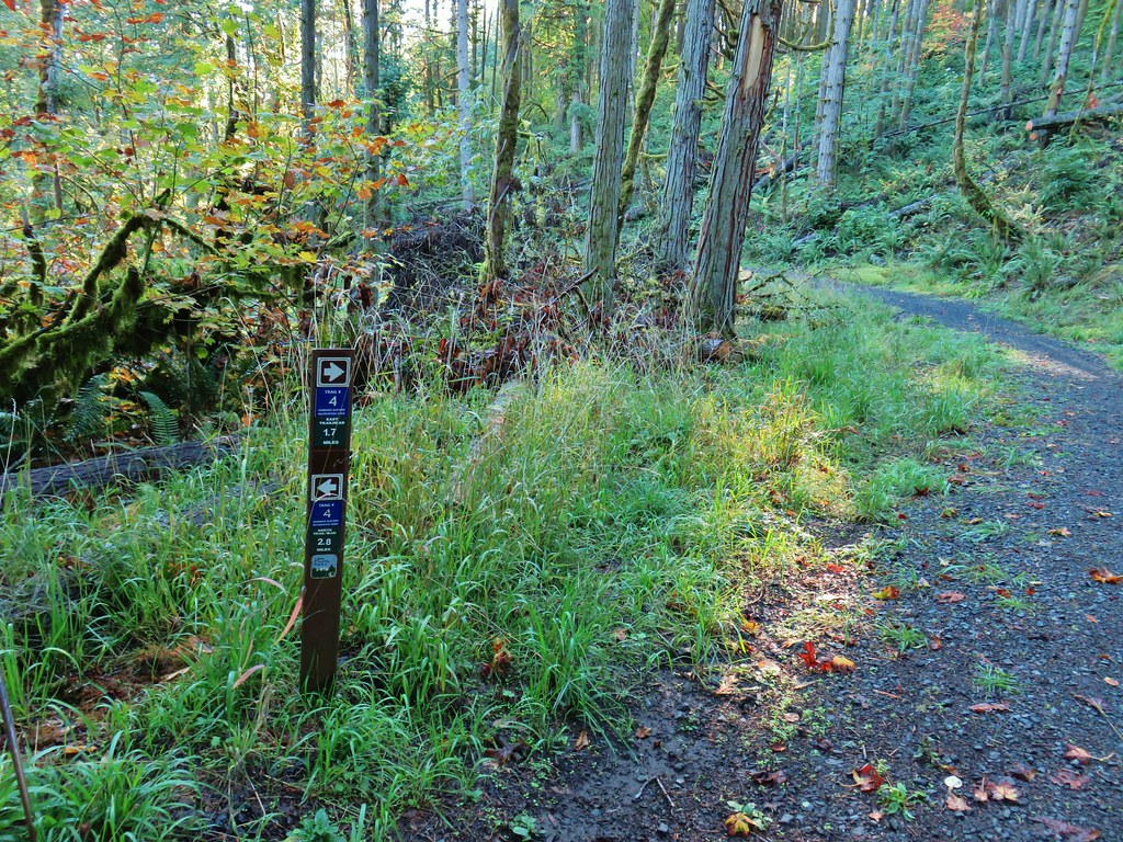


 More poison oak
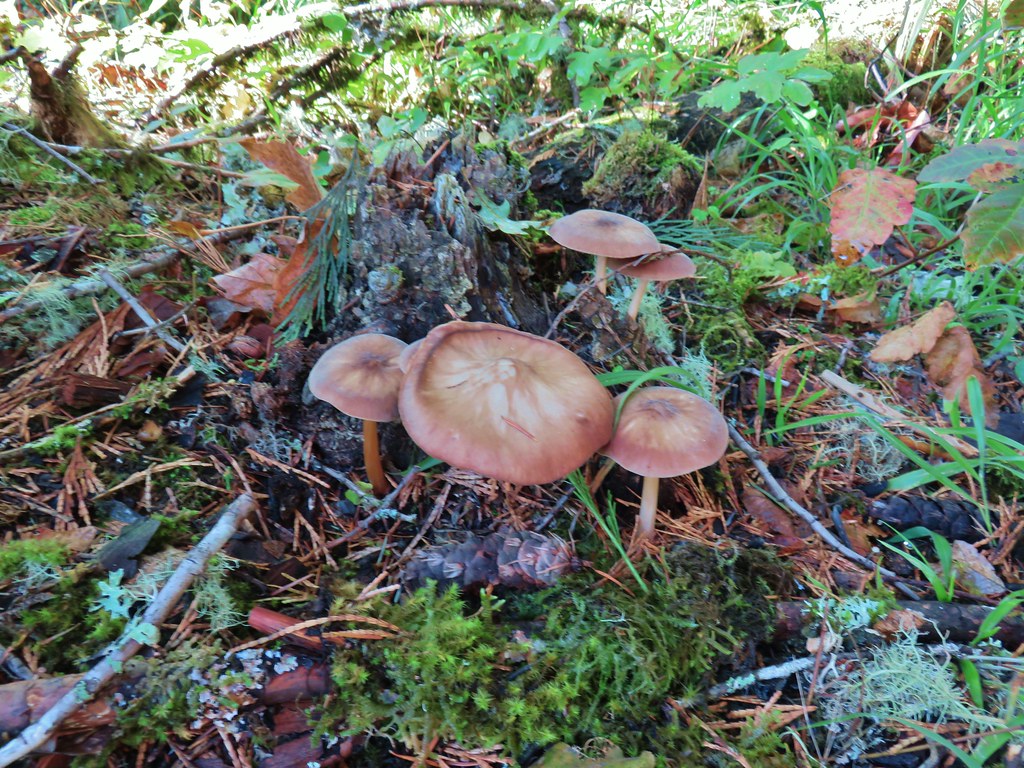 Mushrooms
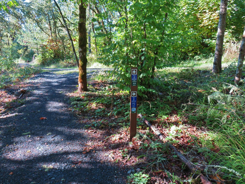

 Bright red tree at a nearby farm from Trail 2.


 Ladybug
 A few late bloomers.


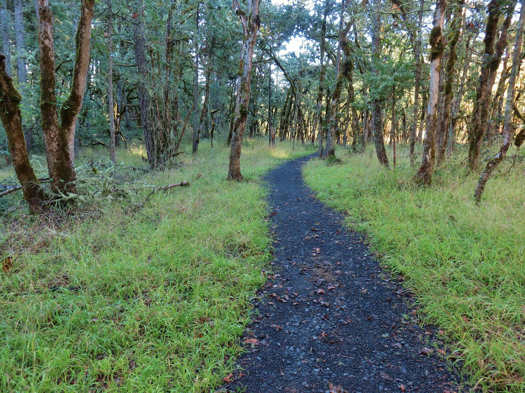
 Cedar Trail to the left.


 Mount Pisgah from the Lower Plateau Trail.


 Black-headed grosbeak


 Mallards with a great blue heron in the distance.
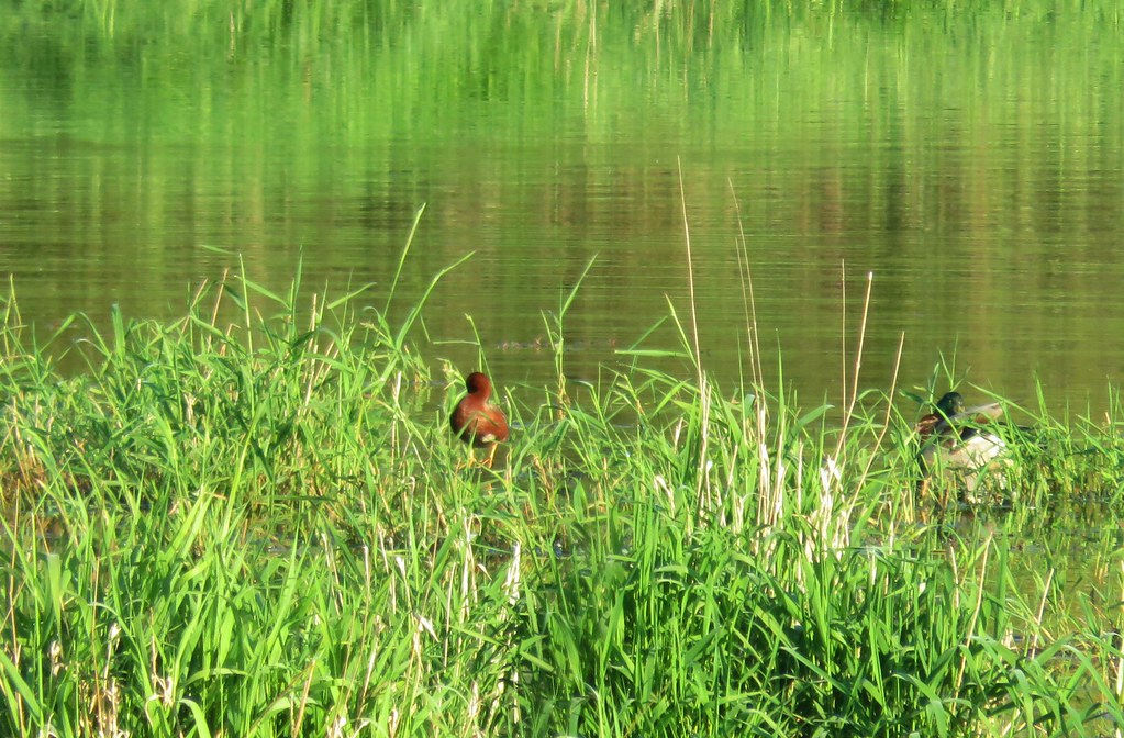 Cinnamon teal and a mallard
 Pied-billed grebe
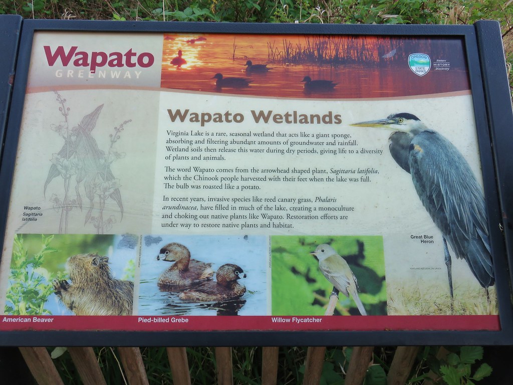


 Looking back at the gate.

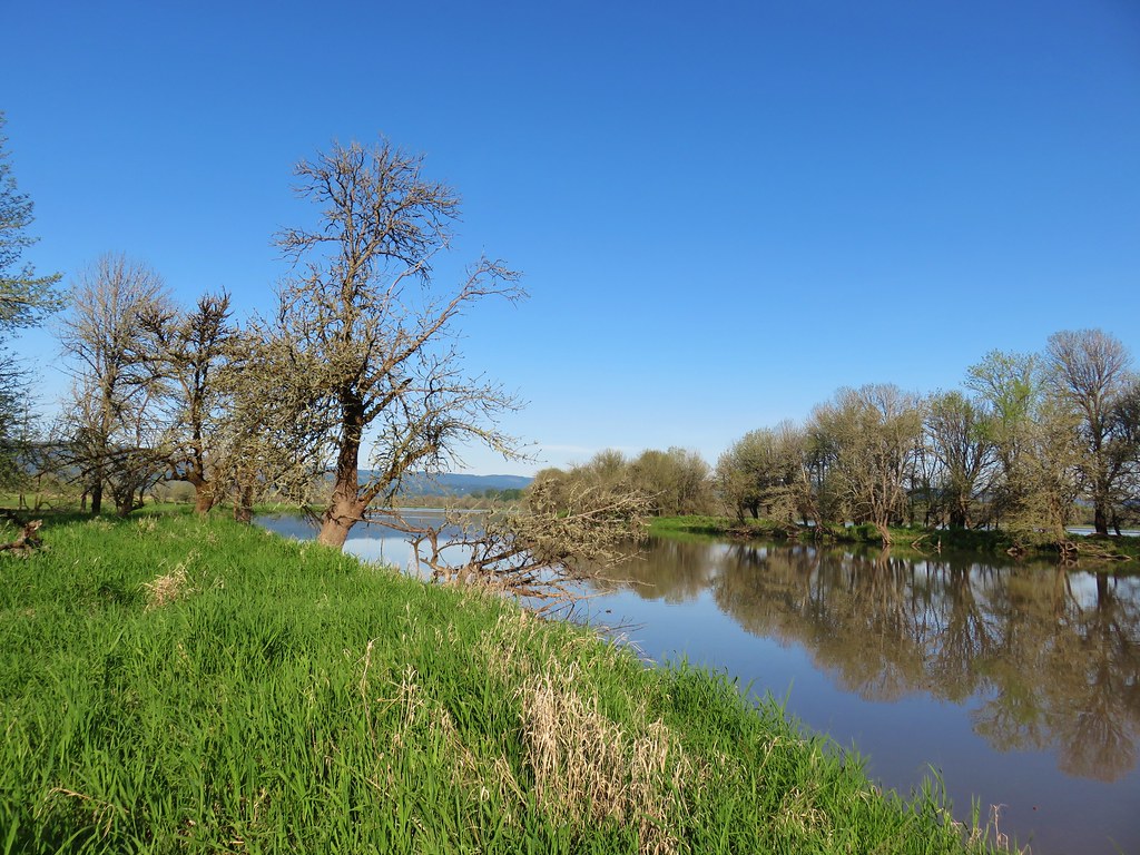 Looking toward Steelman Lake from the Narrows.
 The Narrows. Another lake, Mud Lake, is on the other side of the trees.
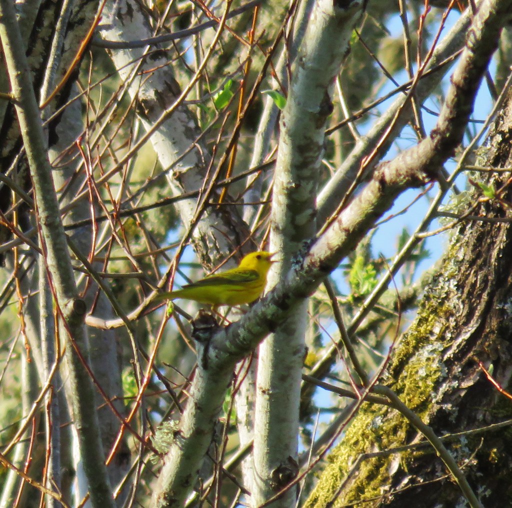
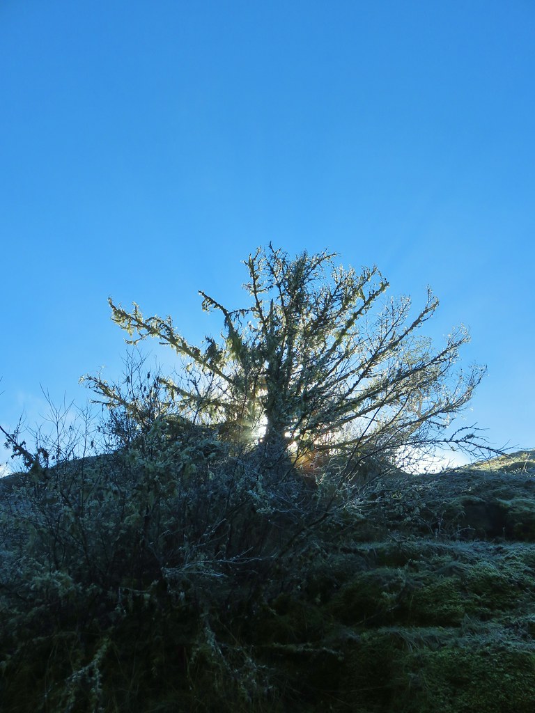
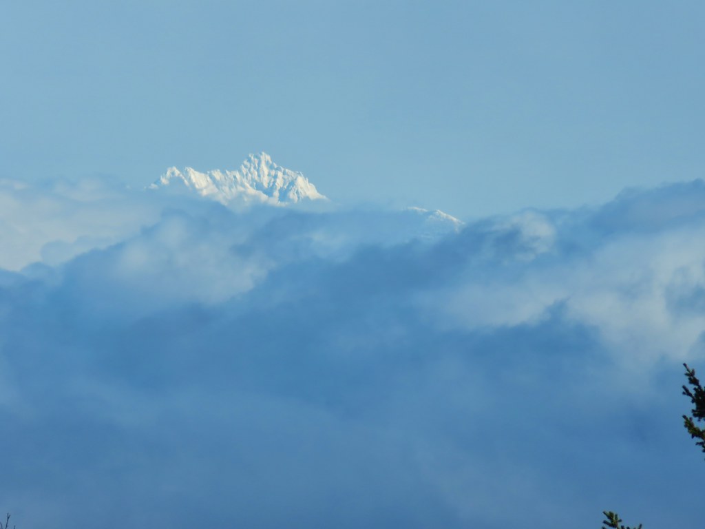
 Mt. Adams (it is really there)
 Mt. St. Helens


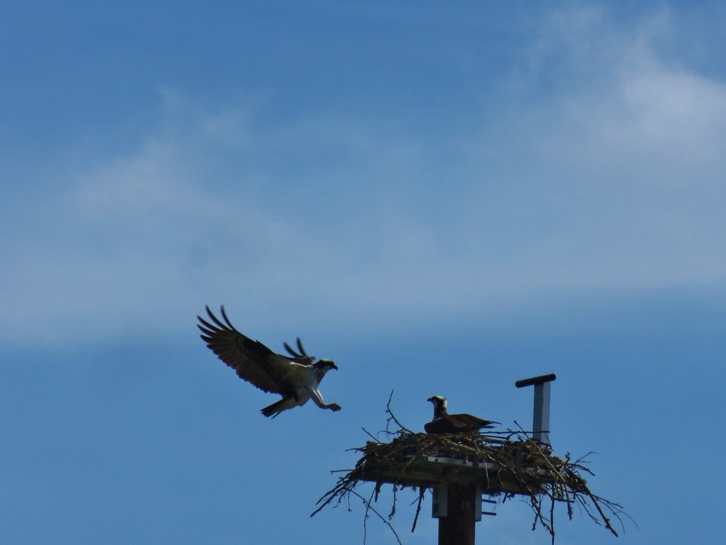
 Mt. St. Helens and an Osprey nest.
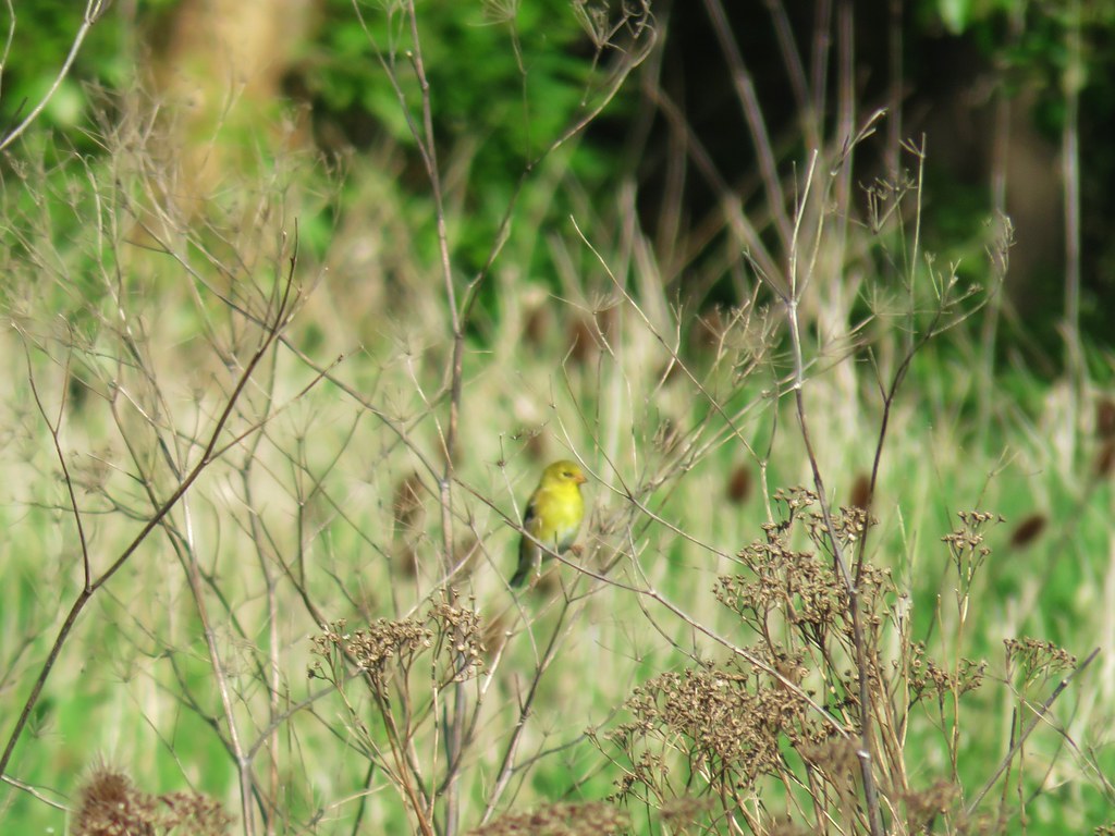 Female
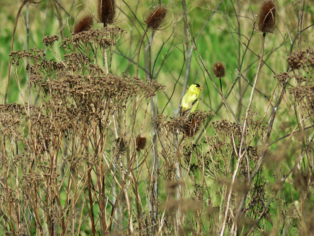 Male
Male

 Mt. St. Helens again.
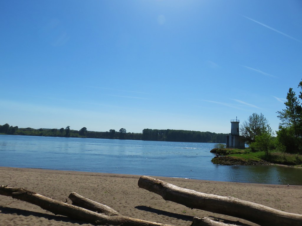
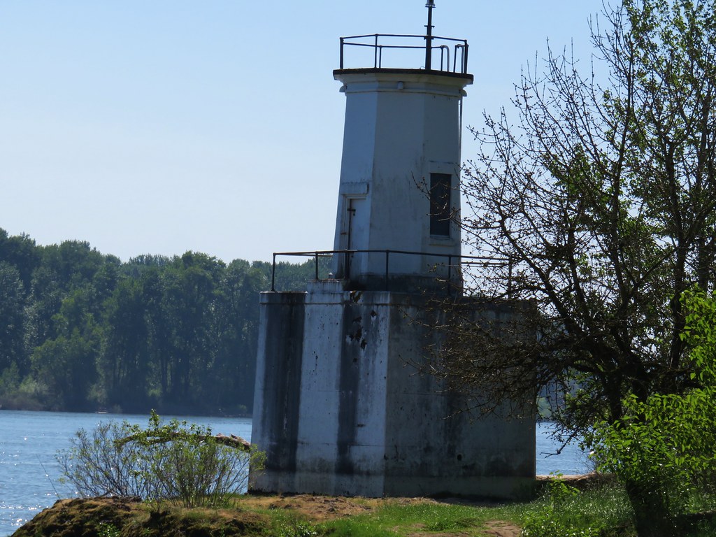


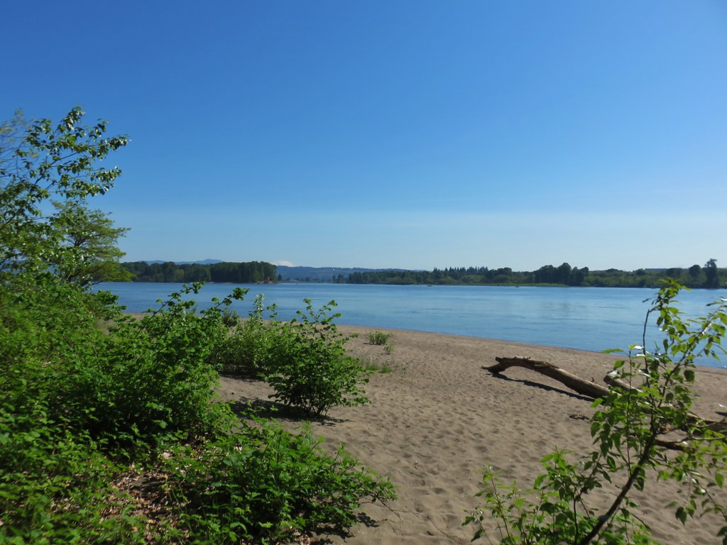
 1905 Columbia County Courthouse