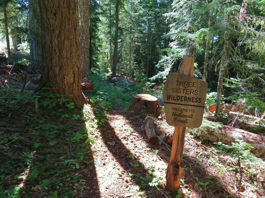
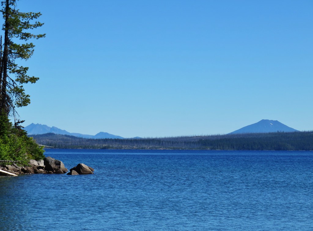
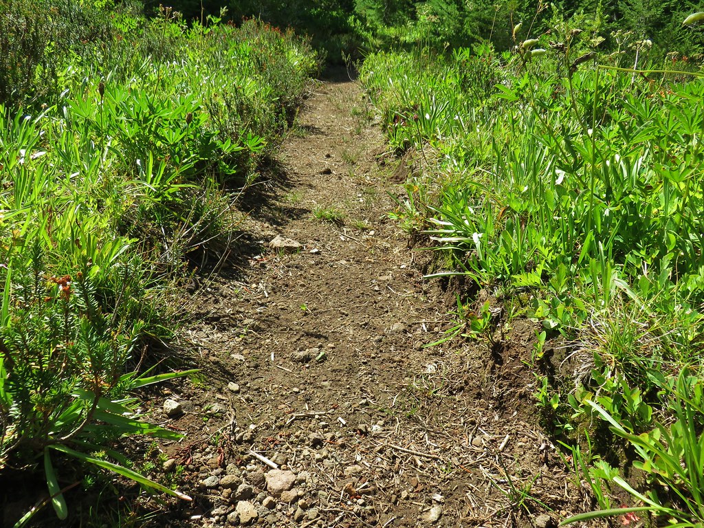
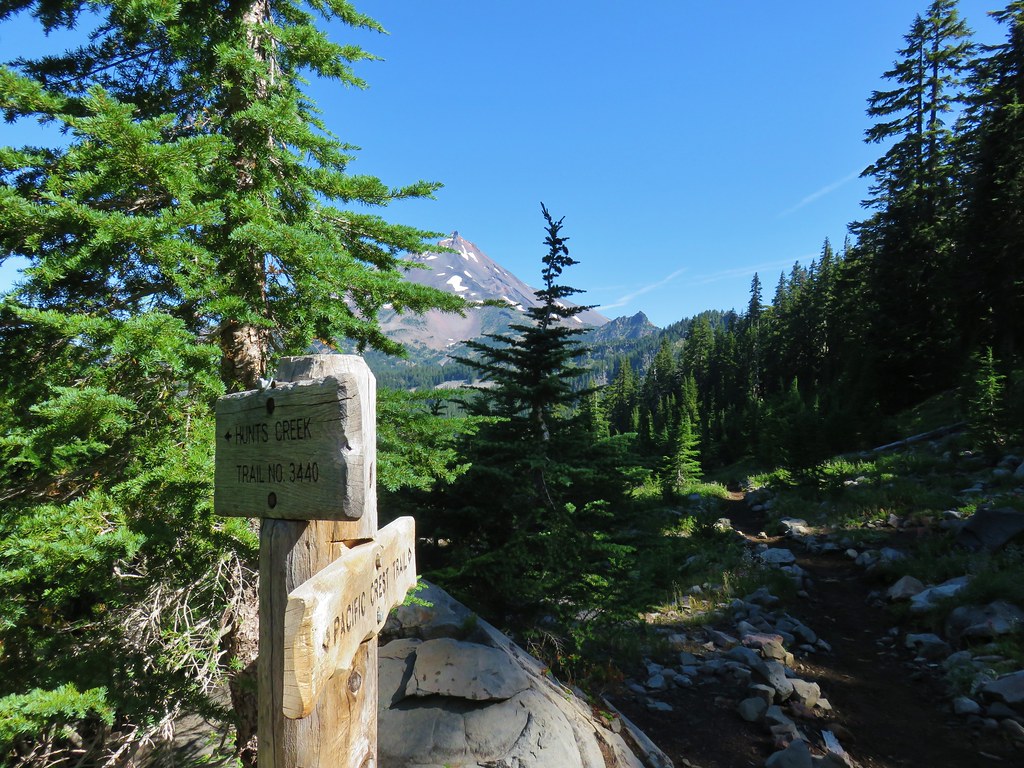
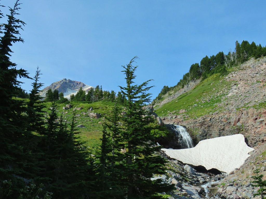
For our final outing of Labor Day Weekend we set our sights on a pair of peaks in the Three Sisters Wilderness. Both the Lowder Mountain Upper Trailhead and Pat’s Saddle Trailhead (for Olallie Mountain) are located just 2 miles apart along Forest Road 1993. These were two more featured hikes from Sullivan’s 4th edition Central Cascades guidebook that we had yet to do. (Olallie Mountain was removed from the featured hikes in the 5th edition due to a 2017 fire that burned much of the route.) On their own the hike to driving time ratios didn’t pan out, but doing them both on the same day would, and as it turns out FR 1993 was in excellent shape allowing for a driving time closer to 2 1/2 hours versus the nearly 3 hours that Google predicted.
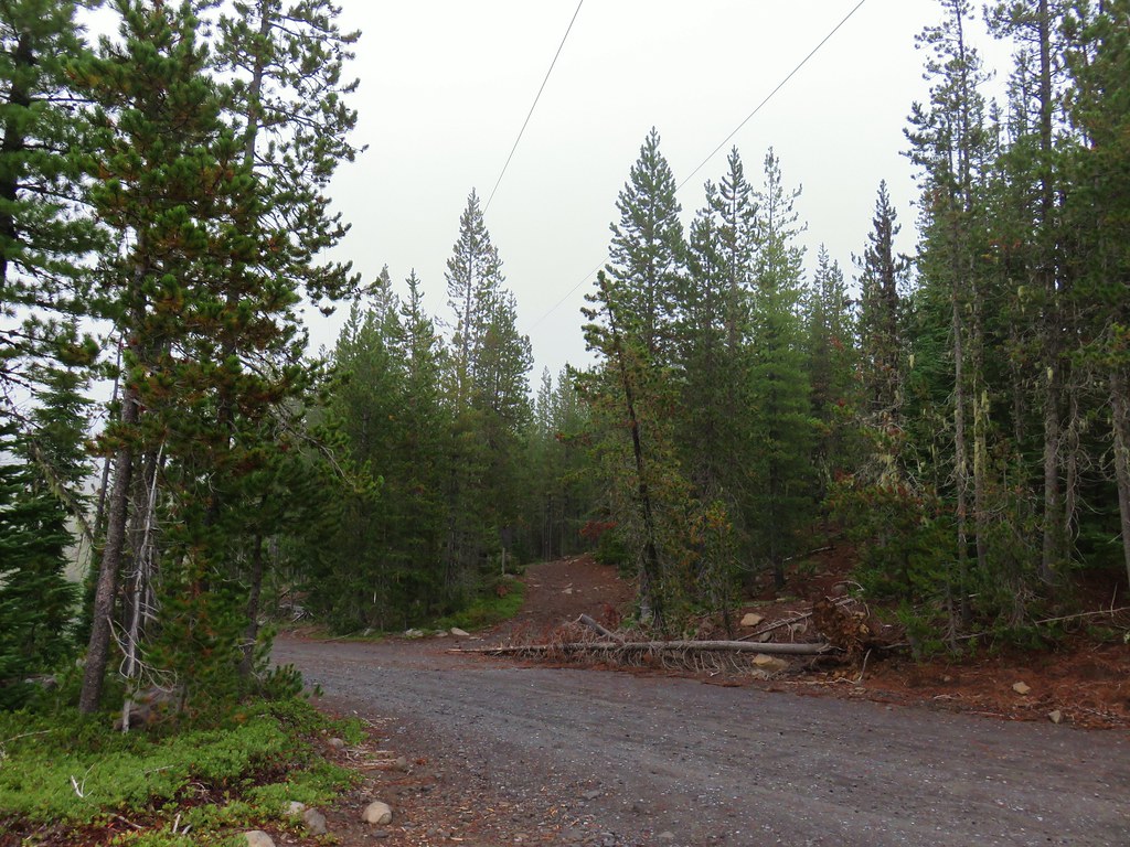
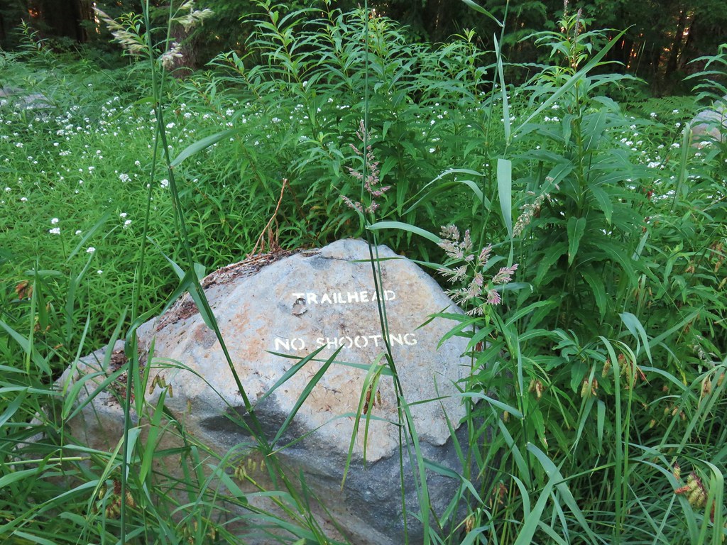
We drove south to Eugene and took Highway 126 four miles east of Blue River where we turned right on FR 19 to Cougar Dam. After turning left on FR 1993 and crossing the dam we followed the road 11.2 miles to the Pat’s Saddle Trailhead.
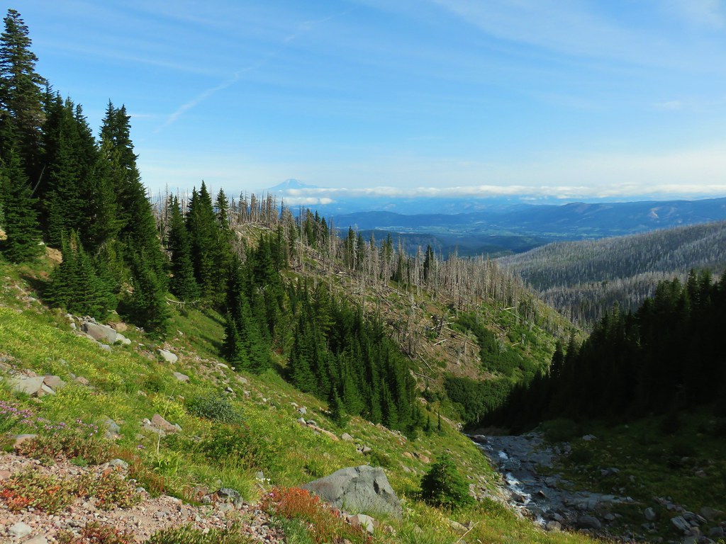
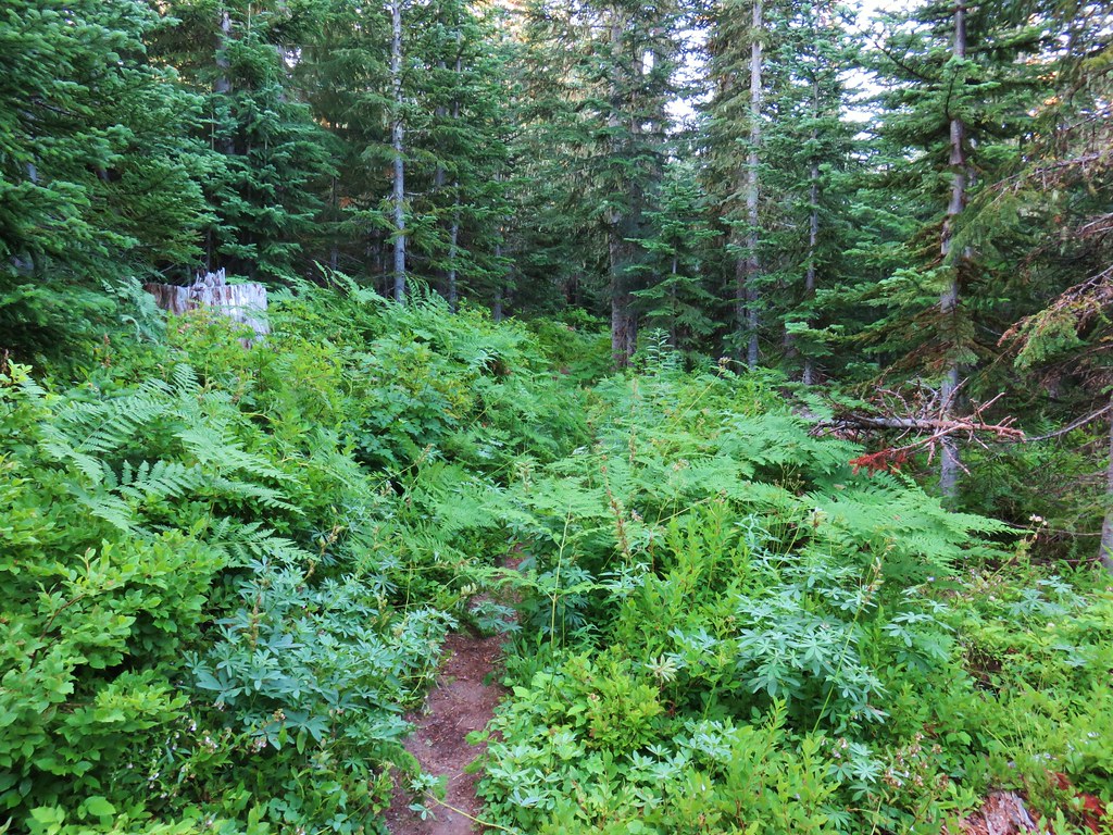
We chose to start with Olallie Mountain for a couple of reasons, first we thought that the lack of tree cover due to the fire might make this a warmer hike later in the day and second it was the longer of the two hikes. There are a couple of trails that leave from this trailhead. The French Pete Creek Trail is the first trail on the right. The upper section of this trail is not maintained (according the Forest Service webpage) and the forest around the lower section was impacted by fires in both 2017 and 2018. We hiked the first 5 miles of the trail from the lower trailhead prior to the fires in 2015 (post)

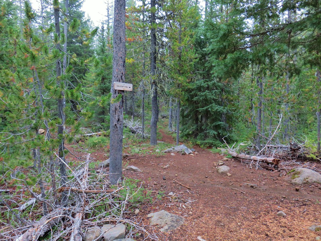
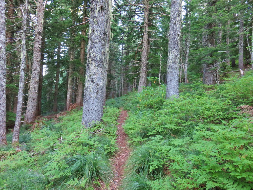
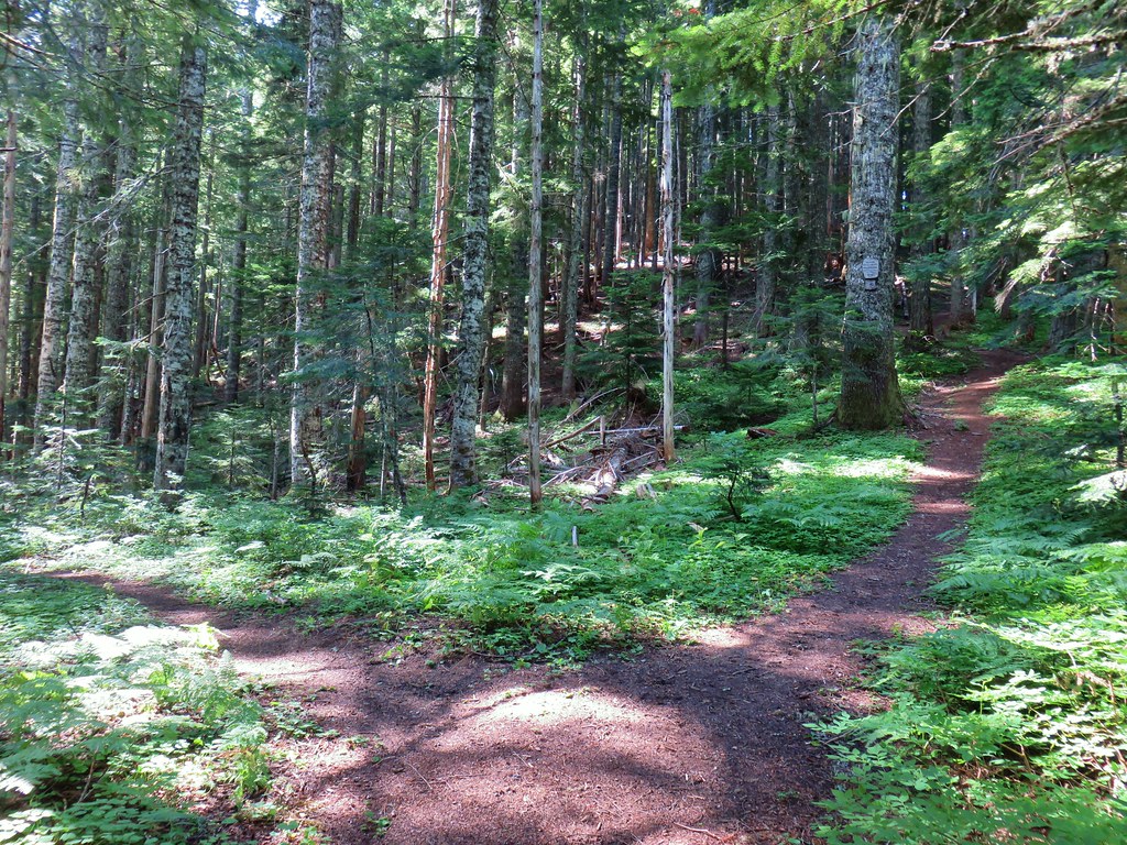
The trail we were taking on this trip was the second one on the right, the Olallie Trail.

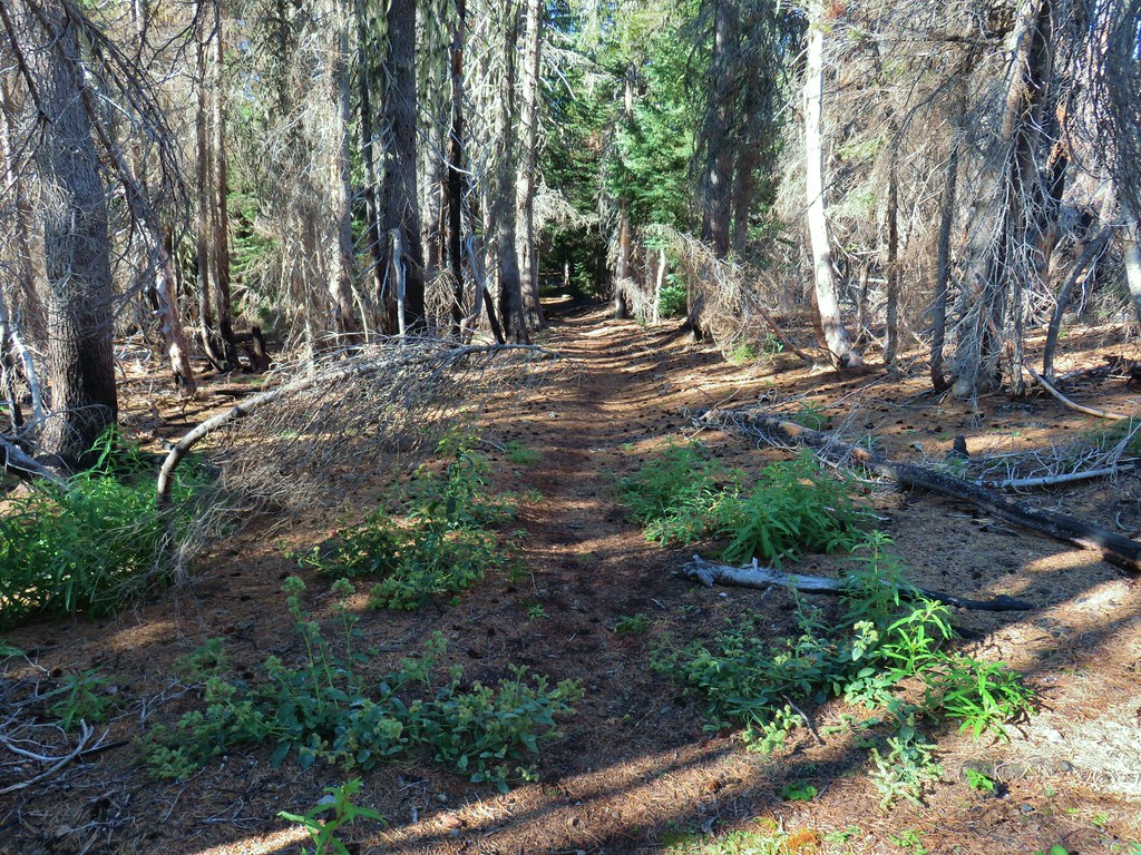
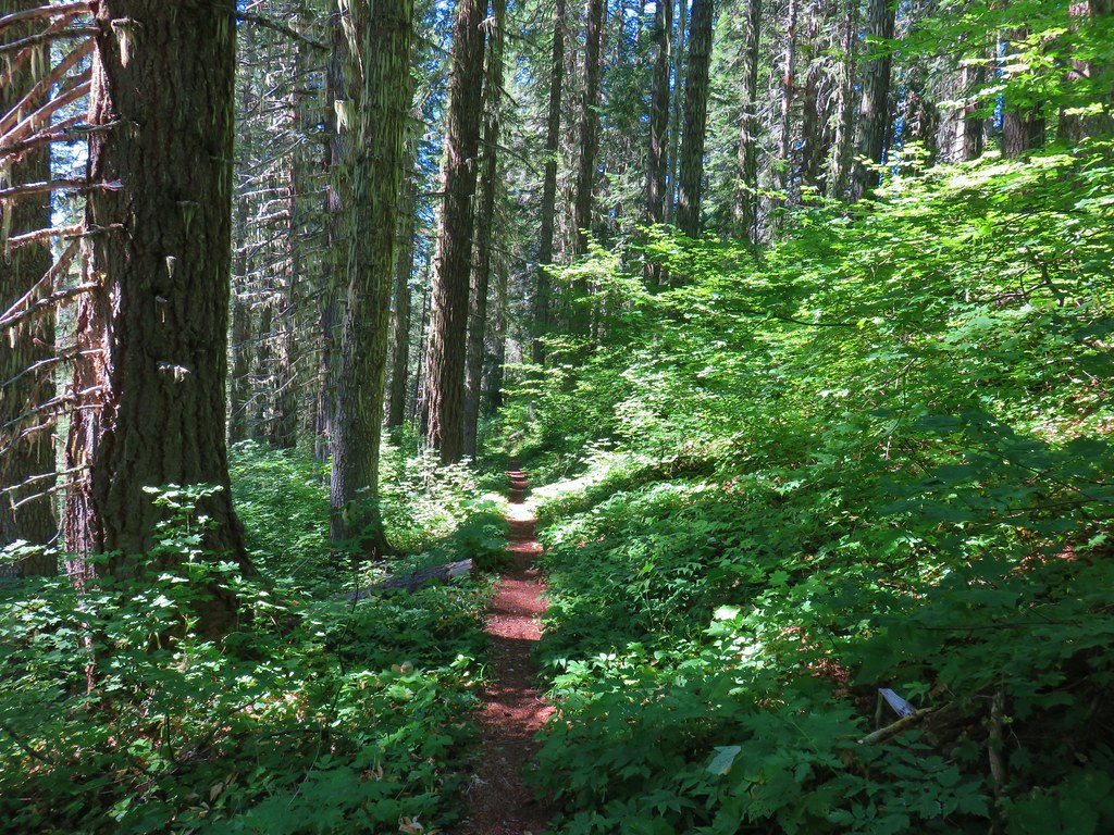
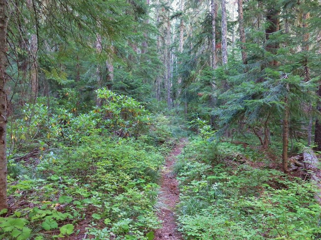
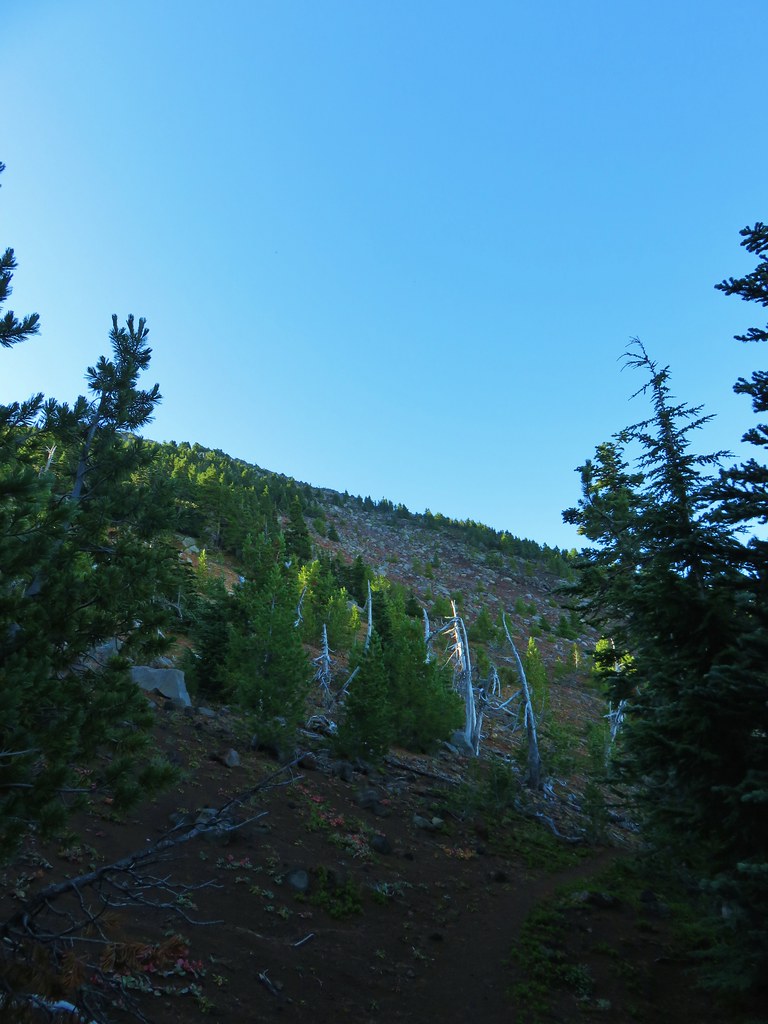
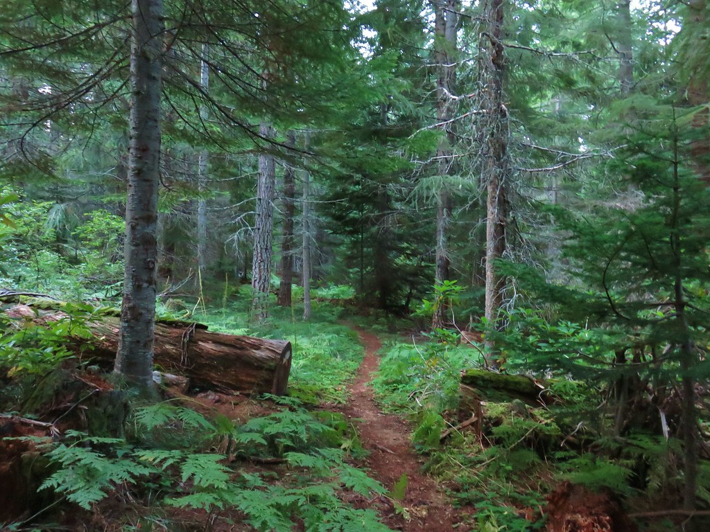
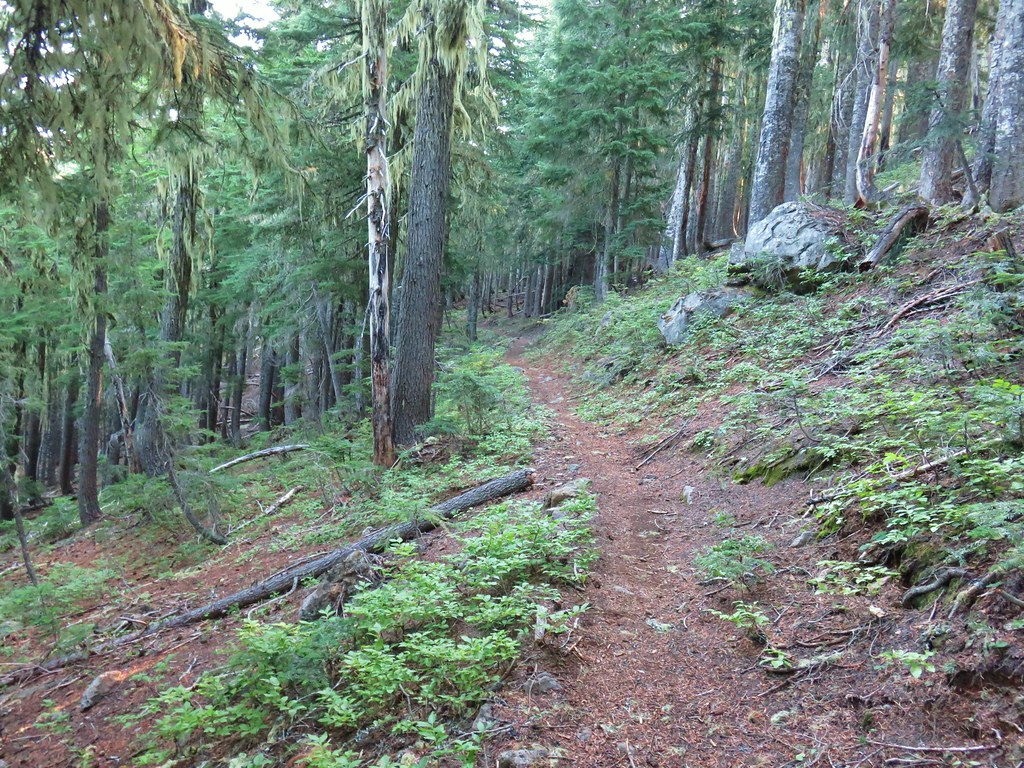
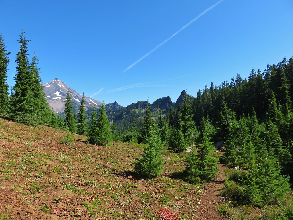
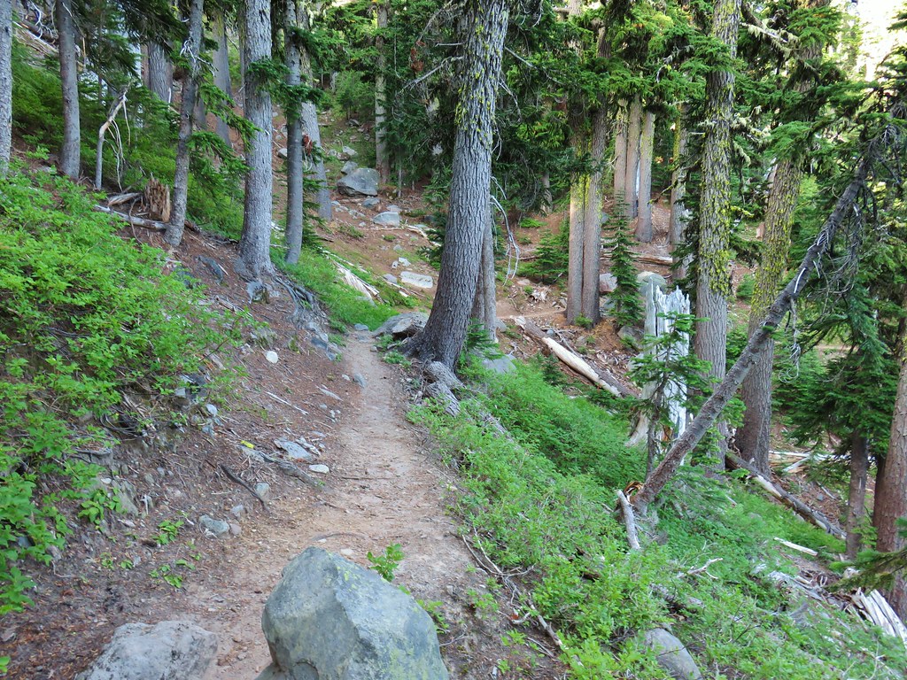
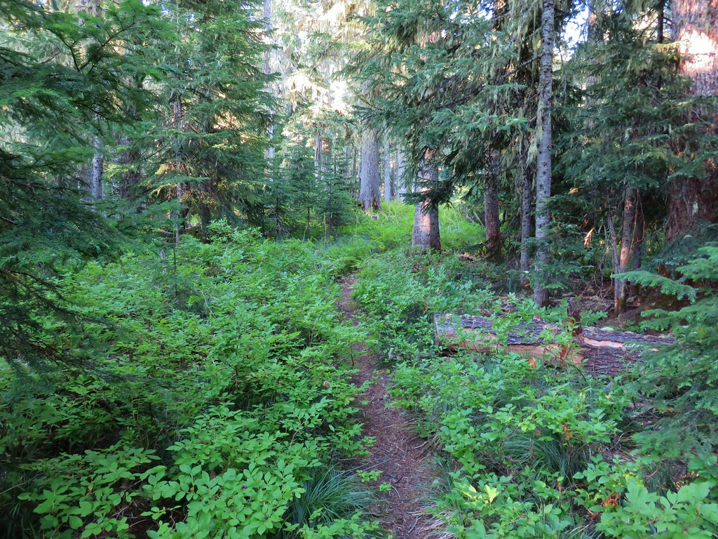
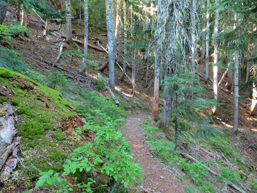
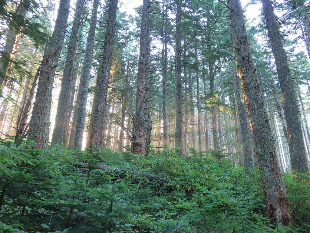
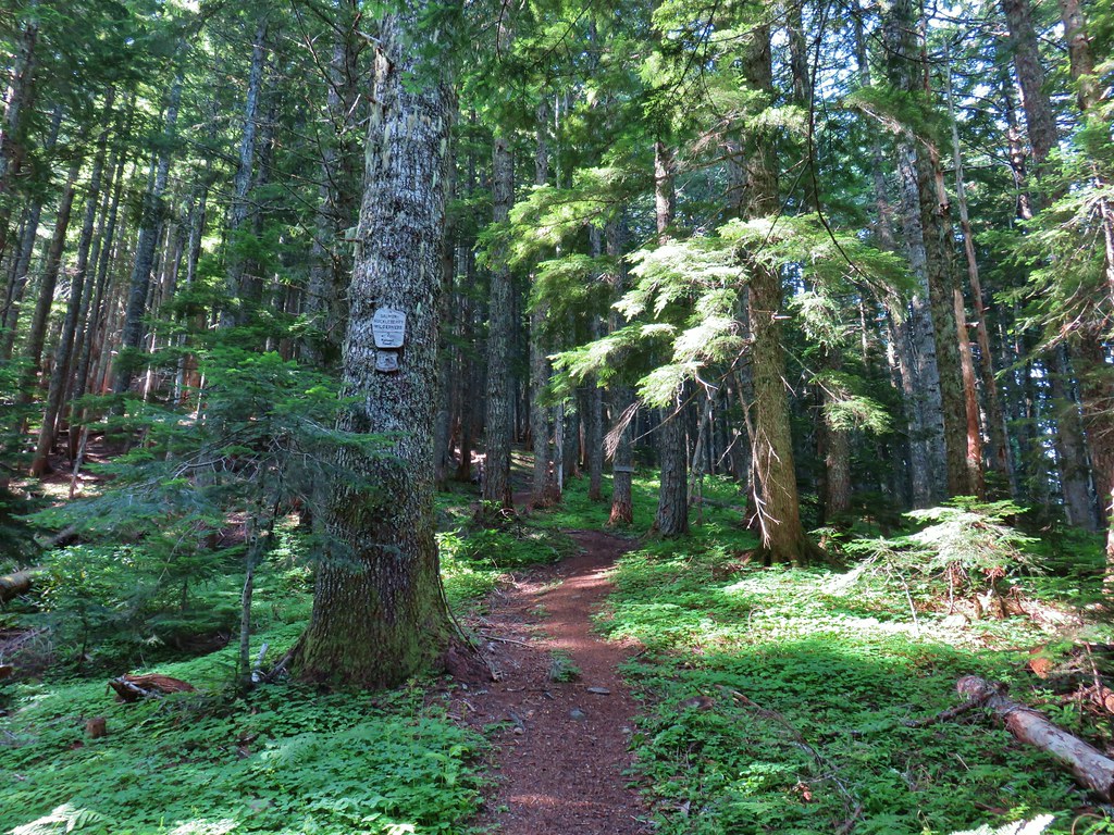
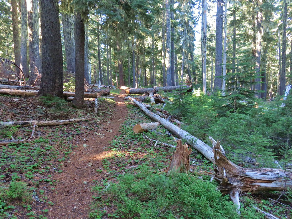
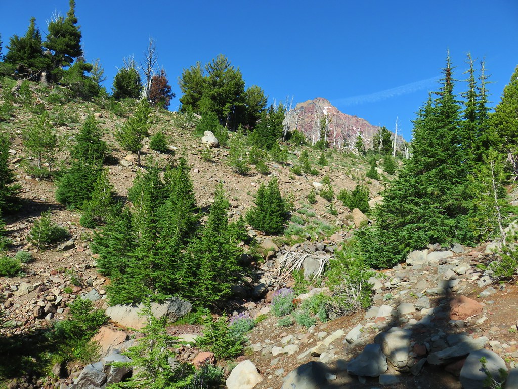
This trail promptly enters the Three Sisters Wilderness amid old growth that escaped the fire.


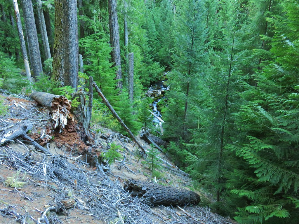
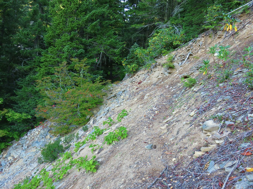
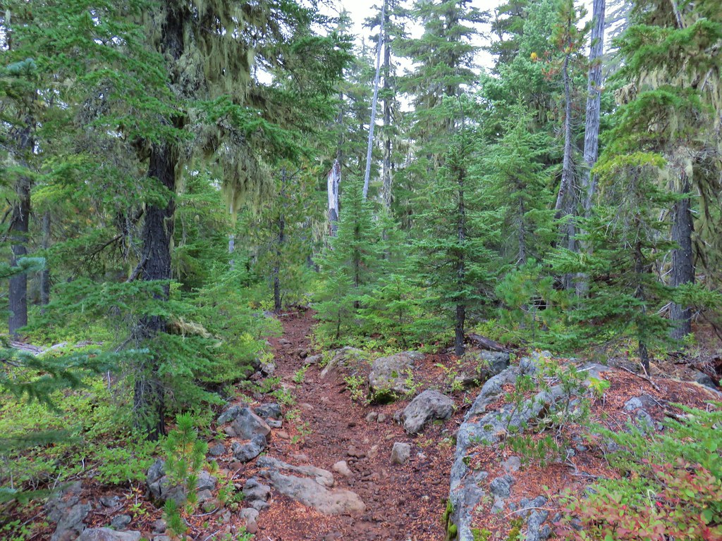
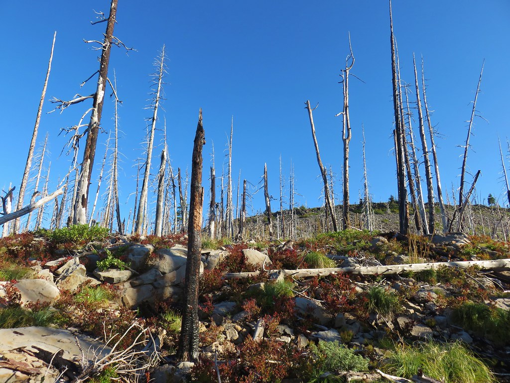
The signs of the fire could be seen after about a third of a mile.
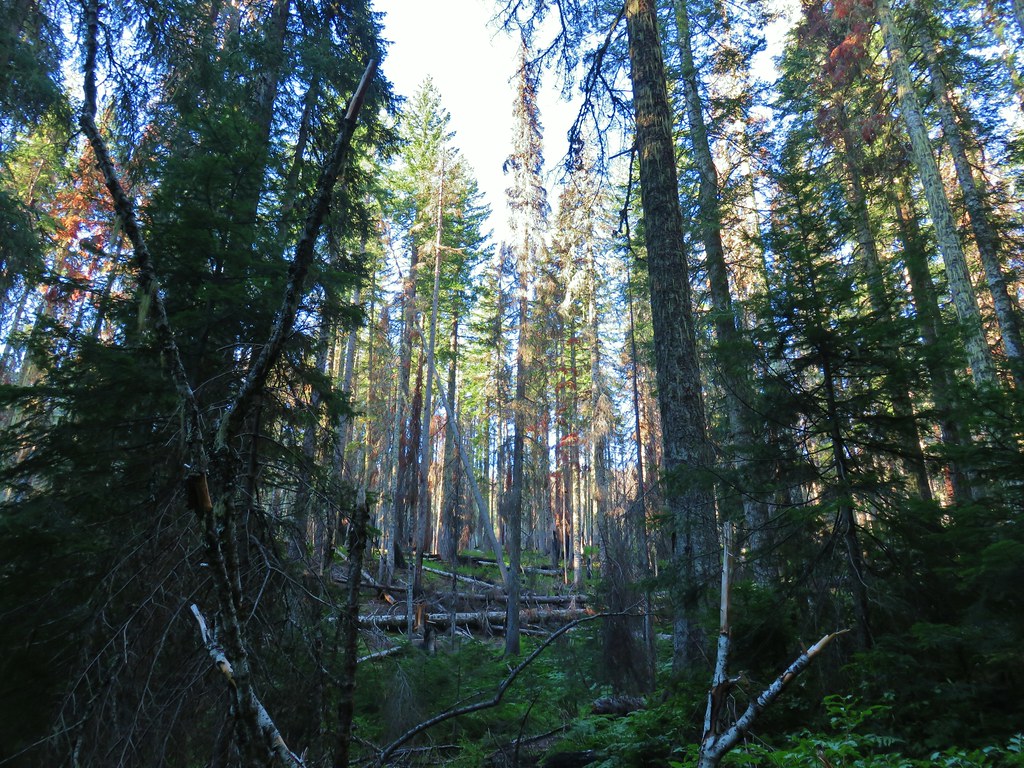
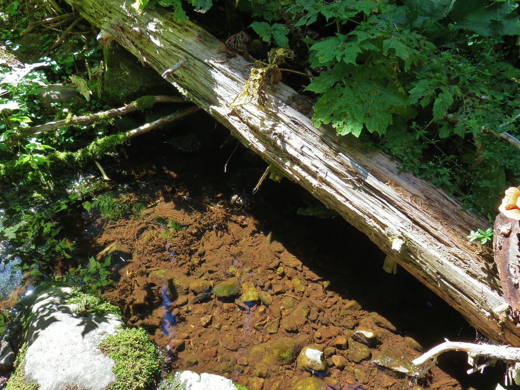
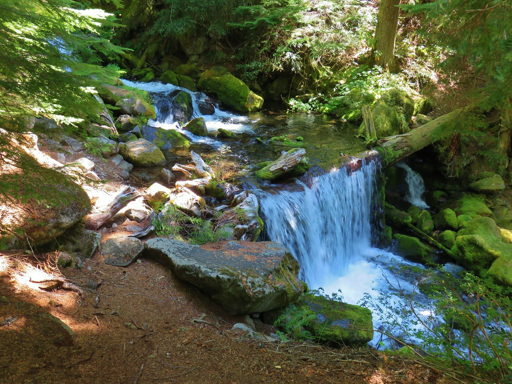
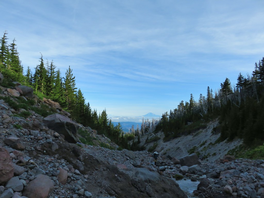
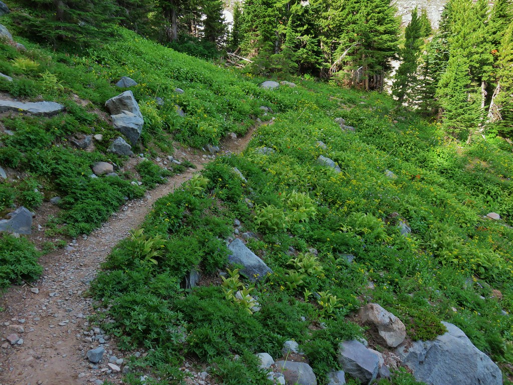
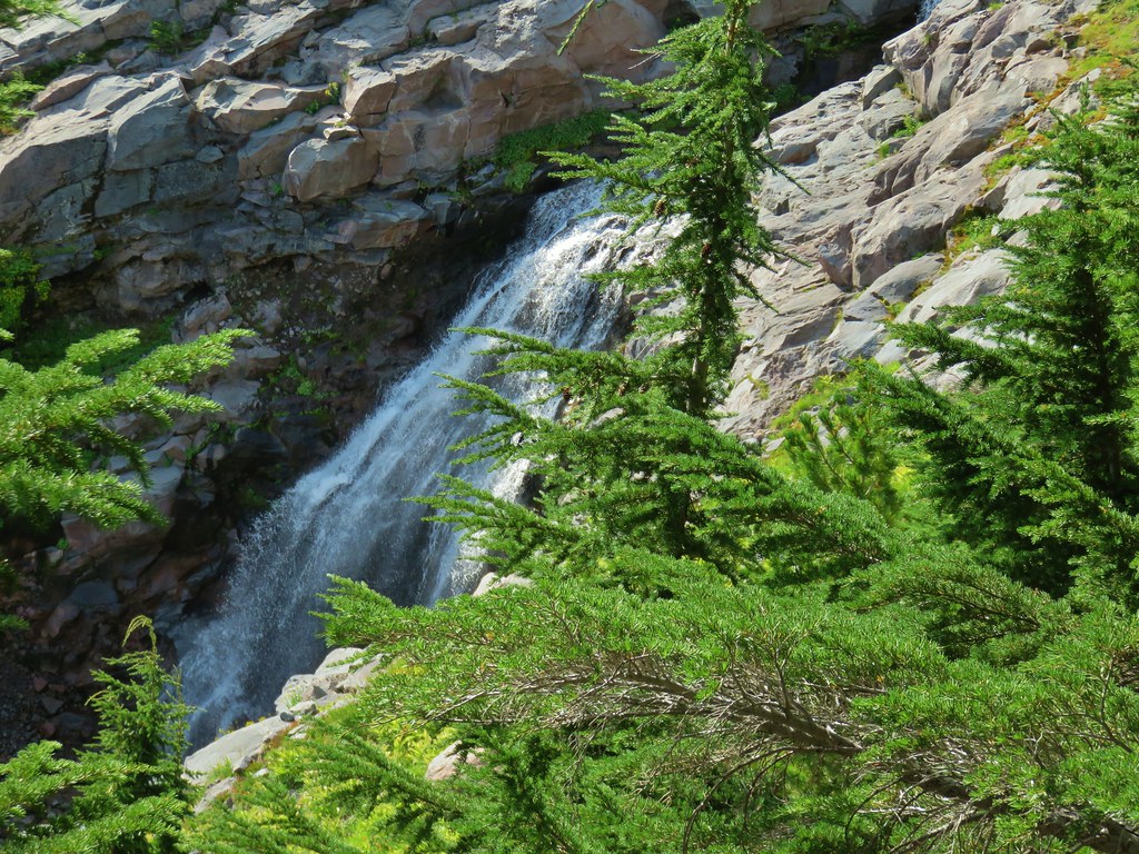
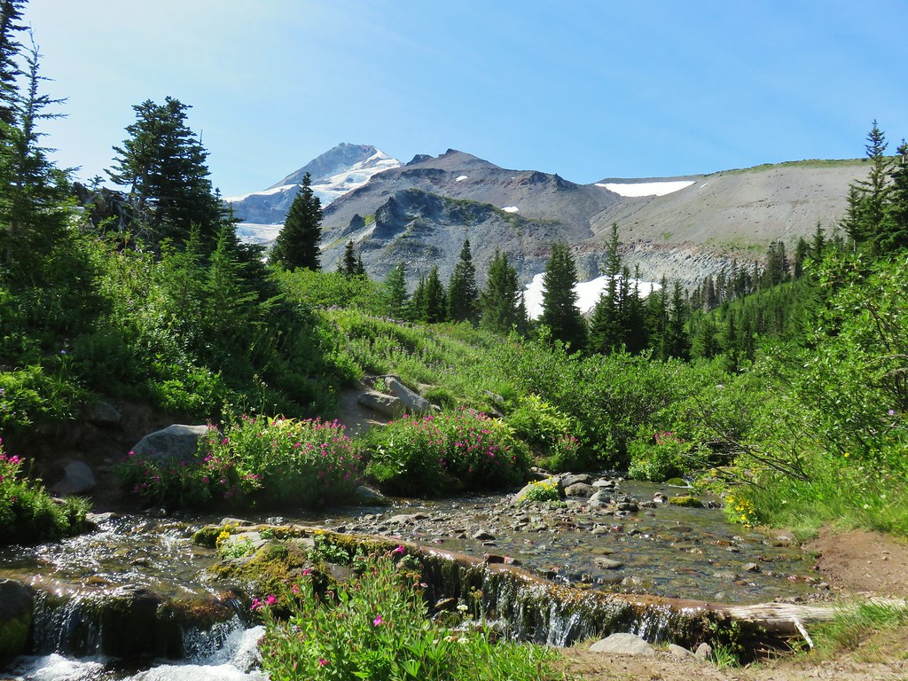
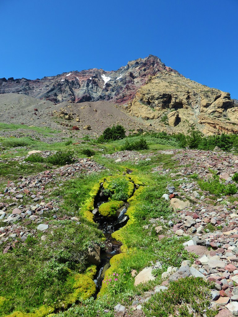
At the half mile mark we arrived at a small stream flowing from Wolverine Lake which was about a quarter mile uphill on our right. The forest on the right hand side of the trail had burned pretty good while the left hand side had fared much better. There was already plenty of green vegetation growing amid the snags on the hillside though.

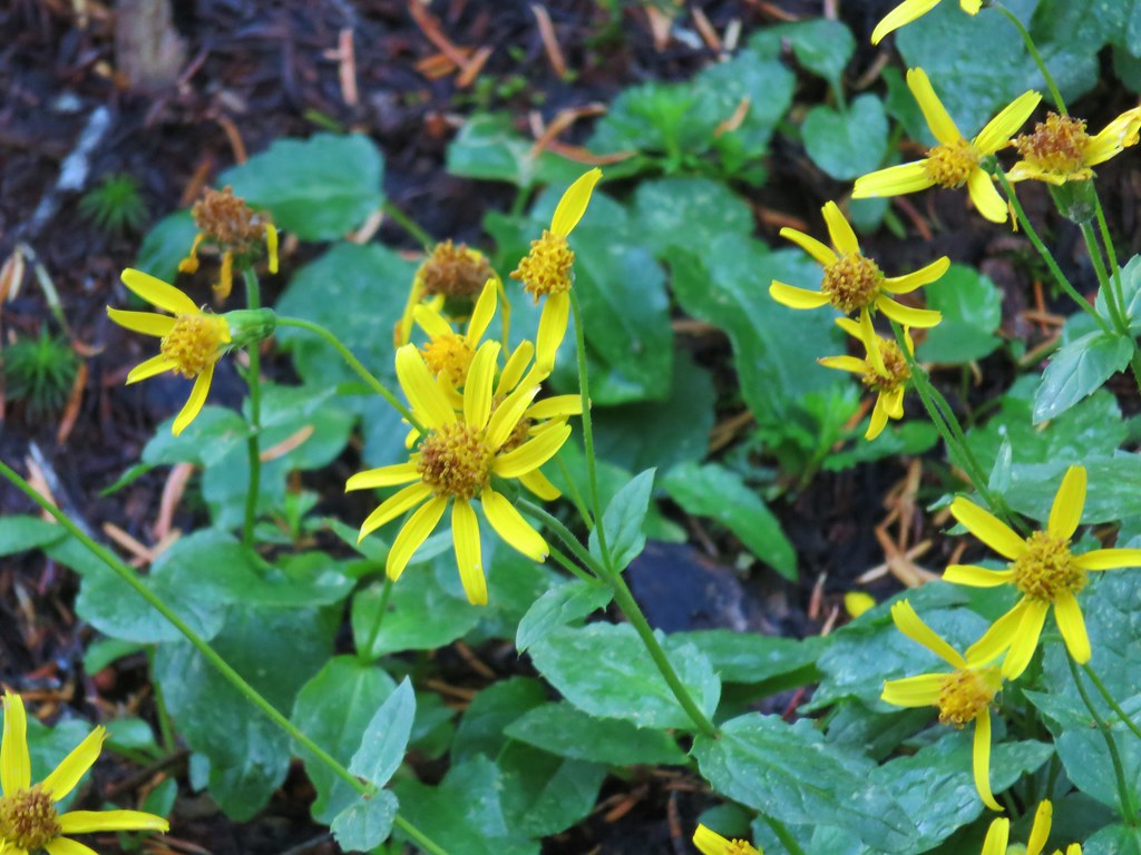
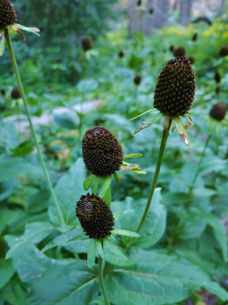 Cone flower
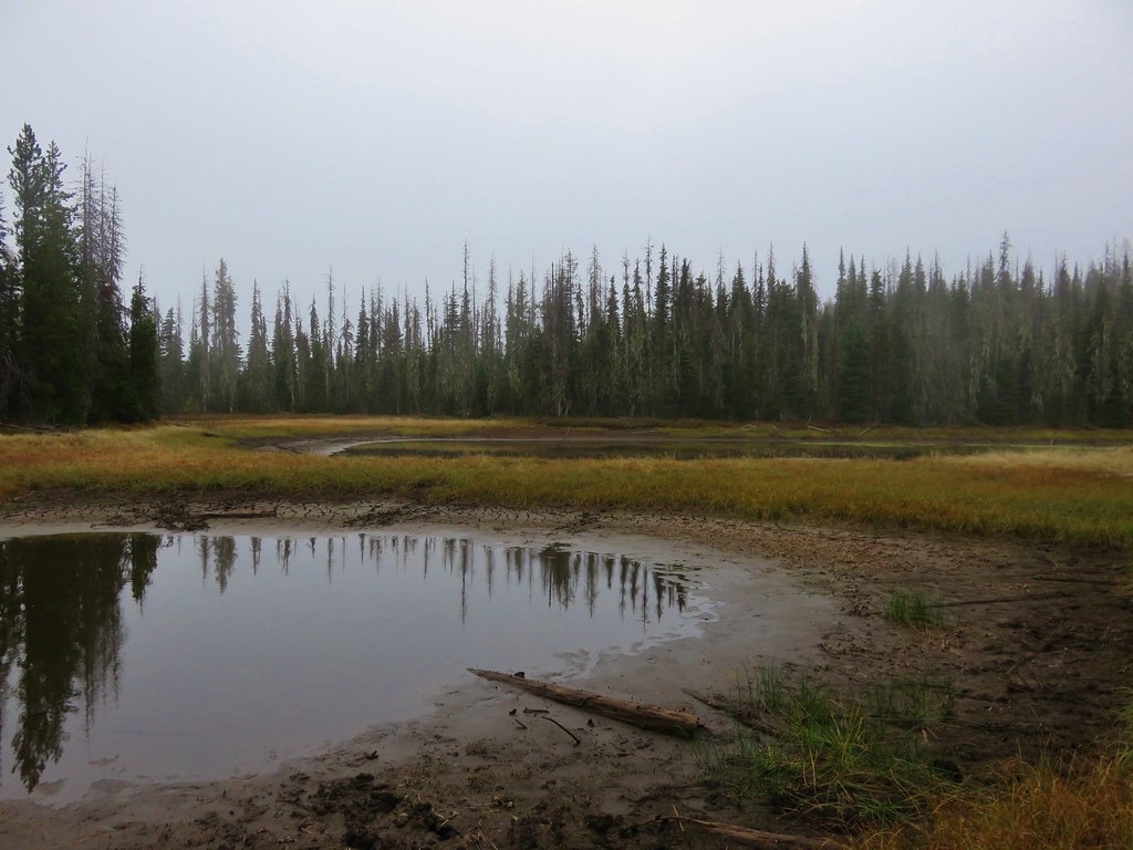
Sullivan had mentioned visiting Wolverine Lake by heading uphill cross country after crossing over the stream but the vegetation here looked pretty thick so we waited until we had climbed a bit beyond the stream and angled back toward the lake.
 Cross country to Wolverine Lake.
There were a fair number of trees down from the fire so it wasn’t too difficult to reach the lake, but it was tricky trying to get a good look at it due to the brushy shore.

It looked like there might have been a better vantage point around the lake to our right, but it wasn’t worth fighting through the brush and fallen trees to try and reach it so we settled for the view we had and headed back to the Olallie Trail. From above, the route down along the creek looked much more appealing and we wound up taking a track much closer to what Sullivan had shown on his map to arrive back on trail. Once we were back on trail we turned right and passed through a patch of thimbleberry bushes encroaching on the trail.

We emerged from the thimbleberries and rounded a ridge end where the forest became a bit more open and many of the trees had survived the fire.


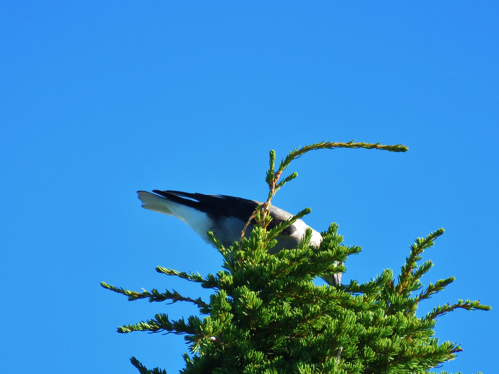
A sooty grouse caught our attention as it crossed the trail ahead of us.


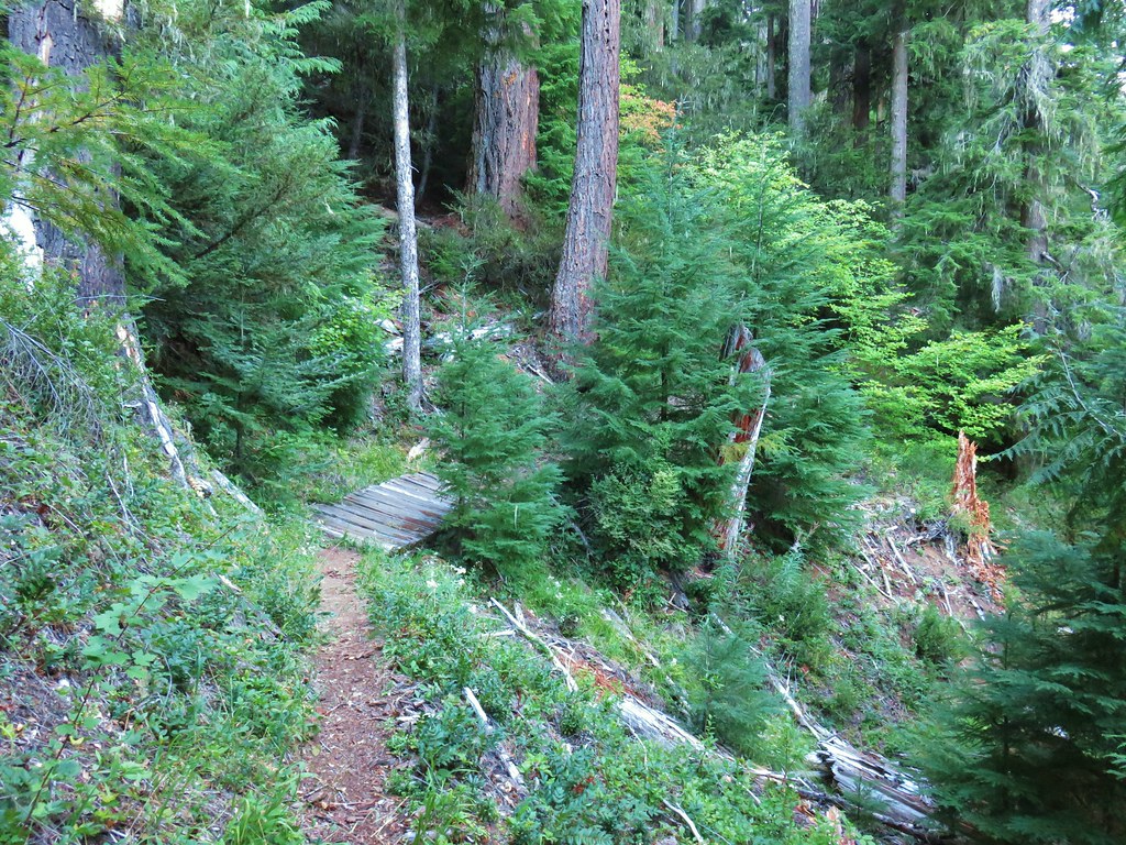
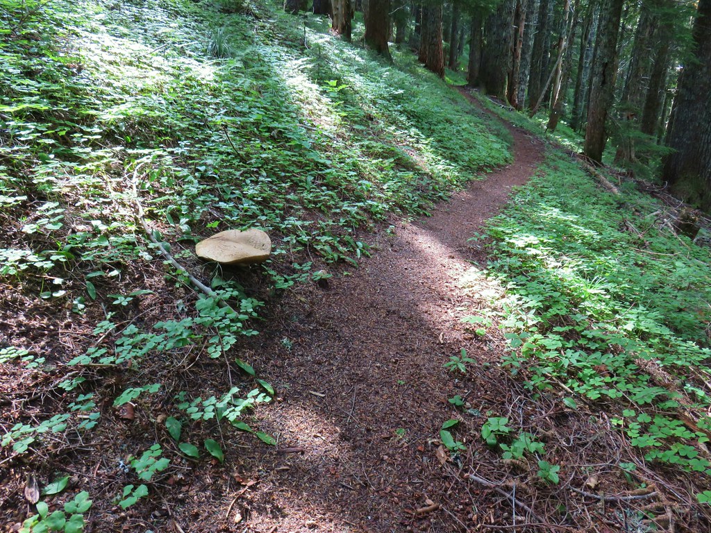
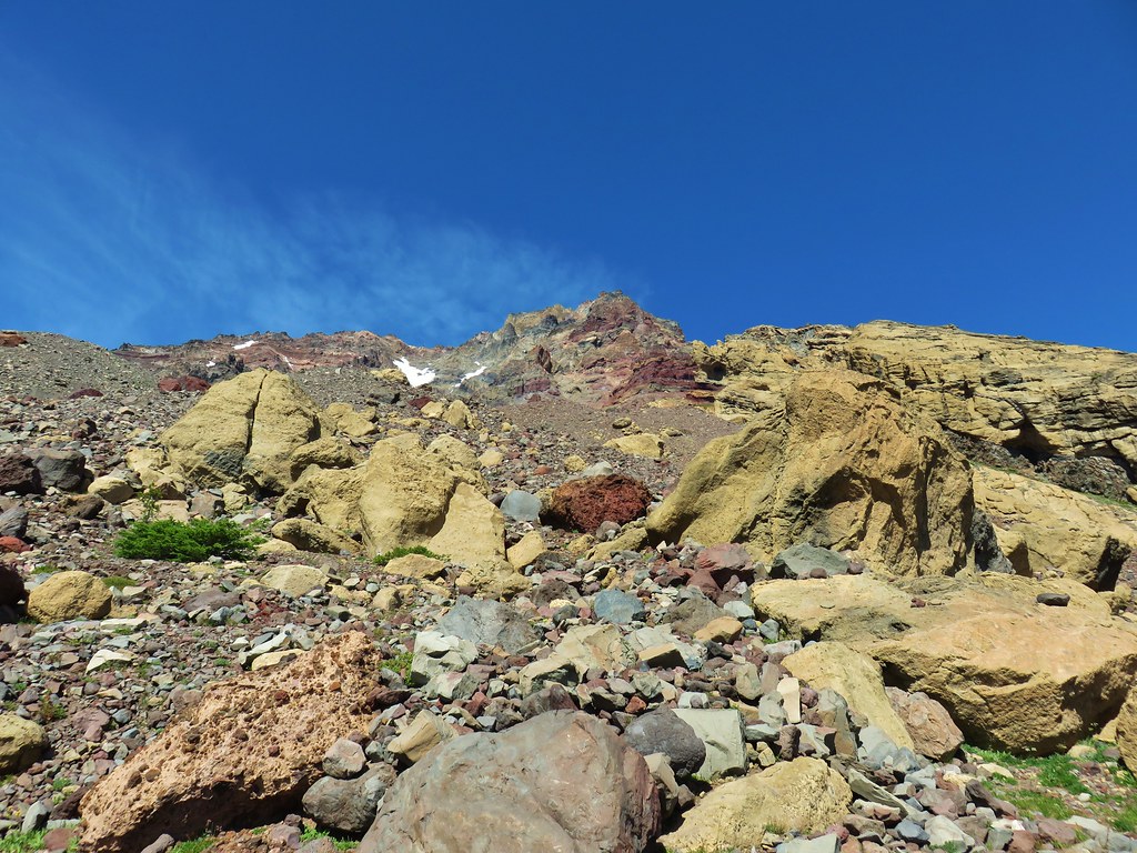
The trail climbed gradually along the hillside and we marveled at the varying effects of the fire and how the forest was in different stages of recovery already.

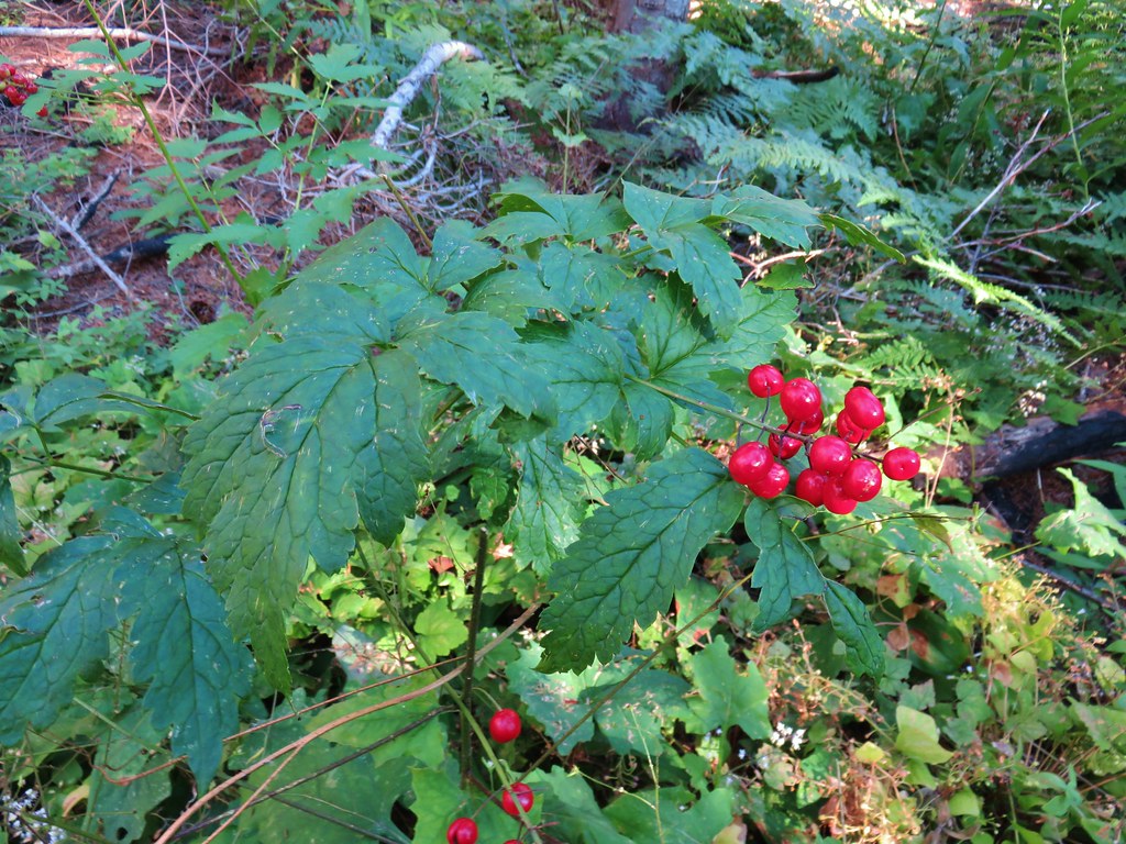 Baneberry
 Monkshood
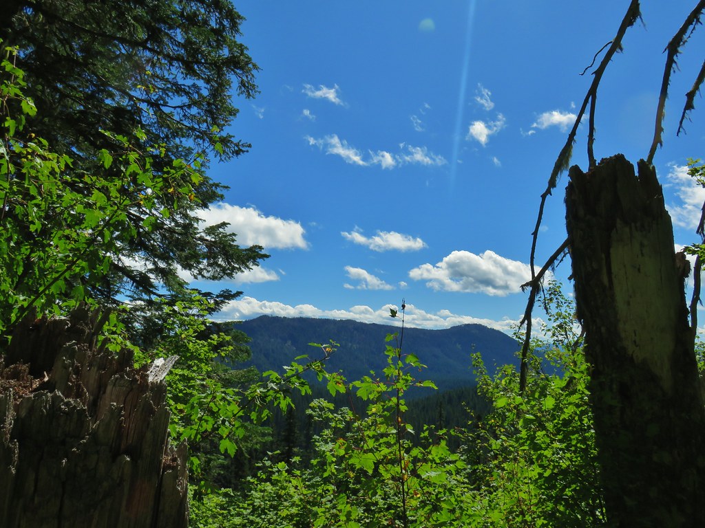
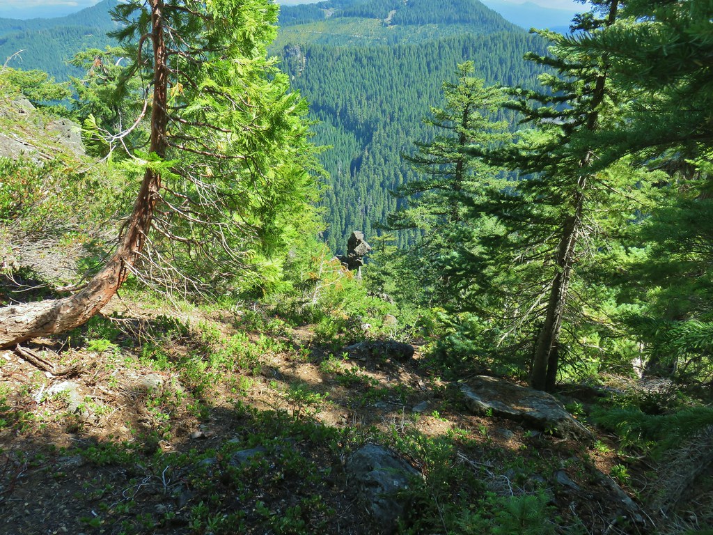
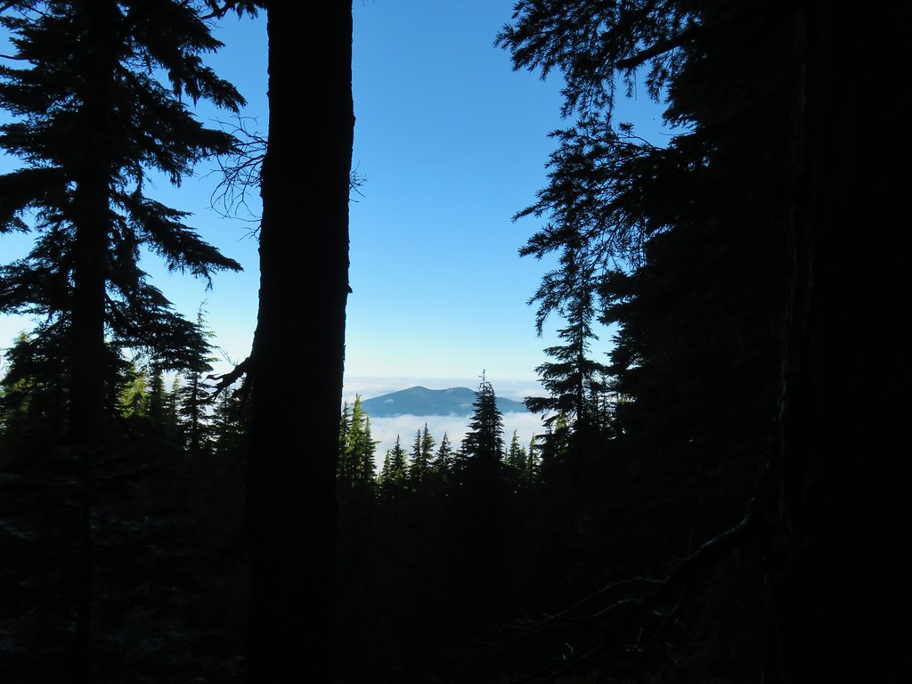
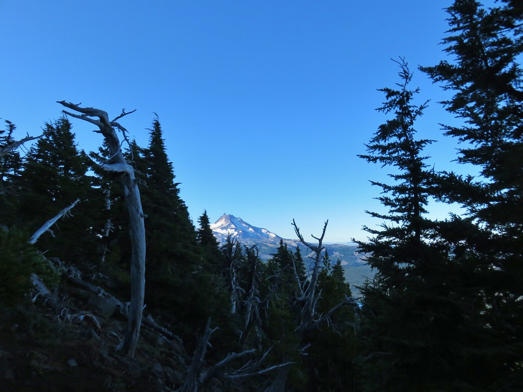
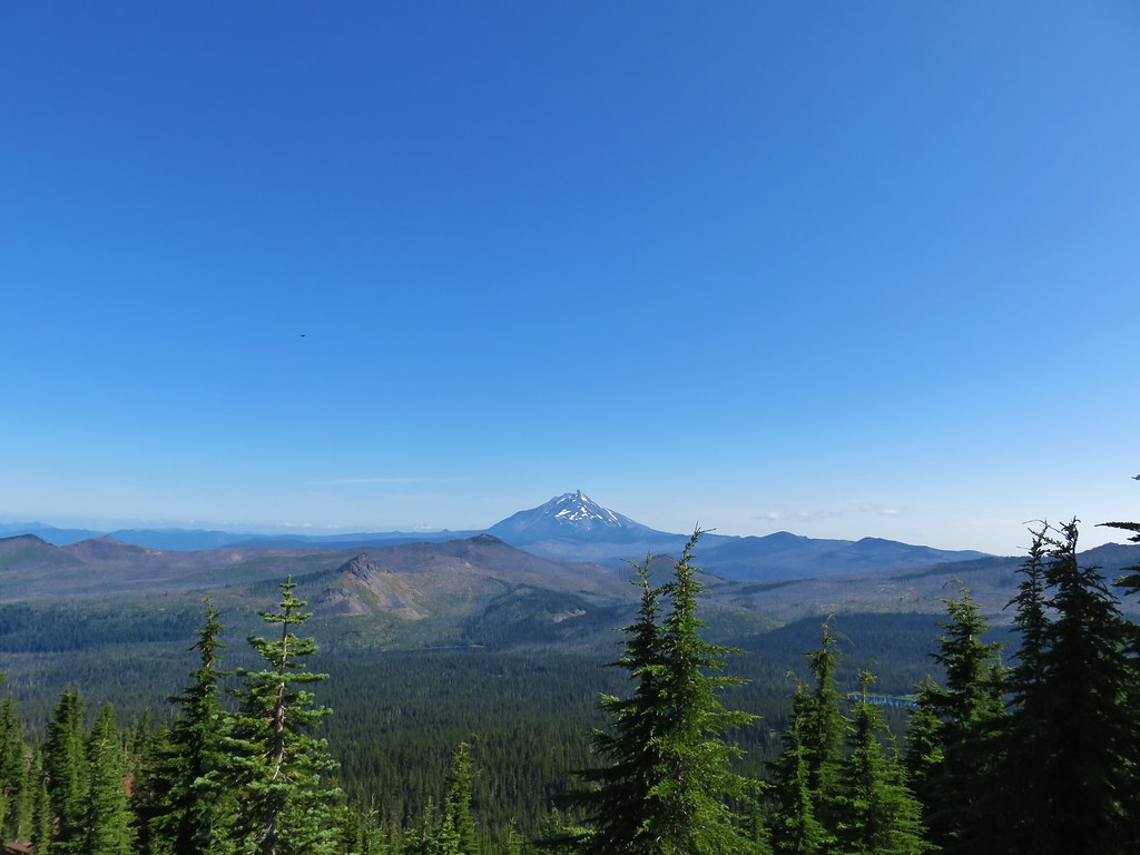
There were also some views that might not have been there if some of the trees hadn’t burned.

 South Sister
 Middle and North Sister
 Mt. Washington
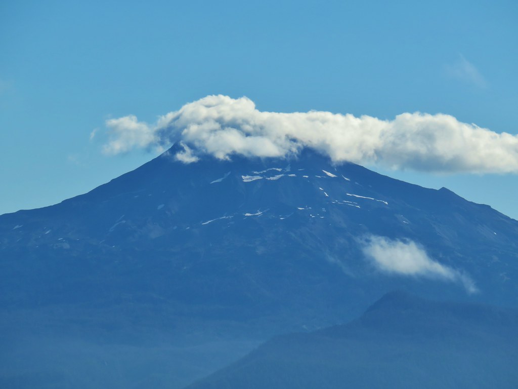
 Mt. Jefferson and Three Fingered Jack
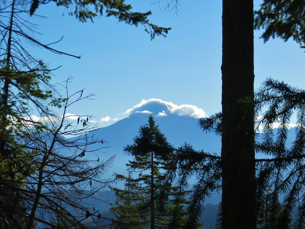
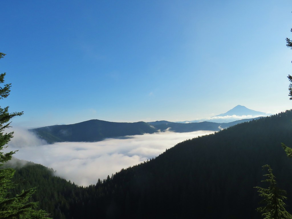
The line of clouds obstructing the view of the mountains wasn’t exactly a welcome sight, but we could at least see some of them and it was early so maybe they would eventually burn off.
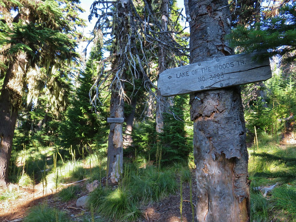
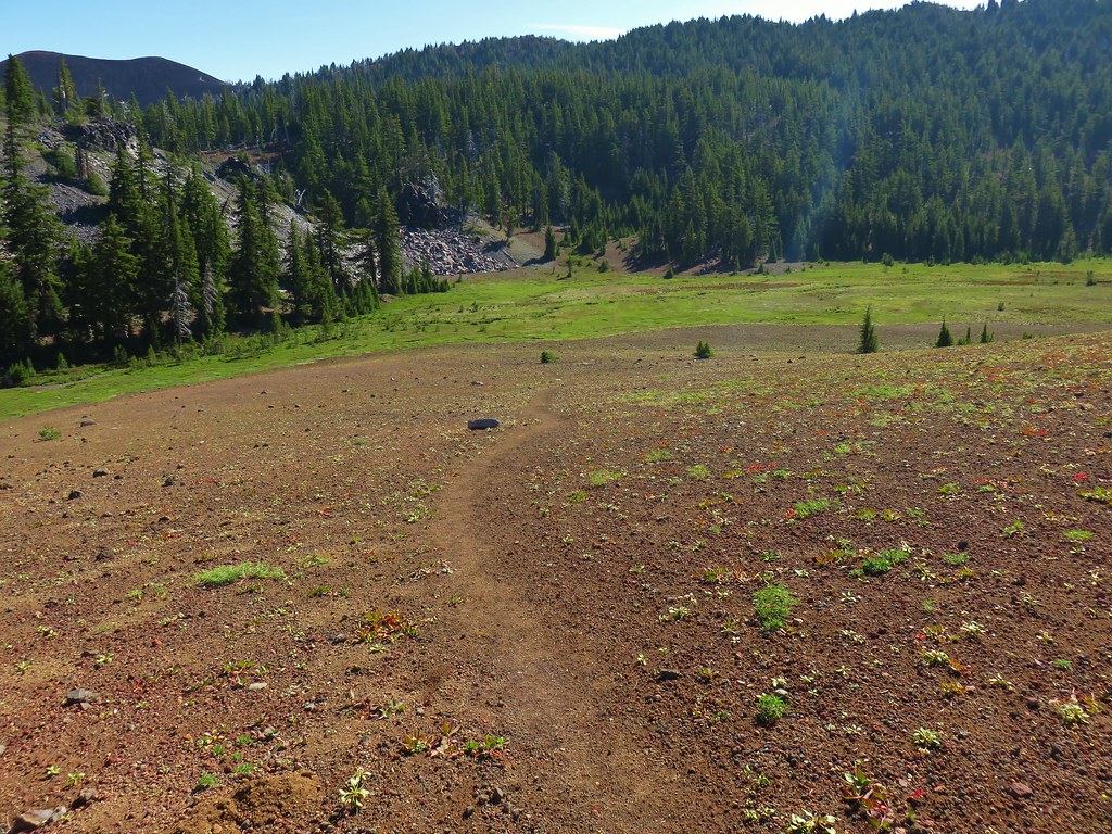
A little over 2 miles from the trailhead we arrived at a junction in a grassy saddle.

The Olallie Trail continued straight passing an old guard station site at Olallie Meadows in .9 miles then continuing deeper (and fainter) into the Three Sisters Wilderness eventually ending at Horse Lake (post). We turned right though, onto the Olallie Mountain Trail.

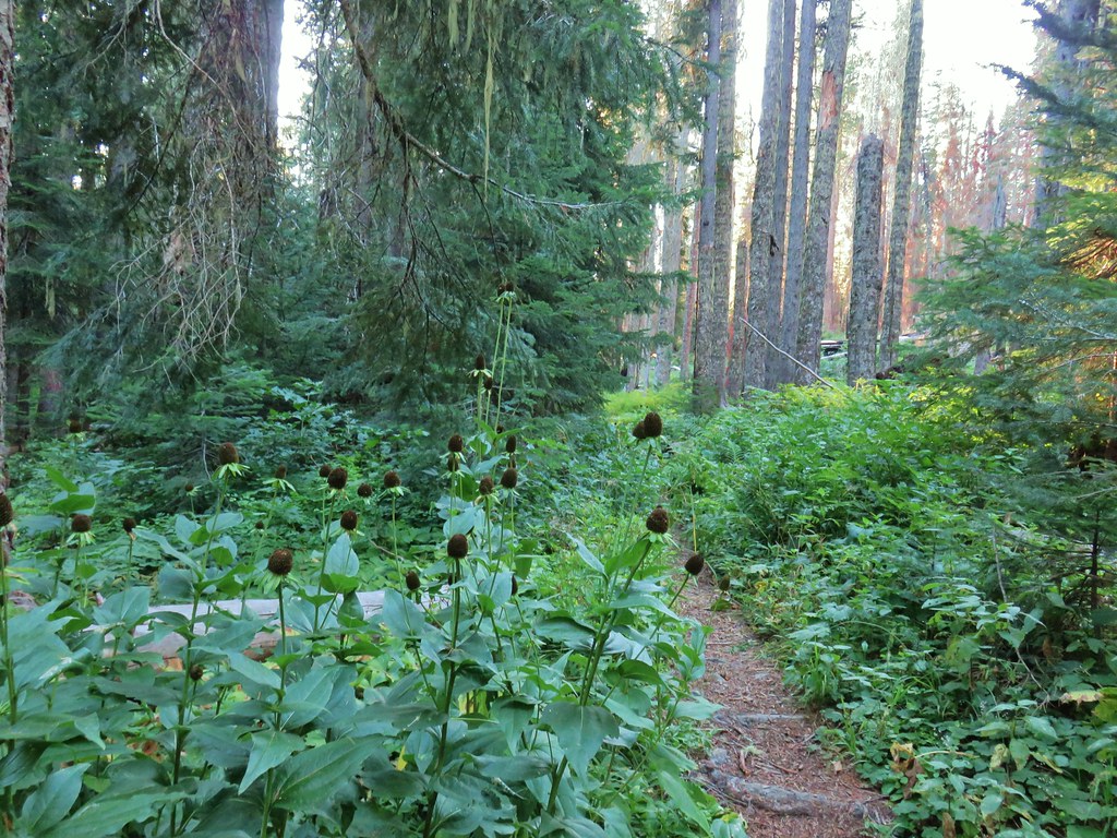
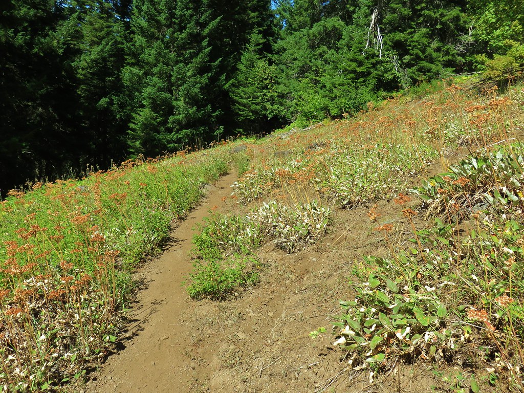
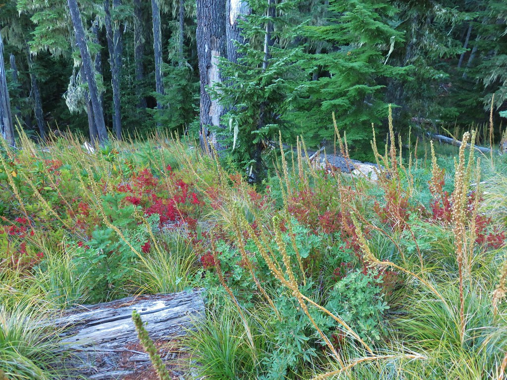
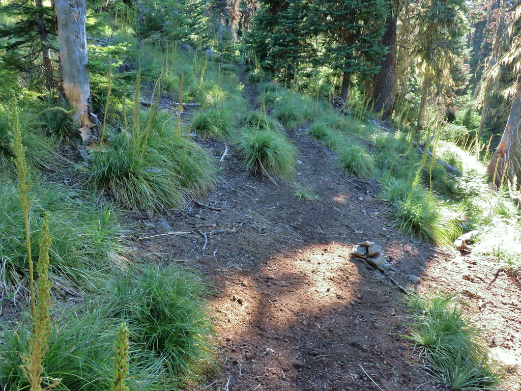
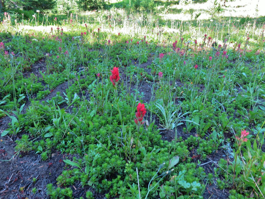
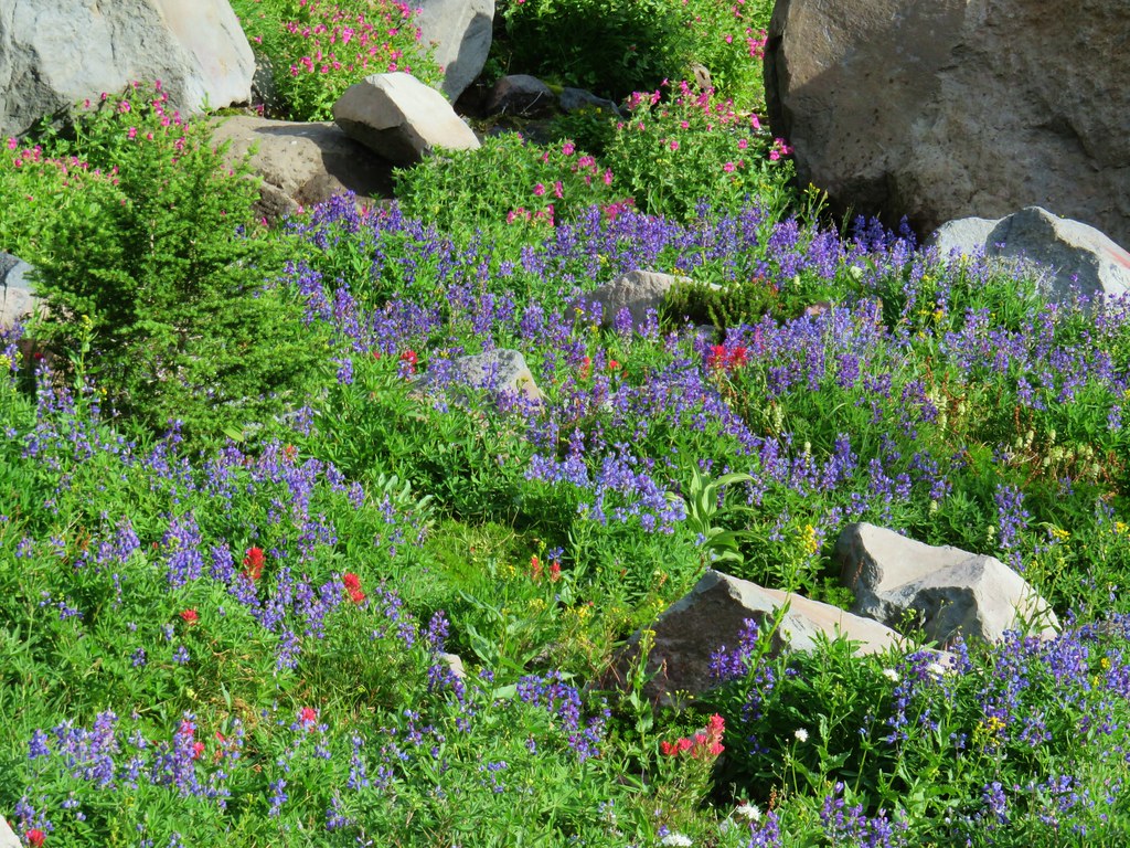
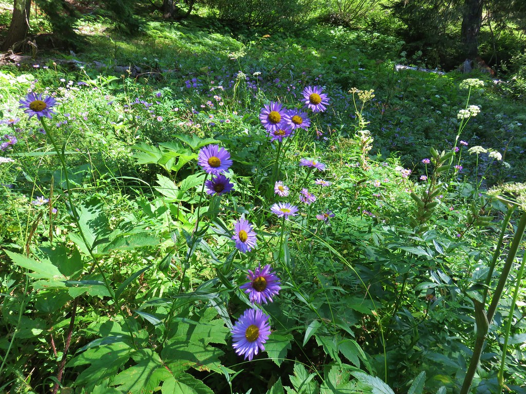
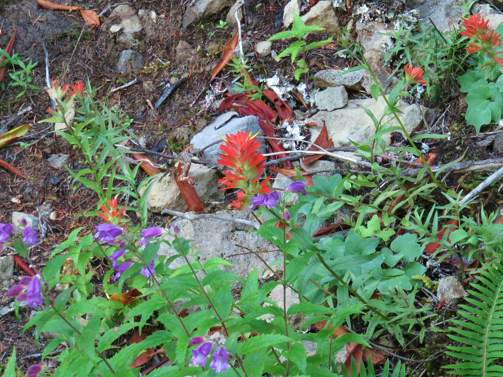
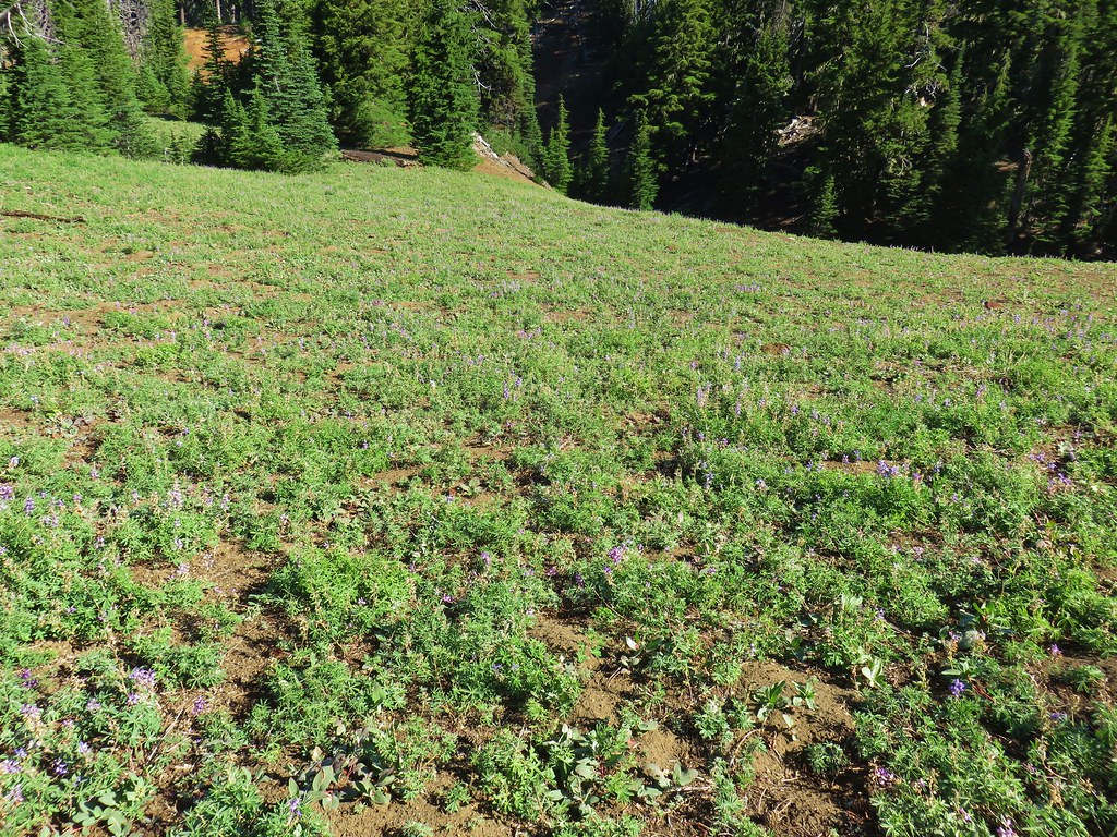
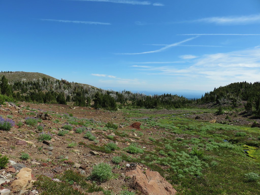
This trail began with a reasonably gradual climb past a series of meadows where a few late blooming flowers remained.

 Aster and pearly everlasting
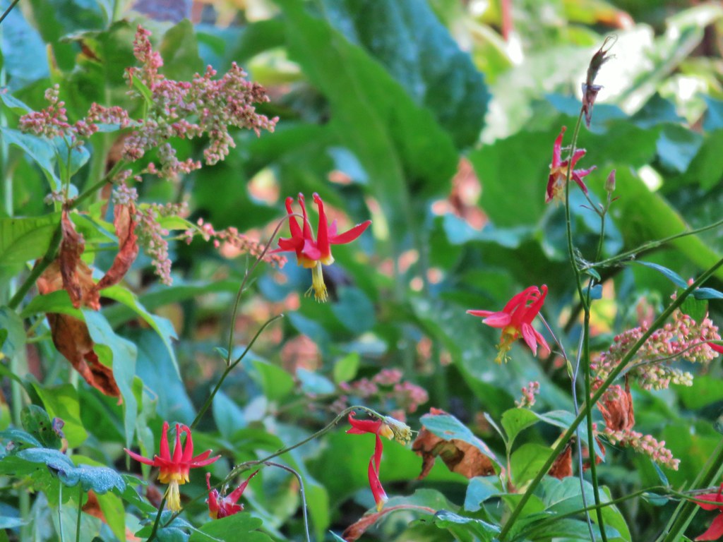 Columbine

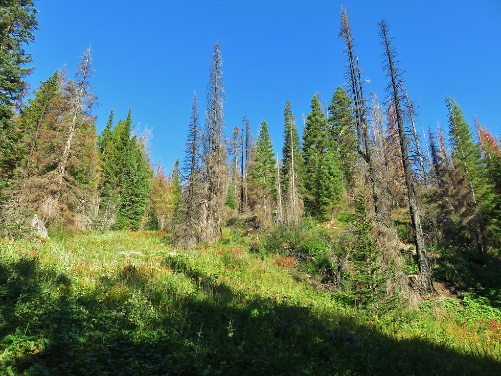
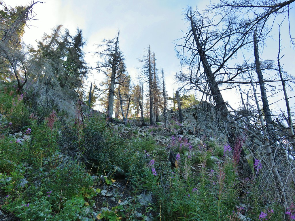
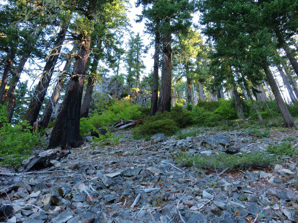
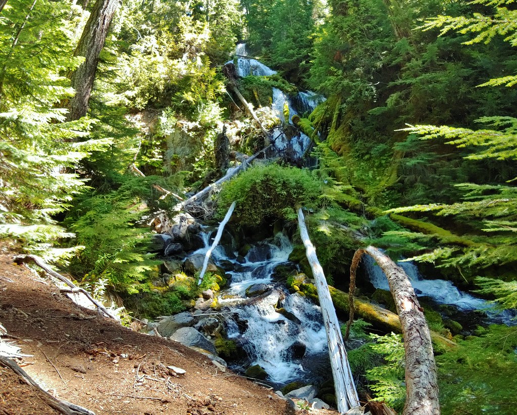
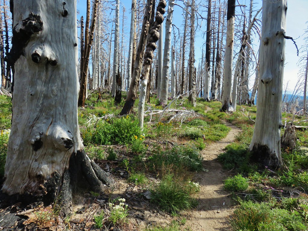
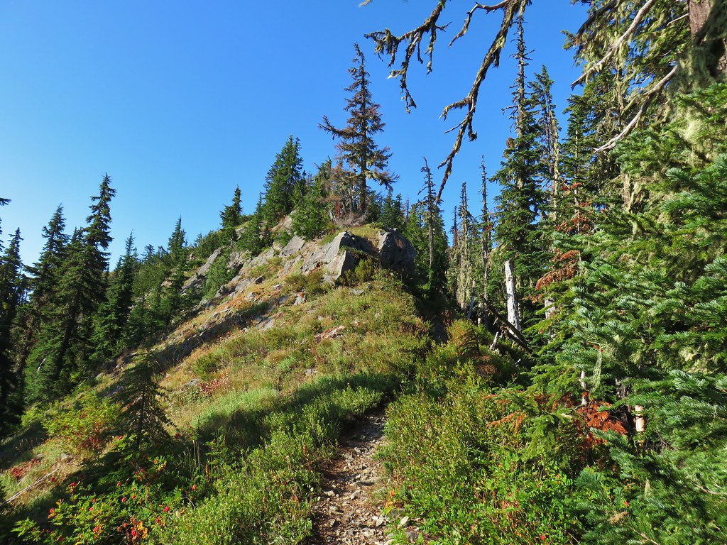
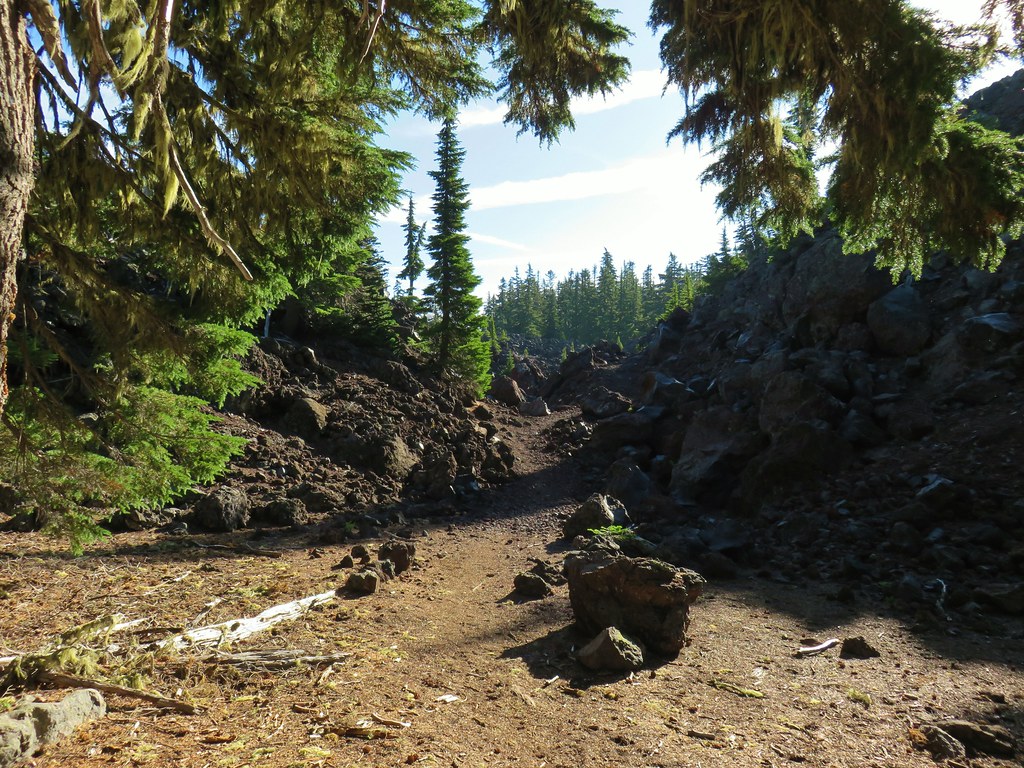
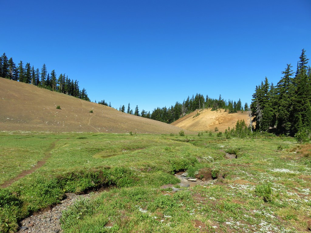
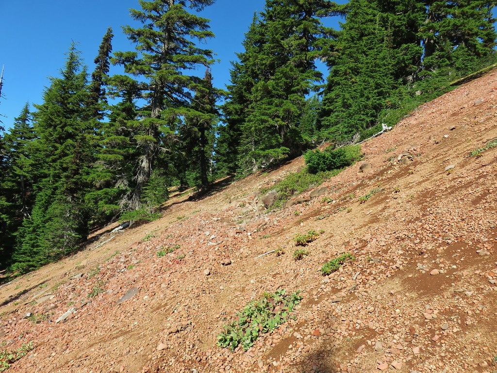
The trail briefly leveled out on top of ridge where the fire had burned intensely in some areas while sparing trees in others.

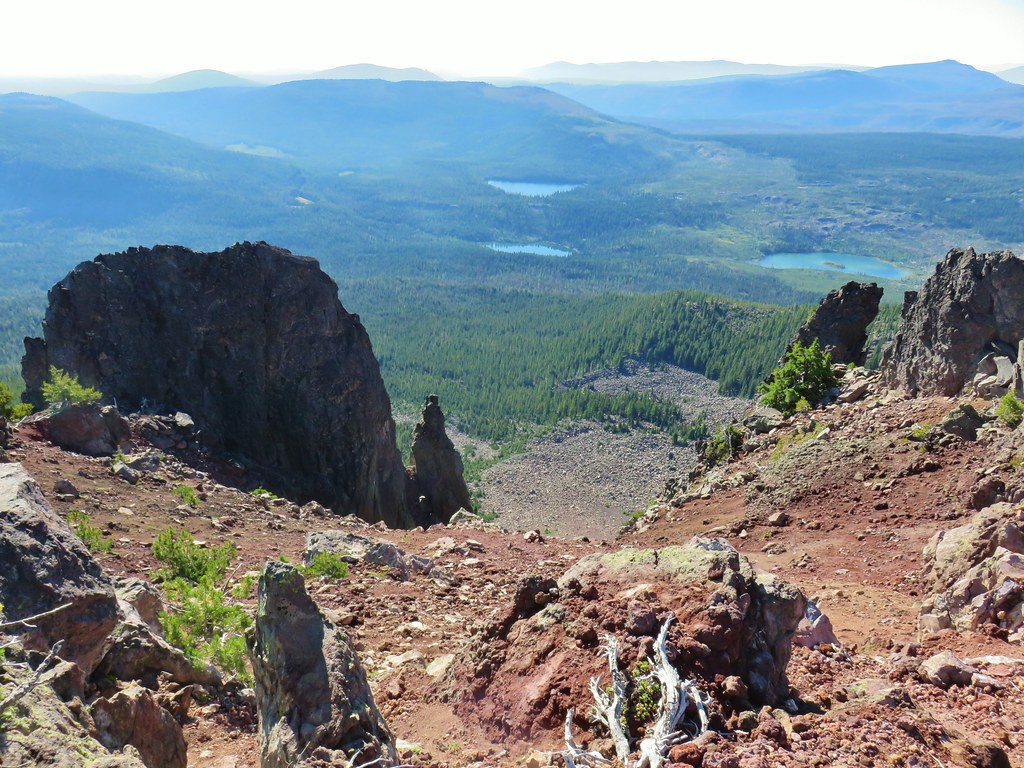
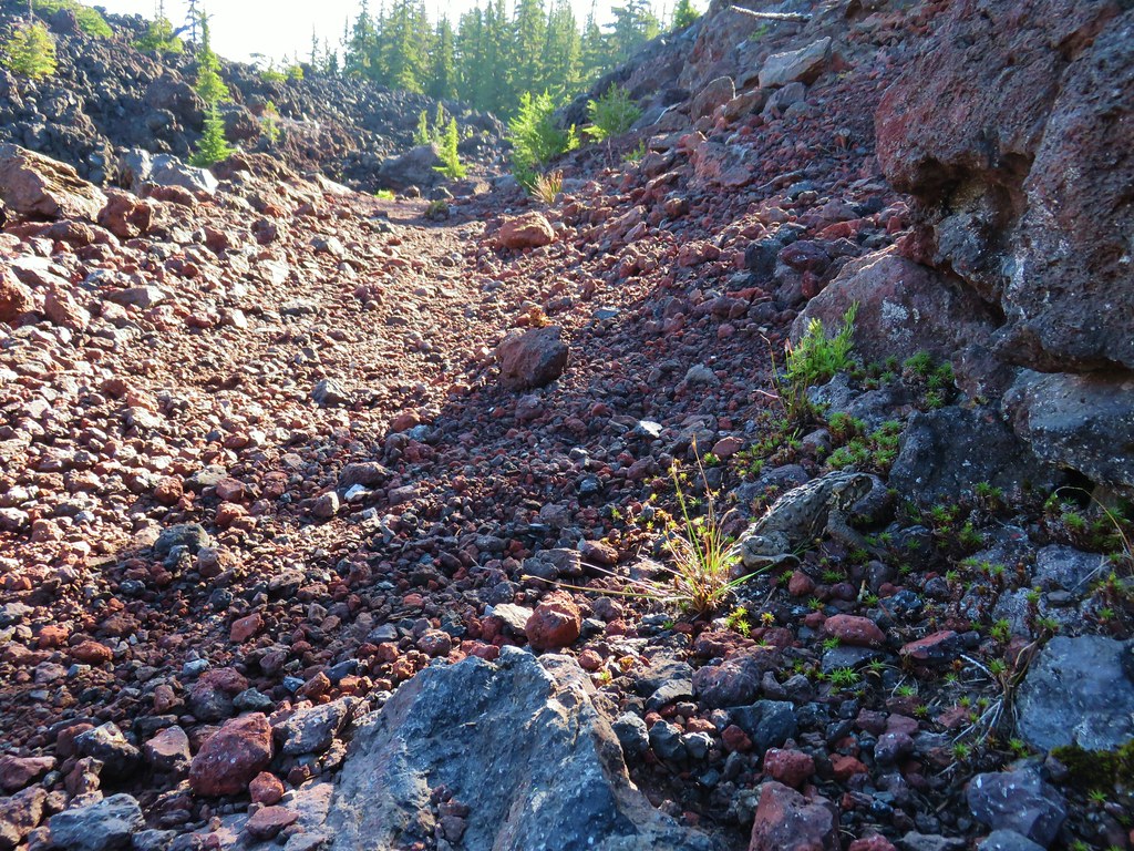
After the brief respite from climbing the trail steepened below the summit of Olallie Mountain and began to wrap up and around its rocky western face.


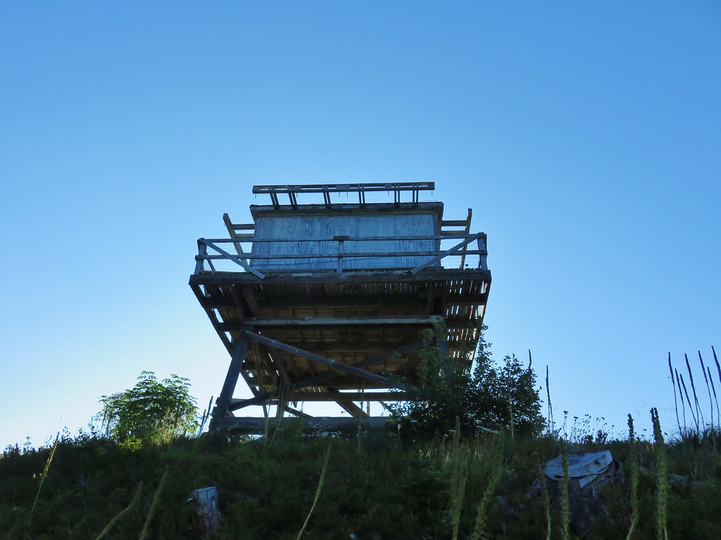
The tread along the steep hillside here was a little sketchy in part due to the fire but we made our way up to the summit. The remains of the Olallie Mountain lookout tower still stand on the summit having been covered by firefighters to protect it from the blaze.


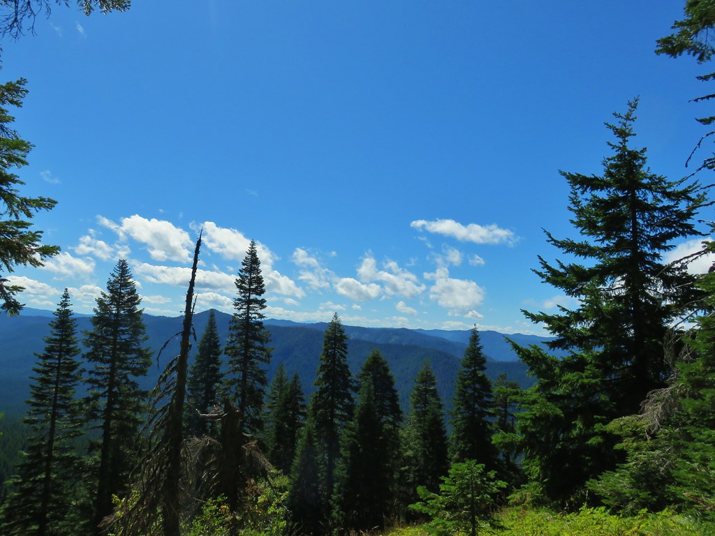
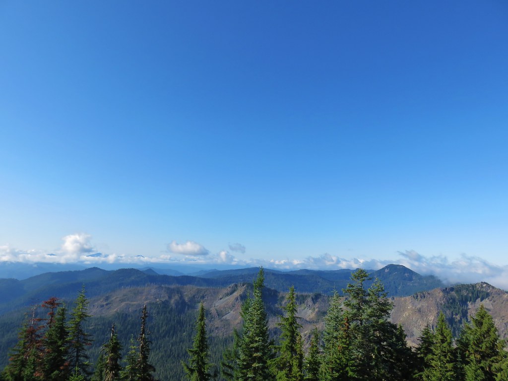
The three hundred and sixty degree view was impressive and would have been more so if not for the presence of clouds to the north and in front of many of the cascade peaks. On top of that our early ascent left the Sun in a less than ideal overhead position for lighting.
 Parts of the Cascades from Mt. Jefferson to the NE to Mt. Bachelor to the SE.
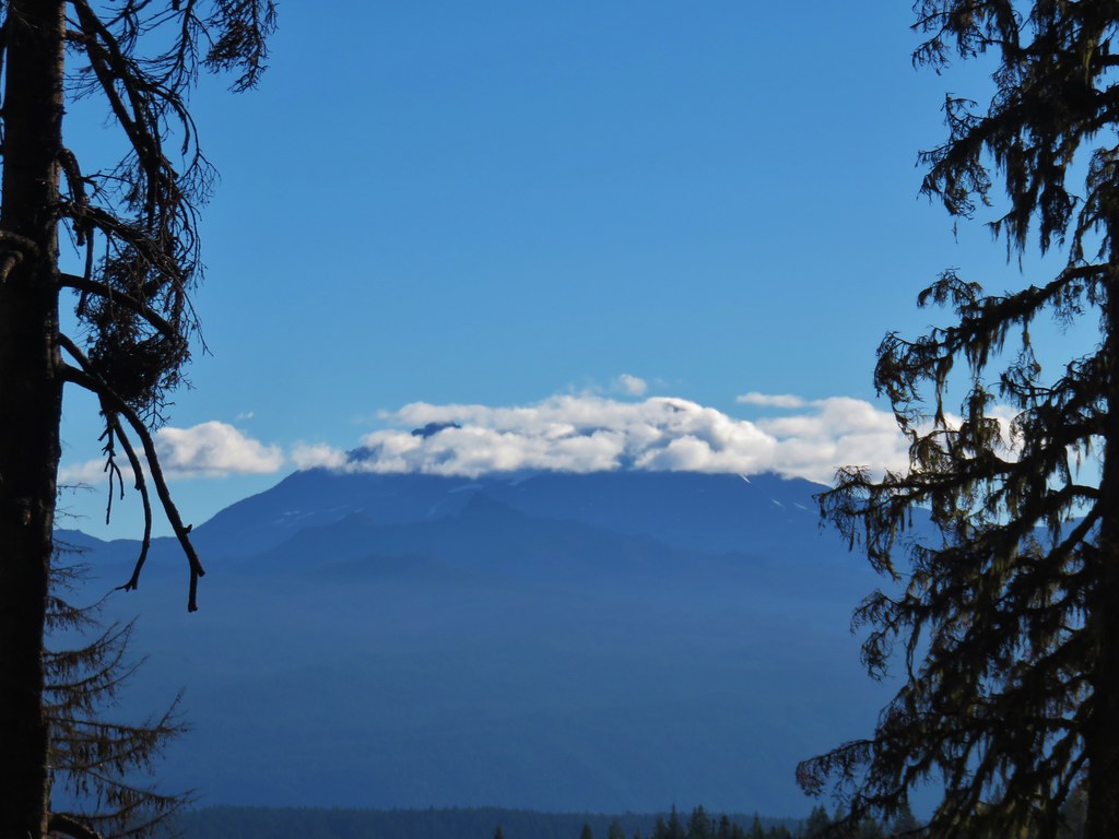
 Mt. Jefferson was still tangled up in the clouds.
 Just a peak at Mt. Washington (which was more than we could see of Three Fingered Jack)
 Middle and North Sister behind The Husband
 South Sister
 Broken Top
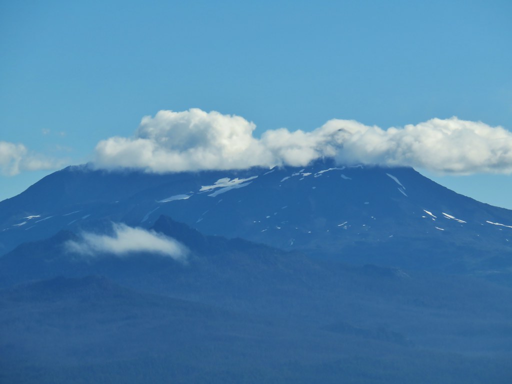
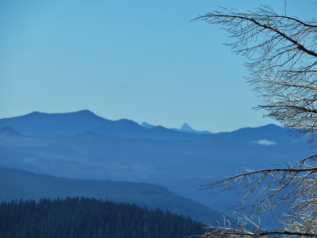
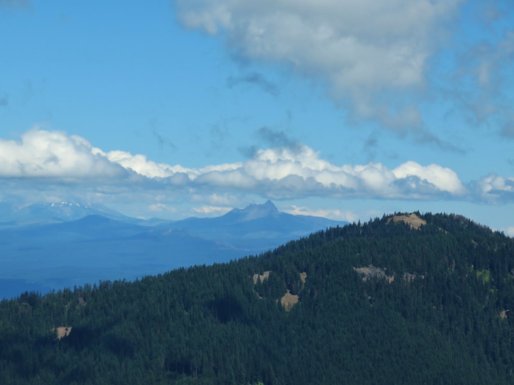
Things were a little less cloudy to the south where Cowhorn Mountain (post) and Mt. Thielsen (post) seemed to be cloud free while Diamond Peak wasn’t so lucky.

 Cowhorn Mountain and Mt. Thielsen
 Diamond Peak
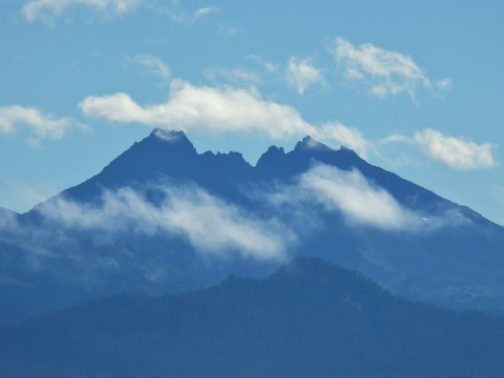
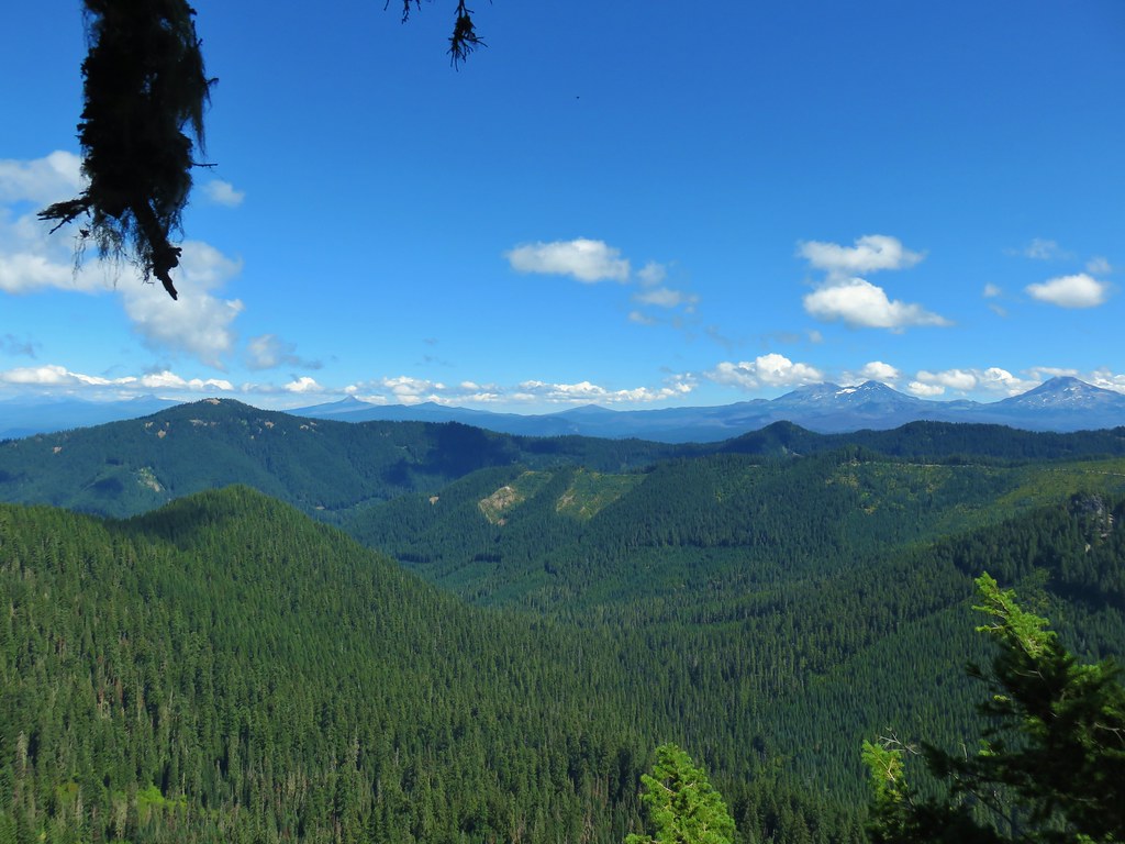
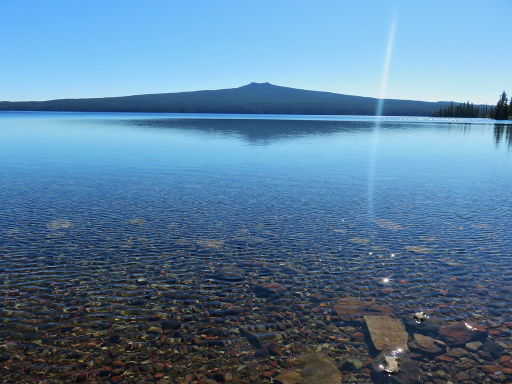
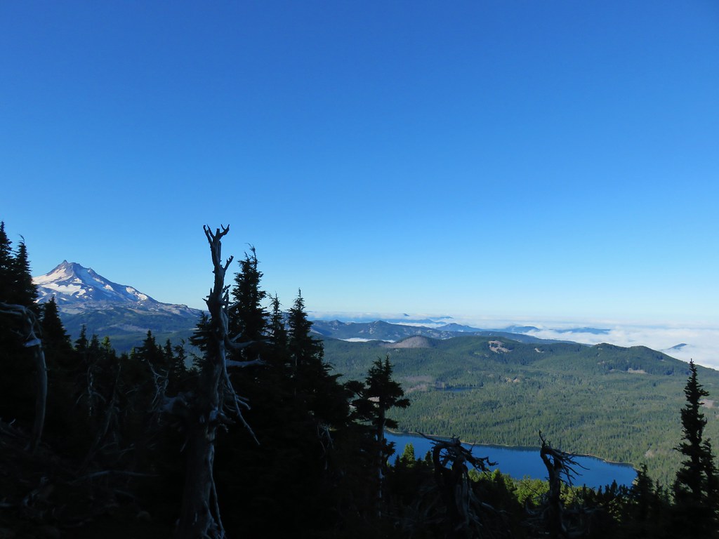
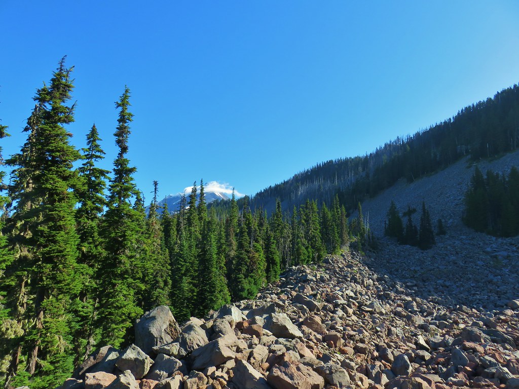
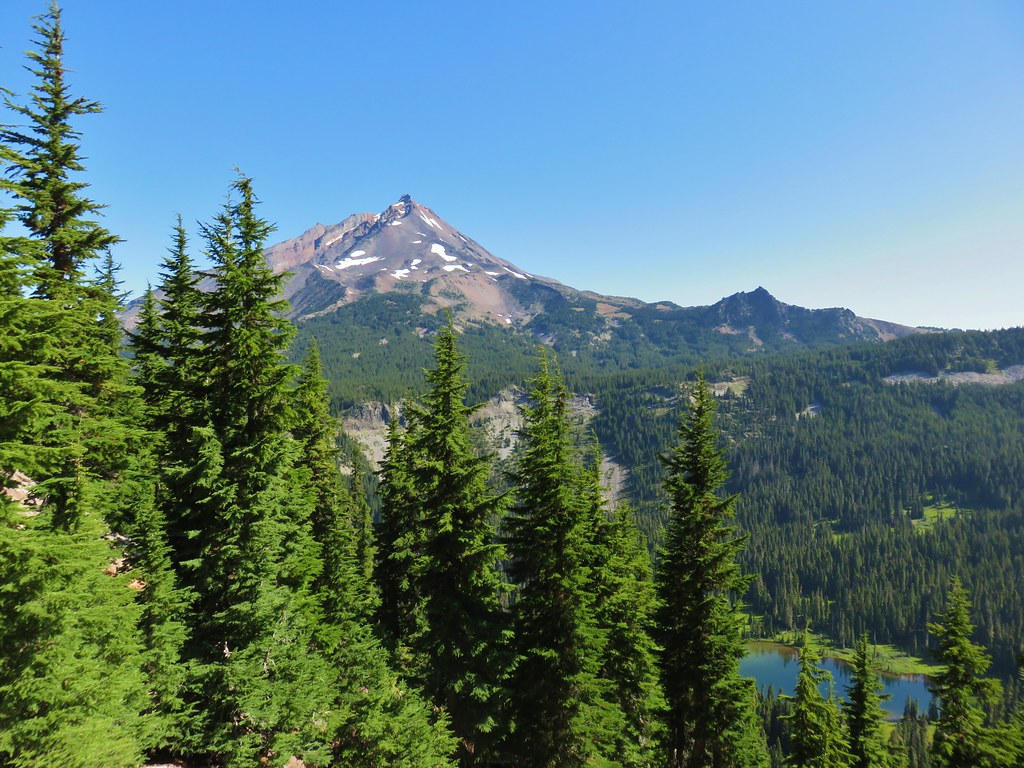
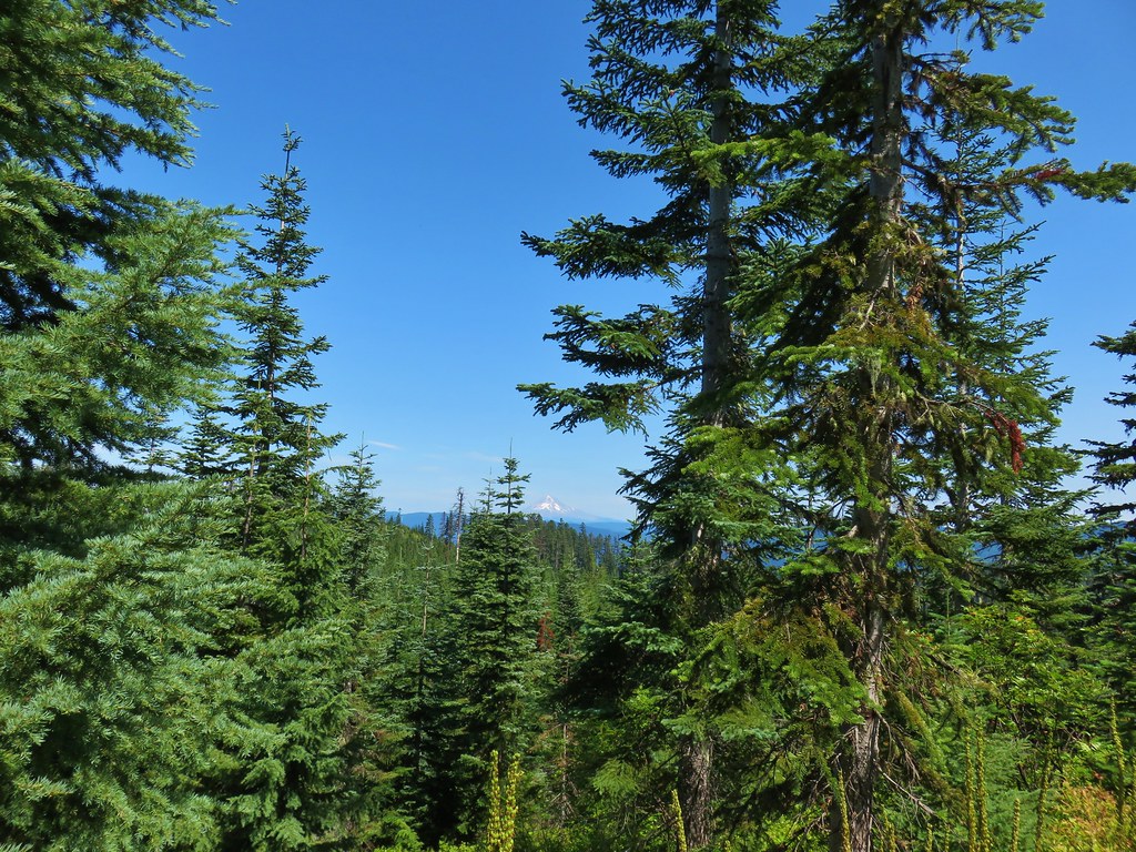
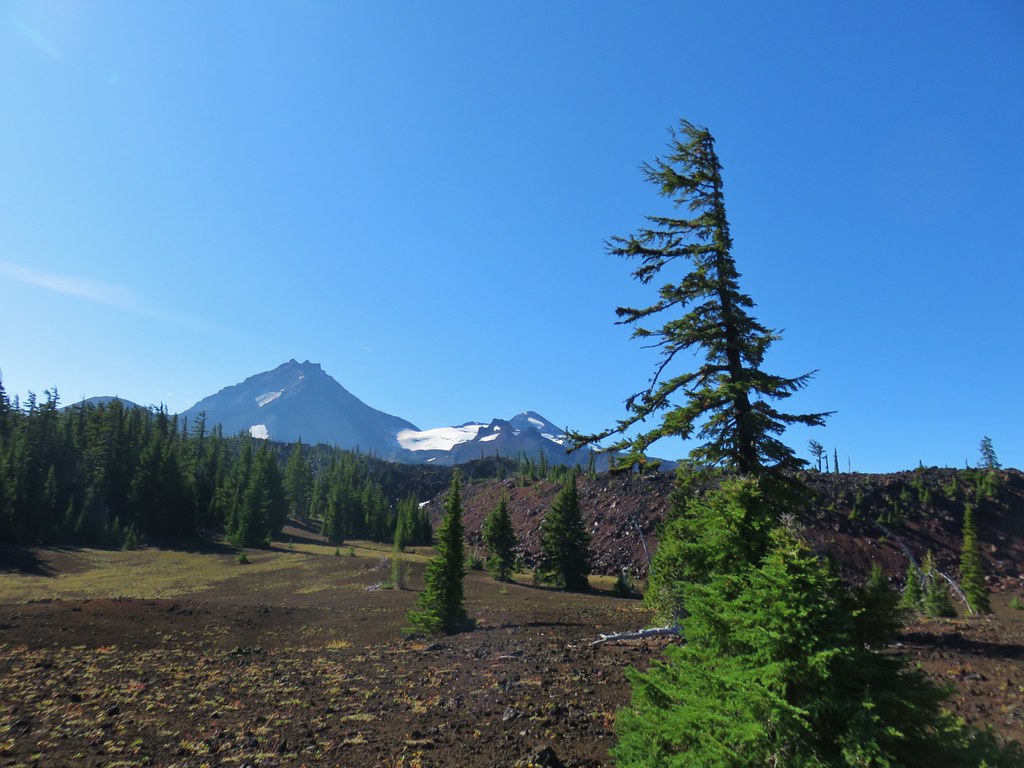
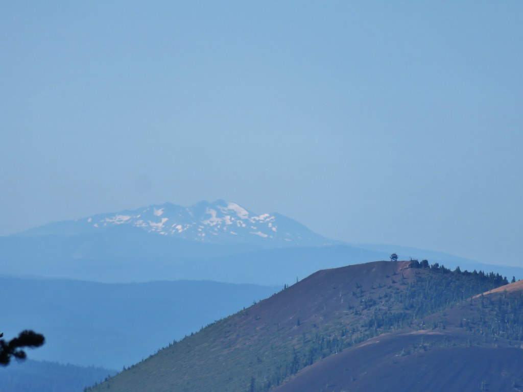
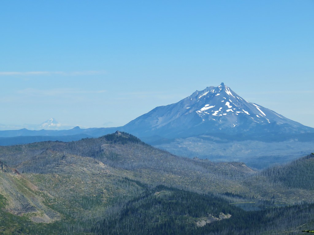
We were able to identify the cliffs of flat topped Lowder Mountain, our next stop, to the NW.
 Lowder Mountain to the left of the tree in the foreground.
 Lowder Mountain
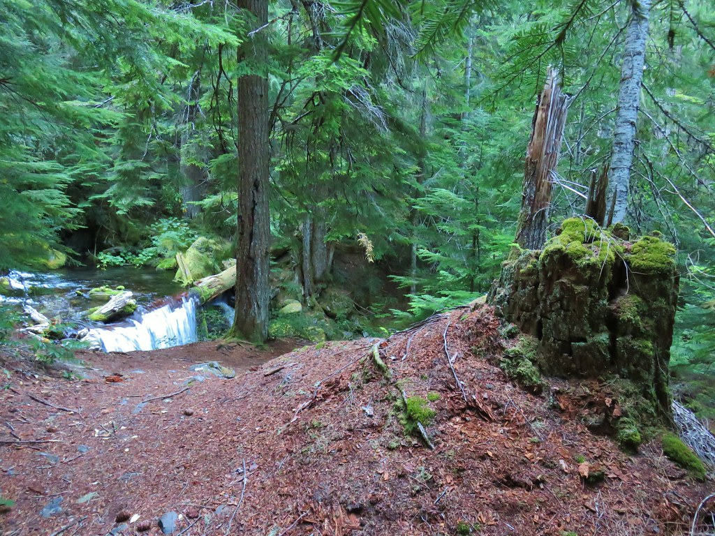
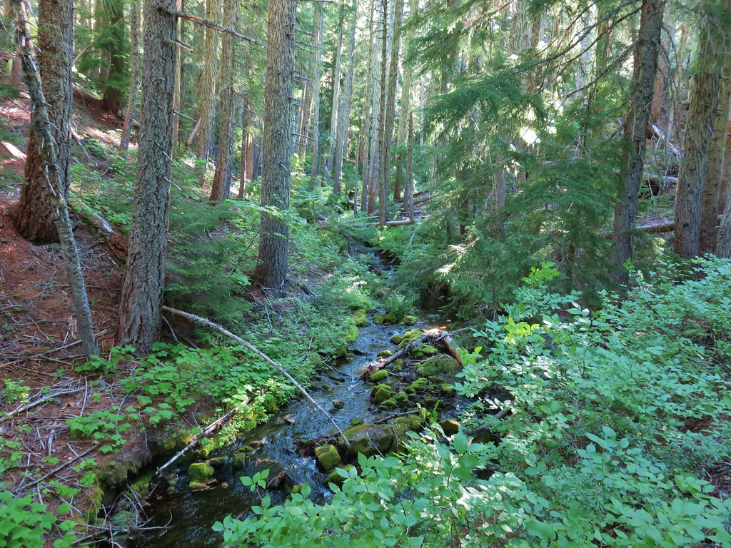
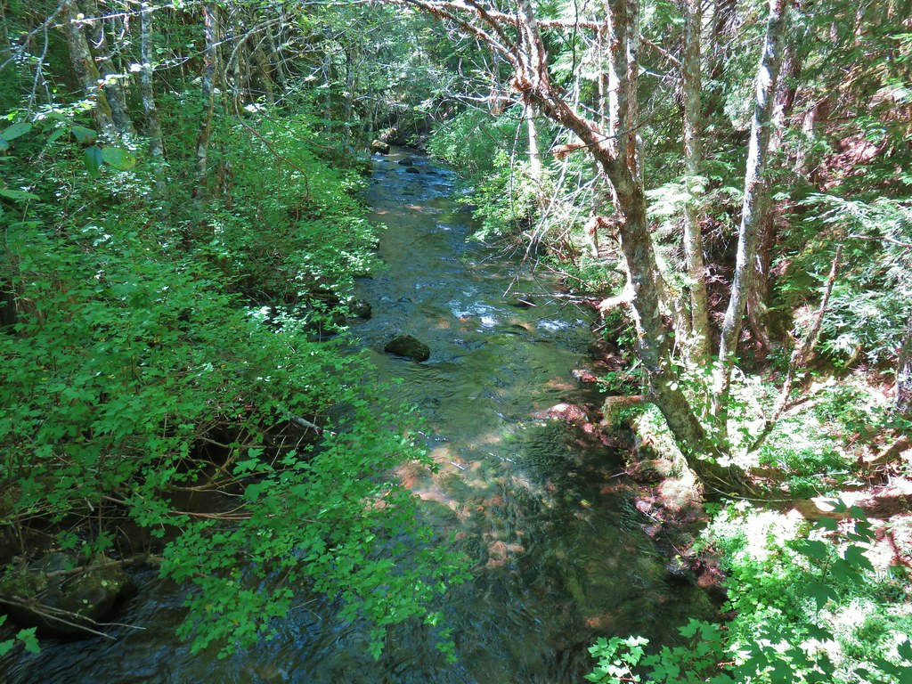
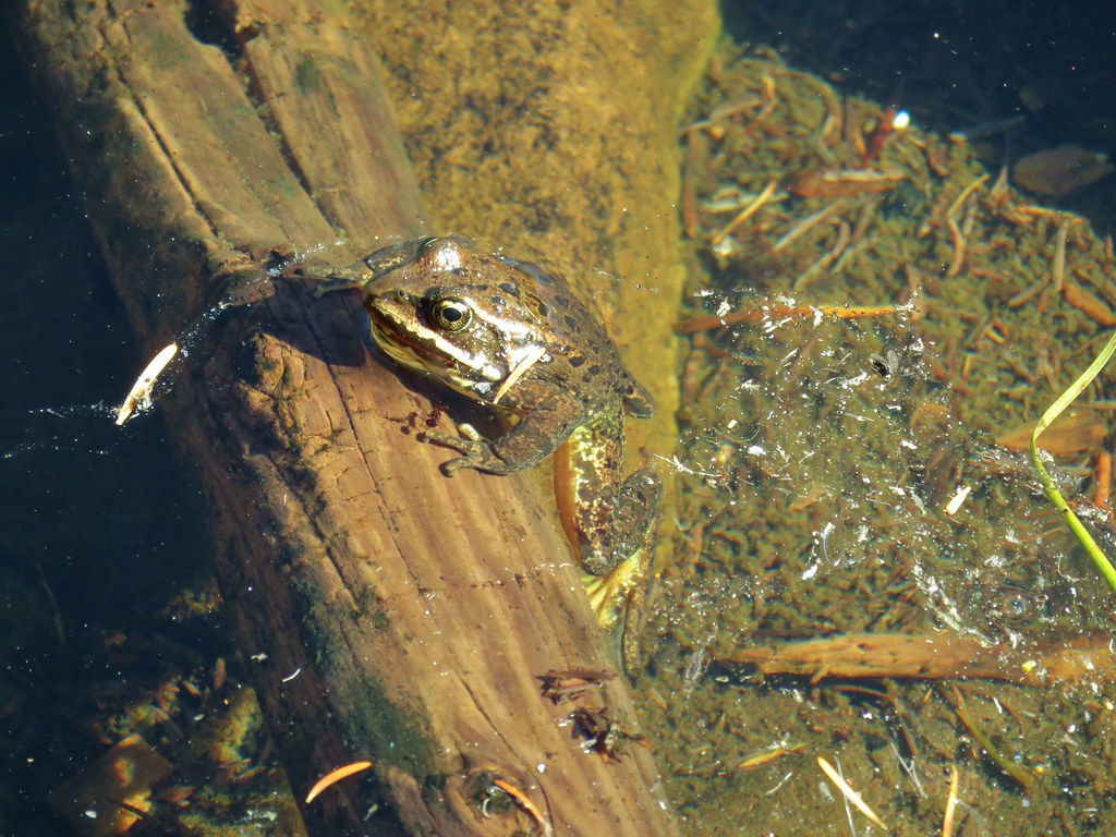
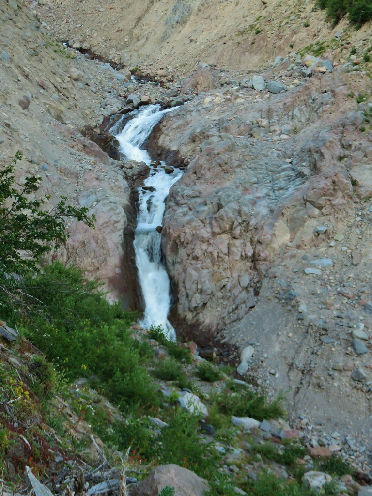
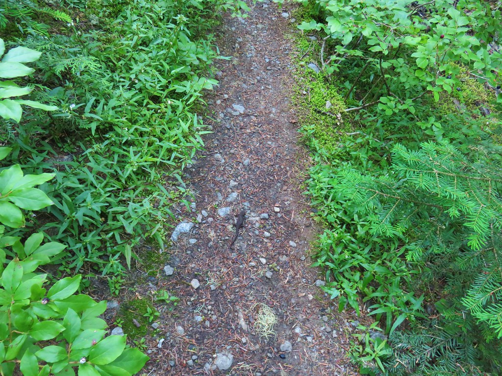
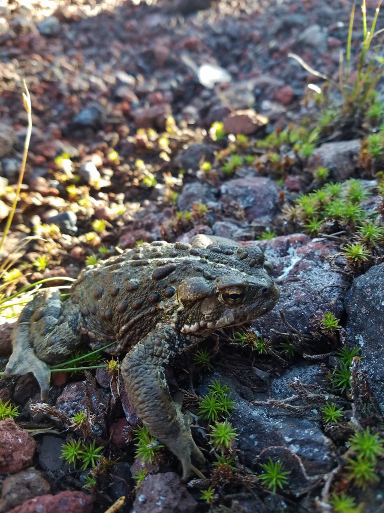
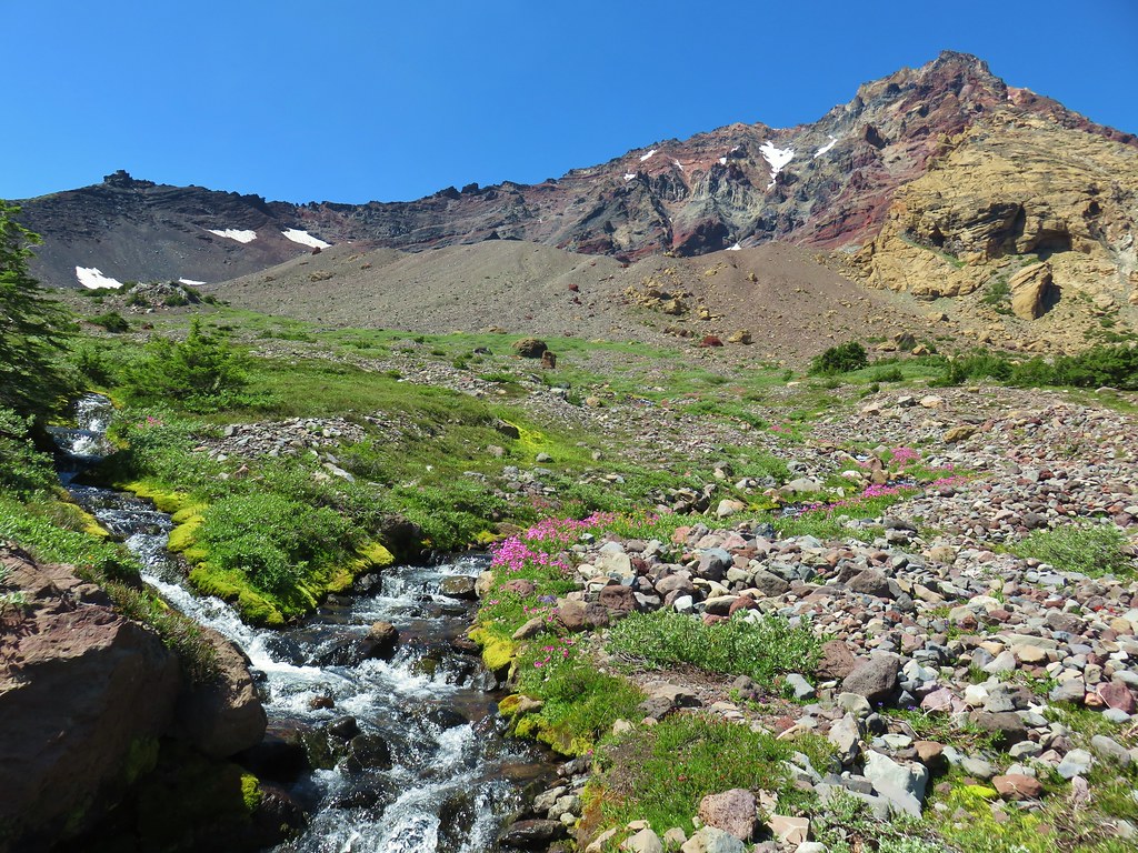
After watching the clouds pass by (but not leave) for awhile we headed back down. We had passed a single backpacker on the way up and on the way down we encountered a trio of hikers making their way up. When we got back to the stream below Wolverine Lake we spotted a frog (no wolverines though).

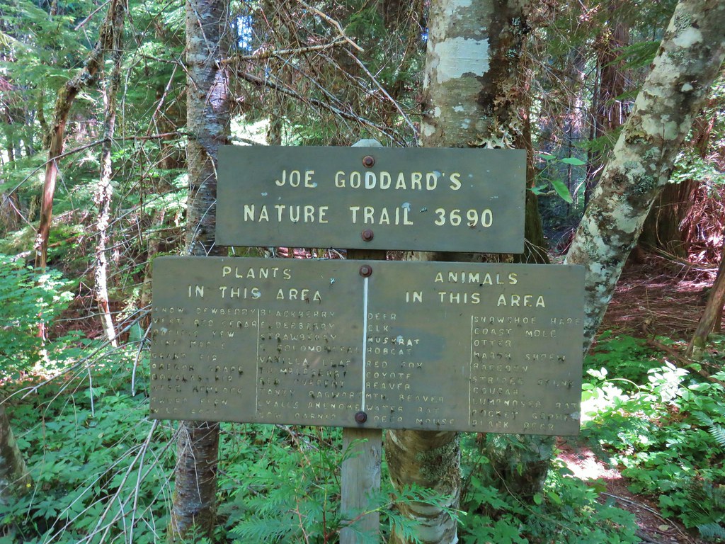
We completed our 8 mile hike here and drove back the two miles to the Lowder Mountain Upper Trailhead and parked at a pullout near the trailhead signboard. The signboard announced three trails: the Quaking Aspen, Lowder Mountain, and Walker Creek Trails.

We weren’t paying close attention as we set off on a trail heading for a wilderness to the left of the signboard.

Our first clue that we were on the wrong trail should have been the location of the trail signs on the signboard but away we went following the Quaking Aspen Trail downhill parallel to FR 1993. We had a feeling something might be off but a quick glance at the GPS showed that we were almost to some switchbacks which matched up with Sullivan’s map but we were surprised that they were headed downhill and not up (the one complaint we have about Sullivan’s maps are that they are not topographic so we can’t always tell when a trail is climbing or dropping). We were zoomed in too far to see the other trail behind us that switchbacked uphill. Just after turning on the first of the switchbacks Heather figured it out and got us turned in the right direction but not until we’d covered a third of a mile.
We hiked back uphill to the trailhead and looked at the signboard and area more closely. Sure enough there was another trail and wilderness to the right of the signboard (the side listing the Lowder Mountain and Walker Creek Trails).


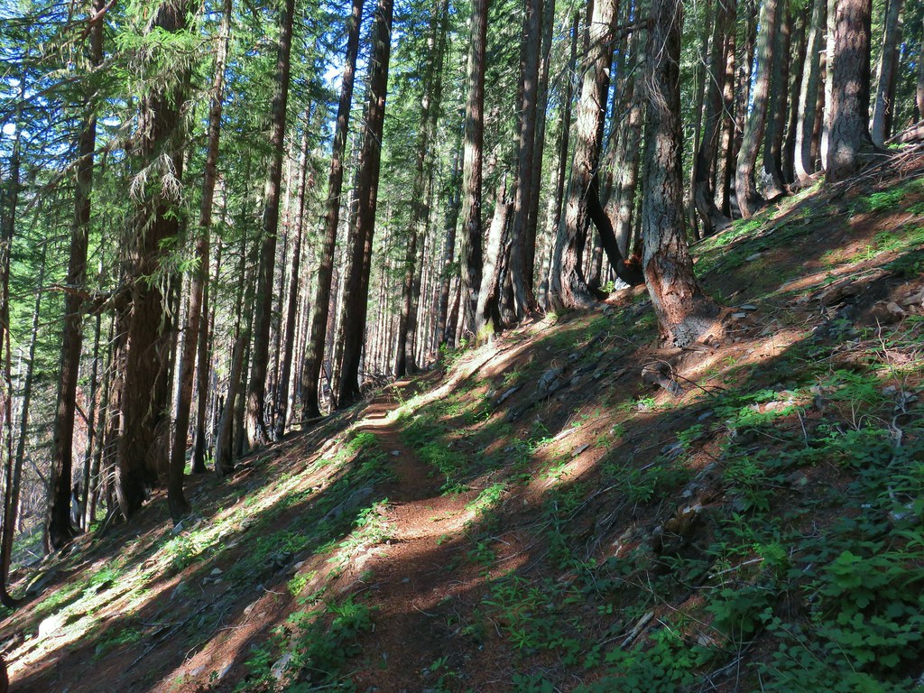
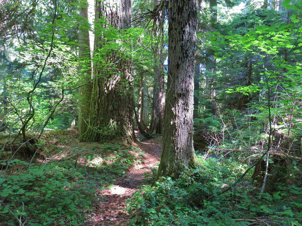
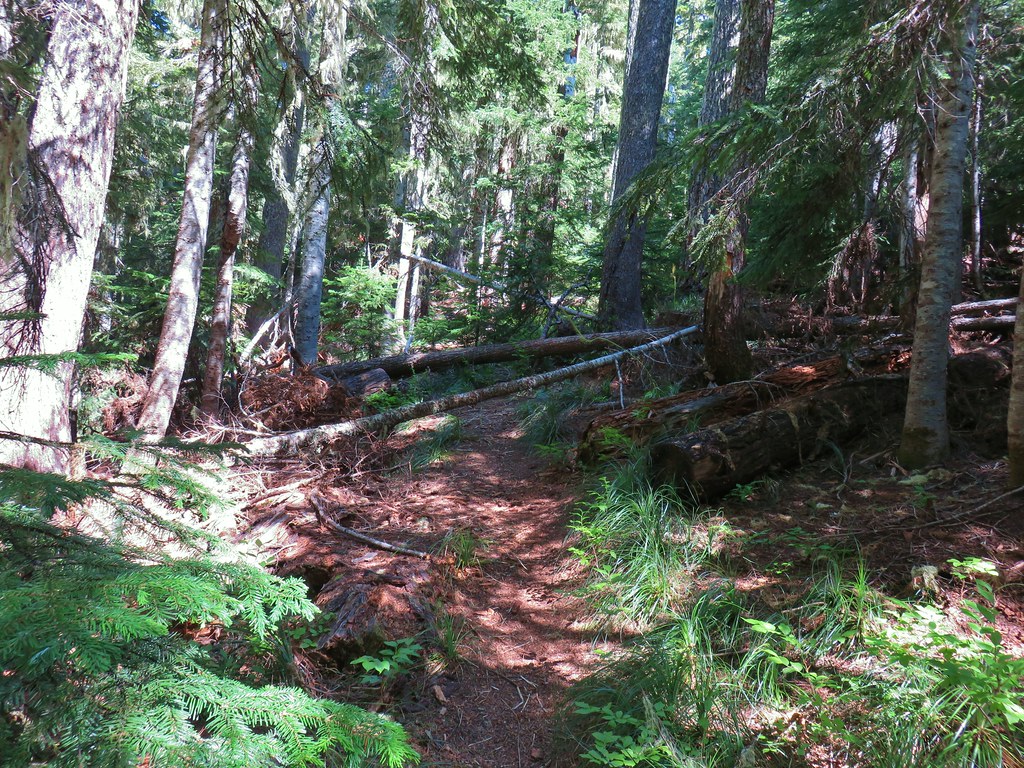
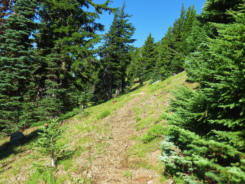
We now set off on the Lowder Trail and began switchbacking uphill through an old growth forest.


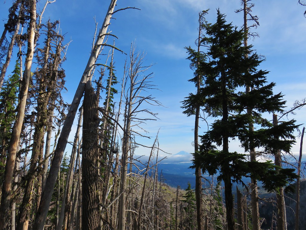
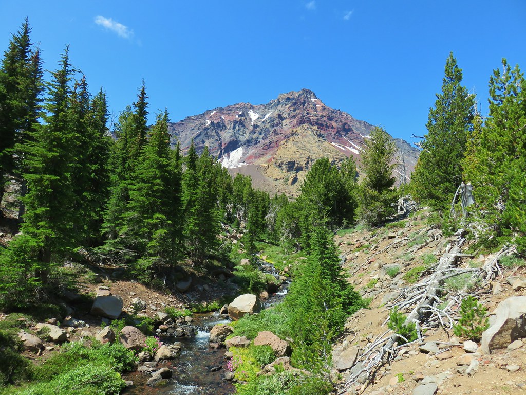
After a quarter mile of serious climbing the trail leveled out a bit (and straightened out) as it traversed along a hillside. We soon got a quick glimpse of Olallie Mountain across the valley.
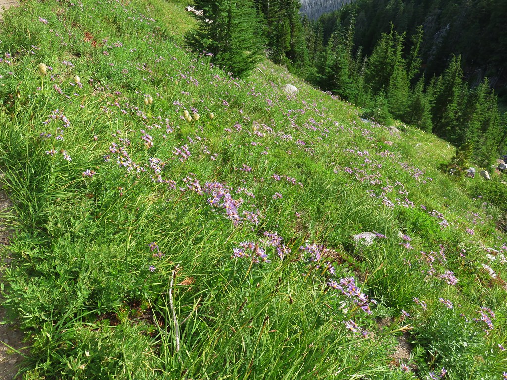
For the next 1 3/4 miles the trail alternated between meadows and forest before arriving at a junction in one of the meadows.

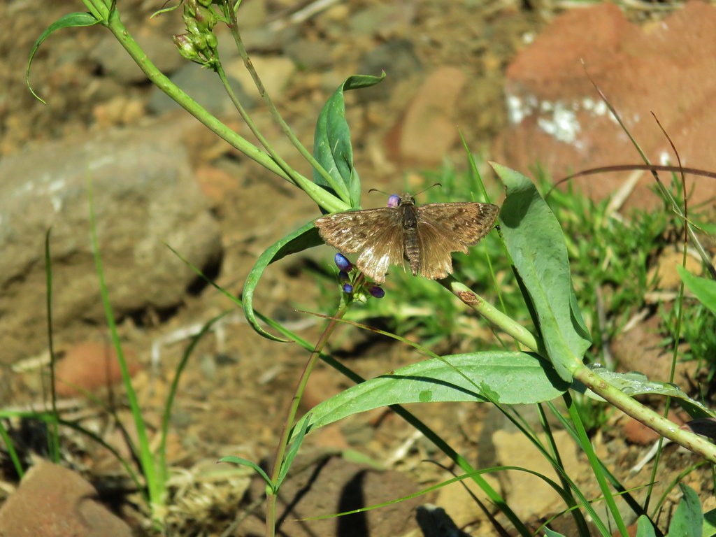
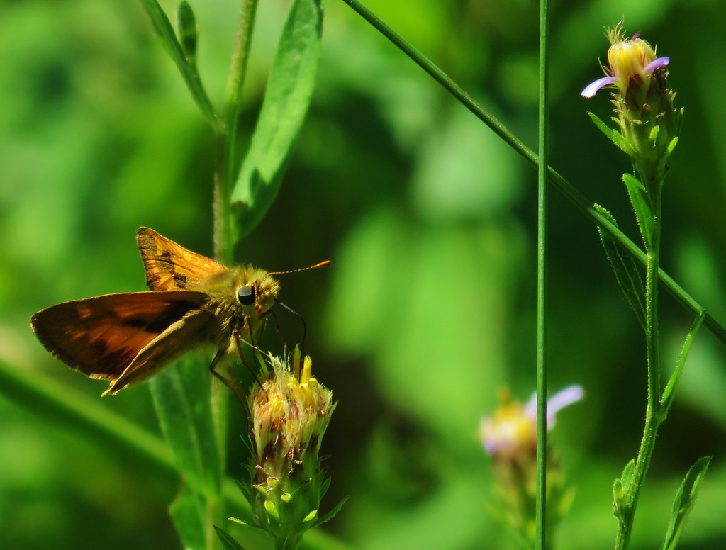 Skipper
 This reminded us of a torture device.

 This meadow had a lot of buckwheat.

 Olallie Mountain again.
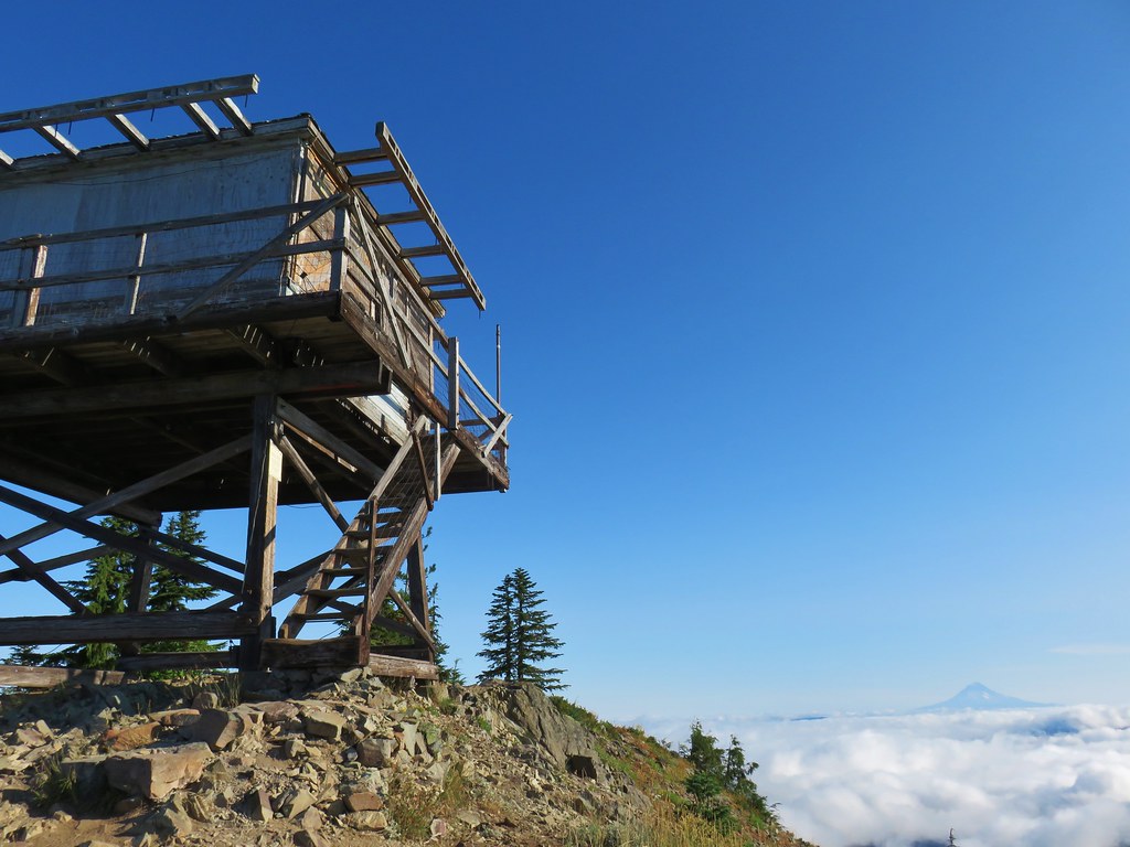
 The lookout tower on Olallie Mountain
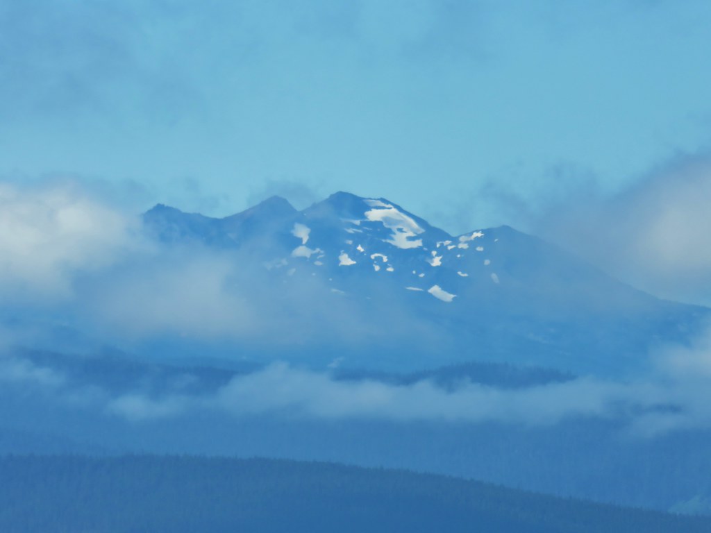
 Diamond Peak had shed its cloud cover momentarily.
 Diamond Peak

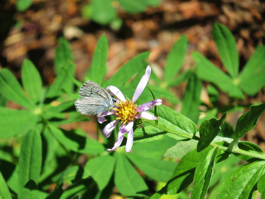
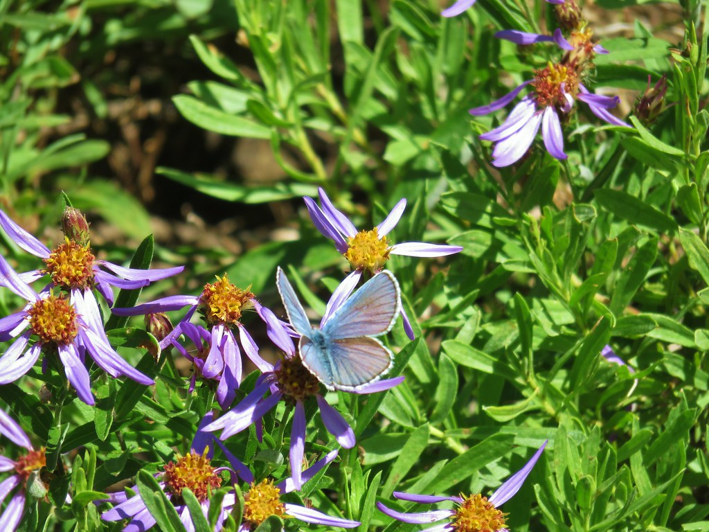
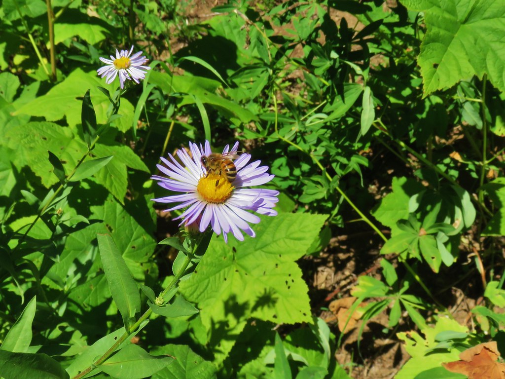 Pollinators got to pollinate.


This junction marked the start of the Walker Creek Trail which climbed up through the meadow to the right. This was actually the trail to take in order to reach the viewpoint atop Lowder Mountain.

The Lowder Mountain Trail continued on straight but beyond the junction is no longer maintained due to “lack of use”.

A series of 12 switchbacks led steeply up through the meadow and forest to a large meadow atop Lowder Mountain.
 The trail heading up through some thimbleberry.
 Butterfly
 Another skipper
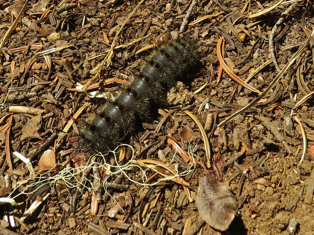 This guy was the size of my pinky.
 A few scarlet gilia still in bloom.
 Pearly everlasting at the edge of the large meadow.
We followed a well worn path across the broad summit to the edge of the large meadow where it turned right passing along the tree line.

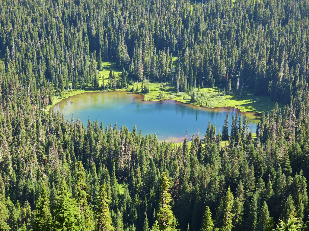
Like the Lowder Mountain Trail the Walker Creek Trail is no longer maintained beyond the meadow. The clear path along the impressively large meadow is a user trail to the viewpoint above Karl and Ruth Lakes.


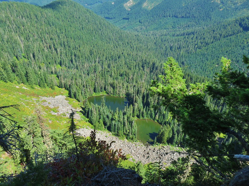 Karl & Ruth Lakes
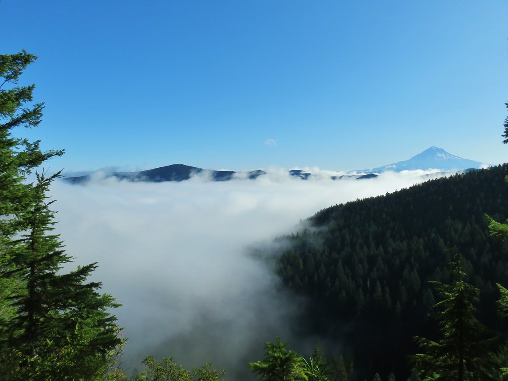
The clouds were still a bit of an issue but it was now late enough in the day for the lighting to be much better.
 Mt. Jefferson and Three Fingered Jack with Horsepasture Mountain (post) in the foreground.
 Mt. Washington
 North and Middle Sister
 South Sister and Broken Top

We made our way south along the cliffs to reach a view of Mt. Bachelor.

 Mt. Bachelor
In addition to the great views there was an interesting little rock feature that looked a lot like a head of some kind.

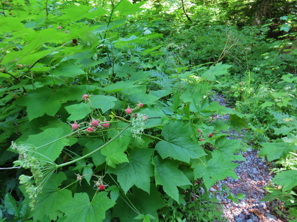
We took a good break here before heading back. On the return trip we discovered that we had actually spent a decent amount of time losing elevation traversing along the hillside on the way to the Walker Creek Trail junction. It had been so gradual that we hadn’t noticed but it was evident that we were going uphill a lot more than we’d expected once we were back on the Lowder Mountain Trail. There were quite a few butterflies out searching for the remaining flowers which gave us something to focus on (in addition to eating quite a few ripe thimbleberries).
 Butterfly with a small crab spider on the next flower head to the right.
Between taking the wrong trail from the trailhead and wandering around at the viewpoint we managed to turn a 5.6 mile hike into 6.8 miles making our total for the day 14.8 miles. The elevation gains were roughly 1400′ for Olallie Mountain and 900′ for Lowder Mountain. The views were great from both peaks and we were already talking about a return trip earlier in the Summer to see what all the meadows might look like earlier in the year. Happy Trails!
Flickr: Olallie and Lowder Mountains


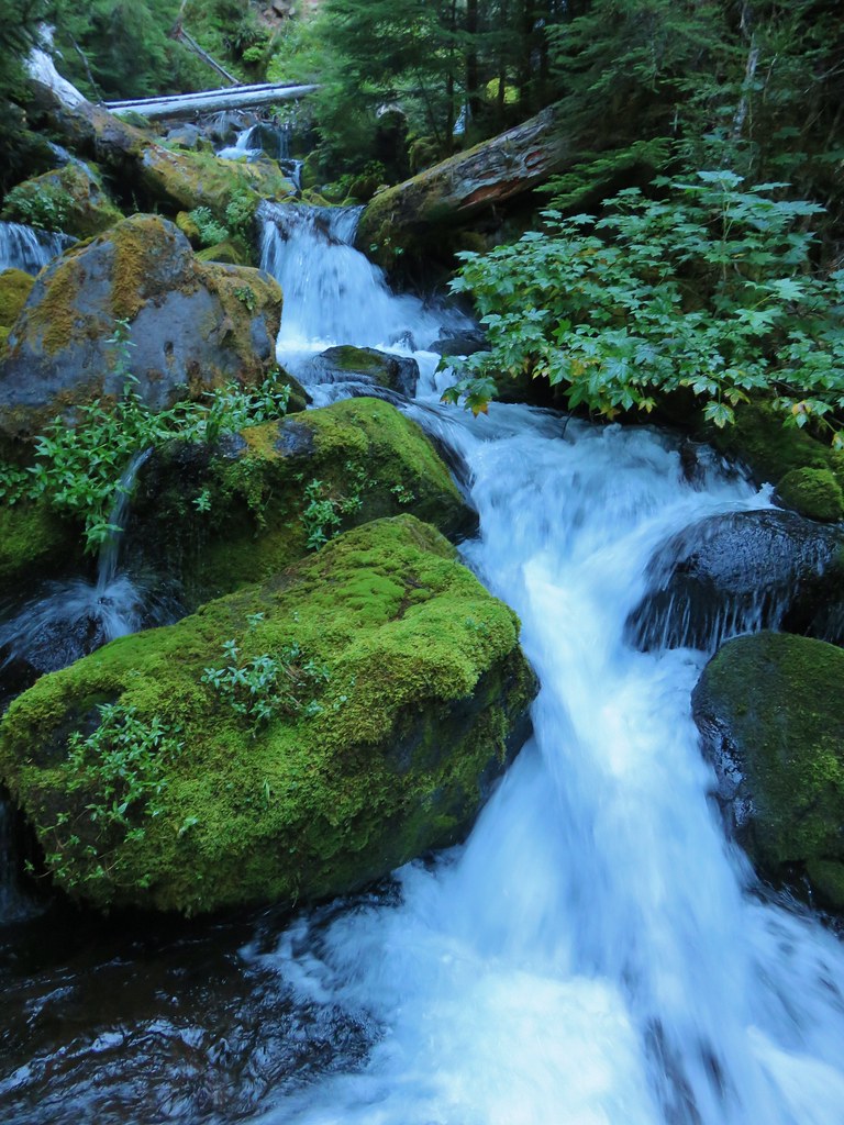
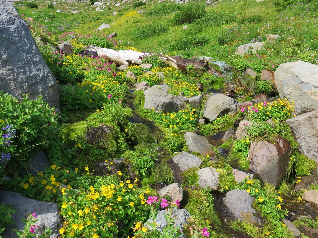
 Looking back at the stream.
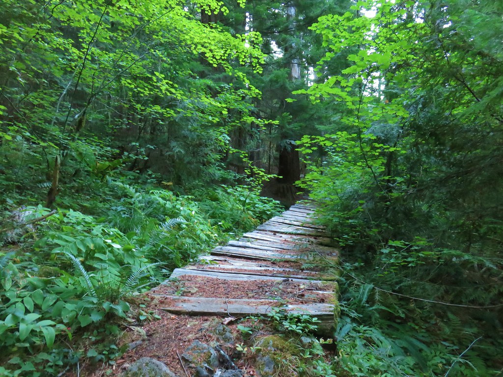
 Not many flowers left but this one reminded us of fireworks.
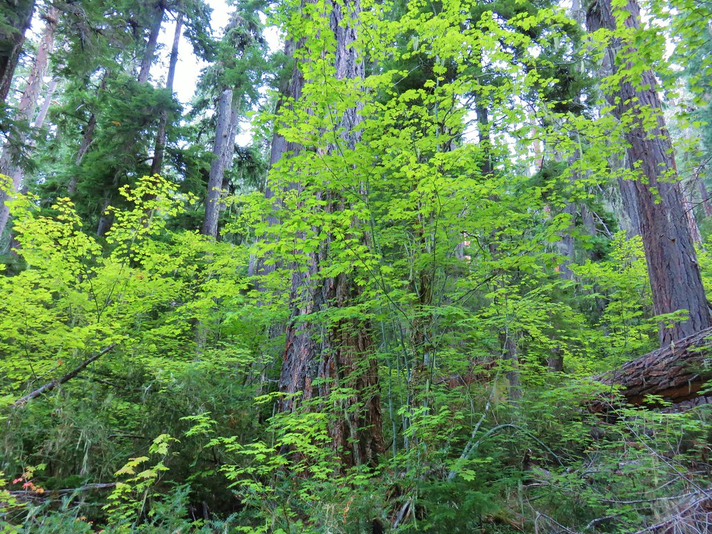
 Nettie Creek at the switchback.


 SW view
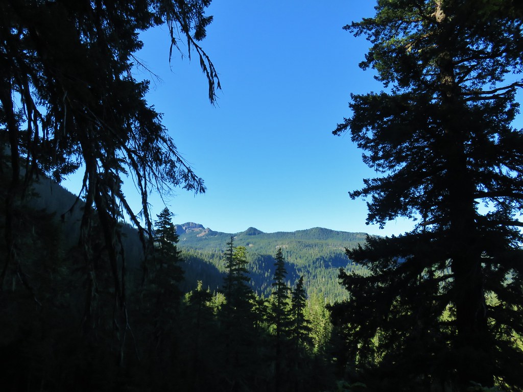 Looking south
 Fuji Mountain
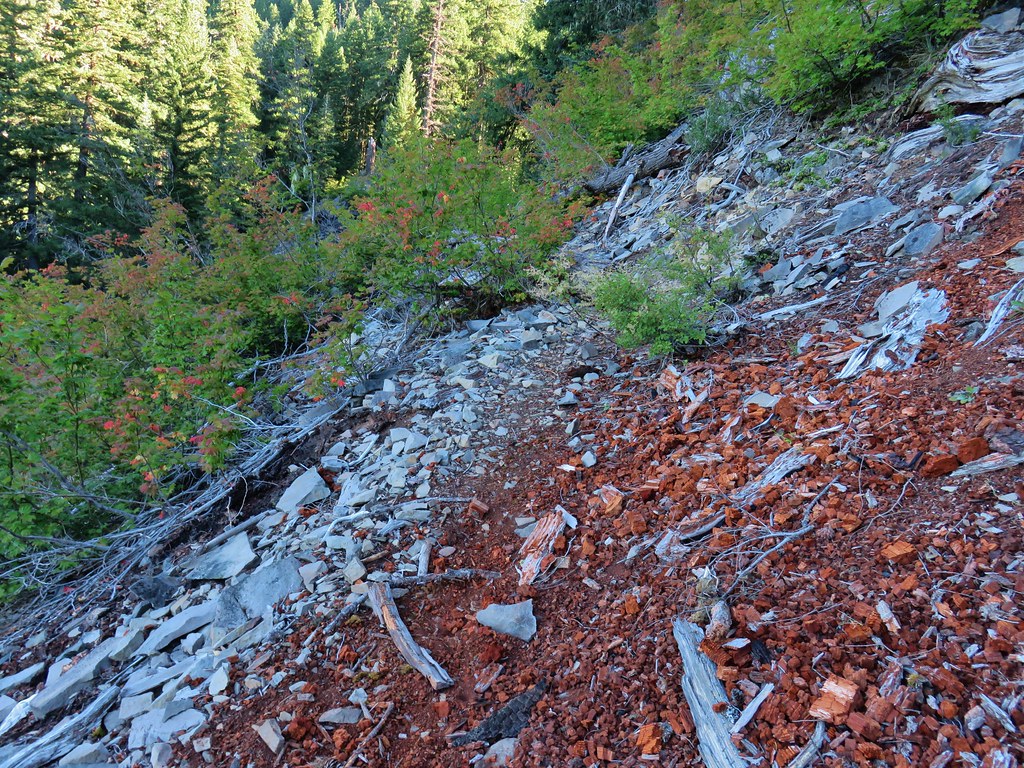
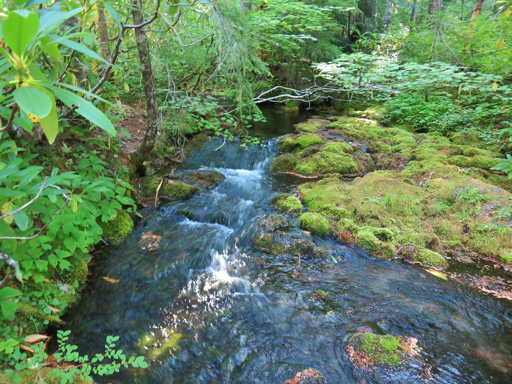
 Klovdahl Creek
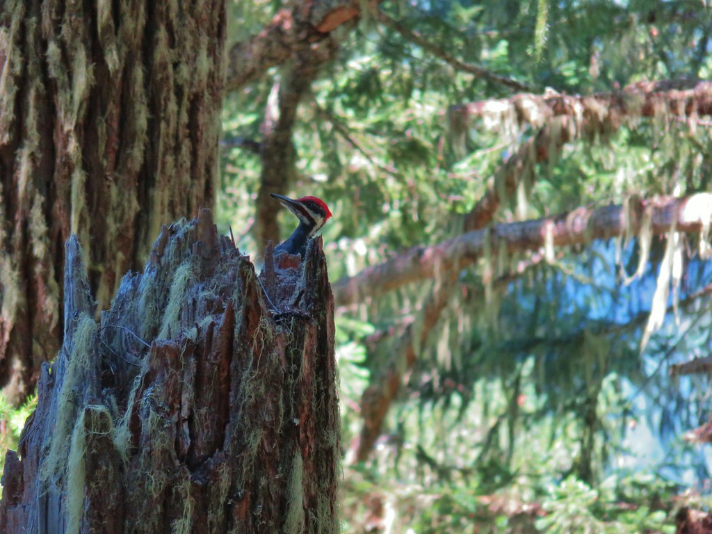
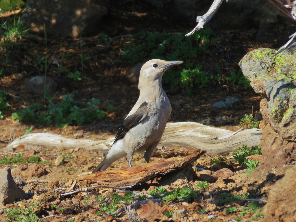
 Grouse on the Black Creek Trail.
 Huckleberry bushes along the trail.
 Heading down to the Waldo Lake Trail (Jim Weaver Trail)

 First lake on the left.
 Second lake on the left.
 A third lake on the left that was set back in the trees.
 First lake on the right.
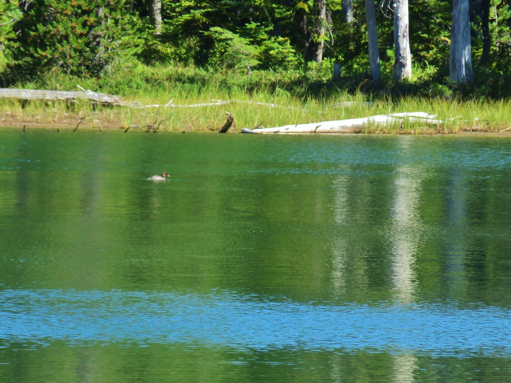
 Ducks at the lake on the right.
 Dry pond on the right.
 Wide trail junction.
 Dry creek bed along the way.


 Unsigned start of the nature trail.
 Black Creek


 Another picnic table.
 Another big Doug fir.
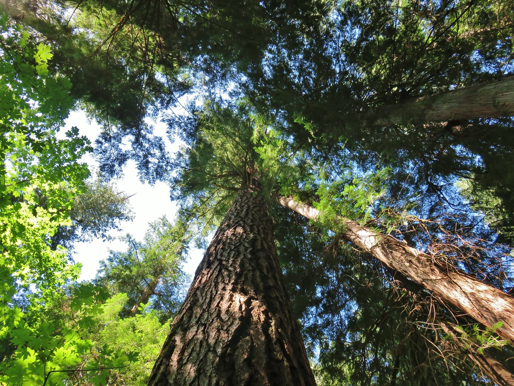


 Trail sign with the PCT heading north behind it.


 Sisi Butte
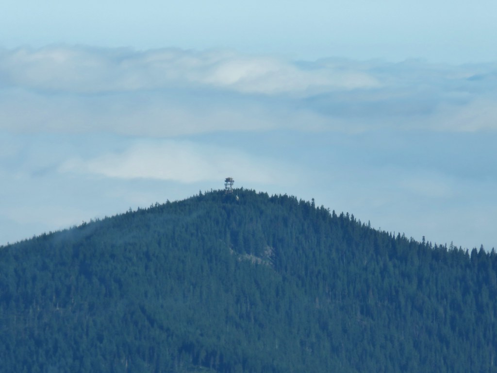 Lookout tower on Sisi Butte
 Mt. Hood
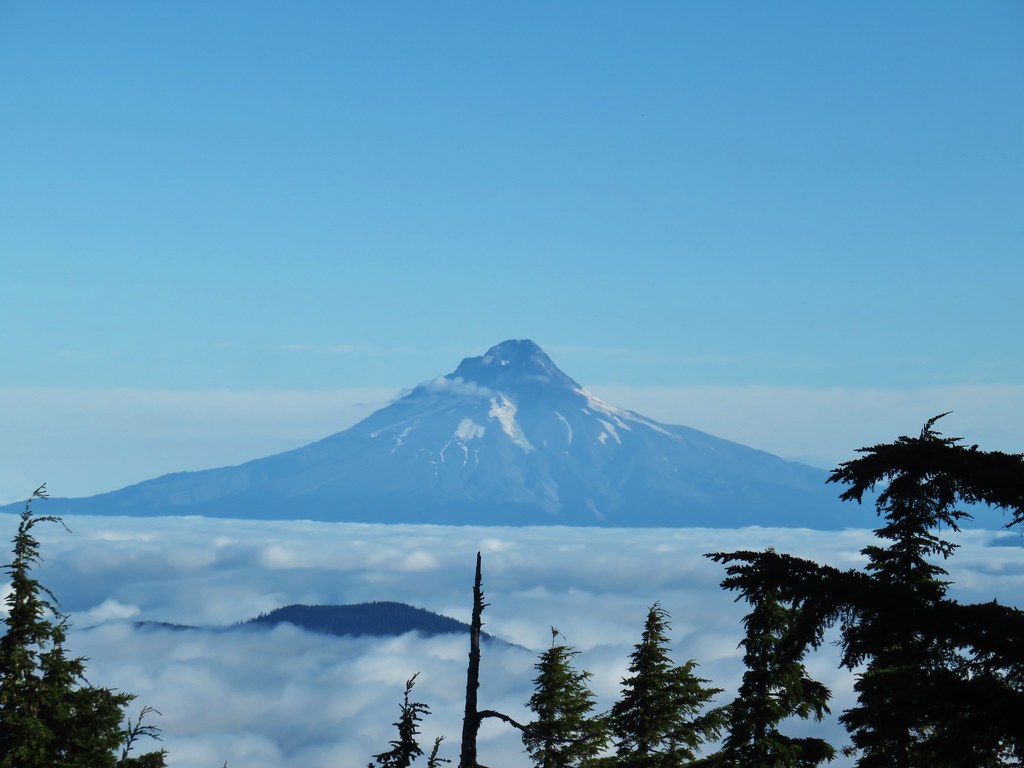


 Olallie Lake
 Monon Lake just beyond Olallie Lake (Timber Lake is the smaller lake in the trees to the west.
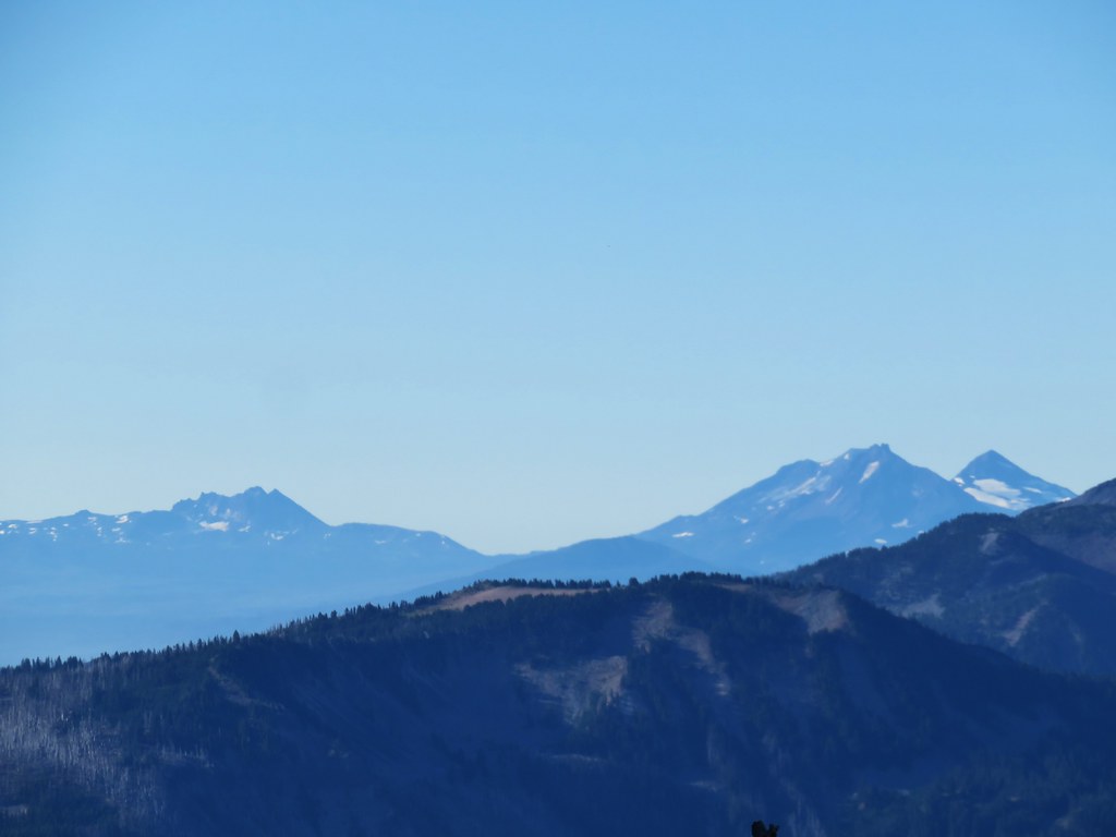 Broken Top and The Three Sisters
 Dinah-mo Peak and Bear Point (
 Bear Point
 Lookout tower remains

 Starting from the left – Trout Lake with Boulder Lake beyond, Island Lake, Dark Lake, Long Lake. The three smaller lakes are Lake Mary (closest), Lake Marie (middle), and Lake Alice (furthest). Lake Hazel is the small lake up and to the right of those three. All of these lakes are part of the Warm Springs Reservation and off-limits unless a permit to visit has been obtained.
 Monon, Olallie, and Timber Lakes in the Mt. Hood National Forest to the west.
 Mt. Jefferson


 Mt. St. Helens as a dark spot on the horizon.
 Mt. Adams beyond Mt. Hood
 Mt. Jefferson from the lookout site.


 Huckleberry bushes and beargrass in the clear-cut.
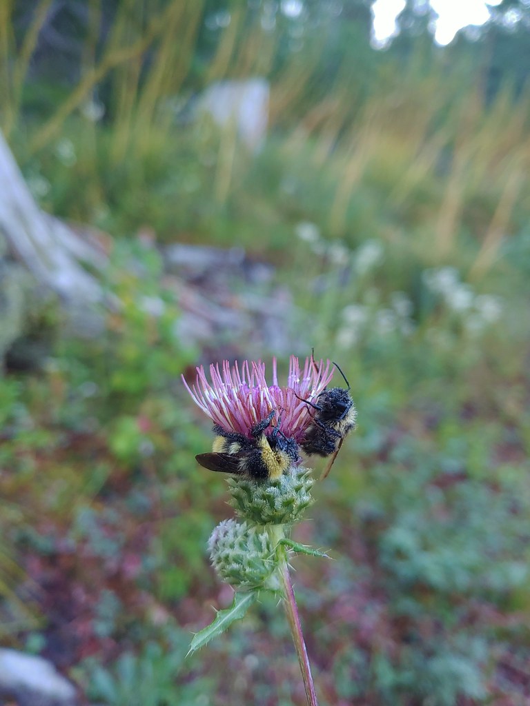 Sleeping bees on some thistle.
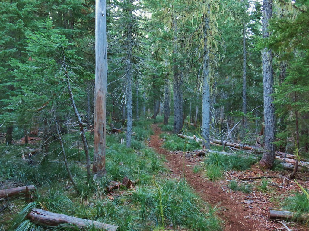

 The bees on the thistle may have been asleep but a western toad was out and about.
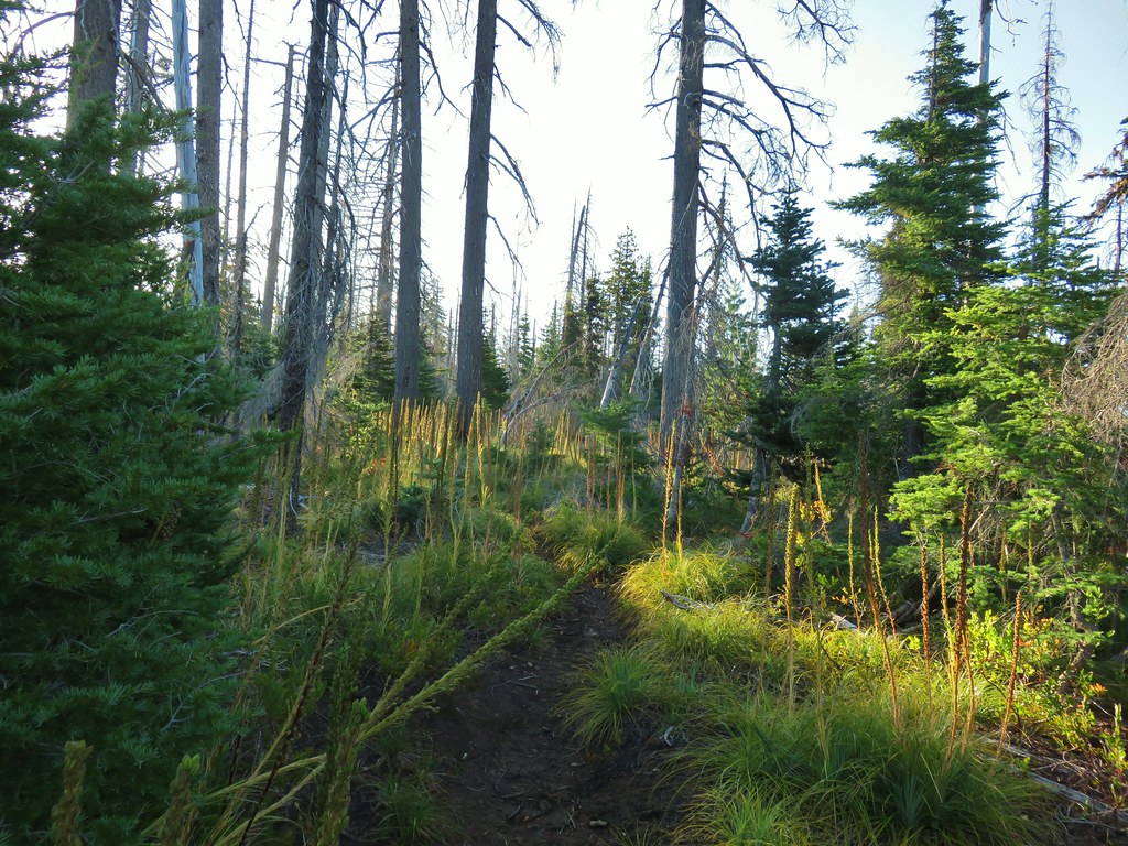
 Mt. Jefferson through the burned trees.
 Back in the green.
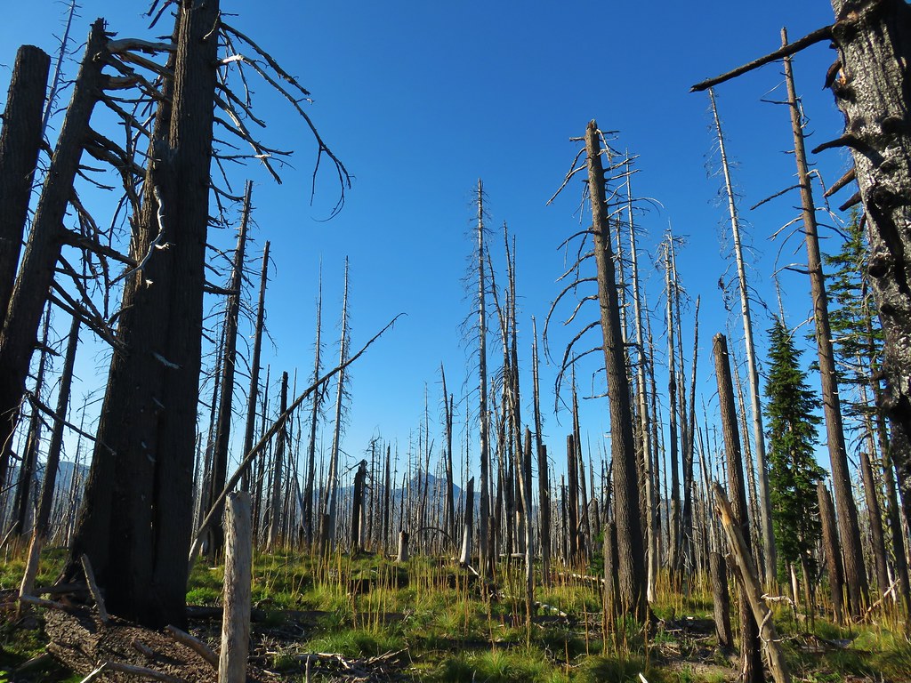 Three Fingered Jack through the burned trees.
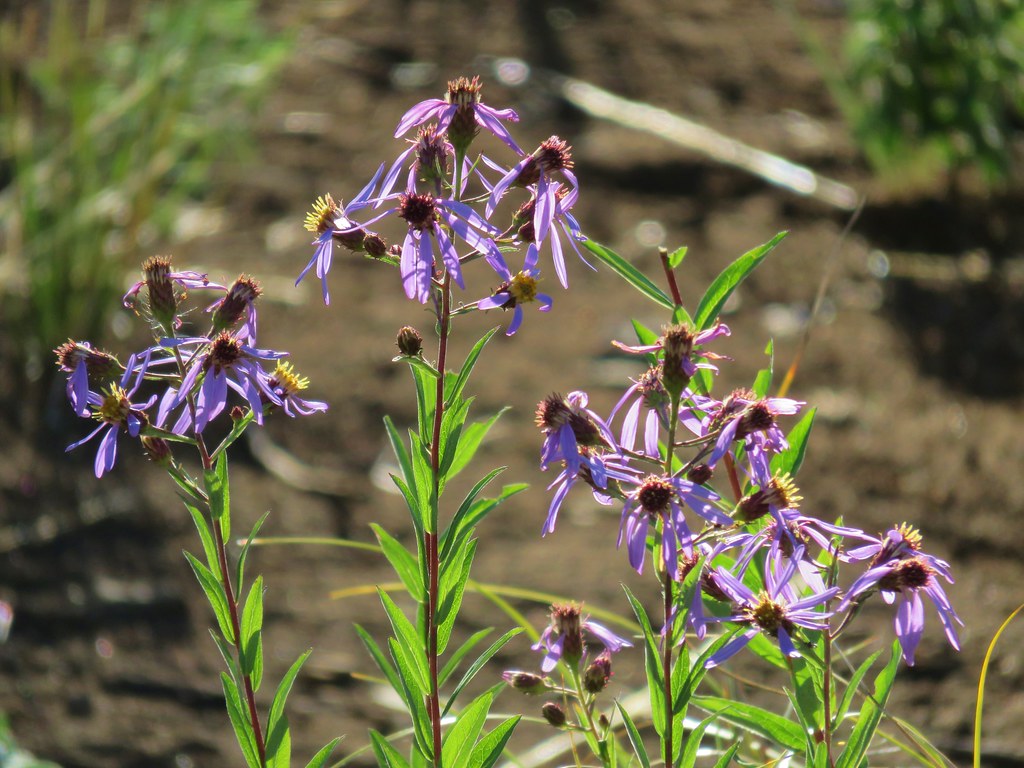 Aster
Aster Pearly everlasting
 Fireweed
 Three Fingered Jack
 The rock covered rise.
 South Cinder Peak (
 Still passing the rocks.
 The low saddle.
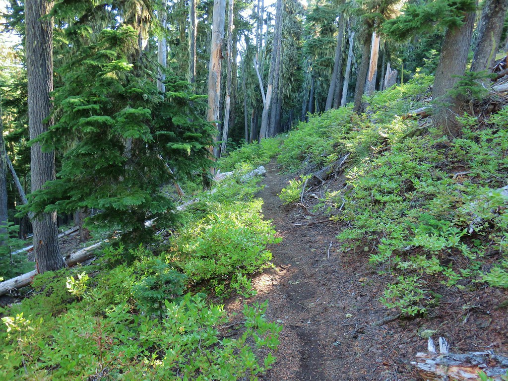
 Coffin and Bachelor Mountains (


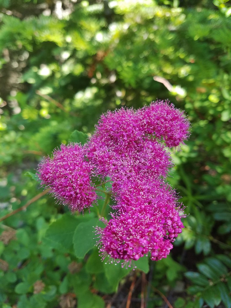
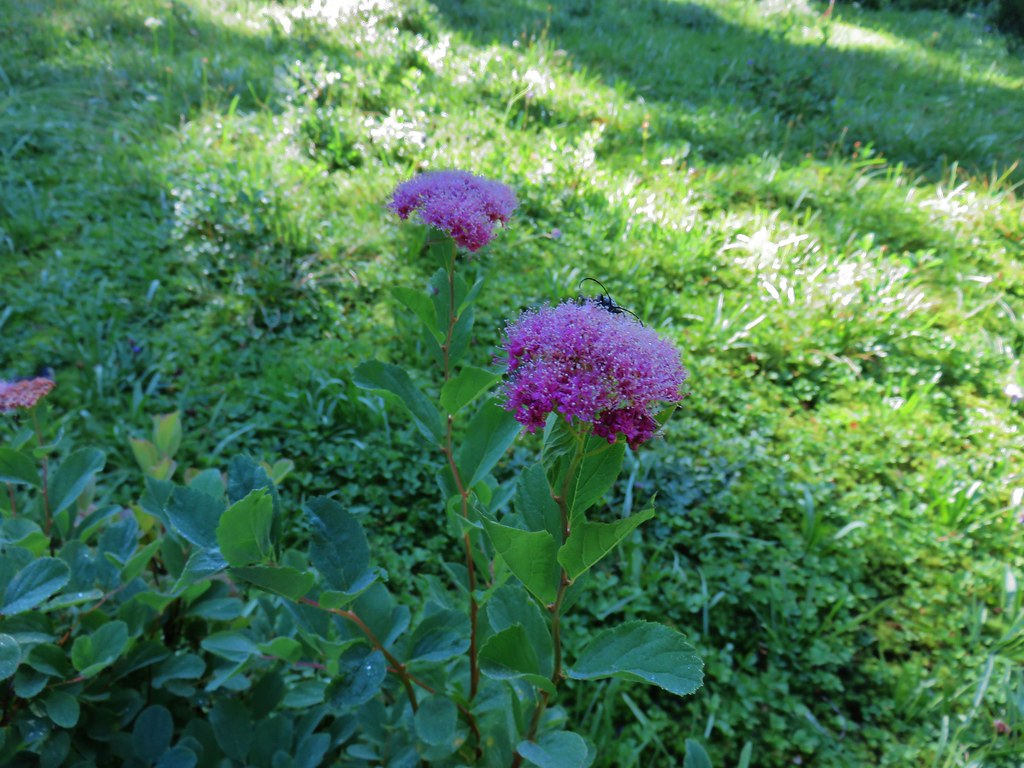 Spirea with a beetle.
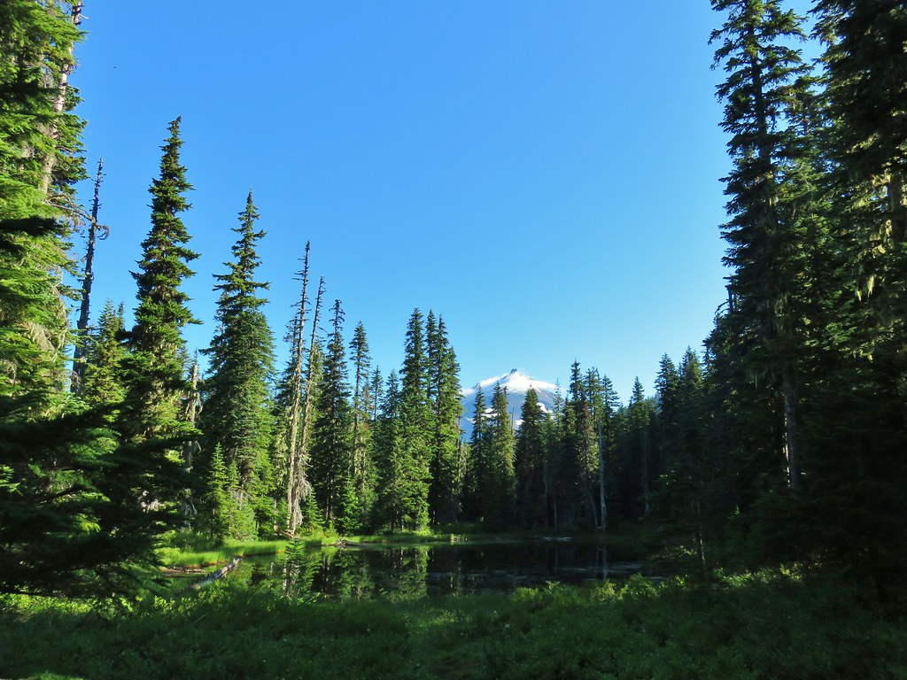 Unnamed lake with Mt. Jefferson (and those pesky clouds).
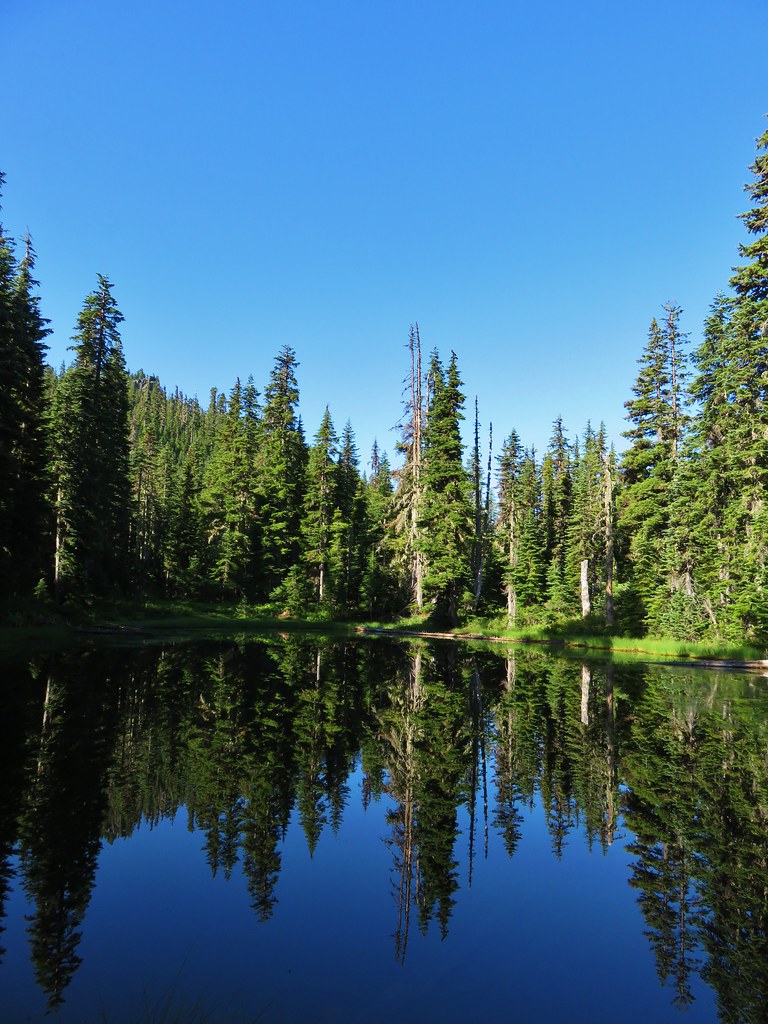 From the opposite side of the lake.


 Looking south over the rock field.
 One of the frogs.
 Frog in the trail.


 Apparently the trail was rerouted at some point because we could see tread that we never used.
 The Three Pyramids beyond Bingham Ridge.
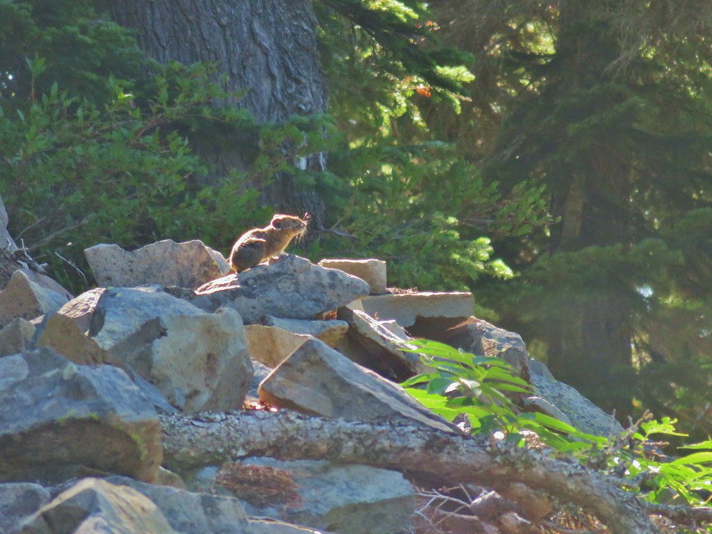


 (the clouds had finally vanished)
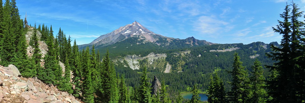
 Hanks Lake
 Hunts Lake
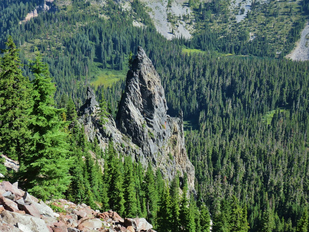 Rock fin above Hunts Cove.
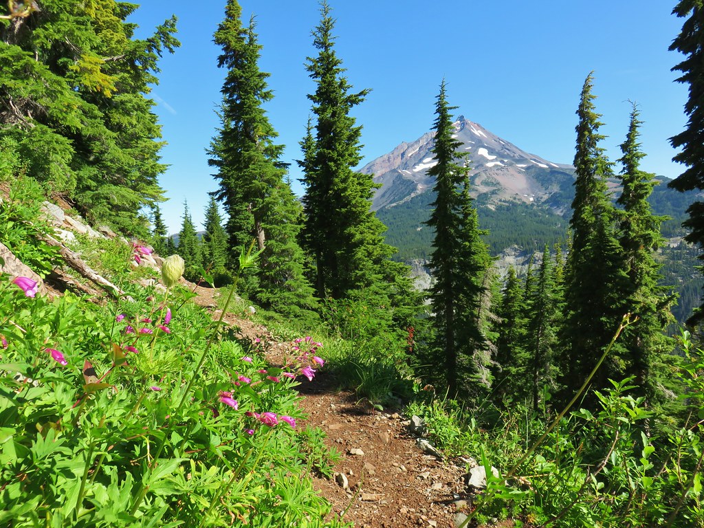 Penstemon and a western pasque flower.
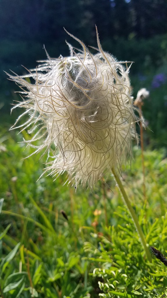
 Western pasque flower seed heads.
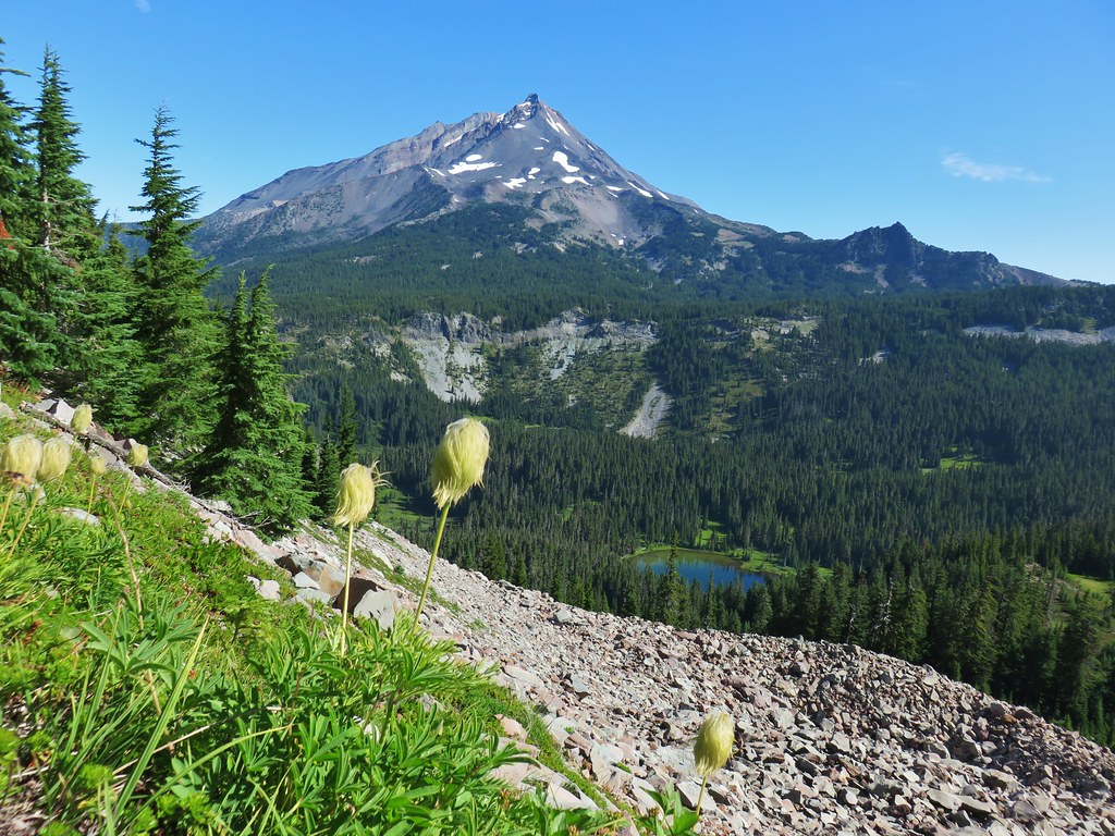
 Hippie-on-a-stick

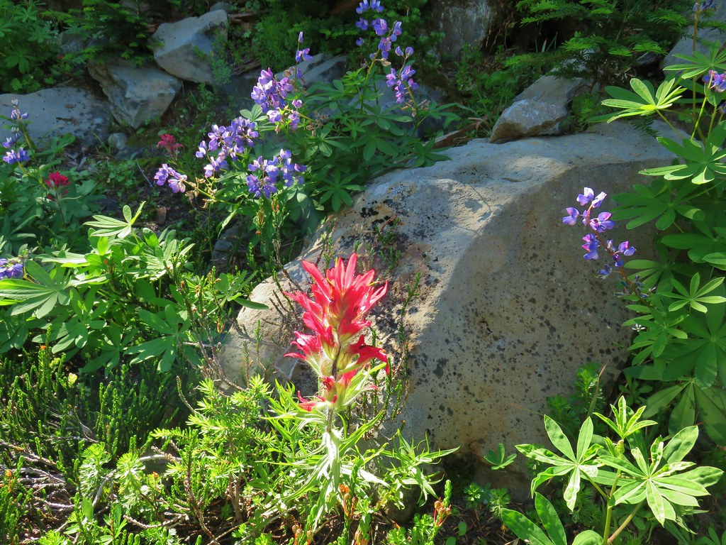 Paintbrush and lupine
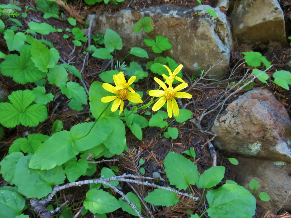
 Patridge foot
 Mt. Jefferson, Goat Peak (behind the tree) and the Cathedral Rocks.
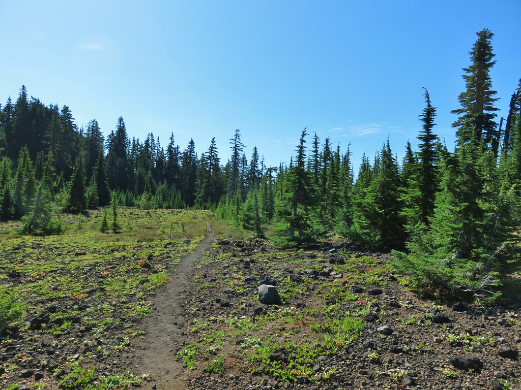
 South Cinder Peak
 The Three Sisters
 Three Fingered Jack
 Paintbrush in a meadow behind the butte.
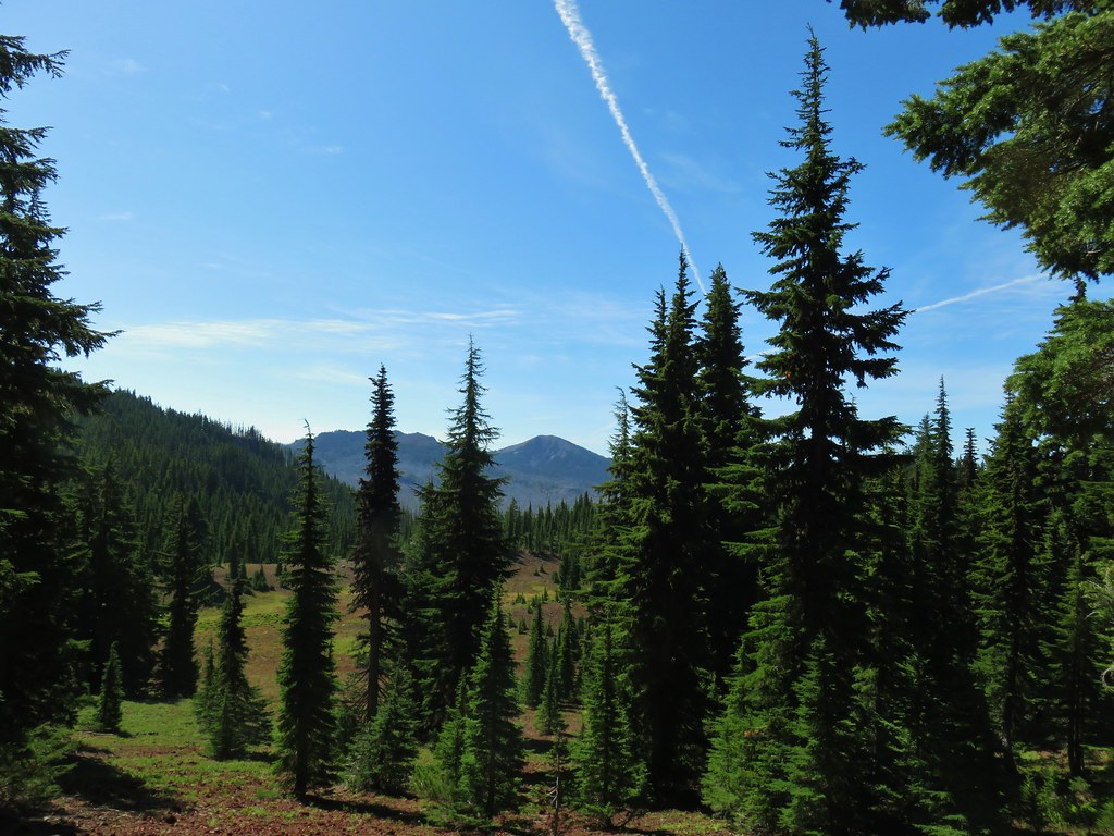 South Cinder Peak
 Three Fingered Jack
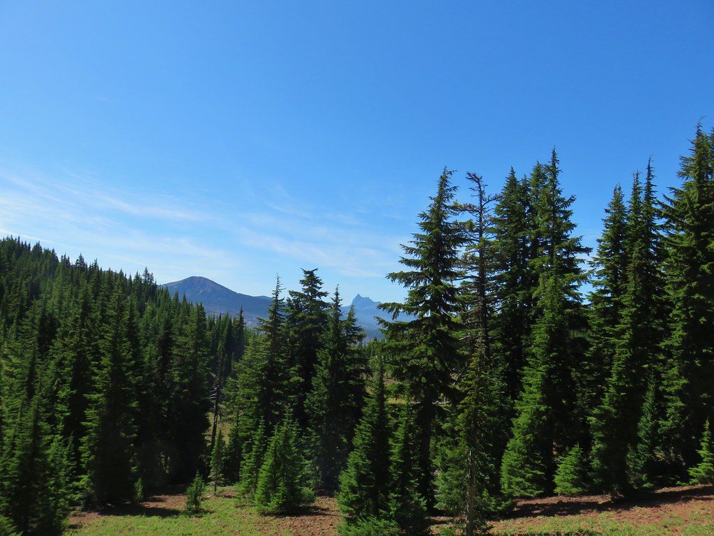

 Mostly past lupine
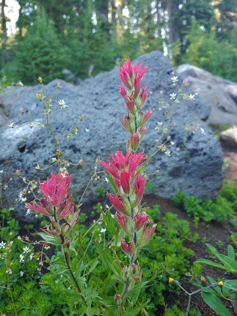 Paintbrush
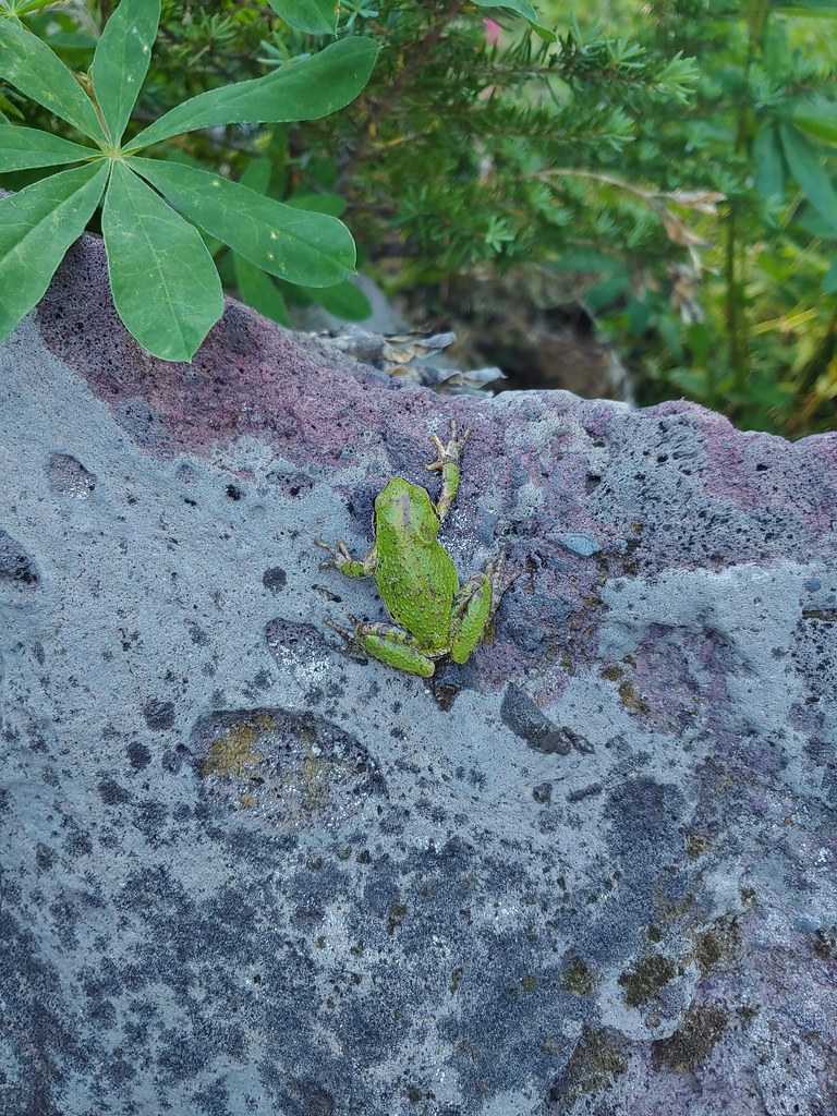
 Butterfly on an aster.
 Never seen one of these looks so clean and smooth, it almost looked fake.
 We don’t know if this was just a stunted wallflower or something we’d never seen before.
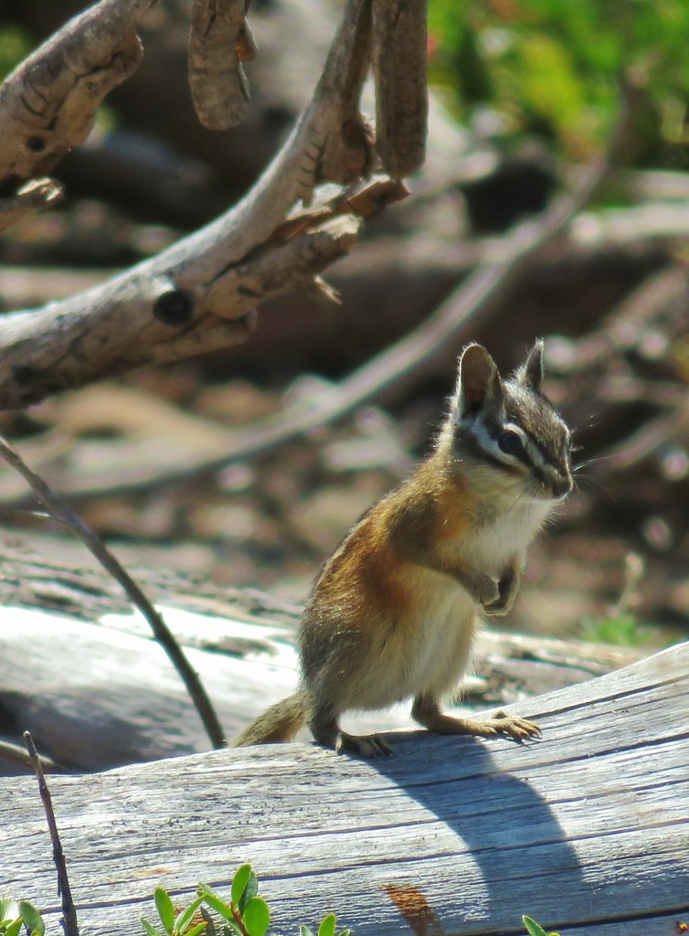


 Mt. Adams ahead above the clouds.
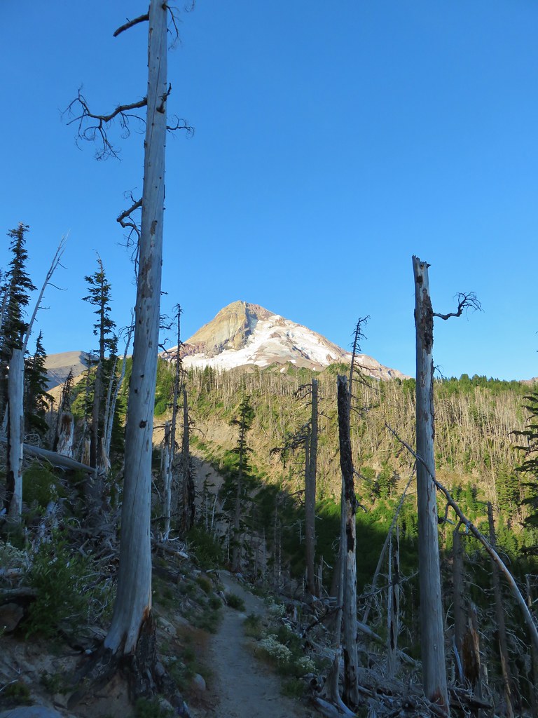 Mt. Hood


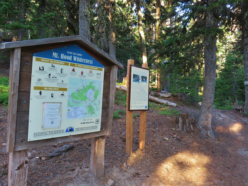
 We entered the Mt. Hood Wilderness on the way up.

 Mt. Adams
 Mt. Rainier peaking over the clouds to the left of Mt. Adams.
 Mt. Hood
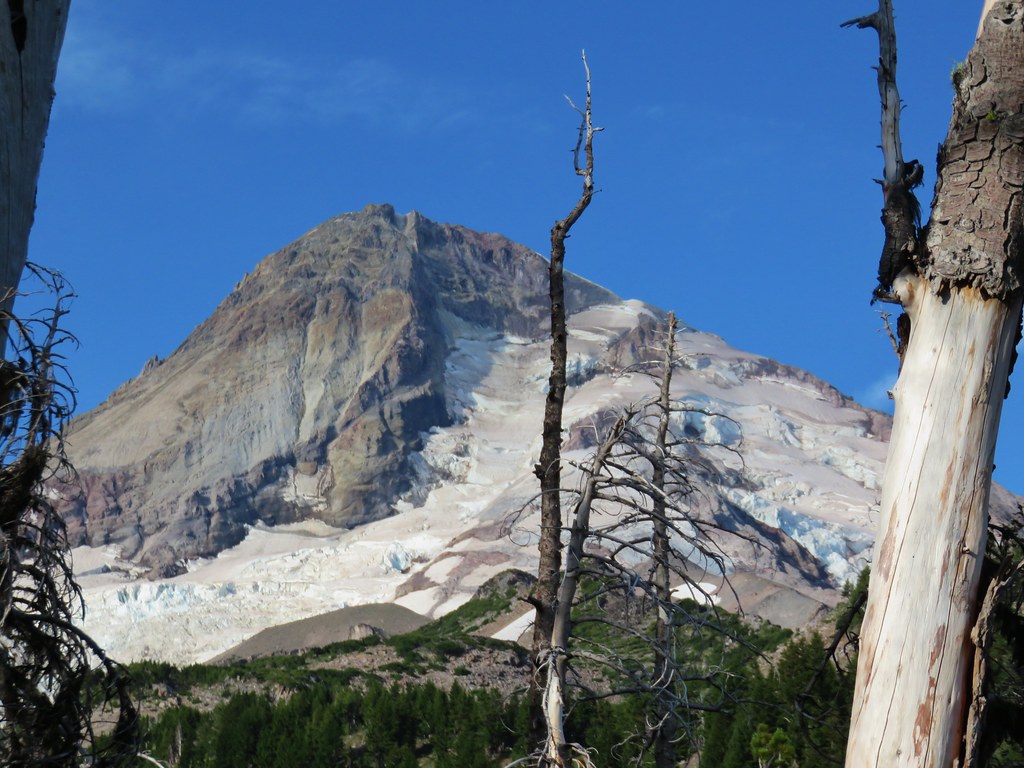
 Penstemon
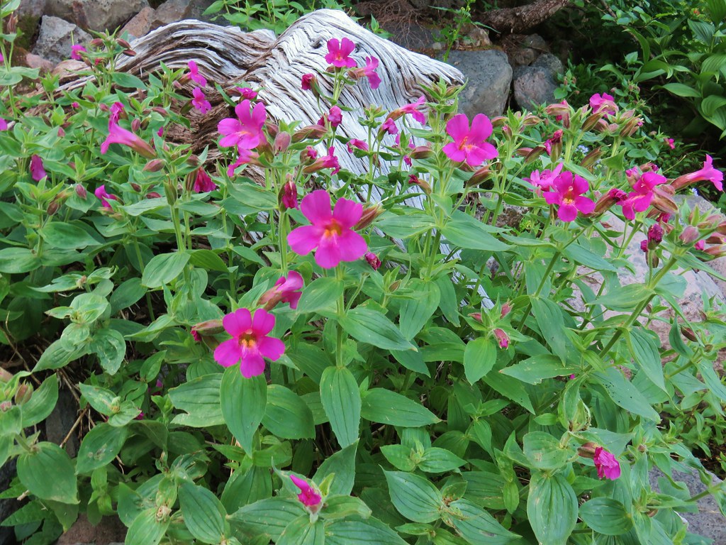 Monkeyflower
 Jacob’s ladder
 Western Pasque flower
 Paintbrush
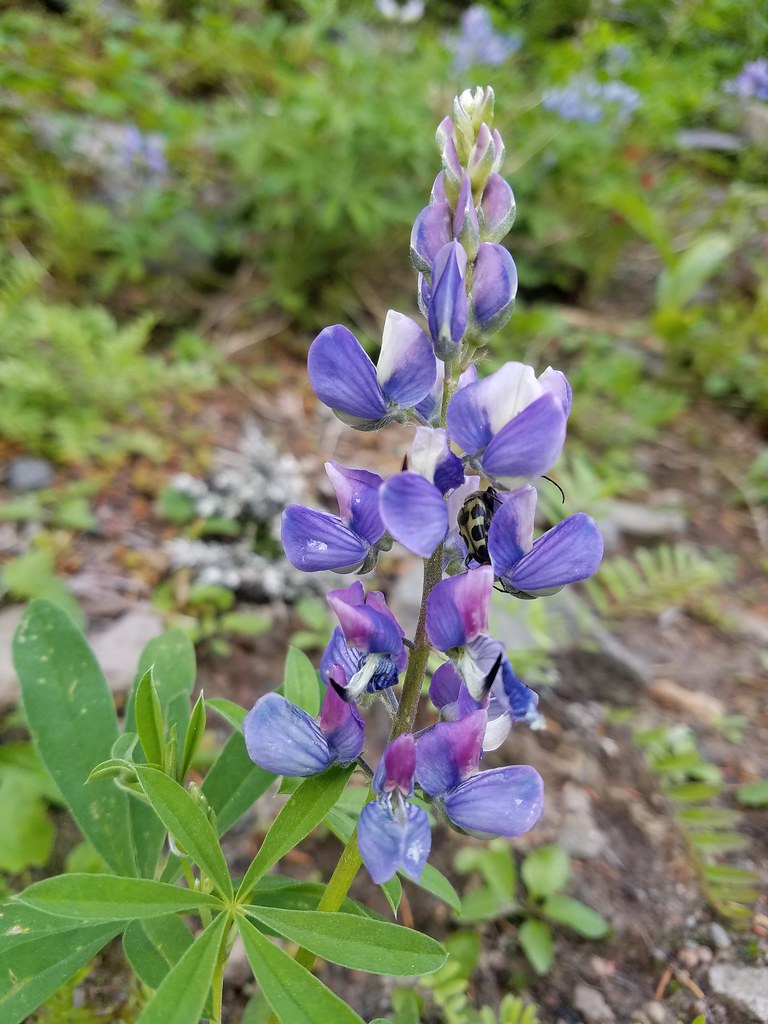 Lupine with a beetle.
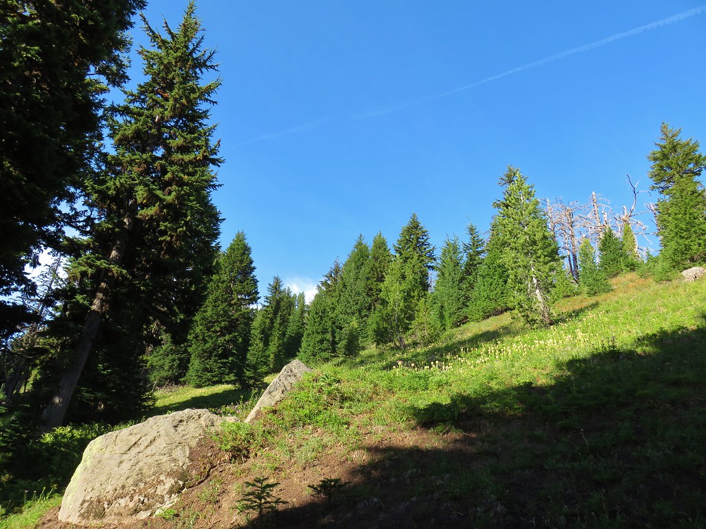


 Mt. Adams from Compass Creek.
 Wildflowers along Compass Creek.
 Monkeyflower and paintbrush
 Hummingbird near Compass Creek.


 Lupine, paintbrush and monkeyflower.


 Mt. Adams (again) from Compass Creek.
 Waterfall on Compass Creek below the Timberline Trail.
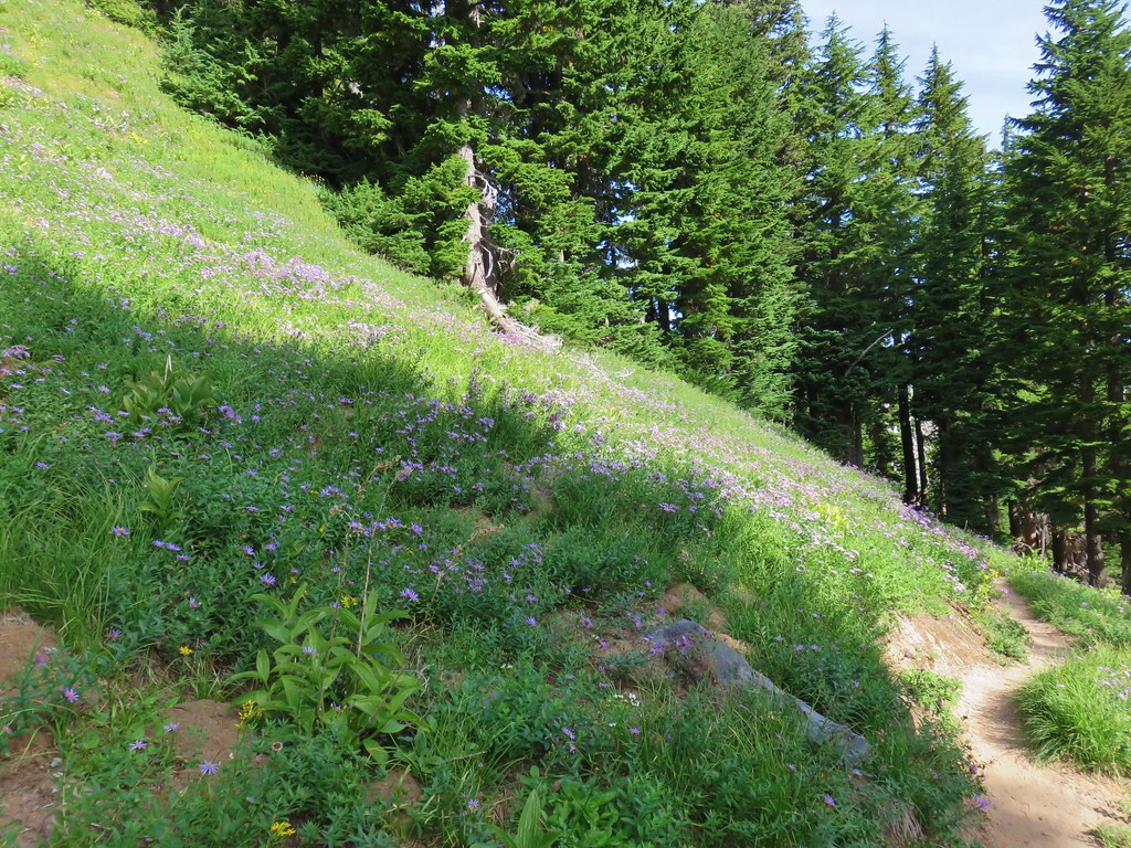


 Coe Glacier
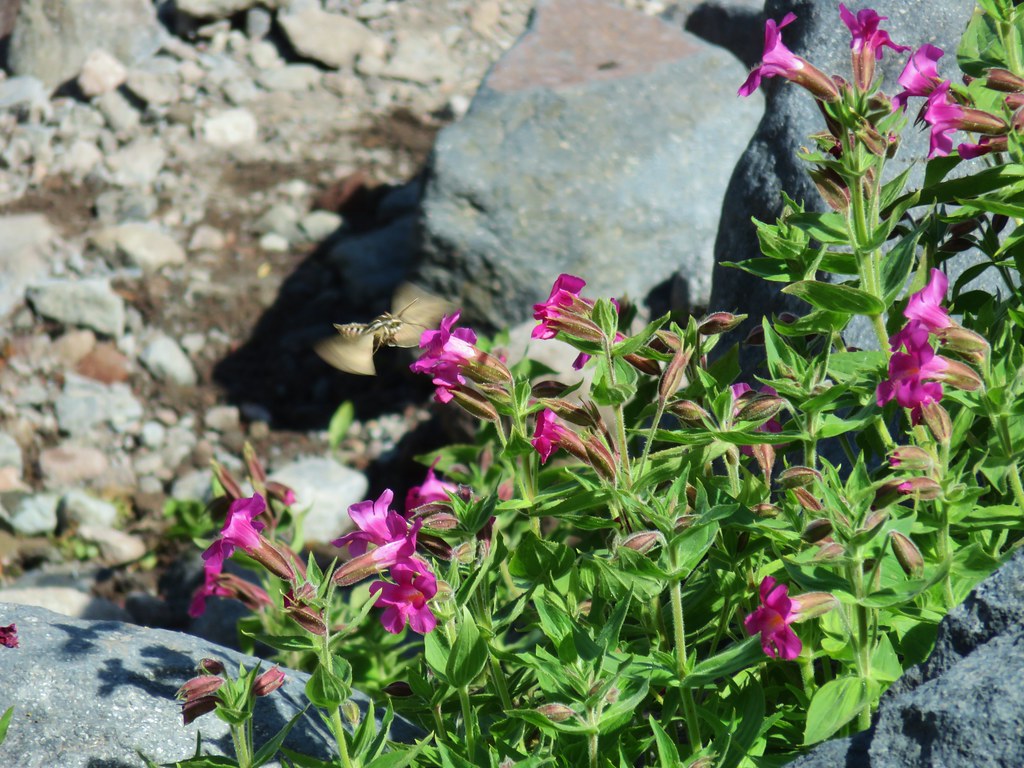


 Mt. Hood
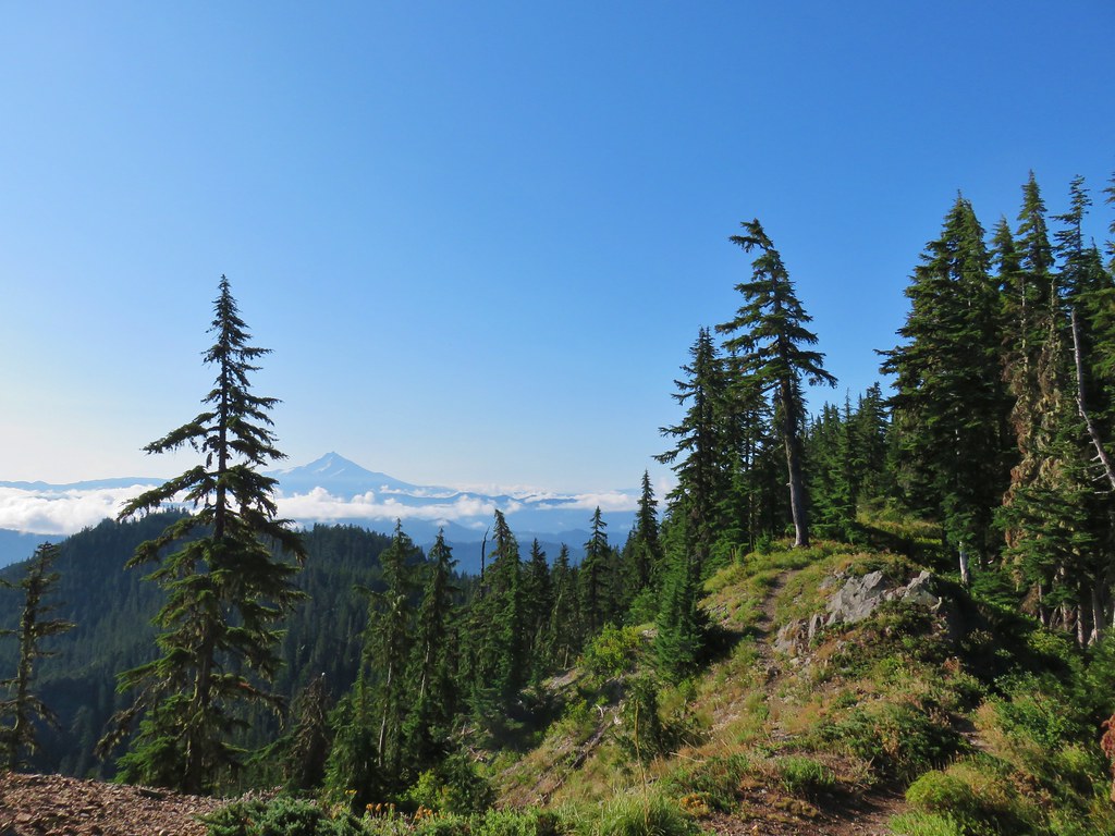 Mt. Jefferson


 Three Fingered Jack
 Mt. Washington and the Three Sisters


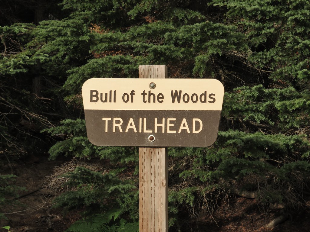
 Bull of the Woods Trail ending at the Mother Lode Trail.


 First look at Pansy Lake.


 Wildcat Mountain (


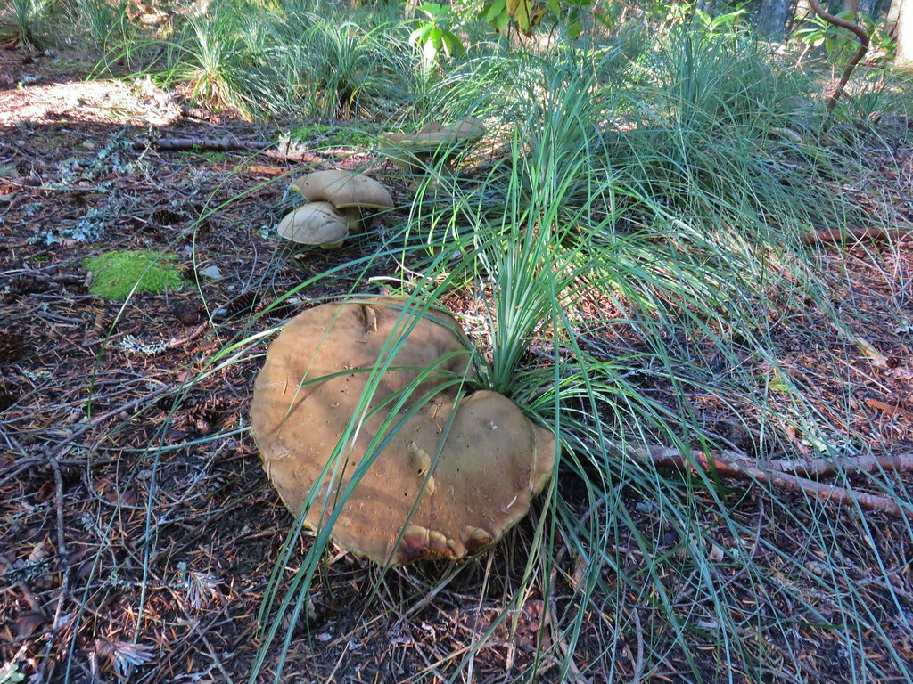
 Huge mushroom along the downhill.
 Fanton Trail coming up from the right.


 Three Fingered Jack and the Three Sisters even further south.
 Looking west into the cloud covered Willamette Valley.
 Stairs to the former lookout.
 Mt. Hood from the former lookout site.


 Pinesap
 A very blurry deer spotted through the trees.


 North Sister
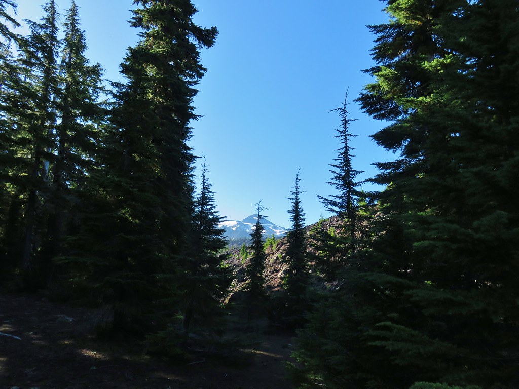 Middle Sister
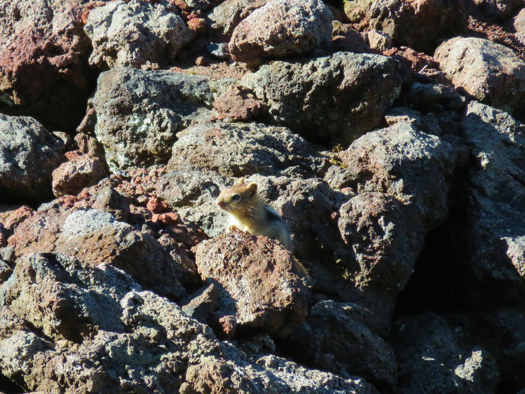 More spies watching us.
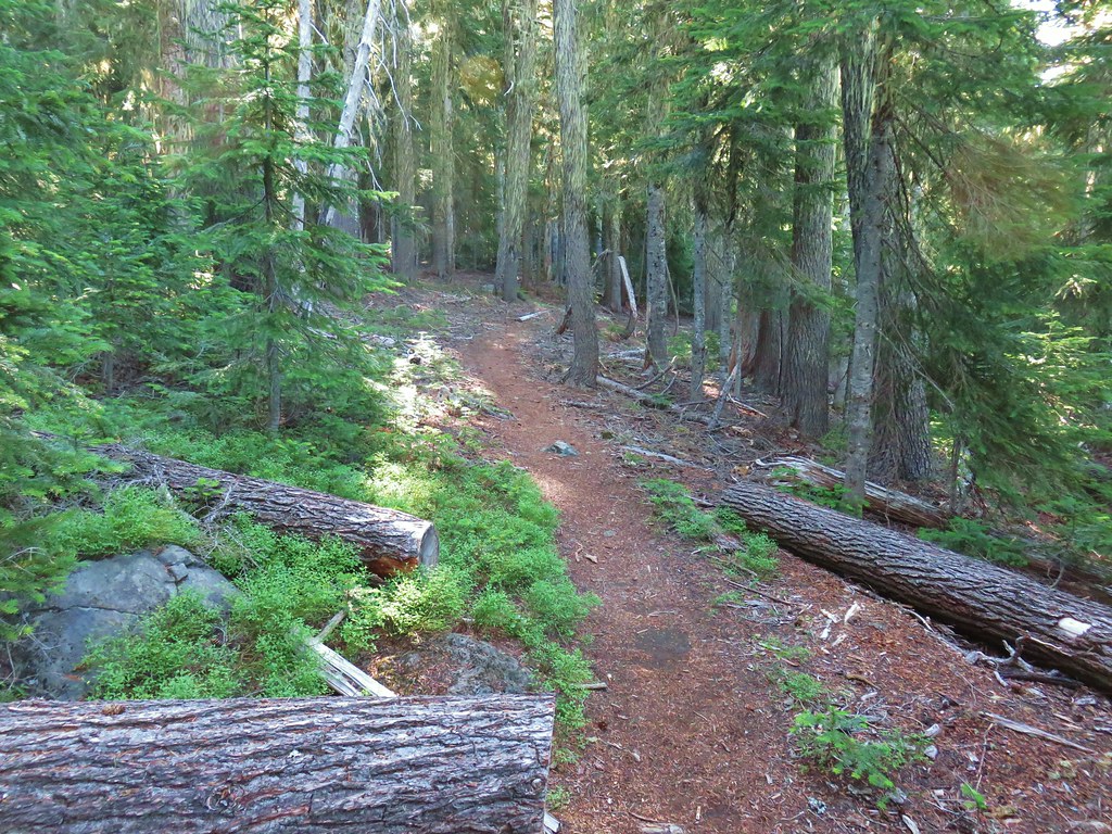


 North and Middle Sister behind the Little Brother.
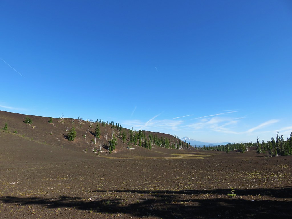 Mt. Jefferson beyond Four-In-One Cone
 Mt. Hood over the right shoulder of Mt. Jefferson.
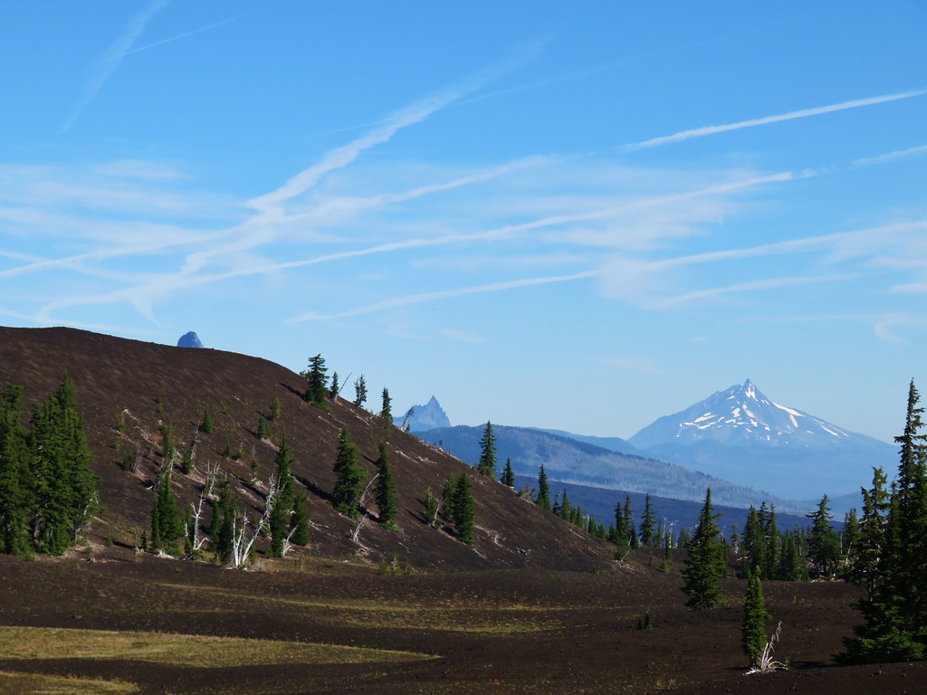 Mt. Washington’s spire behind the cone with Three Fingered Jack and Mt. Jefferson.

 Scott Meadow


 North Sister, Middle Sisters behind Little Brother and The Husband.
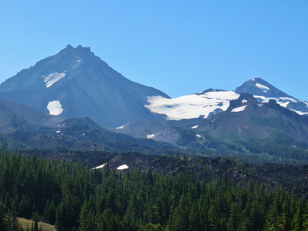 North Sister with Collier Cone in front and South Sister behind Little Brother.
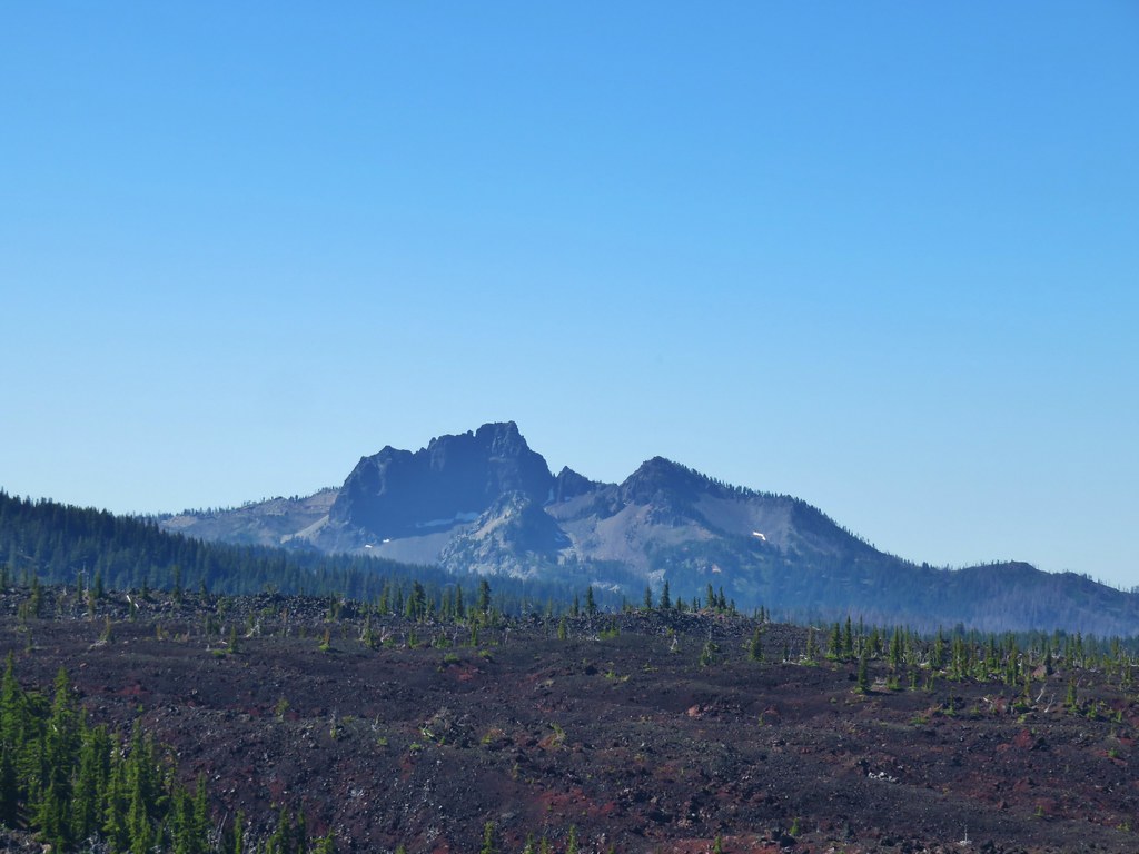 The Husband
 Scott Mountain (
 One of the craters.
 Mt. Washington, Three Fingered Jack, Mt. Jefferson, Mt. Hood, and Black Crater (
 Looking back south.
 Belknap Crater (
 Mt. Washington beyond Little Belknap Crater with Three Fingered Jack behind.
 Mt. Jefferson and Mt. Hood
 Middle and North Sister
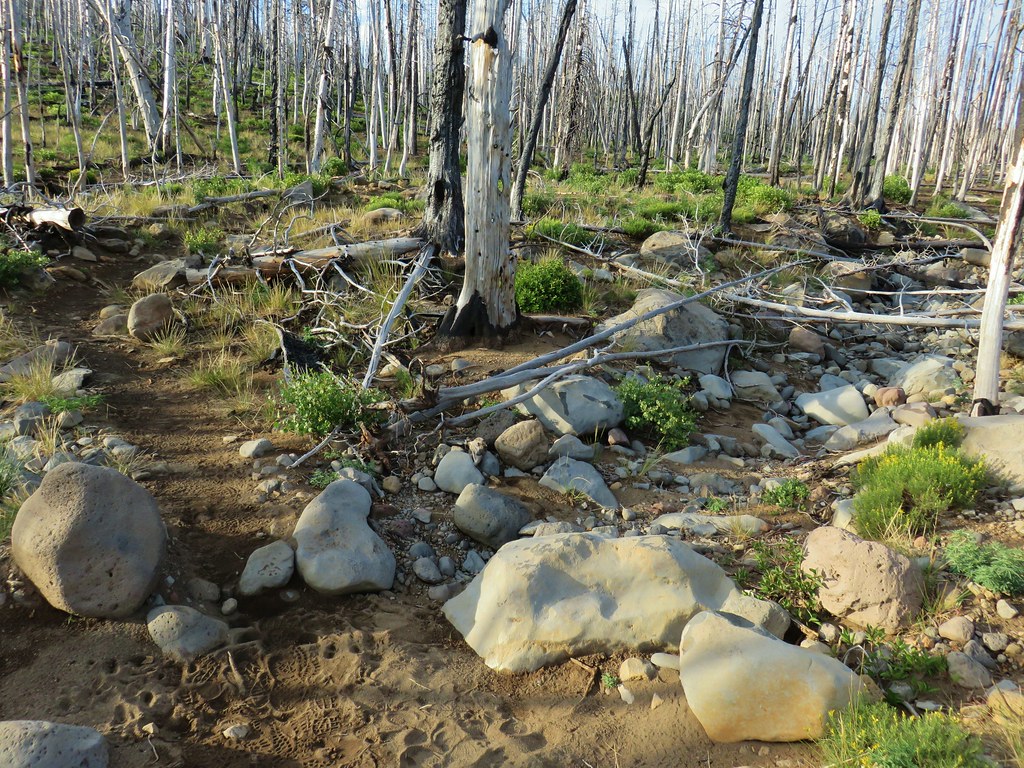 Dry bed of Pole Creek.
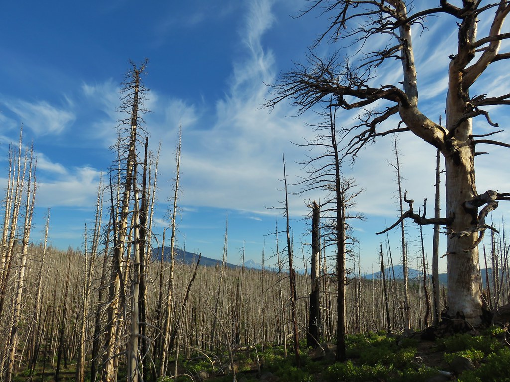 Black Crater, Mt. Jefferson, and Black Butte to the north.
 Entering the Three Sisters Wilderness.
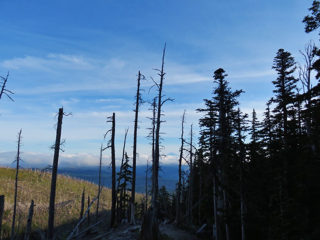
 A few survivors amid the snags.
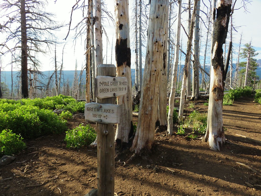 Green Lakes Trail junction.
 Broken Top and the South Sister
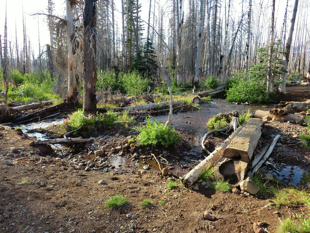
 Monkeyflower along Soap Creek
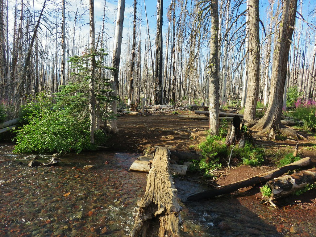
 Soap Creek
 View of the North Sister that would not have been there pre-fire.
 Soap Creek and the Middle and North Sister
 Monkshood
 Might be a trail in there, might not.
 Decent look at the yellow bulge on North Sister.
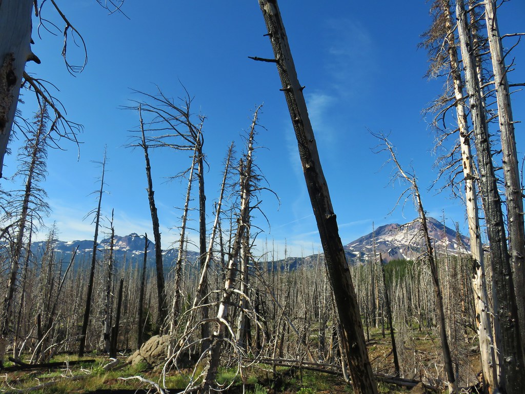 Broken Top and South Sister
 Soap Creek
 Meadow where there was no discernible trail apparent.
 Typical cross country obstacles.
 Dry creekbed.
 Elephants head
 The moraine to the left of the bulge.
 A clump of Monkeyflower

 Penstemon
 Our shady spot.
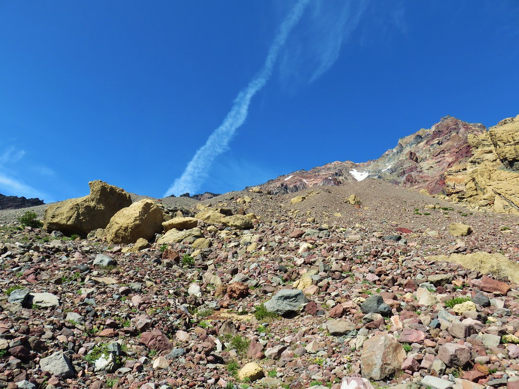
 Paintbrush growing on the moraine.
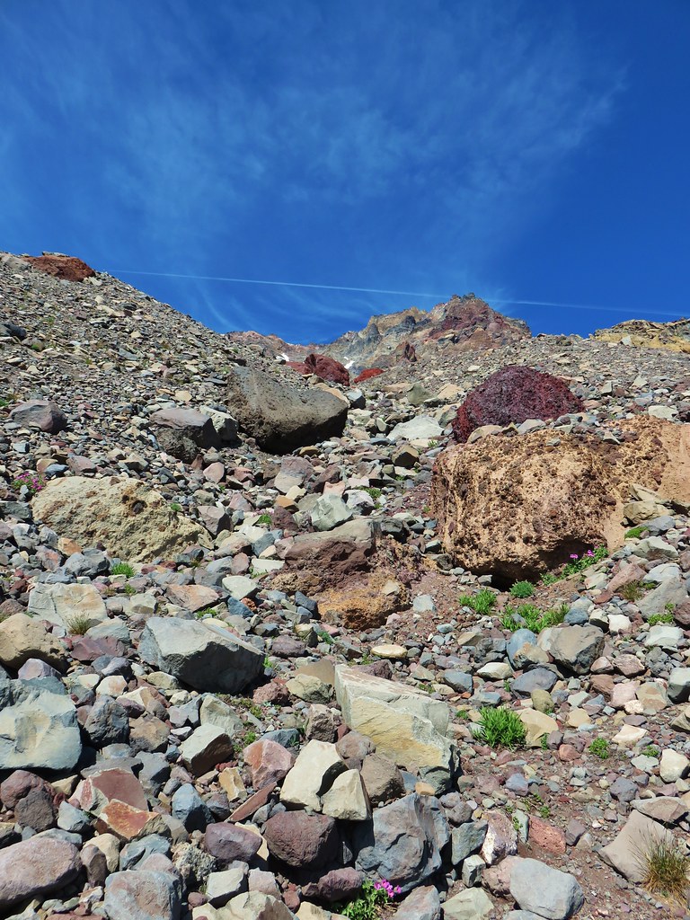
 More flowers amid the rocks.


 The yellow bulge, Mt. Hood, Black Crater and Black Butte to the north.
 Mt. Hood
 Broken Top to the north.
 The rim above Thayer Lake.
 North Sister and the Thayer Glacier
 Heather near some large boulders in the lake.


 Starting to get too narrow and the topographic map showed it getting more so further downstream.
 Climbing out of the gully.
 Broken Top and South Sister from the ridge.


 The wilderness sign in 2015.

 2015
2015
 2015
2015

 2015
2015
 Penstemon
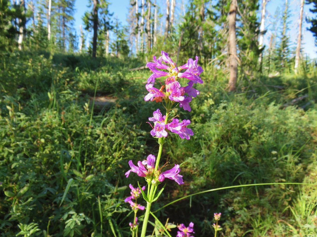
 Lousewort
 Scarlet gilia
 A couple of short (and late) beargrass plumes.

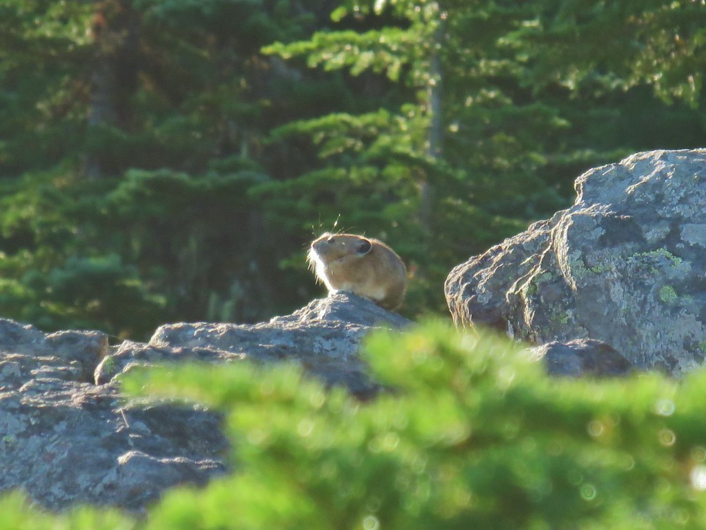
 This looked like prime pika habitat to us.


 Hogg Rock (near left), flat topped Hayrick Butte next to Hoodoo Butte, Mt. Washington with Broken Top behind left and the Three Sisters behind right.
 Mt. Hood in the distance to the left of Mt. Jefferson.

 Mt. Jefferson and Three Fingered Jack with Santiam Lake in the forest below.
 The view south.
 Broken Top, Mt. Washington, and the Three Sisters with Hayrick Butte in the forefront.
 Santiam Lake
 Duffy Lake (
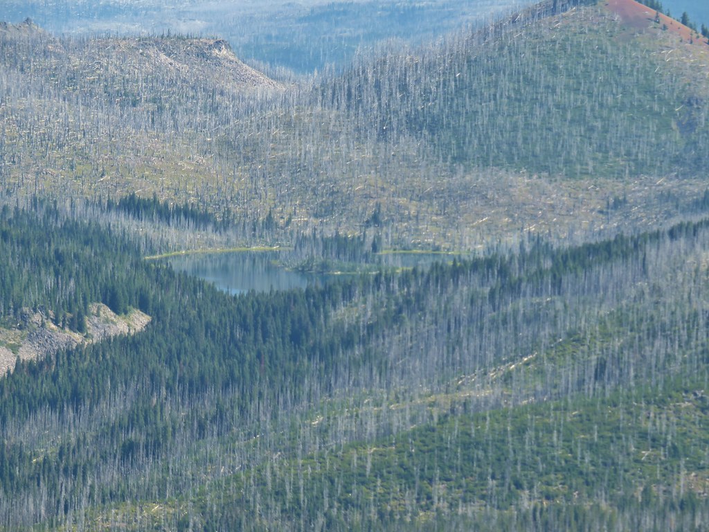 Mowich Lake
 Paintbrush in the crater.


 Pika
Pika Golden-mantled ground squirrel in the same rocky area as the pika.