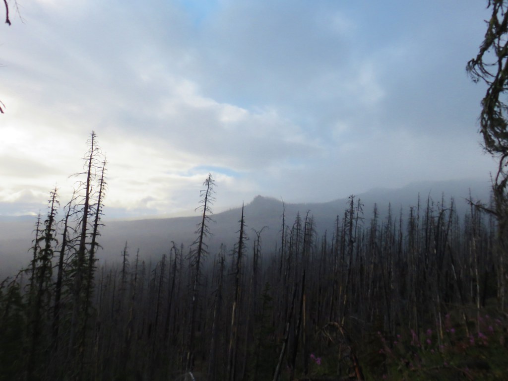
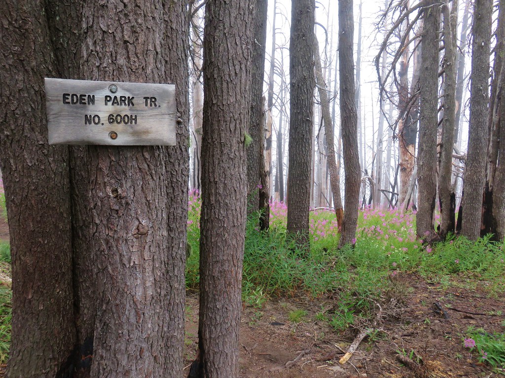
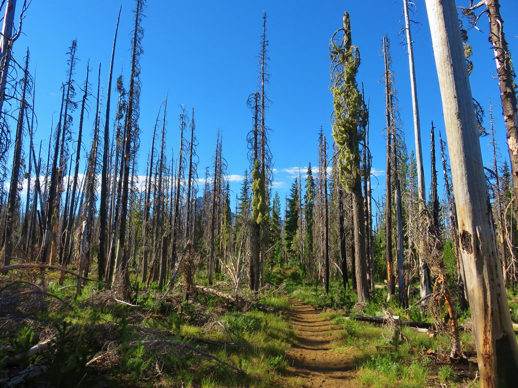
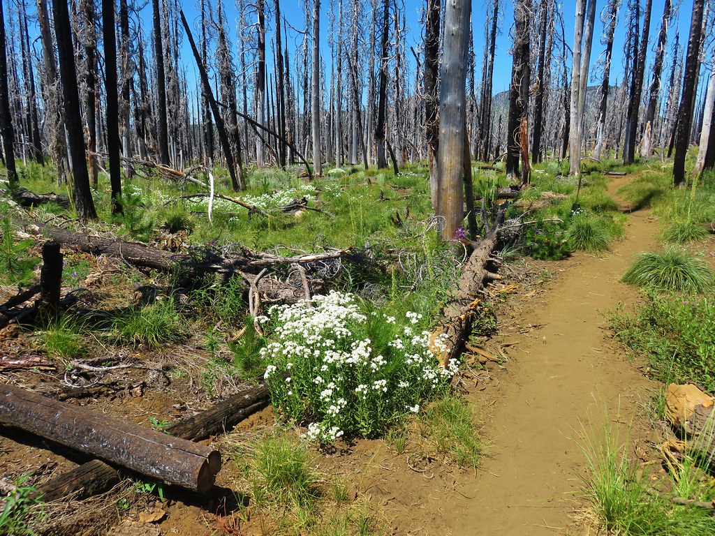
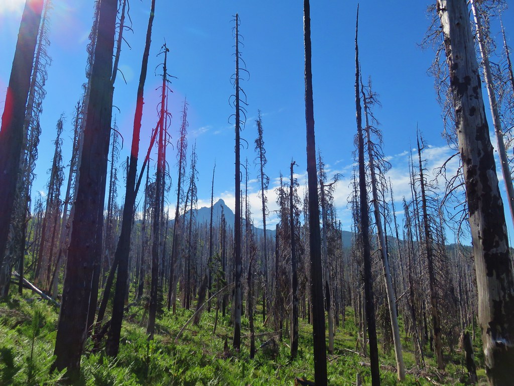
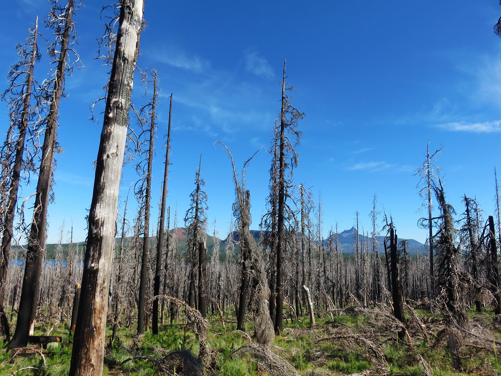
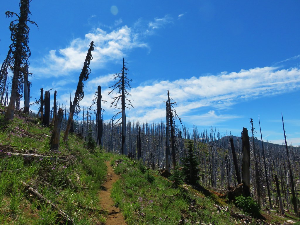
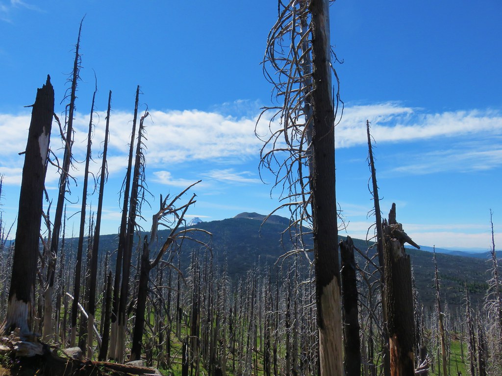
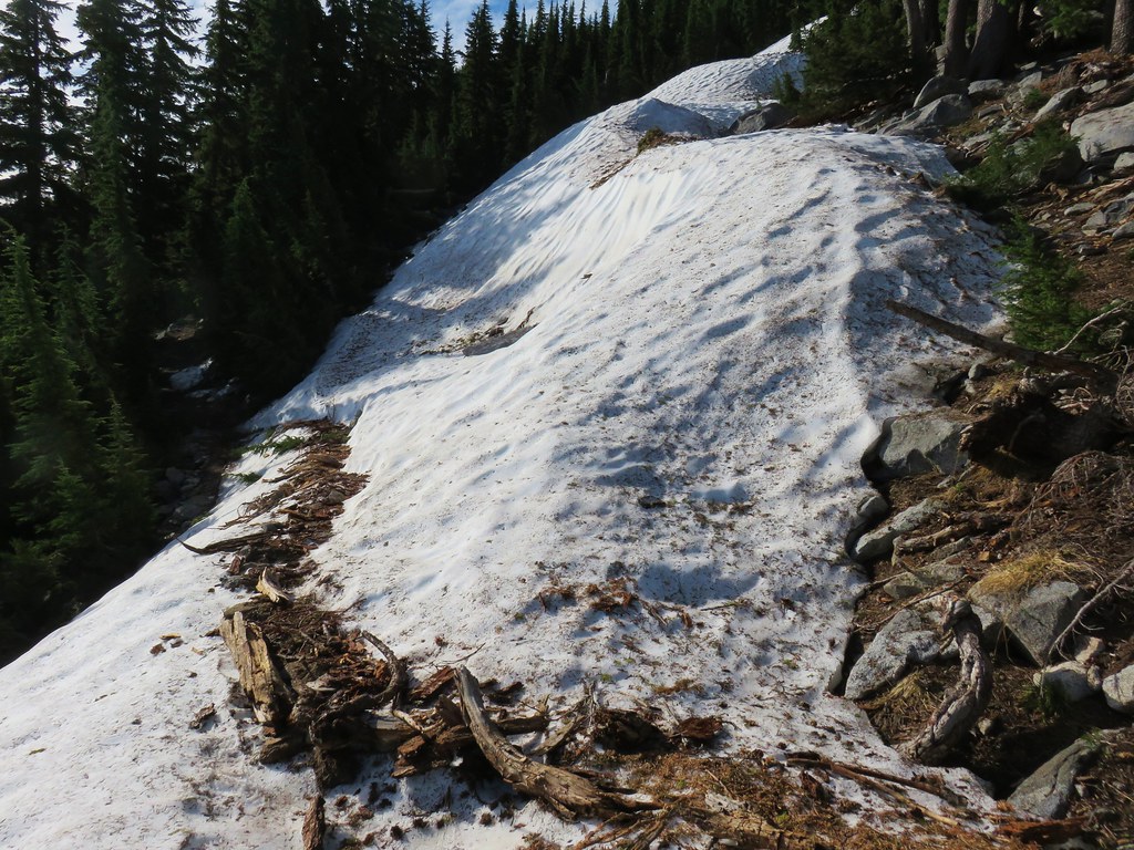
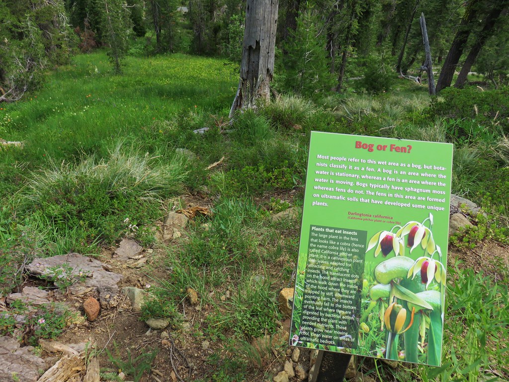
**Note the 2024 Young Grasshopper Fire burned over a portion of this hike including Grasshopper Meadow.**
After cancelling our first two planned backpacking trips in June we finally got out for an overnight trip. Originally on the schedule for the last week in June, we moved our visit to Grasshopper Meadow back three weeks to let the snow finish melting off, we just hoped we hadn’t waited too long to see the wildflowers.
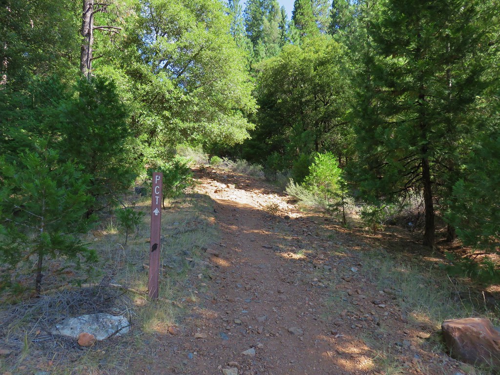
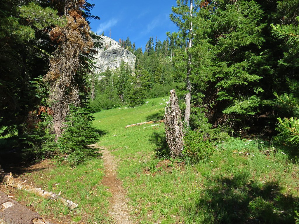
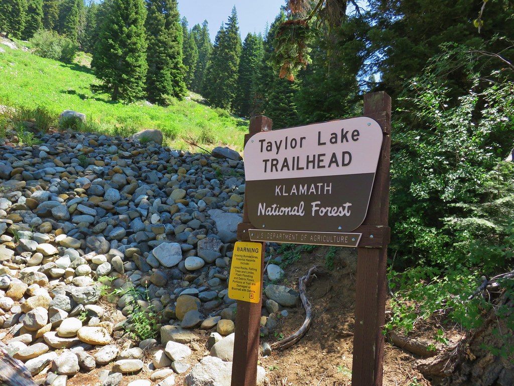
Our plan for this trip was to start at Box Canyon Horse Camp and hike to Grasshopper Meadow via the Chucksney Mountain and Grasshopper Trails.
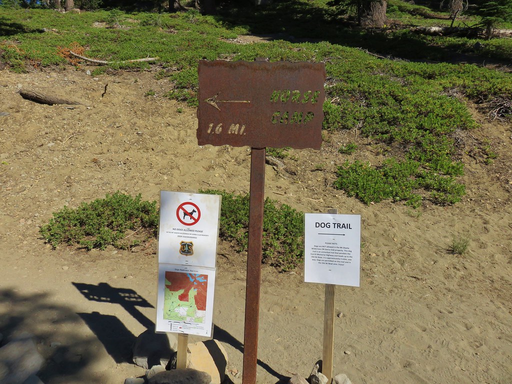
Box Canyon Horse Camp is located just off paved Forest Road 19 (Aufderheide Road) and can be reached by driving south from Highway 126 (4 miles east of Blue River) or north from Highway 58 (3 miles west of Oakridge).
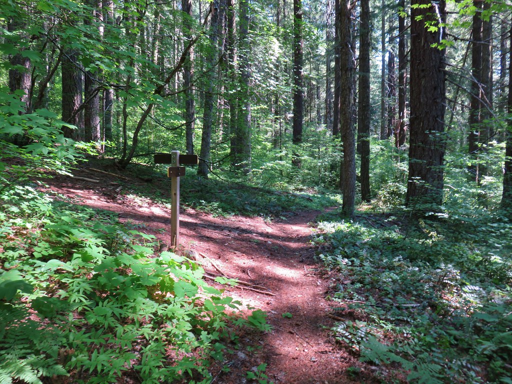
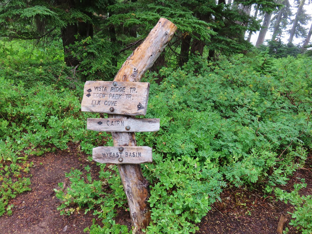
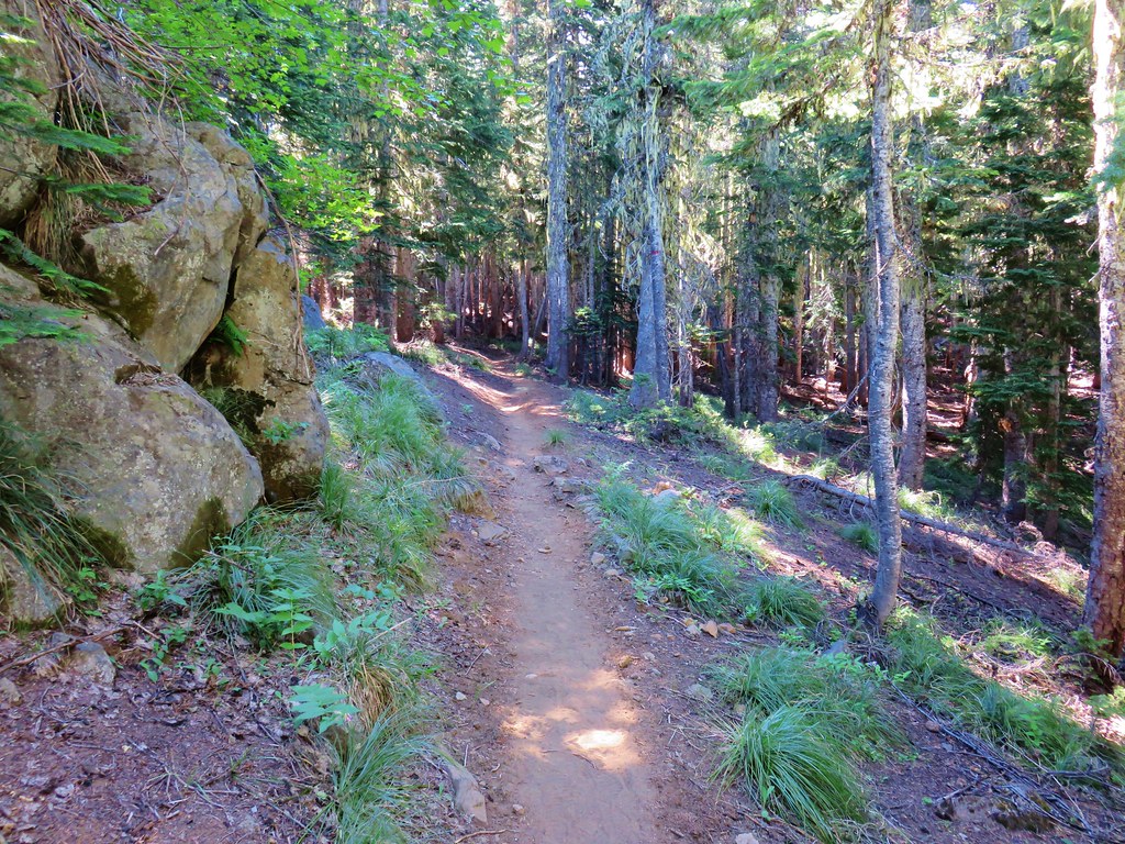
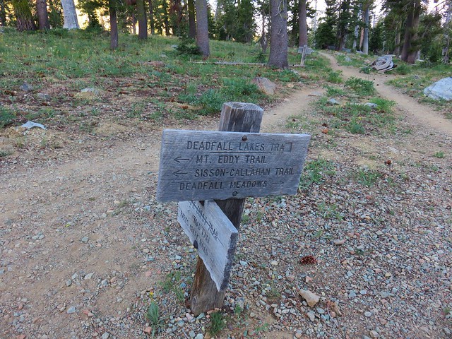
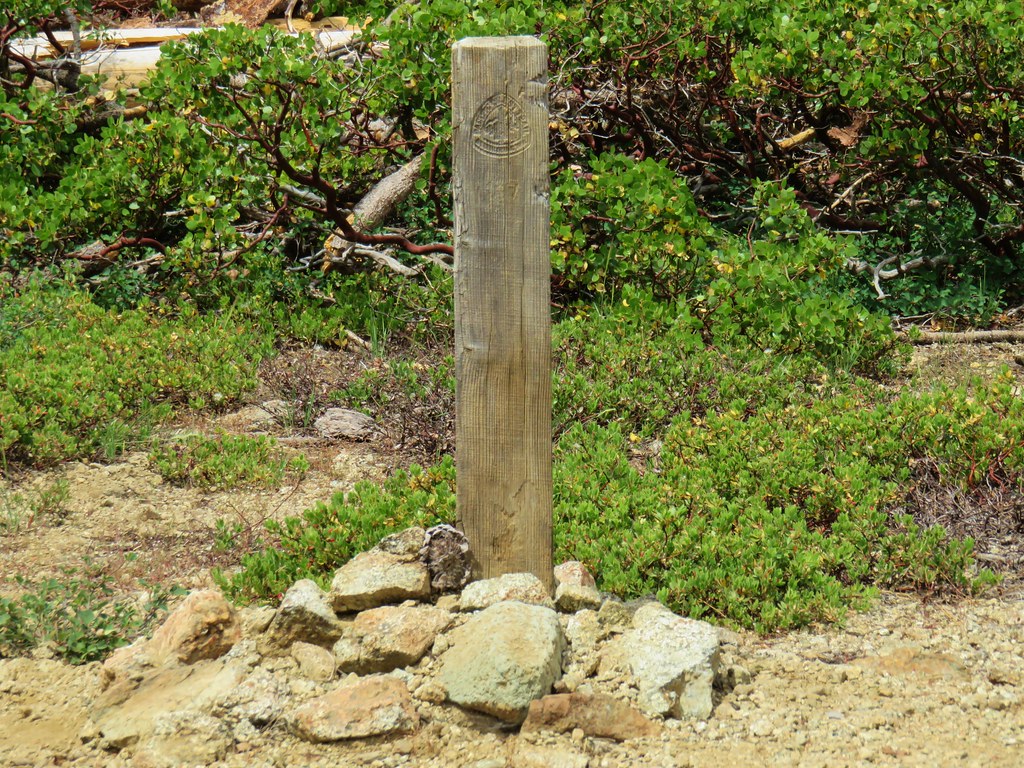
After turning at a sign for the Horse Camp we forked right and parked in a large unmarked parking area where a post marked the start of our trail.
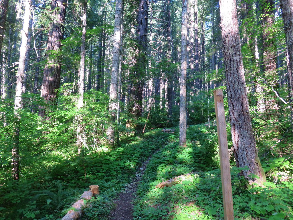
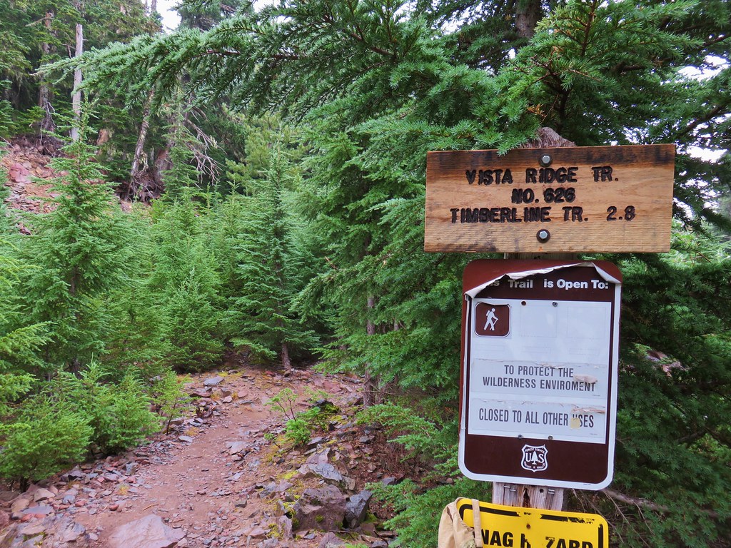
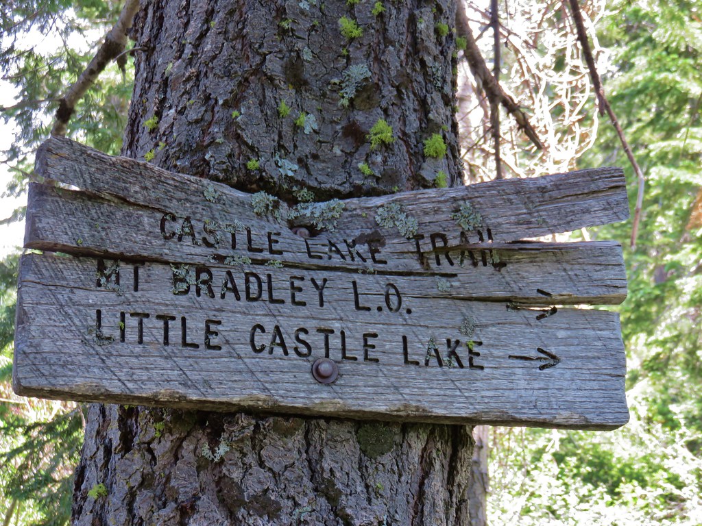
The trail led uphill and left to a signed trail junction just above the corral at the horse camp where we picked up the Grasshopper Trail.
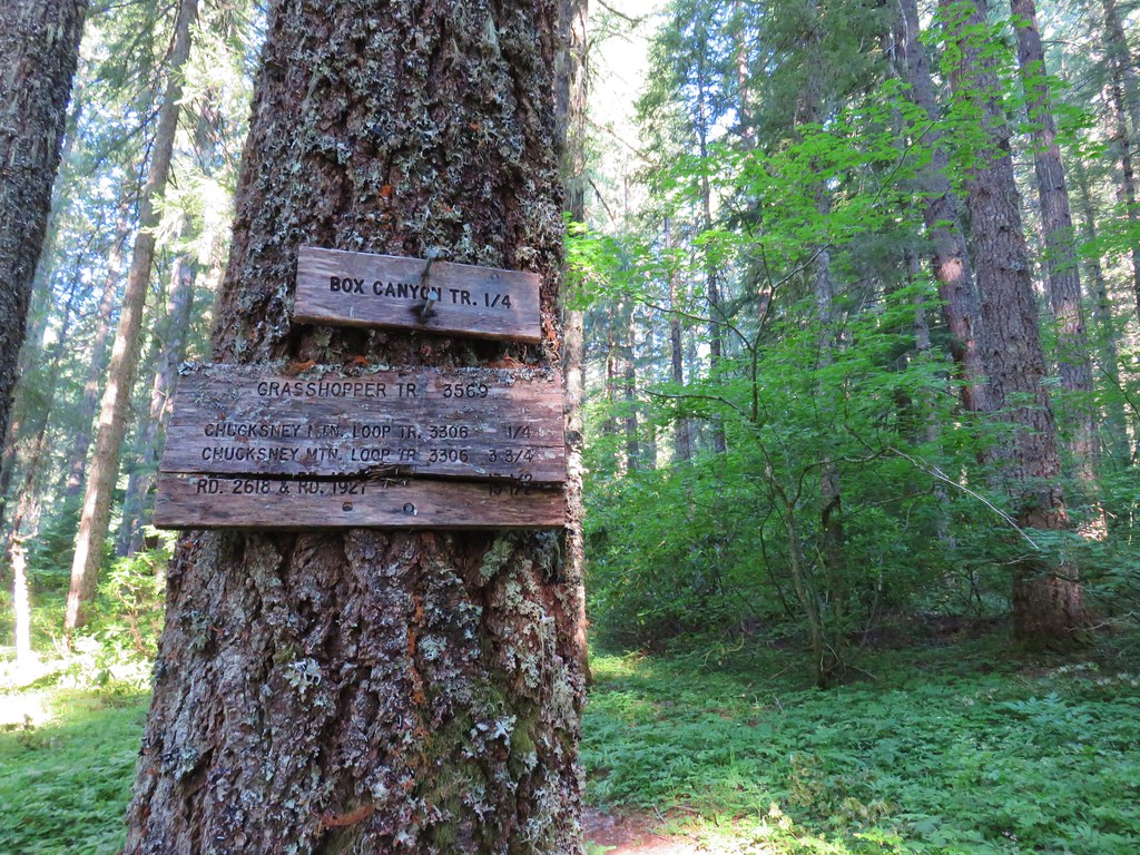
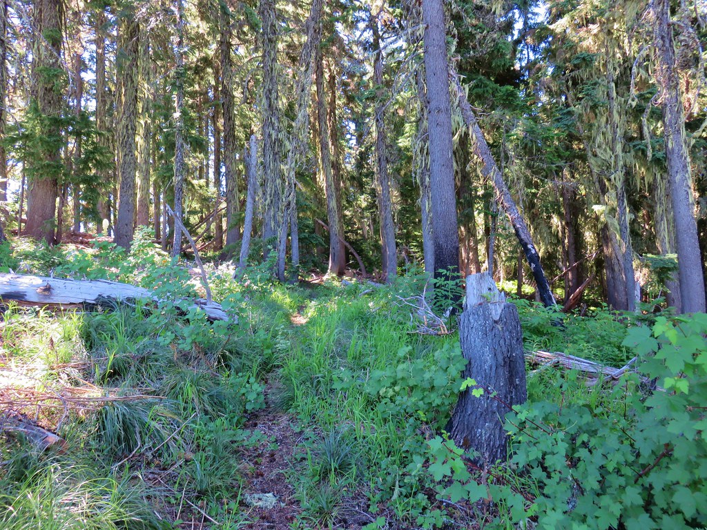
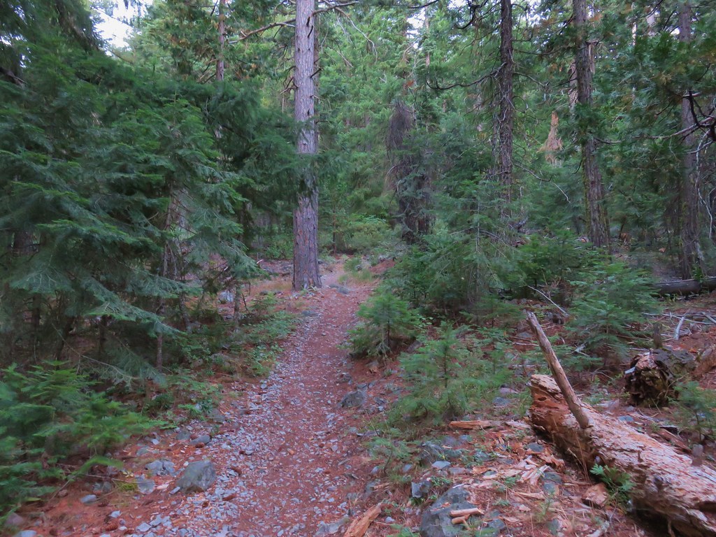
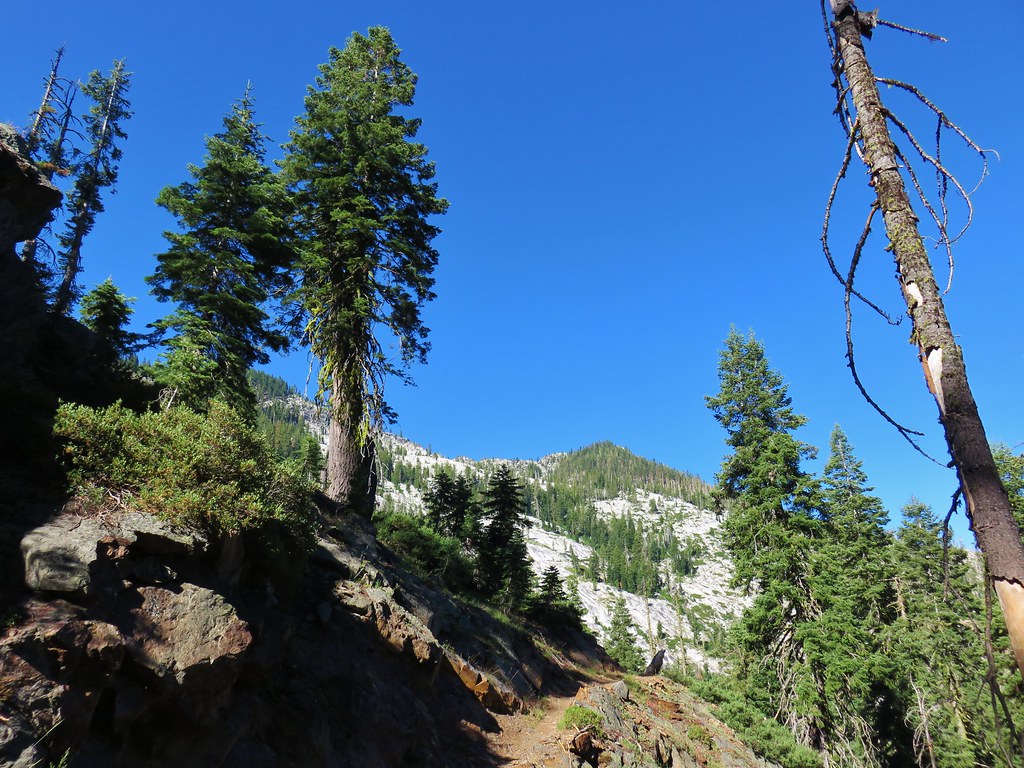
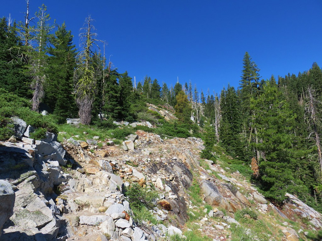
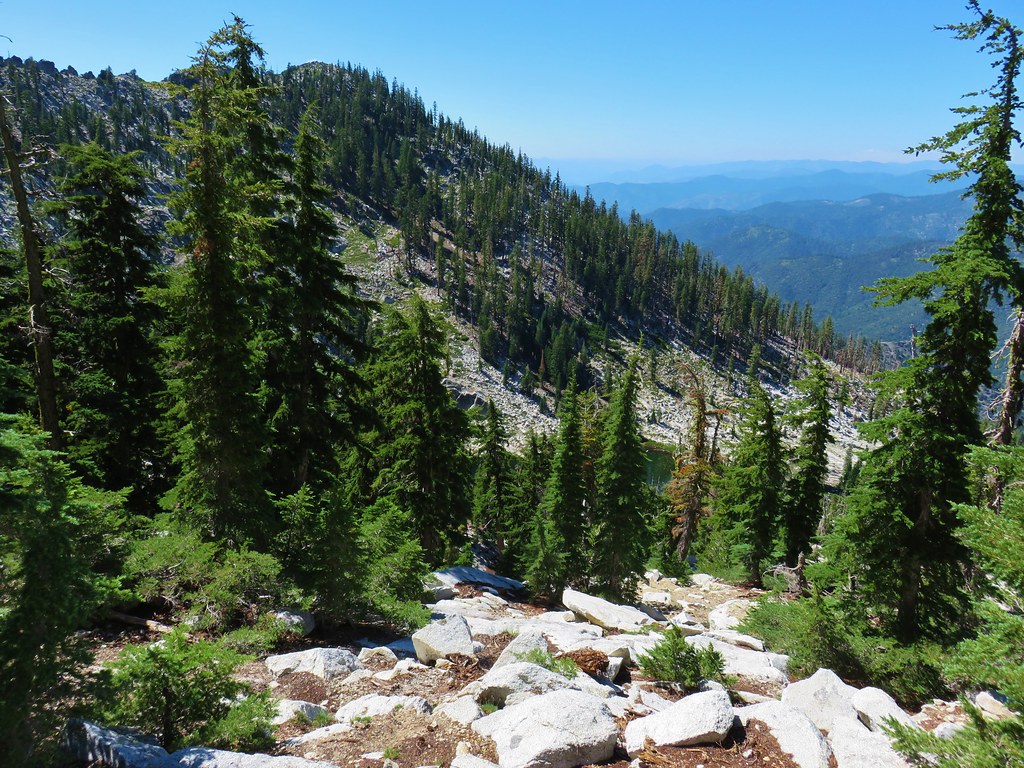
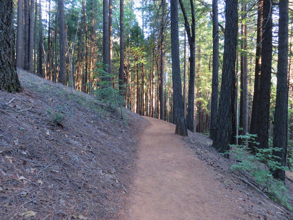
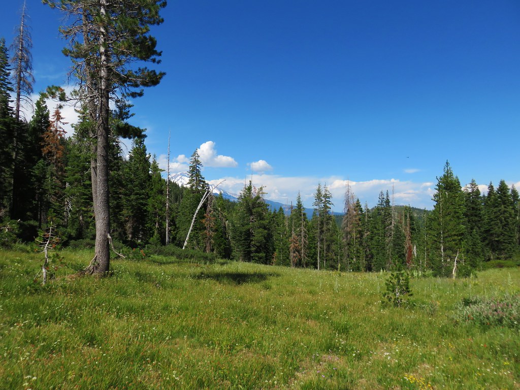
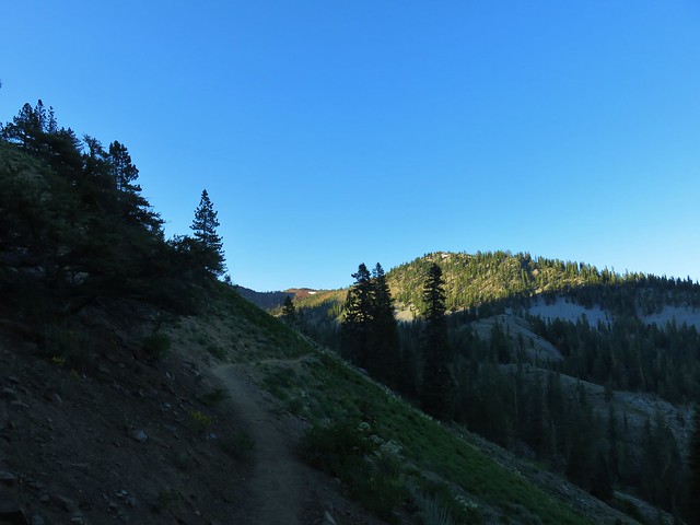
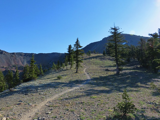
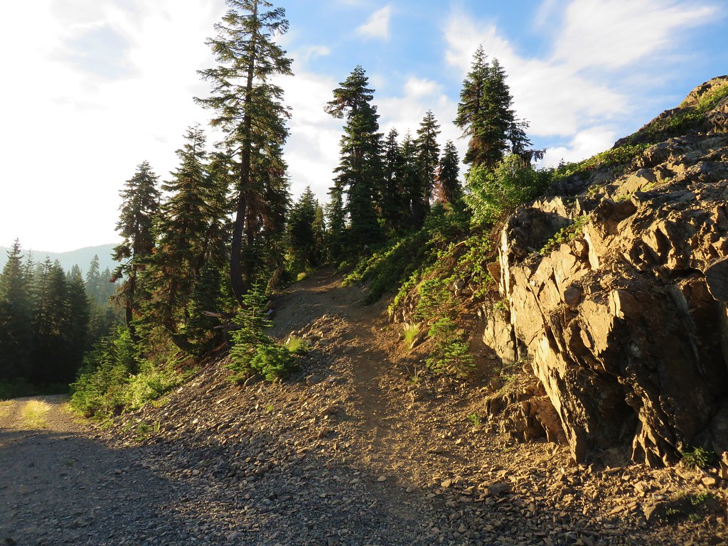
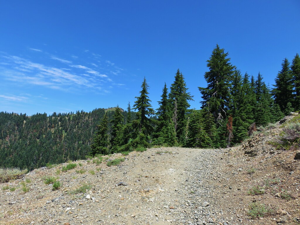
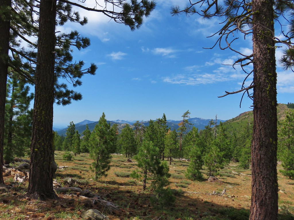
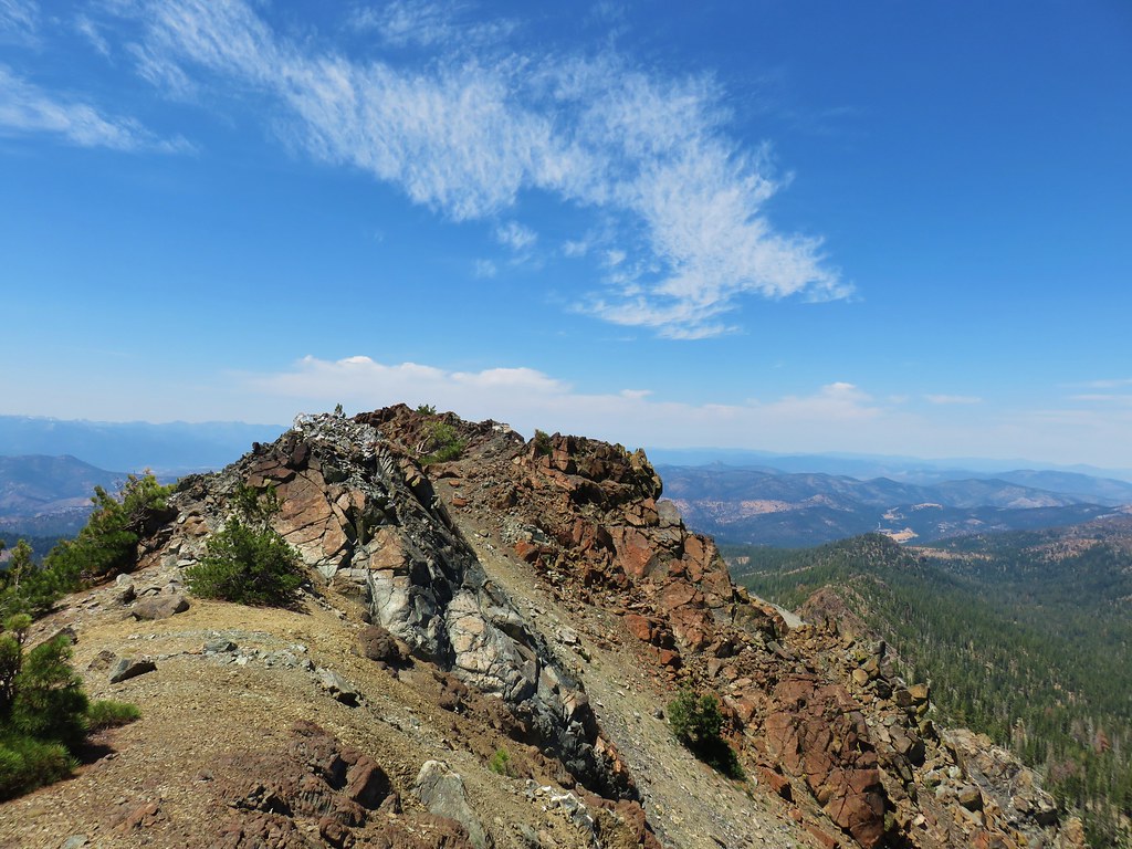
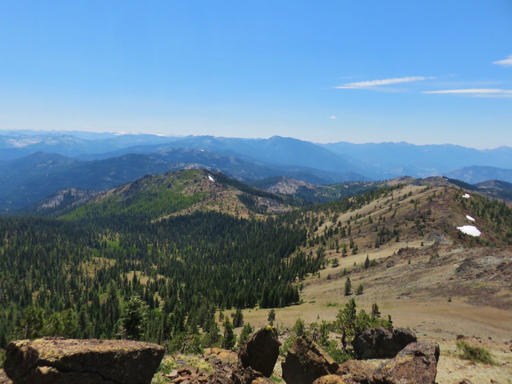
Mosquitoes were a bit of a nuisance here, and they would be so off and on for the entire trip. We turned uphill passing the Box Canyon Trail which forked to the left before arriving at the signed junction with the Chucksney Mountain Tail. Here we turned right onto the Chucksney Mountain Trail which would lead us to the 5756′ summit in a little under 5 miles. The trail passed through a variety of scenery as it climbed.
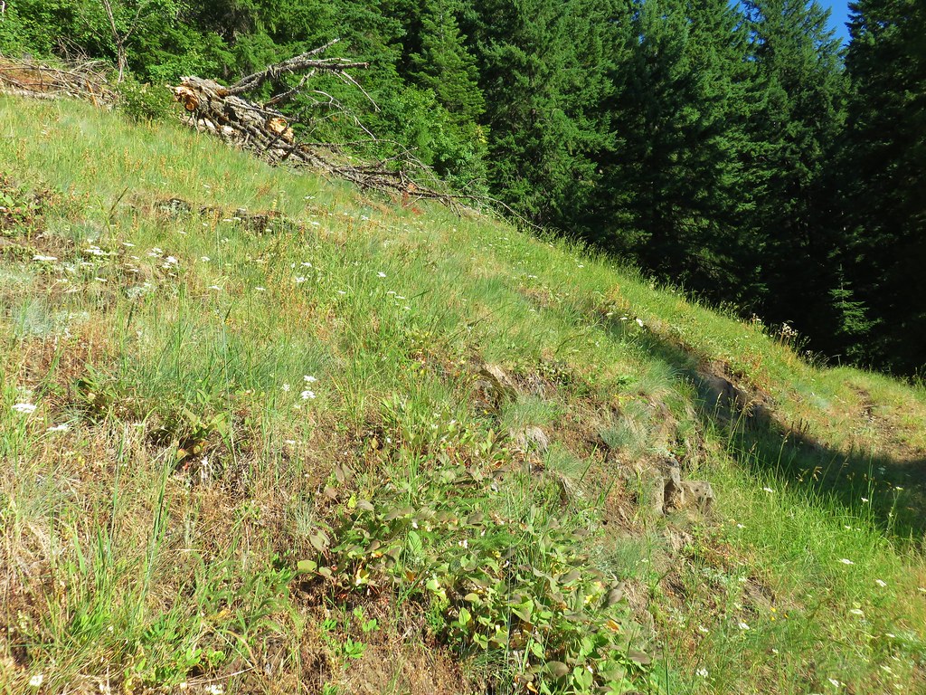
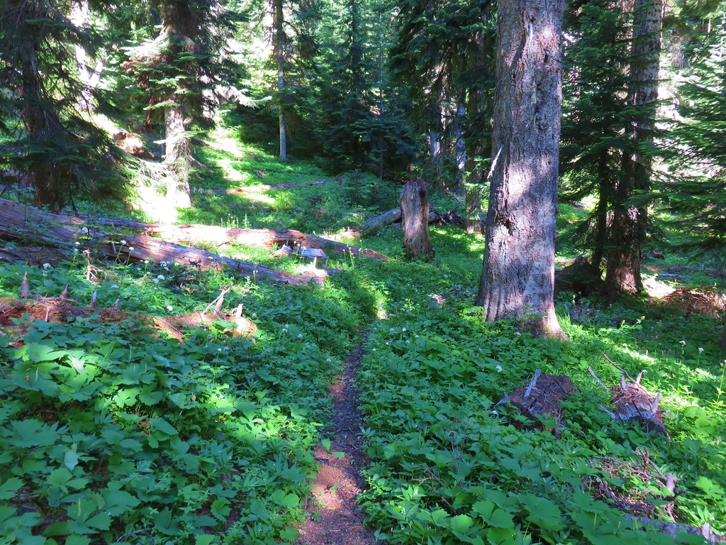

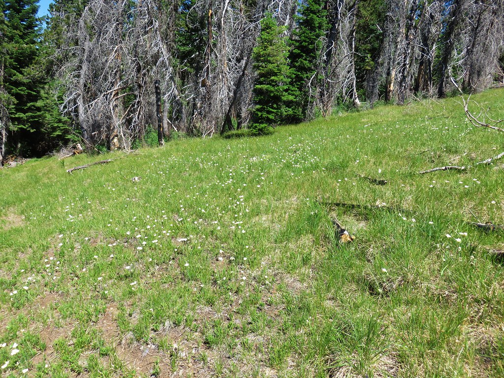
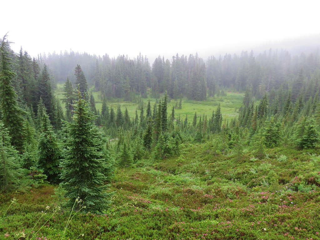
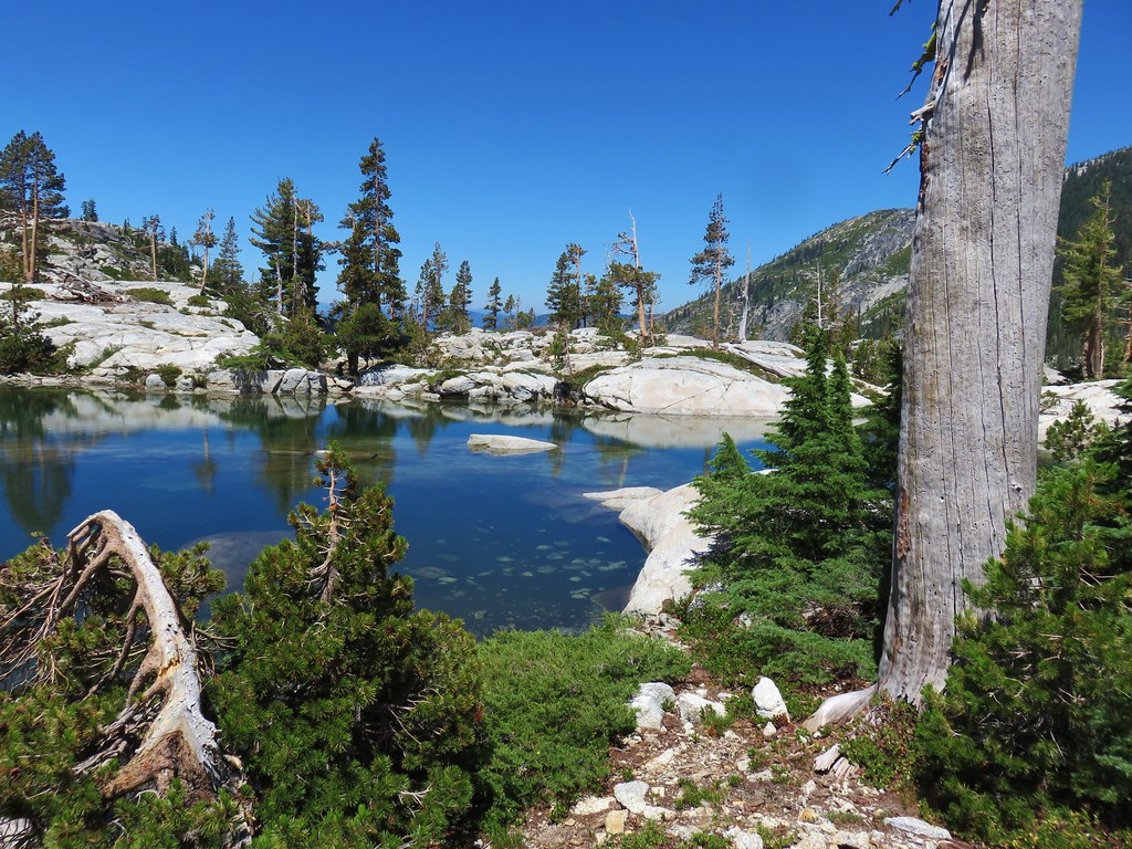
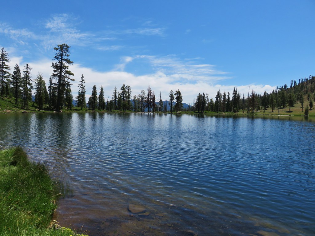
In the first 3.5 miles from the trailhead we’d climbed about 1500′ reaching an elevation of 5200′ then the trail dropped a bit and leveled out for about a half mile. The level area held a couple of snow melt ponds and some green meadows which gave rise to plenty of mosquitoes so there wasn’t much stopping for photos as we zipped through. When the trail began climbing again we were approximately 600′ below the summit of Chucksney Mountain.
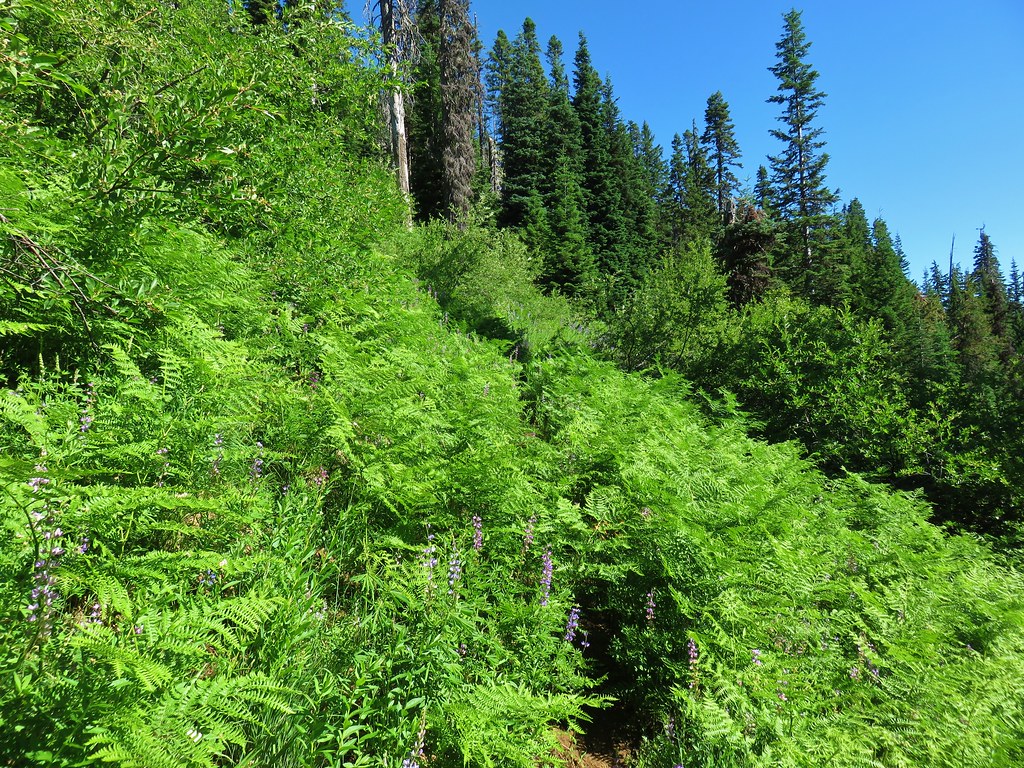
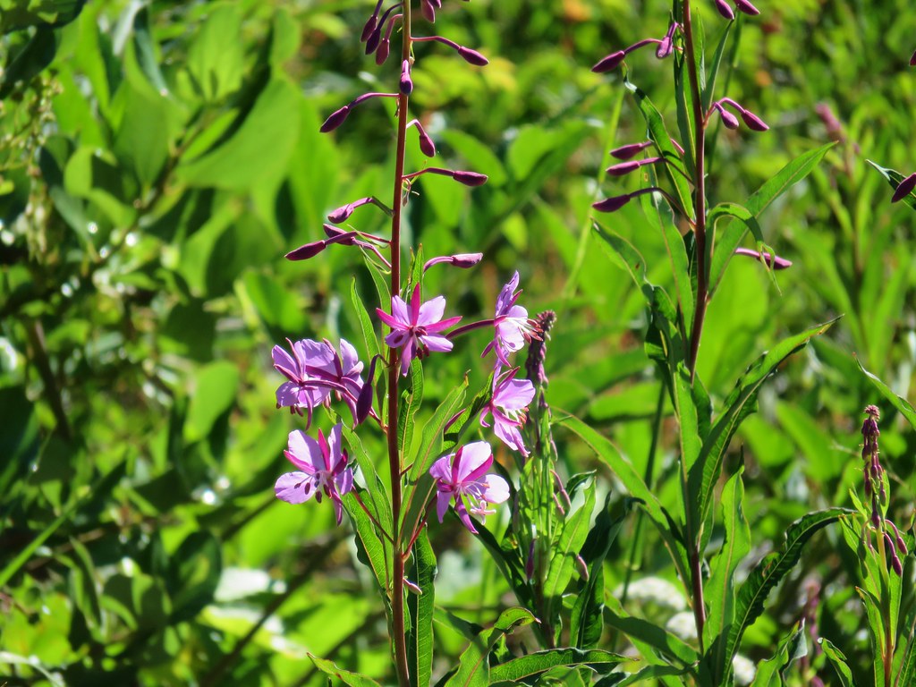
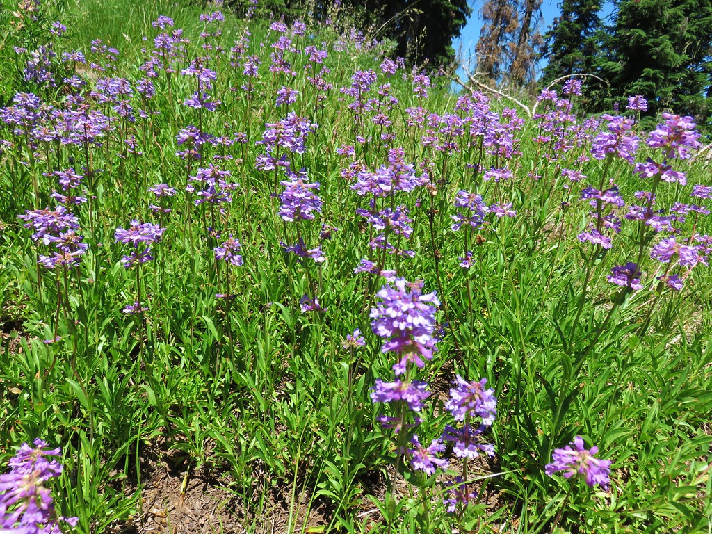
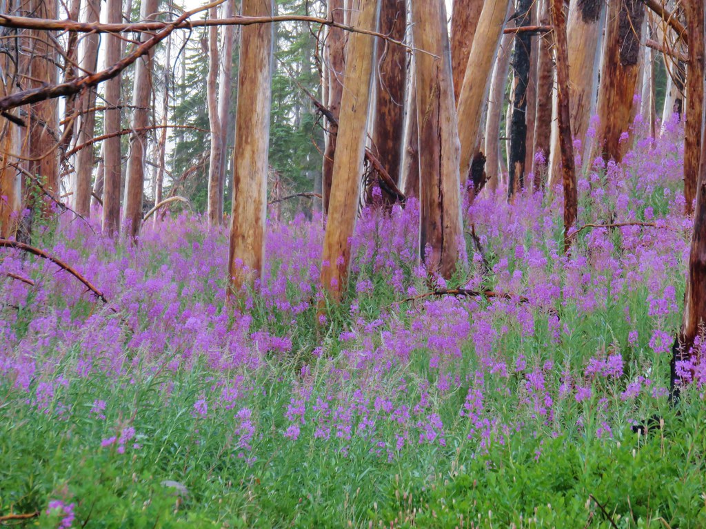
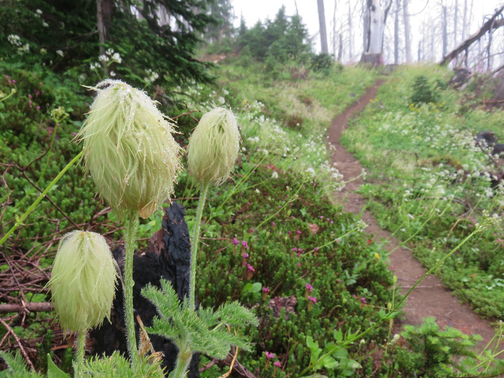
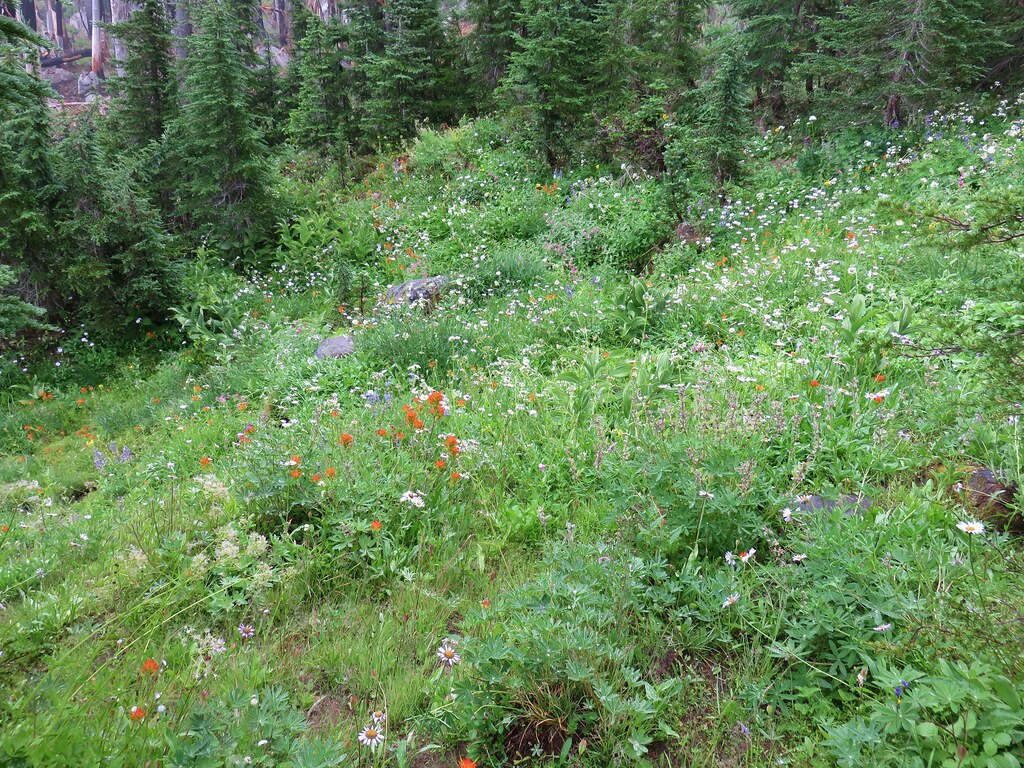
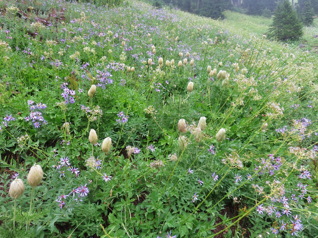
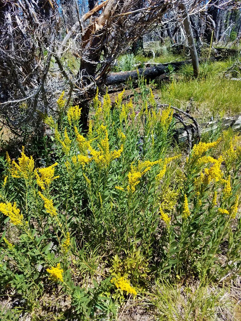
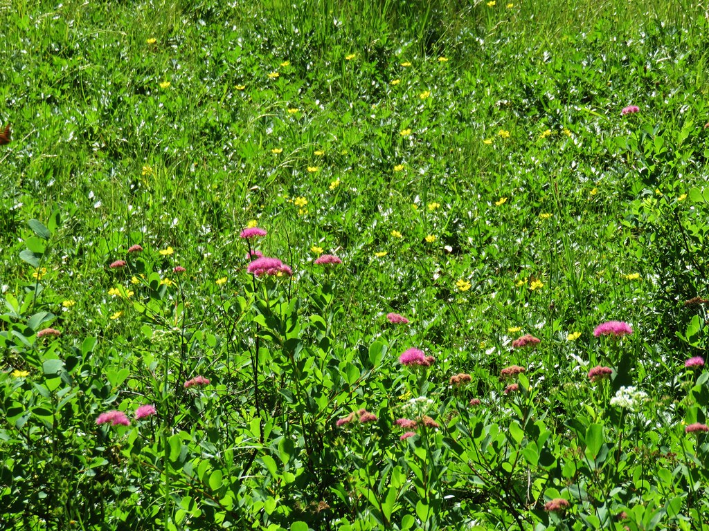
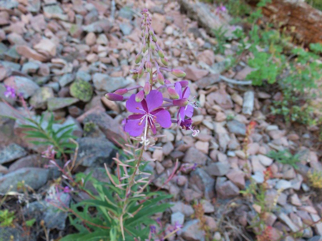
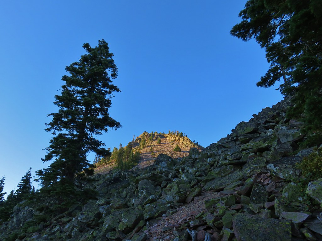
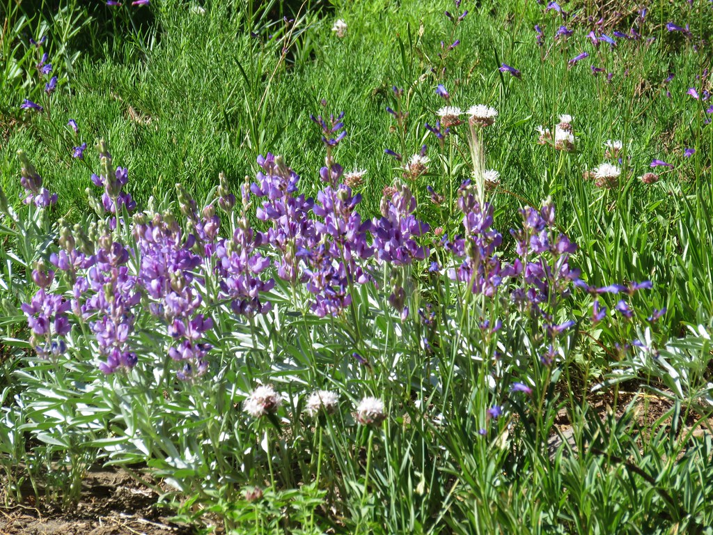
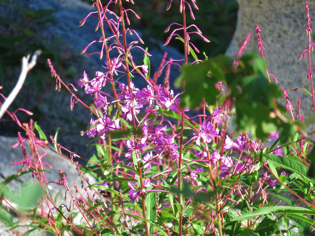
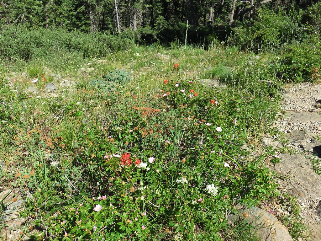
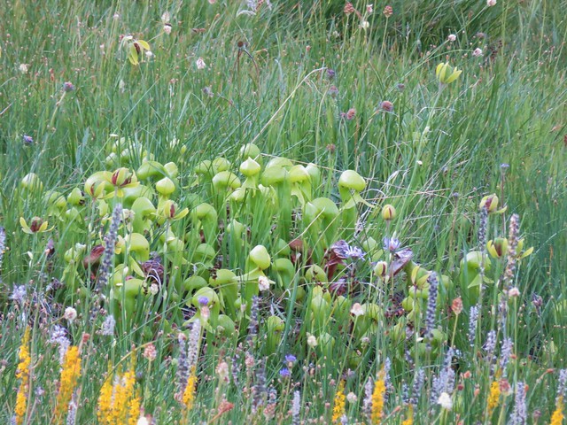
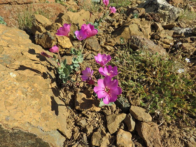
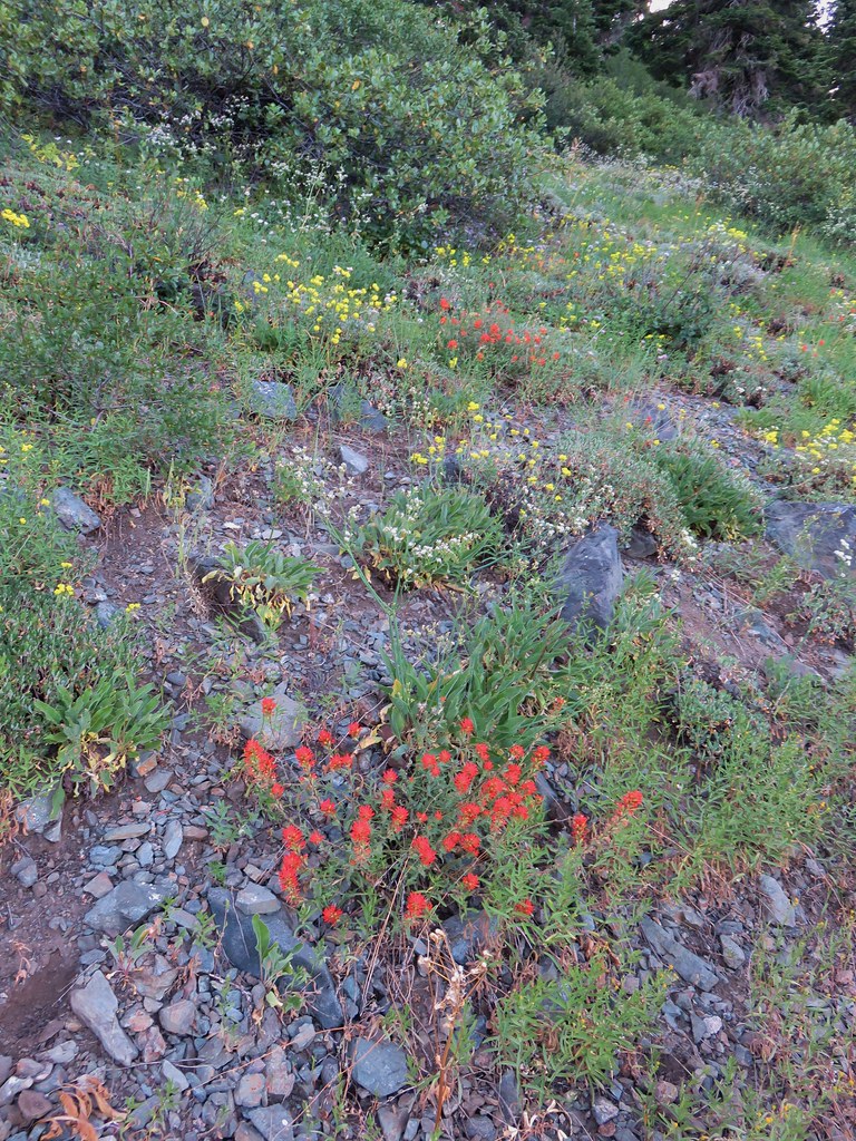
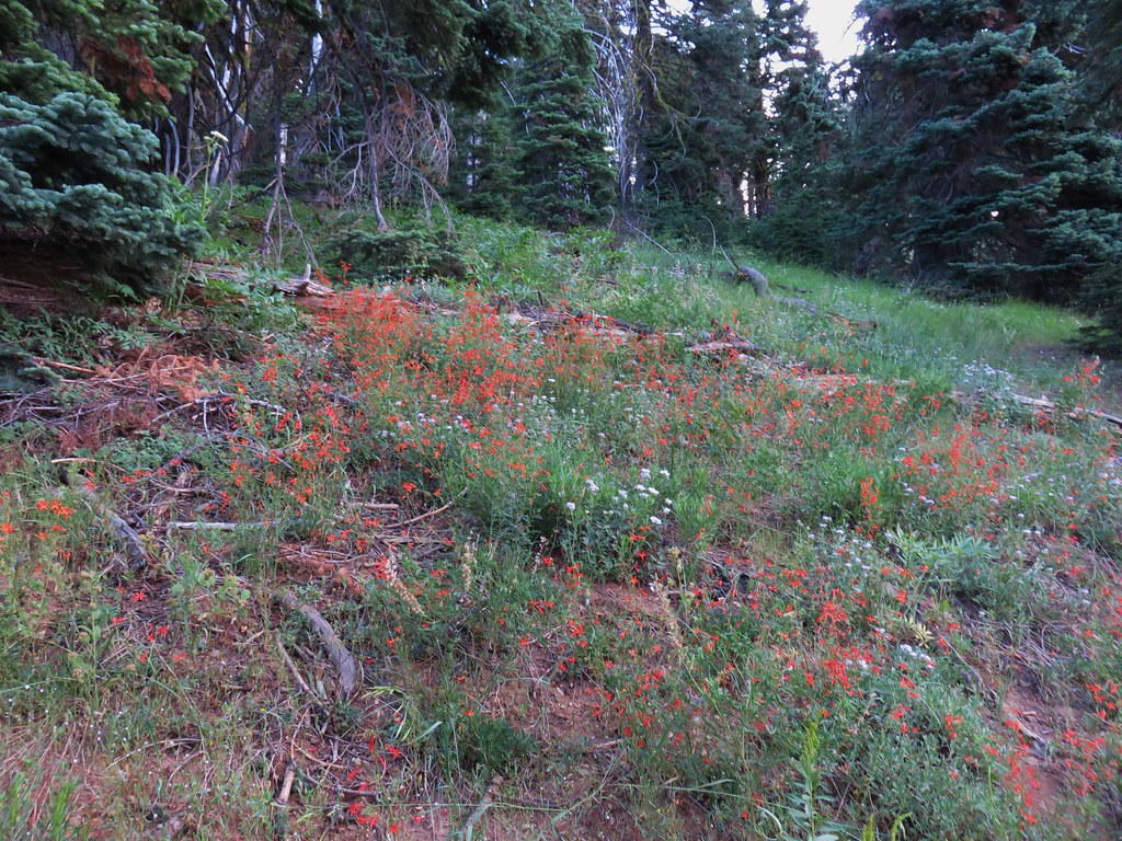
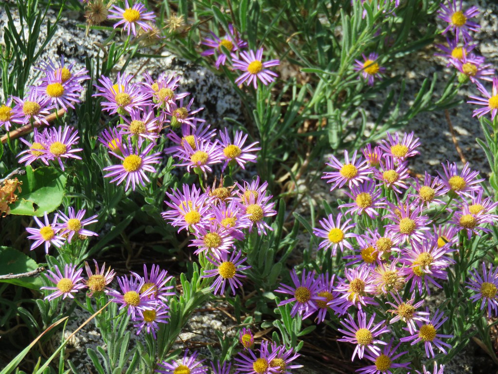
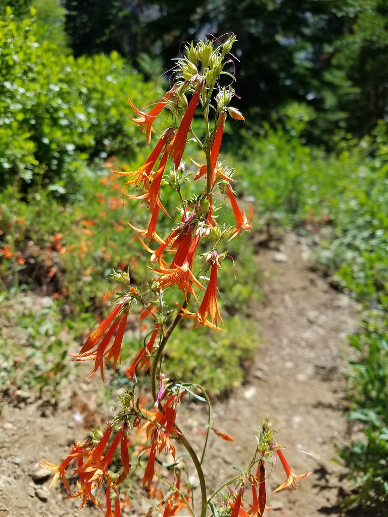
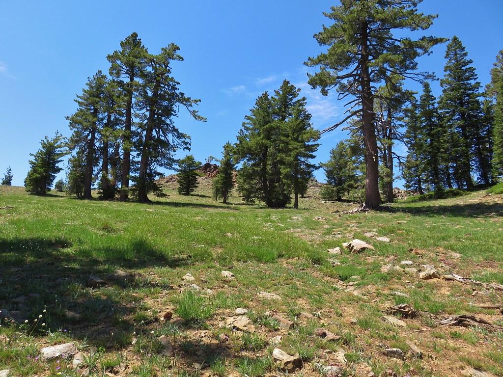
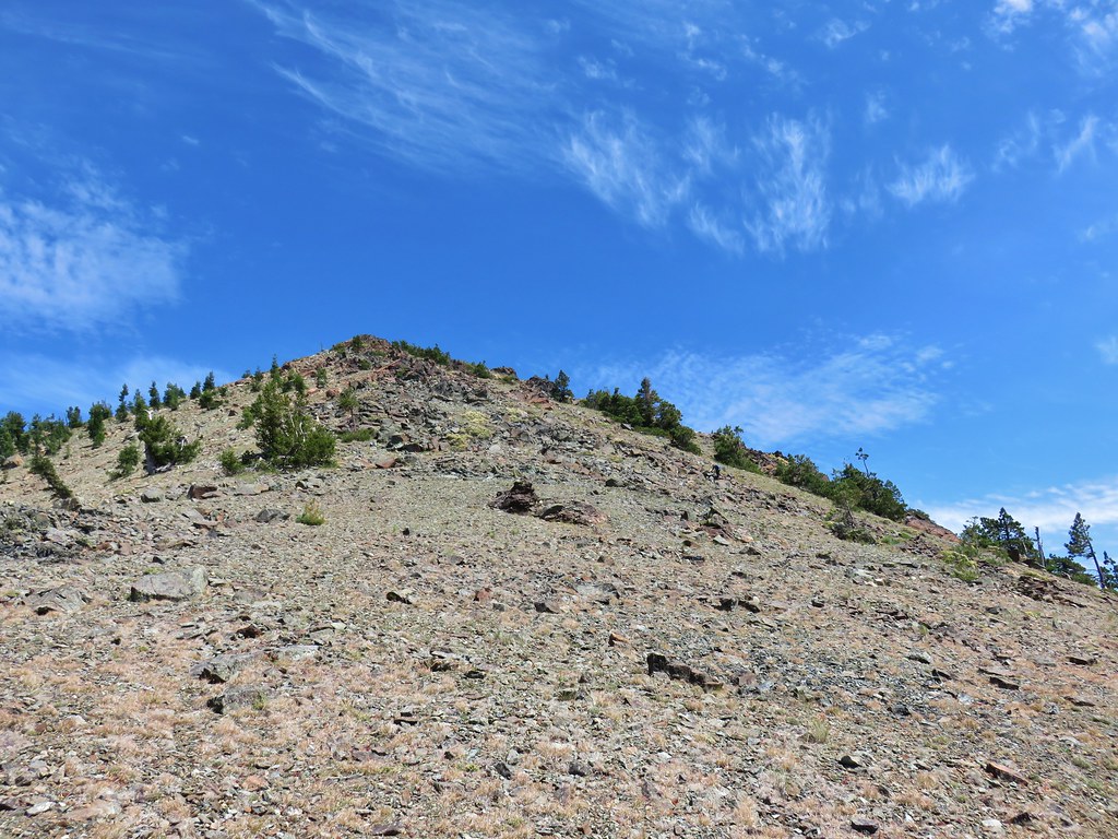
The trail made up the elevation in a half mile by using a long switchback. As we climbed the number of trees lessened and we passed an increasing number of wildflowers.


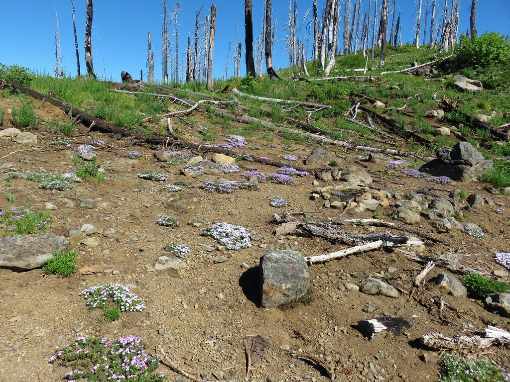
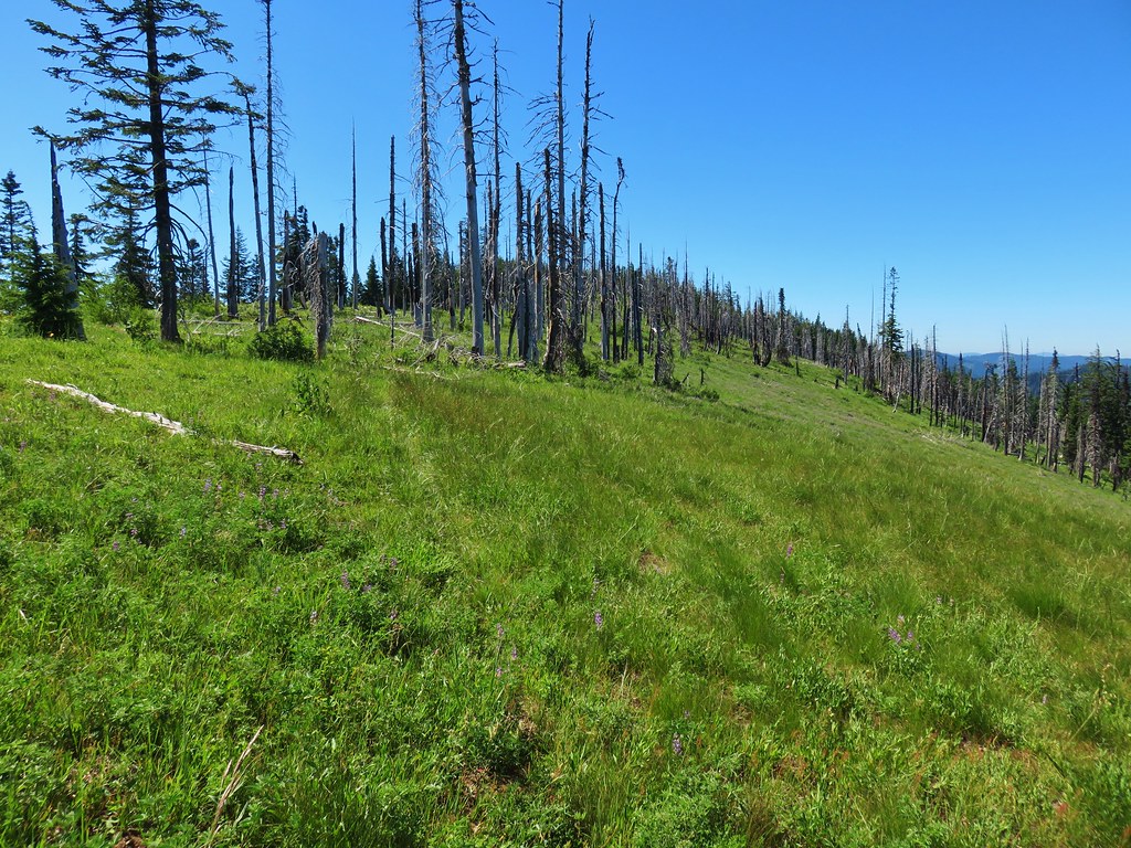
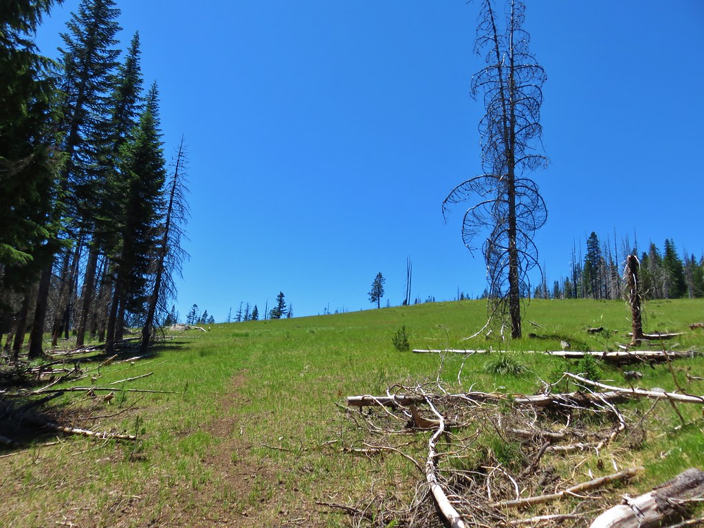
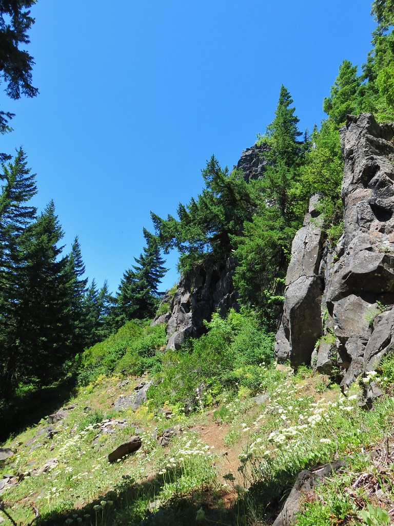
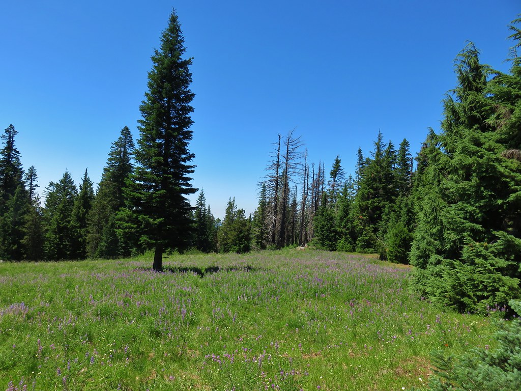
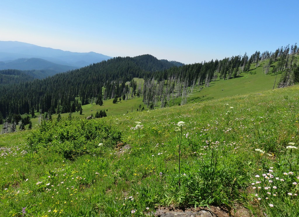
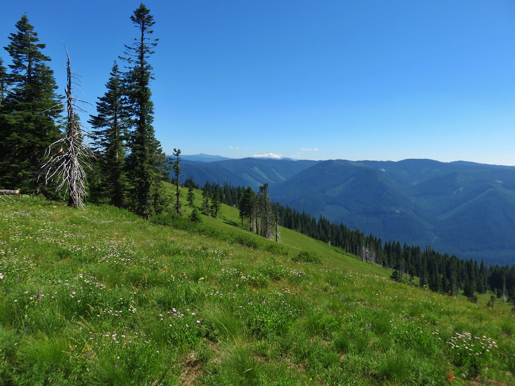
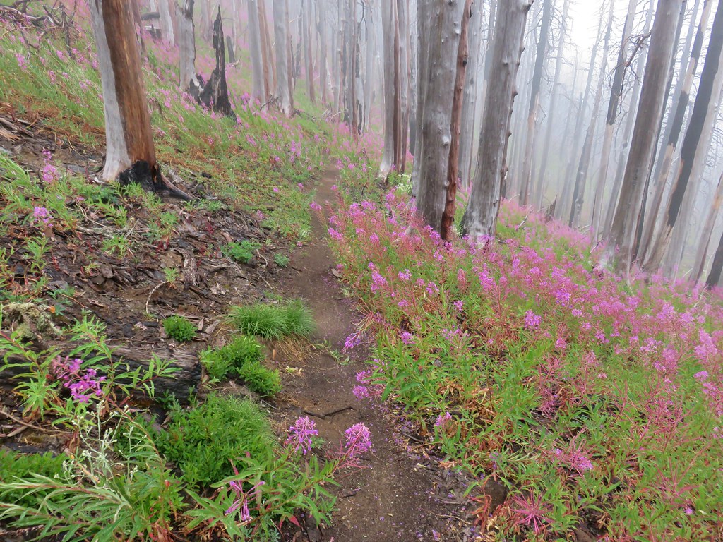
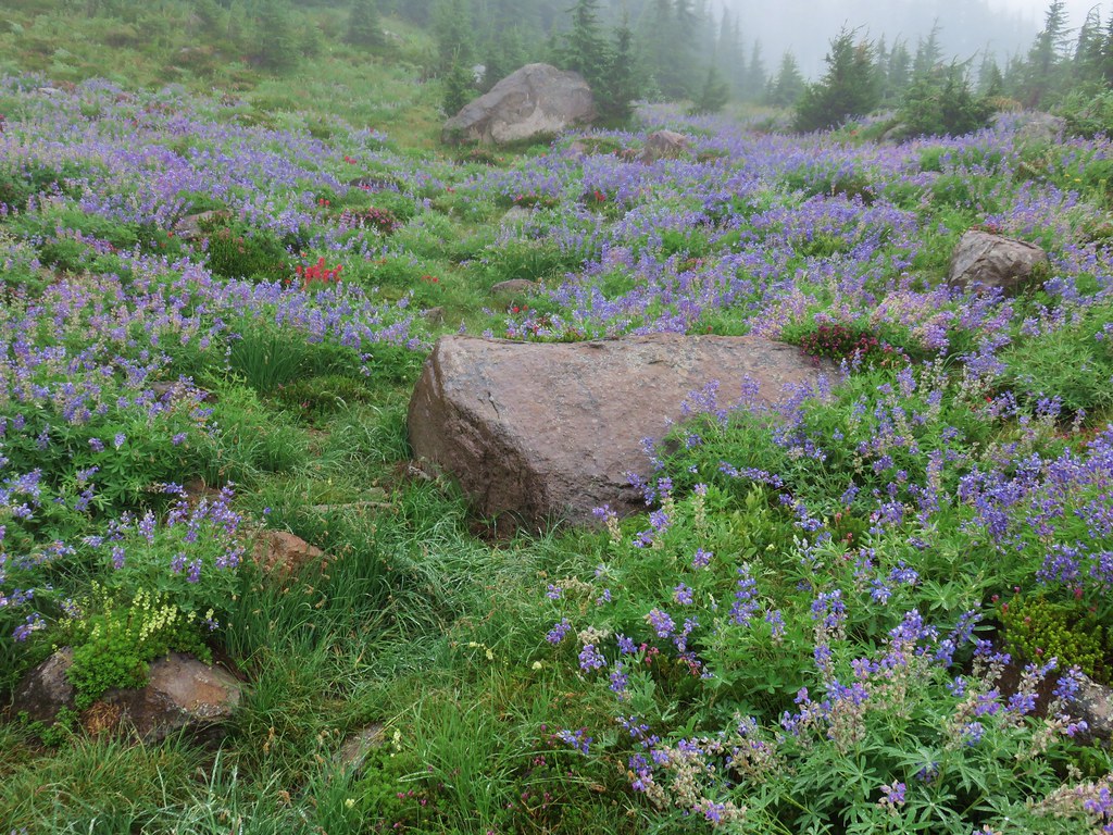
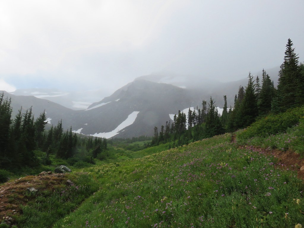
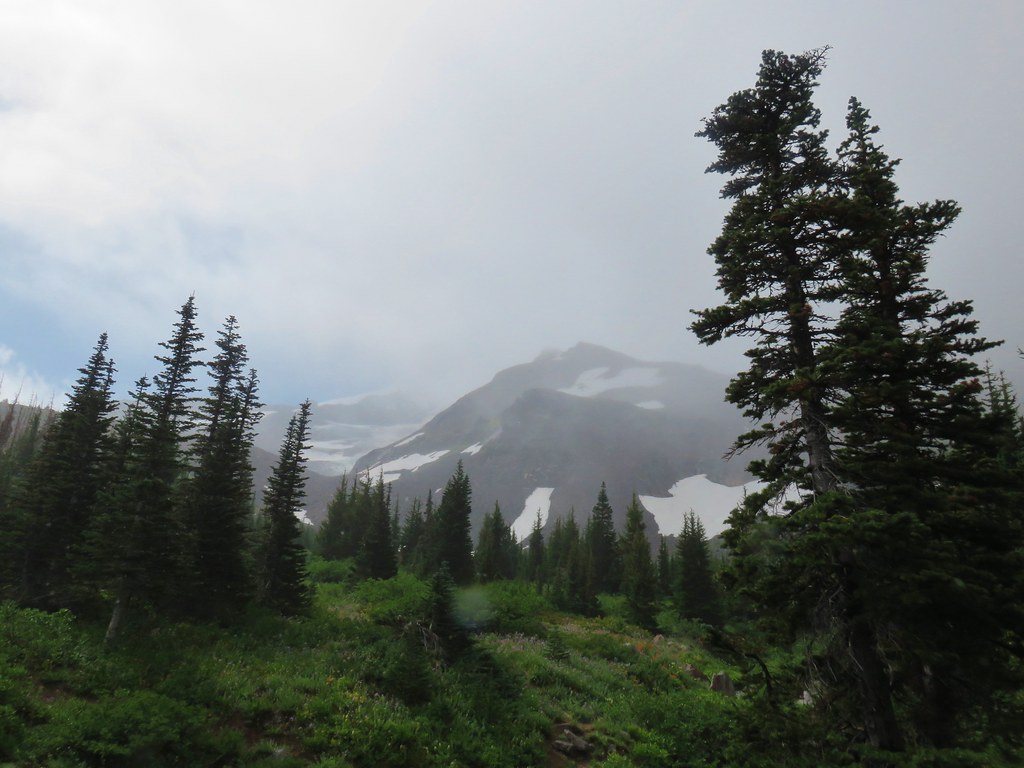
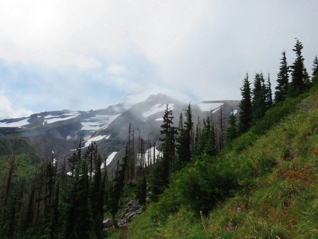
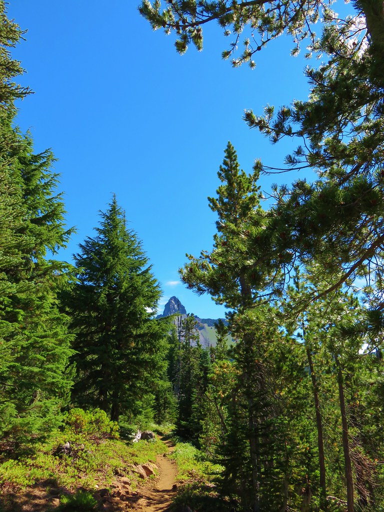
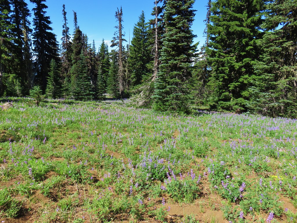
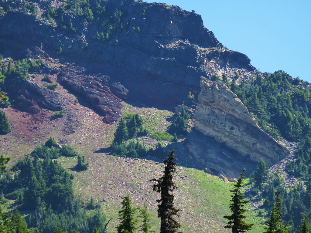
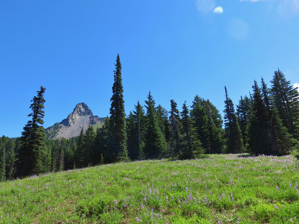
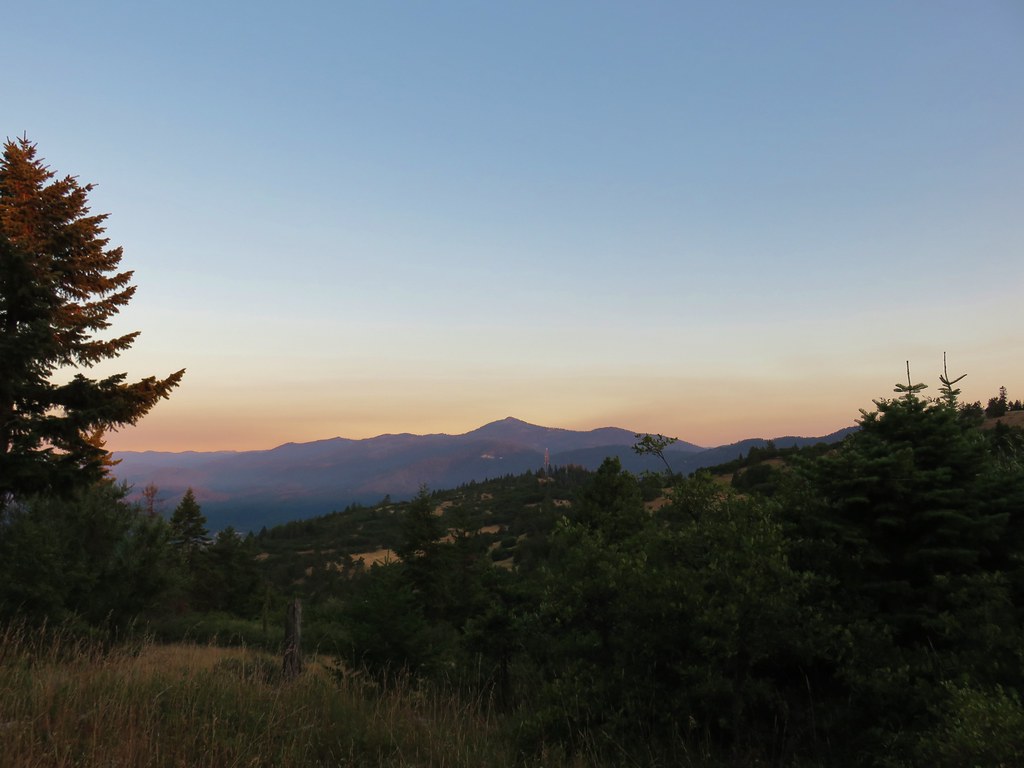
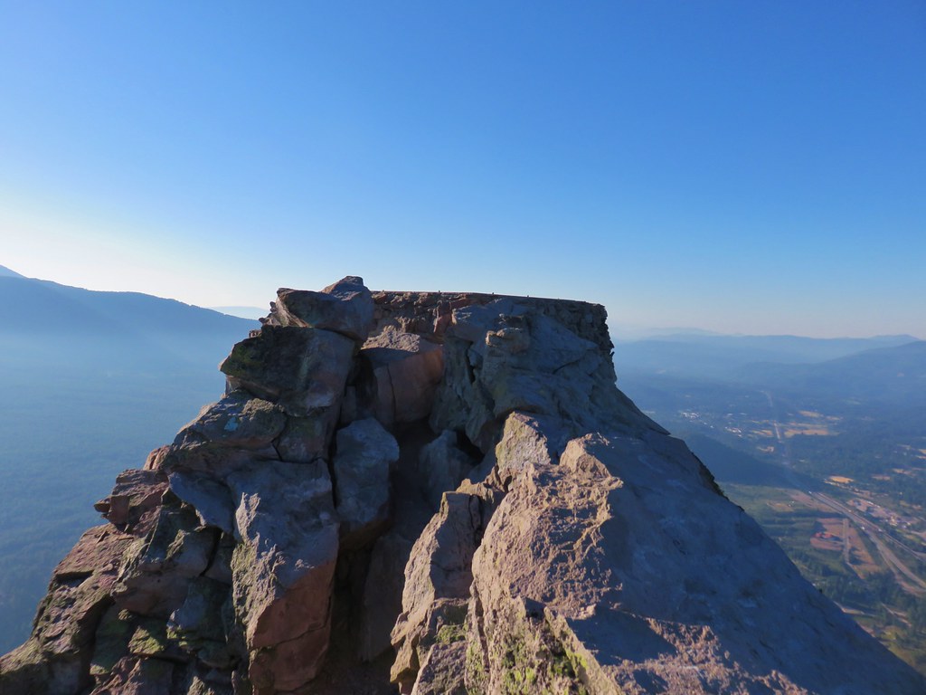
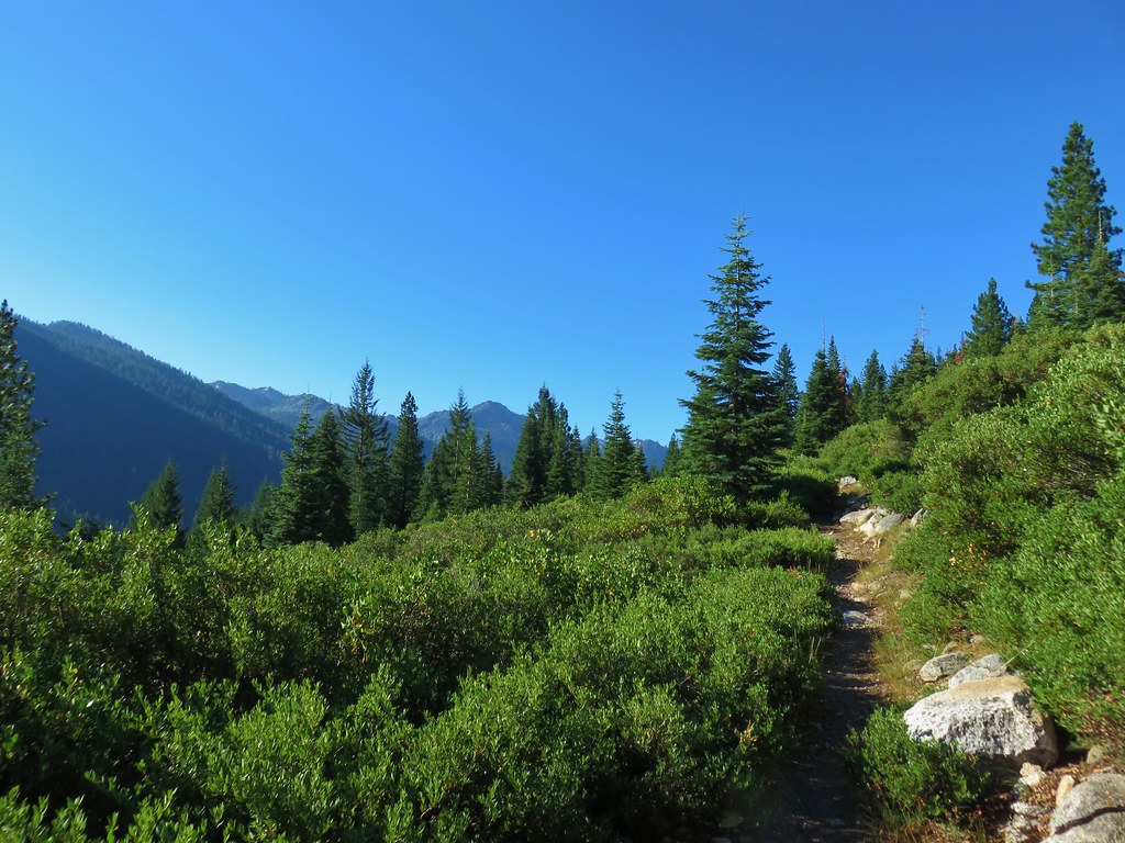
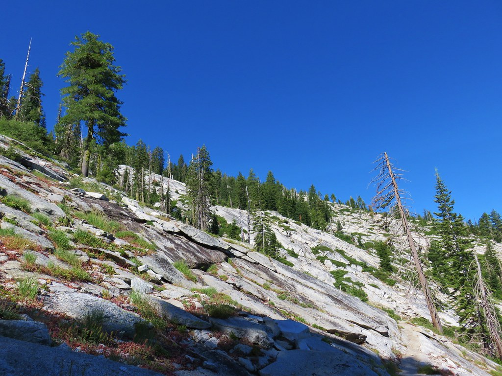
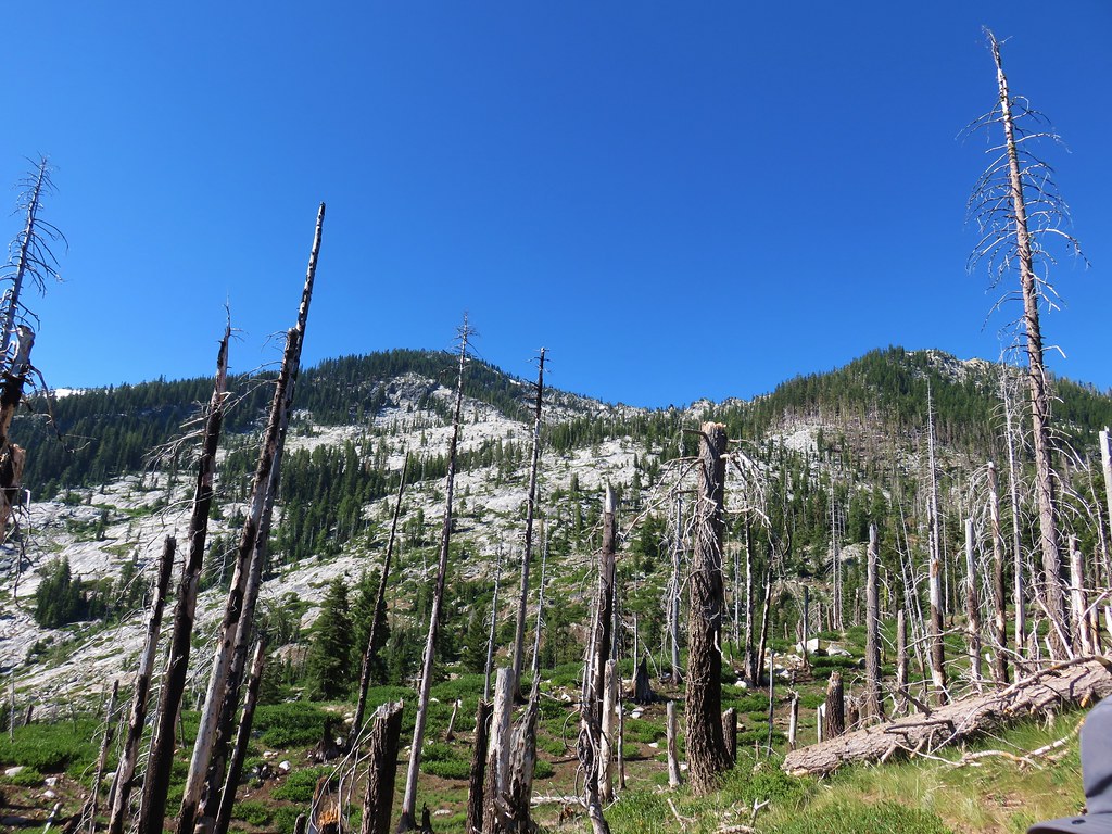
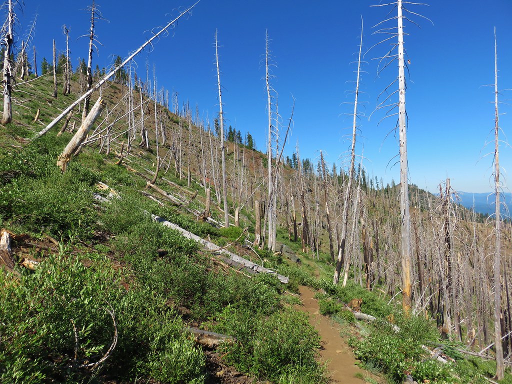
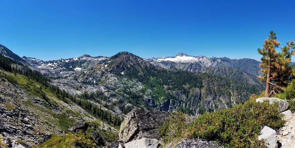
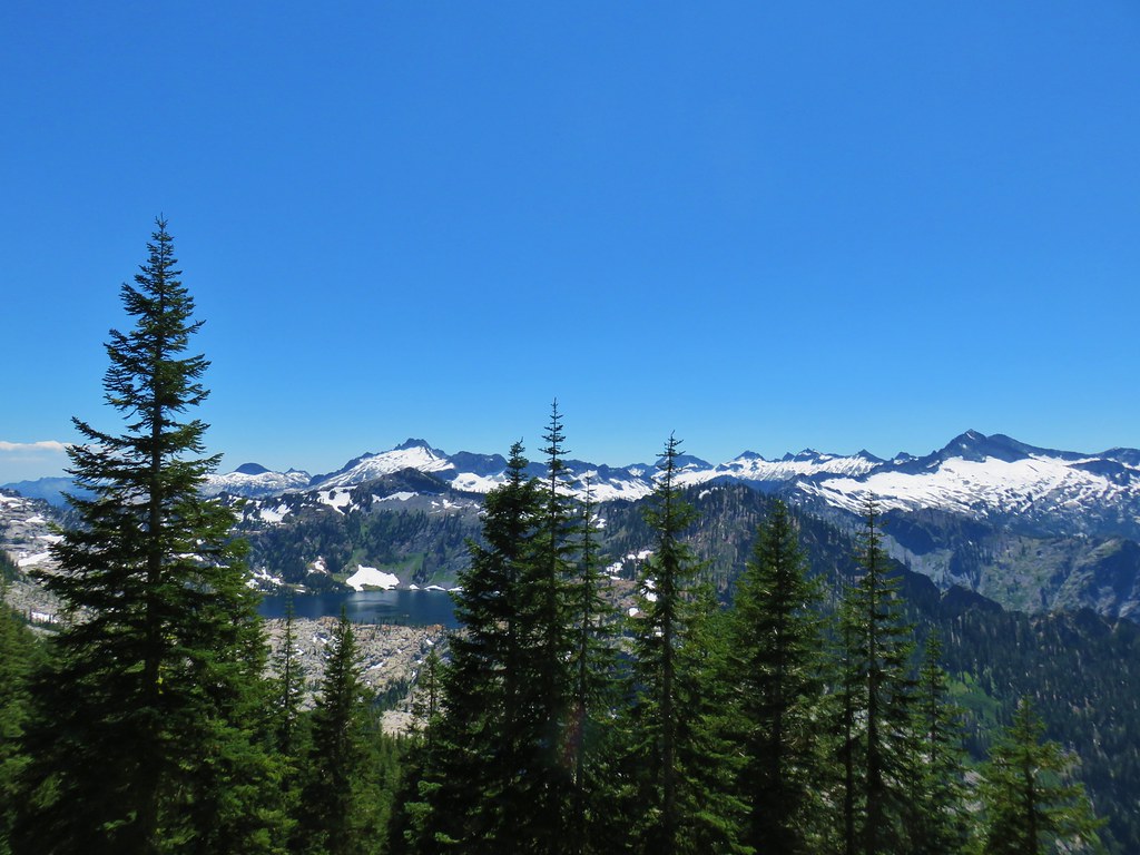
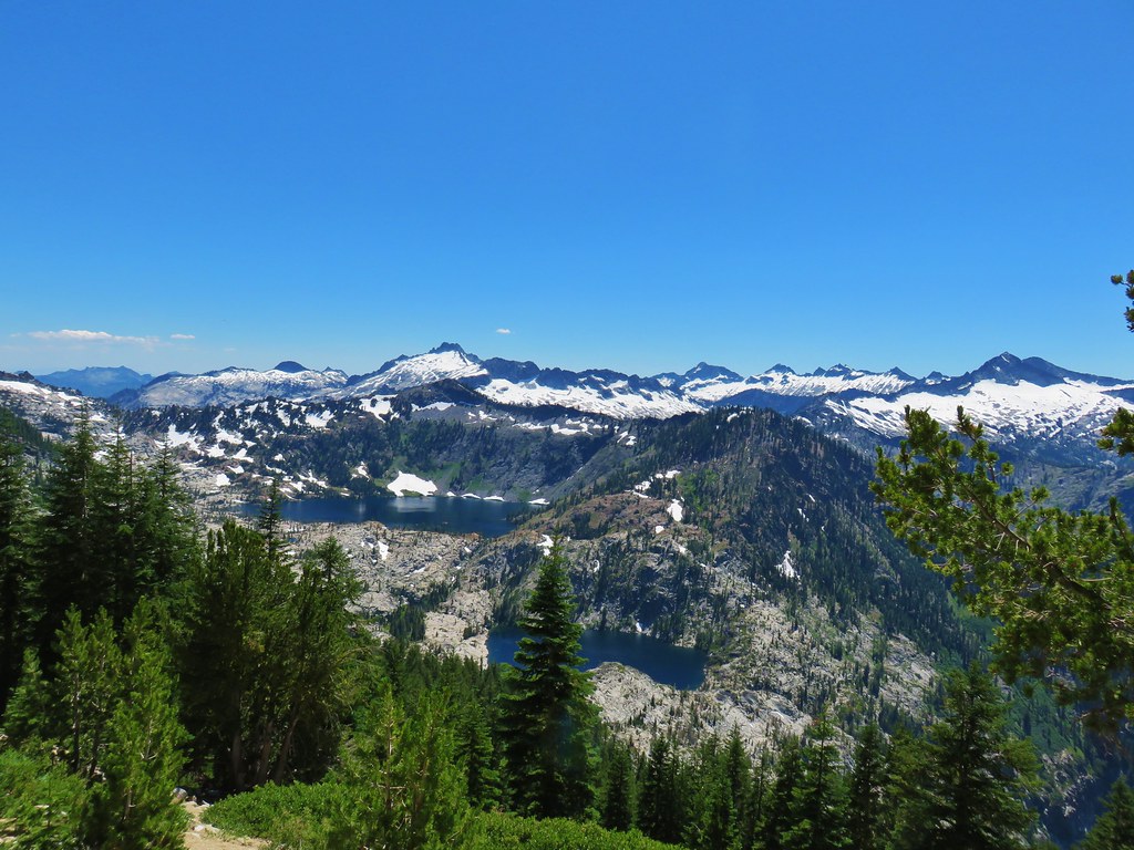
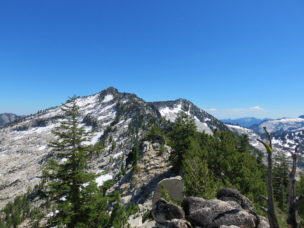
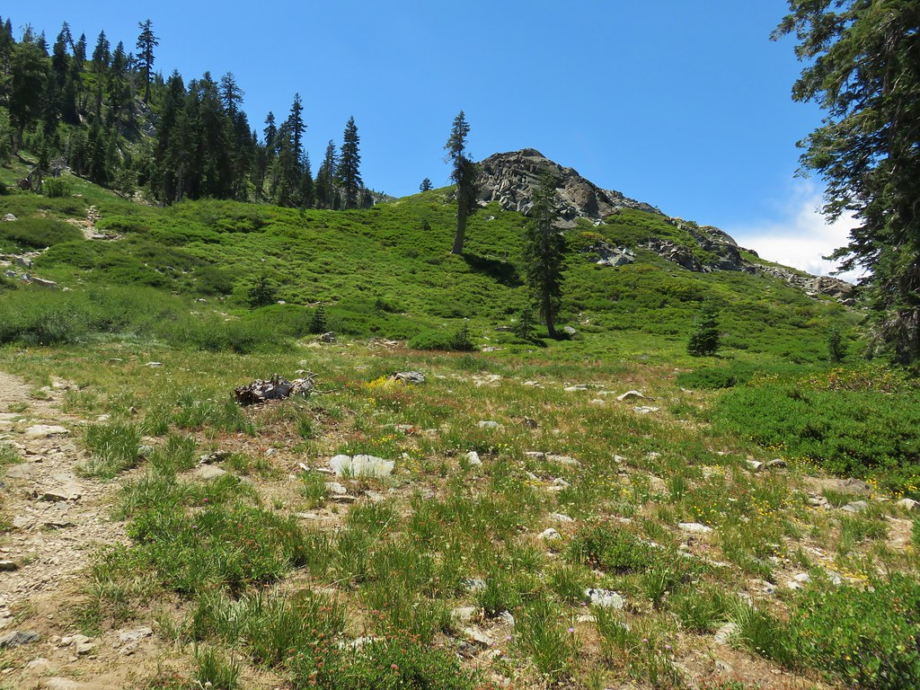
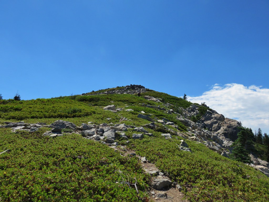
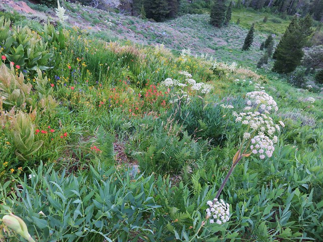
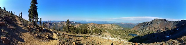
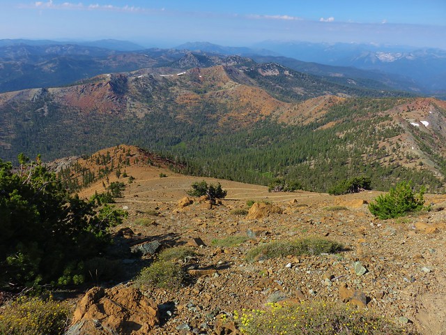
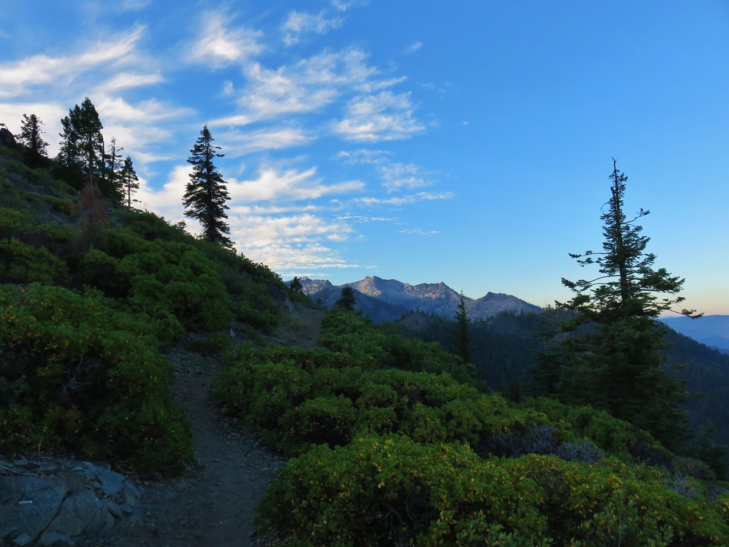
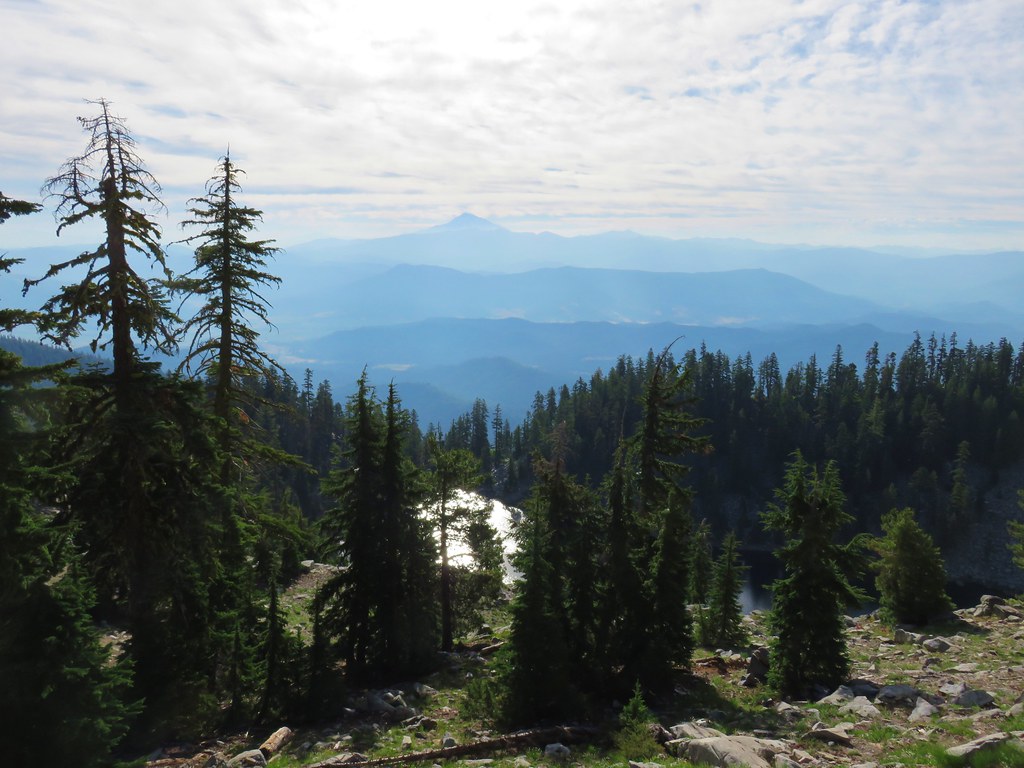
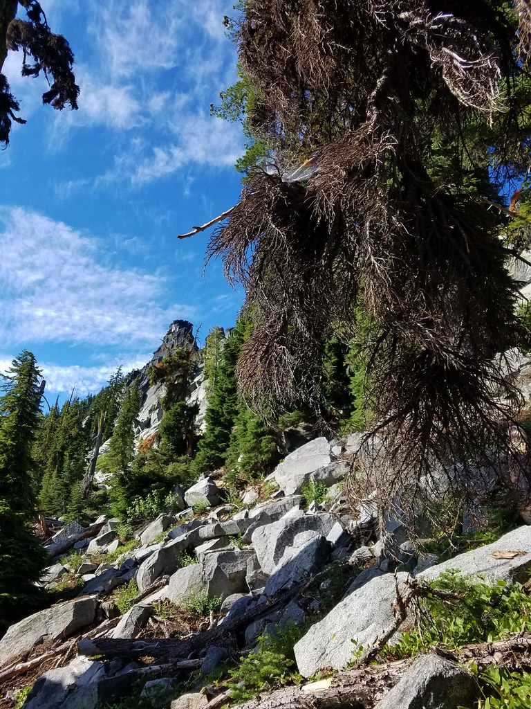
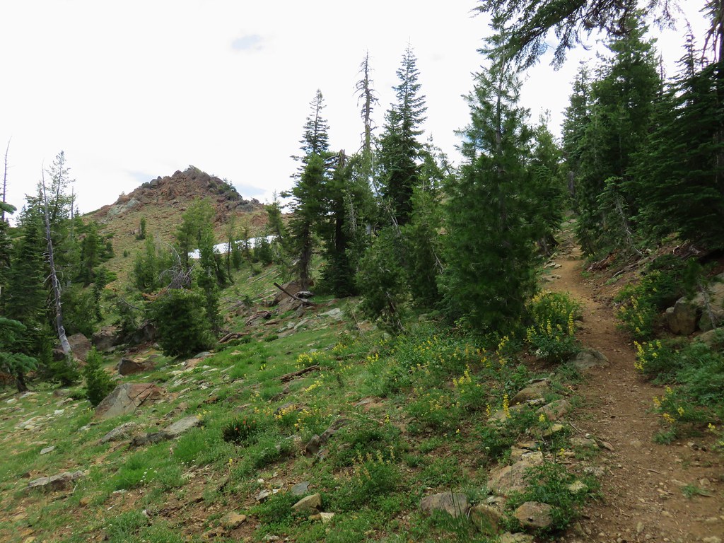
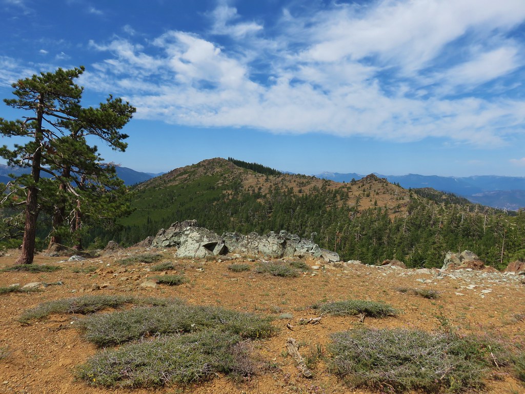
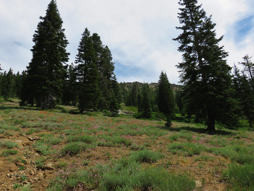
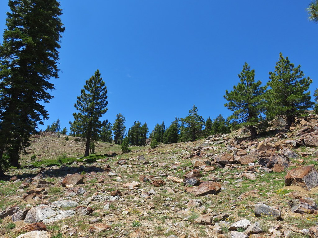
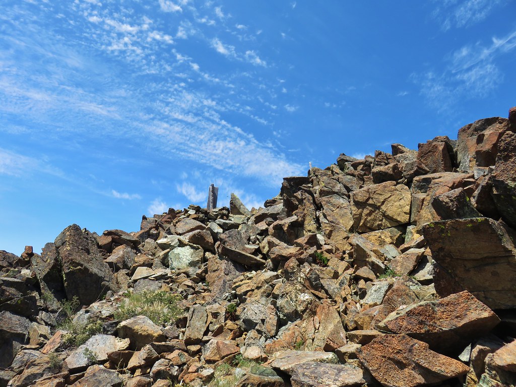
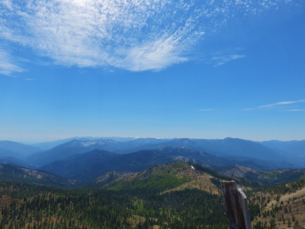
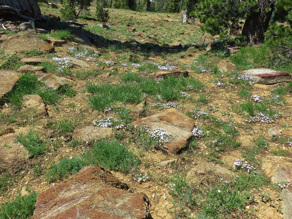
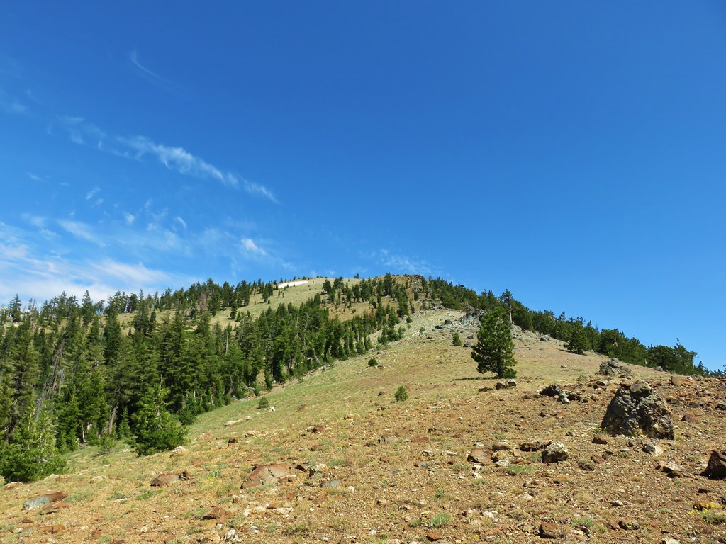
The trail crested a ridge below the summit in an old burn area which left plenty of exposure for wildflowers as well as open views.


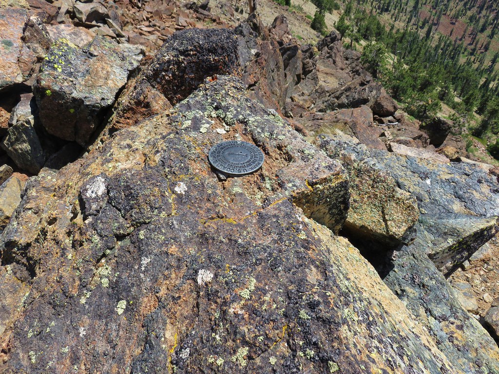
The Chucksney Mountain Trail didn’t actually reach the summit but an easy .1 mile climb along the ridge brought us to the summits survey marker.


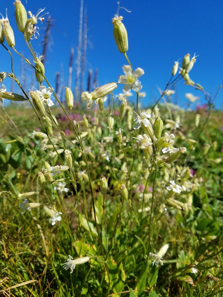
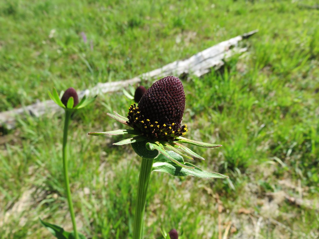
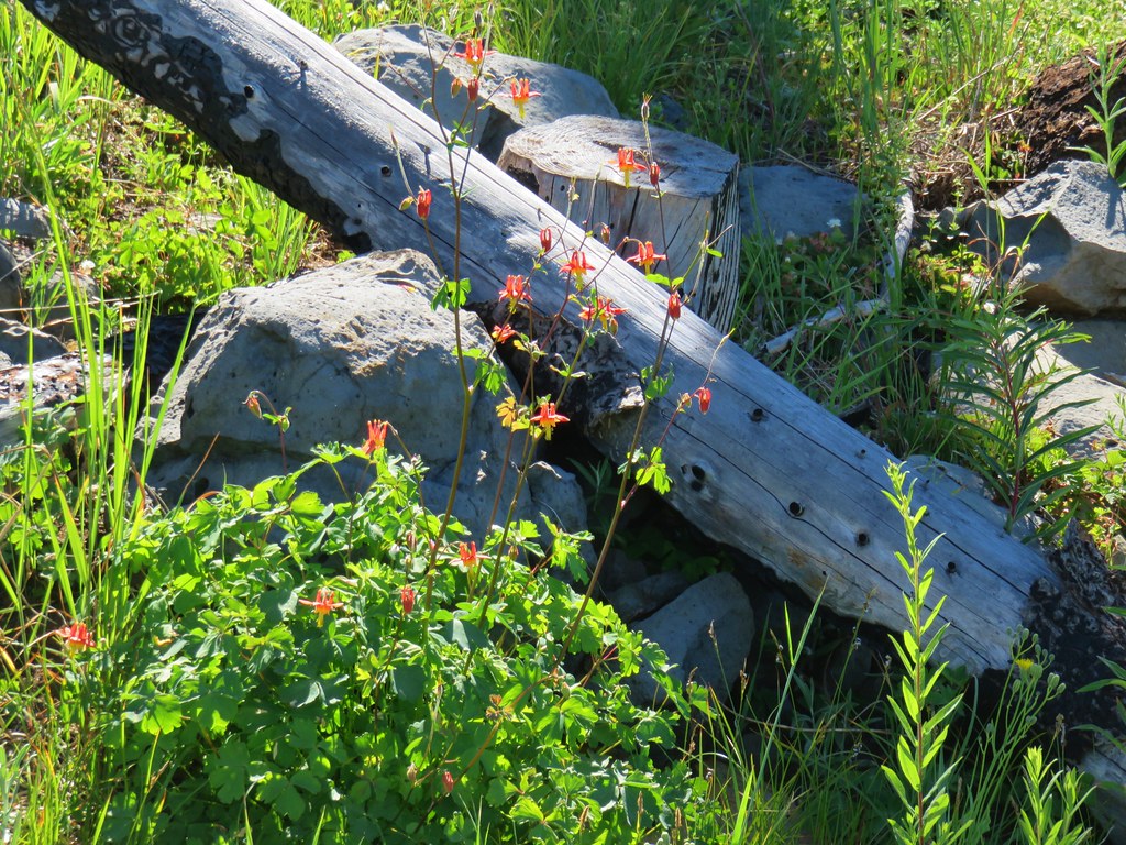
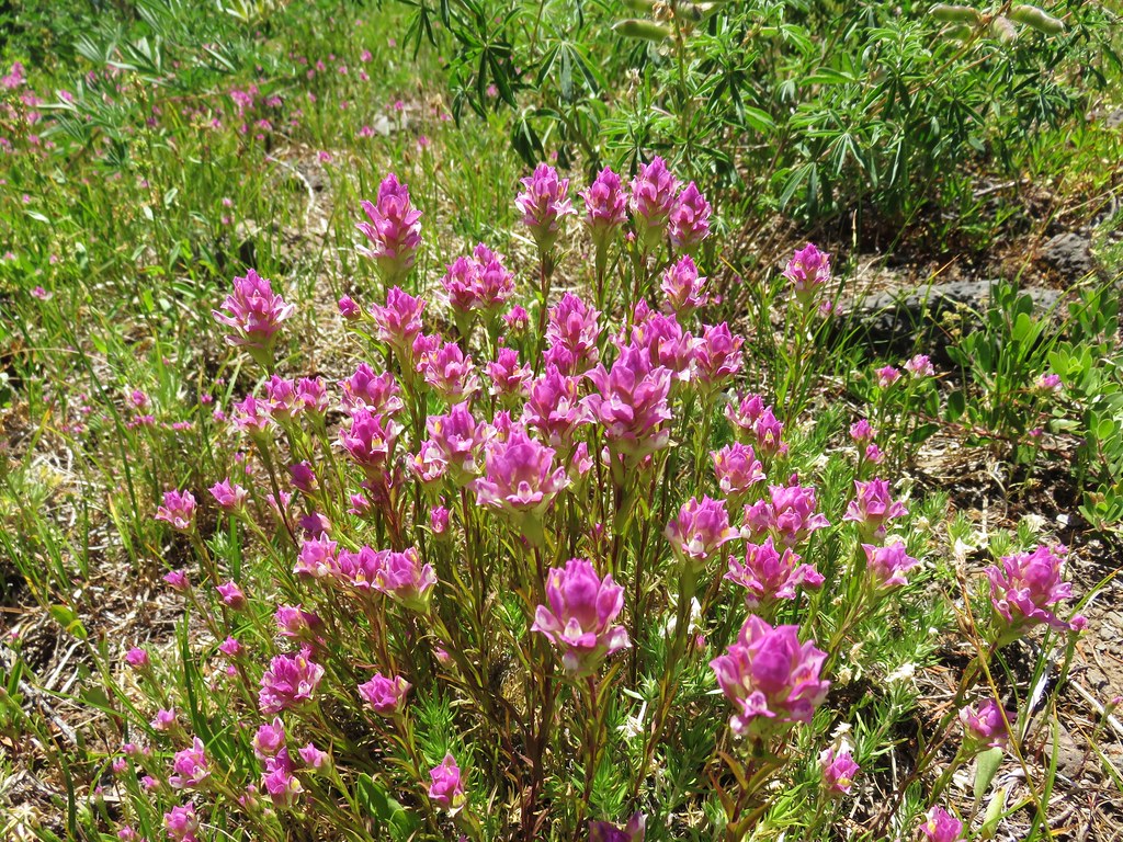
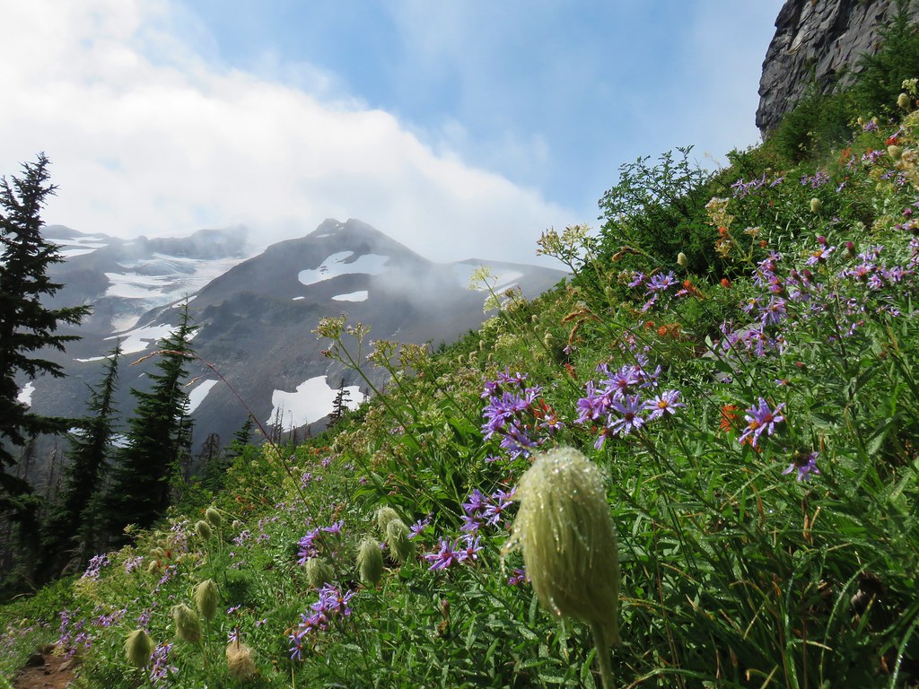
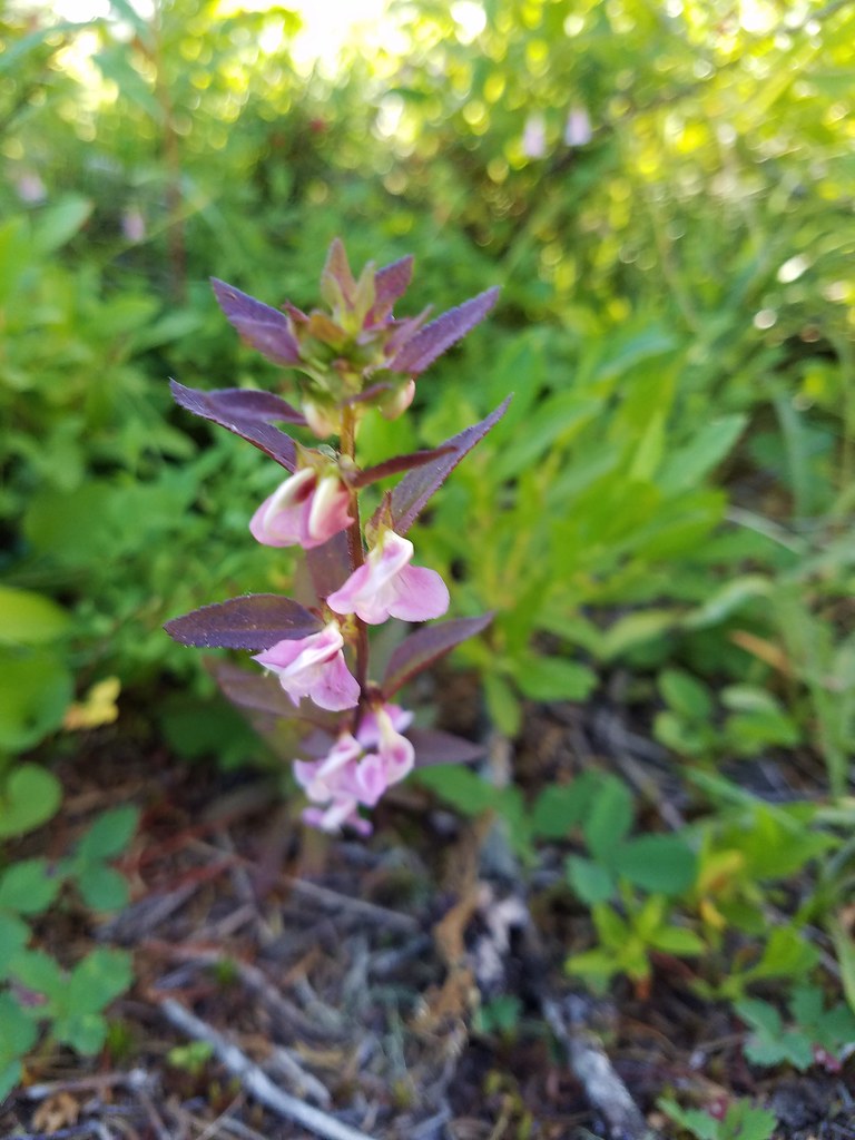
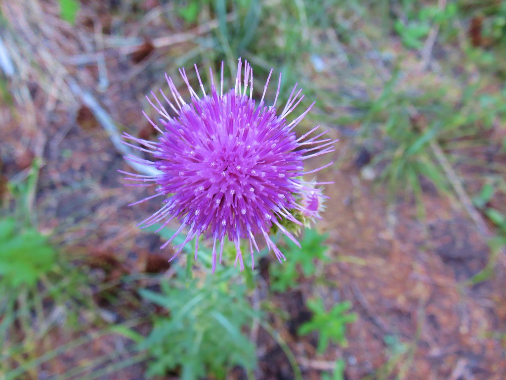
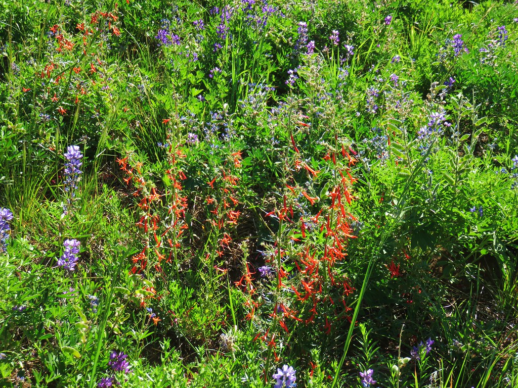
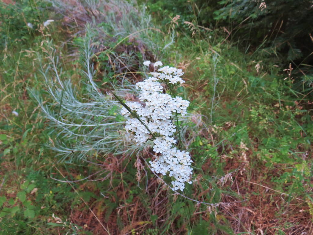
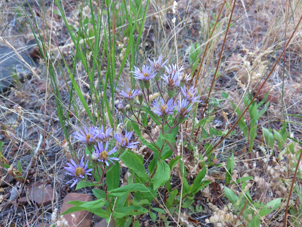
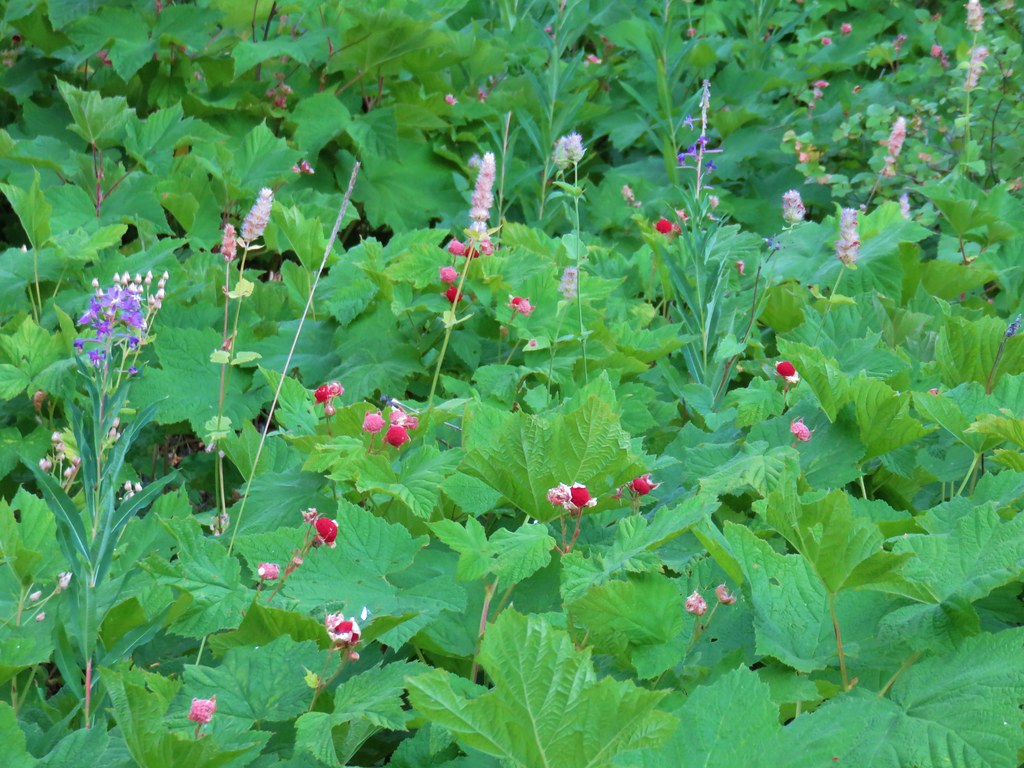
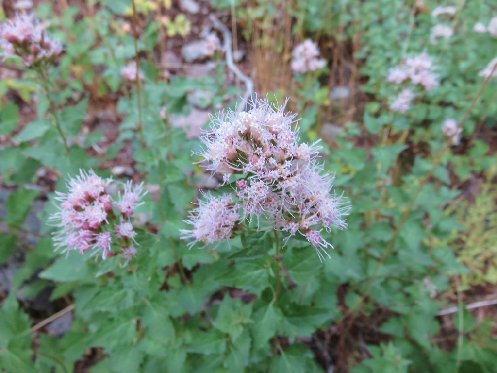
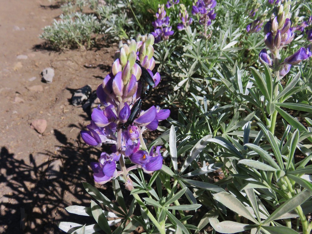
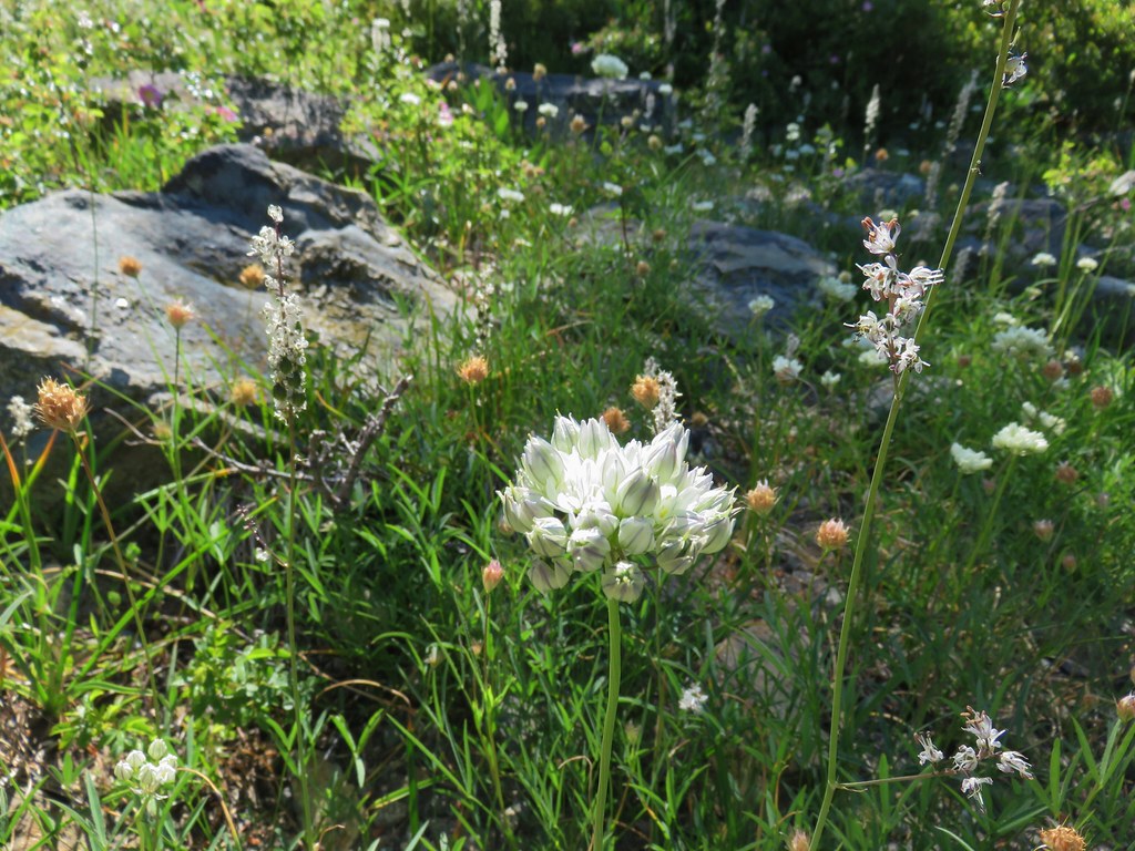
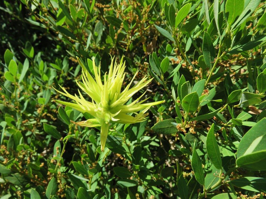
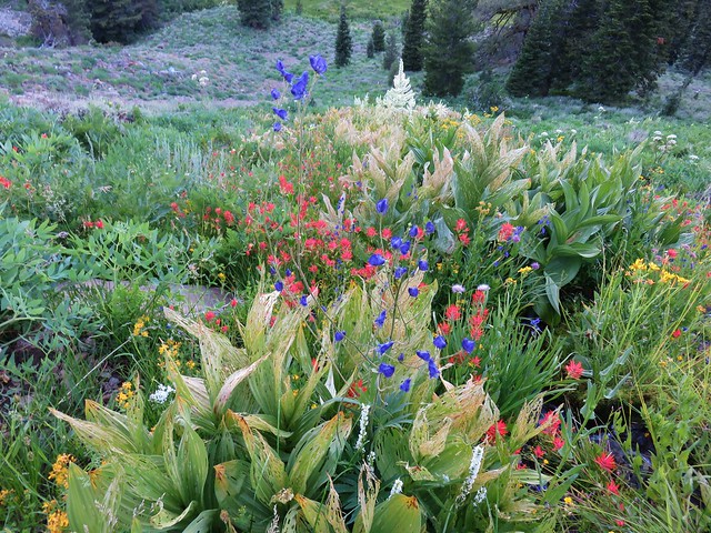
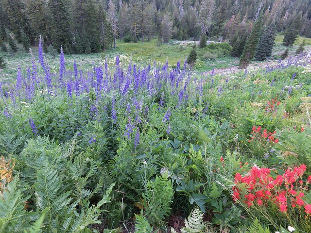
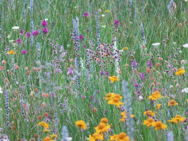
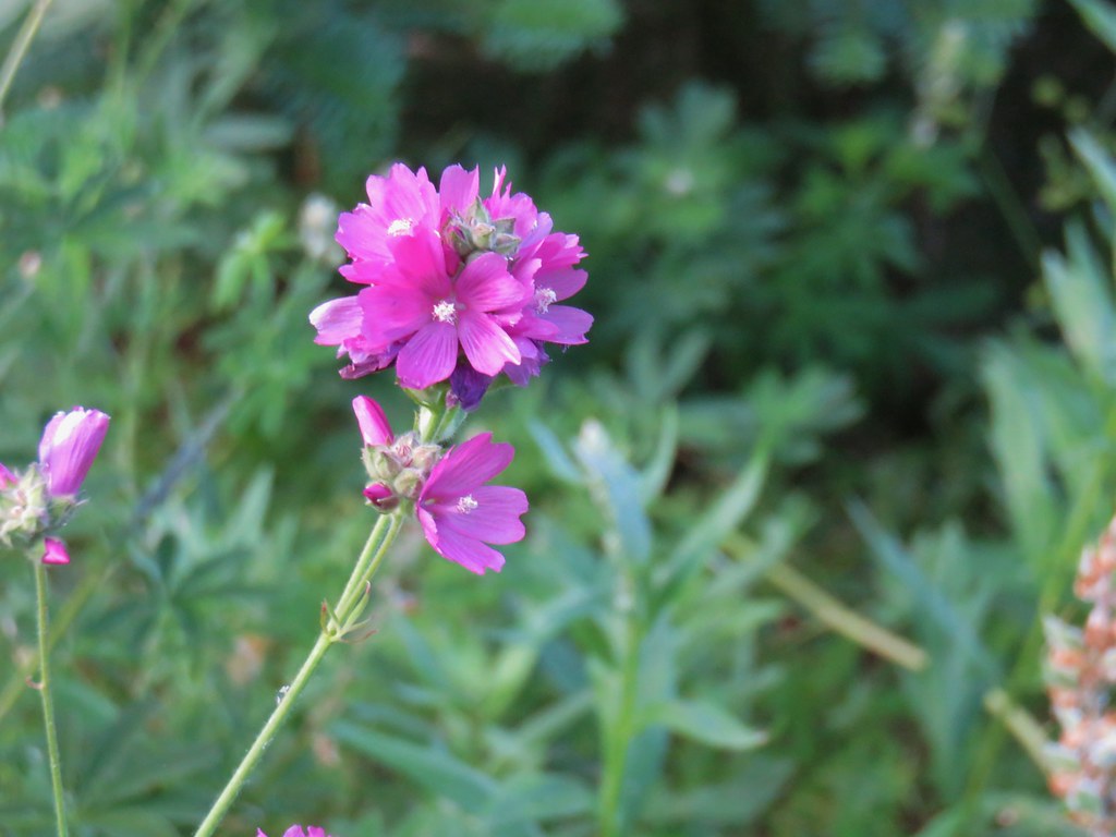
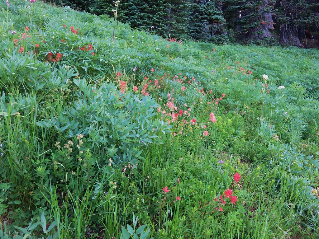
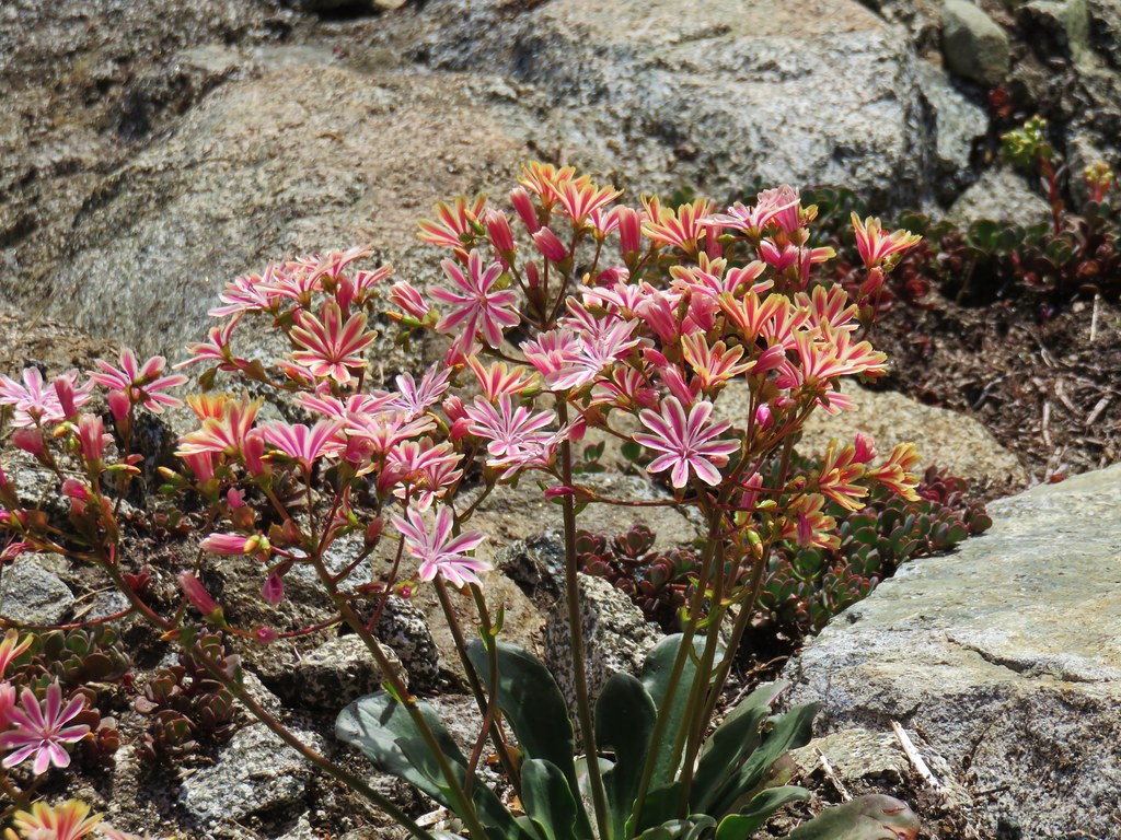
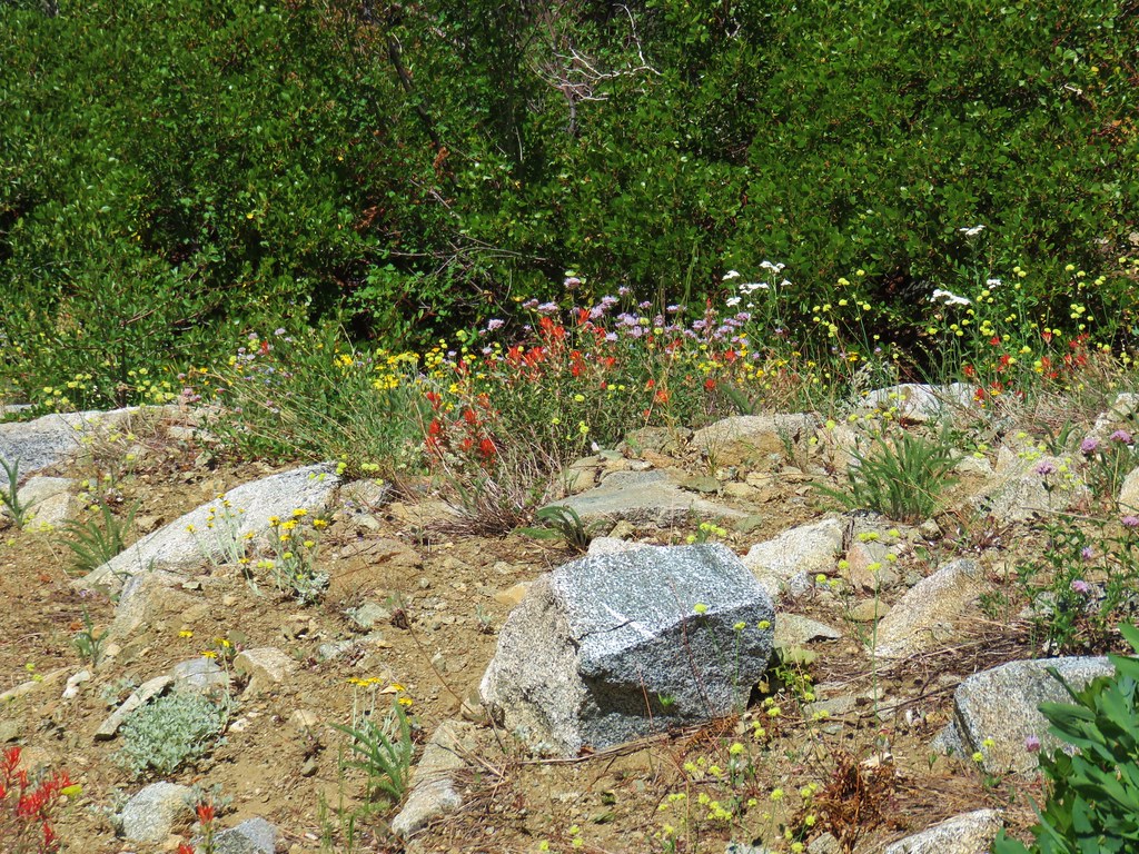
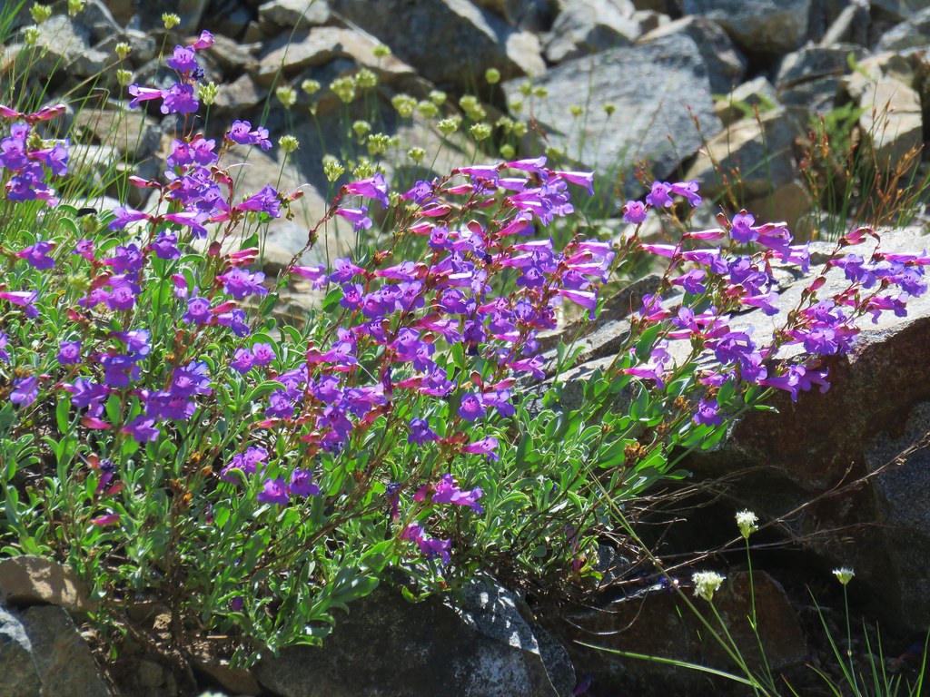
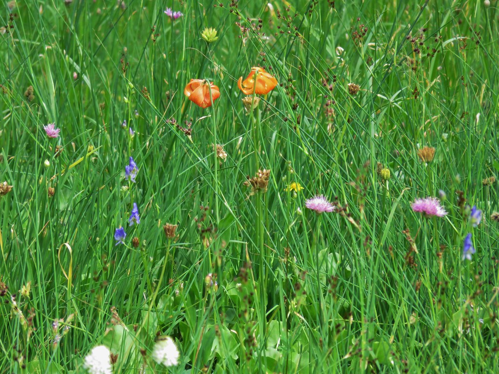
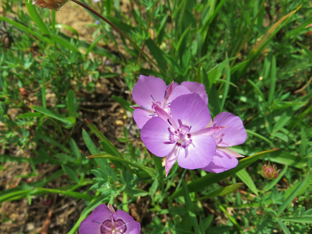
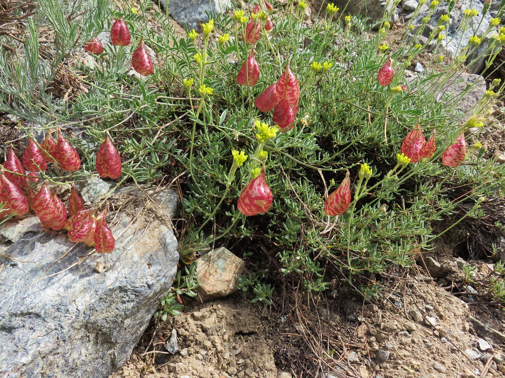
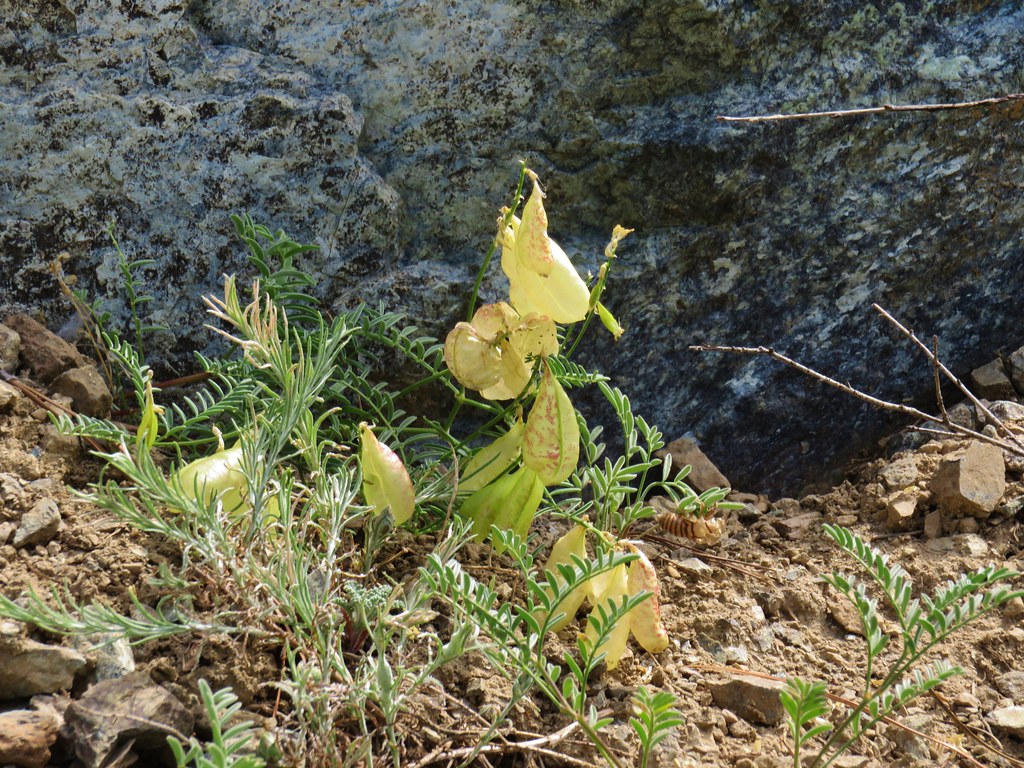
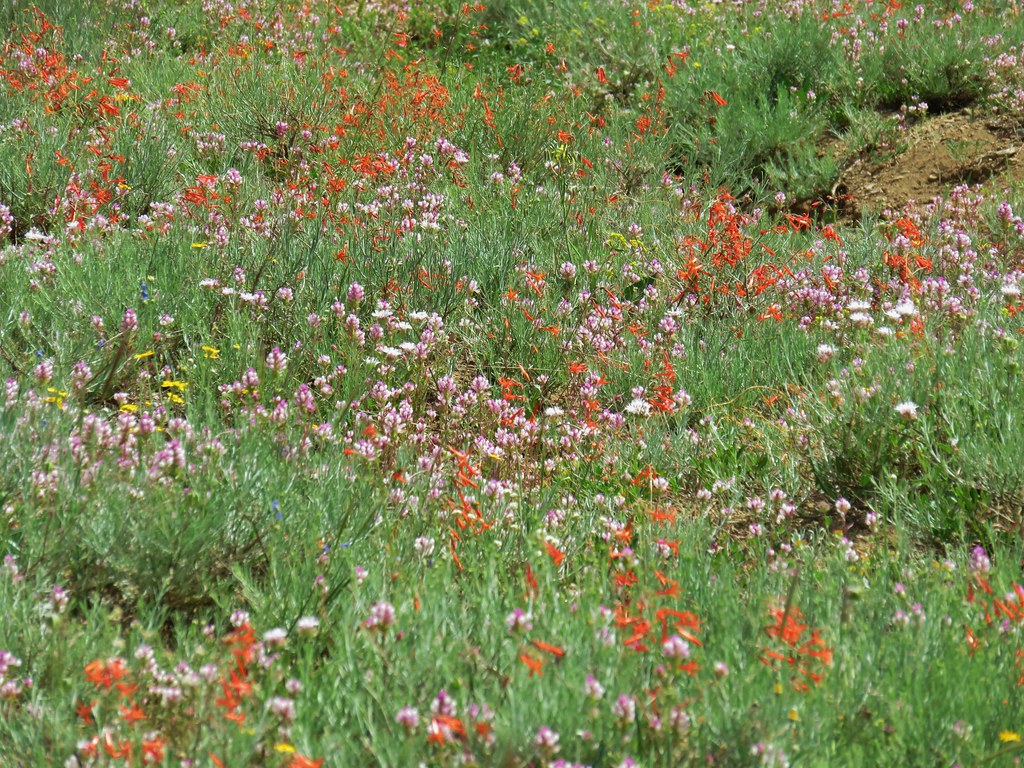
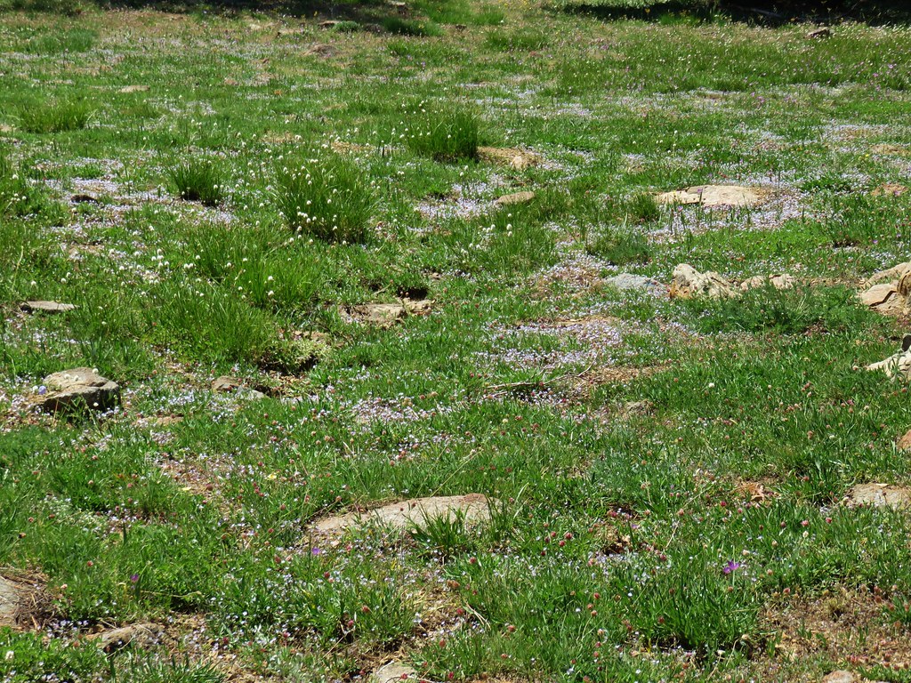
A nice variety of wildflowers covered the ridge.


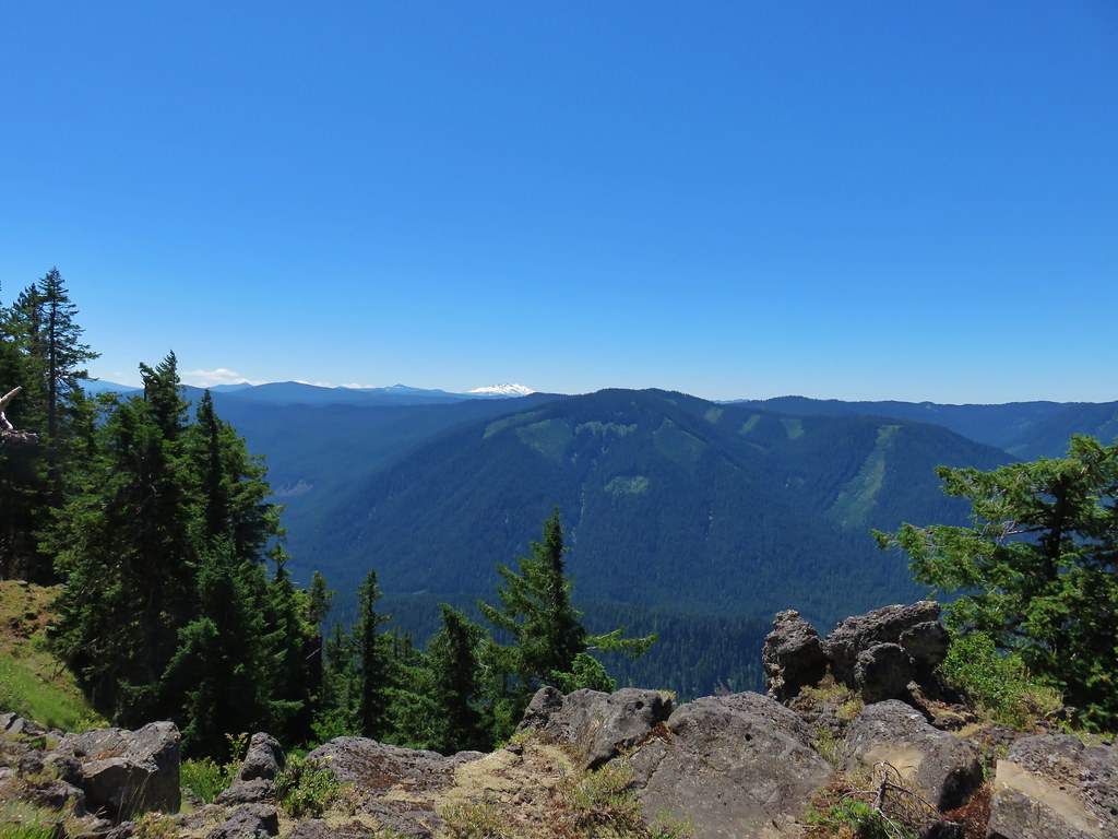
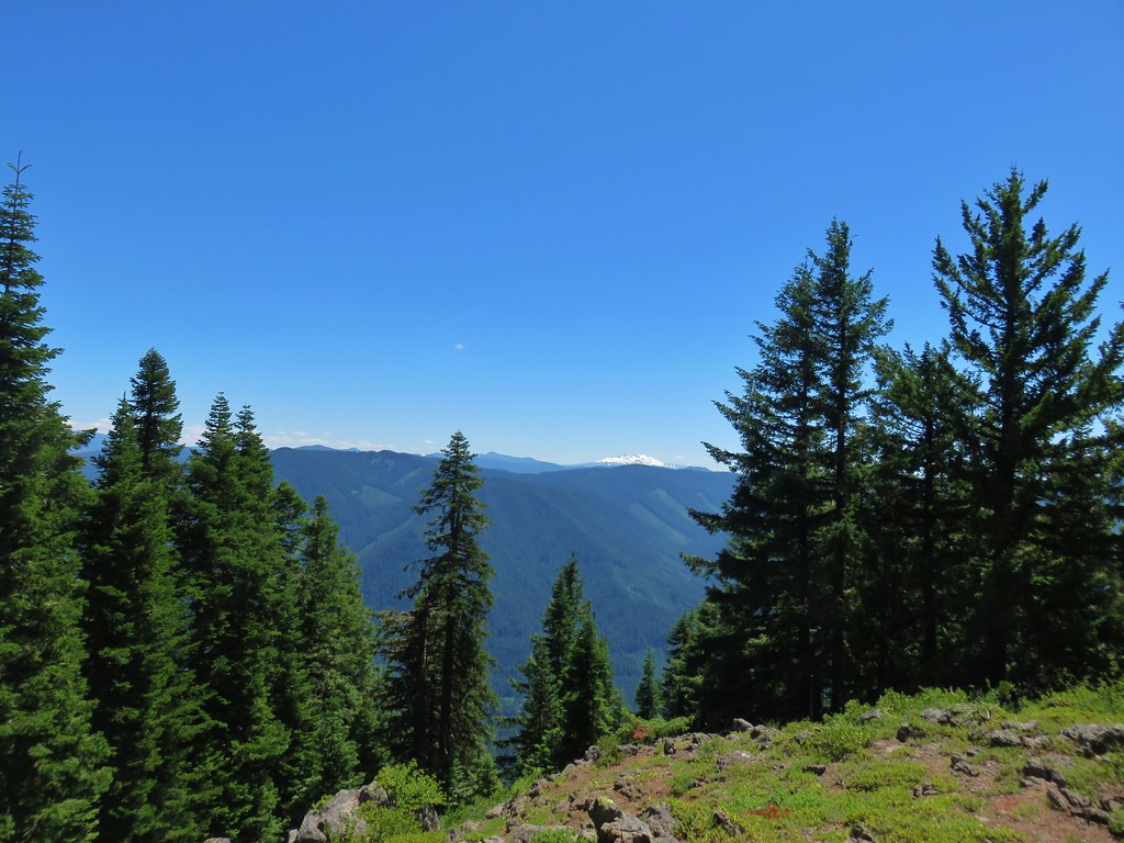
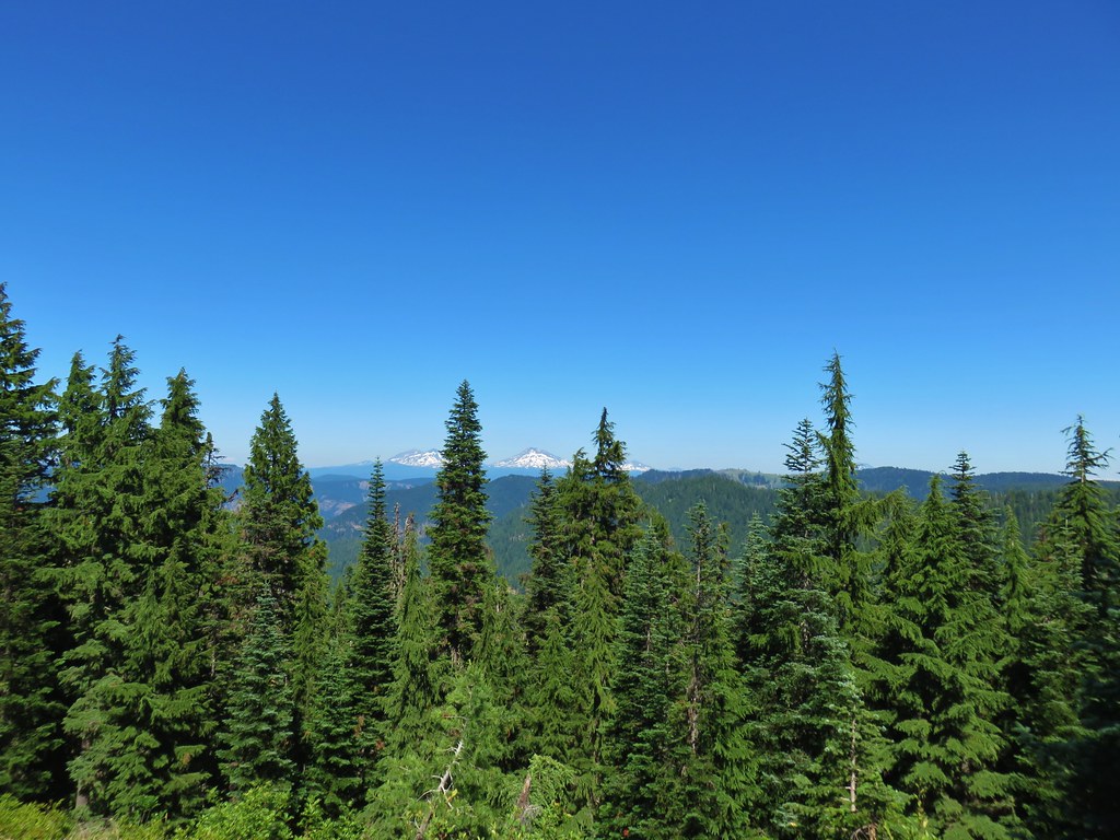
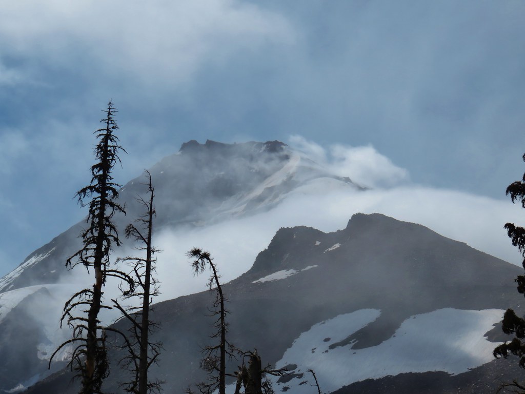
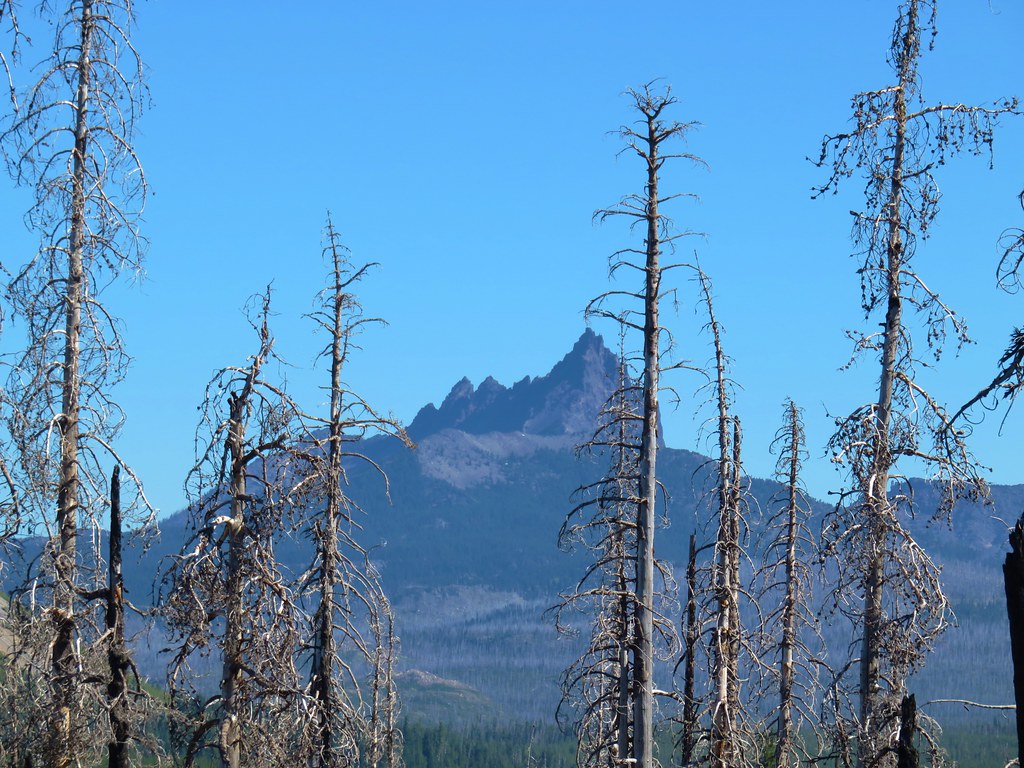
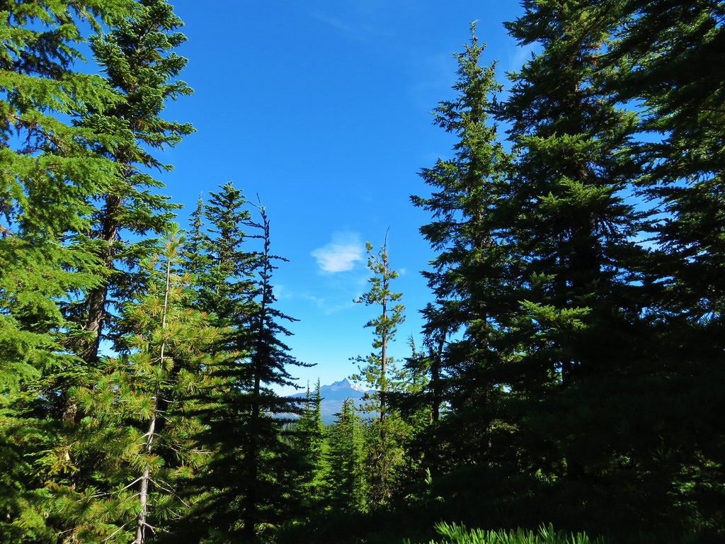
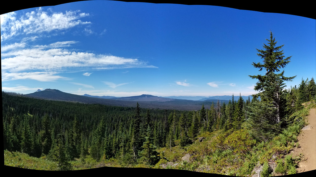
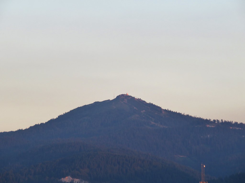
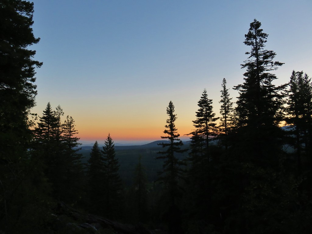
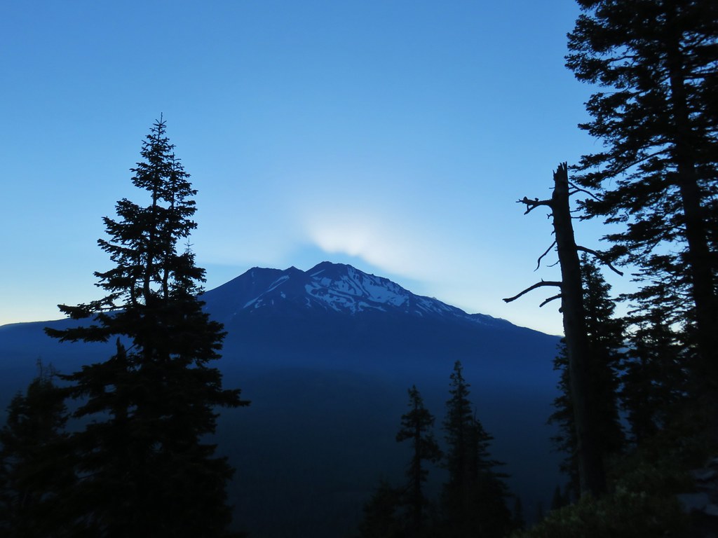
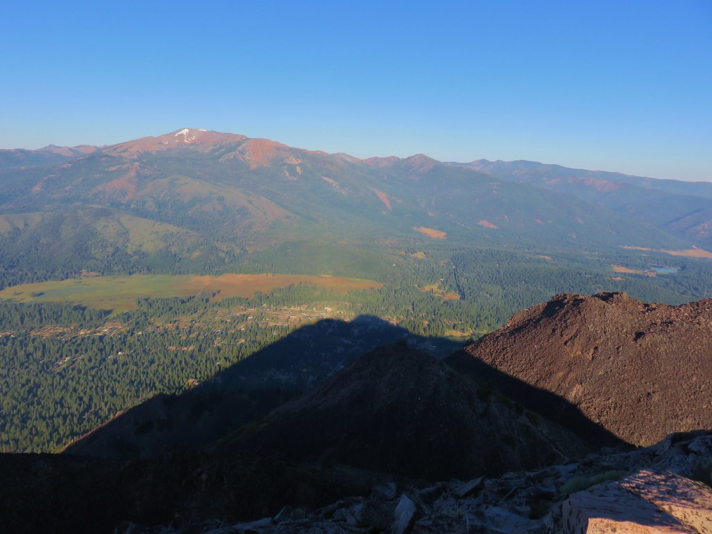
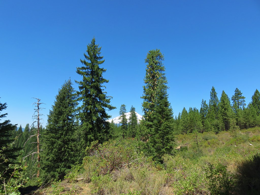
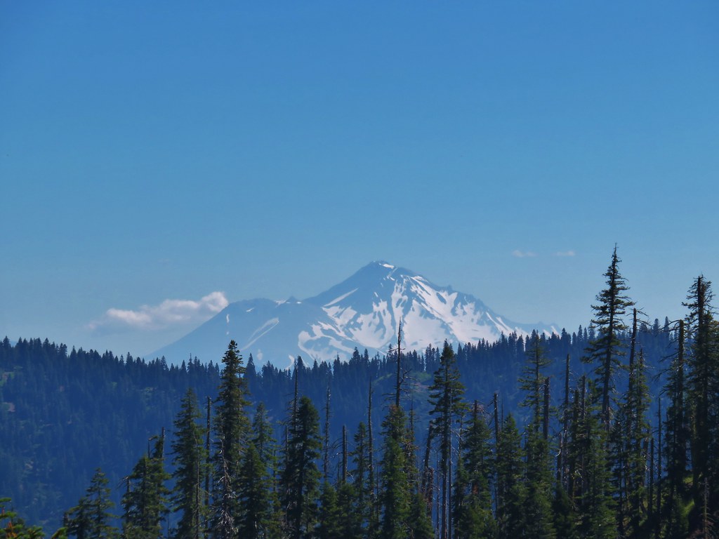
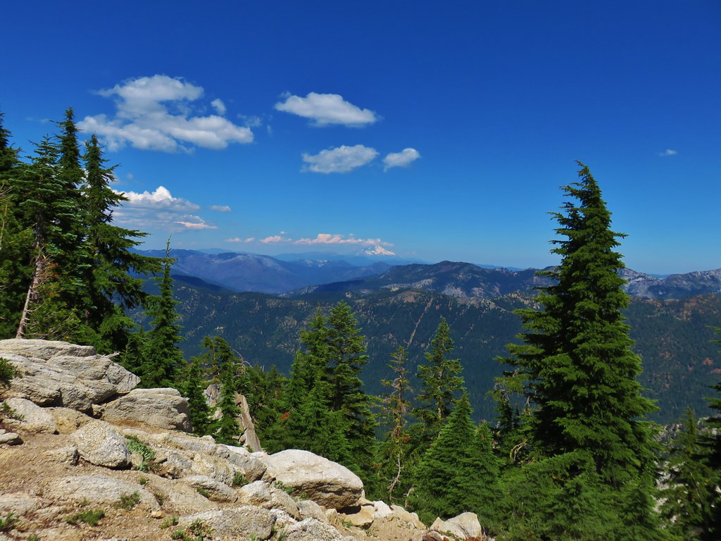
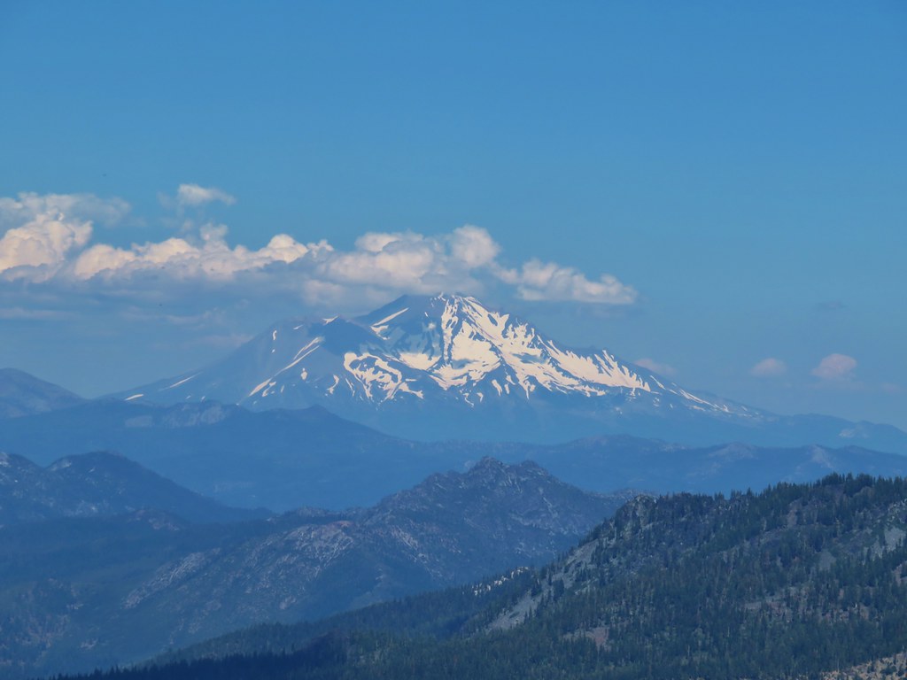
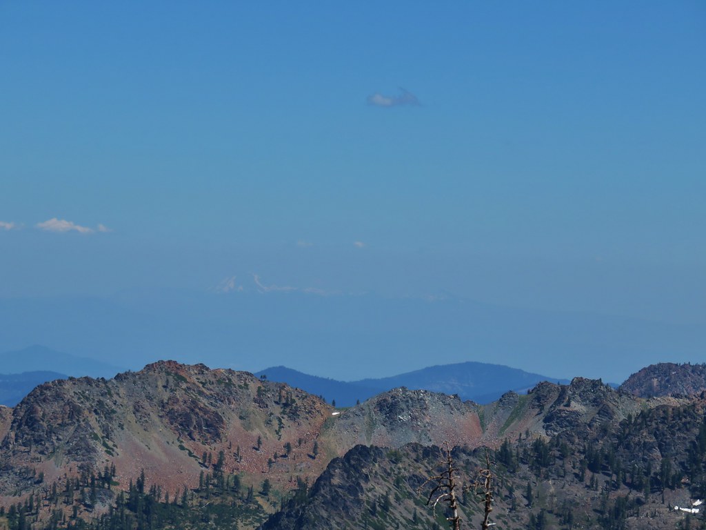
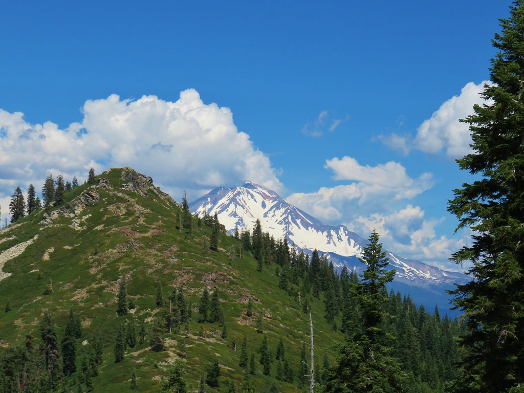
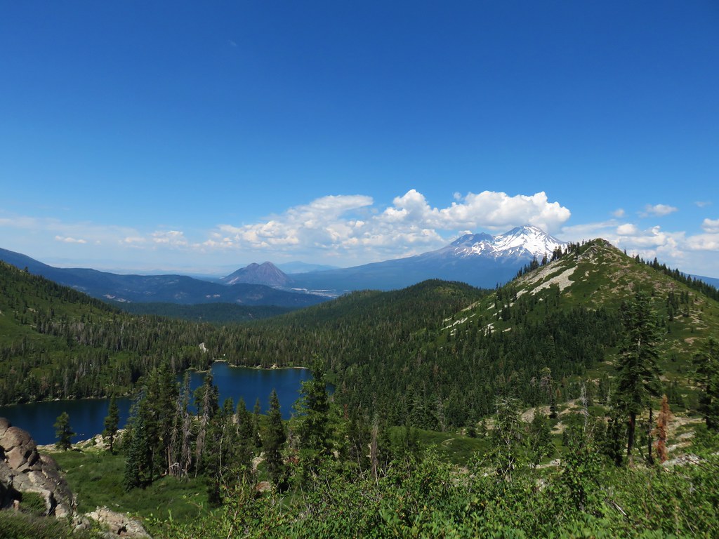
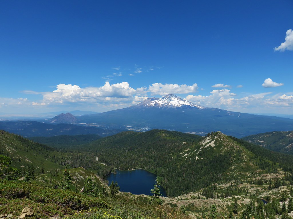
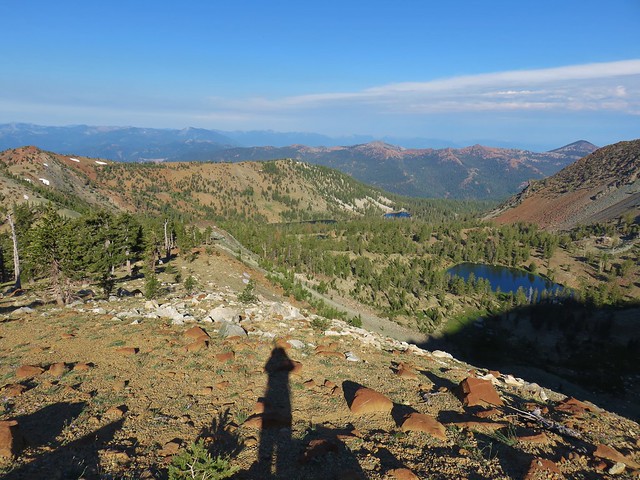
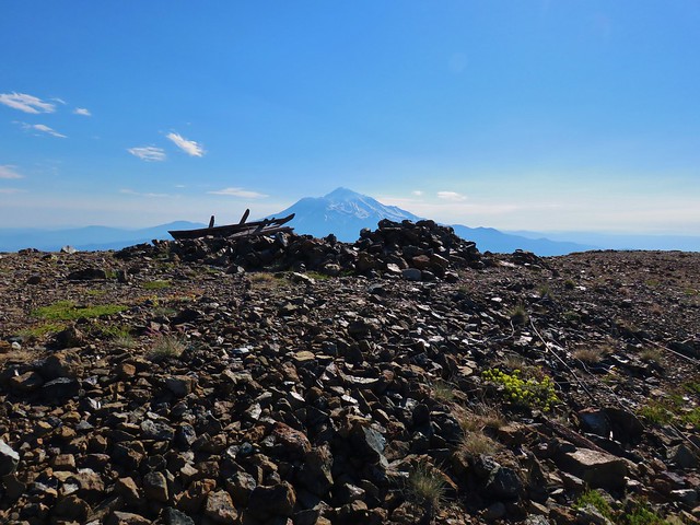
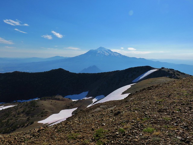
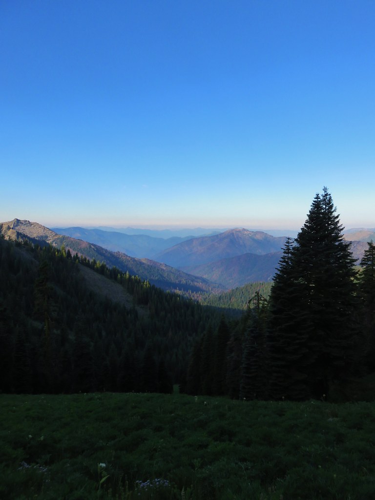
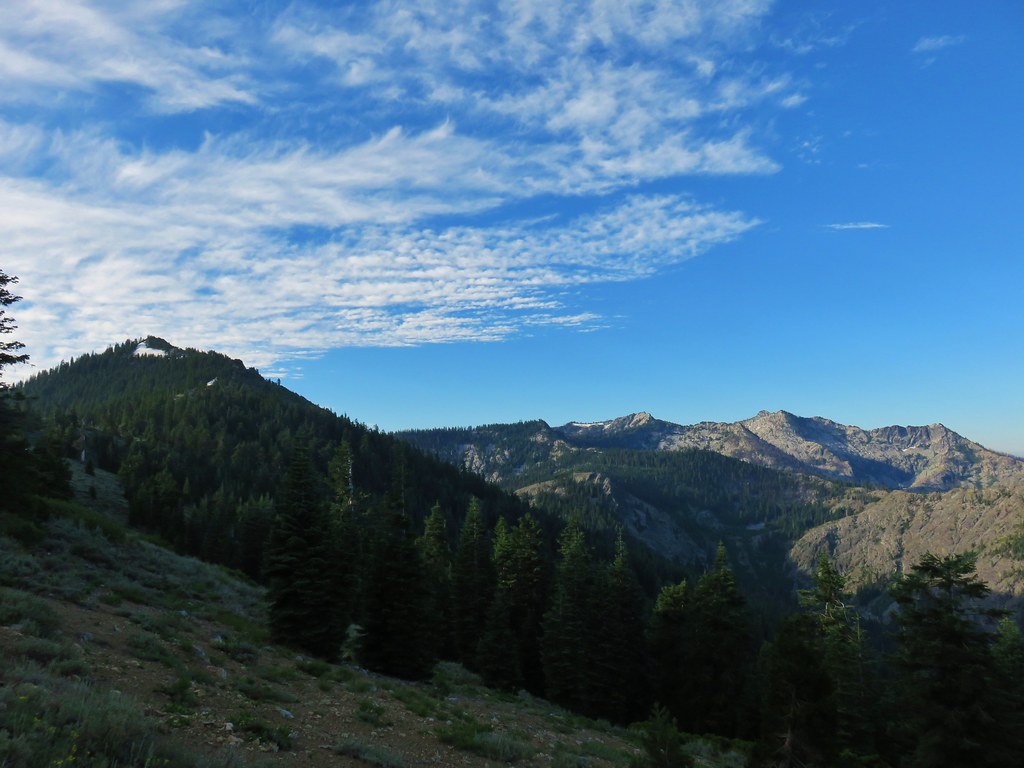
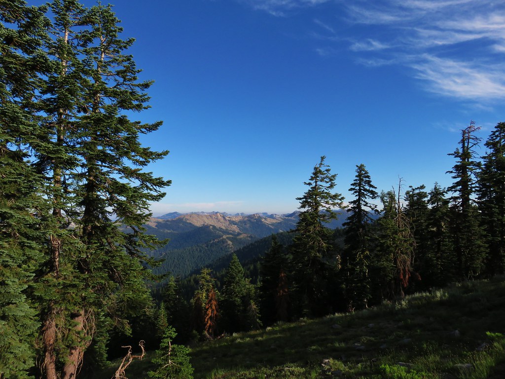
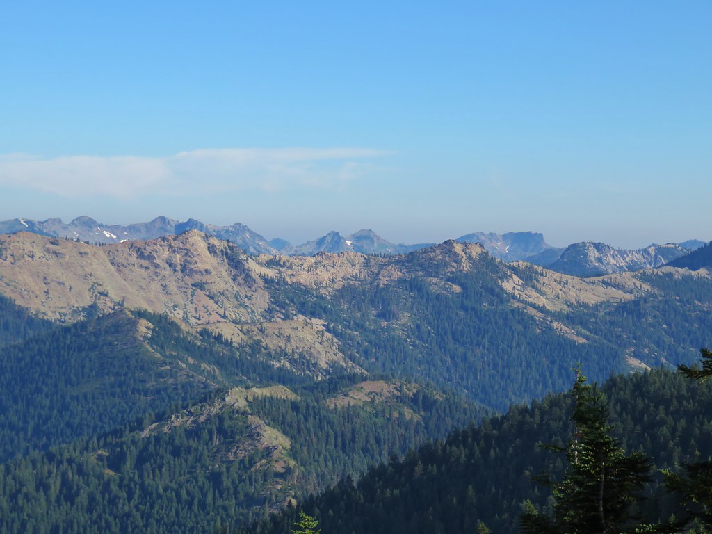
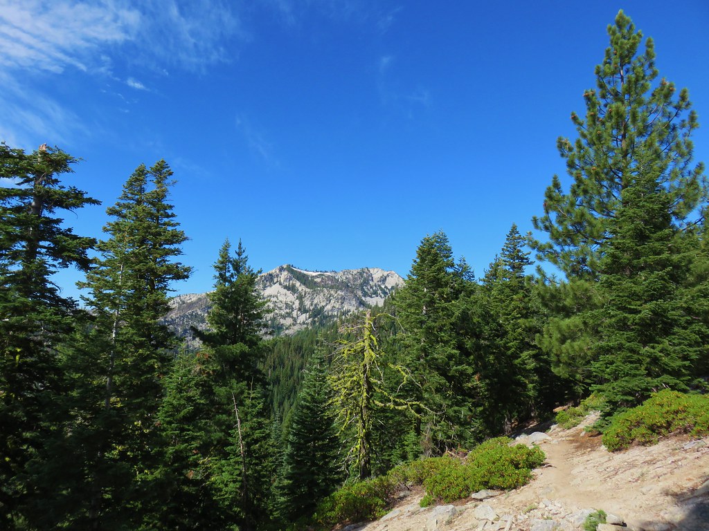
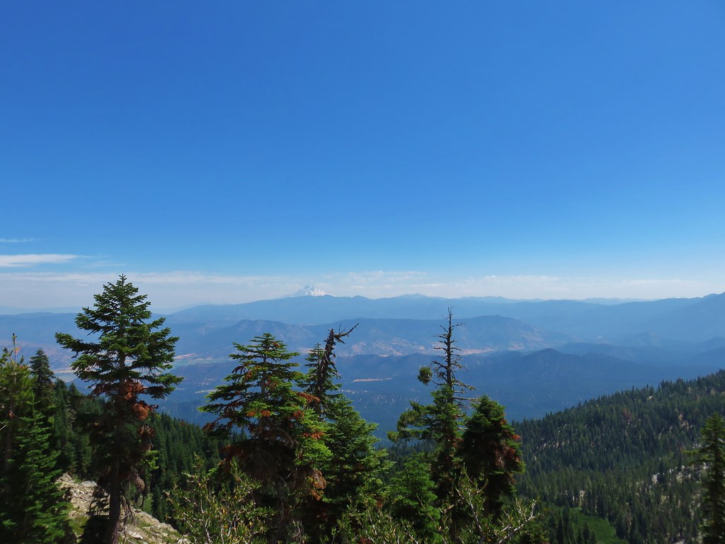
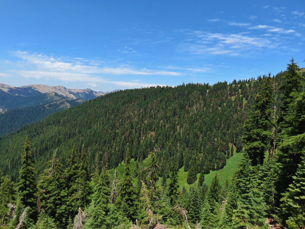
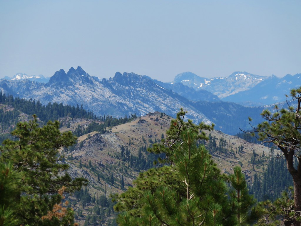
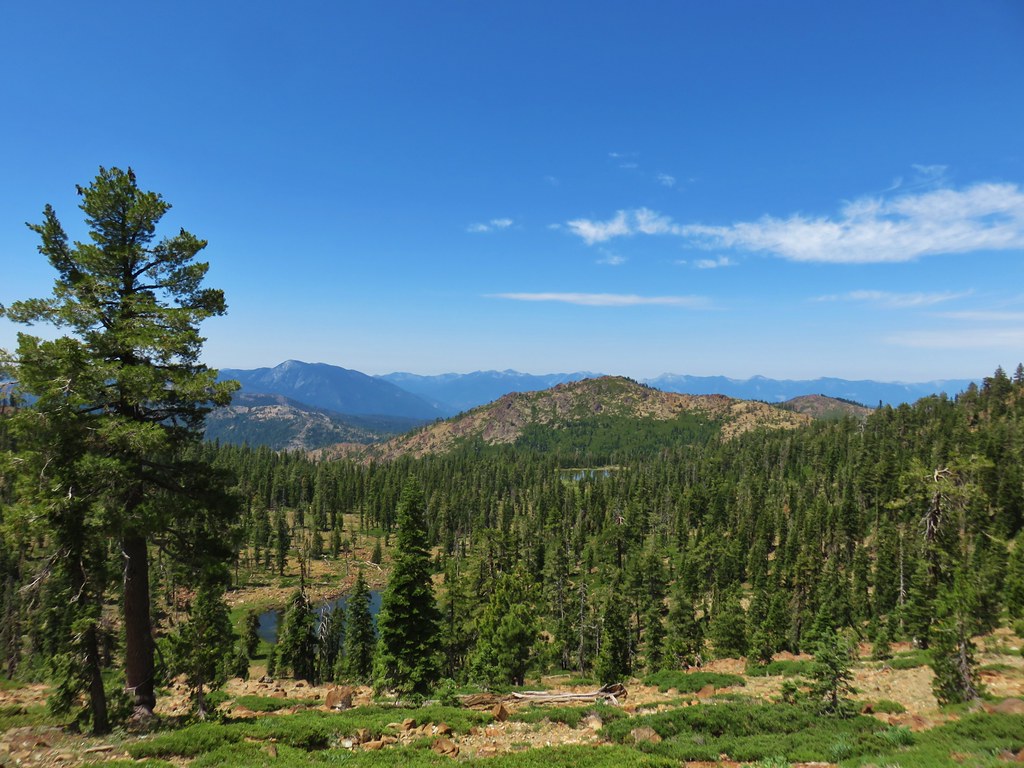
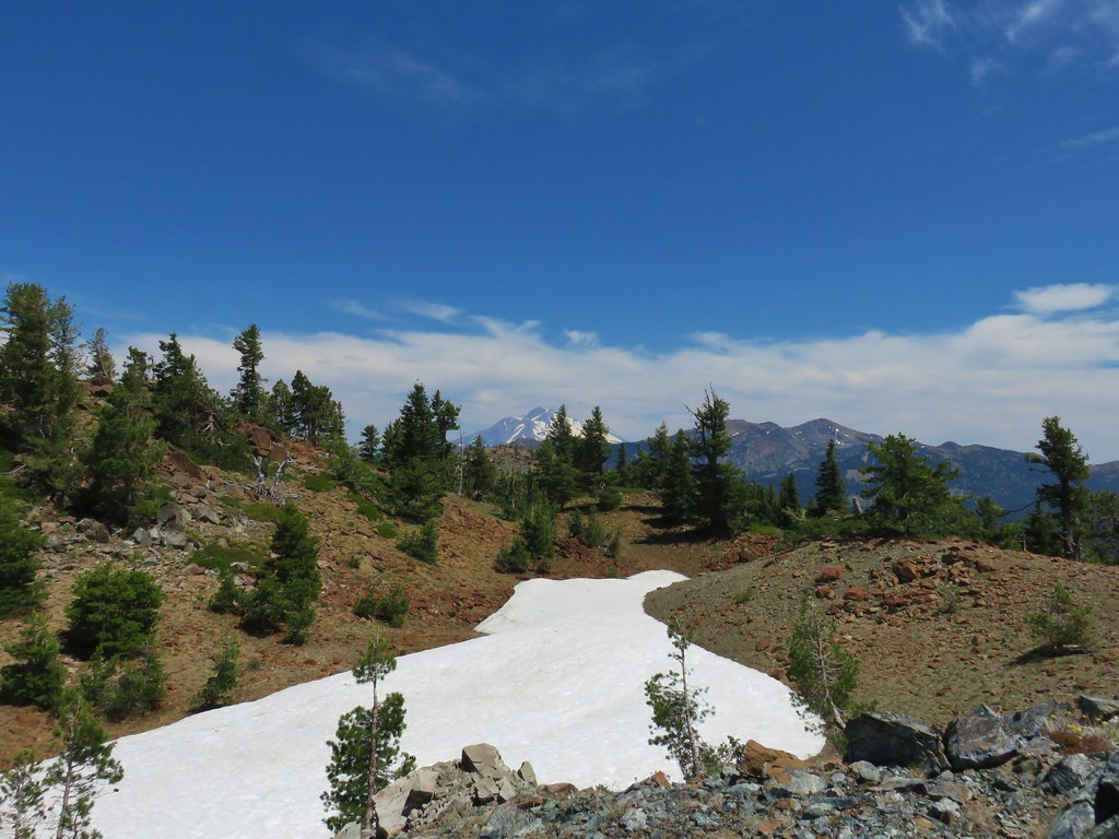
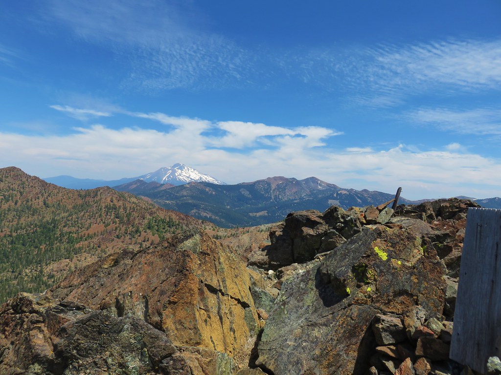
From the summit we could see eight of the Cascade volcanoes from Mt. Jefferson in the north to Diamond Peak in the south.
 Mt. Jefferson & Three Fingered Jack
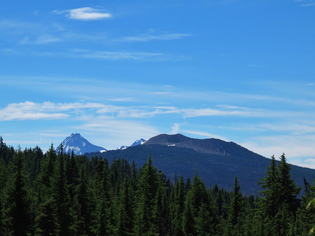
 The Three Sisters, Broken Top, and Mt. Bachelor
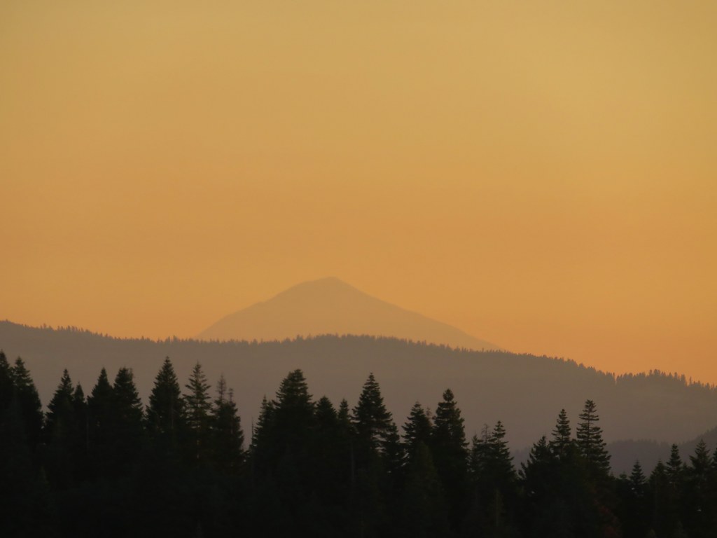
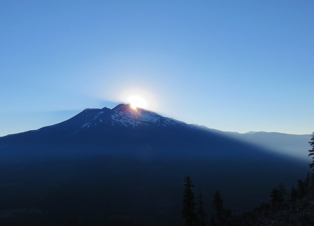
 Diamond Peak
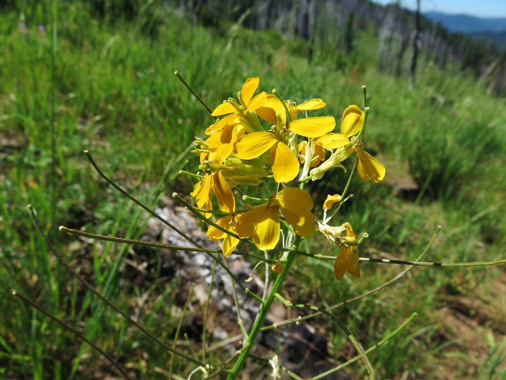
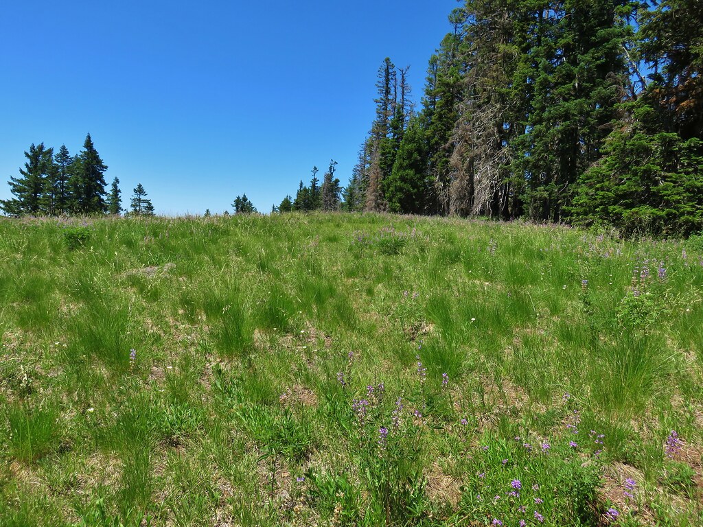
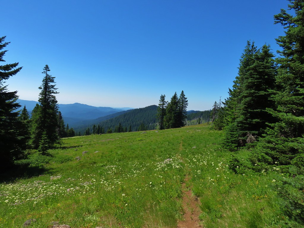
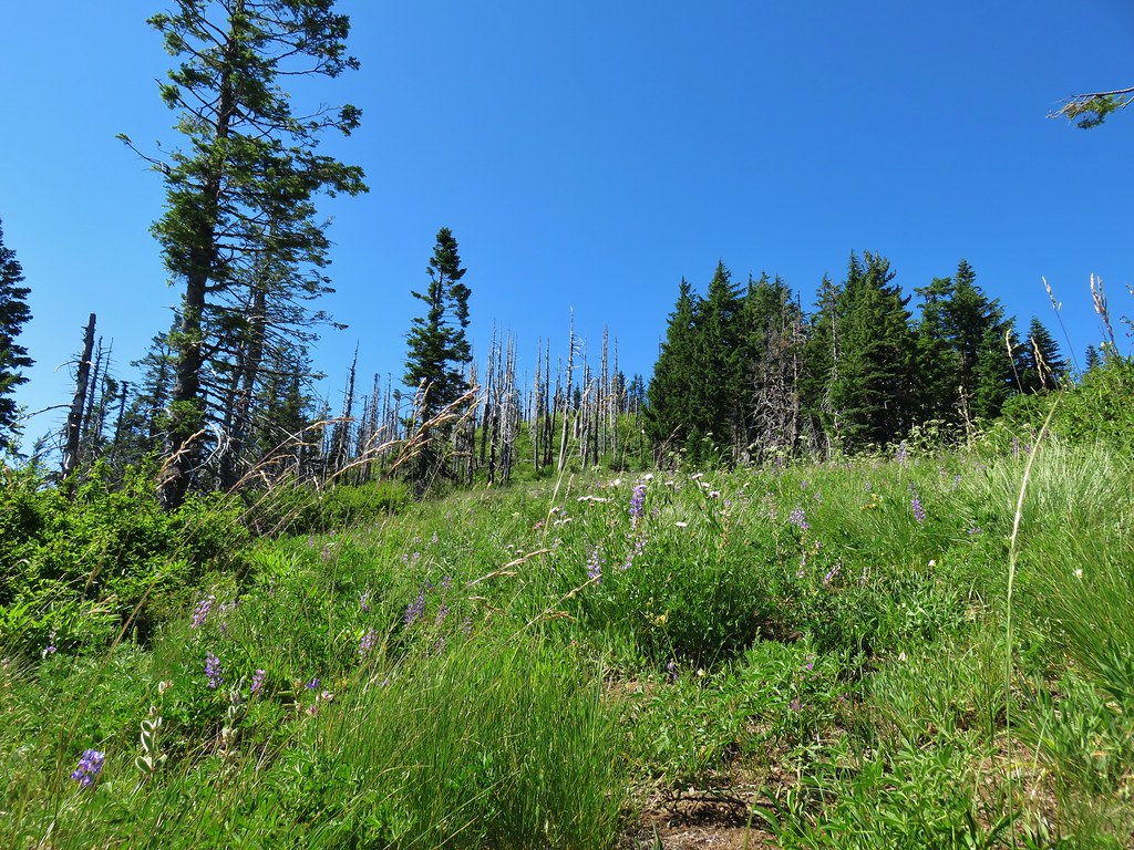
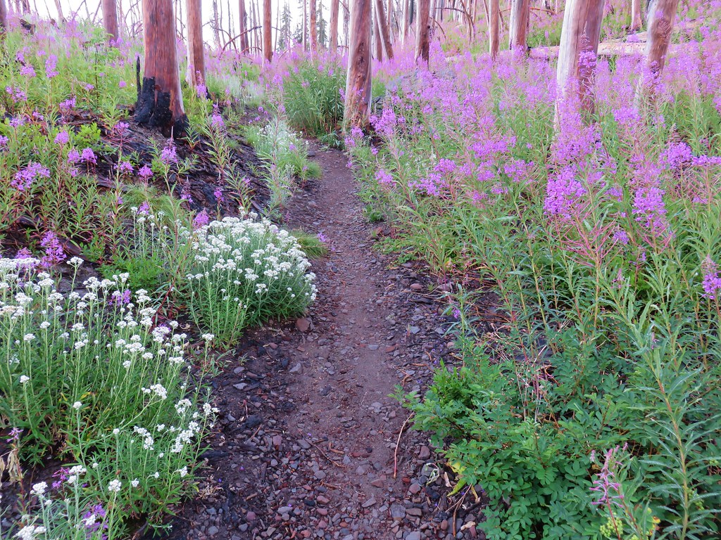
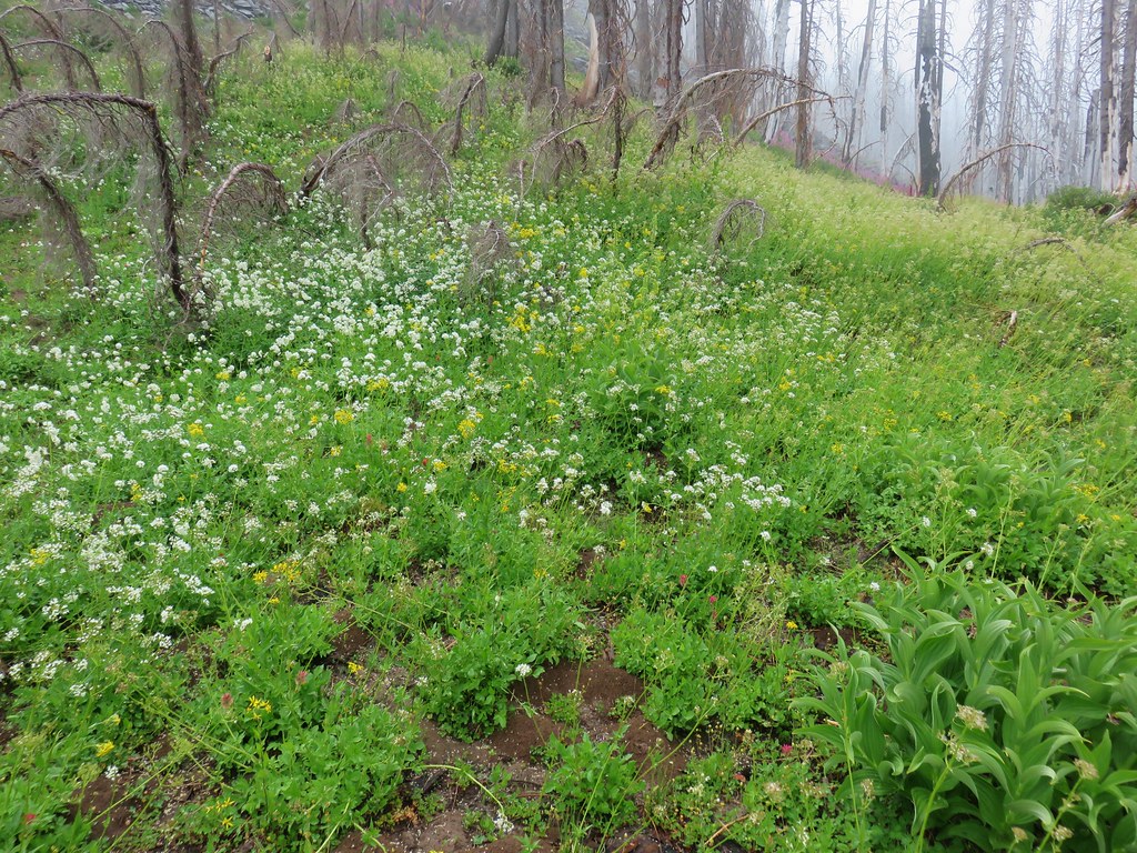
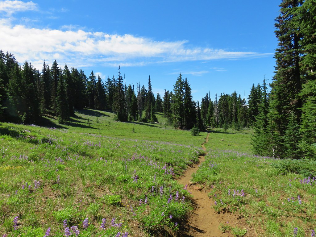
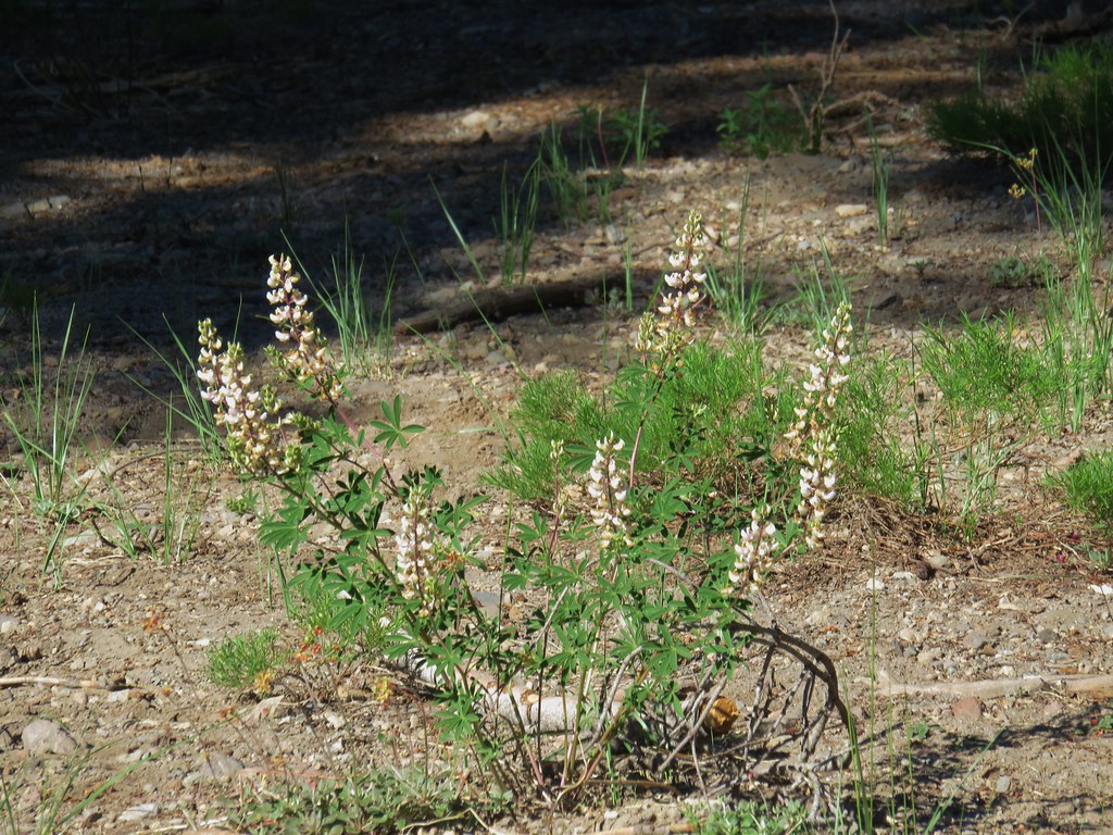
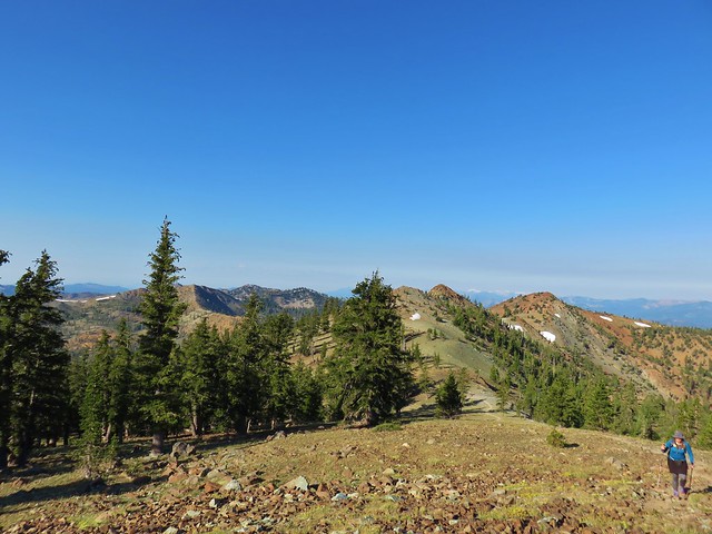
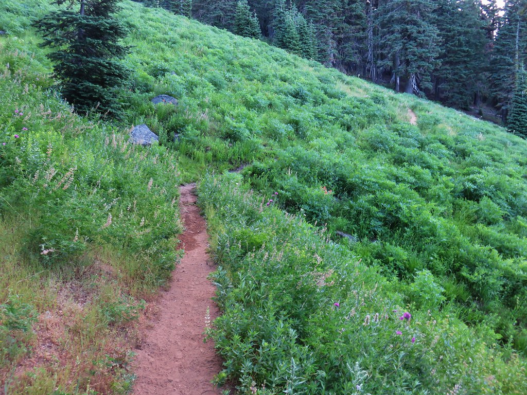
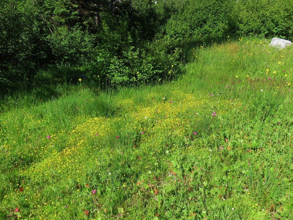
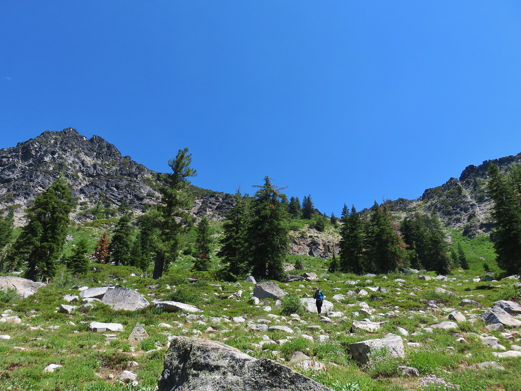
After a short break at the summit we returned to the trail which turned south along a long ridge where the tread became faint as it passed through a meadow.
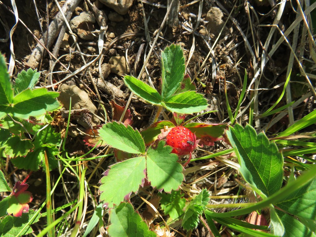
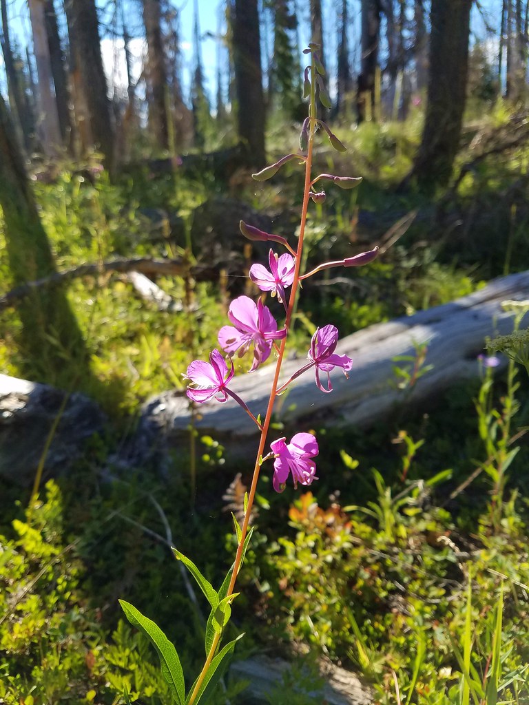
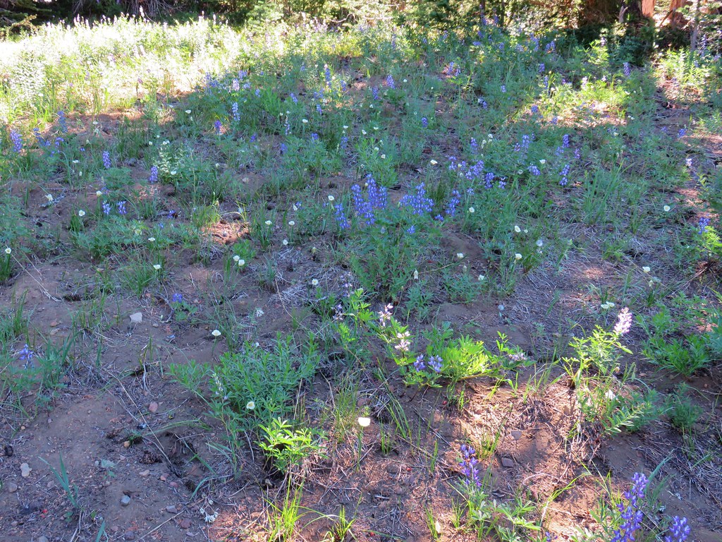
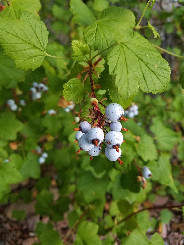
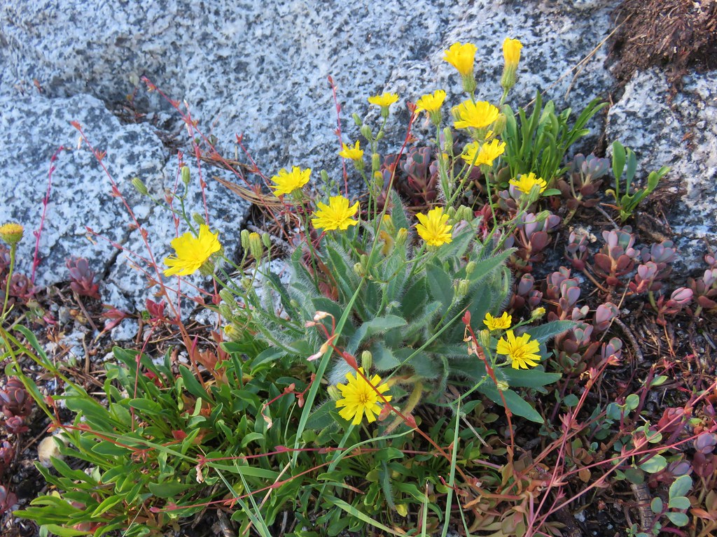
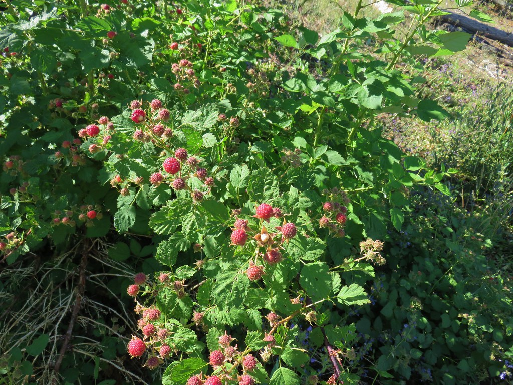
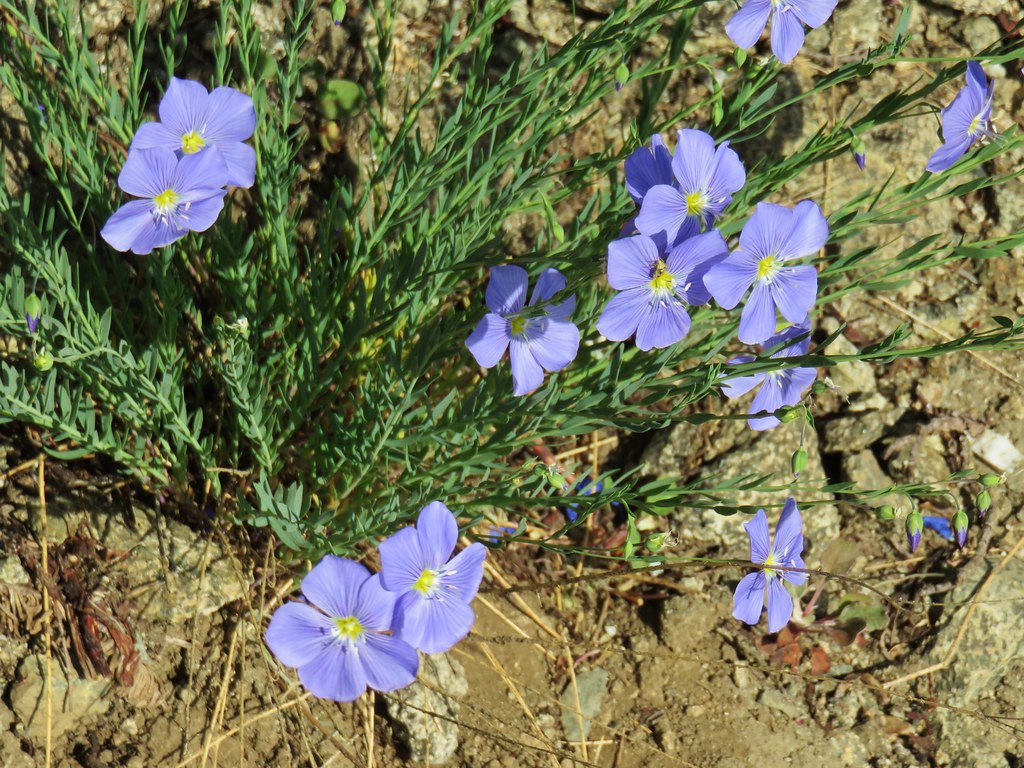
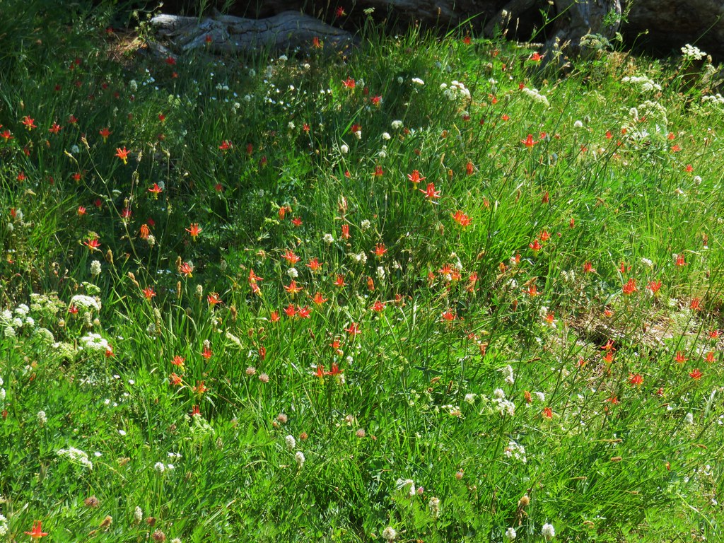
We spotted some other types of wildflowers along the ridge as well as some nice ripe strawberries.

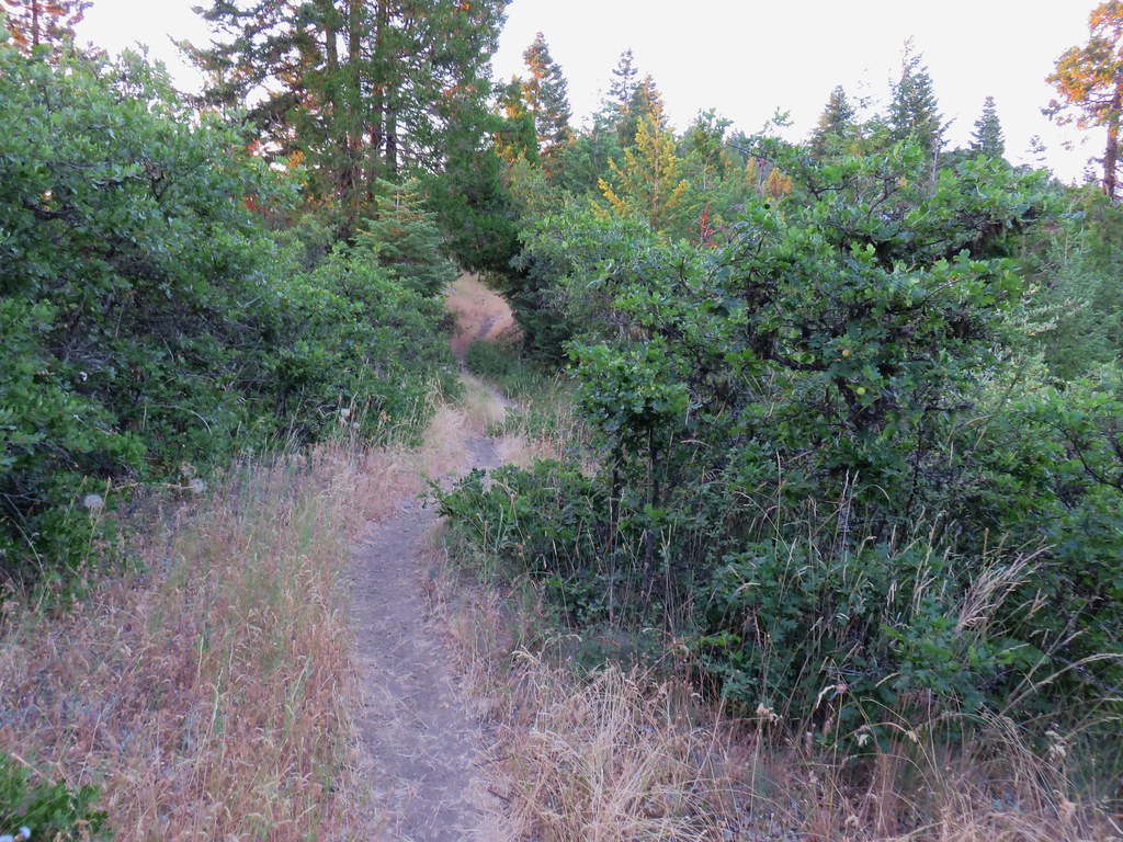
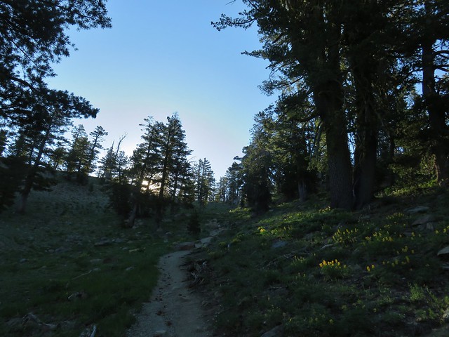
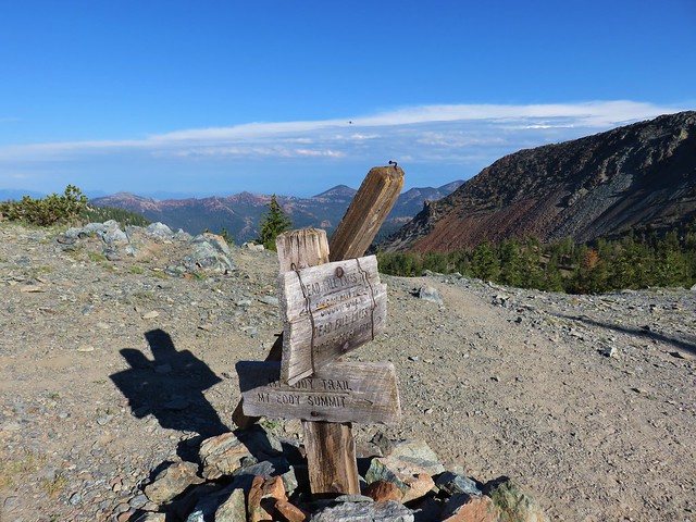
The trail reentered the trees as it began a hillside traverse to its end at the Grasshopper Trail.
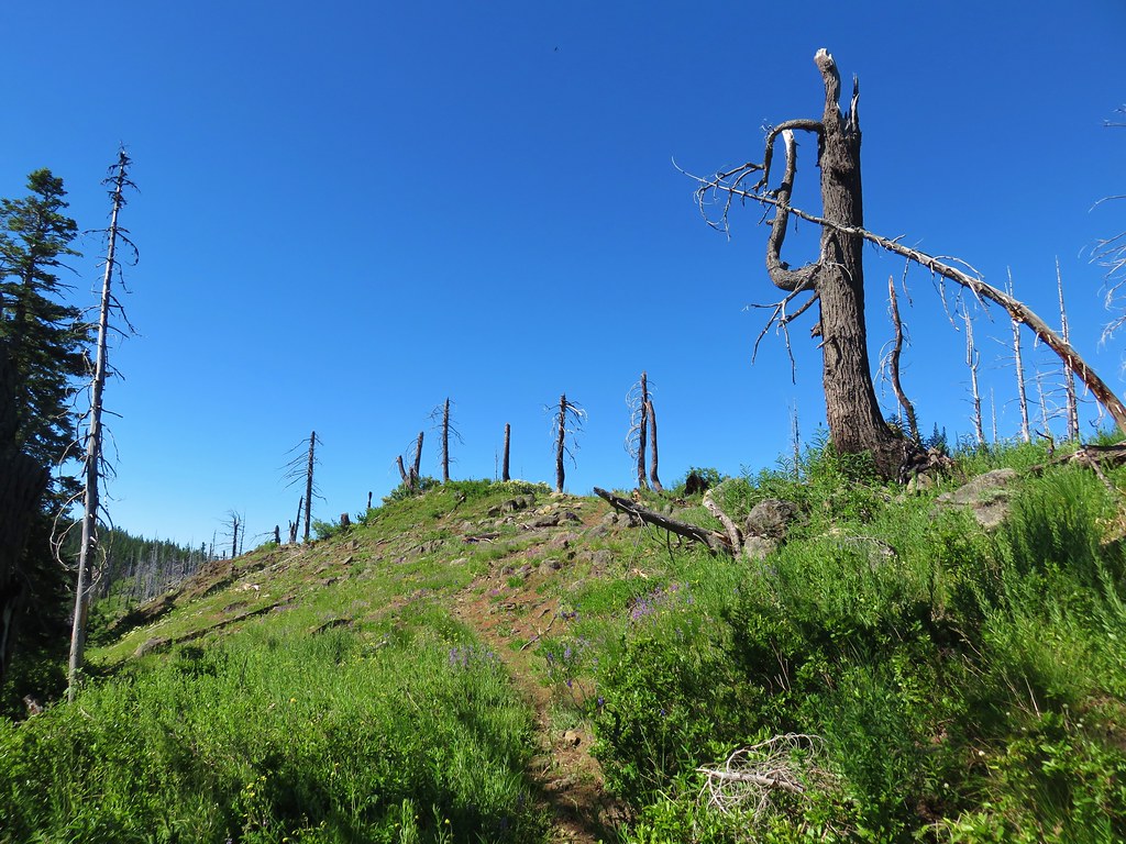
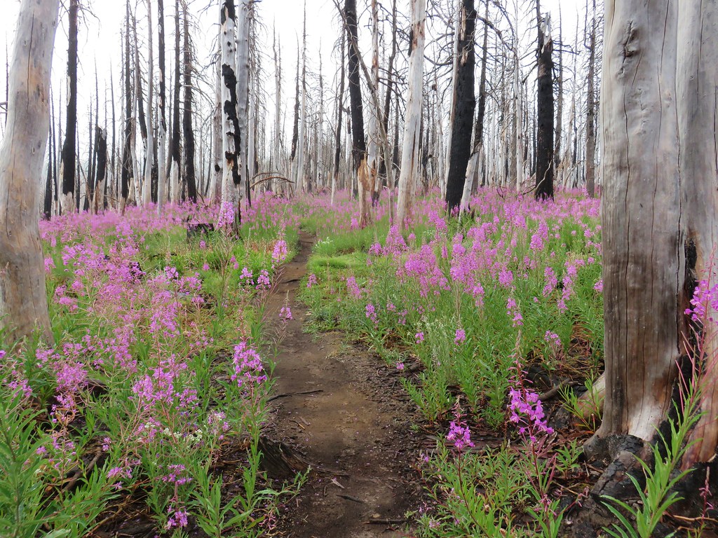
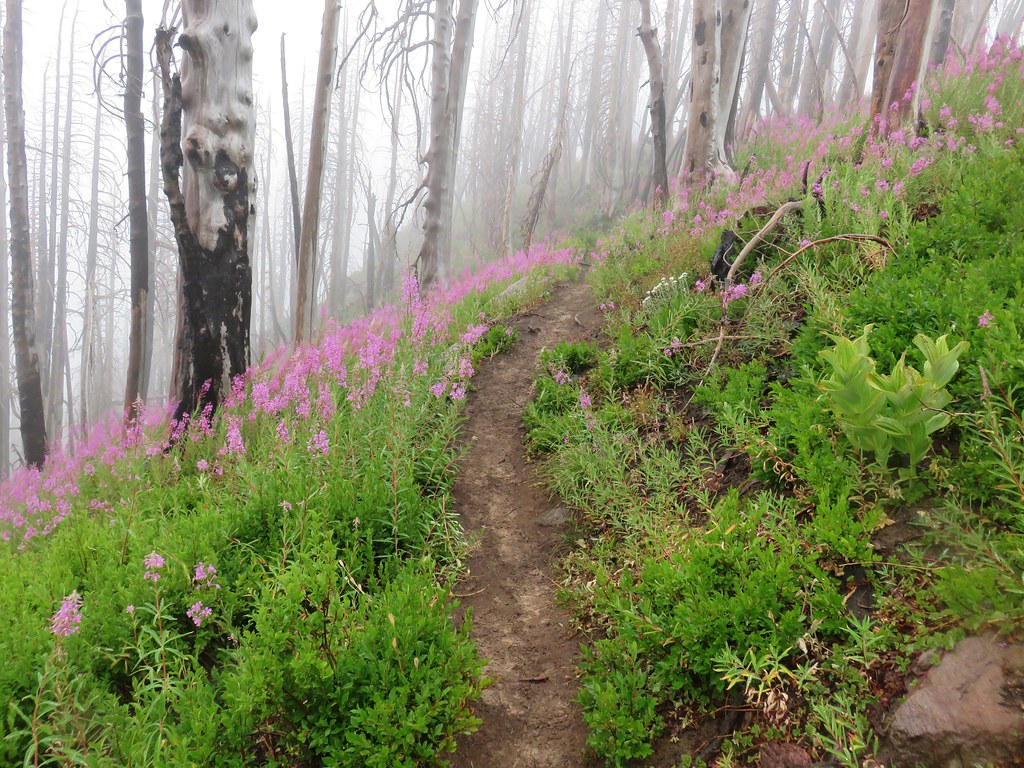
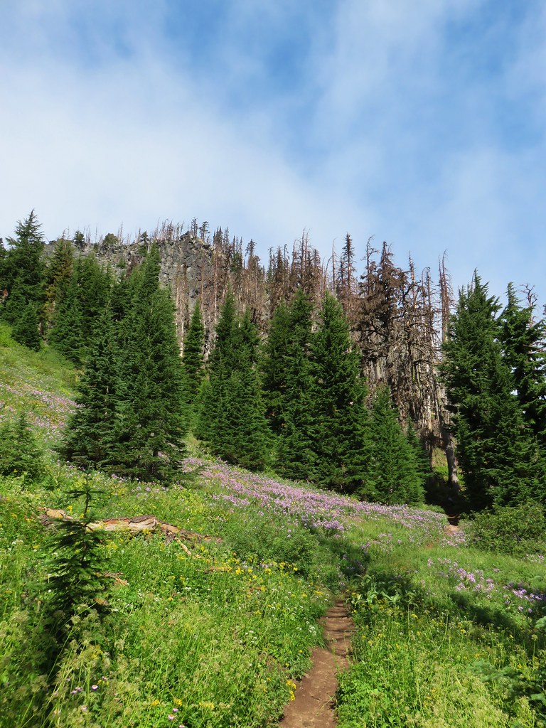
The trail passed along another section of burned forest just before reaching the signed junction.

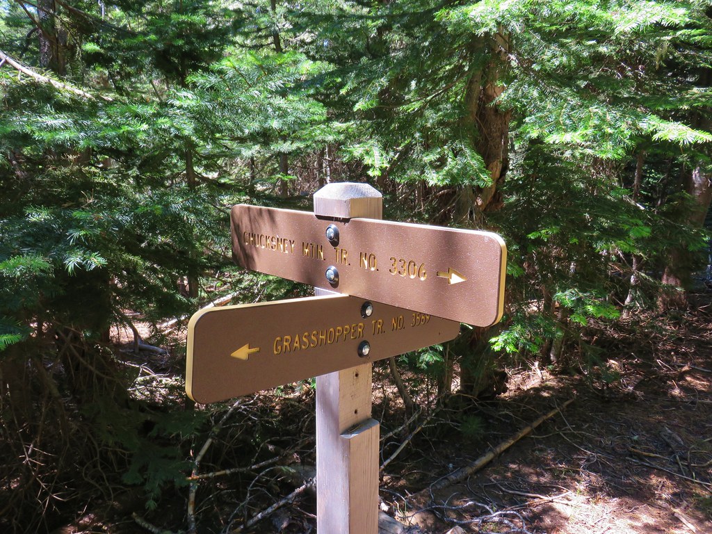
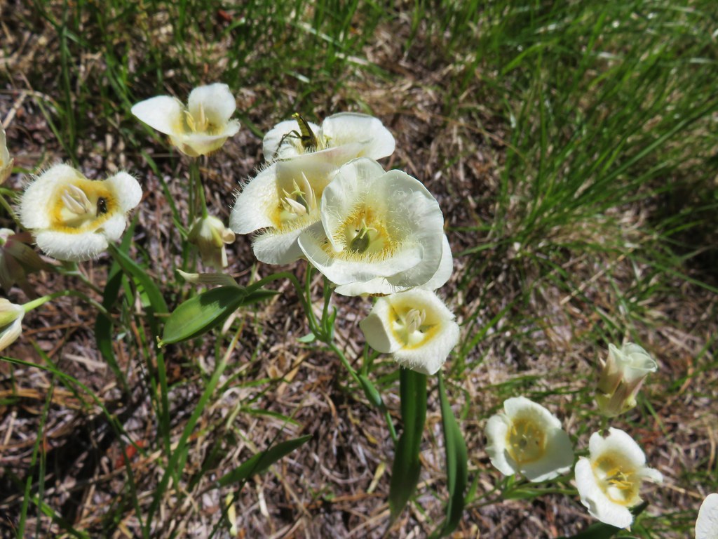
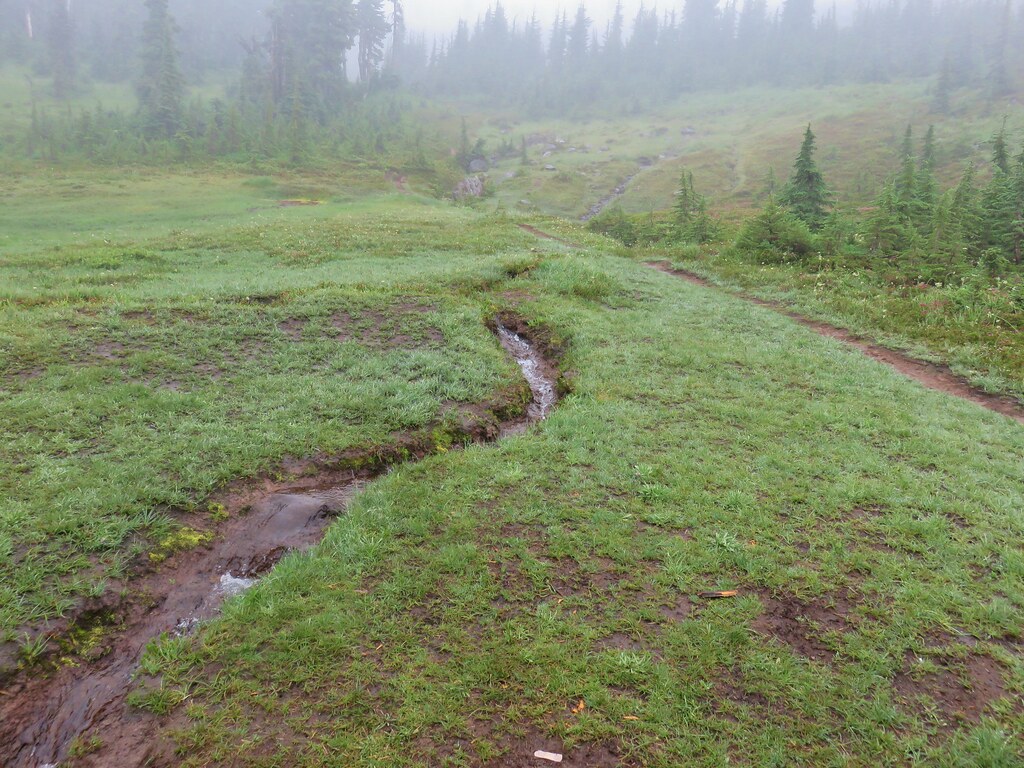
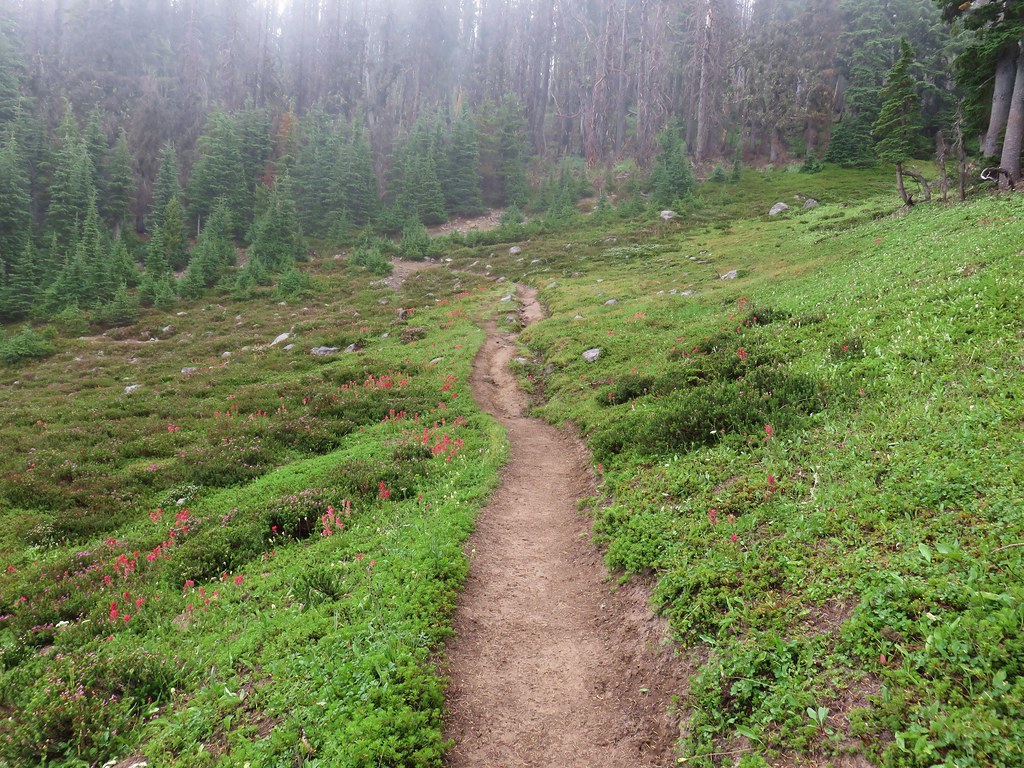
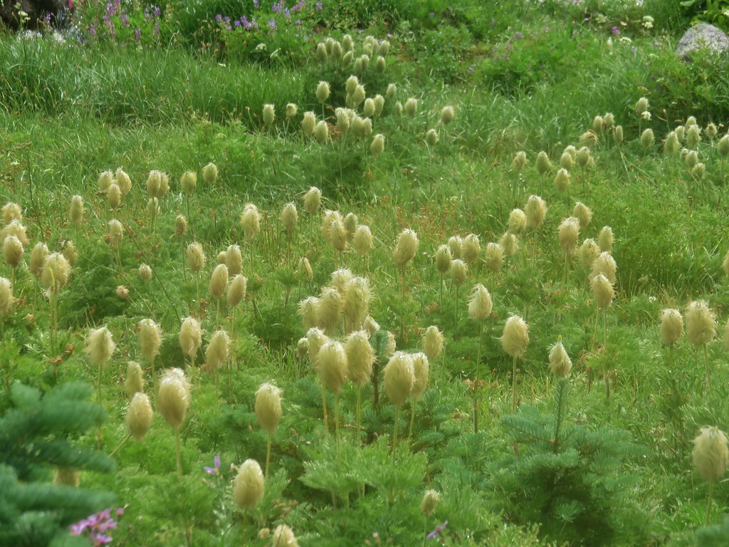
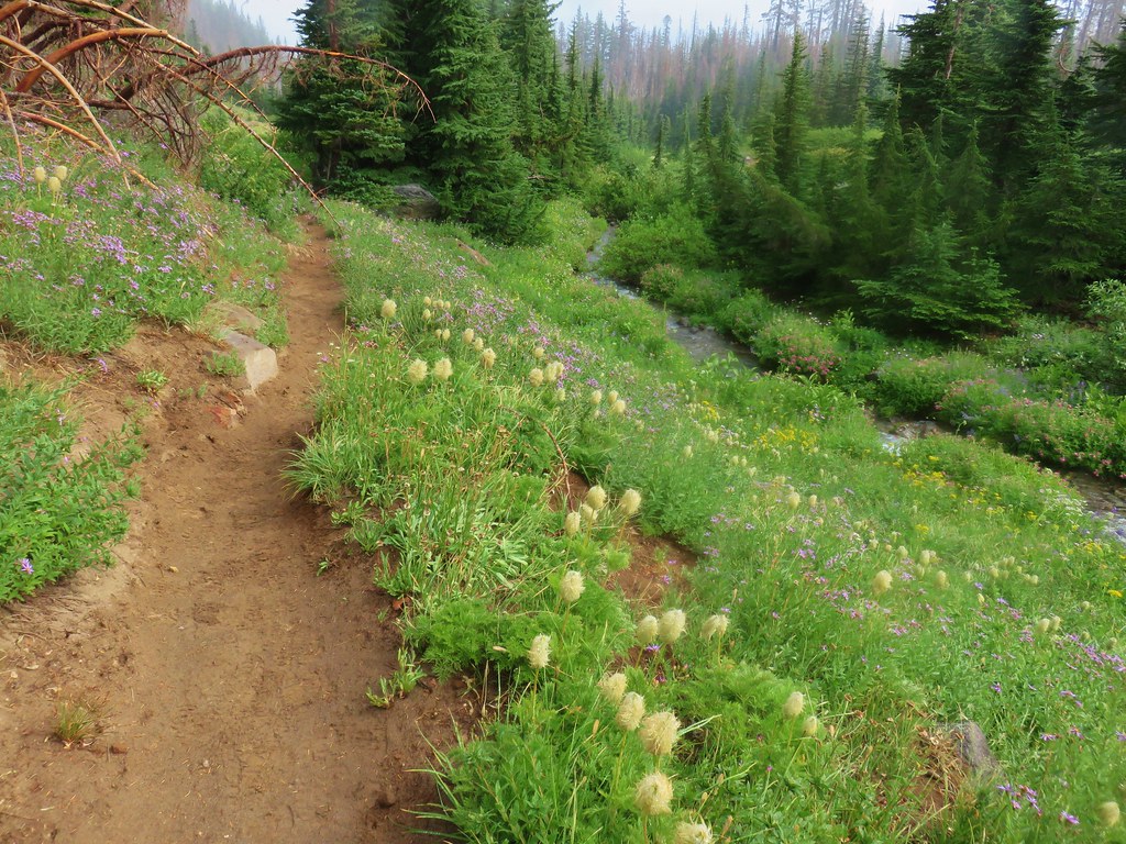
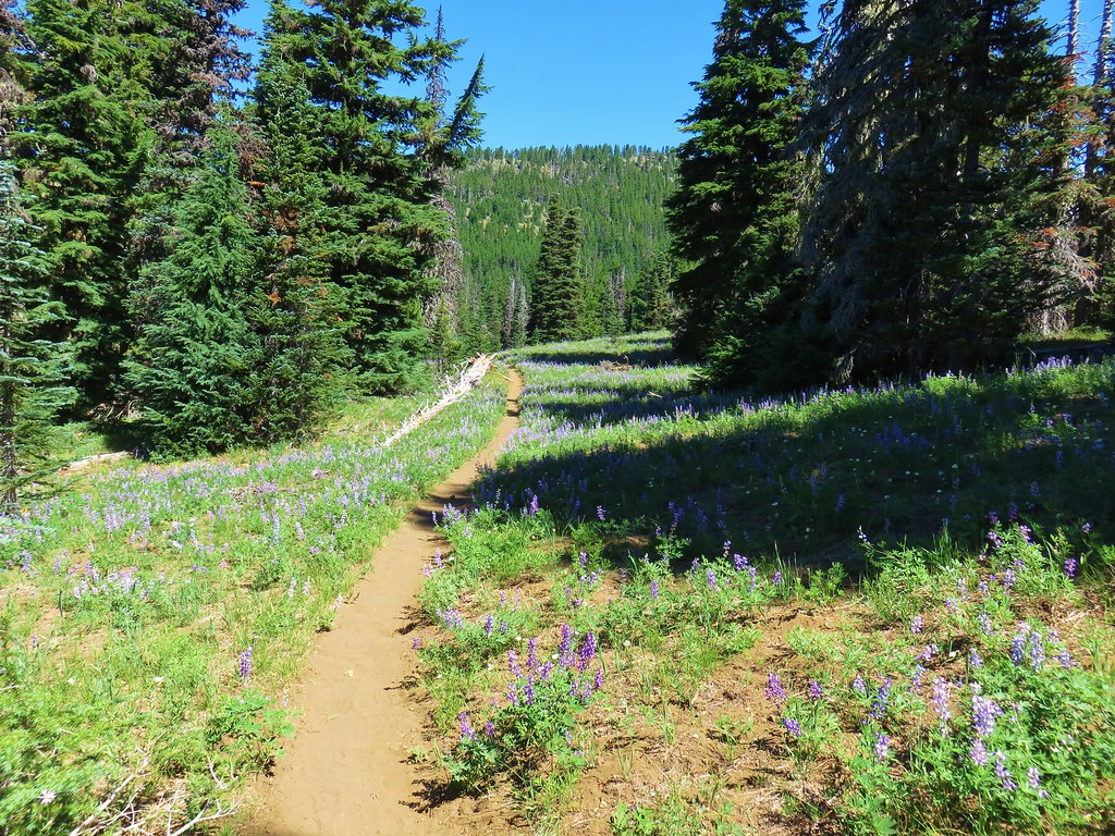
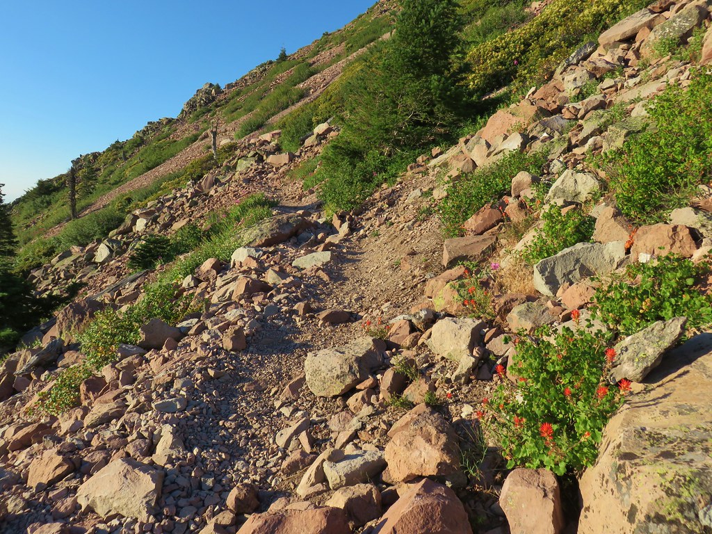
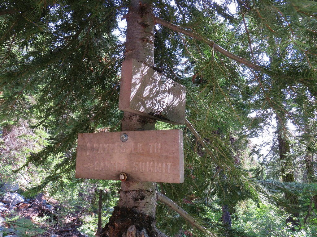
Turning left here would have led us back to the down to the Box Canyon Trailhead in 3.9 miles but we were saving that section of trail for our return the next day. We turned right and headed east along the Grasshopper Trail which promptly began to descend through and then along a meadow with lots of cat’s ear lilies and a view of Diamond Peak.


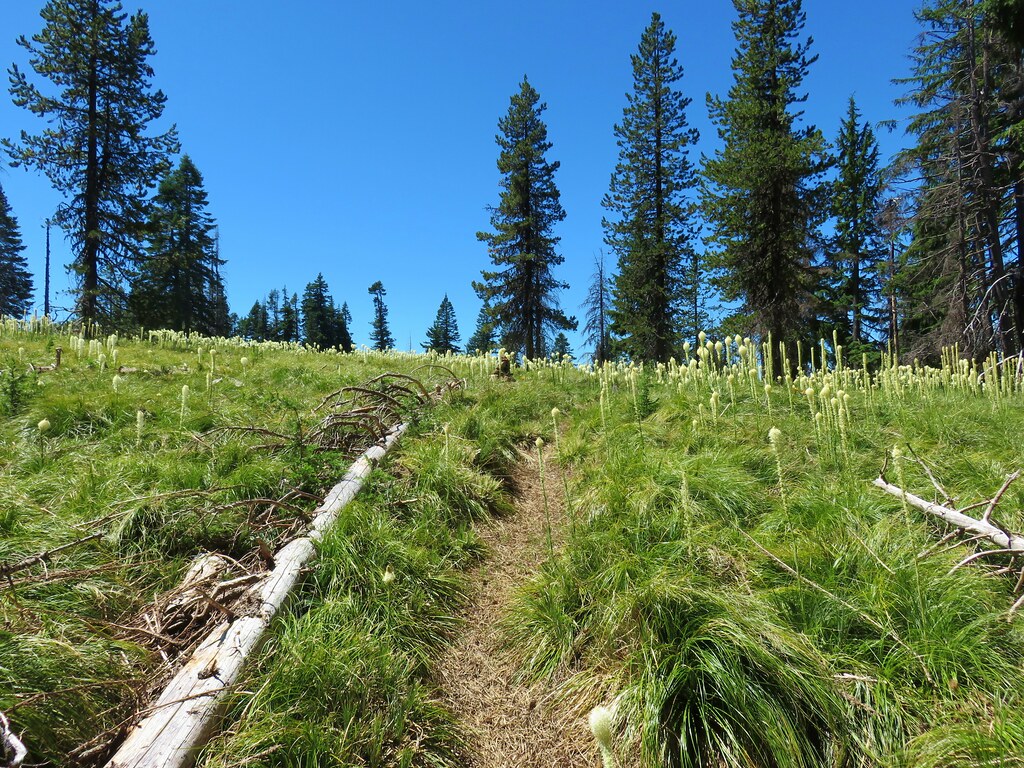
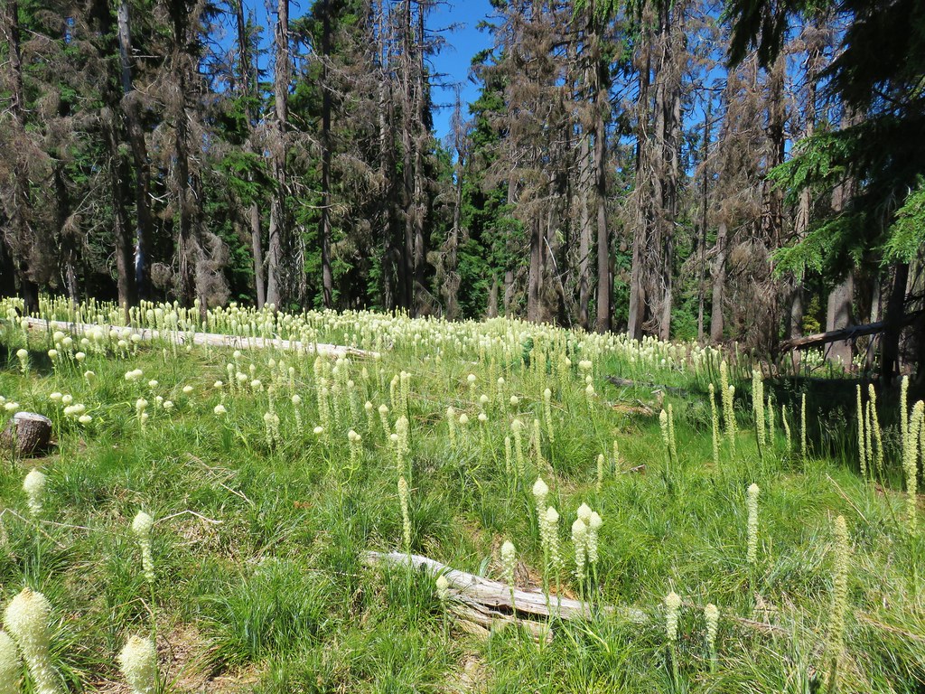
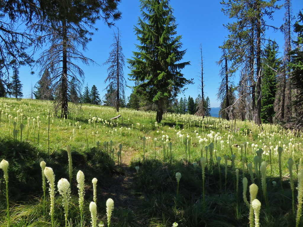
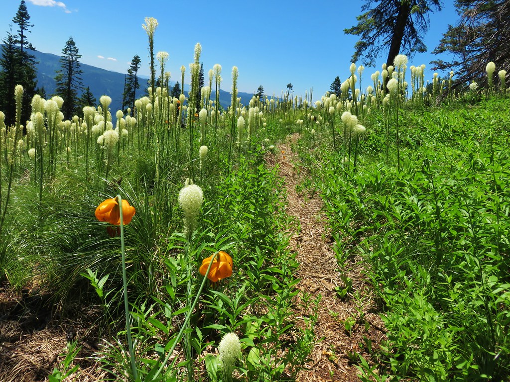
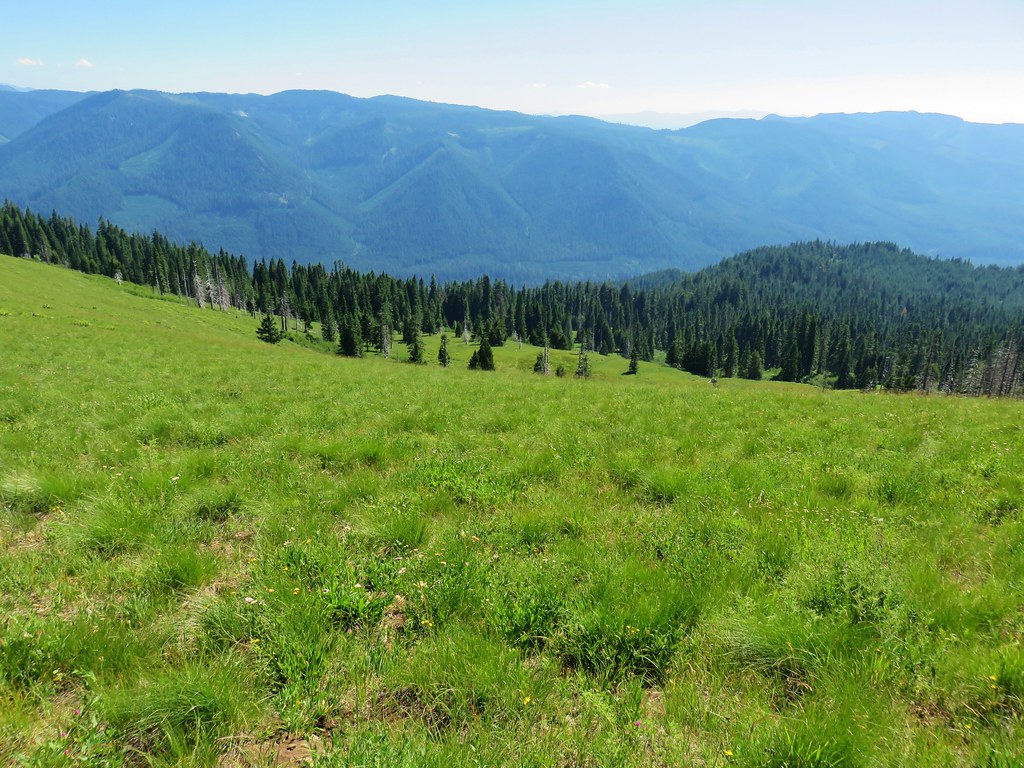
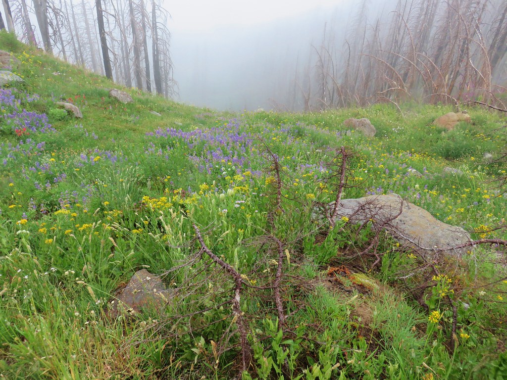
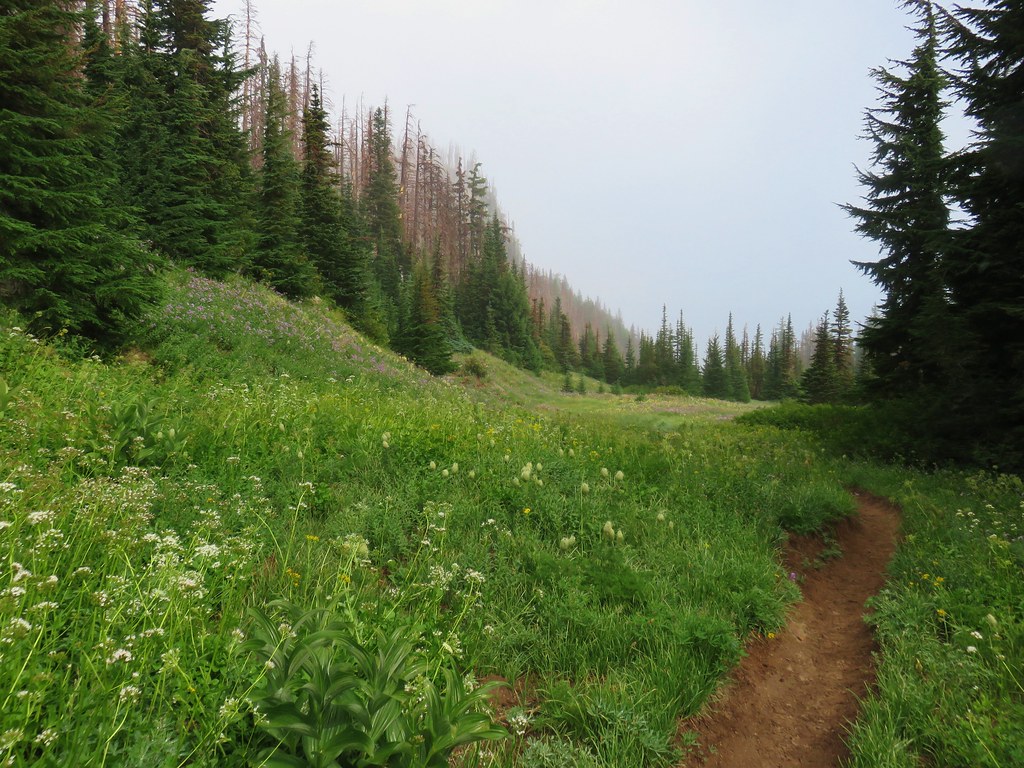
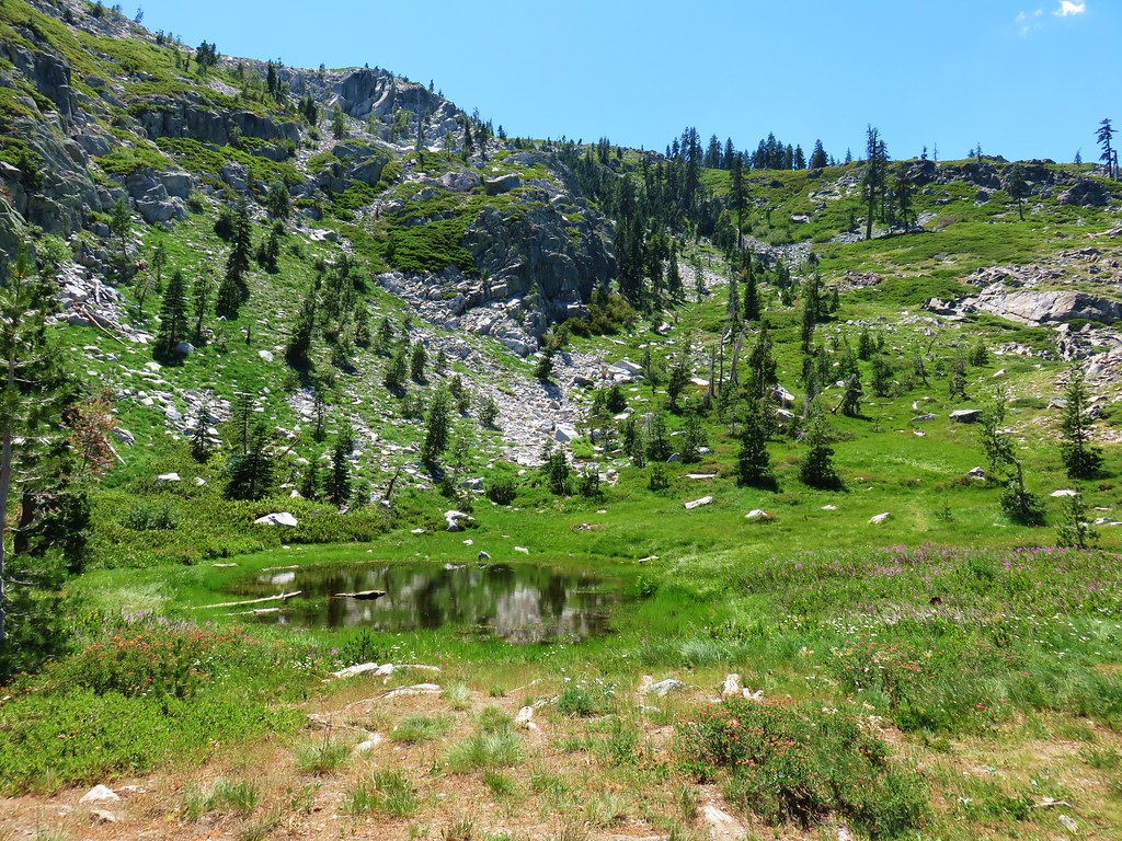
The trail lost a little over 500′ of elevation as it followed the forested ridge east. A little over a mile from the junction we finally hit the low point in a saddle just under 5000′ in elevation. We then began regaining nearly all of the elevation we had lost in the next mile. This climb contained the steepest section of the hike and ended in a beargrass filled meadow.

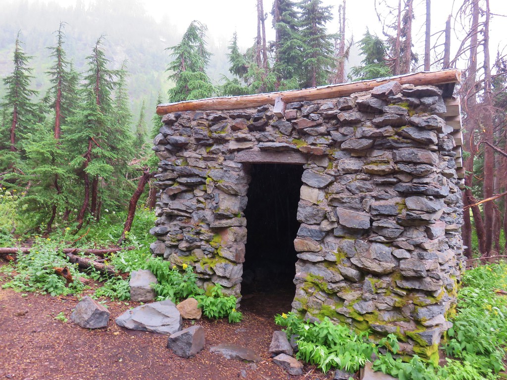
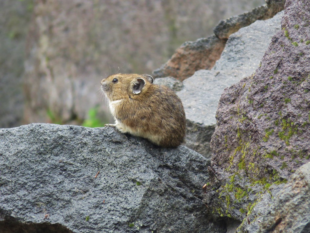
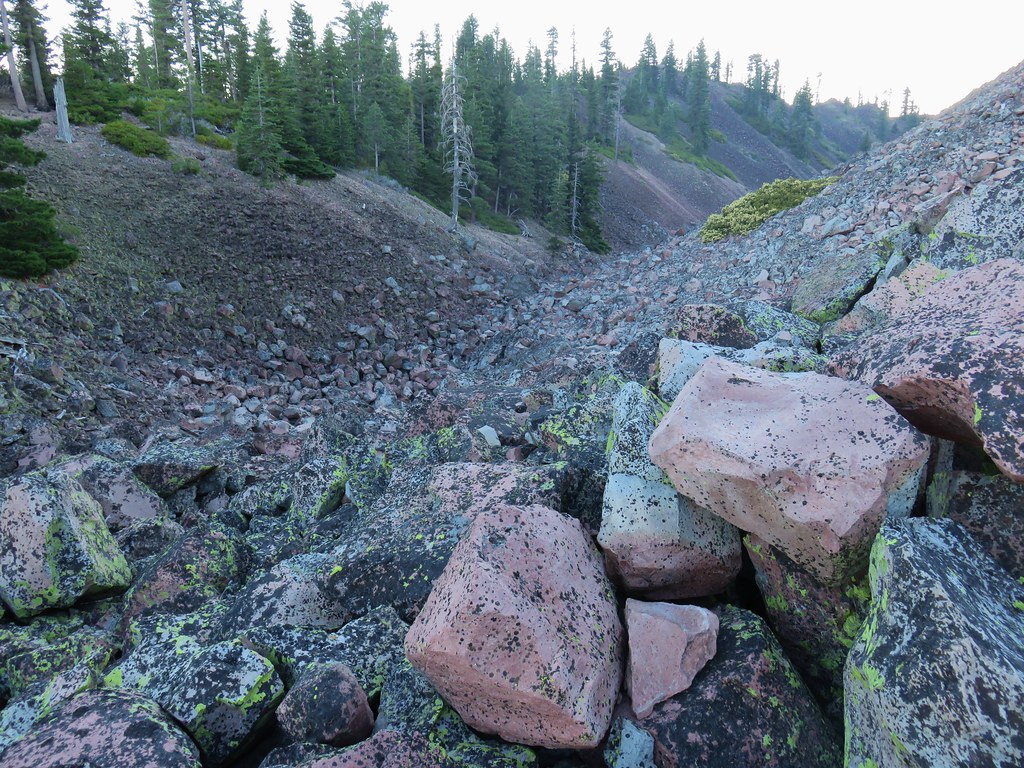
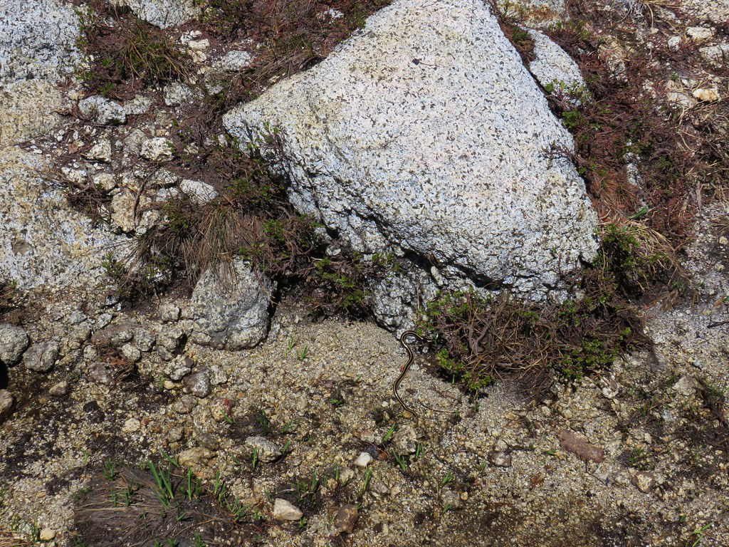
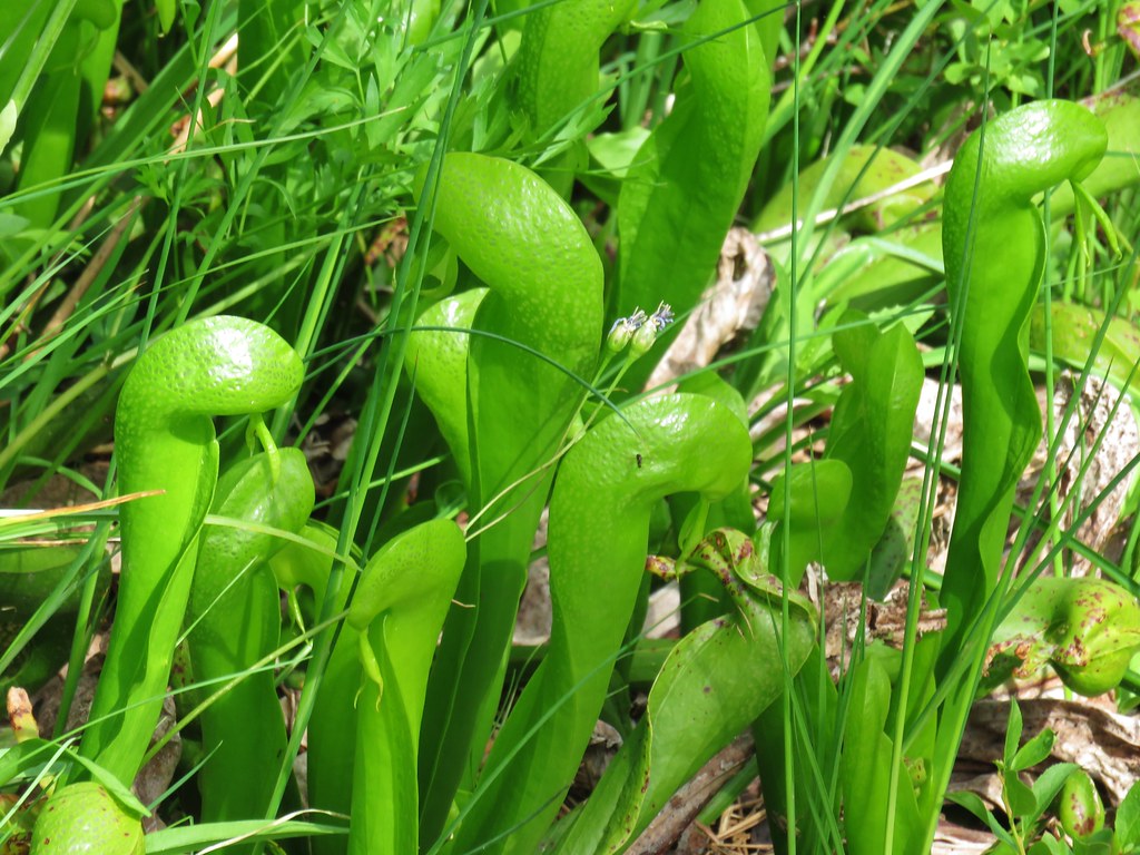
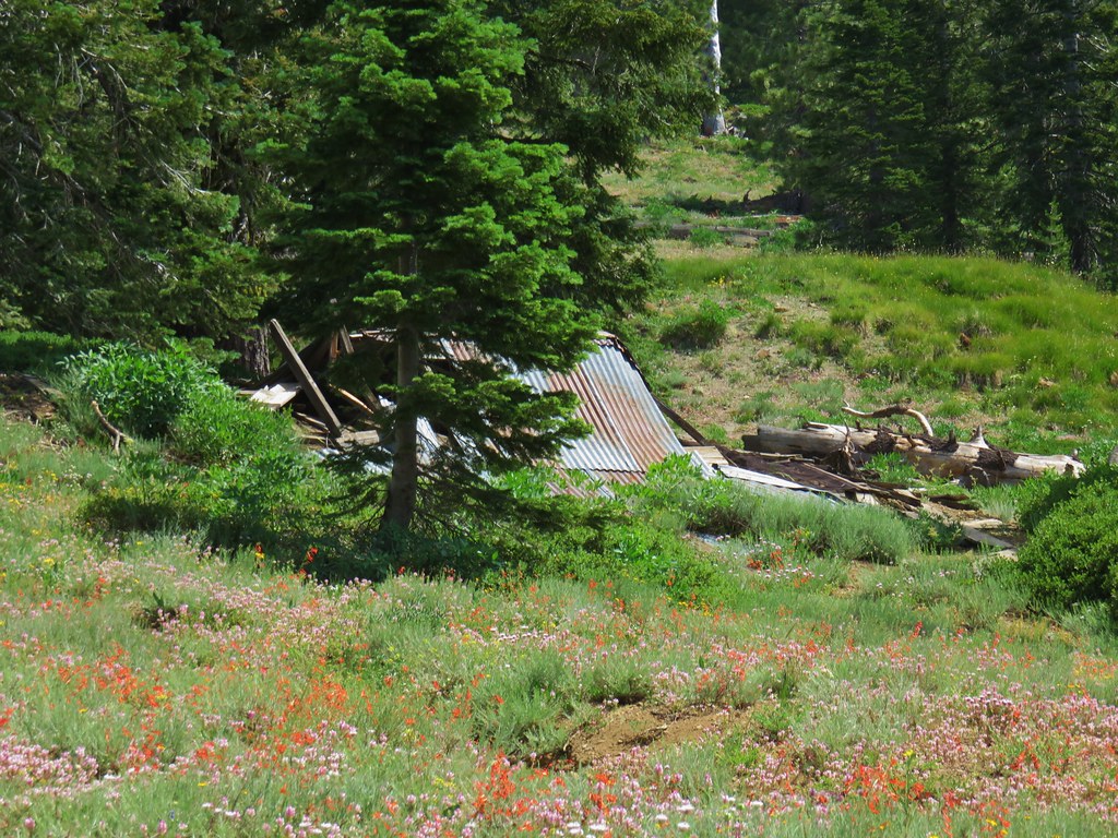
A brief exploration of the meadow revealed some blocks in the ground of unknown origin.

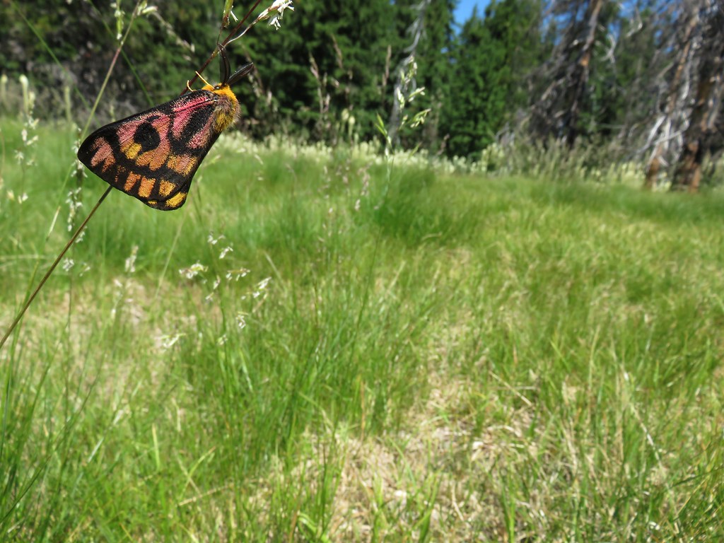
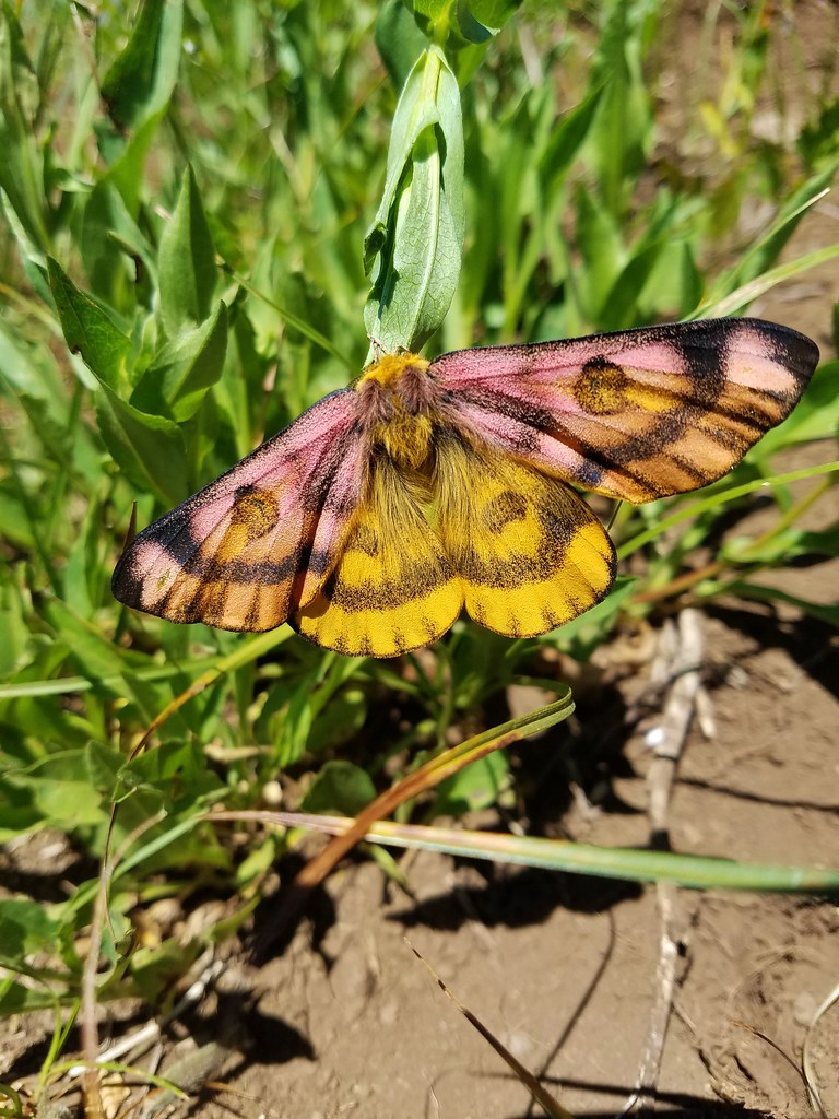
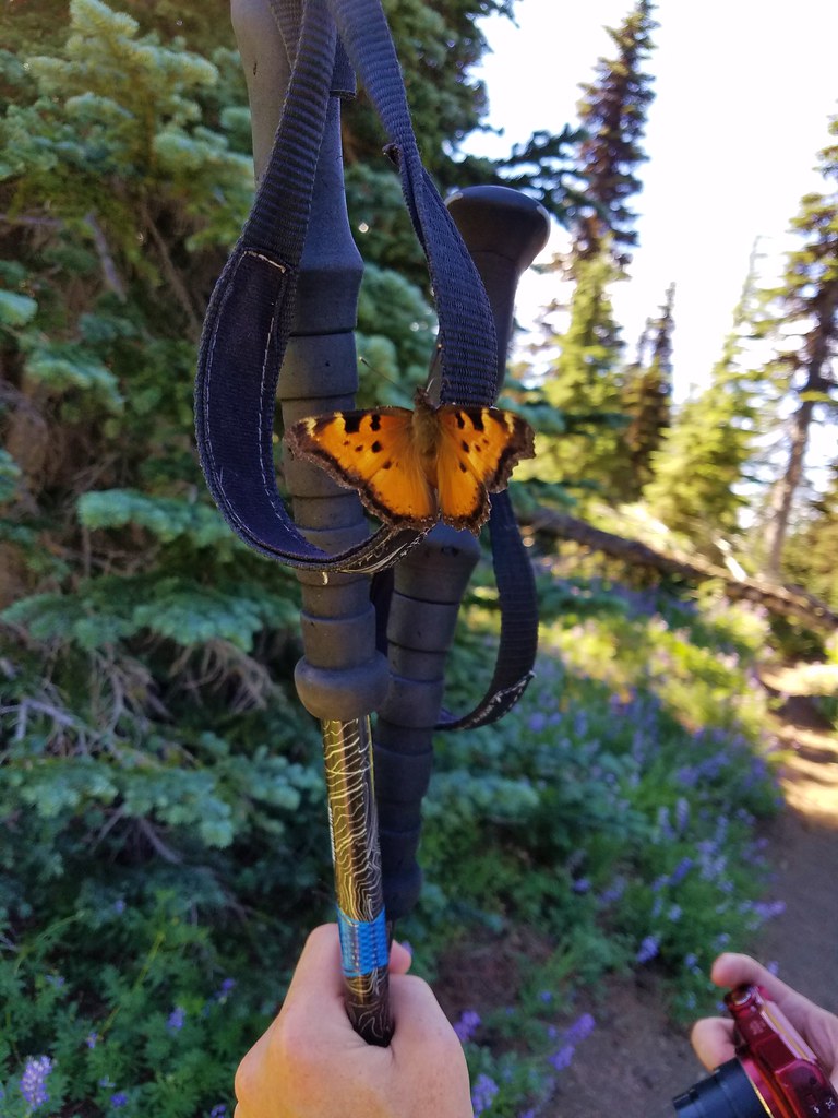
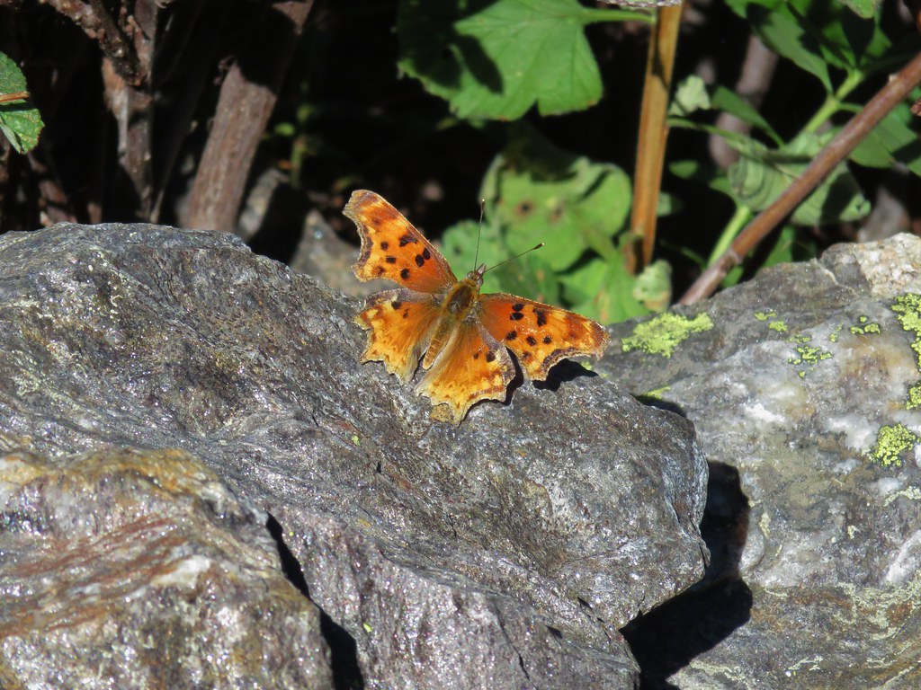
We also spotted a fairly good sized and very colorful moth which we later identified as a common sheep moth thanks to some help from the folks at Oregonhikers.org.
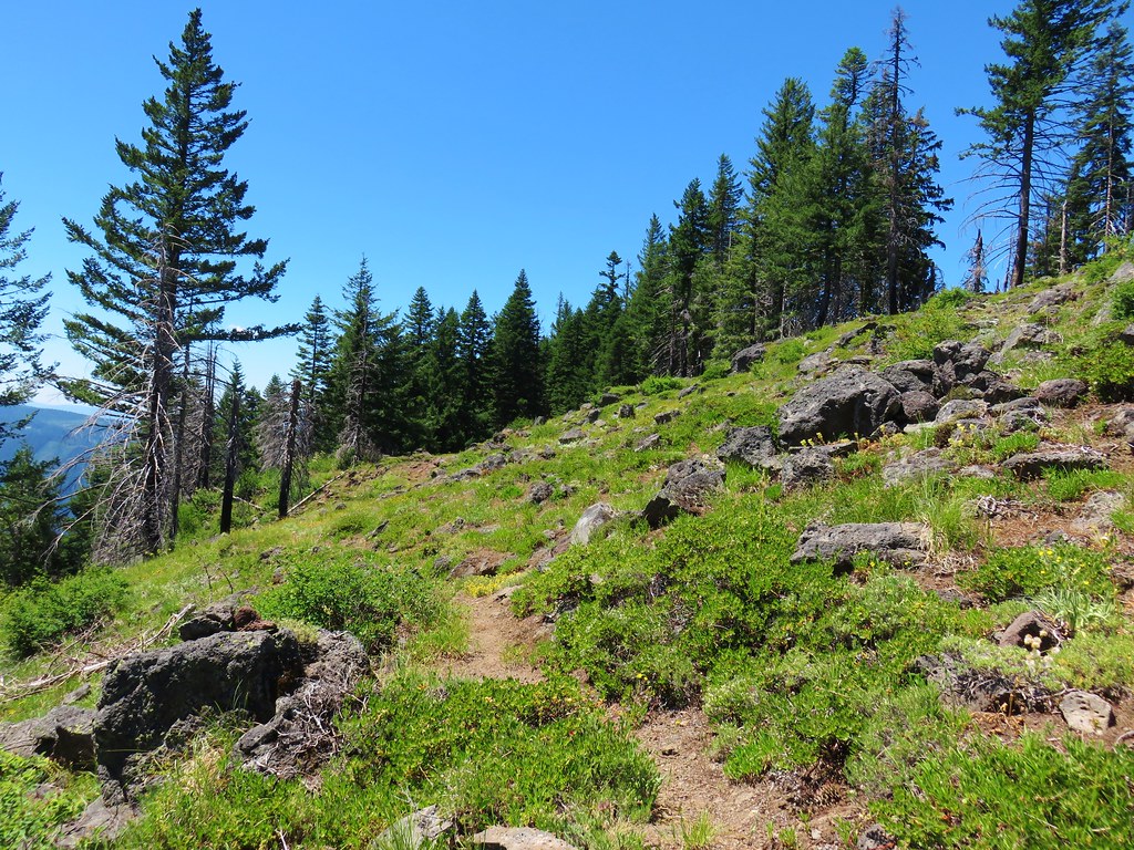
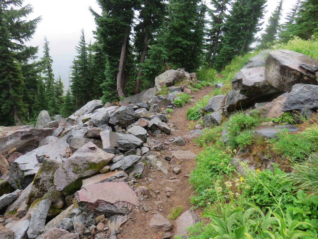
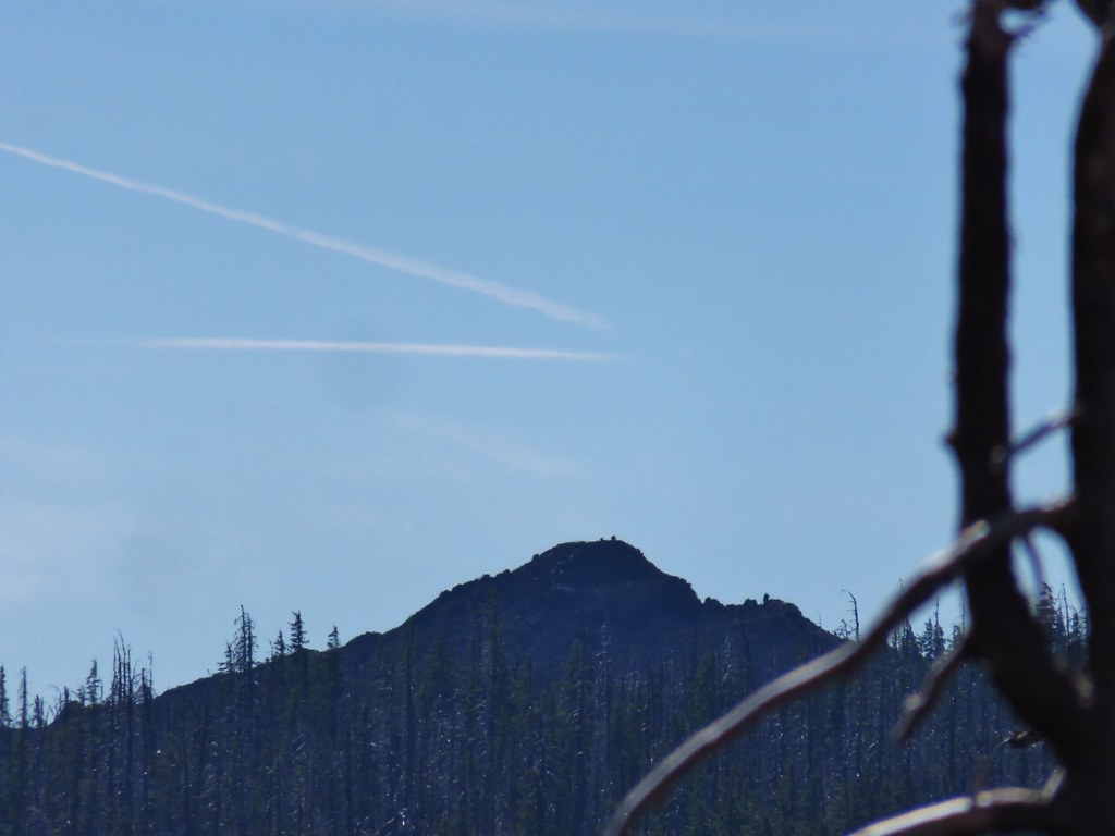
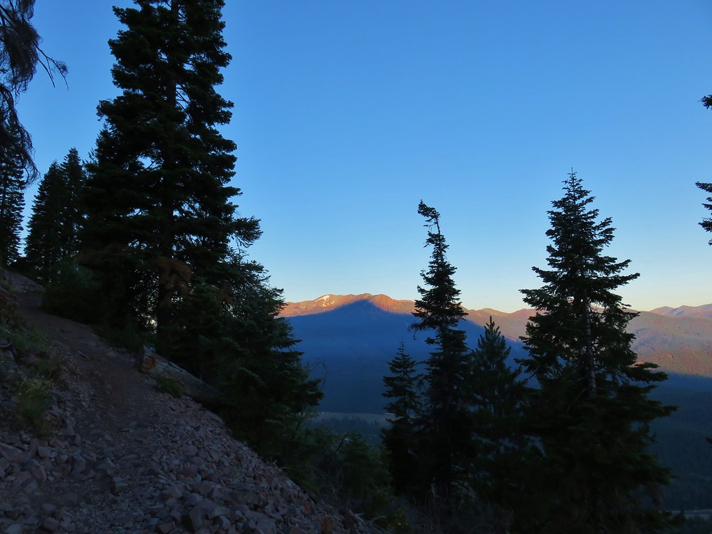
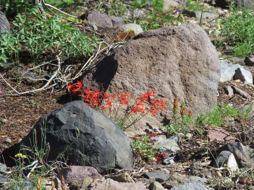
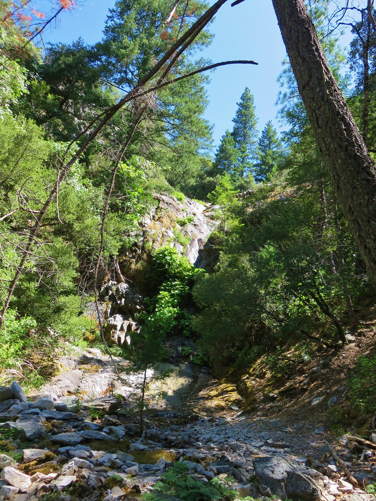
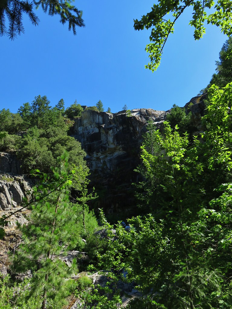
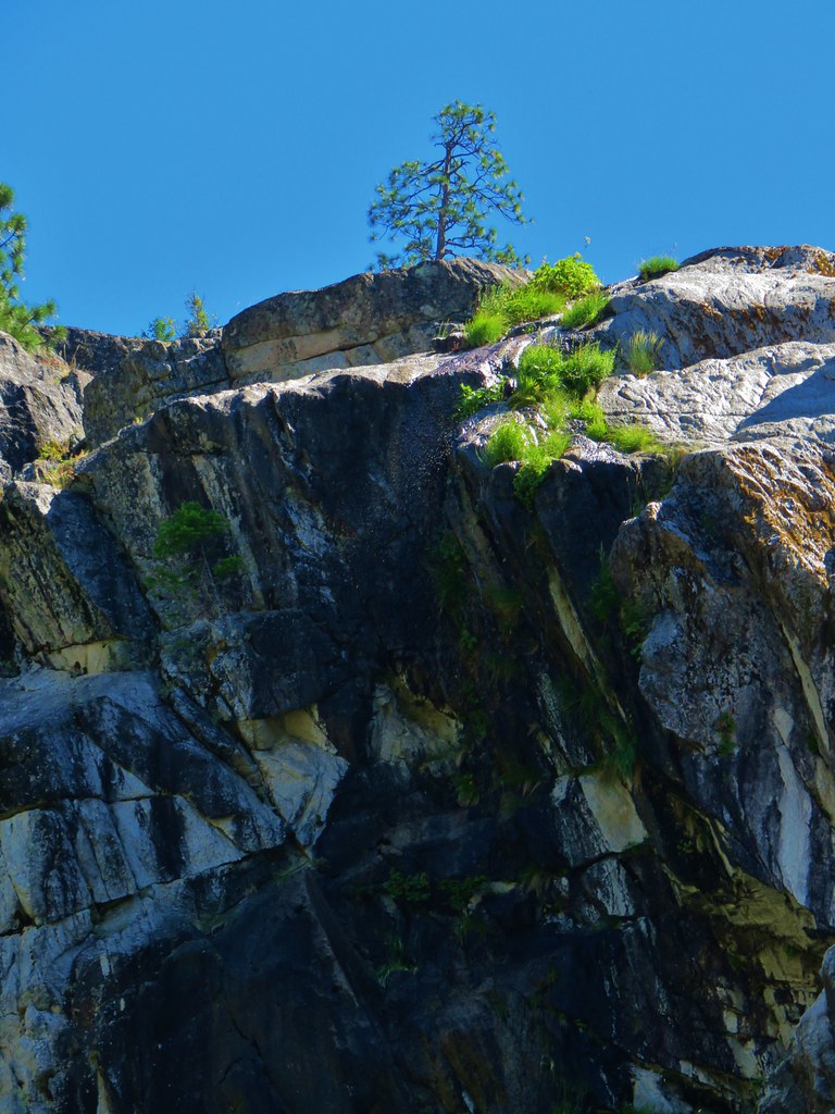
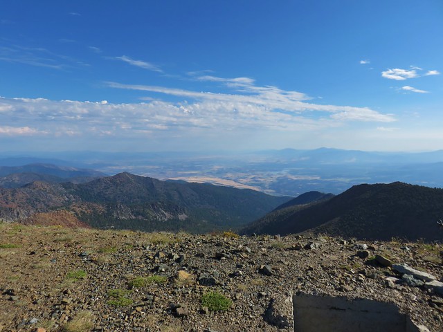
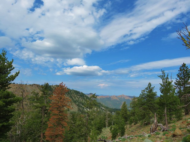
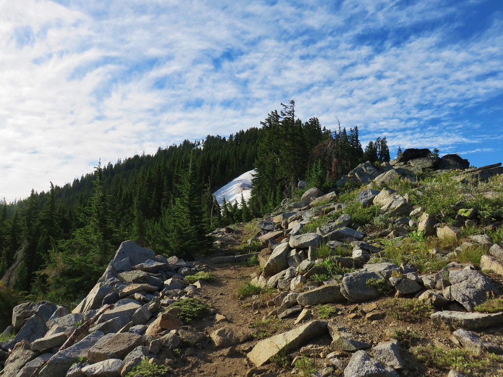
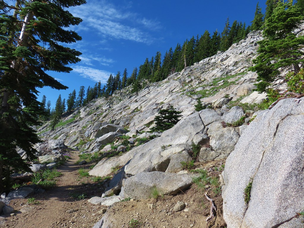
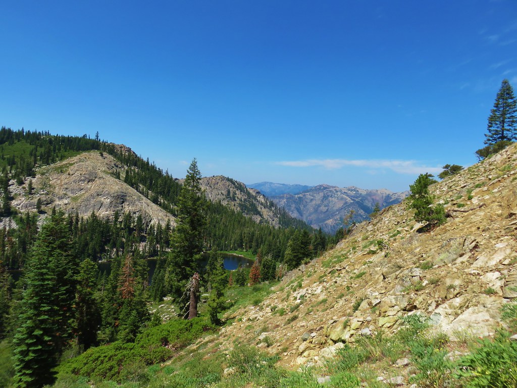
We had thought this meadow might be Grasshopper Point but after consulting the map it was clear we had a way to go yet before we’d reach that feature. We continued on the trail, which for the next quarter mile traveled along some rocky cliffs offering more views of Diamond Peak.
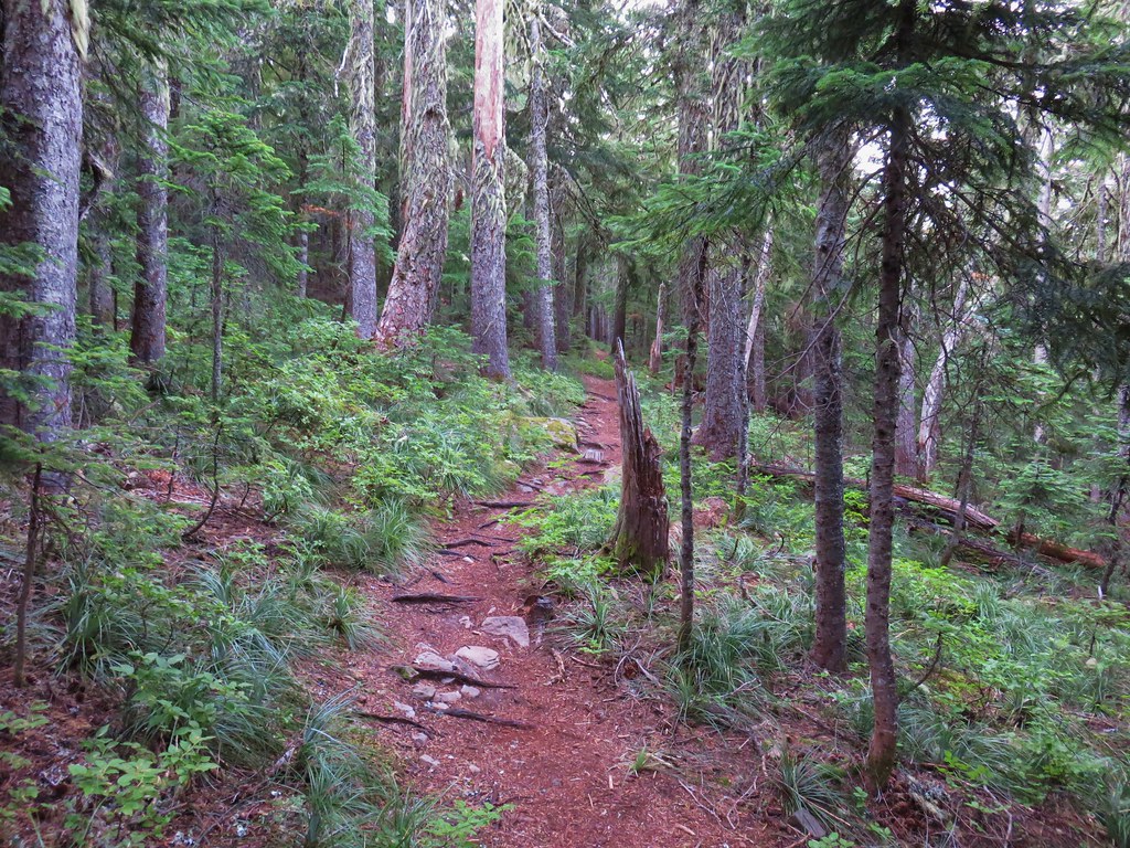
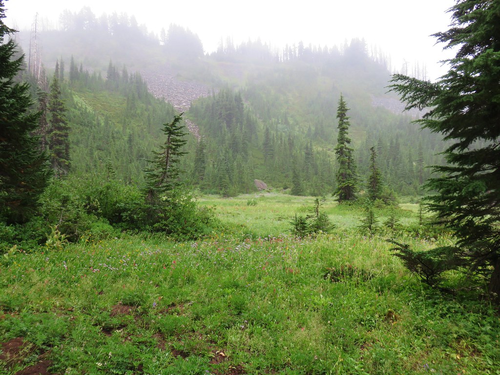
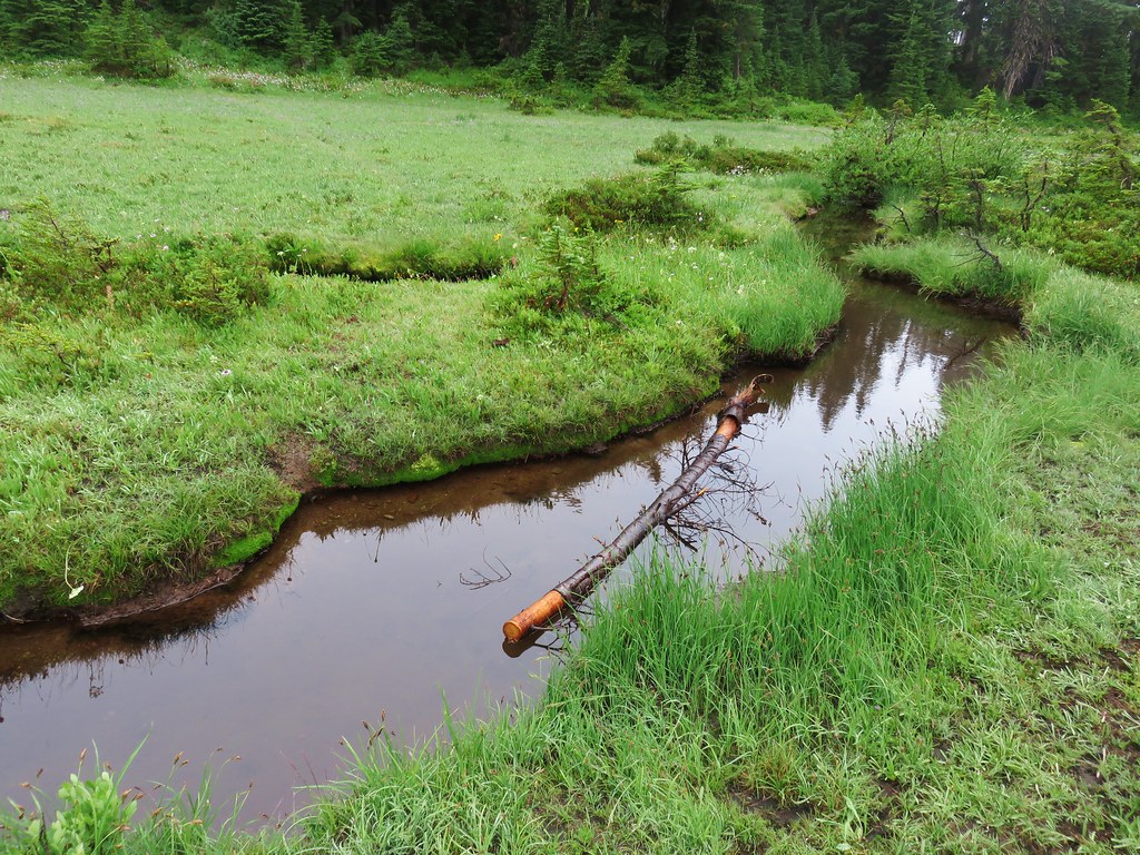
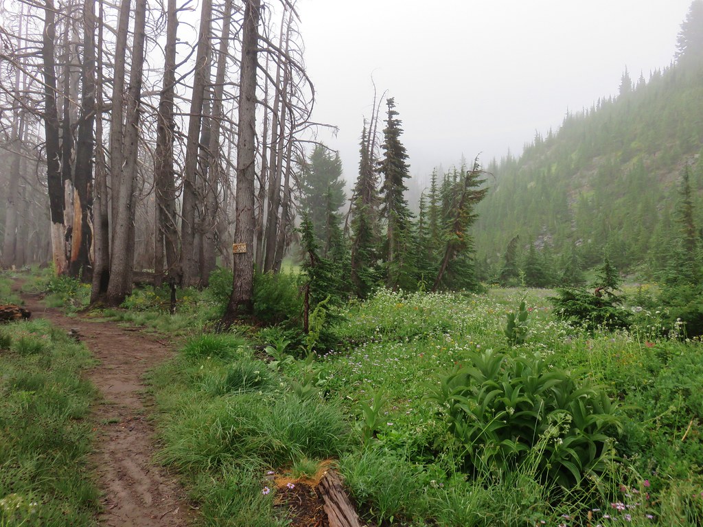
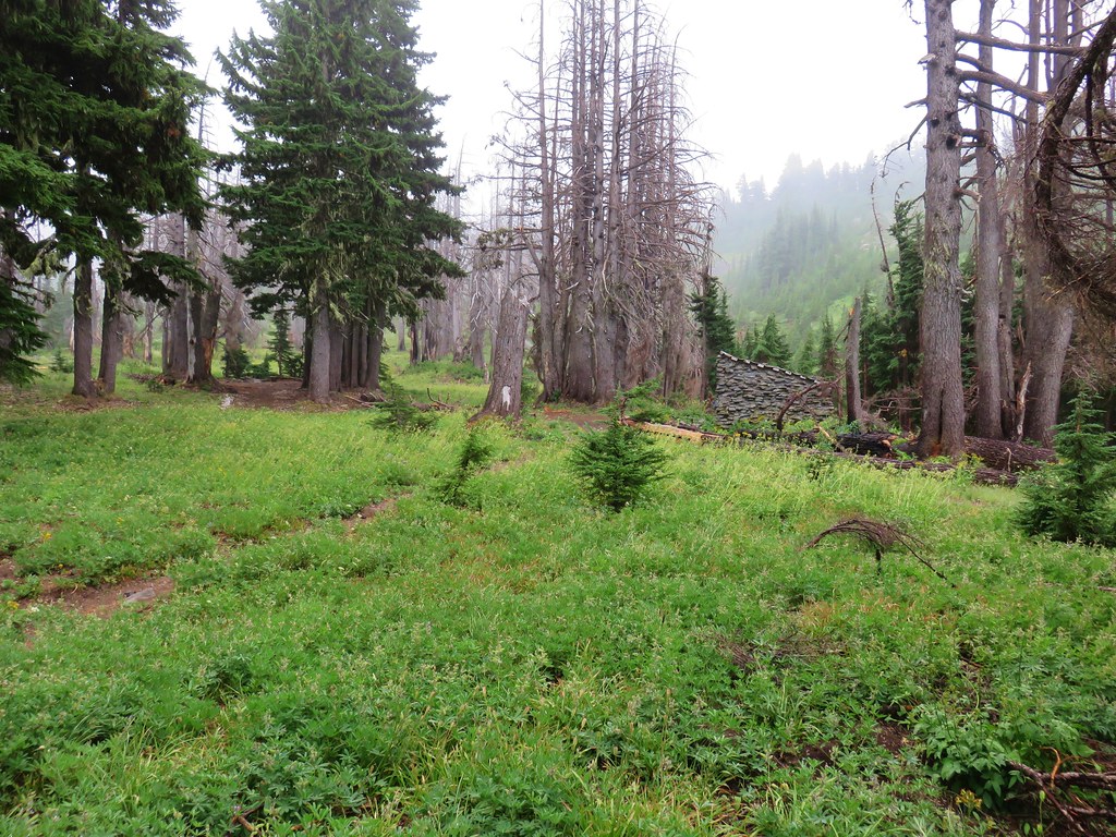
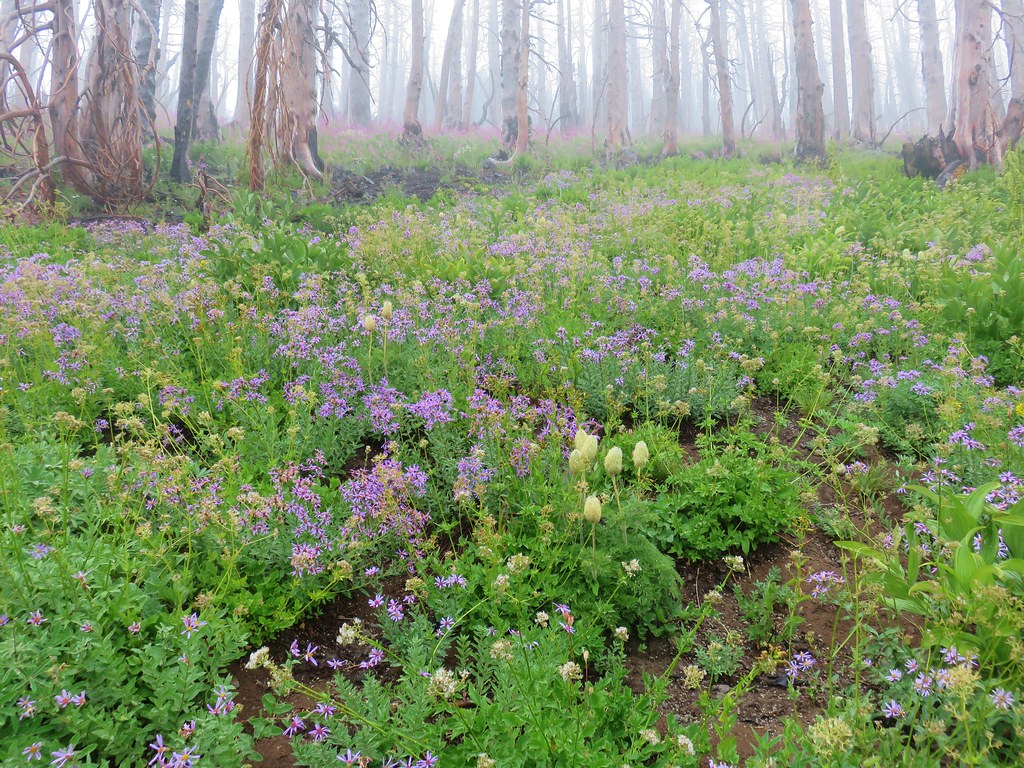
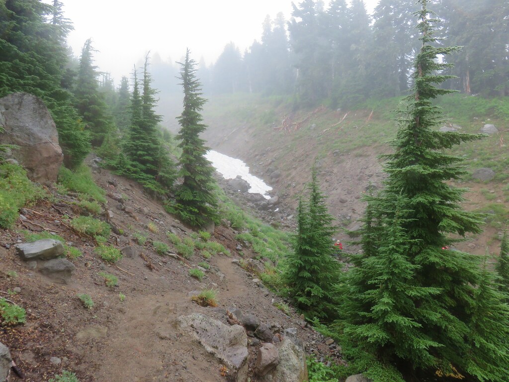
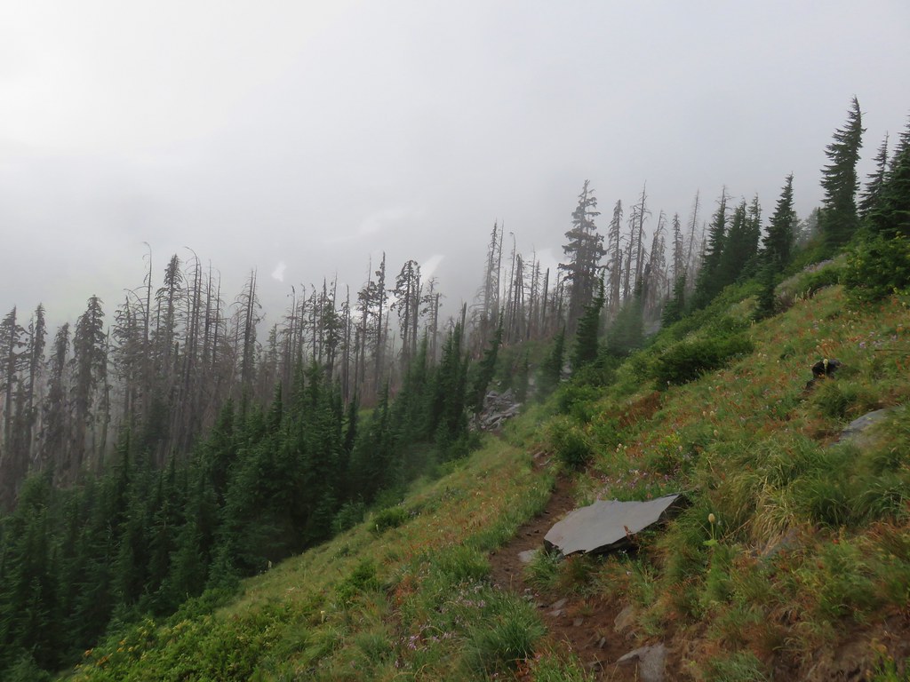
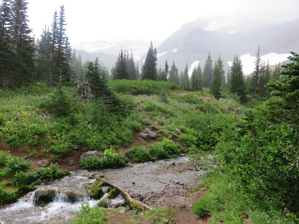
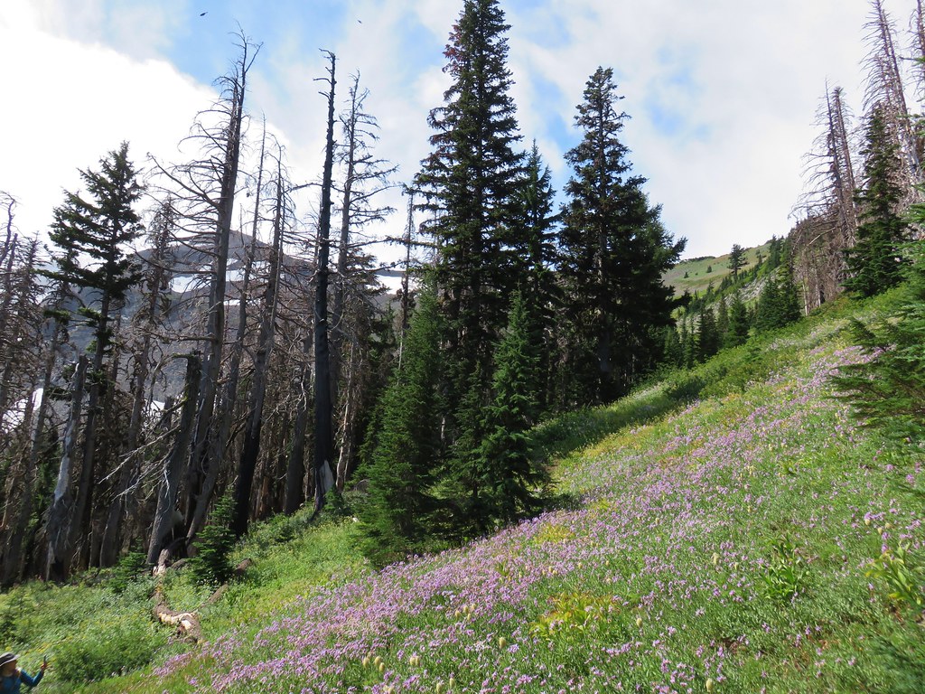
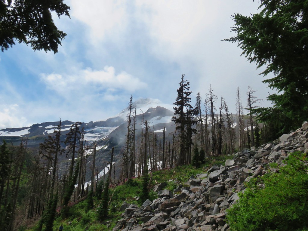
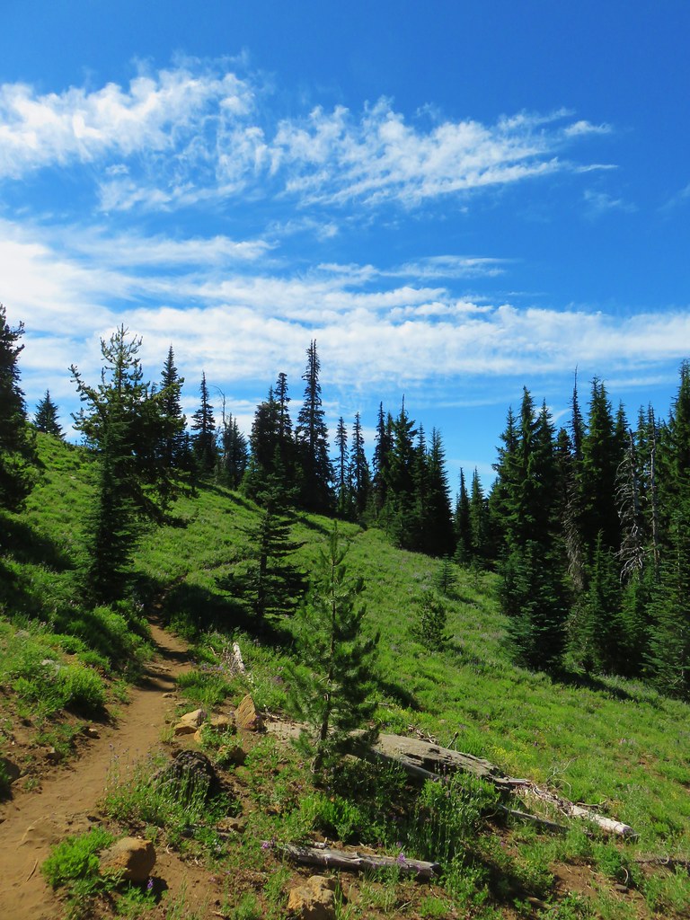
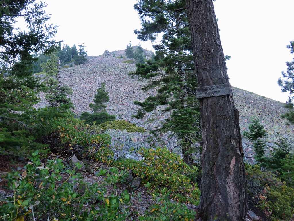
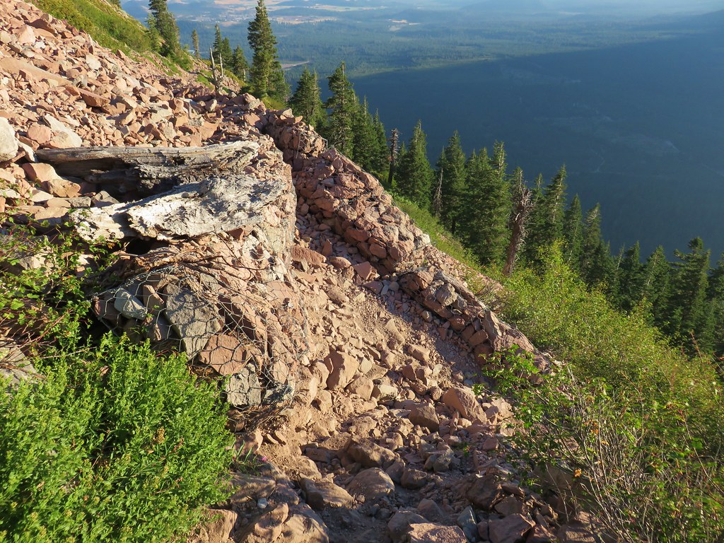
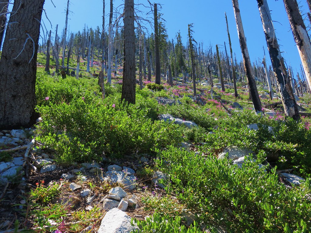
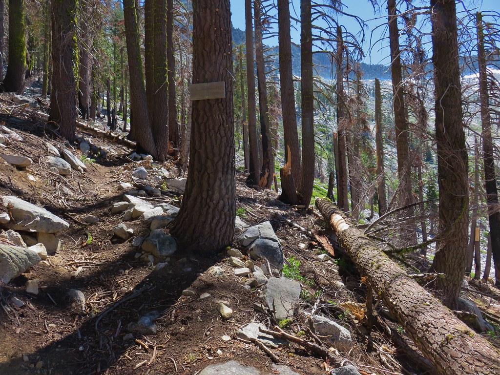
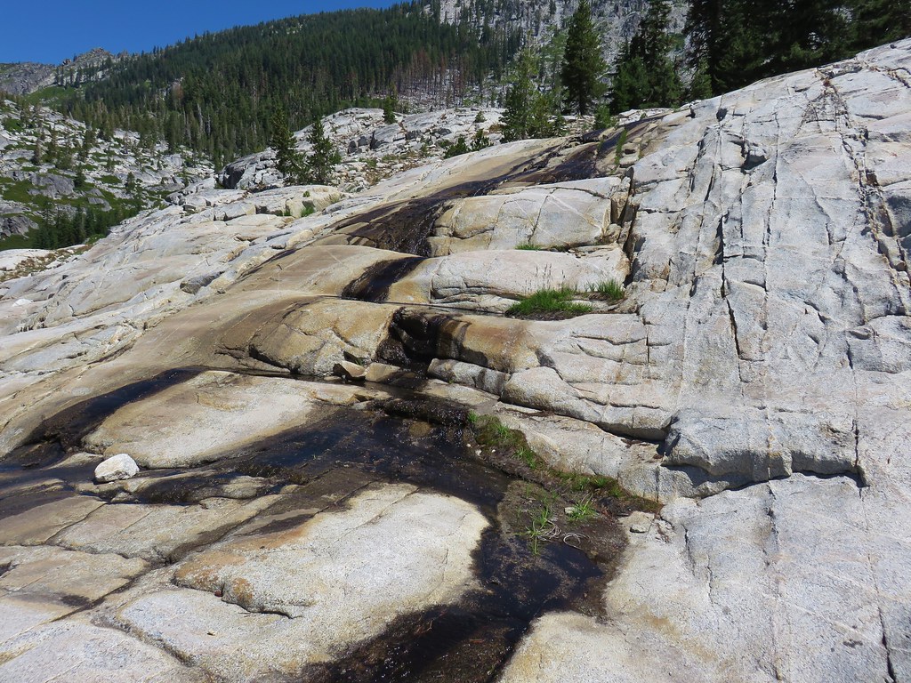
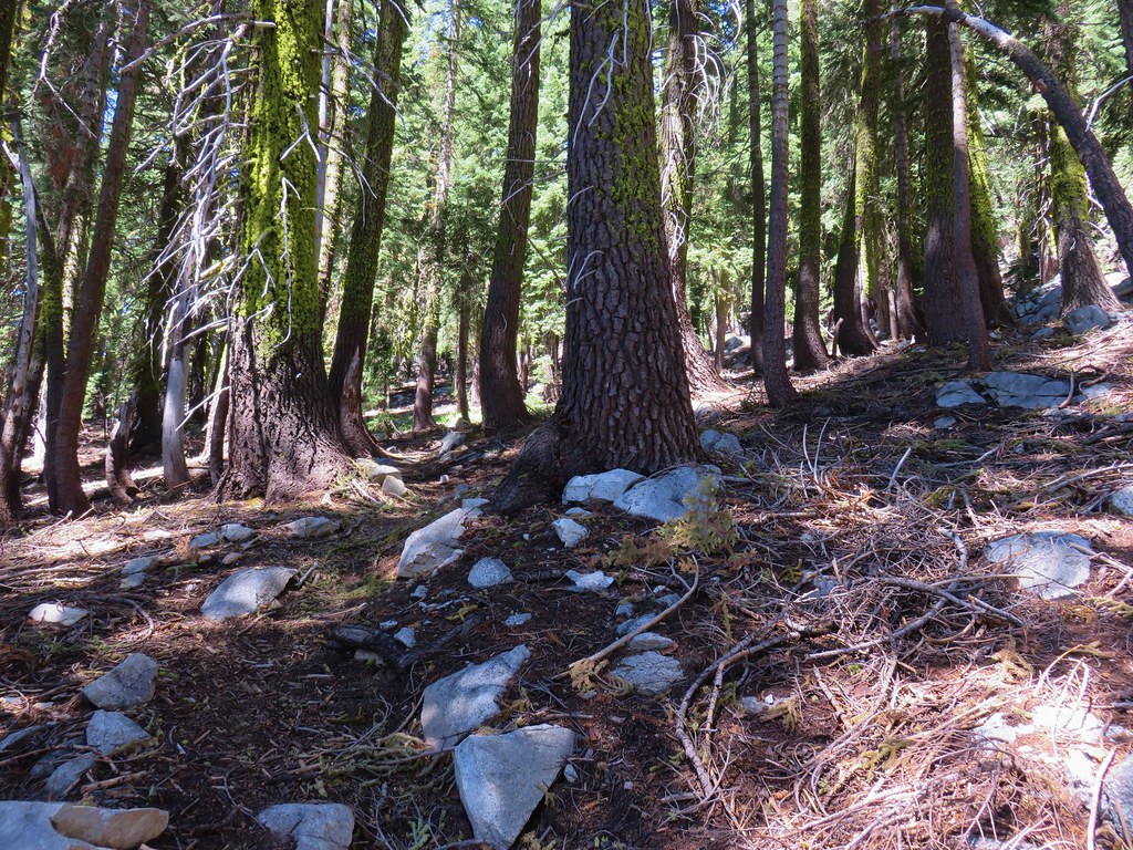
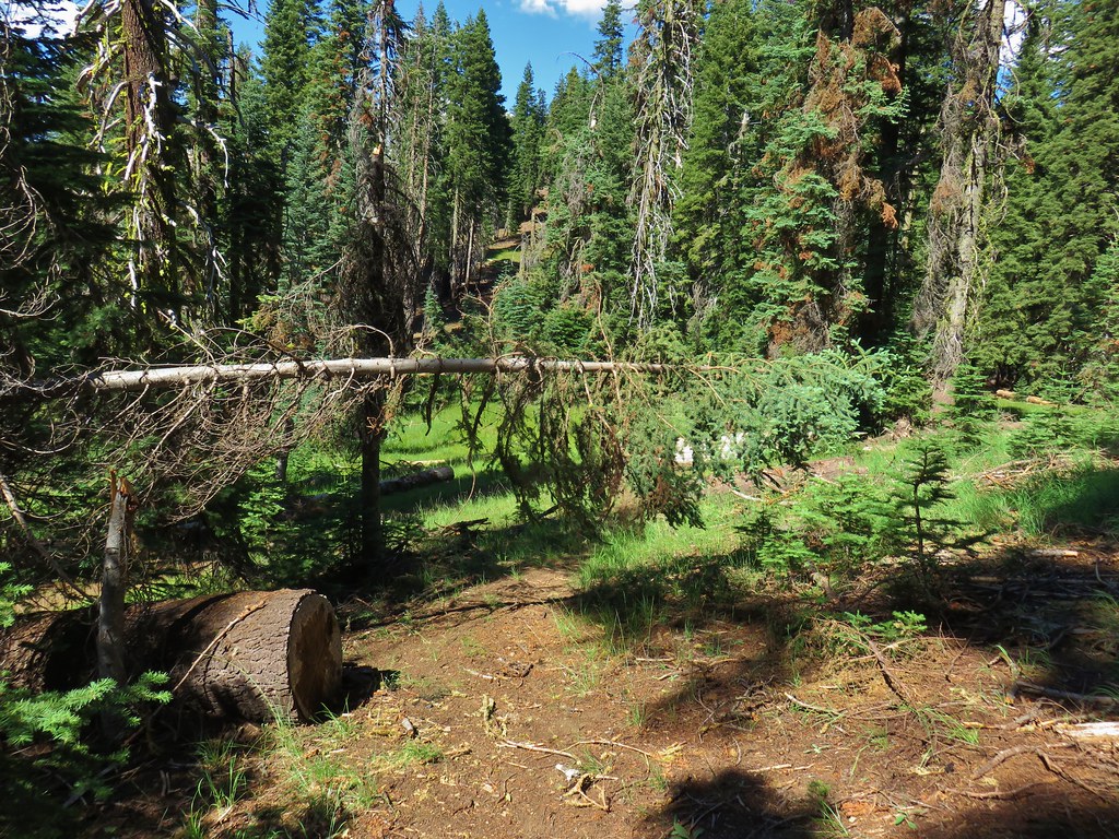
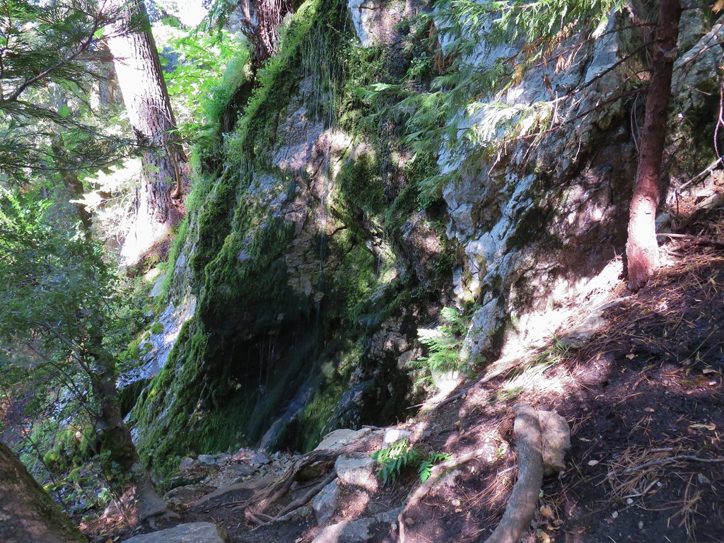
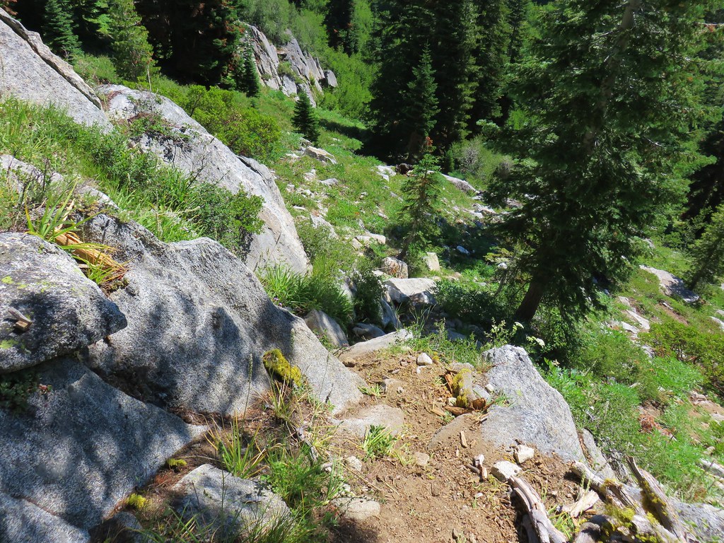
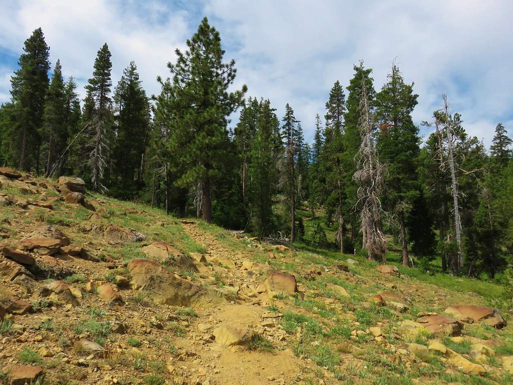
Beyond the cliffs the trail turned north as it began to contour around a creek drainage. Up until this point the the trail had been in good shape with signs of recent maintenance where logs had been cut. The Chucksney Mountain Trail had been a bit faint through the meadow along the ridge but it had still been relatively easy to follow. Here we came to a large meadow with signs of another fire but no sign of the trail at first.

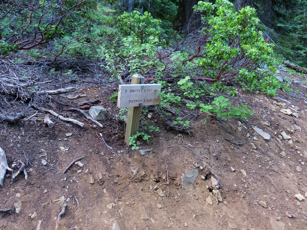
We finally spotted a small orange flag in the middle of the grass and made our way towards it.
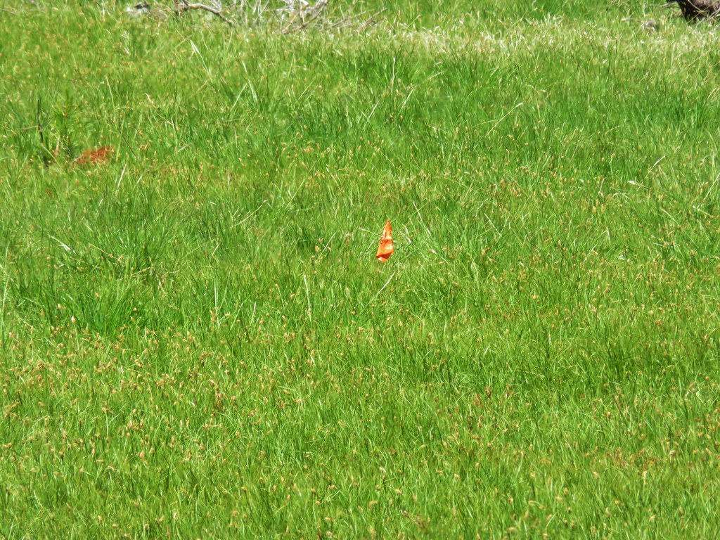
It was a Forest Service “Trail” Flag so we looked for a second one. We did spot one, but it was next to a small tree next to the trail we’d just come from. We scanned for any signs of a trail: flagging, cairns, blazes but there was nothing. Time for the maps. The Garmin, Forest Service, and topographic maps all showed the trail swinging around to the NE so we began using the GPS to stick close to where it showed the trail was supposed to be. We spread out a bit in hopes of rediscovering the trail. We both spotted different flags at about the same time.

There wound up being three flags at the lower end of the meadow which led us to the continuation of the trail as it reentered the trees. After a short stint in the trees the trail began to climb out of the valley into another meadow.
The trail was faint at times in this meadow as well, but there were large rock cairns to help guide us this time.

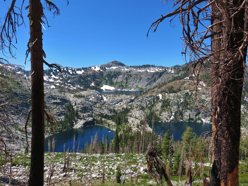
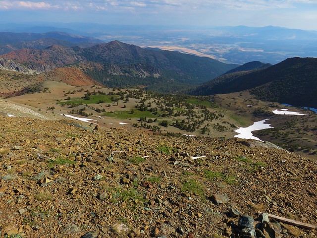
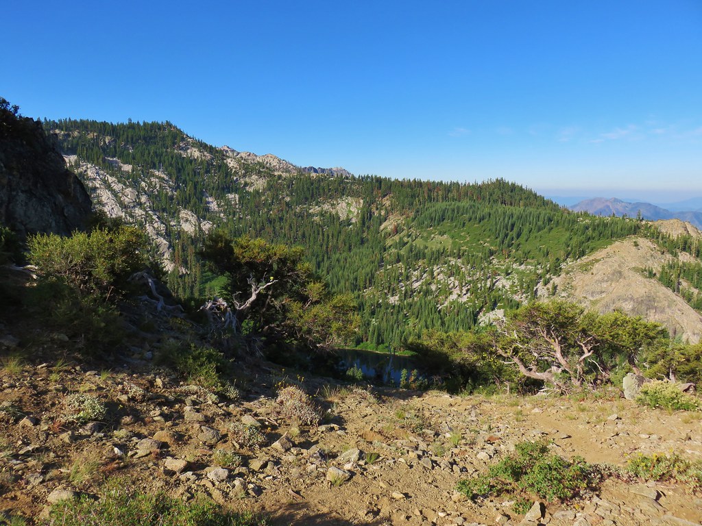
Looking back from this meadow gave us a good look at another meadow across the valley.

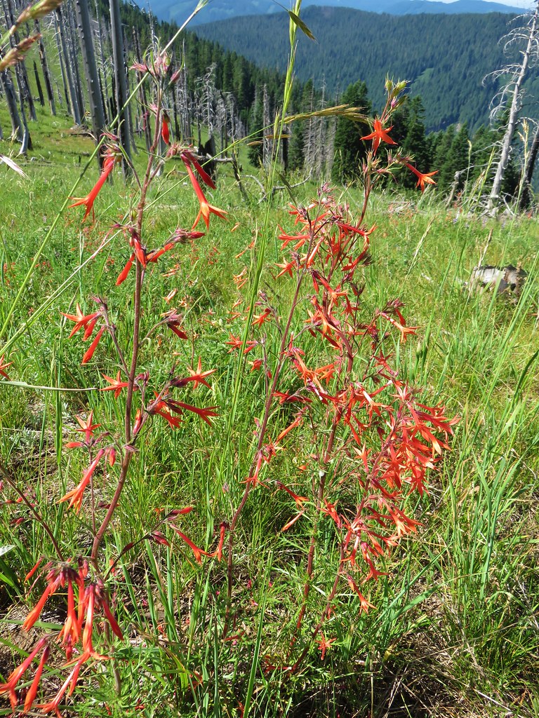
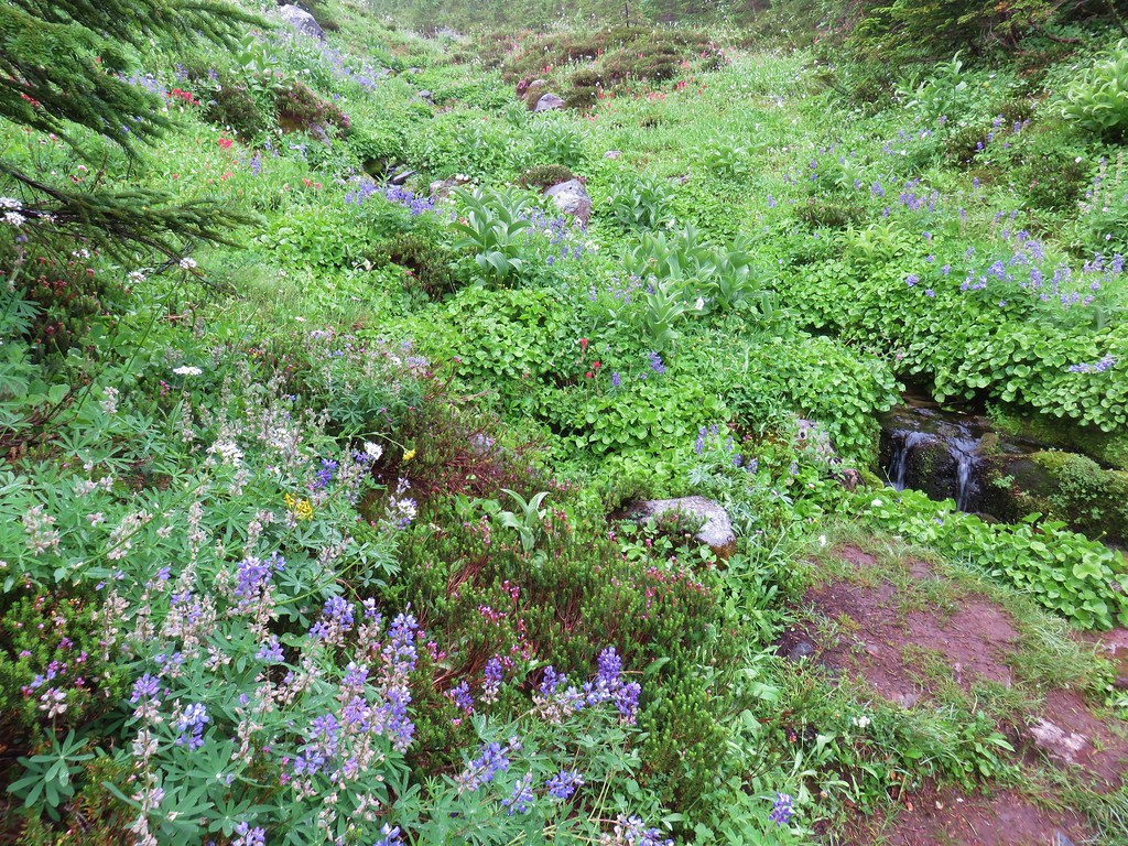
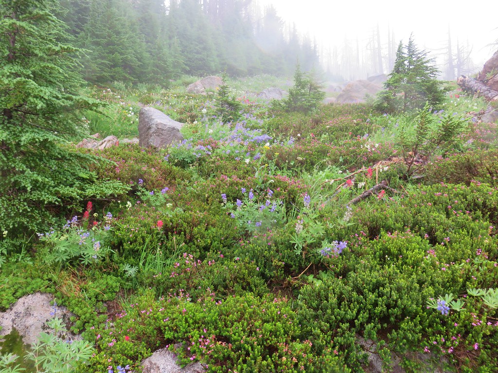
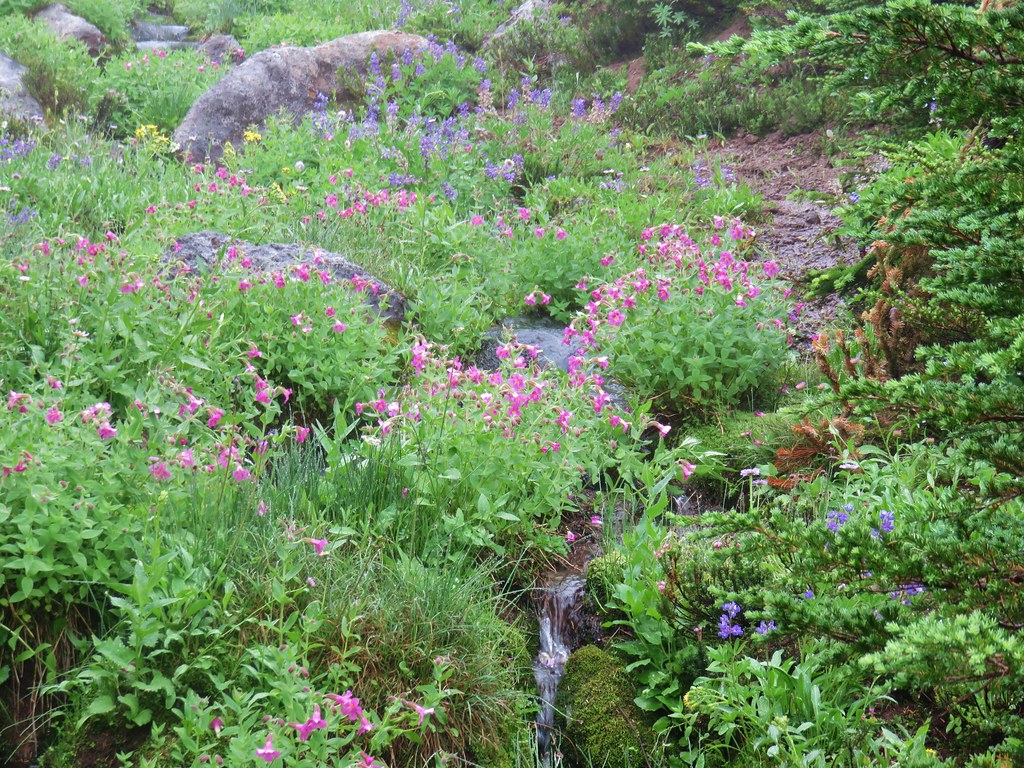
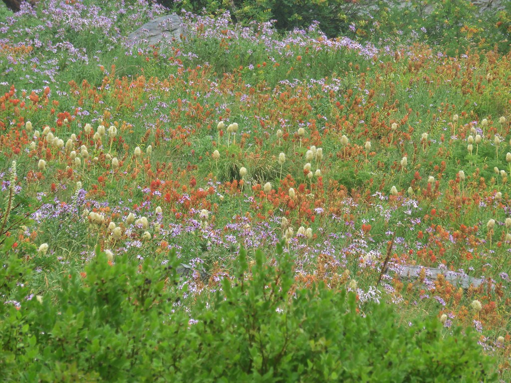
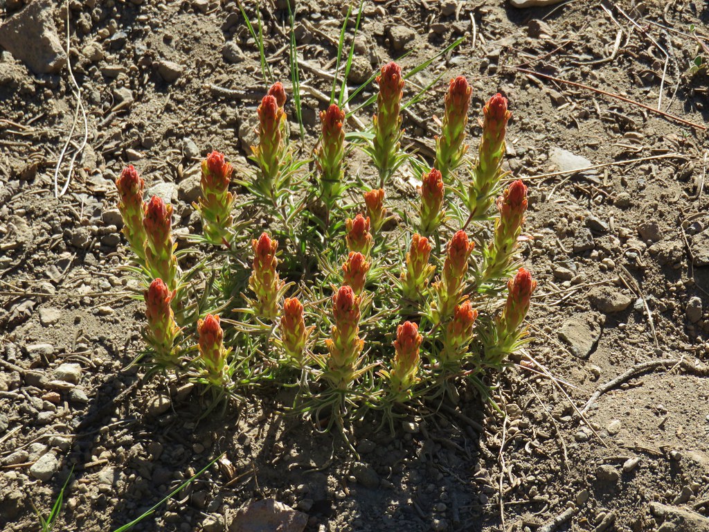
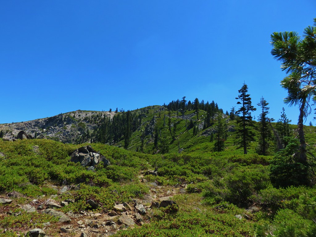
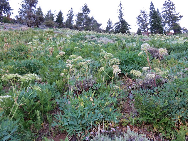
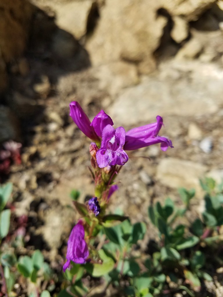
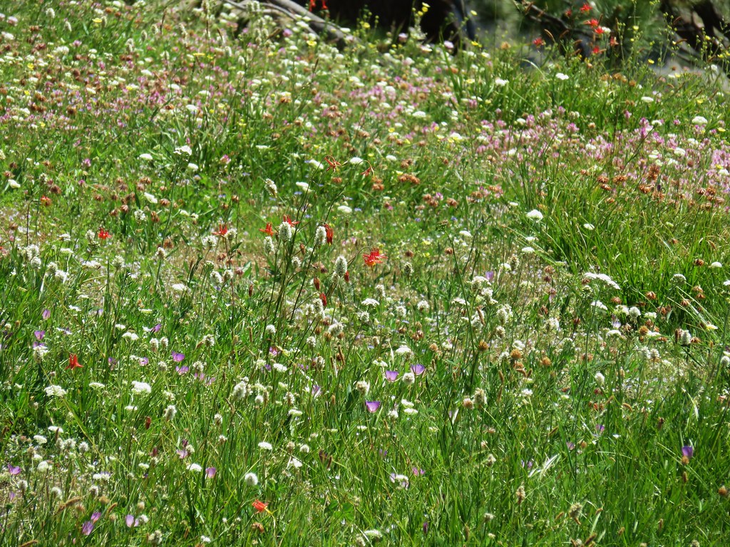
The meadow gave way to a wildflower rock garden as the trail regained the ridge.

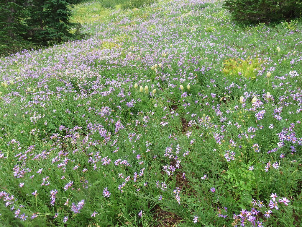
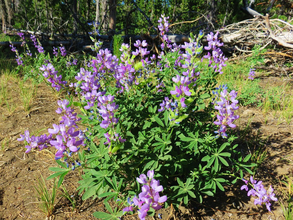
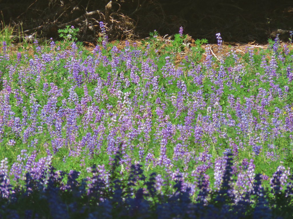
In the next half mile the trail passed through two small meadows, the first filled with lupine and the second more beargrass. The trail was once again very faint in the lupine meadow.

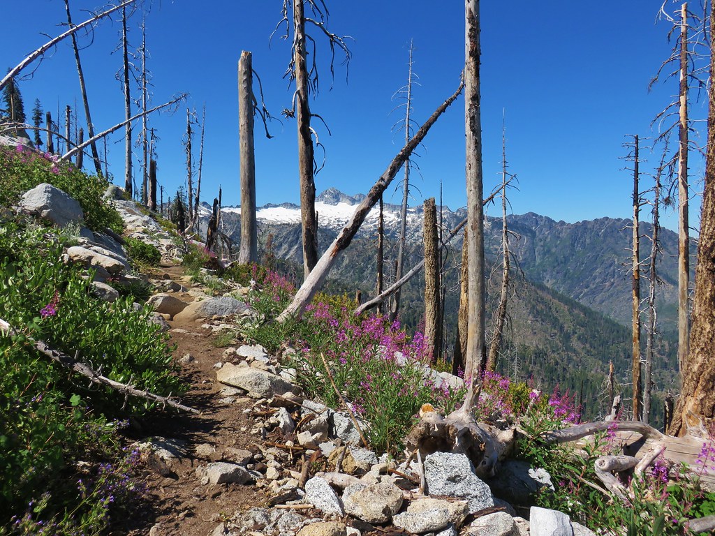
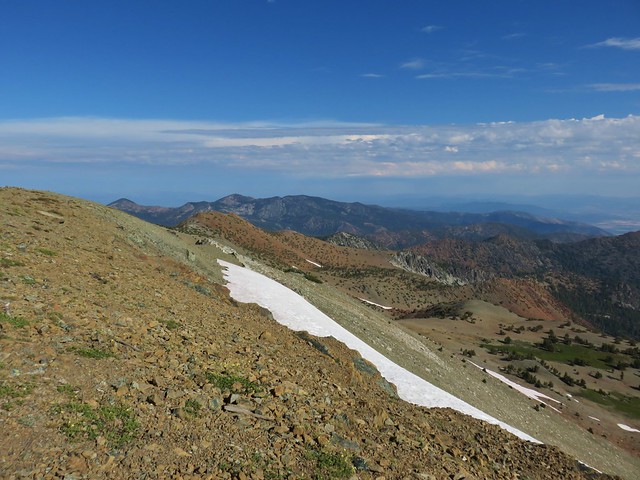
The trail then dipped off the ridge, first on the north side, then after climbing back up to a saddle, to the south side to avoid some rock outcrops.
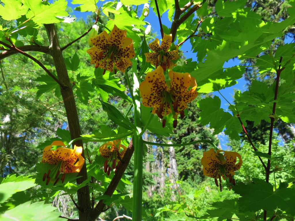
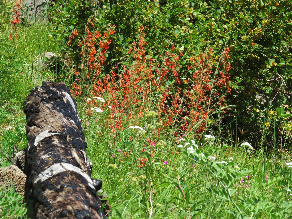
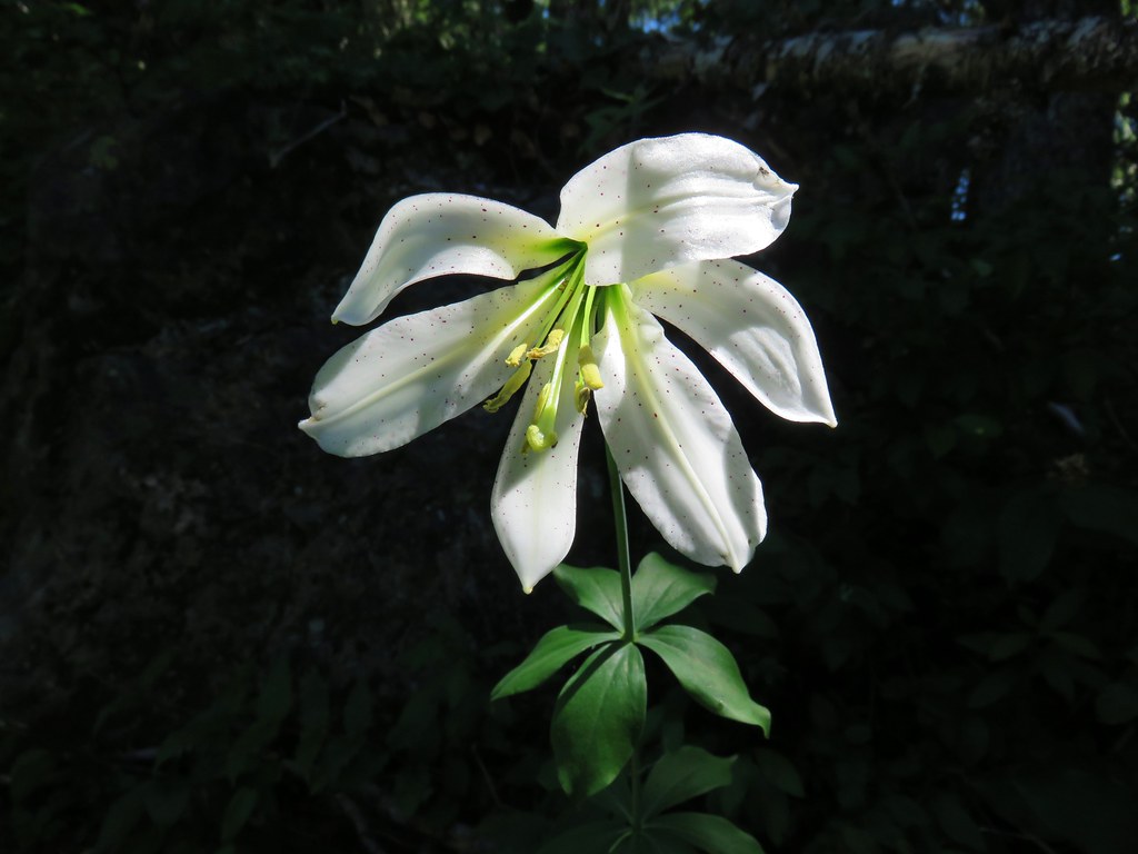
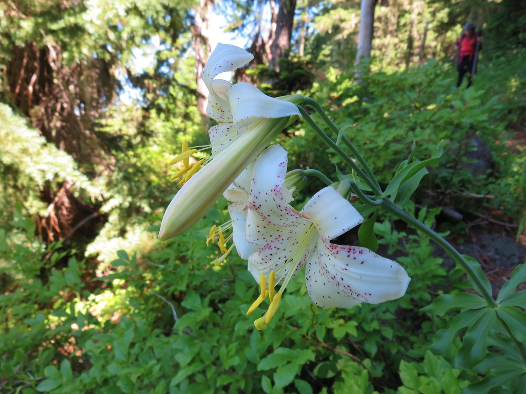
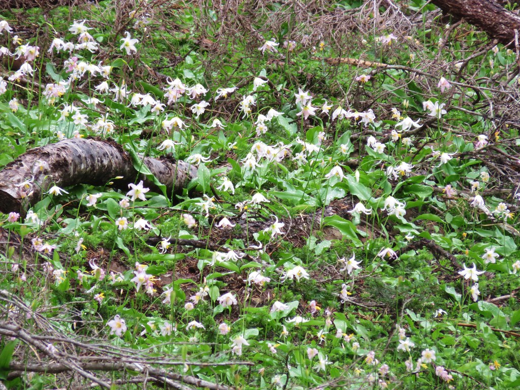
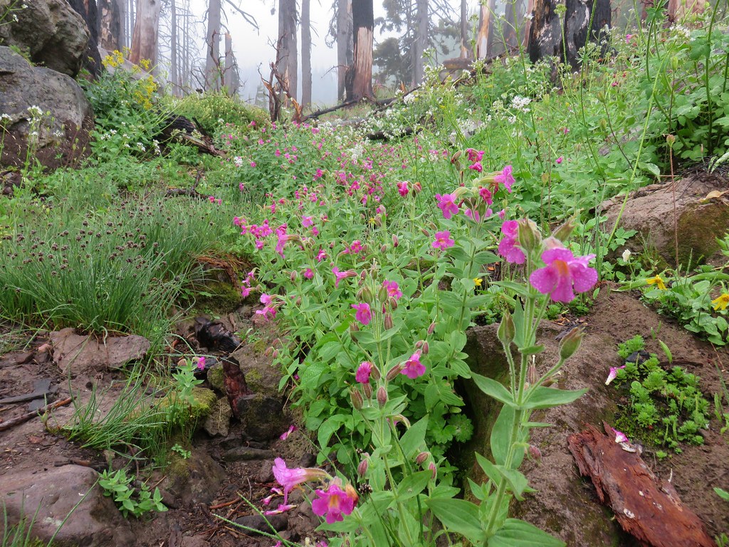
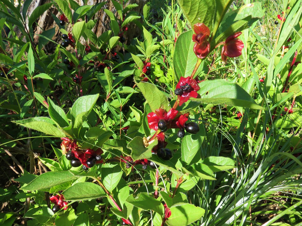
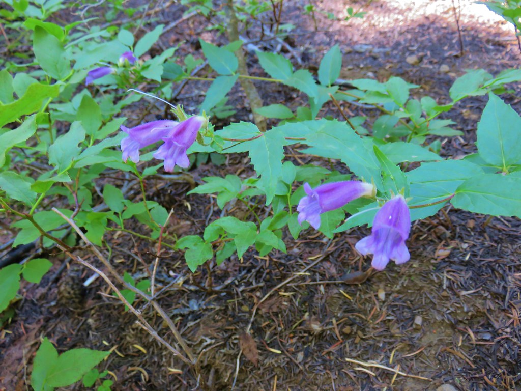
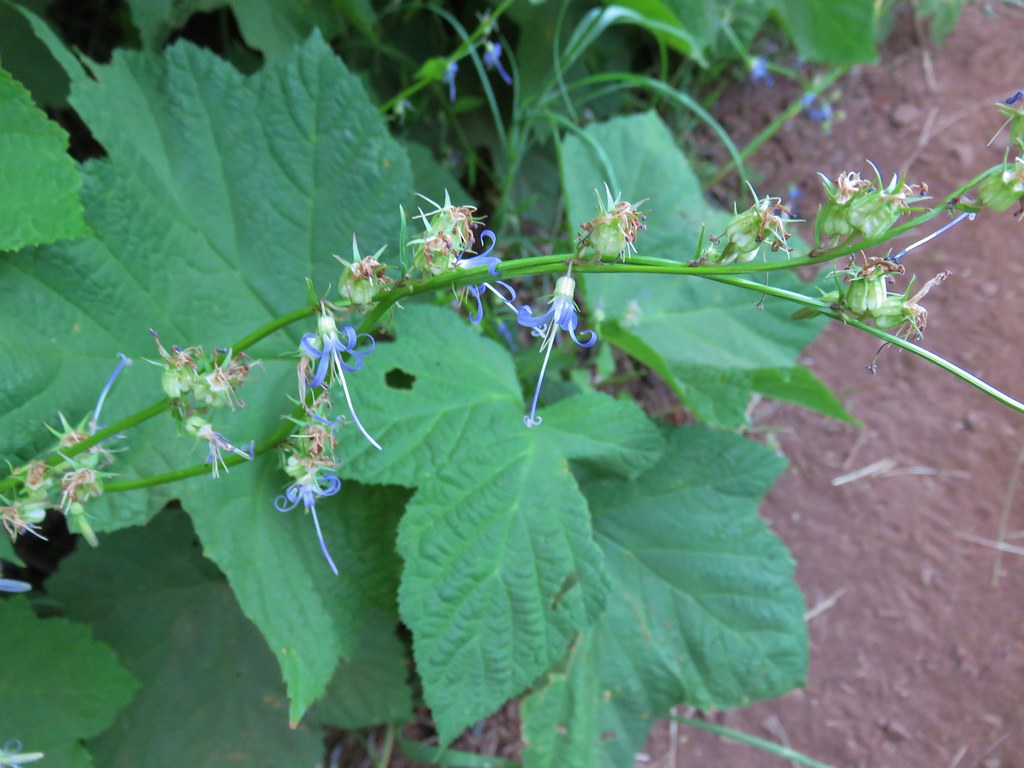
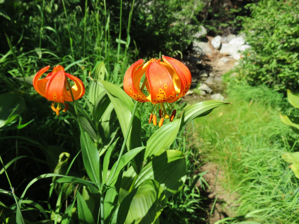
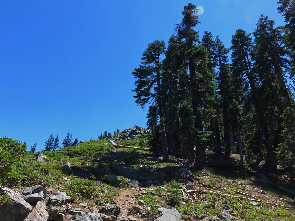
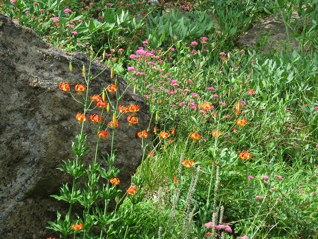
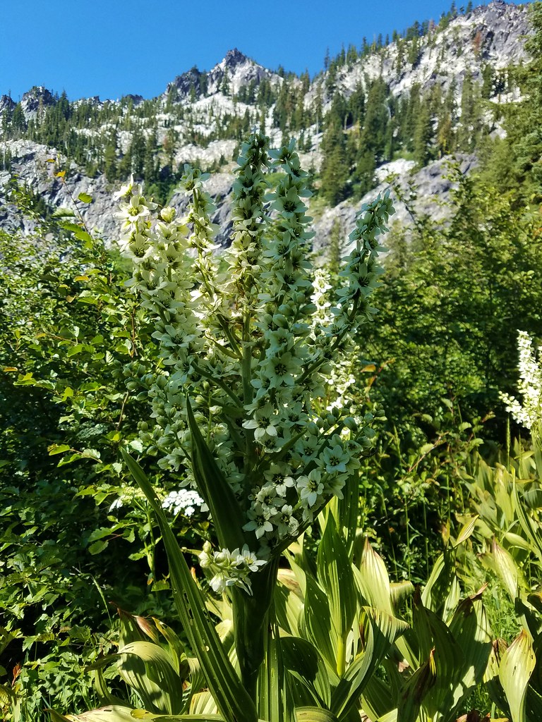
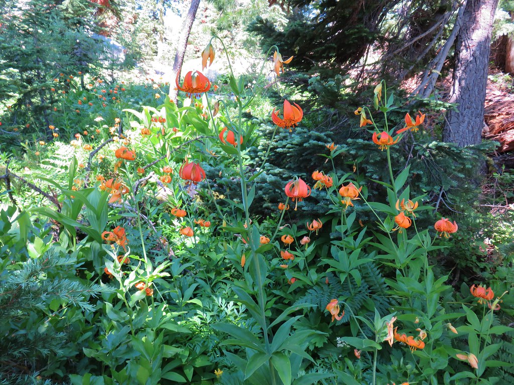
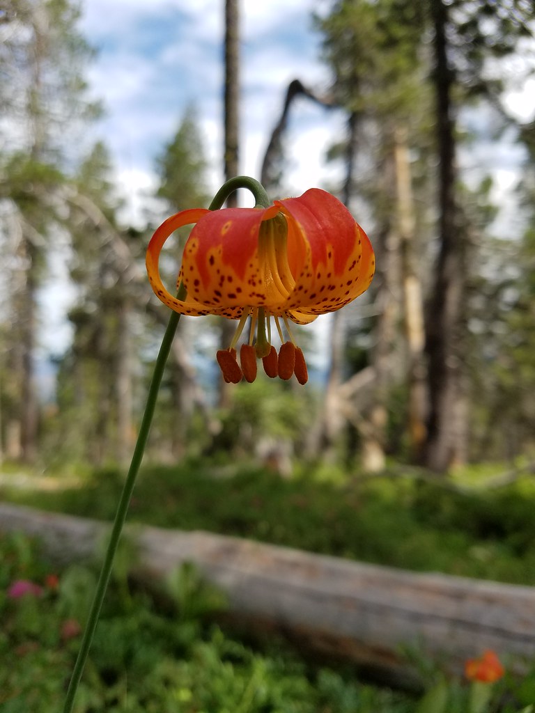
Beyond the outcrops was a short forested section of the ridge where some fragrant Washington lilies were in bloom.
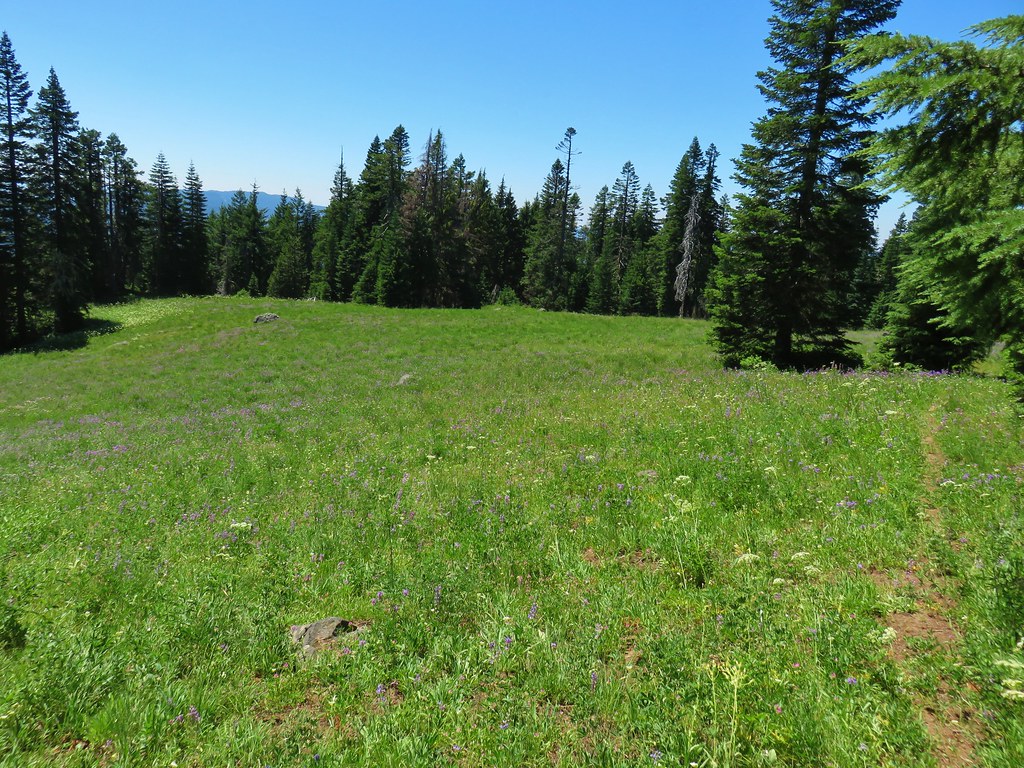
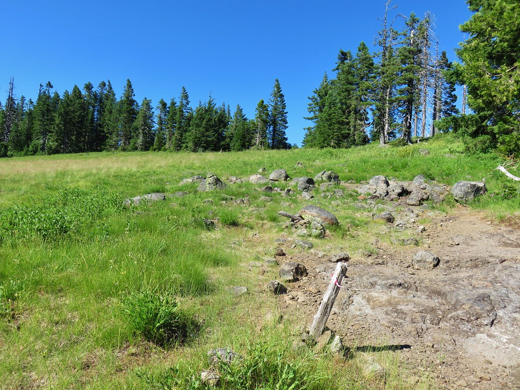
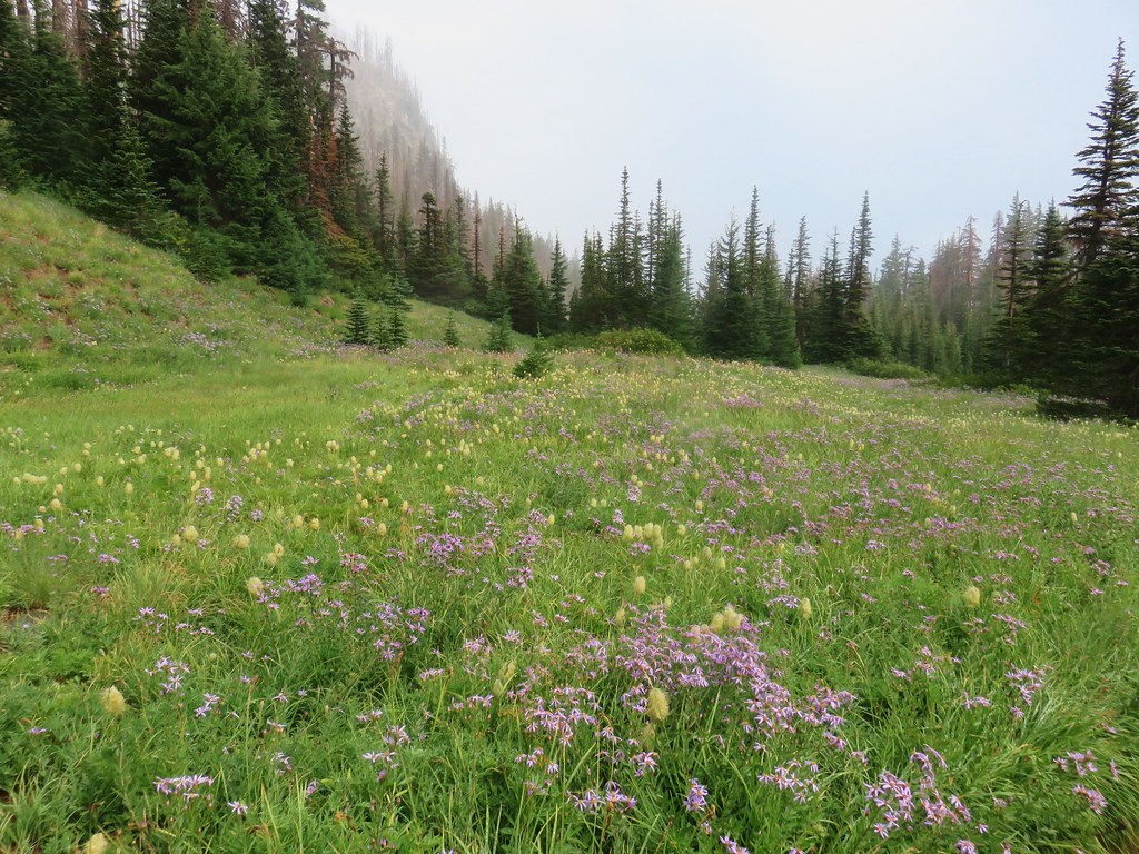
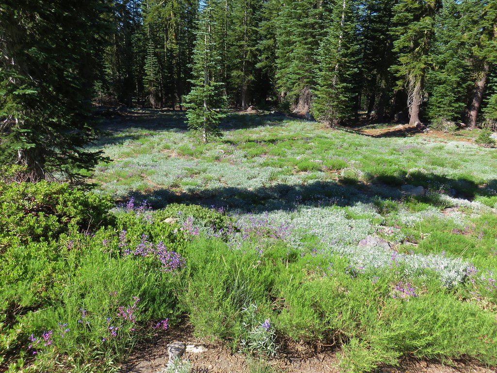
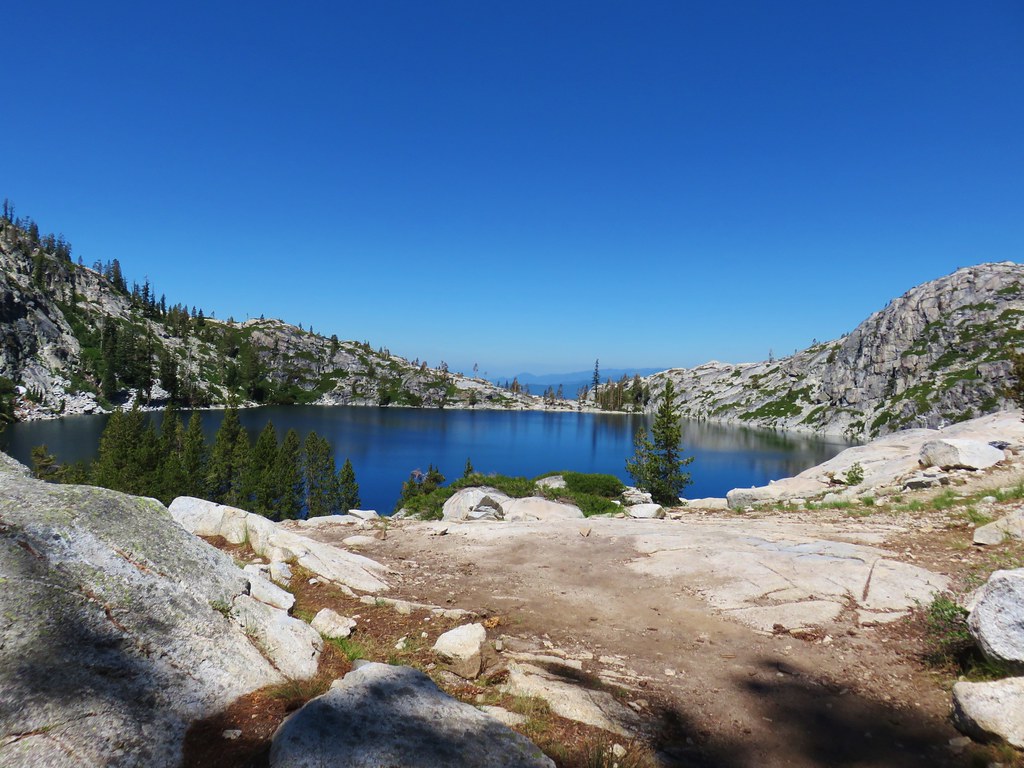
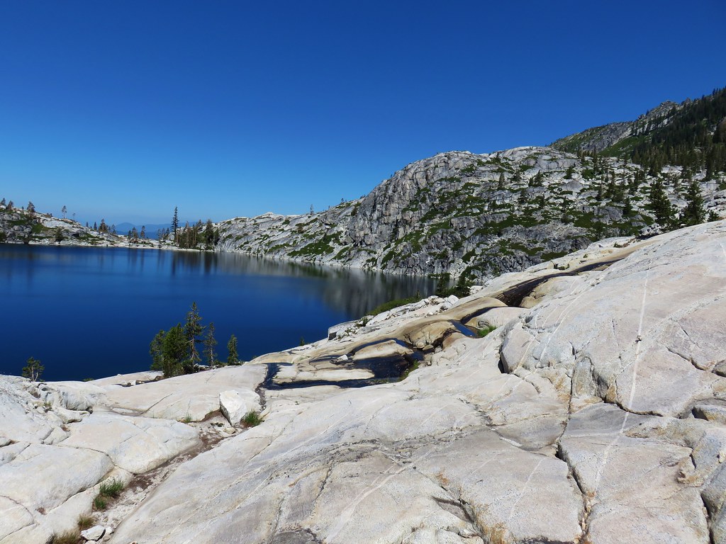
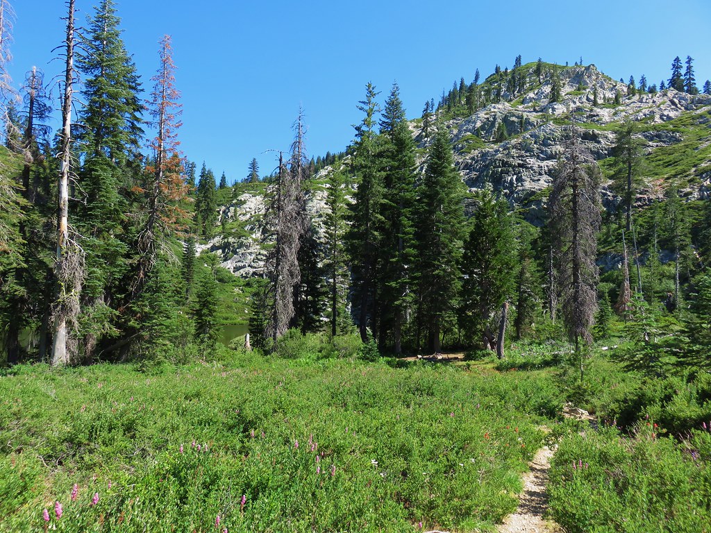
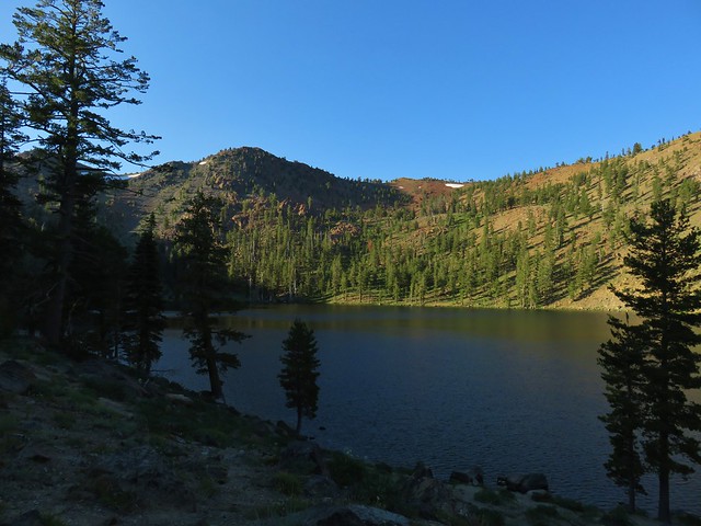
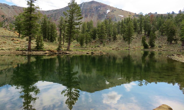
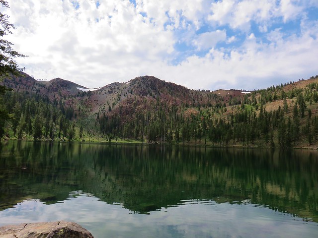
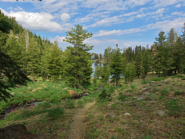
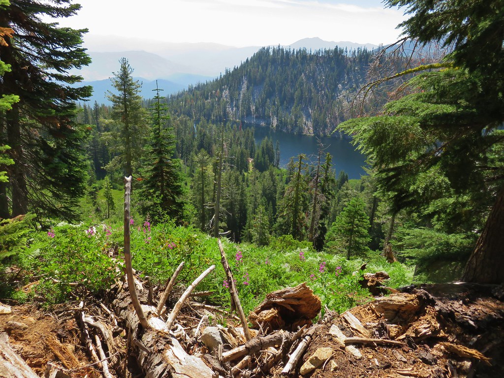
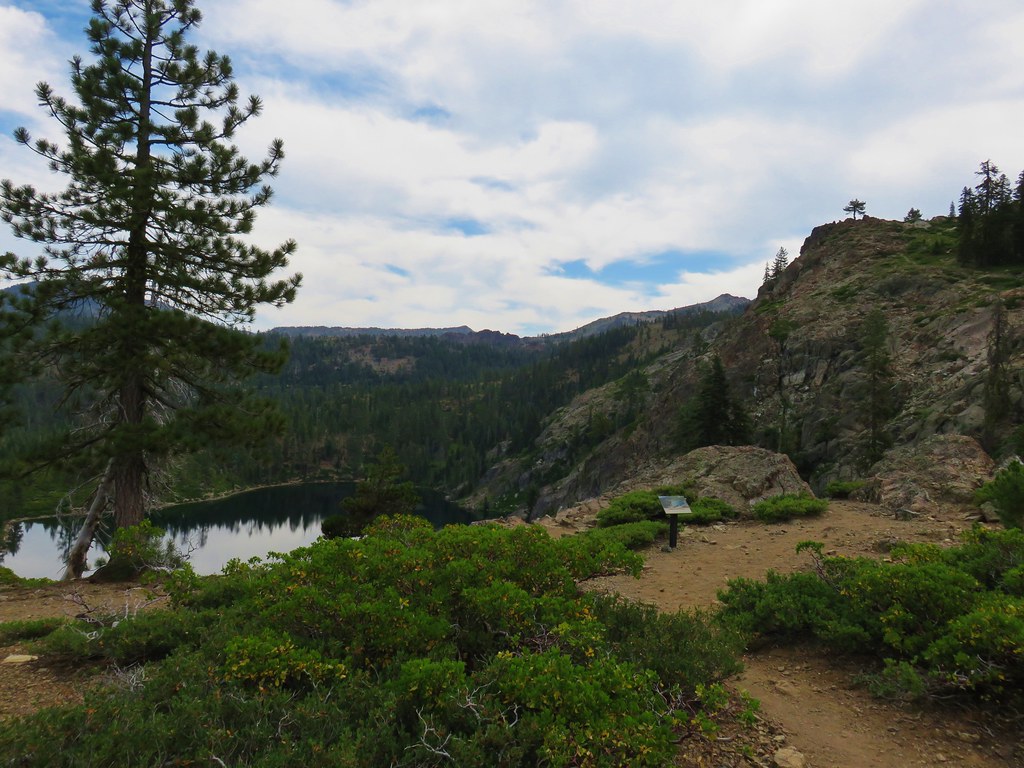
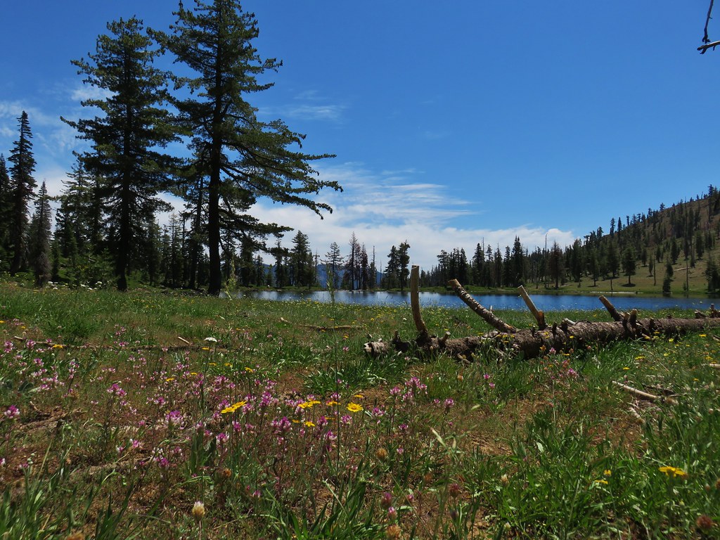
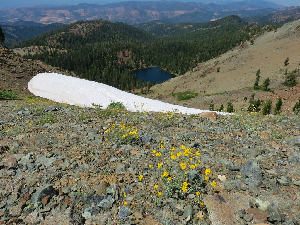
A total of 5.2 miles from the Chucksney Mountain Trail junction we arrived at the meadow near Grasshopper Point.
We spotted a patch of bare ground at the edge of the meadow near the trees where we decided to set up camp.
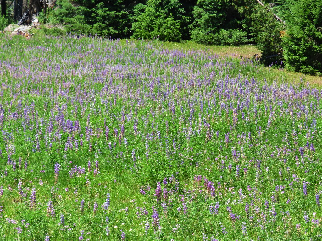

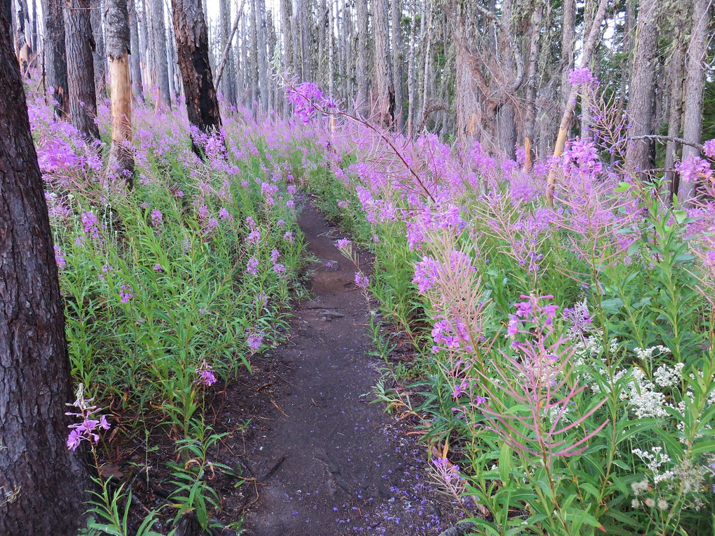
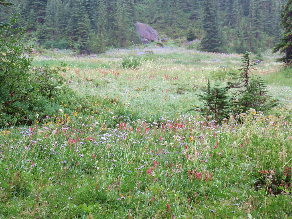
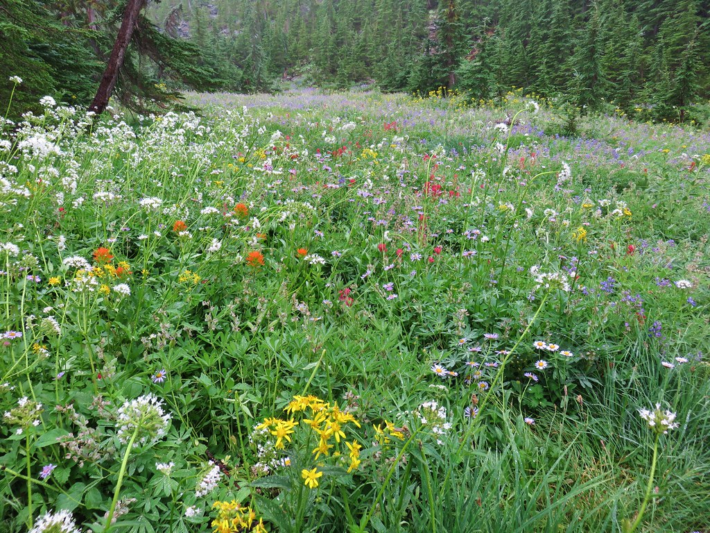
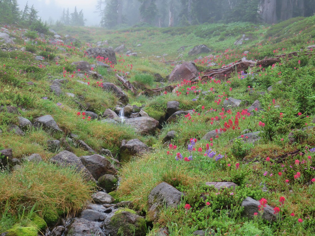
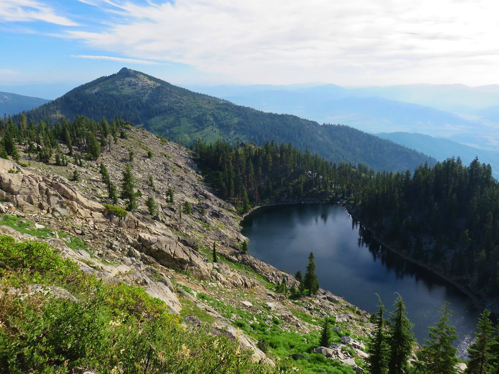
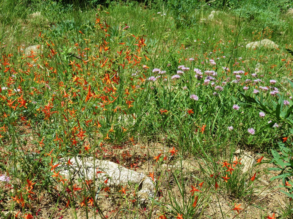
The meadow was filled with flowers and provided views of Diamond Peak, especially on the rocks of Grasshopper Point.

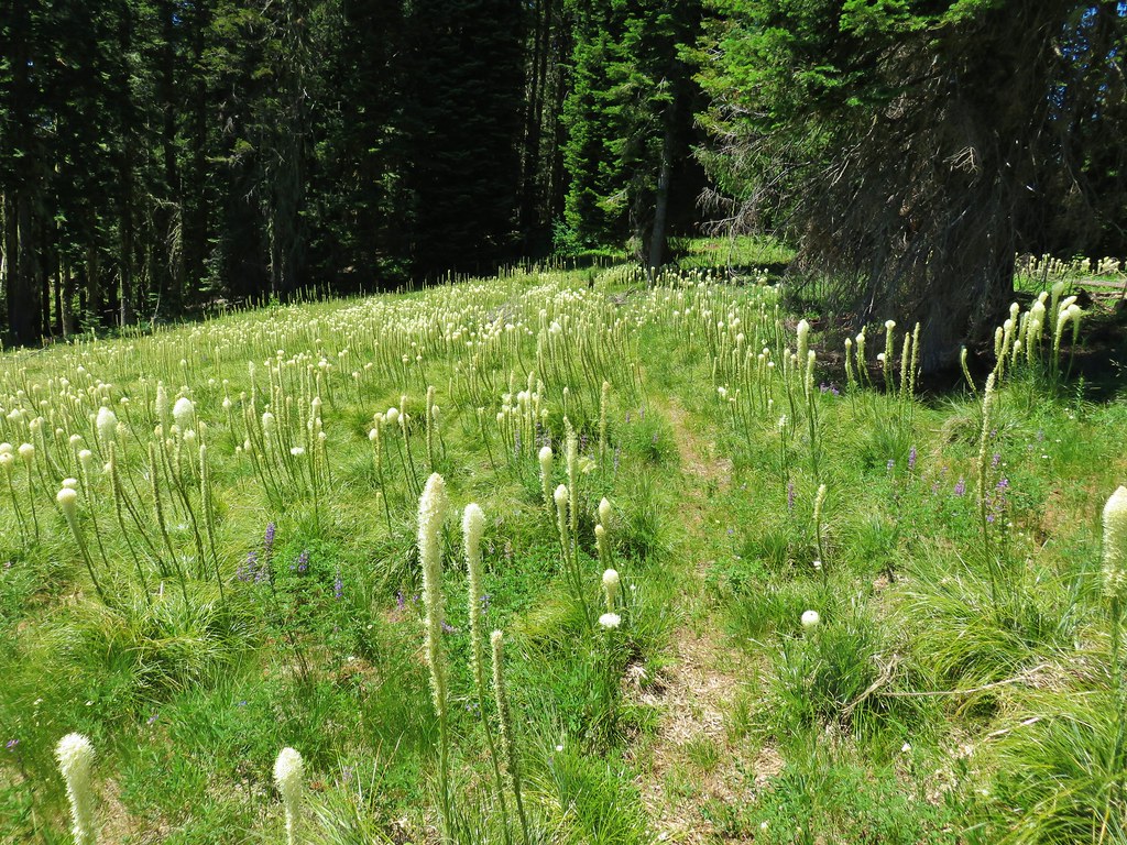
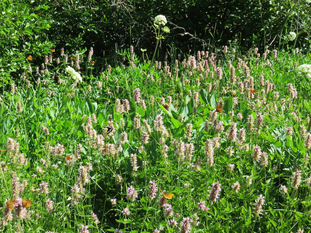
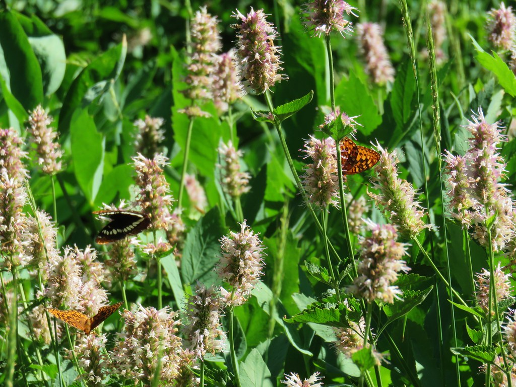
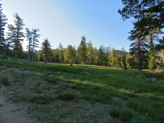
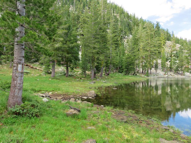
After setting up camp and taking a nice break at Grasshopper Point we continued east on the Grasshopper Trail to the large Grasshopper Meadow.
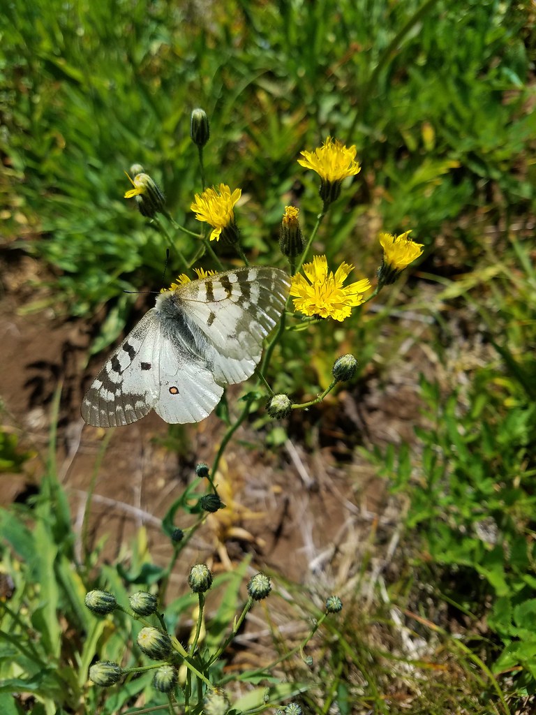
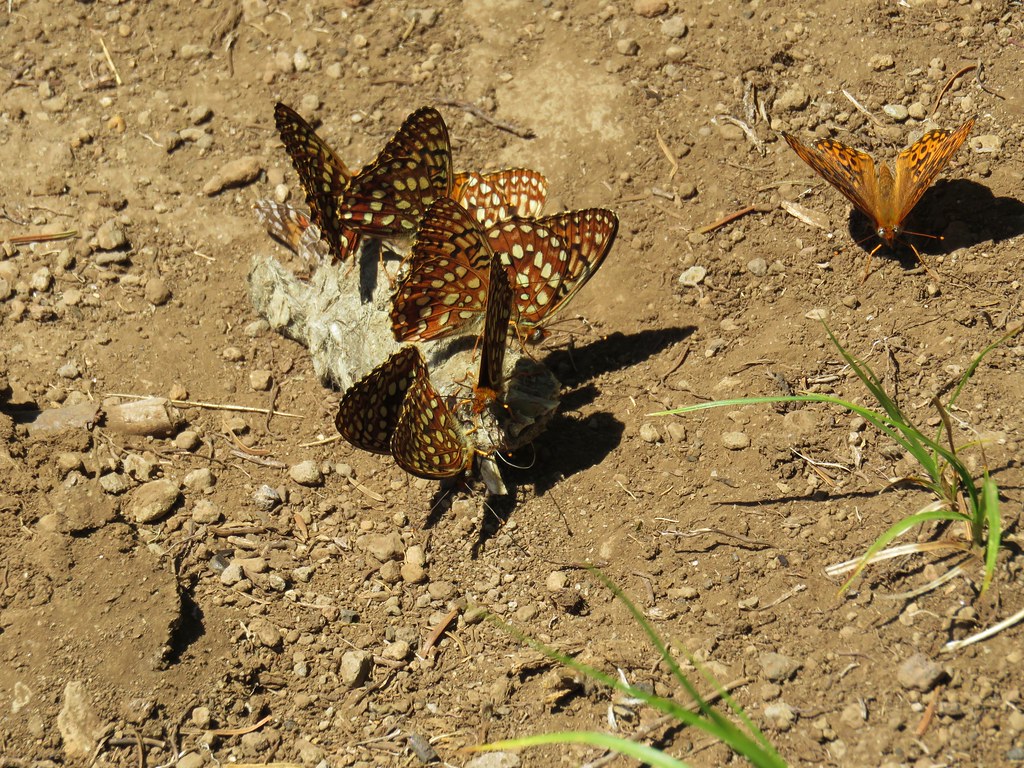
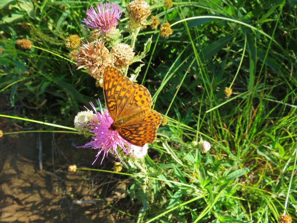
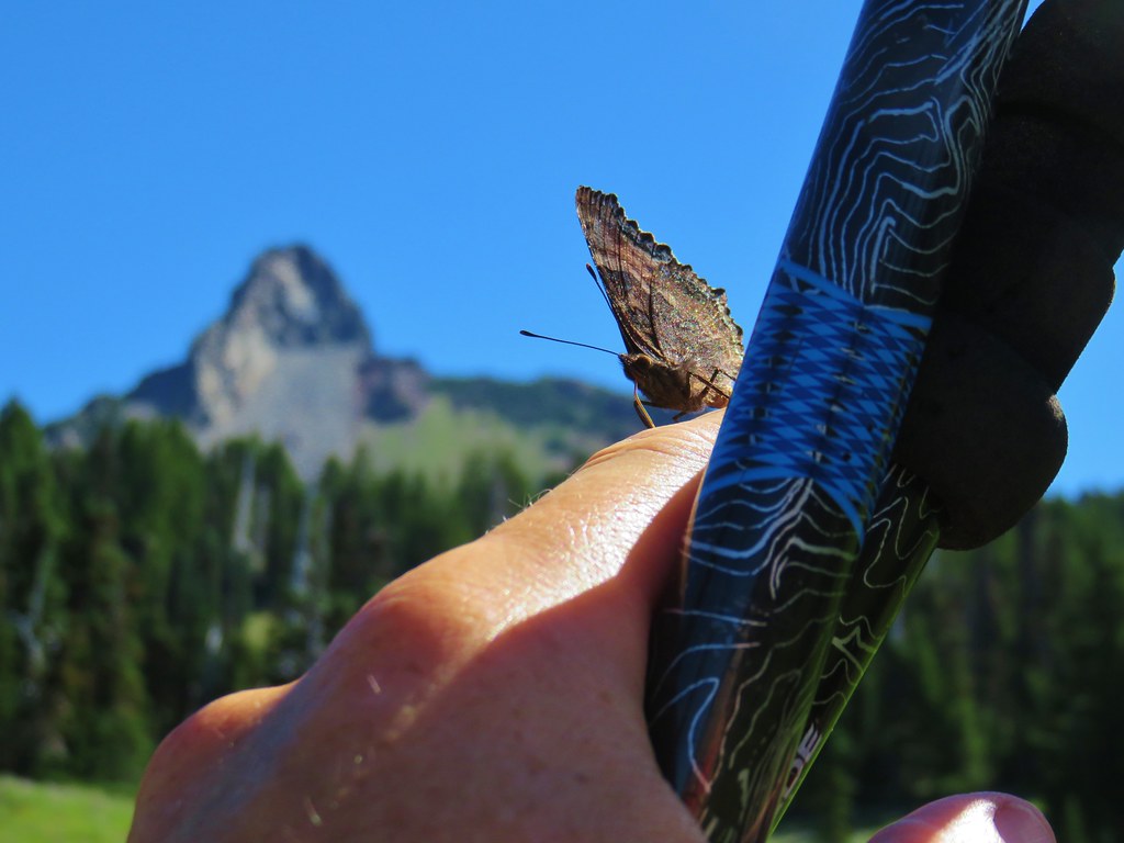
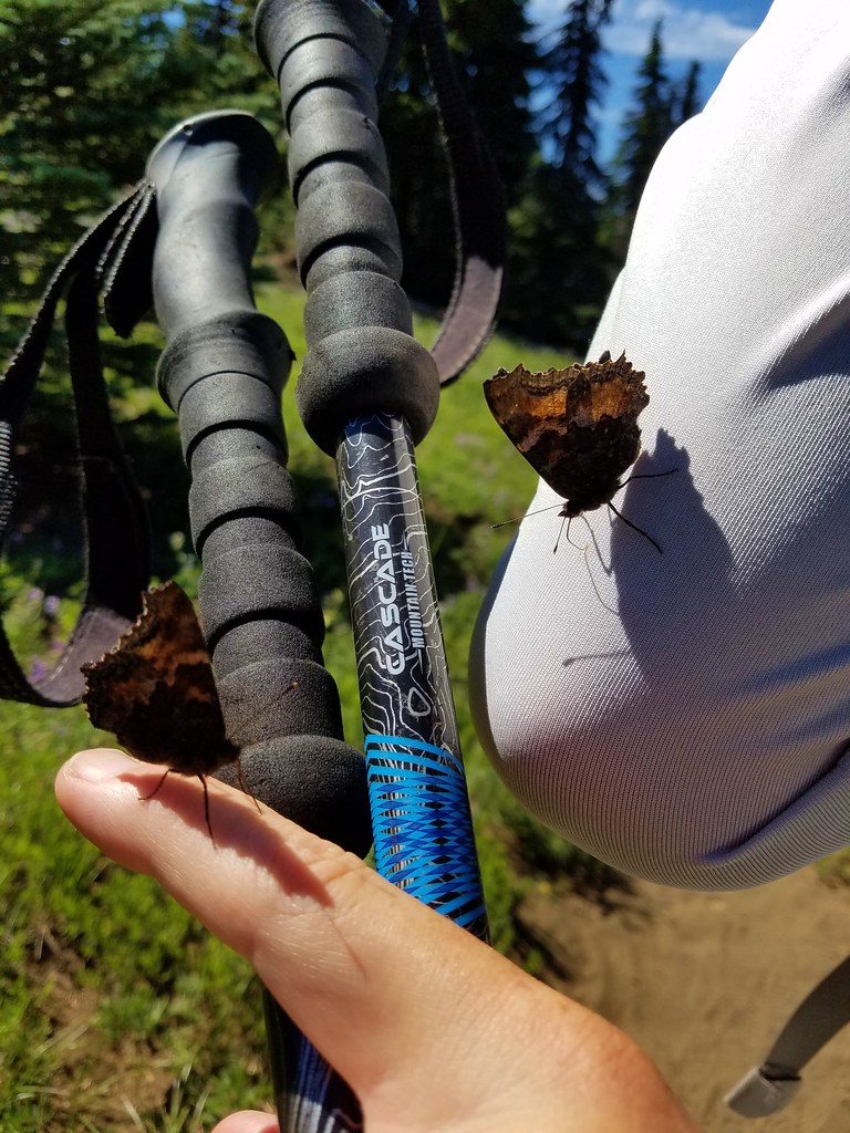
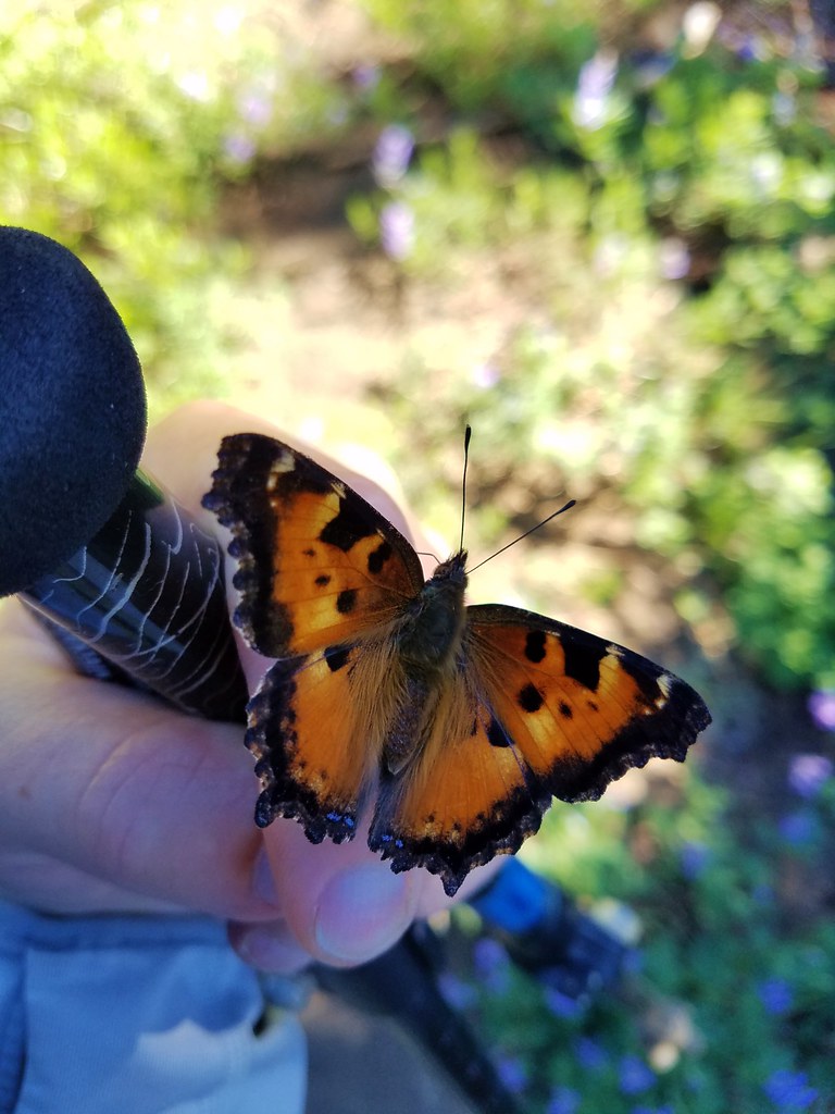
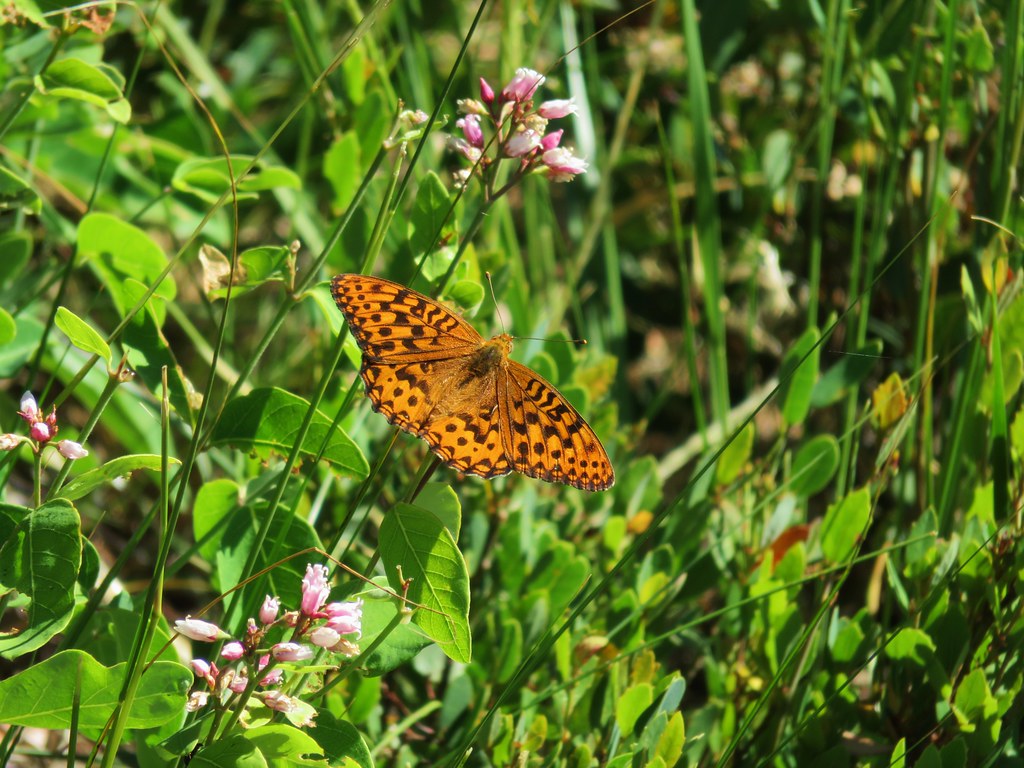
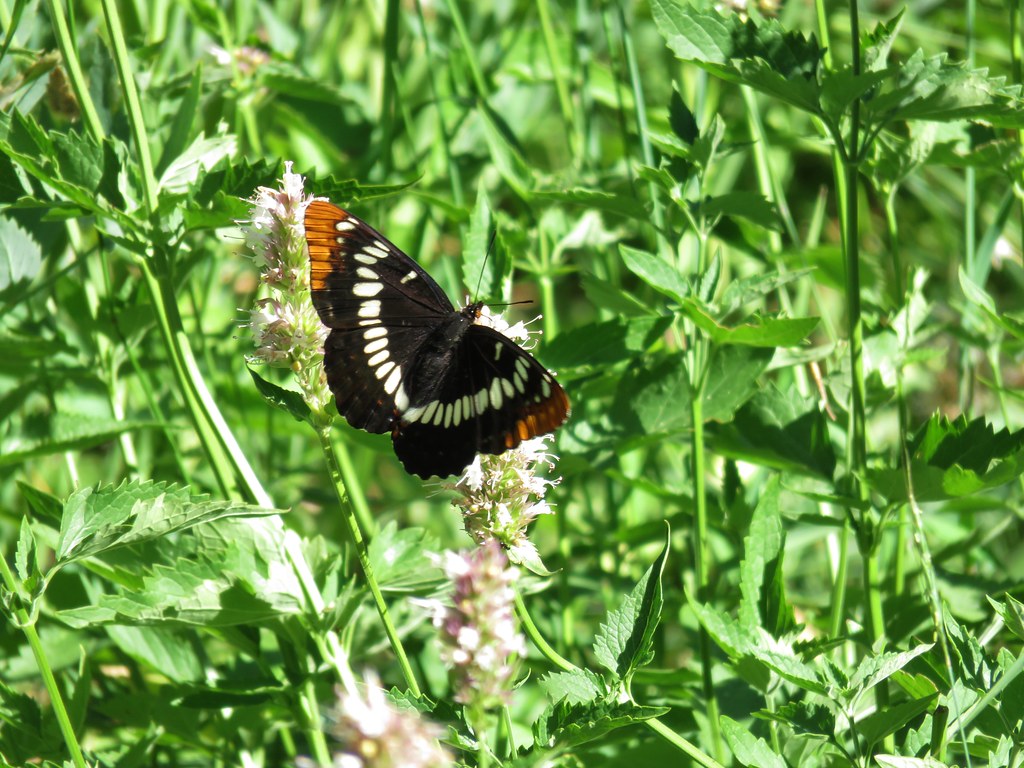
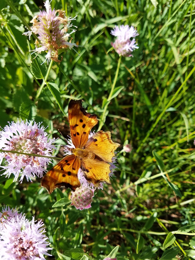
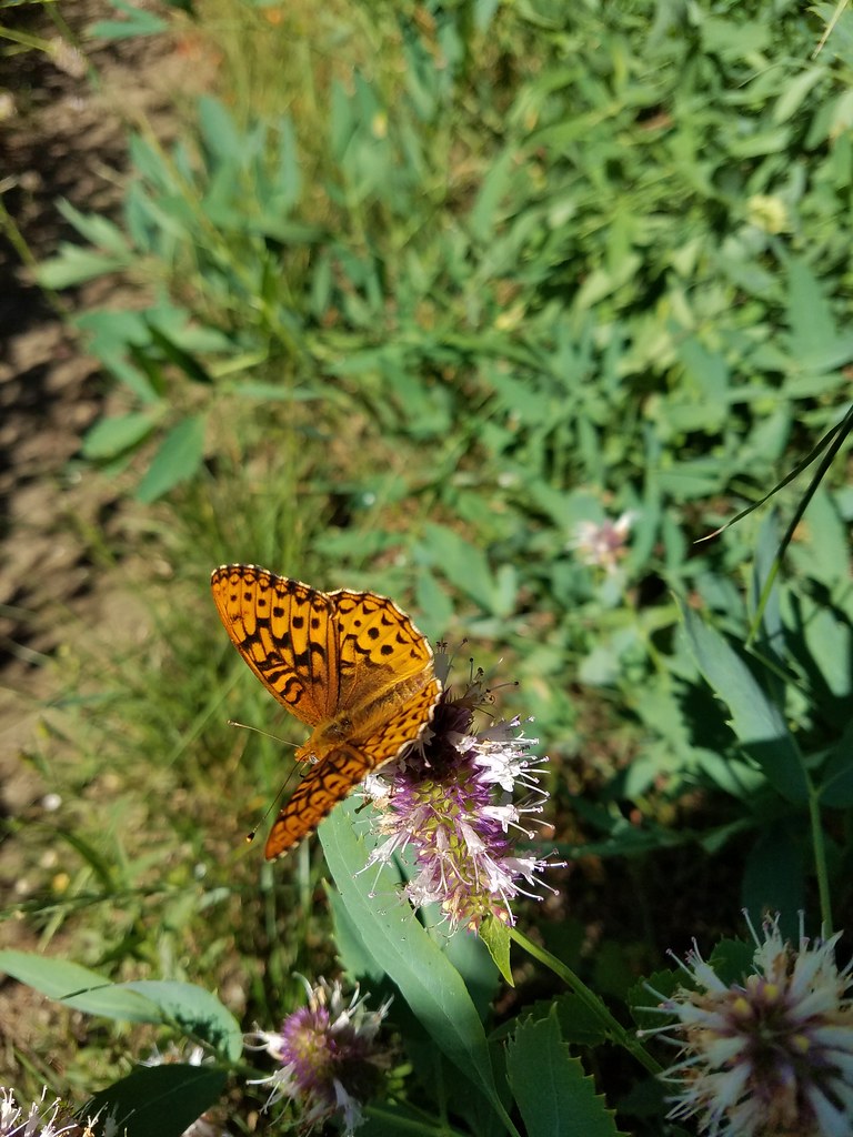
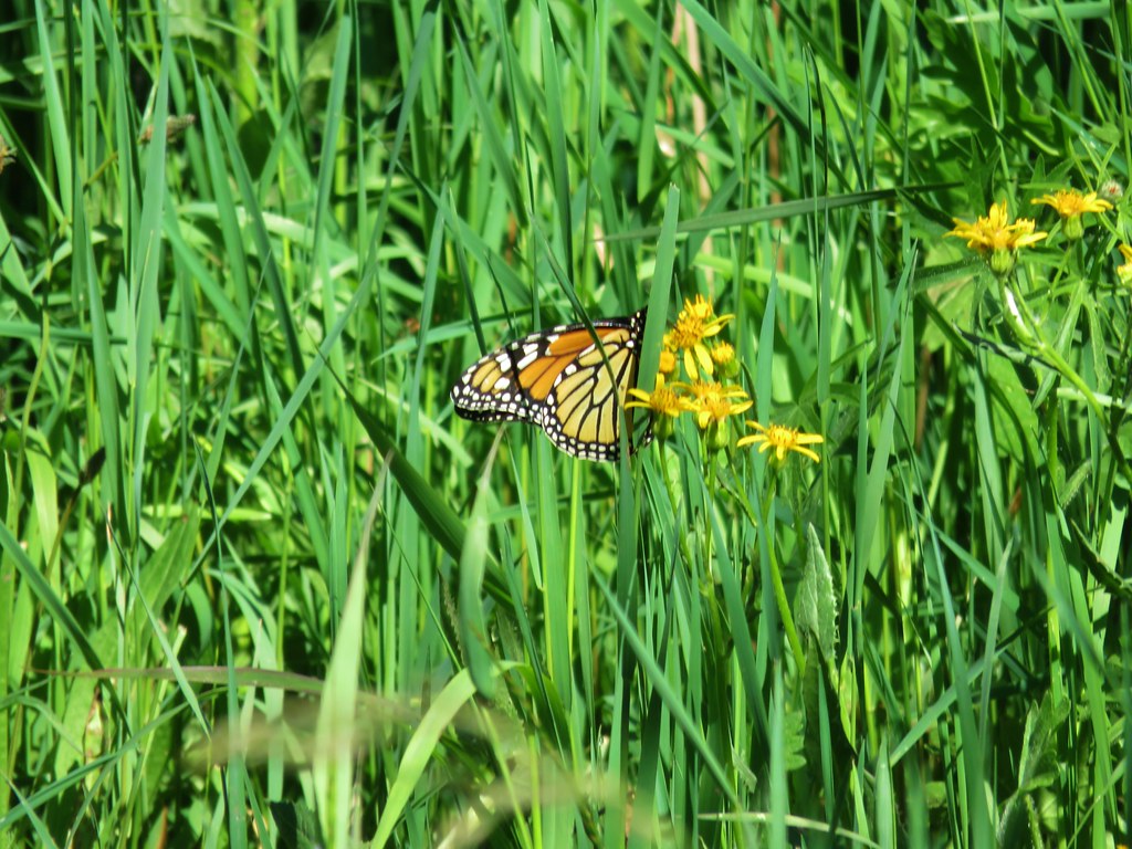
Grasshopper Meadow (and Grasshopper Point for that matter) lived up to their name as dozens of grasshoppers jumped with every step. The number of grasshoppers was impressive but more impressive was the variety of butterflies we were seeing.


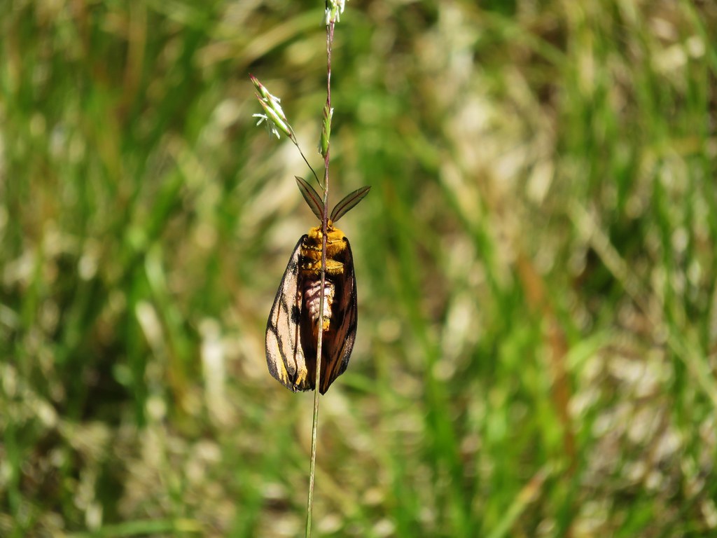
There was even another common sheep moth.
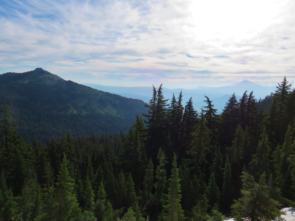
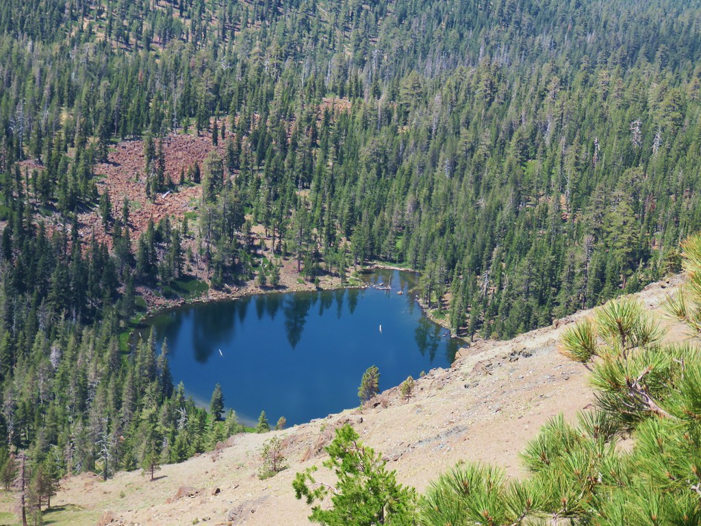
We were so busy looking at the butterflies and flowers we missed the fork in the trail that would have led down to a spring which is where we had planned on heading. We had brought our dinner with us and had planned on finding a place to eat near the spring so we could refill our water afterward since it was the only source of water around. When we reached a saddle where the trail began to descend to the north of Grasshopper Mountain we realized our mistake. From the saddle the Grasshopper Trail follows Hiyu Ridge for 4 miles to the Grasshopper Trailhead.
The view from the saddle included Diamond Peak to the SE and the Three Sisters, Broken Top, and Mt. Bachelor beyond Chucksney Mountain to the NE.
We momentarily considered attempting to bushwack up to the former lookout site atop Grasshopper Mountain but the brush near the summit looked thick and in the end we decided not to exert the effort.
Instead we decided to head cross country downhill and use the GPS to locate the spring.
From higher up in the meadow we’d seen something near a boulder below and on our way to the spring we took a closer look.
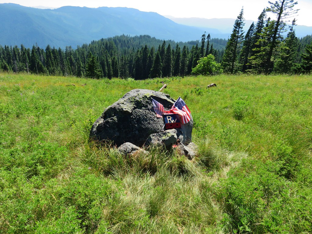
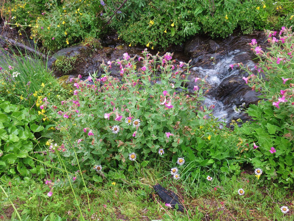
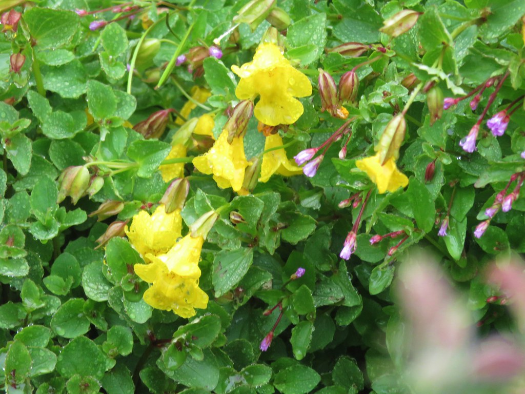
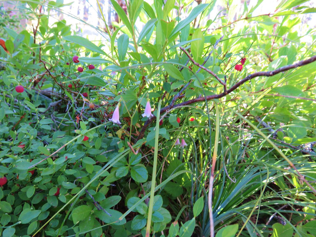
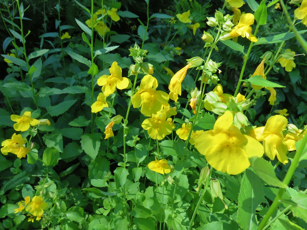
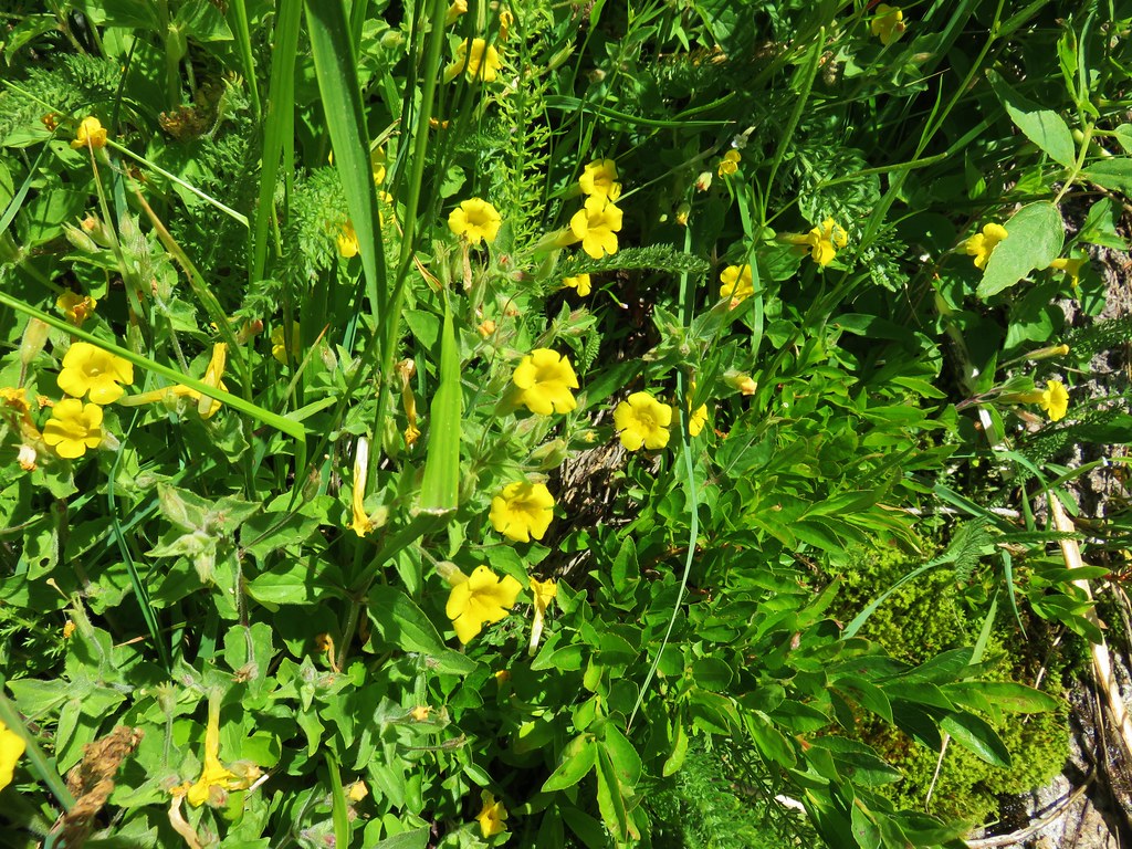
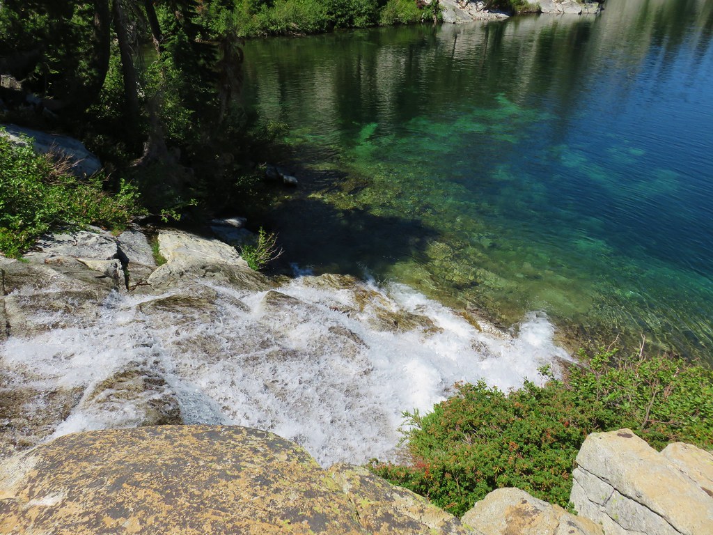
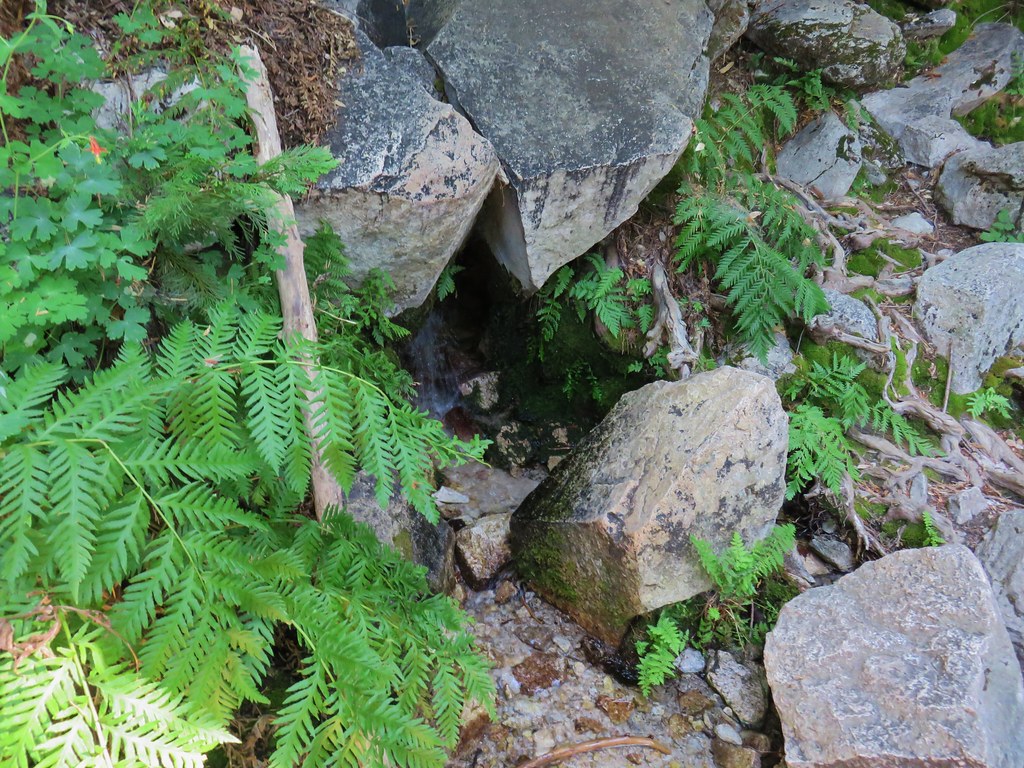
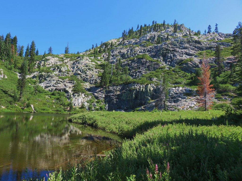
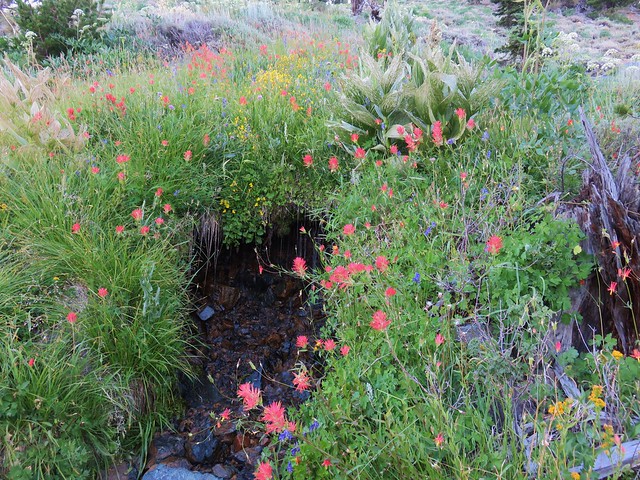
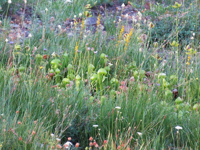
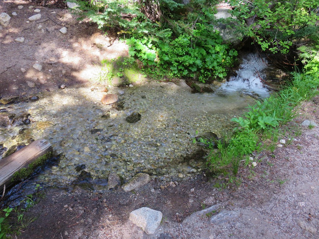
Not sure if it was some sort of memorial or what but after satisfying our curiosity we continued steeply downhill to the SE where we managed to find the spring flowing out of a pipe amid a clump of yellow monkey flower and a swarm of blue copper butterflies.


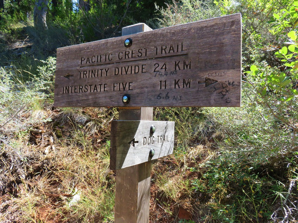
We filled all our containers from the spring and then picked up a trail just a few feet east of the spring climbing steeply uphill. This trail starts just .7 miles from the spring along Forest Road 1929 and is the described route in William Sullivan’s 4th edition “100 Hikes in the Central Oregon Cascades”.
The terrain was too steep to provide any place for us to fix dinner so we began climbing back up toward the Grasshopper Trail. The trail was faint but visible as we climbed. Along the way we spotted a huge Washington lily blooming in the meadow.


We were curious to find out where we’d missed this trail earlier when we passed by. It turned out that the path led over a rocky area where the tread vanished leaving a lone post and small rock cairn as it’s only identifiers.
We decided to return to Grasshopper Point and set up our stove on the rocks there. We fixed dinner then relaxed as we enjoyed the view and listened to the birds.

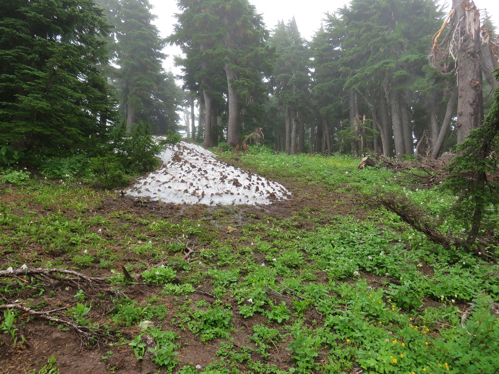
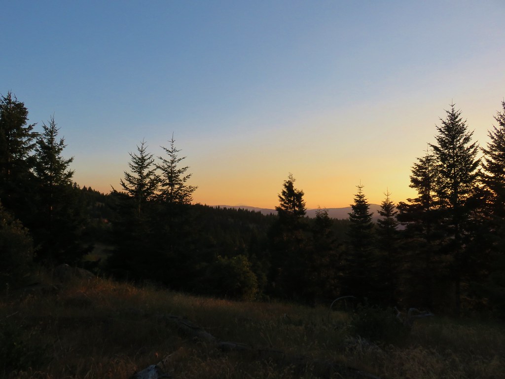
We turned in for the night after having put in a little over 15 miles for the day. After a good nights sleep we awoke early and began preparing to depart. The mosquitoes were out in force, (they had been mostly absent in the meadows during the heat of the previous day) and we were dealing with a fair amount of condensation due to setting up next to the meadow.

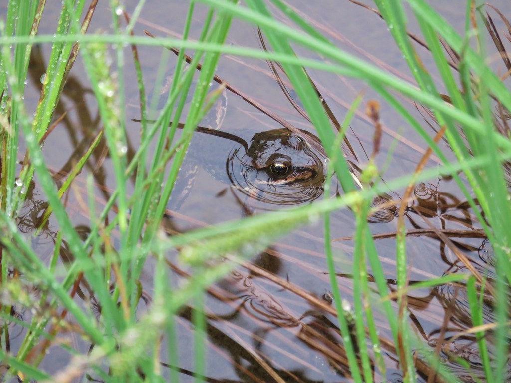
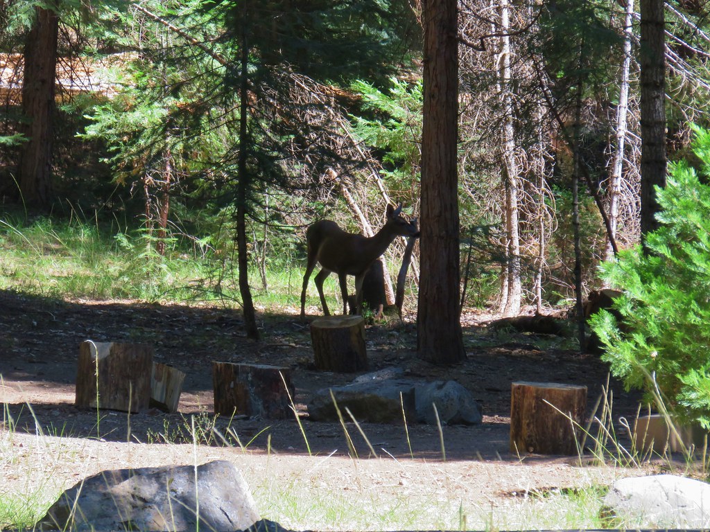
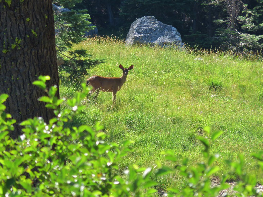
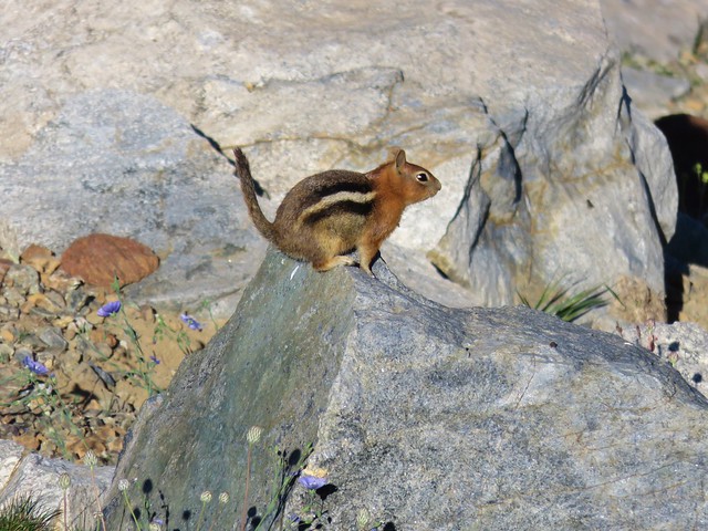
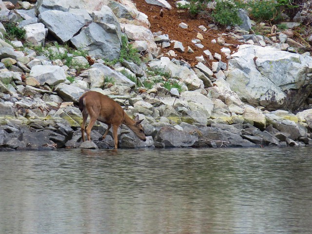
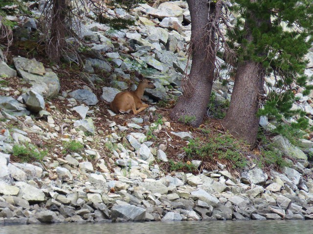
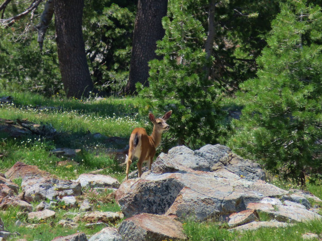
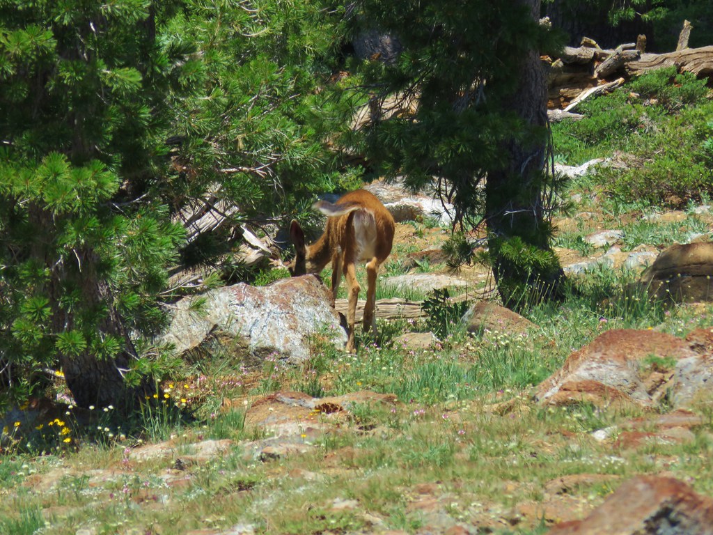
After packing up and applying some DEET we headed back. We had talked about the possibility of seeing some sort of animals in the meadows that morning and sure enough we did spot three deer just as we entered one of the meadows, but they quickly retreated into the trees.
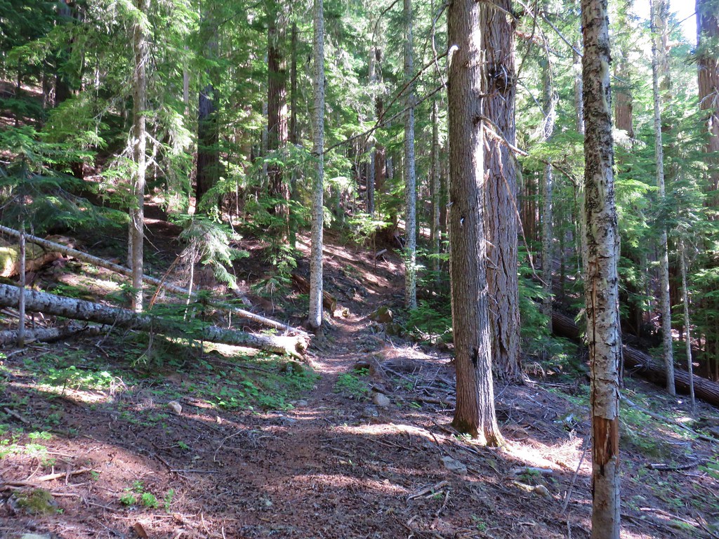
While we hadn’t seen anyone else yet on this trip we did spot some fresh mountain bike tracks as we neared the junction with the Chucksney Mountain Trail. We reached that junction after a little over five miles. We passed that trail and continued straight on the Grasshopper Trail.
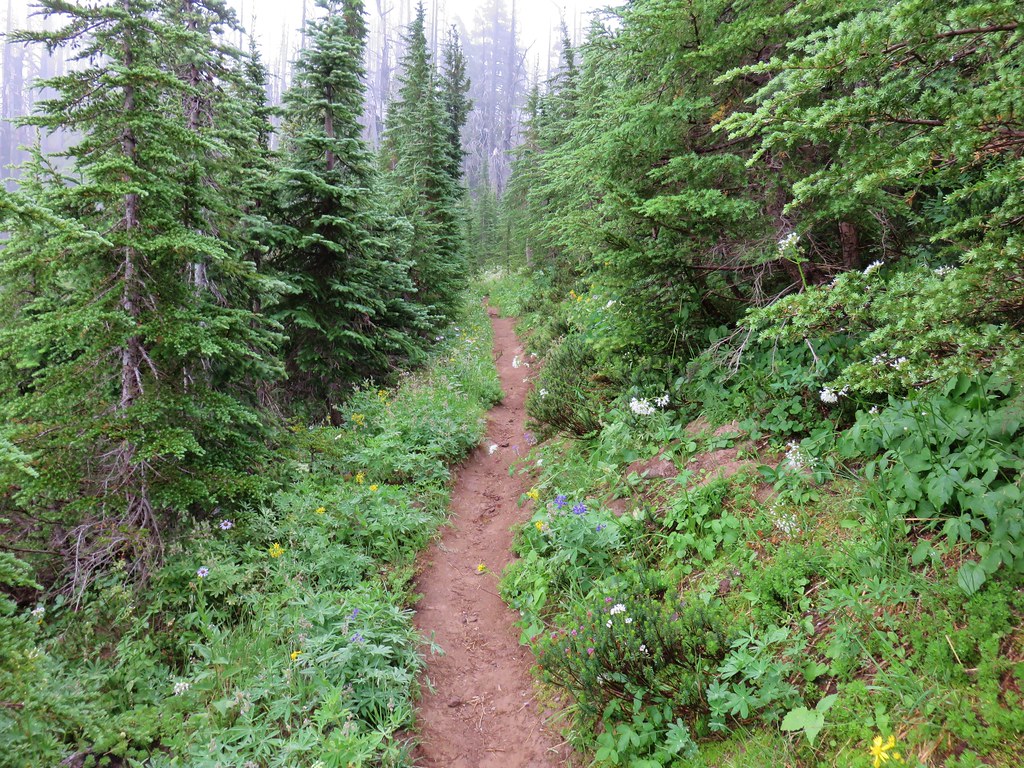
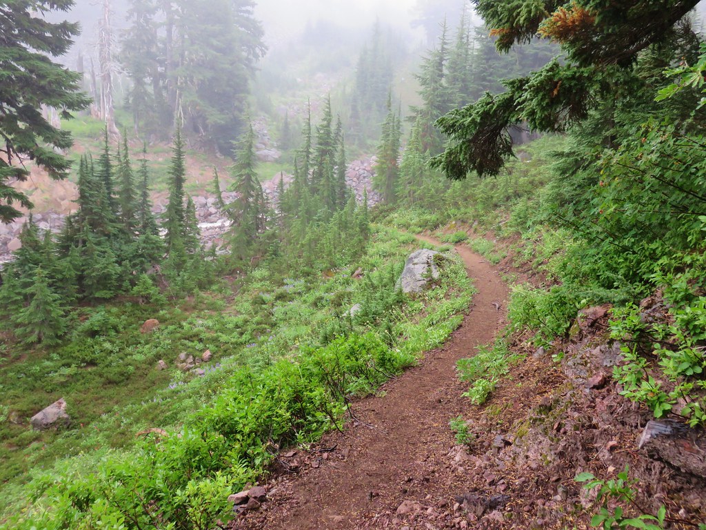
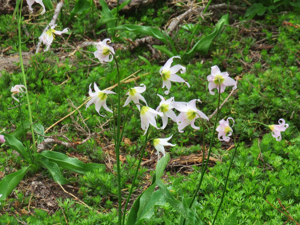
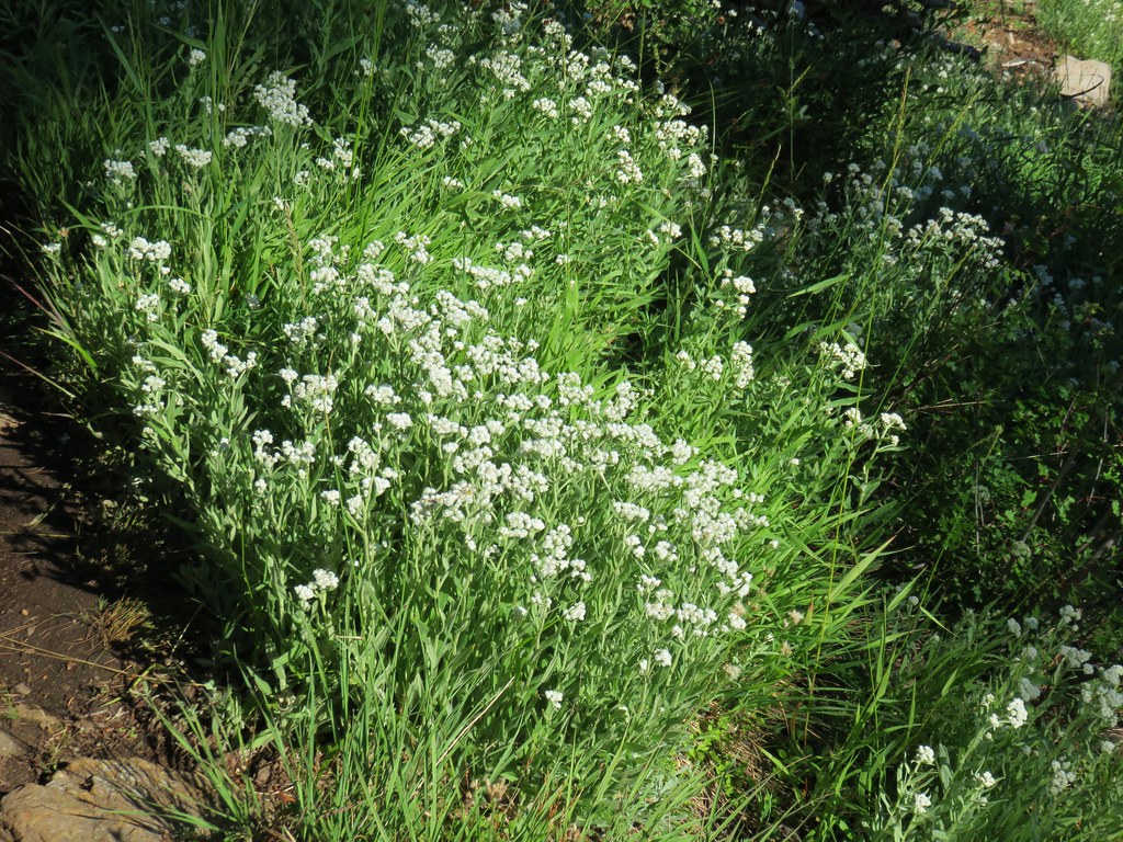
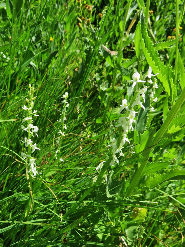
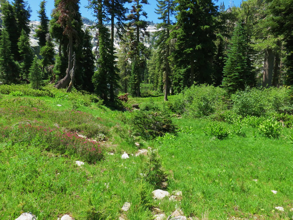
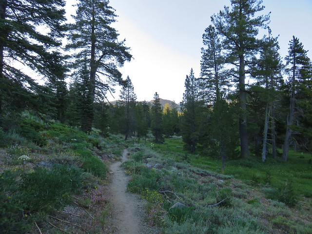
Our shoes were soaked from the dew in the meadows and the mosquitoes were ready to pounce whenever we paused, so even though the next 3.6 miles of the Grasshopper Trail was new for us, we kept a brisk pace. The trail wound it’s way downhill through the forest where there were still many of the typical white flowers found amid the trees; bunchberry, anamone, queen’s cup, twin flower, and we even spotted a pair of trillium still in bloom.

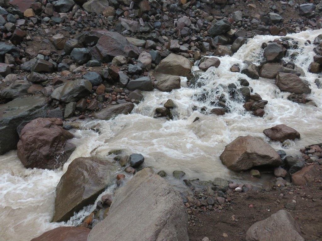
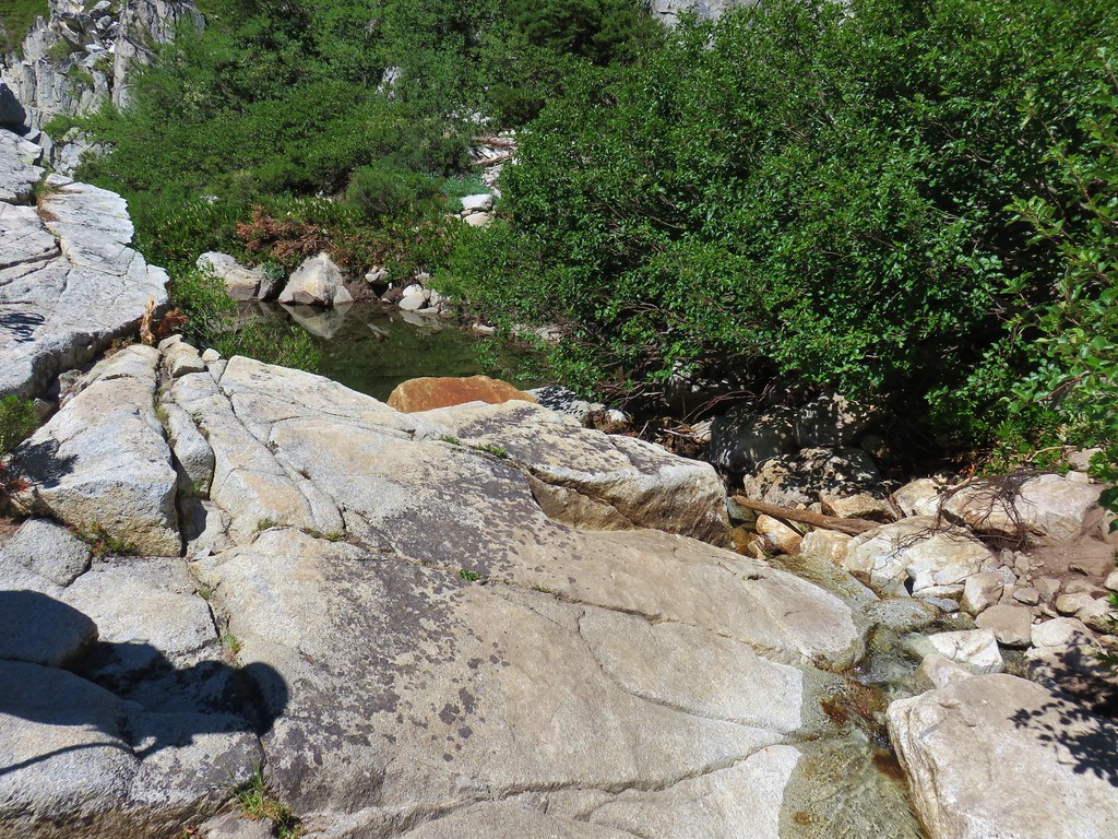
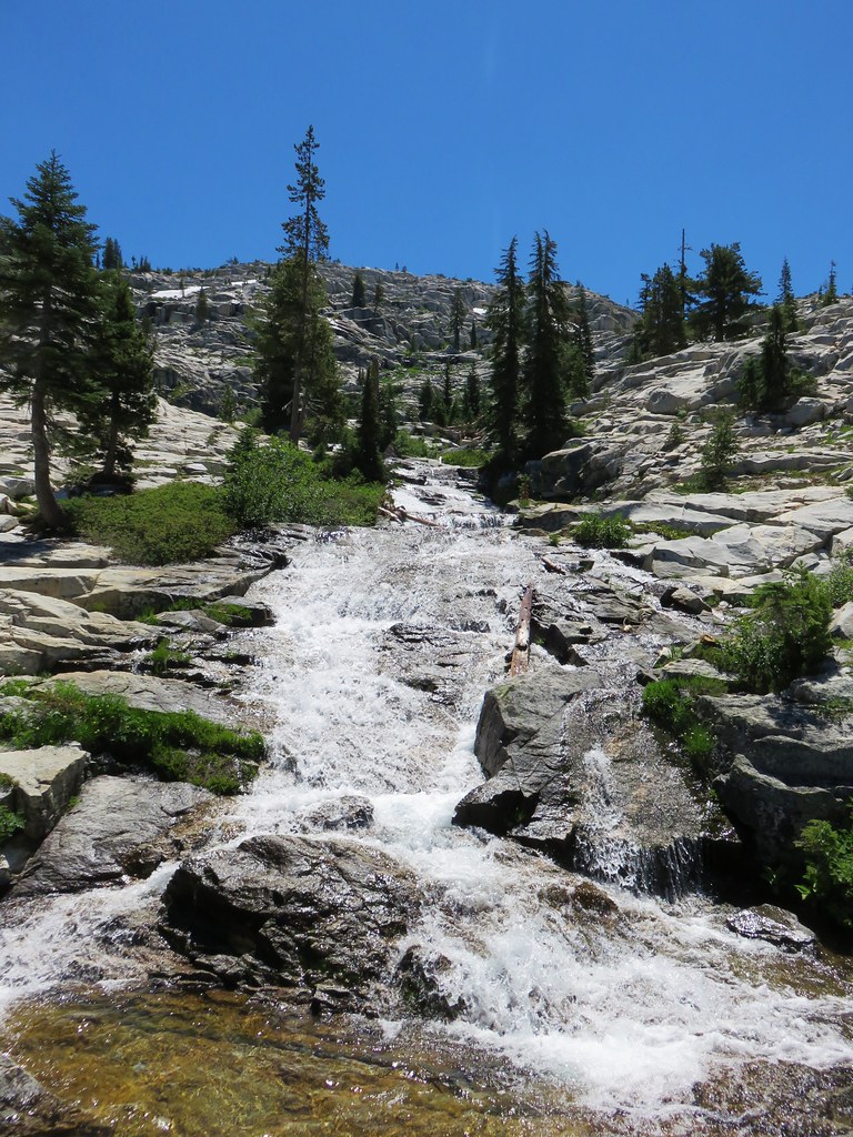
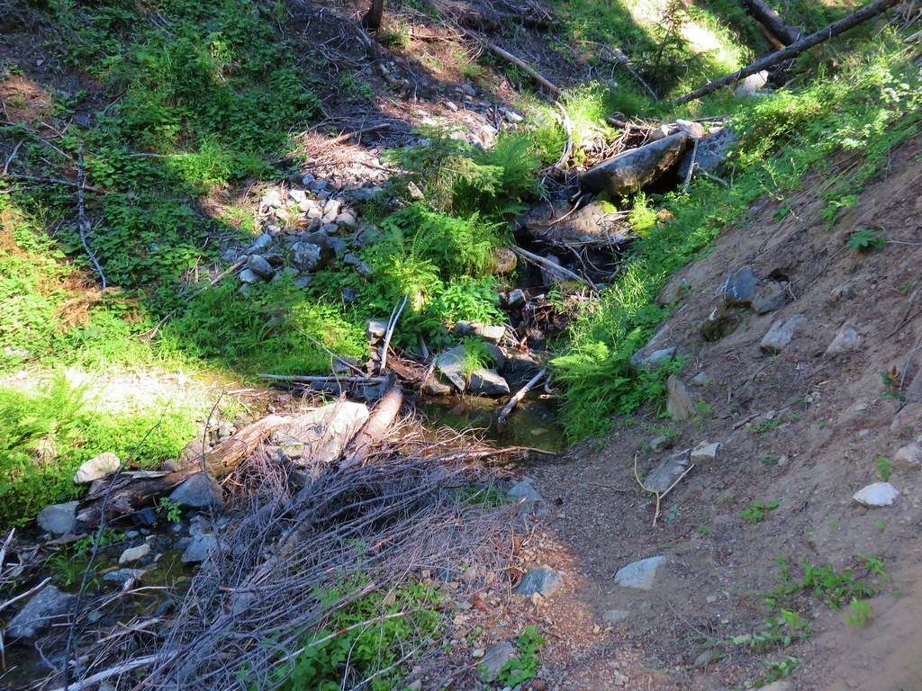
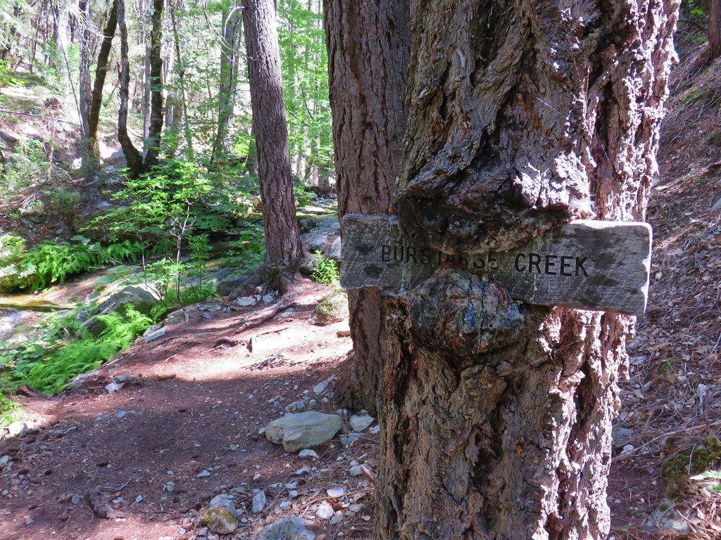
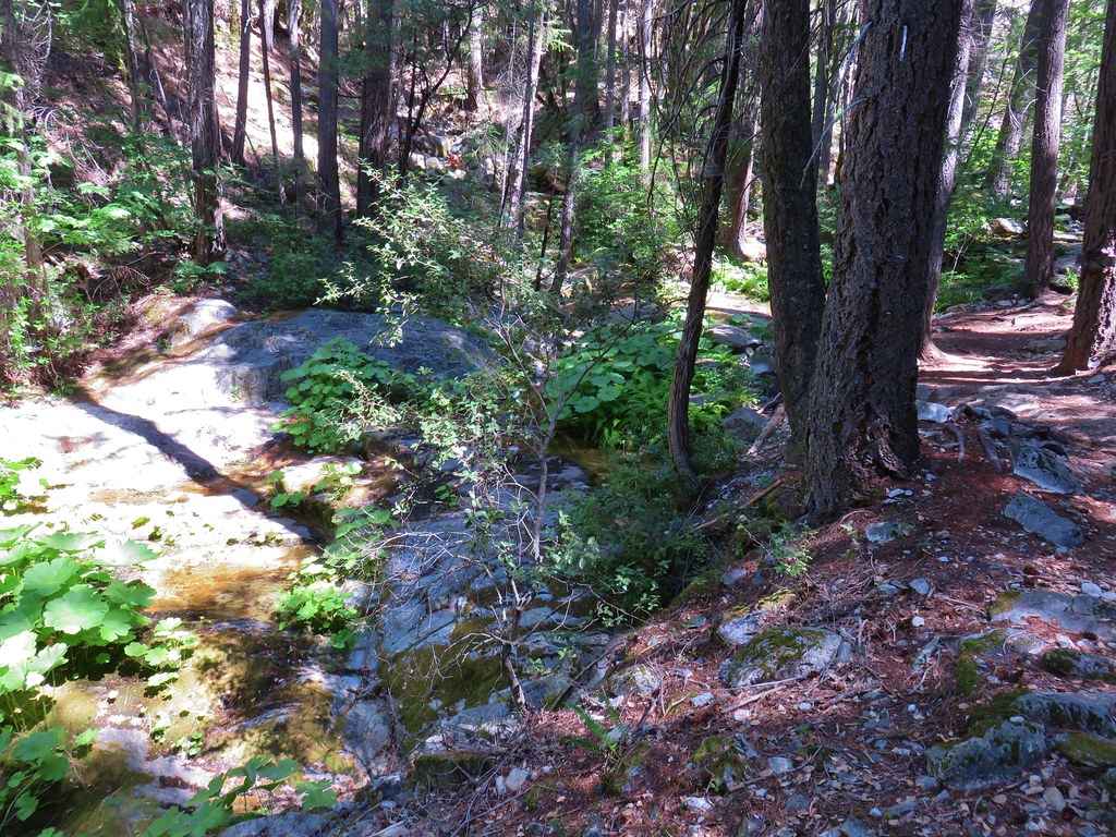
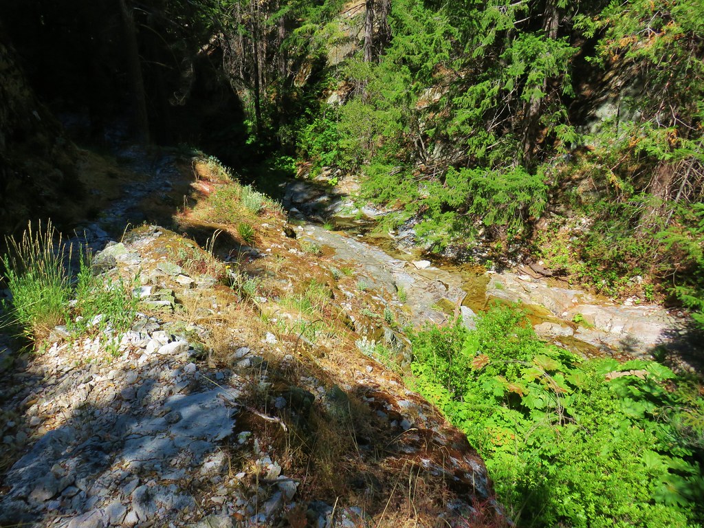
After a wide switchback we crossed a stream flowing down Box Canyon and in another quarter mile arrived back at the lower junction with the Chucksney Mountain Trail.
A final .3 miles brought us back to our car which was being patrolled by a squadron of mosquitoes. We quickly tossed our packs in the back of the car and hopped inside to change. We never did wind up seeing anyone else on the trails which made the fourth hike in a row where we didn’t see another person on the trails.
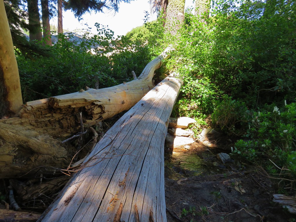
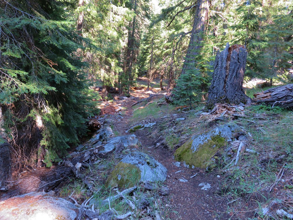
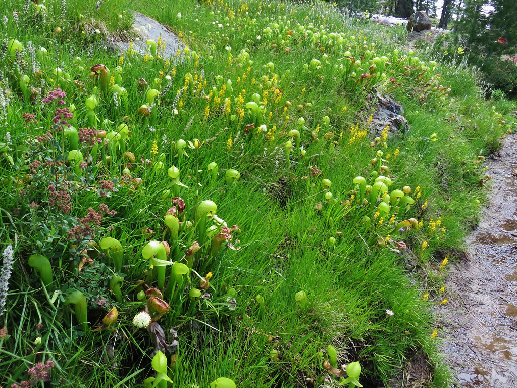
The trails had been amazingly clear of debris, we only stepped over two logs and one young bent tree, but the faint sections through the meadows required some navigational skill. The relative lack of water along the route make it an unlikely backpacking destination but it worked out well for us. That being said the views and the wildflowers make either Chucksney Mountain or Grasshopper Meadow a worthy early summer day hike destination. Happy Trails!
Flickr: https://www.flickr.com/photos/9319235@N02/albums/72157683128711132

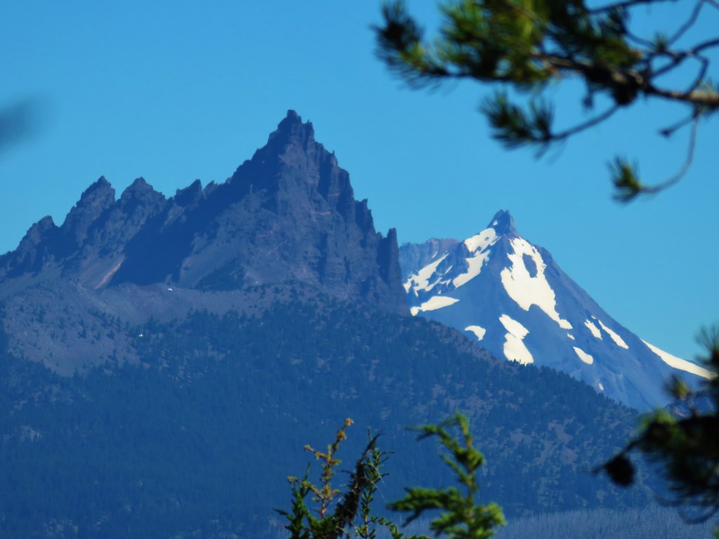
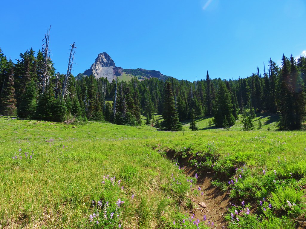
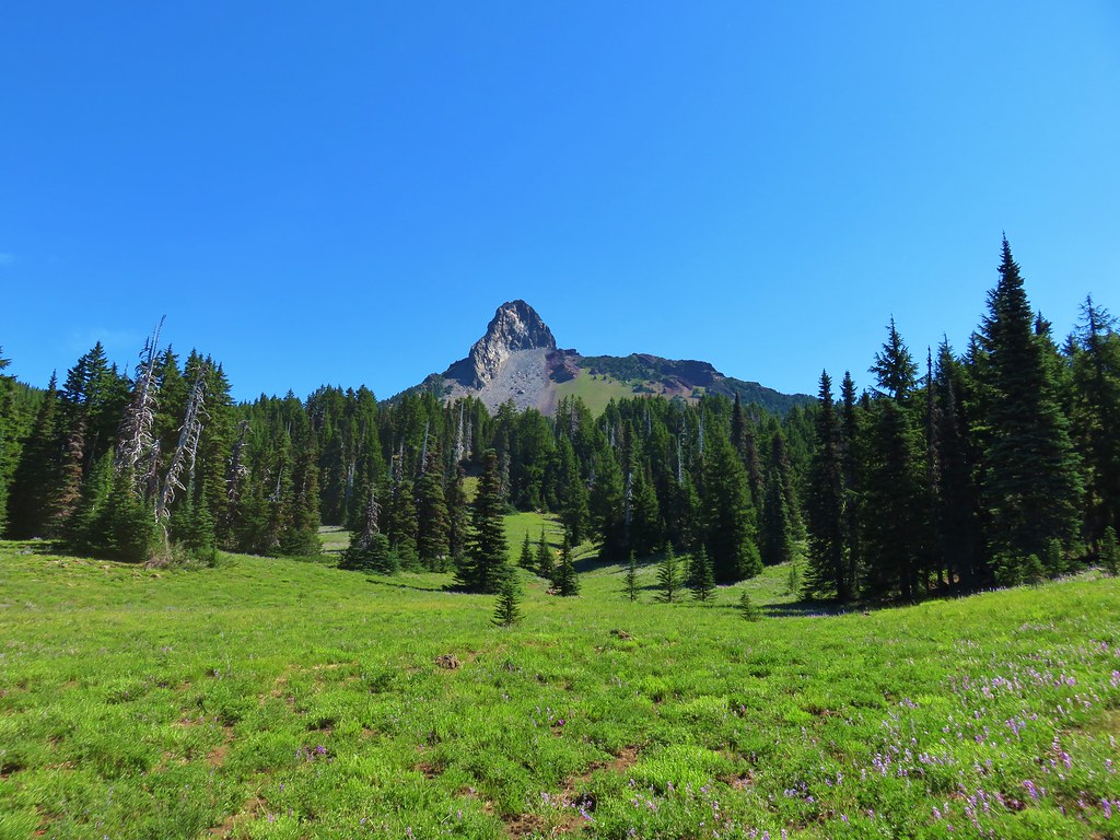
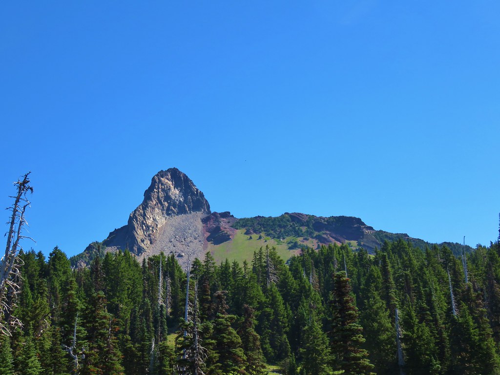
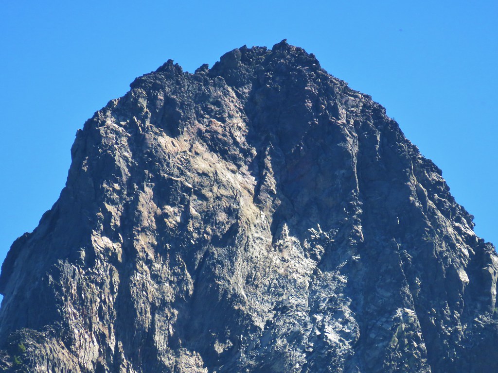
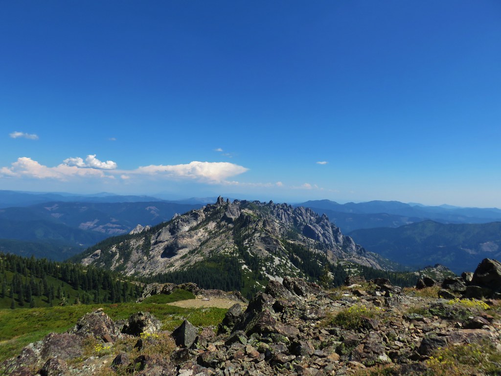
 Pinnacle Ridge
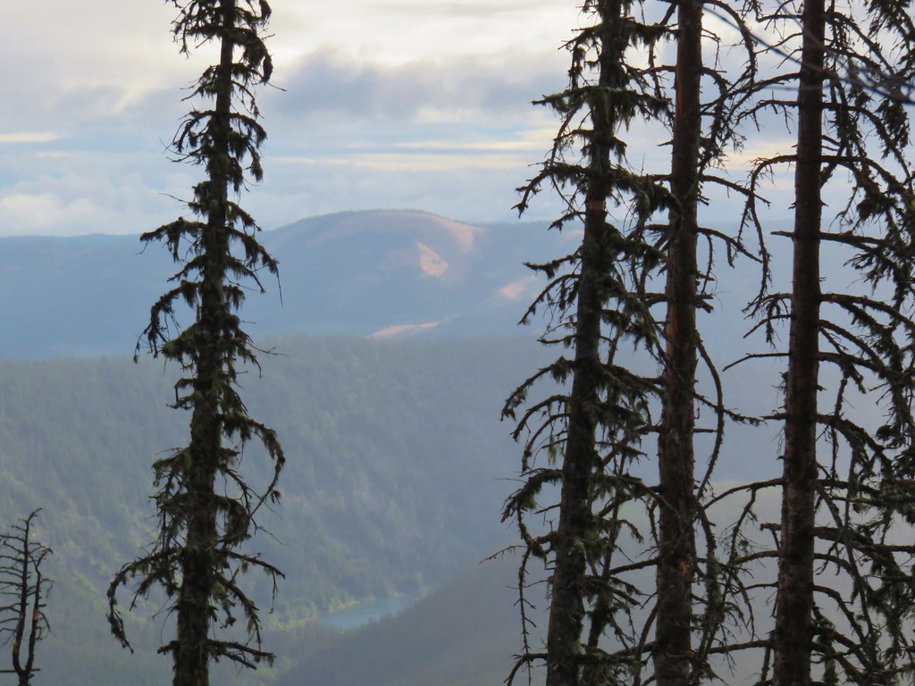


 Patjens Lake Trail – August 2012
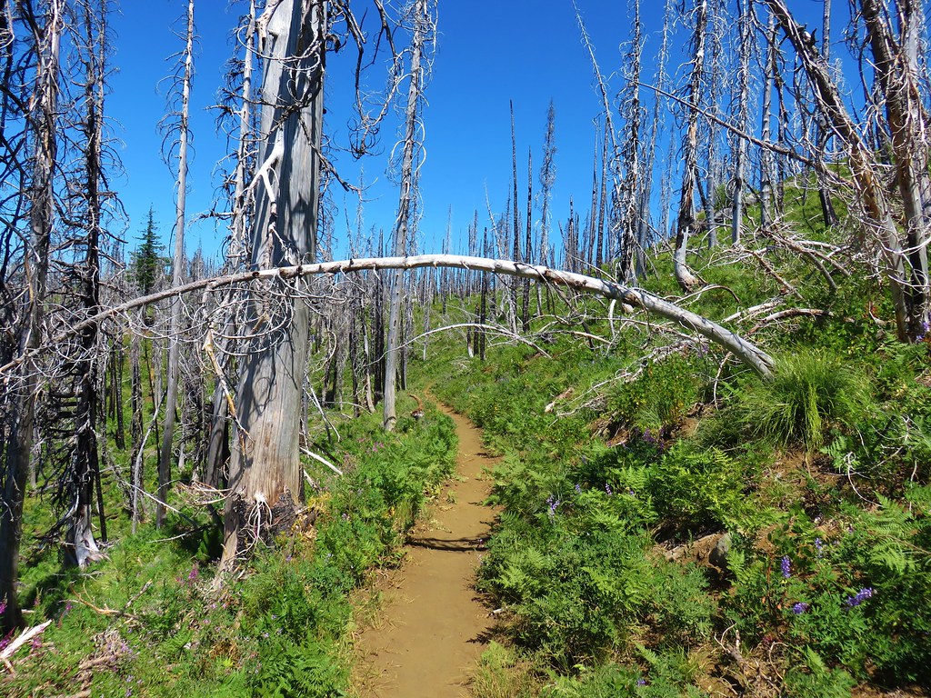 Pacific Crest Trail – August 2017
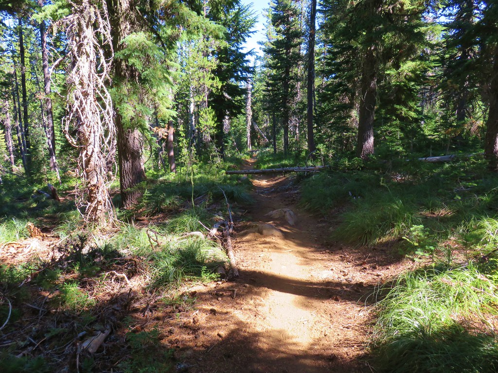


 North & Middle Sister with Belknap Crater
 Scott Mountain
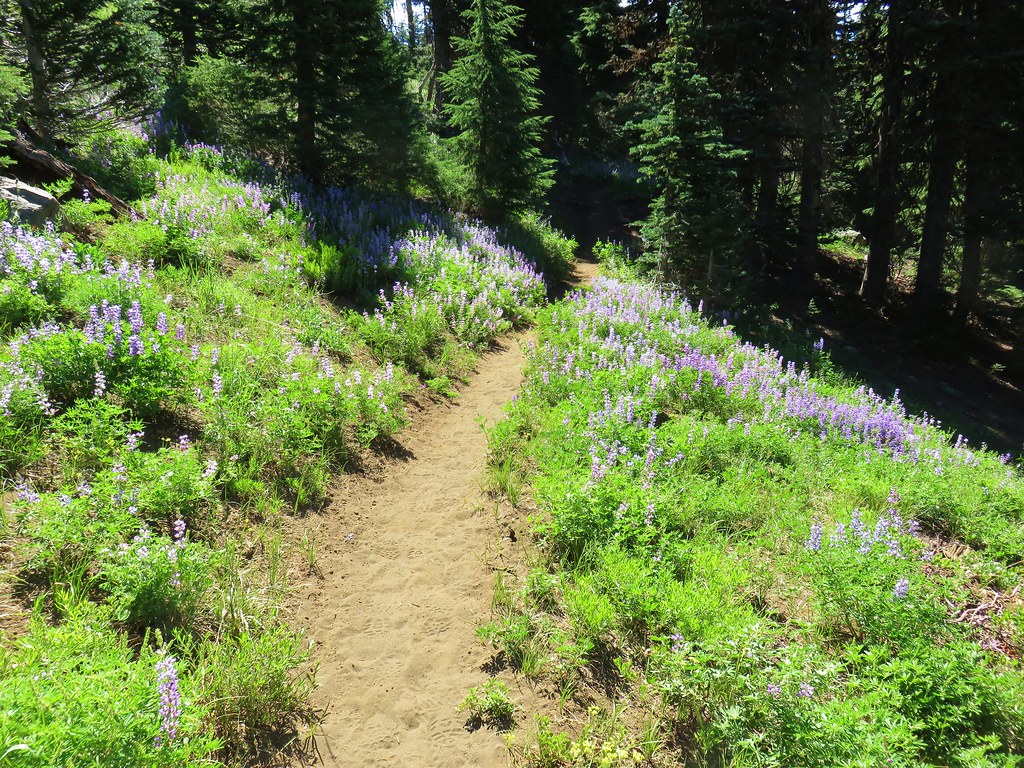


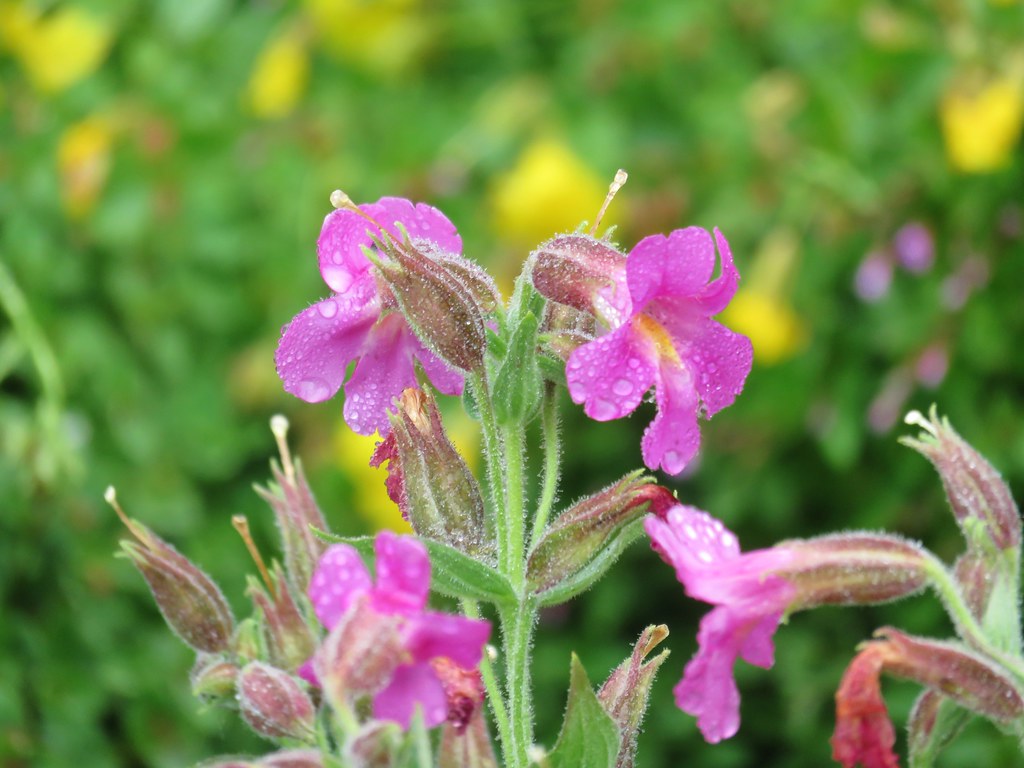
 Monkeyflower
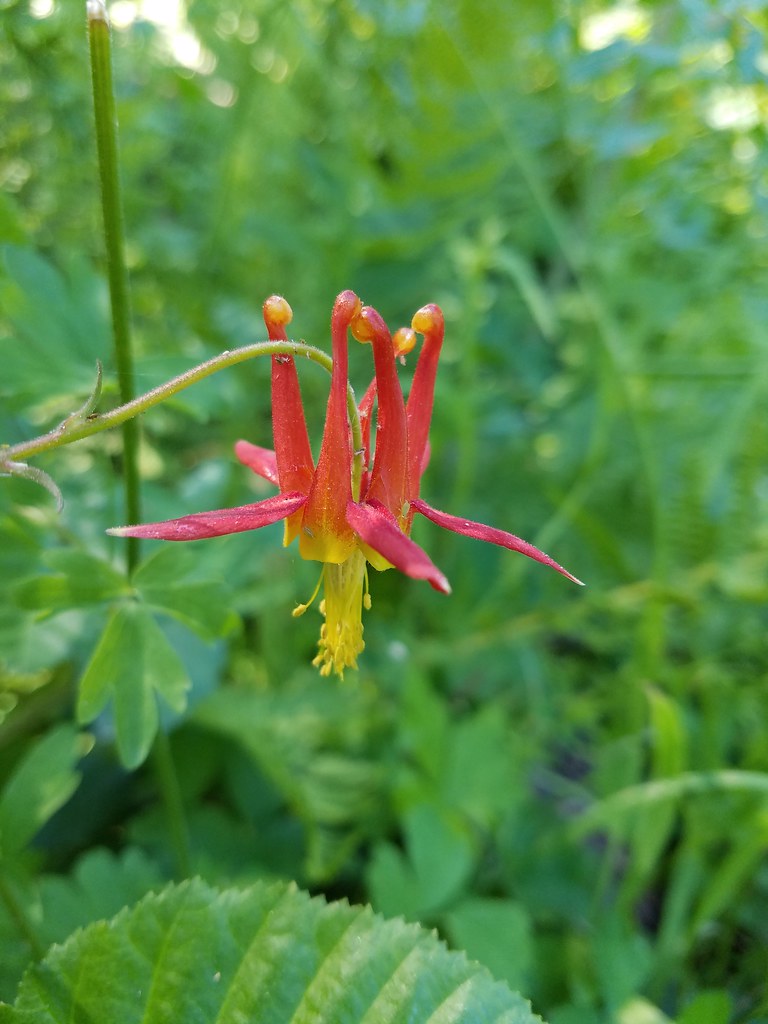 Columbine
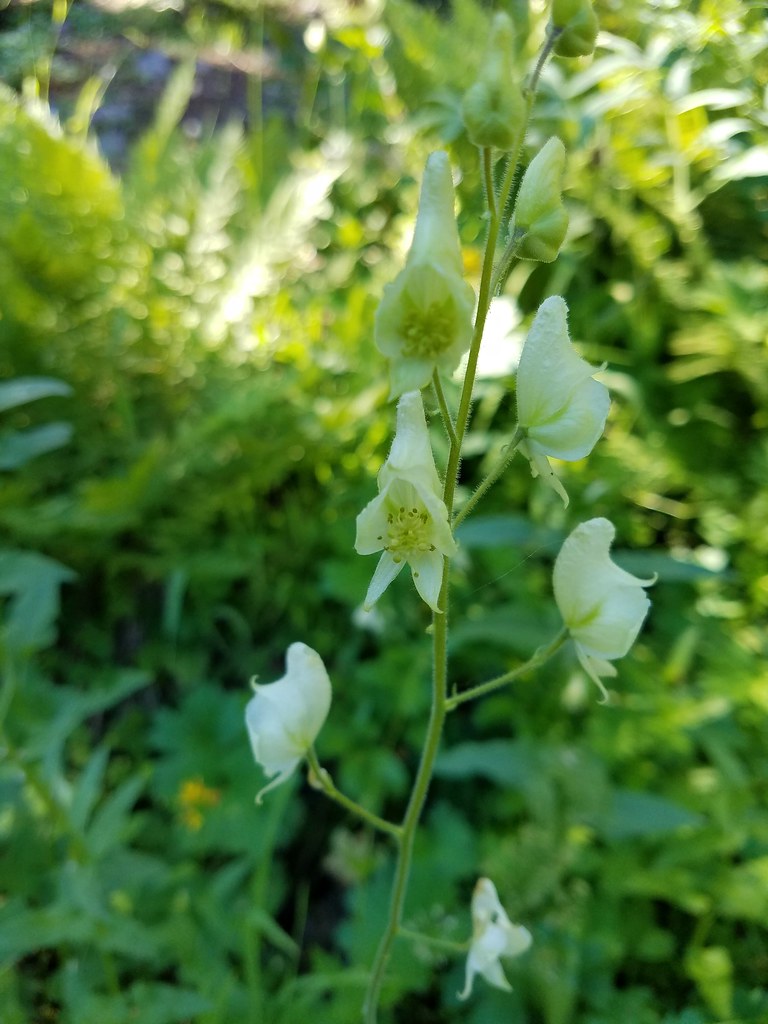 Monkshood
 Featherbells
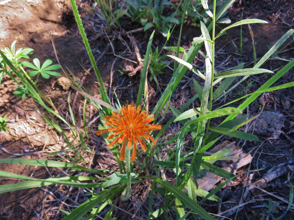
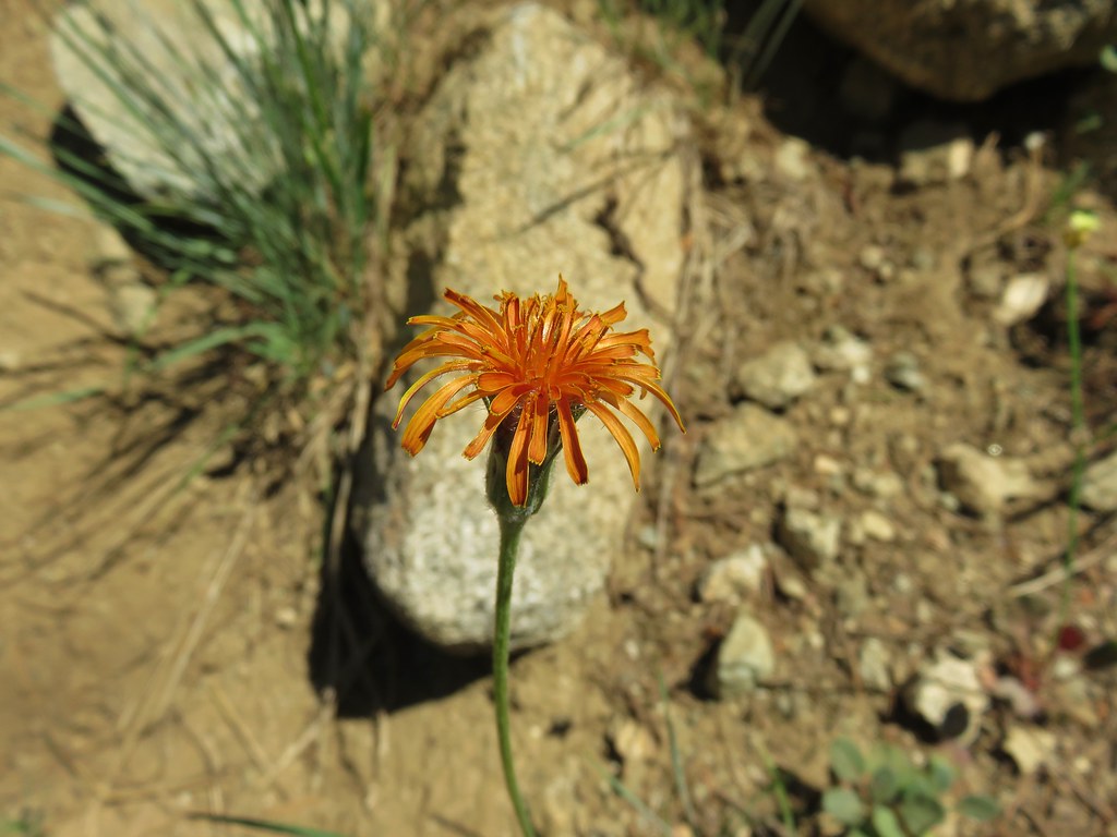
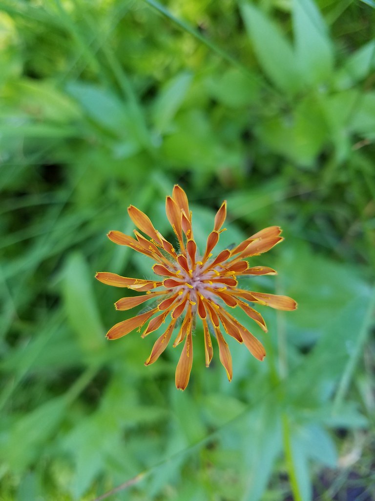 Orange agoseris
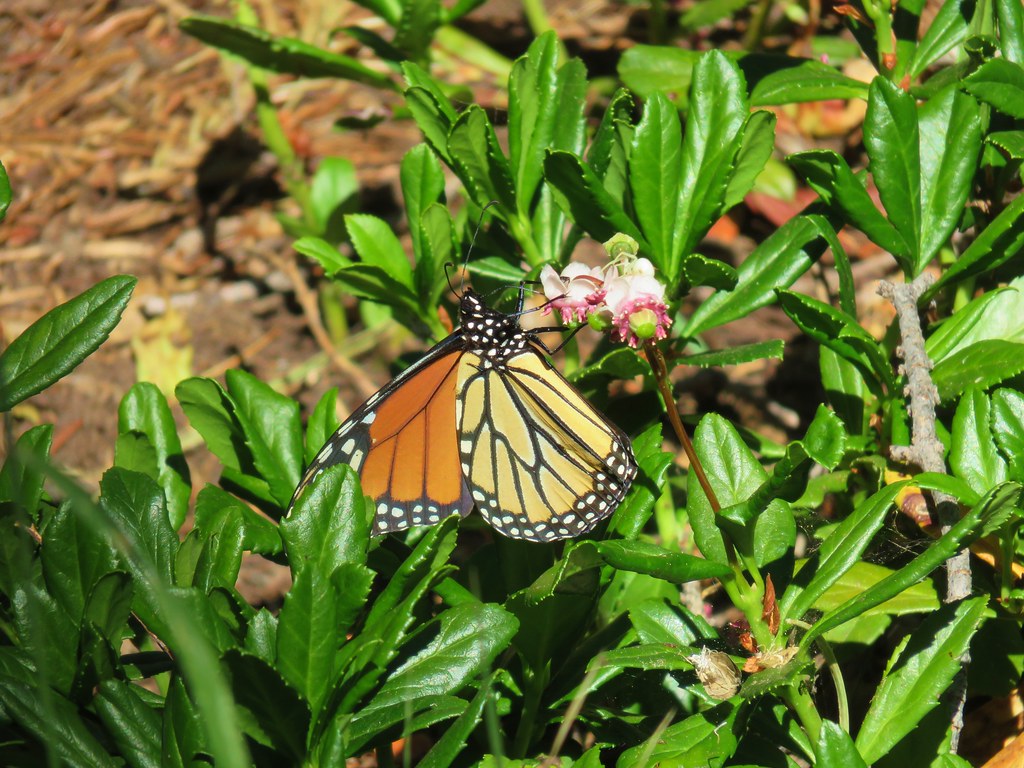 Monarch butterfly
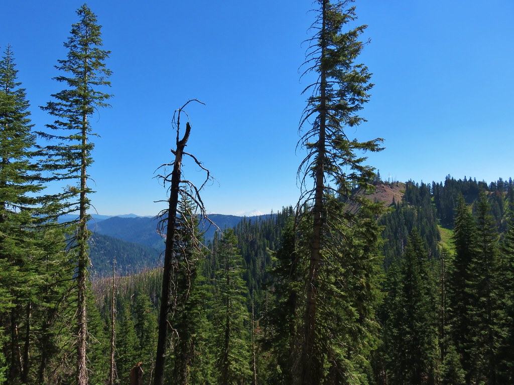

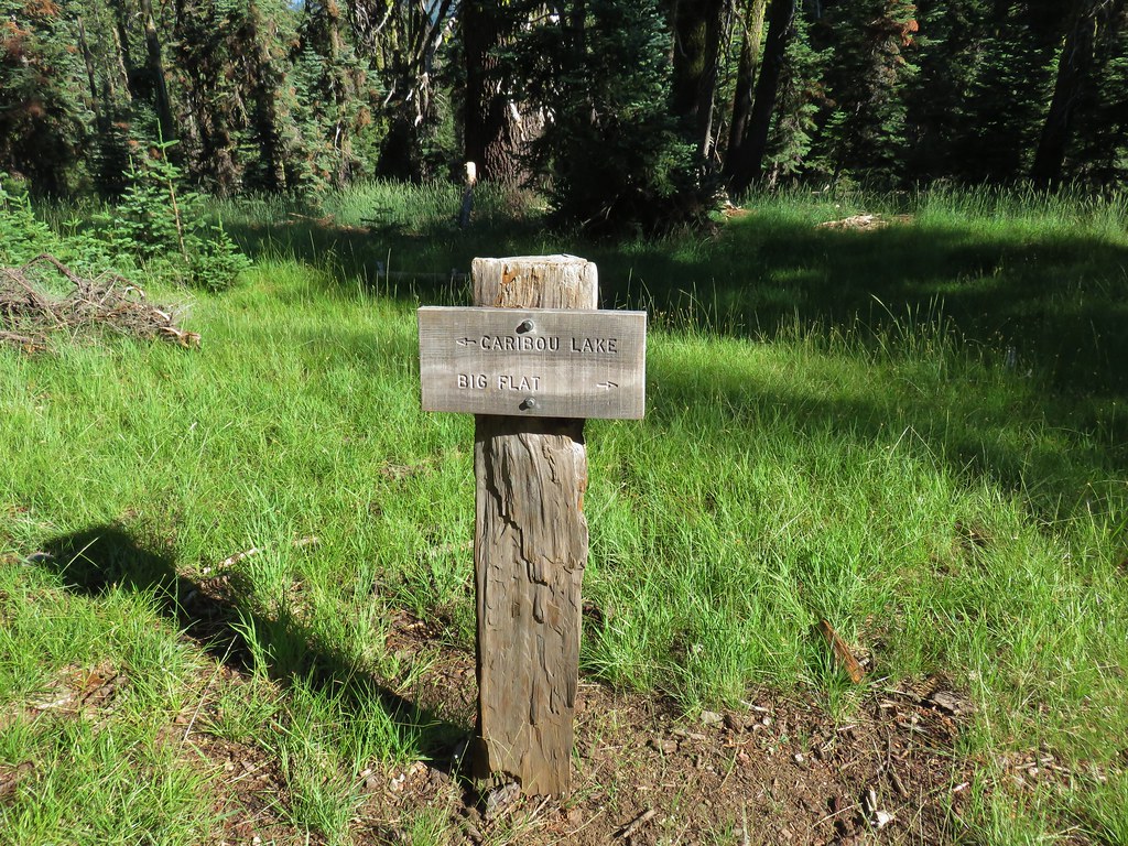
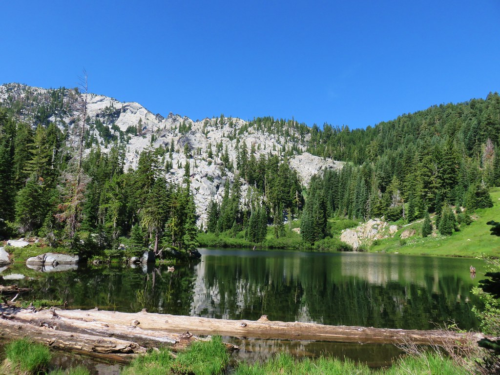
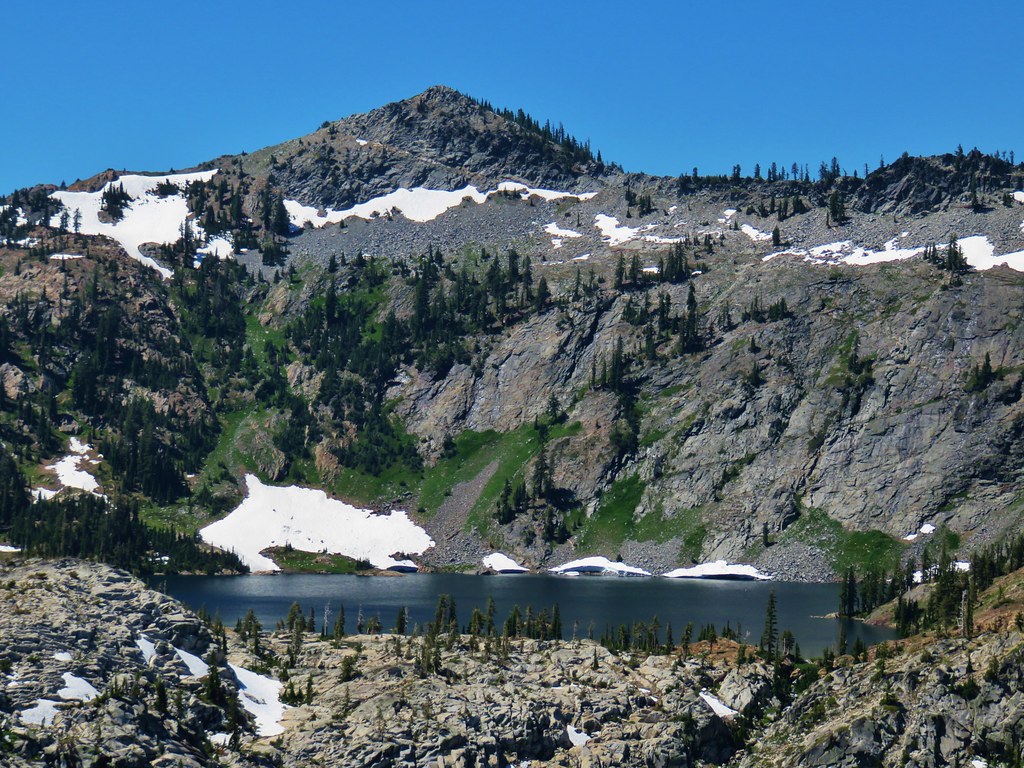 Caribou Lake
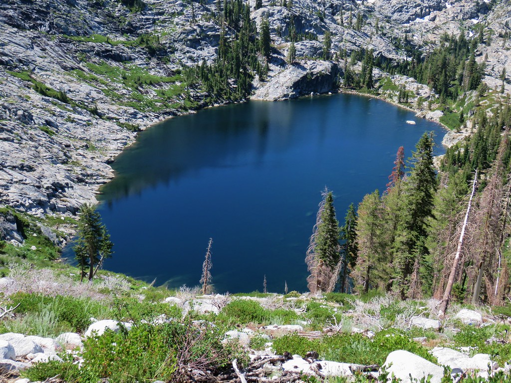 Snowshoe Lake
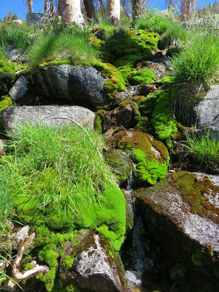


 Snowshoe Lake’s outlet creek


 Looking back up at Cory Peak.
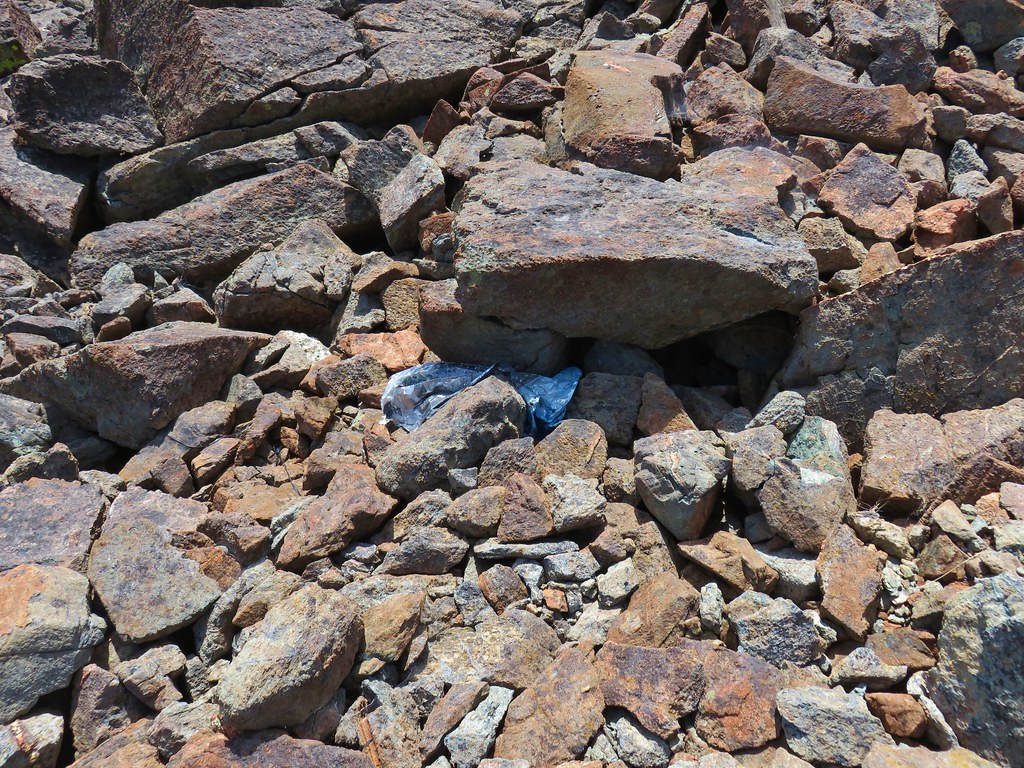 Mylar balloon.
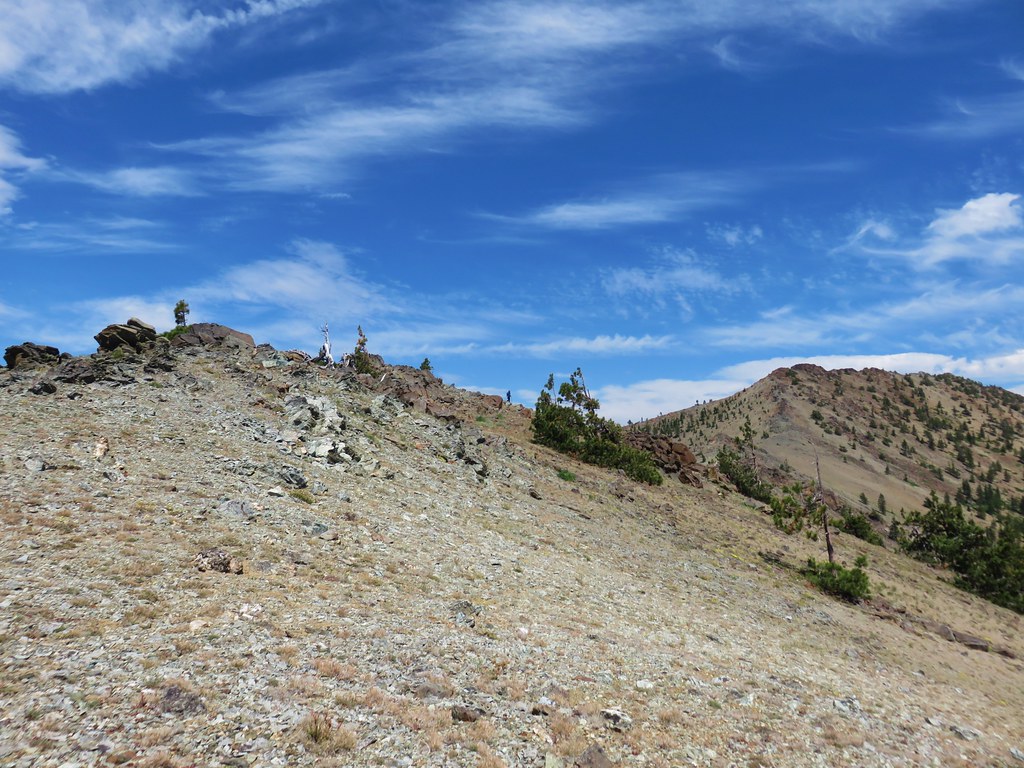 Looking back along the ridge to Cory Peak.
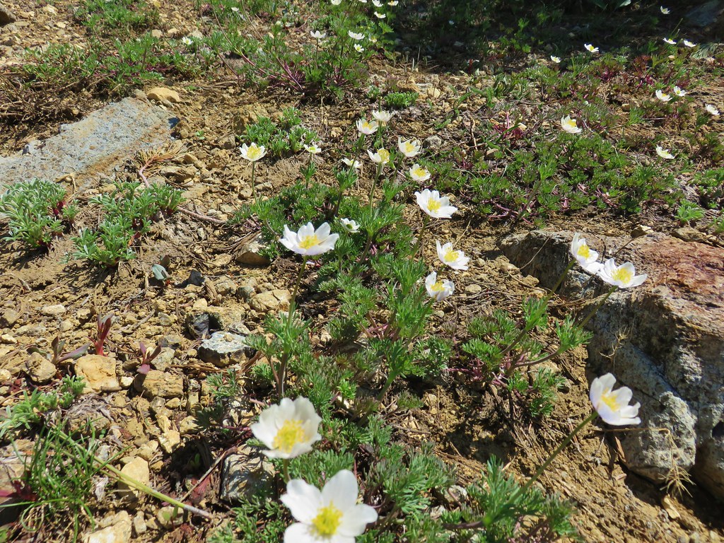
 More of the ridge we descended.
 Final stretch down to the PCT.