I have a little more vacation time than Heather which means flying solo from time to time. For those solo outings I try and pick hikes to places we’ve already visited or hikes that Heather doesn’t mind missing out on. The latter tend to either be long hikes (14+ miles) or have significant elevation gains >3000′, or a combination of both. One such hike that I’ve had my eyes on for a while was a long loop in the Salmon-Huckelberry Wilderness combining the Salmon River, Green Canyon Way, Hunchback, and Kinzel Lake Trails.
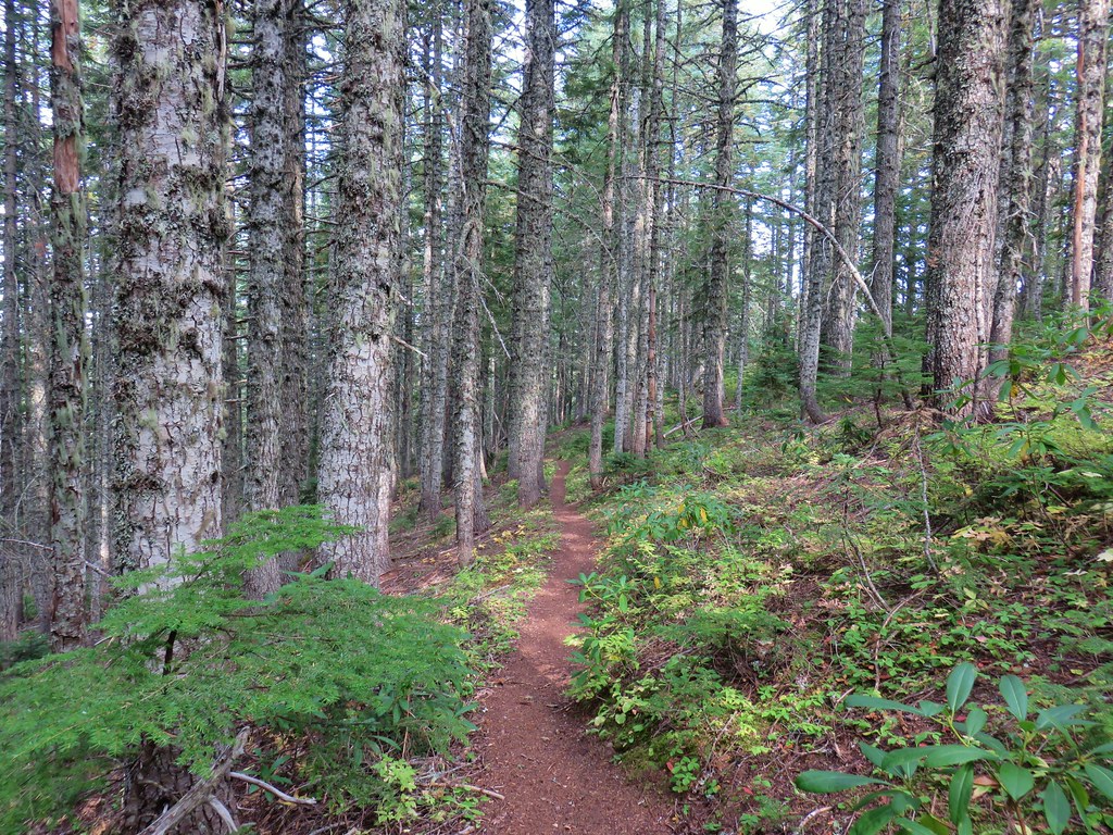
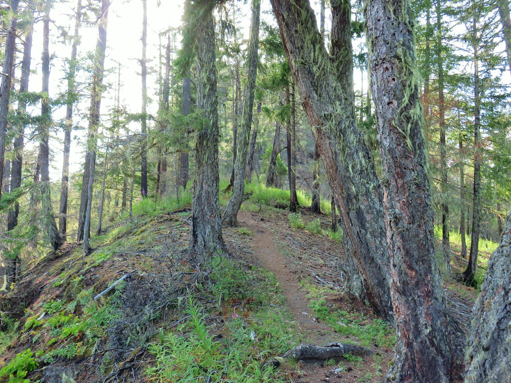
I began the loop at the Salmon River West Trailhead and started the loop clockwise on the Salmon River Trail.
 Not having light until after 7am is rough for someone who likes to get an early start.
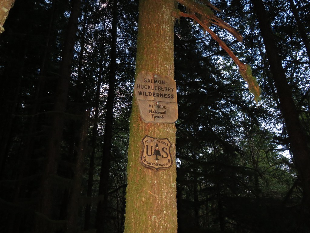
 The Salmon River Trail is located next to this interpretive sign near the trailhead.
 A flash was necessary as I set off.
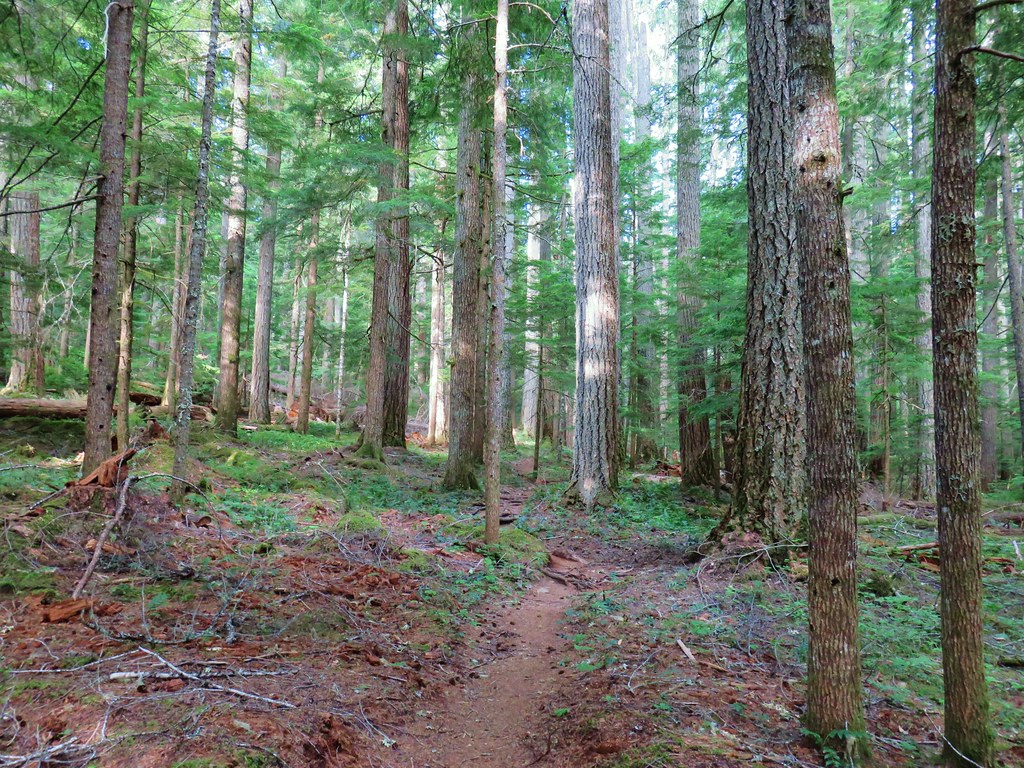
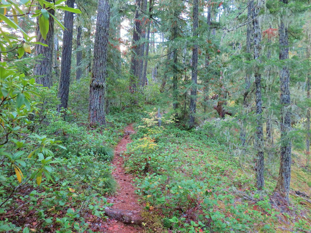
We’d been on this section of trail in 2015. I followed this level path for half a mile to the Green Canyons Campground, another potential starting point for this hike.
 There was a very brief road walk along this section.
 There was also plenty of time along the Salmon River.
 I veered right at this picnic table to cross into the campground.
 The day use area at the campground.
I walked through the day use area to the campground entrance then crossed Salmon River Road to find the start of the Green Canyon Way Trail.
 Water spigot at the day use area.

 It was hard to read the date for this cougar sighting, it appeared to be from June, but I couldn’t make out the year.
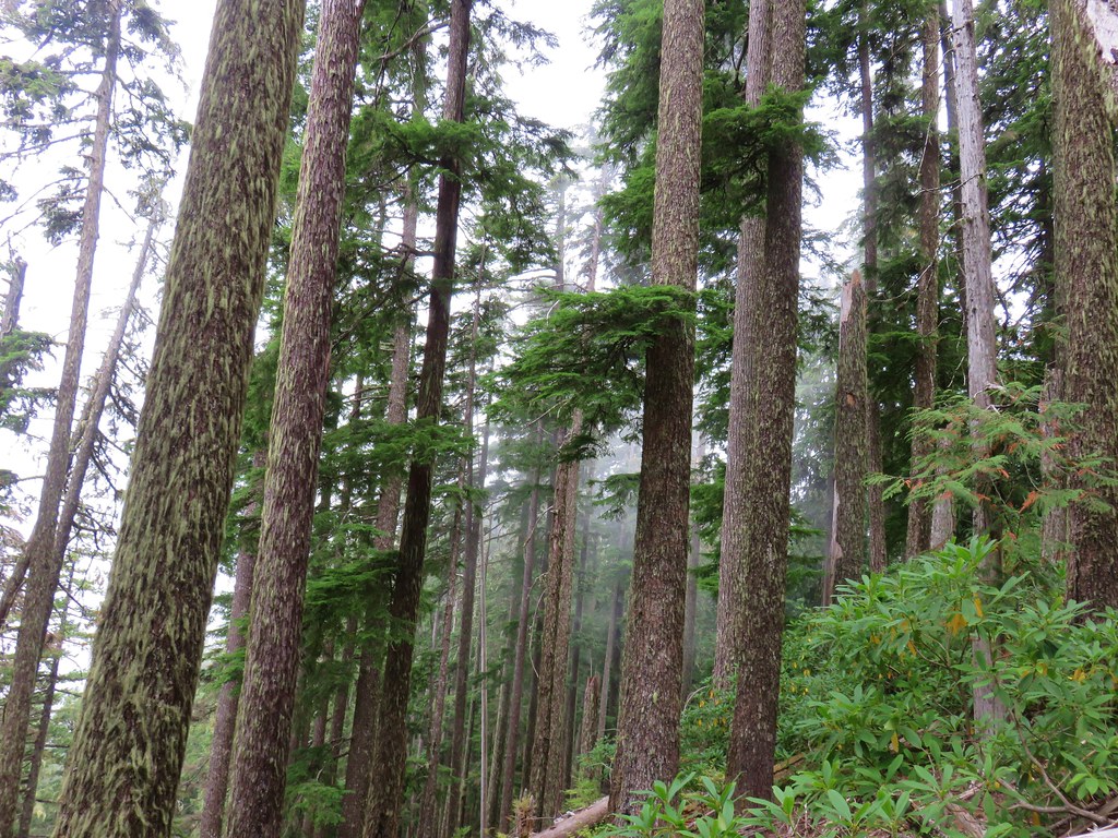
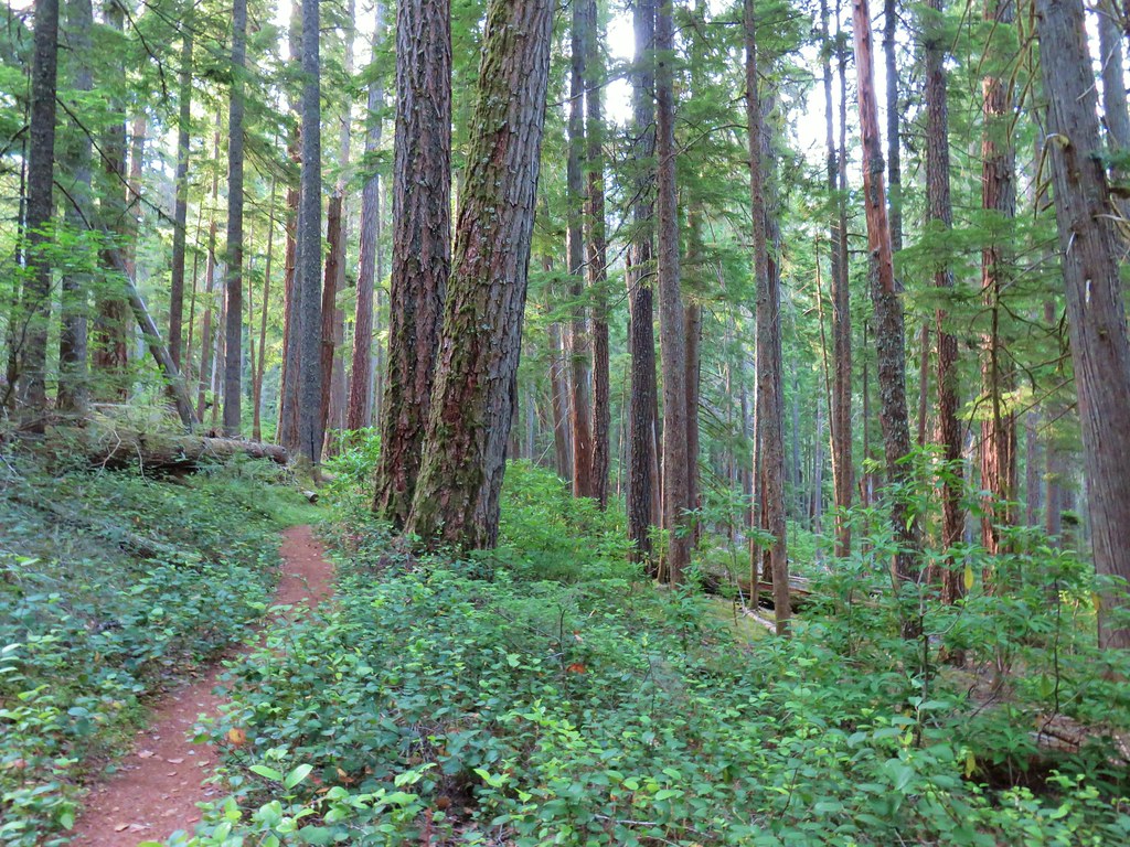
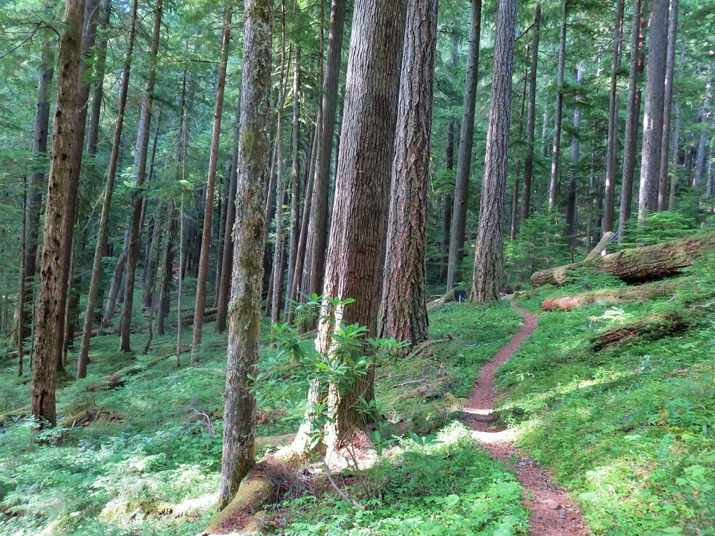
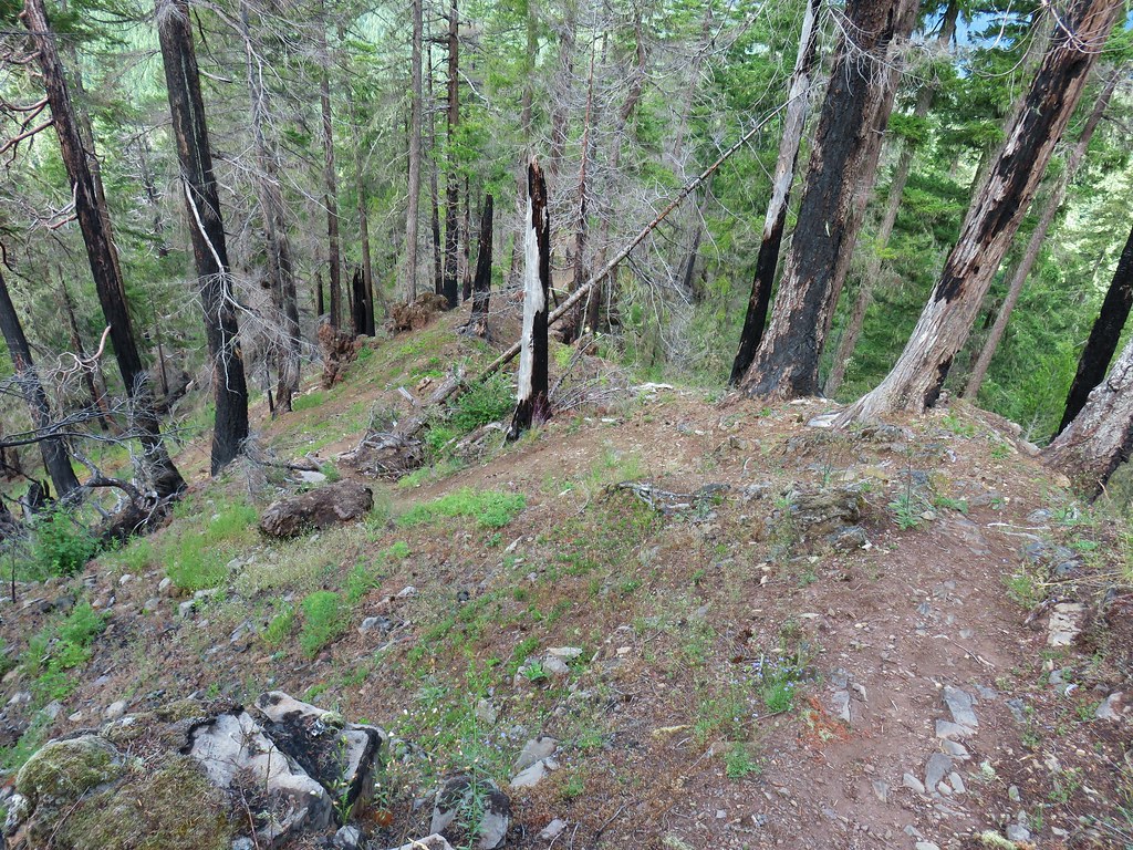
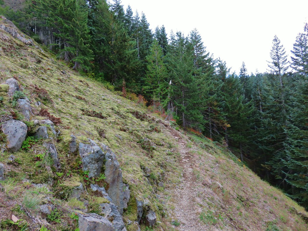
The Green Canyon Way Trail gains 2400′ in 3.2-miles to reach the Hunchback Trail, a 9.1-mile-long trail traversing Hunchback Ridge. Green Canyon Way was in pretty good shape, with just a few smaller trees to step over. The climb was well graded which kept it from ever feeling too steep.
 Entering the Salmon-Huckleberry Wilderness
 One of the downed trees, this one covered both sides of a switchback.
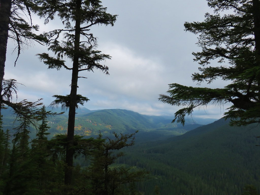
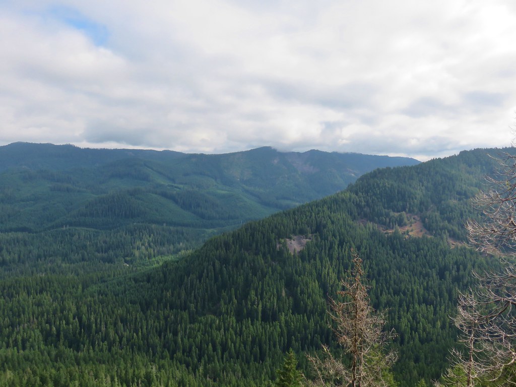
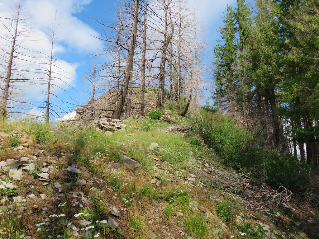
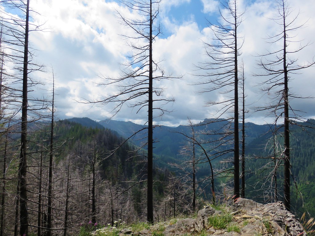
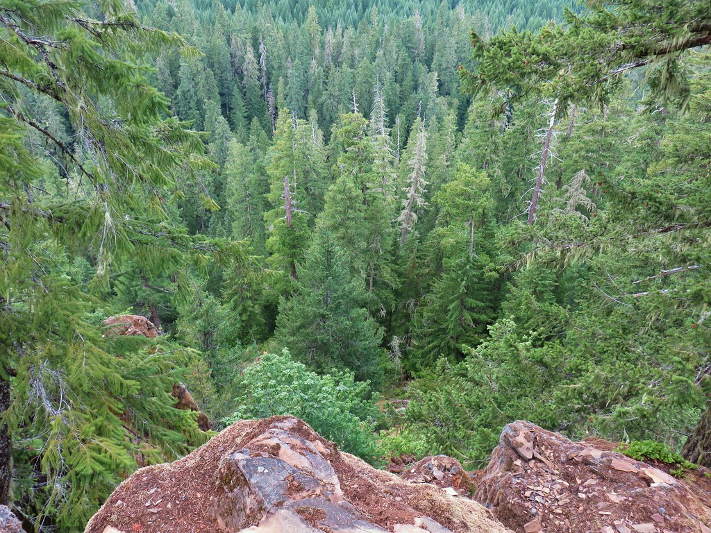
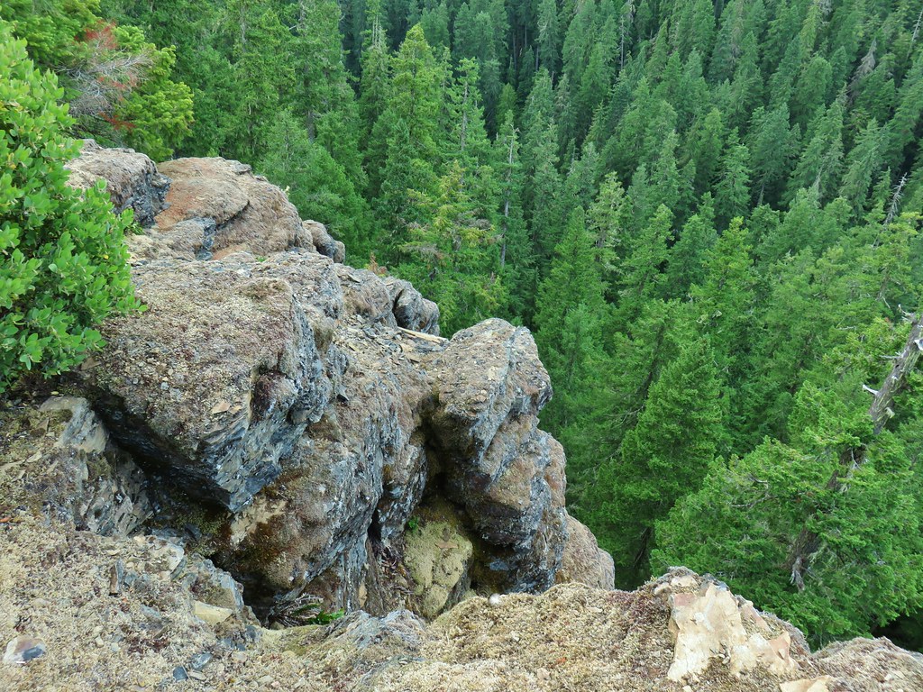
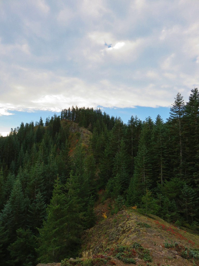
 A rare viewpoint along the forested trail.

 A level stretch along a narrow ridge.
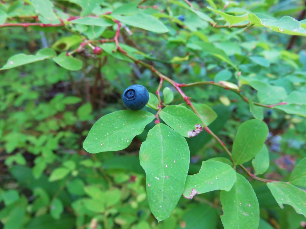
 A healthy looking paintbrush.
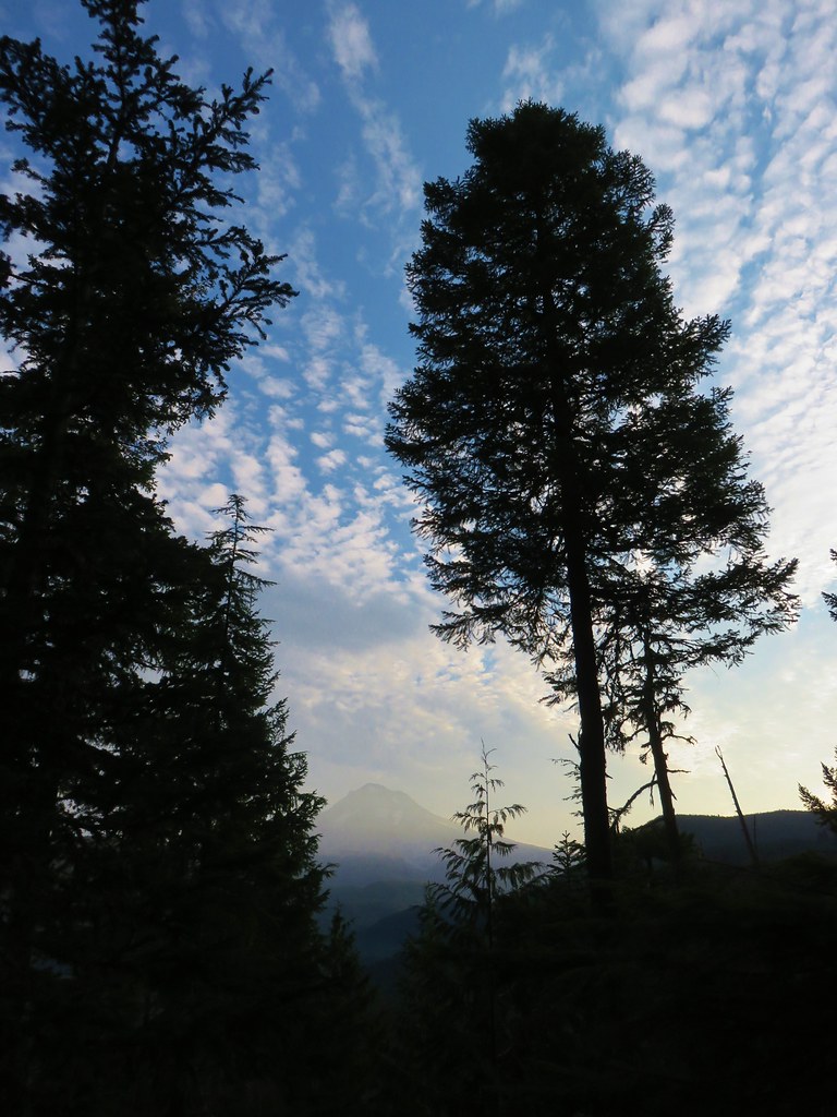
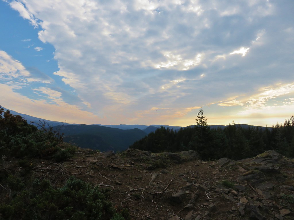
 The Sun rising above Hunchback Ridge.
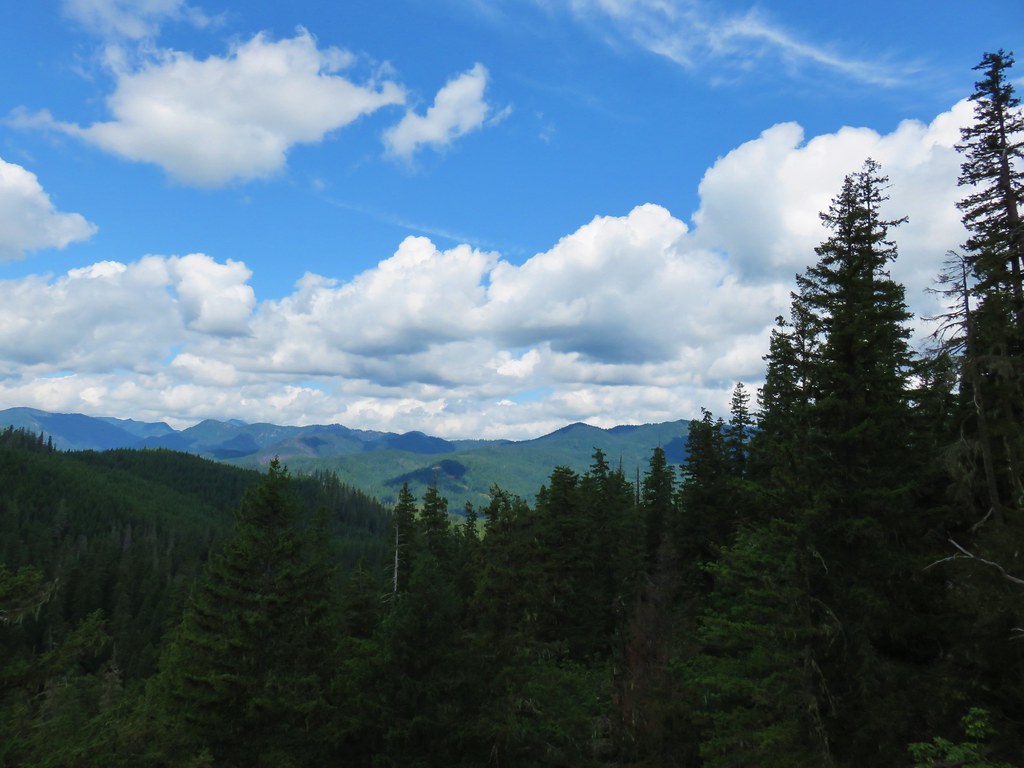
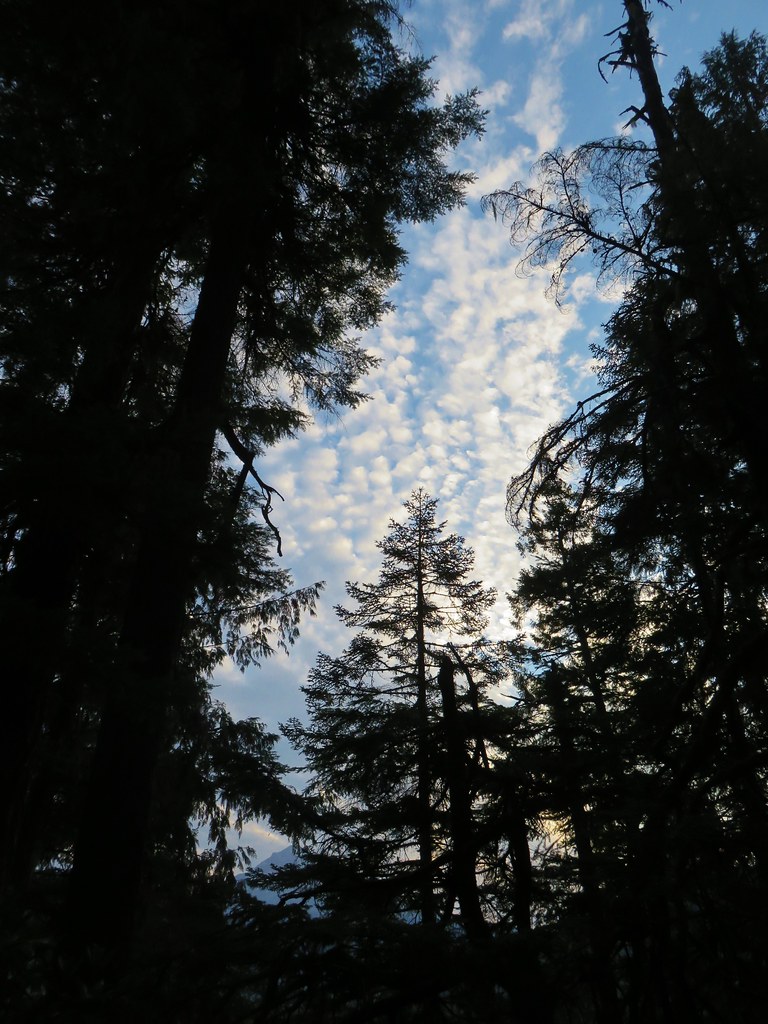
 It was going to a be a bluebird day.
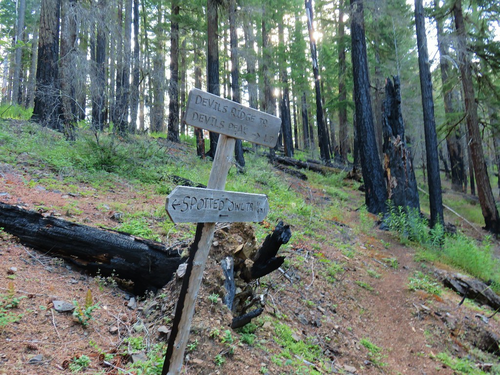
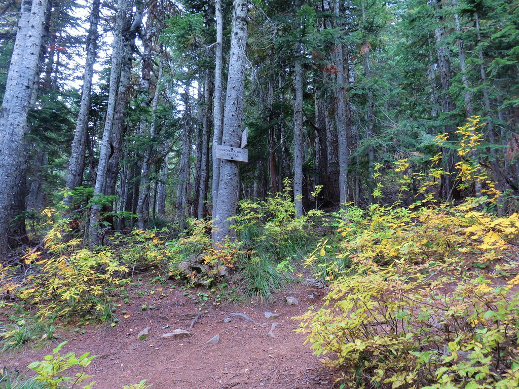
 Sign ahead marking the Hunchback Trail junction.
We had hiked a 5.6-mile section of the Hunchback Trail in 2020 starting at the trails north end at the Lower Hunchback Trailhead. I turned SE (right) at the junction and followed the trail up and down (mostly up) along Hunchback Ridge for 2.4-miles to a junction below Devil’s Peak.


 One of the “downs”.
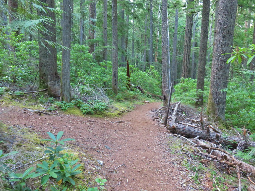
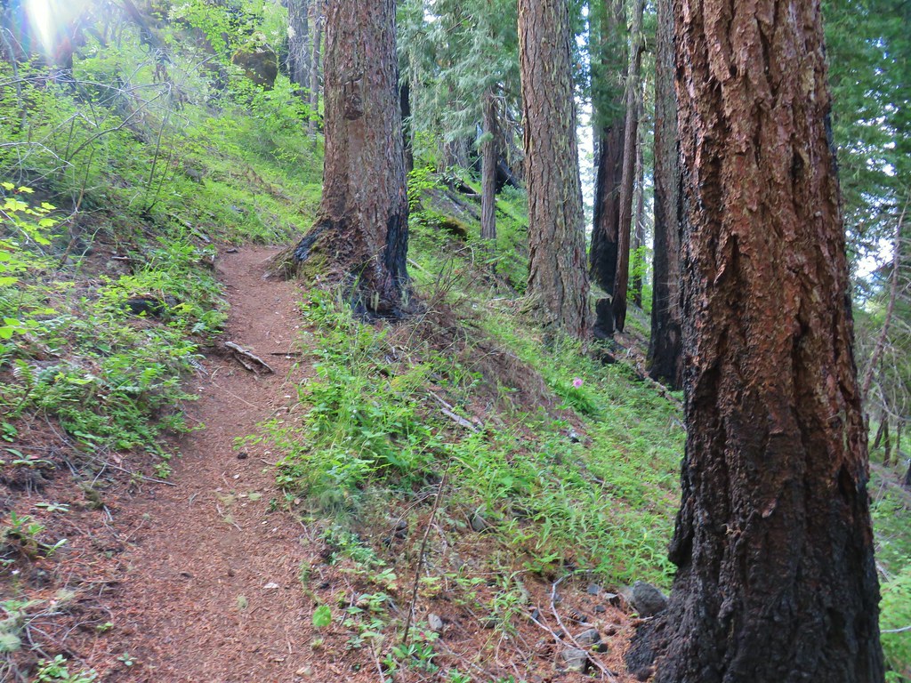
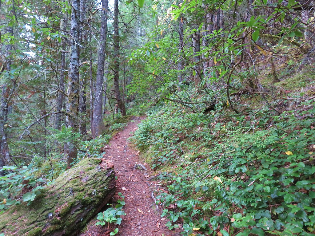
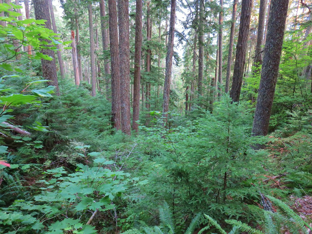
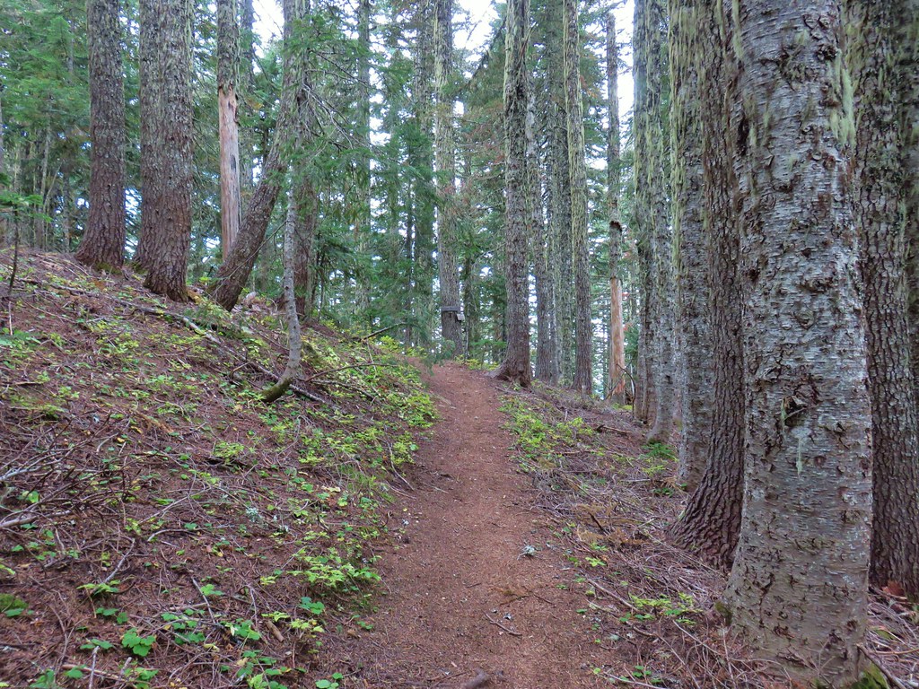
 This trail was also in good shape with just a few easy obstacles.
 I did not go investigate the source of the “water”, it could have been a trap (there is a spring shown on the map).
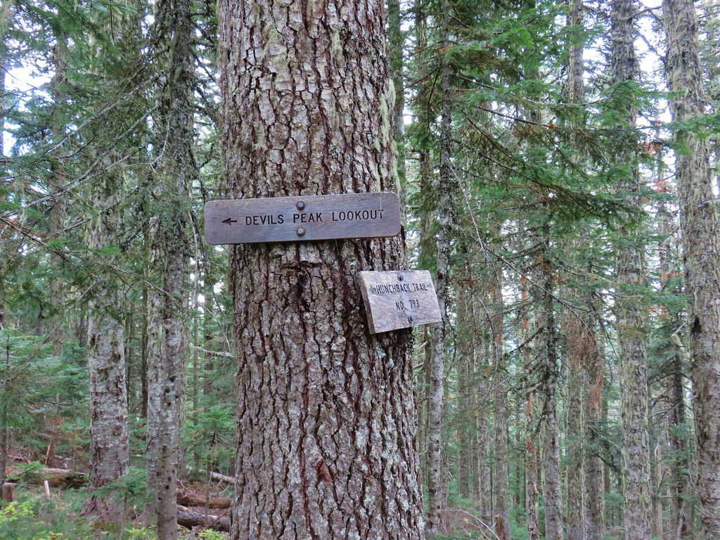
 Signs at the junction below Devil’s Peak.
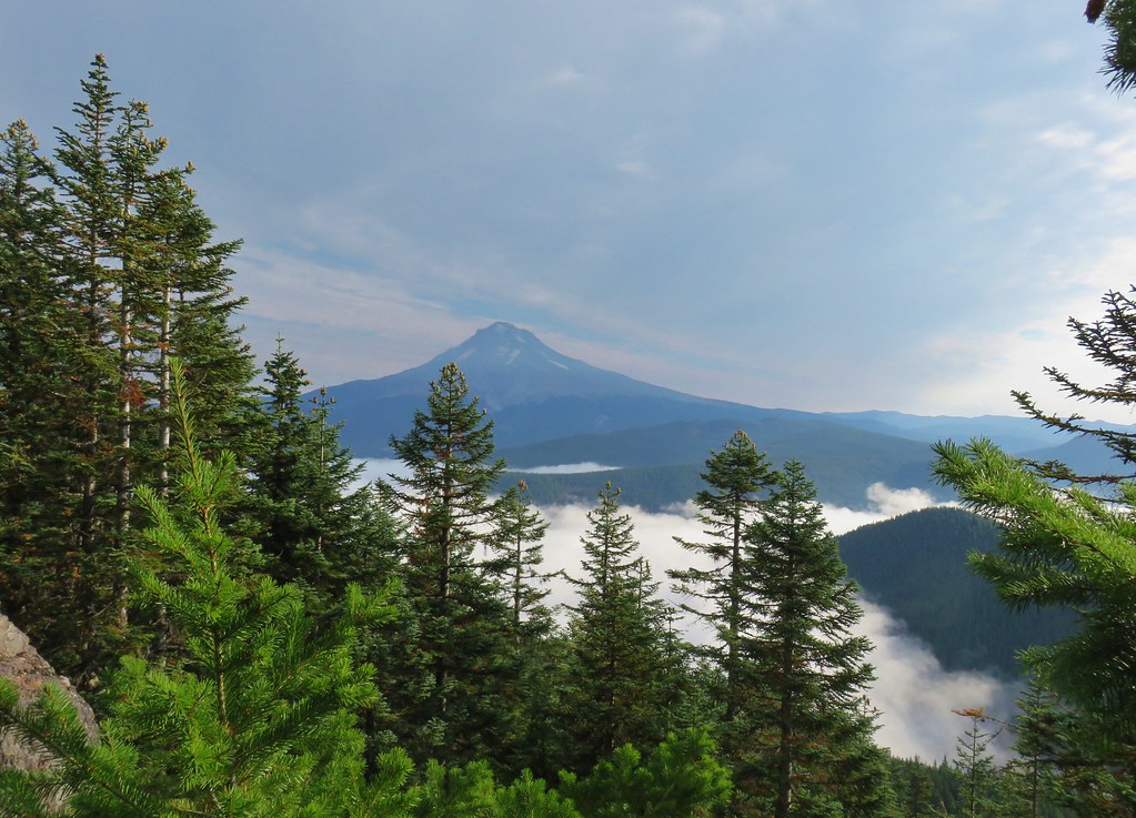
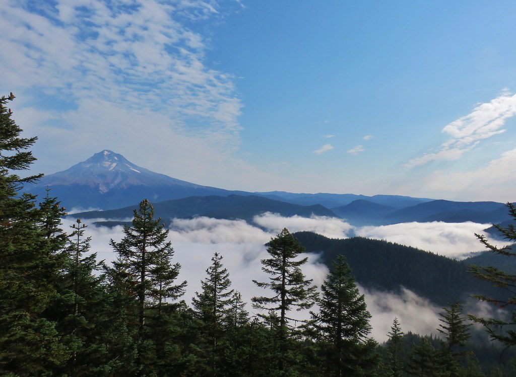
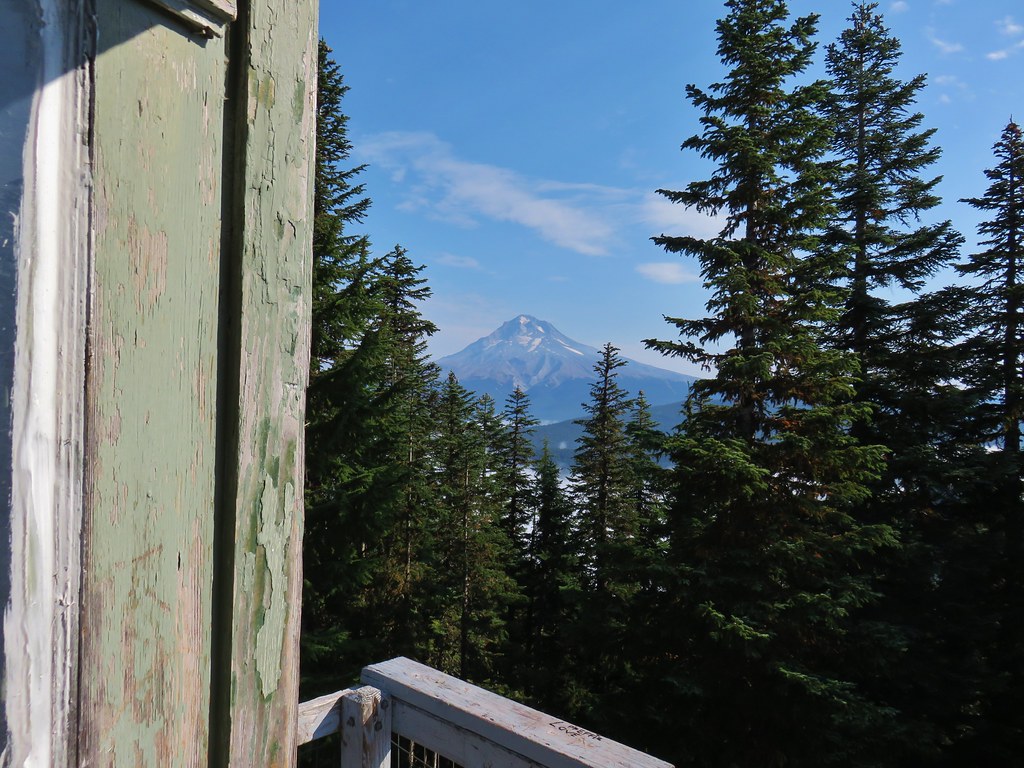
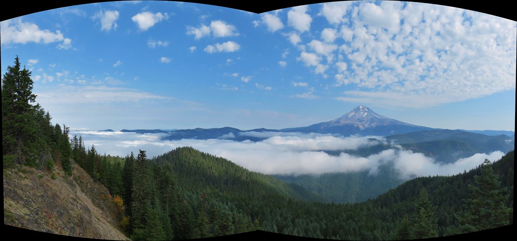
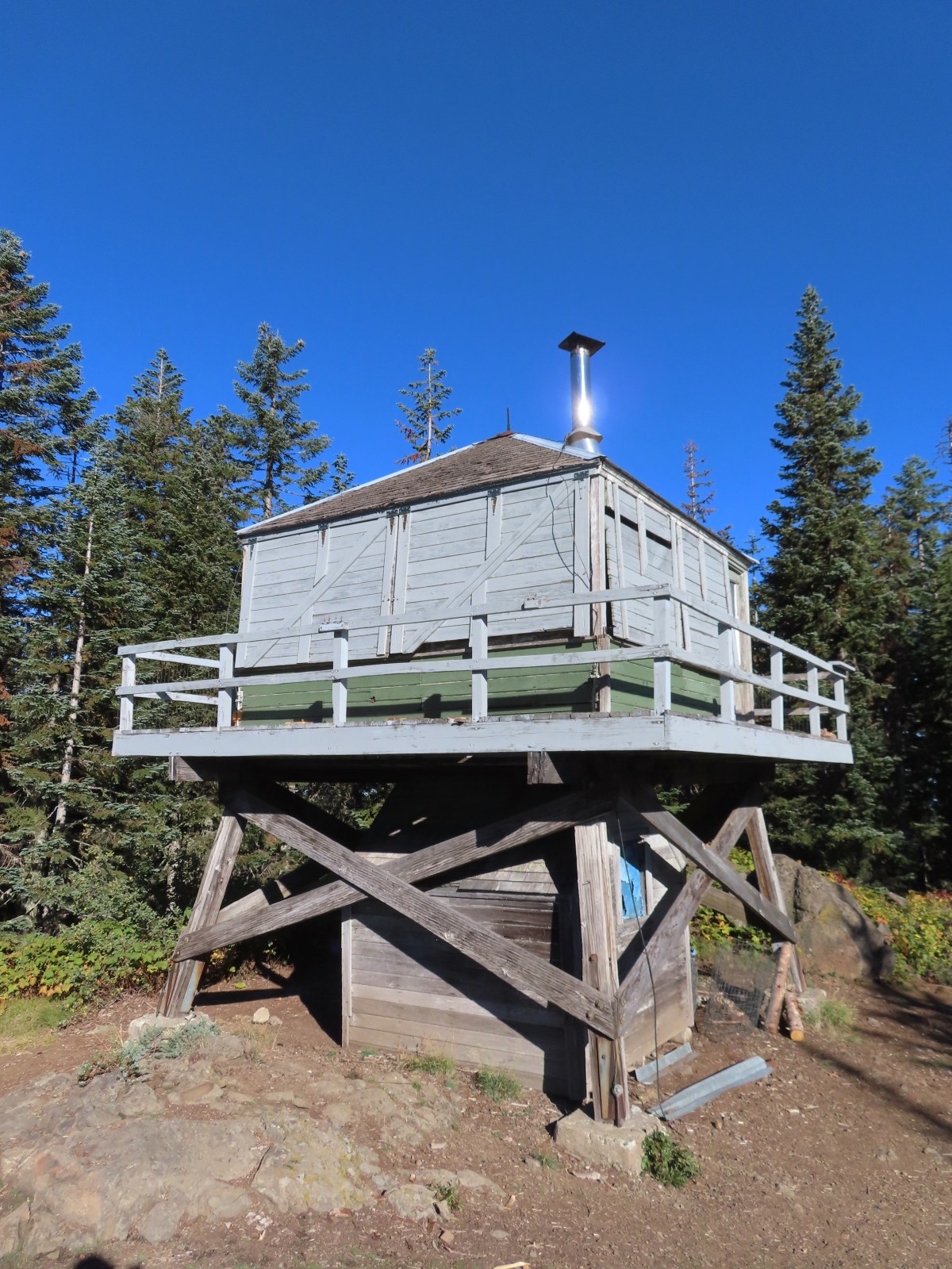
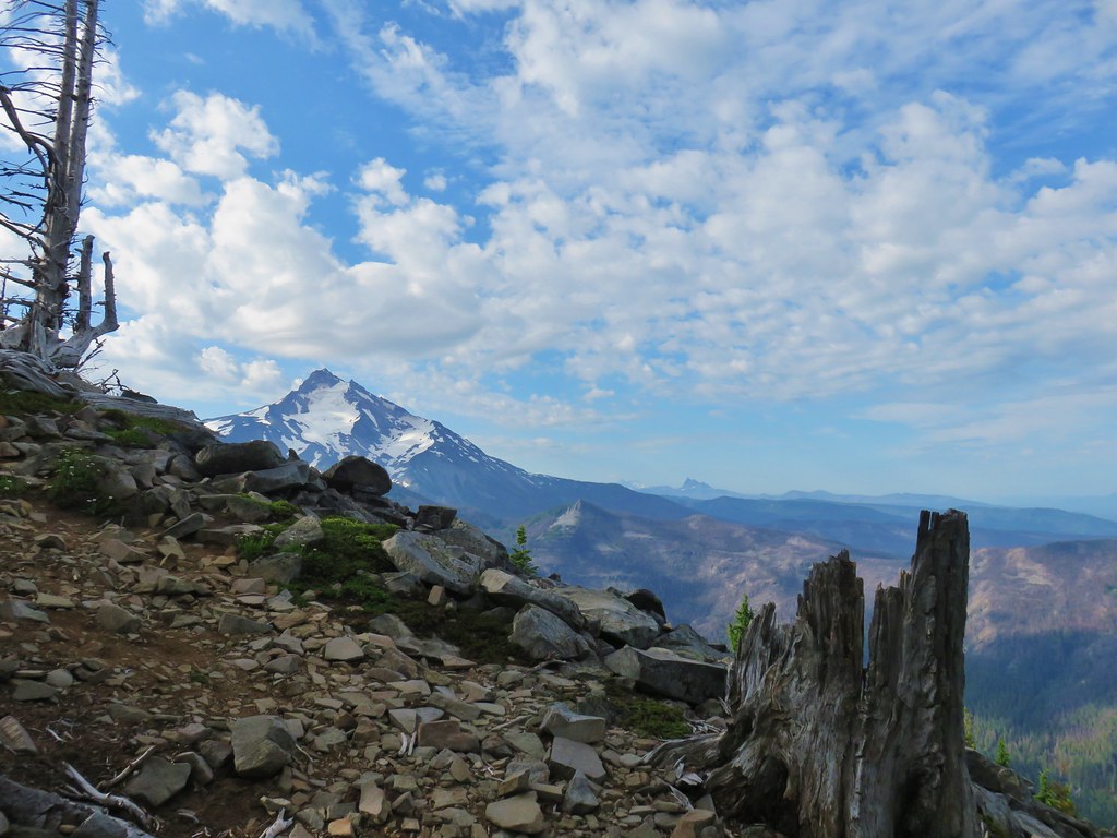
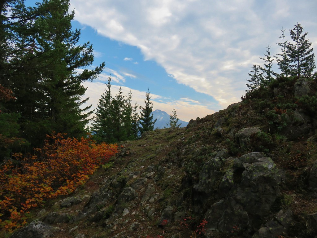
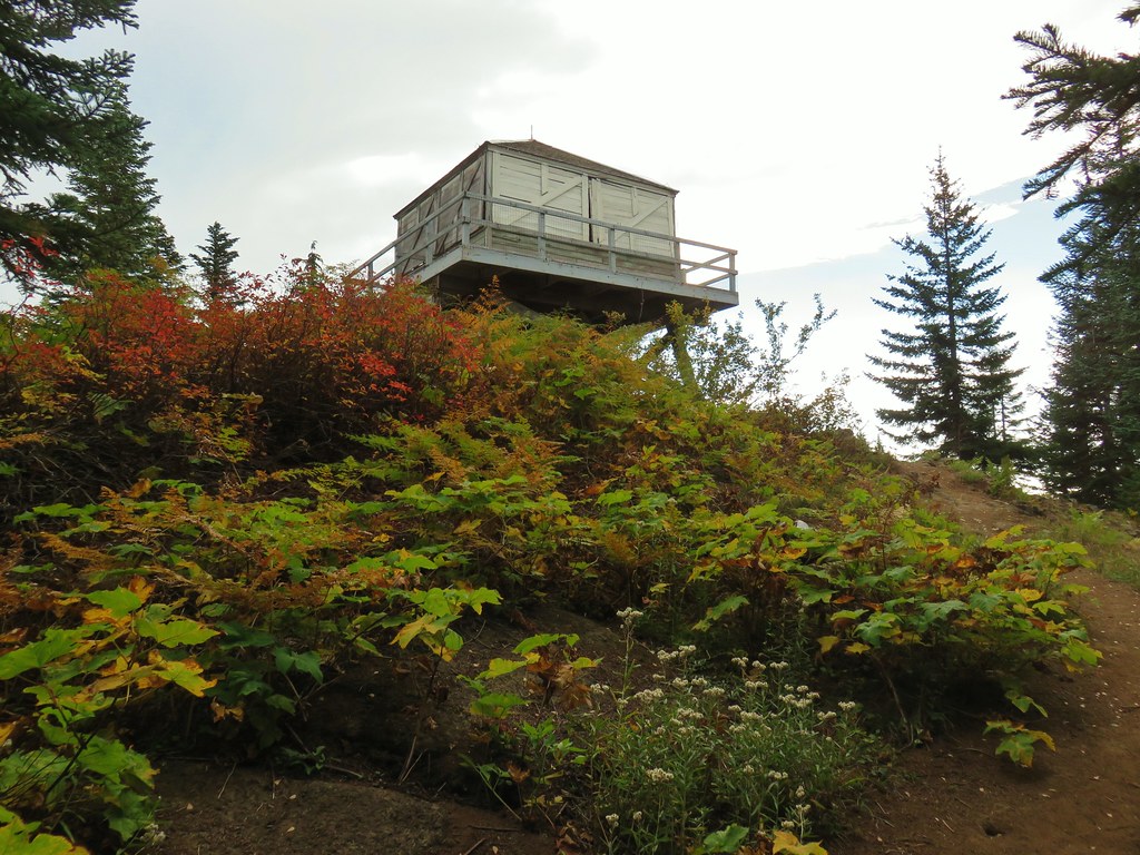
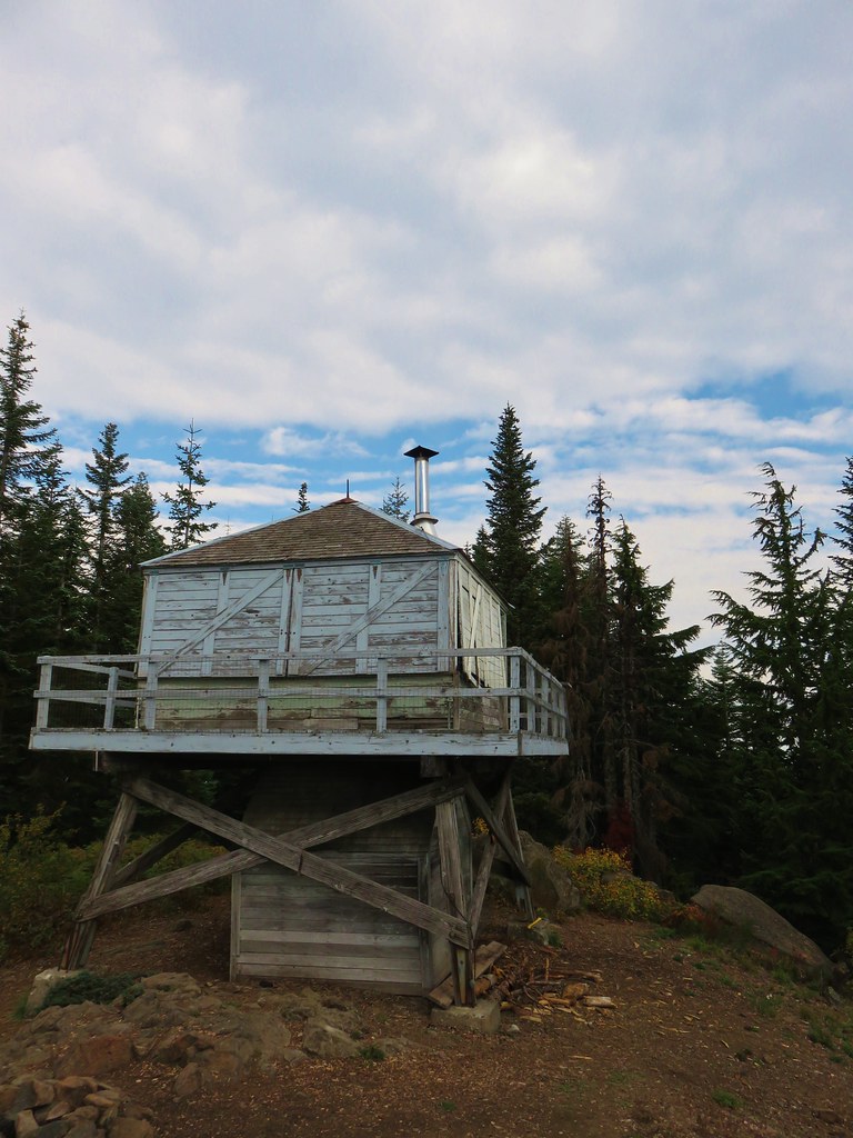
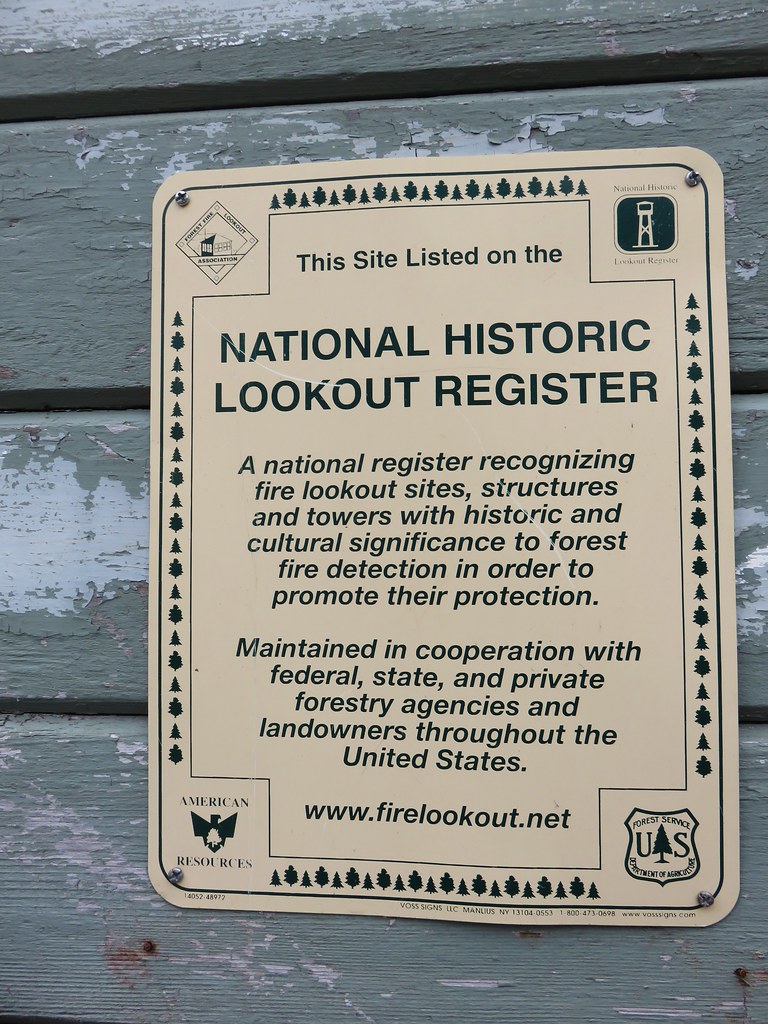
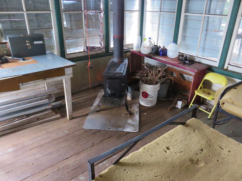
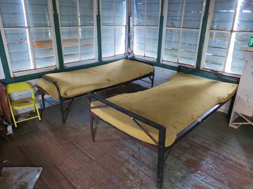
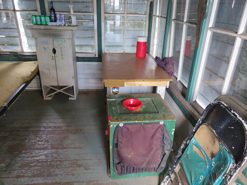
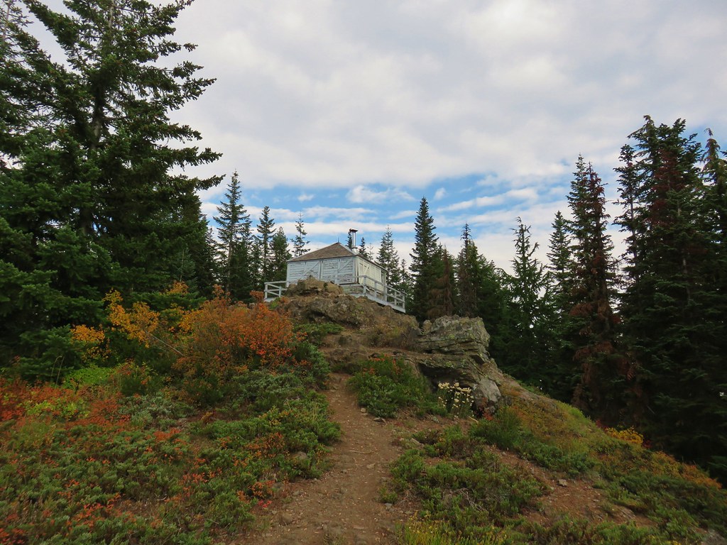
I detoured uphill to the right for 100 yards to the Devil’s Peak Lookout.

We were here back in 2018 when the lookout was still open to the public for use. I took a short break here to take in the views before continuing the loop.
 Mount Jefferson
 Olallie Butte (post) and Mt. Jefferson
 The lookout from the Mt. Jefferson viewpoint.
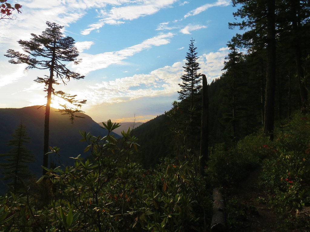
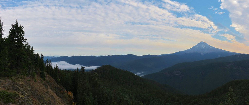
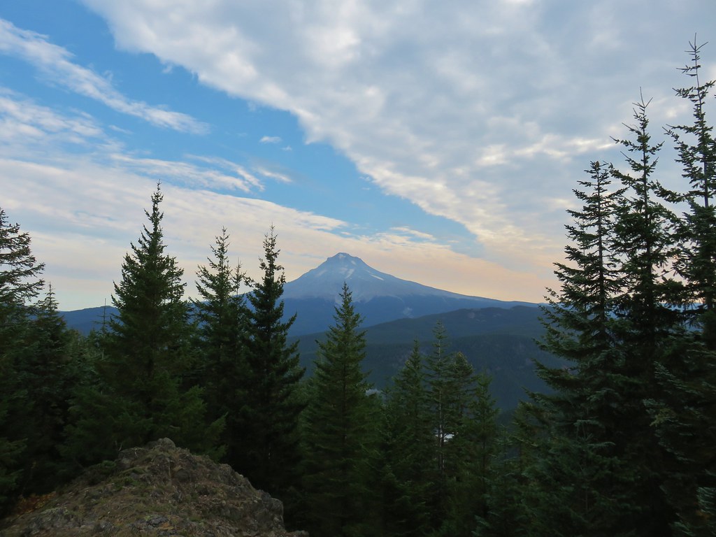
 Mt. Hood from the lookout.
 You can’t see Mt. Jefferson from the lookout due to trees.
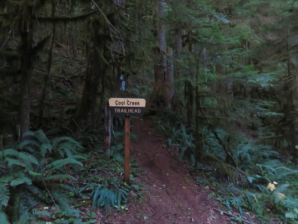
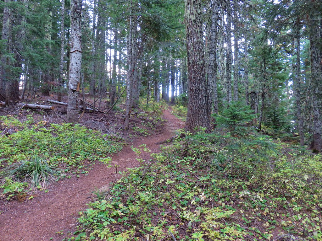
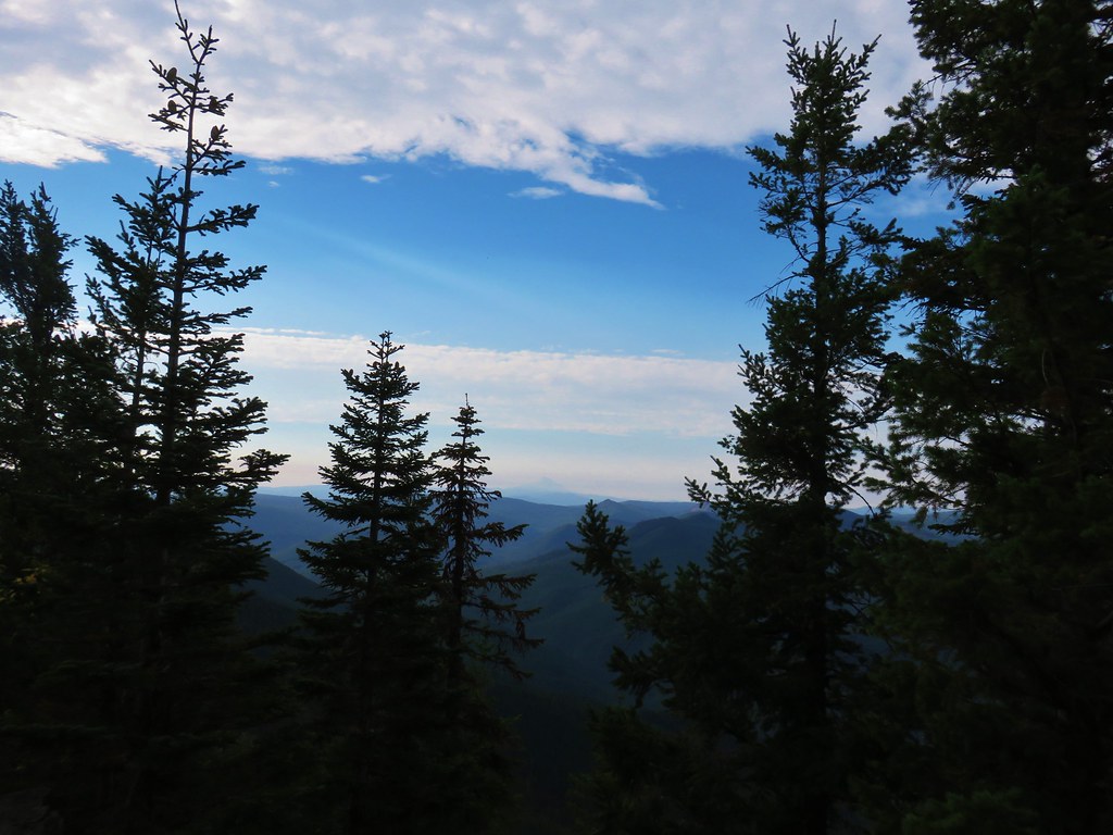
I continued on the Hunchback Trail passing the Cool Creek Trail in another 105 yards and began a 1.25-mile descent to the Devil’s Peak Trailhead. Note that the drive to this trailhead requires traveling nearly 10 miles on an awful road that Sullivan describes as a “nightmare”.
 Trail signs at the Cool Creek Trail junction.

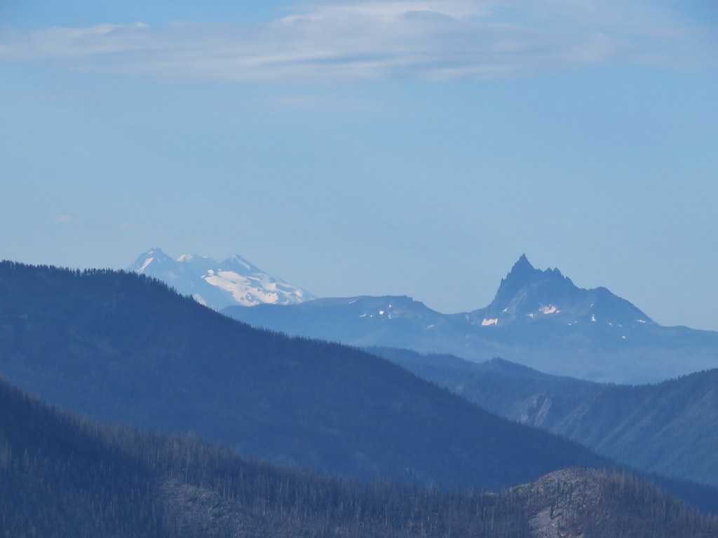
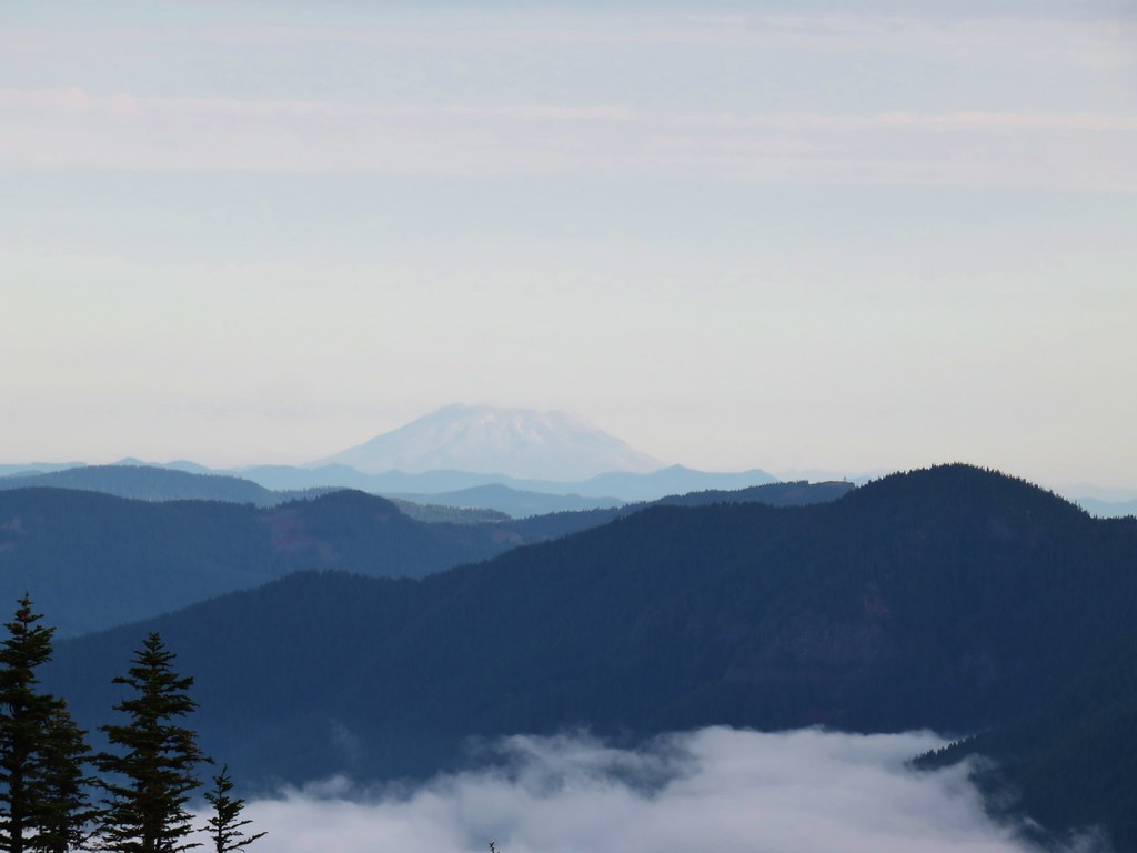
 Lookout Mountain(post), Gunsight Butte (post), and Bonney Butte (post) along the far ridge.
 Mt. Hood from the Hunchback Trail.

 Arriving at the trailhead on FR 2613.
 It’s hard to make out in the photo but that is a giant pothole (crater) in the middle of the road seen from the trailhead.
A short walk along the roadbed led to the Kinzel Lake Trail on the right.
 That is the trailhead at the end of the road on the right.
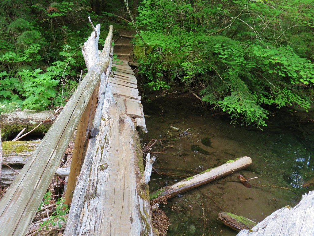
I turned down the Kinzel Lake Trail and after a third of a mile came to an unsigned junction with a spur trail to Kinzel Lake on the left.


I turned down the spur trail which dropped steeply then made two more steep up and downs before arriving at an old campground at the small lake in a little over a quarter mile.


After checking out the lake I climbed back up to the Kinzel Lake Trail and continued downhill another two miles where I turned right on the Salmon River Trail.
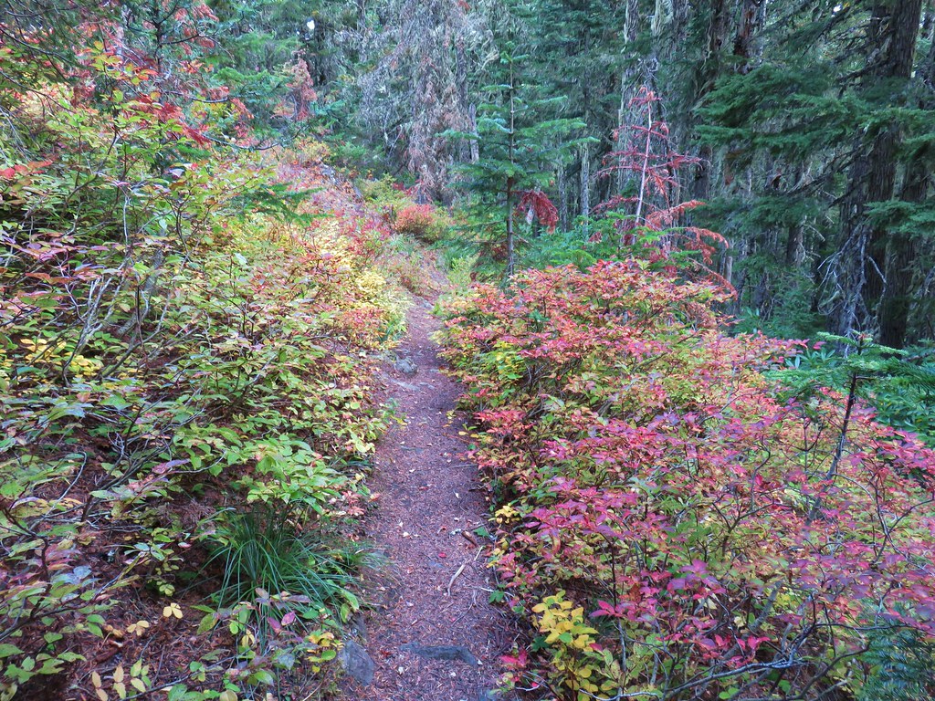
 There were some nice Fall colors along the Kinzel Lake Trail.
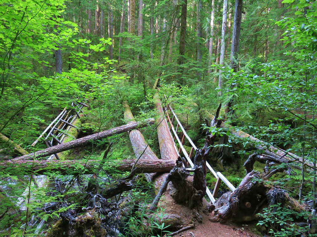
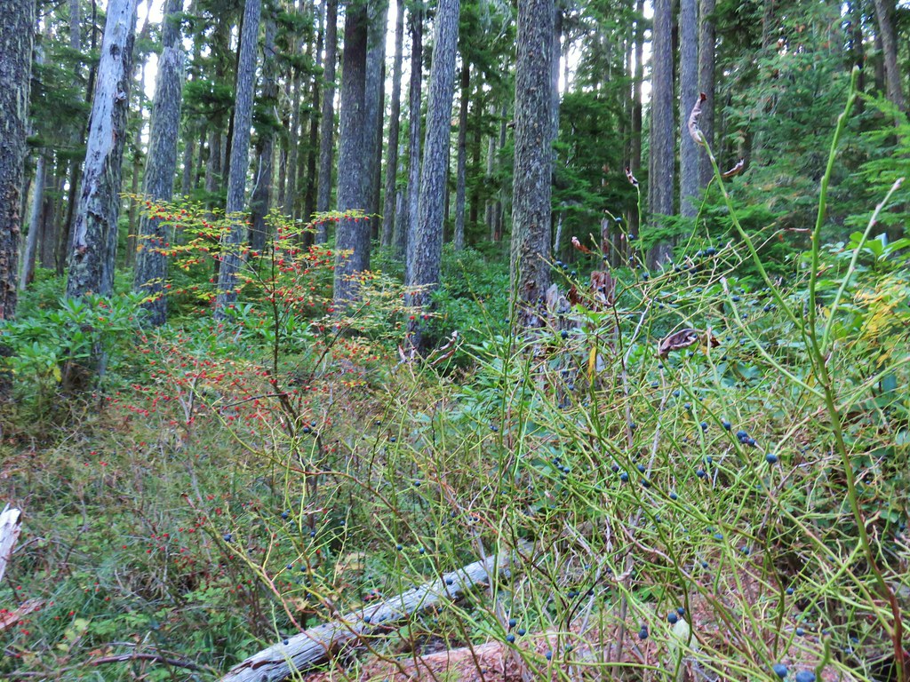
 There were also a few obstacles that were trickier than anything on the other trails involved in this loop.
 Salmon Butte (post)

 Nearing the Salmon River Trail.
 Trail sign at the Salmon River Trail junction.
I turned right on the Salmon River Trail. We had hiked this section of trail during an overnight trip in 2018

It was approximately 6-miles from the junction back to the trailhead. I bypassed most of the viewpoints this time since we’d visited them on previous trips, and this was already a long enough hike without adding more detours.

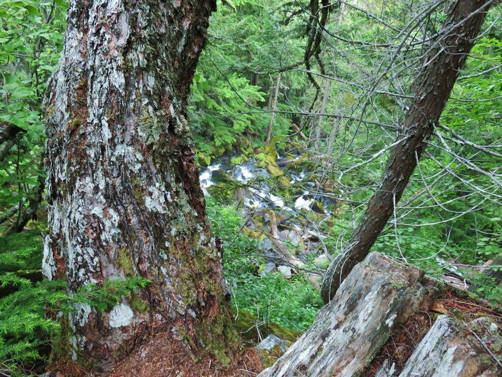
 There wasn’t much water at all in any of the side creeks.

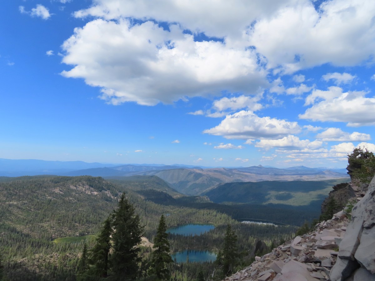
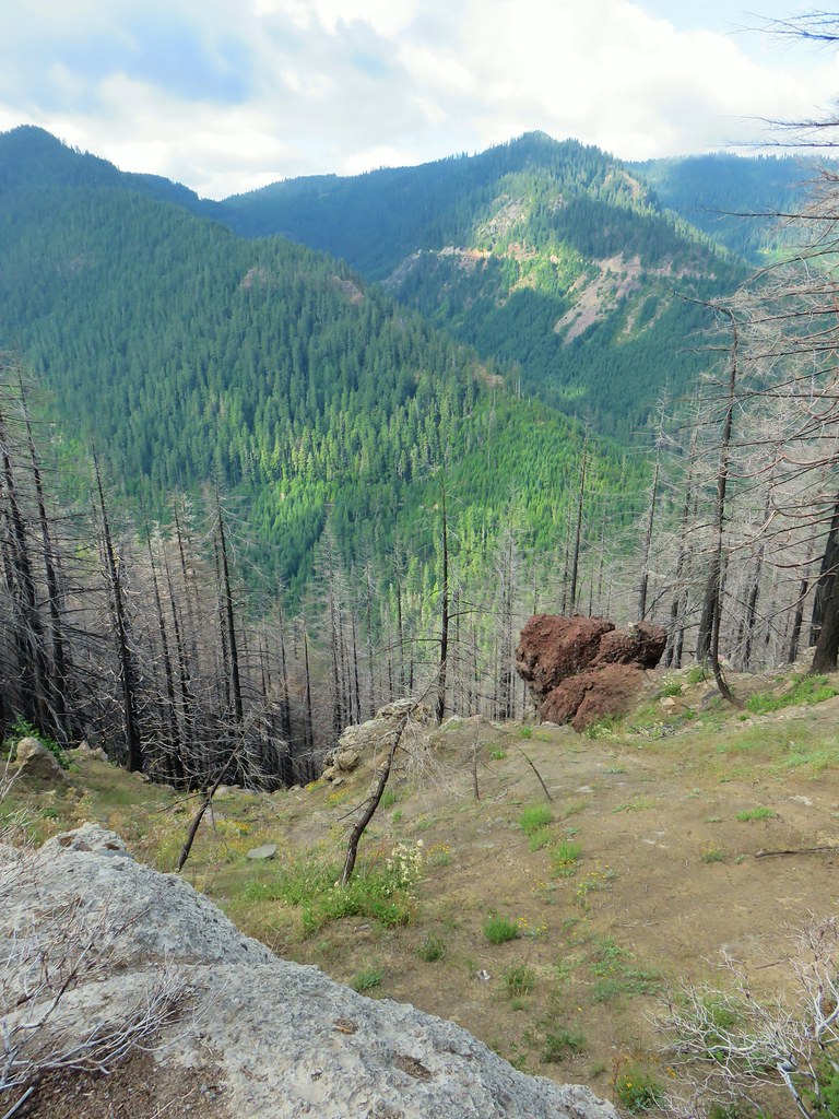
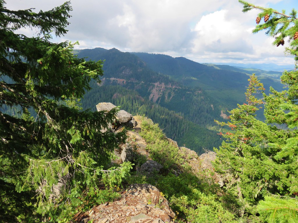
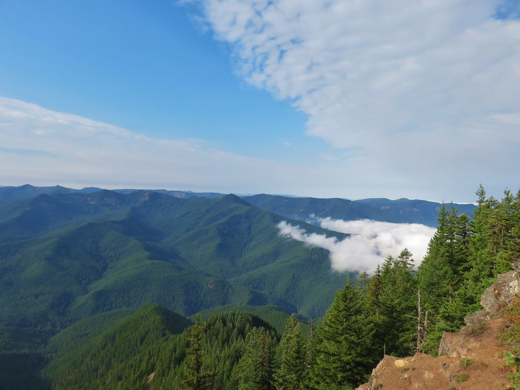
 There are several viewpoints just over 3.5-miles from the trailhead.
 The furtherst hump in the center is Huckleberry Mountain (post).

 Wilderness kiosk along the trail. There were self-issued permits here, but none at Green Canyon Way so I stopped and filled one out even though I was almost done with my hike (and out of the wilderness).


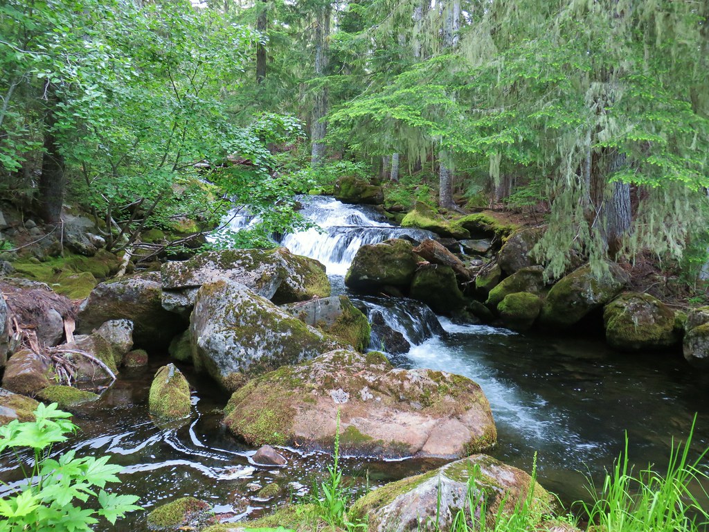
 Salmon River

 There were a couple of good-sized fish in the pool here.

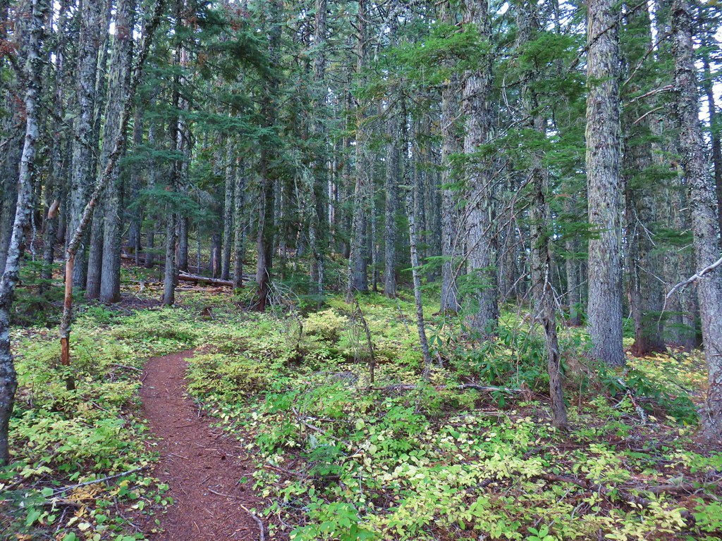
 The trail arriving back at the trailhead.
The first people I saw all day had been camped along the river near Goat Creek, and in total I saw less than 20 people, nearly all in the last three and a half miles. The hike itself showed 16.5-miles on the GPS and included over 4350′ of elevation gain.

This was a challenging but nice loop. My only wish is that it had been 15 to 20 degrees cooler. Clockwise was definitely the way to go in order to get the bulk of the climbing over with during the cooler morning hours. The Kinzel Lake Trail also seemed slightly steeper than the Green Canyon Way Trail making the climb up to Hunchback Ridge a little easier. Happy Trails!
Flickr: Devil’s Peak Loop
 Sevenmile Marsh Trailhead
 Sevenmile Creek
 Entering the wilderness
 Sevenmile Marsh
 Lodgepole pines were the dominate trees along the first part of the trail.
 Mountain hemlock took over as the trail gained elevation.
 Junction with the PCT.
 There were a few downed trees along this section but nothing difficult to get around.
 This twisted tree caught our attention.
 Nice blue sky.
 Lewis’s woodpecker way up in a snag.
 Tadpoles
 Frog in the water.
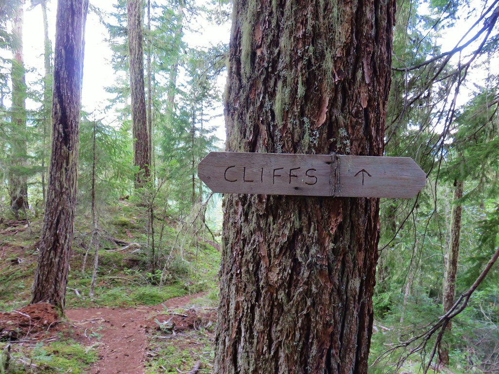
 Trail sign ahead on the right.
 Unnamed creek along the PCT. We were surprised at how many of the seasonal creeks still had flowing water.
 Grass-of-parnassus
 Huckleberries, there were a lot of these around the basin which we happily sampled.
 Devil’s Peak poking up above the trees.
 The Cliff Lake Trail.
 Prince’s pine
 Another flowing seasonal creek.
 Crater Lake collomia (Collomia mazama)
 The Seven Lakes Trail arriving on the right.
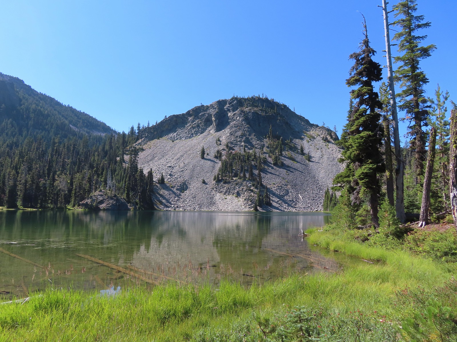 Cliff Lake
 Arnica
 Aster
Aster
 Splash in Cliff Lake from one of many fish that were feeding on insects.
 Camp
Camp Huckleberry bushes along the Cliff Lake Trail.
 Anywhere there was water nearby there were lots of tiny Cascade toads to watch out for.
 Back at the PCT.
 Larger frog
 Monkshood
 More grass-of-parnassus
 Not only were the toads tiny, they also were well camouflaged.
 Mount Scott (
 Mount Scott
 The Watchman (
 The Watchman and Hillman Peak
 Devil’s Peak
 Union Peak (
 Cliff Lake with Violet Hill beyond.
 Black backed woodpecker
 Getting closer to Devil’s Peak.
 A much bigger Cascade toad.


 Mt. Thielsen (
 Union Peak with Mt. Bailey (
 Lots of neat rock formation on Devil’s Peak.
 Western pasque flower seed heads.
 Buckwheat
 Views to the South opened up at the pass including Klamath Lake and Pelican Butte.
 Klamath Lake
 Devil’s Peak and the PCT coming up to the pass from the North.
 Klamath Lake, Pelican Butte, Aspen Butte (
 Mt. McLoughlin
 A faint Mt. Shasta which, given the wildfires burning in NW California was a bit of a surprise to be able to see.
 The view North.
 Goose Egg and Ethel Mountain in the forefront with Llao Rock, Mt. Thielsen, and Garfield Peak (
 Devil’s Peak
 We were a little concerned at first that it might be picking up water for a new fire but there wasn’t anything hanging from the helicopter so we have no idea what it was actually doing.
 The use path to Devil’s Peak on the right and the PCT on the left.
 The rather ominously named Lucifer from the use trail.
 A second use trail coming up from the opposite side.
 Western pasque flowers on the hillside above the use trails.
 The summit of Devil’s Peak ahead.
 Looking North toward Crater Lake and Mt. Thielsen
 Lucifer, Jupiter, and Venus
 Lee Peak above the pass.
 Luther Mountain (
 Remains of a former lookout.
 The PCT below Devil’s and Lee Peaks.
 Goose Egg, Llao Rock, and Mt. Thielsen
 Mt. Scott
 Mt. Shasta to South through a little smoke but again we felt fortunate to be able to see the mountain at all.
 Colorful grasshopper at the summit.
 American pipit
 The Seven Lakes Basin from the use trail down.
 South, Middle, North, and Grass Lakes
 Heading down the use trail.
 Looking back up the use trail.
 Western snakeroot along the PCT.
 A comma butterfly on western snakeroot.
 Painted lady
 Venus from the Devil’s Peak Trail.
 Looking back at Devil’s Peak.
 Looking North across the Seven Lakes Basin.
 Lake Alta in a bowl below Violet Hill.
 Pond along the Devil’s Peak Trail.
 Coming up to the Seven Lakes Trail junction. A rock cairn was the only marker.


 I was still only about halfway along the lake after the quarter mile. There used to be a campground at the North end.
 Common merganser
 The southern end of Lake Alta.
 Cliff Lake below Devil’s Peak and Middle Lake.
 Middle and Grass Lakes
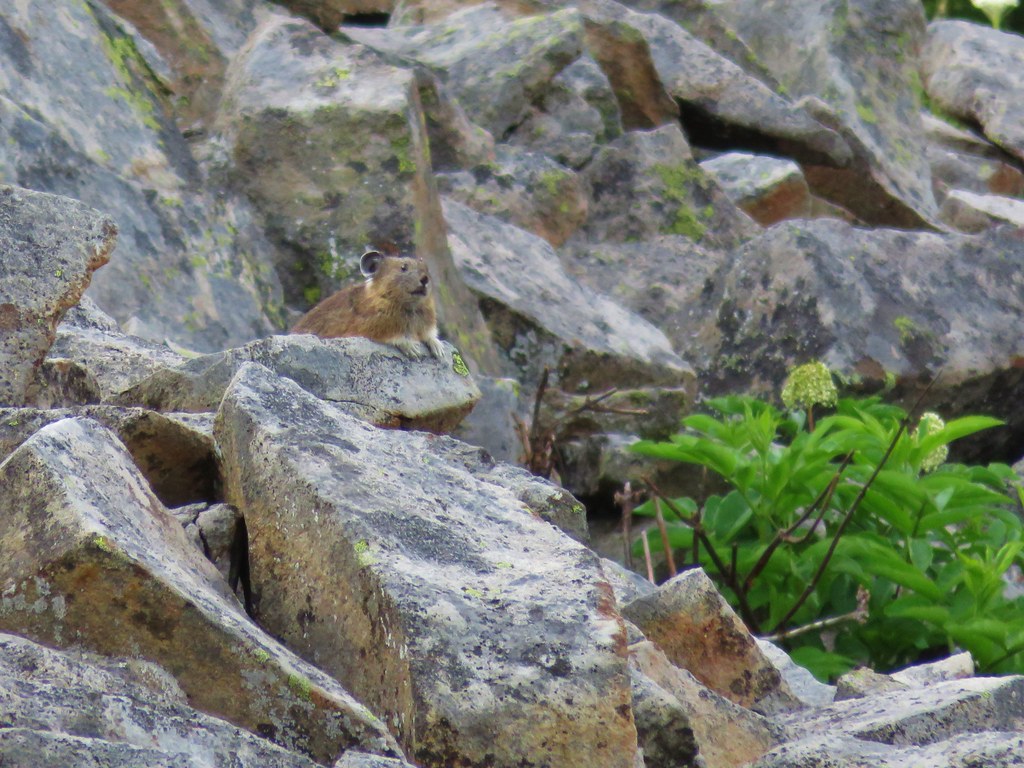
 I could hear several pikas in the rocks below the cliffs but the only thing I spotted was a chipmunk.
 Chipmunk
 Sulphur butterfly on aster.
 Gentian
 Fireweed
 South Lake
 Devil’s Peak from the trail. There were more pikas “meeping” from the rocks here but again we failed to spot any of them.

 Devil’s Peak in the evening.
 So many fish in the evening.
 Devil’s Peak in the morning.
 Seven Lakes and Cliff Lake Trail junction.

 We detoured left at the northern end of the lake following a pointer for Lake Ivern to find a view back across Middle Lake.
 Devil’s Peak from Middle Lake.
 Stream crossing.
 Monkshood and grass-of-parnassus
 Grass Lake
 Arriving at the PCT.

 Golden-mantled ground squirrel
 Sevenmile Trail at the PCT to return to the Sevenmile Marsh Trailhead.
 Exiting the Sky Lakes Wilderness.

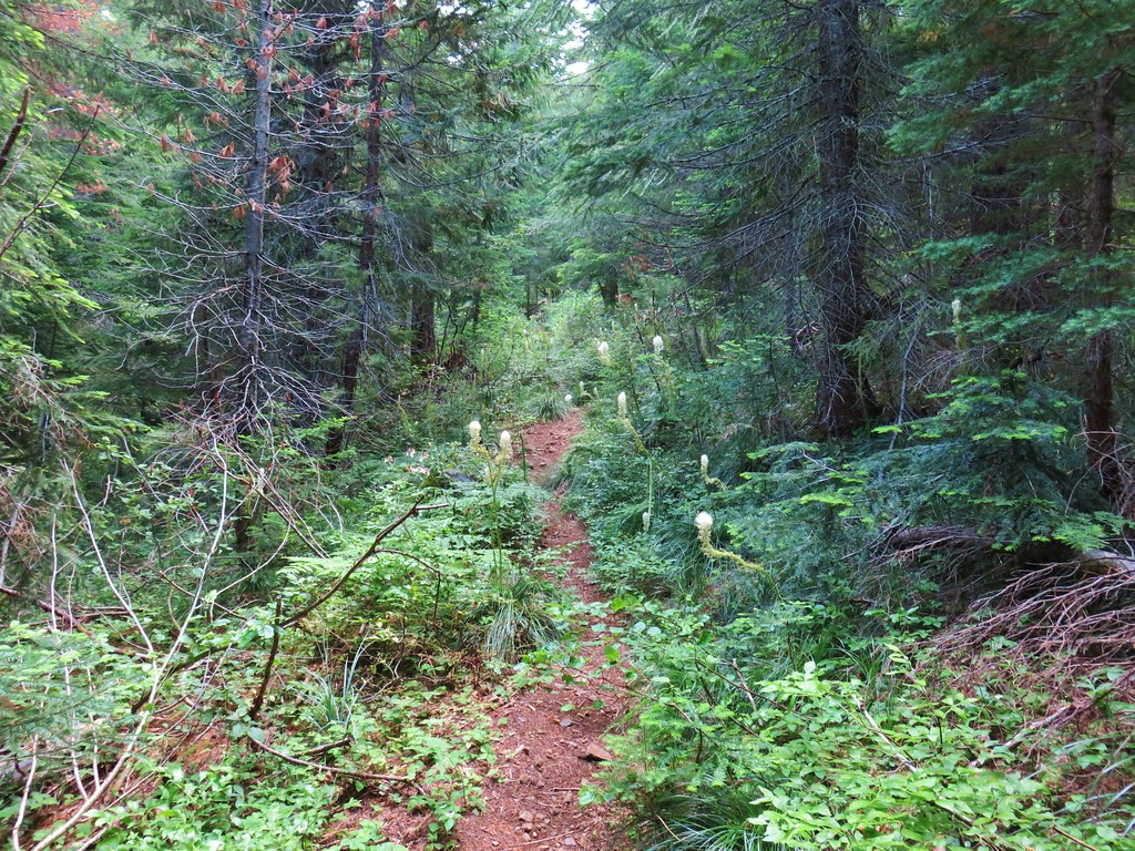
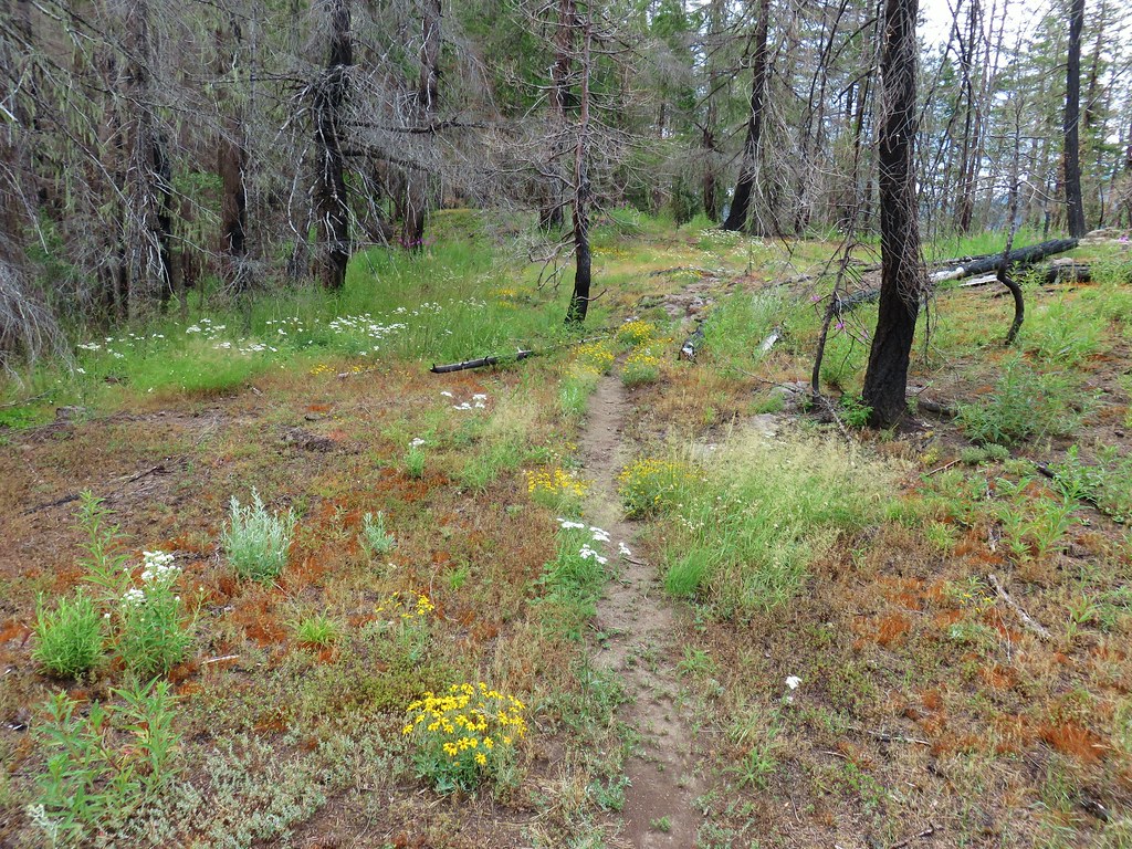
 Lots of spent beargrass along the trail.

 Thimbleberry bushes near the spring.
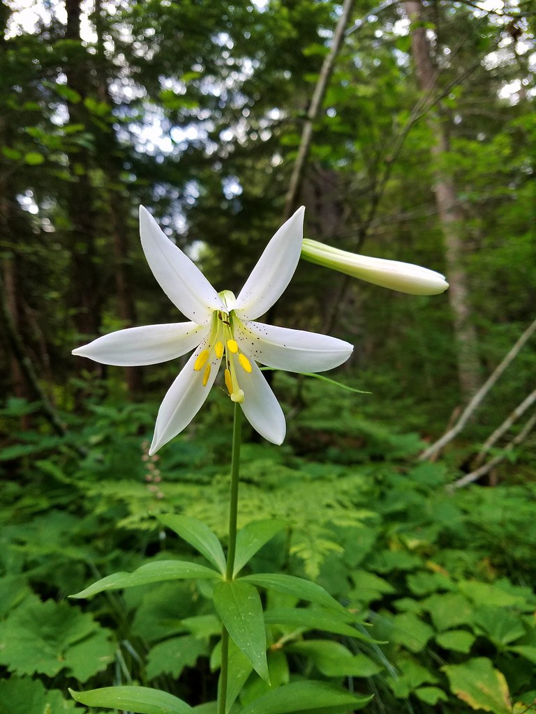 Washington lily
 Spring near the trail.

 Spotted the first pika of the day at this switchback (it’s on one of the red rocks)
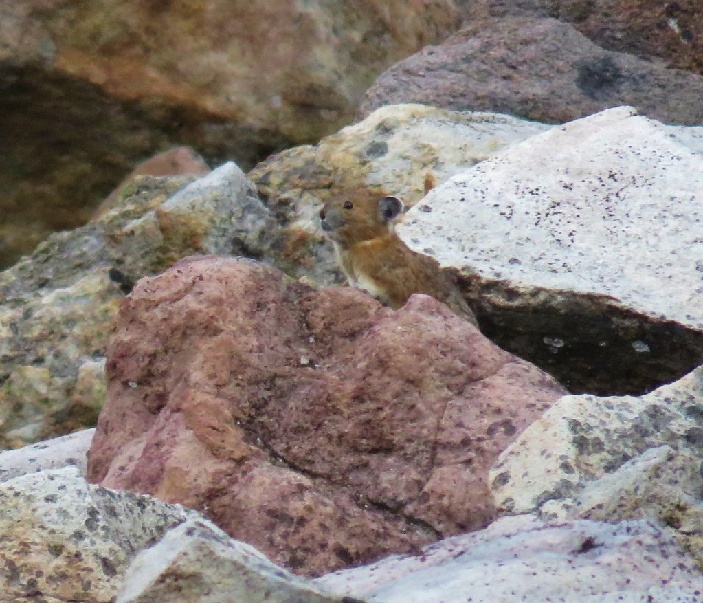


 The Three Pyramids, Bachelor Mountain, and Coffin Mountain in the distance with Triangulation Peak in a cloud shadow along the near ridge to the right.
 Mt. Jefferson with Three Fingered Jack now fully visible.
 Three Fingered Jack
 Grouse in the brush to the left of the trail.
 Grouse
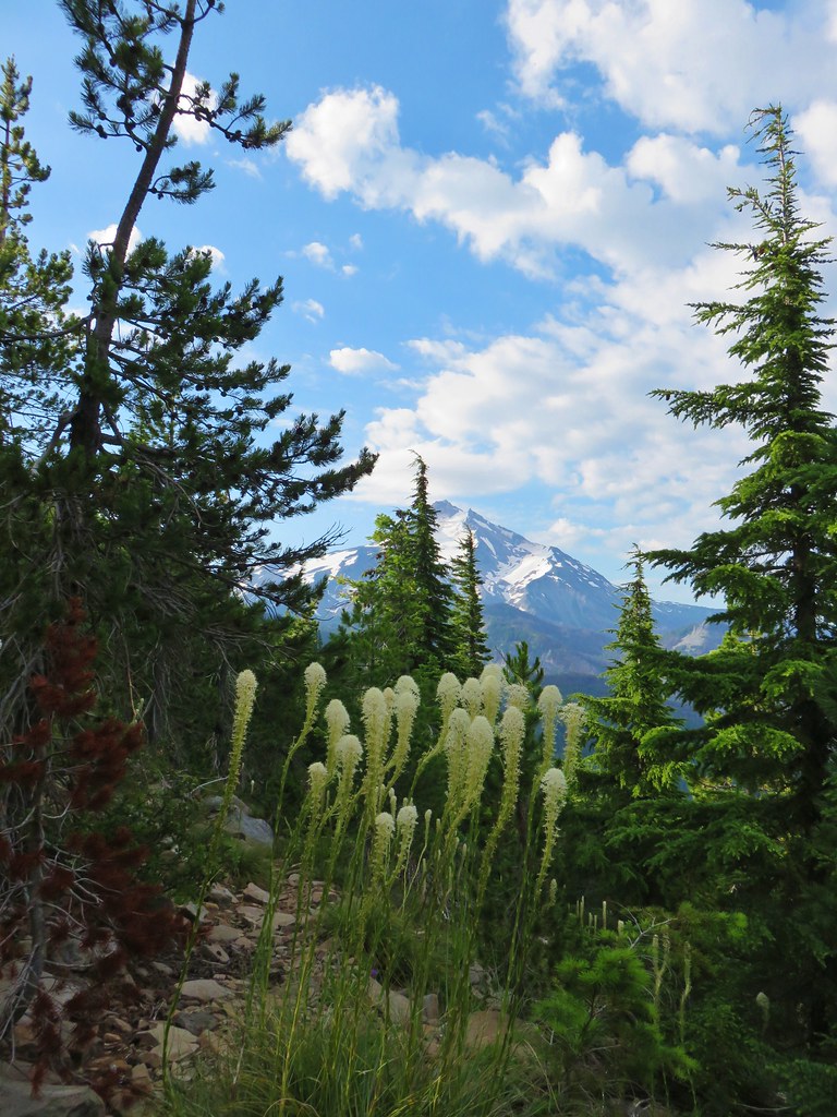


 Almost to the top.
 Bear Point summit.
 The Three Sisters and Three Fingered Jack
 Mt.Jefferson
 Park Ridge (
 Bear Lake, Dinah-Mo Peak, and Park Ridge
 Triangulation Peak and Devils Peak
 Boca Cave below Triangulation Peak (
 Devils Peak (high point to the right of the ridge), which we had just hiked to a couple of weeks earlier (
 Mt. Hood and Olallie Butte (The Breitenbush Cascades are also out there amid the trees.)
 Mt. Hood with Slideout and Mildred Lakes in the forest below.
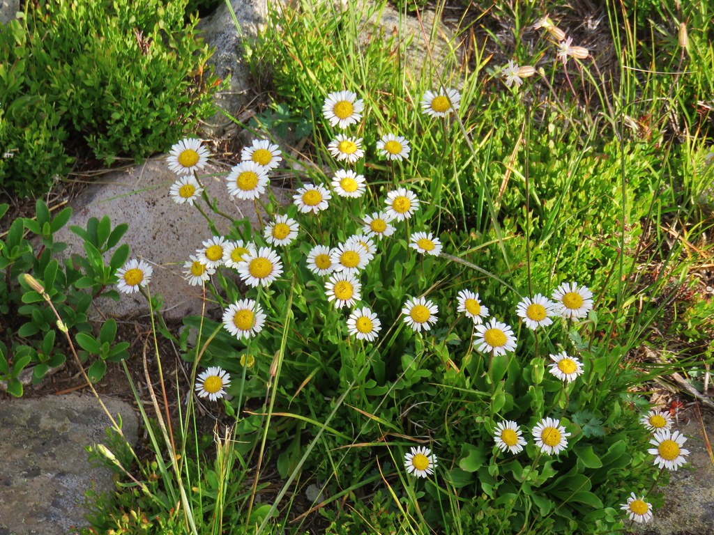 Fleabane
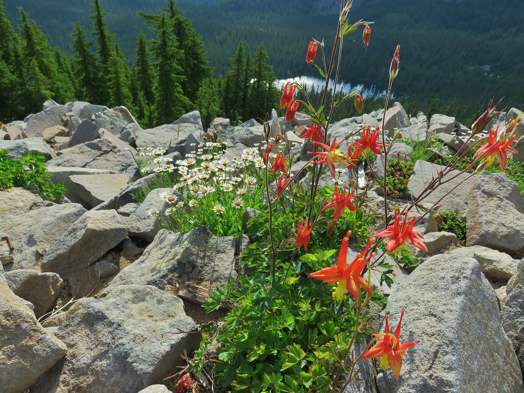 Columbine and fleabane with Bear Lake in the background.
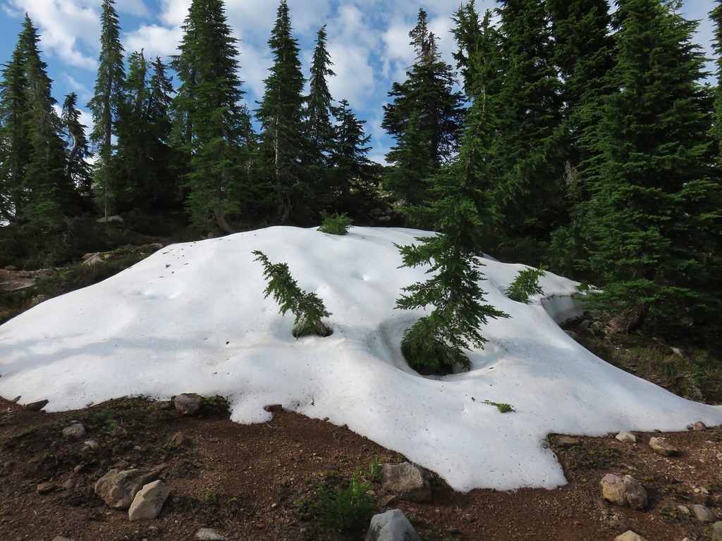 Snow patch near the summit.
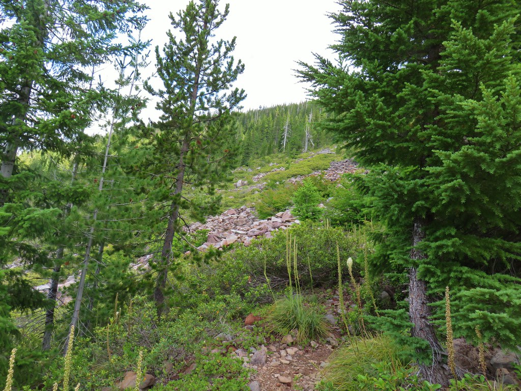
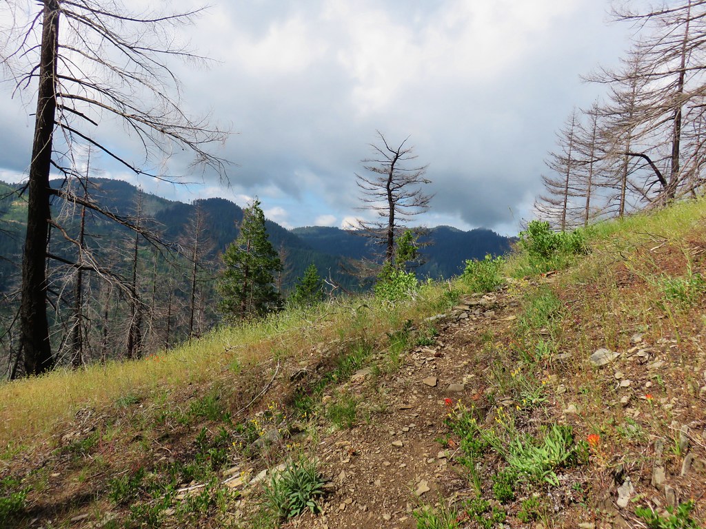
 Typical terrain, it’s hard to tell here but this was a steep hillside.
 There were tons of these butterflies around.
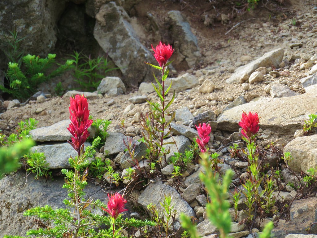 Paintnbrush
 Crossing a talus slope.
 More typical conditions.
 Pond near the lake.
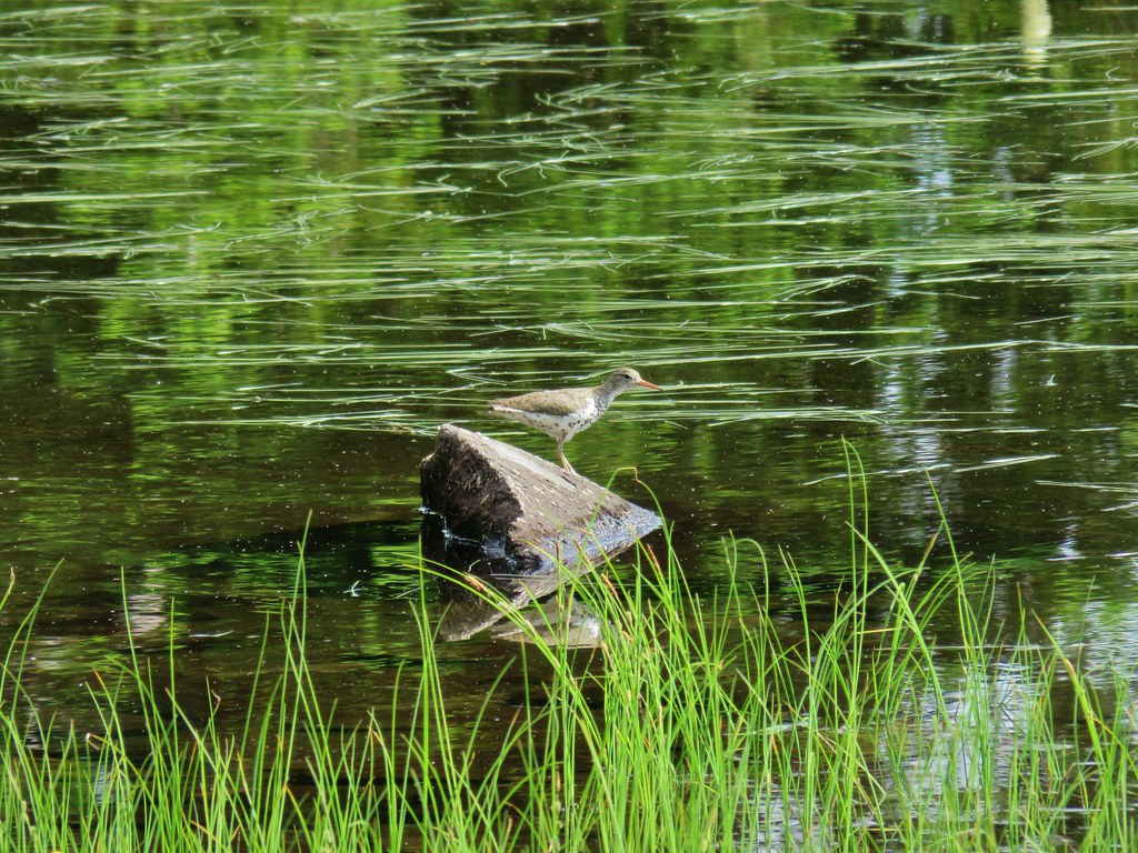 Bird at the pond.
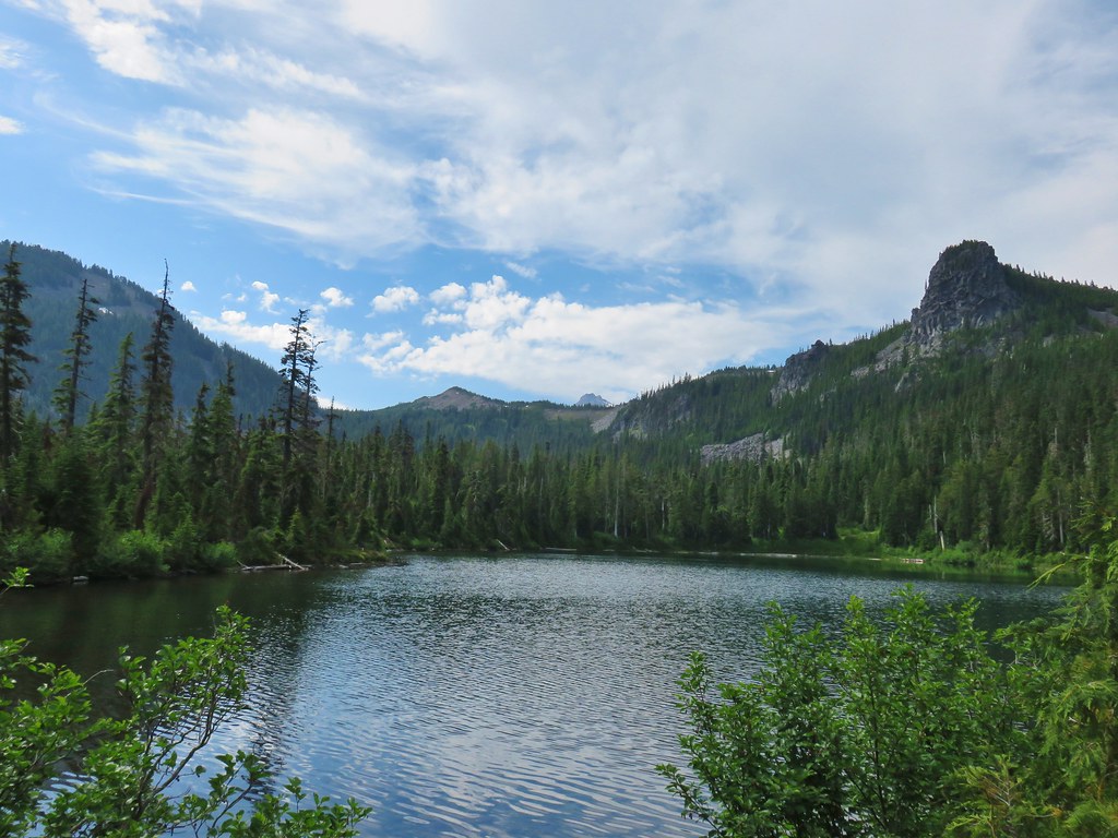 The lake
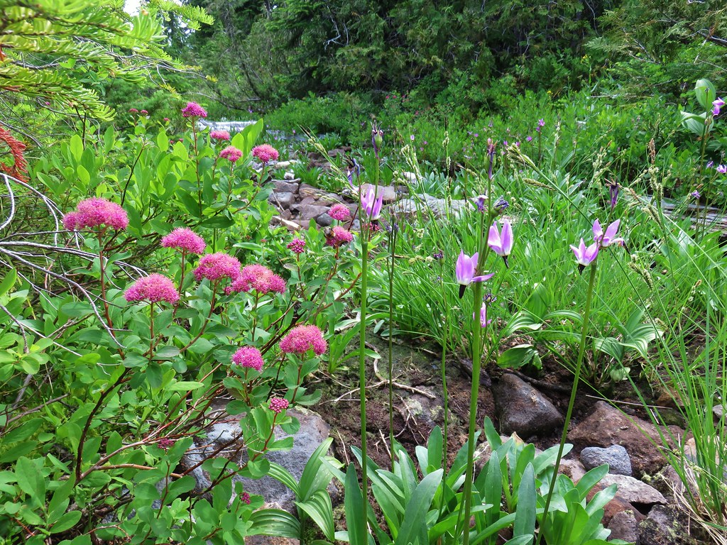 Spirea and shooting stars
 Crab spider with a bee
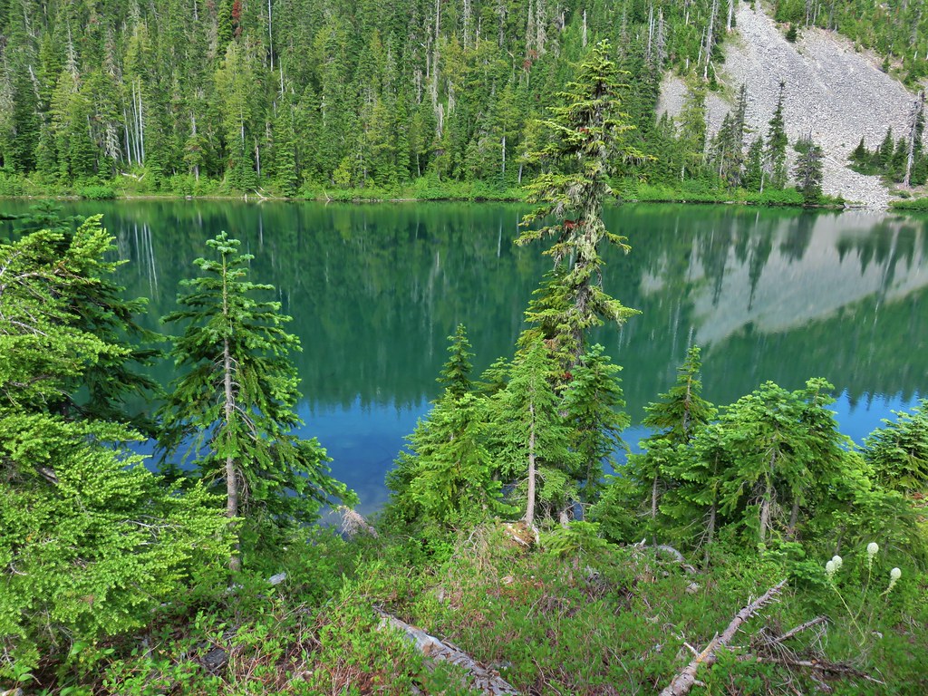 The lake
 Aster
Aster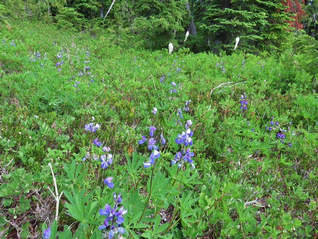 Lupine and beargrass
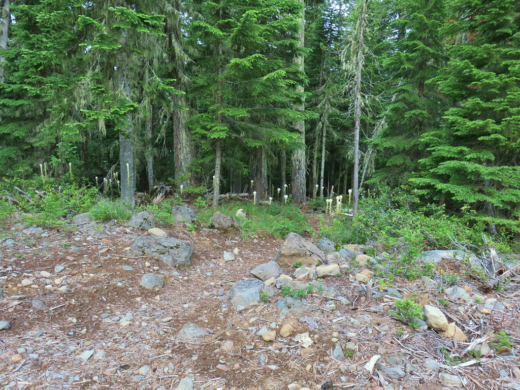


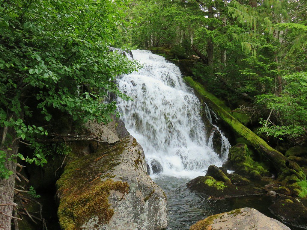

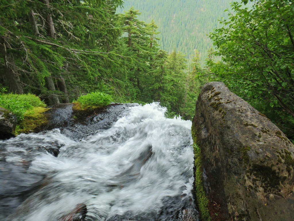

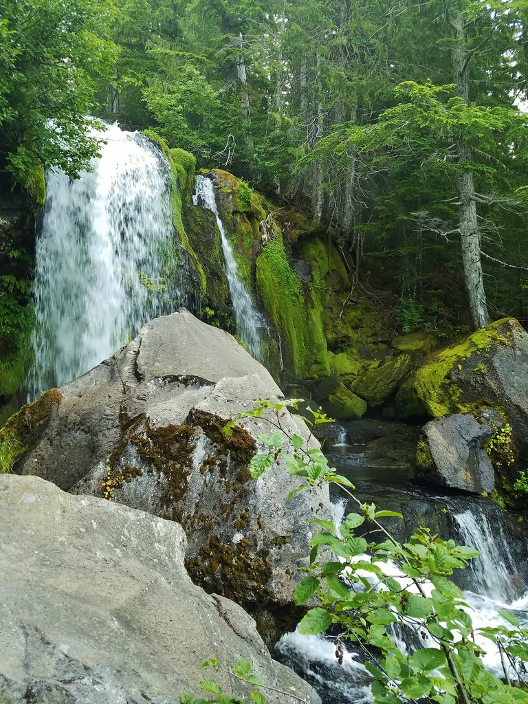
 The river below the second tier.


 A clump of fireweed.
 Scouler’s bluebells
 Diamond clarkia
 Cat’s ear lily
 yarrow
 Pearly everlasting
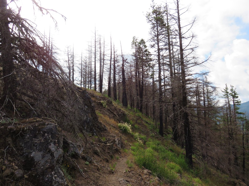


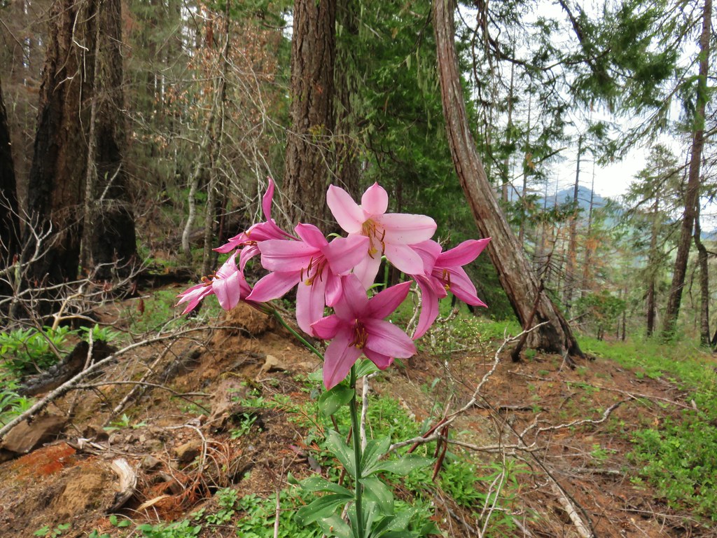 Another Washington lily

 Devil’s Peak ahead
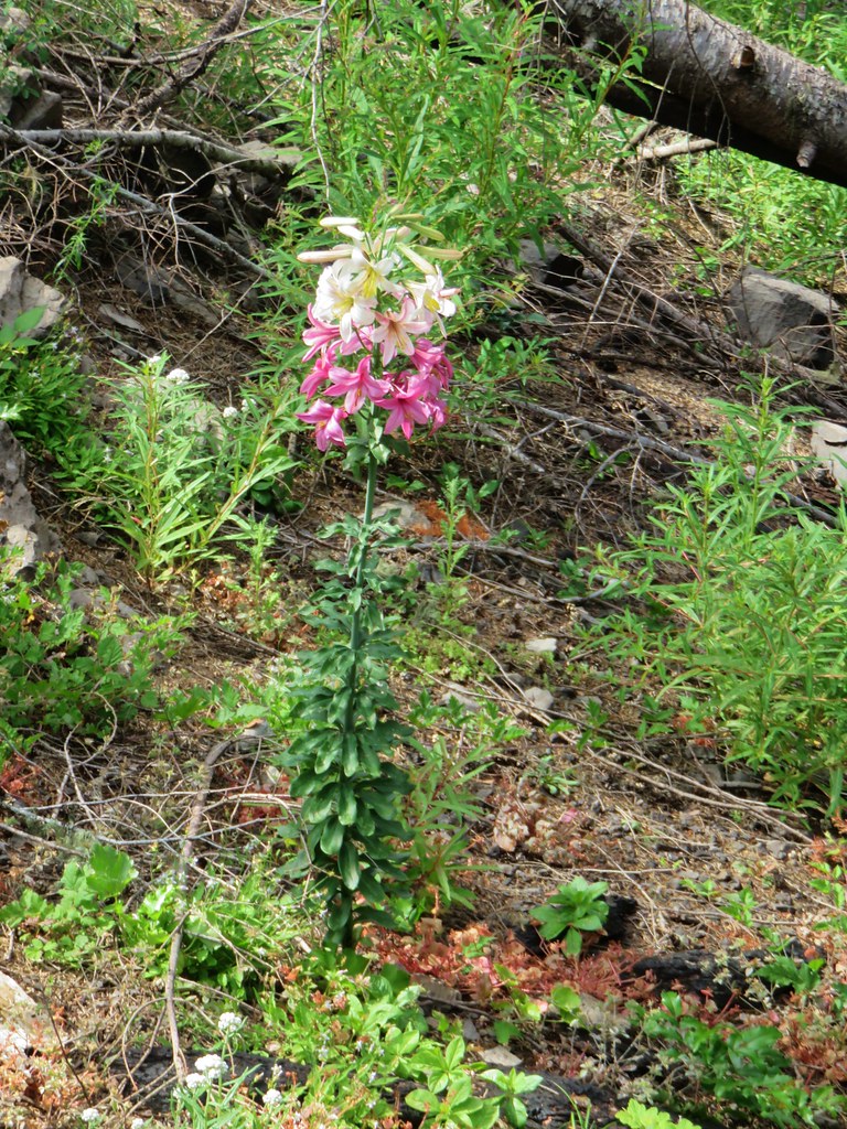


 A typical steep section.
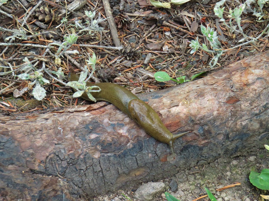


 Looking back up from the bottom.
 Still dropping but much more gradually.
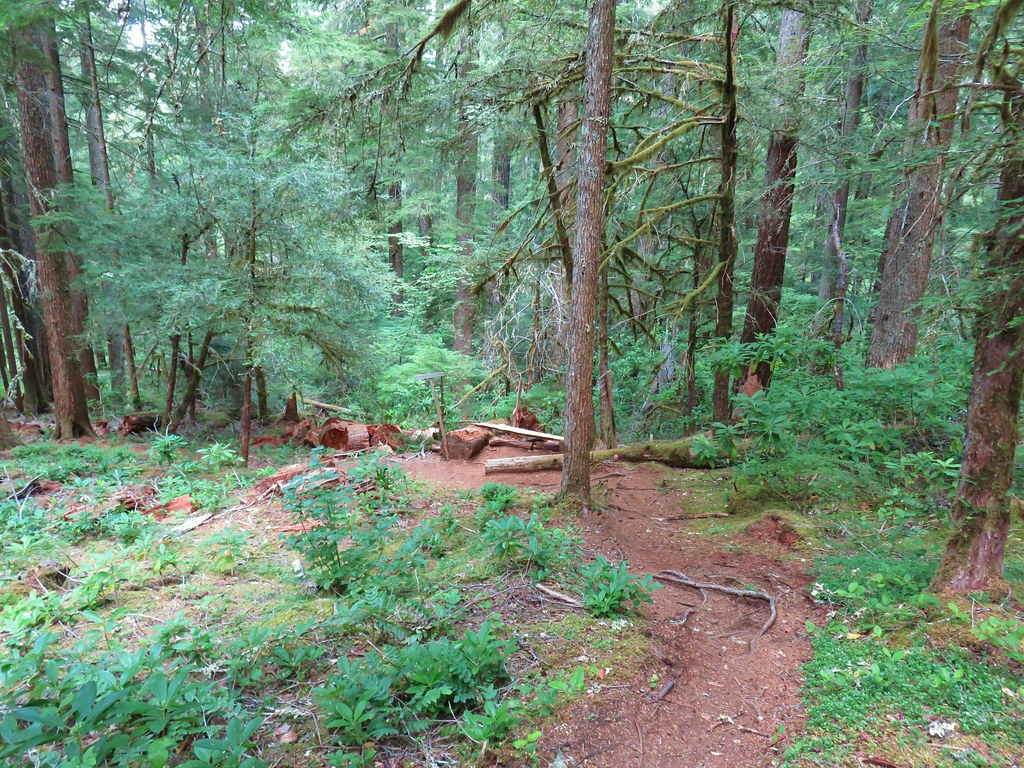


 <
<

 The rocky ridge
 Mt. St. Helens
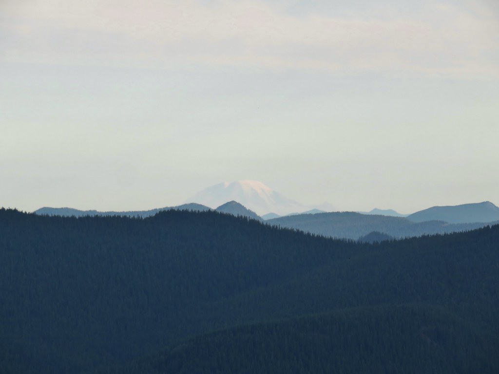 Mt. Rainier
 Mt. Adams
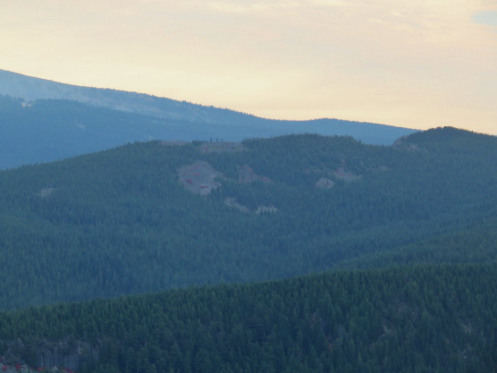

 Mt. Jefferson in some haze to the south.
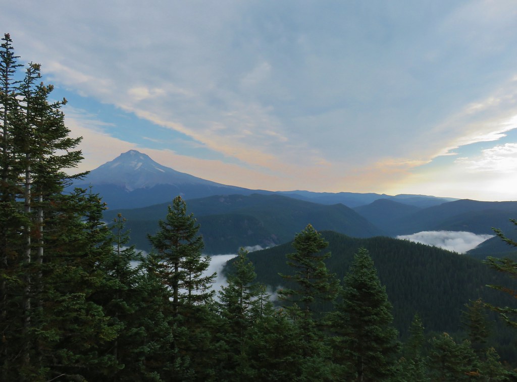 Mt. Hood
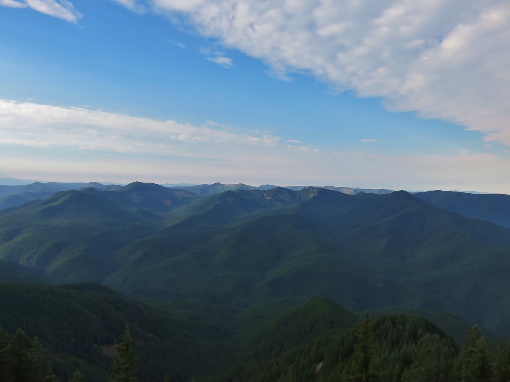 Salmon-Huckleberry Wilderness
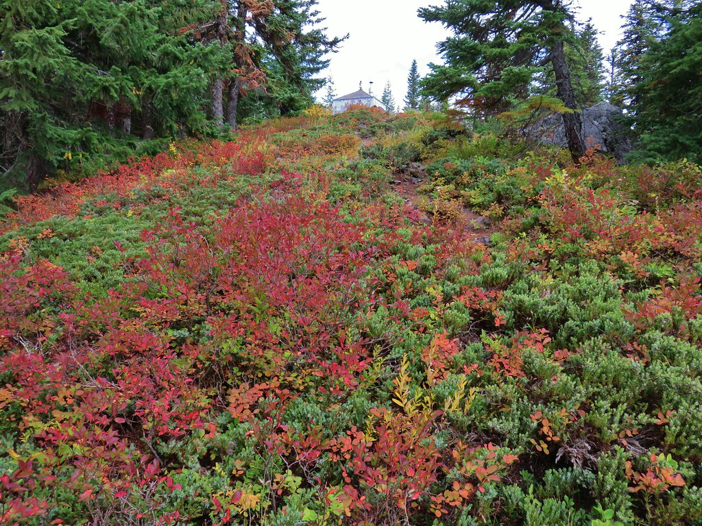
 Clouds coming up the Salmon River Valley
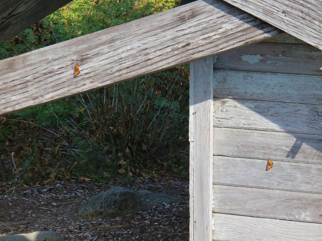 Butterflies on the lookout.
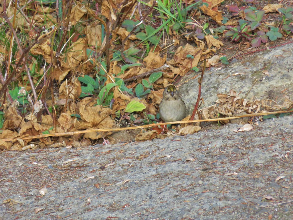 One of several birds foraging in the bushes near the lookout.