Our quest to seek out new to us trails had us turning back to Matt Reeder’s “101 Hikes in the Majestic Mount Jefferson Region” (1st edition). Because the book was released in 2016 it pre-dates the 2020 Riverside and Beachie Creek Fires that devastated much of this region leaving many of the hike descriptions out-of-date. We were fortunate enough to experience most of the hikes, at least in part, prior to those fires.
One of the hikes that we had not yet gotten to was Reeder’s hike #4-Upper Molalla Divide. Reeder describes three options starting at two different trailheads ranging from a 0.7-mile loop at Joyce Lake and a 2.8-mile out-and-back to Nasty Rock. These hikes largely escaped the recent fires except for a couple of small sections of the trail to Nasty Rock scarred by the 2020 Beachie Creek Fire. On the other hand, other than the trail around Joyce Lake, the trails are rarely if ever maintained.
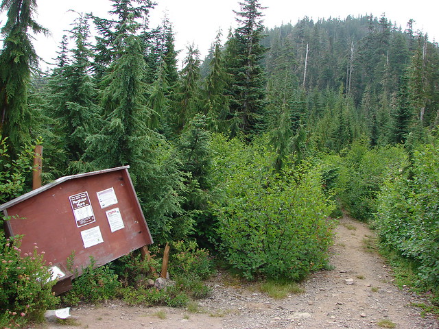
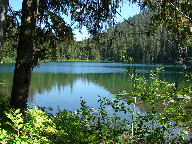
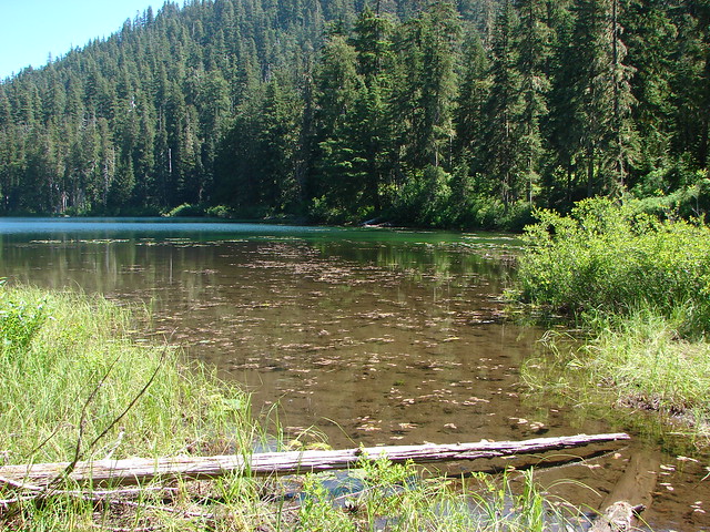
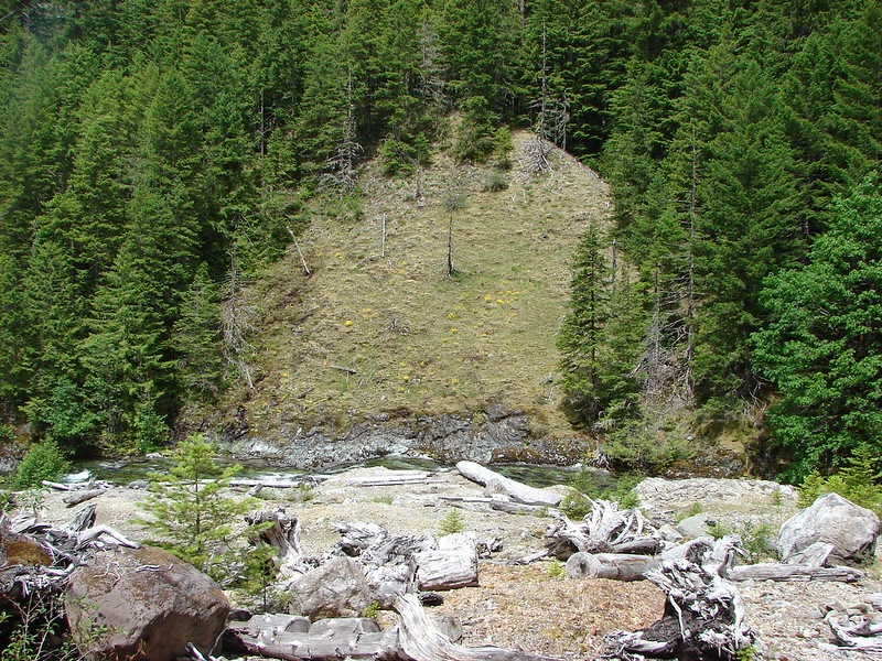
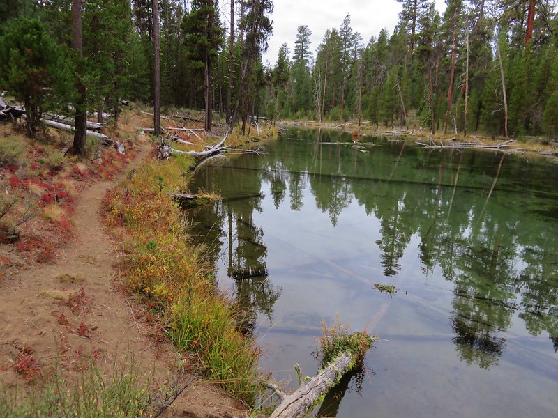
We decided to start our day at Joyce Lake when we found the trailhead parking area empty. Two of the three described hikes start from this trailhead, the very short loop around Joyce Lake, and a 2.6-mile loop combining the abandoned Baty Butte Trail and gravel roads.
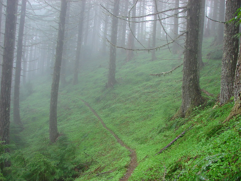
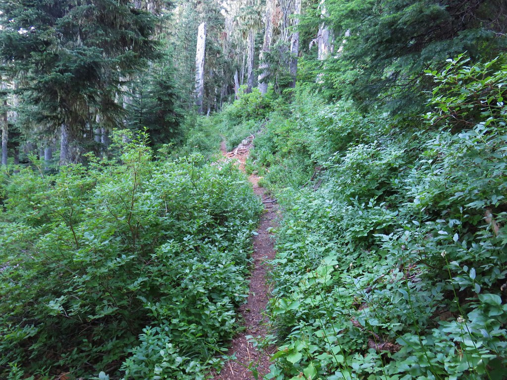
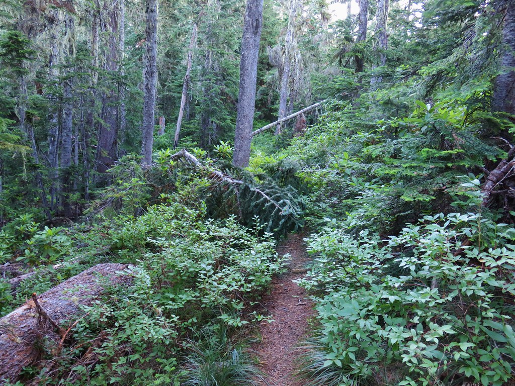
 The unsigned trail enters the forest across from a small pullout.
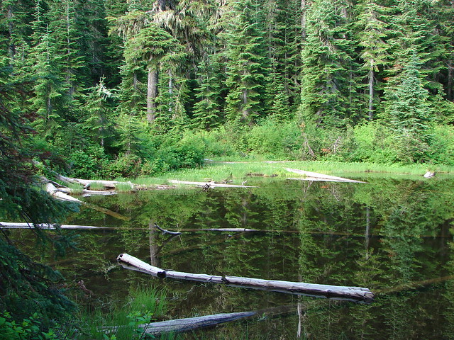
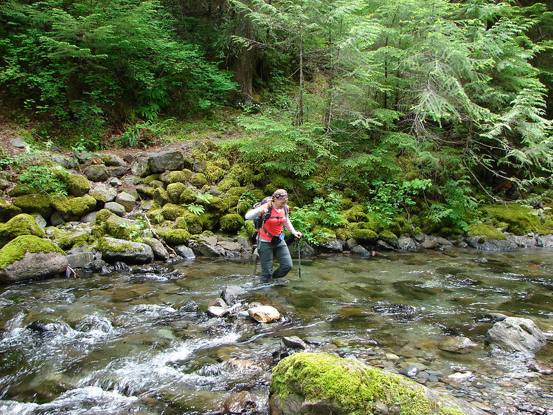
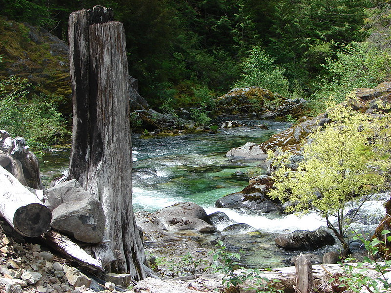
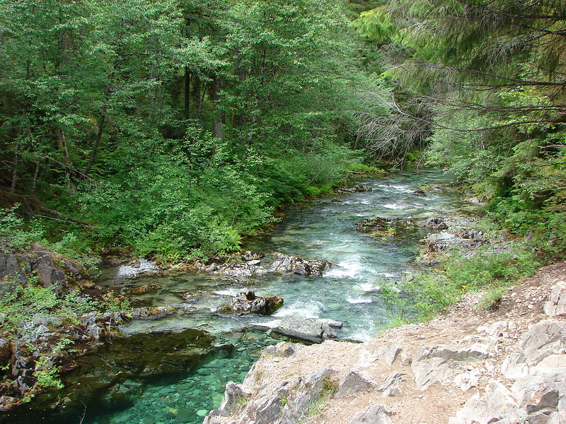
The trail quickly arrives at a campsite where we then headed left on the loop around the lake which is stocked with fish.

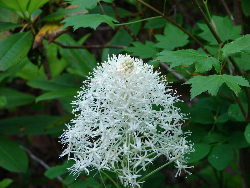
 Bunchberry


 Fish
Fish
 Rough skinned newt
After completing the loop around the lake we headed back toward the road from the campsite looking for the abandoned Baty Butte Trail. It wasn’t easy to spot but a metal diamond on a tree marked the start of this trail.

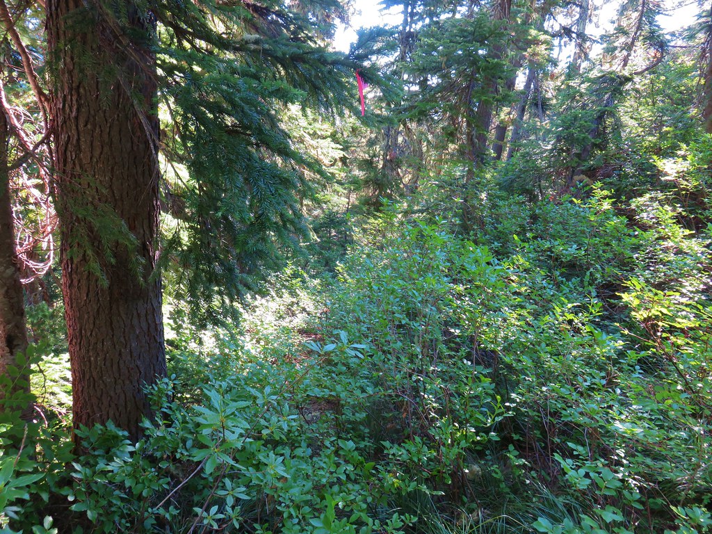
After pushing through some Rhododendron the trail became a little easier to follow.


We had hiked a portion of this old trail in 2019 to Baty Butte itself (post) and were hoping to get more of the trail in, but just under half a mile from the start of the trail we came to a small talus slope.
 Flagging and some old trail maintenance along the Baty Butte Trail.

On the far side of the talus a tree had fallen onto the thick vegetation creating a matt of leaves and branches that covered the tread.
 We could see the tread continuing on the other side of the thicket.
 Vegetation covering the trail.
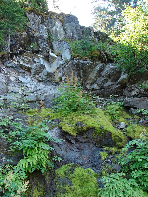
We initially thought that we might be able to dip below the downed tree, but the hillside below was covered with thorny devil’s club. Going up and around didn’t look any more promising, and even if we did find a way around this there was another mile of trail before reaching a powerline road that we would be turning onto. We accepted defeat here and turned back. Between Joyce Lake and the failed attempt at the longer loop our hike here was just 1.5-miles with a couple hundred feet of elevation gain.

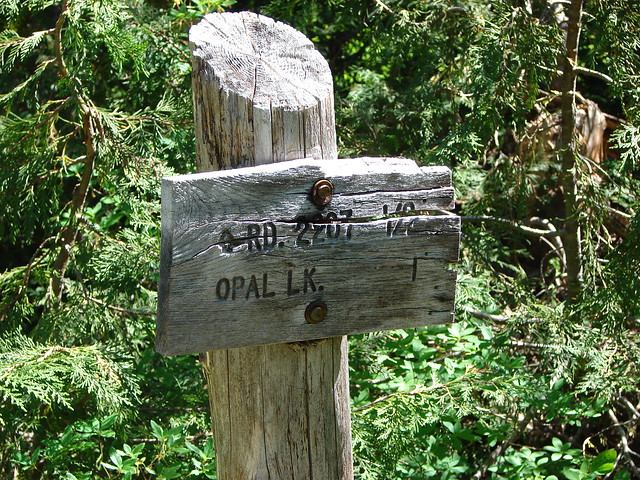
From the Joyce Lake Trailhead we continued 3.9-miles to the trailhead for the Nasty Rock Hike. (Note that online searches and Google maps for the Nasty Rock Trailhead will provide results for the Willamette National Forest’s Nasty Rock Trailhead which is currently closed due to the Beachie Creek fire and does not actually lead to Nasty Rock.)
 The trailhead is located at a turnaround at the end of BLM road 7-4E-11.1.
The BLM refers the Nasty Rock Trail as “historic” and the area was part of a BLM study for addition to the adjacent Opal Creek Wilderness in 2013. That study found that the area met all the criteria and characteristics for a wilderness, but the addition never moved forward. The 2013 study mentioned that the trail was not being annually maintained but it was still “usable”. Having just been turned back on our earlier hike we were prepared for a similar experience here, although a 2022 trip report on Oregonhikers.org indicated that the trail was still passable at that time. While the trail itself still shows on the BLM’s recreation map there is no trailhead symbol shown.
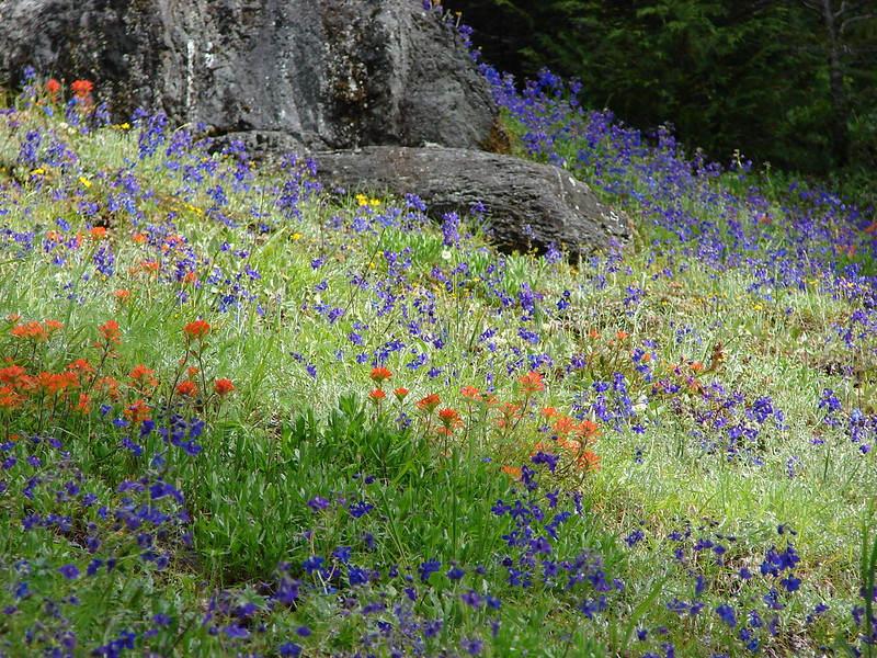
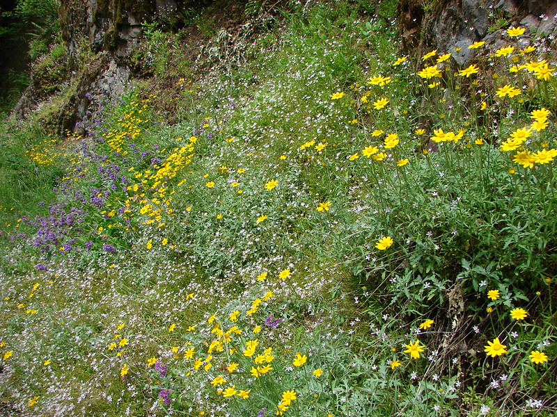
Before setting off we took a moment to admire the roadside wildflowers.

 Oregon sunshine, lupine and paintbrush.
 Larkspur, paintbrush, and Oregon sunshine.
 Penstemon, paintbrush, and valerian.
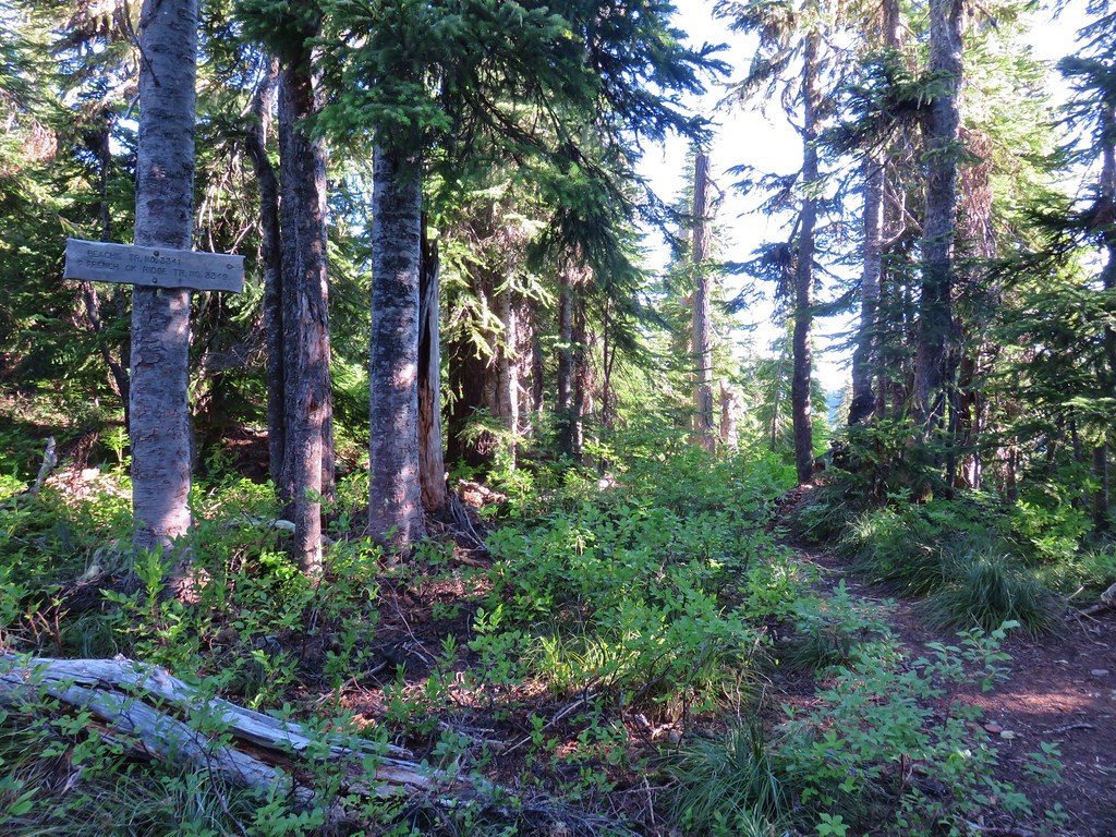
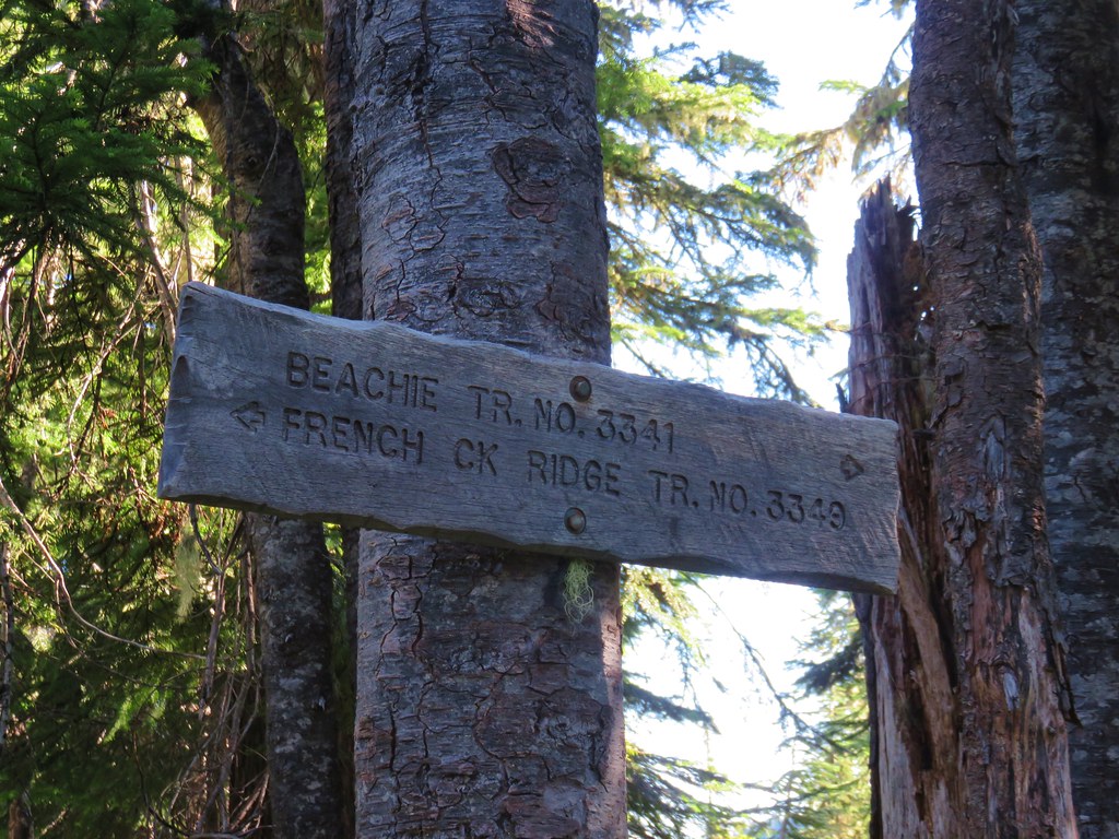
The Nasty Rock Trail, like the Baty Butte Trail, was not obvious from the parking area. Again a metal diamond on a tree helped us locate the trail heading uphill from the road below.

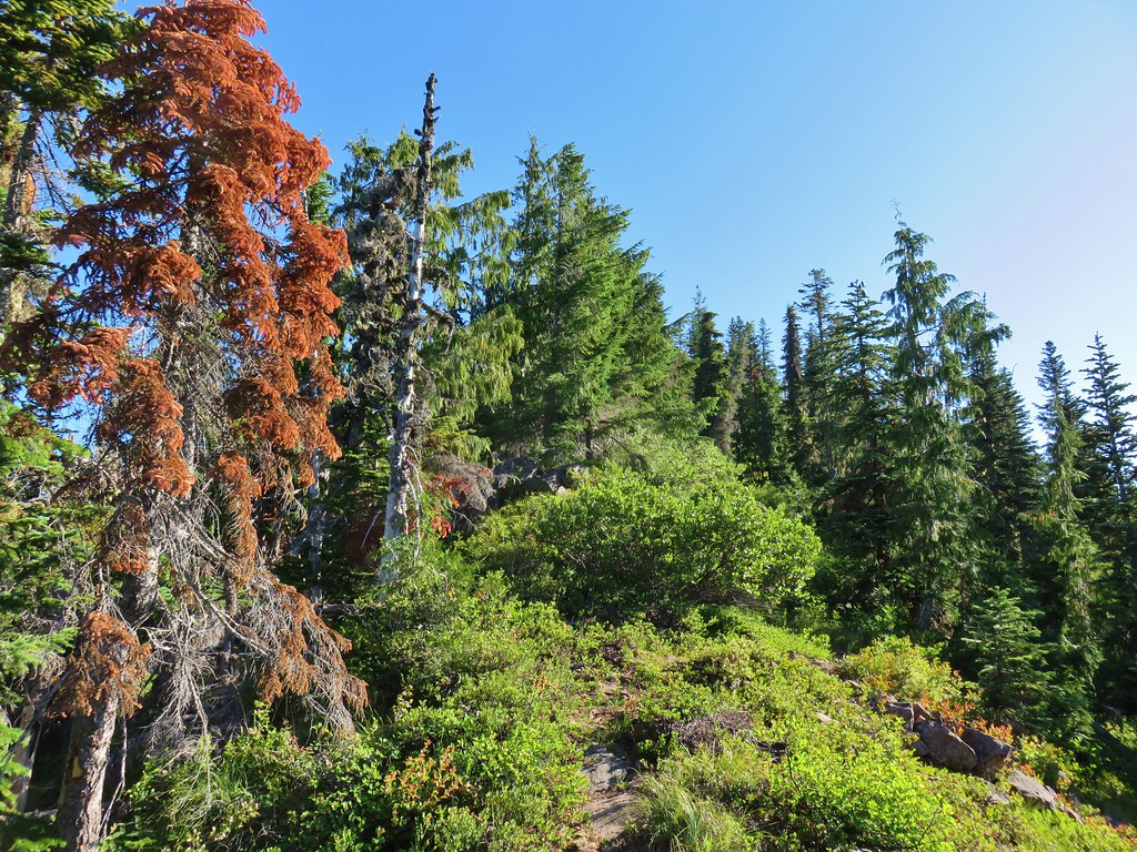
The trail initially climbs as it wraps around a shoulder of Burnt Mountain. The tread is narrow in places, and a bit overgrown.

 Westen featherbells
 Bistort

 Arnica


 Bear sign on the trail.
 Paintbrush and lousewort
The trail then traversed the hillside below Burnt Mountain entering the Beachie Creek fire scar a third of a mile from the start of the trail.
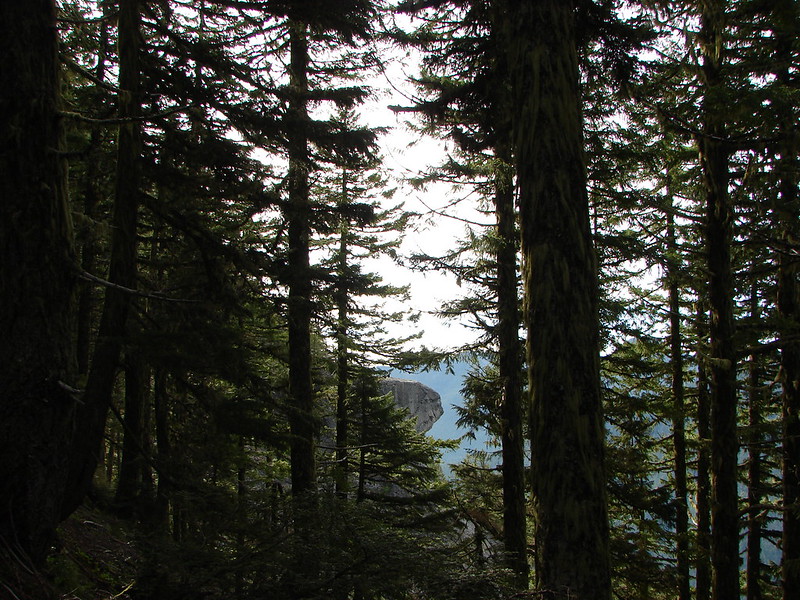
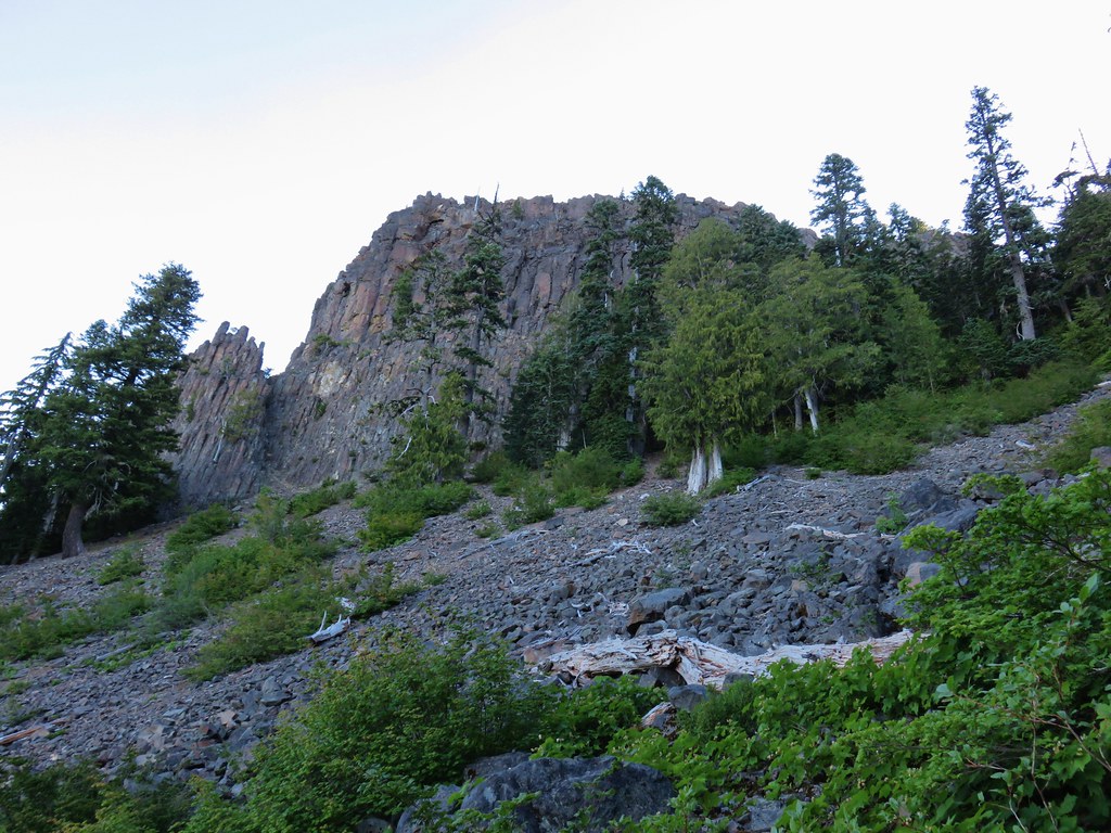
 Nasty Rock from the trail.

 Entering the fire scar.
 The trail was especially overgrown in the fire scar.
 Penstemon
 Columbine along the trail.
 Valerian
 Exiting the fire scar after less than 100 yards.
The trail continued on a fairly level grade past Burnt Mountain then curving to the West as it followed a ridge toward Nasty Rock.

 While none of the several downed trees posed much of an issue the condition of the trail made for slow going.


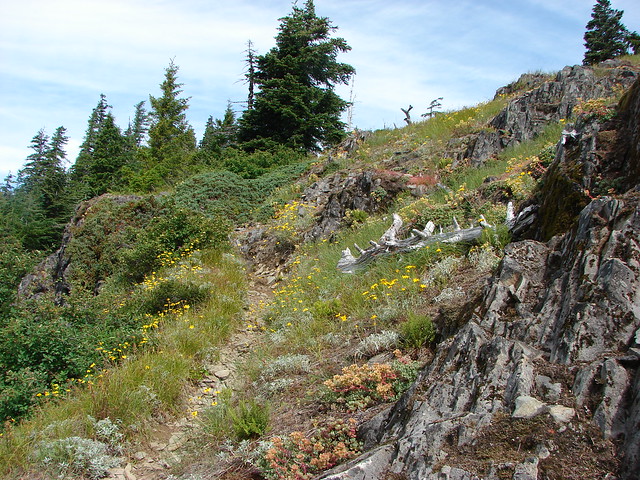
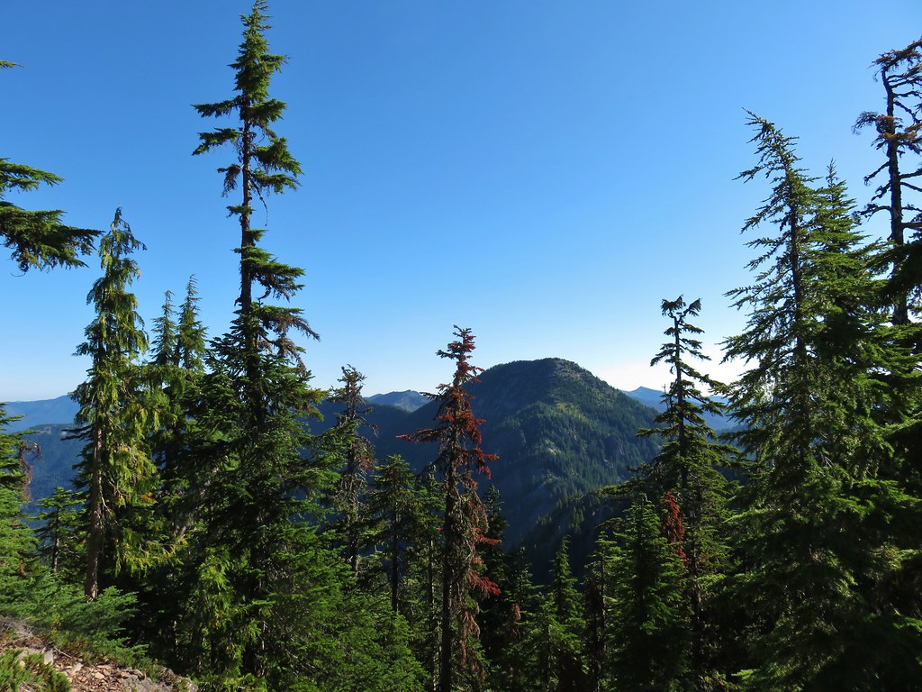
The trail crossed the ridge near the mile mark where views opened up.
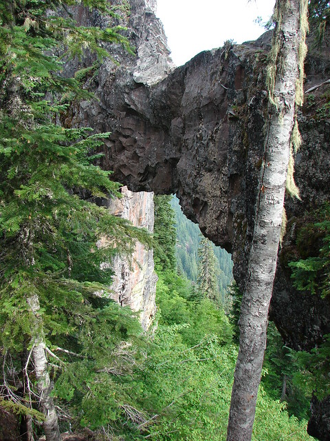
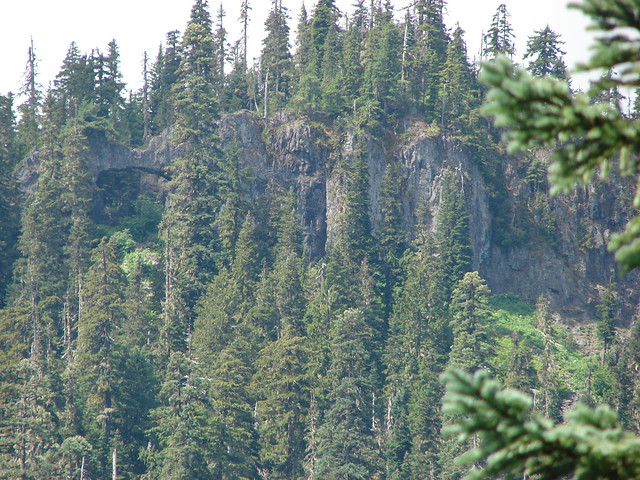
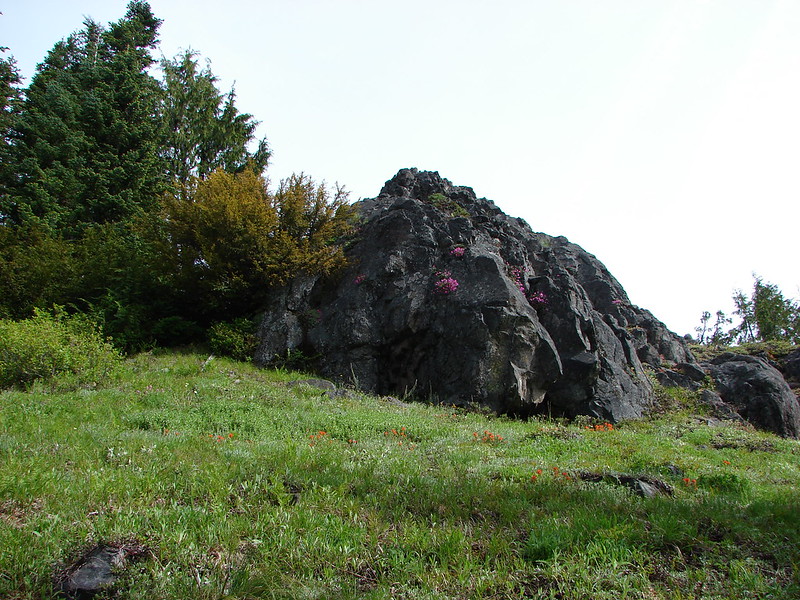
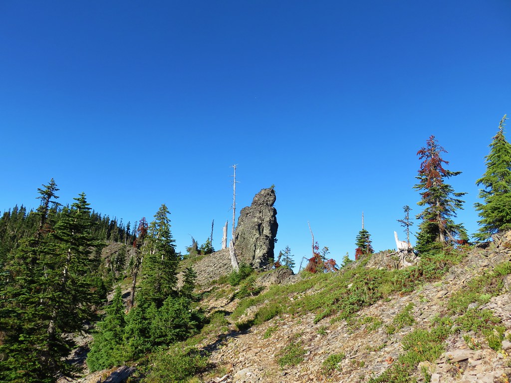
 Nasty Rock sticking up ahead.
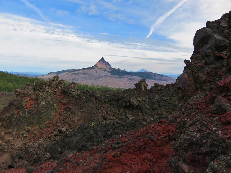
 Not Nasty Rock further along the ridge and in the Beachie Creek fire scar.
 Wildflowers were blooming in the openings along the ridge.
 Arrowleaf buckwheat
 Checkerspot on Oregon sunshine
 Oregon sunshine

 Table Rock (post)
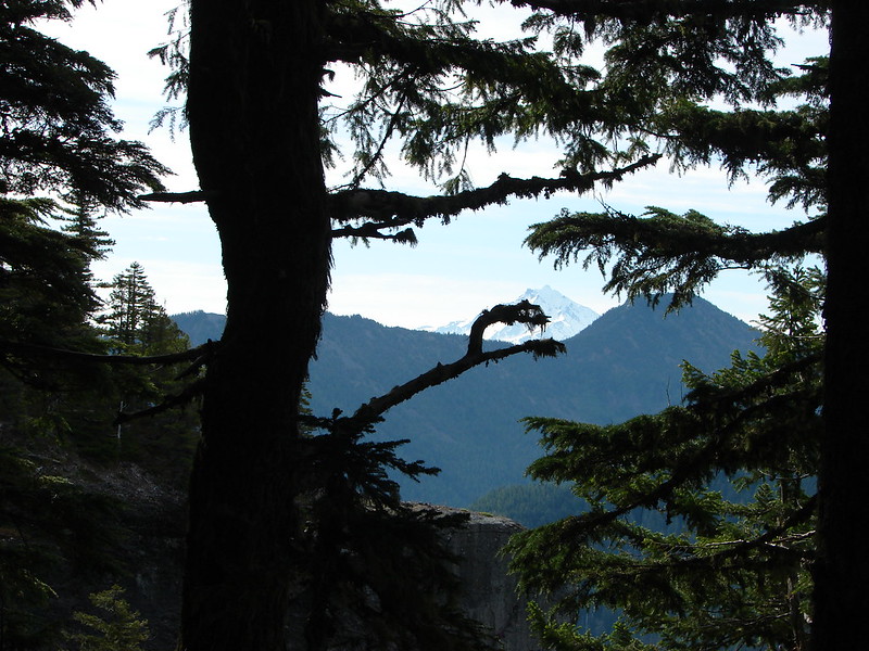
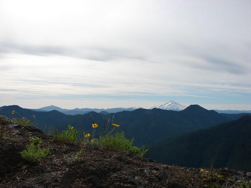
 Mt. Hood peecking up from behind a ridge.
 Scarlet gilia
 Nasty Rock from the trail.
 Flowers below the trail.
 Flowers above the trail.
 Buckwheat
As the trail neared Nasty Rock it entered another section of forest burned in the Beachie Creek fire.


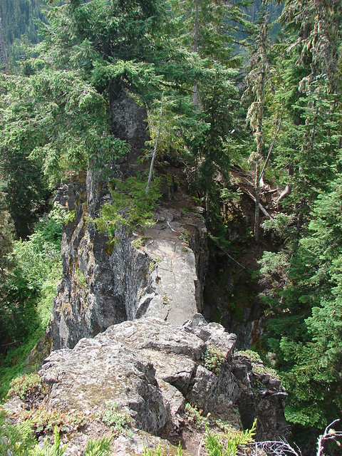
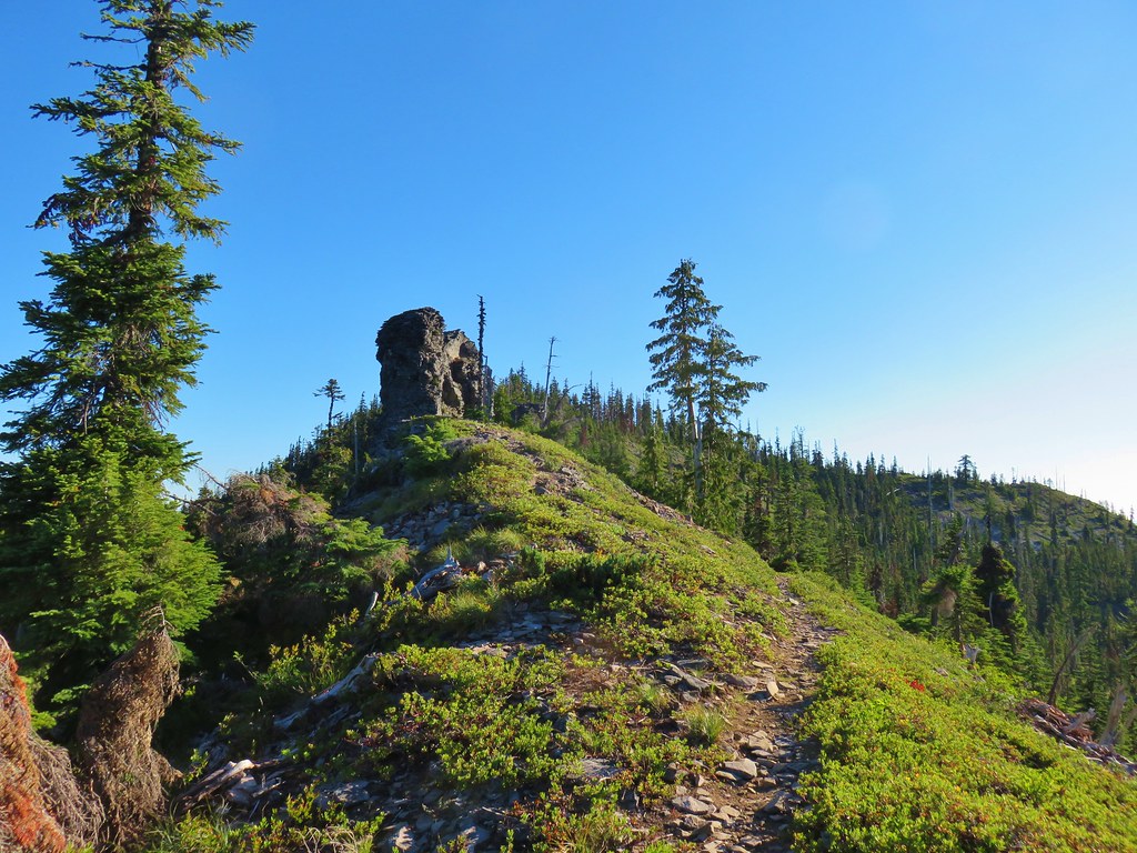
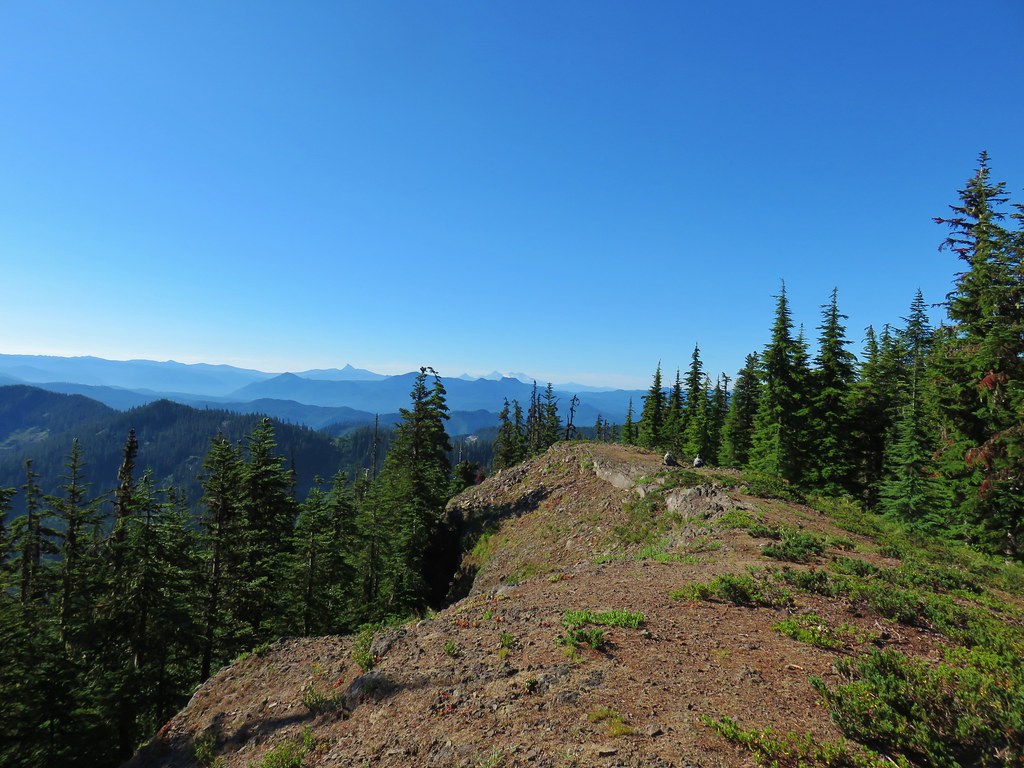
The trail steepened noticeably before effectively ending on the SW shoulder of Nasty Rock.

 There were a lot of nice Washington lilies below Nasty Rock with more to come over the next week or two.
 Wintergreen
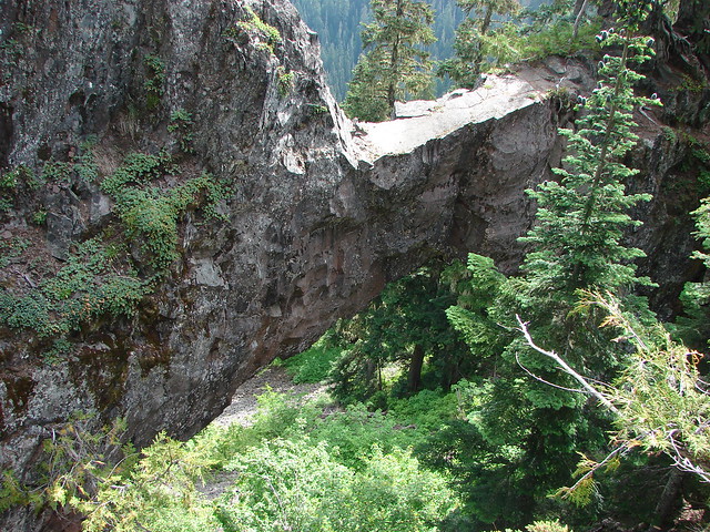
 Nasty Rock from the trail.

 The trail below Nasty Rock.
 Nasty Rock from the end of the “trail”. Prior to the 2020 fire a rougher use trail continued on to Not Nasty Rock, but we didn’t see any obvious tread. (We weren’t really looking though either.) We made the fairly easy scramble to the top of Nasty Rock and took a short break.
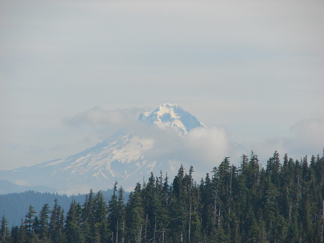
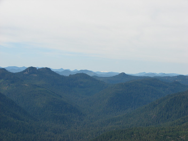
The view was all too familiar with the horizon filled with wildfire smoke. Mt. Jefferson and Mt. Hood were easy to see, but other Cascades such as Three Fingered Jack, Mt. Washington, and the Three Sisters were barely visible through the haze.
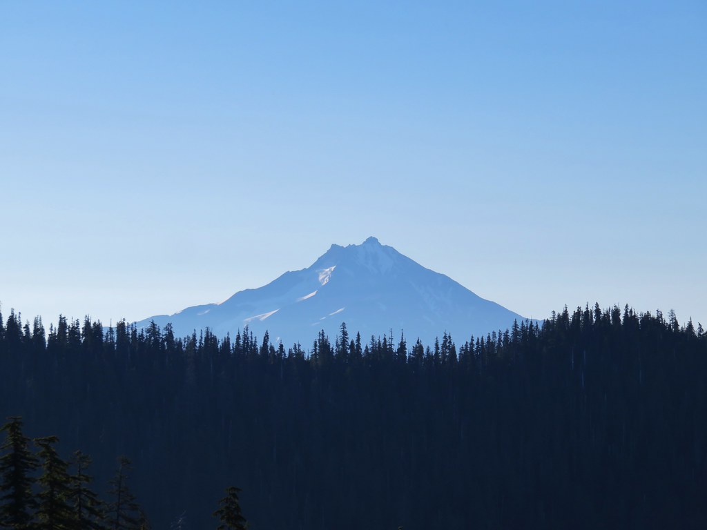
 Mt. Jefferson from Nasty Rock.
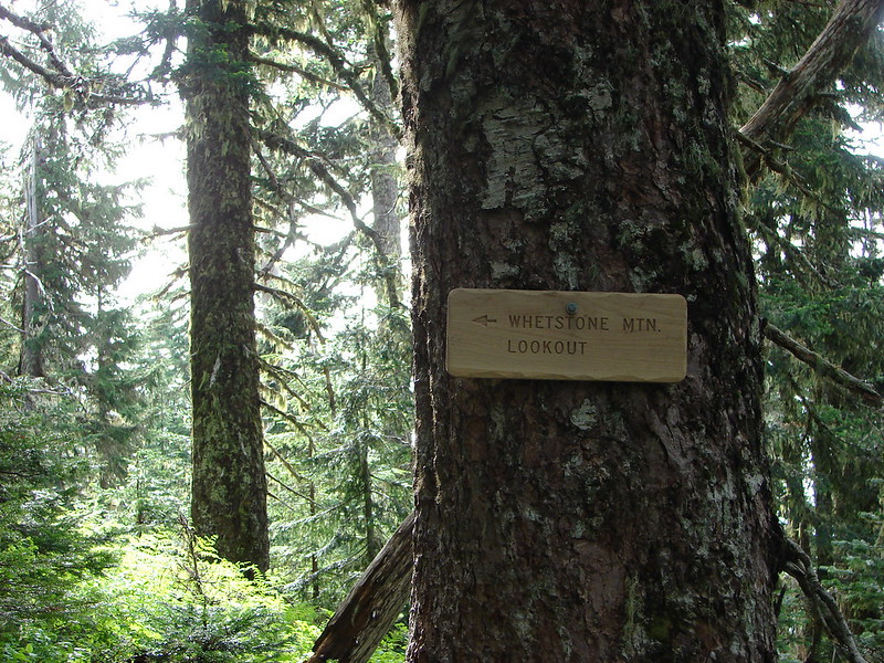
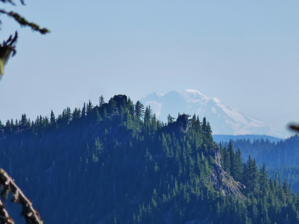
 Mt. Jefferson with the flat-topped Battle Ax (post), and rounded Whetstone Mountain (post) to the right.
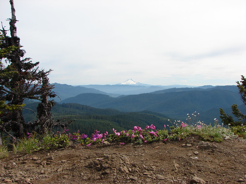
 Mt. Hood in the distance.


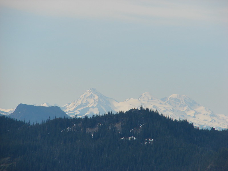
French Creek Ridge with the rounded Marten Buttes (post) in the foreground. Behind is the flat-topped Coffin Mountain (post), Mt. Washington, and the Three Sisters.
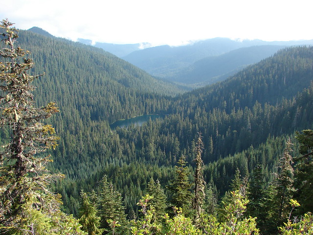
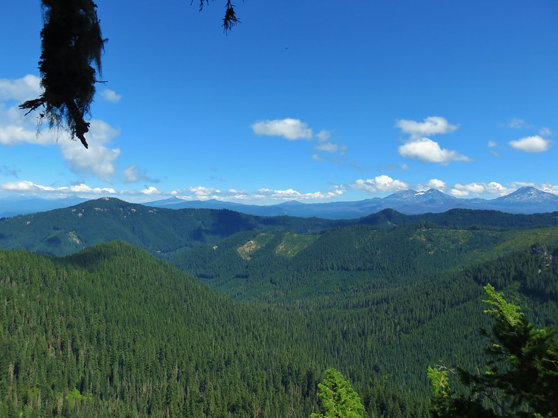
 Looking out across the Molalla River drainage to the Table Rock Wilderness.
 Rooster Rock is the rock outcrop to the left with Table Rock the tall feature to the right. Pechuck Lookout can be seen on the lower hilltop in the center foreground.
 Not Nasty Rock from Nasty Rock. The highest peak diagonally left of Not Nasty Rock is Rocky Top (post).
 We were joined at the summit by a swarm of flying ants obsessed with this fir tree.
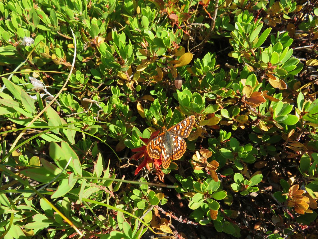
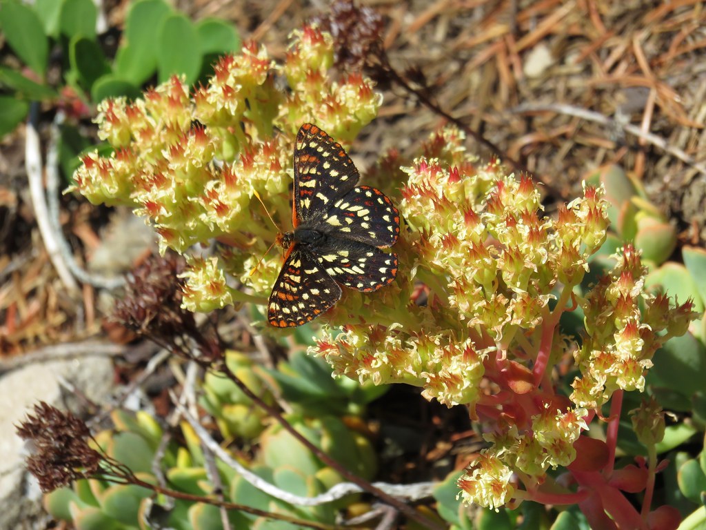
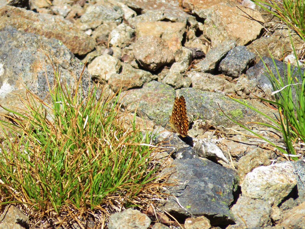
After our break we headed back. There were several breaks along the way as we stopped to watch the numerous butterflies visiting the flowers.
 Checkerspot on Oregon sunshine
 Swallowtail resting on serviceberry.
 Blue bells of Scotland
 Fritillaries on mountain coyote mint
 Clodius parnassian on mountain coyote mint.
 Fleabane
 Buckwheats, paintbrush, Oregon sunshine and at least one butterfly.
 Scarlet gilia
 Larkspur
 Washington lily
 Inside-out flower
 Fritillary
 Beardtongue
 Pink pyrola
 Bead lily a.k.a. Queen’s cup
 Bunchberry
 Cat’s ear mariposa lily
 Approaching the road.
Another round of roadside flowers occurred before packing up and heading home.

 Larkspur and yarrow

 Checkerspots on Oregon sunshine

Including the roadside flower wanderings our hike here came to 3 miles with approximately 600′ of elevation gain.

At 4.5 miles total these two stops made for a fairly easy day despite the rough trail conditions. The roads were in good shape to both trailheads, but please note that the area sees heavy log truck traffic on weekdays. We didn’t see anyone during either stops and somewhat surprisingly still didn’t see anyone parked at the Joyce Lake Trailhead when we passed back by close to Noon.

Nasty Rock was a bit of a bittersweet hike seeing all of the familiar areas burned by the 2020 fires, but we were glad to have finally made it up there. Happy Trails!
Flickr: Joyce Lake and Nasty Rock


 This photo is from CA but it actually shows the namesake Red Buttes


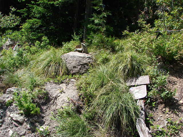
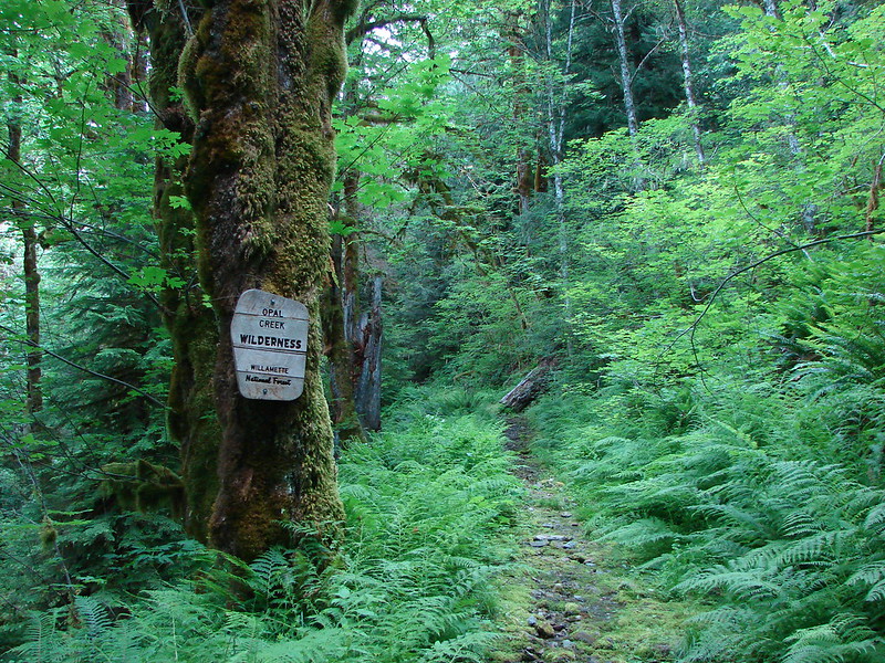
 Closest thing to a “wilderness sign” we saw for this one.


 Middle North Falls
 Shellburg Falls
 Jawbone Flats
 Tumble Lake from Dome Rock
 Mt. Jefferson from Battle Ax
 View from Stahlman Point
 Meadow below the Three Pyramids
 Beargrass on Crescent Mountain
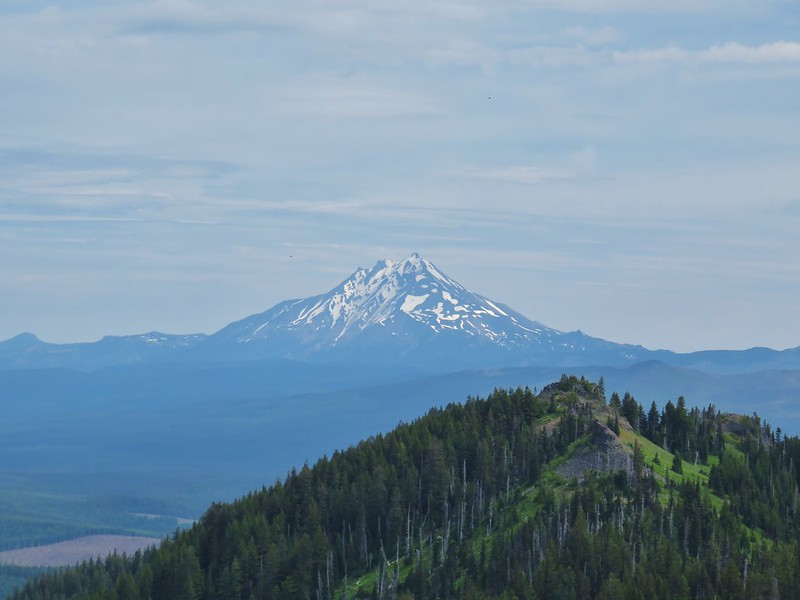 Mt. Jefferson from Browder Ridge
 Boardwalk in Echo Basin
 Iron Mountain from the trail.
 Soda Creek Falls
 Majestic Falls
 Roaring Creek
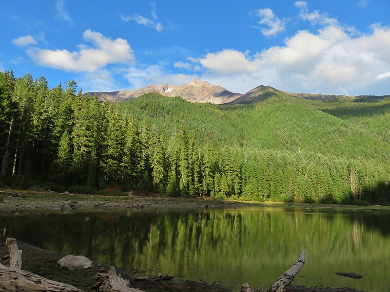
 Three Fingered Jack from Marion Lake
 Mowich Lake and Duffy Butte from Red Butte
 Wizard Falls
 Deschutes River

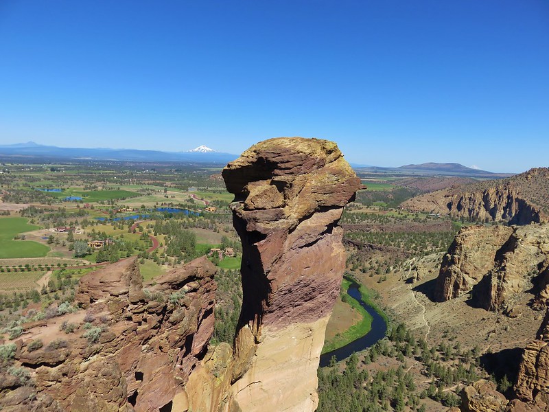 Monkey Face
 Hixson Crossing Covered Bridge
 Benham Falls
 Deschutes River
 Proxy Falls
 Obsidian Falls
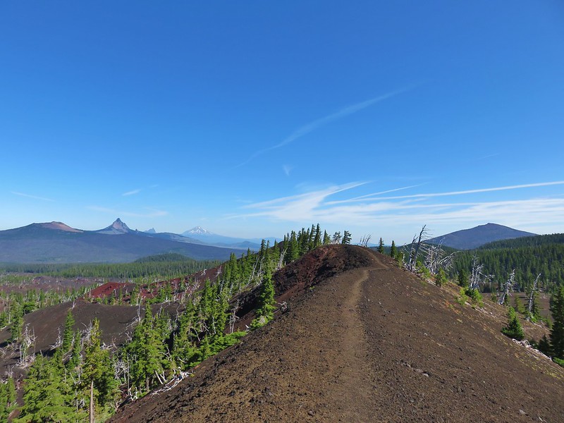 View from Four-in-One-Cone
 Mt. Washington, Three Fingered Jack, and Mt. Jefferson from Little Belknap Crater
 North Sister from South Matthieu Lake
 Former lookout site on Black Crater.
 South Sister from Camp Lake
 Broken Top and Broken Hand from Tam McArthur Ridge
 Trees near the summit of Tumalo Mountain.
 Broken Top from No Name Lake
 South Sister from Sparks Lake
 Looking north from the South Sister.
 South Sister from Sisters Mirror Lake
 Horse Lake
 Doris Lake
 Sahalie Falls
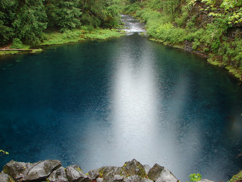
 Separation Lake
 South Sister and Mt. Bachelor form Horsepasture Mountain.
 View from Lowder Mountain.
 View from Tidbits Mountain.
 Monkeyflower and plectritis on Castle Rock.
 Middle Erma Bell Lake
 Fog over Eugene.
 Summit marker on Mt. Pisgah.
 Sawtooth Trail
 Lone Wolf Meadow
 Wildflowers along the Tire Mt. Trail.
 Buffalo Rock from the North Fork Willamette River
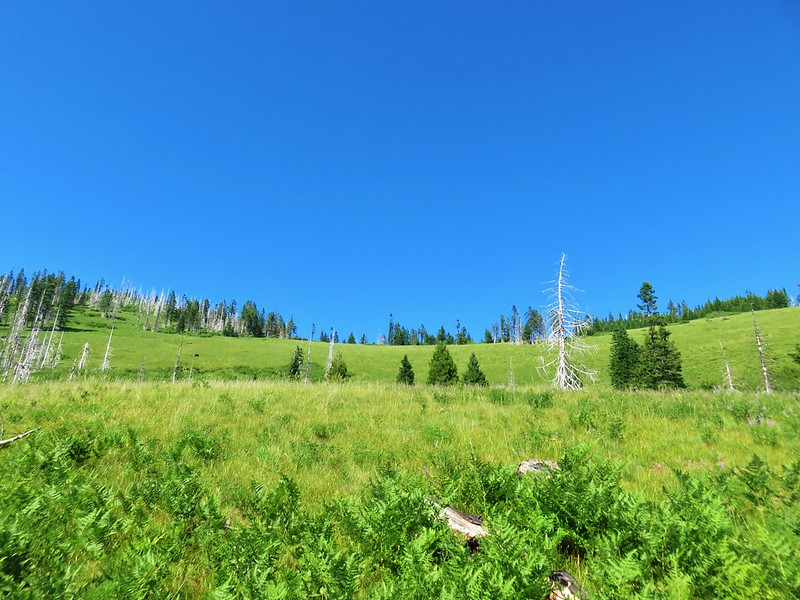
 Beargrass meadow along the Blair Lake Trail.
 Indigo Springs (These springs have not burned.)
 Moon Falls
 Upper Trestle Creek Falls
 Lower Eddeeleo Lake
 View from the Waldo Mountain Lookout.


 Pulpit Rock from Middle Rosary Lake
 Yoran Lake
 Diamond Peak from Diamond View Lake
 Huckleberry Bushes along Saddle Lake.
 Notch Lake
 Diamond Peak from Corrigan Lake
 Diamond Peak
 Sawtooth Mountain from Timpanogas Lake
 Battle Ax Creek – 2014
 Mt. Jefferson from Russell Lake – 2016
 Drift Creek – 2010
 Mt. Washington from the Pacific Crest Trail – 2015
 The Three Sisters – 2014
 Three Arch Rocks from Cape Meares – 2018
 Triple Falls – 2012
 Mt. Hood – 2015
 Bandon Islands – 2018
 Twin Pillars – 2011
 Howlock Mountain and Mt. Thielsen – 2014
 Table Rock – 2015
 Frustration Falls – 2018
 Trapper Creek – 2014
 View from Fuji Mountain – 2013
 Serene Lake – 2013
 Badger Creek Wilderness – 2014
 Donaca Lake – 2014
 Emerald Pool – 2018
 View from Boccard Point – 2015
 Red Buttes – 2015
 Oregon Badlands Wilderness – 2016
 Vulcan Lake – 2016
 Rooster Rock – 2016
 Glacier Lake – 2016
 View from Aspen Butte – 2016
 Mt. McLoughlin from Freye Lake – 2016
 White River – 2016
 Rock Creek – 2017
 Hedgehog Cactus – 2017
 Bridge Creek Wilderness – 2017
 Hanging Rock – 2017
 View from Grassy Knob – 2017
 Big Bottom – 2017
 Baldy Lake – 2017
 Cummins Ridge Trail – 2017
 Hummingbird Meadows – 2018
 View along the Pine Creek Trail – 2018
 Slide Lake – 2018
 Barklow Mountain Trail – 2018
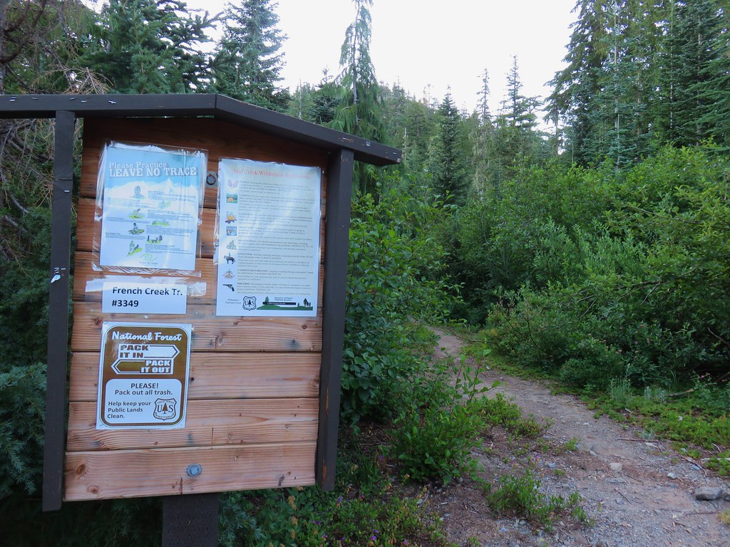

 Washington lilies
 Penstemon
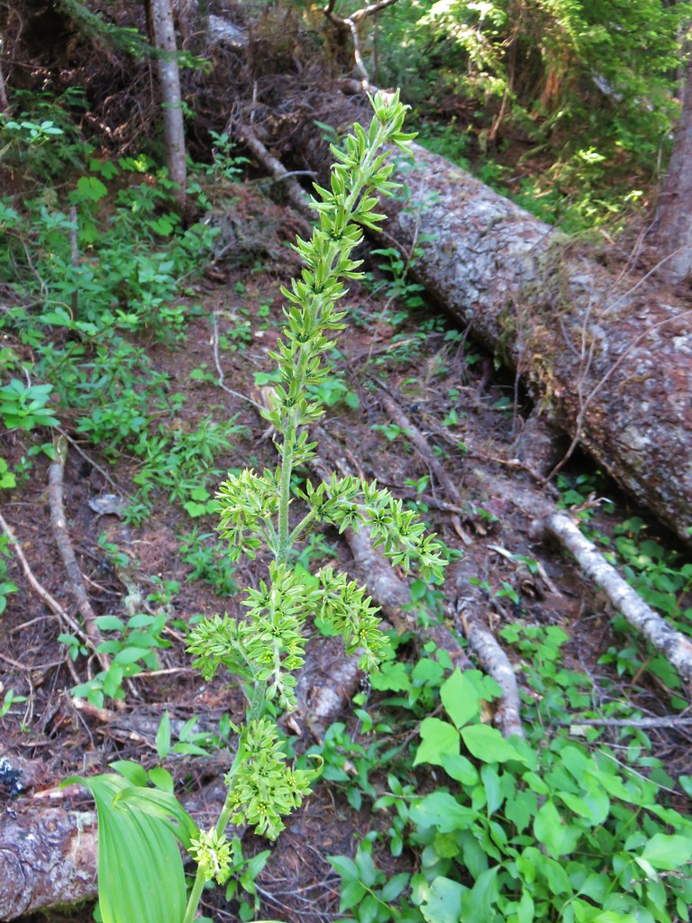 False hellebore
 Mt. Jefferson
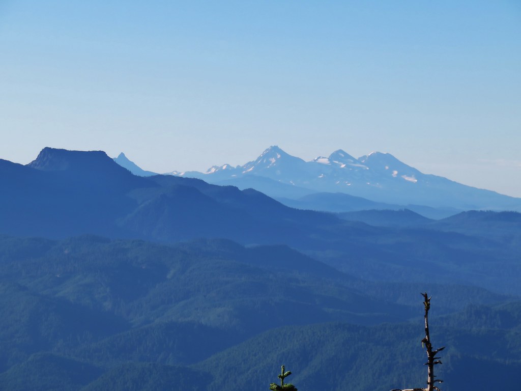 Mt. Washington, Broken Top and the Three Sisters with Coffin Mountain in the foreground.

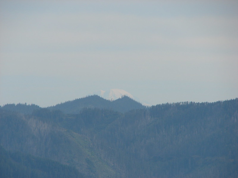
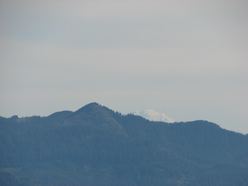
 Mt. Adams
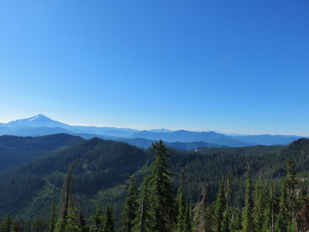
 Battle Ax Mountain