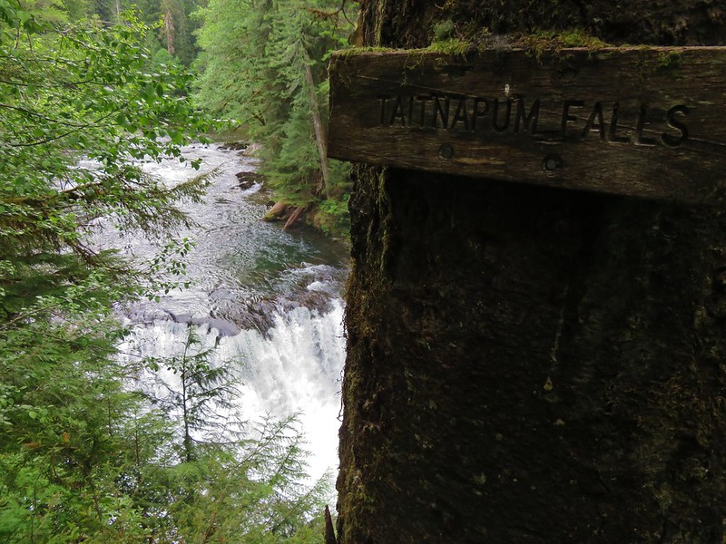
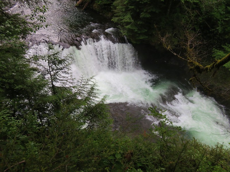
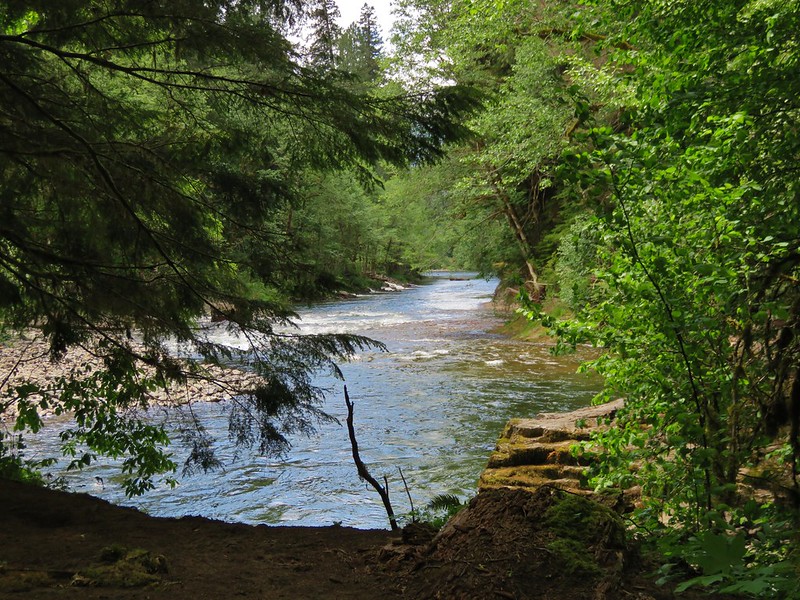
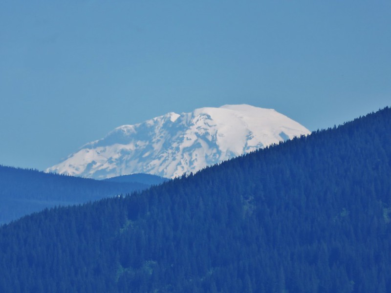
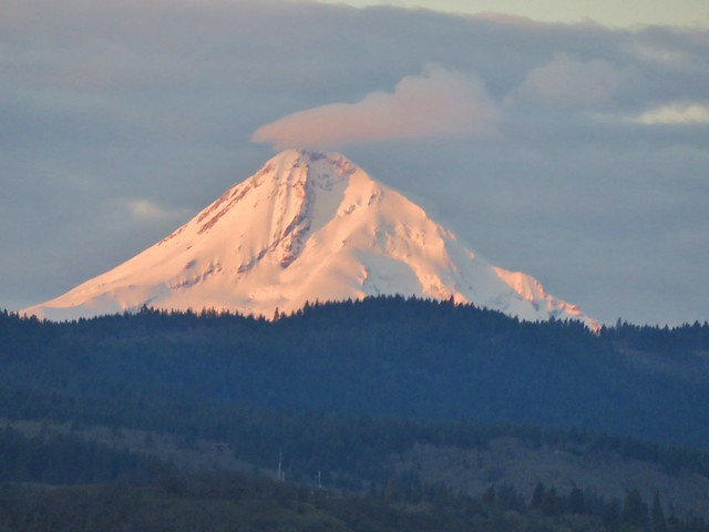
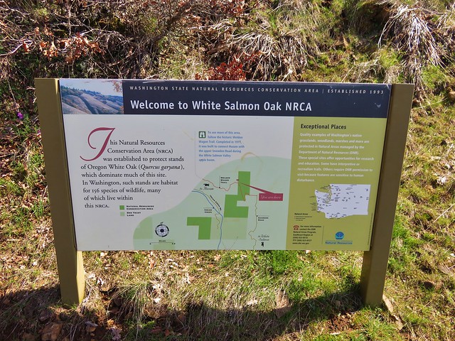
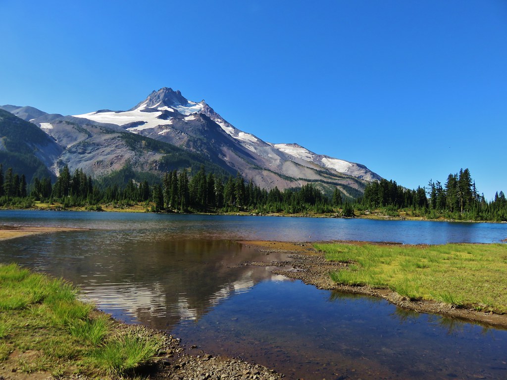
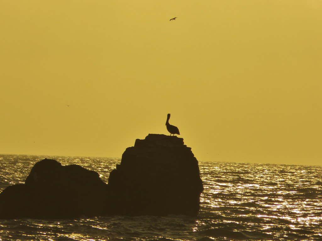
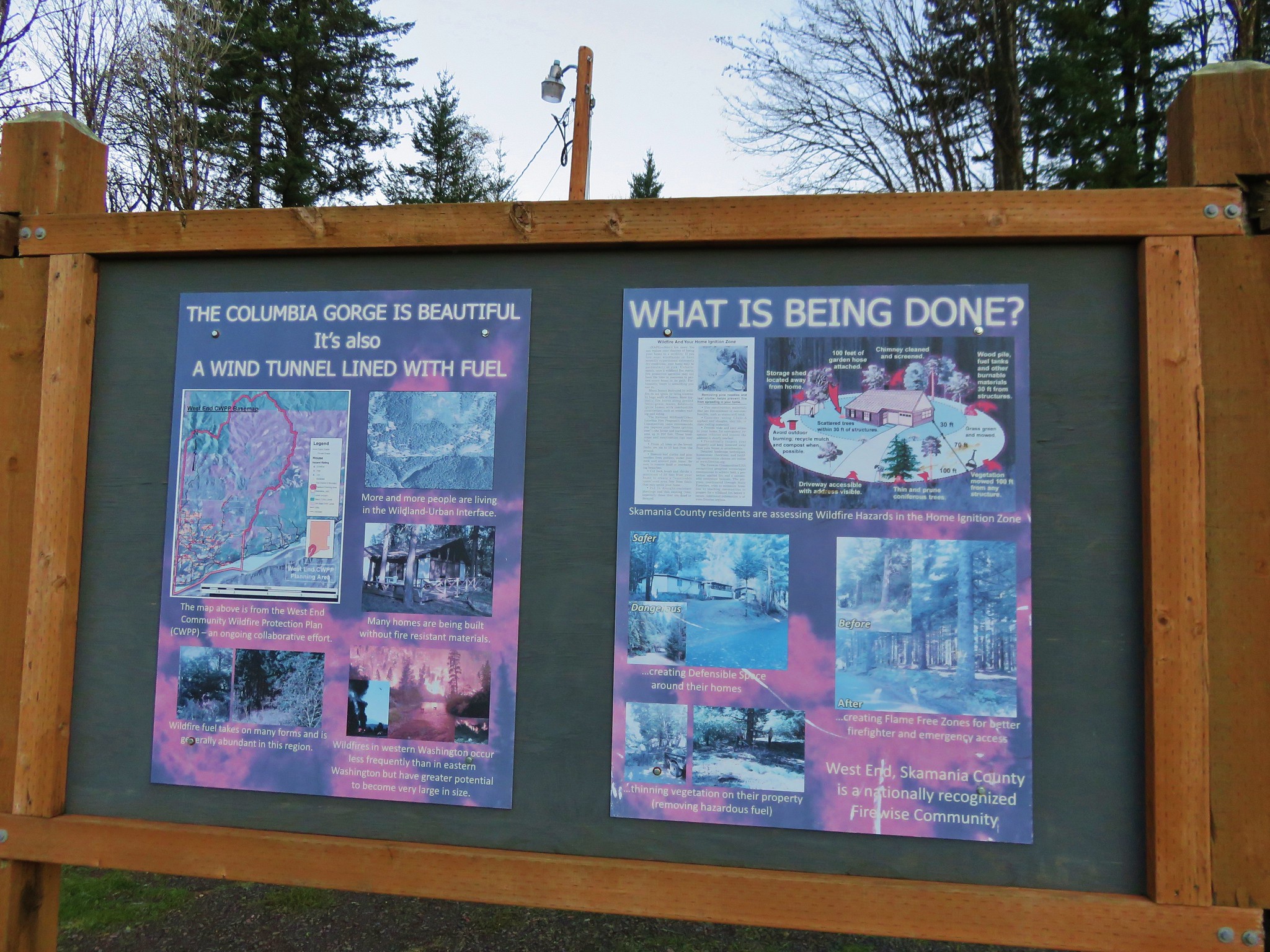
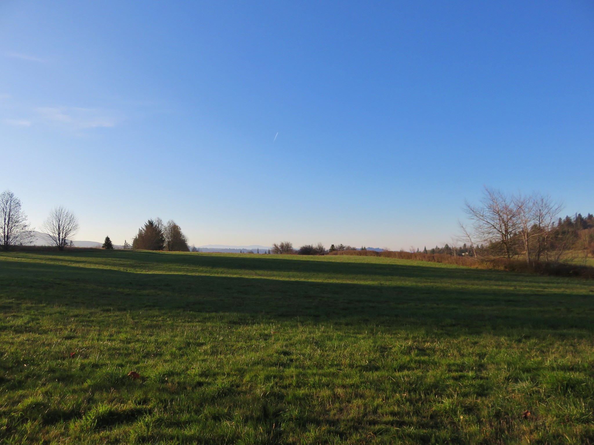
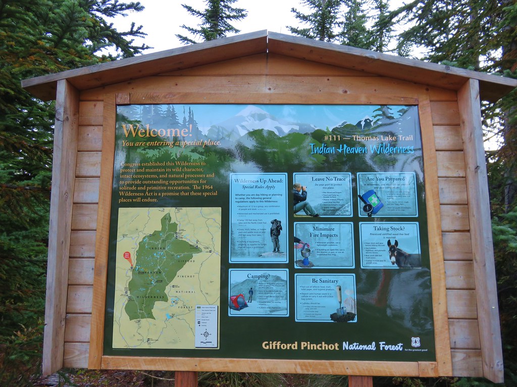
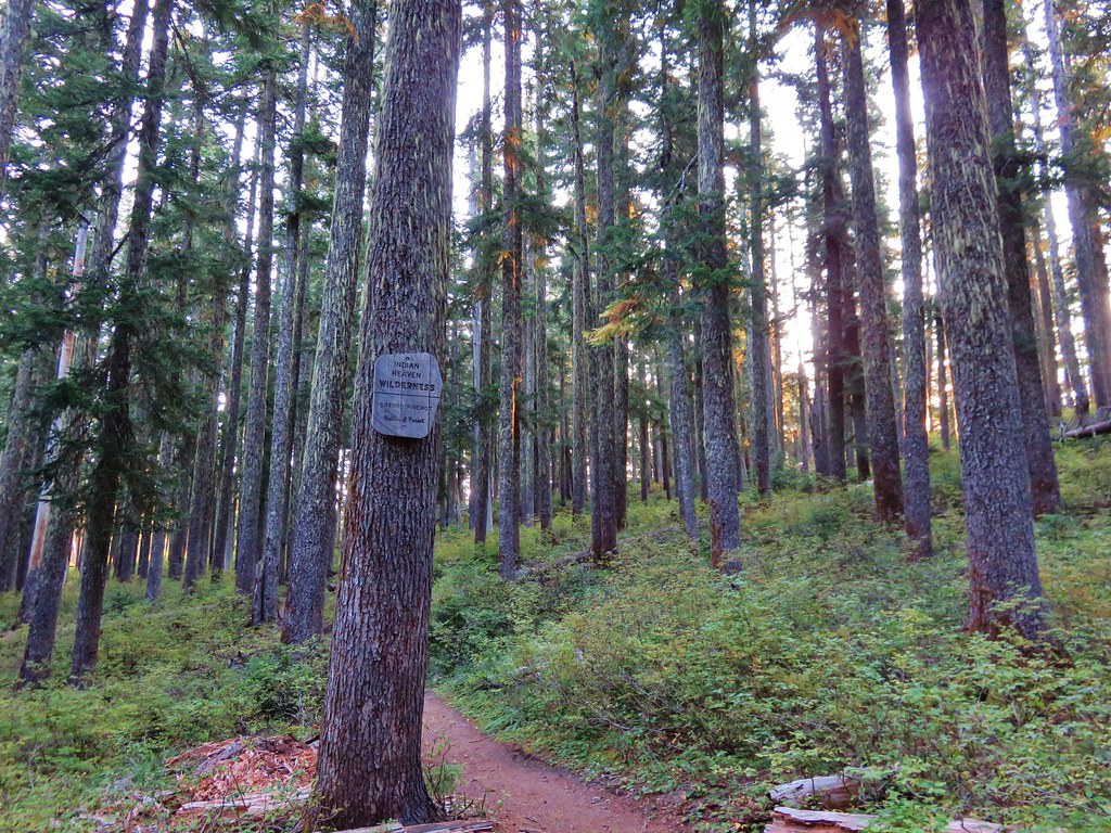
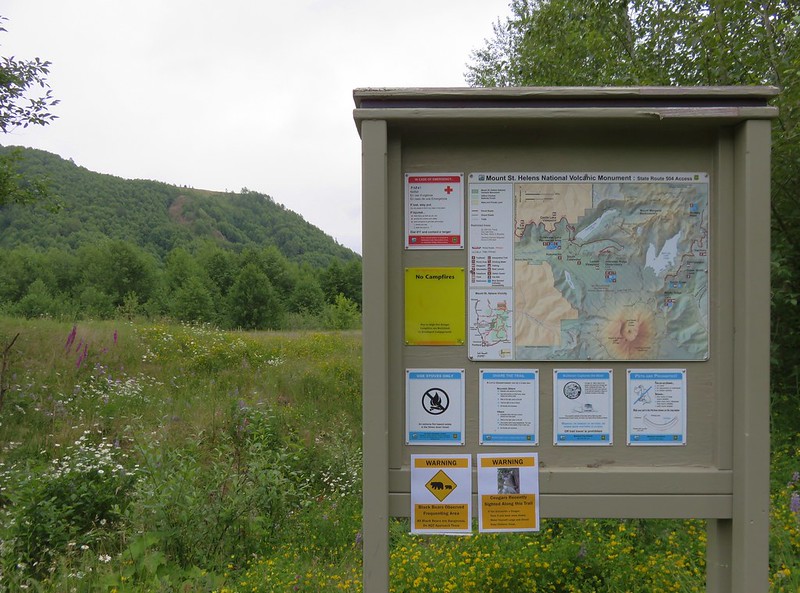
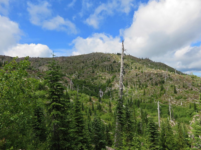
The only backpacking trip that we had planned for this year which required a permit was an overnight stay in the Mount Margaret Backcountry near Mt. St. Helens. The area is part of the Mount St. Helens National Volcanic Monument, displaying the effects of the 1980 eruption. The lateral blast from the eruption shattered trees toppling thousands of acres of forest.
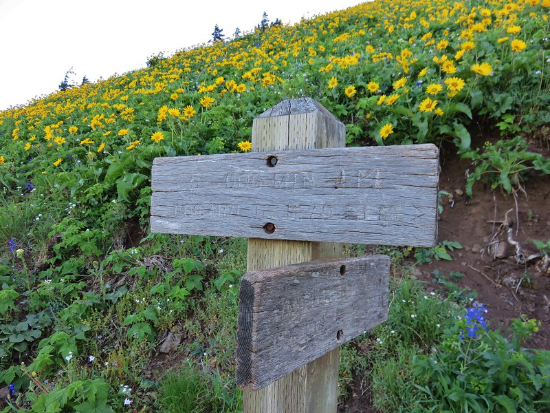
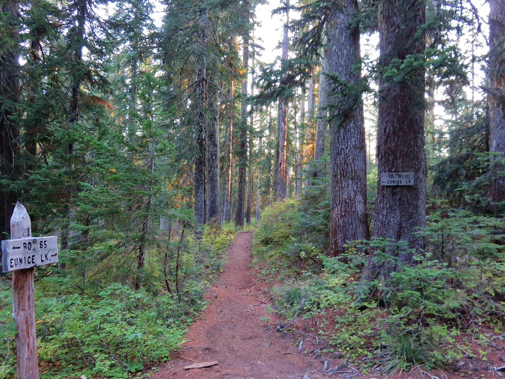
Camping is limited to designated sites at eight backcountry camps where the maximum group size for camping is four. Pets and pack stock are prohibited in the Mount Margaret Backcountry and fires are not allowed. We made our reservation for Obscurity Camp on March 19th, the day the permits became available.
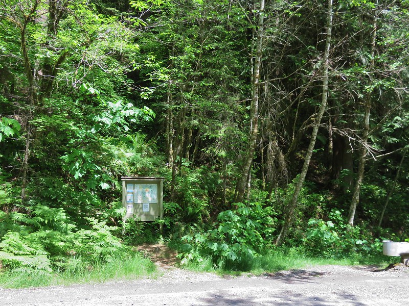
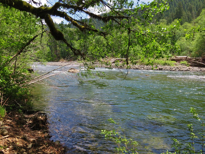
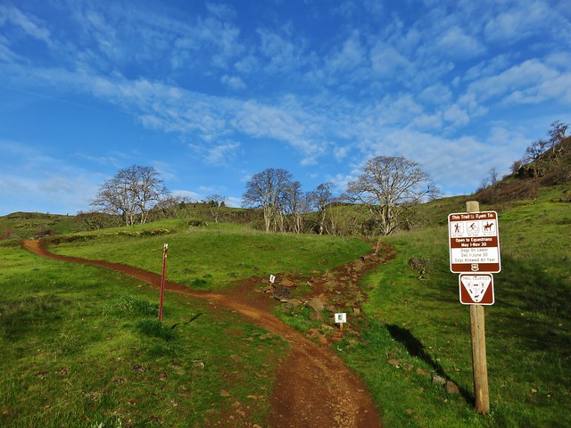
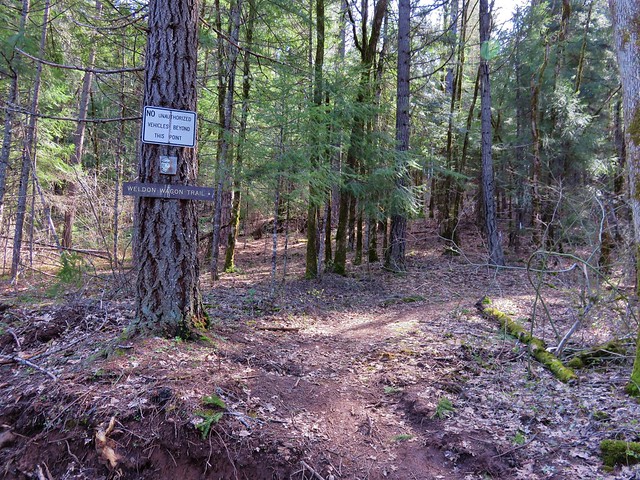
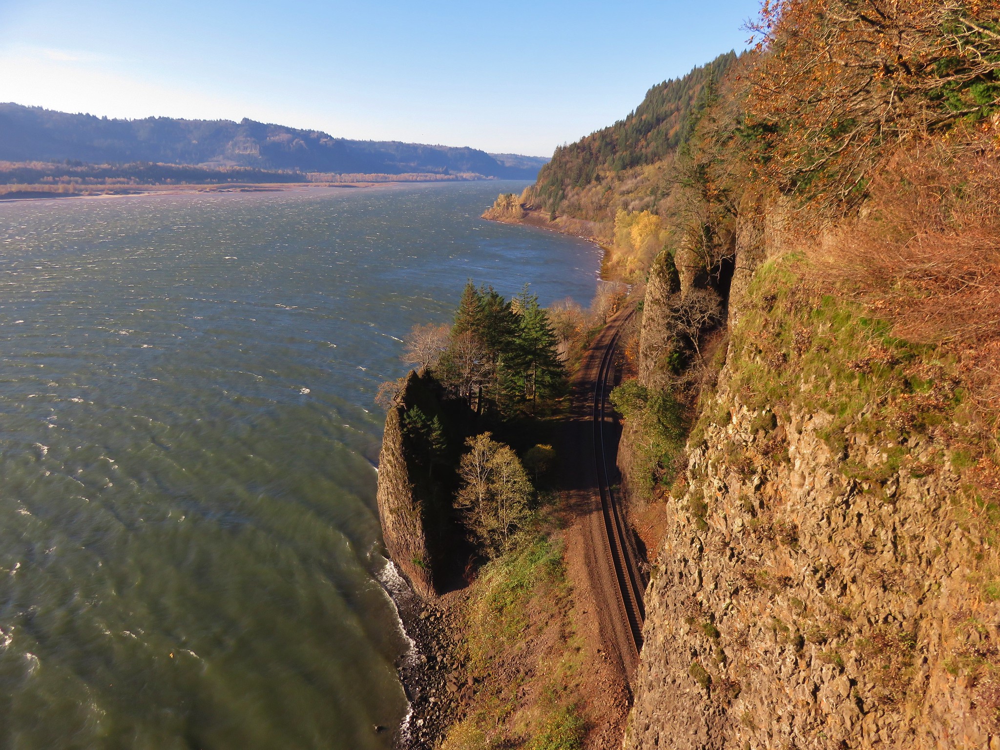
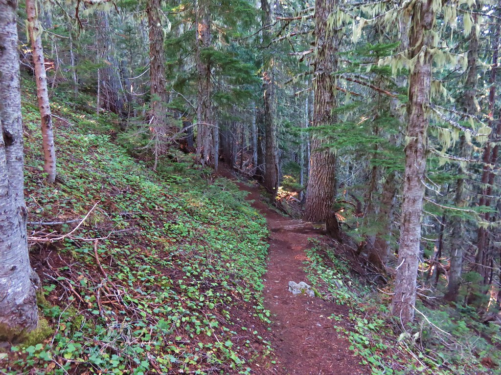
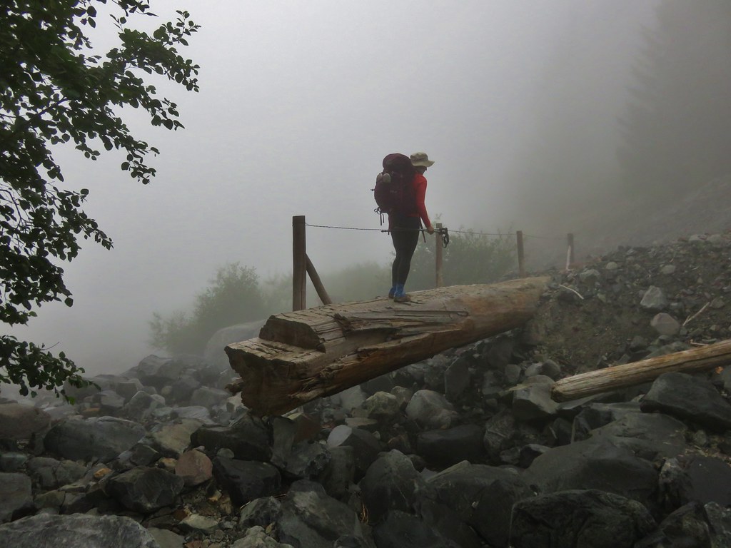
One drawback of a permit system is not having any idea what the weather is going to be like on the days you reserve. We were looking at the chance of showers and maybe even a thunderstorm as we were hiking out, but we liked our odds and we had spent a whole $6.00 on the permit so we decided to give it a go. It was a wet drive to the South Coldwater Trailhead which is located along the Spirit Lake Highway (SR 504).
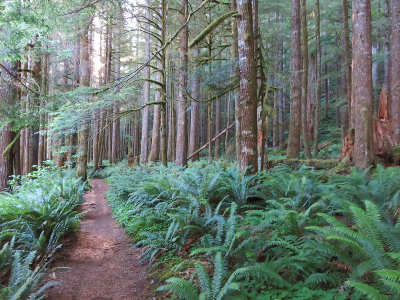
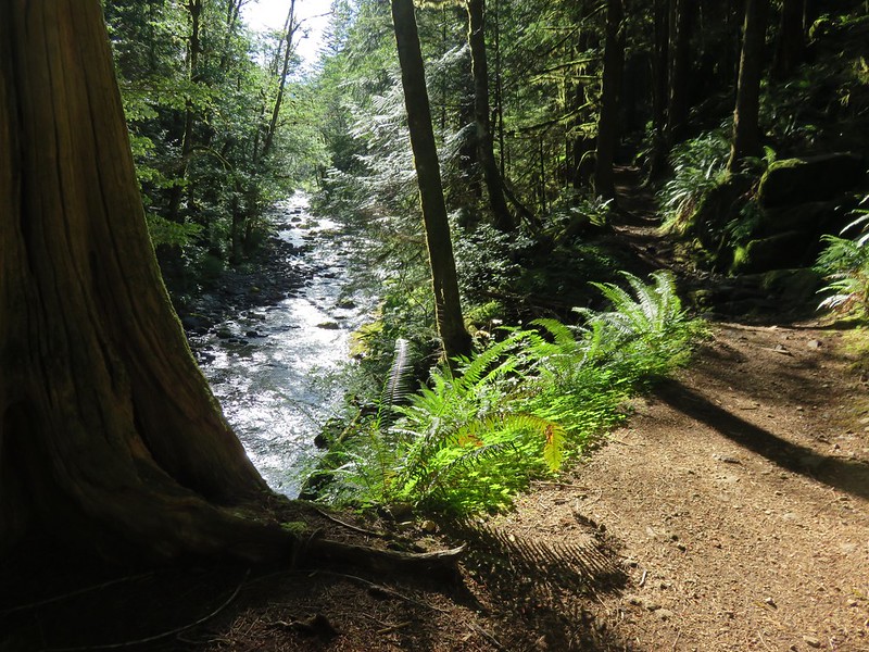
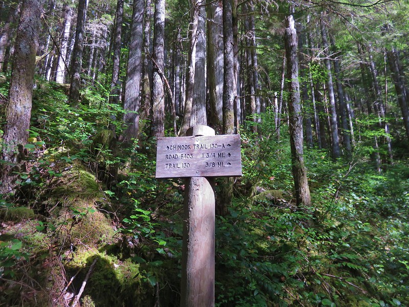
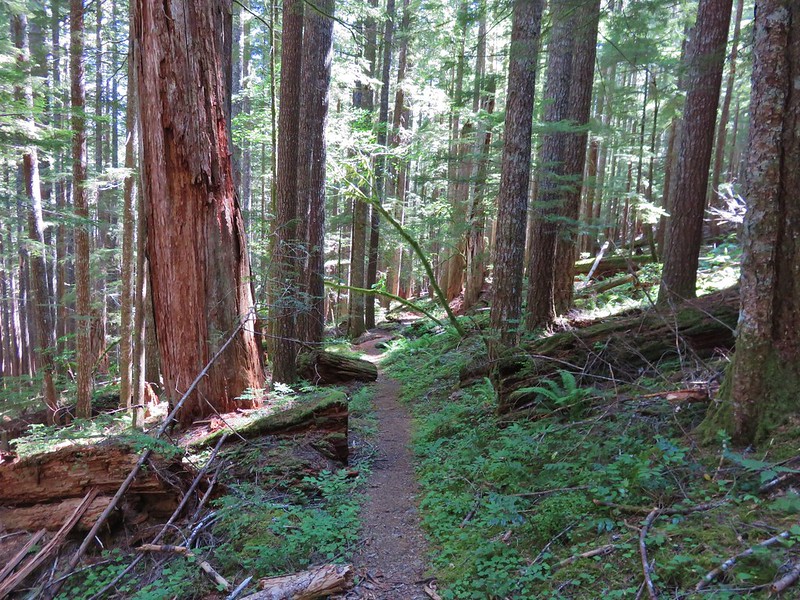
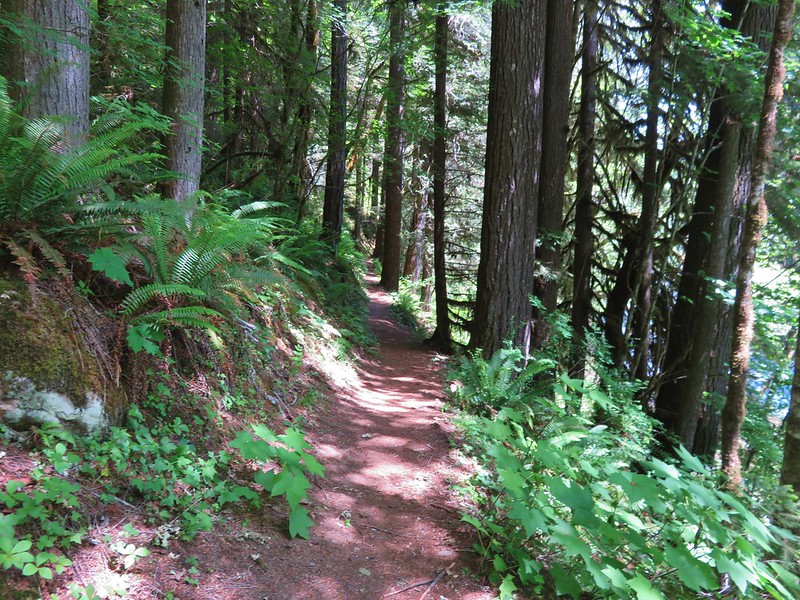
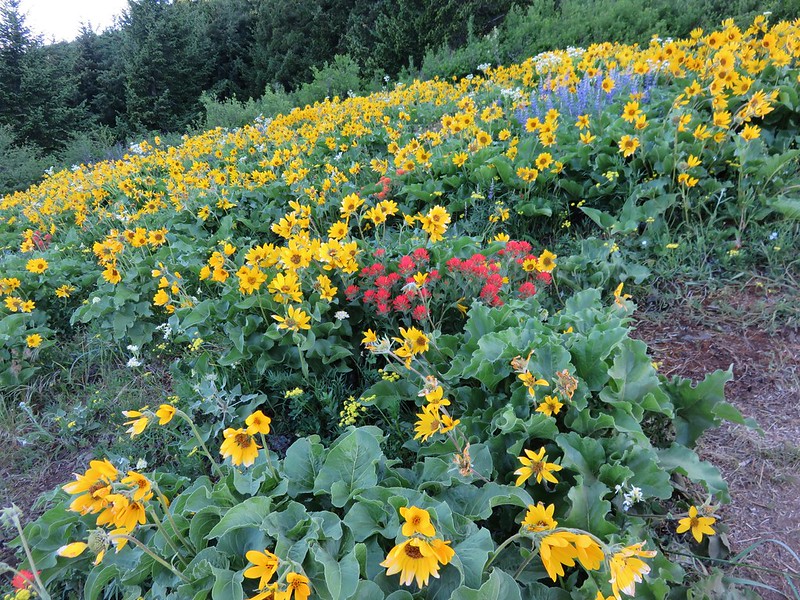
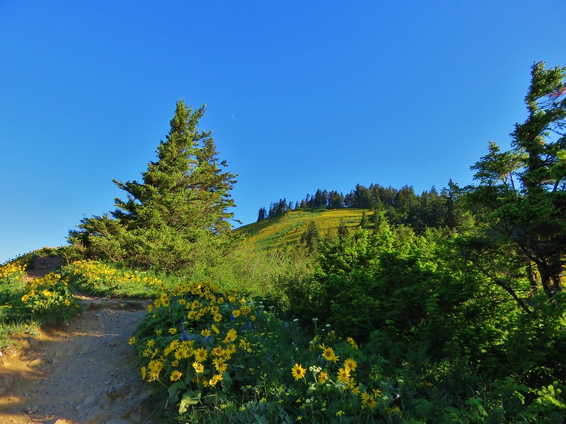
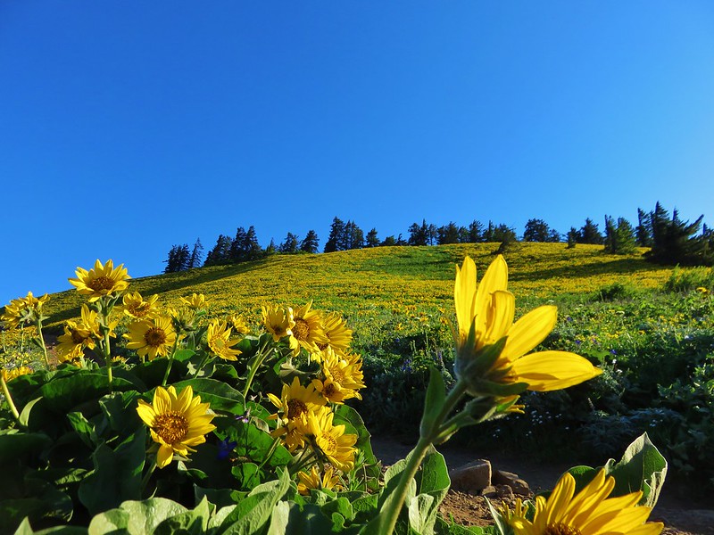
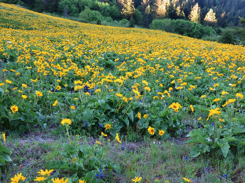
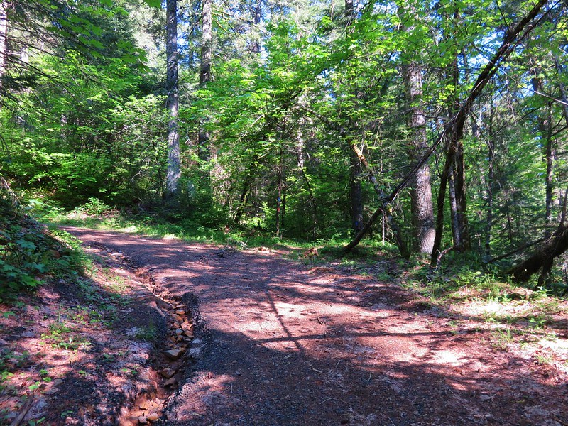
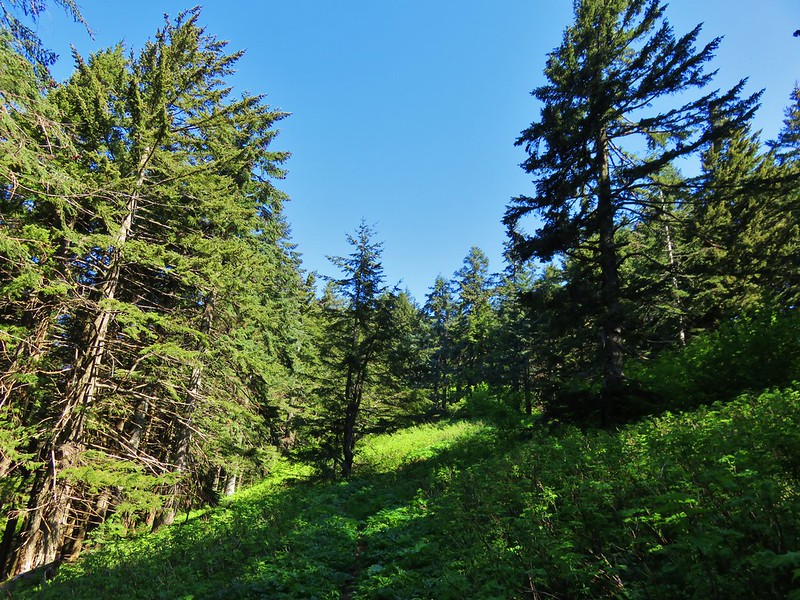
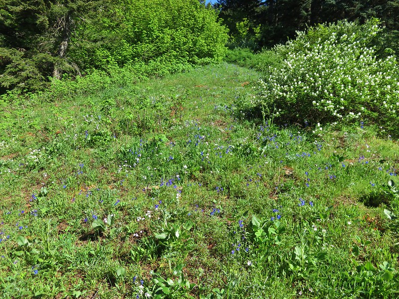
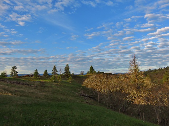
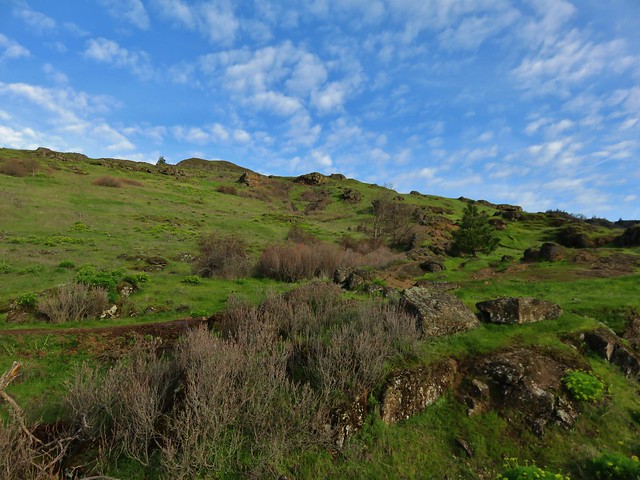
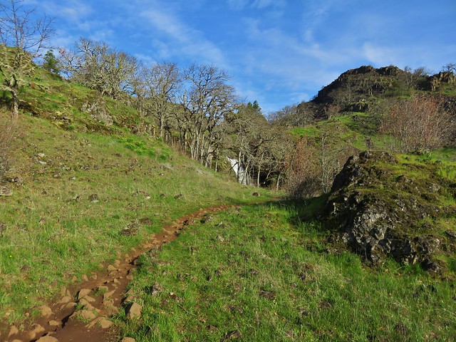
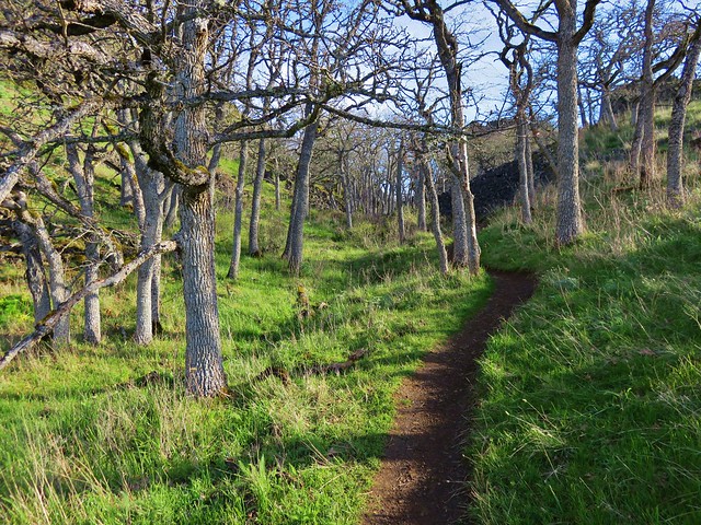
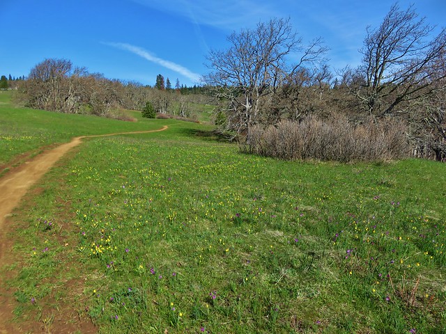
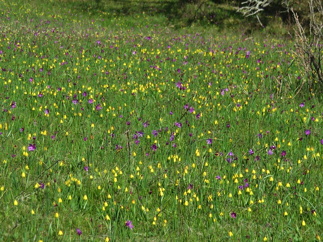
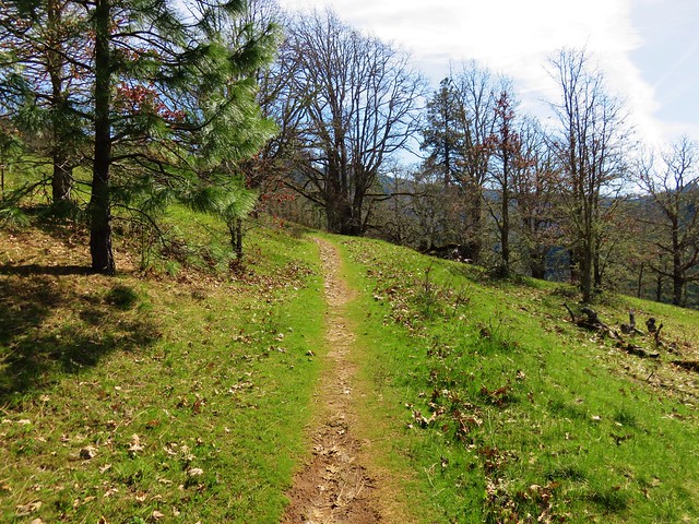
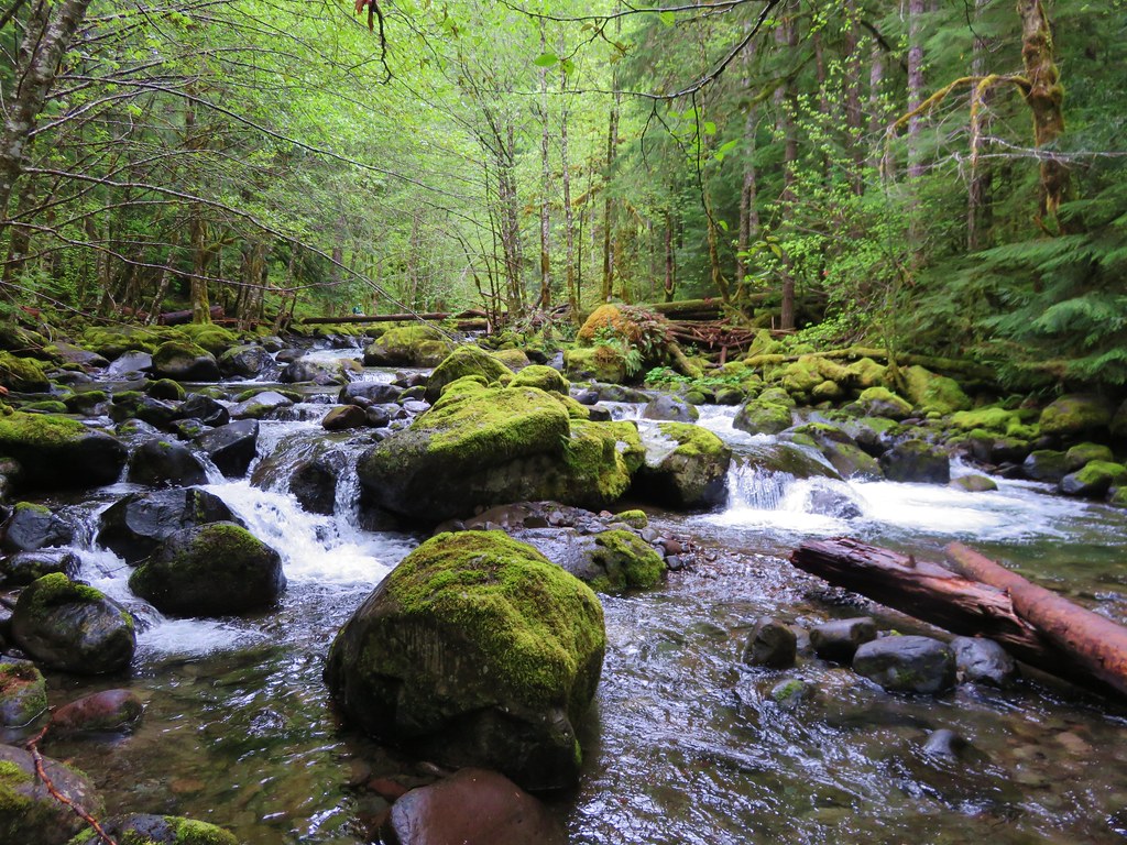
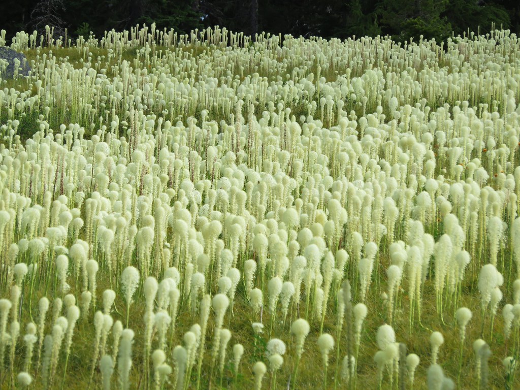
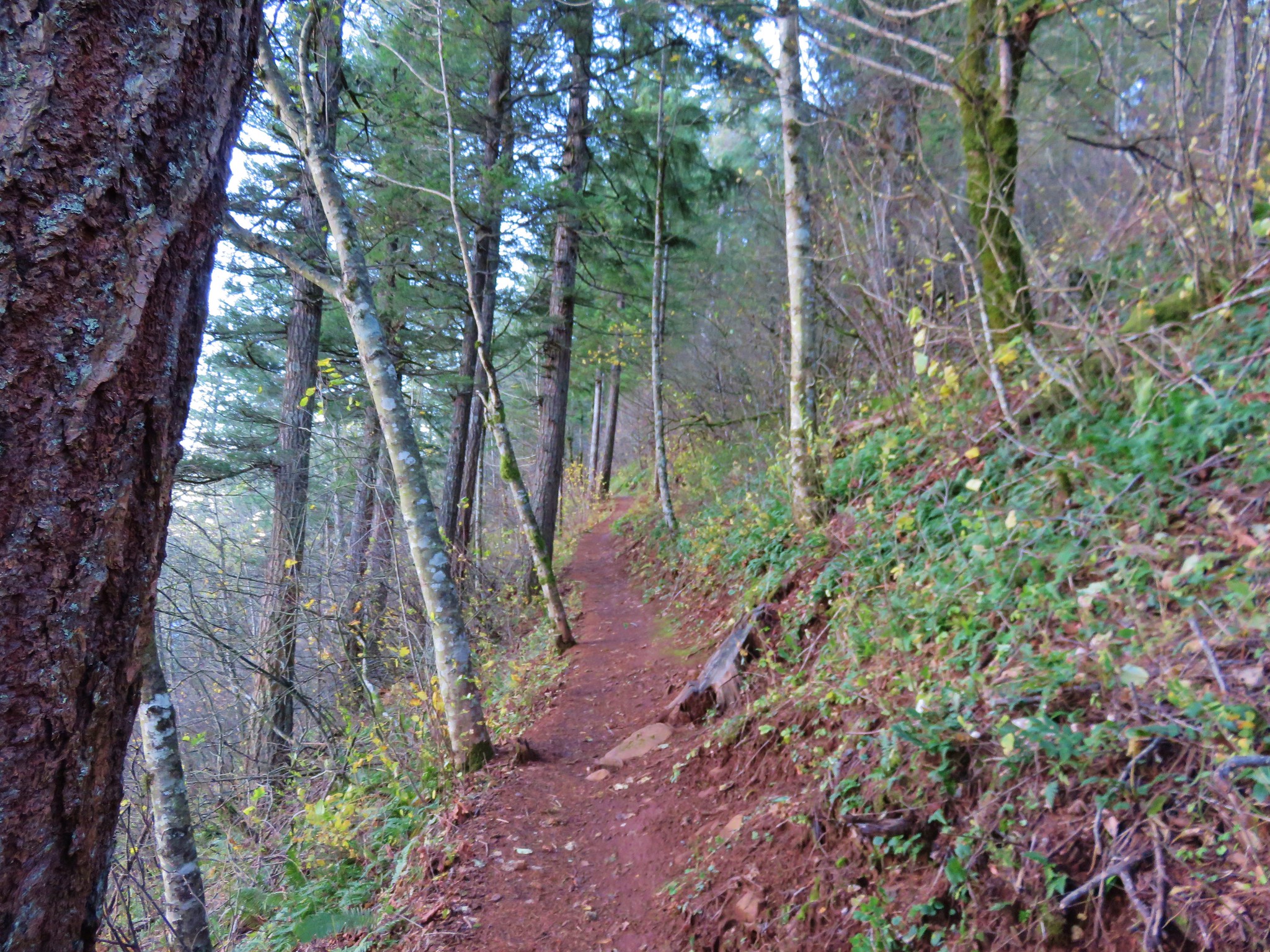
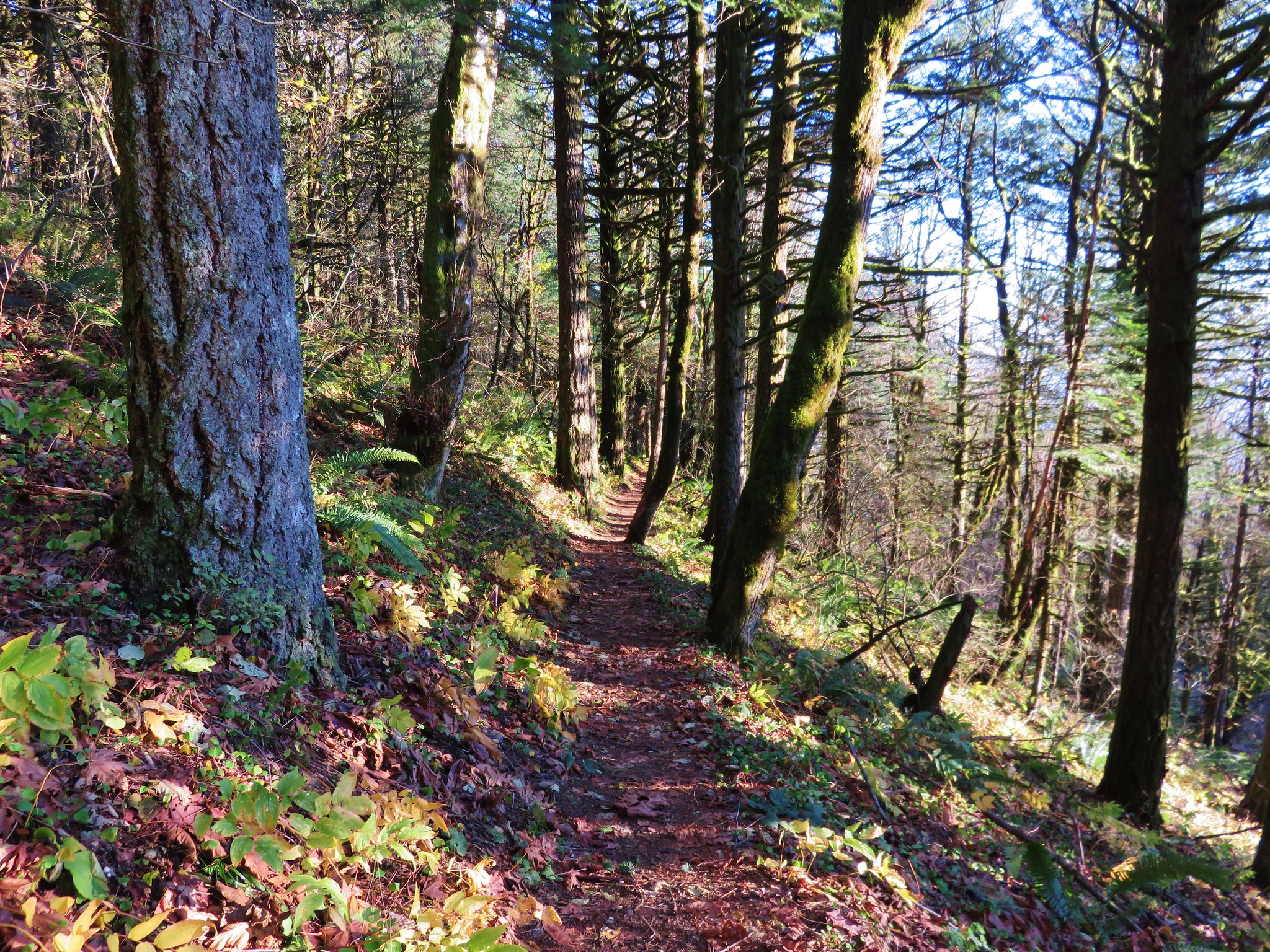
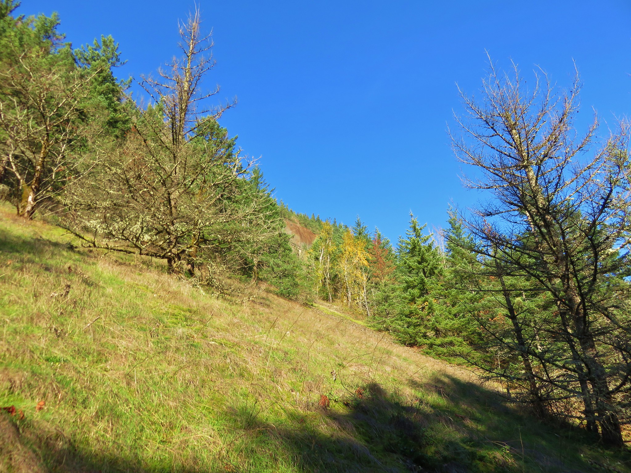
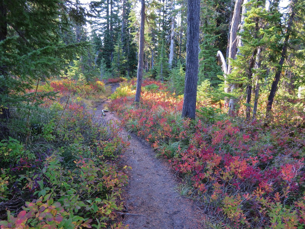
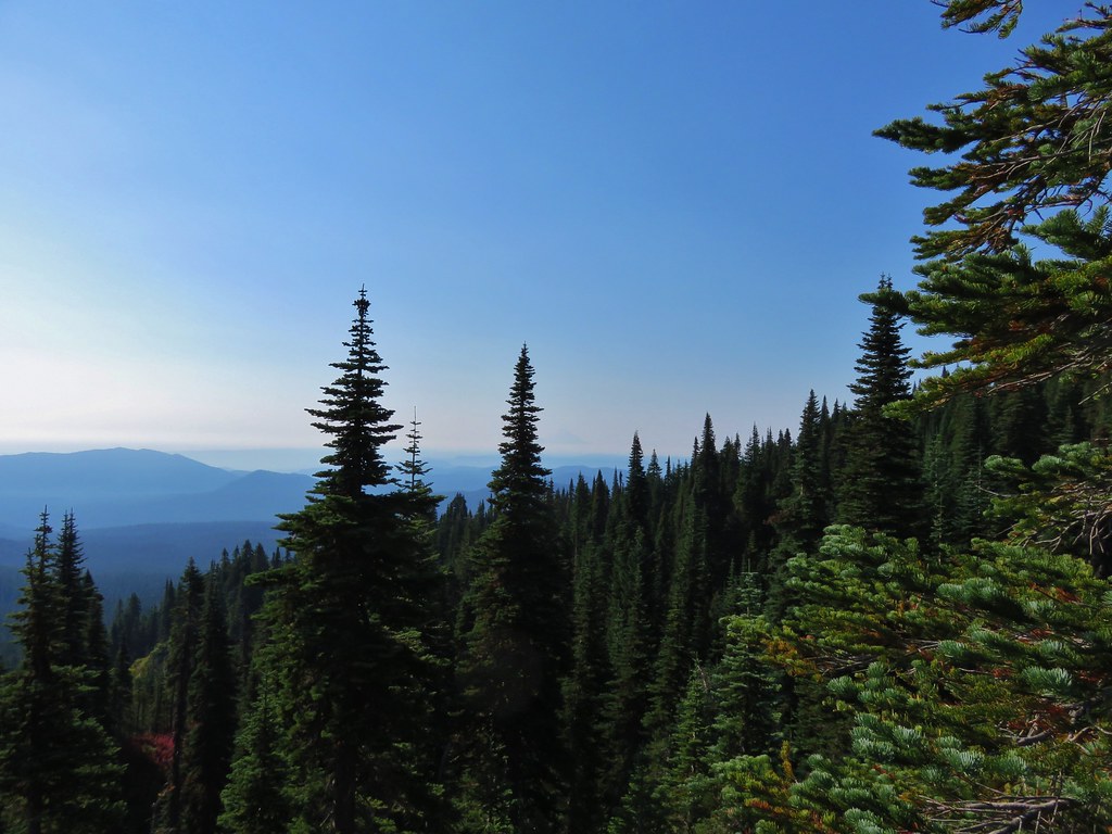
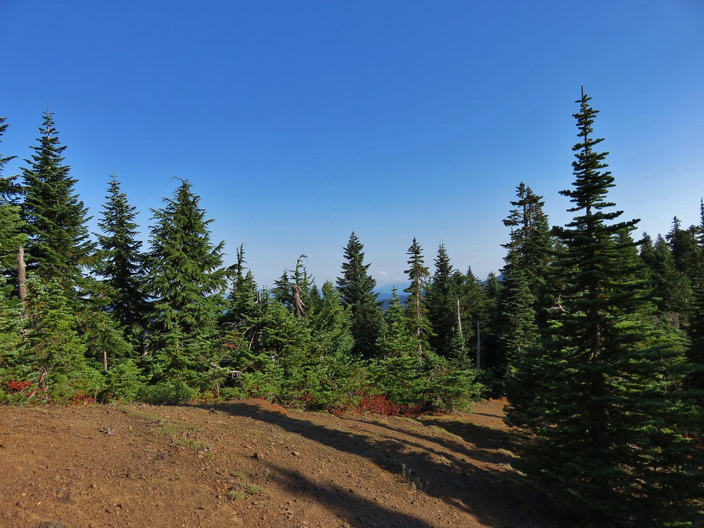
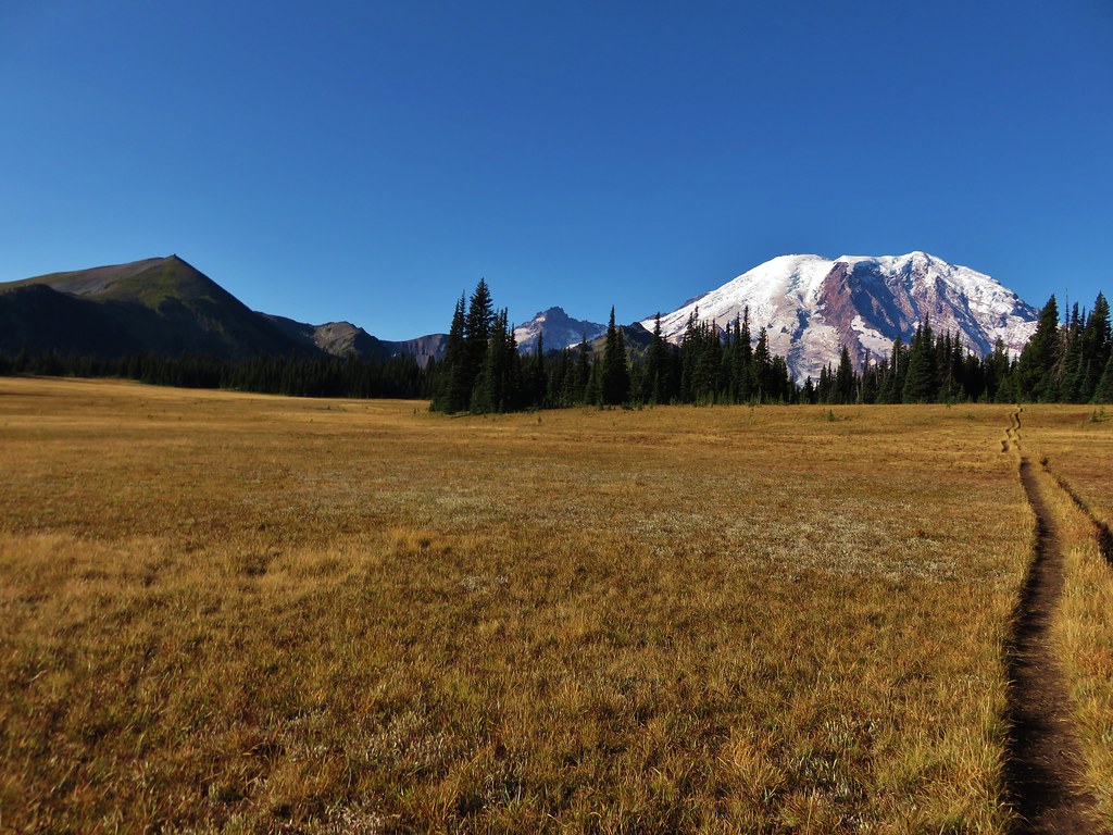
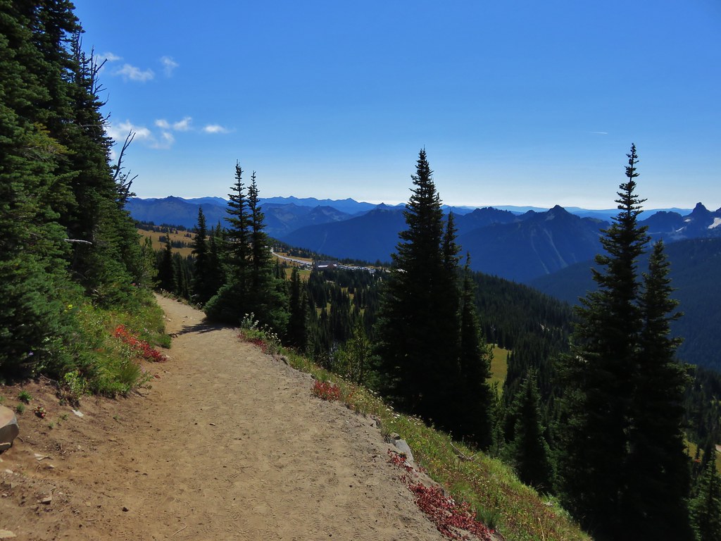
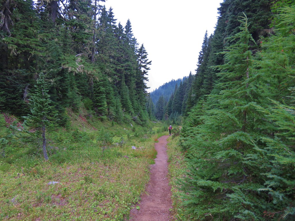
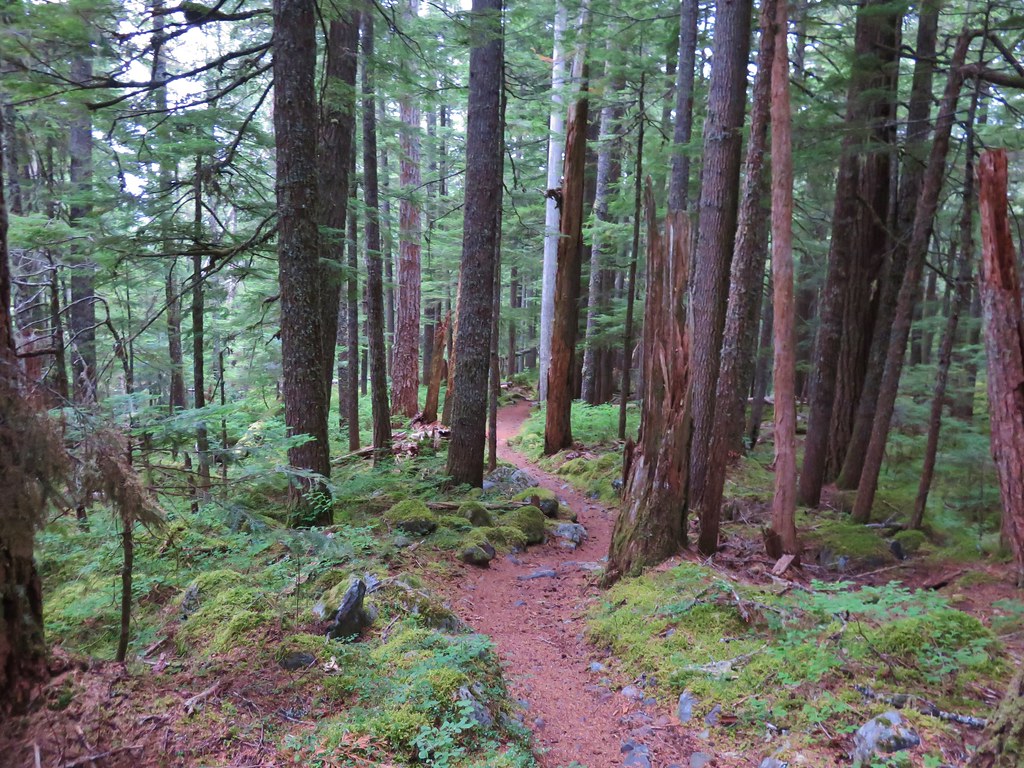
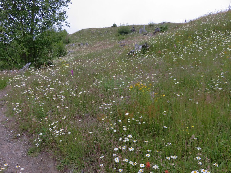
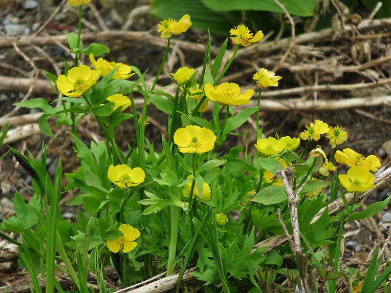
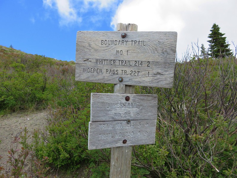
Starting at Norway Pass would have made it a shorter hike but where is the fun in that? It also would have been a longer drive. Our plan was a lollipop route using the South Coldwater Trail 230A, Coldwater Trail 230, Boundary Trail 1, and Lakes Trail 211. We had been on some of the trails in 2013 during a May hike around Coldwater Lake, but that hike had been early enough in the season that there had been very little vegetation and almost no flowers. It was evident from the flowers at the trailhead that we’d be seeing different sights this time around.

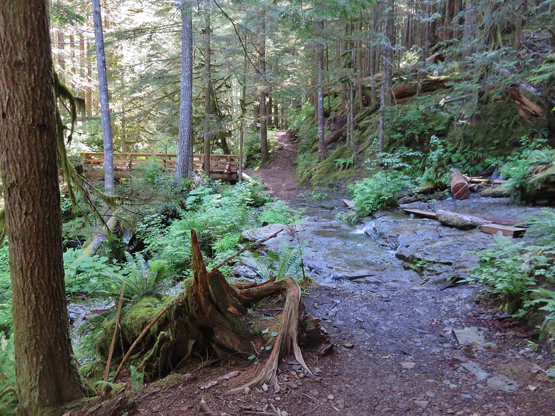
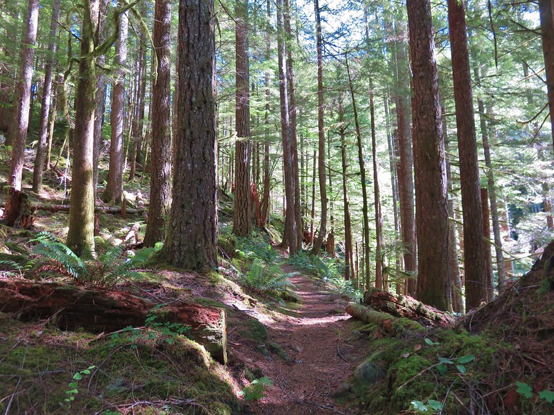
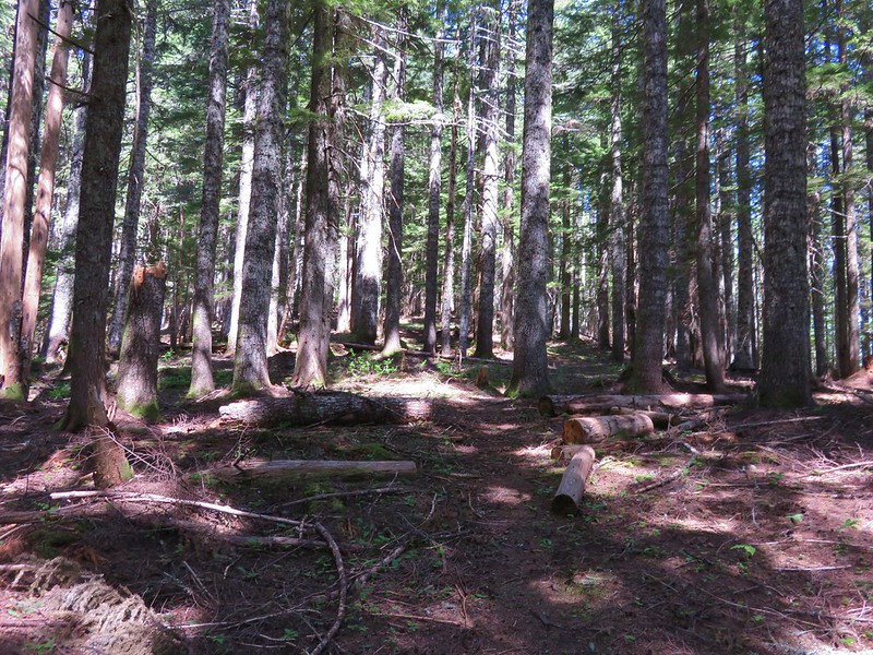
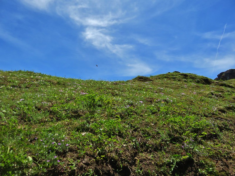
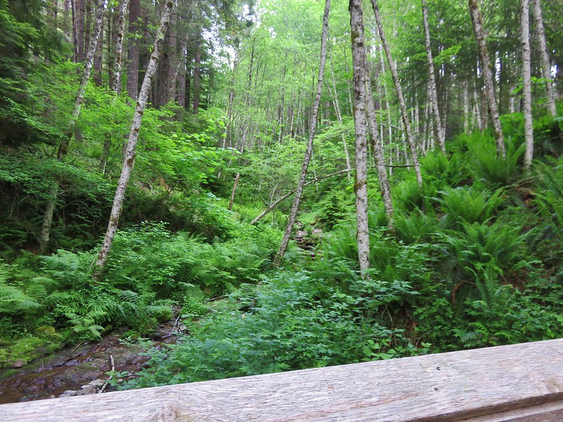
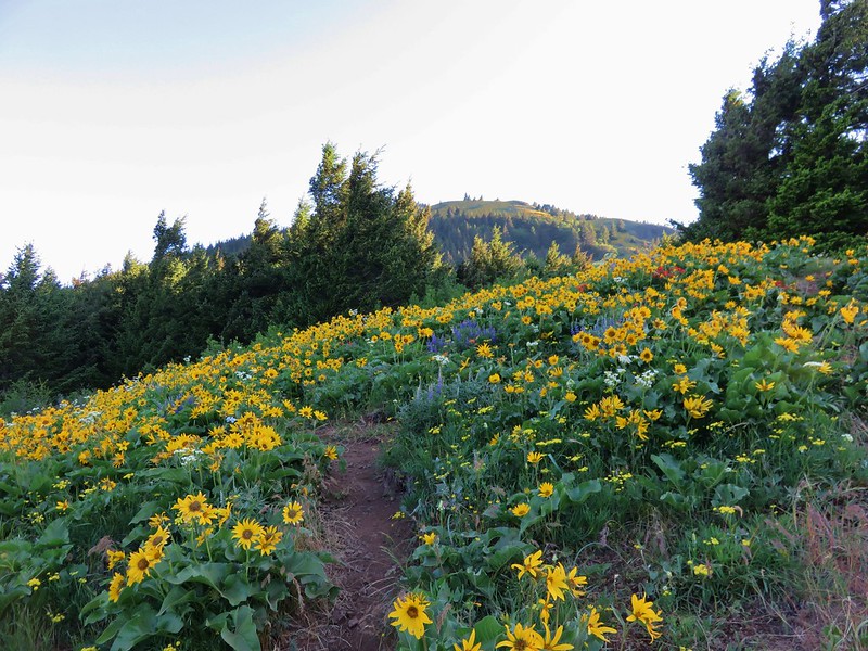
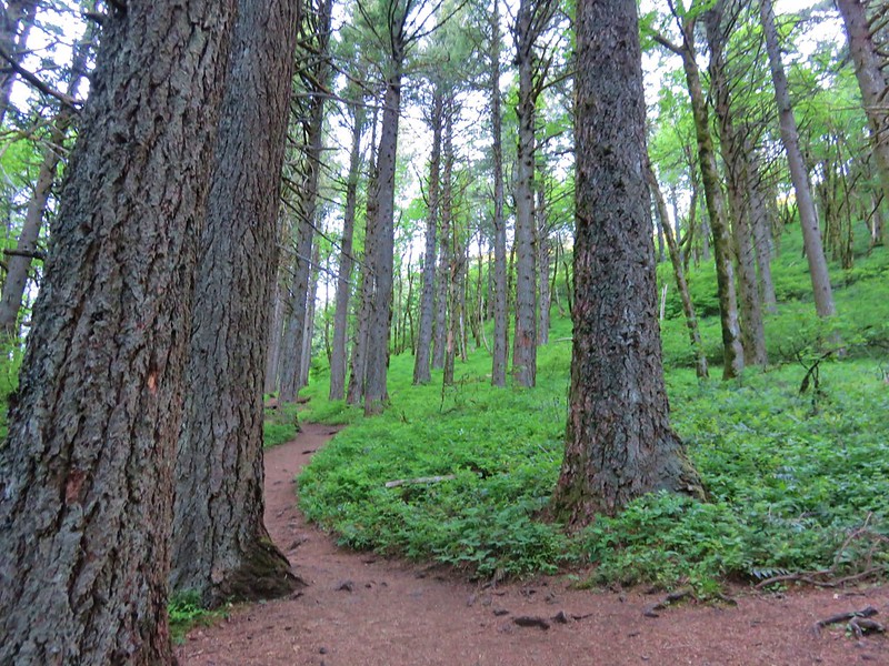
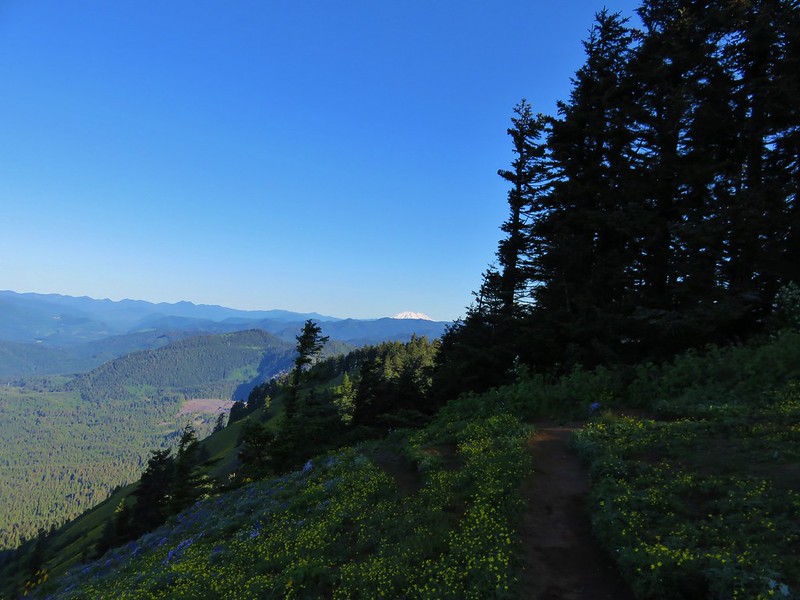
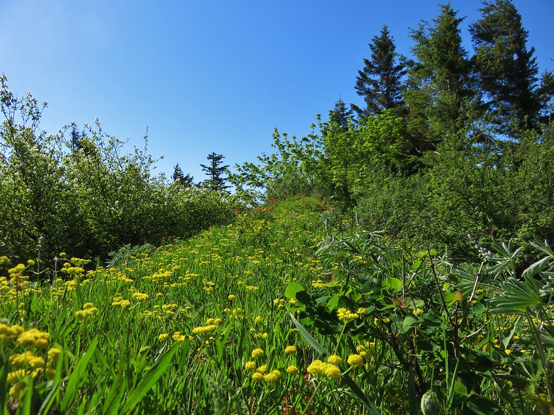
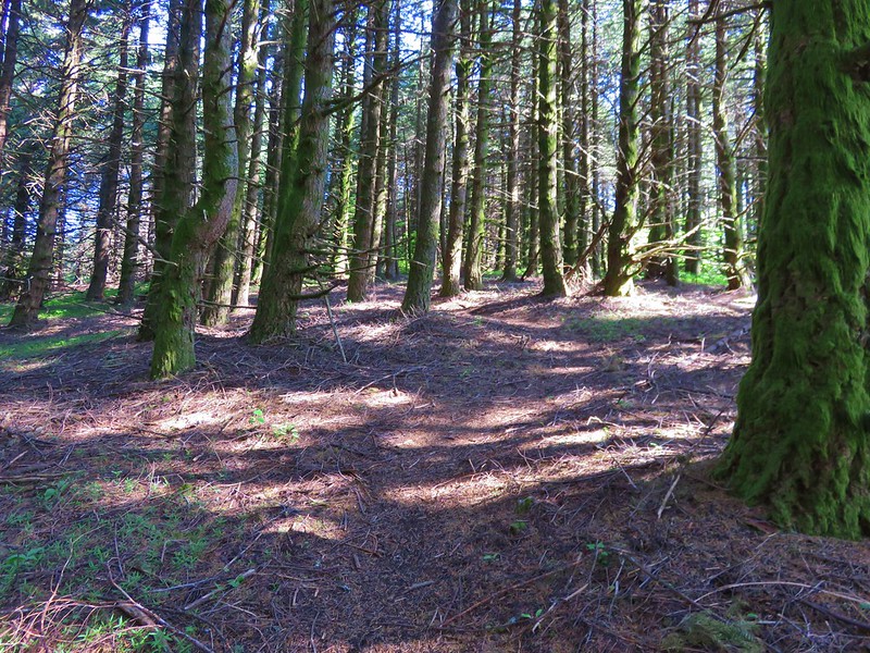
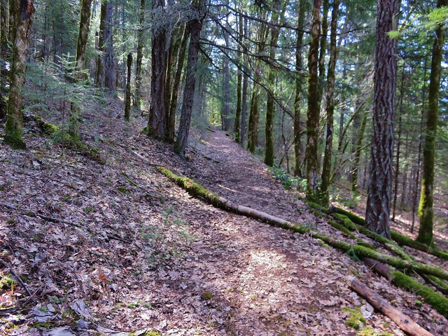
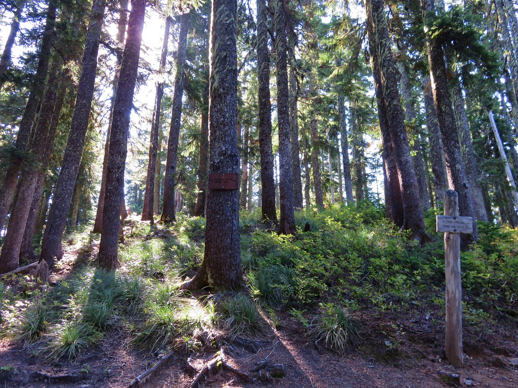
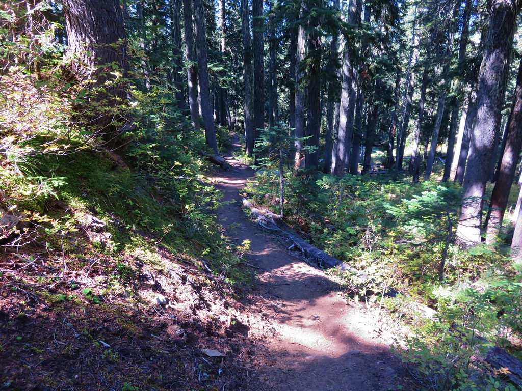
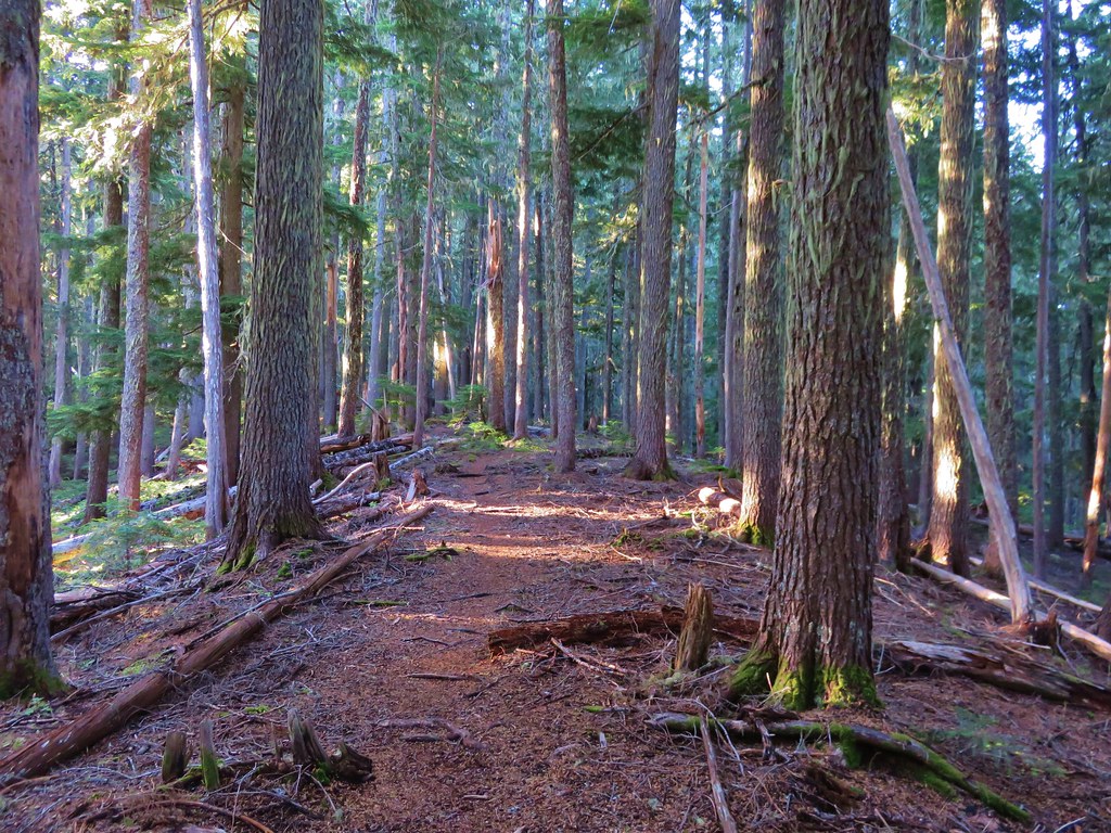
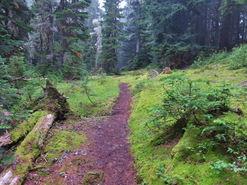
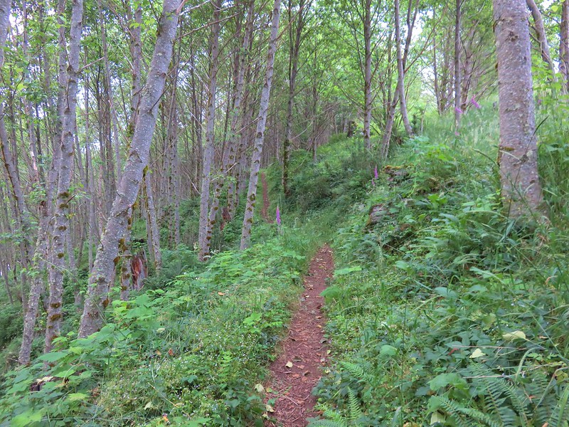
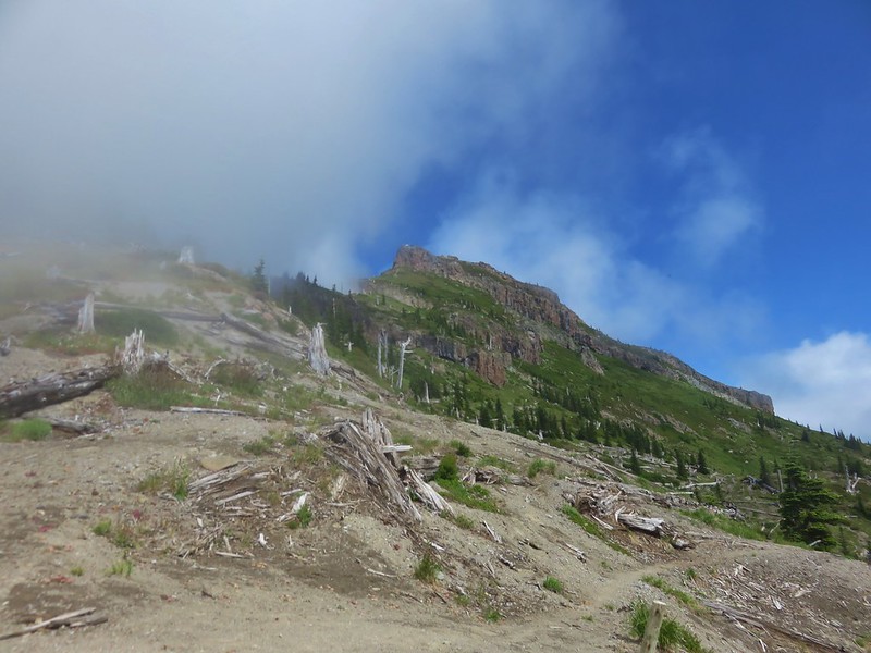
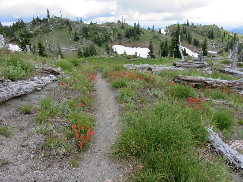
We were under the clouds as we set off on the trail which passed through a short section of woods before emerging into wildflower filled meadows.

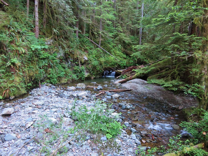
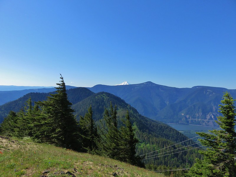
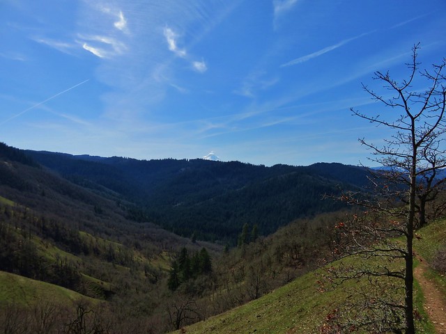
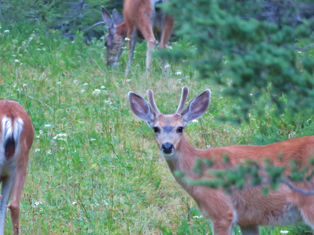
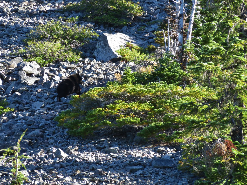
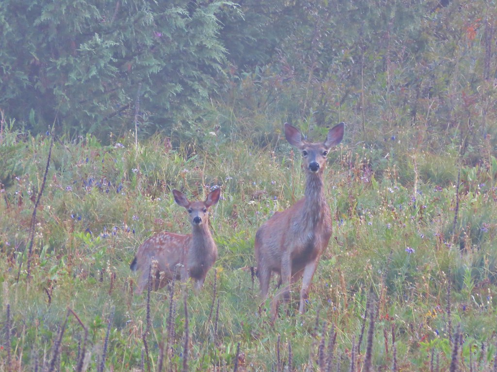
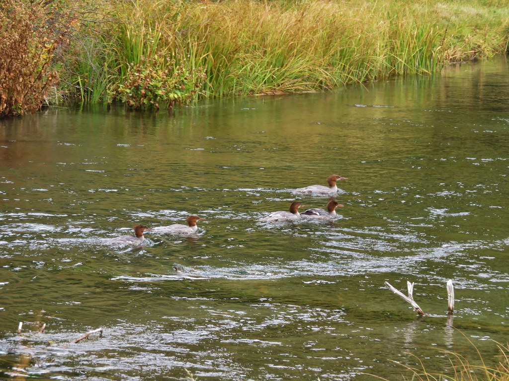
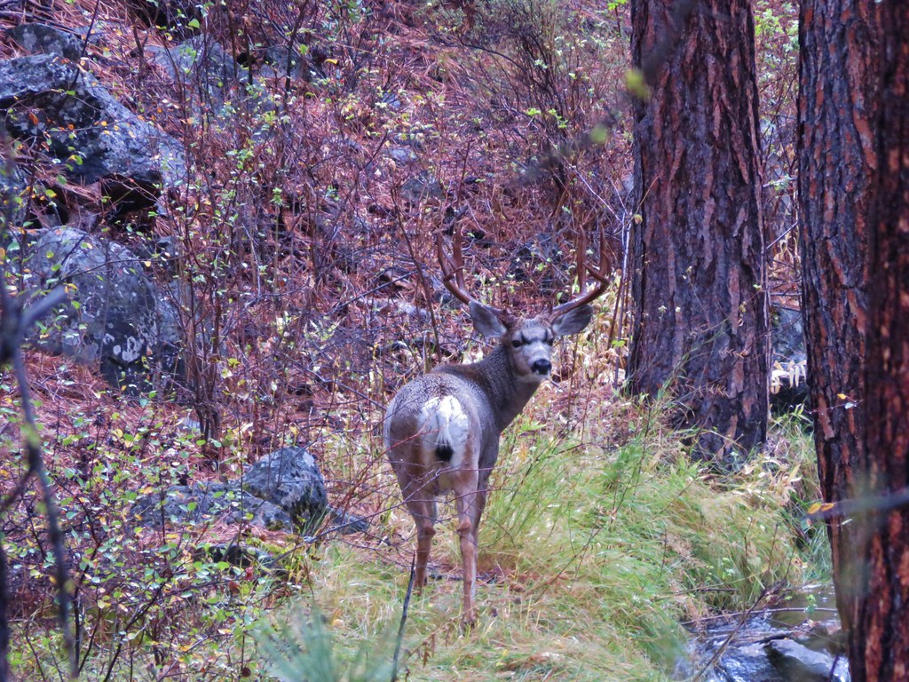
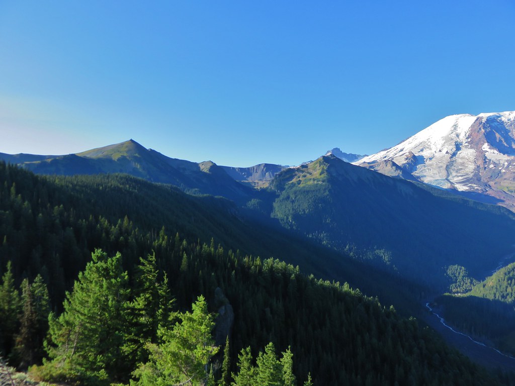
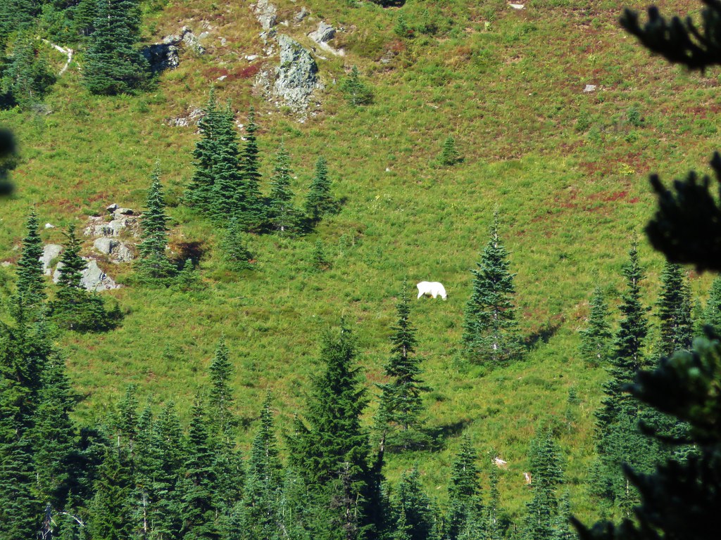
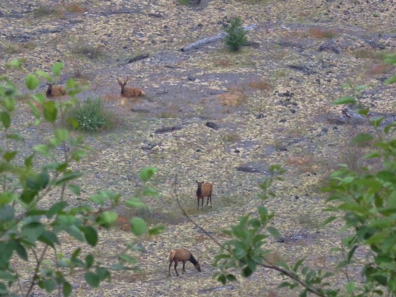
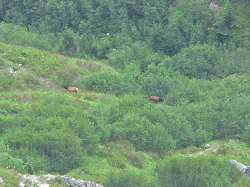
Although the clouds limited the view we were able to see back down to the South Coldwater Creek Valley where we spotted several elk.

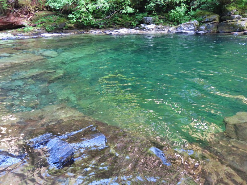
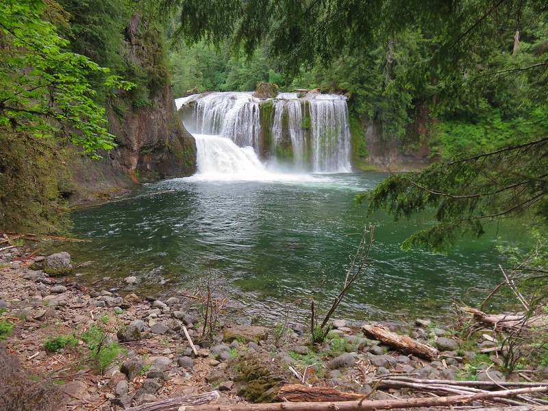
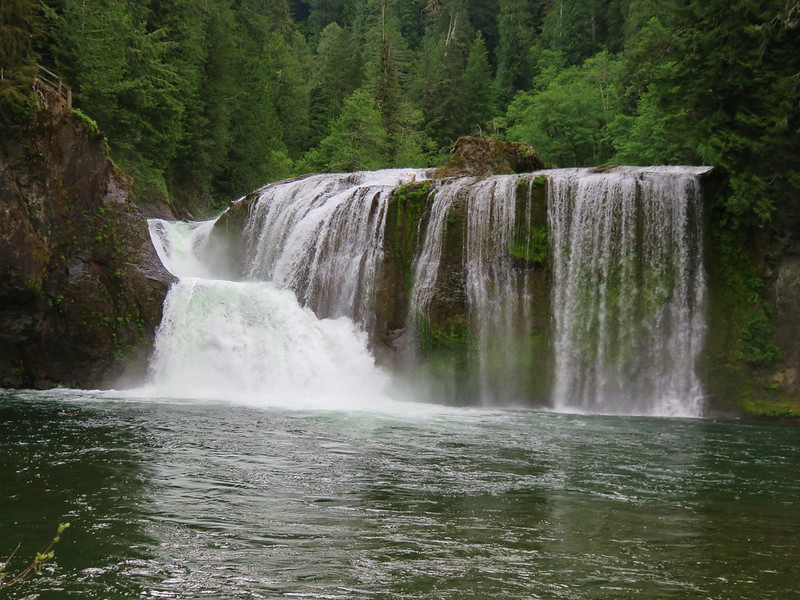
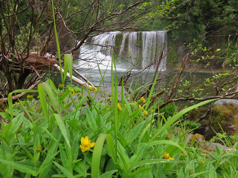
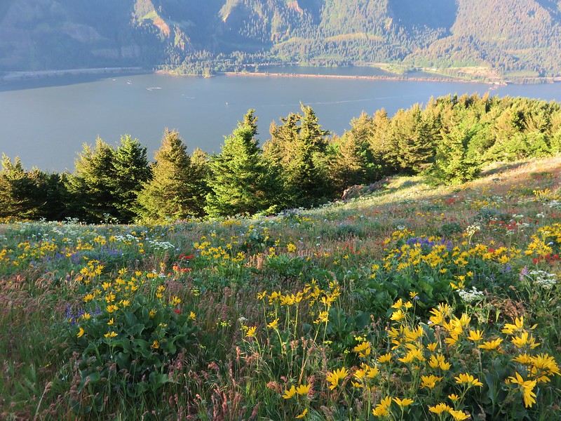
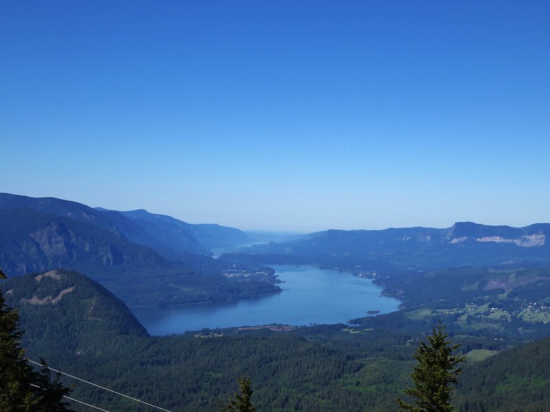
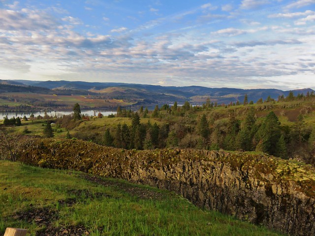
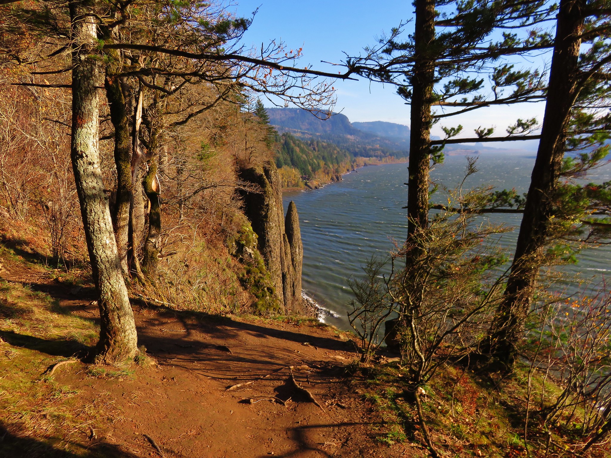
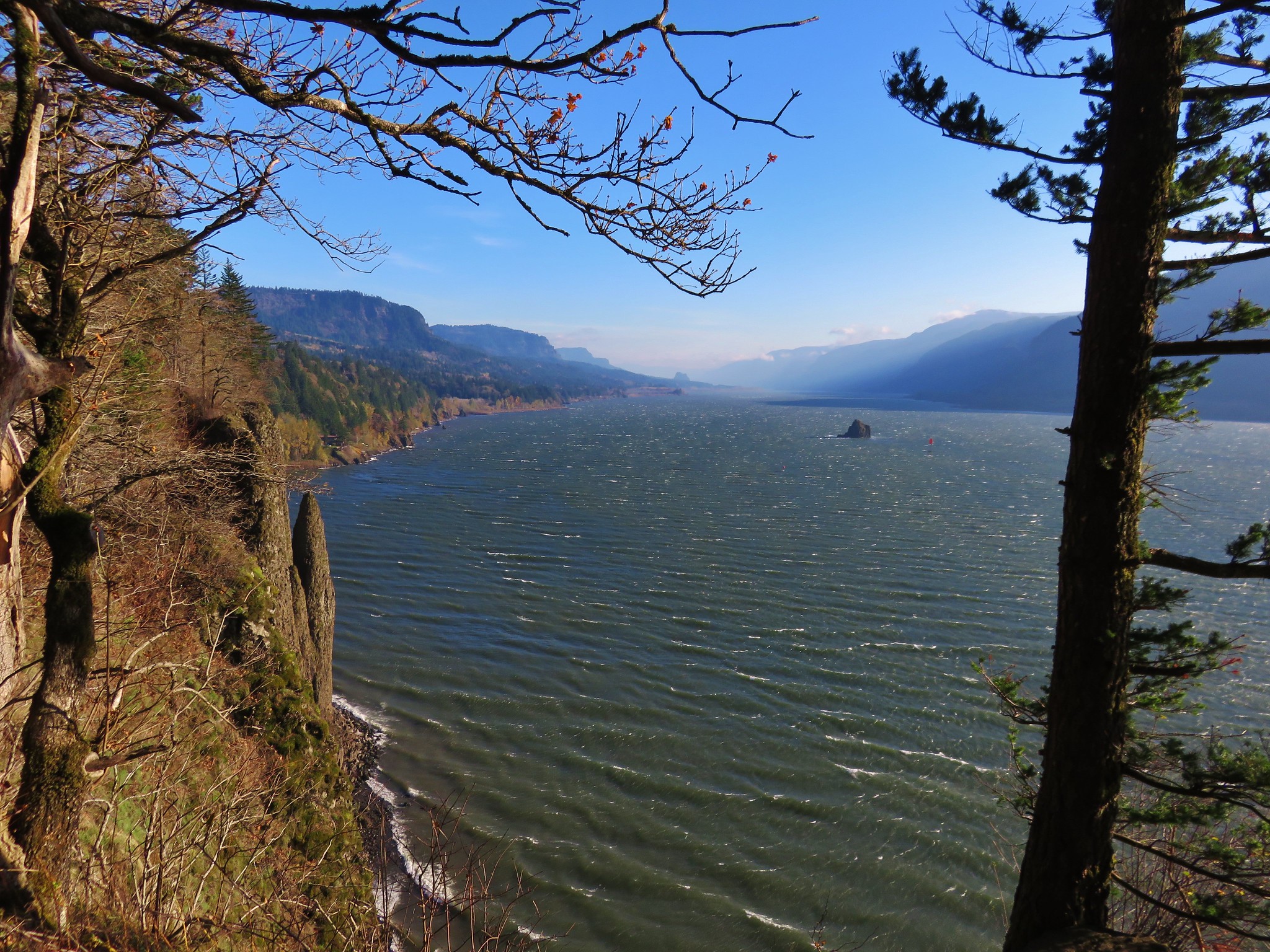
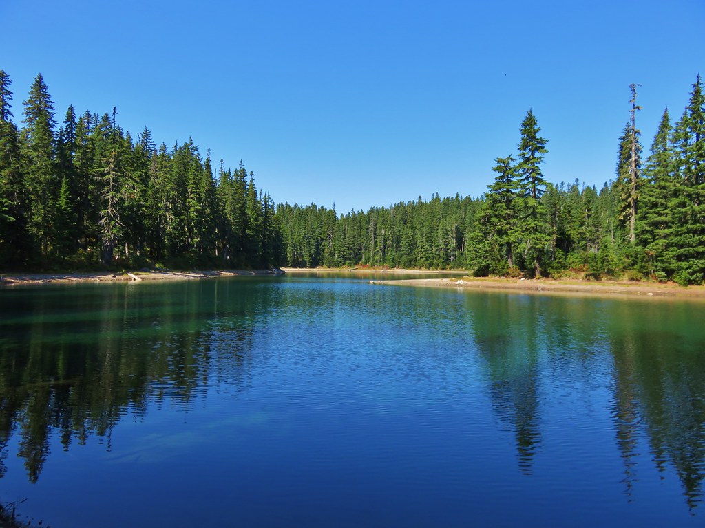
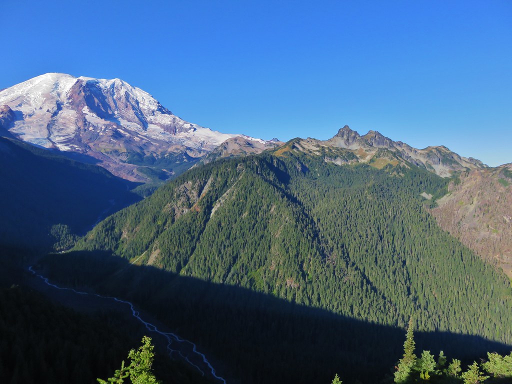
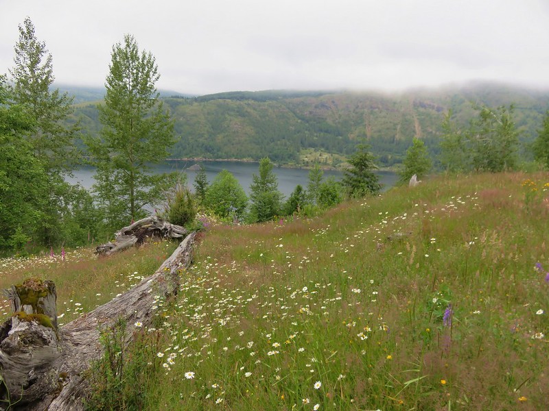
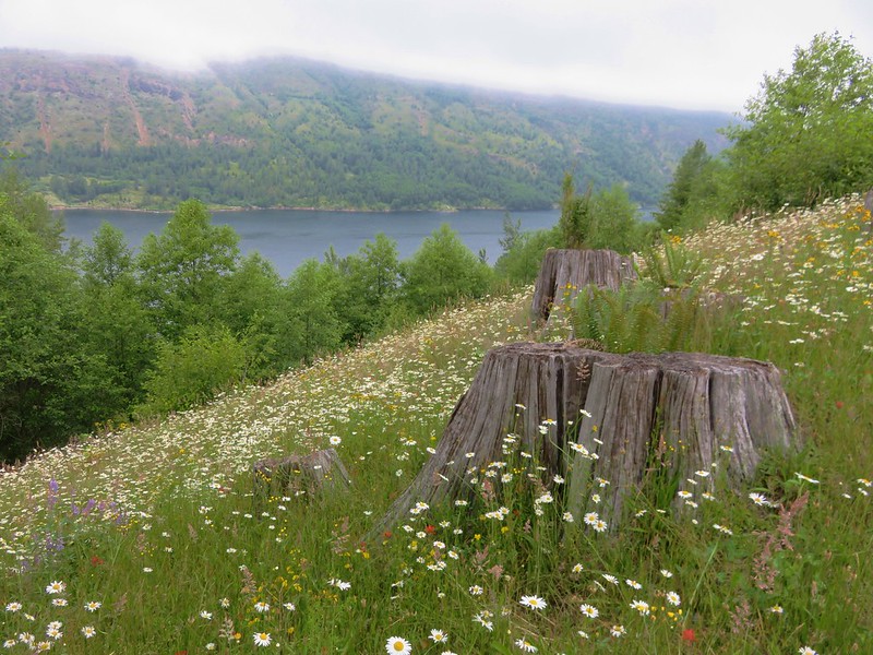
The trail then crossed over the ridge we were climbing providing views of Coldwater Lake.
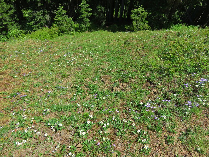
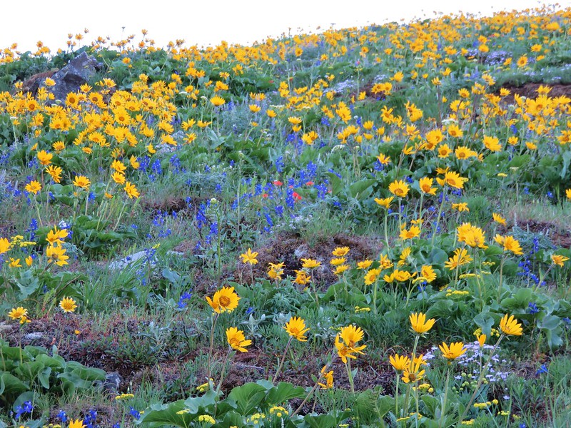
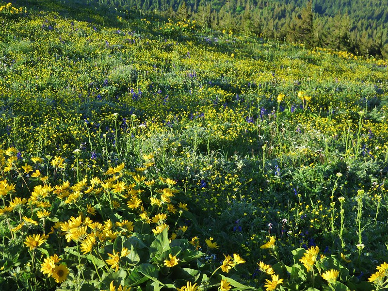
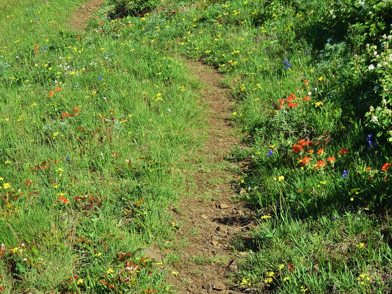
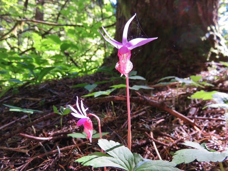
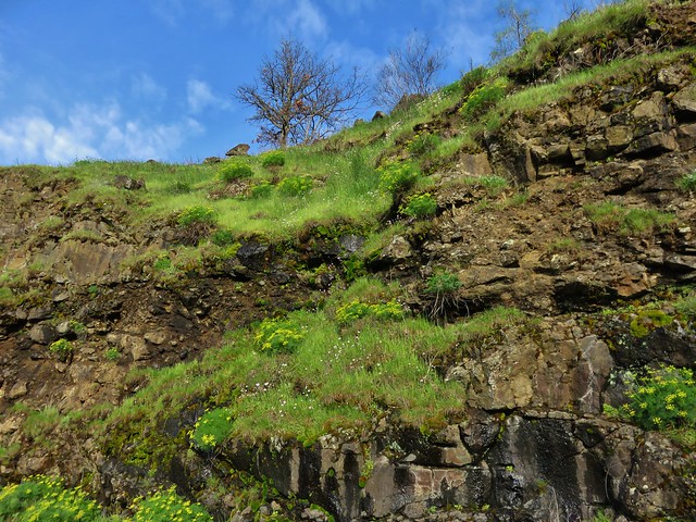
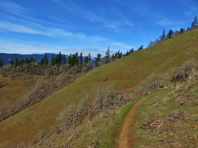
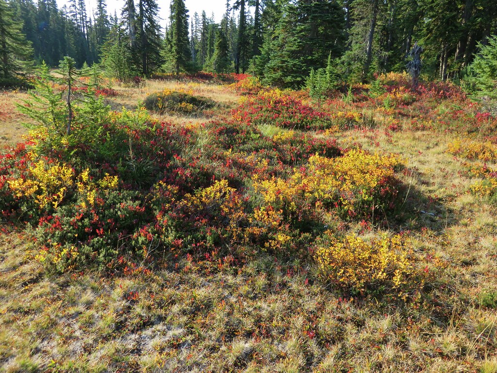
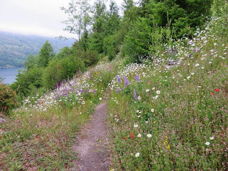
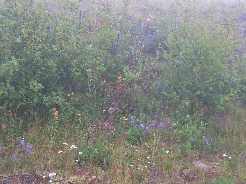
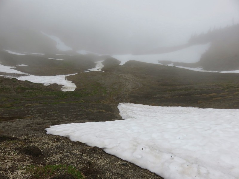
The wildflowers were thick along the trail, but we were starting to enter the cloud bank and quickly losing our visibility.

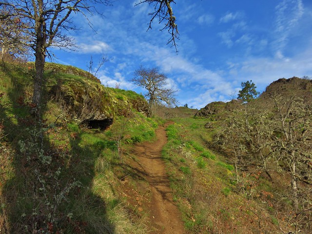
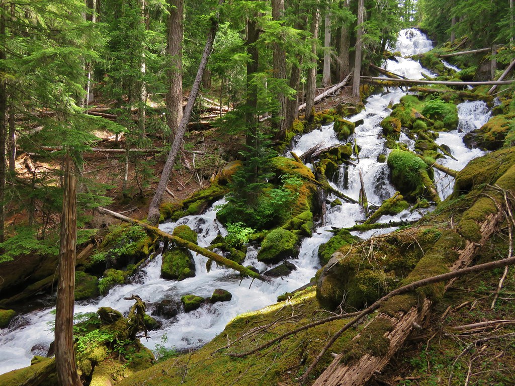
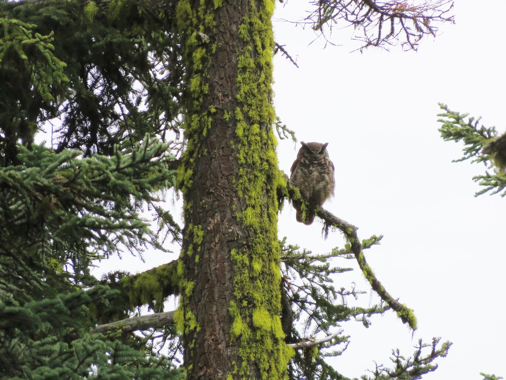
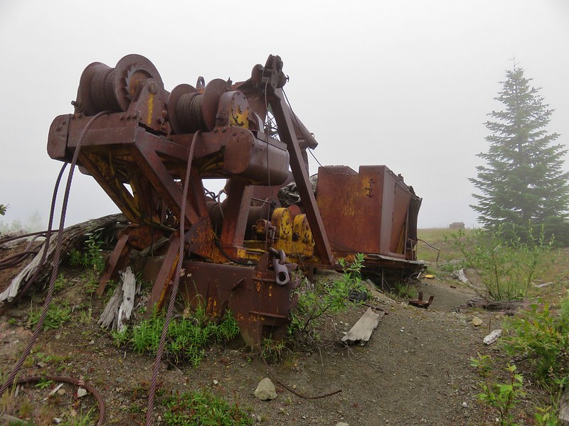
The trail continued to climb along the ridge passing a couple of pieces of old machinery that is left over from the 1980 eruption of Mt. St. Helens.
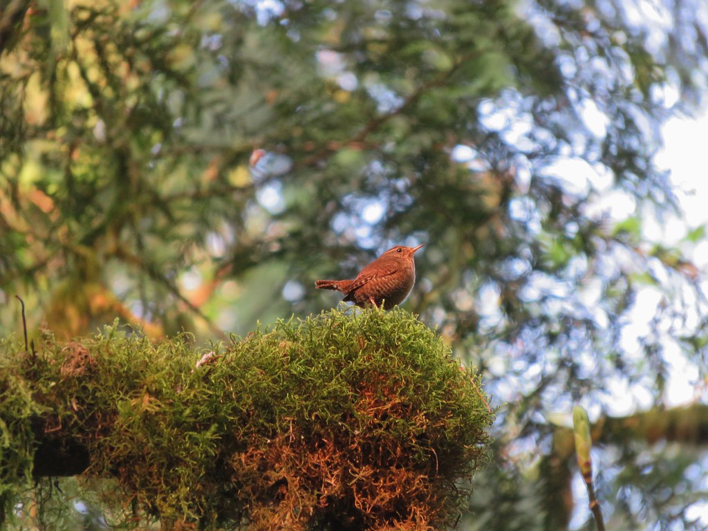
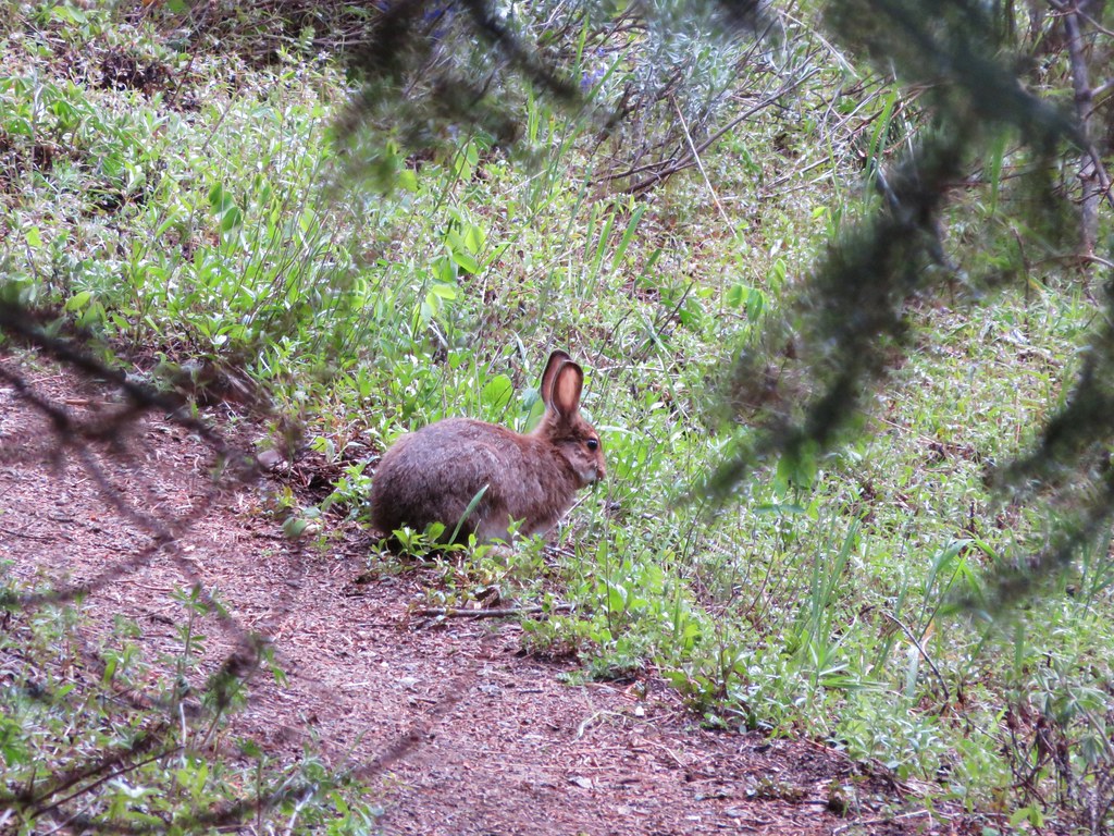
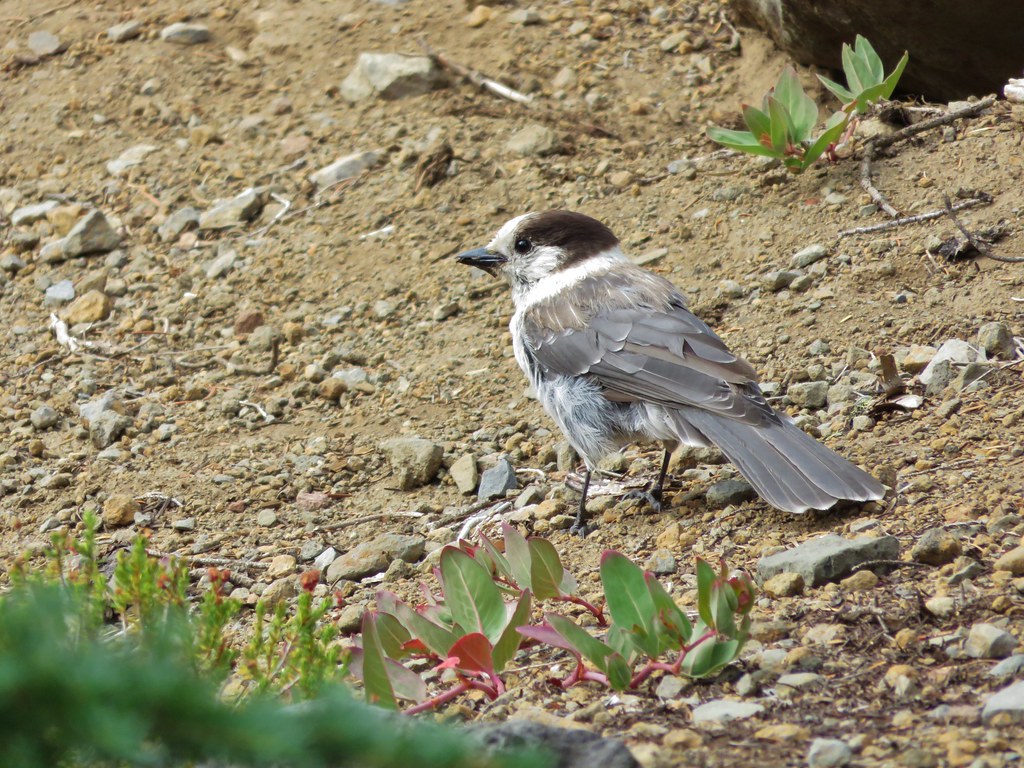
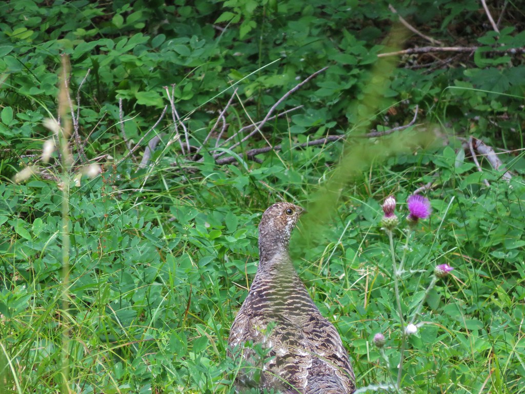
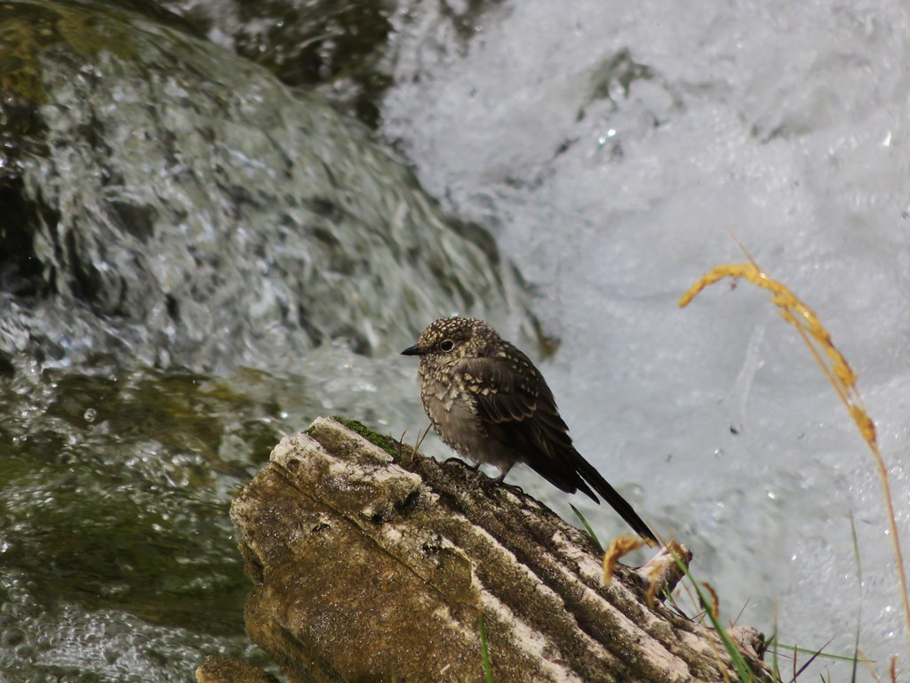
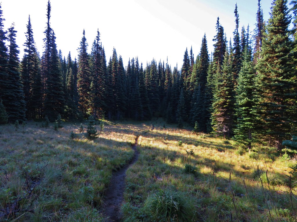
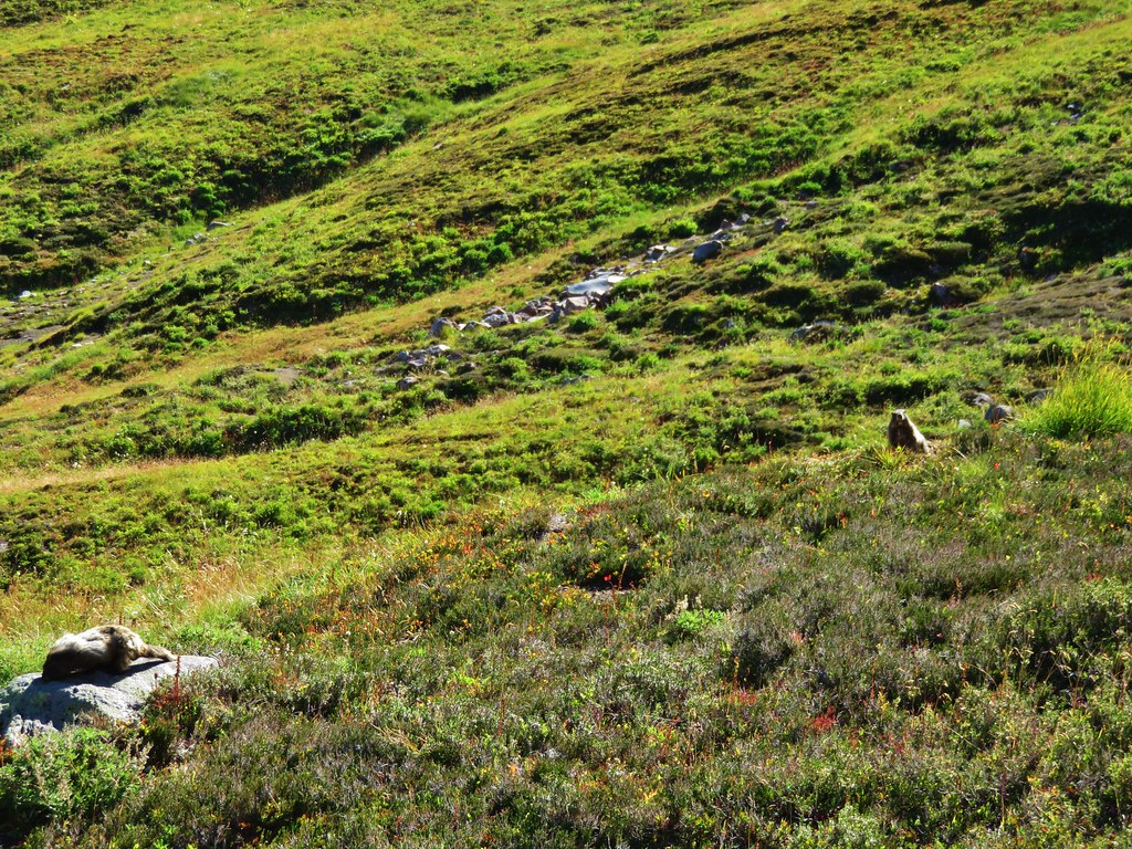
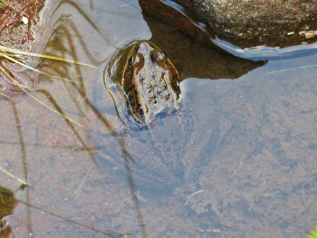
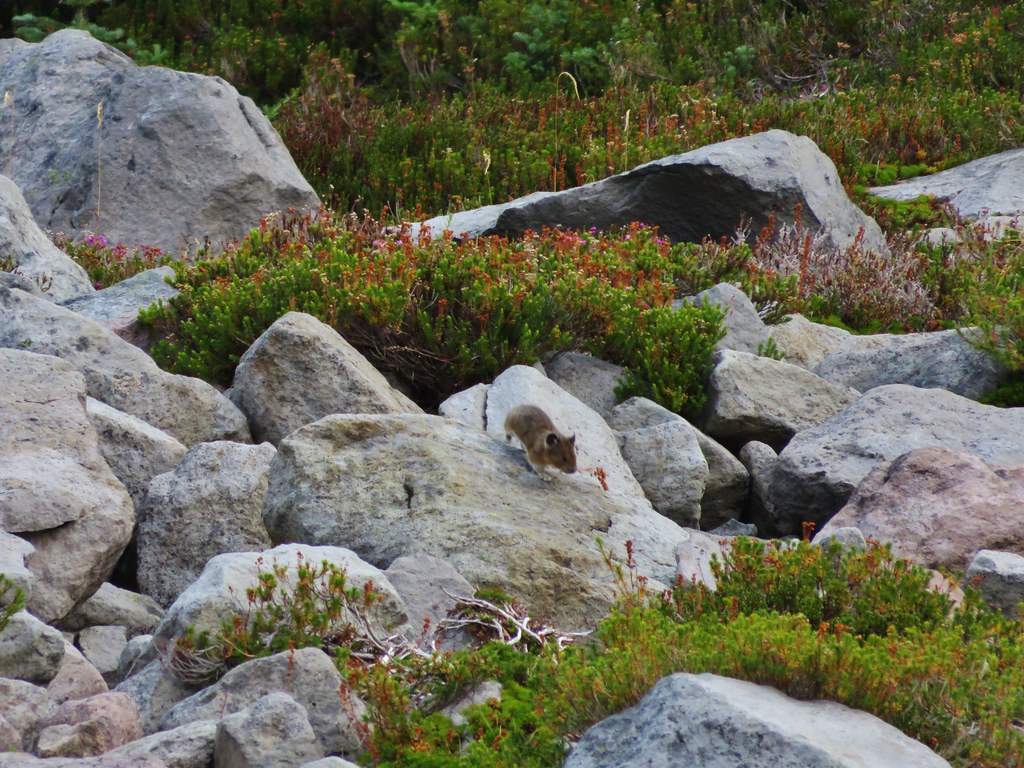
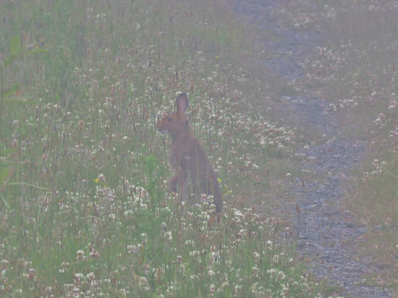
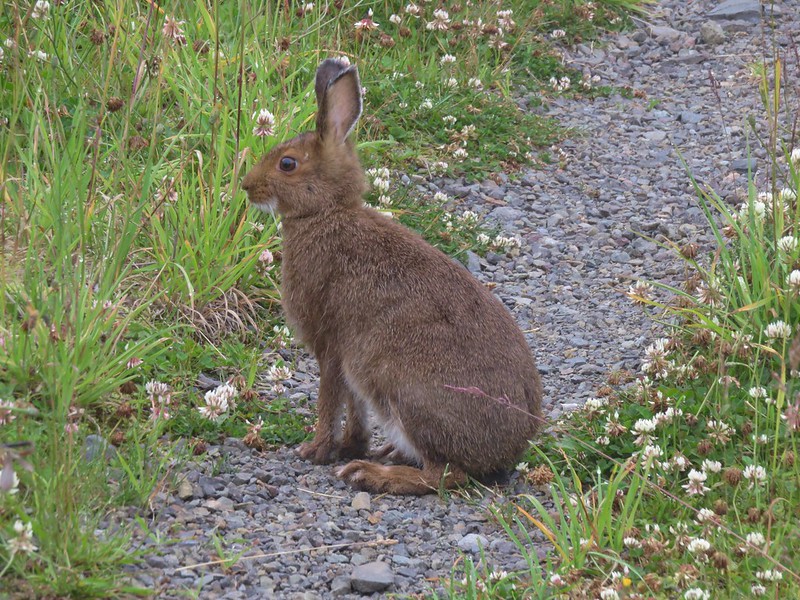
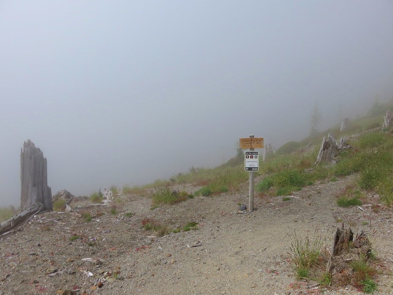
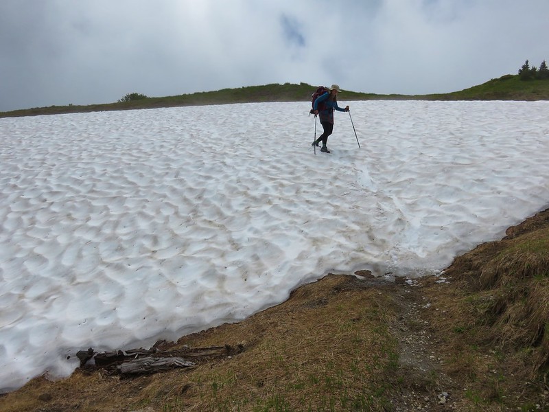
We were now in the midst (or mist) of the clouds. At least it wasn’t raining and despite the low visibility there were still plenty of flowers along the trail to see and there were a couple of snowshoe hares out having breakfast.
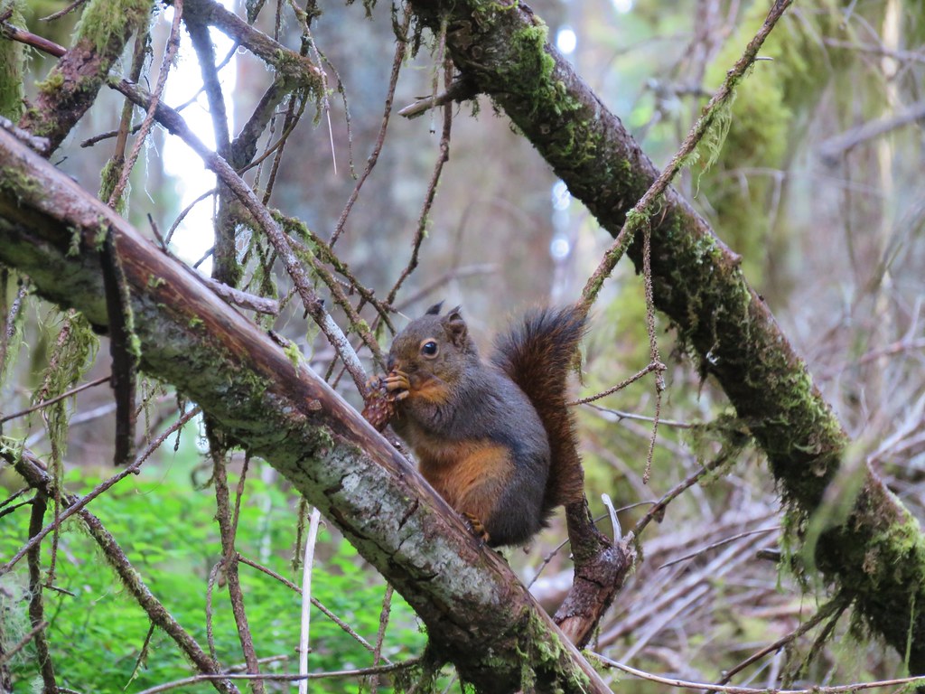
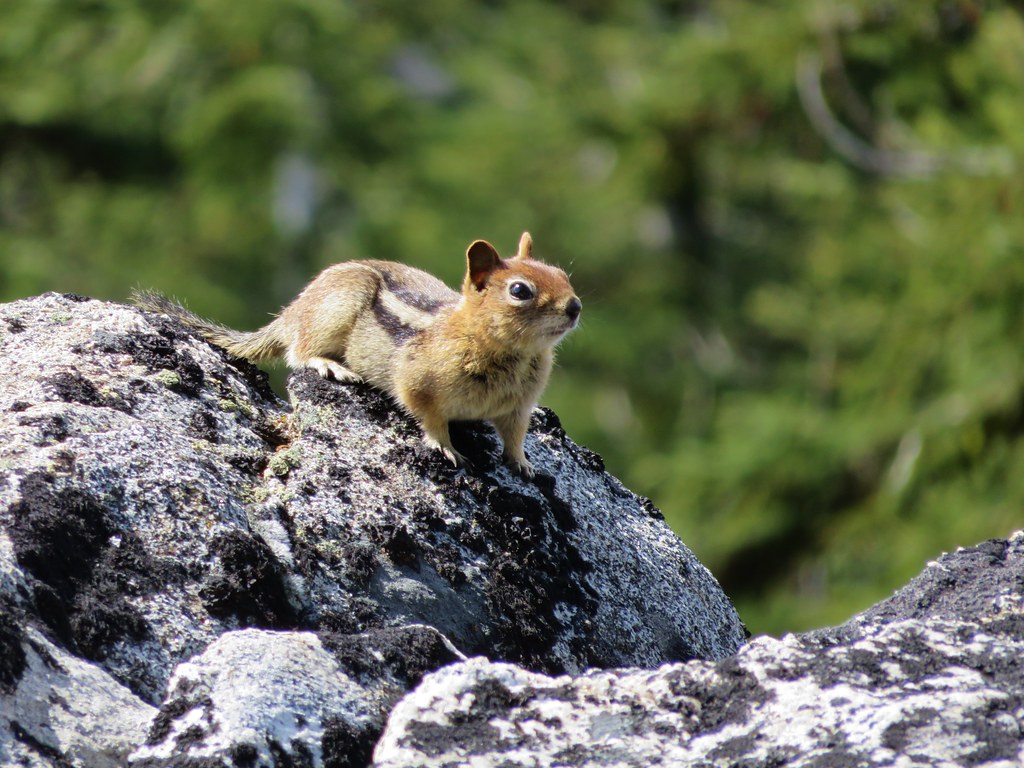
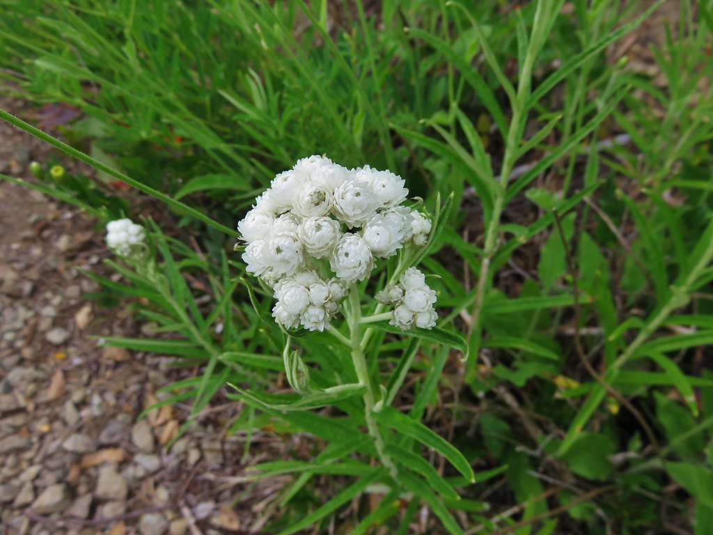
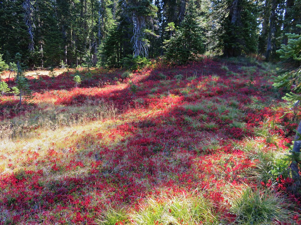
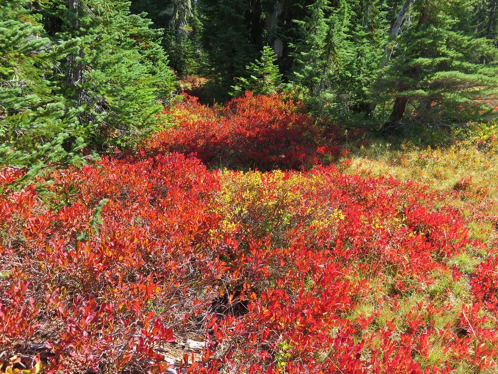
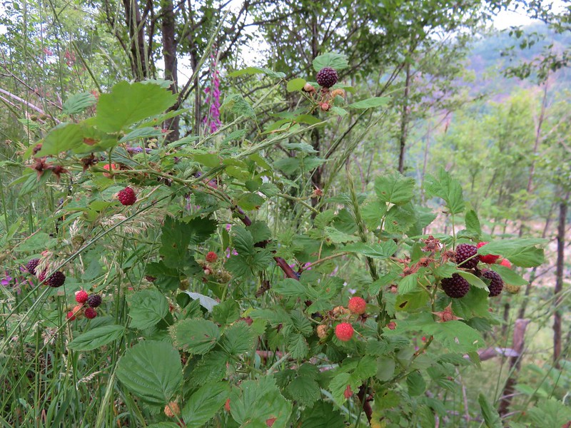
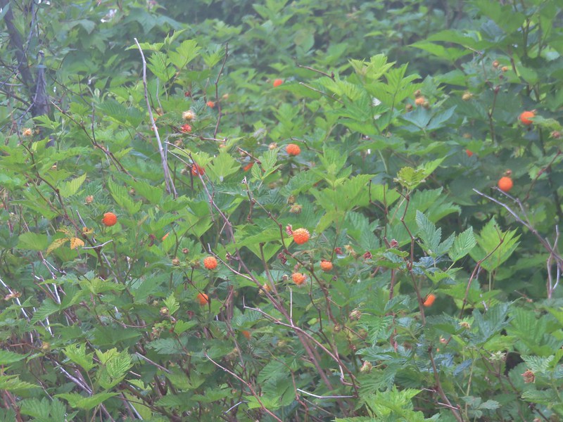
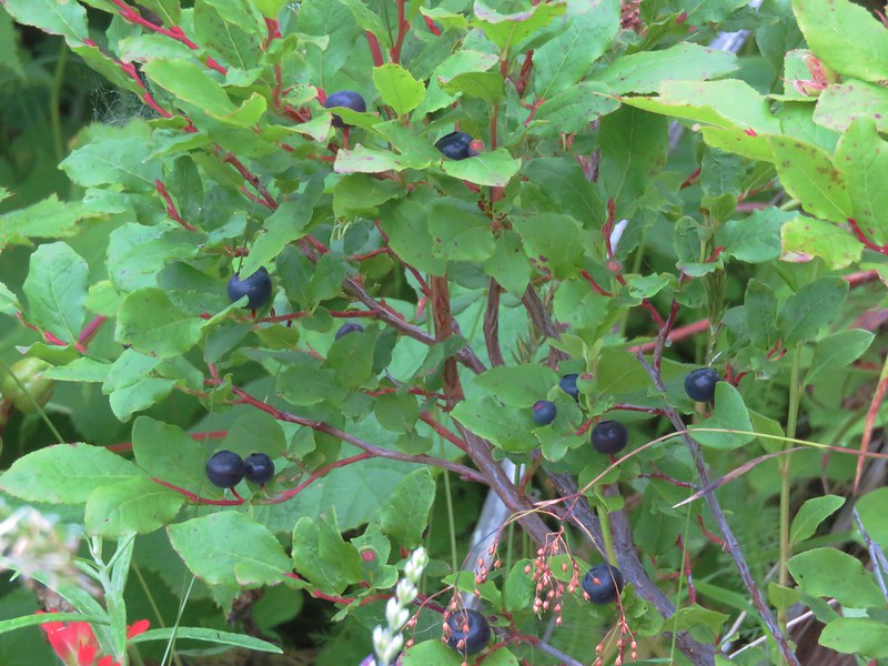
The hares weren’t the only ones enjoying some snacks. A variety of ripe berries offered us a nice selection of treats.
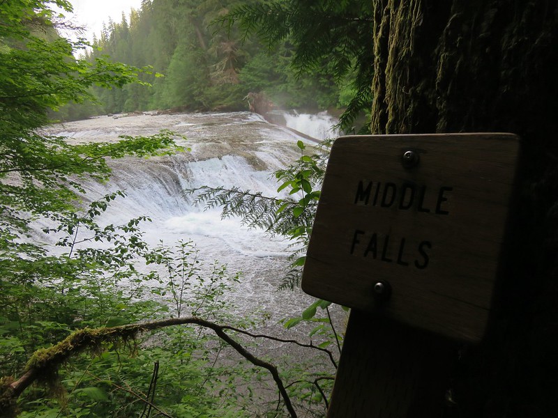
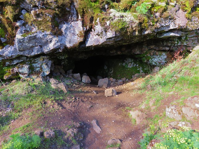
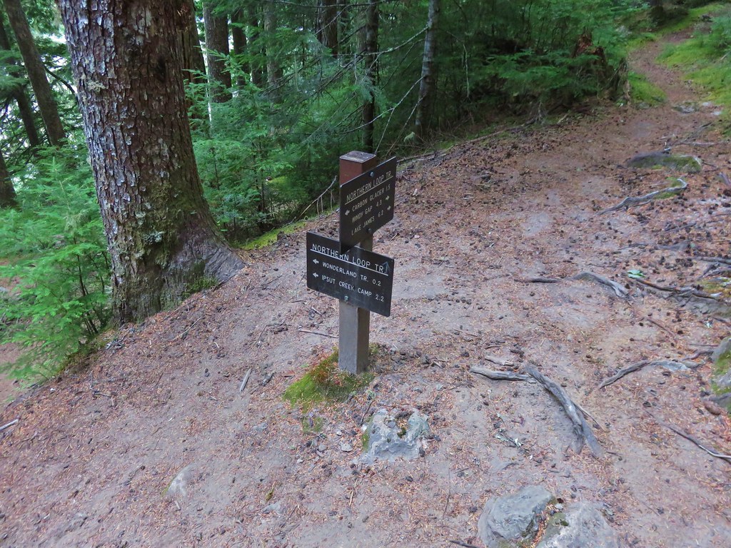
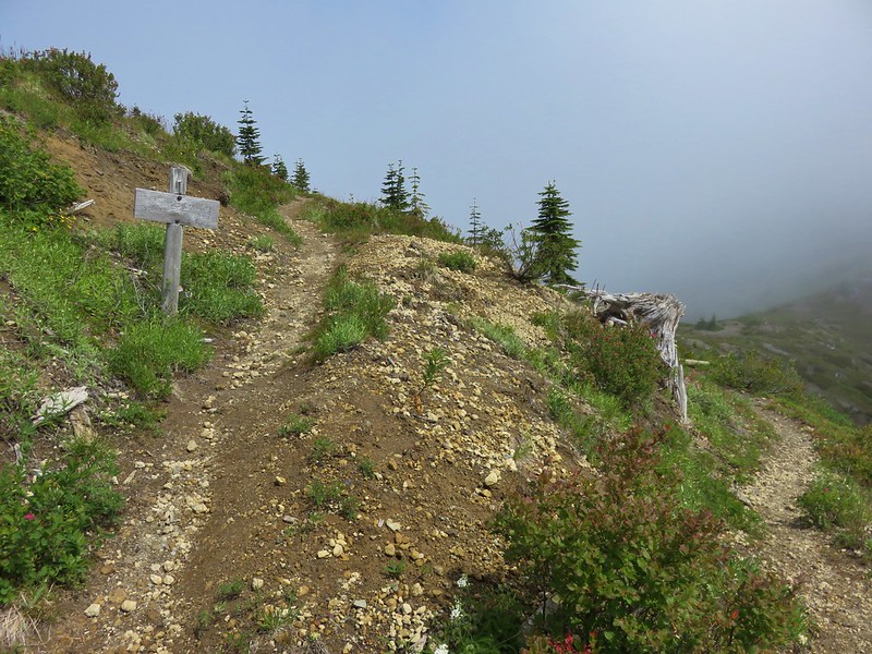
After 3.2 miles we arrived at Tractor Junction. Named for another piece of nearby equipment, this junction marks the end of the South Coldwater Trail at it’s intersection with the Coldwater Trail.


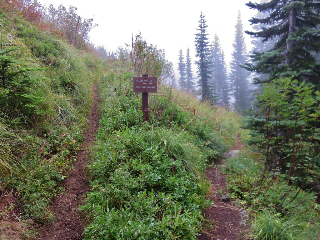
We turned right at the junction and headed toward the Boundary Trail which was just over 2 miles away. After .2 miles we passed Ridge Camp, one of the designated camps in the area.
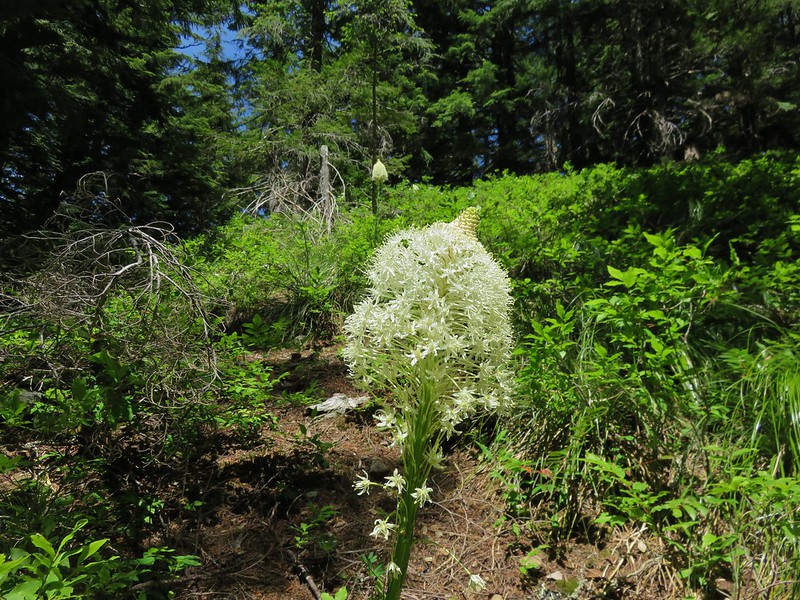
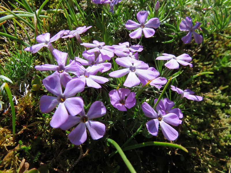
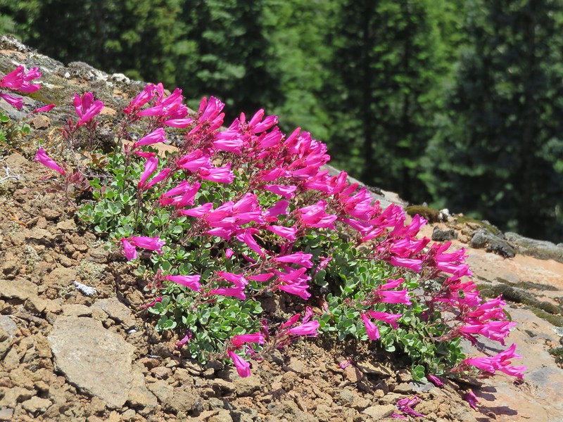
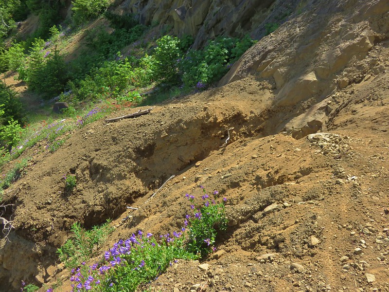
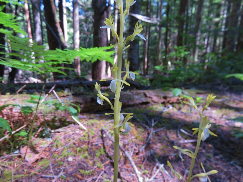
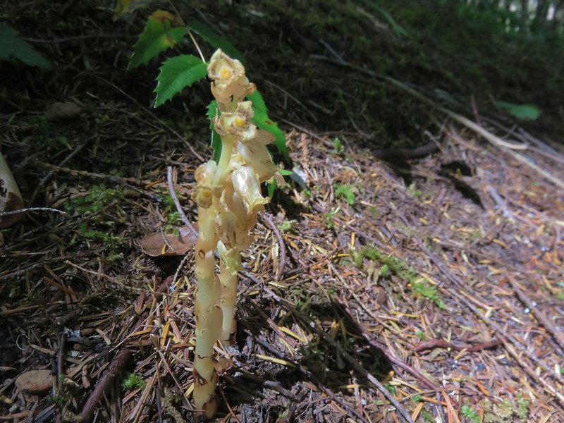
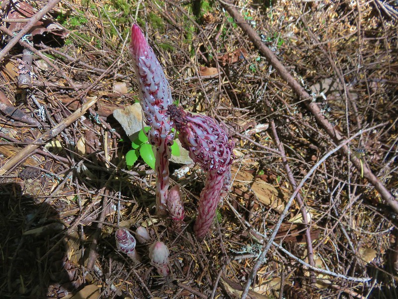
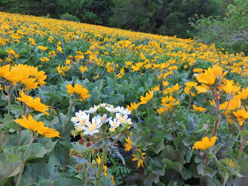
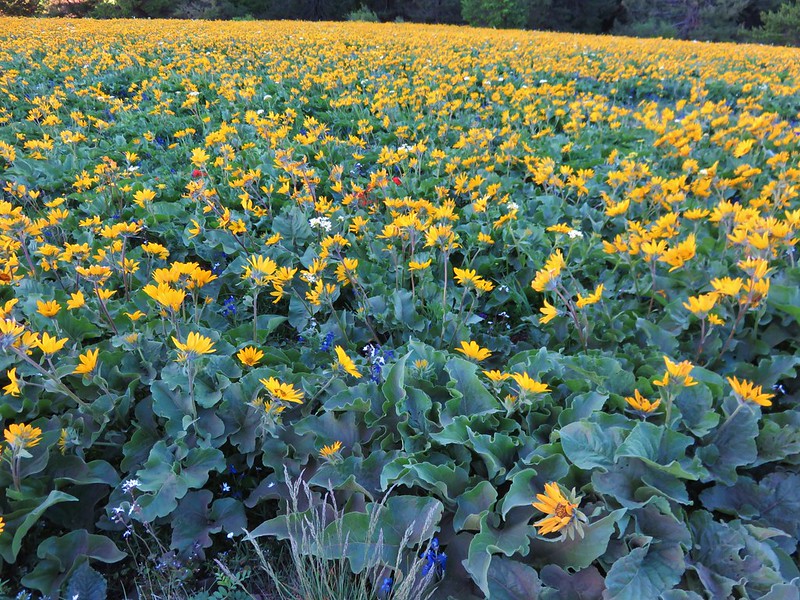
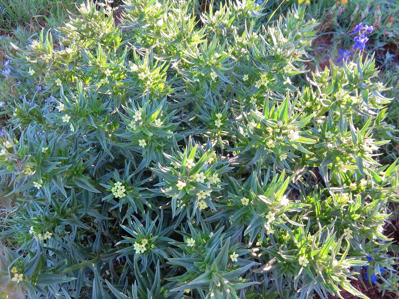
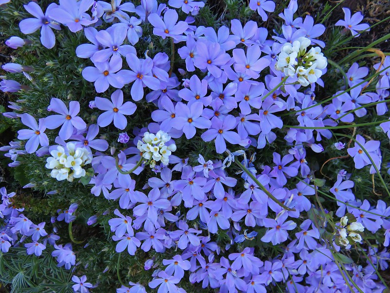
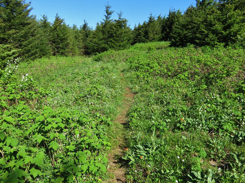
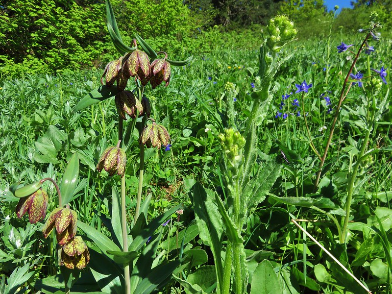
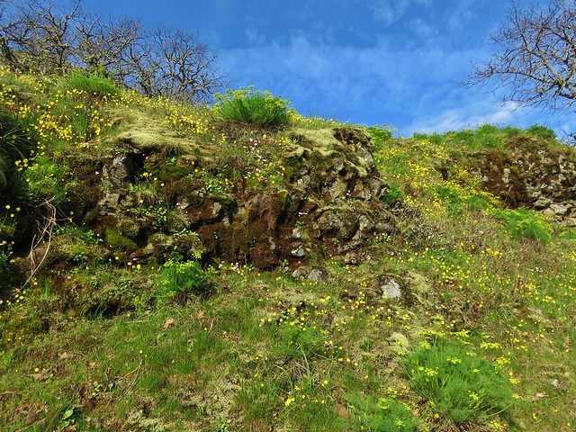
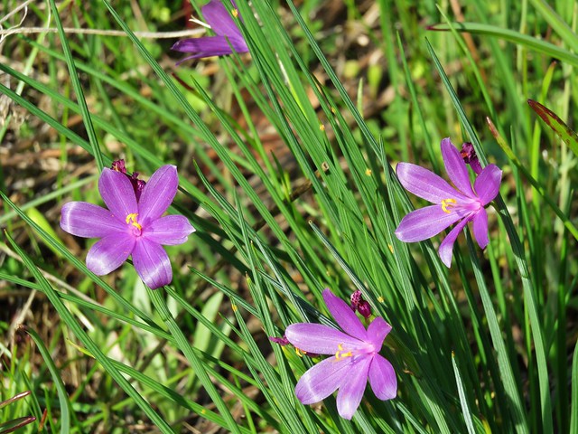
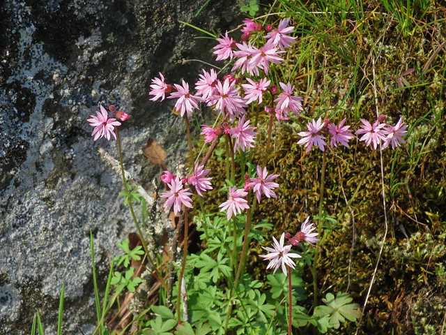
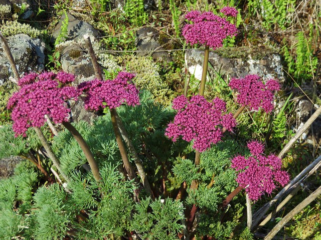
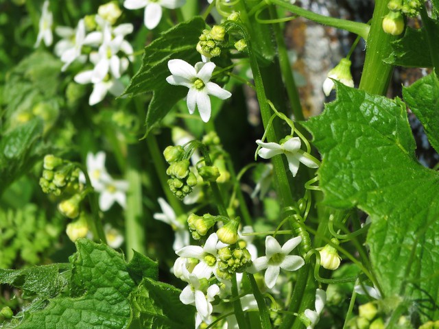
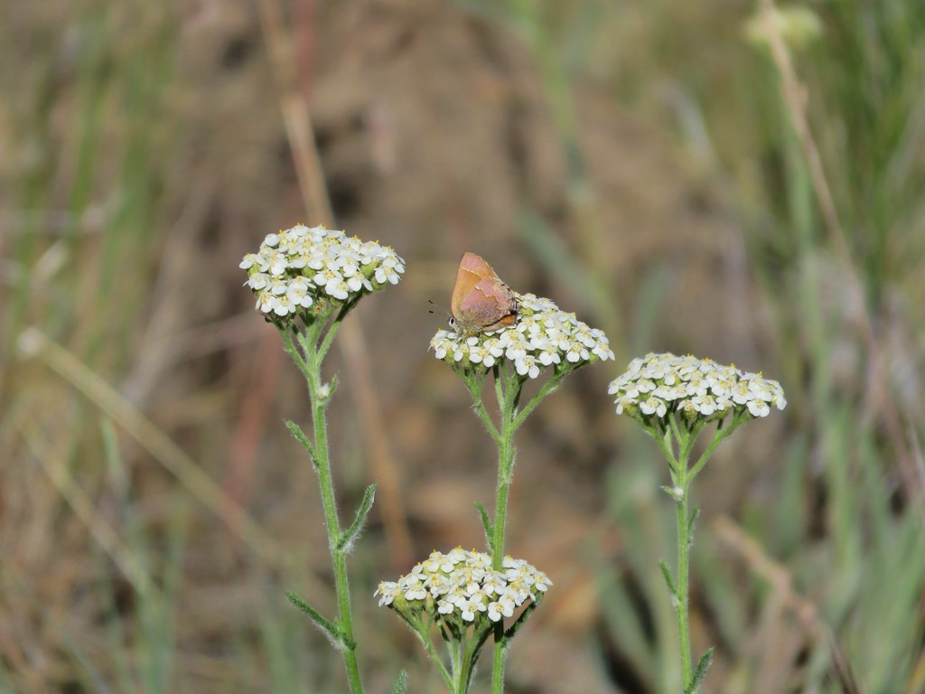
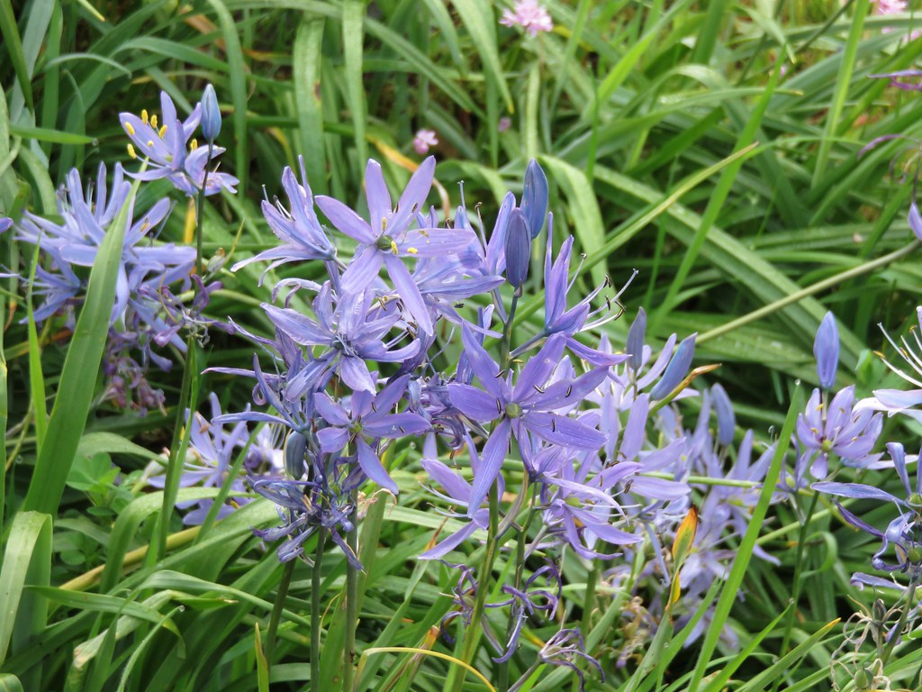
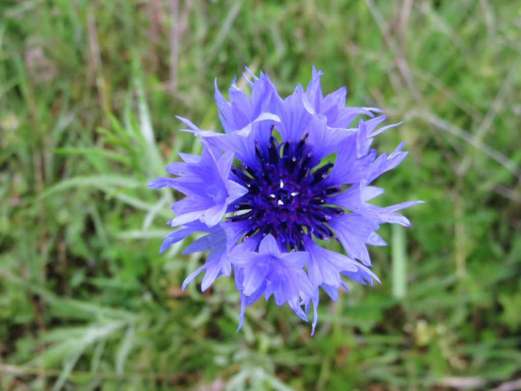
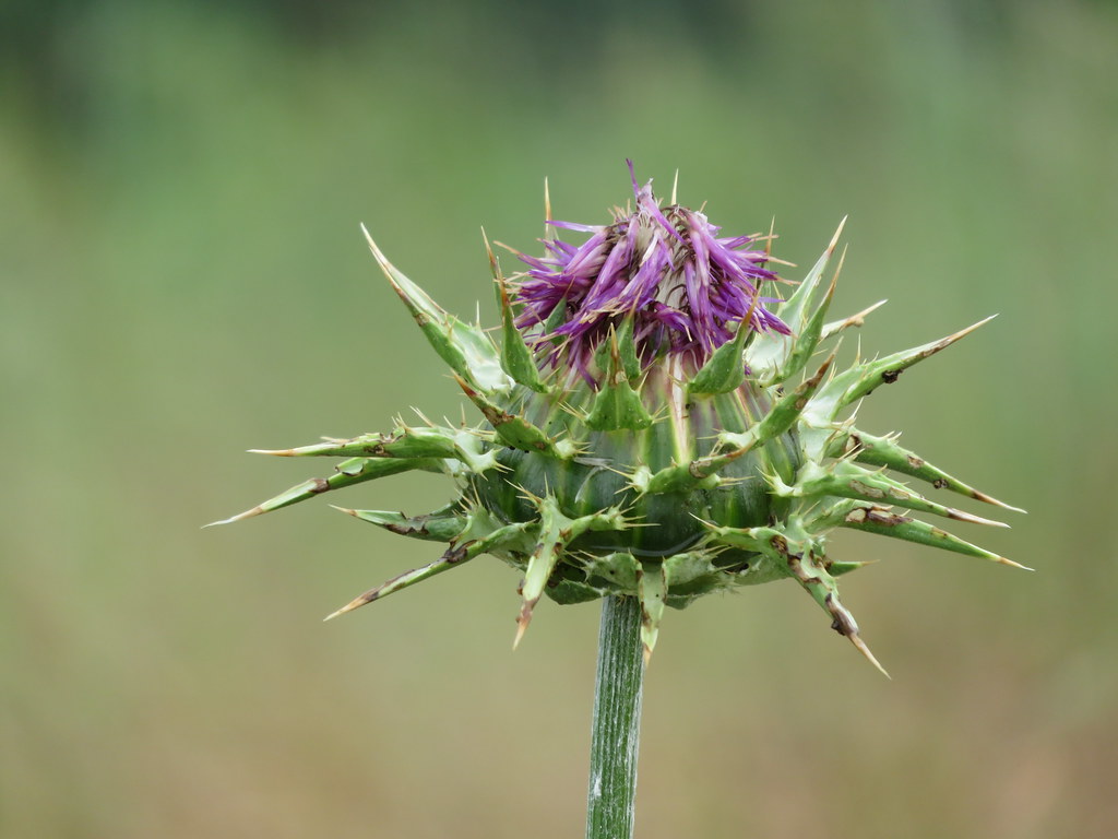
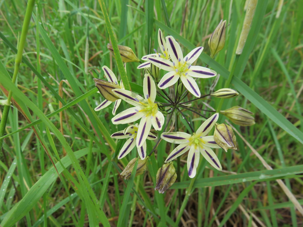
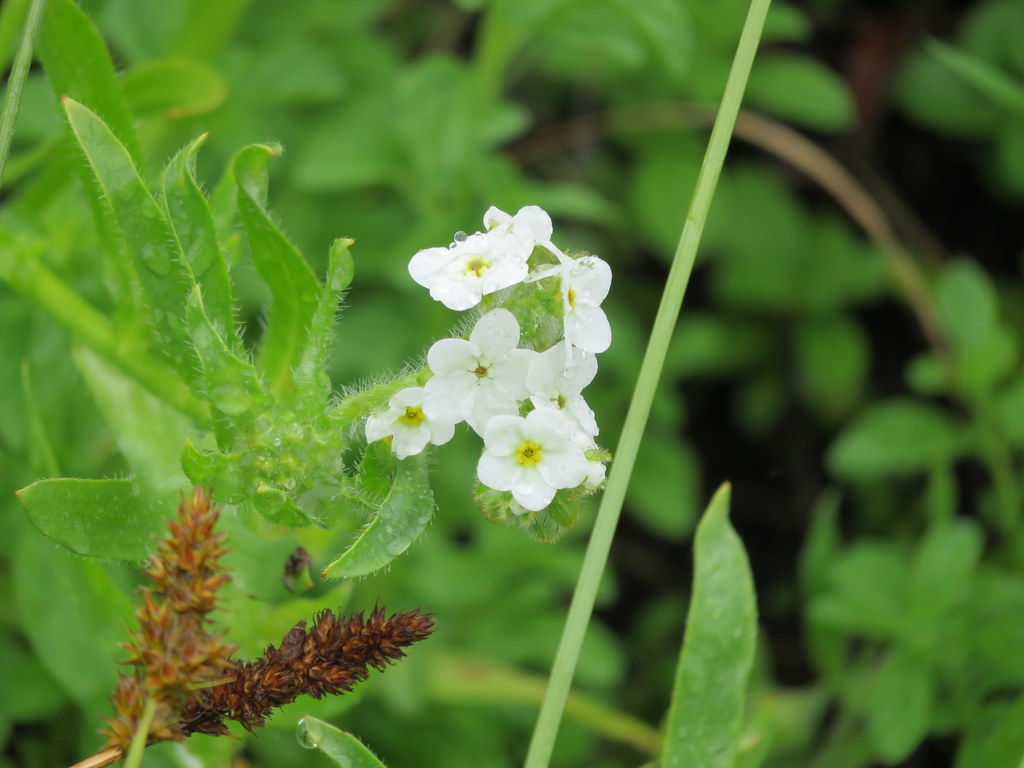
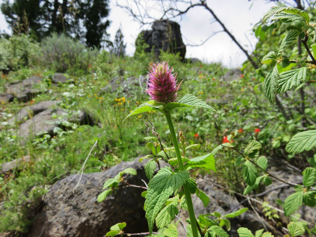
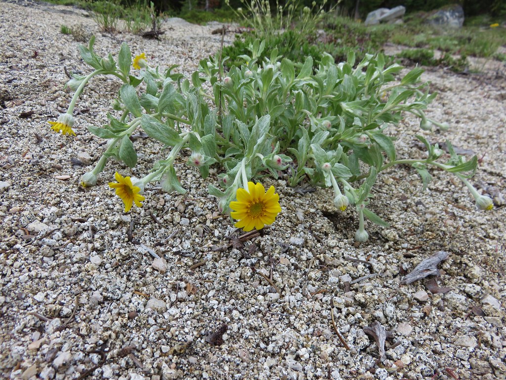
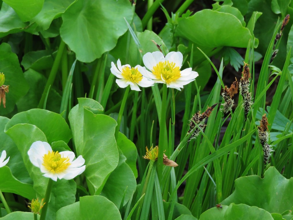
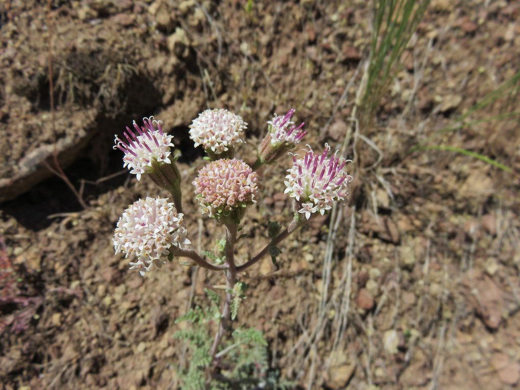
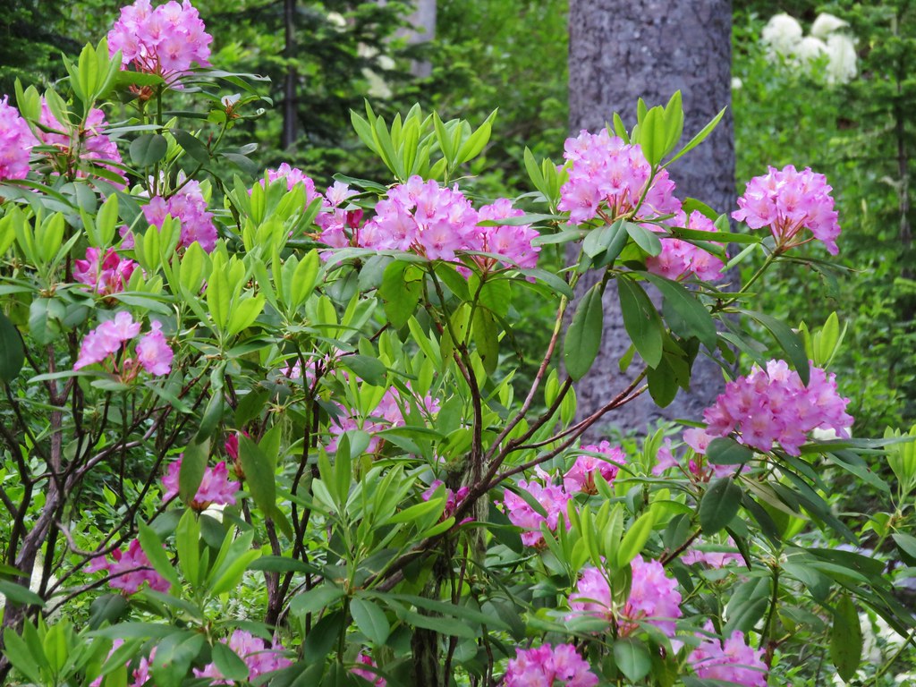
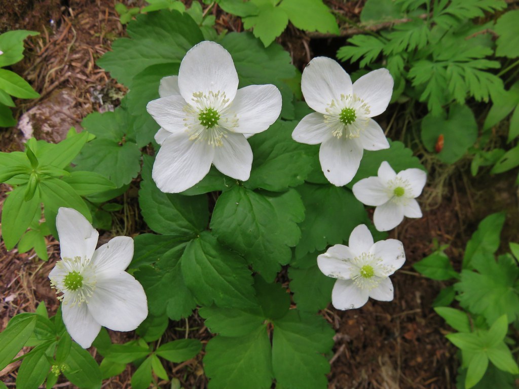
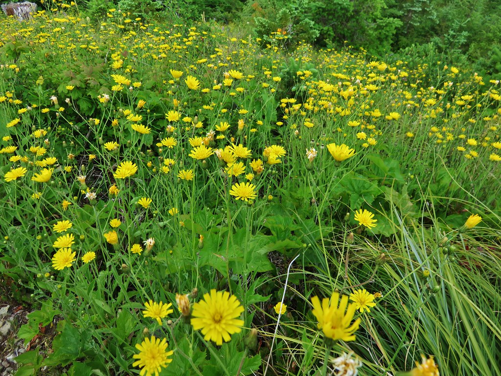
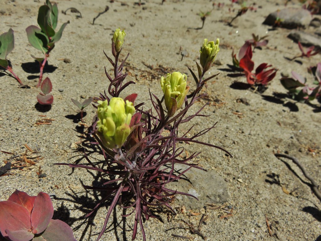
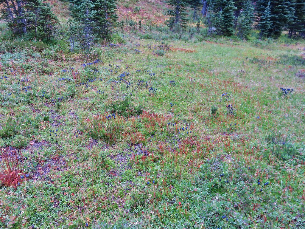
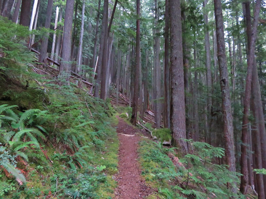
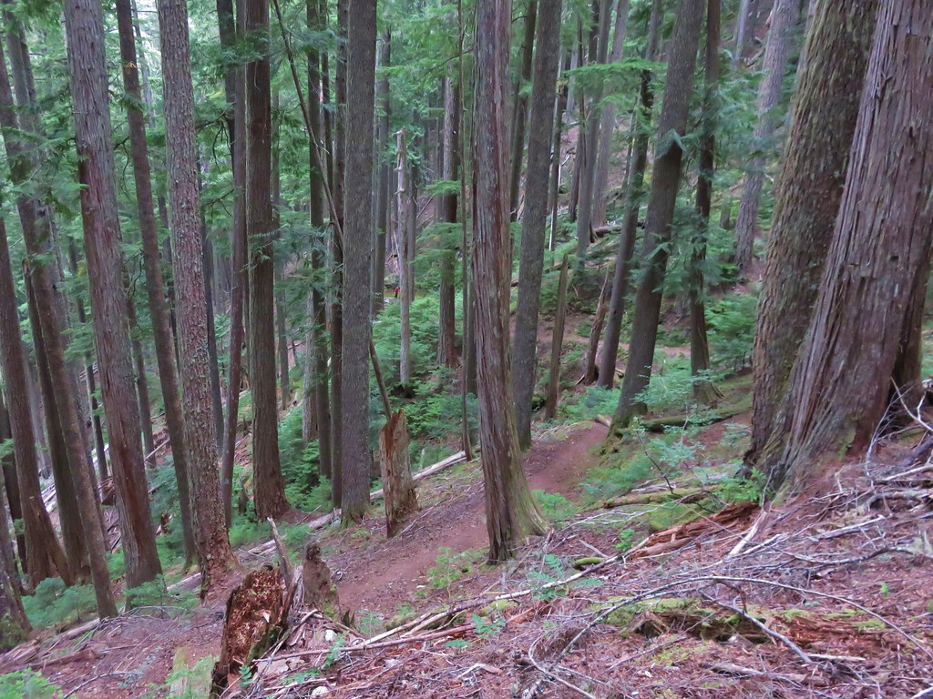
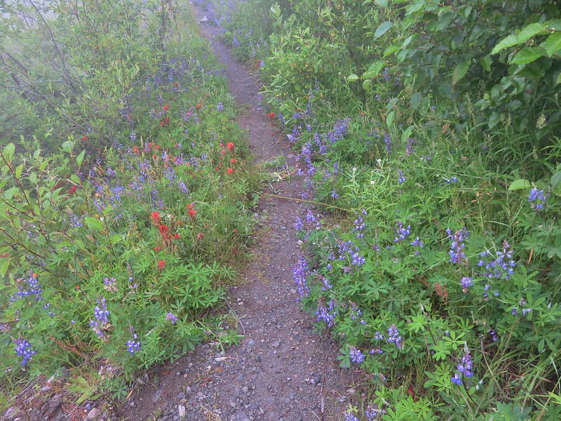
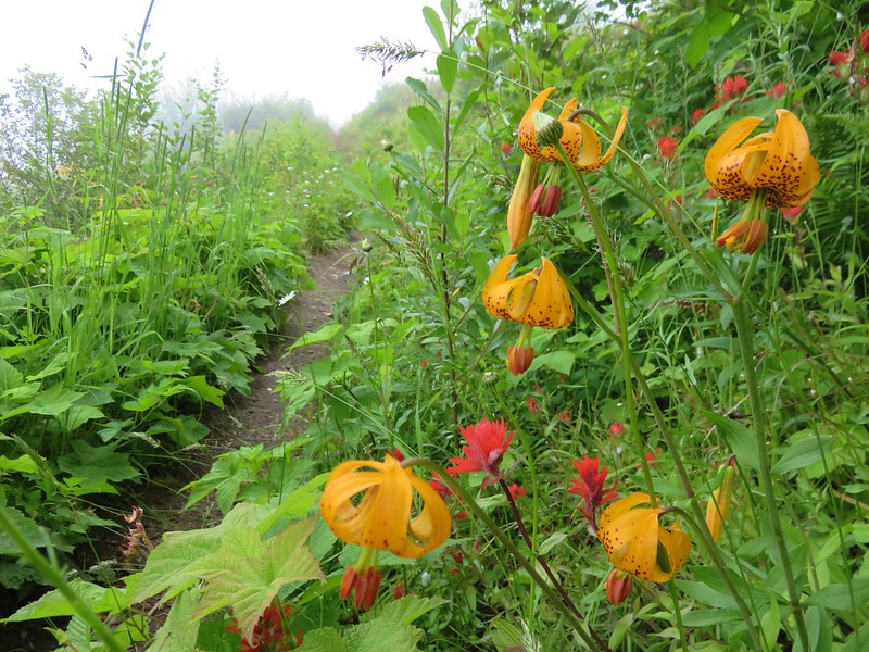
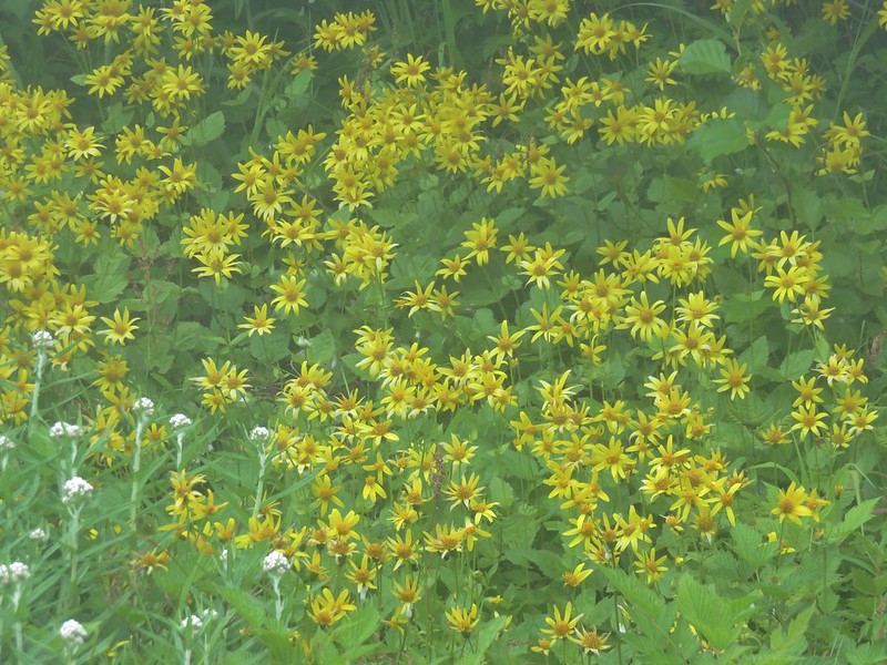
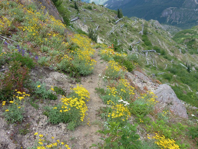
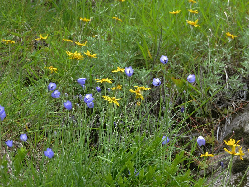
The wildflowers were once again impressive along this trail, but the visibility was even worse. We focused on finding as many different flowers as we could.
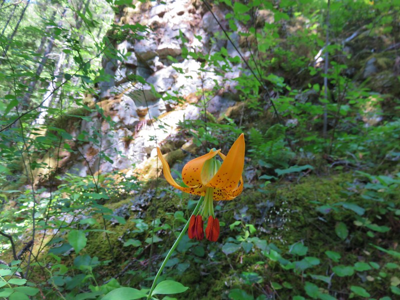
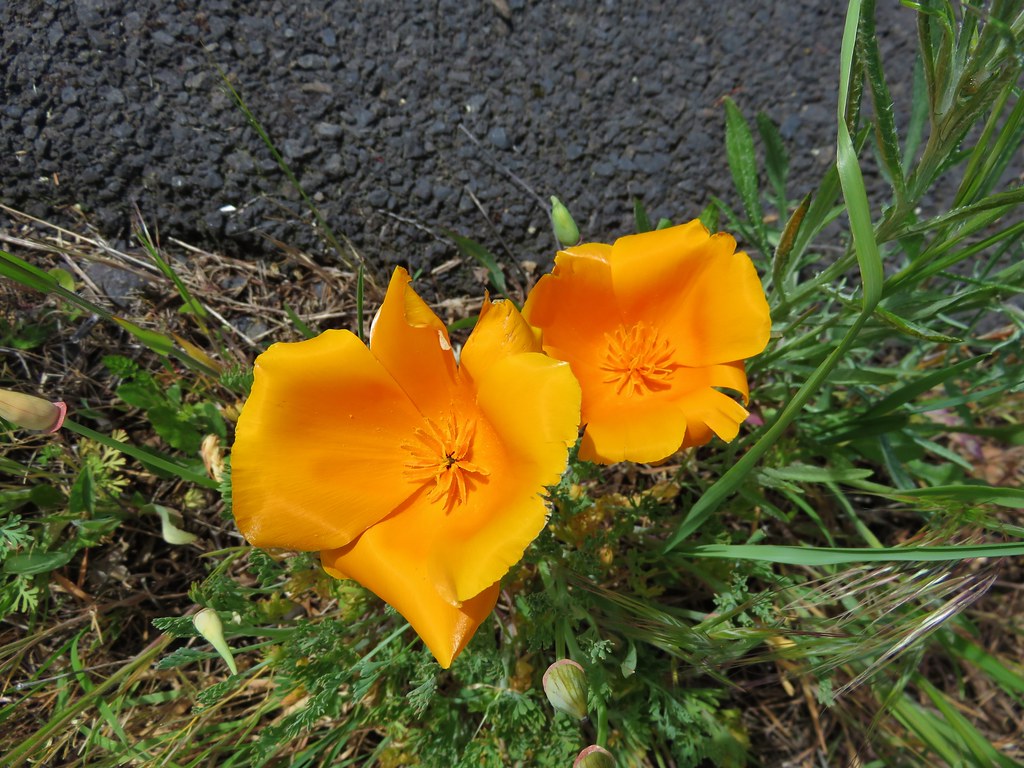
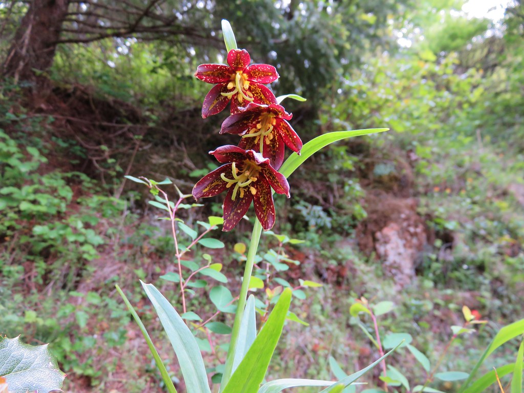
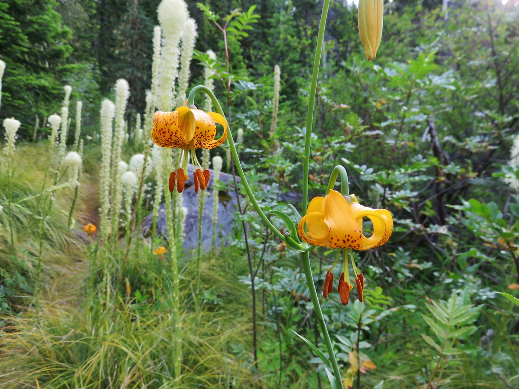
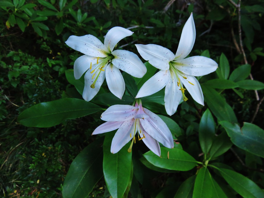
Tiger lilies
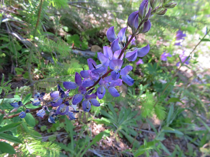
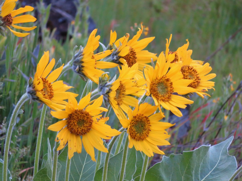
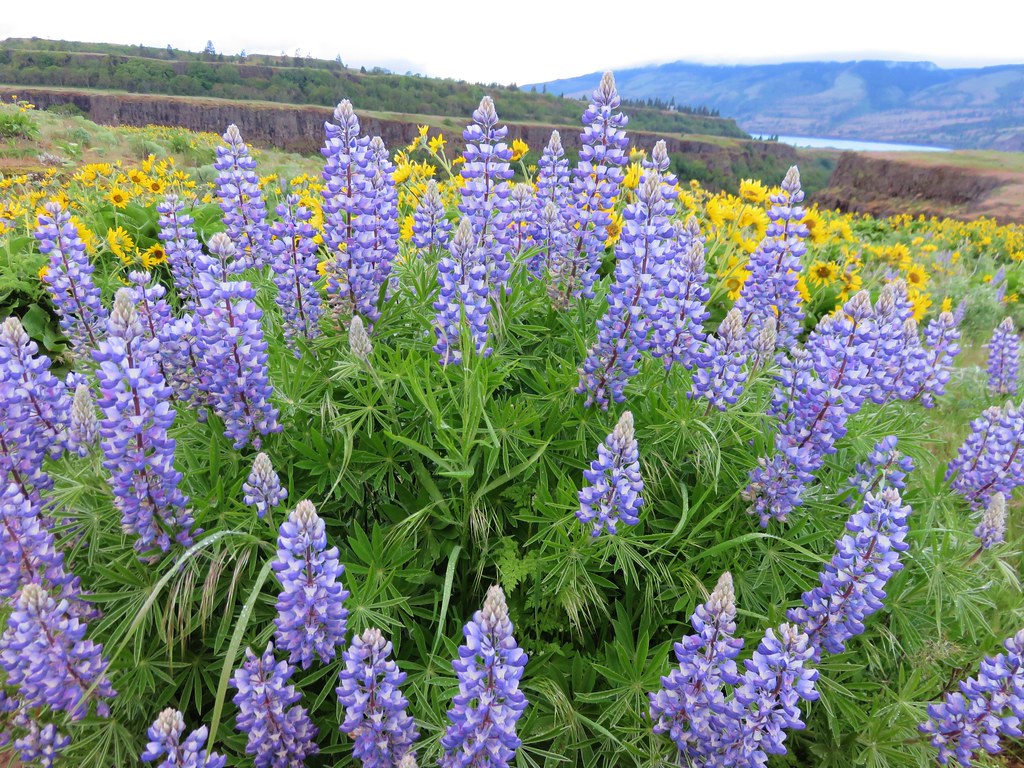
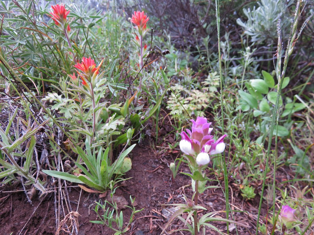
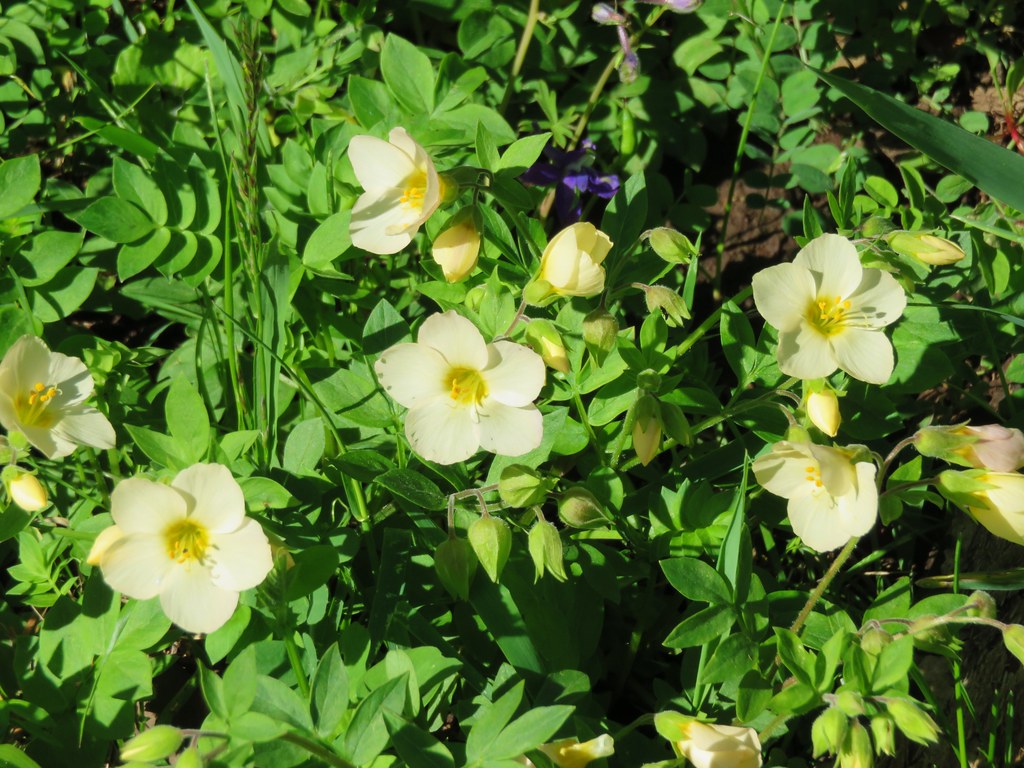
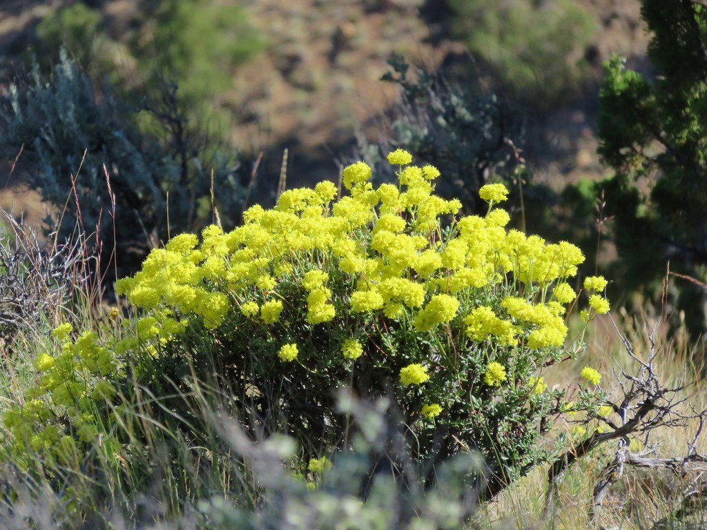
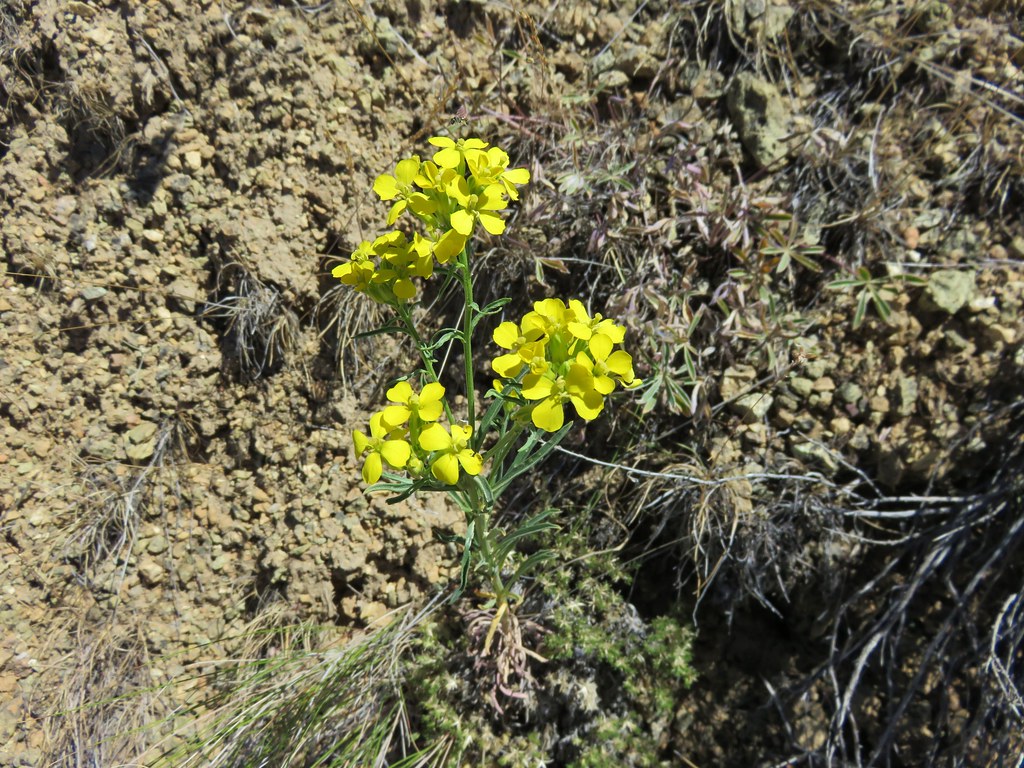
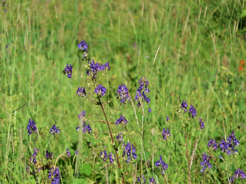
Lupine, paintbrush and yellow wildflowers
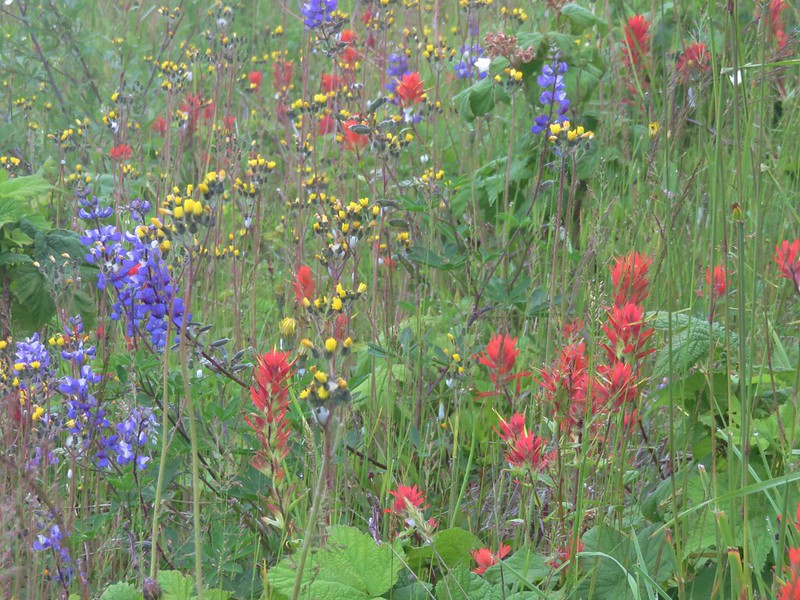
Large patch of paintbrush
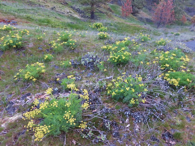
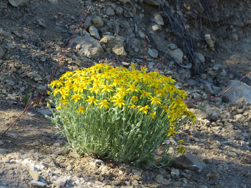
Arnica
Bugbane

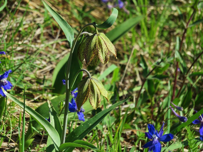
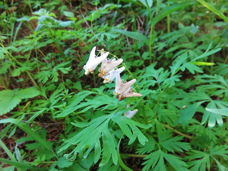
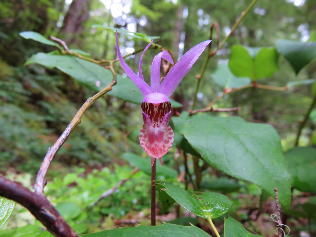
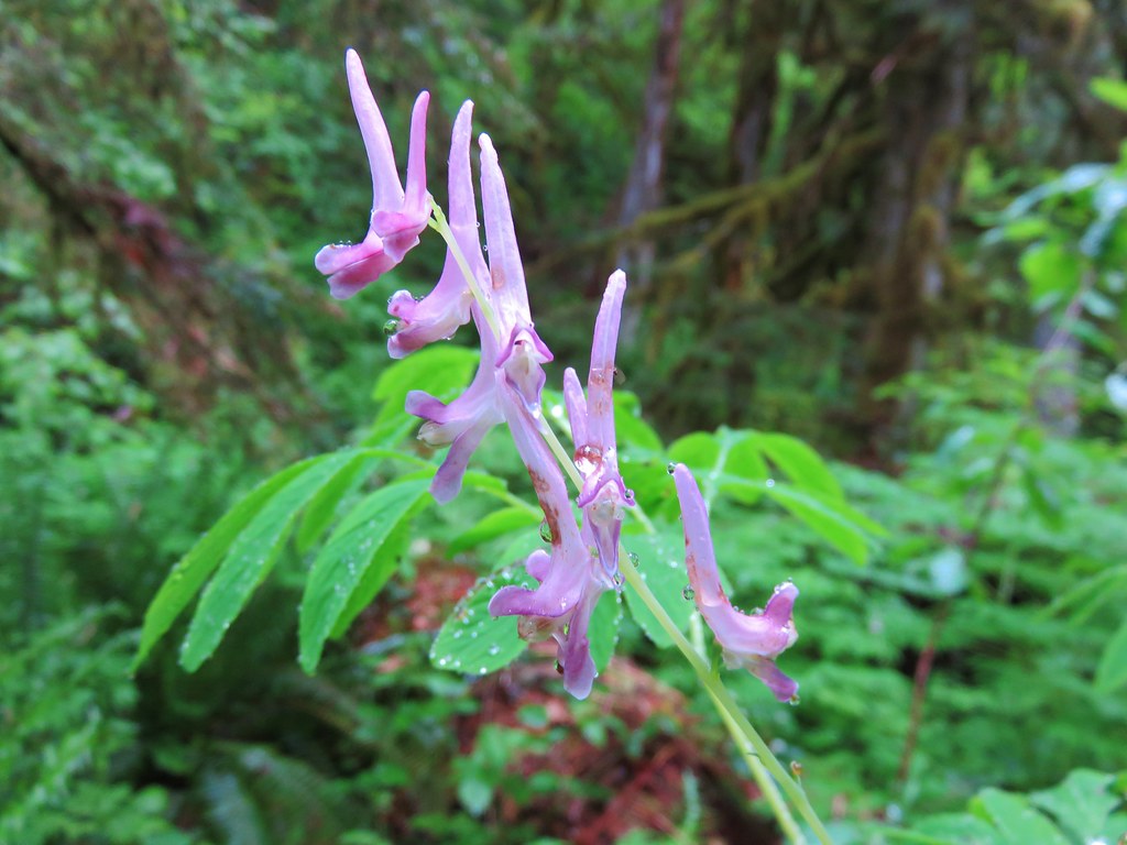
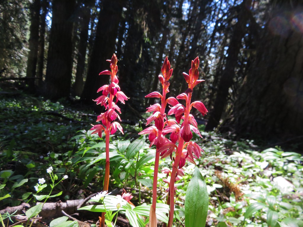
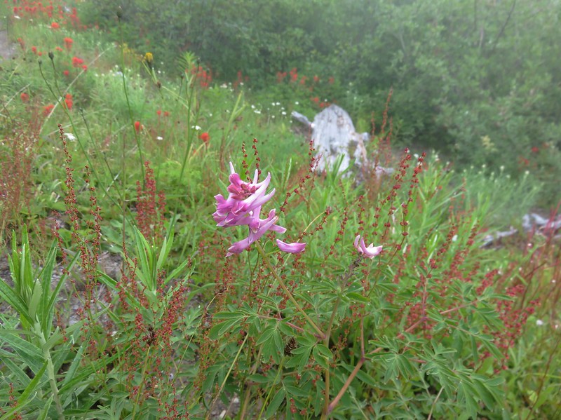
Corydalis
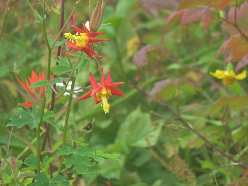
Columbine
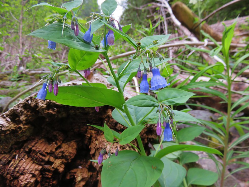
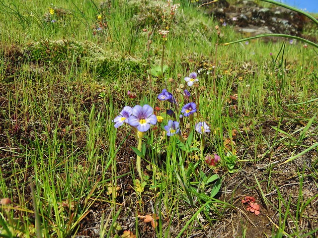
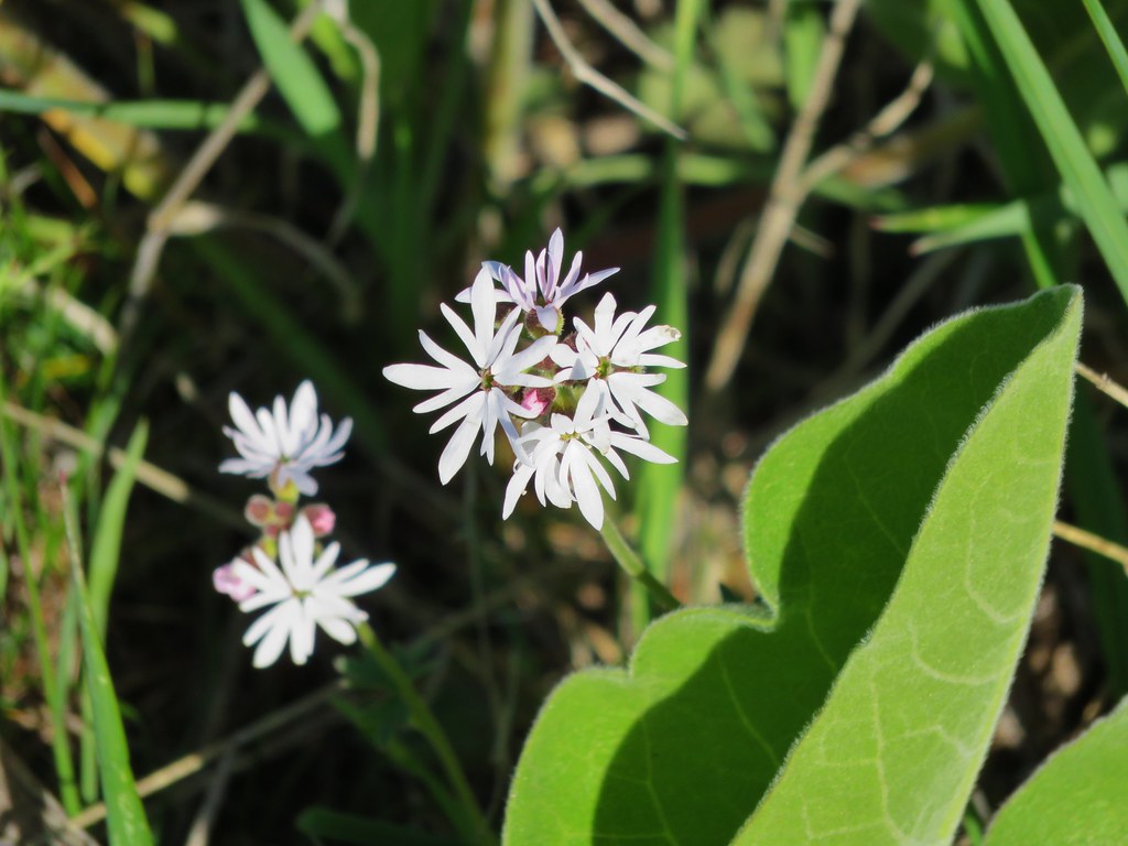
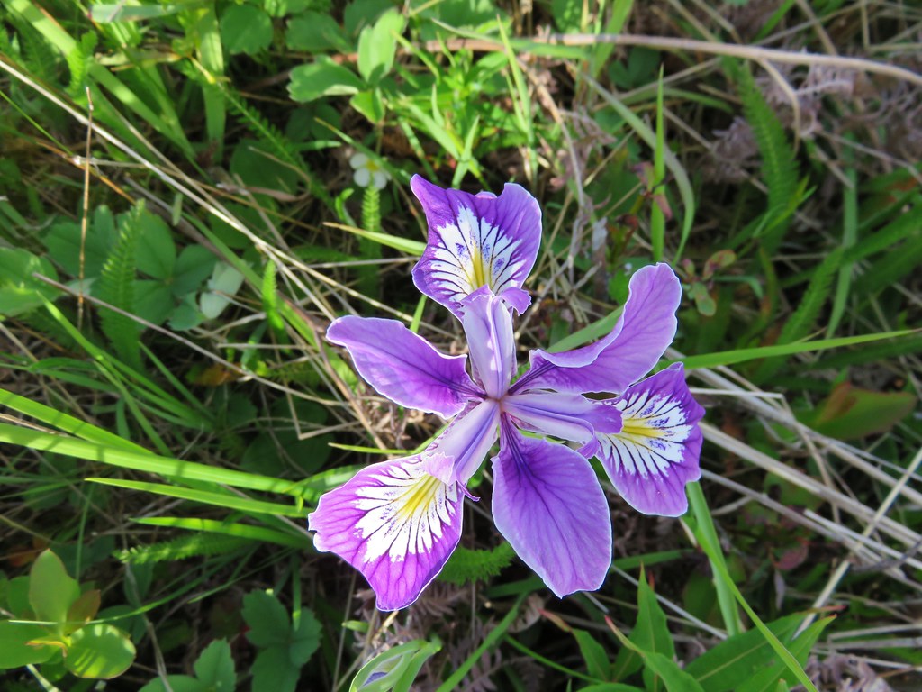
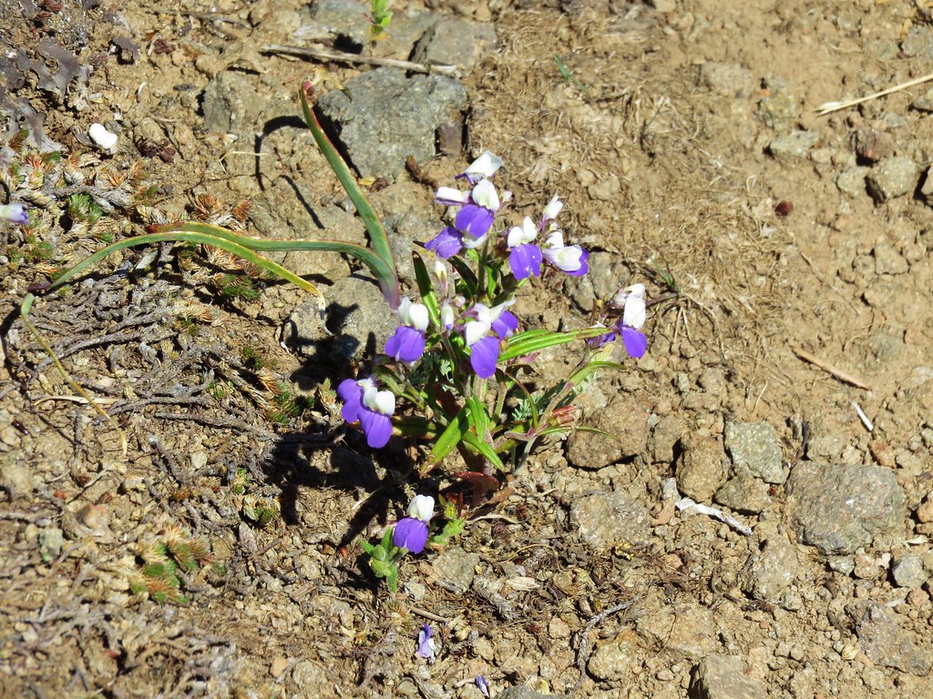
Scouler’s bluebell

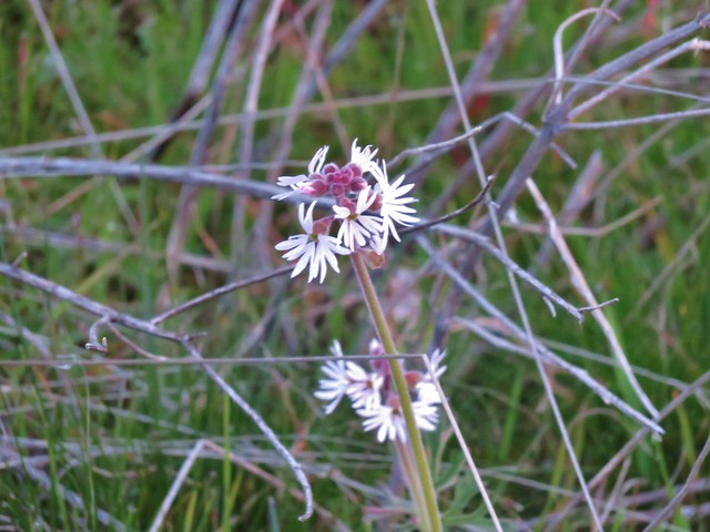
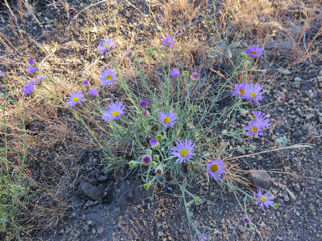
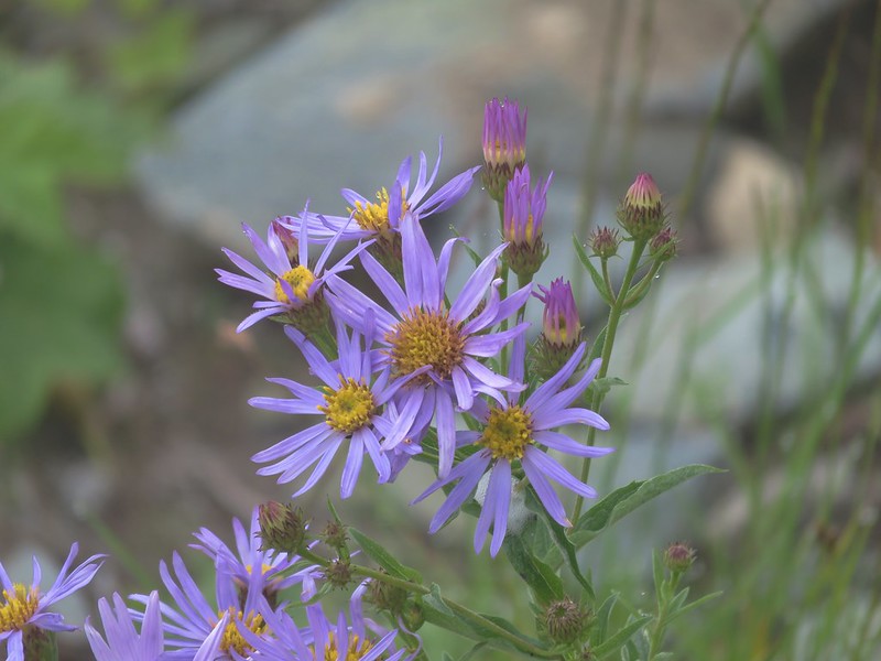
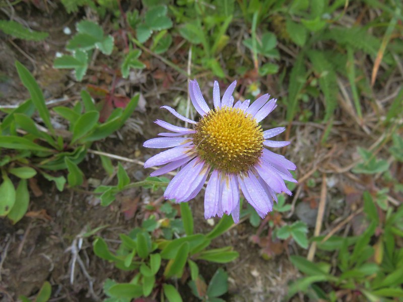
An aster or fleabane
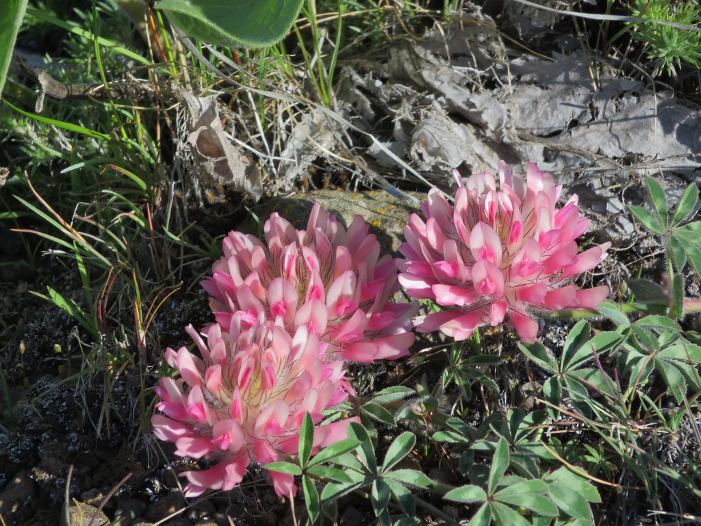
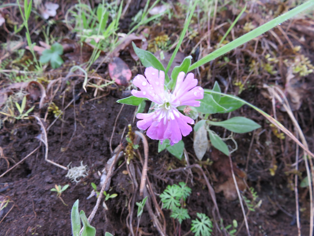
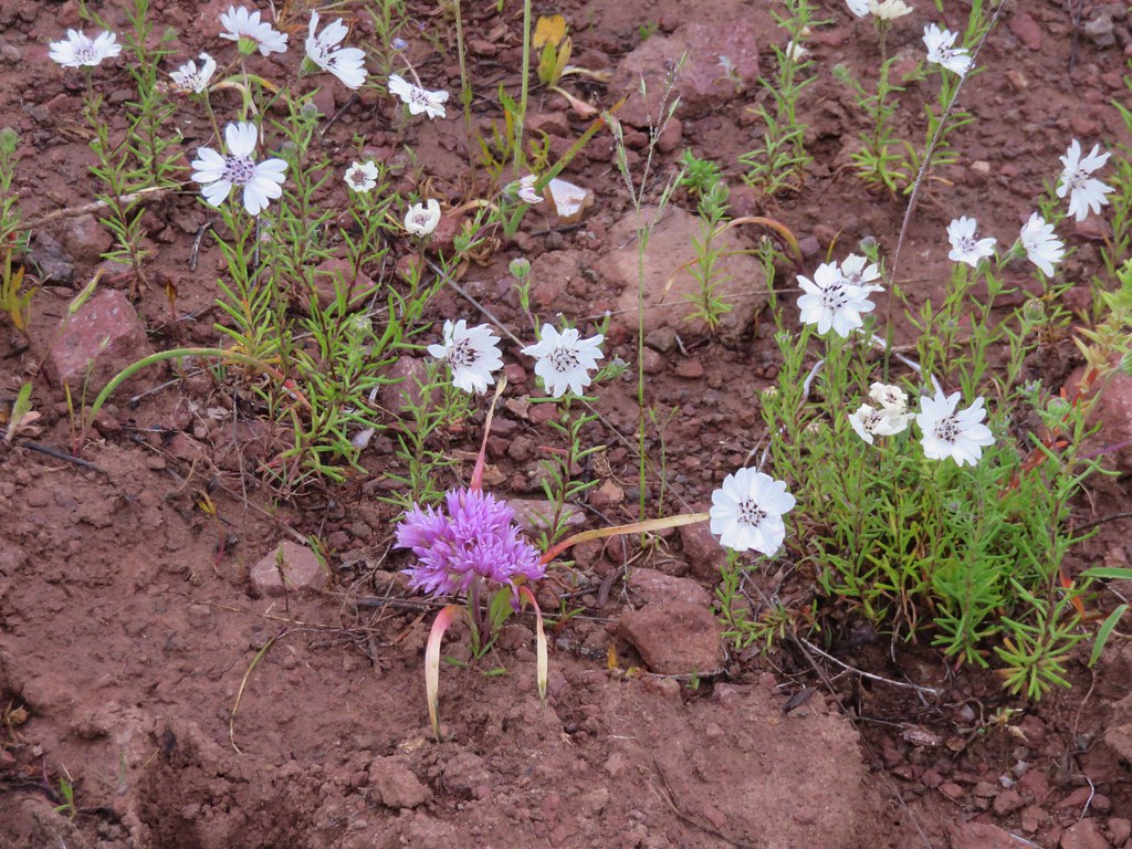
Pussypaws

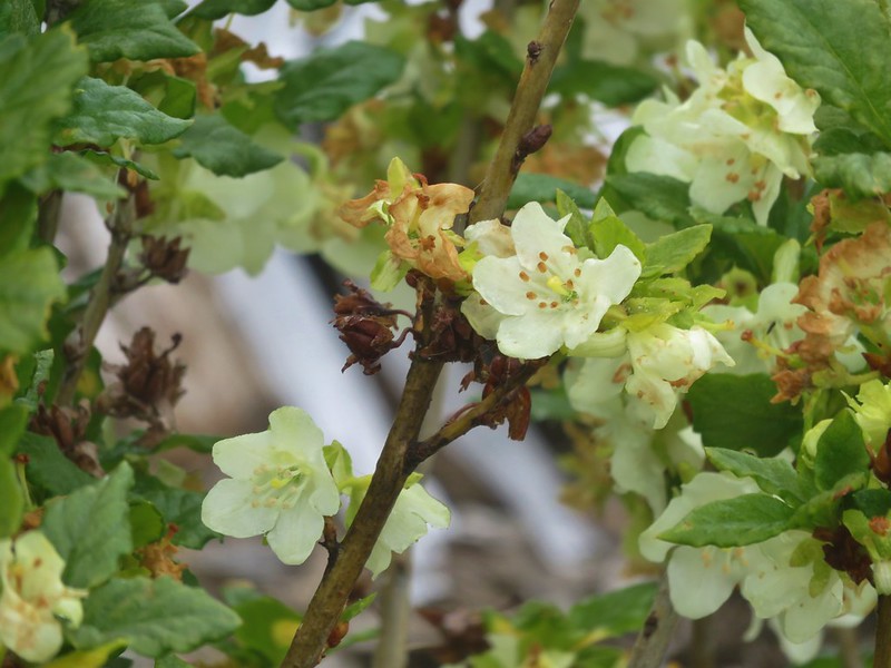
Mock orange
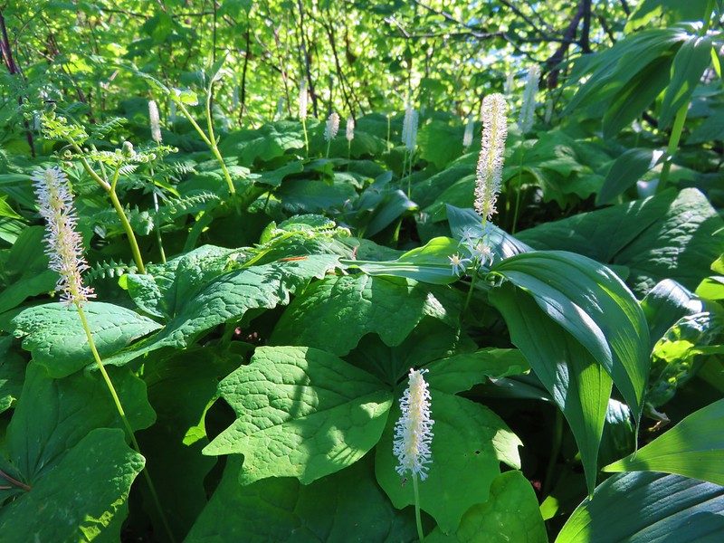
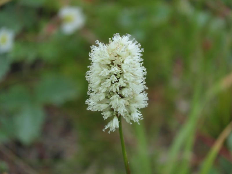
Bistort
Another type of aster or fleabane
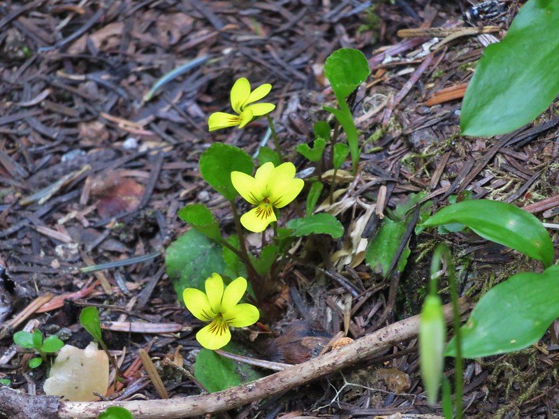
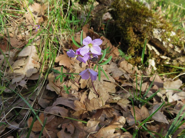
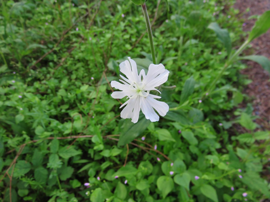
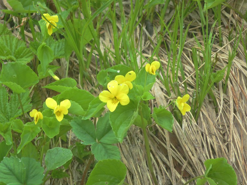
Violets
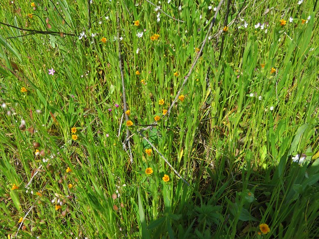
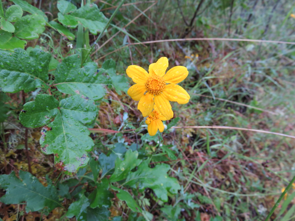
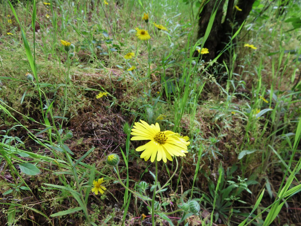
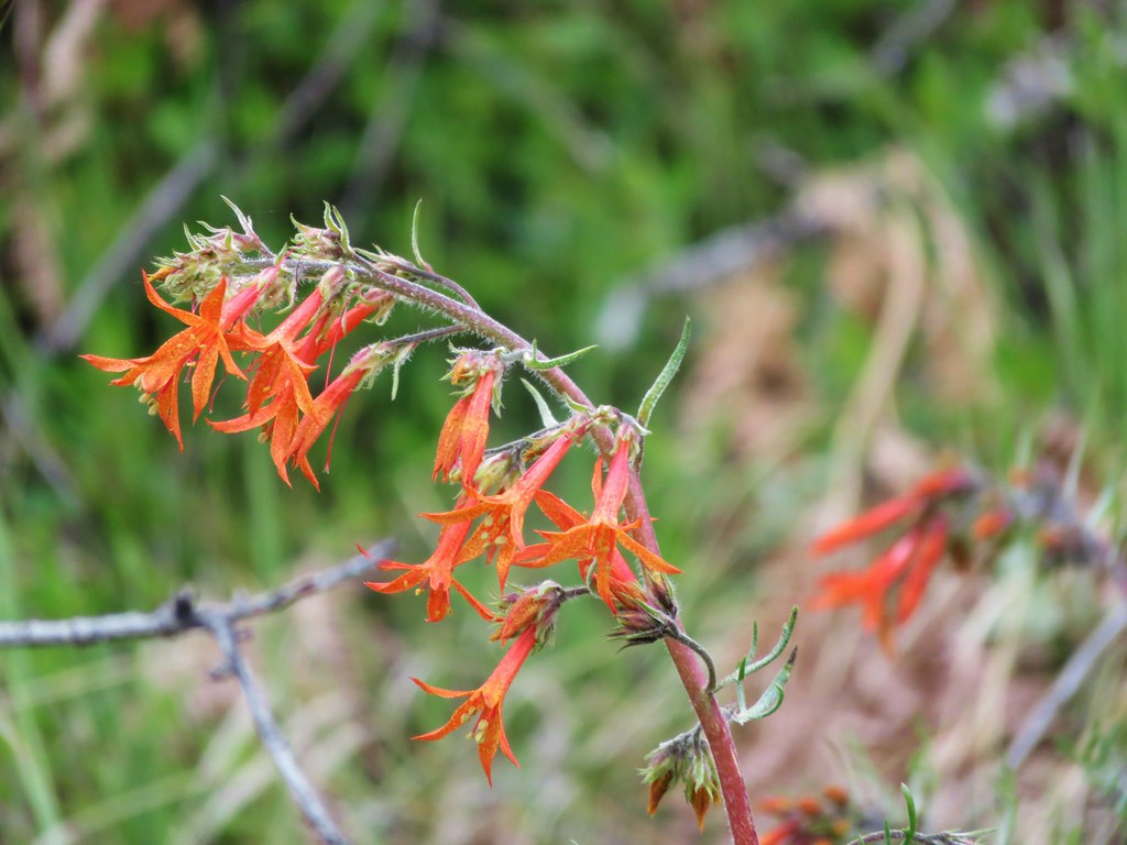
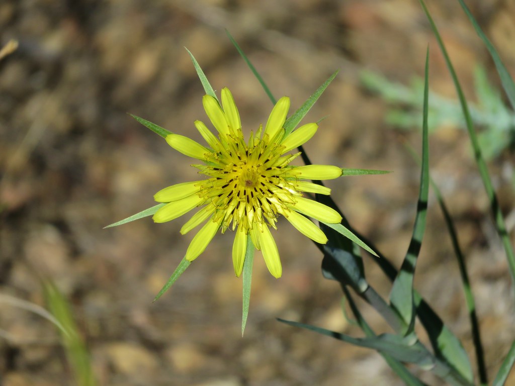
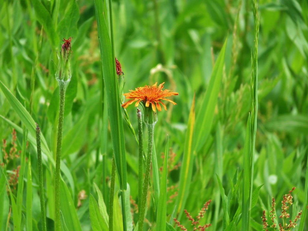
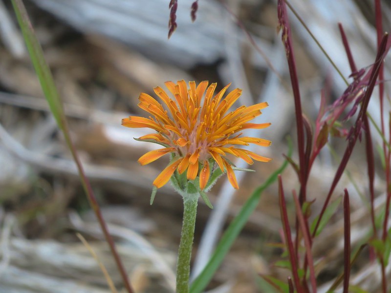
Orange agoseris
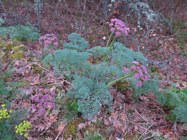
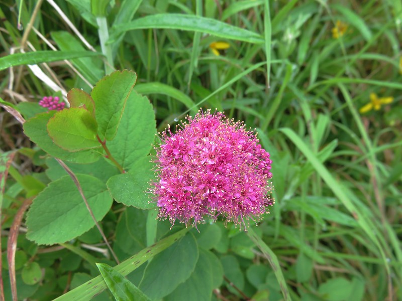
Spirea
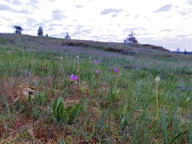
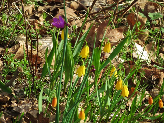
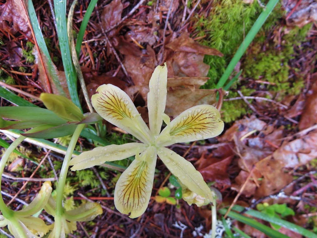
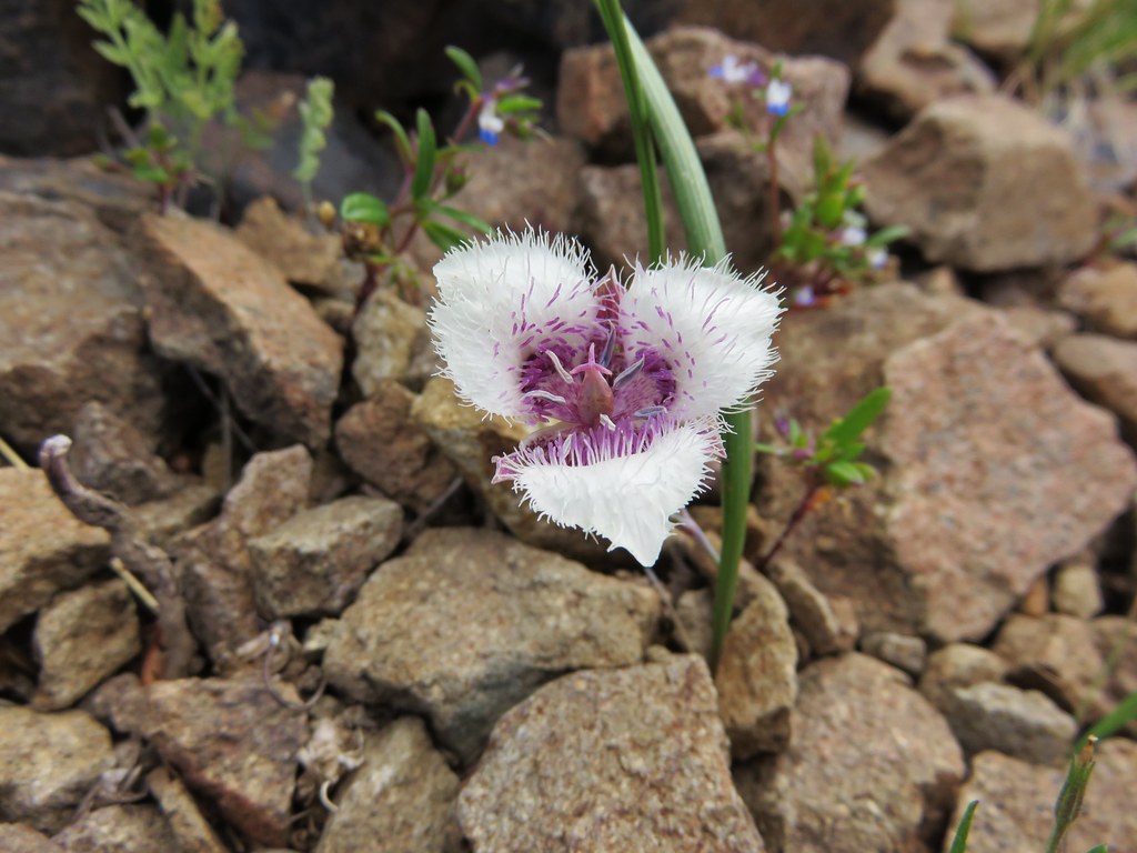
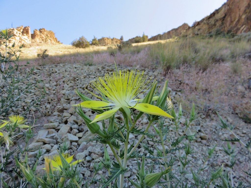
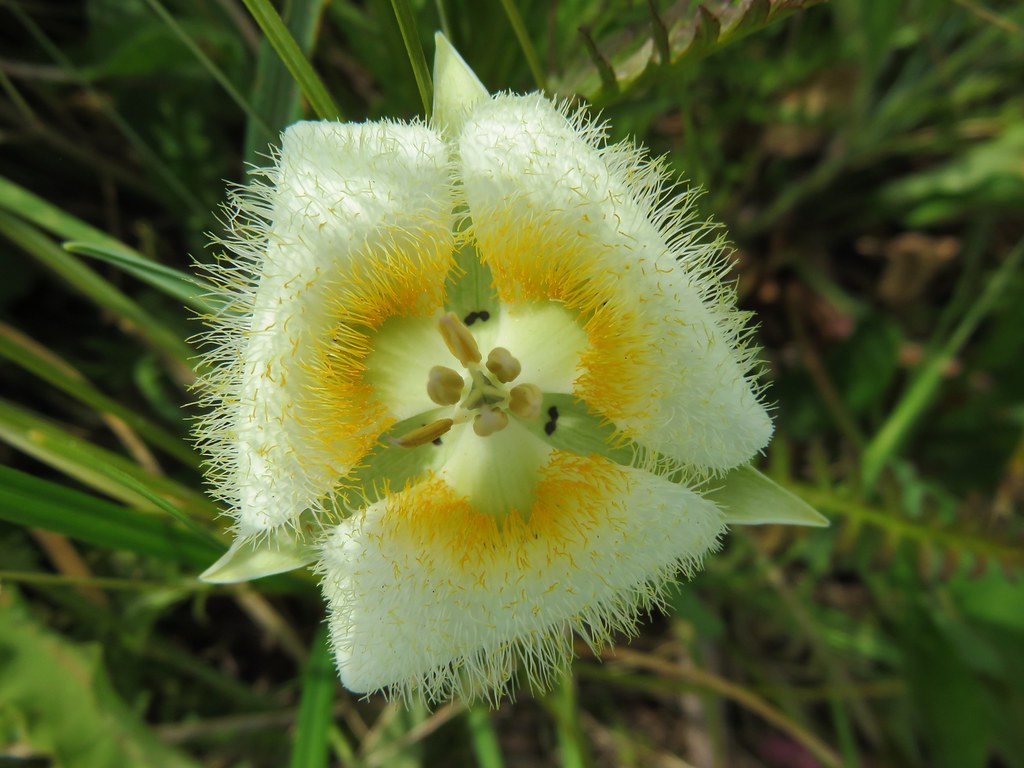
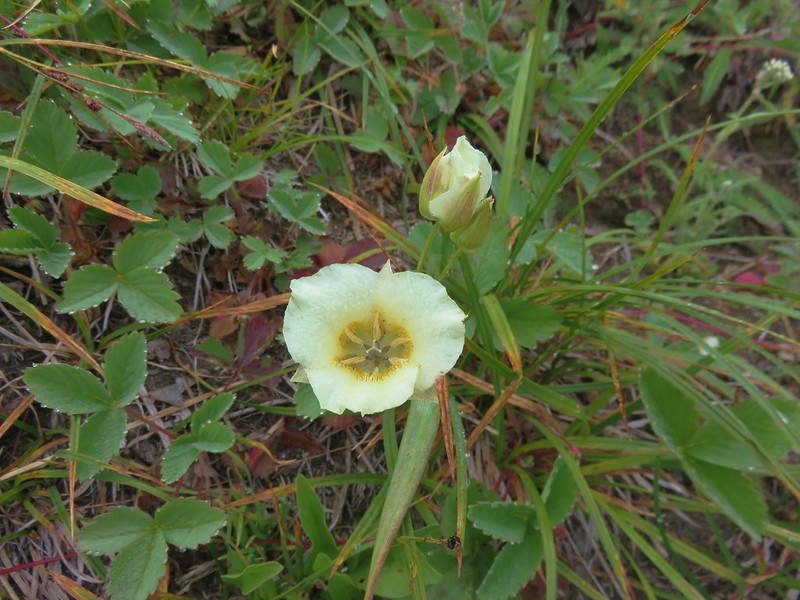
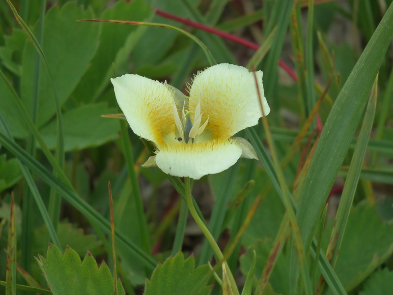
Cat’s ear lily
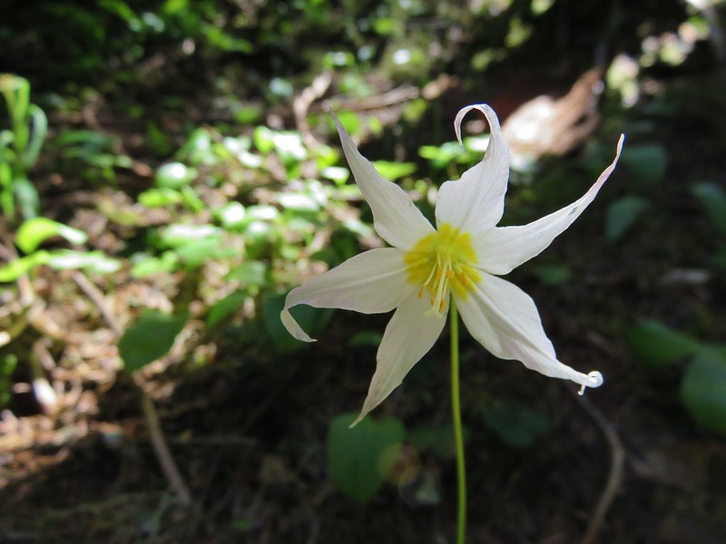
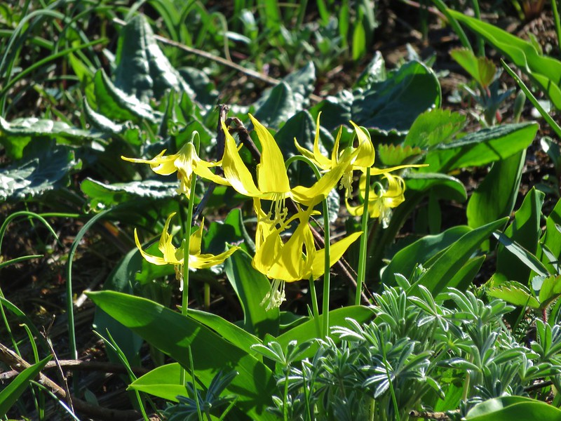
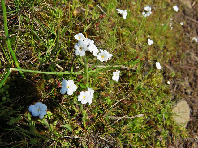
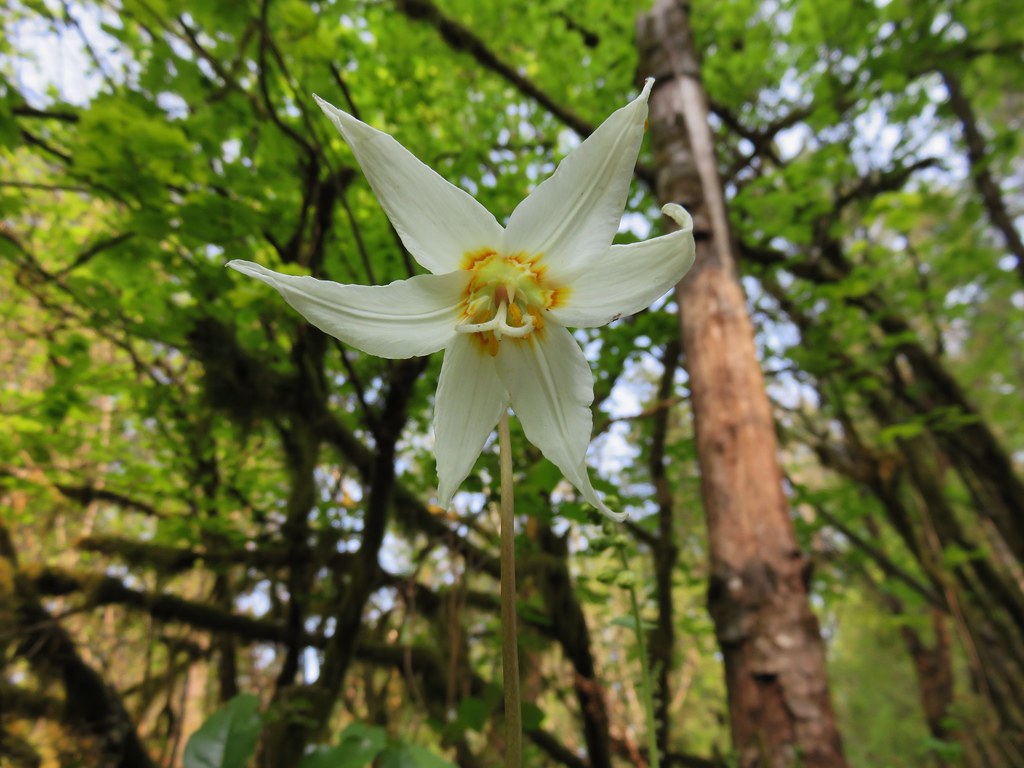
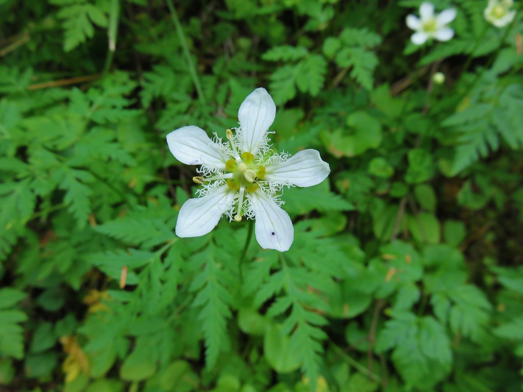
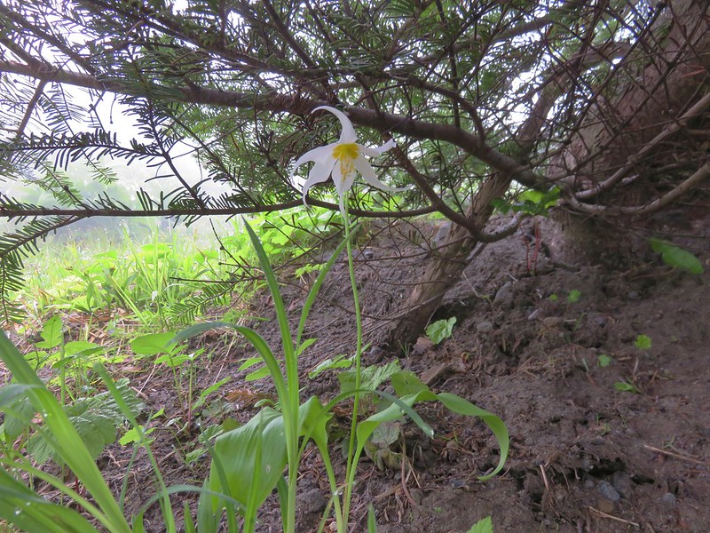
Avalanche lily
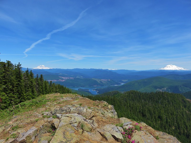
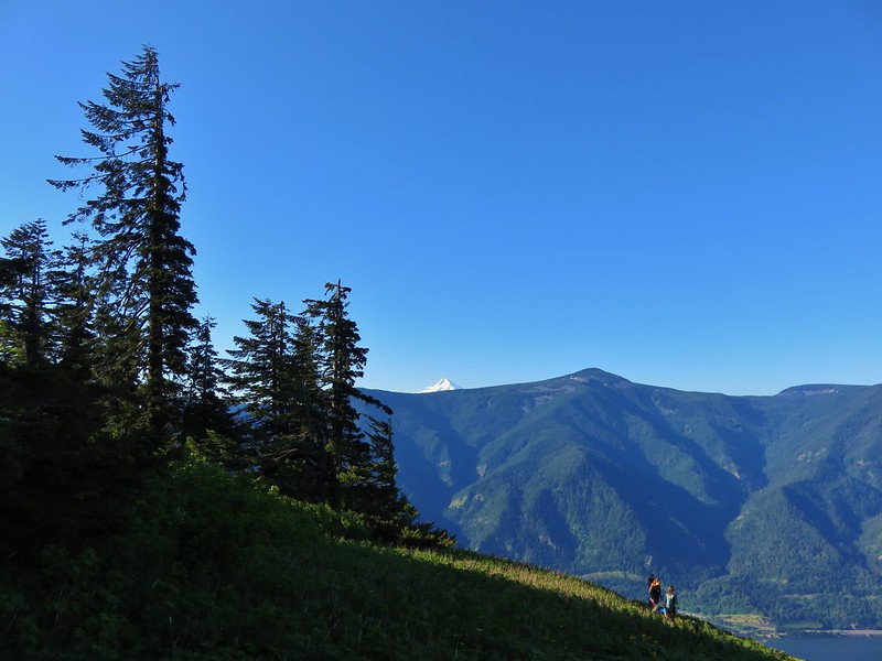
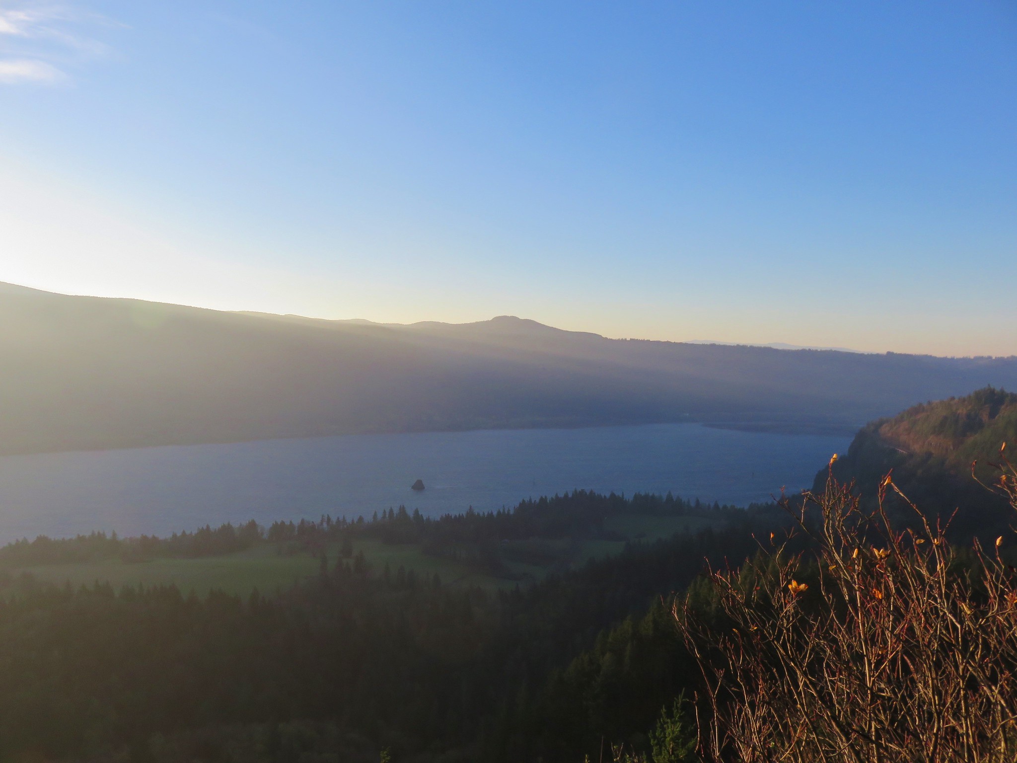
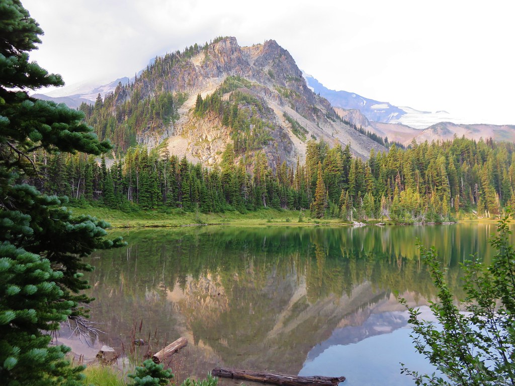
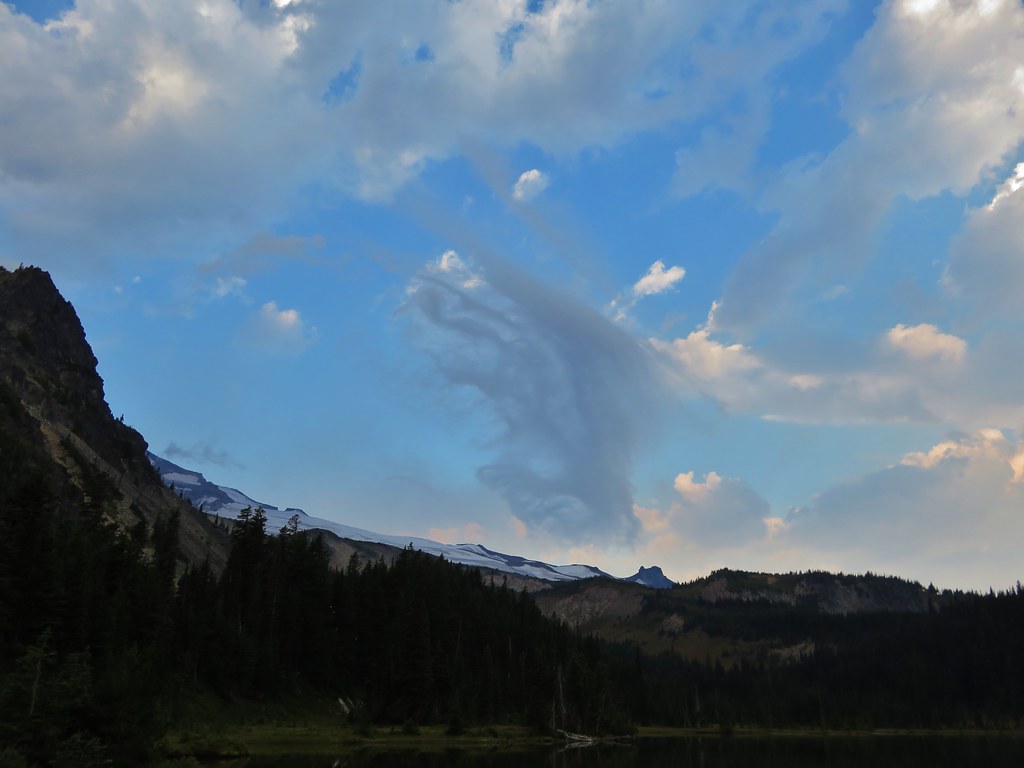
We were pleasantly surprised when we arrived at the junction with the Boundary Trail overlooking St. Helens Lake. We had suddenly found a little blue sky and some better visibility.
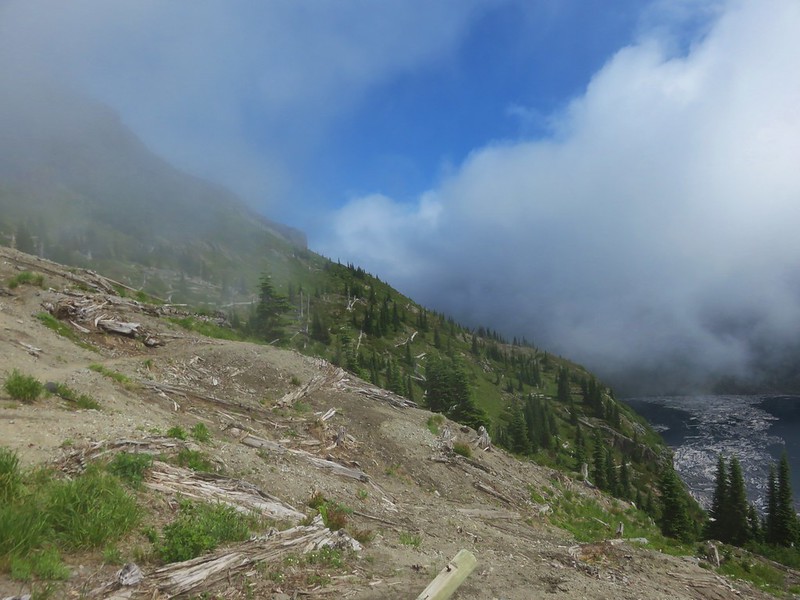

Coldwater Peak was to our left and seemed to be acting as a cloud break.
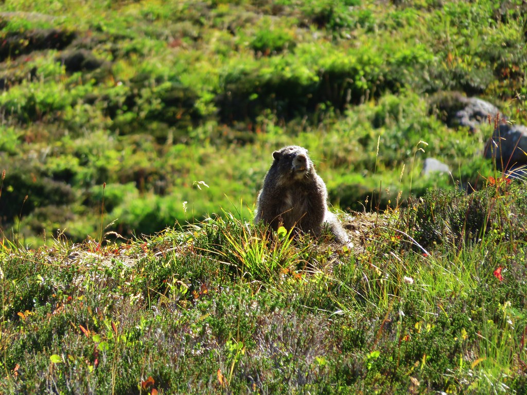
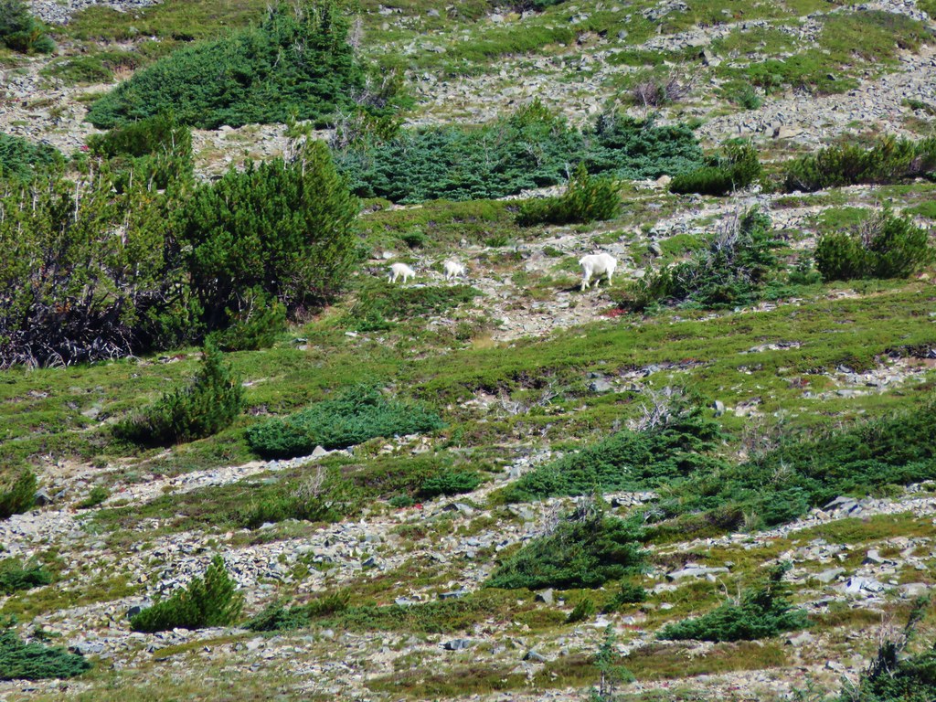
While we were watching the clouds swirl around the back side of Coldwater Peak we noticed a mountain goat on the cliffs below the summit.
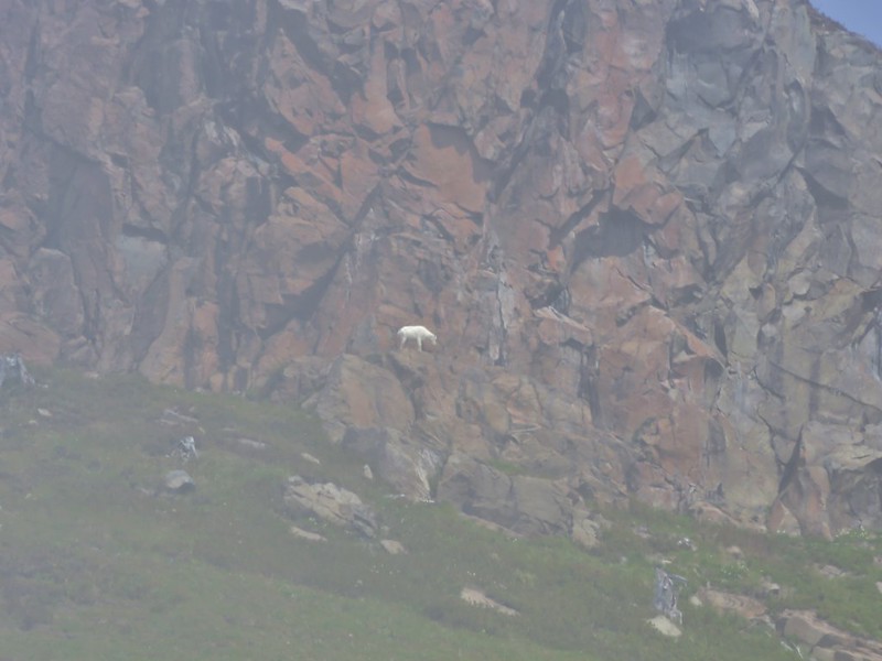
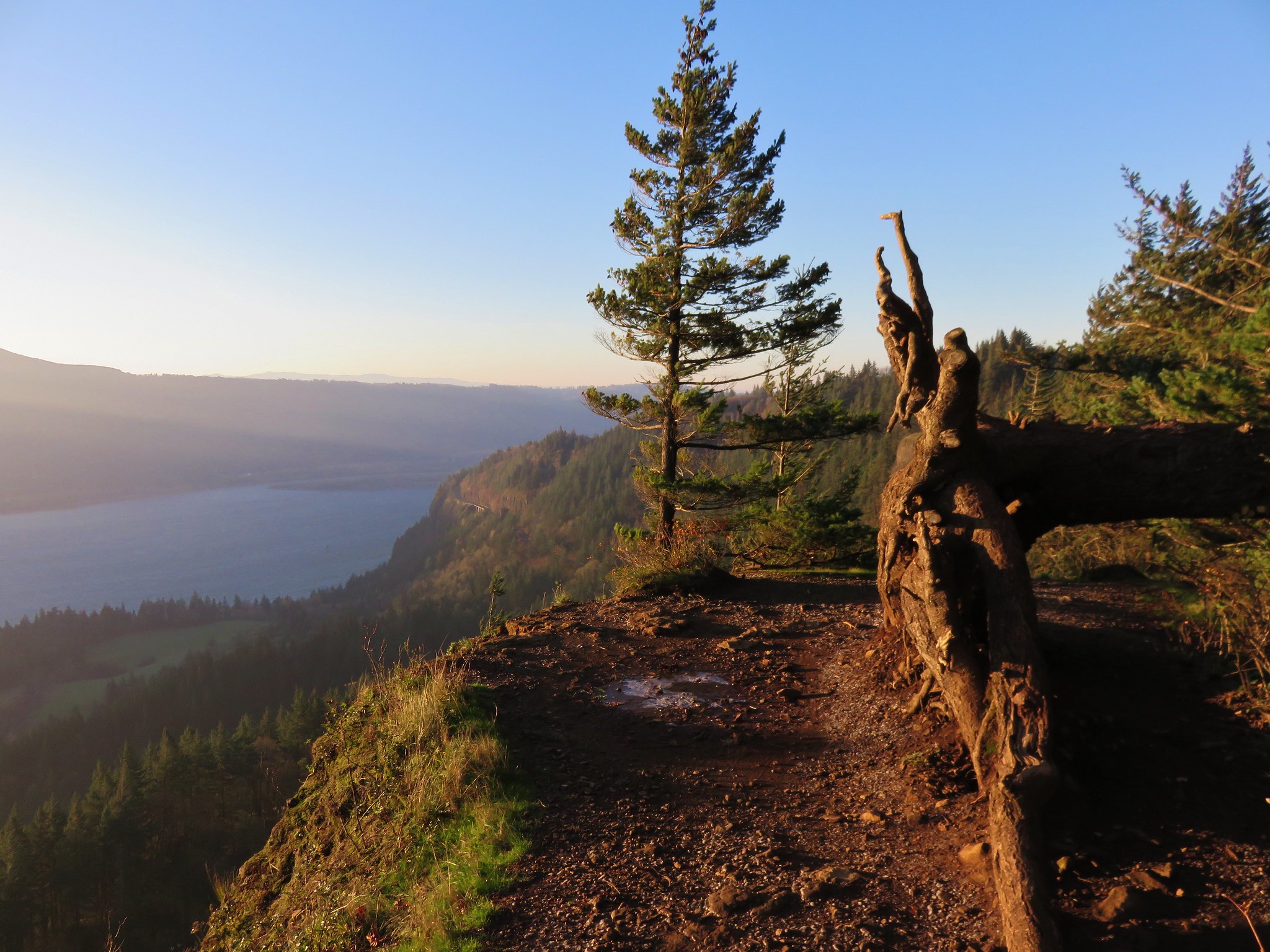
We took a nice long break at the junction watching the mountain goat and the ever changing clouds. When we finally set off again we passed by Coldwater Peak in sunlight.

We had some great views of St. Helens Lake below us as we passed the spur trail to Coldwater Peak after .4 miles.

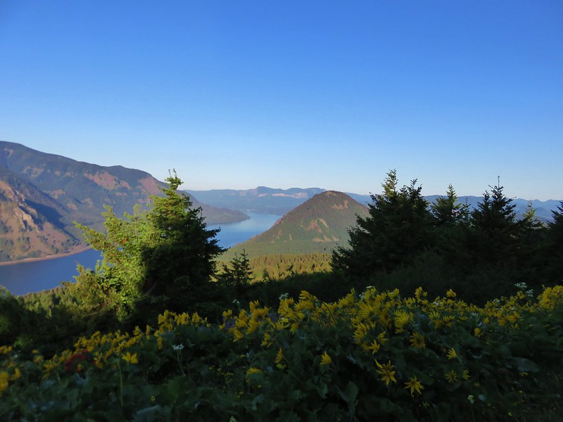
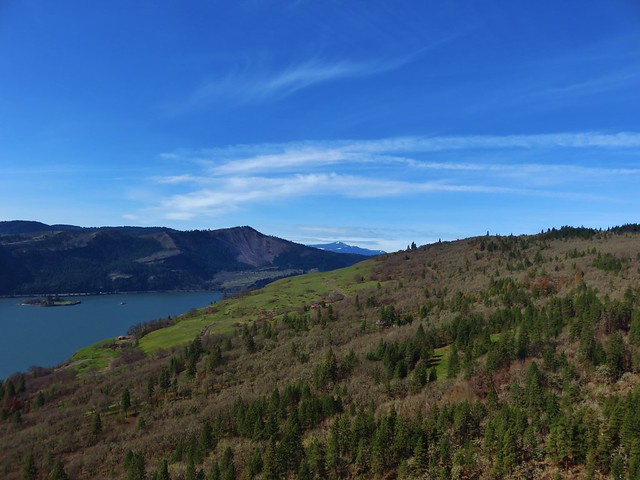
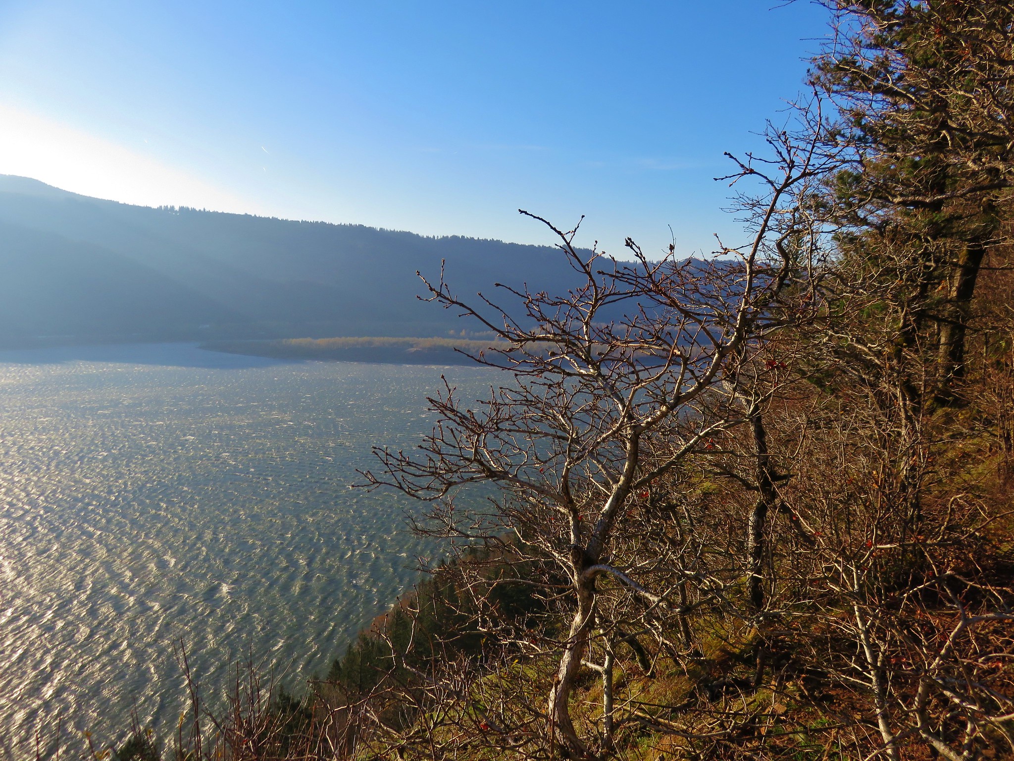
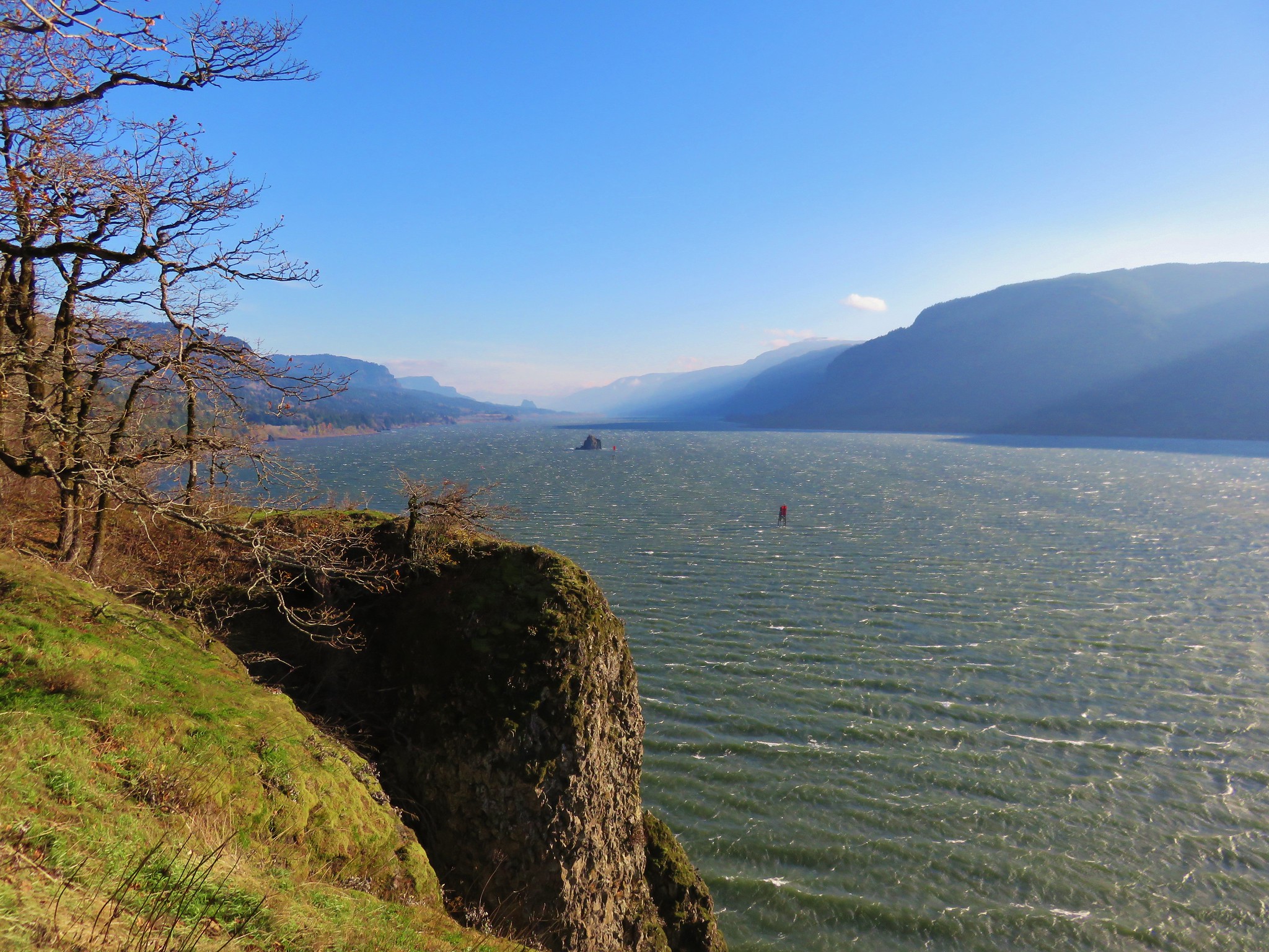
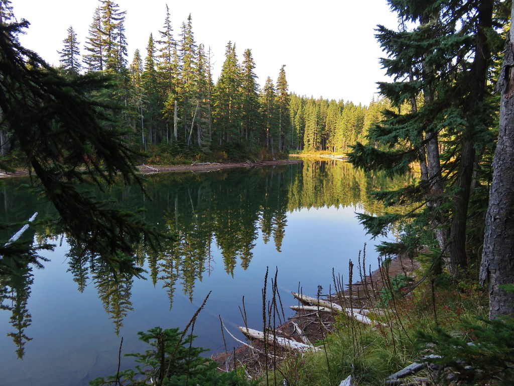
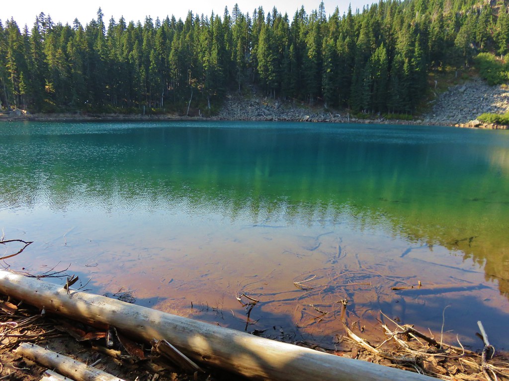
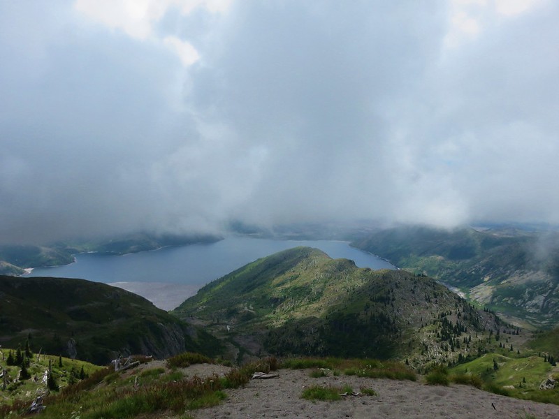
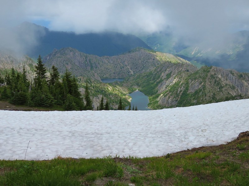
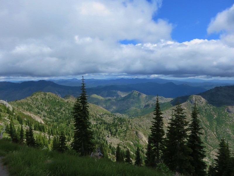
The trail the continued around the lake with views opening up to Spirit Lake below St. Helens Lake.

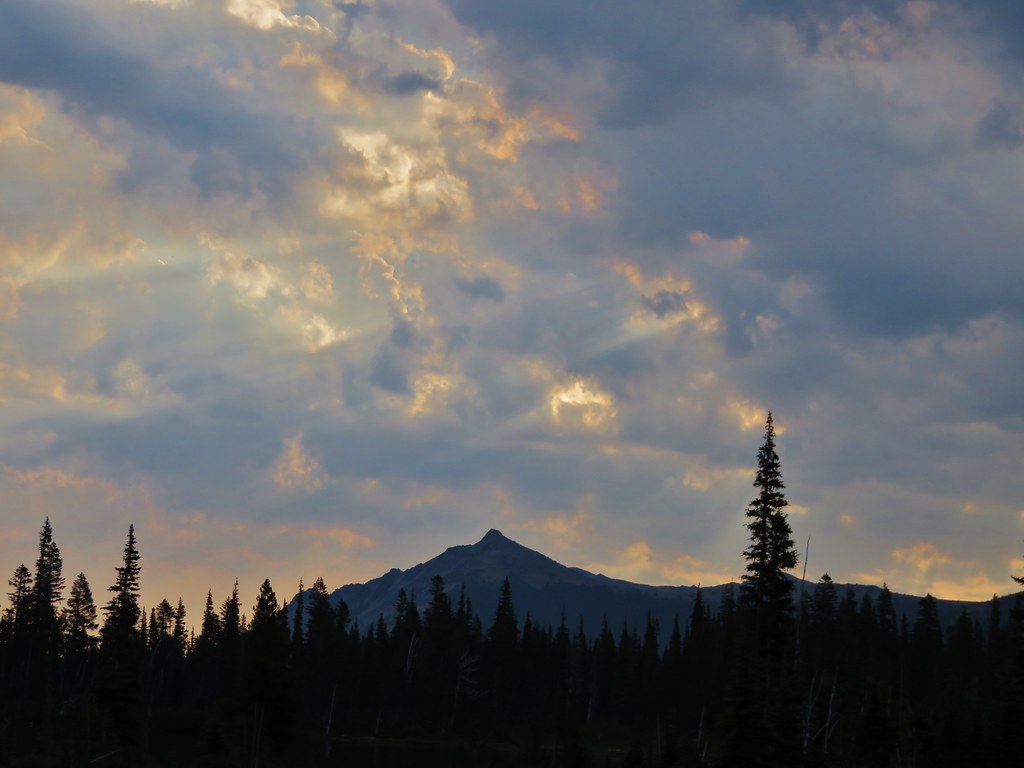
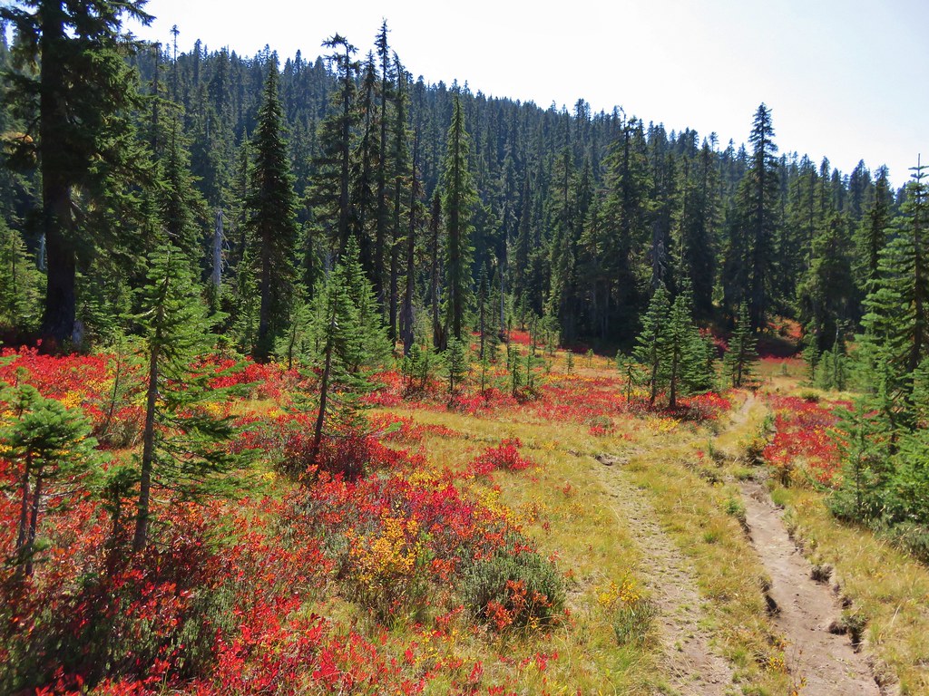
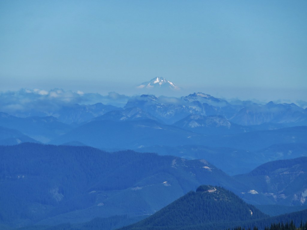
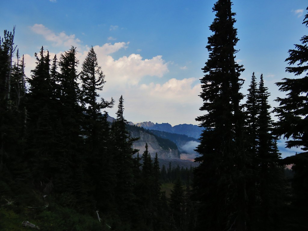
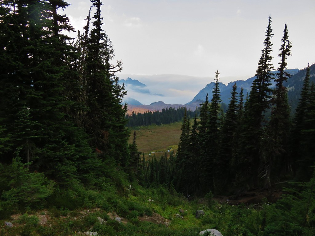
For the next 3 plus miles the clouds came and went as the drifted over the ridge down toward Spirit Lake.

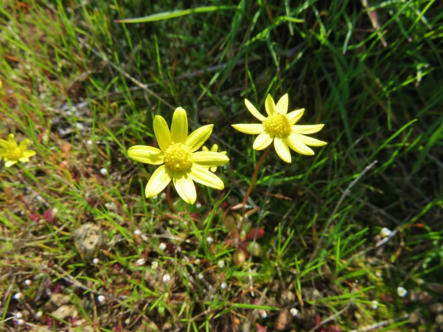
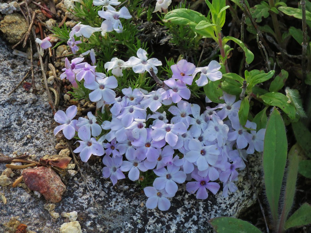
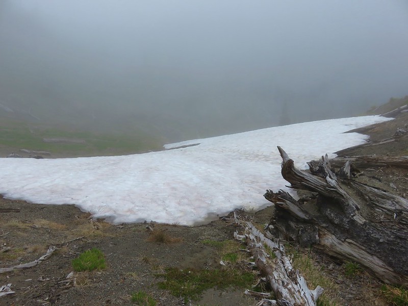
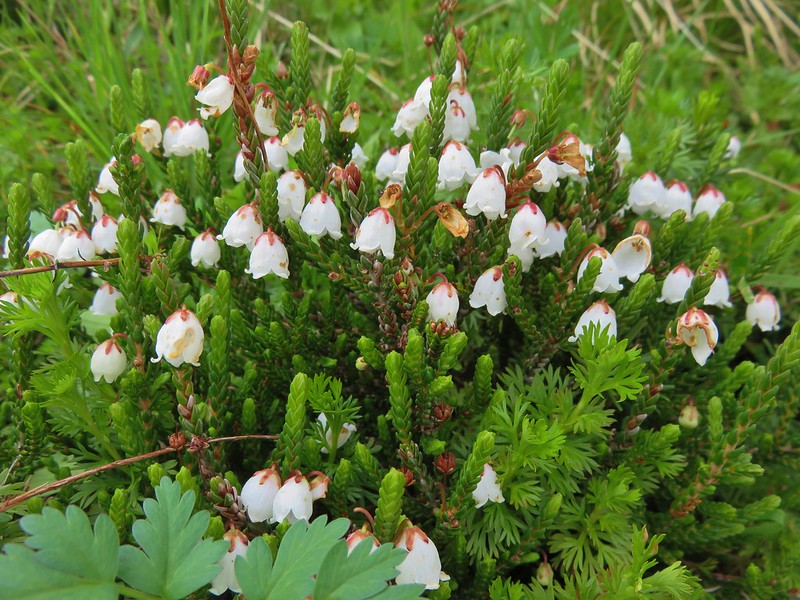
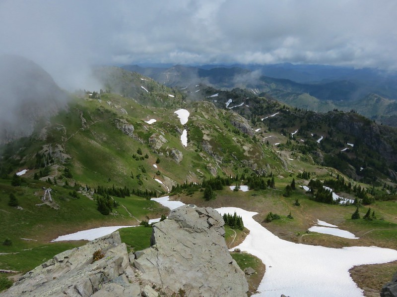
There was more snow along this section of trail and we started seeing more flowers that bloom soon after snow melt.
Cinquefoil
Cusick’s speedwell

White heather
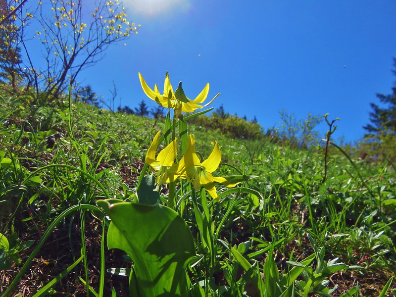
Avalanche lilies

Cat’s ear lily
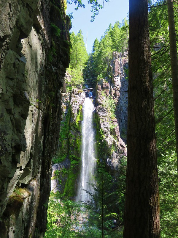
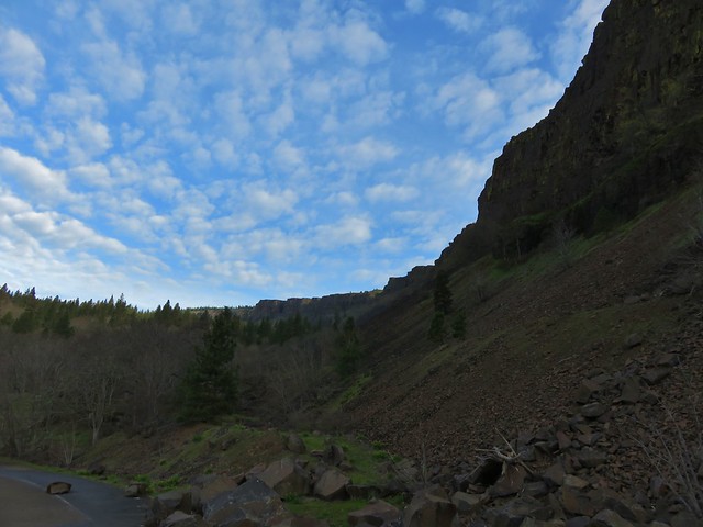
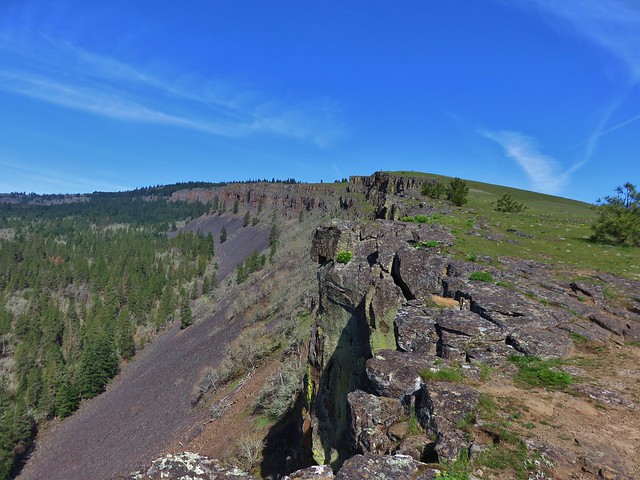
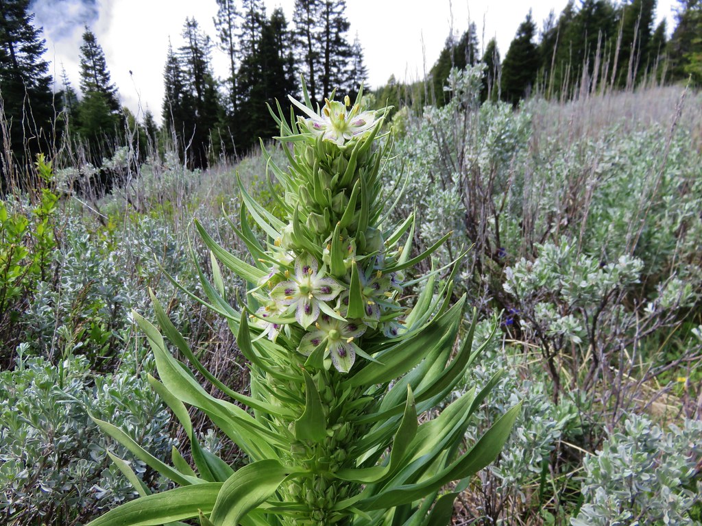
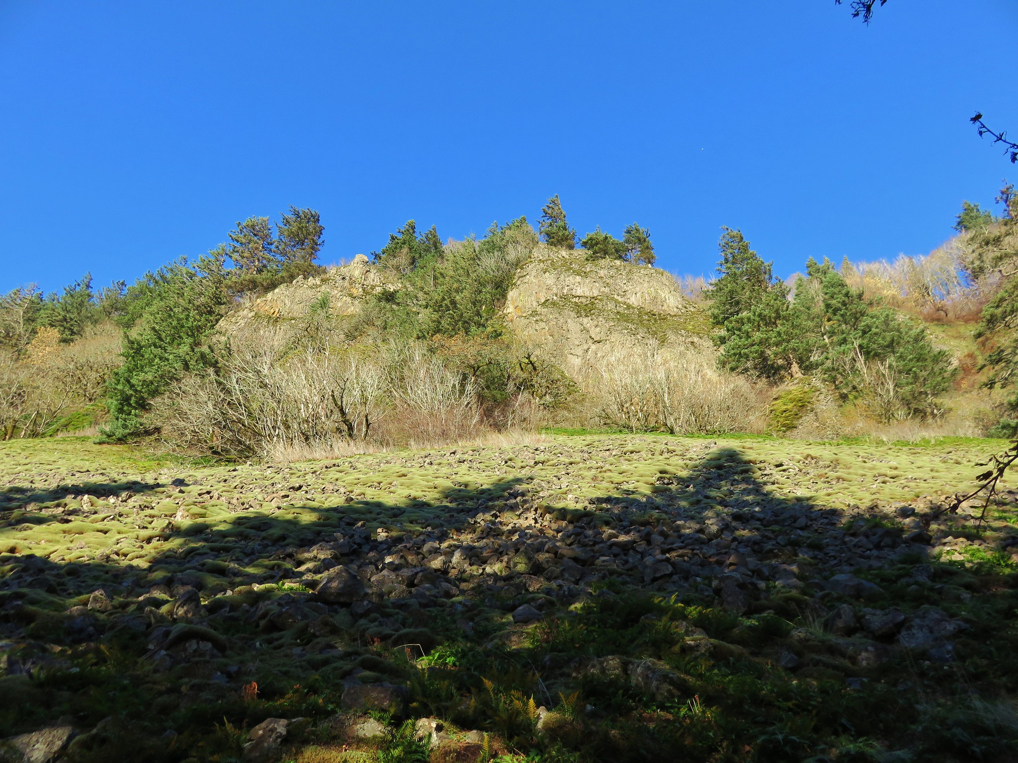
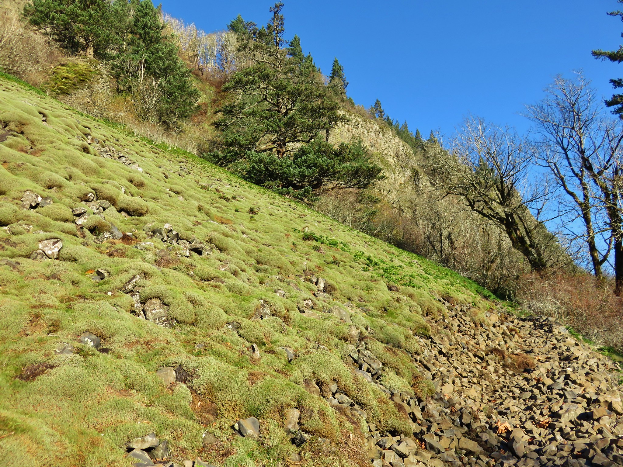
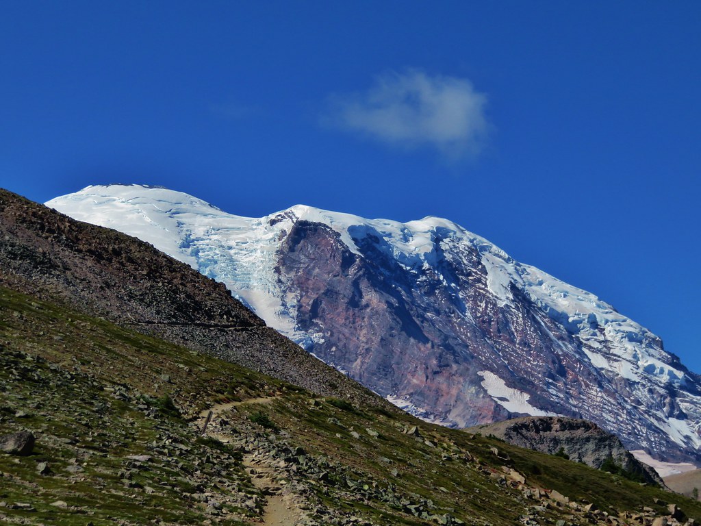
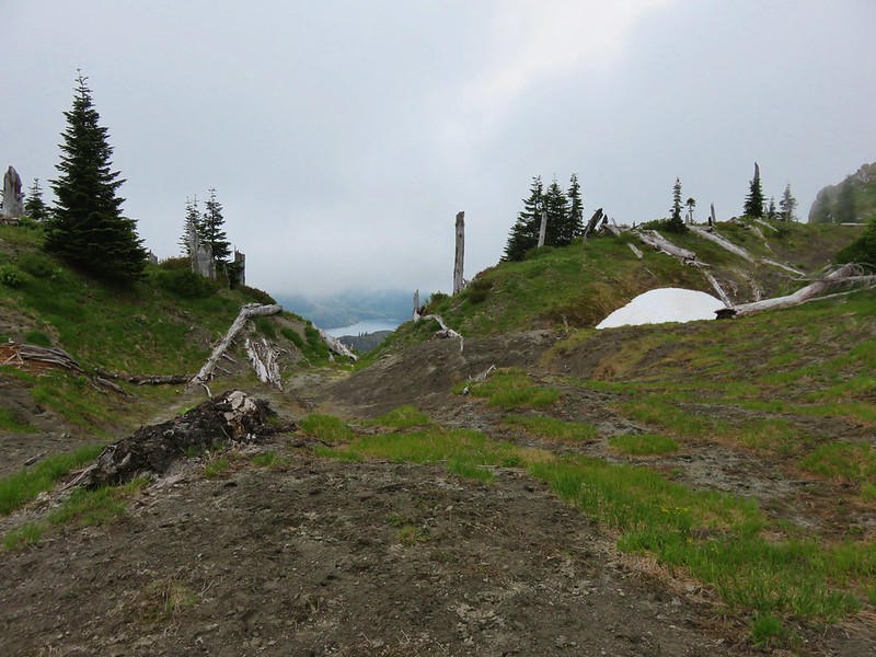
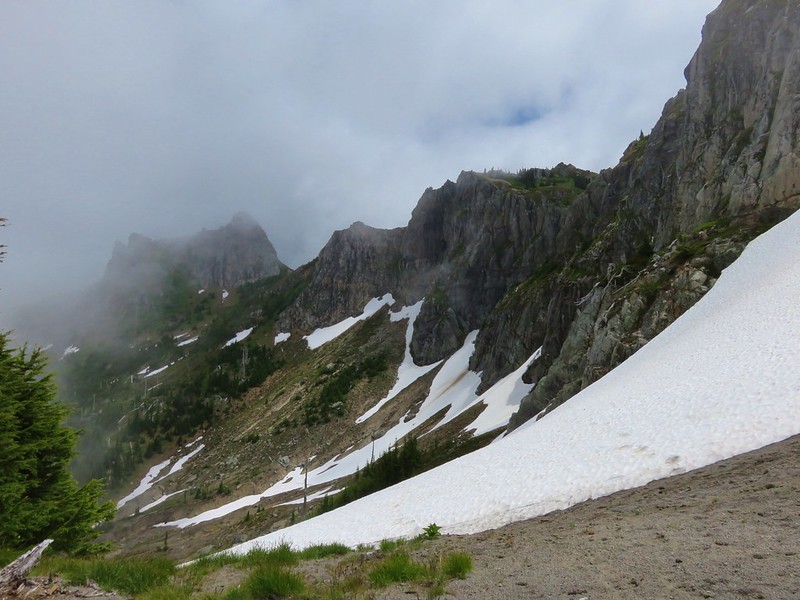
We crossed our first snowfield near The Dome, which was mostly hidden by the clouds.
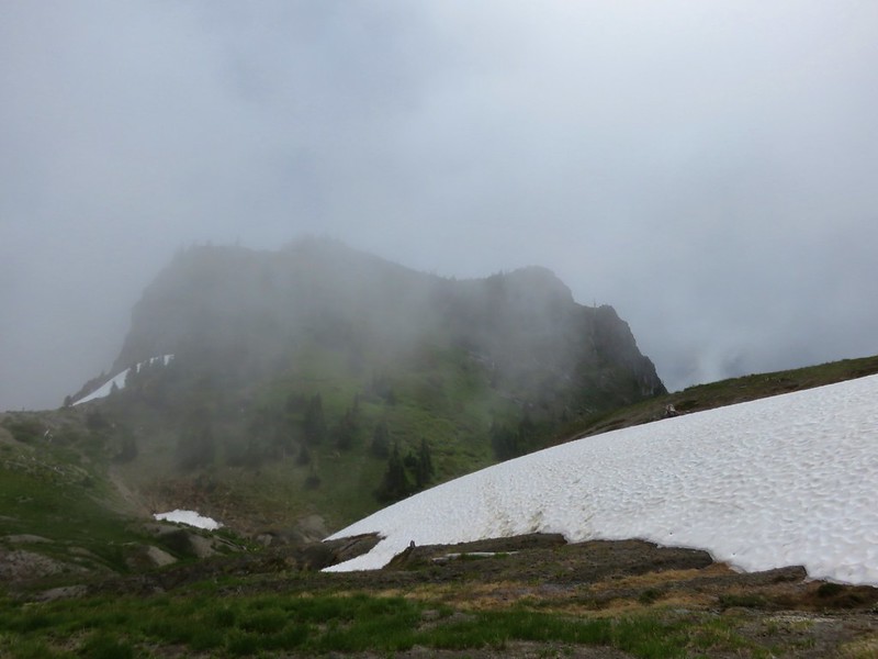
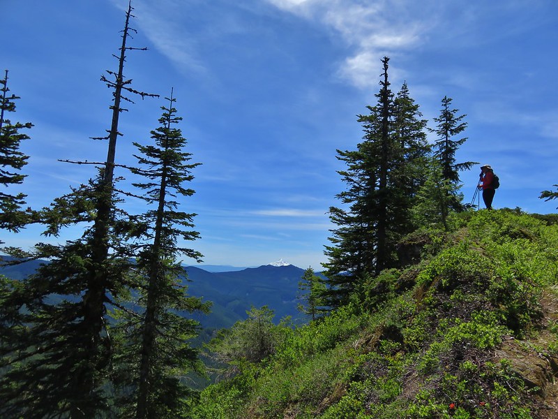
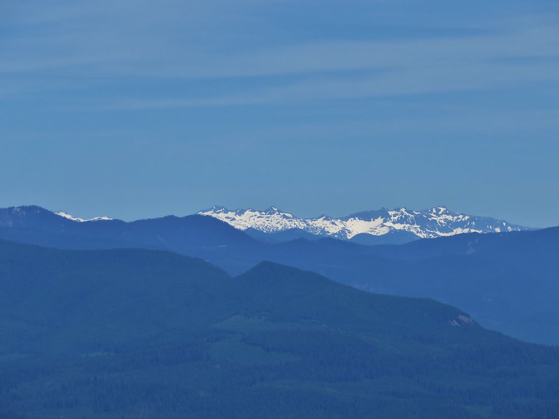
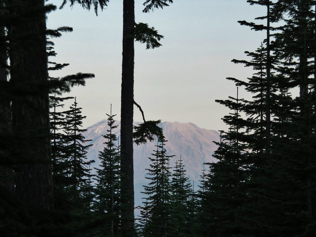
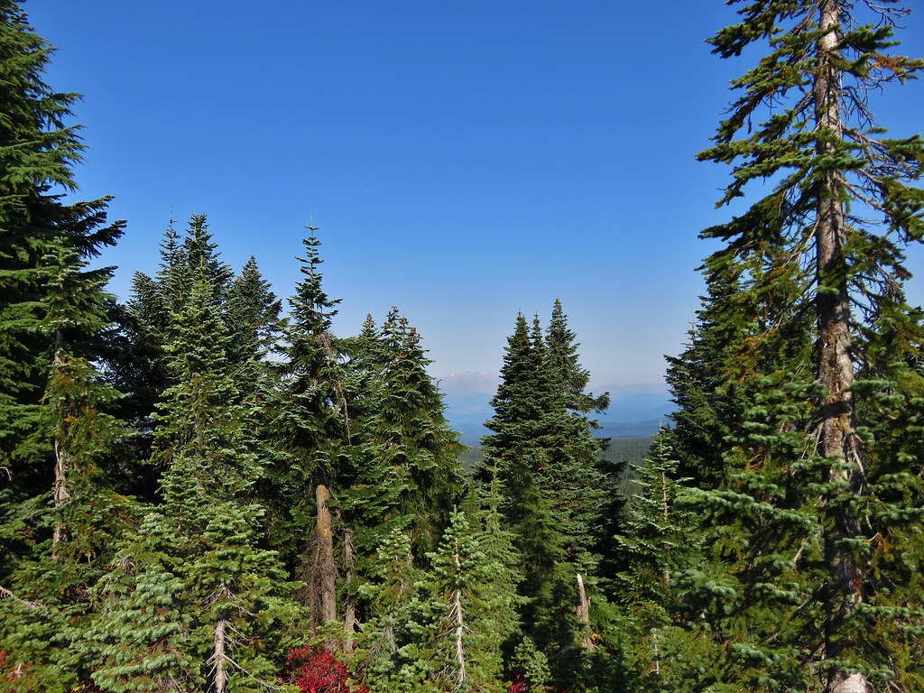
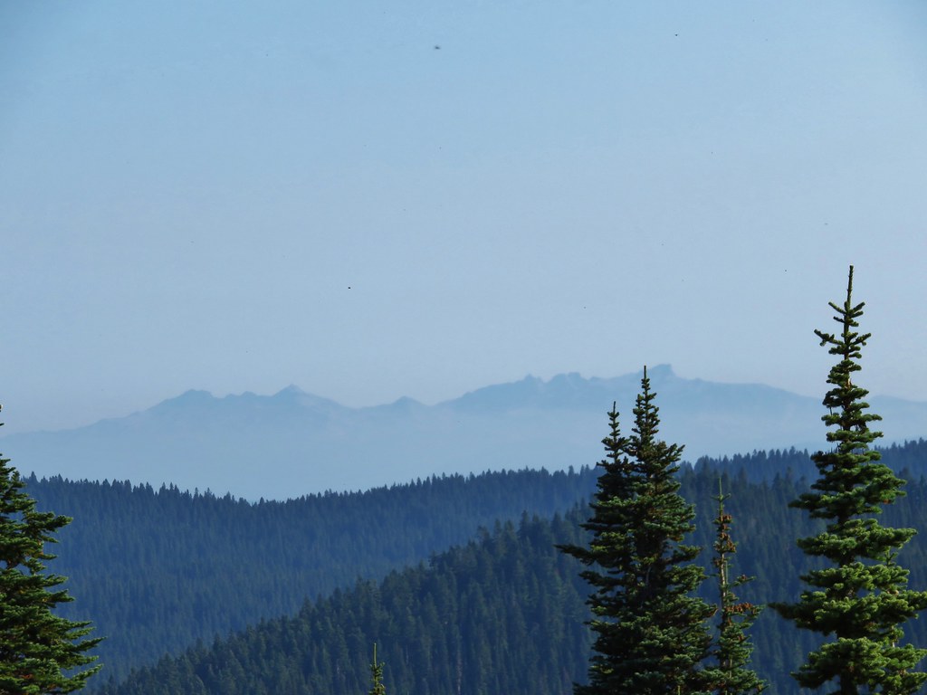
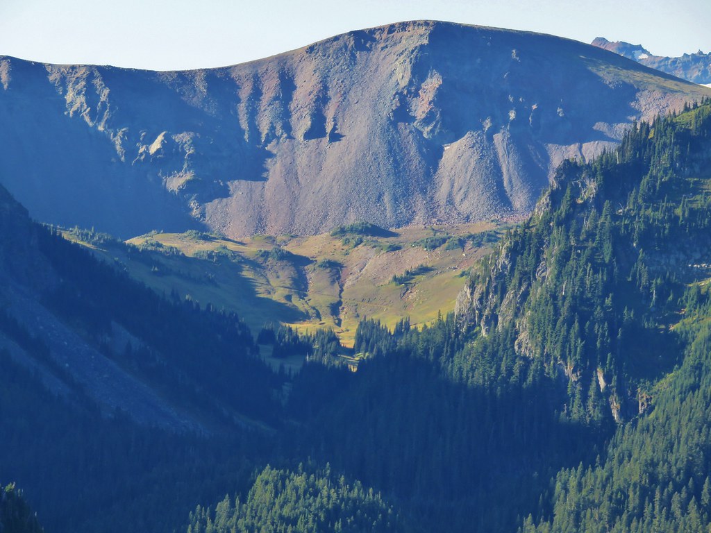
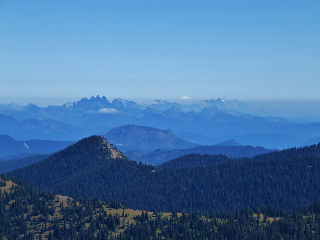
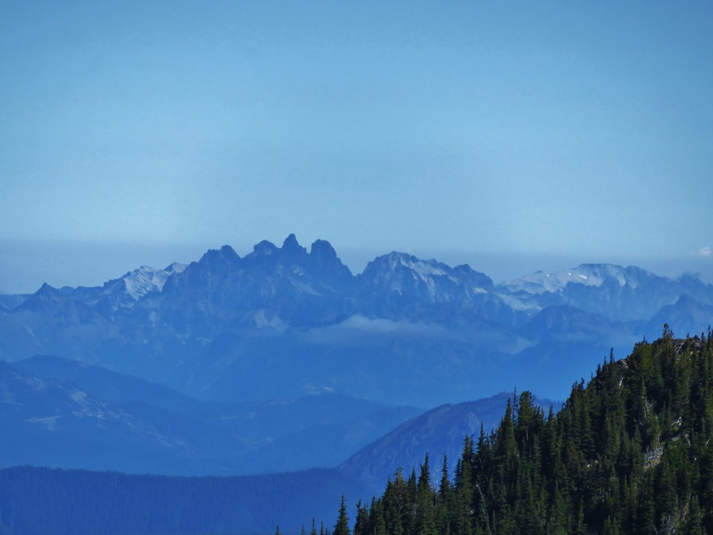
It was a bit of a shame that we couldn’t see more of the surrounding area because the peaks and cliffs we could see where really neat.
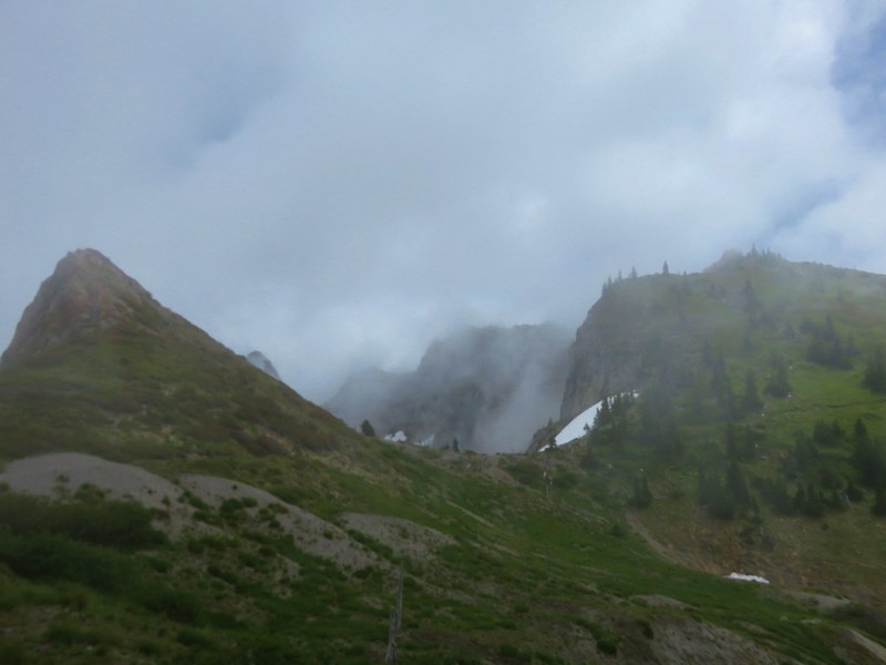
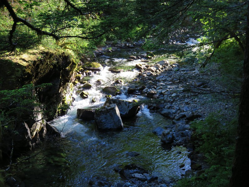
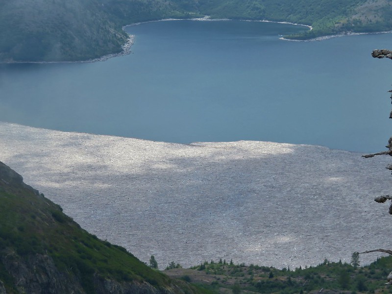
The view downhill was a little better and we got a decent look at the outlet of St. Helens Lake, a log jam on Spirit Lake, and some elk in the valley.
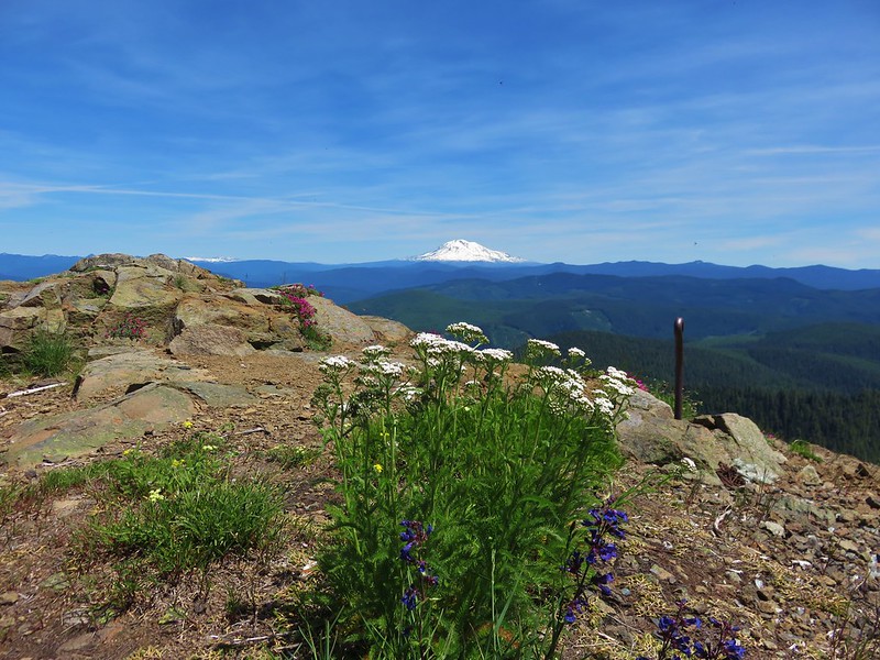
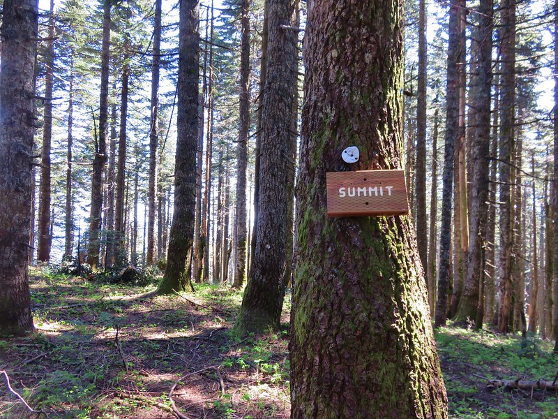
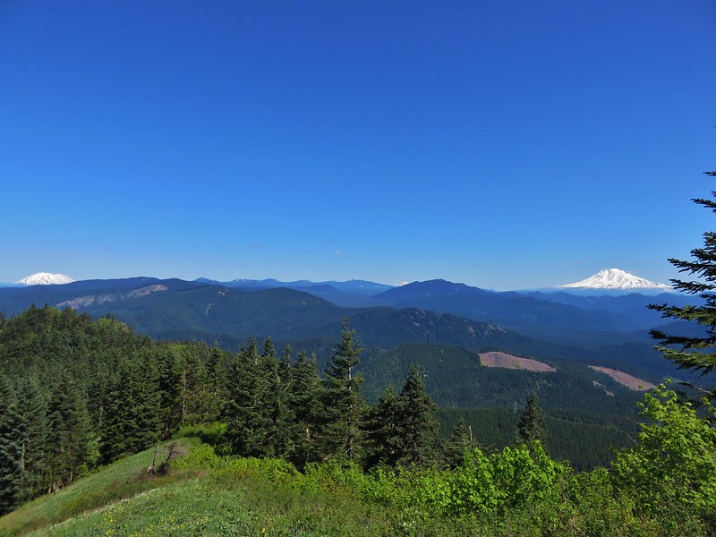
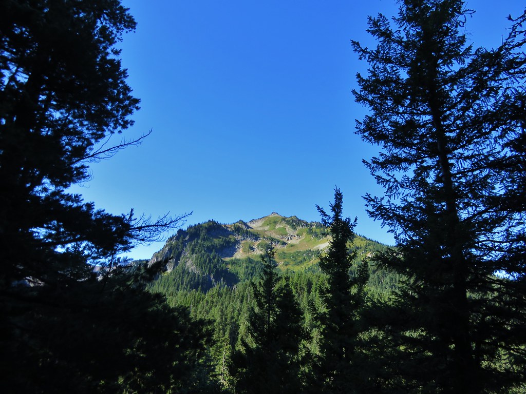
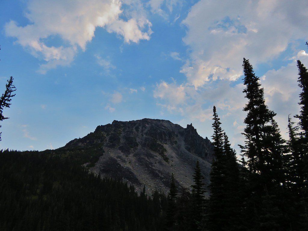
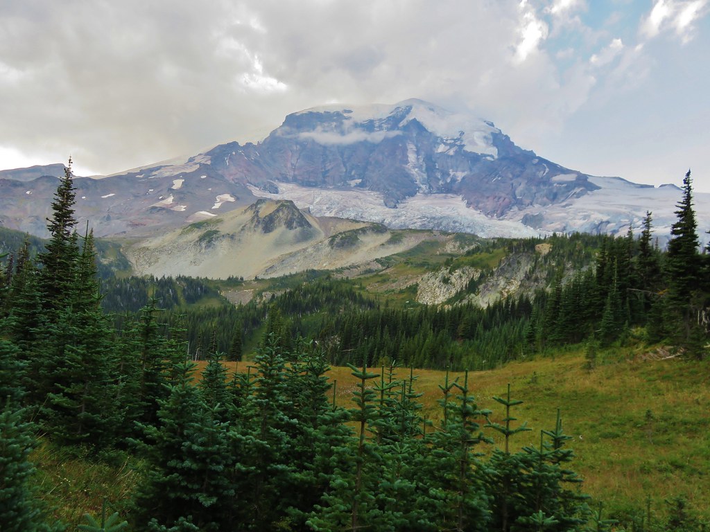
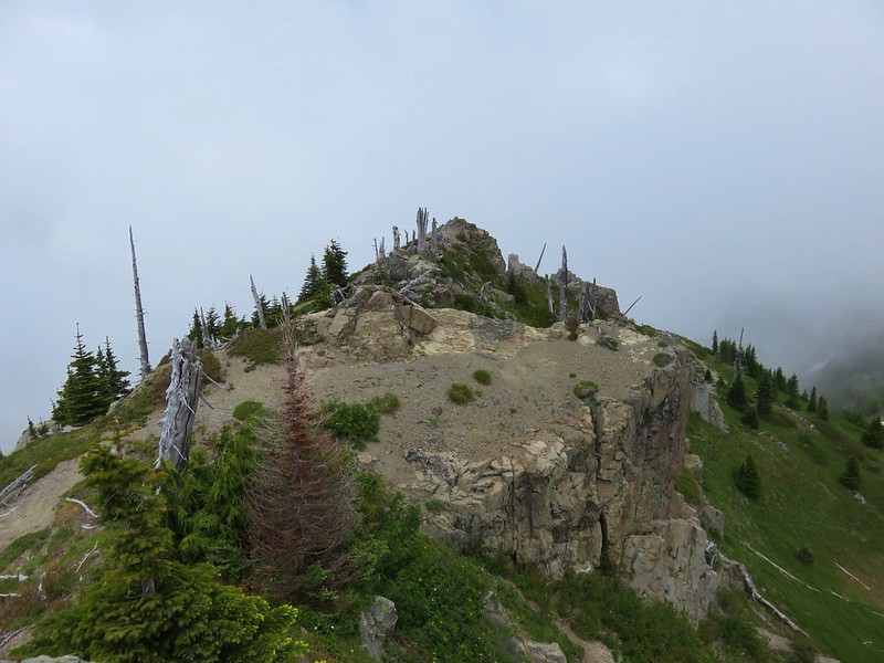
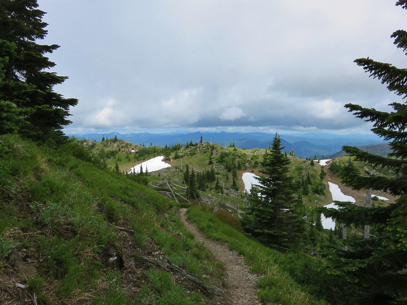
We had skipped the .6 mile trail up to the summit of Coldwater Peak not wanting to make that climb with our full packs on a day when the visibility wasn’t great, but when we reached the shorter spur trail to the summit of Mt. Margaret we decided to head up. Unlike Coldwater Peak we had not been up this trail before so even if we didn’t have a view we couldn’t pass it up. The view from Mt. Margaret turned out to not be too bad. We could see Spirit Lake fairly well and the Boundary Trail below the peak. Other nearby peaks occasionally emerged from the clouds.

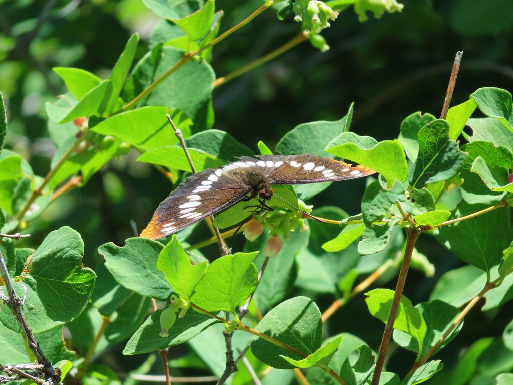
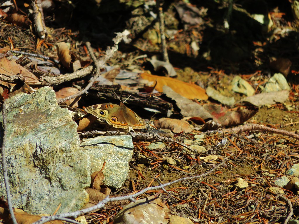
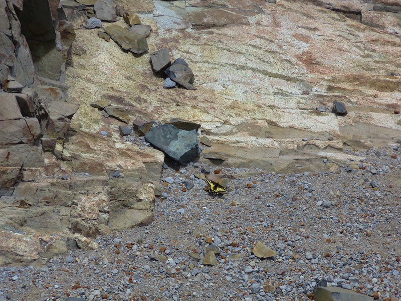
We could see some spots where mountain goats had been on a nearby ledge but no goats, just a swallowtail butterfly.

We took a nice long break and had some lunch on Mt. Margaret. As we were preparing to start hiking again we could hear people coming up the Boundary Trail, lots of people. Heather counted nearly 30 folks emerging from the trees below. We made it back to the junction with the Boundary Trail just as the first of these other hikers were arriving. The majority of them turned out to be members of the Mazamas, a nonprofit Mountaineering Education Organization based in Portland, Oregon.
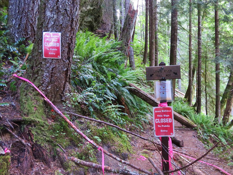
After passing through the Mazamas we crossed another nice snowfield and reached a junction with the Whittier Ridge Trail.

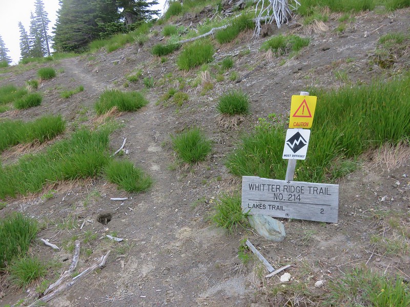
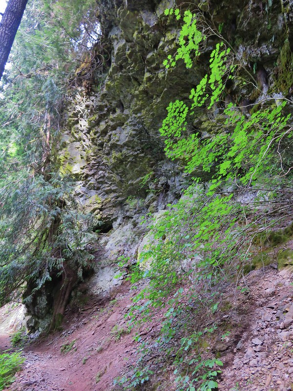
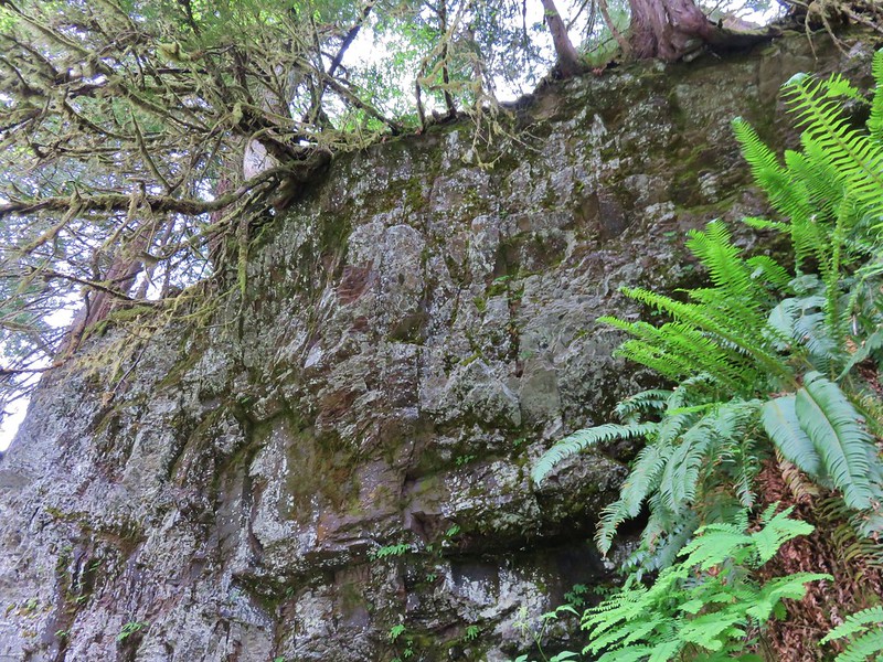
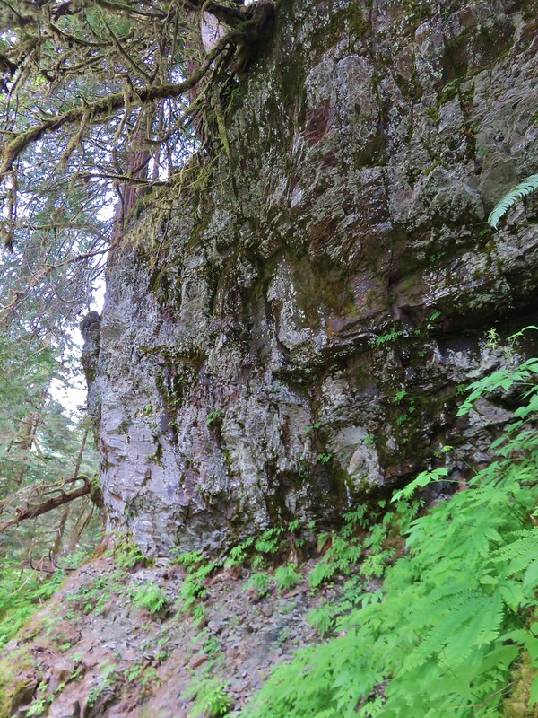
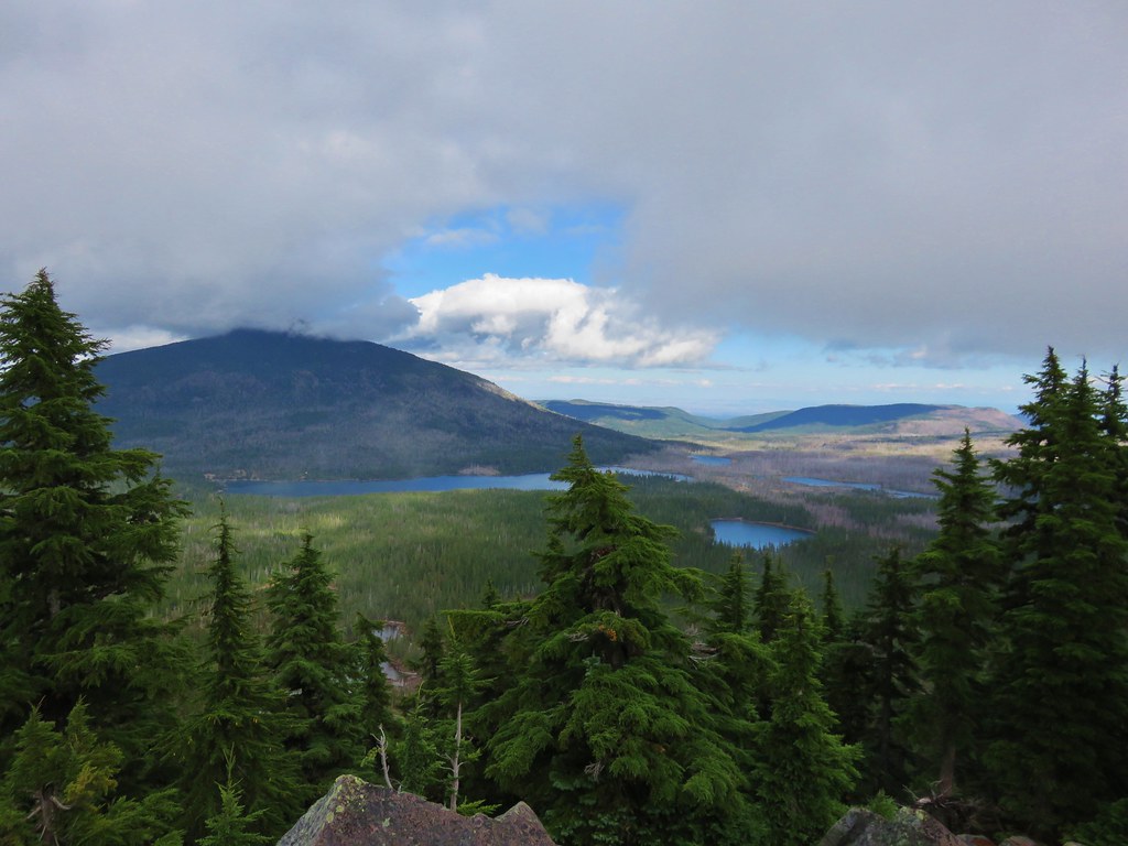
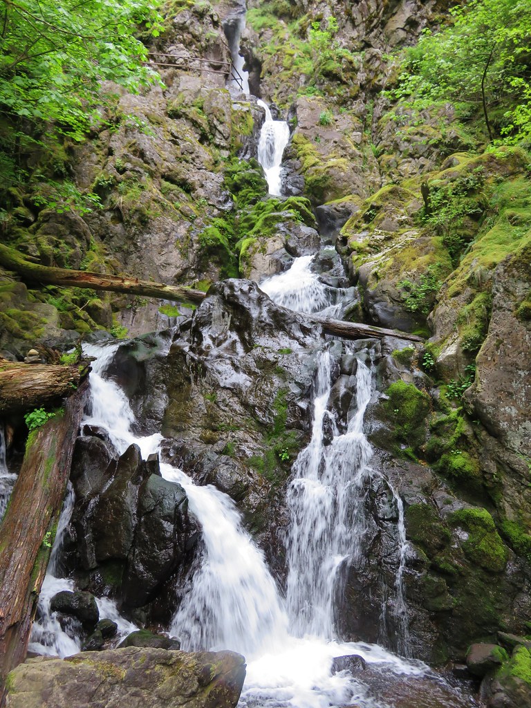
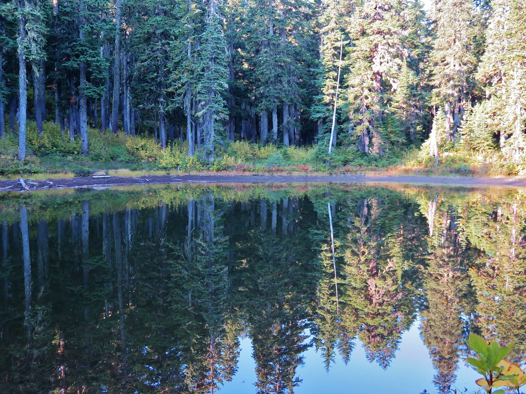
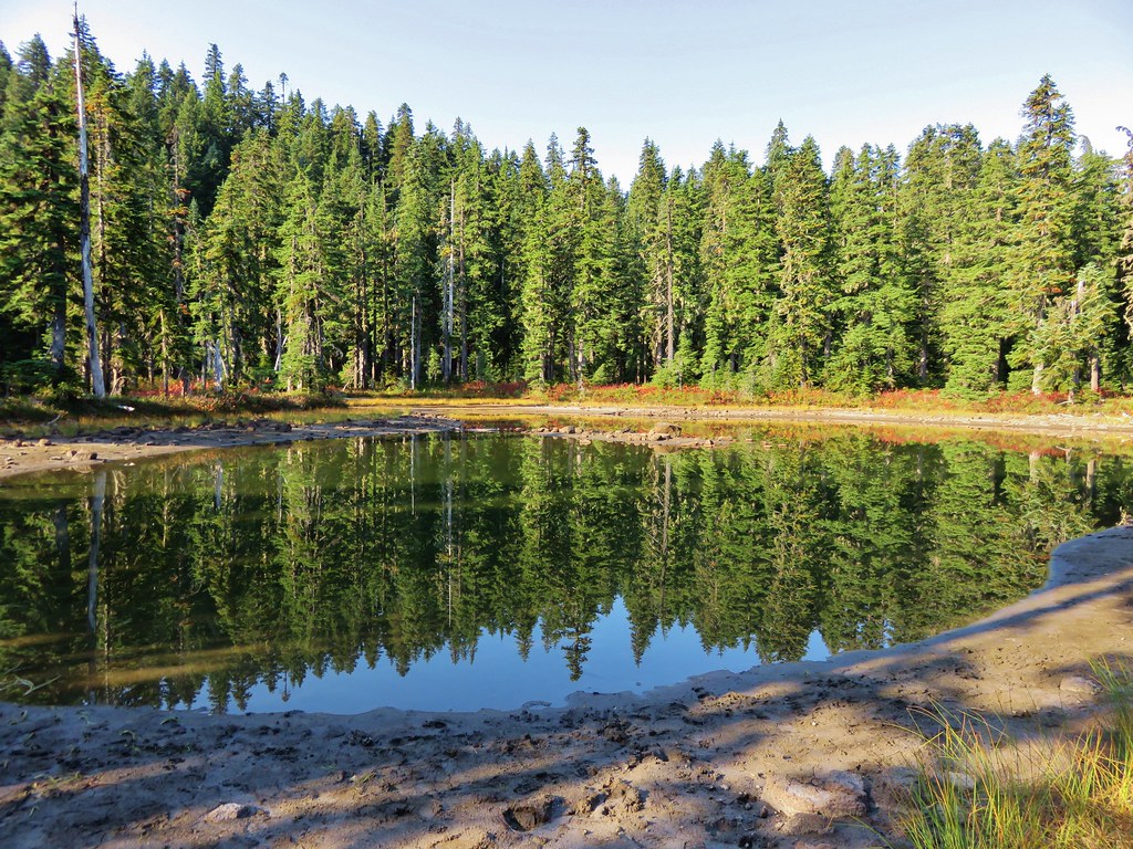
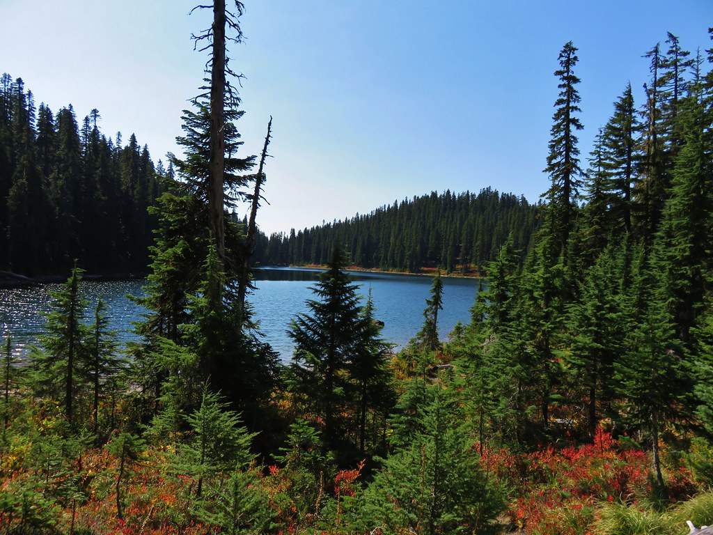
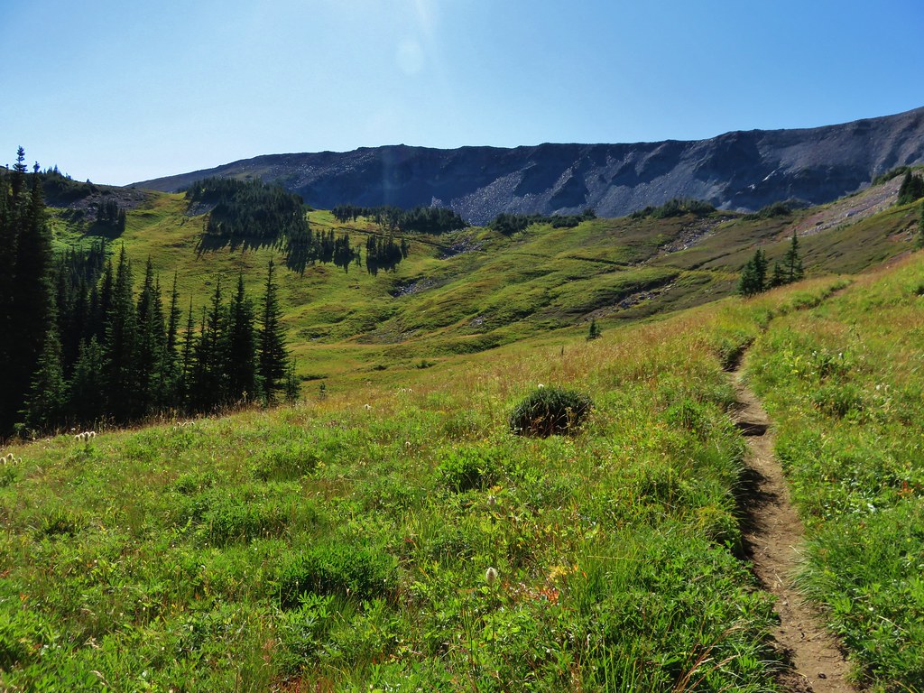
The Whittier Ridge Trail was not on our to-do list on this hike. The trail is narrow and in places along exposed cliffs where the rocks had to be blasted to create a trail at all. Recent reports from members of the Oregon Hikers forum reported some snow still along the trail as well and with little visibility it wasn’t even tempting. We continued on the Boundary Trail getting our first view of some the lakes in the Mt. Margaret Backcountry.
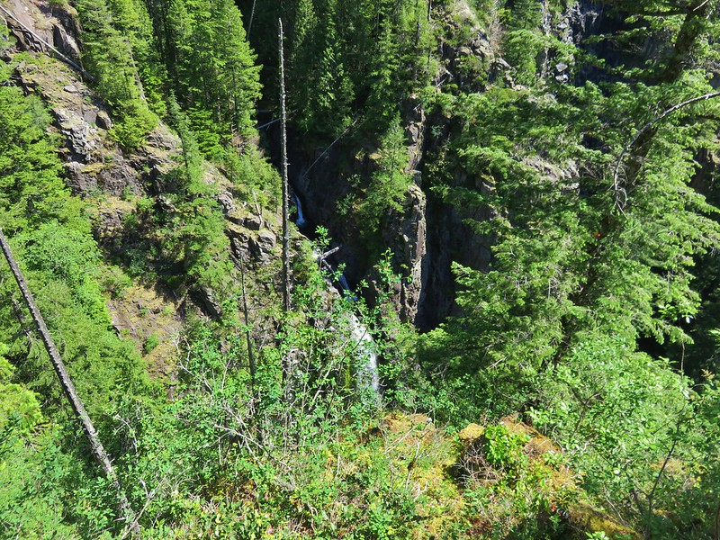
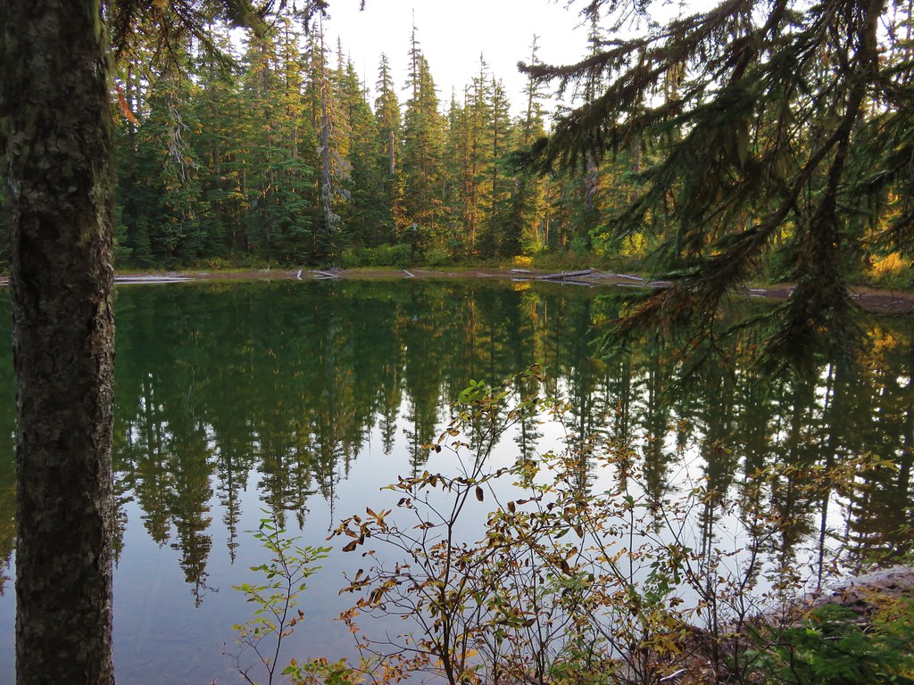
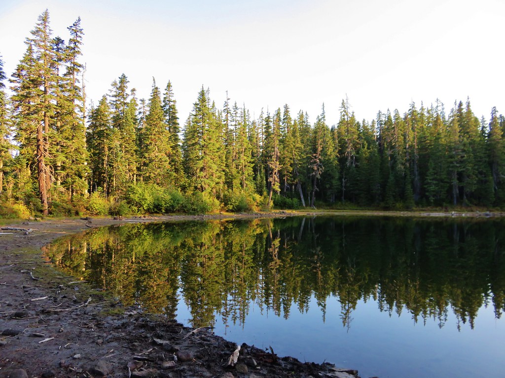
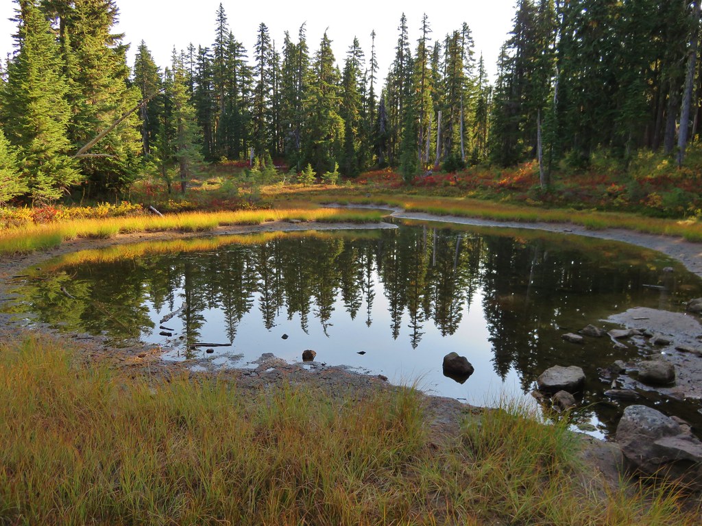
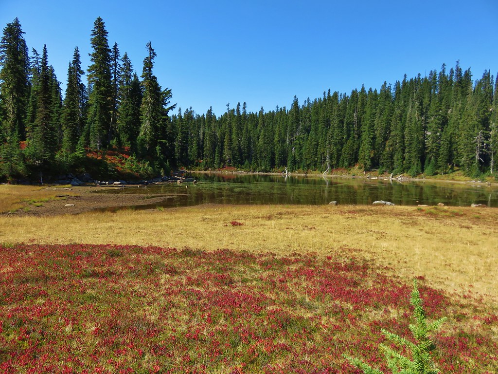
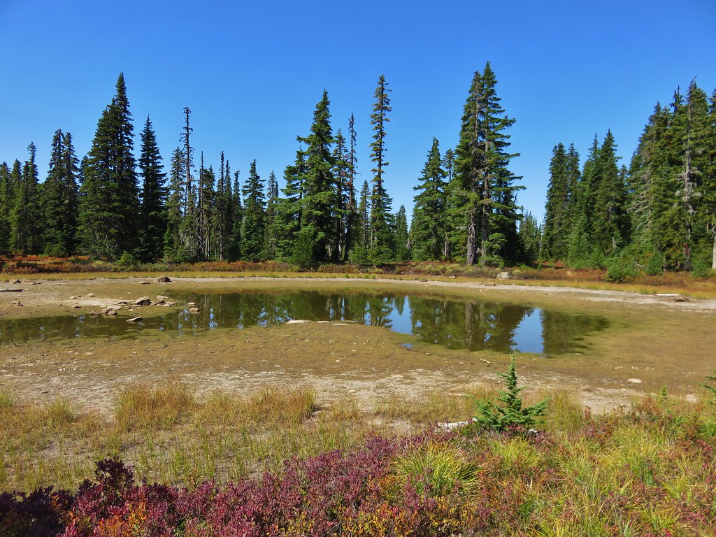
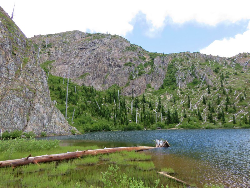
Boot and Obscurity Lakes
We had been gradually descending since Mt. Margaret and the visibility was getting better the lower we got.
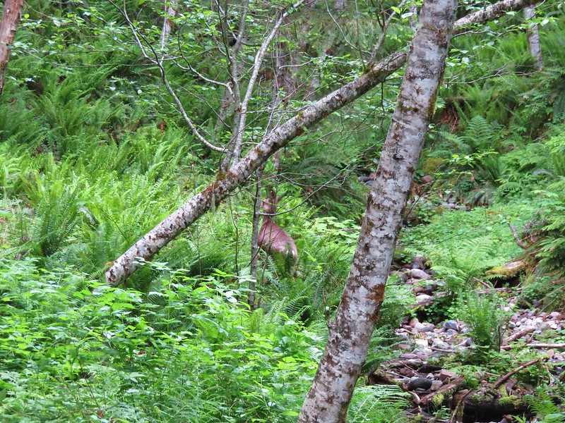
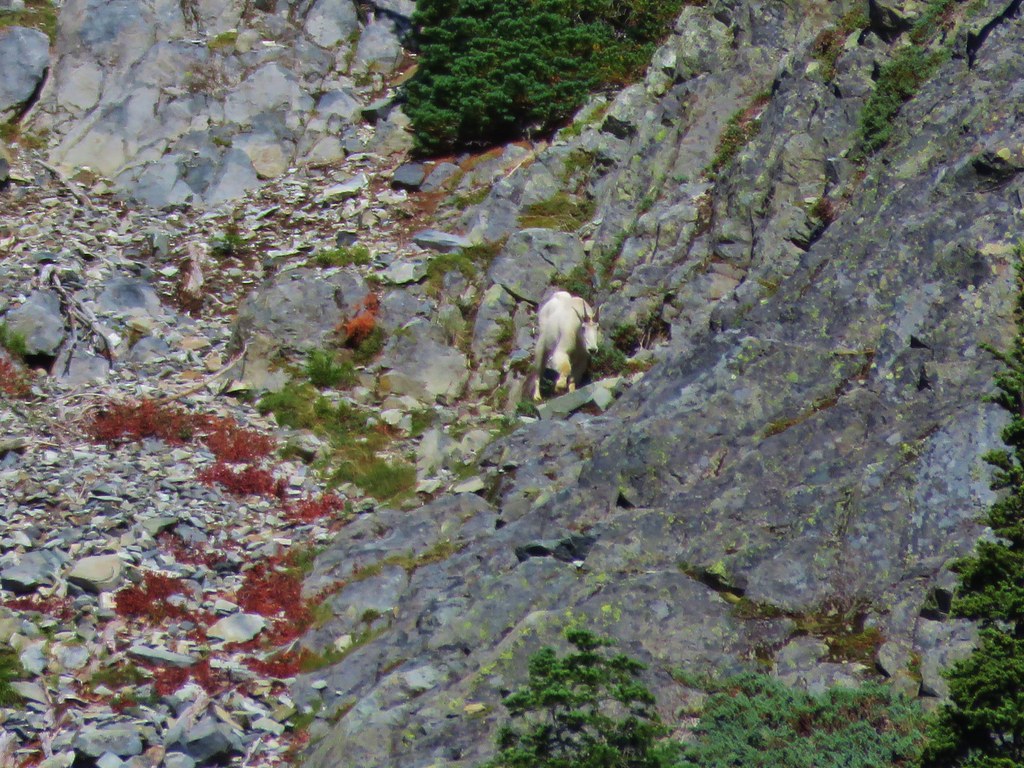
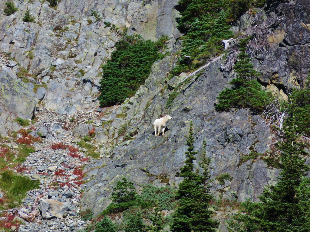
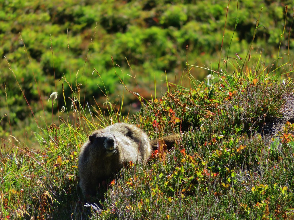
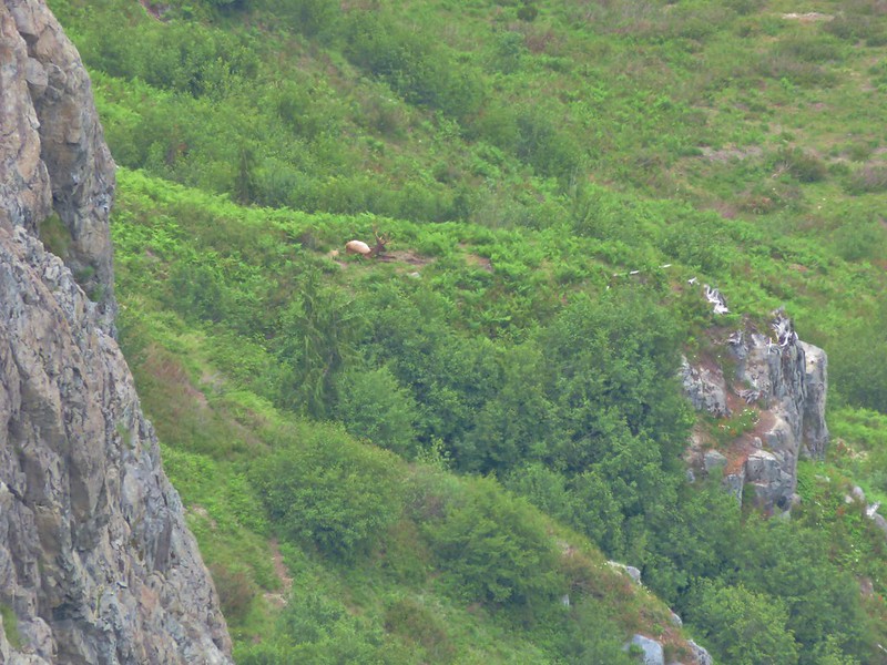
Along the way we spotted another mountain goat not far above the trail.


As we got closer it crossed the trail and disappeared over the hillside leaving us with just it’s smell. (And boy did it smell)
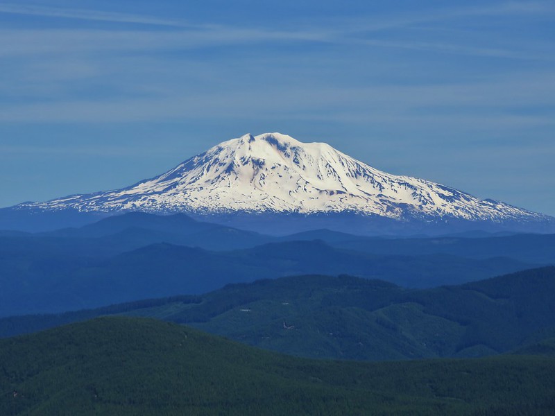
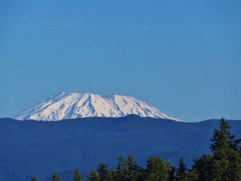
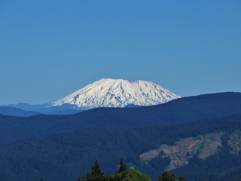
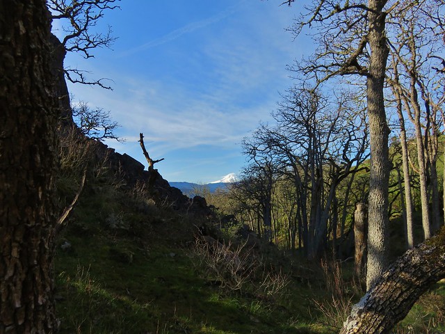
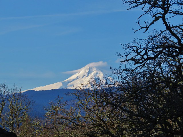
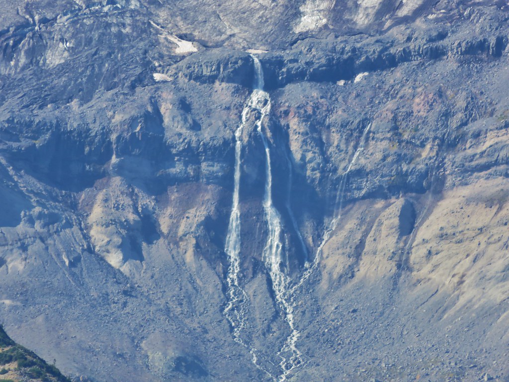
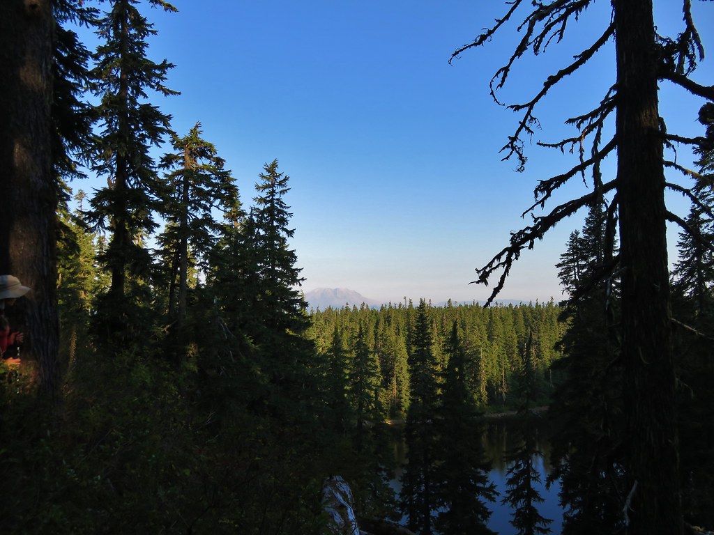
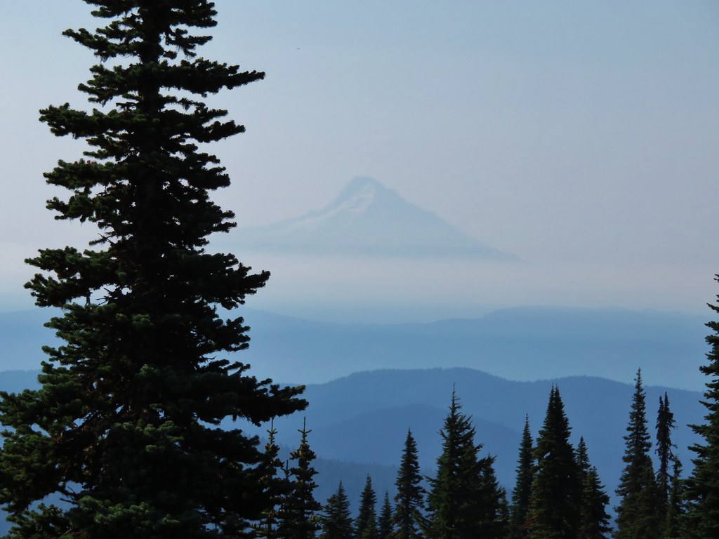
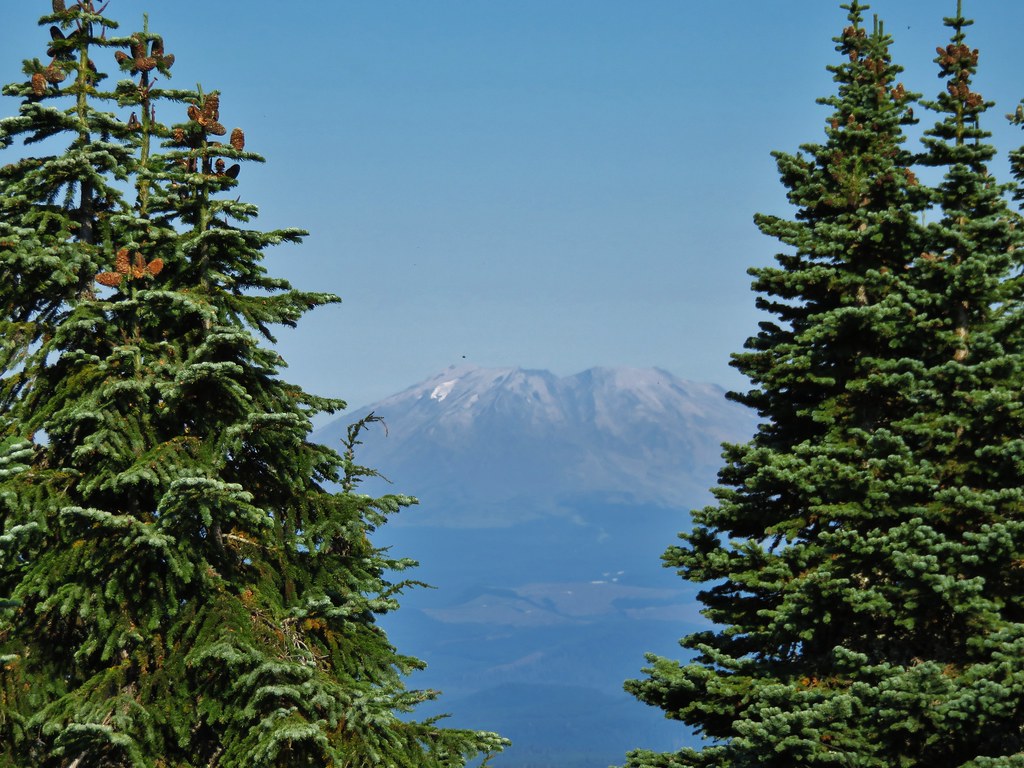
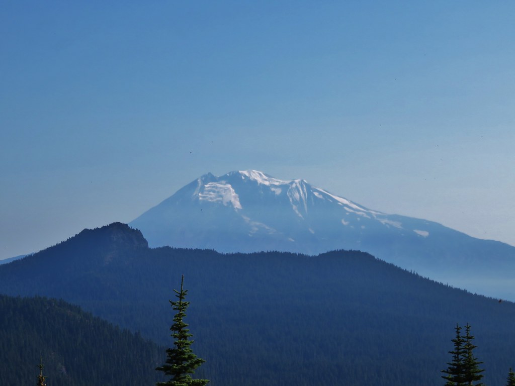
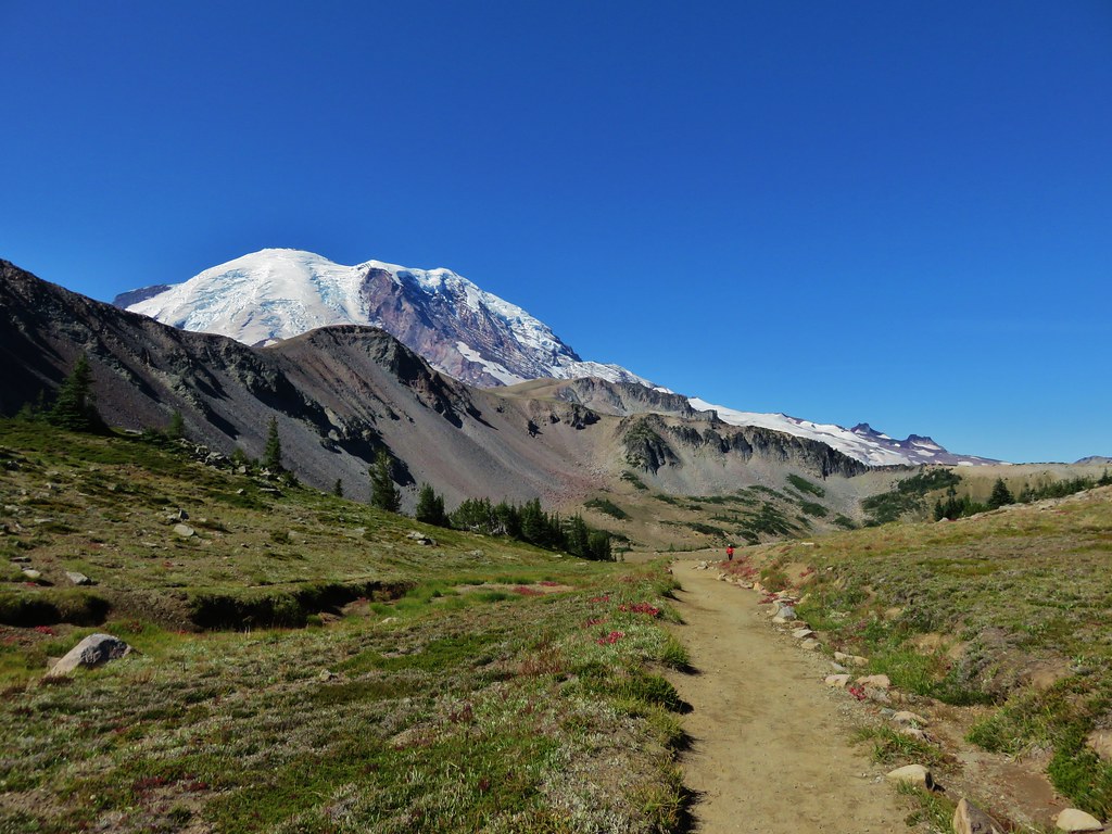
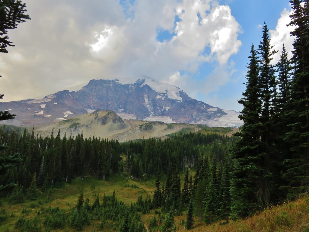
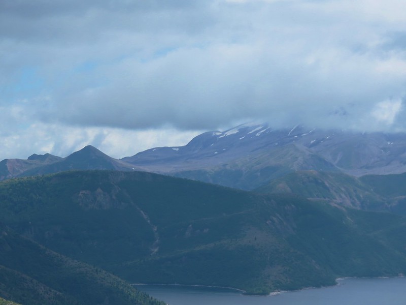
We had been working our way around Spirit Lake and were now just to the NE of it. Mt. St. Helens lay directly behind the lake but only the lowest portions were visible. What we could see was Windy Ridge on the Mountain’s flank.

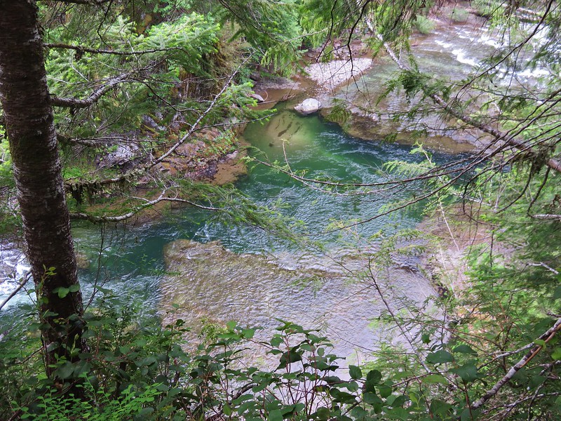
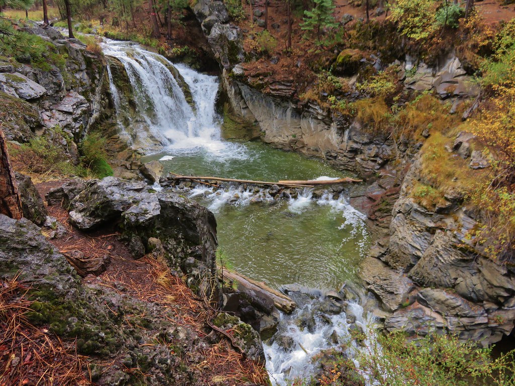
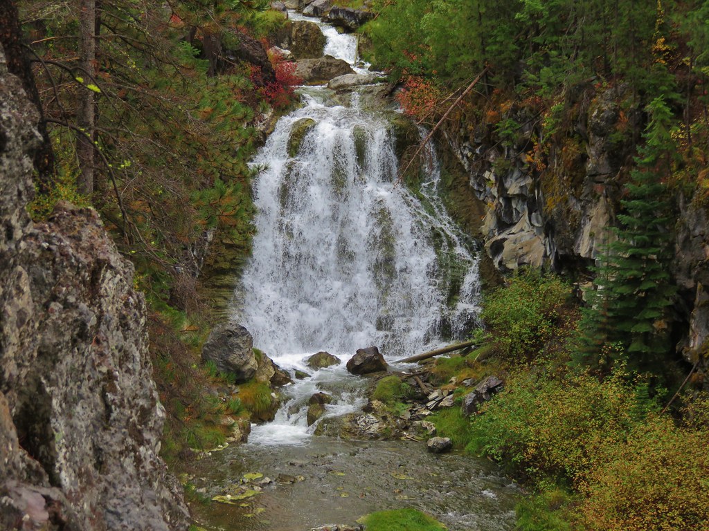
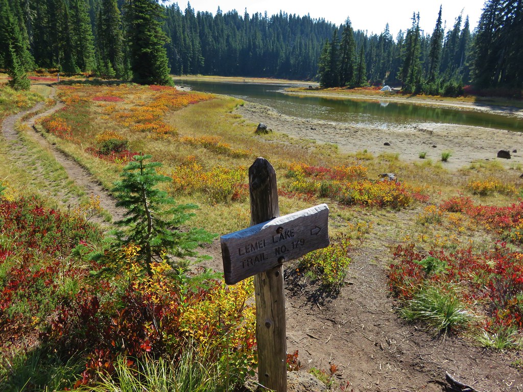
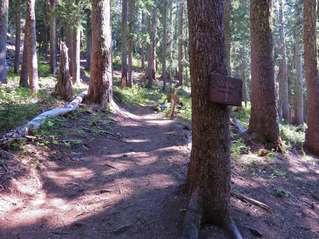
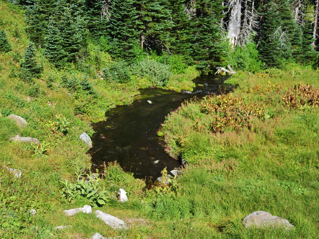
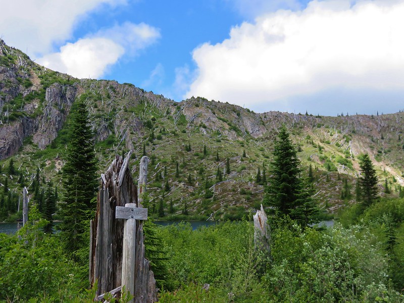
Two miles from the Whittier Ridge Trail we arrived at the junction with the Lakes Trail at Bear Pass.
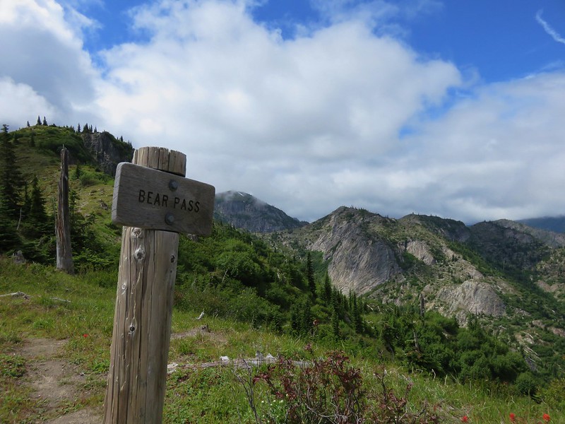
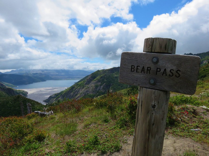
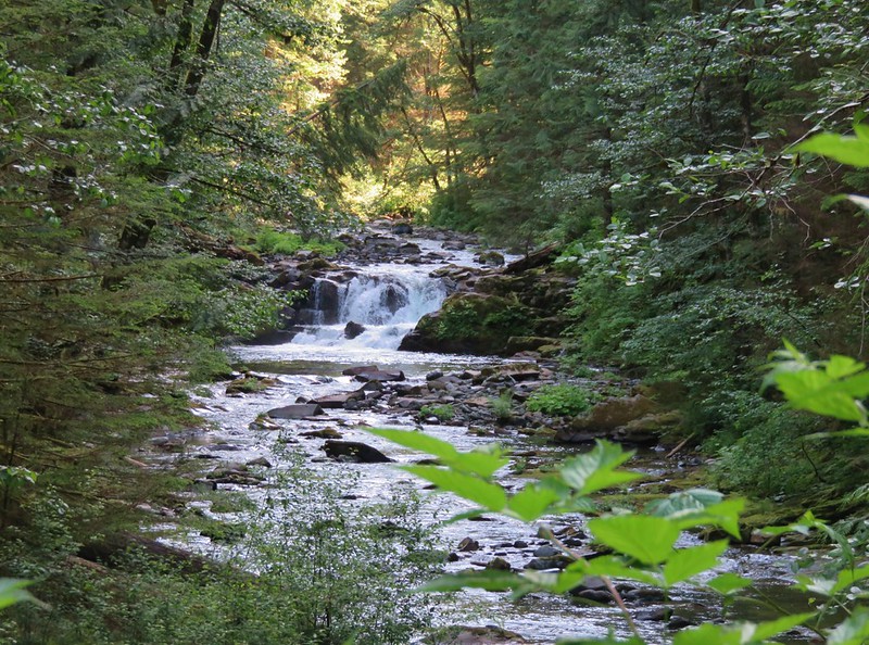
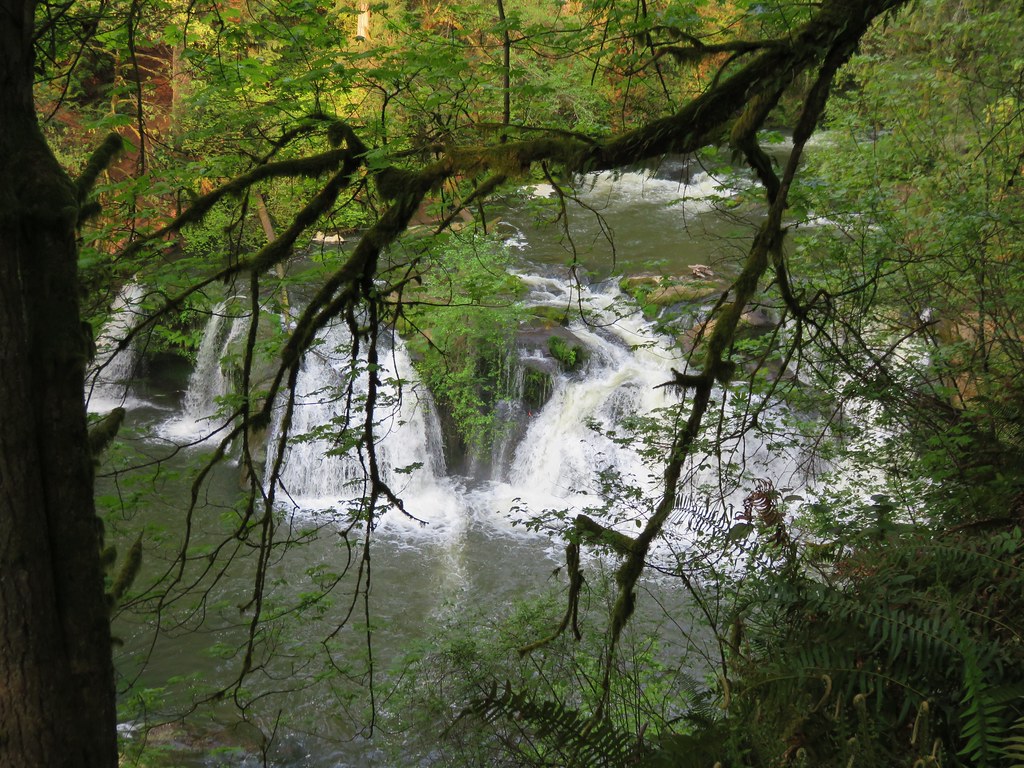
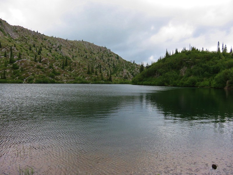
The Lakes Trail descended from Bear Pass toward Grizzly Lake.

A trail crew from the Washington Trails Association was busy brushing out the trail and restoring the tread along this section. They were doing some impressive work and we thanked them as we passed by.
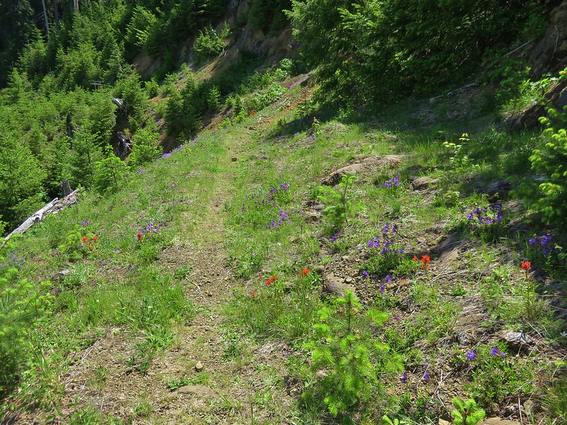
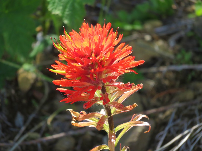
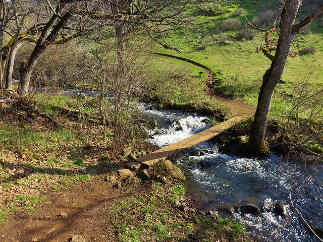
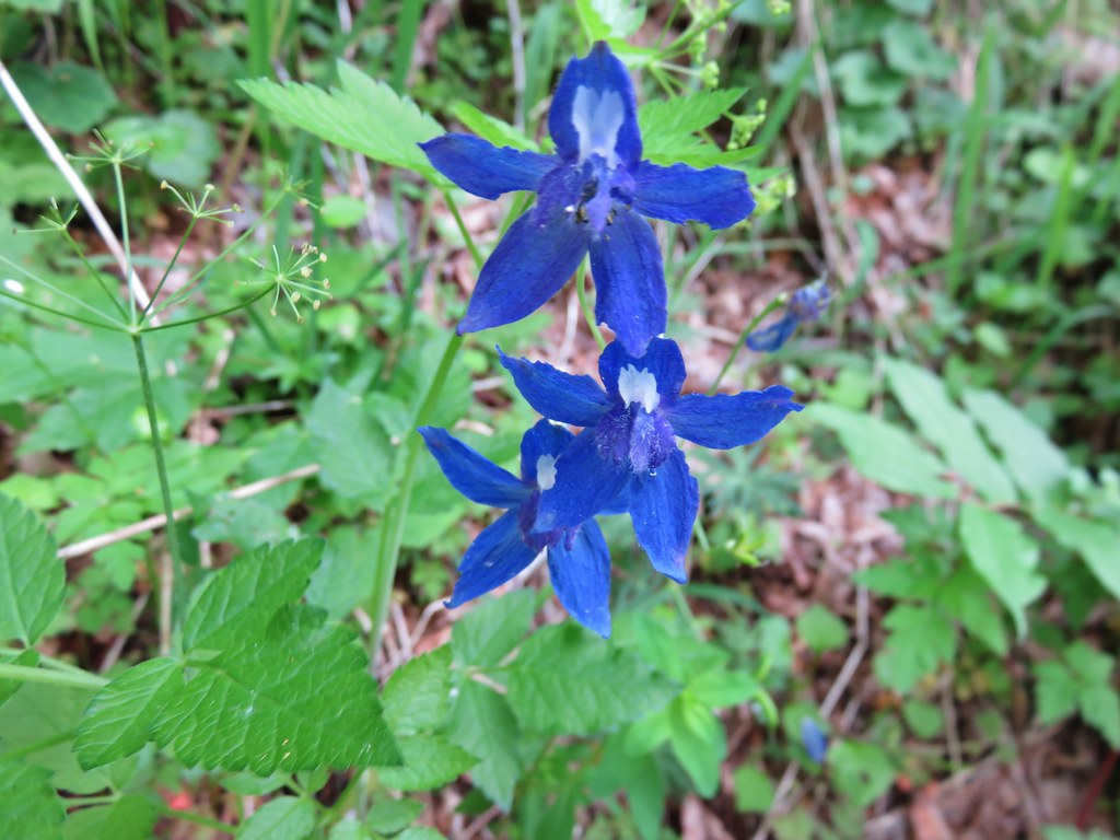
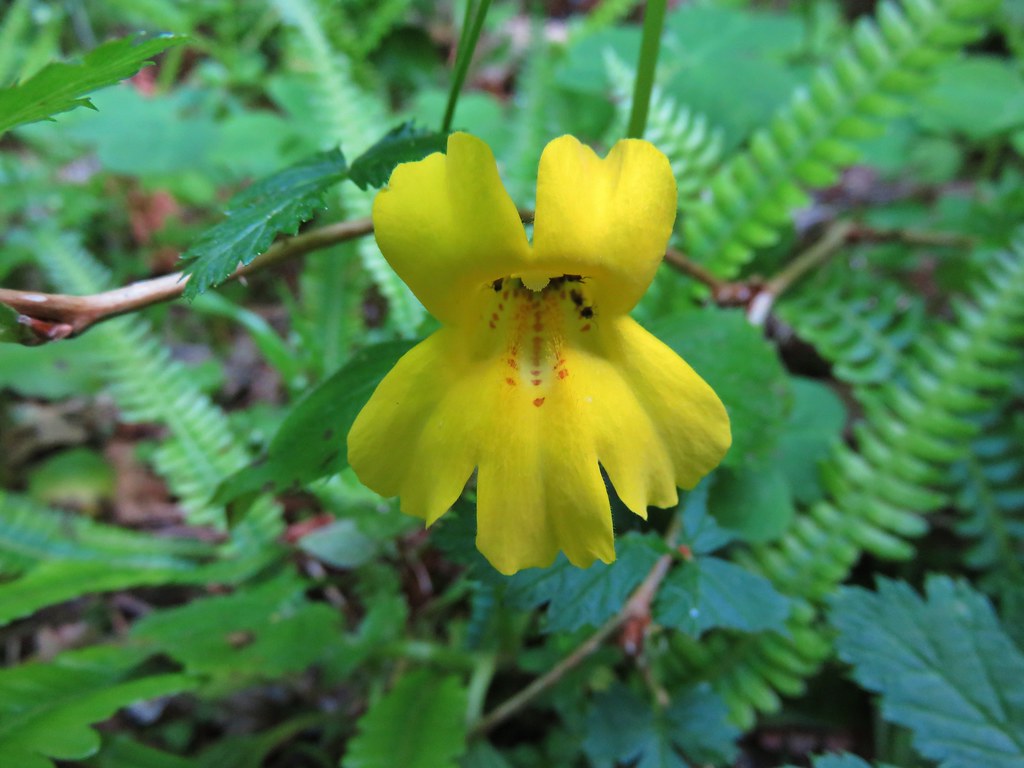
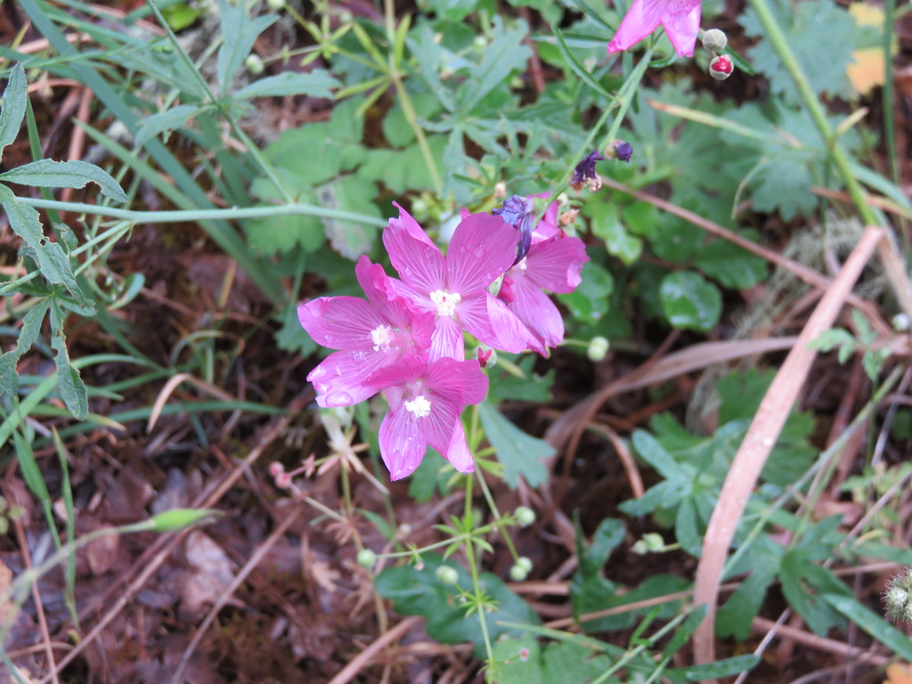
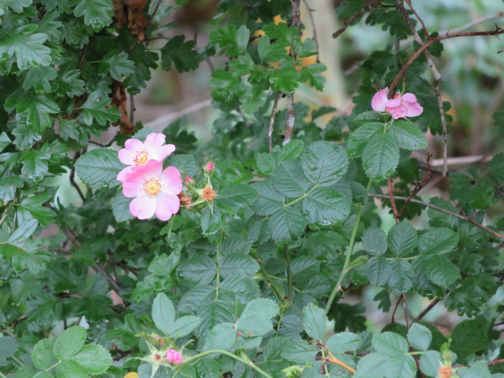
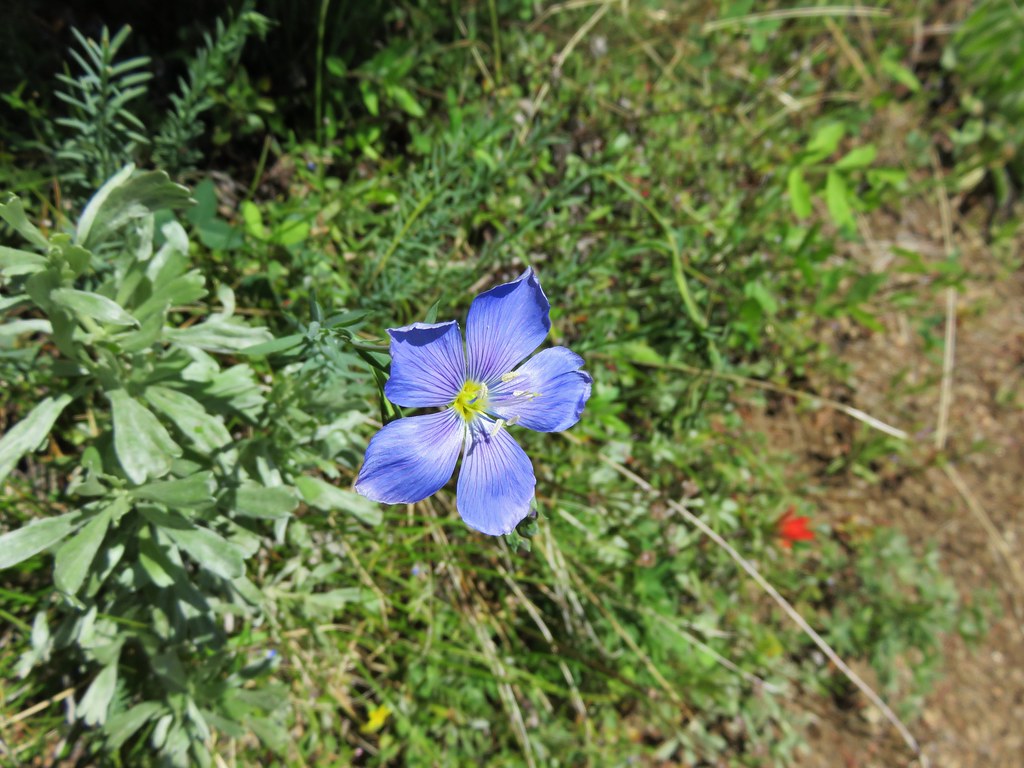
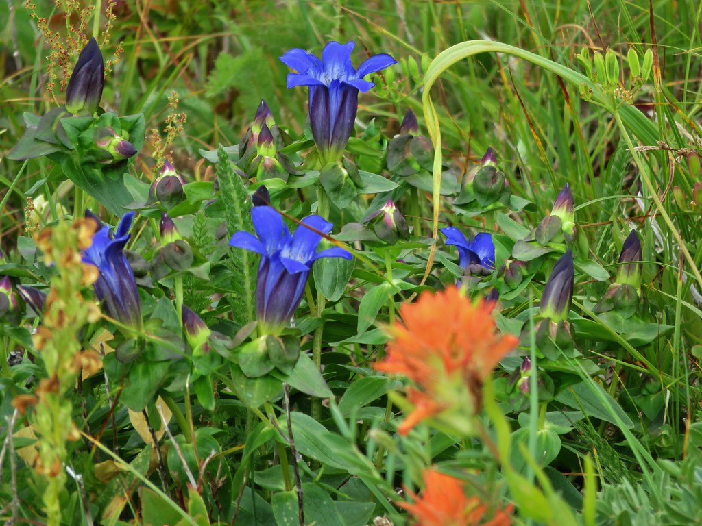
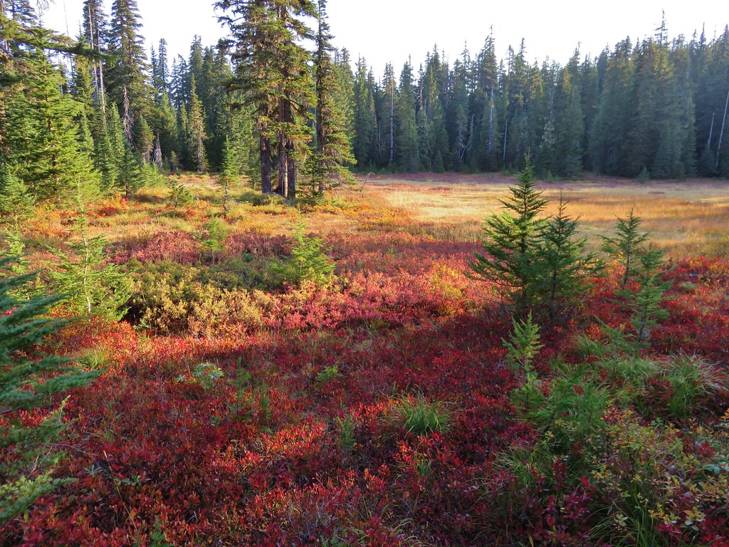
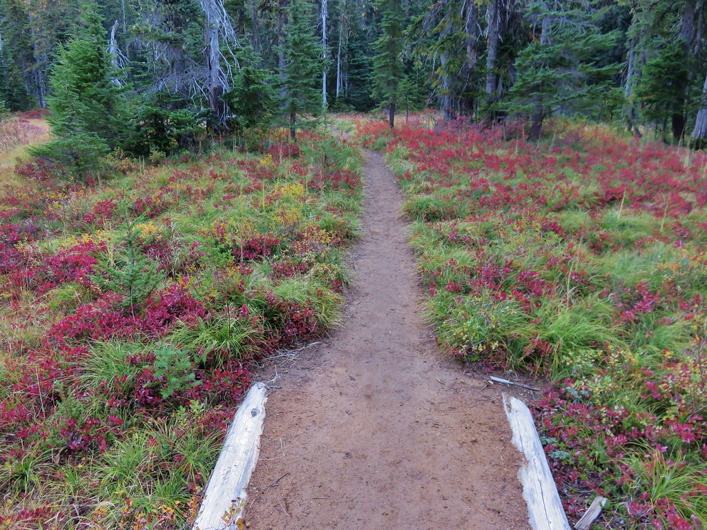
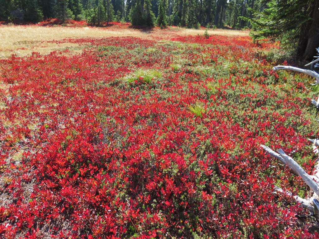
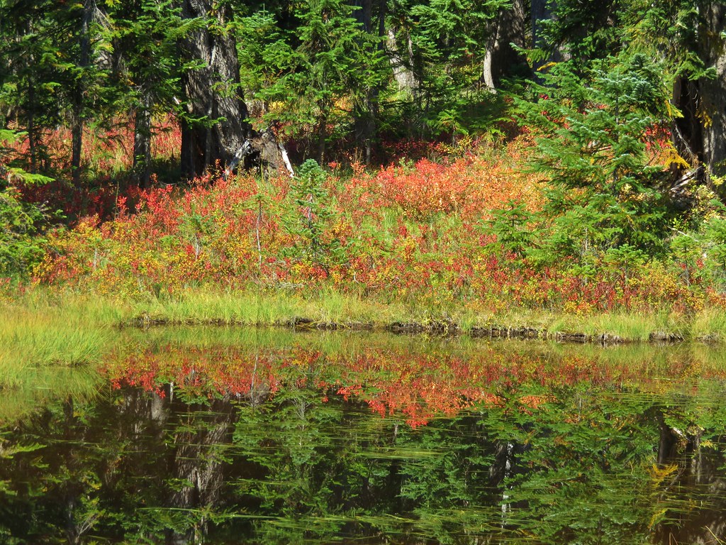
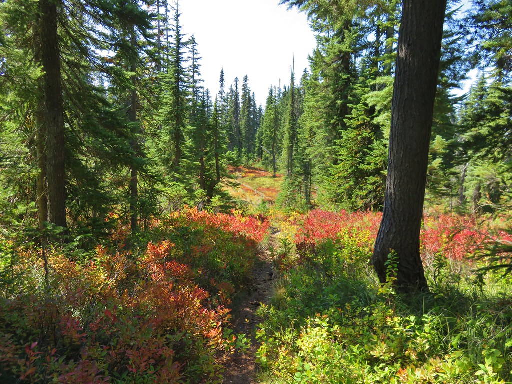
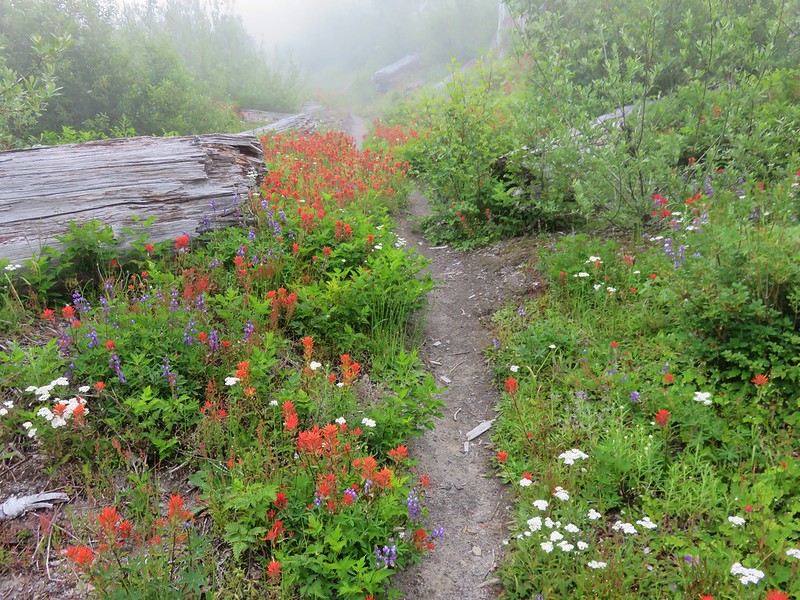
Between Grizzly Lake and our final destination at Obscurity Lake were more wildflowers including a few we hadn’t seen yet that day.
Partridge foot and paintbrush

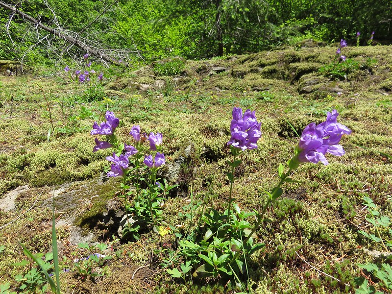
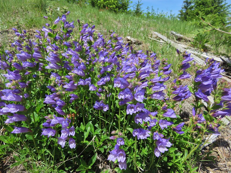
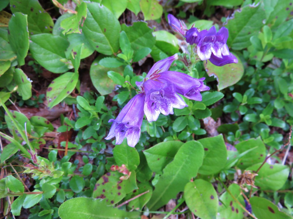
Penstemon and candyflower

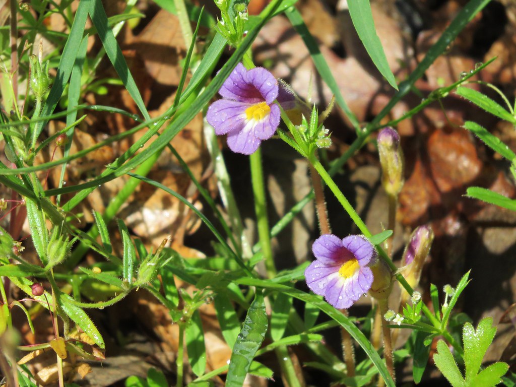
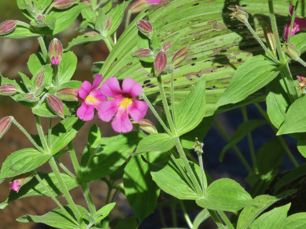
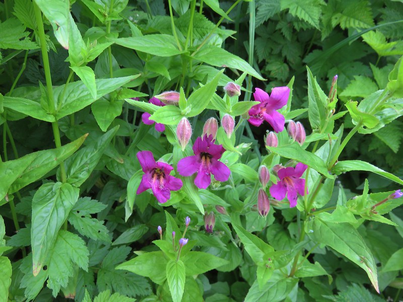
Pink monkeyflower
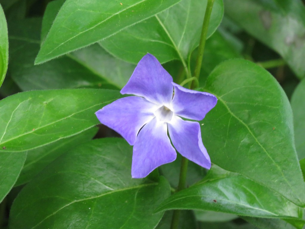
Blue-bells of Scotland
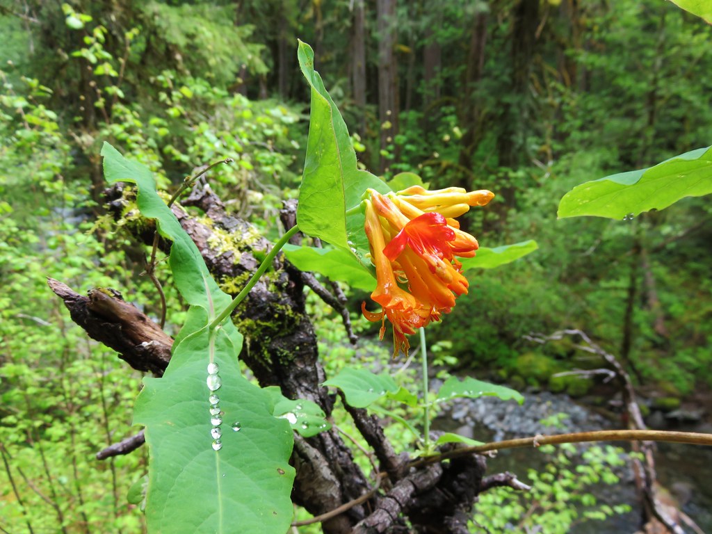
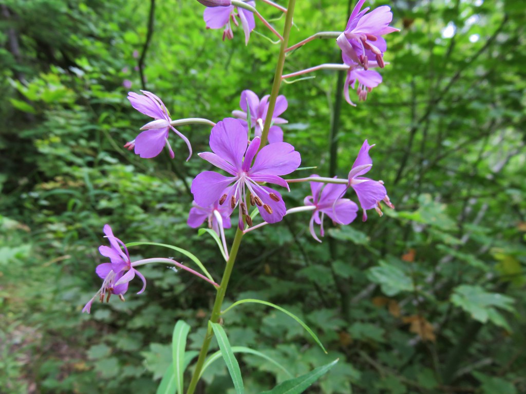
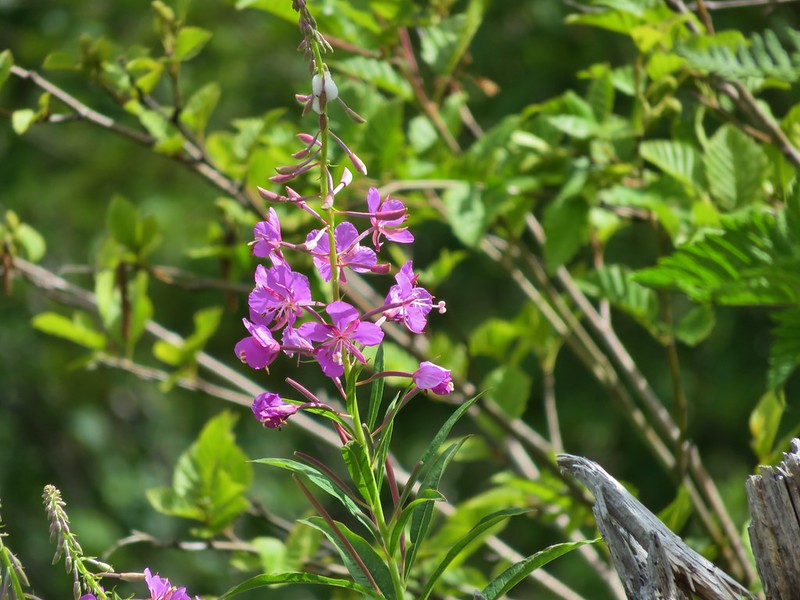
Fireweed
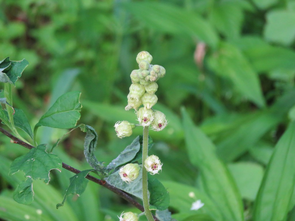
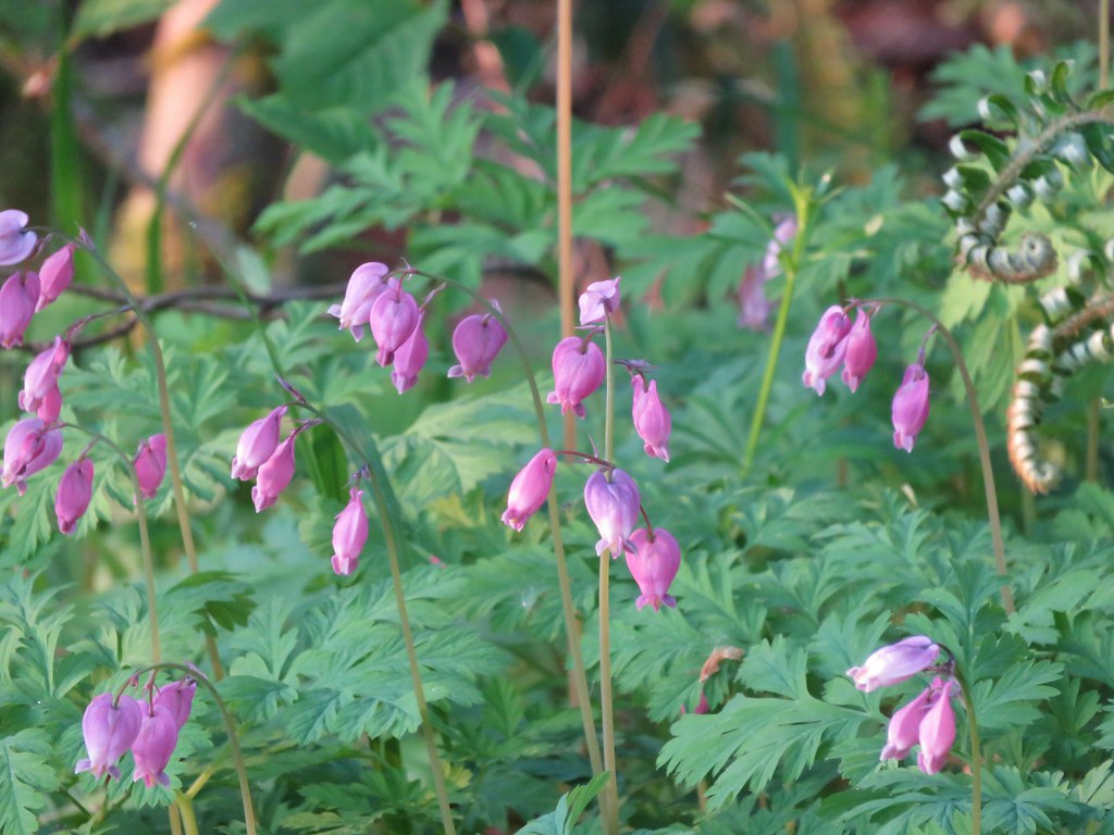
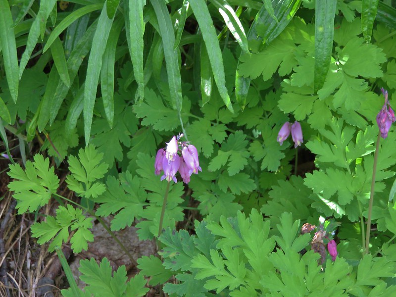
Bleeding heart
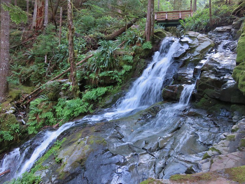
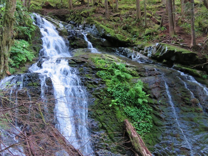
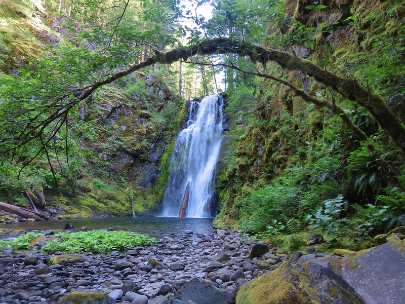
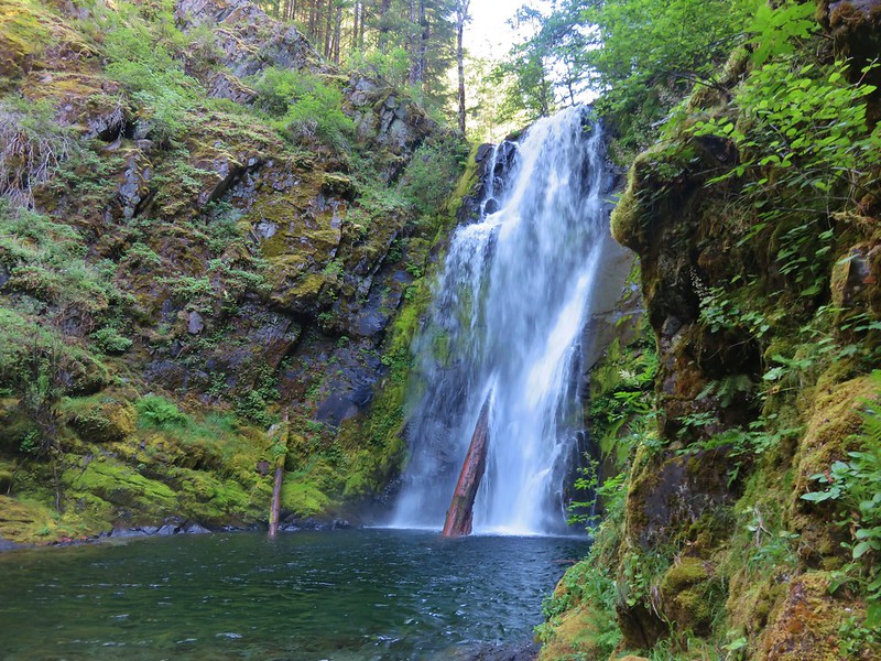
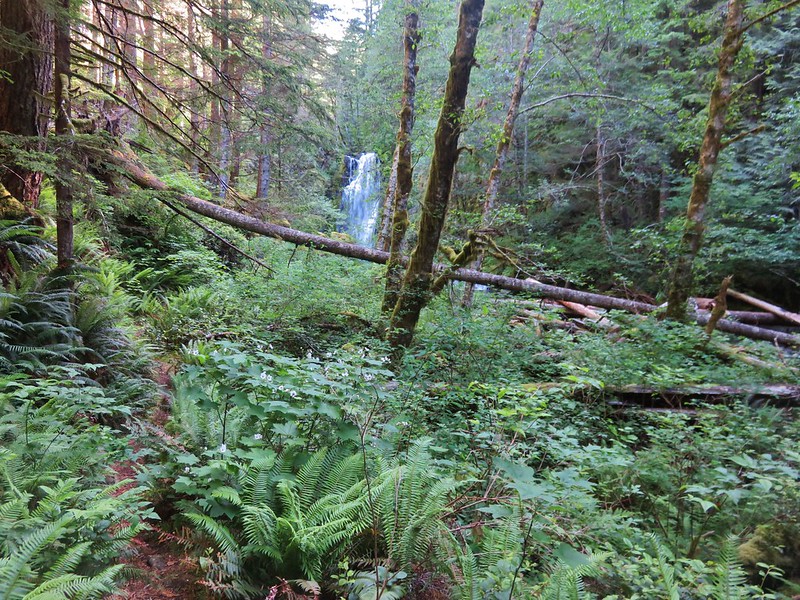
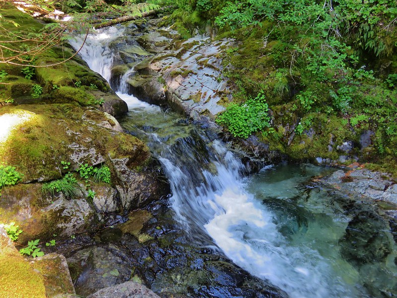
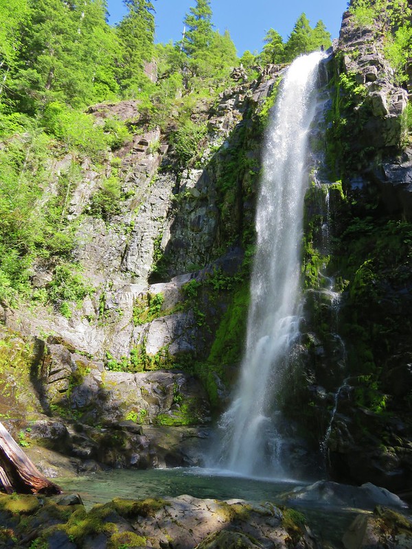
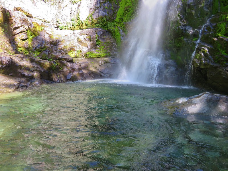
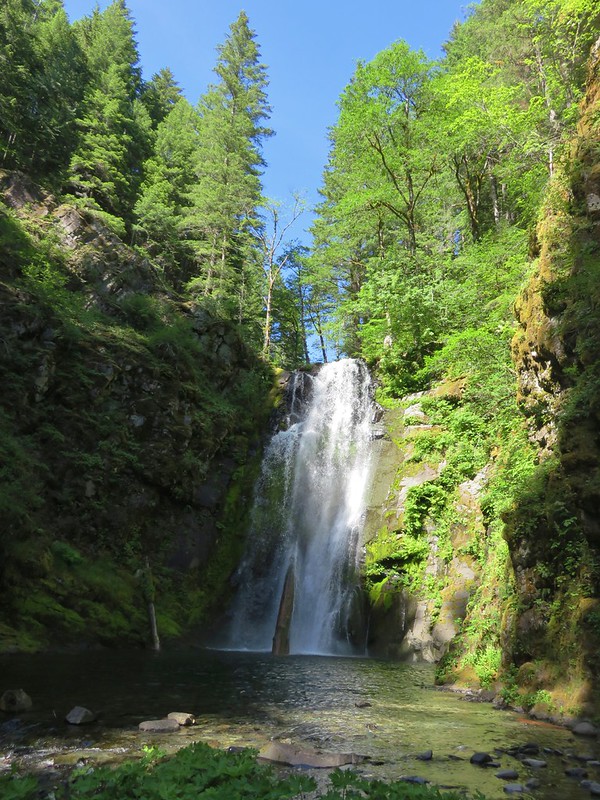
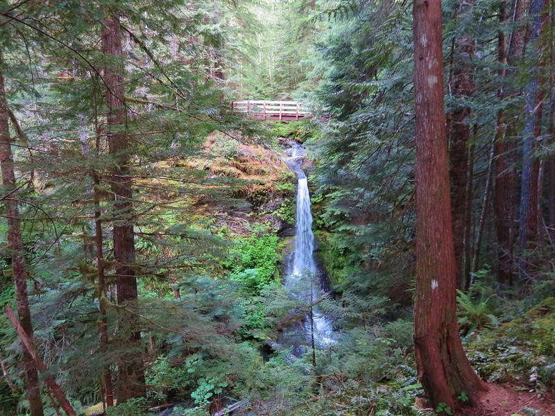
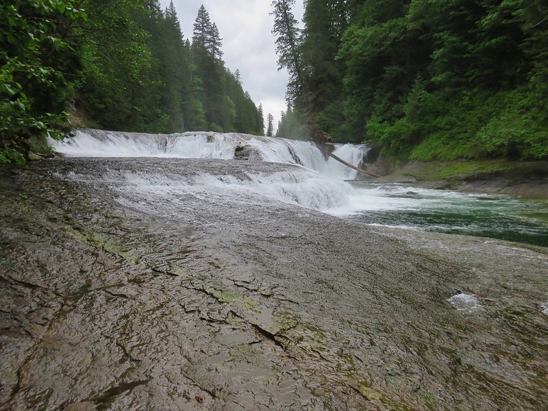
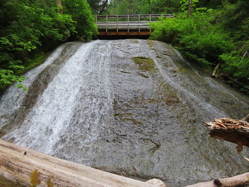
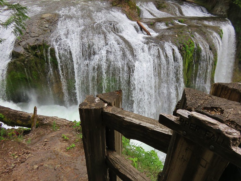
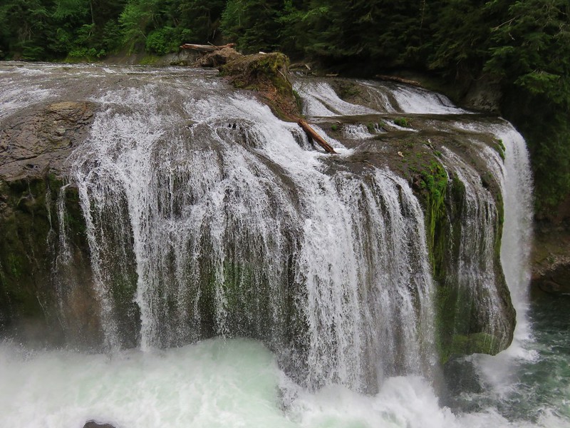
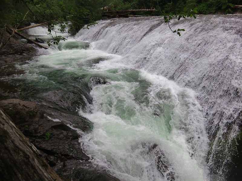
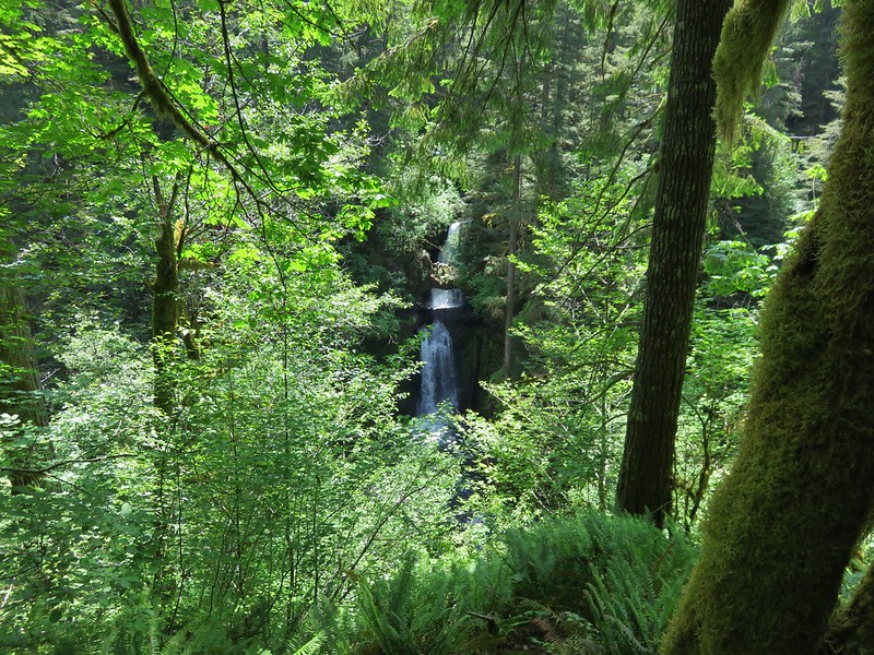
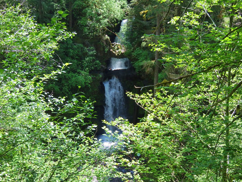
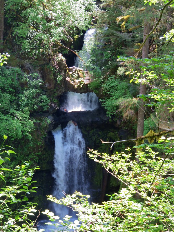
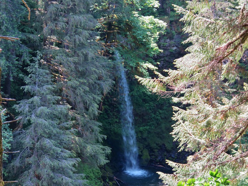
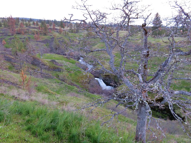
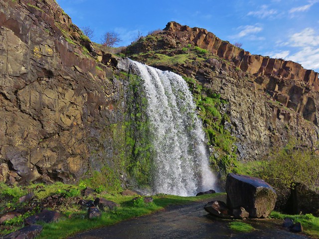
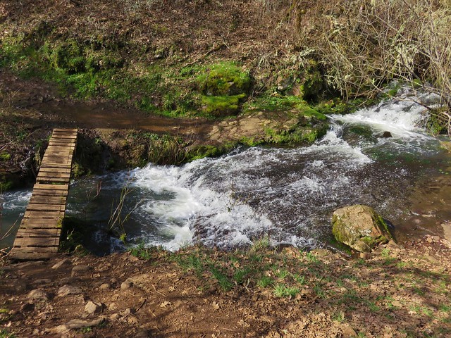
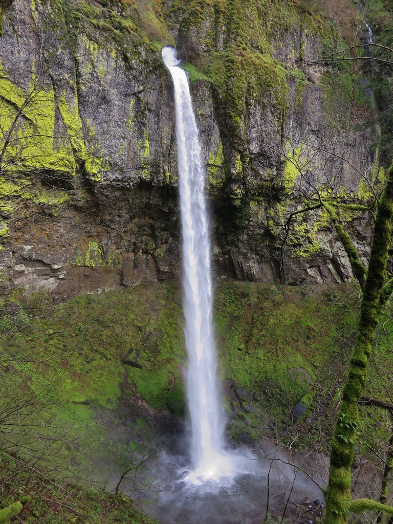
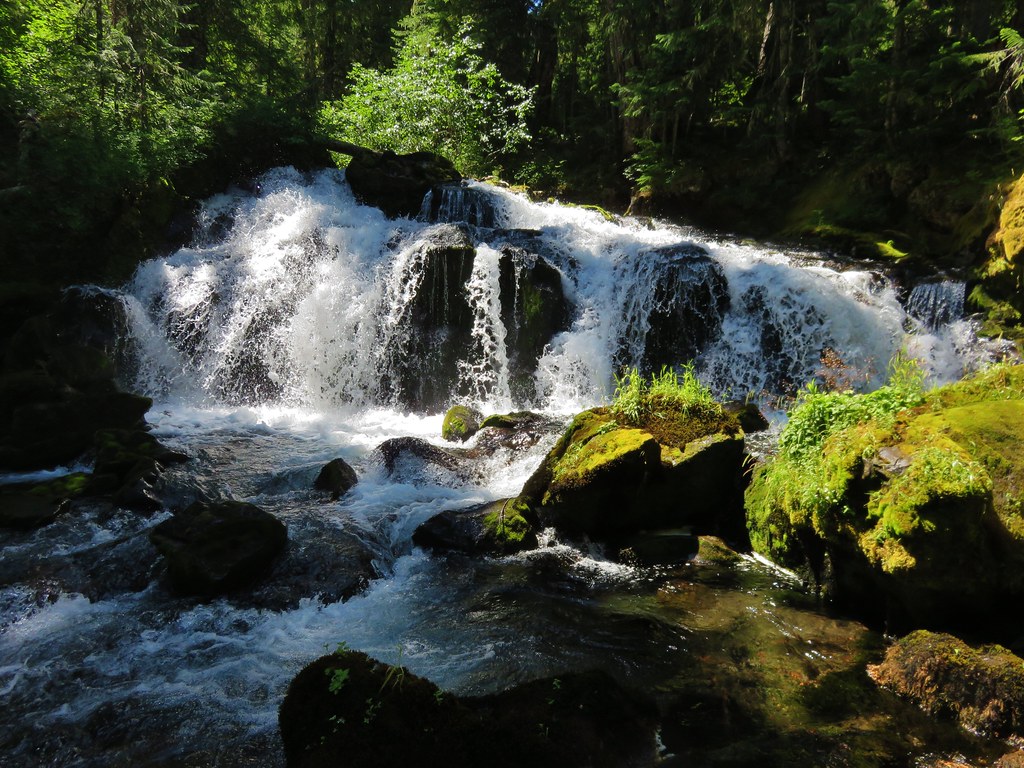
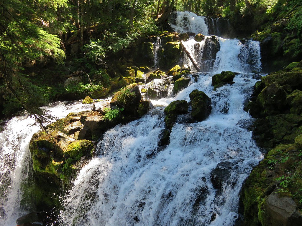
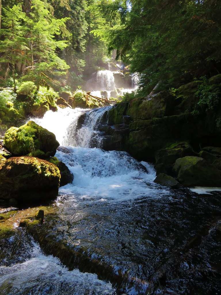
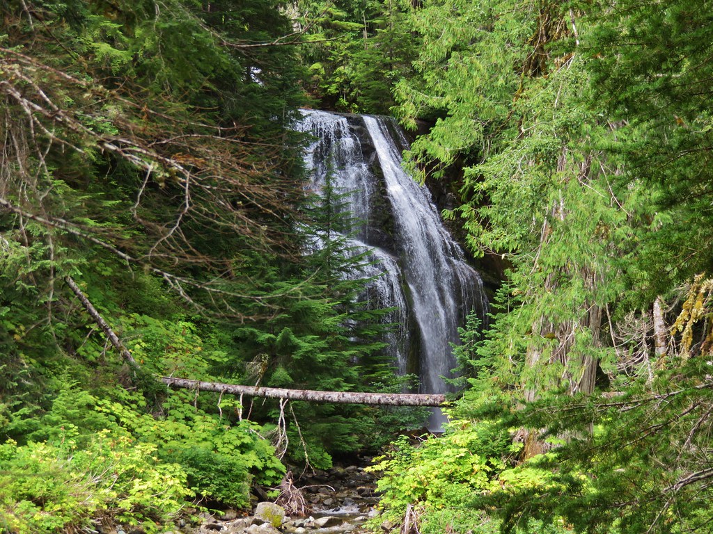
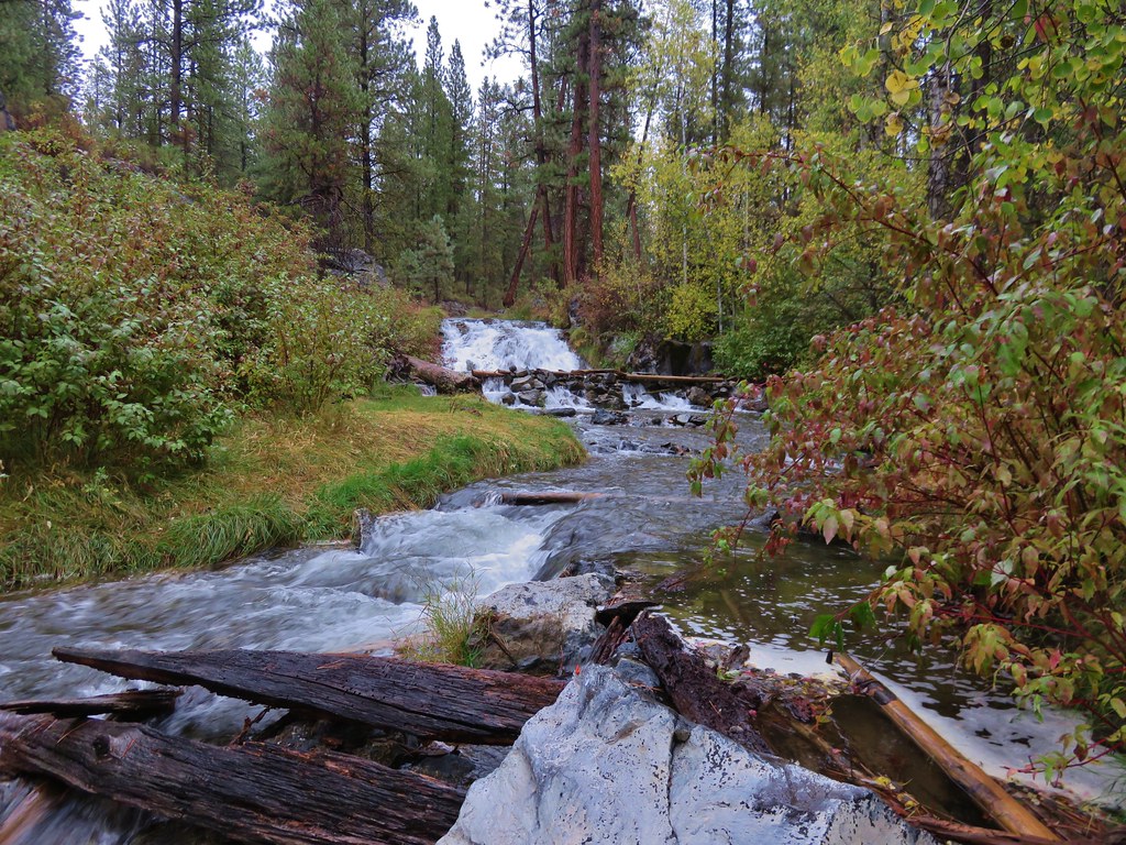
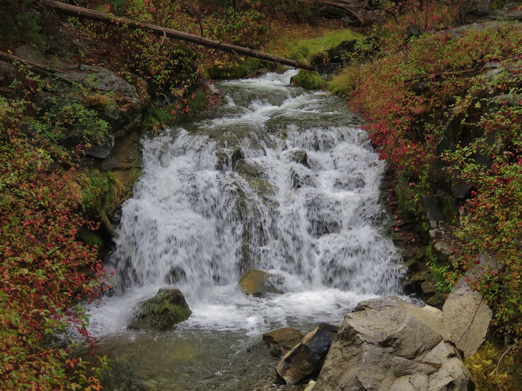
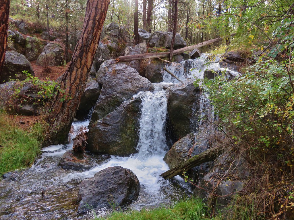
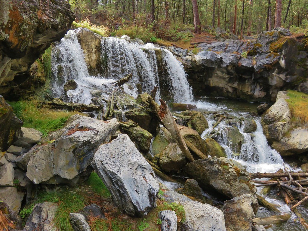
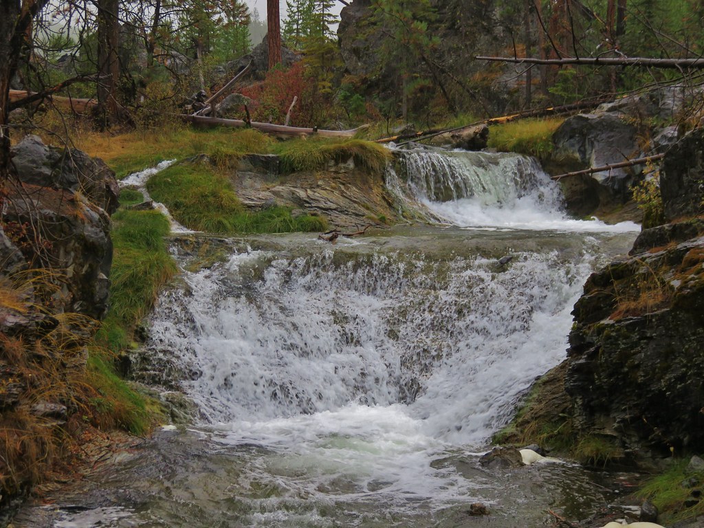
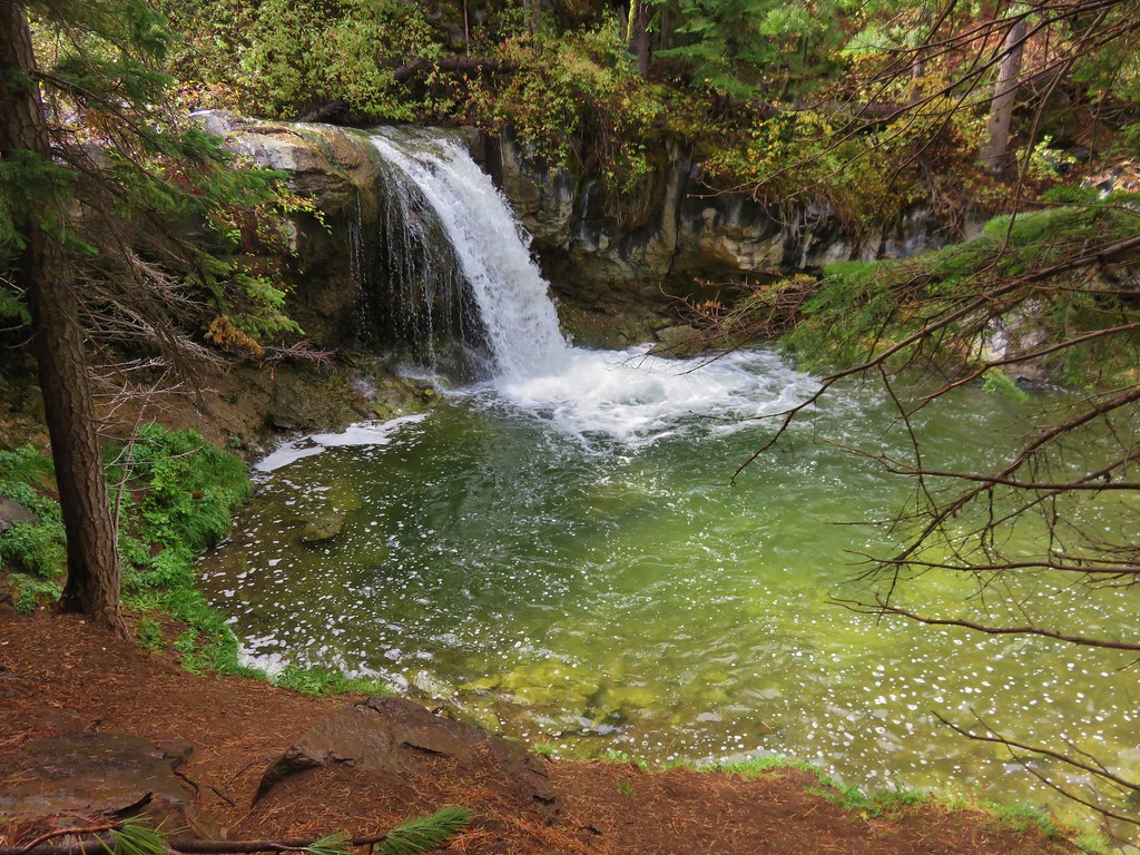
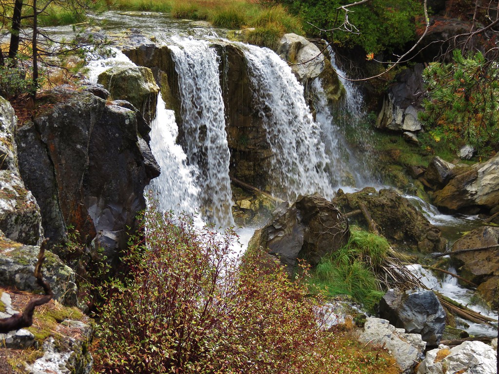
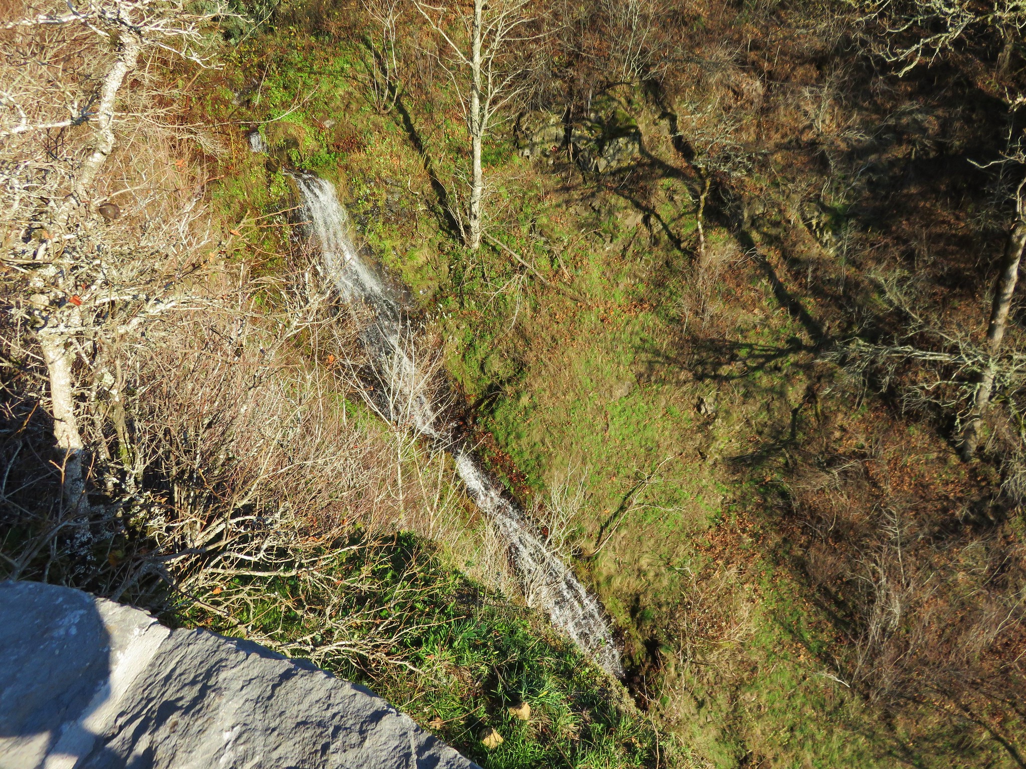
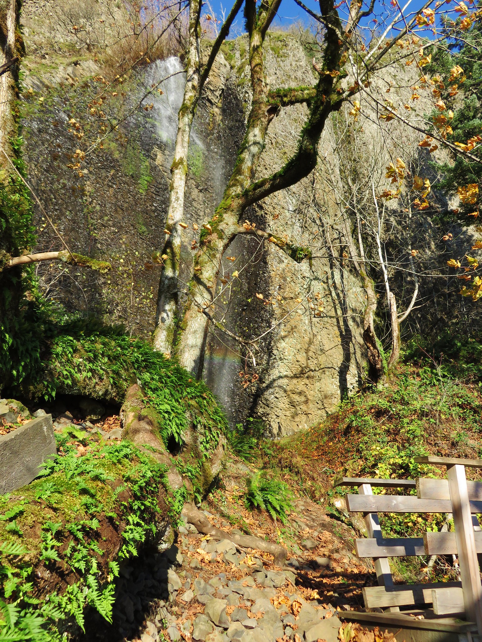
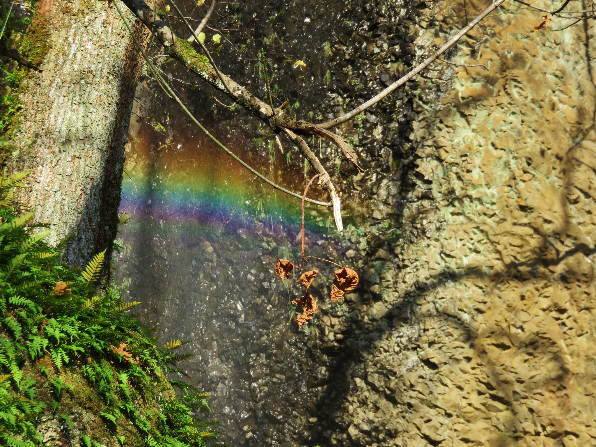
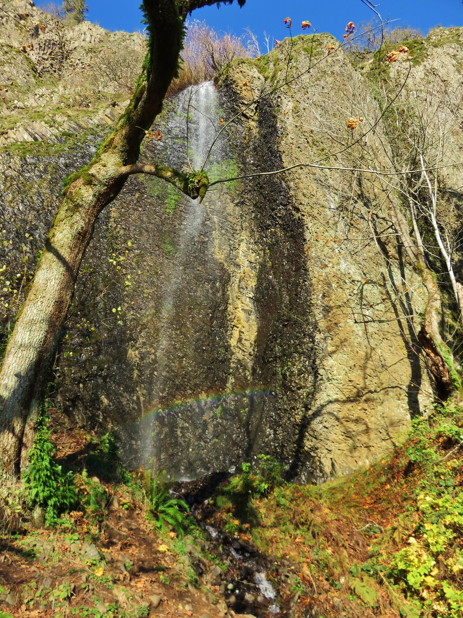
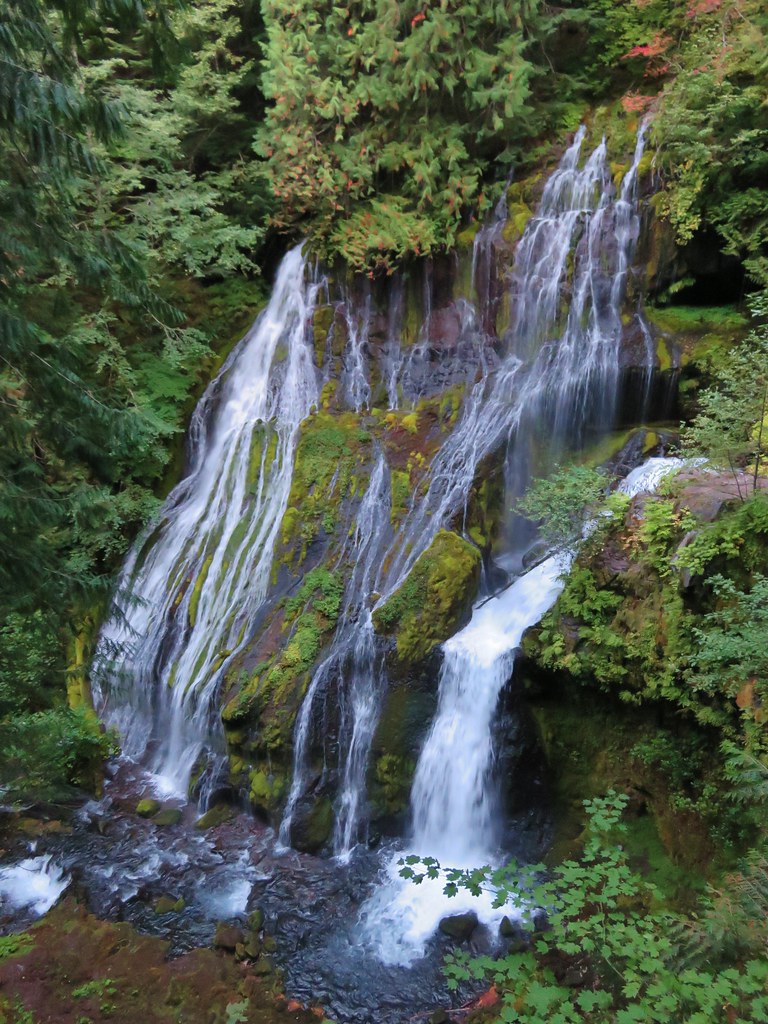
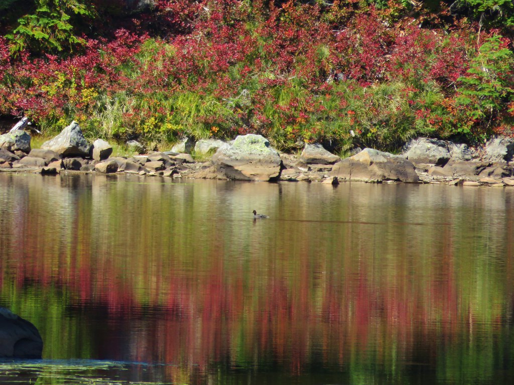
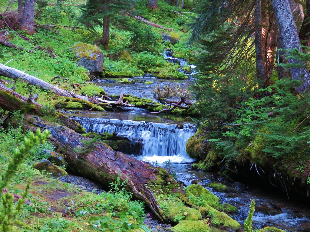
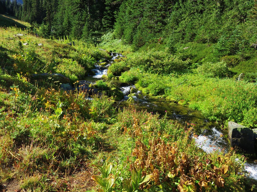
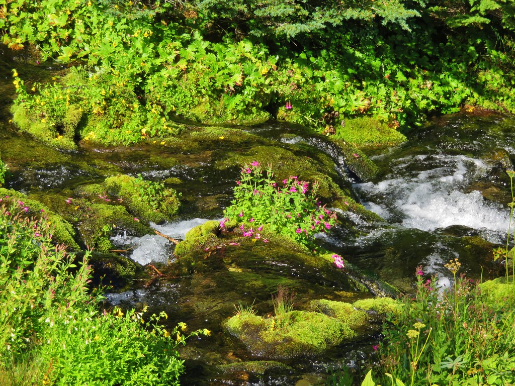
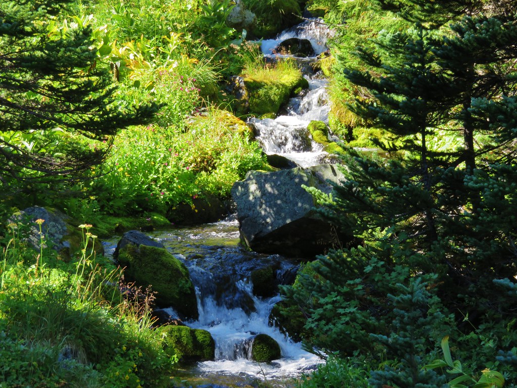
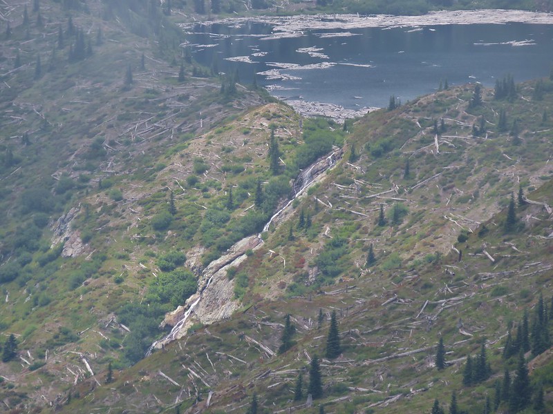
As we approached Obscurity Lake a waterfall was visible along the outlet creek of the lake.
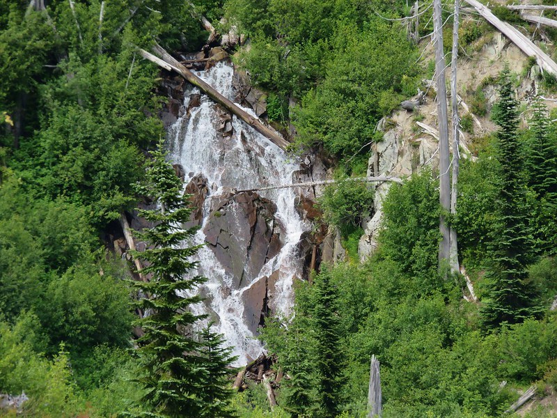
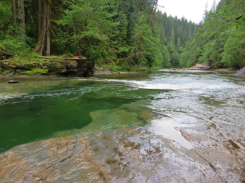
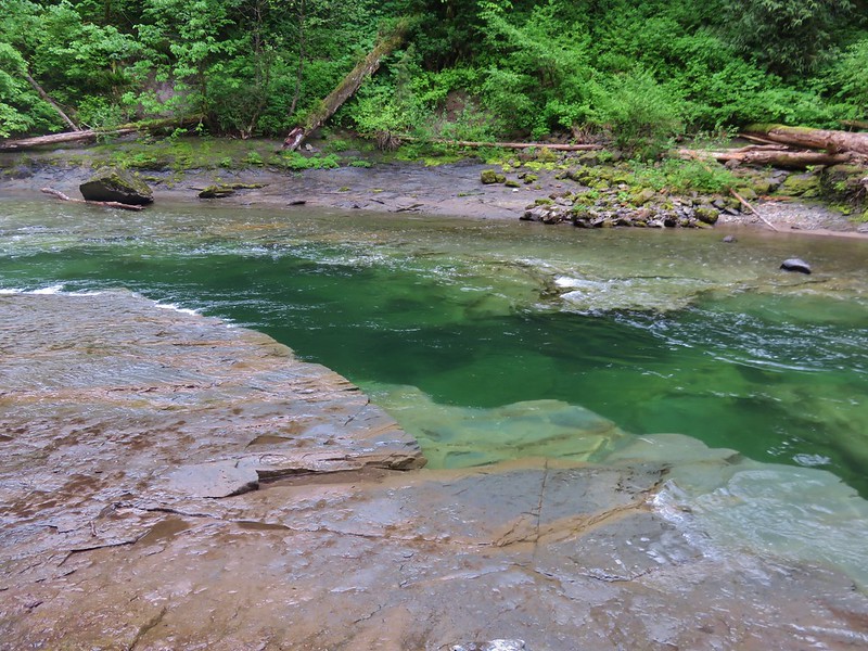
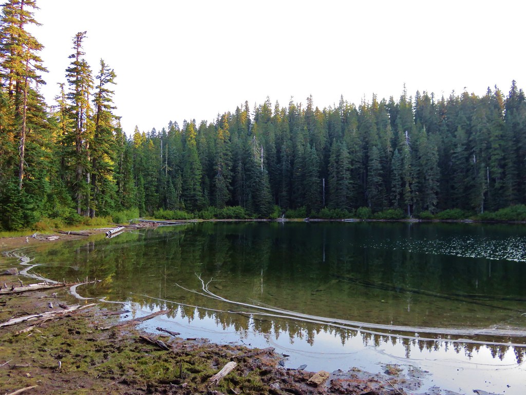
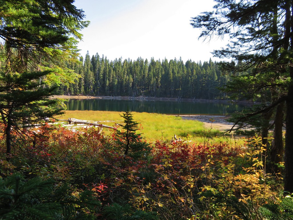
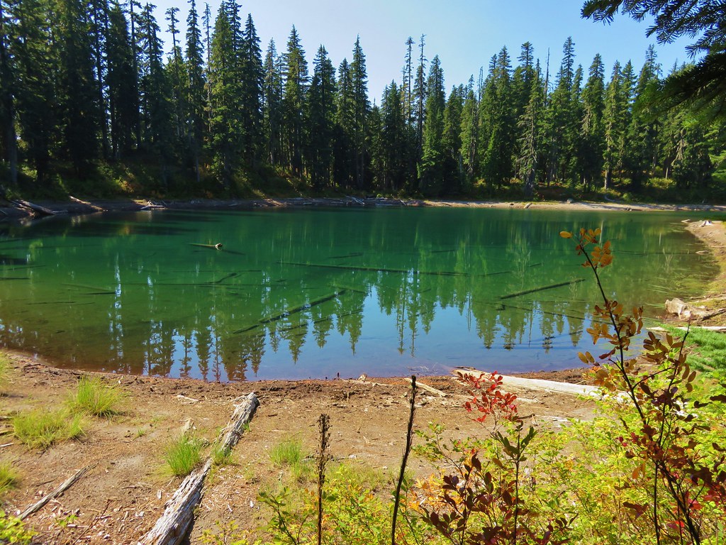
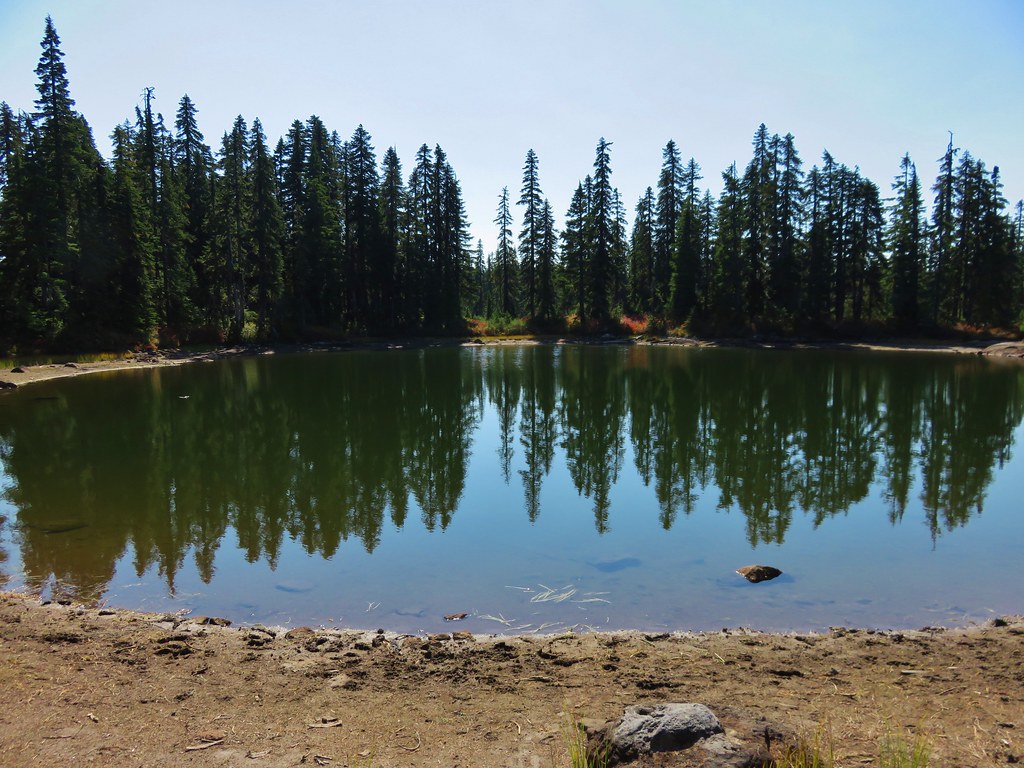
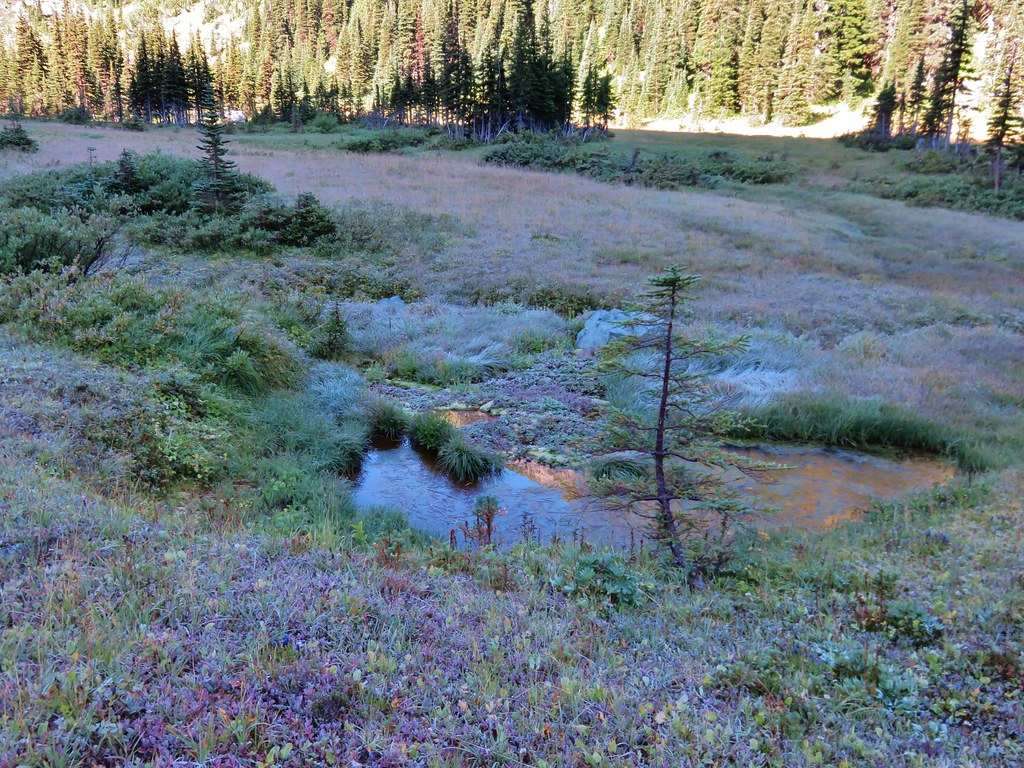
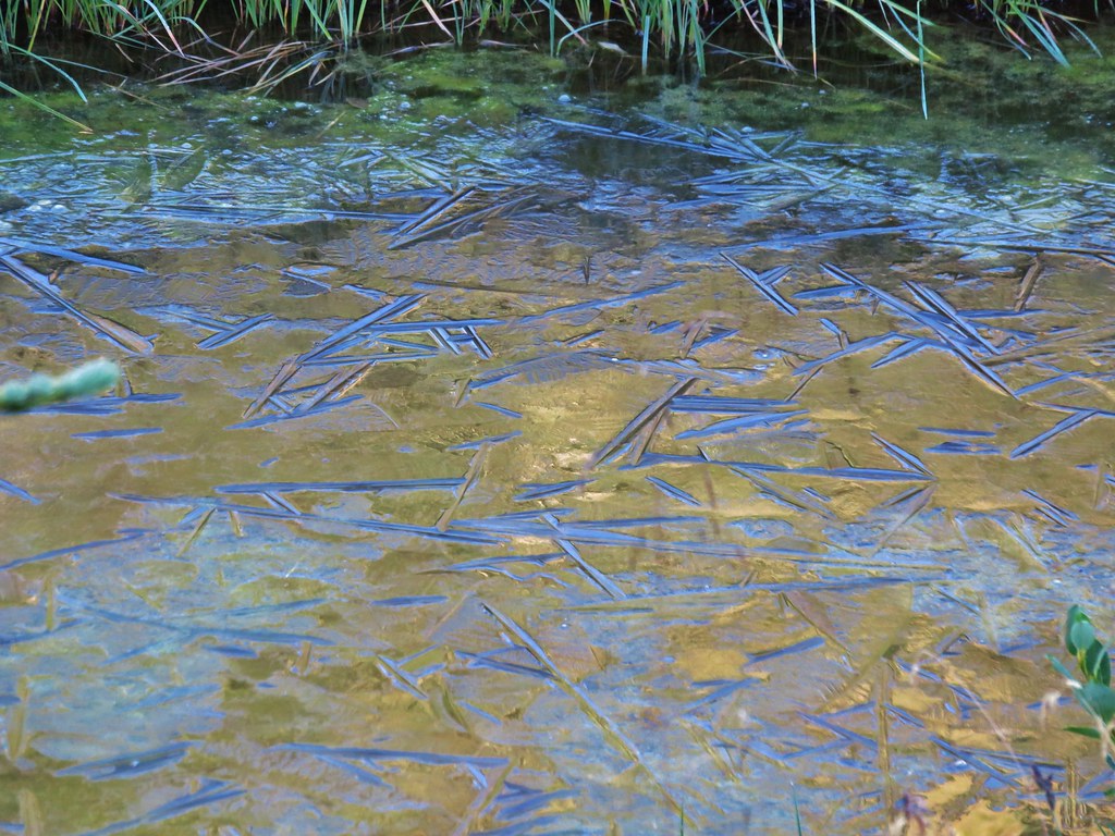
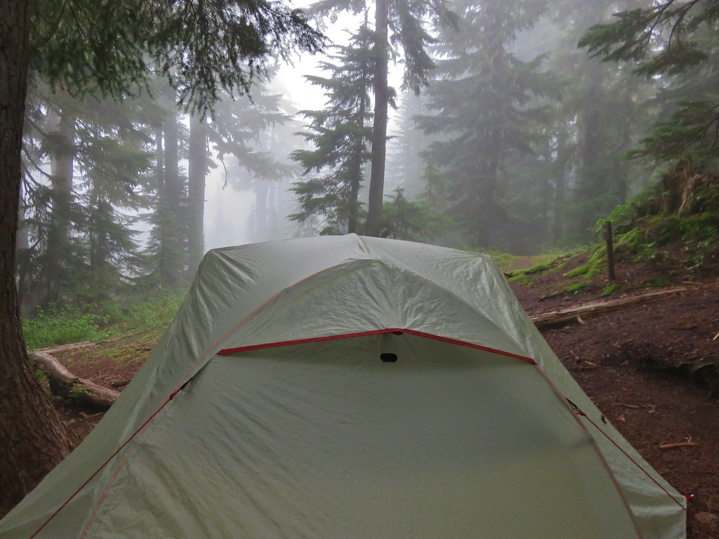
We finally arrived at Obscurity Lake after almost 16 miles of hiking.


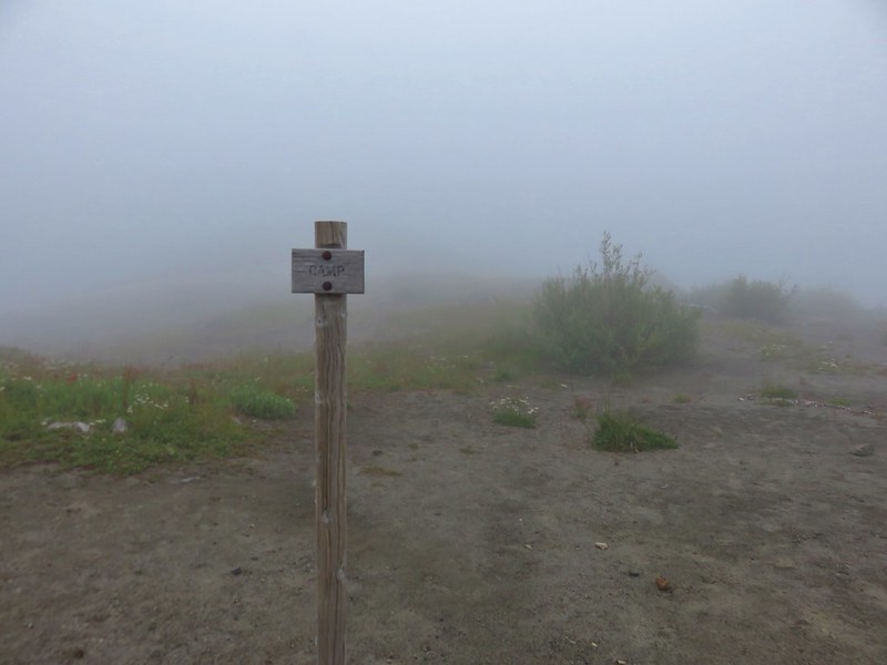
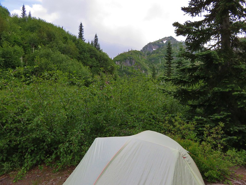
We thought the hard part was over but then we went in search of the designated camp site. We found one tent pad already occupied and began looking for a second one. When I had made the reservation on the Recreation.gov website there had been 2 available permits for up to 4 people. There were several areas where tents had obviously been placed in the past but we couldn’t find any other tent pad or post marking another designated site. The hikers from the other tent said they had not been able to find a second one either so we picked what seemed like the most likely spot where there was no vegetation to trample and set up the tent.
We hoped that we had picked the right spot and figured if we hadn’t and a ranger came along we’d just ask them where the other designated site was and move there if we had chosen poorly. Oddly enough a third tent had appeared when we awoke the next morning. I don’t know if they were possibly with the Forest Service, but if they weren’t someone was not where they should have been.
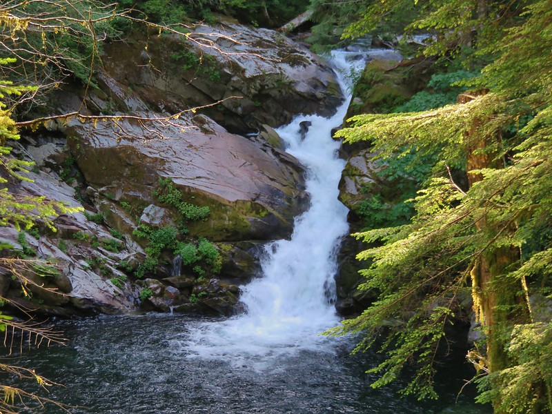
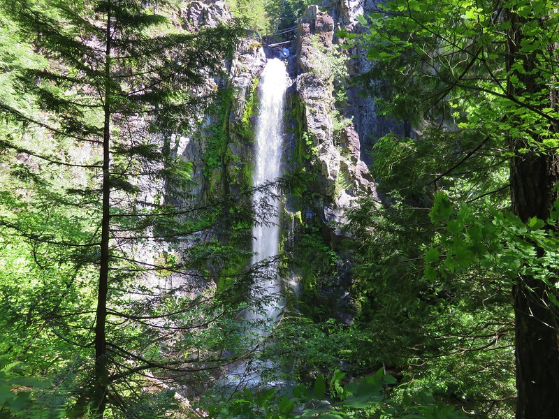
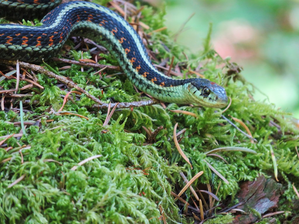
Regardless of the confusion over the camp sites the day had been pretty spectacular. The showers had never materialized and between the wildflowers, wildlife, and scattered views we did get we’d been totally entertained. The clouds just made us more eager to come back again someday in the future so we could see what we missed this time around. Happy Trails!
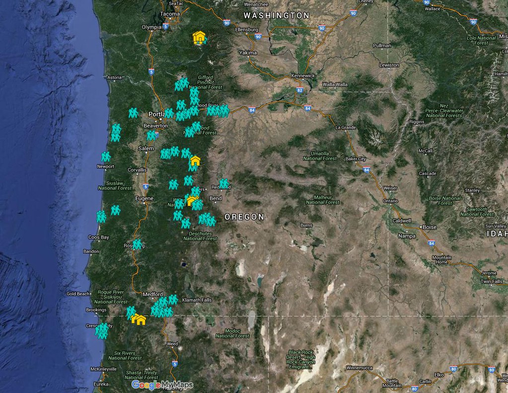
Flickr: https://www.flickr.com/photos/9319235@N02/albums/72157668318616563