
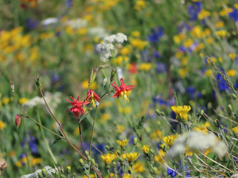
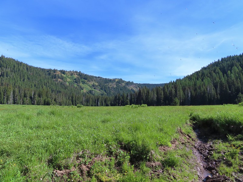
The late snow melt in in SW Washington had prompted us to push a planned hike to Silver Star Mountain at the end of June to next year but when we found ourselves in need of a substitute for another hike we took the opportunity to pull it back into this year. This would be our fourth visit to Silver Star Mountain having previously taken Ed’s Trail in 2013 (post), the Bluff Mountain Trail in 2015 (post), and the Grouse Vista Trail in 2019 (post). Those hikes had taken place on July 1st, June 27th, and June 24th respectively so this was a later visit for us, but we knew that the late snow melt had delayed the wildflower display so we still expected to get to experience that.
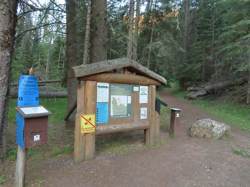
Our inspiration for this visit came from Matt Reeder’s “Off the Beaten Trail” (2nd edition) which was printed in 2019. Reeder calls the hike to Silver Star Mountain via the Starway Trail as “by far the most difficult….”. He also mentions that the last two miles of driving on FR 41 to reach the trailhead are “potholed and rocky” while the Forest Service states “Trailhead is best accessed by high clearance vehicles due to rough road conditions.” The Washington Trail Association also mentions that “…most of the roads accessing the trailhead have been severely degraded…” This last description was probably the most accurate description of what we encountered for the final 3 miles on FR 41. The road didn’t have pot holes, it had craters. Our Outback scrapped the ground twice emerging from said craters and I can’t imagine how a low clearance vehicle could make it given the current condition of the road. In fact there was a sign at the Sunset Falls Campground with slash going through a low clearance vehicle. We parked at a pullout near a gate at the FR 41/FR 4107 junction. Reeder mentions that you can drive 4107 approximately a half mile to the start of the actual Starway Trail at Copper Creek but if the gate gets closed your stuck. Looking at the gate we weren’t sure if it even still closed but we were more than done with driving at that point.

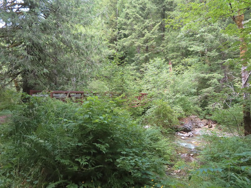
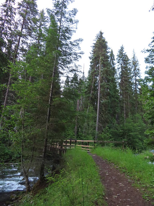
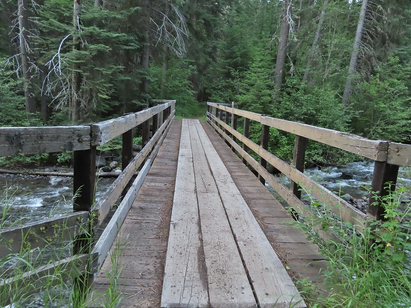
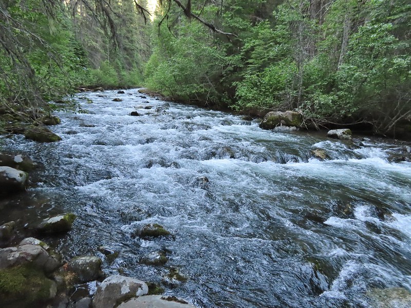
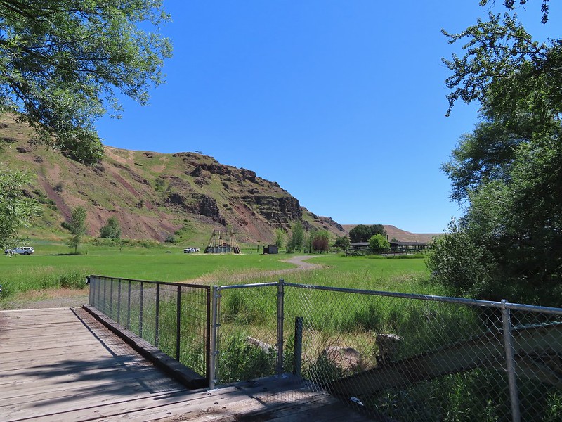
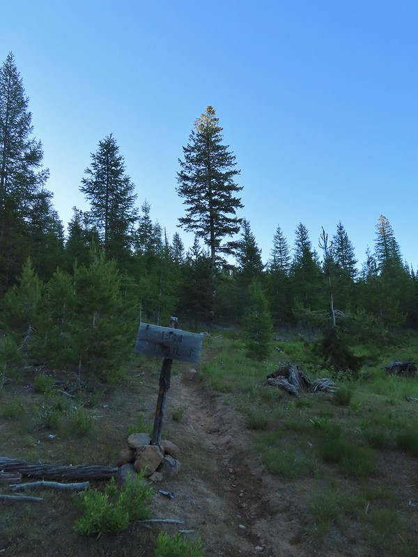
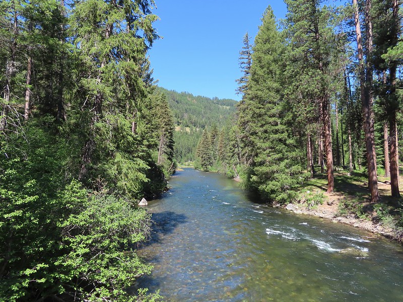
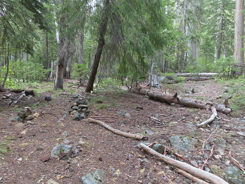
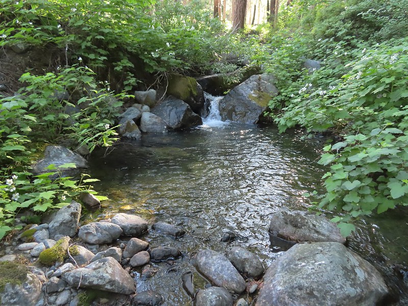
We headed down this one lane road approximately a half mile to a small parking area near a bridge over Copper Creek.


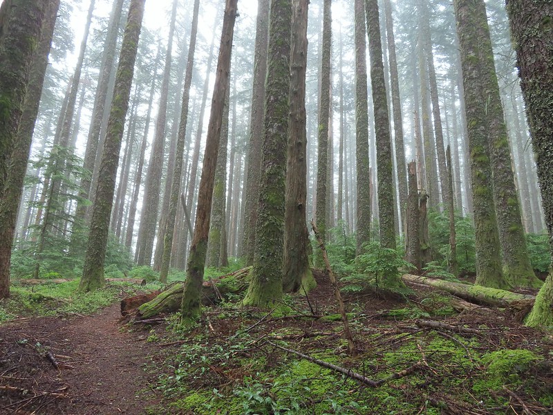
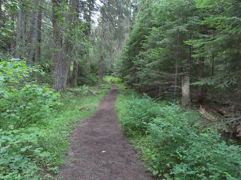
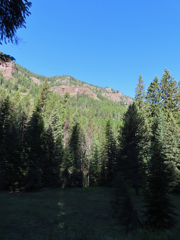
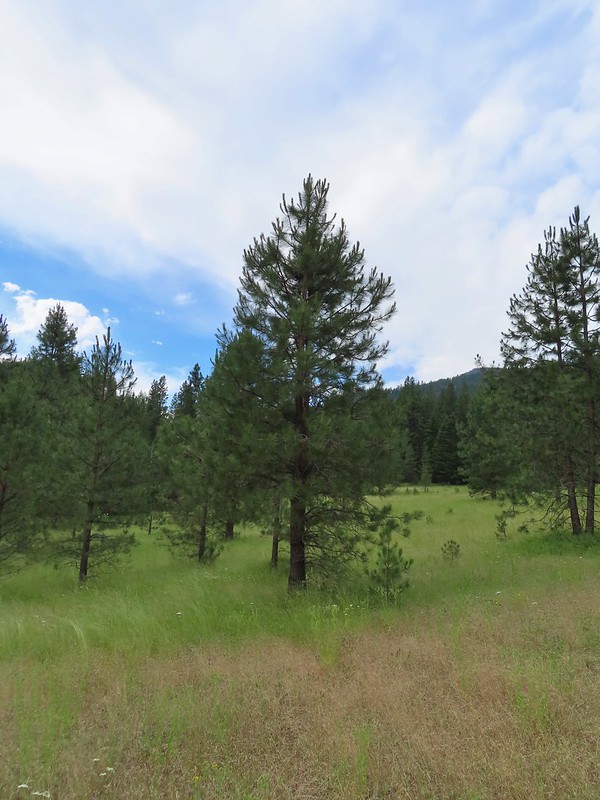
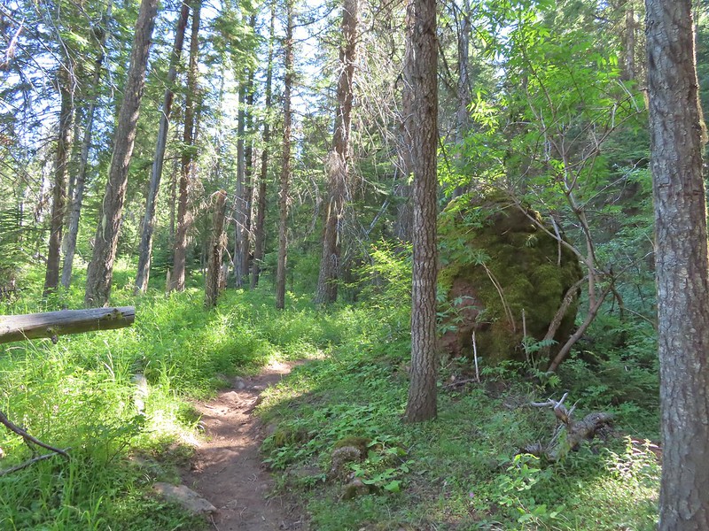
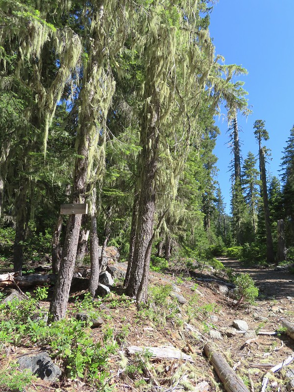
It was an overcast morning which was a welcome sight for this hike. Reeder had recommended not attempting this hike on warmer days due to the steepness of the climbs. The forecast for Silver Star was for a high in the low 60’s with partly sunny skies. We hopped that by the time we reached Silver Star we’d be greeted by those partly sunny skies, but the low 60’s temperatures were what we were really after. Beyond Copper Creek the trail followed an old road bed as it gradually climbed for a little over a quarter of a mile to a fork.
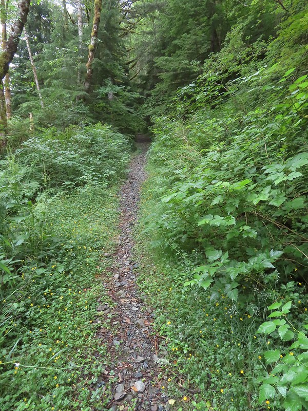 Overgrown roadbed that is now the Starway Trail.
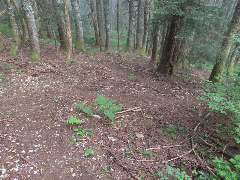
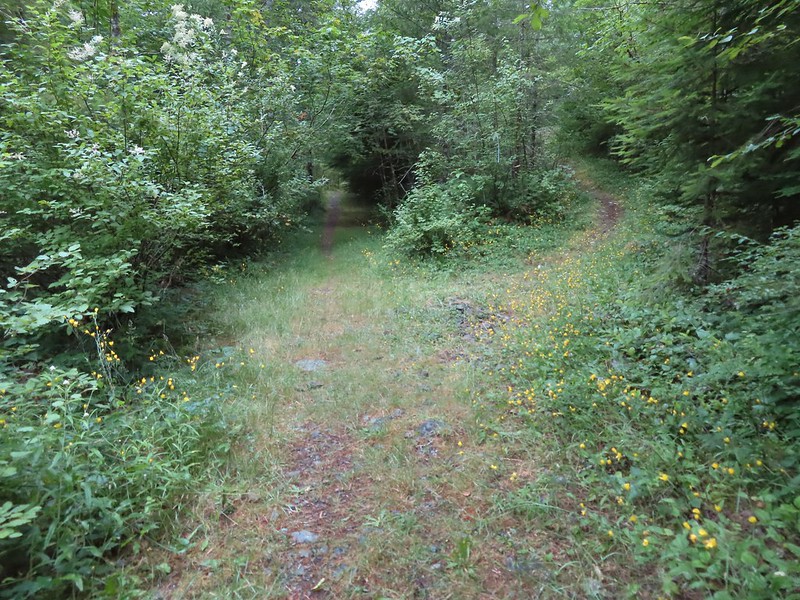 The fork with the Starway Trail to the right.
The trail began to steepen here but didn’t really pick up steam until reaching a couple of switchbacks 0.4 miles from the fork.
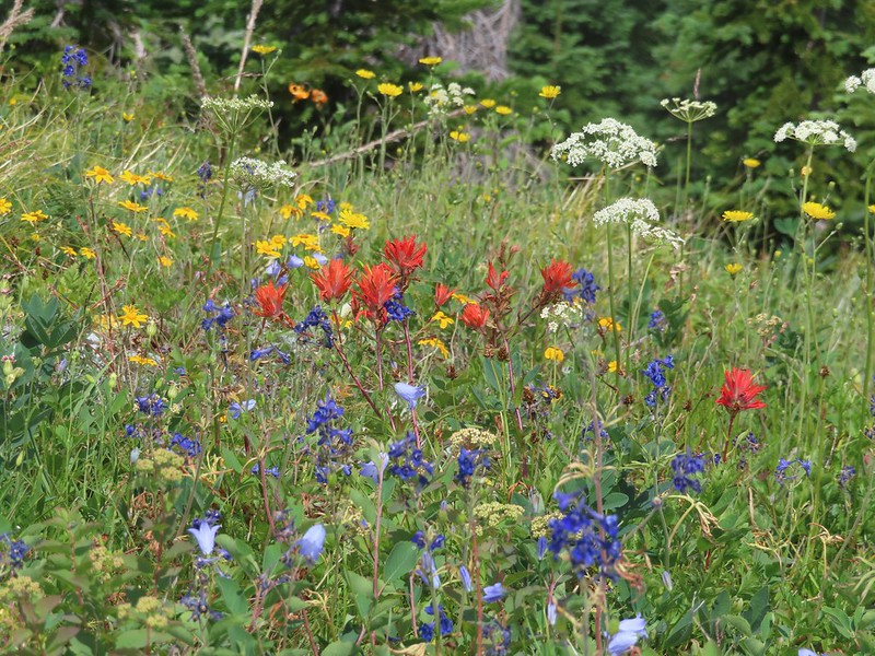
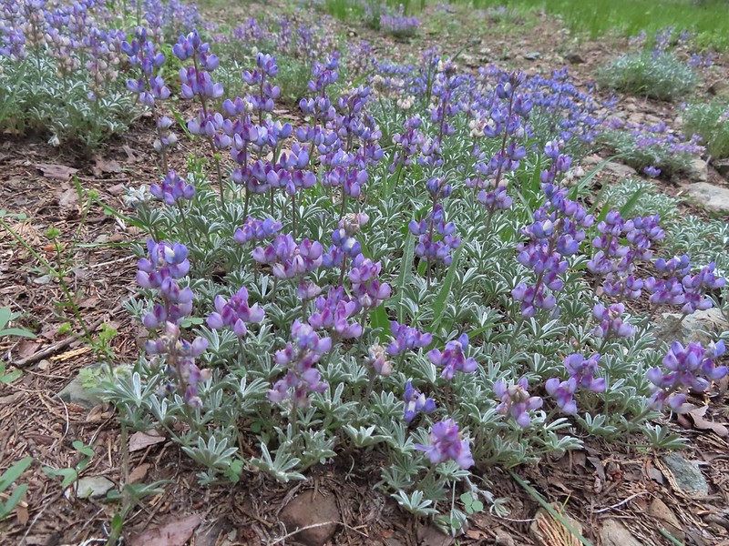
 Scouler’s bluebells
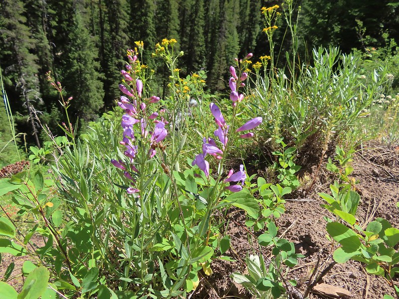
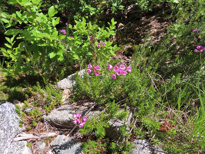
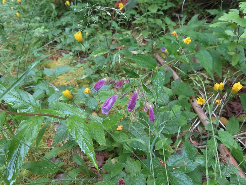 Beardstongue
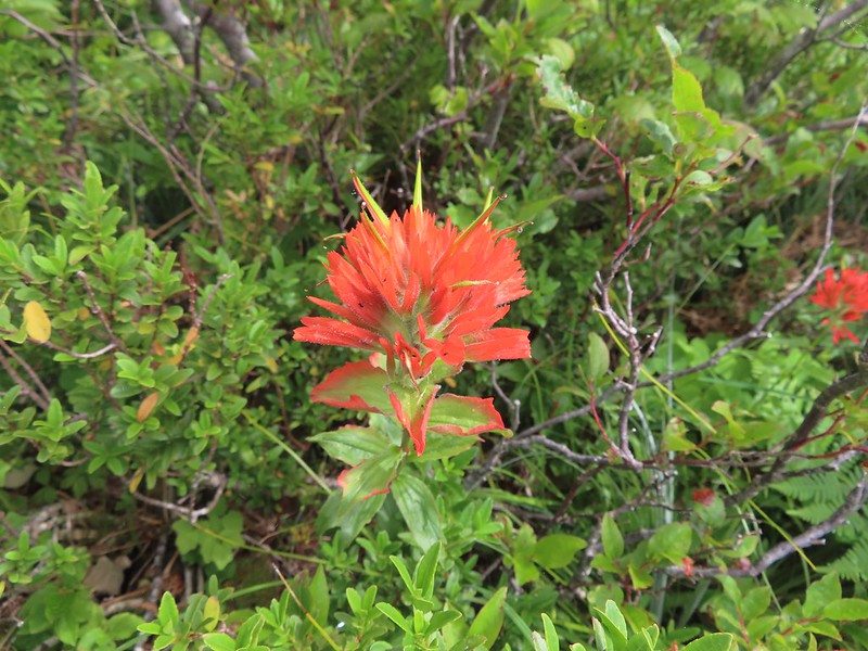
 Paintbrush
 Taken from the first switchback this gives a little reference for how steep the trail was.
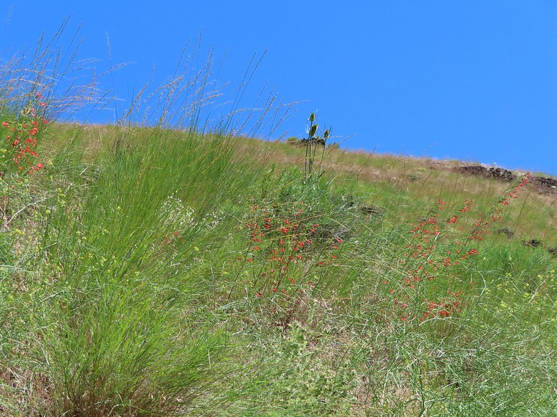
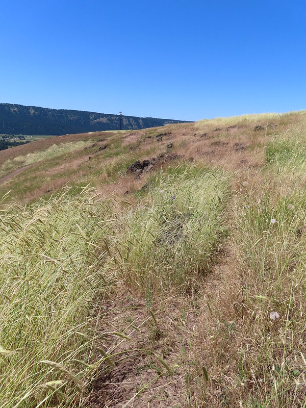
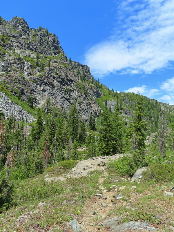
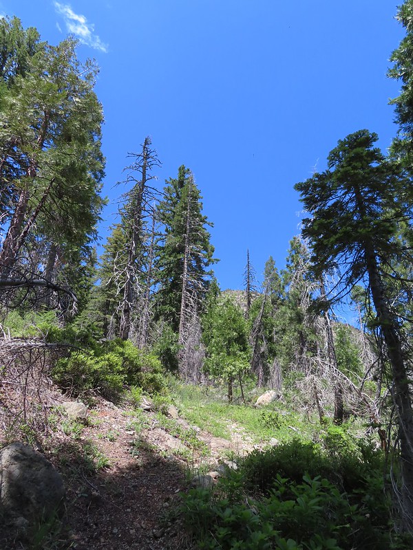
The switchbacks only lasted a tenth of a mile and then the trail shot almost directly uphill. The grade varied between steep and really steep for three quarters of a mile where it finally leveled out for a bit on a bench along the ridge we had been following.
 Pictures never do justice to just how steep trails are.
 Almost to the bench.
 Level trail!
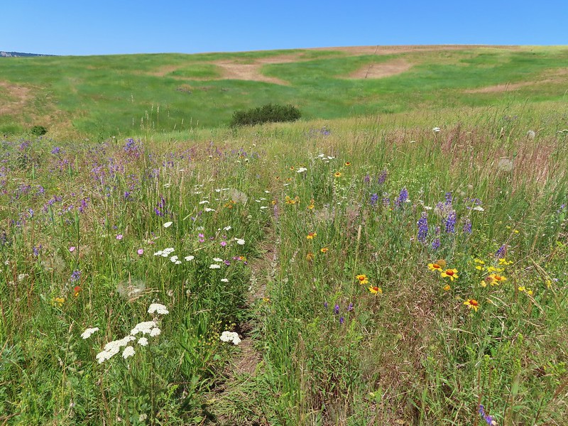
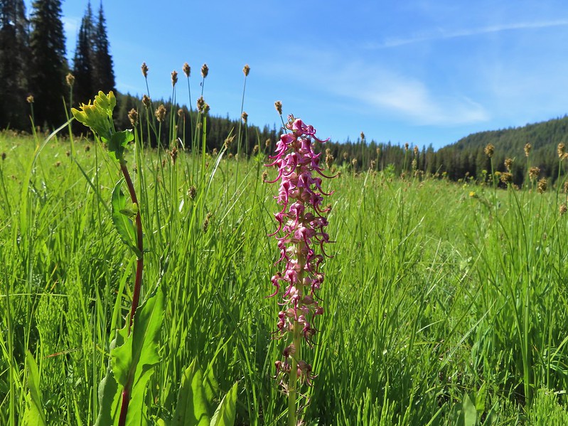
A section of trail on the bench passed through a carpet of foam flower. We’d never seen so much of that flower in one area.

 Inside out flower
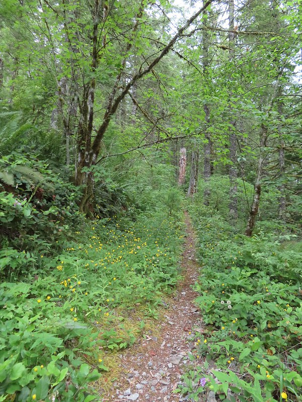
For about a half mile the trail avoided any overly steep climbing and then it once again headed uphill in earnest.
 The trail starting to steepen again.
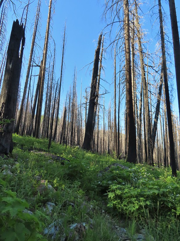
Every website I checked agreed with Reeder that the Starway Trail didn’t see a lot of use. They all mention the steepness of the trail and that the trail was faint and could be difficult to follow. After having hiked the trail we can confirm the steepness but it appears that someone or some agency has put a good deal of work into improving the trail. We had no trouble following the tread and there were a couple of places where a series of short switchbacks appear to have replaced sections that went straight uphill.
 The first set of what appeared to be fairly recently built switchbacks.
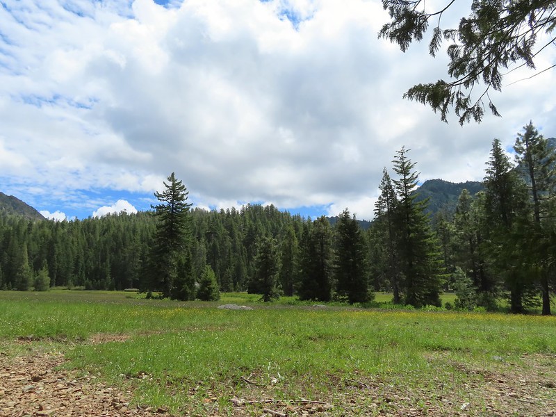
At the top of the switchbacks the trail emerged in a small meadow where it once again leveled out.
 Approaching the little meadow.
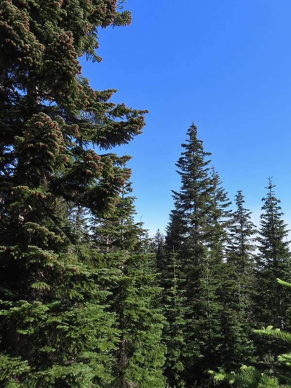
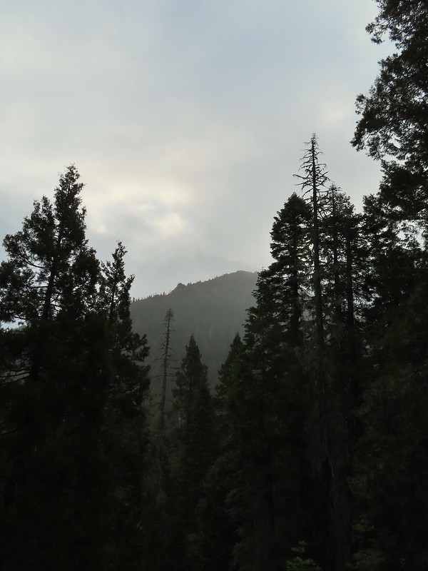
 A little bit of blue overhead through the fog.
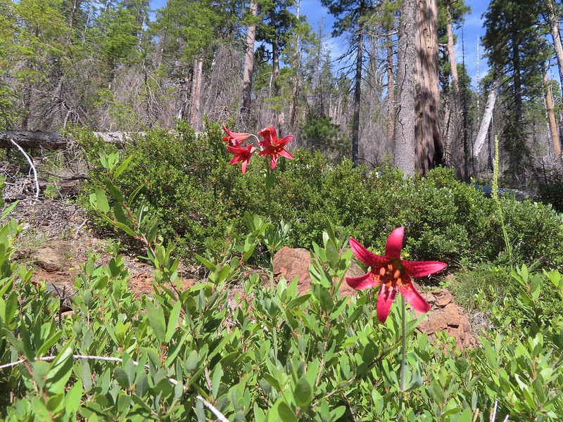
 Tiger lily
 Paintbrush
 Wood rose
 Thimbleberry
I had gotten to this level section first and looked for a place to sit down and wait for Heather but the meadow was too wet so I found a log in the trees at the far end and had a seat.
 Into the trees to look for a log.
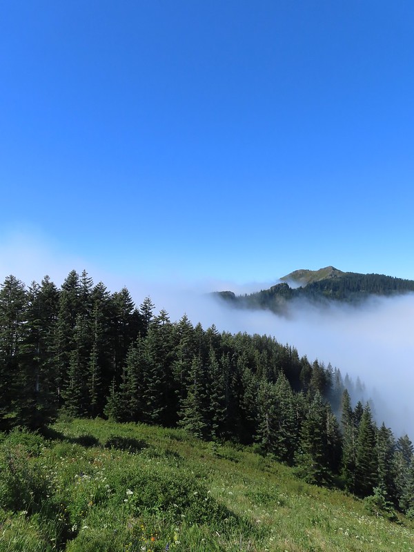
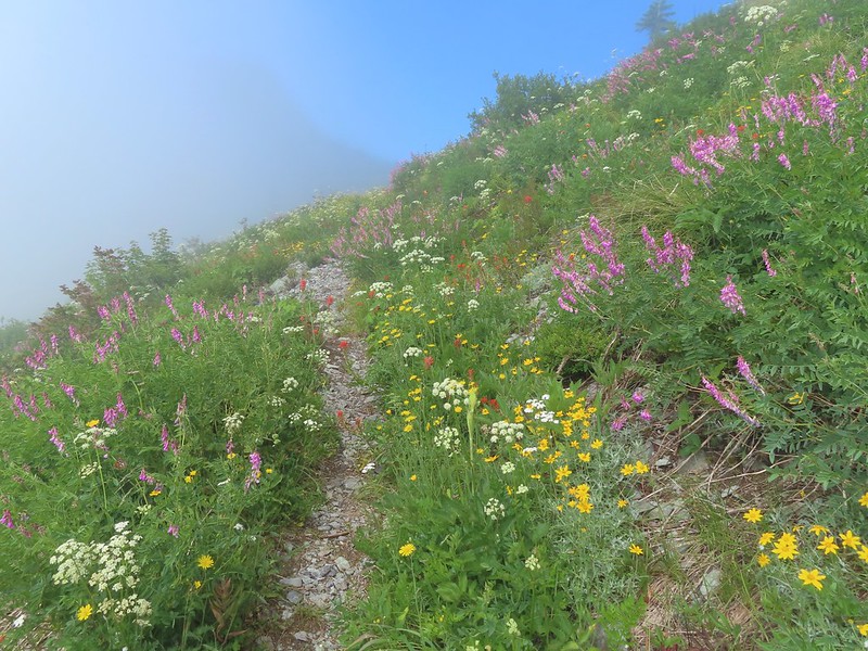
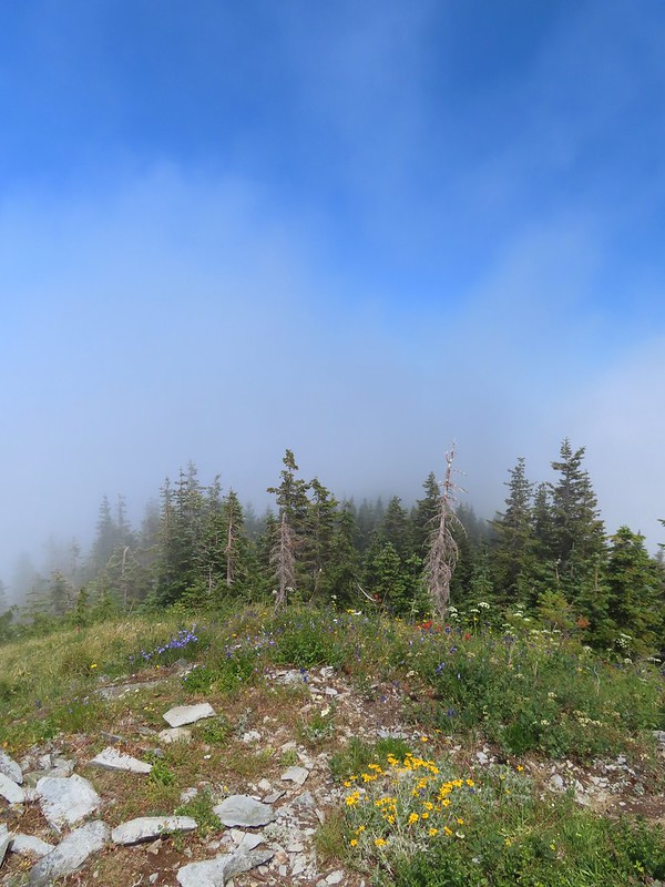
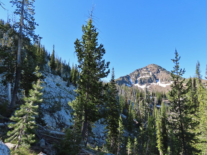
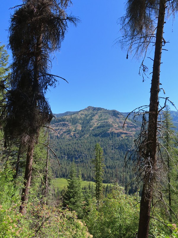
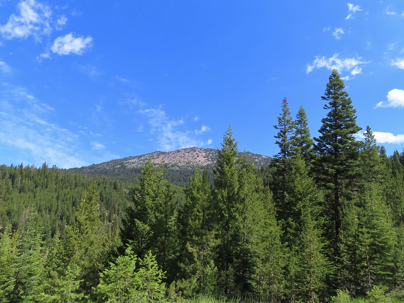
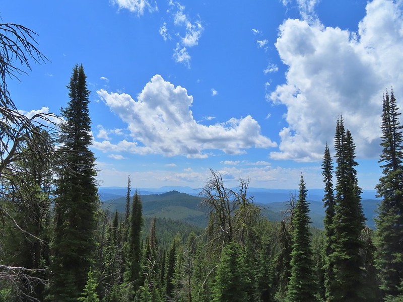
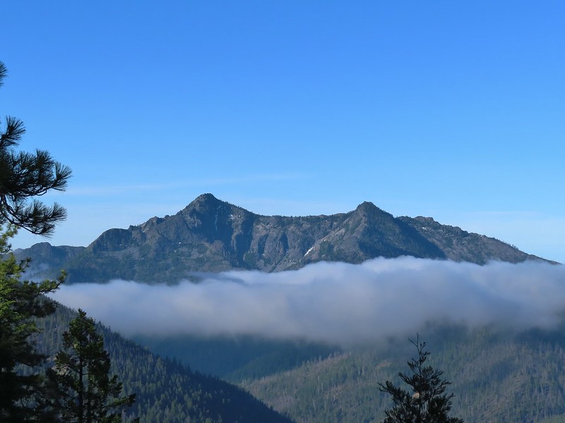
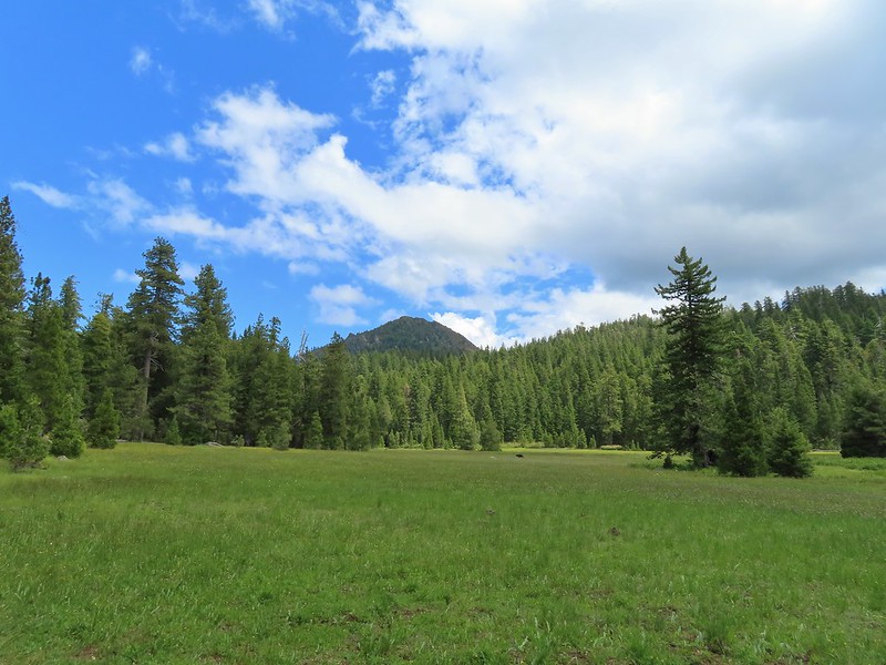
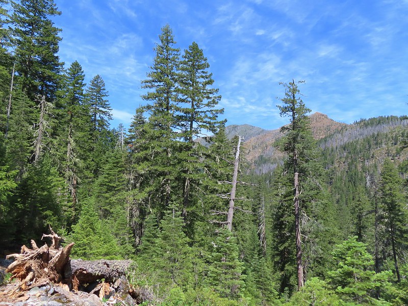
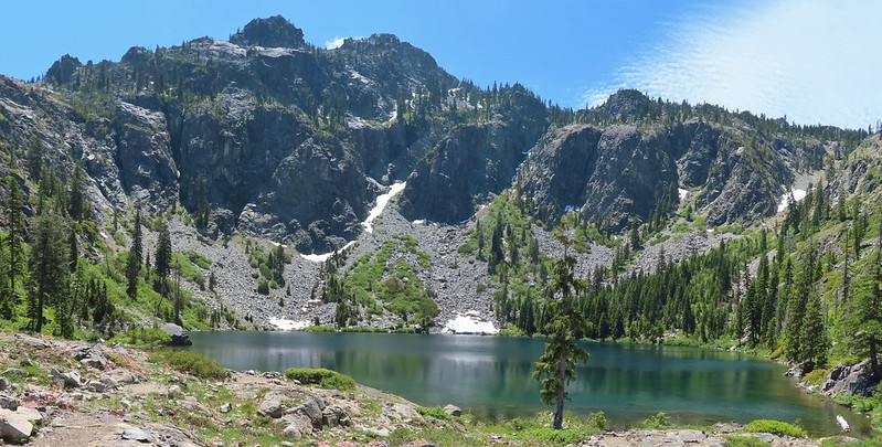
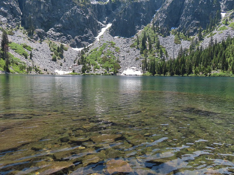
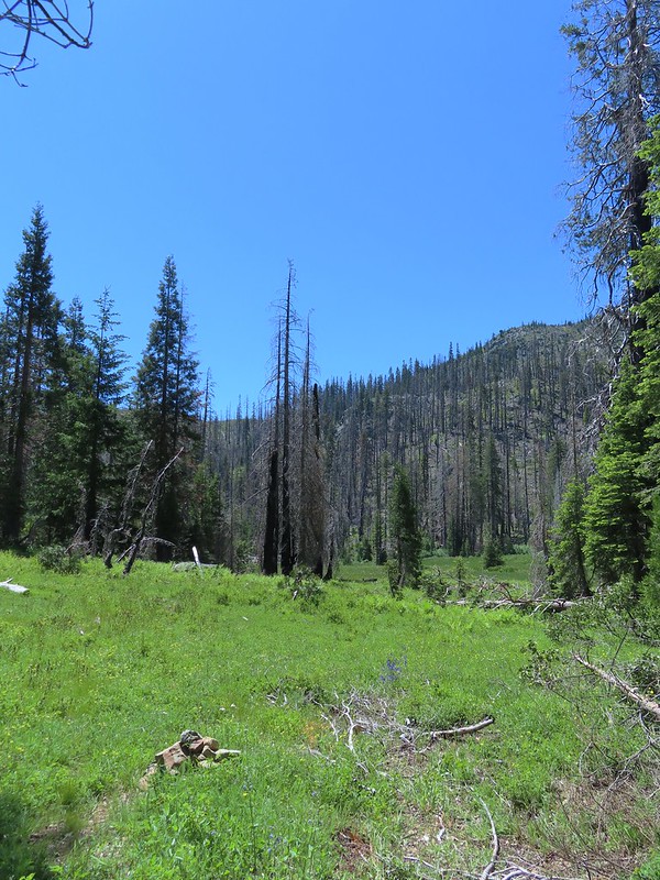
For a little over a half mile the trail climbed gradually alternating between forest and small meadows before arriving at its high point just below the wildflower covered Point 3977. Along the way we emerged from the clouds and got our first glimpses of Silver Star Mountain and Mt. St. Helens.

 Silver Star Mountain
 Bunchberry
 Our first view of Mt. St. Helens
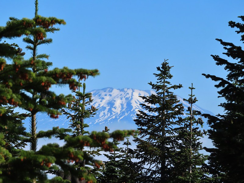 Zoomed in on Mt. St. Helens.
 Arriving below Point 3977.
 Point 3977
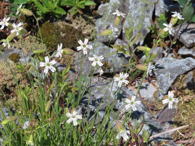 Pollinator on catchfly
 The pink vetch was very bright.
 Silver Star Mountain from the trail below Point 3977.
 Rose
Rose
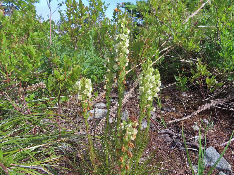
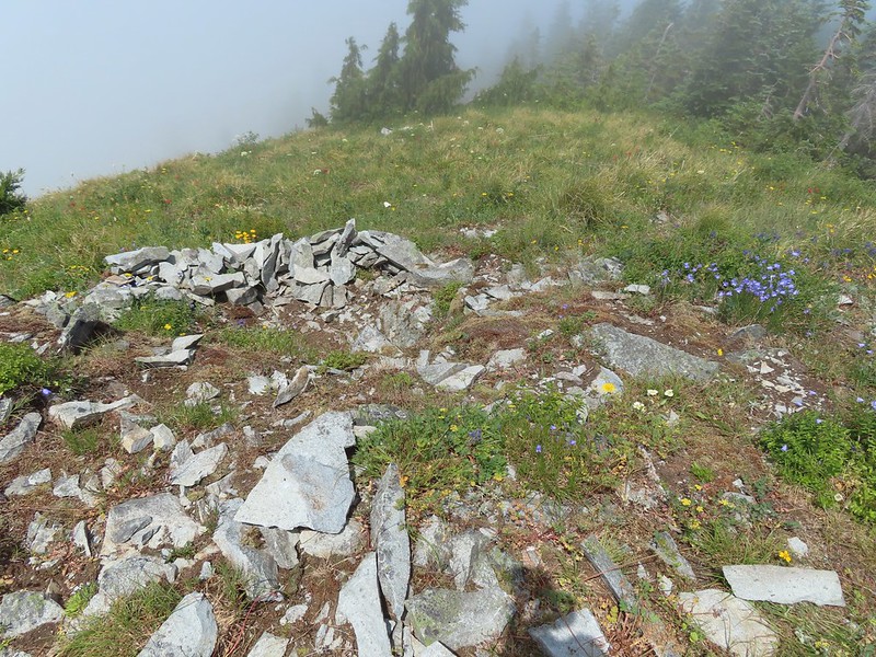
 Wildflowers on Point 3977.
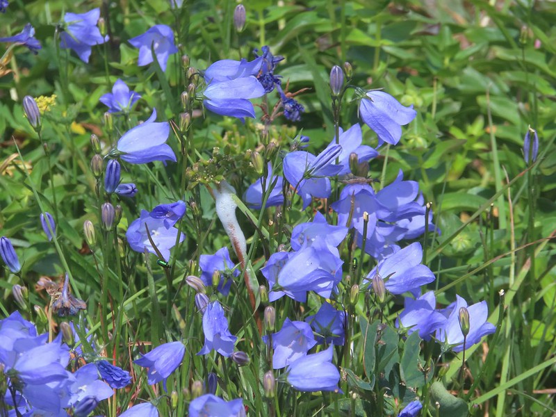
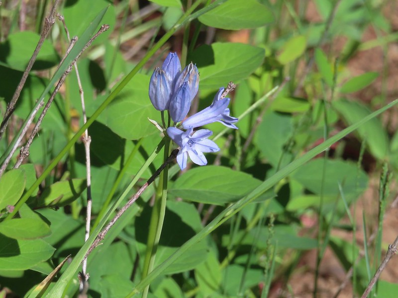
 Bluebells of Scotland
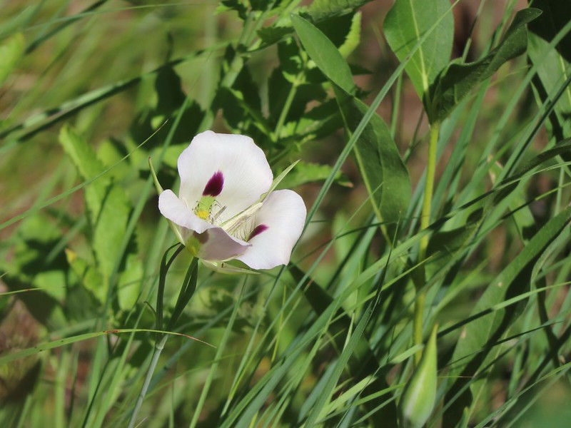
 Sub alpine mariposa lily
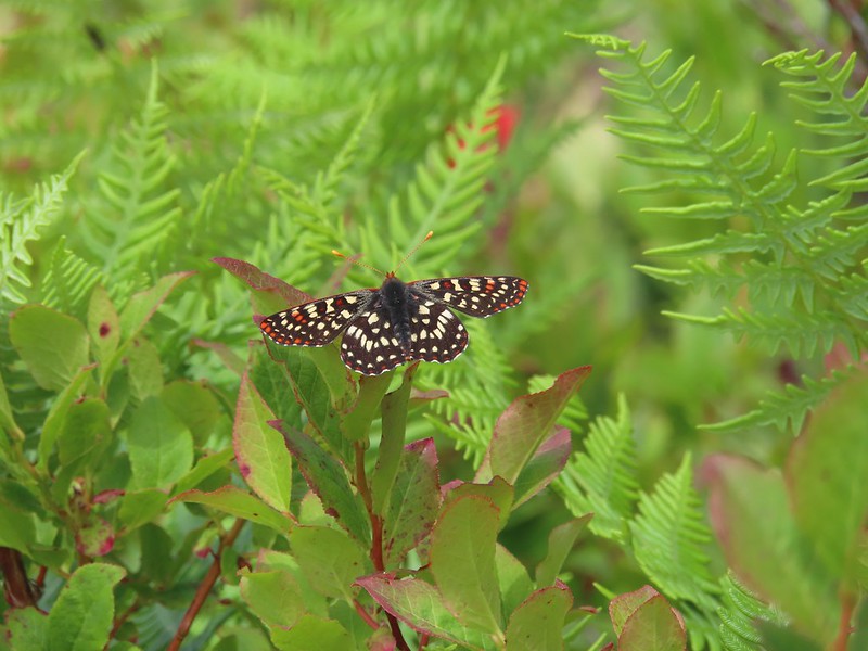
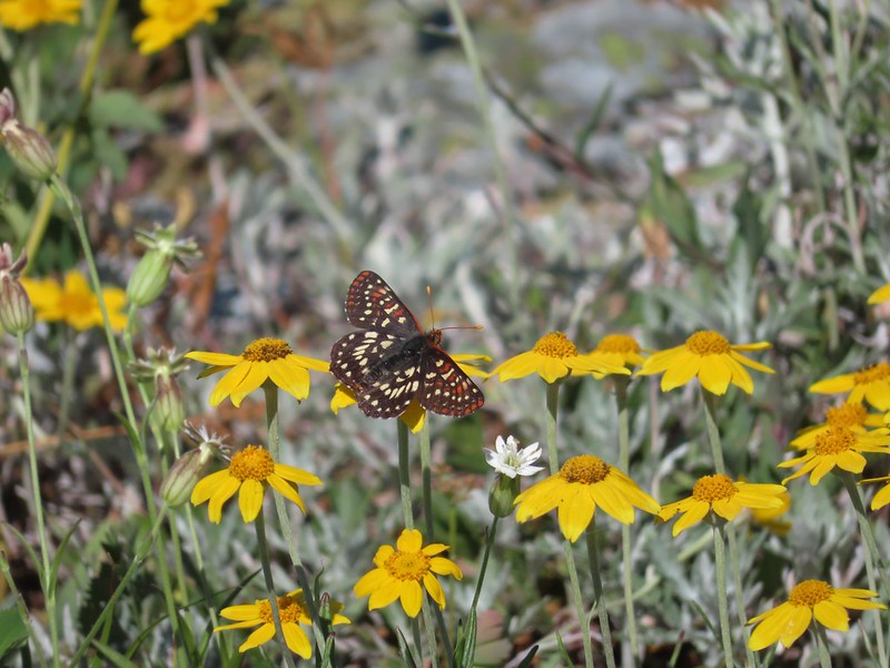 Checkerspot on Oregon sunshine
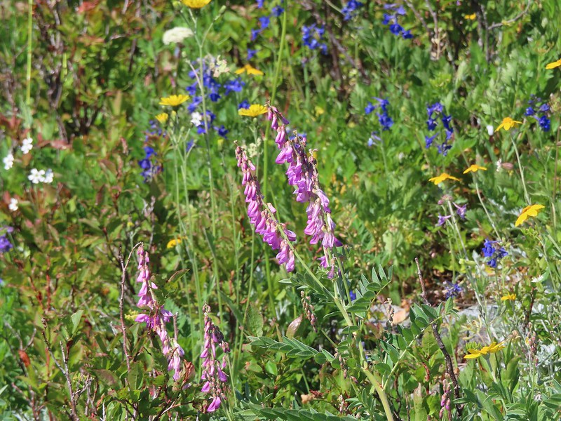
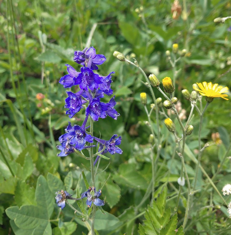
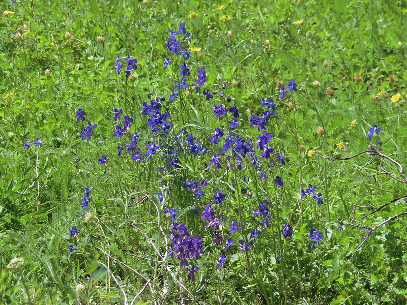
 Lots of purple larkspur amid the other flowers.
 A few columbine were hiding in the mix.
 Violet
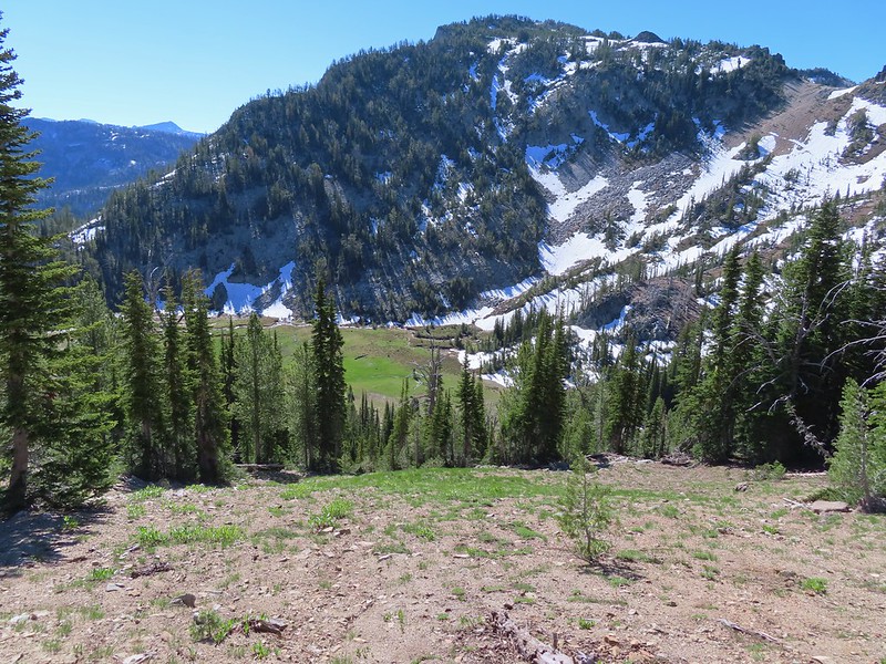
We surprised a fellow hiker as he rounded Point 3977 from the other side. He said he hadn’t expected to run into anyone on the Starway Trail. He’d started at the Ed’s Trail Trailhead and was doing a big loop using the Starway Trail and then road walking FR 41 & 4109 back to his car. He climbed up Point 3977 and we continued on planning to do that same thing on our way back. On the far side (south) of the point the Starway Trail suddenly dropped heading steeply downhill through a meadow.
 Starting down.
 Looking back up.
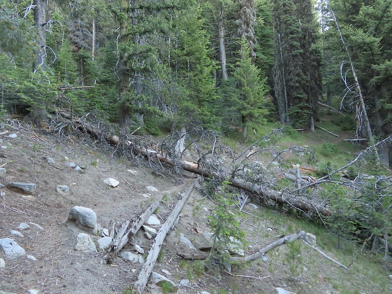
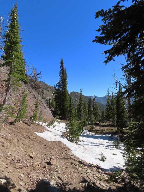
For nearly the next three quarters of a mile the trail alternated between steep descents and more gradual downhills losing a little more than 500′ in the process. Then the trail shot back uphill gaining over 300′ in the next 0.3 miles before arriving at a junction with the Bluff Mountain Trail.
 Stars on the trees marked the Starway Trail at times.
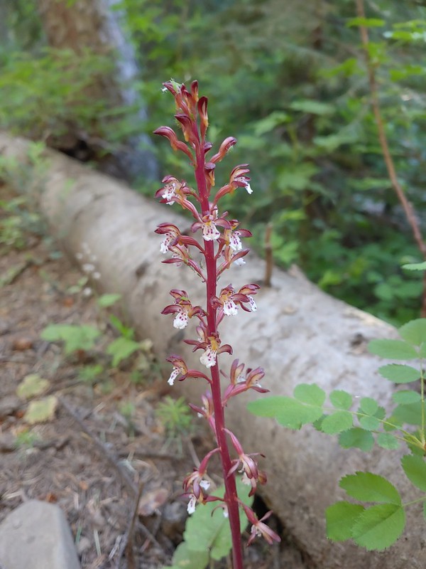
 Pinesap emerging from the ground.
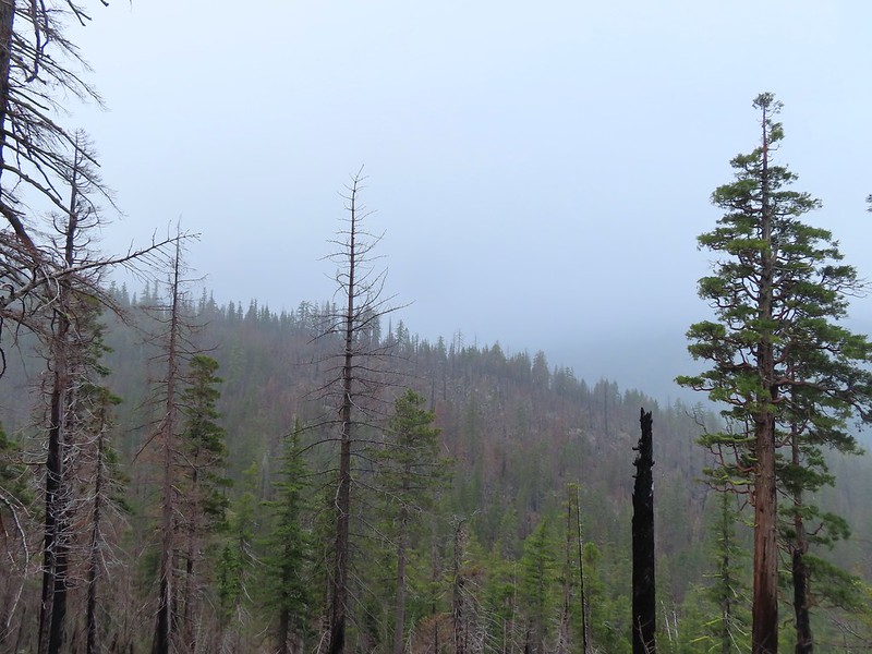
 A cairn at the end of this brief level section marked the start of another steep descent. By this time we’d lost enough elevation to be back in the clouds.
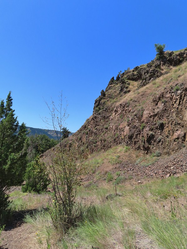
 Part of the elevation loss was to drop below some interesting rock outcrops.

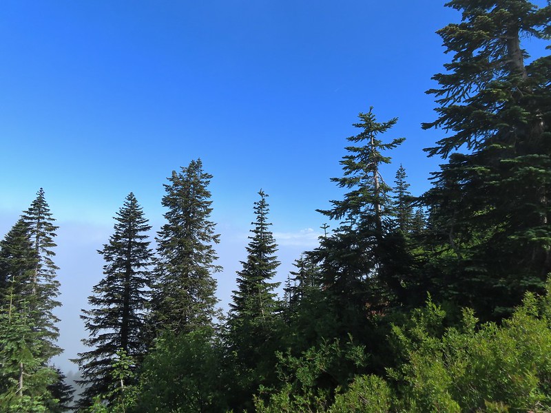
 Fully back in the fog.
 Time to climb again.
 Big root balls.
 Trail sign near the Bluff Mountain Trail junction.
 Final pitch to the Bluff Mountain Trail.
 On the Bluff Mountain Trail at the junction.
We turned right on the Bluff Mountain Trail which steadily climbed for nearly three quarters of a mile to a fork.


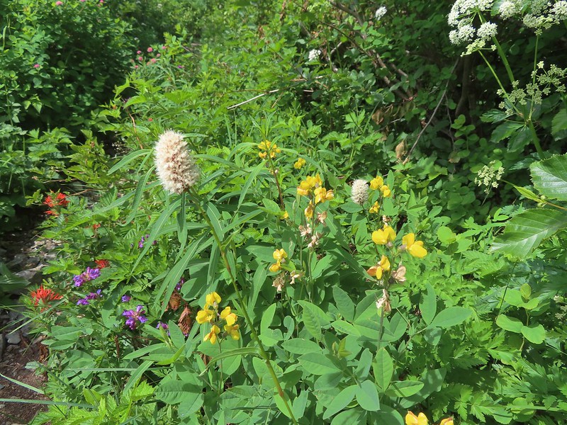
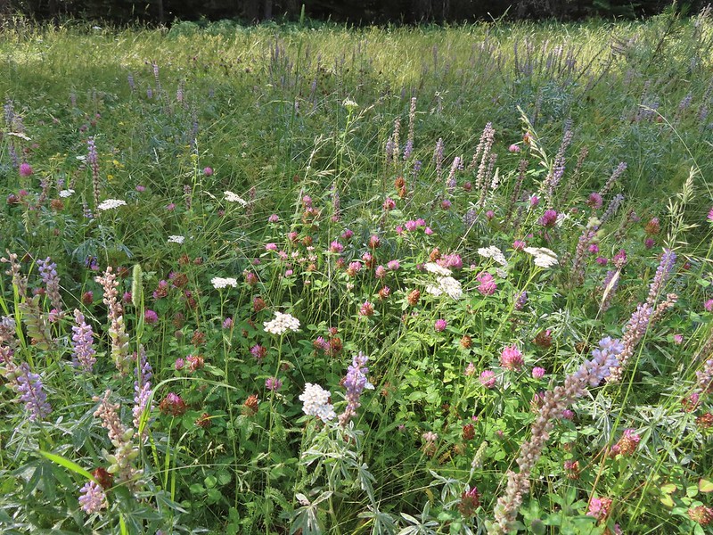
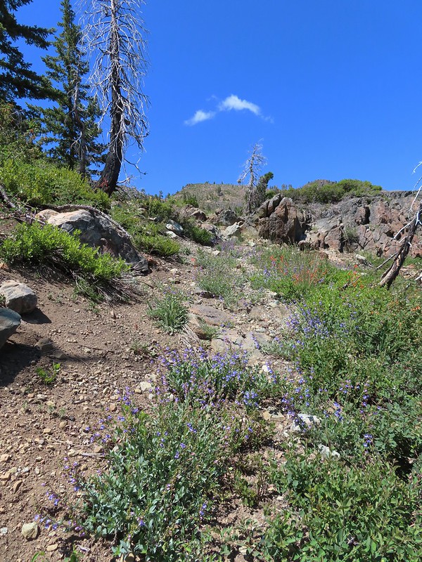
 Lots of nice wildflowers along the Bluff Mountain Trail.
 Another checkerspot
 Paintbrush
 Penstemon
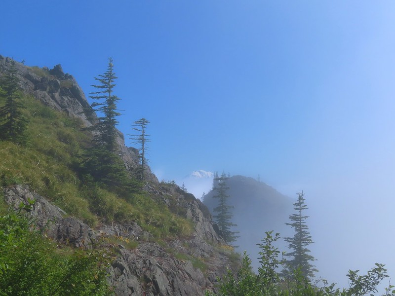
 We just couldn’t quite shake the fog.
 First sighting of Mt. Rainier.
 Mt. St. Helens to the left with Mt. Rainier to the right.
 Coiled lousewort
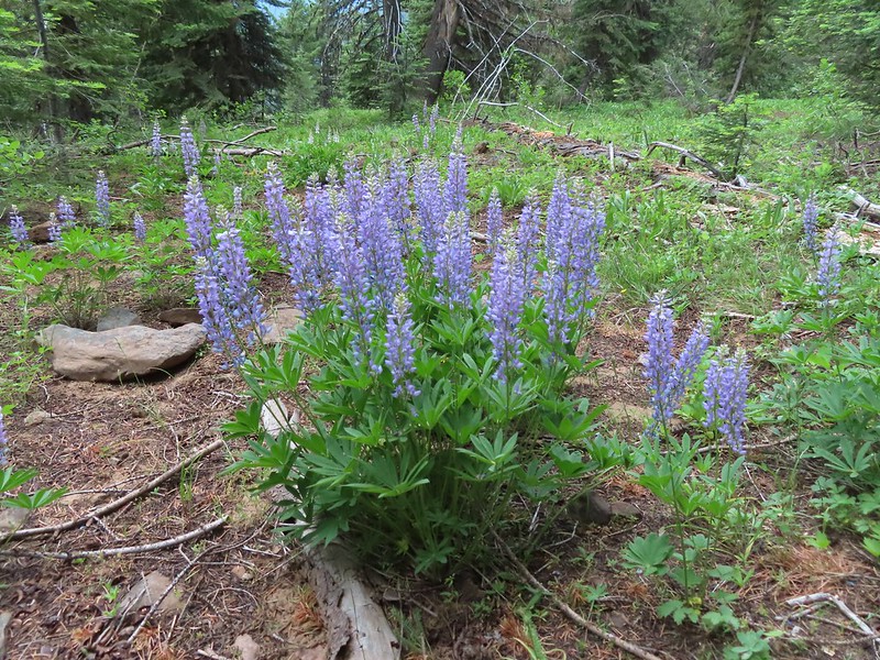
 Lupine
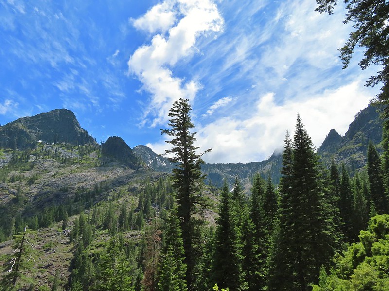
 Getting closer to Silver Star.
 Crab spider on fleabane
 Spirea along the trail.
 Bistort and mountain goldenbanner
 First Mt. Adams sighting.
 A crescent on bistort.
 Penstemon
 Wallflower with beetle.
 Passing below Silver Star Mountain.
 Mt. Hood

 Rock arch below Silver Star’s summit.
At the fork we turned uphill to the left leaving the Bluff Mountain Trail.

This short connector trail climbed 0.1 miles to an old roadbed.
 Fading avalanche lily.
 The old roadbed.
We turned left and followed the roadbed 0.2 miles to a saddle.
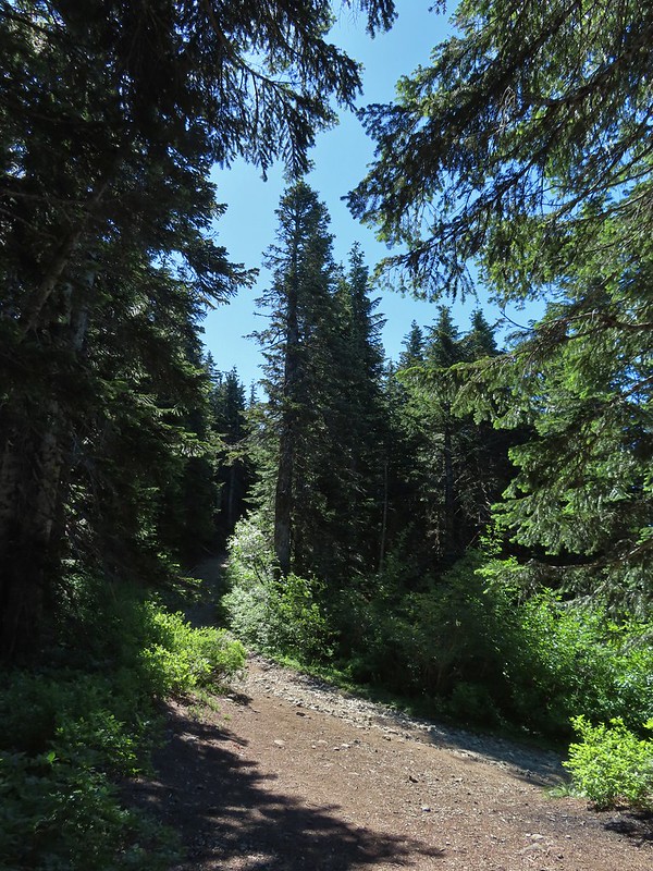
 The summit to the left with Mt. Adams in the distance.
 Mt. Hood to the right at the saddle.
We headed for the summit to start and met a couple with a cute puppy named Hazel, the same name as our cat that we’d lost a year ago nearly to the day (post). The puppy even shared similar colored fur to our Hazel’s.
The view from the summit was a good one on this day. The clouds were low enough that we could see all five of the Cascade volcanoes: St. Helens, Rainier, Adams, Hood and Jefferson.
 Mt. St. Helens, Mt. Rainier, and Mt. Adams.
 Goat Rocks (between Mt. Rainier and Mt. Adams)
 Mt. Hood and Mt. Jefferson
 Mt. Jefferson. If you enlarge and look closely you can also make out Three Fingered Jack and the North Sister to the far right.
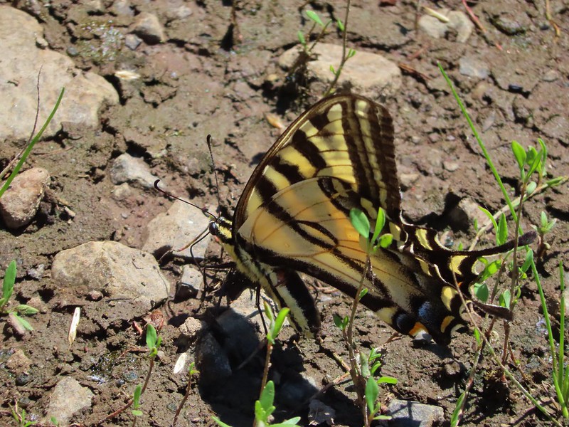
 Swallowtail
 Sturgeon Rock
 Wildflowers at the summit.
 Bug at the summit.
After a nice break at the summit we dropped back down to the saddle then climbed to the southern high point just to say we did.
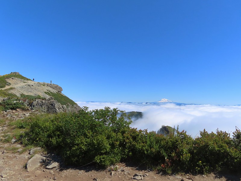
 Point 3977 is the the island surrounded by clouds.
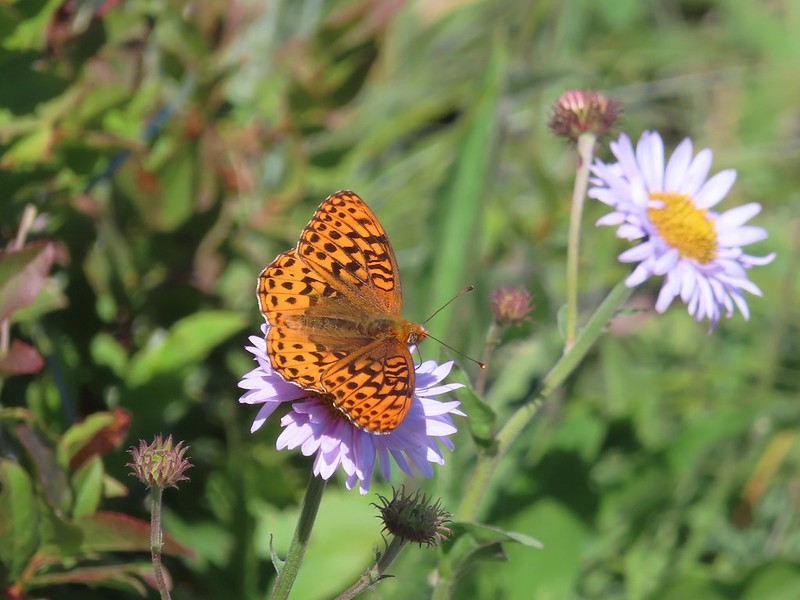
There was a lot of butterfly action here.

After tagging the southern point we headed back the way we’d come.
 The only beargrass bloom we saw all day.
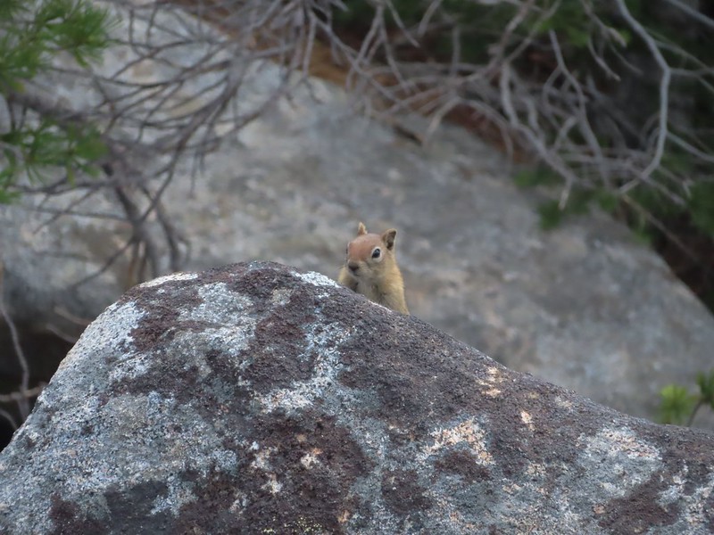
As we were passing below Silver Star we kept our eyes out for our favorite trail animals, pikas. We’d heard a few from the summit and we were rewarded with spotting one of the little rock rabbits in a talus slope.
 The talus slope.
 Pikas are not easy to spot.
 On alert.
As always we kept our eyes out for other things we’d missed on the first pass.
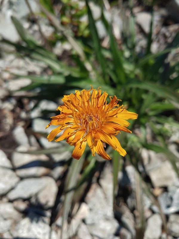 Orange agoseris

 Ladybug
 Making the steep climb back up to Point 3977.
We did wind up making the short climb to the top of Point 3977 even though the clouds had risen enough to effectively block most of the views.
 Looking toward Mt. St. Helens and Mt. Rainier.
 Looking toward Silver Star.
The views weren’t great but the wildflowers were.
 Possibly a Native American vision quest pit.
 Bluebells of Scotland with at least three visible insects.
 Some bright paintbrush.
 Larkspur
 A brief appearance by Silver Star’s summit.
After a short break on Point 3977 we began the relentless descent to Copper Creek. The long steep descent was not a friend to the knees but we managed to make it down in one piece. Just before reaching the bridge we passed just the second hiker on the Starway Trail for the day.

 Sorry knees.
 Mock orange
 A little blue sky in the afternoon.
We walked back up FR 4107 to our car and began the tedious drive back down FR 41 and made our way safely home.
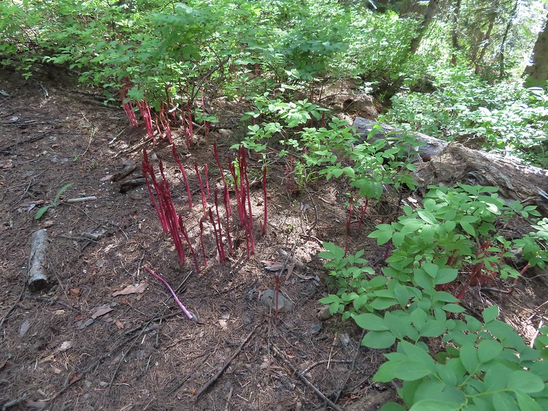
 Salmonberries along FR 4107. I may have eaten a few as well as some red huckleberries along the lower portion of the Starway Trail.

Both of those berry types are too sour for Heather who prefers thimbleberries but alas those were only beginning to show signs of ripening.
 Looking back at the hillside the Starway Trail climbs from FR 4107.
In my research I’ve seen several different distances listed for this hike. In Reeder’s book he lists the hike to Silver Star as 10.2 miles. Our GPS units recorded 11 miles though. Some of that may be due to going to both ends of Silver Star and some additional distance may be due to the newer switchbacks (assuming they really are new). Regardless of the actual distance I think everyone agrees that the total elevation gain is right around 4200′.

I’m not sure we could have asked for a better day to do this hike on. We got some big views and lots of wildflowers while the temperature remained mild thanks to the low clouds and we saw our first pika of the year. I don’t know that either one of us would ever want to try that drive again but the hike itself was worth the effort. Happy Trails!
Flickr: Starway Trail to Silver Star

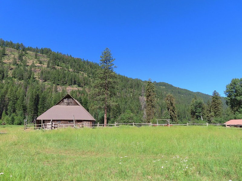
 The Bear Creek Trail at the trailhead.
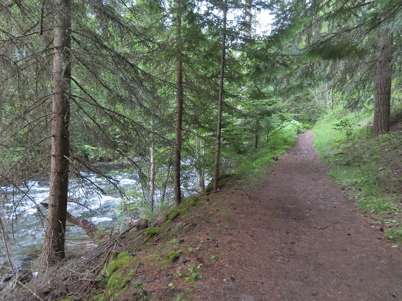
 Footbridge over Bear Creek.
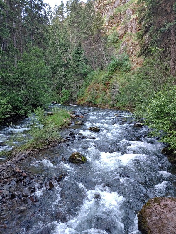

 Milk-vetch
 Mountain lady-slippers
 Bug on a thimbleberry leaf.
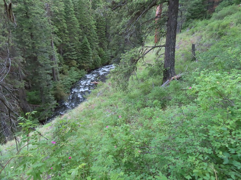 There were a couple of ups and downs where the trail got above Bear Creek.
 Baker Gulch
 Cliffs on the opposite side of Bear Creek.
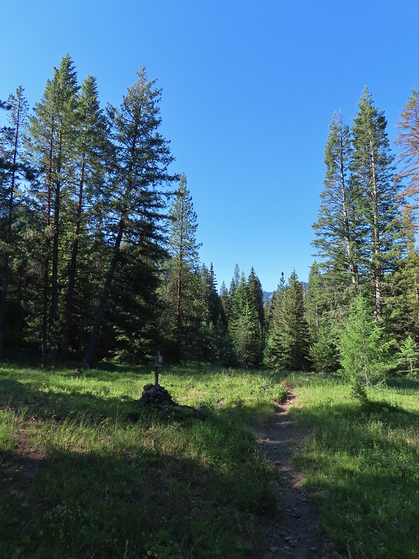 Trail sign marking the junction with the Goat Creek Trail. By this time we had crossed into the
 Prairie smoke a.k.a. old mans whiskers
 A fleabane
 The Bear Creek Trail crossing Goat Creek.
 Footbridge over Goat Creek.
 Goat Creek
 The unmarked but obvious spur trail to the (locked) Bear Creek Guard Station on the right.

 Moneses uniflora – one-flowered moneses
 Hairstreak
 Crab spider
 Moth
Moth Swallowtail on a bog orchid
 Lorquin’s admiral
 A fritillary butterfly with some sort of spider on the underside of a leaf below to the right.
 First time we’ve started a hike from a motel room.
 Passing the Visitor Center on 2nd Street.


 Dance arbor
 Marmot
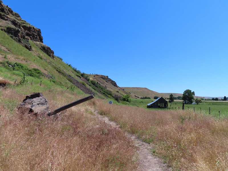 Approaching the pointer uphill.
 Scarlet gilia
 Dustymaidens
 Skullcap
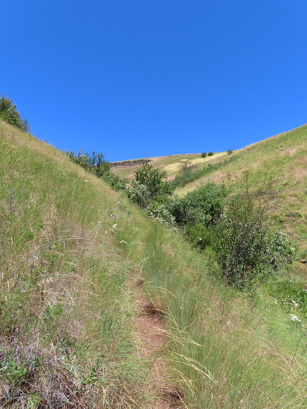 Heading up Tick Hill
 Yarrow
 Lupine
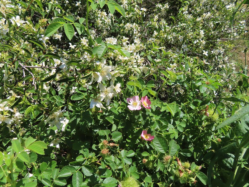 Mock orange and wild rose
 Dragon fly
 Moth mullien
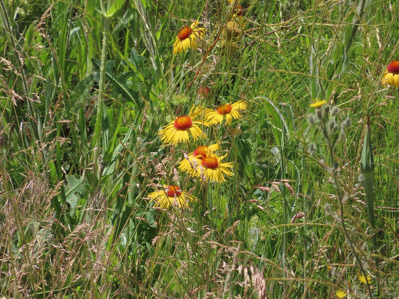 Blanket flower
 Checker-mallow and vetch
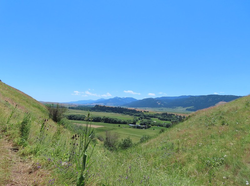 The Wallowas from the trail.
 Sagebrush mariposa lily
 A buckwheat
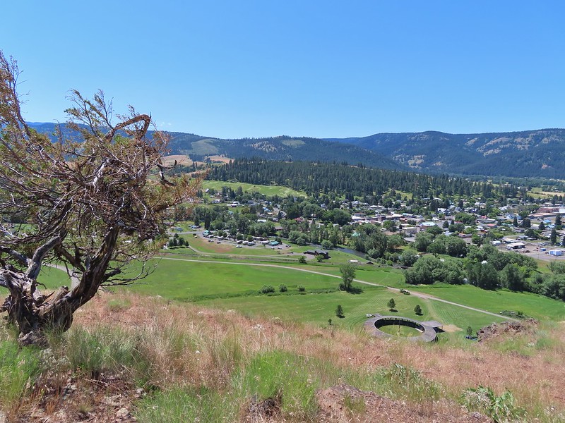 The Wallowa River and dance arbor from the viewpoint.
 The Wallowa Mountians
 Heading back to the post from the viewpoint.
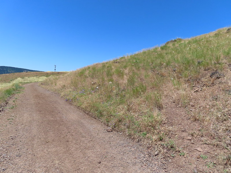 About a quarter mile from the post we crossed this road leading to some radio towers.
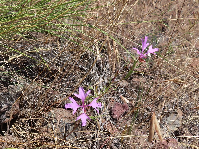 Elkhorn clarkia
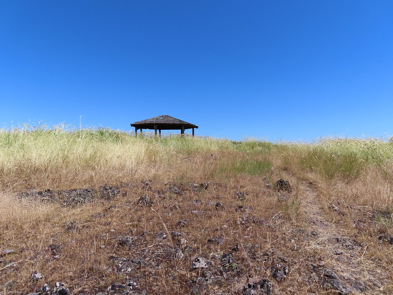 The gazebo ahead.
 Shade!
 Plaque near the gazebo.
 View from the gazebo.
 From left to right: Point Joseph, Hurricane Point, Ruby Peak, and Sawtooth Peak.
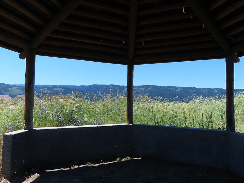
 At the junction with the spur trail to the gazebo. We came up from the left and continued on to the right.
 Recrossing the road.
 Western meadowlark
 Heading toward the radio tower.
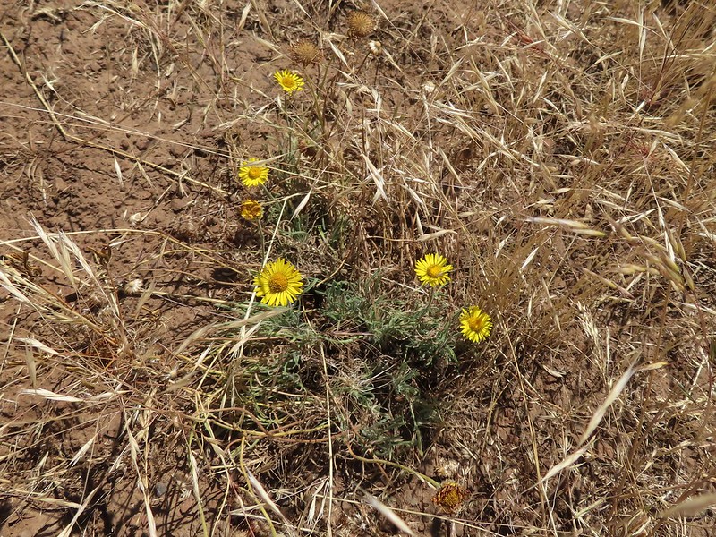 A fleabane
 There were several plaques along this stretch.
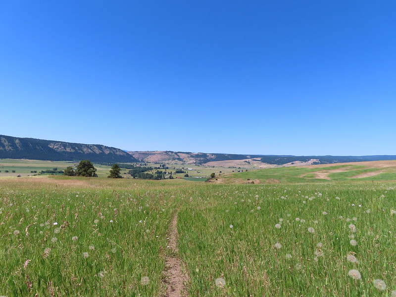
 Various wildflowers
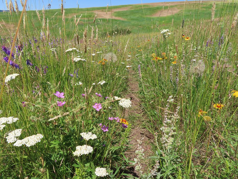
 Cinquefoil
 Lots of blanket flower.
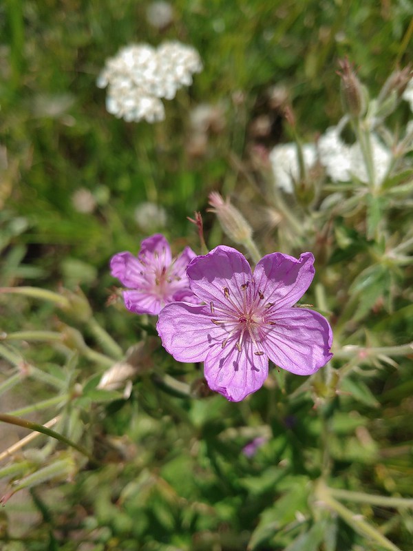 Sticky geranium
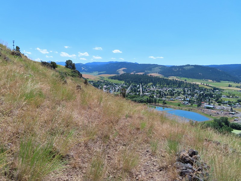
 Grand collomia
 Scarlet gilia
 The last line is great advice.
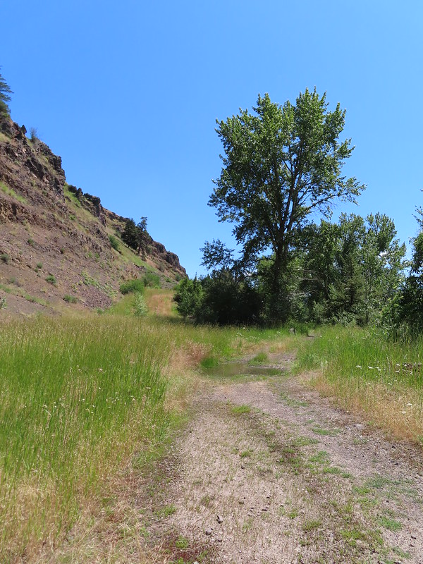
 Swallowtail
 Dragon fly
 Bachelor buttons
 Swallowtail on hyssop.
 Wallowa River
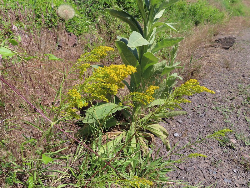 Goldenrod


 We parked about 200′ north of the actual trailhead per a suggestion by Sullivan in his guidebook.
 The Rock Springs Trail at FR 62.
 The trail passed a large rock field just below FR 62 and then entered the
 Lupine
 Coralroot

 The edge of the storm clouds.
 Scarlet gilia along the trail.
 Oregon sunshine and tapertip onion
 Nettle-leaf giant hyssop
 View from the trail before the first “viewpoint”.
 Oregon checker-mallow
 Assorted wildflowers
 Blue sky following the storm clouds.
 Scabland penstemon
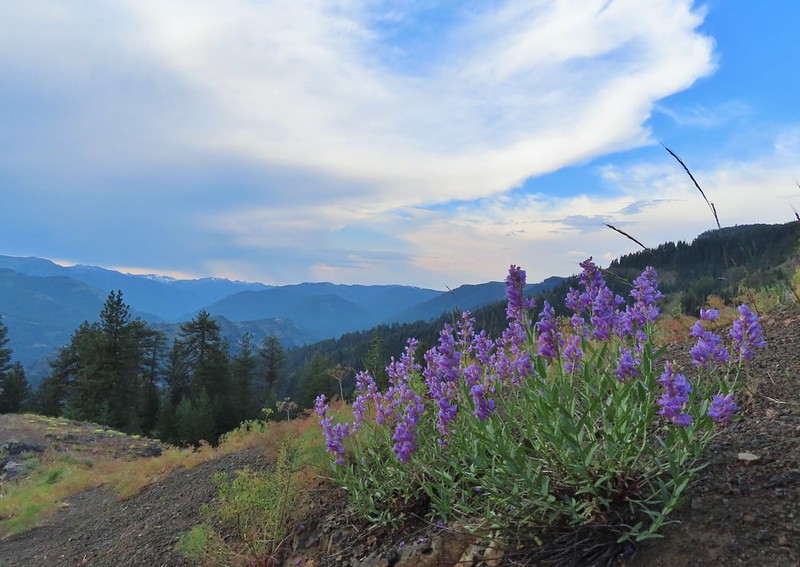 Penstemon near the first “viewpoint”.
 Yarrow
 Douglas dustymaiden
 Looking back from the viewpoint.
 Buckwheat
 The Point Prominence Lookout atop the high point to the left.
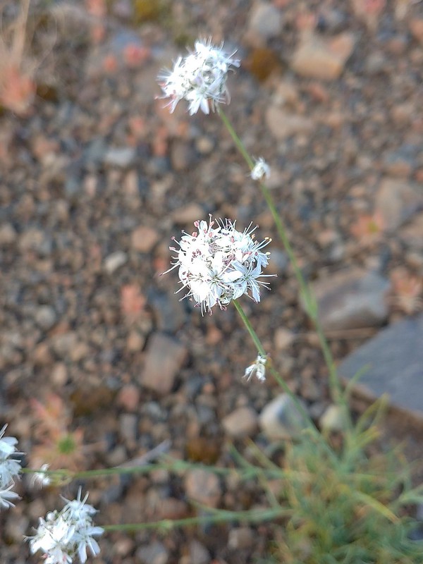 Ballhead sandwort
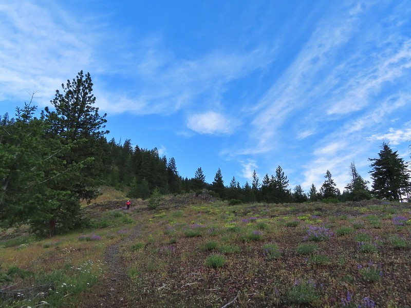 Heather coming down from the viewpoint.
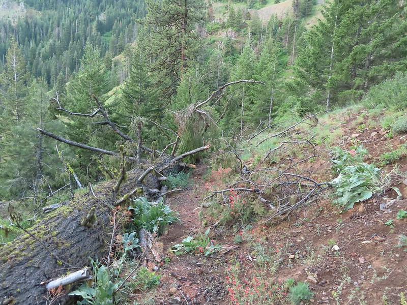 Blowdown over the trail.
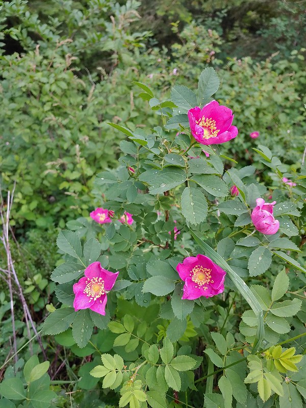 Nookta rose
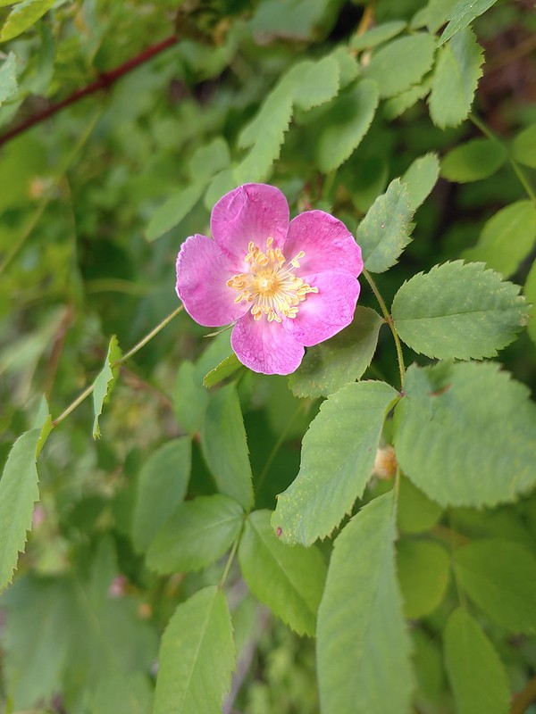 Wood rose
 View to the SE deeper into the Wallowas.
 Mountain parnassian?
 Back in the trees.
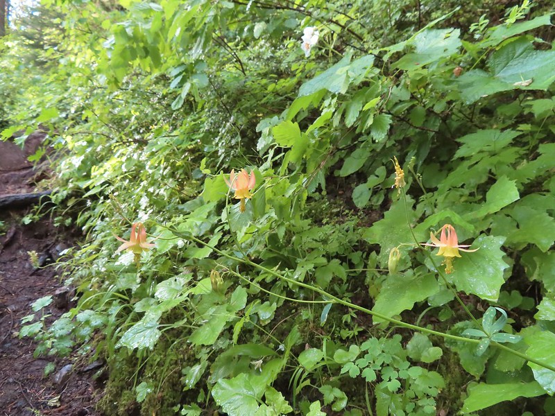 Some pale columbine. At first we thought it might be yellow columbine but it definitely had a red tint.
 Thimbleberry crowding the trail. The storm had left a lot of water on the vegetation which in turn wound up on our legs and shoes.
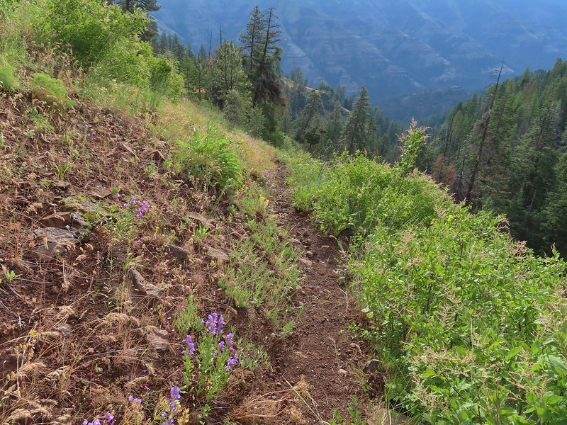 Heading down into the valley.
 Elkhorn clarkia
 Approaching the second viewpoint.
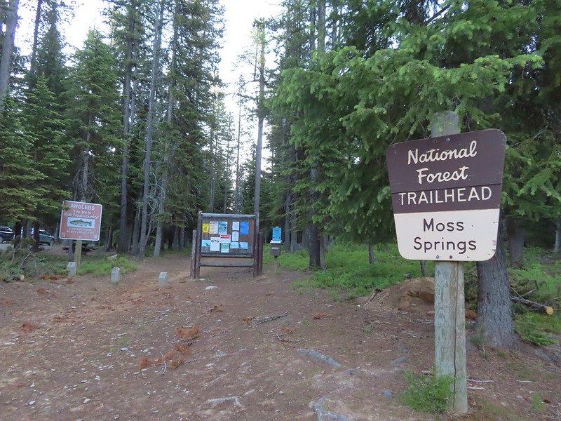
 Backbone Ridge which separates the Minam and Little Minam Rivers. We had crossed over that ridge further south on Tuesday when we took the Horse Ranch Trail from Moss Springs to the Minam River (post).
 Grand collomia
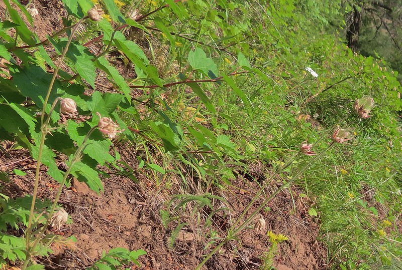 Prairie smoke
 Mock orange along the trail.
 Twin flower and foam flower
 Sign marking the junction of the Rock Springs and Little Minam Trails.
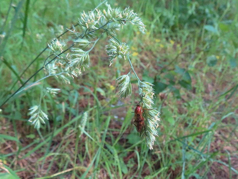 Possibly a wasp of some sort near the junction.
 The first cabin ruin.
 Almost looks okay from this angle.
 Not so good from this angle.
 The lodge was at the edge of this meadow.
 The lodge
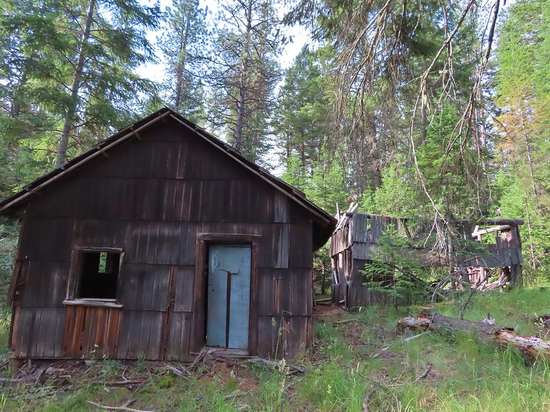
 The fireplace seems to have held up well.
 This cabin didn’t hold up.

 Wildflowers near the watering hole.
 The Little Minam River. We couldn’t quite see the confluence of the two rivers from here despite being very close.


 The dangerous ford.
 Here we tried looking for horse hoof prints to stick to the trail.
 Butterfly on yarrow.
 We think this was the trail.
 The campsites where we picked up the Rock Springs Trail again.
 Lorquin’s admiral
 Looking across the gully we could see the trail cut climbing up the far hillside.
 Pincushion plant
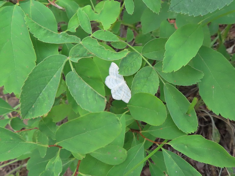 Resting moth
 A plane taking off from Minam Lodge.
 A popular thistle.
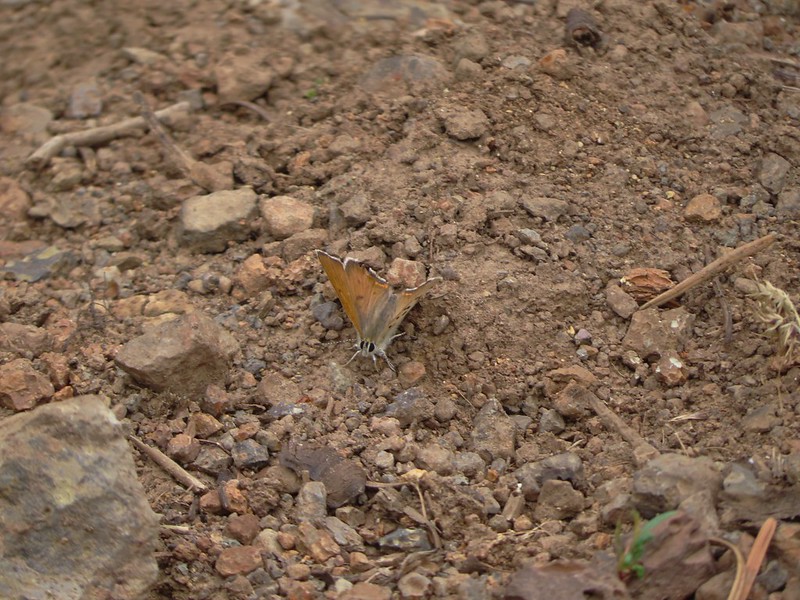 A skipper of some sort.
 We both missed this yellow columbine on the way down.
 View from the upper viewpoint on the way back up.
 A final view from the Rock Springs Trail.
 The cloud cover that moved in turned out to be a blessing as it kept the temperature reasonable as we made the long climb back up.


 At the 0.7 mile mark the trail briefly followed an old road bed to an old clearcut.
 Trail sign in the old clearcut.
 Sullivan describes the second mile of this trail as one of the dustiest in Oregon but on this morning there was enough moisture in the ground to keep the dust at a minimum.
 Rock Creek Butte (
 Shortly after leaving the ridge we encountered the largest obstacle on the way to the pass.
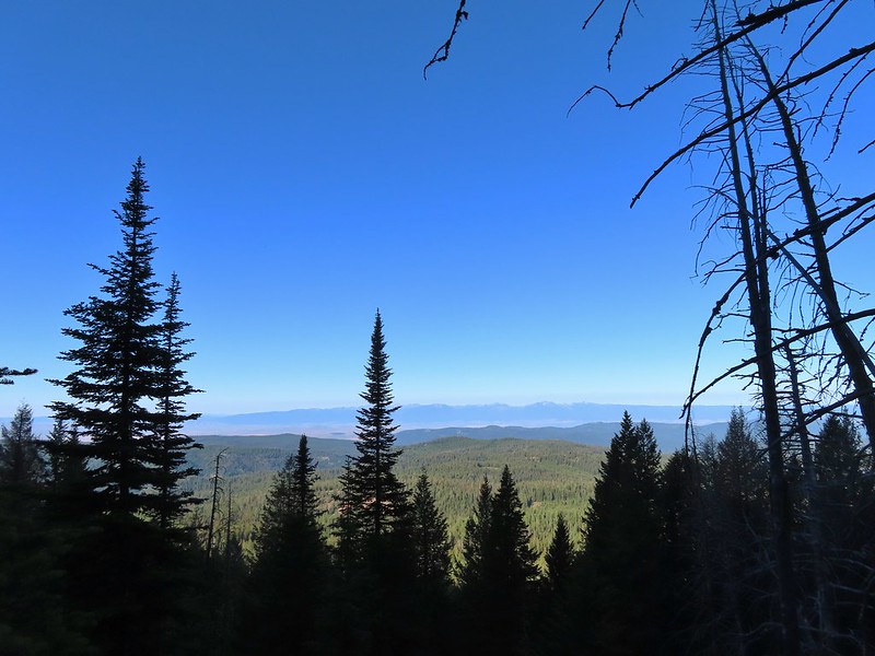 The Elkhorns in the distance.
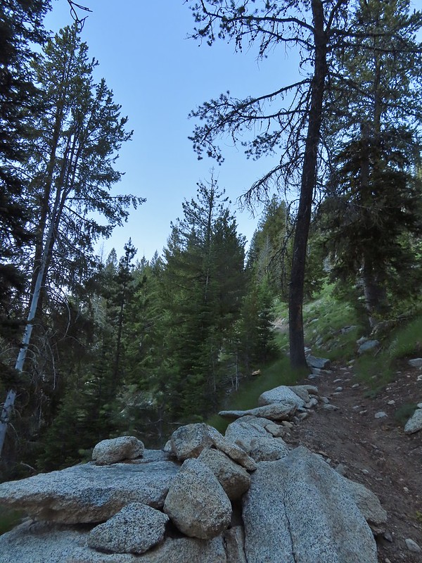 Granite at the switchback.
 Entering the wilderness (photo from the way back).
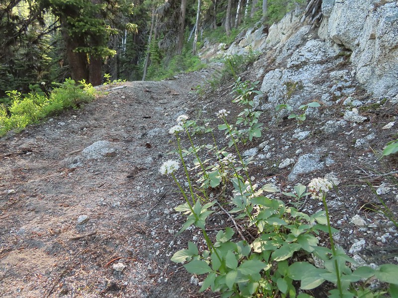 Valerian along the trail.
 View from the trail.
 Burger Butte
 Rosy paintbrush
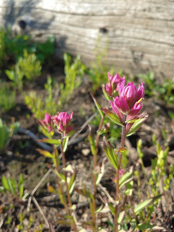
 Tributary of Middle Fork Catherine Creek.
 Looking down the creek over the slide.
 Yellow columbine
 The snow began around 7200′.
 Snow over the Elk Creek Trail.
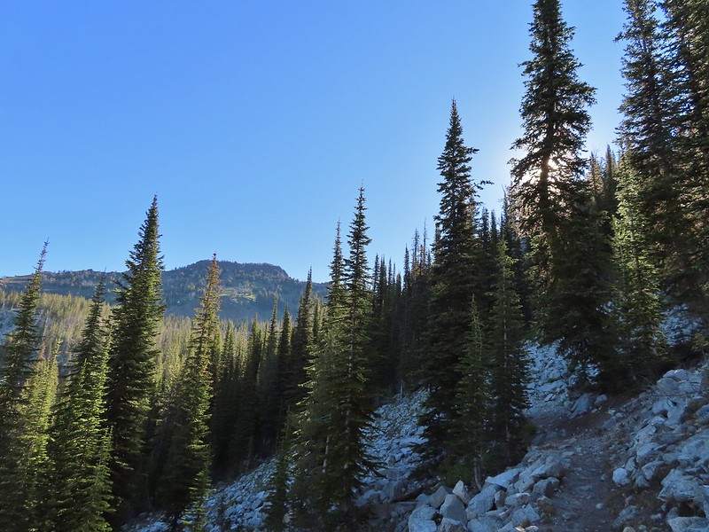 China Cap from the trail.
 Small meadow below the trail.
 The China Ridge Trail joining from the left.
 The Elkhorns to the right beyond Burger Butte.
 Lyall’s Rockcress
 The few patches of snow were just melted enough to allow us to avoid having to walk over them.
 Burger Pass
 Burger Butte from the pass.
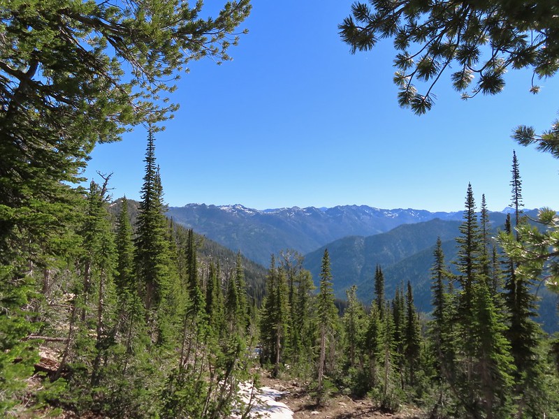 Looking deeper into the Wallowas.
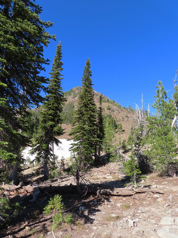 The snow patch below Burger Butte.
 There were several patches of snow and some downed trees to navigate but I soon found myself at the junction.

 The Sand Pass Trail can be seen climbing out of the basin in the sandy gap to the center left.
 Meadow lookout.
 View from the meadow.
 Buttercups were about the only flowers blooming in the wet meadow.
 The rocks along the ridge were really interesting.

 Marmot? in the meadow.
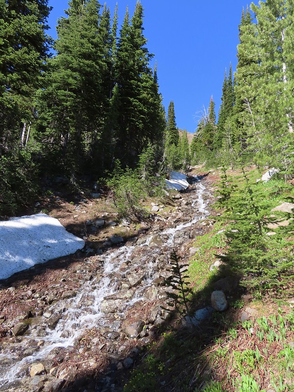

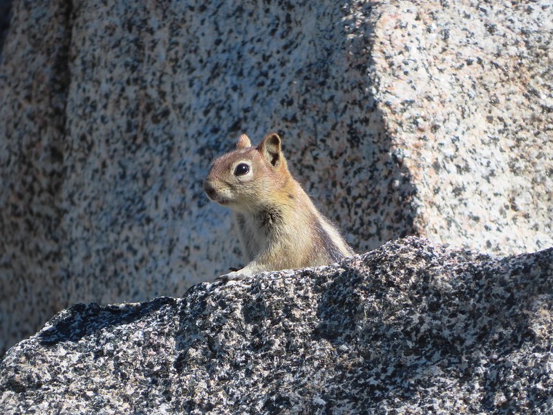 Golden mantled ground squirrel watching us from the granite.
 Butterfly
 Mountain heather
 Mushrooms near the Middle Fork Catherine Creek cascades.
 Jacob’s ladder
 Penstemon
 Mushroom
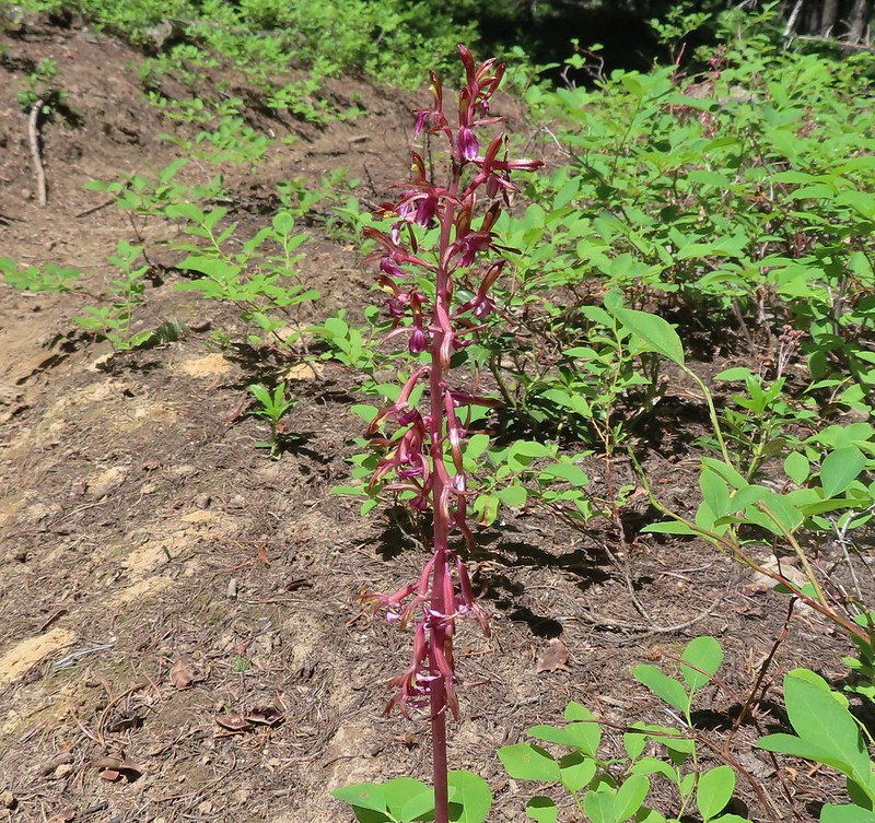 Pacific coralroot

 Entering the

 Scarlet gilia along the trail.
 Tapertip onion
 Scarlet gilia
 Lewis flax, we were hoping to see it opened up on the way back up to the car but somehow we both completely missed it.
 Arrowleaf groundsel
 Bog orchid
 False sunflowers
 Paintbrush
 Sticky geranium
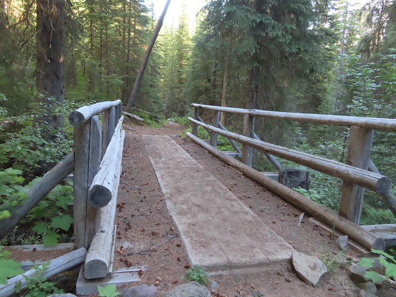 Footbridge over Horseshoe Creek.
 Horseshoe Creek

 Spotted coralroot
 Mountain lady slipper
 Little Minam River
 Coral fungus
 Huckleberry Creek
 Bridge across the Little Minam River.
 Little Minam River

 The only area that we encountered showing signs of having burned in the not too distant past.
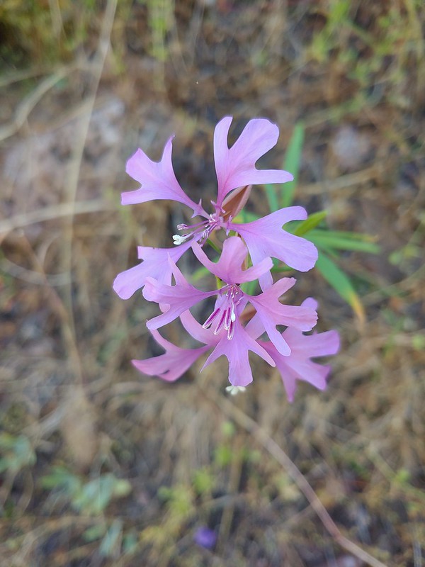 Elkhorn clarkia
 Junction with the Little Minam Trail (left) just below the pass.
 The meadow from the trail.
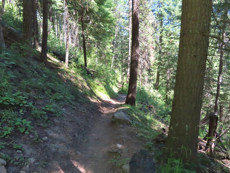
 Arriving at the meadow.
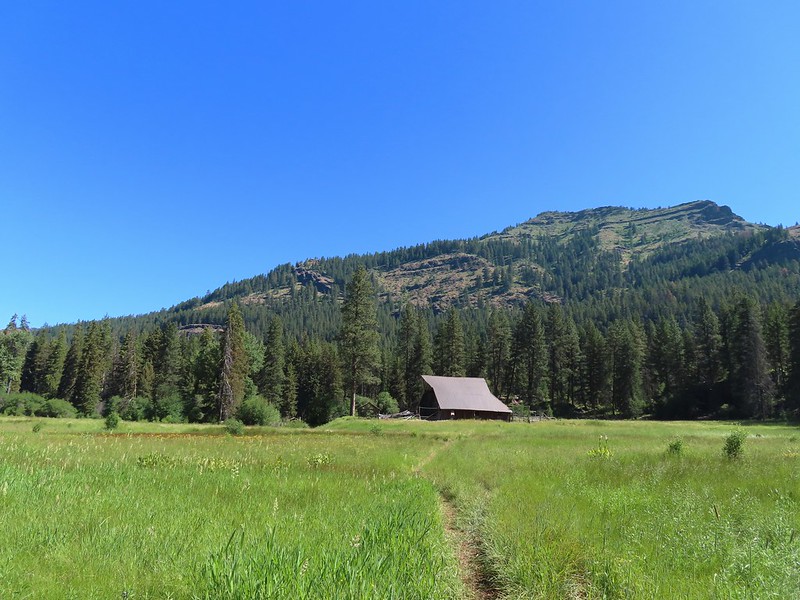

 Horses at Red’s Horse Ranch.
 Minam River
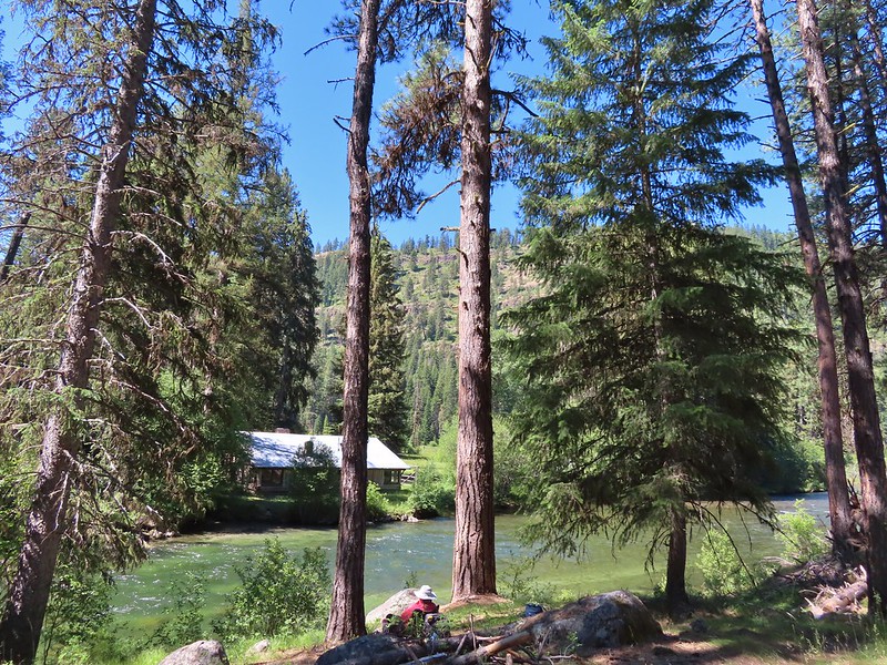
 Landing strip near Red’s Horse Ranch.
 A plane coming in for a landing at the nearby
  Lousewort
 Diamond clarkia
 Grand collomia
 Millipede
 Pink pyrola
 Little Minam River
 Coral fungus
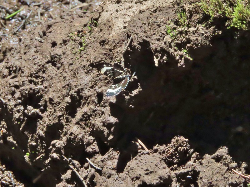 We saw a bunch of these black moths? but they seldom sat still long enough to get a photo.
 An Orobanche
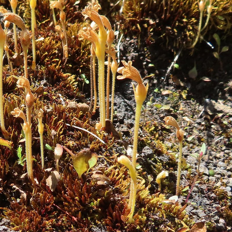
 Penstemon
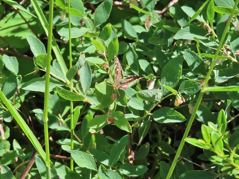 Butterfly
 White mariposa lily
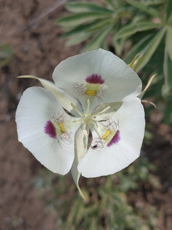
 Large-flower triteleia
 Arriving back at the trailhead.

 A $5 fee is required here and at several other trailheads we visited during the week. (An annual
 Lots of purple venus penstemon.
 There were also some white scabland penstemon on the hillside.
 Buckwheat
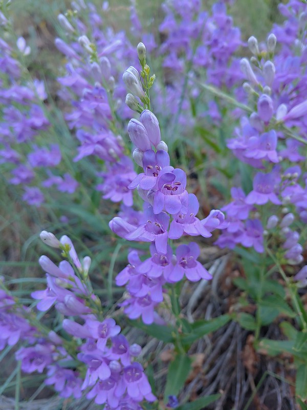 Venus penstemon
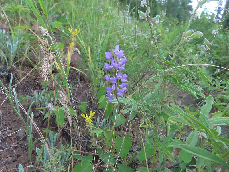 Lupine and stonecrop
 Paintbrush
 North Fork Catherine Creek
 Douglas dustymaiden
 Spreading dogbane
 The trail crossed several side creeks, all of which were we were able to cross dry footed.
 A brief stretch along North Fork Catherine Creek.
 Queen’s cup
 Another side creek.
 Bog orchid
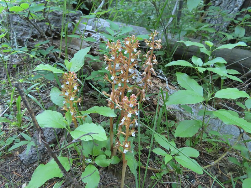 Spotted coralroot
 A fleabane
 They’re a little blurry but you can see the ants in the cracks where they would drop their sawdust. It was fascinating to watch and we paused for quite a while.
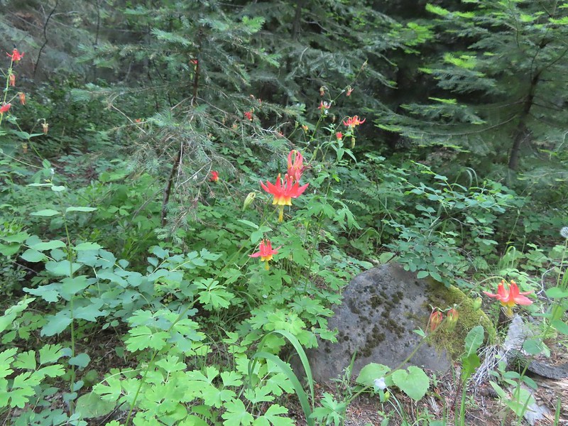 Columbine
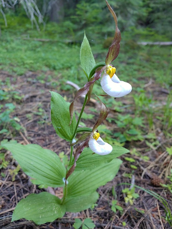 Mountain lady slippers
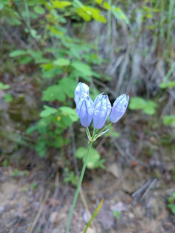 Large-flower triteleia
 Back above the creek.
 The bridge over Catherine Creek.
 Bluebells next to the bridge.

 Crab spider
 Another type of penstemon
 Rosy pussytoes
 A side creek running down the trail.
 Yellow columbine
 Entering the
  Jim Creek, this was one of the trickier crossings.
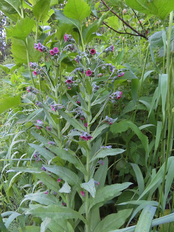 Hound’s tongue
 Nettle-leaf giant hyssop
 One of several smaller meadows along the trail.
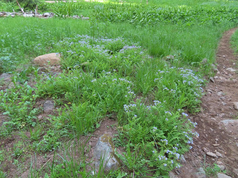 Jacob’s ladder
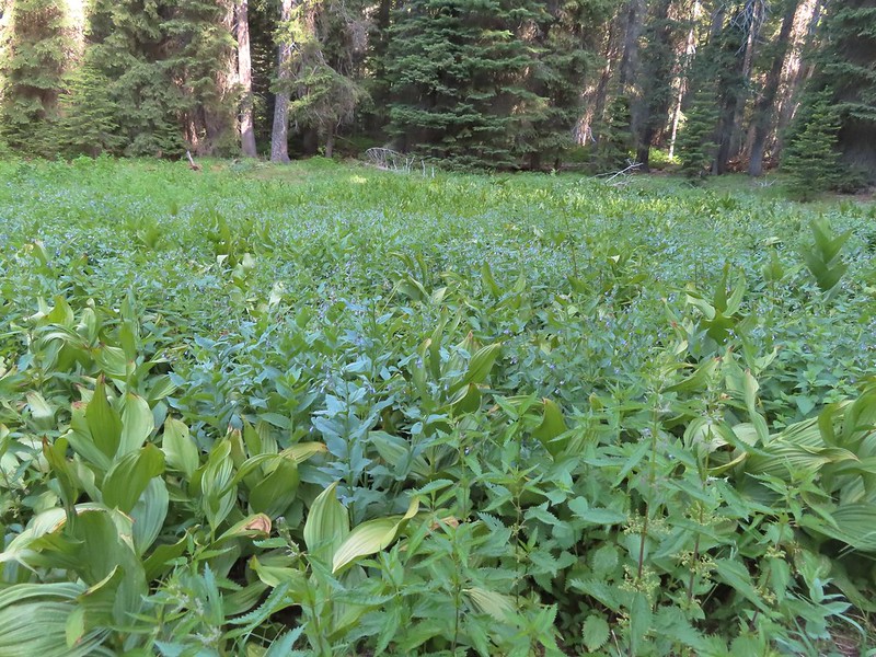 California corn lily and bluebells.
 Boot Hill Creek was also tricky as it had taken over the trail.
 A large patch of coralroot.
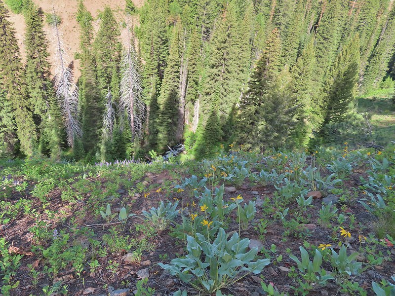 A few remaining balsamroot blooming above North Fork Catherine Creek.
 Arriving at Catherine Creek Meadows.
 All the black dots in the blue sky were gnats flying over the stream at the trail crossing.
 Heart-leaved bittercress
 Looking back at the sign post in the meadow marking the trail junction.
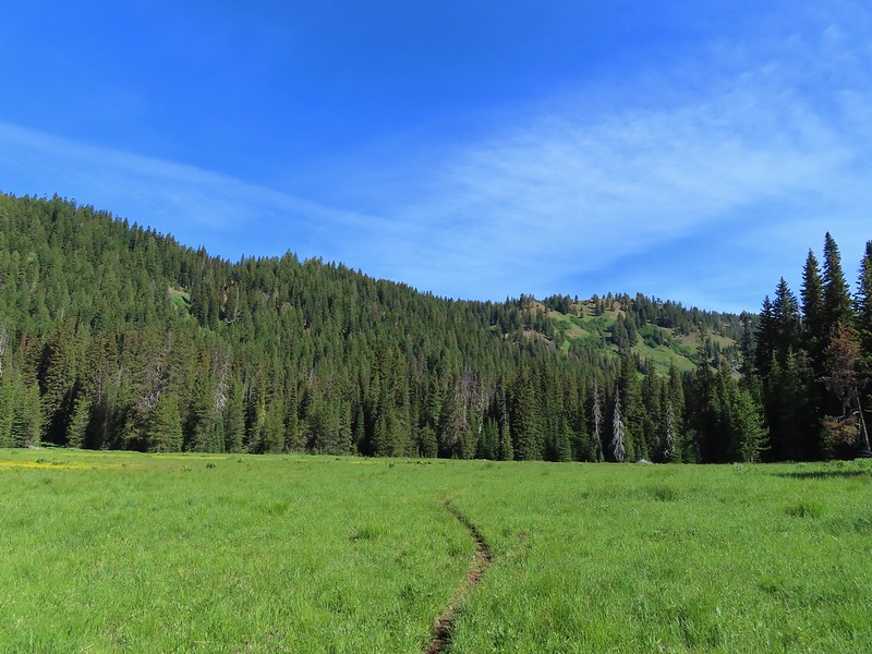 Another dry section of trail.
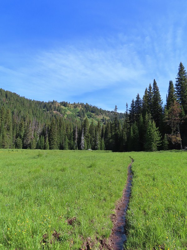 It wasn’t dry for long.
 Yellow buttercups and pink elephant’s head.
 Elephant’s head, one of our favorites.
 Ladybug
 Nearing the cabin.
 Ground squirrel
 Squatter running from the cabin.

 Beetle
 Another beetle and Nevada bitterroot.
 Brunch
 A comma of some sort.
 Big mushroom
 Something from the Lycaenidae family.
 Coneflower
 Swallow-tail on red clover.
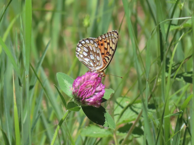 Fritilary on clover
 Mourning cloak perched overhead.
 Lorquin’s admiral
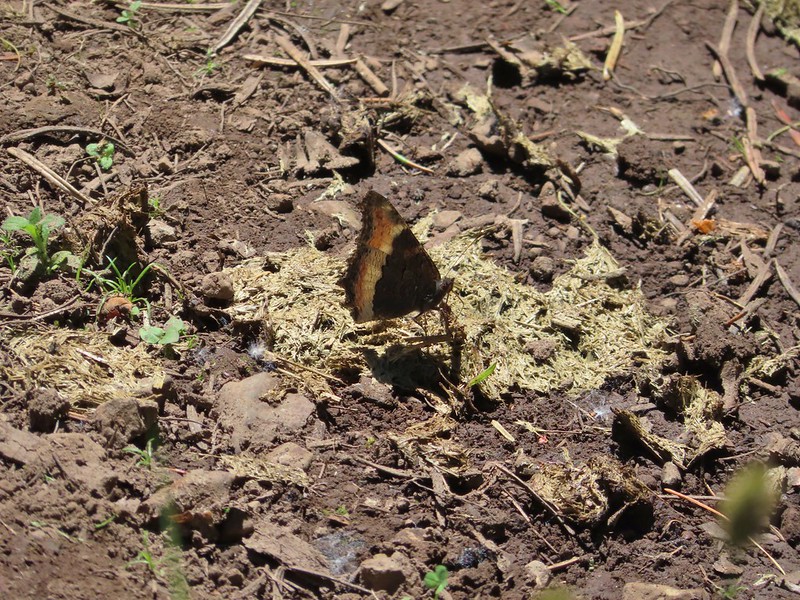 A tortoiseshell
 Skullcap, one of the hardest flowers to get a decent picture of for some reason.
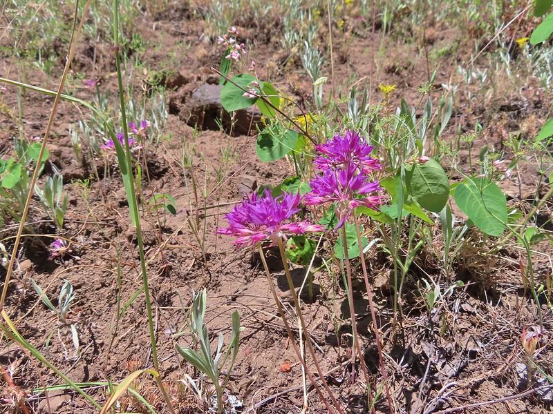 Tapertip onion
 Yarrow and other wildflowers up the hillside.

 A small sign post was all that marked the trailhead.
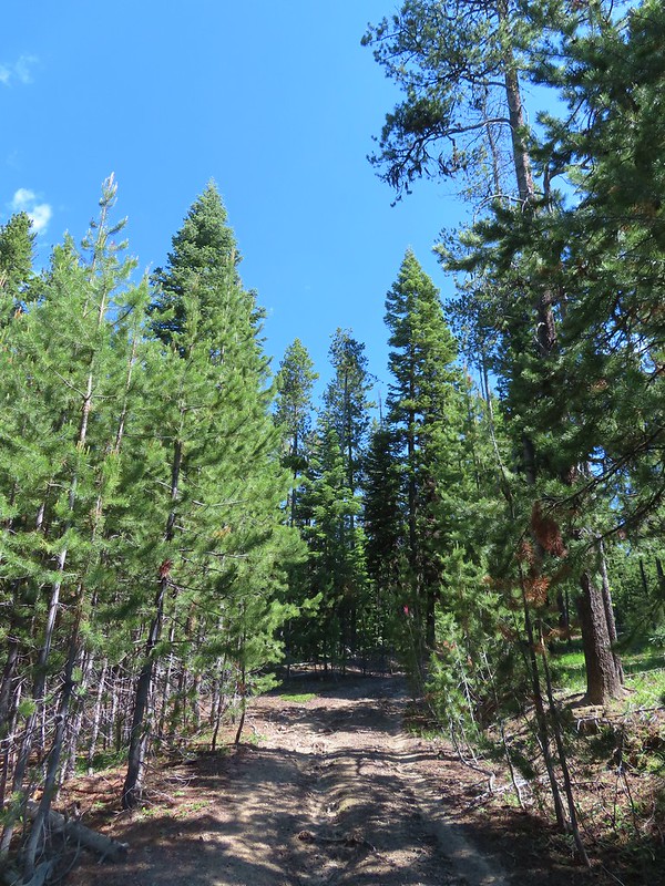
 Mt. Ireland from the junction.
 Hound’s tongue
 Flagging on the left marking the “trail”.
 Another flag hanging on the tree to the right.
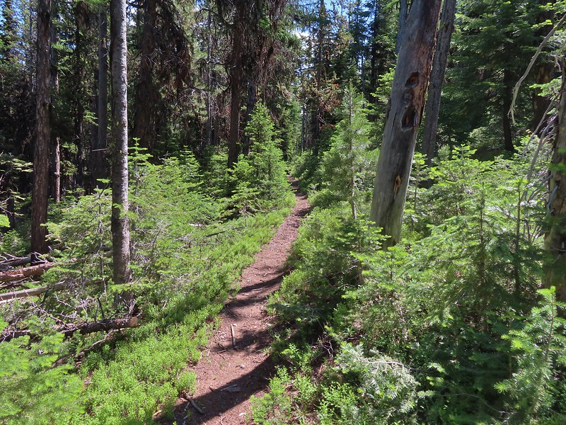
 Another glimpse of Mt. Ireland.
 Small meadow near FR 142 along a tributary of East Fork Boundary Creek.
 Trail sign at FR 142.
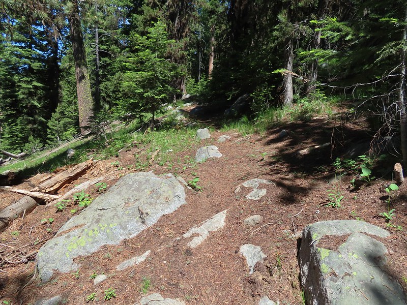

 Jacob’s ladder
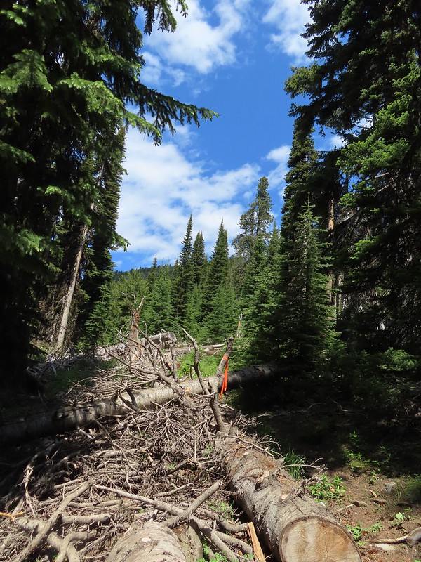 This was one of three trees across the trail, all of which were easily navigated.
 Ironside Mountain in the distance.
 Phlox
Phlox Brown’s peony
 Nearing the junction.
 Heading uphill.
 Pussy paws
 Mt. Ireland ahead.
 Rock Creek Butte (
 Paintbrush
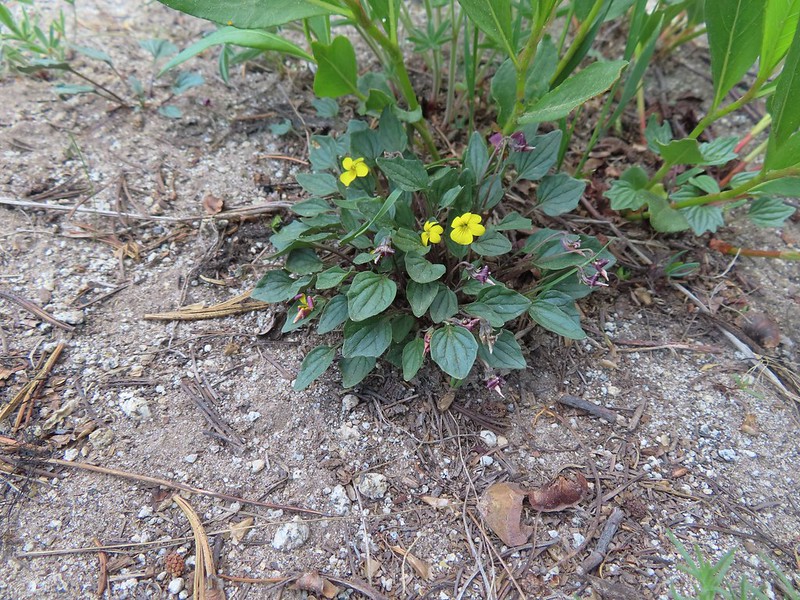 Goosefoot violet
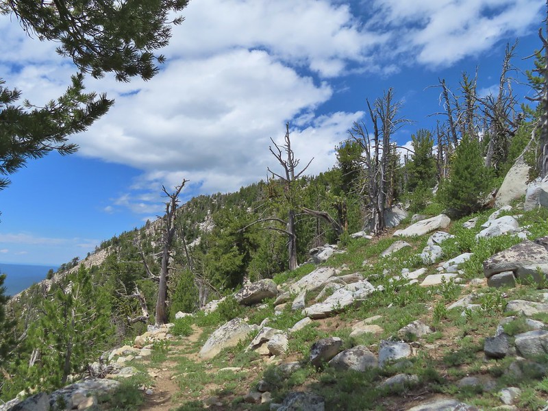
 Vinegar Hill in the Greenhorn Mountains (
 Mountain goat fur on the trail.
 Just to the right of the silver stump in the center of the photo is one of the goats.
 One of the goats below the lookout tower.
 Zoomed in shot of one of the goats leaving upon my arrival.
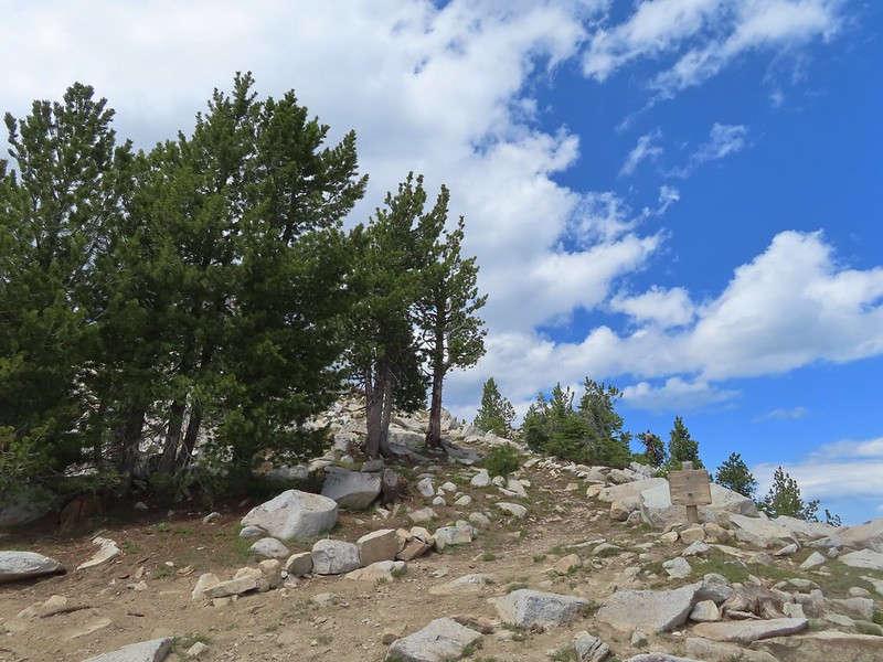 Arriving at the saddle.
 Baldy Lake below Mt. Ireland.
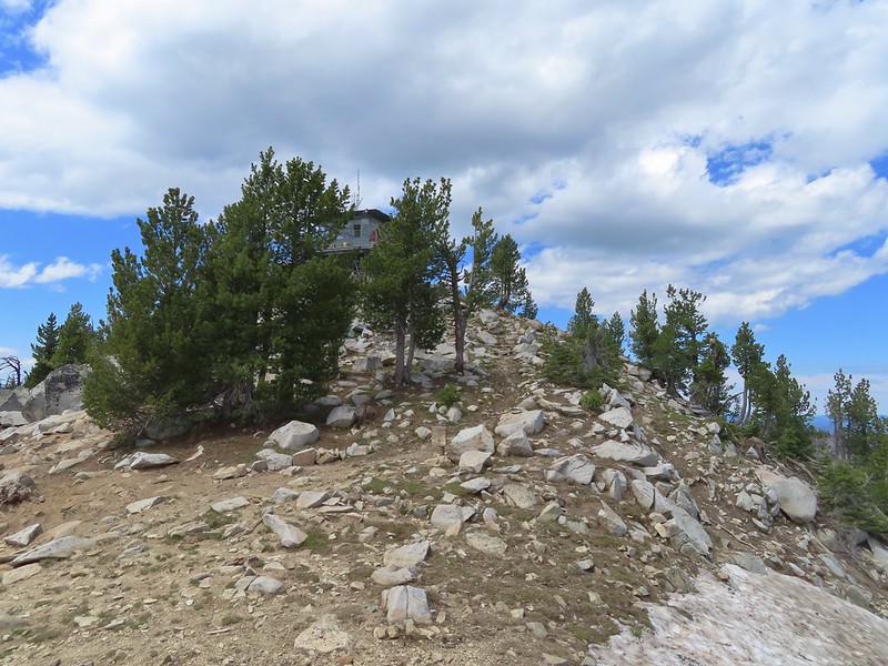 The tower from the saddle.
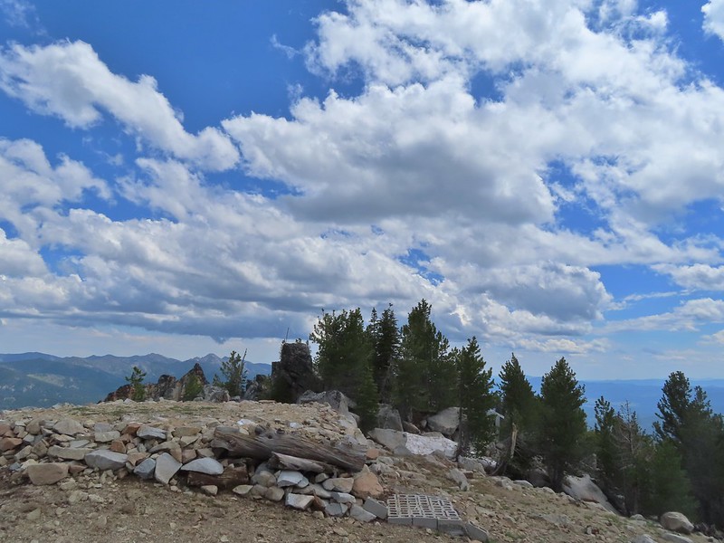 The helipad.
 Being watched.
 The kid was on the other side of mom.
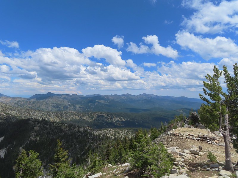 The Elkhorns from the tower.
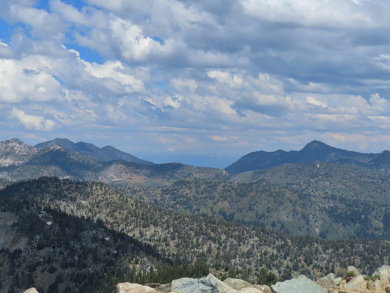 The snowy Wallowa Mountains beyond a gap in the Elkhorns.
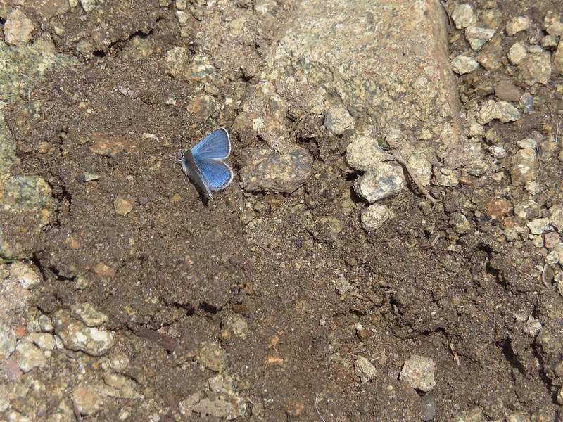
 Milbert’s tortoiseshell
 Vinegar Hill with Dixie Butte to the left and Strawberry Mountain (
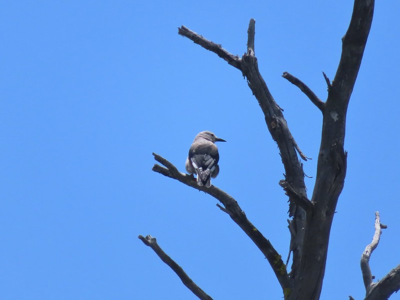 Clark’s nutcracker
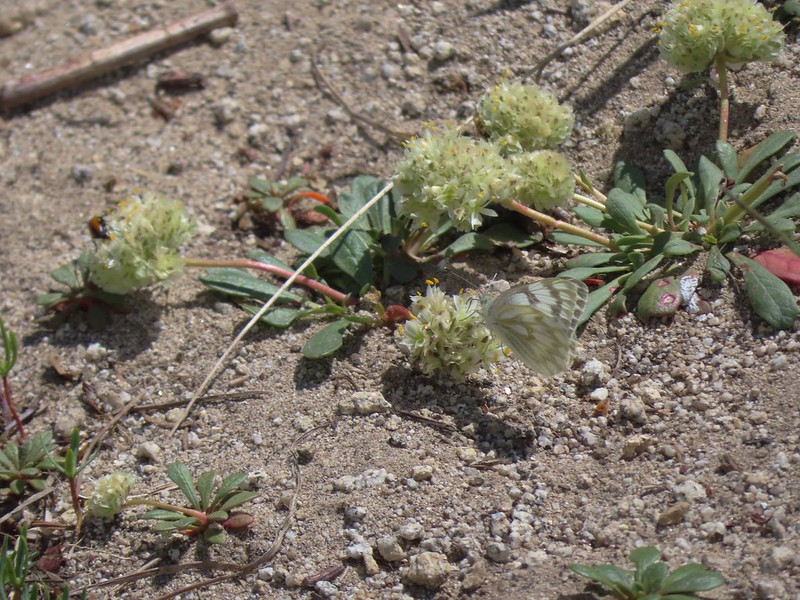 Butterfly on pussy paws.
 A comma?
 Beetle on arnica.
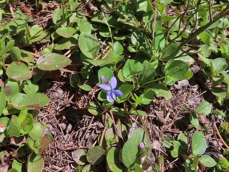 Hookedspur violet


 Fog at 5:30am
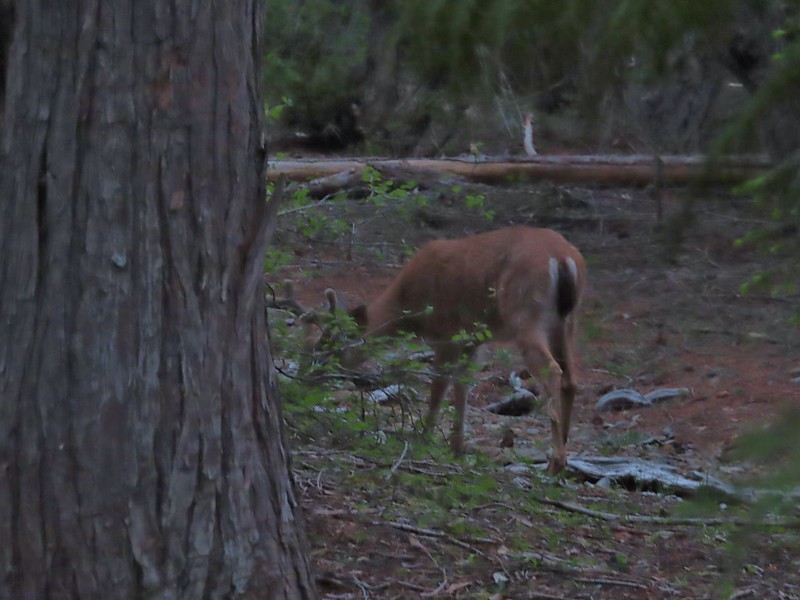 After he jumped he started to run off but quickly stopped to eat just a few yards later.
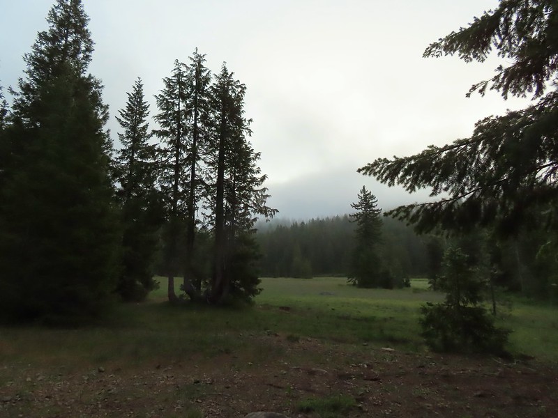
 Deer in the meadow.
 Snail near our breakfast spot. It’s amazing how quickly these guys can get from one place to the next.

 Lupine and beargrass along the road.
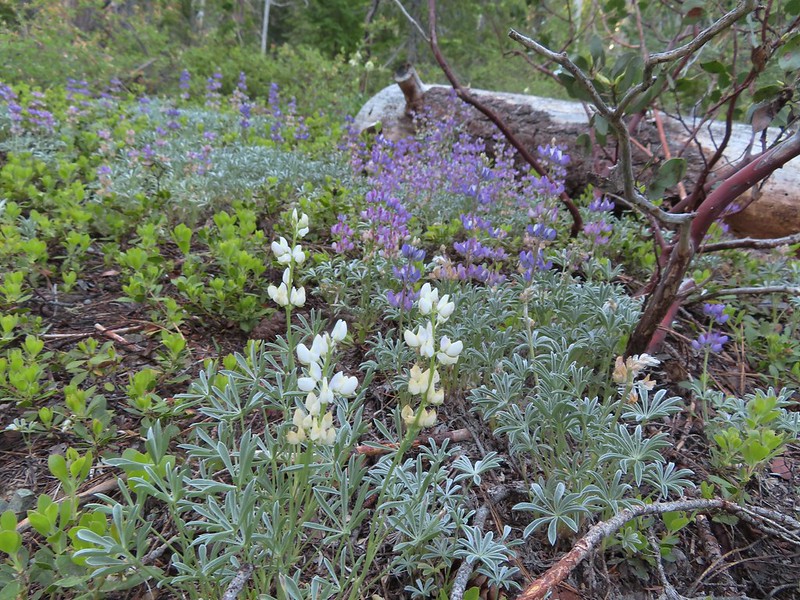 Lupine
 Beargrass
 Waterfall on cliffs below El Capitan.
 Waterleaf
 Stream crossing.
 At times the old roadbed looked like you could drive on it but other times it looked like this.
 Small meadow along the trail.
 Western azalea
 The clouds burned off quickly.
 Penstemon
 Youngs Peak with the meadow barely visible to the right below.
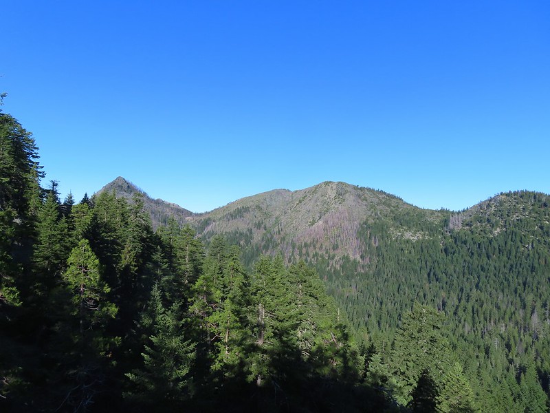 Rocky Knob to the left.
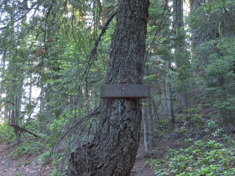
 Sign at the Cyclone Gap junction.
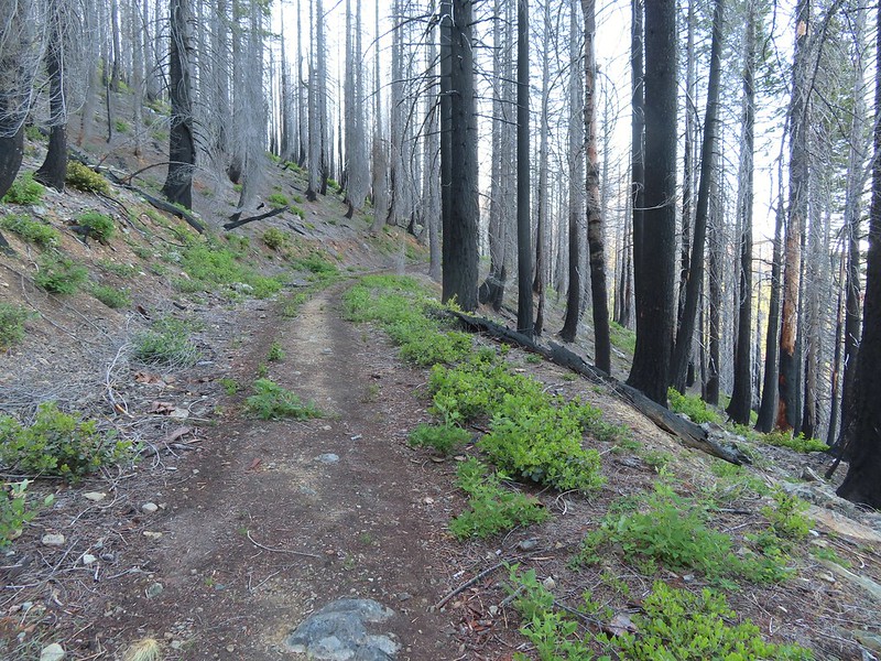 Back into the 2018 Natchez fire scar.
 Preston Peak
 Paintbrush along the trail.
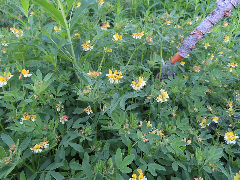 Streambank bird’s-foot trefoil
 Musk monkeyflower
 Raspberry Lake Trail to the left.
 Ruins from the chrome mine.
 More mine ruins on the hillside below.
 Nuttall’s sandwort
 Bear Mountain and Rocky Knob.
 Chipmunk
 Getting closer to Preston Peak.
 Ragwort
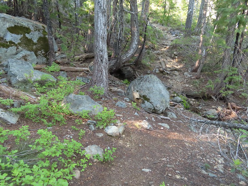 Small stream crossing.
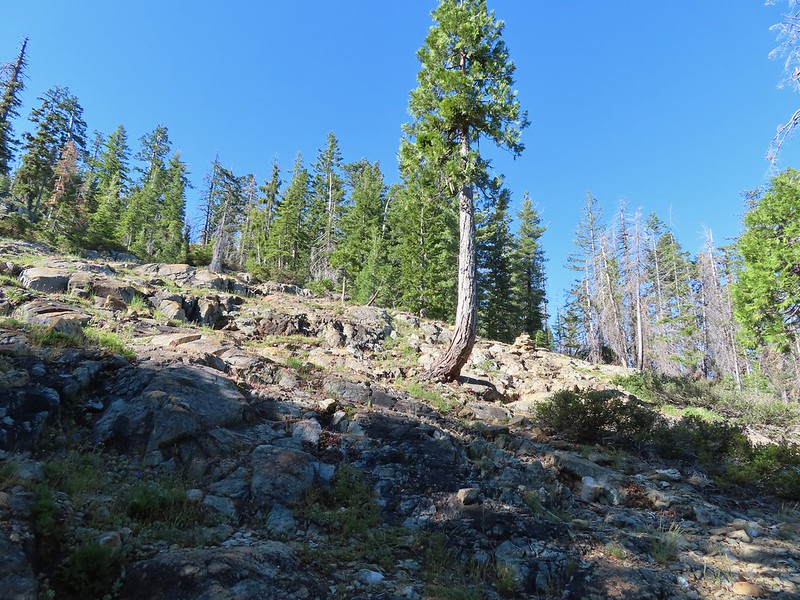 A short steep rocky section where cairns were helpful.
 Rounding another ridge with Preston Peak on the left and Bear Mountain to the right.
 First view of Raspberry Lake in the trees below to the right.

 Big rock along the shore.
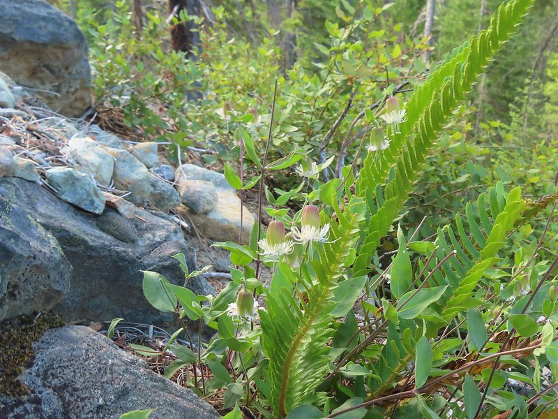 Bell catchfly
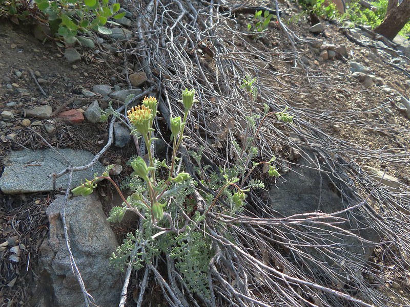 Douglas’ Dustymaidens
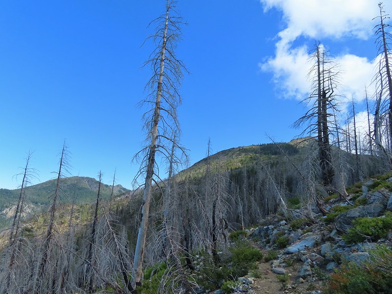 El Capitan on the right. To the left I think that is Bear Cub with Polar Bear Mountain behind.
 Western azalea
 This squirrel gave us a stern talking to.
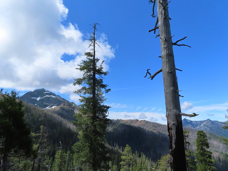
 Western tanager pair
 Twin Peaks
 We believe this is what Sullivan shows as Slow Echo Camp on his map. We wondered what the stones in the foreground had been a part of?


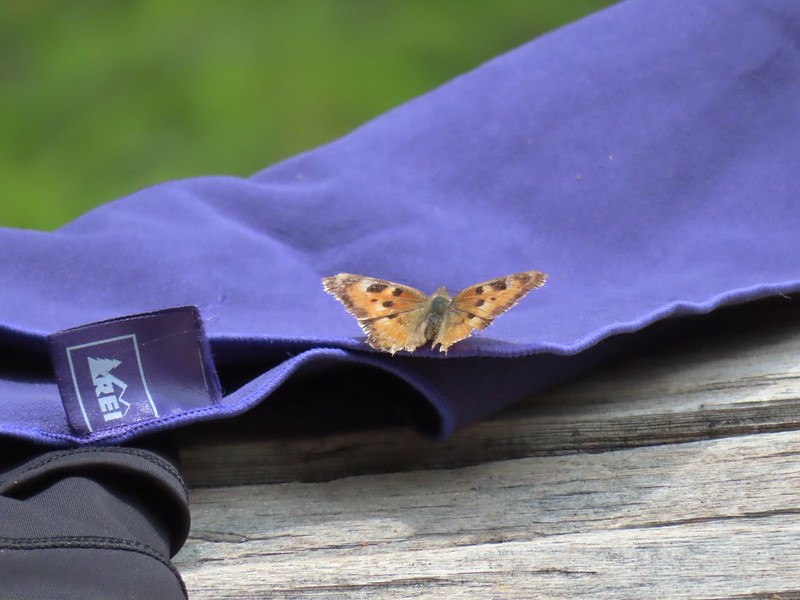 This butterfly did discover people=salt.
 Maybe a flycatcher of some sort near camp.
 Common buckeye
 Turkey vulture checking out the meadow.
 White rush lily
 Ginger
 Snow plant
 Another low cloud morning.
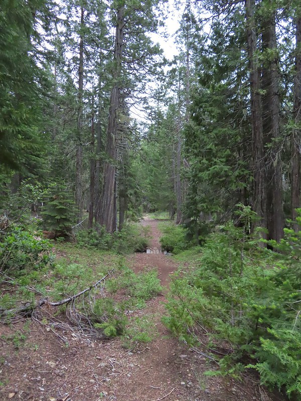 Heading out
 Passing around the meadow, we didn’t see Buster this morning.
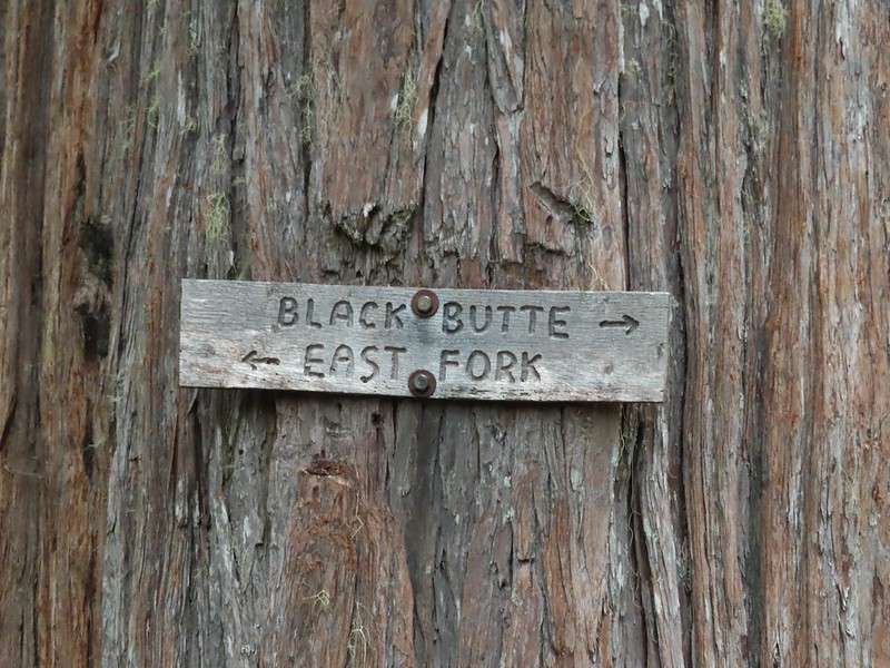
 Black Butte Trail junction.
 Bear Cub under the clouds.
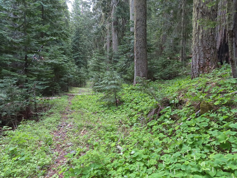 Vanilla leaf along the trail.
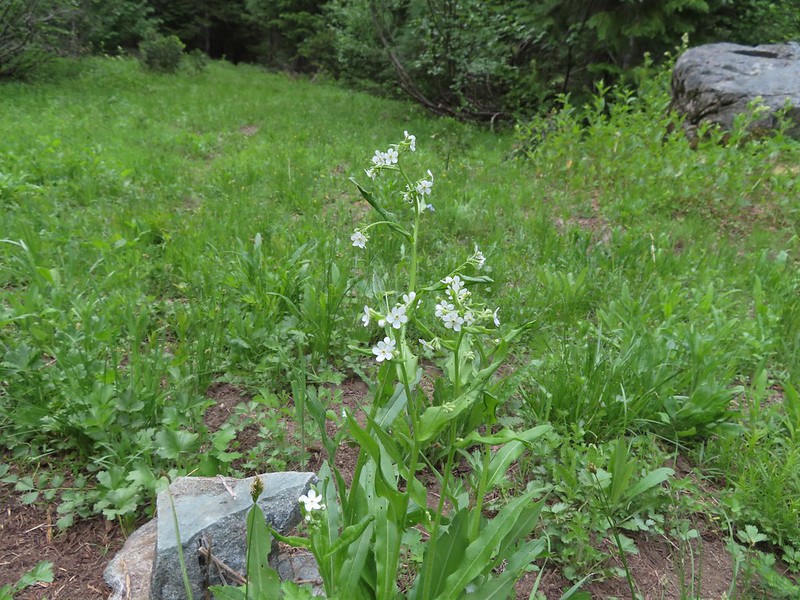 Jessica sticktight
 The headwaters of the East Fork Illinois River are just up from the trail so the river isn’t much more than a trickle at the trail crossing.
 The edge of the clouds to the NW.
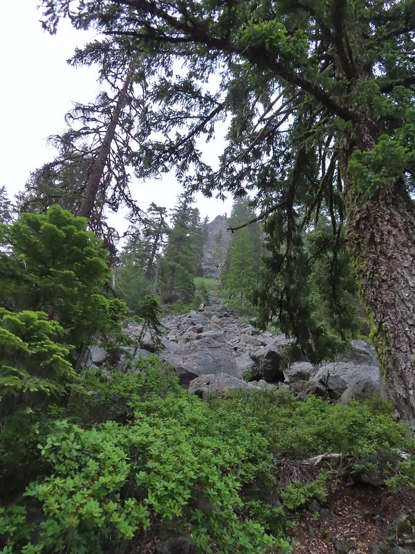 Passing below Bear Cub.
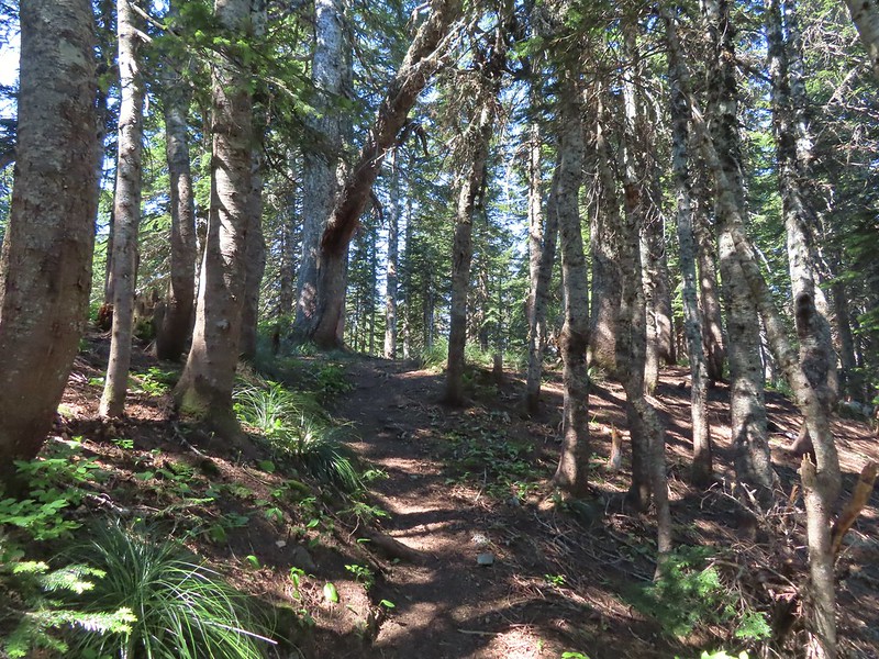
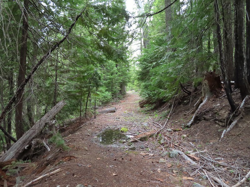
 Being an old road bed in unburt forest made for easy hiking.
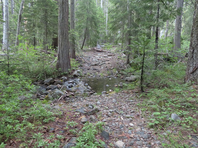

 Swtichbacking toward Bear Cub.
 Black Butte
 Heading downhill so we could go up.
 Creek crossing in the basin below Black Butte.
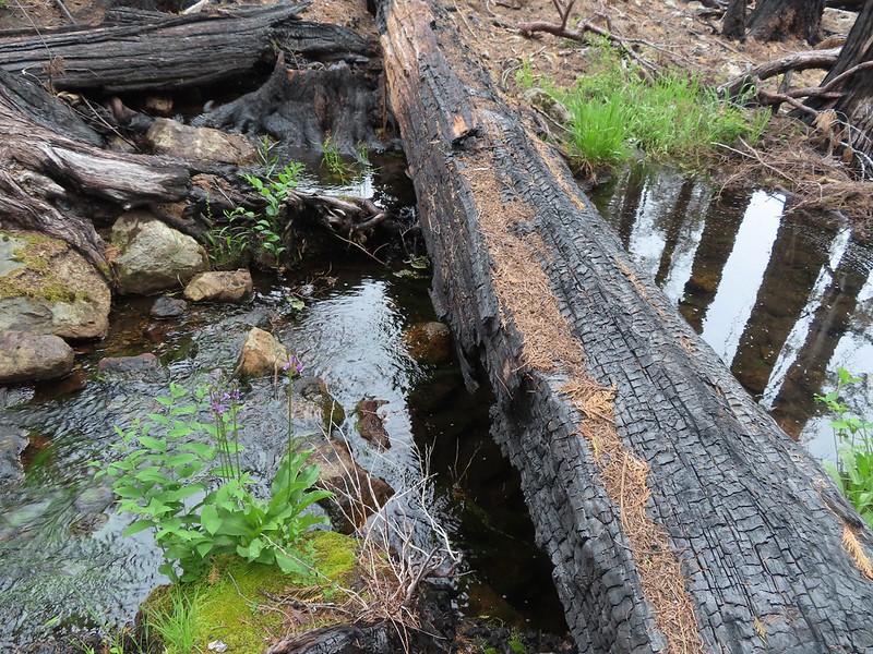
 Looking back into the clouds where we’d come from.
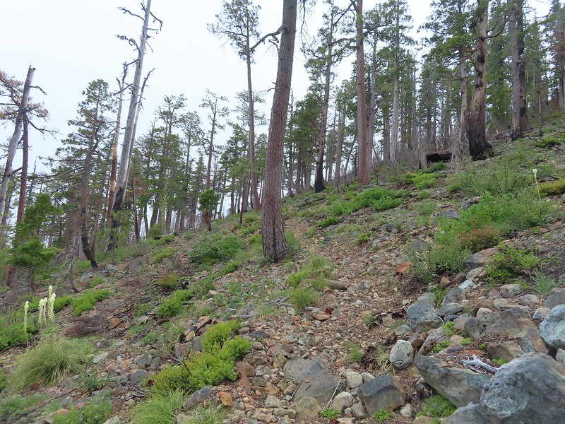 Steep climb up to the junction.
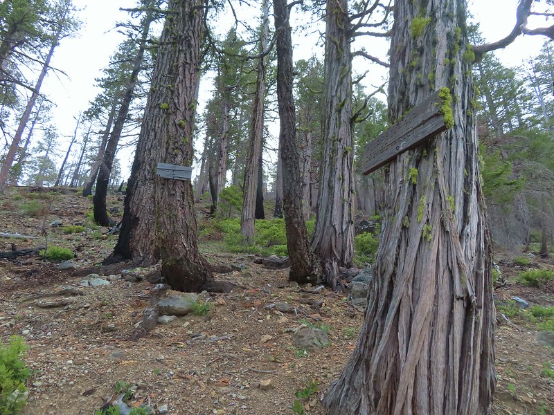 We made it back to the junction! Only 1.8 more miles to go.
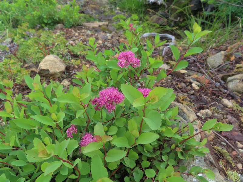 Spirea
 Pair of woodpeckers
 Why is there more uphill?
 Black Butte from the trailhead with Heather coming down the trail.

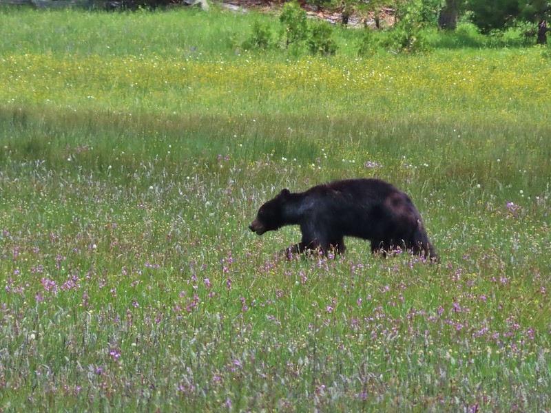
 There still wasn’t a lot of light in the valley but the bear was in with the tall tree in the middle of this picture.


 Heather watching the bear leave through the gap in the trees.
 The sign for the Clear Creek Trail on a tree to the right.

 Clear Creek below the trail.
 Anemone and star flowers
 Honeysuckle
 Rocky Knob
 One of several creek crossings. This one was a bit tricky to stay dry on but we both managed to do so on the first pass. Heather wasn’t so lucky on the way back though.
 Rayless arnica
 Pacific ninebark
 Streambank bird’s-foot trefoil
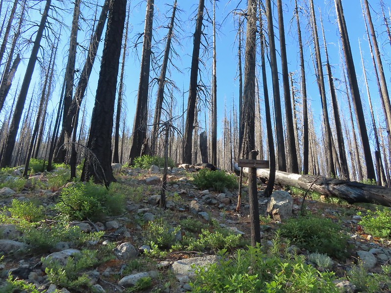 Sign for the Rattlesnake Meadows Trail which looked to be in much worse shape than the Clear Creek Trail.
 White-vein wintergreen
 Queens cup
 There was a small stream in the middle of the trees here.
 A colorful pea.


 The western azaleas smelled wonderful.
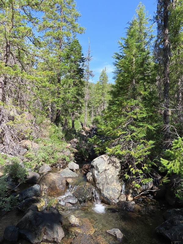 Another side creek.
 Another fire scar, this time from the 2017 Young fire.
 Silver-spotted skipper


 Chipmunk
 White-stemmed frasera
 Bolander’s lily, another exciting find for us and the first time we’ve seen them.
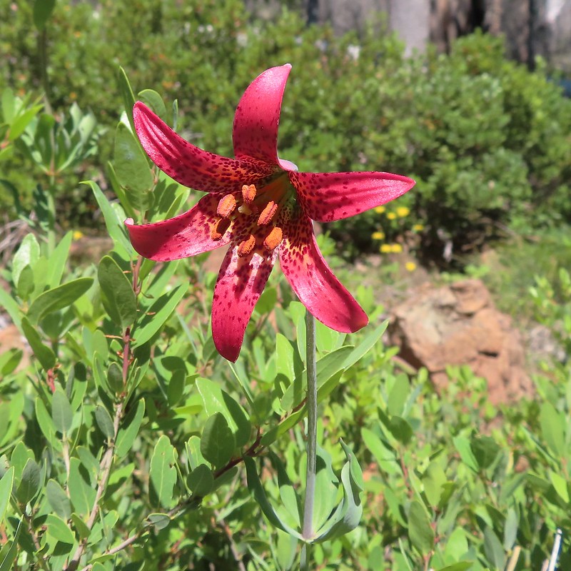
 Washington lily with a crab spider.
 Trail sign near Trout Camp.
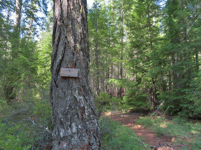 Sign for the Doe Flat Trail at Trout Camp.
 Doe Creek, we probably could have made it dry footed (I was able to on the way back.) but since we were already wet why bother.

 Twin Peaks in the distance.
 Pacific coralroot
 Phantom orchid
 The Doe Flat Trail continuing on from the junction.
 The flat top of Black Butte in the distance.
 Bear Mountain
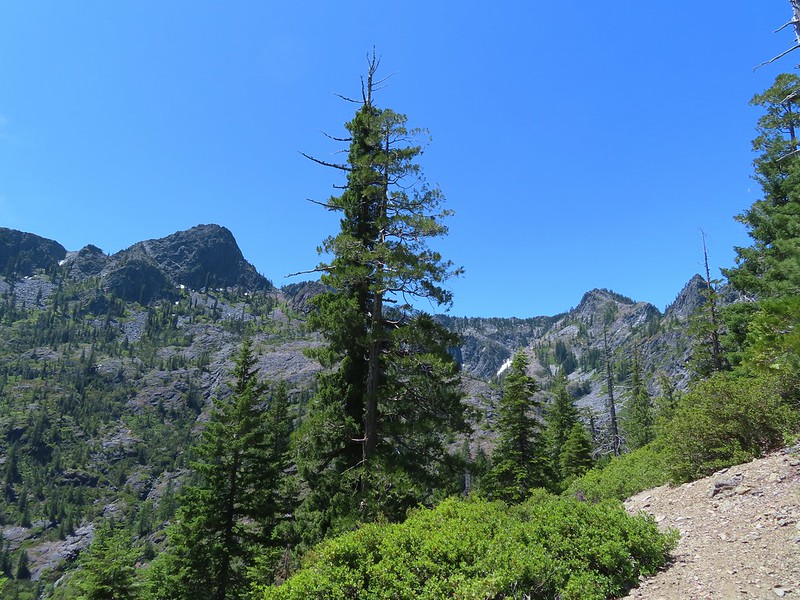
 Blue-head gilia
 Oregon sunshine


 Buckwheat
 Siskiyou lewisia
 Preston Peak


 Pussypaws
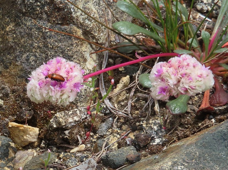 Beetle on a pussypaw
 Swallowtail on azalea
 Silver-spotted skipper on Siskiyou lewisia
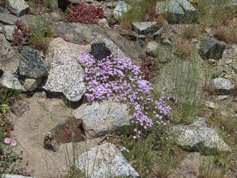 Phlox
Phlox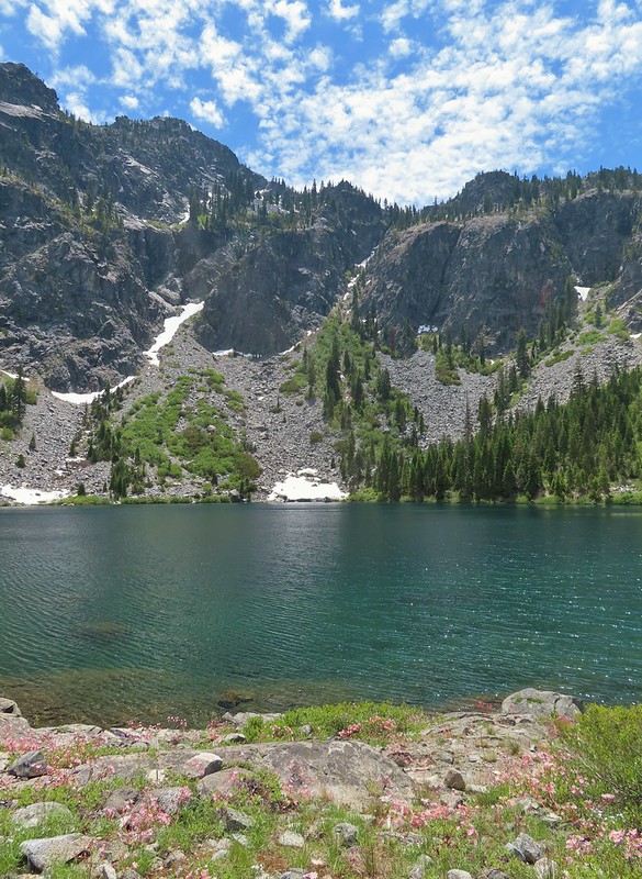
 There is a rock arch atop the ridge near the left hand side.
 Mountain heather
 Green beetle
 Ground squirrel
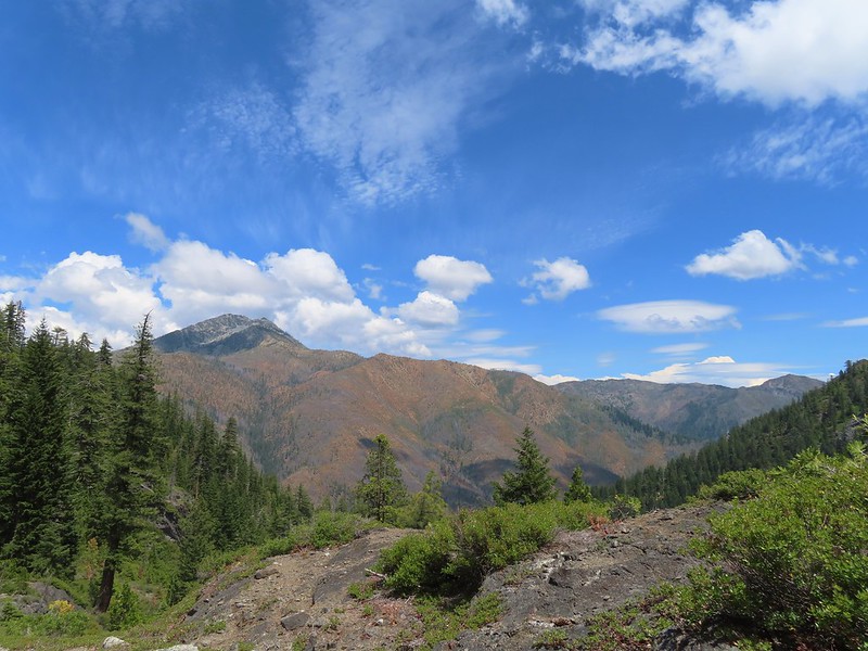 Clouds gathering around Preston Peak.
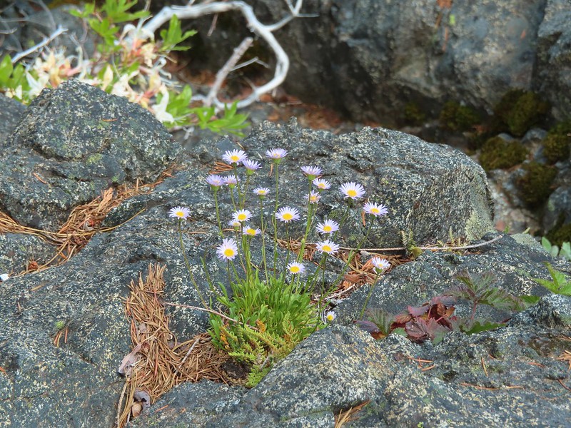 Fleabane near the pool.
 Waterfall along the outlet creek.
 Clouds over Devil’s Punchbowl.
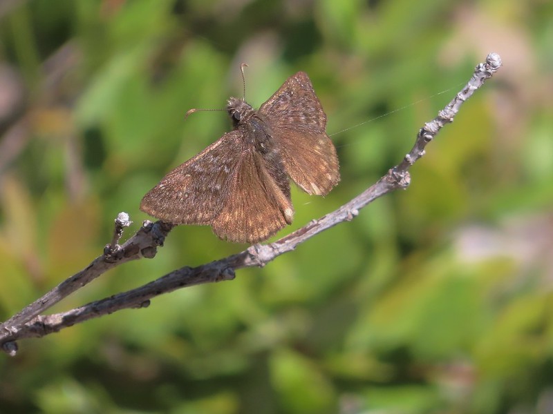 A duskywing
 More clouds to the north.
 Bee in bindweed with a little ant observing.
 Back at the ford.
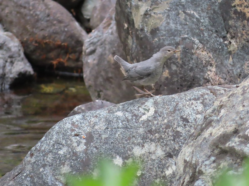 Ouzel at the Clear Creek ford.
 Doe in the forest.
 This little guy had a pretty song.
 Arriving back at Youngs Valley.
 The bear in the middle of the photo behind a small leaning tree.

 Black Butte from the Black Butte Trailhead.
 Penstemon
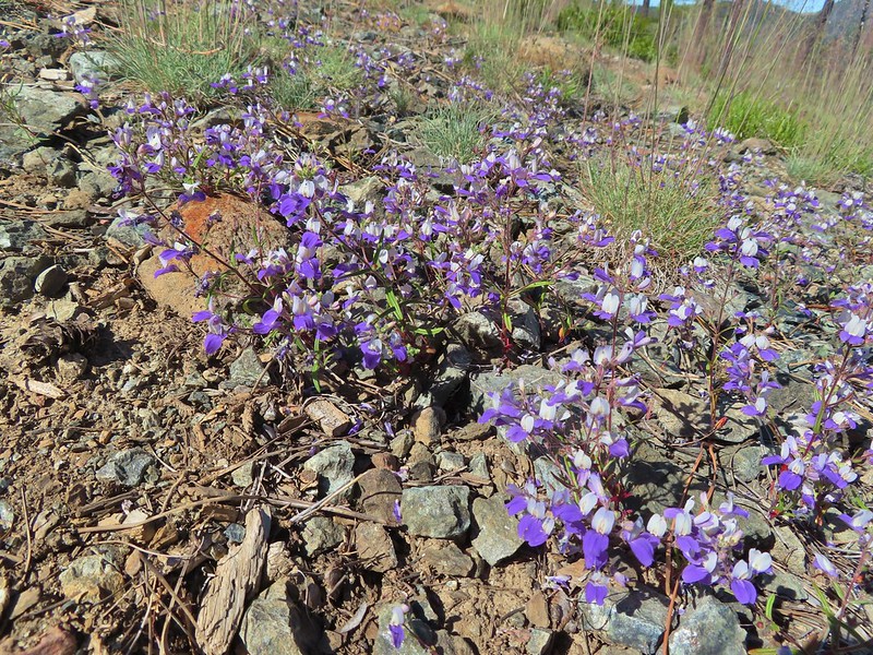 Narrowleaf blue eyed Mary
 Siskiyou mountain ragwort
 Wedgeleaf violet
 Sanger Peak
 More penstemon
 Phlox
Phlox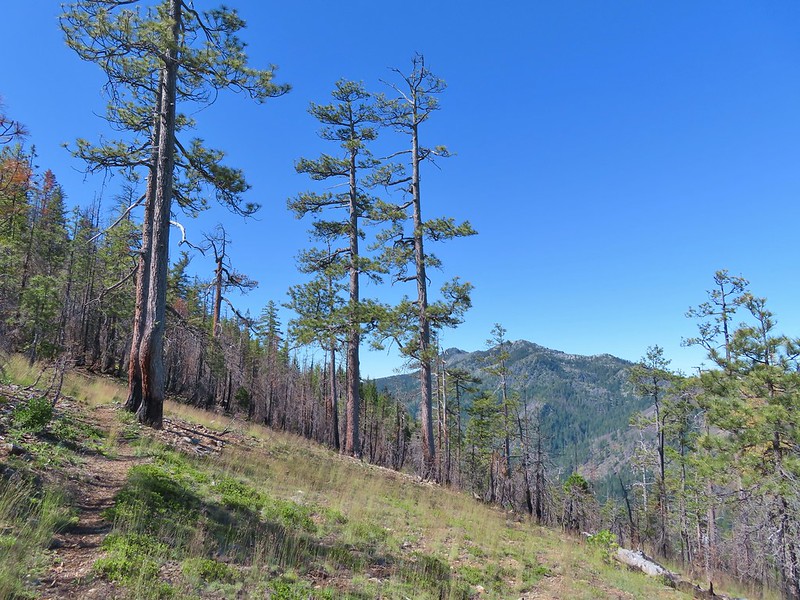 Youngs Peak
 It turned out to be a beargrass year, at least in the northern part of the wilderness.
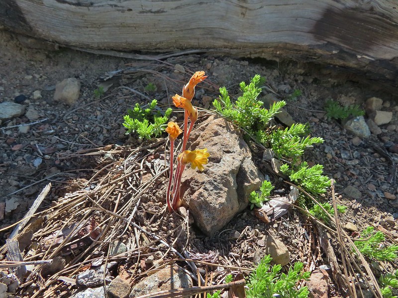 Clustered broomrape
 Paintbrush
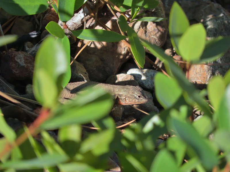 Lizard
 El Capitan with the snow behind Bear Cub. Bear Mountain is the high point in the center distance with Rocky Knob to the right front of it. Youngs Peak is the high point to the far right of the frame at the end of the ridge.
 Looking up at Black Butte.
 Rayless arnica
 Big deervetch
 The junction with the tie trail.
 Polar Bear Mountain ahead.
 Azalea
 A sulphur butterfly
 Thimbleberry blossoms
 A tortoiseshell on thimbleberry.
 Wallflower
 The trail steepened considerably as it made the final climb to the gap.
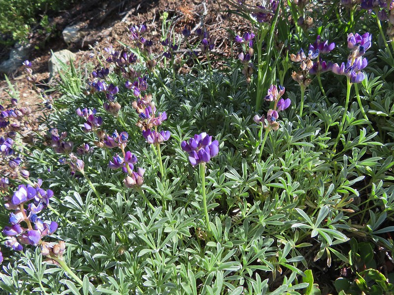 Lupine
 Lewis flax
 Lookout Mountain
 Paintbrush
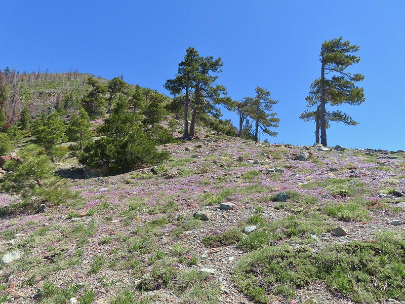 A carpet of narrowleaf blue eyed Mary at Polar Bear Gap
 Nuttall’s sandwort surrounded by blue eyed Mary.
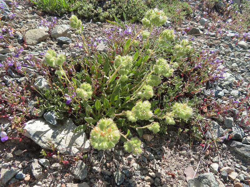 Serpentine phacelia
 Polar Bear Gap
 Lookout Mountain
 Polar Bear Mountain
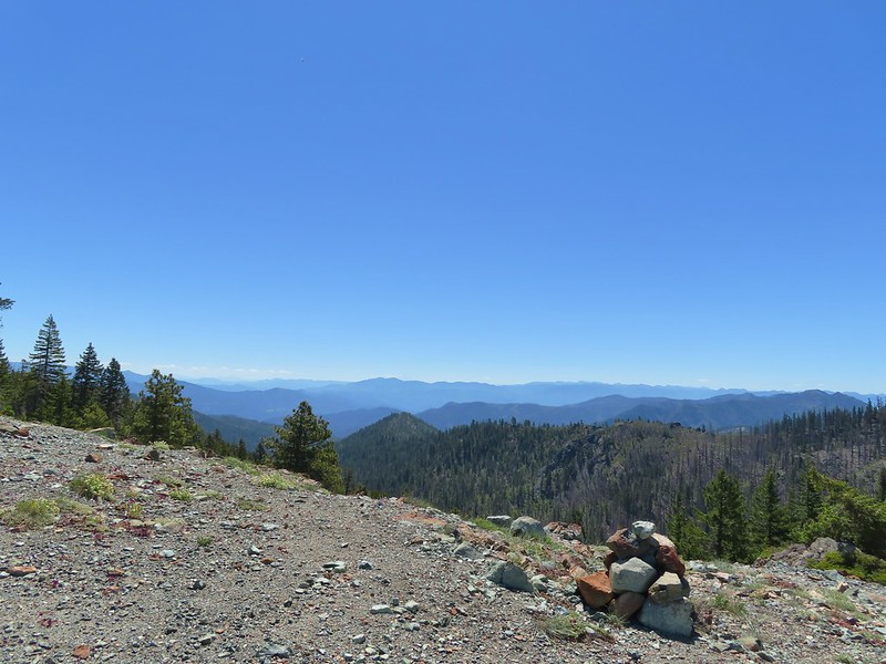 Looking east toward Mt. Shasta.
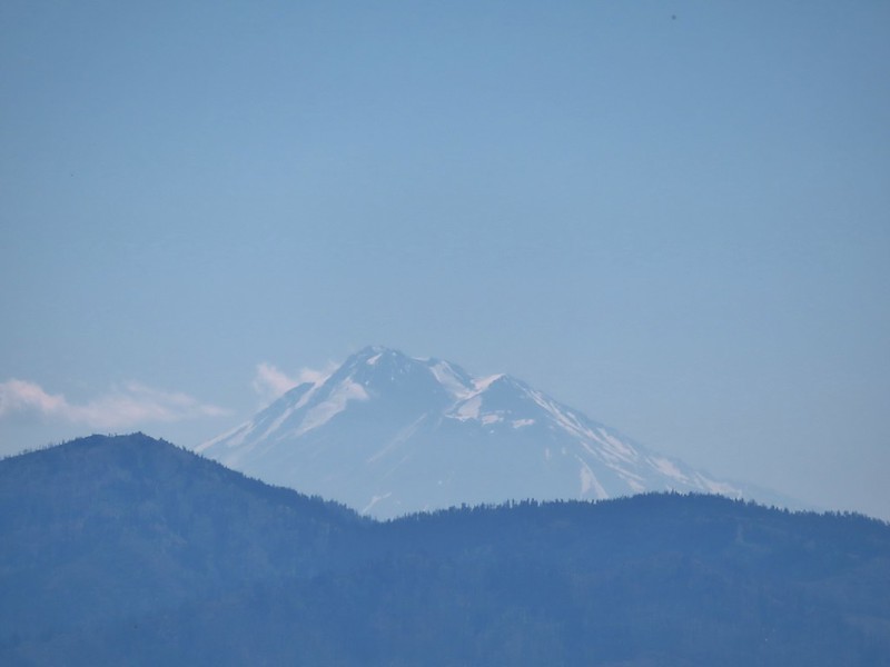 Mt. Shasta
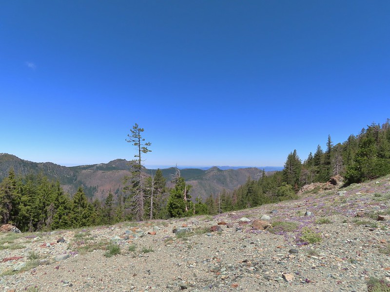 Looking west toward Sanger Peak.
 Sickle-leaved Onion
 There were lots of lizards in the area.
 Heading down into Twin Valley
 Paintbrush and penstemon along the trail.
 Queen’s cup
 Frog
Frog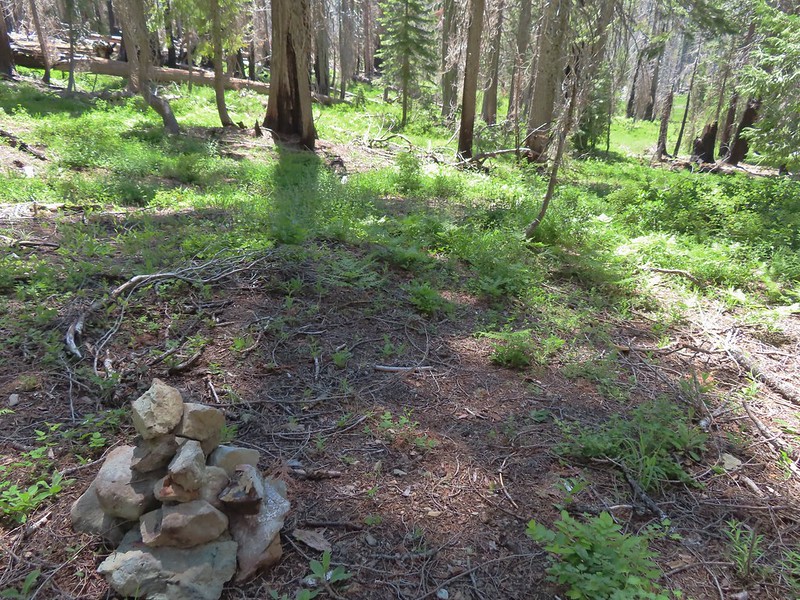
 Larkspur
 The yellow is a cinquefoil I believe but I don’t know what the other dark flower is.
 Meadow in Twin Valley.
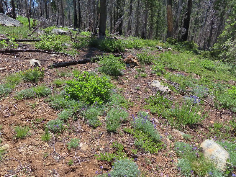 Heading down to a stream crossing between the two meadows.
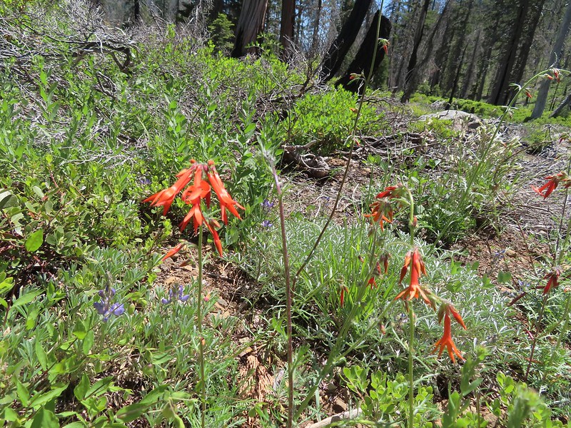 Scarlet gilia
 Beargrass
 Creek crossing.
 Shooting star and marsh marigold.
 A hairstreak butterfly
 Columbine and cinquefoil
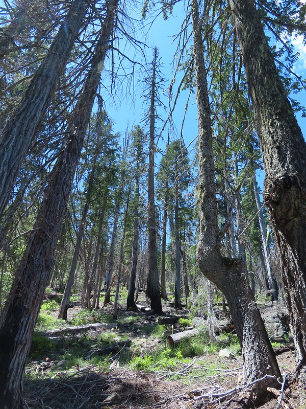 Cut logs helped identify where the trail was supposed to be.
 Wolley-head clover
 Oregon violet
 Polar Bear Gap from the Poker Flat Trail.
 Looking up toward the ridge end.
 Iris at the ridge end.
 Red Buttes (
 Red Buttes
 Lookout Mountain from the ridge end.
 Bee visiting penstemon.
 The Lieutenants and El Capitain
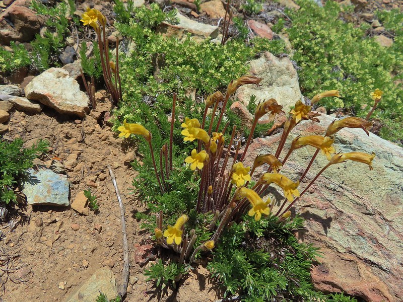 Clustered broomrape
 We were starting to see a lot of bear sign.
 An as-of-yet unidentified flower.
 This may be sticky blue eyed Mary.
 Mariposa lily
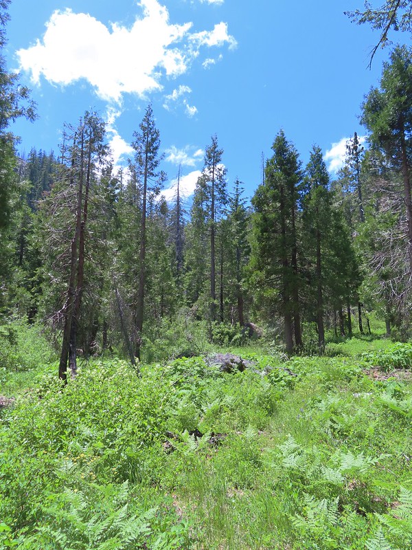 More faint trail.
 Time to climb.
 Anemone
 Meadow along the Poker Flat Trail.
 Approaching Private Lake.
 Siskiyou lewisia
 Private Lake below The Lieutenants.

 Scarlet gilia and penstemon
 Heather heading for the pass.
 Arnica
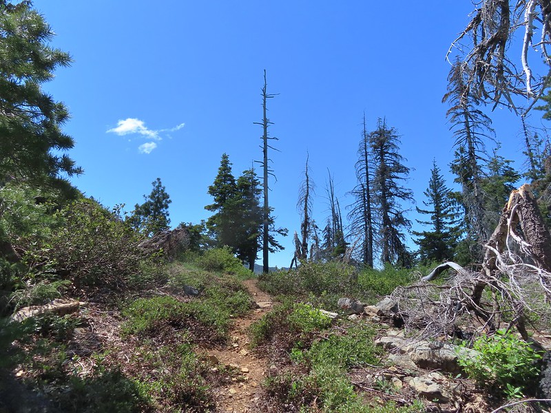 Nearing the pass.
 Bear Cub
 Youngs Peak just to the left of the snag.
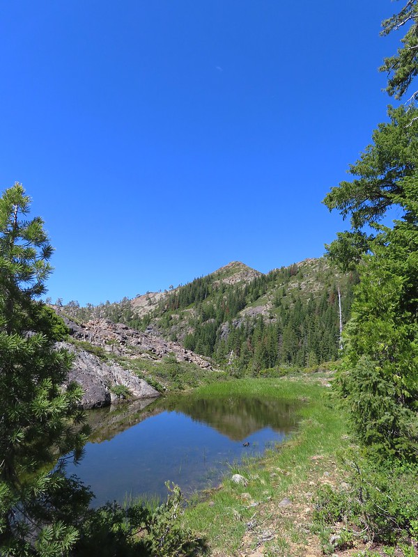
 Bear Cub on the right.
 Youngs Peak behind the tree.
 Finally out of the fire scars.
 Snow plant
 Sign for Raspberry Lake at the Raspberry Lake Trail/Clear Creek National Recreation Trail junction where we correctly turned left.
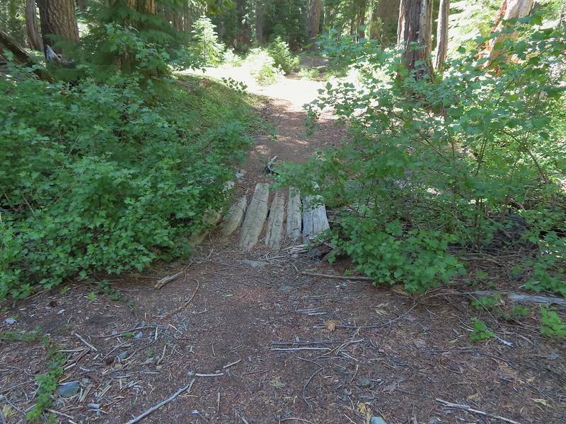 Footbridge over the creek.
 Bear Cub from Youngs Valley.
 Camp
Camp Dragon fly
 El Capitan
 Bucks in the meadow.
 Caterpillar
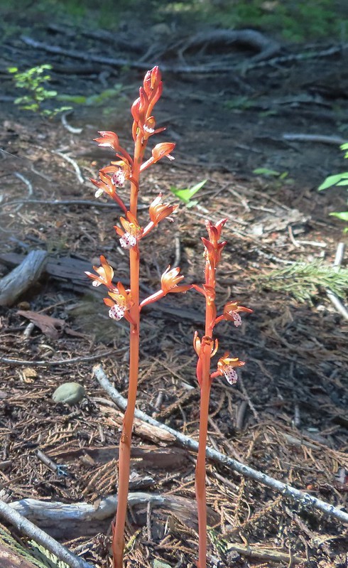 Spotted coralroot
 Wedgeleaf violets
 Maybe a cinquefoil
 Bistort
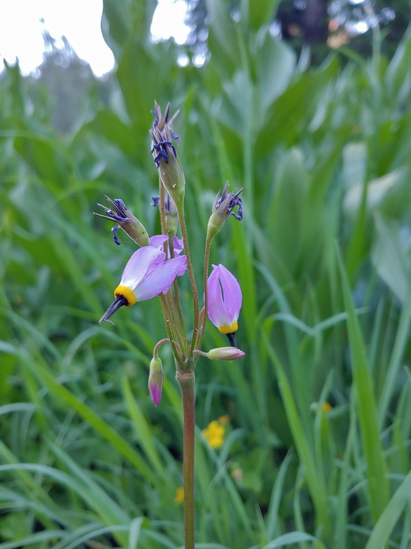 Shooting star
 Monkeyflower
 There were quite a few of these tiny flowers. I haven’t been able to identify this one yet.
