
For the second week in a row, we turned to a National Wildlife Refuge System as a hiking destination. The U.S. Fish and Wildlife Service currently manages 568 wildlife refuges throughout the United States with the primary statutory purpose being the conservation of native species. Where and when appropriate the refuges offer access to the public for activities such as photography, wildlife viewing, hunting, fishing, paddling, and of course hiking. We have really come to enjoy our visits the various refuges, so we were looking forward to exploring a new one to us, the Steigerwald Lake National Wildlife Refuge.
Situated just East of Washougal Washington along the Columbia River, Steigerwald Lake is part of the Ridgefield National Wildlife Complex. In addition to Steigerwald Lake the complex also includes the Franz Lake, Pierce, and Ridgefield refuges. Of those Ridgefield (post) is the only one we’d previously visited. We had hoped to visit this refuge a couple of years ago, but the refuge was undergoing an extensive restoration that kept it closed until May of last year. The refuge hosts roughly 5-miles of crushed gravel trails. Two of the trails, the Mountain View and the Refuge River, are open all year. A third trail, the Wildlife Art Trail, is partially closed October 1st through April 30th. The Refuge River Trail is open to pedestrians, bicycles, jogging, horseback riding, and leashed dogs which is rare for a refuge while the other trails are hiker (pedestrian) only. To use the Refuge River Trail joggers, cyclists, equestrians and leashed dogs enter the refuge from the West via the Captain William Clark Park Trail by either starting at Steamboat Landing or Captain William Clark Park.
Our plan was to start at the refuge trailhead and hike the trails then then take the Captain William Clark Park Trail to Steamboat Landing and back. We opted for this approach because online information showed 7am and 8am as the opening times for Captain William Clark Park and Steamboat Landing respectively while the refuge website reported that it’s gate opened at 5:30am and we’d be arriving shortly after six.
 The Mountain View Trail is named so because of the view of Mt. Hood, which on this morning was hiding behind the clouds on the left side of the photo.
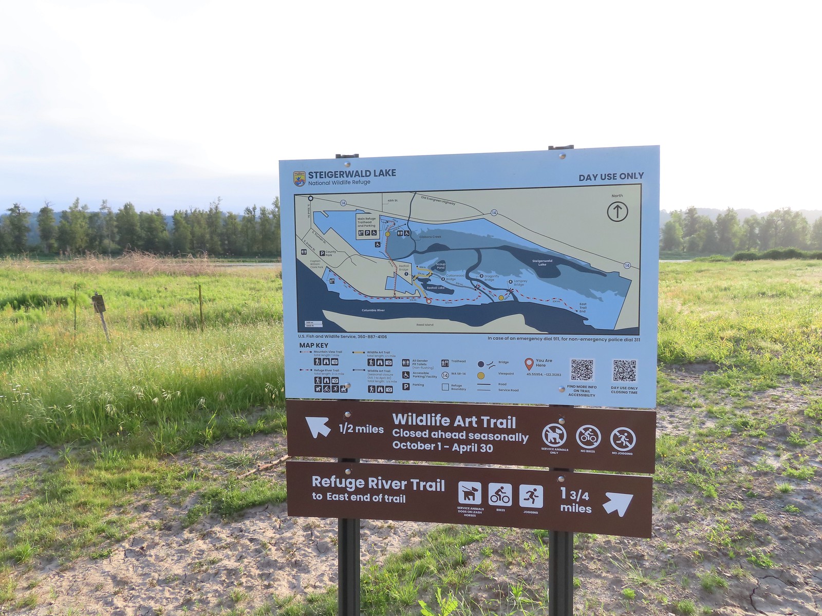
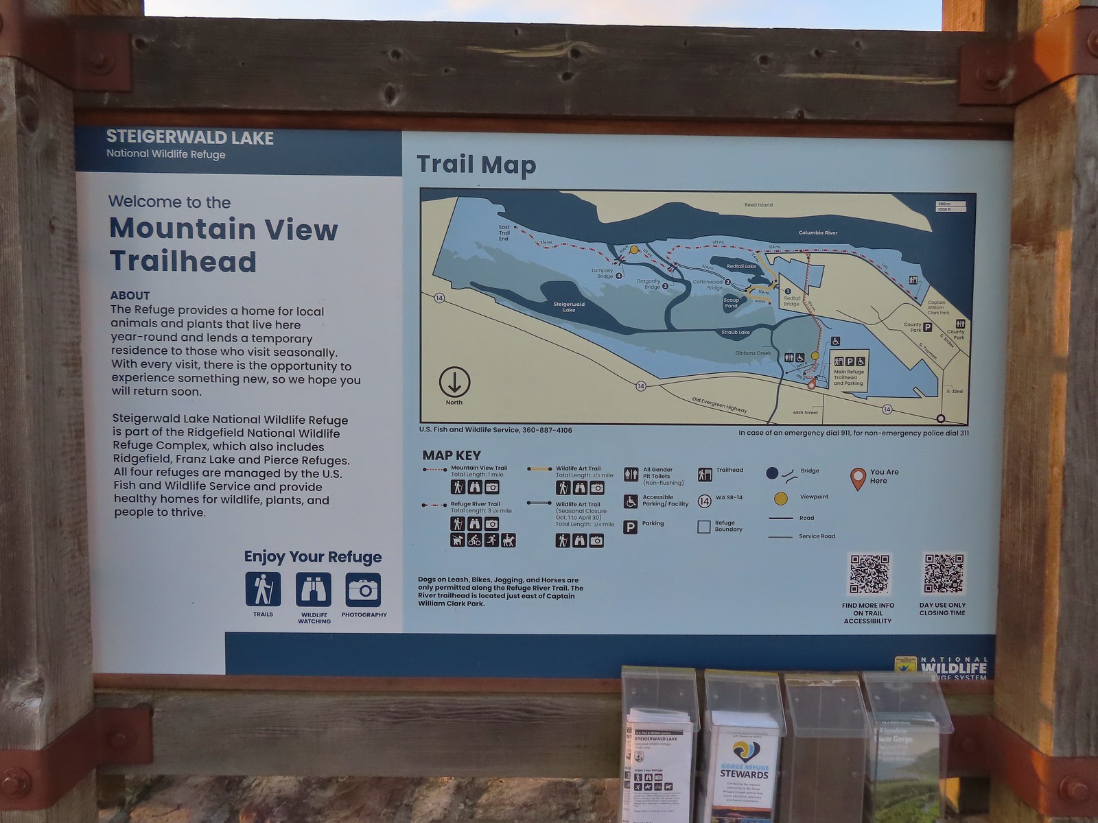 Map and information at the trailhead.
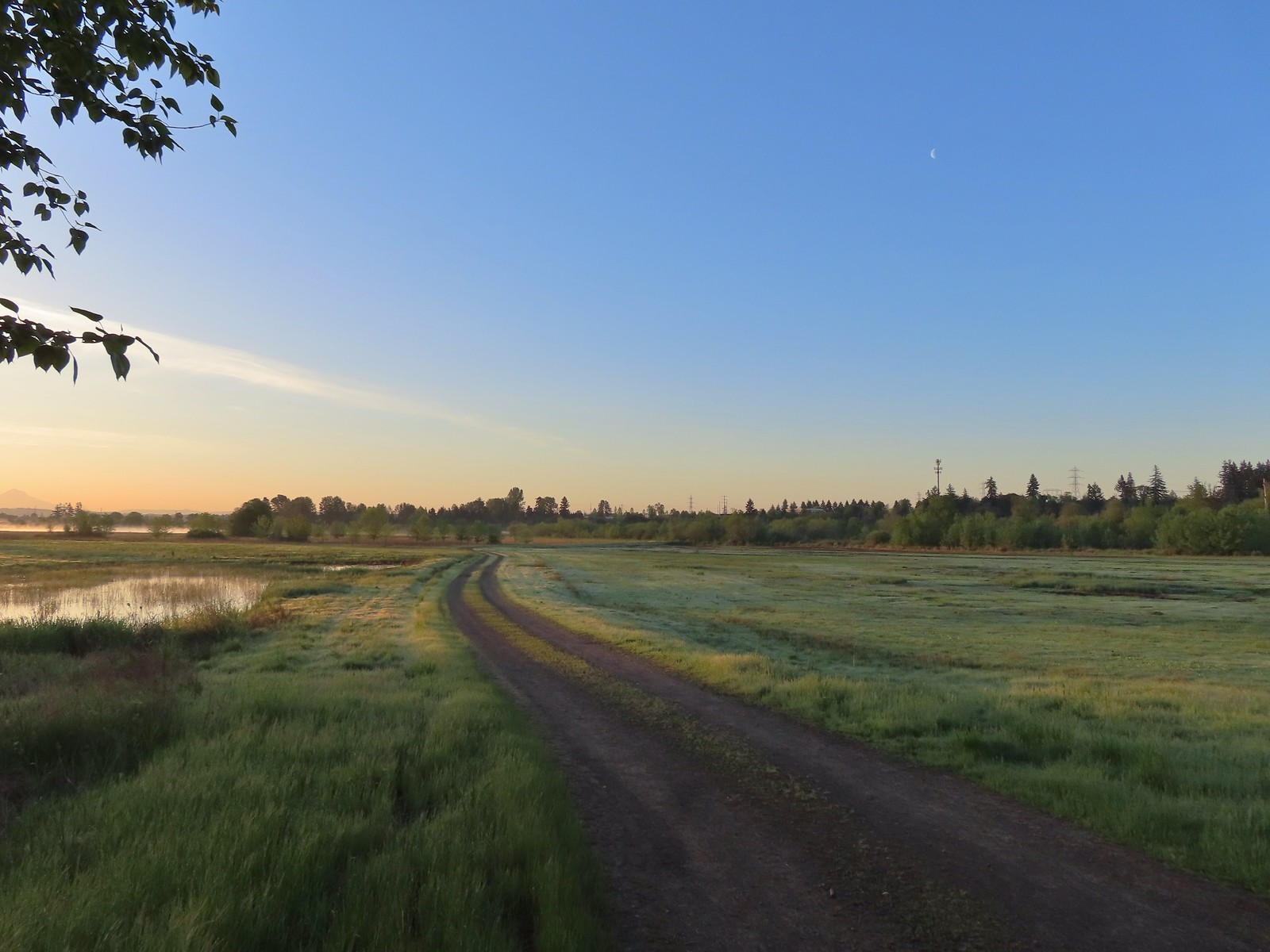
We followed the wide gravel trail as it climbed atop a levee separating the wetlands to the east from industrial lands to the West.
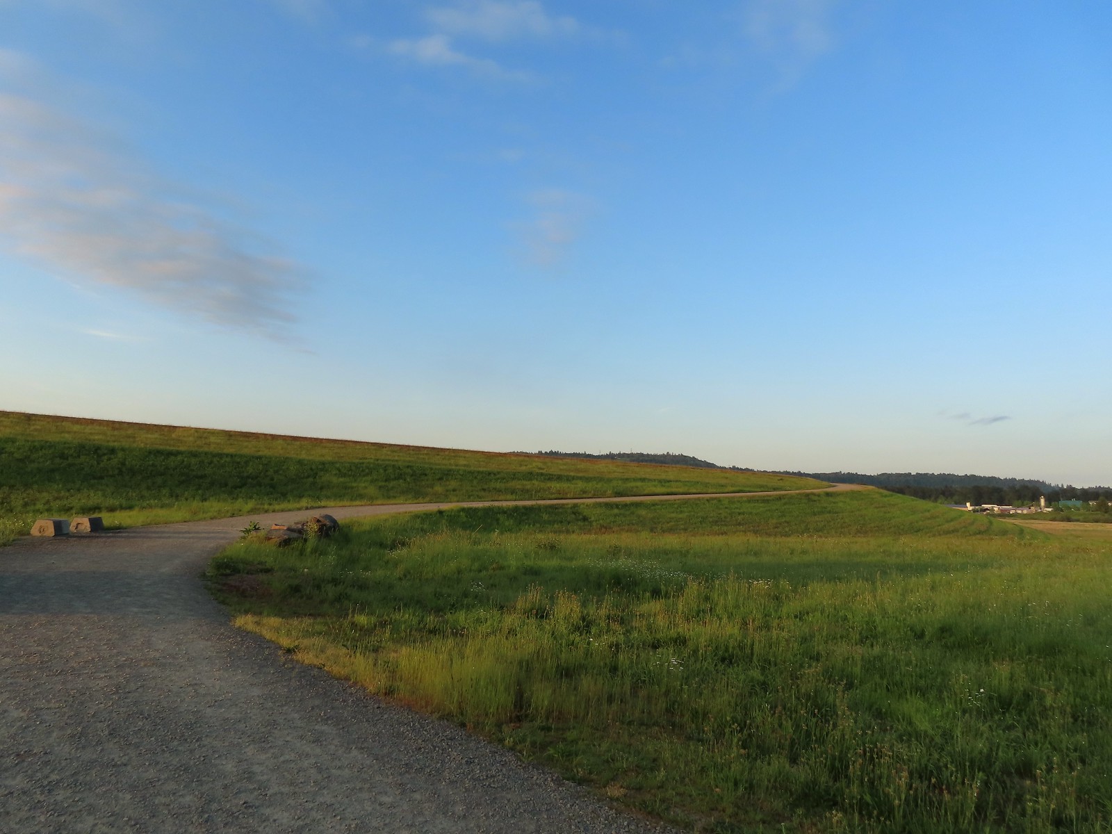
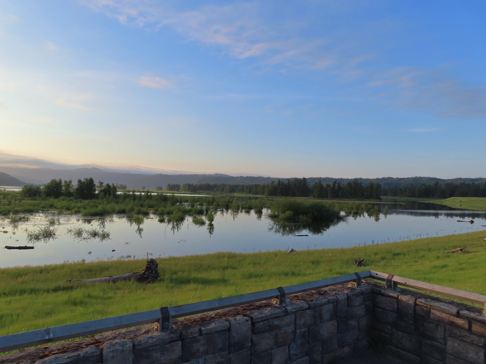 View to the East.
 Looking West toward Washougal.
We followed the trail atop the levee watching on both sides for wildlife.

 Mallards
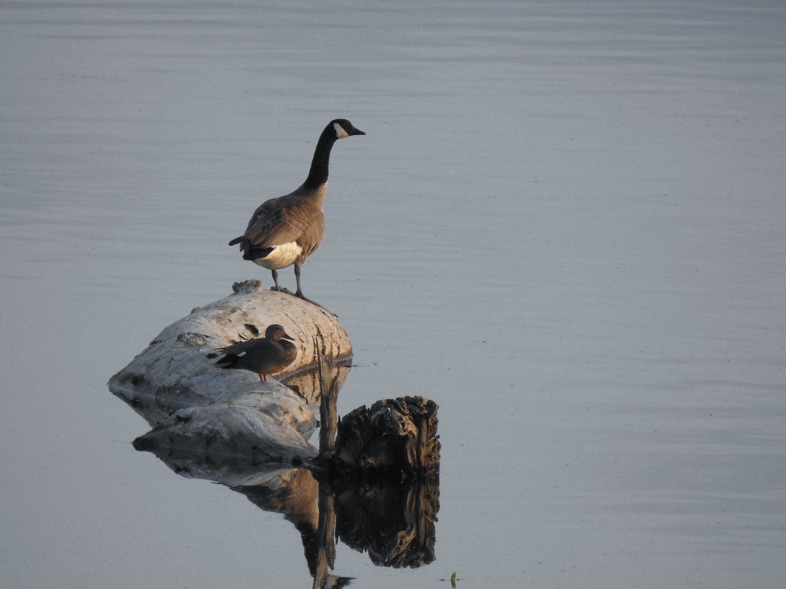 A duck and a goose sharing a log.
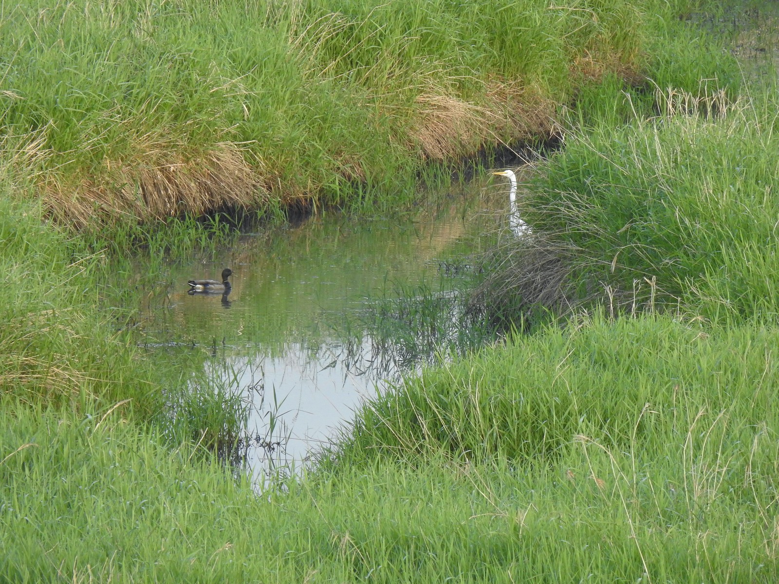 A mallard and an egret in a channel to the West.
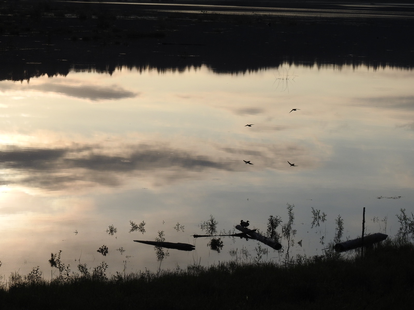 Ducks flying over the wetlands casting clear reflections.
 Water dripping from a mallards bill.

 One of several rabbits we spotted to the West.
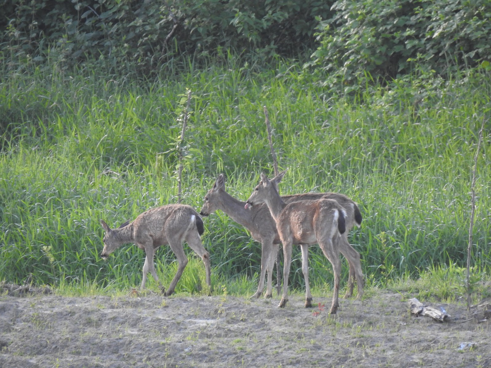 Deer across the wetlands. (The young buck may have been sticking his tongue out at us.)
 Families of geese.
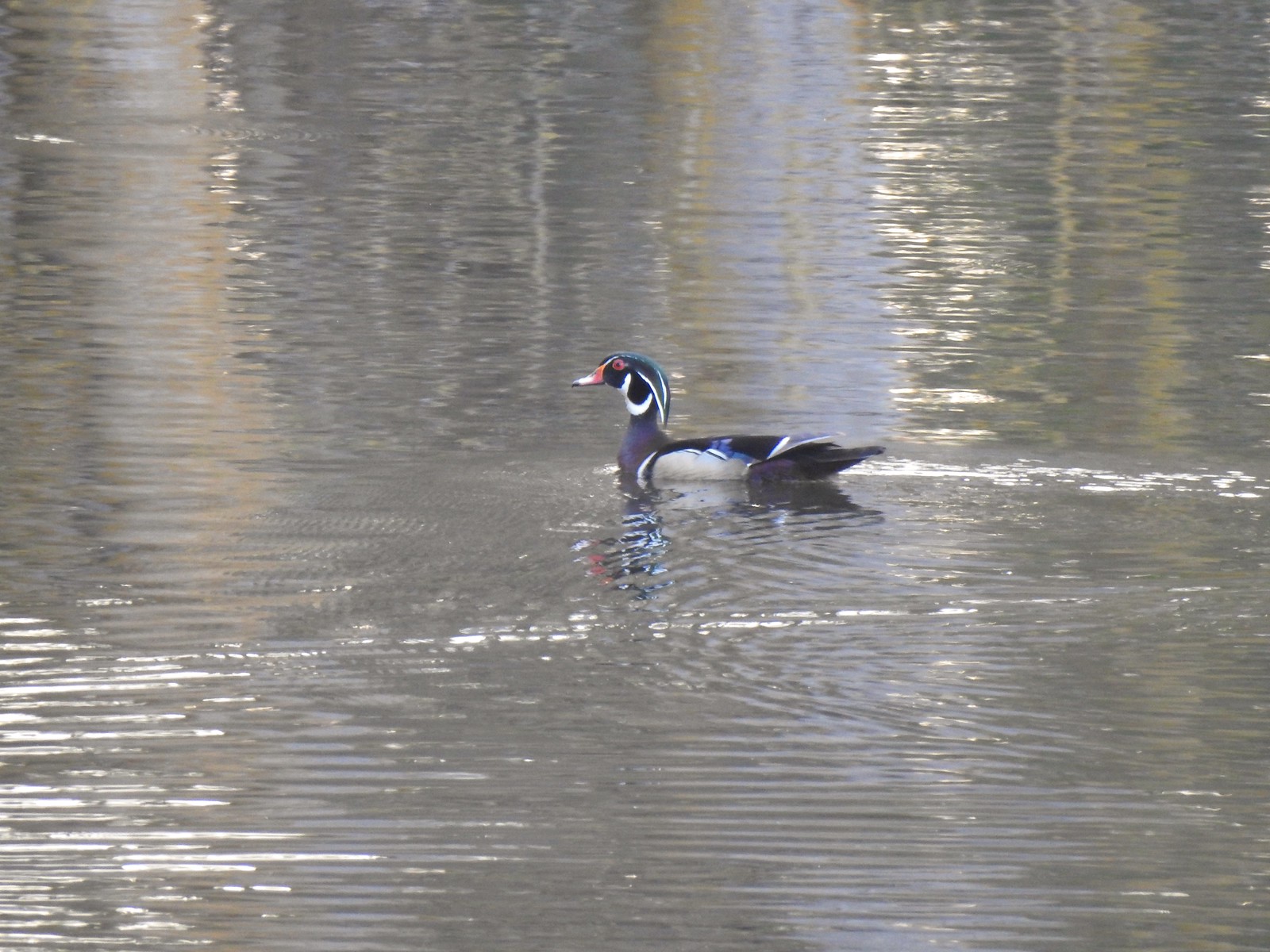 Wood duck mallard
When the trail split just prior to reaching the Refuge River Trail we stayed left.

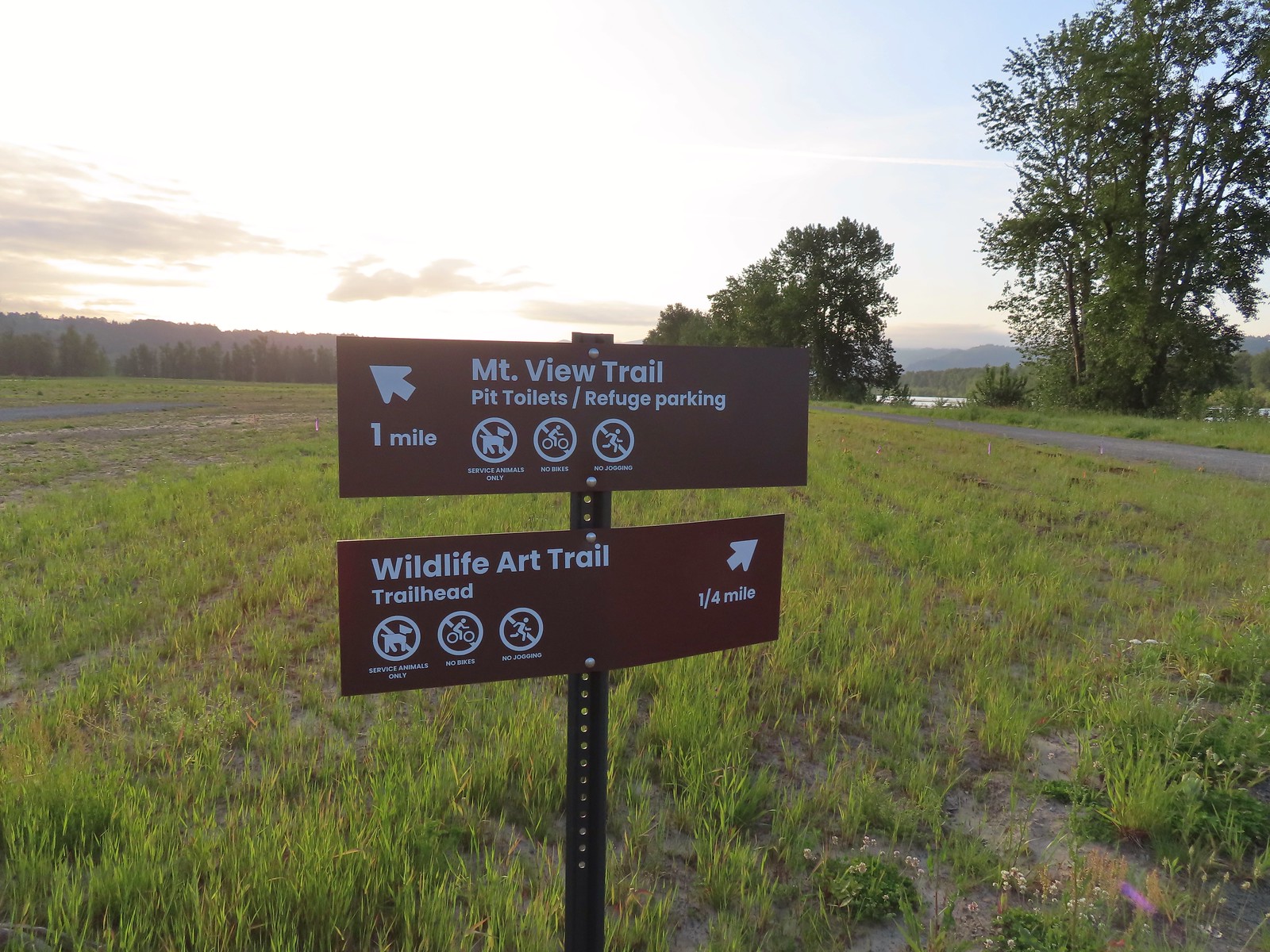 Trail sign at the junction with the Refuge River Trail.
We turned left onto the Refuge River Trail following it for 0.3-miles to the Wildlife Art Trail where we again turned left.
 Sparrow
 Coming in for a landing.

 Red Tail Lake to the right of the Wildlife Art Trail.
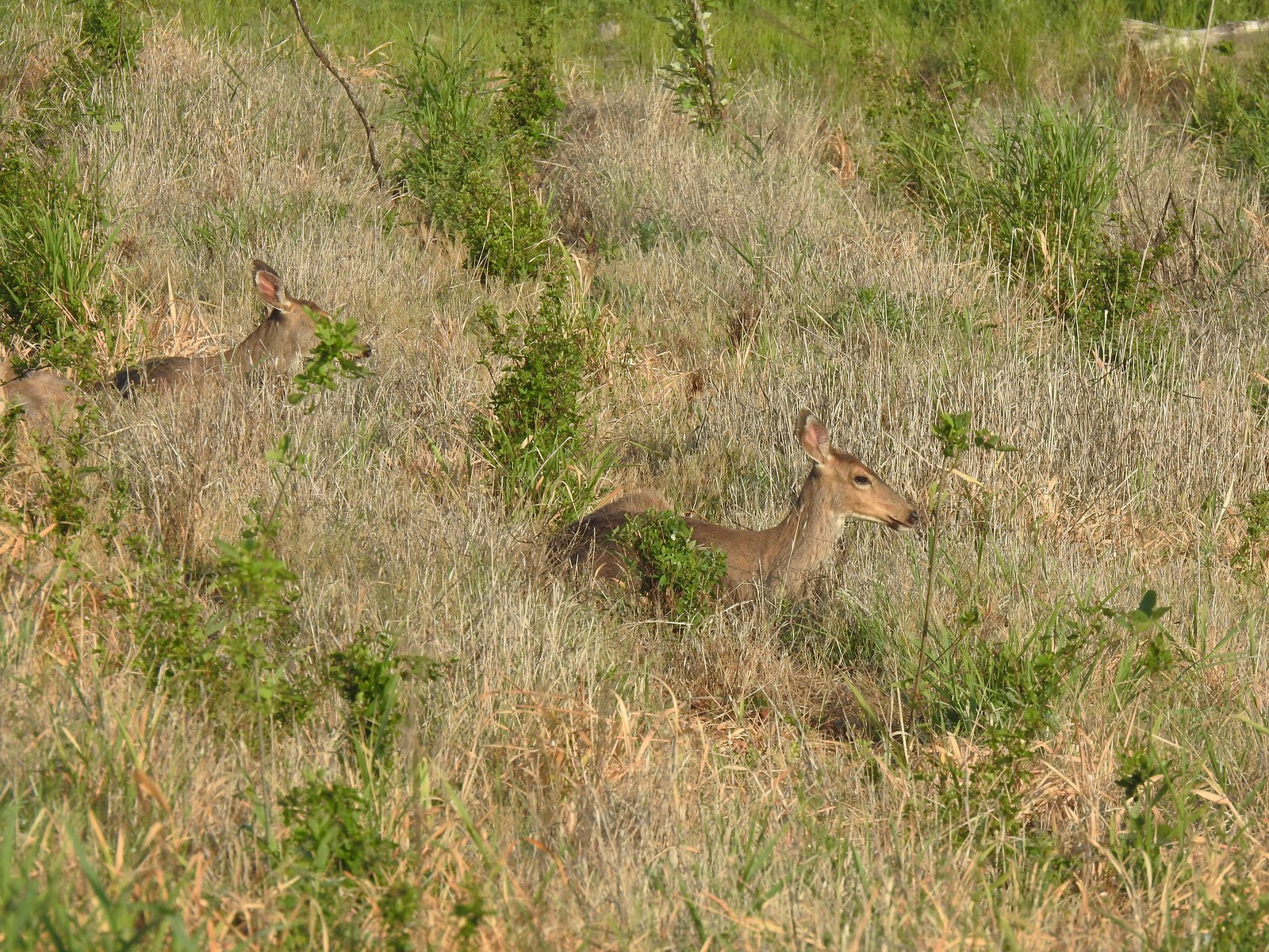 Pretty sure these are the same three we saw from the Mountain View Trail.
 This deer laying along the shore of Red Tail Lake was new though.
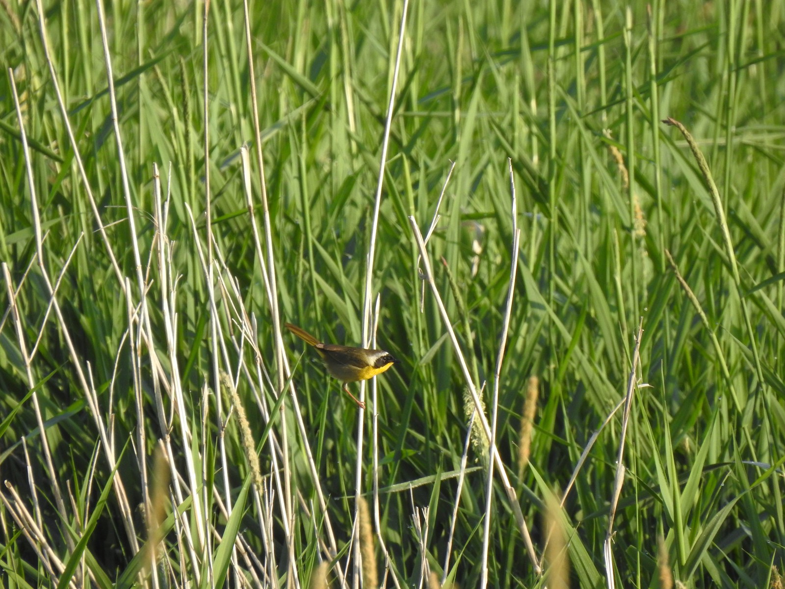 Common yellow throat
 One of many great blue herons that we watched fly overhead throughout the day.
 The Wildlife Art Trail passing around Redtail Lake.
 Gibbons Creek is in that grass somewhere with at least one deer.

 Killdeer along Redtail Lake.
 Turns out the deer laying on the lake shore wasn’t alone.
 Roses
Roses
 Purple martins
 Just beyond the Cottonwood Bridge the trail forks. To the right is the seasonal section of the loop open May 1st through September 30th. The left-hand fork dead-ends in a tenth of a mile overlooking the wetlands.
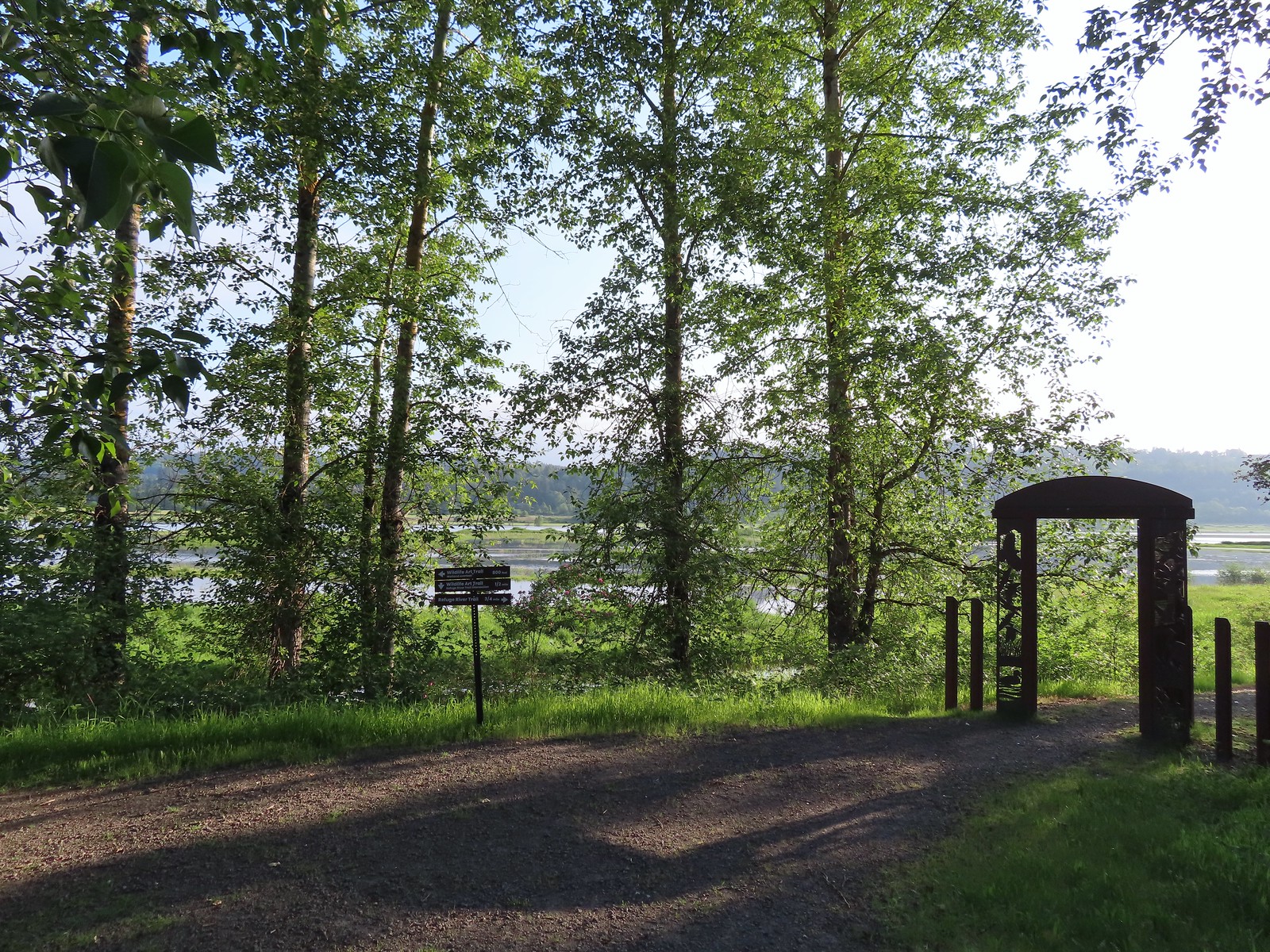 We headed left to the overlook before continuing on the loop.
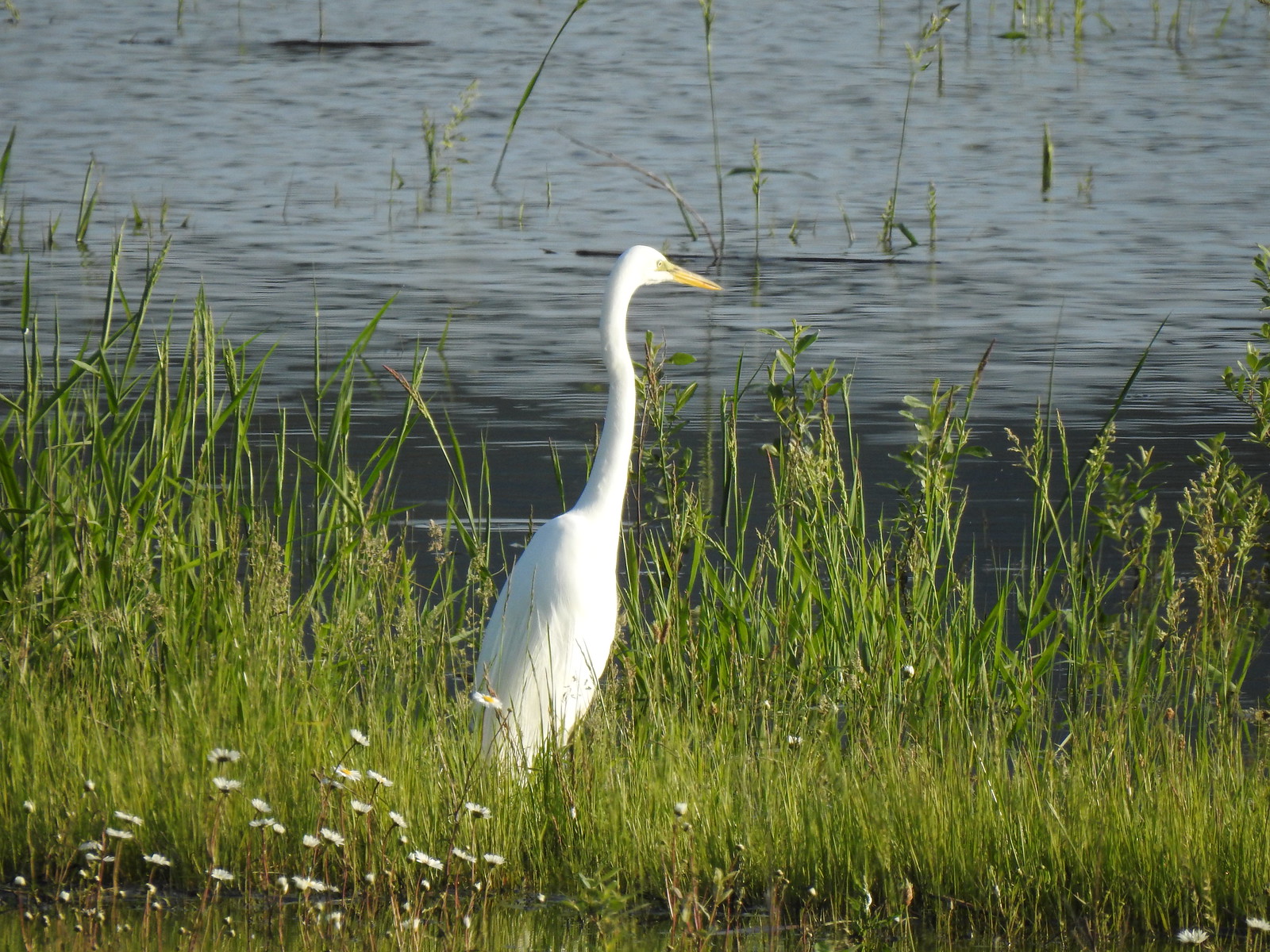 Egret at Scaup Pond.
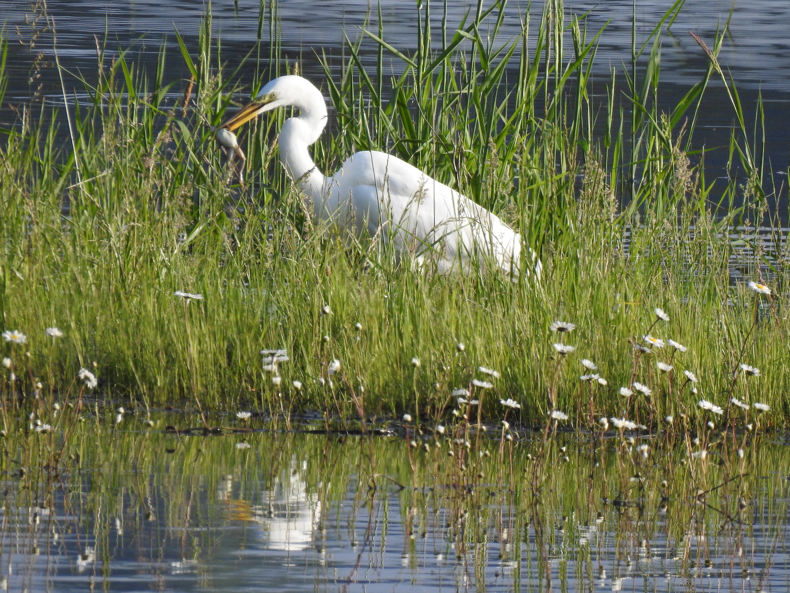 Egret with a frog meal.

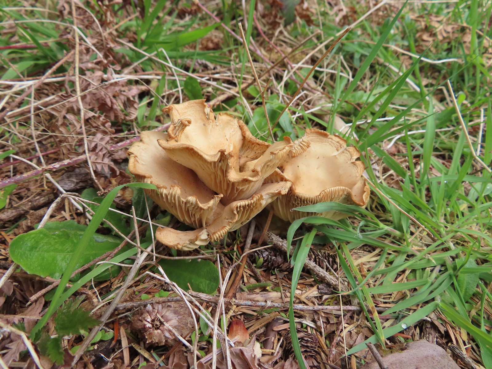
 Mushrooms
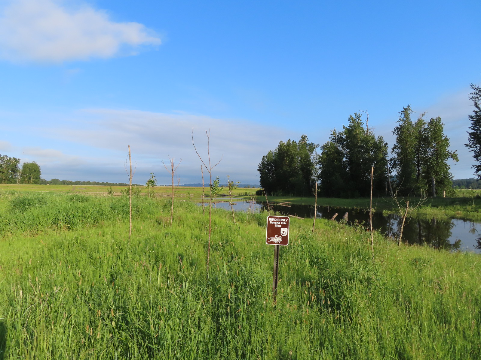 We got a kick out of the “Birds Only Beyond This Sign”.
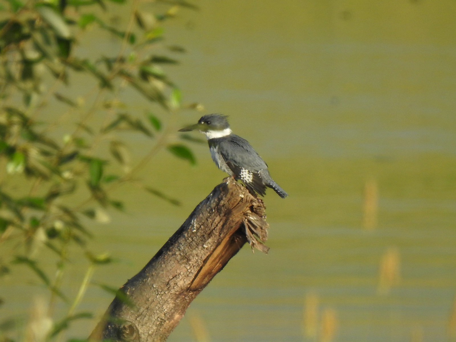 Kingfisher
I had been watching a kingfisher as we arrived at the overlook and after it flew off I turned to my right and thought that there was a bittern standing just a few yards away. Then my eyes adjusted and I realized it was one of the art pieces and I’d been fooled.
 We’ve only seen two bitterns on our hikes and both times we only spotted them as they flew off from the grassy cover that they’d been hiding in so I was pretty disappointed when I realized I’d been duped, but kudos to the artist because it looked real at first glance to me.
We returned to the loop and passed through the seasonal gate.

The wetlands were pretty full of water to our left but between the trail and the water was a fair number of bushes and grass which was apparently popular with the deer.

 You have something in your teeth.
 Spotted towhee
 At least two deer in the grass.
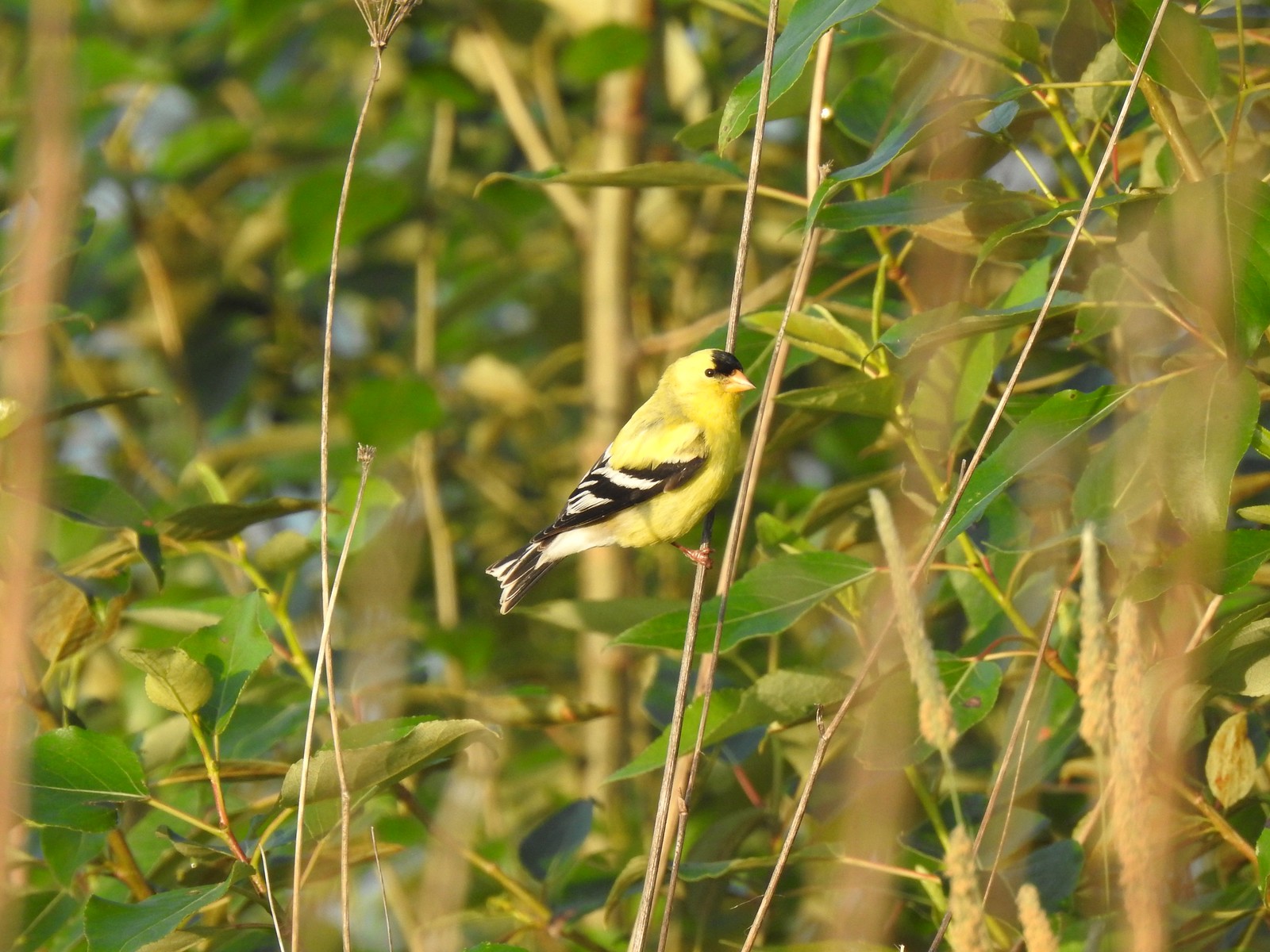
 Another American goldfinch.
We left the seasonal section of trail near the junction with Refuge River Trail where we again turned left, promptly crossing a creek on Dragonfly Bridge.


 Spotted sandpiper
We followed this trail to its end at the refuge boundary.
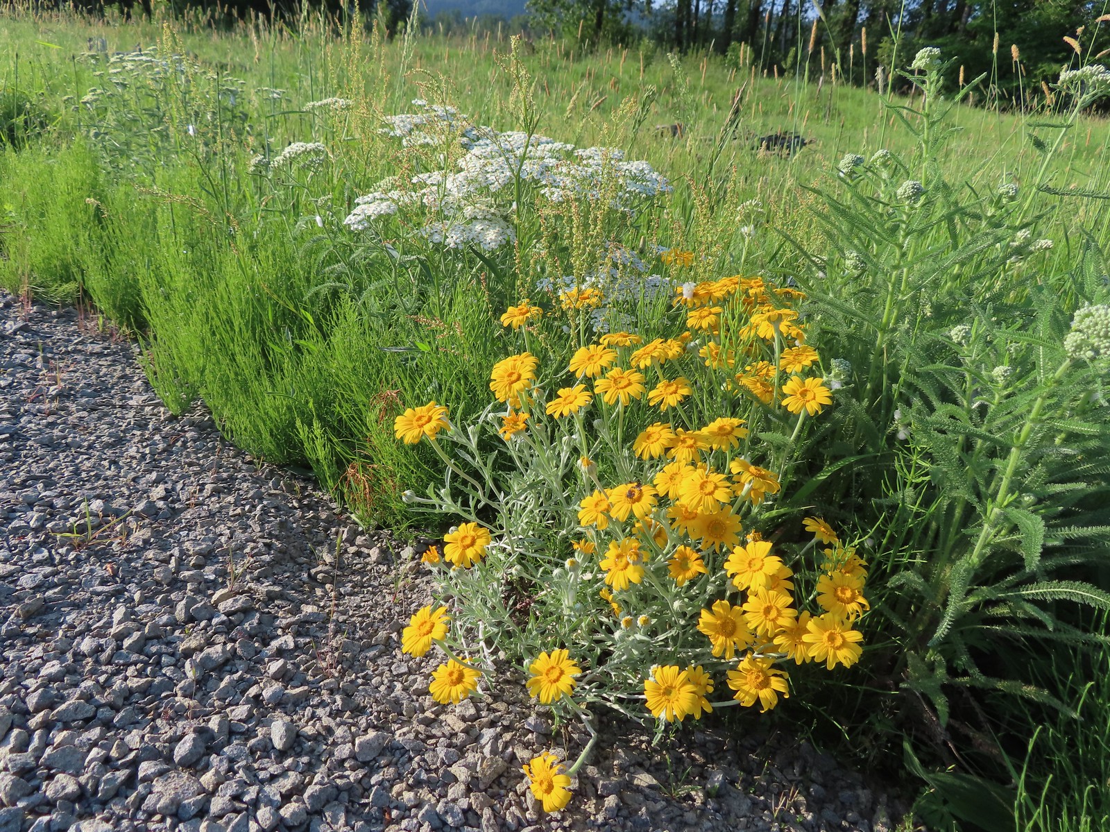 Oregon sunshine and yarrow
 The Columbia River ahead.
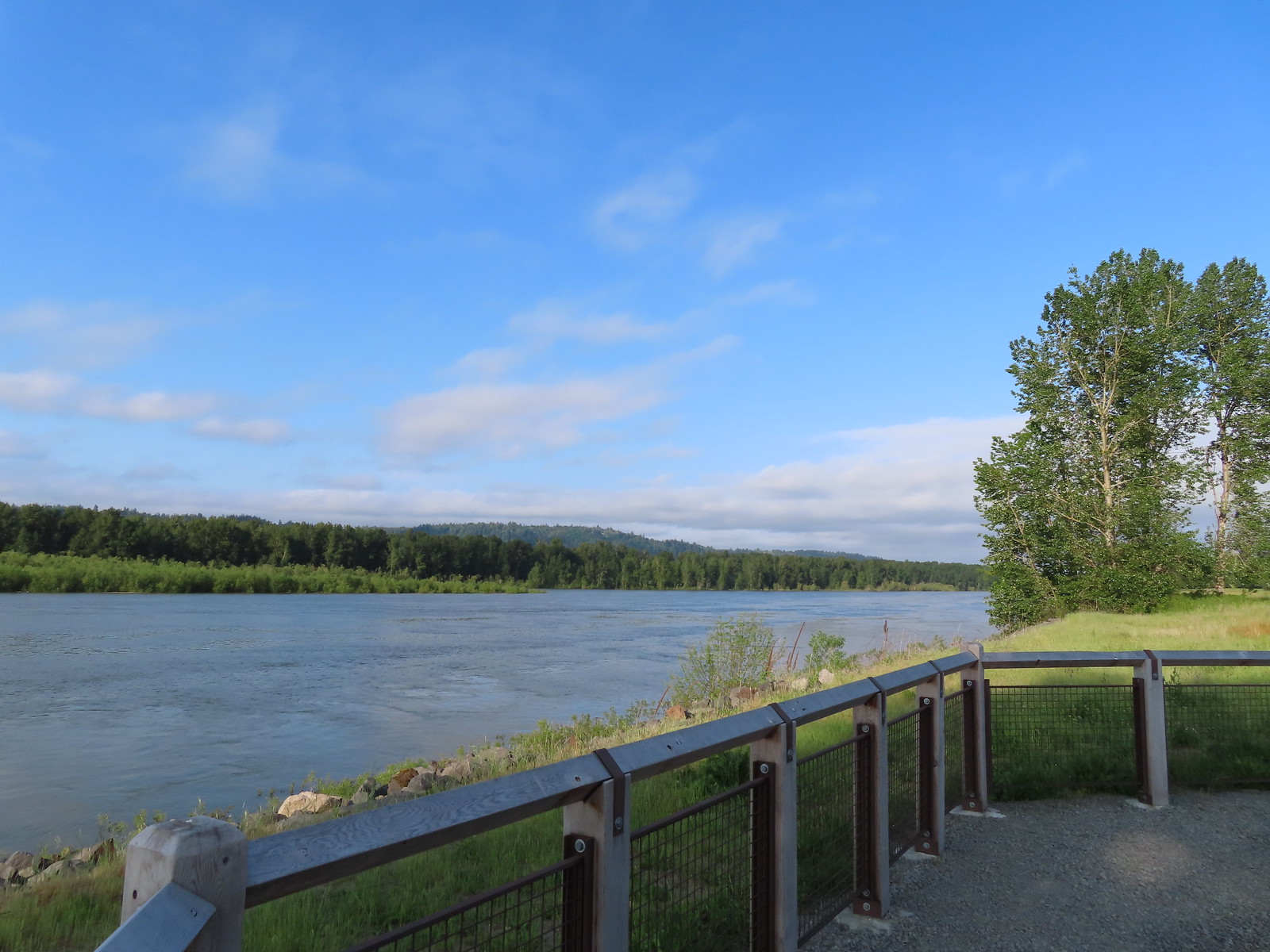 Viewpoint along the Columbia River.
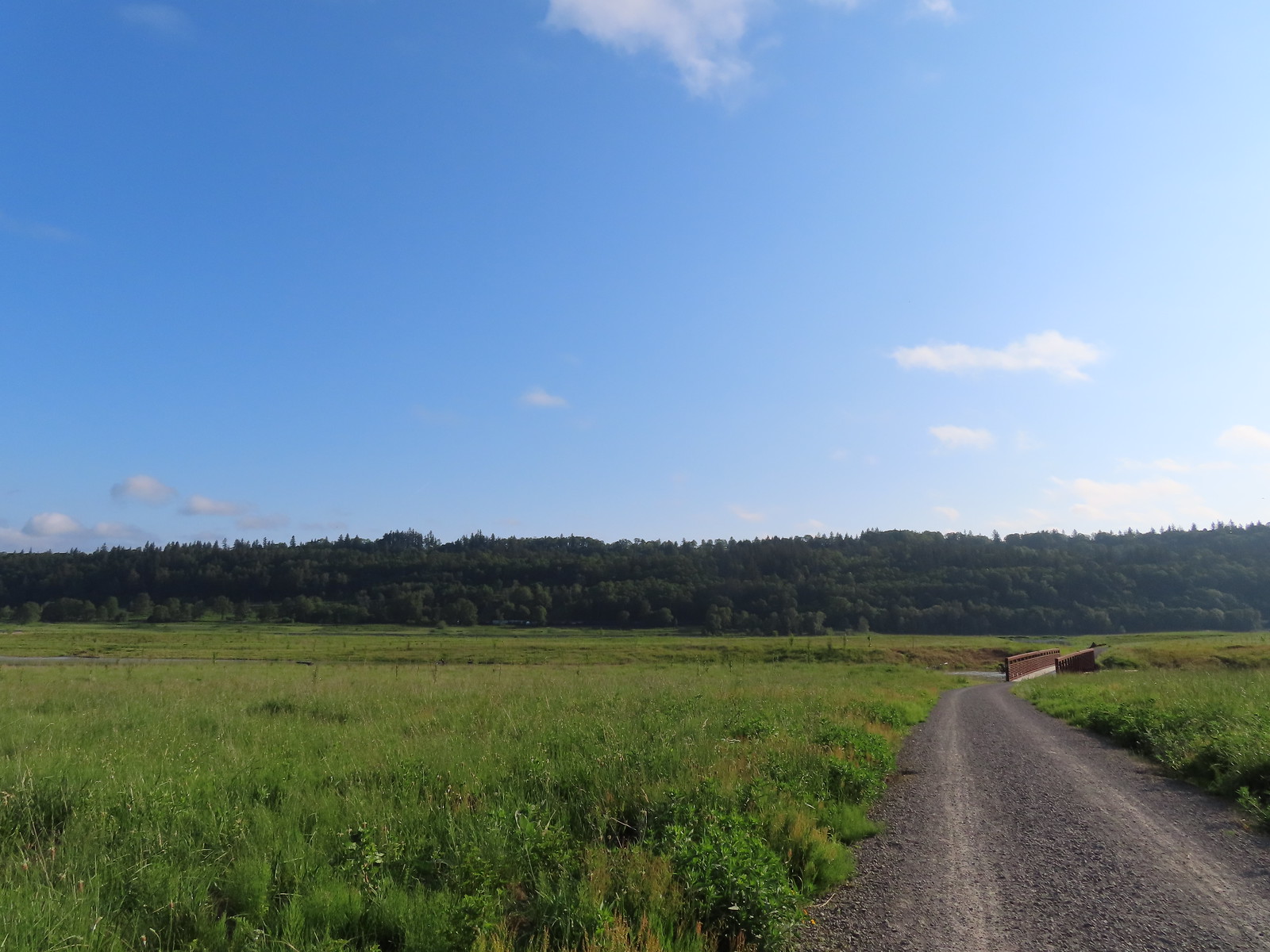 Approaching the Lampray Brdige.
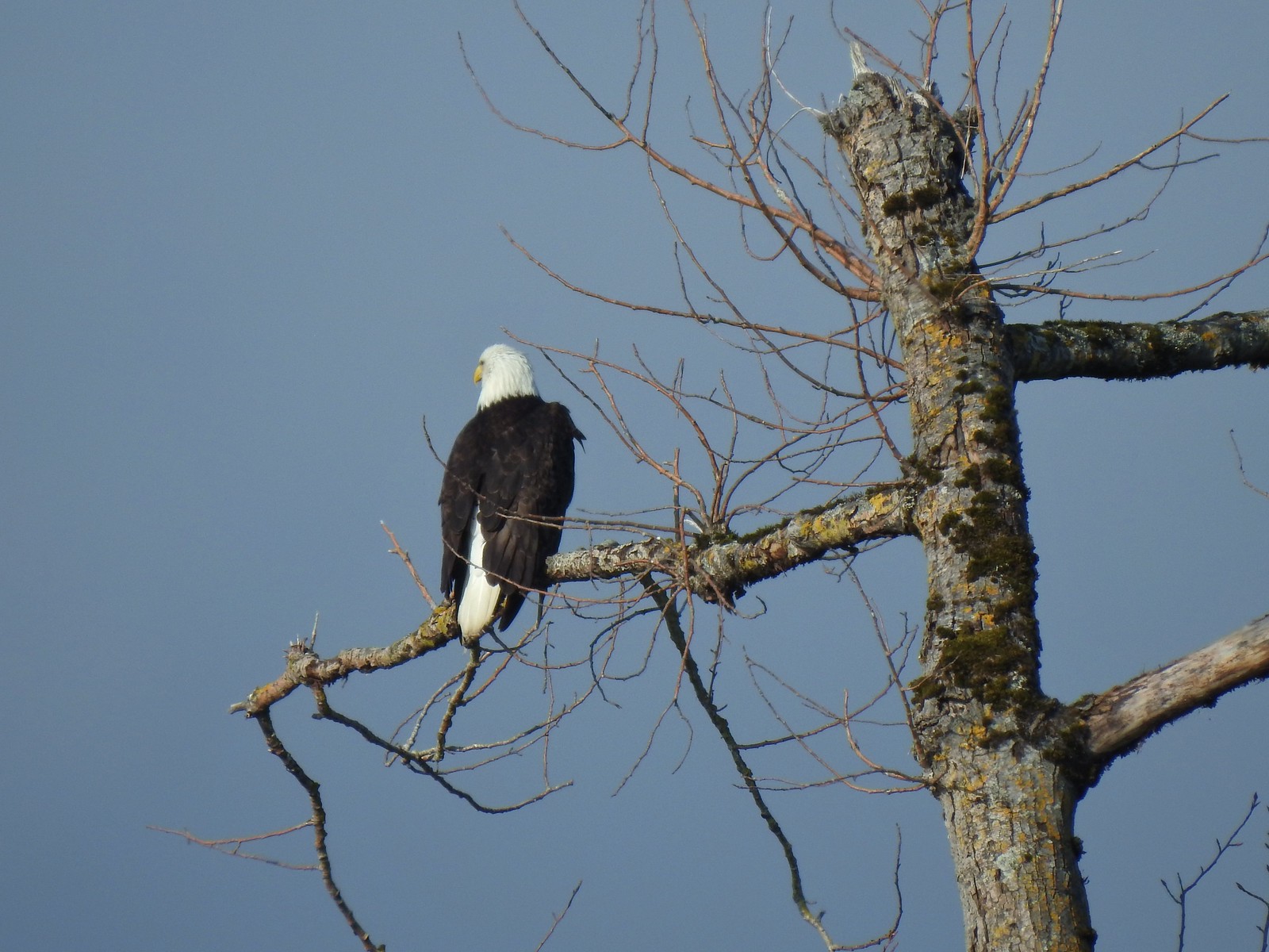
 Looking back from across the bridge there was a bald eagle in the dead snag along the river.
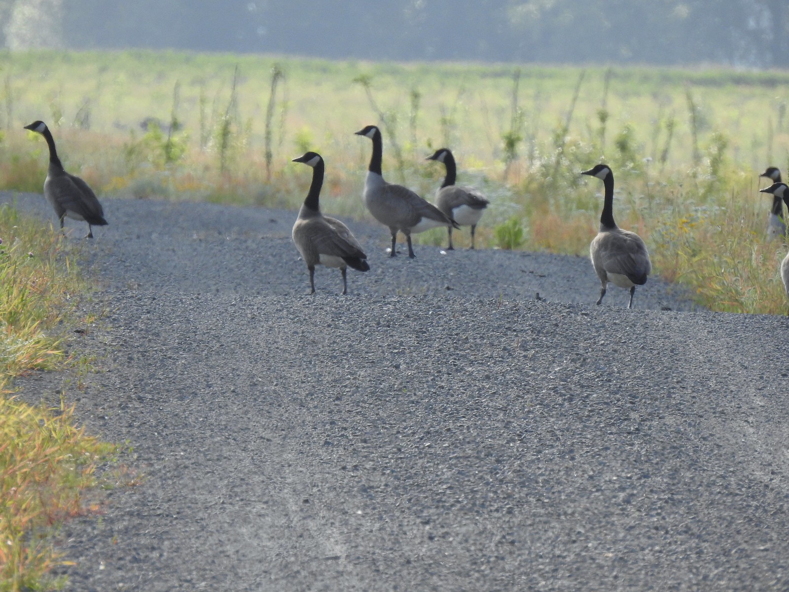 There were lots of geese along this section of trail.
 Red clover in some Oregon sunshine
 Another spotted sandpiper
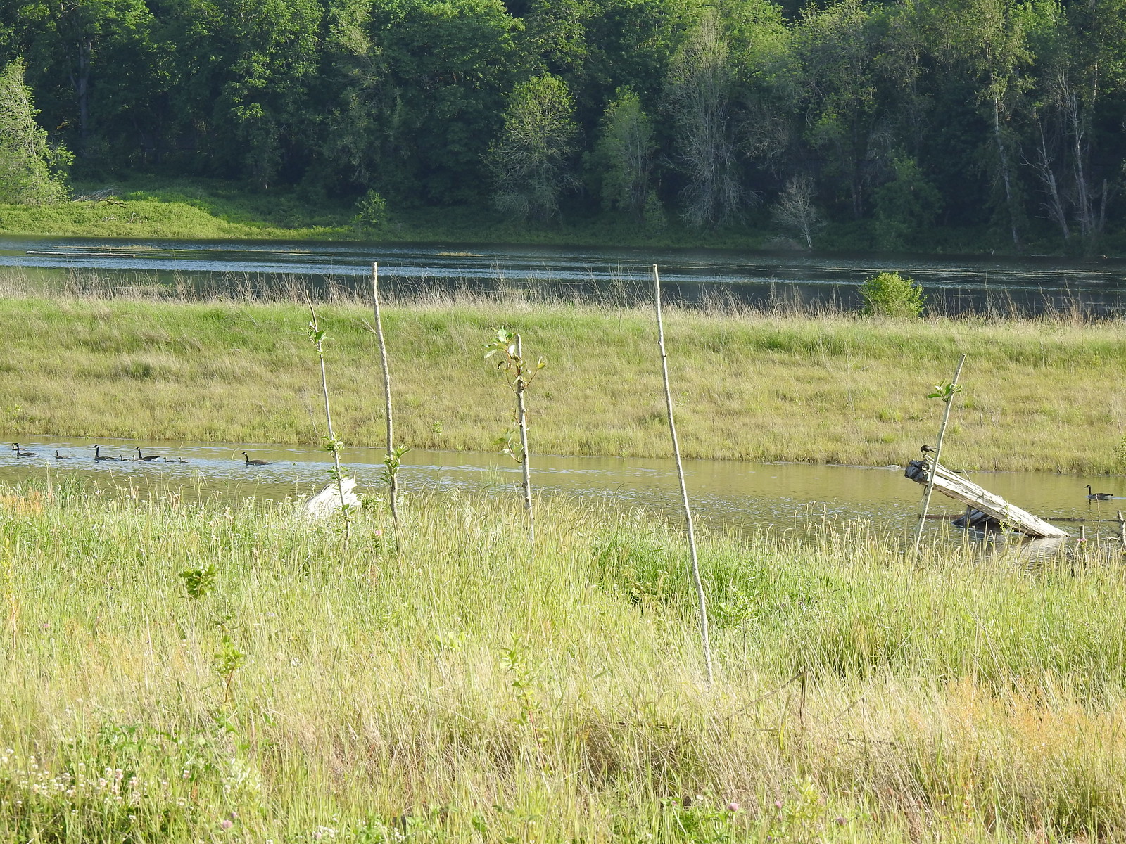 Steigerwald Lake in the distance with a family of geese and crow on a log in the near channel.
 End of the trail.
 It was about 8:15am when we turned around and it was already feeling fairly warm, but there was relief on the way in the form of some clouds coming in from the Pacific.
 Savannah sparrow
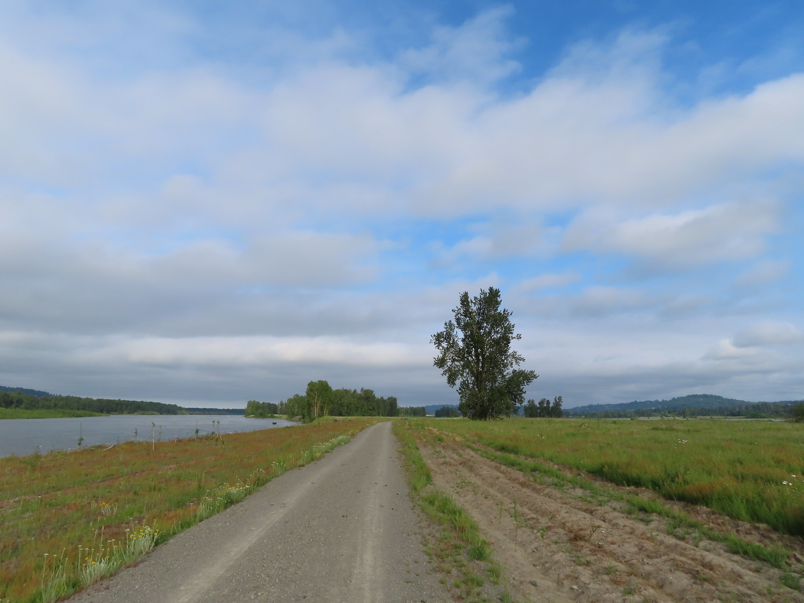 Here come the clouds.
 Double the eagles.
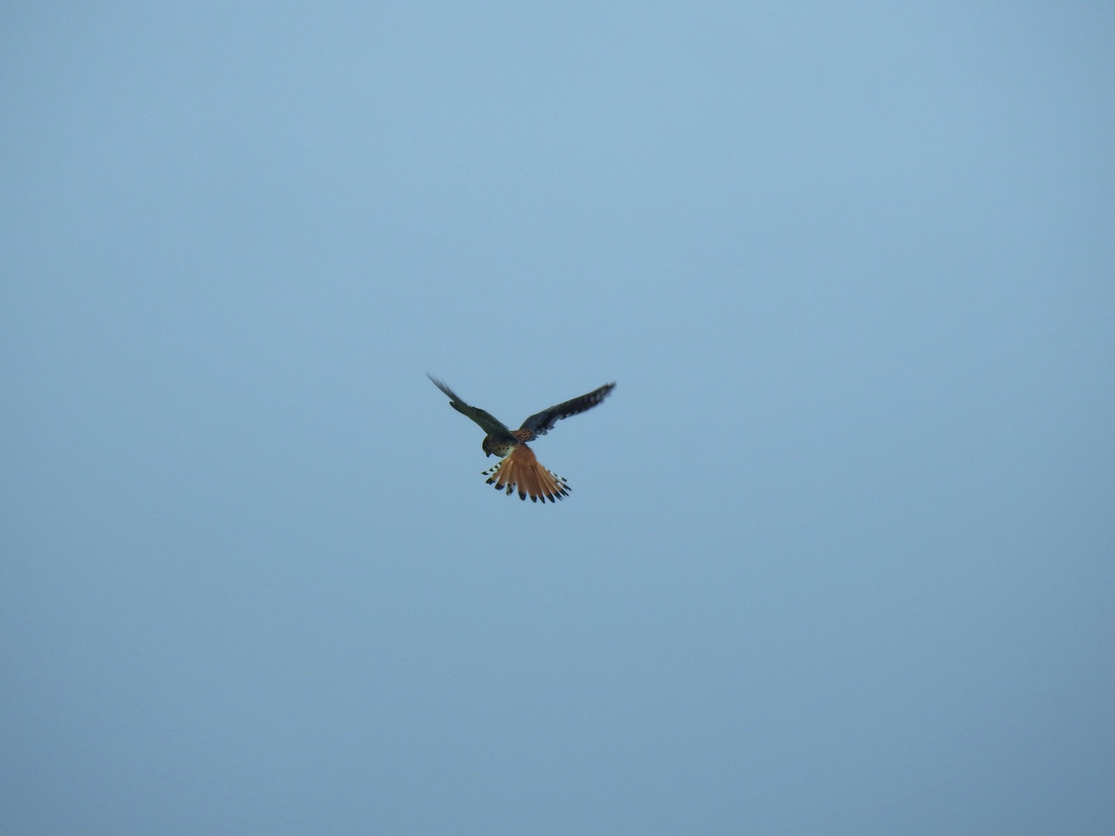 For the second week in a row we got to watch an American Kestral on the hunt.
 Arriving back at the Dragon Fly Bridge and the junction with the Wildlife Art Trail.
We had planned on following the Refuge River Trail all the way to the western end of the refuge but just 500′ beyond the trail junction we rounded a corner to find the trail flooded.
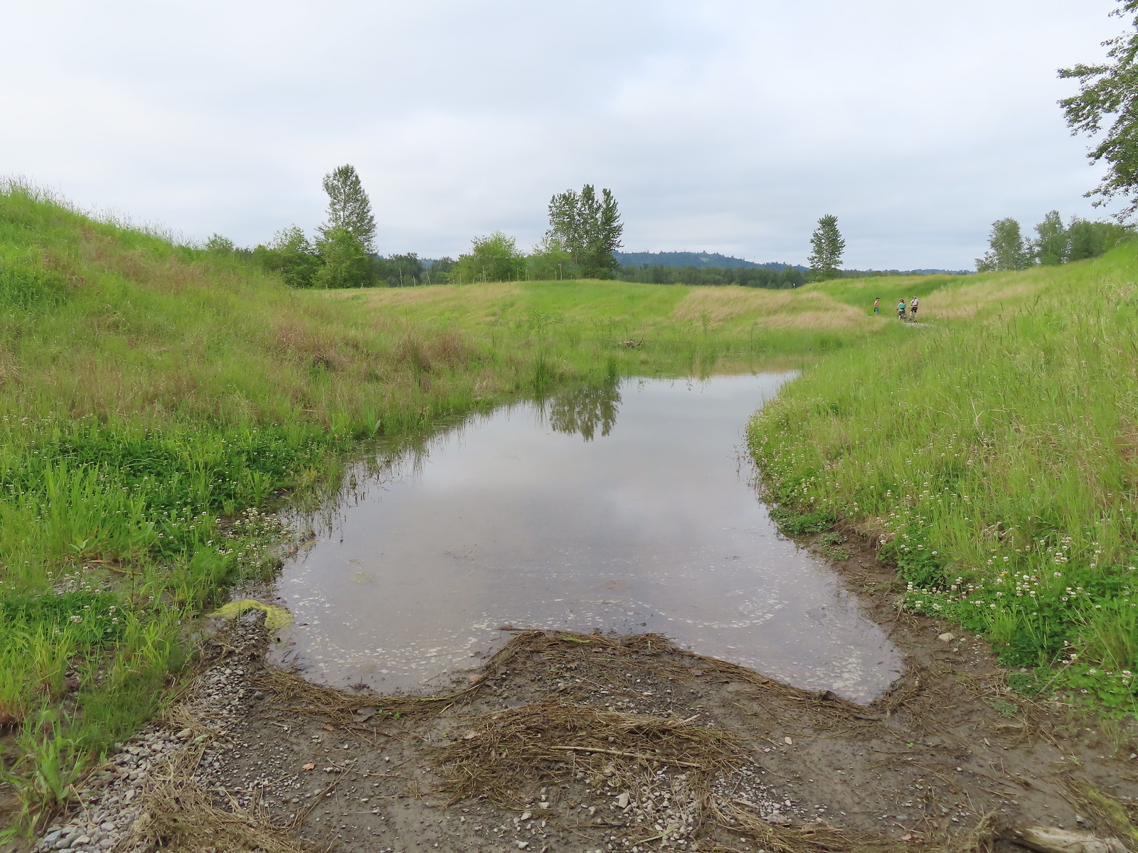
Since neither of us was interested in finding out how deep the water was we turned around and simply took the Wildlife Art Trail back.

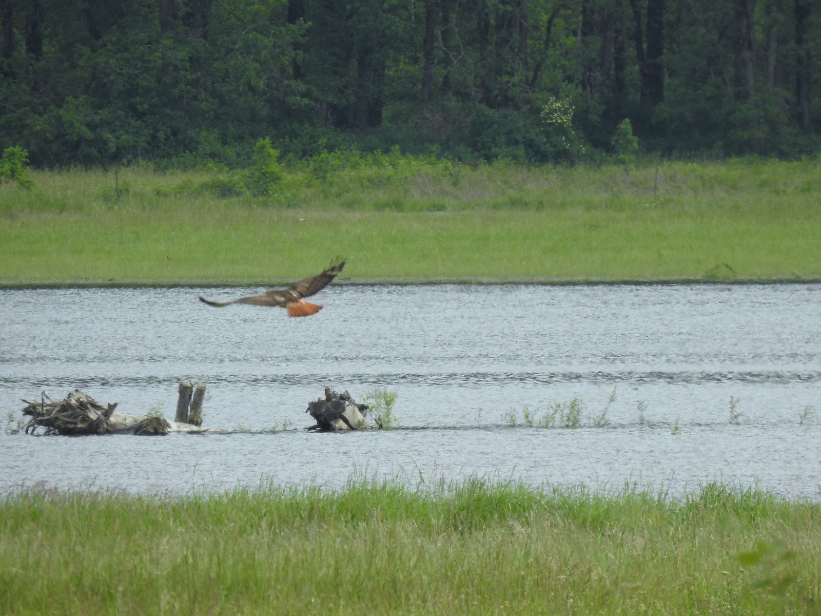 Red tailed hawk
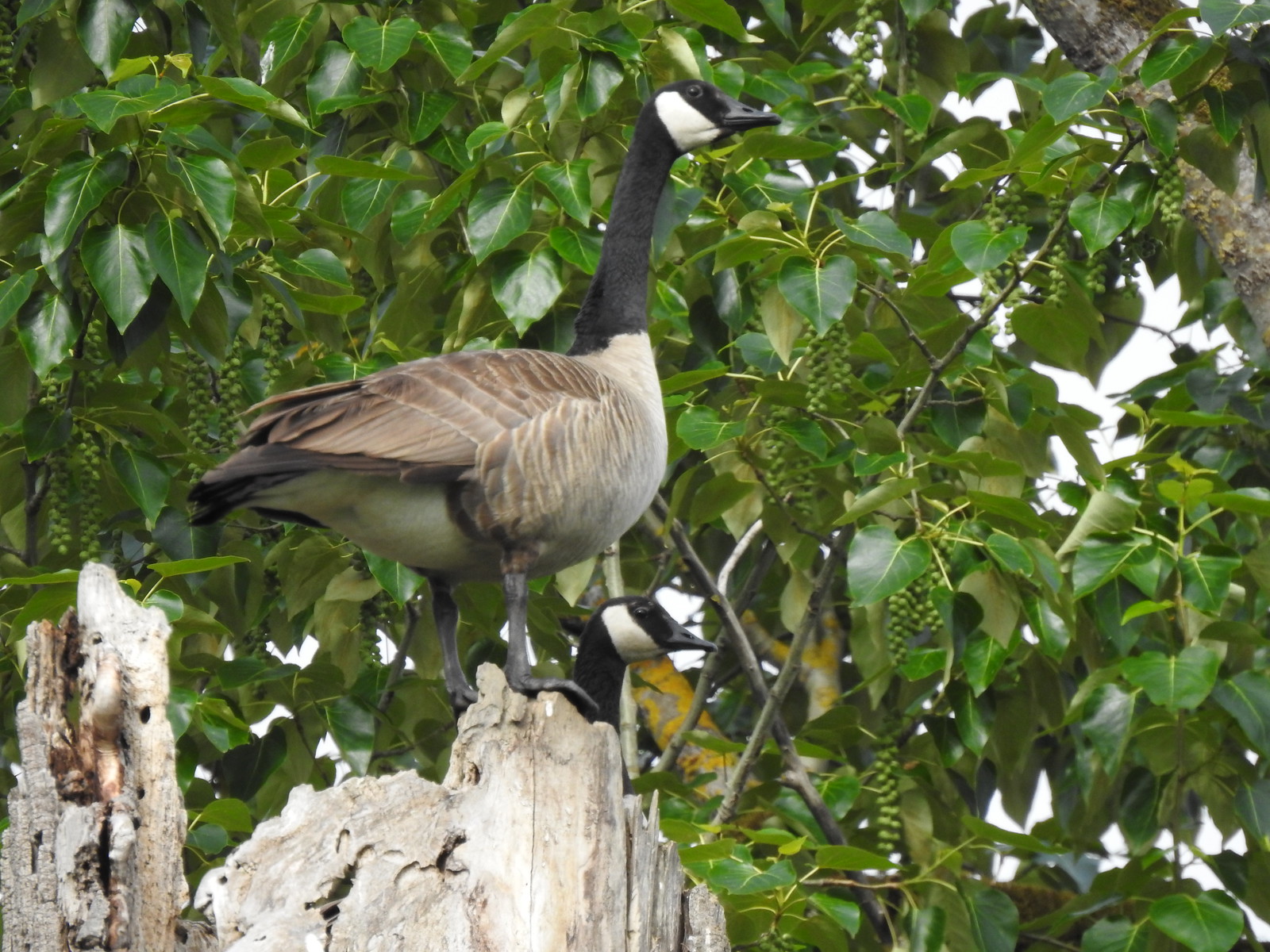 Geese nesting atop a snag.
 More deer in the grass along Gibbons Creek.
 Egret at Redtail Lake.
 Great blue heron at Redtail Lake.
We followed the Refuge River Trail back past the junction with the Mountain View Trail and continued West.
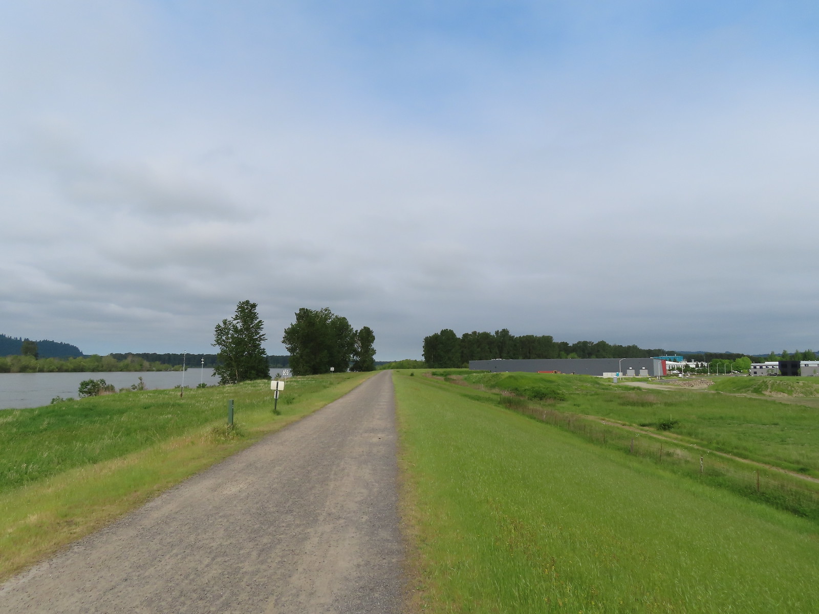
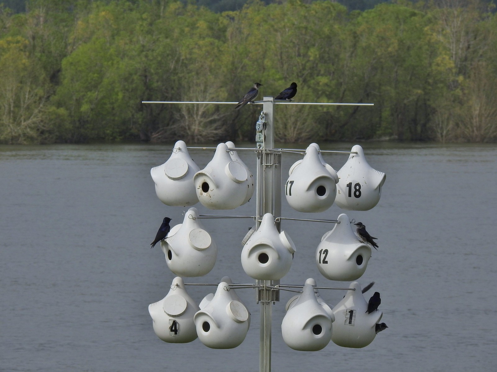 Purple martins
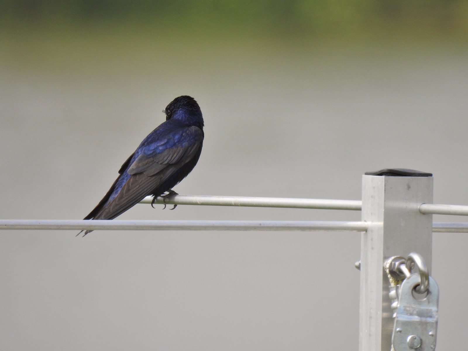 When the light catches the feathers right it’s obvious where the purple martin’s name comes from.
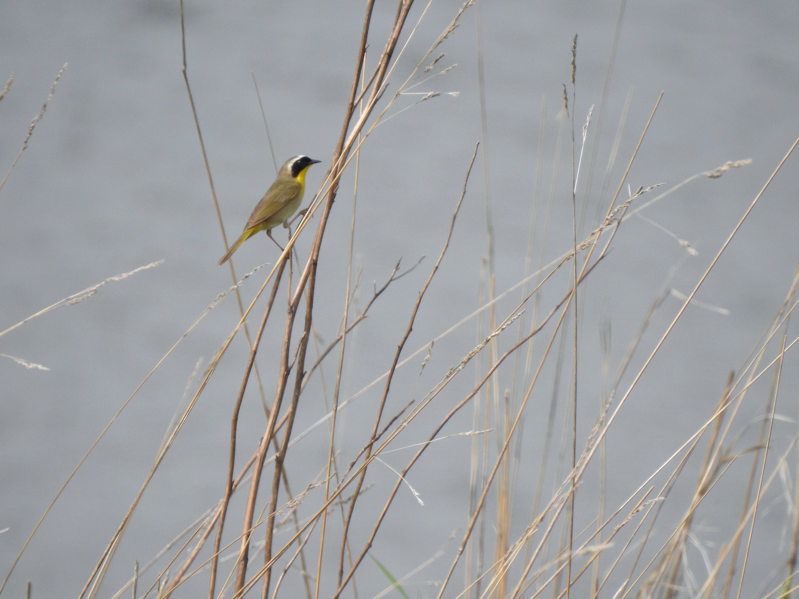 Common yellowthroat
 House finch
 A mile from the Mountain View Trail we arrived at the refuge boundary with Captain William Clark Park.
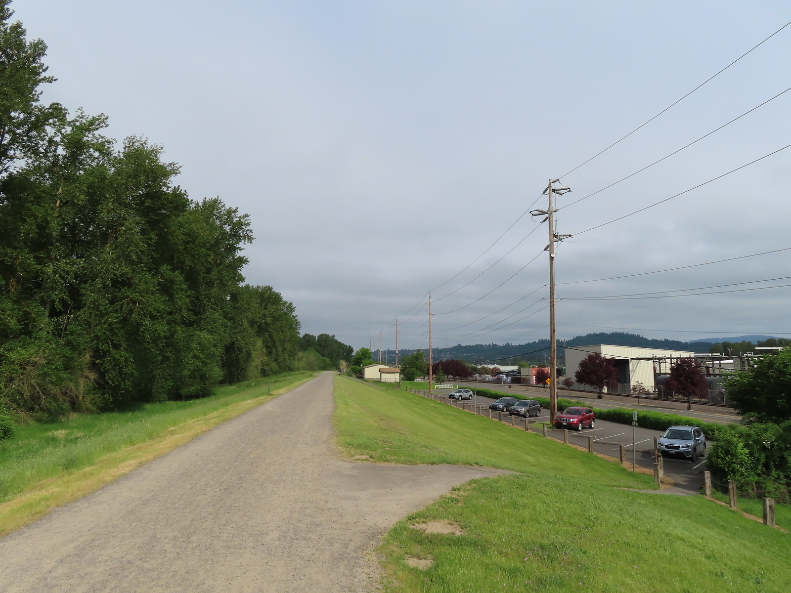 The trail follows a dike to Steamboat Landing.
The main attraction at Captain William Clark Park is Cottonwood Beach where in 1806 Lewis & Clark established a camp while they secured provisions for the return trip through the Columbia River Gorge. The Provision Camp Trail leads down to the beach and picnic area.
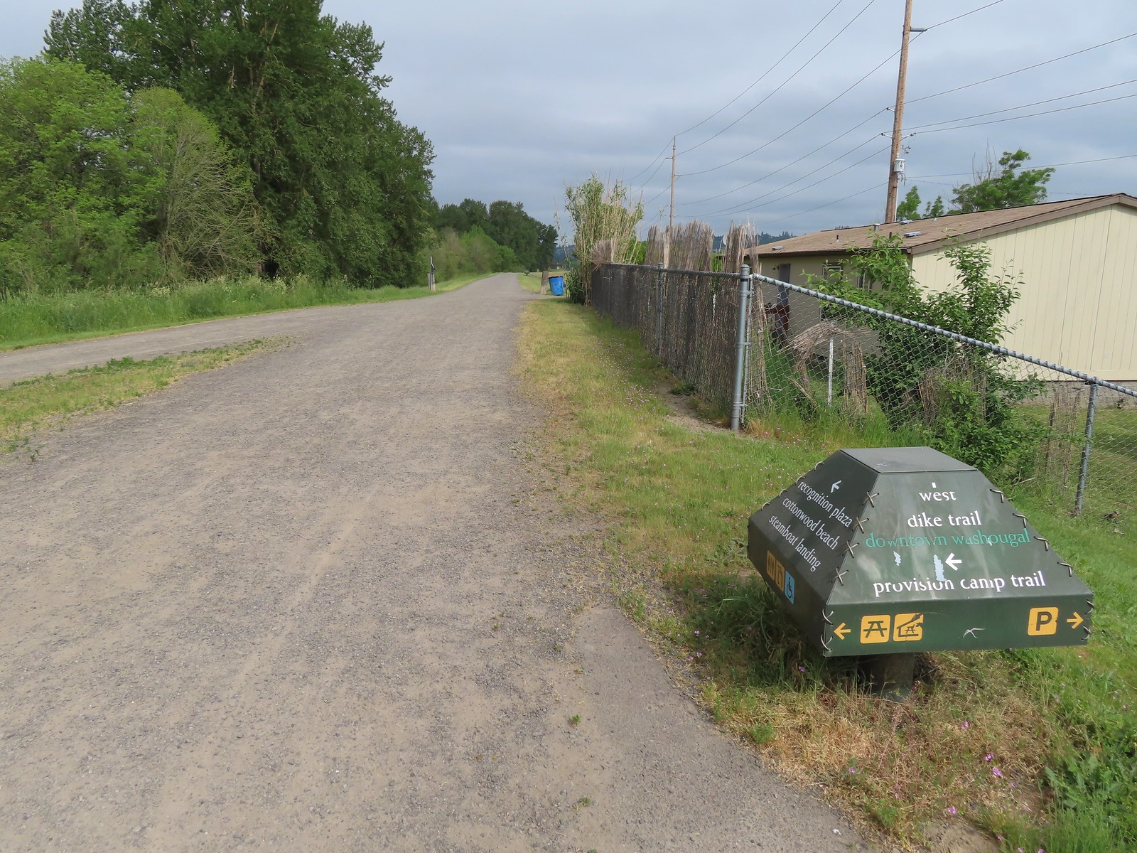
 The Provision Camp Trail
While there had been quite a few people on the Captain William Clark Park Trail there were just a few people in this area.


While the beach is extremely popular in the Summer and especially on weekends it became evident why we weren’t seeing folks today when we reached the “beach access”.

 Northern flicker
Having the beach be underwater was fine with us, it meant fewer people, but the water level became an issue when the Provision Camp Trail turned back inland toward the dike to complete its loop.
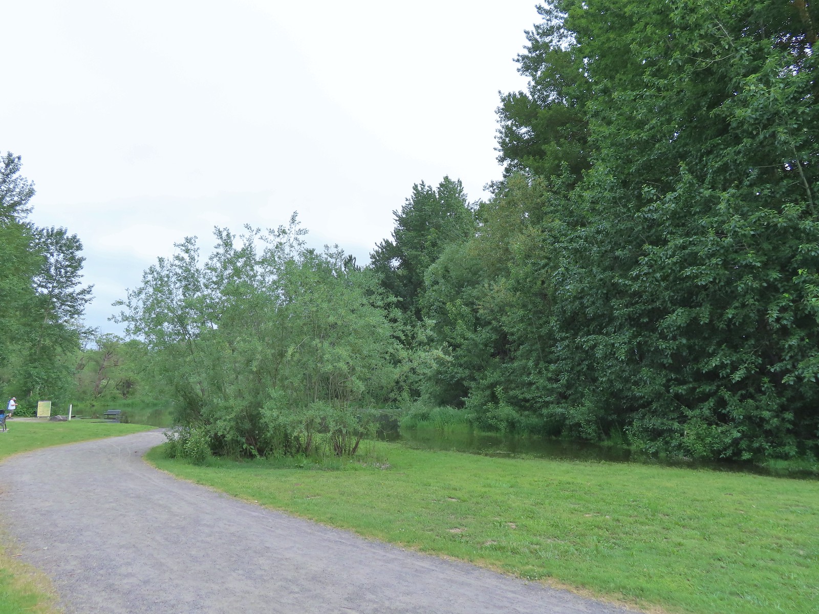 Flooded trail ahead.
With the loop cut off we went back the way we’d come and returned to the dike where we turned left to continue on to Steamboat Landing.
 Black headed grosbeak
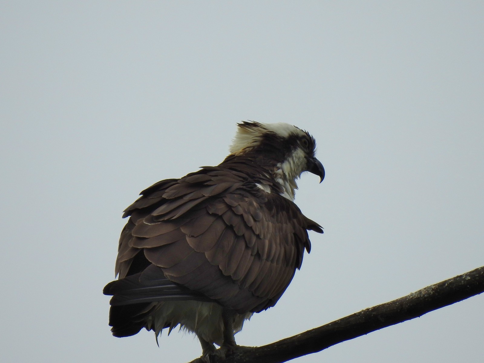 Osprey
 Back on the dike.
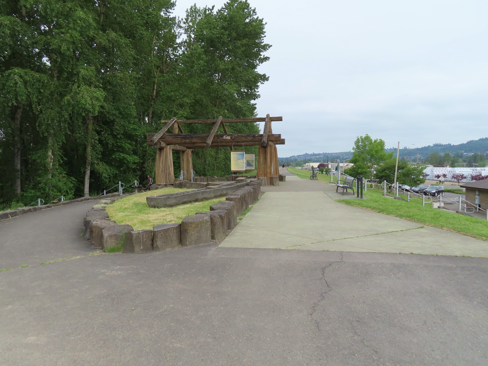
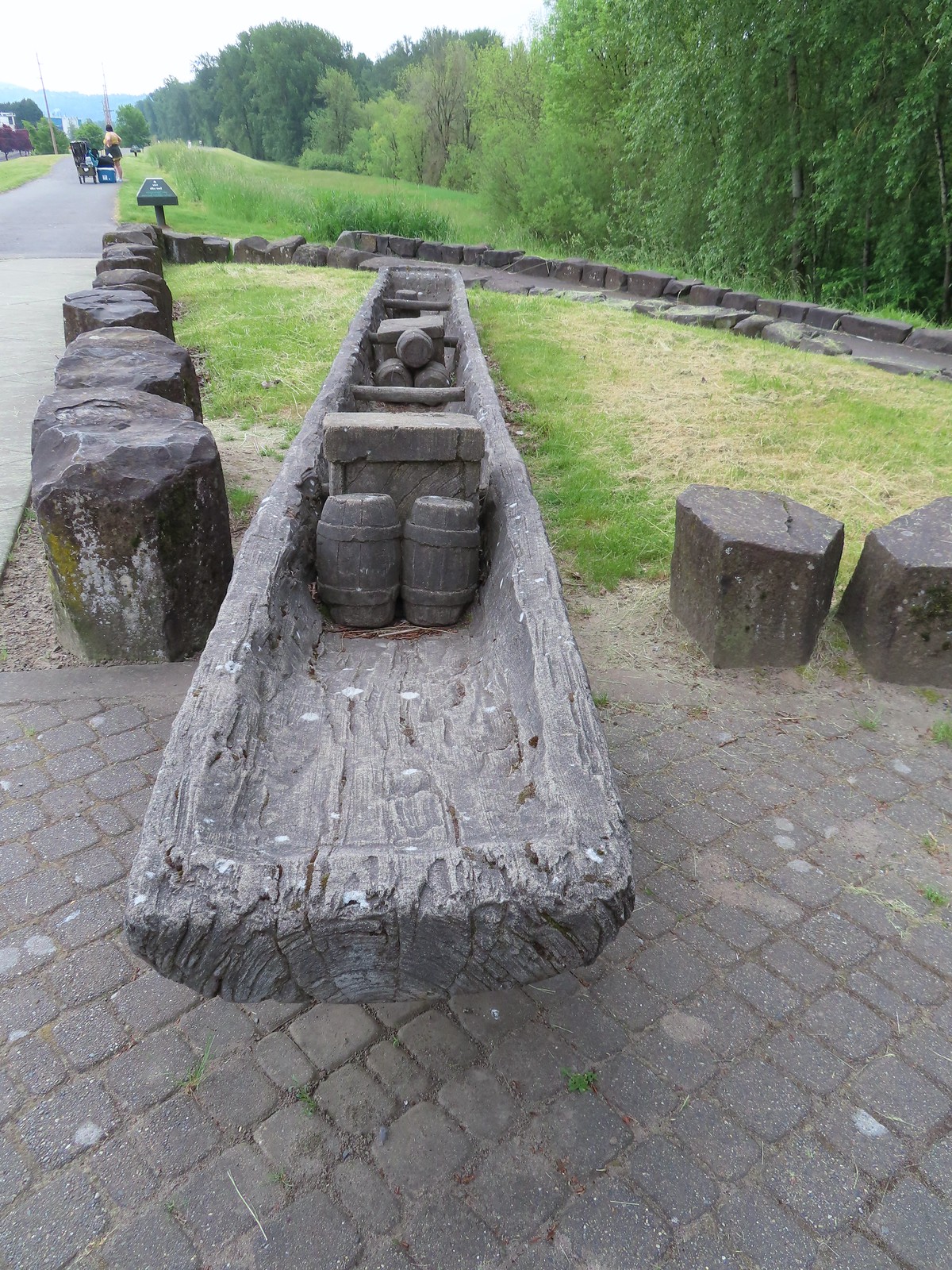
At the other end of the Provision Camp Trail was an interpretive display with replica canoes.

 The flooded section of trail from above.
It was another mile from the interpretive display to Steamboat Landing. The trail was pretty busy, and we were now in the city, but we were still managing to see a good deal of wildlife.

 Turtles!
 Another turtle

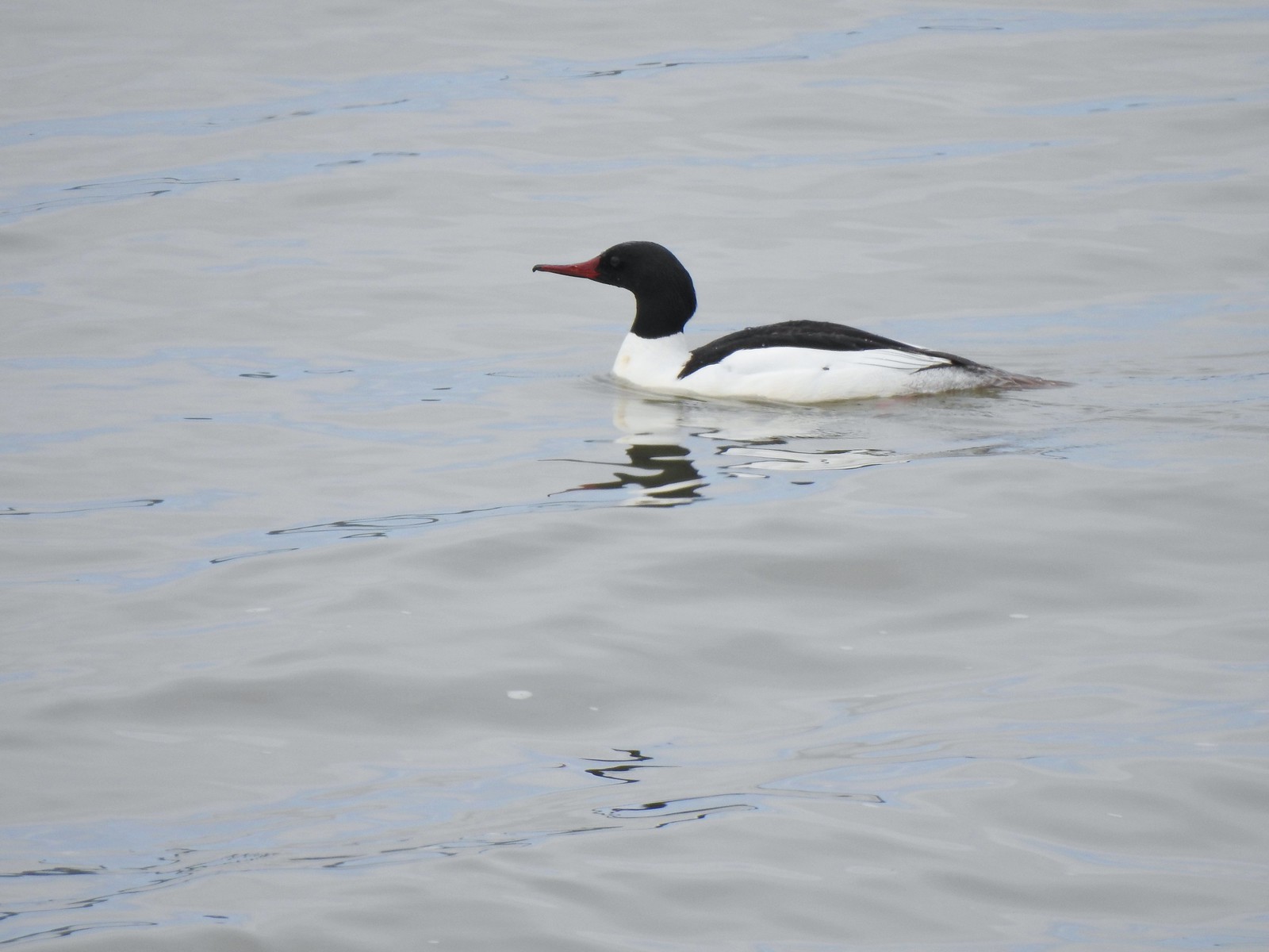 Common merganser
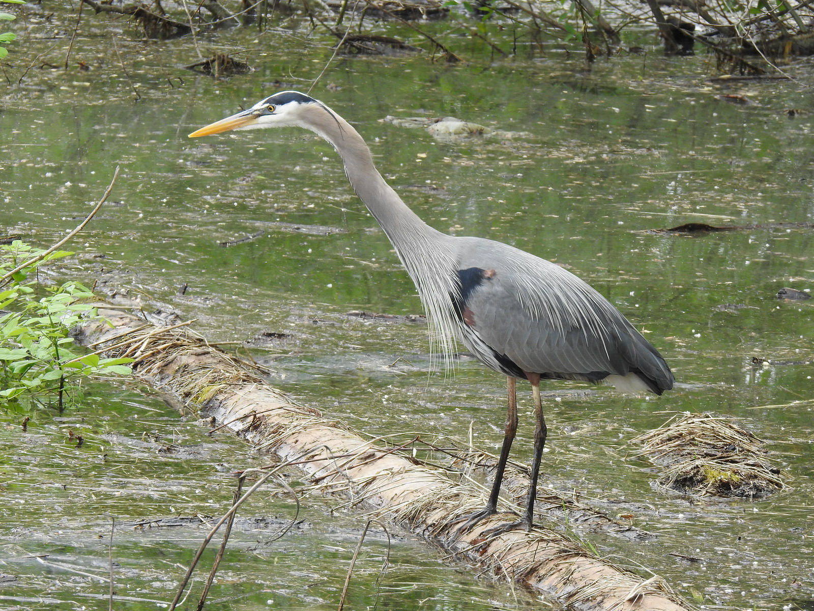 Great blue heron
 Steamboat Landing
At Steamboat Landing we turned down to a viewpoint along a fishing dock.

After a brief break we headed back.
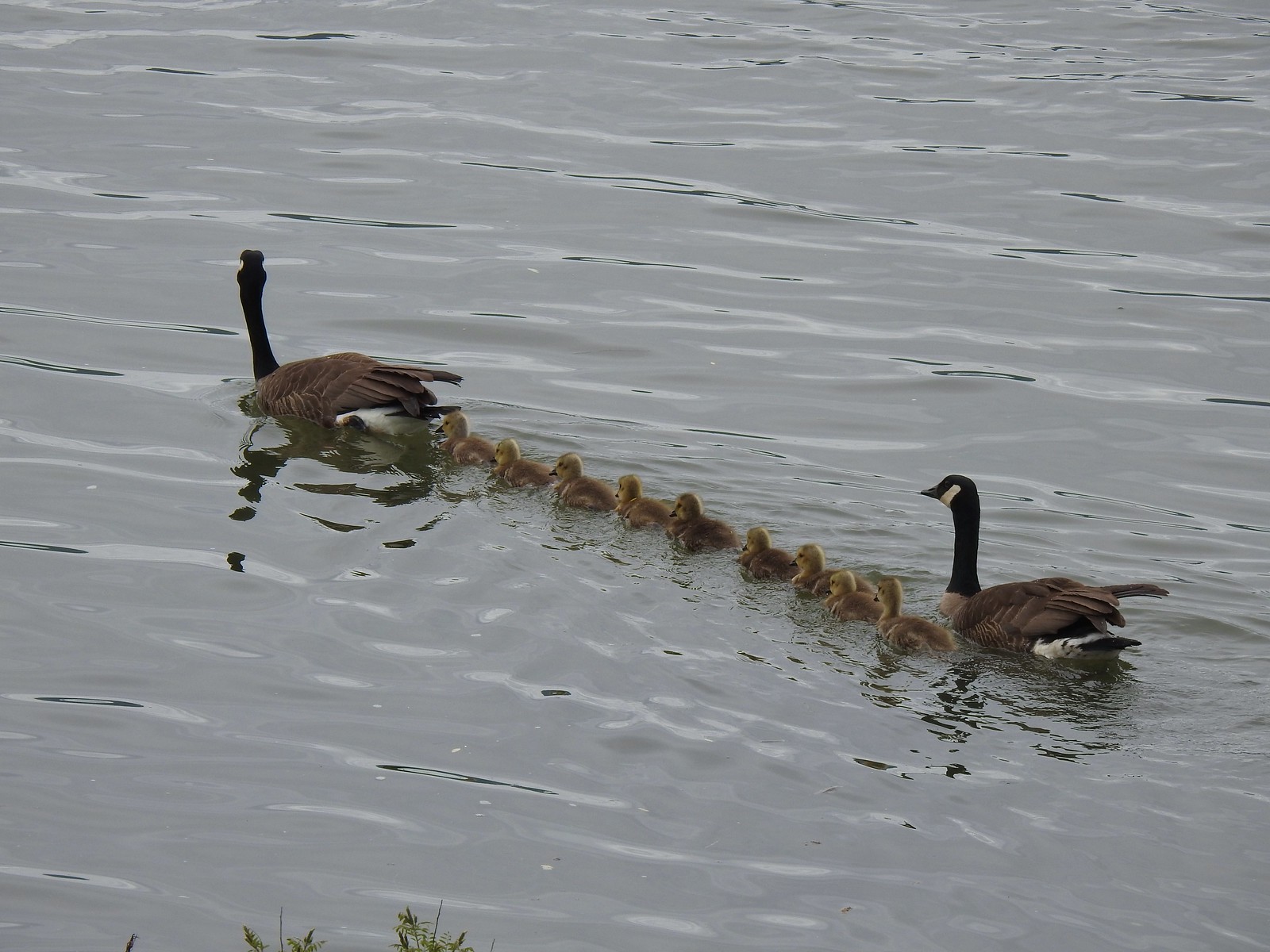 A family of geese out for a float.
While it had clouded up overhead the morning clouds that had blocked any view of Mt. Hood had given way. Unfortunately, there was enough haze in the air to essentially wash the mountain out.
 The large “hump” ahead is Larch Mountain (post). Mt. Hood is a little further to Larch’s right.
 Grainy proof of Mt. Hood’s existence.
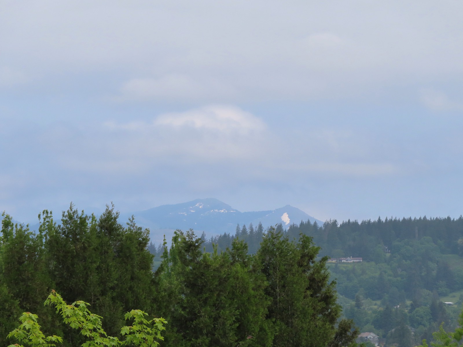 Silver Star Mountain (post) to the North.
We turned left onto the Mountain View Trail and headed back to the trailhead feeling really good about the amount of wildlife we’d seen although I was still a bit bummed about being fooled by the bittern art. As we neared the end of the wetlands that changed as a pair of bitterns got into a dispute over territory. The victor landed along the water below the levee.

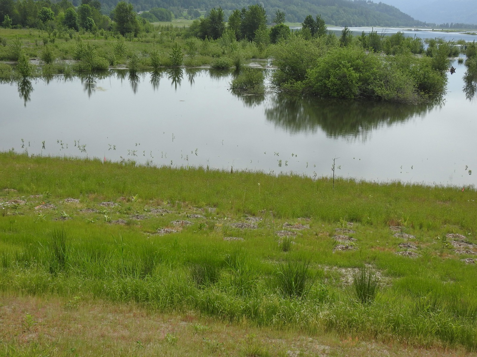 The American bittern in the grass.
I had the chance to take way too many pictures as the bittern posed for the people on the levee.


It was an exciting ending to a great wildlife hike. We made our way down to the now nearly full trailhead. Happy Trails!
 We’d been the first car in the lot that morning.
Having to retrace our steps a couple of times due to flooded trails put our hike at 12.4 miles for the day with minimal elevation gain.


Full album (Flickr): Steigerwald Lake Wildlife Refuge
 The refuge is open from dawn to dusk. We arrived at a quarter to six to get an early start and avoid being out during the hottest parts of the day.
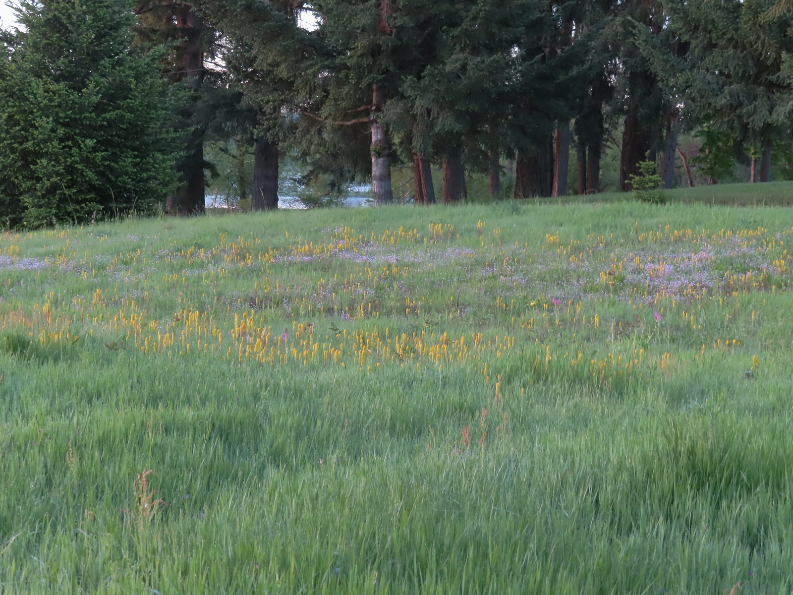 The patch of wildflowers.
 A checker-mallow surrounded by golden paintbrush.
 Plectritis amid the golden paintbrush.
 We had a pretty good view of Mt. Hood.
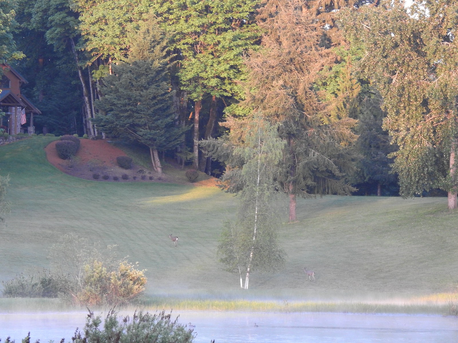
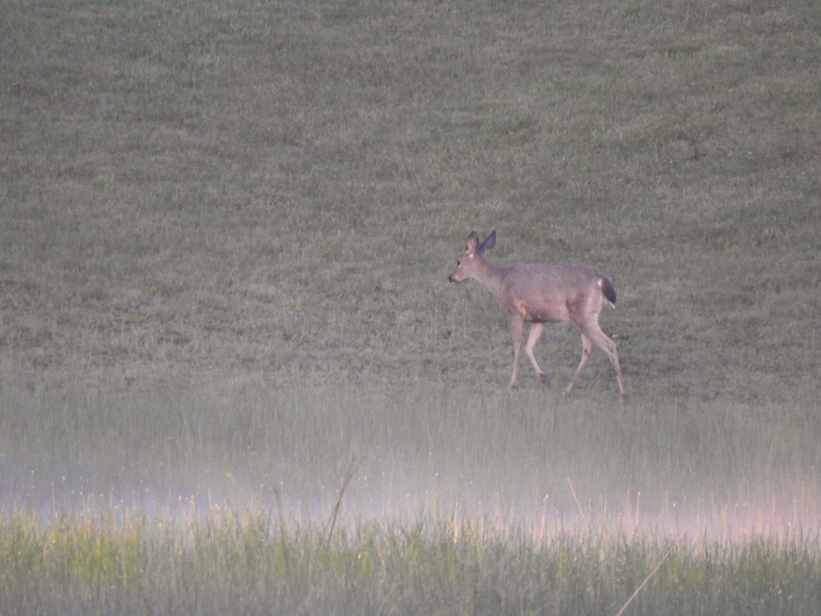
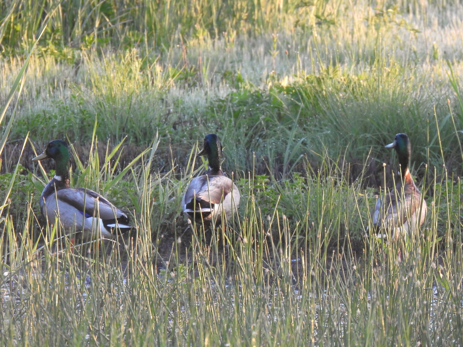 Mallards
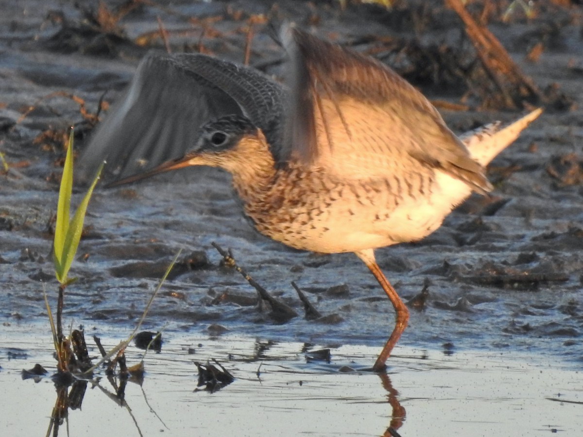
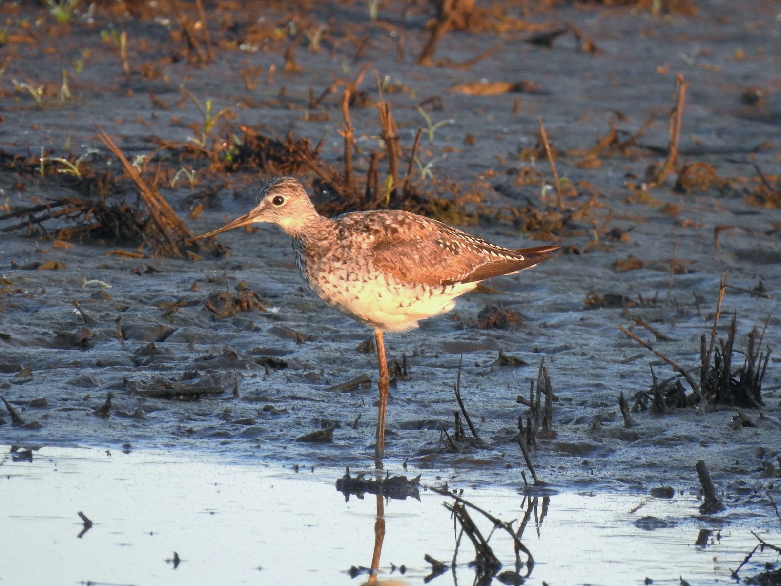 Greater yellowlegs
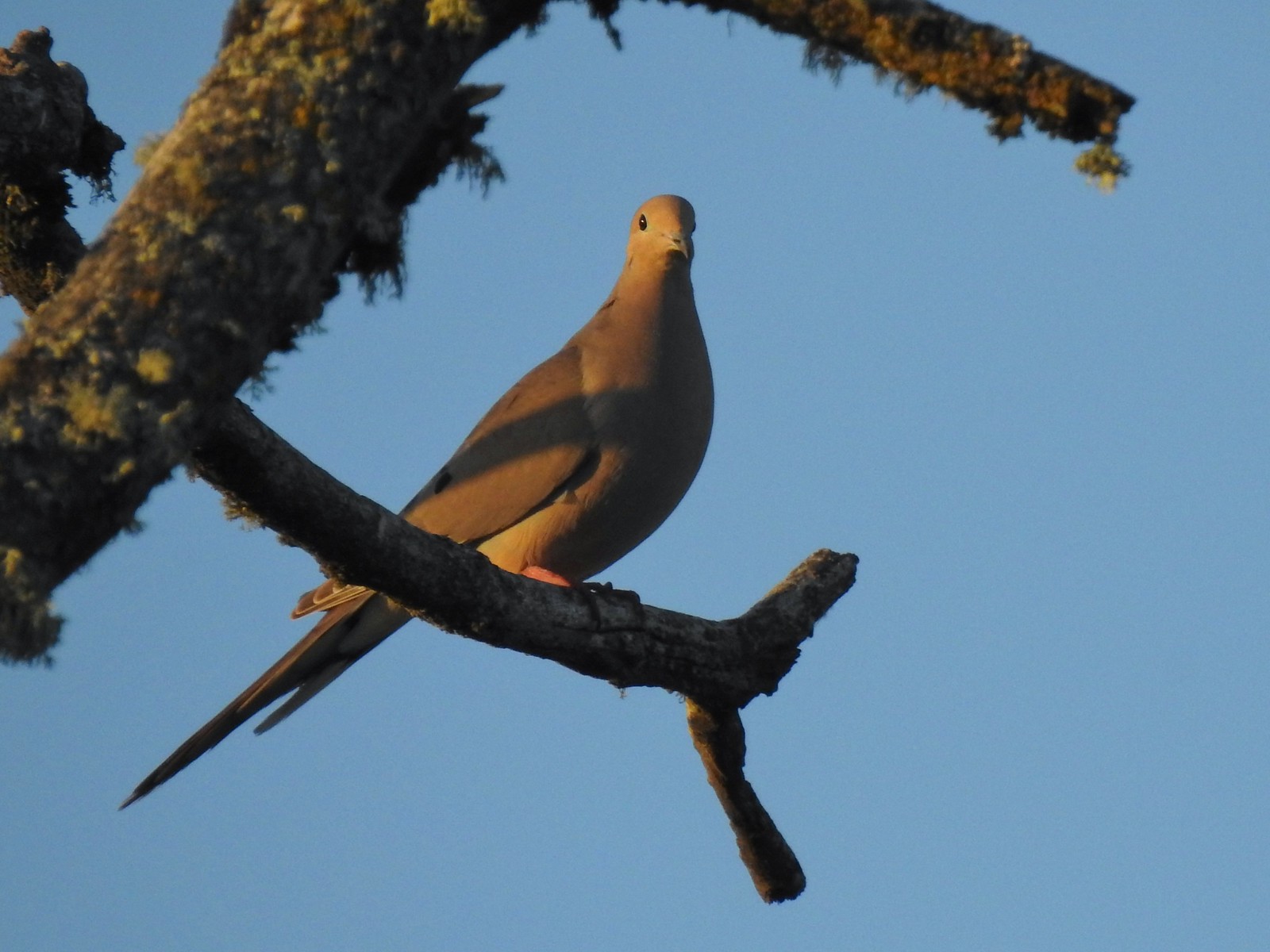 Mourning dove
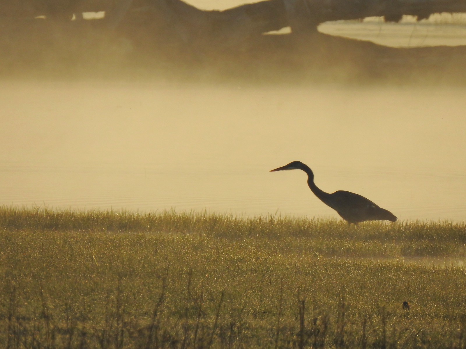 Great blue heron
 An egret and some ducks
 More families of geese
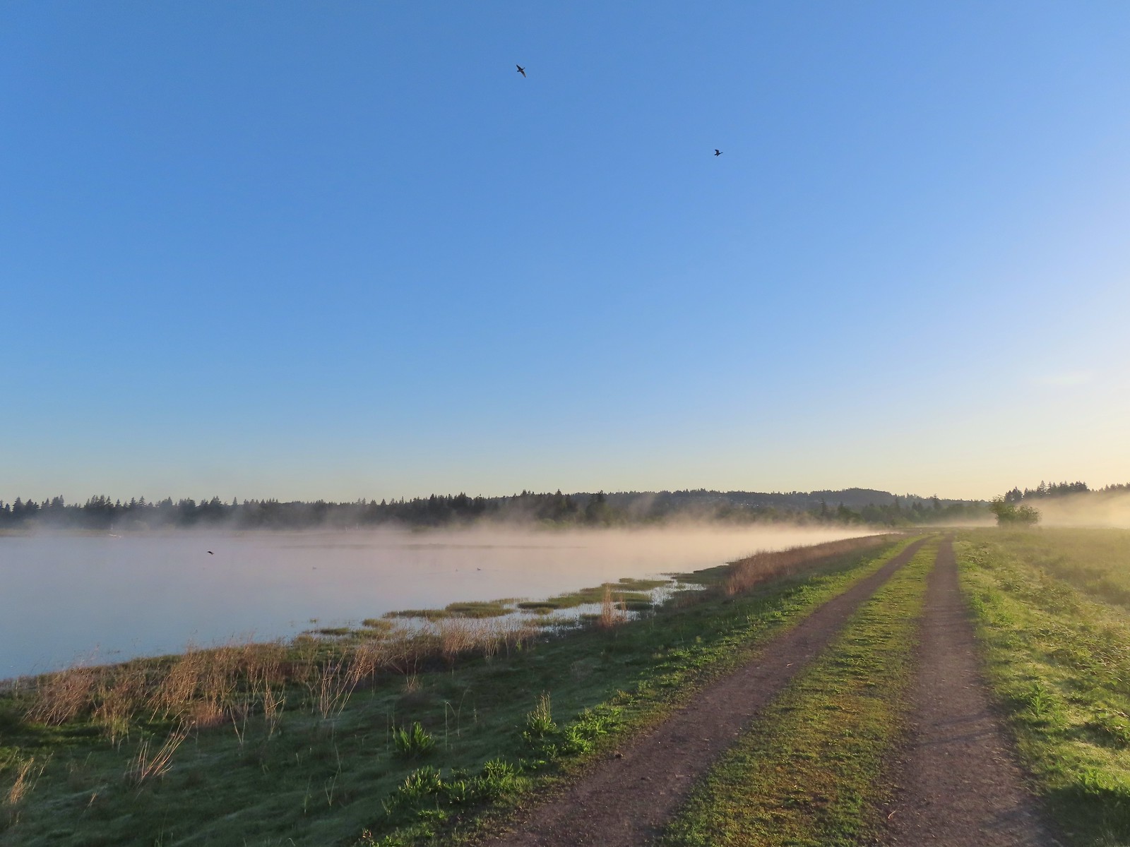 Swallows flying above the Wetland Trail.
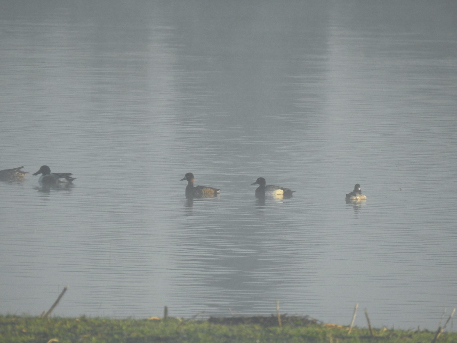 Northern shoveler, scaups (leaning toward greater), and a bufflehead.
 Mallards
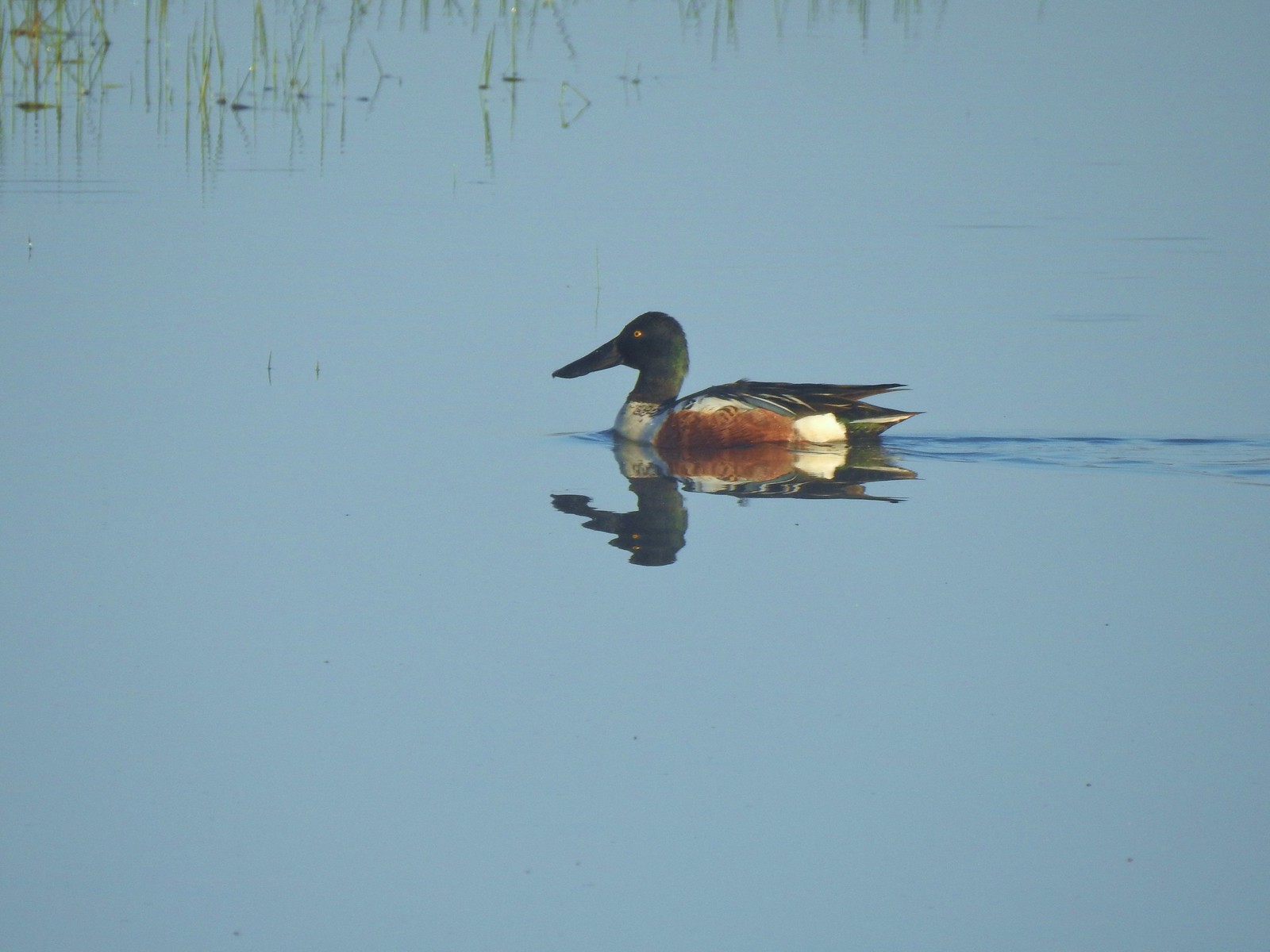 Northern shoveler
 Ruddy duck
 Gadwalls
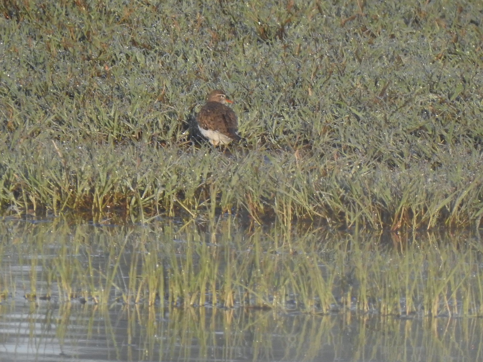 Spotted sandpiper
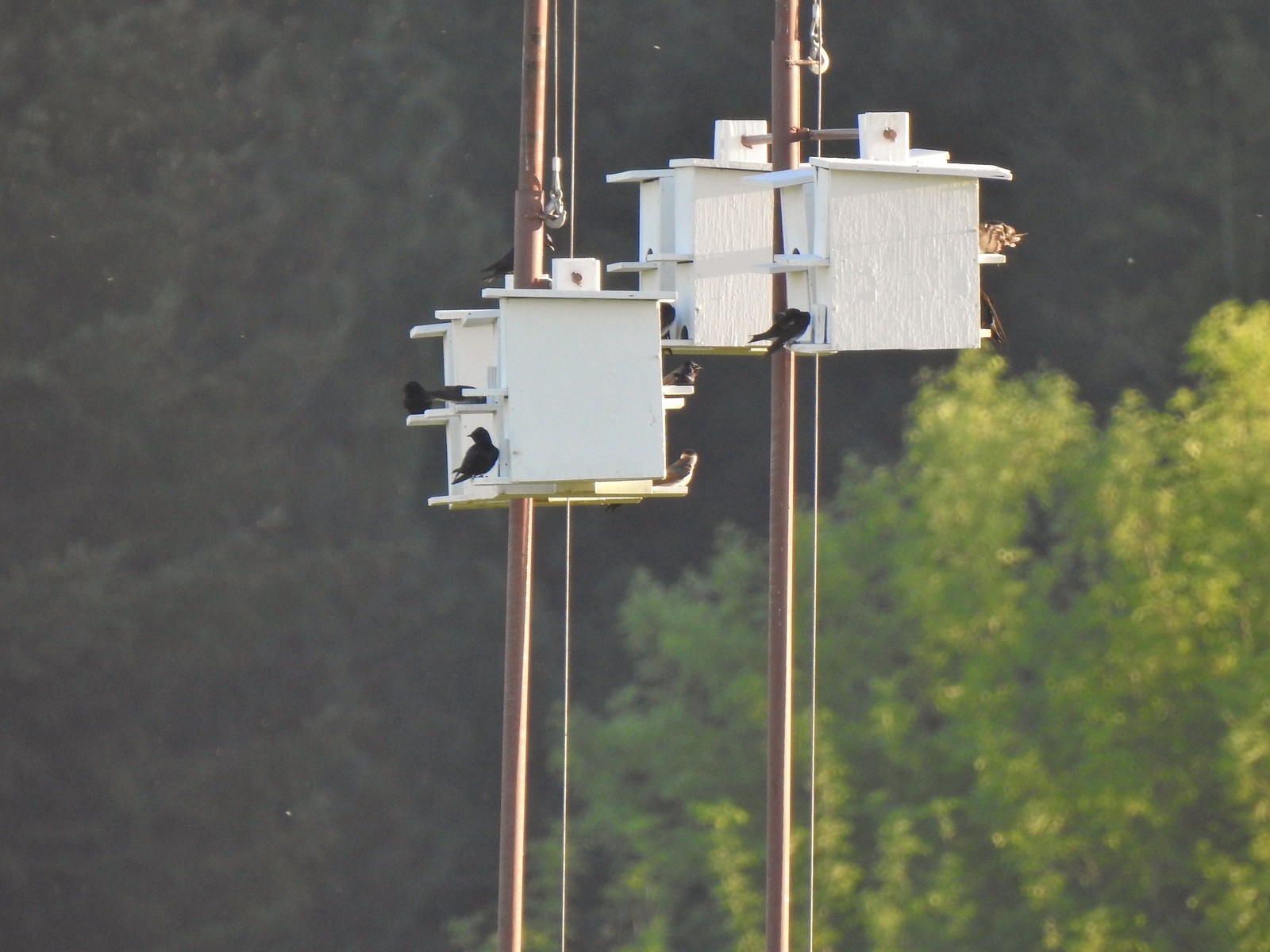 Purple martins
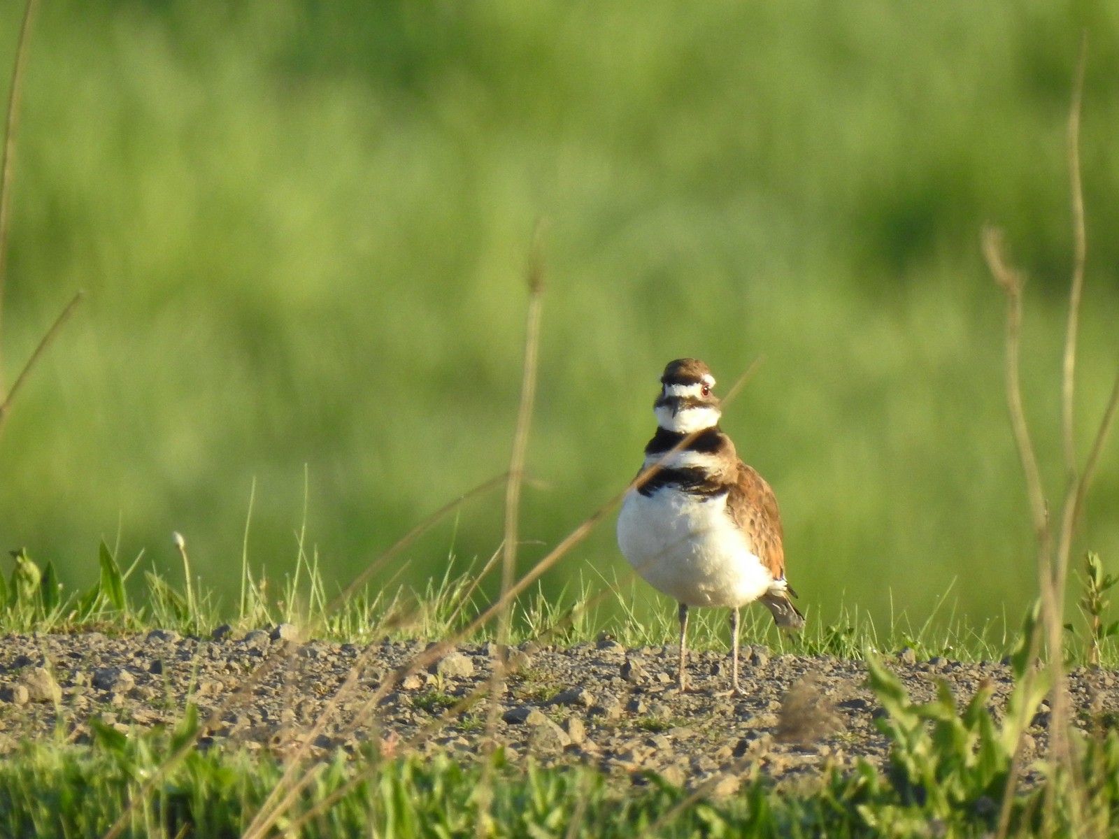 Killerdeer
 Cinnamon teals
 Nutria, one of several of these non-native rodents that we saw.
 Nap time (or just a late sleeper).
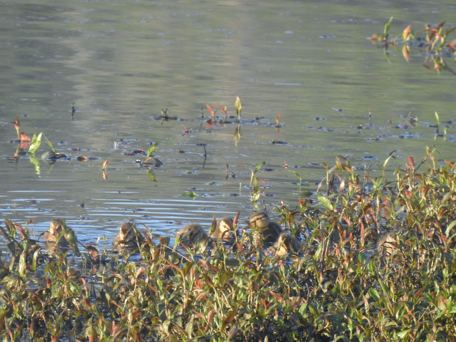 Ducklings
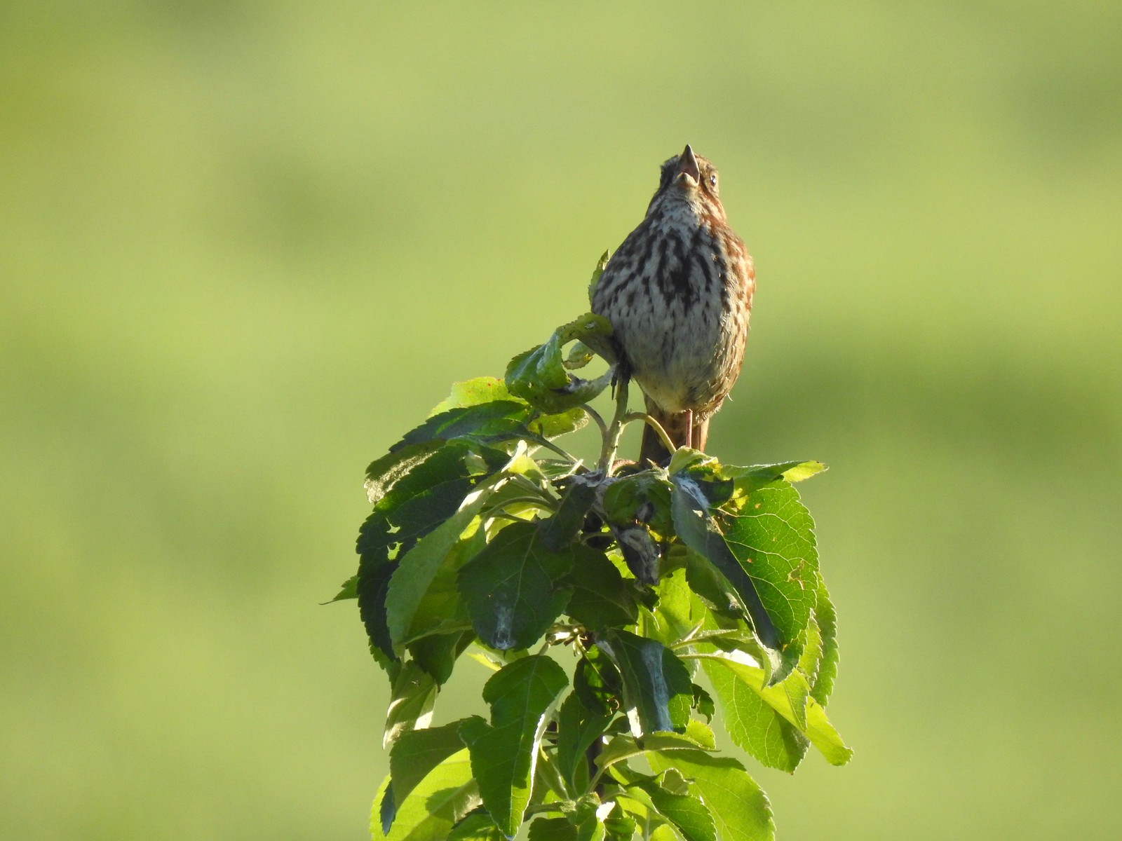 Song sparrow
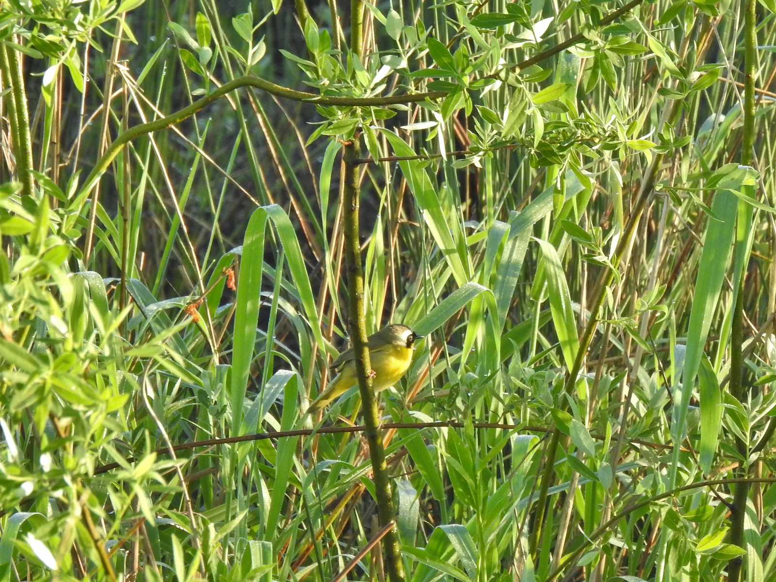 Common yellowthroat
 Wildlife Center
 Great blue heron watching from a little island.

 Anna’s hummingbird
 The same Anna’s hummingbird. When catching light their head/throat is bright pink but appear black when not.
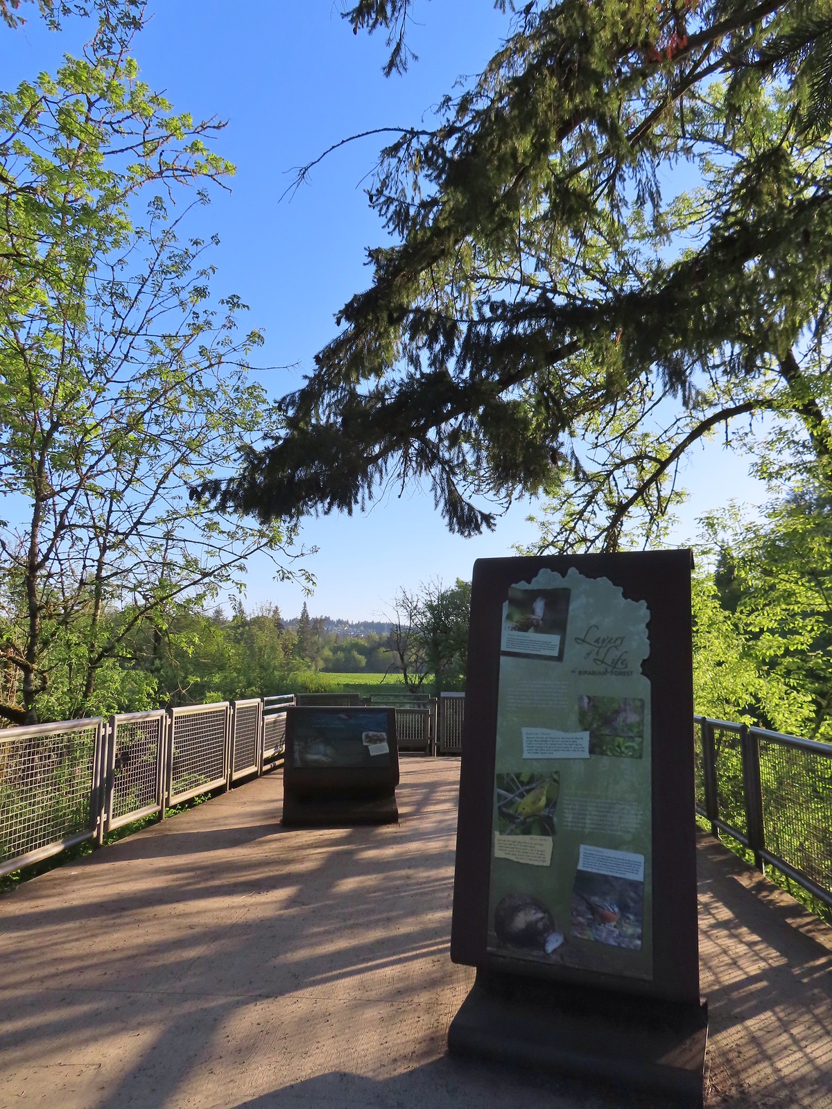 River Overlook
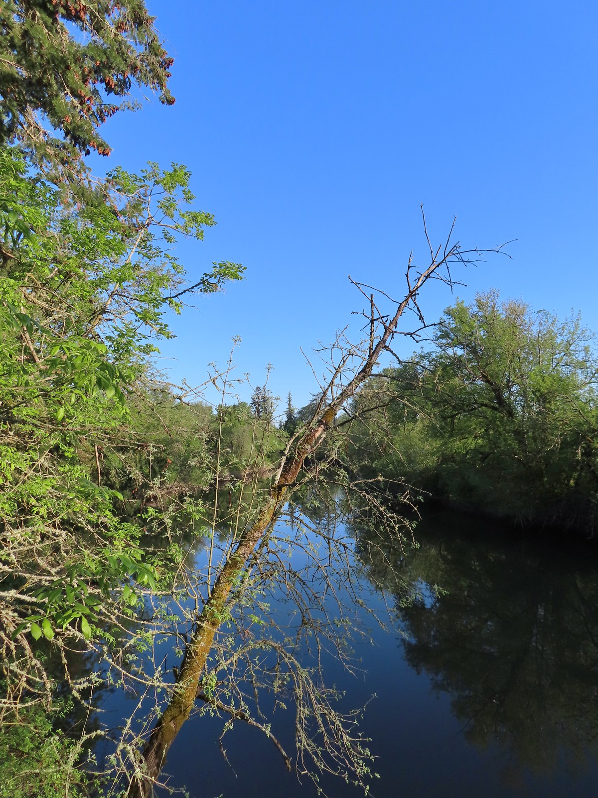 Tualatin River
 Robin
Robin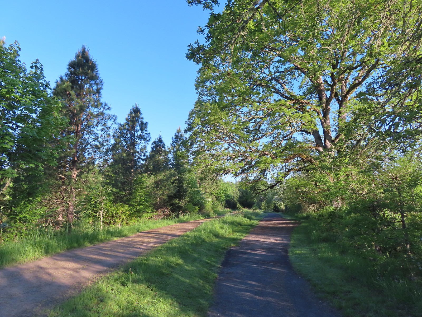 The Wetland and River Trails running parallel.
 Spotted towhee
 Rabbit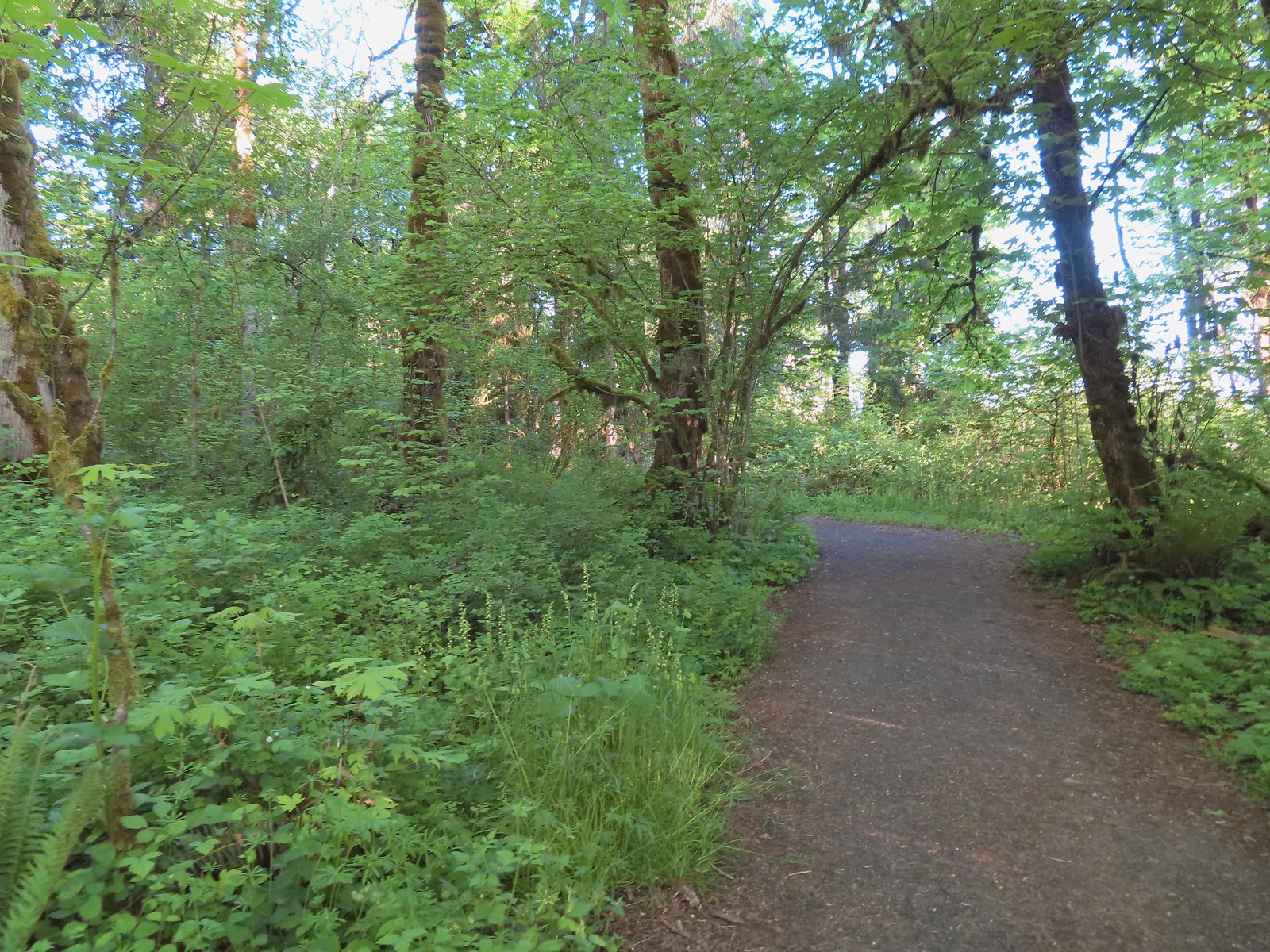
 Pacific waterleaf
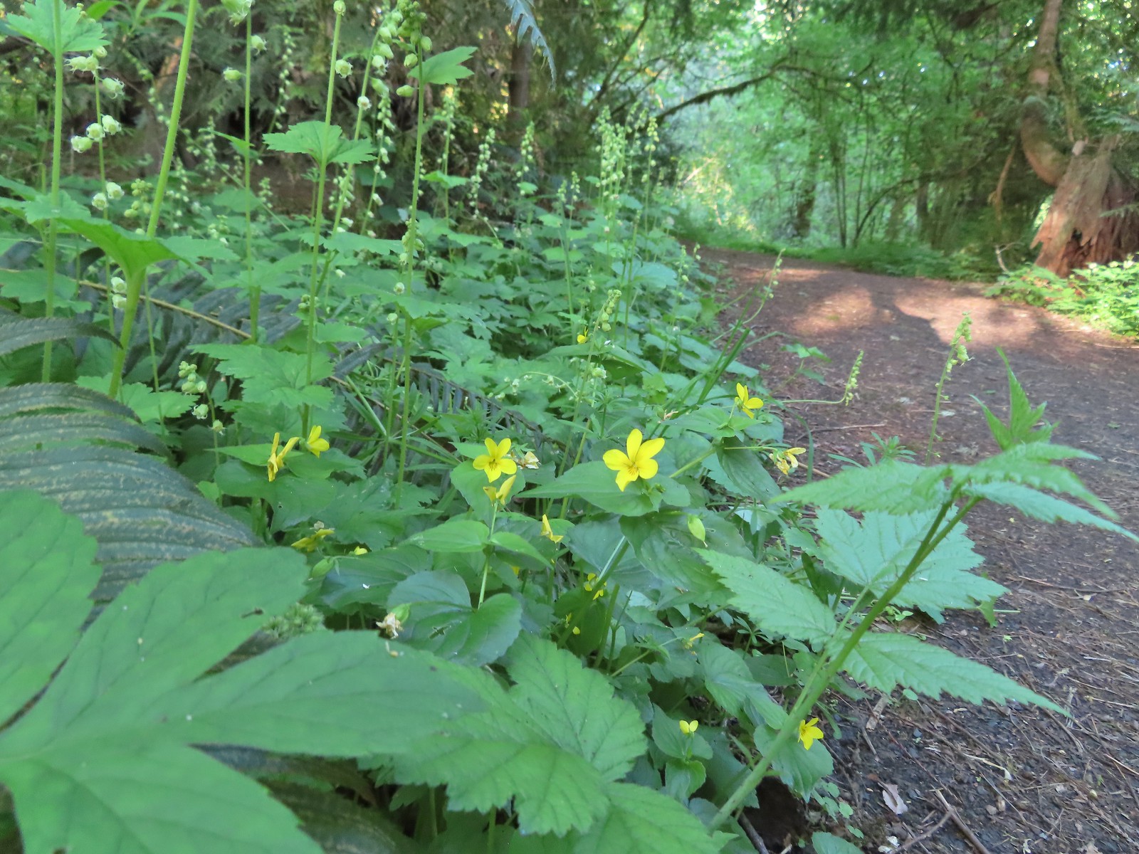 Violets and fringecup along the River Trail.
 Bleeding heart
 We skipped the spur trail to the Ridgetop Overlook since we’d done that on our previous visit.
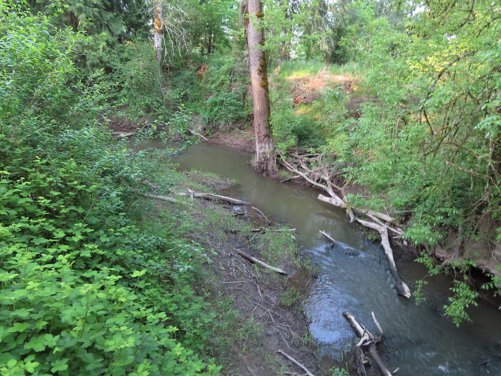 Chicken Creek
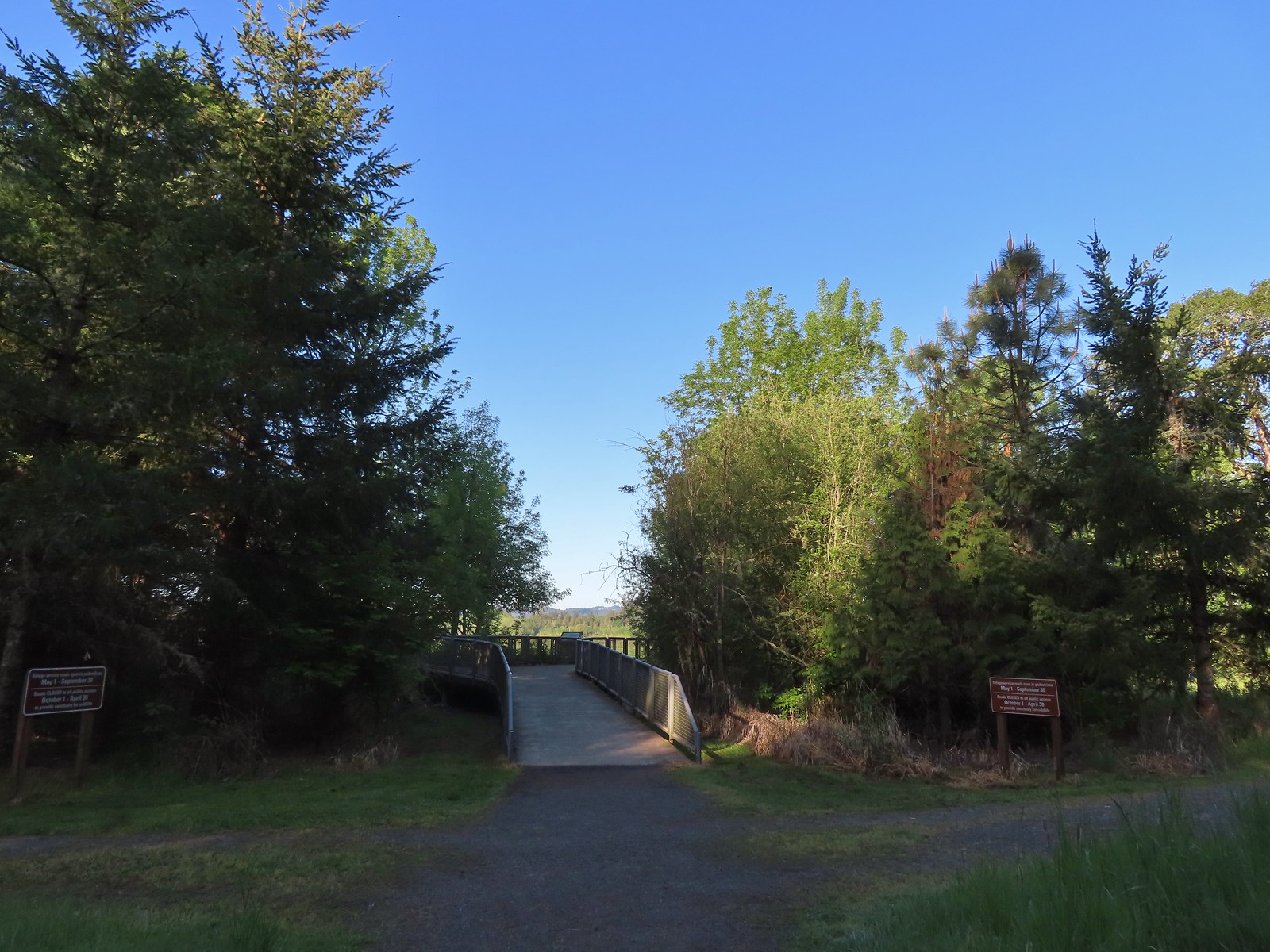 The River Trail meets the Wetland Trail across from the Weland Observation Platform.
 Great white egrets
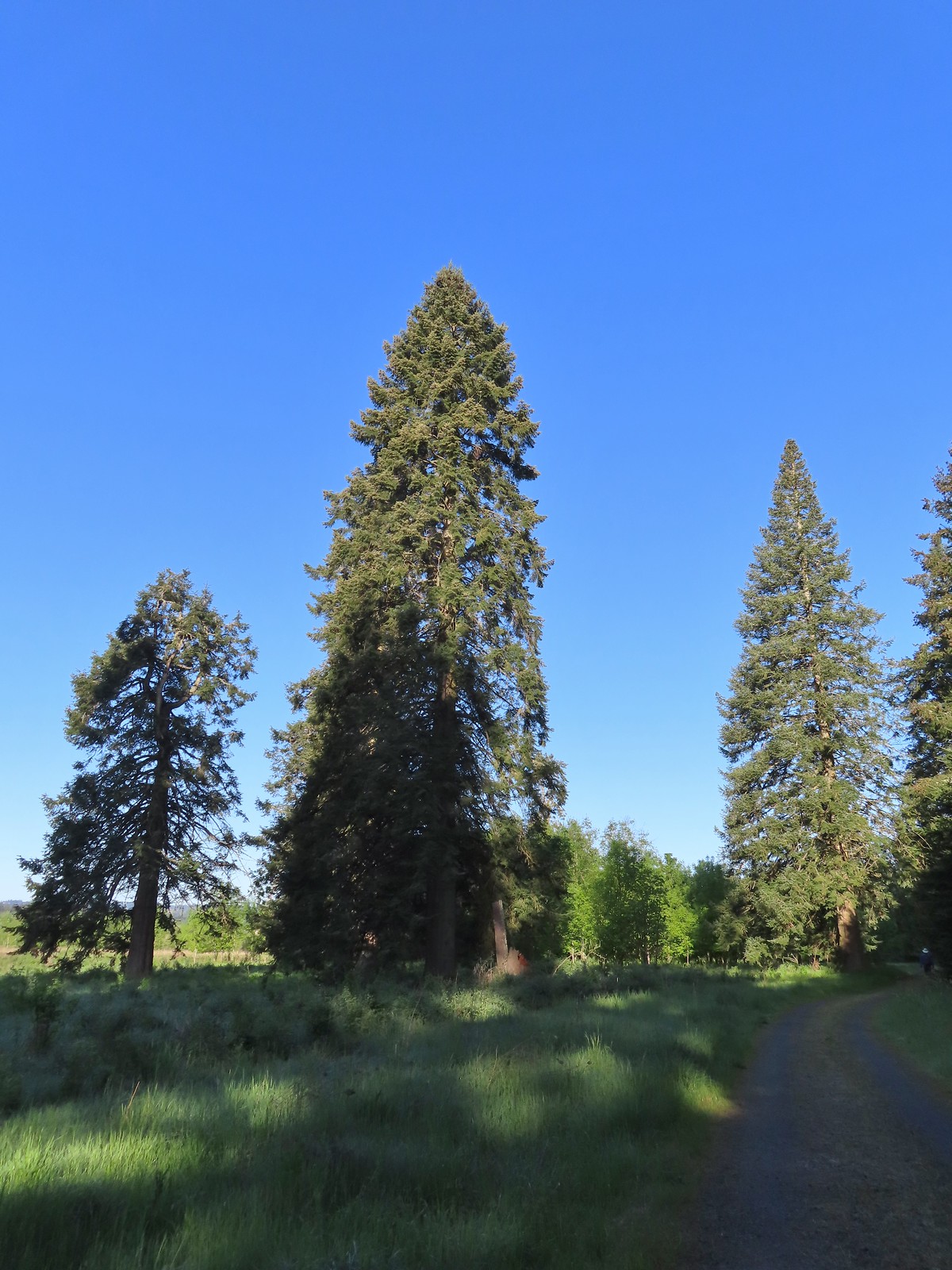 There were some impressively tall trees along this portion of the loop.
 Another egret
 More egrets across Chicken Creek.
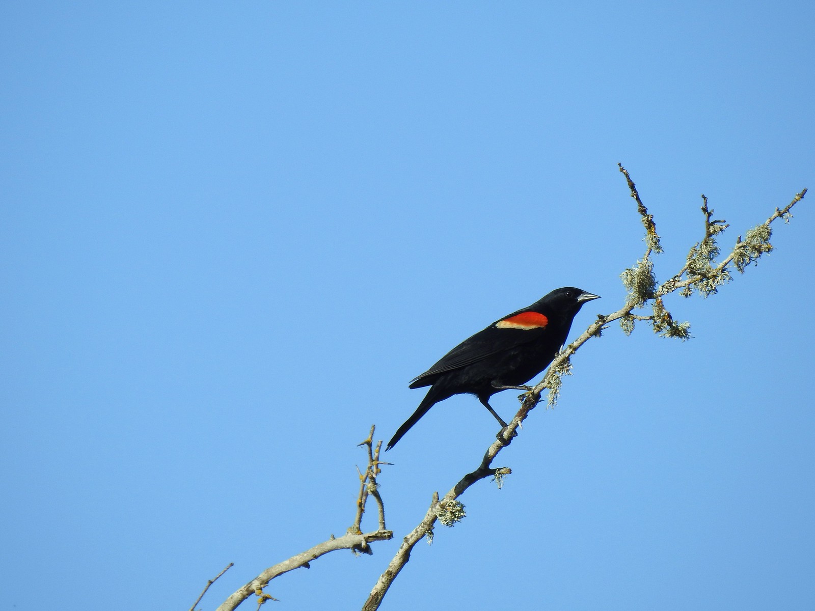 Red-winged blackbird
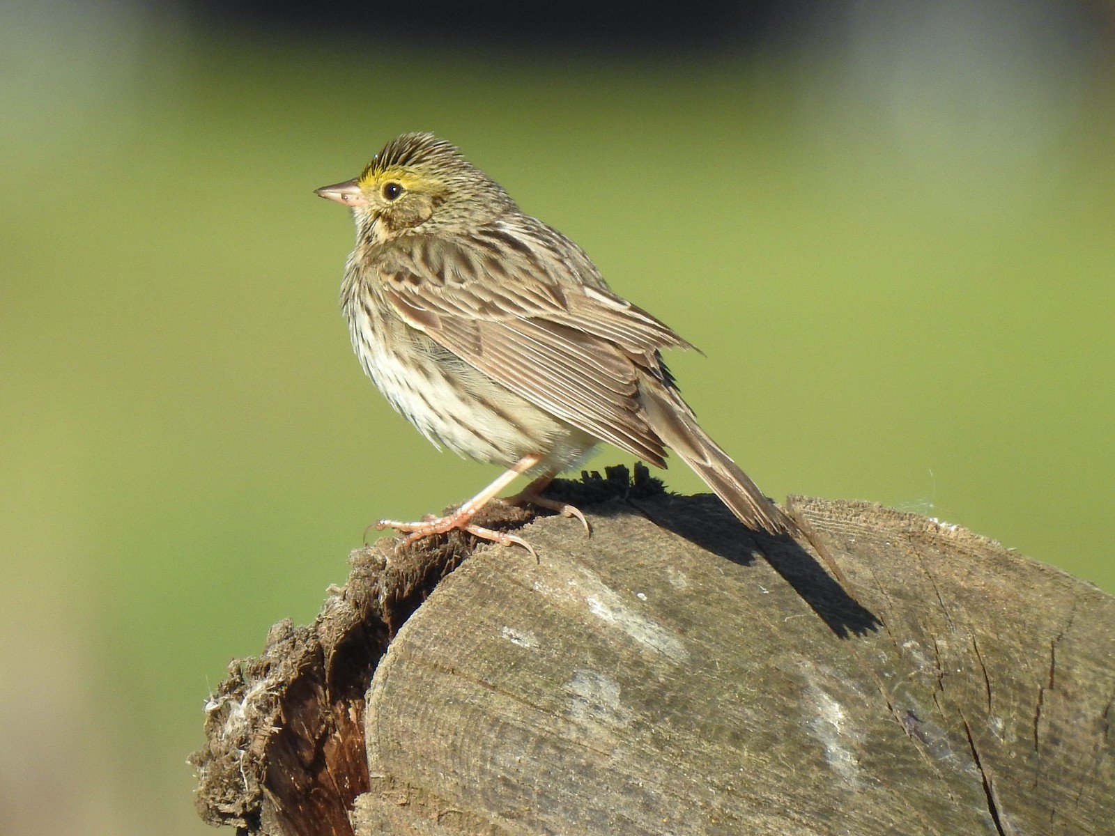 Savannah sparrow
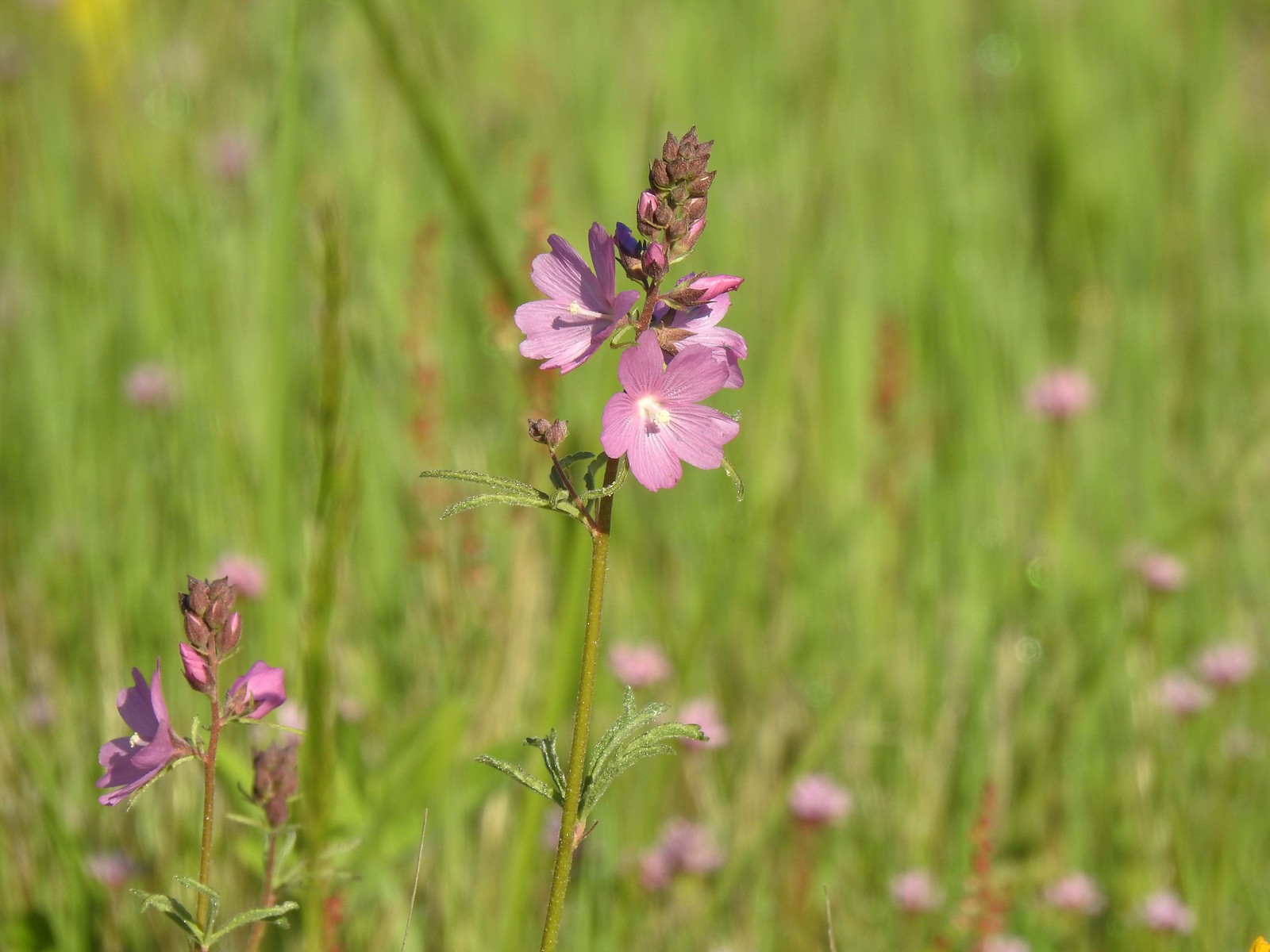 Checker-mallow
 A parsley
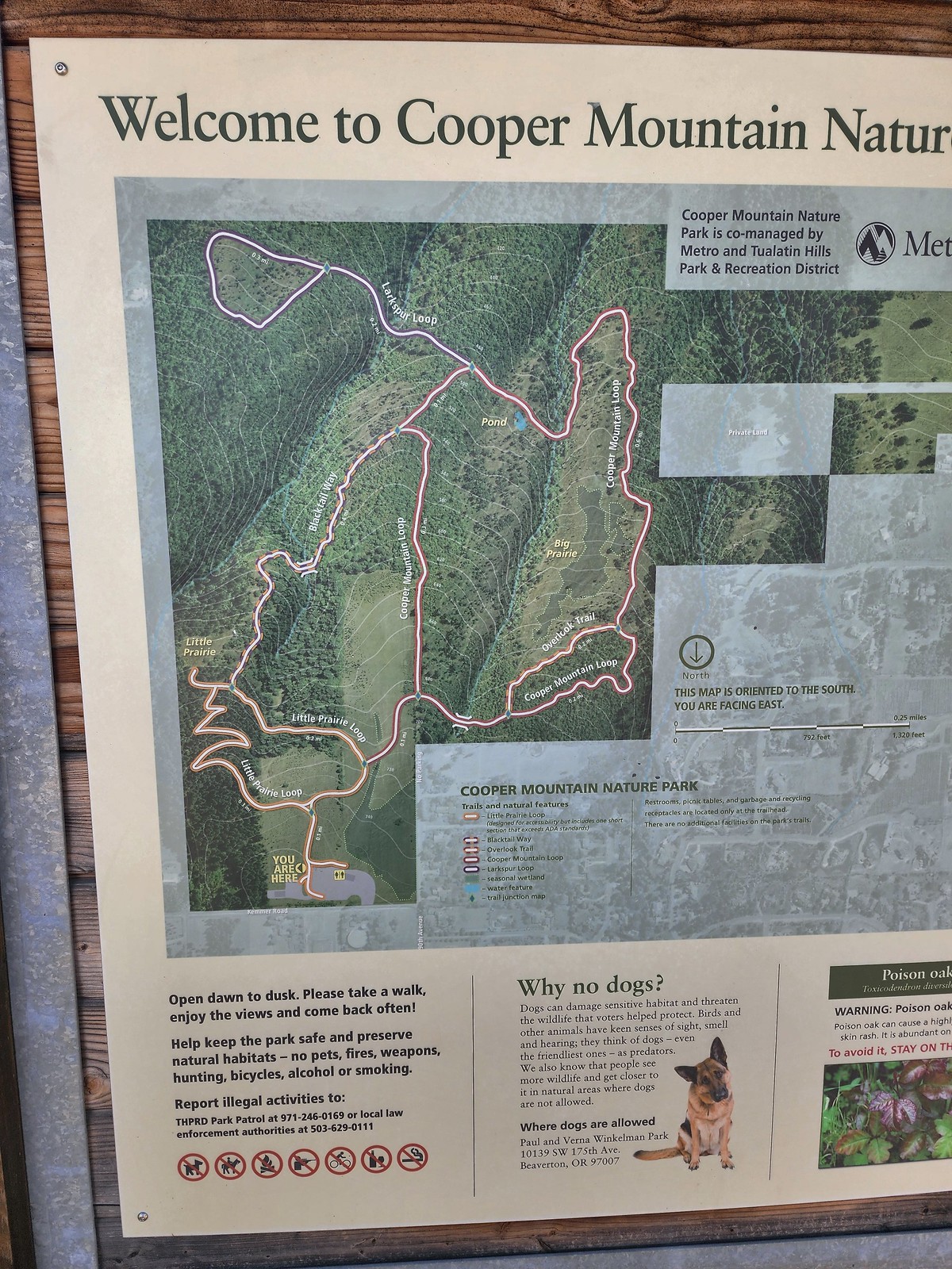 Our planned route was to go right on the Little Prairie Loop to the Cooper Mountain Loop and then stay right on that loop (with a detour to hike the Larkspur Loop) to Blacktail Way. We’d then take Blacktail Way back to the Little Prairie Loop and turn right again to finish that loop and return to the trailhead.
 The view from Cooper Mountain Nature Park.
 Metro is currently running an odd little trial with very short “photo loops”. Mowed paths just off the main trails for photography. We took the first loop just to check it out and they were not kidding when they said the surface may be uneven.
 One of two trial photo loops.
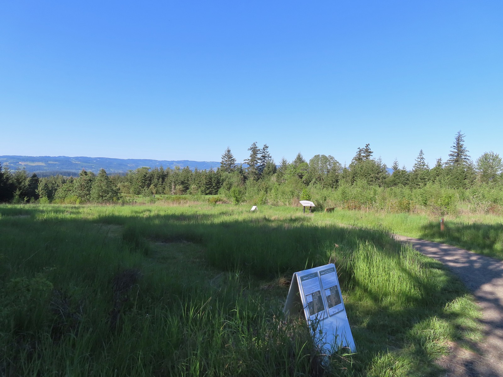 The second trial loop. You can see how short this one is by the signboard just downhill marking its other end.
 There were several interpretive signs and benches along the trails.
 White-crowned sparrow
 Anna’s hummingbird
 Star flower
 As usual Metro had the trail junctions well marked with little maps on top of the posts. This is the Cooper Mountain Loop junction with the lower end of the Outback Trail.
 Camas
Camas
 Tough-leaved iris
 Serviceberry
 Honeysuckle
 Looking back uphill to some wildflowers.
 Monkeyflower
 Tomcat clover
 Spotted towhee
 Bench along a pond filling an old quarry.
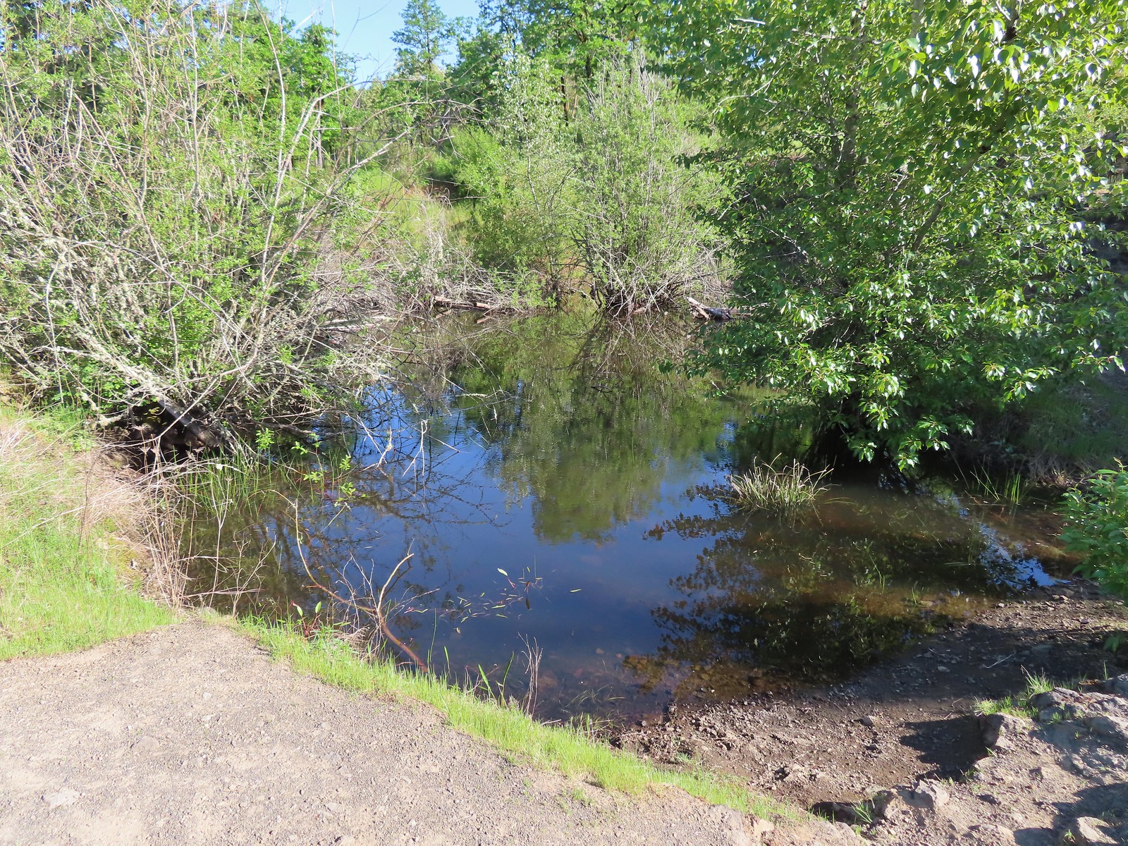 The pond. Red-legged frogs apparently breed here. We didn’t see any frogs but there was a mallard hanging out in the brush.
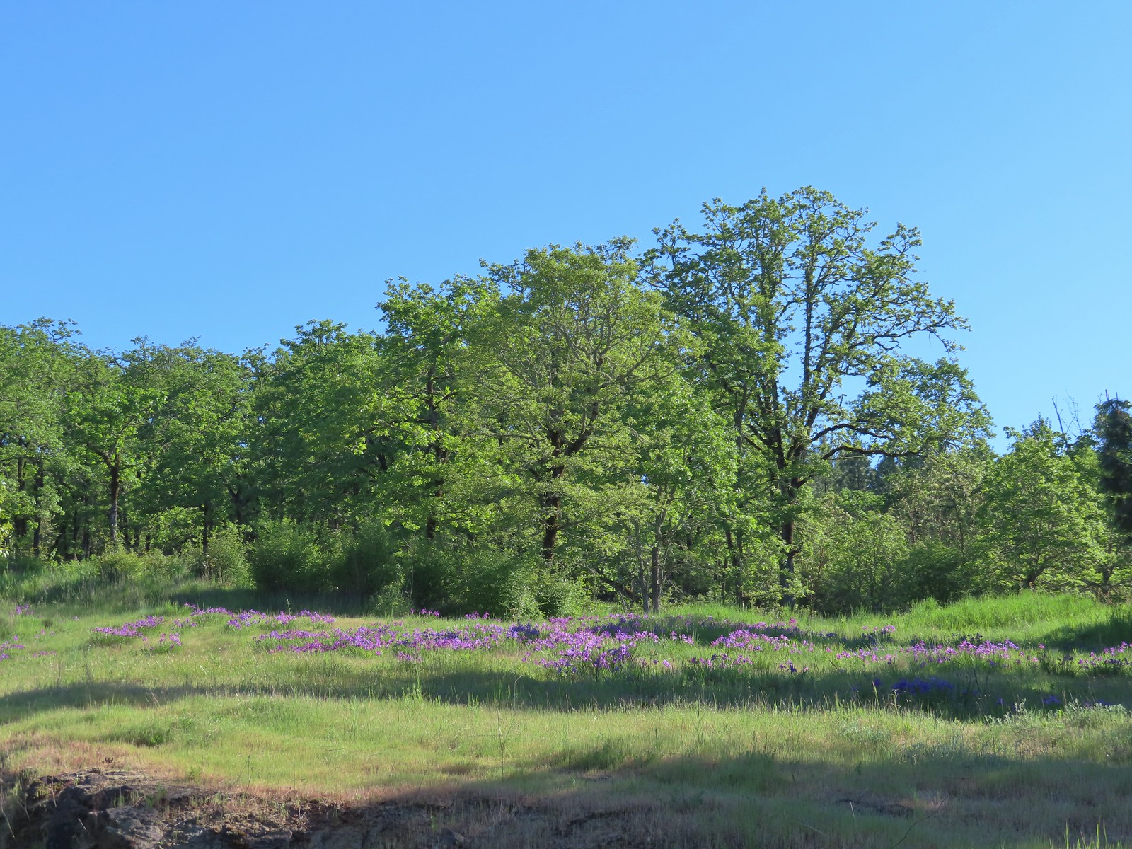 Iris on the hillside above the quarry.
 The Larkspur Loop continuing straight from the Cooper Mountain Loop which turns uphill at the junction.
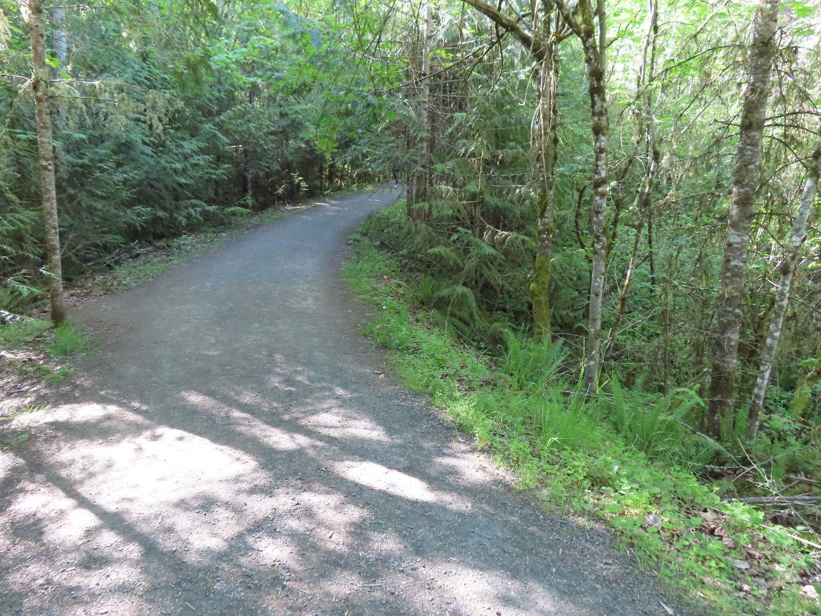 Prior to the loop the Larkspur Loop dips to cross a creek in the trees.
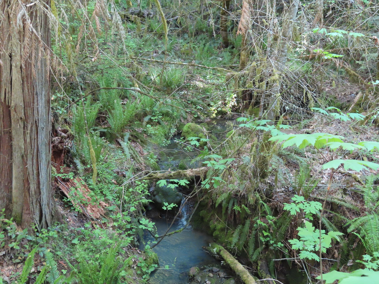 The little creek.
 View from the Larkspur Loop.
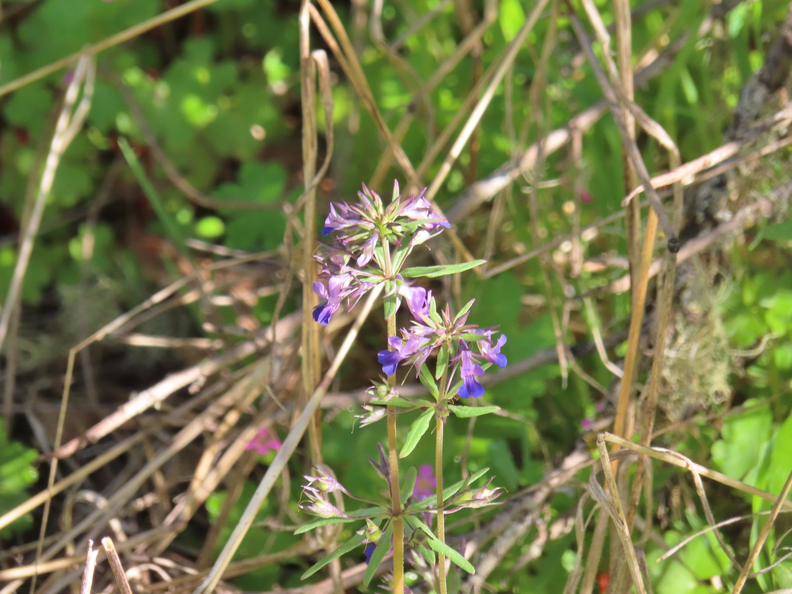 While watching for the larkspur I noticed these giant blue-eyed Mary.
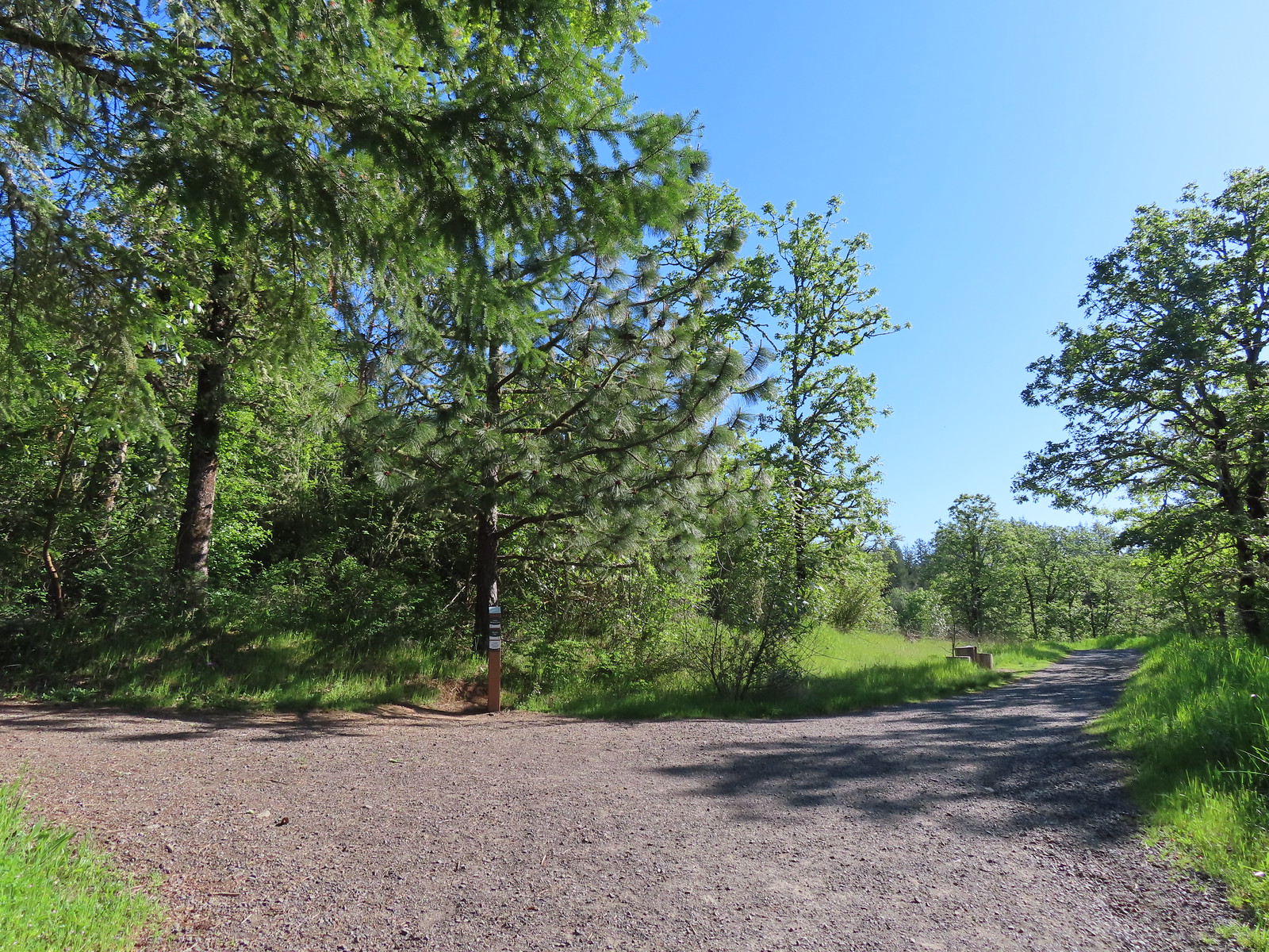 Blacktail Way to the right.
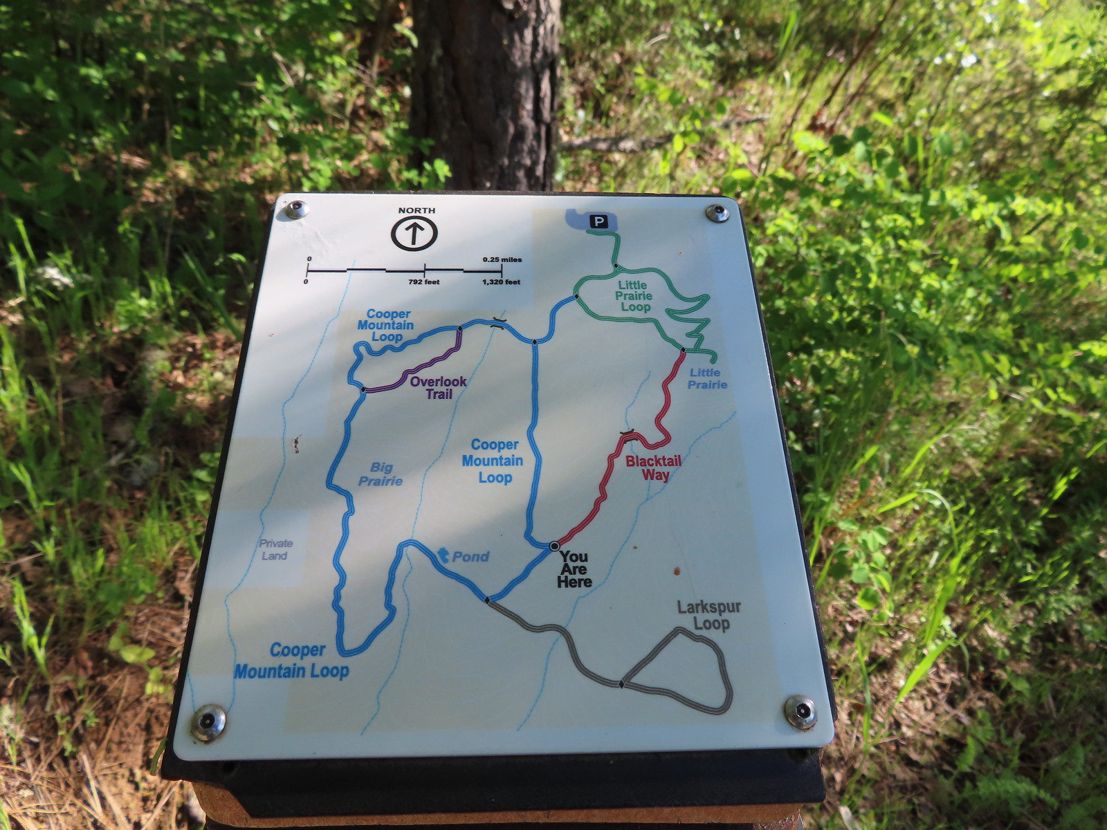 Map at the junction.
 The “earphone” next to the bench here was neat. There was also one at the trailhead and they really allowed you to isolate the sounds of the woods.
 The Little Prairie Loop.
 The pale larkspur also grows in this area but again we were too early.
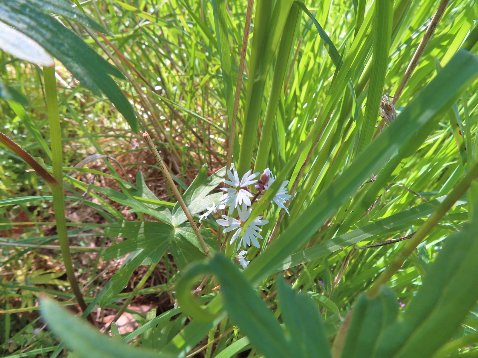 These were the only woodland-stars we spotted.

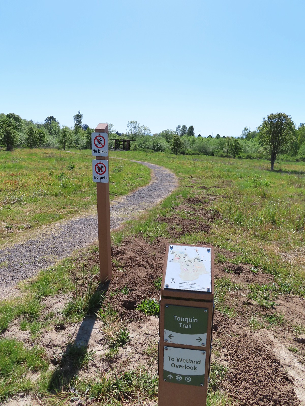
 Heading toward Acron Plaza on the Tonquin Trail.
 Interpretive sign at Acorn Plaza.
 Lupine and buttercups
 Lupine
 Meadow checker-mallow
 The “elder” oak is between 150-200 years old.

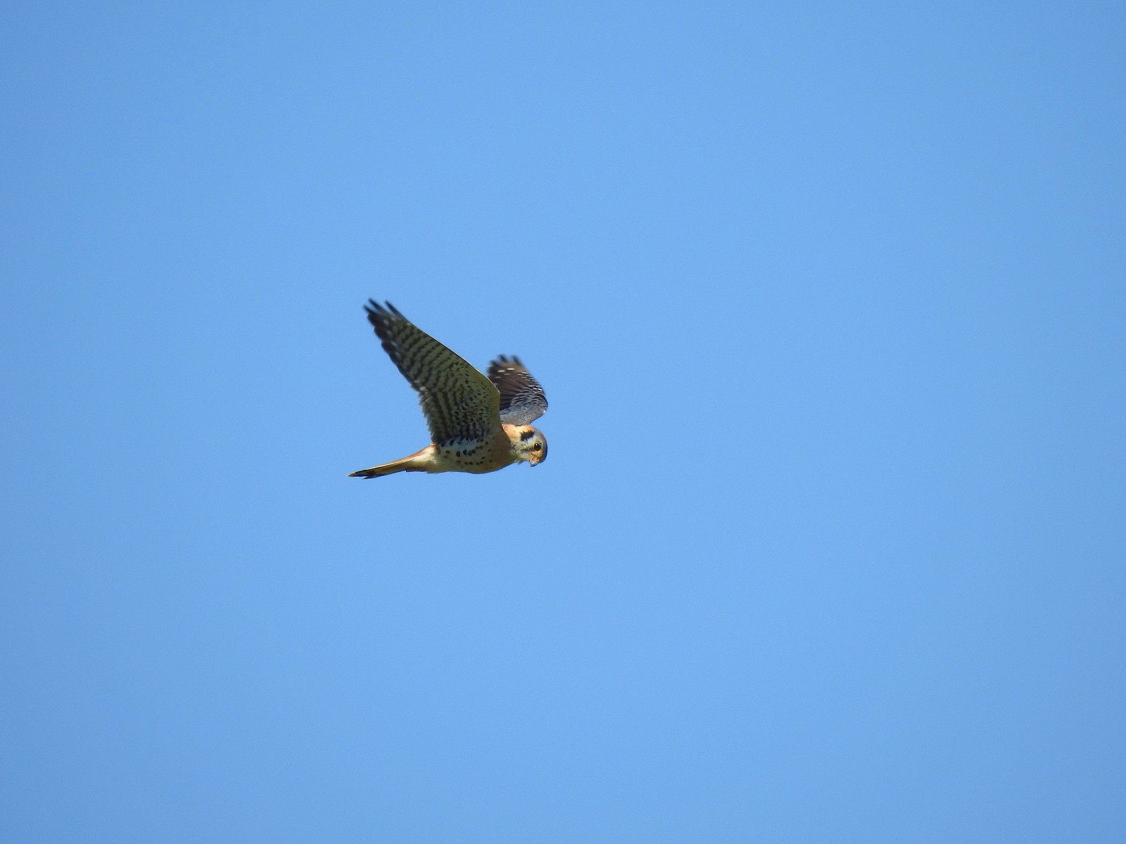 We watched this American Kestral hover on a near vertical line for what felt like quite a while. It eventually dove and attempted to catch something in the grass. We couldn’t tell if it had been successful.

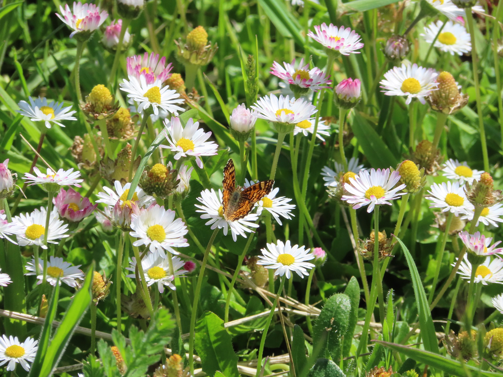 Mylitta crescent
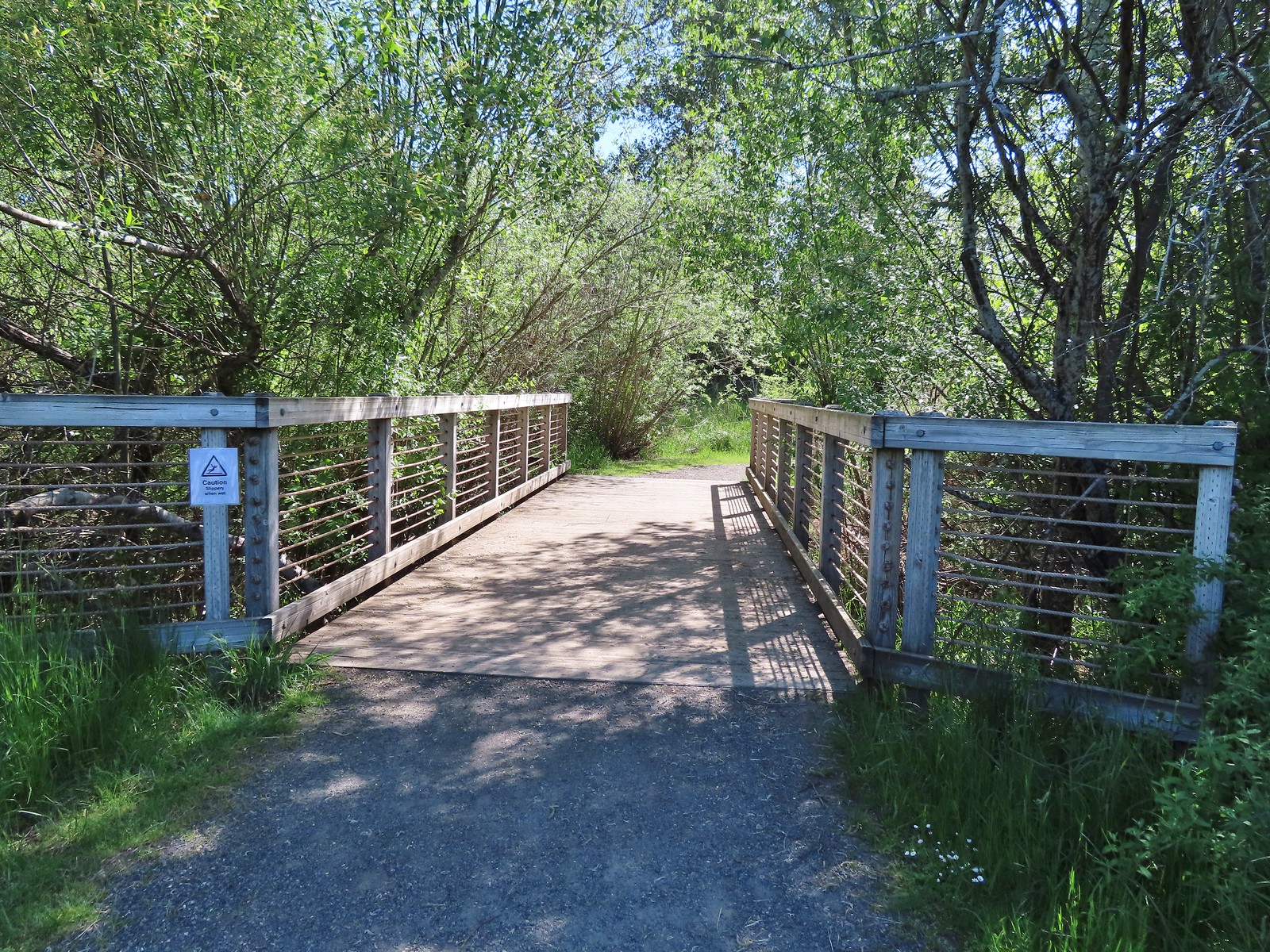 Footbridge over Arrowhead Creek.

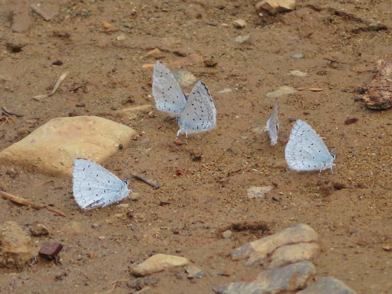
 The Lycaenidae family of butterflies remains a mystery to me. This appears to be an Eastern Tailed Blue based on the ventral spots.
 Snow in the Cascade foothills. If you look really closely behind the bigger snow patch to the far-right, you can just barely make out Mt. Jefferson.
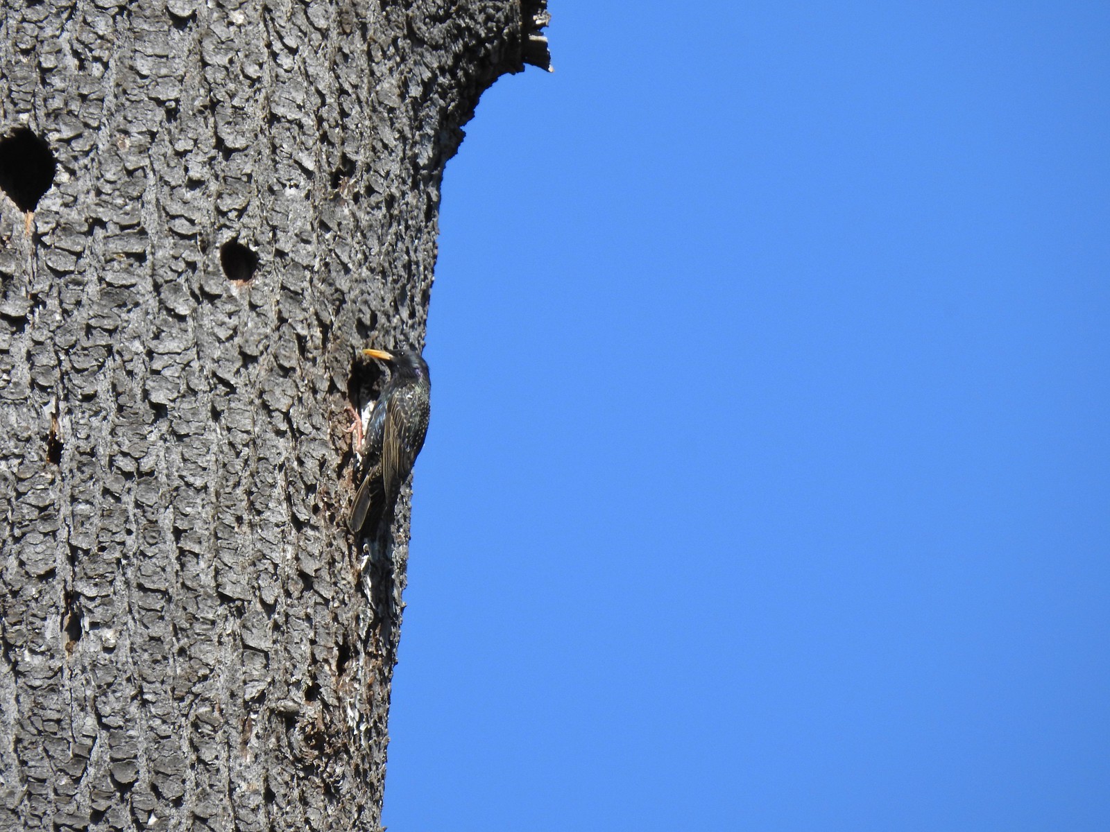 Starling
 Northern flicker
 This scrub jay would not come out from behind the oak leaves.
 There was a lot of candy flower beneath the trees.


 Mushrooms along the Legacy Creek Trail.
 Violets, candy flower and the invasive herb robert (pink).
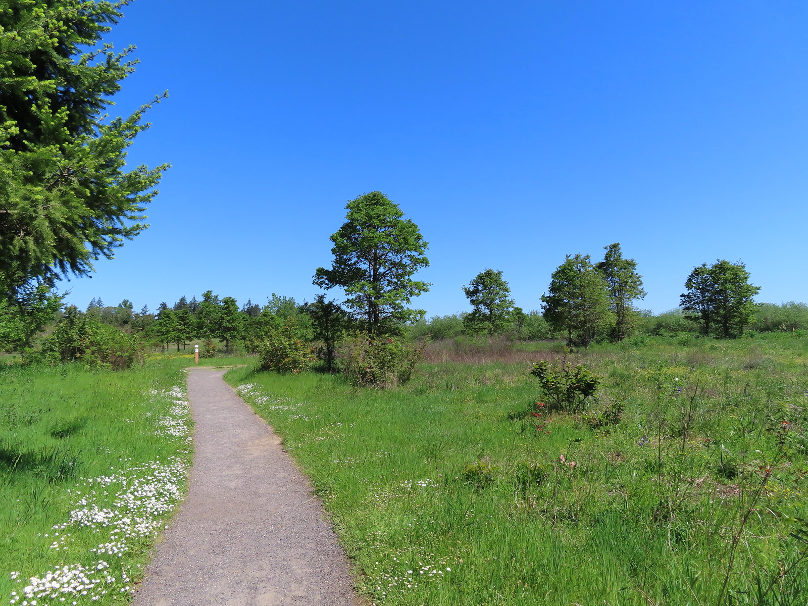 Coming up to Coyote Way.
 Back on the Tonquin Trail and heading for the trailhead.



 Wedgeleaf violets
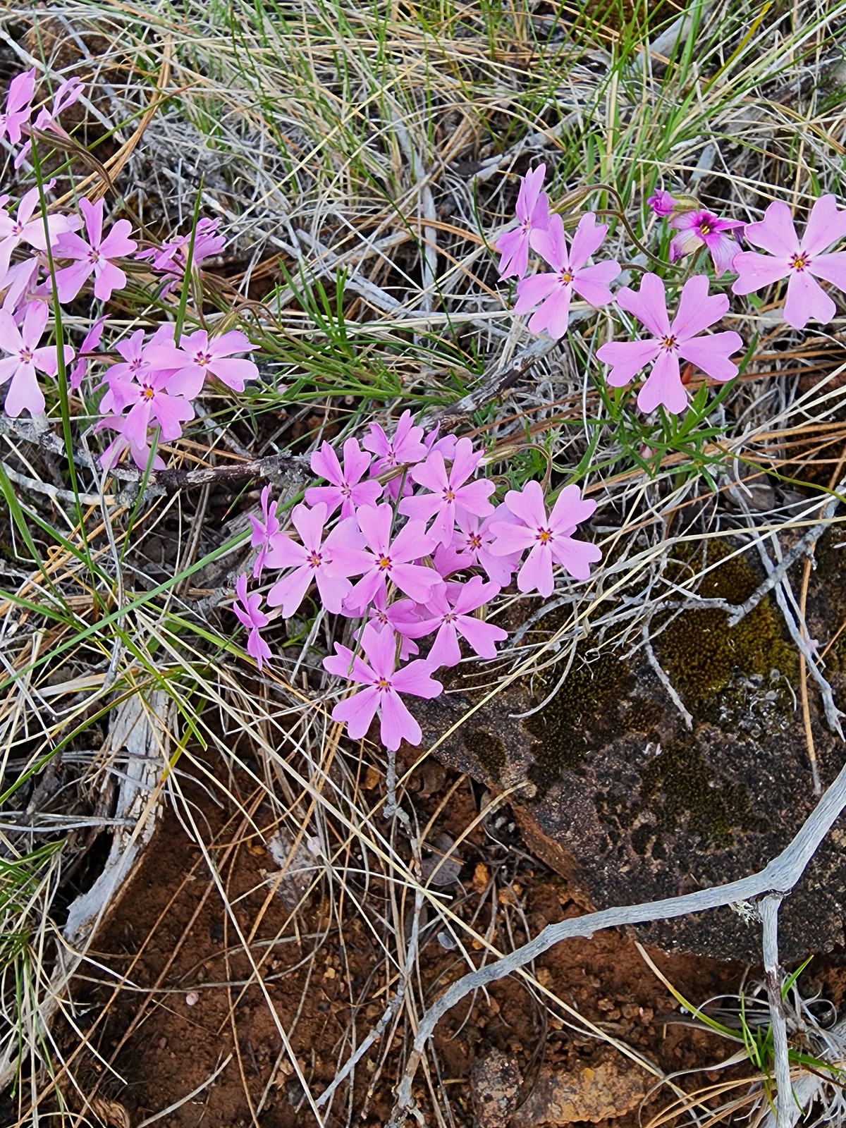 Showy phlox
 Oregon rockcress
 Camas and buttercups
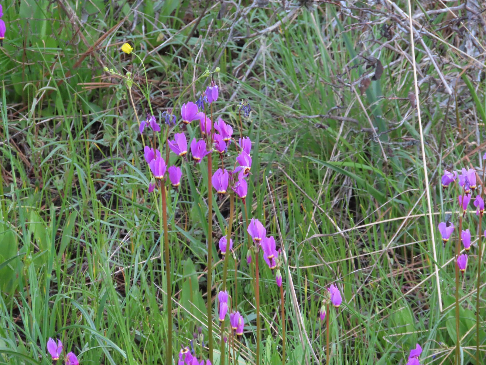 Shooting star
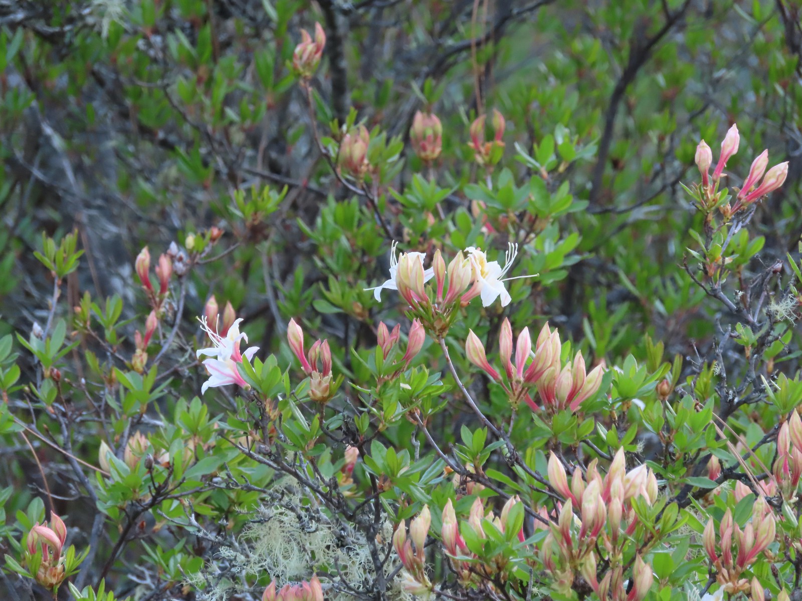 Western azalea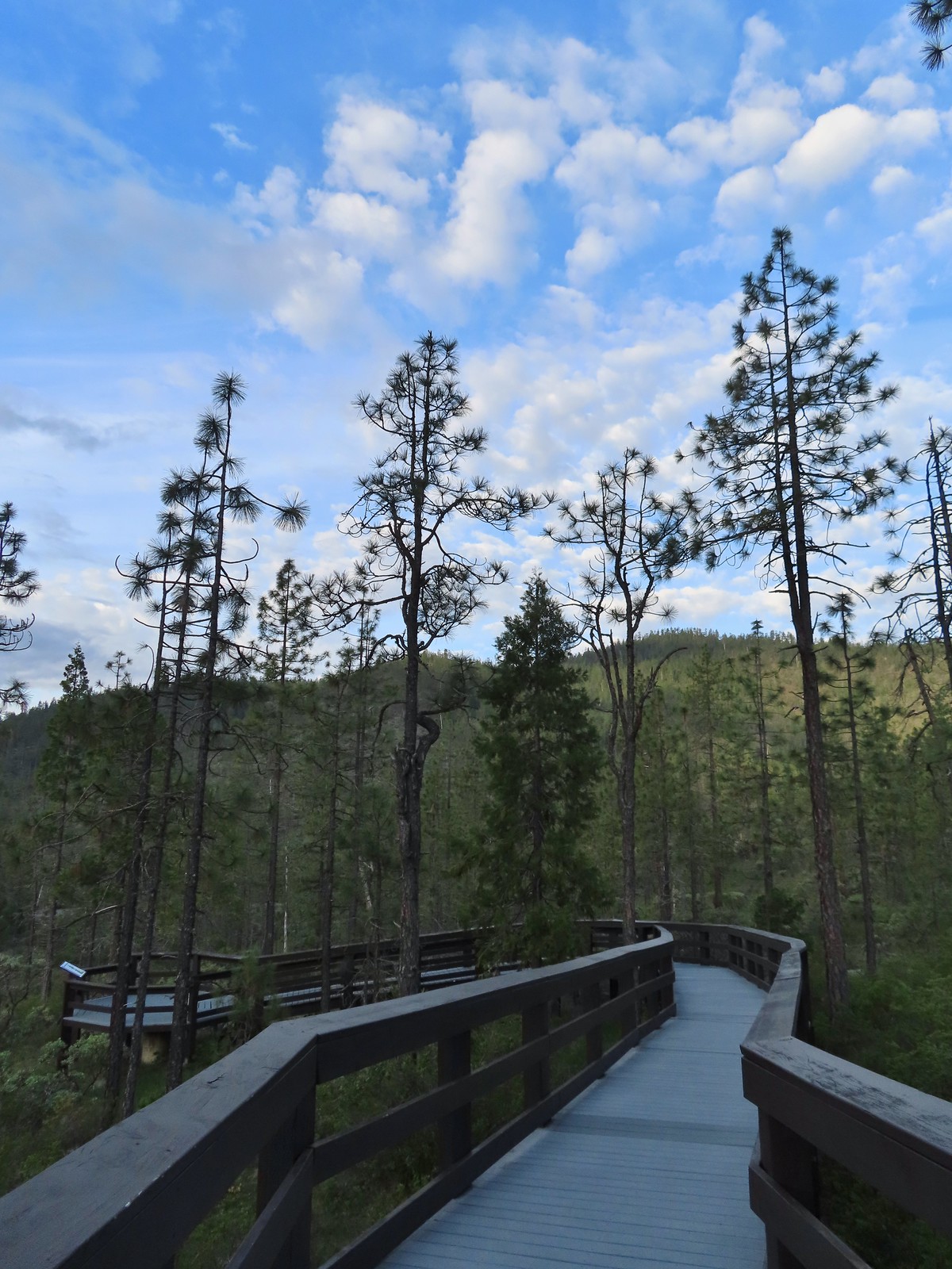
 The fen at the end of the boardwalk.
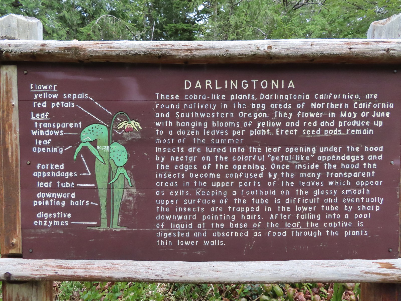
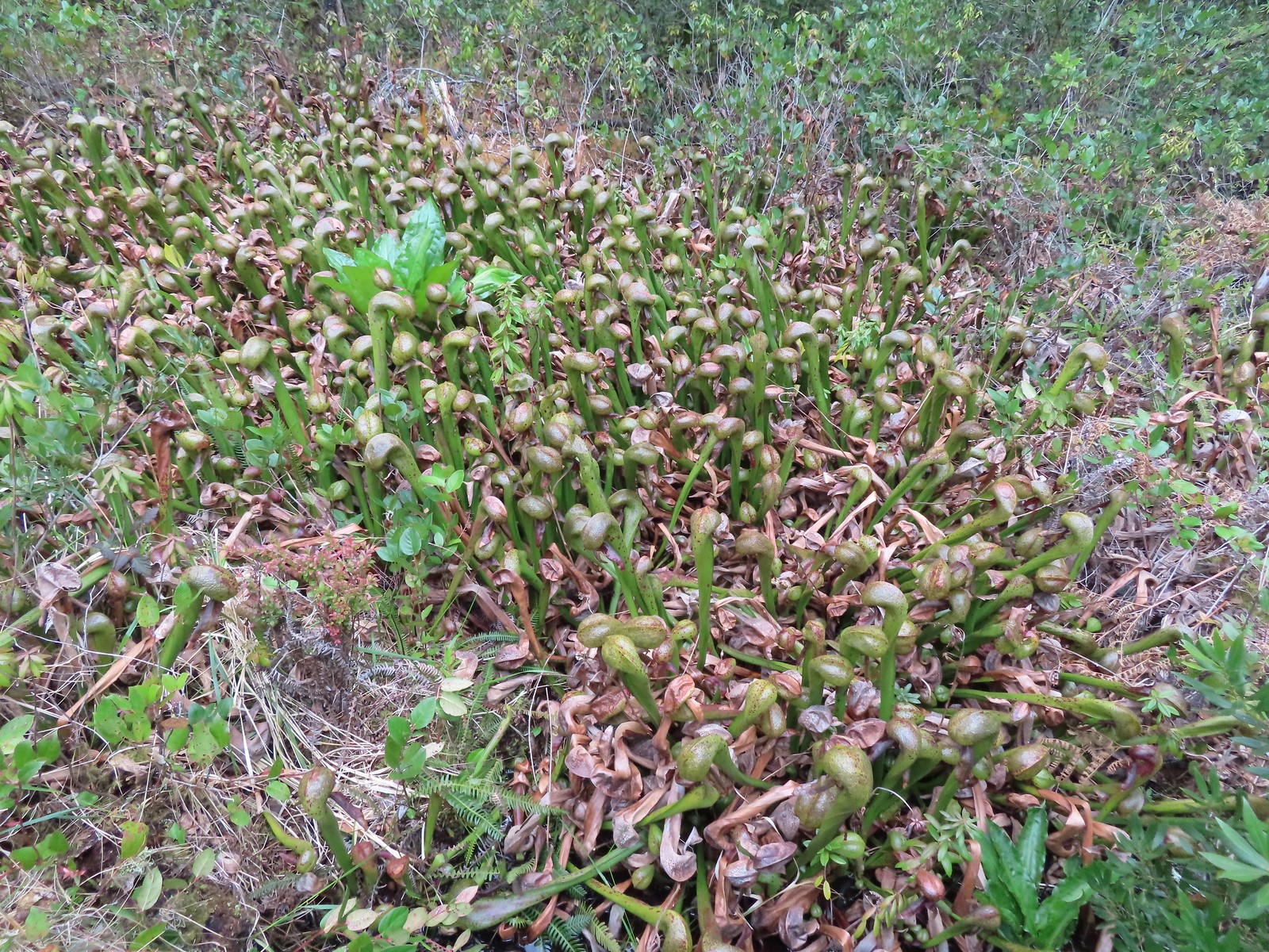
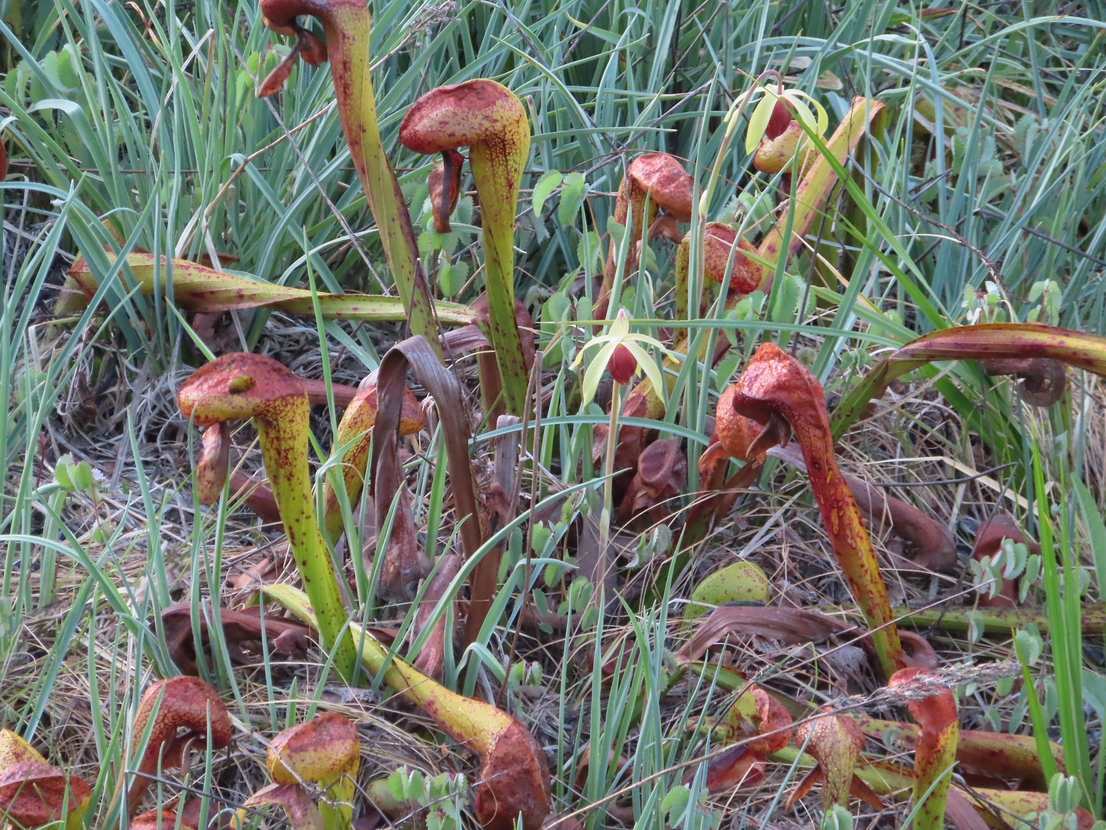 A darlingtonia blossom.
 We stayed right at this junction just below the trailhead. There is a 0.5-mile loop option which we planned on skipping.
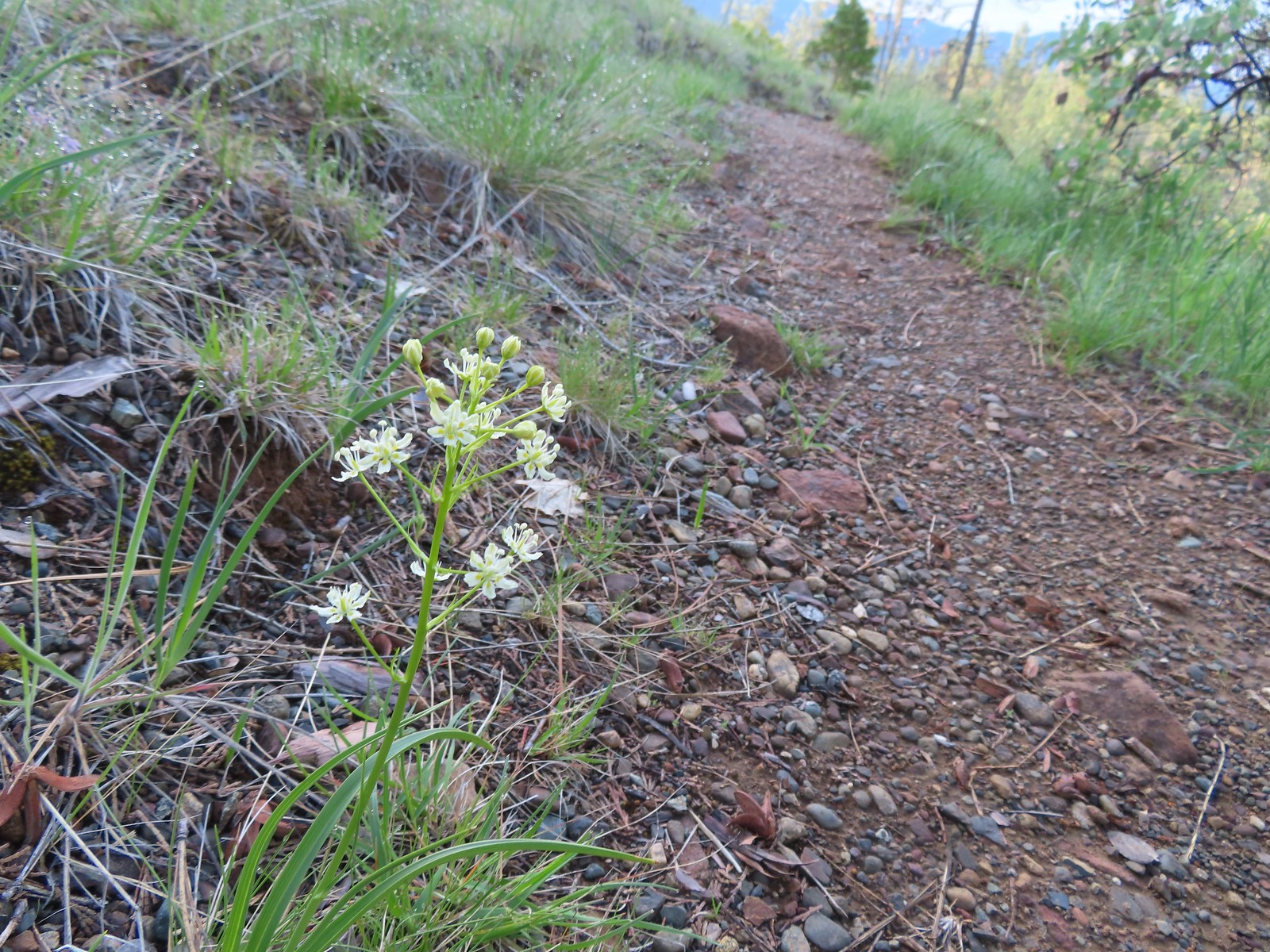 Death camas
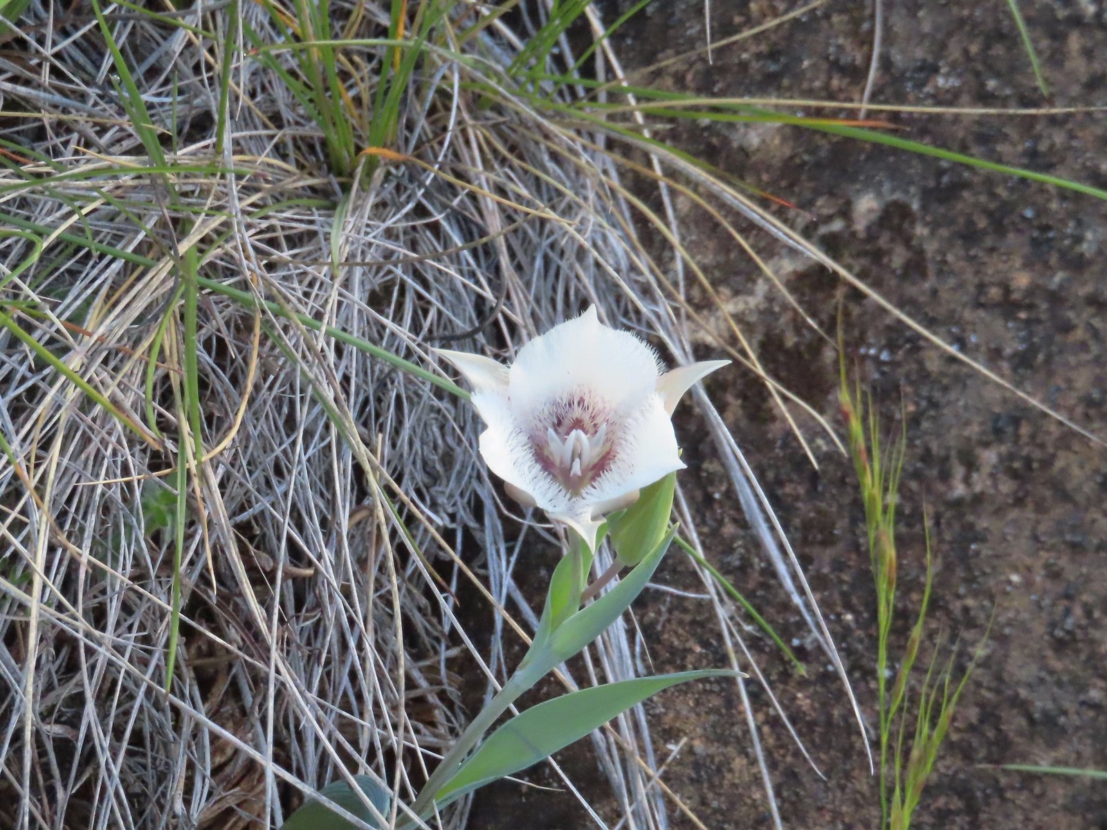 Mariposa lily
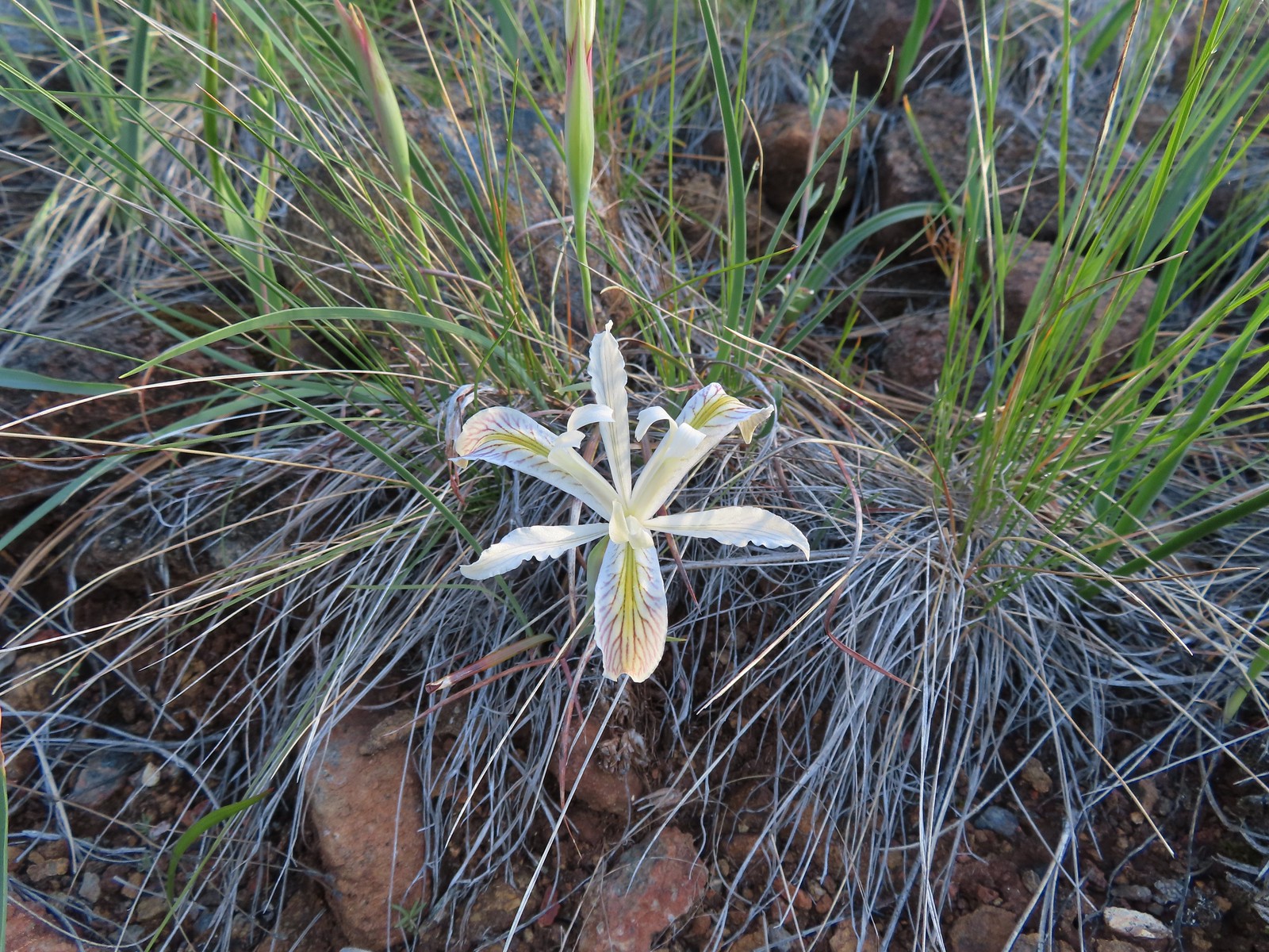 Yellow leaf iris
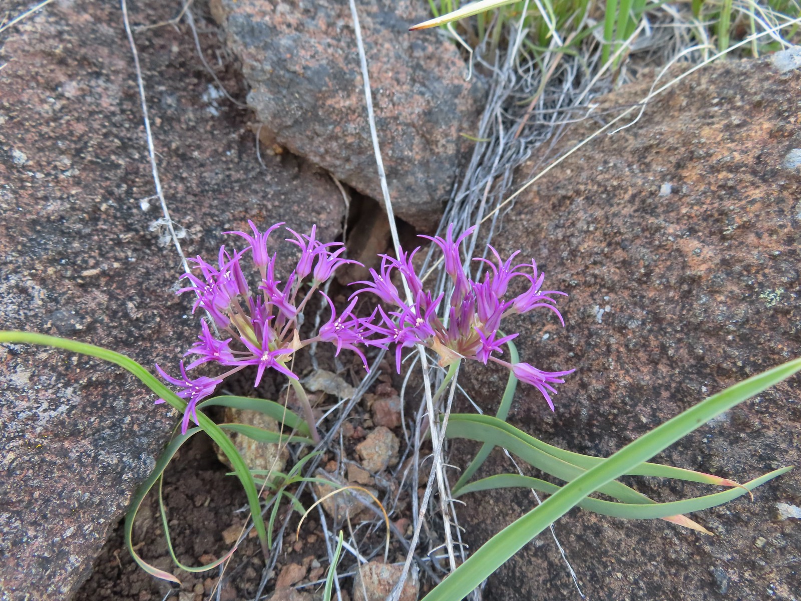 Coast flat stem onion
 Heather picked up a tick passing through the grass on the hillside.

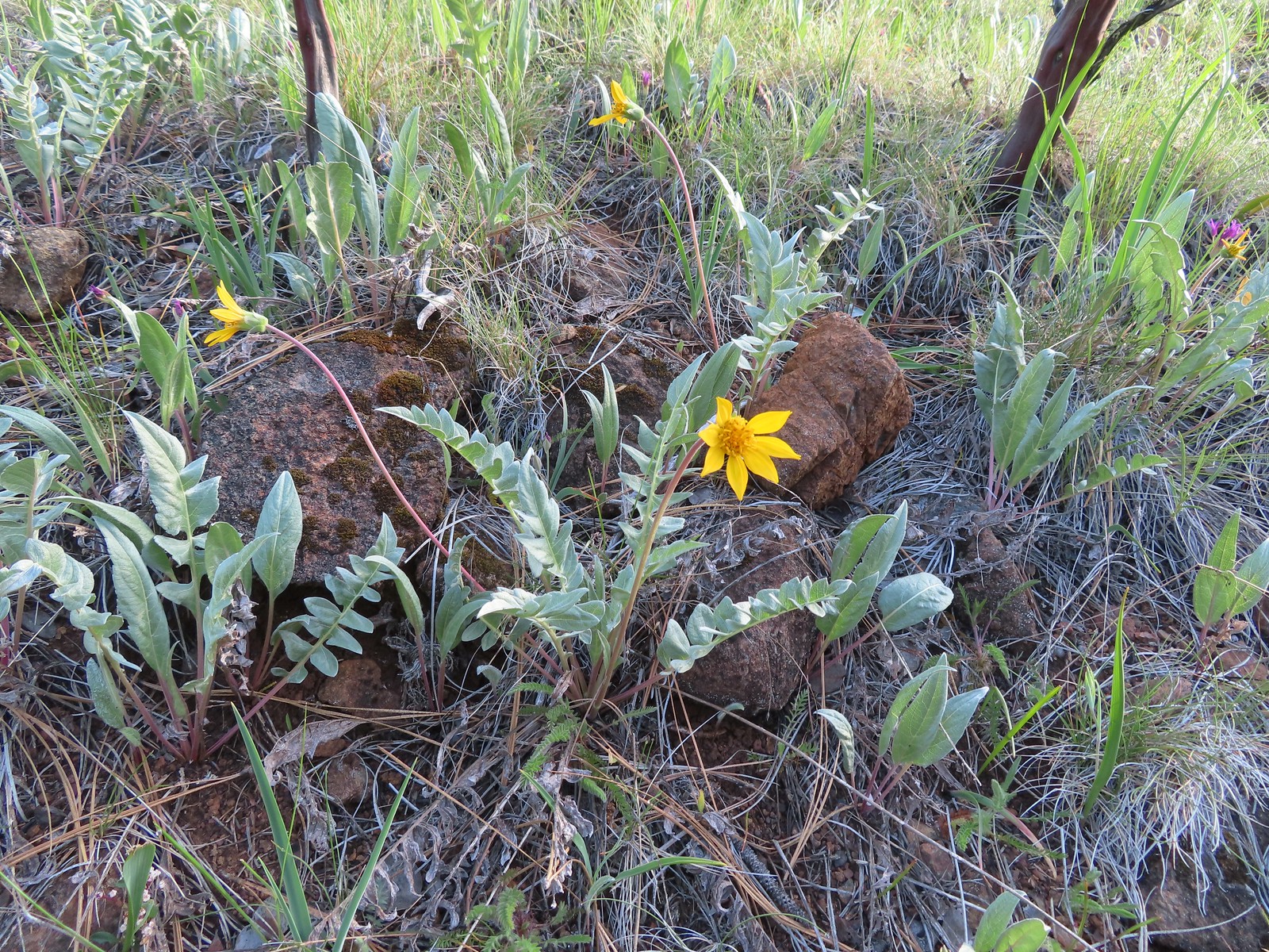 Silky balsamroot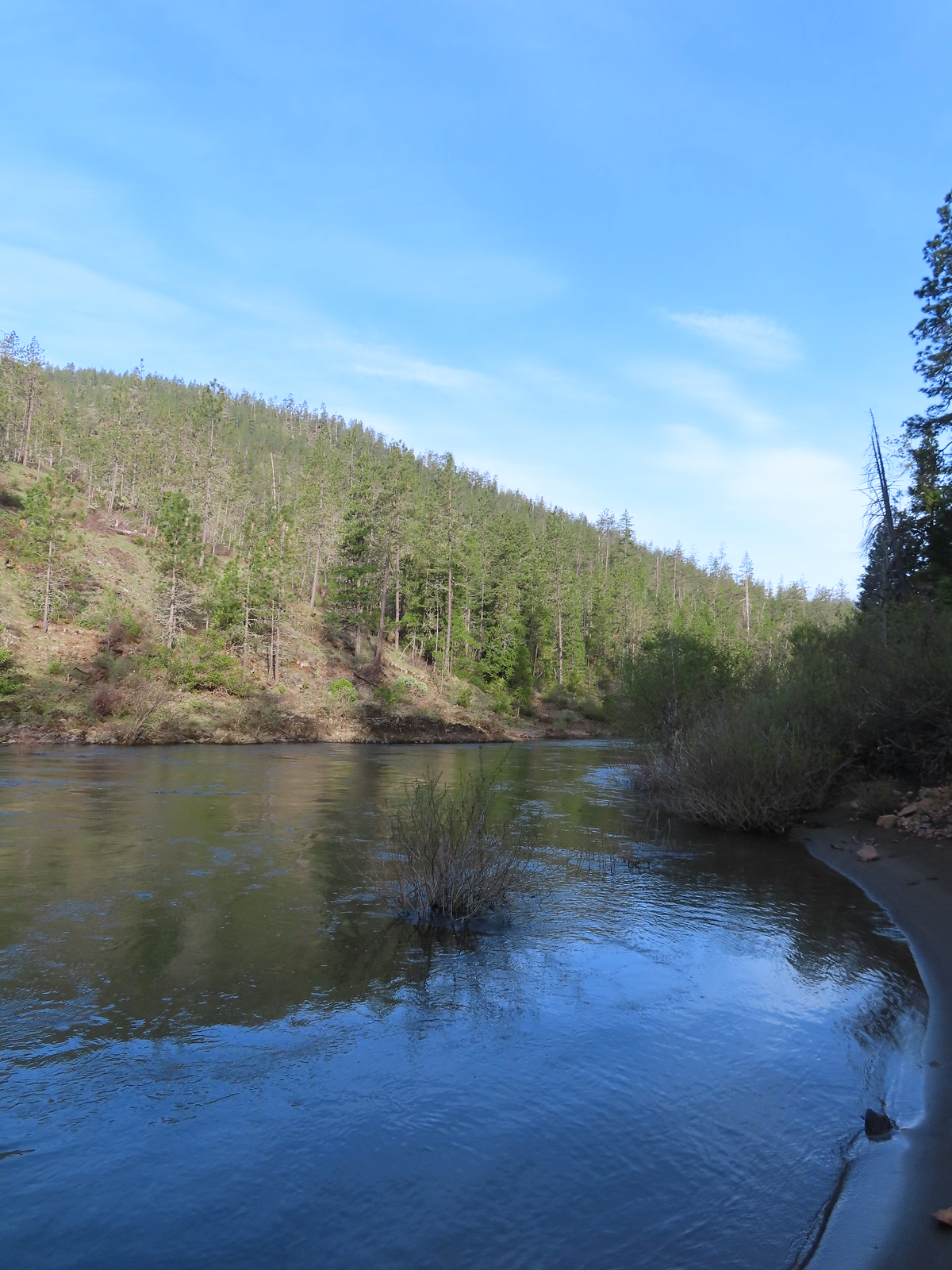
 The trail as we started up the hillside.
 Checker lily
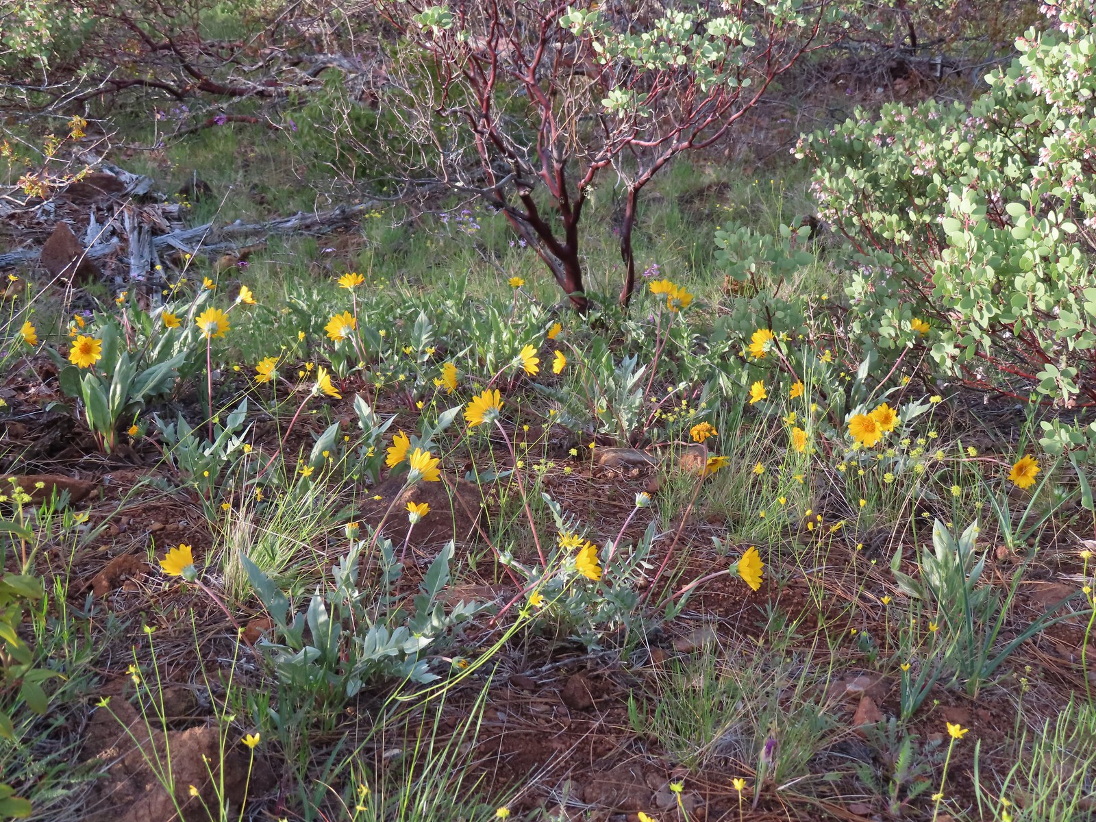 Silky balsamroot and buttercups
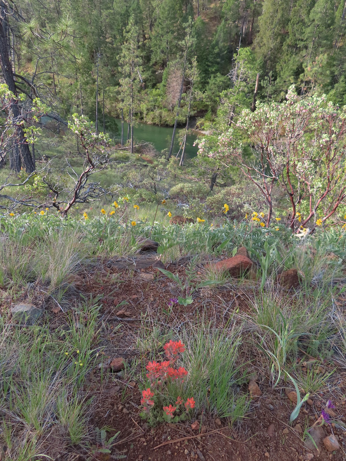 Paintbrush and silky balsamroot with the Illinois River below.
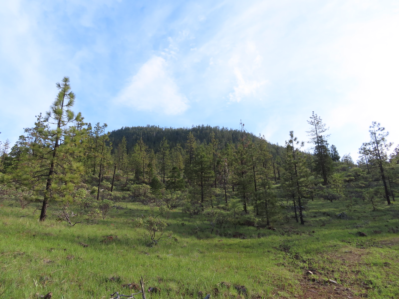 Eight Dollar Mountain from the roadbed.
 We saw a lot of these getting ready to bloom but none actually blooming. Really curious as to what they are.
 Western azalea
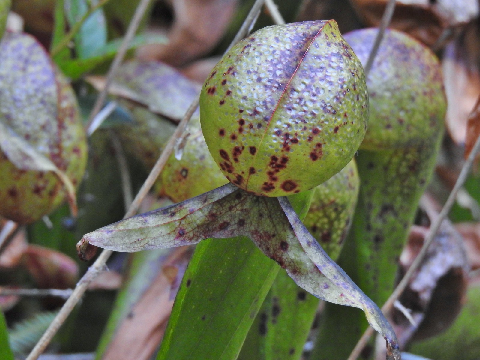
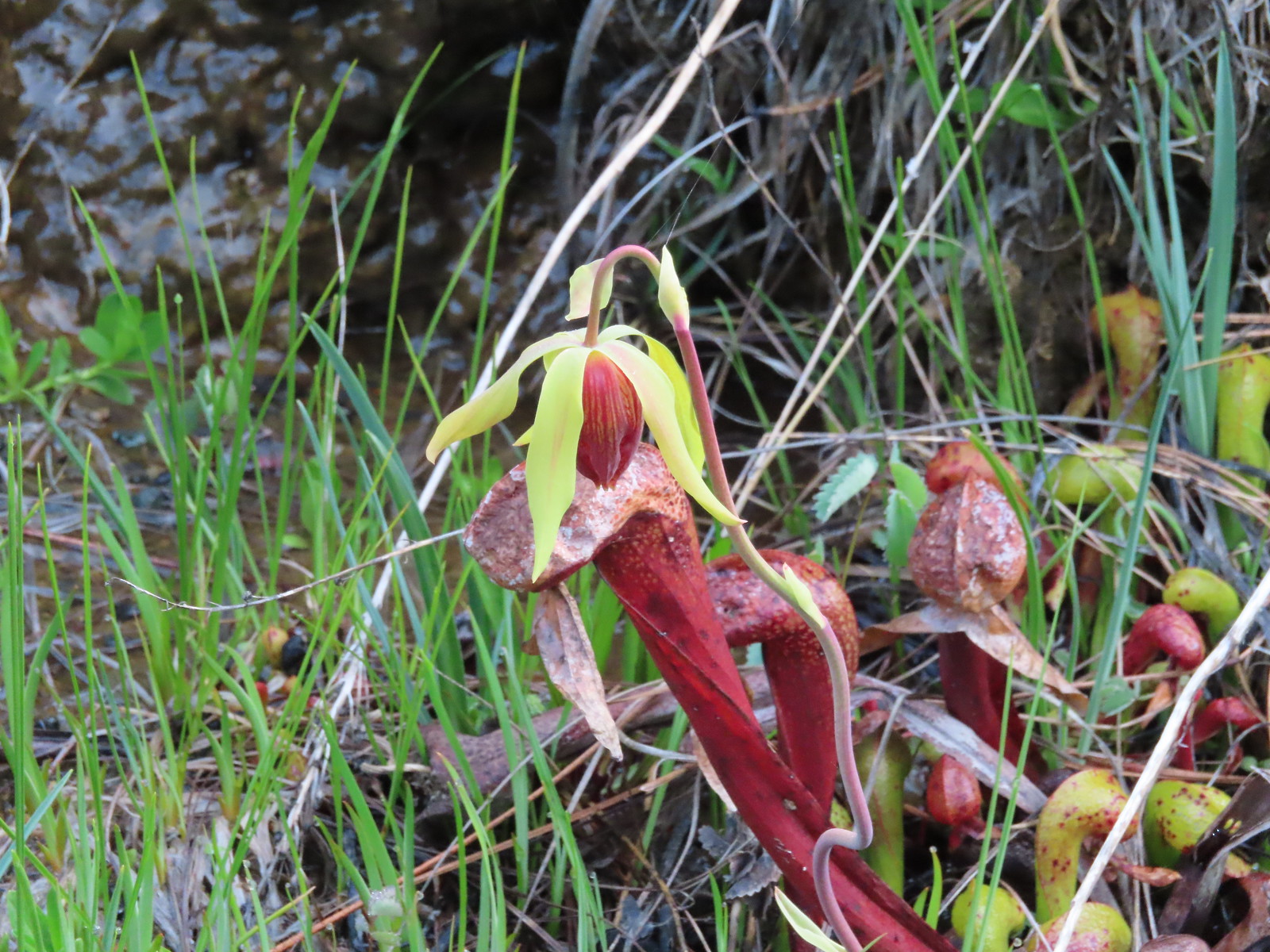 A closer look at a darlingtonia blossom.


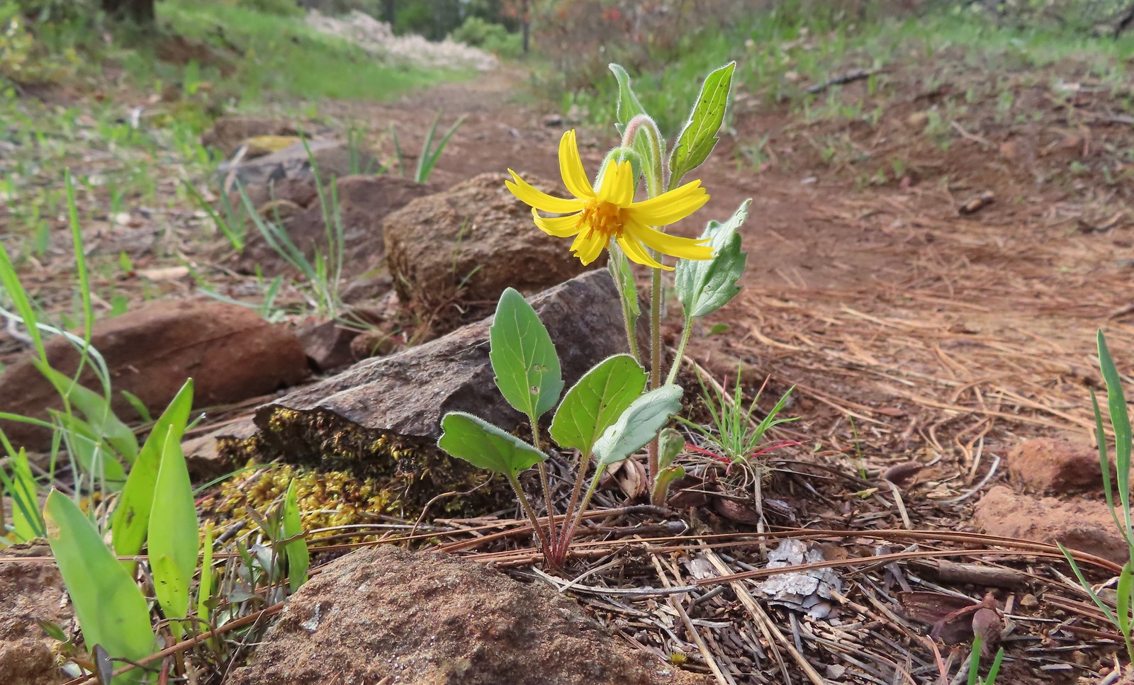 Serpentine arnica
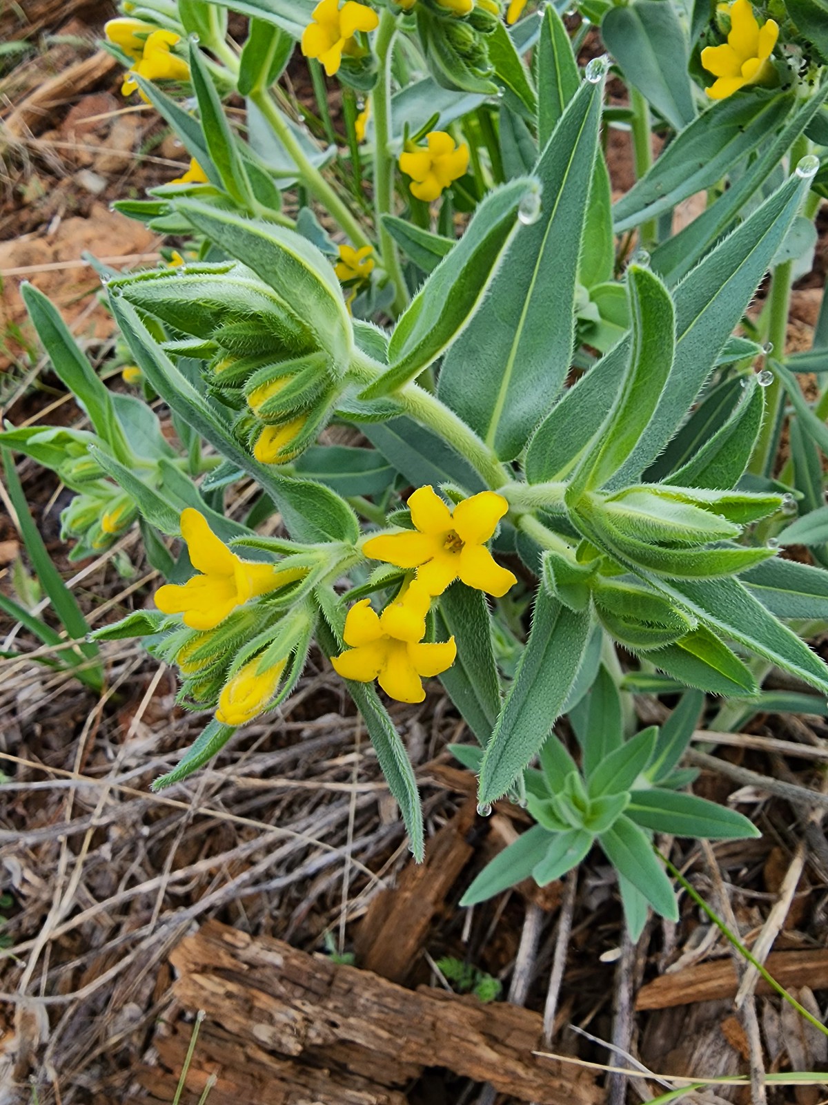 California gromwell
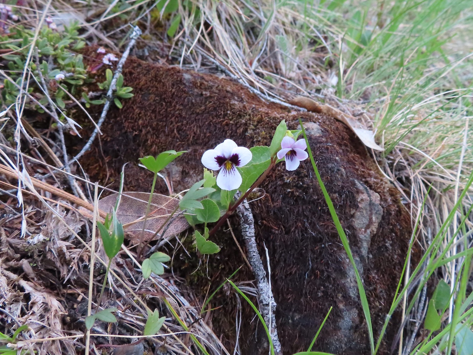 Wedgeleaf violet
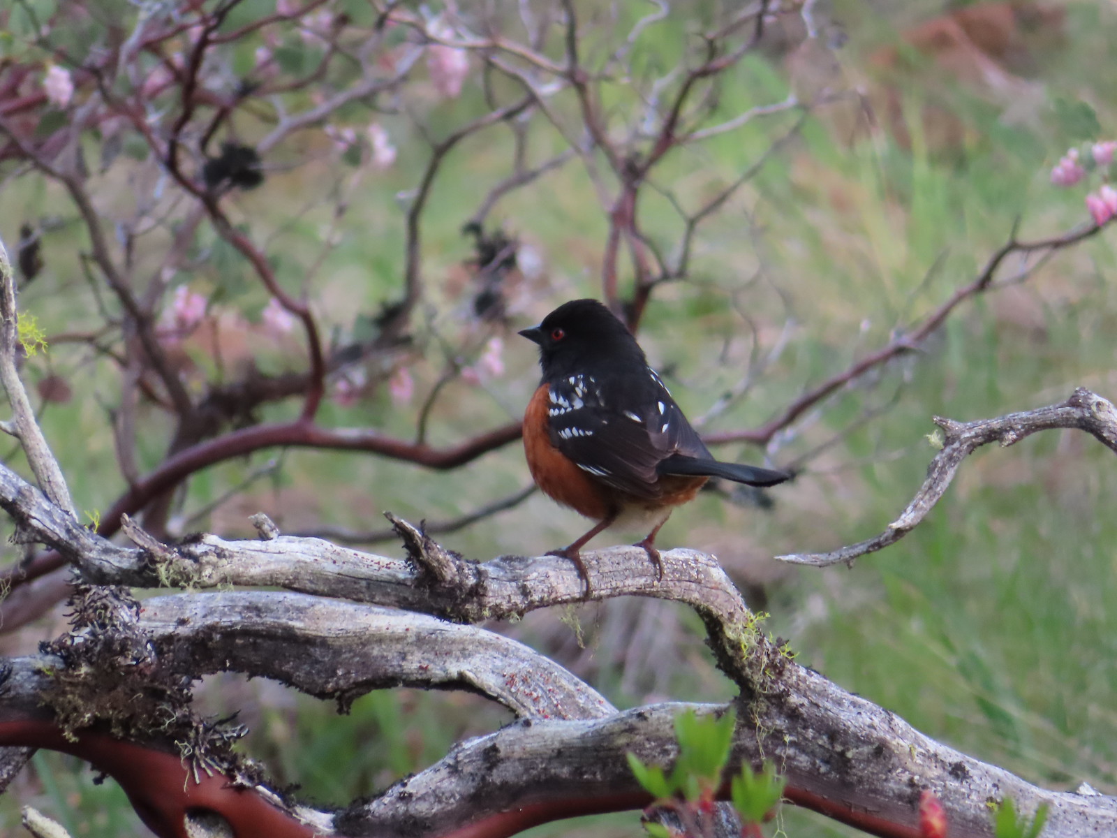 Spotted towhee
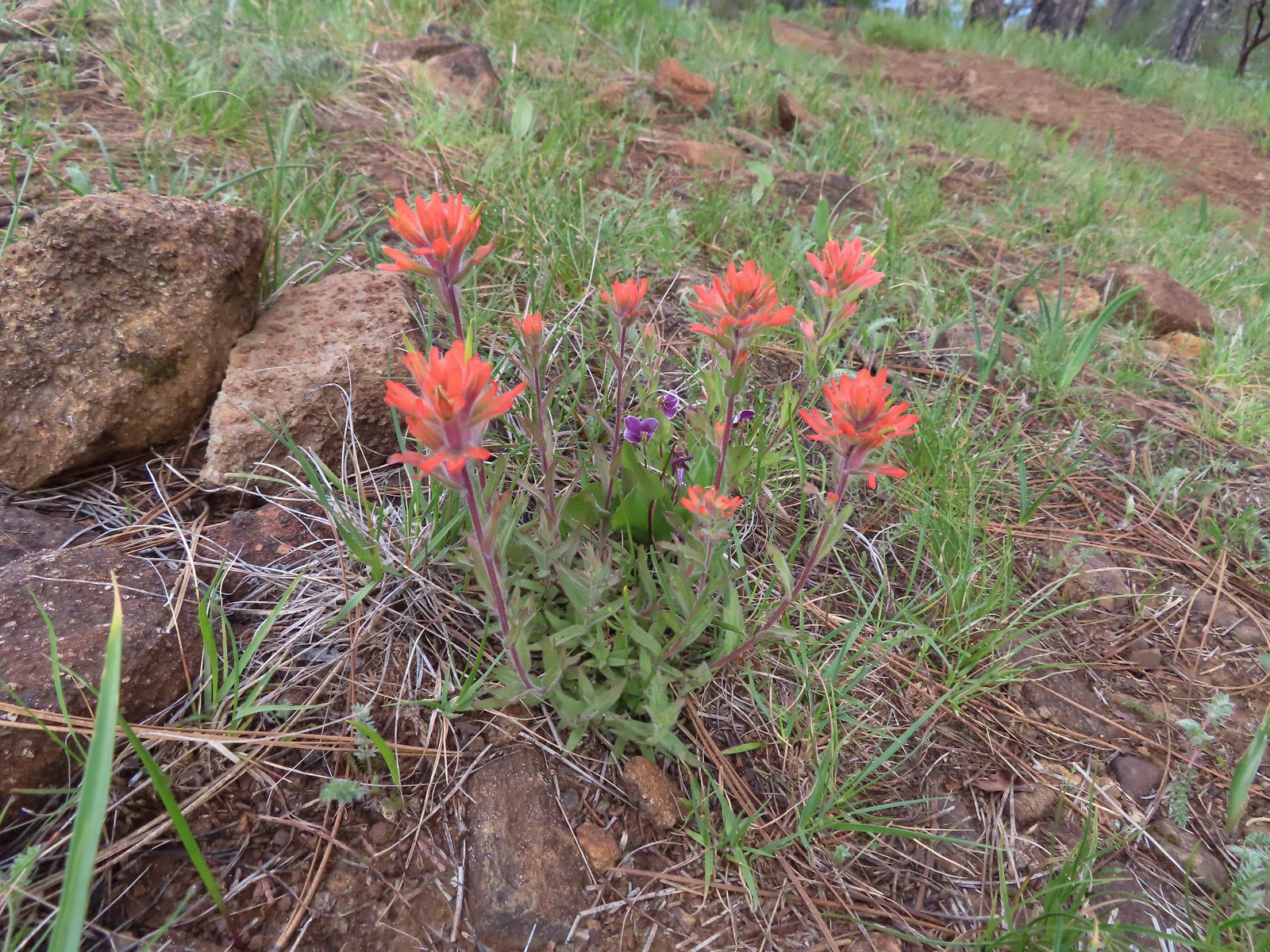 Paintbrush and violets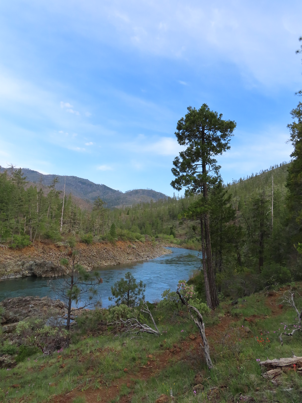
 Narrowleaf blue-eyed Mary
 Deltoid balsamroot
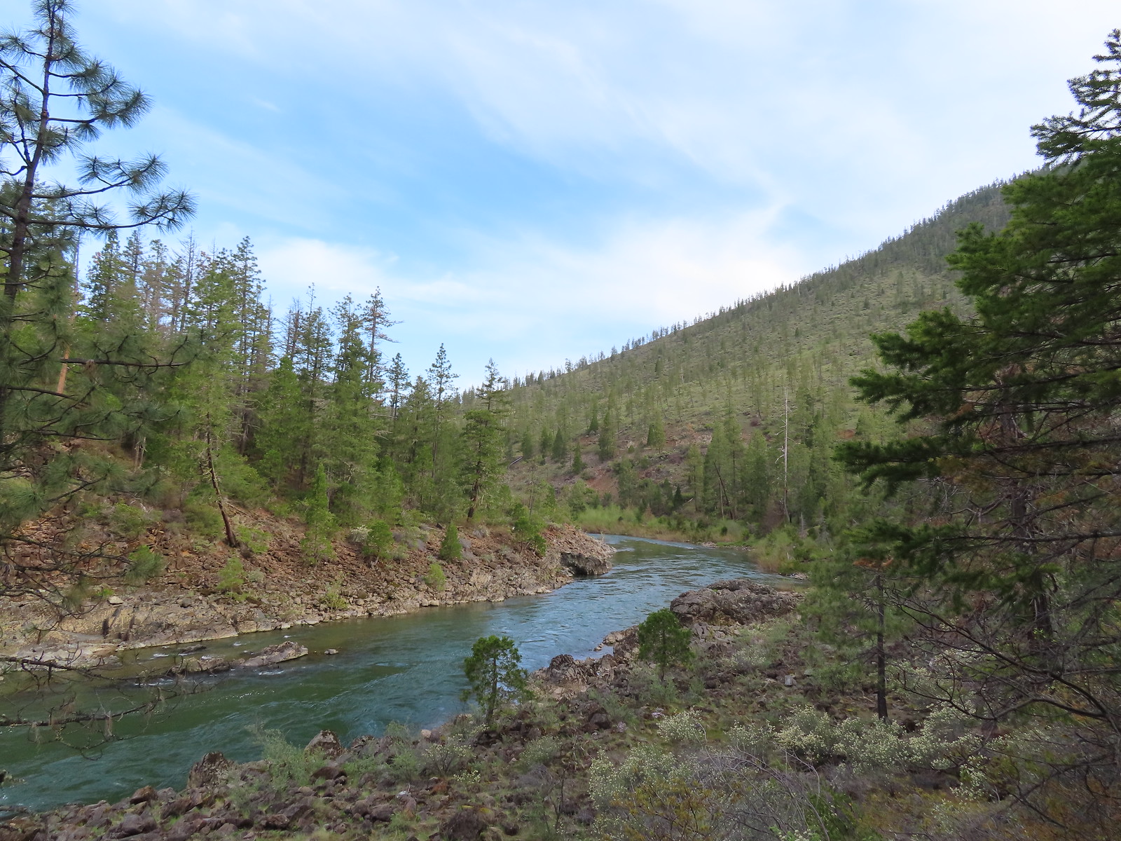 Illinois River
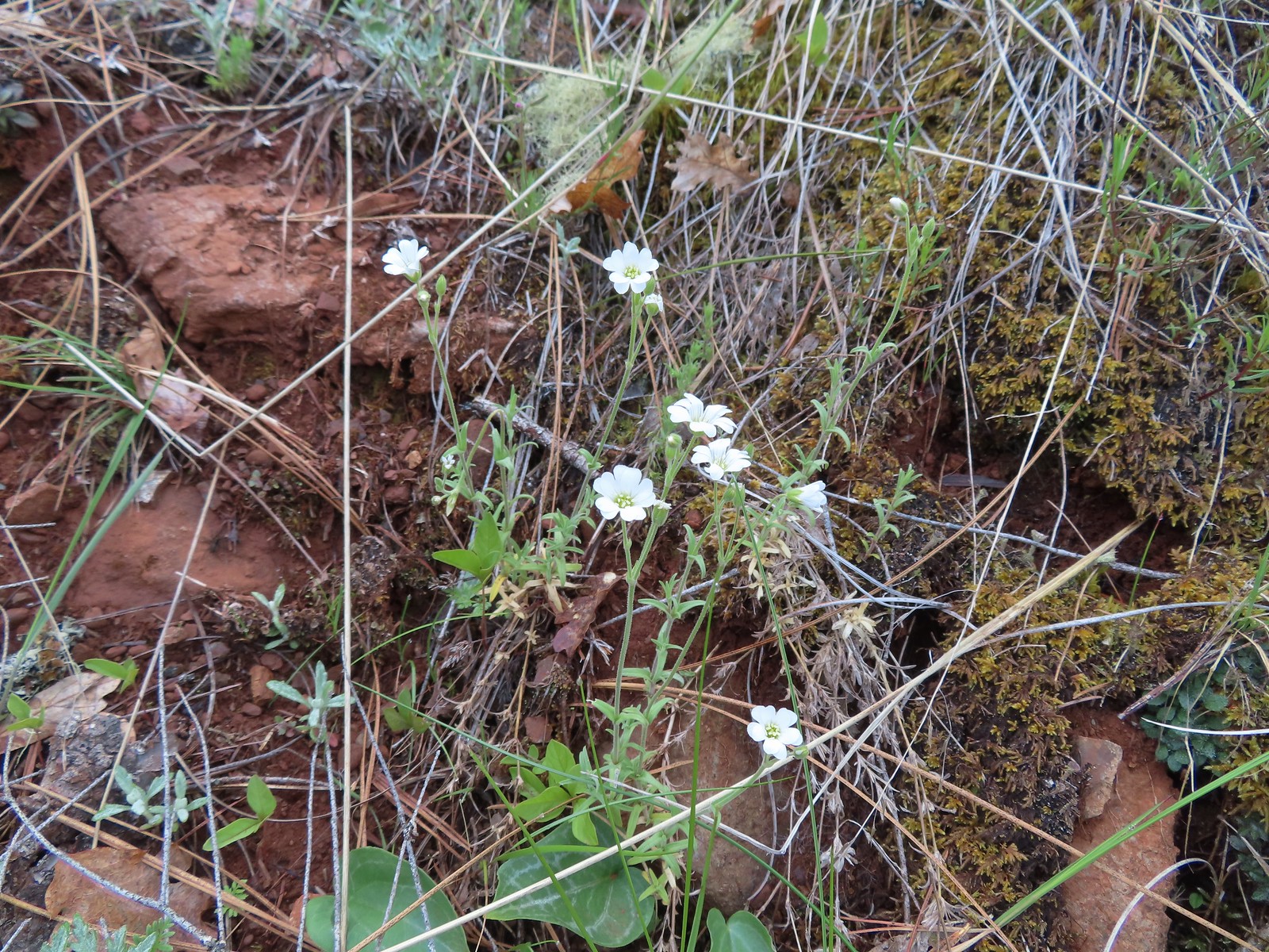 Field chickweed
 Spreading phlox
 Mallard drakes
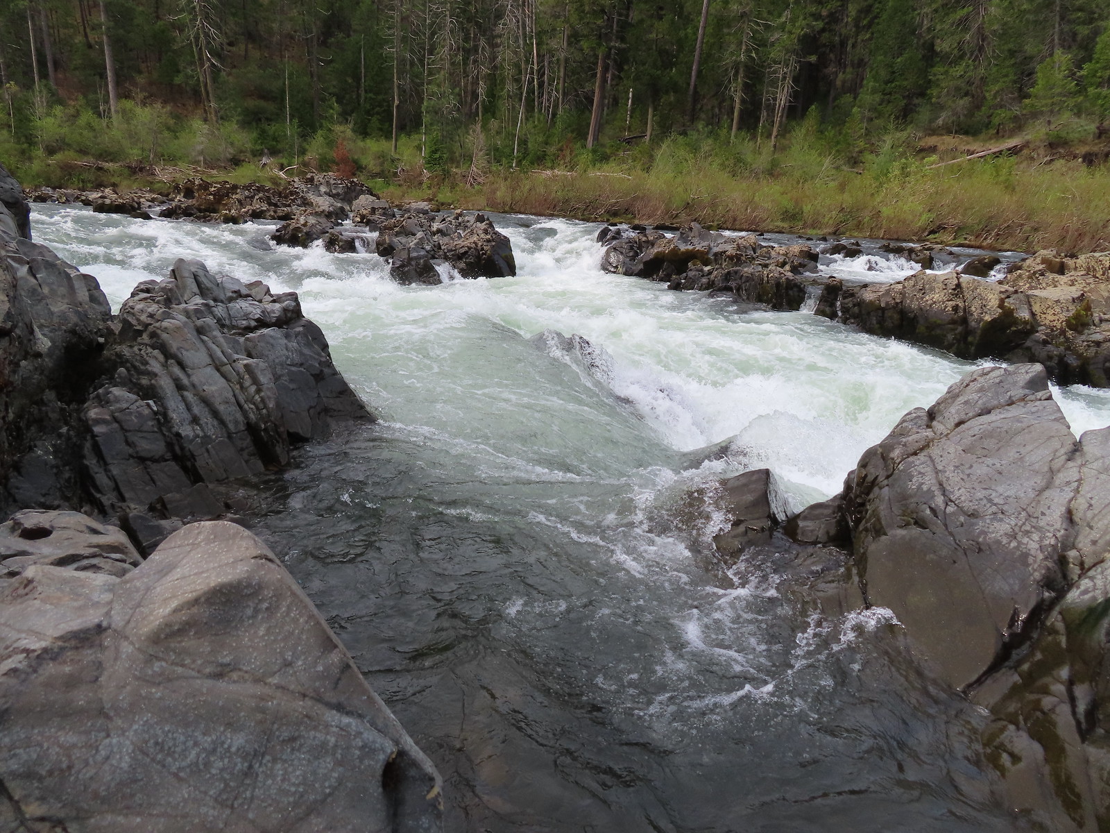
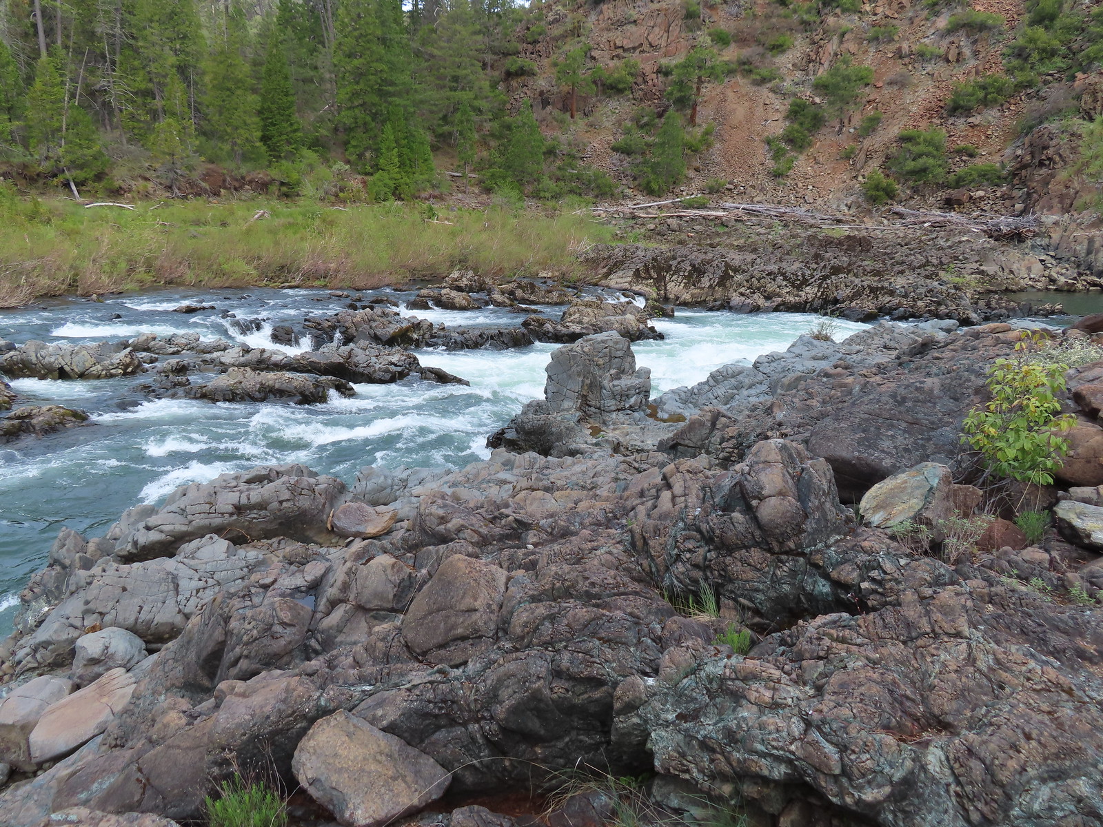
 Pool above the falls.
 Wildflowers above the trail.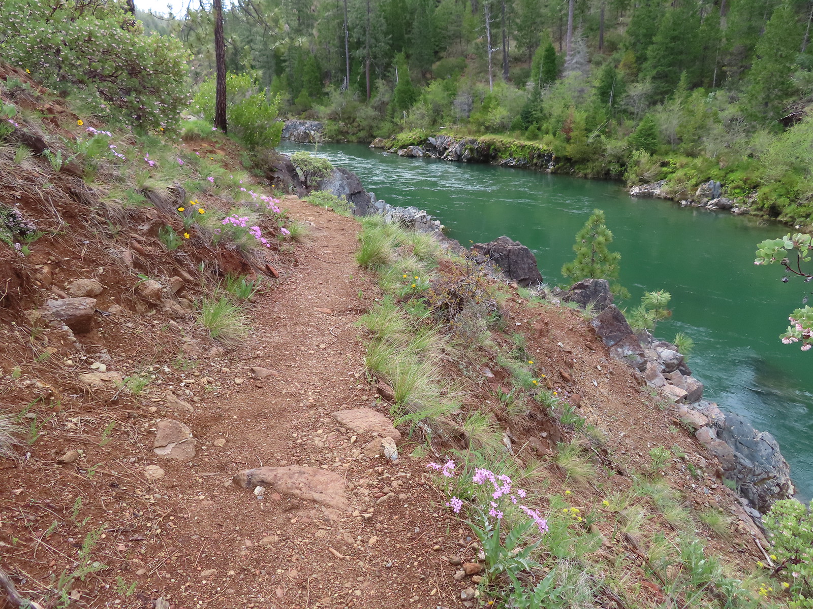

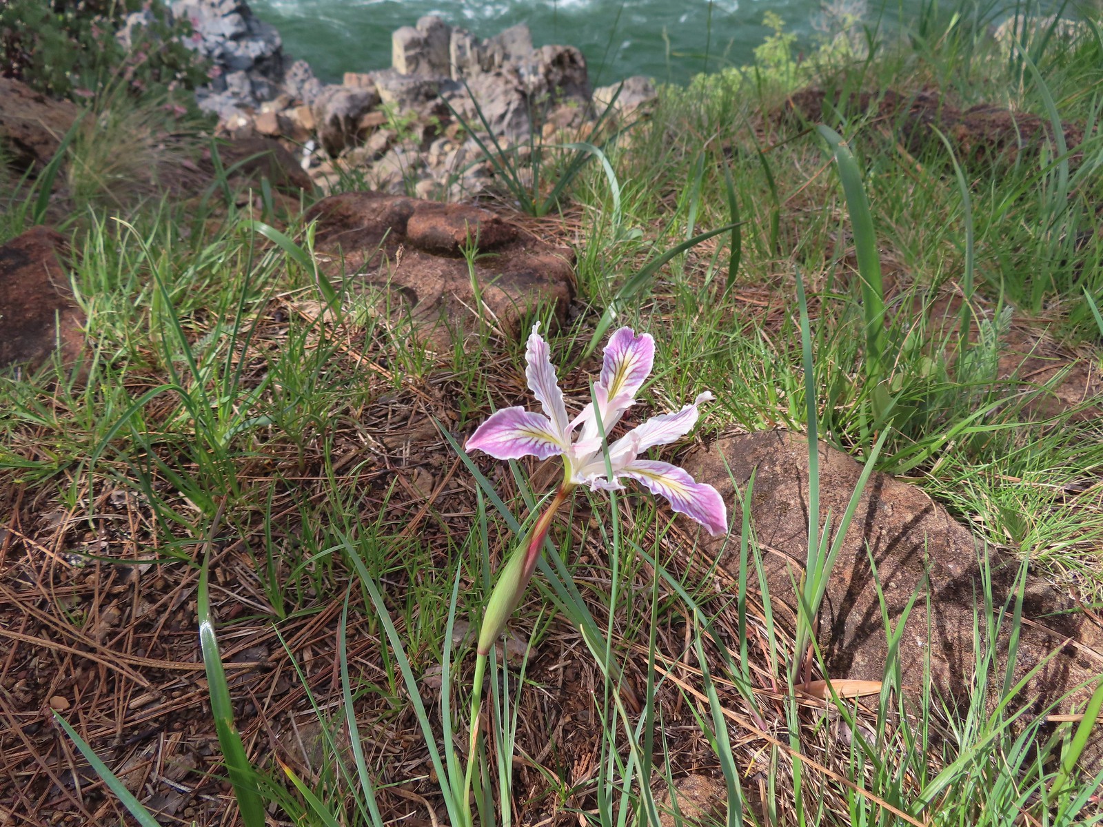 Interesting colors on this iris.
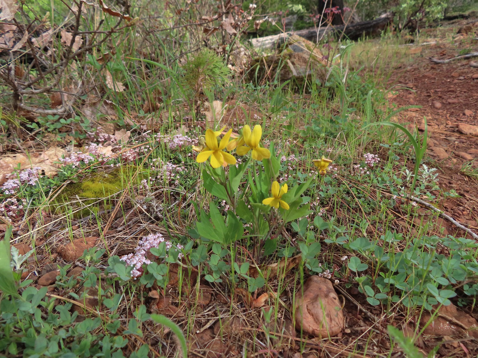 Pine violets

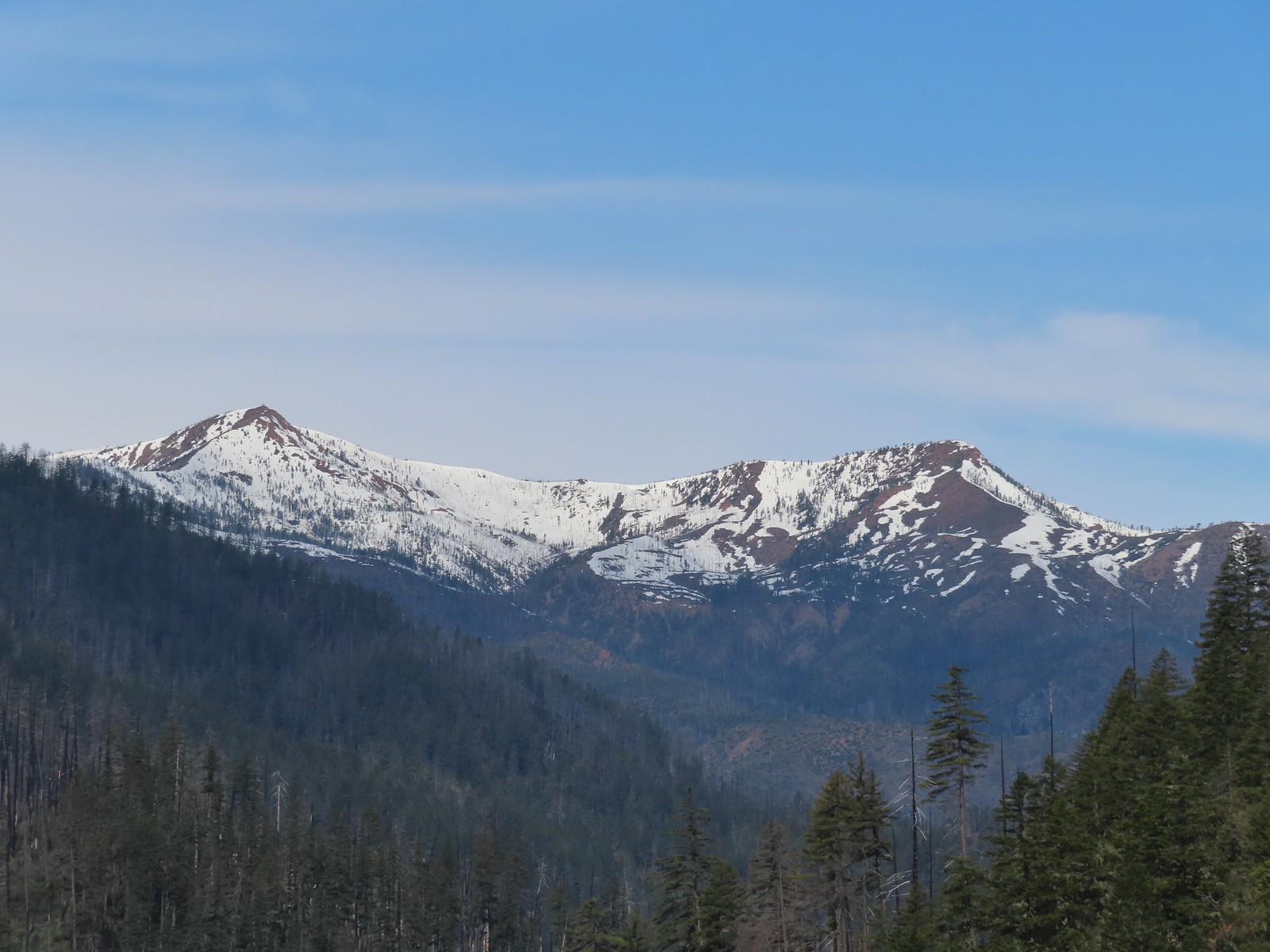 Pearsoll Peak and Gold Basin Butte in the Kalmiopsis Wilderness.
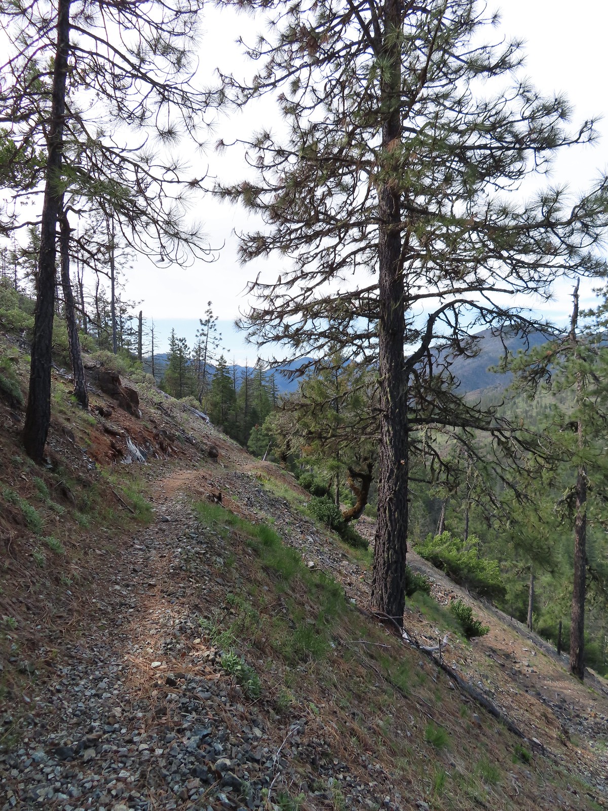
 The Illinois River below.
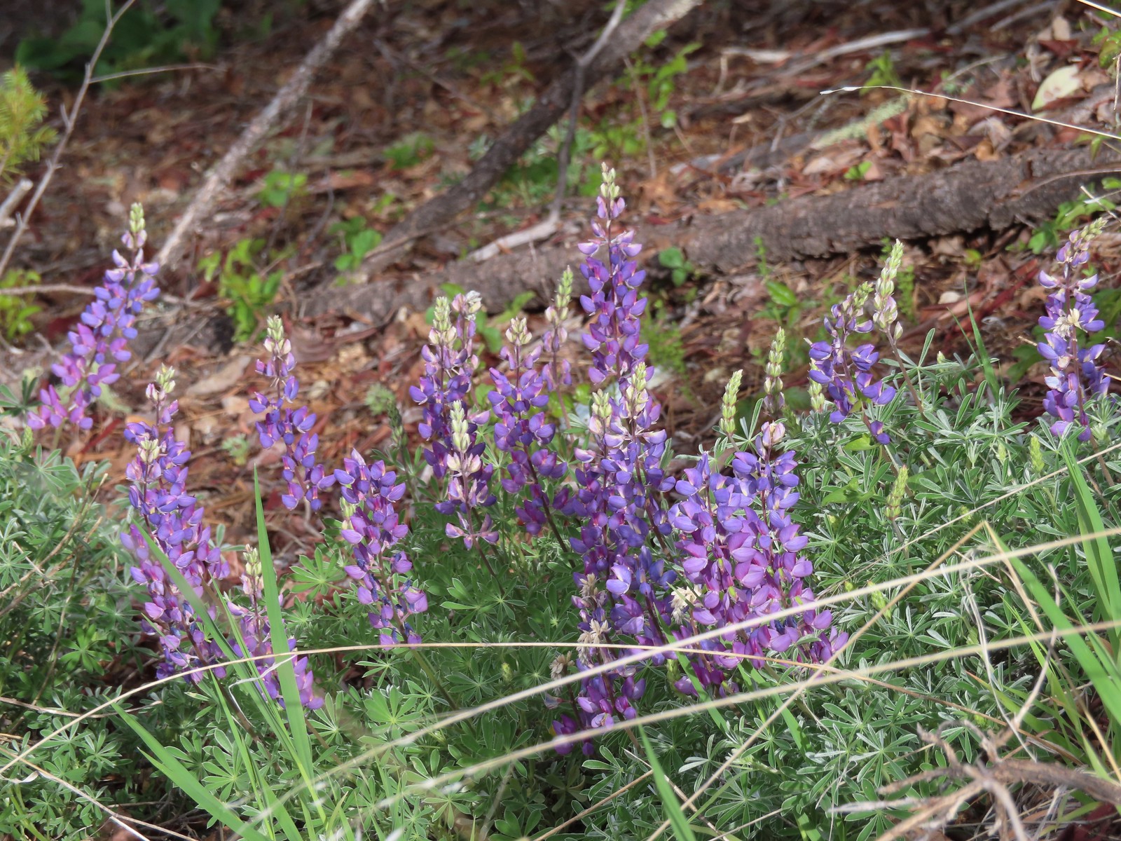 Lupine
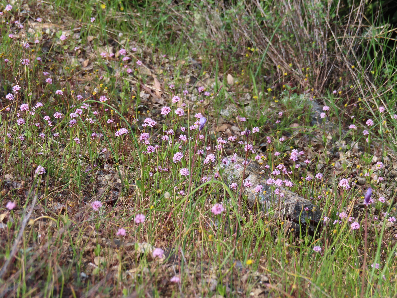 Plectritis
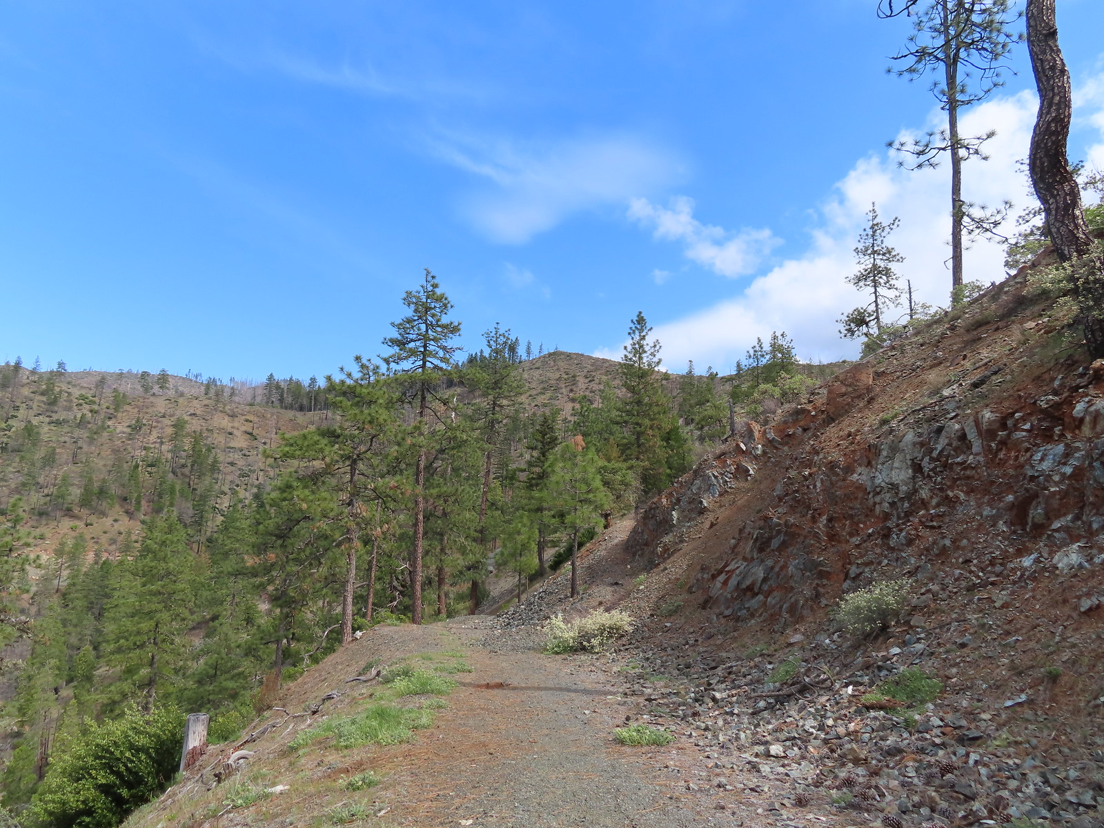 This section was great.
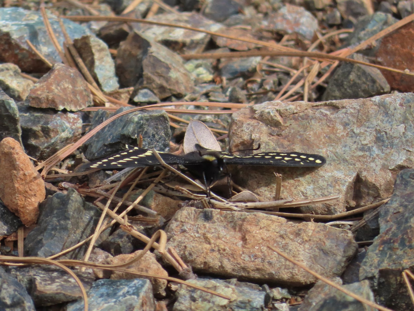 Swallowtail
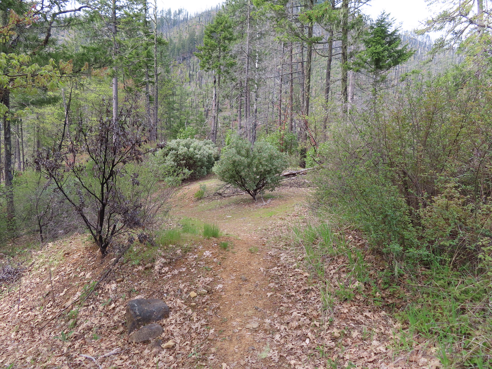
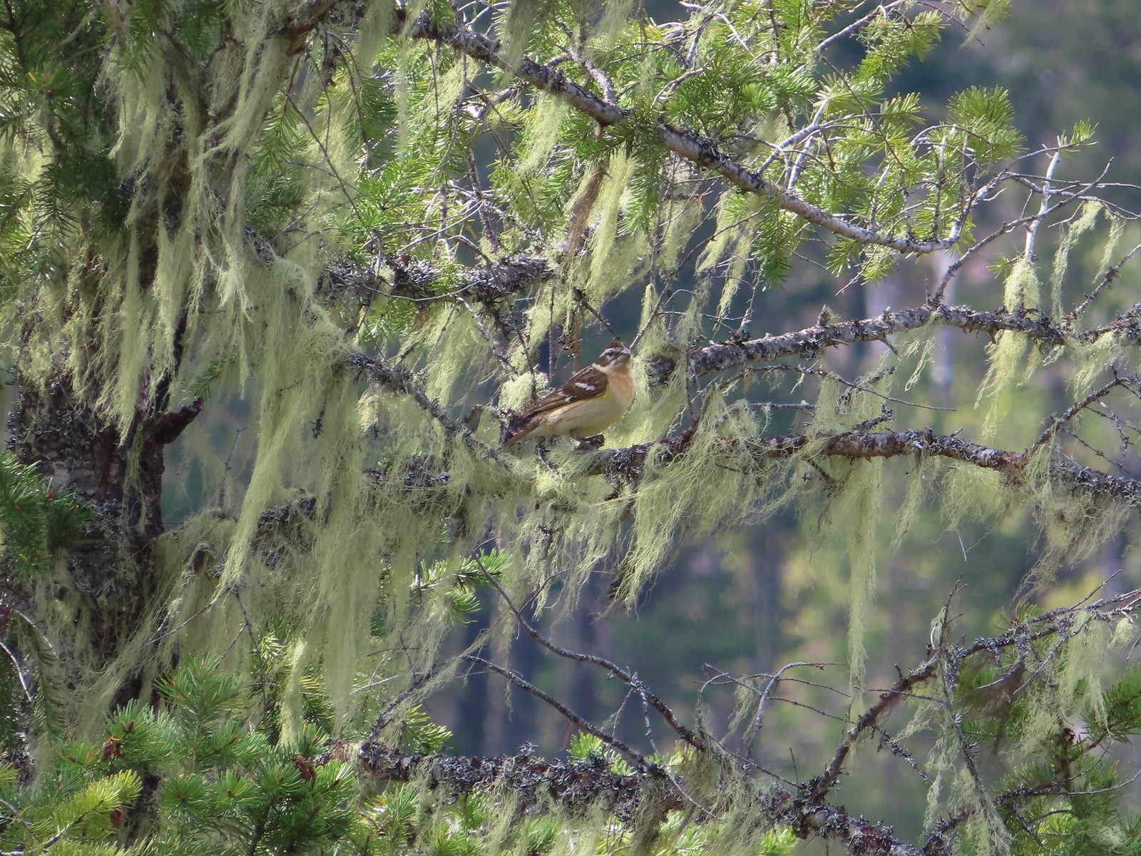 Female black-headed grosbeak
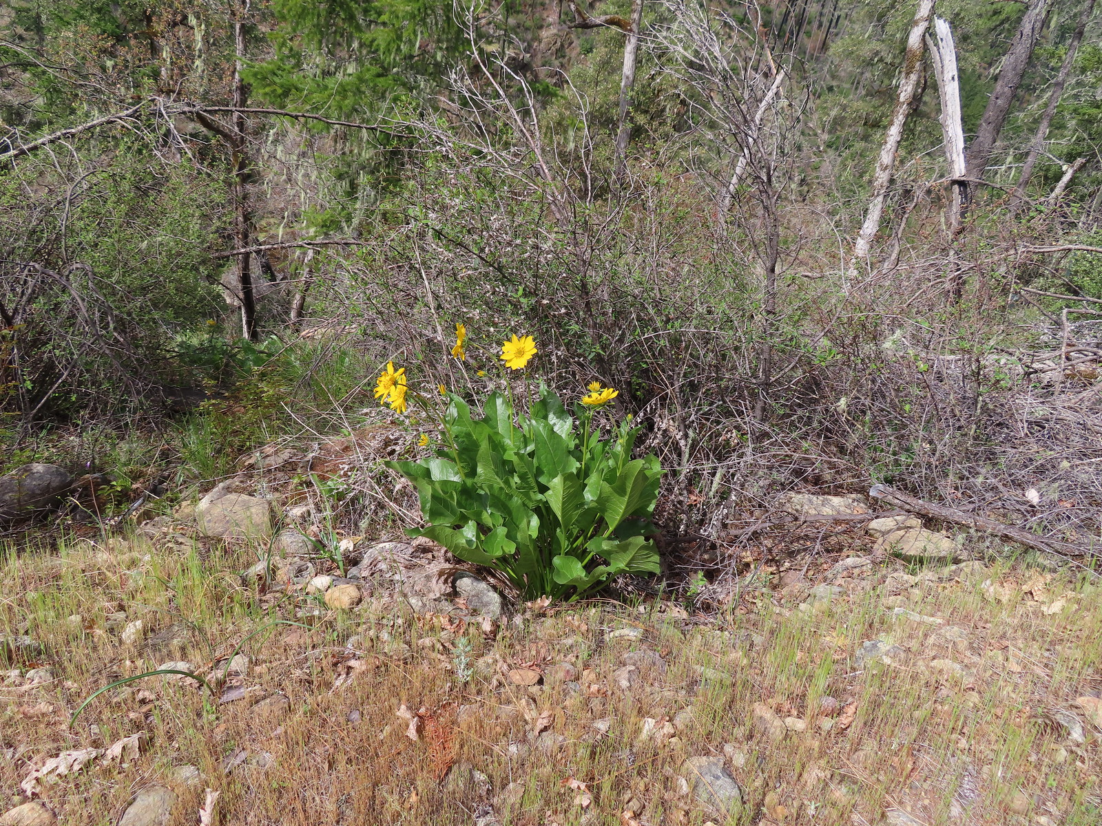 Balsamroot
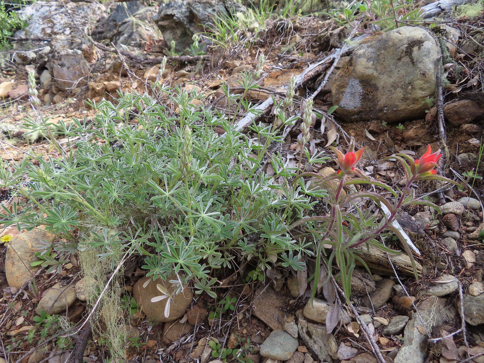 Paintbrush next to some yet-to-bloom lupine.
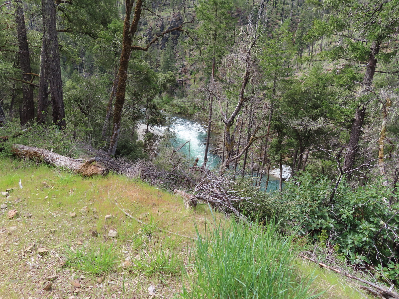 The Illinois River below.
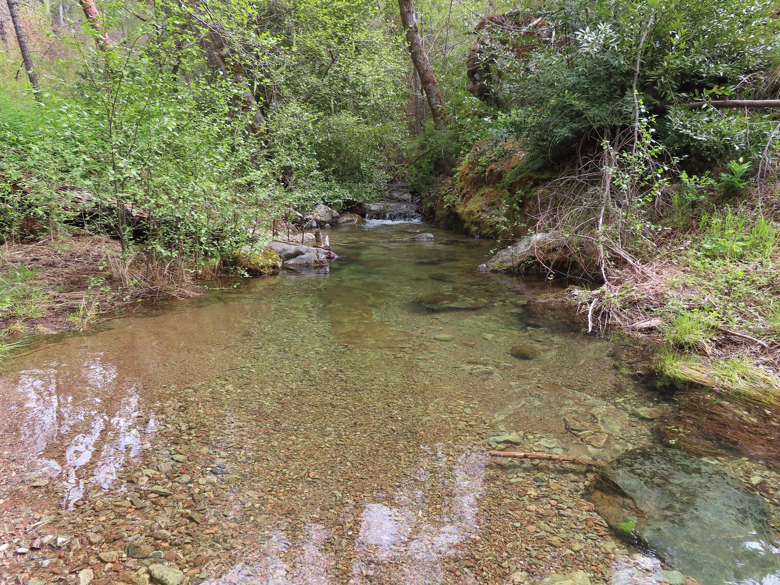 Snailback Creek
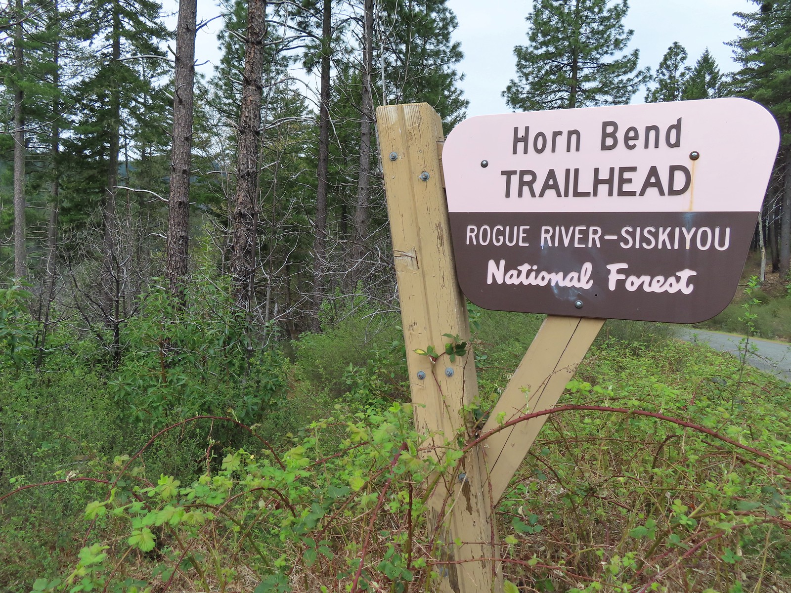 The “trail” is immediately to the left of the sign here. You can make out some of it further back through the bushes.
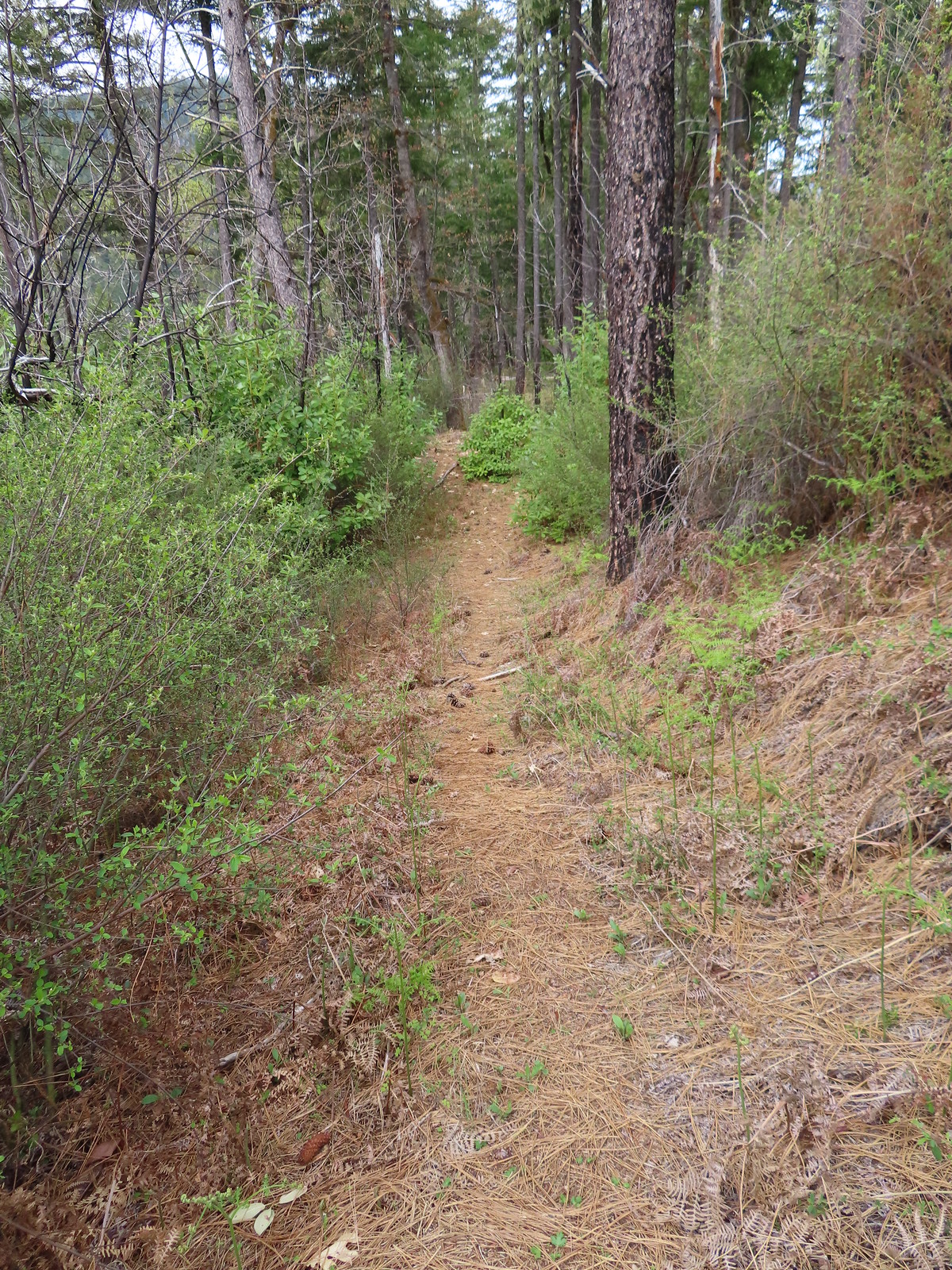 After crashing through the initial brush the trail cleared for a moment.
 The clear trail didn’t last long.
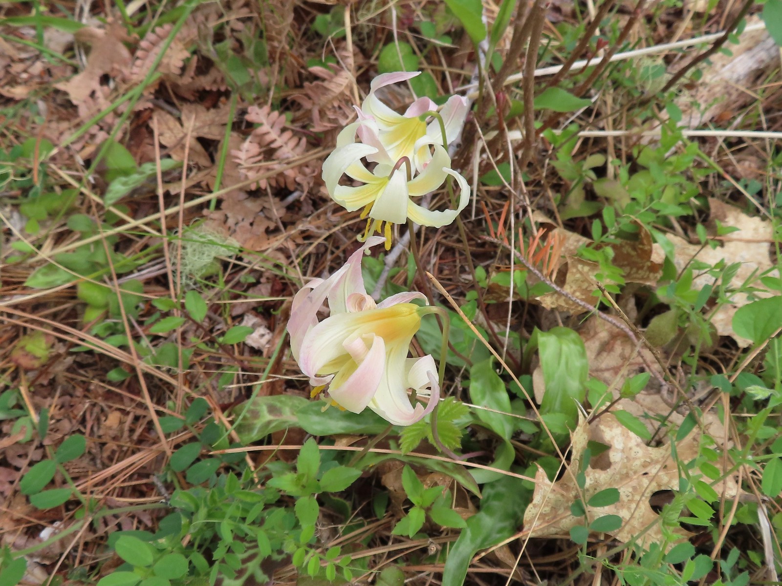 Fawn lilies
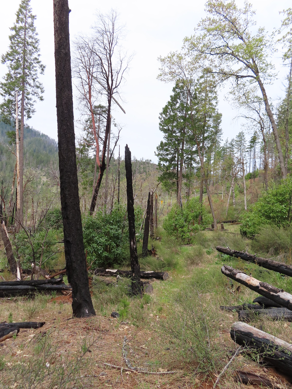 The road sign in the distance was easier to see than the trail here.
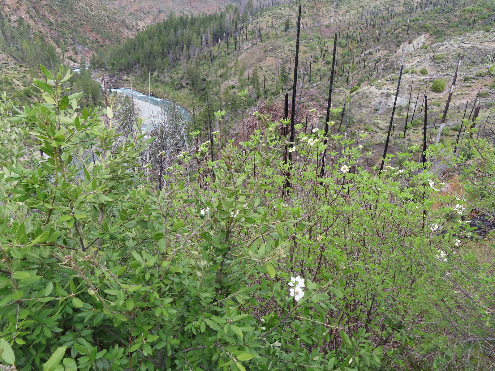 Dogwood blossoms
 The Fall Creek Trailhead to the left.
 The car bridge across the Illinois River to McCaleb Ranch. Technically we could have continued down to that bridge and crossed on it then turned left onto the Fall Creek Trail for a half mile to Illinois River Falls, but the closure order posted at the Fall Creek Trailhead was unclear. It stated that it was illegal to be “on a trail” not just on the suspension bridge itself. The Forest Service webpage seems to indicate that it is only the bridge that is closed until repaired. Either way we were just happy to see the bridge as that was the turnaround in Sullivan’s description.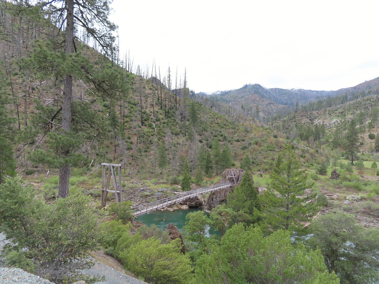
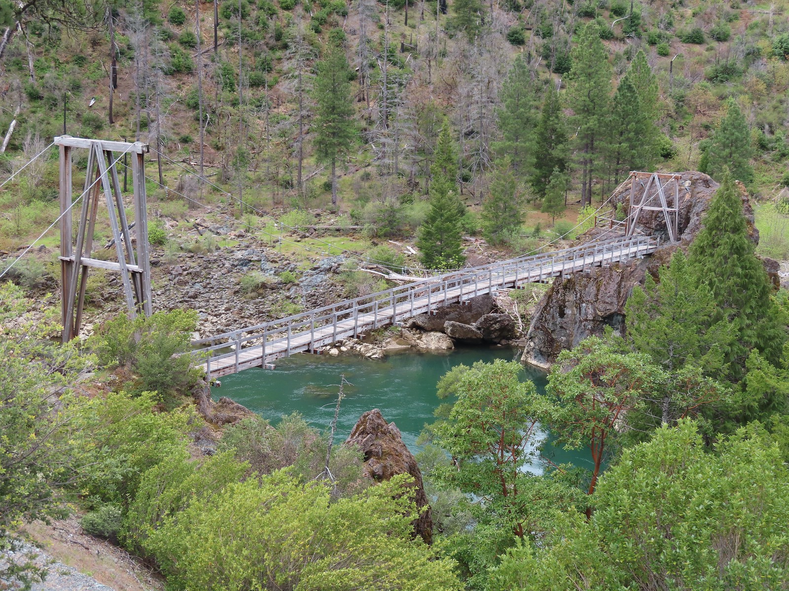
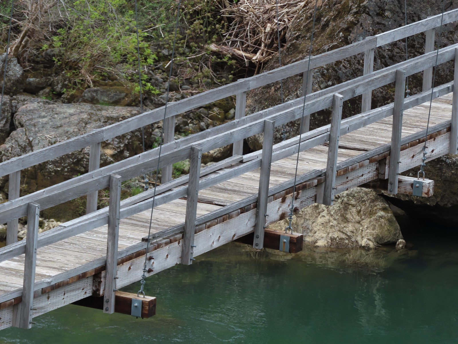 Assuming these are some of the needed repairs.
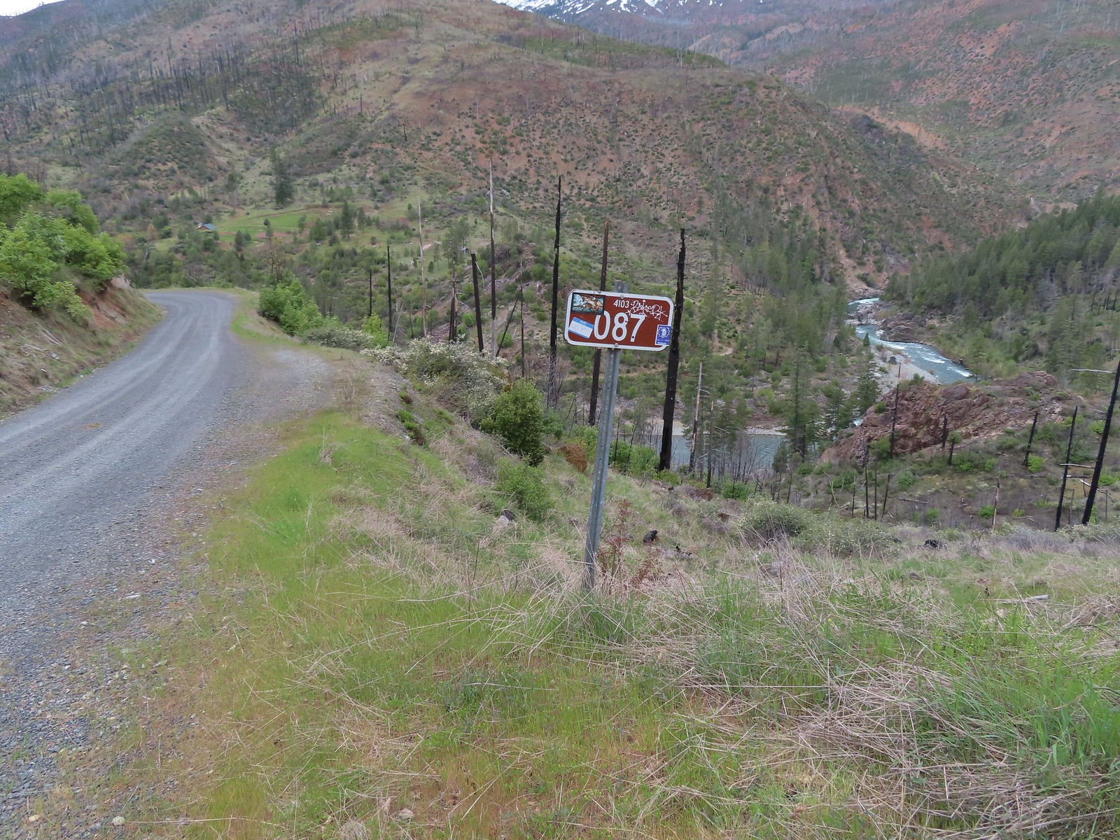
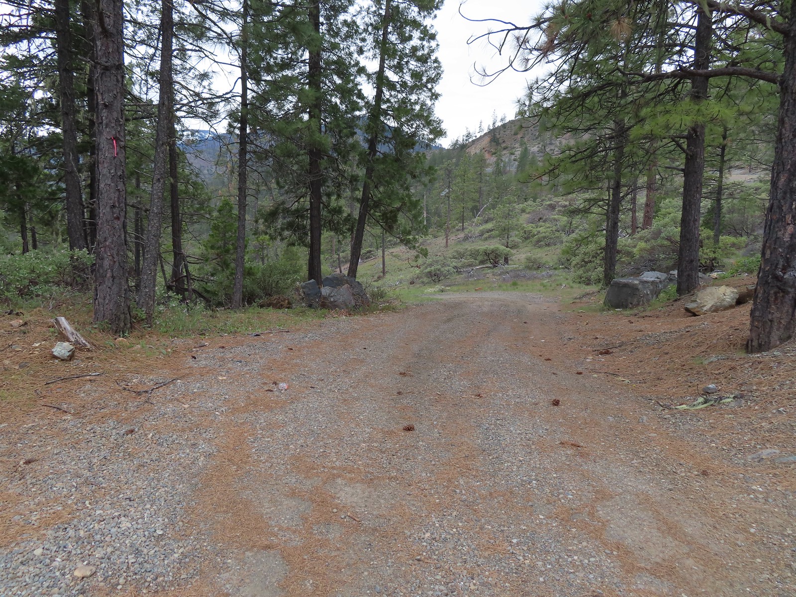 The start of the road which the map lists as Forest Road 011.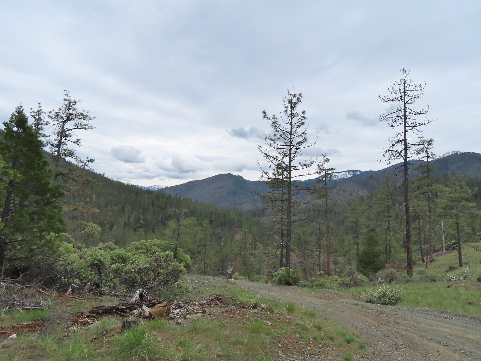
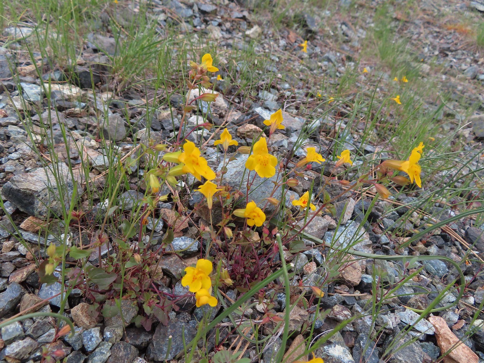 Monkeyflower
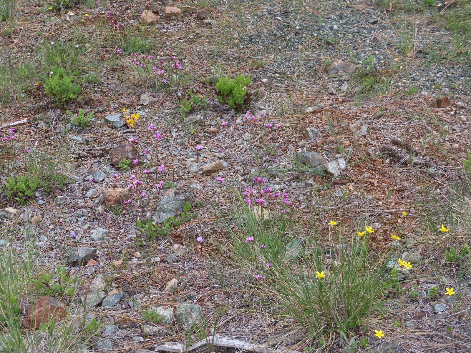 Oregon rockcress and buttercups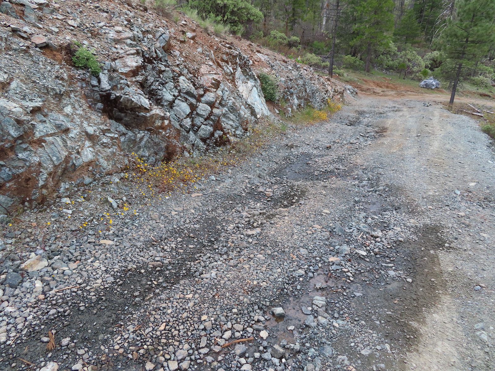
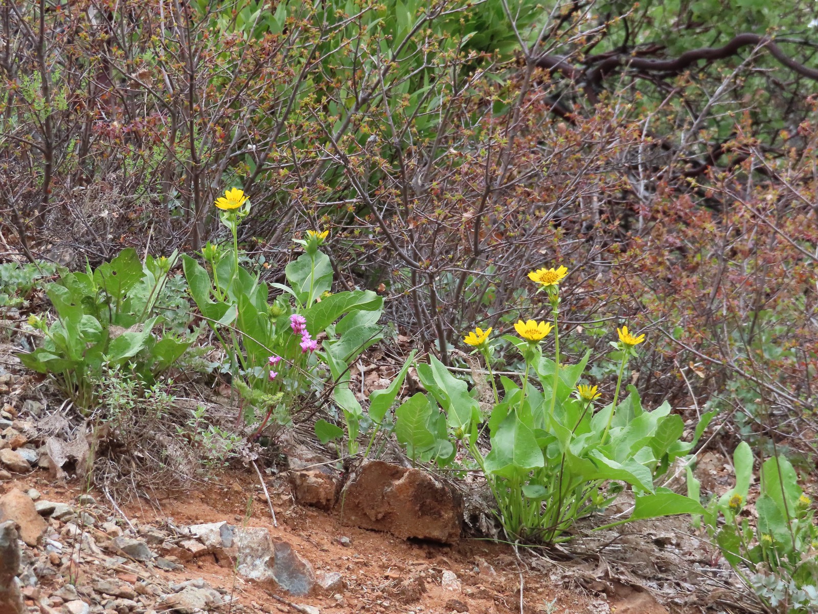 Balsamroot and Oregon rockcress
 Alpine? pennycress. There was a lot of this along the road, the first we’d seen of it this trip.
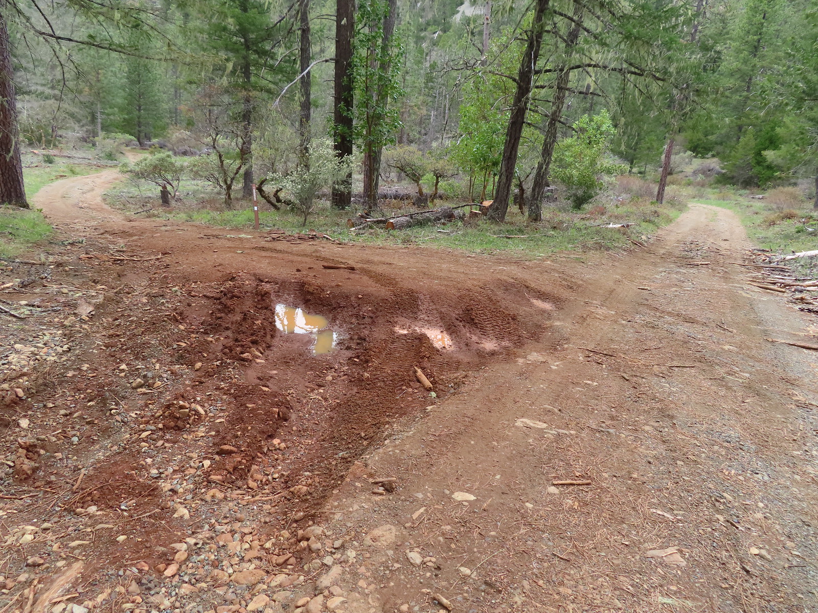 Star Flat. It was obvious from the tire marks which extended into the vegetation in places that yahoos like to come here and tear things up (sigh).
 Duskywing
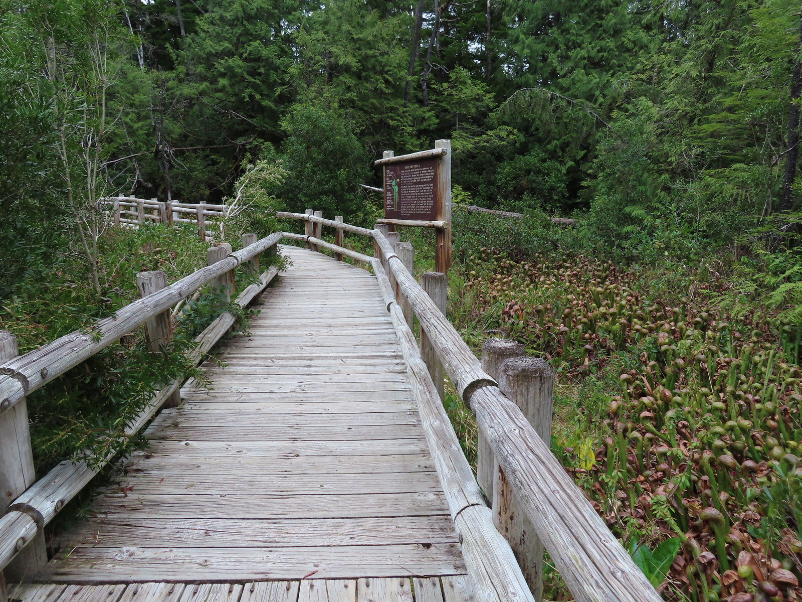
 There was a fence around the bog at Star Flat which hosts more California darlingtonia.
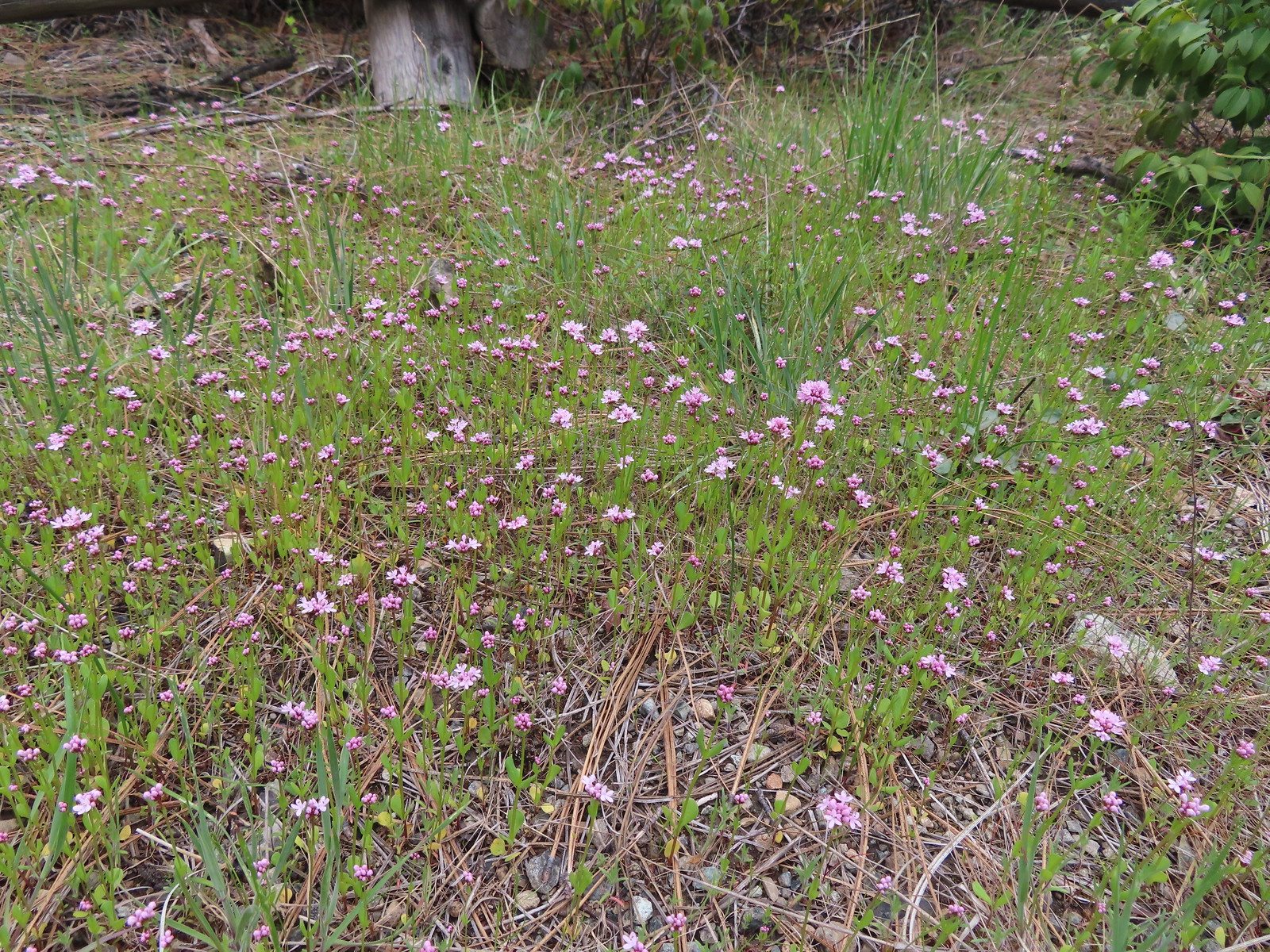 Plectritis
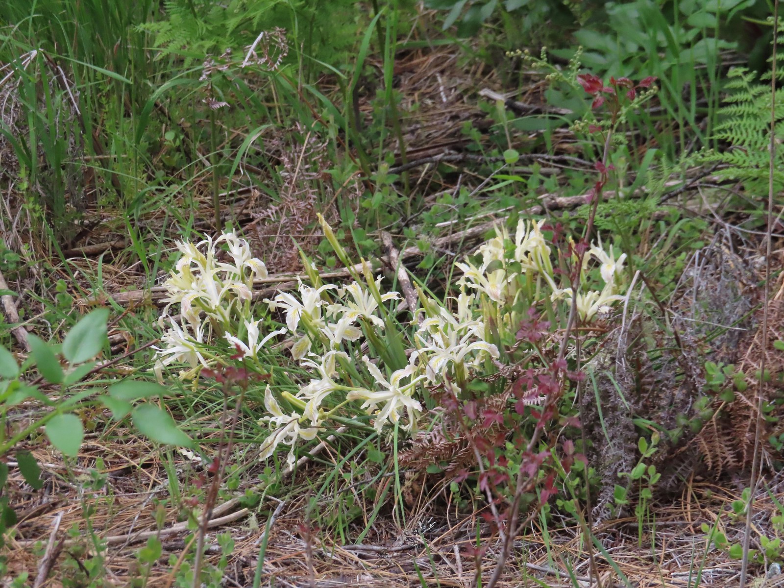 Iris
Iris Darlingtonia
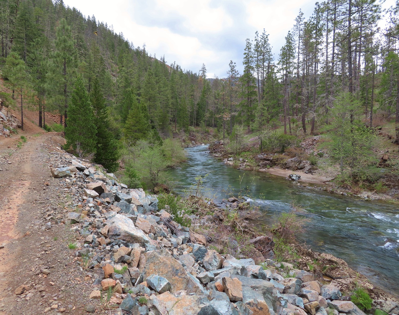 Deer Creek
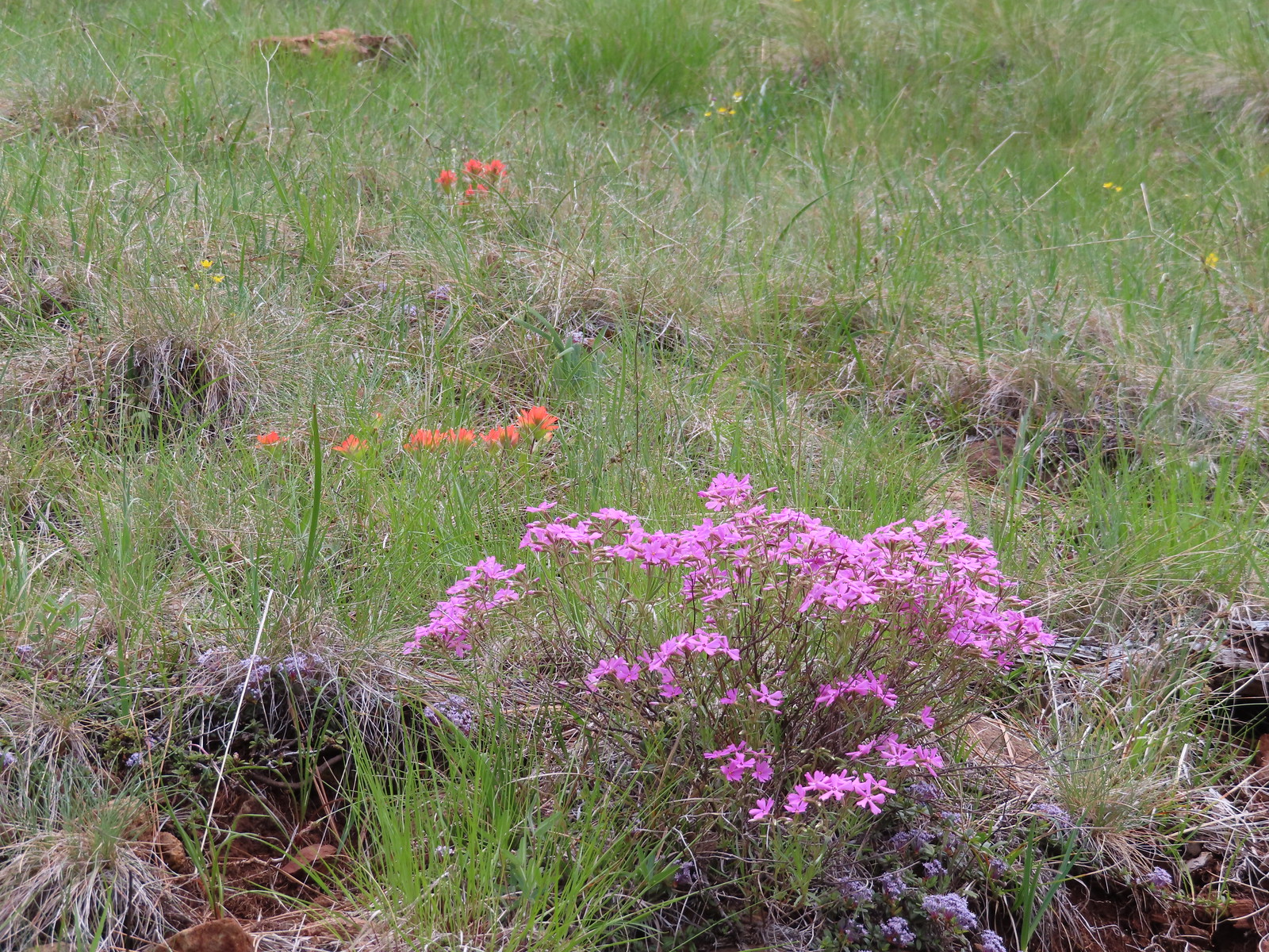 Showy phlox and paintbrush
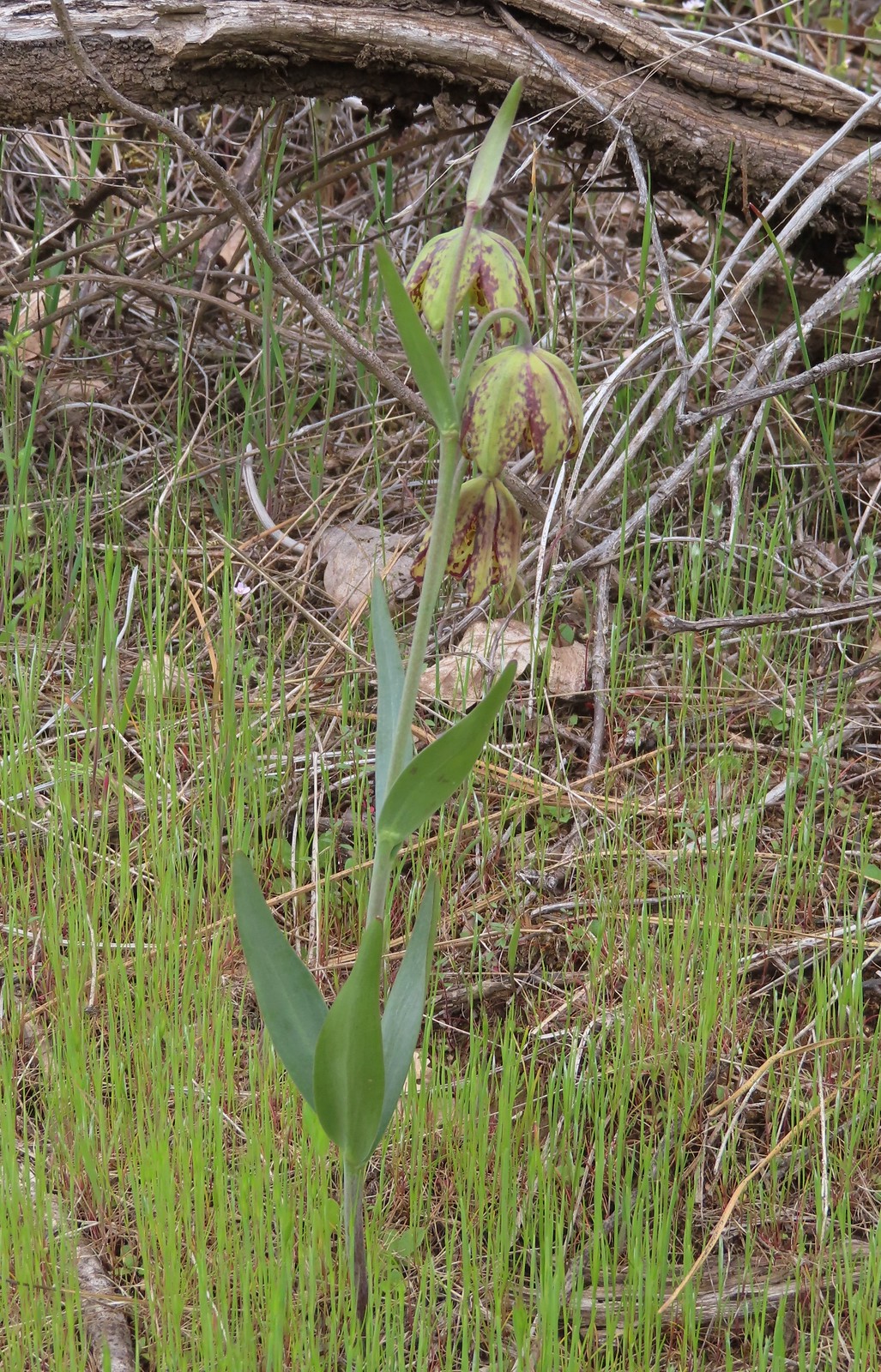 Checker lily

 Hairy pink
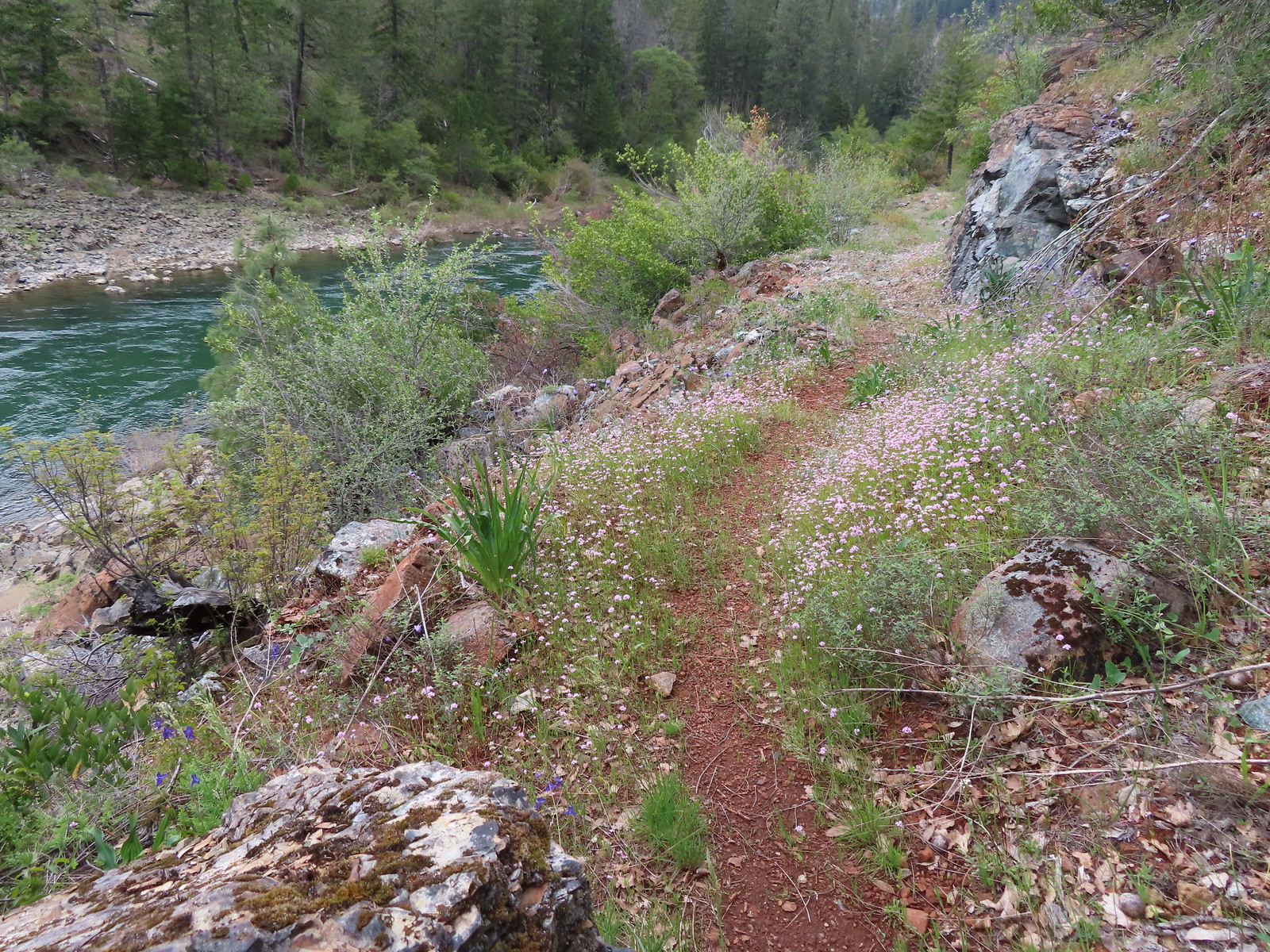 Plectritis along the trail.
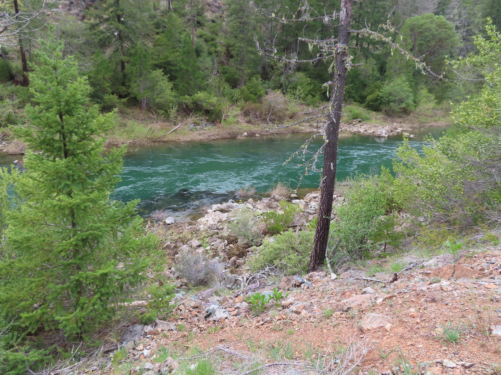 Illinois River
 Star flower
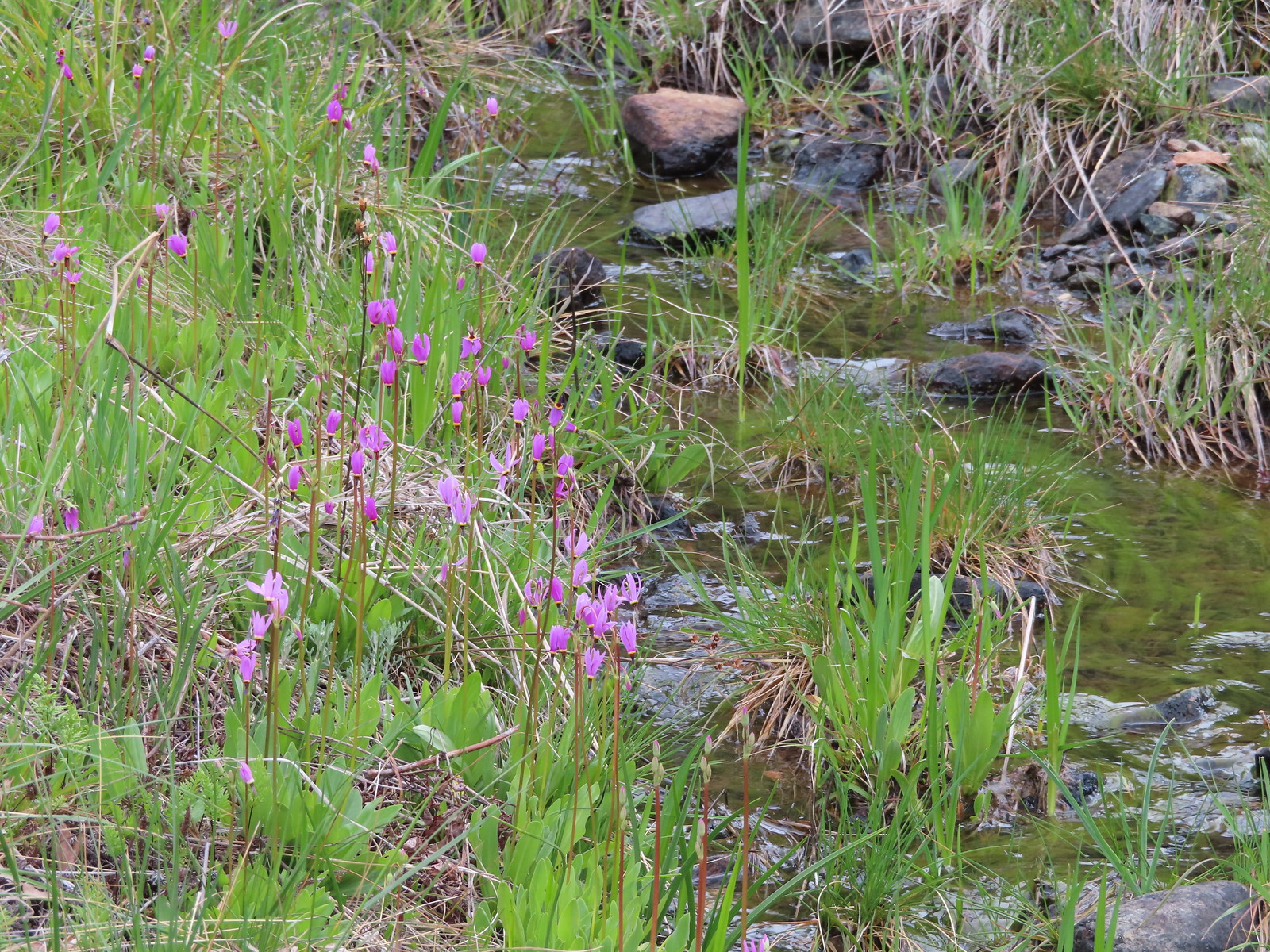 Shooting stars along the creek leading to the bog in Star Flat.
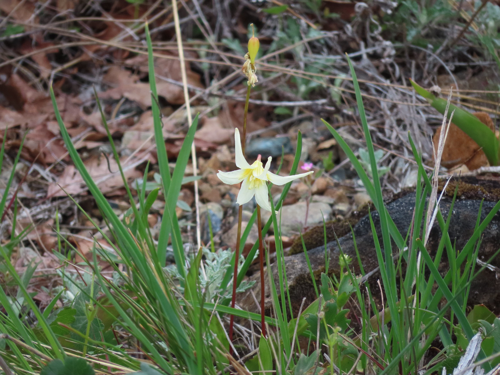 Fawn lily


 Larkspur along the trail.
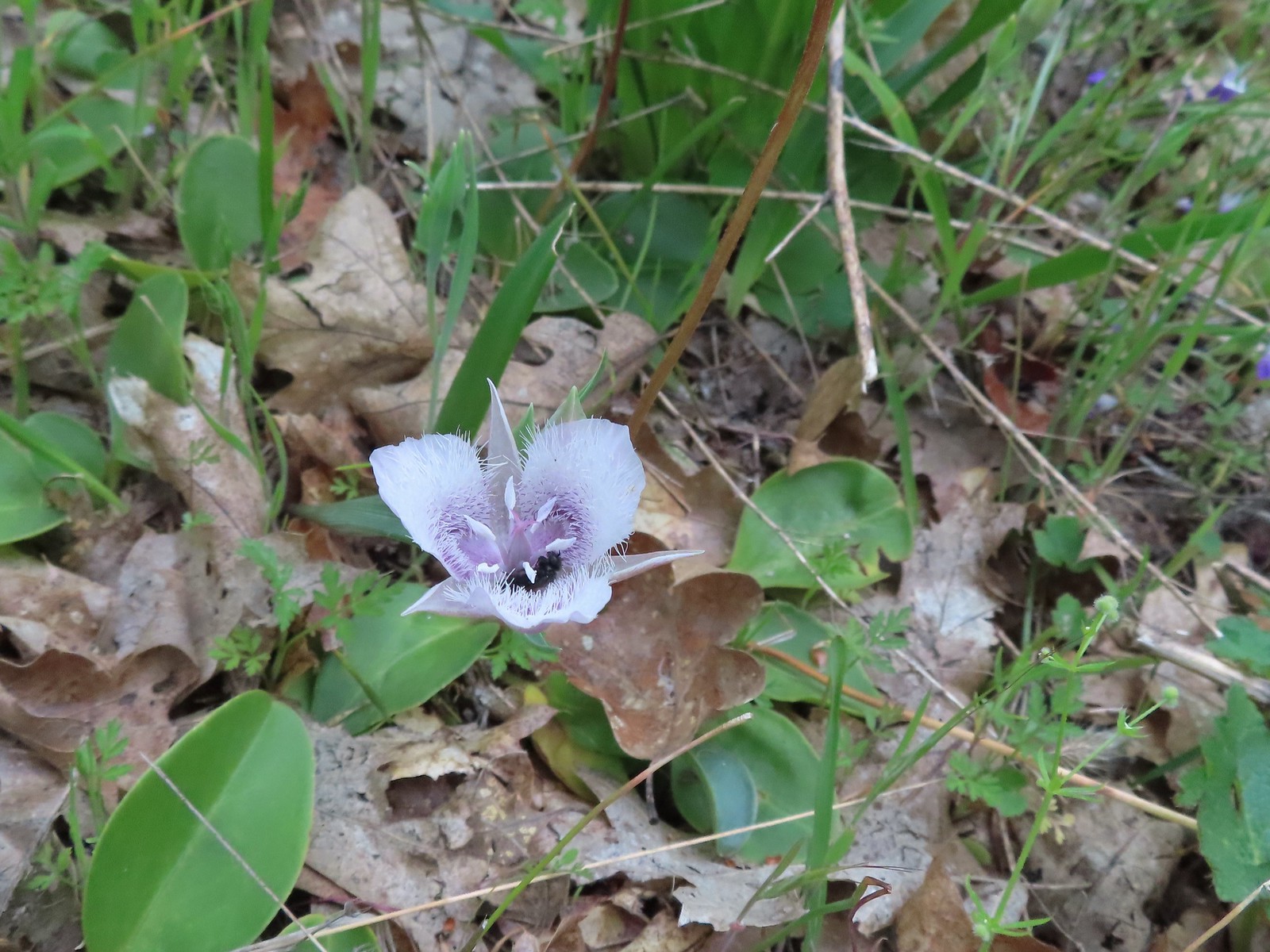 A pollinator in a Tolmie’s mariposa lily.
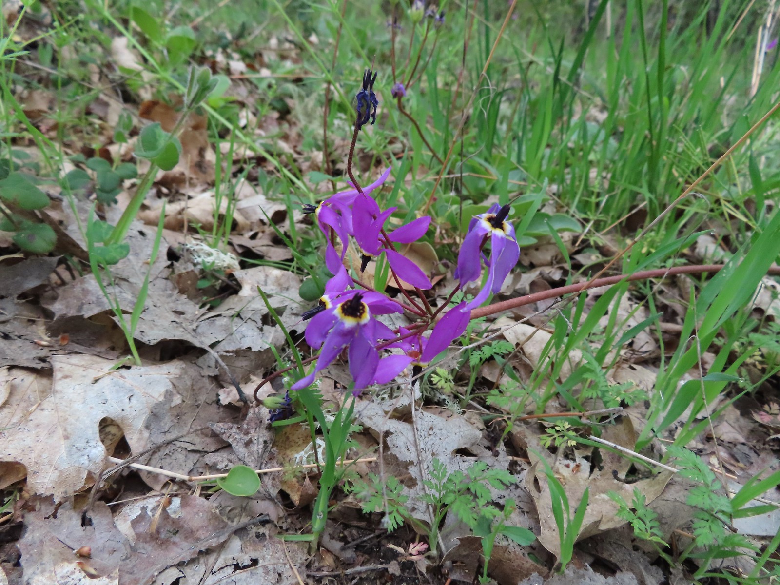 Shooting star
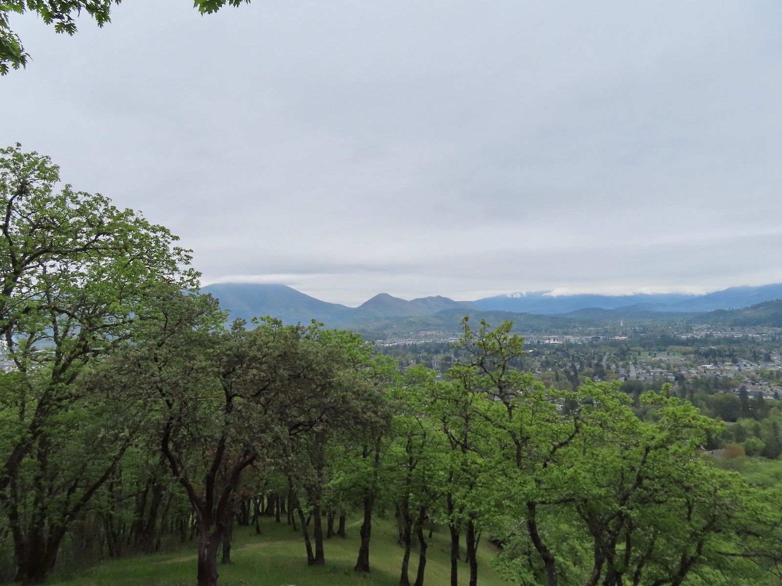 Grants Pass below Dollar Mountain.
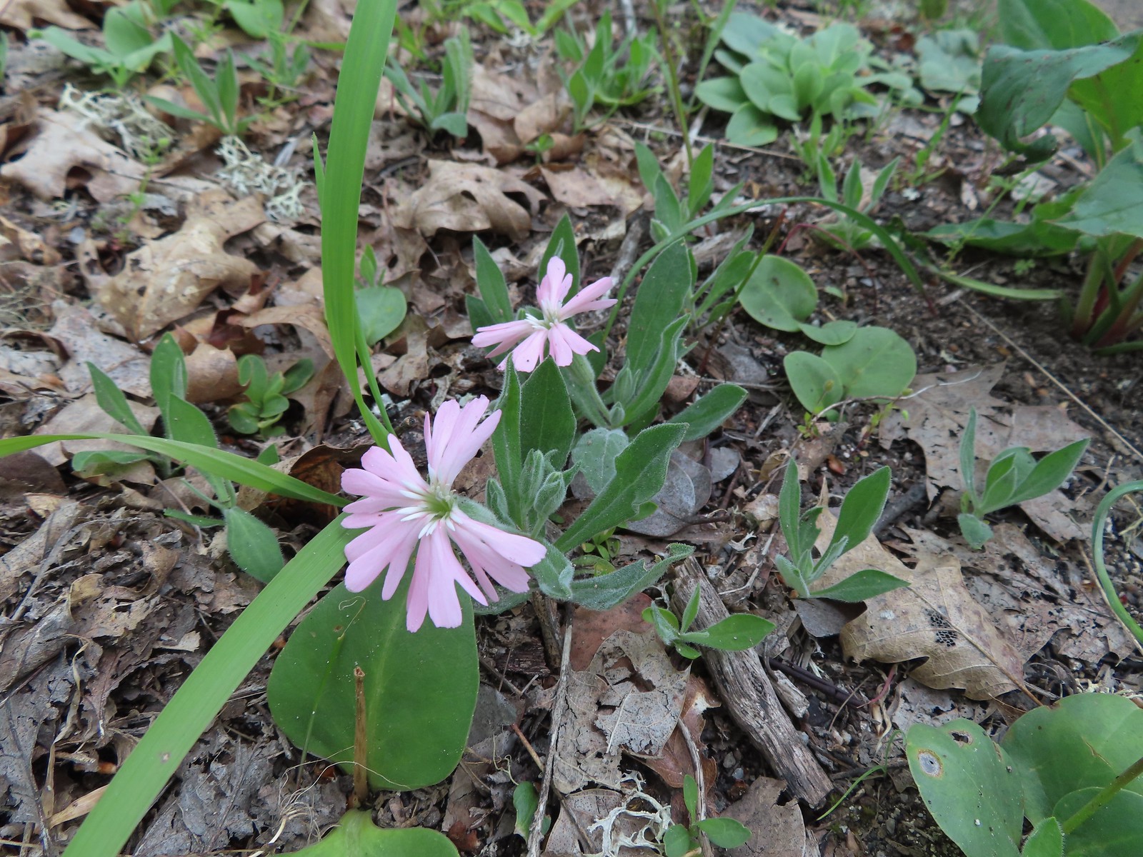 Hooker’s Indian pink
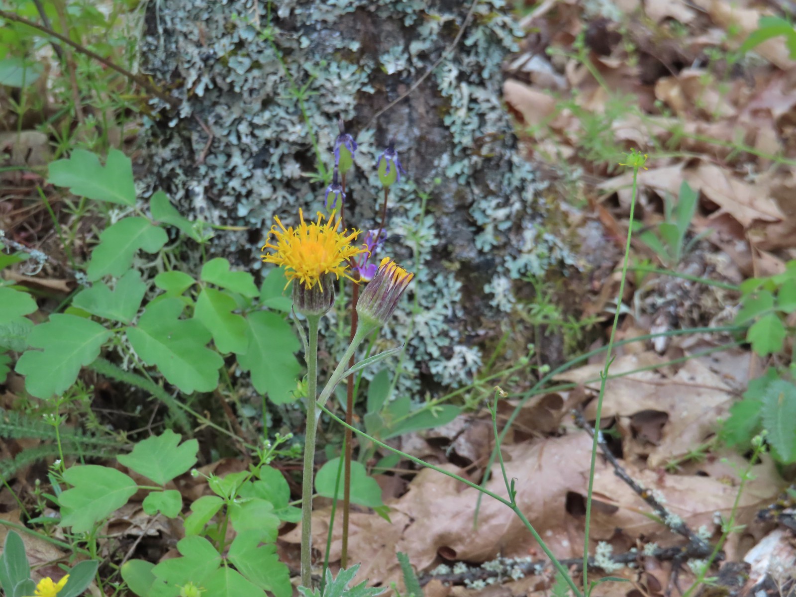 Silver crown
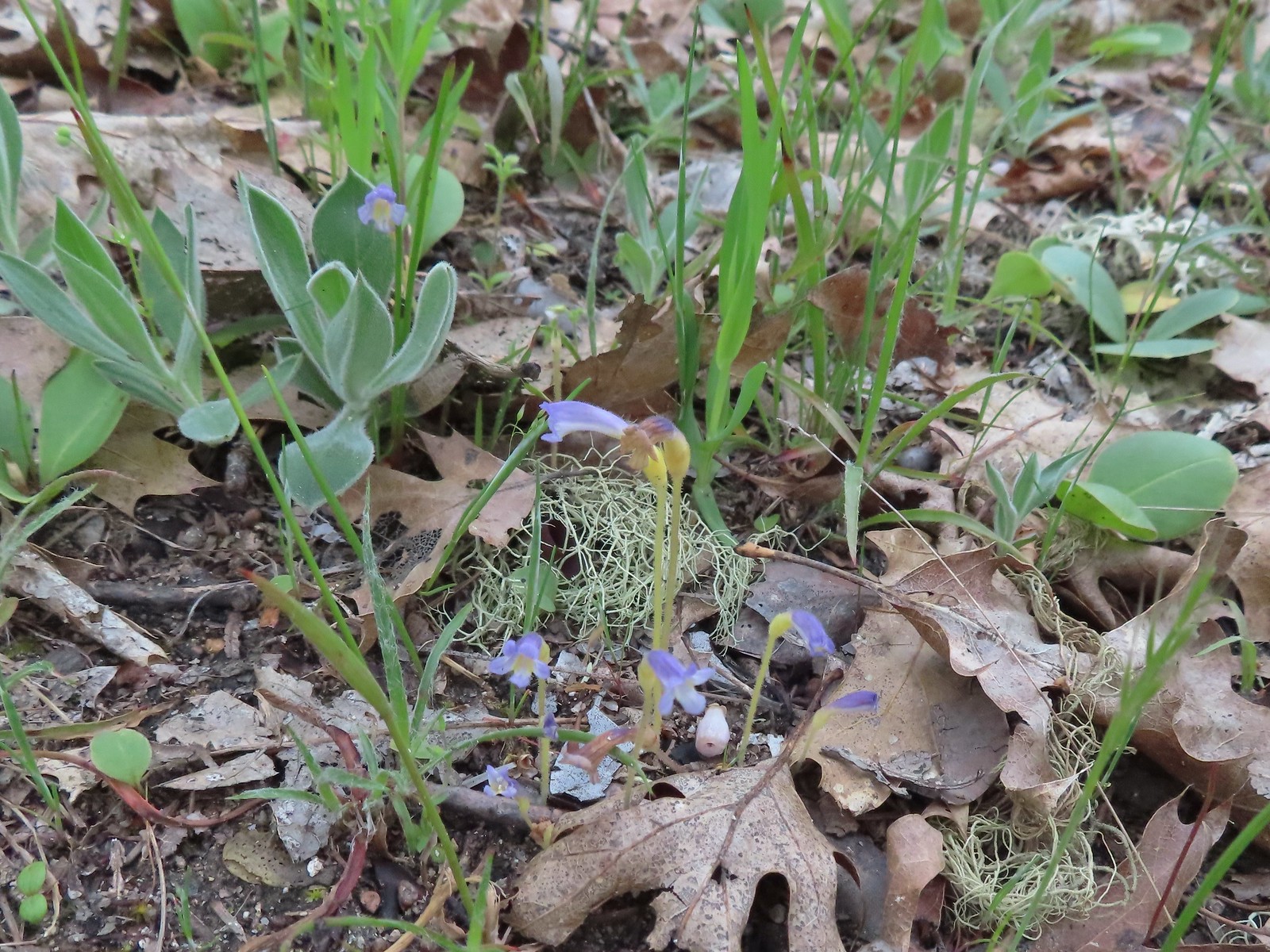 Naked broomrape
 Too cloudy for a good view.
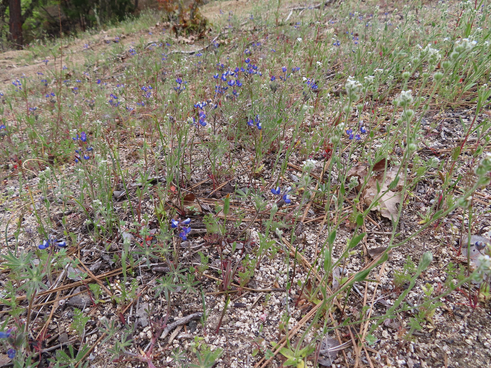 Lupine
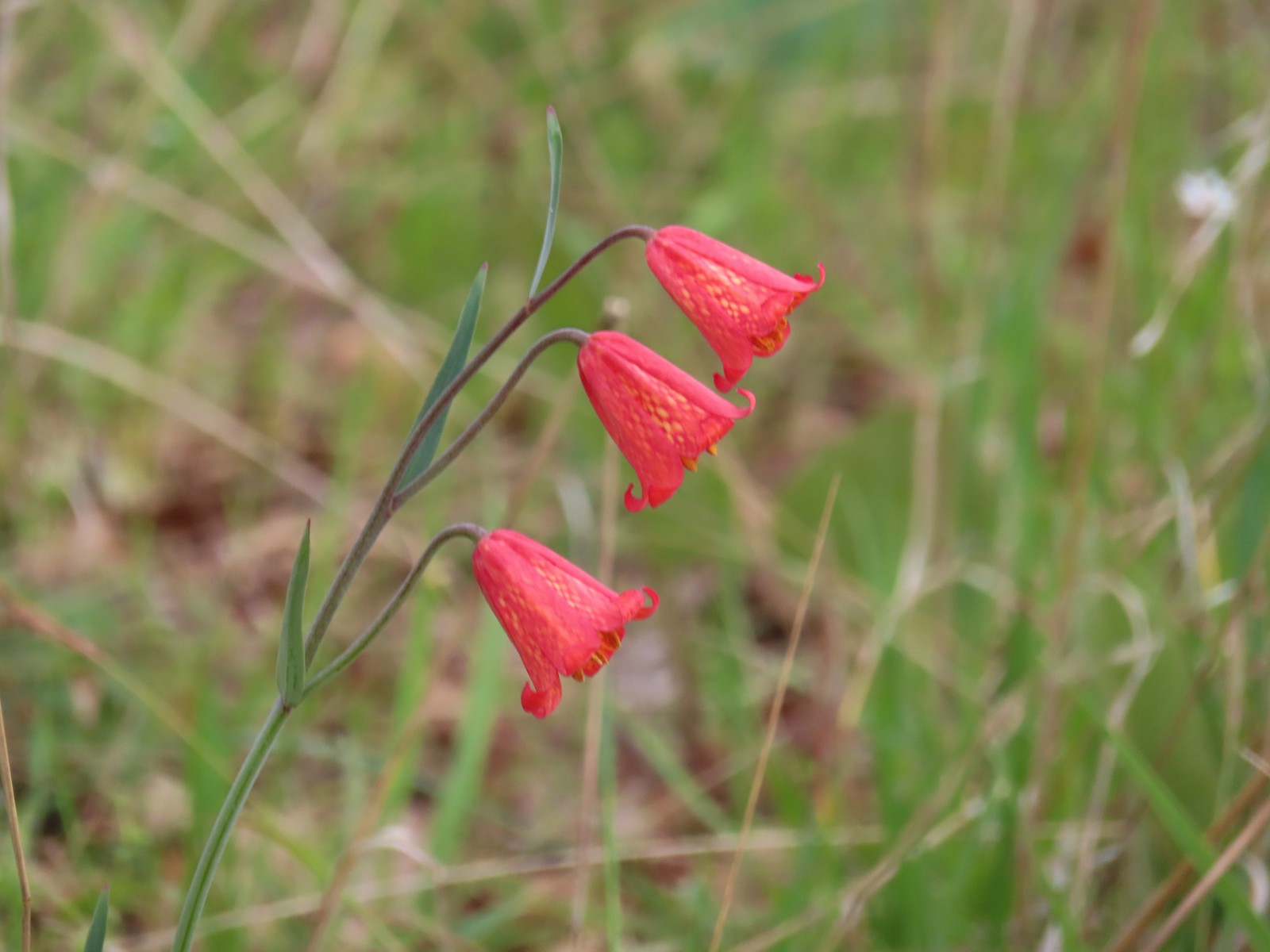 Scarlet fritillary
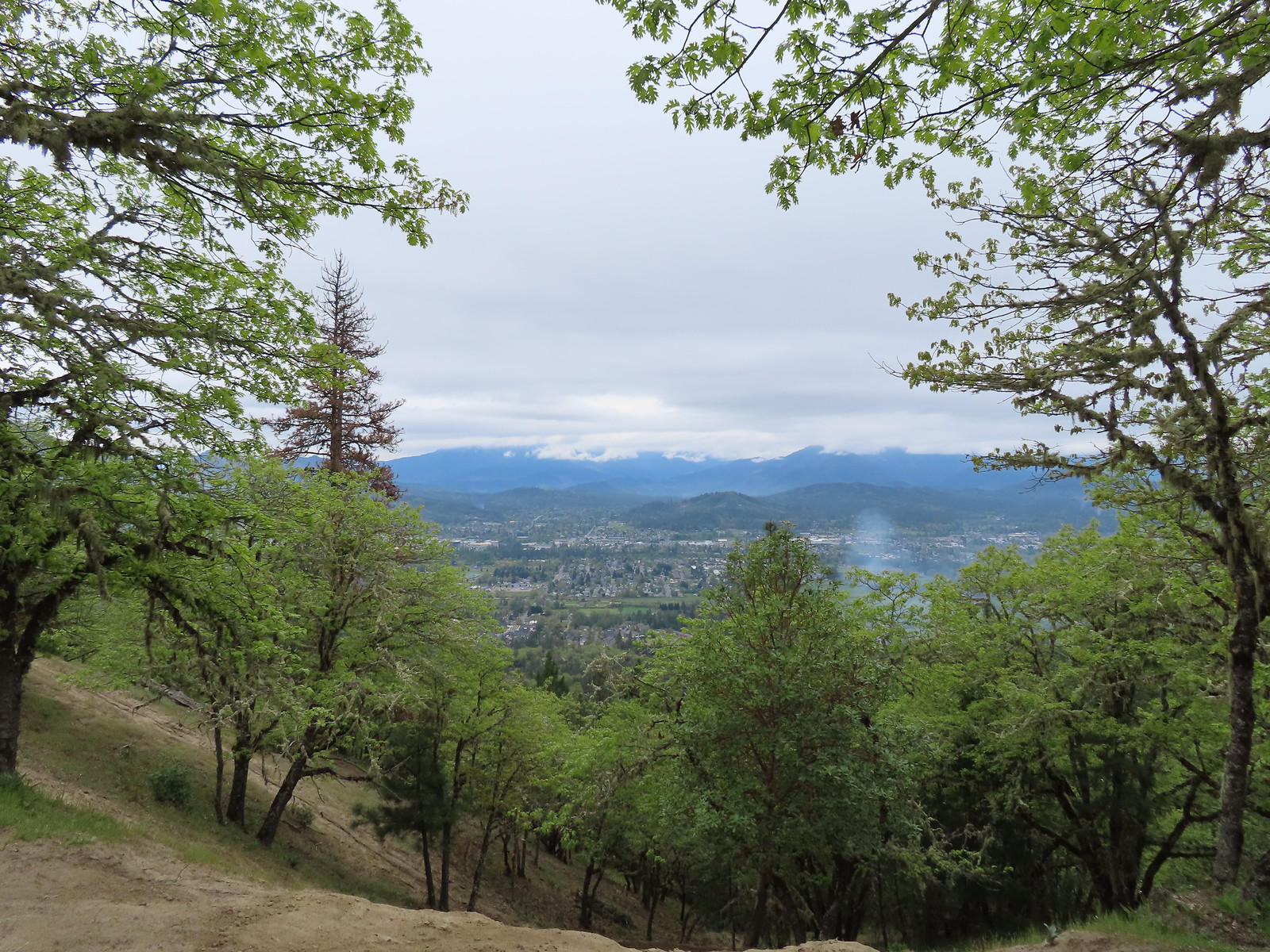 View from the summit.
 We stuck to the road ignoring any side paths like this one since we had no idea where they might lead.
 There were dozens of California groundcones along the roadbed.
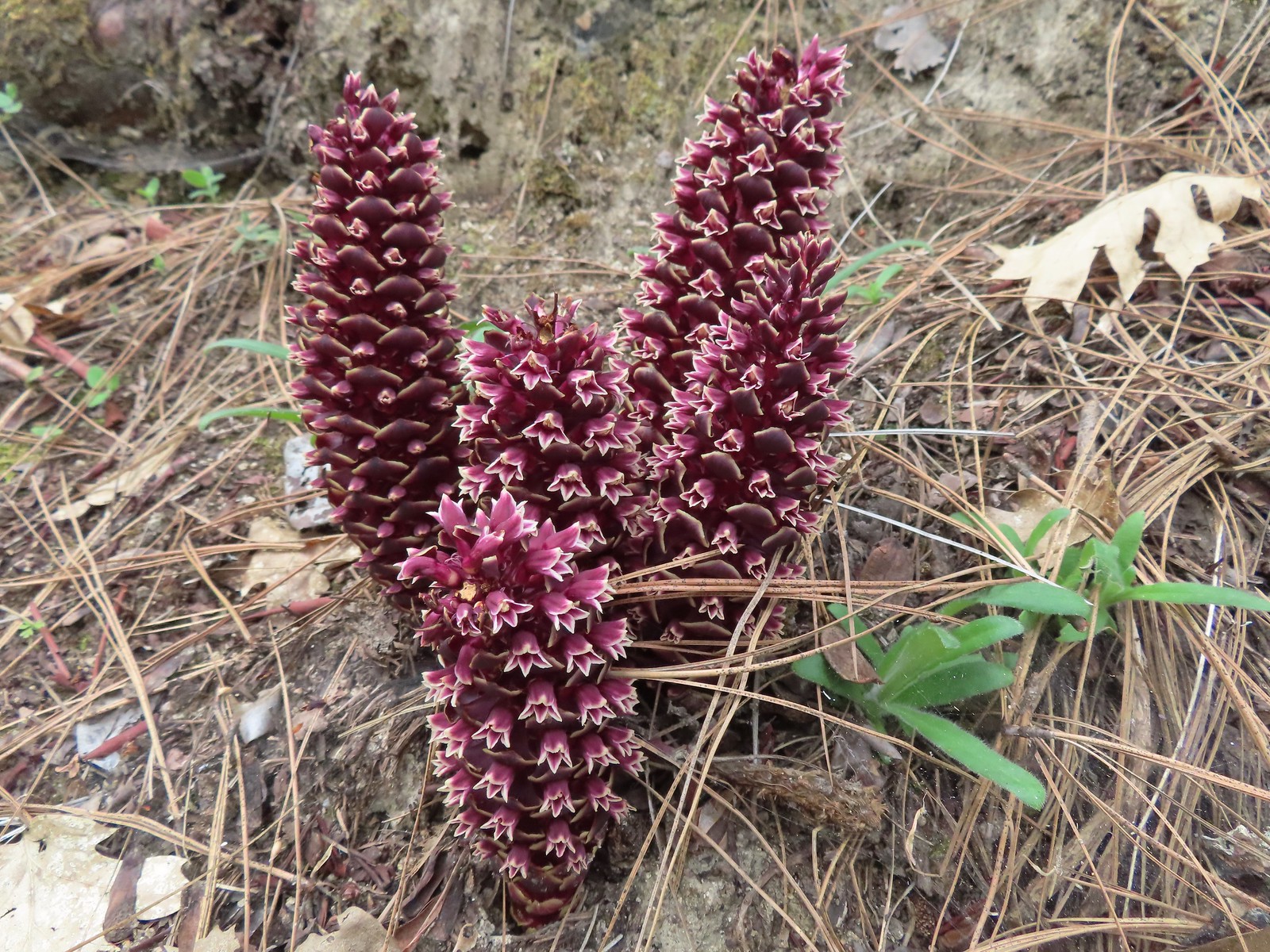 California groundcones
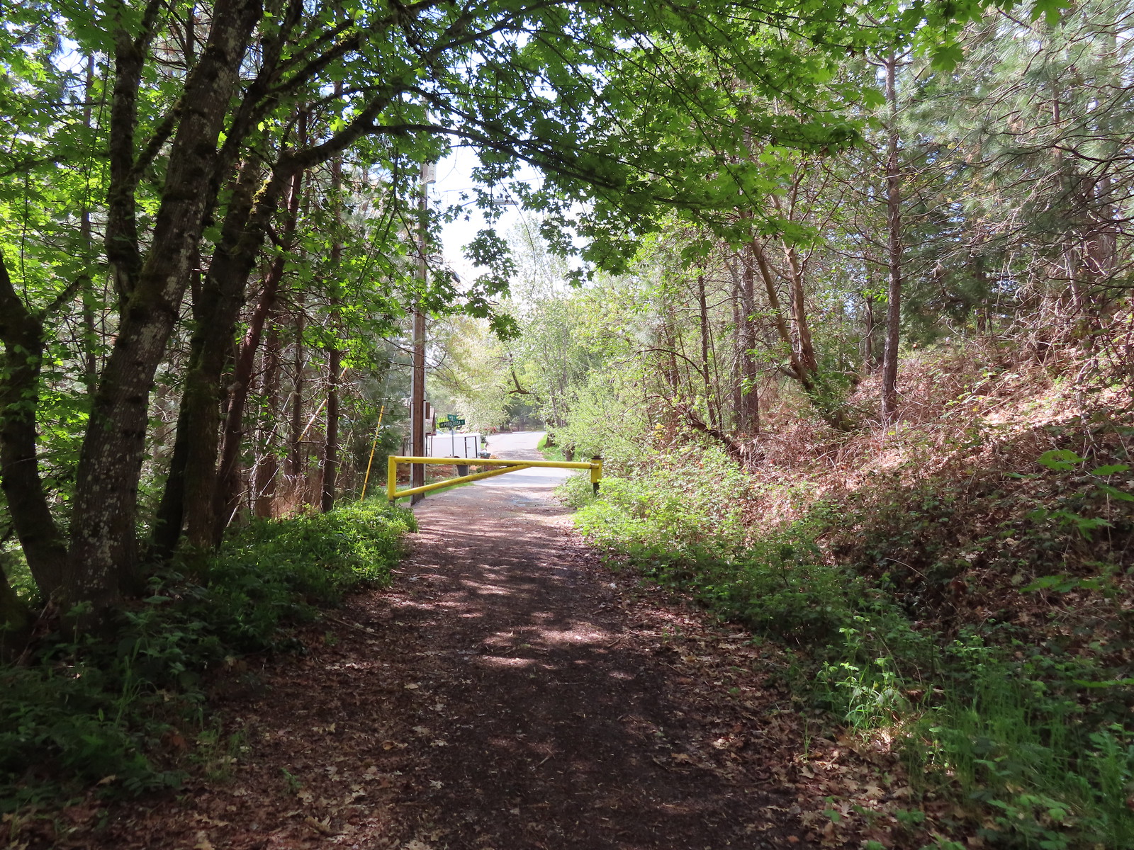 Approaching Crescent Street.
 Monkeyflower
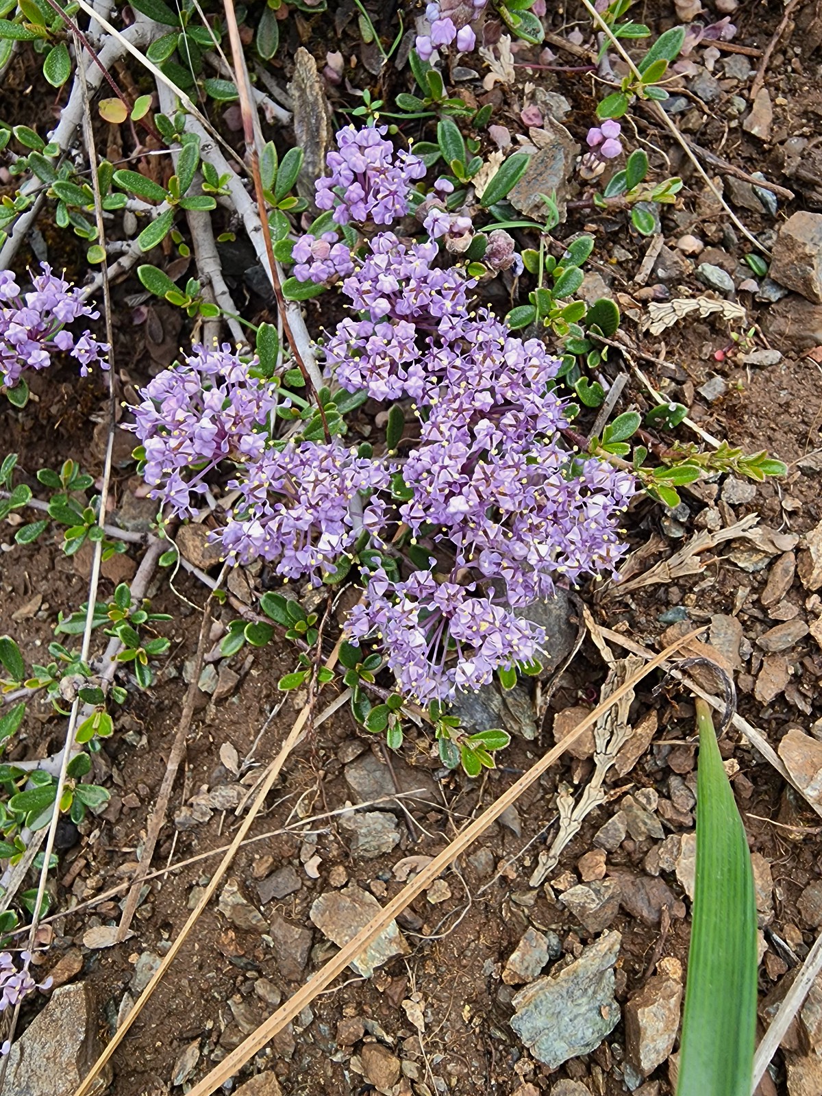 Dwarf ceanothus
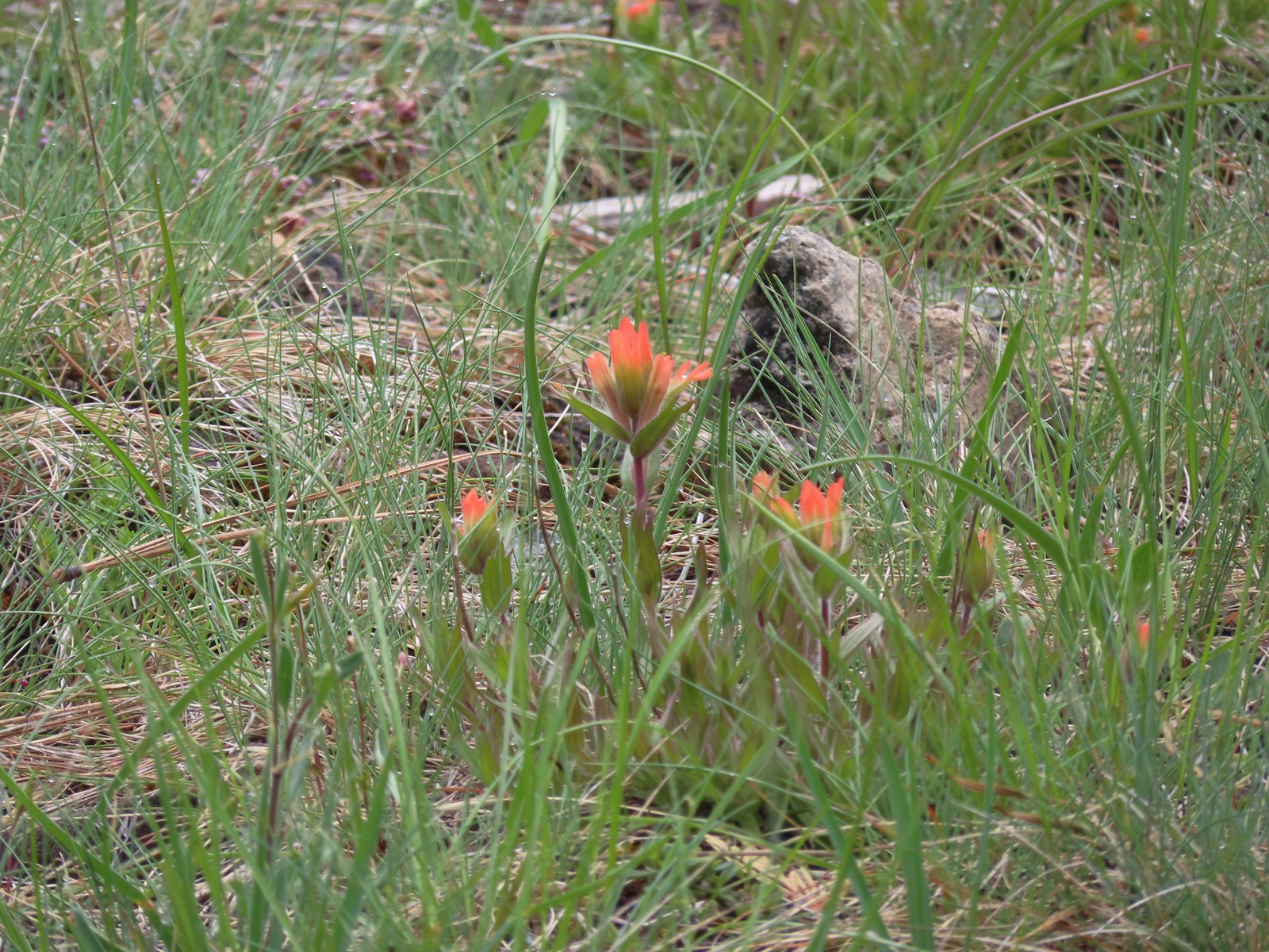 Paintbrush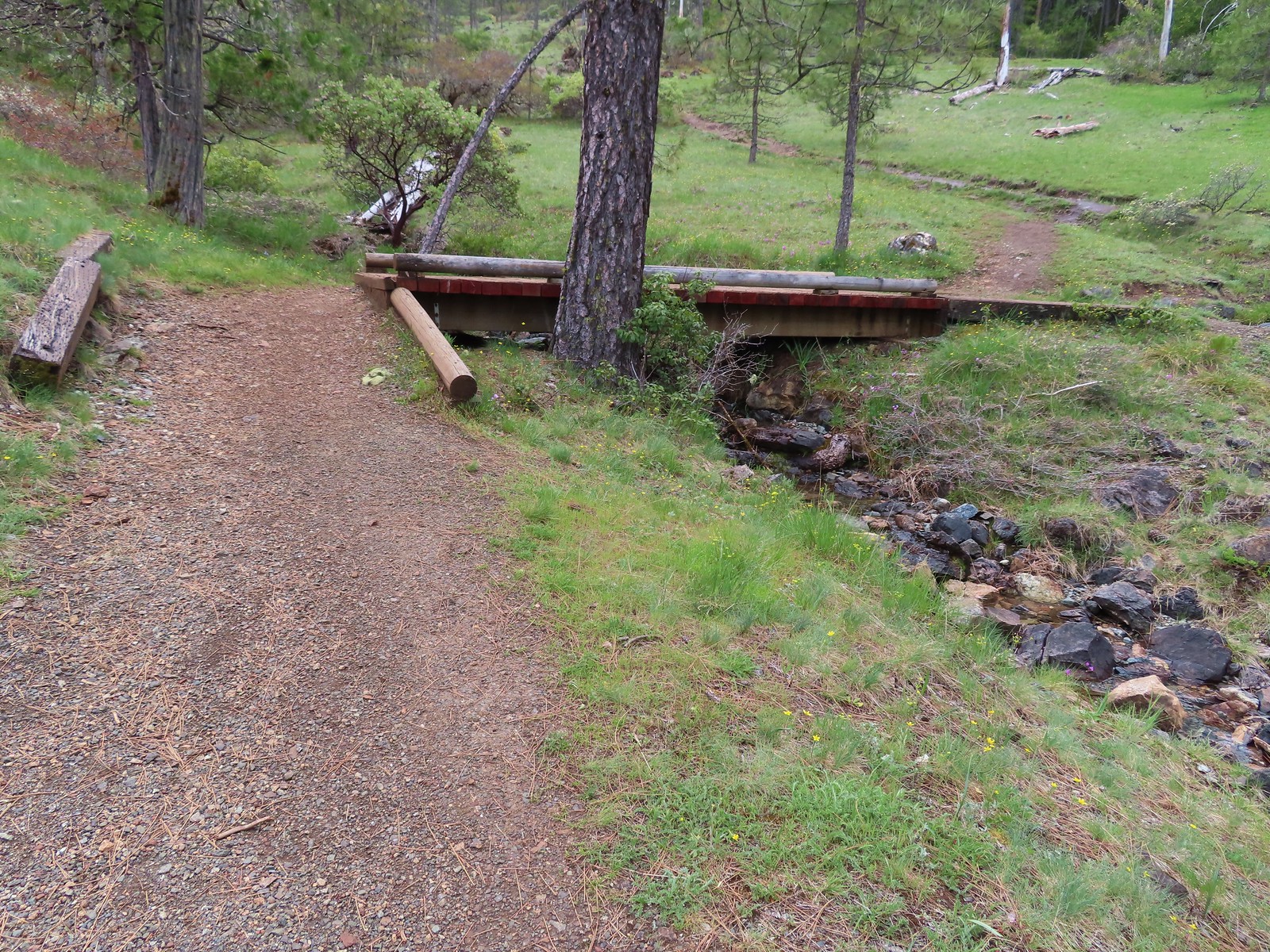
 Camas and shooting stars
 Siskiyou fritillary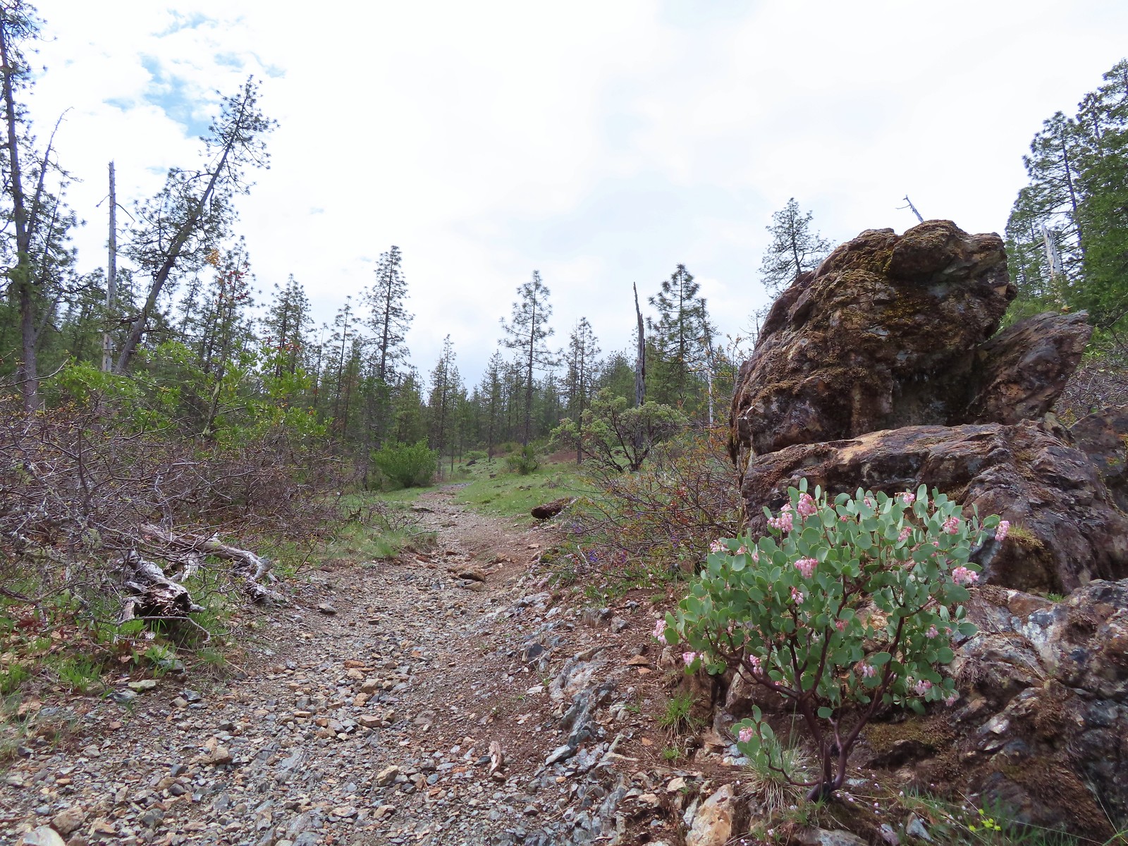
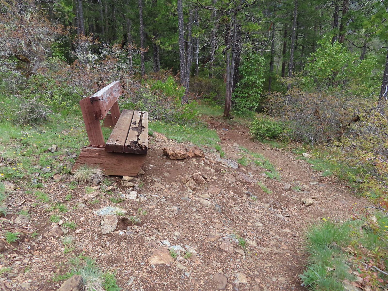 Passing the bench.
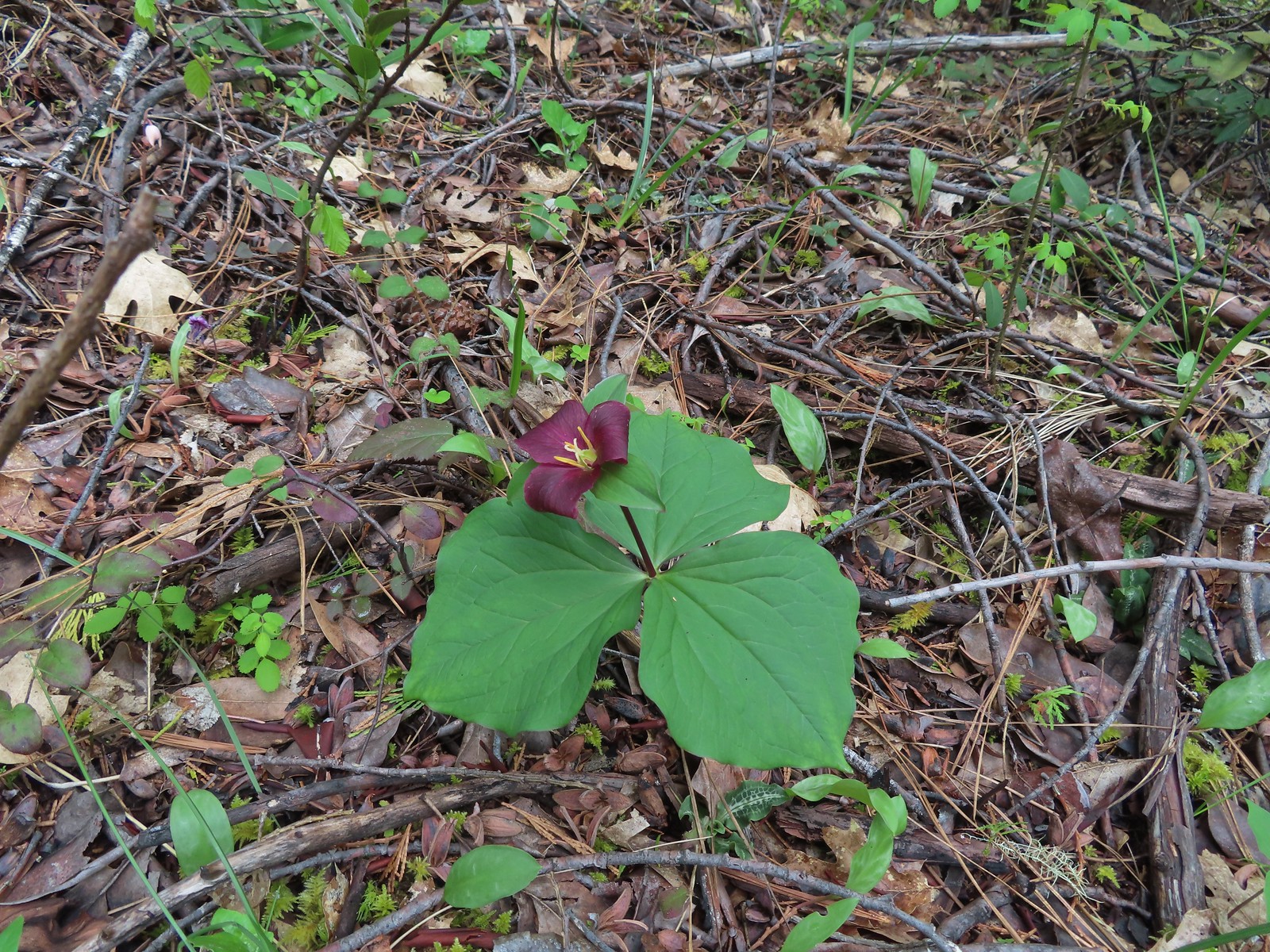 Trillium
 Fairy slippers
 Boardwalk #1
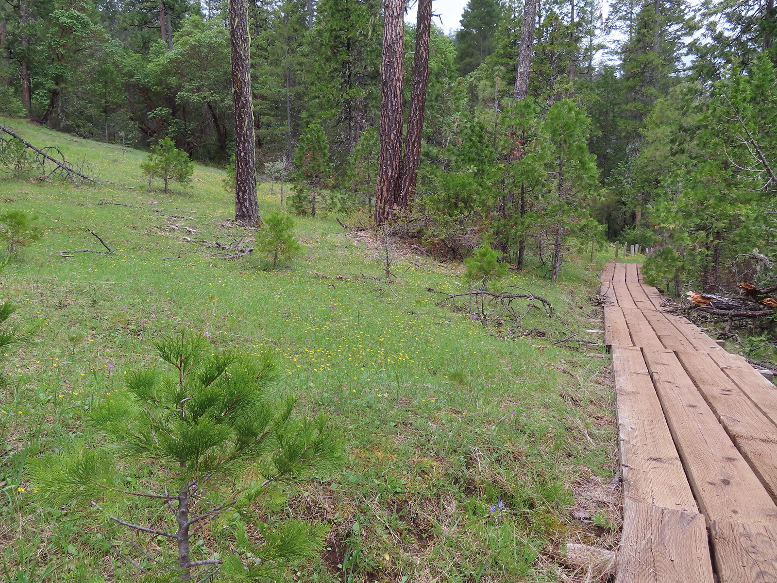 Second boardwalk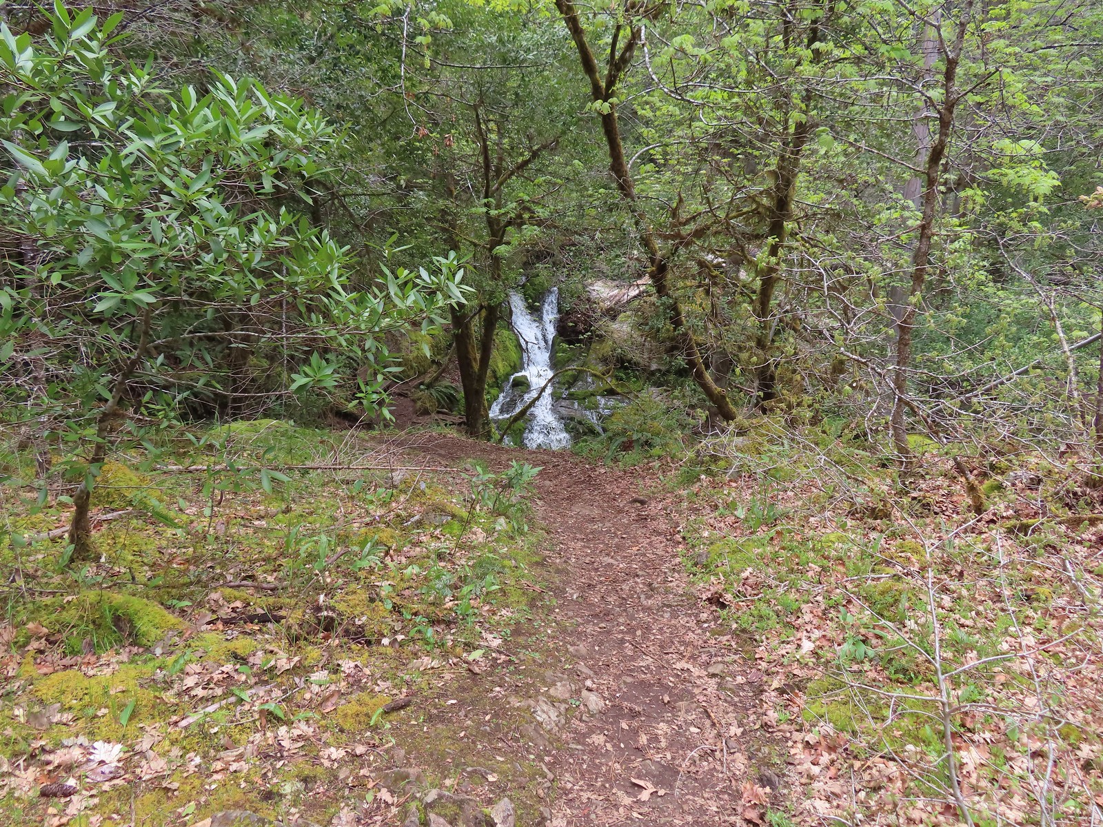
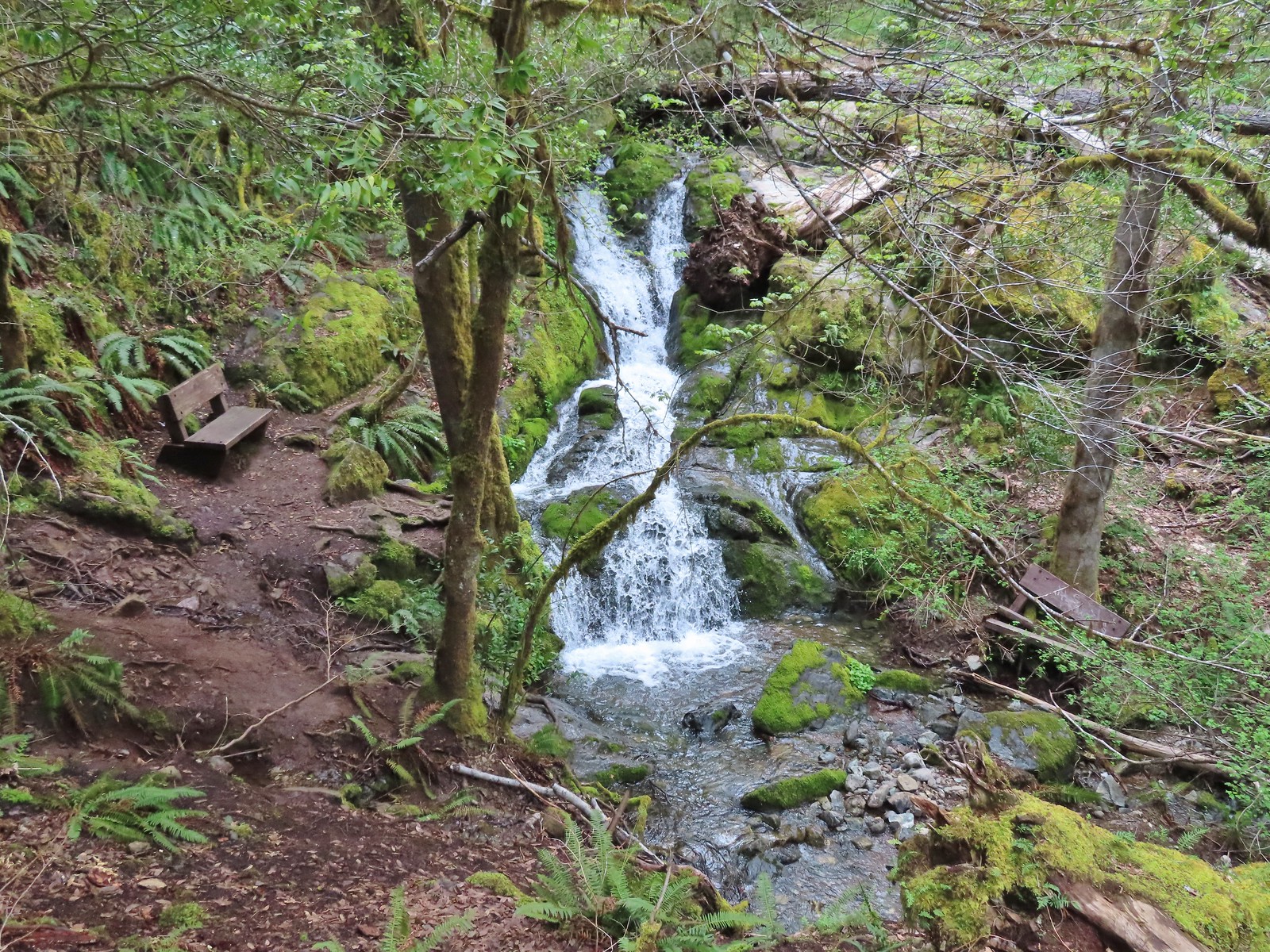 Waterfall on Limpy Creek.
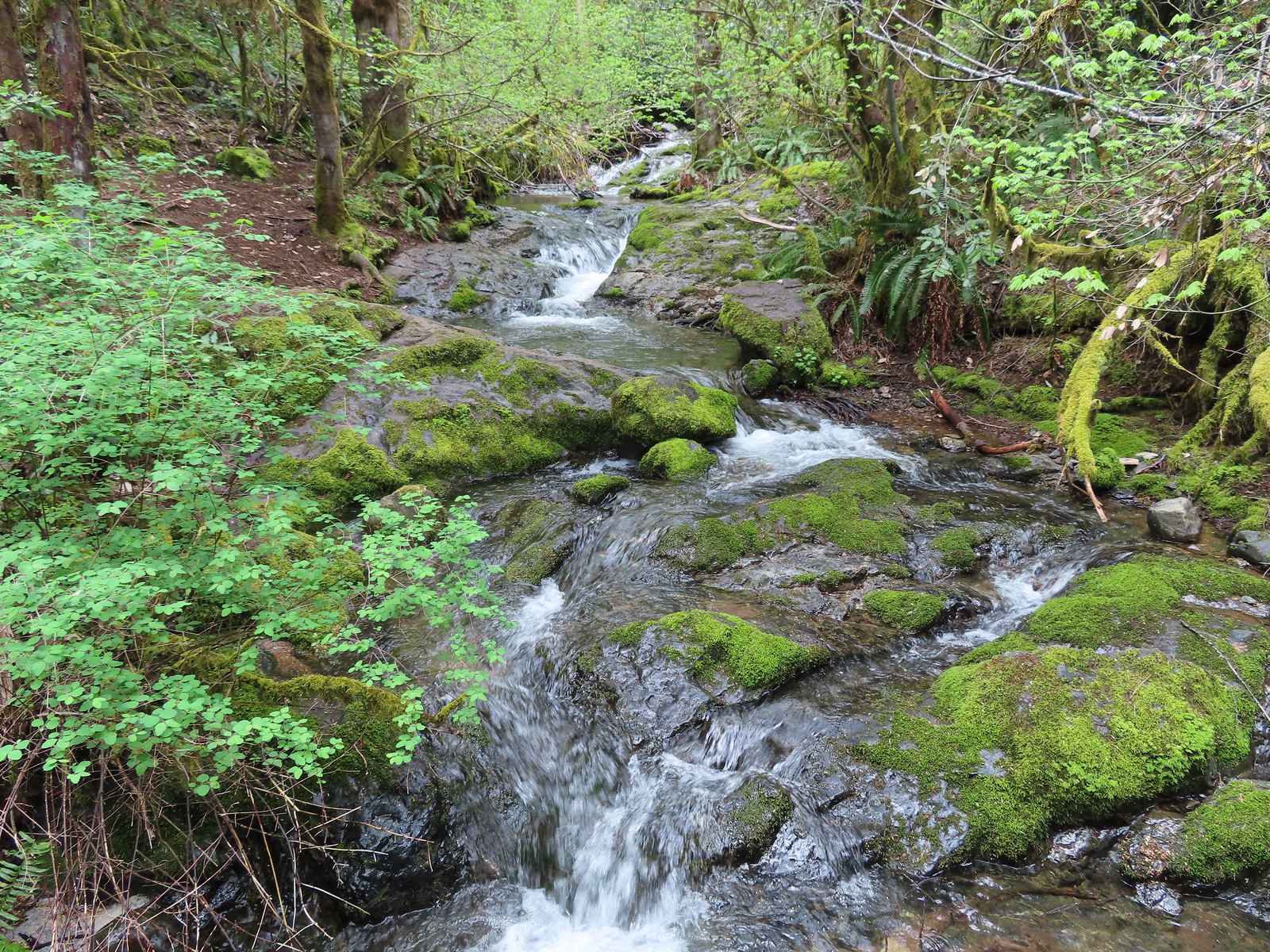 Limpy Creek
 Arriving at the second creek.
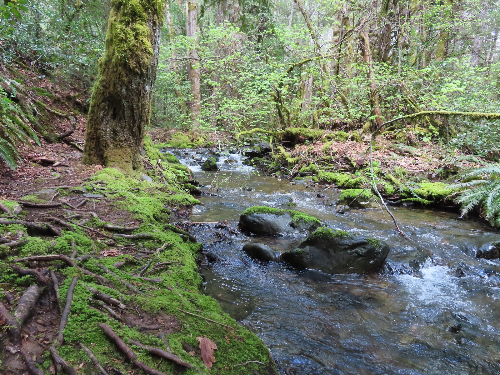 Unnamed creek
 Mushrooms
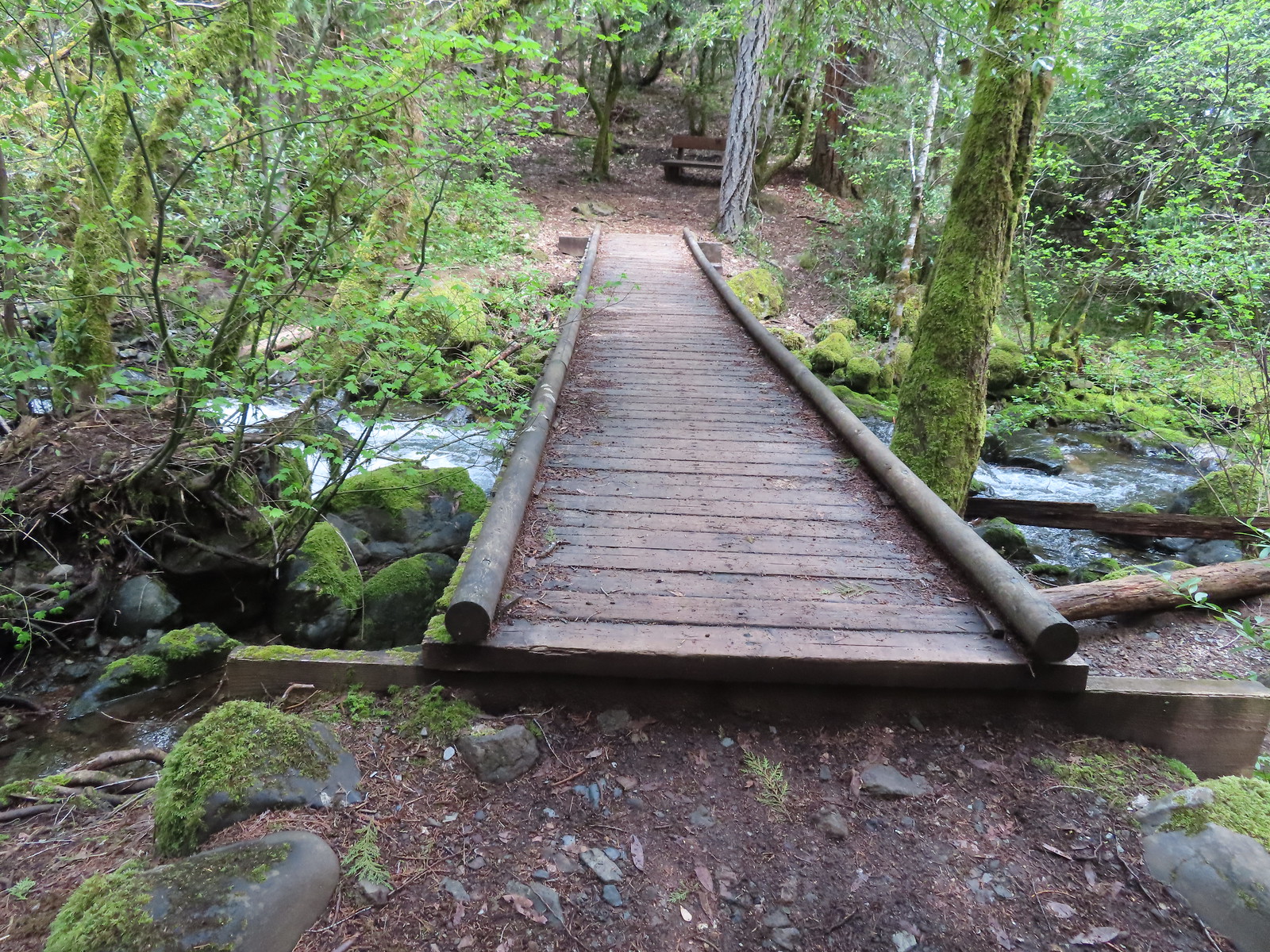 Final crossing of Limpy Creek.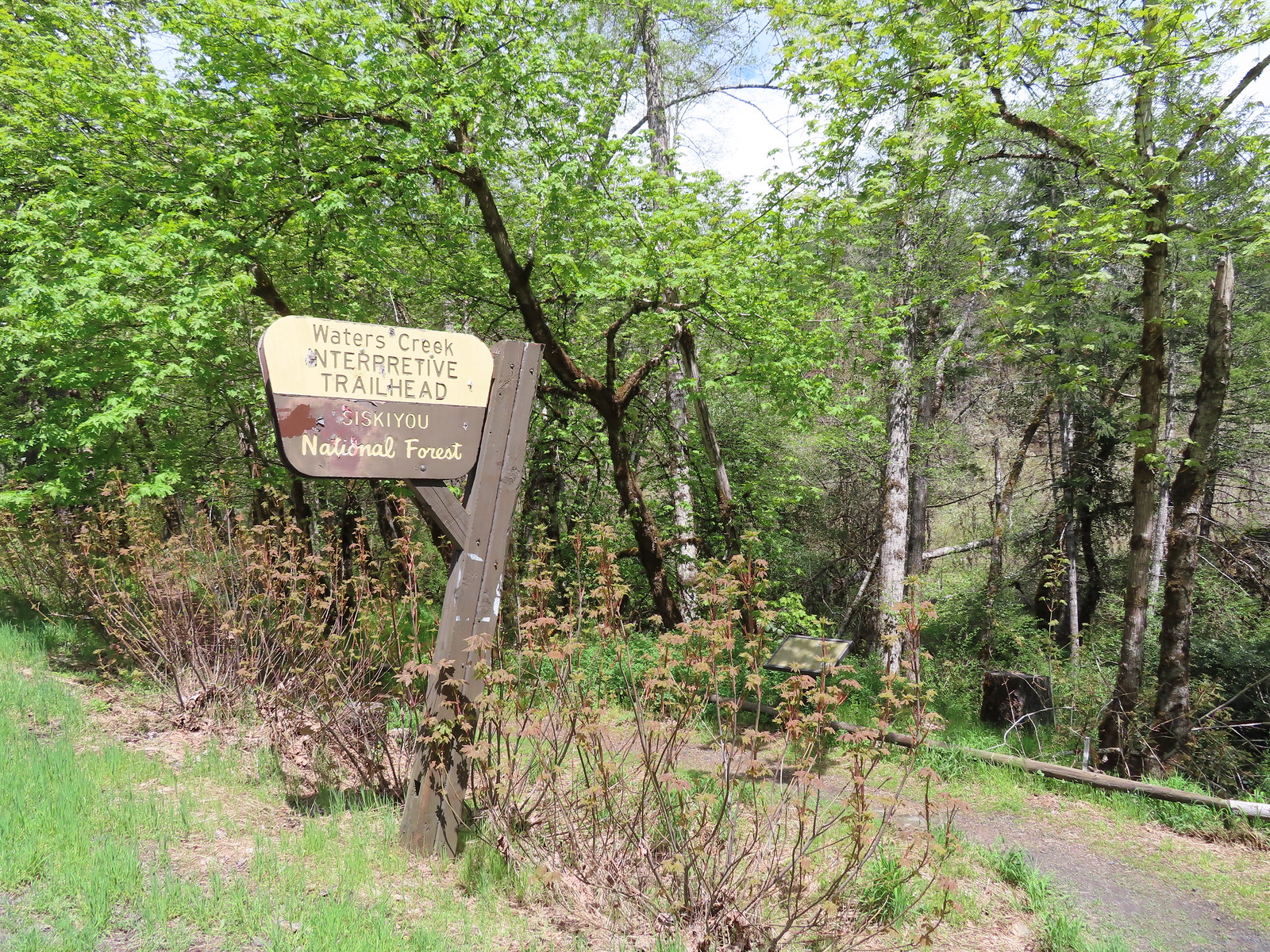

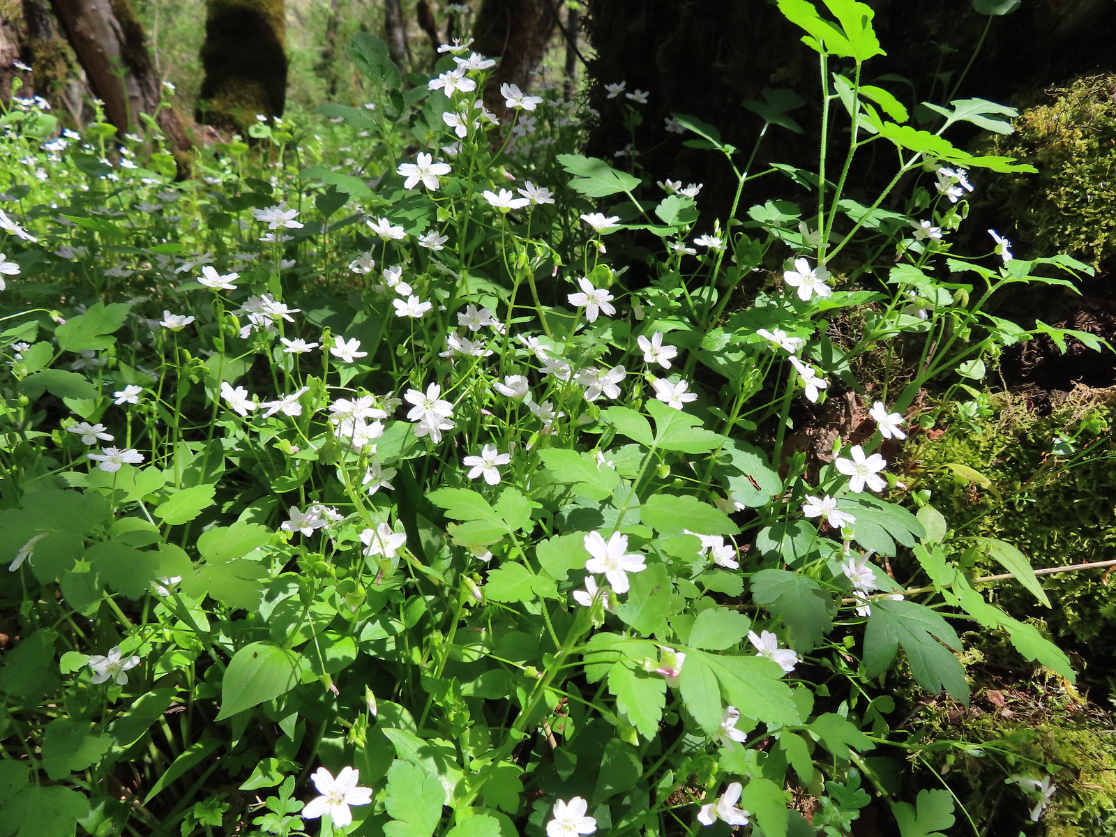 Candyflower
 Waters Creek
 A phacelia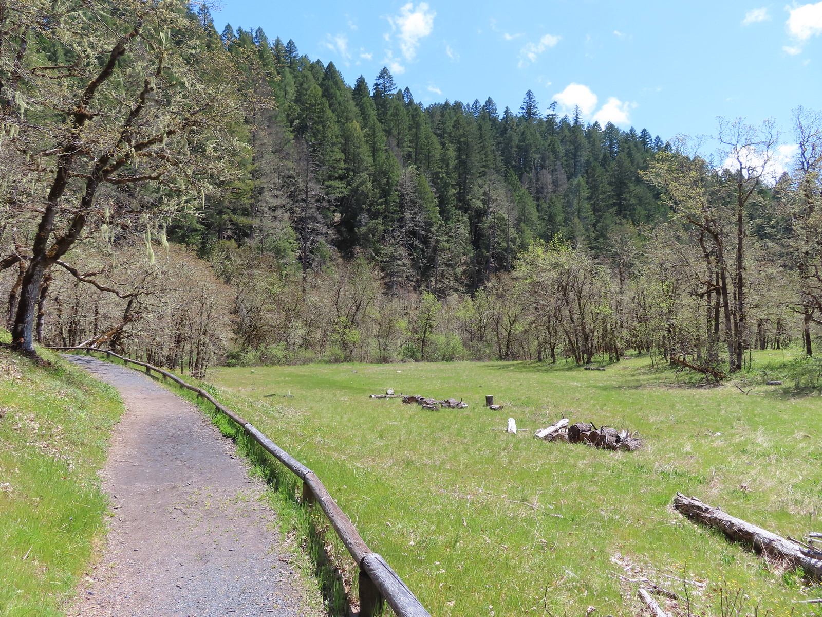
 The start/end of the loops with the bridge being our return route.
 Staying left.
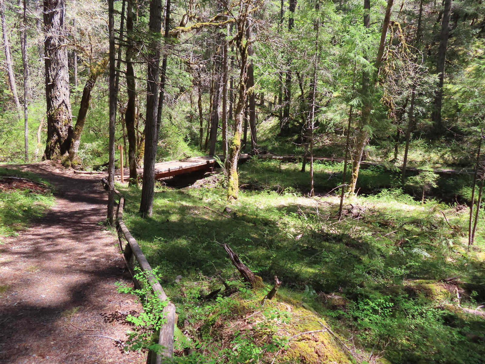 This was the barrier free loop splitting off and heading back across an unnamed creek.
 Sign announcing the hiker only extended loop.
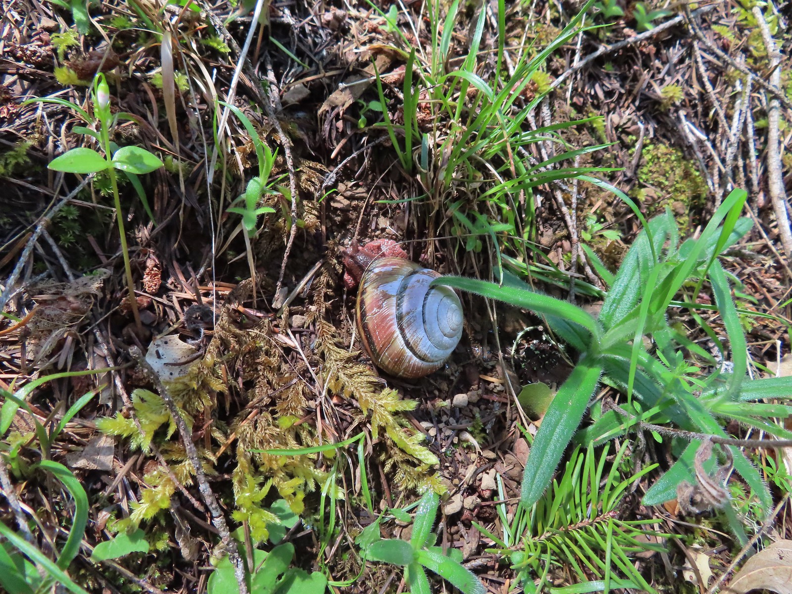 Snail
Snail The first vanilla leaf we’ve seen blooming this year.
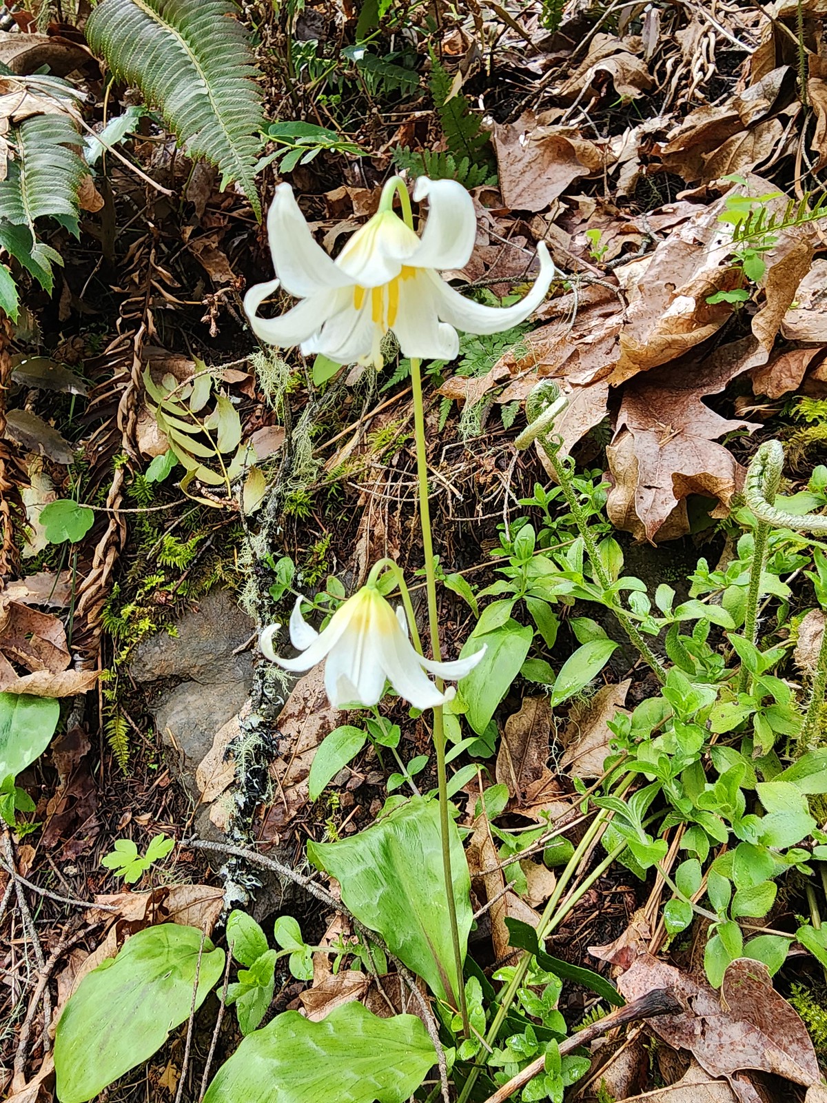 There were a bunch of fawn lilies blooming along this trail.
 One of several little footbridges across side streams.
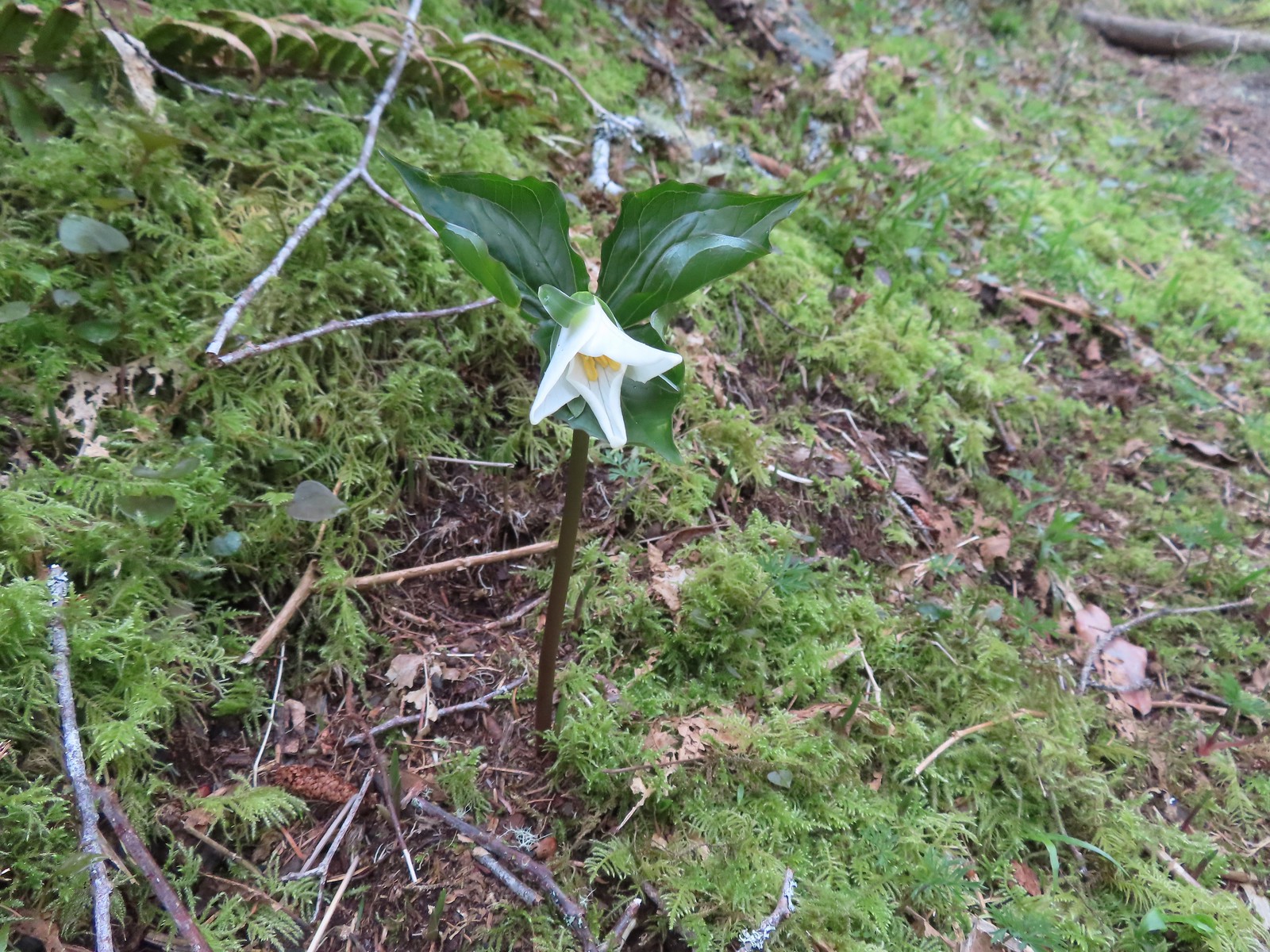
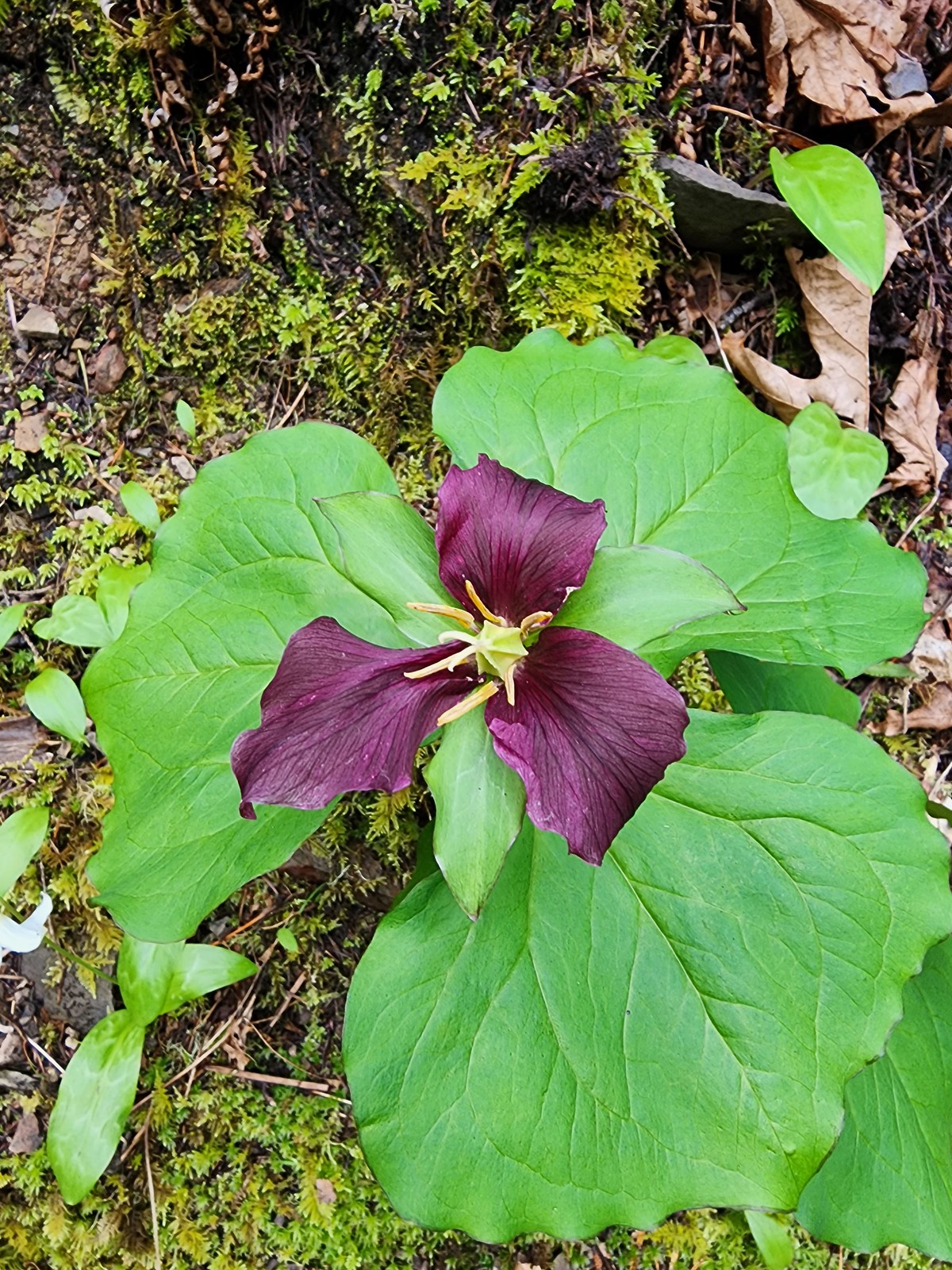 Trillium
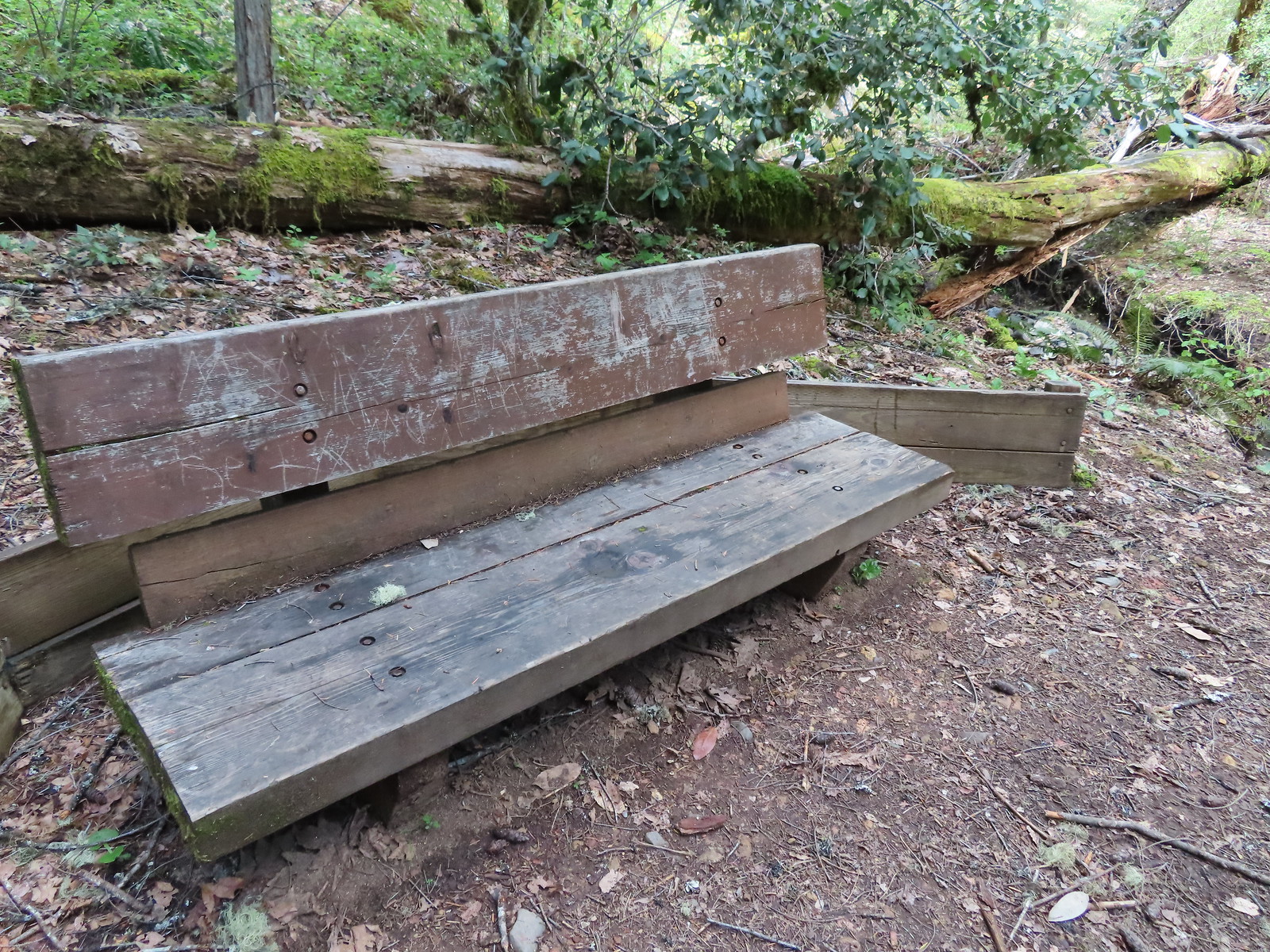 Bench where the trail turned to head back on the opposite side of the unnamed creek.
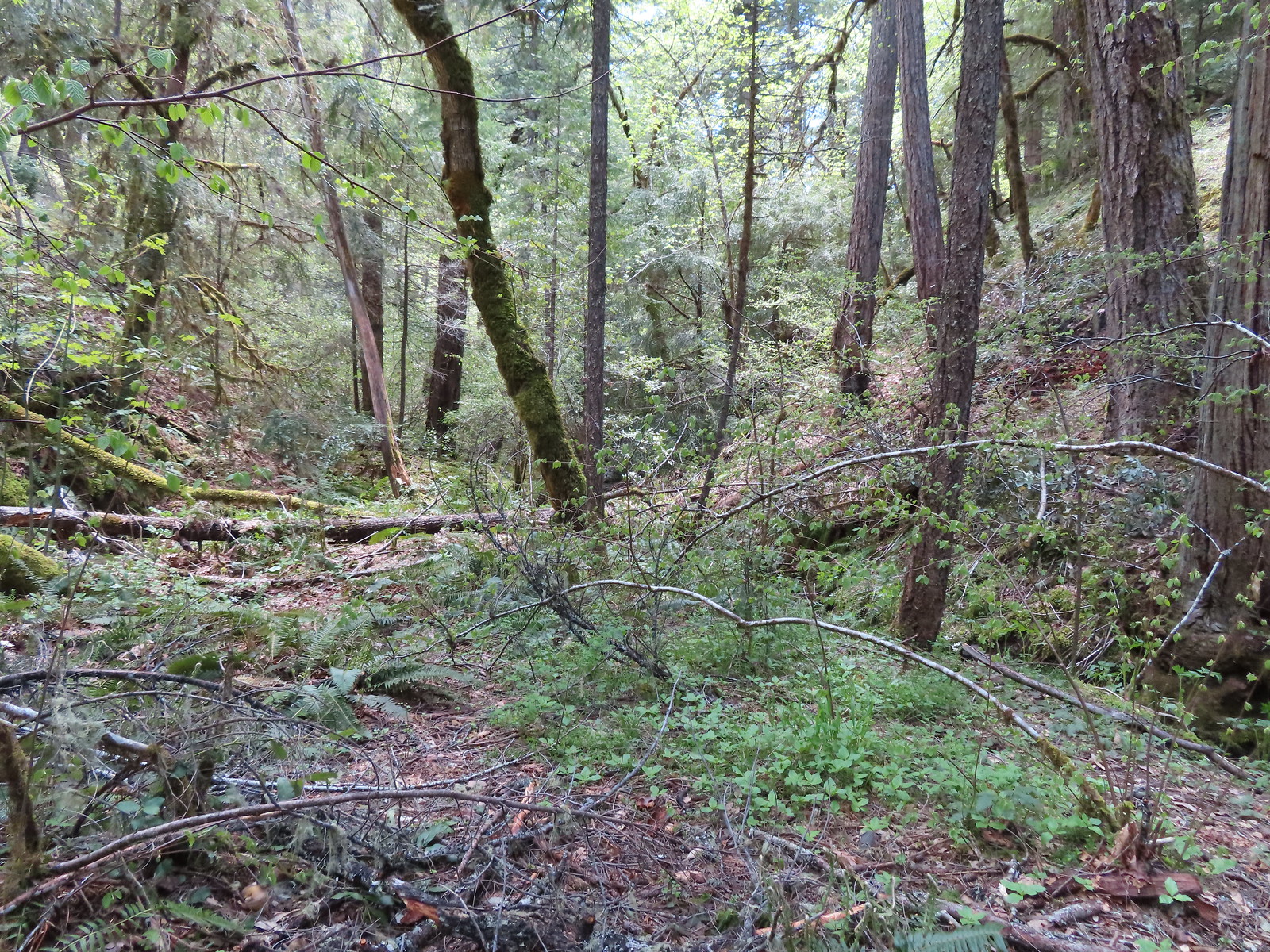 The view from the bench.
 Houndstongue
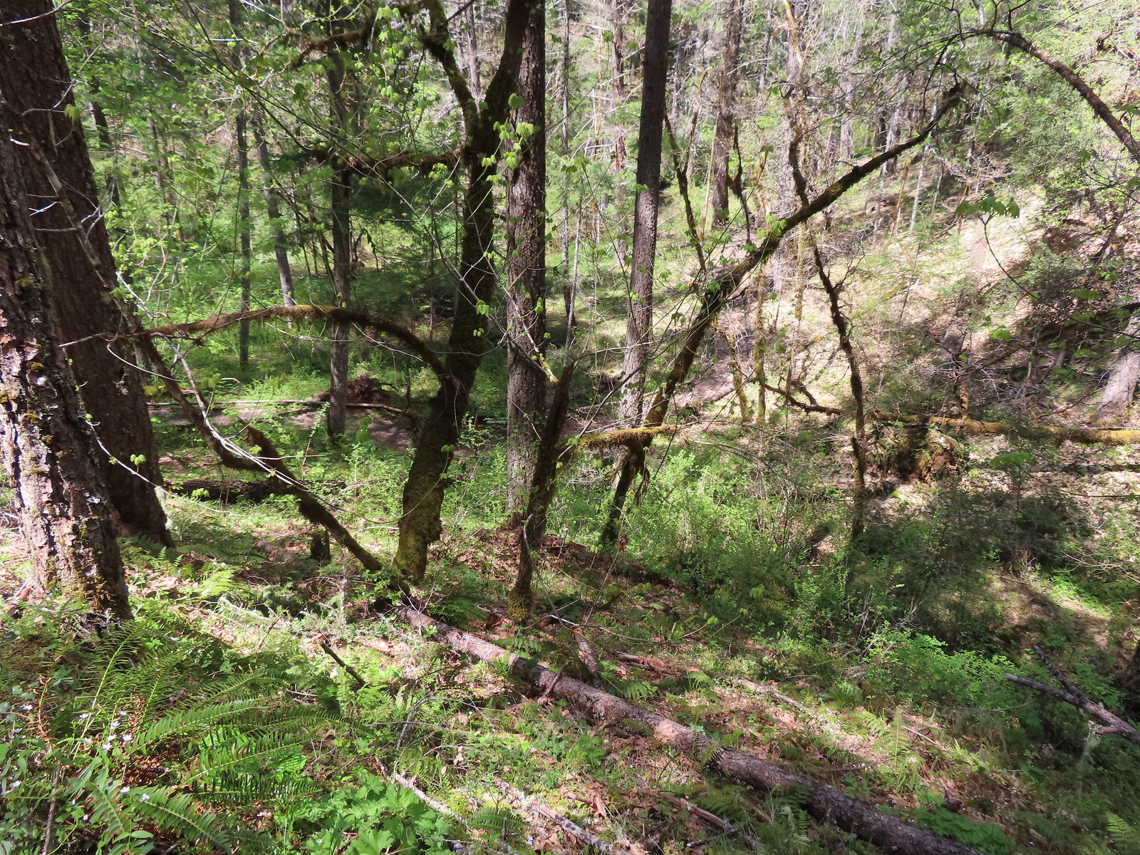 The barrier free trail below in the trees.
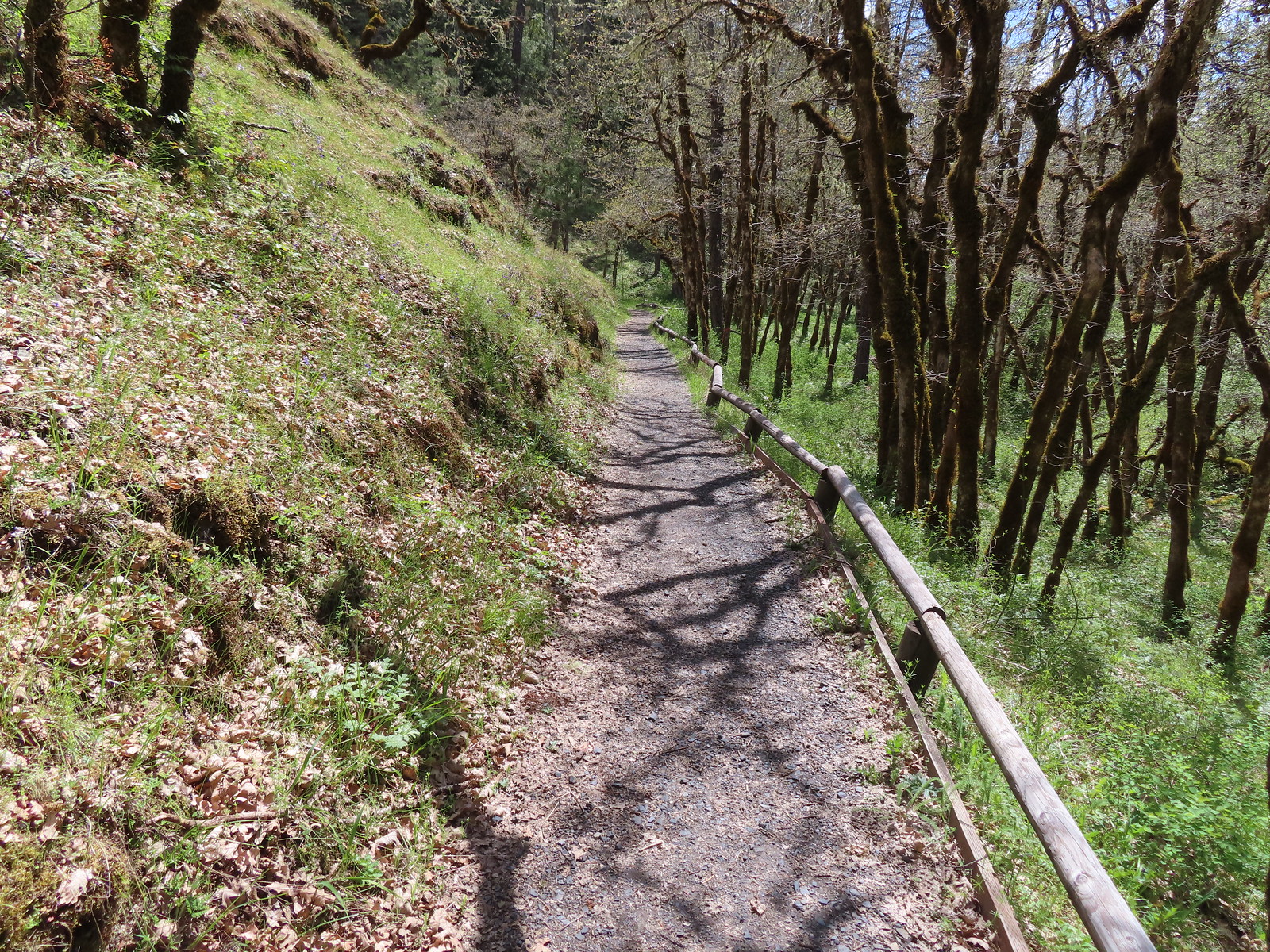 Back on the barrier free trail.
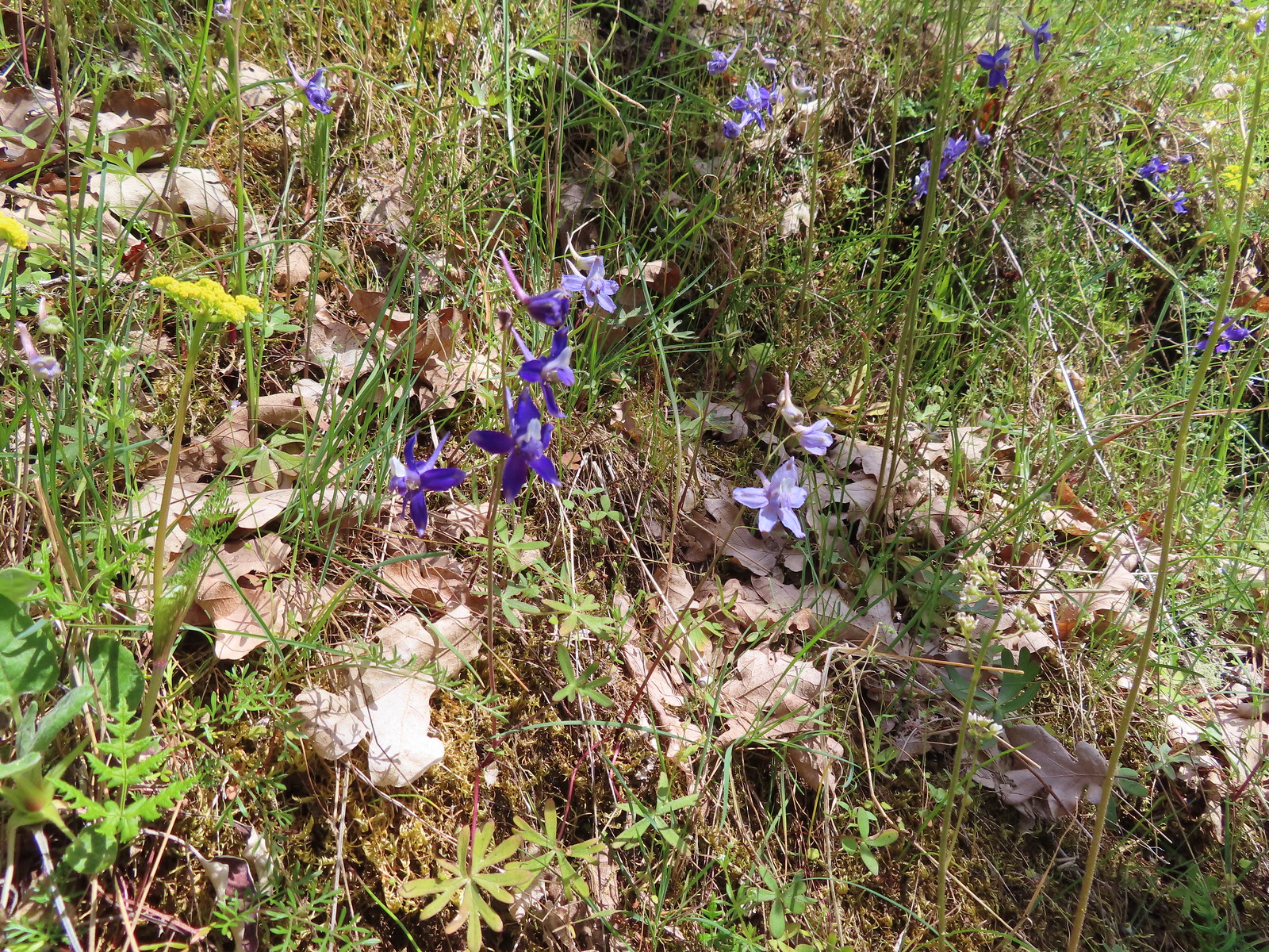 Biscuitroot and larkspur
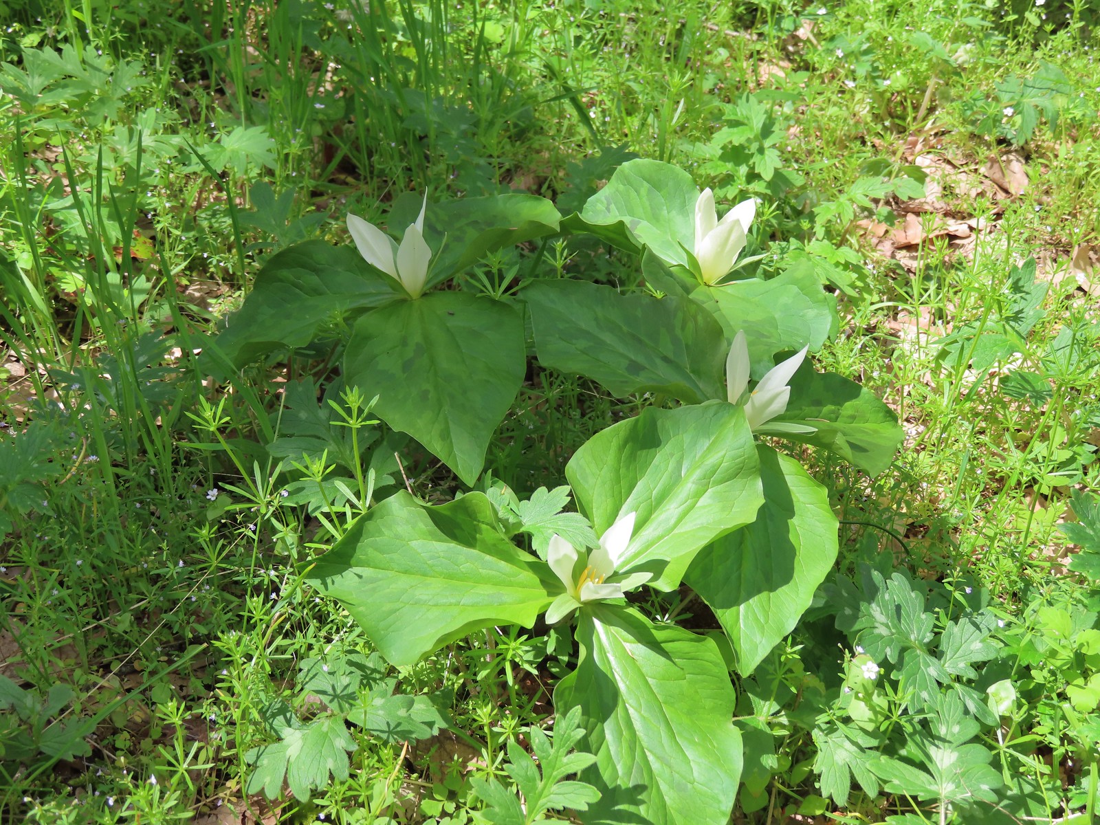 Giant white wakerobin
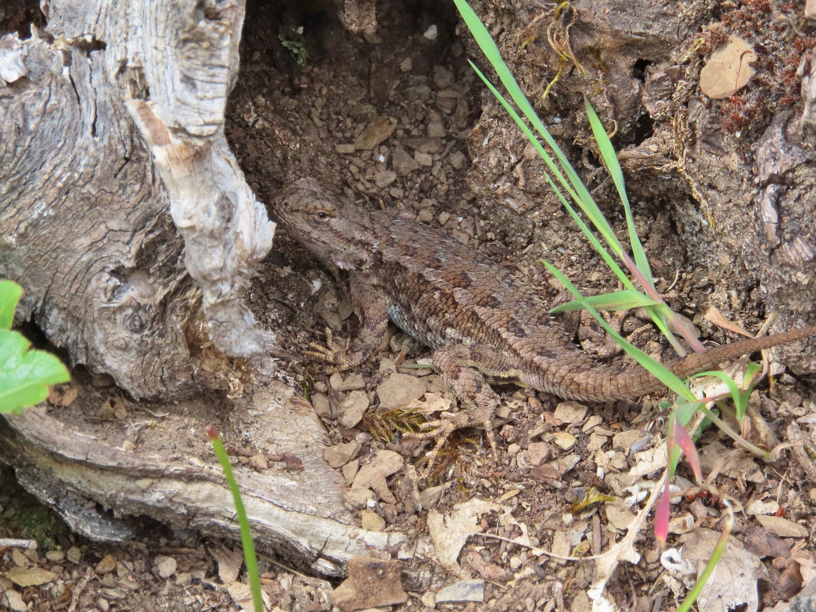
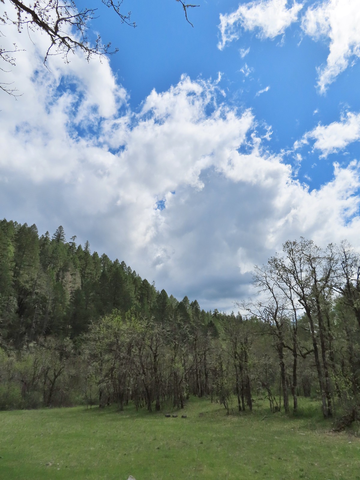 The Sun was starting to shine a bit as we passed back by the meadow which brought out some butterflies and lots of lizards.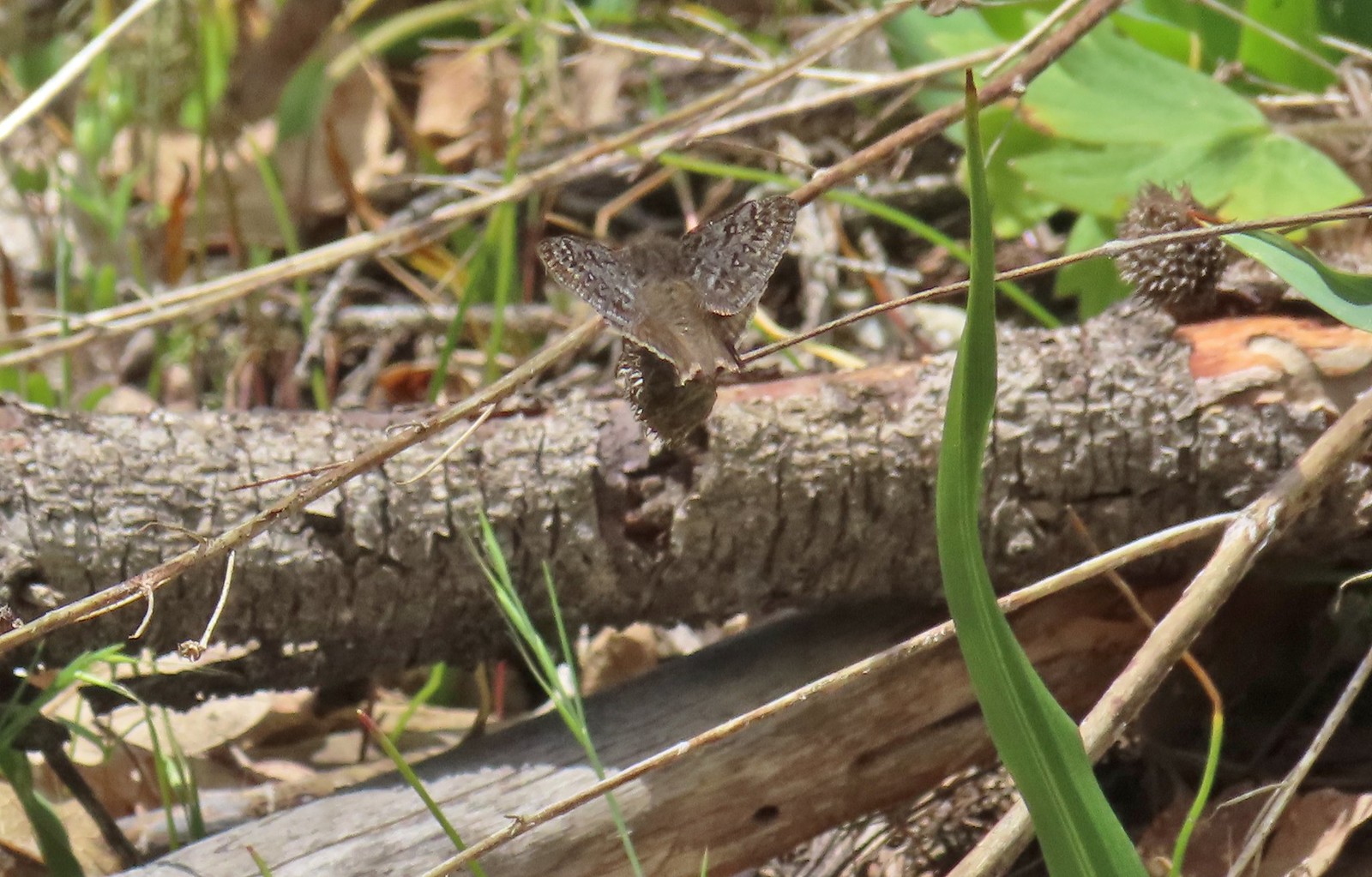


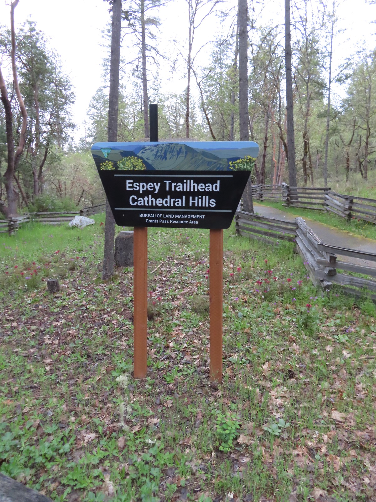
 There are a couple of the red Indian warrior behind and to the right of the trail marker.
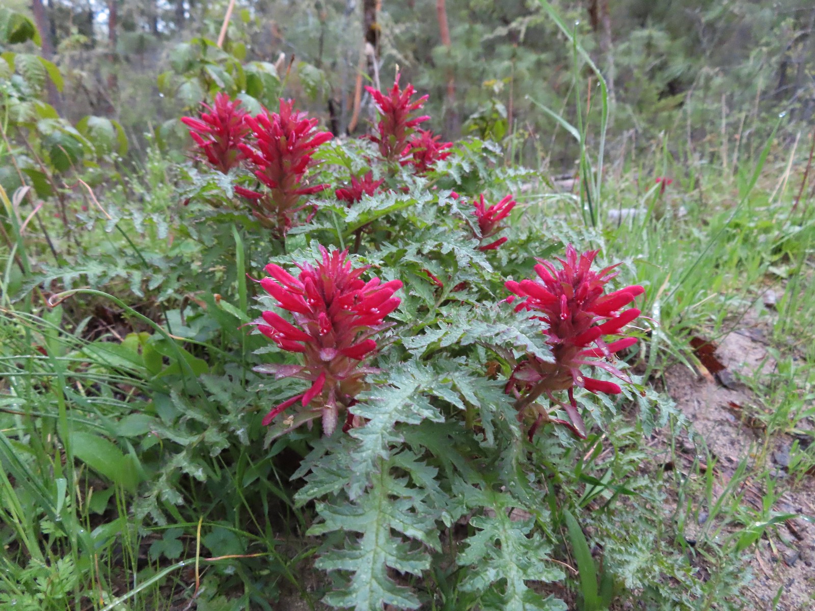 Indian warrior lousewort
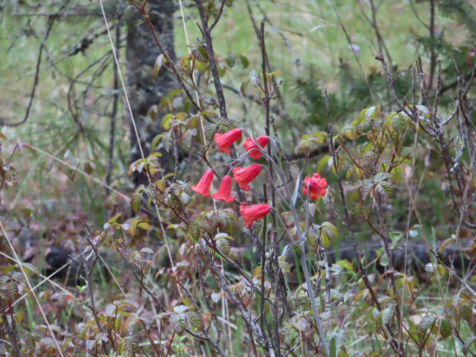 Scarlet fritillary along with poison oak. There was a lot of poison oak in the area but the trails were wide enough to keep users away from it.
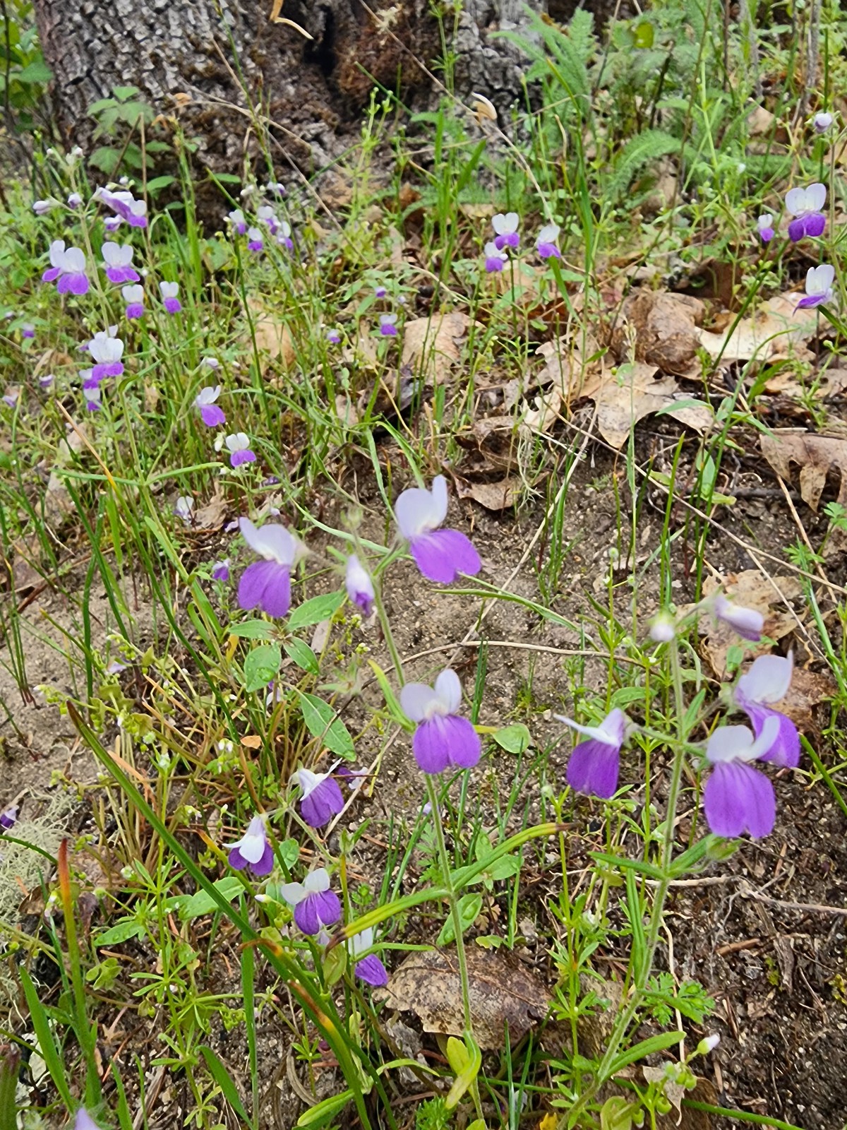 A blue-eyed Mary
 Shooting star
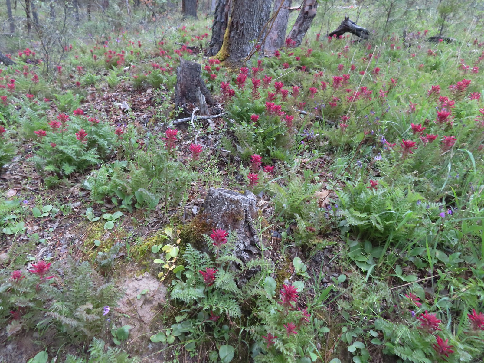 Indian warrior
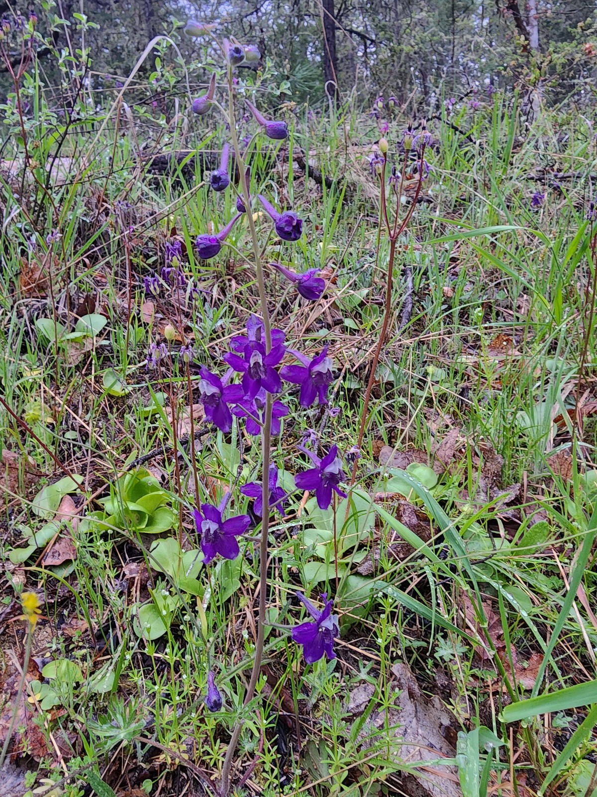 Larkspur
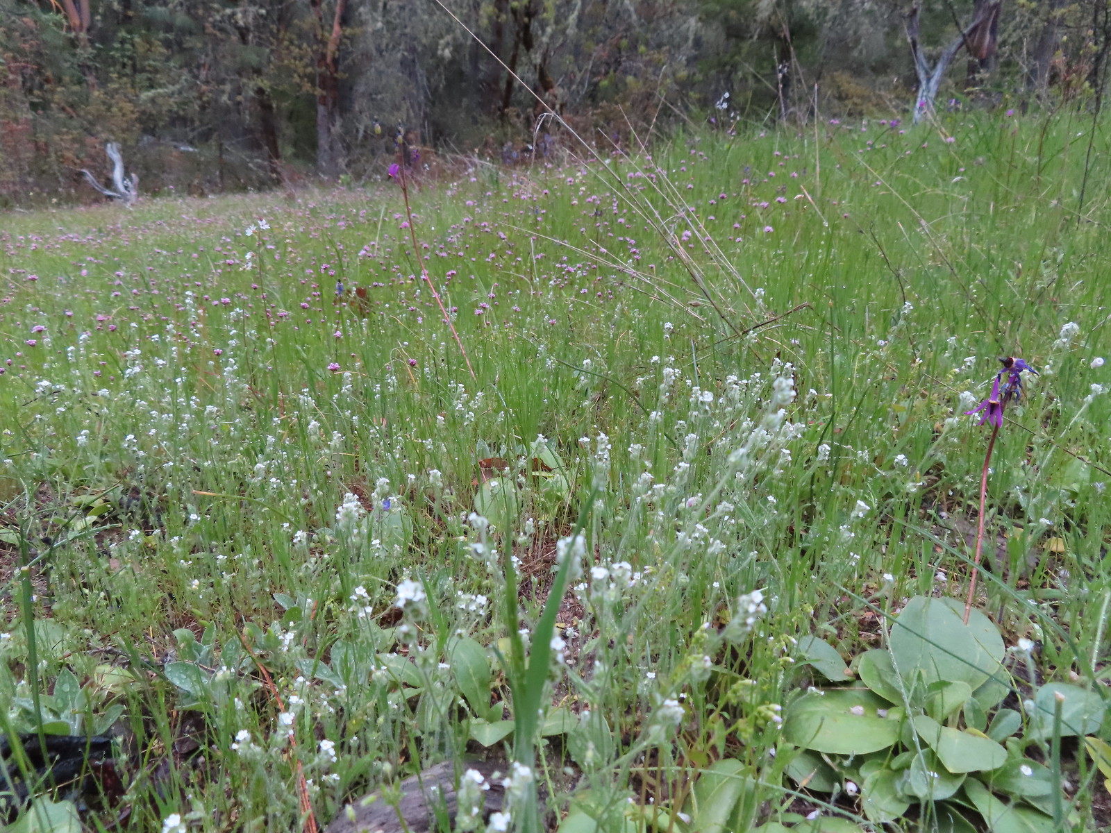 Cryptantha, shooting stars, and plectritis
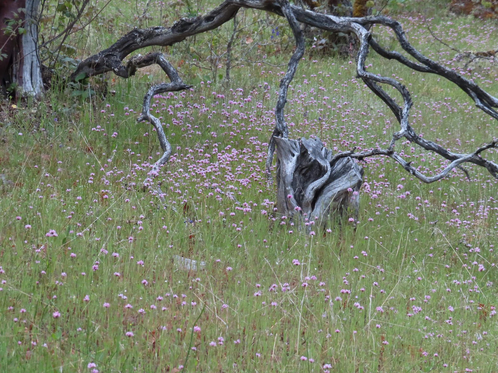 Plectritis
 Pacific houndstongue
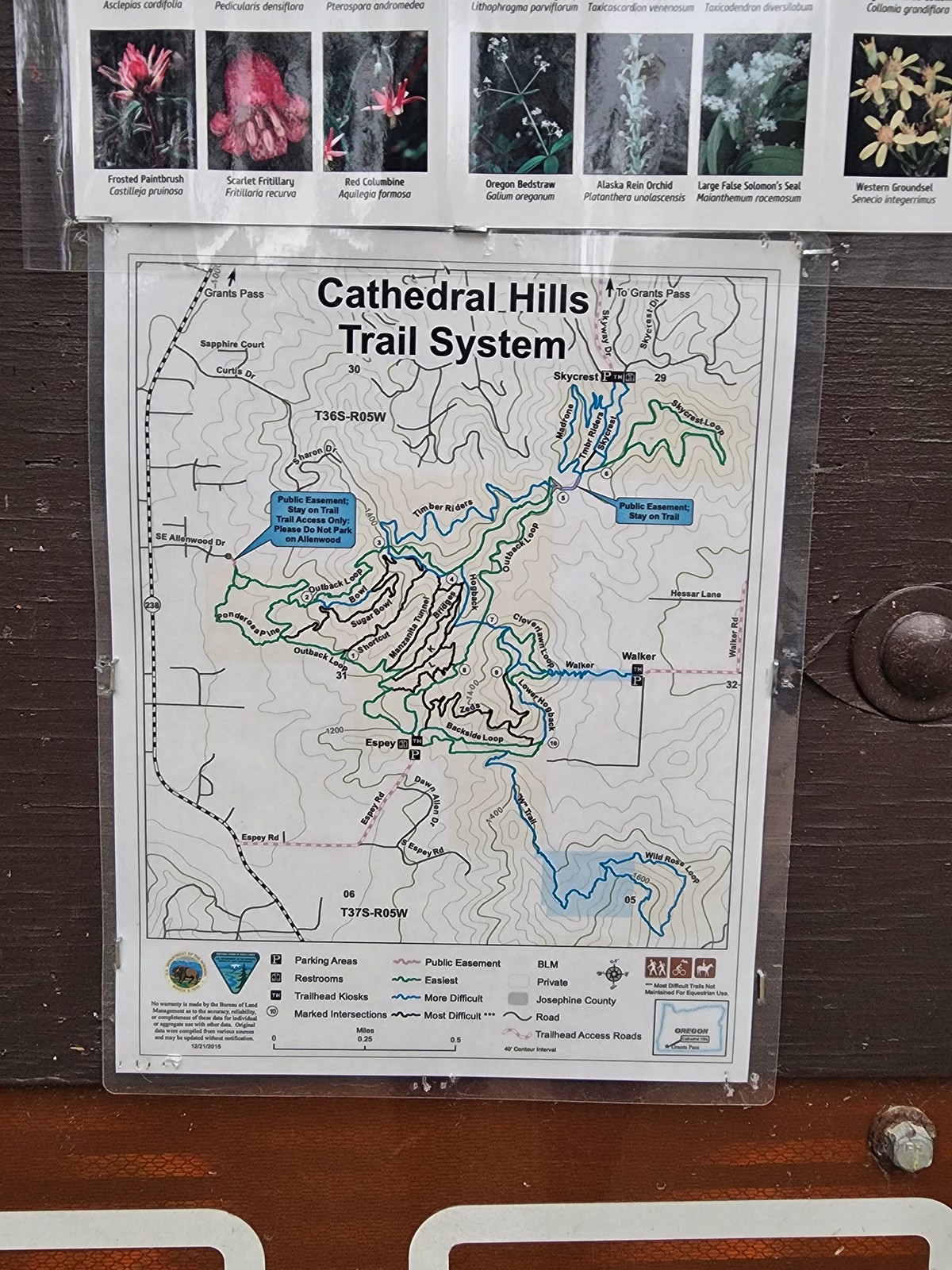
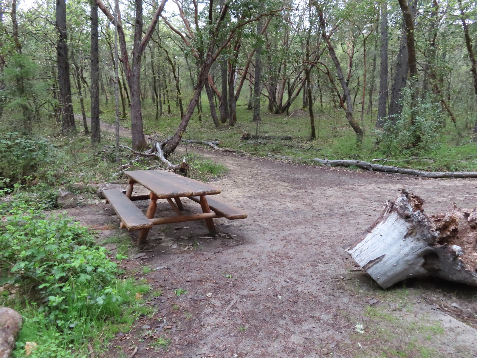 A picnic table at the junction with the Hogback Trail.
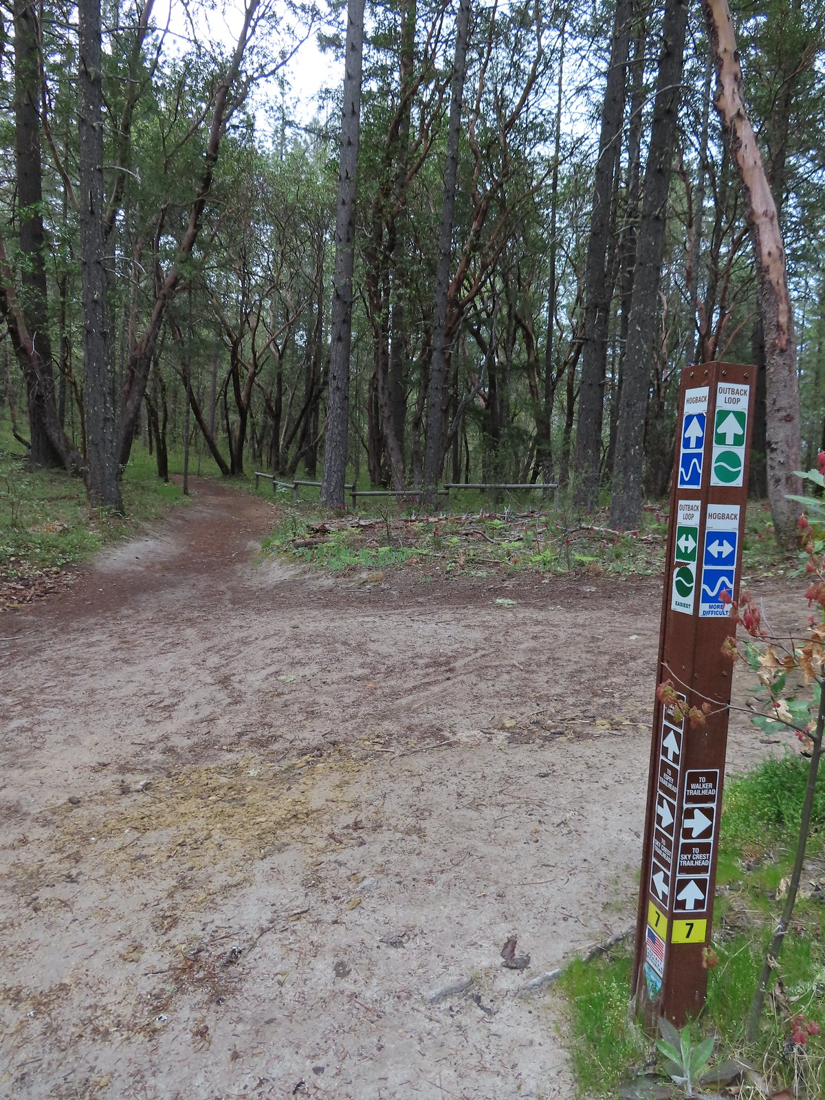 Most of the junctions had markers.
 Giant white wakerobin
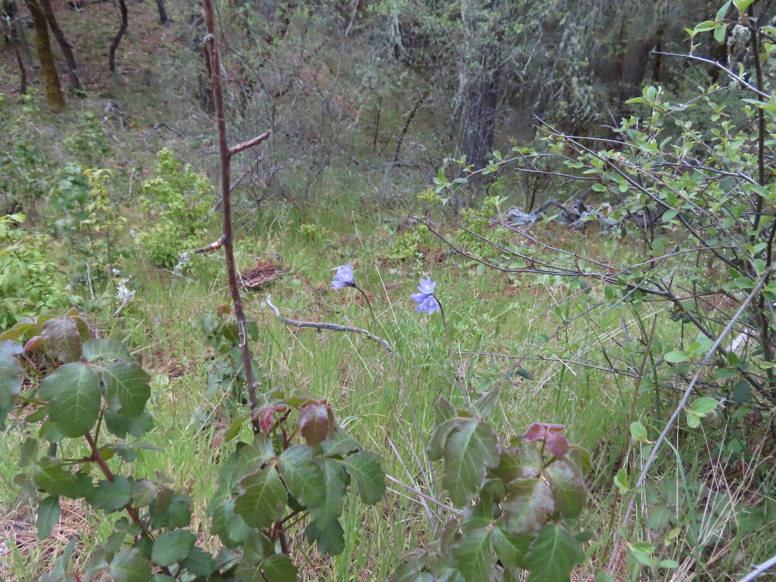 Blue dicks behind more poison oak.
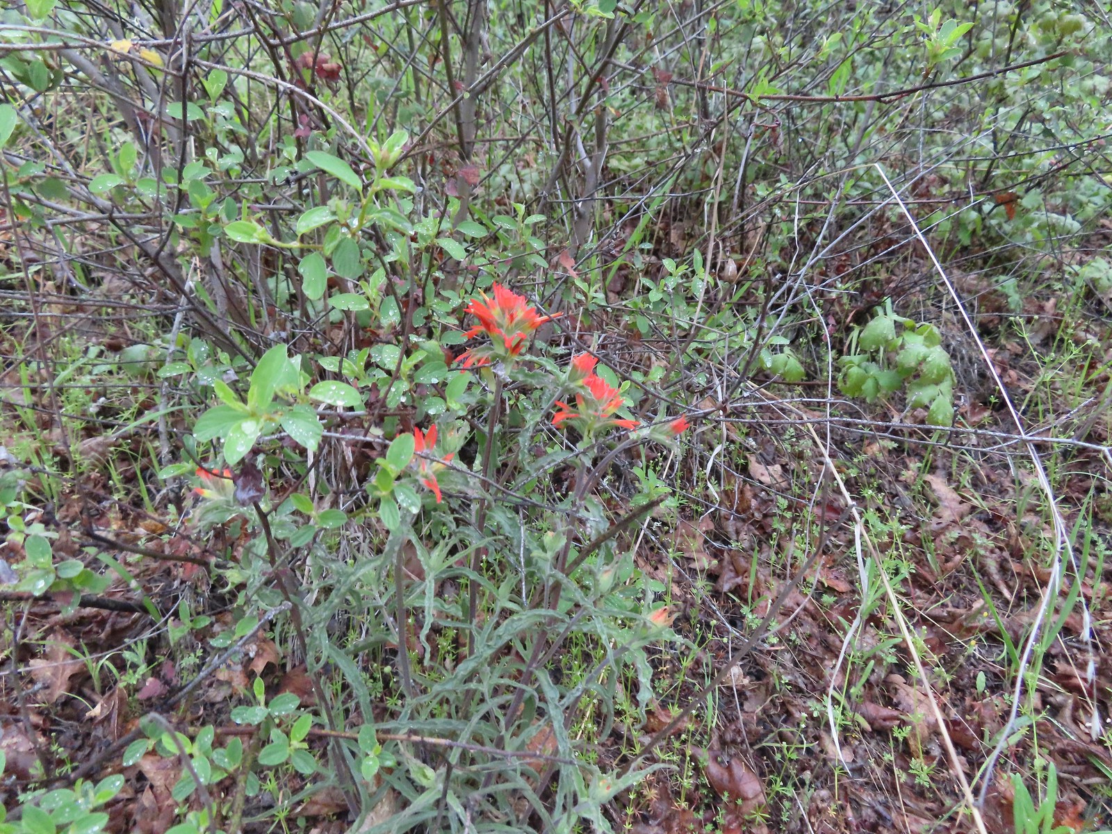 Paintbrush
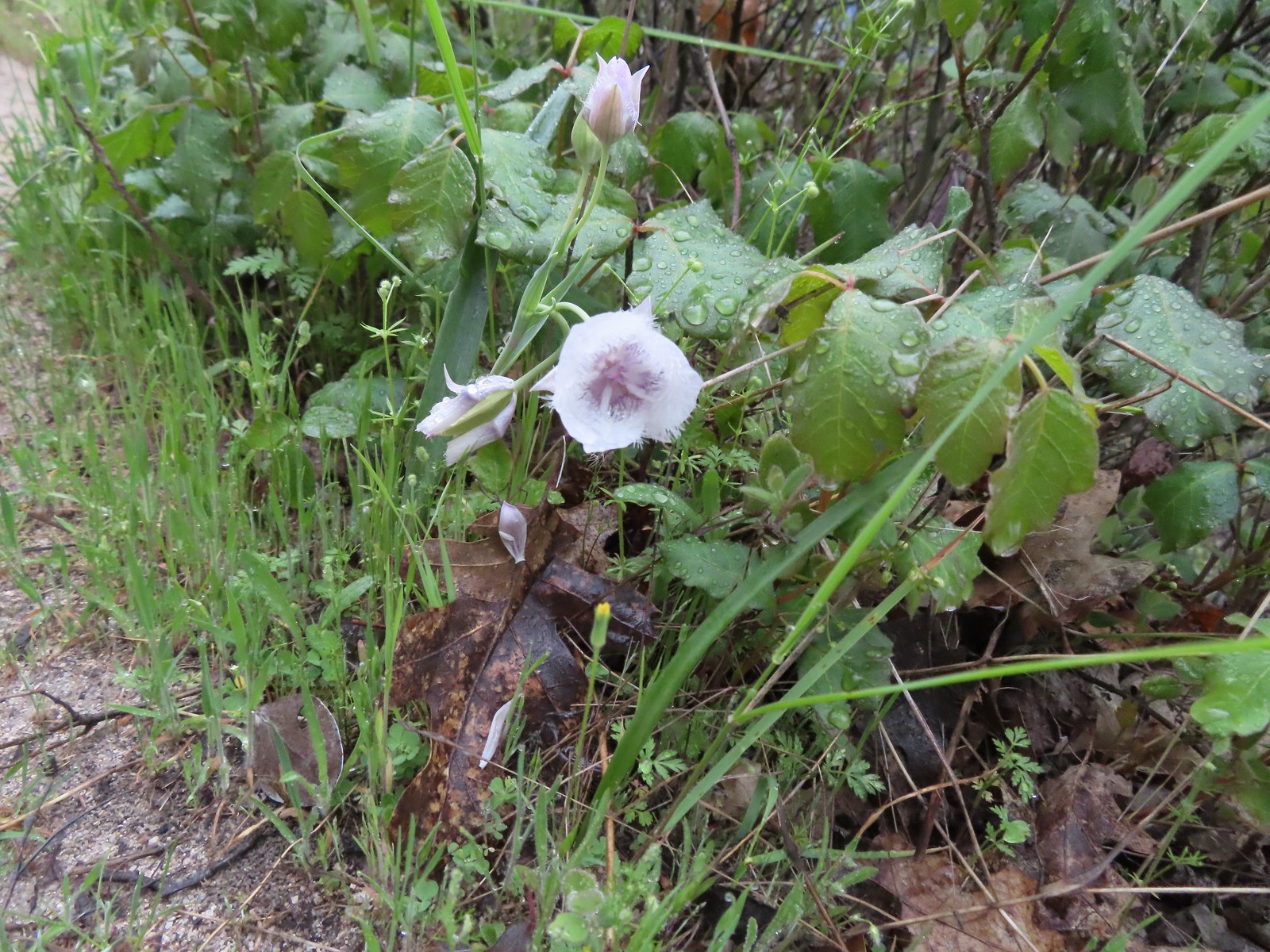 Tolmie’s mariposa lily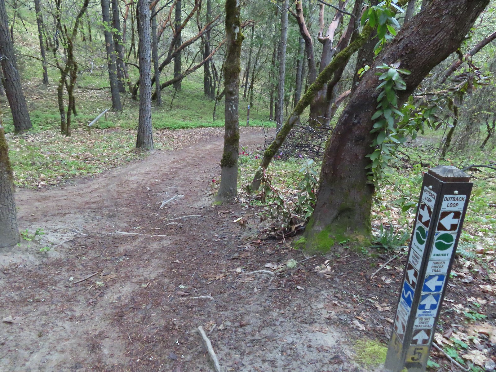

 Henderson’s fawn lily
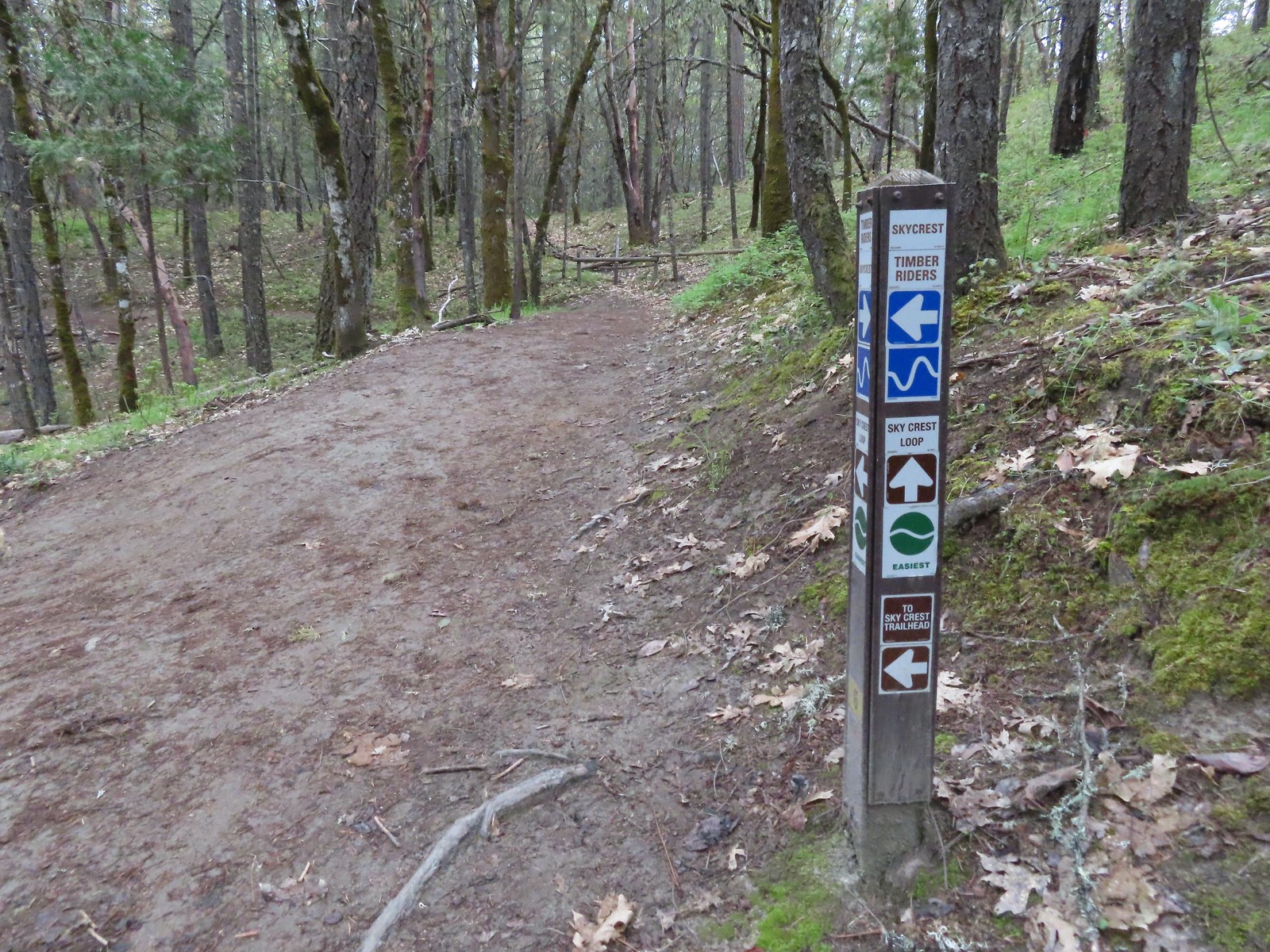 Pointer for the Skycrest Loop.
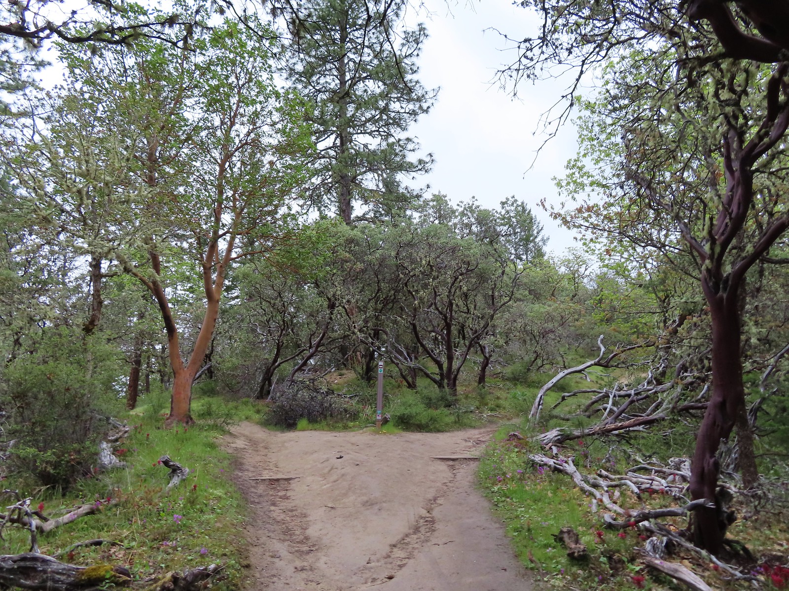 The start of the loop.
 Skullcap (possibly Danny’s)
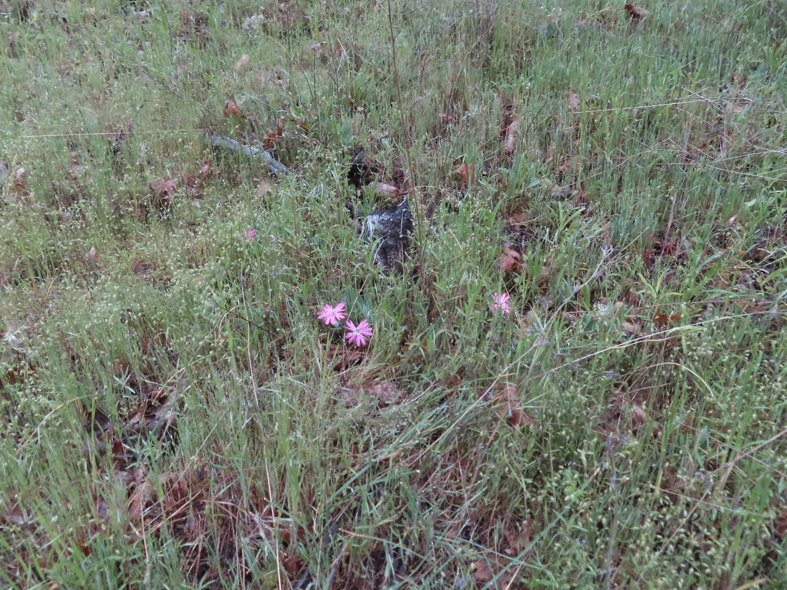 Hooker’s Indian pink
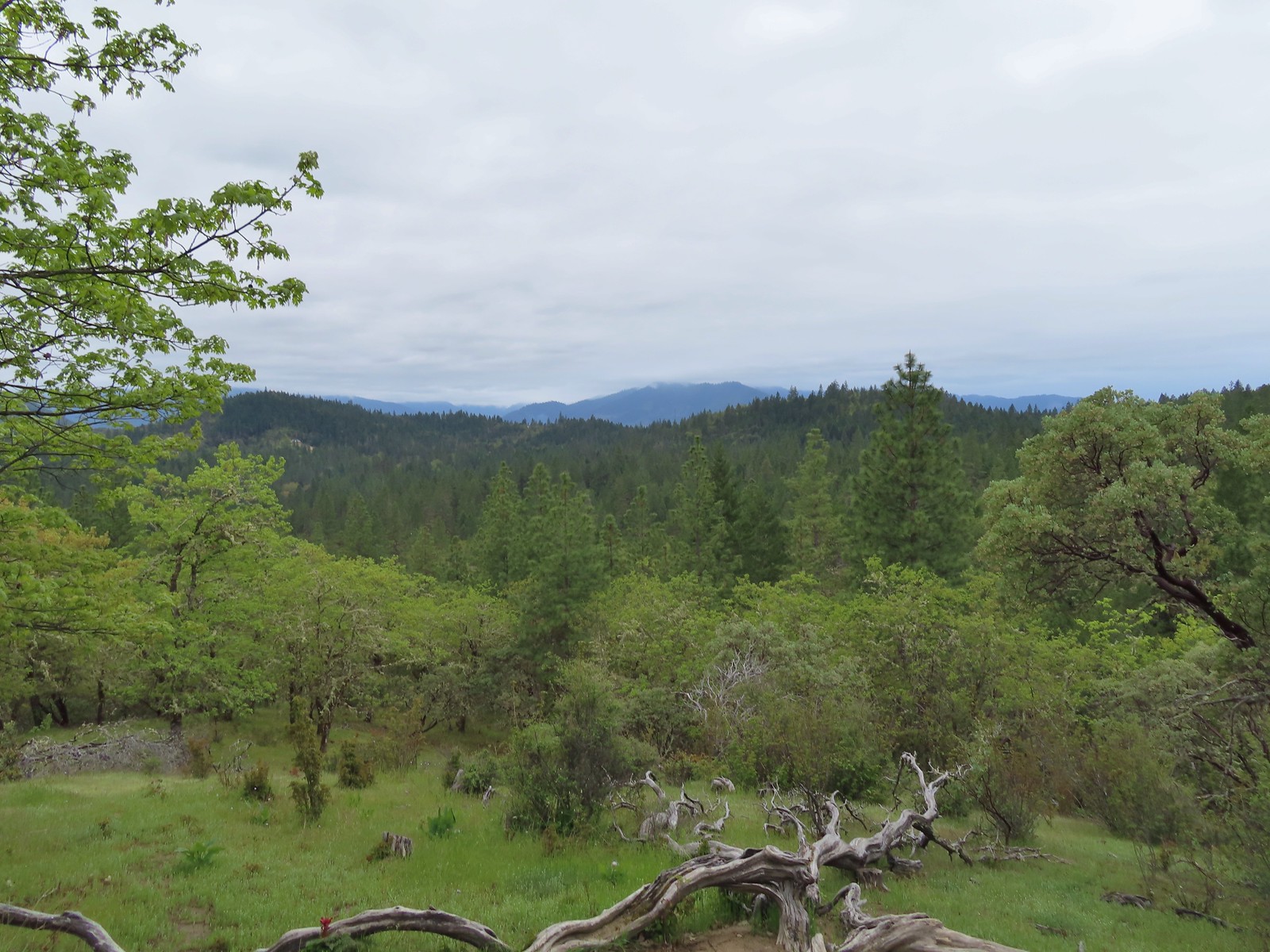 A cloudy view from the Skycrest Loop.
 Ragwort
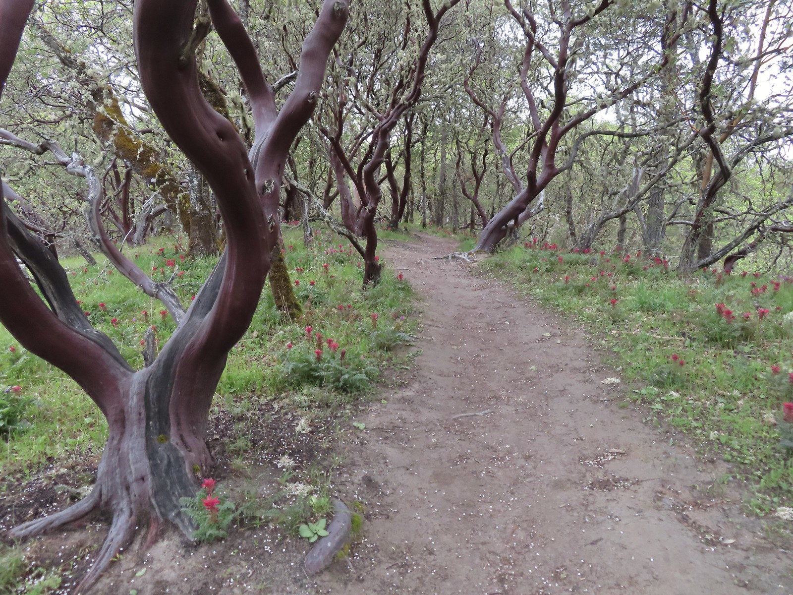 Indian warrior beneath white-leaf manzanita.
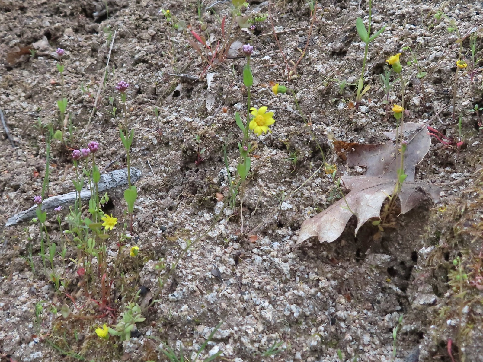 Last of the gold stars.
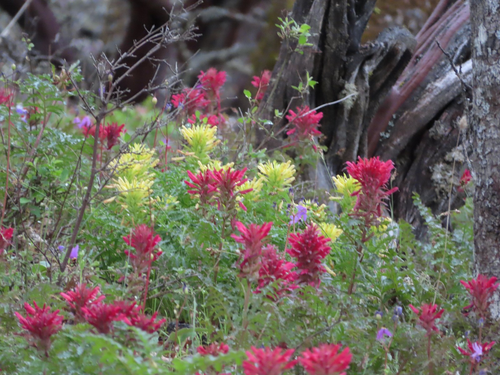 A few yellow Indian warriors.
 Even though it didn’t look familiar we both thought we’d come from the trail to the left earlier when in fact that was the continuation of the Outback Loop.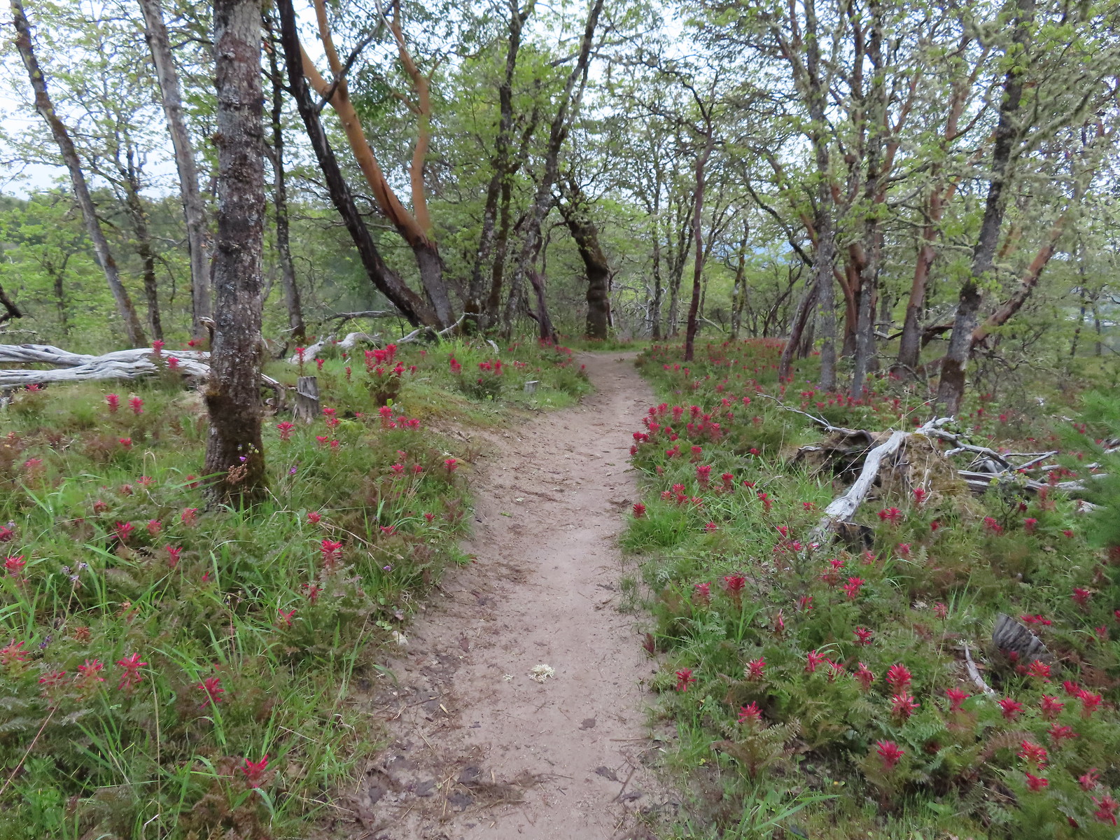
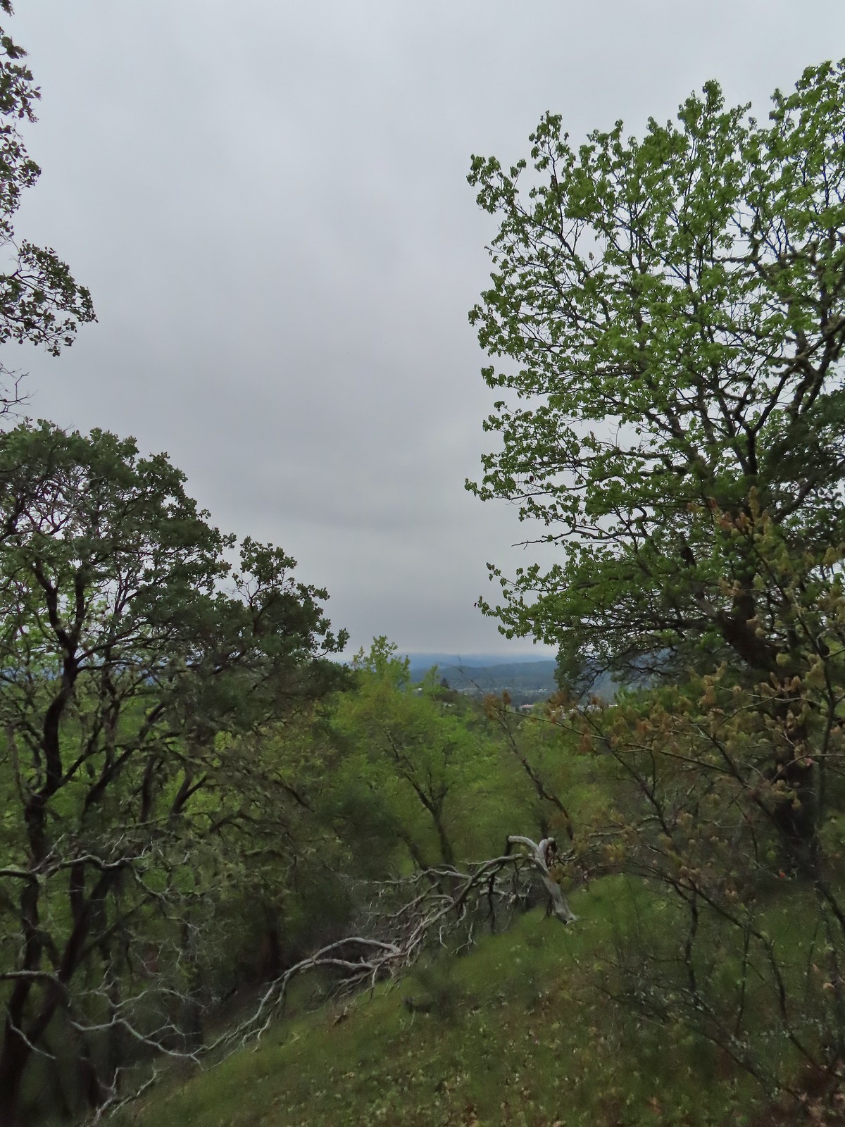 Rain clouds in the sky.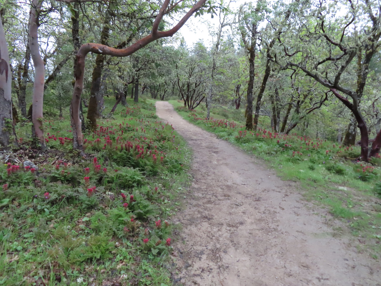
 Trail marker along the Outback Loop.
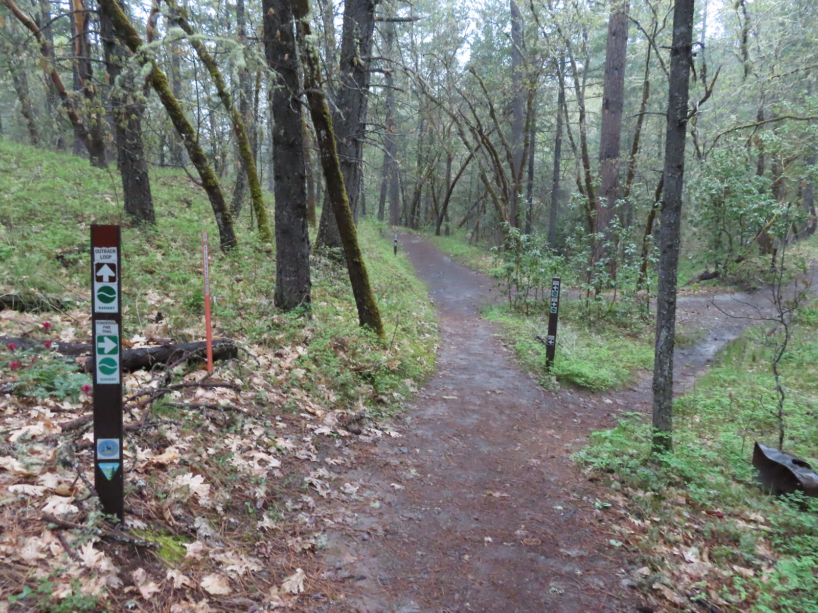 Turning onto the Ponderosa Pine Trail
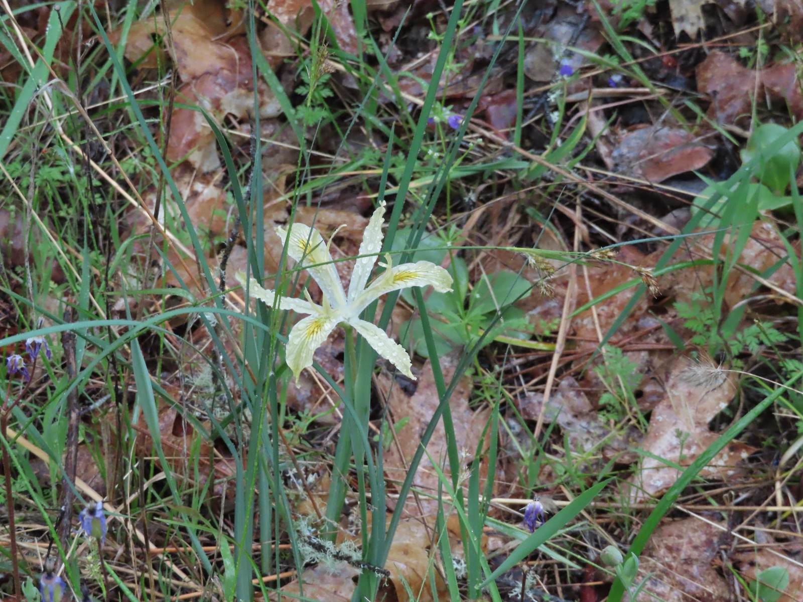 Iris
Iris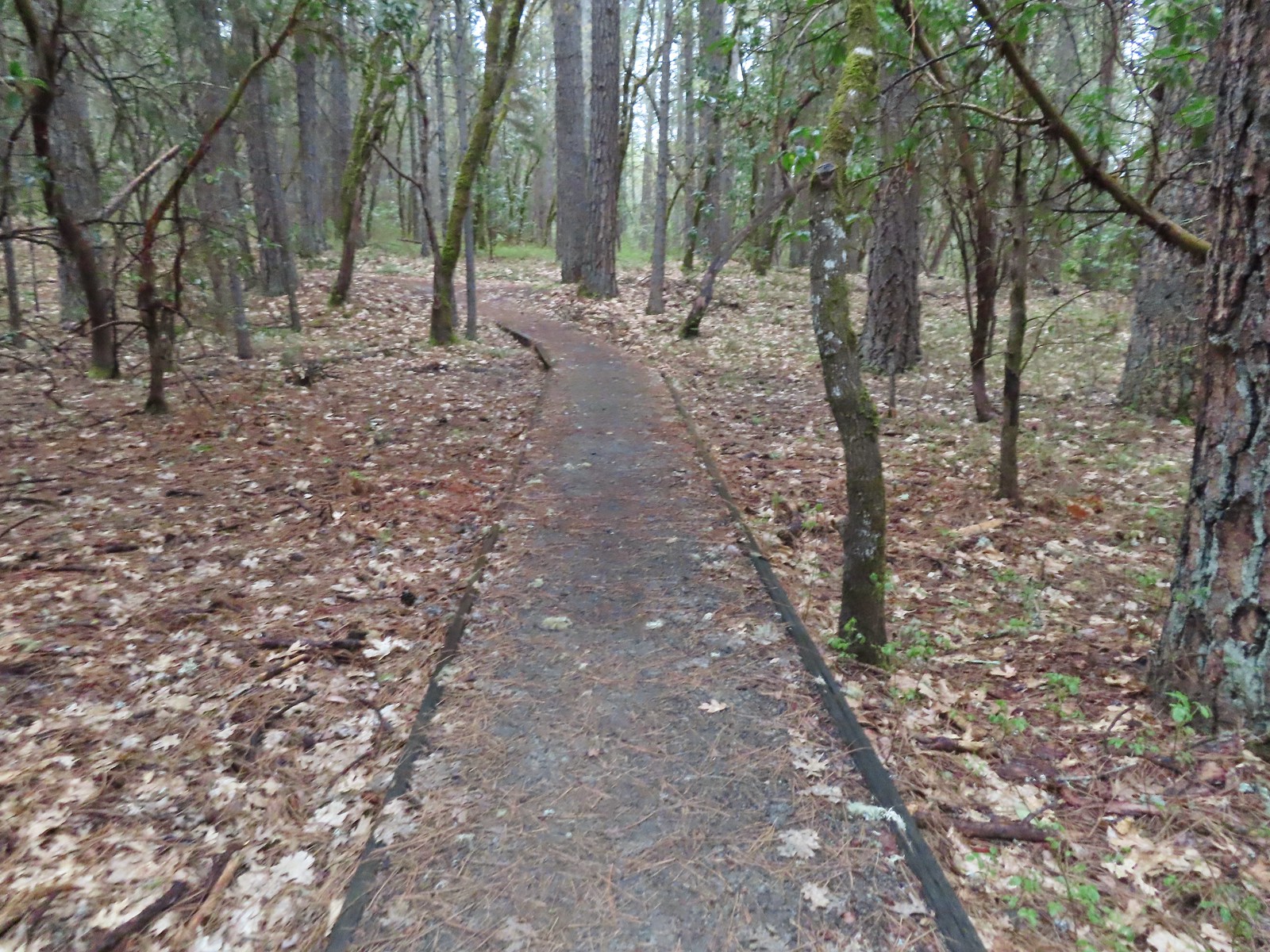 Ponderosa Pine Trail
 Back onto the Outback Loop.
 Quite a bit more water on the trail as we finished up.
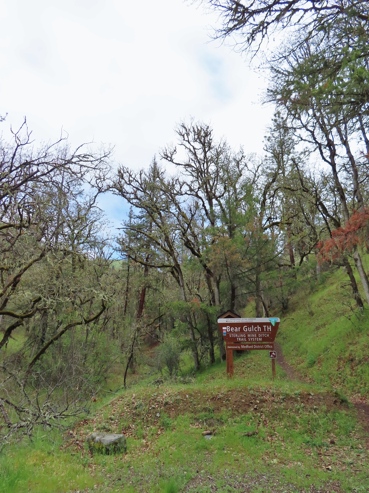
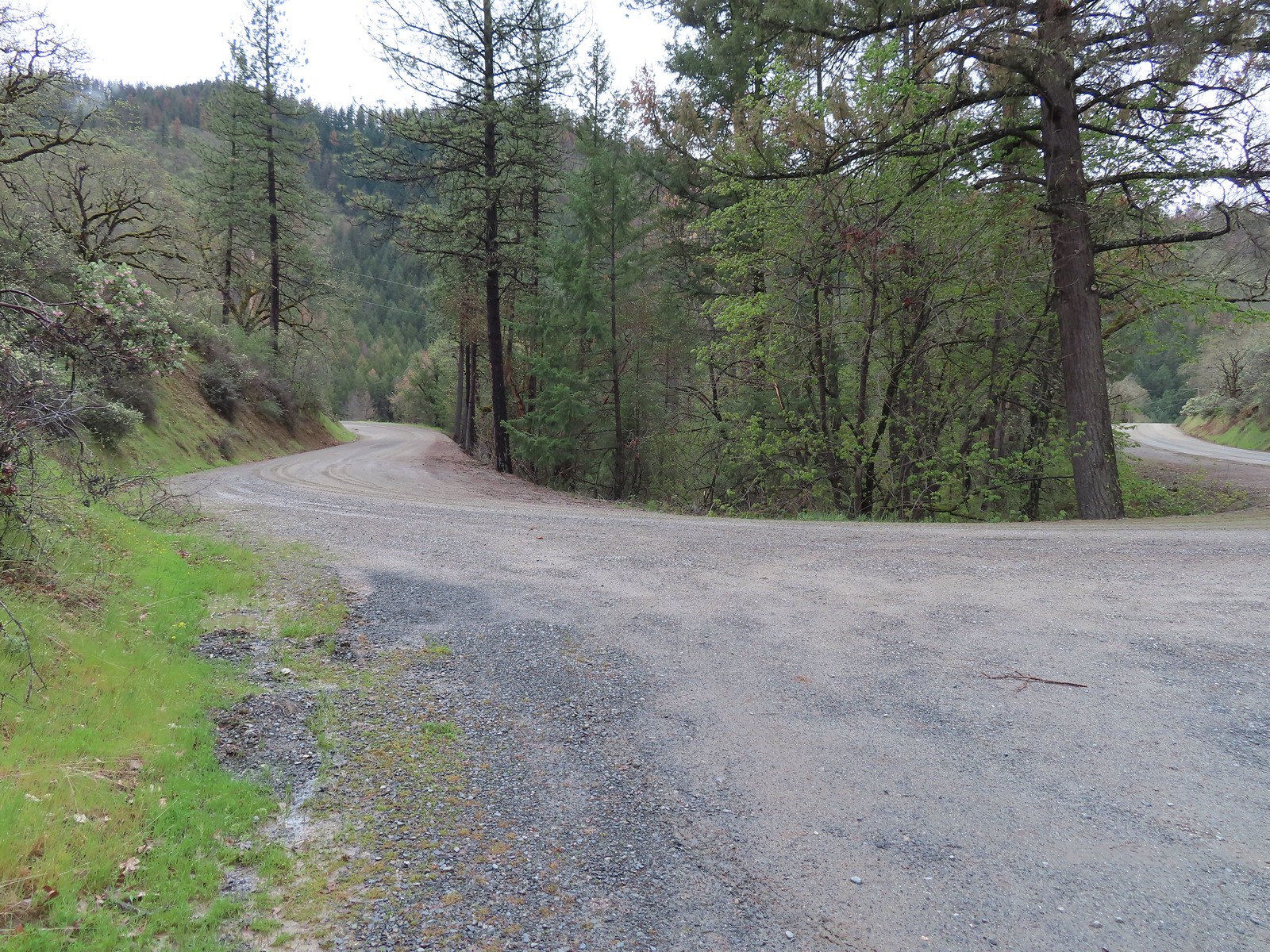 View from the Bear Gulch Trailhead of Little Applegate Road.
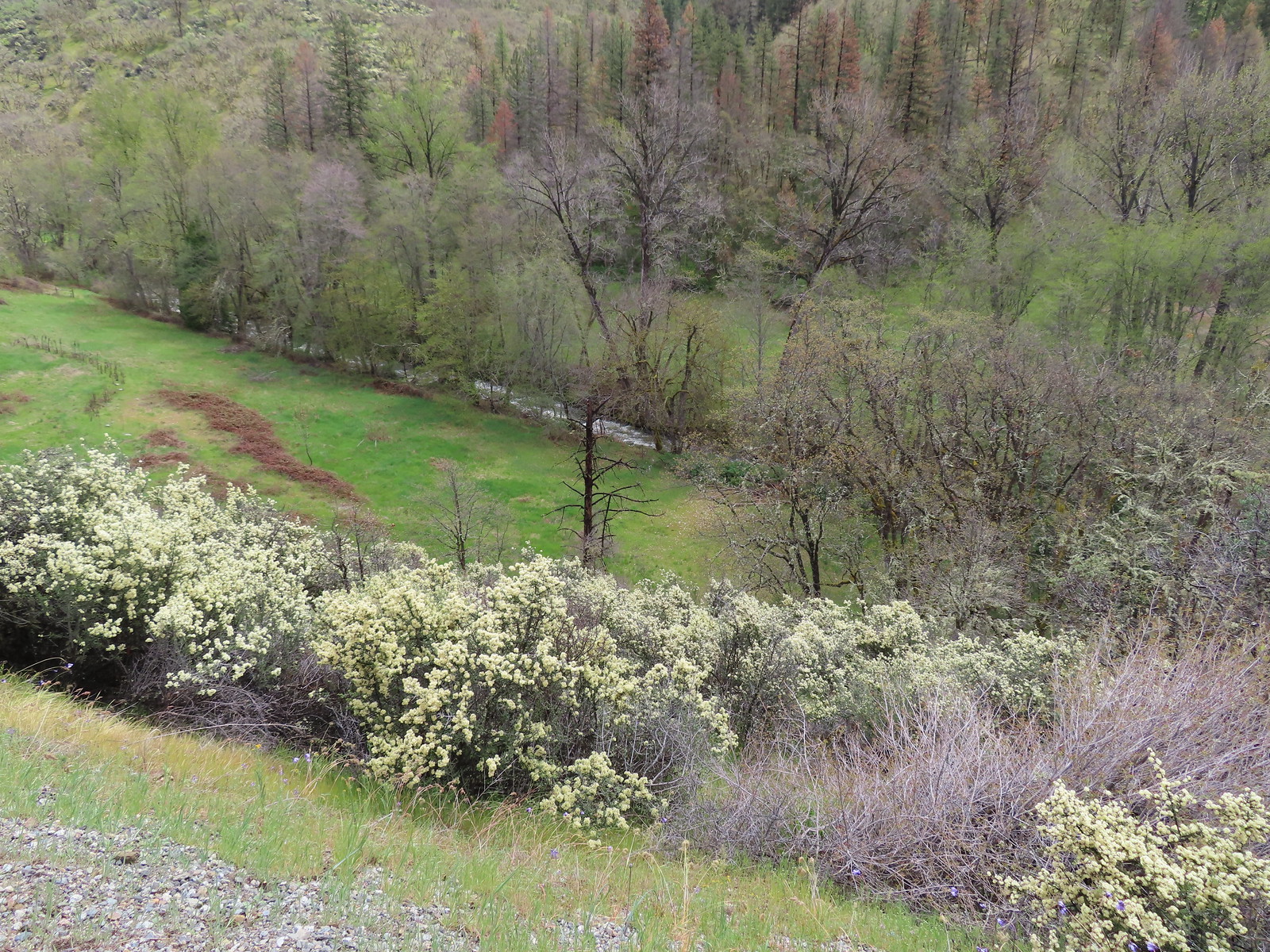 The Little Applegate River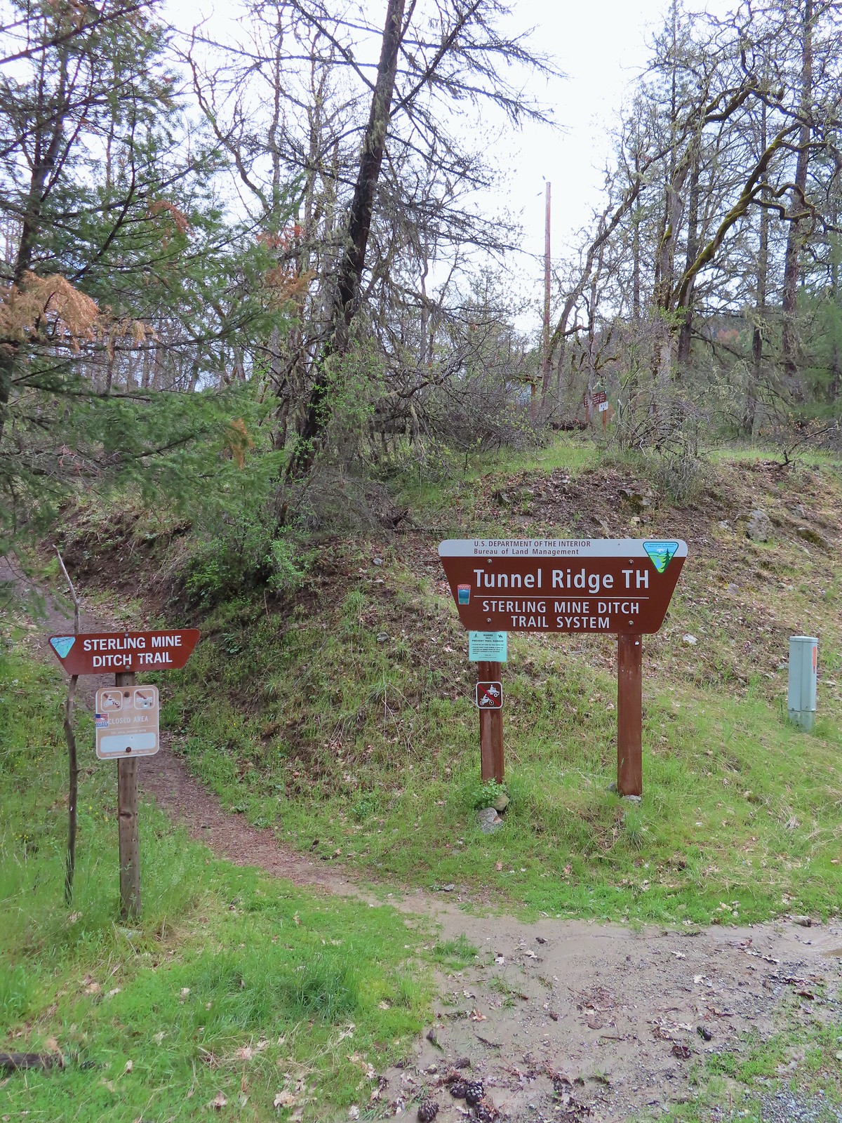
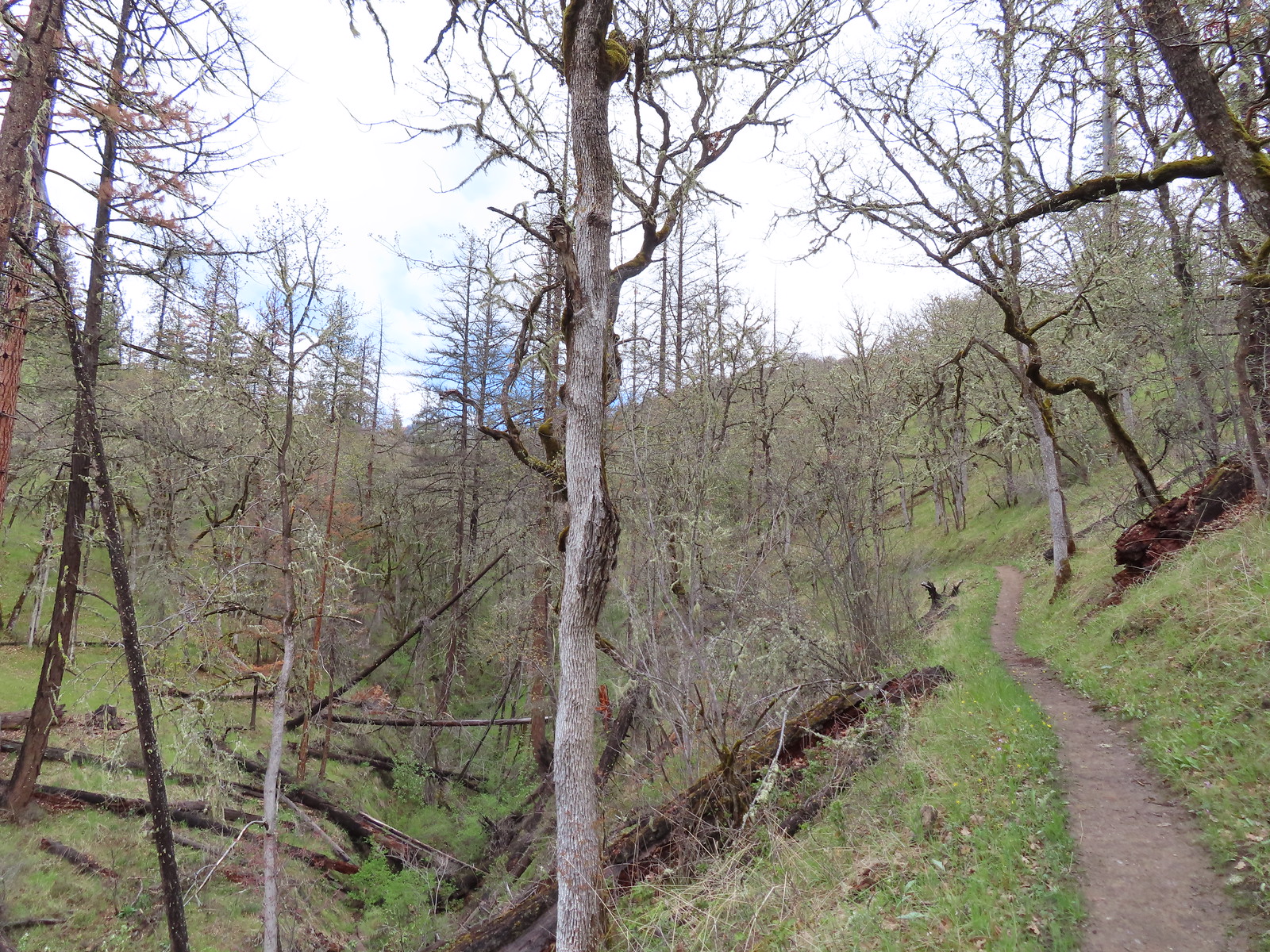
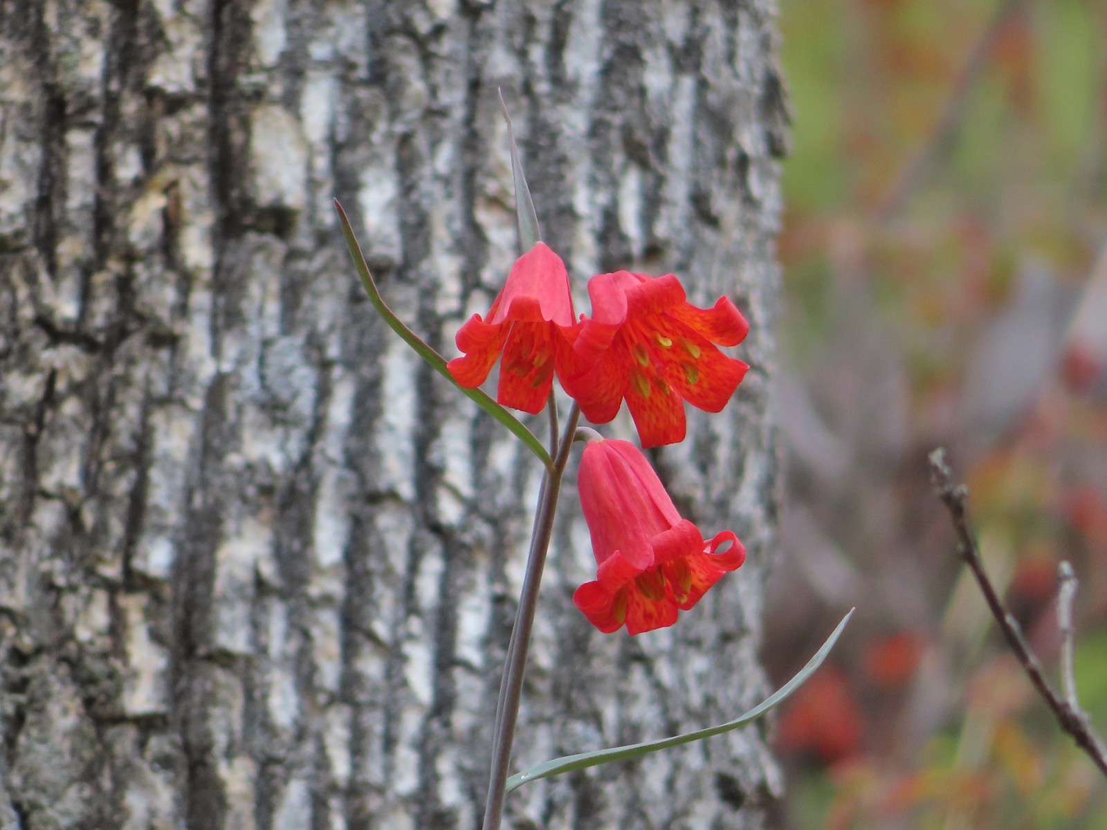 Scarlet fritillary
 Houdnstongue and a pacific waterleaf (white flower under a big leaf to the left of the houndstongue).
 A snowy Wagner Butte (
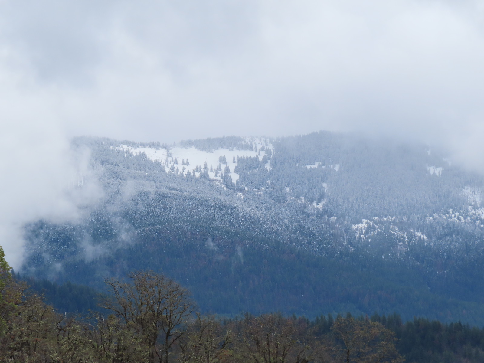 Based on the trees it looked like the thunderstorm provided some fresh snow at higher elevations.
 Couldn’t really get a good picture but this might be a bushtit.
 There were a couple of nice benches along the trails here.
 Some of the view from the bench.

 Manzanita
 Lupine
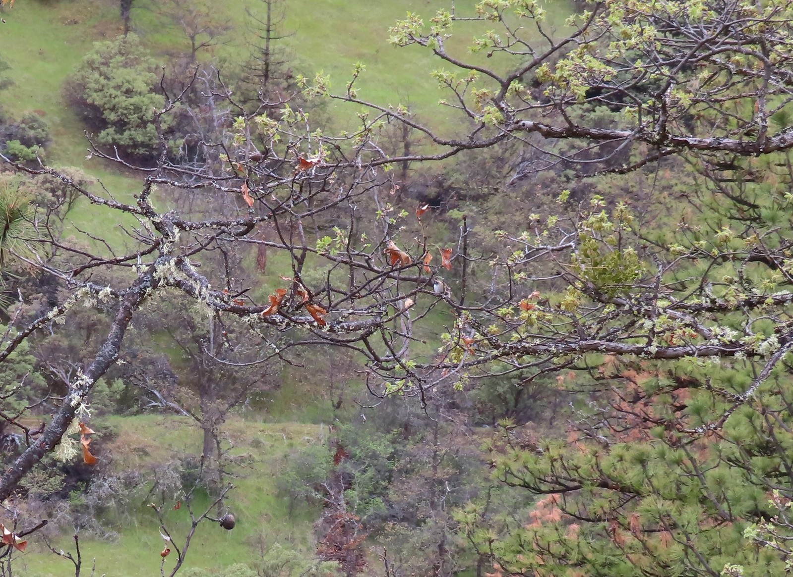 There is a hummingbird in the center on a branch.
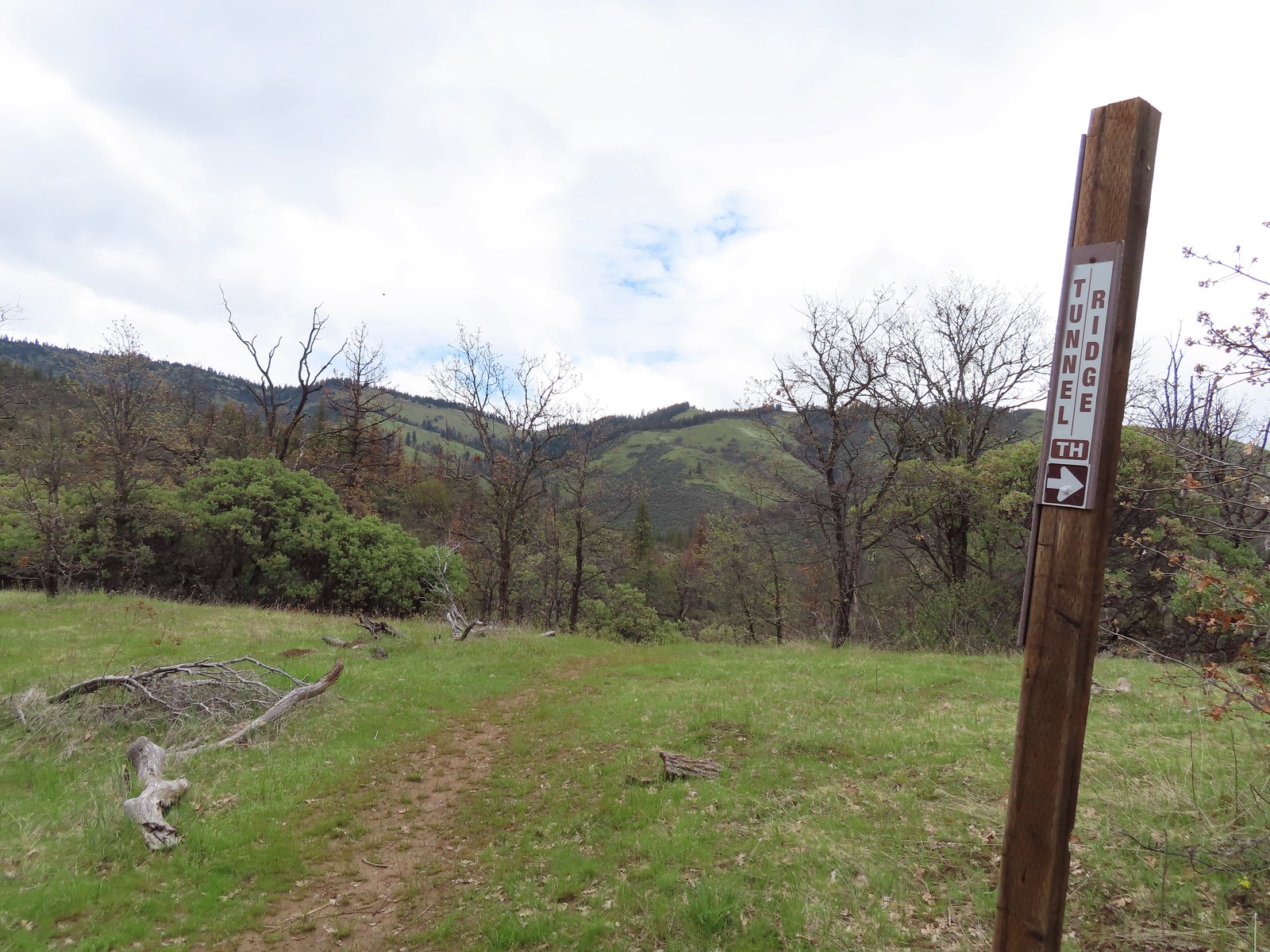 At the saddle a faint trail continued straight ahead toward the Little Applegate Trailhead. It didn’t appear to get much use.
 Trail sign at the junction.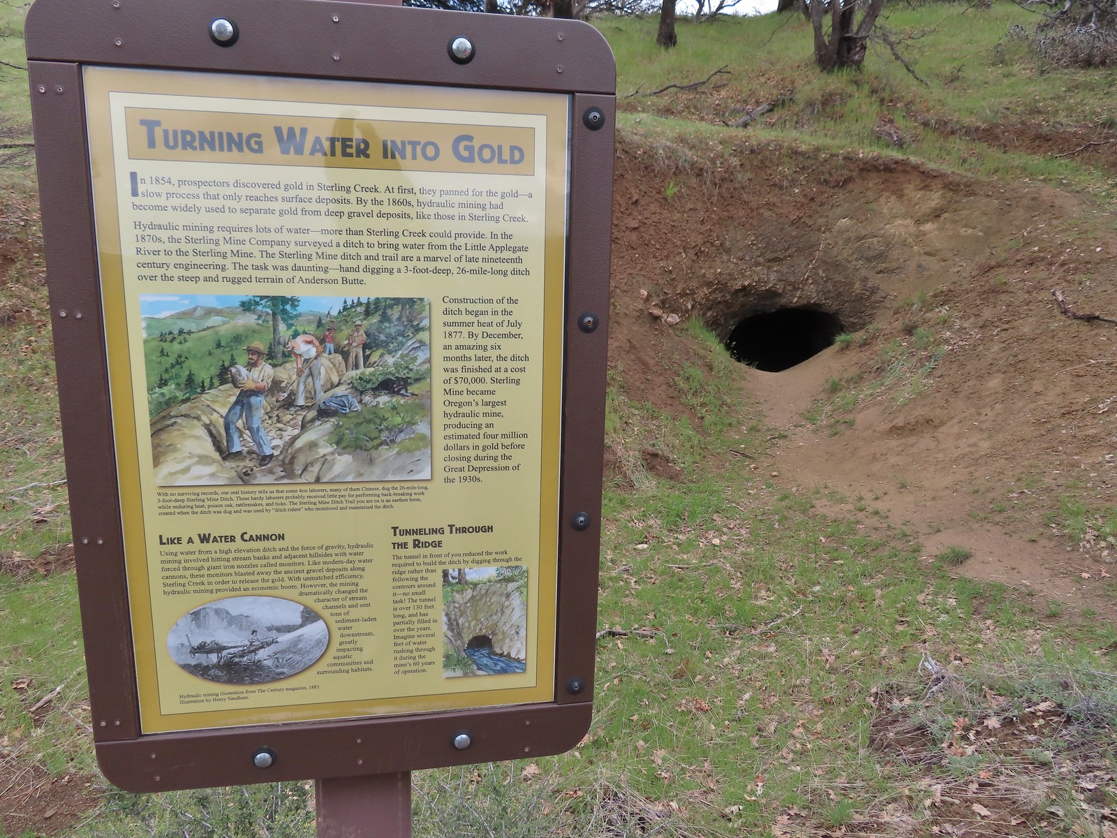
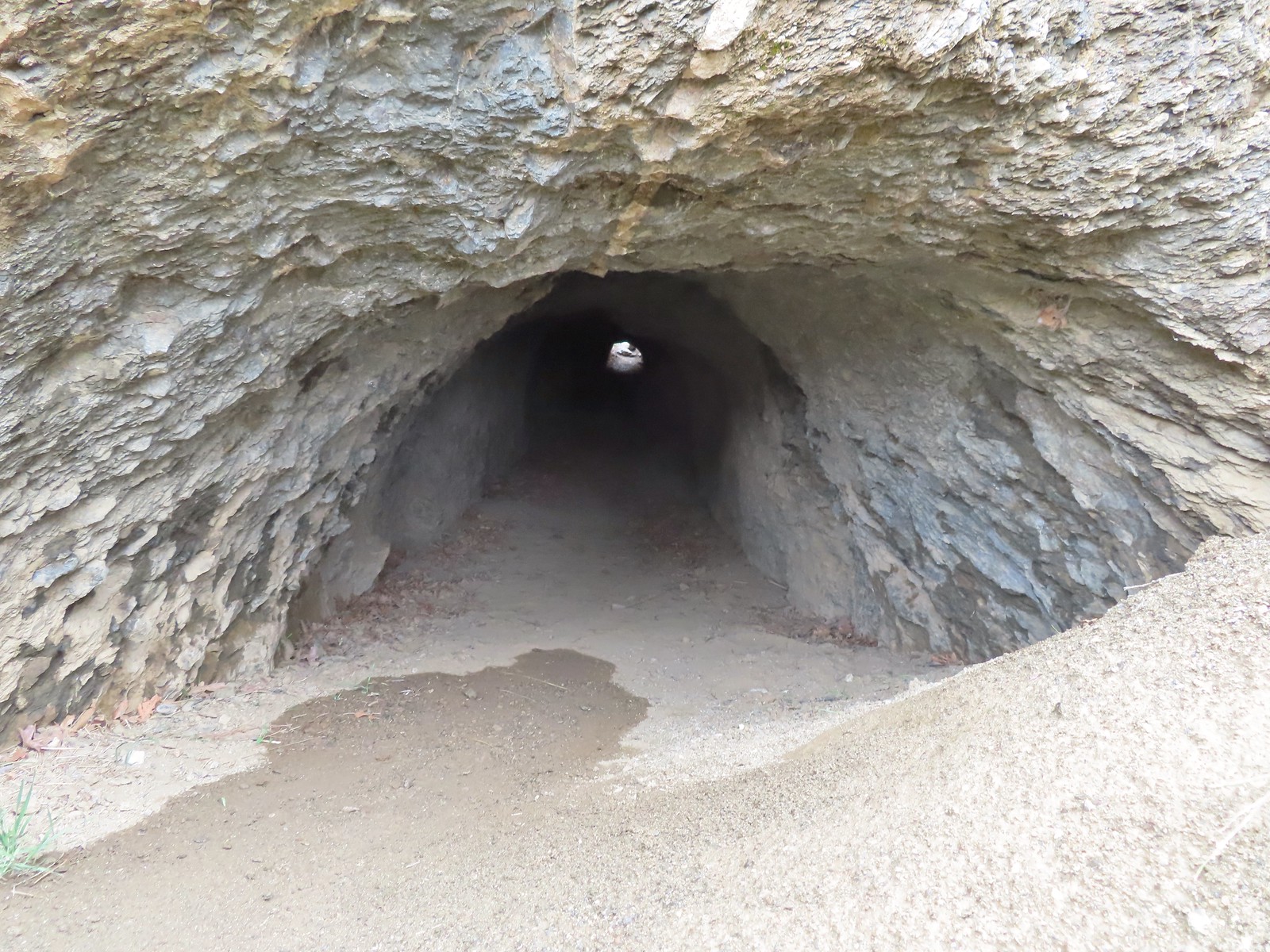
 I had to get a closer look.
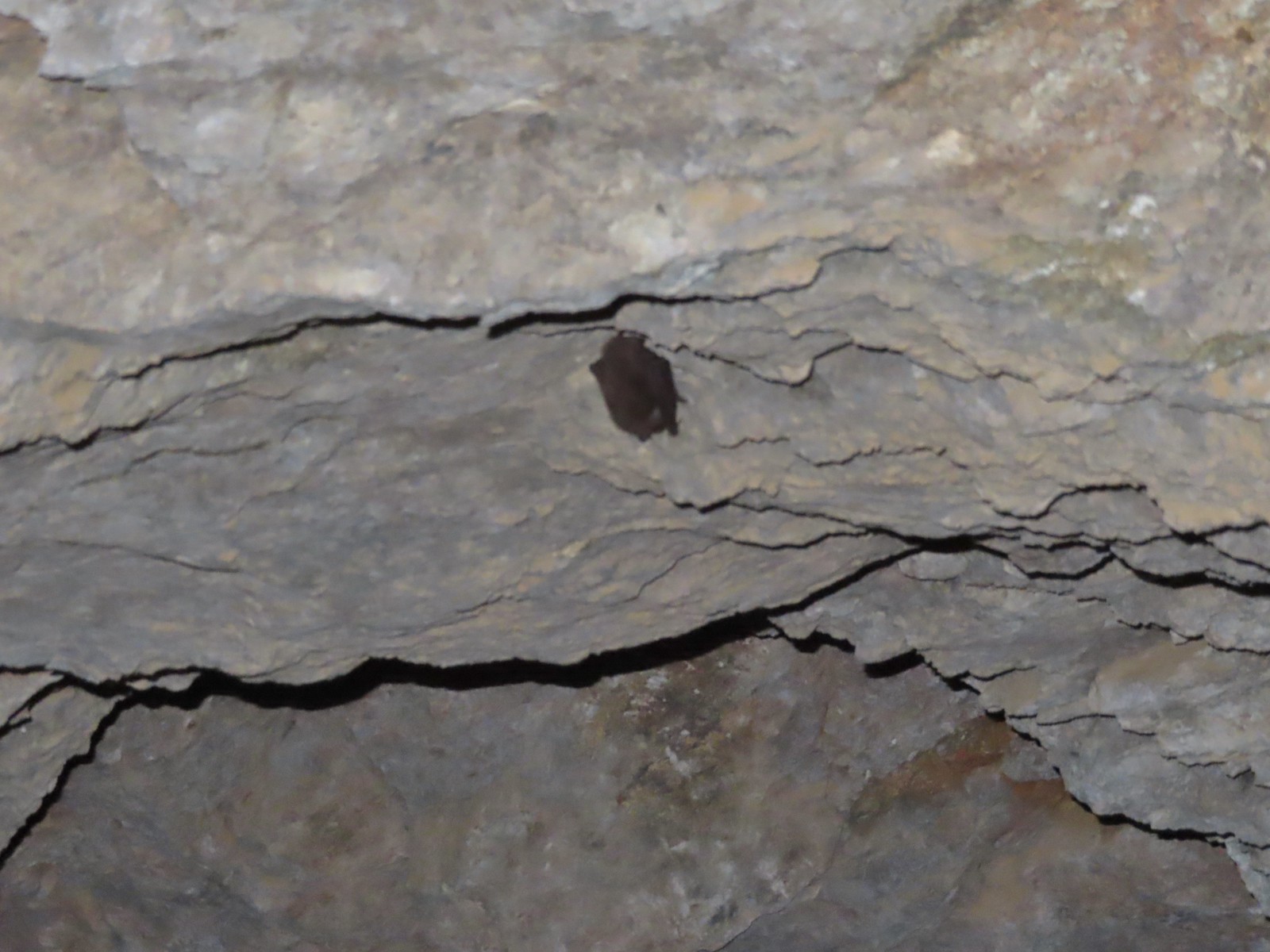 I didn’t go all the way through so as not to disturb this napping bat.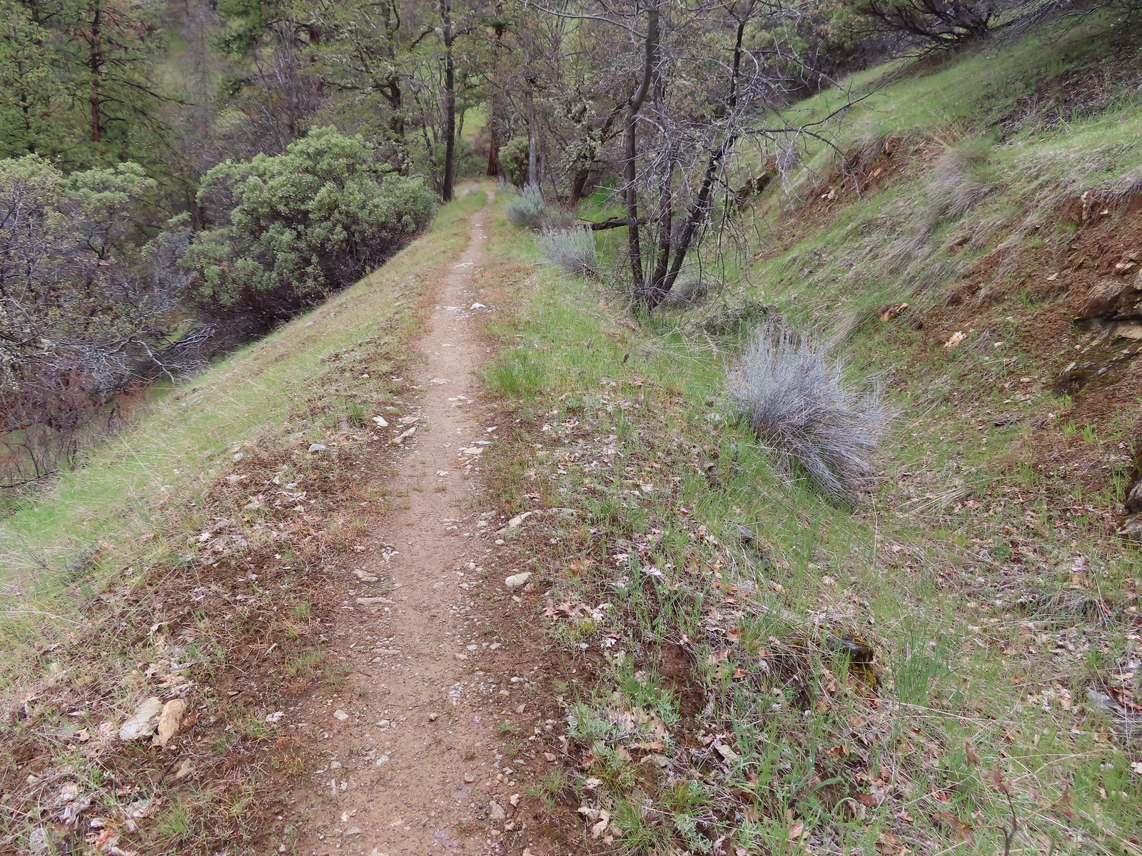
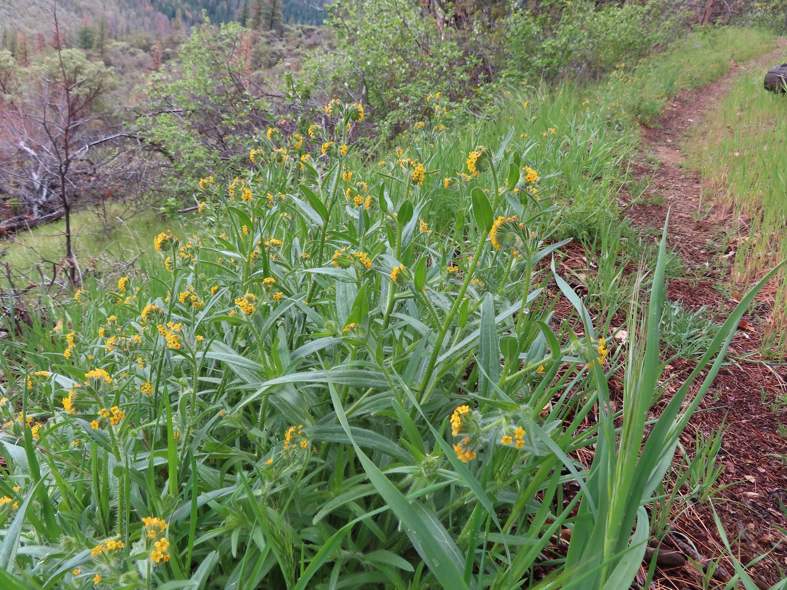 Fiddleneck along the trail.
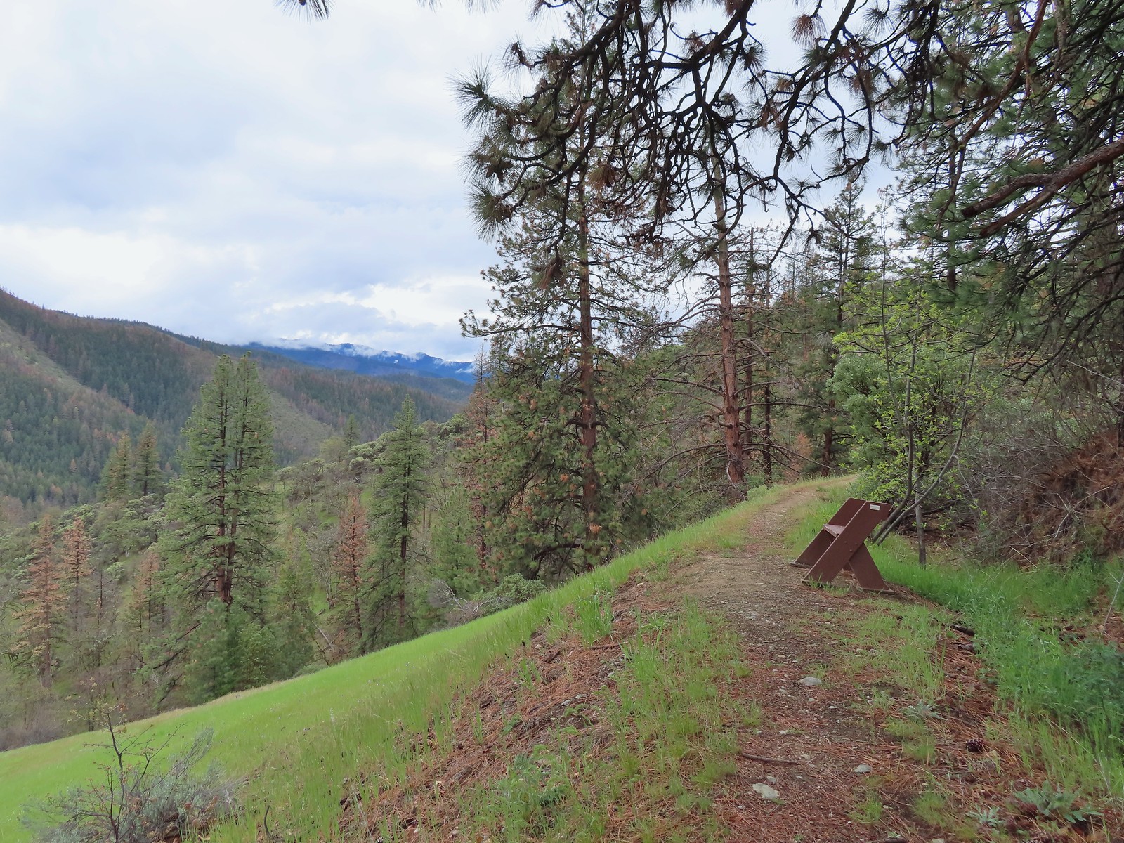 Another bench
 Emerging from the ditch.
 Scarlet fritillaries lining the trail.
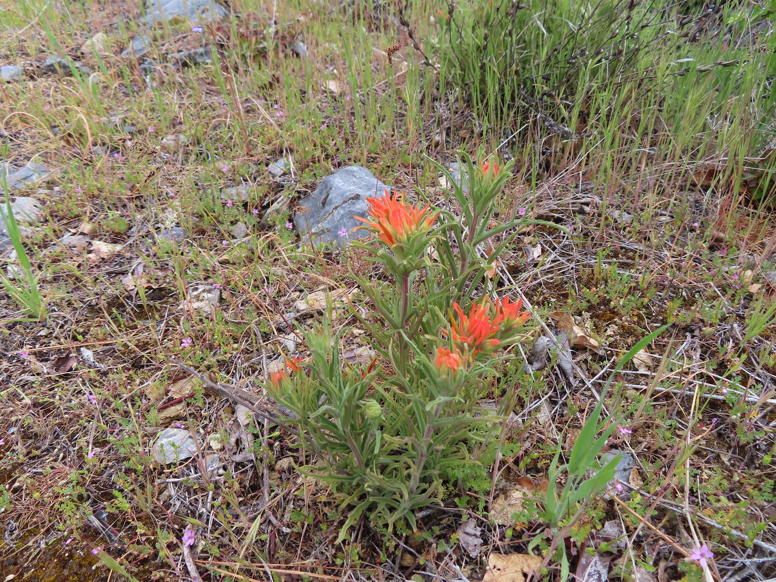 Paintbrush
 Balsamroot
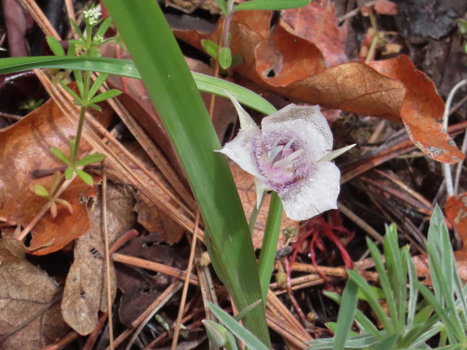 Tolmie’s mariposa lily
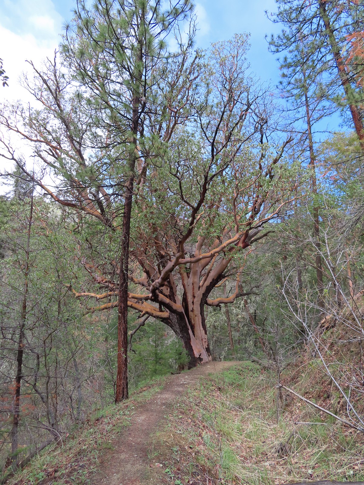 An impressively large madrone.
 Henderson’s fawn lilies
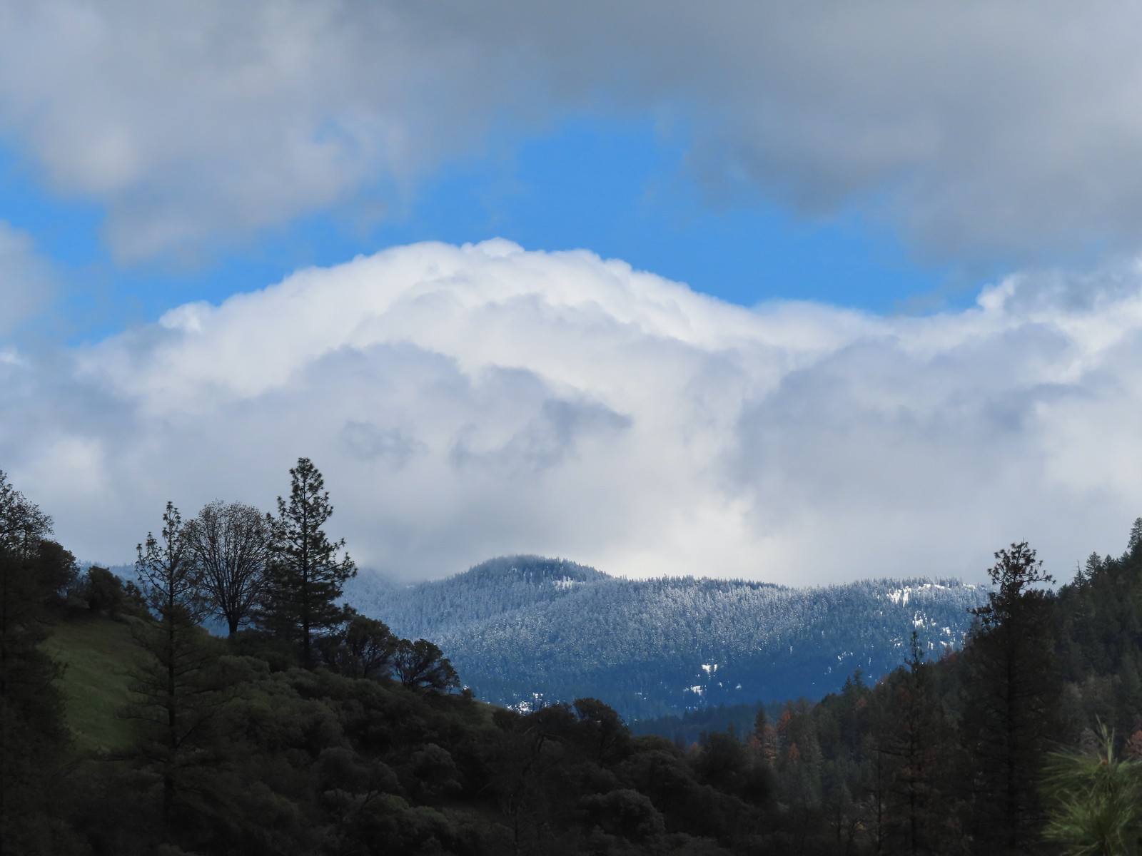 More fresh snow on a ridge.
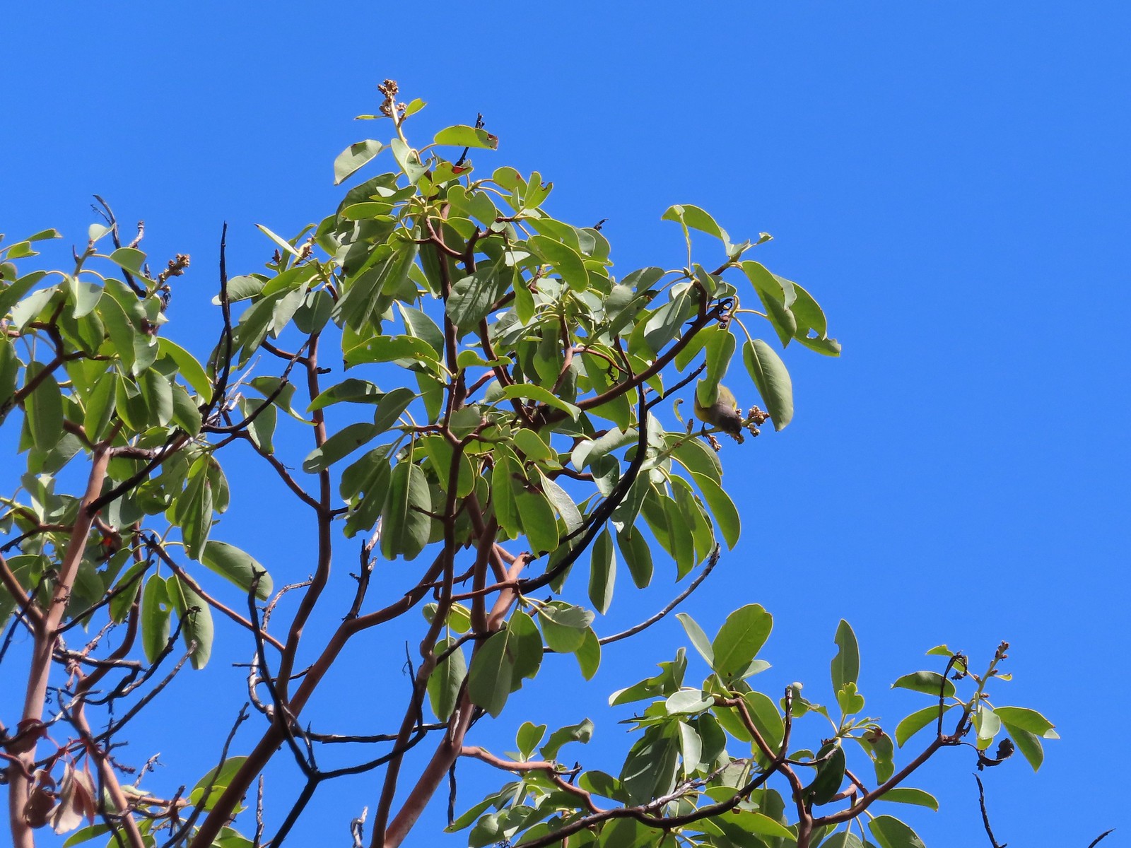 An upside-down warbler (upper right of the tree).
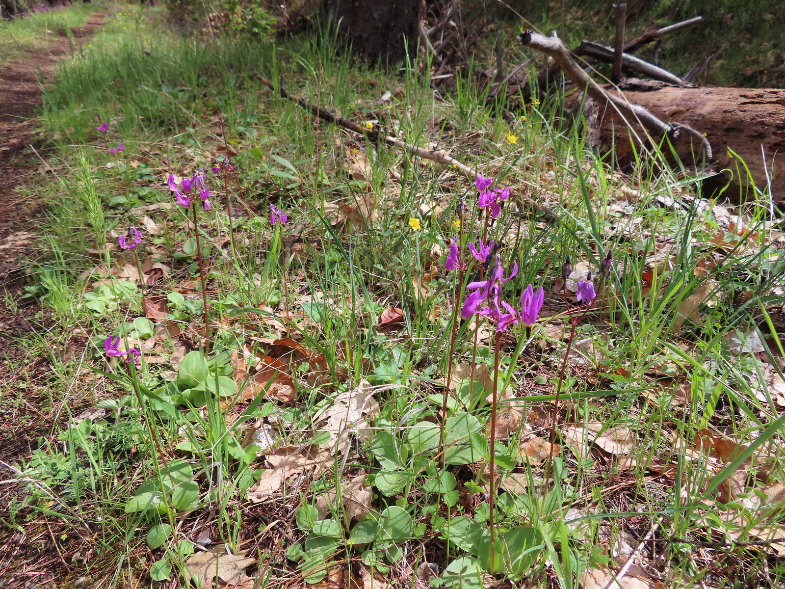 Shooting stars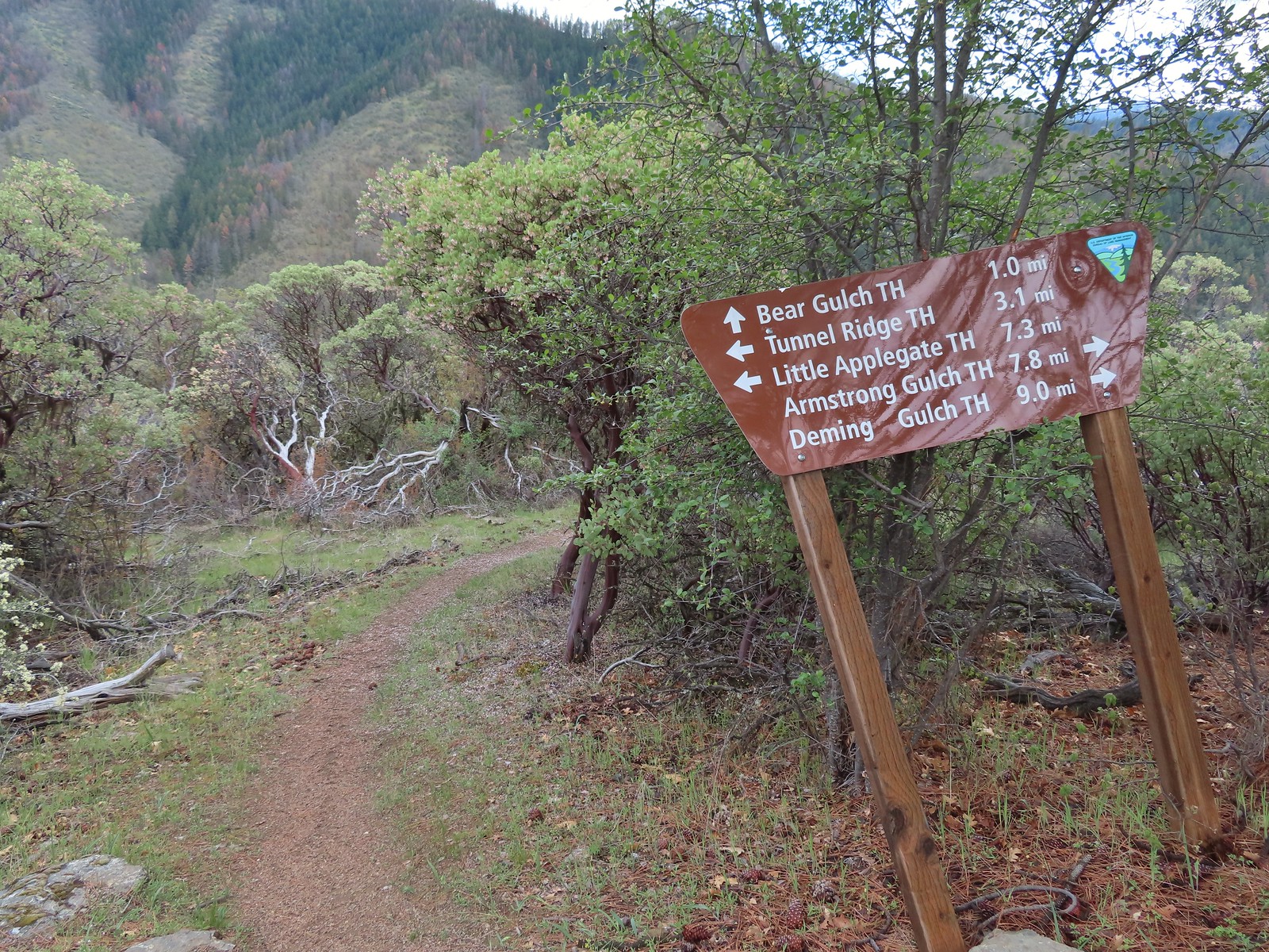
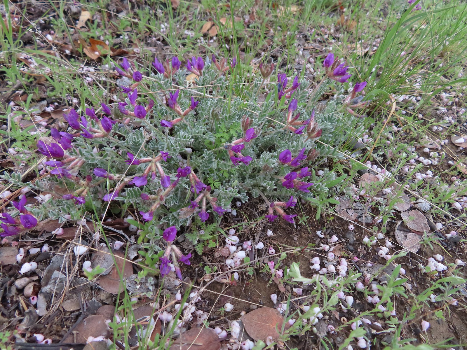 Woolly-pod milkvetch
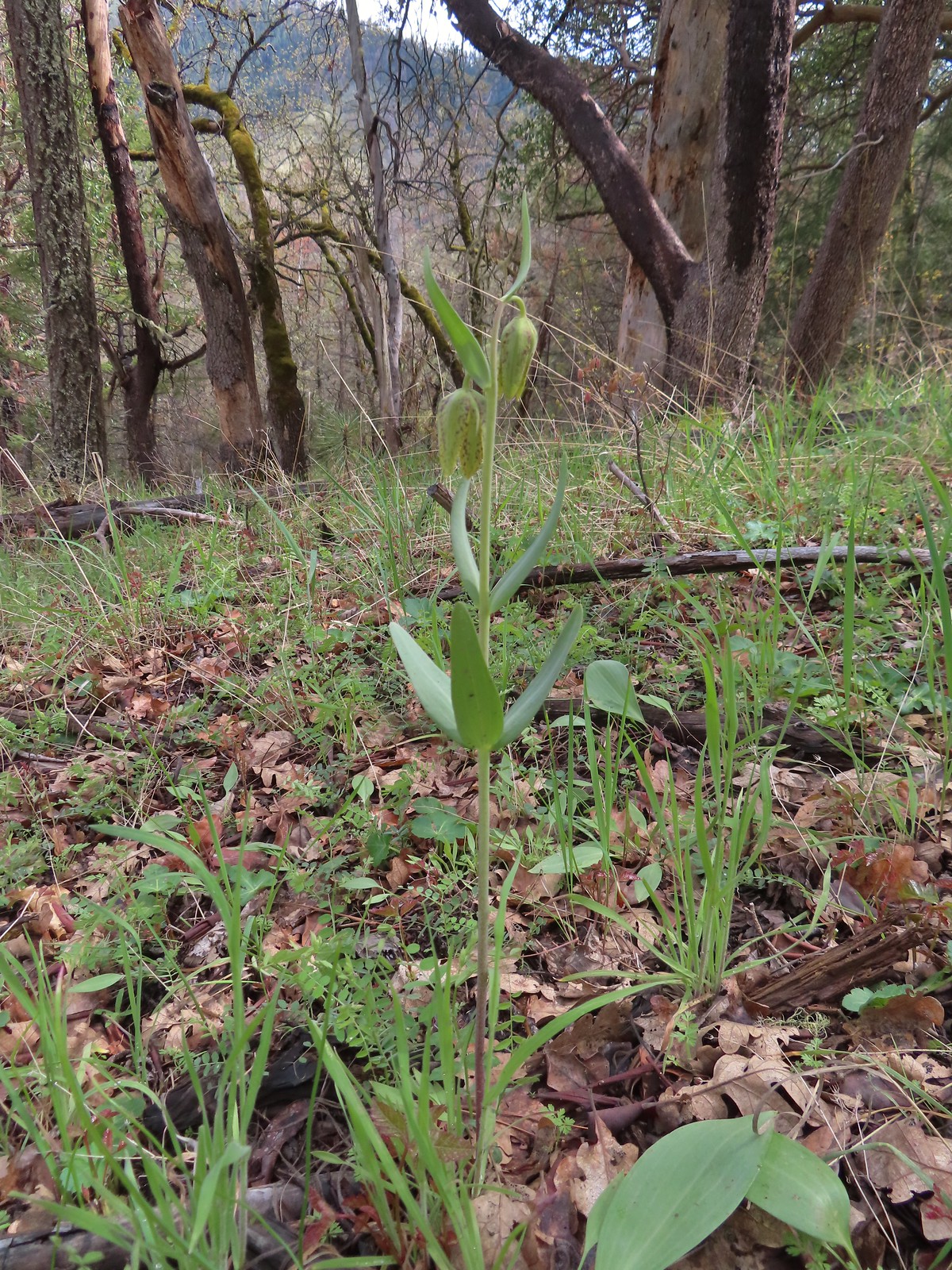 A fritillary, just not sure which one.
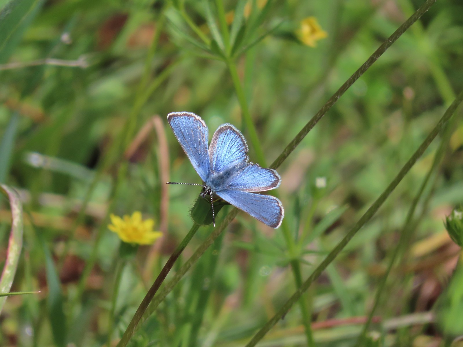 It was nice to start seeing some butterflies out and about.
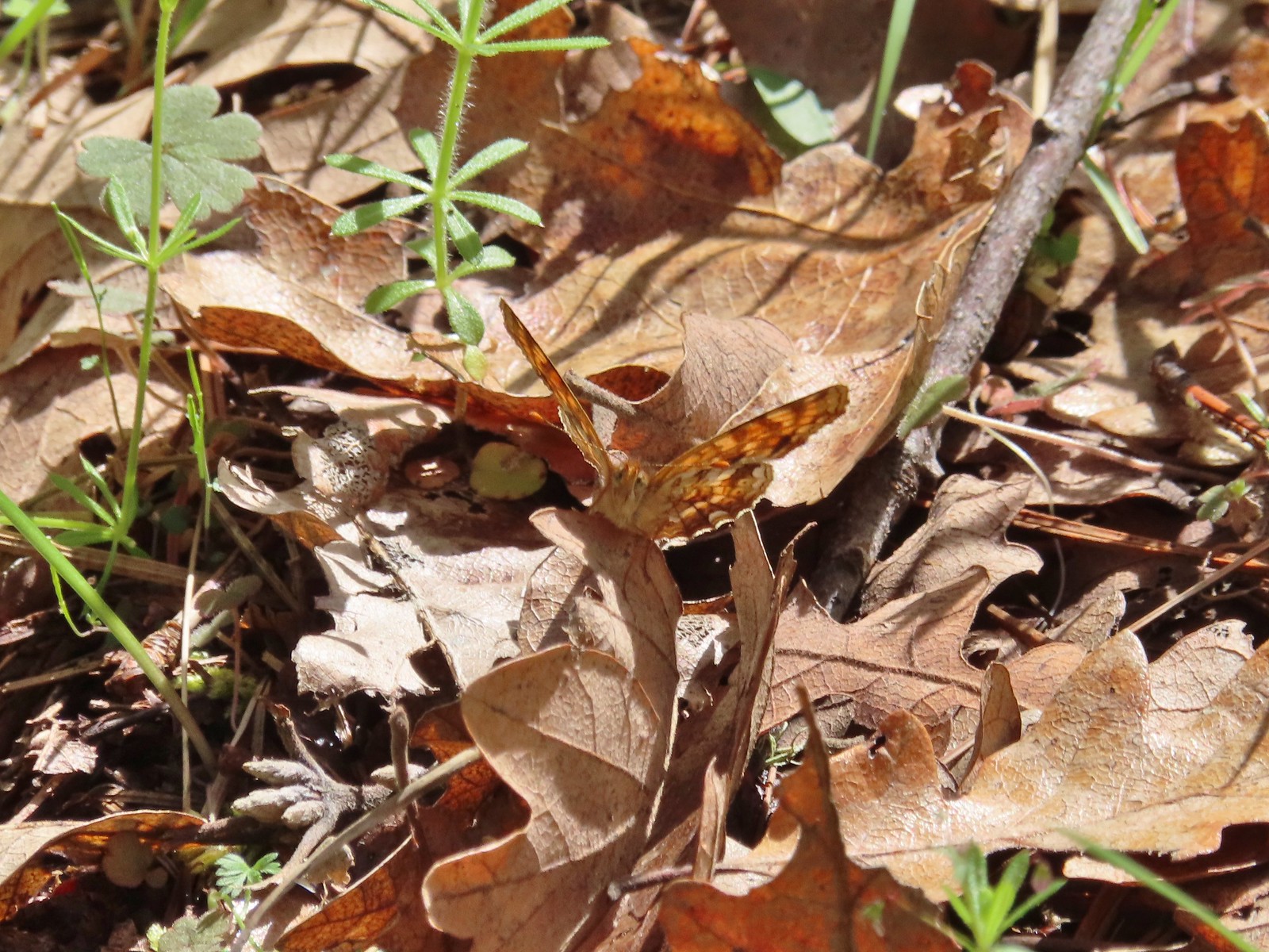 Another butterfly. It blends pretty well with the leaves.
 White-breasted nuthatch
 There was a decent amount of water running through parts of Bear Gulch as we neared the trailhead.

 Red larkspur with blue dicks in the background.
 Lupine
 Red larkspur, madia, blue dicks, and tomcat clover along the trail.
 Blue dicks
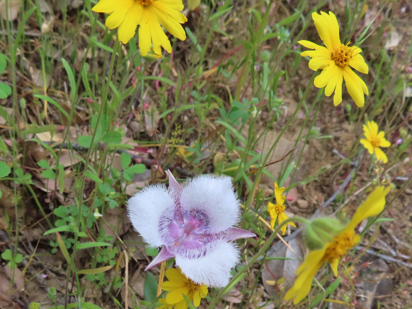 Tolmie’s mariposa lily and some madia.
 Larkspur and a red larkspur
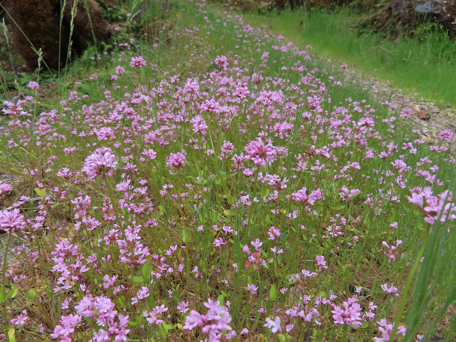 Plectritis
 Monkeyflower
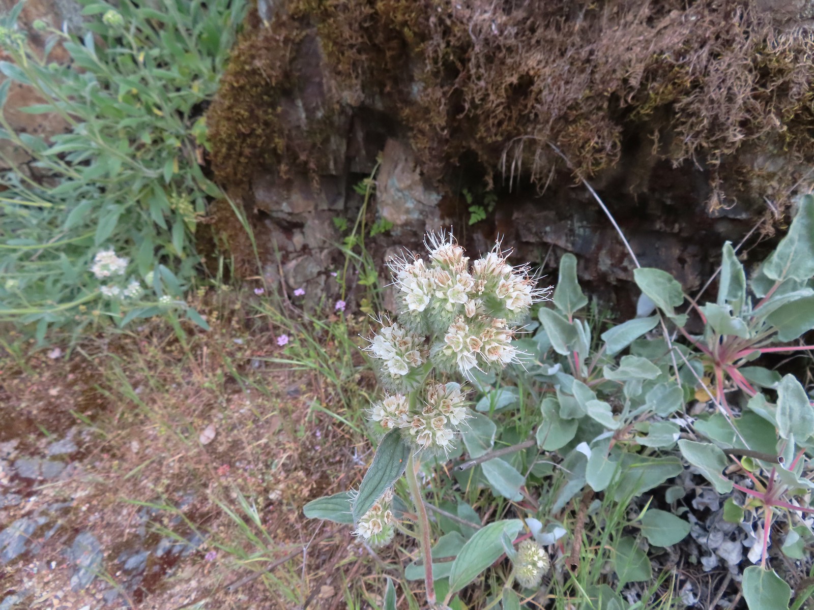 Serpentine phacelia
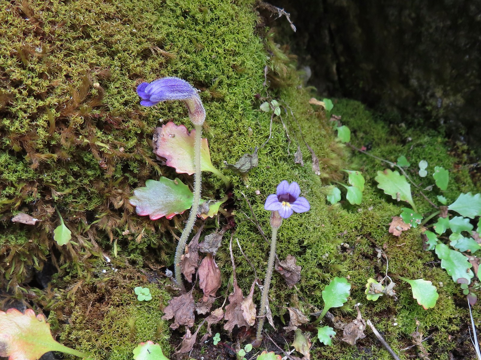 Naked broomrape
 Camas with monkeyflower and plectritis
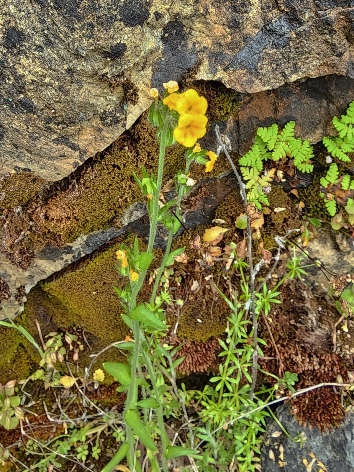 Fiddleneck
 Saxifrage
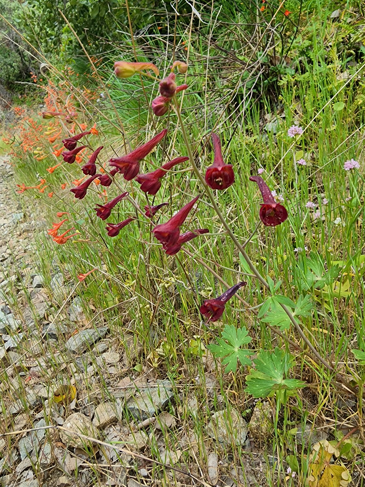 A darker red larkspur
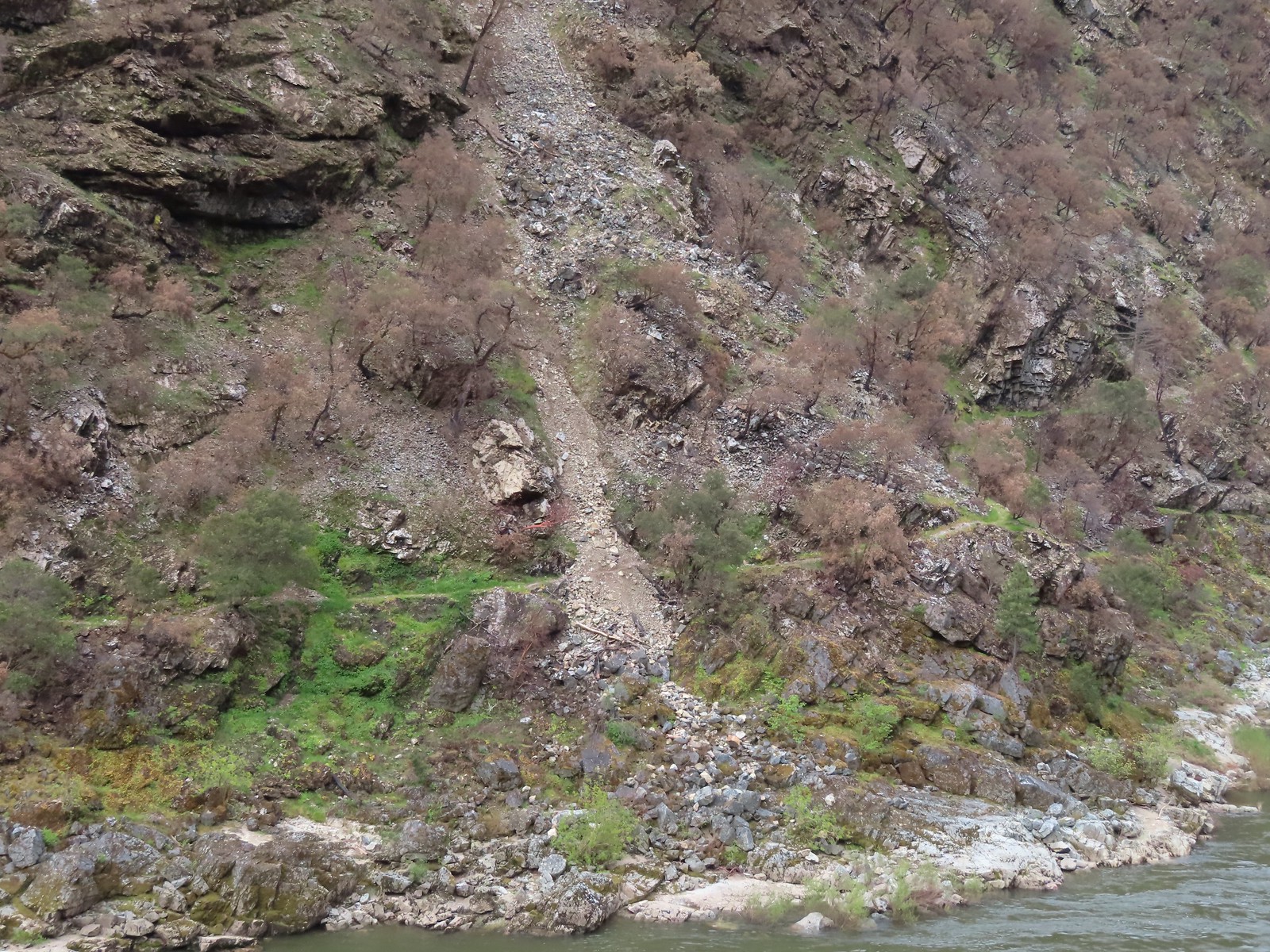 Some of the damage to the trail to Rainie Falls on the opposite side of the river.
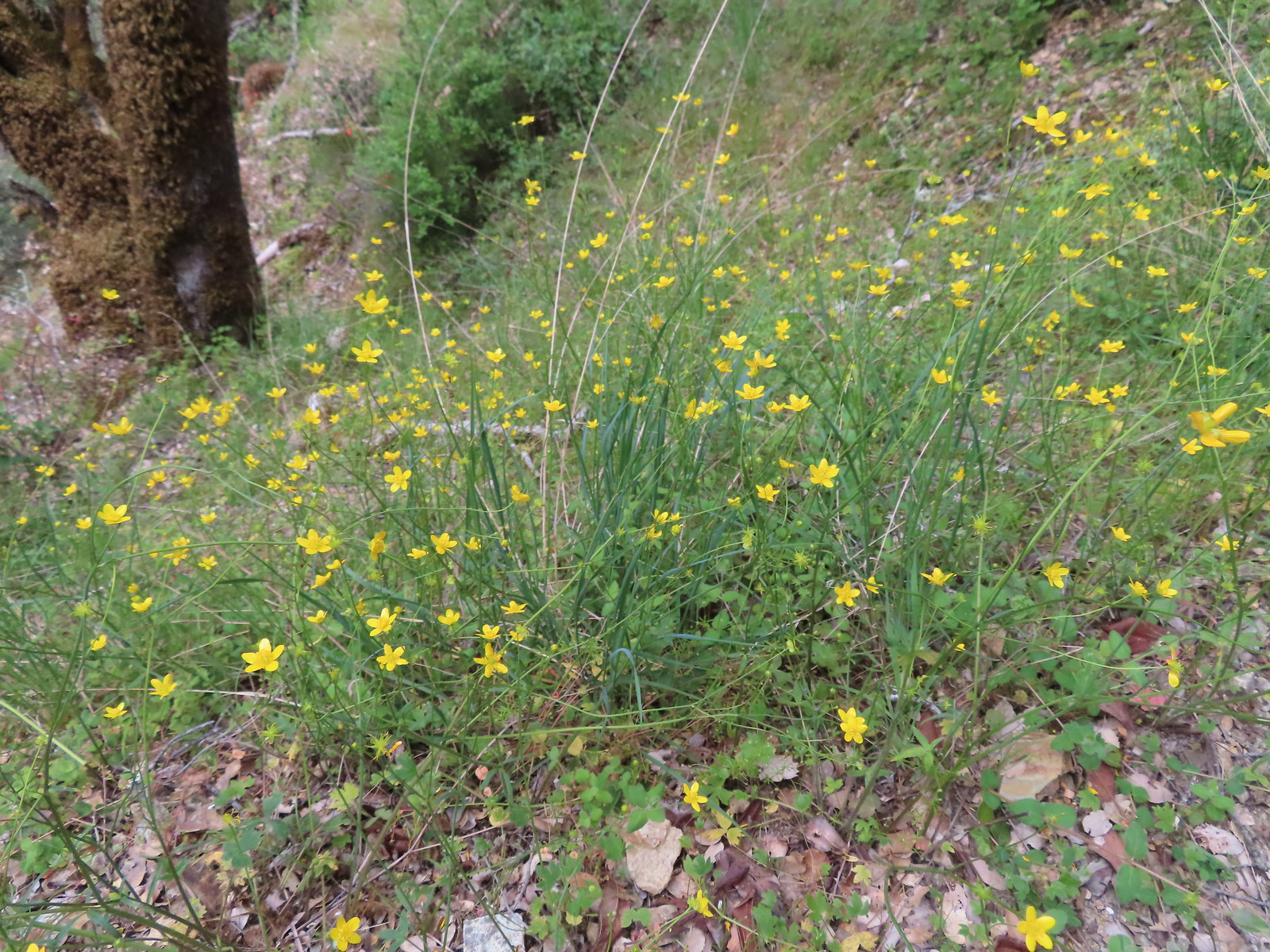 Buttercups
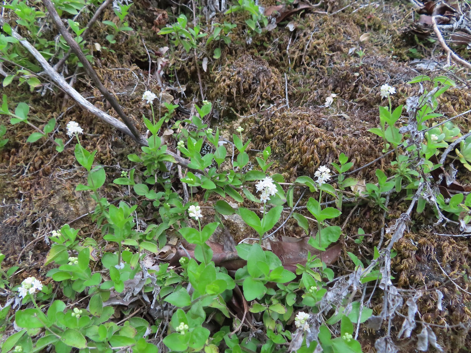 Common whipplea
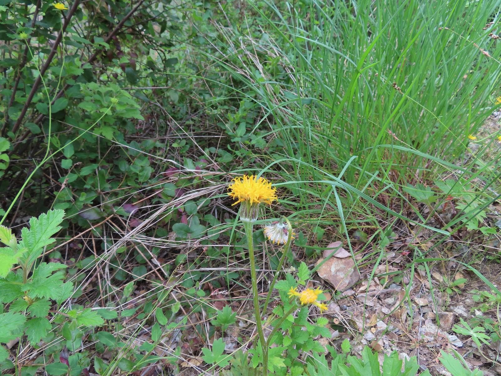 Silver crown
 The wet rock here was sneaky slick.
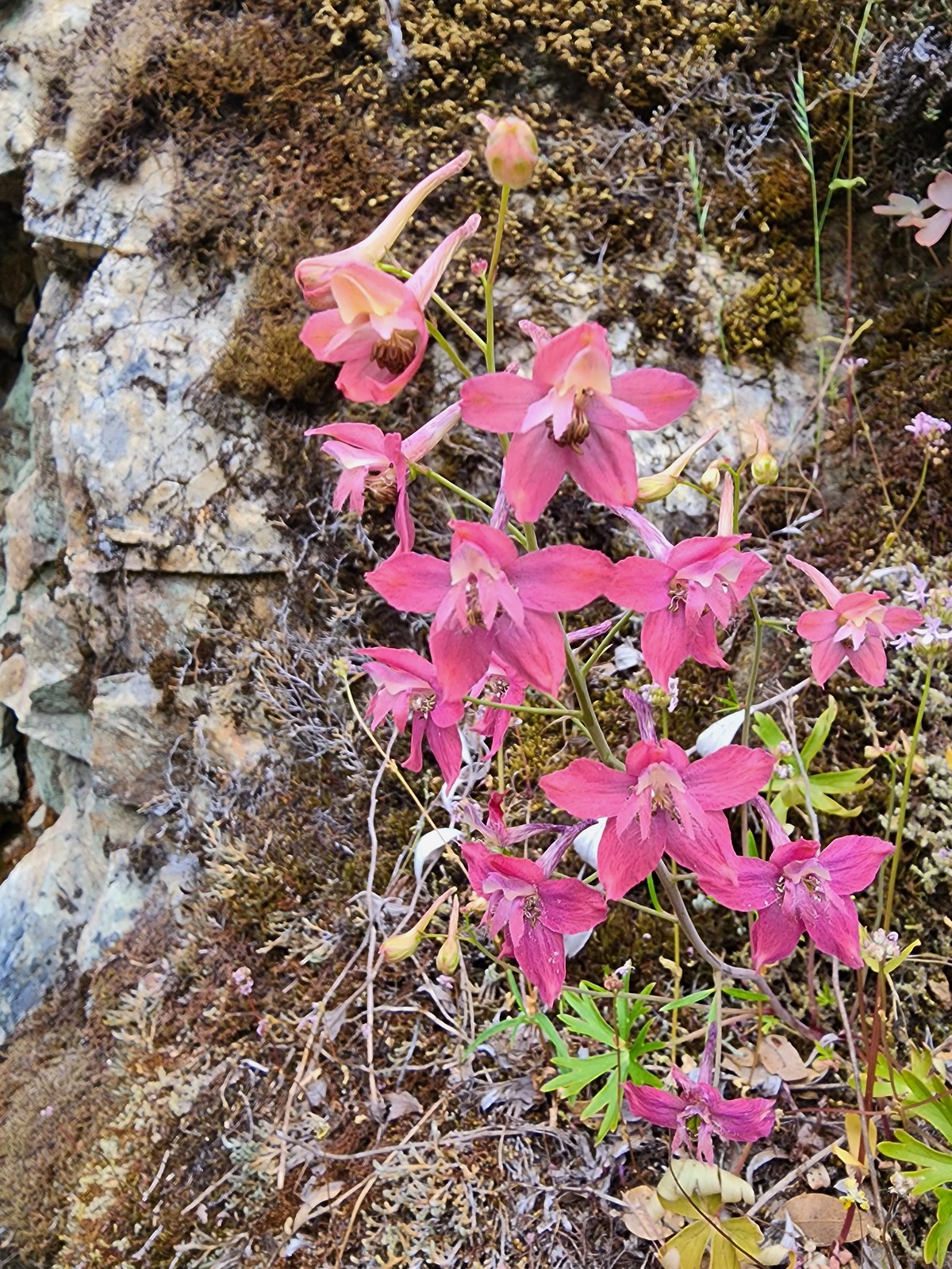 We spotted a couple of pink larkspur.
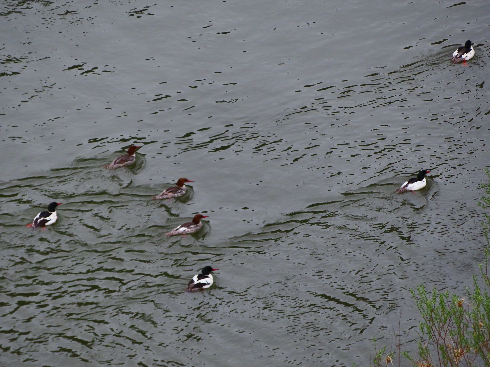 Common mergansers
 Common cryptantha
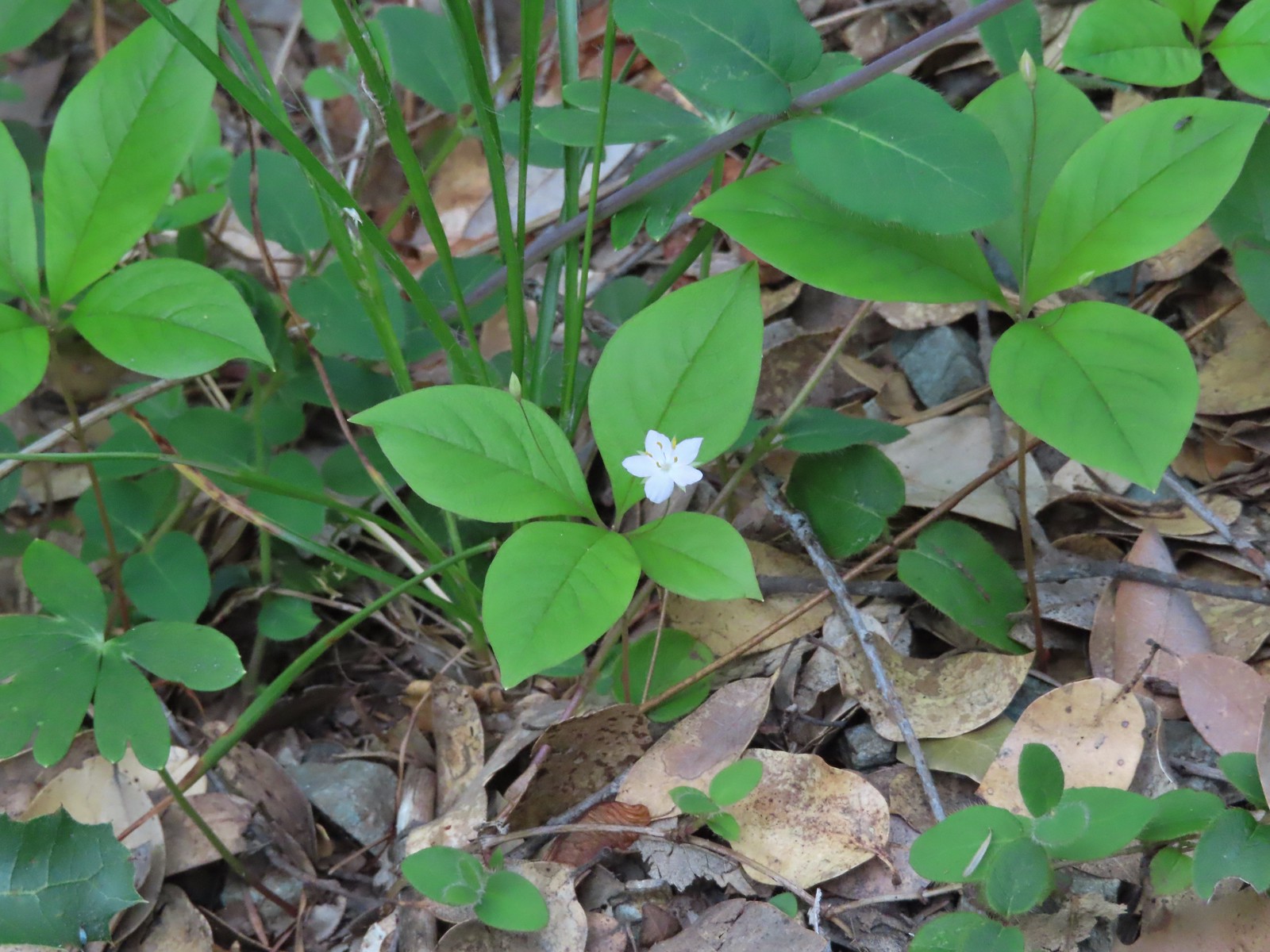 Starflower
 Paintbrush
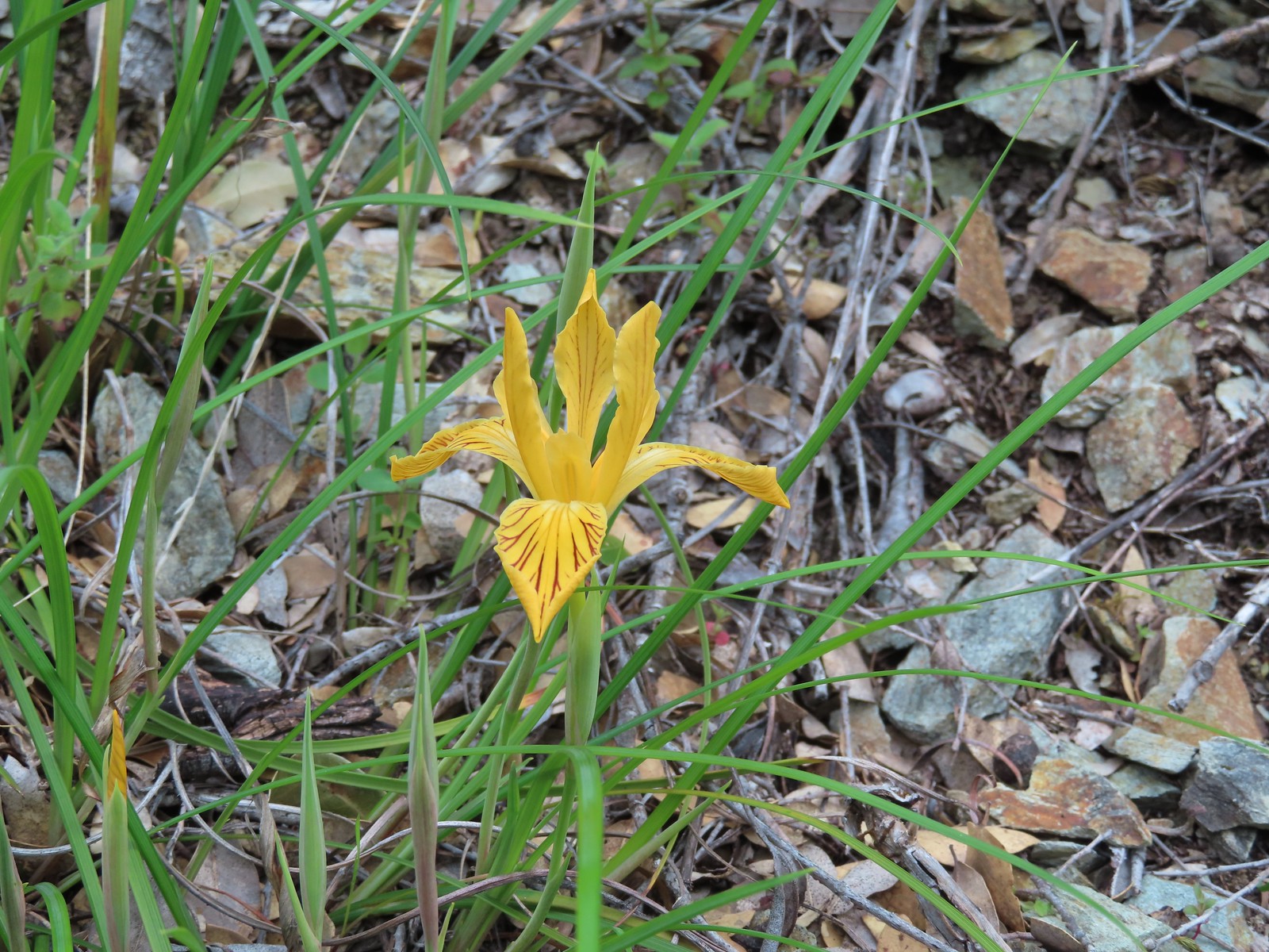 Del Norte iris
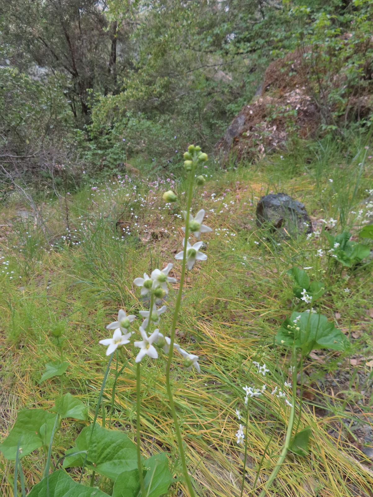 Coastal manroot
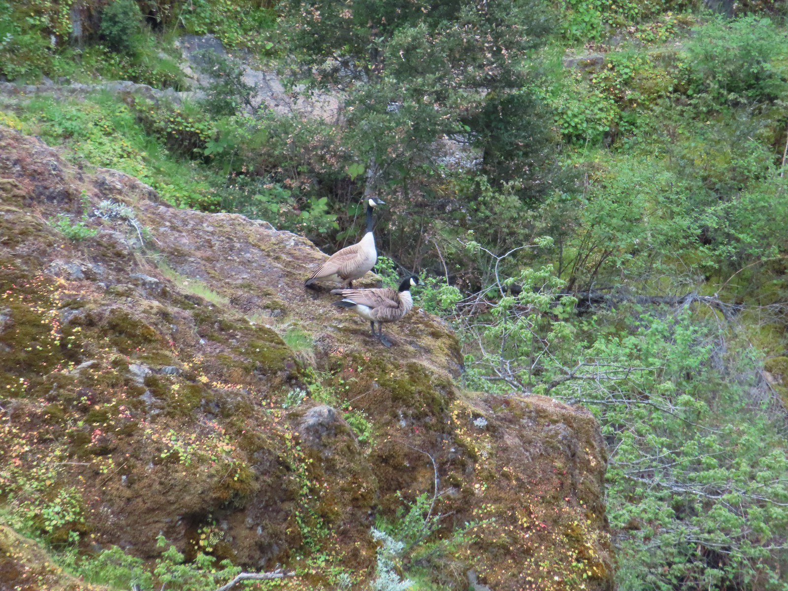 Canada geese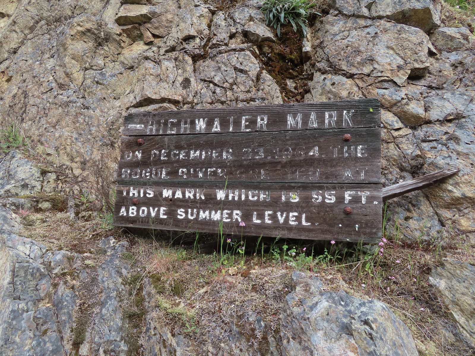
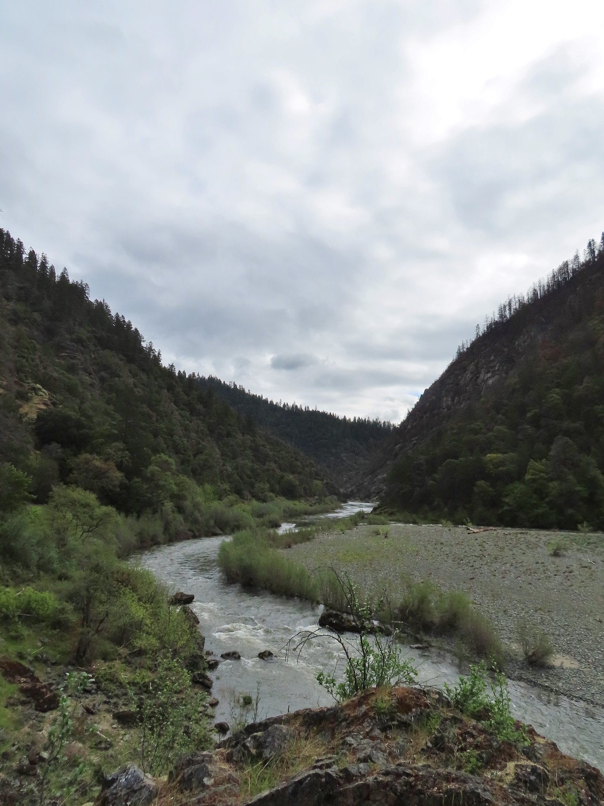 Looking back upriver from the high water sign.
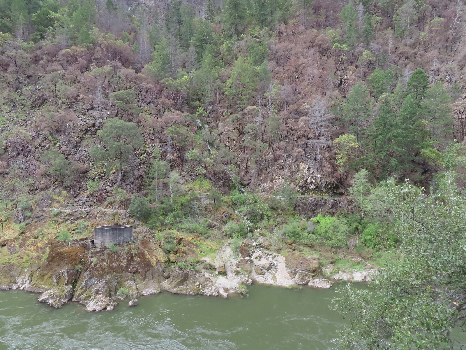 Sanderson Bridge site
 Golden-crowned sparrow
 Scarlet fritillary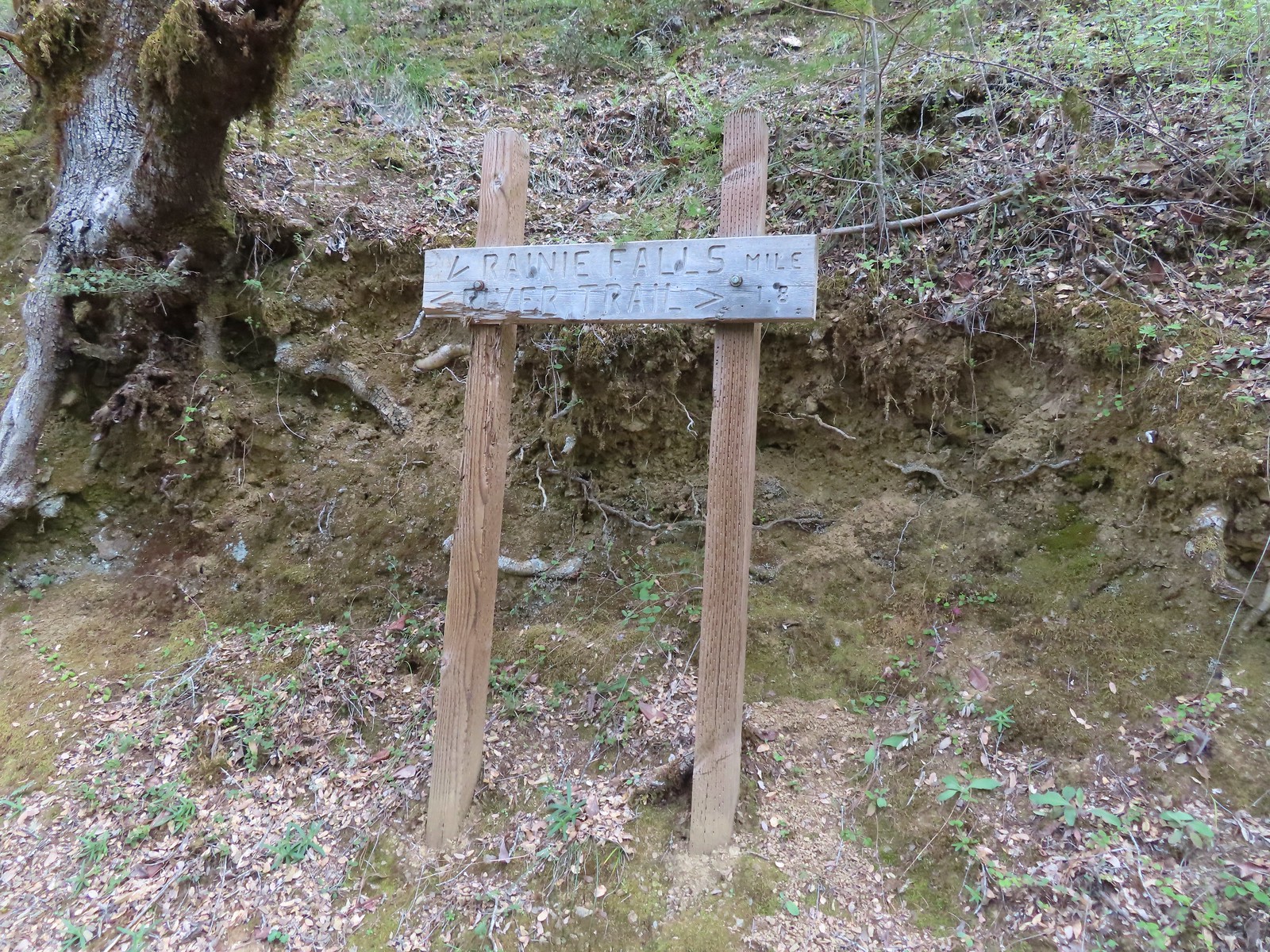
 White campion
 The only water we could make out on the far side of the river.
 Bullock’s oriole
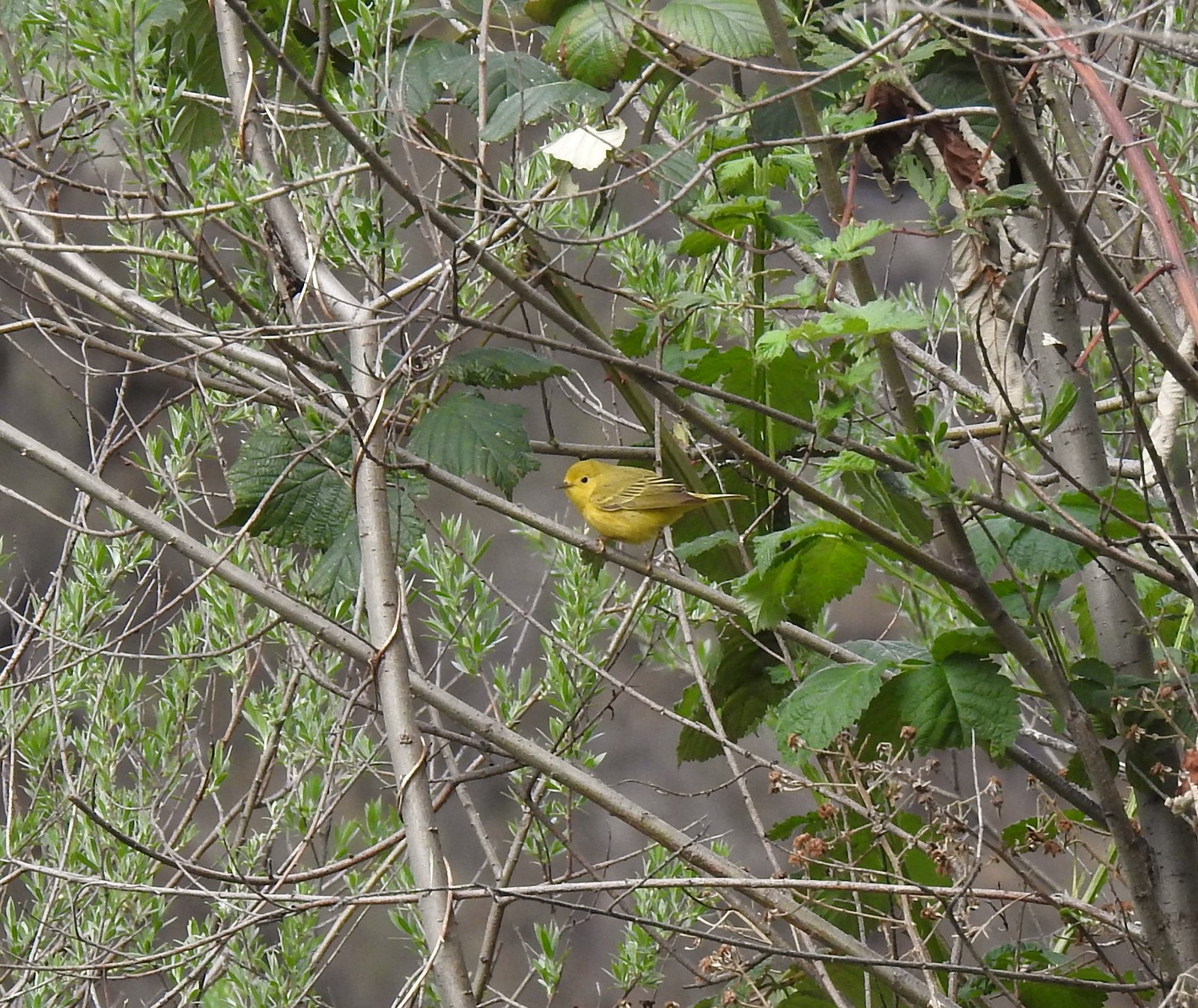 Yellow warbler
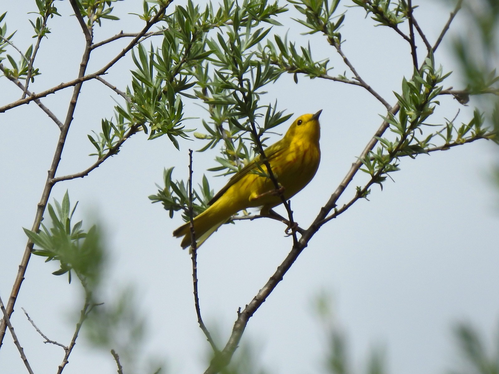 Yellow warbler
 Sandy beach along the Rogue River.
 Shooting star
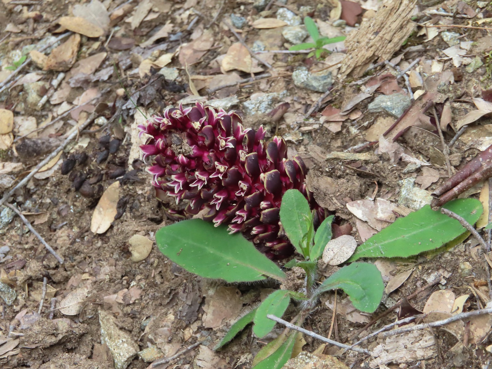 California groundcone
 Small-flowered woodland-star
 Approaching China Gulch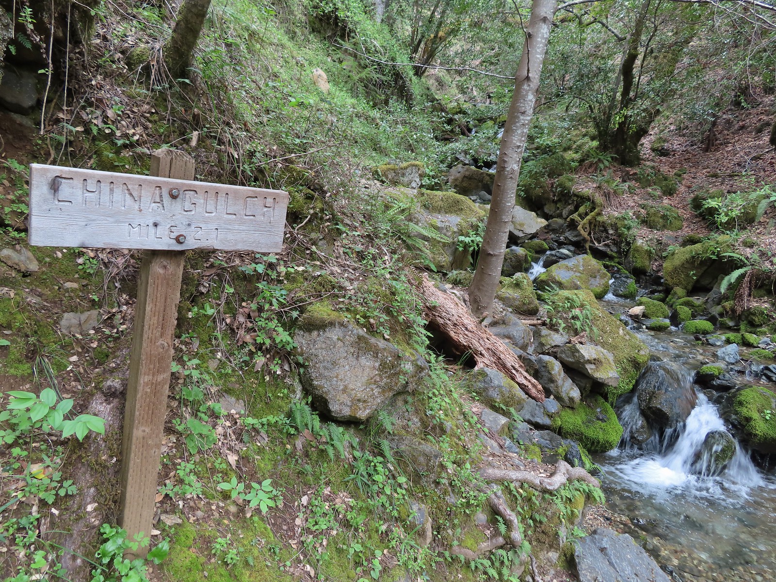
 Vetch
Vetch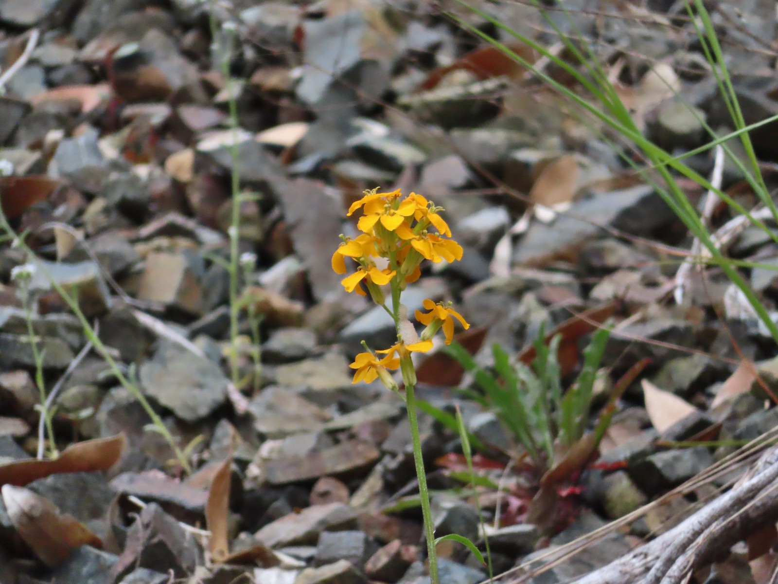 Wallflower
 Silverpuffs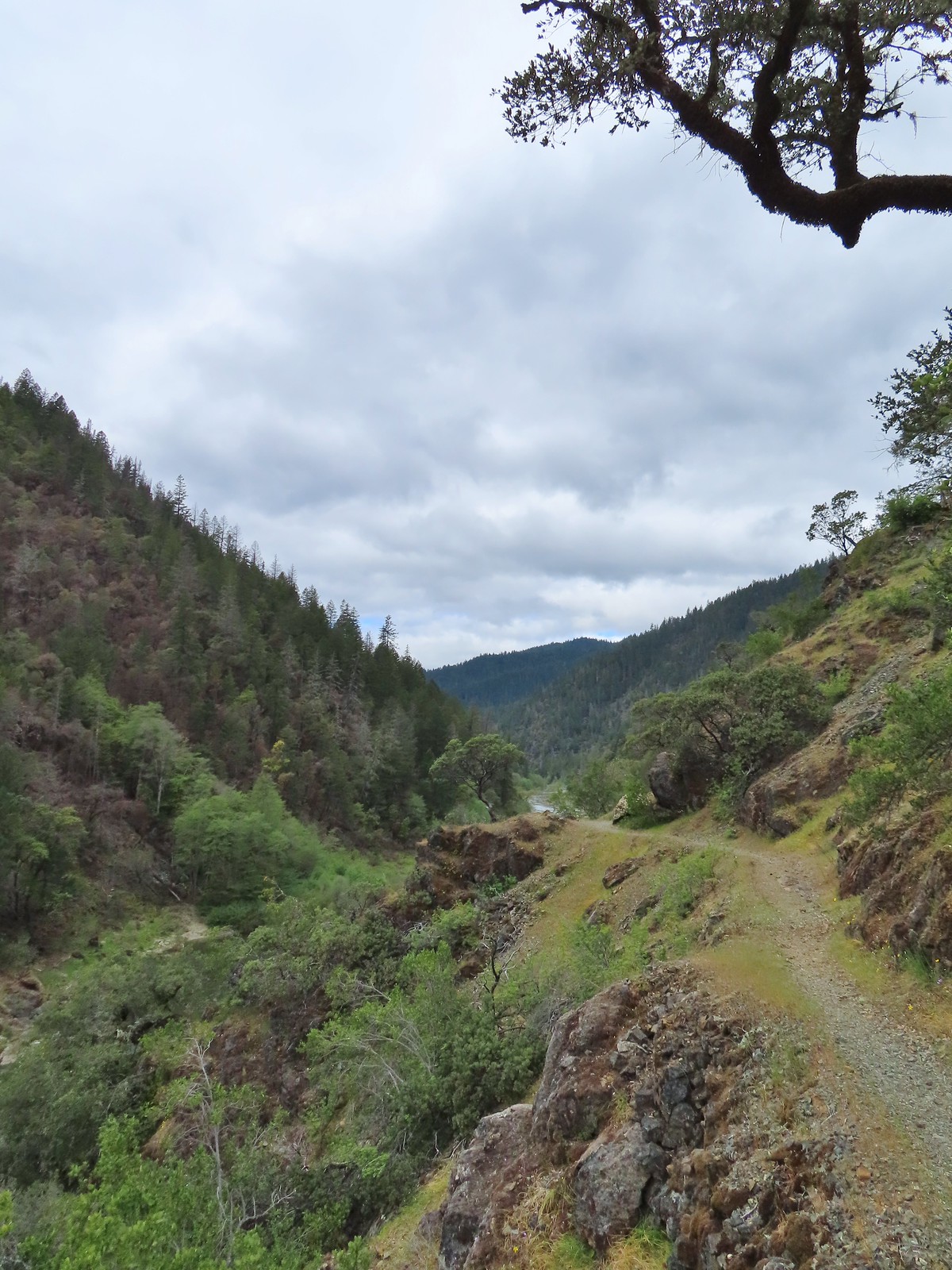
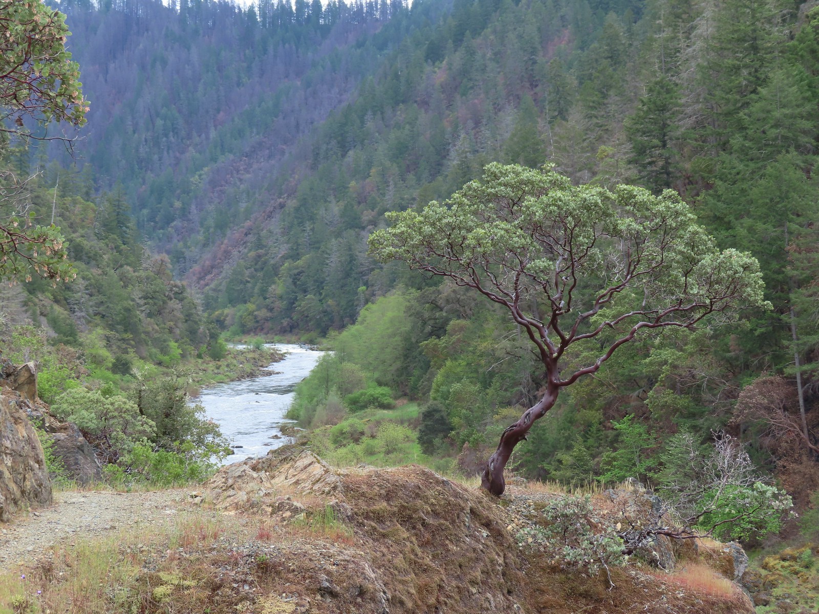 This manzanita was particularly striking in person.
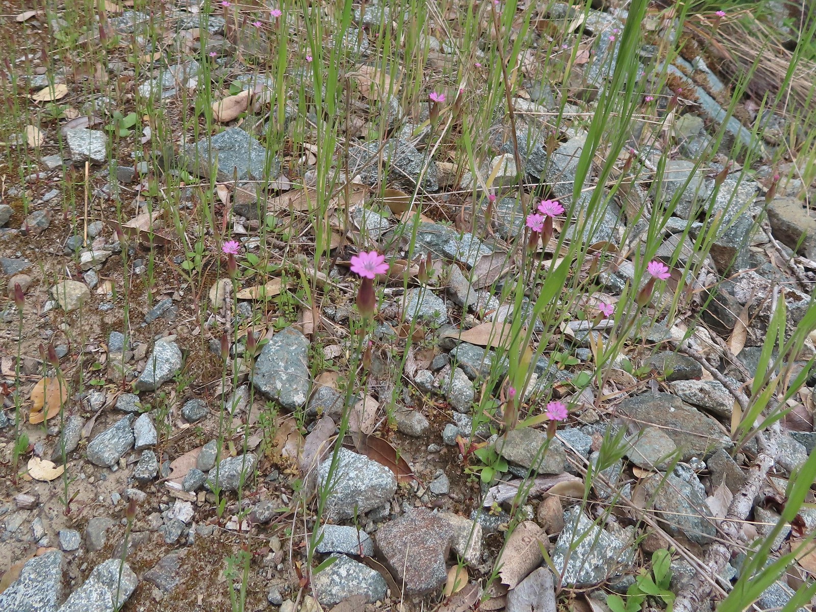 Hairy pink
 Robin
Robin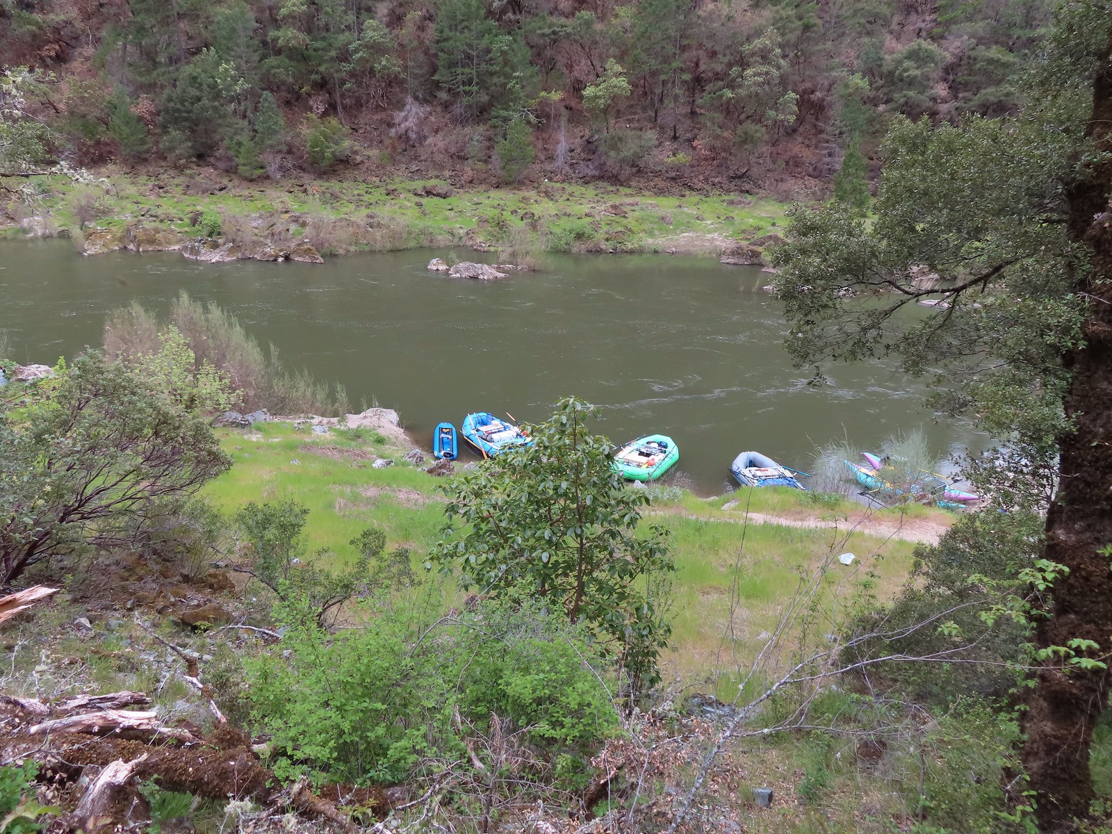 Rafts at Whiskey Camp.
 Whiskey Creek
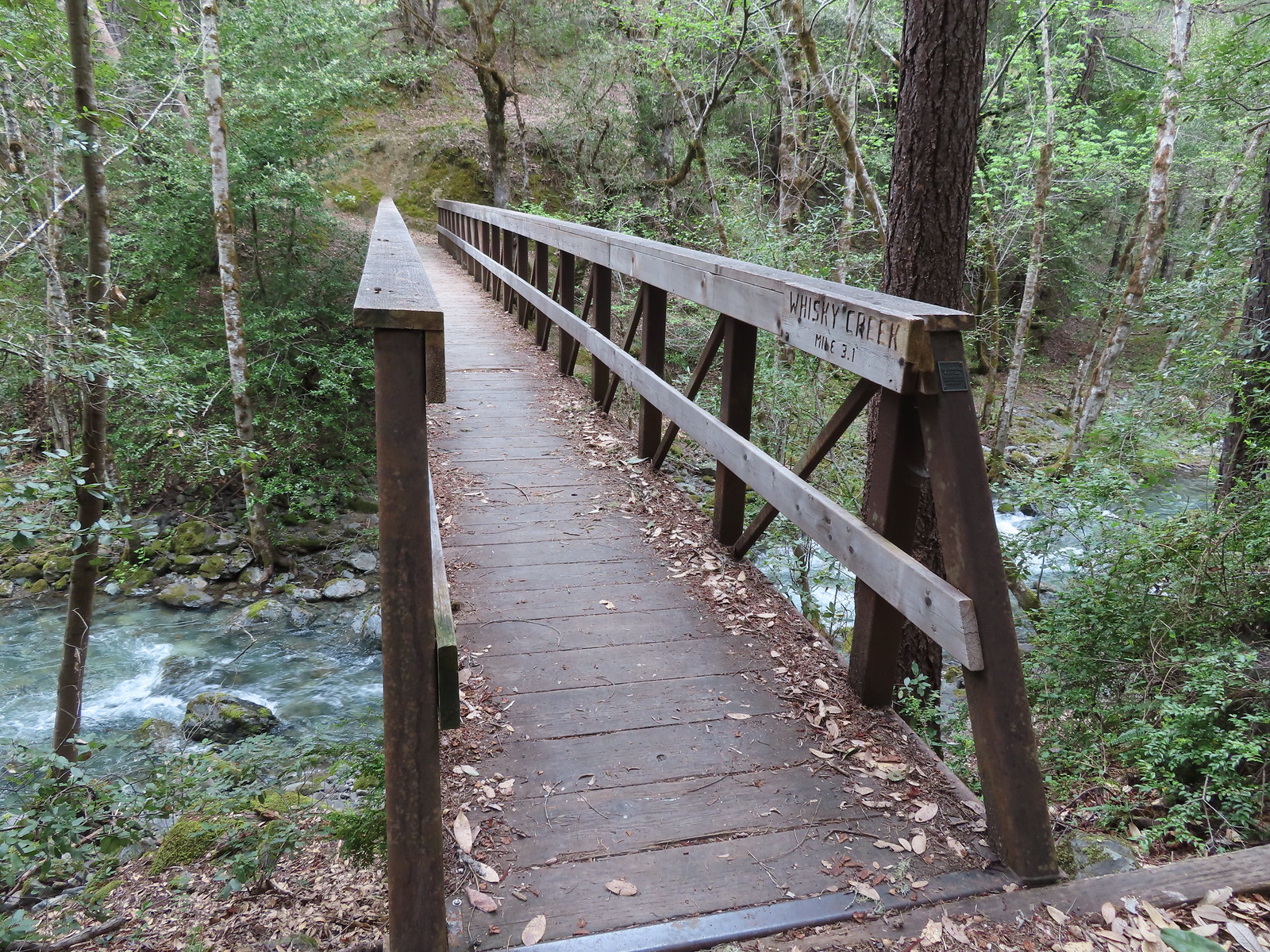 Footbridge over Whiskey Creek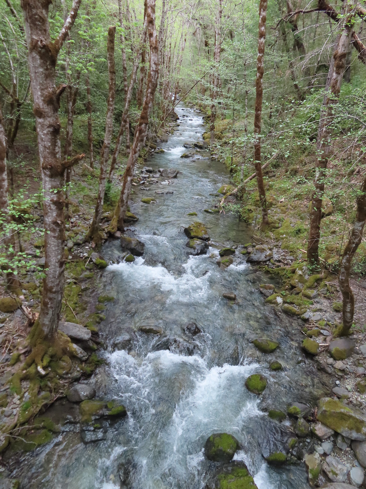
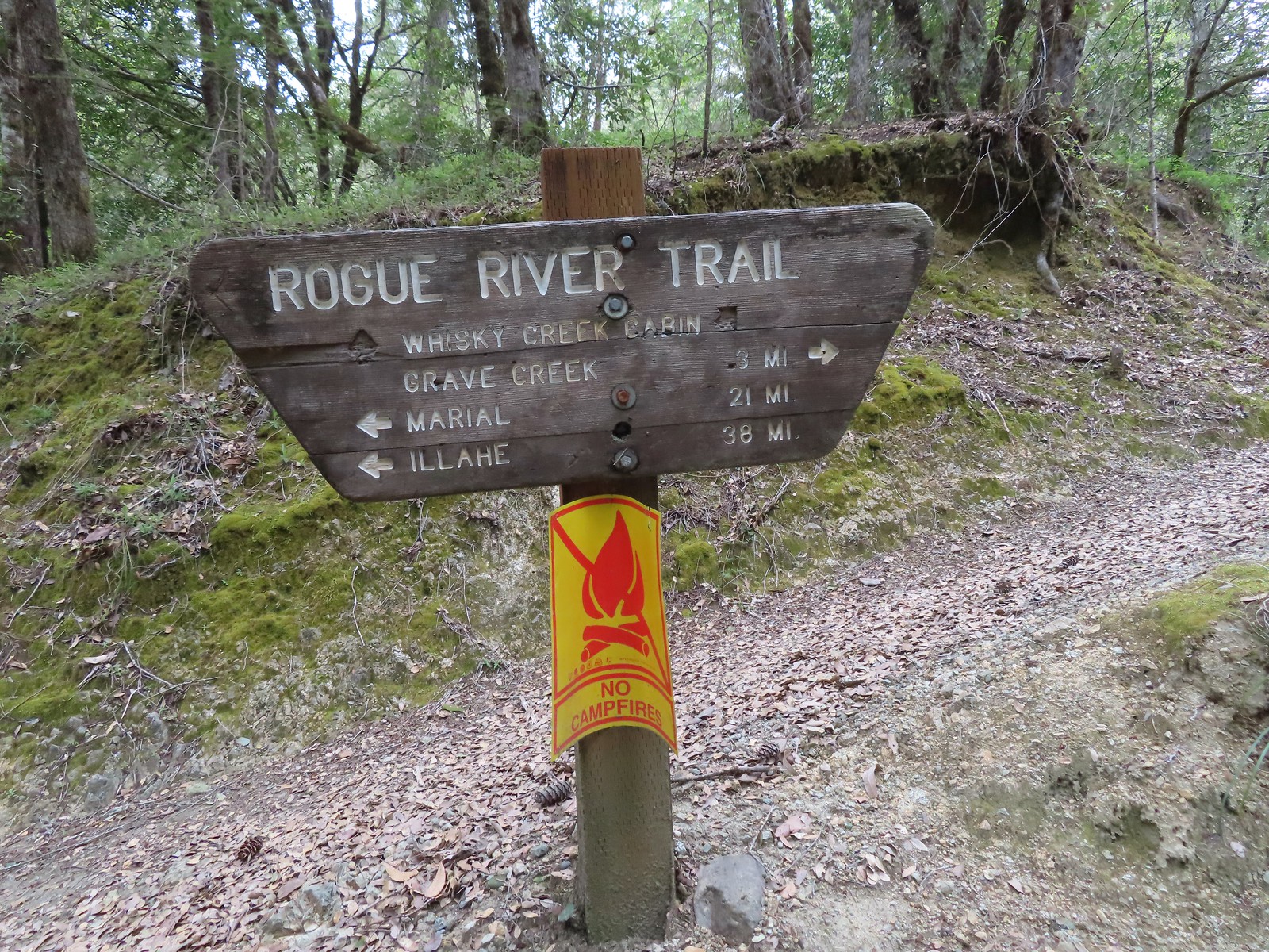 Sign at the spur trail to the cabin.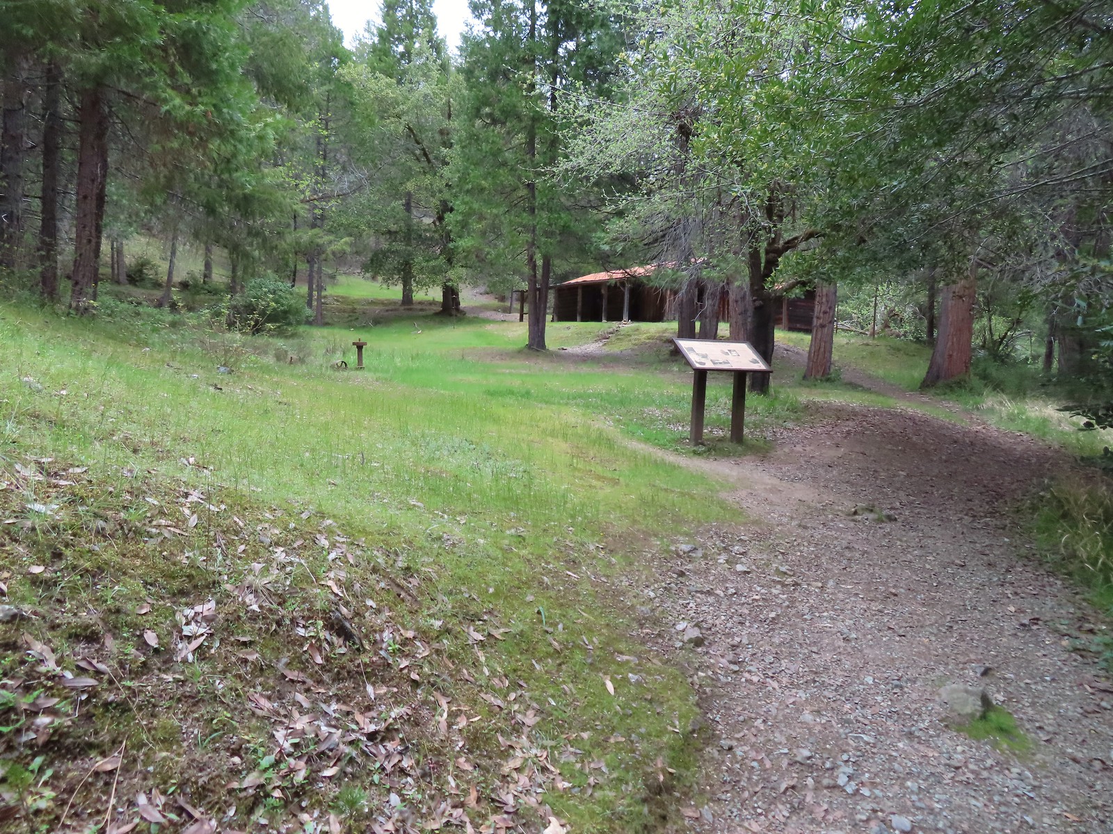
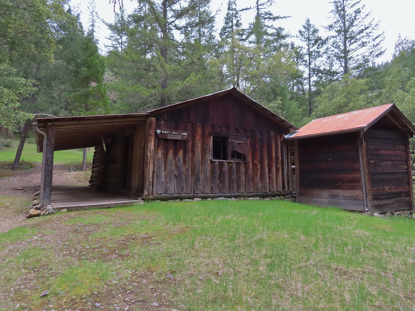


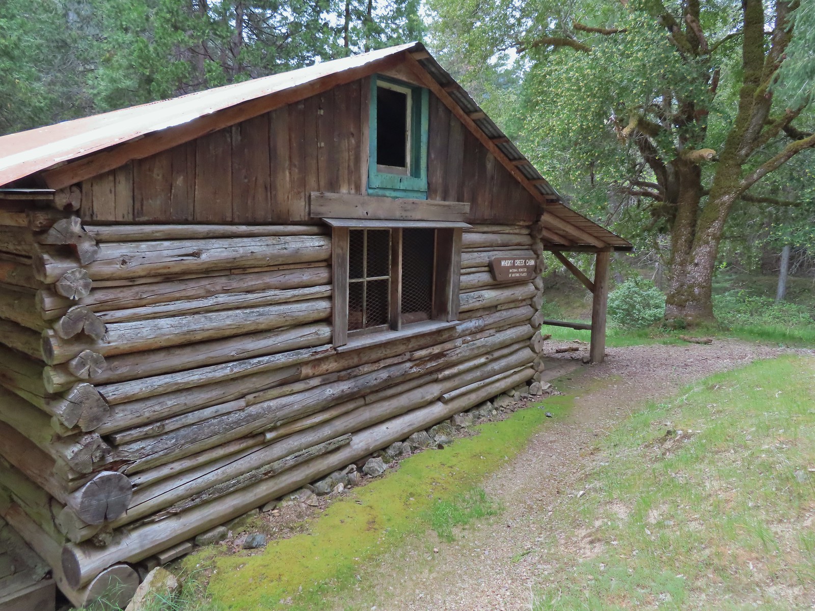
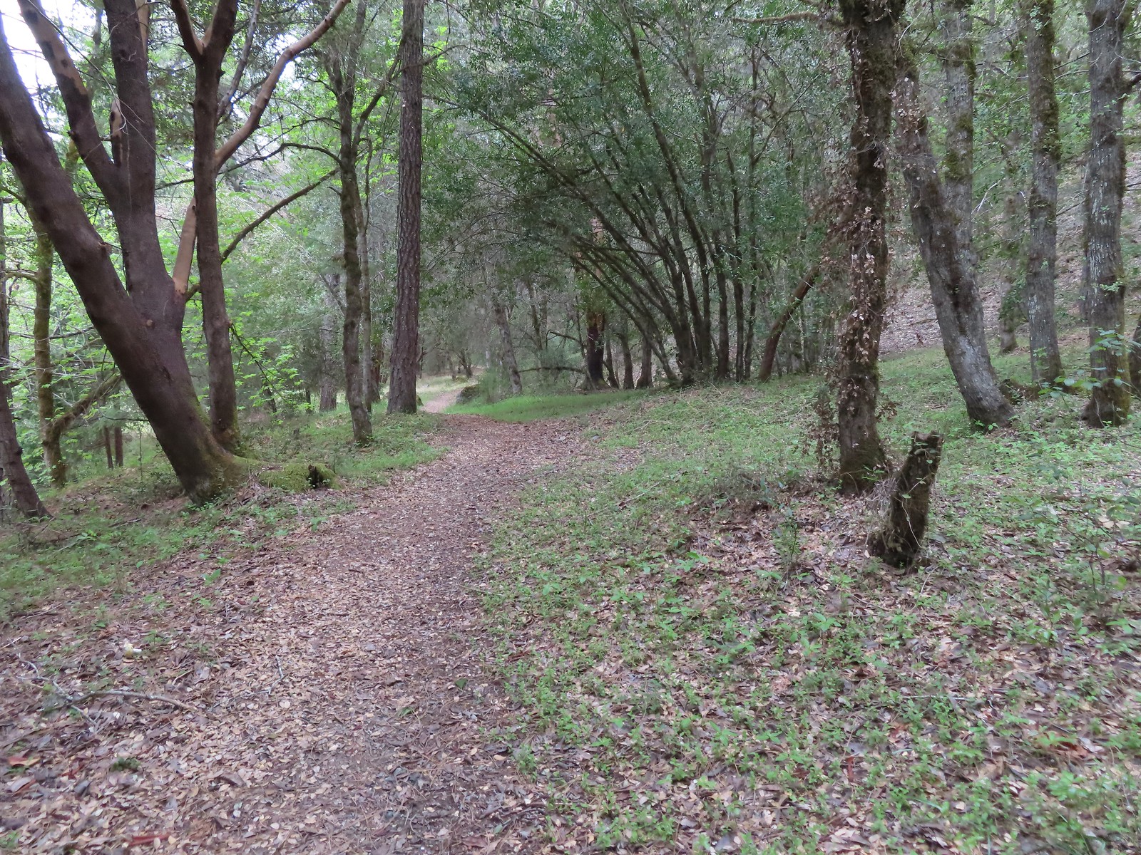
 Del Norte irises
 Big Slide Camp to the left.
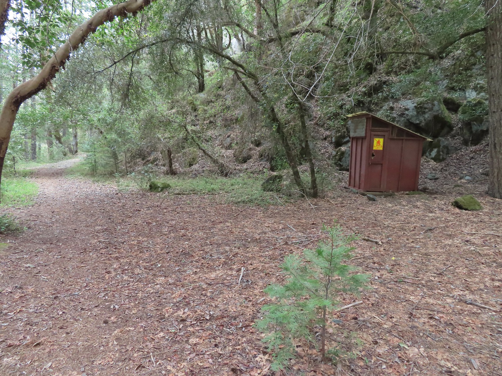 Outhouse at Big Slide Camp.
 Common mergansers
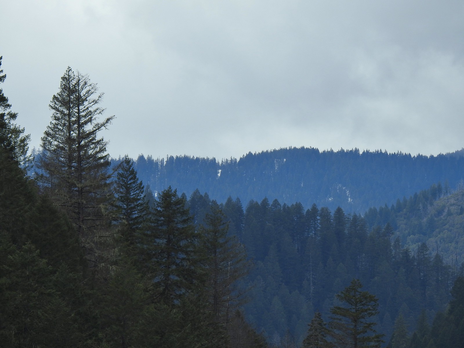 Snow on a ridge above the Rogue River Valley. (This was a sign of issues for us later in the week.)
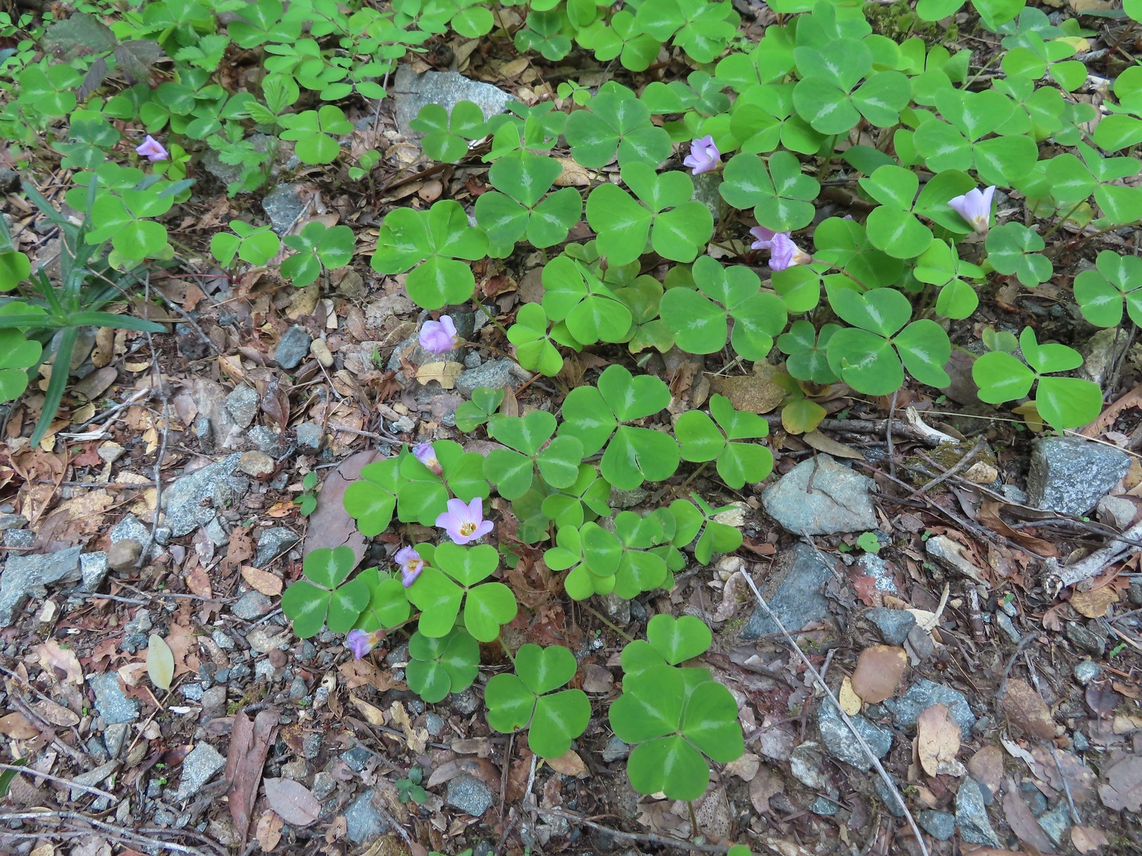 Redwood sorrel along Whiskey Creek.
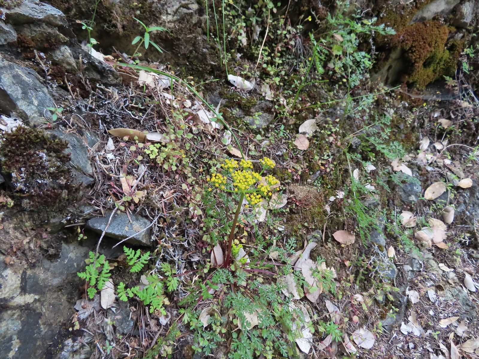 Buiscuitroot
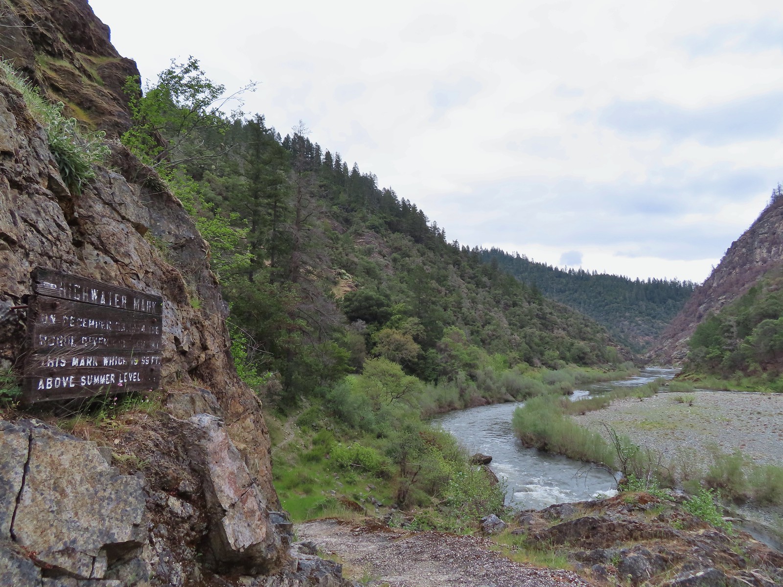 Passing the high water mark.
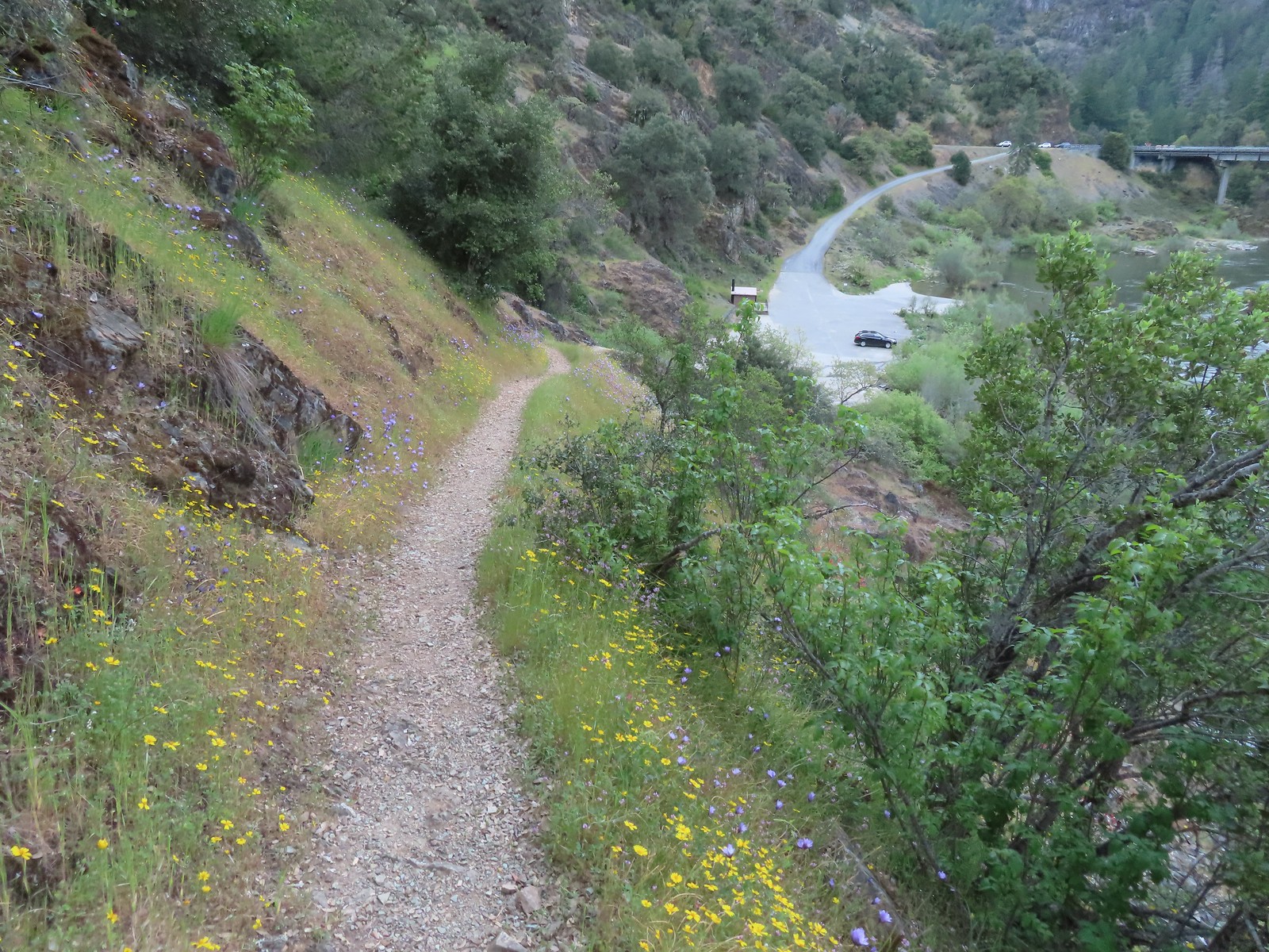 Arriving back at the trailhead.




 Most of the camas was still working on blooming but a few were open.
 Buttercups
 Dark eyed junco
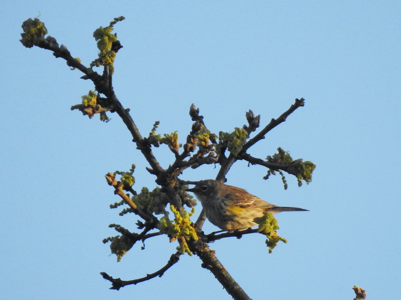 Possibly a female yellow-rumped warbler.
 Plectritis
 Willamette River
 Robin
Robin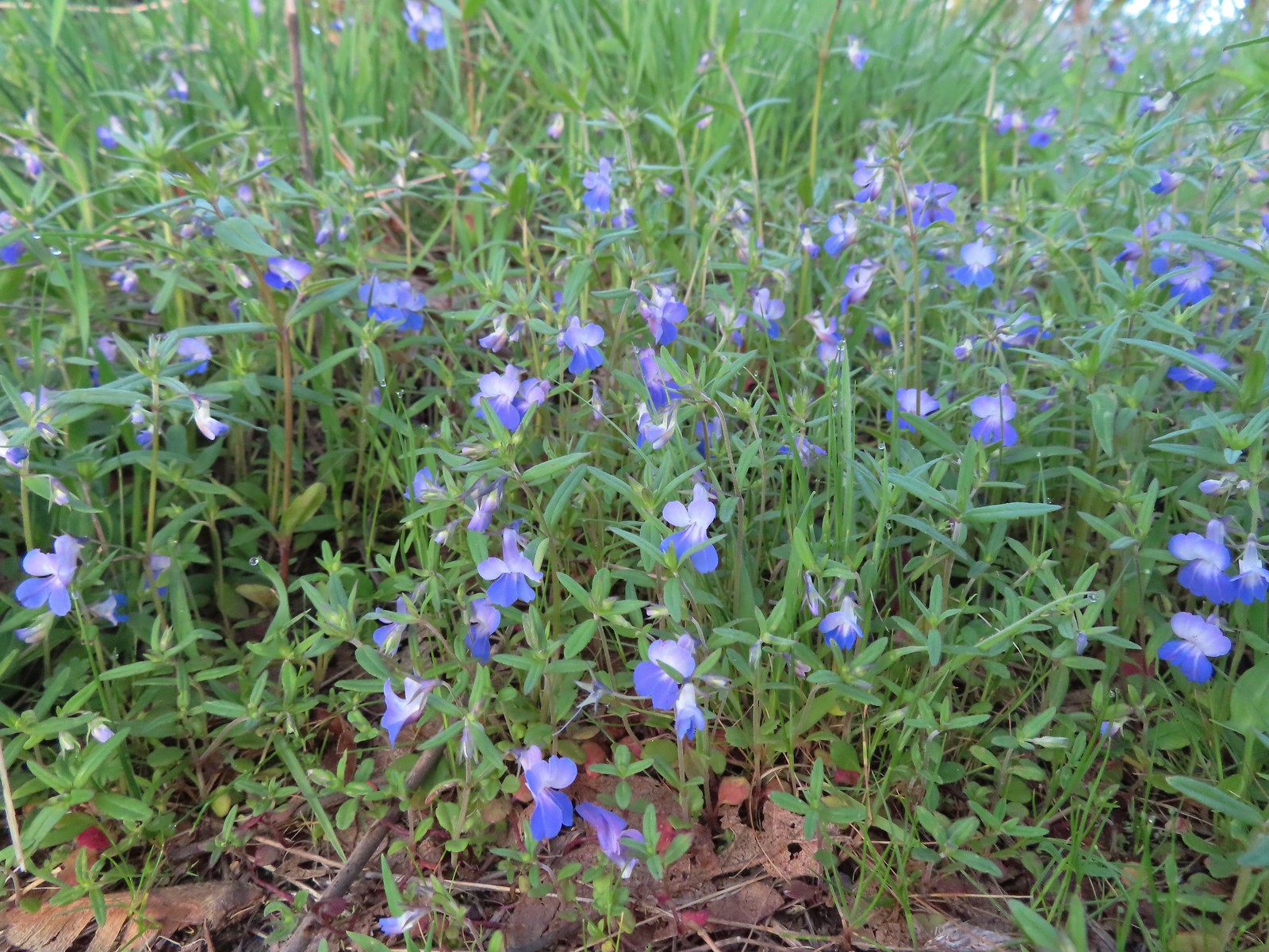 Giant blue-eyed Mary
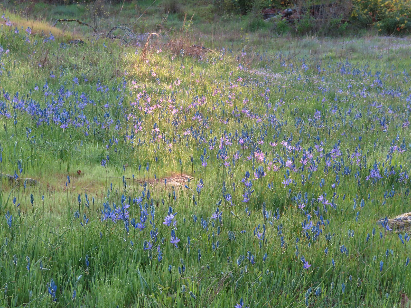 Camas catching a little sunlight.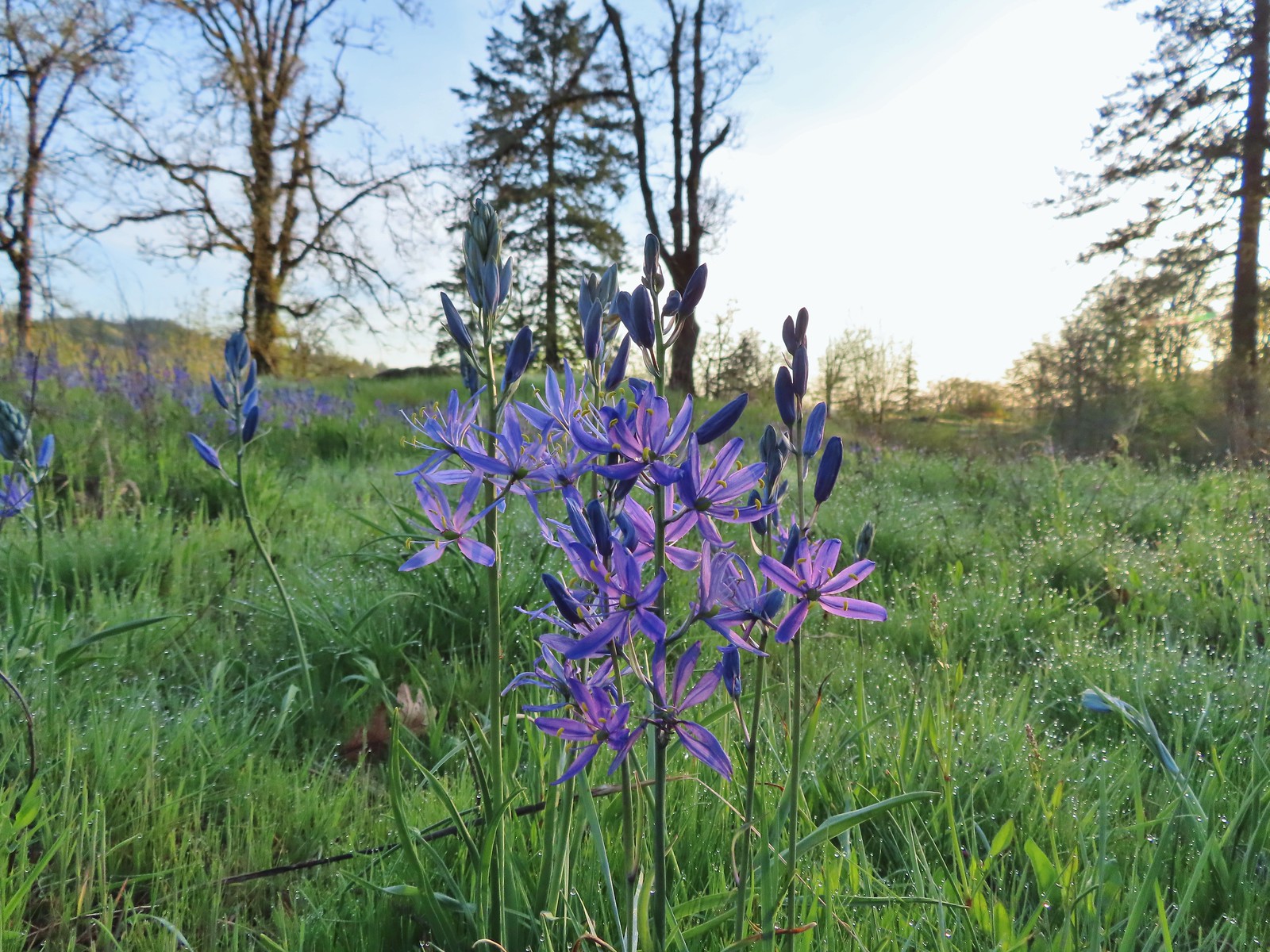

 Red flowering currant
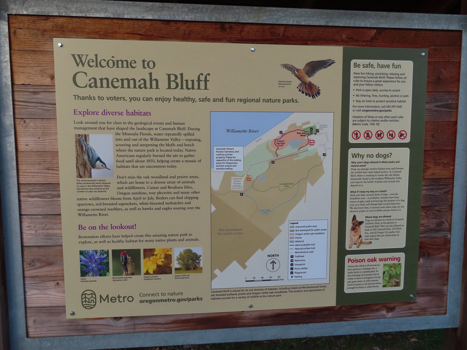
 Metro’s signage has been top notch in the parks we’ve visited so far.
 Hooker’s fairy bells
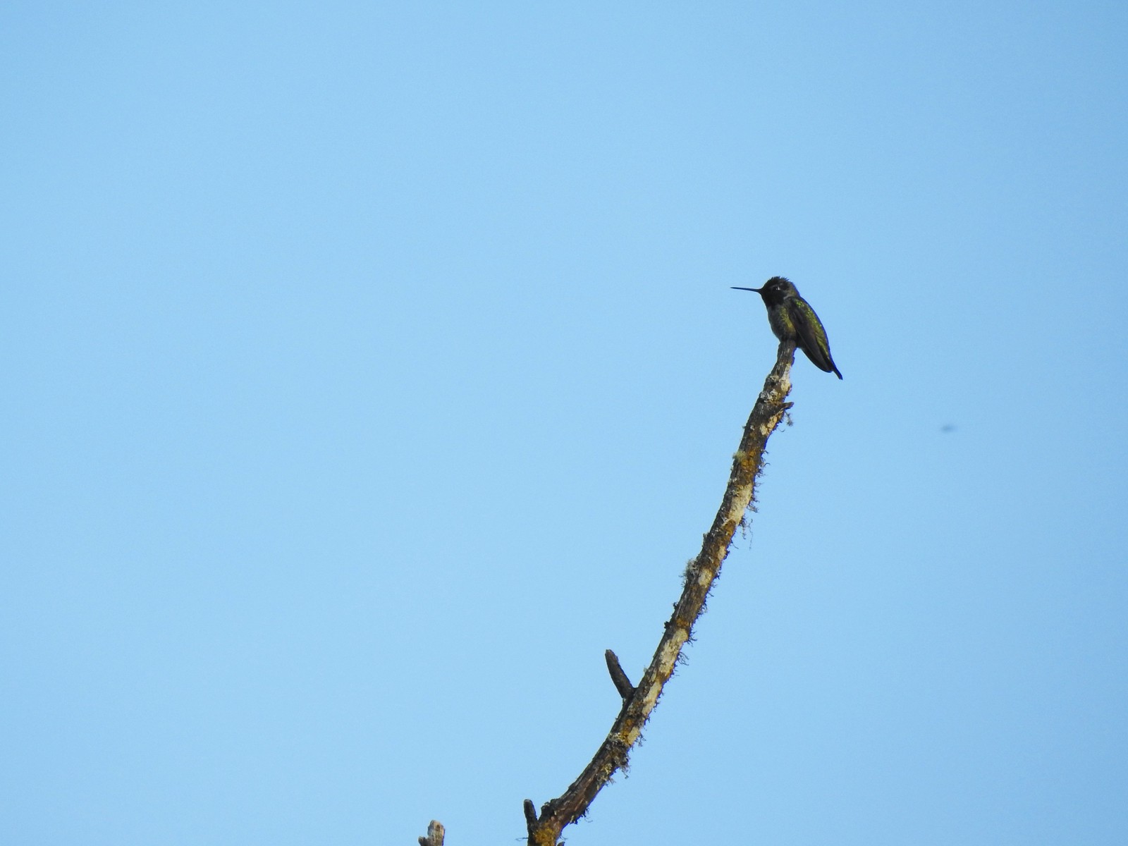 Hummingbird
 Fawn lilies
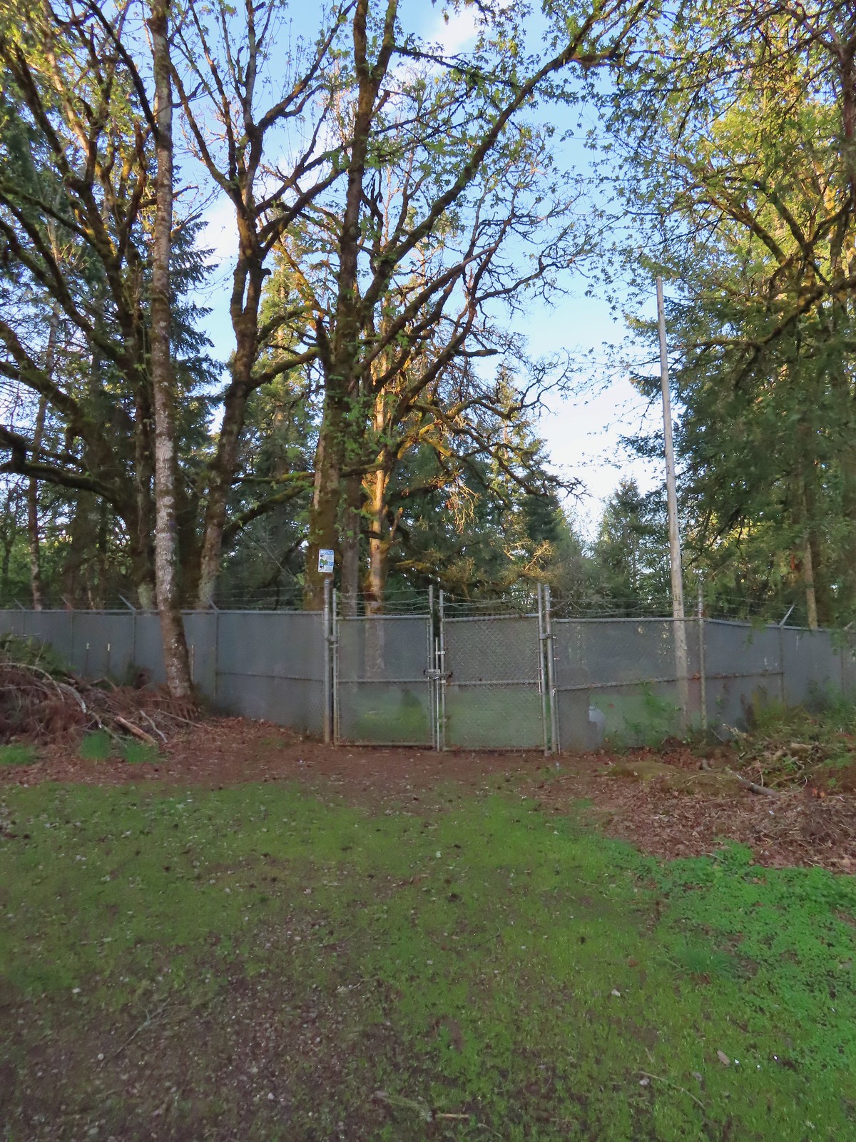 The cemetery behind the fence.
 The Spur Trail.


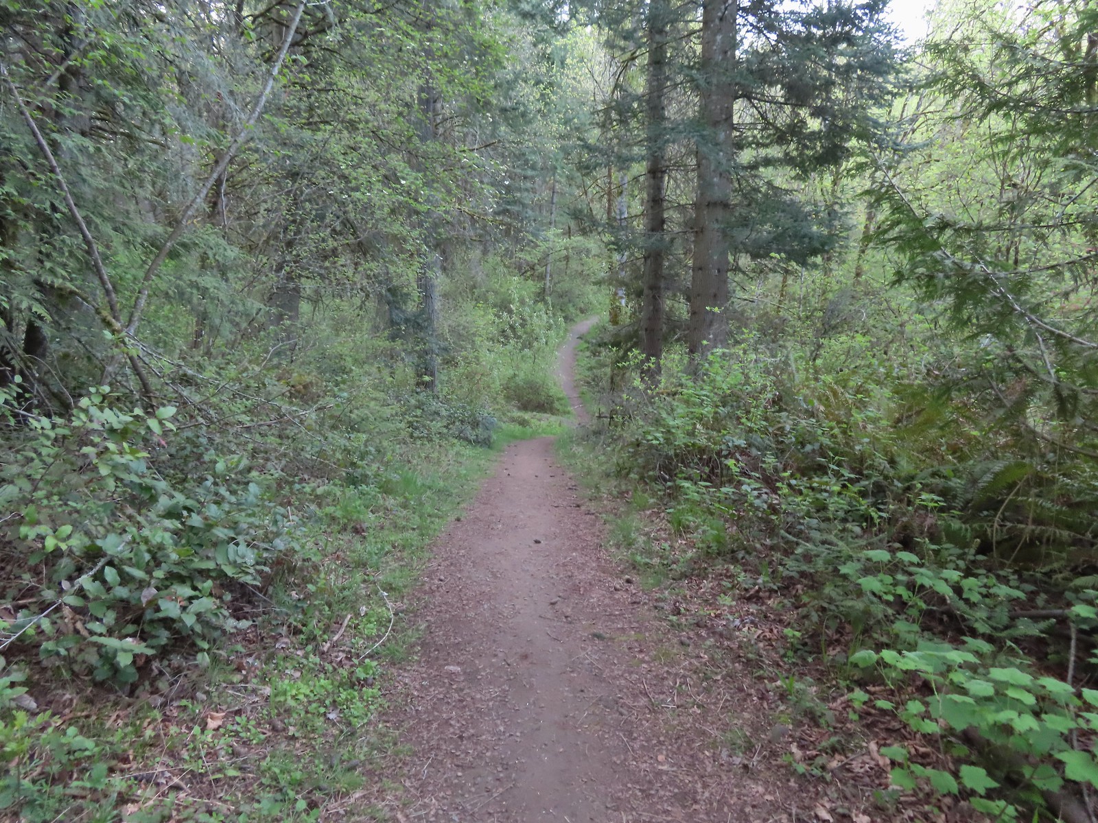
 The boundary marker. The trail continues a short distance to 5th Place.

 Youth-on-age
 Salmonberry
 Violets
 Back on the road.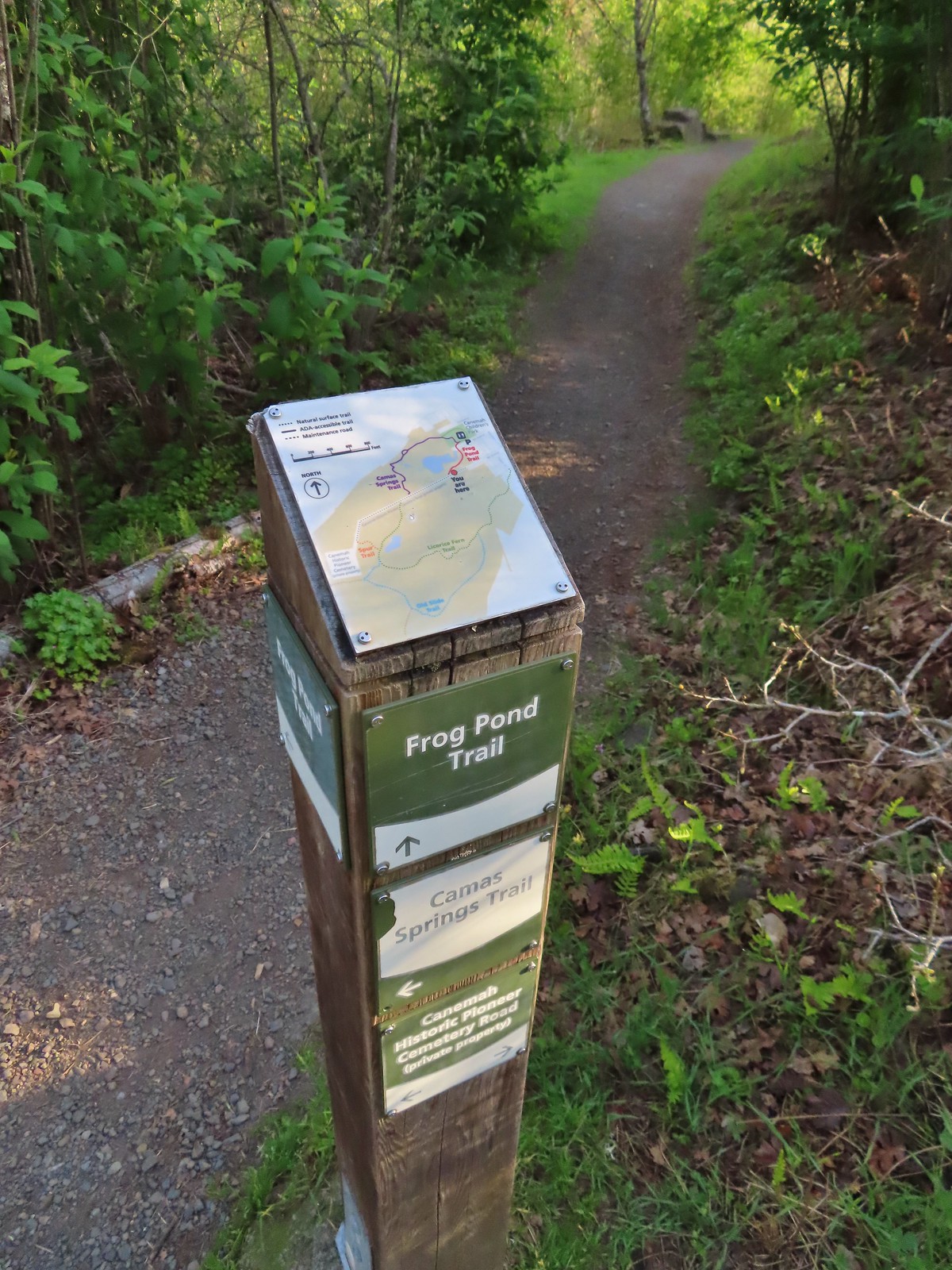
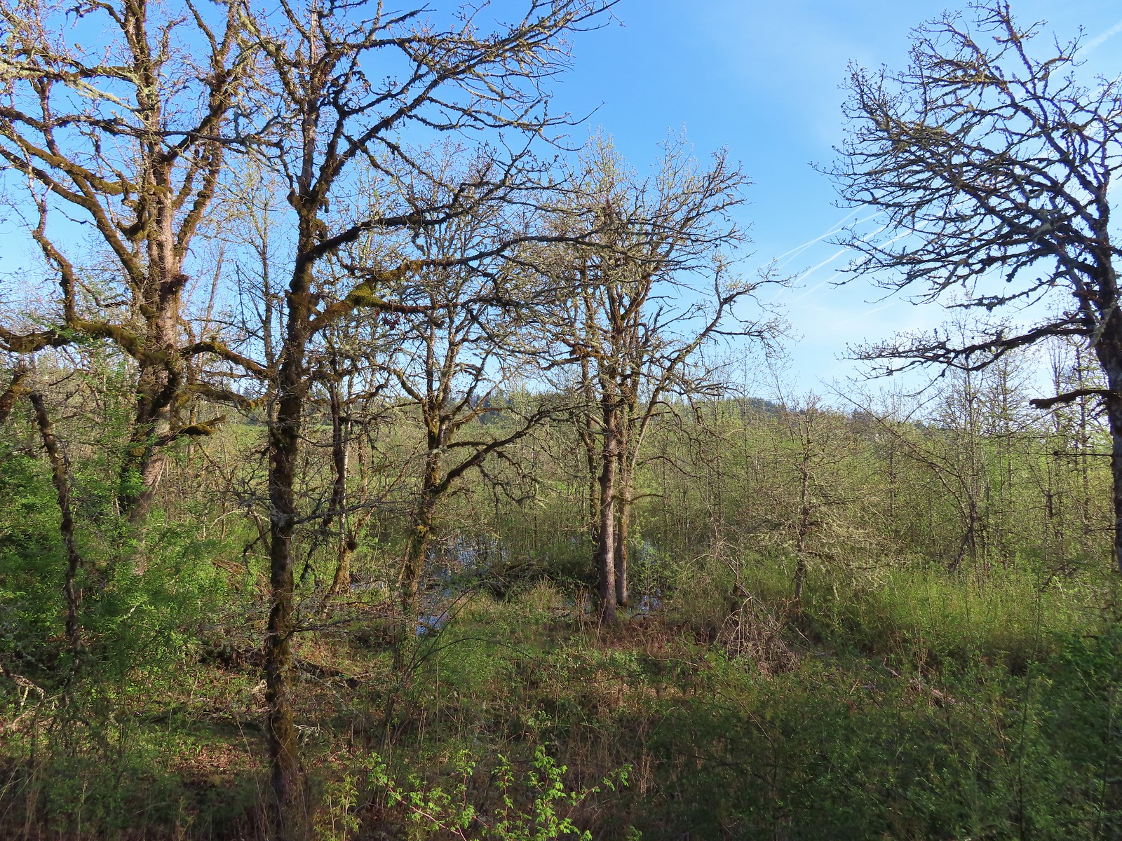 The frog pond.
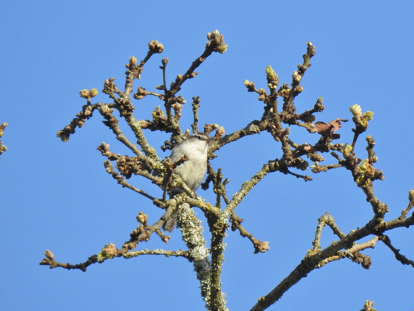 Bewick’s wren
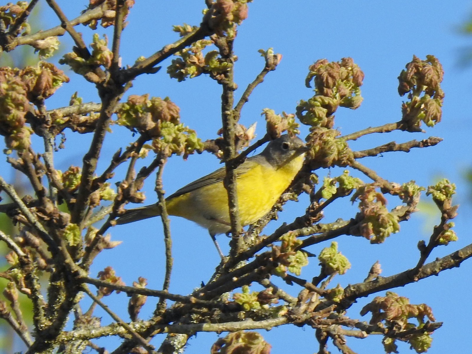 Nashville warbler?
 House finches
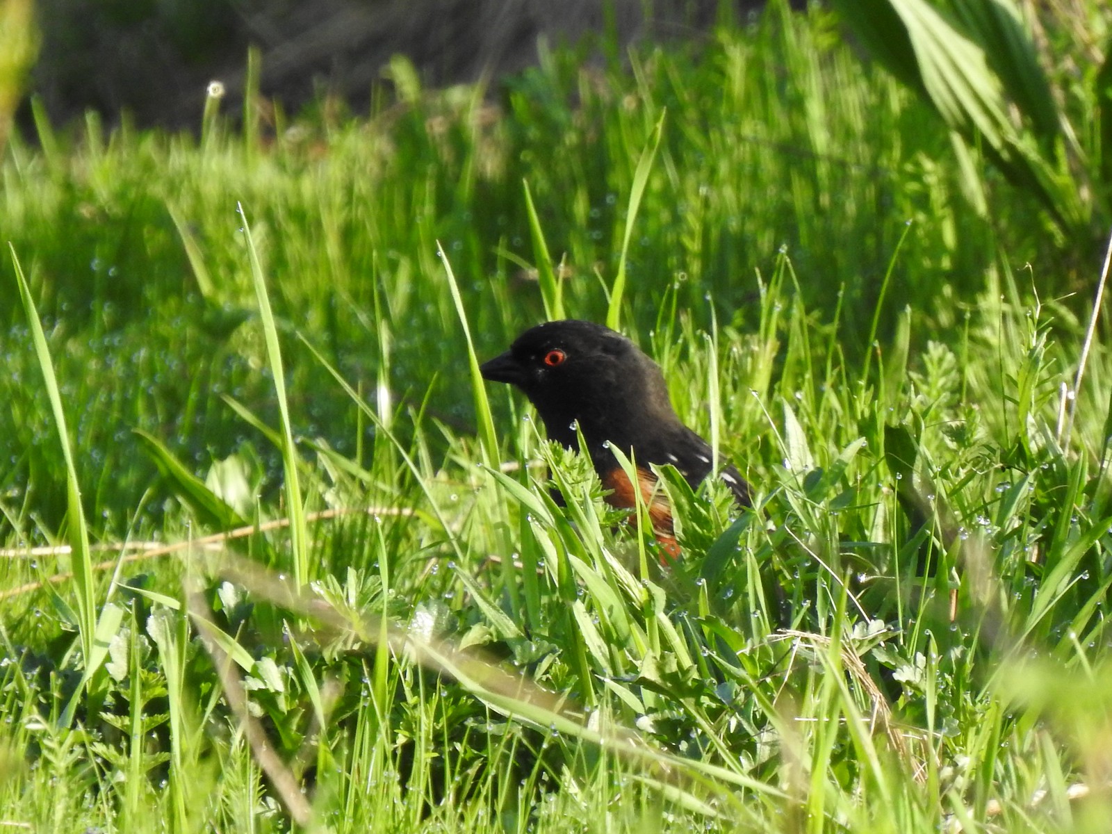 Spotted towhee
 Bleeding heart near the pond.
 Arriving back at the trailhead.
 View from the trailhead.
 Trailhead signboard.
 Please note that pets are not allowed at most Metro parks.
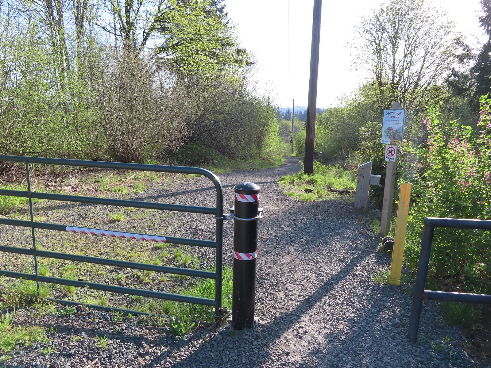 Don’t forget to brush off your shoes when brushes are available.
 The Shady Lane Trail.
 Oregon grape, red flowering currant and Indian plum
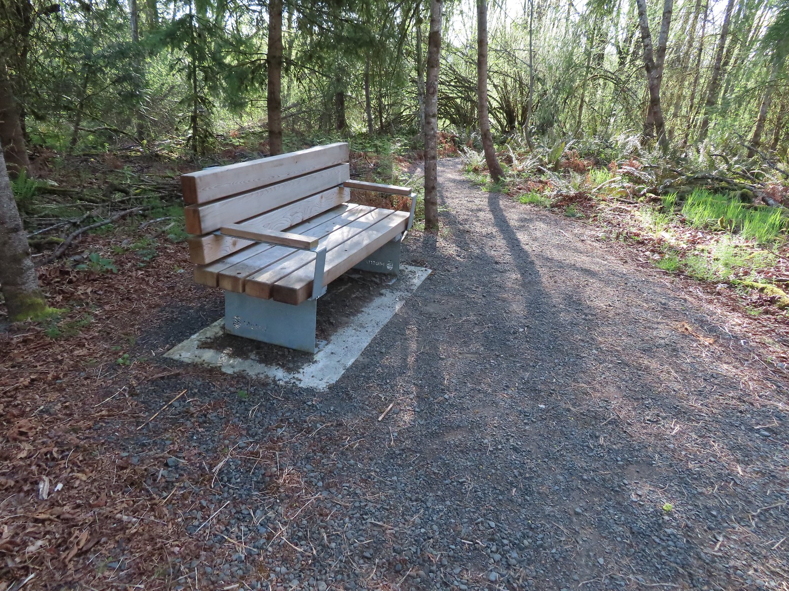 One of several benches located throughout the park.
 The connector trail.
 Candy flower
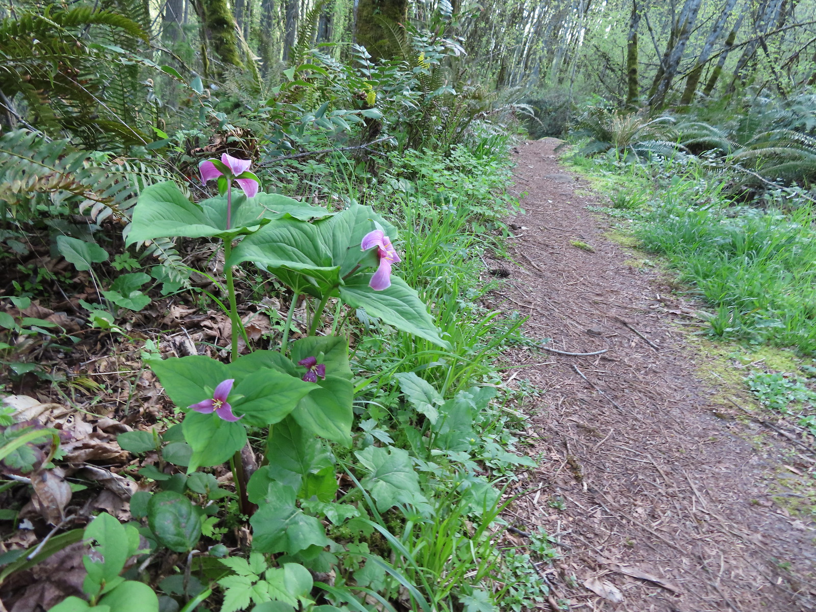
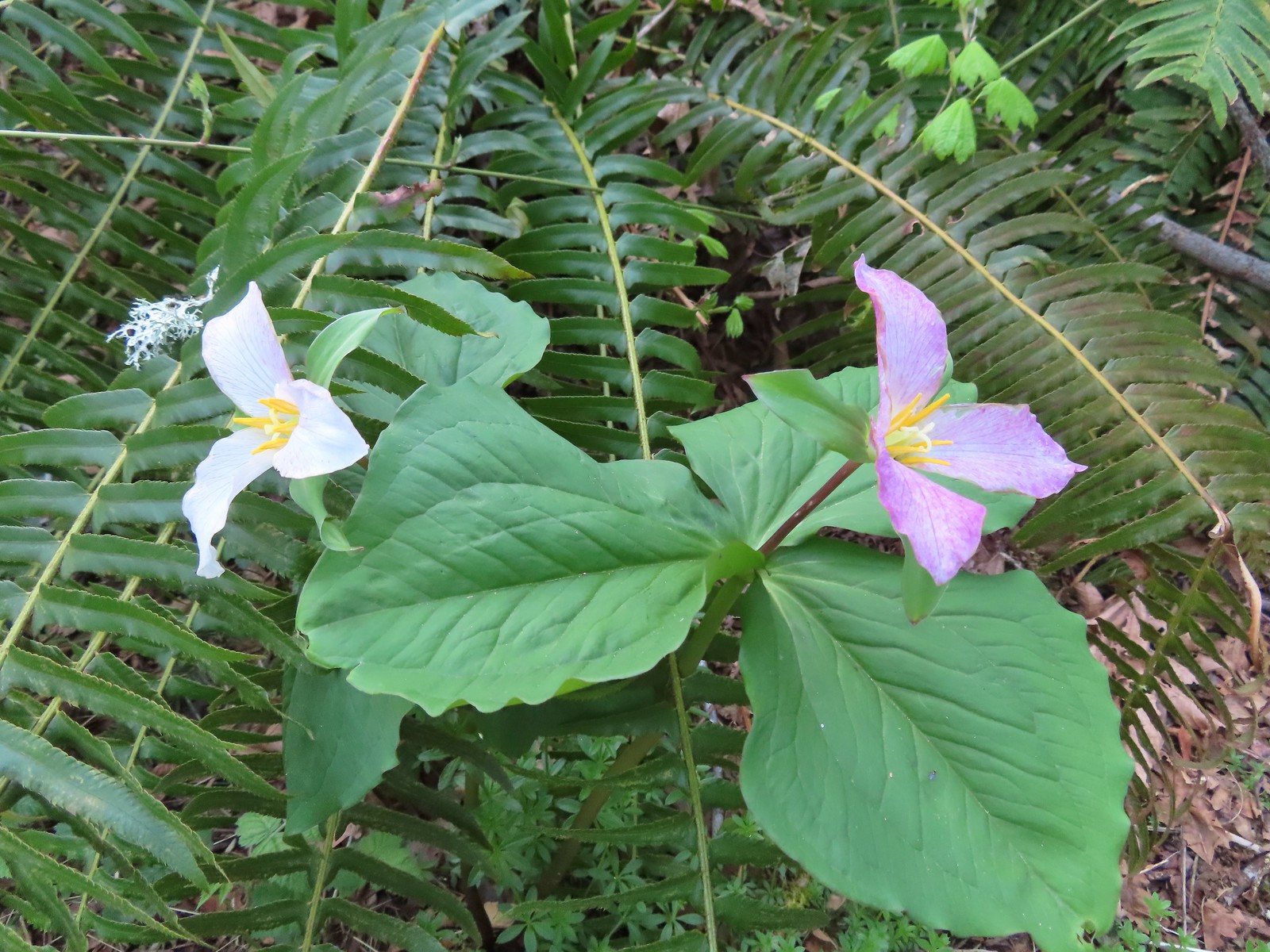
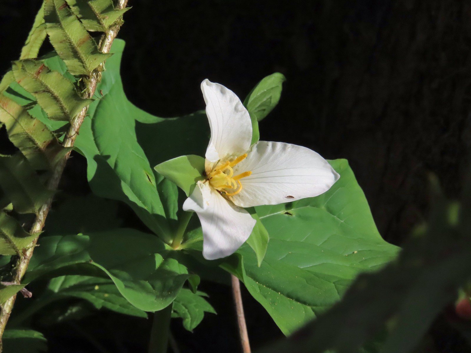 Trillium with a tiny insect.
 Carpet of green.
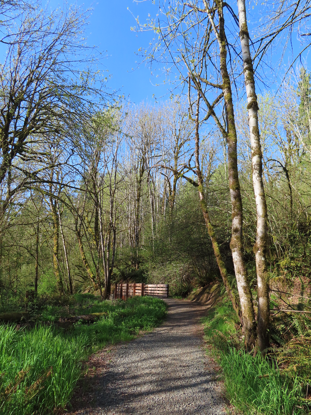
 A rare bluebird day for us this year.
 Salmonberry blossoms
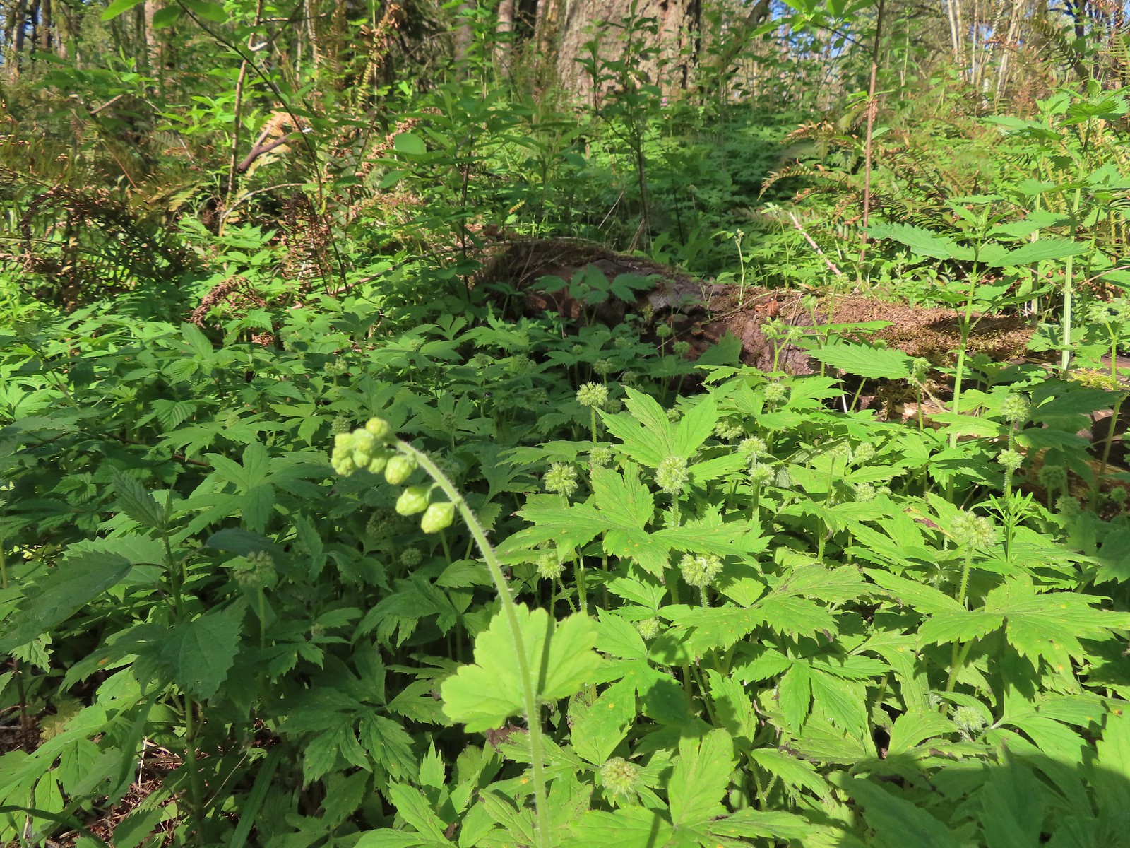 Fringecup and pacific waterleaf that had yet to start blooming.
 The Tumble Falls Bridge.
 Tumble Falls
 The Red Soil Roller Trail to the right.
 A small pond along the trail.
 Song sparrow
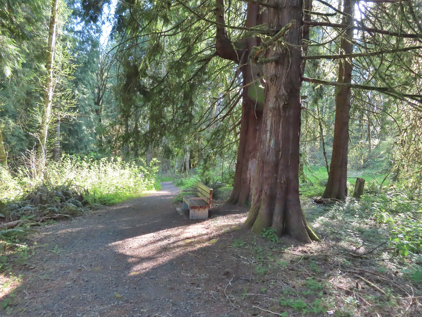 Western red cedars
 Nearing the end of the trail.
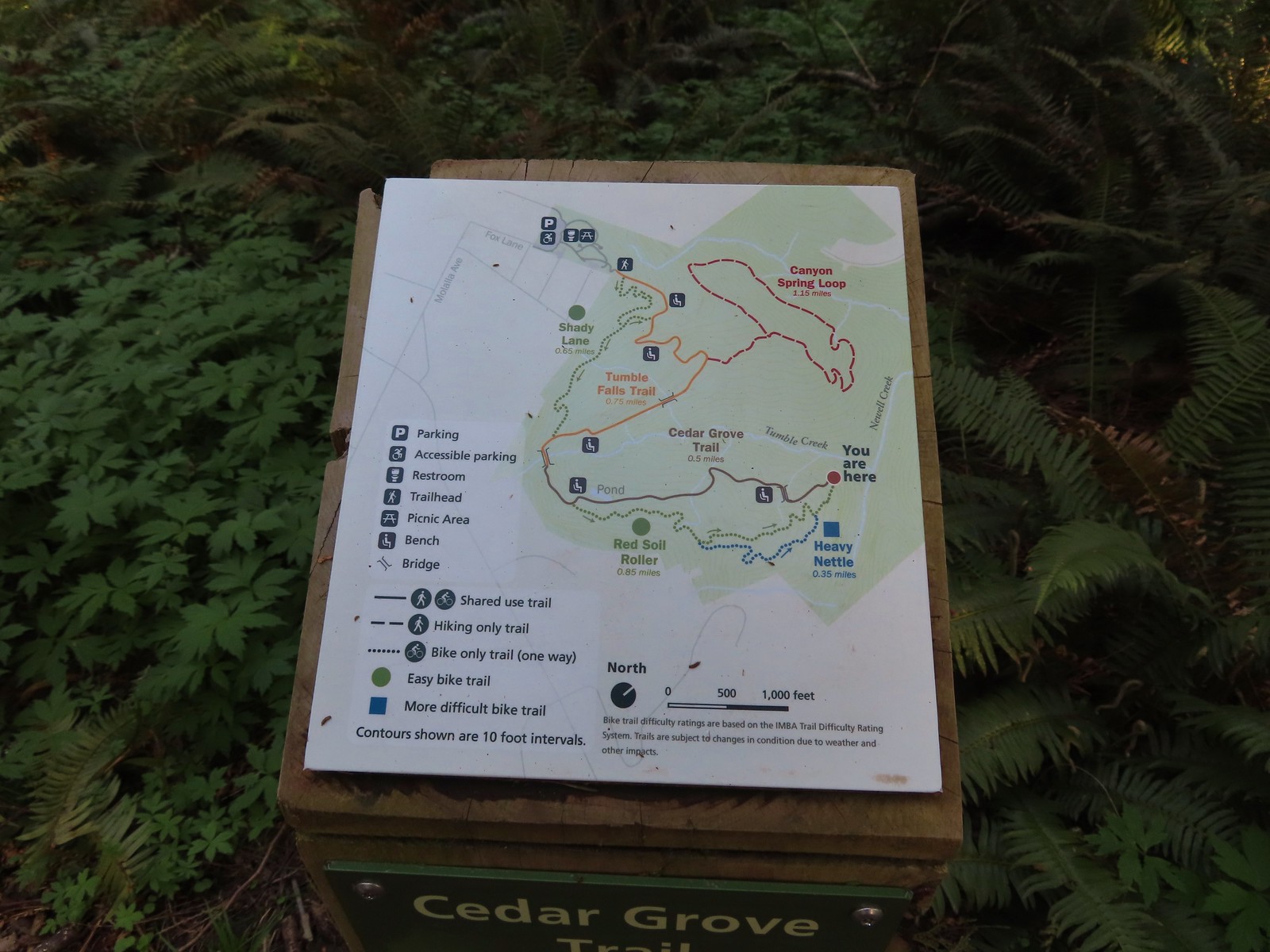 Map at the end of the Cedar Grove Trail.
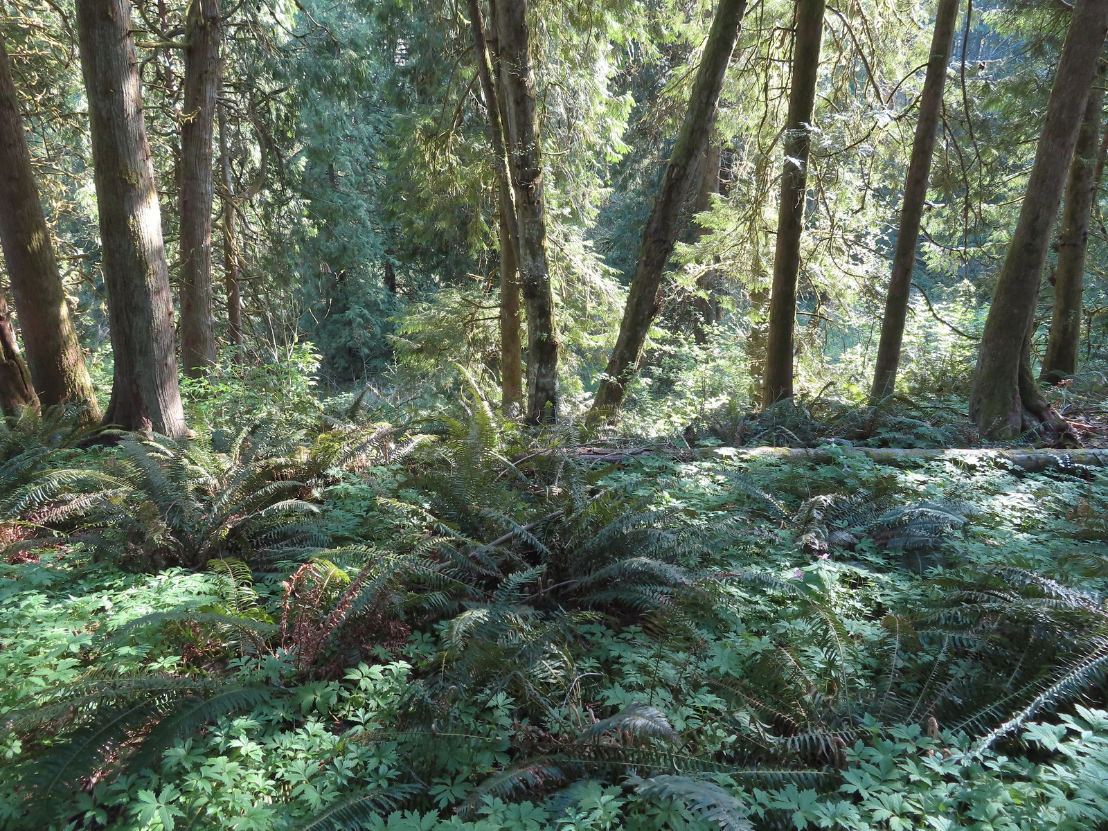 Newell Creek is down there somewhere.
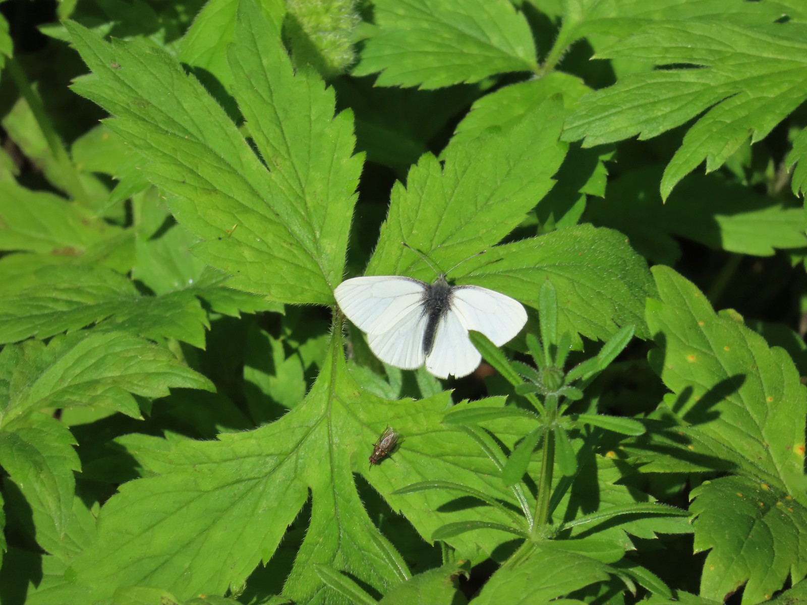 Male margined white?
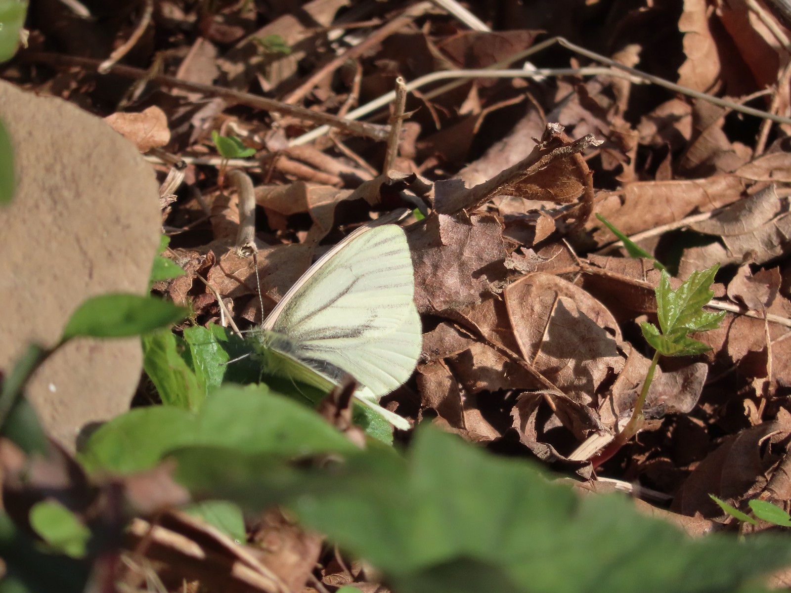 Female margined white?
 Slender toothwort
 The Canyon Spring Trail below in the trees.
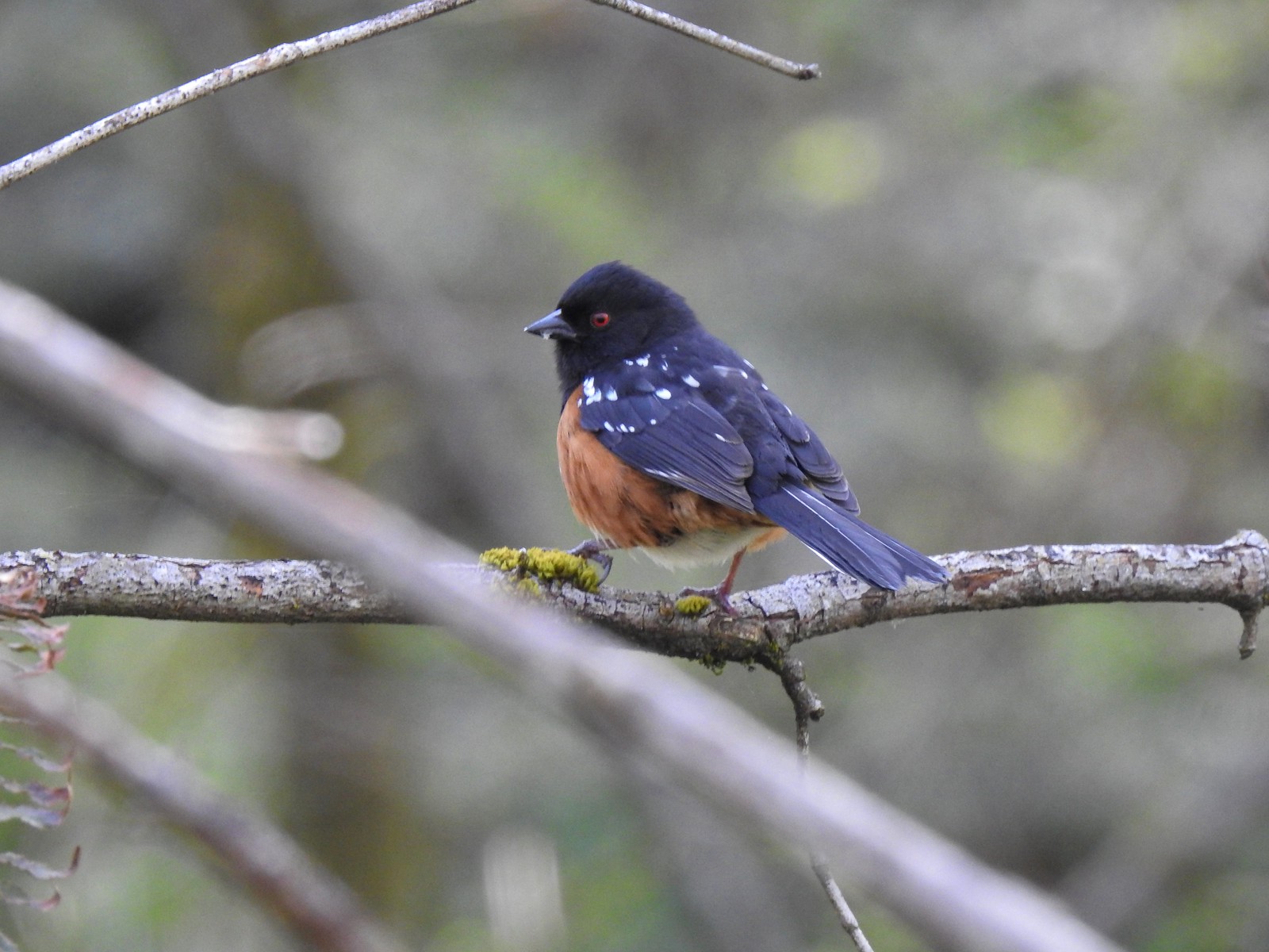 Spotted towhee
 Chipmunk
 Heading back beneath the ridge.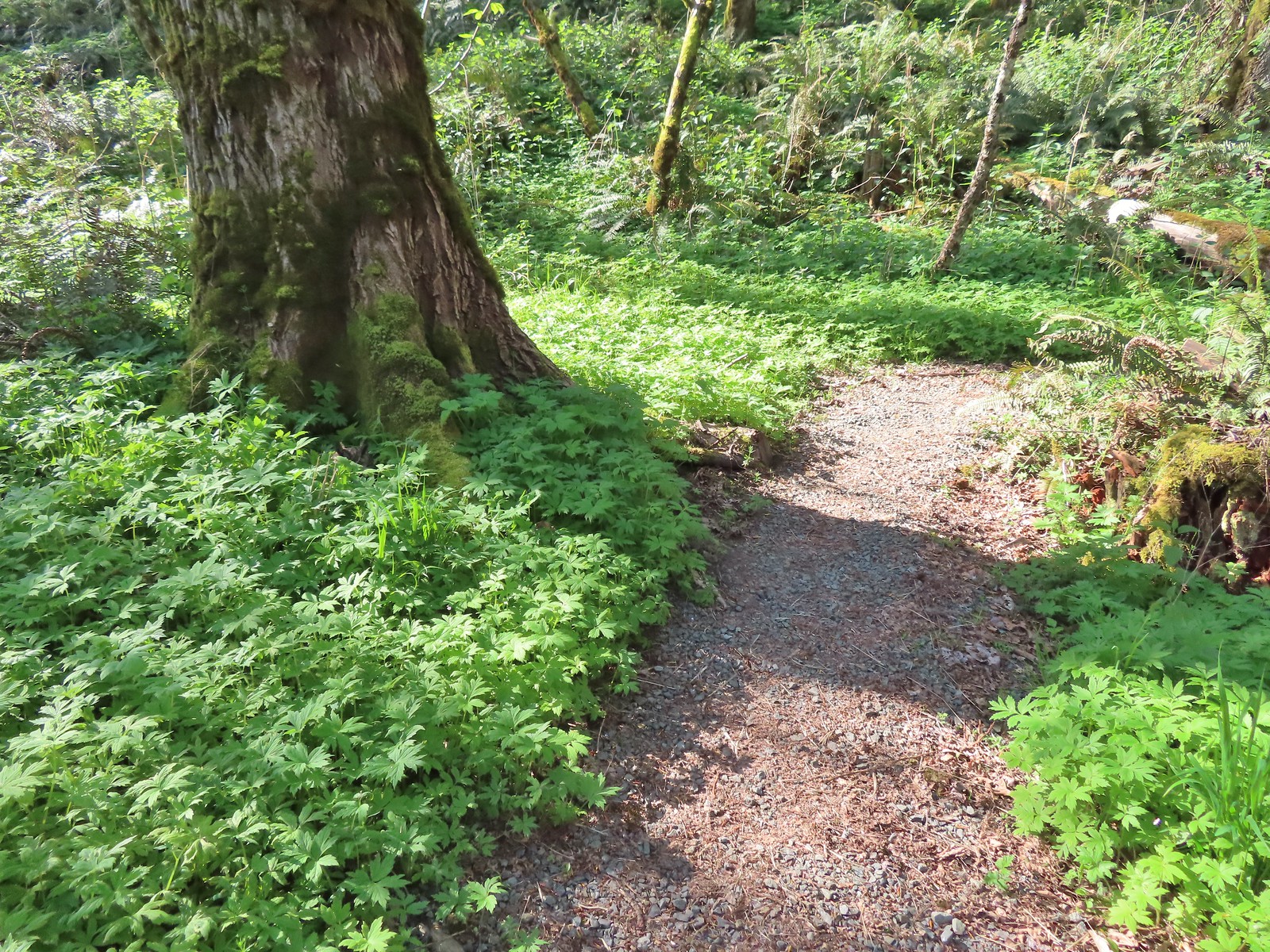
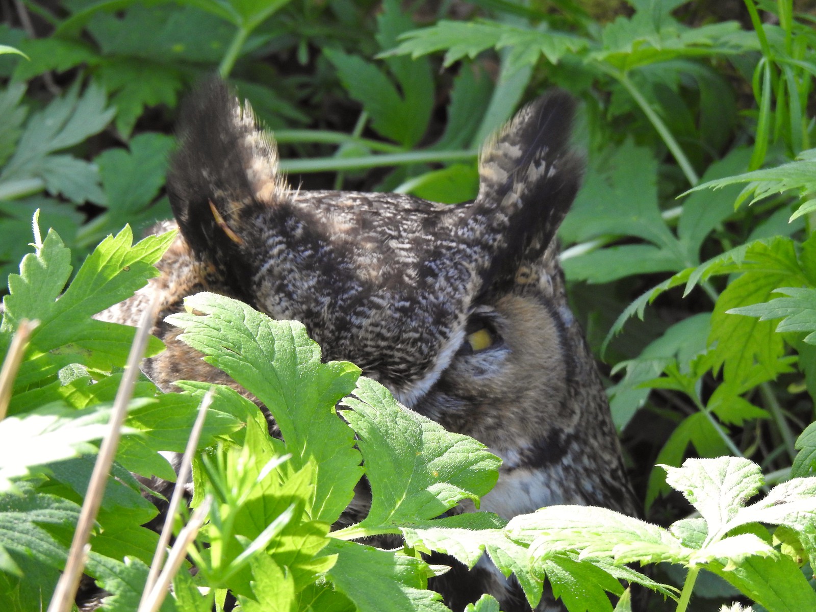

 Trillium and mushrooms
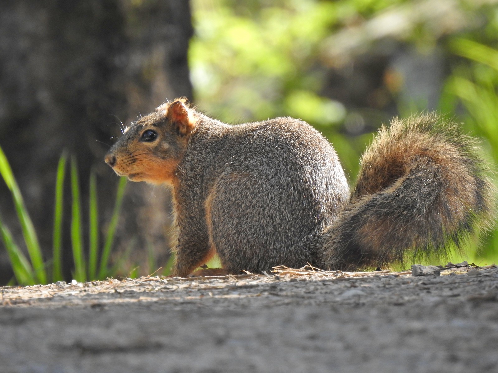 Squirrel
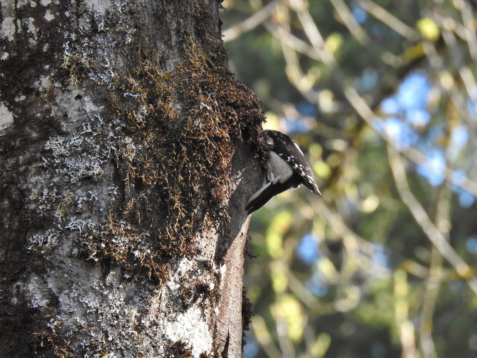 Woodpecker
 Stellar’s jay
 Back at the Tumble Falls Trail.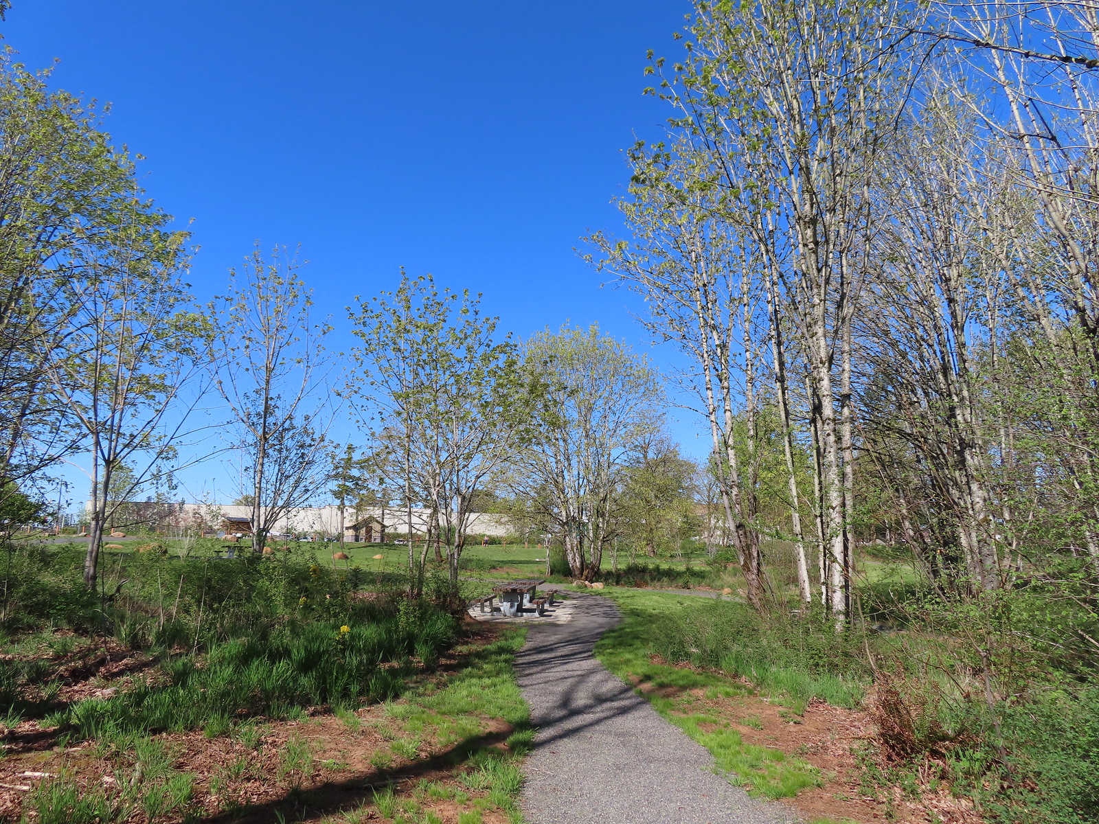
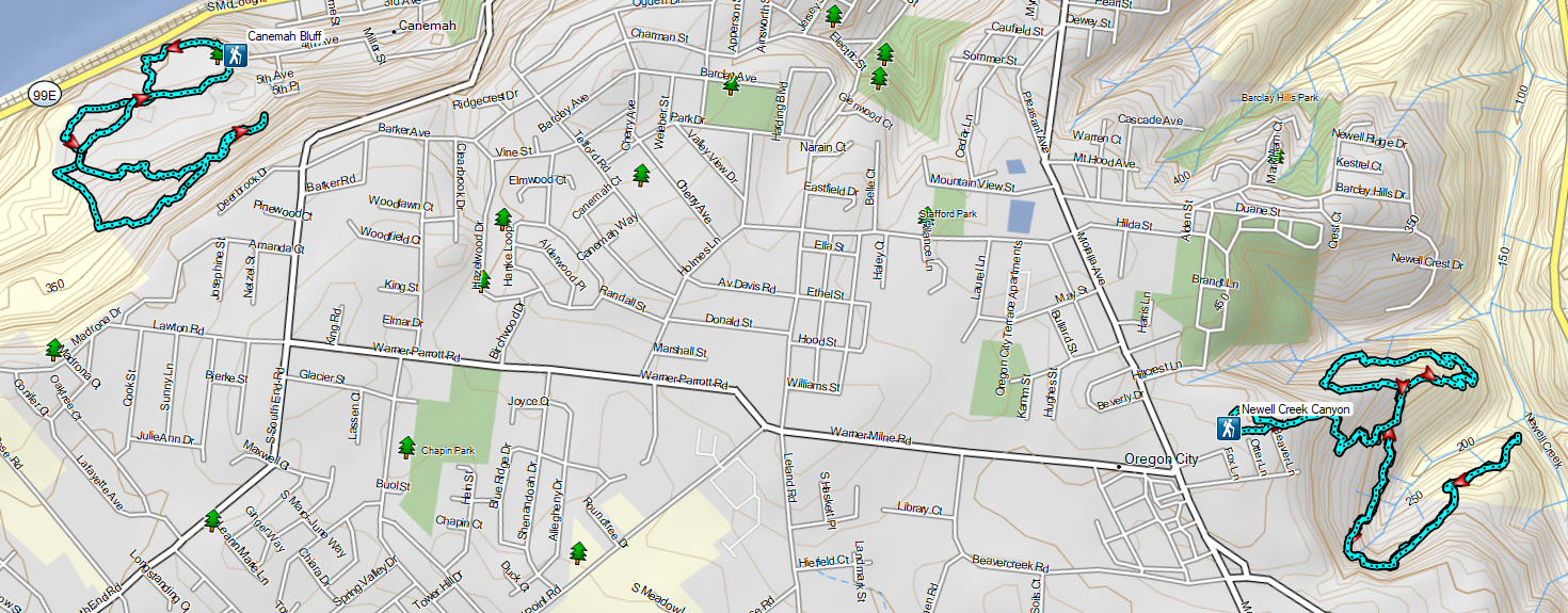


 Not sure how “official” the writing is on the map, but it wasn’t wrong about the Turtle Loop being “closed” (high water).

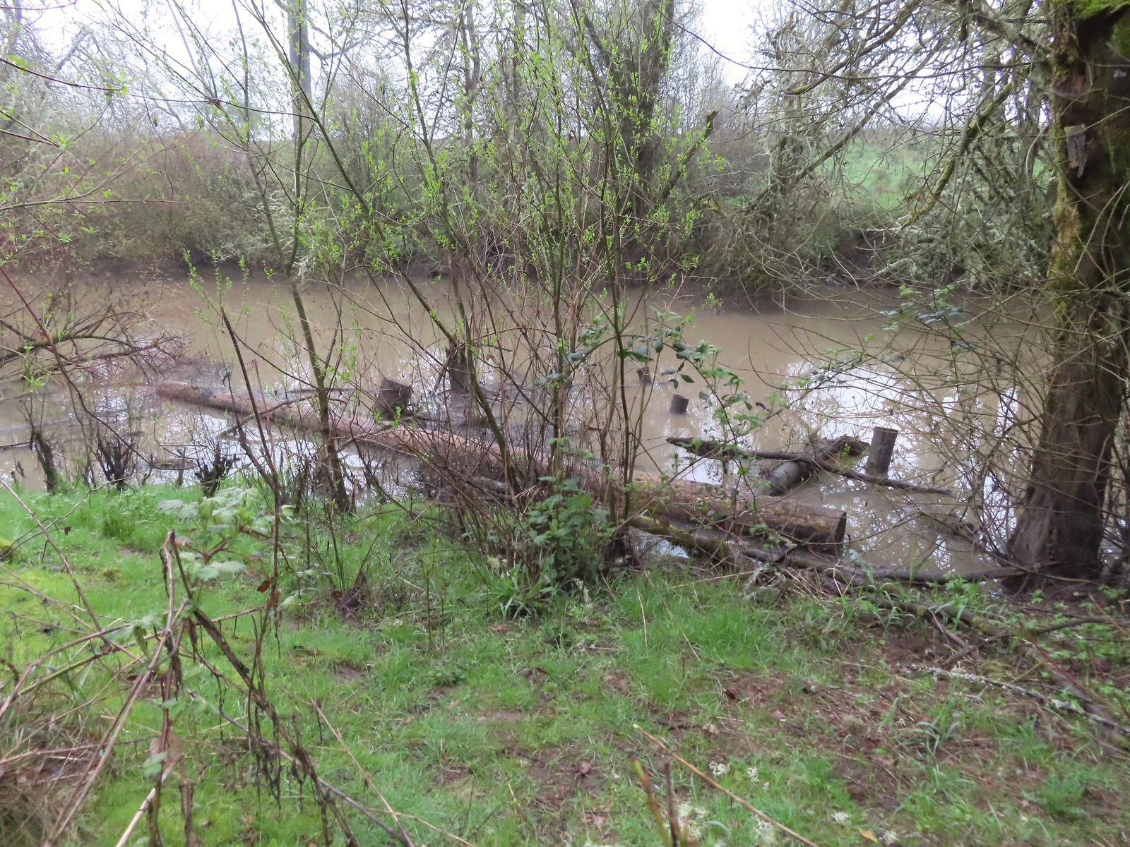 A swollen Lake Creek
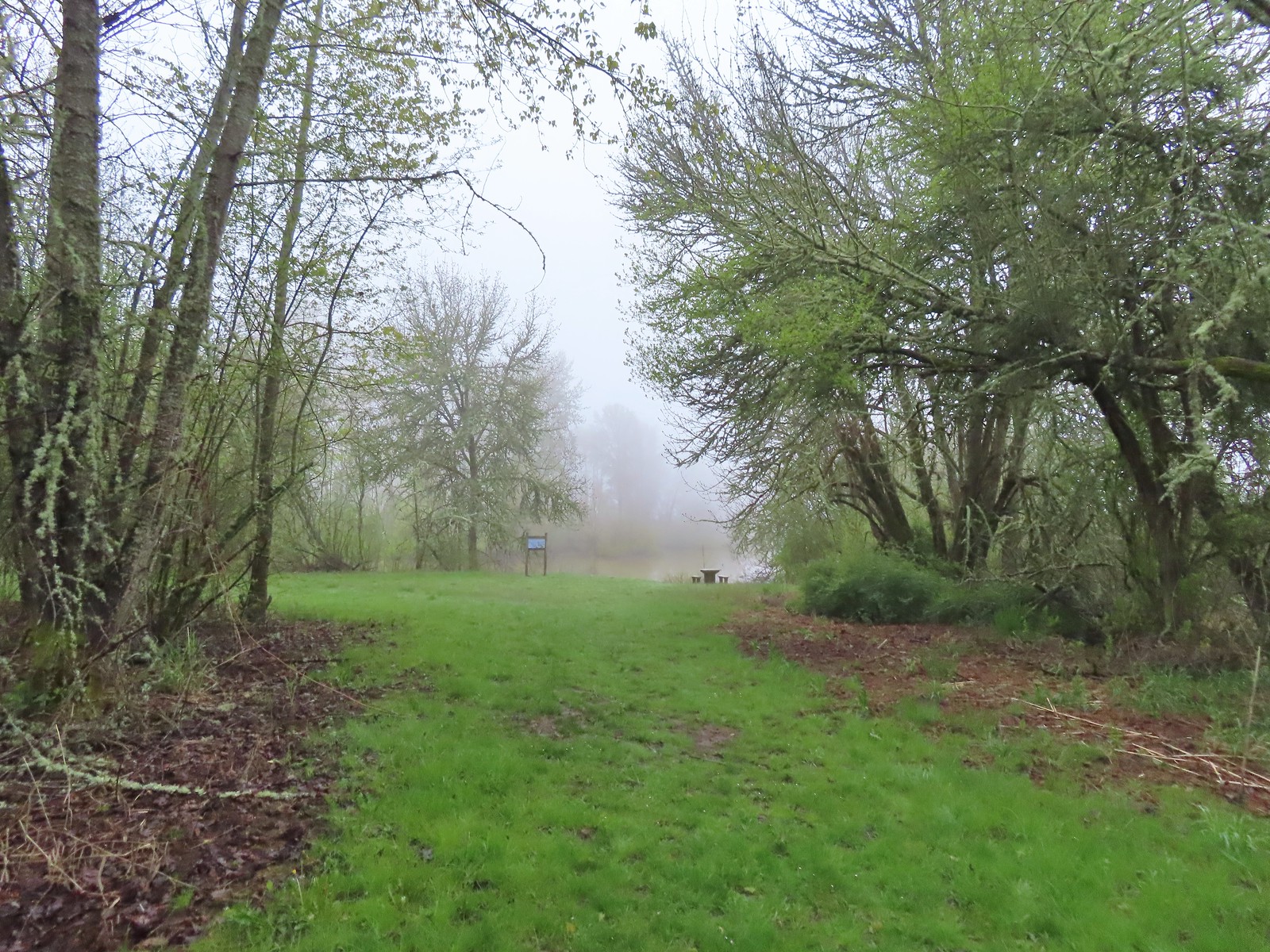 A third of a mile from the trailhead is a picnic table overlooking a former channel of the Willamette River that is now an oxbow lake filled by Lake Creek.
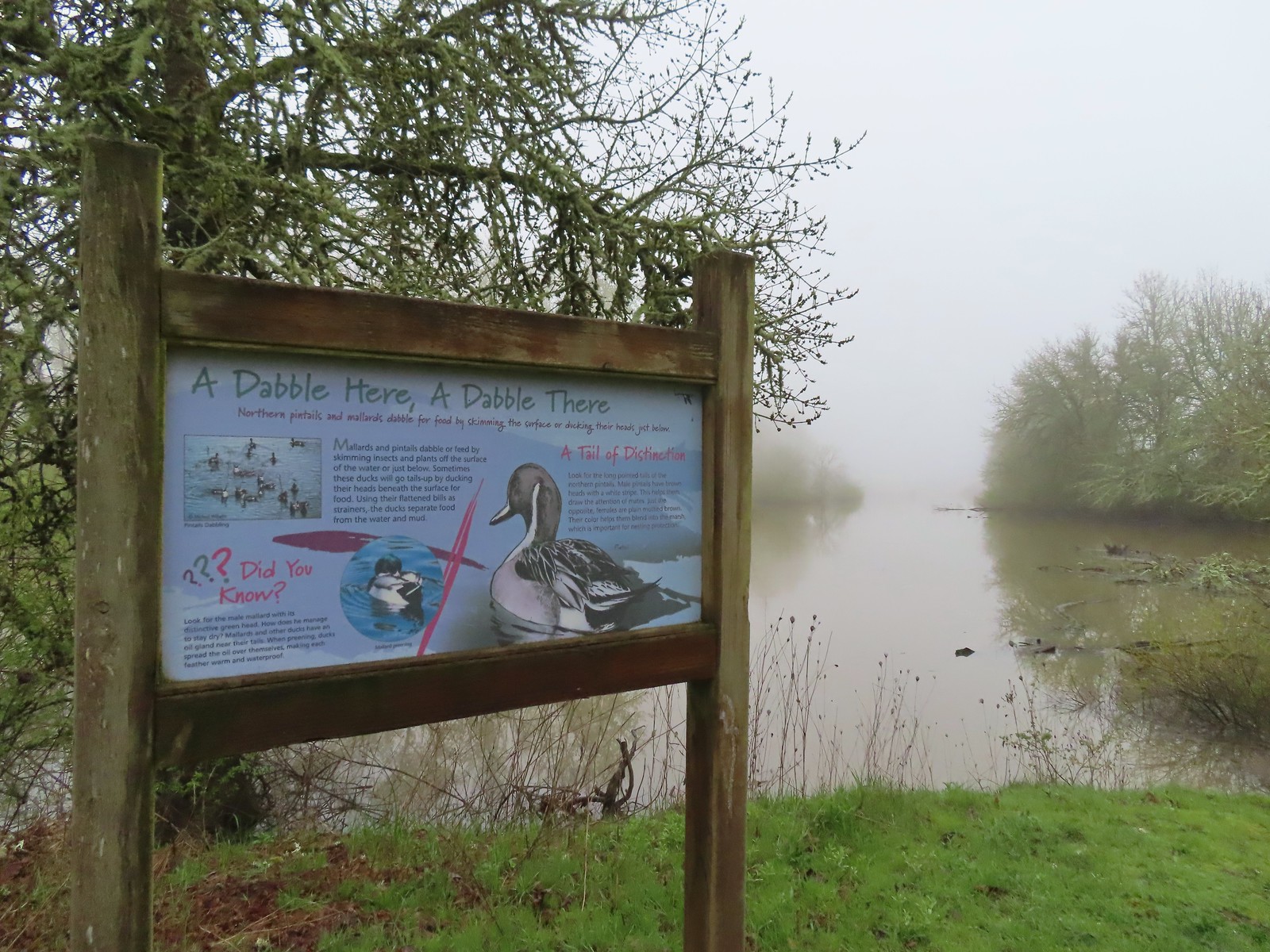 The oxbow lake.
 Lots of water in the lake.
 Woodpecker hiding in the trees.
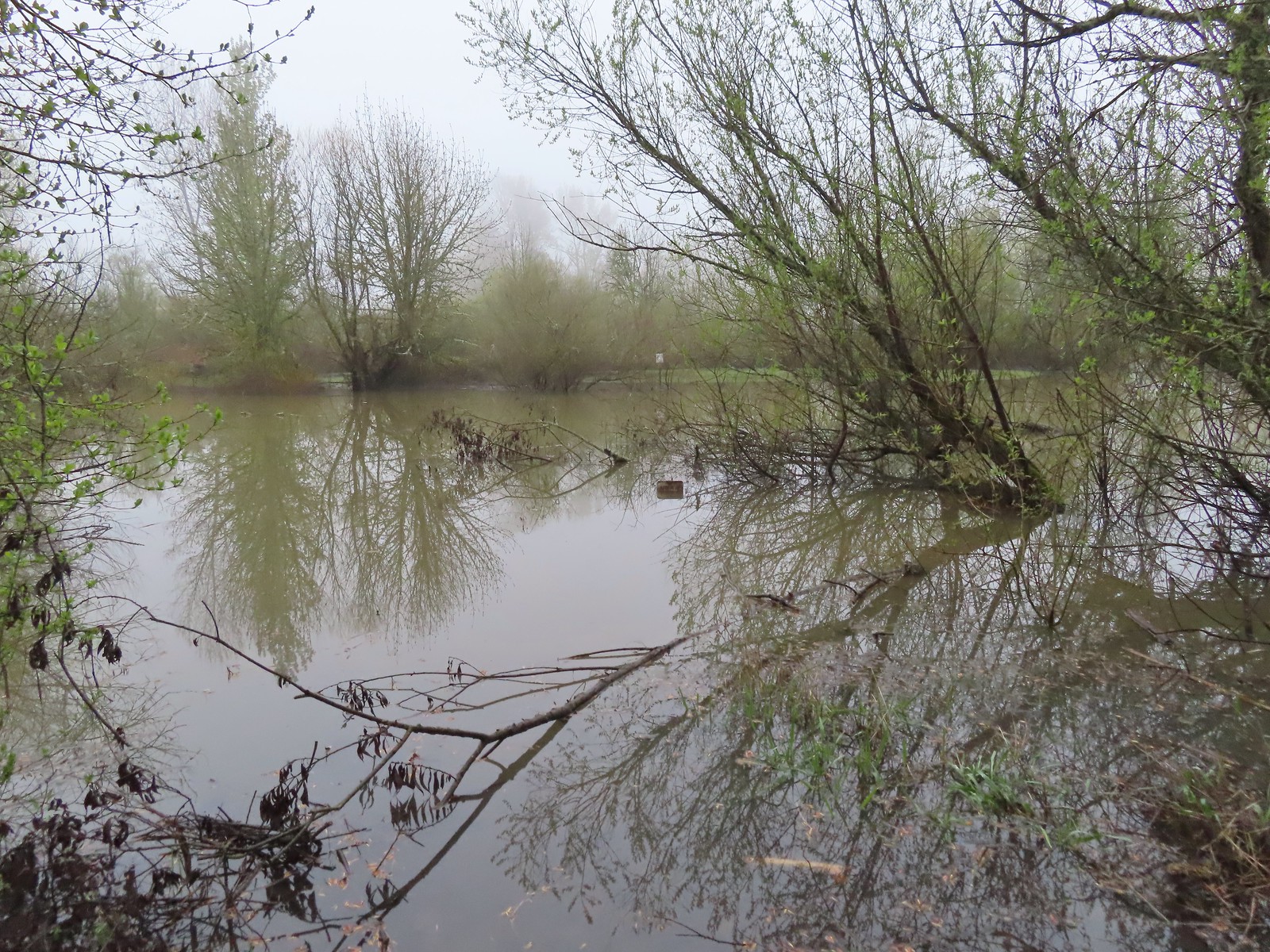 Note the sign on the far side vs the closer sign barely sticking up out of the water.
 Oregon grape
 Red flowering currant
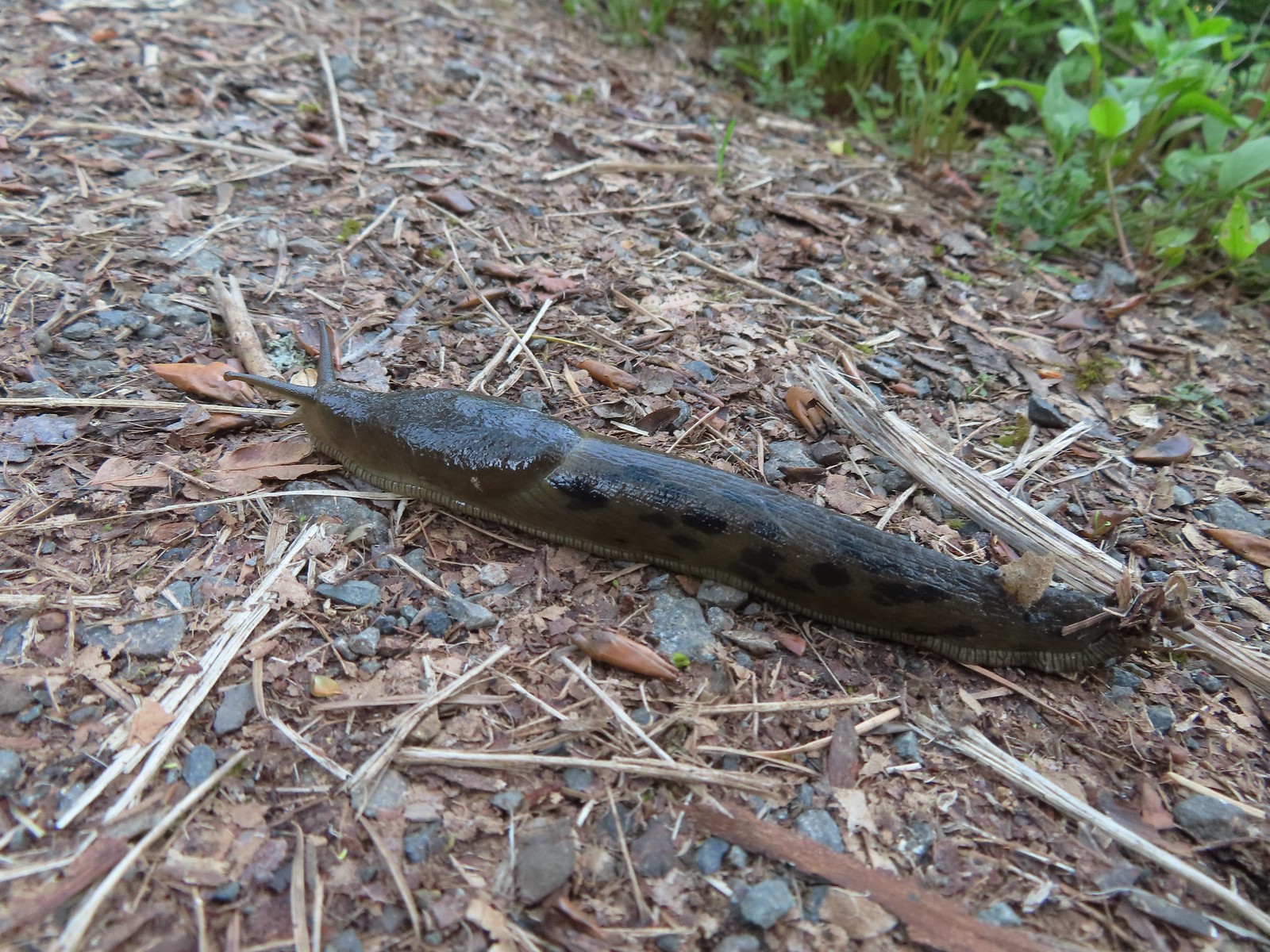
 Slug
Slug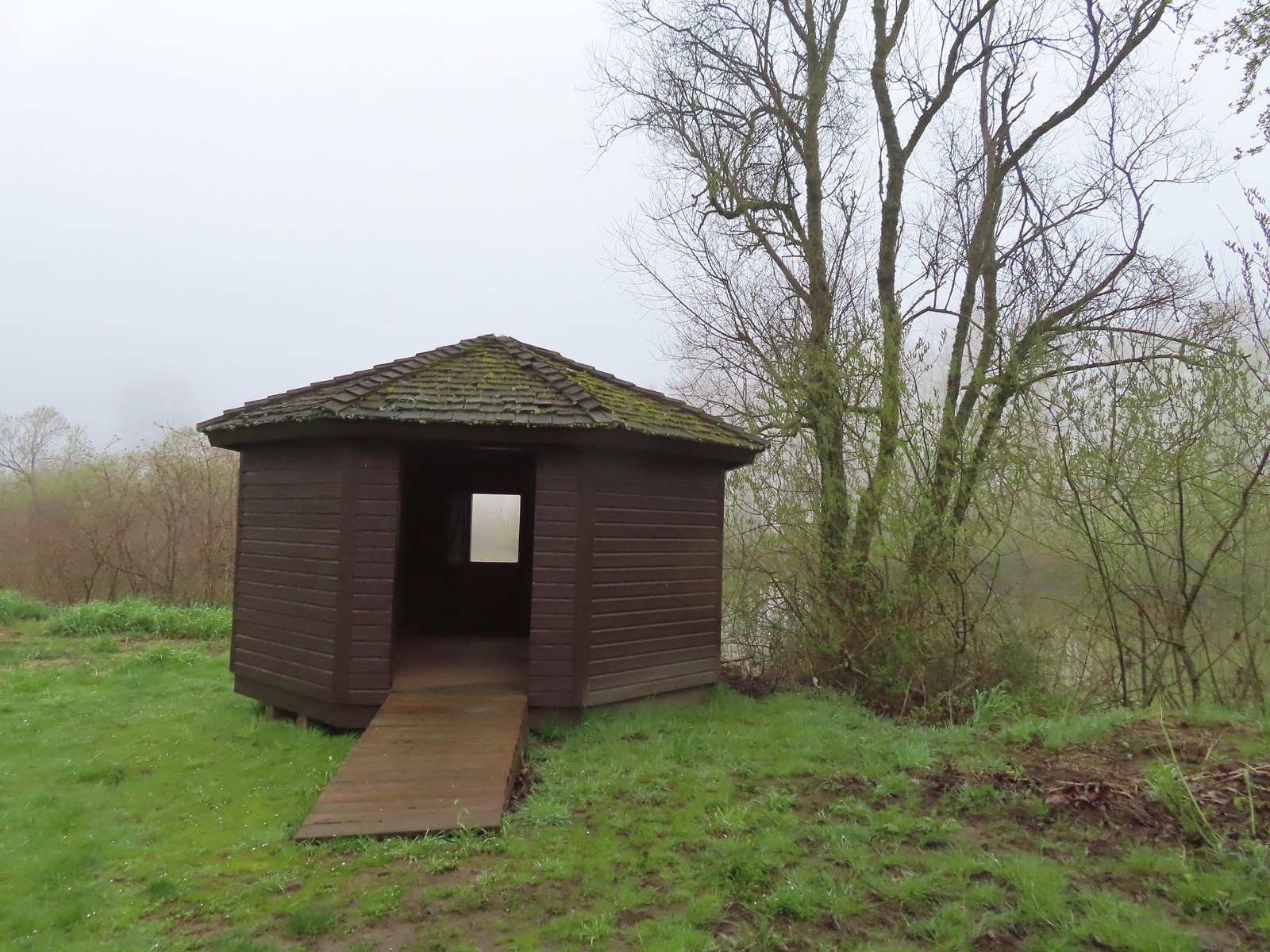 The observation blind.
 Goose
Goose Spotted towhee
 Mallard drake
 The Blue Heron Trail followed the boarder of the refuge and some private farmland.
 Blue Heron Trail to the left and Turtle Trail on the right.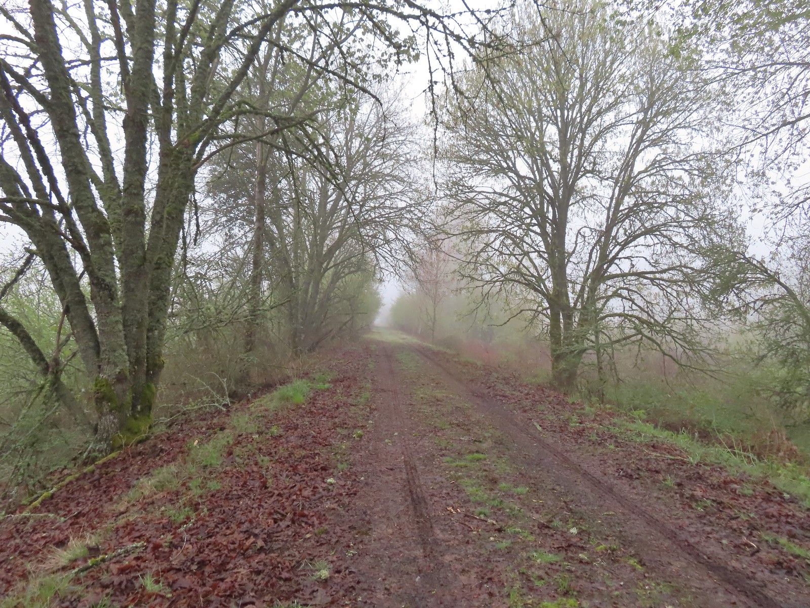

 American widgeon


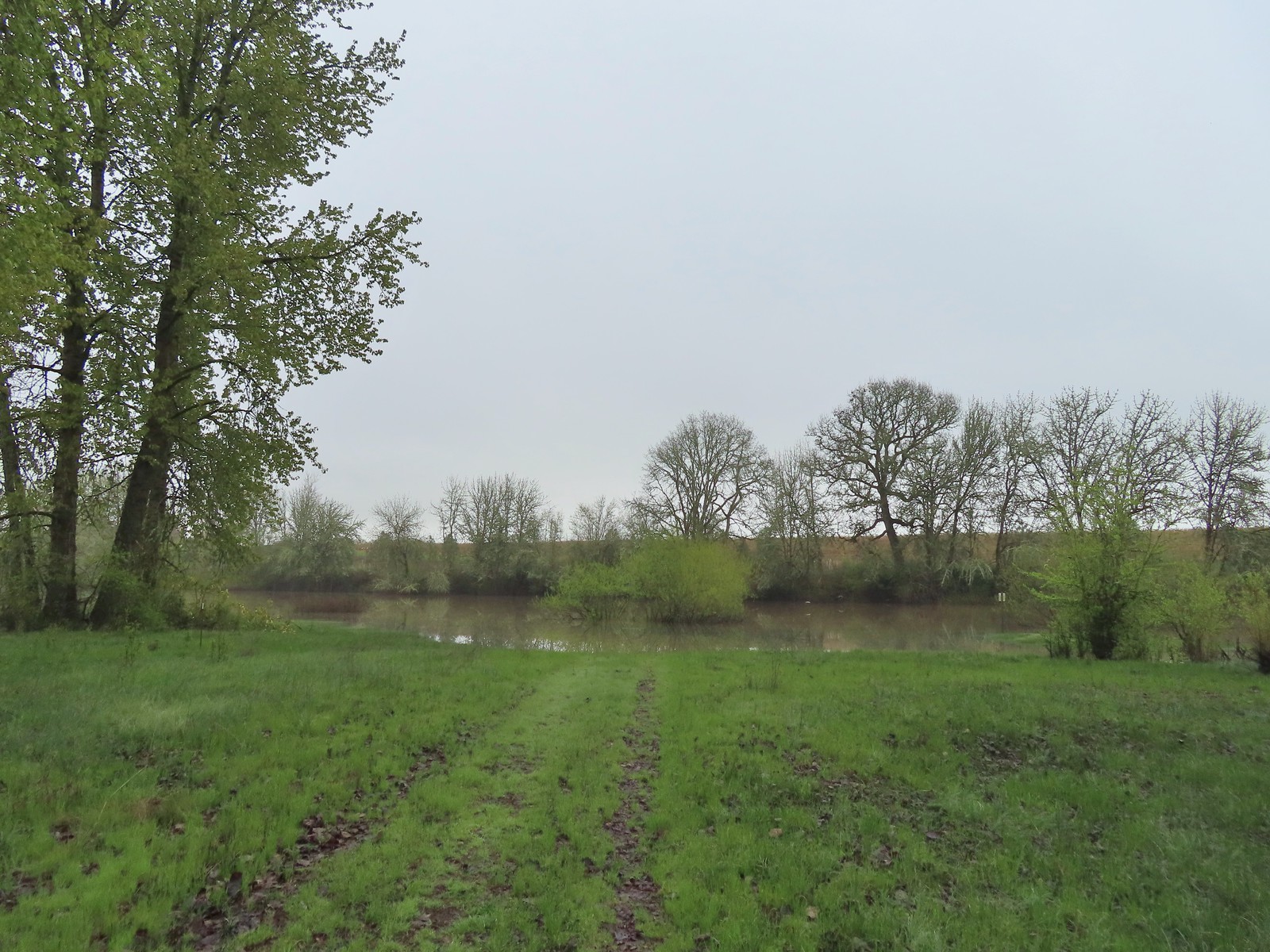
 Another sign out in the middle of the water.
 The start of a possible loop using the Blue Heron Trail. The fainter track on the right heading downhill was flooded just 100 feet or so away.
 The flooded area where the loop would end.
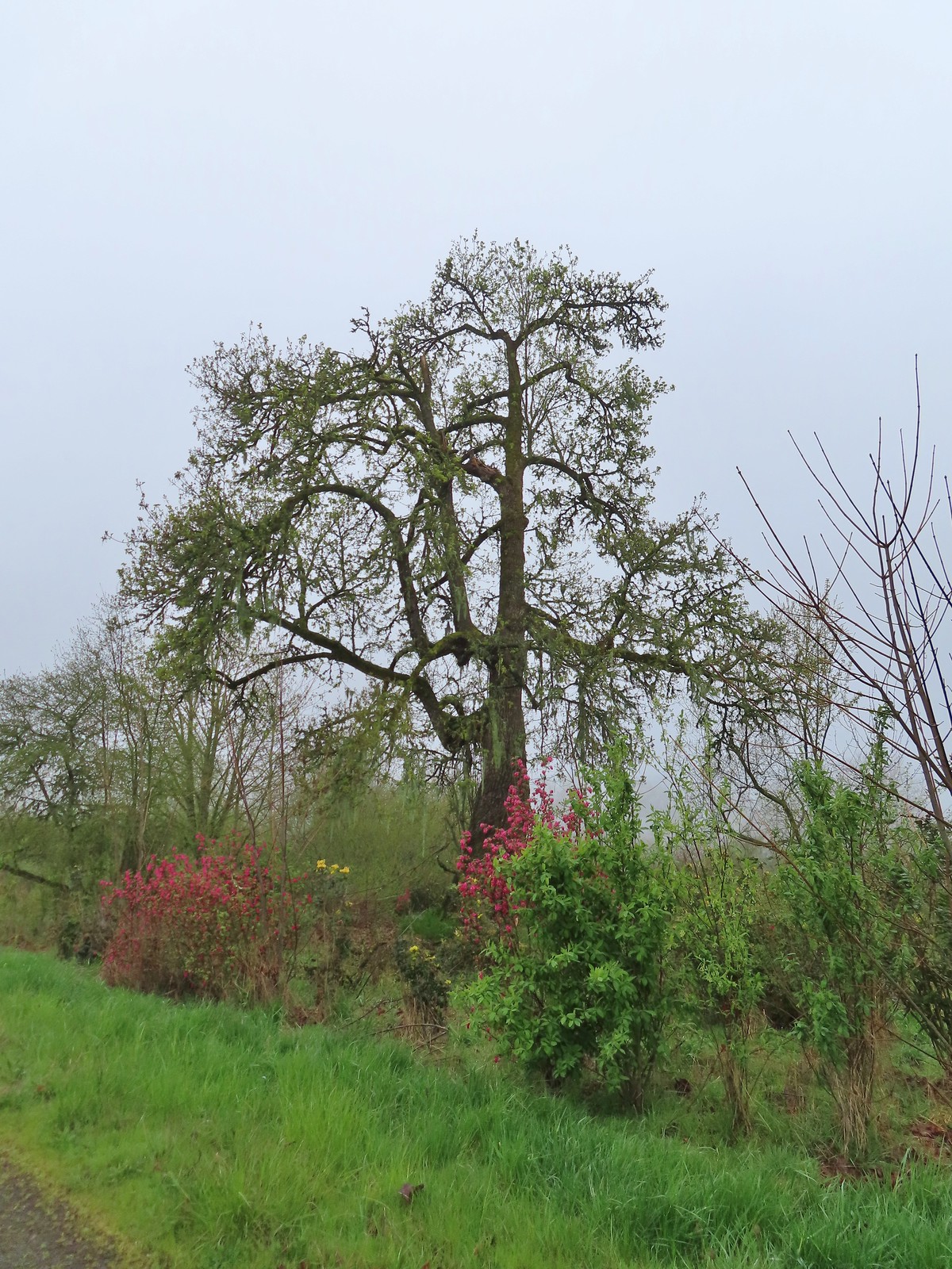 Cottonwood with red flowering currant, Oregon grape, and Indian plum blooming in front.
 We were able to keep our feet dry on the gravel surfaces.
 Mushroom
 Rufous Hummingbird
 Hawk preparing for takeoff.
 We had started to go past the turn for the Blue Heron Trail so this photo is as we headed back toward the turn. We came from the right-hand side so the path straight ahead would have been the “sharp right”.
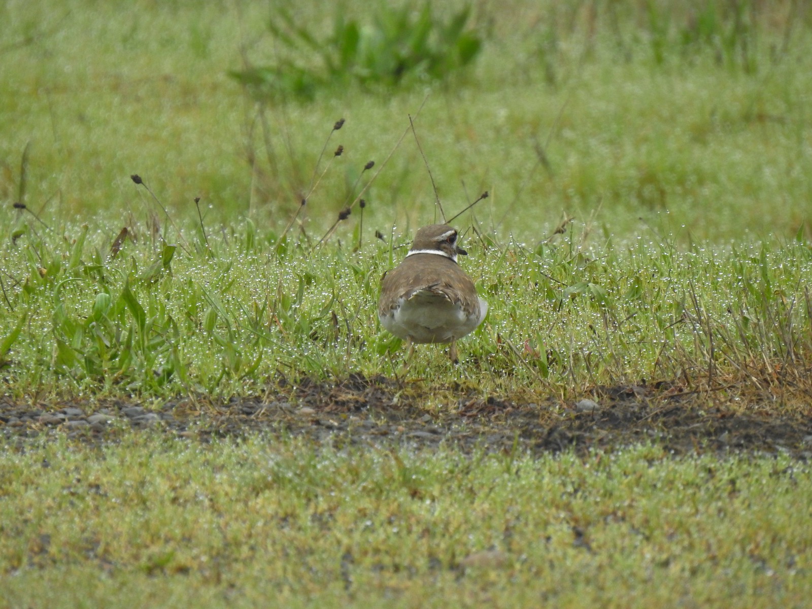 Killdeer
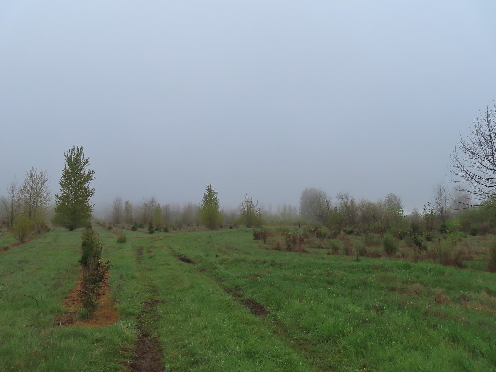 Our turn around spot. The trail was beginning to bend back to the East here.
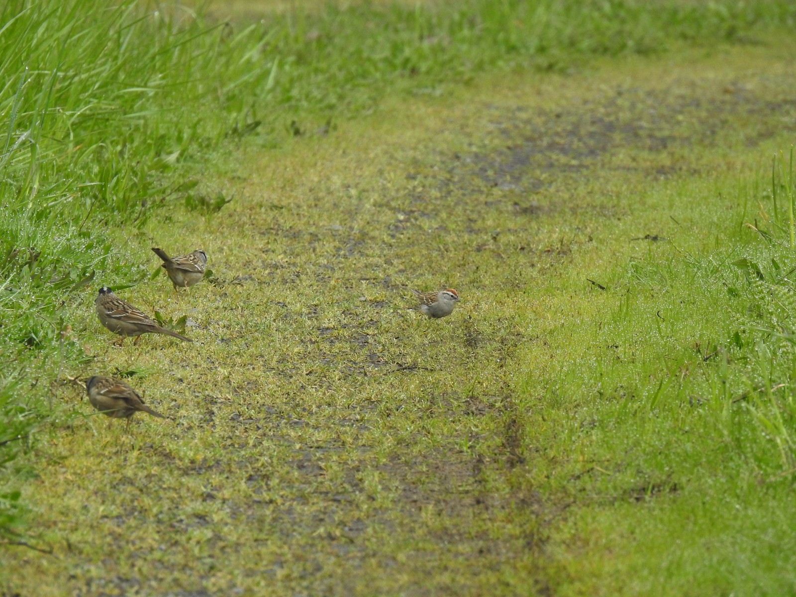 A chipping sparrow among the golden-crowned sparrows.
 On the Snag Boat Bend Loop
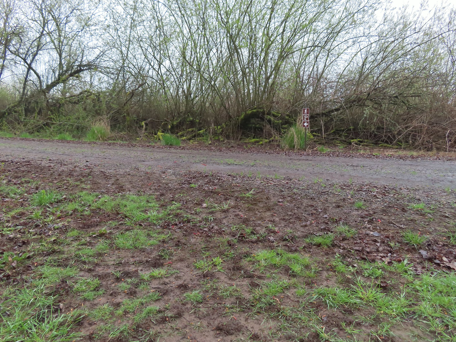 The trail turned left to follow this gravel roadbed for the final third of a mile.
 The gate in the distance is at the trailhead.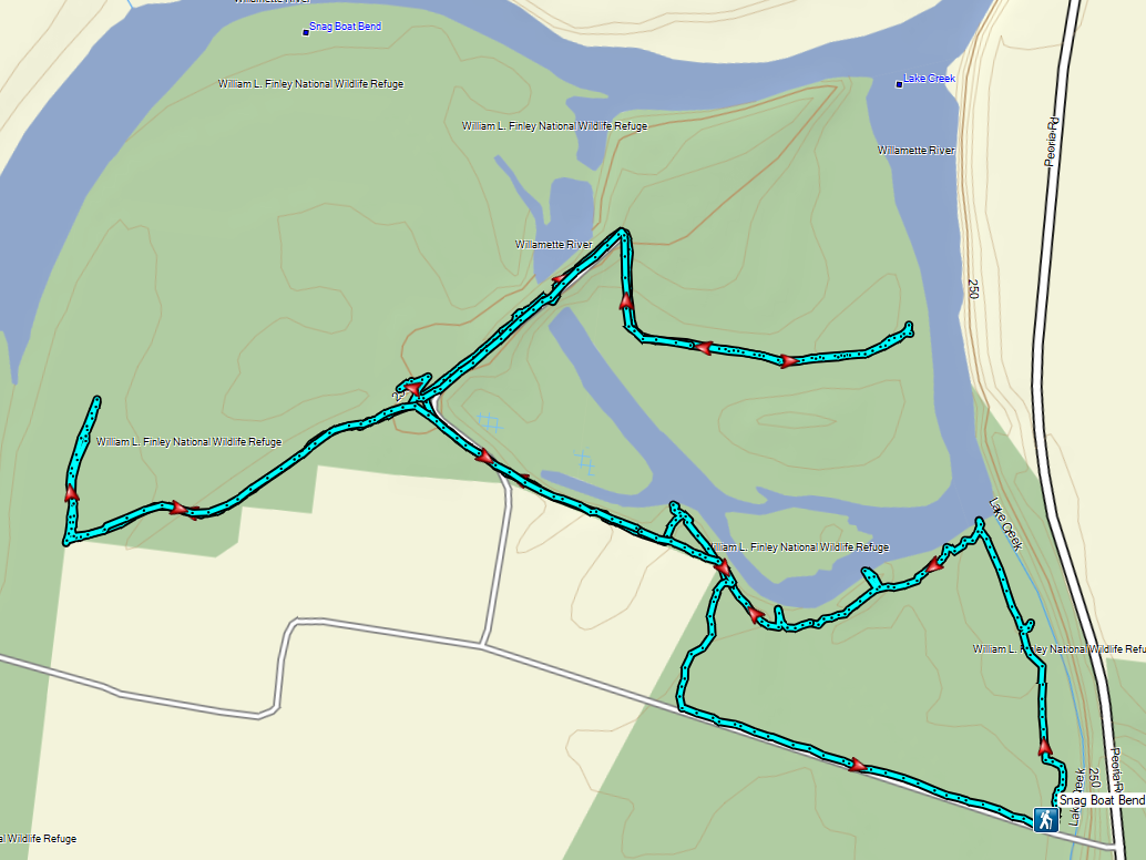
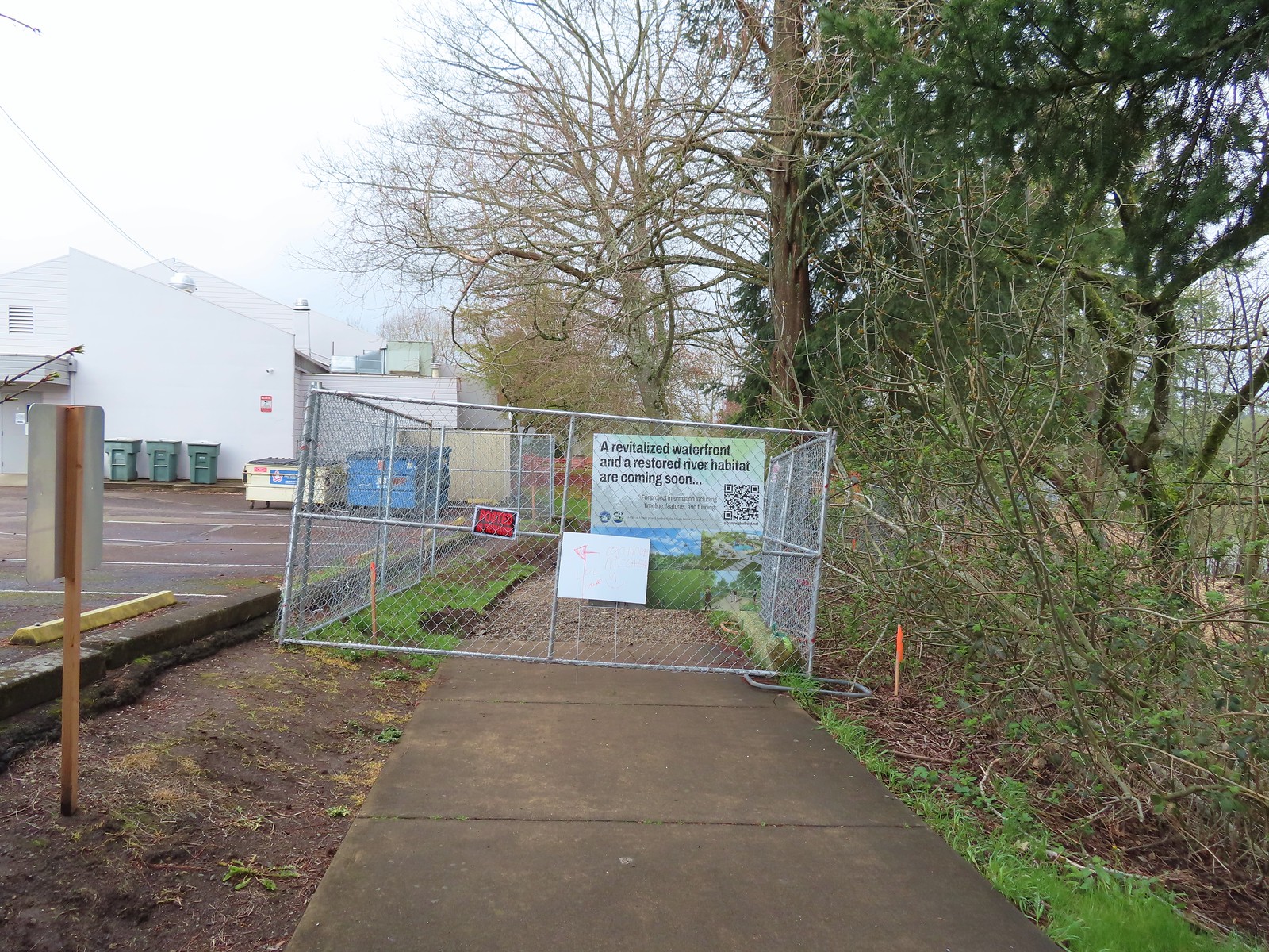 We wound up parking East of the Riverfront Community Center and hoping on the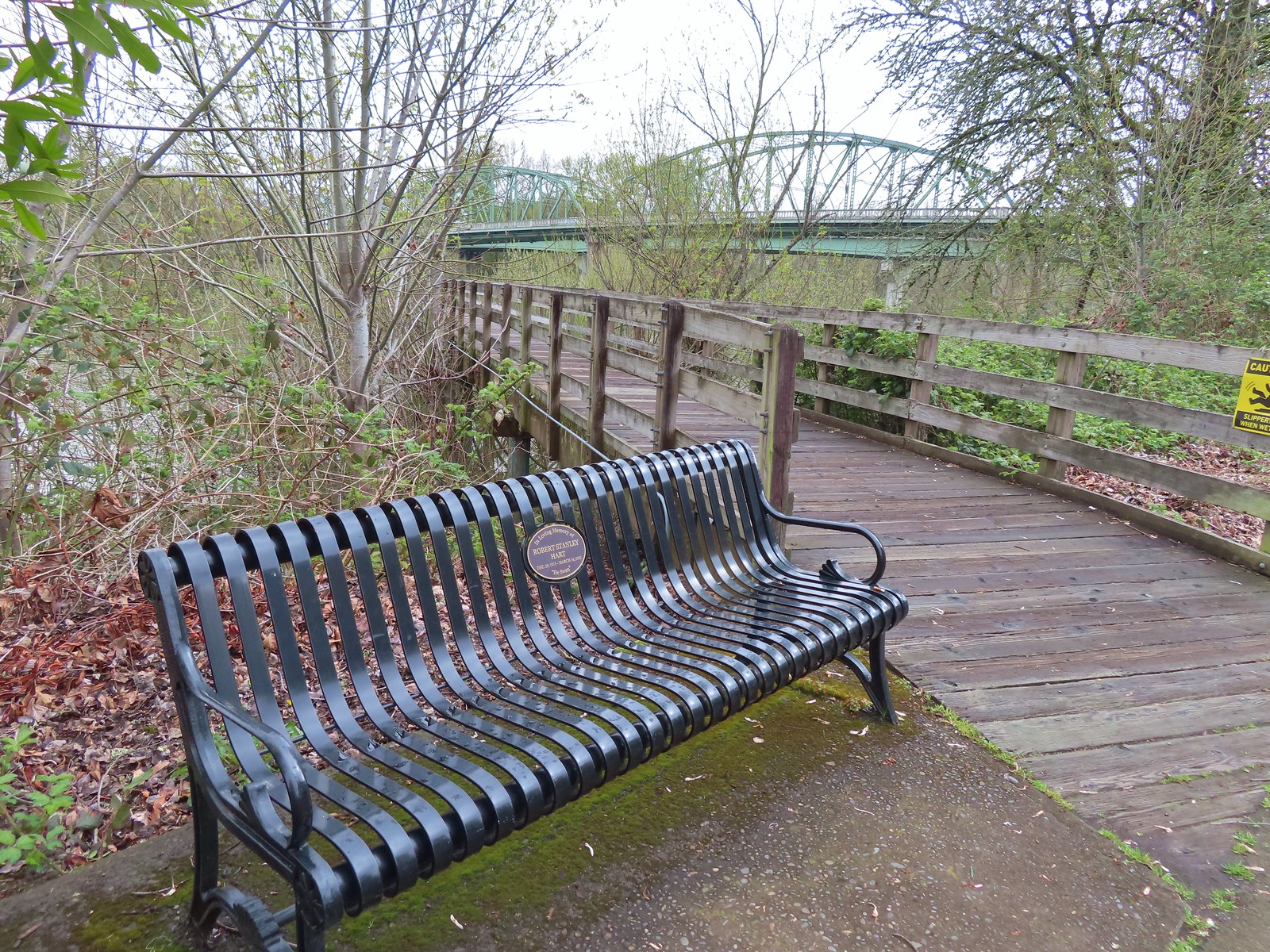
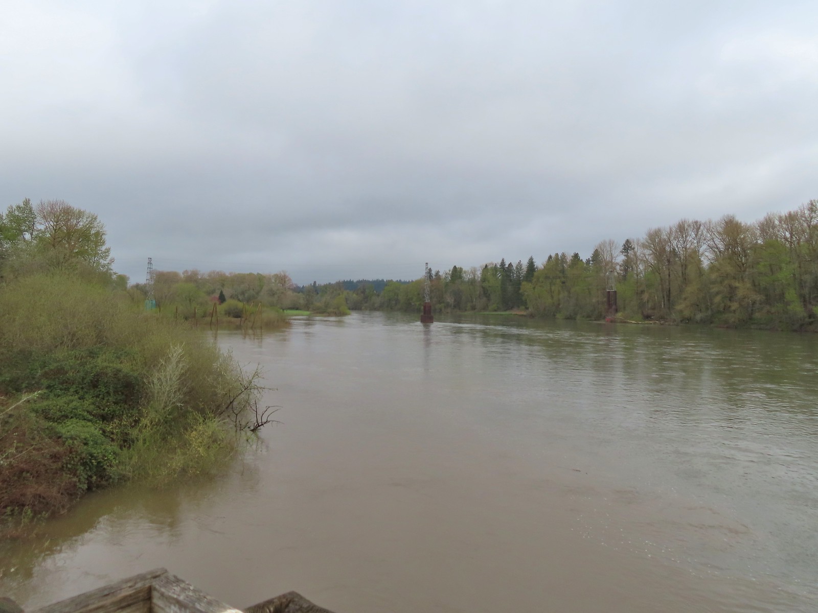 The confluence ahead to the left.
 Highway 20 passing over the Willamette to the left. Fun fact about U.S. Highway 20 – It runs from Newport, OR to Boston, MA and is the longest road in the USA according to the Federal Highway Administration. Click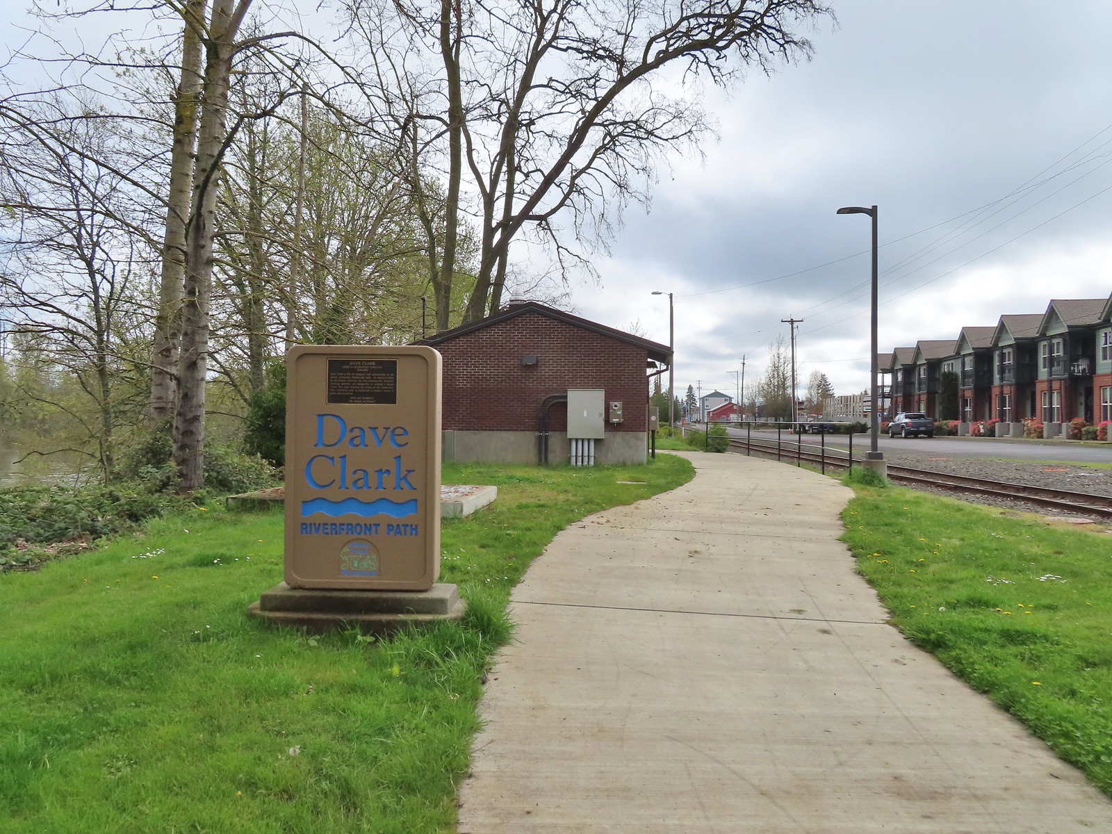
 Orange crowned warbler. One of many small birds we saw along this trail.
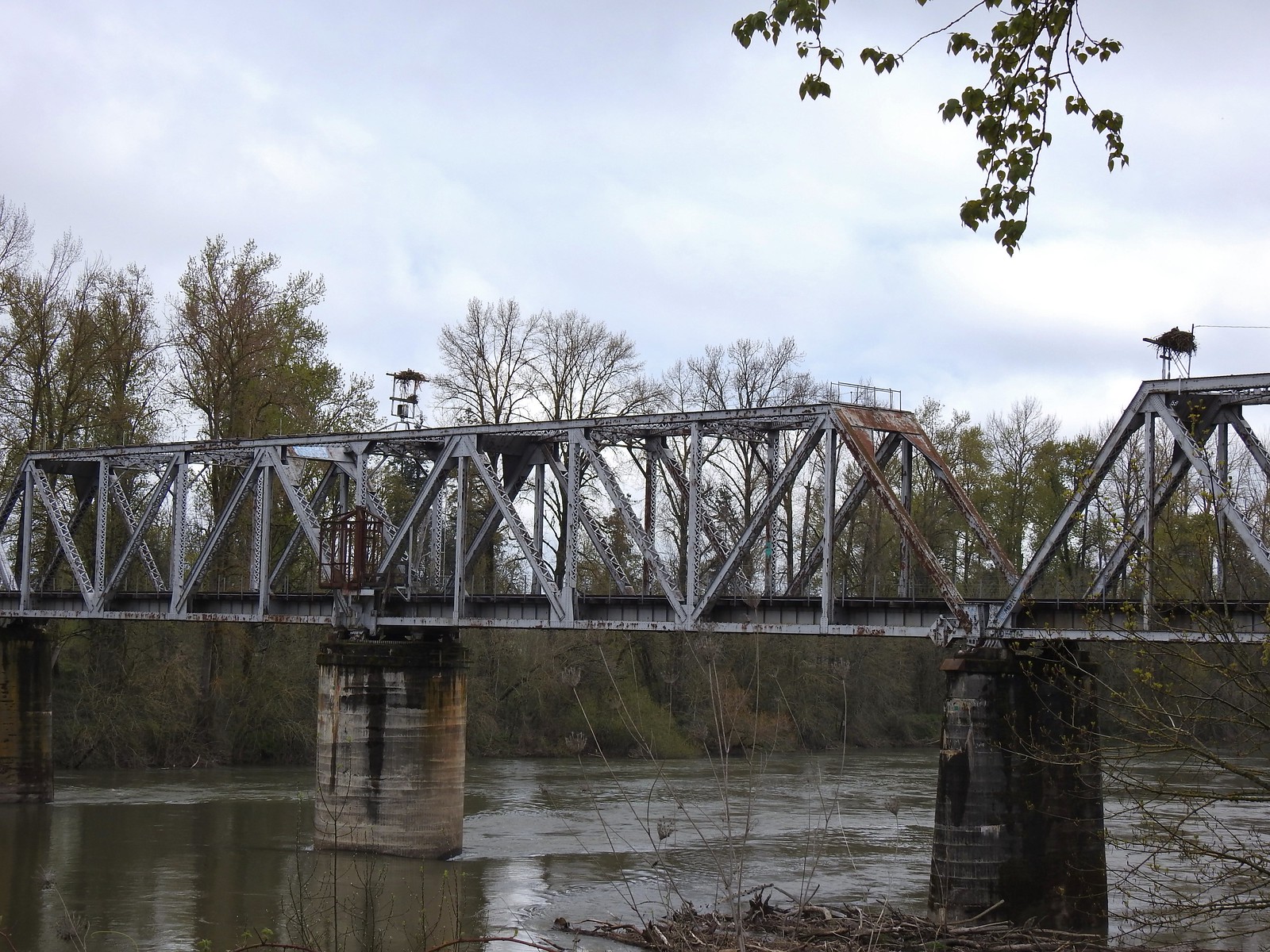 We thought it was a little odd to see two occupied nests atop the railroad so close together until we realized that the occupants weren’t both birds of prey.
 Canada geese were using one of the nests.
 Might be the mate looking acting as lookout from the bridge.
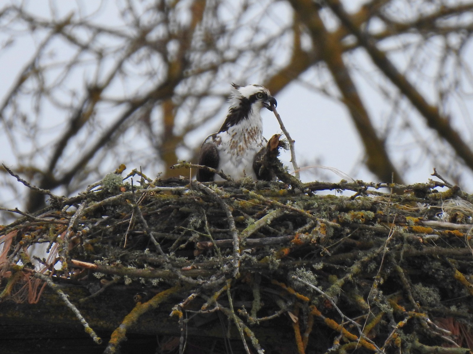 Osprey occupied the other and appeared to be in the process of renovations.
 His bright pink head was more impressive in person.
 The community garden (not pictured) was on our right.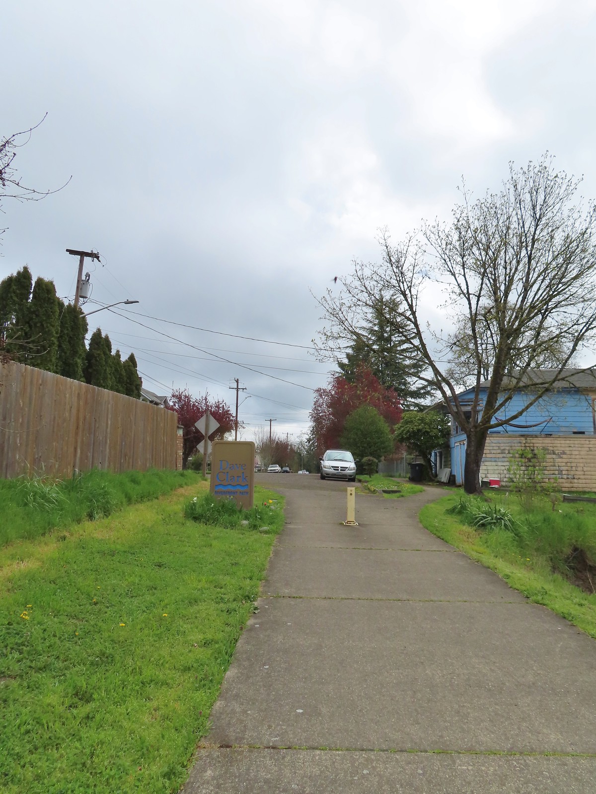
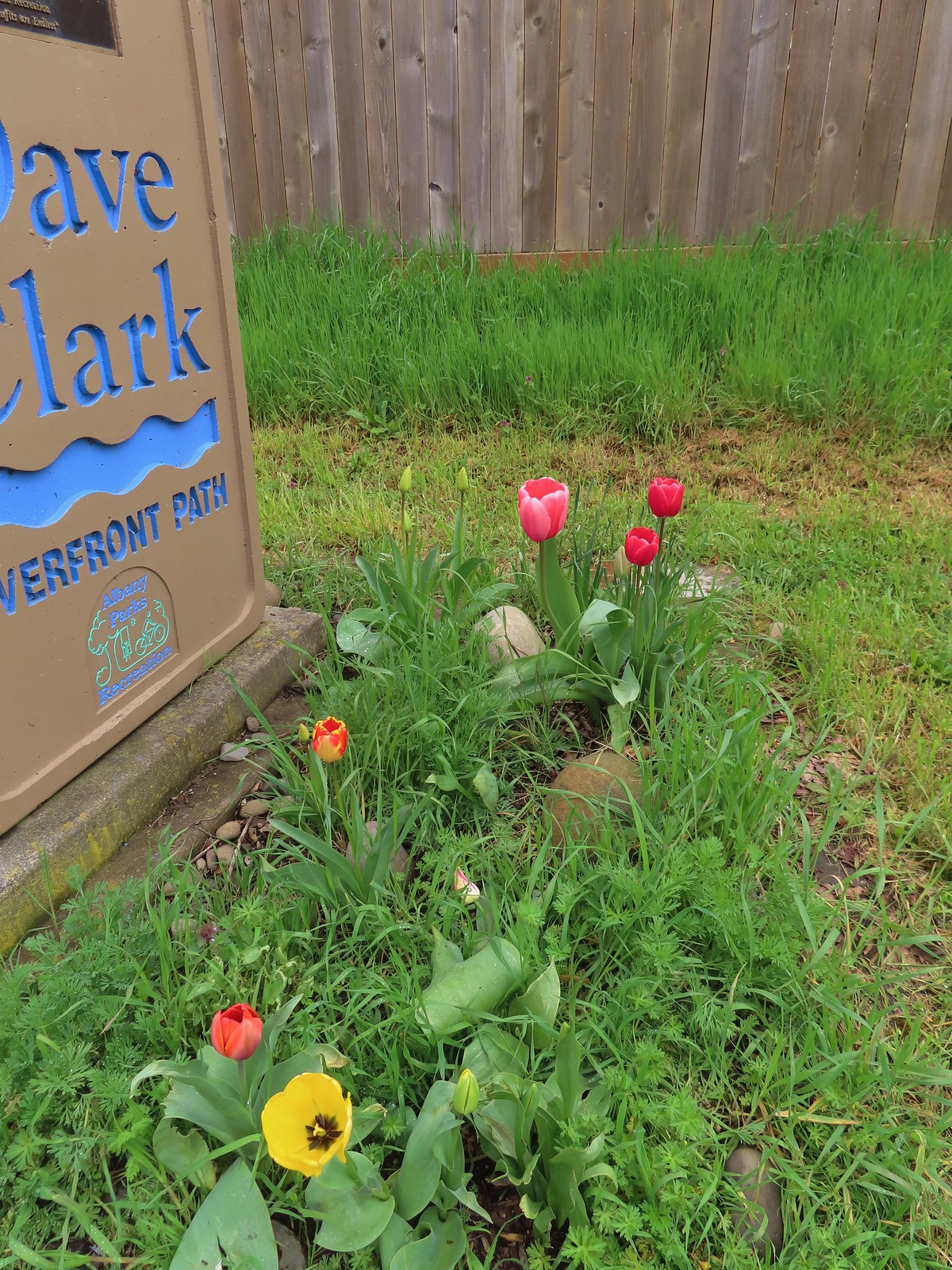 Pretty tulips at the sign.
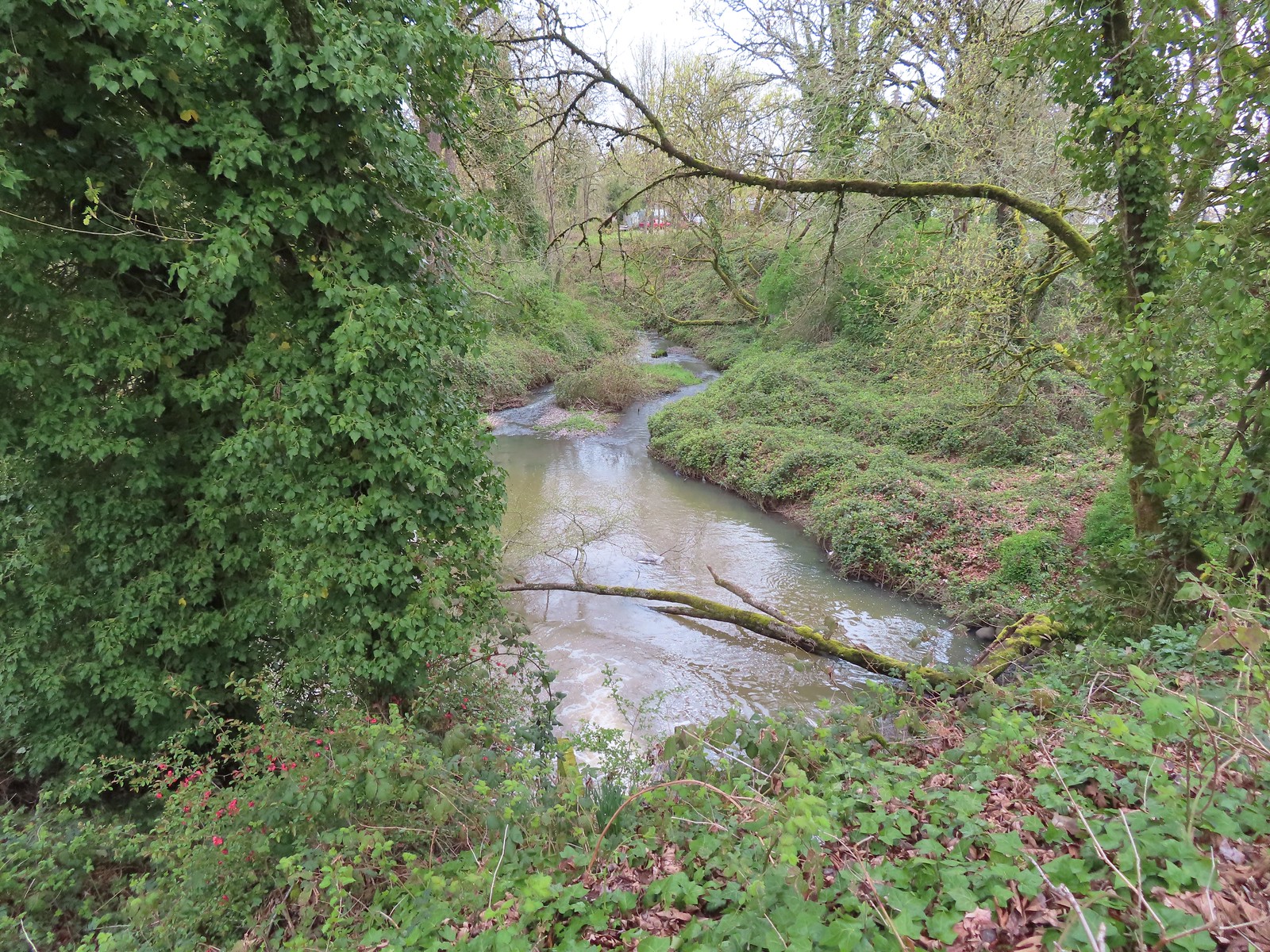 Not a lot to see in the residential neighborhoods but we did cross Pettyjohn Creek along the way.
 Sign for Bowman Park at Geary St.
 Bowman Park on the left and the paved path we took on the right.

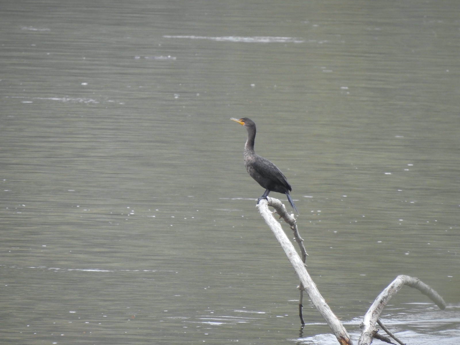 Cormant in the middle of the Willamette.
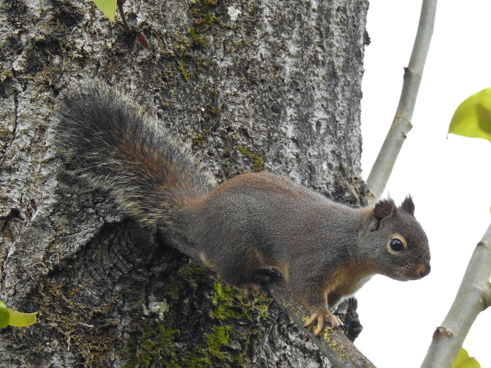 Squirrel
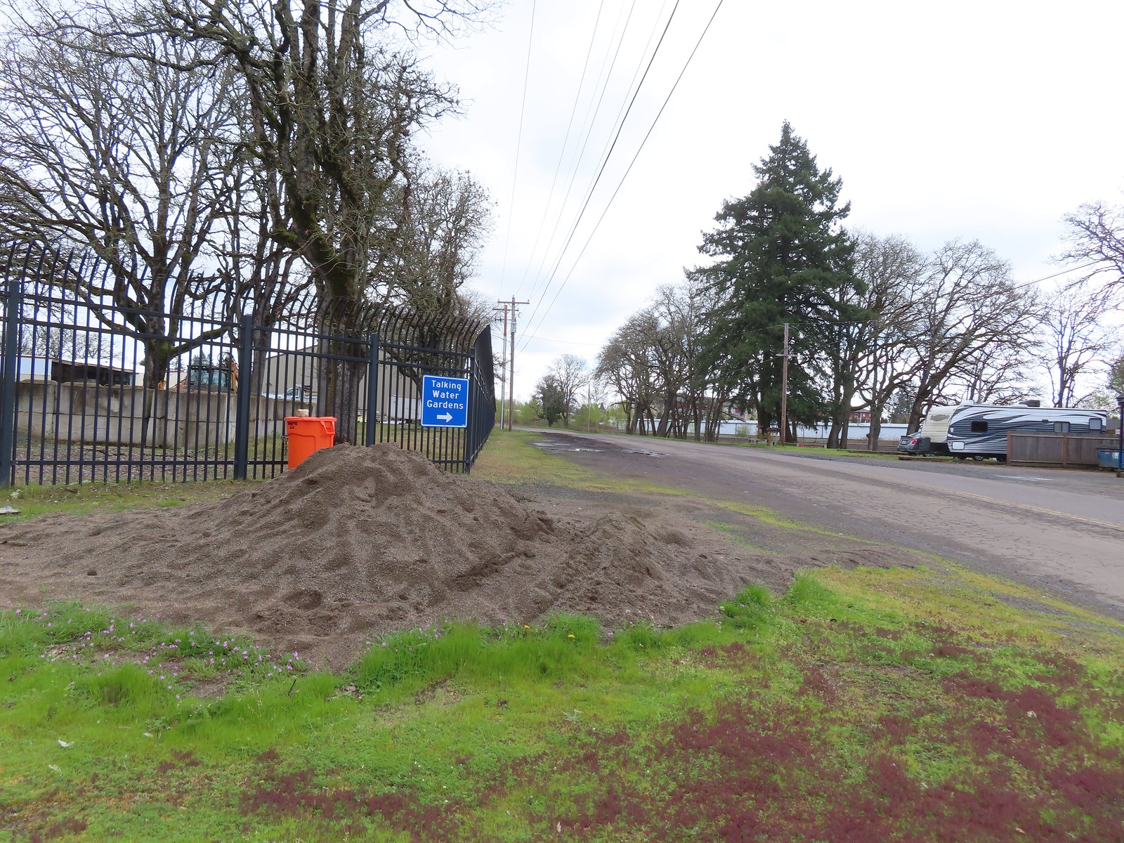
 Seen near a homeless camp which sort of captures the situation. A combination of unaffordable house, drug abuse, and mental illness has created a crisis up and down the West Coast with no simple (or quick) answer.
 We initially mistook all the footprints and bike tracks as a sign that the trail saw good recreational use.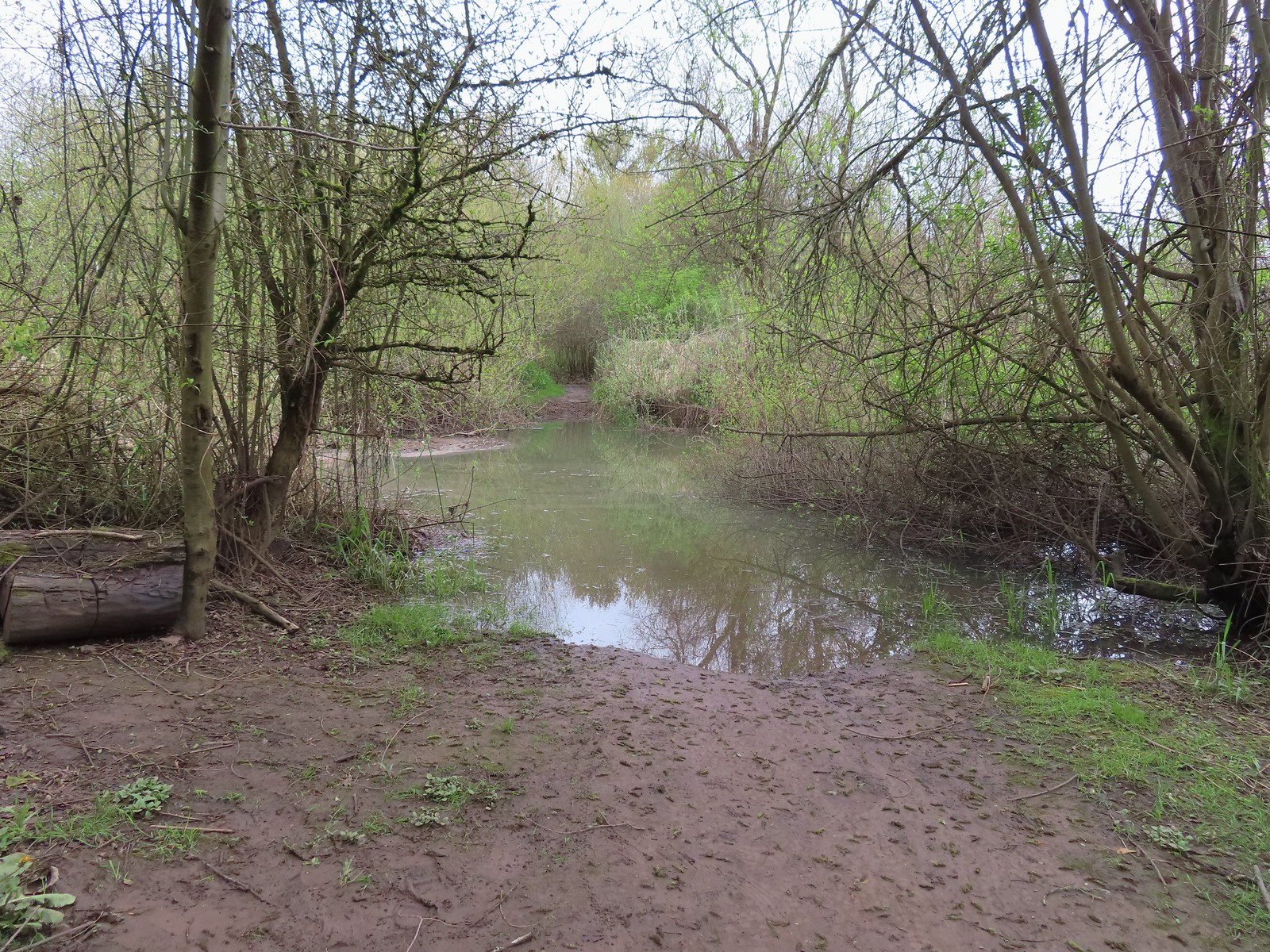




 Buffleheads
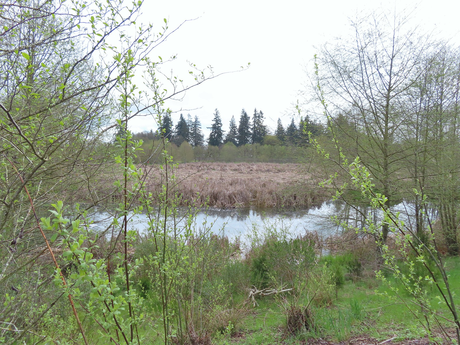
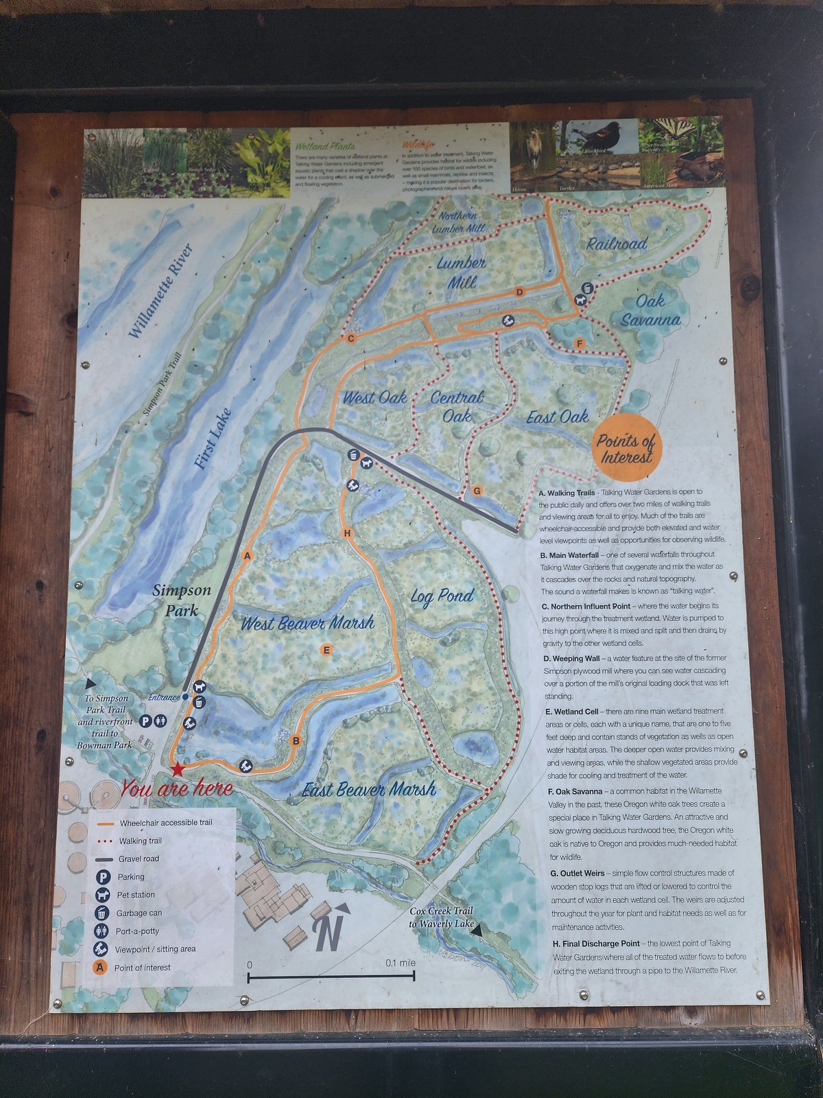 We decided to loop around the West Beaver Marsh and Central Oak areas before heading back.
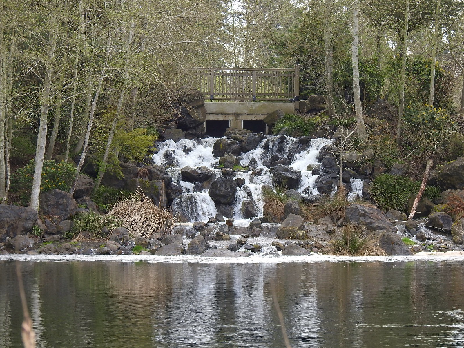
 View from above the waterfall.
 The first set of turtles we spotted.
 Western pond turtles.
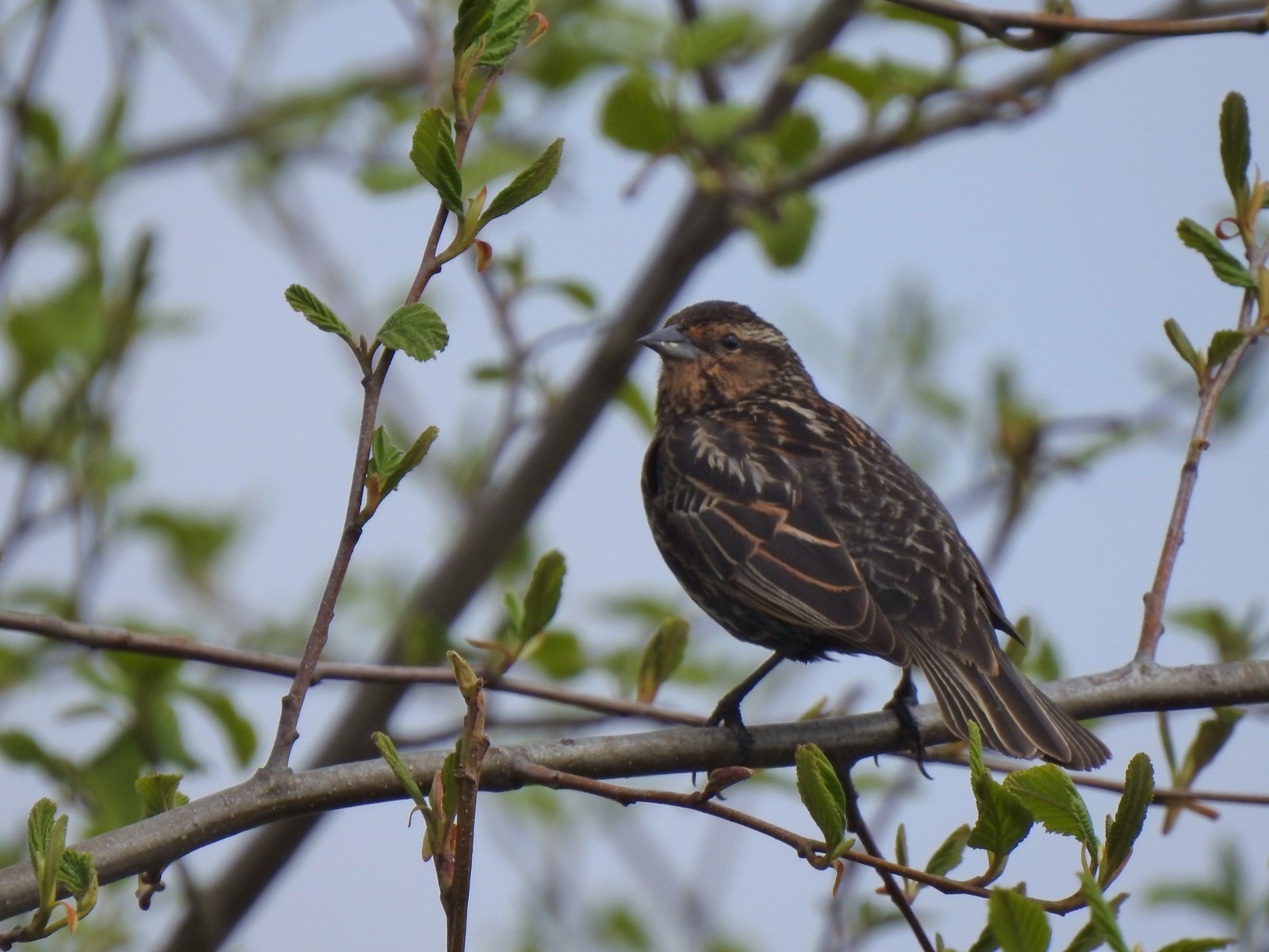 Female red-winged blackbird
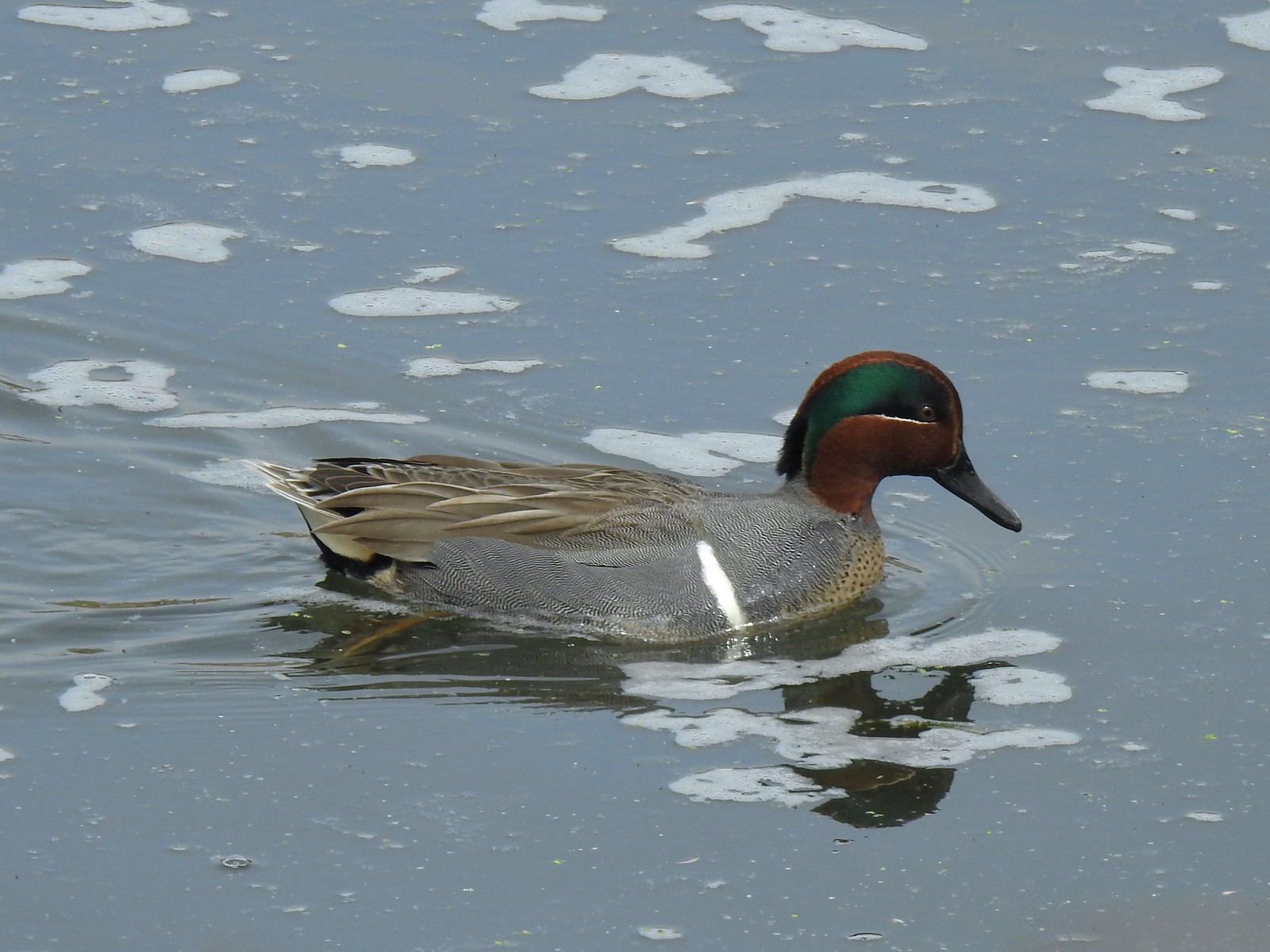 Green-winged teal
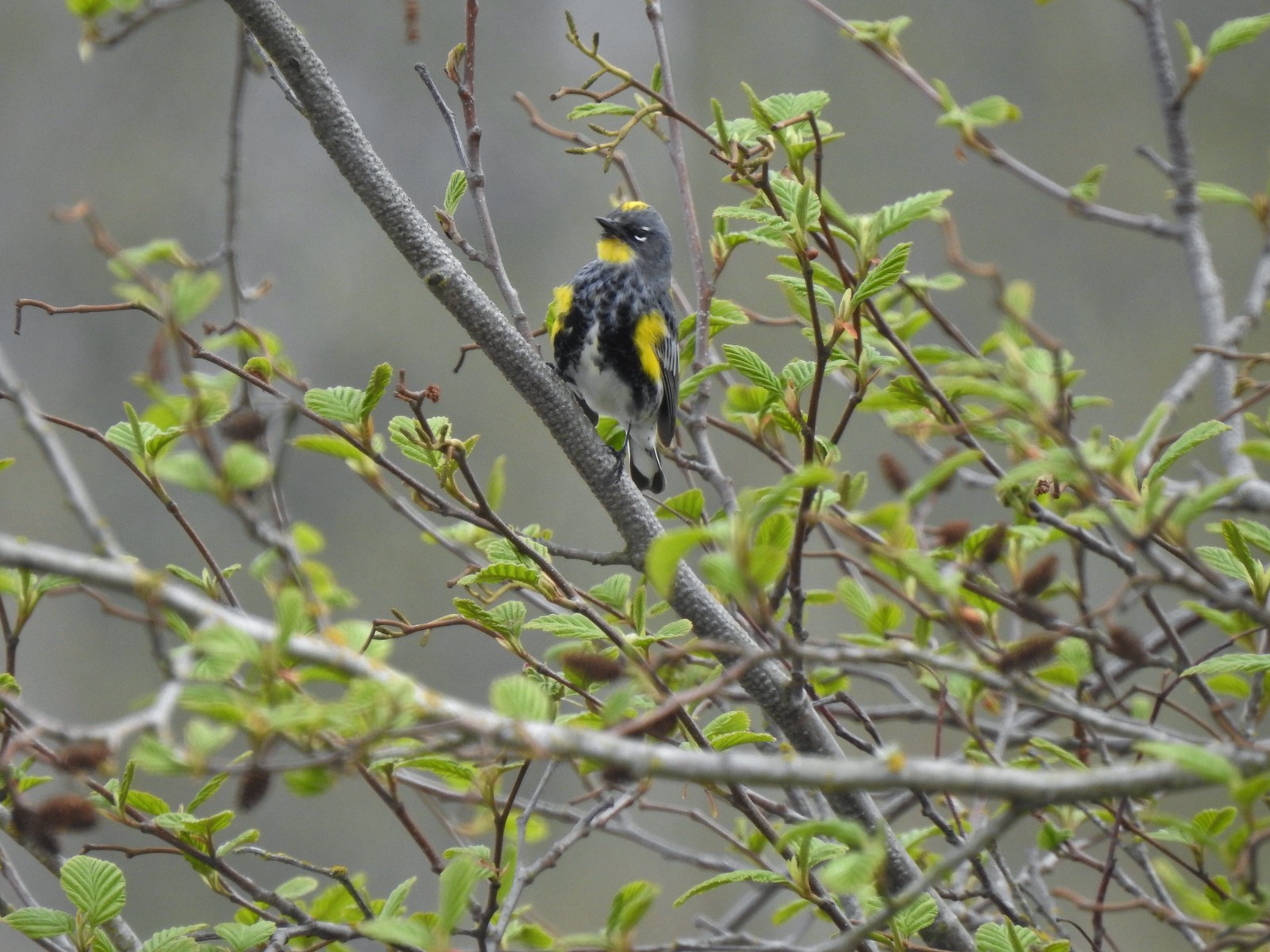 Yellow-rumped warbler (Audubon’s)
 More turtles
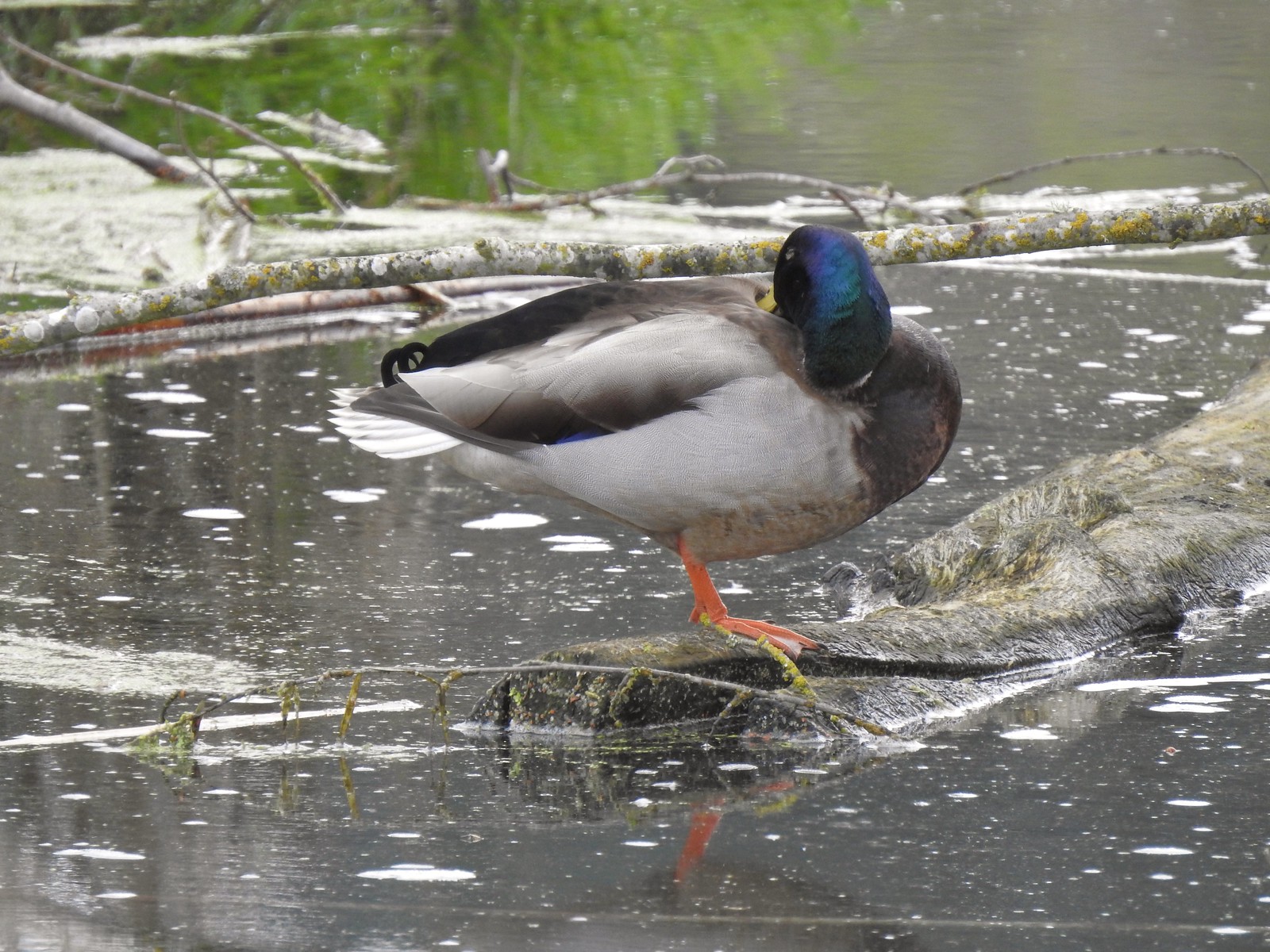 Mallard drake
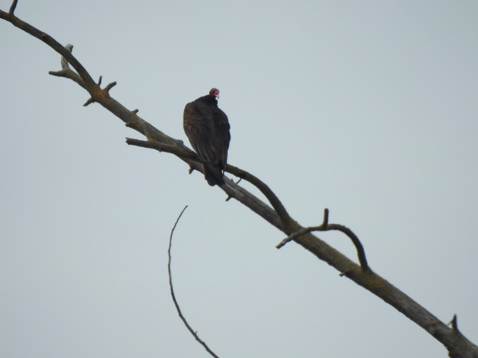 Turkey vulture
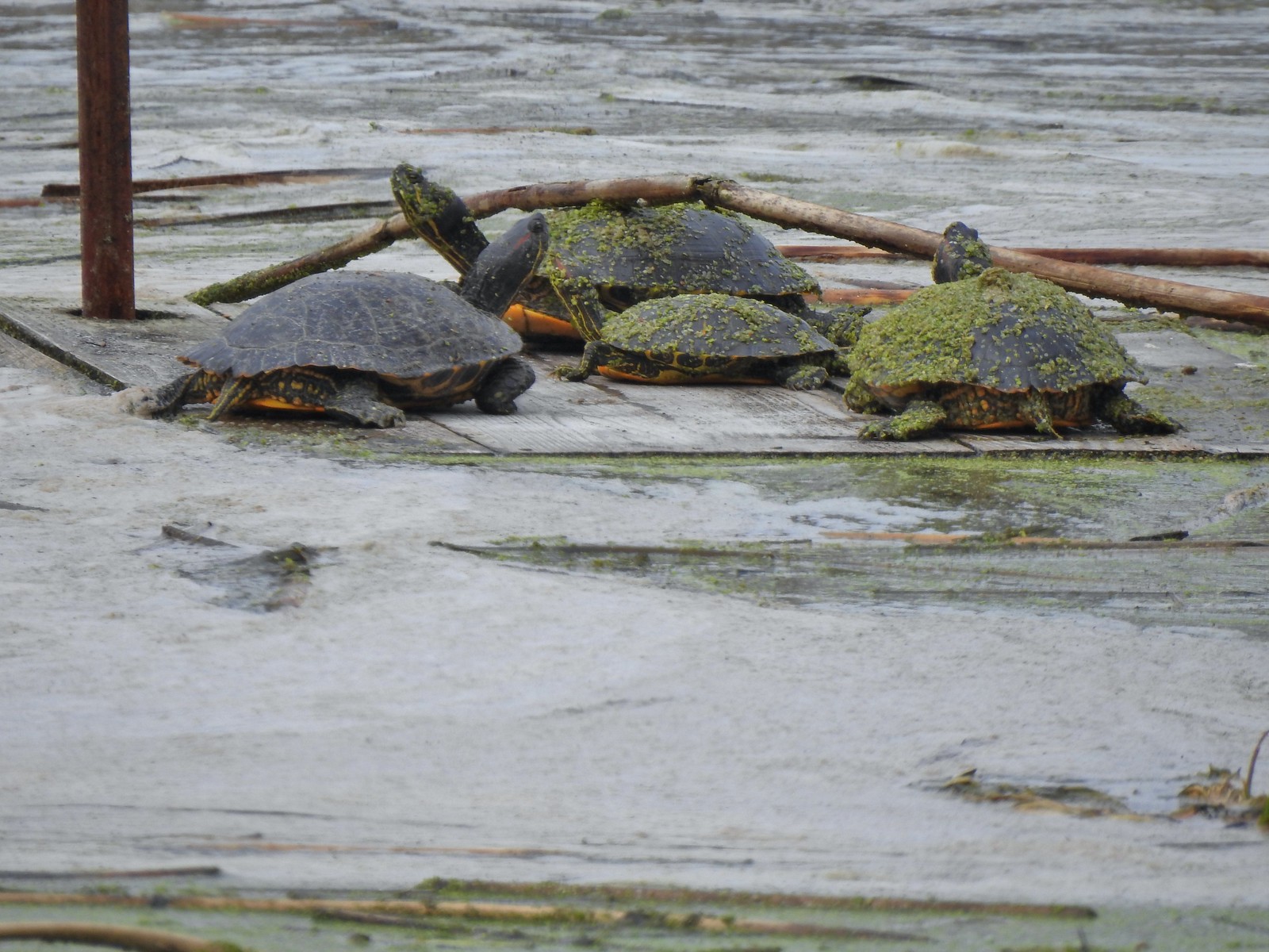 Another bale of turtles. (I had to look up “bale” because I had no idea what a group of turtles was called.)
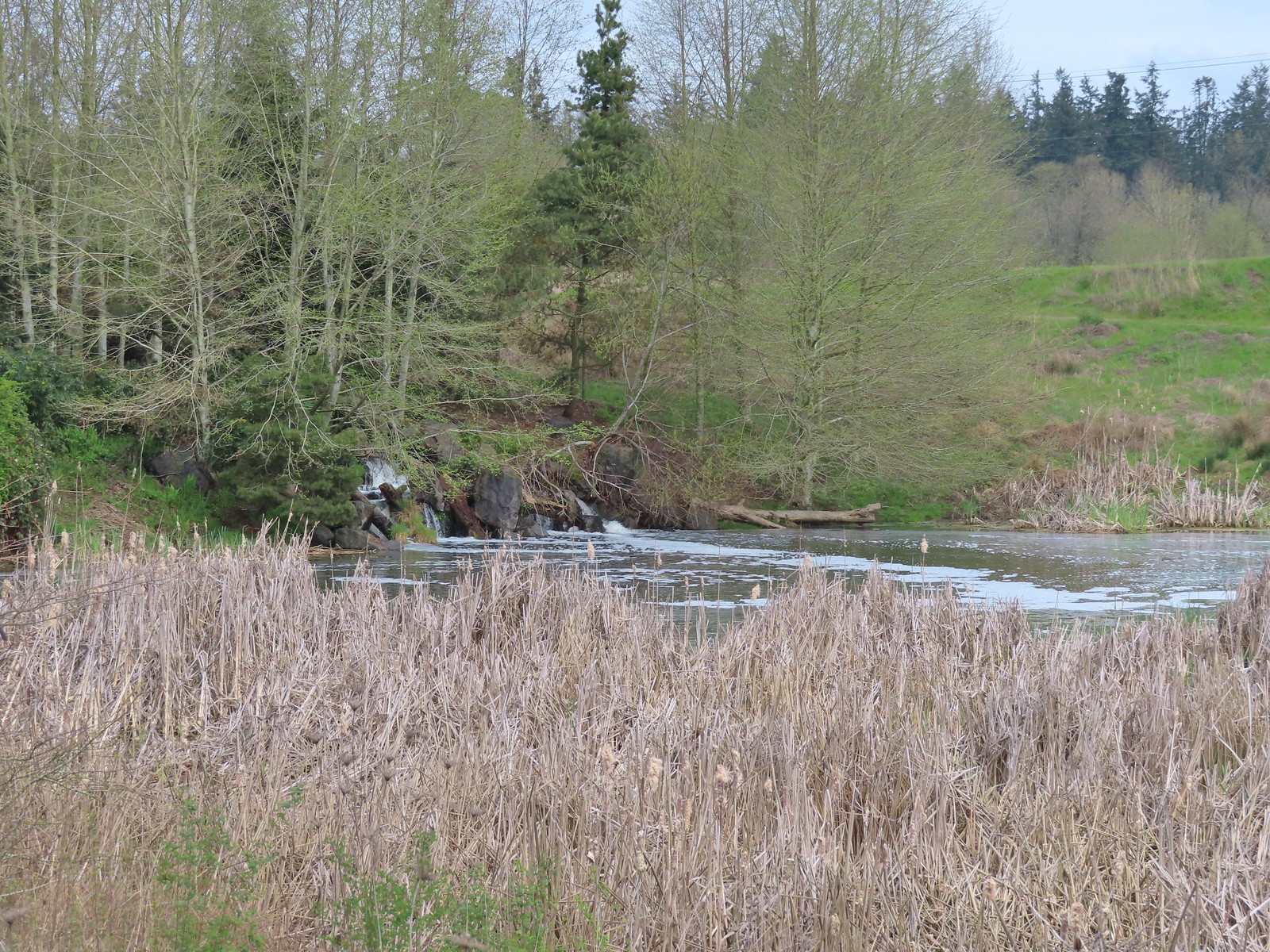 Another man-made waterfall.
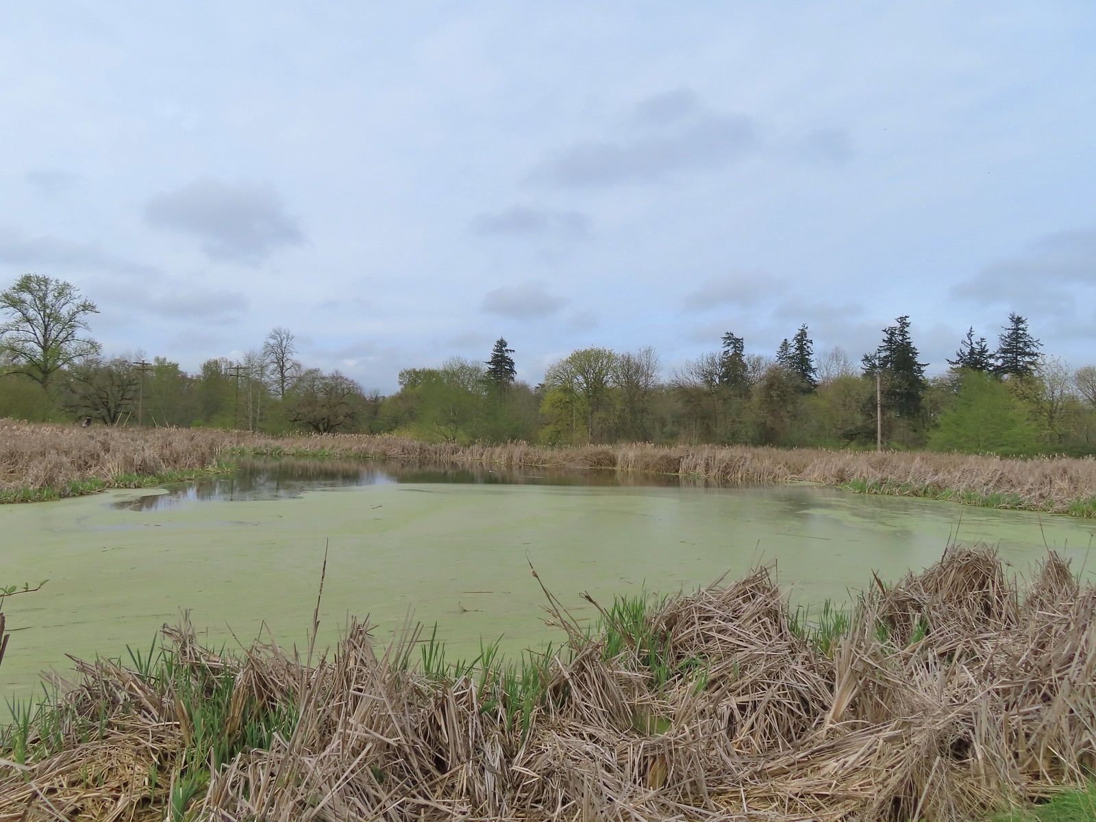 This had been full of ducks on our previous visit.
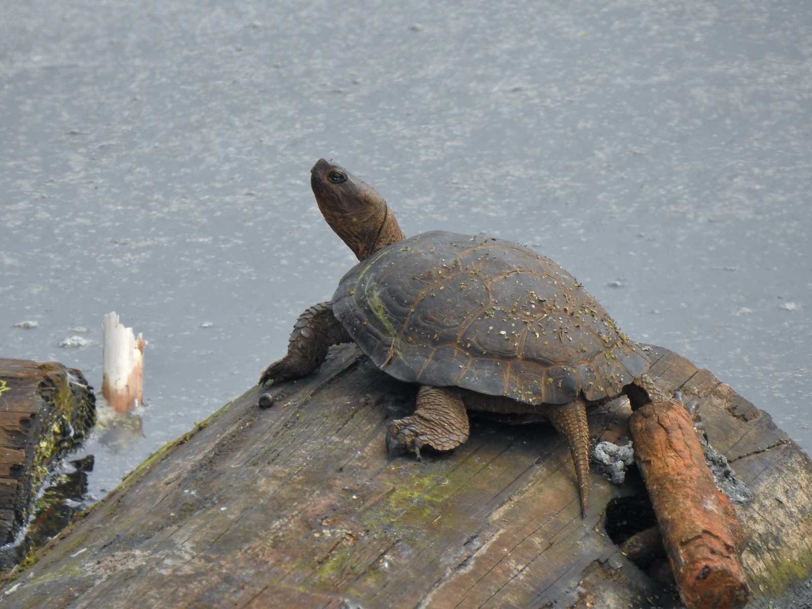 Yet another turtle.
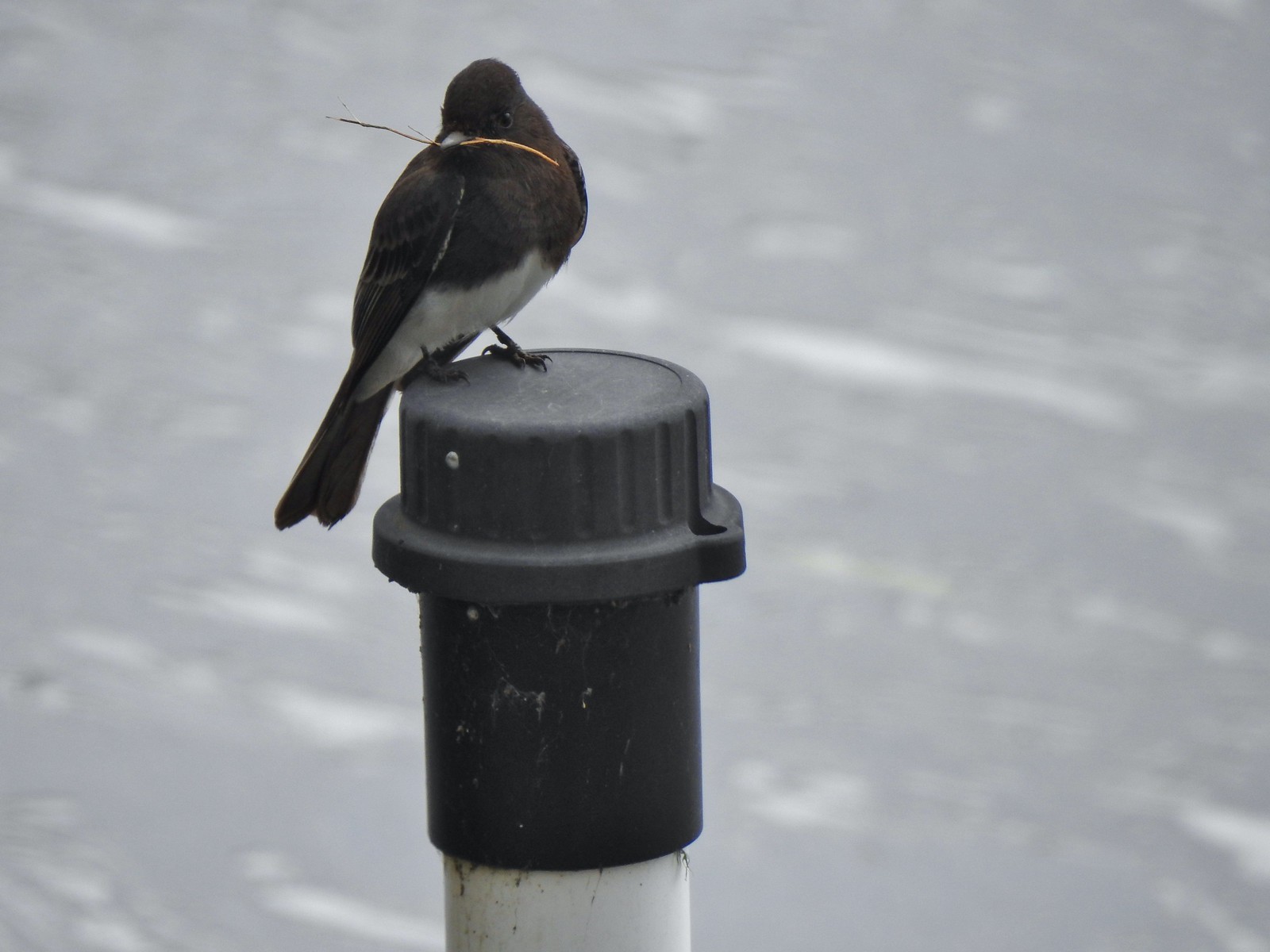 Black phoebe
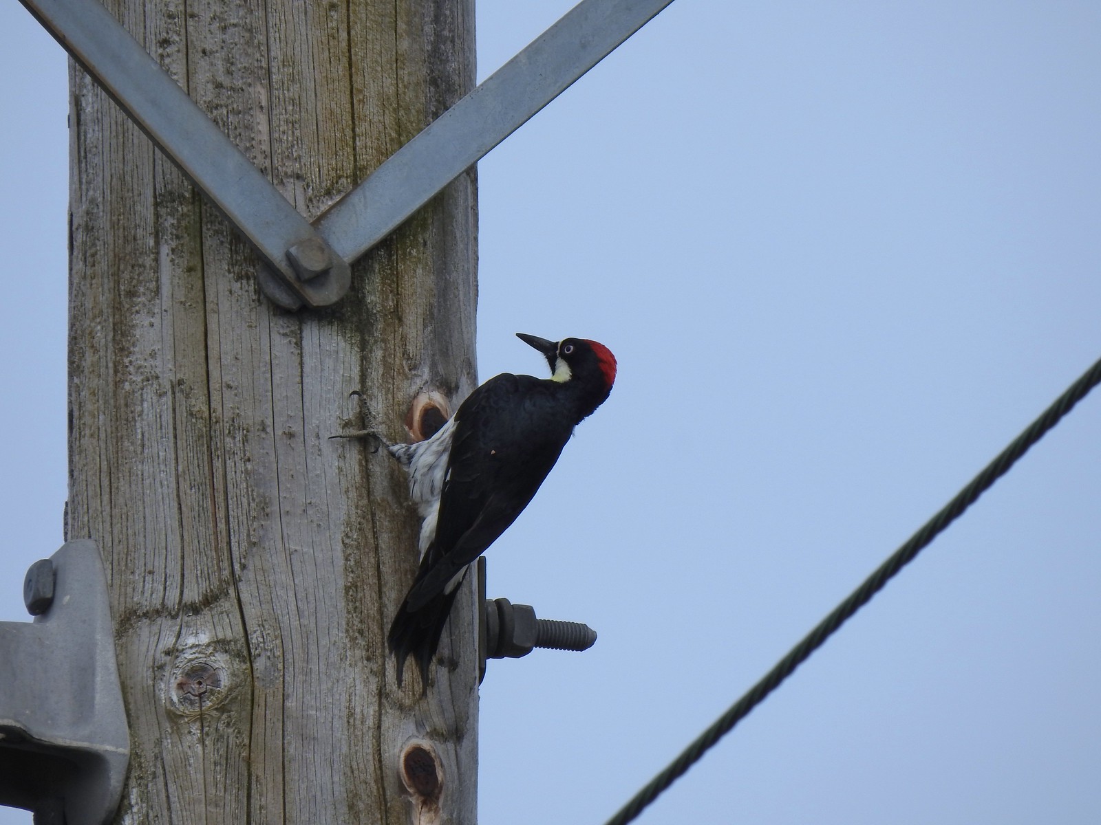 Acorn woodpecker
 Sparrow
 Northern shoveler
 Hummingbird
 Red-winged blackbird
 Bench along the Central Oak area.
 The first goslings we’ve spotted this year.
 Very zoomed in shot of a hawk seen in the distance.
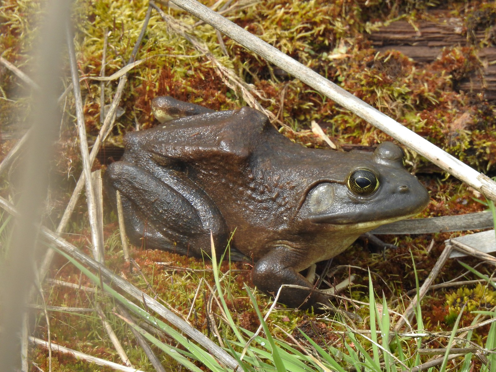 Bullfrog
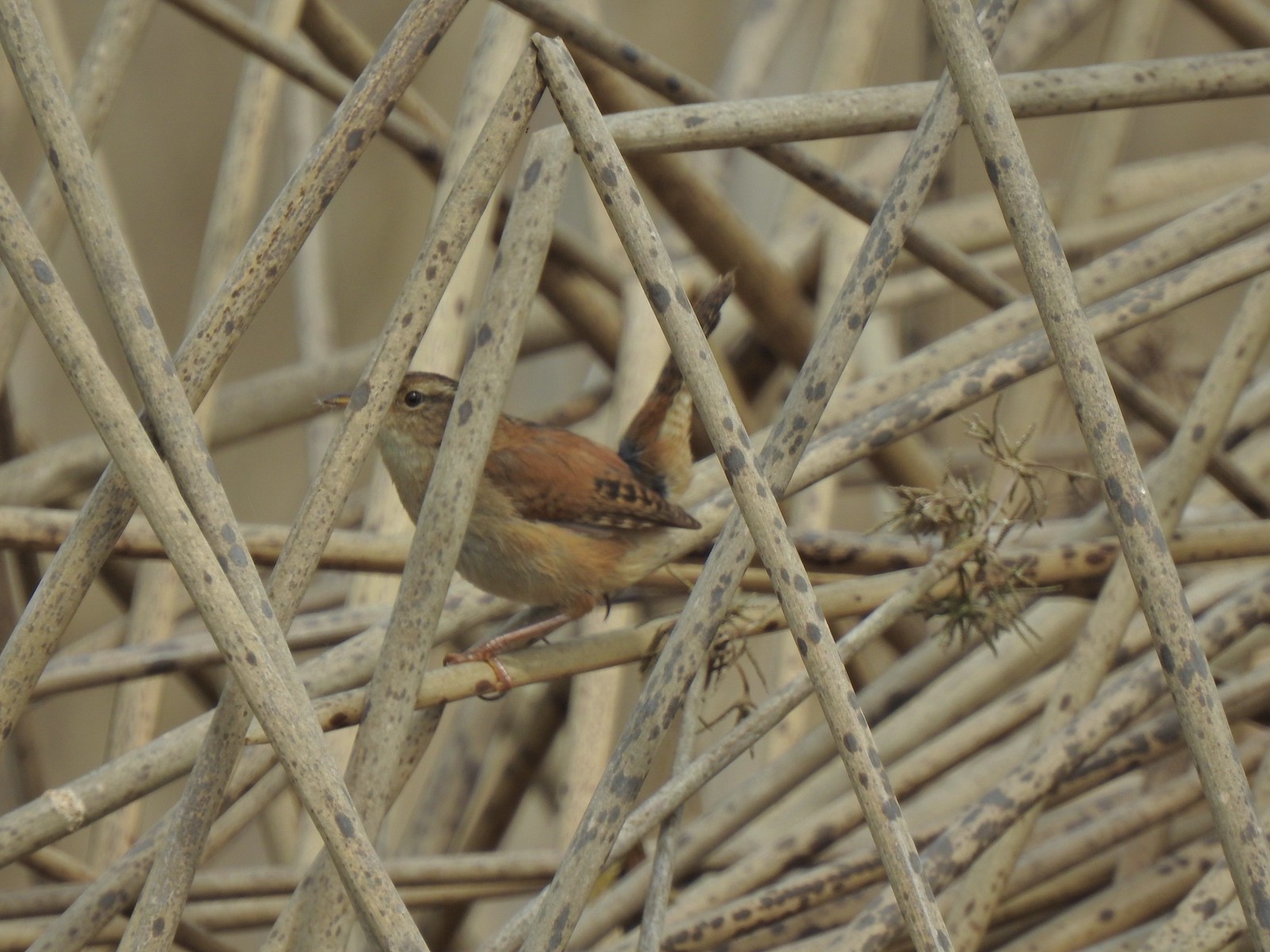 Marsh wren
 Final set of turtles.
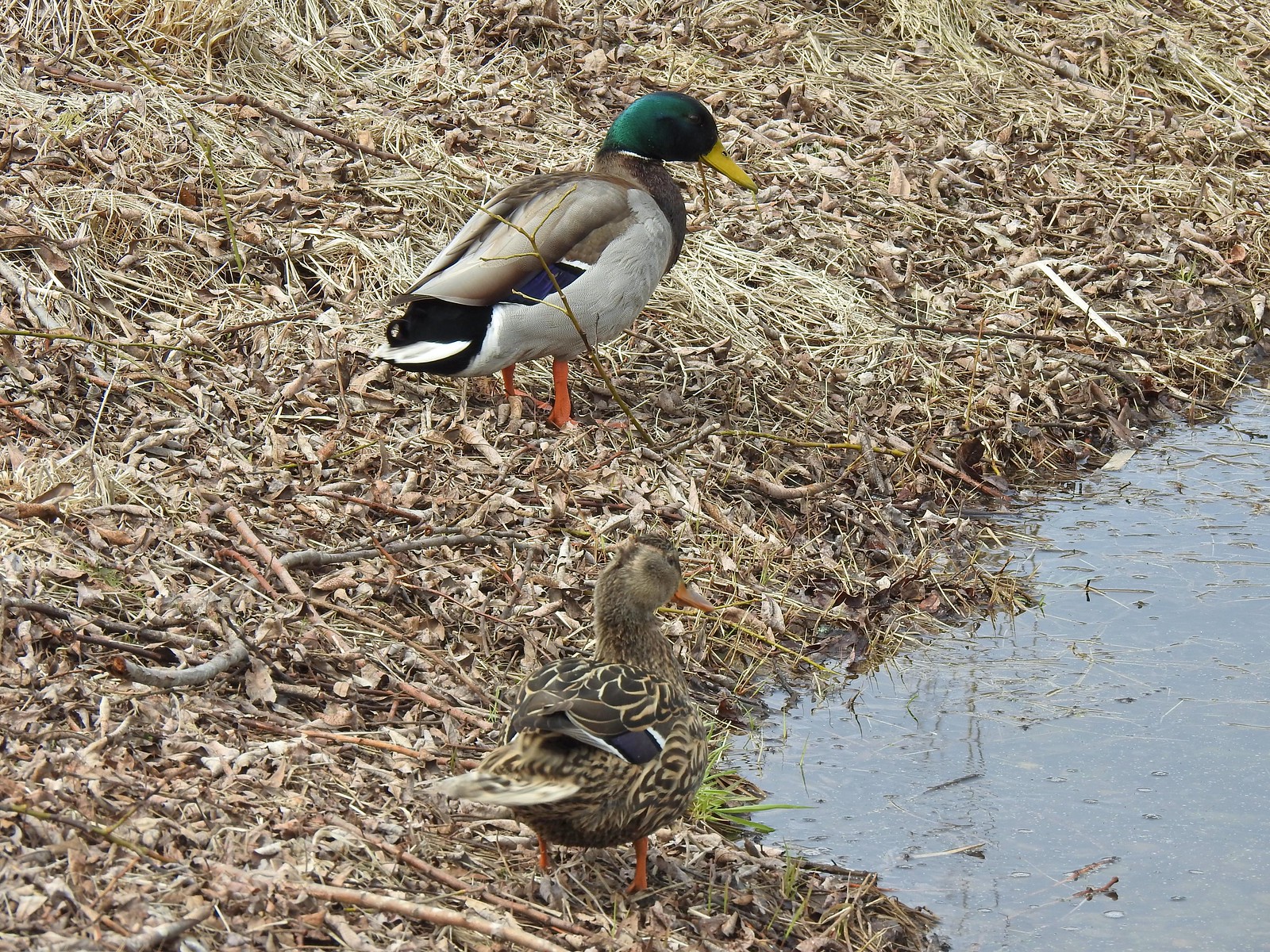 Mallard pair
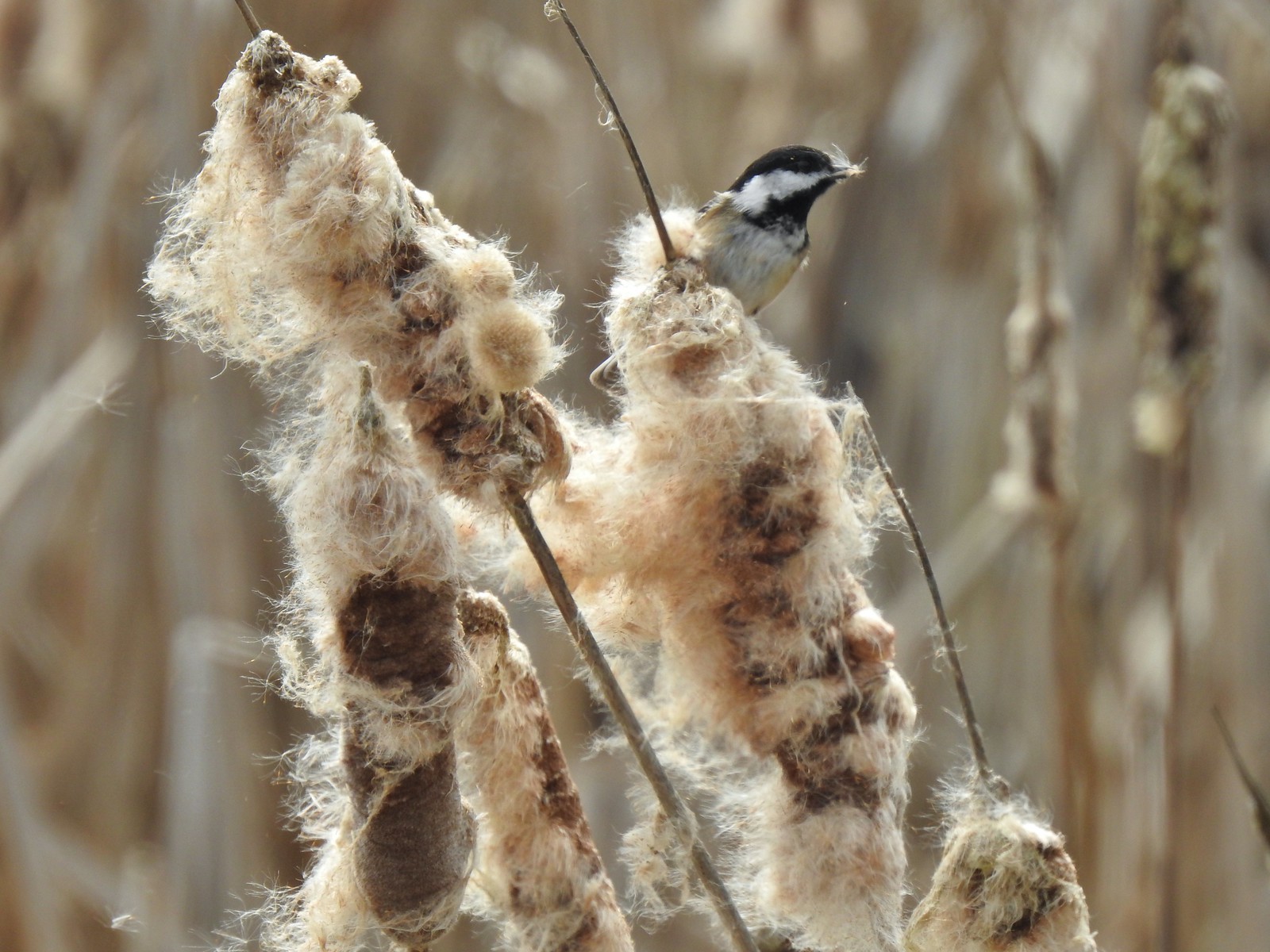 Chickadee
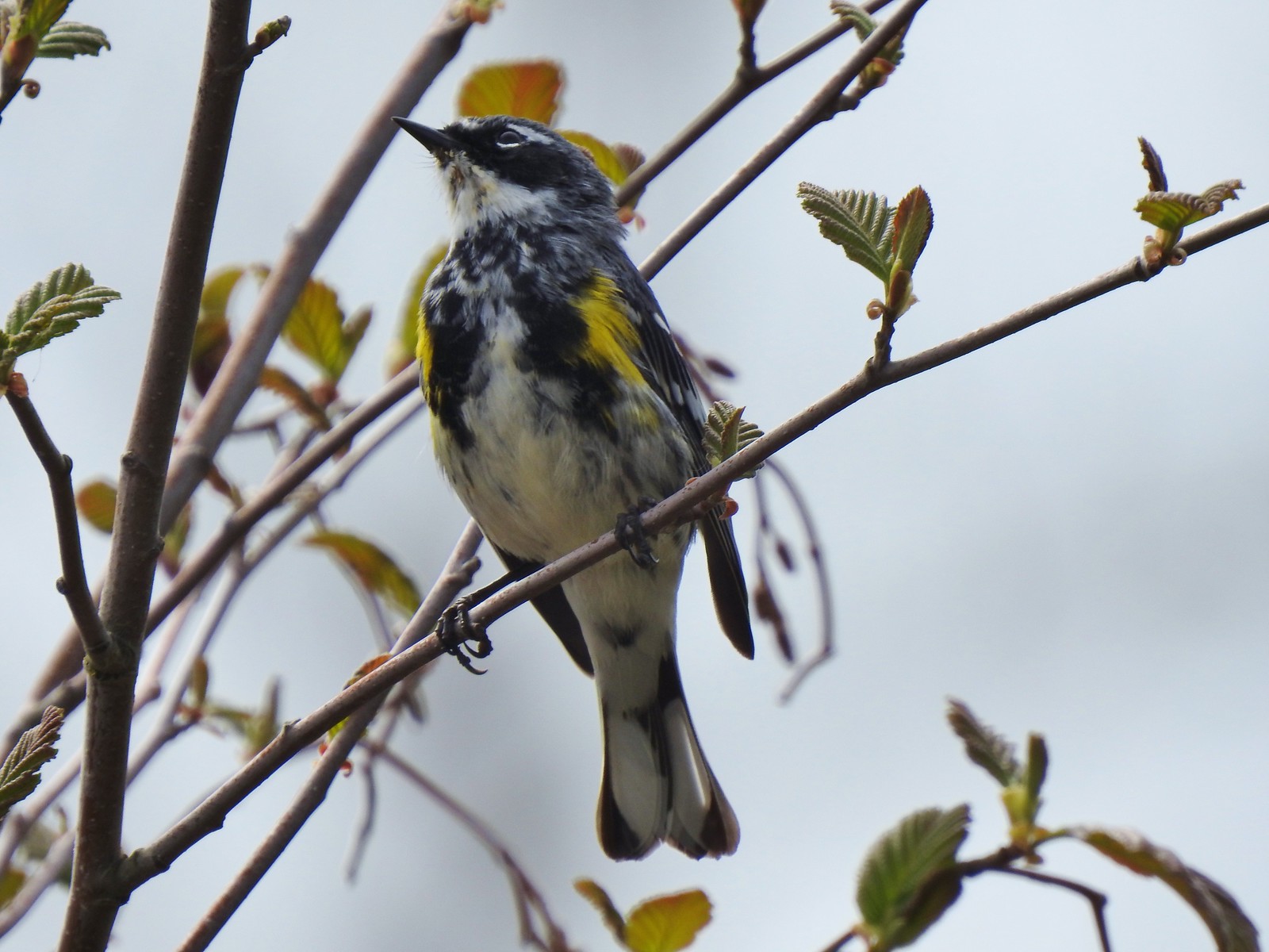 Yellow-rumped warbler (Myrtle)

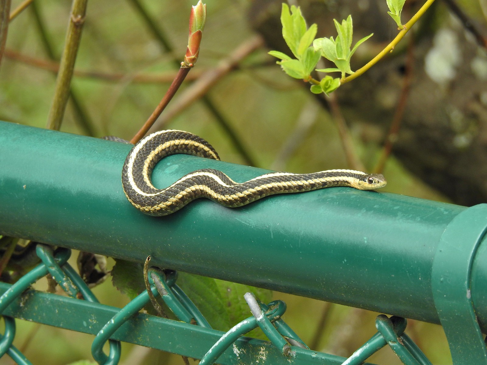 A couple ahead of us on the trail spotted this guy for us.
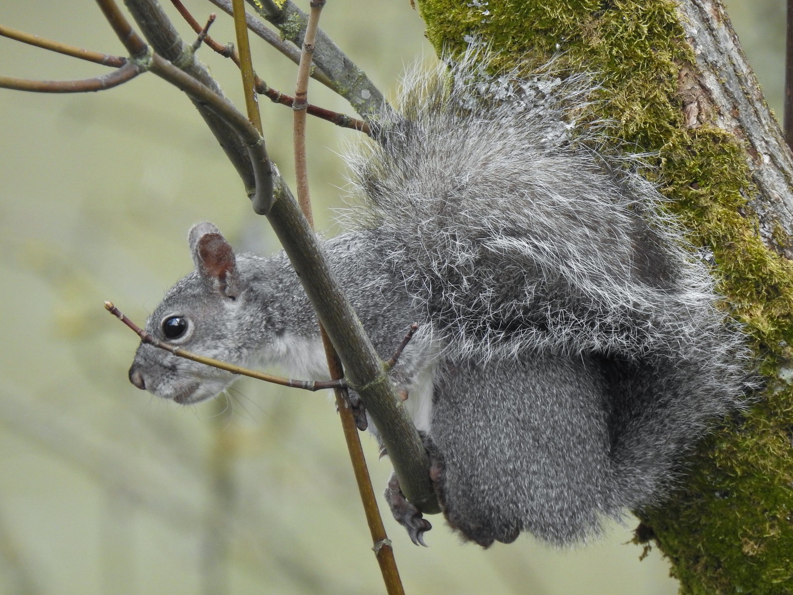 Squirrel


 One of the muddiest sections was just beyond a small footbridge near the trailhead.
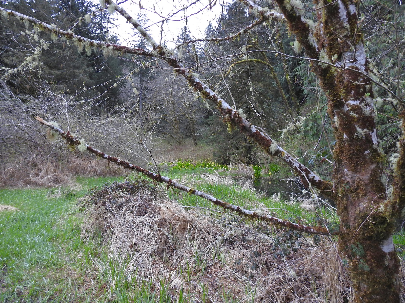 Skunk cabbage blooming along Bailey Creek.
 Skunk cabbage
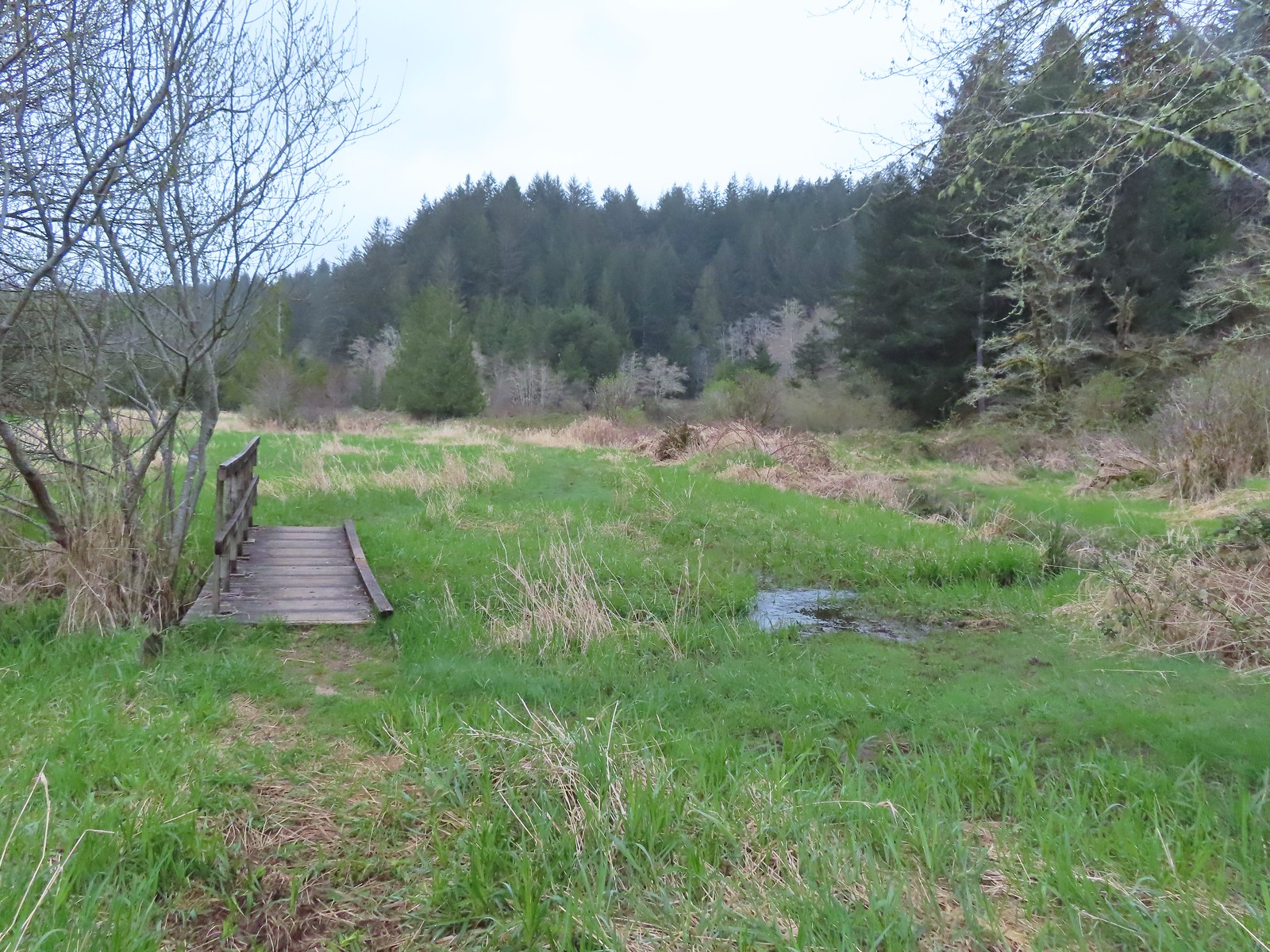 A second little footbridge.
 Coltsfoot
 Closer look at the coltsfoot.
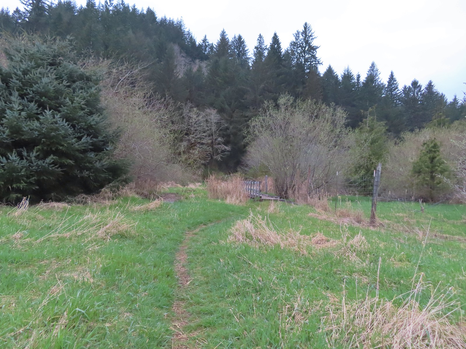 Approaching the footbridge over the unnamed creek.
 This creek was really deep here although it’s hard to tell from the photo.
 Wood sorrel
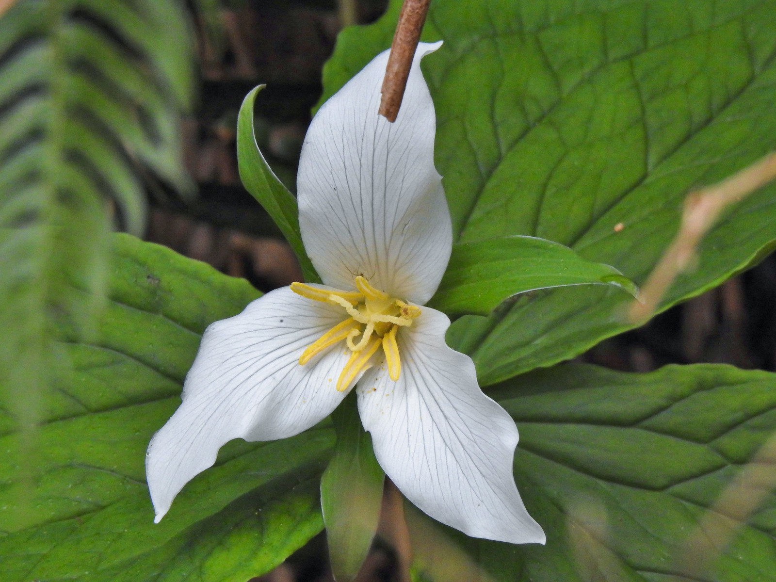 Trillium with a resident spider.
 More skunk cabbage, also with a resident spider.
 Violet
 Bleeding heart
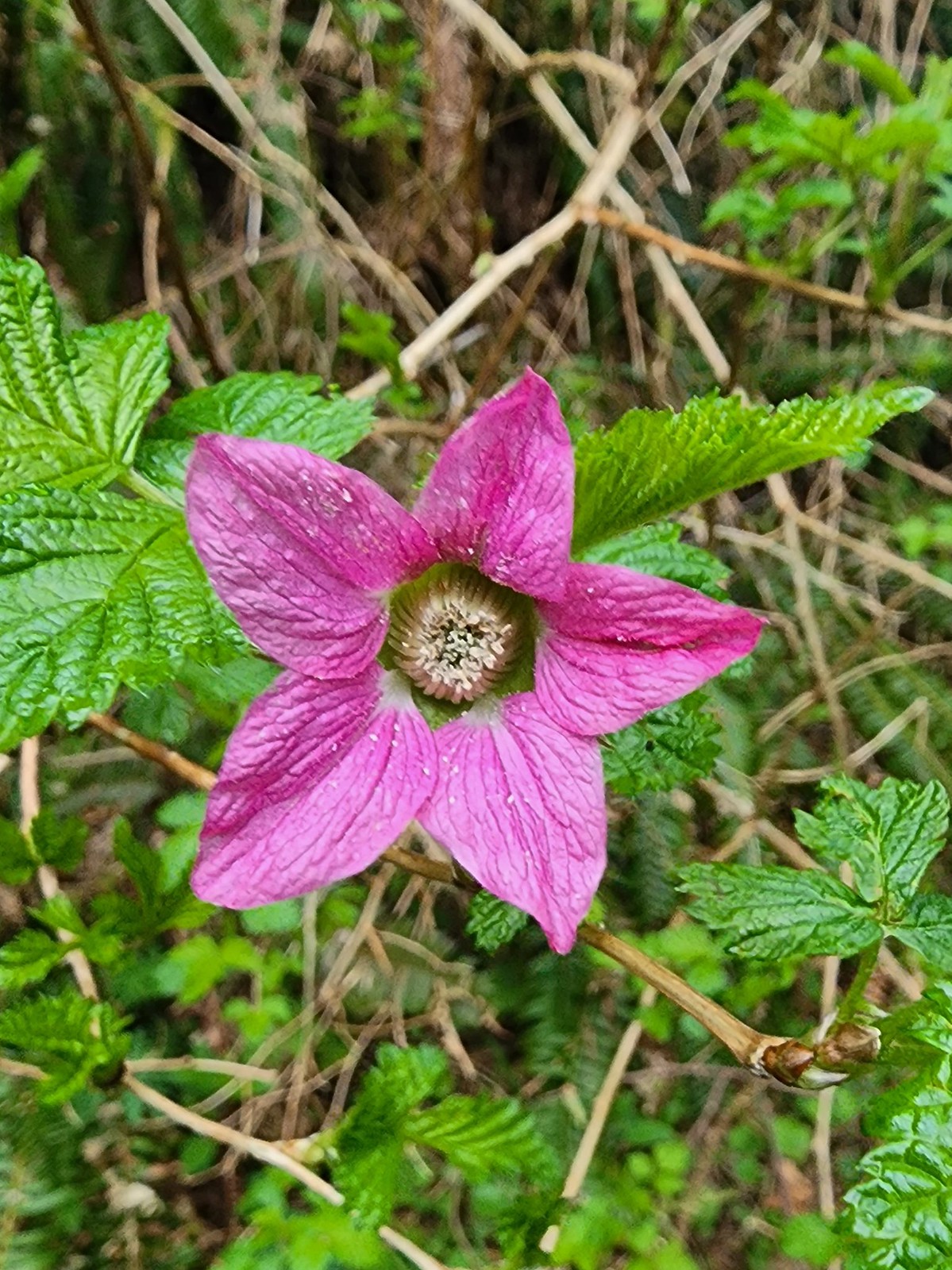 Salmonberry
 Toothwort
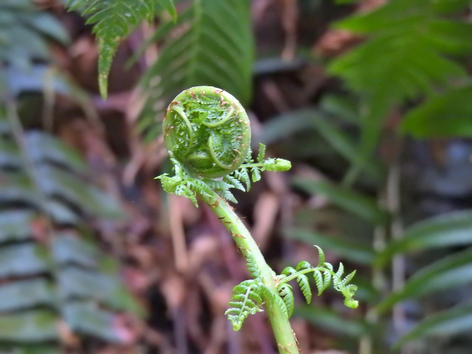 Unfurling fern
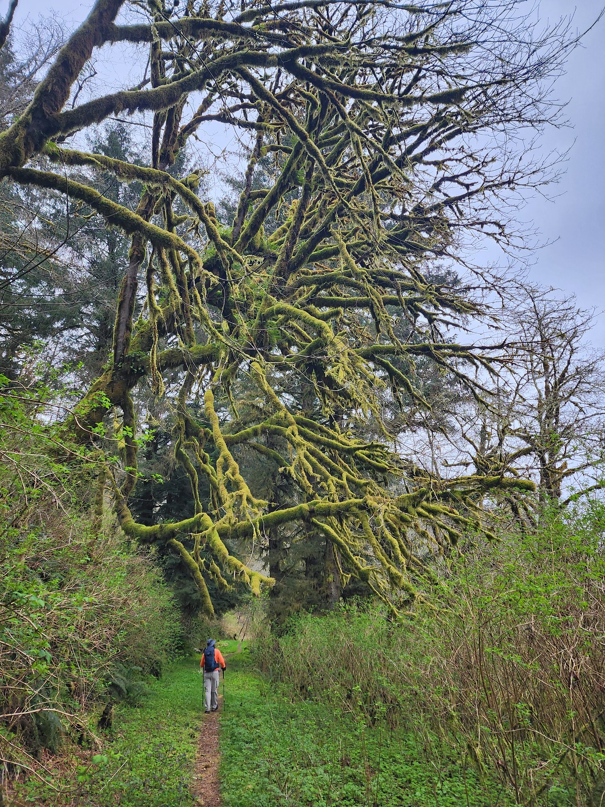 Me passing under a mossy tree.
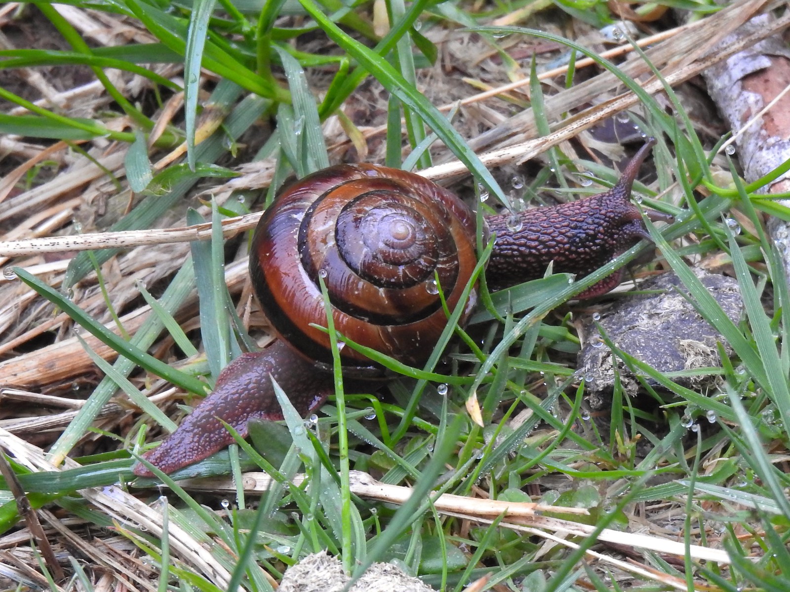 Snail on the trail.
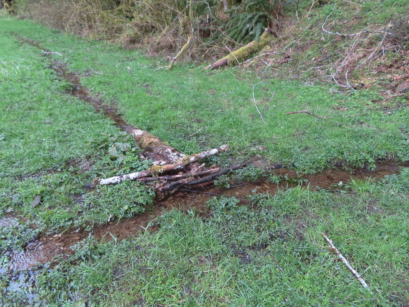 This makeshift damn was not stopping the water from flowing down the trail.
 Another of the small stream crossings.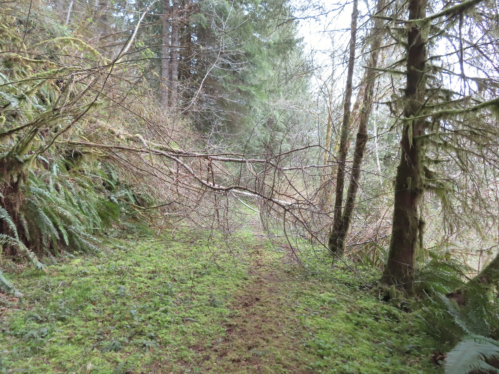
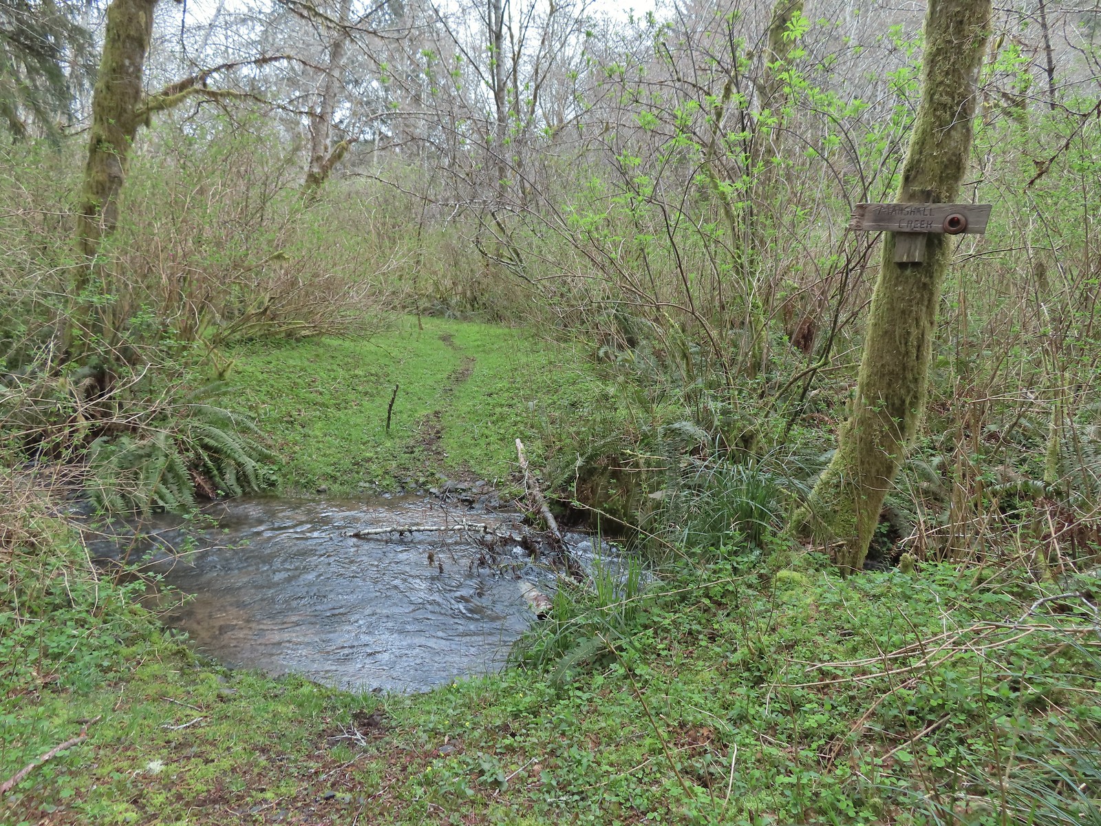 The creek was actually pretty deep here with the recent wet weather we’d had.




 A trillium unfurling.
 Violets
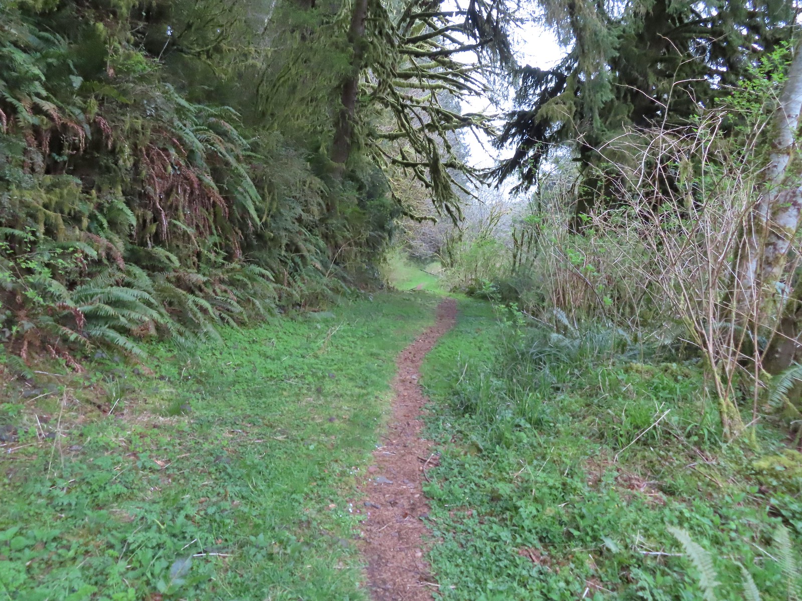
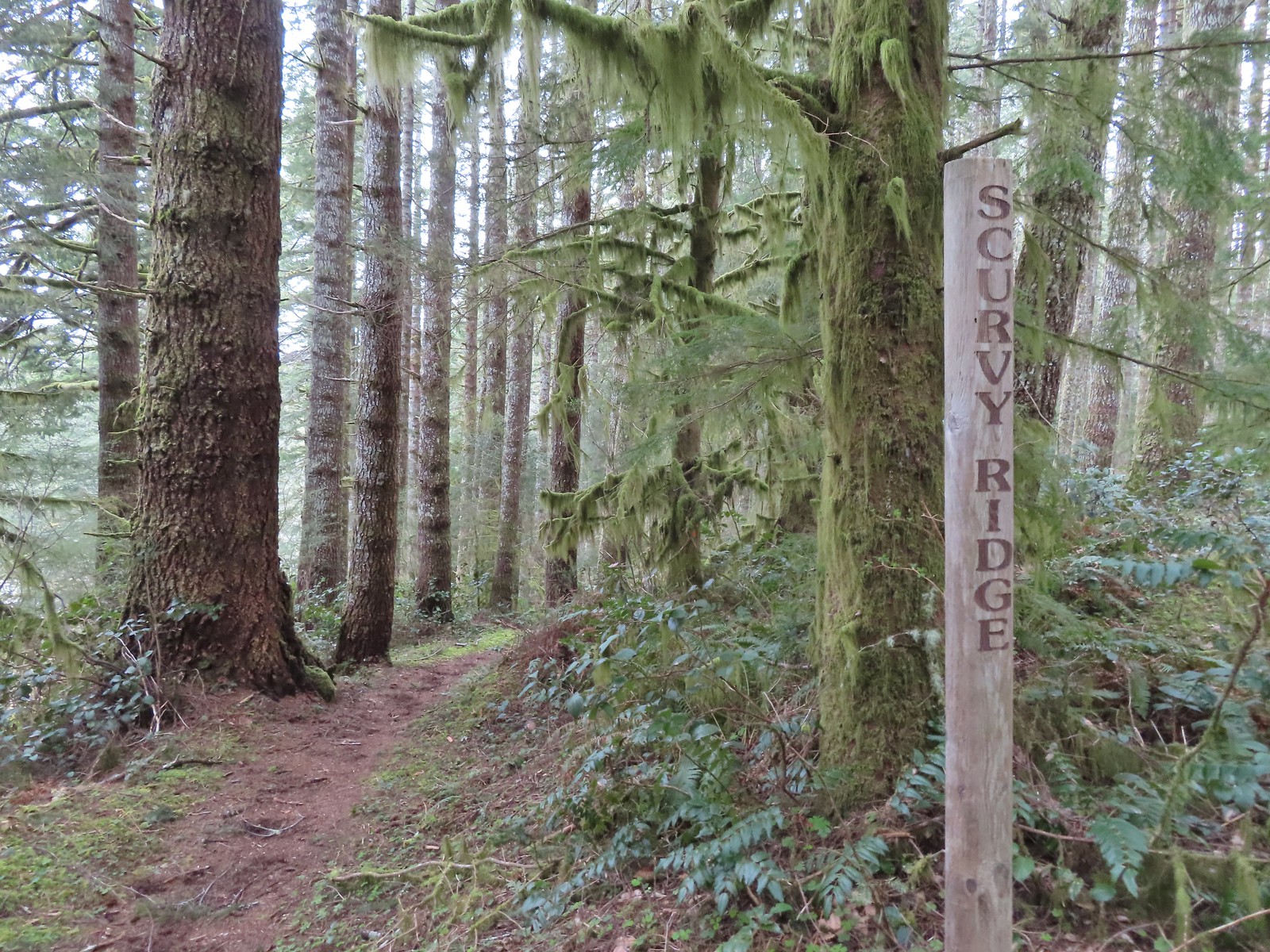
 Several trails have similar markers with most of them being at or near junctions. This one was just alone along the trail.


 Rough skinned newt
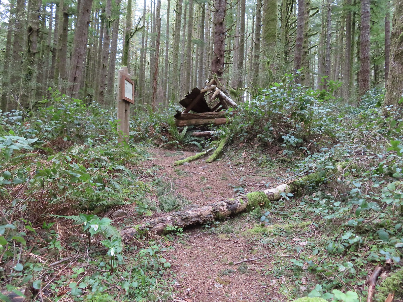
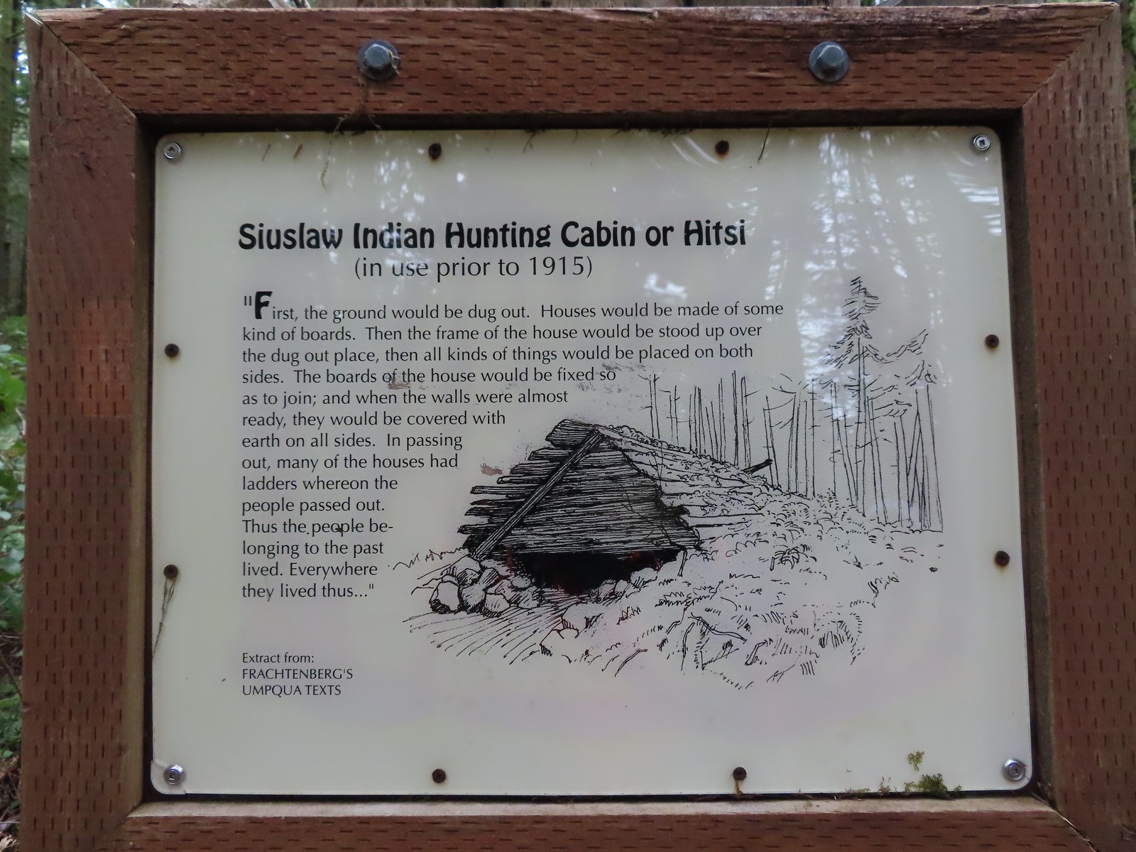

 Time has not been kind to the hitsi.


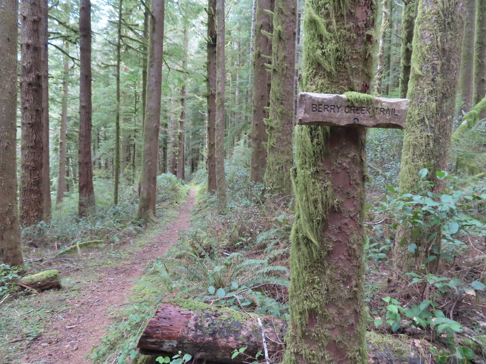
 The trail briefly followed an old roadbed.
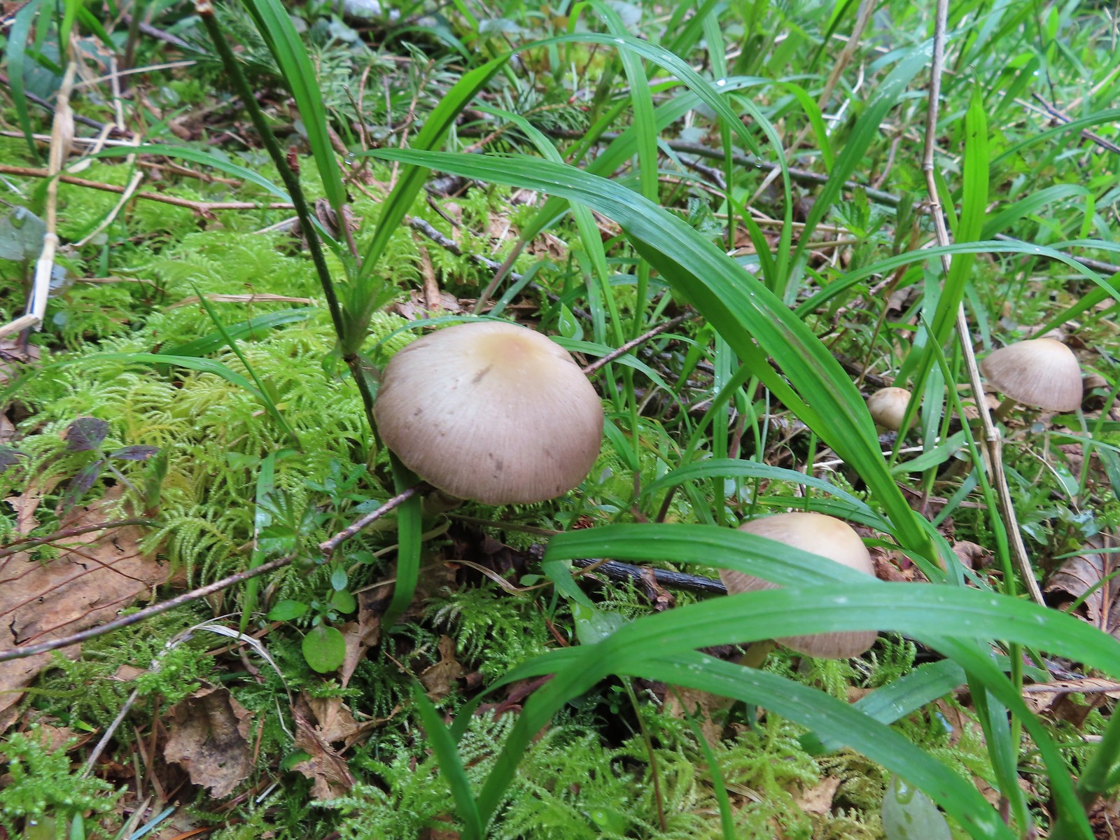 Mushrooms along the roadbed.
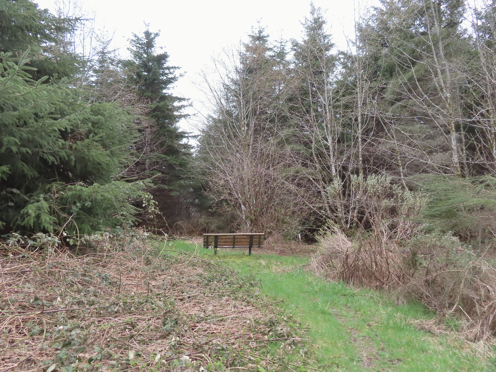 Another bench with a questionable view at the end of the roadbed segment.
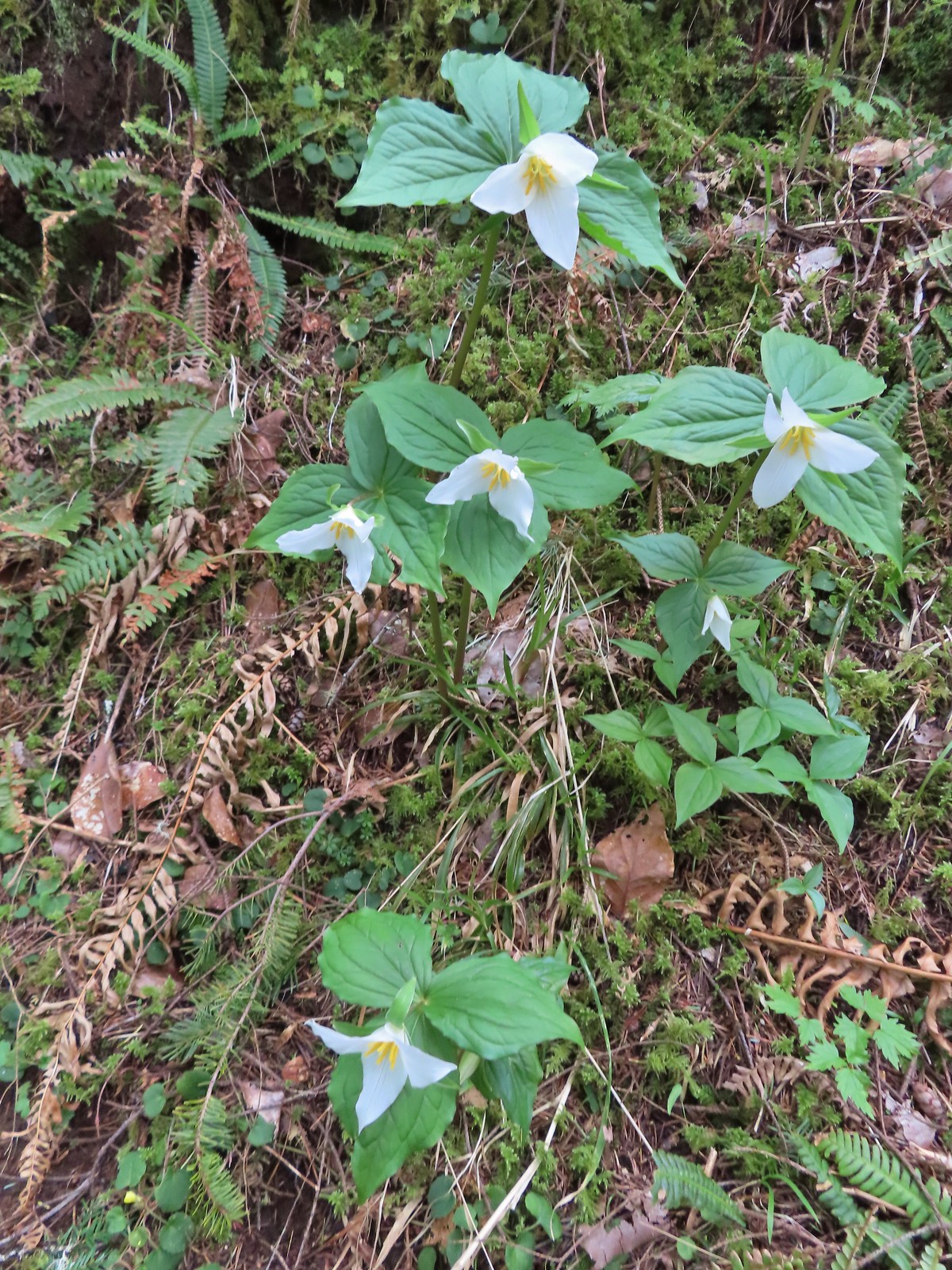 Flowers are a few weeks behind this year but there were quite a few trillium along the trails.
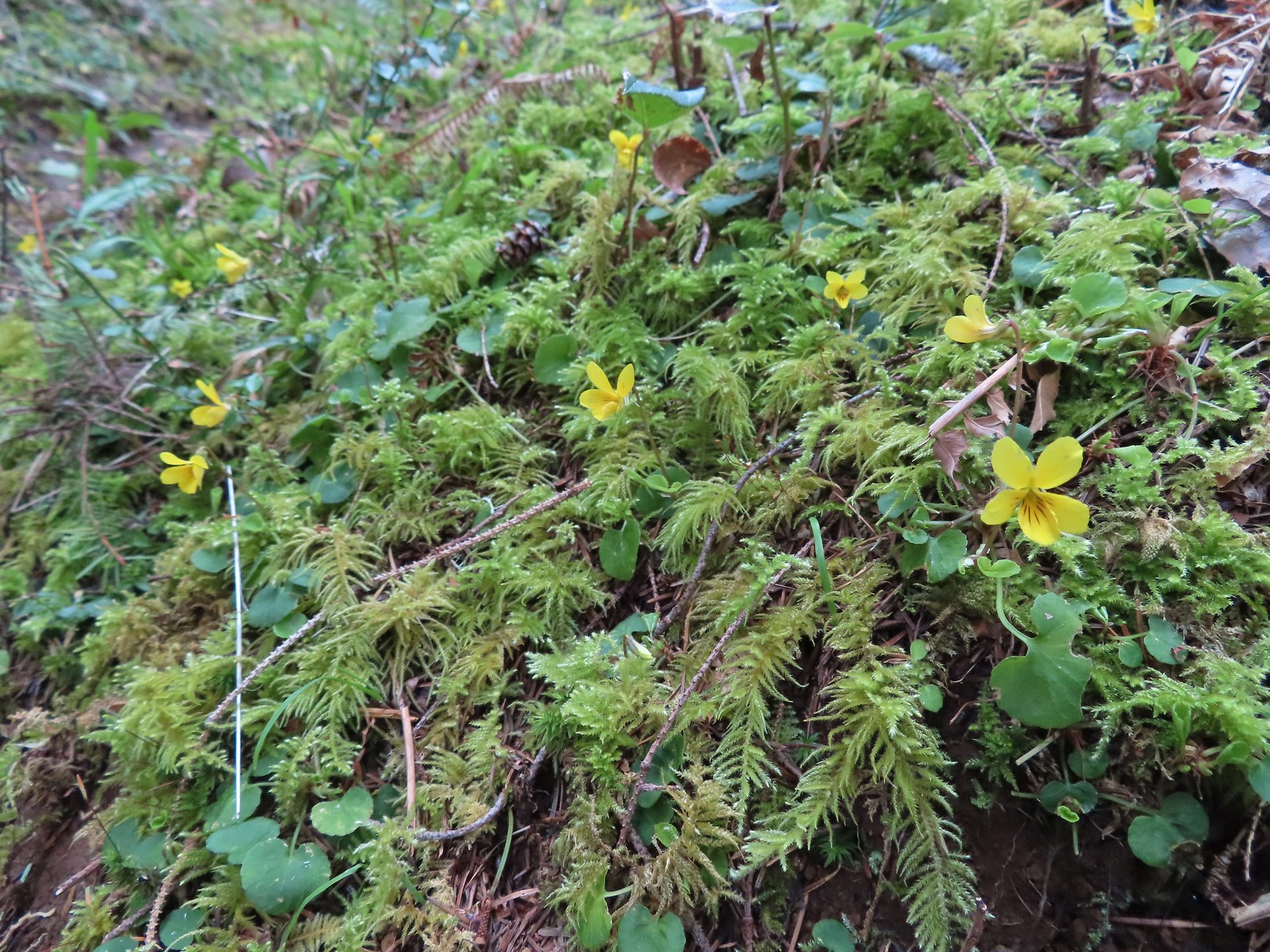 Violets were the other abundant flower.
 Red flowering currant beginning to bloom.
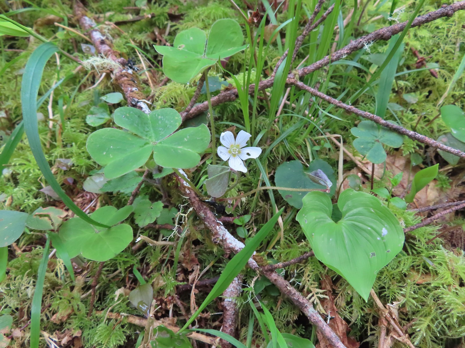 Wood sorrel
 This looked to be a fairly recent uprooting.
 A cute fungus
 Looking back after fording.

 We made a sharp right here onto the Nelson Ridge Trail.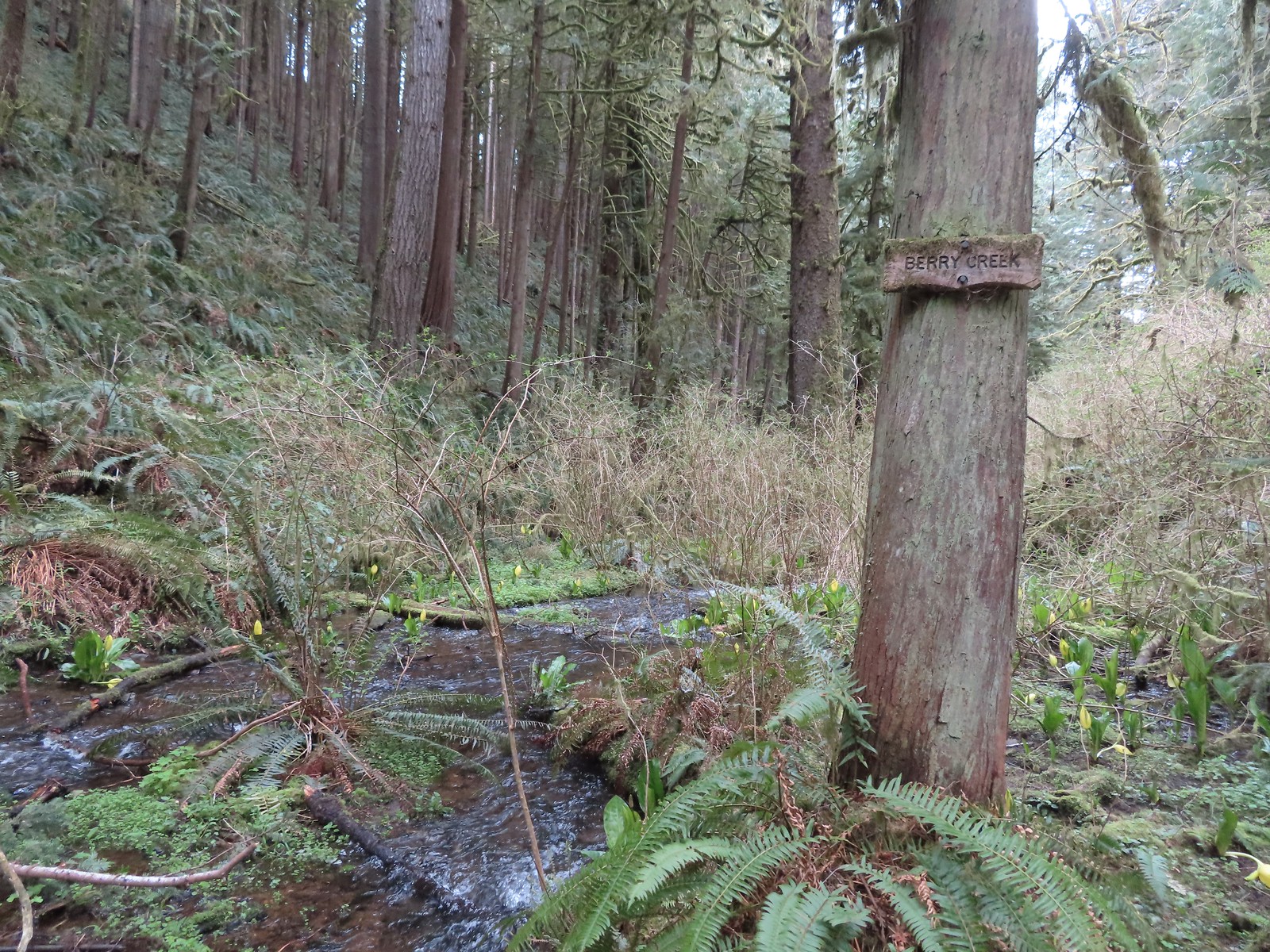
 Skunk cabbage at Berry Creek.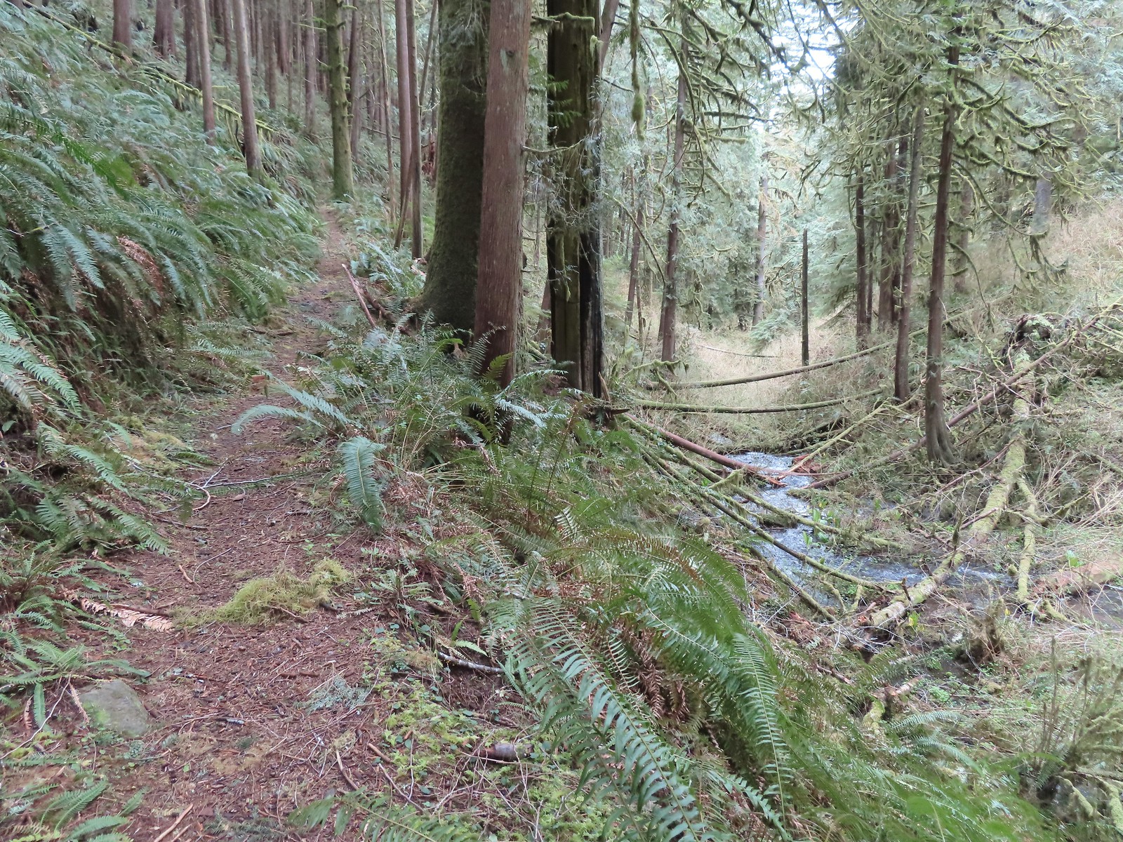
 A few bleeding-heart blooms.
 At least this bench had a view of the Pacific Ocean.
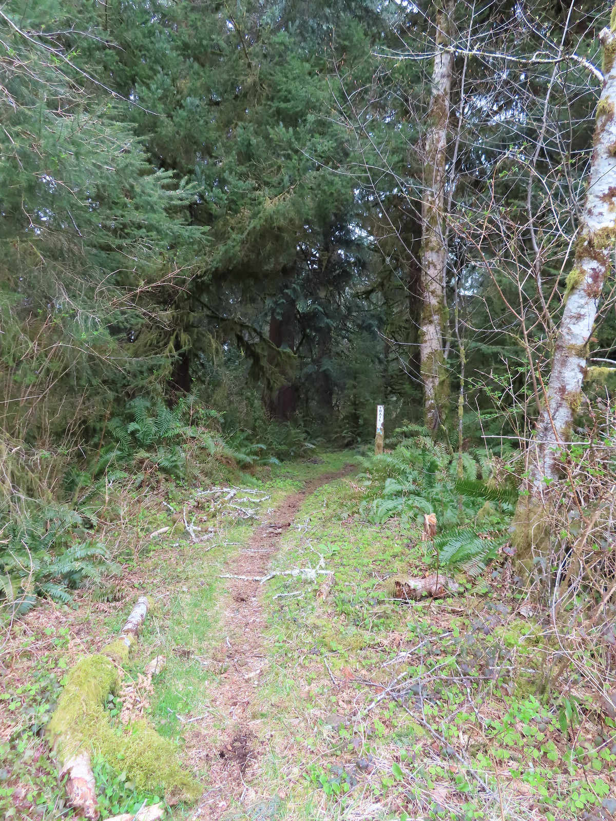 Passing through a stand of trees along the ridge.
 Another bench.
 Some easy to walk around blow down.
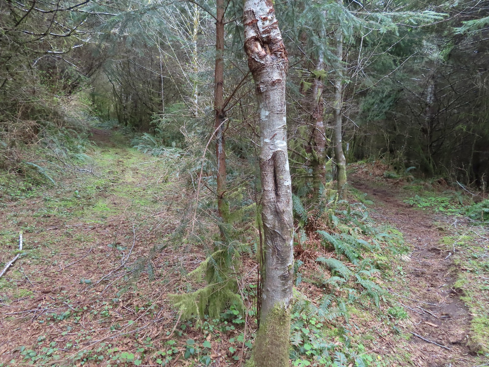 We couldn’t tell what this road/trail to the left was on the map so we stayed right to be safe at this junction.
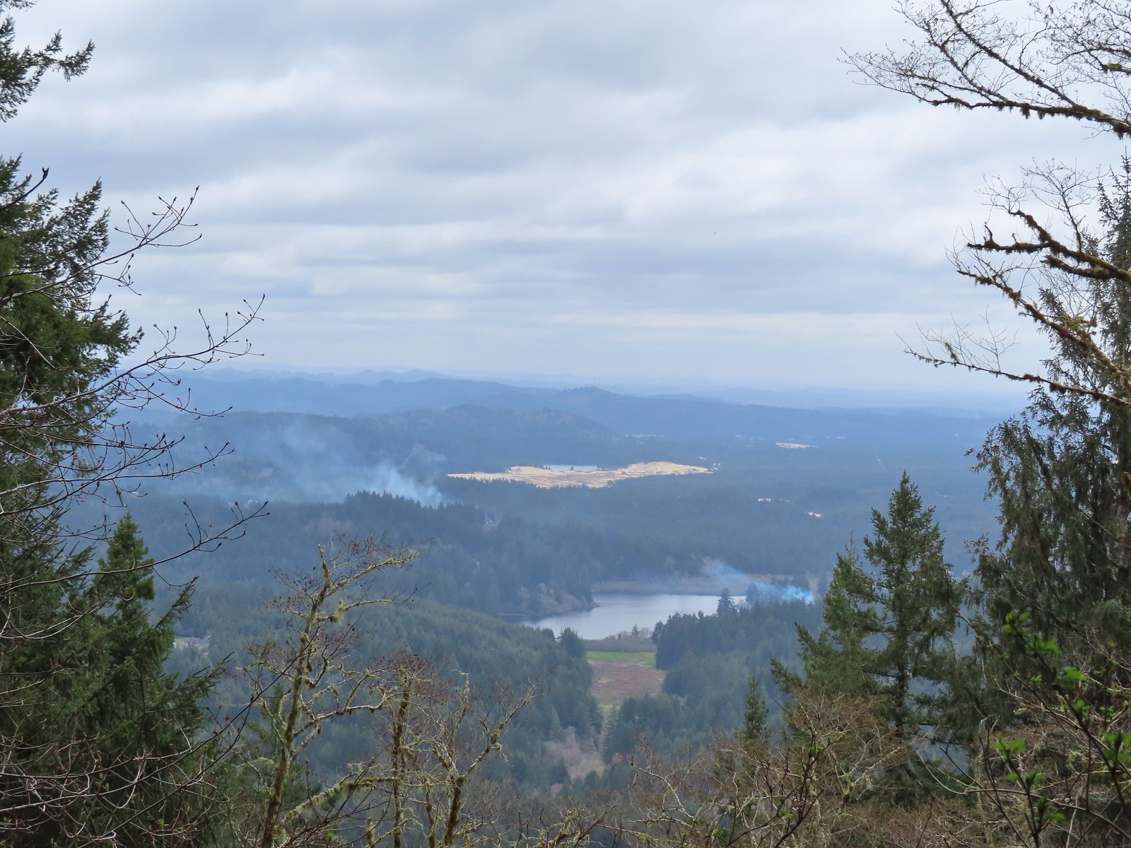 I think that is Sutton Lake and beyond the sand is Clear Lake.
 The end of another short roadbed section.
 I walked on this roadbed for a bit just to do something a little different than on the first visit when I stuck to the trail (on the right).
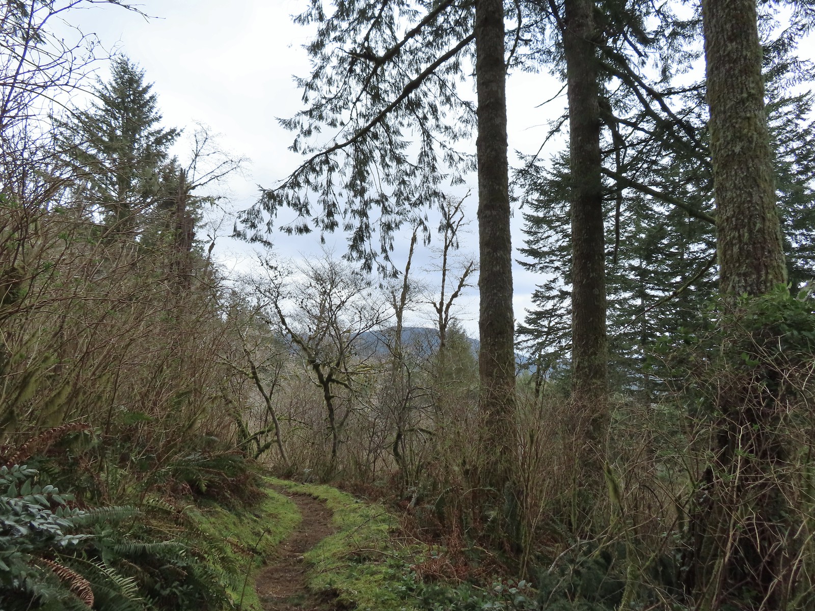 Starting to descend toward Dry Lake.
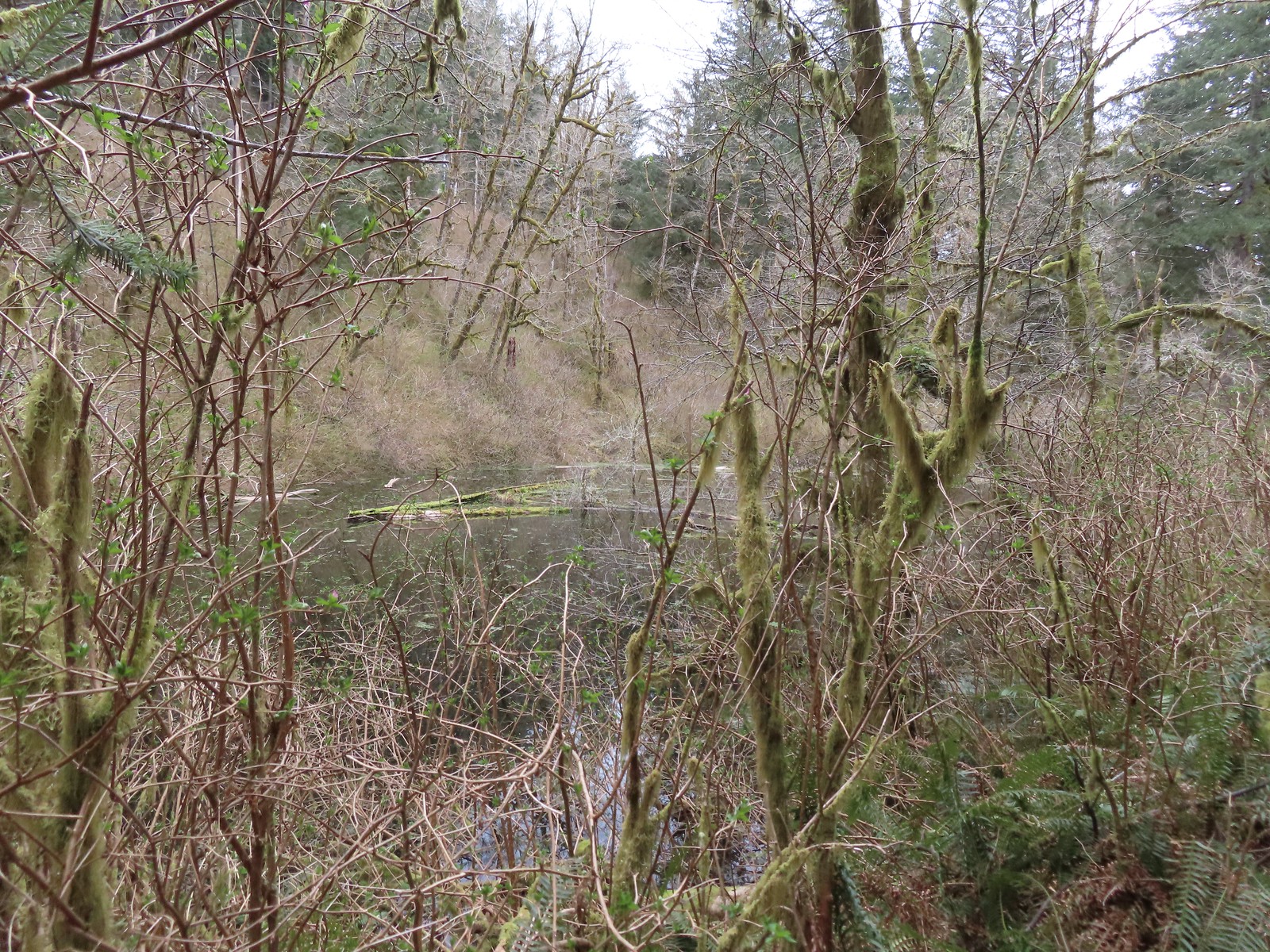 Dry Lake
 Back at the trailhead.

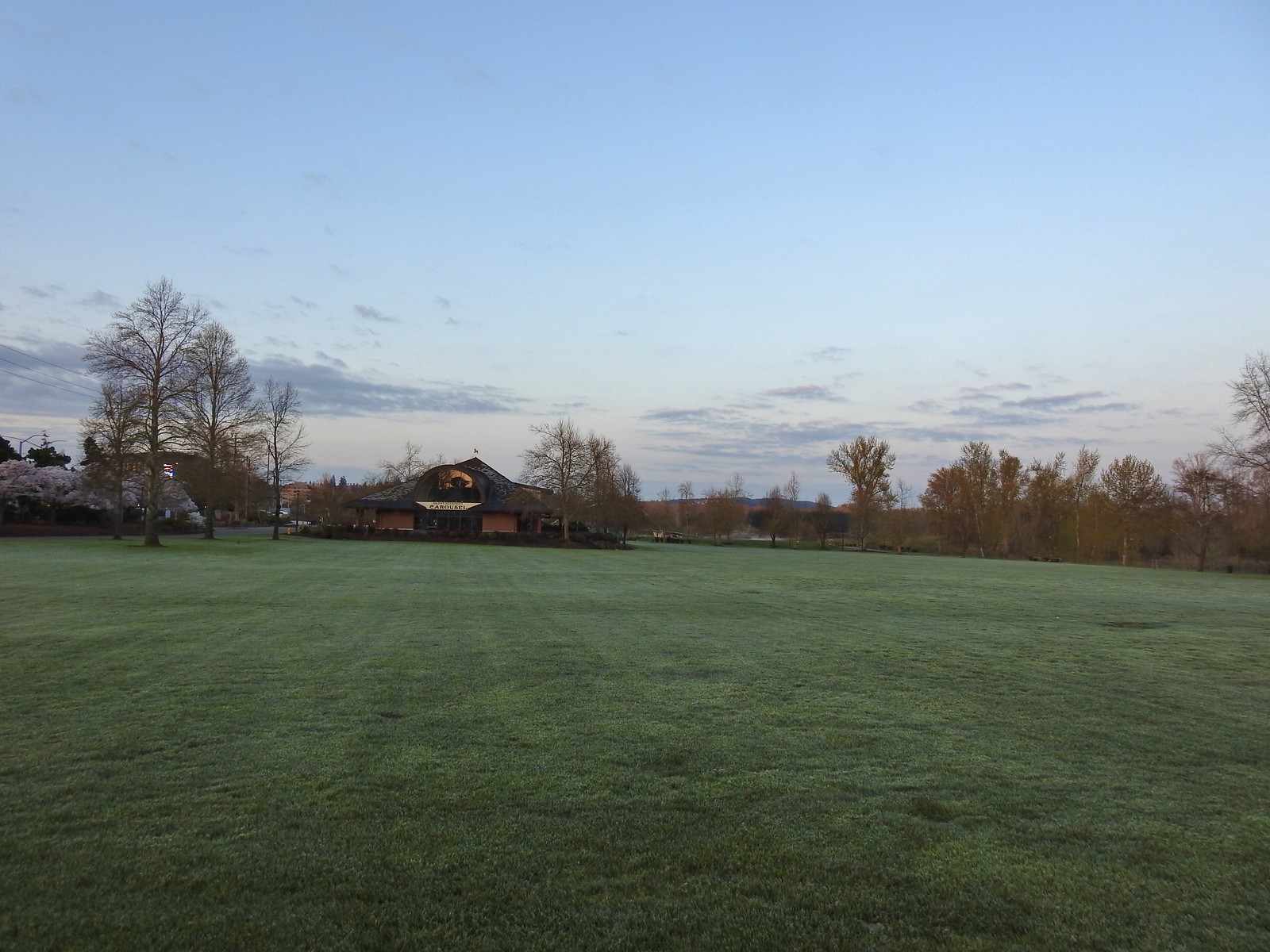
 The amphitheater and bridge on 3/19 23.
 The amphitheater and bridge on 4/14/23.
 Wetland near the bridge on 4/8.
 The wetland on 4/14.
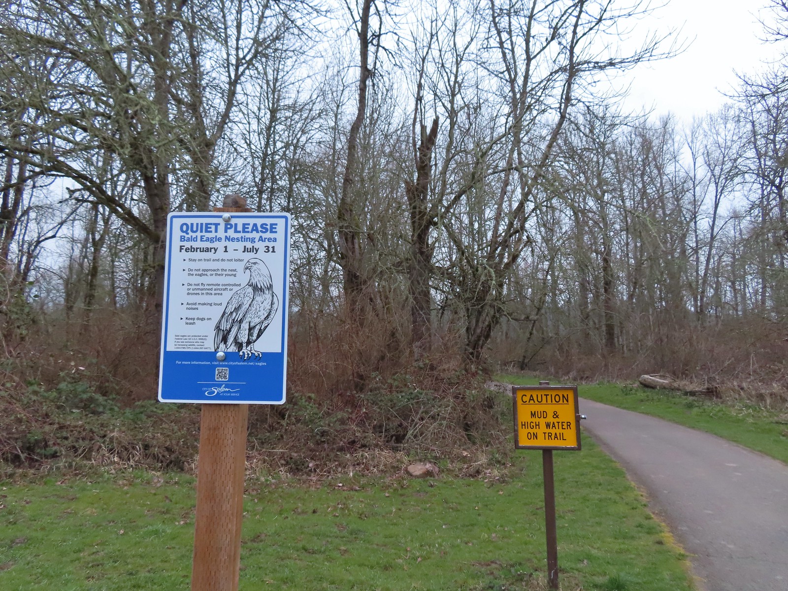 Signs at the 2nd junction – 3/19.
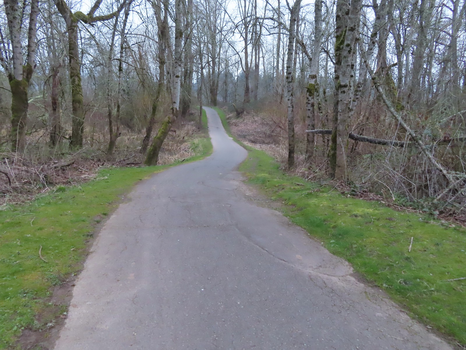 The path to the Willamette River on 3/19.
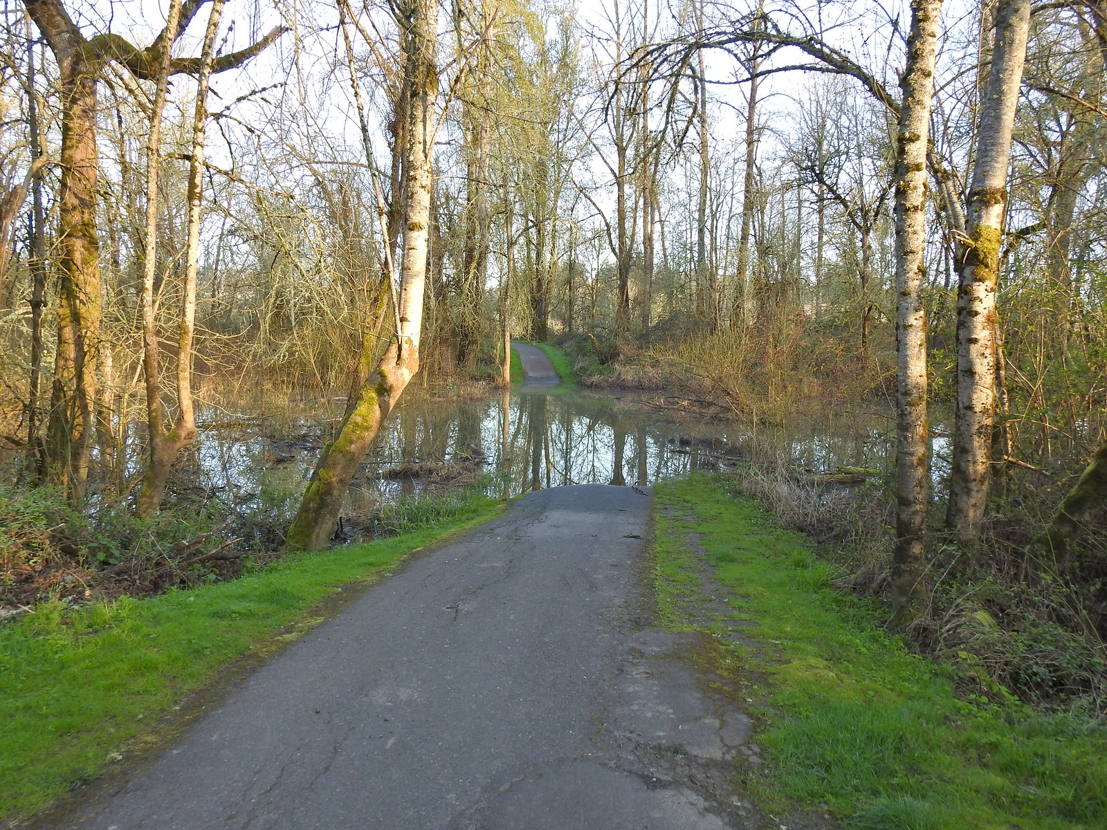 The path on 4/14.
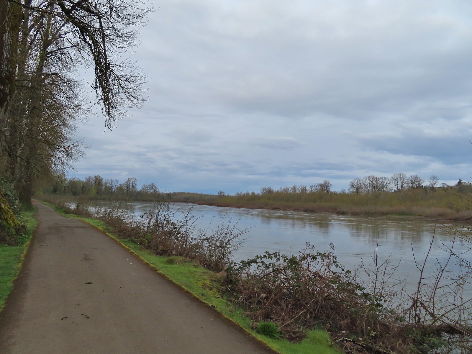 April 8th along the Willamette.
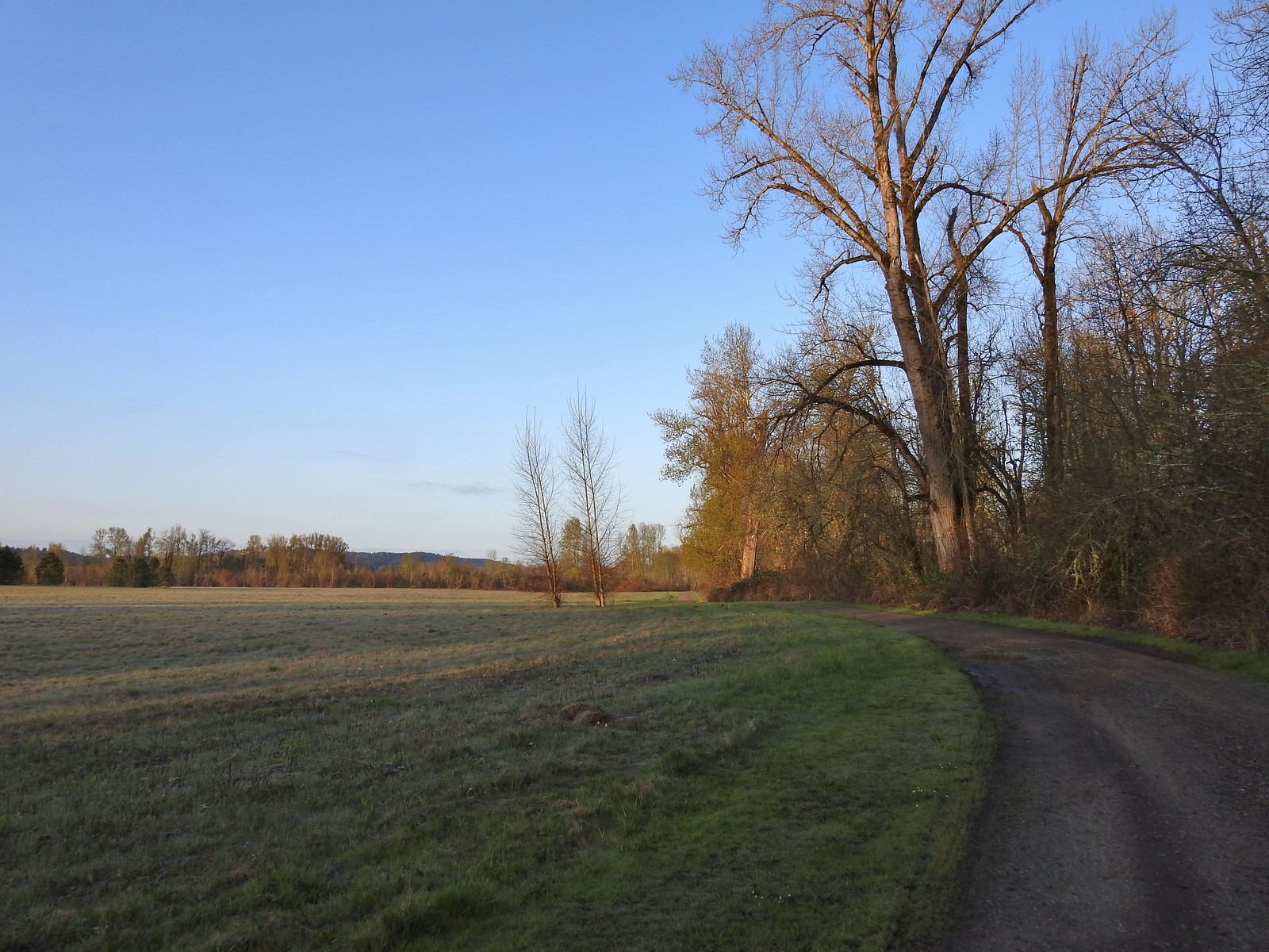 April 14th on the inland gravel path.
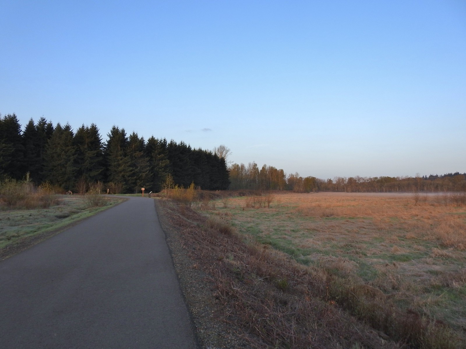 The Minto-Island Conservation Trail (Used during all four hikes.)
 Oxbow slough 3/19.
 April 14th
 Just South of Lot 3 the paved path is shared by the 10k, Purple Rabbit, Blue Heron, Green Deer, Yellow Duck and Brown Squirrel Loops.
 The footbridge over Oxbow Slough is part of the 10k, Blue Heron, and Purple Rabbit Loops.
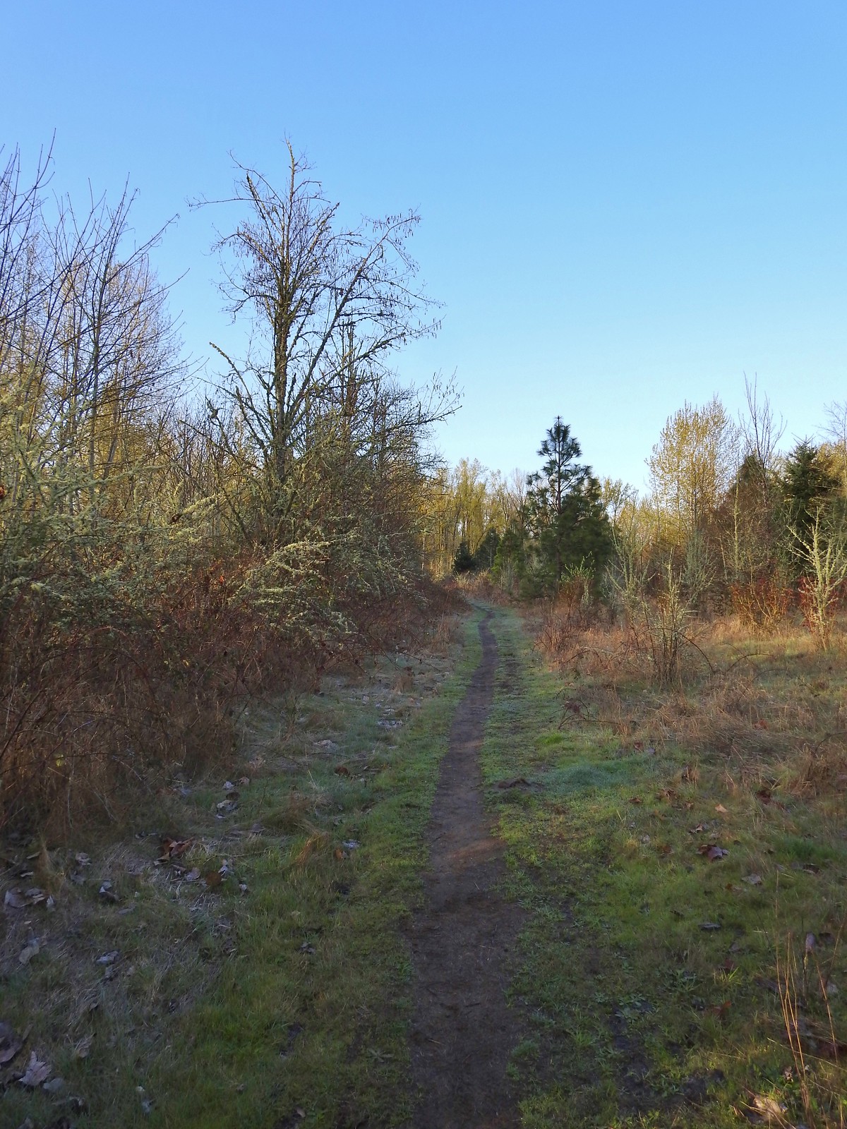 Blue Heron Loop running parallel to the 10k/Purple Rabbit Loops.
 Field along the Blue Heron Loop
 The “T” junction where the 10k/Purple Rabbit Loops turn left from the Blue Heron Loop.
 Most of the junctions are well signed with maps which helped keep me on track.
 Willamette River from the Orange Turtle Loop.
 Orange Turtle Loop
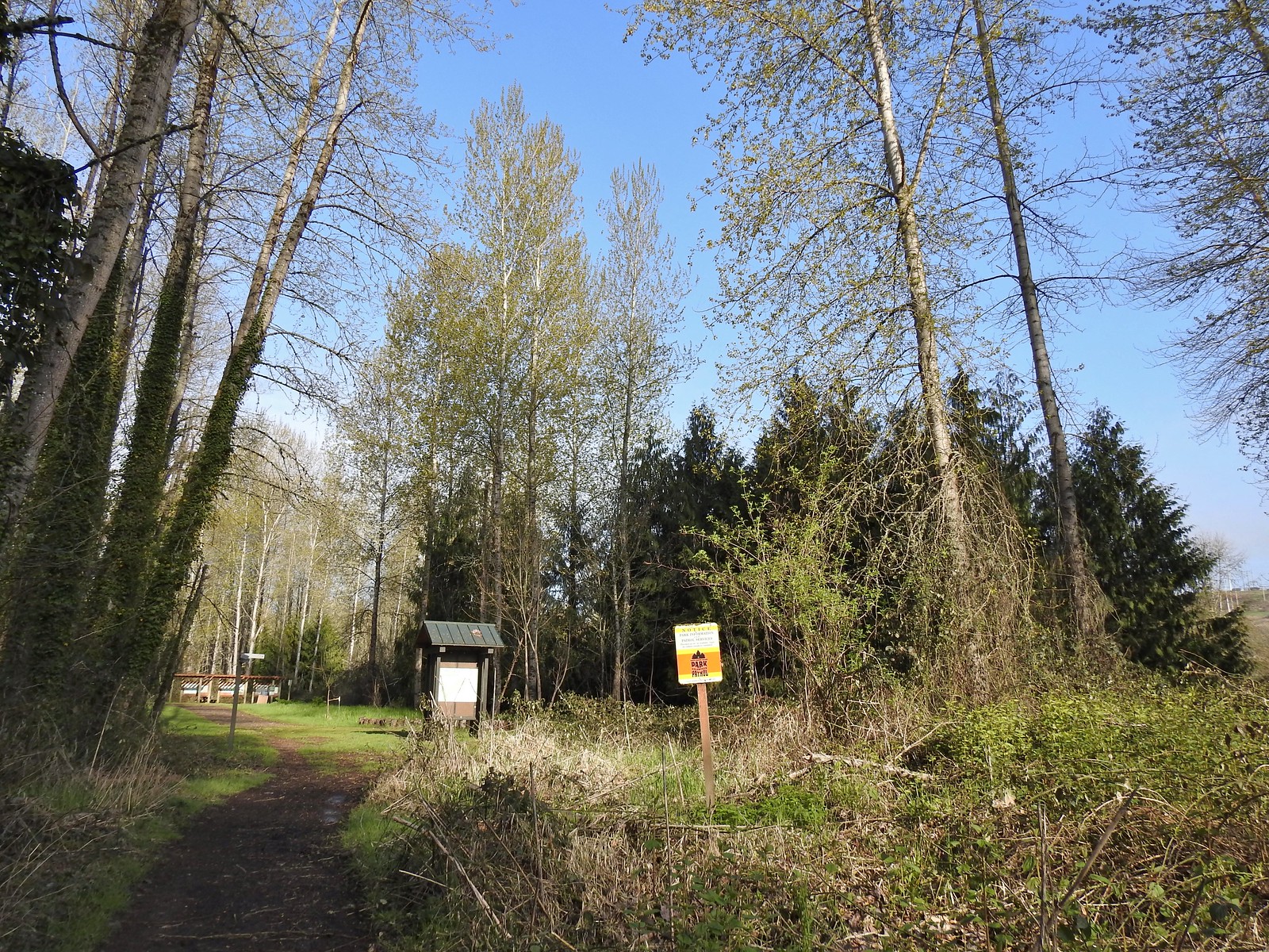 The boarder between Minto-Brown Island Park and Eola Bend County Park.
 A bit of the history of Eola Bend County Park.
 Nice map of the Willamette River watershed.
 Eola Bend County Park
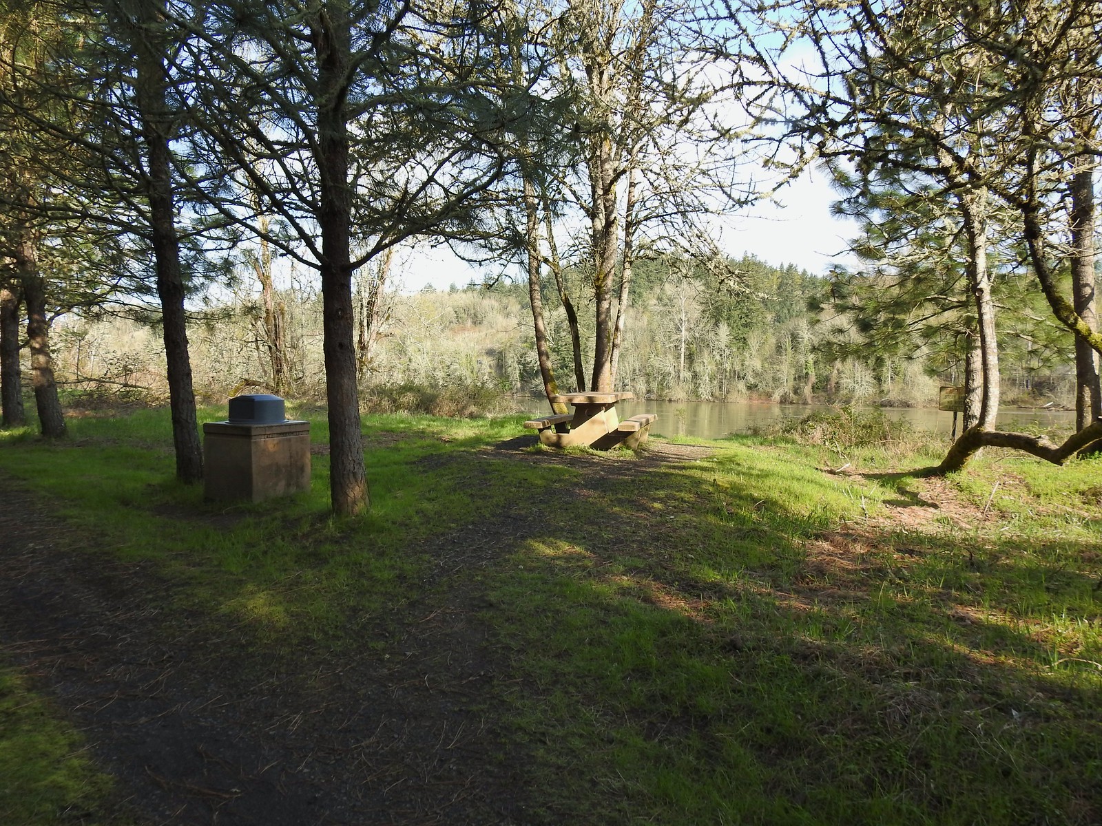 I took advantage of this picnic table to take a short break.
 The landfill behind the map.
 Arriving at the road.
 The 10k/Purple Rabbit Loop on the left.
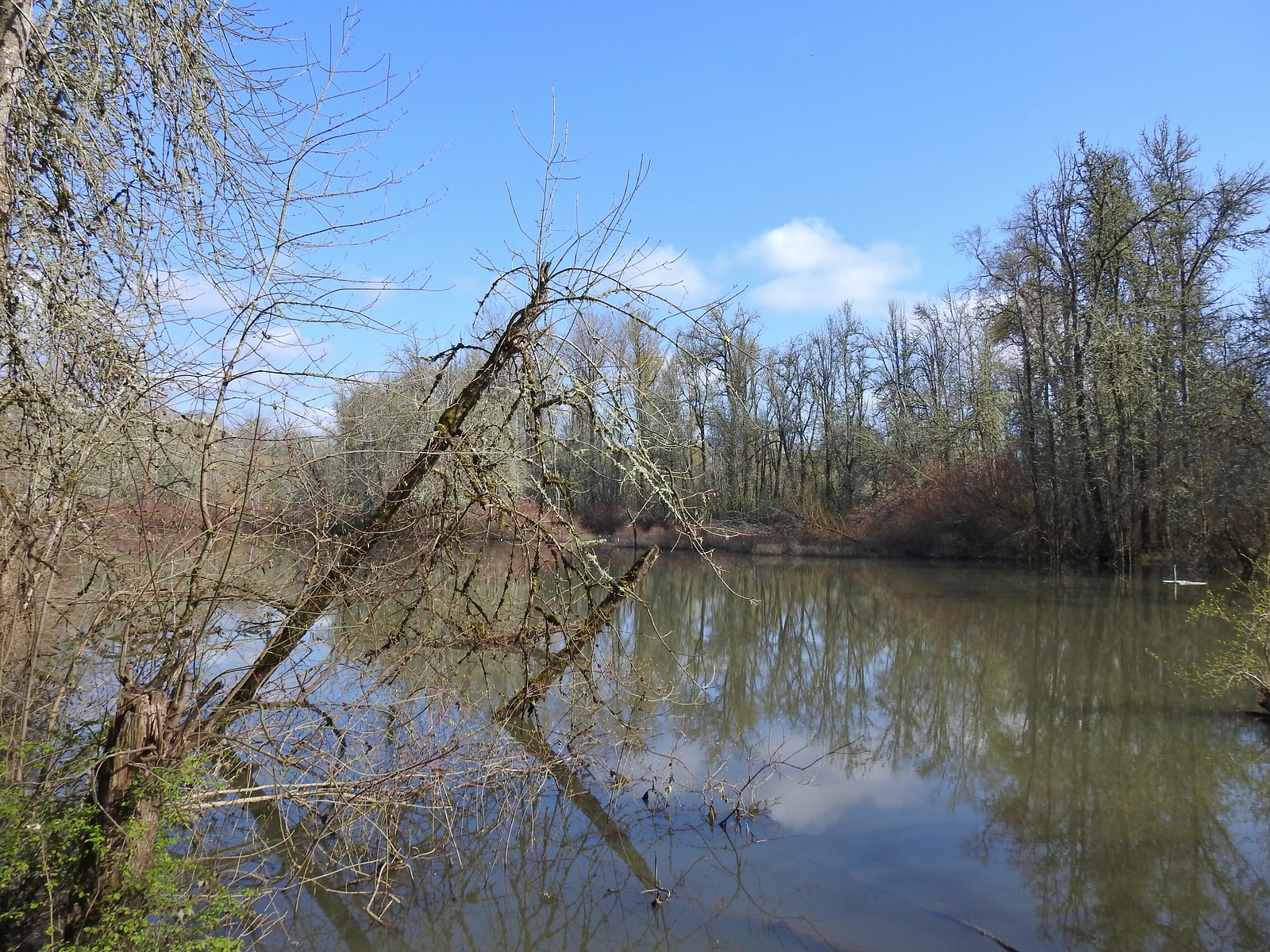
 The Green Deer Loop junction.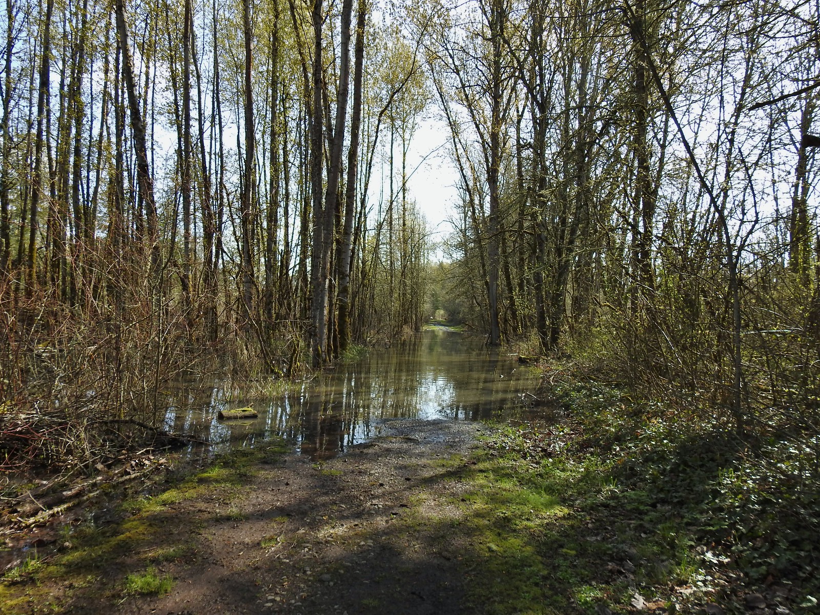
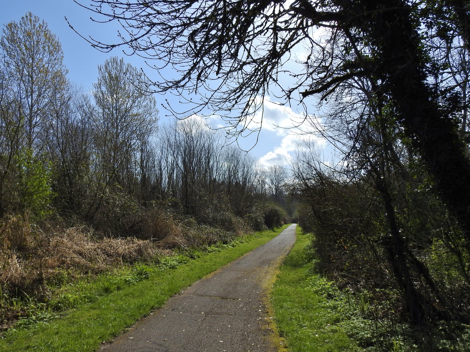 The paved 10k/Yellow Duck/Brown Squirrel Loop.
 The rougher dirt path.
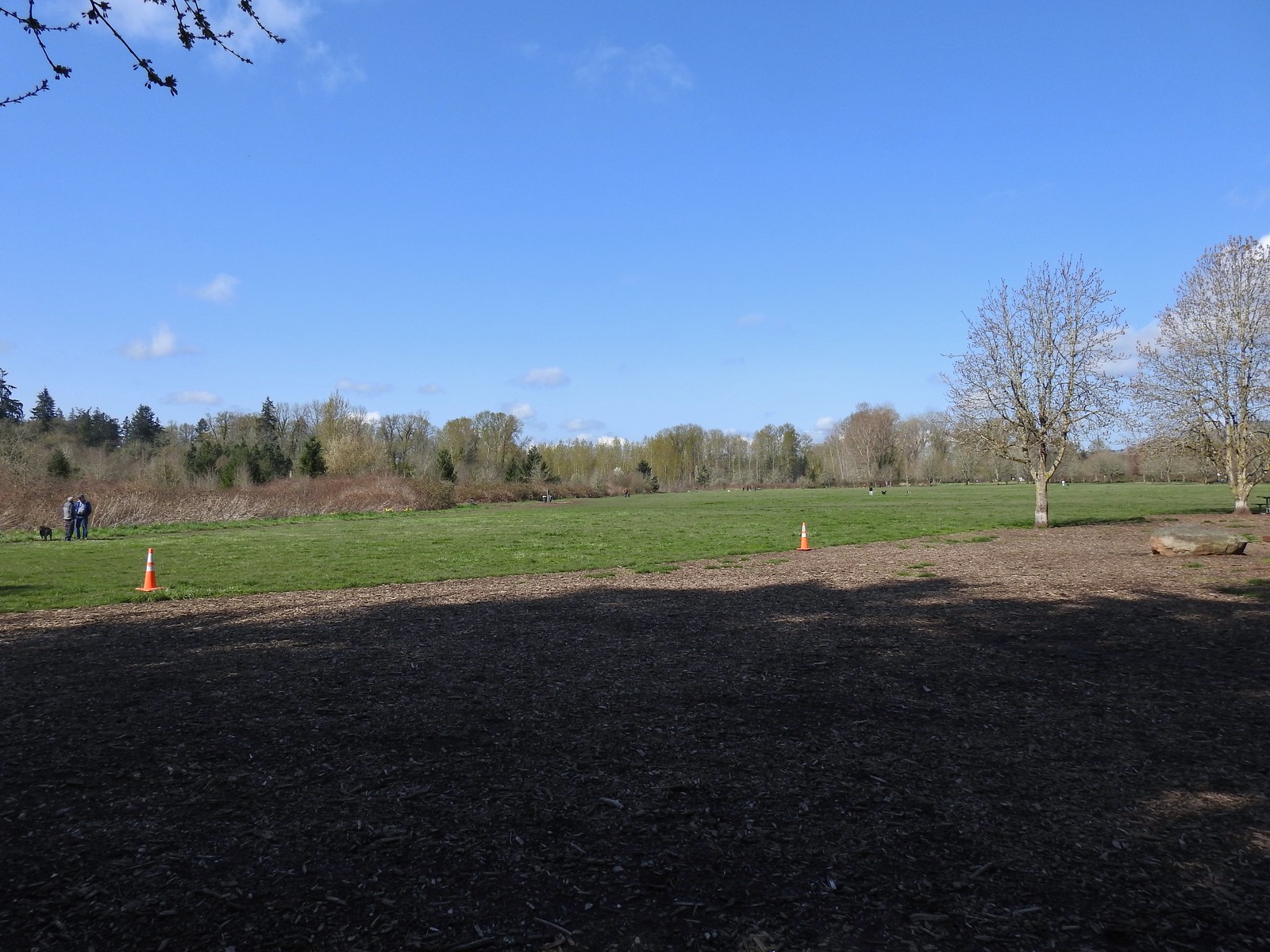 The dog park (possibly the happiest place in Salem, at least for dogs).
 The 10k Loop on the opposite side of the entrance road from Lot 2.
 From our 3/19 hike on the 10k Loop. The path running from left to right is the Red Osprey Loop. On this last trip I took the path on the left down to the sign below at the junction and continued straight.
 At the sign heading toward the old cherry orchard.
 The old cherry orchard.
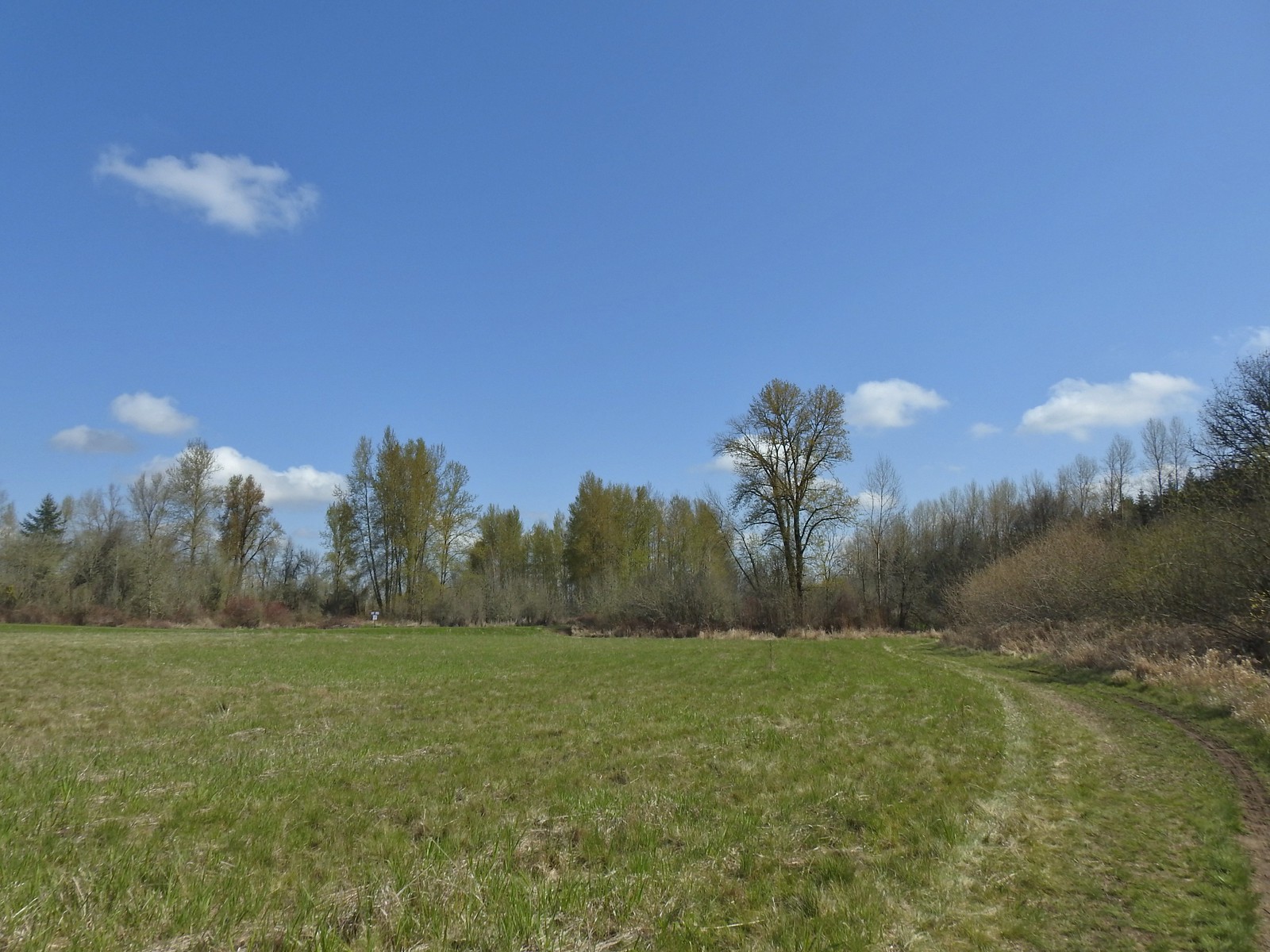 Sign in the distance along the paved path where I turned right.
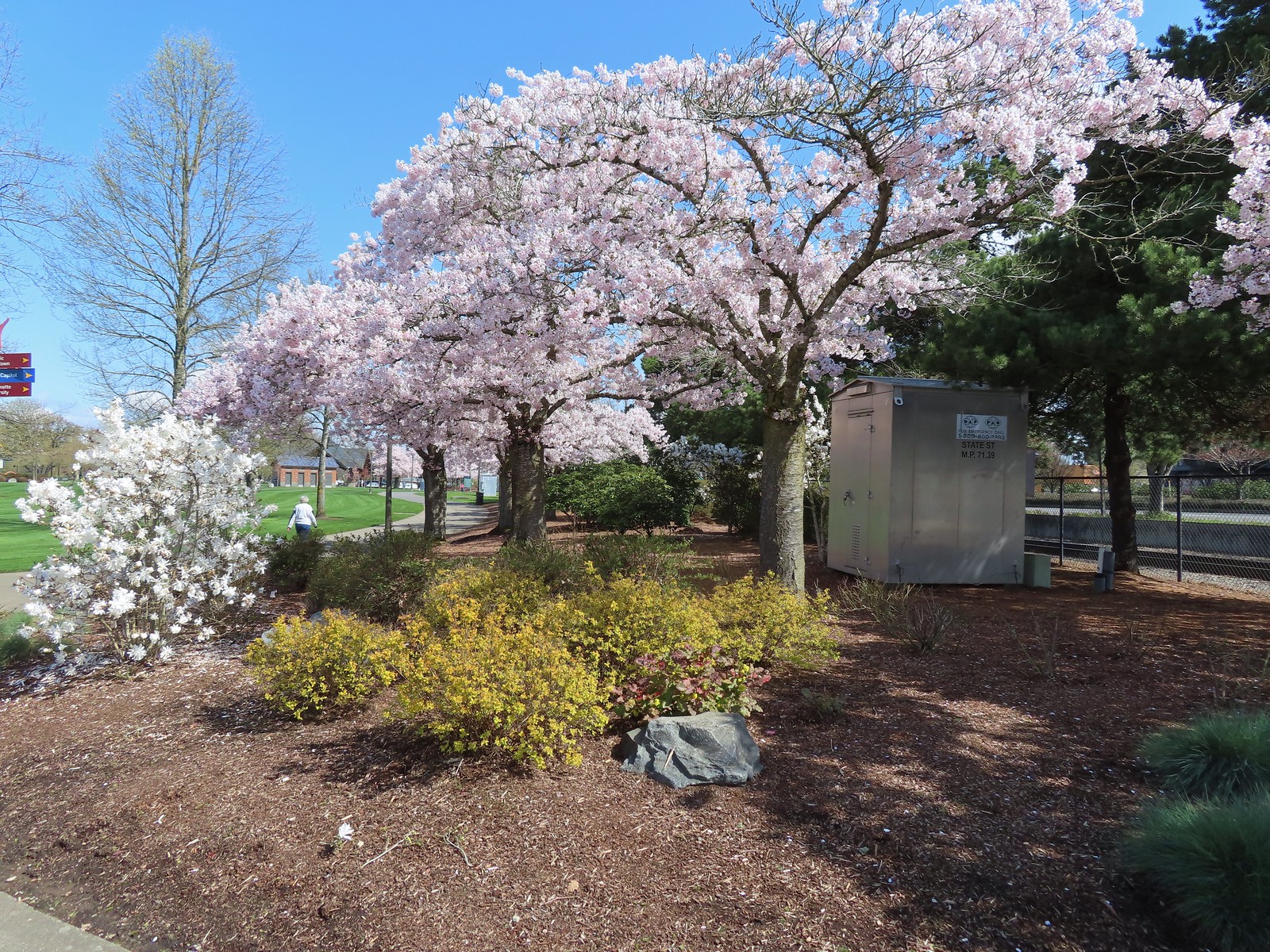 Cherry blossoms.
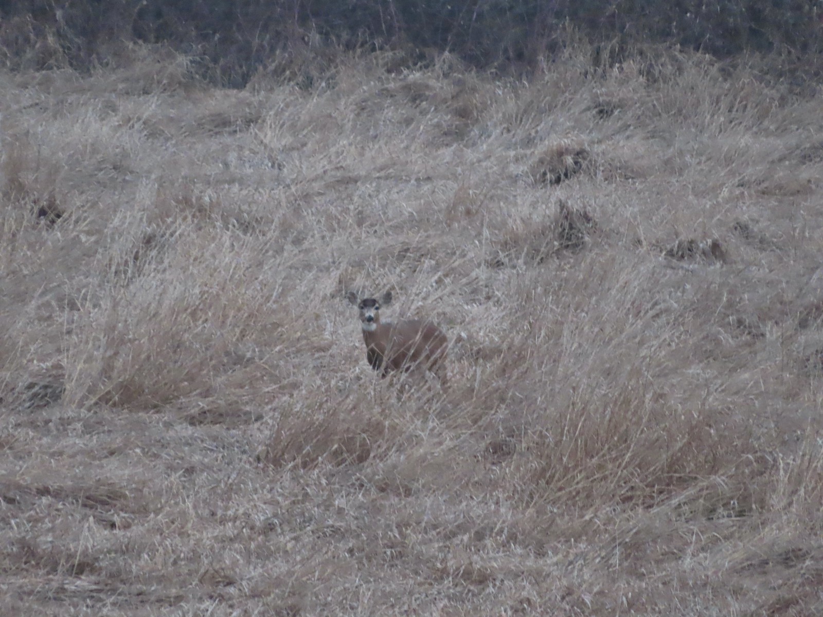 Deer – 3/19
 Bald eagle – 3/19
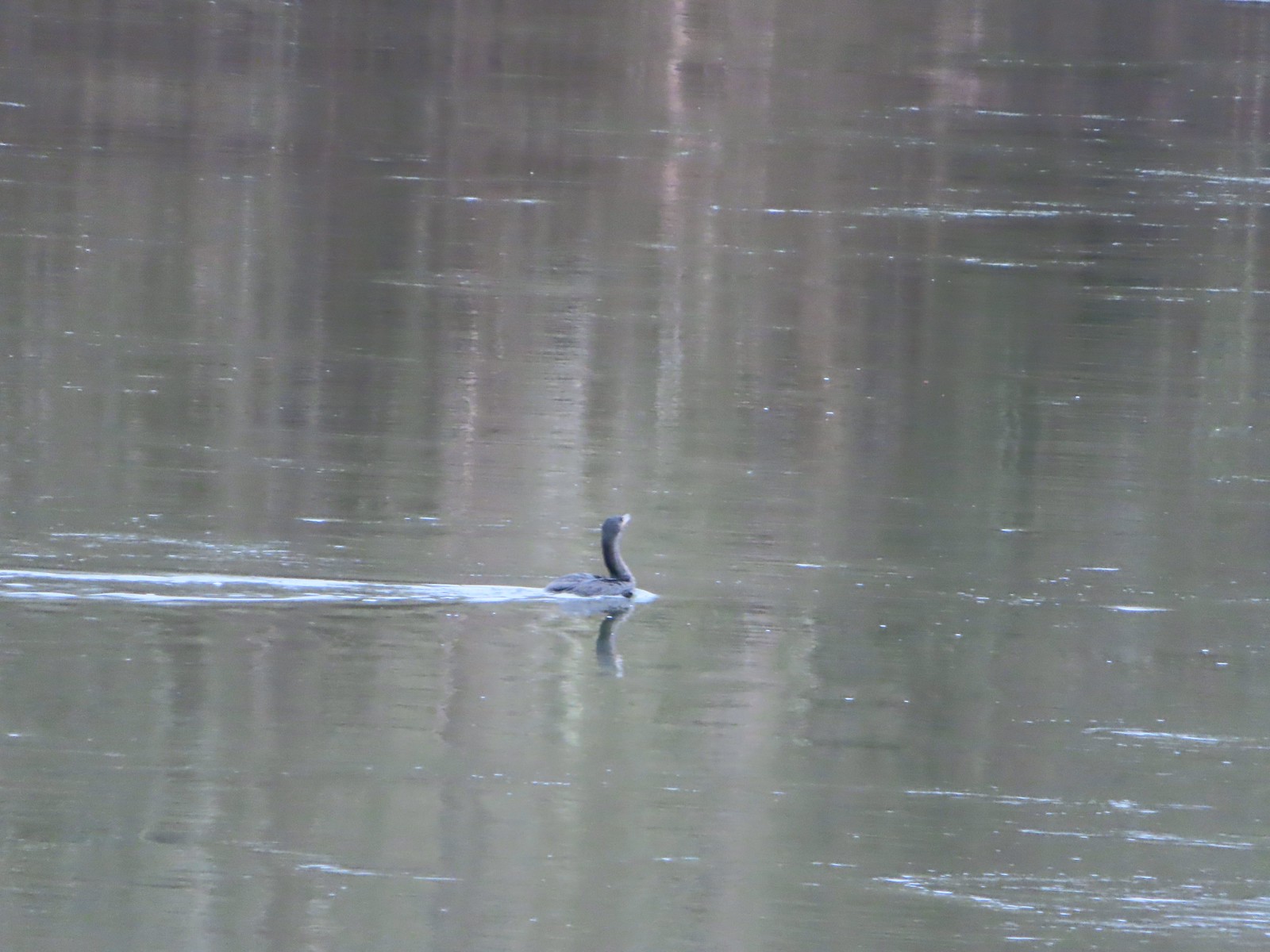 Cormorant on the Willamette – 3/25
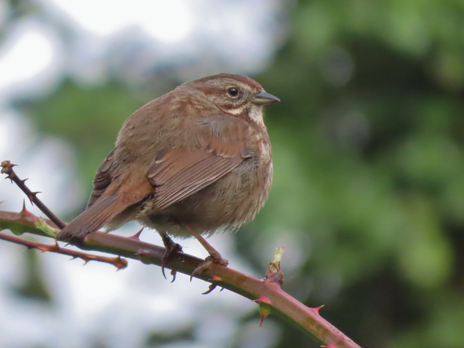 Sparrow – 3/25
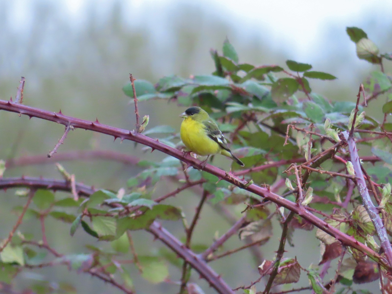 Lesser goldfinch – 4/8
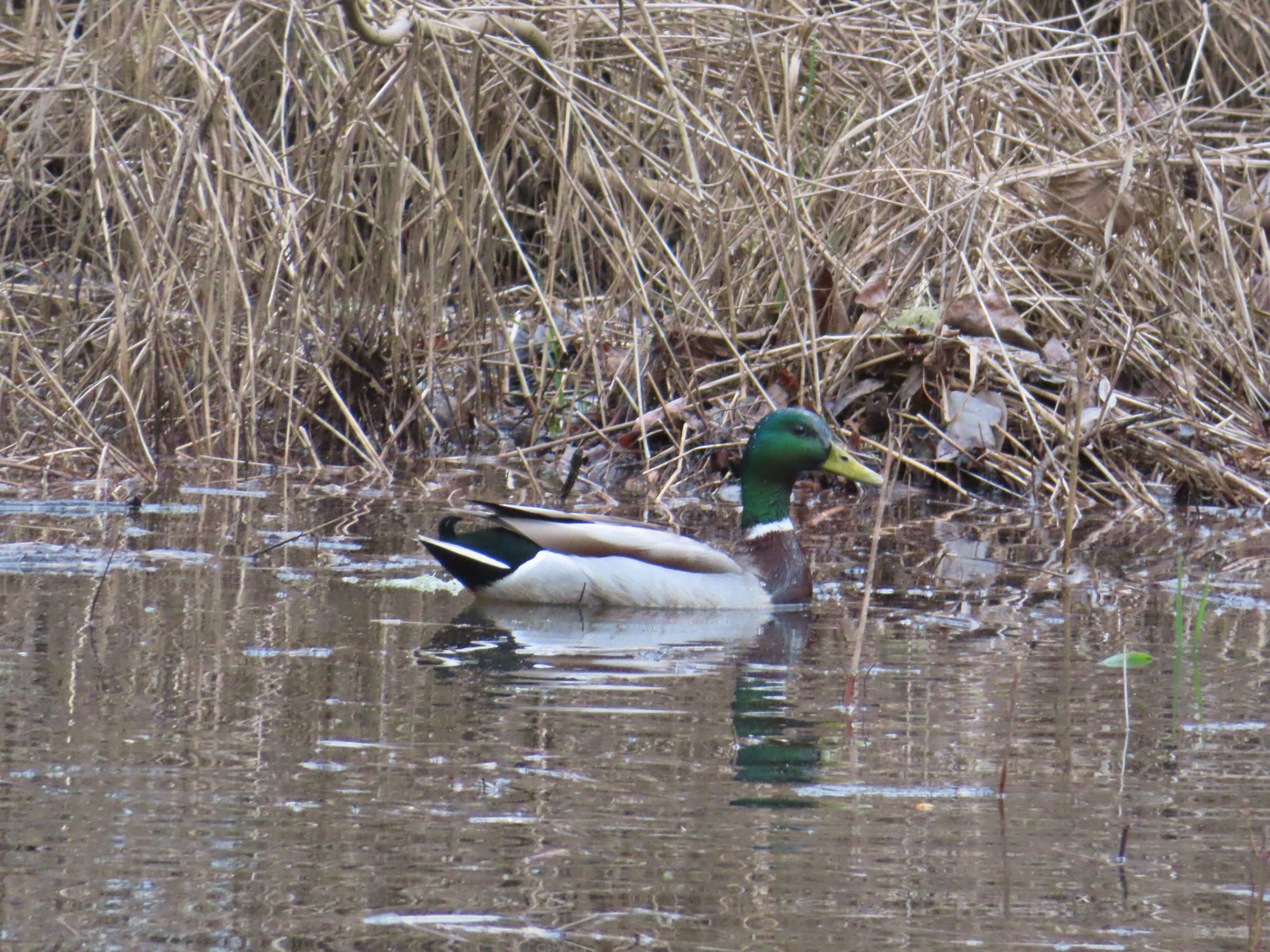 Mallard – 4/8
 Wood ducks up in a tree – 4/8
 Osprey – 4/8
 Green-winged teal – 4/14
 Mallard – 4/14
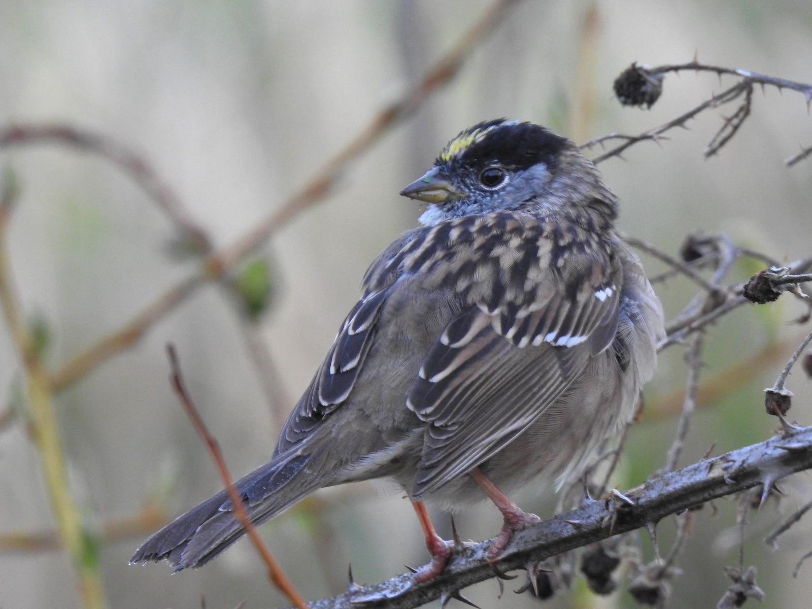 Golden-crowned sparrow – 4/14
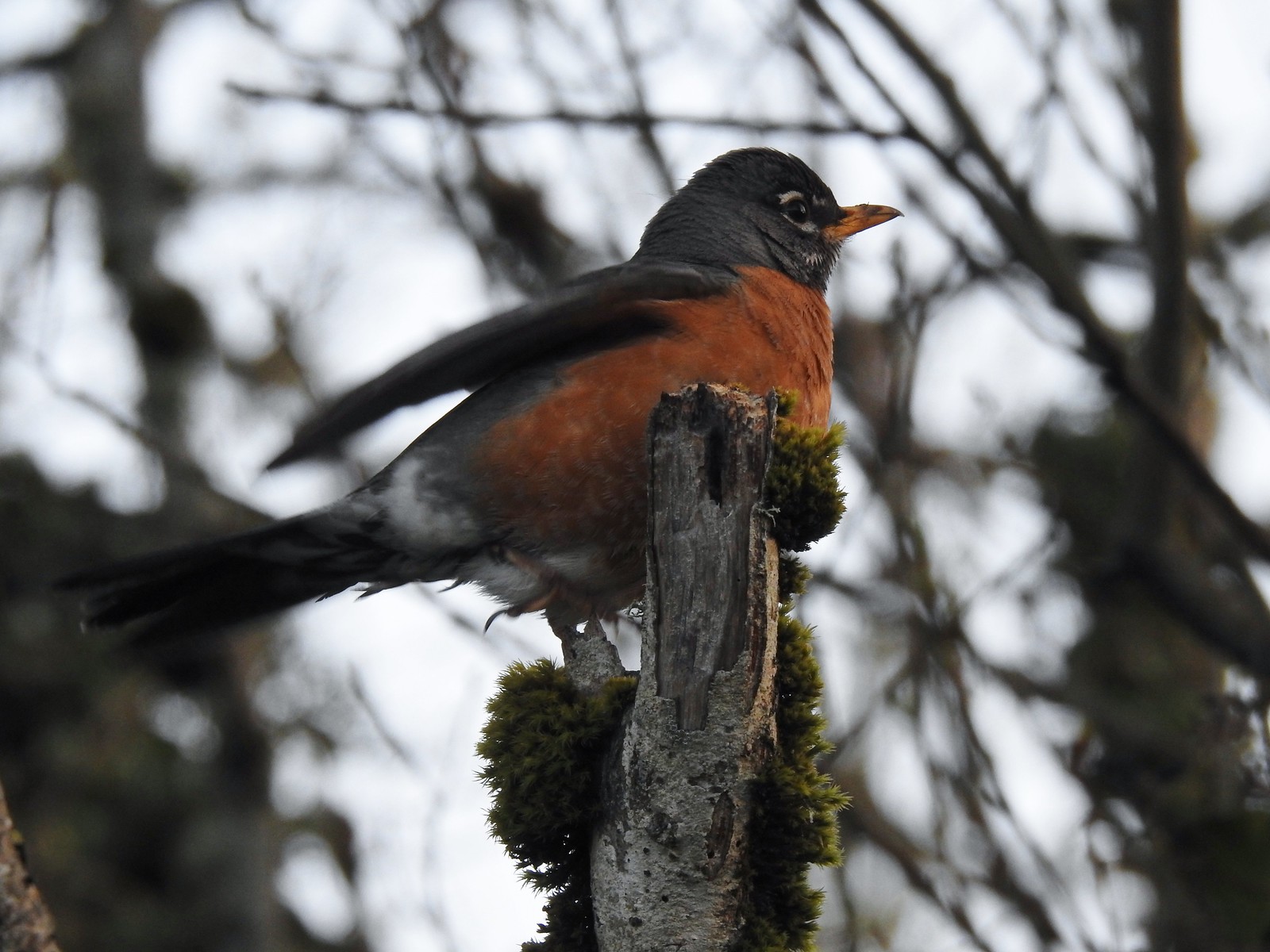 Robin – 4/14
 White-crowned sparrow – 4/14
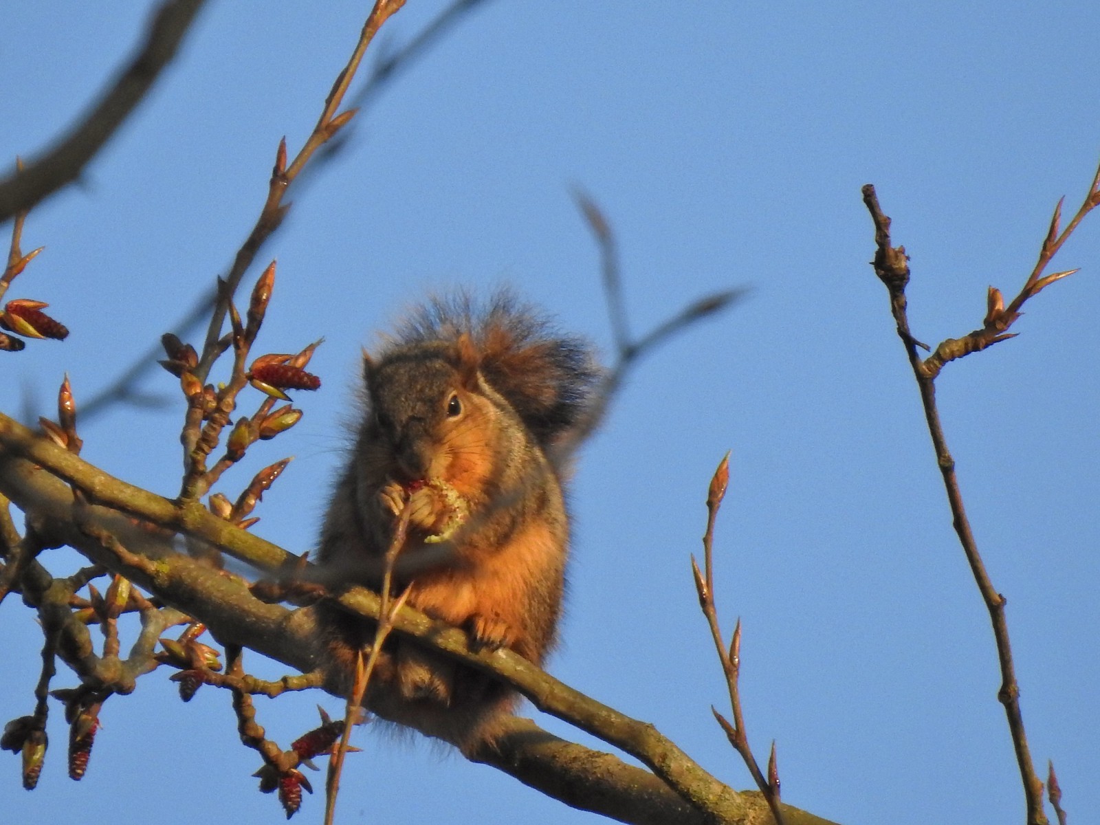 Squirrel – 4/14
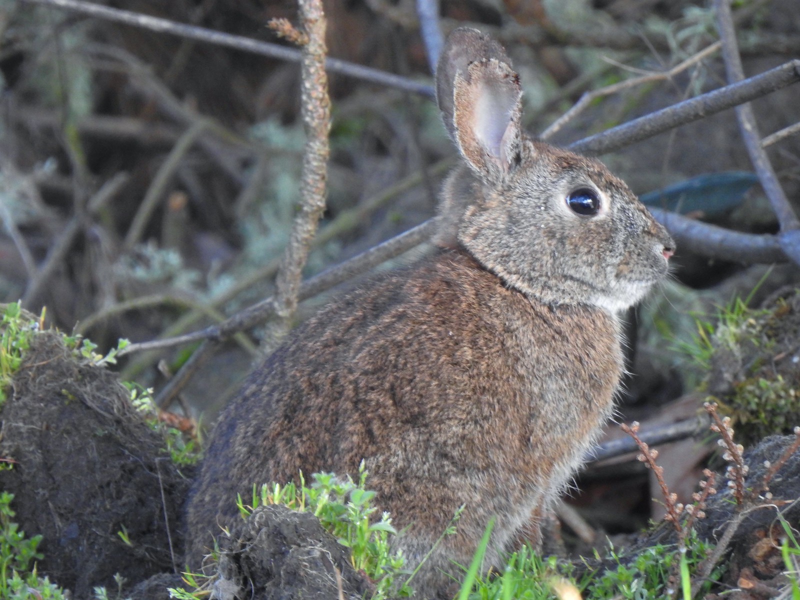 Rabbit – 4/14 (This was one of several dozen bunnies that I encountered on this day.)
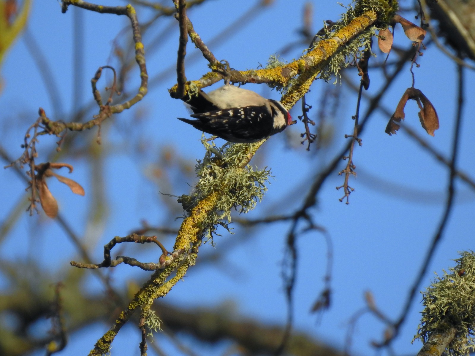 Woodpecker – 4/14
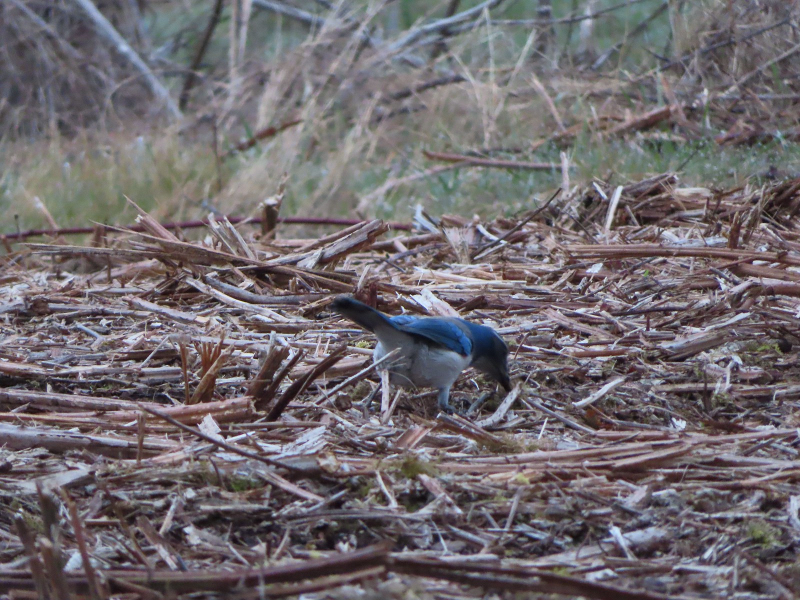 Scrub jay – 3/19
 Dove – 4/8
 Killdeer – 4/14
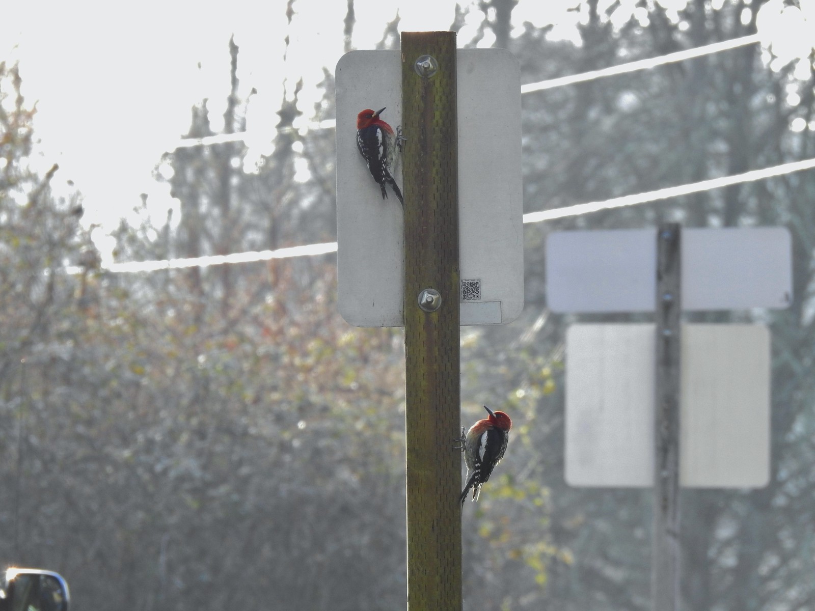 Red breasted sapsuckers – 4/14 (Males peck the sign to make noise to either attract mates or establish territory.)
 Pied billed grebe in Oxbow Slough – 3/19
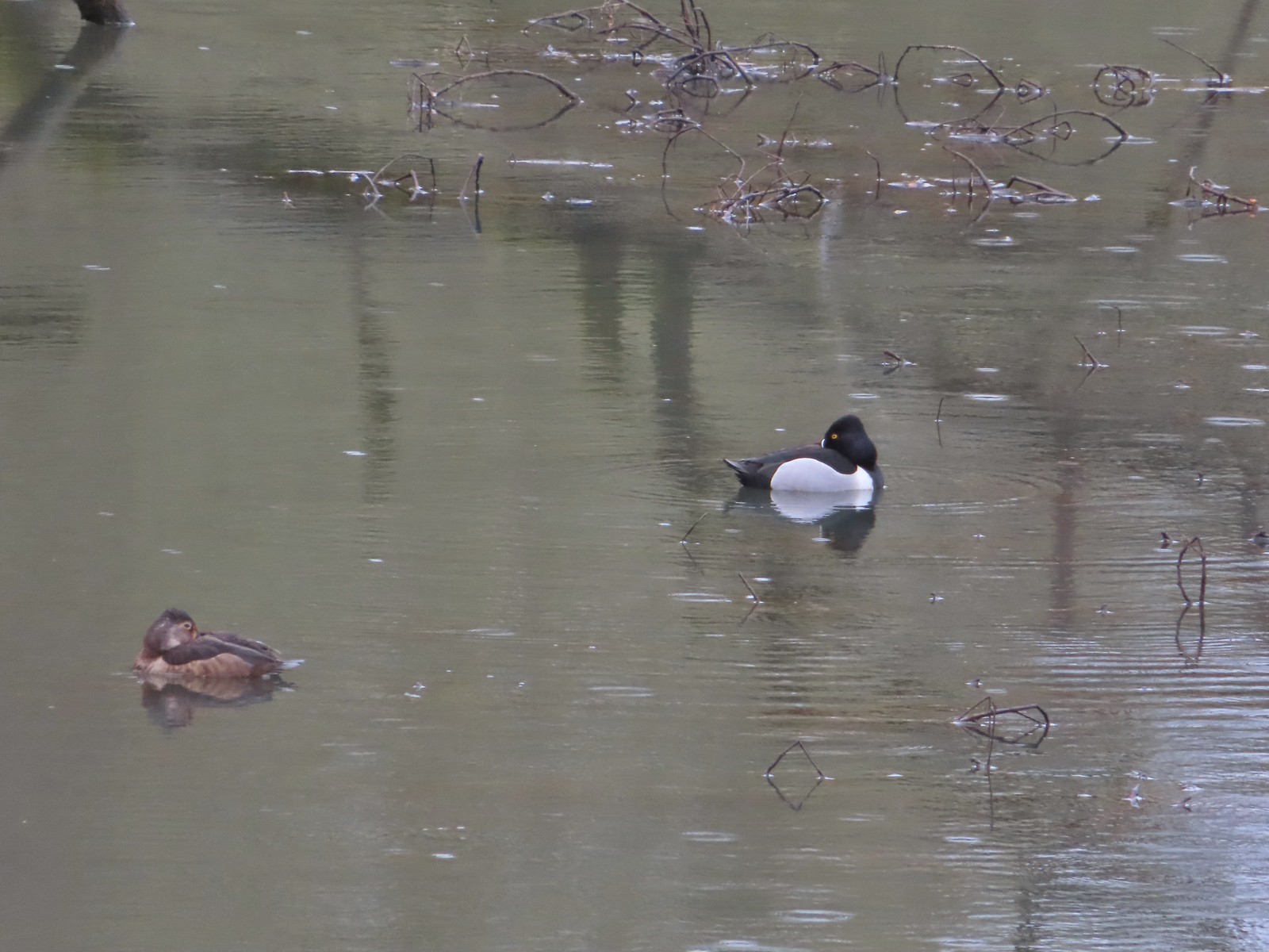 Ring-necked ducks from the bridge over Oxbow Slough – 3/25
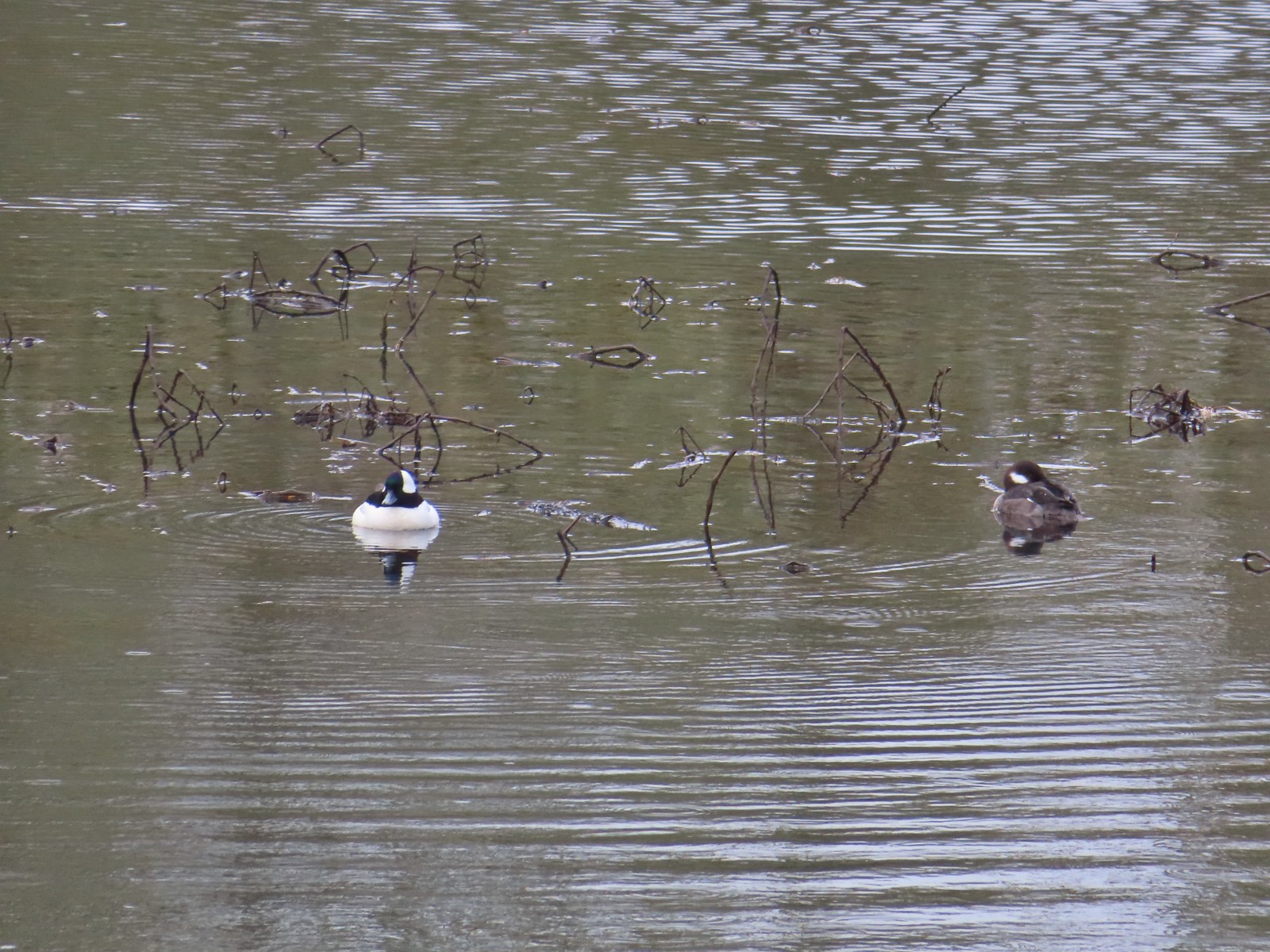 Buffleheads from the bridge over Oxbow Slough – 3/25
 Geese from the bridge over Oxbow Slough – 3/25
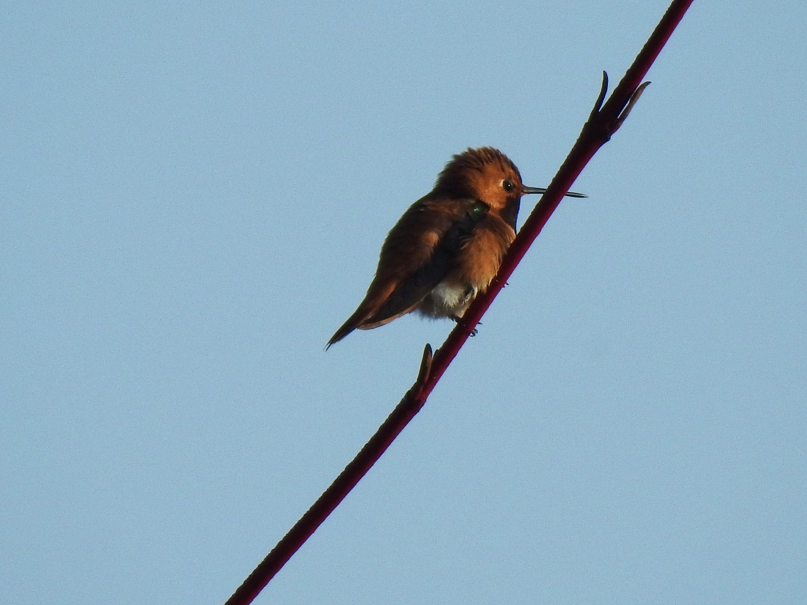 Hummingbird along the Blue Heron Trail – 4/14
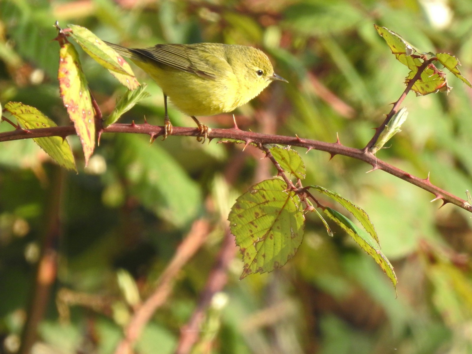 Orange-crowned warbler along the Blue Heron Trail – 4/14
 Dark-eyed junco at Eola Bend County Park – 4/14
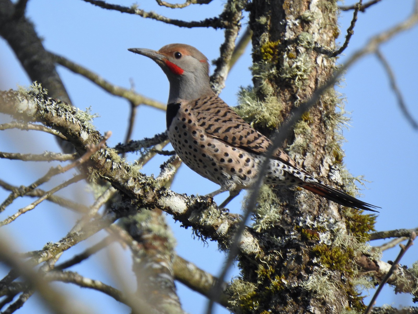 Northern flicker at Eola Bend County Park – 4/14
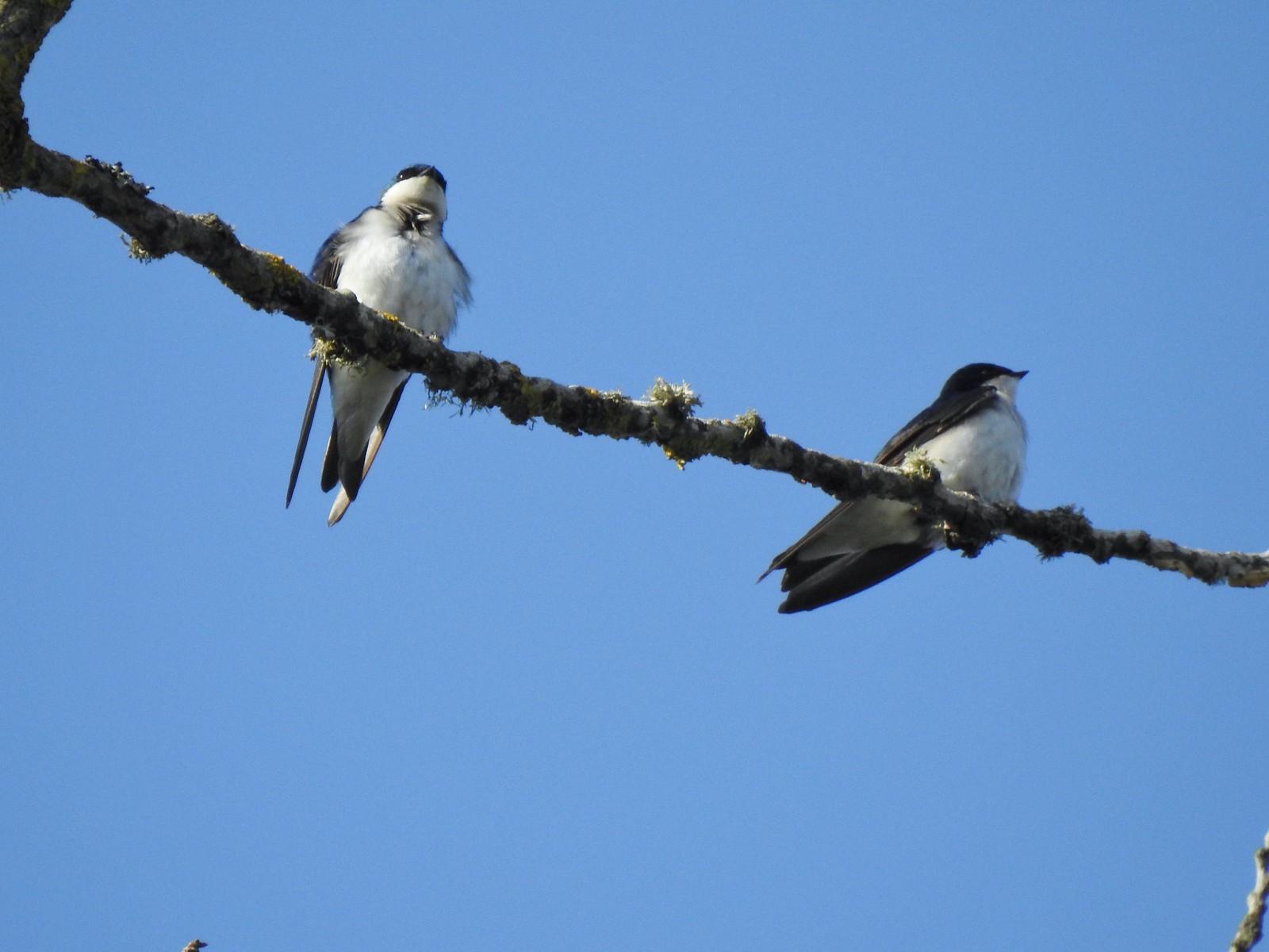 Swallows at Eola Bend County Park – 4/14
 Red-tailed hawk near the landfill – 4/14
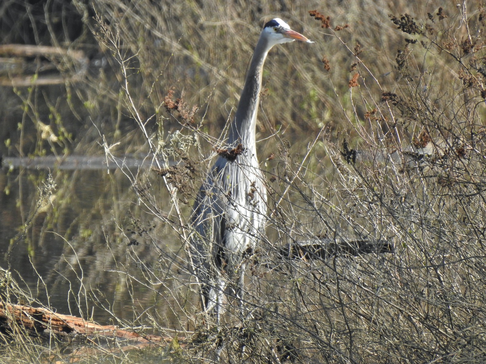 Great blue heron at Oxbow Slough across from the bench viewpoint near Lot 4 (Homestead Road) – 4/14
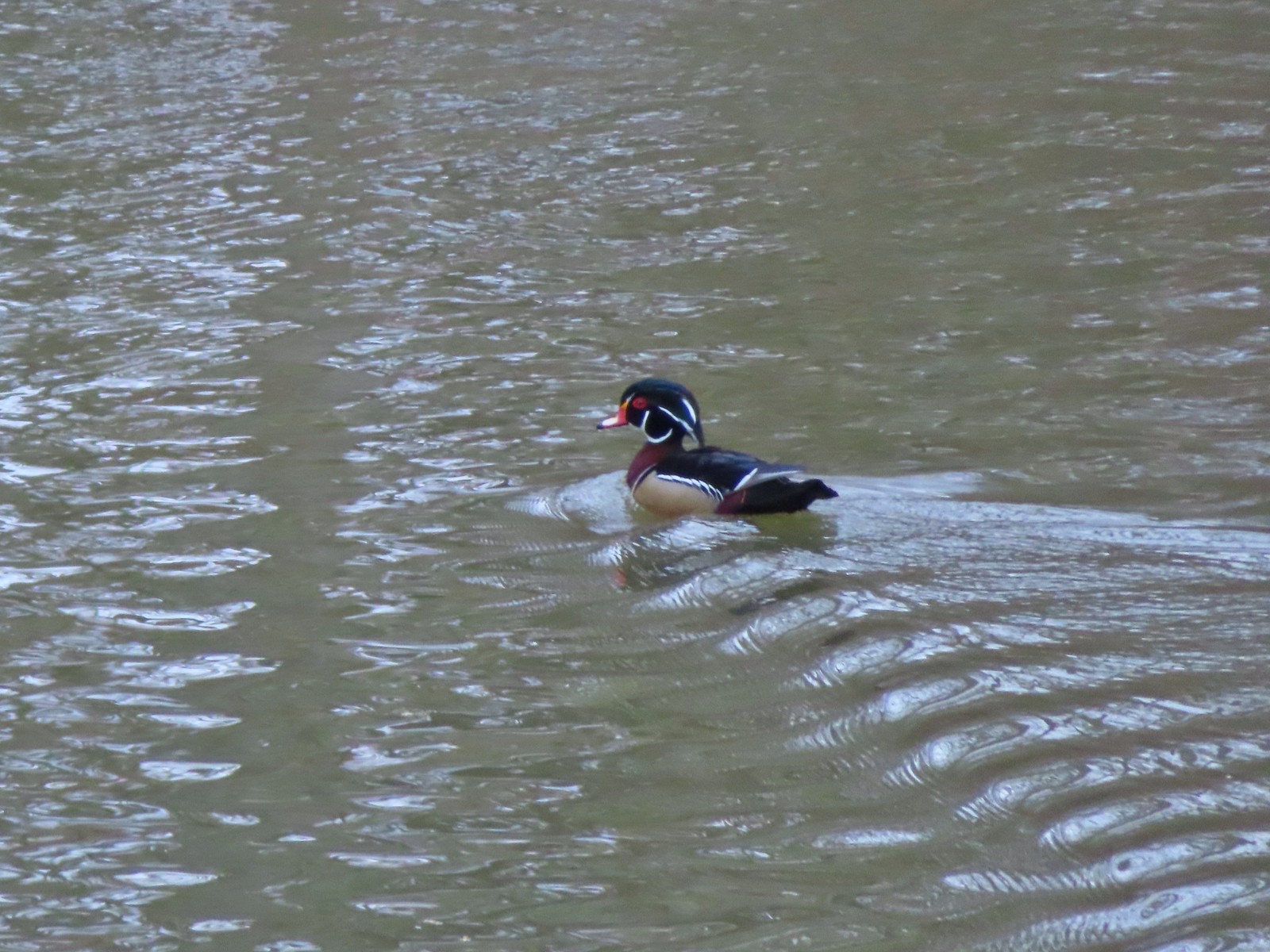 Wood duck drake in Oxbow Slough – 4/8
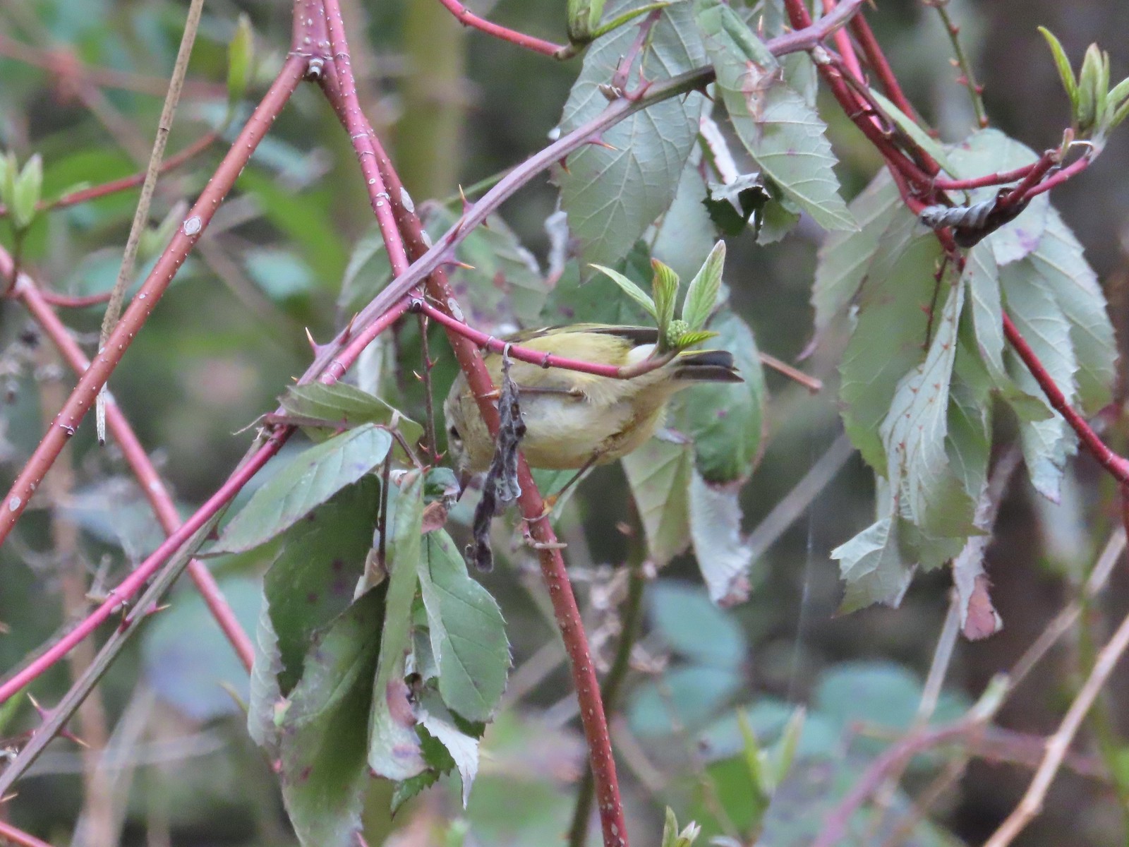 Ruby-crowned kinglet – 4/8
 Rabbit – 4/8
 Egret between the Red Osprey and 10k Loops – 4/8
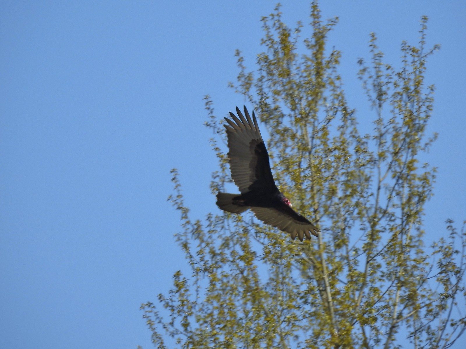 Turkey vulture near the old cherry orchard – 4/14

