After a couple of months of being on my own while Heather recovered from a bad knee she had been released to take short hikes with minimal elevation changes. With Heather cleared for action we just needed a favorable forecast for our December hike. When a day off coincided with a rain-free forecast we set off for the Talking Water Gardens in Albany. The site of two former mills Talking Water Gardens is a series of wastewater ponds created to assist with water treatment for the cities of Albany and Millersburg. While it may not sound like a typical place for a hike a series of paths and maintenance roads provide for a nice stroll with plenty chances to spot wildlife.
There are a couple of possible starting points for a visit to the gardens and we chose to begin at Waverly Lake and follow a route suggested in the Oregon Hikers Field Guide.
Waverly Lake at sunrise.
We headed left (clockwise) around Waverly Lake where a number of ducks were paddling around.
Mallards
Buffleheads
I think this is a ruddy duck.
American coots
Guessing these are some sort of domestic/mallard? crossbreeds. Very interesting looking.
More mallards near Cox Creek
Cox Creek flowing toward Waverly Lake.
Nearing the outlet of Cox Creek.
When we arrived at Cox Creek flowing out of the lake we crossed Salem Avenue then crossed Cox Creek on a footbridge.
We turned left on far side of the creek and followed a paved path 0.3 miles to Waverly Dr. NE and the other possible starting point, Simpson Park.
We almost got off-track here. This path on the right (just after passing under some railroad tracks) does lead into the wetlands but it wasn’t part of the Oregon Hikers described hike.
One of several interpretive signs along the trails.
Frosty leaves, it had been a chilly 28 degrees when we started out.
Simpson Park
We walked over to the park to take a look but didn’t check out the Simpson Park Trail this trip. The Simpson Park Trail is a 1 mile out and back along the Willamette River. It also offers access to the Riverfront Trail which one could follow SW almost 3.5 miles to Monteith Riverpark at the mouth of the Calapooia River. With Heather being limited to shorter hikes for now that wasn’t an option today but will be something we look forward to trying in the future.
After the brief detour we recrossed Waverly Road and entered the gardens through a black gate.
We headed left past a mostly frozen pond.
Map on a welcome sign.
Frozen leaves
There are numerous different loops and routes available through the gardens. We followed the Oregon Hikers description linked above. We had to stop numerous times to consult the track map from that description to stay on the right path due to the trails not being marked/signed and the only maps having been located near the entrance. The paths themselves were in good shape and we saw a lot of ducks and other birds as we wound through the wetlands.
American wigeons
Bald eagle fly over
Flock of geese flying over
One of many unsigned intersections.
Robin
One of two memorials in the gardens.
Bufflehead
Green winged teal
Northern shoveler
Frost
Simpson Park across a pond.
After completing our loop we headed back to Waverly Lake where some fog had rolled in.
Fishermen heading into the fog at Waverly Lake.
Mallards hanging out in the fog.
Dark eyed junco
The GPS had us at a 3.5-mile hike, a little more than what Oregon Hikers showed but we did double-back a handful of times for one reason or another.
This was surprisingly nice hike and we’re anxious to visit again when the plants are green and water is flowing through the ponds. This was perfect though for a first outing to test Heather’s progress. Merry Christmas and Happy Trails!
I took advantage of some favorable weather and headed to Eagle Creek in the Columbia River Gorge for a pre-birthday hike. I was on my own again with Heather still working her way back from her injury (Good news she has been released to do some short hikes), so I was looking for something we’d done before but also wouldn’t be a total repeat. We’ve visited Eagle Creek twice in the past, both prior to the 2017 Eagle Creek Fire but never gone past Twister Falls so my plan was to continue on beyond that waterfall to at least Sevenmile Falls.
I left home at 5:30am and found myself being pushed around by the wind as I drove Interstate 84 along the Columbia River. Luckily the wind was calm at the Eagle Creek Trailhead where it was right around 30 degrees. I bundled up and set off on the trail past a burned area warning sign.
Despite the fire the scenery was good. I had to pay attention to my footing though due to areas of slick ice mixed in the wet portions of the trail.
It was hard to tell at times which parts were frozen.
Snow at the higher elevations.
A pink cloud in the direction of the Columbia River Gorge.
Near the 1.5-mile mark I found the first major difference post fire, a view of Sorenson Falls which had been hidden by trees and other vegetation on our previous visits.
Sorenson Falls splashing down into Eagle Creek.
Prior to December 2016 there had been a short spur trail just up the trail from this new view of Sorenson Falls that led to a viewpoint of Metlako Falls. A landslide claimed that spur trail but as I continued along the trail Metlako Falls became visible through the remaining trees. Looking back down Eagle Creek. It was hard to tell where the spur trail had been.
Runoff falling from the cliffs into Eagle Creek.
Metlako Falls
Metlako Falls
I crossed Sorenson Creek on round concrete steps that were fortunately ice free and quickly found myself at the Lower Punchbowl Falls Trail junction.
I detoured down this nearly 0.2-mile spur trail even though I knew that the former view of Punchbowl Falls was lost in 2018 after a post-fire landslide rerouted Eagle Creek.
Lower Punchbowl Falls
Rocks from the landslide on the right.
I returned to the Eagle Creek Trail and continued to the Punchbowl Falls viewpoint to get a look at that fall.
Beyond the viewpoint the trail crosses Tish Creek on a footbridge followed by a second footbridge over Fern Creek after another 0.6 miles. Tish Creek Bridge
Tish Creek
More snow on the ridge.
Fern Creek Bridge
Fern Creek
After Fern Creek the trail passed through a scree slope where I kept my eyes open for pikas hoping that one might brave the chilly temperatures but alas no luck.
Following the pika-less scree slope I came to a section of trail where a cable acts as a rail as the trail passes along a rocky cliff. This was the first section where I encountered actual icicles. Coming up on the cable section with a bit of ice to start things off.
Careful where you step.
The last part was ice free.
Continuing on the trail brought me to a view of Loowit Falls. This was another case of the fire having created a better view of Eagle Creek below the falls.
Passing Loowit Falls.
More cable passing Loowit Falls with High Bridge in
the distance.
At the 3.3-mile mark I came to High Bridge.
Eagle Creek from High Bridge.
Eagle Creek from High Bridge, looking upstream.
Less than a quarter mile from High Bridge I came to another dramatic change in the trail when I got a good view of Skoonichuck Falls. Previously only the upper portion of this 50′ waterfall was visible from the trail above it but again the fire had removed enough vegetation to provide a nice view of the waterfall.
Skoonichuck Falls
I was briefly distracted by a varied thrush (my nemesis bird). Not my worst varied thrush photo.
Another nice view of Skoonichuck after I’d given up on the thrush.
Sad looking penstemon but I’m counting it as a flower.
Some nearly as sad pearly everlasting.
This fall was visible across the creek on an unnamed creek (at least on the maps I’ve seen).
At 4 1/2 Mile Bridge I recrossed Eagle Creek. I arrived at nearly the same time as the Sun.
Beach and Summer swimming hole at 4 1/2-mile bridge.
Just beyond the bridge is Tenas Falls on the other side of Eagle Creek.
Tenas Falls
A little further along the trail passes Opal Creek which begins below Tanner Butte. Opal Creek flowing into Eagle Creek.
I continued along the trail chasing the Sun past Wy’East Camp and to the Mark O. Hatfield Wilderness boundary.
The sites on the East side of the trail were posted closed for restoration at Wy’East Camp.
The wilderness begins a little over 5.5 miles from the trailhead.
A bluebird sky above a few green topped trees.
Next up was Wy’East Falls which was more visible than before as well from the trail. I opted not to attempt to get closer to the falls this time due to not being able to pick out the route we had taken on our previous visits.
I continued on from Wy’East Falls enjoying the wonderful weather.
Near the six-mile mark I passed the signed Eagle-Benson Trail which hasn’t been maintained since the fire, in fact the sign was the only sign of a trail here.
Sunrays over Eagle Creek.
At the 6.5-mile mark I got a good look at Grand Union Falls. Note the hexagonal shape of the basalt columns making up the trail surface here.
Grand Union Falls
Not far past Grand Union Falls I got my first glimpse of Tunnel Falls in the distance through the trees.
The falls disappear as the trail gets closer then after rounding a corner they are back.
Tunnel Falls on East Fork Eagle Creek.
The trail passes behind the falls in a tunnel built in the early 1900’s (pre-1920).
I had brought my micro spikes just in case, but even though there were some impressive ice features there was enough good footing (and cable) to not require putting the spikes on.
The slickest section was exiting the tunnel here.
With the ice situation being manageable I continued on beyond Tunnel Falls to Twister (or Crossover) Falls just a short distance upstream on West Fork Eagle Creek.
No ice on this section which was welcome because it can be intimidating anyway.
Twister Falls. There is another hiker ahead on the left.
The section passing Twister Falls was the one that I had been most concerned about ice on. I assessed the situation and decided that with care it was passable and continued on. This was the trickiest section but again there was just enough good footing to allow passing without need spikes.
I soon found myself looking at another waterfall which turned out to be Sevenmile Falls. I had been mistakenly thinking that it was 7 1/2 Mile Falls confusing it with 7 1/2 Mile Camp.
I continued on thinking that this must have been the waterfall but confused because 7 1/2 Mile Camp was still a half mile away. I decided to keep going until 10:45am or I found another waterfall, whichever came first. At this point the trail maintenance, which had been excellent up to a small slide between Tunnel and Twister Falls, really fell off. A bit more overgrown here.
Hair ice, only the second time I’ve encountered it.
I stopped at this campsite which some maps show as 7 1/2 Mile Camp, but I pulled out my National Geographic topo which showed the camp a little further ahead near a pair of small creeks. I think both are correct and this was just the first of the sites that make up the “camp”.
Eagle Creek near the first campsite.
It was only 10:15am so I kept going, now thinking that I would either turn around at 10:45 or at the Eagle-Tanner Cutoff Trail junction which didn’t appear too far beyond the pair of creeks. More campsites near the first creek.
The first small creek. This one was a lot icier than any of the other creeks I’d crossed. I was able to find enough dry rock to make my way to the other side though.
Looking back at the creek.
The next creek was a different story though. There were no dry rocks here.
It was almost 10:40am anyway and I was now sure that the earlier waterfall had been what I was calling 7 1/2 Mile Falls where I’d intended to turn around anyway. I made my way back stopping to admire all the falls again along the way. This cascade was across Eagle Creek near the last campsites.
Woodpecker
Green pool above Twister Falls.
Above Twister Falls.
Plant in ice.
Wren
Chipmunk
With a couple of detours my hike came in at approximately 16.2 miles with 1400′ of elevation gain.
It was a great day overall. The weather, although a bit chilly to start, was great and there weren’t a lot of other hikers out. I still passed a fair number of other hikers on my way out but nothing like it would be on a warm Spring or Summer Saturday. The falls had enough added water from recent rain/snow to be flowing better than they had been when we visited in early October which was also a plus. I missed having Heather out there with me, but it was nice to get out one last time before I turned 50 (yikes!). Happy Trails!
With October and our official hiking season coming to an end I was hoping to go out with a bang by doing a long loop around Silver Falls State Park. I had gotten the idea during our 2021 hike in the backcountry of the park (post). While looking at the map for that hike I had started doing the math for the loop and it appeared to be a little over 20 miles which would be a long day but doable. Heather was not as enthused as I was about the possibility, so I had originally planned on attempting the loop on a day off while she was working. With her knee ending her season early it seemed like a good way to put an exclamation on the end of mine.
As the day neared I started second guessing myself. Some much need wet weather had moved in, and Friday was the wettest day we’ve had in months. The forecast for Saturday was for more rain in the morning, a 70% chance, followed by several hours of patchy fog then mostly cloudy skies. Twenty plus miles with wet feet wasn’t my ideal way to spend a hike but I decided to give it a try figuring I could cut the loop short by using one of the many trails running through the park. I packed some extra pairs of socks in a dry sack and had my rain gear ready as I made the 40-minute drive to the South Falls Trailhead.
It was a dark and raining when I left home but shortly after turning onto Highway 214 I popped out of the low clouds and left the rain behind. Things were trending positive. When I got to the South Falls Day Use Area entrance I was reminded that by the gate that the Park opens at 8am and not 7am from October through March and it was only 7:30am. I needed to purchase a pass so I drove to the North Falls Trailhead where I knew there was a pay kiosk, only I had forgotten that the station there only accepts cash which I didn’t have. After using the restroom there I drove back through the park to the campground entrance remembering that there was a station along the entrance road that did take cards. I decided that I would get a pass there and then park at the 214 Trailhead like we had in 2021 since there was no gate blocking that one. At the kiosk I immediately inserted my card into the cash slot. Things were trending down. I managed to retrieve the card using a pair of travel nail clippers and finally got my pass. It was nearly 8am as I came to the turn into the trailhead at Lookout Mountain Road. Given the time I changed my mind here and decided to revert back to my original plan and drove back to the now ungated South Falls Day Use Area. A lot more blue in the sky than I had expected to see.
The route I had penciled out was to take the paved bike path from the parking lot to the campground where I would pick up the Nature Trail. I could take that trail to the 214 Trail followed by a portion of the Newt Loop to the Catamount Trail. I hoped to take that trail up to Buck Mountain then take the Perimeter Trail down to the Trail of Ten Falls near the North Falls Trailhead. I planned on visiting all ten falls and returning to the parking area via the Canyon Trail portion of the Trail of Ten Falls. I crossed South Fork Silver Creek on a footbridge to pick up the Bike Path on the far side where I turned left.
Crossing Highway 214 to the campground.
I detoured left to check out this bridge over Howard Creek.
Howard Creek
With the Nature Trail being a loop I could have gone either direction from the campground to reach the 214 Trail. Going left was a tenth of a mile shorter but I really wanted to make the loop as wide as possible so I went right at a pointer for the trail and Ampitheater.
We had been on the Nature Trail in 2021 so it was familiar surroundings as I made my way to the 214 Trail where I turned right.
Sign at the 214 Trail junction to let people know that there are no waterfalls in the backcountry.
I followed the 214 Trail for 1.3 miles to the Newt Loop. Just a little fog but no rain.
Passing the Smith Creek Trail (left) after 0.6 miles on the 214 Trail.
Rough skinned newt on the 214 Trail. (Probably headed for the Newt Loop too.)
Big nursery tree along the 214 Trail.
The trail post at the junction shows the Catamount Trail instead of the Newt Loop but the map at the junction labels it the Newt Loop.
Map check.
I turned right onto the Newt Loop and arrived at a junction with the Catamount Trail after 0.4 level miles. This second post included the Newt Loop along with a pointer for the Catamount Trail.
Crossing a CAT road along the Newt Loop.
Turning onto the Catamount Trail.
The Catamount Trail was new trail for me having not used it on our loop in 2021. The park map showed this trail extending 4.6 miles to a junction with the Lost Creek Trail then continuing another 0.9 miles to Buck Mountain. As a mountain bike trail the Catamount wound steadily uphill through the forest. Lots of nursery stumps along the trail.
Another nursery stump.
Side trails were well marked.
Did not expect to see that overhead today.
I believe this short section of fire scar was from the 2020 Beachie Fire.
After 3.8 miles on the Catamount Trail I came to a 4-way junction with a maintenance road.
The Catamount Trail continued on the far side the road only there was a “Do Not Enter One-Way” sign on the post.
This was the first I’d heard of the trail here being one-way and I haven’t had a lot of luck since my hike in finding that information online or maps, but I honored the sign and turned left on the maintenance road following a Catamount Trail pointer. Turning onto the road.
The opposite side of the post had a pointer for the Lost Creek Trail.
I followed the road for half a mile to the Lost Creek/Buck Mountain Trail junction.
I veered uphill to the right here.
The Lost Creek/Buck Mountain junction.
On our previous visit we had arrived at this same junction having come down the Buck Mountain Trail. To make this hike as different as possible (and to remain as far to the outside of the park as possible) I turned right on the Lost Creek Trail. The Lost Creek Trail doubles as a fire road.
I followed this trail for 0.8 miles to a junction with the Catamount Trail at the edge of a clear cut.
Here is where I would have come up had the Catamount Trail did not have the on-way section. (Note that on some mountain biking maps the one-way section is labeled “Upper Catamount Trail.)
I turned left onto the Catatmount Trail at the junction and quickly found myself walking through the clear cut.
The treeless section wasn’t long. It appeared to have been an area impacted by the 2020 Beachie Fire.
Still some bleeding heart blooming.
There wasn’t a lot of bright Fall colors in the backcountry, but this maple stood out.
Was a bit surprised to see a few violets along this section.
Nearing the end of the logged area.
At the tree line the trail split unexpectedly (another feature not shown on the park map) into two one-way trails. The right hand fork (in this direction) was one-way uphill while the left down. I was going down at this point so I stayed to the left.
It wasn’t long before the two trails rejoined. The trail continued downhill to the Buck Mountain Loop near its crossing of Howard Creek. The rejoining of the trails.
There were several bridges along this section of the trail. I also ran into the only mountain bikers that I would encounter all day in this area, a group of five.
The Buck Mountain Loop junction.
I turned right at the junction and crossed Howard Creek then turned right again back onto the Catamount Trail. Bridge over Howard Creek.
The continuation of the Catamount Trail on the right.
The trail now climbed uphill for 0.2 miles to the large trail junction on Buck Mountain, a total of 1.1 miles from the Lost Creek Trail junction.
The map showed the section I had just done as 0.9 miles, but my track was a bit more twisty than the map.
From the junction I took the Perimeter Trail.
The park map lists this trail as 5.9 miles in length and has a “Steep” warning not far from the Buck Mountain junction. The trail was in good shape and although it lost over 350′ of elevation in just under a mile to a crossing of South Fork Silver Creek the grade was reasonable. Compared to some of the other trails we’d been on this year it didn’t seem all that steep.
A small opening on the way down.
Footbridge over South Fork Silver Creek.
South Fork Silver Creek
If I had paid better attention to the elevation numbers shown on the park map I might not have been so surprised when the trail began to climb on the other side of the creek. Over the next 2.1 miles the trail gained over 650′ before arriving at junction with the Rackett Ridge Trail. Up until the Rackett Ridge junction I had only encountered 8 people, the group of 5 mountain bikers and three trail runners (one solo and two together). The number of people seen doubled at this junction.
I’m a hiker so I went right here.
Big fungus on the tree ahead.
Map at the Rackett Ridge junction.
I continued on the Perimeter Trail which now began a nearly 3-mile descent that was at least as steep as the section before with the warning. The use of switchbacks allowed the grade to stay reasonable though.
Another impressive nursery log.
I stopped in this area to change out of my sweaty socks and into one of the extra pairs I’d brought expecting rain.
The vegetation went through several changes as the trail lost elevation.
This was a big tree in the midst of much smaller ones.
Roemer’s Meadow Trail (left) isn’t shown on the park maps yet, but it was completed in 2021 with help from the Salem Area Trails Alliance. (They do a lot of good work in the park and the area.) The trail is approximately 1.7 miles from the Rackett Ridge junction.
The Trail of Ten Falls junction near Highway 214.
Looking back up the Perimeter Trail.
For the hike to be a true loop I would have turned left onto the Trail of Ten Falls, but in order to see Upper North Falls I needed go right for 0.3 miles so that’s what I did.
Upper North Falls
After visiting the falls I headed back and passed under the highway to a large map at a “T” junction.
A left would have taken me to the North Falls Trailhead.
I turned right at the signboard then veered right onto the Canyon Trail at a congested fork in the trail. The Rim Trail to the left and Canyon Trail to the right, both part of the Trail of Ten Falls.
The Canyon Trail descended some stairs then wound its way behind North Falls in approximately a tenth of a mile.
The trail followed the creek arriving at Twin Falls a little over three-quarters of a mile from North Falls.
I’m always impressed by the size of this rock in the creek.
Not Twin Falls, but a nice little cascade nonetheless.
This post could be a little confusing without a map. The Twin Falls Trail climbs uphill to a group camp and does not lead to Twin Falls. The falls are the opposite side along a very short spur trail that connects at either end to the Canyon Trail.
Twin Falls isn’t very easy to see from the spur trail either even though you’re right next to it.
I was able to find a better viewpoint of Twin Falls further along the Canyon Trail.
Twin Falls
My next detour came 0.3 miles beyond Twin Falls when I turned left onto the Winter Falls Trail.
The Winter Falls Trail crosses the creek on a footbridge then climbs gradually to the base of Winter Falls before steepening to climb up to the Rim Trail. I turned around before the steep part.
North Fork Silver Creek
Winter Falls, as the name suggests it’s not much of a waterfall outside of Winter when rain and snowmelt provide more water.
With the dry Summer it isn’t a great Fall color year but there was a decent display along this trail.
After saying hi to Winter Falls I returned to the Canyon Trail and continued toward the South Falls Day Use Area. Next up was Middle North Falls and another detour to go behind this one as well. I turned left here on the spur trail behind Middle North Falls.
I again returned to the Canyon Trail and quickly arrived at the Drake Falls viewing platform. Middle North Falls from the Canyon Trail.
The 27′ Drake Falls.
Approximately a quarter mile beyond Drake Falls I turned right onto the Double Falls Trail.
Much like Winter Falls, Double Falls is on a side creek which has a low flow much of the year. The hiker at the base gives a good idea of the fall’s height, you just have to use your imagination to add water.
On my way back to the Canyon Trail I ran into one of Heather’s friends which allowed me to pause for a moment to talk and update her on our new kittens. Just beyond the Double Falls Trail I passed the eighth waterfall of my hike, Lower North Falls.
It was about here that my feet started to let me know that this was a long hike. It was almost a mile from Lower North Falls to my next marker, a junction with the Maple Ridge Trail. The Canyon Trail crosses the creek just downstream from Lower North Falls then makes a short climb to get above the canyon cliffs.
A quarter mile from the Maple Ridge junction was Lower South Falls, another that the trail passes behind.
After passing behind the falls the trail climbs a number of stairs which at this point of the hike was a mean trick.
After conquering the stairs it was another 0.6 miles level miles to a footbridge at a fork in the trial within sight of the tenth and final waterfall, South Falls.
I walked out onto the bridge for the view then returned to the junction to take the right hand fork and go behind this fall as well.
I stayed right at junctions as I climbed to the top of South Falls then followed a paved path to a footbridge where I crossed the creek.
View toward South Falls from the footbridge.
I followed the paved path to the Bike Path where I recrossed the creek then made my way along the parking lot to the car.
Not sure what this old building was, possibly restrooms by the doors.
One of several picnic shelters in the park.
Approaching the Bike Path where I recrossed the creek.
I can see the car!
The hike turned out to be close to 22 miles with somewhere around 2900′ of cumulative elevation gain. The GPS originally said 22.4 miles but that was partly due to it jumping around when I was behind the different falls and it didn’t have a good connection to the satellites. Removing some of the points put the total down to 21.5 miles but doing that lost the out-and back behind Middle North Falls and some of the switchbacks up from South Falls. Whatever the actual distance it was a lot for me but overall everything held up pretty well. A couple of small blisters on one heel were the worst consequence. The fact that it hadn’t rained surely helped with the feet.
Track prior to trying to remove some of the jumps in data points.
The lack of people in the backcountry is almost a shame as the forest is lovely and the trails well maintained. I say almost a shame because for those of us who do take the time to explore it, the solitude only adds to the beauty. The Trail of Ten Falls was busy comparatively, but it wasn’t the zoo that it would have been on a Summer weekend which was nice. Doing the loop in reverse would have resulted in less folks at the falls but we’d been to the falls in the morning on all our other visits so this gave me a chance to see them with the Sun at a different angle. The only minor bummer was not being able to hike the full Catamount Trail due to the one-way section. If I were to do it over I would probably start at the North Falls Trailhead and go clockwise so that I would have been going the right way for that section and still would have ended with most of the Trail of Ten Falls. Happy Trails!
We finally saw some much needed wet weather arrive which started to push out the smoke that had caused the air quality in NW Oregon to be some of the worst in the world for a few days. I was more than happy to alter my plans if it meant the beginning of the end of the nearby fires. With anywhere from a 40 to 90 percent chance of precipitation (and the possibility of an isolated thunderstorm or two) the most promising forecast was for the McDonald-Dunn Research Forests north of Corvallis. Heather and I had visited the McDonald Forest four time already, the most recent in 2021 when we attempted to connect the previous three hikes via a big loop from the Sulphur Springs Trailhead (post). Due to some closures for active logging operations we were only able to connect two of the three hikes, McCulloch Peak (post) and Chip Ross Park to Dimple Hill (post). My plan for this outing was to connect the other hike, Peavy Arboretum (post), as well as checking out a few trails in the forest that we hadn’t been on previously.
After checking online to make sure there were no current closures that might affect me I decided to start my day at the Peavy Arboretum’s Woodland Trailhead
I had left my route for the day fairly open as I wasn’t sure how wet I might get. I knew that I wanted to start by hiking the 0.4 mile interpretive Woodland Loop Trail which began at the far end of the Woodland Trailhead and then I’d planned on making my way to the Lewisburg Saddle Trailhead where I would follow Road 600 (Patterson Road) SW at least three quarters of a mile to a junction with the Ridge Trail where we had turned onto that trail on our 2021 hike (coming from the other direction). I didn’t get many photos on the interpretive loop since the Sun hadn’t quite risen yet and it was fairly dark under the trees. The Woodland Loop at the end of the parking lot.
Starting to get a little lighter near the end of the loop.
After warming up on the sort loop I walked a short distance along the entrance road toward the entrance then crossed the road at a post for the Red Cedar Run Trail.
What followed was a 19.2 mile (19.6 including the Woodland Loop Trail) reverse lollipop loop utilizing parts of 29 different trails and roads in the forest, not all of them on purpose. This is a good time to mention that having maps is extremely helpful when exploring this forest, but due to the active management by the Oregon State University Forest Department new trails are occasionally constructed while others may be closed or rerouted (the same for roads). Some trails are also closed seasonally or, as we saw on our previous visit, due to active logging operations. Finally the map/brochure available online from the Forest website, at least as of this writing, does not show all of the existing roads/trails. This was an issue that I ran into late in my hike today. Other online resources such as Trailforks show some of the missing roads/trails but may also omit others. (Trailforks is a mountain biking site so some of the hiker only trails such as the Woodland Loop are not included on their map.) My recommendation is to have as many maps handy as possible and a sense of adventure if you’re going to start exploring the area. I had my Garmin and the Forest map but really wish I had had the Trailforks map with me as well.
Back to my hike though. My route went like this (TF indicates that the trail was shown on the Trailforks map but not on the Forest map.):
Woodland Trail, Red Cedar Run Trail, Peavy Arboretum Road, Maritime Meander Trail, Forest Discovery Trail, CFIRP Trail, Section 36 Loop, Road 550, Road 500 (Nettleton Road), Dave’s Trail, Road 5010, Vineyard Mountain Trail, Road 600, Road 650, Upper Dan’s Trail, Road 650, Road 600, High Horse Trail (TF), Upper Bombs Away (TF), Road 640, Road 600, Ridge Trail, Road 600, Road 580 (Davies Road), New Growth Trail, Old Growth Trail, Road 580, Dave’s Trail, Banzai Trail (TF)*, Road 543, Road 540, Section 36 Loop, Road 540, Calloway to Cronemiller Trail, Calloway Creek Trail, Intensive Management Trail, Pond Trail.
*Instead of the Banzai Trail I had intended on taking the Powder House Trail but this section of the Banzai Trail wasn’t on the Forest Map and I went left when I should have gone right at an unsigned junction.
If that sounds a little confusing it was. As you may have guessed the weather turned out much better than forecasted with only one shower that lasted less than a minute near the end of my hike. I suspected I might be in for a nicer day as I made my way up the Red Cedar and then Maritime Meander Trails. Cedars along the Red Cedar Run Trail.
A brief stint on Peavy Arboretum Road between the Red Cedar Run and Maritime Meander (on the left ahead) Trails.
I took a quiet detour to Randall Pond before hopping onto the Maritime Meander Trail.
Sunrise from the Maritime Meander Trail.
Forest Discovery Trail junction with the Maritime Meander Trail.
I stayed left at trail junctions along the Forest Discovery Trail, crossing Road 510 along the way, then turned left onto the CFIRP. The trails were well signed in the Arboretum.
I had been on the Forest Discovery Trail just under a mile when I reached the CFIRP Trail.
I followed the CFIRP Trail for half a mile uphill across Road 514 and ignoring a spur trail back to Road 510 to the Section 36 Loop. Road crossing.
The Section 36 Loop junction.
I turned left onto this trail, the first section of trail that I had been on previously, and continued uphill 0.4 miles to Road 550. I left the Section 36 Loop here and took a left onto the road. Section 36 Loop
A bench along the trail faces this tree.
Road 550 from the Section 36 Loop.
Most of the 0.3 mile road is closed to motorized traffic so Road 550 was fairly overgrown compared to the other roads/trails in the forest but there was still clear tread. I did question my choice though when my feet started to feel the moisture from the grass start reaching my socks. Looking back down Road 550.
My feet started to dry when I reached the section open to motorized vehicles.
Road 550 ended on a saddle at Road 500 where I again turned left following this road just under half a mile to Dave’s Trail where, you guessed it, I turned left.
Lots of sparrows, towhees, and wrens were out this morning but most wouldn’t sit still at all.
Dave’s Trail
I continued to climb gradually on Dave’s Trail crossing Road 590 near the quarter mile mark then dropping slightly to Road 5010 at a 3-way road junction after 1.3 miles.
A gated road on the left led back up the hill I had just passed under some radio towers while Road 500 was to the right. Road 5010 was ahead on the left heading up Vineyard Mountain.
On our previous hike we’d taken the Vineyard Mountain Trail uphill from this junction (having come up Road 500 instead of on Dave’s Trail) so this time I followed Road 5010. When I reached the radio towers atop the mountain I discovered that we’d completely missed the remains of the 1930’s Dean George Peavy Cabin. The Vineyard Mountain Trail at the junction.
The foundation, fireplace and chimney are all that remain of the former OSU Dean’s cabin.
After visiting the cabin remains I continued slightly downhill on Road 5010 to a post marking the Vineyard Mountain Trail.
It was approximately 1.5 downhill miles to the Lewisburg Saddle Trailhead where there were a decent number of cars. Some twisted trees along the Vineyard Mountain Trail.
After numerous tries I finally caught a spotted towhee.
The Vineyard Mountain Trail briefly follows an old roadbed.
The section of trail between the roadbed and the Lewisburg Saddle Trailhead is one of the trails subject to seasonal closures. This section is closed when it is wet enough that you’d leave tracks in which case you could follow the roadbed to the right to Road 500.
Close up of the seasonal closure notice. It wasn’t wet so I continued on the Vineyard Mountain Trail.
At the trailhead I crossed Sulphur Springs Road and passed an orange gate on Road 600 (Patterson Road). After gradually climbing for three quarters of a mile I arrived at a junction with Road 620 on the right. The Ridge Trail started from Road 620 near the junction so I could have turned there and followed it back to the Lewisburg Saddle I would have accomplished my goal of connecting all of our hikes here. The weather was so nice though that I decided to push on and try to reach Dimple Hill.
Looking back at the towers on Vineyard Mountain from Road 600.
Road 620 on the right.
I stayed on Road 600 for another 1.4 miles (the first 0.6 being new to me) then turned left onto Road 650 at a saddle.
A tenth of a mile up Road 650 I veered onto Upper Dan’s Trail and made way to the summit of Dimple Hill.
Mary’s Peak (post) with a cloud just blocking the summit.
The view was nice but there were enough clouds and lingering haze to the SE that I was a bit disappointed. Someday I will make it a point to get to Dimple Hill on a bluebird afternoon/evening but for now I settled for the blue sky overhead and headed back to Road 600.
If I would have had the Trailforks map handy I would have seen that I could cross Road 600 at the saddle and follow it uphill to Road 662 which would have brought me to what is shown on that map as the High Horse Trail. I then could have followed that to Upper Bombs Away but those two trails weren’t on the McDonald Forest map. I hiked back down Road 600 just over three quarters of mile to a trail crossing where I turned left on the unsigned High Horse Trail. (Not sure if that is the “official” name but it is the name on the TF map.)
The High Horse Trail. Not shown to the right coming up from below is the Upper Horse Trail.
Despite the High Horse and Upper Bombs Away Trails not being shown on my map or Garmin we had taken these on our 2021 hike so I was familiar with them. Bikers on Road 600 below.
Moss covered tree.
Lichen
Unsigned junction where the High Horse Trail continues to the left to Road 662 and Upper Bombs Away veers right.
Another connector trail on the left coming down from Road 662 to join the Upper Bombs Away Trail.
The Upper Bombs Away Trail can get a little confusing as it switchbacks downhill but the forest along the trail is some of my favorite in the McDonald Forest. There is another well established trail that basically shoots straight downhill and a couple of use trails that appeared to possibly be coming downhill from Road 600. I basically stayed left and/or downhill until I arrived at Road 640 (0.6 miles from the High Horse Trail). Will the real trail please stand up?
Switchback near Road 640.
On our previous visit we had crossed Road 640 (it was closed between the trail and Road 600 at the time) and followed Lower Bombs Away to the Ridge Trail at Road 620. Since I’d been on that section of trail before and not Road 640 I took the road 0.3 miles back to Road 600 then turned left on Road 600 for 100 yards to Road 620.
I hopped onto the Ridge Trail and followed it up and over a knoll to Road 600 near Lewisburg Saddle. The Alpha Trail on the left at the quarter mile mark. This is where we had turned on the 2021 hike.
Road 600 ahead.
At Lewisburg Saddle I took Road 580 for a tenth of a mile to the New Growth Trail and headed downhill.
The New Growth Trail.
A connector trail at the 0.4 mile mark led back up to Road 580 and marked the start of the Old Growth Trail.
Old growth
The end of the Old Growth Trail at Road 580.
After a mile on those two trails I was back on Road 580 which I followed for almost two miles to Dave’s Trail.
One of three spur roads to the left that I passed.
I turned left onto Dave’s Trail which paralleled Road 580 for 0.6 miles where it met the road again.
Blackberries
It was here that things got a little messy for me. I was already at approximately 15.7 miles and my plan was to head back as directly as possible. The plan was to take the Powder House Trail on the other side of Road 580 which was the only trail shown on the McDonald Forest map (no trails were on the GPS topo map). When I crossed the road though there were were two trails. One heading slightly downhill to the left and one uphill to the right and no signs on this side of the road. The proverbial fork in the road.
I went left (I chose poorly) and followed what I thought was the Powder House Trail a third of a mile to a sign with a pointer for the Banzai Trail.
Madrone
A few clouds starting to move in.
The McDonald Forest map showed a small section old road between Roads 562 and 543 as the Banzai Trail which I was not close to according to the GPS. The Trailforks map shows the Banzai Trail starting where I had left Road 580 so my guess is that it has been somewhat recently added. I decided to forge ahead knowing that whatever I was on would eventually hit one of the forest roads that I could use to reach Cronemiller Lake and get back on course. I followed signs when available and after a mile found myself at a road with no apparent signage.
The Banzai Trail likely continued on the other side but without a pointer I wasn’t about to find out and turned right here which took me uphill for a tenth of a mile to the Road 560 and Road 562 junction.
This is the start of what is labeled the Banzai Trail on the McDonald Forest map.
Road 562 went straight downhill and steeply. The photo doesn’t do the steepness justice but the trail lived up to its name here.
At some point the road became 543 before reaching a fork where I stayed right.
Another closed roadbed on the left. This is where I stayed right on Road 543.
In another quarter mile I found myself at a 3-way junction. Road 540 to the left and 541 to the right.
I turned right on Road 541 which brought me to Cronemiller Lake in half a mile.
George W. Brown Sports Arena near Cronemiller Lake.
Not that kind of a lake.
I went right around the lake on the Section 36 Loop where for the first time all day a very brief shower passed overhead.
A few drops hitting the lake.
Kingfisher on the far side of the lake.
The trail hit Road 540 on the far side of the lake where I turned left and walked back along the lake on the road a short distance to the Calloway to Cronemiller Trail.
I turned right onto this trail following it downhill for 0.2 miles to a junction with the Calloway Creek Trail.
I turned right and then turned right again a short distance later onto the Intensive Management Trail. Second right.
I crossed three roads in the next 0.3 miles before arriving at a signboard map at a split in the Intensive Management Trail.
I veered right following the Intensive Management Trail for another 0.3 miles to the Peavy Arboretum Trailhead.
A 100 yard road walk brought me to the Pond Trail at Randall Pond which I briefly followed before cutting across two roads to the Woodland Trailhead where I’d started almost 7 hours earlier.
In the end the wrong turn onto the Banzai Trail had only added a mile or so to my day and it was trail that I hadn’t been on before so that was a plus. There was enough up and down to put the cumulative elevation gain right around 3000′ feet but none of the climbs were too long or steep. The weather couldn’t have been much better and the trail/road conditions were very good which made a hike like this a bit easier. The amazing thing is that there are still roads and trails that I’ve yet to explore which makes the thought of returning that much more exciting. Happy Trails!
Blue is today’s track, red 2021, purple 2018, and yellow 2016
Our lack of rain unfortunately continued for another week allowing the numerous fires in Oregon and Washington to remain active. To top it off a warm, dry East wind arrived in time for the weekend creating a red flag warning for high fire danger and blowing the smoke from the current fires into Western Oregon. The combination of the smoke and unseasonably high temperatures had me searching for a suitable hike. My Plan A, B, and C hikes were all forecast to be in the smoke (and warmer than I’d prefer in October) then I remembered seeing that Hike Oregon had gone up Mount Washington’s North Ridge back in August using a climbers trail off of the Pacific Crest Trail. I had been interested in that trail ever since hearing about it during the Chemeketans Route Finding course we’d taken and then later passing it on our hike to Mount Washington Meadows in 2017 (post). A quick of check of the forecast there showed clear (but breezy) skies and a high below 60 at the mountain, I was sold.
Just as we had done in 2017 I parked at the Pacific Crest Trailhead at Big Lake which at this time does not require a Cascade Wilderness Permit for day-use (one is required for overnight stays).
I set off South on the PCT shortly before sunrise and followed it for three miles to a cairn marking the obvious climbers trail. Mount Washington from the Mt. Washington Wilderness boundary just a few hundred feet from the trailhead.
Three Fingered Jack to the North from the PCT.
From left to right – Sand Mountain (post), Hoodoo Butte, and Hayrick Butte.
Mount Washington
Sunrise on Hoodoo Butte.
Sunlight hitting the spire of Mount Washington.
Hayrick Butte and Three Fingered Jack at sunrise.
Big Lake, Hoodoo, Hayrick Butte, and Three Fingered Jack.
Just over two miles from the trailhead I passed a sign for the non-maintained use trail from the private Big Lake Youth Camp.
Shortly before reaching the climbers trail the PCT left the 2011 Shadow Lake Fire scar.
The cairn and climbers trail from the PCT.
I turned left onto this trail which was fairly easy to follow through the trees. Huckleberry leaves turning color.
There were a few logs to navigate and keeping an eye on the tread was helpful.
The trail climbed moderately at first then steepened as it went, with occasional flatter sections before reaching the ridge.
Maxwell Butte (post) behind Hoodoo and Hayrick Butte.
Mount Washington
I stopped here for a moment to admire a raptor that was hovering high above the ridge (small black dot in the middle of the photo).
The only movement that I could see was when it tilted its tail feathers which would catch the sunlight.
First view of Mt. Jefferson behind Three Fingered Jack.
Coming up on the ridge.
Three Fingered Jack, Mt. Jefferson, and a lot of smoke to the North.
Approximately 1.5 miles from the PCT the climbers trail turned North along the ridge toward Mount Washington. View along the ridge to Mount Washington.
That East wind was really noticeable as I made my way along the open ridge crest.
I didn’t have much trouble following the trail for the first three-quarters of mile up the ridge. It was typical Cascade volcanic rock which isn’t the most fun rock to hike through but the views were great. Three Fingered Jack and Mt. Jefferson to the left. Green Ridge (post) across the center, and Cache Mountain & Black Butte to the right.
Big Lake came into view as I climbed.
One of the steeper sections I went up. The spire is poking up on the right.
Mount Washington’s shadow.
View back down the ridge.
I was hoping to get up and over these rocks where the map showed a more level bench but I wound up reaching a chute where I was unsure of the correct route. The further up I’d gone the more braided the trail became and I may have been too far left. A climber had passed me way back on the PCT but if I had been able to watch him go up here I may have found a better route.
The chute that turned me back. It’s a bit hidden by the rocks in the foreground but there was no way across that I would have been comfortable with and scrambling up looked way too sketchy for my taste (especially w/o a helmet).
I sat down here and took a brief break to catch my breath and have a snack. I was just over 7100′ in elevation and had been feeling that on the climb up. My shadow on the left from my break spot.
This was the place I’d come up.
Zoom of Three Fingered Jack and Mt. Jefferson
With all the smoke I hadn’t noticed Coffin (flat top) and Bachelor Mountains (post) beyond Hoodoo, Hayrick, and Maxwell Buttes.
After catching my breath I started carefully down, pausing often to admire the view. The Moon overhead to the West.
Unfortunate that my timing once again put the Sun directly in line with my view.
I passed three more hikers heading up the ridge on my way down and at one point wound up following a wrong trail too low on the ridge and had to scramble back up to the correct one. Using a tree to try and get a better view.
A framed Mt. Jefferson.
Sometimes it’s the little things, like these bent trees that I really appreciate on a hike.
This mushroom casting a shadow was another one.
When I got back to the PCT I turned right and hiked the three miles back to the trailhead.
Looking back at Mount Washington from the PCT.
Three Fingered Jack
Hoodoo and Hayrick Buttes behind Big Lake.
Huckleberry bushes and ferns adding some Fall colors.
The best Fall colors were near the trailhead.
The trailhead from the wilderness boundary sign.
This hike came to 10.7 miles with a little over 2700′ of elevation gain. In total I saw 7 hunters, 4 climbers, and two fellow hikers, not bad for a sunny Saturday. It might not be one for those uncomfortable with heights or climbing/descending loose volcanic rock (for those reasons it was a good choice since Heather is still sidelined) but if you don’t mind those things this would be a worthwhile outing.
When I got back to Salem around 2pm it was 90 degrees, in mid-October! The good news is that the high pressure system causing the warm, dry weather is supposed to break up this week with rain to follow. Hopefully it will be enough to put an end to the fires. Happy Trails!
With Heather still sidelined with a bum knee and a Monday holiday that most of the rest of Oregon didn’t have off I decided to tackle the climb from Multnomah Falls to Larch Mountain. Starting at the Multnomah Falls Trailhead the hike to Sherrard Point is roughly 14.5 miles out-and-back with just over 4000′ of elevation gain. If I was feeling up to it, my plan was to extend the hike just a bit by detouring on the way back to visit Fairy and Wahkeena Falls adding another 1.7 miles and 500′ of elevation to the days total.
We had hiked to Multnomah Falls on a big loop in 2012 starting at Oneonta Trailhead (post), Larch Mountain in 2020 from Road 315 Trailhead (post), and Wahkeena Falls in 2013 from the Angels Rest Trailhead (post). Even though we had visited all of these main attractions before, this route would provide several miles of trail that I had yet to be on. Two of those trips also occurred prior to the 2017 Eagle Creek Fire which burned most of the forest along the lower portion of this hike.
I arrived at the Multnomah Falls parking lot a little before 7am and was pleased to find that I was just the fourth car.
It was still a bit before sunrise but there was enough light once I had gotten everything together to set off towards the falls.
The lack of light did nothing for my point and shoot camera but that was a small price to pay to have the falls to myself (save for a few staff preparing the grounds for the day).
Multnomah Falls
The Benson Bridge.
View from the bridge.
Multnomah Falls from the bridge.
Beyond the bridge the paved trail climbs steeply via 11 switchbacks. (I’m pretty sure they squeezed a very short 12th in there.)
The Moon beyond the Columbia River and Multnomah Falls Lodge.
Beacon Rock (post) to the east on the Washington side of the Columbia.
The second switchback.
Another view of the falls. I passed a pair of hikers along this stretch then didn’t see another person for another couple of hours.
After climbing above the falls via the switchbacks I took my first detour to visit the Multnomah Falls Viewpoint.
Viewpoint trail.
This trail descends a tenth a mile to a viewpoint above the falls.
Small fall just upstream from Multnomah Falls.
Cape Horn (post) to the right across the Columbia.
I returned to the Larch Mountain Trail and continued towards Larch Mountain. After a brief descent to cross Multnomah Creek the trail began a long gradual climb along the creek. Bridge over Multnomah Creek.
Approaching Middle Dutchman Falls.
Middle Dutchman Falls
Upper Dutchman Falls
Dutchman Tunnel
Wiesendanger Falls is located just beyond Dutchman Tunnel.
A short distance beyond Wiesendanger Falls is Ecola Falls.
Ecola Falls
A quarter mile beyond Ecola Falls (and 2 miles from the trailhead) I arrived at the Wahkeena Trail junction.
Good signage at nearly all trail junctions, especially those closest to the trailheads.
I stayed on the Larch Mountain Trail which crossed the creek on a newer (2018) steel bridge that replaced the one burnt in the Eagle Creek Fire.
Looking down the creek at sunlight starting to hit the hillside.
A few bleeding heart were still in bloom.
Penstemon
This section is flooded in late Winter/Spring. The signed High Water Trail leads up and around it for those high water times.
Sign for the High Water Trail at its southern end.
The southern end of the High Water Trail heading uphill to the right.
I couldn’t find a name for this creek but it had a good flow, in fact it was more water than what was in Multnomah Creek upstream from their confluence.
Multnomah Creek upstream from the unnamed creek.
One point two miles from the Wahkeena Trail junction I came to the Multnomah Basin Road where the Larch Mountain Trail jogged slightly left before continuing on and entering the Mark O. Hatfield Wilderness.
The forest around the wilderness boundary had mostly been spared by the fire but I quickly reentered the burn before arriving at a junction with the Franklin Ridge Trail. Reentering the fire scar.
The Franklin Ridge Trail on the left.
A tenth of a mile from the junction the trail crossed the nearly dry East Fork Multnomah Creek on a small footbridge.
The trail continued briefly through a patch of green trees up a ridge between the East and West Forks of the creek then reentered the fire scar. Four tenths of a mile from the East Fork crossing I came to a second footbridge, this one crossing the West Fork.
Beyond this second footbridge the trail crossed a large scree field where I was taunted by the distinctive “meep” of pikas. They were seemingly all around but I wasn’t ever able to spot any of the little rock rabbits this time.
Maple changing colors
I’m sure there is at least one pika in this photo somewhere.
Looking back toward Franklin Ridge.
A short distance beyond the scree field the trail left the fire scar for good arriving at a junction with the Multnomah Creek Way Trail 1.8 miles from the Multnomah Basin Road crossing.
Arriving at the junction.
I stayed left at this junction on the Larch Mountain Trail and climbed 0.4 more miles to a road crossing of gated FR 315 (Where we had started our previous Larch Mountain hike).
I crossed the road and continued climbing. The trail steepened noticeably at first but quickly relented and resumed a more gradual grade.
I was hoping for less smoke in the air but these sunbeams told me that there was still a fair amount lingering around much as it had been for the last several days.
After 1.25 miles I passed a pair of old campsites with picnic tables on the right. I stayed right at an unsigned junction with a trail that led uphill to the left. We had come down that way on our previous trip skipping a short section of the actual Larch Mountain Trail.
Another quarter mile brought me to the Larch Mountain Trailhead There were four cars at this trailhead.
I’d passed one person with a dog followed by a pair of ladies with another dog between FR 315 and the trailhead. I turned onto the paved Sherrard Point Trail expecting to see the other car owners along this 0.3 mile path but was pleasantly surprised to find that I had Sherrard Point all to myself. Vine maple near the Sherrard Point Trail.
One of the factors that had led me to choose this hike for the day was due to the forecast calling for clear sky at this viewpoint whereas the other hikes I had considered were expected to have widespread haze. Technically I think the forecast was correct because if I looked straight up it looked like a blue bird day. Looking out was a different story though with smoke in every direction.
Mt. St. Helens in the smoke to the left and Mt. Adams a bit above it to the right.
Unbeknownst to me at the time a new fire, the Nakia Creek Fire, had started near the Larch Mountain in Clark County, WA to the SW of Silver Star less than 24 hours earlier contributing to the smokey conditions.
It wasn’t the view I’d hoped for but it was something, at least I could see parts of several mountains. I didn’t spend much time at the viewpoint given the conditions and made my way back to the old picnic tables by crossing over Larch Mountain. I took a short break at one of the tables to drink a Gatorade I had been hauling around and put on a clean pair of socks for my return hike. Heading down.
From the picnic table I returned to the way I’d come up to the Wahkeena Trail junction. Up to that point I had only encountered a total of eight other hikers. I had however seen dozens of woolly caterpillars.
I heard fewer pikas on my way back through the scree field but saw the same number, zero. There was an encounter with a squirrel that came crashing through the brush, jumped across the trail, and climbed a snag so that it could give me a scolding.
Lots of fungi on this tree.
Hedgenettle
Ouzel
The solitude that I had been enjoying ended abruptly at the Wahkeena Trail junction where a number of hikers could be seen heading uphill on the trail ahead and a group was effectively blocking the trail at the junction as they attempted to make sense of the trail signs.
I tried to align my photos with the hikers ahead passing behind trees.
I had made the decision to take the longer way back past Wahkeena Falls since I had been making good time and I was still feeling pretty energetic. I hadn’t really paid attention to the fact that the Wahkeena Trail gains over 300′ in the first mile as it traverses up the hillside to a junction on a ridge top. Looking back down at Multnomah Creek.
Cape Horn again across the Columbia.
I couldn’t recall seeing these before on a hike, not this color anyway.
The Devil’s Rest Trail on the left at the ridge top.
I wound up getting distracted by the different hikers coming and going atop the ridge and turned right onto the Vista Point Trail instead of staying straight on the Wahkeena Trail which had been my planned route. In the end I was glad I did. It was only about a tenth of a mile longer to take this detour which was a bit overgrown but it also passed a viewpoint that I detoured out to. I should have followed the Wahkeena Trail Pointer here.
Instead I followed the pointer for Wahkeena 1.0.
Vista Point Trail
I could see my car in the parking lot from the viewpoint.
There is the trail I had intended to be coming down arriving at the junction with the other end of the Vista Point Trail.
The Vista Point Trail was in pretty good shape (other than the overgrowth) save for the final 10-20 feet which was now part of a stream bed. The combination of slick wet rocks and it being downhill made for a tricky descent to the junction. Looking back at the Vista Point Trail from the junction.
After successfully navigating the wet rocks I turned down the Wahkeena Trail. I immediately was glad that I’d chosen to come this way as I had forgotten how scenic Wahkeena Creek is flowing through the narrow gorge. Even after the fire it was still beautiful. Lots of tight switchbacks to get down the gorge.
Fairy Falls
Fairy Falls
Looking out across the Columbia River.
A half mile down this trail I took a short detour to Lemmons Viewpoint.
Cape Horn (again)
The Wahkeena Trail from Lemmons Viewpoint.
Another half mile descent brought me to the base of Wahkeena Falls where I was happy to find only a small number of other hikers. The poison oak was really colorful.
Approaching Wahkeena Falls.
Wahkeena Falls
Wahkeena Falls.
Looking back at Wahkeena Falls.
There were plenty of folks at the trailhead as I passed by before hopping onto the Multnomah Falls Return Trail.
One last look at Wahkeena Falls through the trees.
It was roughly half a mile back to the now busy lodge at Multnomah Falls and another tenth or so to my car.
A line of cars on Historic Highway 30 in front of the lodge.
This hike came to 16.2 miles with around 4500′ of elevation gain. A tough but scenic outing with highlights at the start, mid-point, and end to help take the mind off the body.
I was on my way home at 1:45pm and looking forward to spending some time with our new kittens. After losing Buddy in 2020 (post) and Hazel in 2021 (post) we’d been cat-less for over a year. With Heather unable to hike it seemed to the perfect time to open our home up again and on Monday the 3rd Heather picked up Merry and Pippin from the Humane Society. Merry (black) is 3 mos. and Pippin is 2 mos. Both boys from separate litters.
They have been keeping us plenty busy. Merry is a snuggler while Pippin is a ball of chaotic energy until he runs out, then he likes to snuggle too. Happy Trails!
With Heather sidelined for at least a few weeks due to an injury I made some changes to this years remaining hikes so that she might not miss out on places we hadn’t hike yet. I looked through the hikes I had in the works for future years and pulled some of the more challenging seeming outings forward for this October. First up on that list was a hike combining Cascade Head (post) and Hart’s Cove (post). It seemed like a good time to try this hike since the seasonal closure (Jan 1 – July 15) which had kept us from attempting it in 2019 wasn’t in effect and Forest Road 1861 which provides access to both the Hart’s Cove Trailhead and the Nature Conservancy Trailhead is closed. The road closure meant no cars on the road walk between the two trailheads as well as the likelihood of few other hikers on the Hart’s Cove Trail. The downside was the landslide that closed FR 1861 in November 2021 meant that the Hart’s Cove Trail had likely not seen much, if any, maintenance this year and there was limited emergency response capabilities should anything go wrong.
I started from Knights County Park (The same place we’d started on our previous two hikes to Cascade Head) just before 7am. It seems this time of year I (we) are always a little ahead of the sunlight which does nothing for photos.
Heather had told me that this was probably the time when I would finally see some of the elk that inhabit Cascade Head since she wasn’t going to be there. She hit the nail on the head. Just after crossing Three Rocks Road (less than a quarter mile into the hike) I spotted several elk grazing in a field. Coming up on the road crossing.
After crossing Three Rocks Road the trail climbs through the trees along Savage Road before crossing it at the half mile mark. Just before crossing Savage Road I spotted another elk, this time a lone young bull. Cascade Head from the trail with the elk at the end of the grass to the right.
Fuzzy (low light) photo of the elk.
Crossing Savage Road with the first view of the Pacific.
I recrossed the road a tenth of a mile later at a big trailhead sign where there is no parking.
From the no parking trailhead the trail climbs (steeply at first) through the forest before leaving the trees behind after three quarters of a mile.
View from one of five metal footbridges along this section.
The trail traverses the open hillside for approximately 0.4 miles before turning more steeply uphill along a ridge.
Snacks
Salmon River Estuary
A snail and lupine leaves.
A small viewpoint just before the trail turns uphill.
Going up
The trail gains views as it gains elevation.
The trail through the meadow below.
This knoll looks like the high point as you climb, but it’s a trick.
The high point is actually marked by a post. (Near the right end of the photo).
The high point is approximately 2.5 miles from the trailhead at Knights County Park. From there the trail drops slightly and enters the forest after a tenth of a mile.
The transition from open meadow to lush green forest here is probably the most abrupt and starkest contrast that we’ve encountered on trail. This was my third time crossing this boundary and it was just as impressive and impactful as the first.
The trail was now nearly level as it followed an old road bed another 0.9 miles to the Nature Conservancy Trailhead.
Wooden arch over the old roadbed.
Nearing the upper trailhead.
I turned left onto FR 1861 and followed it downhill for 0.8 miles to the Hart’s Cove Trailhead. When they do reopen the road there will be a few trees to deal with.
The Hart’s Cove Trail begins with a steep descent via several switchbacks before easing at the 0.6-mile mark.
There were around 18 trees such as this one across the trail from the trailhead to Cliff Creek.
I arrived at Cliff Creek at the 0.8-mile mark without any issues, all of the trees that were down were easily stepped over or around. This large chunk of tree trunk has done some damage to the bridge, but it was still passable.
Cliff Creek
Shortly beyond the crossing I came to the first tricky obstacle.
It was obvious that others had made their way through it and with some careful climbing and ducking I soon found myself on the other side.
A second tricky downed tree was just a bit further along the trail.
I wondered if this was a sign of things to come over the remaining two miles but after making my way through this second obstacle the trail conditions improved and the remaining obstacles were easily avoided.
Just beyond the signs the trail rounds a ridge to a bench above Hart’s Cove (still a mile away) with a limited view due to trees.
Sign near the bench.
Beyond the bench the trail turns inland to cross Chitwood Creek then heads back towards the Pacific Ocean. Big sitka spruce trunk.
Approaching the Chitwood Creek crossing.
Chitwood Creek
Heading back toward the ocean.
Someone stuck some feathers in this mushroom.
The trail eventually left the forest entering another meadow and descending to a viewpoint.
There was a large number of noisy sea lions on the shaded rocks below Cascade Head. Even though they were quite far away they were loud.
Seagull hanging out on a sea rock.
Sea lion heading for its buddies.
To the north Cape Lookout (post) along with Haystack Rock and Cape Kiwanda (post) were visible.
While the ocean views were great, my timing had resulted in the view into Hart’s Cove leaving something to be desired. A combination of the position of the Sun and the presence of haze made it very difficult to make out the waterfall on Chitwood Creek. I don’t know if the haze was smoke or just the usual coastal haze. (There was a fairly good east wind blowing steadily all morning.)
I tried several different viewpoints with no luck for the waterfall although I did find a nice one looking out of the mouth of the cove.
After exhausting the potential viewpoints I headed back the way I’d come. I passed two other hikers on their way to Hart’s Cove, one at Chitwood Creek and the second just before the bench viewpoint. I stopped at the bench and changed into some dry socks as my feet had gotten a little wet in the damp, muddy area around Chitwood Creek before continuing on. Sparrow in the meadow at Hart’s Cove.
Pearly everlasting
Varied thrush
A reminder of Spring, a trillium that bloomed months ago.
I retraced my steps to Cascade Head and was a bit surprised when I reached the post at the high point without having seen anyone but the two hikers on the Hart’s Cove Trail. A monkeyflower along FR 1861.
There were quite a few of these (an aster?) blooming along the trail.
Not sure what type of bird this is.
Sulphur butterfly
Wooly bear caterpillar, there were many of these on the trail.
When I had a better view of the trail below I could see that I would soon be passing a number of other hikers working their way up Cascade Head.
Looking back up at one of the first hikers I’d passed.
The remainder of the hike included a lot of pauses as I stepped aside to let the uphill traffic pass. One woman asked if I’d happened to have made it to Hart’s Cove as she was also hoping to make it there. I also spoke briefly with a volunteer from The Nature Conservancy.
Pretty moth on a bush.
View to the east of the Coastal Range.
Heading for the tree line.
Back where I’d seen the bull elk in the morning.
Cars parked along Three Rocks Road, the parking area at Knights County Park was full when I got back to the car a little before 1pm.
My Garmin showed this to be a 14.5-mile hike with over 2700′ of elevation gain.
It had been quite a bit warmer than I’d hoped for an October hike with the temperature being well over 70 degrees back at the trailhead. Despite that it had been a good hike with good views save for the waterfall at Hart’s Cove. It was pretty strange not having Heather there but given how warm it was this was a good one for her to miss. Happy Trails!
We woke up way too early for the time of year and found ourselves playing Yahtzee on Heather’s phone lest we would be hiking out from our camp at Trapper Lake in the dark. After some less than stellar scores we packed up camp and set off on the Sky Lakes Trail back toward the Cold Springs Trailhead.
Low-light at Trapper Lake.
Sunrise from the trail.
Sunlight hitting the tops of trees.
Just before reaching the Heavenly Twin Lakes we came to the Isherwood Trail where we turned right.
The Isherwood Trail passed by the larger of the Heavenly Twin Lakes.
The trail left the lake and climbed gradually through the forest to a rocky bluff above Isherwood Lake.
Heading up to the bluff.
Pelican Butte beyond Isherwood Lake.
Fall foliage above Isherwood Lake.
About half way along Isherwood Lake we detoured to the other side of the trail to visit Lake Liza. Heading for Lake Liza through a dry bed.
Great reflection
After returning to the Isherwood Trail and passing Isherwood Lake we passed Elizabeth Lake on our left.
Elizabeth Lake was followed by Lake Notasha on the right with another nice reflection.
Lake Notasha
Depending on the angle the water was a beautiful green.
A short distance beyond Lake Notasha we came to the end of the Isherwood Trail at the Sky Lakes Trail.
We turned right for a third of a mile to a junction with the Cold Springs Trail.
We turned left this time following the Cold Springs Trail pointer. This trail climbed a lot more than we’d expected as it passed by Imagination Peak but after nearly two miles we arrived back at the junction with the South Rock Creek Trail which we had taken the day before. Parts of the latter half of this trail passed through the 2017 fire scar.
Fireweed seeds
Pelican Butte as we descended toward the junction.
We turned right here for the final 0.6 miles to our car.
Our hike out came to 6.6 miles with just over 1000′ of elevation gain.
Dark track is Day 2 while the light solid line is Day 1.
It had been a great Autumn weekend for a backpacking trip and the hikes were great. The only negative to come out of it was Heather’s knee which had been a lingering but manageable issue for most of the year finally decided it had had enough. She has some PT ahead and no hiking so I’ll be on my own for a bit. The good news her knee should be fine and we didn’t have any more featured hikes on our schedule until mid-Spring next year. It also means we might be welcoming some new kitties into our home sooner than we’d expected since she won’t be joining me on the October hikes. Happy Tails! (or Trails!)
An excellent weekend forecast allowed us to head back to the Southern Oregon Cascades less than a week from our three night, four day stay in Shady Cove (post). In an attempt to give us the best chance to finish our featured hike goal (post) I’d recently broken a 5-6 day backpacking trip in the Sky Lakes Wilderness into shorter trips. During our Shady Cove stay we did the Blue Lakes Basin hike (post) and now we were back for an overnight backpack in the Sky Lakes Basin to check off Sullivan’s Sky Lakes via Cold Springs and Sky Lakes via Nannie Creek hikes. (Hikes #43 & #44 respectively in edition 4.2 “100 Hikes/Travel Guide Southern Oregon & Northern California.)
We set off through a 2017 fire scar following the Cold Springs Trail into the Sky Lakes Wilderness.
Aster
Fireweed
After 0.6 miles we came to a junction with the South Rock Creek Trail.
Both forks would lead to the Heavenly Twin Lakes but the South Rock Creek Trail would do it in a shorter distance (1.8 vs 2.4 miles) so we stayed to the right and followed that trail through more burned forest.
Comma butterfly
We left the fire scar after about a mile and continued another 0.8 miles to the first Heavenly Twin Lake. Exiting the fire scar.
Doe watching us through the trees.
The larger lake lay just beyond the smaller and provided a view of Luther Mountain. Luther Mountain on the left and Lee Peak on the right.
After checking out the view we continued on the Sky Lakes Trail which led along the East side of the large lake arriving at the junction with the Isherwood Trail at the far end. Sign for the Sky Lakes Trail.
Isherwood Trail junction.
We would be taking the Isherwood Trail the next day on our way back to the car but for now we continued straight for 1.9 miles to Trapper Lake where we looked for and found a campsite for the weekend. Along the way we passed several small ponds and unnamed lakes and one named one. It was clear why the area is notorious for mosquitos until late Summer (we only noticed two the whole weekend).
Lake Land
Luther Mountain from Trapper Lake.
After setting up camp we returned to the Sky Lakes Trail and continued North along the lake passing the Cherry Creek Trail coming up from the right before arriving at a junction with the Donna Lake Trail. View along the trail.
Sign for the Cherry Creek Trail.
Sky Lakes Trail sign.
Donna Lake Trail to the right.
This was the start of an approximately 8.8 mile loop around Luther Mountain. We had decided to do the loop counter-clockwise so we took the left hand trail which kept us on the Sky Lakes Trail. This trail led around the North end of Trapper Lake for 0.2 miles where it met the Divide Trail.
Divide Trail junction.
We stayed left here and started following the Divide Trail which would lead us to the Pacific Crest Trail in 2.8 miles. Shortly after starting up this trail we detoured right to check out Margurette Lake.
The trail passed close to this lake offering several views of Luther Mountain along the way.
Beyond Margurette Lake the trail began to wind it’s way uphill passing several smaller bodies of water including Lake No-SE-Um where several mergansers had congregated.
The trail turned back to the North passing above Margurette and Trapper Lakes along a shelf before turning West and climbing more steeply via switchbacks.
Saddle Mountain is in the distance with pointy Cherry Peak in the foreground. I believe that is Agency Lake visible in the Valley.
On of several small bodies of water along the shelf.
We know there were pikas out there because we heard their “meeps” off and on all day but with so many rocks we were never able to spot one.
Heading toward Luther Mountain.
Pelican Butte on the left and Mt. McLoughlin on the right. The peaks in the Mountain Lakes Wilderness are behind and to the right of Pelican Butte then the small, closer hump is Imagination Peak. To the right of Imagination Peak and slightly further back is Lost Peak and then further to the right (left of Mt. McLoughlin) is Brown Mountain (post). Interestingly according to Peak Finder Mt. Shasta should be visible in between Imagination and Lost Peaks but apparently there was enough smoke/haze in the sky that it was camouflaged.
After passing through the switchbacks the trail straightened out and headed almost due West as it climbed through a rock field on the southern flank of Luther Mountain.
We left the rock field and made a final climb to a saddle where we arrived at the PCT.
Luther Mountain from the saddle.
The Pacific Crest Trail.
After catching our breath we turned right on the PCT which descended slightly to a ridge to the West of Luther Mountain. We followed this ridge, which had been burned in 2014, for a little over a mile to a junction with the Snow Lakes Trail. Lucifer Peak directly behind Shale Butte.
Lucifer Peak, Shale Butte, Devil’s Peak and Lee Peak.
Blowdown on the PCT.
Luther Mountain
Luther Mountain and Mt. McLoughlin behind us.
Lots of little birds along the ridge but most didn’t stop long enough for even a poor picture.
Sign at the Snow Lakes Trail junction.
We turned right onto the Snow Lakes Trail which passed along another shelf full of small lakes. Martin, Wind and a Snow Lake from the Snow Lakes Trail.
Hawk circling overhead.
While I was trying to keep track of the hawk this Bald Eagle flew over.
Nearing the end of the 2014 fire scar.
Luther Mountain from one of the Snow Lakes.
Another of the lakes.
Tree on the edge of the shelf.
View from the shelf.
There were many cool rock features along the trail.
Devil’s Peak
Lee Peak and another of the Snow Lakes.
After approximately three quarters of a mile on the Snow Lakes Trail we dropped to one of the larger lakes where we briefly lost the trail.
A tree had fallen over the Snow Lakes Trail hiding it right where a use trail veered off to the lake. Only seeing the use trail we followed it along the lake until it petered out. A quick look at the map showed we were off-trail so we made our way back finding the downed tree covering the actual trail.
After regaining the trail we followed it downhill via a series of switchbacks past another lake.
The trail then began to turn ESE as it continued to descend toward Martin Lake and the Lower Snow Lakes. A total of 2.3 miles from the PCT we came to the Nannie Creek Trail junction.
The worst obstacle for the day.
Pelican Butte from the trail.
Sign at the Nannie Creek Trail junction.
We stayed right on the Snow Lakes Trail at the junction. After 0.4 miles we passed Martin Lake on our right. Luther Mountain as we neared Martin Lake.
Dragon fly blending in with the huckleberry leaves.
Martin Lake with a view of the shelf that we’d been on.
Two tenths of a mile beyond Martin Lake we came to what was labeled Lower Snow Lakes on our map which was partly in Luther Mountain’s shadow. Red huckleberry leaves
We found a log in the shade along the shore where we took a nice break.
After our break we continued on the Snow Lakes Trail another three quarters of a mile to a junction with the Donna Lake Trail.
It was another 0.7 miles back to Trapper Lake either way but the Donna Lake Trail led past Deep and then Donna Lakes so we veered left and took that trail. Deep Lake was up first, just a tenth of a mile down the trail.
Donna Lake was only two tenths further.
Donna Lake Trail
We arrived back at the Sky Lakes Trail at Trapper Lake and headed back to our campsite for dinner. Back at Trapper Lake.
Dinner didn’t go as planned as we realized when we pulled our water filter out that we’d left all the hoses at home. Fortunately we carry Iodine tablets for just such an occurrence so we had a way to treat water but by the time it was all said and done we decided to skip a warm meal and opted to eat some of the extra food we’d brought. At least we’d have water for the hike out the next day though. It cooled off quickly once the Sun had vanished and for the first time in a while we got to test the warmth of our sleeping systems.
Today’s hike came in at 14.5 miles with approximately 2300′ of elevation gain.
Day one is the dark track with the light solid line being part of day 2.
The number of lakes/ponds was almost hard to believe and the scenery was really nice. The timing was great with almost no bugs and the trails were in relatively good shape, just a few downed trees here and there but nothing too difficult to get past. Happy Trails!
For the final hike of our Southern Oregon trip we had pegged the Union Creek Trail, the only featured hike that only I had done. Heather had been forced to skip this one after hurting herself at Abbott Butte in 2020 (post). Sullivan has been working on an update to his Southern Oregon book and it will be interesting to see if the Union Creek hike remains a featured hike. A 2015 storm downed many trees along the trail, the middle portion of which had not yet been cleared in 2020 when I’d attempted the hike. A quick look online led us to believe that two years later the conditions were the same so instead of attempting to reach Union Creek Falls from the Union Creek Resort we drove to the Upper Trailhead. To reach this trailhead we followed Highway 62 two miles east of its junction with Highway 230 turning right on Road 600 at a small Union Creek Trailhead sign. After 0.2 miles we veered left at another pointer for 0.1 miles to the parking area at roads end. An OHV Trail continues on the old road bed from the parking area.
The Union Creek Trail is located at the SW corner of the parking area.
The upper portion of the trail was in great shape and we quickly found ourselves at Union Creek Falls just 0.3 miles from the trailhead.
We continued another 0.7 miles before encountering the first real obstacle and began to wonder if by some miracle someone had finally shown this trail a little love. We had to get creative to see some of the many cool water features along the creek.
The first mess on the trail.
The trail conditions deteriorated quickly over the next half mile before we completely lost the trail at a large downed tree. Overnight rain had left the vegetation wet and we didn’t see any point in trying to force our way through the brush in an attempt to relocate the tread so we turned around and headed back.
This mess was just before the bigger tree that turned us back.
On the way back we hopped a side channel onto an island to find a pretty impressive feature that had been hidden from the trail. Where I crossed the channel.
To get a good view I had to carefully follow a narrow ledge to an overlook of a thundering hole where water plunged in from all sides.
We returned to the car having come up a just over a quarter mile short of where I’d given up and turned around in 2020 resulting in a 3.7 mile hike with just over 400′ of elevation gain.
The dashed track is from 2022 with the solid line being 2020’s track.
It is a shame that this trail doesn’t seem to warrant any attention from the Forest Service. The creek is beautiful and the trail isn’t that long so there isn’t that much to clear. It also isn’t in a wilderness area so they could use chainsaws where needed. Ironically this sign is posted at the trailhead along with a box that was full of spiderwebs.
It was just after 9:15am when we got back to the car and after changing we did what any sane people would do and drove back into Union Creek to Beckie’s Cafe for breakfast, a cinnamon roll, and a blackberry pie to go. Happy Trails!


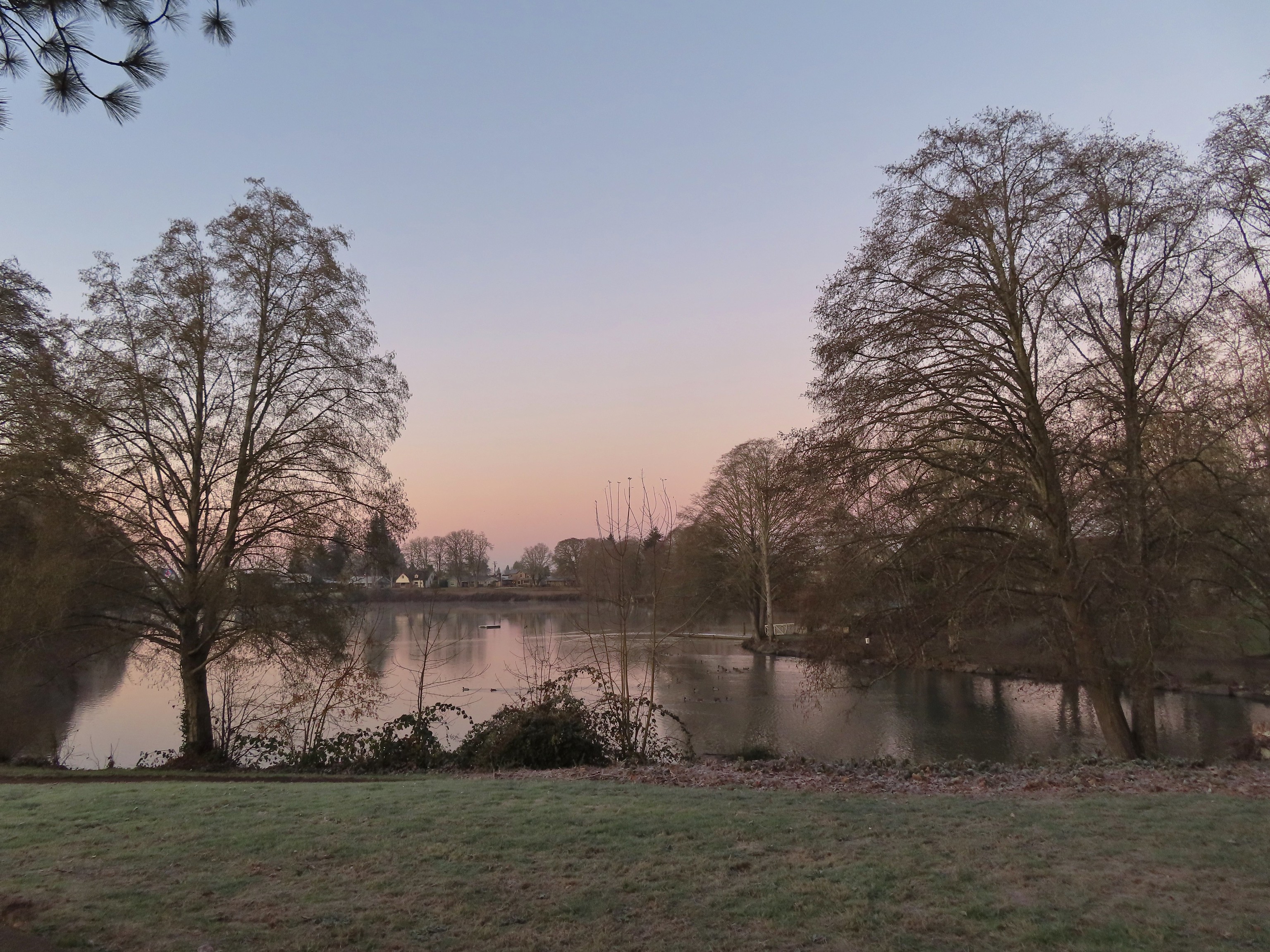 Waverly Lake at sunrise.
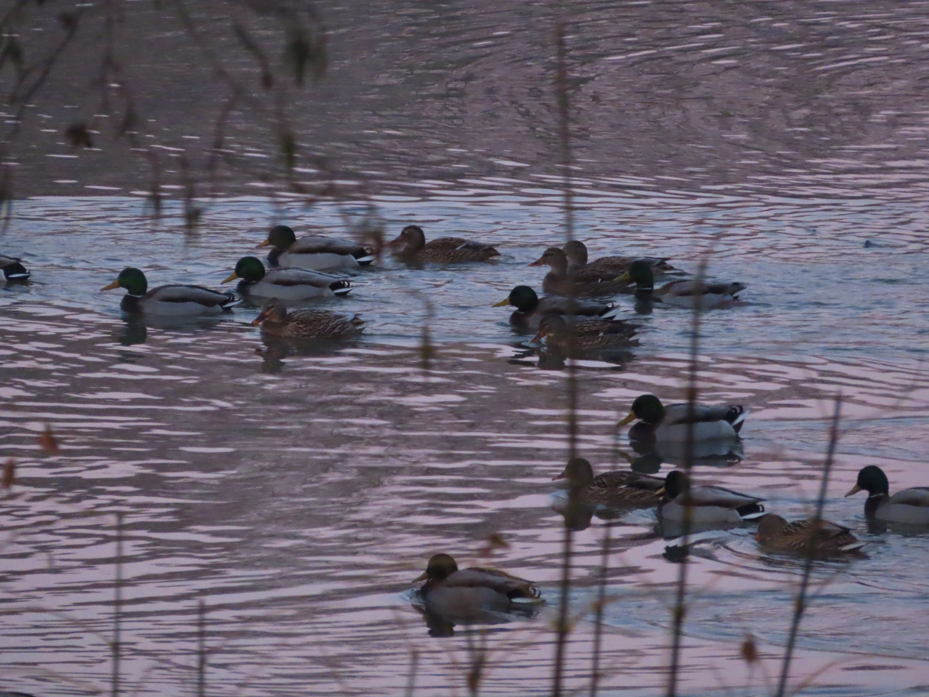 Mallards
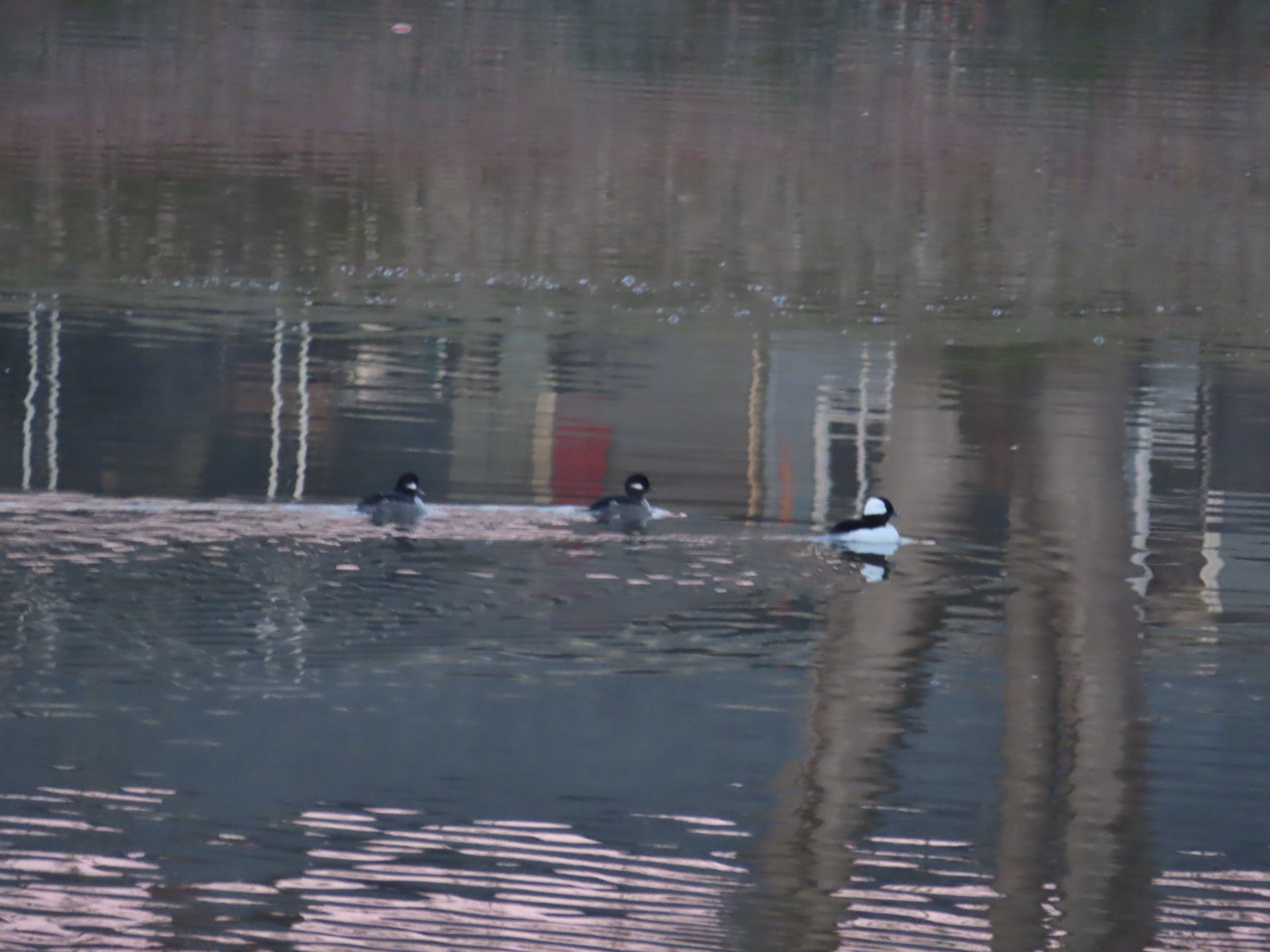 Buffleheads
 I think this is a ruddy duck.
 American coots
 Guessing these are some sort of domestic/mallard? crossbreeds. Very interesting looking.
 More mallards near Cox Creek
 Cox Creek flowing toward Waverly Lake.
 Nearing the outlet of Cox Creek.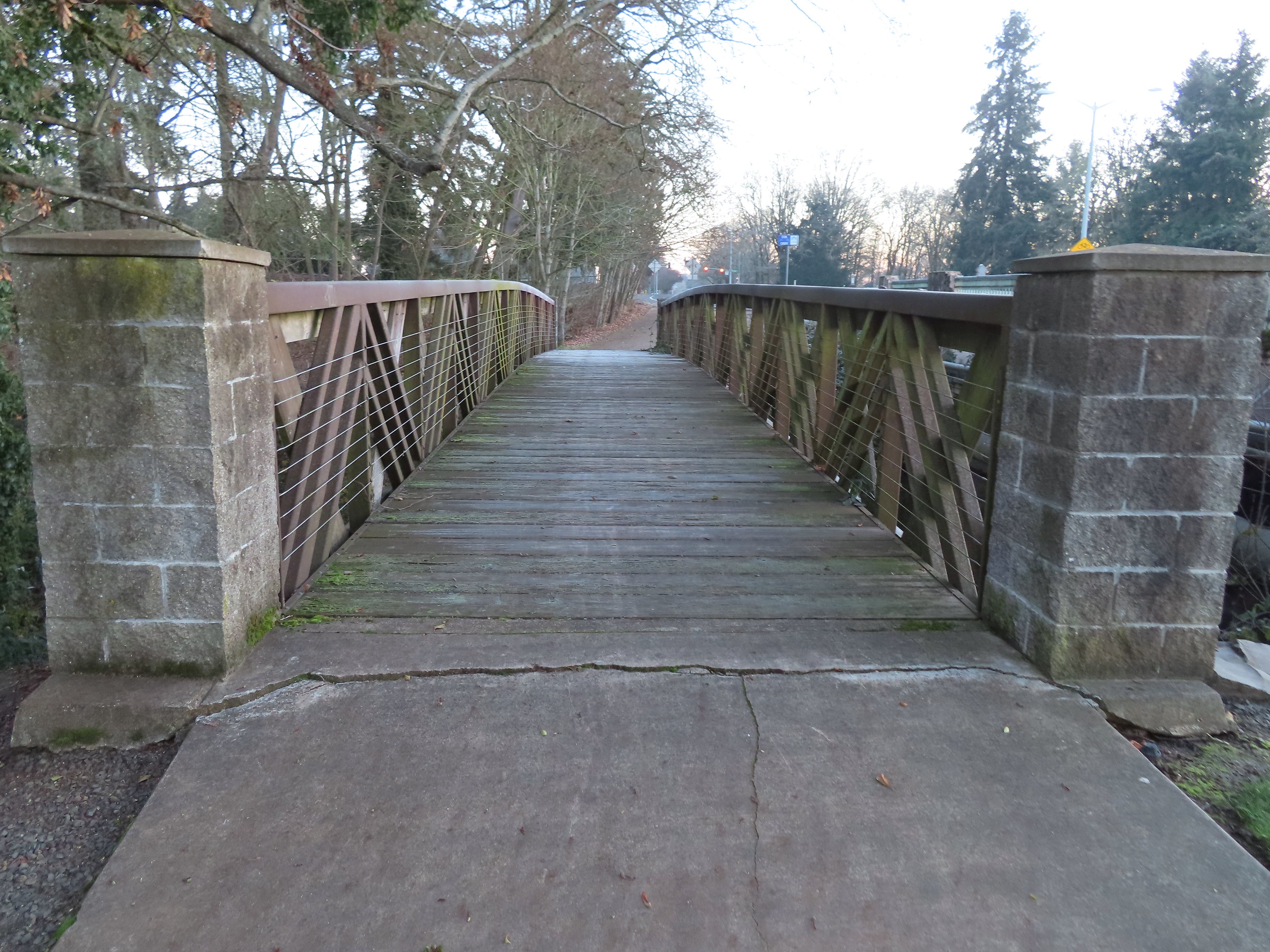
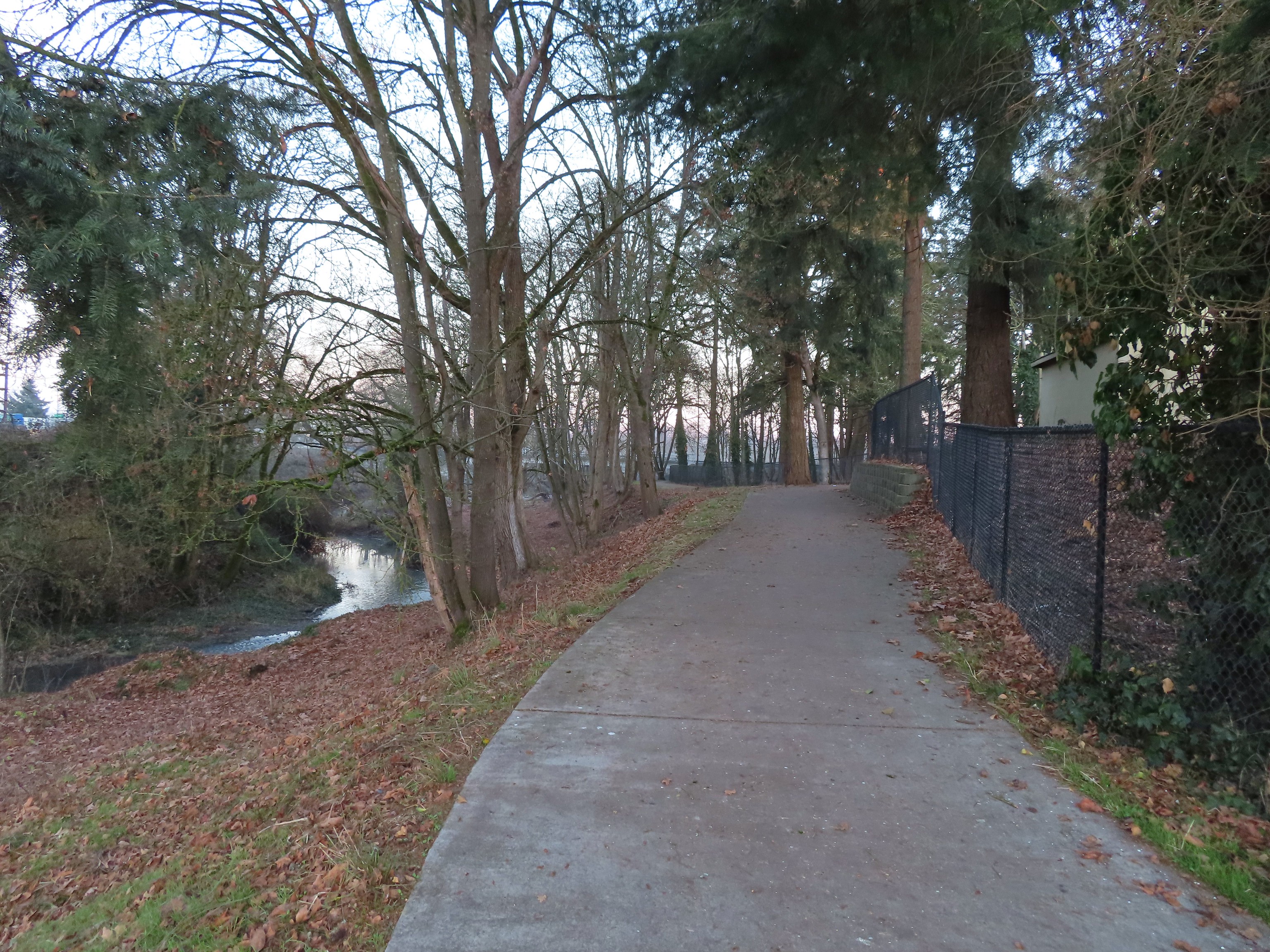
 We almost got off-track here. This path on the right (just after passing under some railroad tracks) does lead into the wetlands but it wasn’t part of the Oregon Hikers described hike.
 One of several interpretive signs along the trails.
 Frosty leaves, it had been a chilly 28 degrees when we started out.
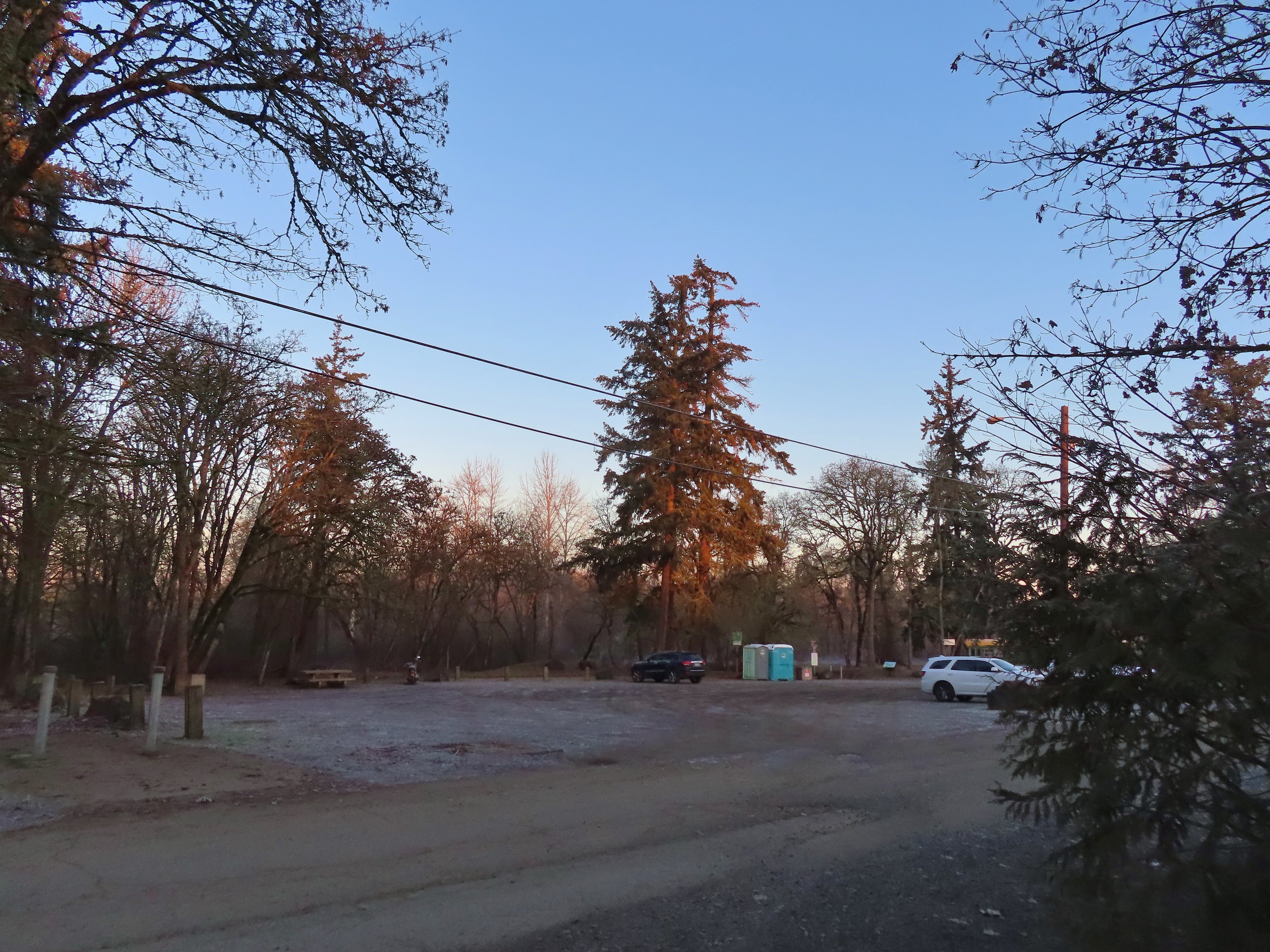 Simpson Park
 The Simpson Park Trail is a 1 mile out and back along the Willamette River. It also offers access to the Riverfront Trail which one could follow SW almost 3.5 miles to Monteith Riverpark at the mouth of the Calapooia River. With Heather being limited to shorter hikes for now that wasn’t an option today but will be something we look forward to trying in the future.
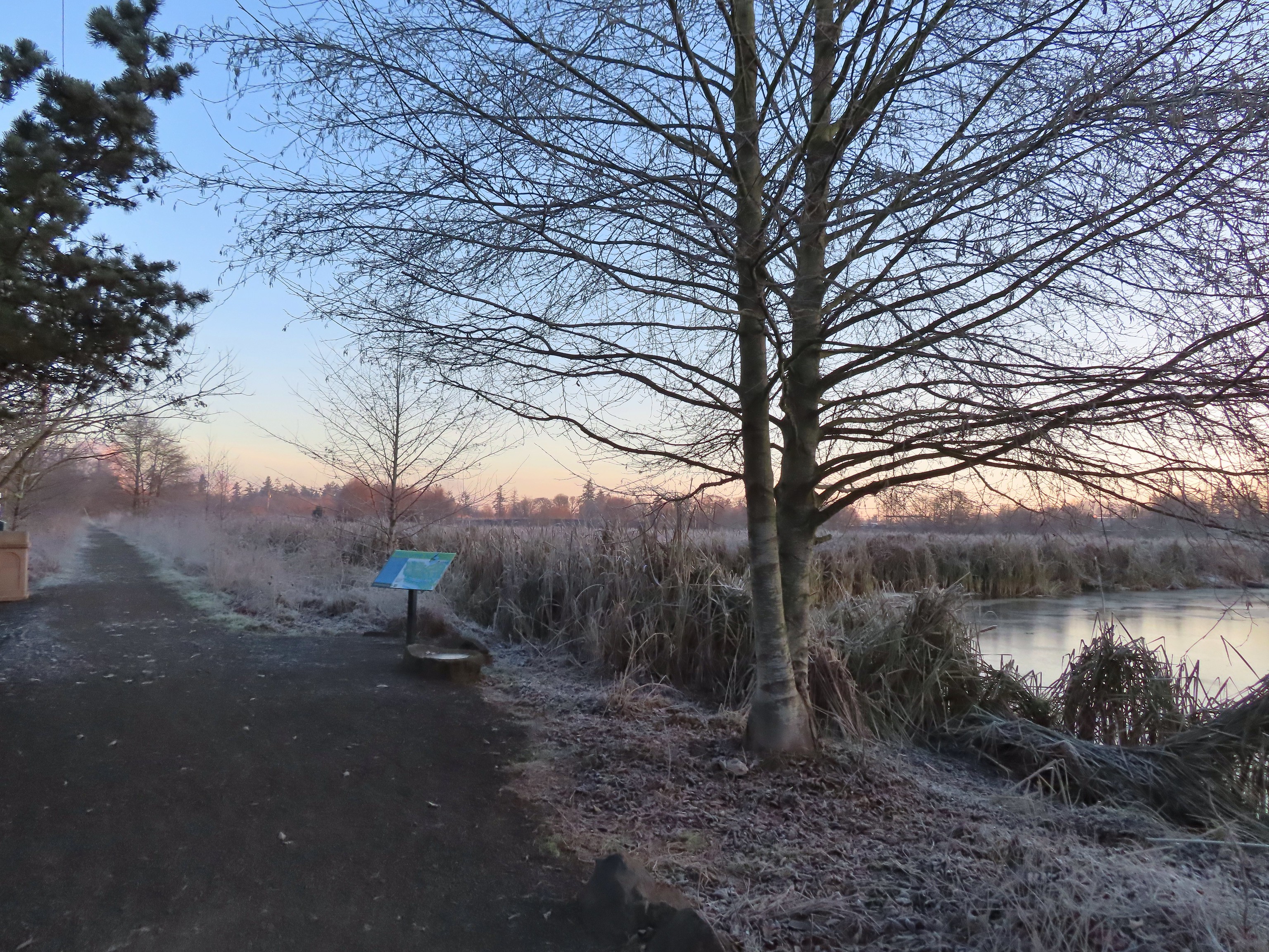
 Map on a welcome sign.
 Frozen leaves


 American wigeons
 Bald eagle fly over
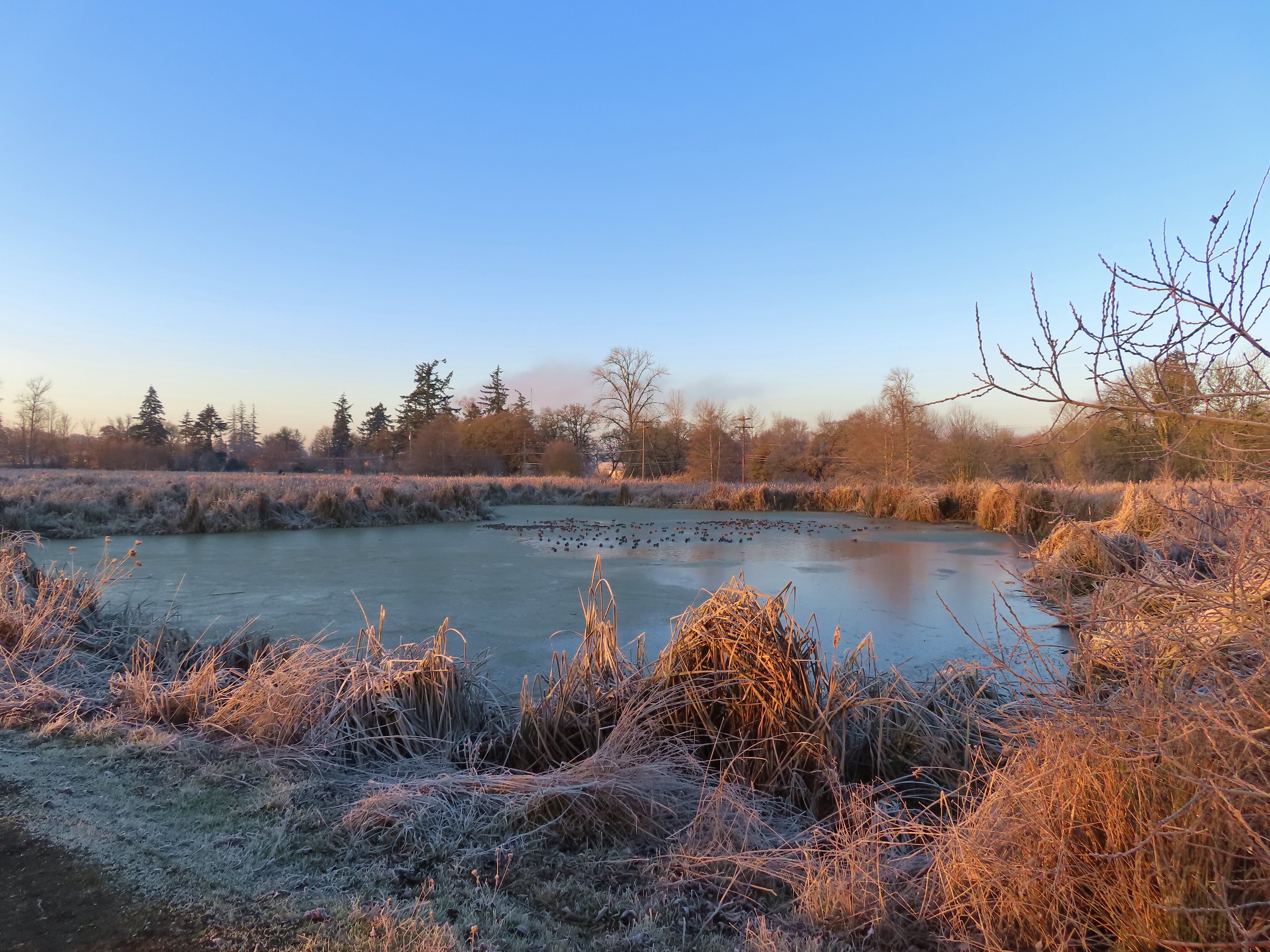
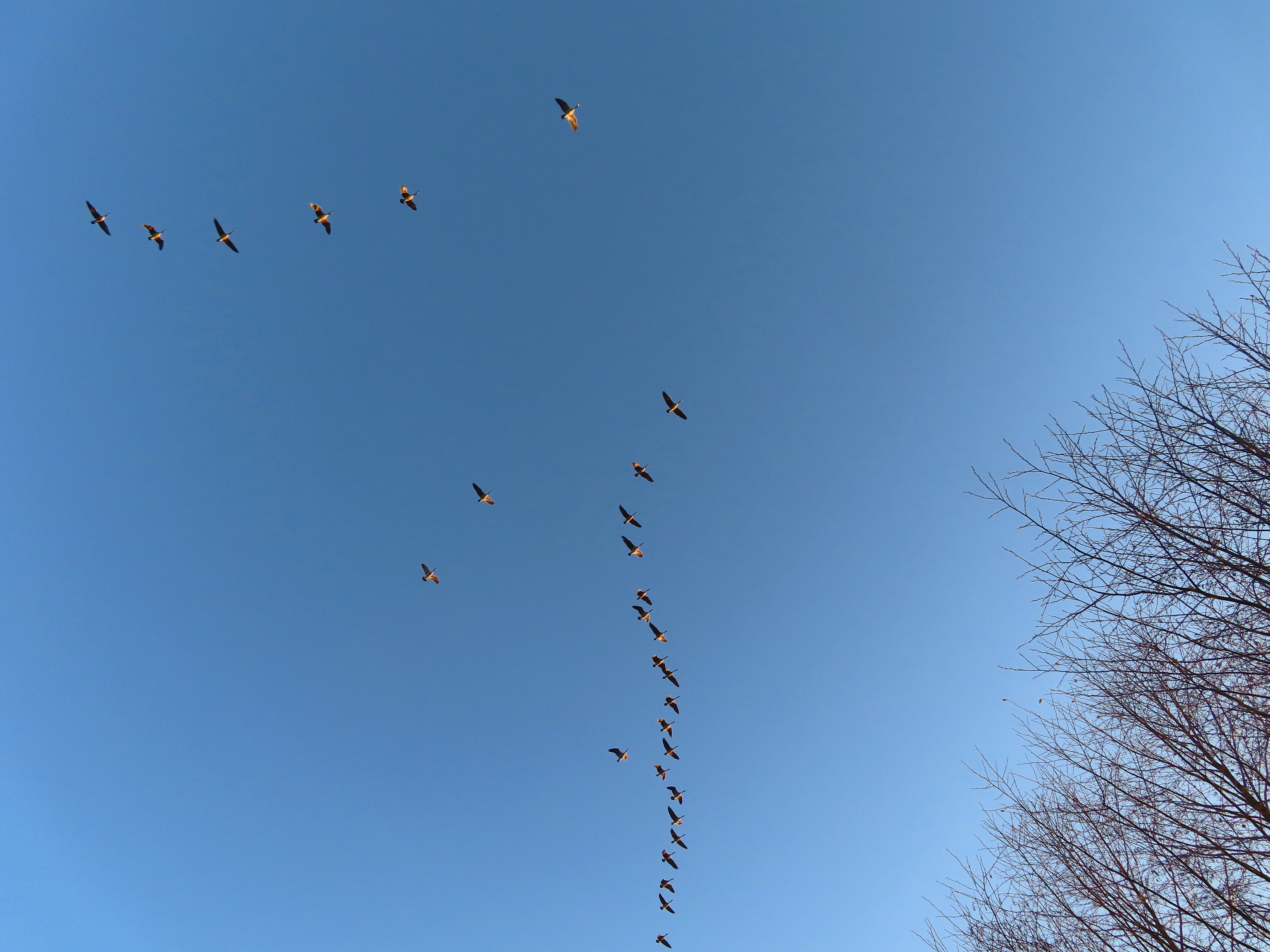 Flock of geese flying over
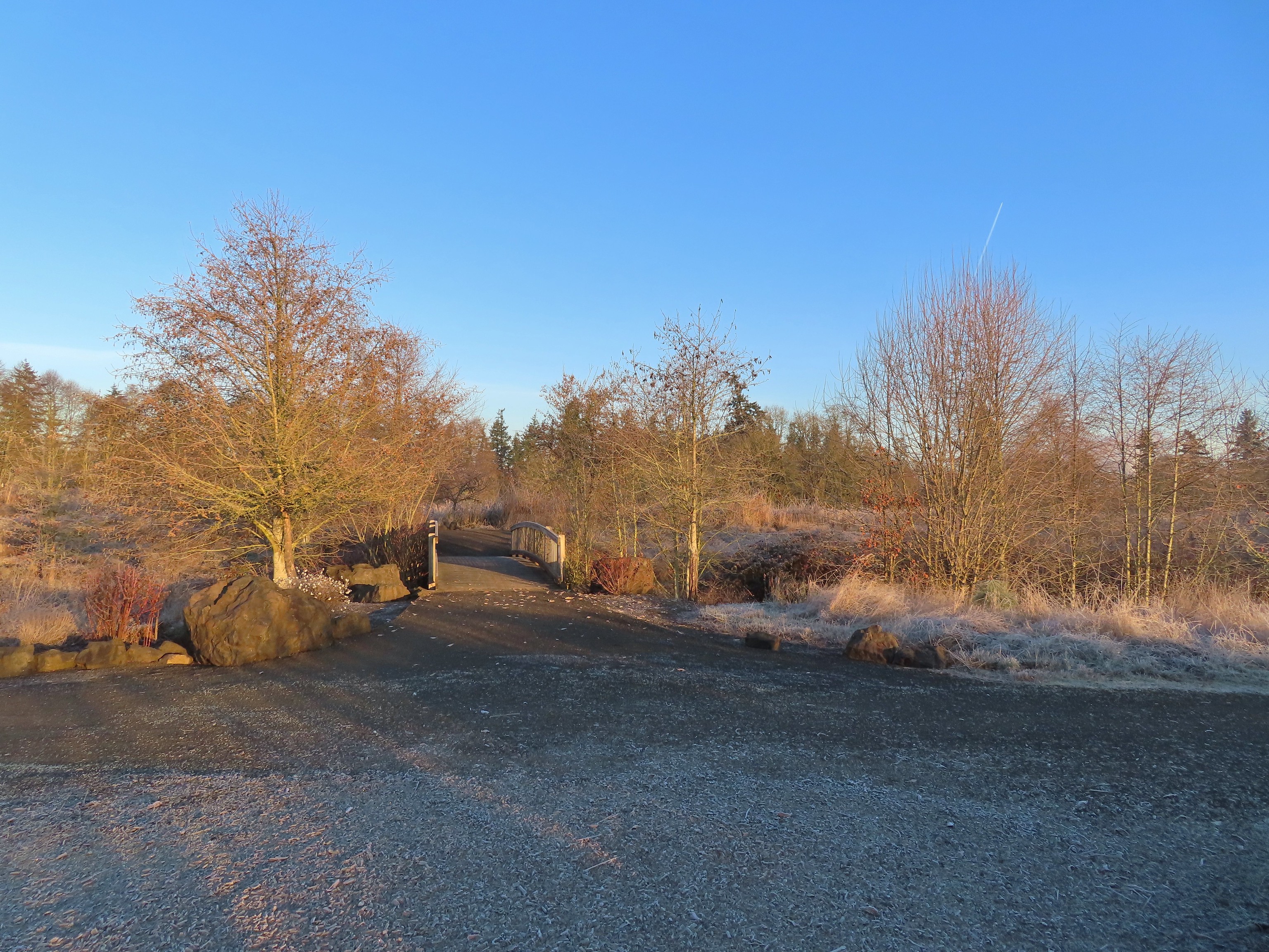 One of many unsigned intersections.
 Robin
Robin One of two memorials in the gardens.


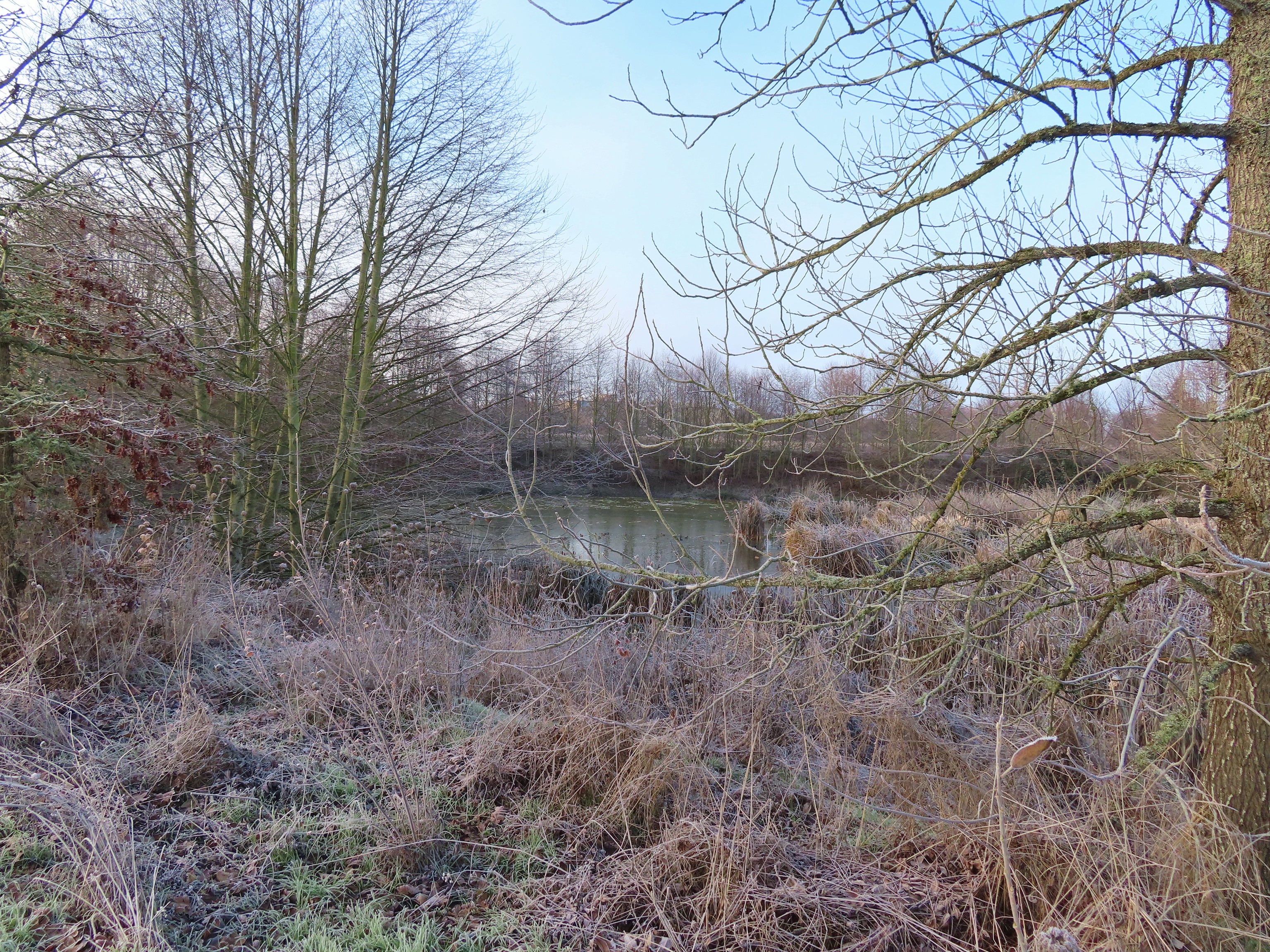
 Bufflehead
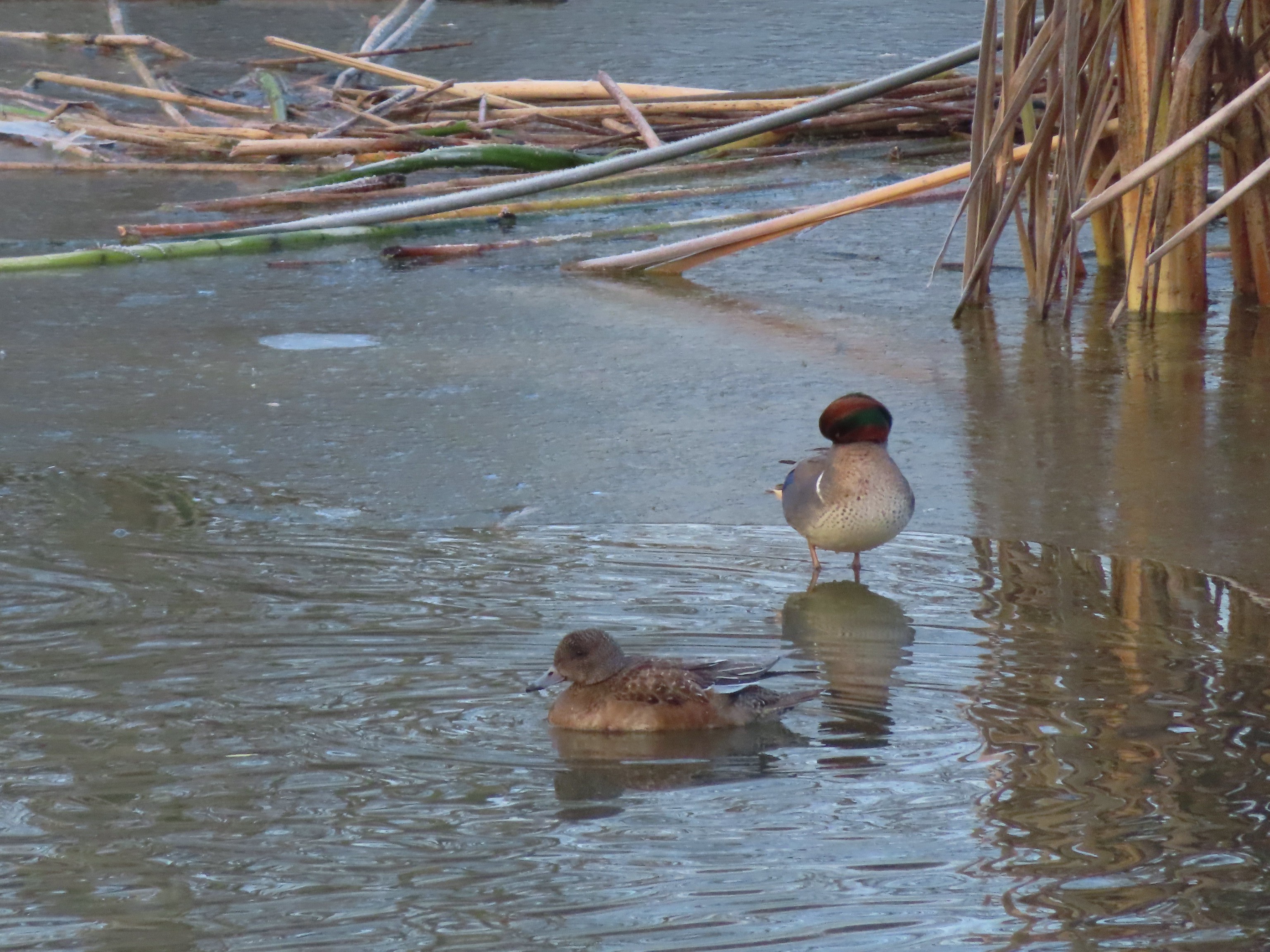 Green winged teal
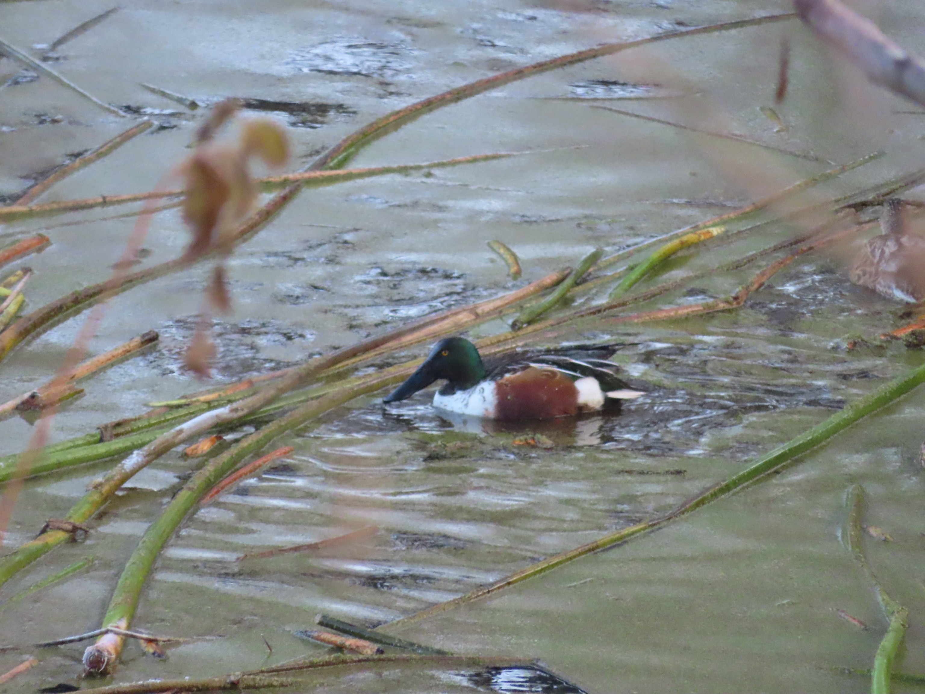 Northern shoveler
 Frost
Frost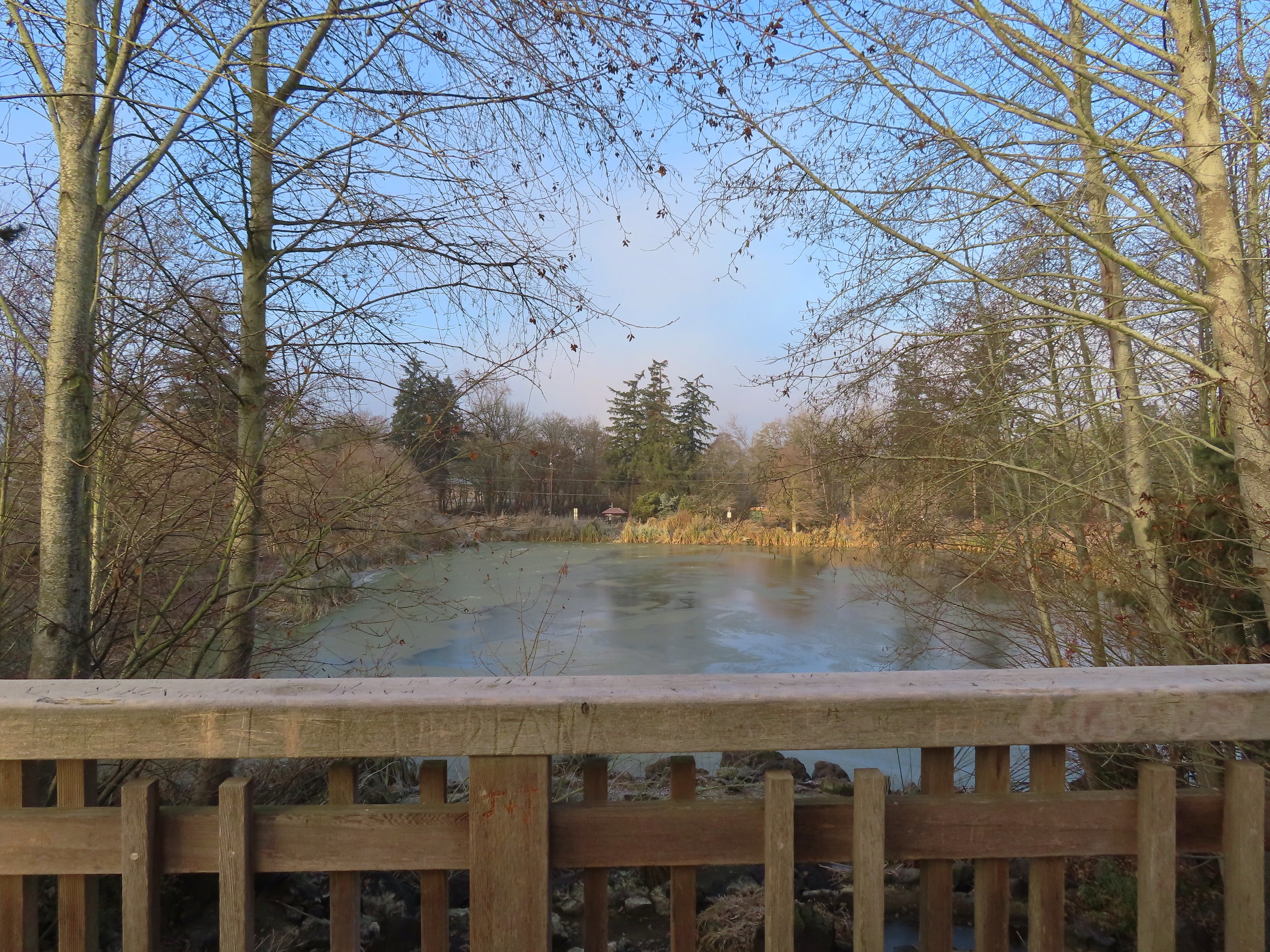 Simpson Park across a pond.
 Fishermen heading into the fog at Waverly Lake.
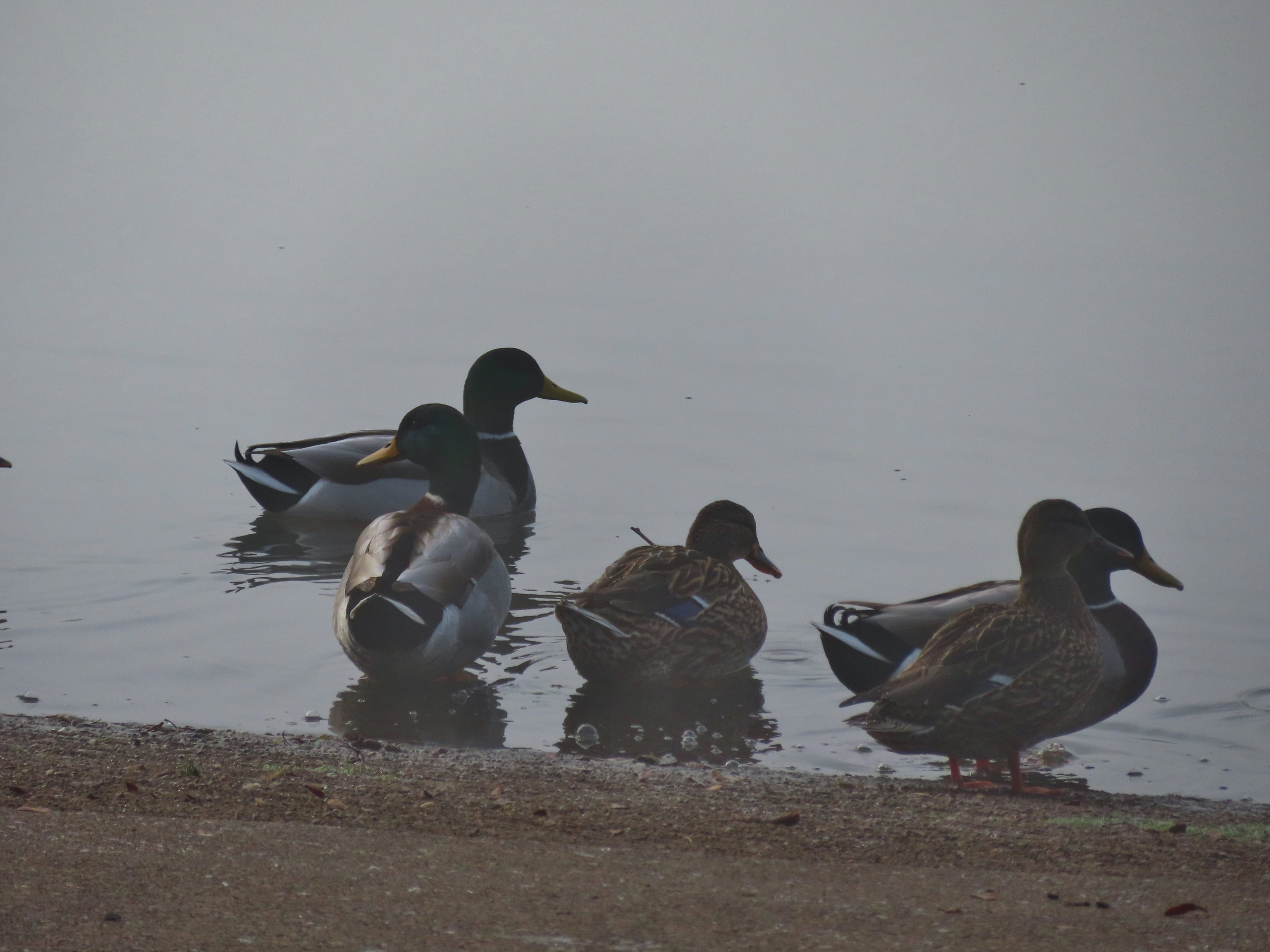 Mallards hanging out in the fog.
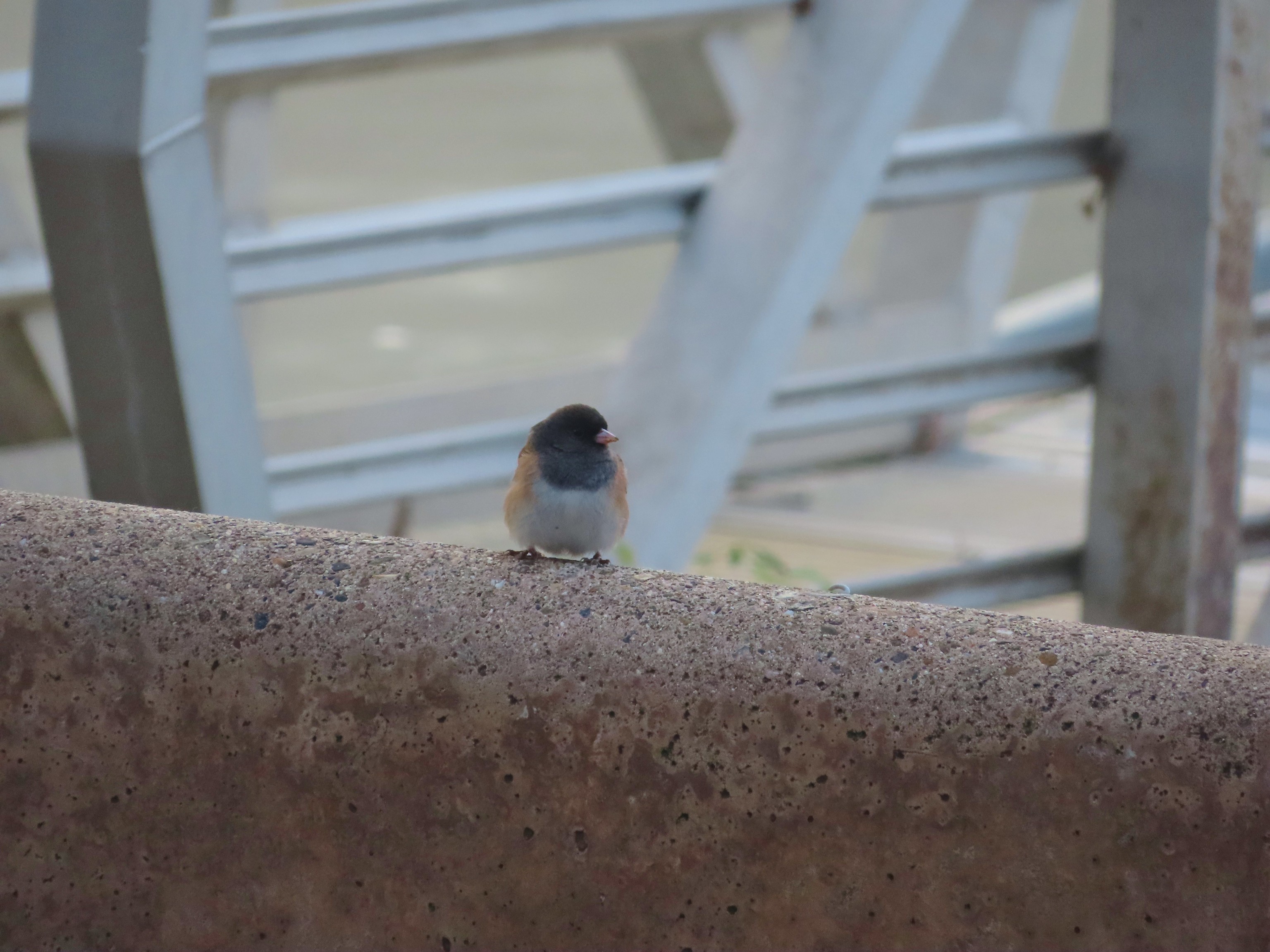 Dark eyed junco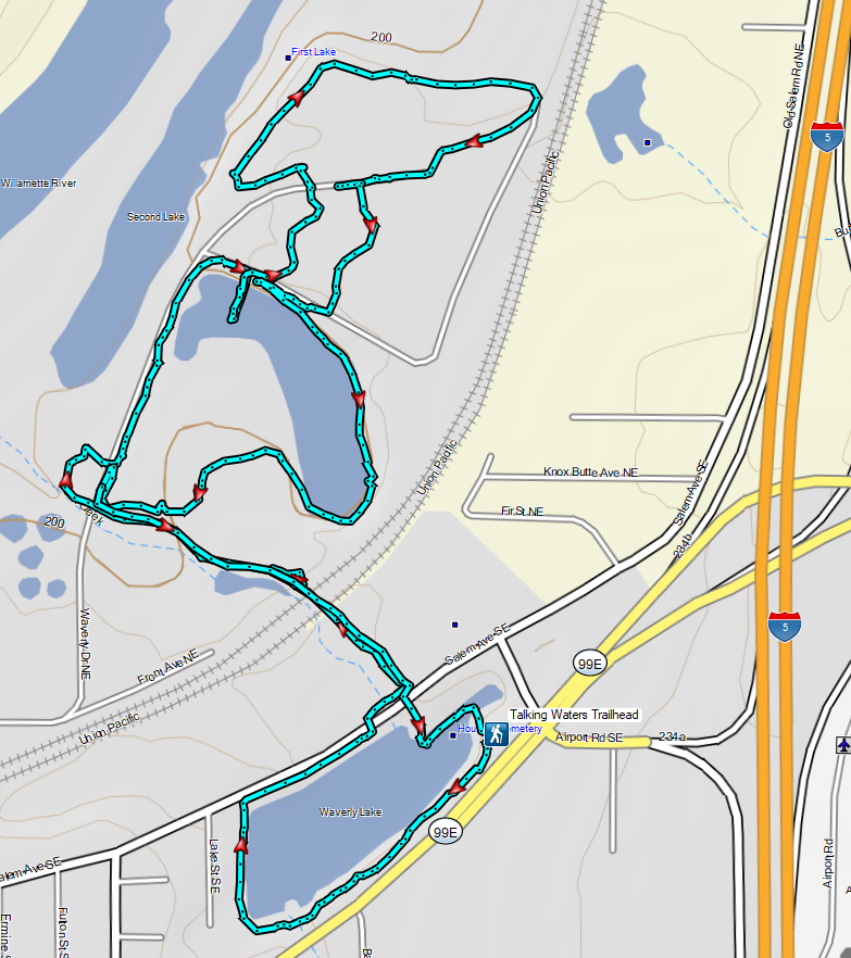
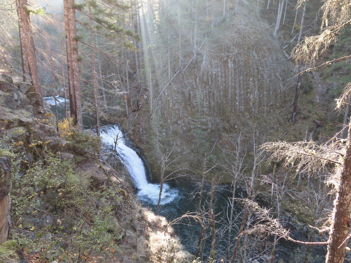
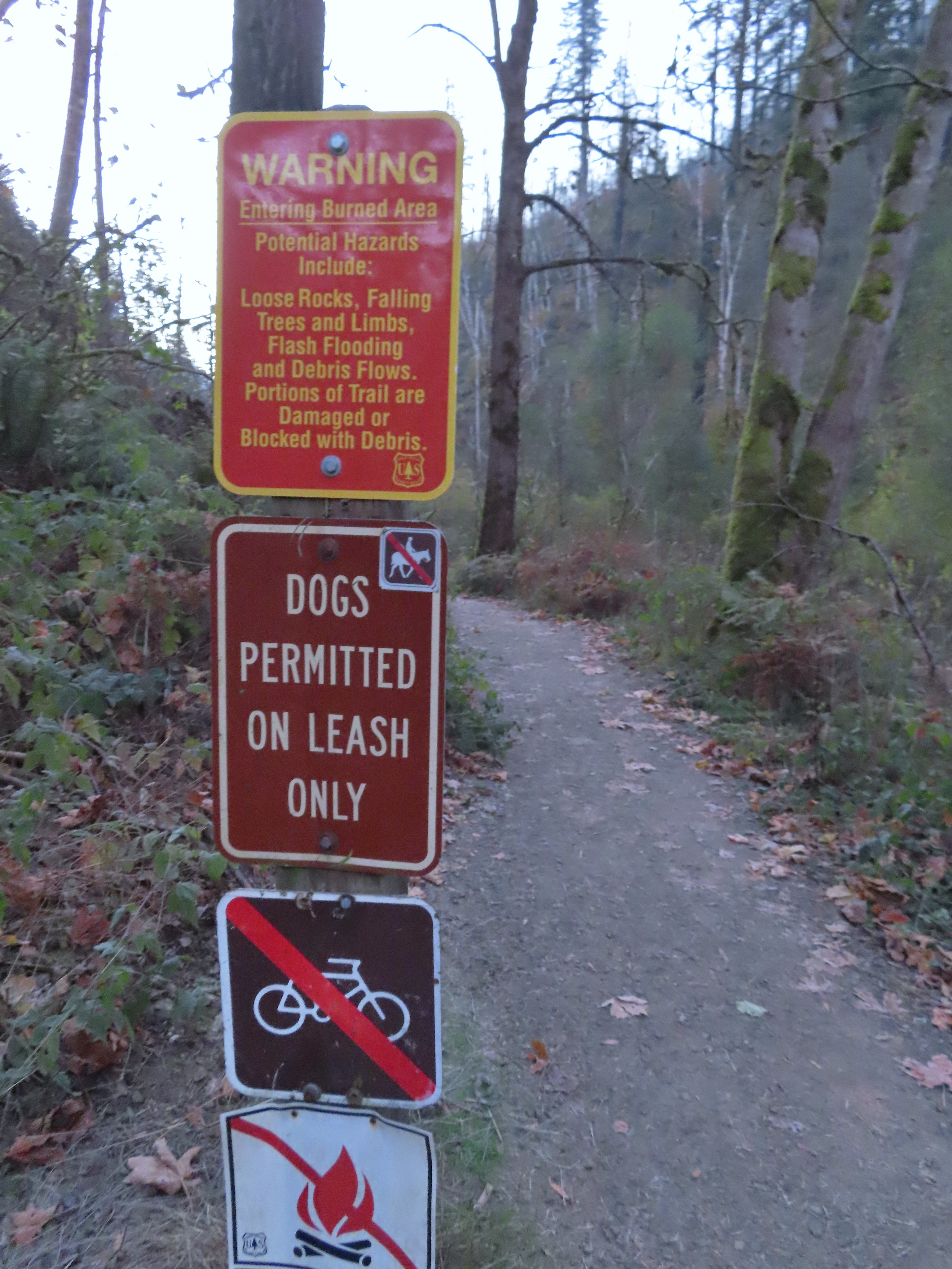
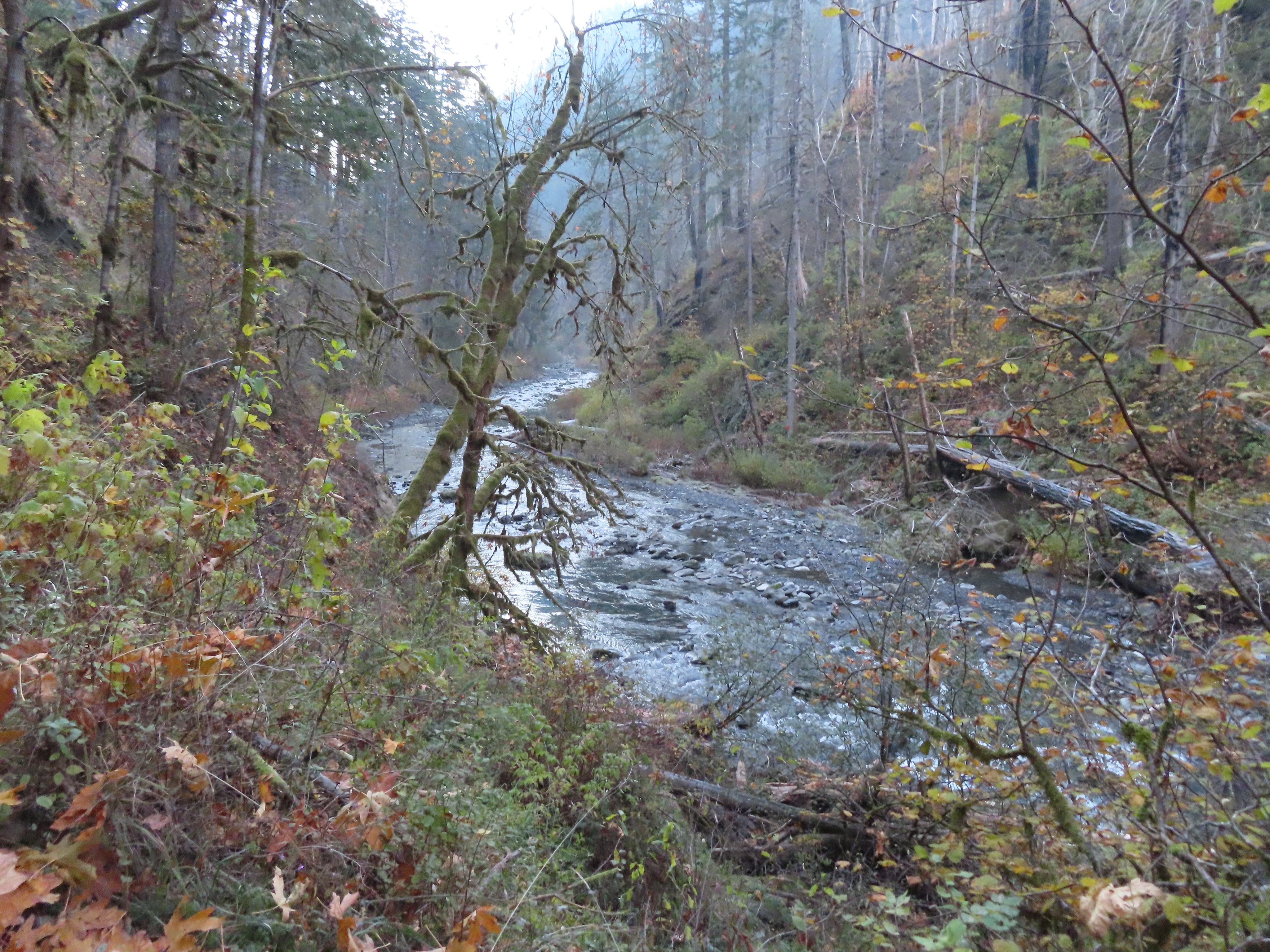
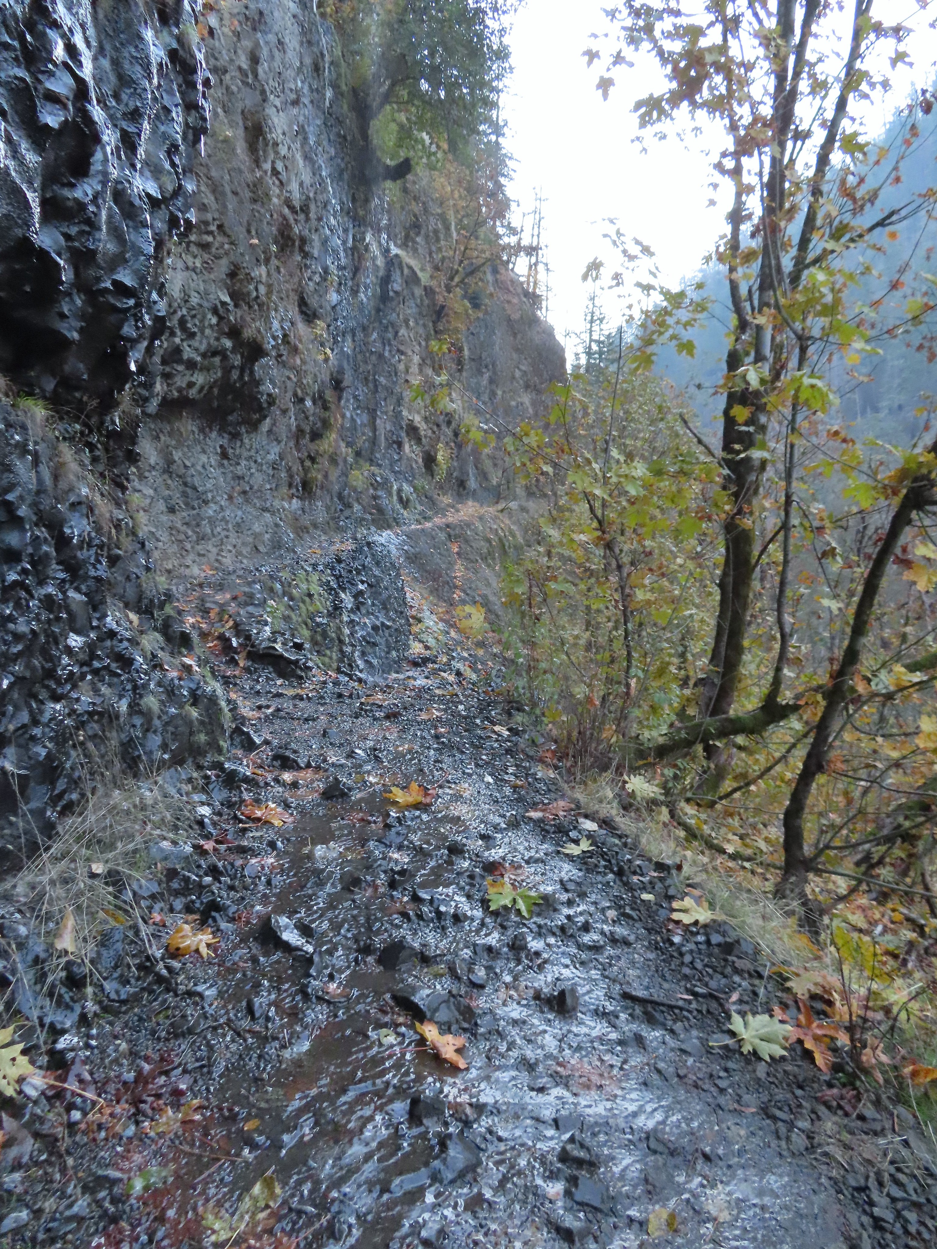 It was hard to tell at times which parts were frozen.
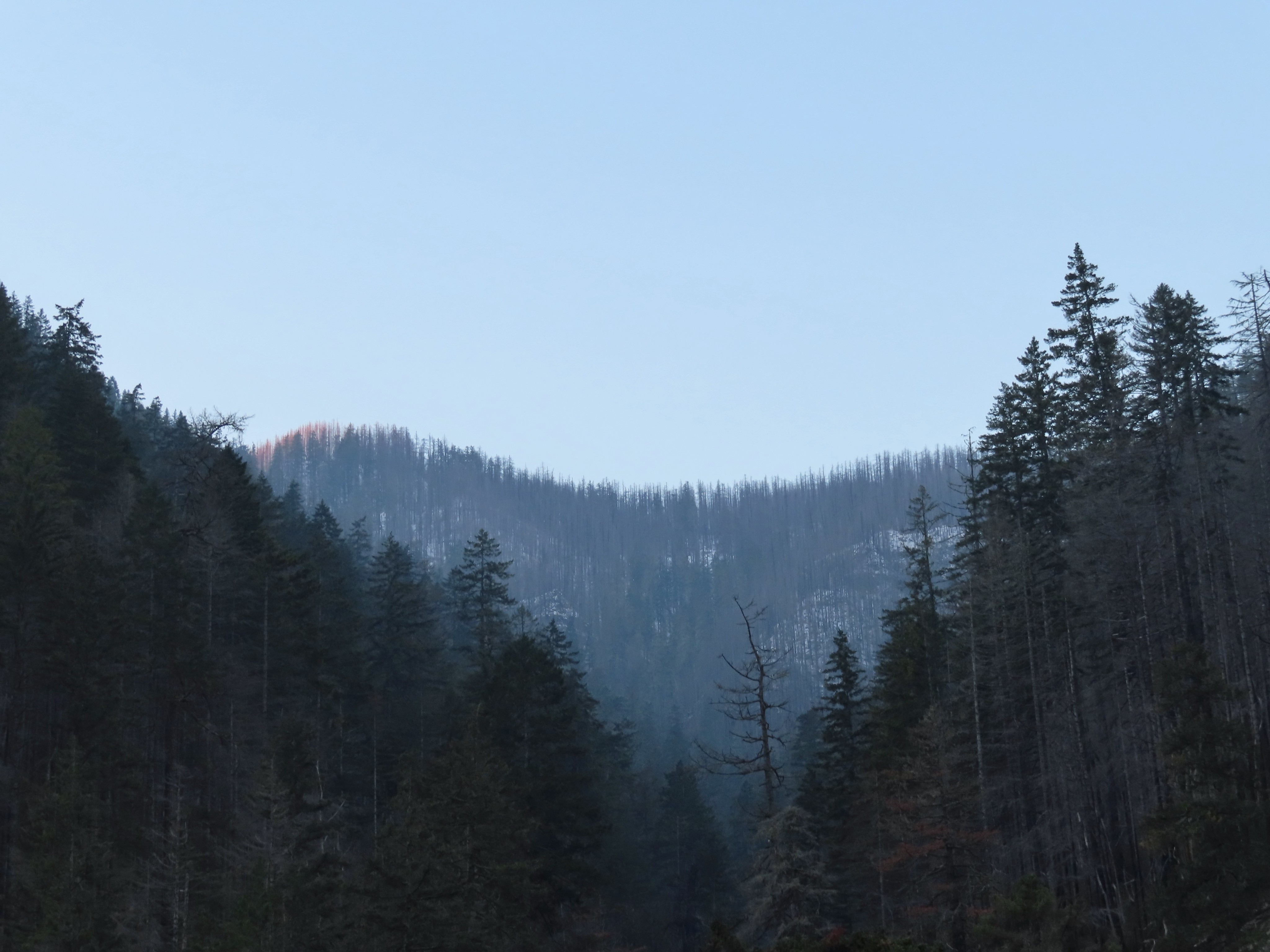 Snow at the higher elevations.
 A pink cloud in the direction of the Columbia River Gorge.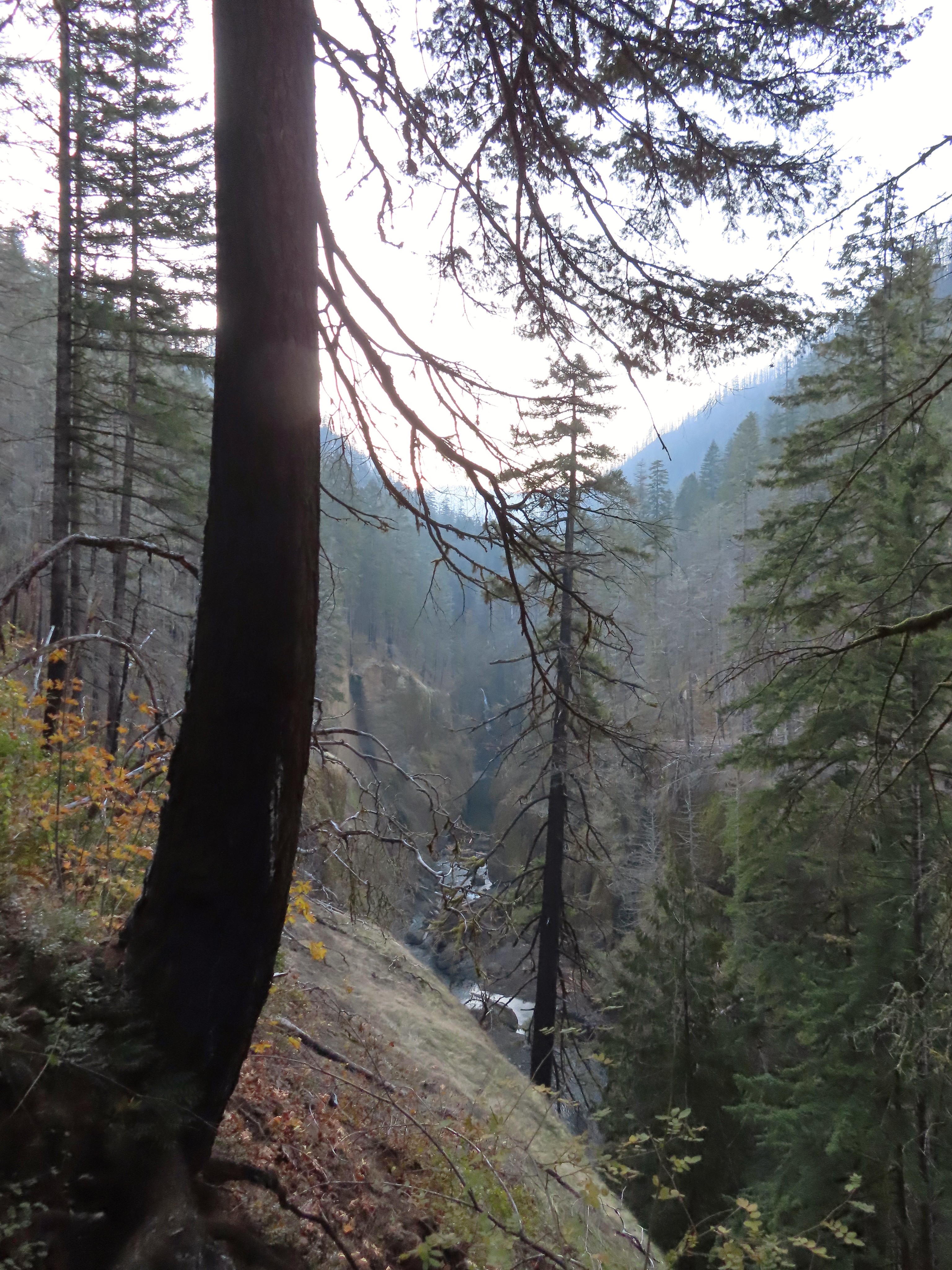
 Sorenson Falls splashing down into Eagle Creek.
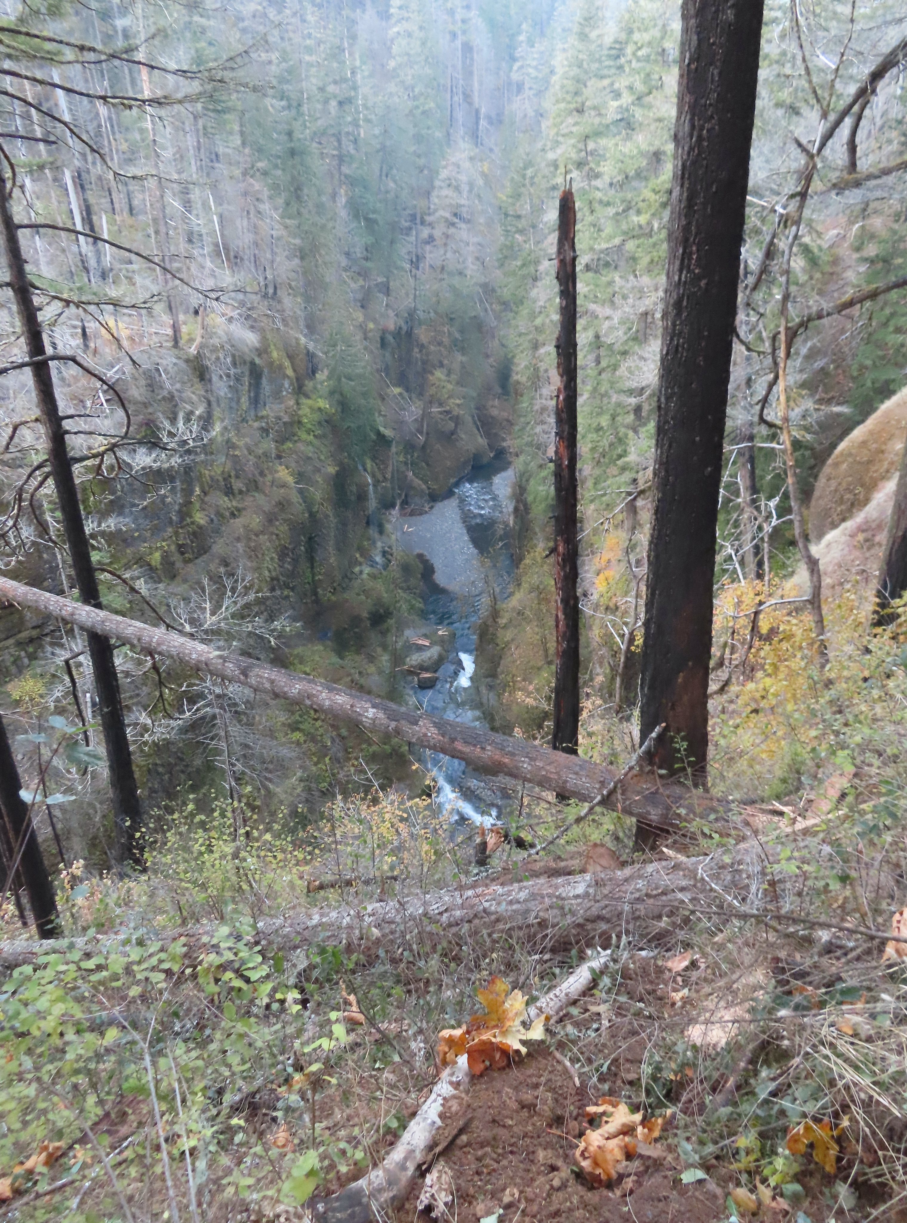 Looking back down Eagle Creek. It was hard to tell where the spur trail had been.
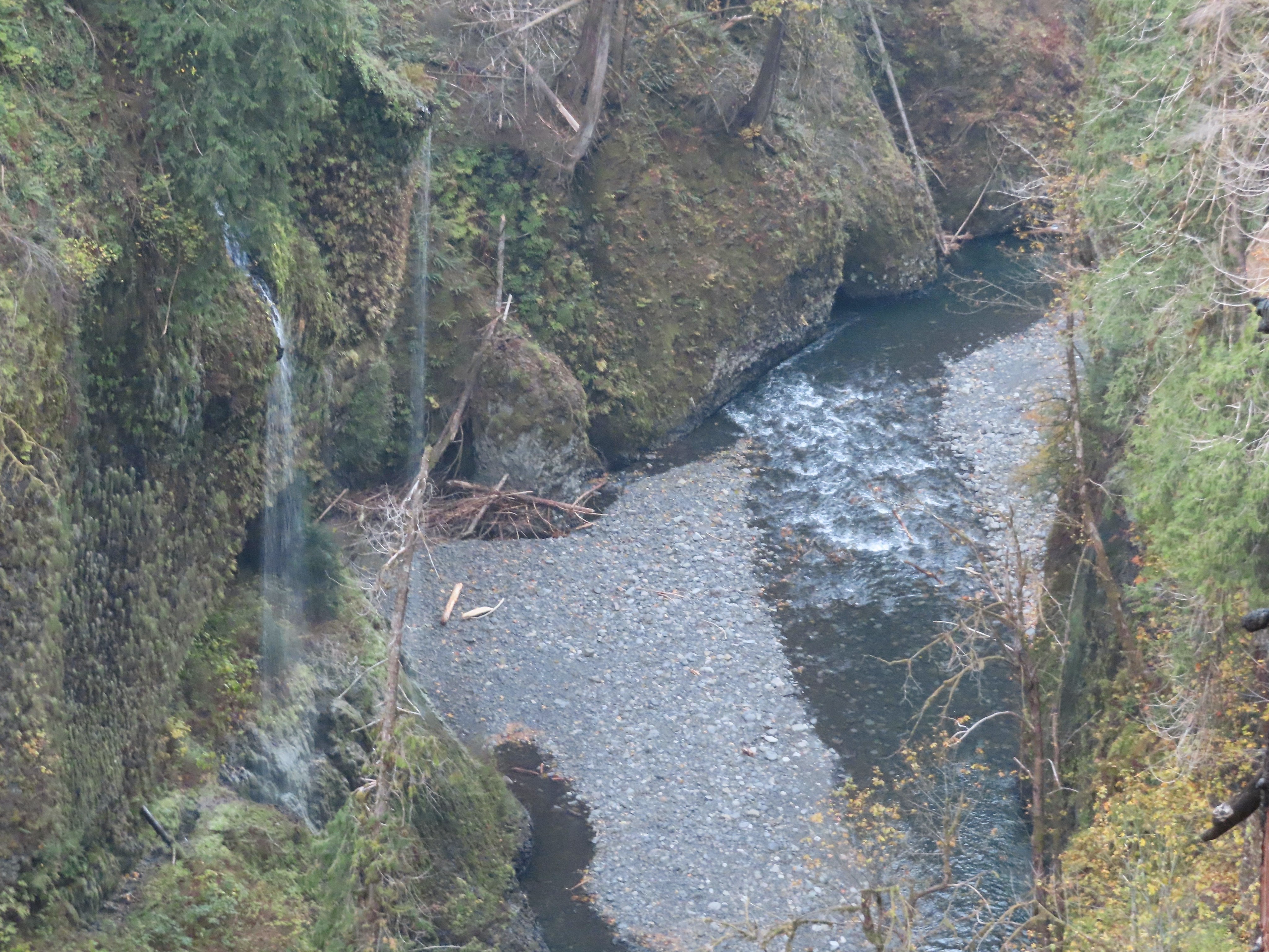 Runoff falling from the cliffs into Eagle Creek.
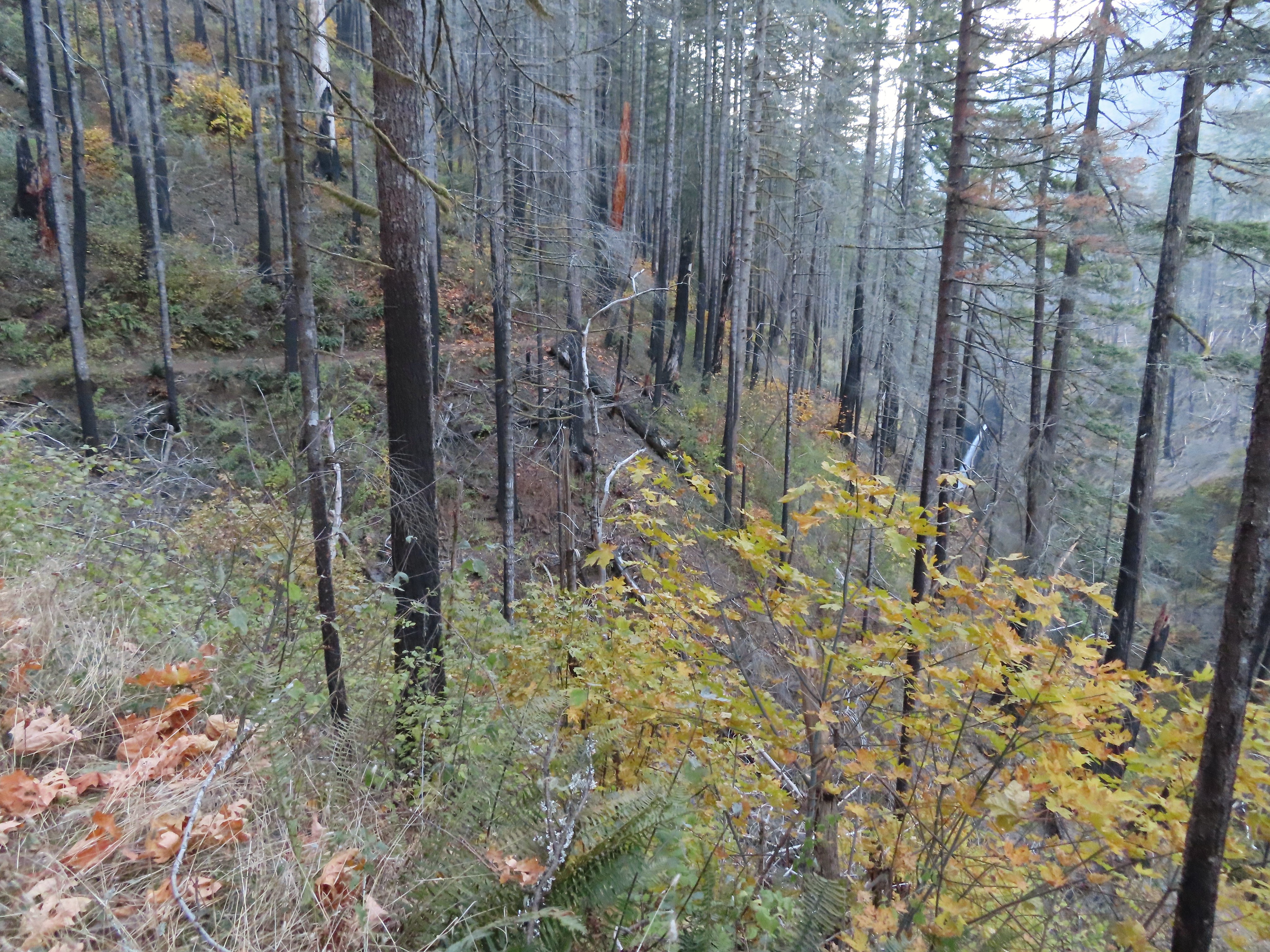 Metlako Falls
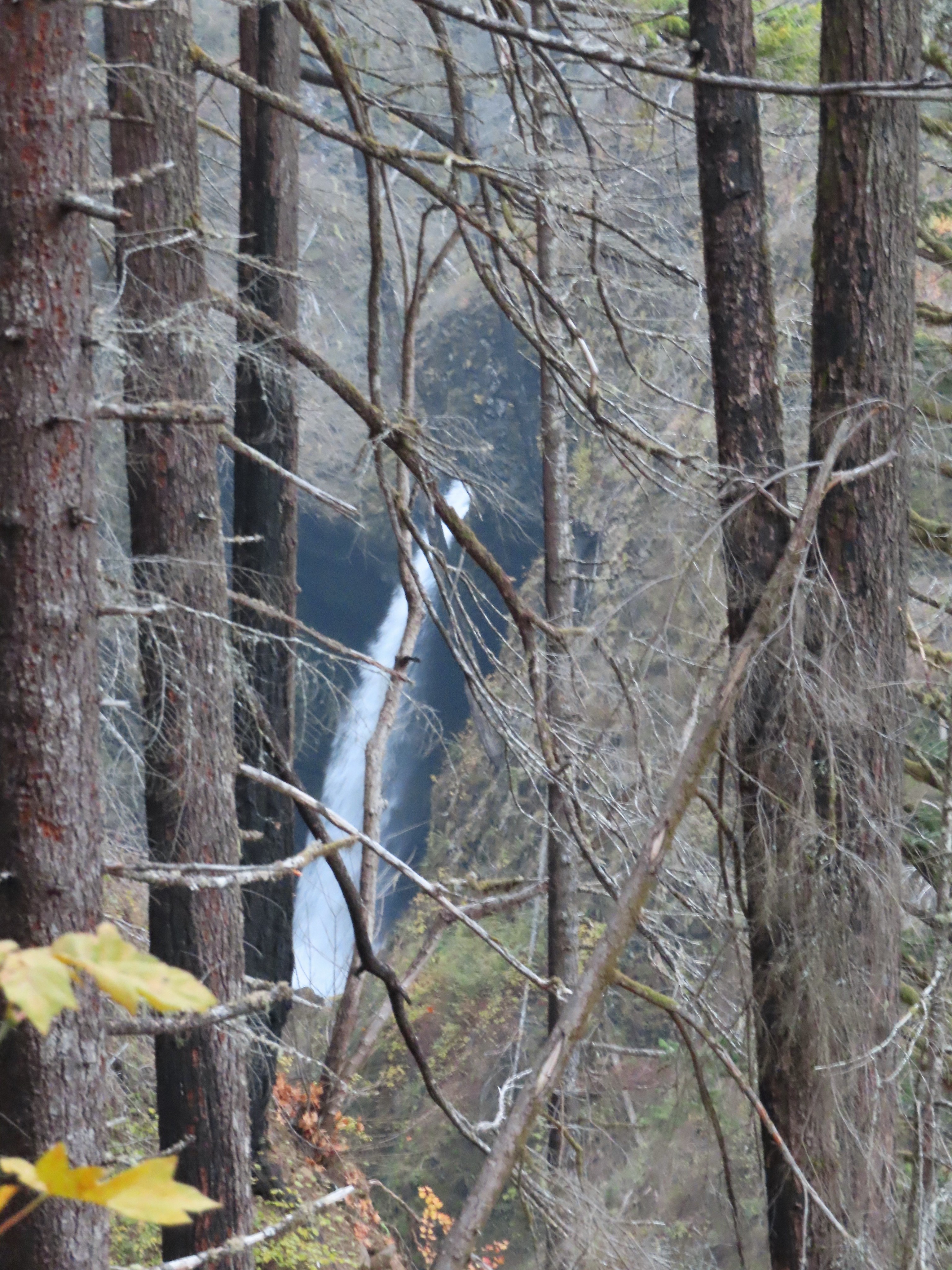 Metlako Falls

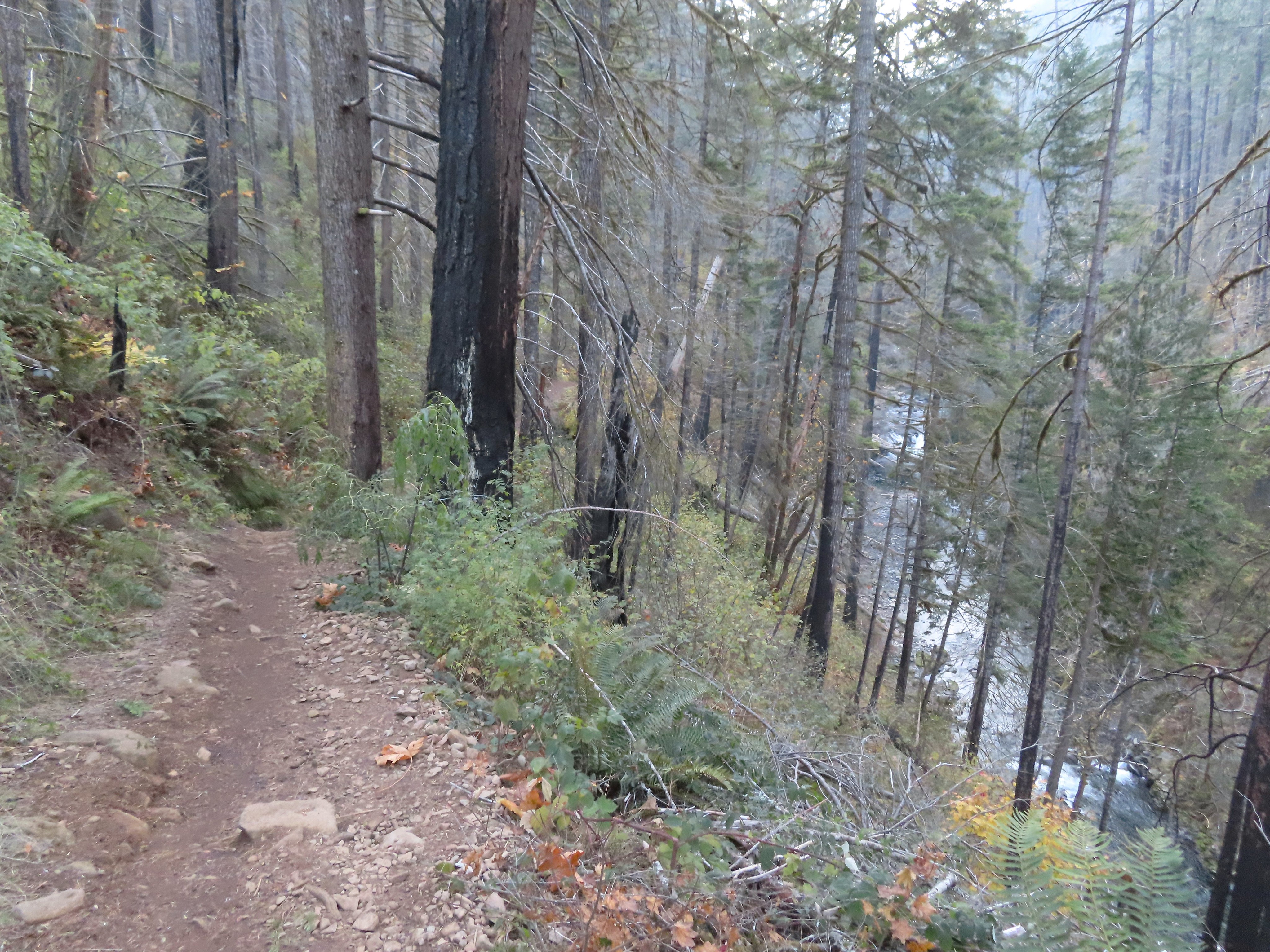
 Lower Punchbowl Falls
 Rocks from the landslide on the right.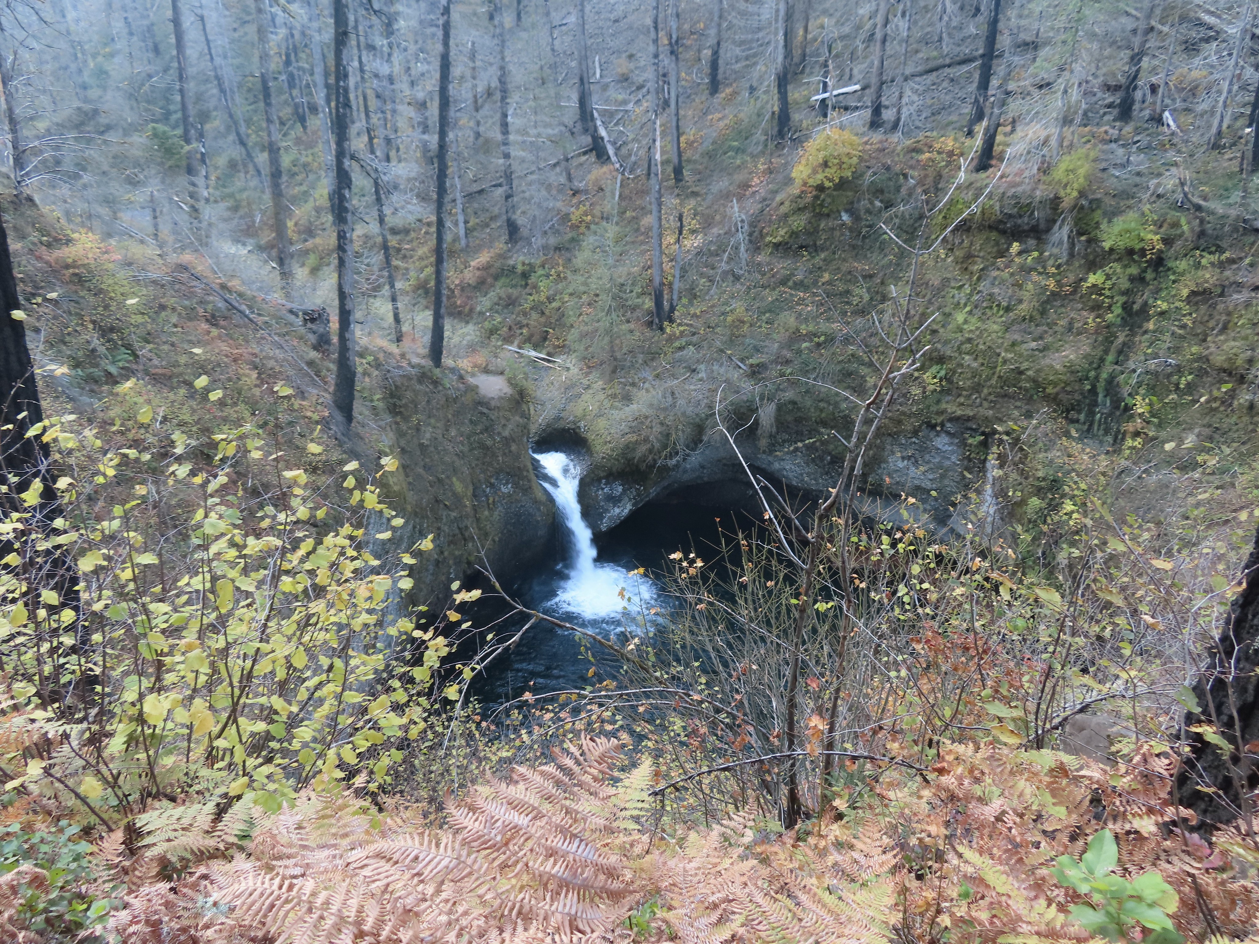
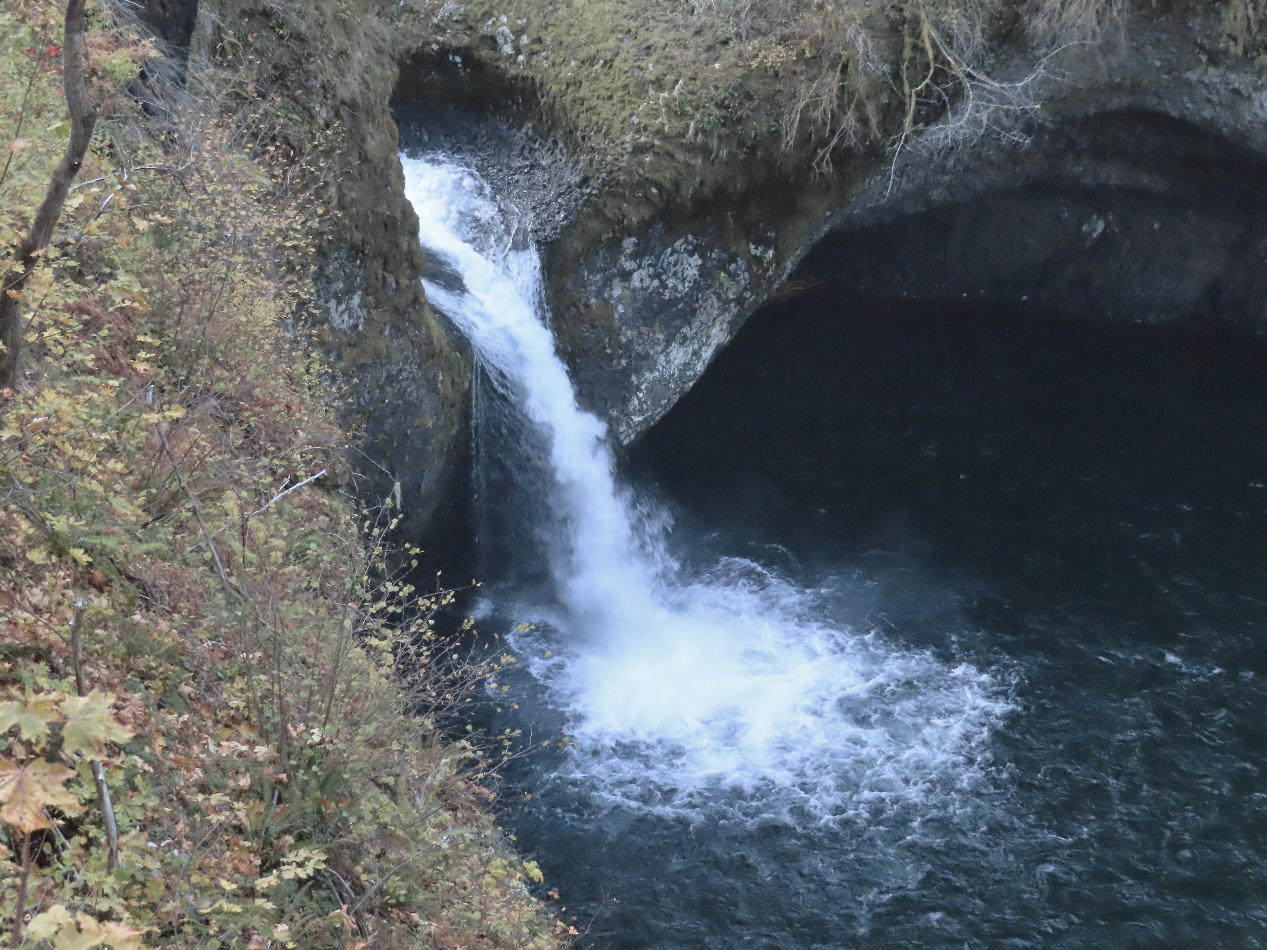
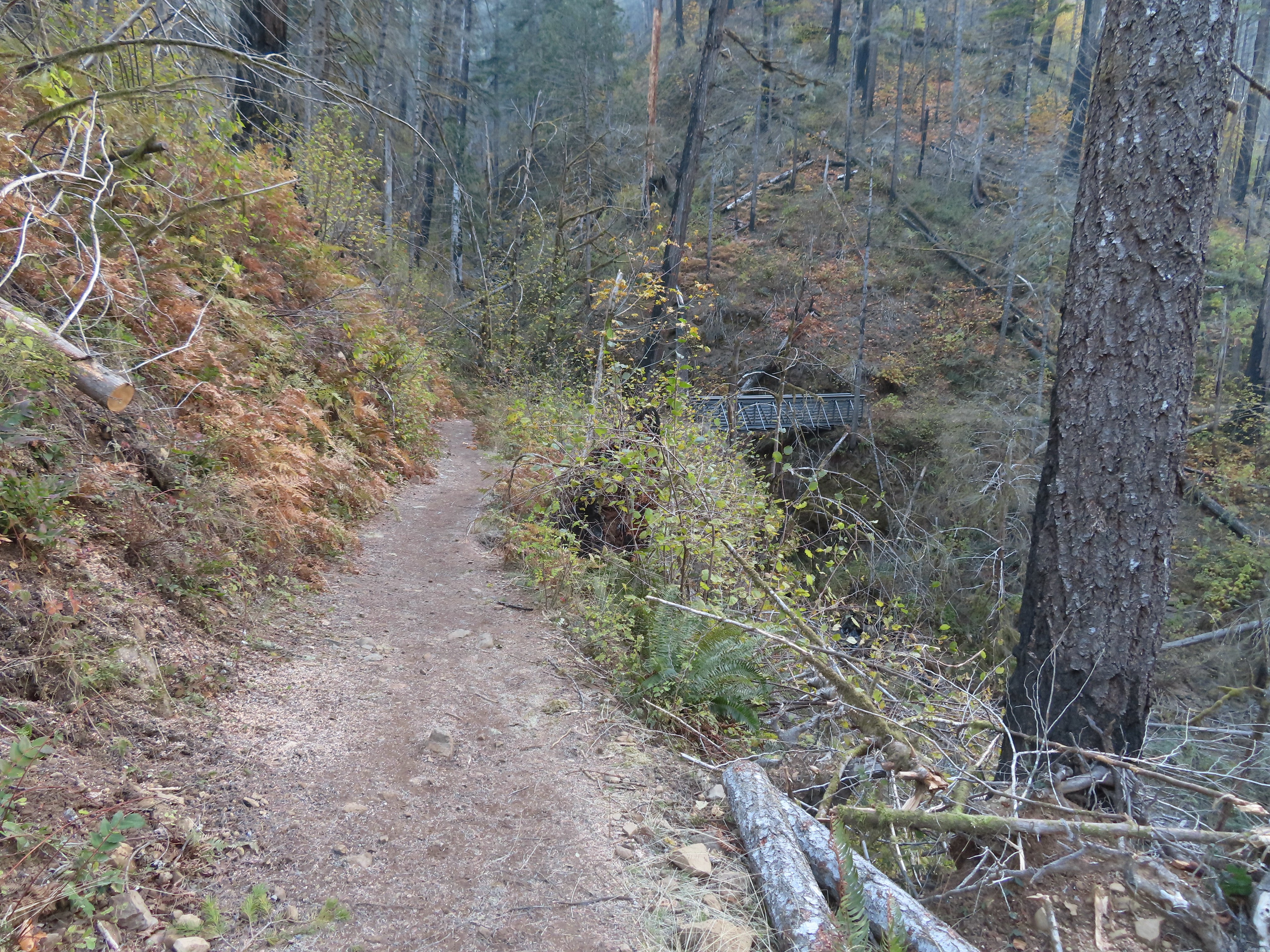 Tish Creek Bridge
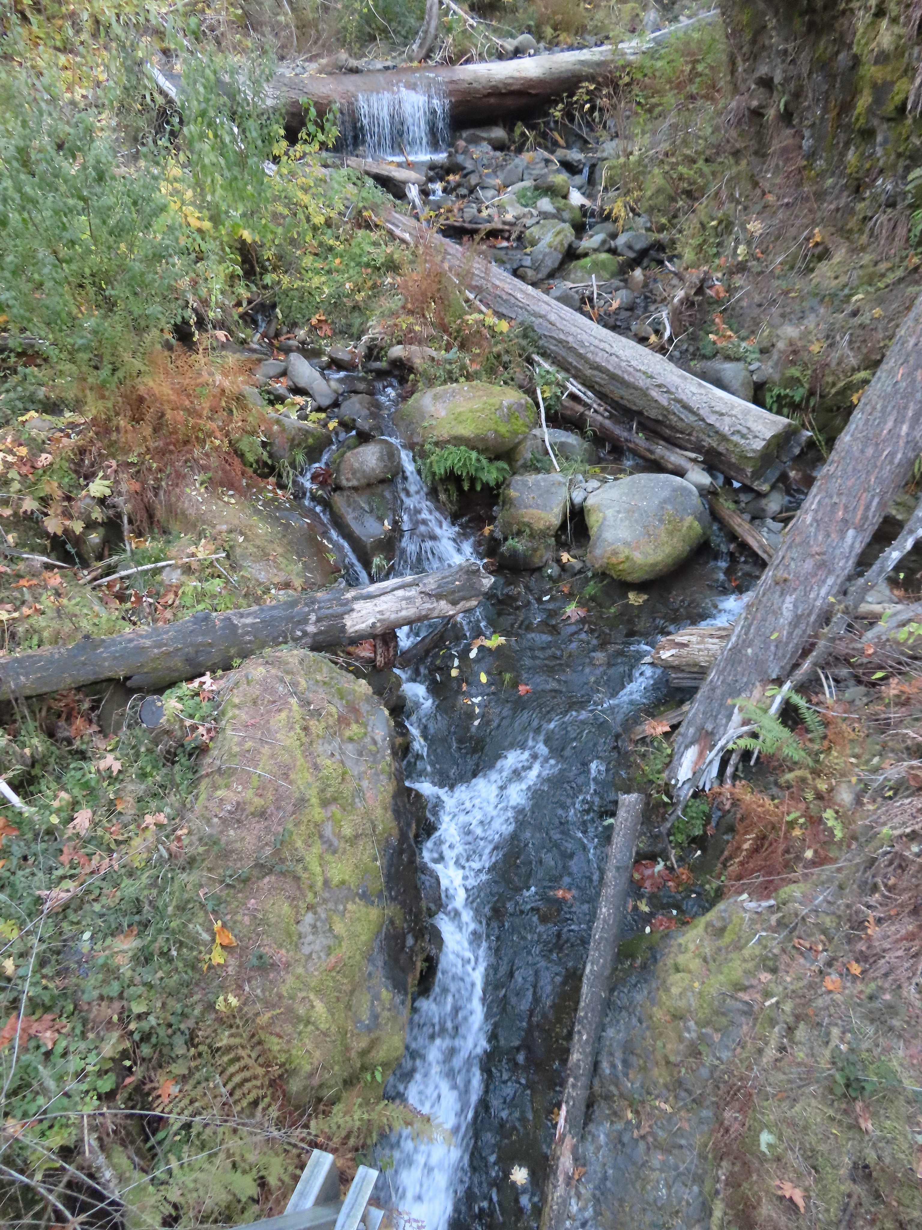 Tish Creek
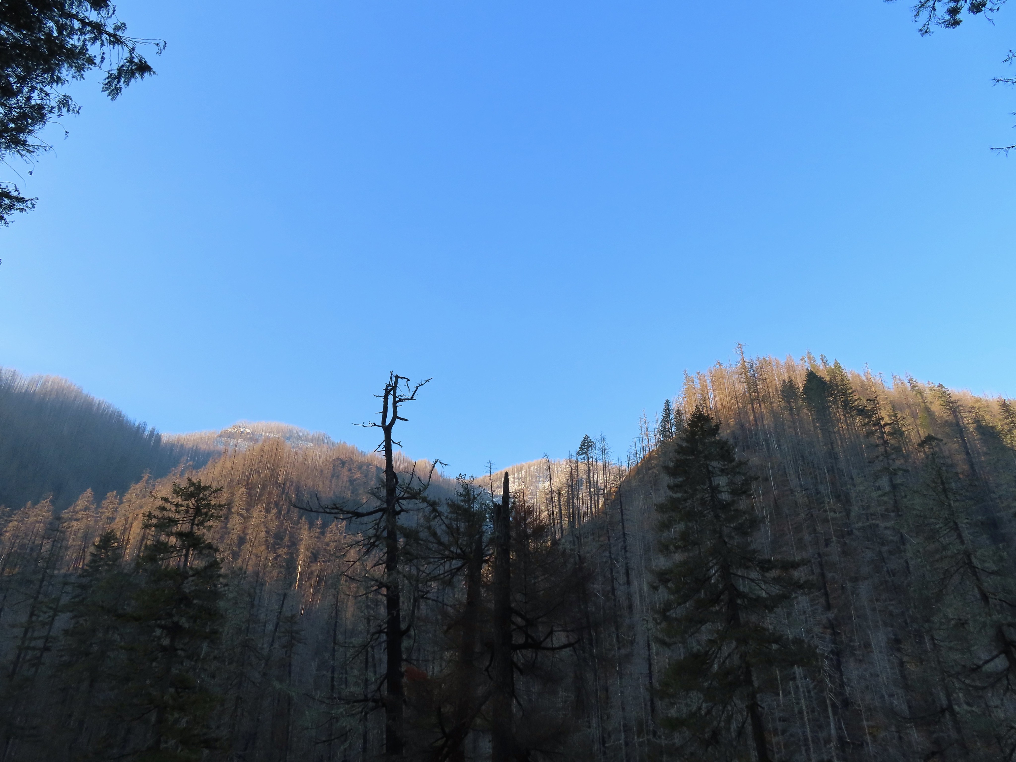 More snow on the ridge.
 Fern Creek Bridge
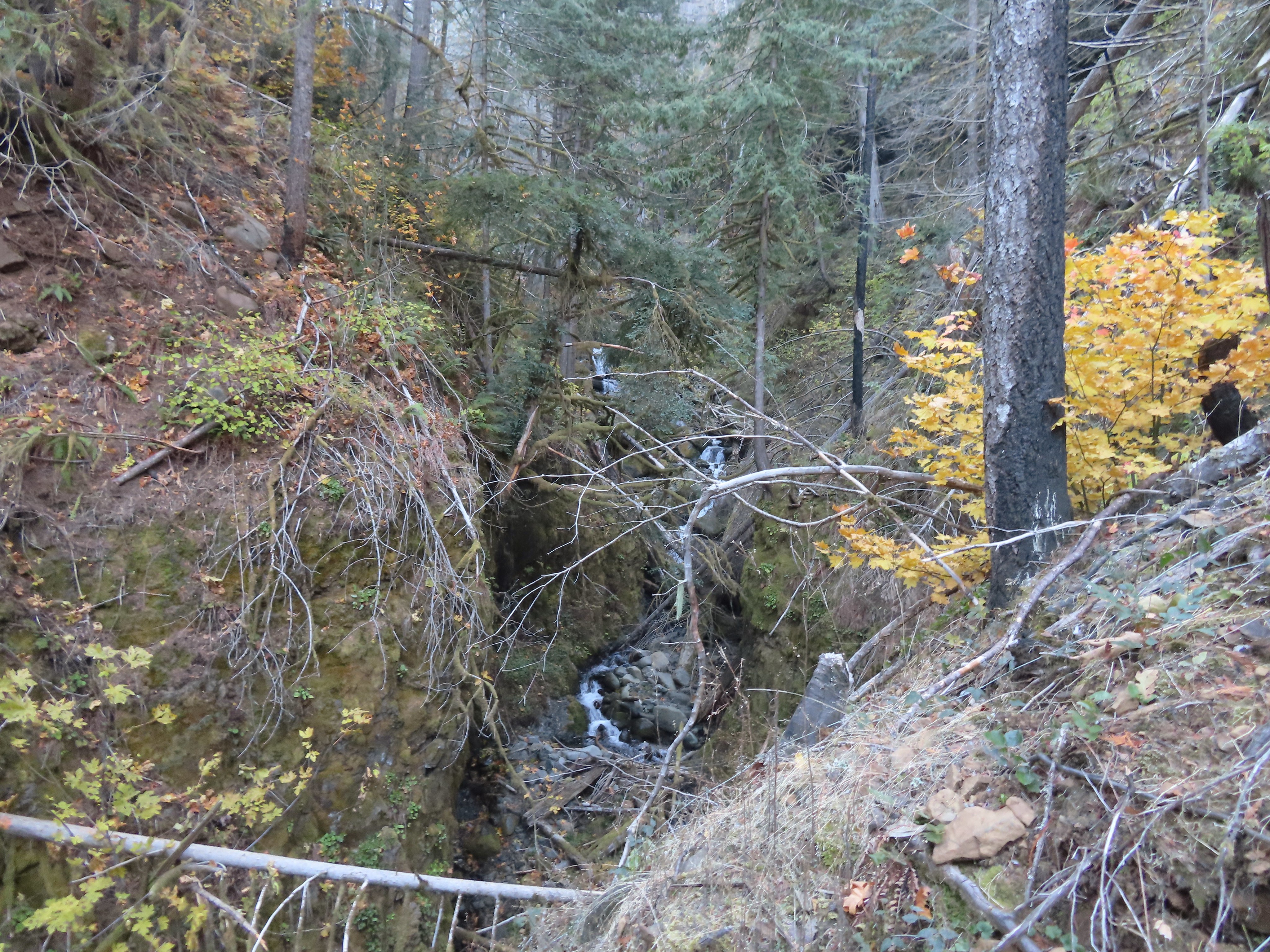 Fern Creek


 Careful where you step.
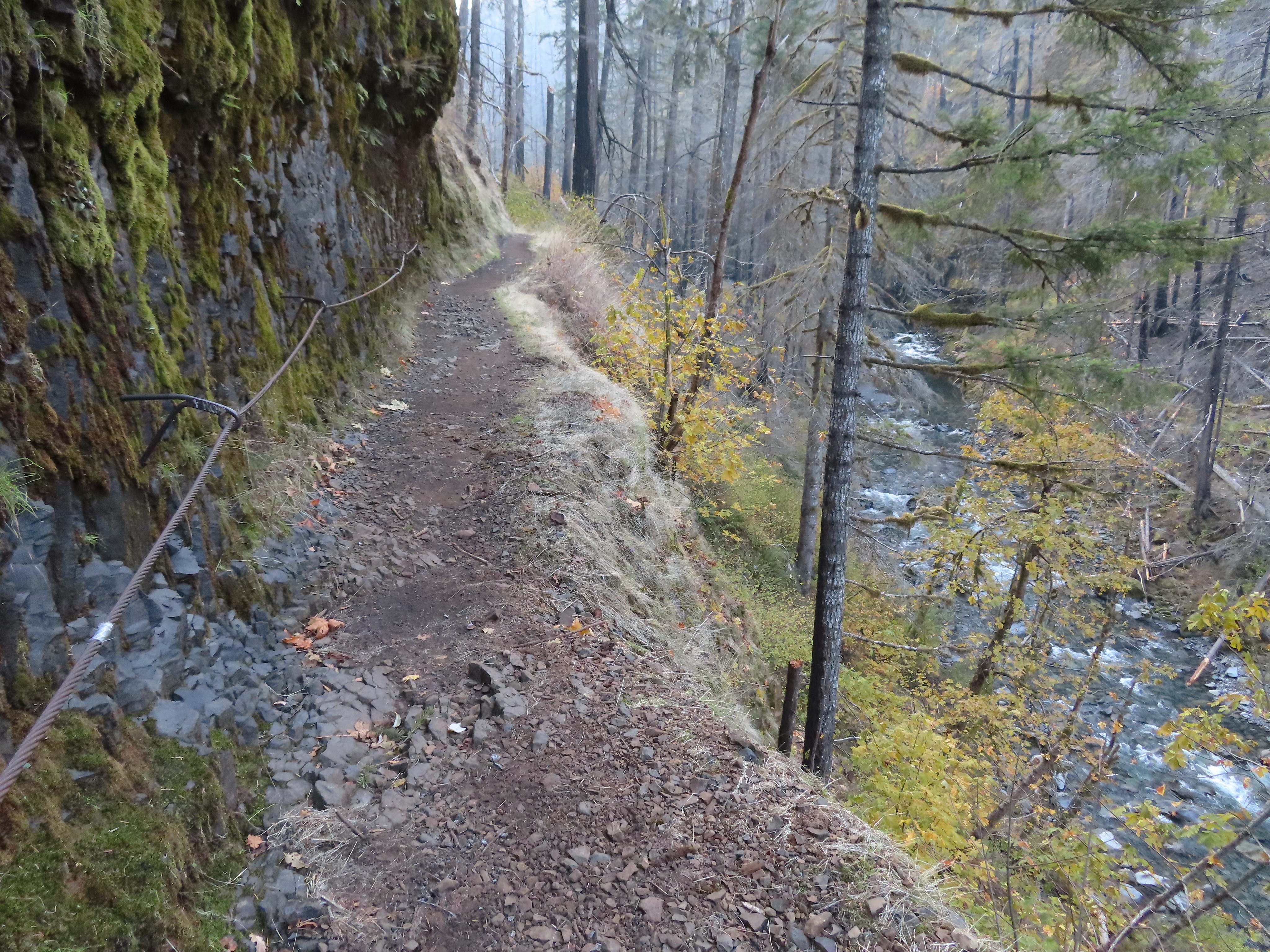 The last part was ice free.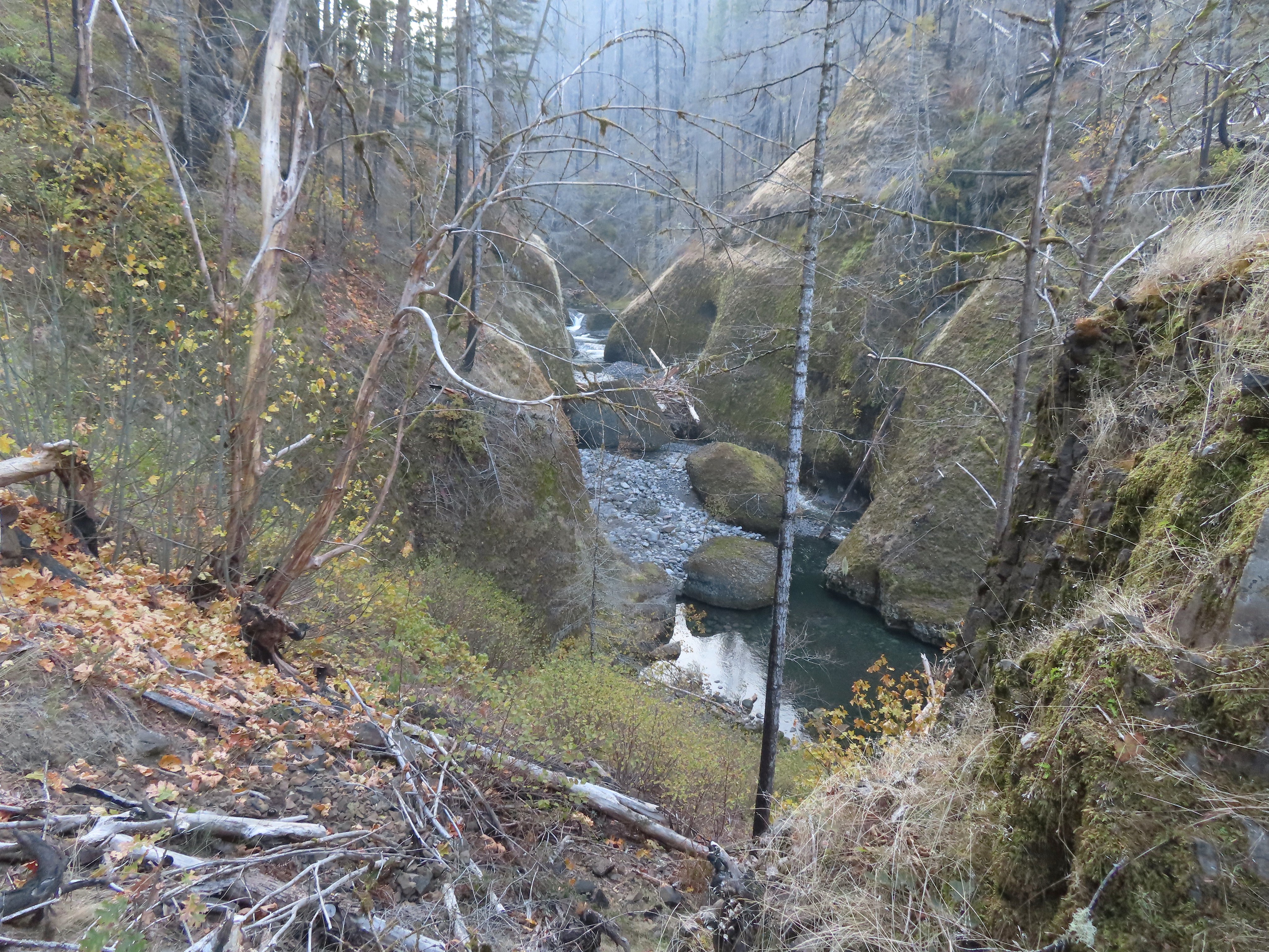
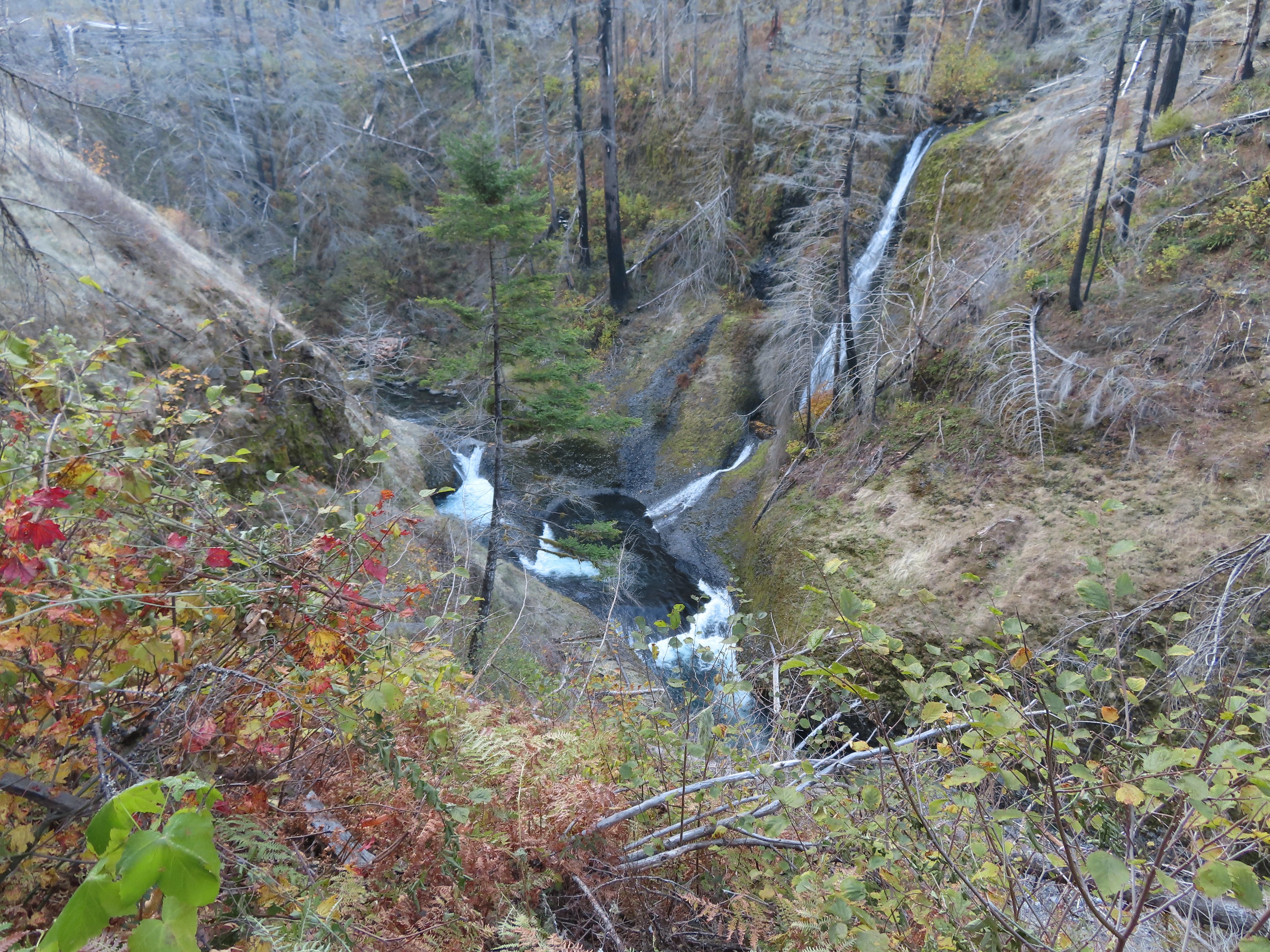
 Passing Loowit Falls.
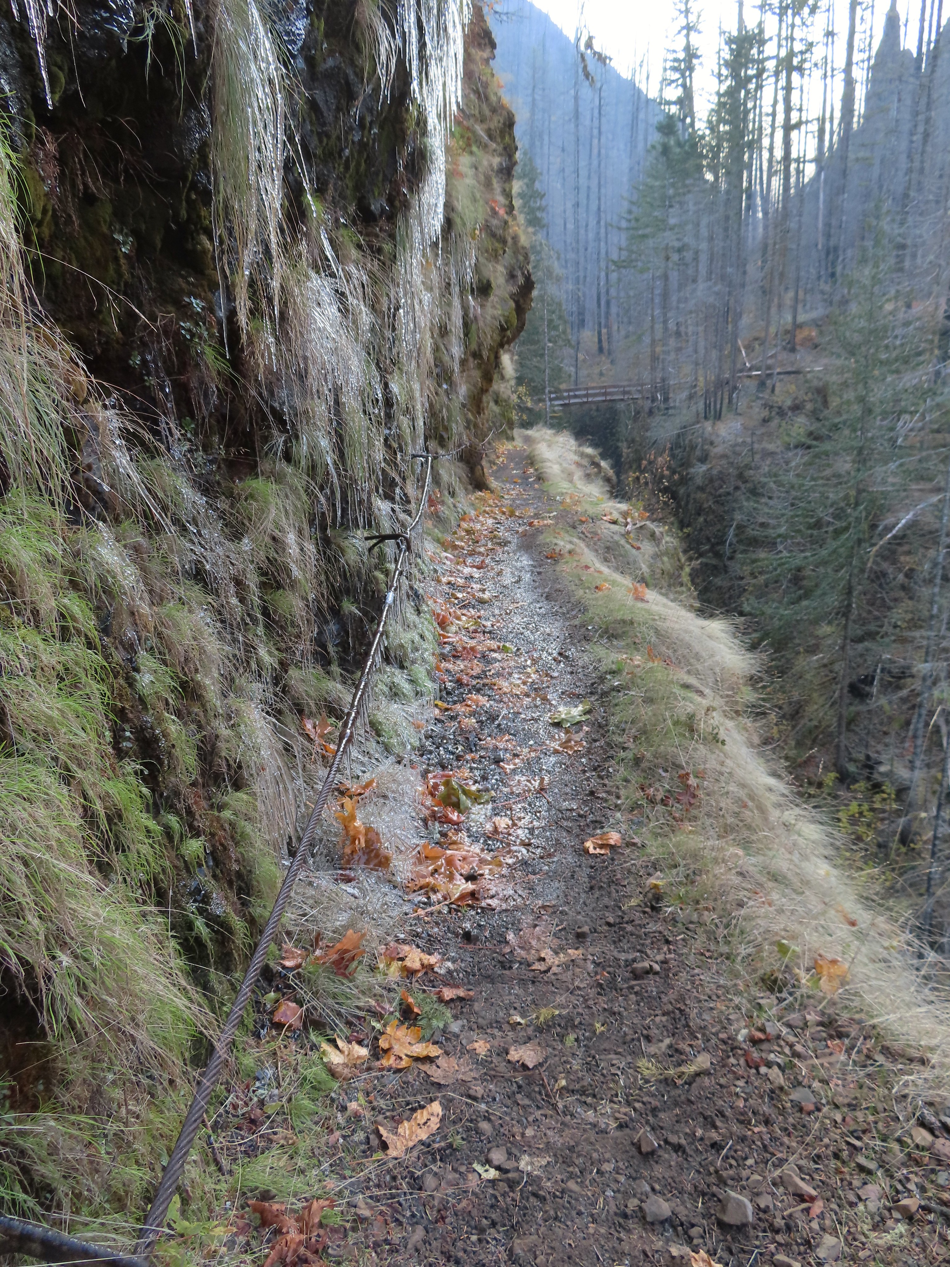 More cable passing Loowit Falls with High Bridge in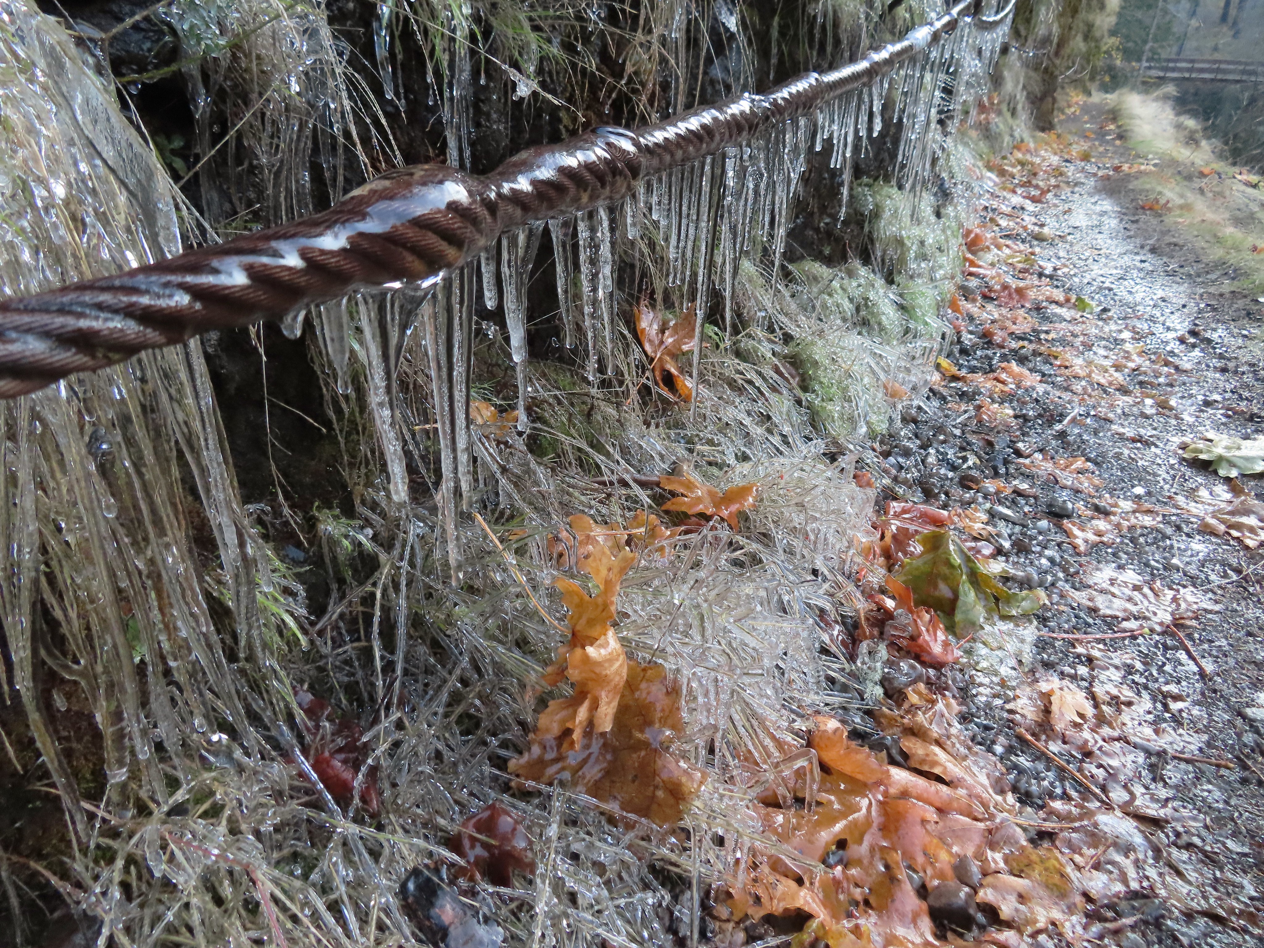


 Eagle Creek from High Bridge.
 Eagle Creek from High Bridge, looking upstream.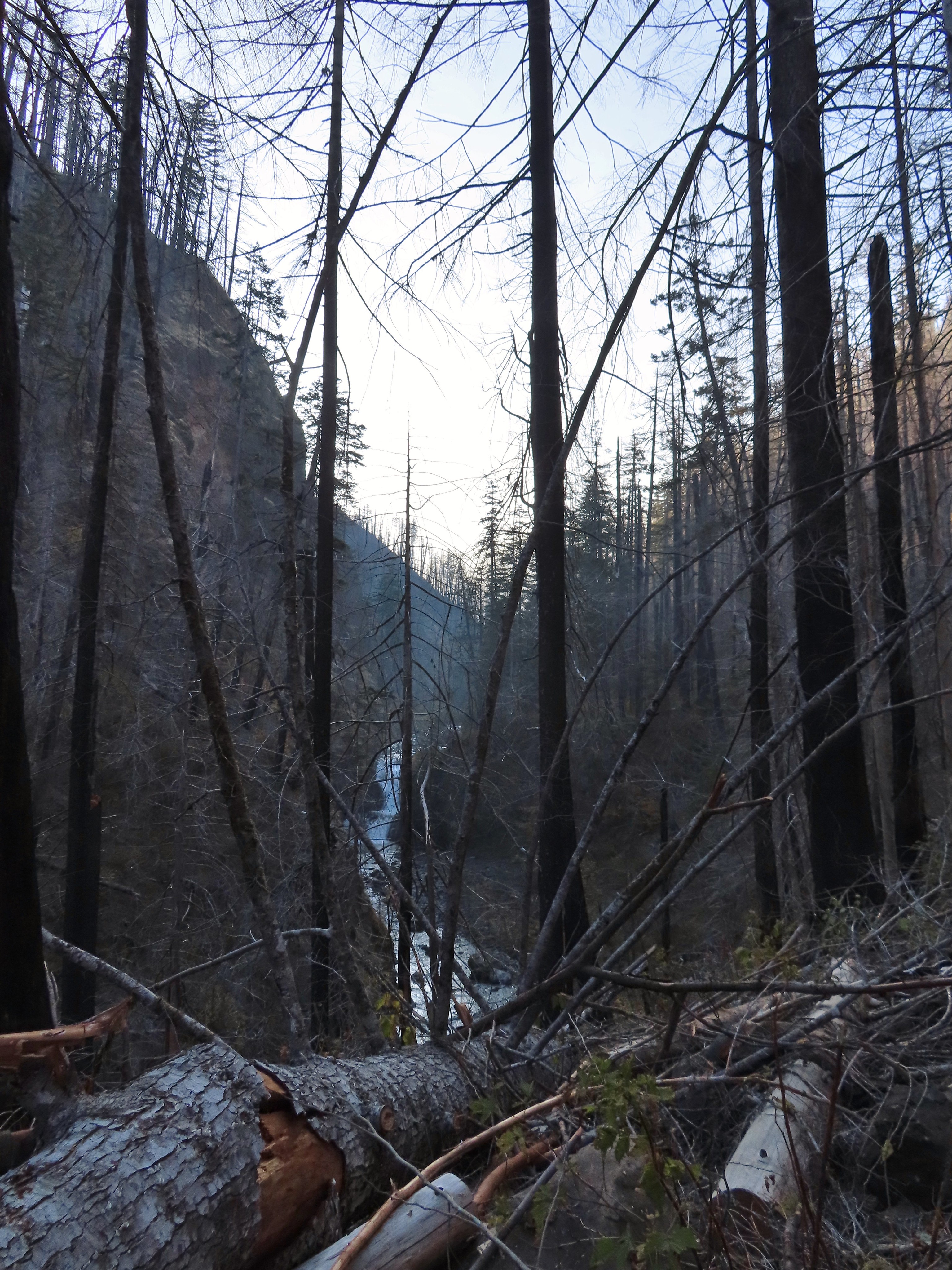
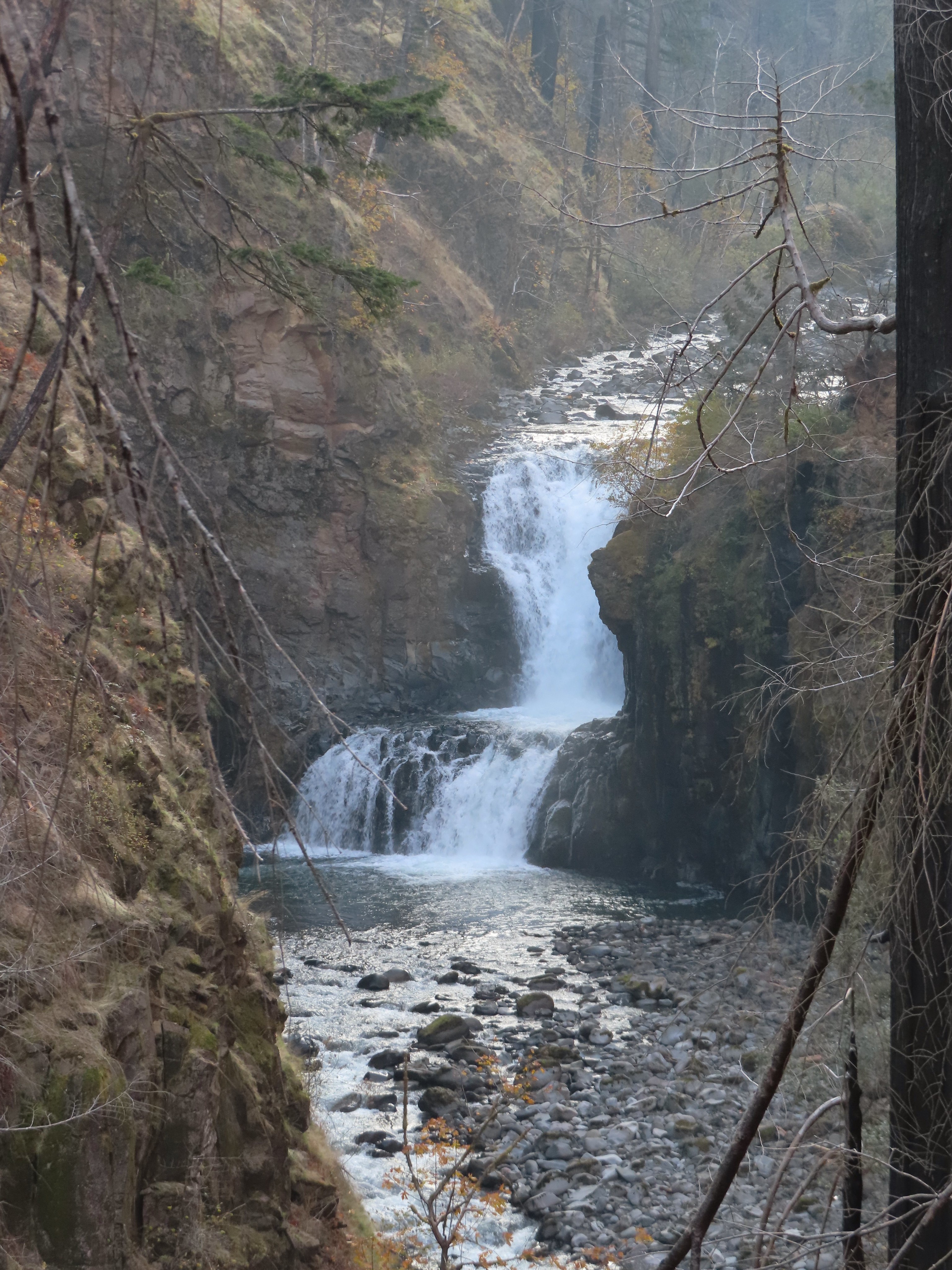 Skoonichuck Falls
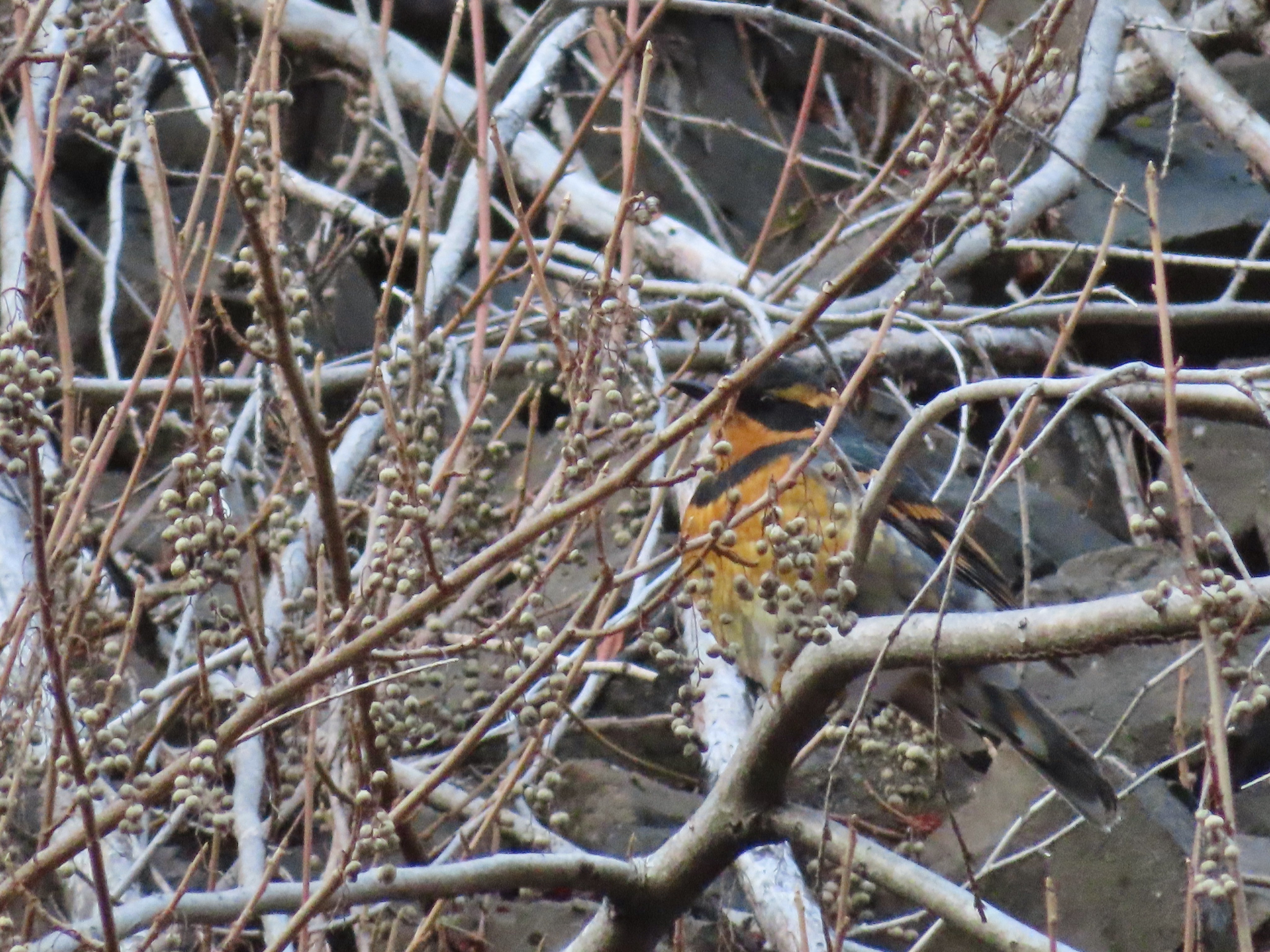 Not my worst varied thrush photo.
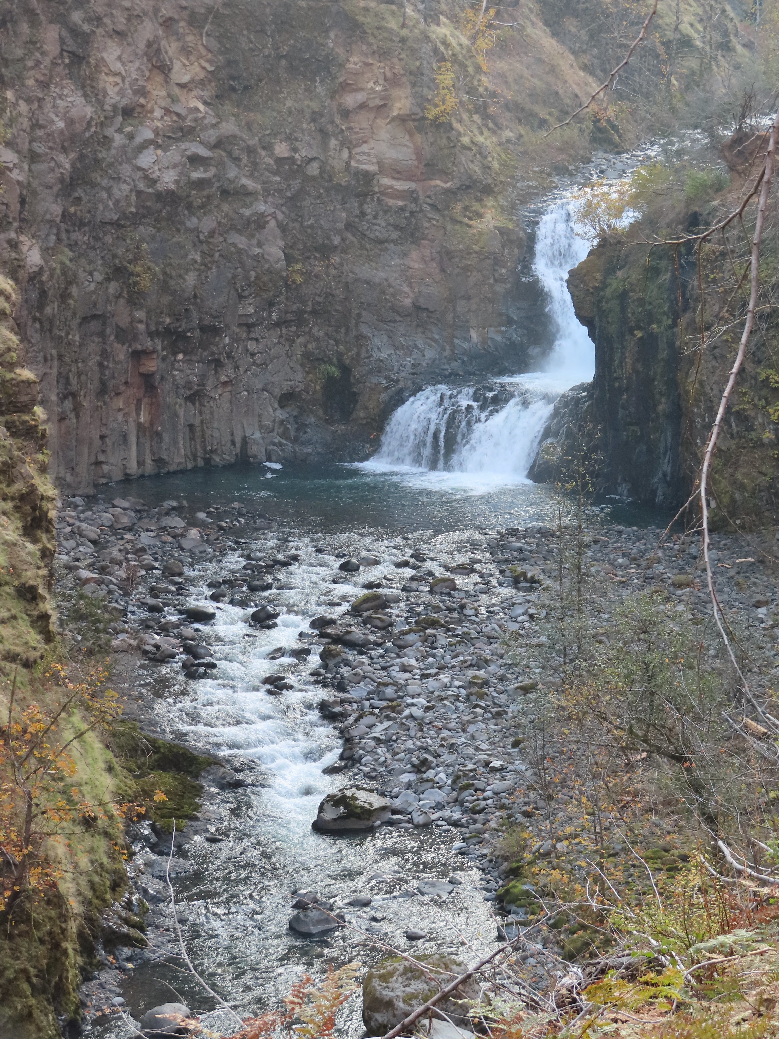 Another nice view of Skoonichuck after I’d given up on the thrush.
 Sad looking penstemon but I’m counting it as a flower.
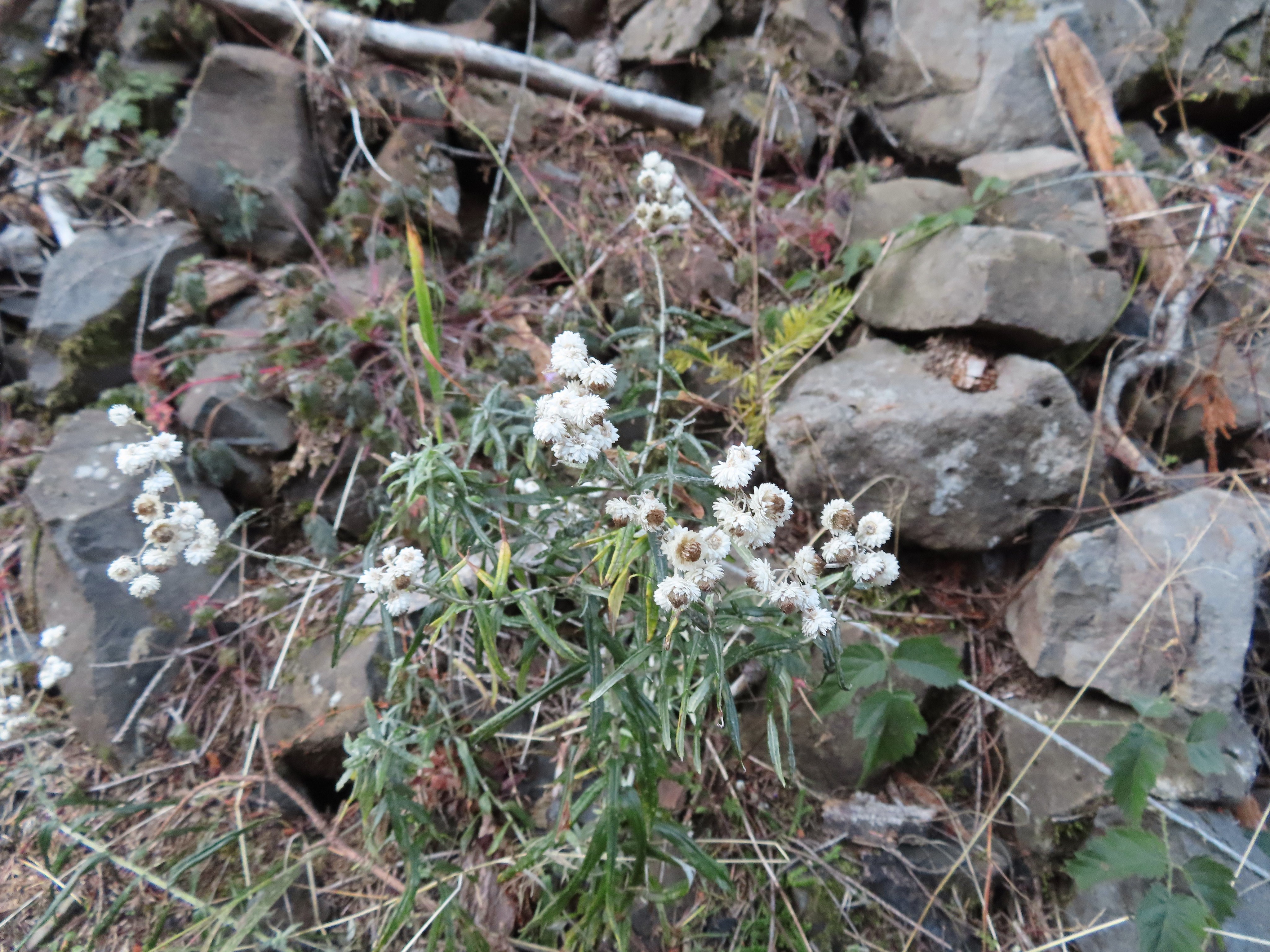 Some nearly as sad pearly everlasting.
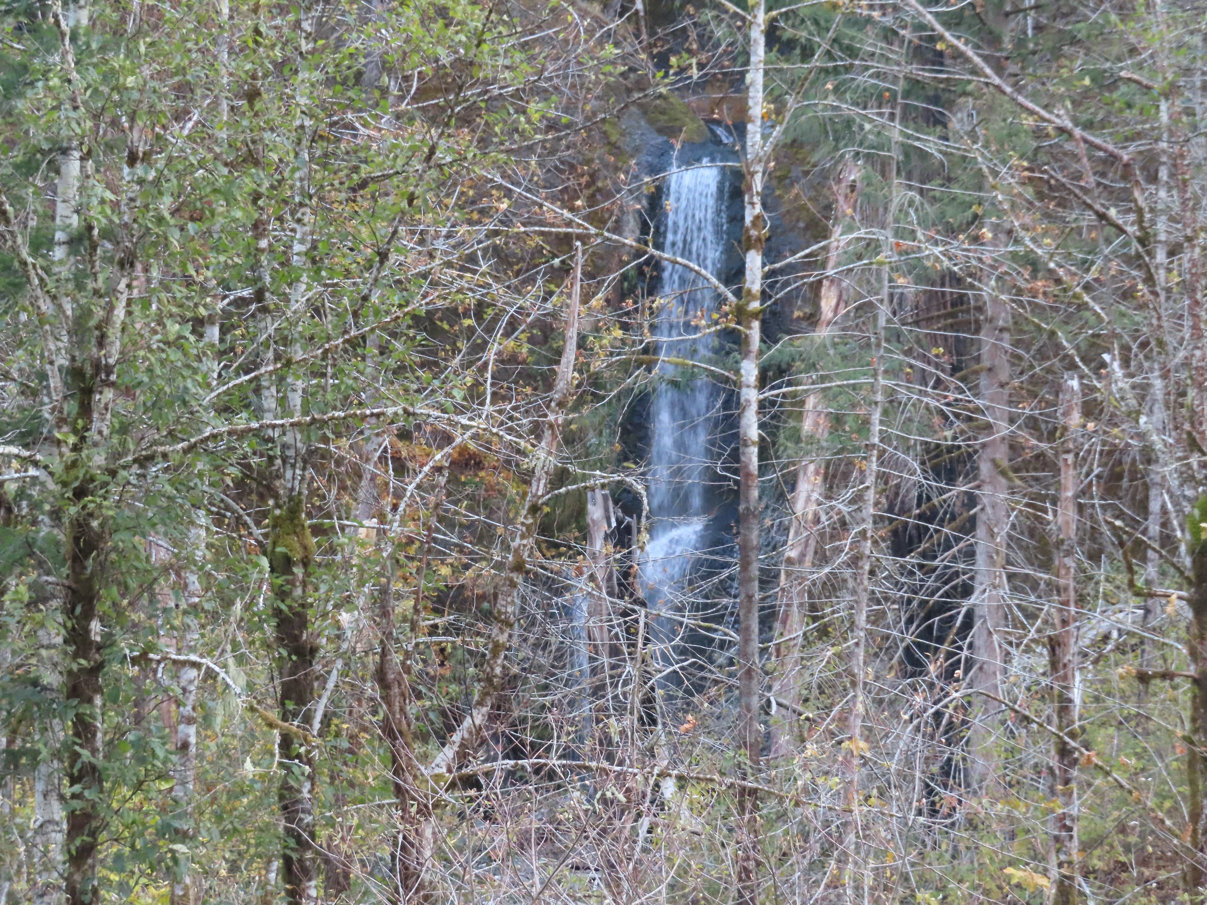 This fall was visible across the creek on an unnamed creek (at least on the maps I’ve seen).
 I arrived at nearly the same time as the Sun.
 Beach and Summer swimming hole at 4 1/2-mile bridge.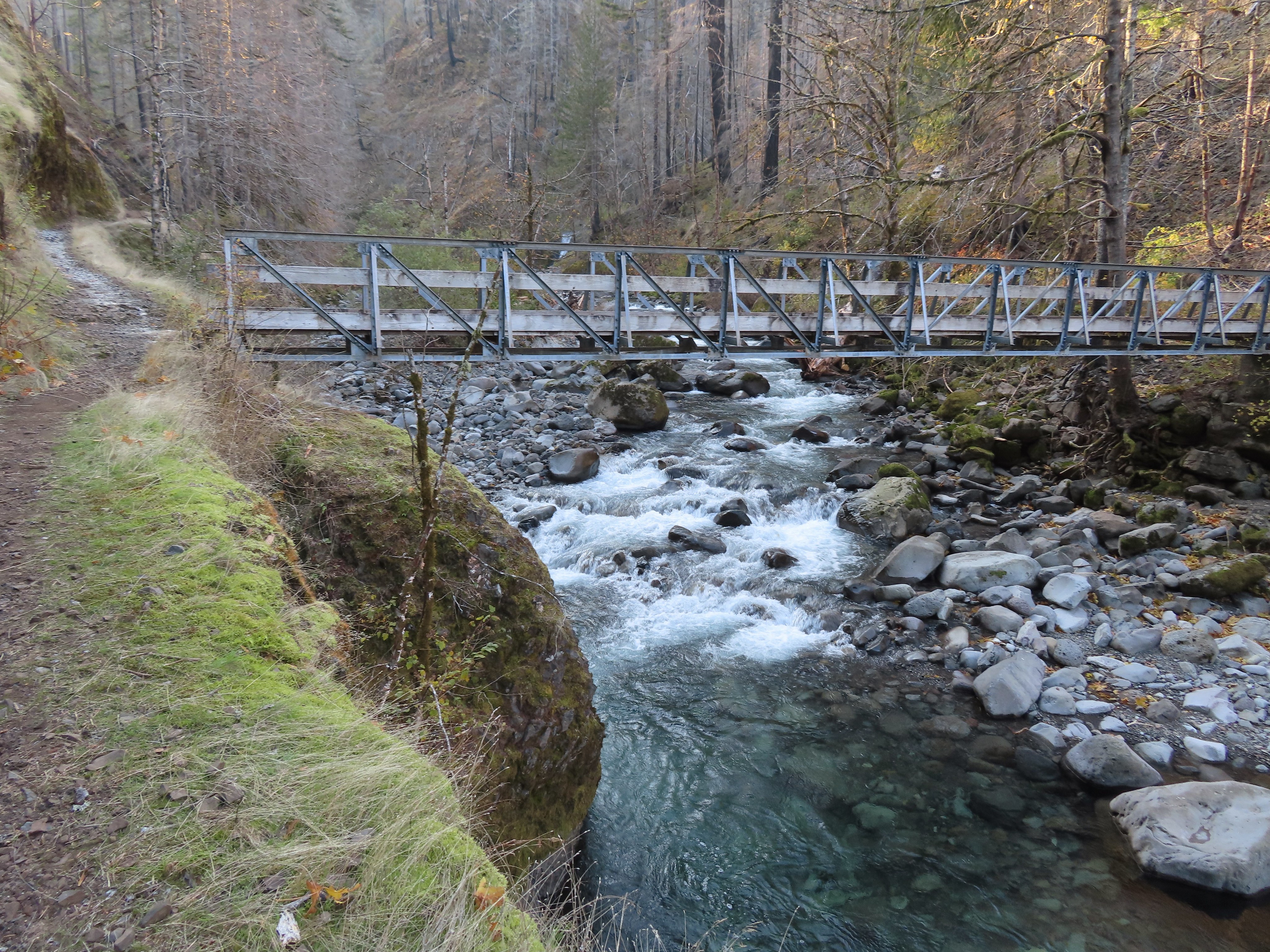
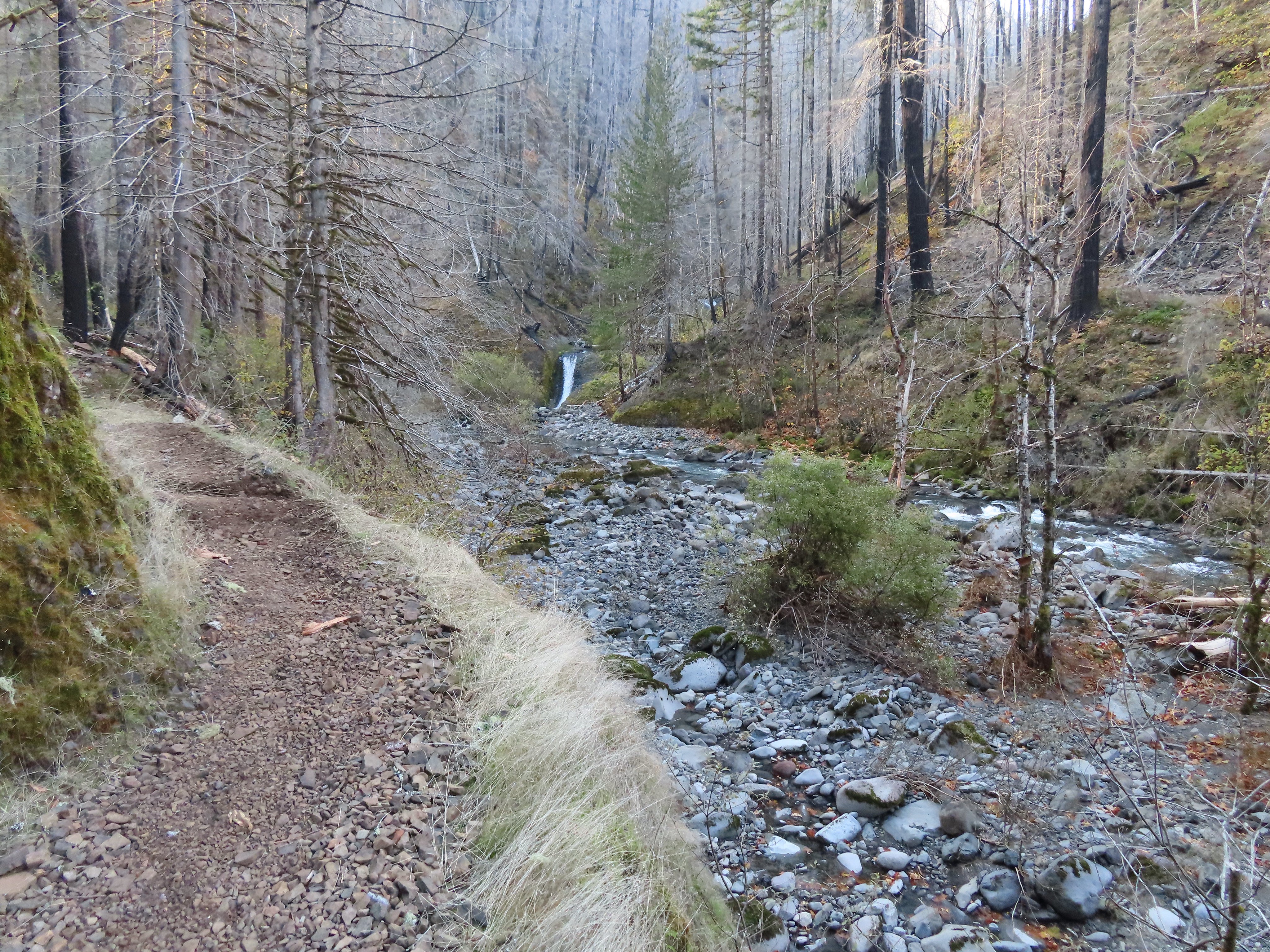
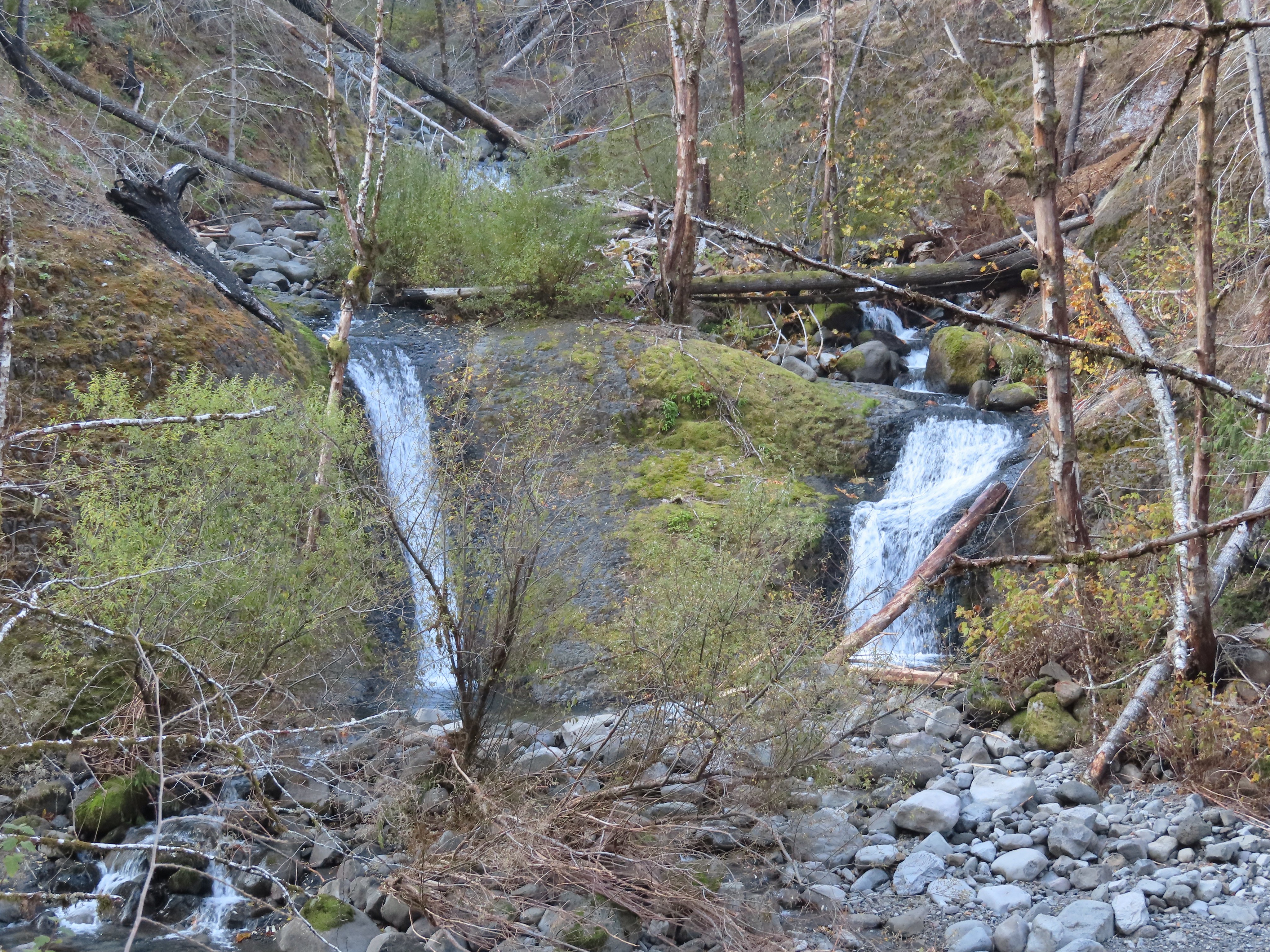 Tenas Falls
 Opal Creek flowing into Eagle Creek.

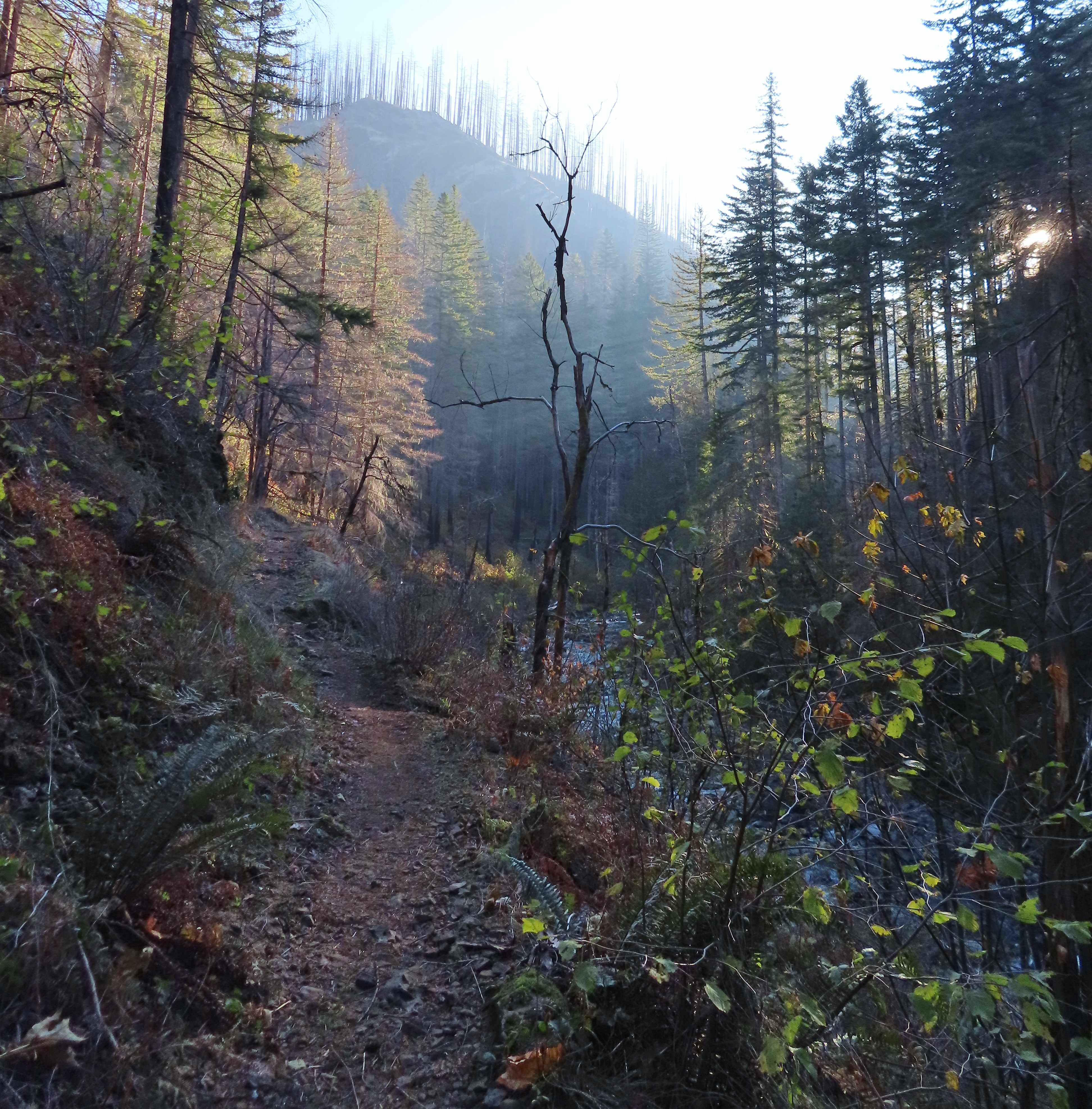

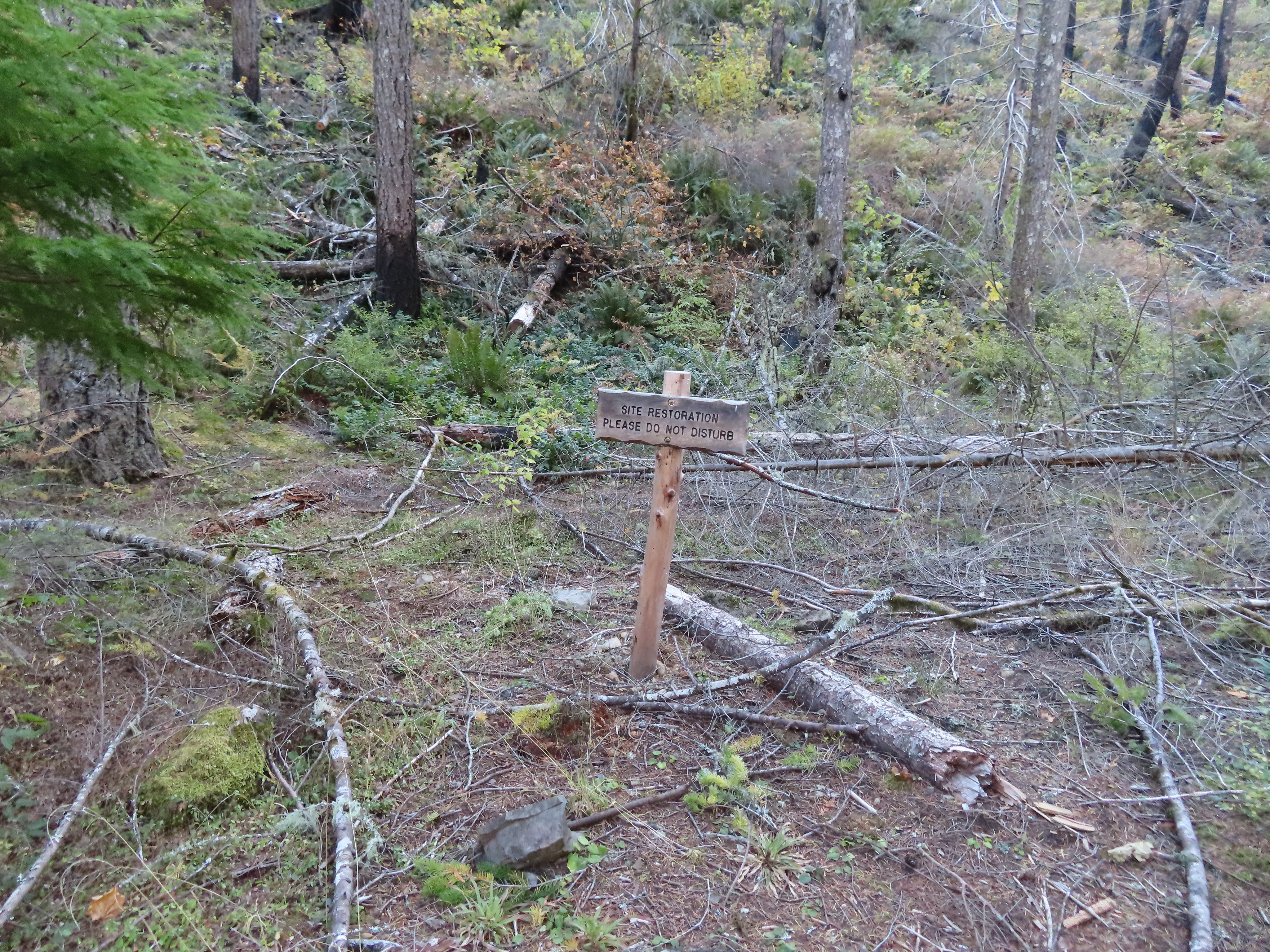
 The wilderness begins a little over 5.5 miles from the trailhead.
 A bluebird sky above a few green topped trees.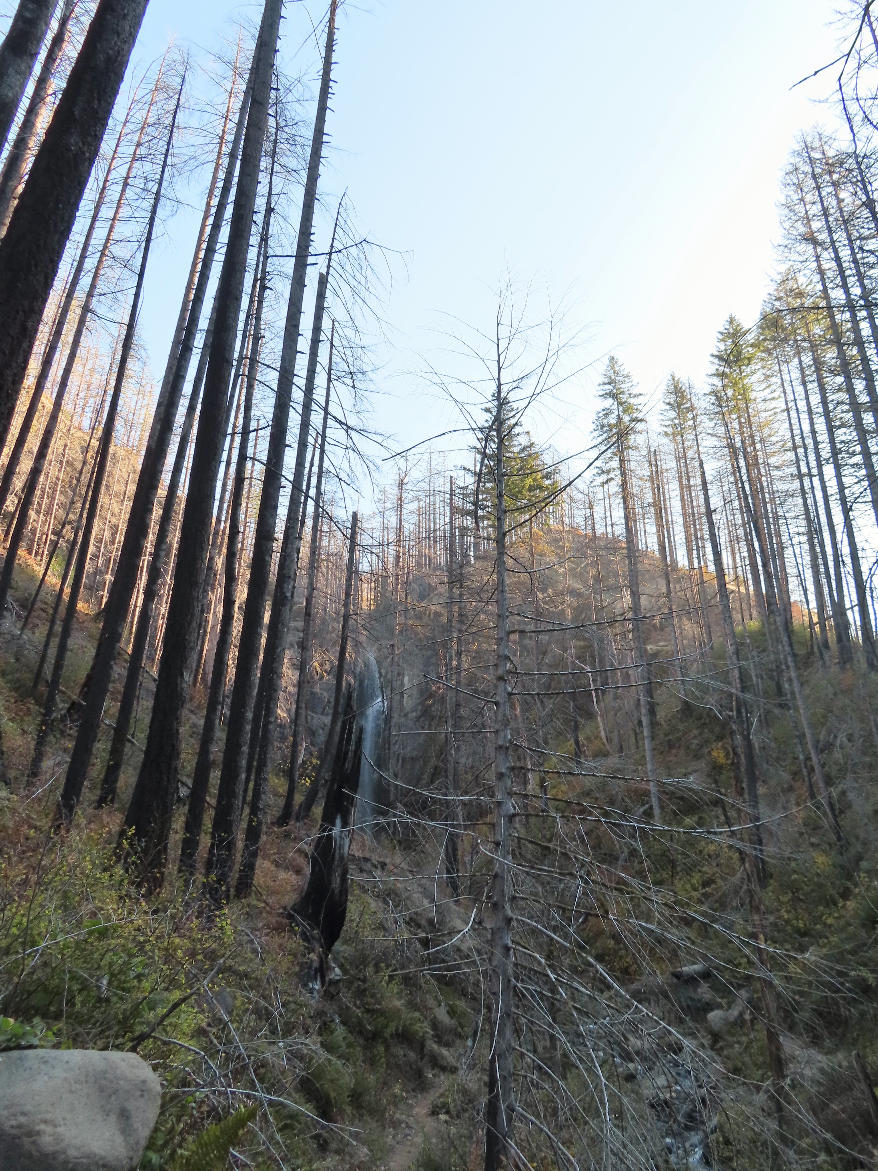

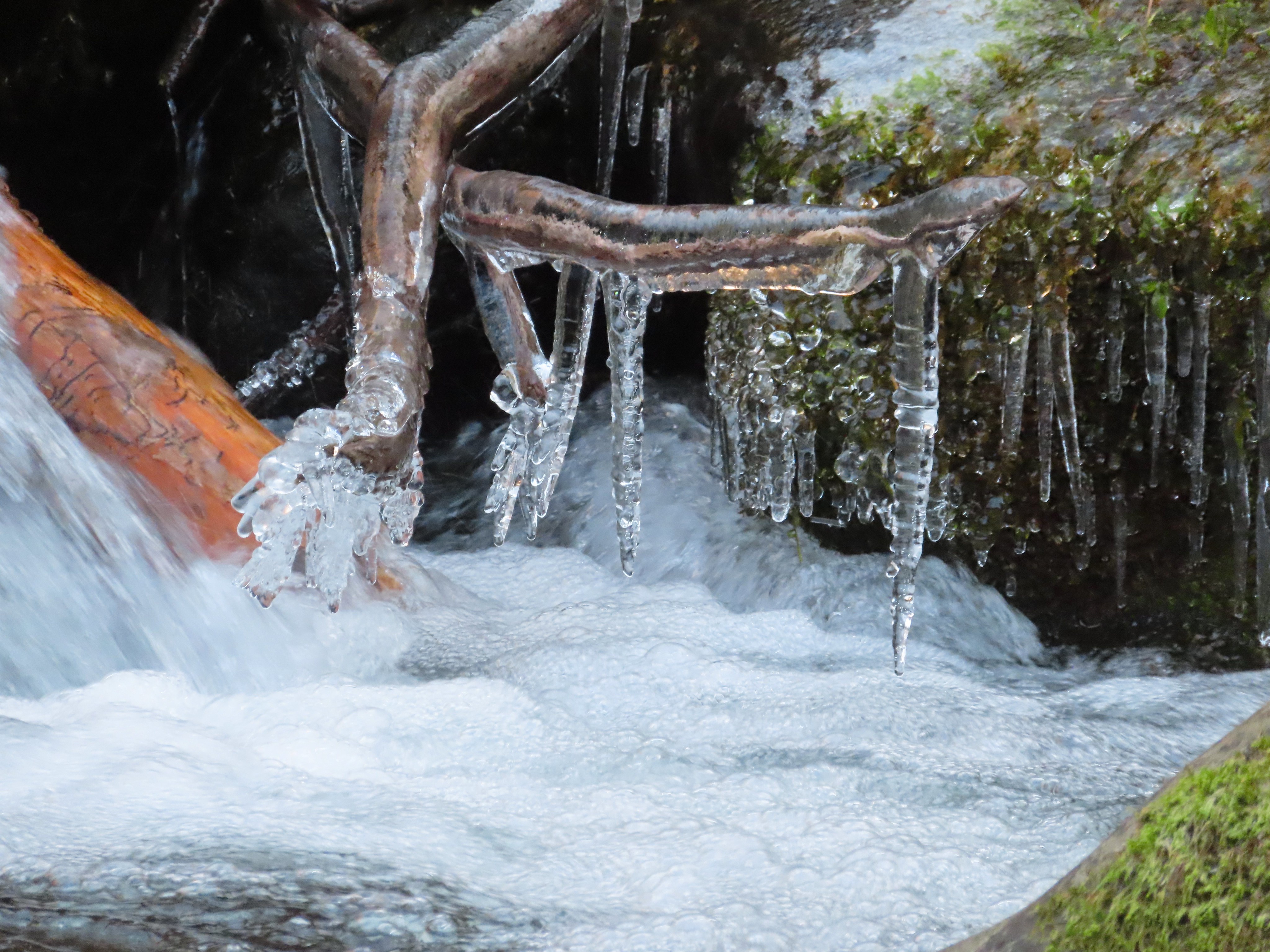

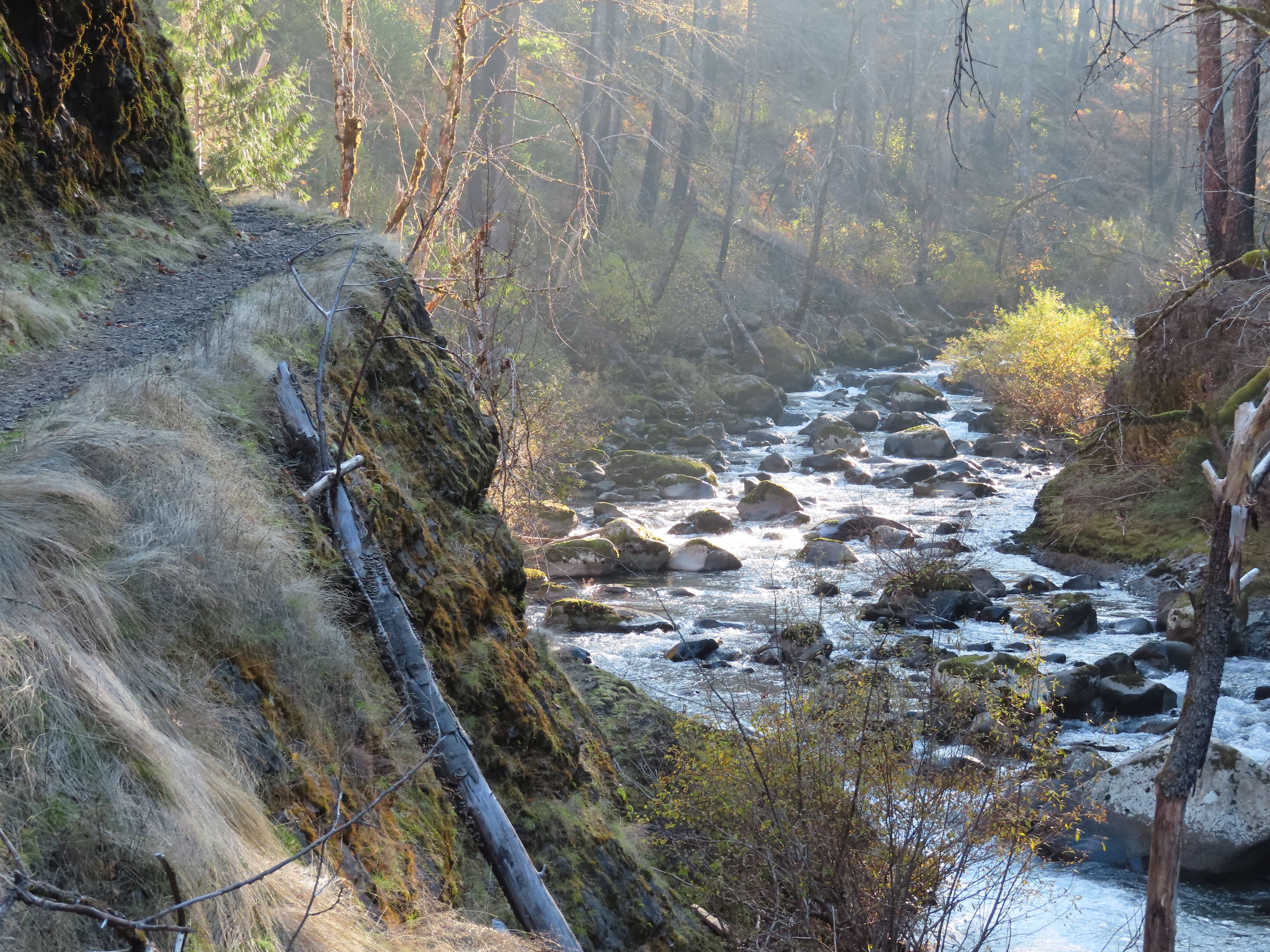
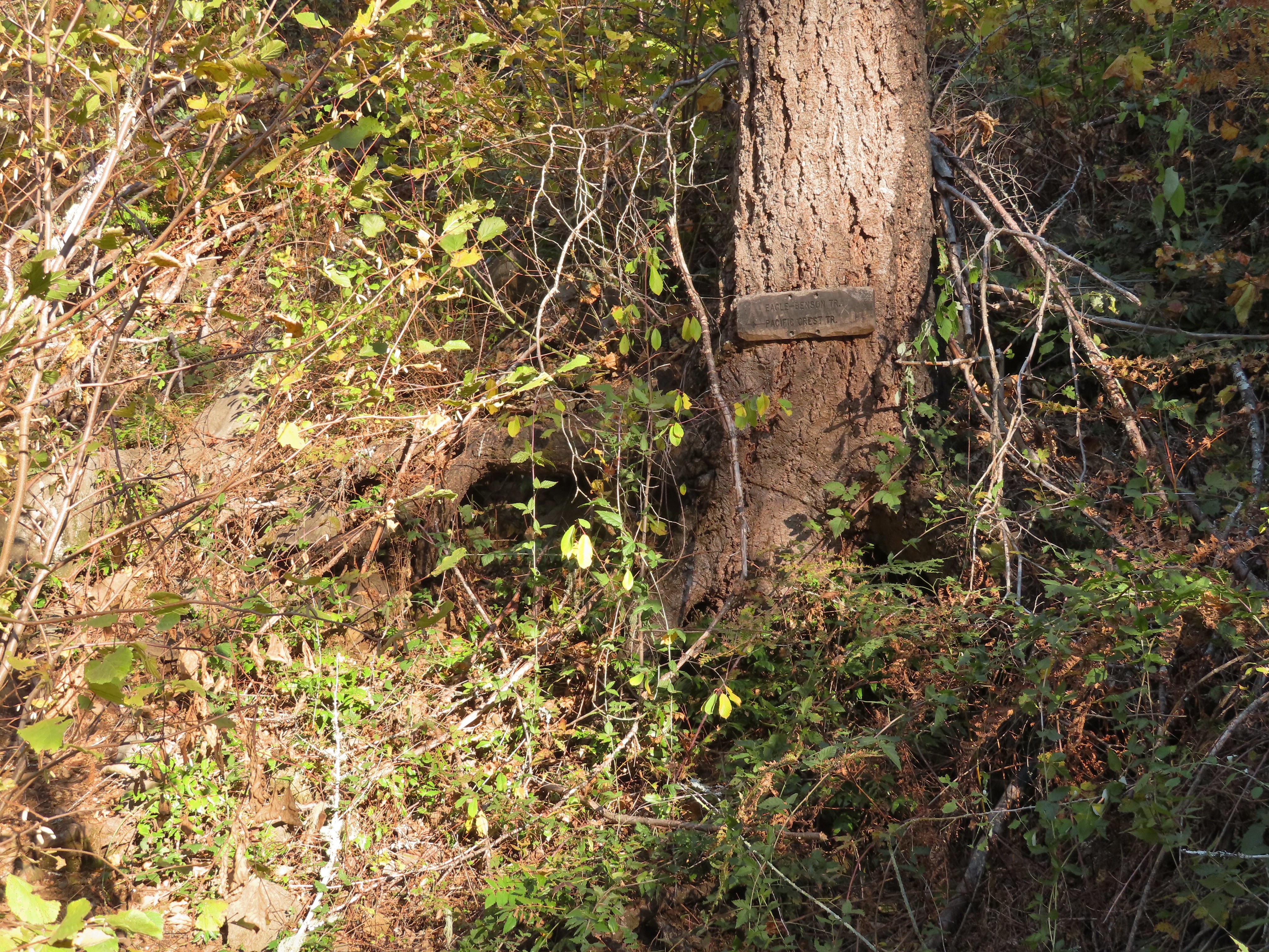 Near the six-mile mark I passed the signed Eagle-Benson Trail which hasn’t been maintained since the fire, in fact the sign was the only sign of a trail here.
 Sunrays over Eagle Creek.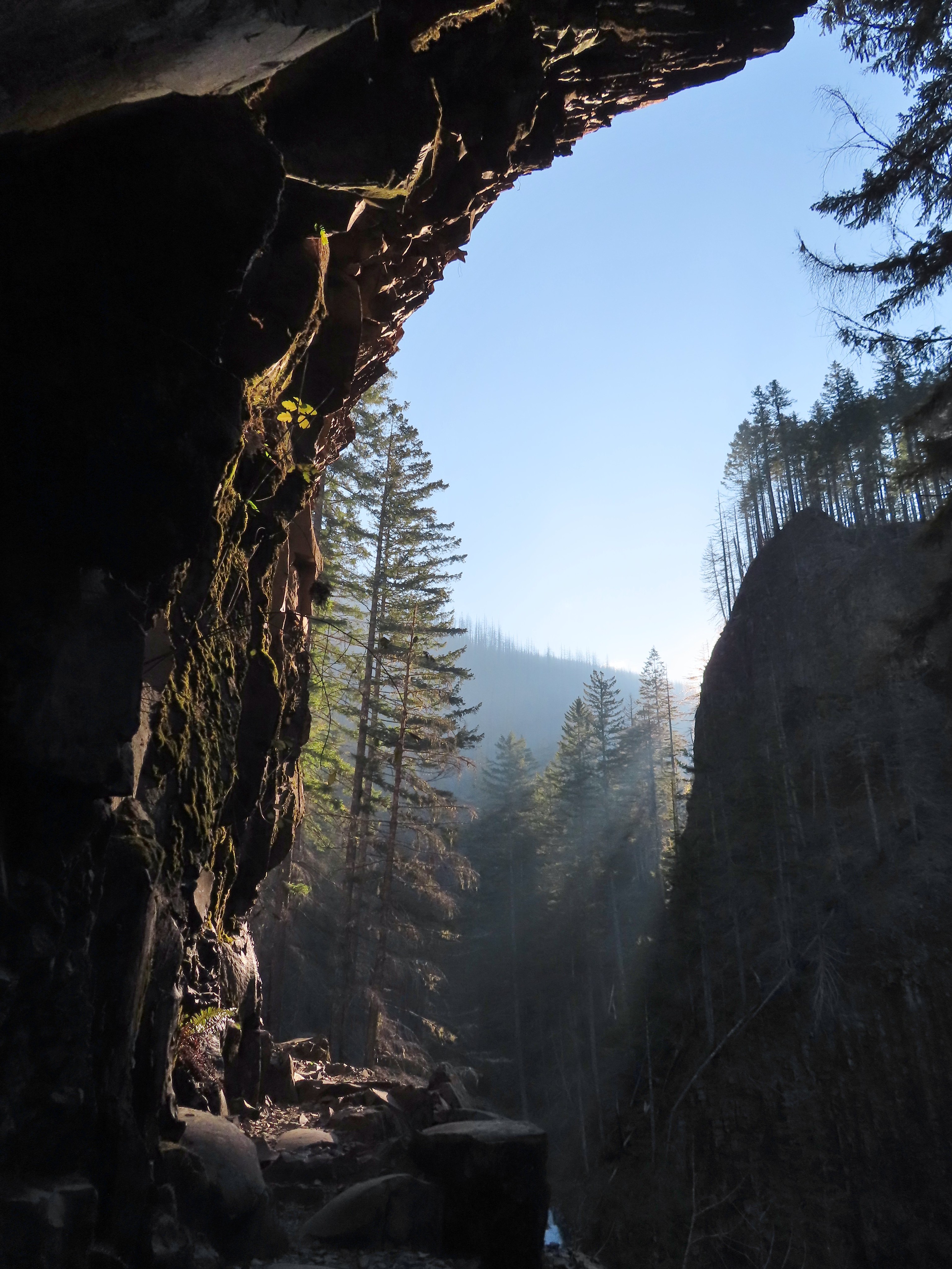
 Note the hexagonal shape of the basalt columns making up the trail surface here.
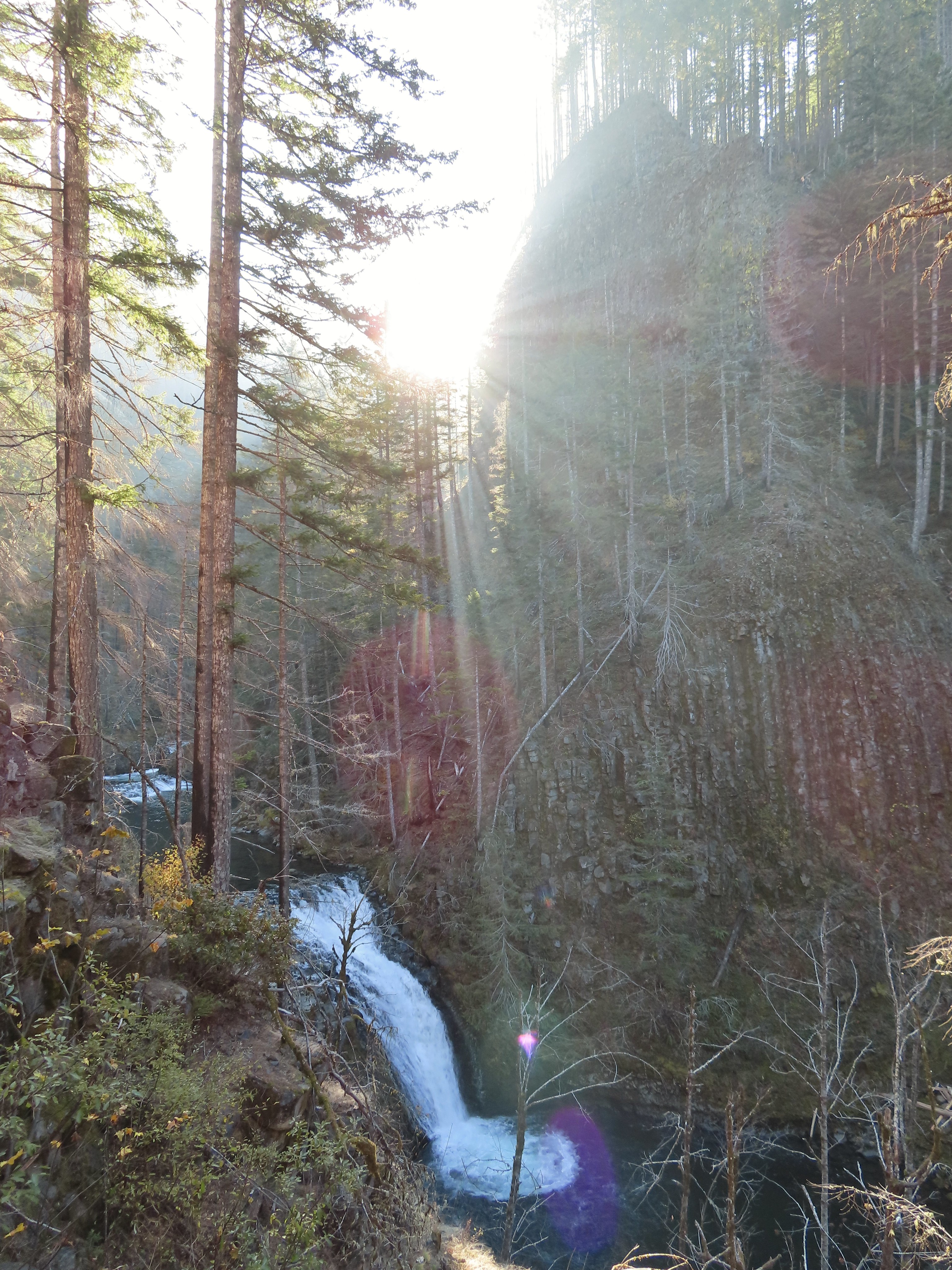 Grand Union Falls
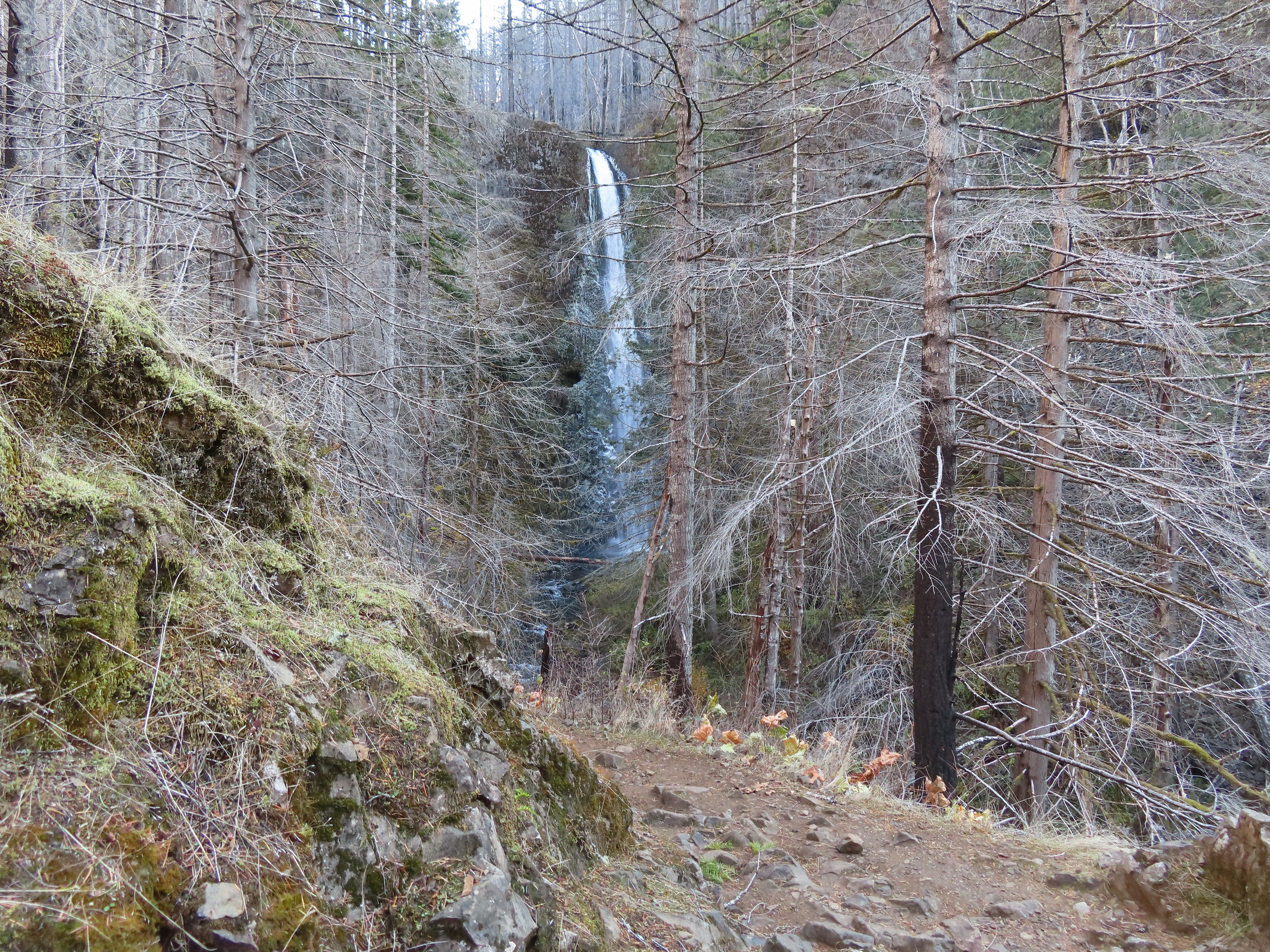
 Tunnel Falls on East Fork Eagle Creek.

 I had brought my micro spikes just in case, but even though there were some impressive ice features there was enough good footing (and cable) to not require putting the spikes on.
 The slickest section was exiting the tunnel here.


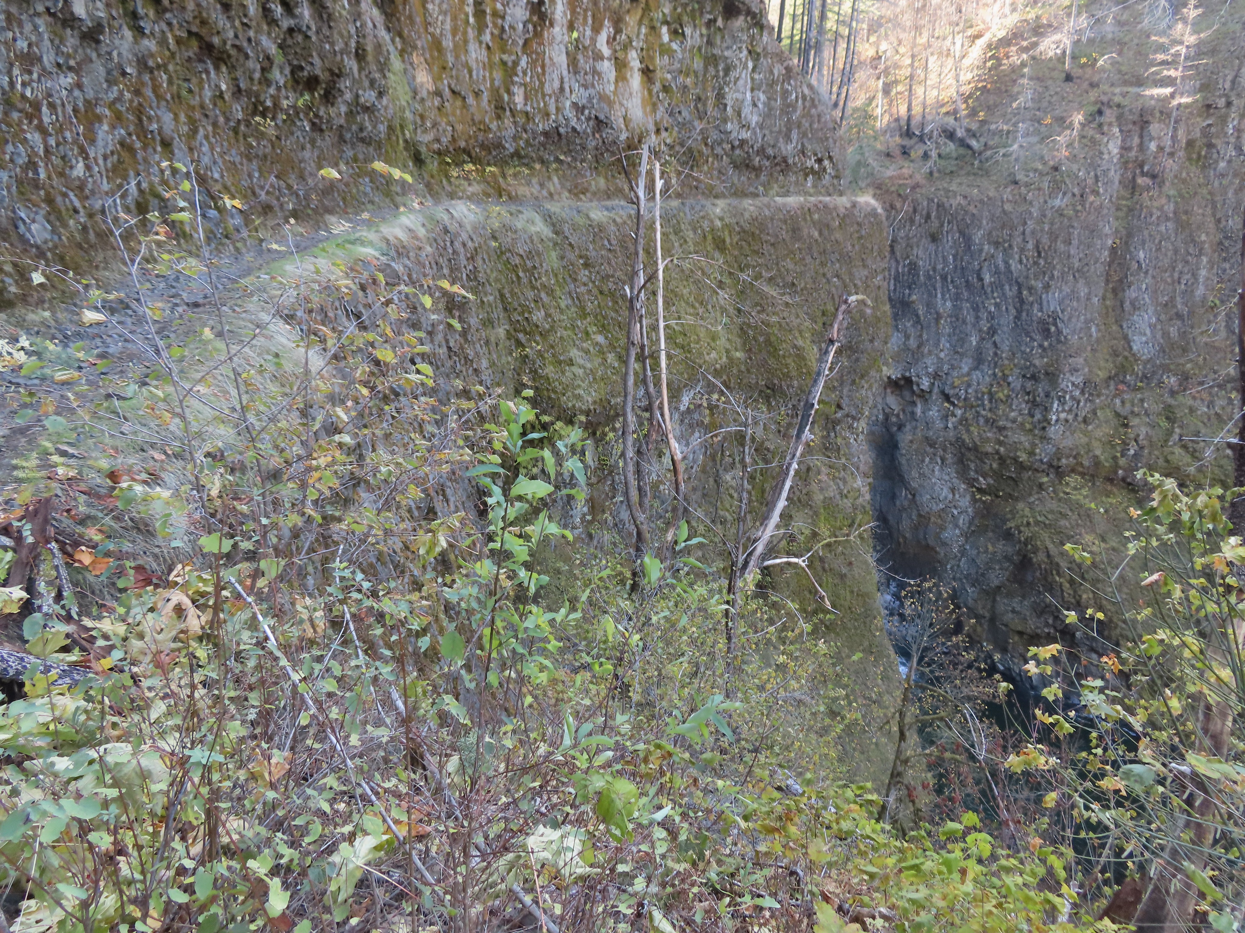
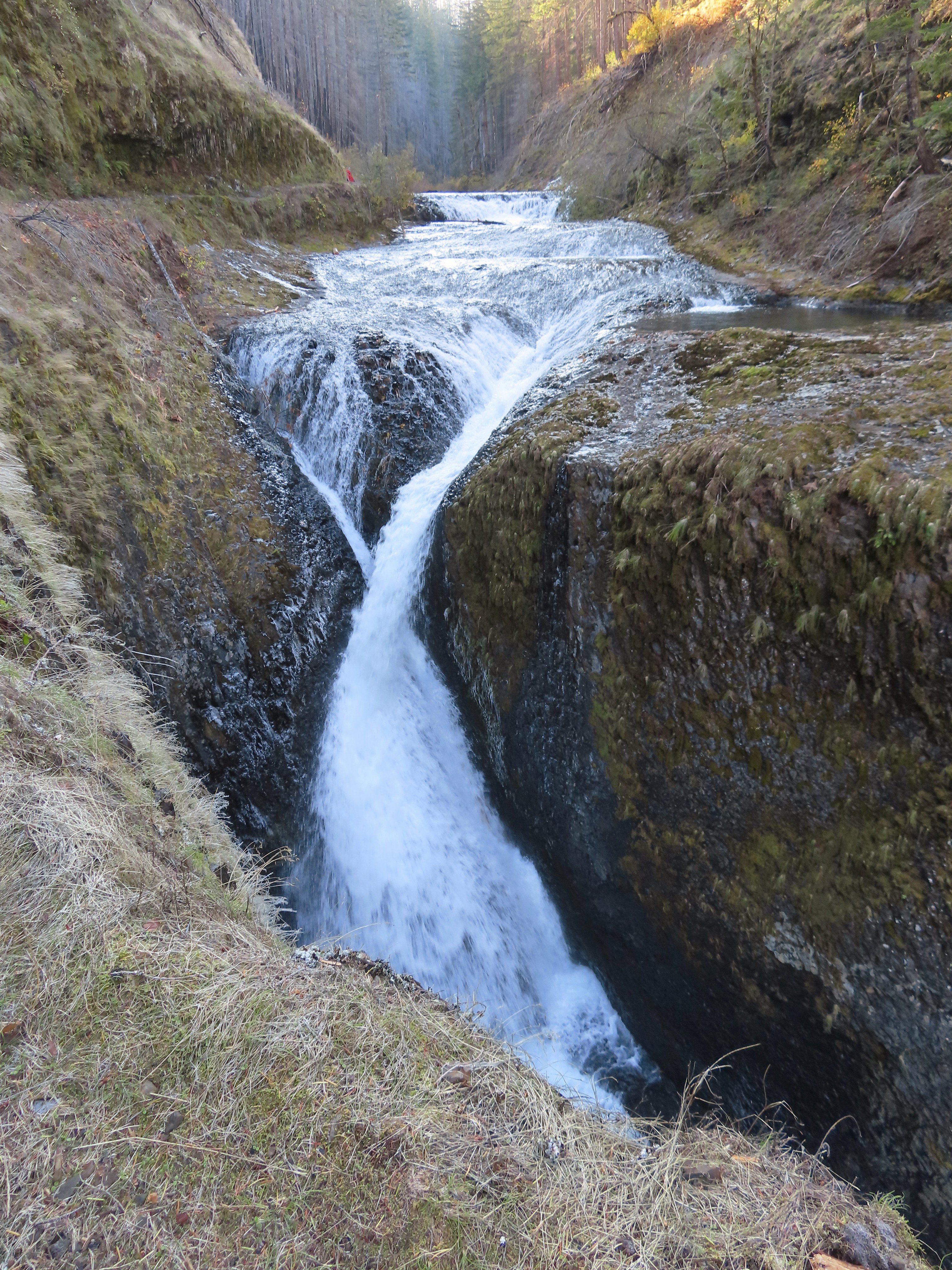
 This was the trickiest section but again there was just enough good footing to allow passing without need spikes.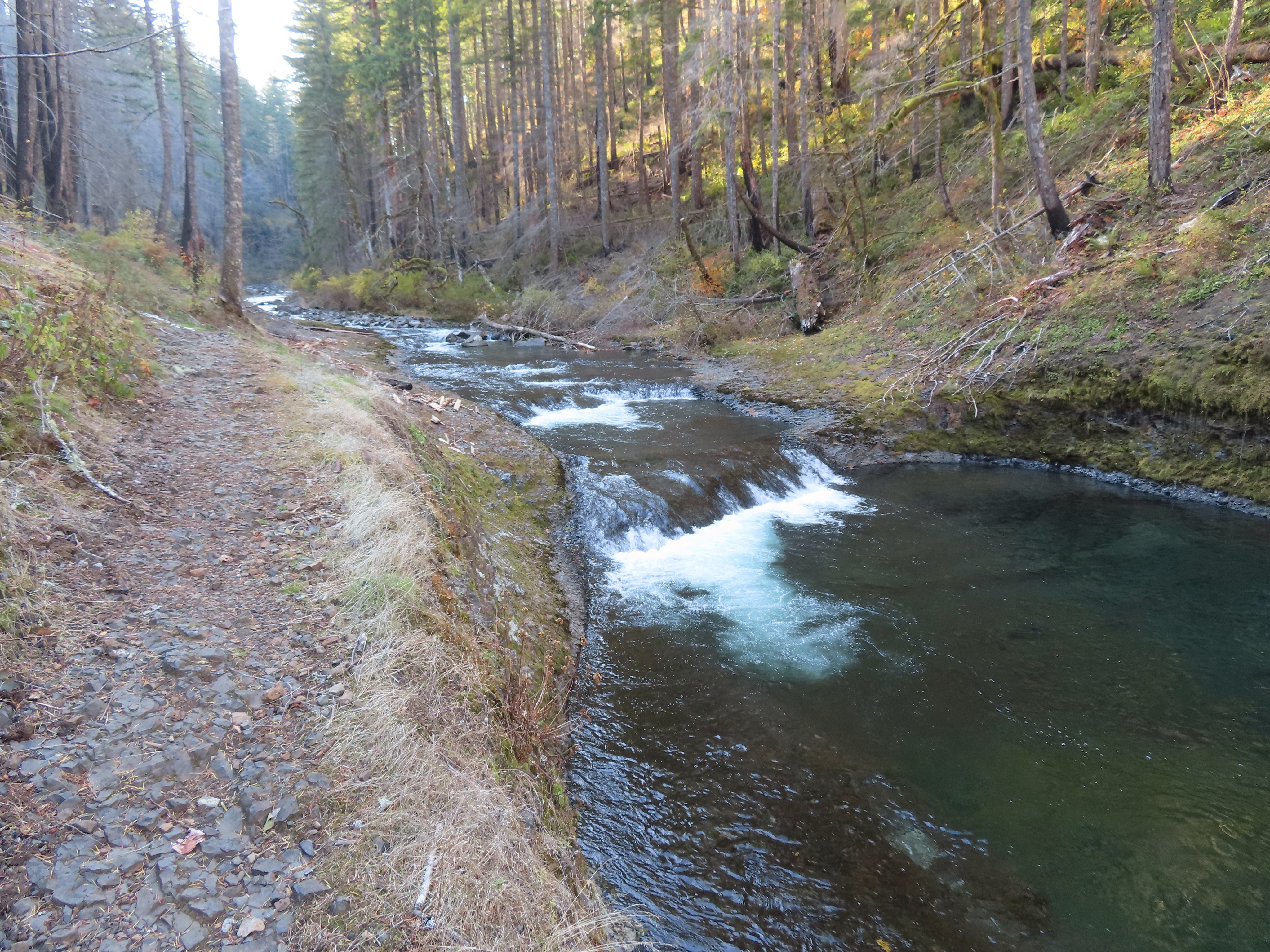
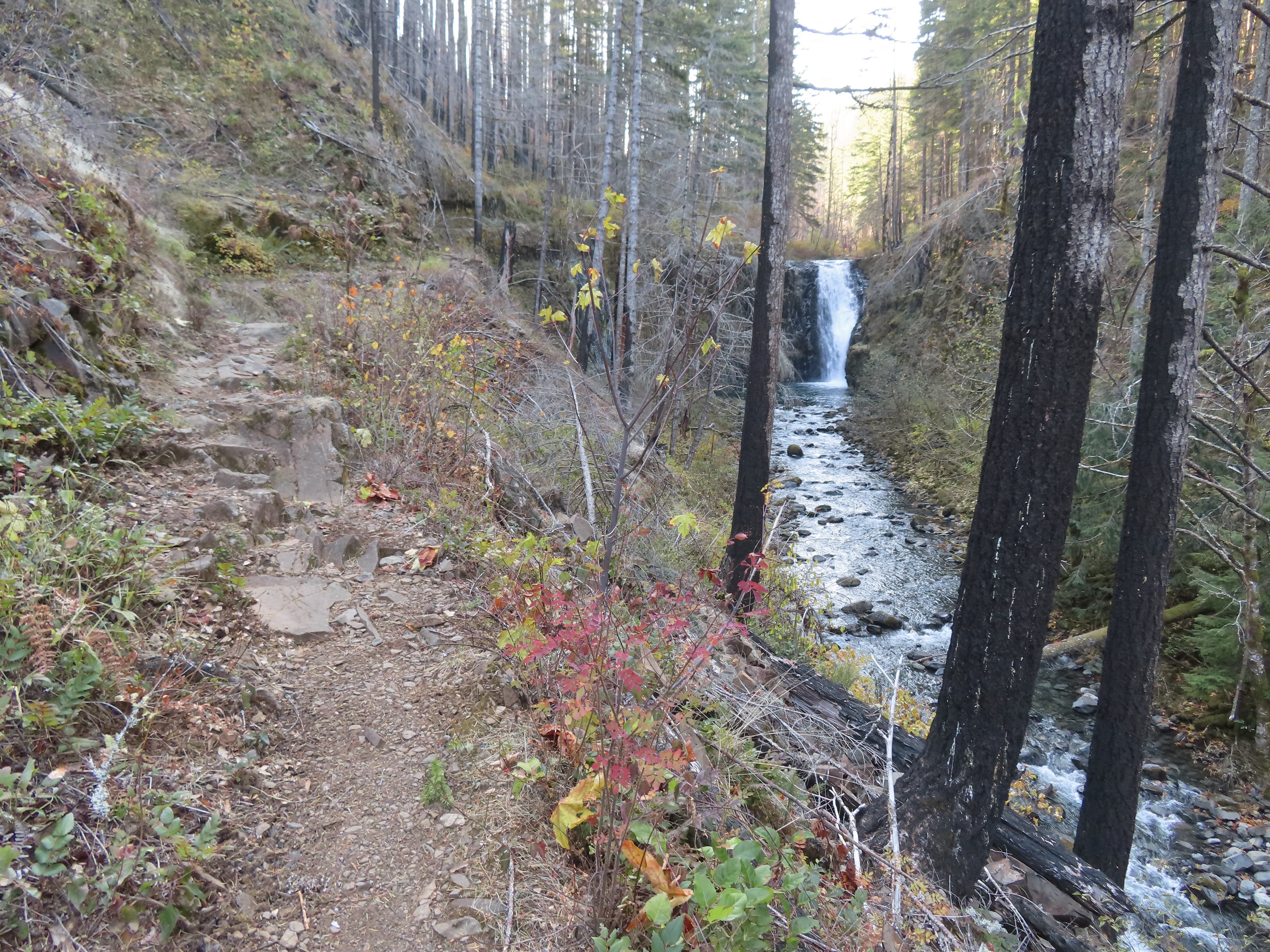
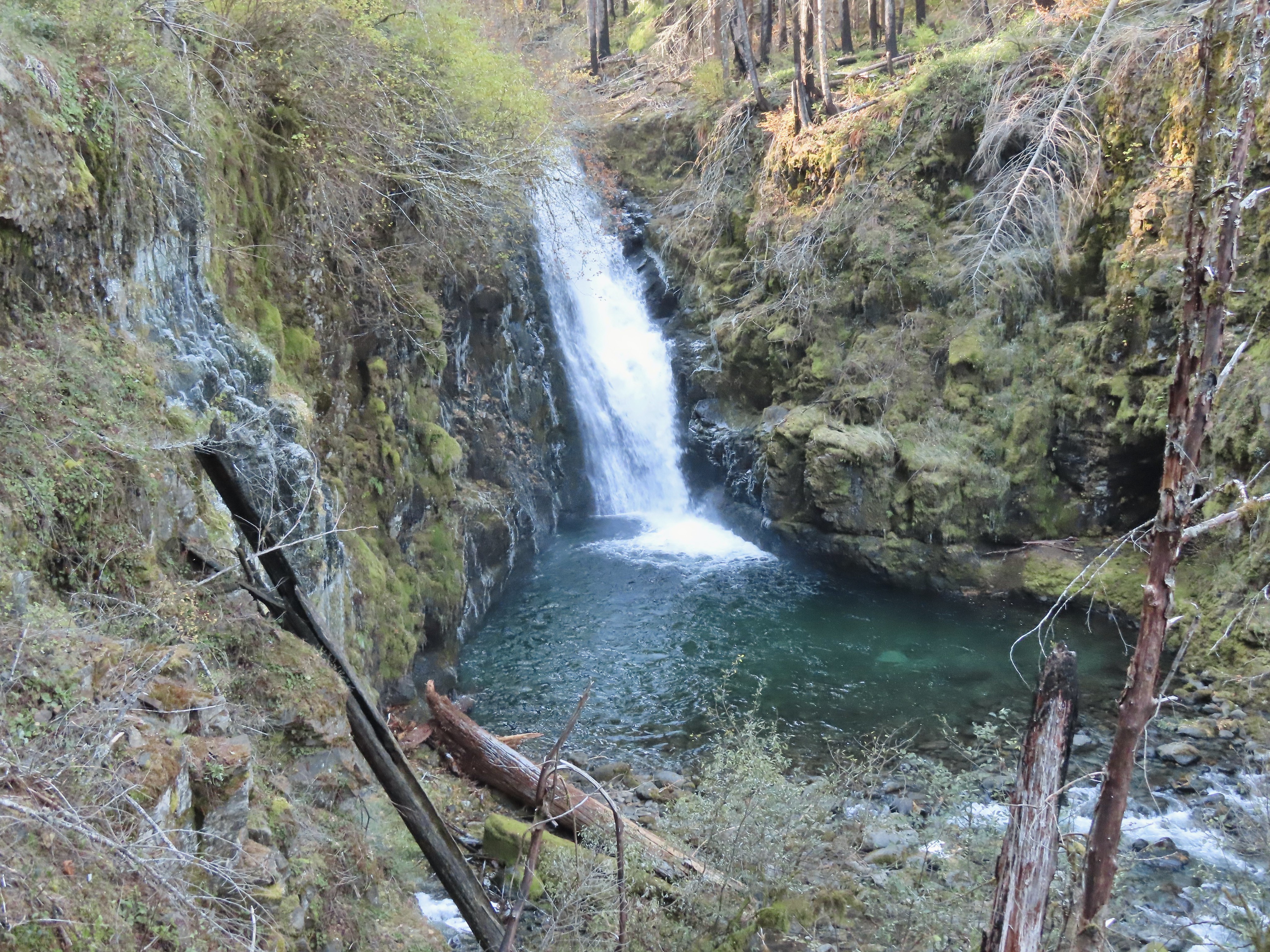
 A bit more overgrown here.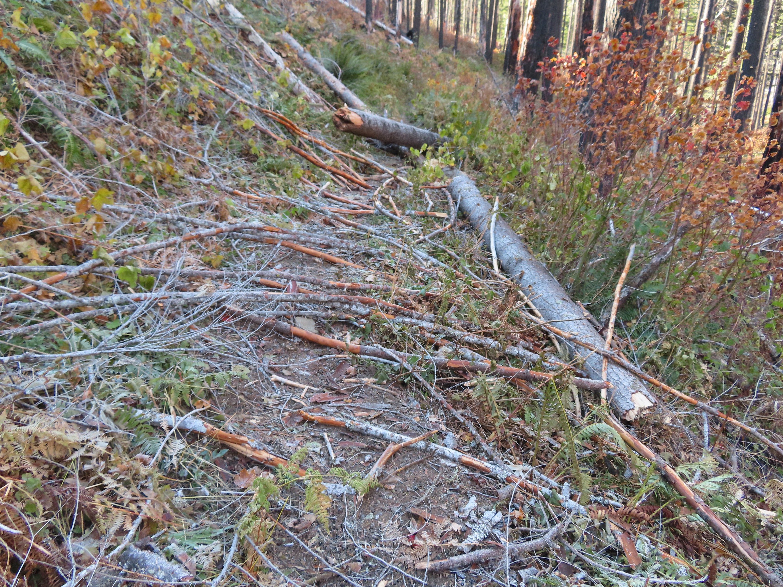
 Hair ice, only the second time I’ve encountered it.
 I stopped at this campsite which some maps show as 7 1/2 Mile Camp, but I pulled out my National Geographic topo which showed the camp a little further ahead near a pair of small creeks. I think both are correct and this was just the first of the sites that make up the “camp”.
 Eagle Creek near the first campsite.
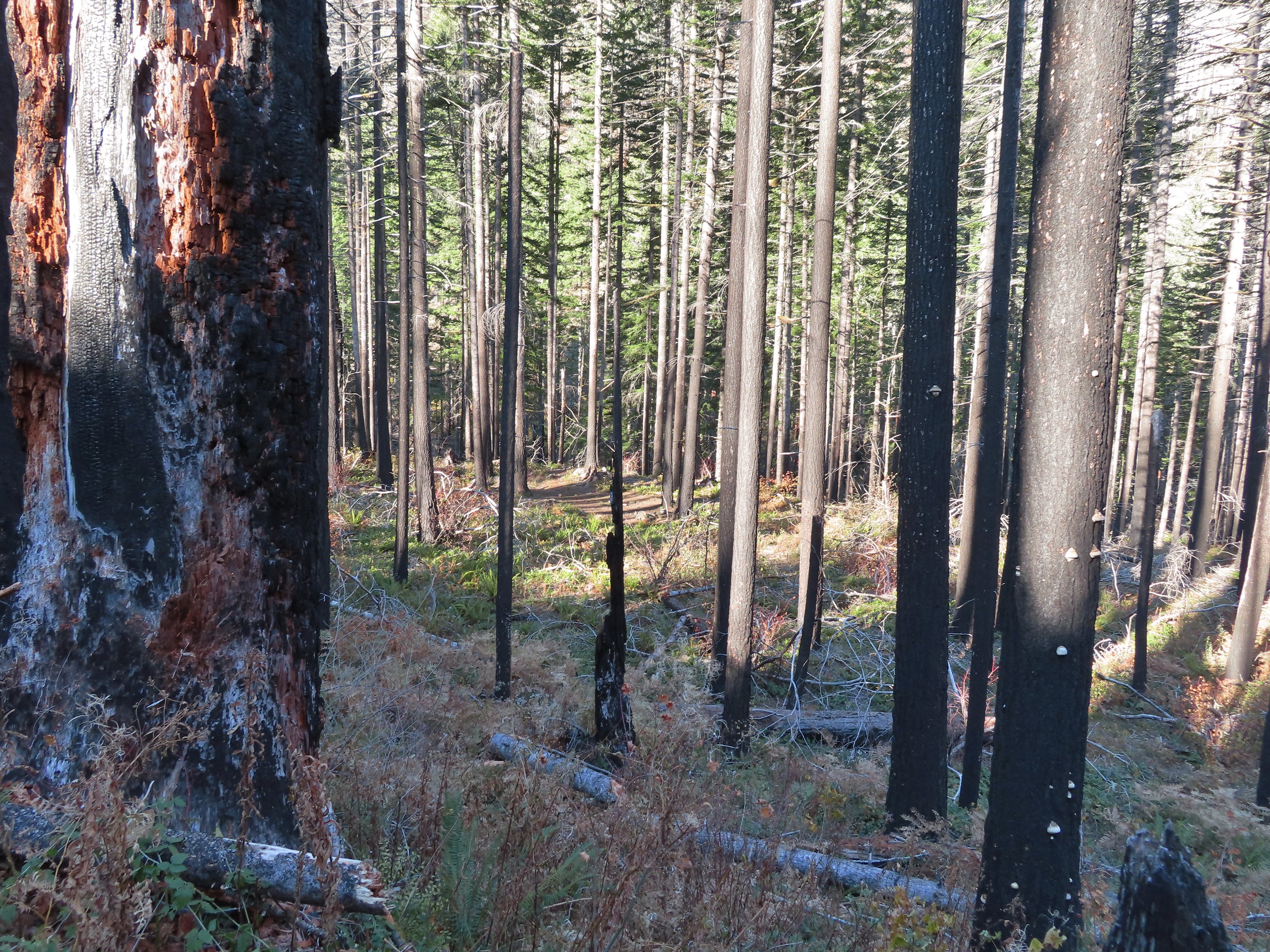 More campsites near the first creek.
 The first small creek. This one was a lot icier than any of the other creeks I’d crossed. I was able to find enough dry rock to make my way to the other side though.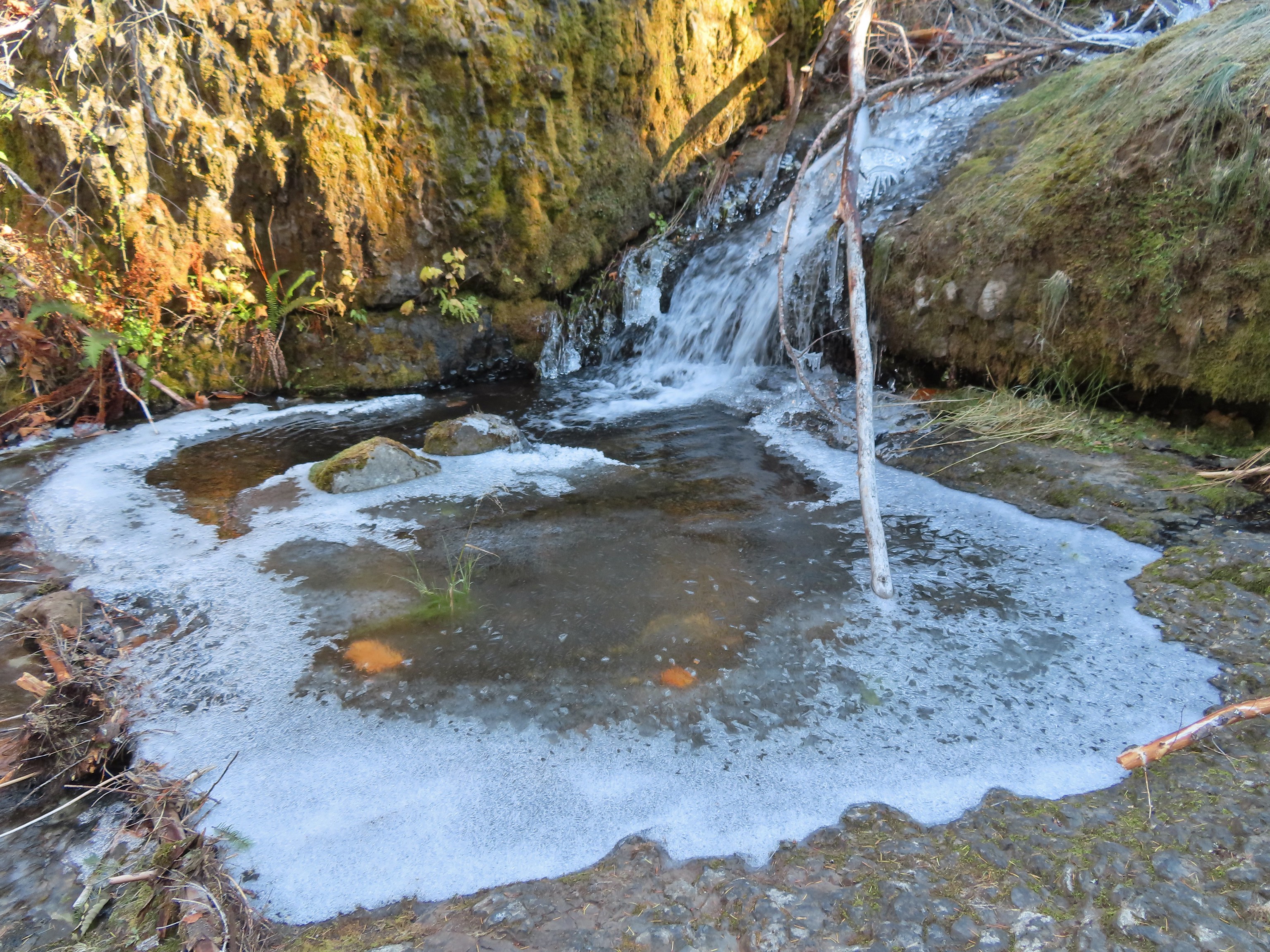

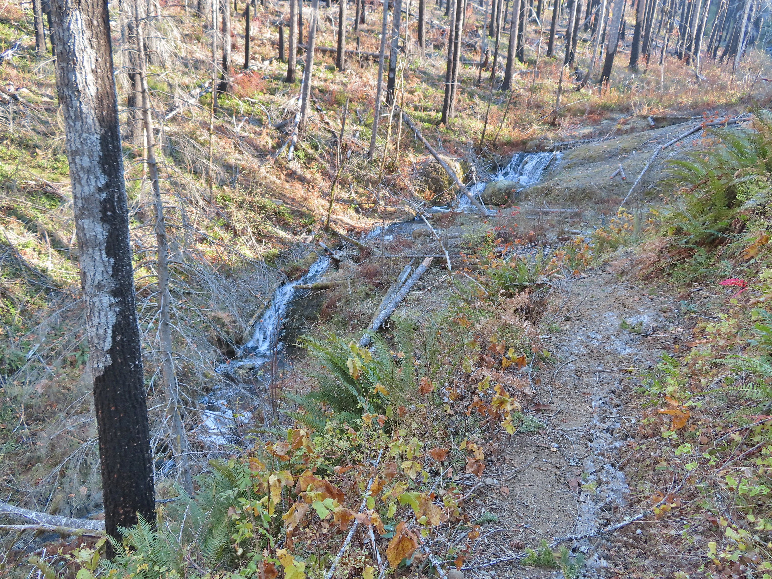 Looking back at the creek.
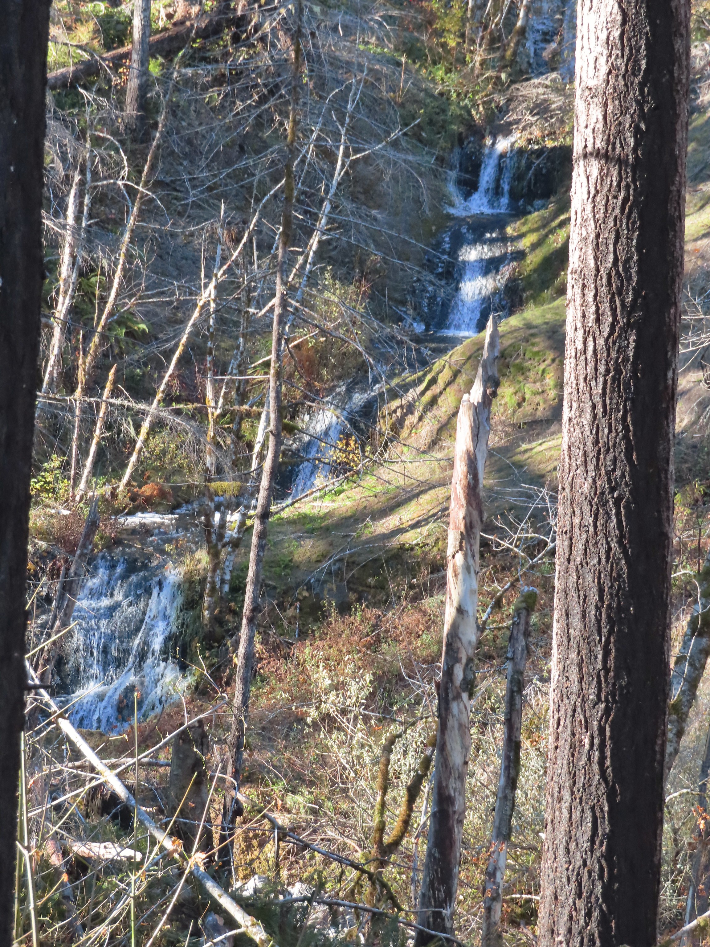 This cascade was across Eagle Creek near the last campsites.
 Woodpecker
 Green pool above Twister Falls.
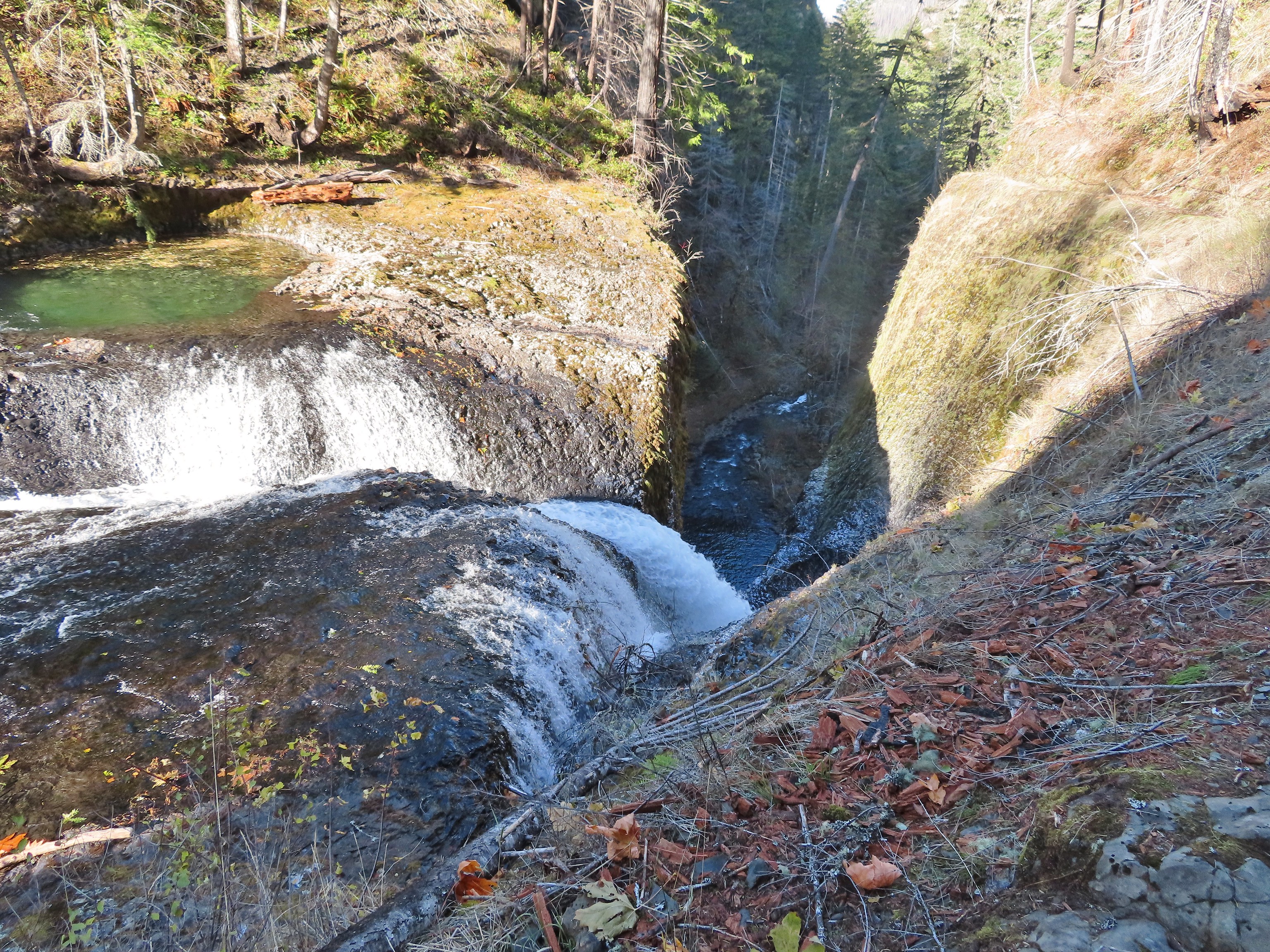 Above Twister Falls.

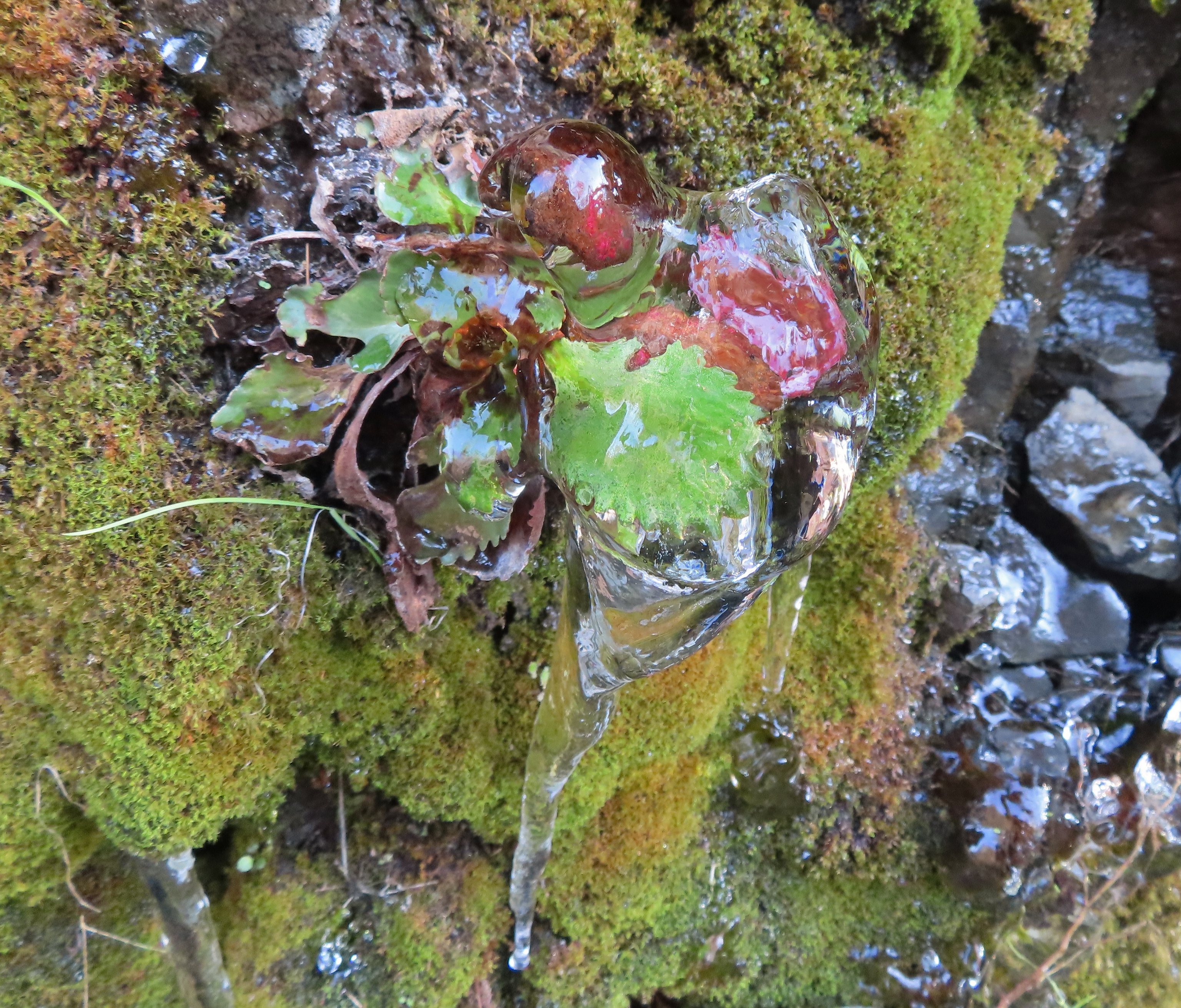 Plant in ice.
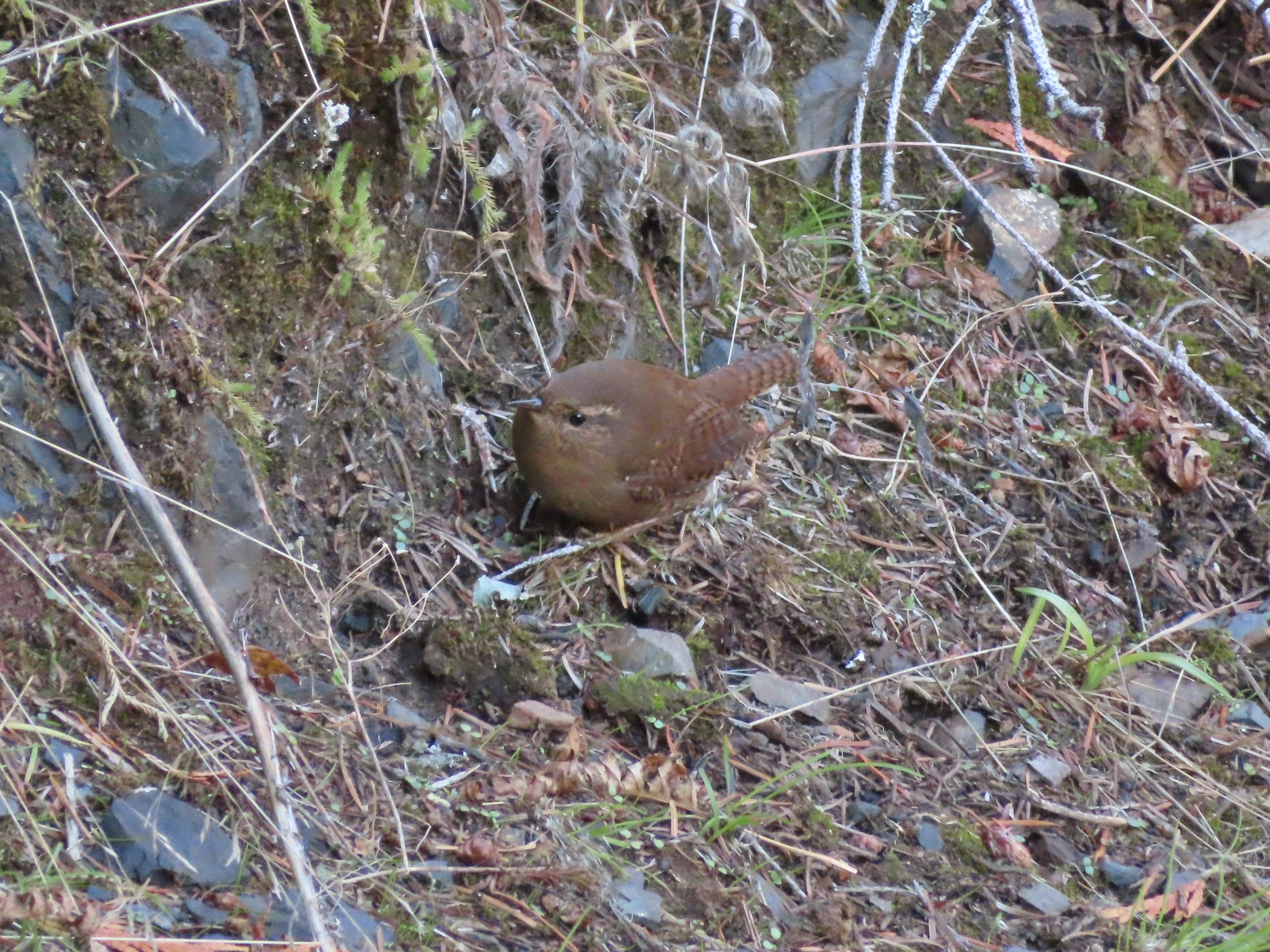 Wren
Wren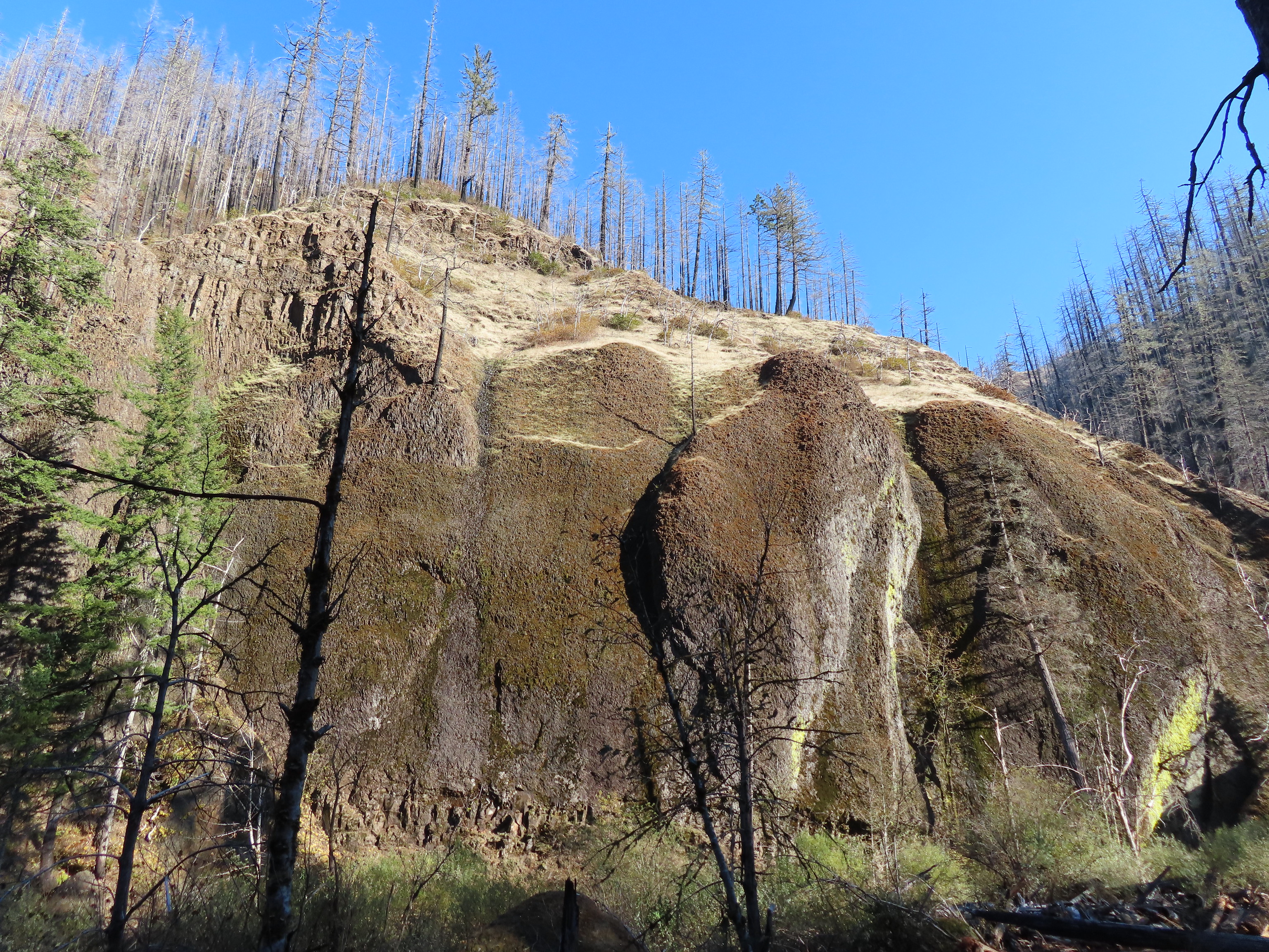


 Chipmunk
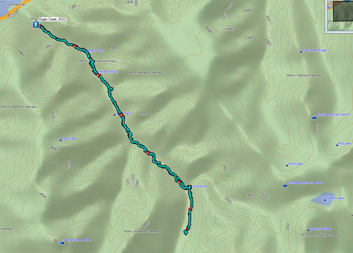

 A lot more blue in the sky than I had expected to see.
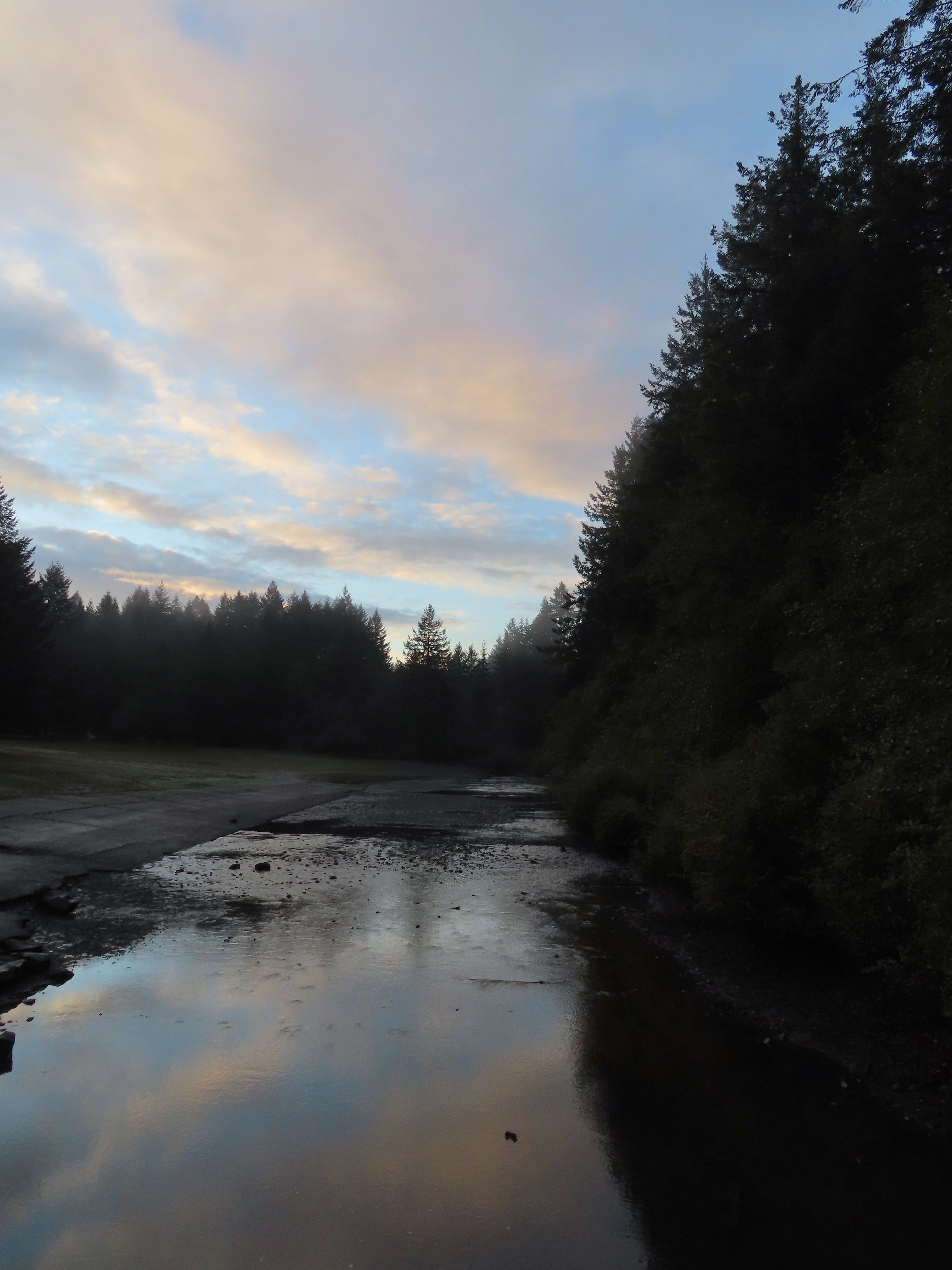

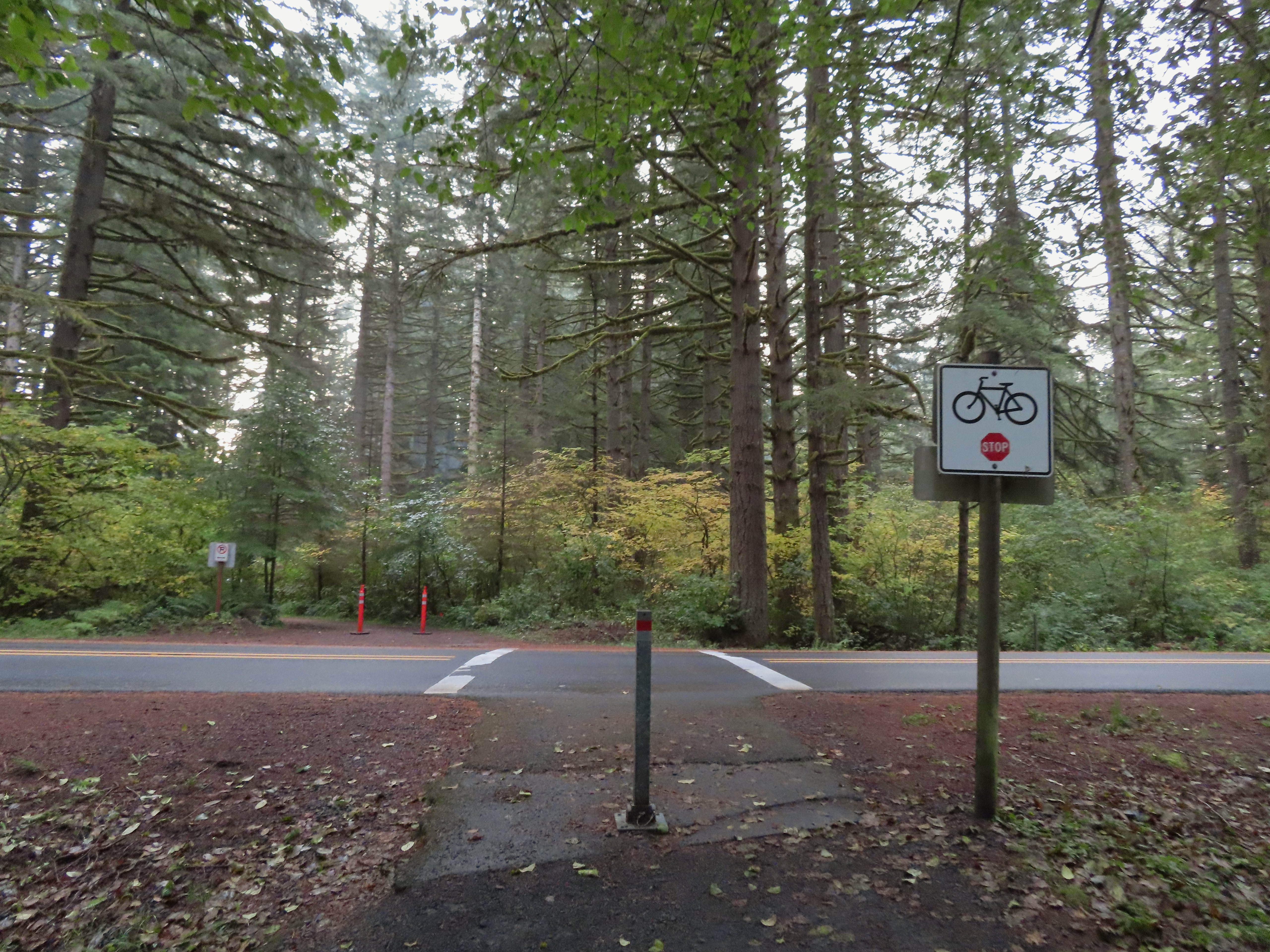 Crossing Highway 214 to the campground.
 I detoured left to check out this bridge over Howard Creek.
 Howard Creek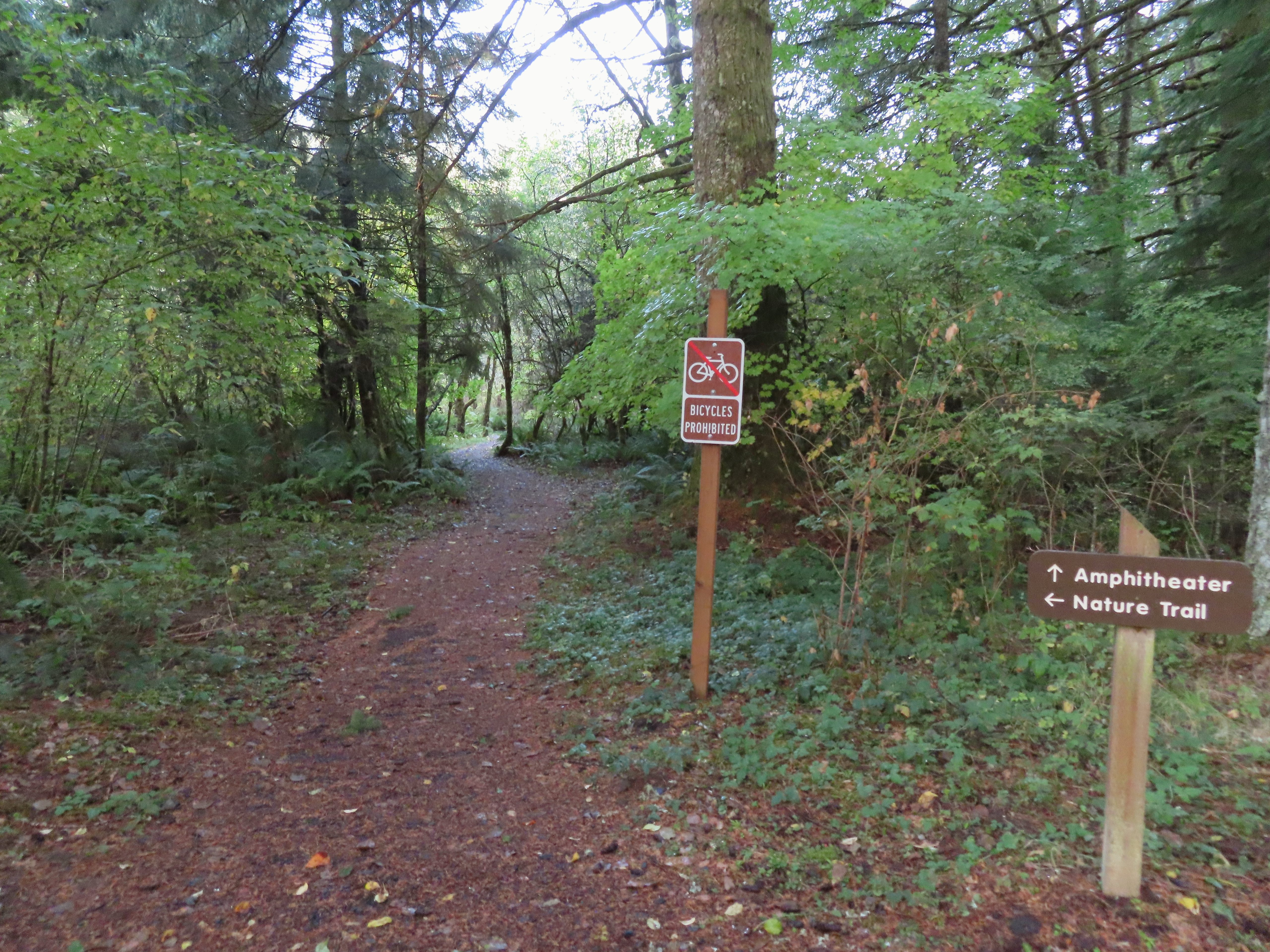

 Sign at the 214 Trail junction to let people know that there are no waterfalls in the backcountry.
 Just a little fog but no rain.
 Passing the Smith Creek Trail (left) after 0.6 miles on the 214 Trail.
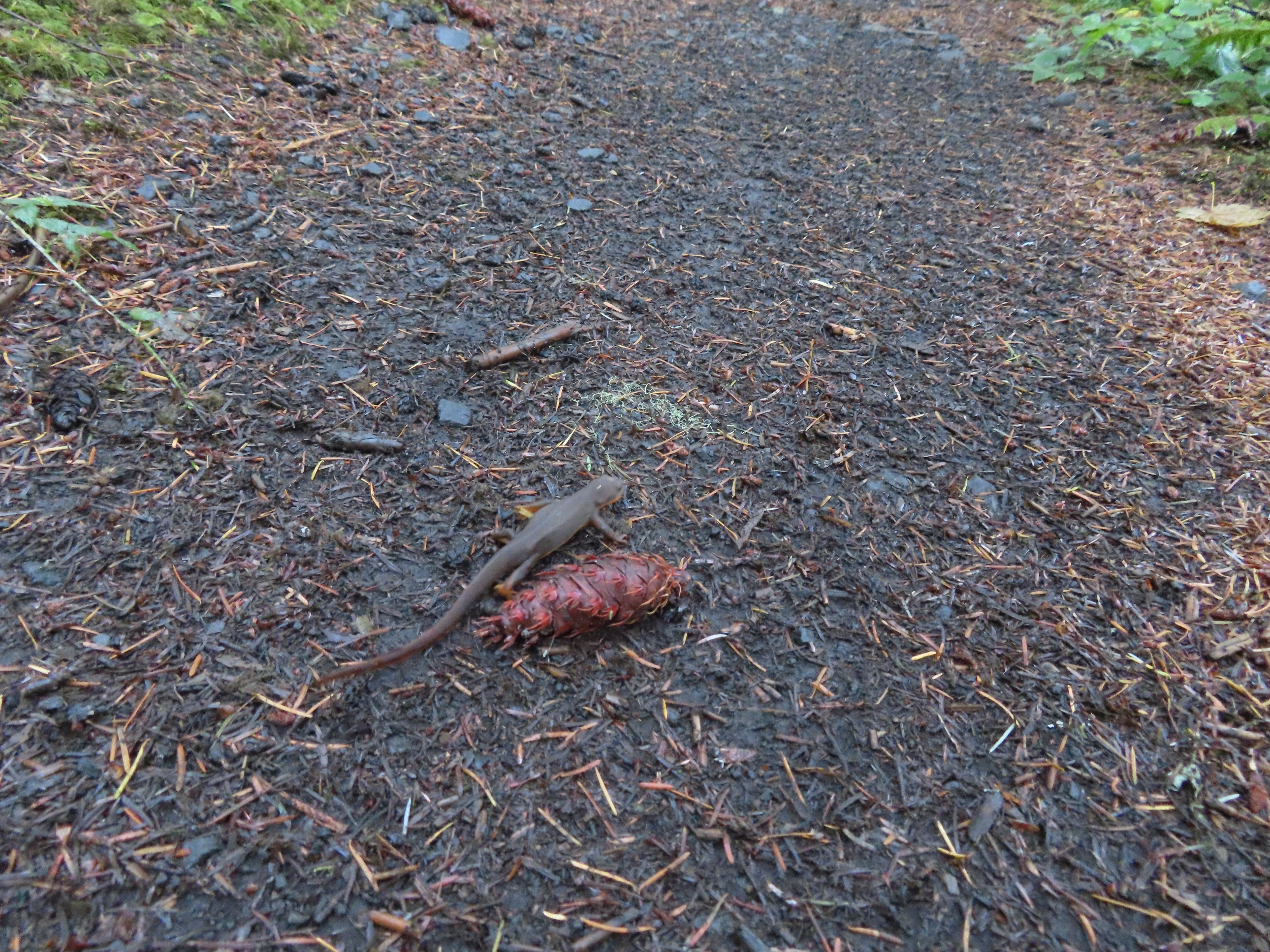 Rough skinned newt on the 214 Trail. (Probably headed for the Newt Loop too.)
 Big nursery tree along the 214 Trail.
 The trail post at the junction shows the Catamount Trail instead of the Newt Loop but the map at the junction labels it the Newt Loop.
 Map check.
 This second post included the Newt Loop along with a pointer for the Catamount Trail.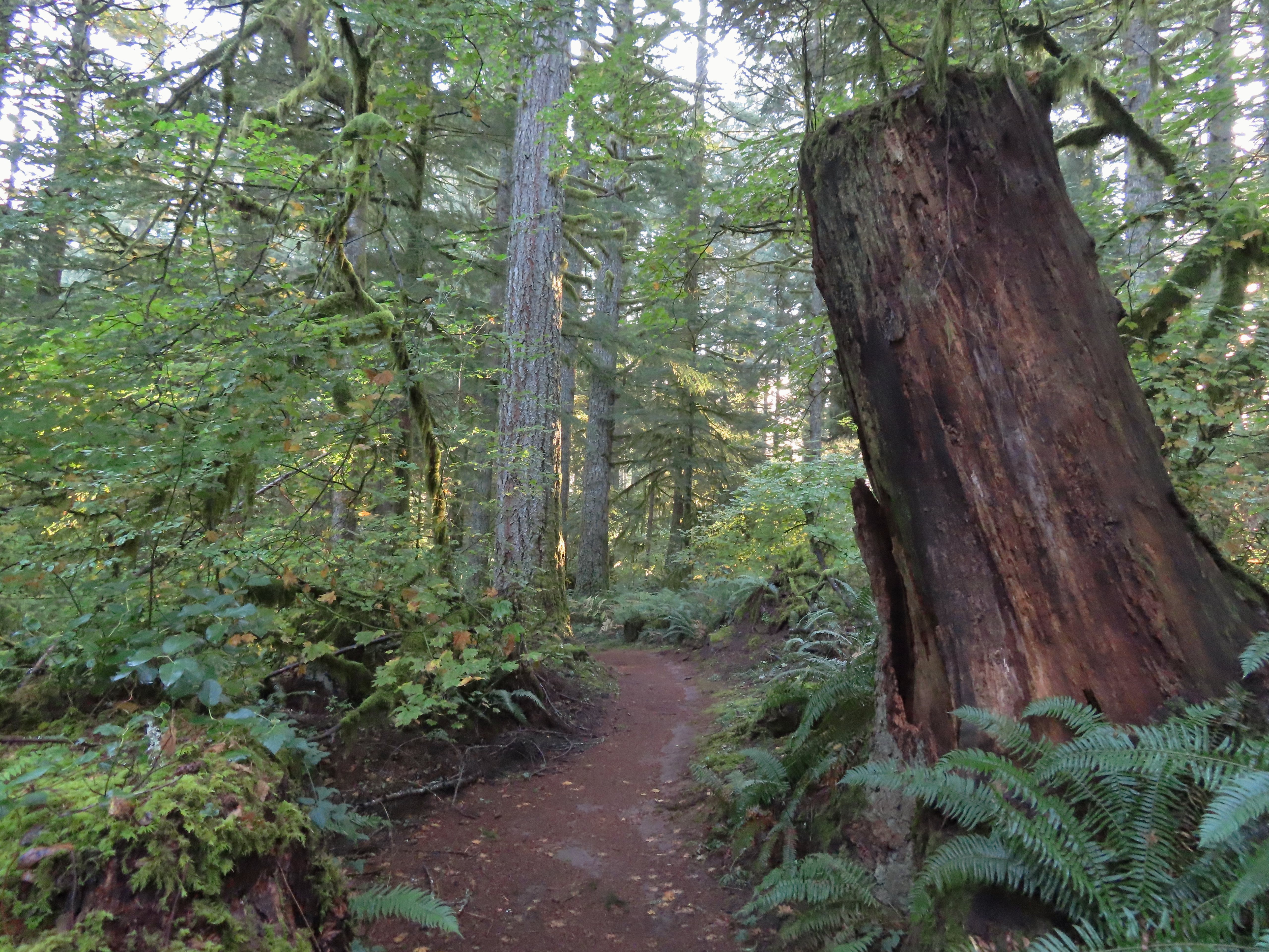
 Crossing a CAT road along the Newt Loop.
 Turning onto the Catamount Trail.
 Lots of nursery stumps along the trail.
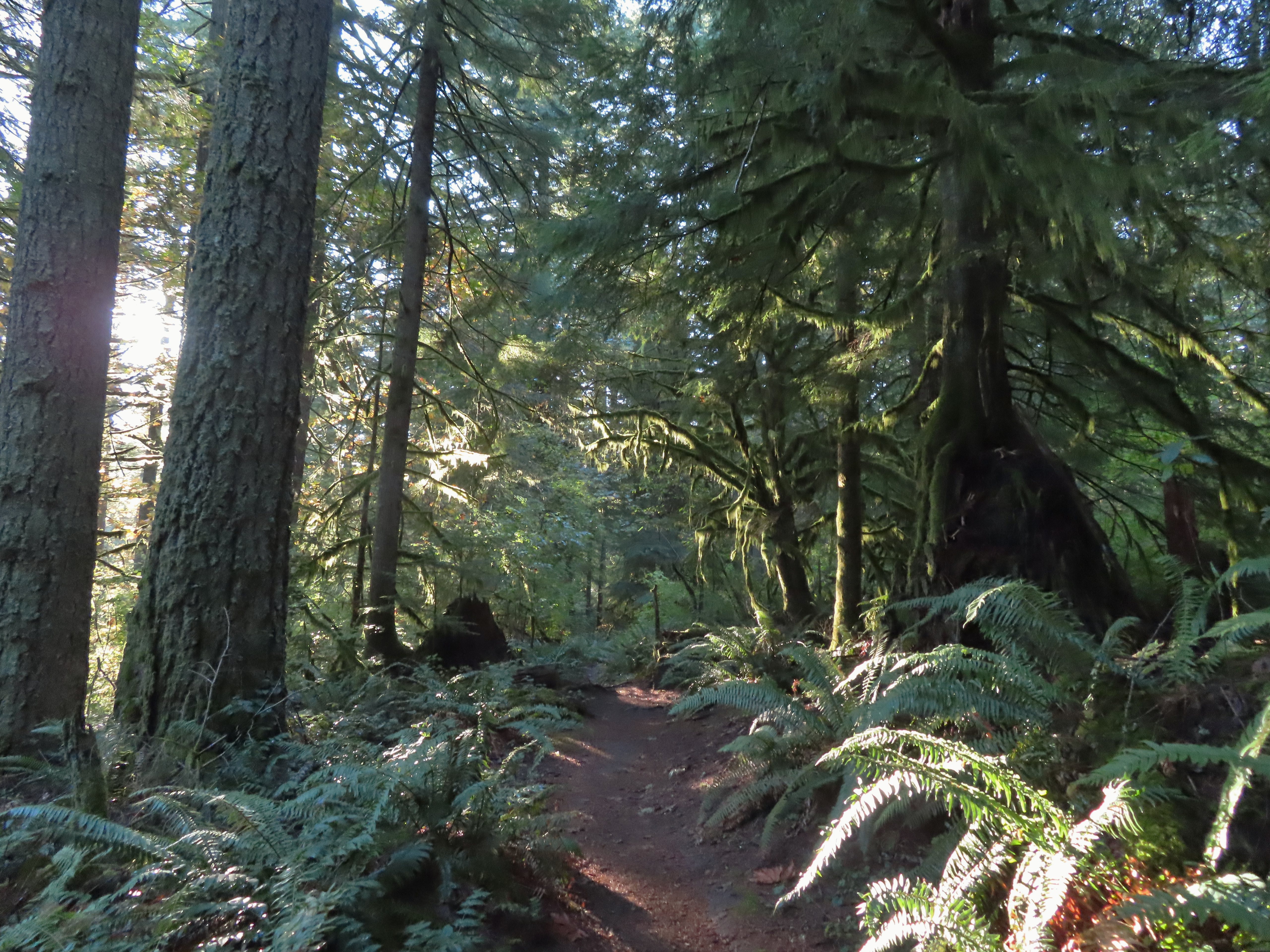 Another nursery stump.
 Side trails were well marked.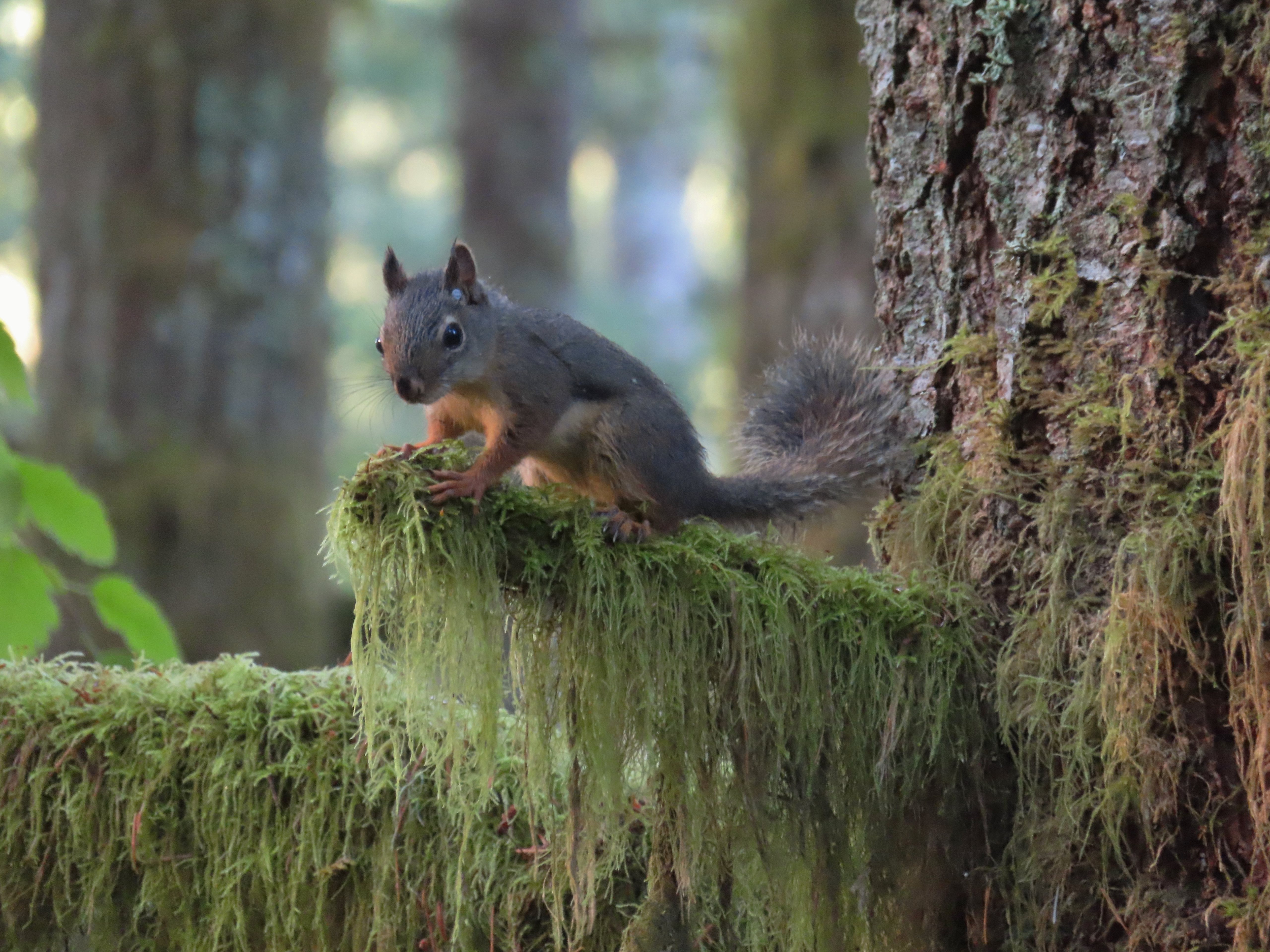
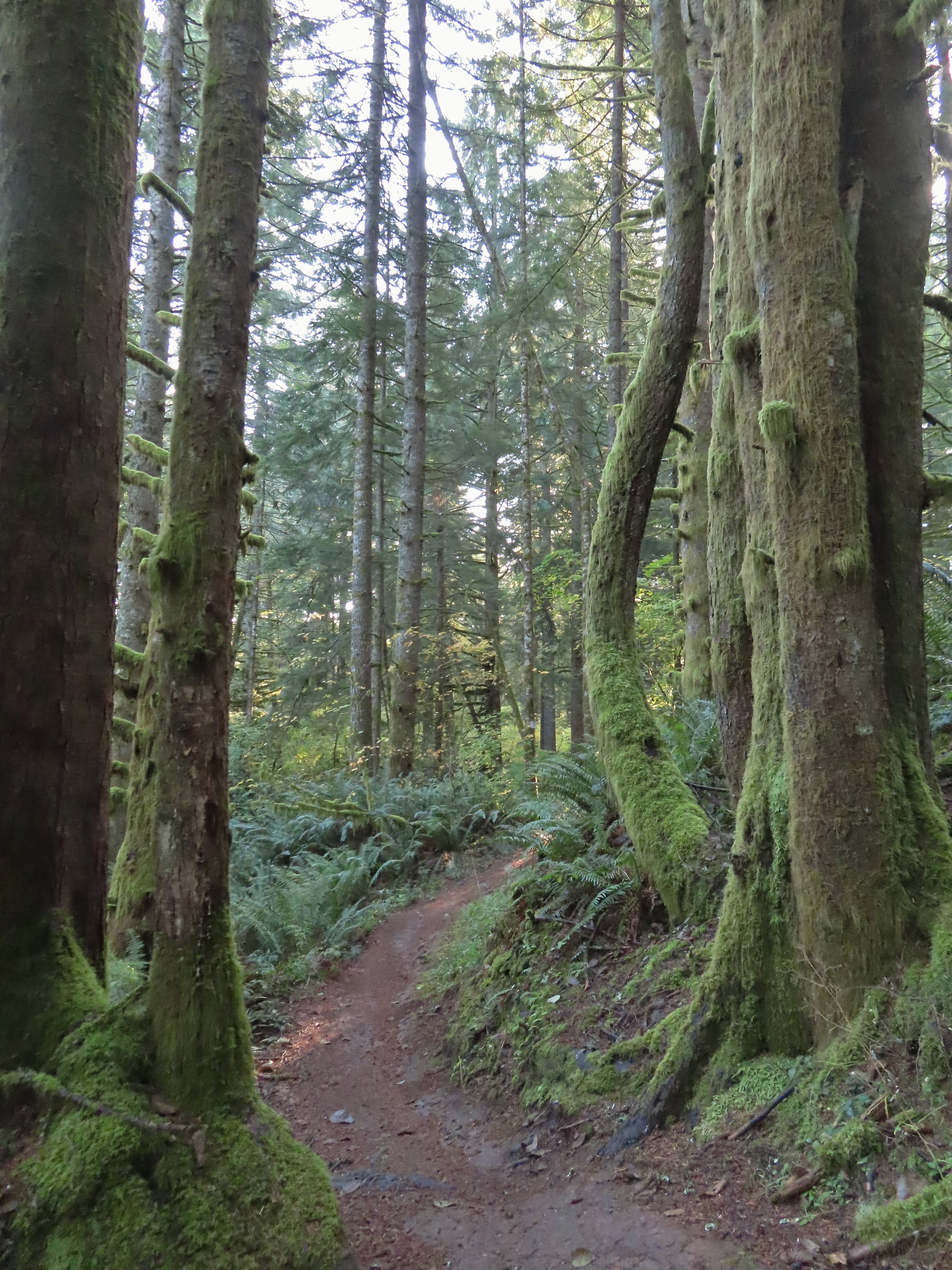
 Did not expect to see that overhead today.
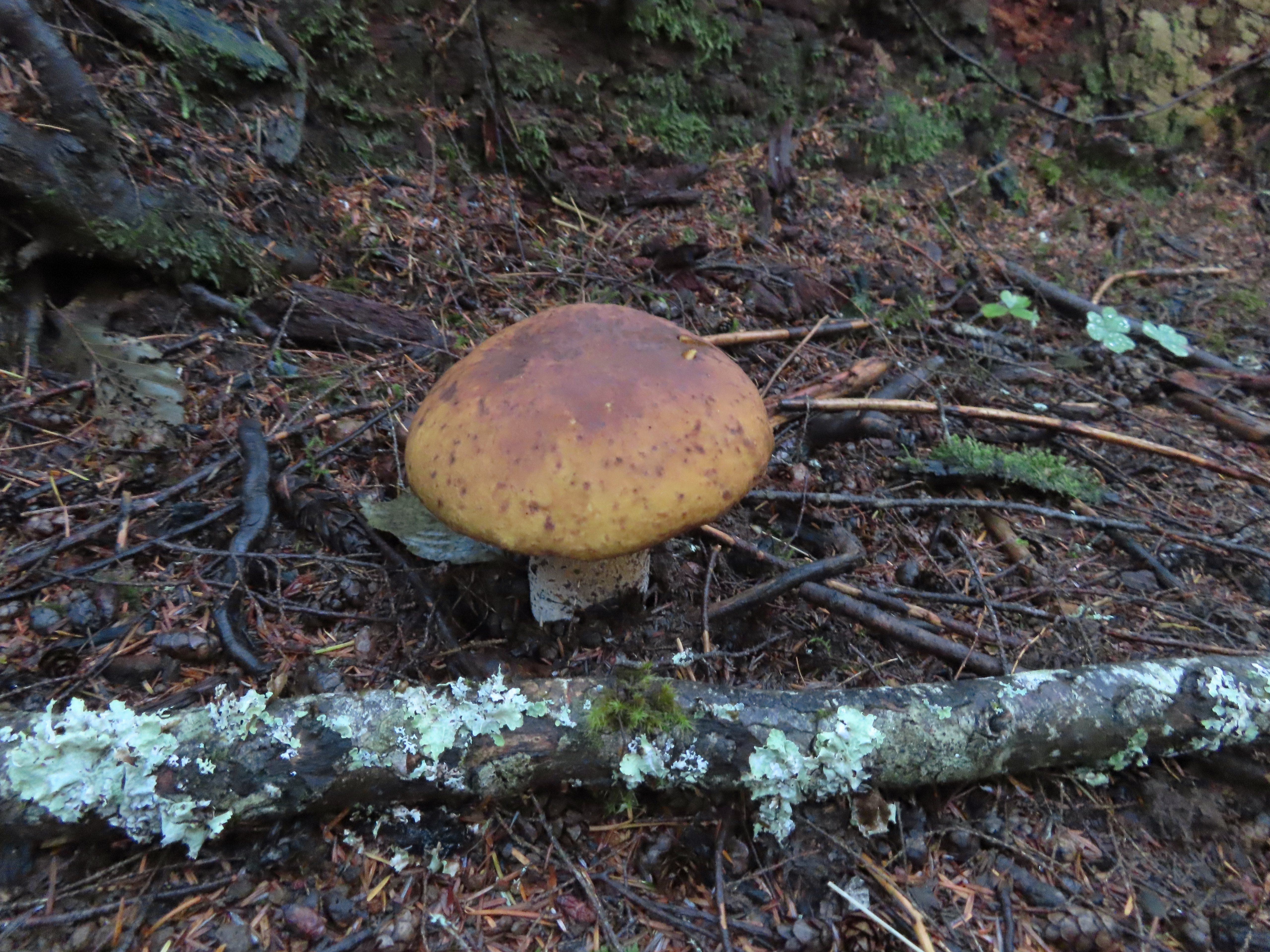


 I believe this short section of fire scar was from the 2020 Beachie Fire.

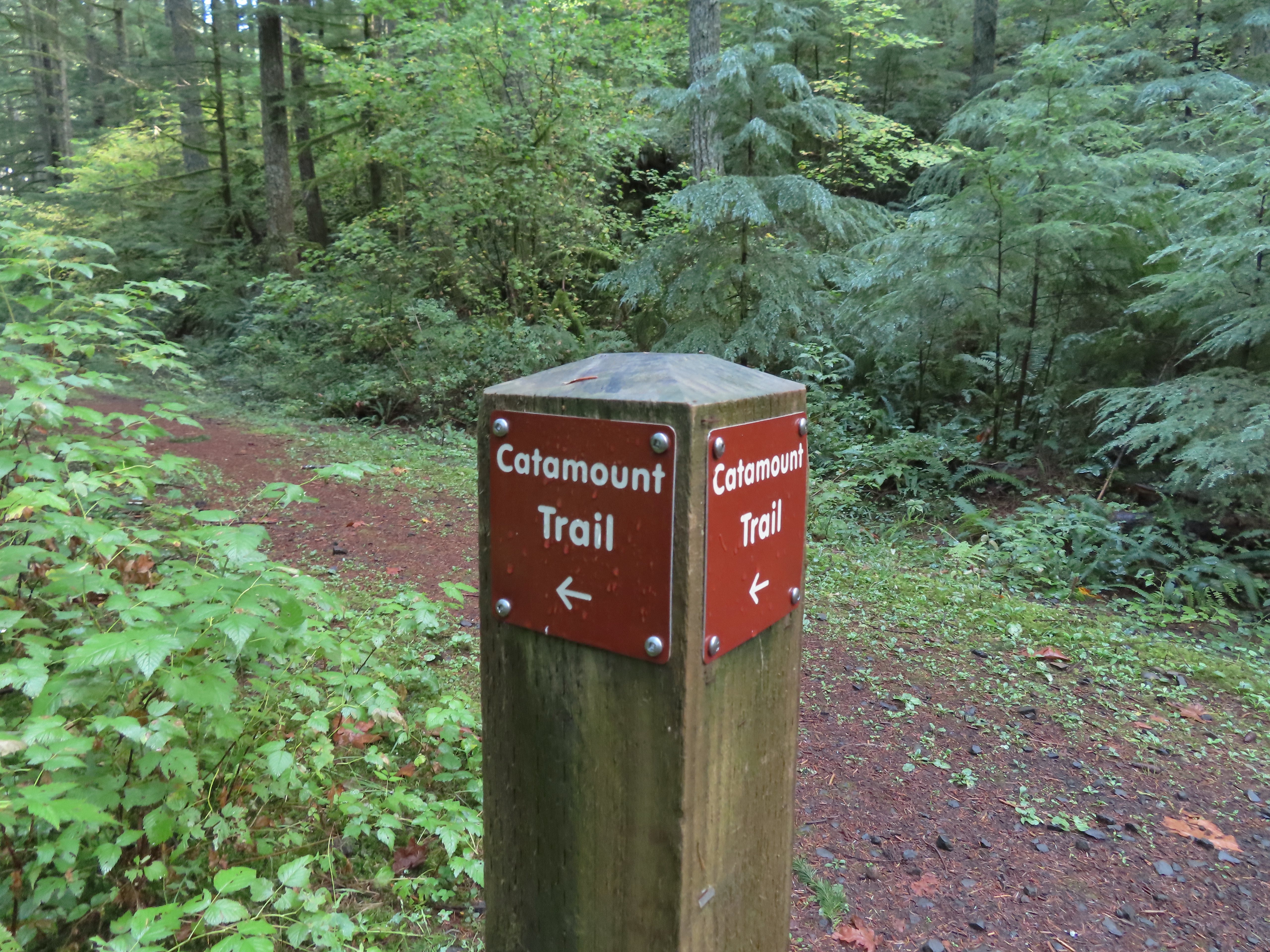 Turning onto the road.
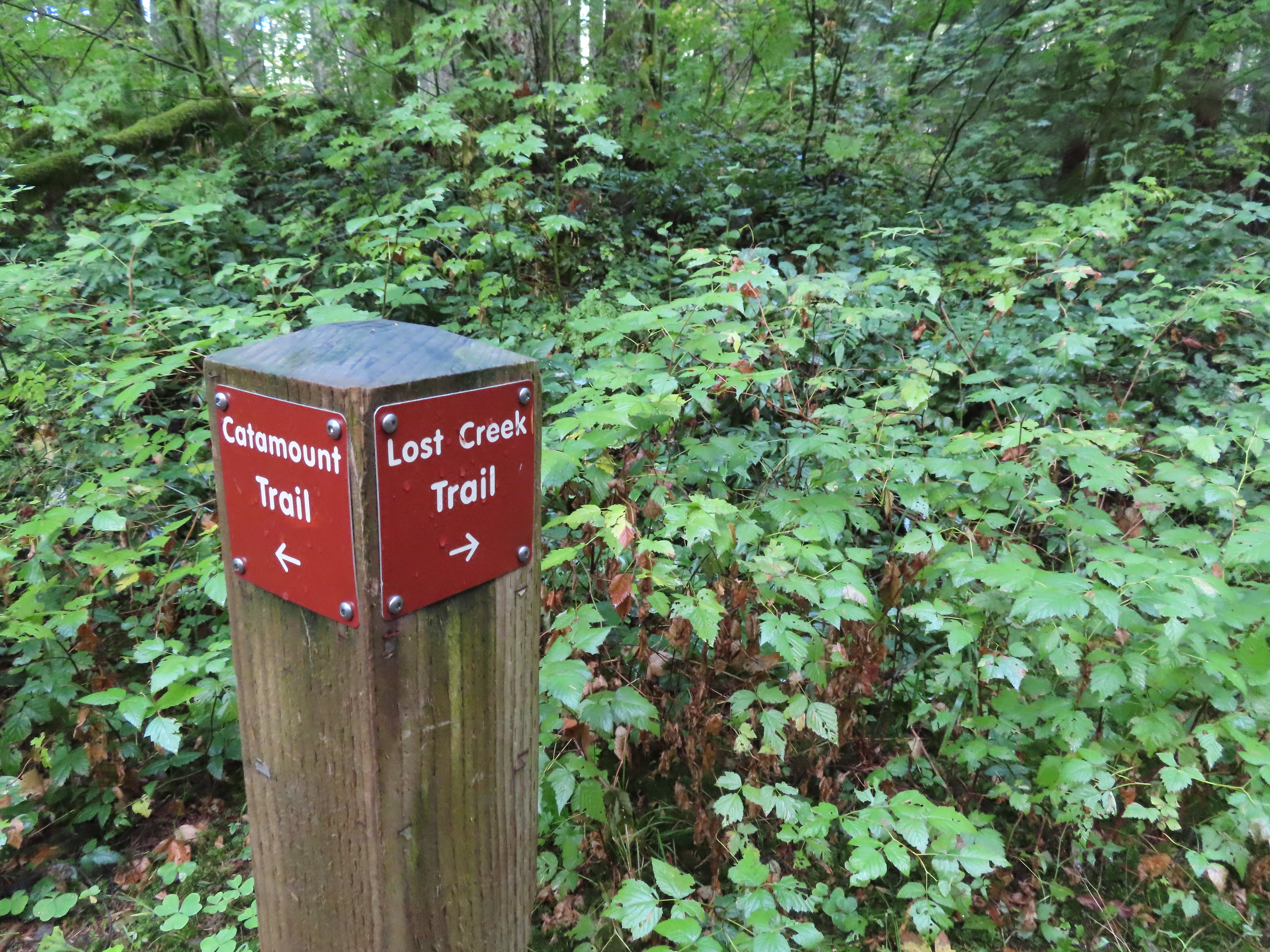 The opposite side of the post had a pointer for the Lost Creek Trail.
 I veered uphill to the right here.
 The Lost Creek/Buck Mountain junction.
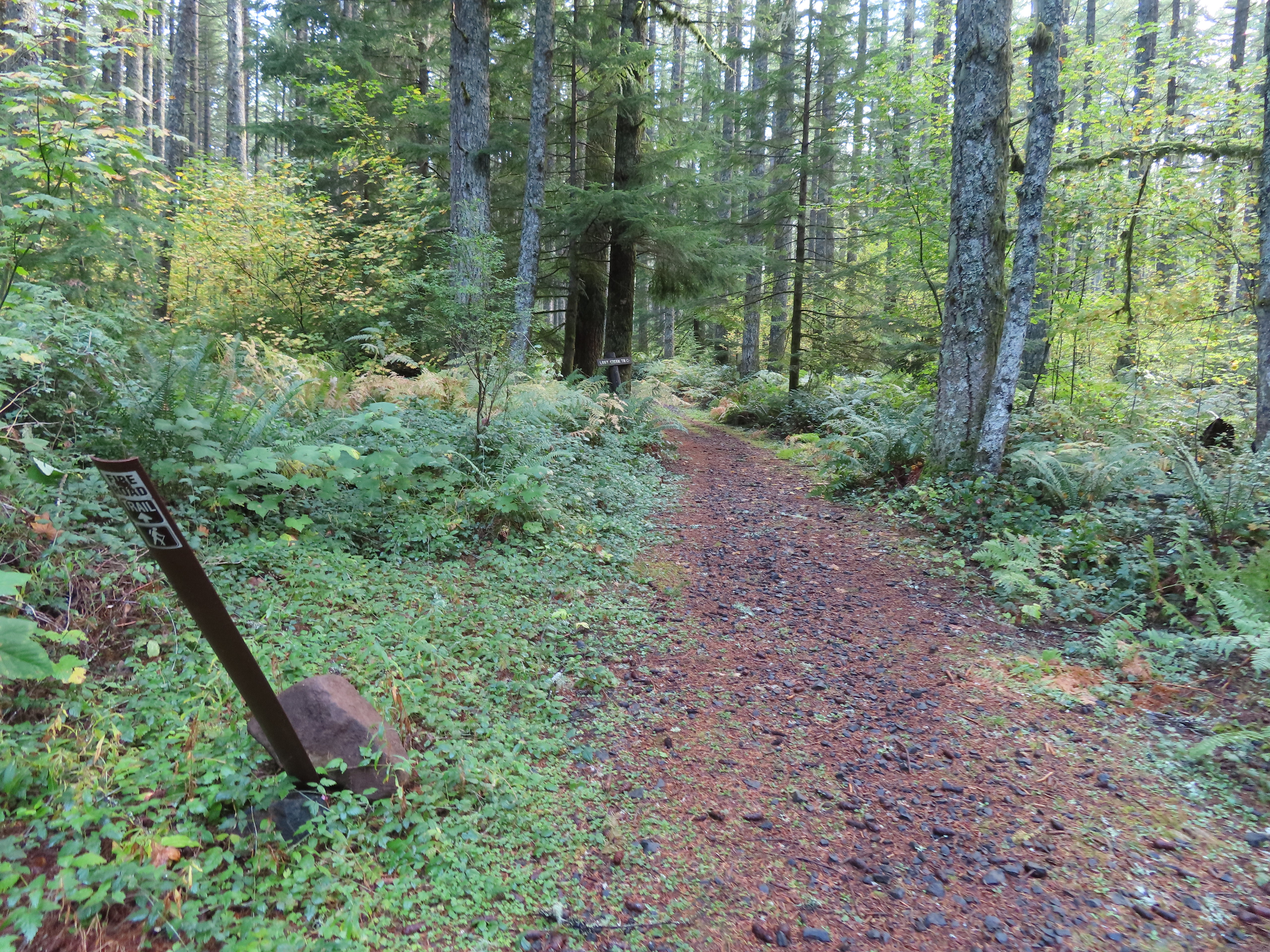 The Lost Creek Trail doubles as a fire road.
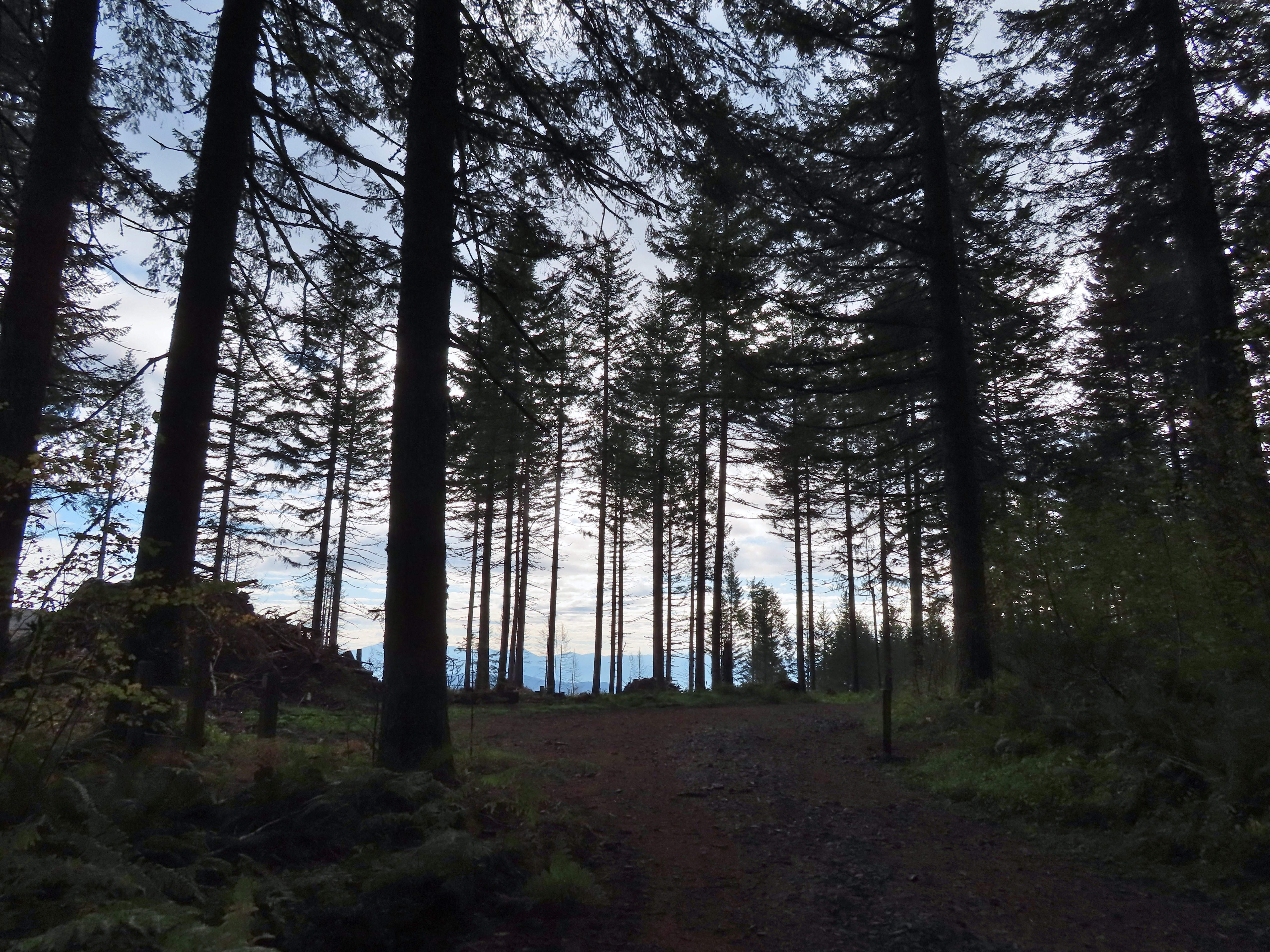
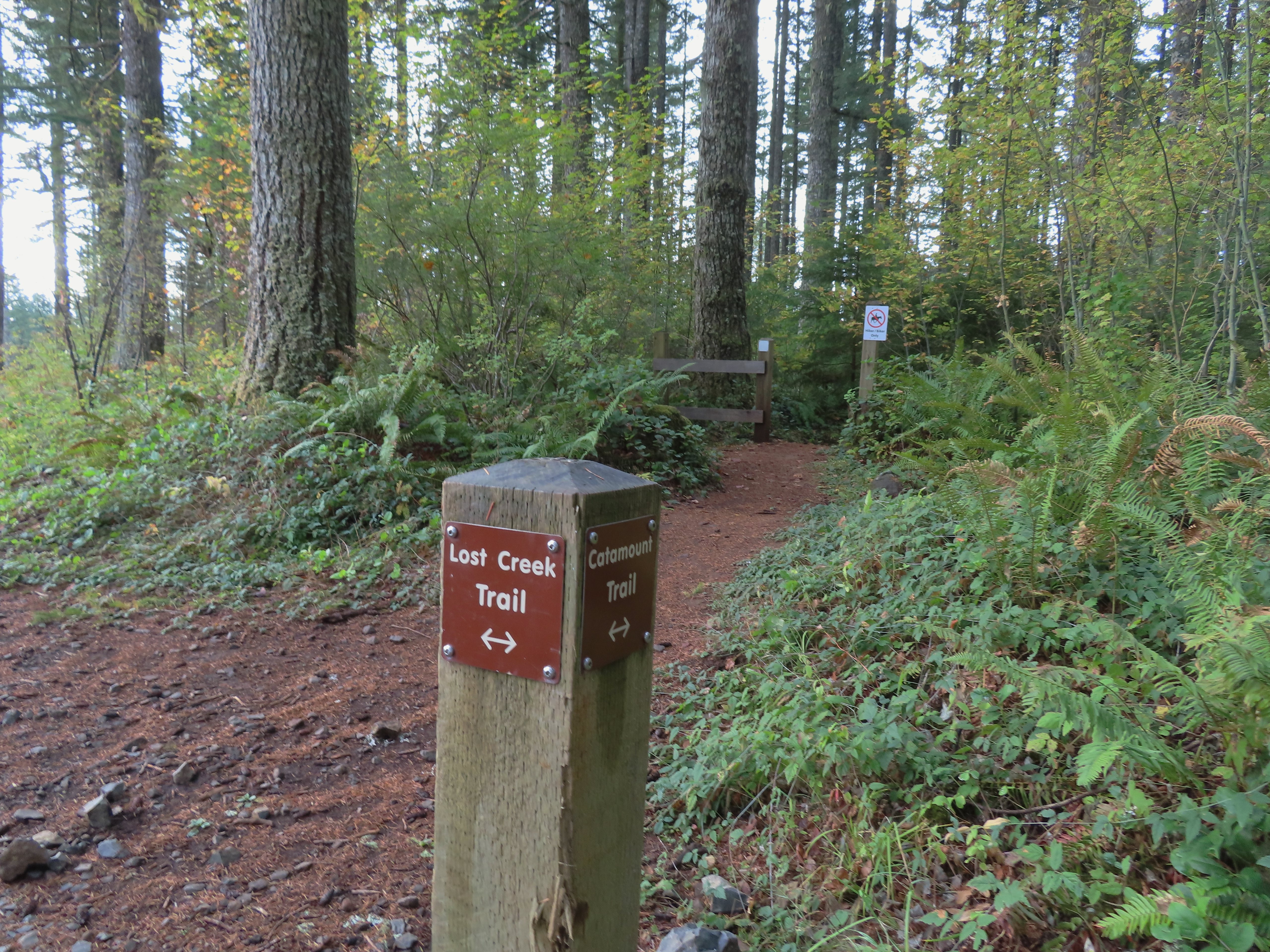 Here is where I would have come up had the Catamount Trail did not have the on-way section. (Note that on some mountain biking maps the one-way section is labeled “Upper Catamount Trail.)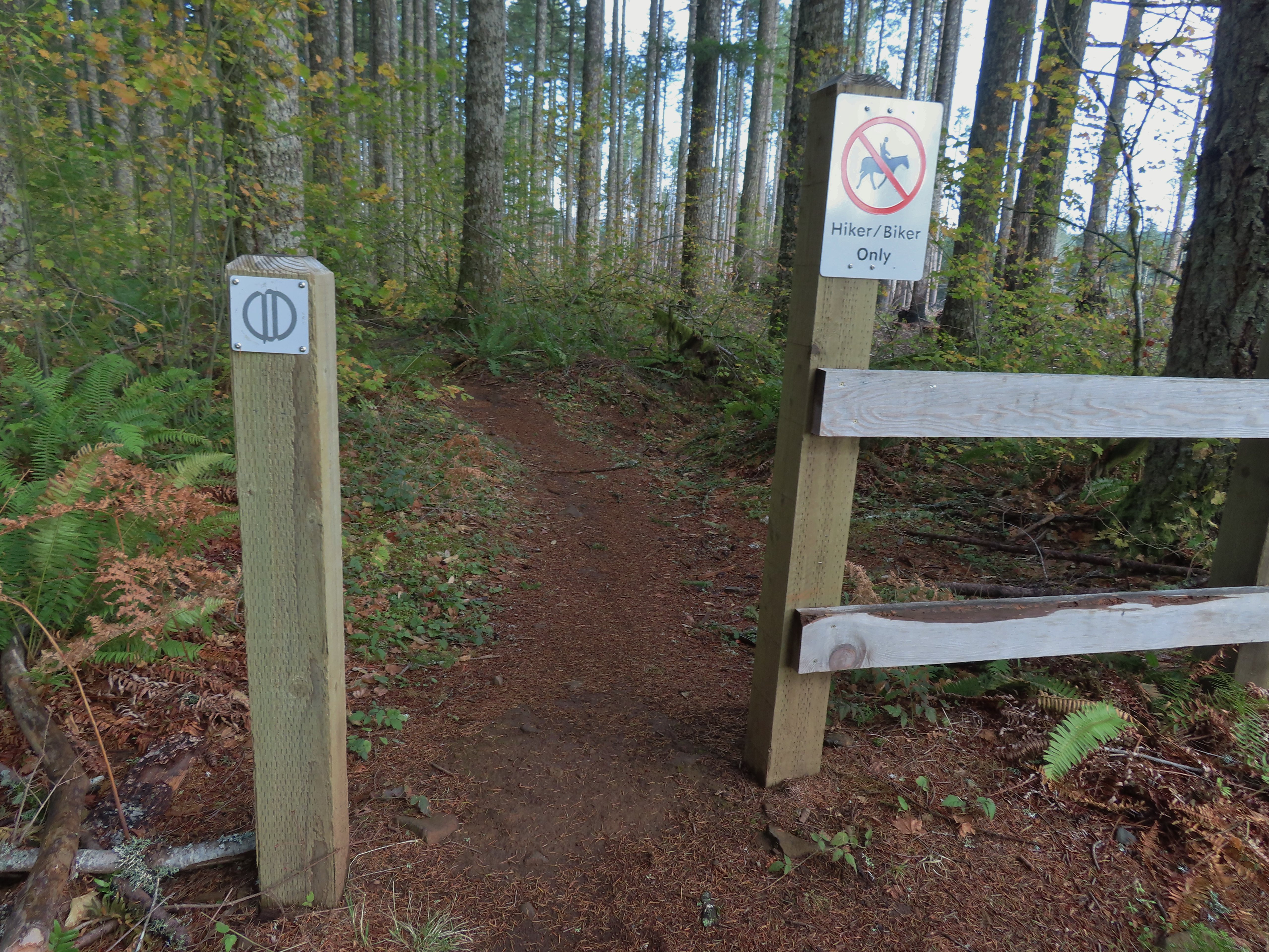
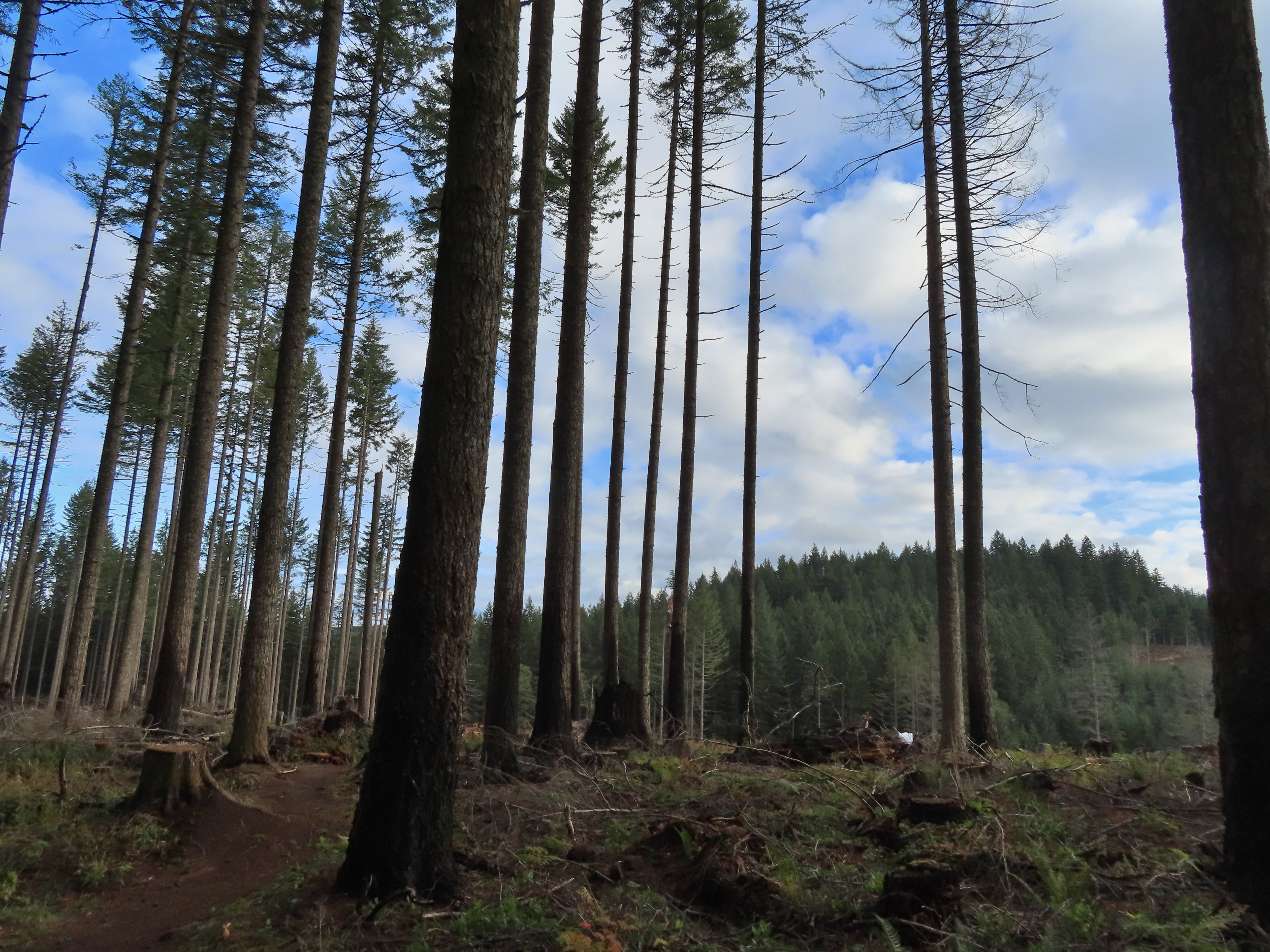 The treeless section wasn’t long. It appeared to have been an area impacted by the 2020 Beachie Fire.
 Still some bleeding heart blooming.
 There wasn’t a lot of bright Fall colors in the backcountry, but this maple stood out.
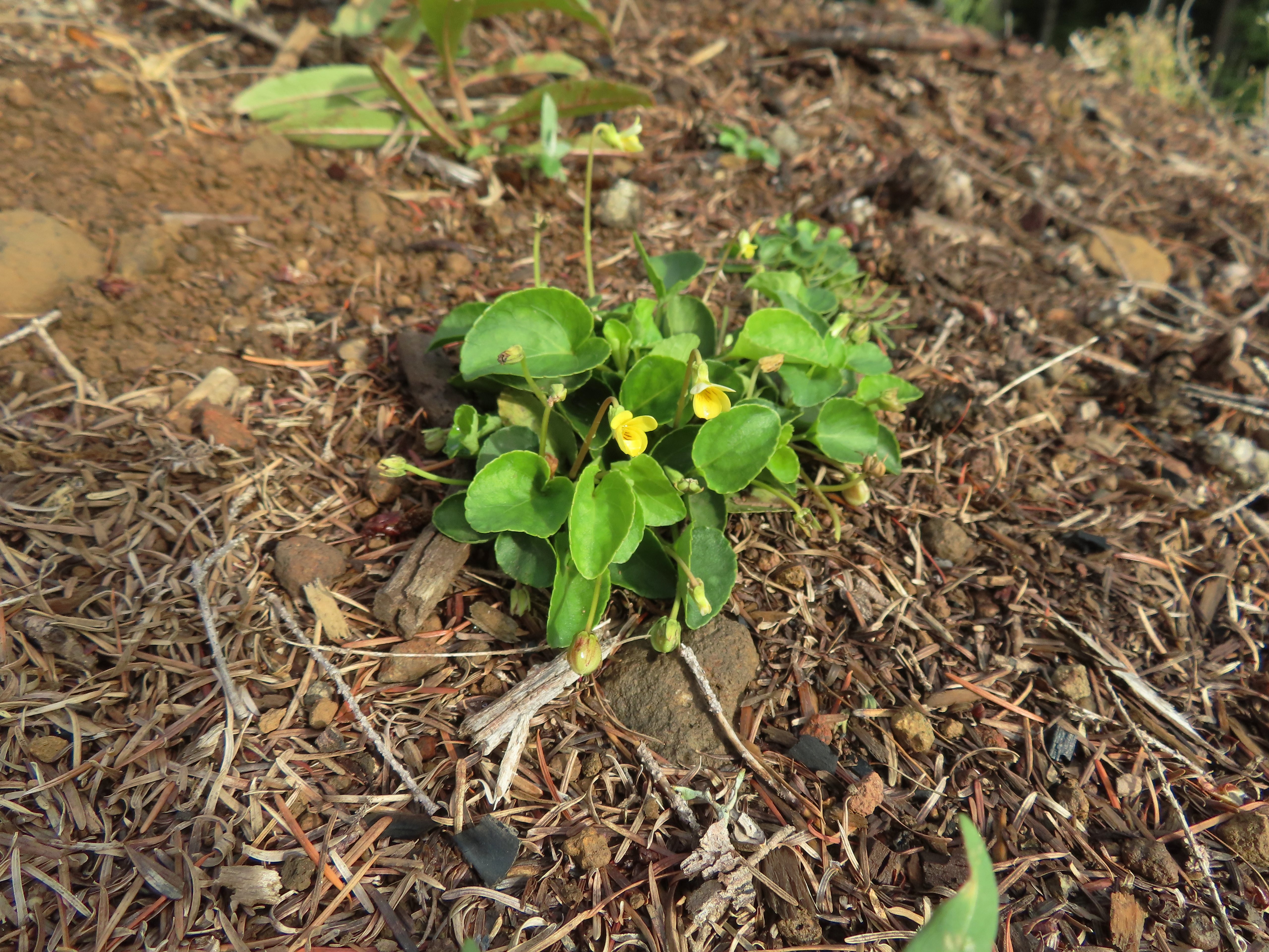 Was a bit surprised to see a few violets along this section.
 Nearing the end of the logged area.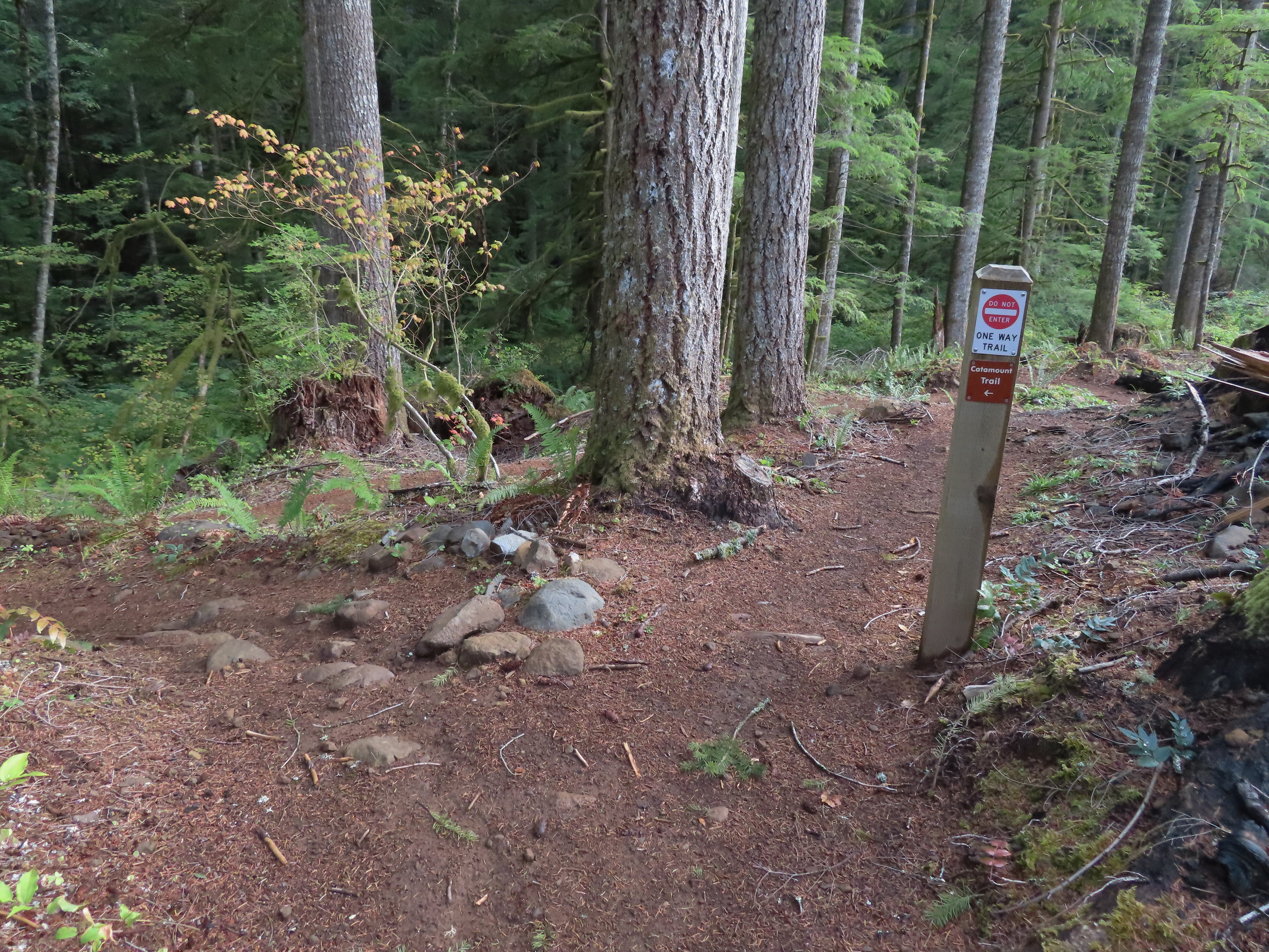
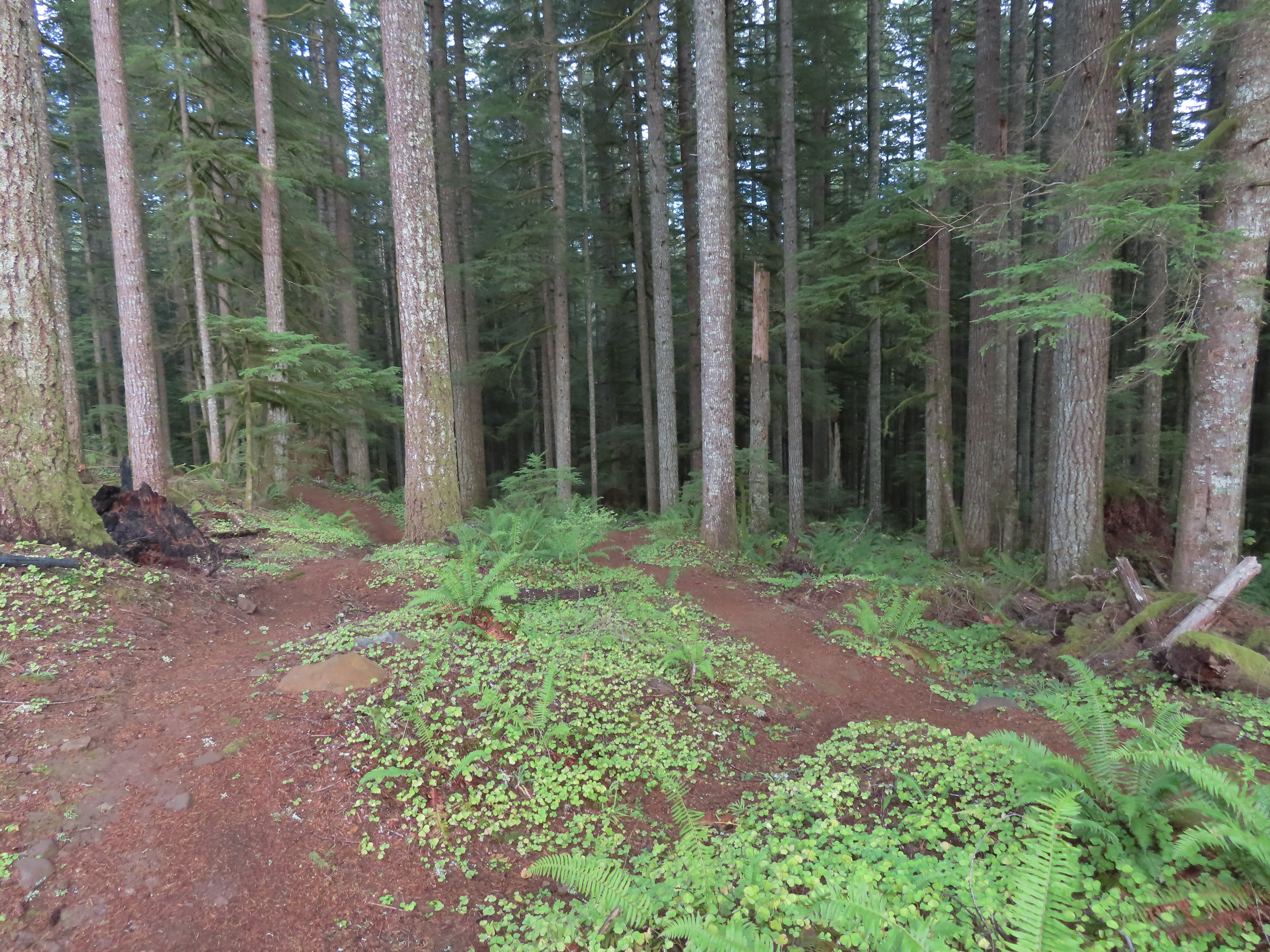
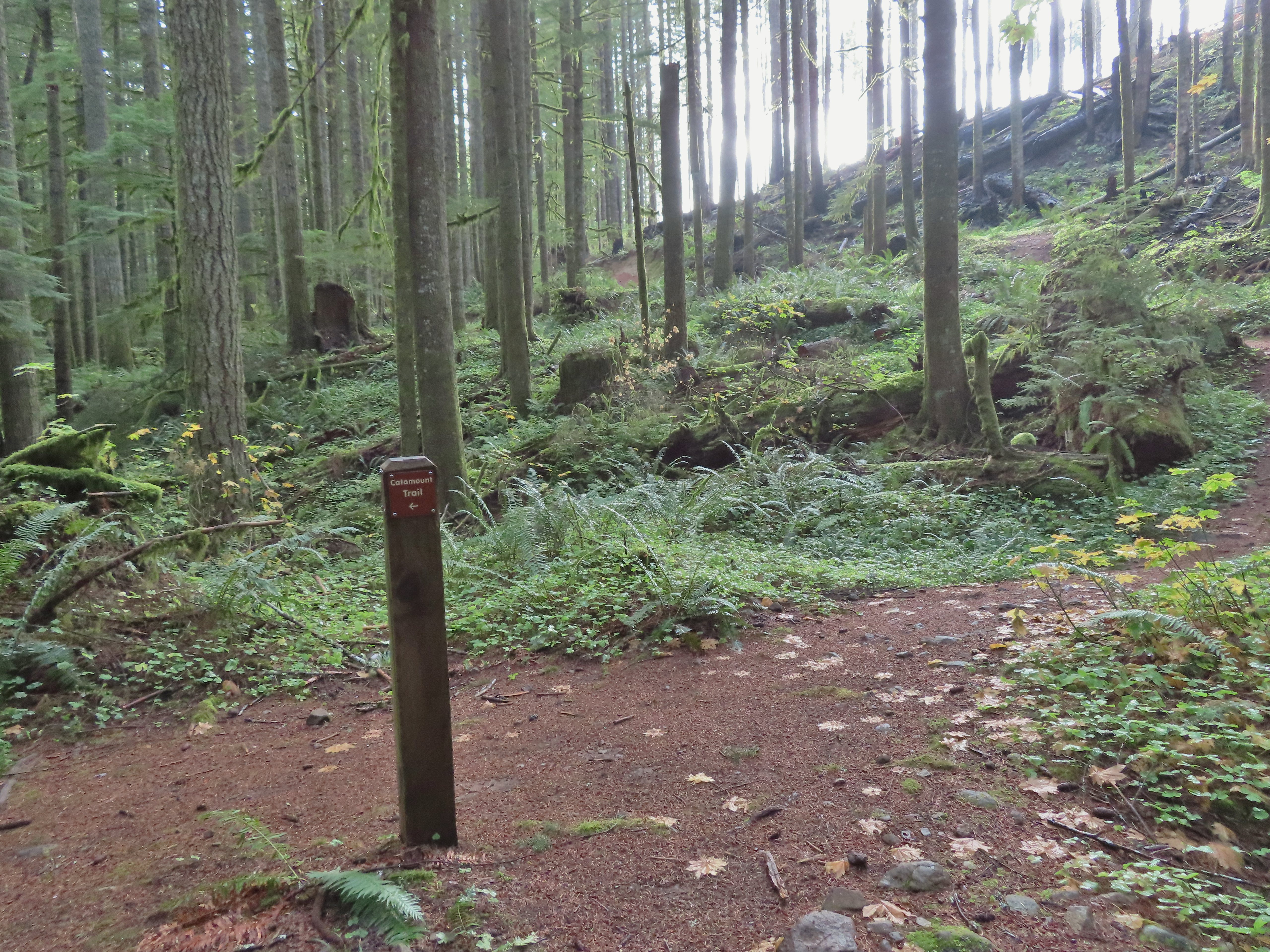 The rejoining of the trails.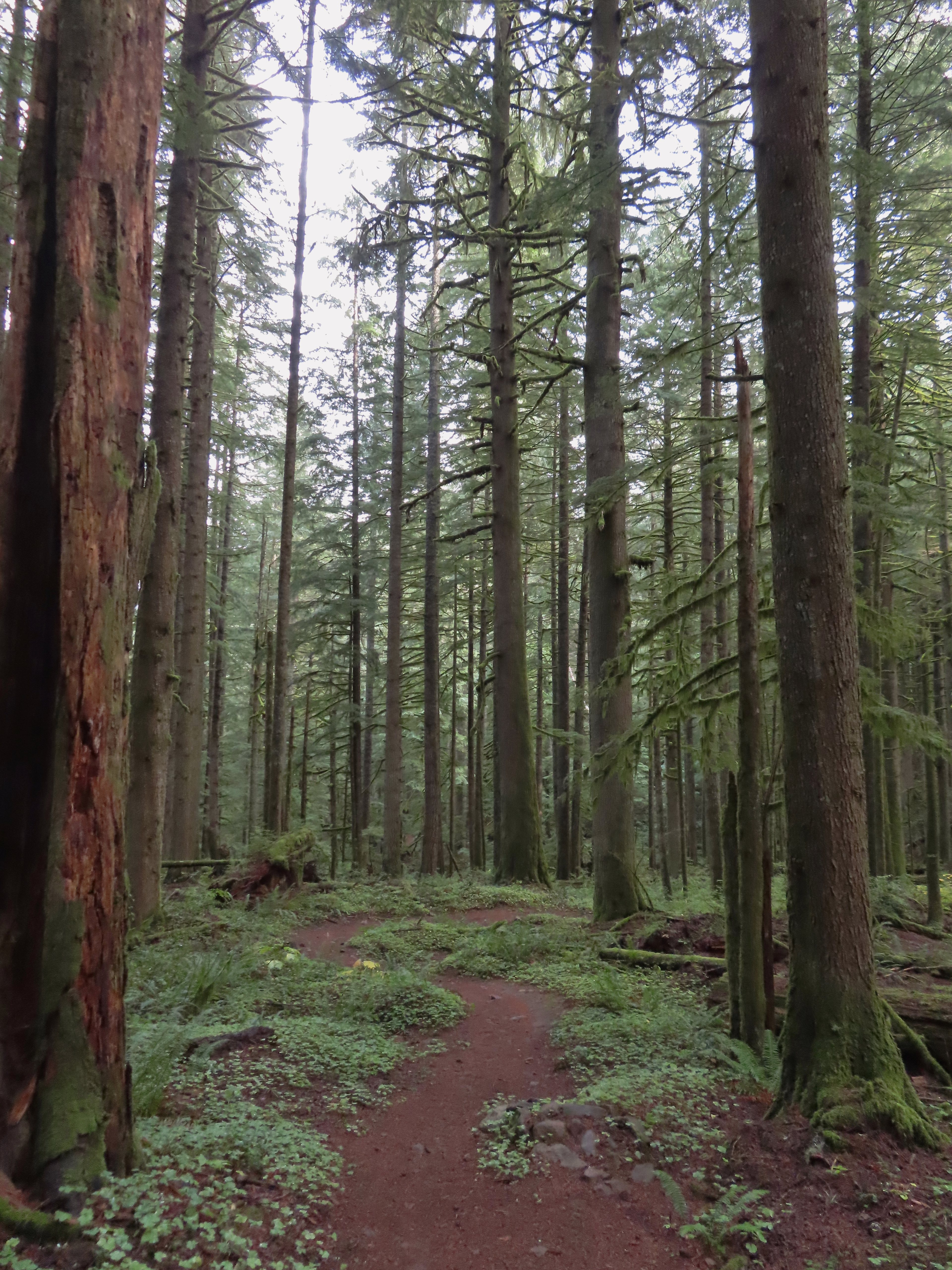
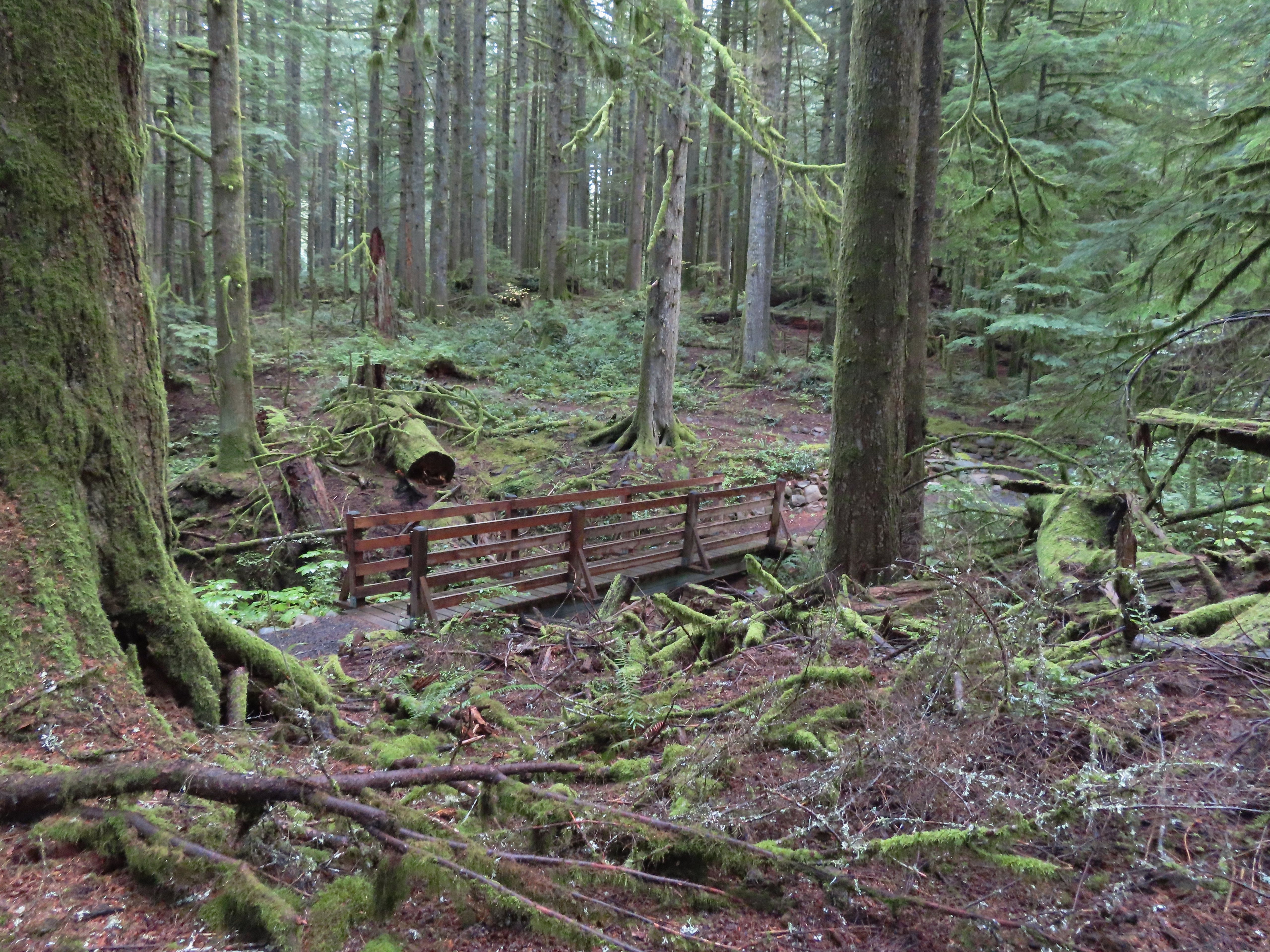 There were several bridges along this section of the trail. I also ran into the only mountain bikers that I would encounter all day in this area, a group of five.
 The Buck Mountain Loop junction.
 Bridge over Howard Creek.
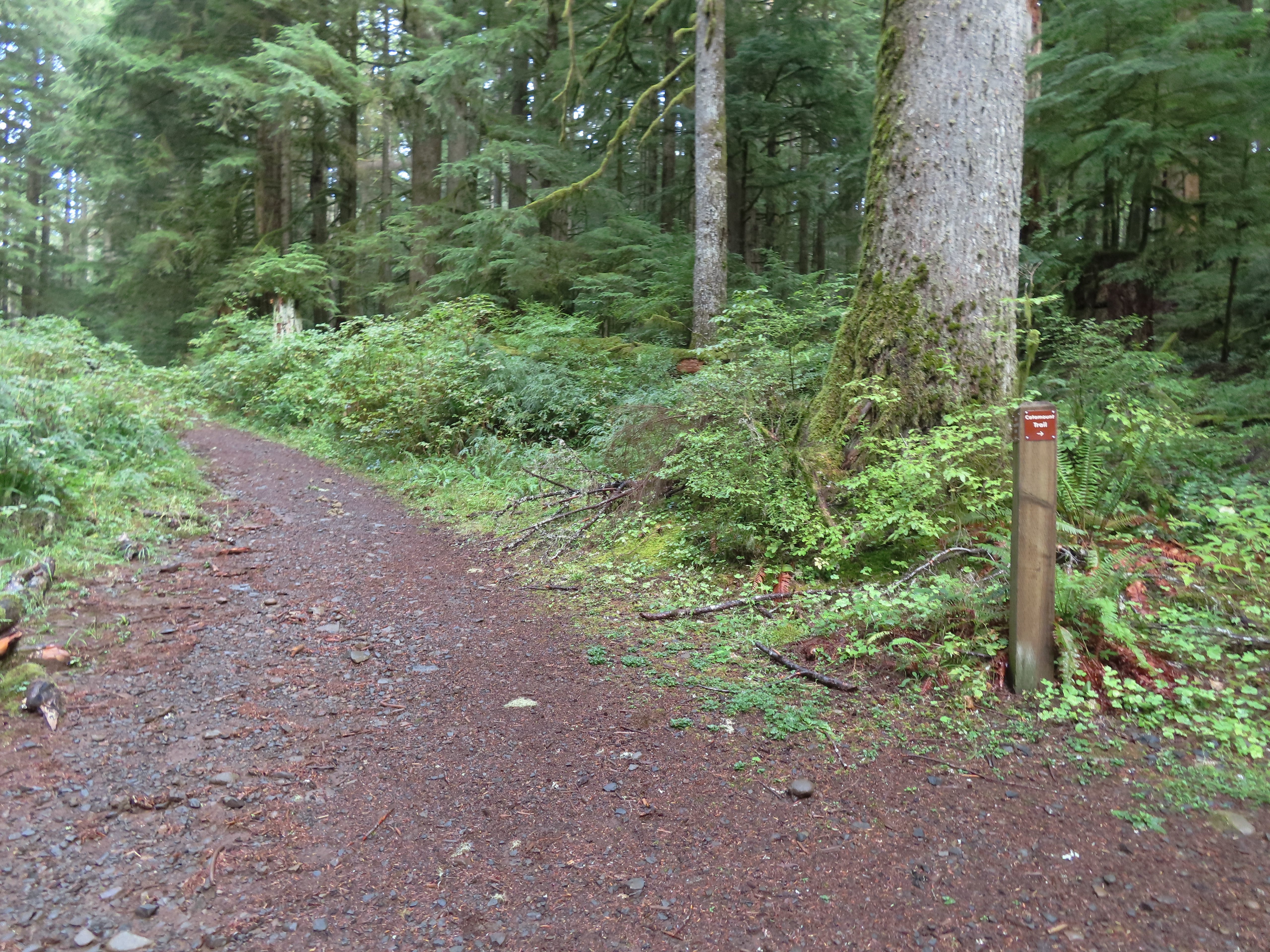 The continuation of the Catamount Trail on the right.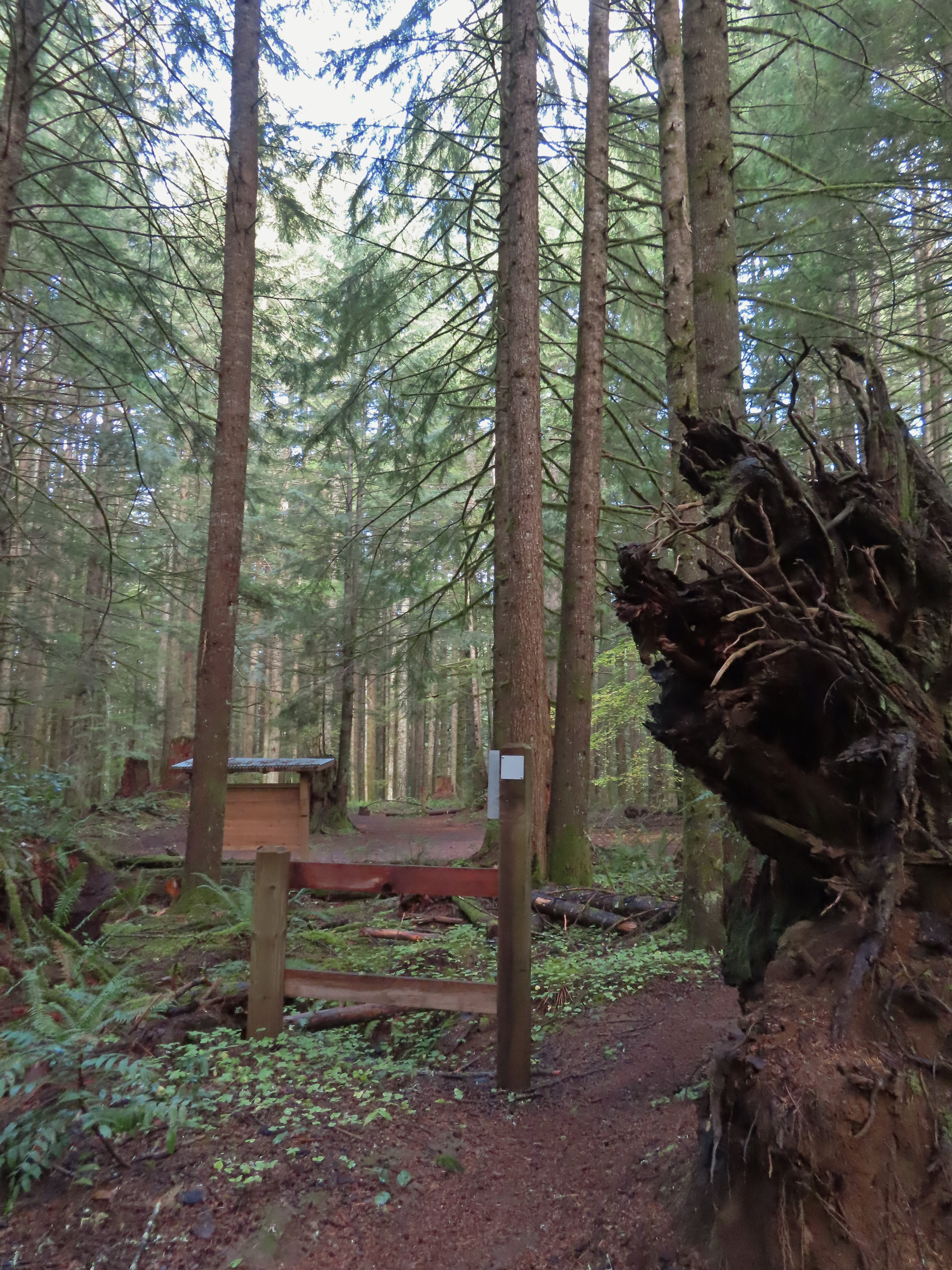
 The map showed the section I had just done as 0.9 miles, but my track was a bit more twisty than the map.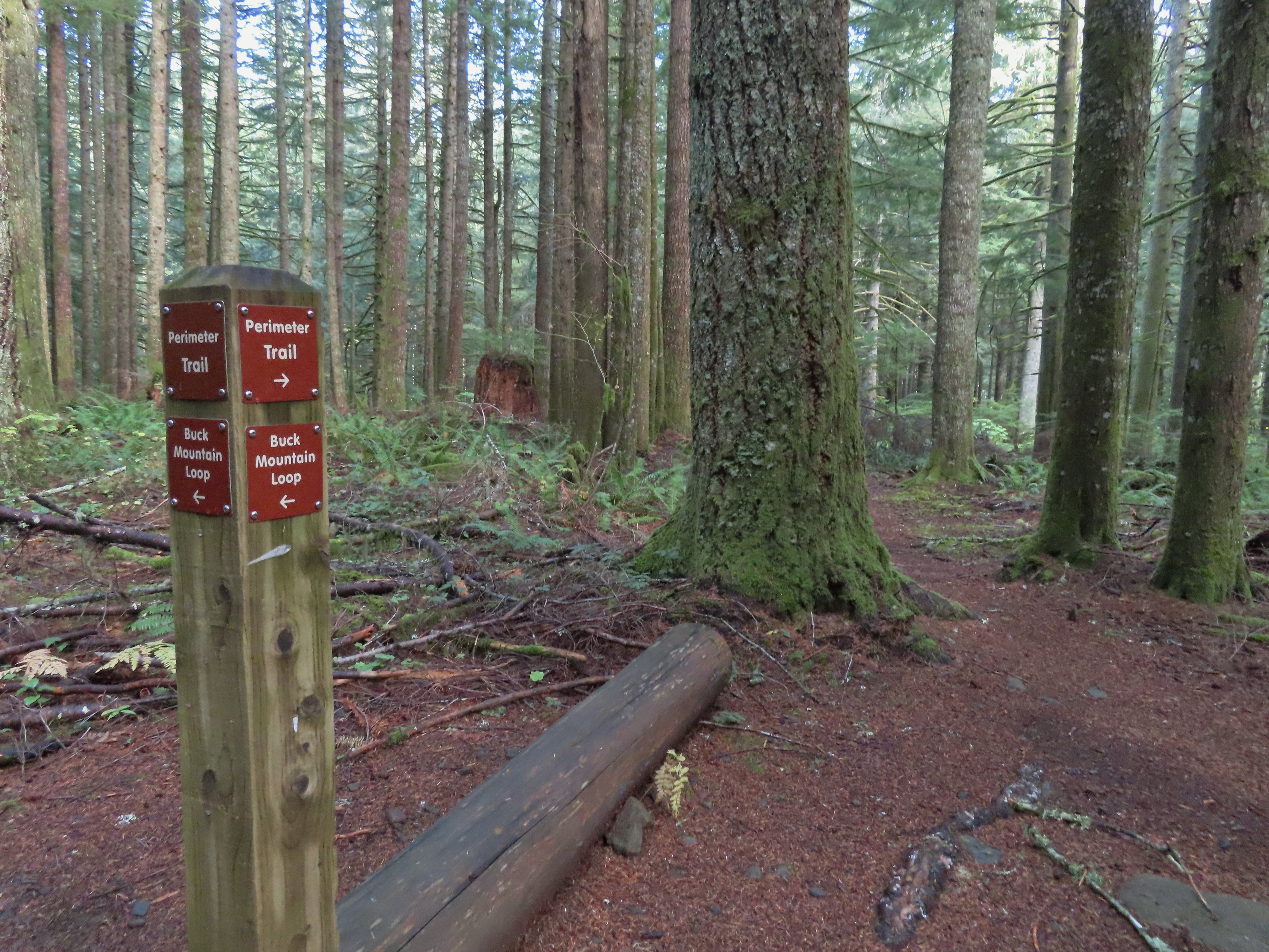
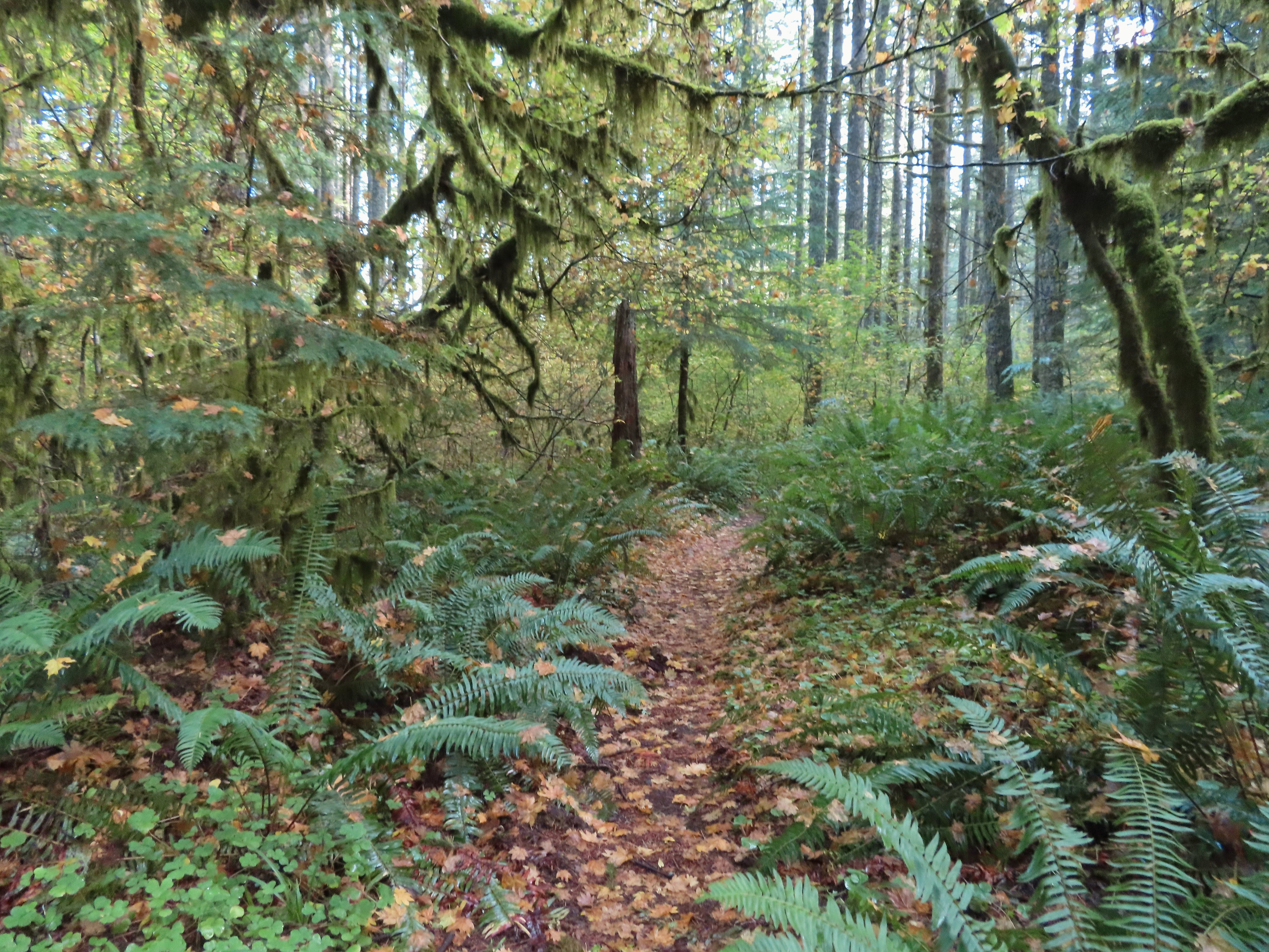
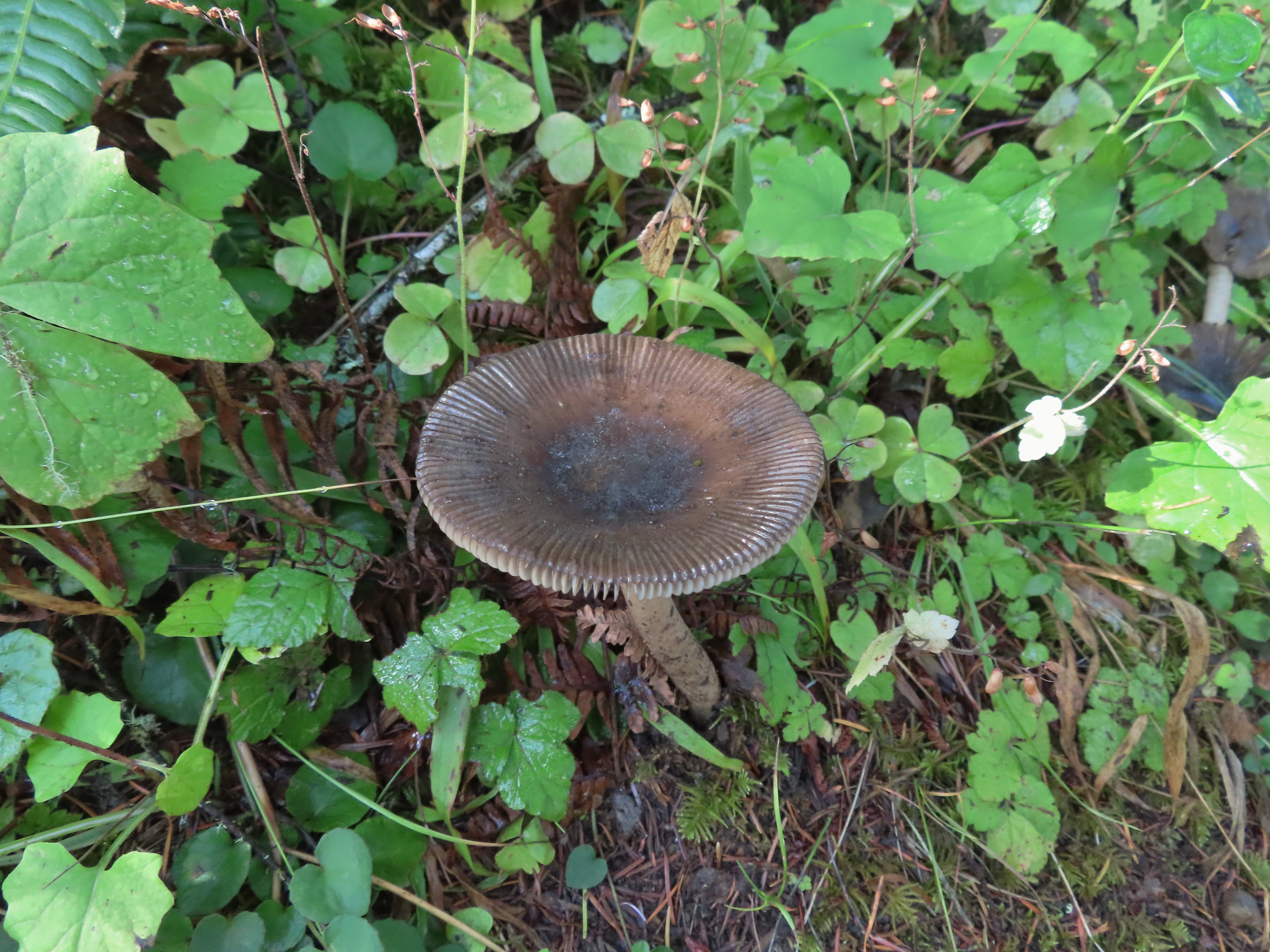
 A small opening on the way down.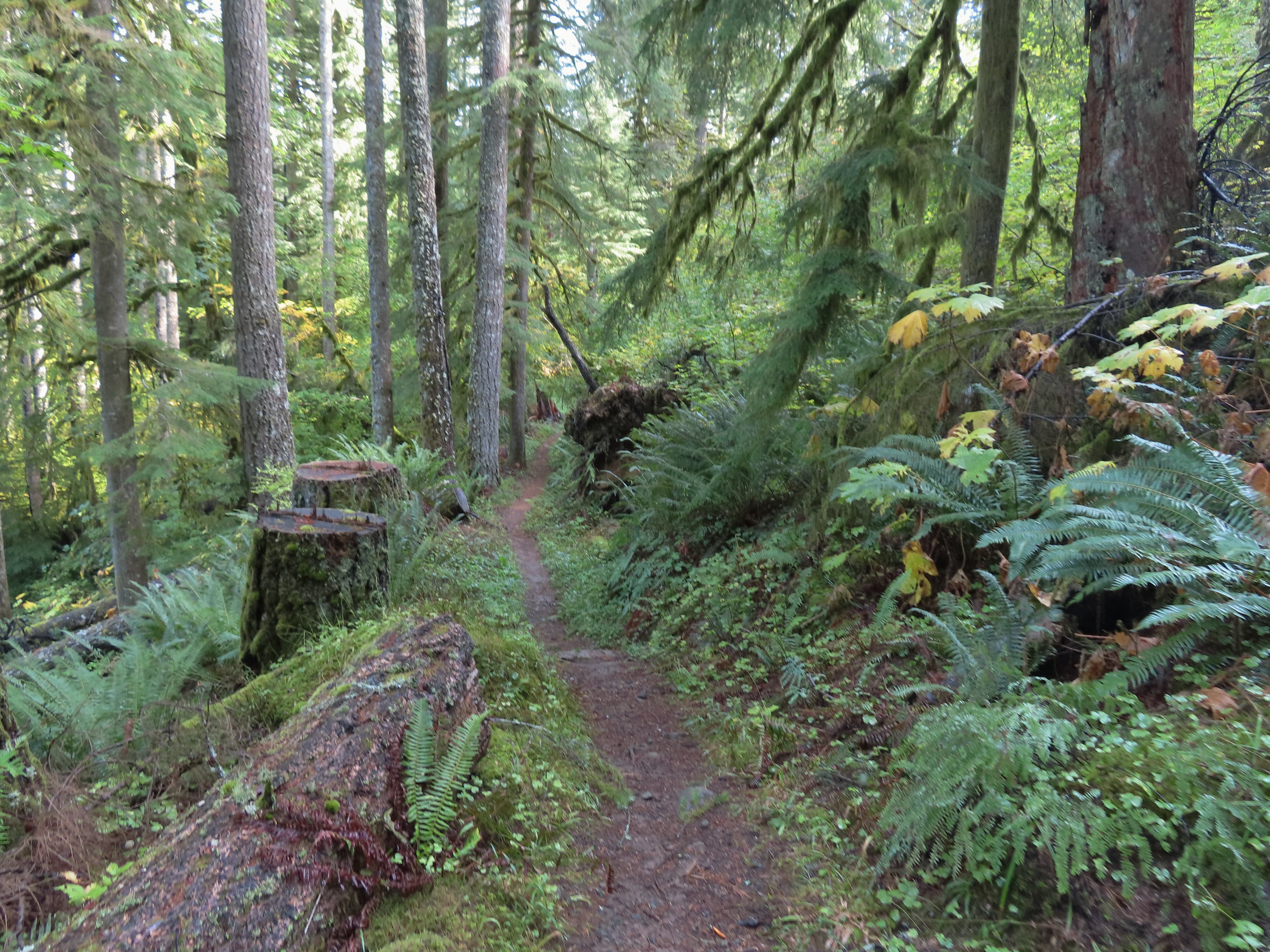

 Footbridge over South Fork Silver Creek.
 South Fork Silver Creek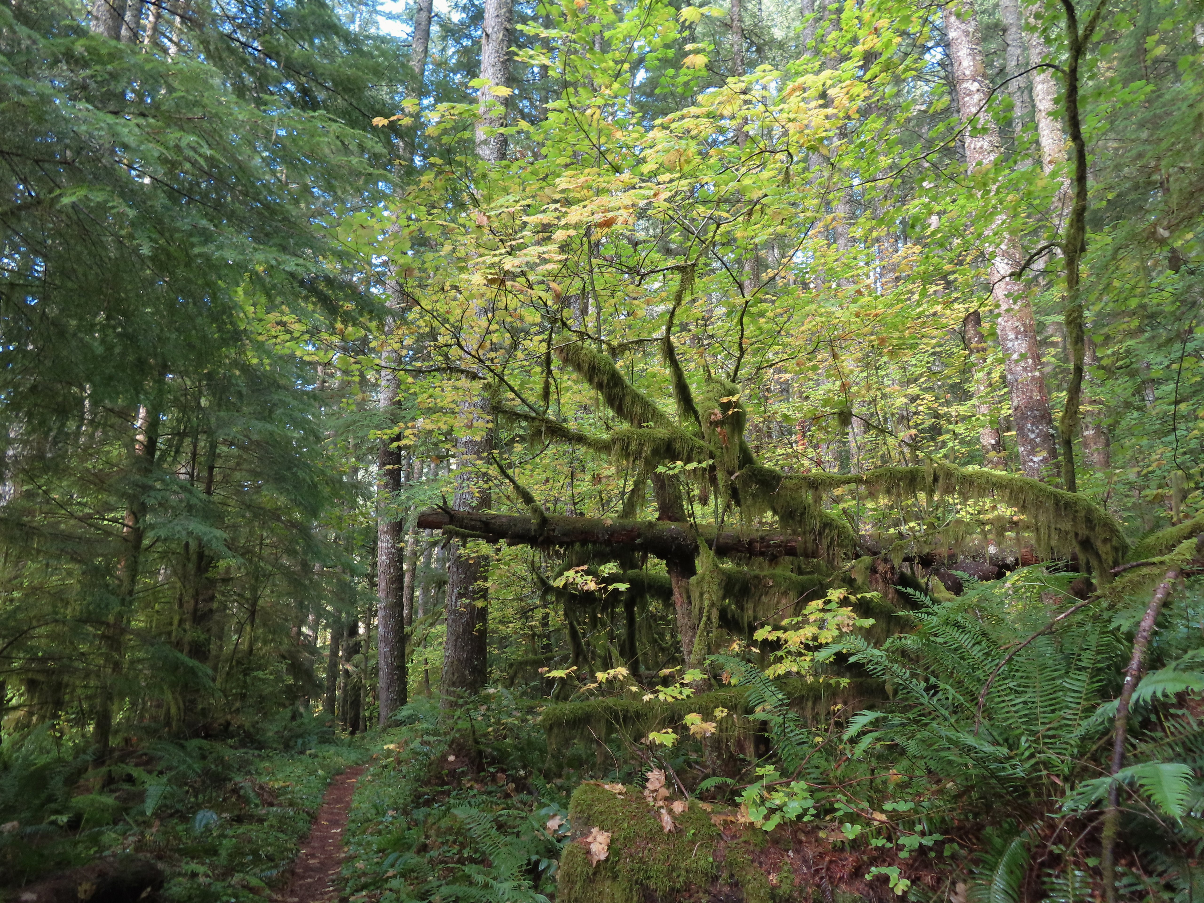


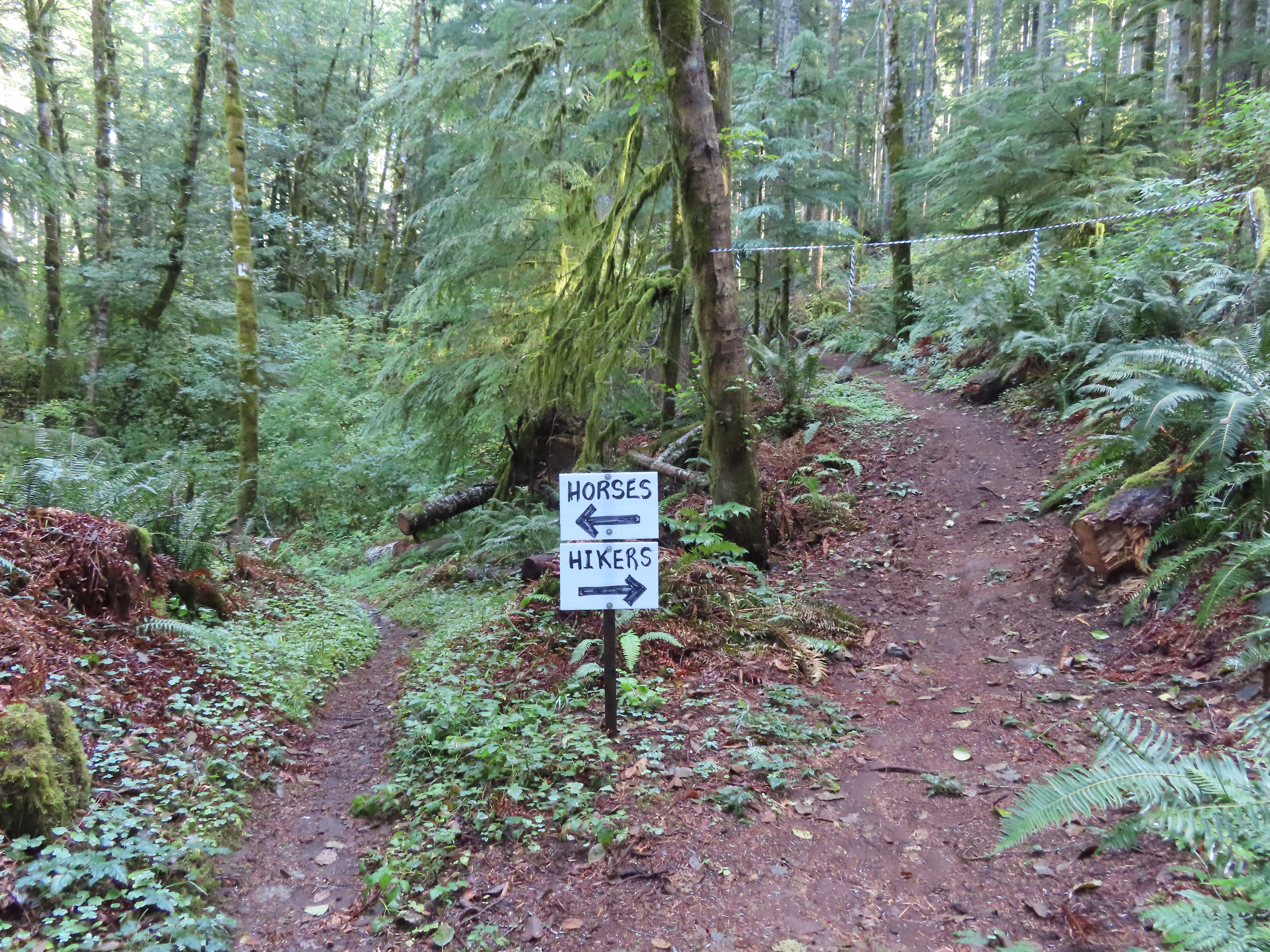 I’m a hiker so I went right here.
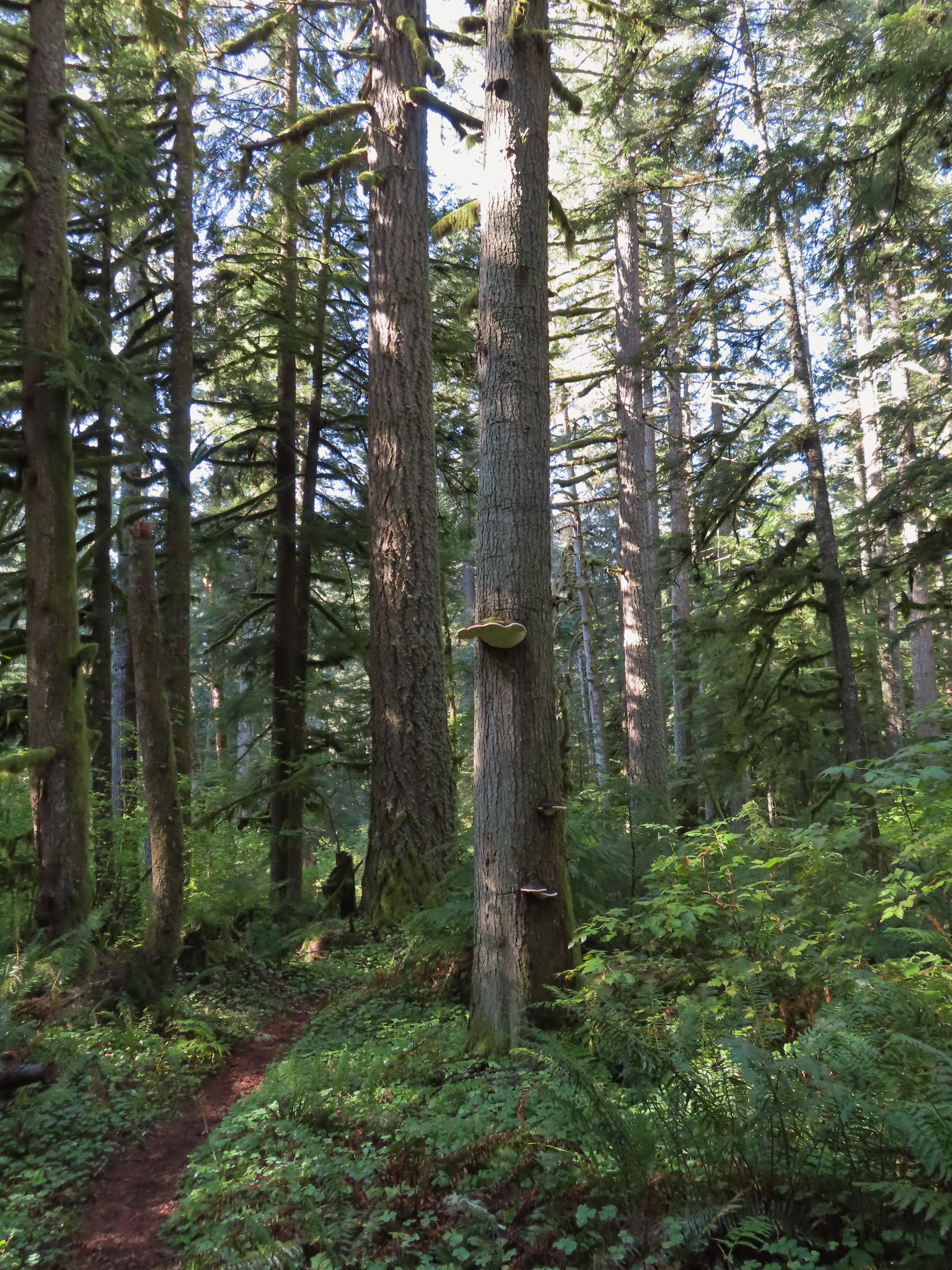 Big fungus on the tree ahead.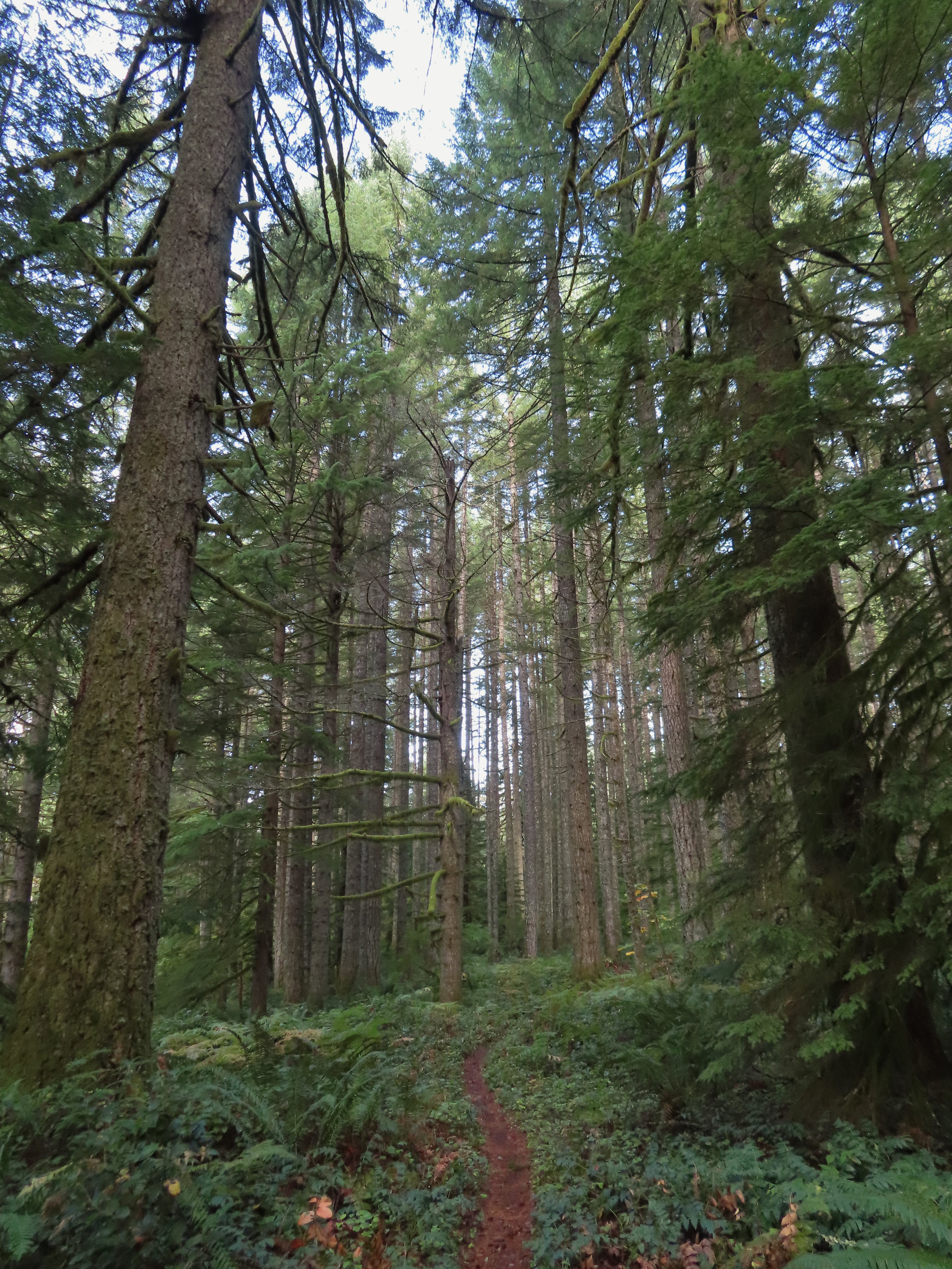

 Map at the Rackett Ridge junction.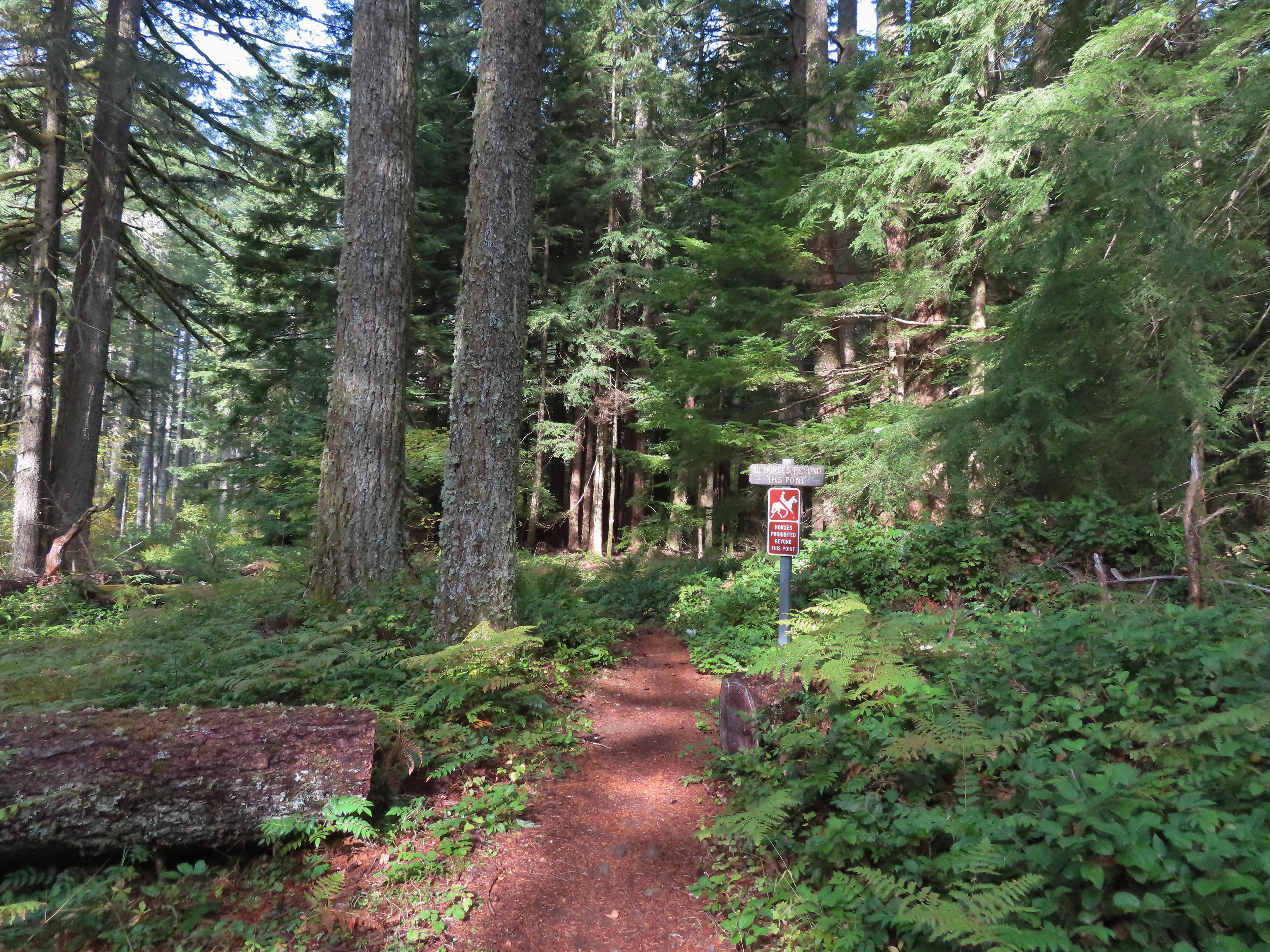
 Another impressive nursery log.
 I stopped in this area to change out of my sweaty socks and into one of the extra pairs I’d brought expecting rain.
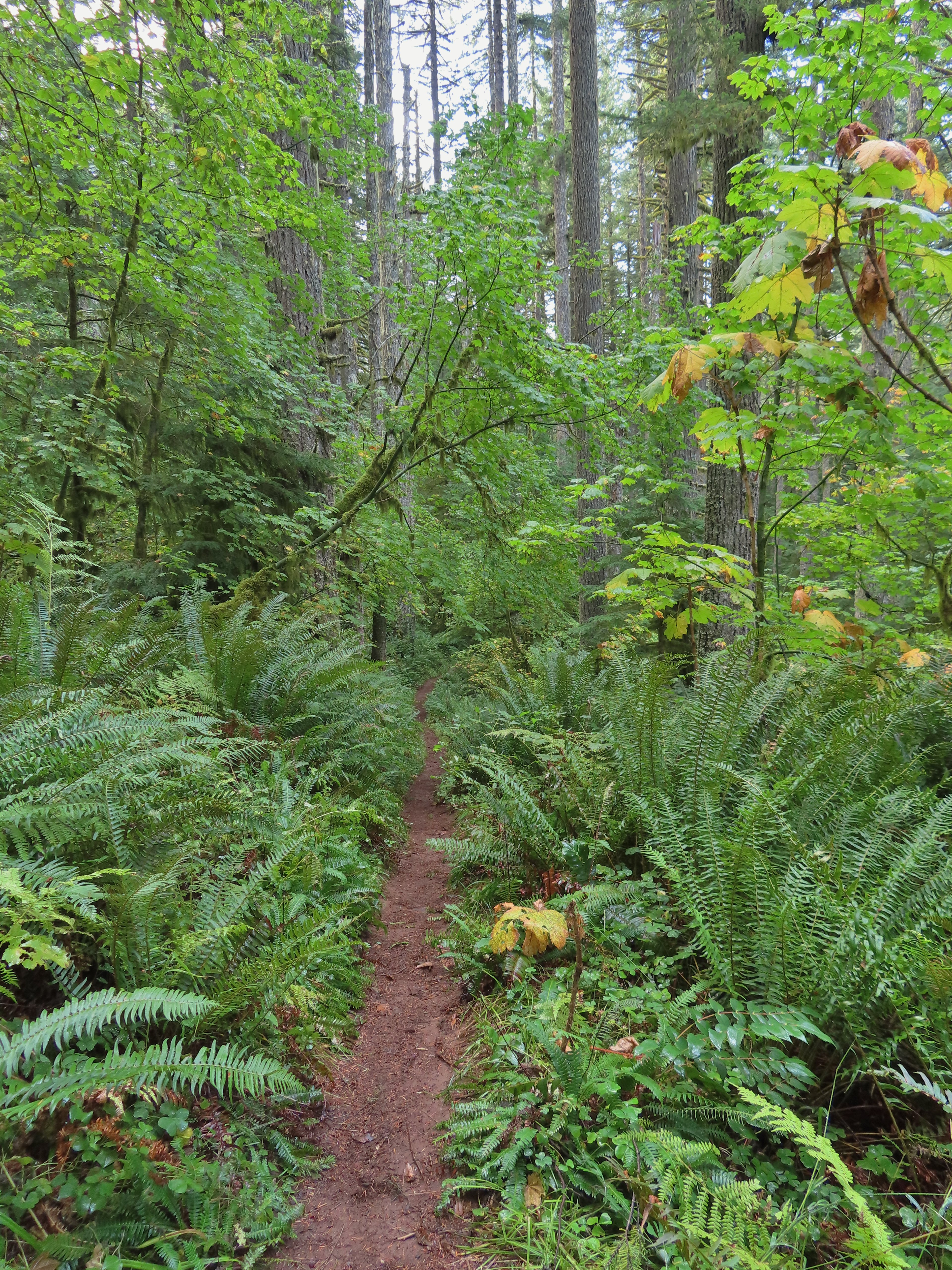 The vegetation went through several changes as the trail lost elevation.
 This was a big tree in the midst of much smaller ones.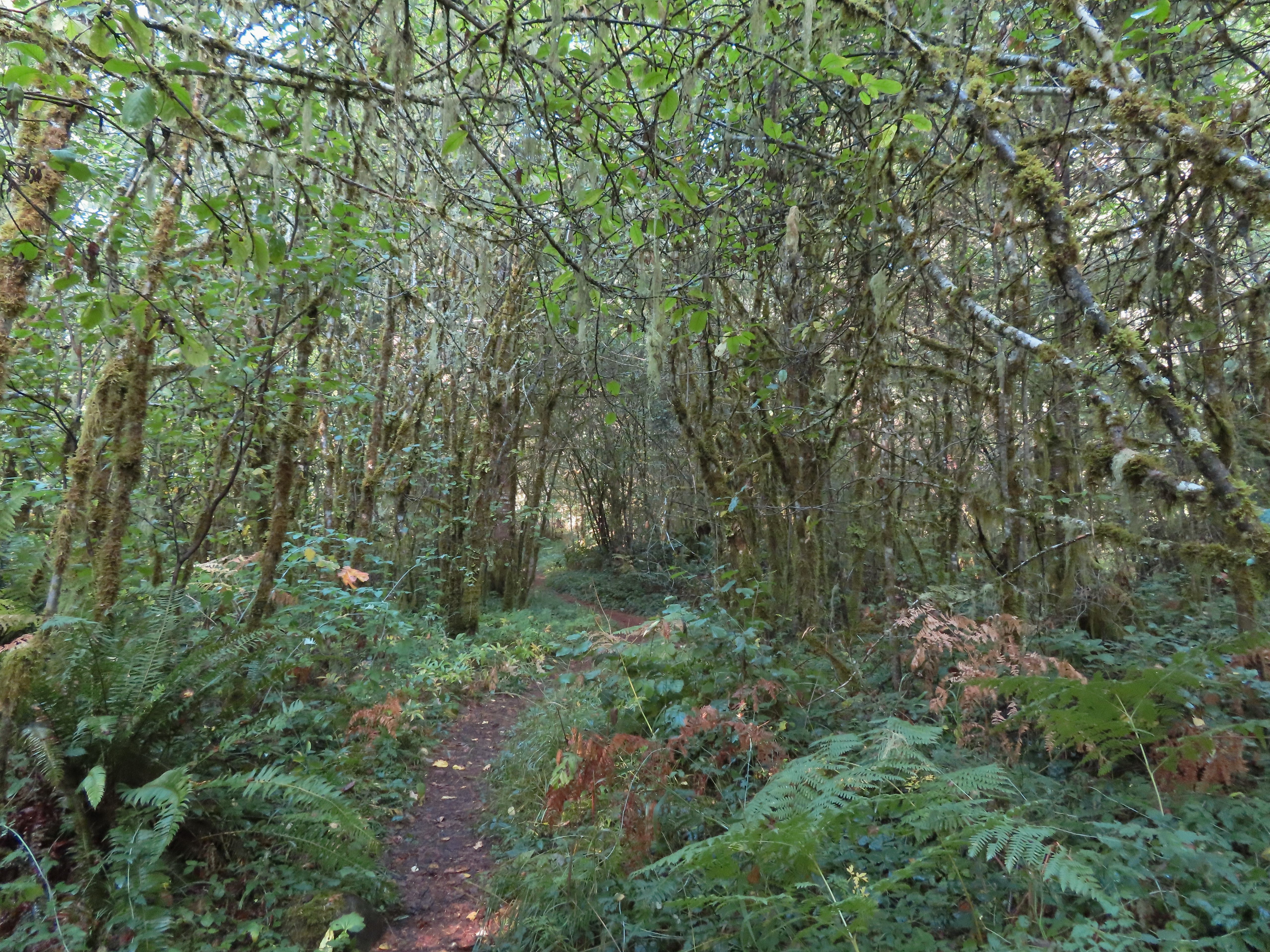
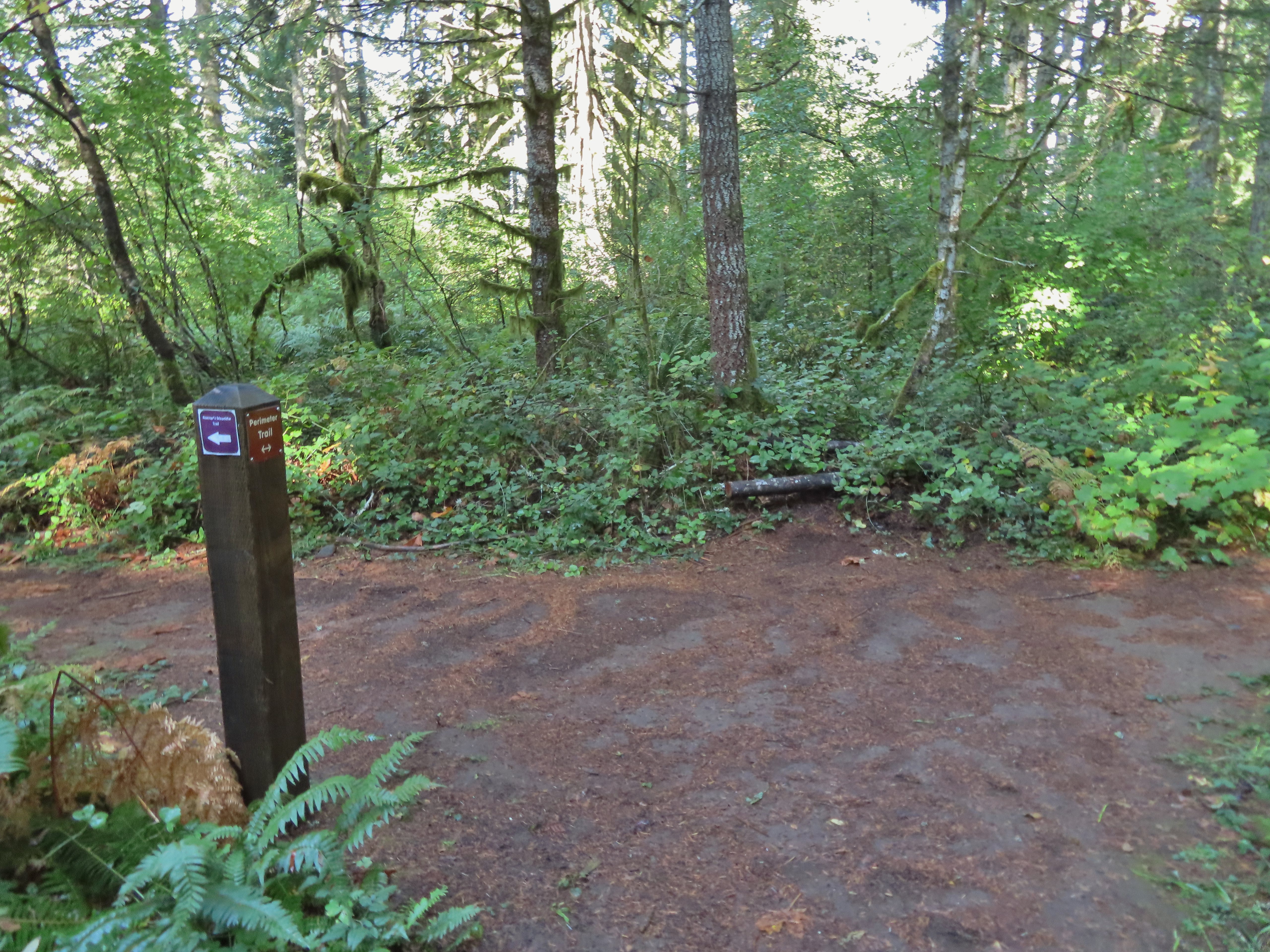 Roemer’s Meadow Trail (left) isn’t shown on the park maps yet, but it was completed in 2021 with help from the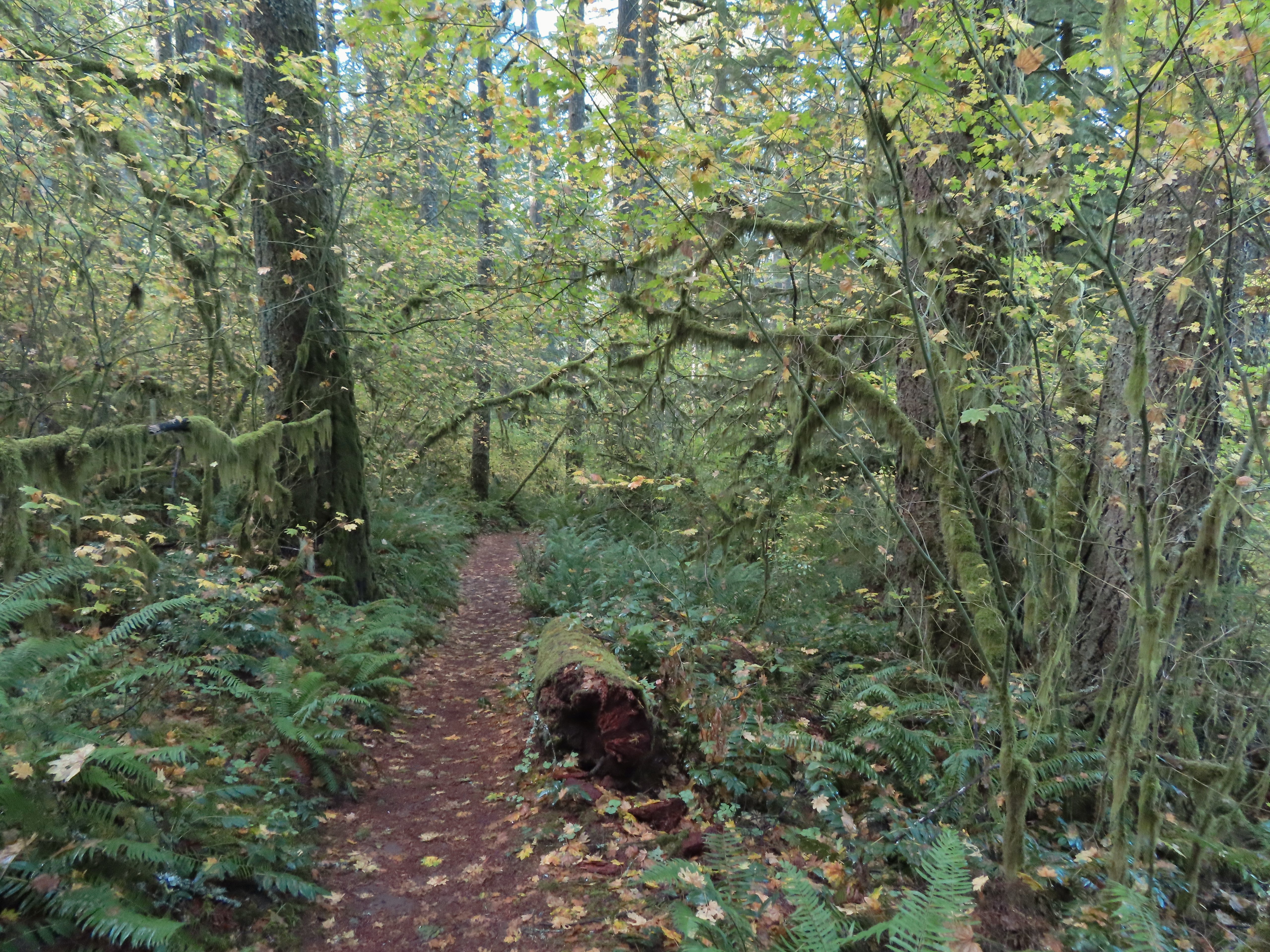
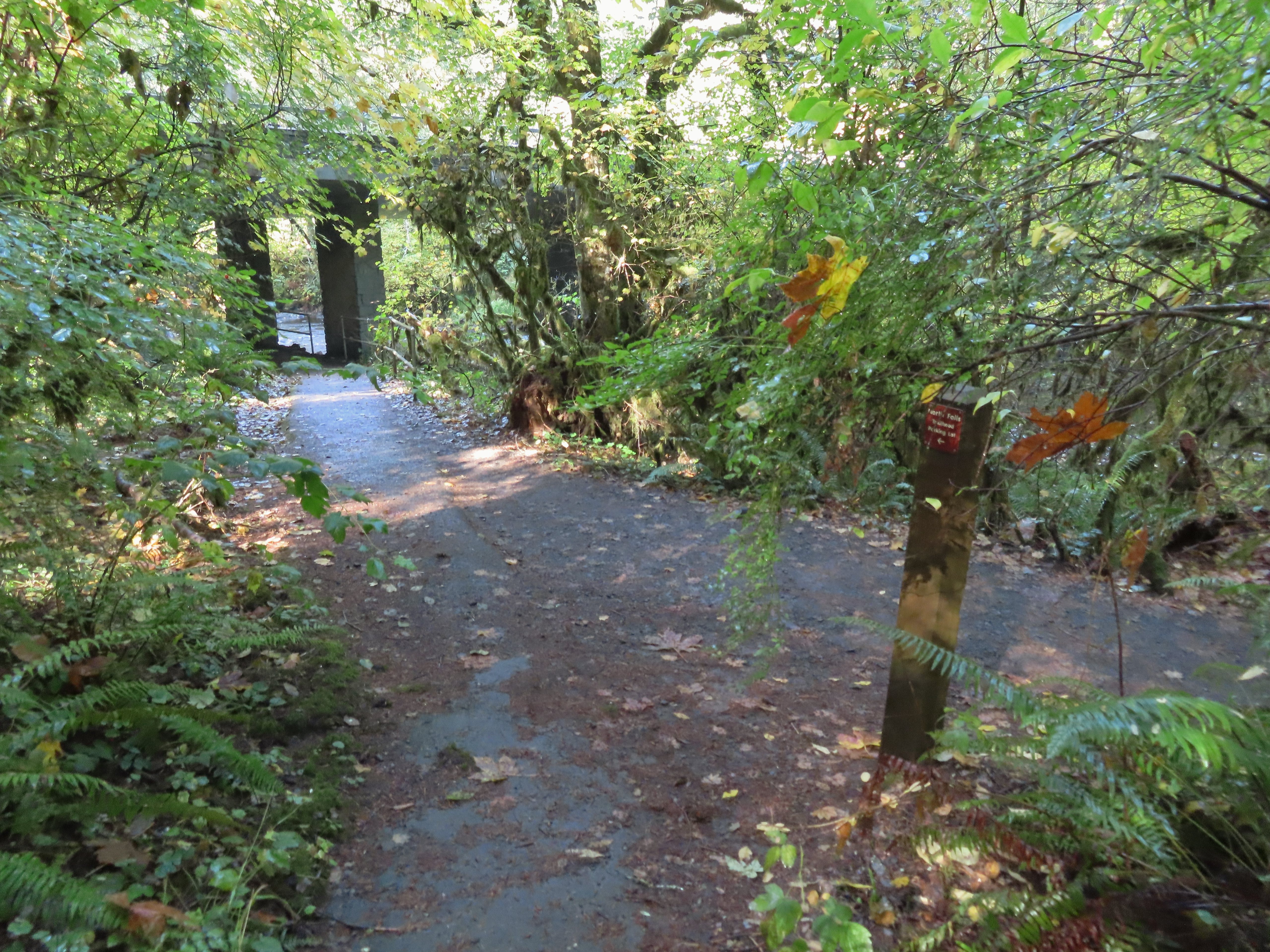 The Trail of Ten Falls junction near Highway 214.
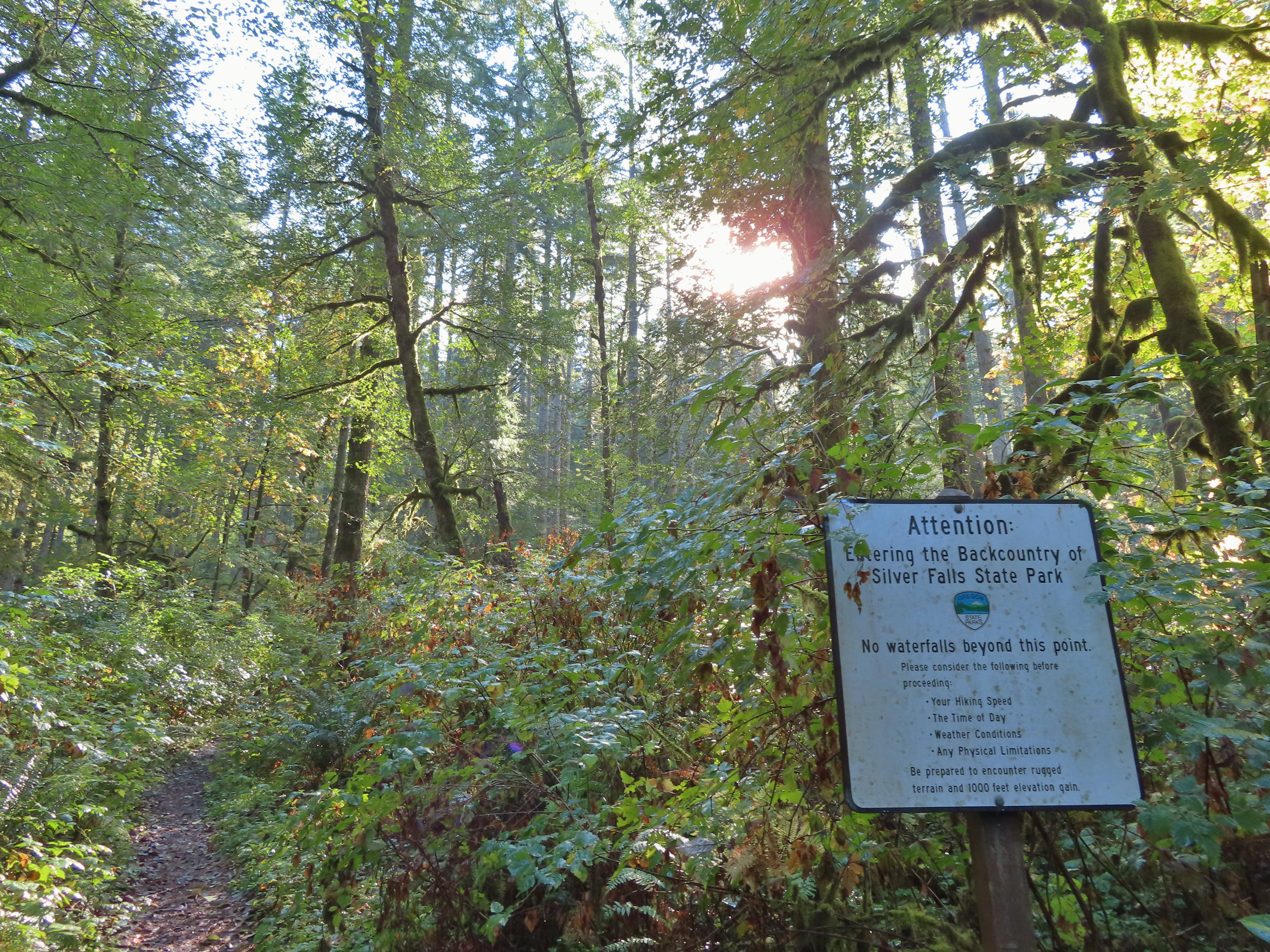 Looking back up the Perimeter Trail.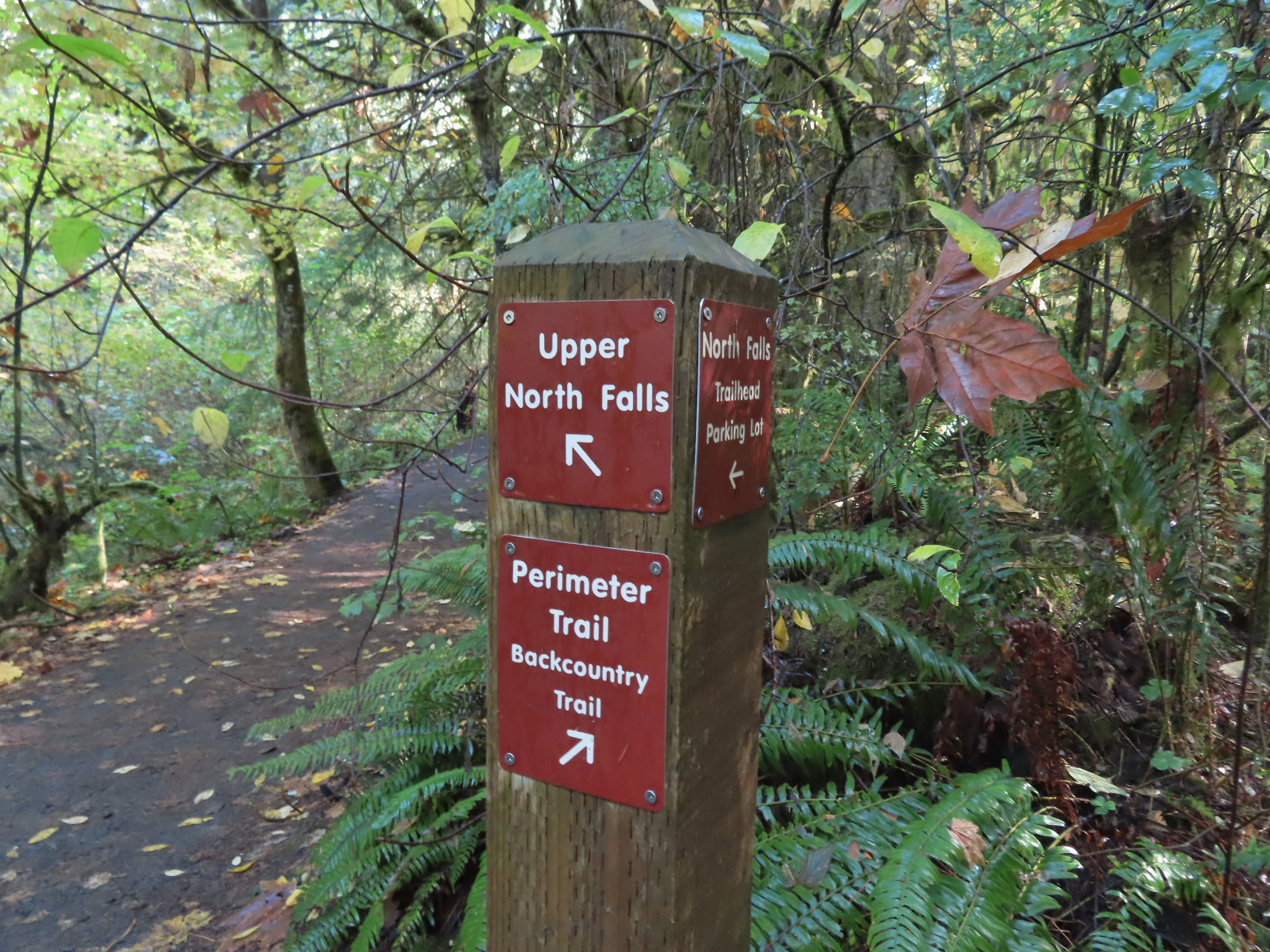
 Upper North Falls
 A left would have taken me to the North Falls Trailhead.
 The Rim Trail to the left and Canyon Trail to the right, both part of the Trail of Ten Falls.

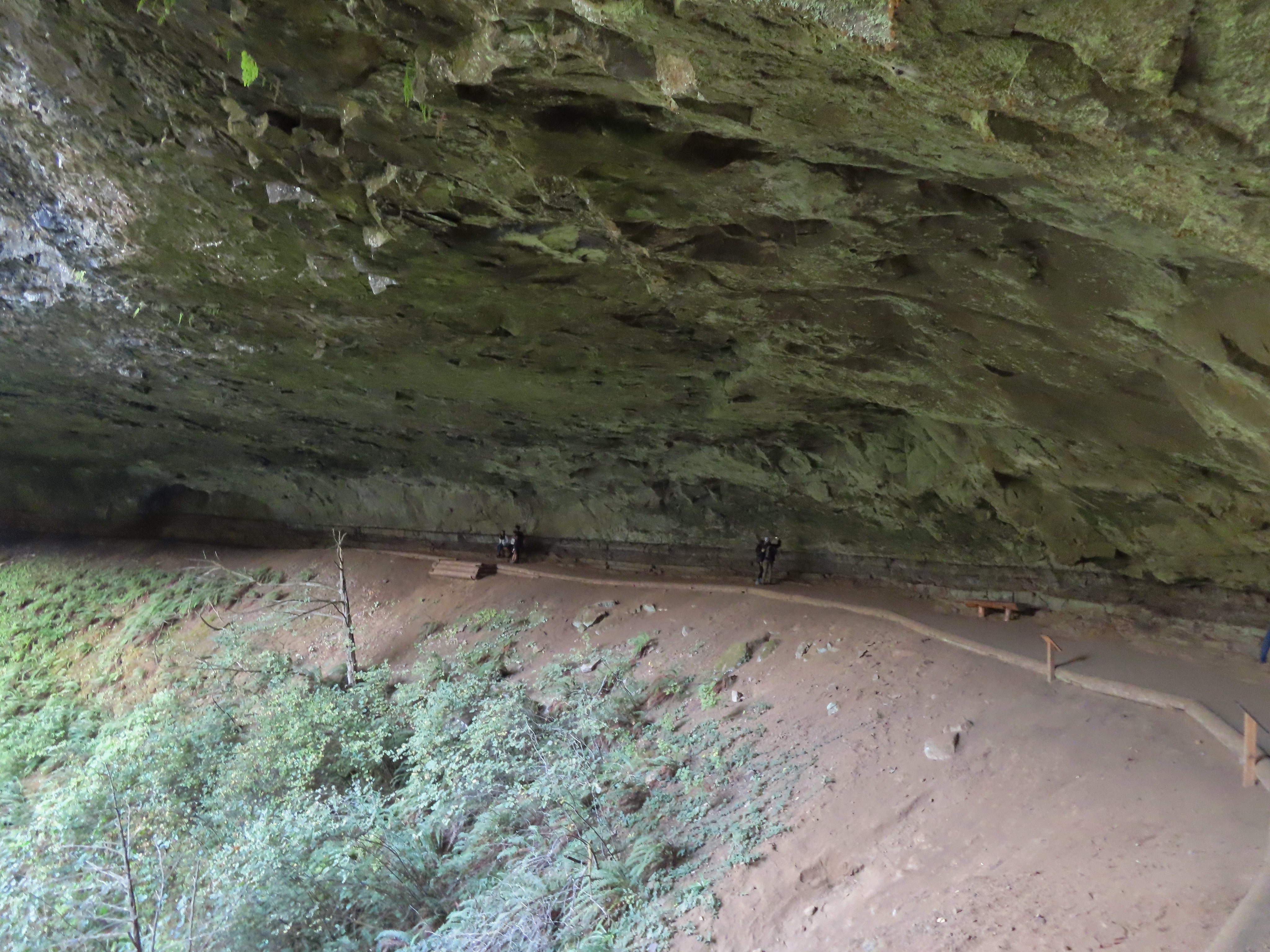
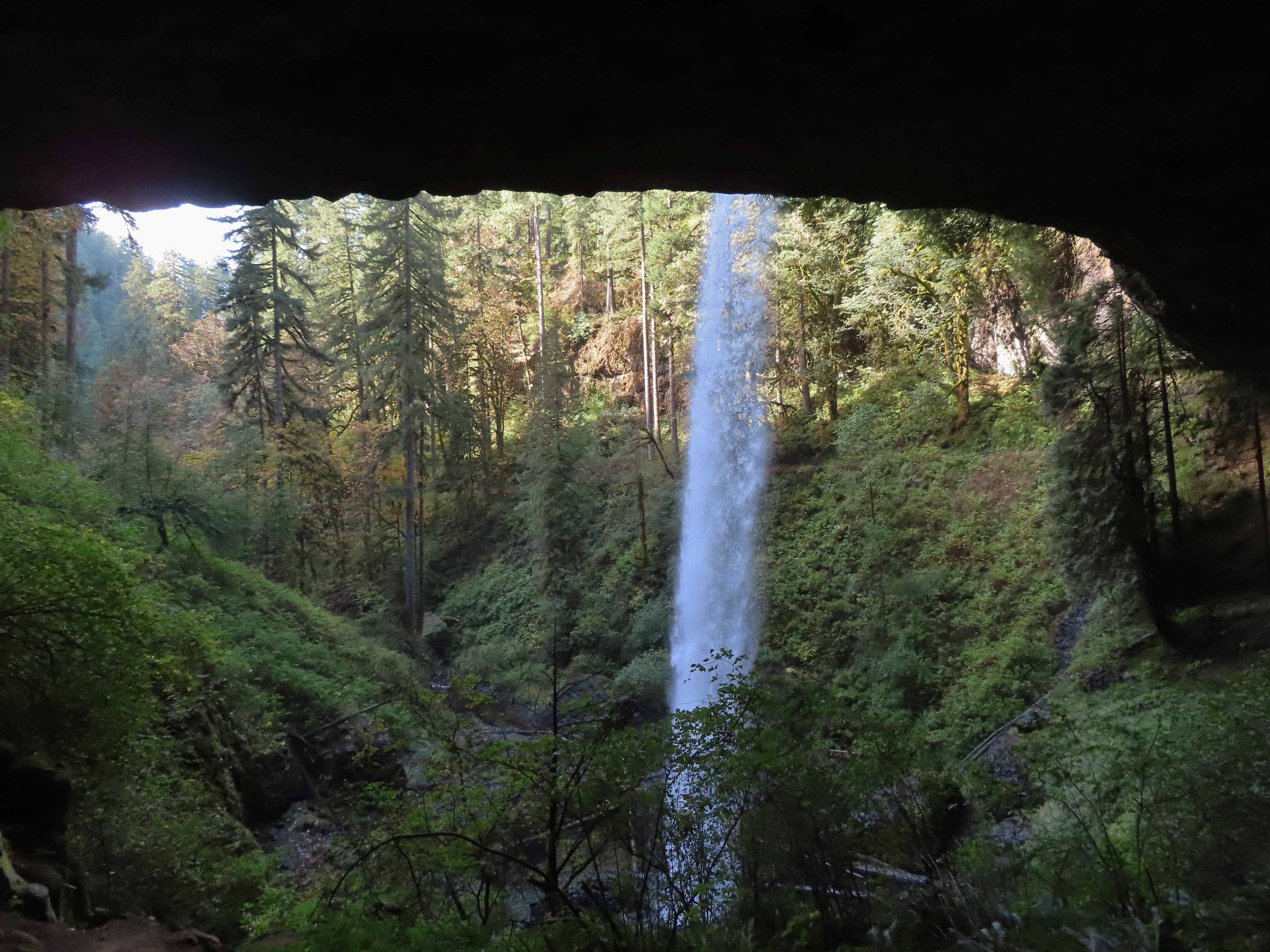
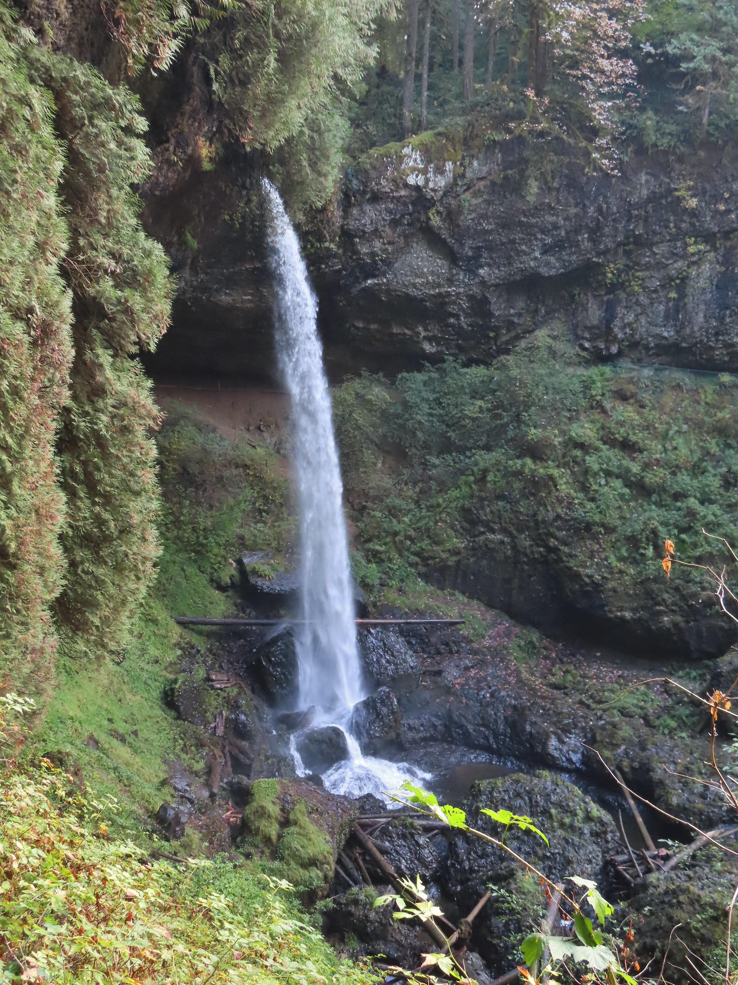

 I’m always impressed by the size of this rock in the creek.
 Not Twin Falls, but a nice little cascade nonetheless.
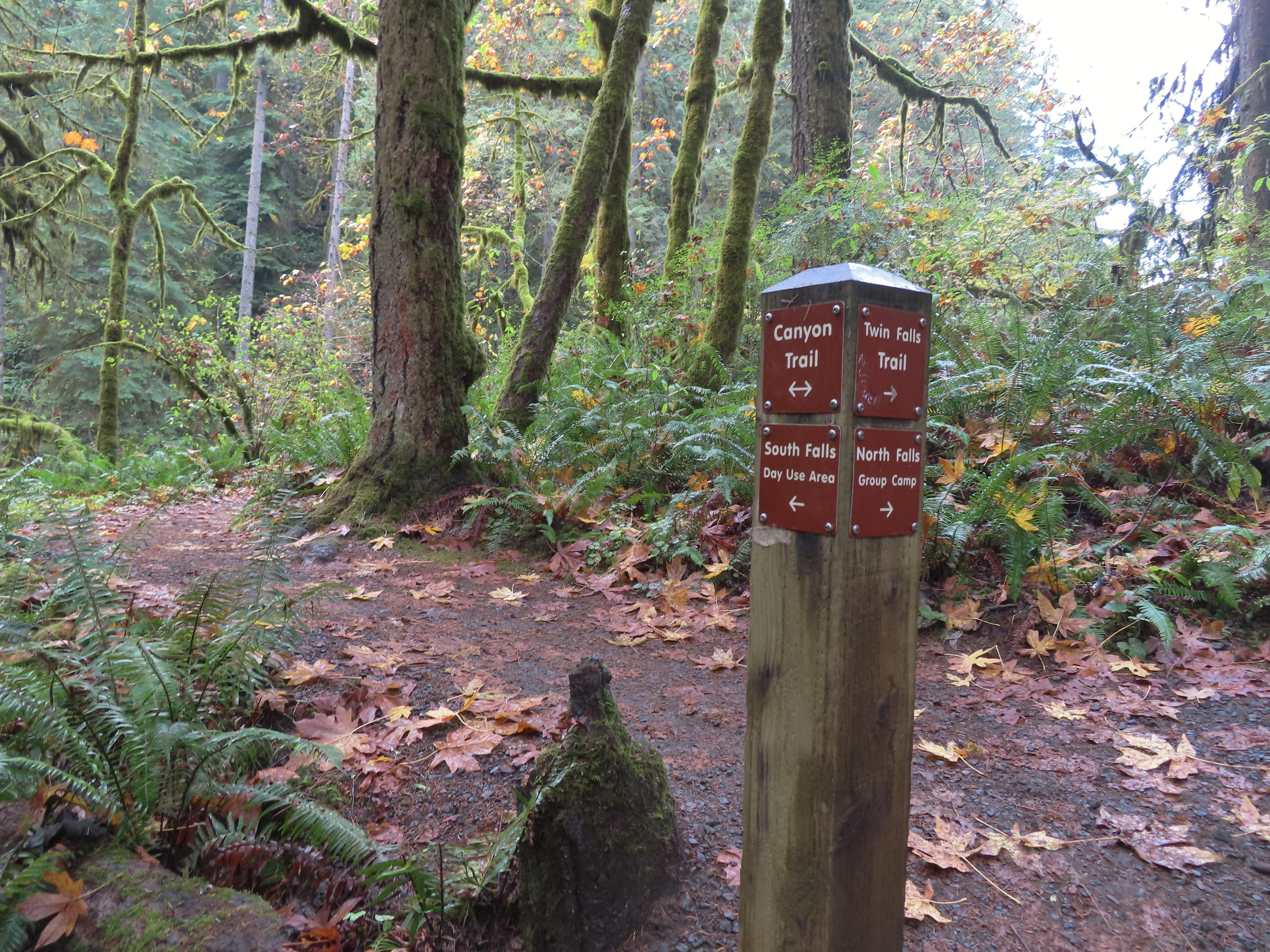 This post could be a little confusing without a map. The Twin Falls Trail climbs uphill to a group camp and does not lead to Twin Falls. The falls are the opposite side along a very short spur trail that connects at either end to the Canyon Trail.
 Twin Falls isn’t very easy to see from the spur trail either even though you’re right next to it.
 Twin Falls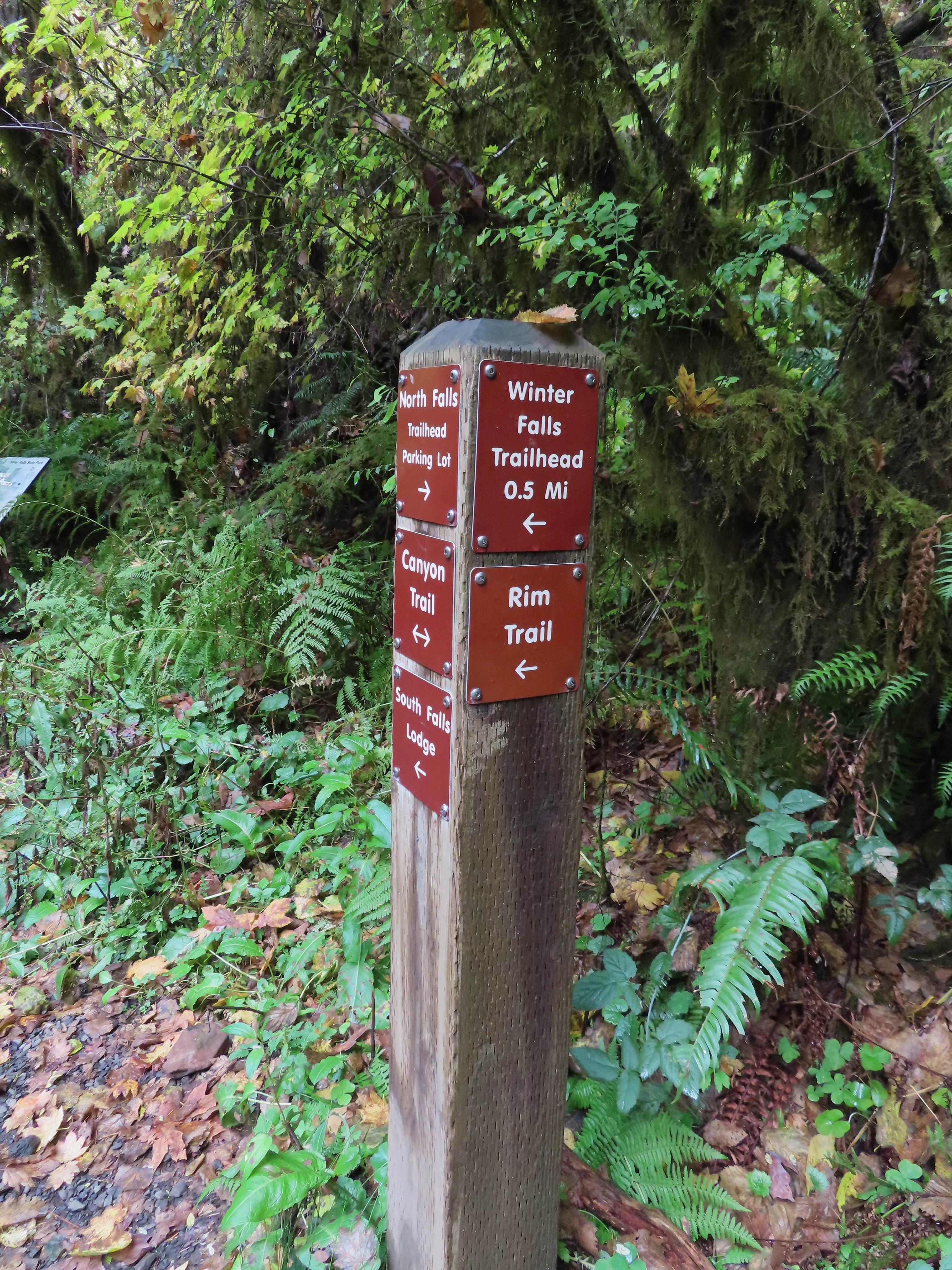

 North Fork Silver Creek
 Winter Falls, as the name suggests it’s not much of a waterfall outside of Winter when rain and snowmelt provide more water.
 With the dry Summer it isn’t a great Fall color year but there was a decent display along this trail.
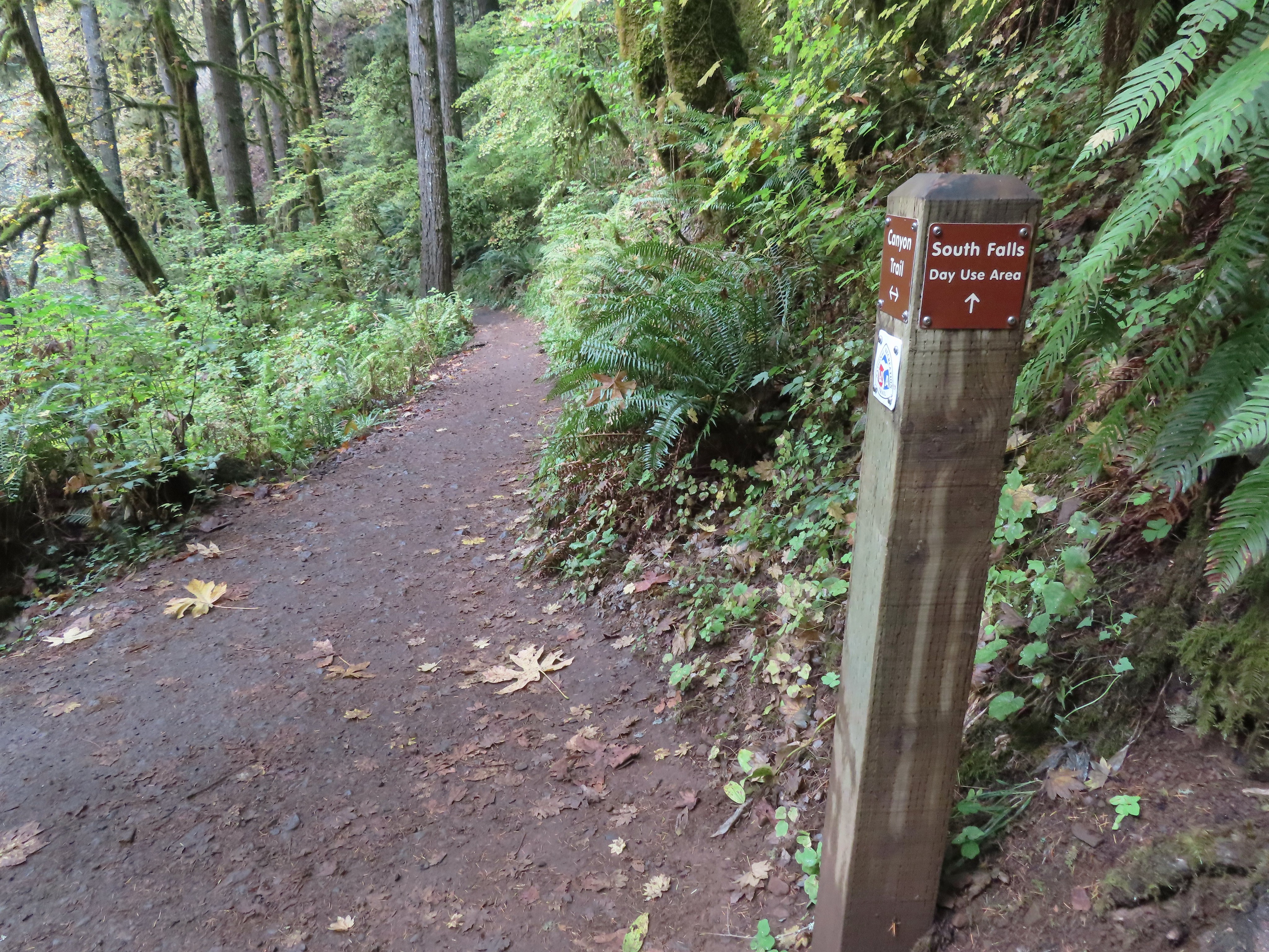 I turned left here on the spur trail behind Middle North Falls.


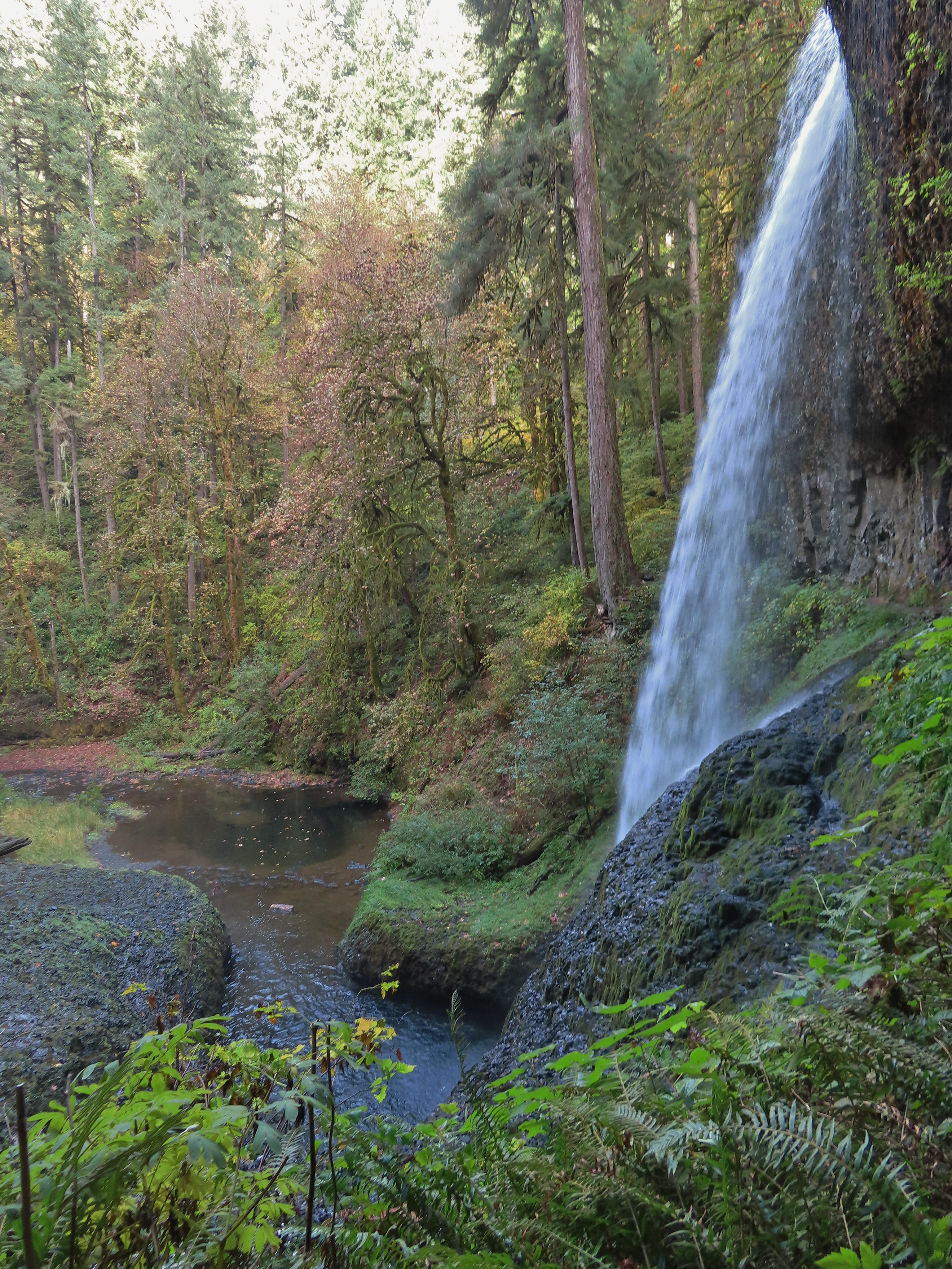
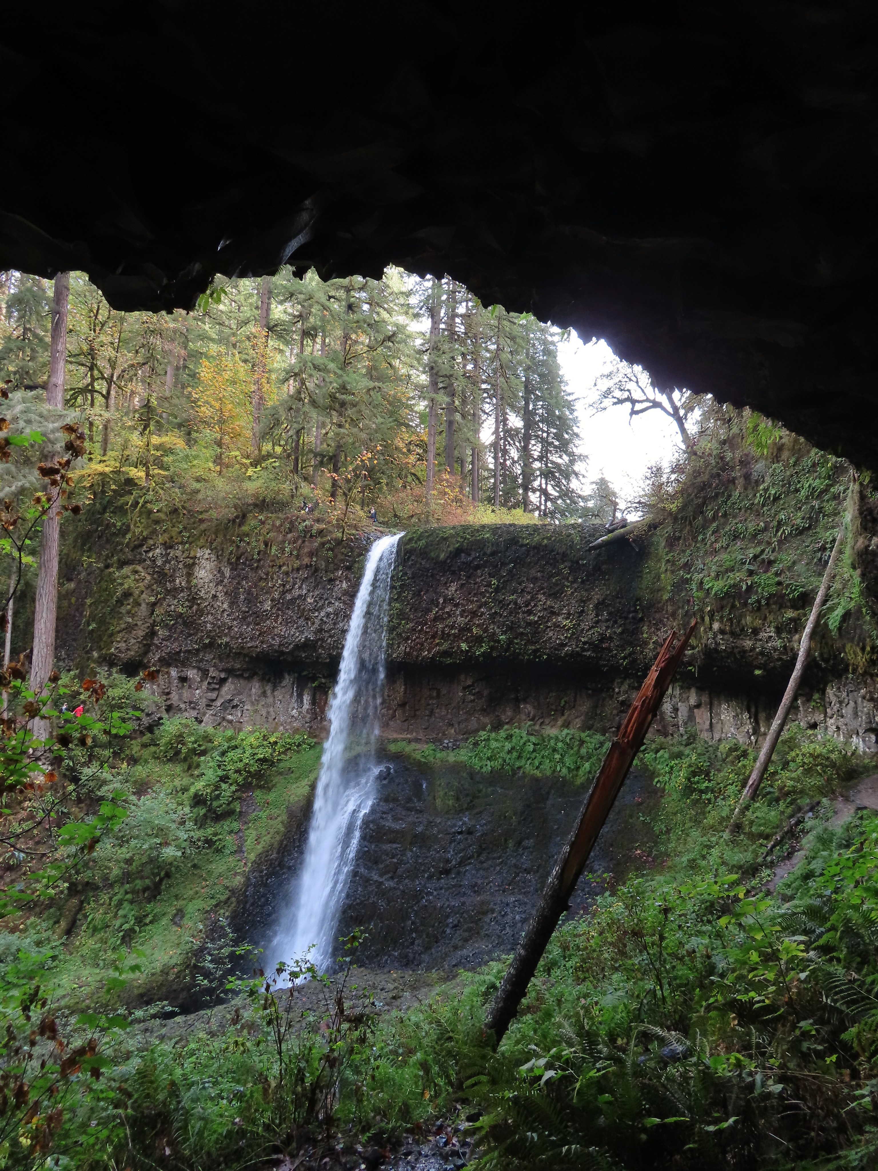
 Middle North Falls from the Canyon Trail.
 The 27′ Drake Falls.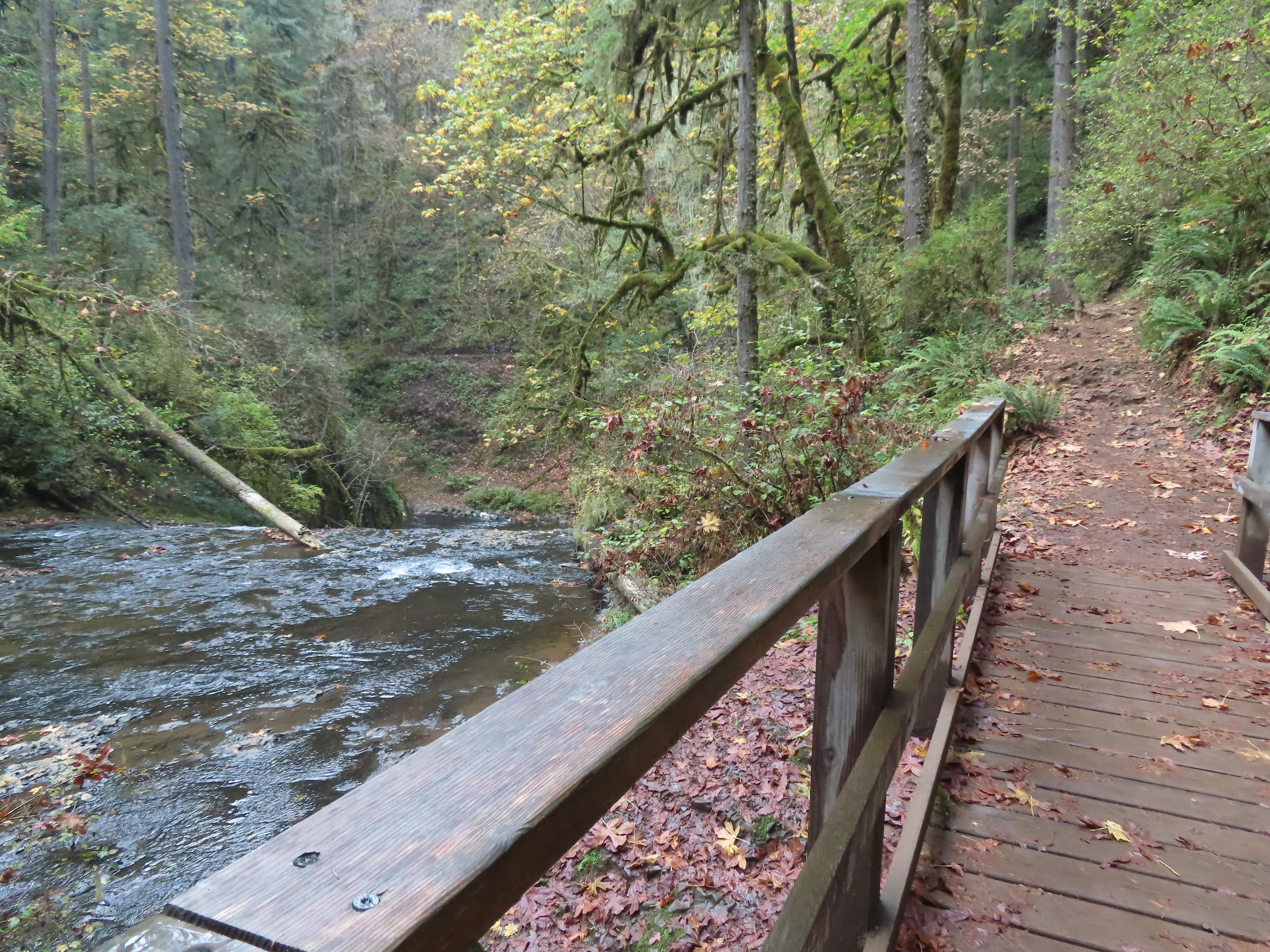

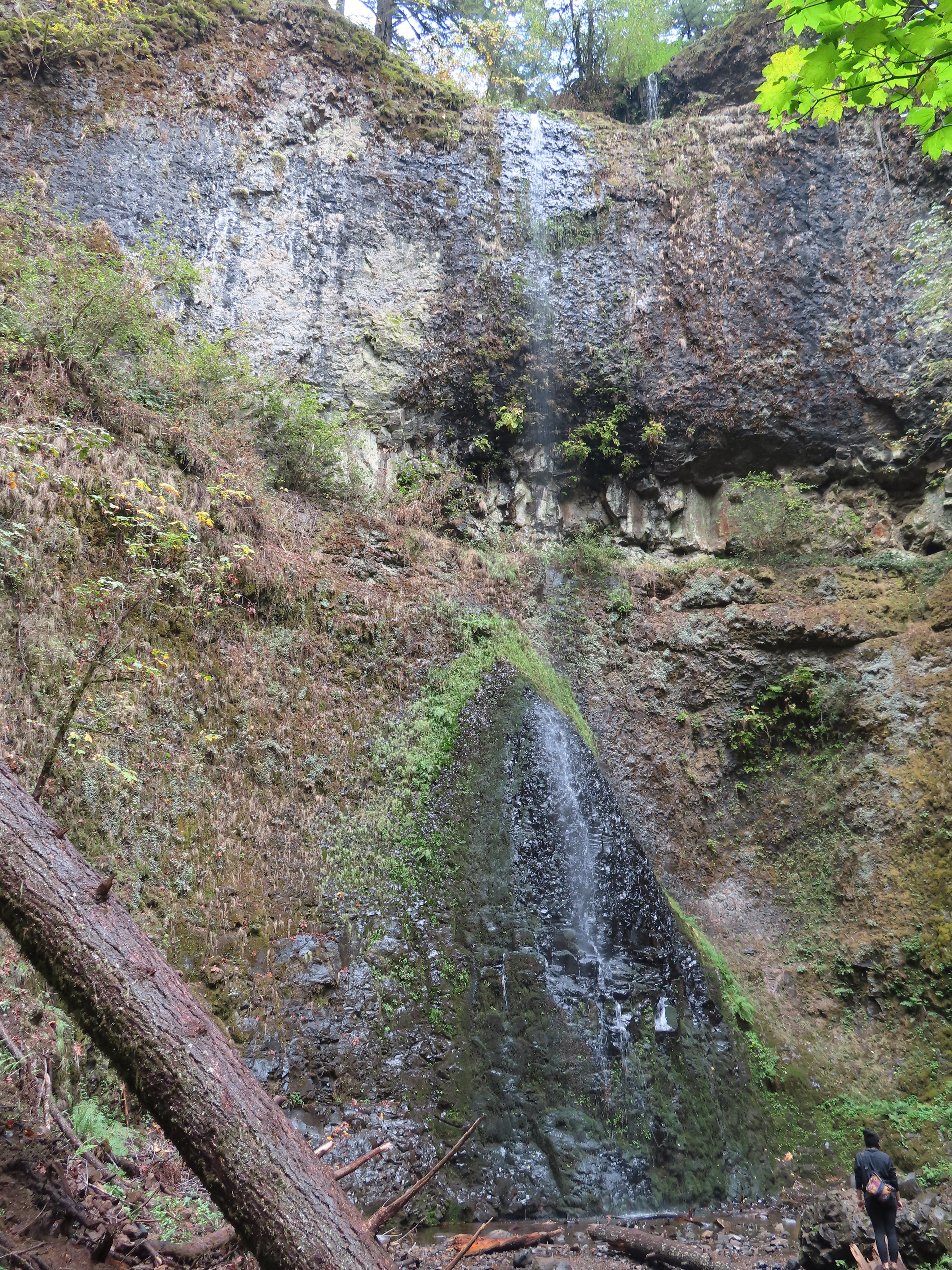 The hiker at the base gives a good idea of the fall’s height, you just have to use your imagination to add water.

 The Canyon Trail crosses the creek just downstream from Lower North Falls then makes a short climb to get above the canyon cliffs.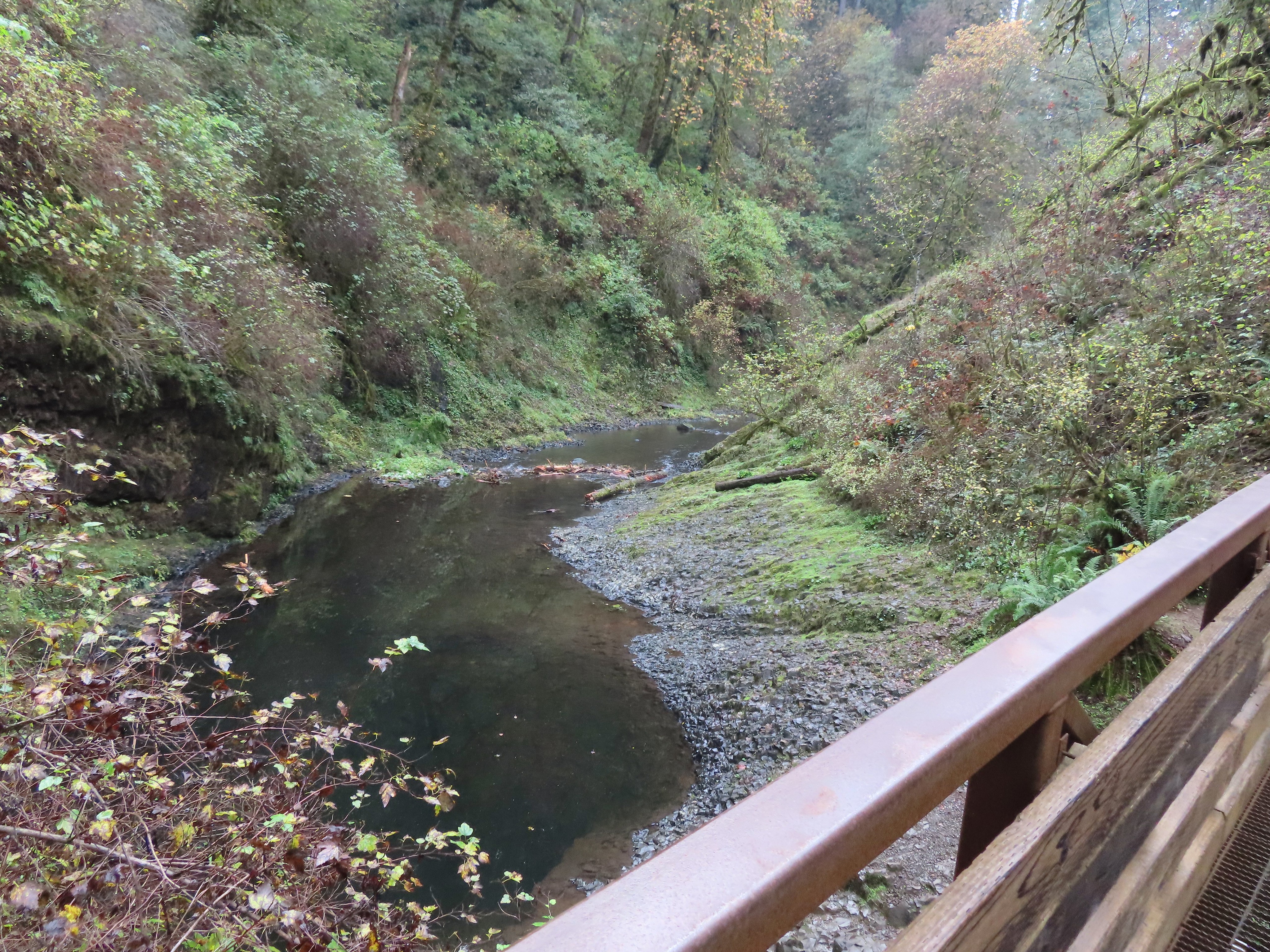
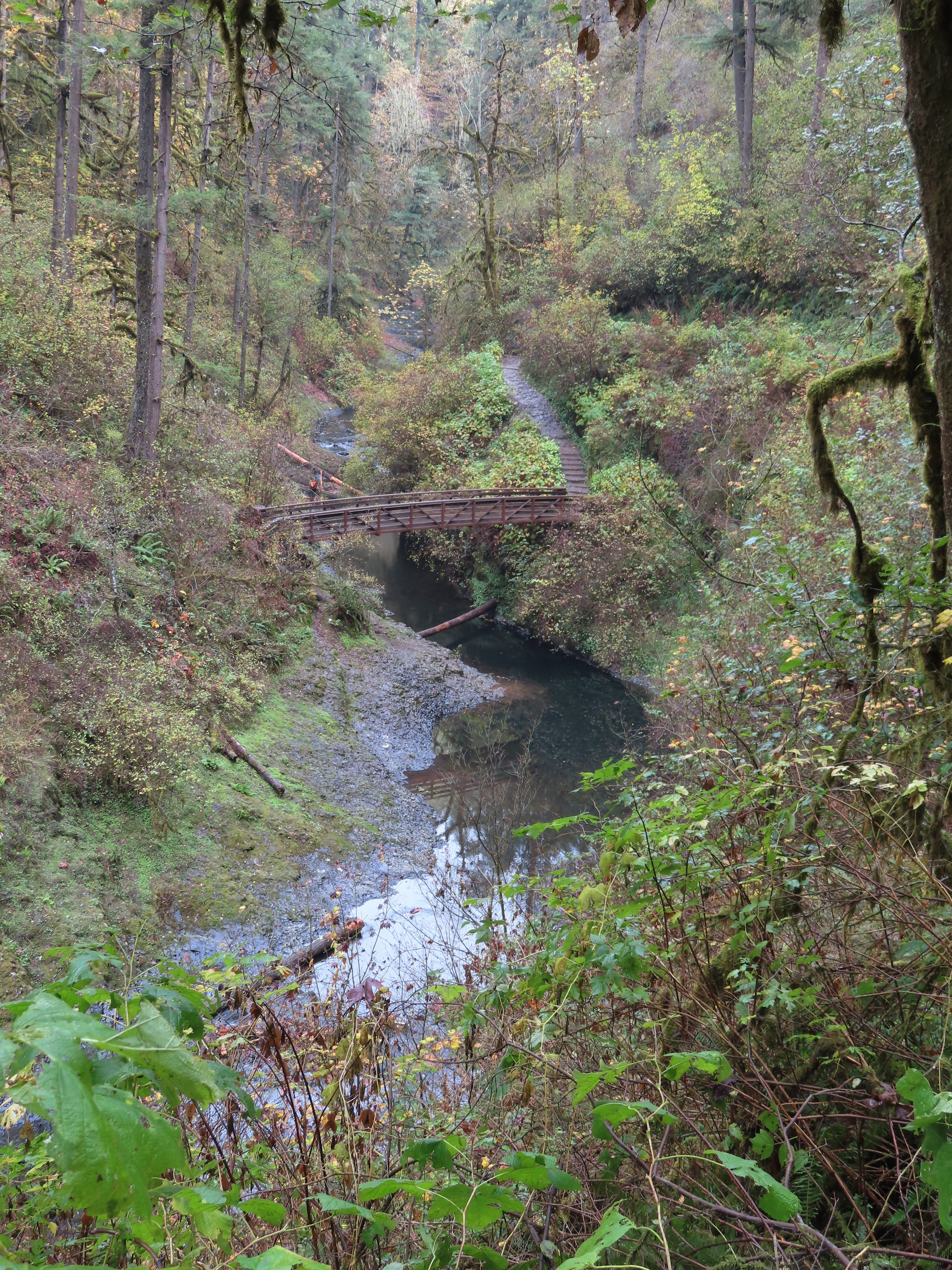
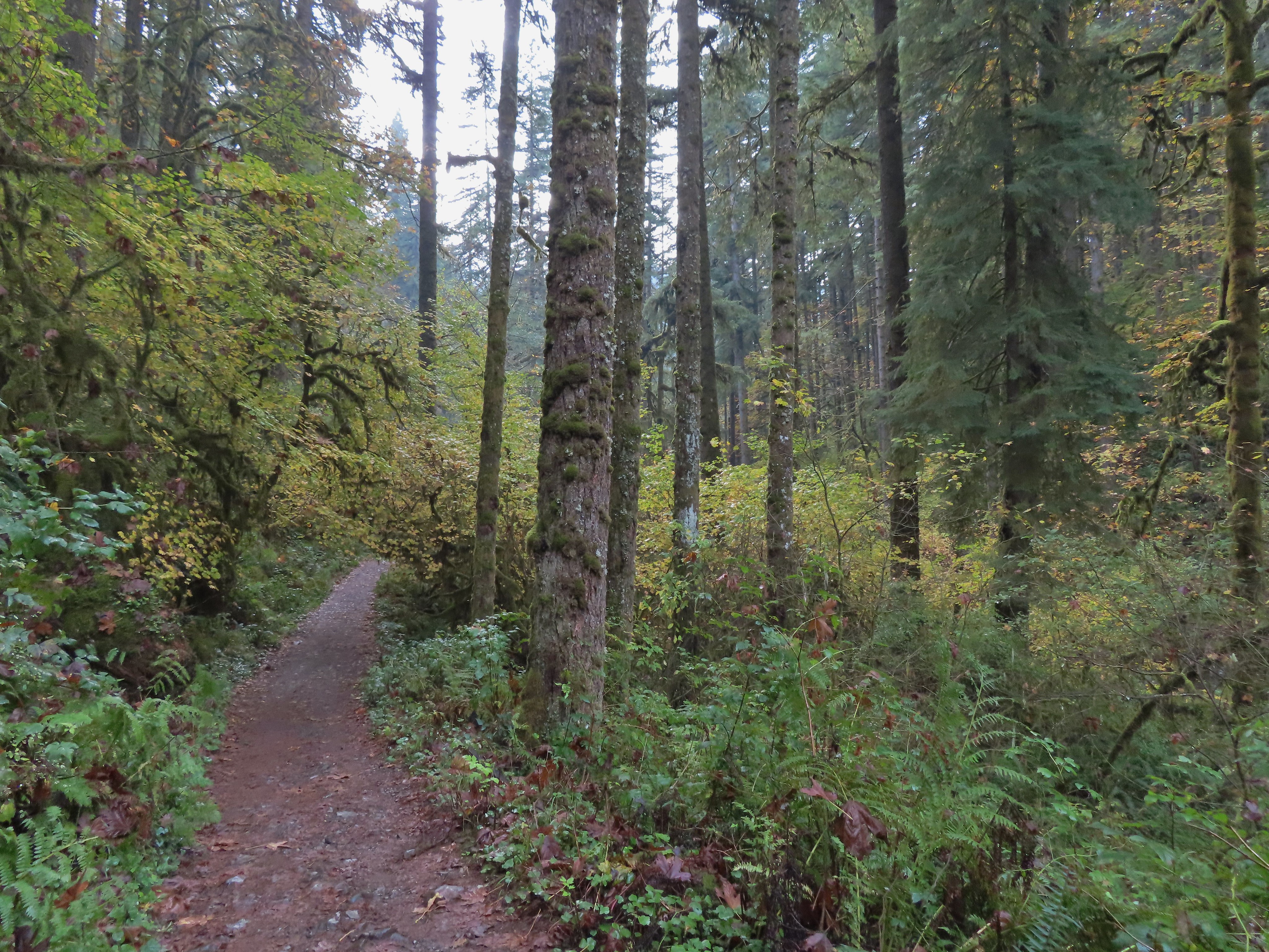
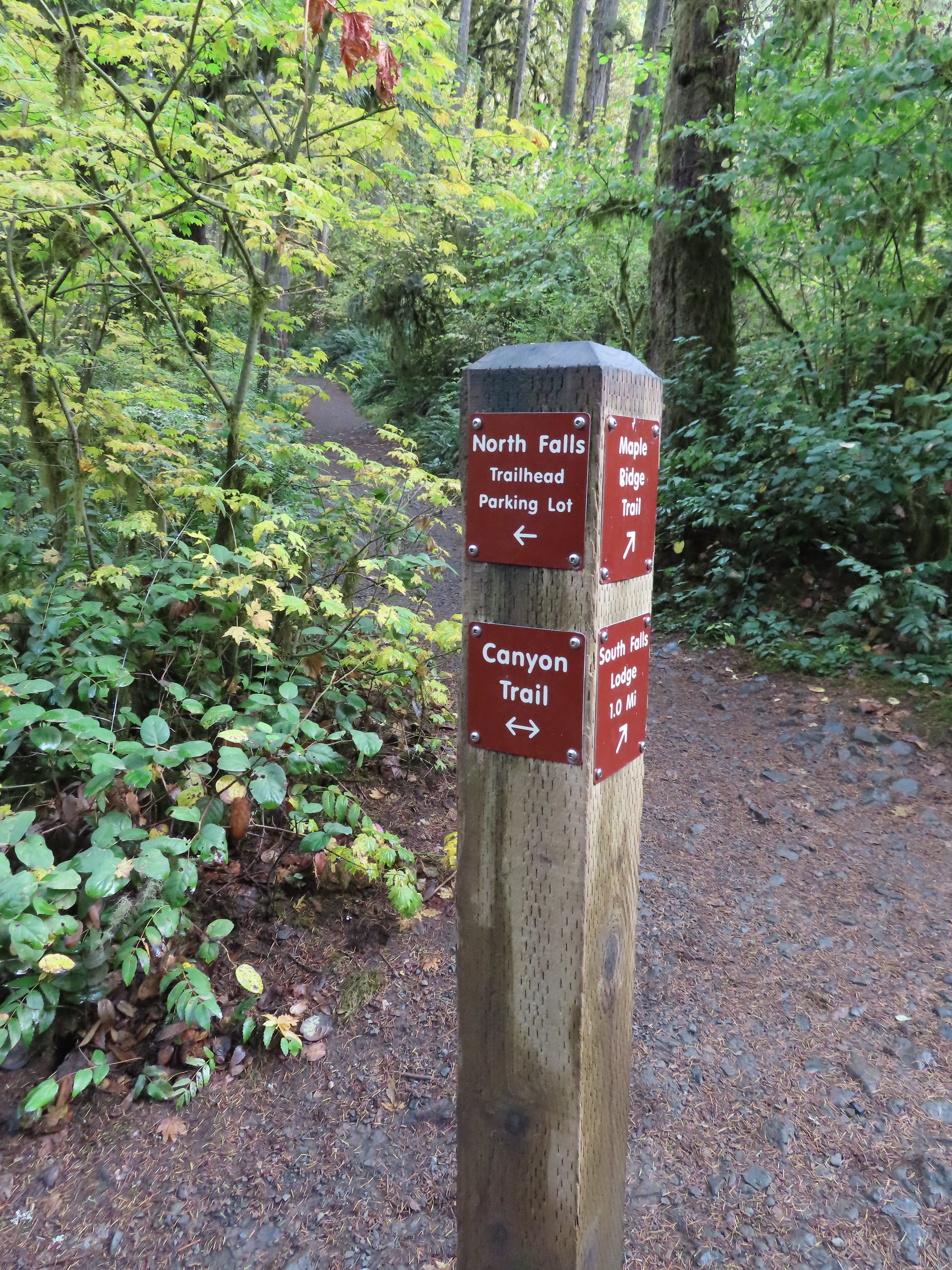
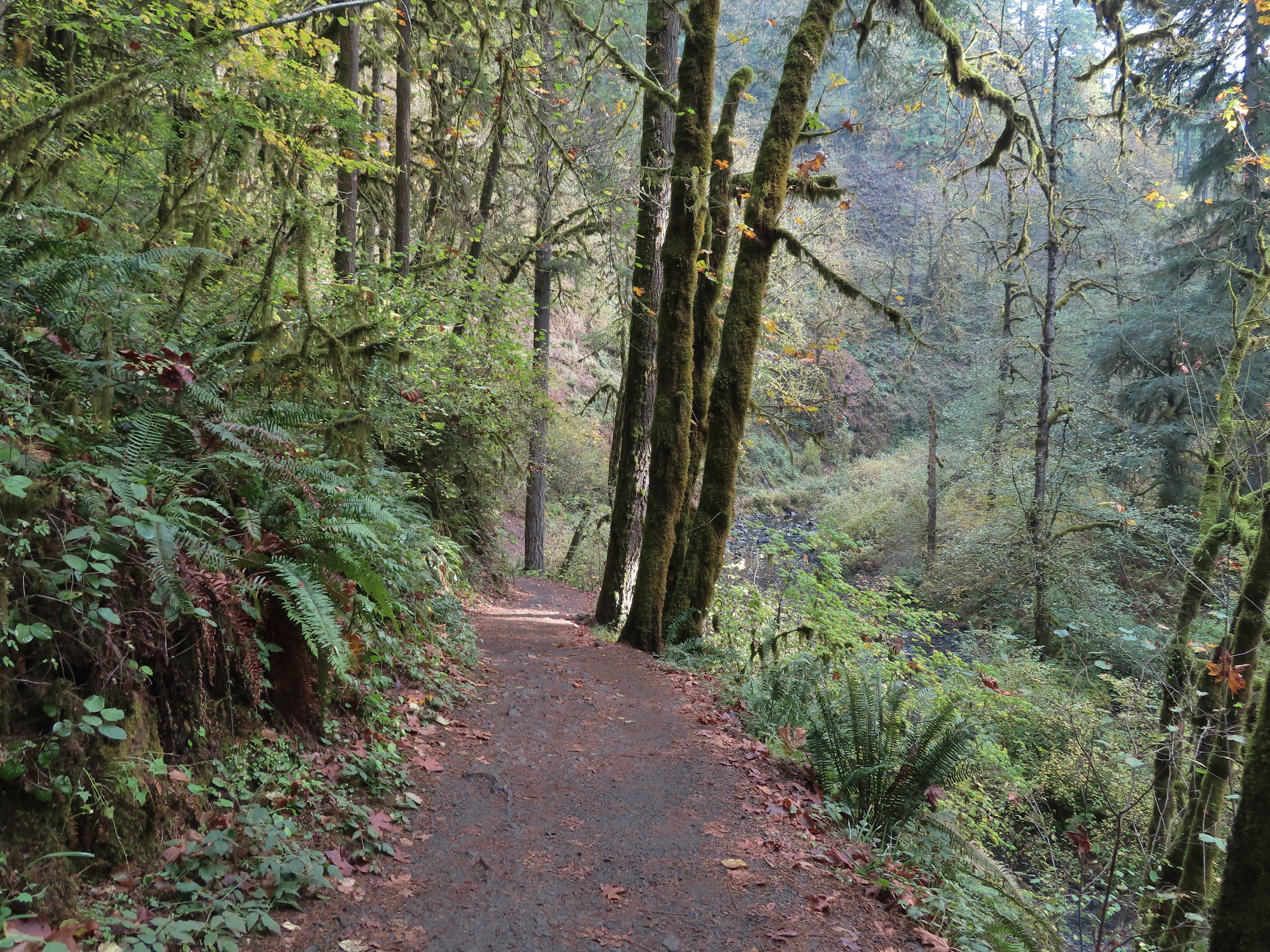
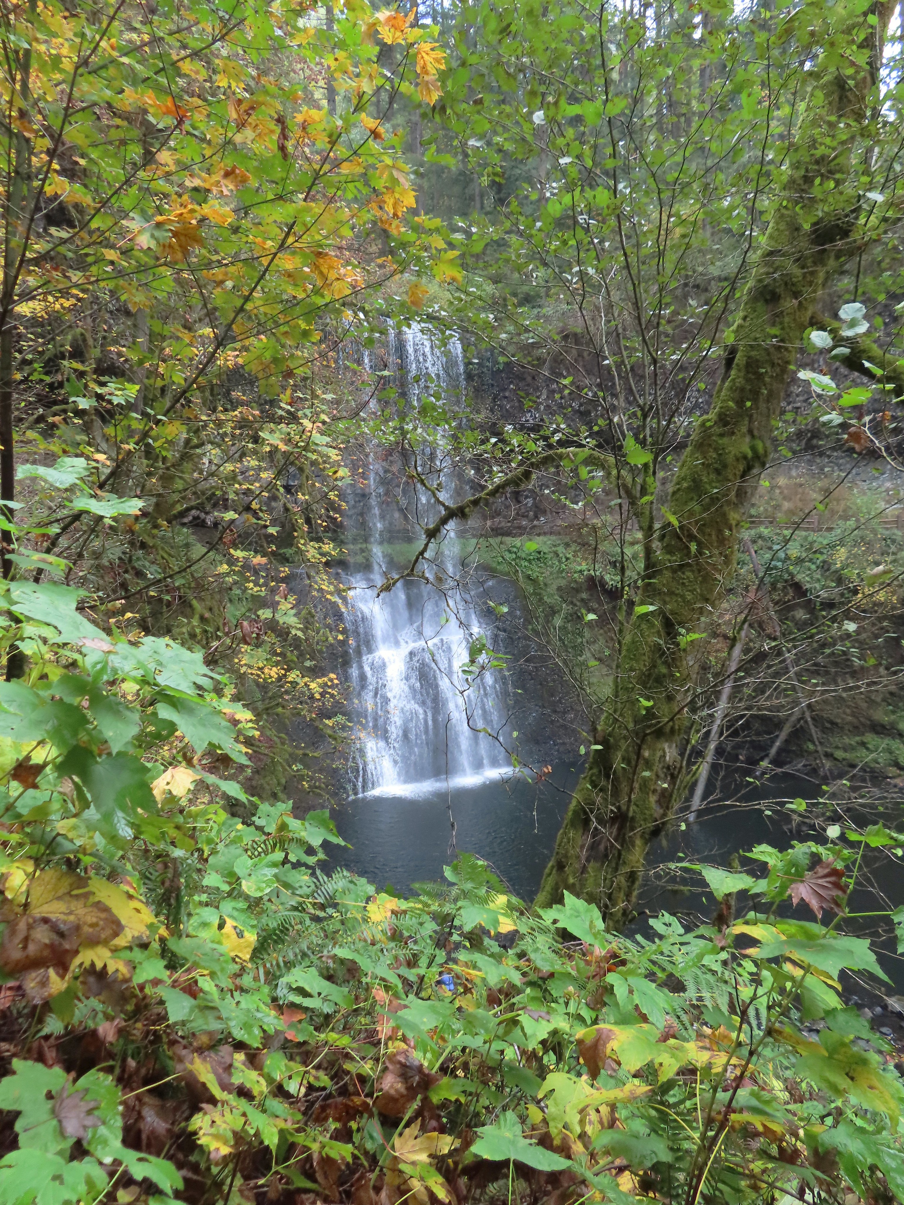
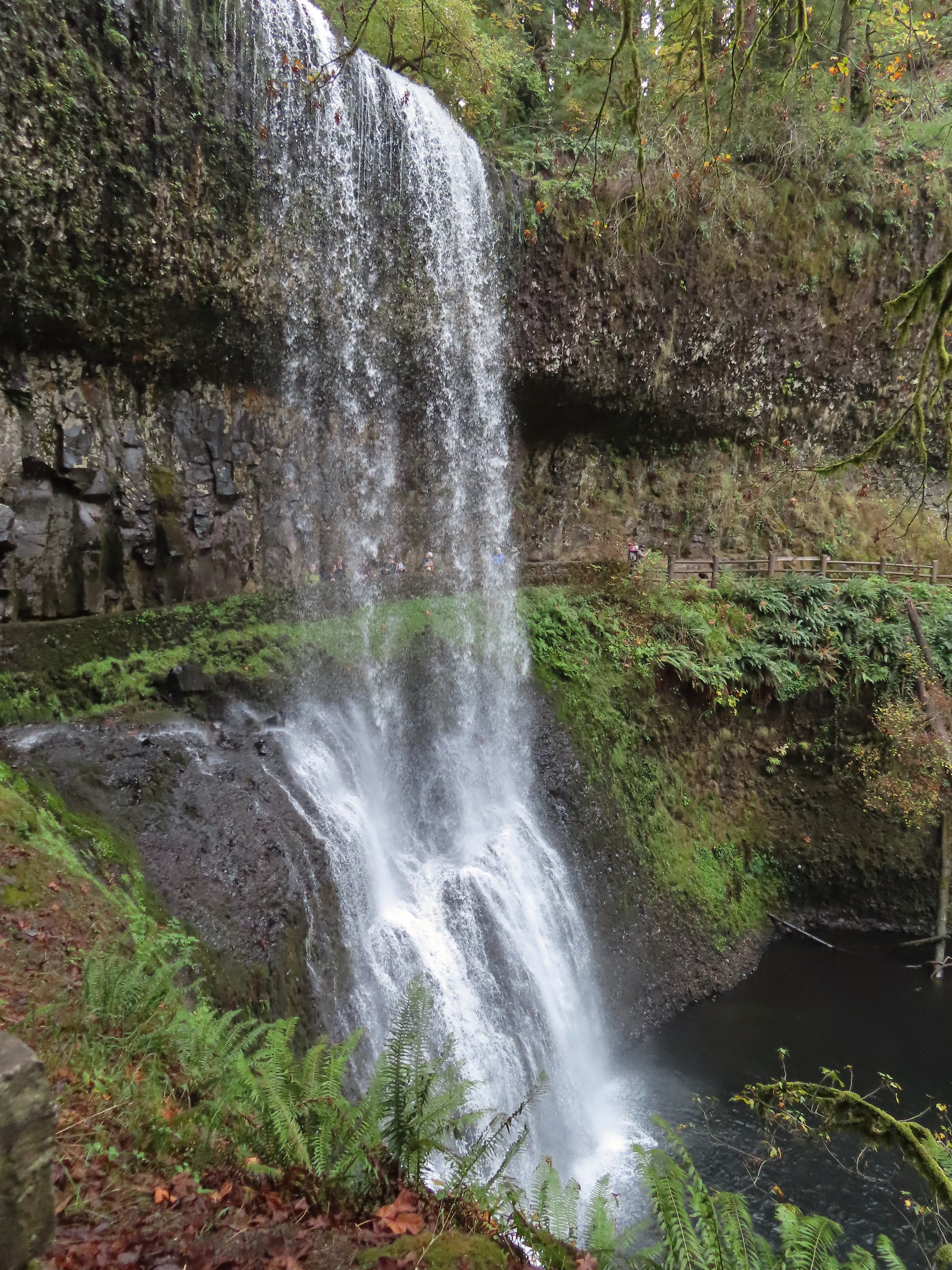


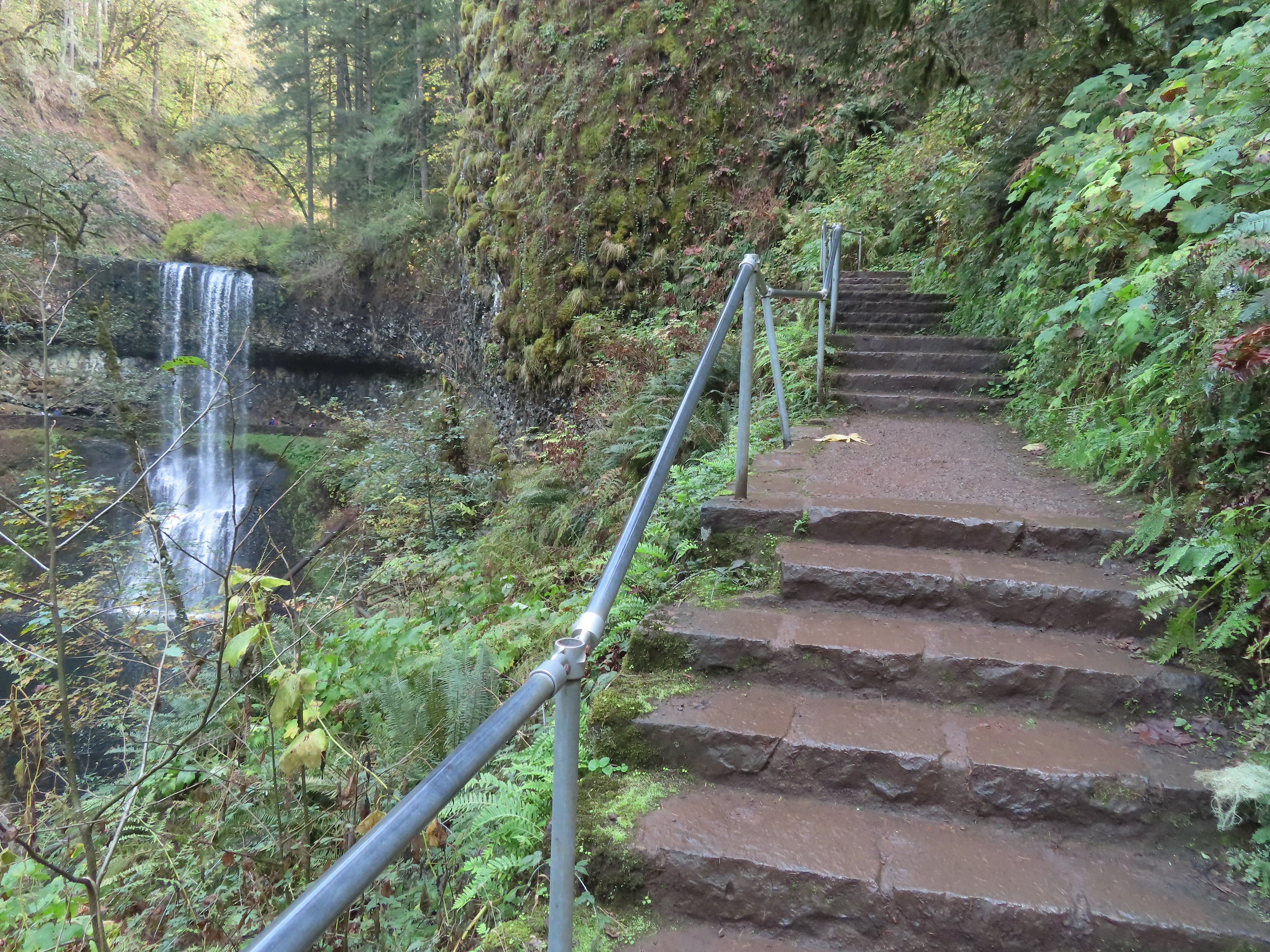


 I walked out onto the bridge for the view then returned to the junction to take the right hand fork and go behind this fall as well.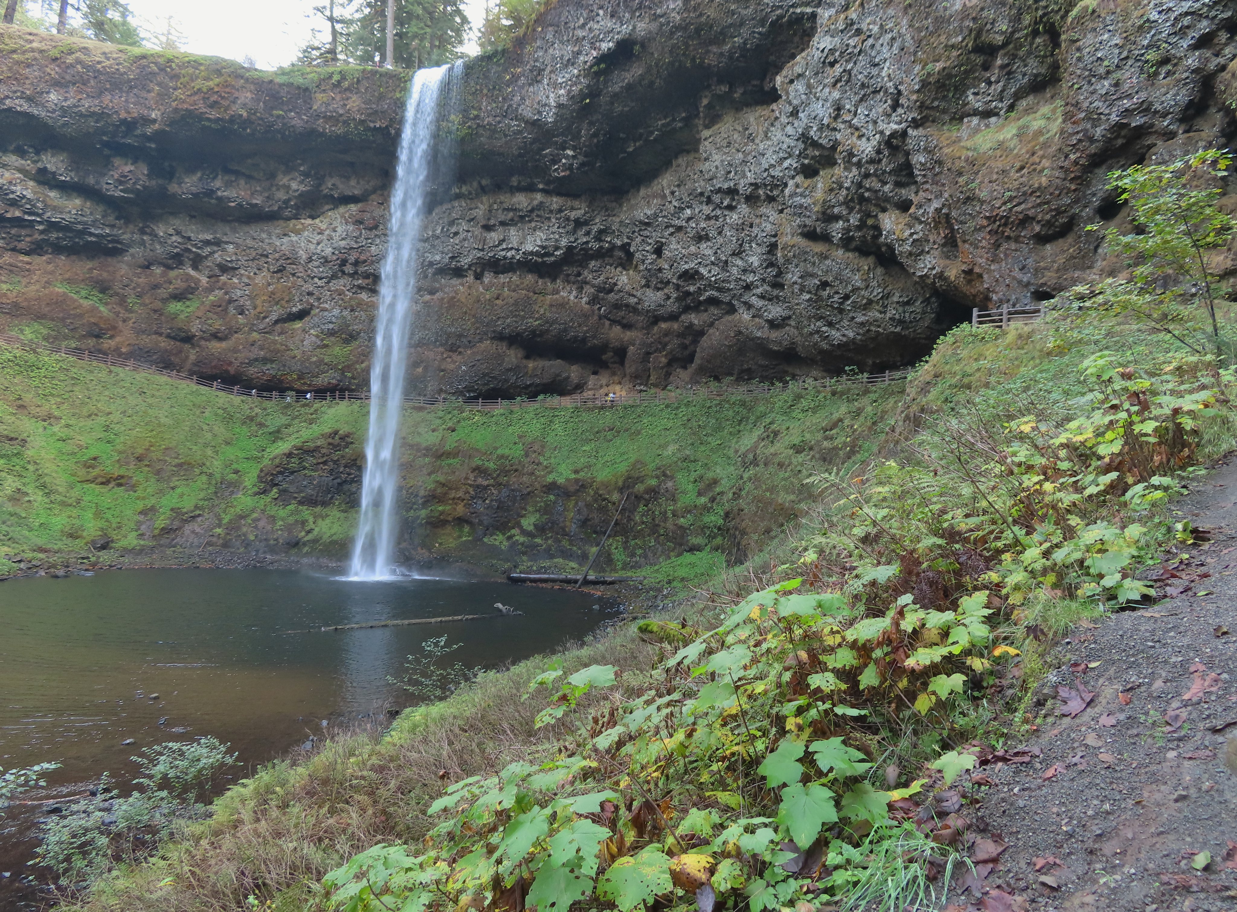
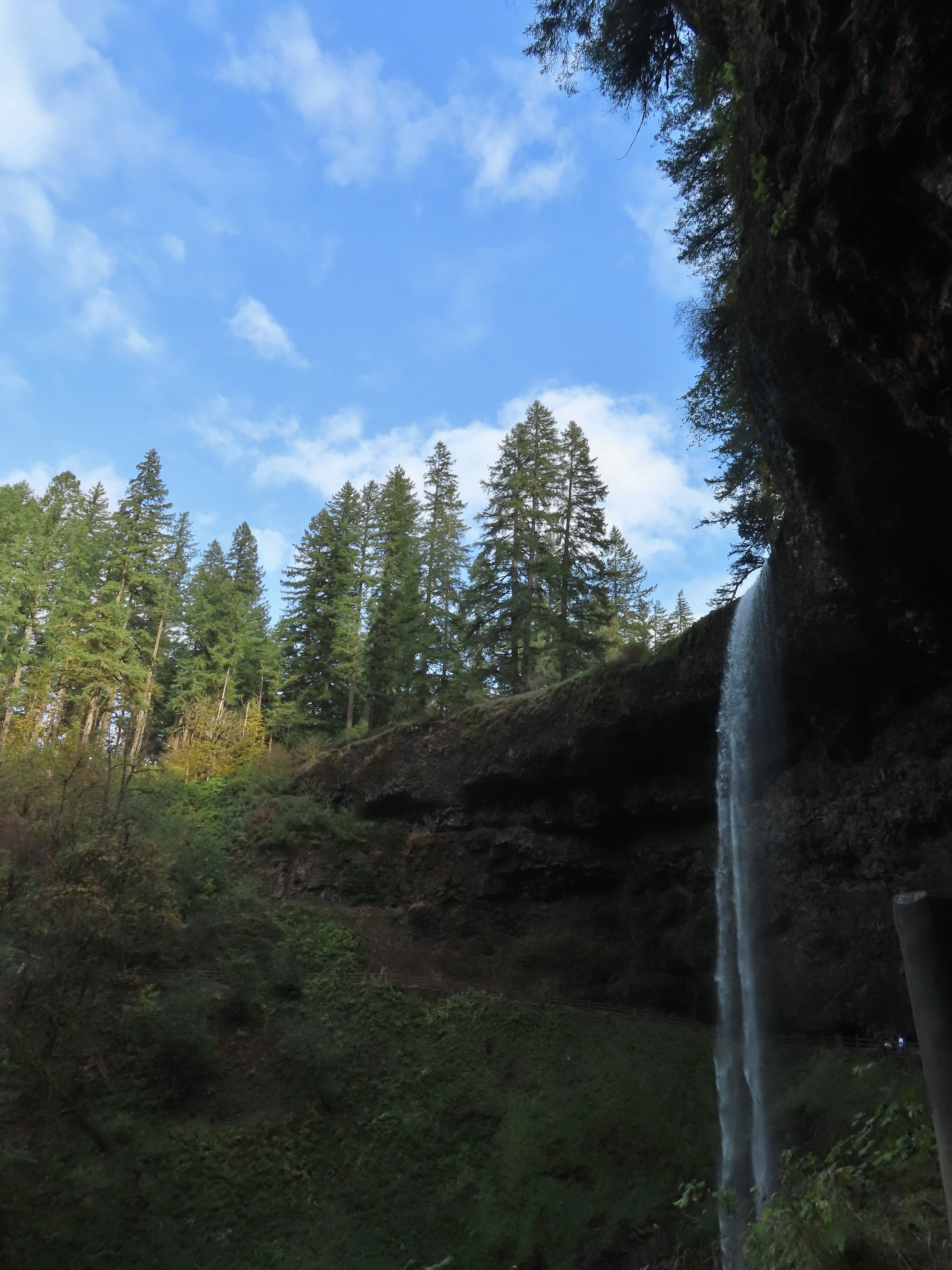


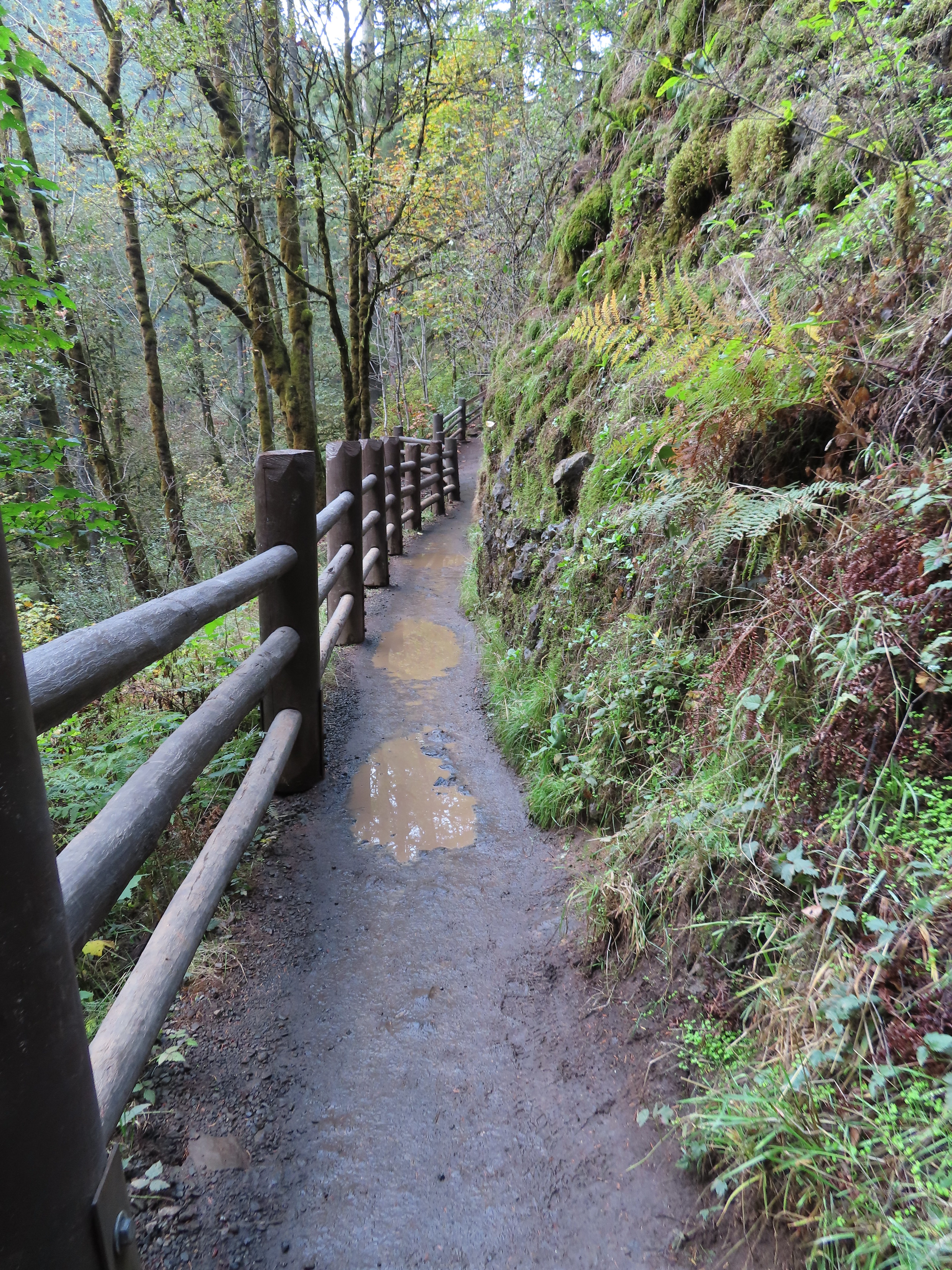


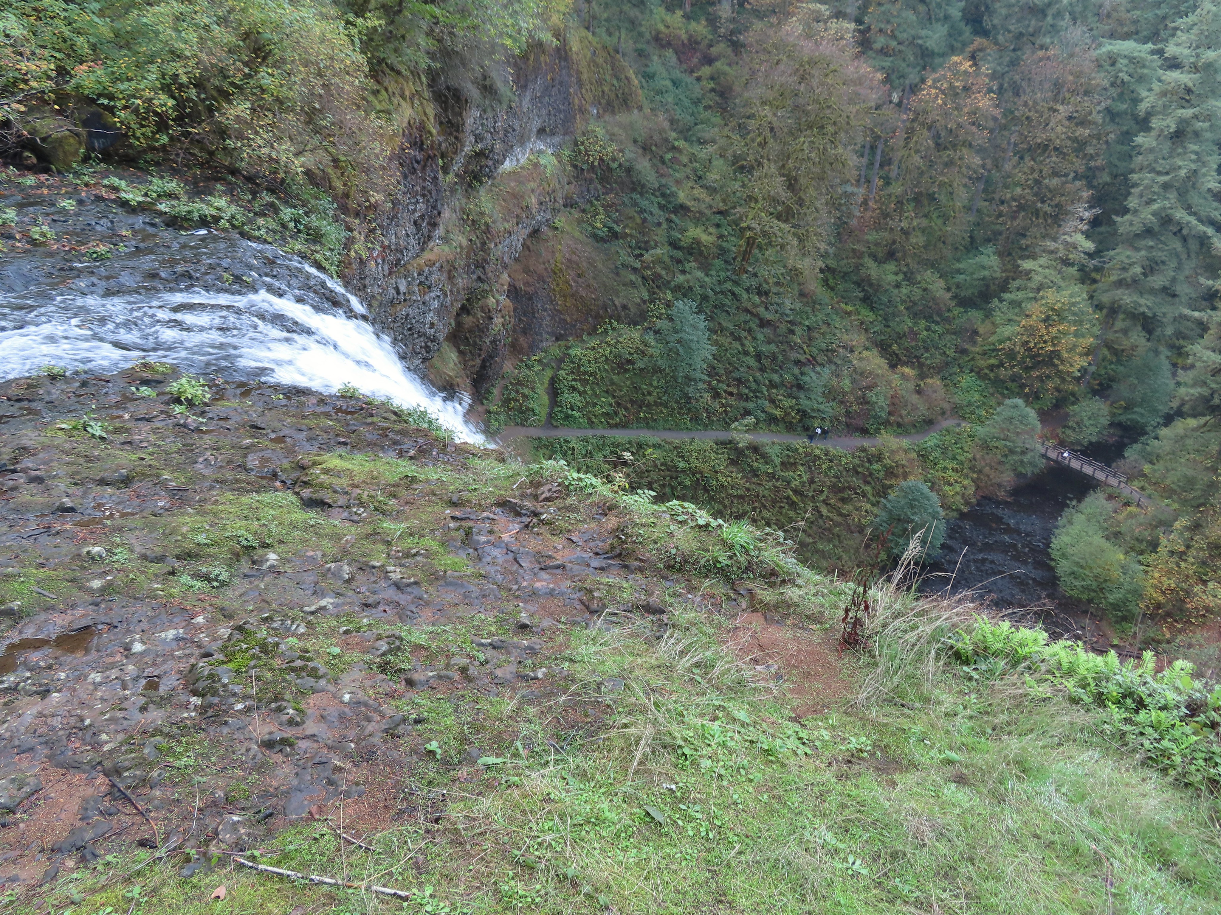
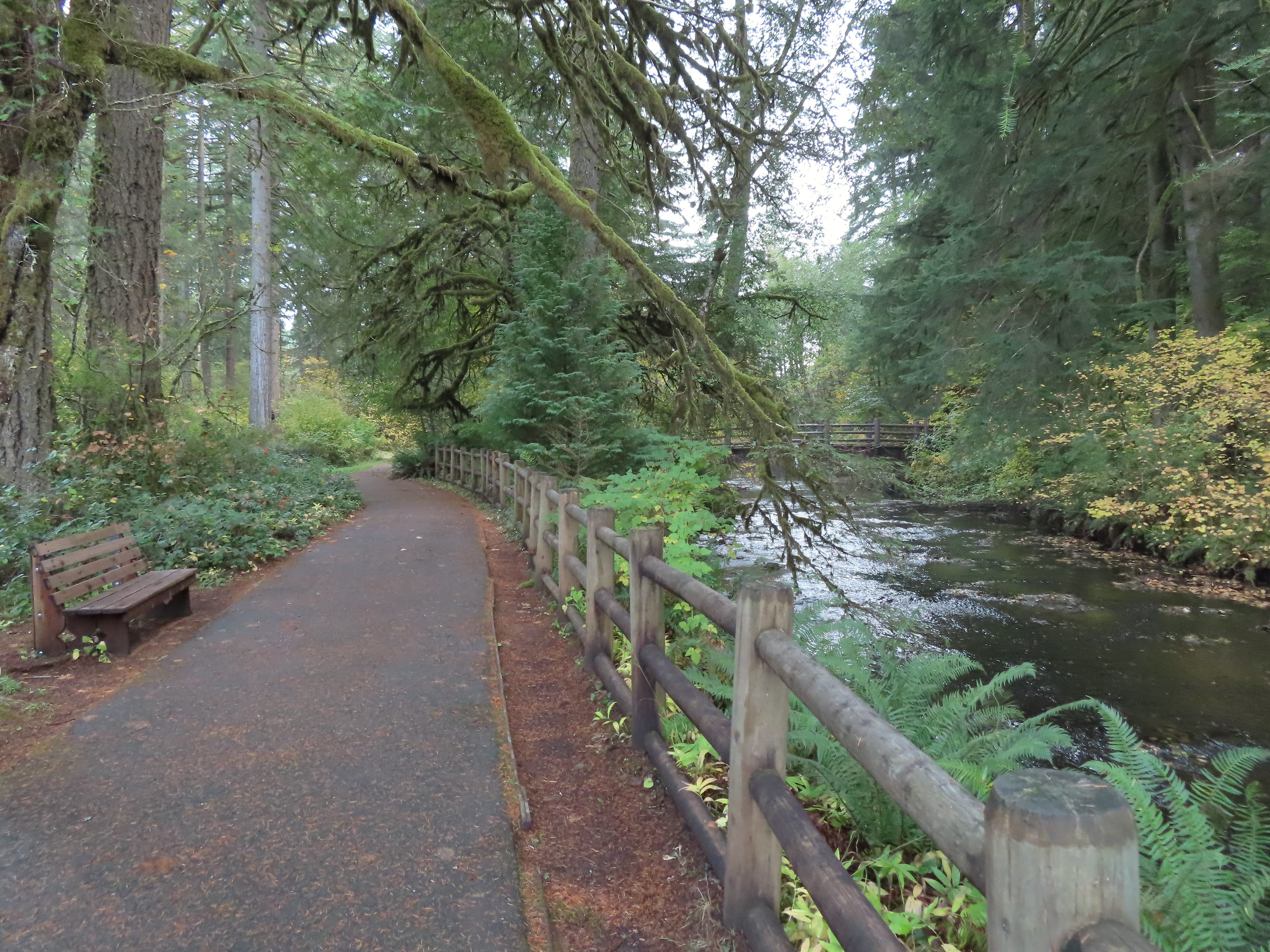
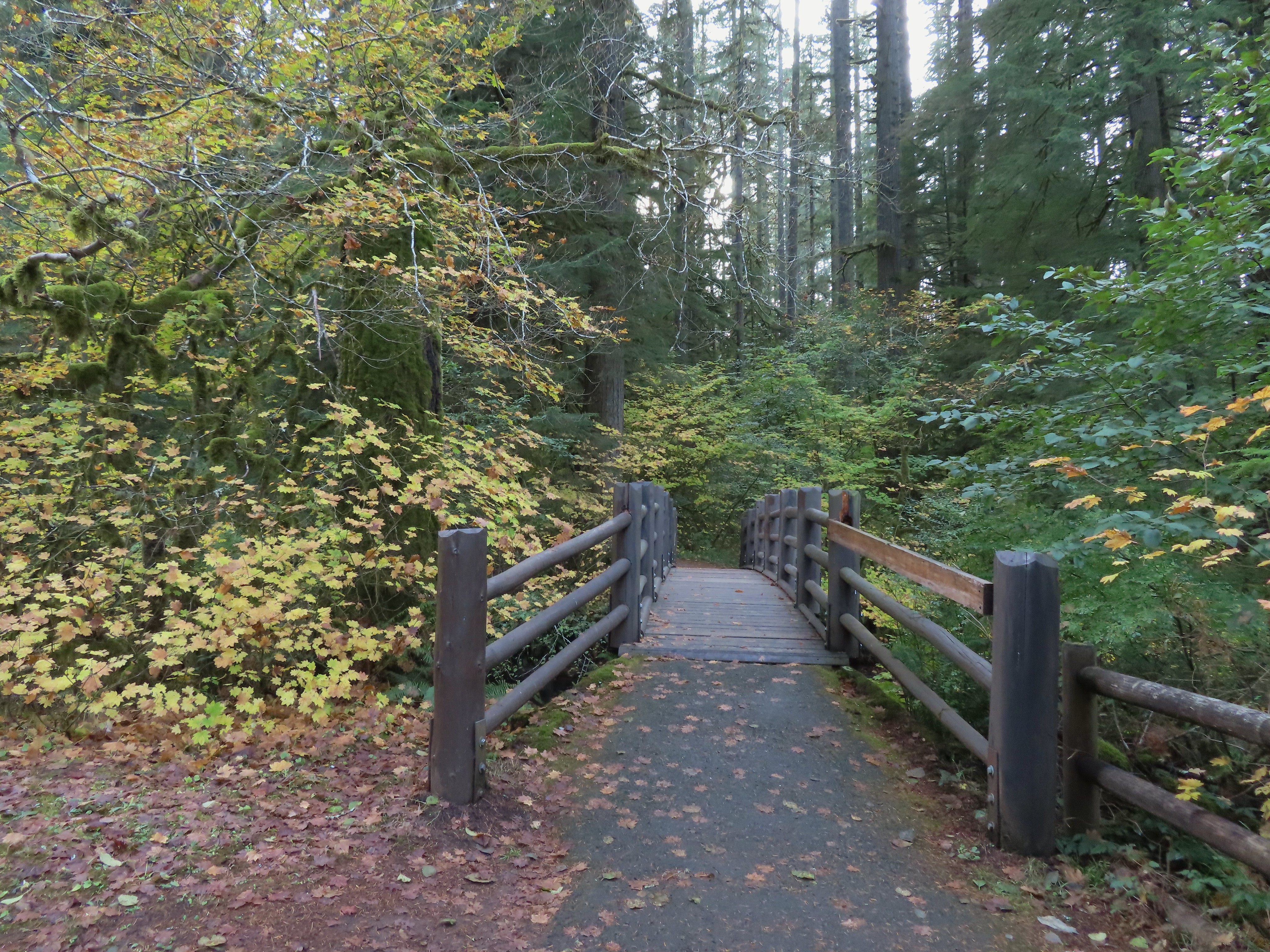
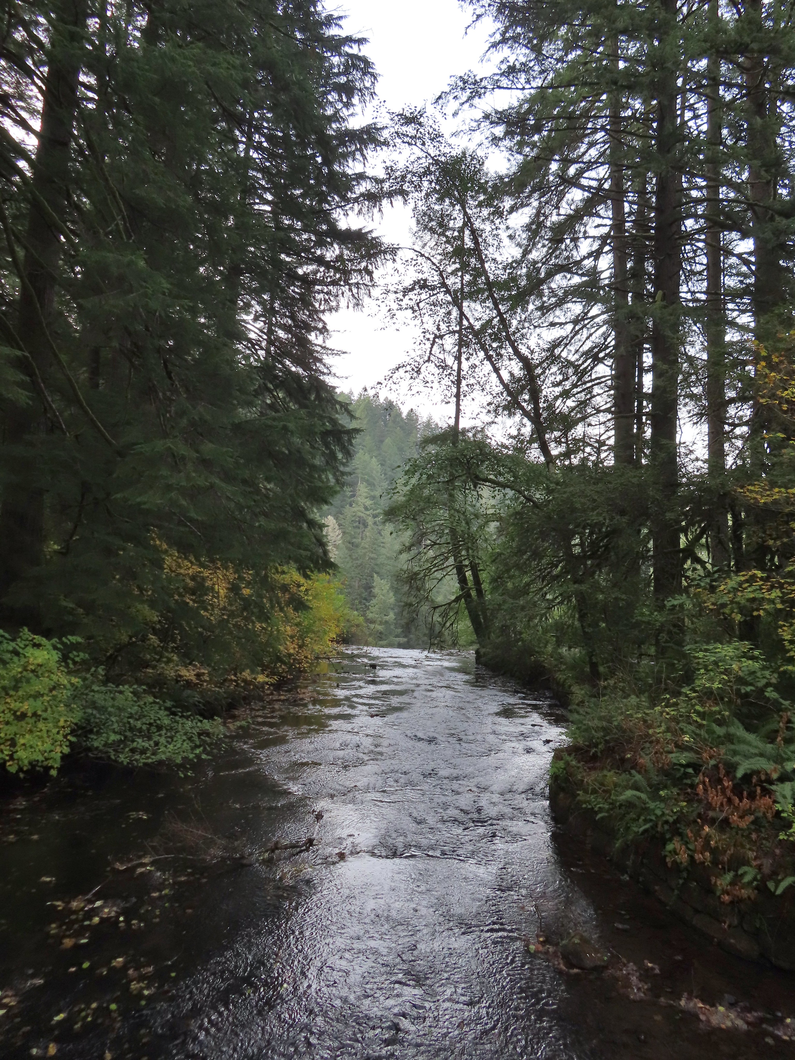 View toward South Falls from the footbridge.
 Not sure what this old building was, possibly restrooms by the doors.
 One of several picnic shelters in the park.
 Approaching the Bike Path where I recrossed the creek.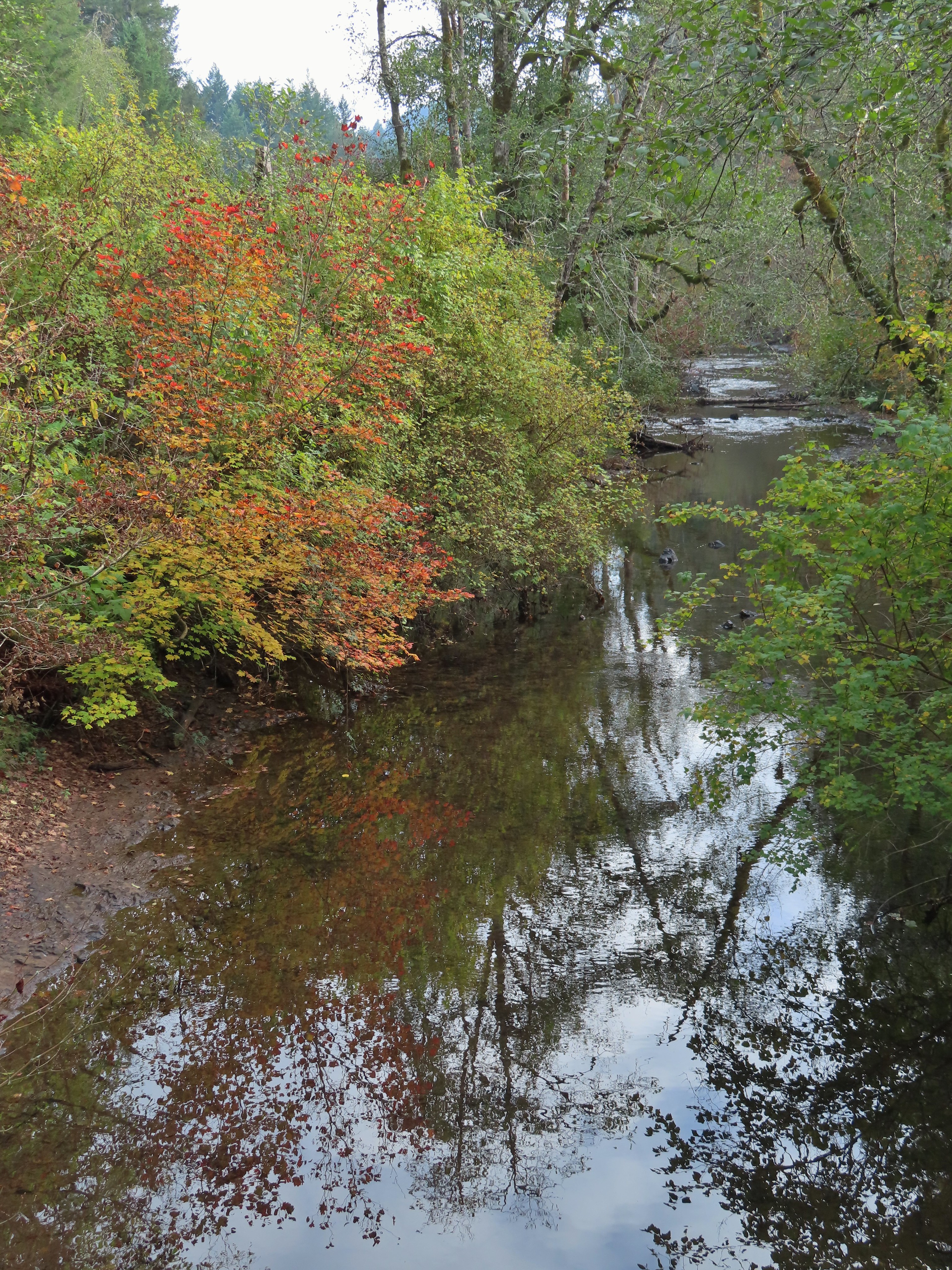
 I can see the car!

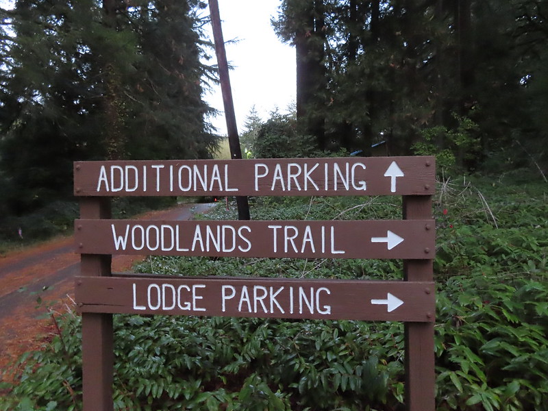
 The Woodland Loop at the end of the parking lot.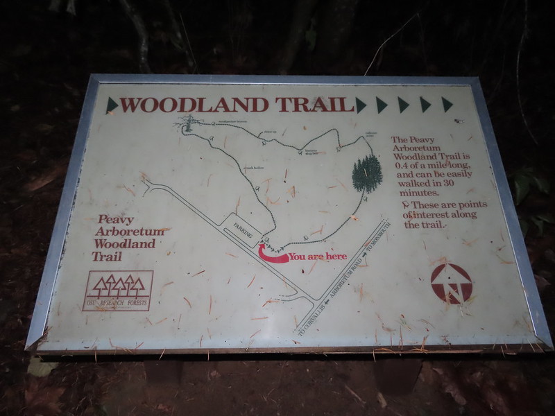
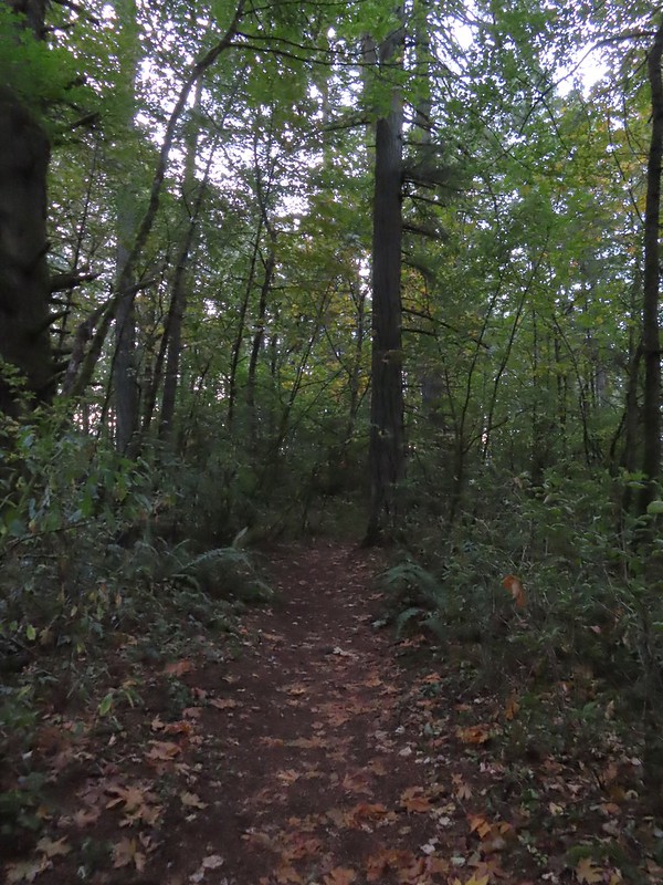 Starting to get a little lighter near the end of the loop.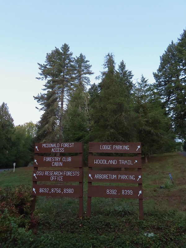

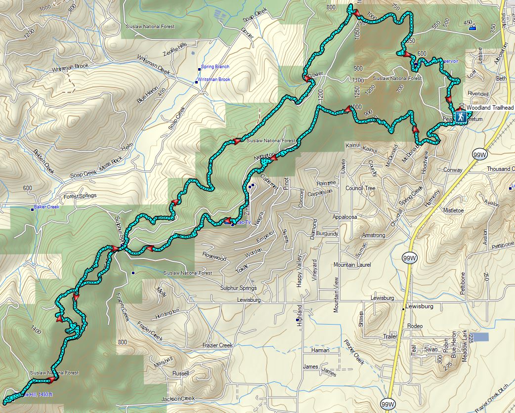
 Cedars along the Red Cedar Run Trail.
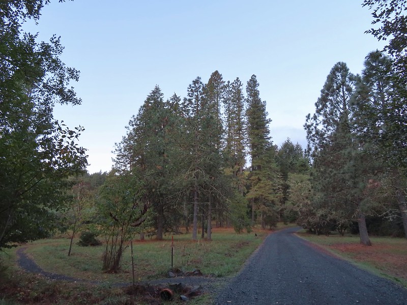 A brief stint on Peavy Arboretum Road between the Red Cedar Run and Maritime Meander (on the left ahead) Trails.
 Sunrise from the Maritime Meander Trail.
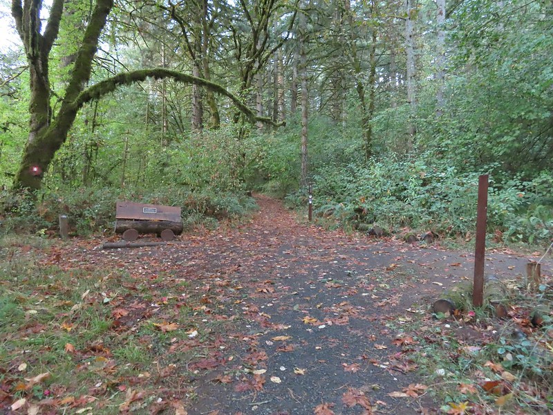 Forest Discovery Trail junction with the Maritime Meander Trail.
 The trails were well signed in the Arboretum.
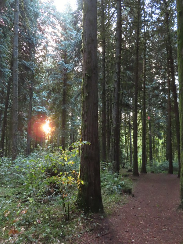
 I had been on the Forest Discovery Trail just under a mile when I reached the CFIRP Trail.
 Road crossing.
 The Section 36 Loop junction.
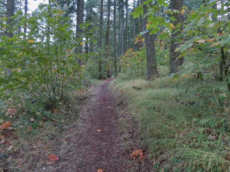 Section 36 Loop
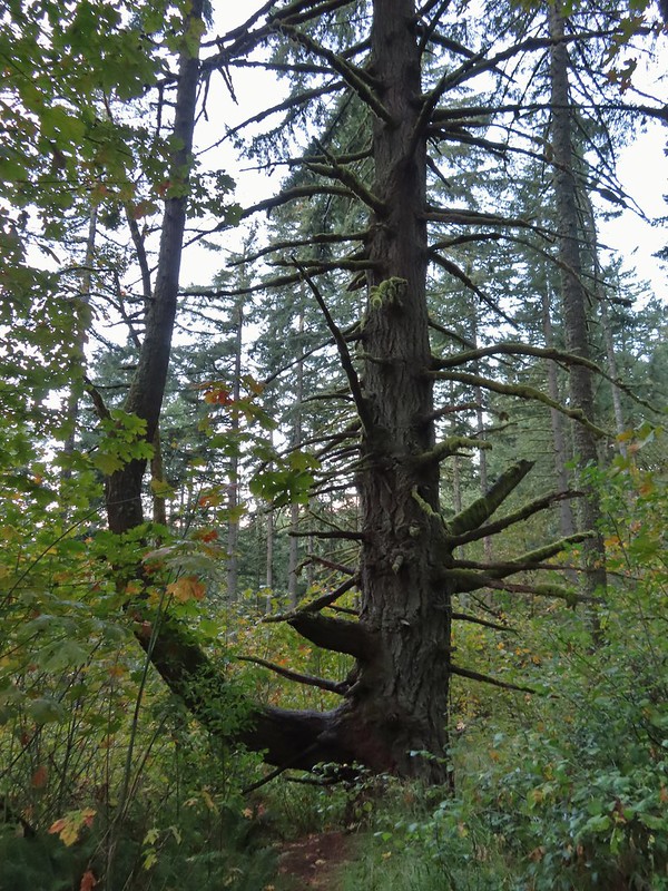 A bench along the trail faces this tree.
 Road 550 from the Section 36 Loop.
 Looking back down Road 550.
 My feet started to dry when I reached the section open to motorized vehicles.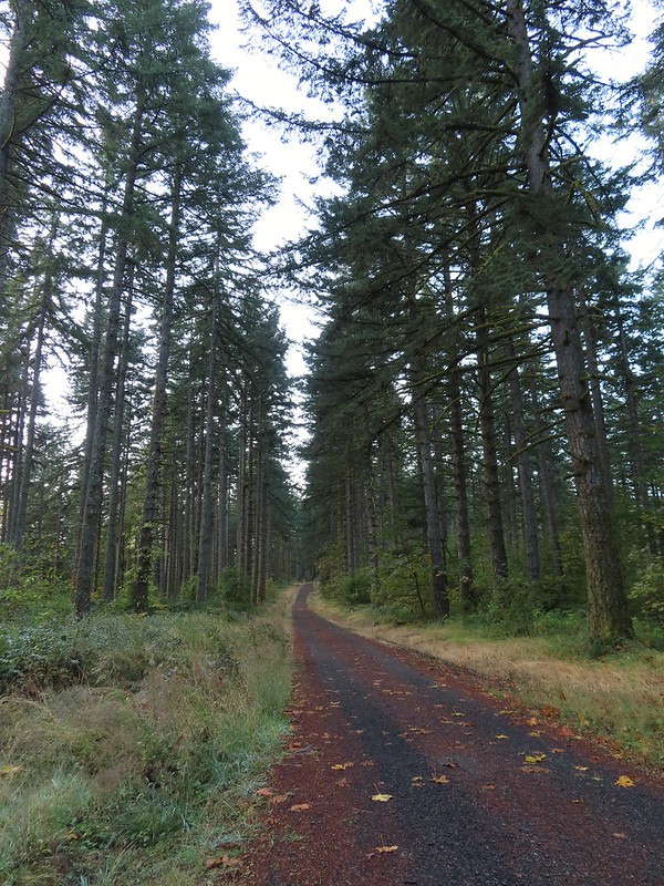
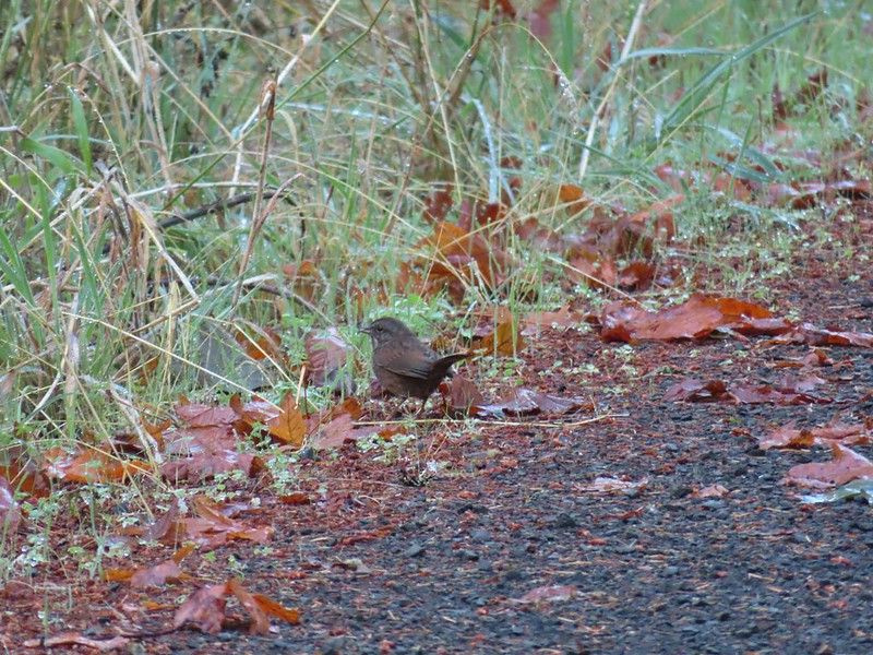 Lots of sparrows, towhees, and wrens were out this morning but most wouldn’t sit still at all.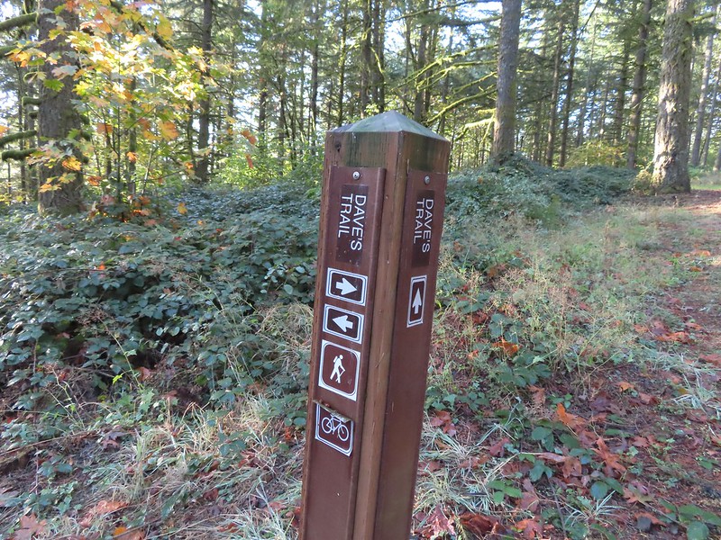
 Dave’s Trail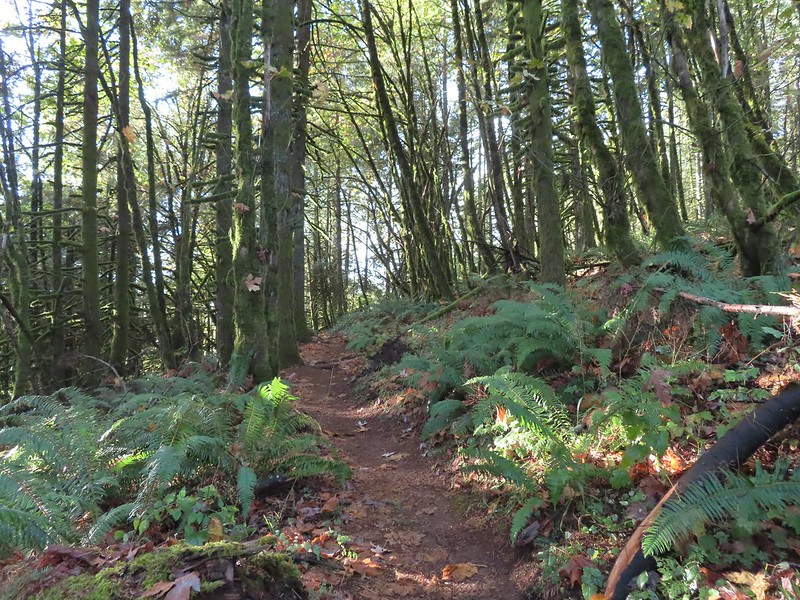

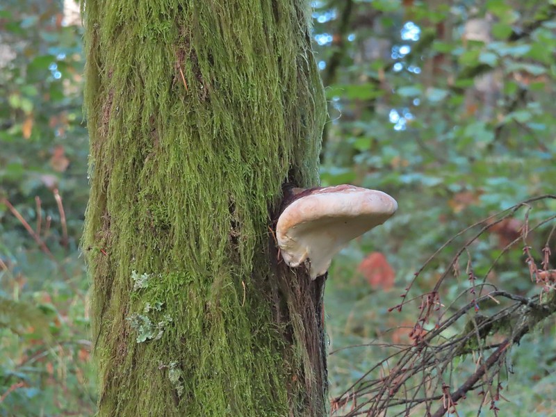
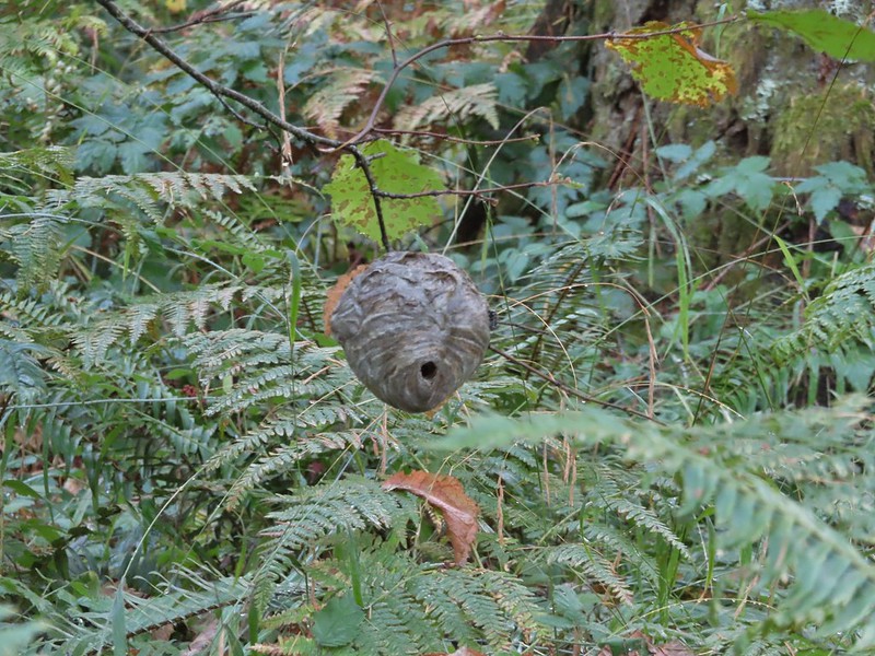

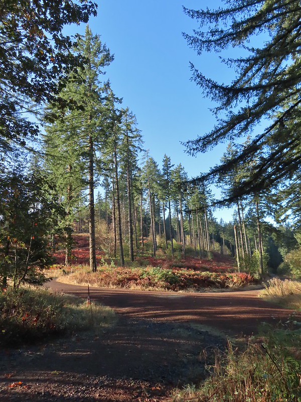 A gated road on the left led back up the hill I had just passed under some radio towers while Road 500 was to the right. Road 5010 was ahead on the left heading up Vineyard Mountain.
 The Vineyard Mountain Trail at the junction.

 The foundation, fireplace and chimney are all that remain of the former OSU Dean’s cabin.
 Some twisted trees along the Vineyard Mountain Trail.
 After numerous tries I finally caught a spotted towhee.
 The Vineyard Mountain Trail briefly follows an old roadbed.
 The section of trail between the roadbed and the Lewisburg Saddle Trailhead is one of the trails subject to seasonal closures. This section is closed when it is wet enough that you’d leave tracks in which case you could follow the roadbed to the right to Road 500.
 Close up of the seasonal closure notice. It wasn’t wet so I continued on the Vineyard Mountain Trail.


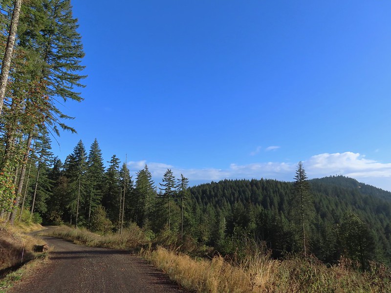 Looking back at the towers on Vineyard Mountain from Road 600.
 Road 620 on the right.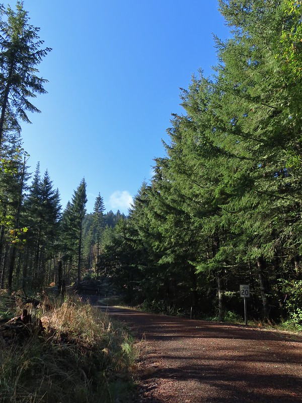


 Mary’s Peak (

 The High Horse Trail. Not shown to the right coming up from below is the Upper Horse Trail.
 Bikers on Road 600 below.
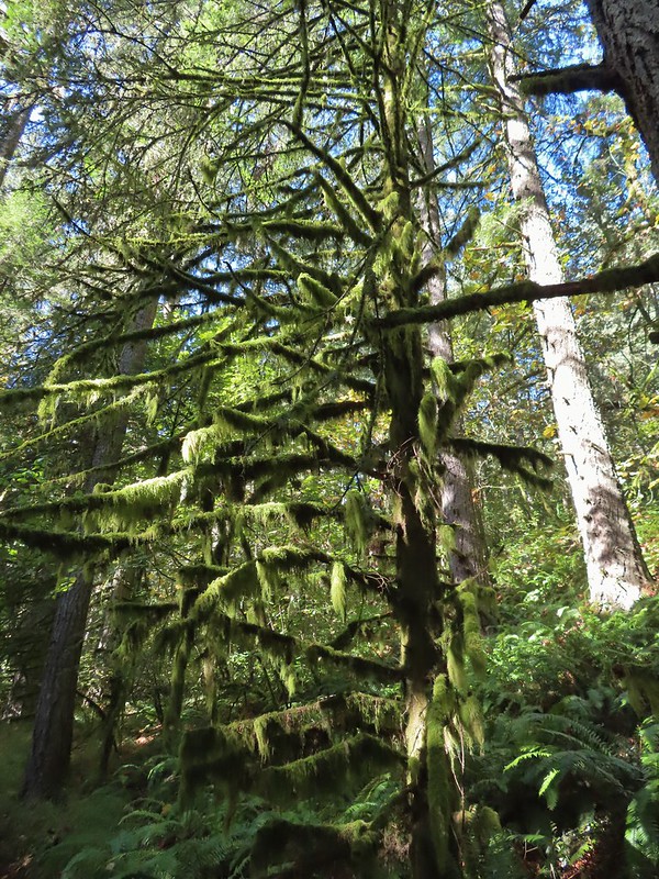 Moss covered tree.
 Lichen
 Unsigned junction where the High Horse Trail continues to the left to Road 662 and Upper Bombs Away veers right.
 Another connector trail on the left coming down from Road 662 to join the Upper Bombs Away Trail.
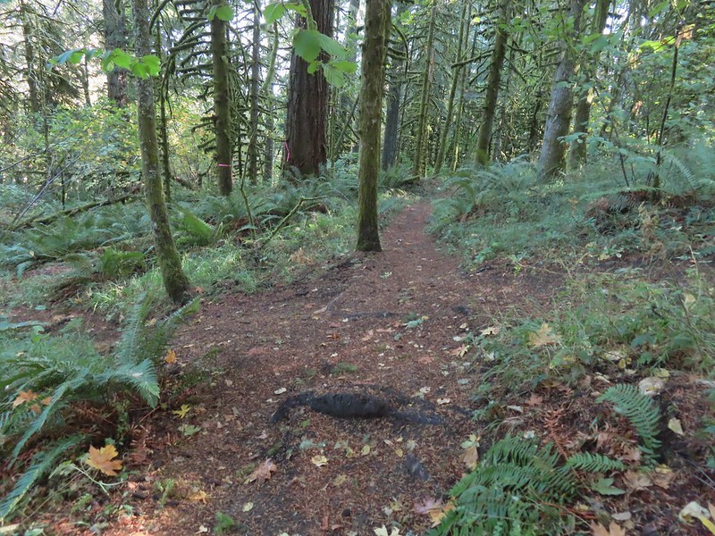 Will the real trail please stand up?
 Switchback near Road 640.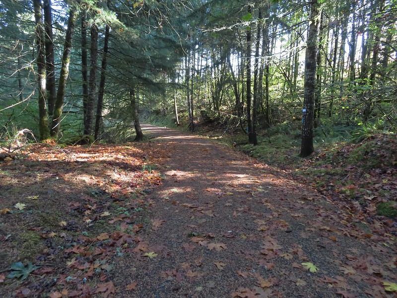
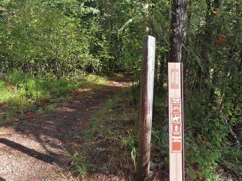
 The Alpha Trail on the left at the quarter mile mark. This is where we had turned on the 2021 hike.

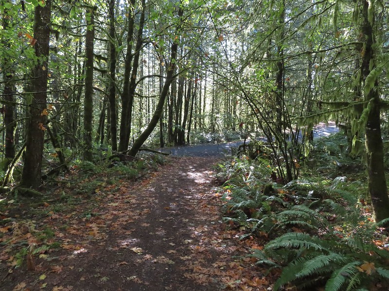 Road 600 ahead.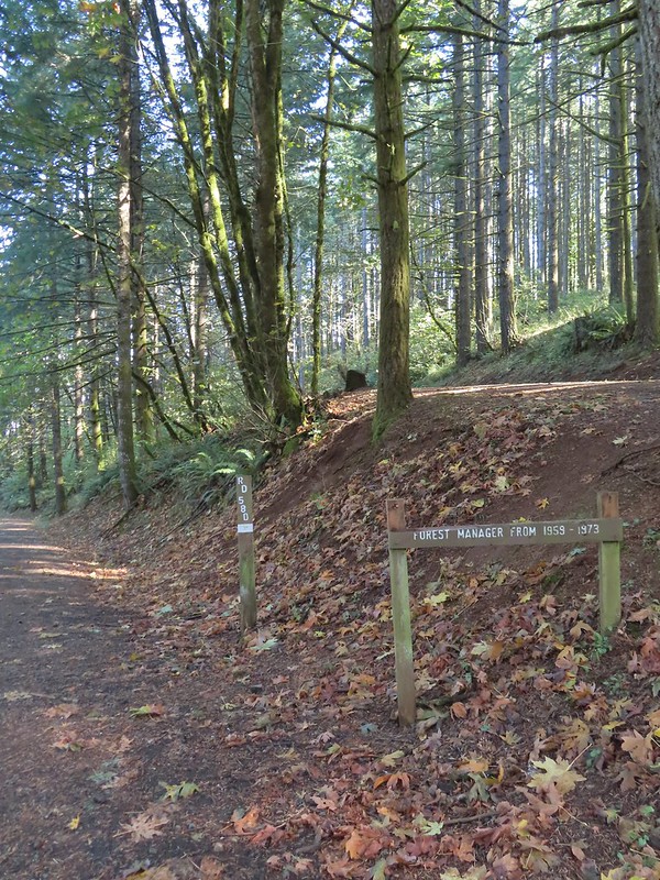
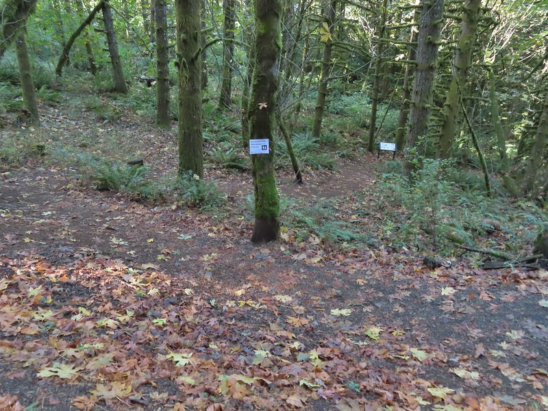 The New Growth Trail.


 Old growth
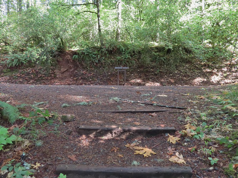 The end of the Old Growth Trail at Road 580.
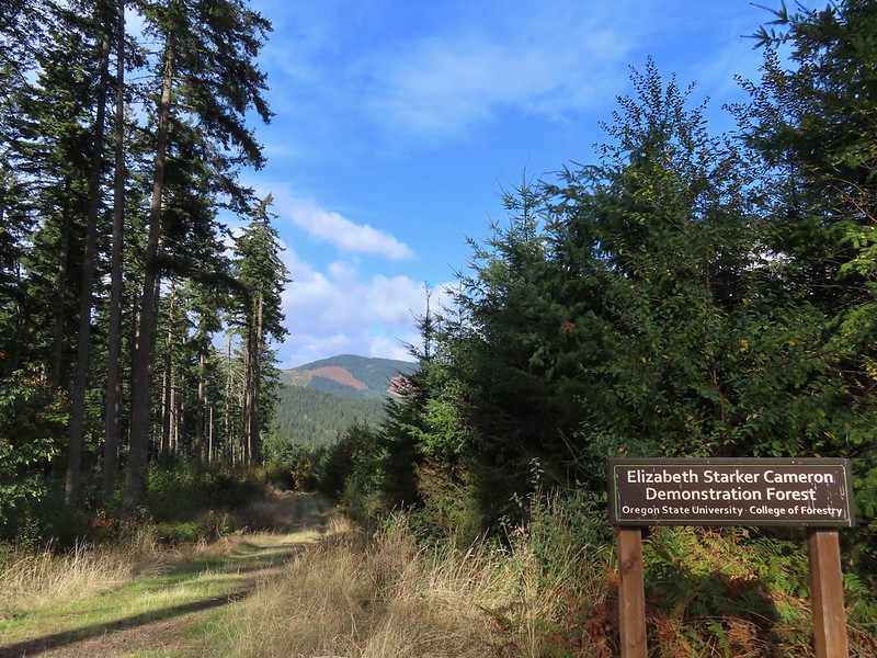 One of three spur roads to the left that I passed.
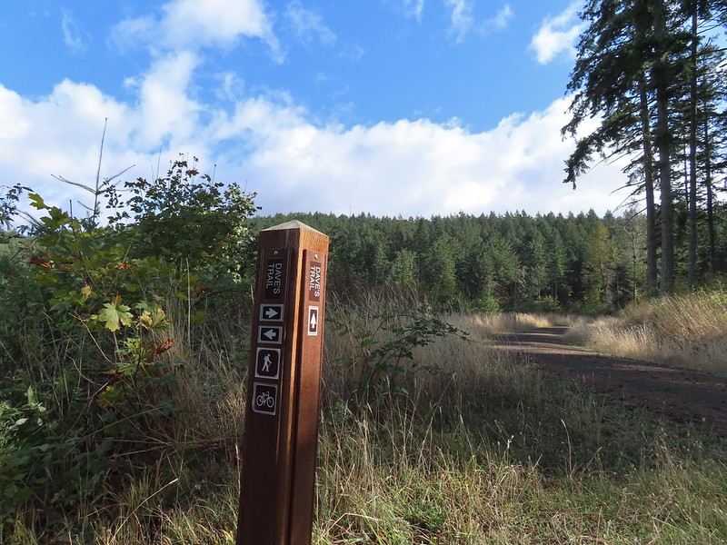
 Blackberries

 The proverbial fork in the road.
 Madrone
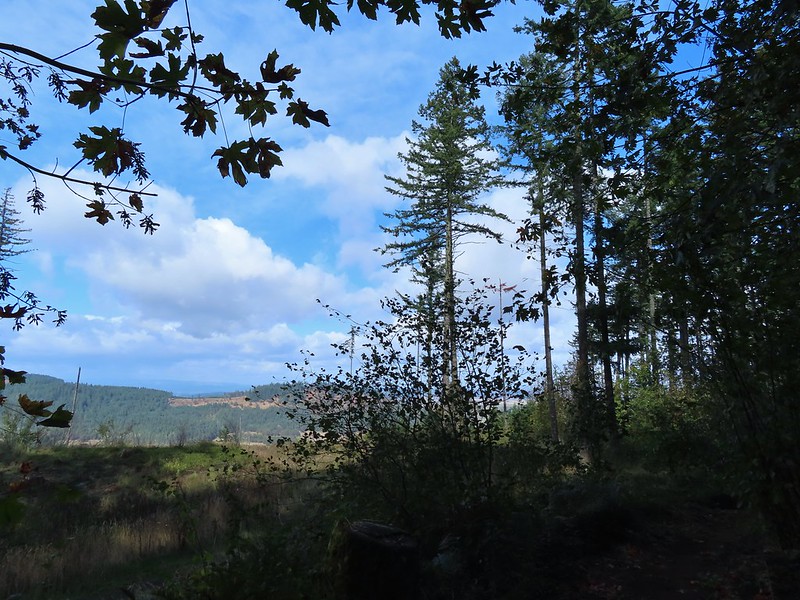 A few clouds starting to move in.


 The Banzai Trail likely continued on the other side but without a pointer I wasn’t about to find out and turned right here which took me uphill for a tenth of a mile to the Road 560 and Road 562 junction.
 This is the start of what is labeled the Banzai Trail on the McDonald Forest map.
 The photo doesn’t do the steepness justice but the trail lived up to its name here.
 At some point the road became 543 before reaching a fork where I stayed right.
 Another closed roadbed on the left. This is where I stayed right on Road 543.
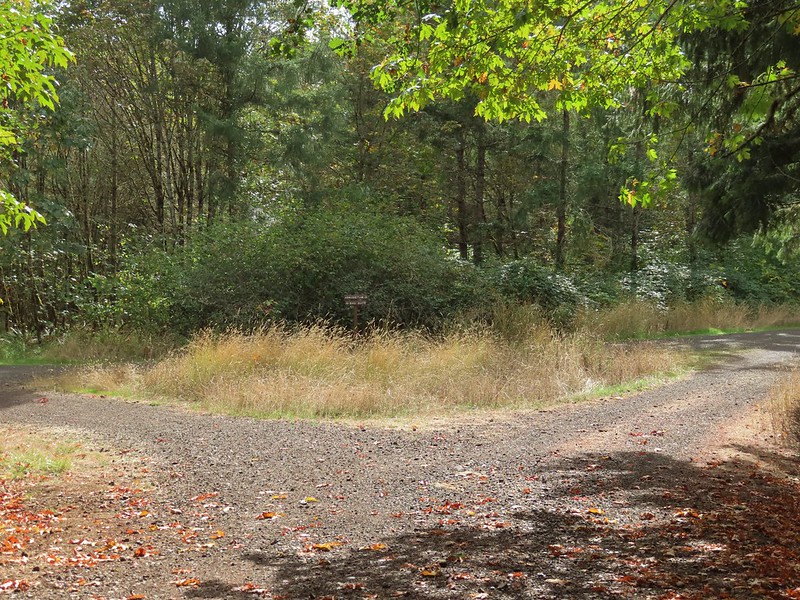 Road 540 to the left and 541 to the right.
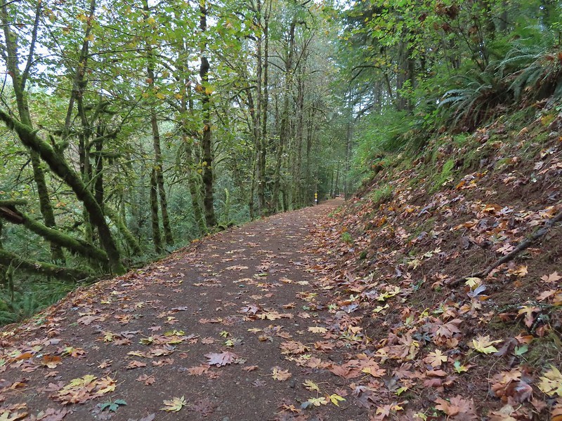
 George W. Brown Sports Arena near Cronemiller Lake.
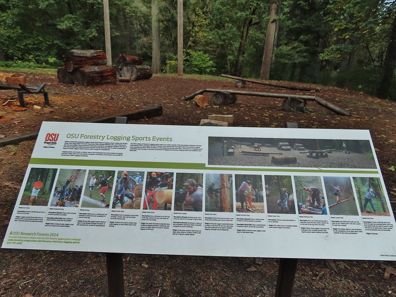
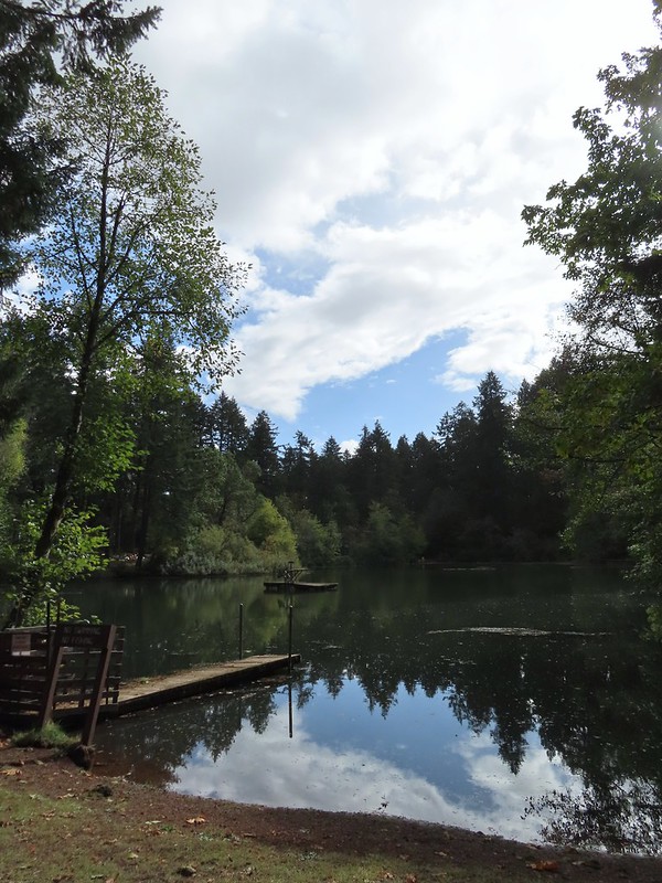
 Not that kind of a lake.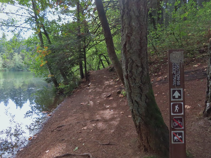
 A few drops hitting the lake.
 Kingfisher on the far side of the lake.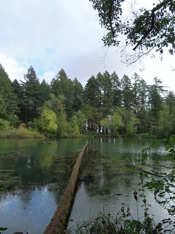
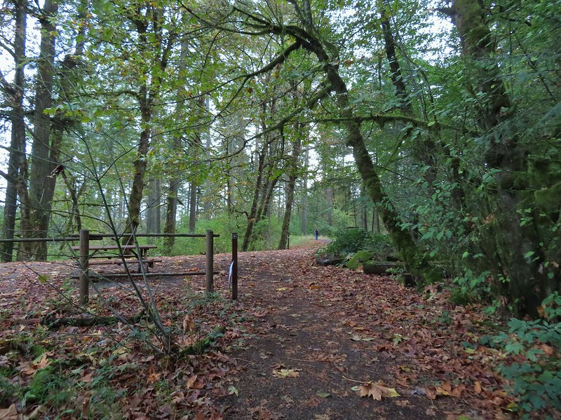

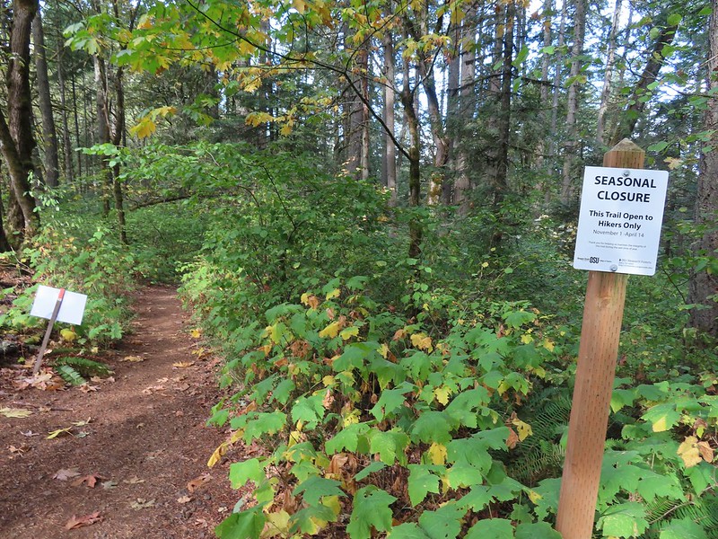

 Second right.
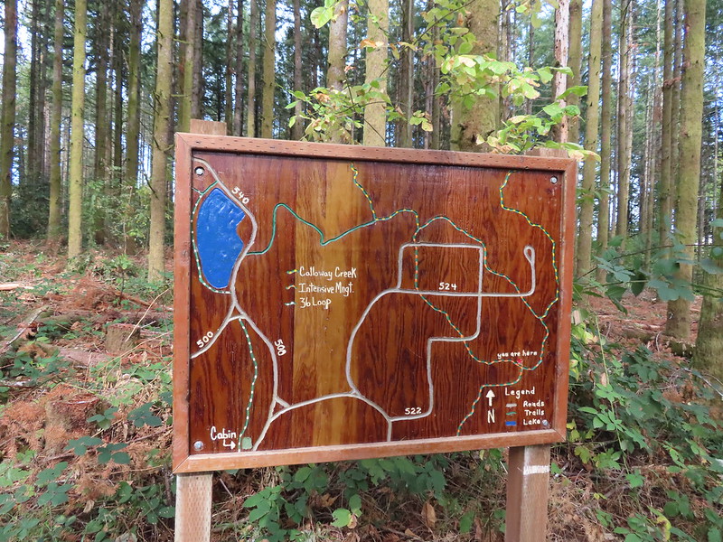


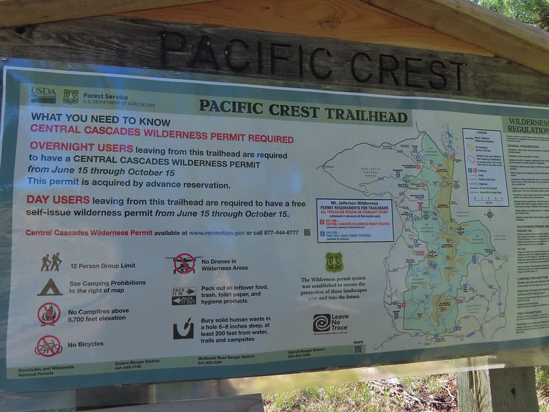
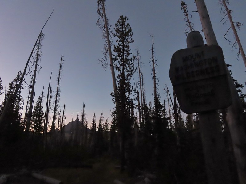 Mount Washington from the
  Three Fingered Jack to the North from the PCT.
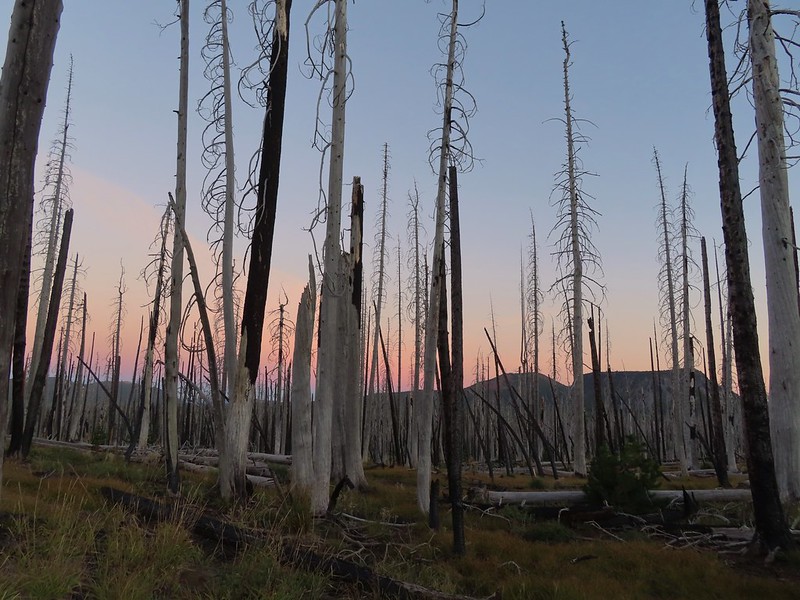 From left to right – Sand Mountain (
 Mount Washington
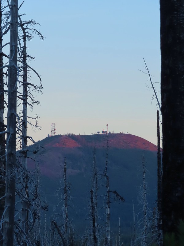 Sunrise on Hoodoo Butte.
 Sunlight hitting the spire of Mount Washington.
 Hayrick Butte and Three Fingered Jack at sunrise.
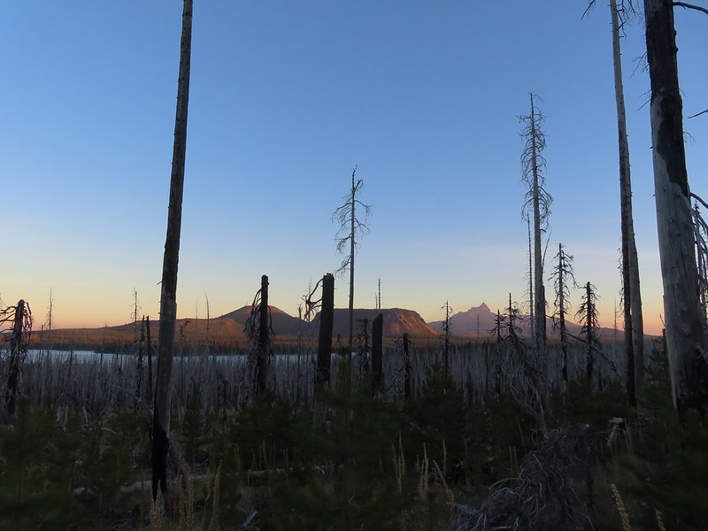 Big Lake, Hoodoo, Hayrick Butte, and Three Fingered Jack.
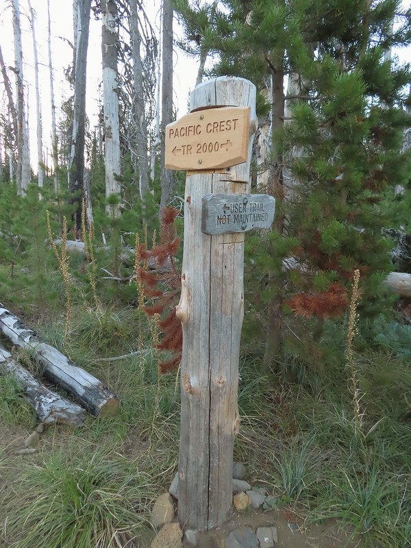 Just over two miles from the trailhead I passed a sign for the non-maintained use trail from the private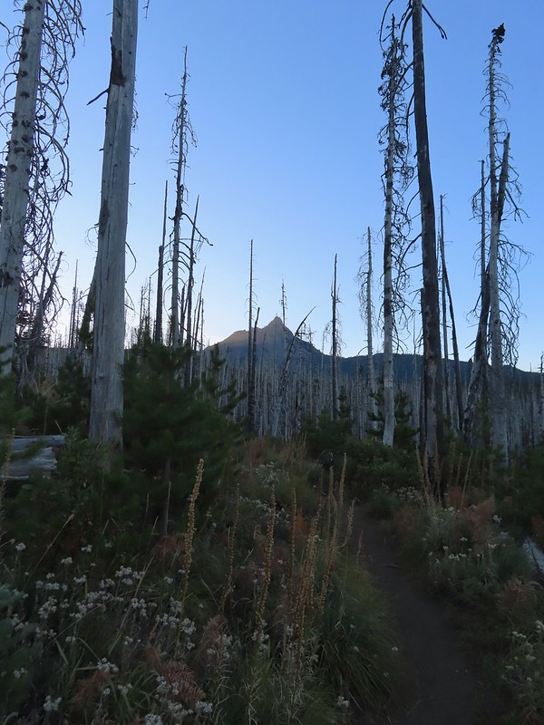
 Shortly before reaching the climbers trail the PCT left the 2011 Shadow Lake Fire scar.
 The cairn and climbers trail from the PCT.
 Huckleberry leaves turning color.

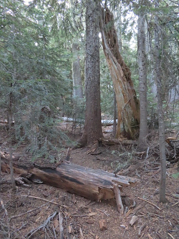 There were a few logs to navigate and keeping an eye on the tread was helpful.
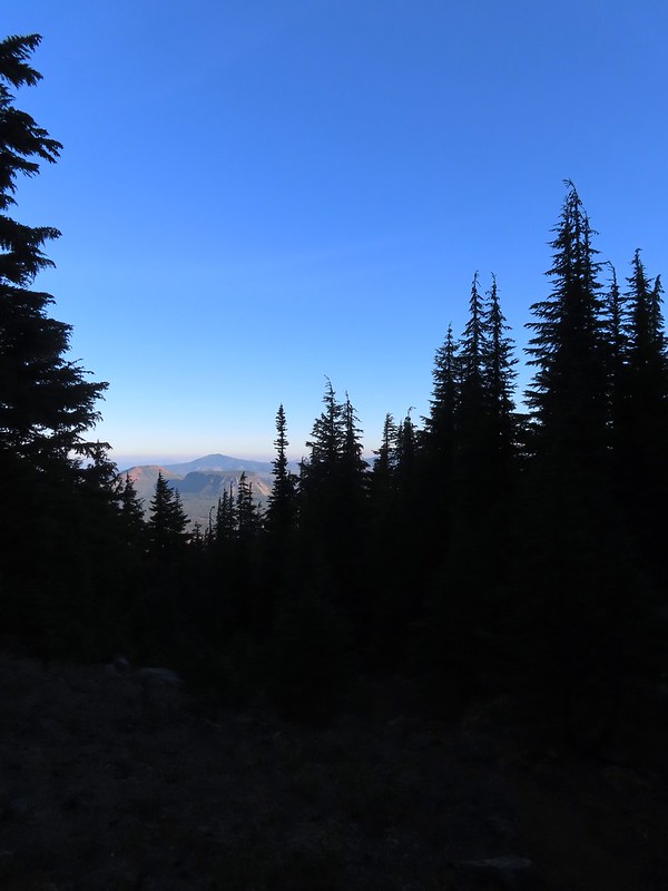 Maxwell Butte (
 Mount Washington
 The only movement that I could see was when it tilted its tail feathers which would catch the sunlight.
 First view of Mt. Jefferson behind Three Fingered Jack.
 Coming up on the ridge.
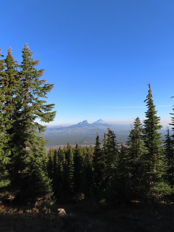 Three Fingered Jack, Mt. Jefferson, and a lot of smoke to the North.
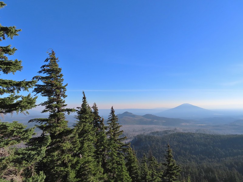 Cache Mountain and Black Butte (
 View along the ridge to Mount Washington.
 That East wind was really noticeable as I made my way along the open ridge crest.
 Three Fingered Jack and Mt. Jefferson to the left. Green Ridge (
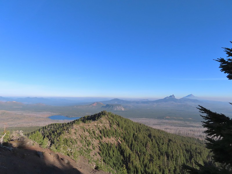 Big Lake came into view as I climbed.
 One of the steeper sections I went up. The spire is poking up on the right.
 Mount Washington’s shadow.
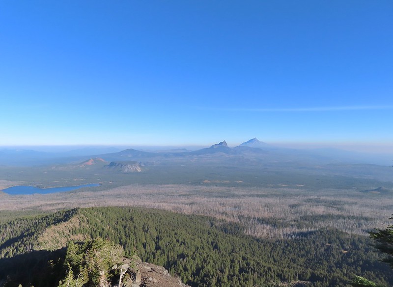 View back down the ridge.
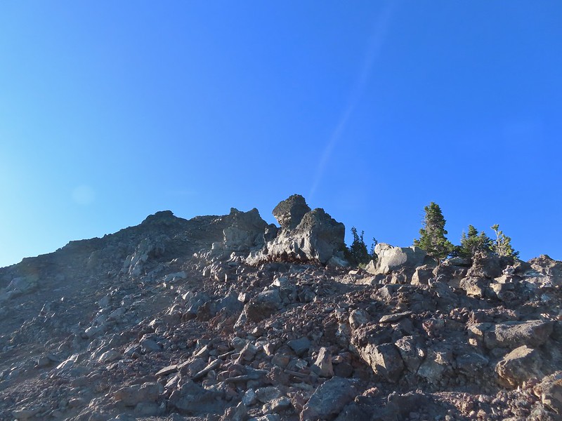 I was hoping to get up and over these rocks where the map showed a more level bench but I wound up reaching a chute where I was unsure of the correct route. The further up I’d gone the more braided the trail became and I may have been too far left. A climber had passed me way back on the PCT but if I had been able to watch him go up here I may have found a better route.
 The chute that turned me back. It’s a bit hidden by the rocks in the foreground but there was no way across that I would have been comfortable with and scrambling up looked way too sketchy for my taste (especially w/o a helmet).
 My shadow on the left from my break spot.
 This was the place I’d come up.
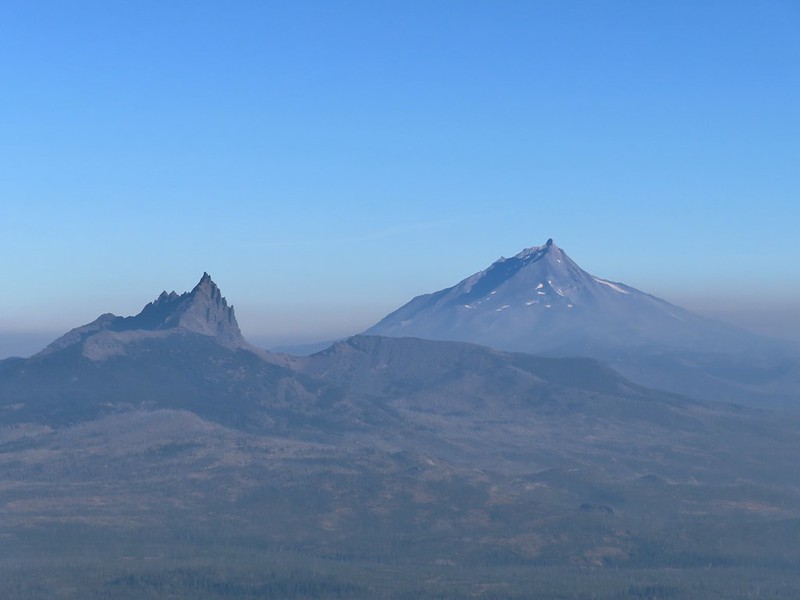 Zoom of Three Fingered Jack and Mt. Jefferson
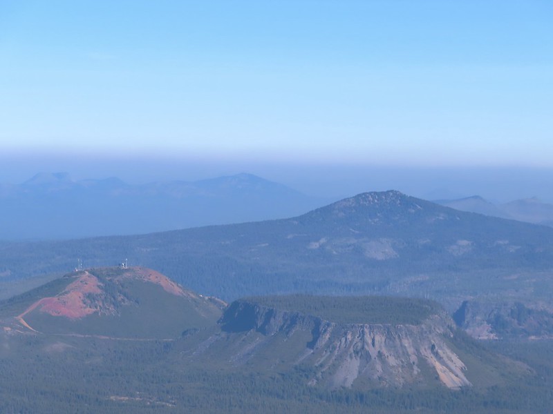 With all the smoke I hadn’t noticed Coffin (flat top) and Bachelor Mountains (
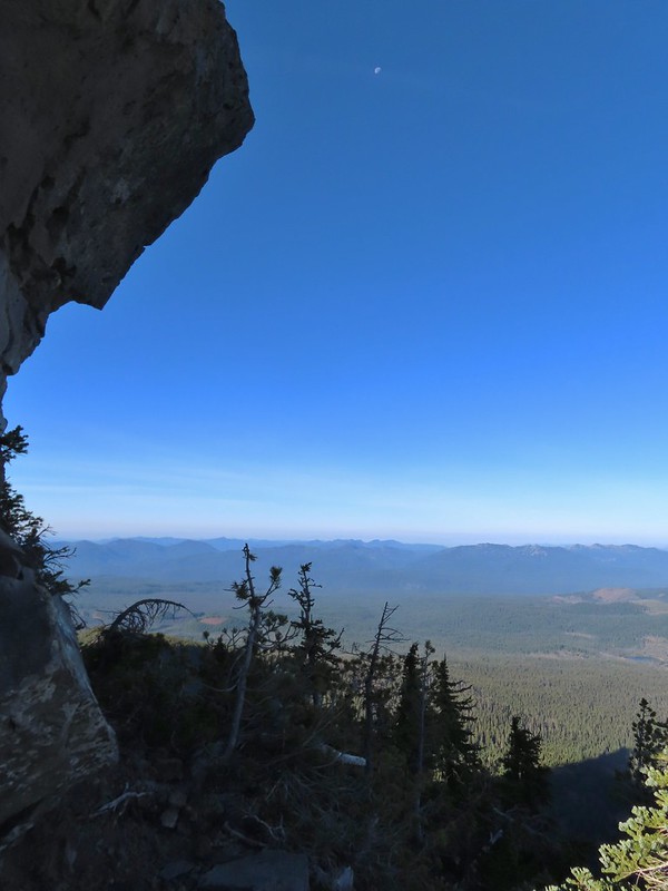 The Moon overhead to the West.
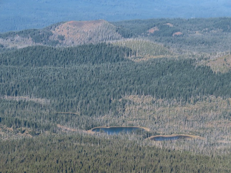 Patjens Lakes (
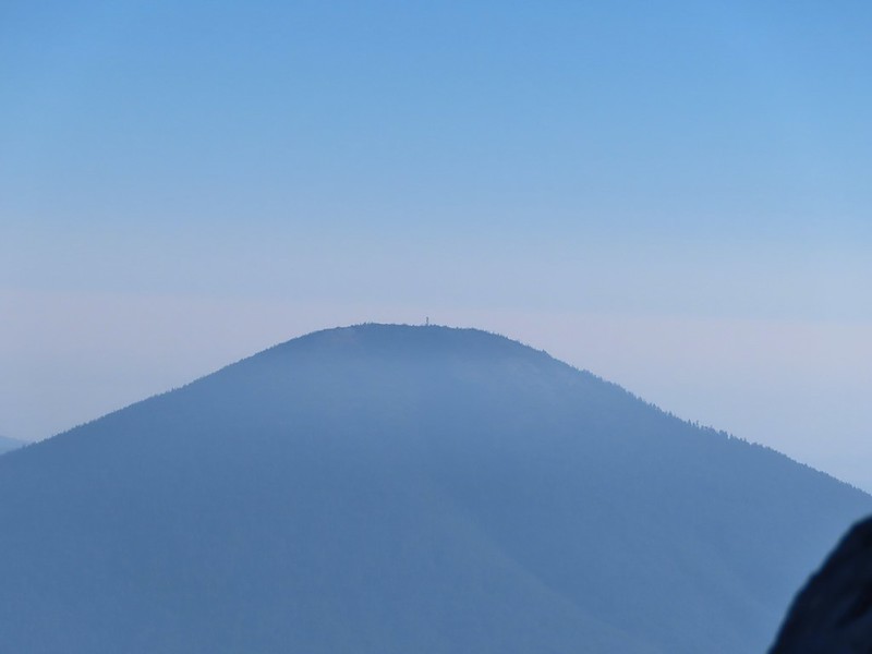 Lookout tower on Black Butte.
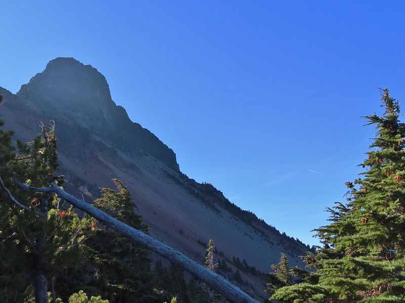 Unfortunate that my timing once again put the Sun directly in line with my view.
 Using a tree to try and get a better view.
 A framed Mt. Jefferson.
 Sometimes it’s the little things, like these bent trees that I really appreciate on a hike.
 This mushroom casting a shadow was another one.

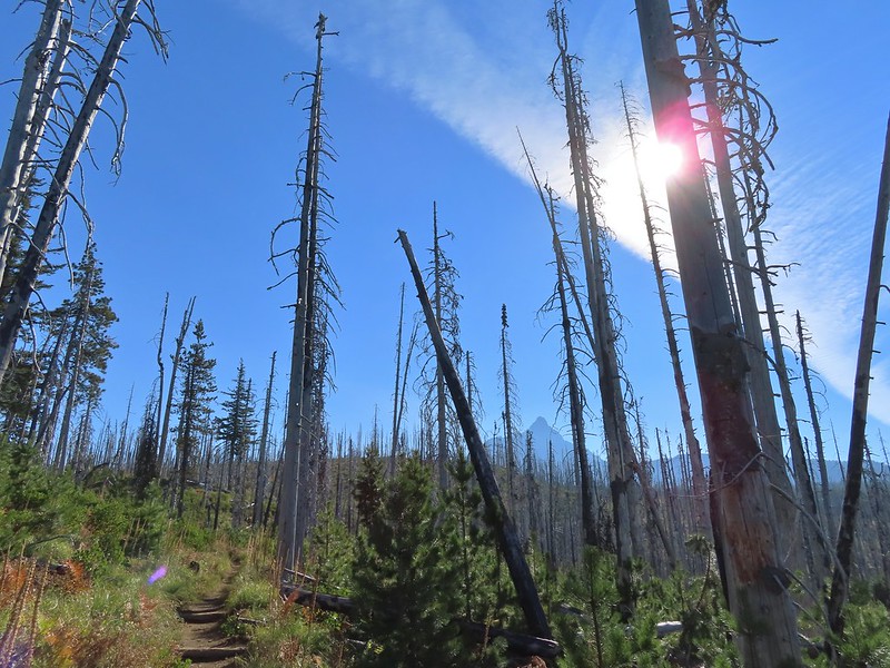 Looking back at Mount Washington from the PCT.
 Three Fingered Jack
 Hoodoo and Hayrick Buttes behind Big Lake.
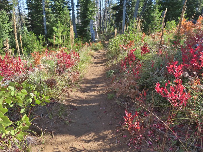 Huckleberry bushes and ferns adding some Fall colors.
 The best Fall colors were near the trailhead.
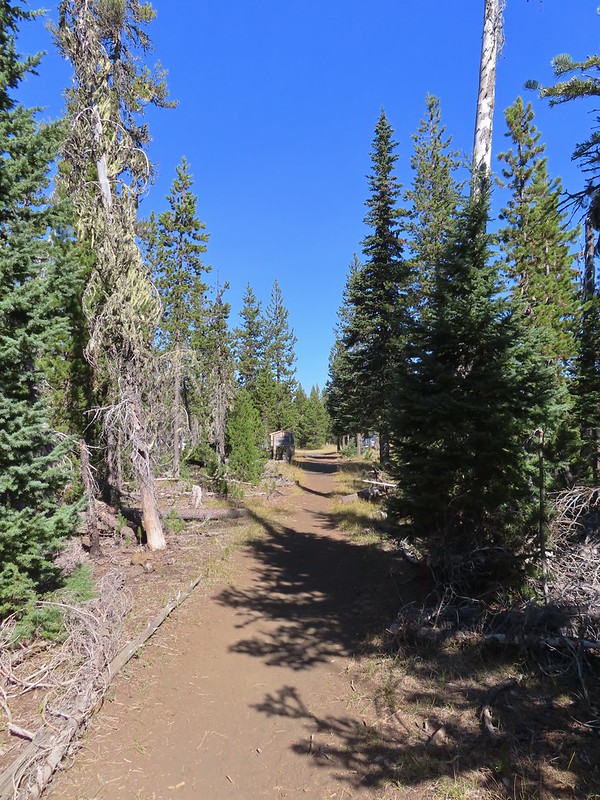 The trailhead from the wilderness boundary sign.


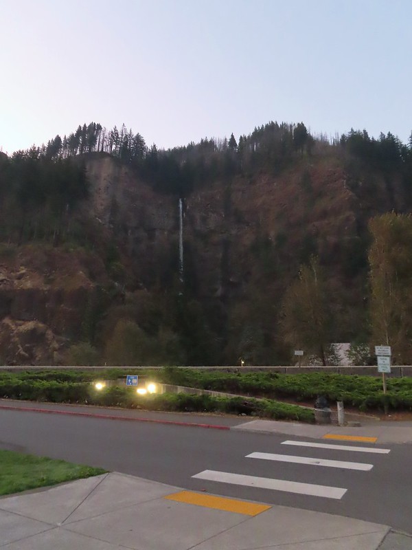
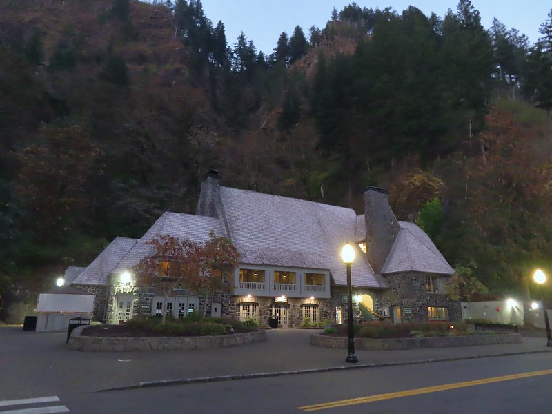
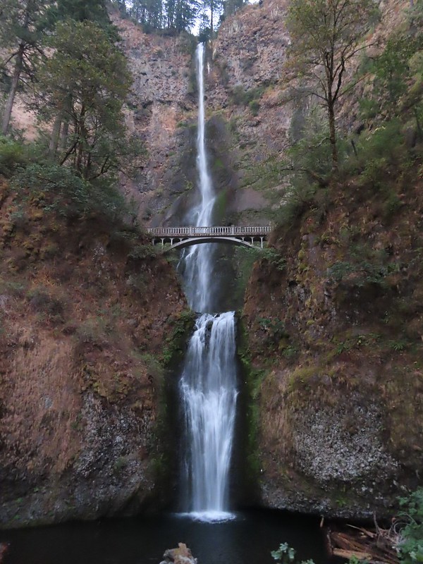 Multnomah Falls
 The Benson Bridge.
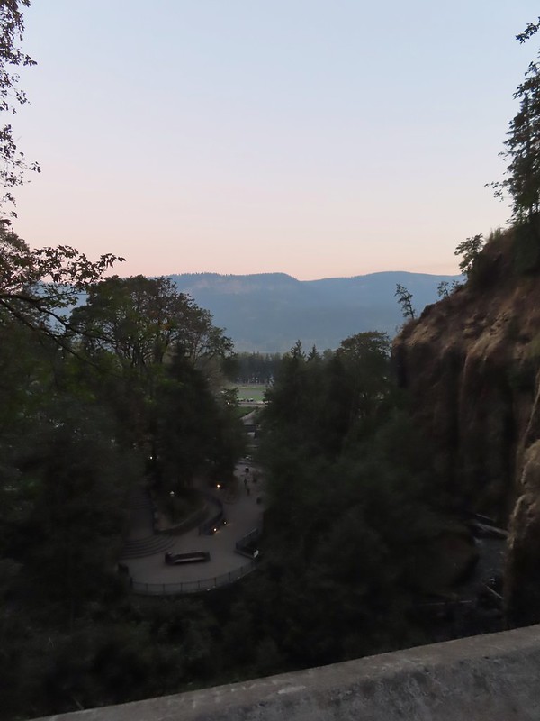 View from the bridge.
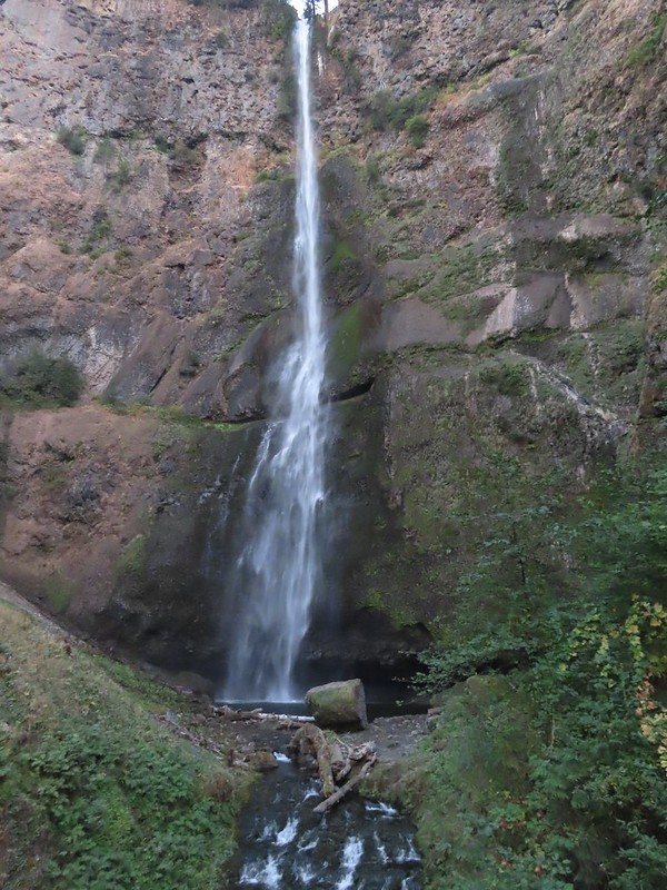 Multnomah Falls from the bridge.
 The Moon beyond the Columbia River and Multnomah Falls Lodge.
 Beacon Rock (
 The second switchback.
 Another view of the falls. I passed a pair of hikers along this stretch then didn’t see another person for another couple of hours.
 Viewpoint trail.

 Small fall just upstream from Multnomah Falls.
 Cape Horn (
 Bridge over Multnomah Creek.
 Approaching Middle Dutchman Falls.
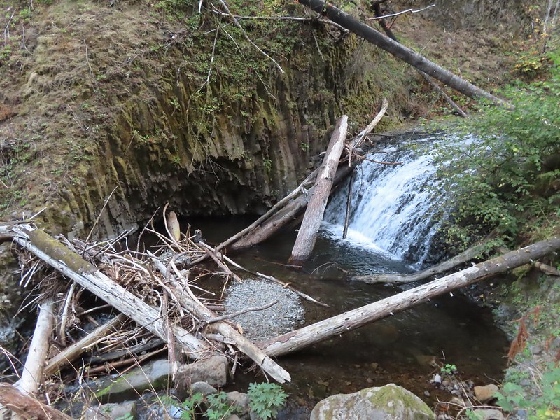 Middle Dutchman Falls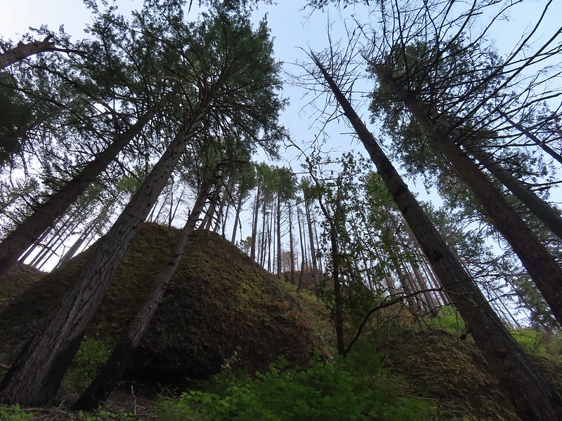
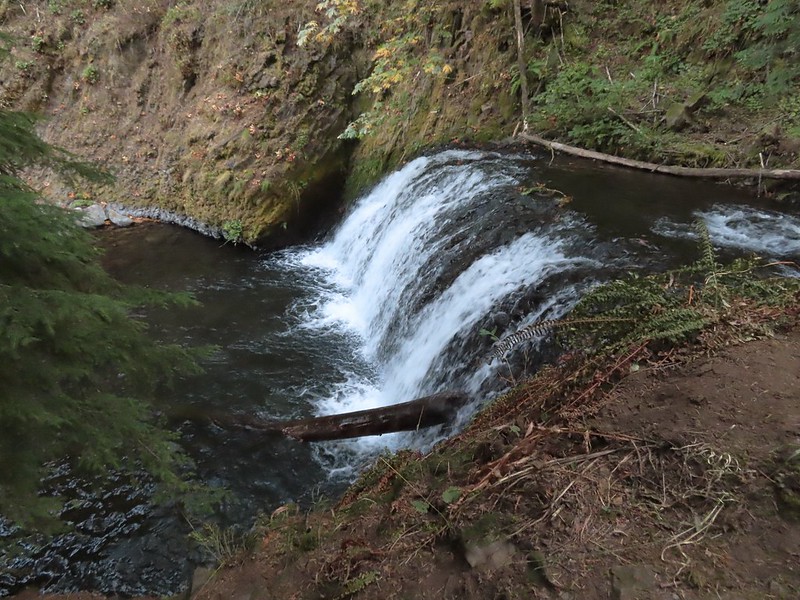 Upper Dutchman Falls
 Dutchman Tunnel
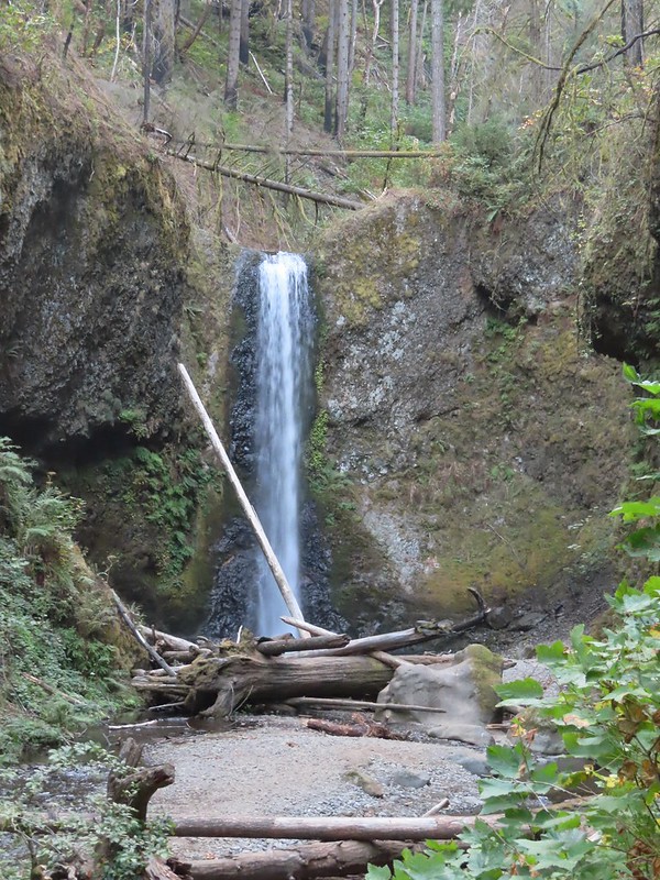 Wiesendanger Falls is located just beyond Dutchman Tunnel.
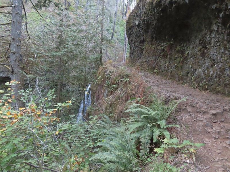 A short distance beyond Wiesendanger Falls is Ecola Falls.
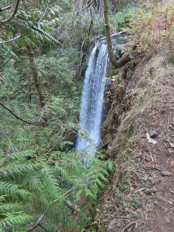 Ecola Falls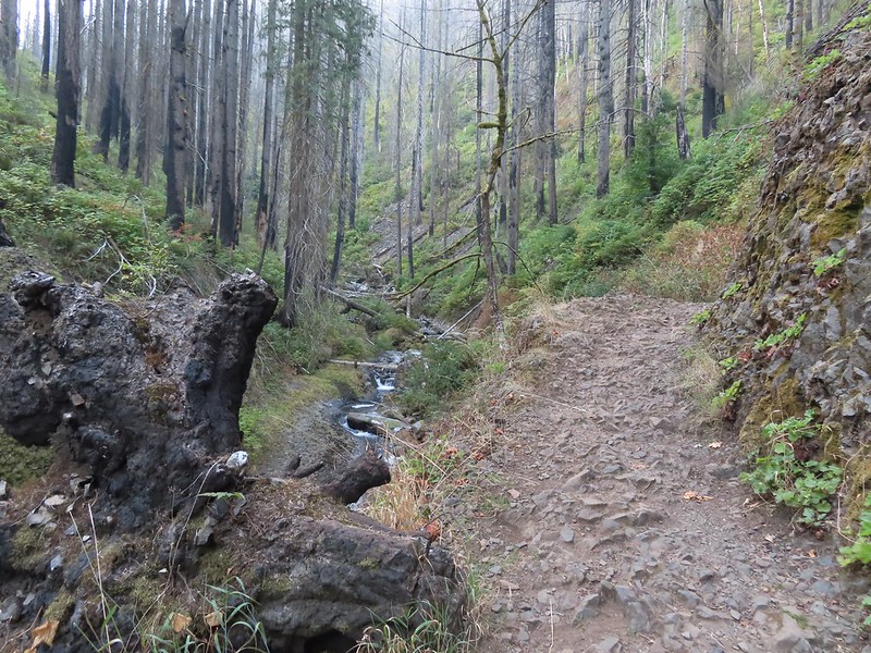
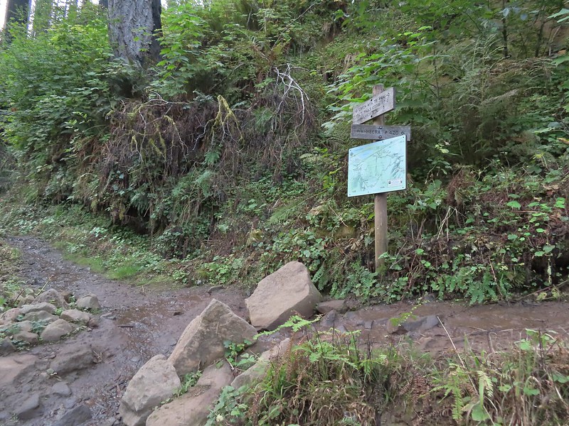
 Good signage at nearly all trail junctions, especially those closest to the trailheads.
 Looking down the creek at sunlight starting to hit the hillside.
 A few bleeding heart were still in bloom.
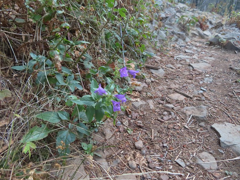 Penstemon
 This section is flooded in late Winter/Spring. The signed High Water Trail leads up and around it for those high water times.
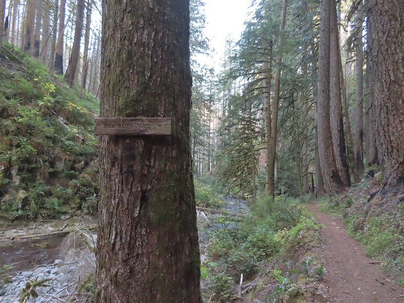 Sign for the High Water Trail at its southern end.
 The southern end of the High Water Trail heading uphill to the right.
 I couldn’t find a name for this creek but it had a good flow, in fact it was more water than what was in Multnomah Creek upstream from their confluence.
 Multnomah Creek upstream from the unnamed creek.


 Reentering the fire scar.
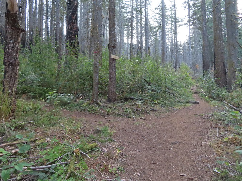 The Franklin Ridge Trail on the left.
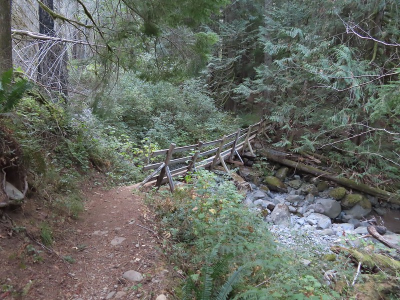
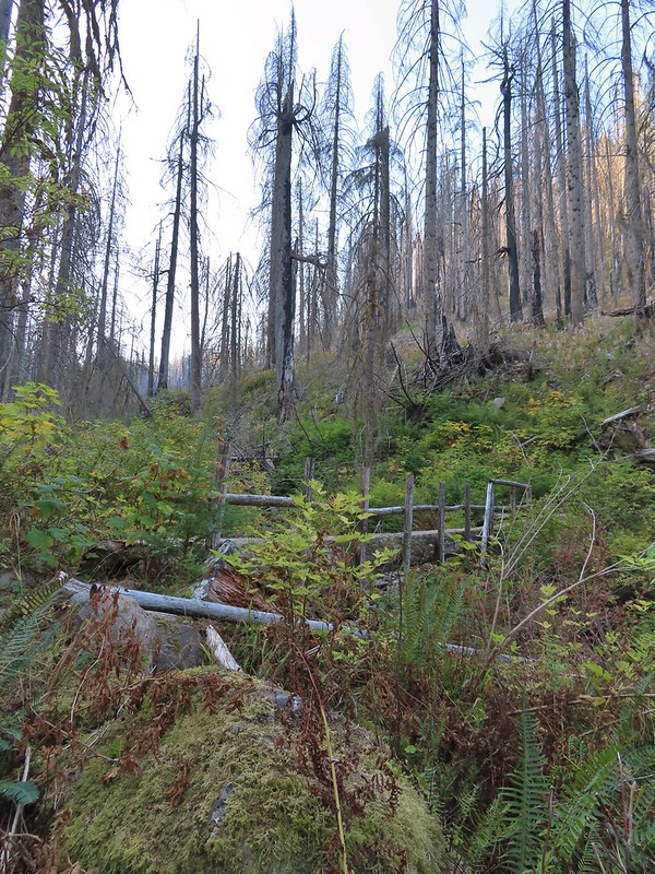


 Maple changing colors
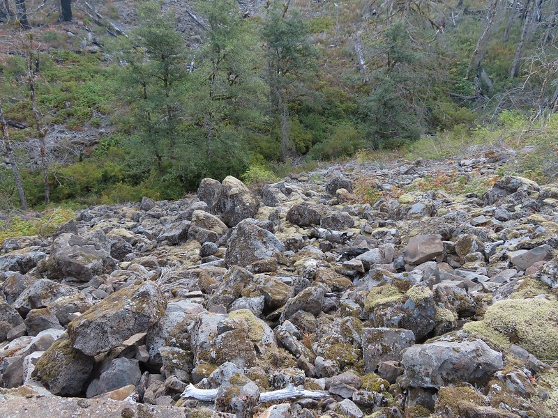 I’m sure there is at least one pika in this photo somewhere.
 Looking back toward Franklin Ridge.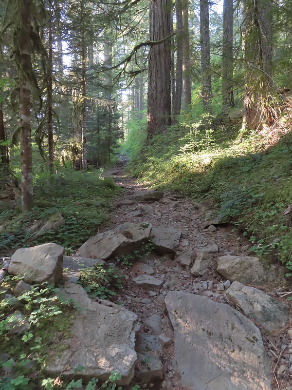
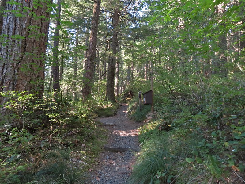 Arriving at the junction.


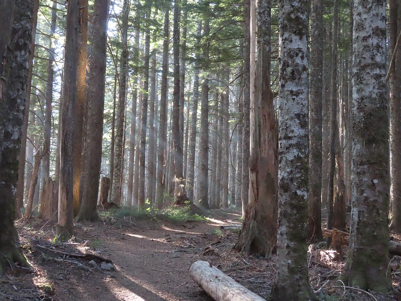 I was hoping for less smoke in the air but these sunbeams told me that there was still a fair amount lingering around much as it had been for the last several days.
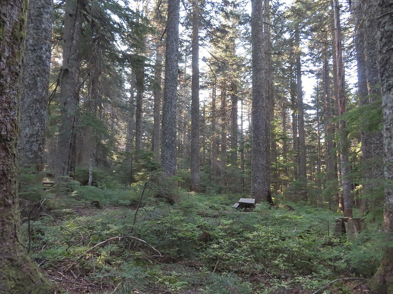 After 1.25 miles I passed a pair of old campsites with picnic tables on the right. I stayed right at an unsigned junction with a trail that led uphill to the left. We had come down that way on our previous trip skipping a short section of the actual Larch Mountain Trail.
 There were four cars at this trailhead.
 Vine maple near the Sherrard Point Trail.
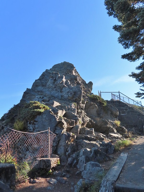

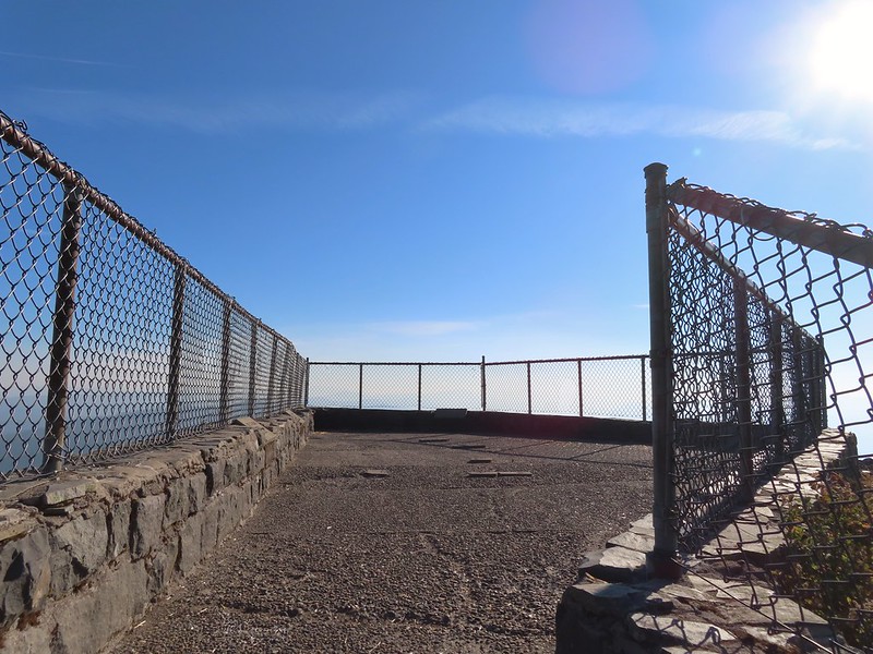
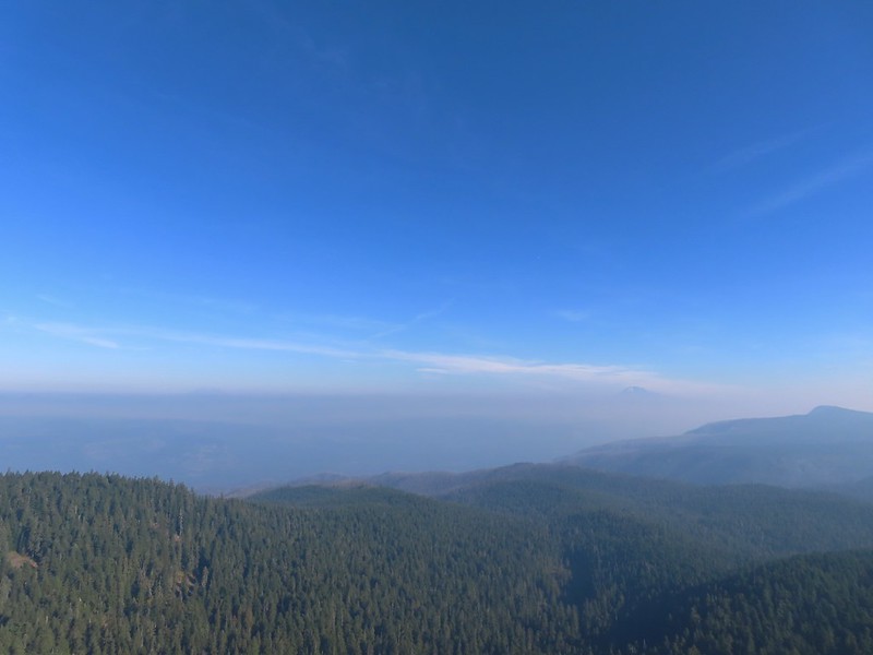 Mt. St. Helens in the smoke to the left and Mt. Adams a bit above it to the right.
 Mt. Hood
 Mt. Adams
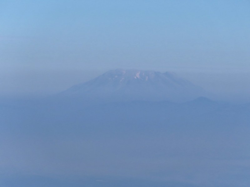 Mt. St. Helens
 Silver Star Mountain (
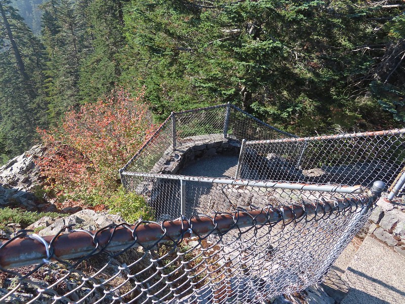 Heading down.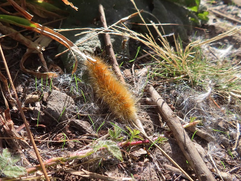


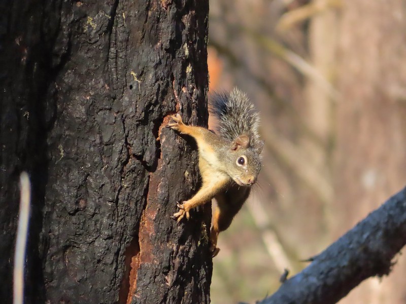
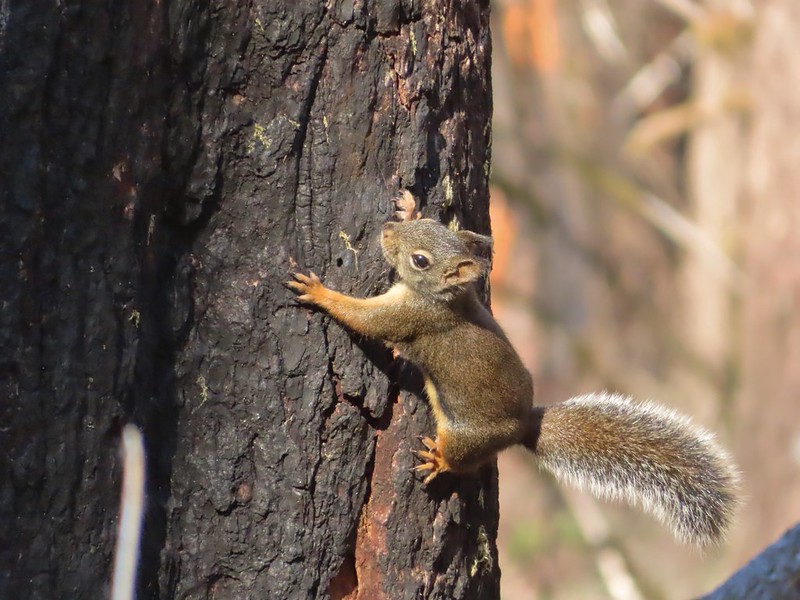
 Lots of fungi on this tree.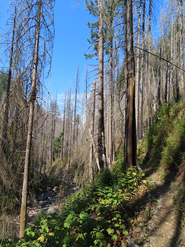
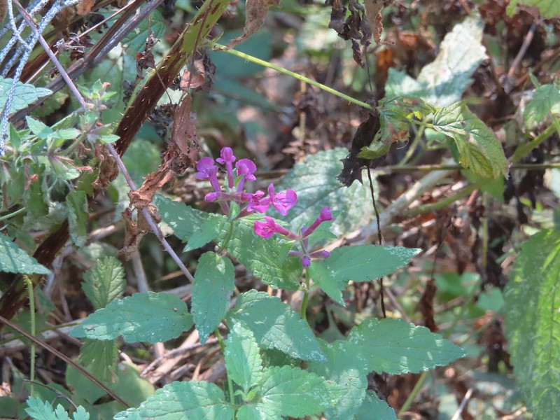 Hedgenettle
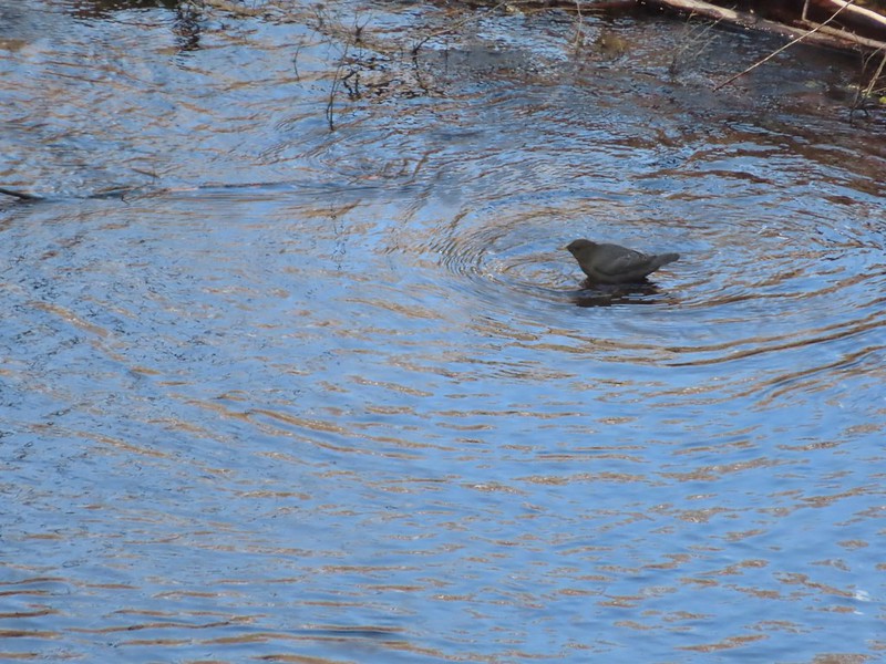 Ouzel
Ouzel
 Looking back down at Multnomah Creek.
 Cape Horn again across the Columbia.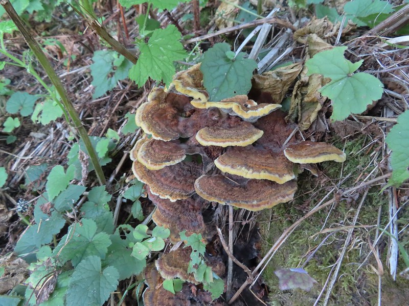
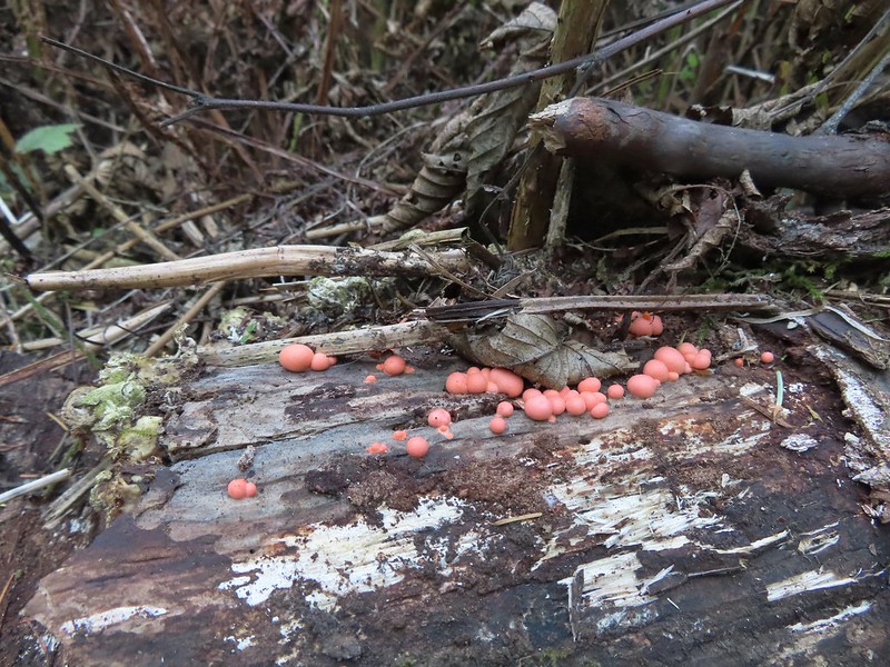 I couldn’t recall seeing these before on a hike, not this color anyway.
 The Devil’s Rest Trail on the left at the ridge top.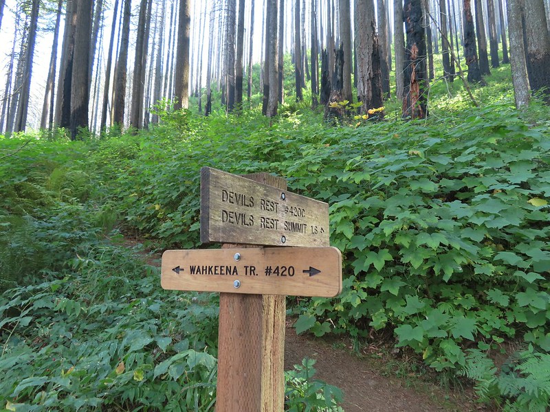
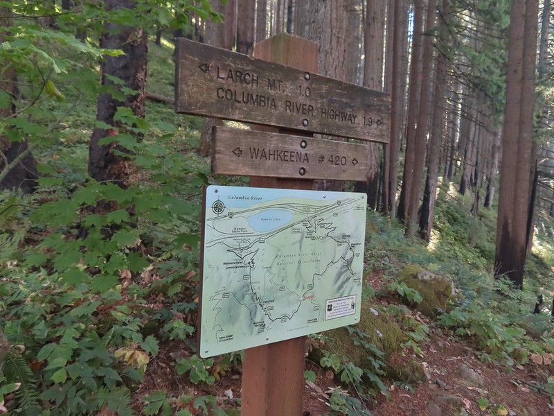 I should have followed the Wahkeena Trail Pointer here.
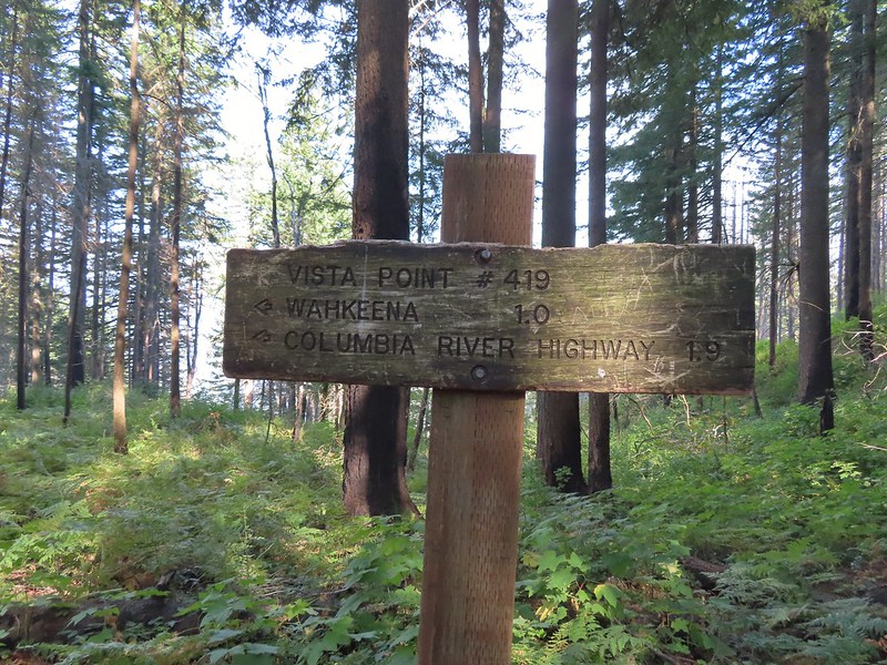 Instead I followed the pointer for Wahkeena 1.0.
 Vista Point Trail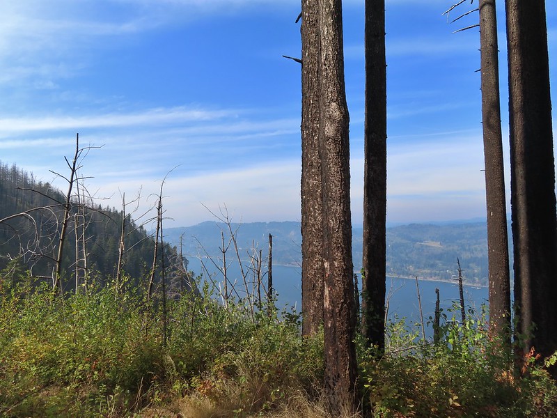


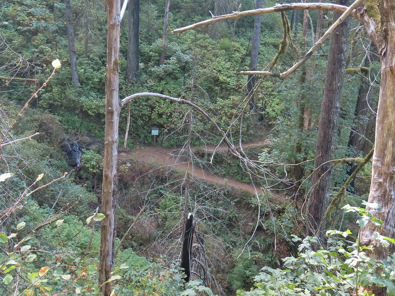 There is the trail I had intended to be coming down arriving at the junction with the other end of the Vista Point Trail.
 Looking back at the Vista Point Trail from the junction.
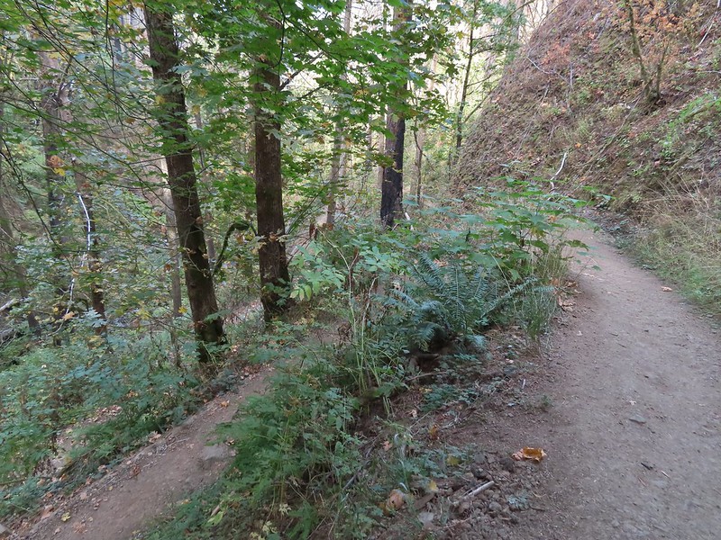 Lots of tight switchbacks to get down the gorge.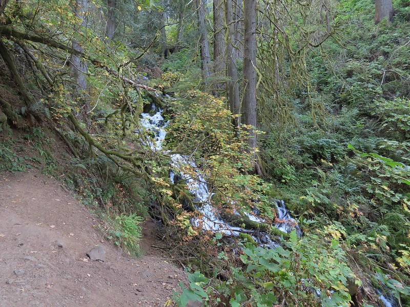
 Fairy Falls
 Fairy Falls

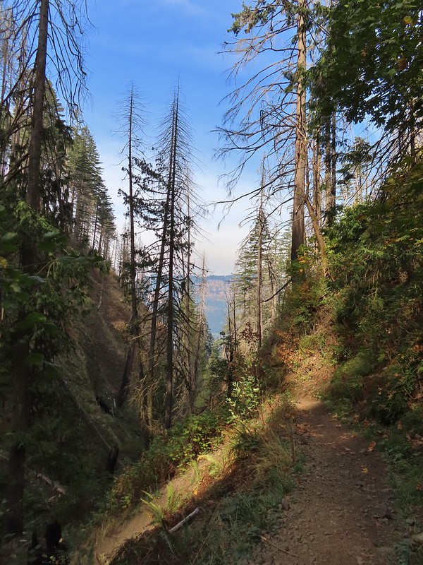 Looking out across the Columbia River.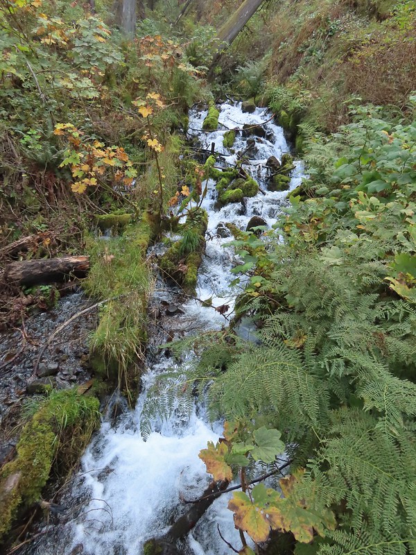


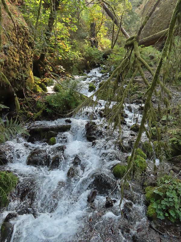

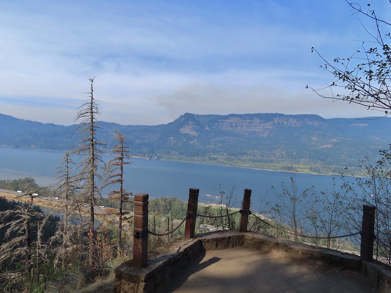 Cape Horn (again)
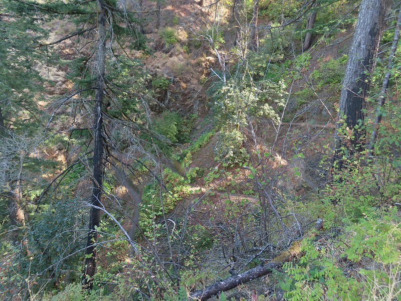 The Wahkeena Trail from Lemmons Viewpoint.
 The poison oak was really colorful.
 Approaching Wahkeena Falls.
 Wahkeena Falls
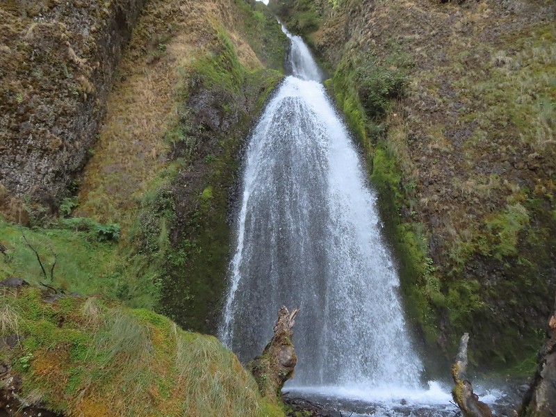 Wahkeena Falls.
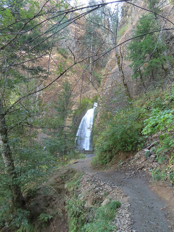 Looking back at Wahkeena Falls.
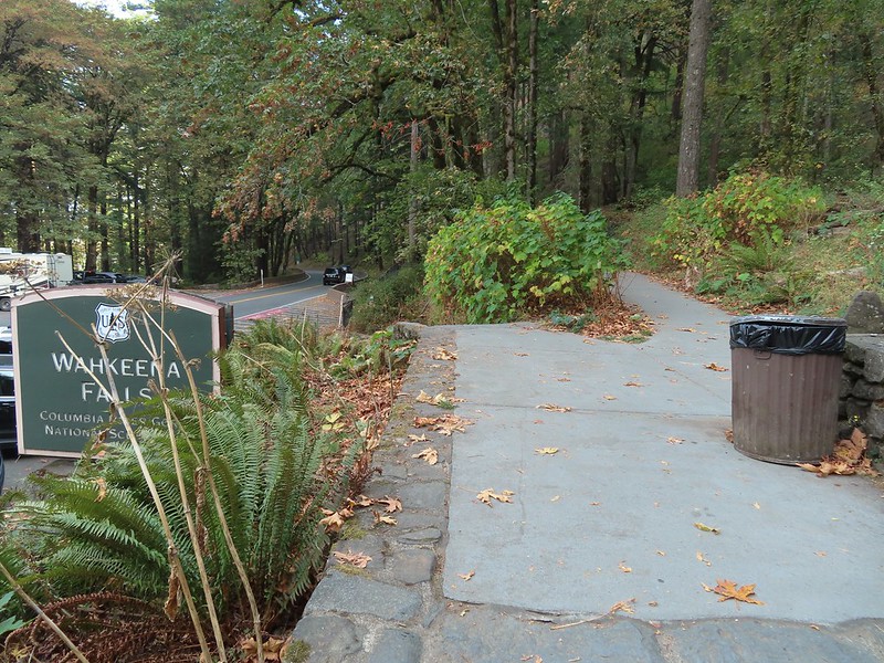
 One last look at Wahkeena Falls through the trees.

 A line of cars on Historic Highway 30 in front of the lodge.


 Merry (black) is 3 mos. and Pippin is 2 mos. Both boys from separate litters.

 It seems this time of year I (we) are always a little ahead of the sunlight which does nothing for photos.
 Coming up on the road crossing.
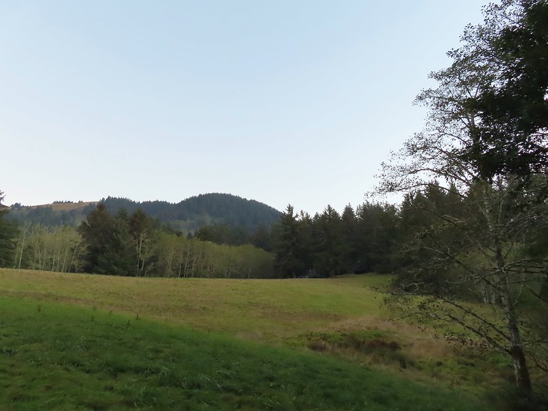 Cascade Head from the trail with the elk at the end of the grass to the right.
 Fuzzy (low light) photo of the elk.
 Crossing Savage Road with the first view of the Pacific.


 View from one of five metal footbridges along this section.
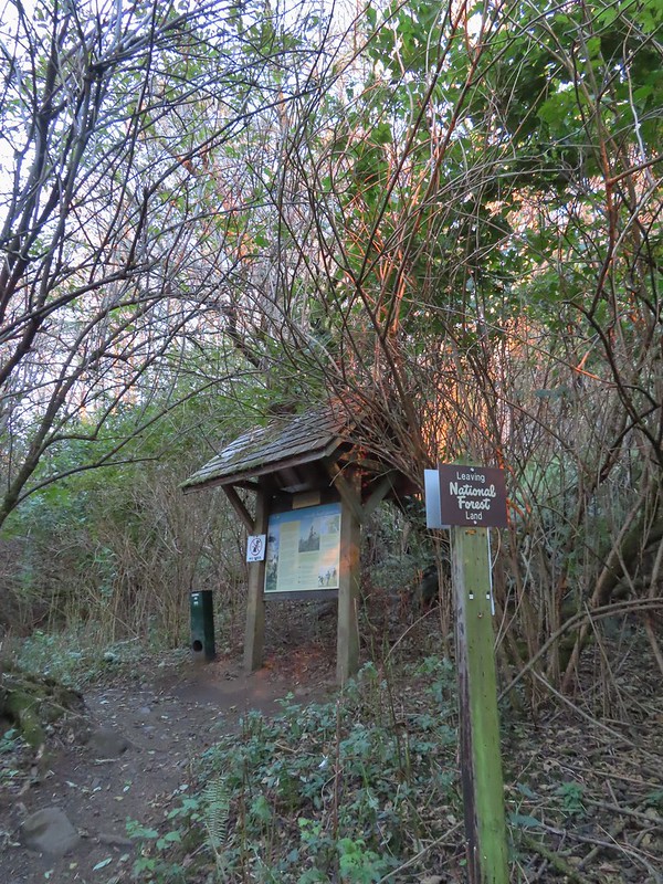 Signboard and donation box at the start of
 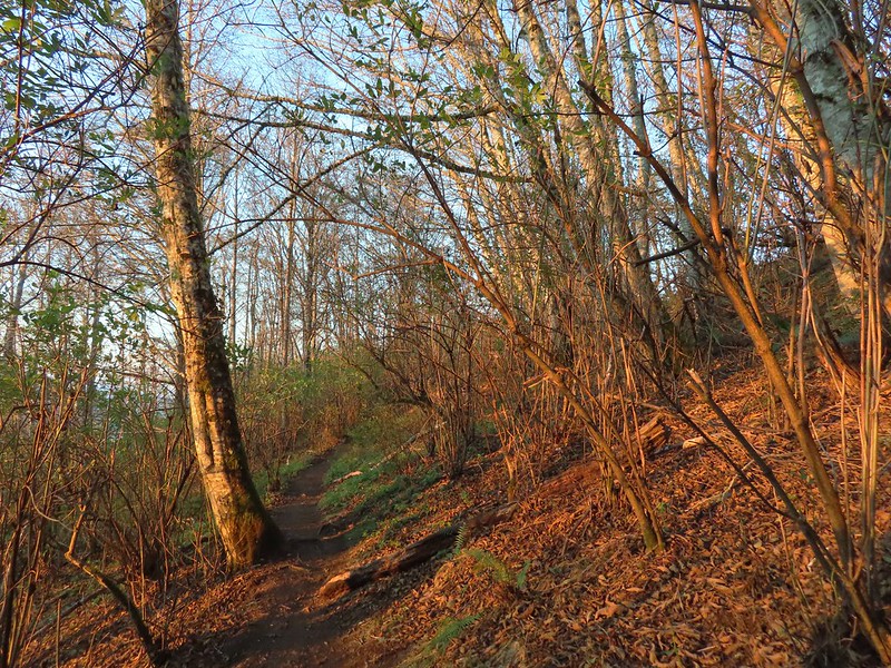 First direct sunlight of the morning.
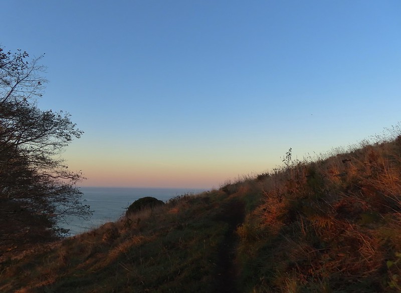 Out of the trees and into the meadows.
 Looking uphill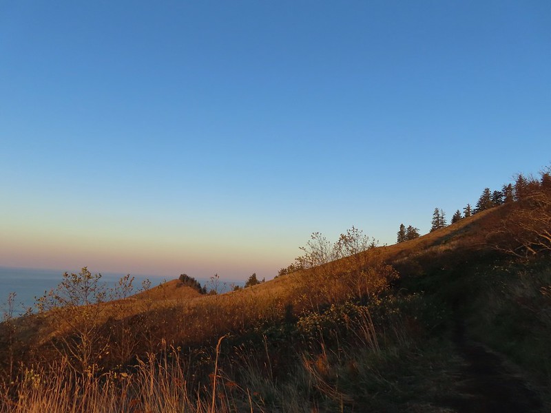
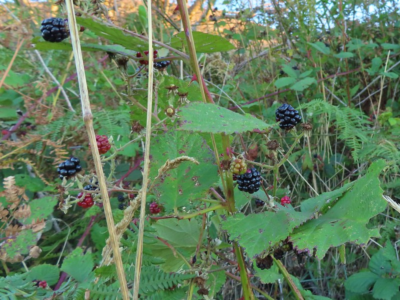 Snacks
 Salmon River Estuary
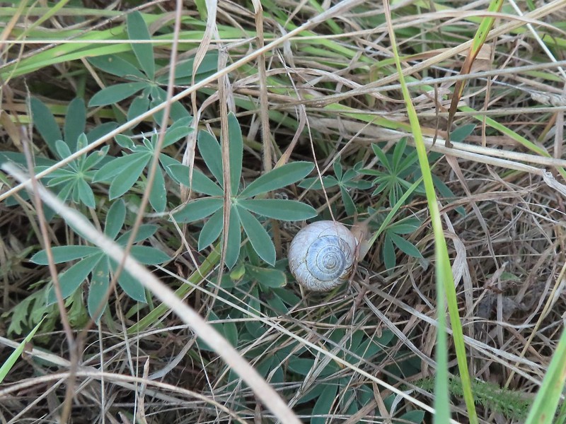 A snail and lupine leaves.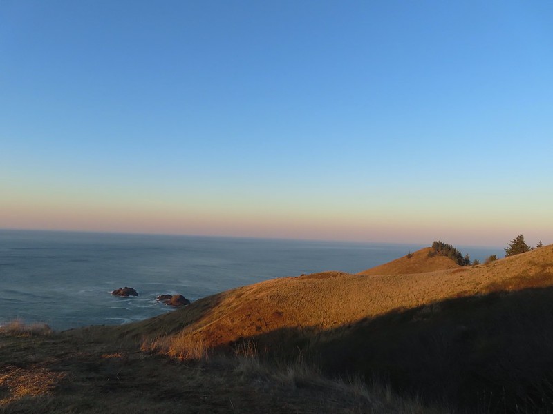
 A small viewpoint just before the trail turns uphill.
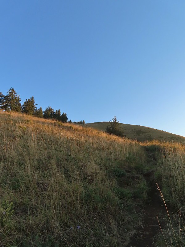 Going up
 The trail gains views as it gains elevation.
 The trail through the meadow below.
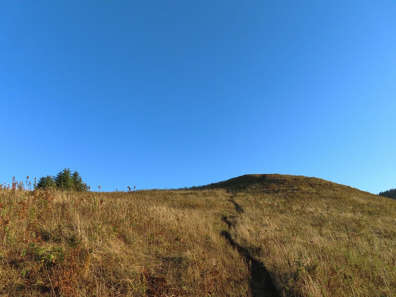 This knoll looks like the high point as you climb, but it’s a trick.
 The high point is actually marked by a post. (Near the right end of the photo).


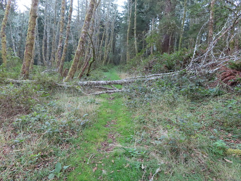
 Wooden arch over the old roadbed.
 Nearing the upper trailhead.
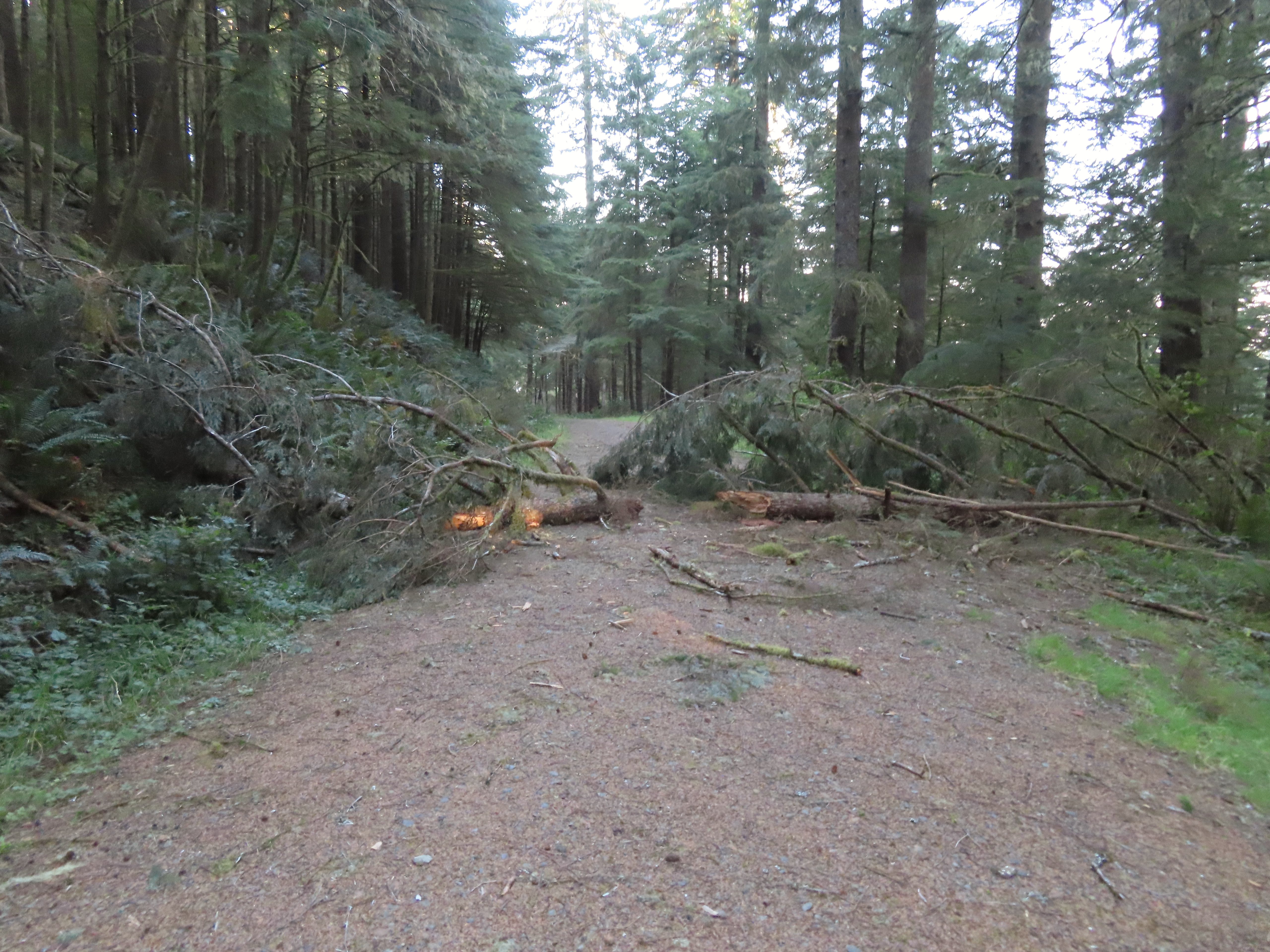 When they do reopen the road there will be a few trees to deal with.
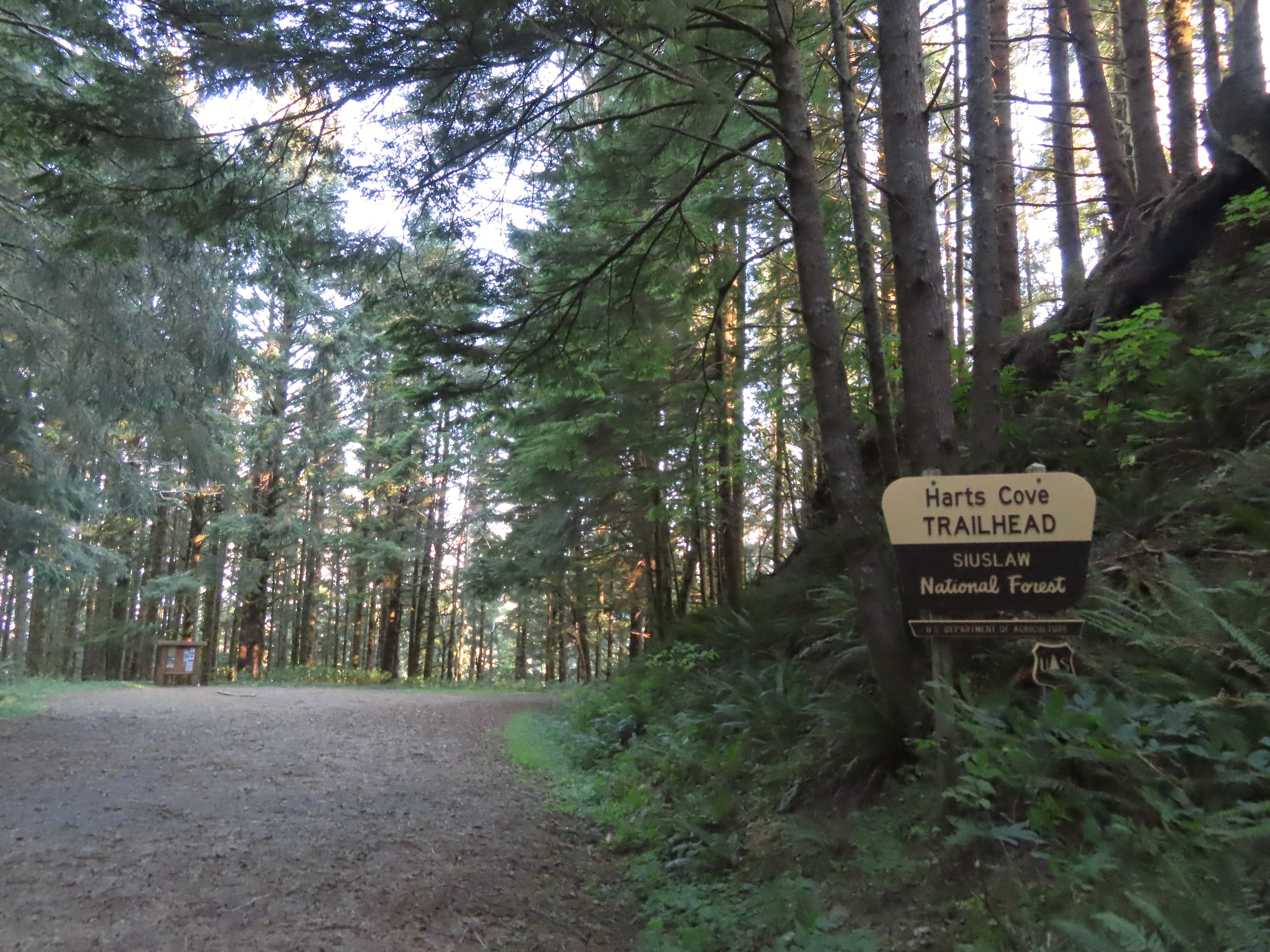

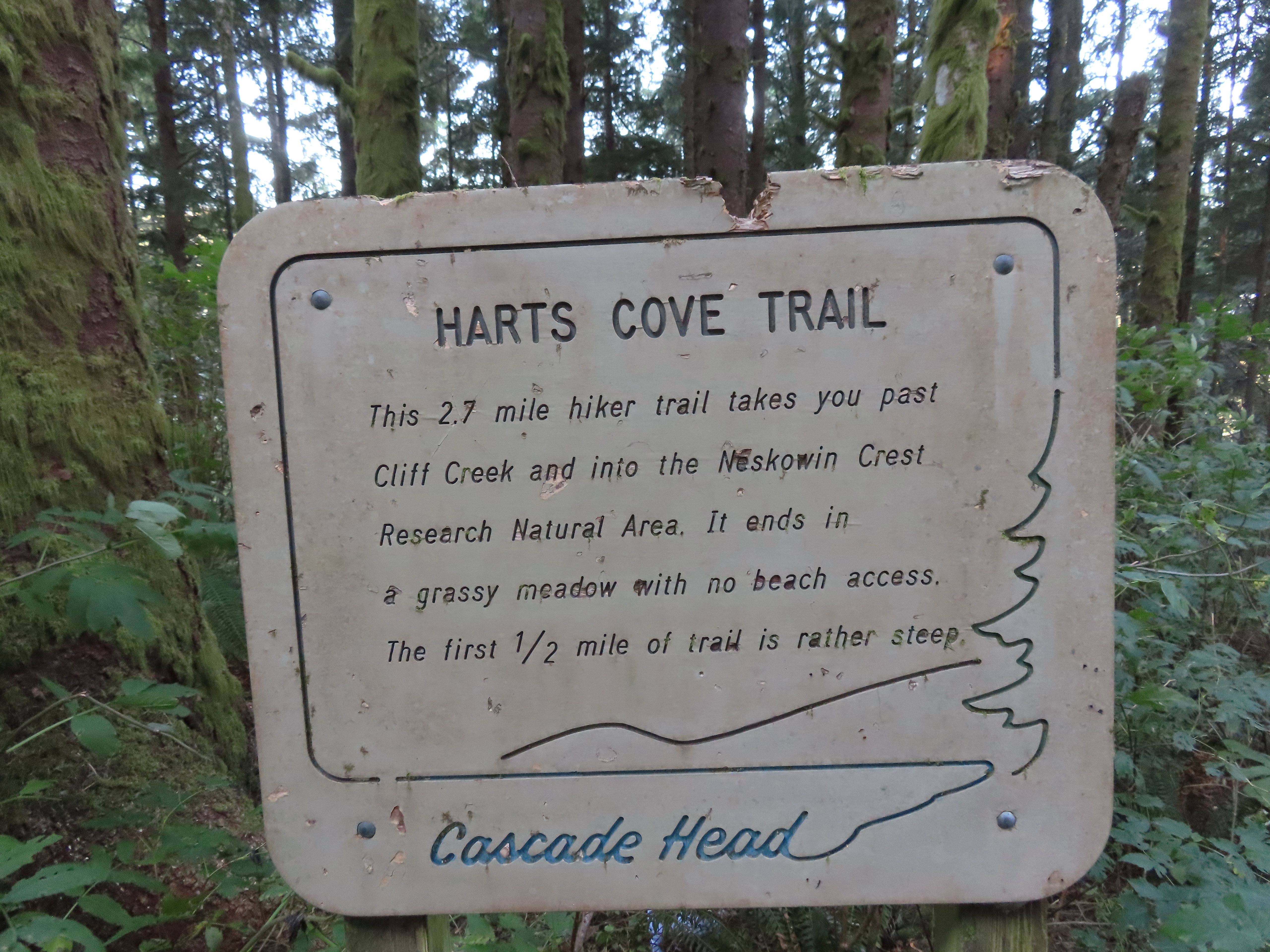

 There were around 18 trees such as this one across the trail from the trailhead to Cliff Creek.
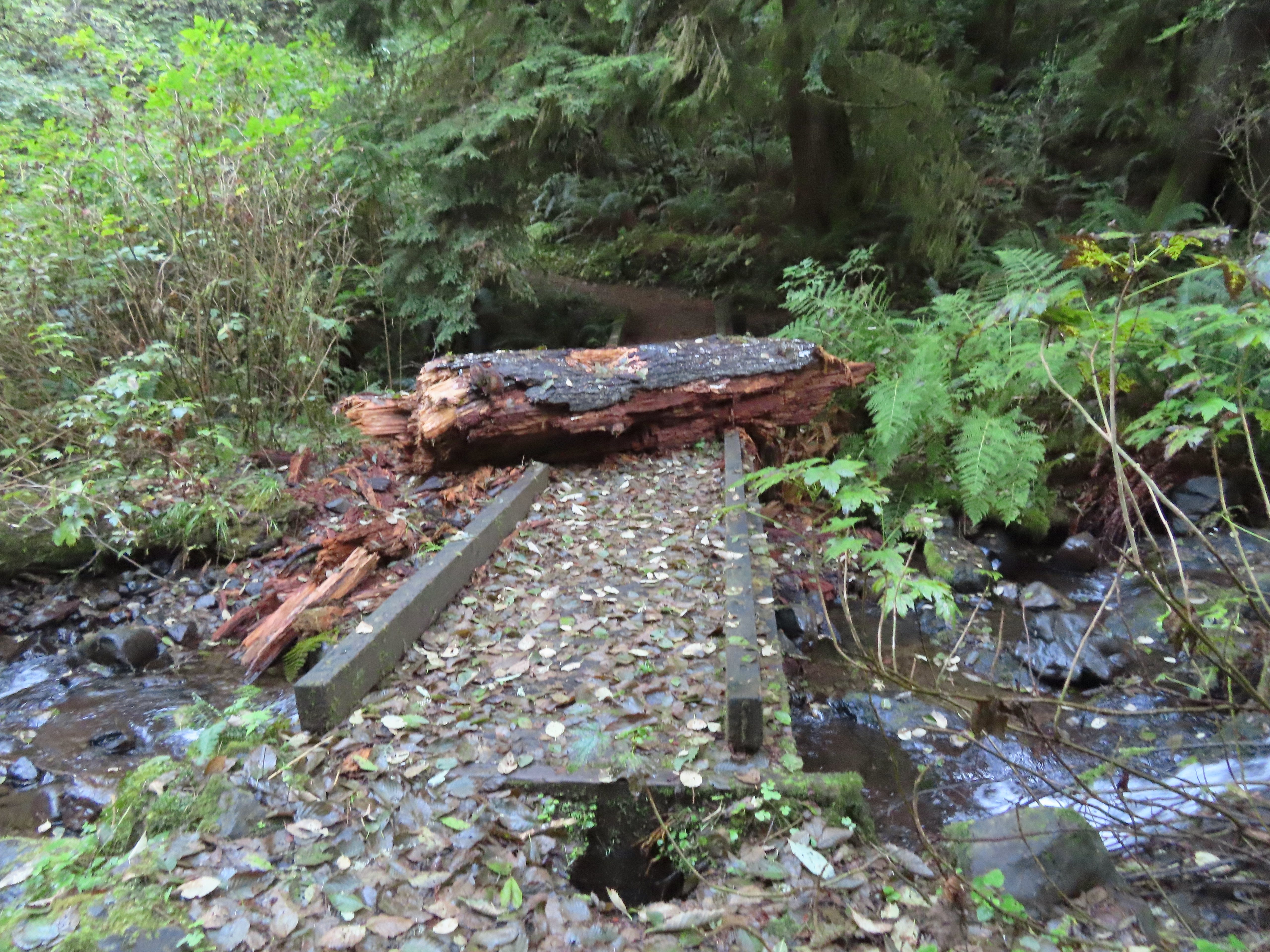 This large chunk of tree trunk has done some damage to the bridge, but it was still passable.
 Cliff Creek
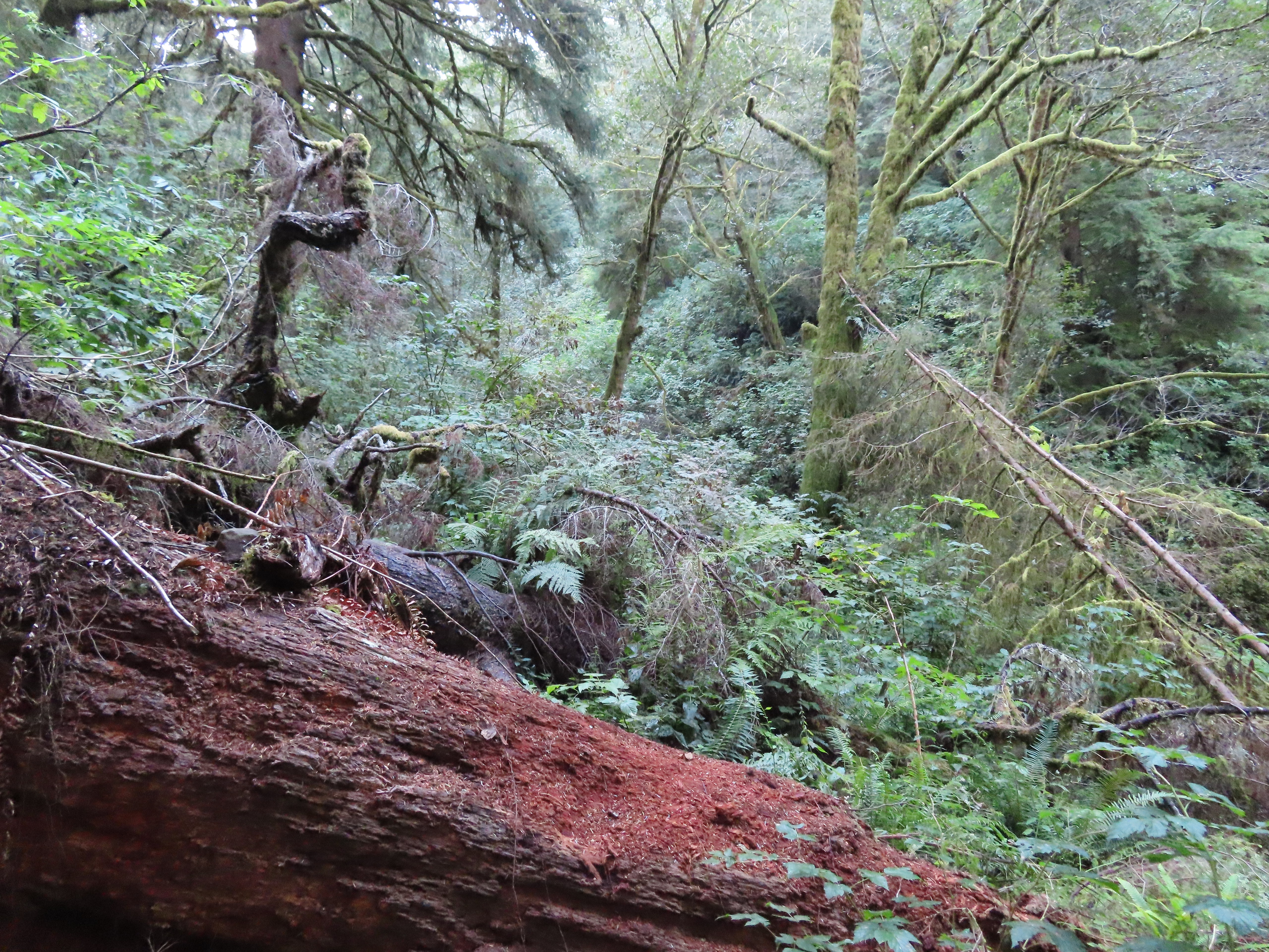
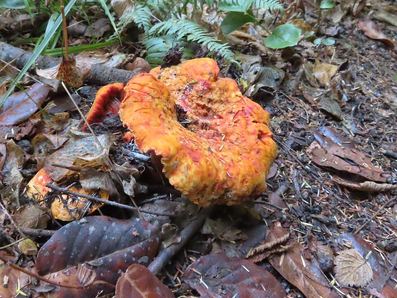
 At the 1.6-mile mark I entered the
 Sign near the bench.
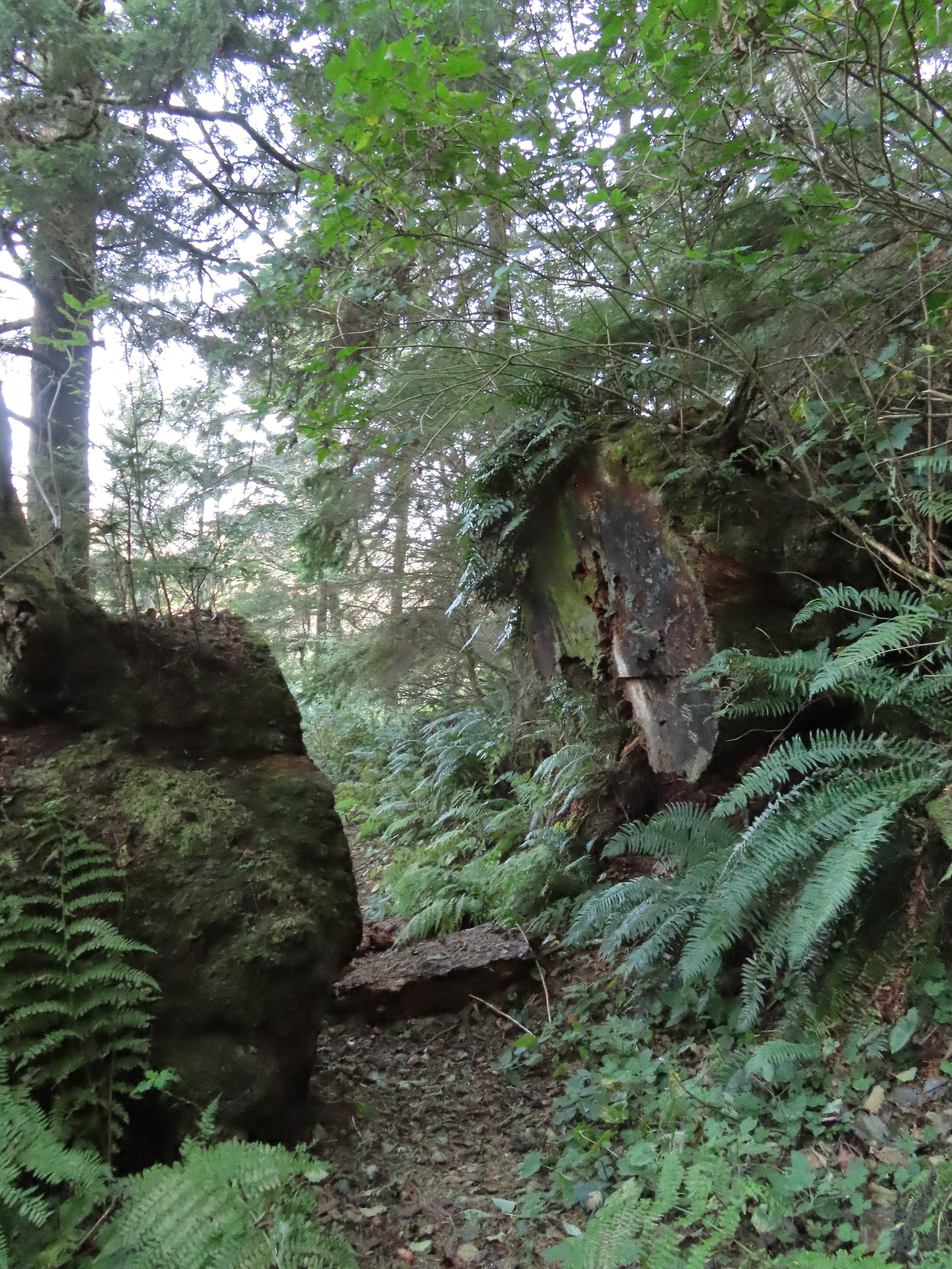 Big sitka spruce trunk.
 Approaching the Chitwood Creek crossing.
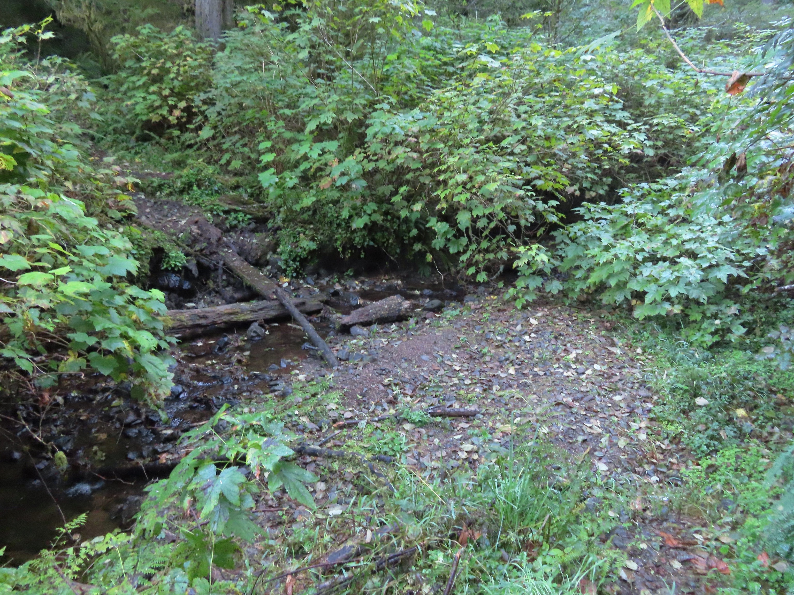 Chitwood Creek
 Heading back toward the ocean.
 Someone stuck some feathers in this mushroom.
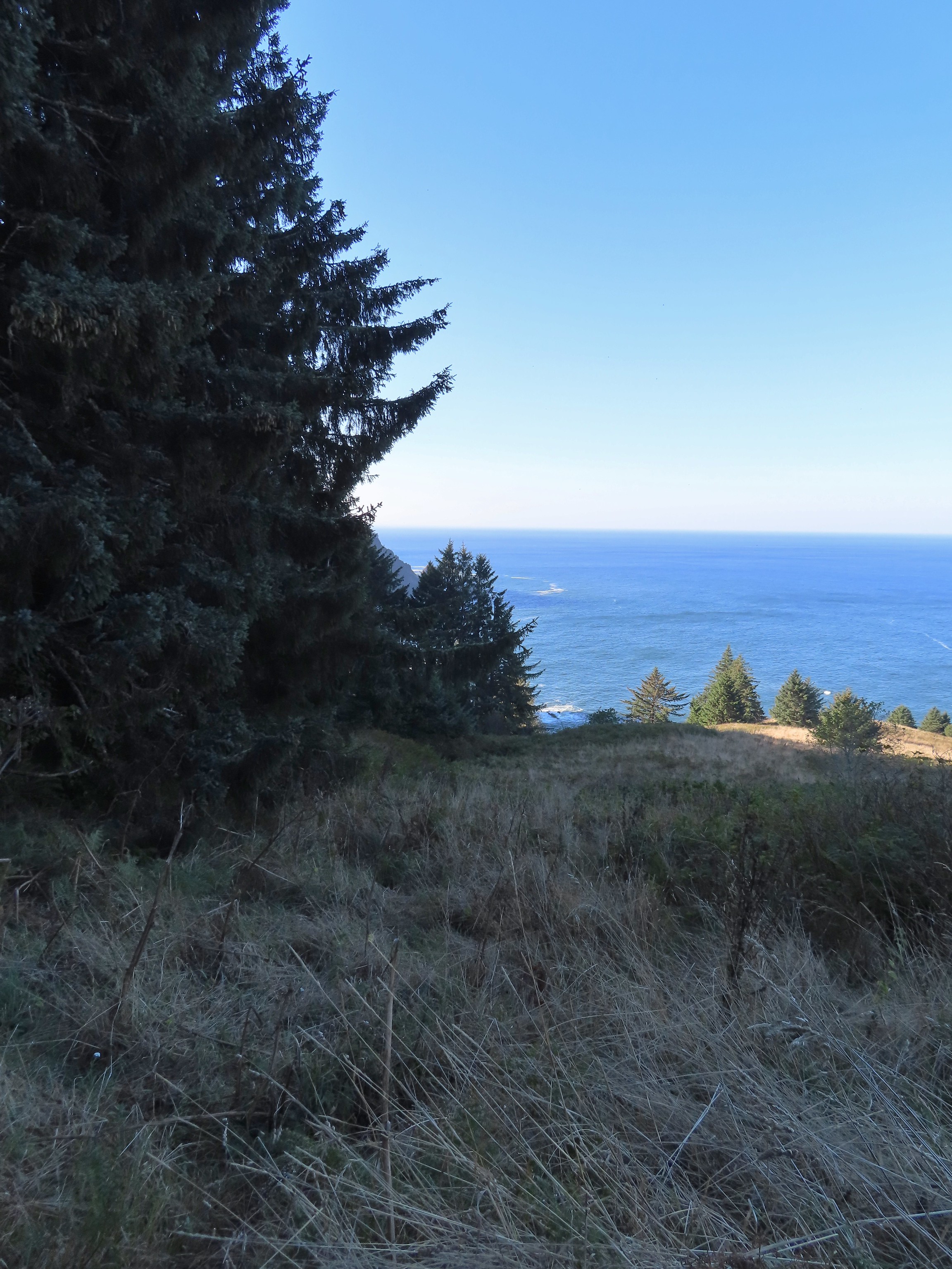
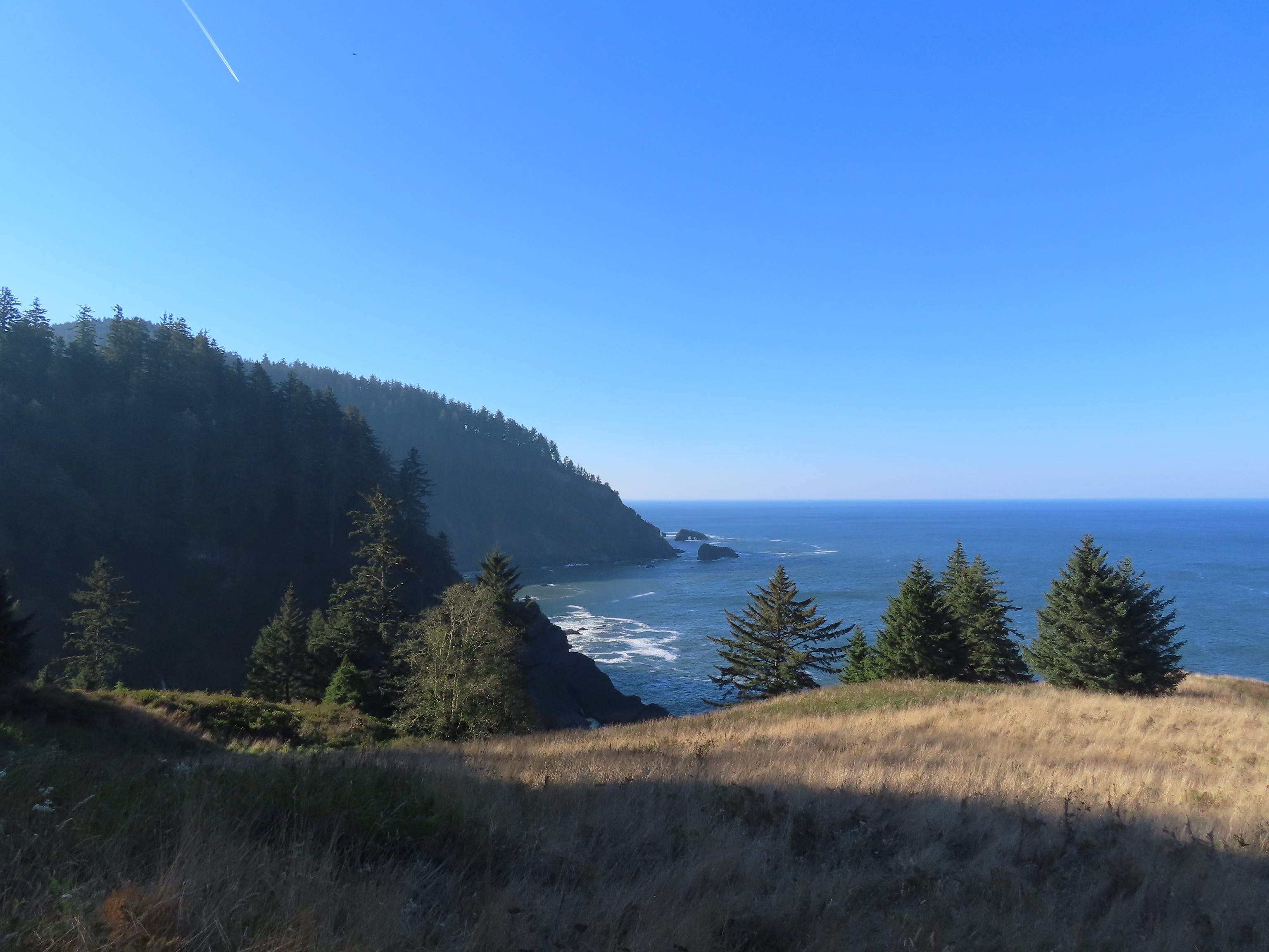
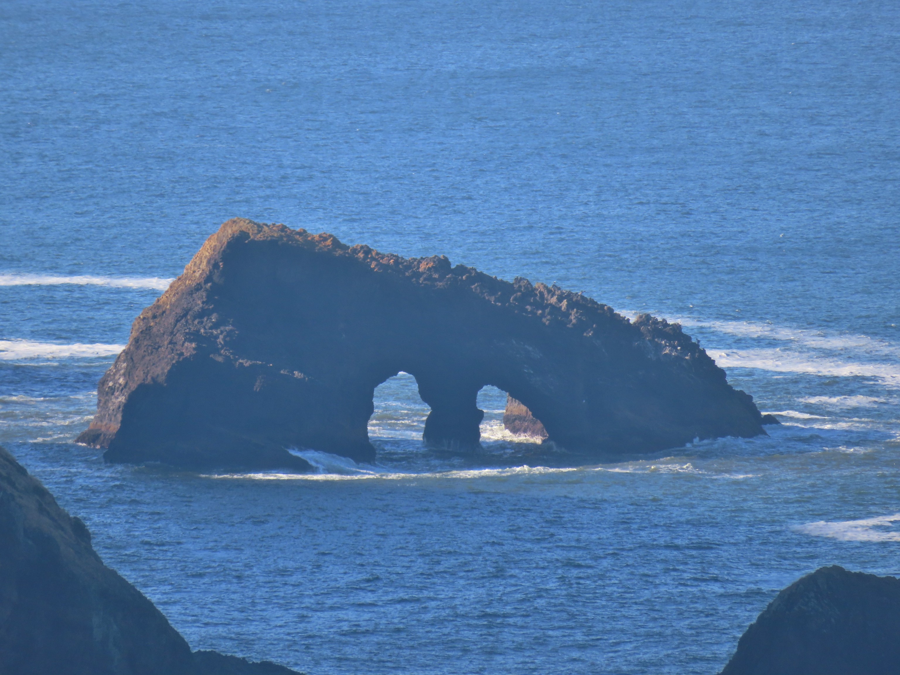
 There was a large number of noisy sea lions on the shaded rocks below Cascade Head. Even though they were quite far away they were loud.
 Seagull hanging out on a sea rock.
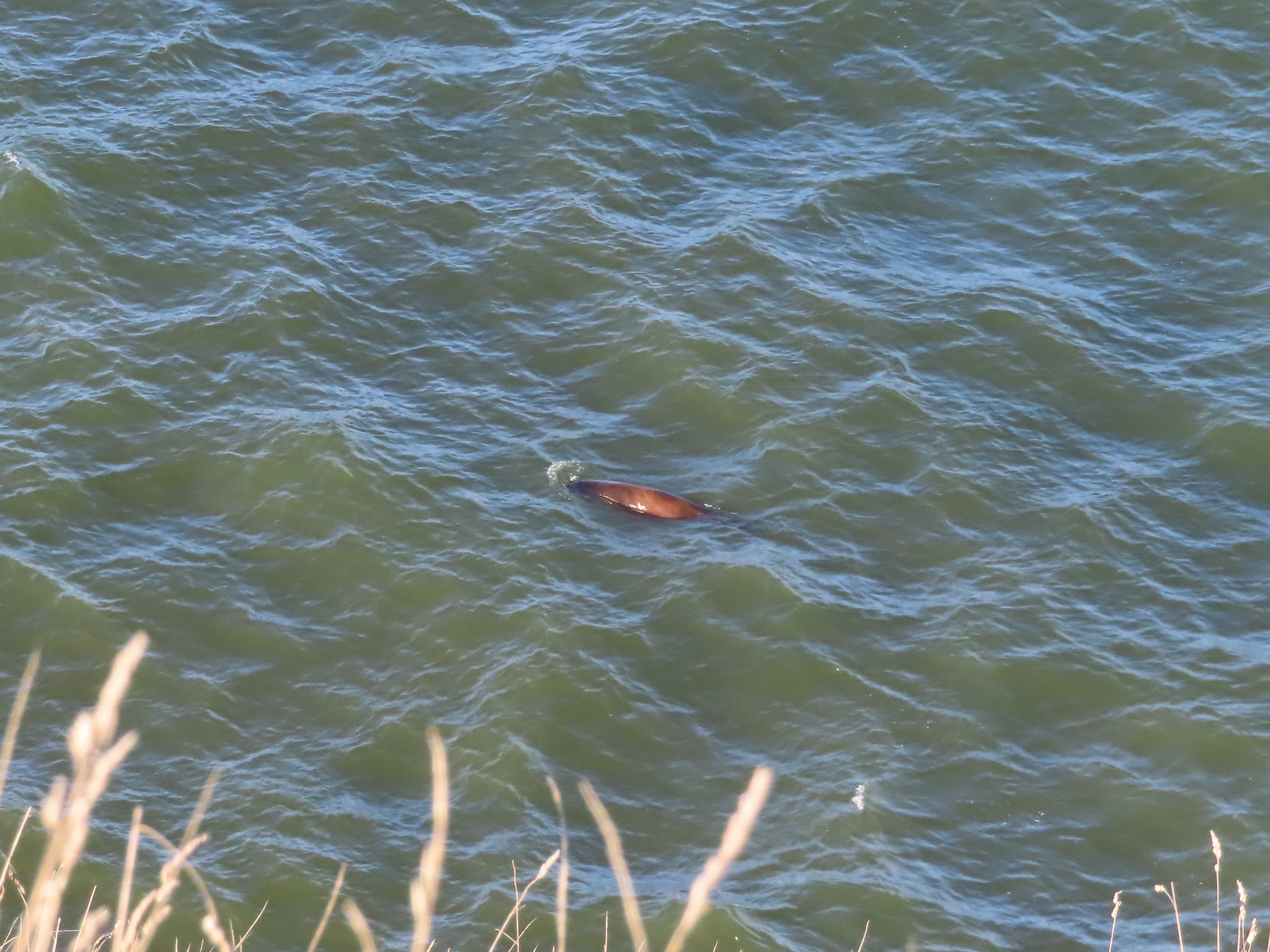 Sea lion heading for its buddies.
 A combination of the position of the Sun and the presence of haze made it very difficult to make out the waterfall on Chitwood Creek. I don’t know if the haze was smoke or just the usual coastal haze. (There was a fairly good east wind blowing steadily all morning.)


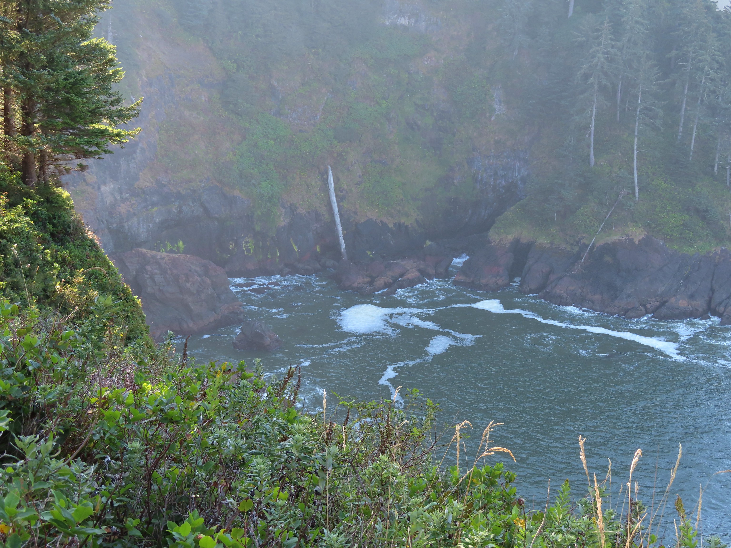
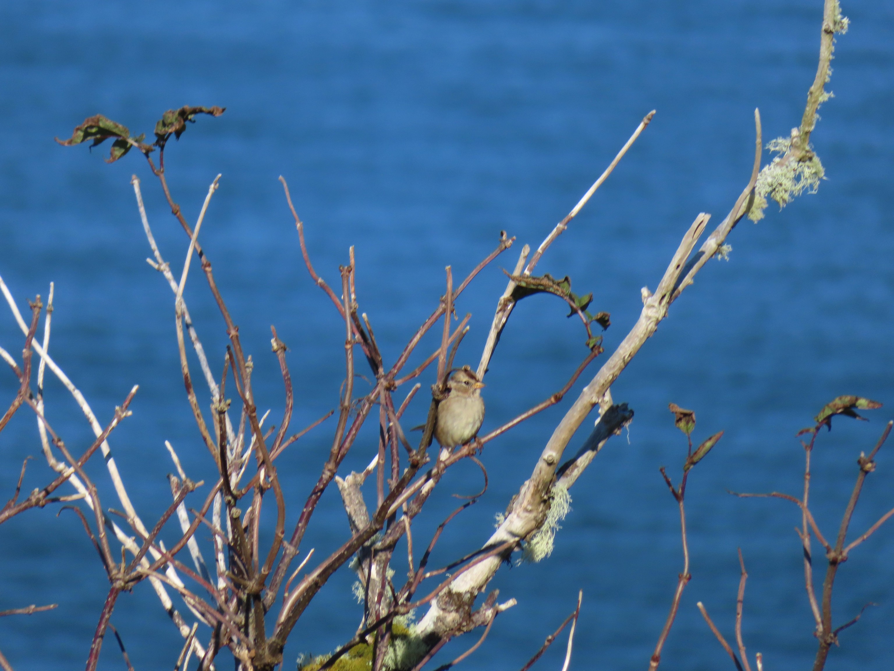 Sparrow in the meadow at Hart’s Cove.
 Pearly everlasting
 Varied thrush
 A reminder of Spring, a trillium that bloomed months ago.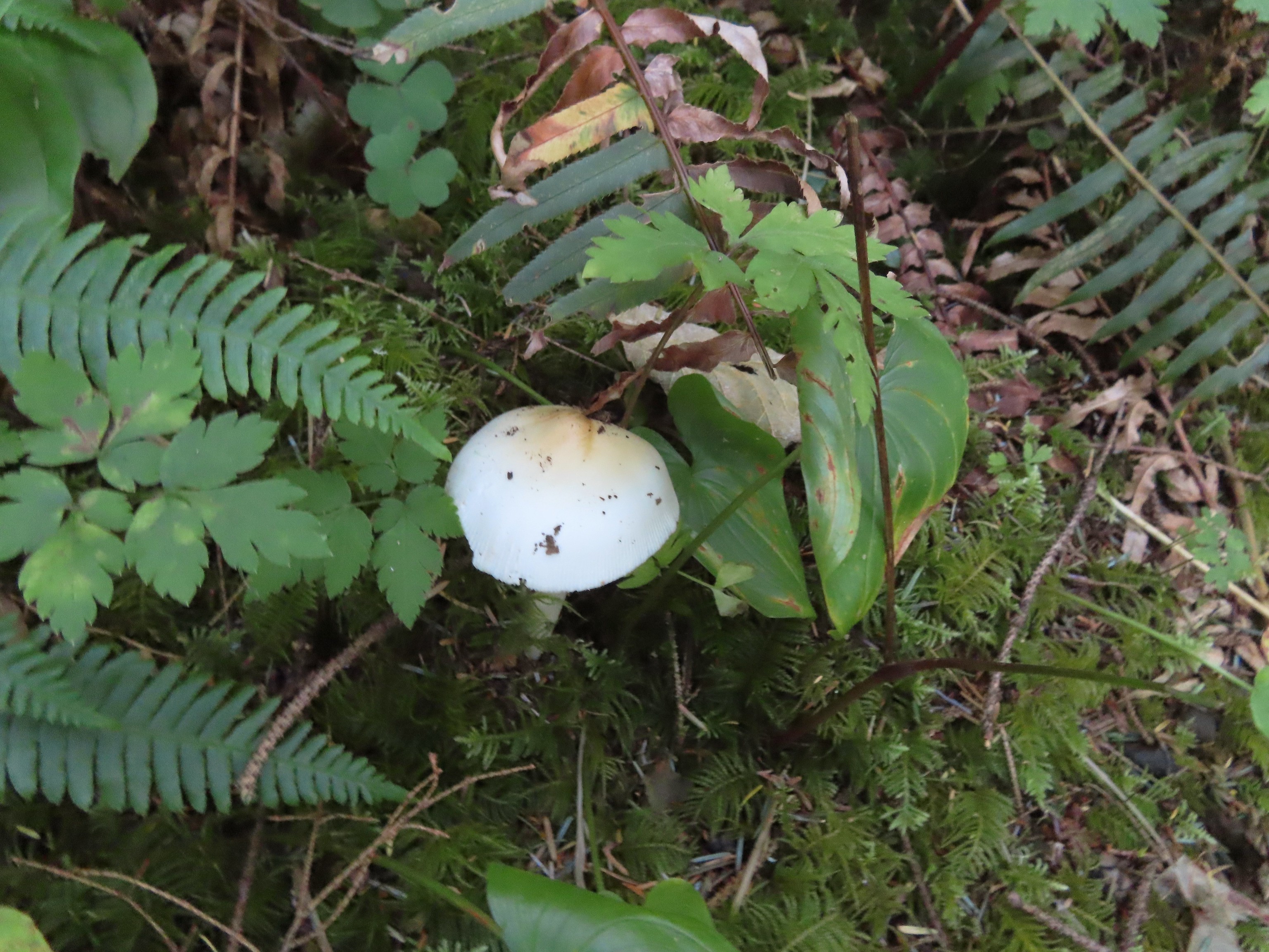
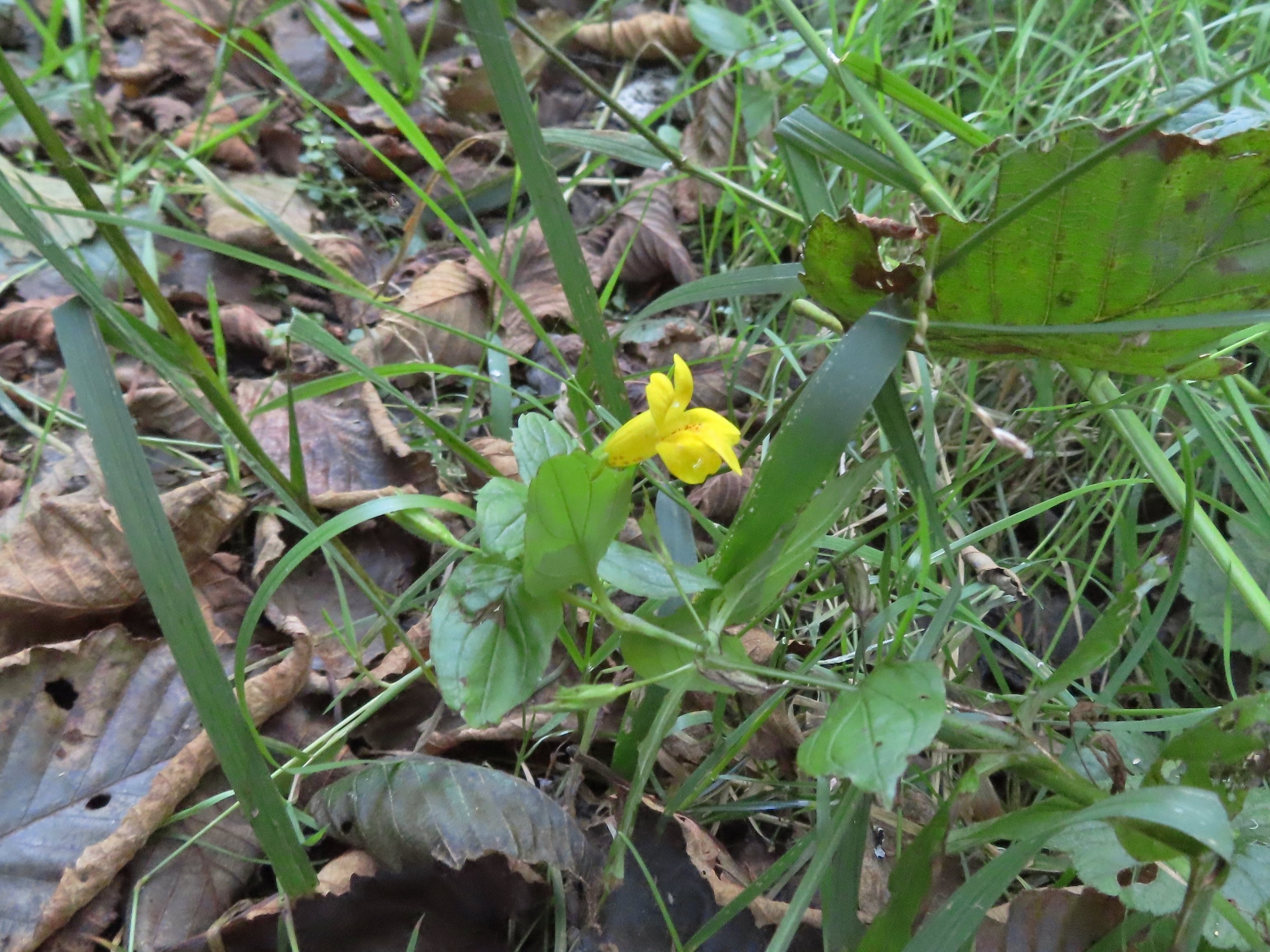 A monkeyflower along FR 1861.
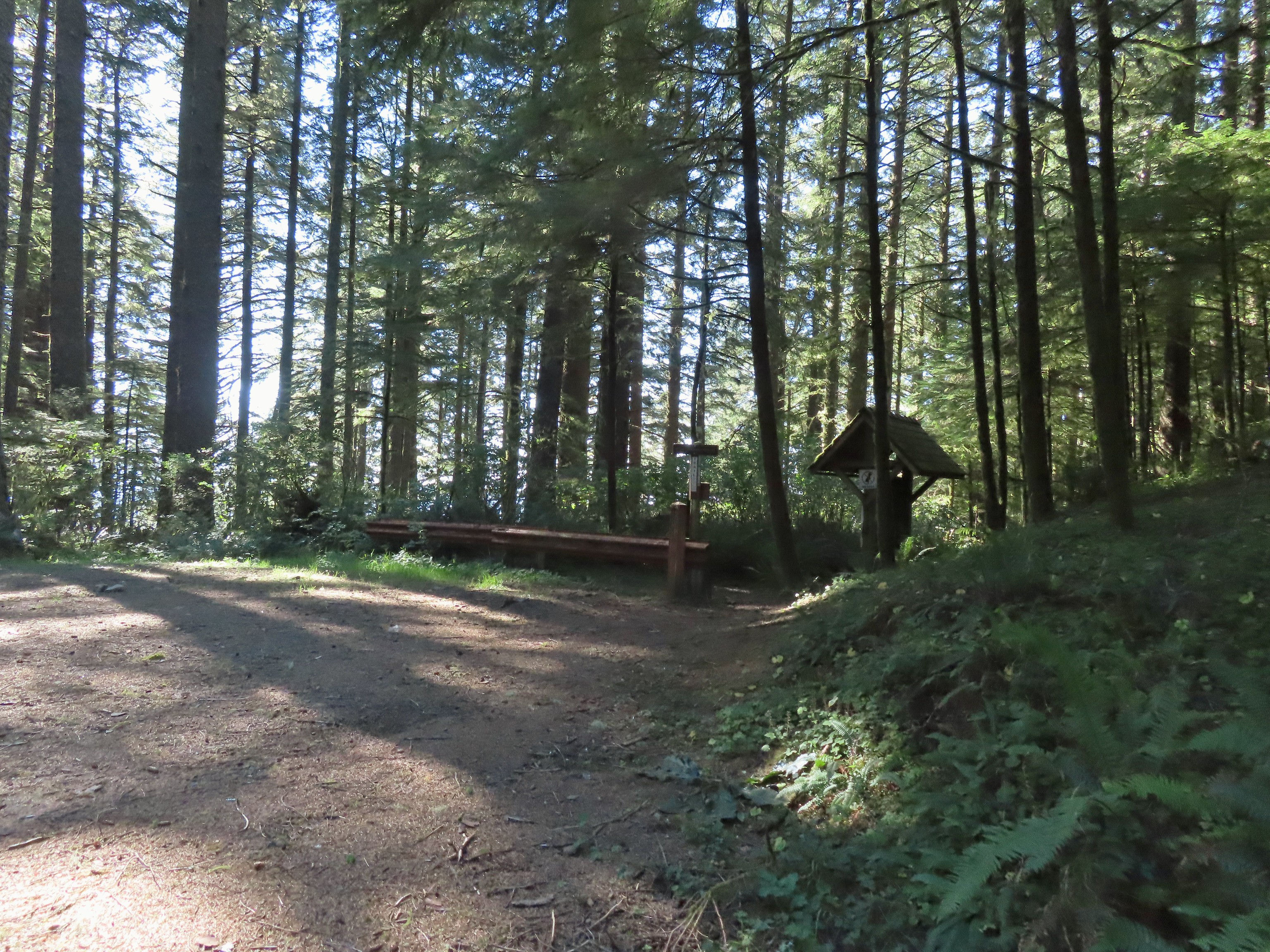 Back at the upper trailhead.
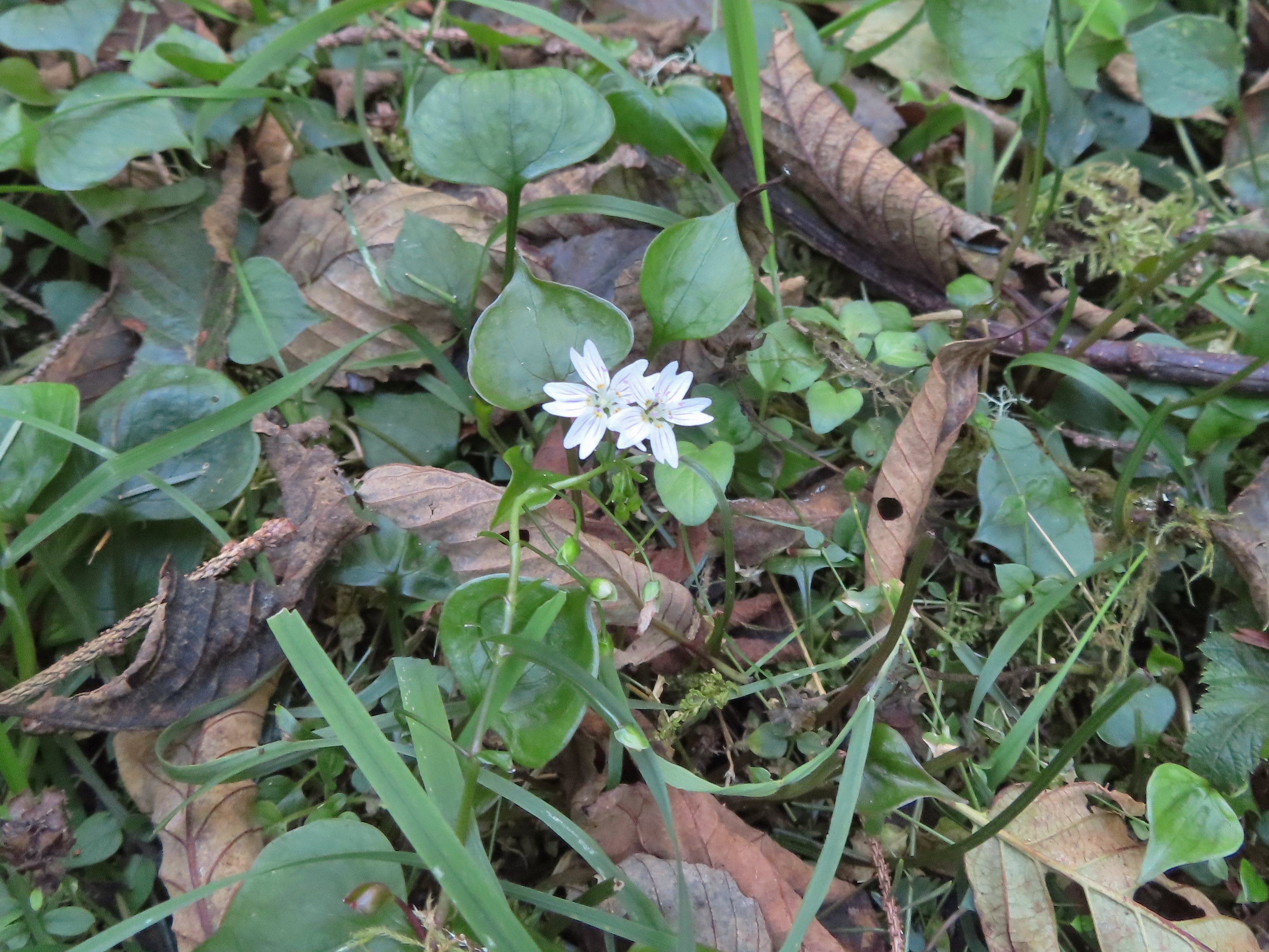 Candyflower
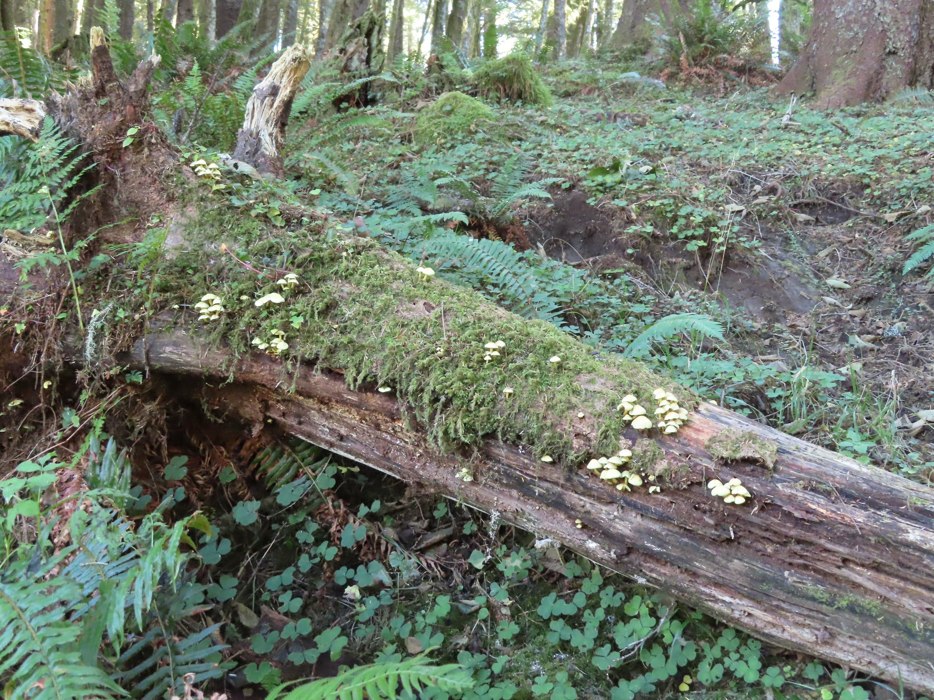 Mushrooms on a log.

 The Thumb, aka God’s Thumb (
 Heading for the high point.
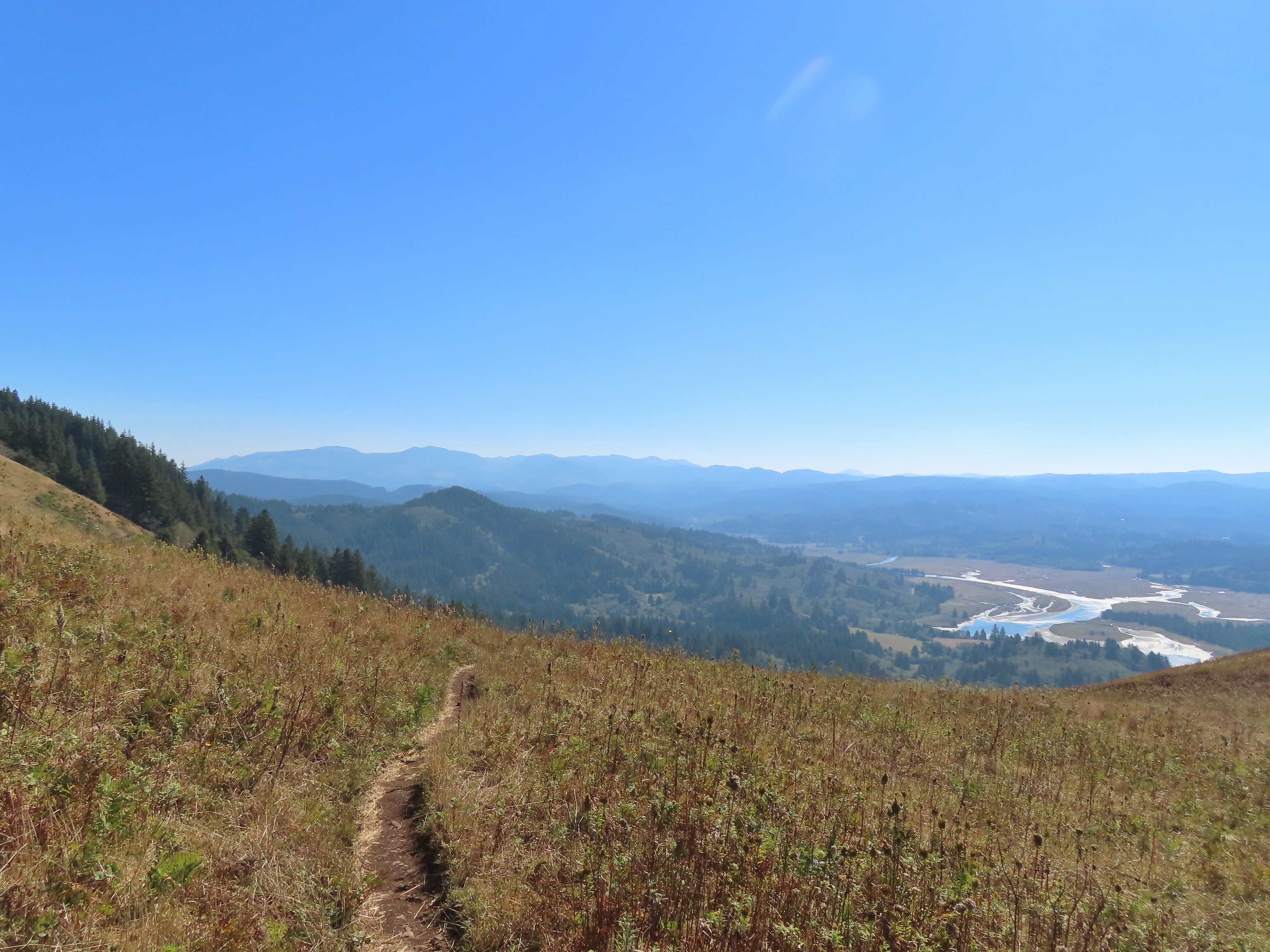 Descending Cascade Head
 There were quite a few of these (an aster?) blooming along the trail.
 Not sure what type of bird this is.
 Sulphur butterfly
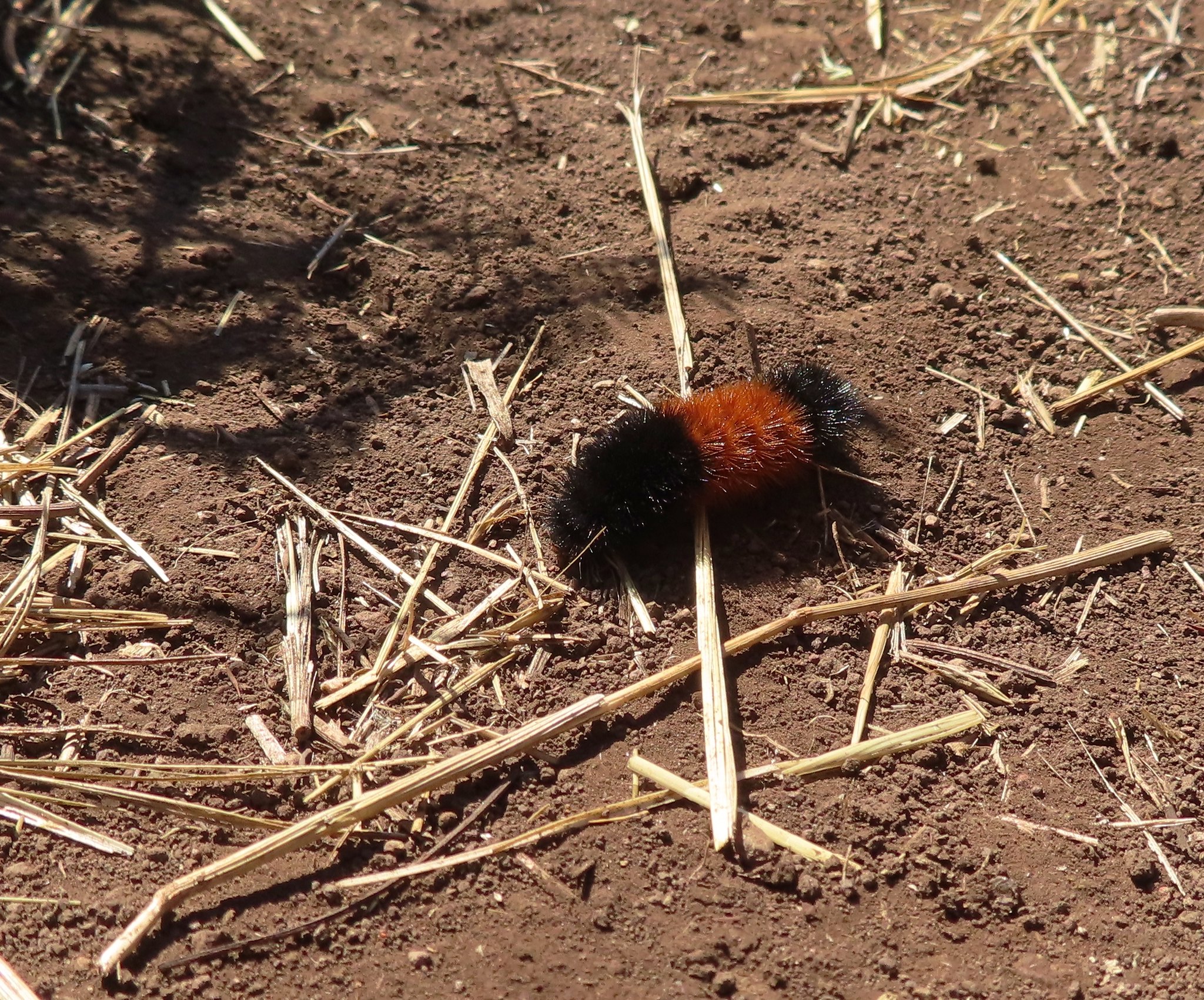 Wooly bear caterpillar, there were many of these on the trail.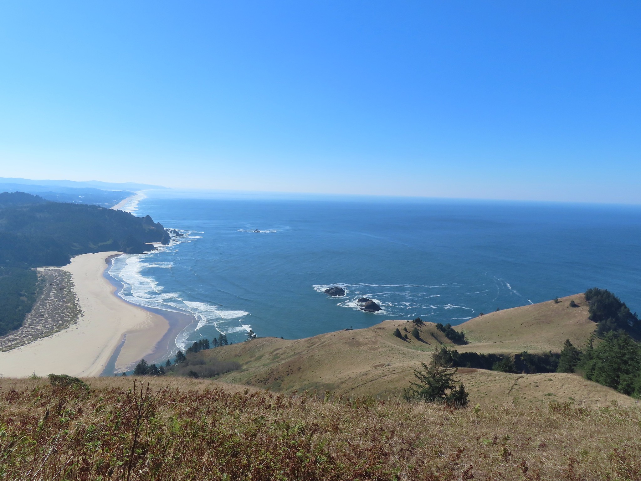
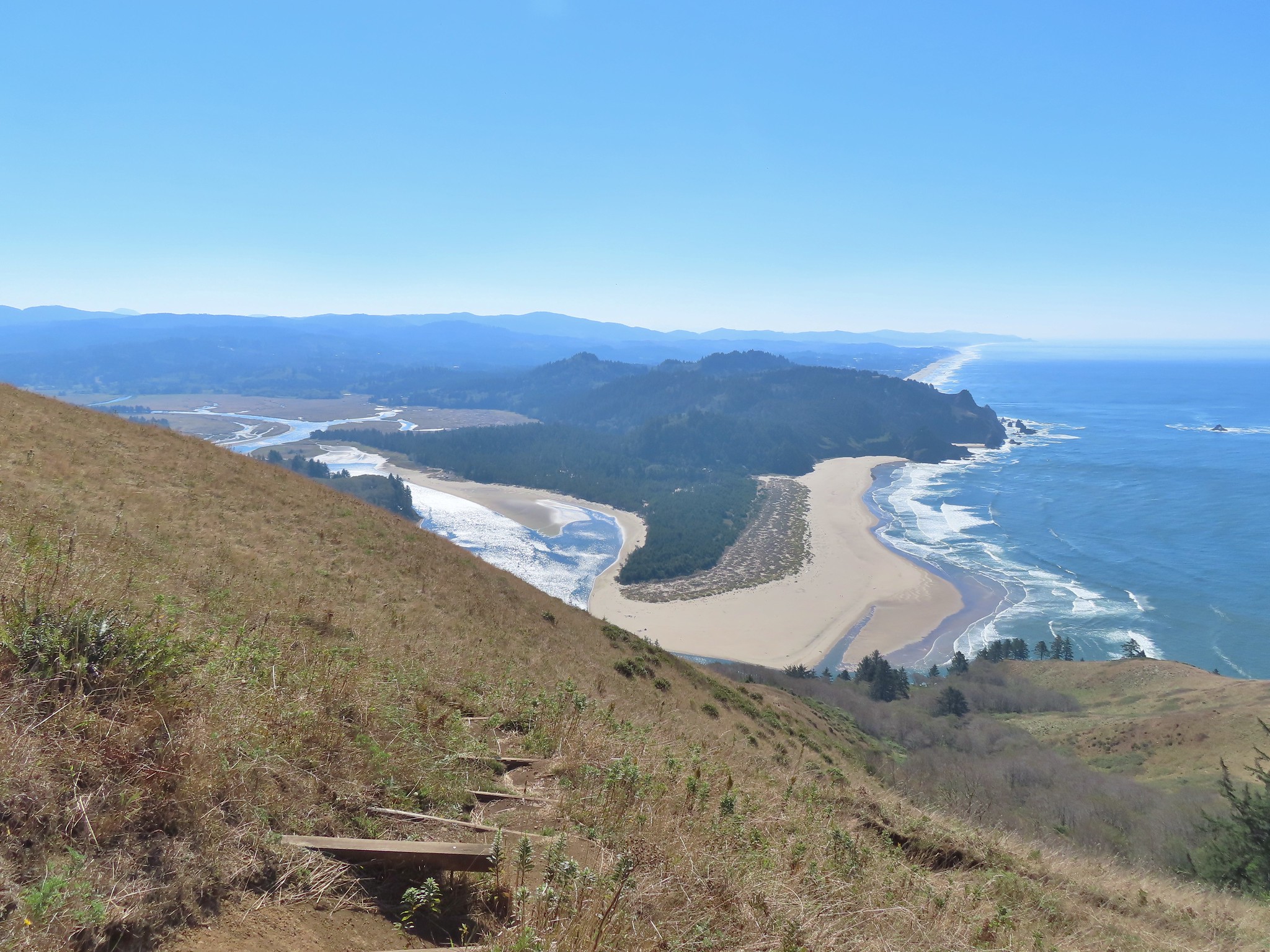
 Looking back up at one of the first hikers I’d passed.
 Pretty moth on a bush.
 View to the east of the Coastal Range.
 Heading for the tree line.
 Back where I’d seen the bull elk in the morning.
 Cars parked along Three Rocks Road, the parking area at Knights County Park was full when I got back to the car a little before 1pm.
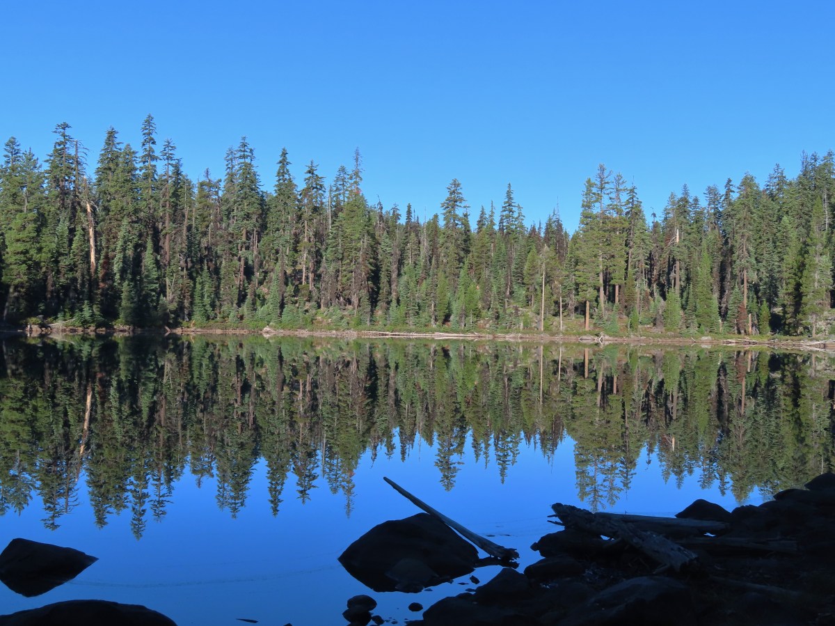
 Low-light at Trapper Lake.
 Sunrise from the trail.
 Sunlight hitting the tops of trees.
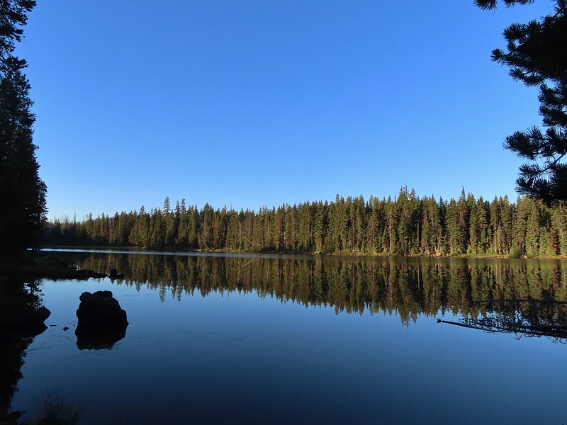

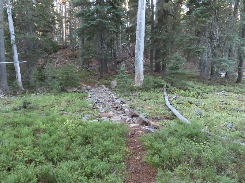
 Heading up to the bluff.
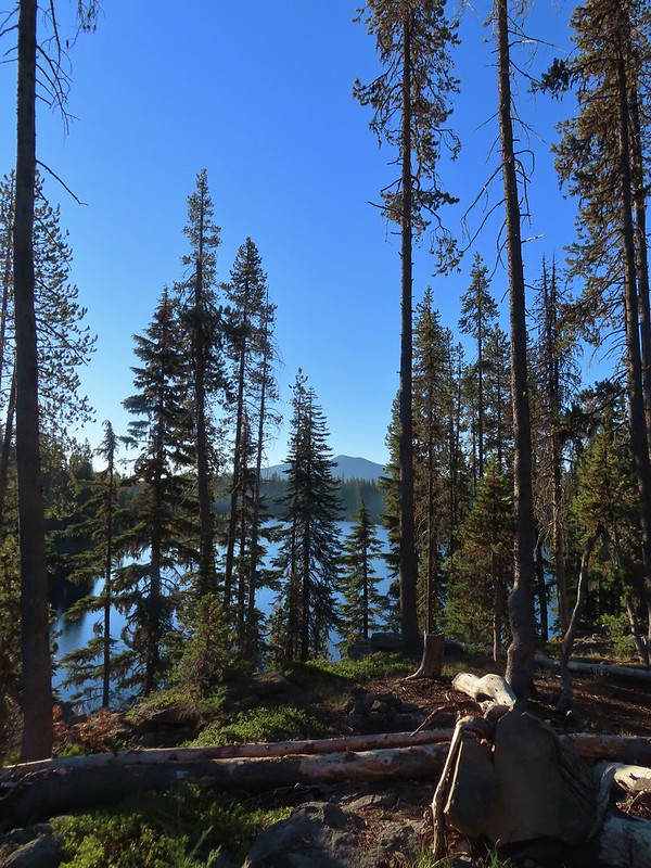 Pelican Butte beyond Isherwood Lake.
 Fall foliage above Isherwood Lake.
 Heading for Lake Liza through a dry bed.
 Great reflection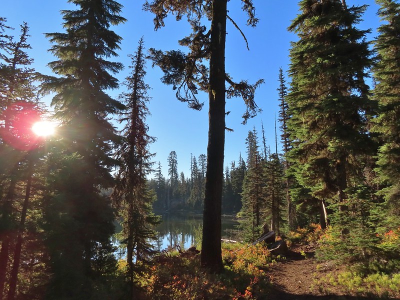

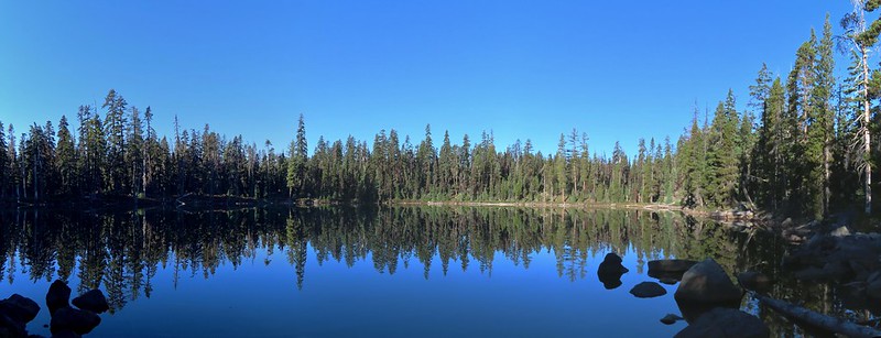 Lake Notasha
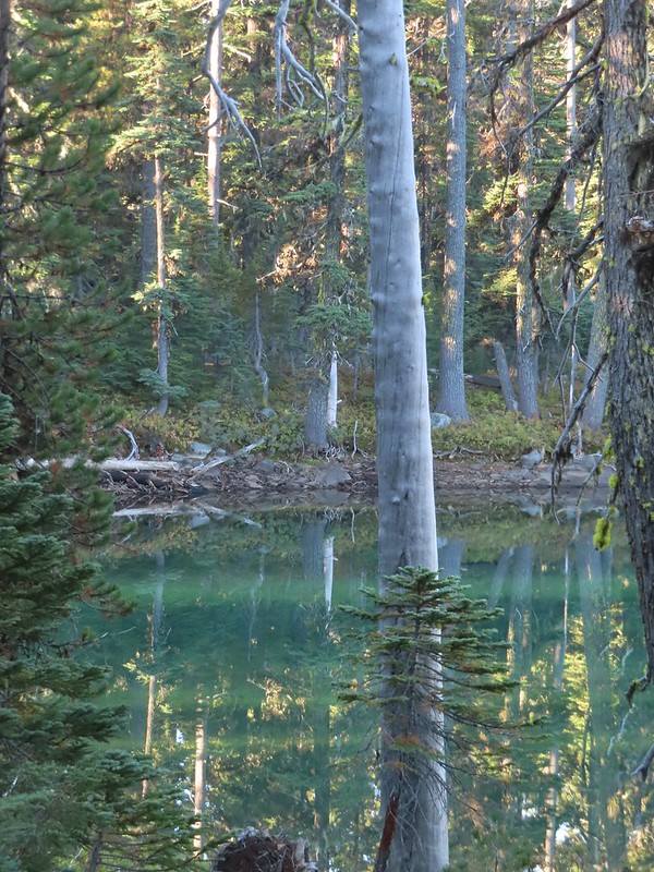 Depending on the angle the water was a beautiful green.


 Parts of the latter half of this trail passed through the 2017 fire scar.
 Fireweed seeds
 Pelican Butte as we descended toward the junction.
 Leaving the
  Dark-eyed junco seeing us off.
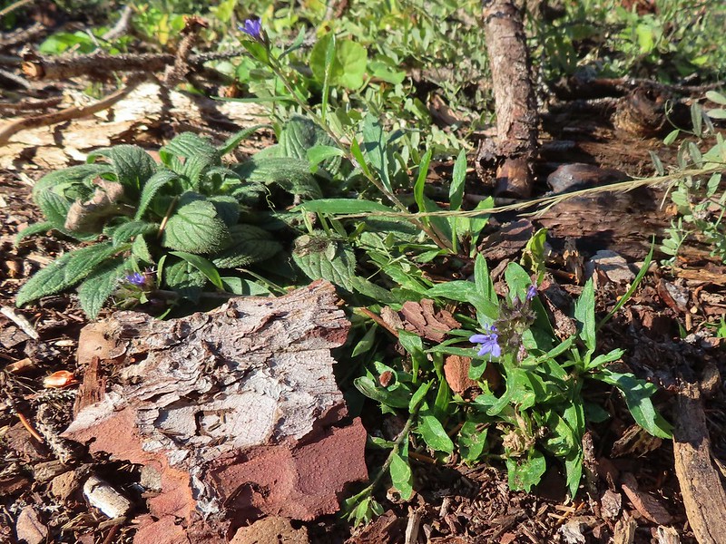 An as of yet unidentified flower.
 Another unidentified flower.
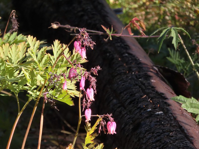 I do know this one – bleeding heart.
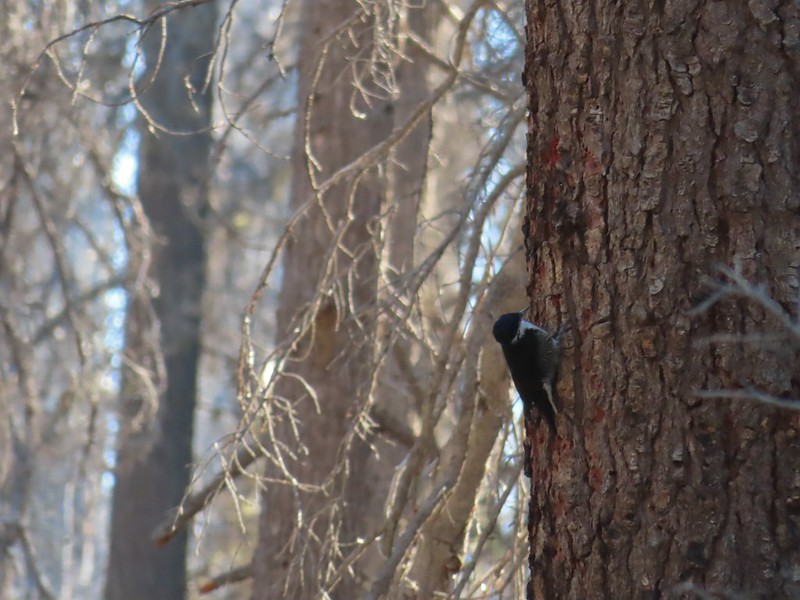 Woodpecker (it was a busy final 0.6 miles).
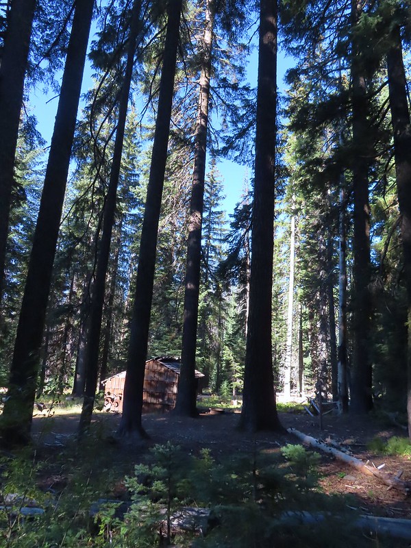 Back at the shelter and trailhead.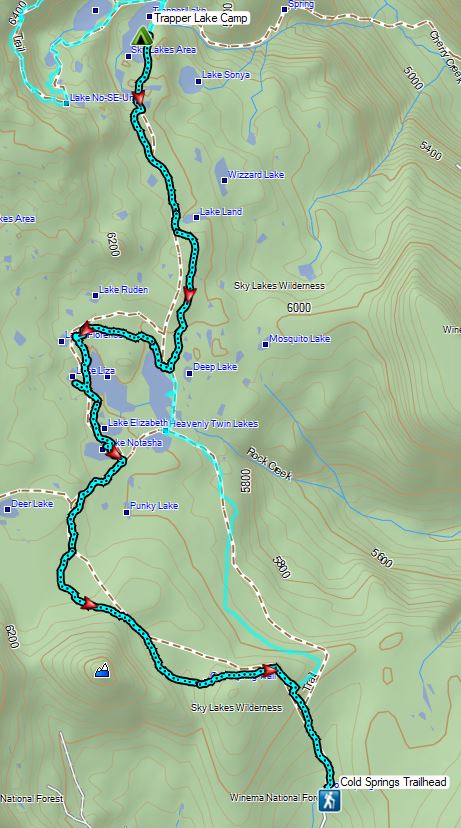
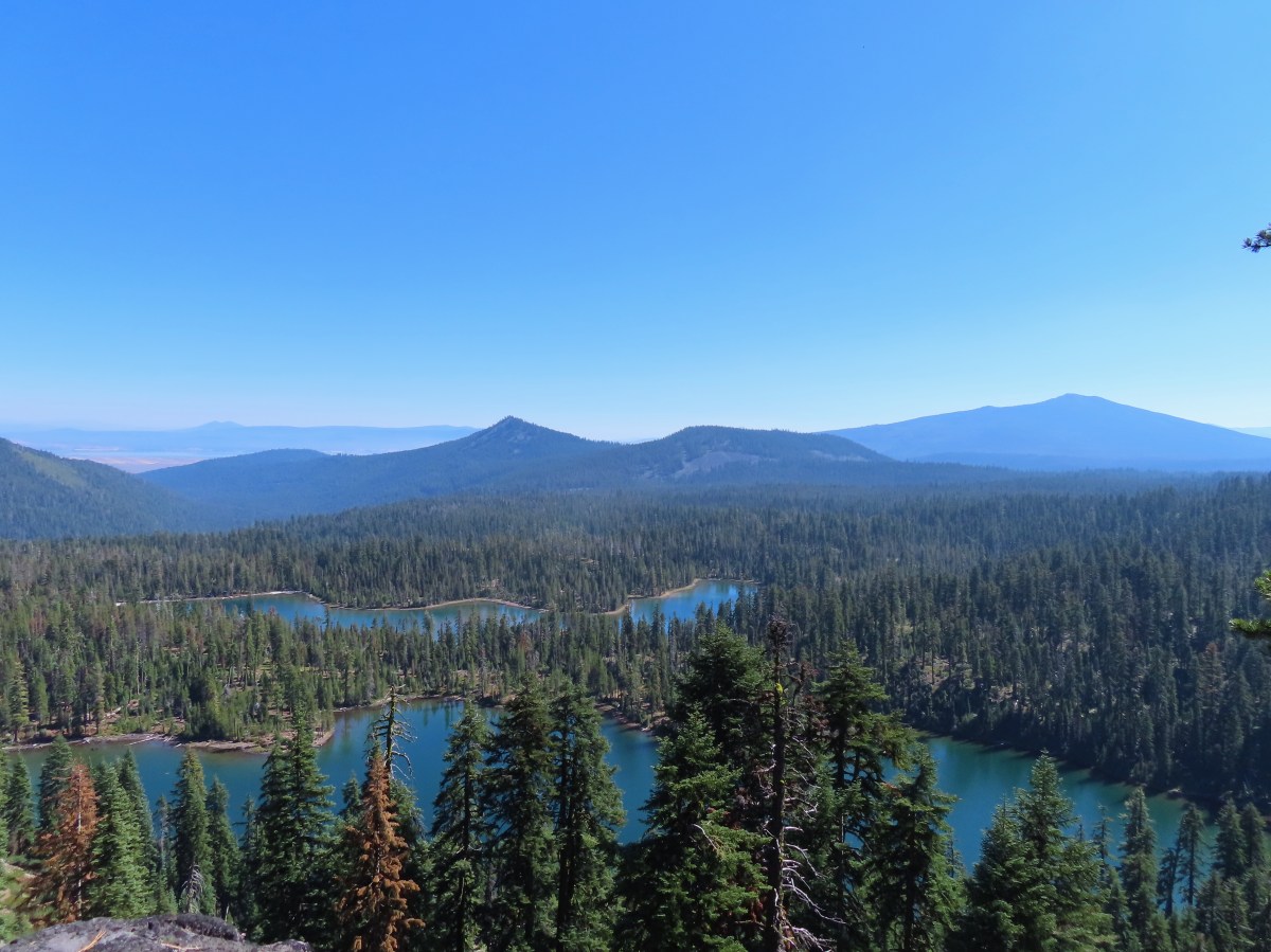

 Shelter at the trailhead.

 Aster
Aster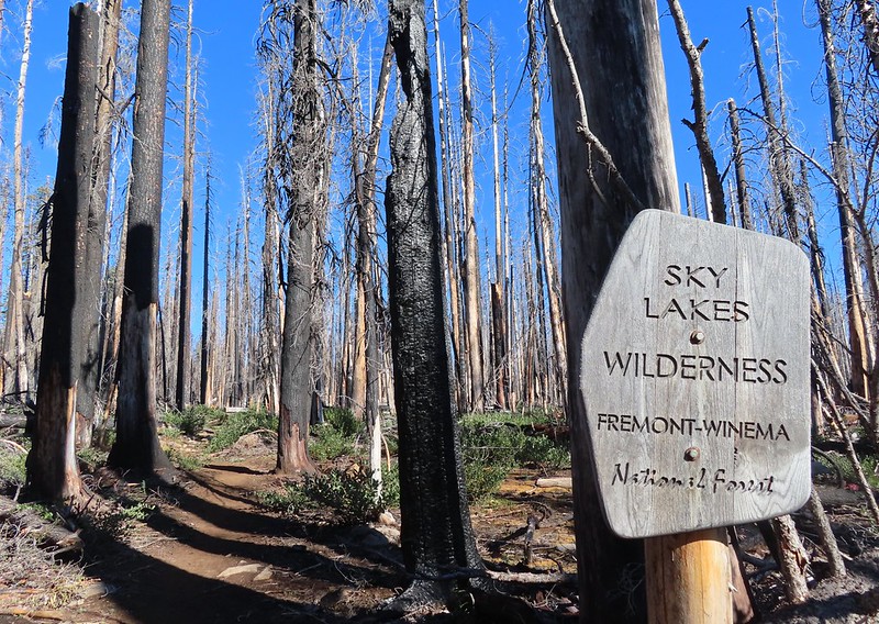
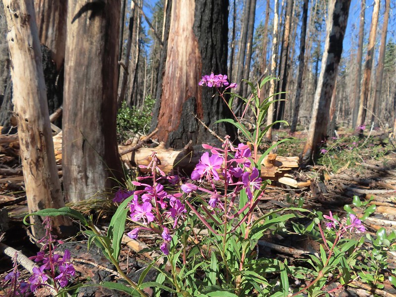 Fireweed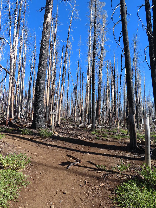

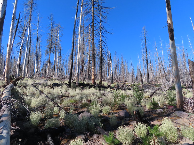
 Comma butterfly
 Exiting the fire scar.
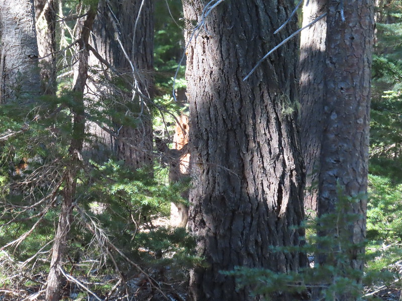 Doe watching us through the trees.


 Luther Mountain on the left and Lee Peak on the right.
 Sign for the Sky Lakes Trail.
 Isherwood Trail junction.
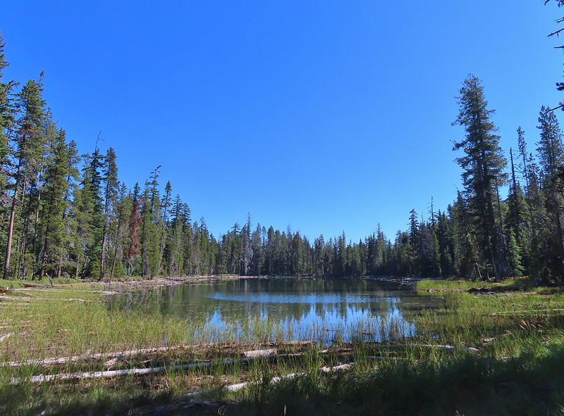 Lake Land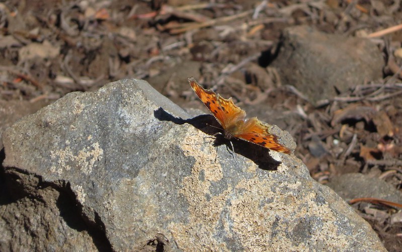

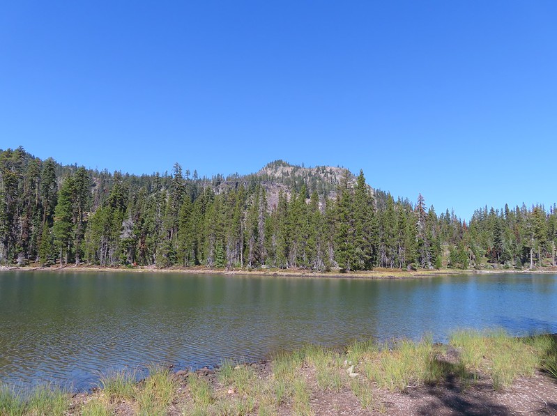 Luther Mountain from Trapper Lake.
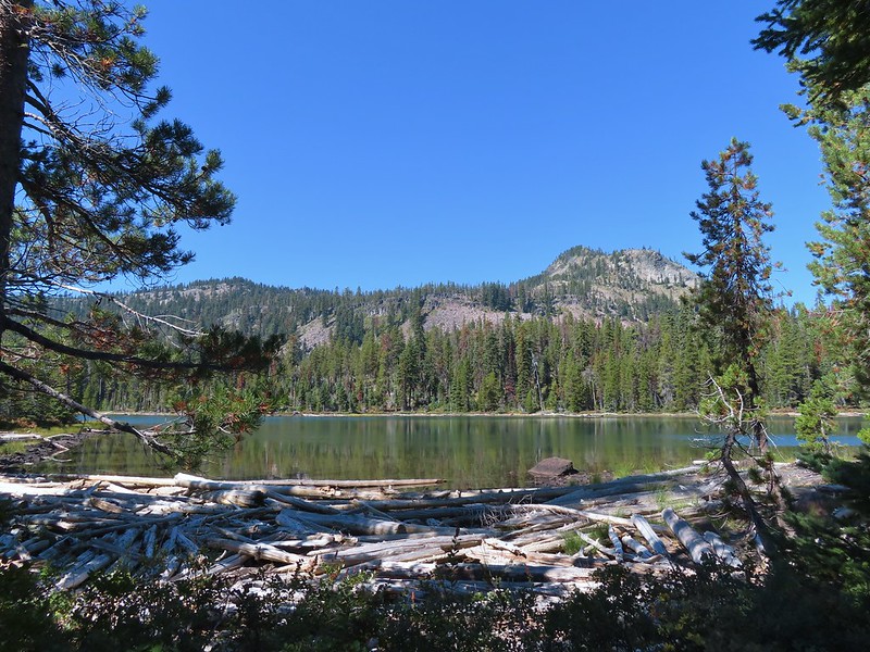 View along the trail.
 Sign for the Cherry Creek Trail.
 Sky Lakes Trail sign.
 Donna Lake Trail to the right.
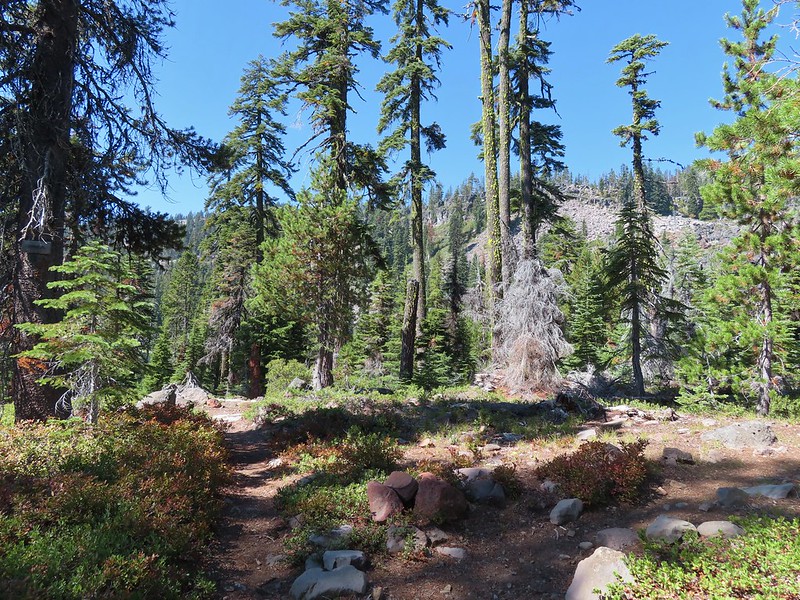 Divide Trail junction.


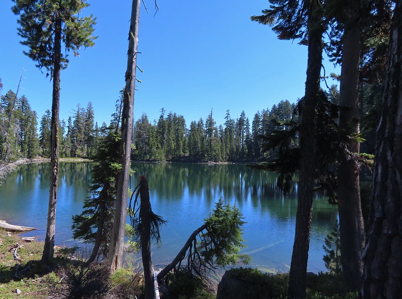
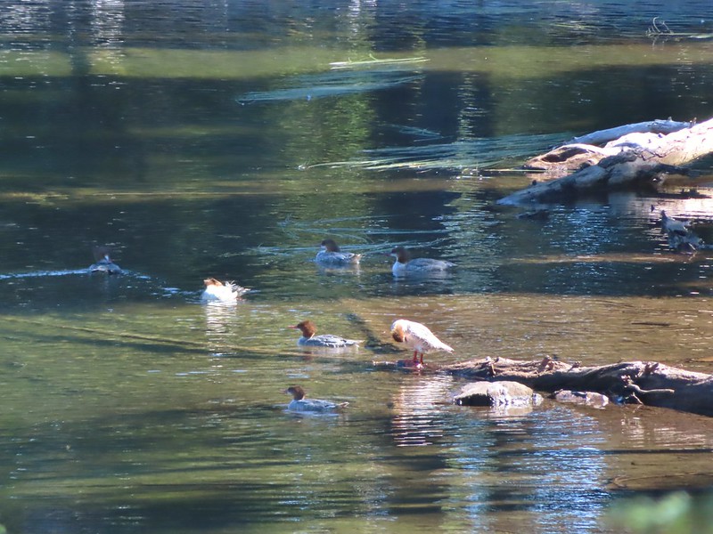
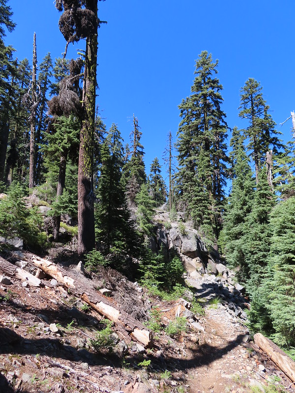

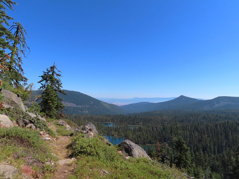 Saddle Mountain is in the distance with pointy Cherry Peak in the foreground. I believe that is Agency Lake visible in the Valley.
 Pelican Butte to the right.
 Mt. McLoughlin (
 Eagle flyby.
 Lather Peak with several more lakes below.
 In the distance to the left is Aspen Butte (
 Fall is in the air.
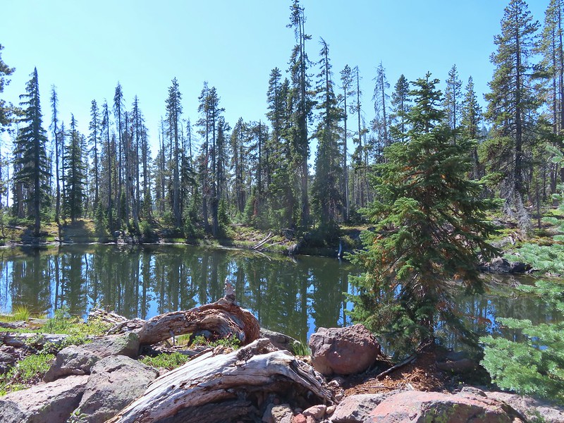 On of several small bodies of water along the shelf.
 We know there were pikas out there because we heard their “meeps” off and on all day but with so many rocks we were never able to spot one.
 Heading toward Luther Mountain.
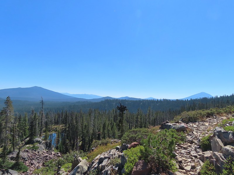 Pelican Butte on the left and Mt. McLoughlin on the right. The peaks in the Mountain Lakes Wilderness are behind and to the right of Pelican Butte then the small, closer hump is Imagination Peak. To the right of Imagination Peak and slightly further back is Lost Peak and then further to the right (left of Mt. McLoughlin) is Brown Mountain (

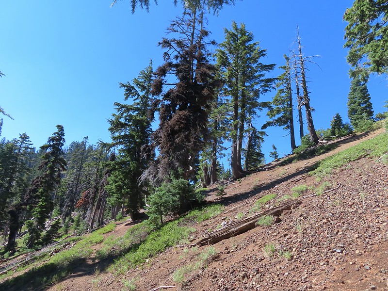
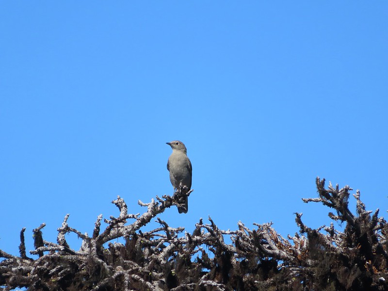
 Luther Mountain from the saddle.
 The Pacific Crest Trail.
 Lucifer Peak directly behind Shale Butte.
 Lucifer Peak, Shale Butte, Devil’s Peak and Lee Peak.
 Blowdown on the PCT.
 Luther Mountain
 Luther Mountain and Mt. McLoughlin behind us.
 Lots of little birds along the ridge but most didn’t stop long enough for even a poor picture.
 Sign at the Snow Lakes Trail junction.
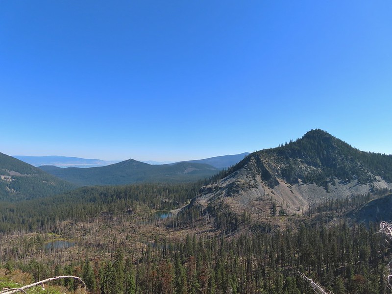 Martin, Wind and a Snow Lake from the Snow Lakes Trail.
 Hawk circling overhead.
 While I was trying to keep track of the hawk this Bald Eagle flew over.
 Nearing the end of the 2014 fire scar.
 Luther Mountain from one of the Snow Lakes.
 Another of the lakes.
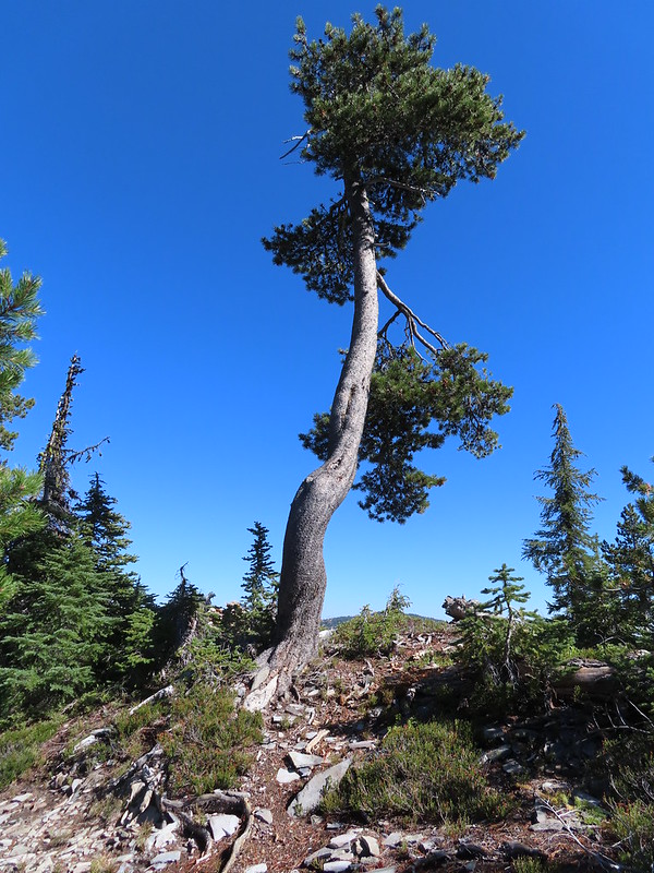 Tree on the edge of the shelf.
 View from the shelf.
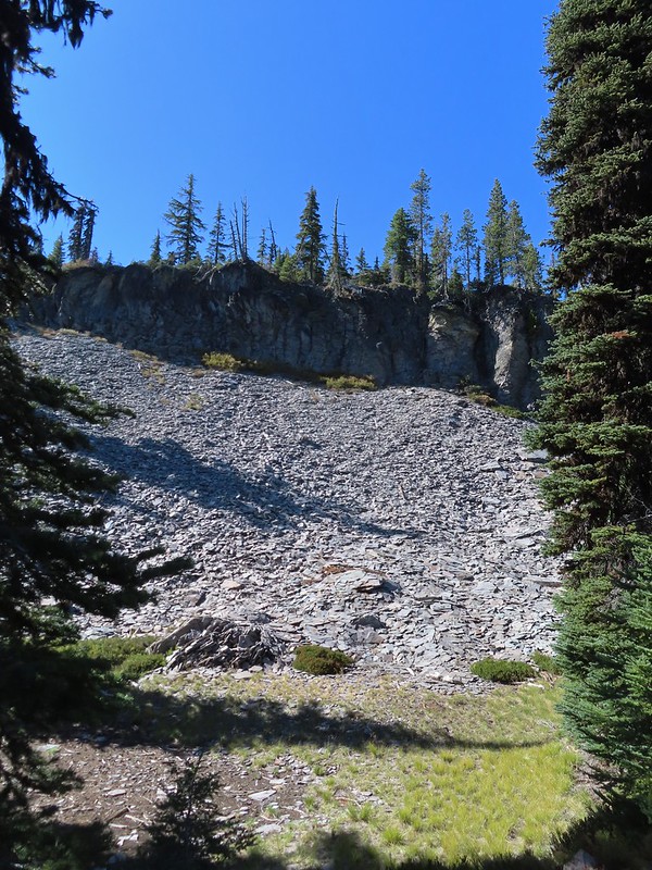 There were many cool rock features along the trail.
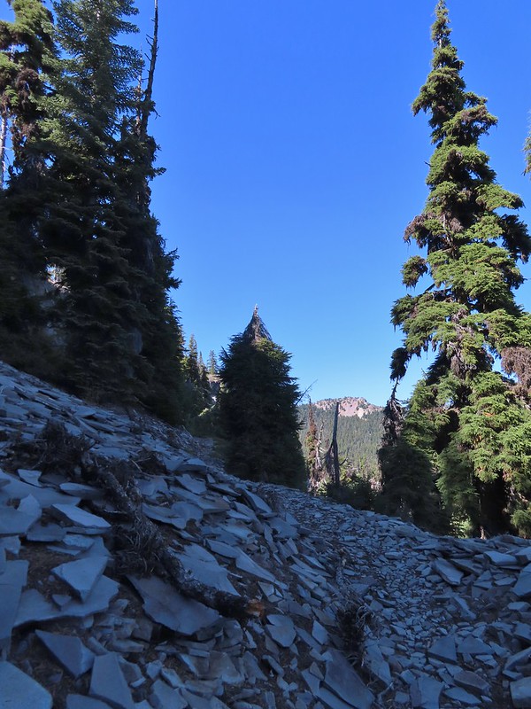 Devil’s Peak
 Lee Peak and another of the Snow Lakes.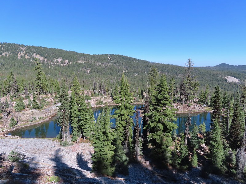
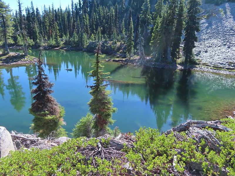 A tree had fallen over the Snow Lakes Trail hiding it right where a use trail veered off to the lake. Only seeing the use trail we followed it along the lake until it petered out. A quick look at the map showed we were off-trail so we made our way back finding the downed tree covering the actual trail.
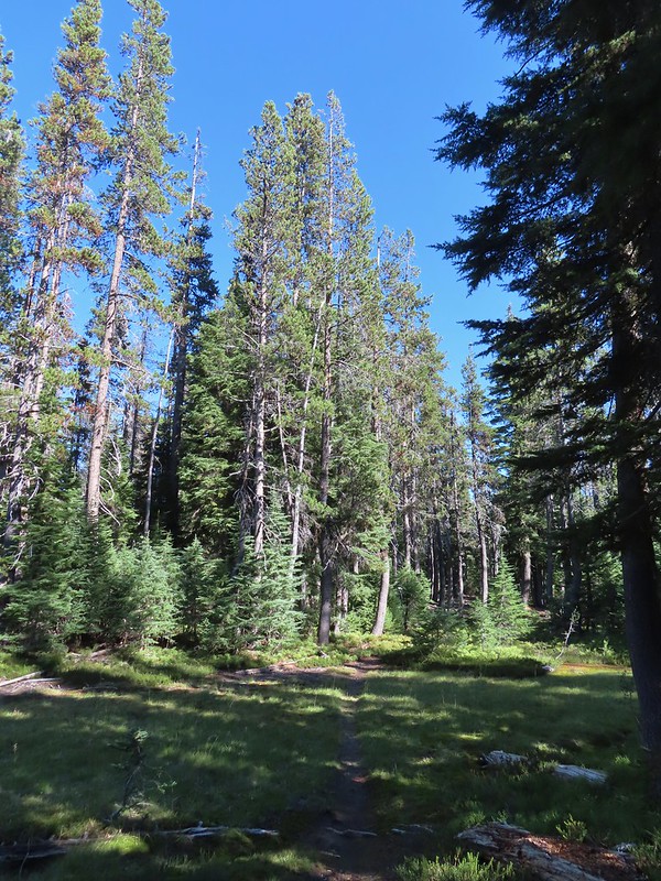
 The worst obstacle for the day.
 Pelican Butte from the trail.
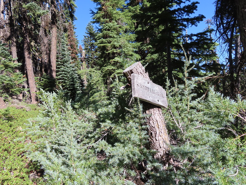 Sign at the Nannie Creek Trail junction.
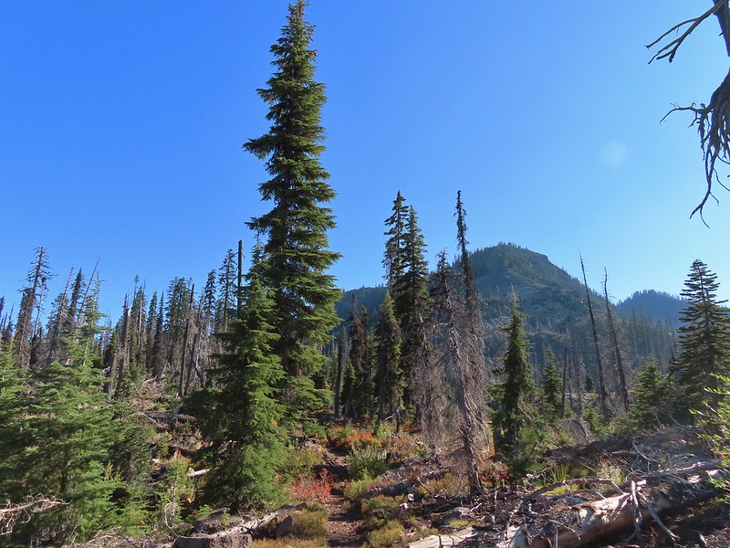 Luther Mountain as we neared Martin Lake.
 Dragon fly blending in with the huckleberry leaves.
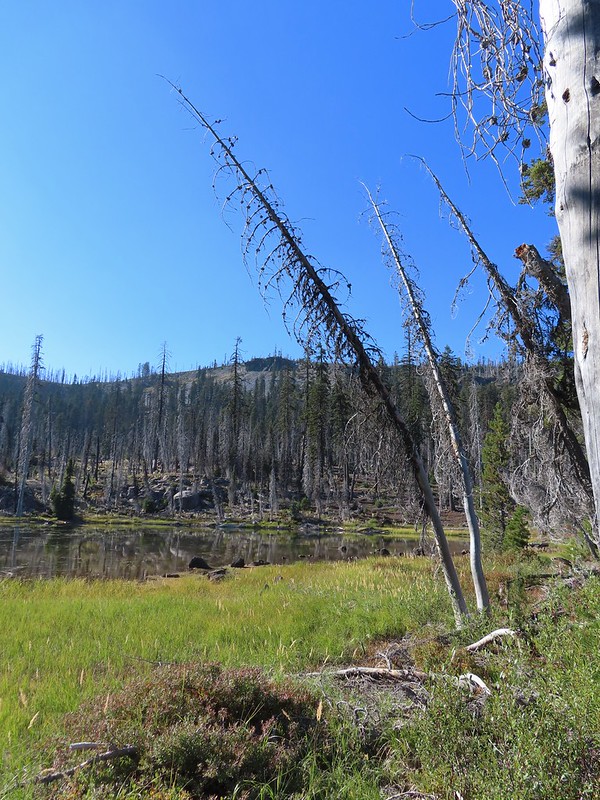 Martin Lake with a view of the shelf that we’d been on.
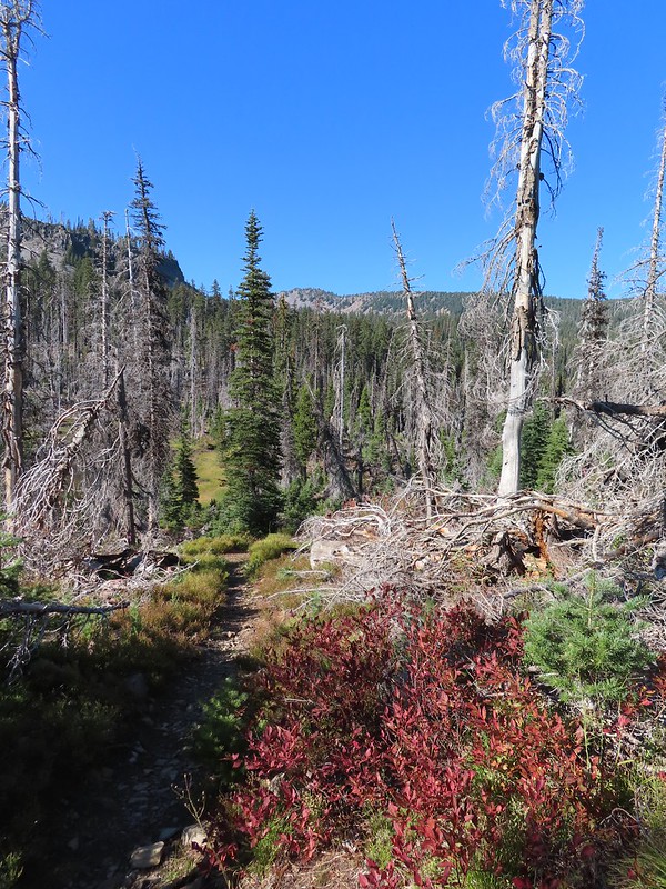 Red huckleberry leaves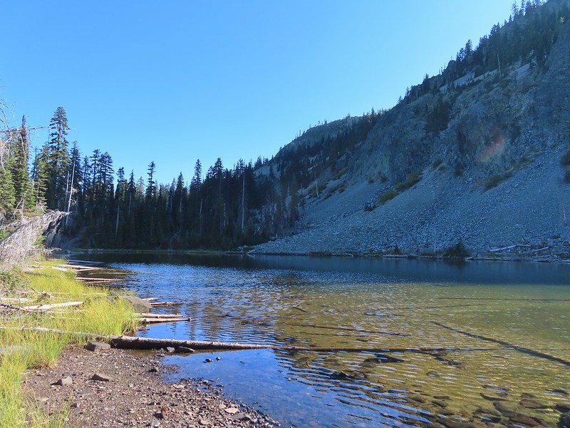
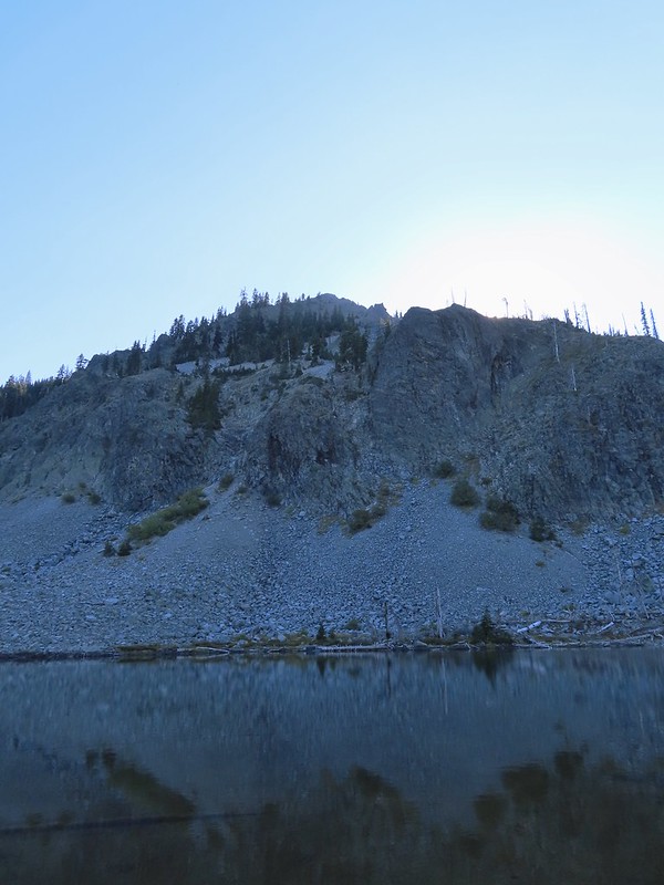


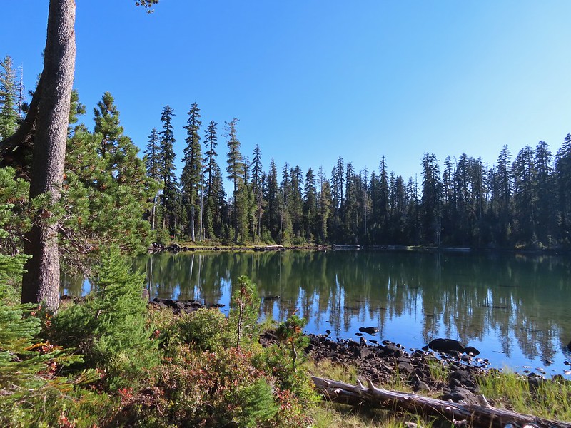 Deep Lake was up first, just a tenth of a mile down the trail.
 Donna Lake was only two tenths further.
 Donna Lake Trail
 Back at Trapper Lake.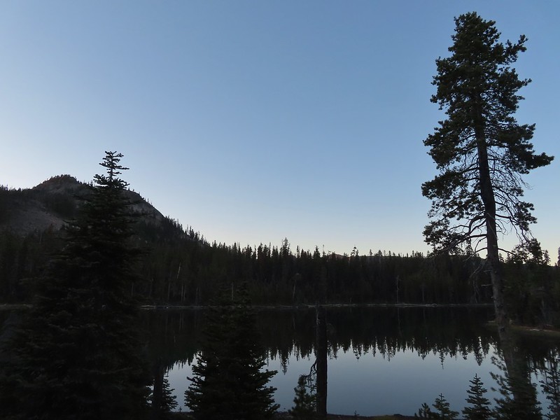
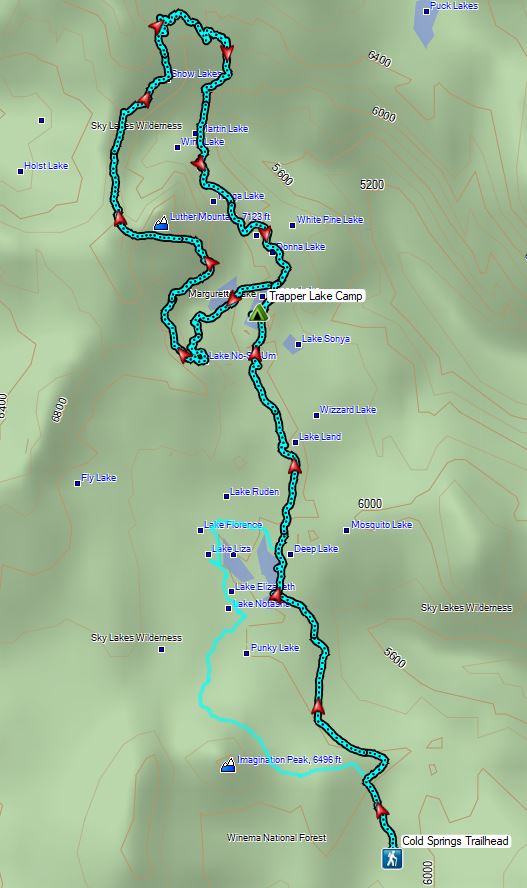

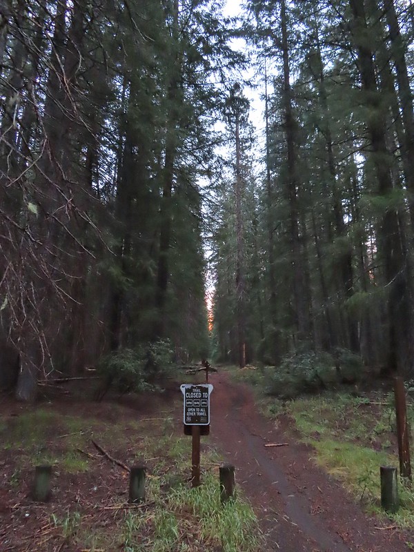 An OHV Trail continues on the old road bed from the parking area.


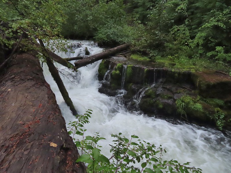
 We had to get creative to see some of the many cool water features along the creek.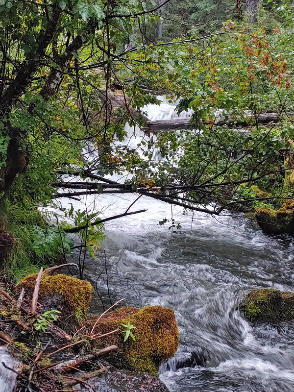

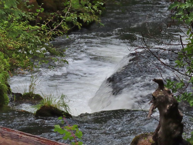
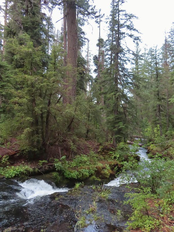

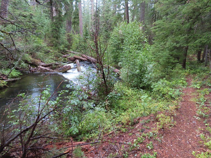

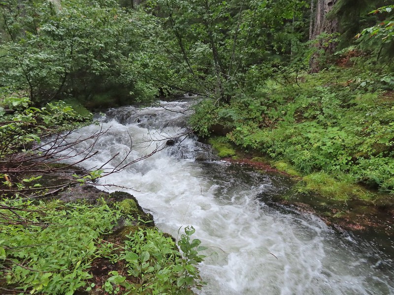
 The first mess on the trail.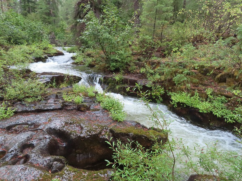
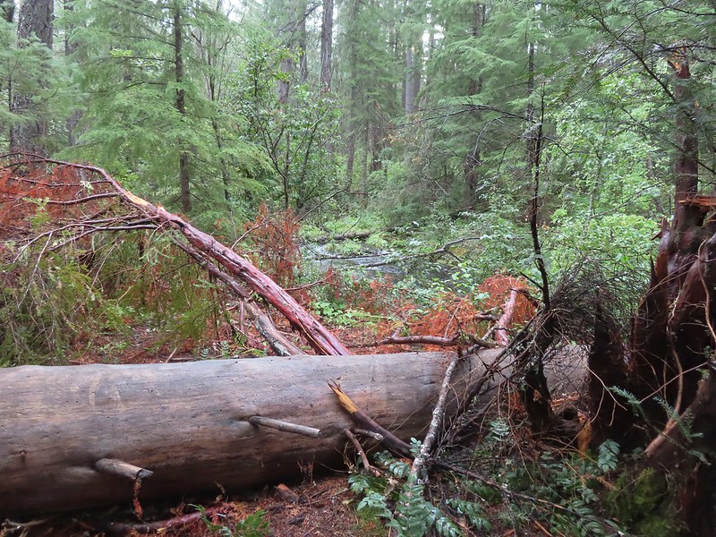
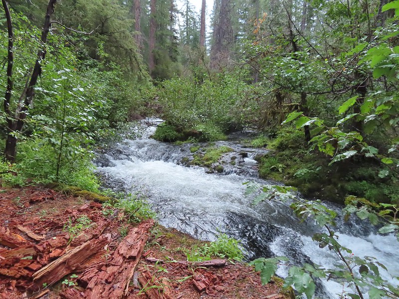

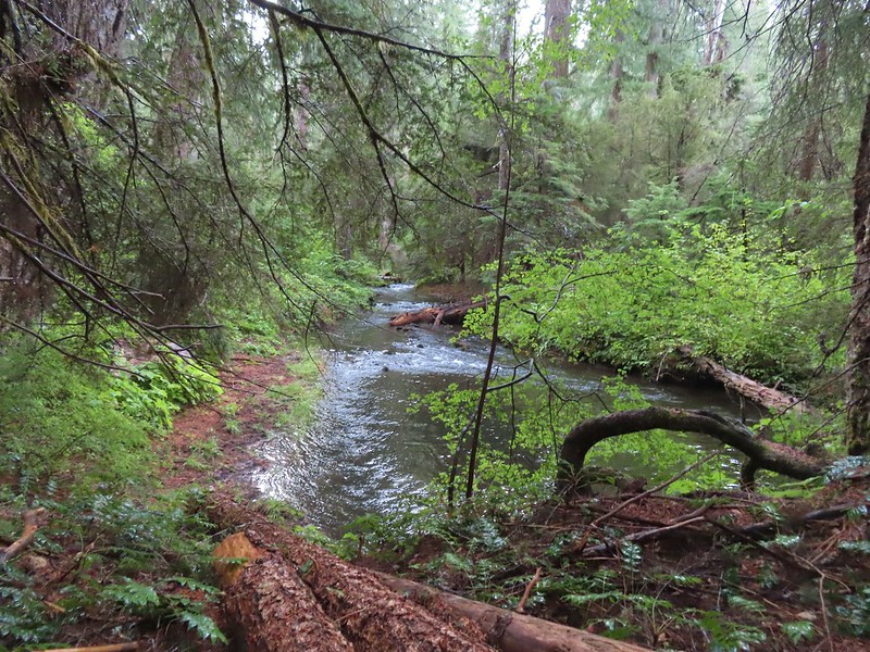

 This mess was just before the bigger tree that turned us back.
 Where I crossed the channel.