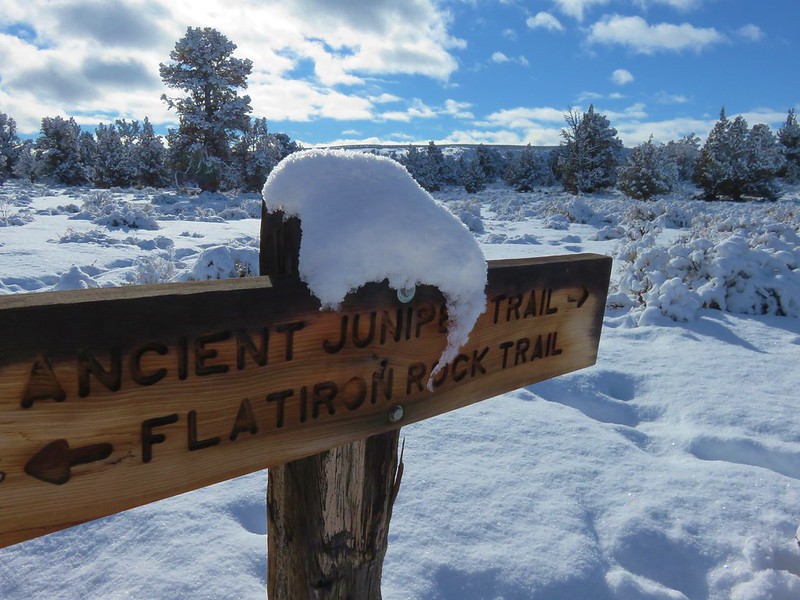
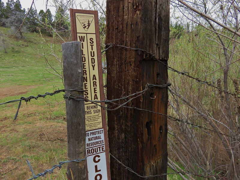
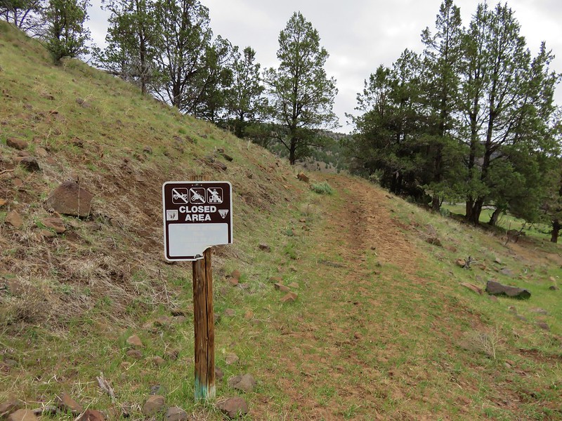
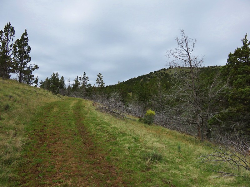
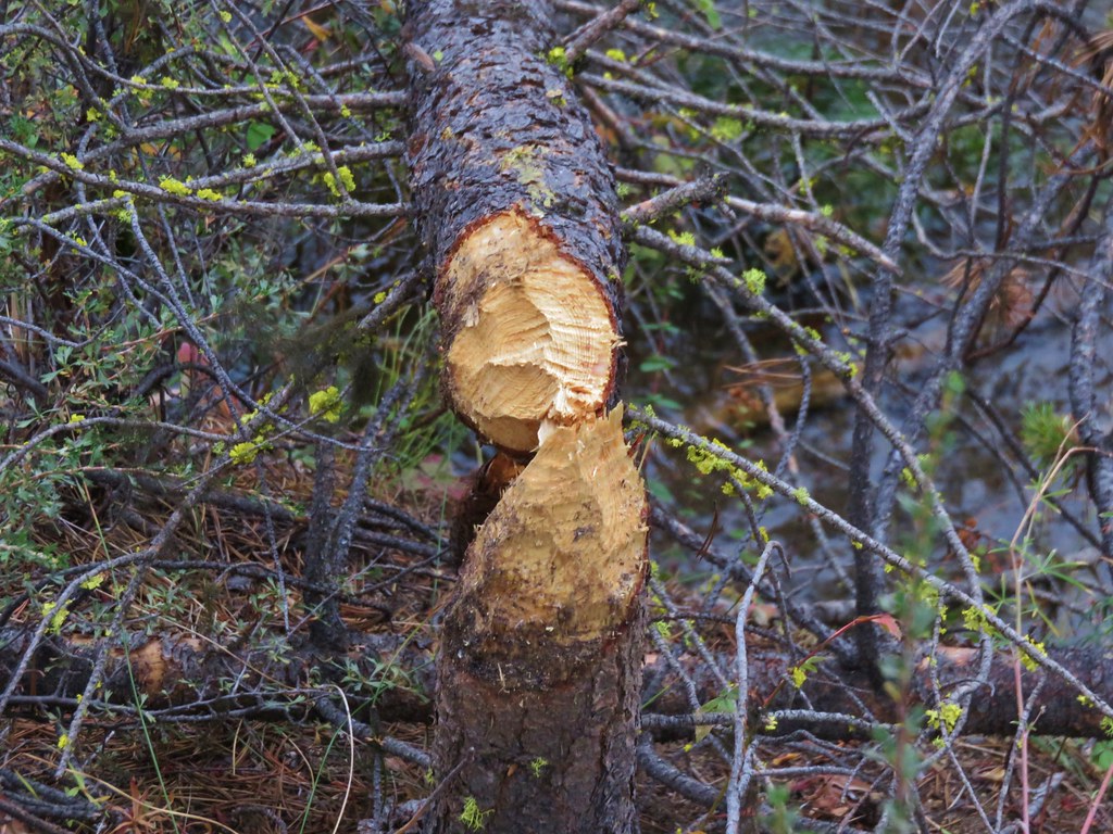
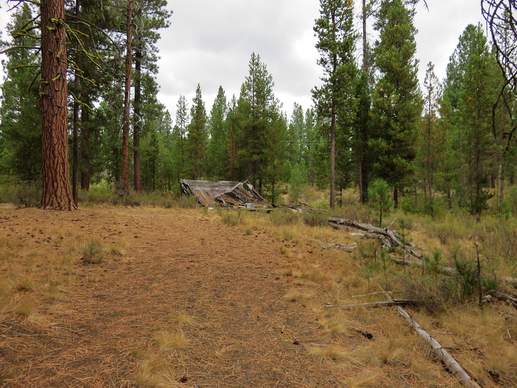
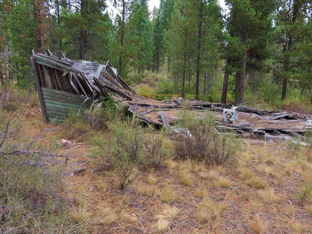
**In 2025 the Alder Springs Fired burned over the Alder Springs Trail.**
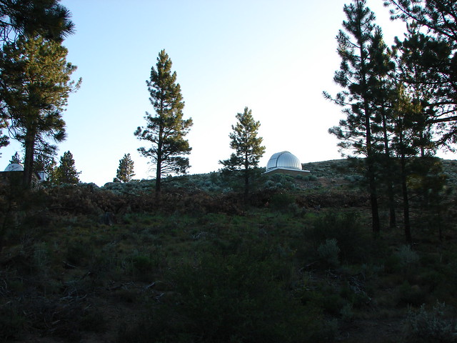
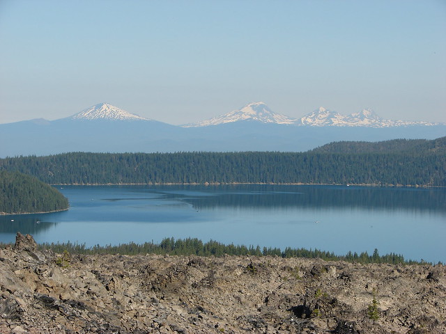
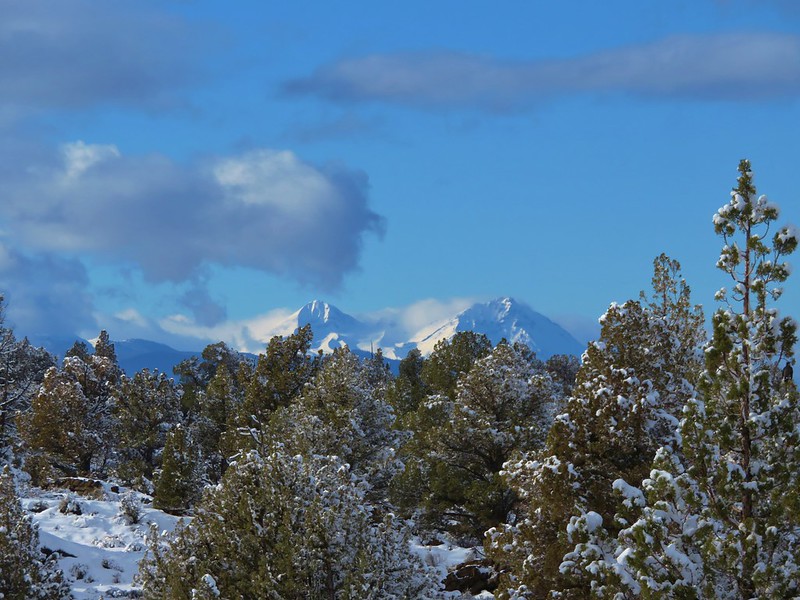
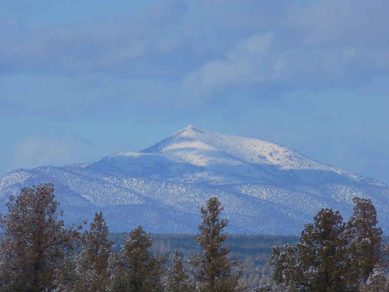
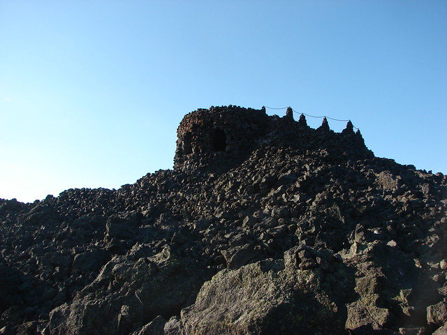
This week we’re going to throwback to a hike that had a profound impact on how we hike. In 2011 the snow melt was unusually late and wound up impacting us on our vacation in Central Oregon during the first week of August. On 8/3/2011 we had planned on hiking the Benson Lake Loop. We took the McKenzie Highway (Hwy 242) from Sisters and headed for the trailhead. It was a beautiful morning and we stopped at the Dee Wright Observatory to take in the spectacular views.
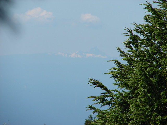
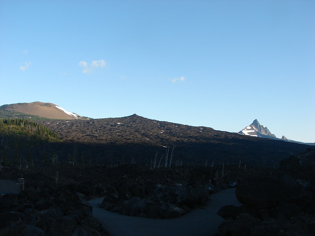
Belknap Crater, Little Belknap Crater and Mt. Washington
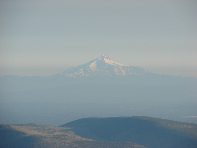
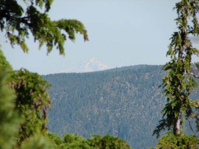
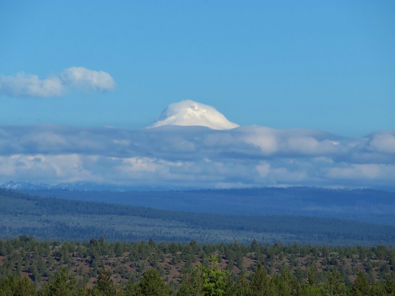
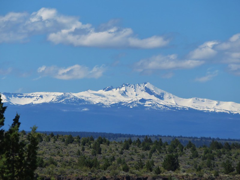
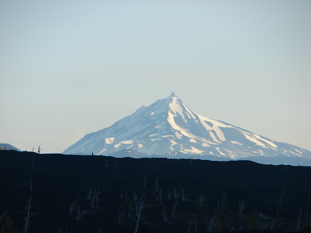
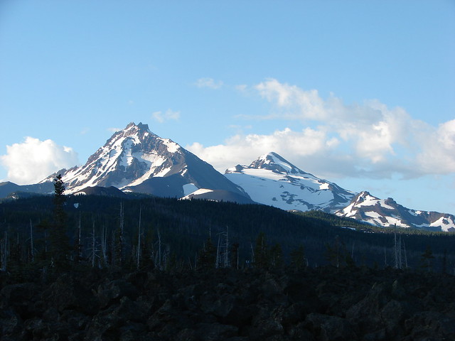
Mt. Jefferson
North & Middle Sister
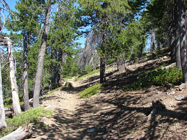
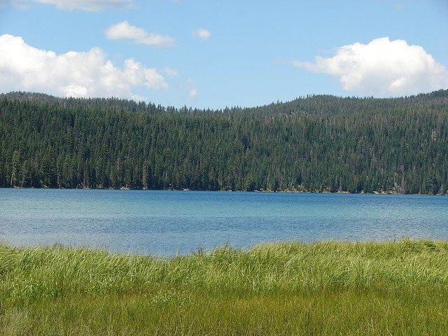
We continued on to the trailhead near Scott Lake and set off on the Benson Lake Trail.

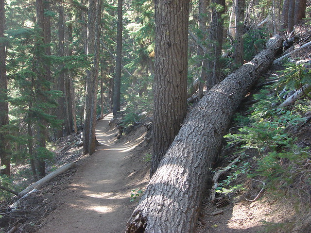
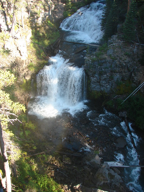
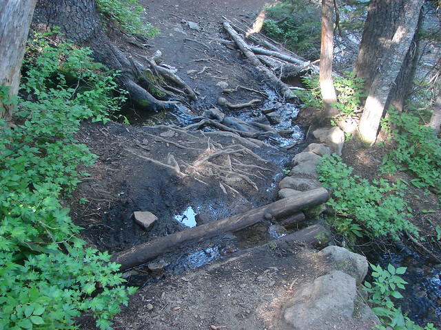
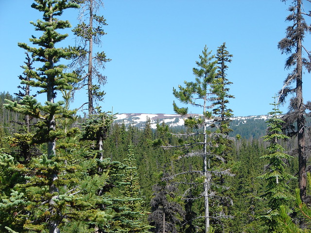
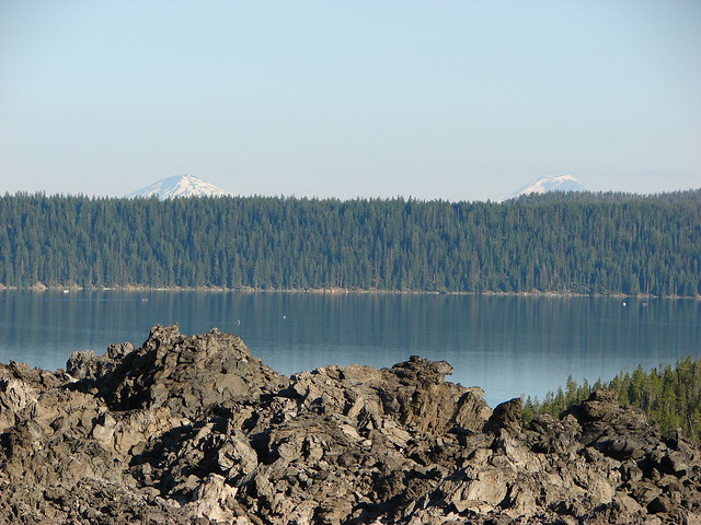
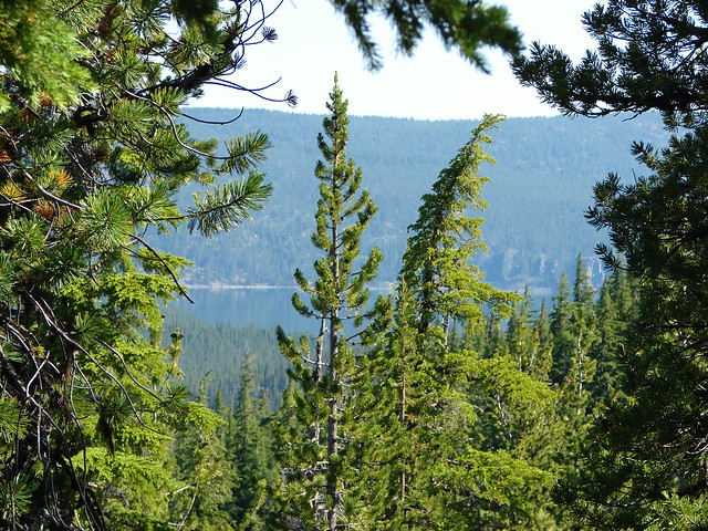
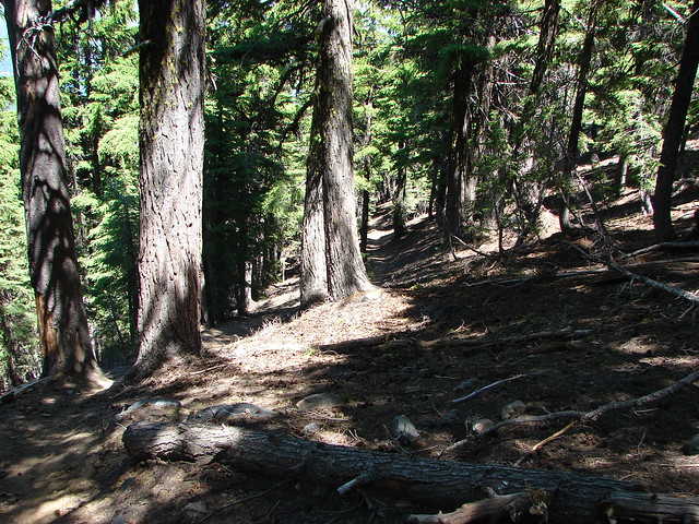
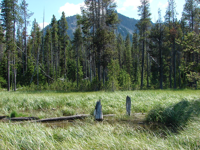
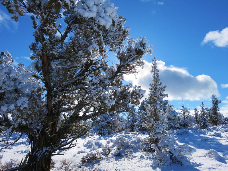
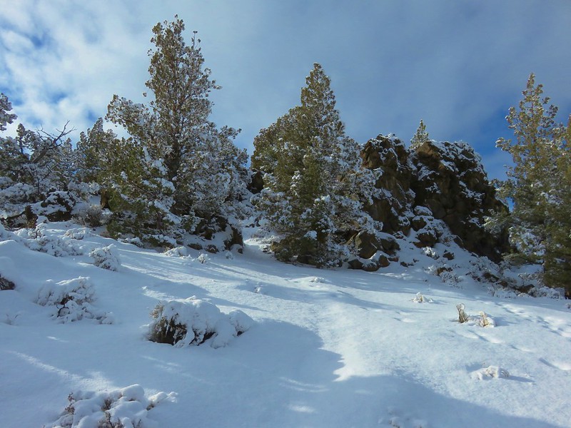
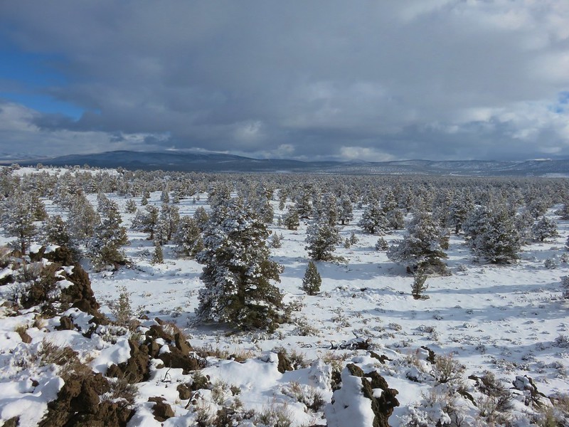
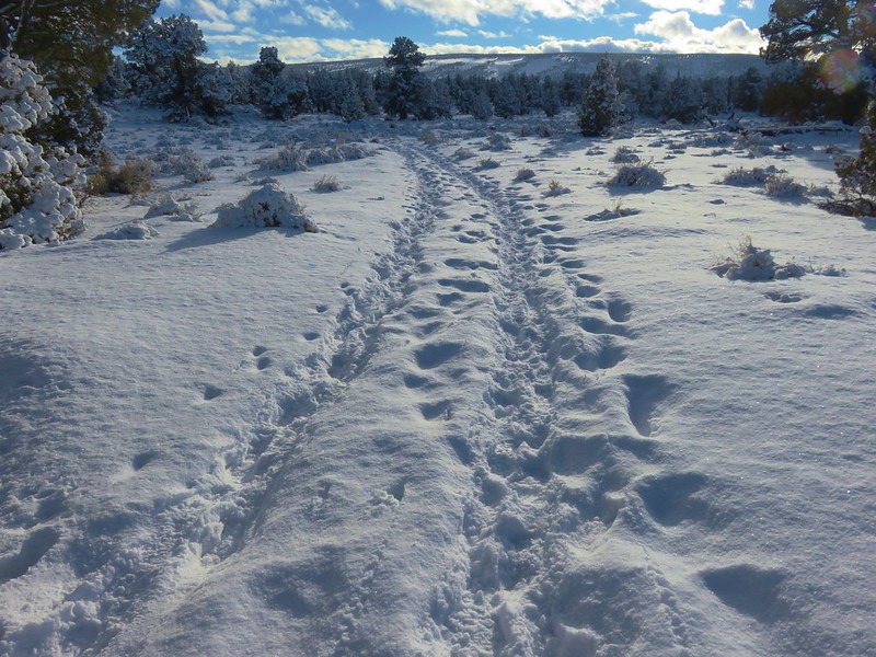
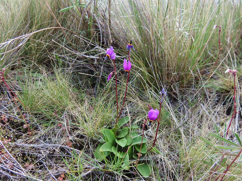
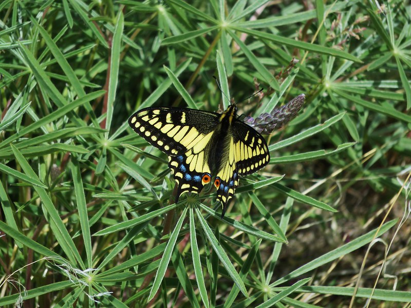
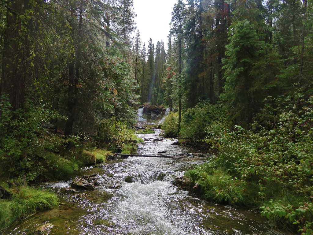
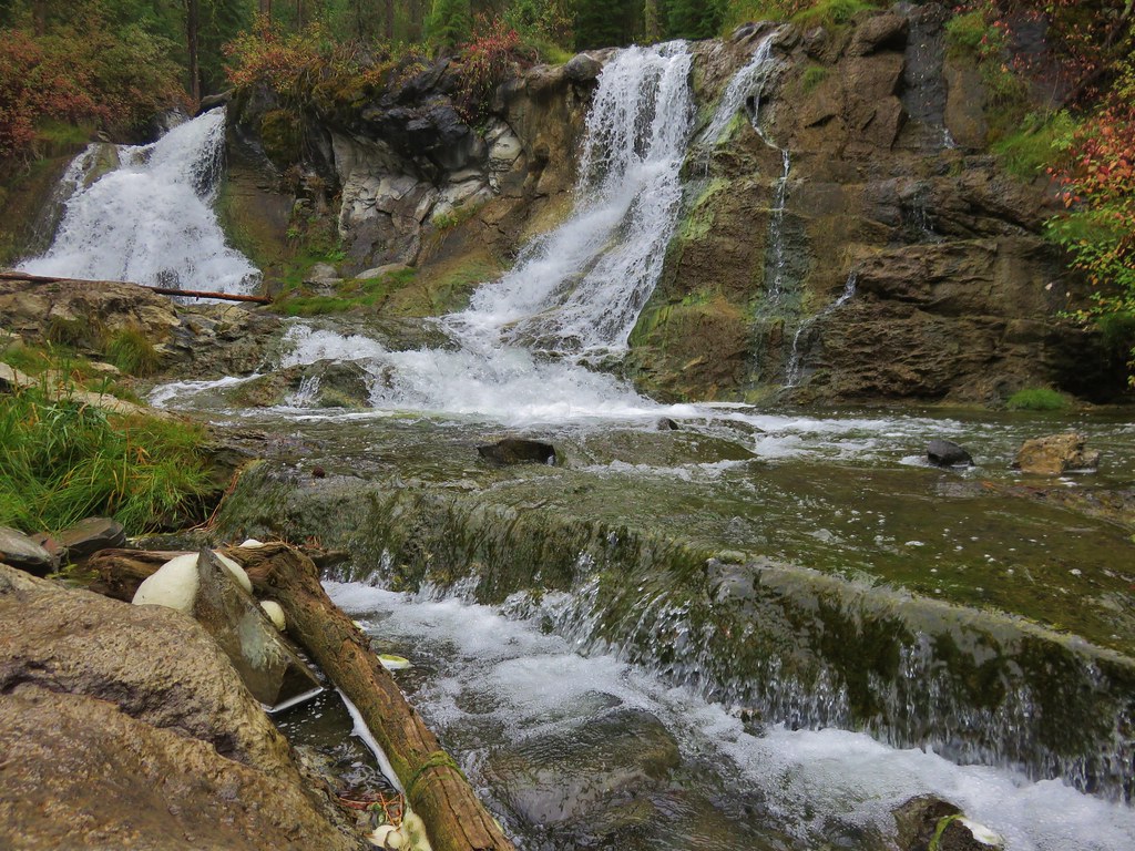
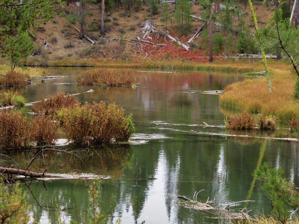
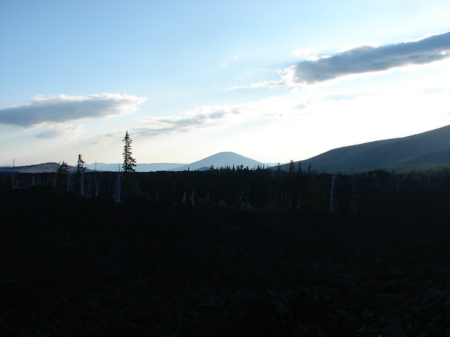
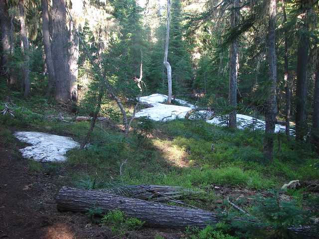
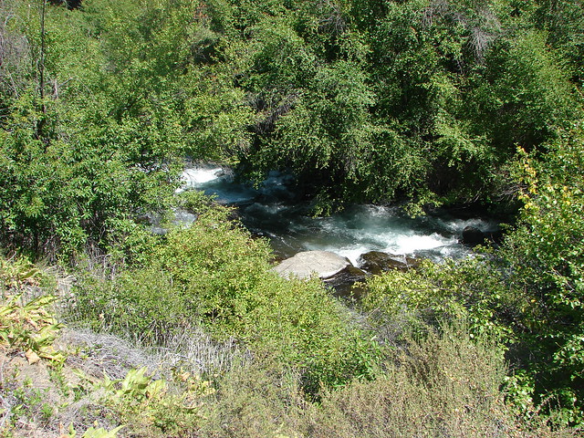
In the mile and a half to Benson Lake we encountered a few snow patches and lots of mosquitoes.
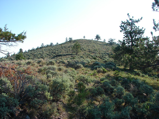
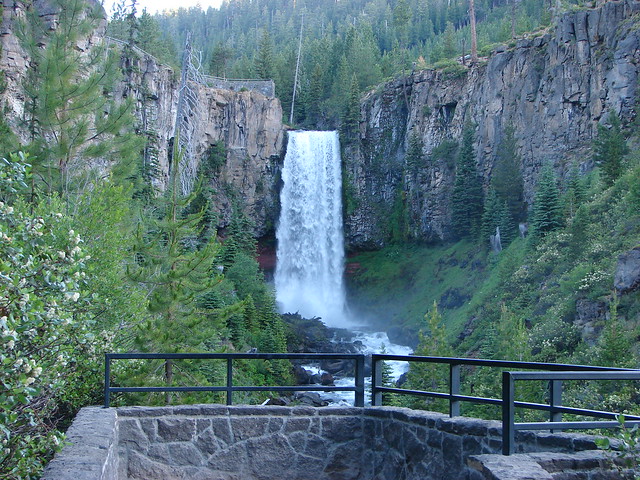
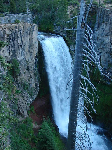
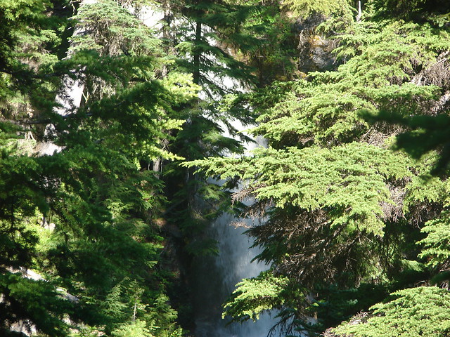
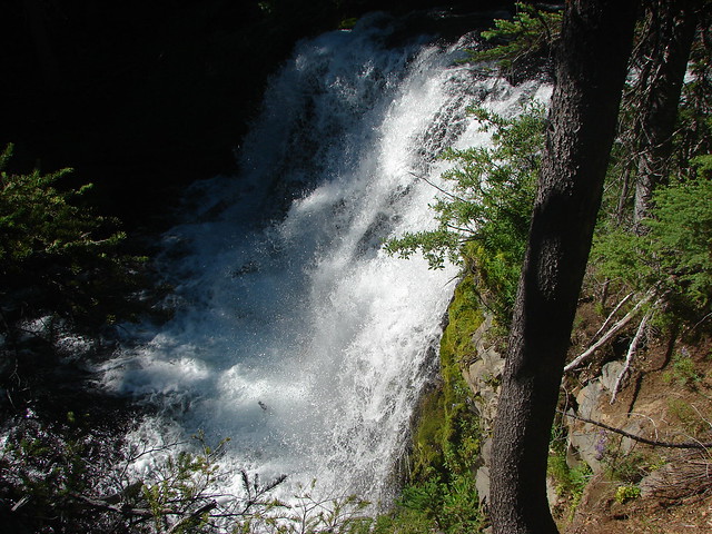
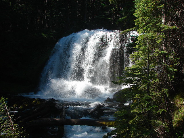
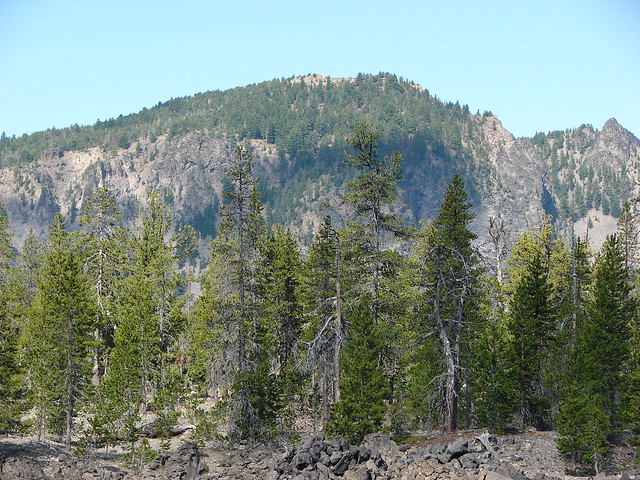
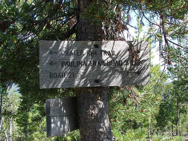
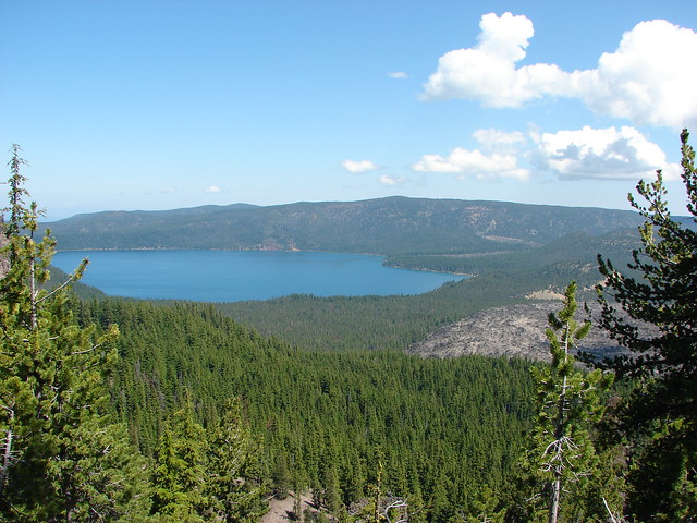
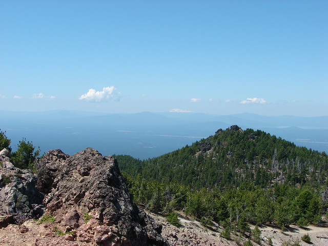
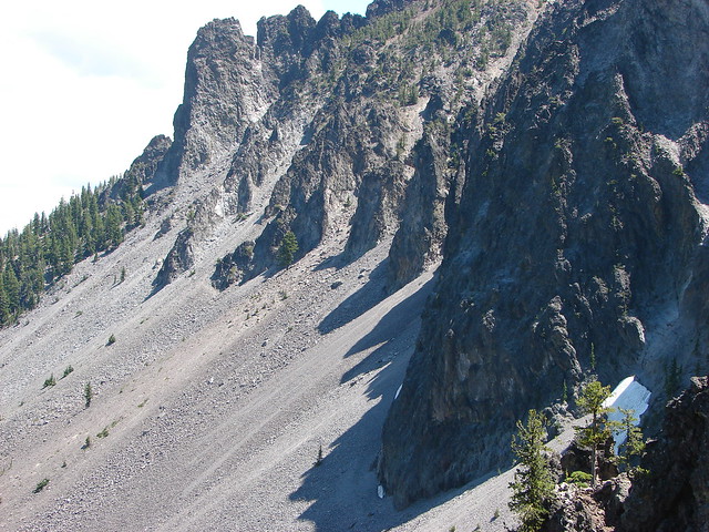
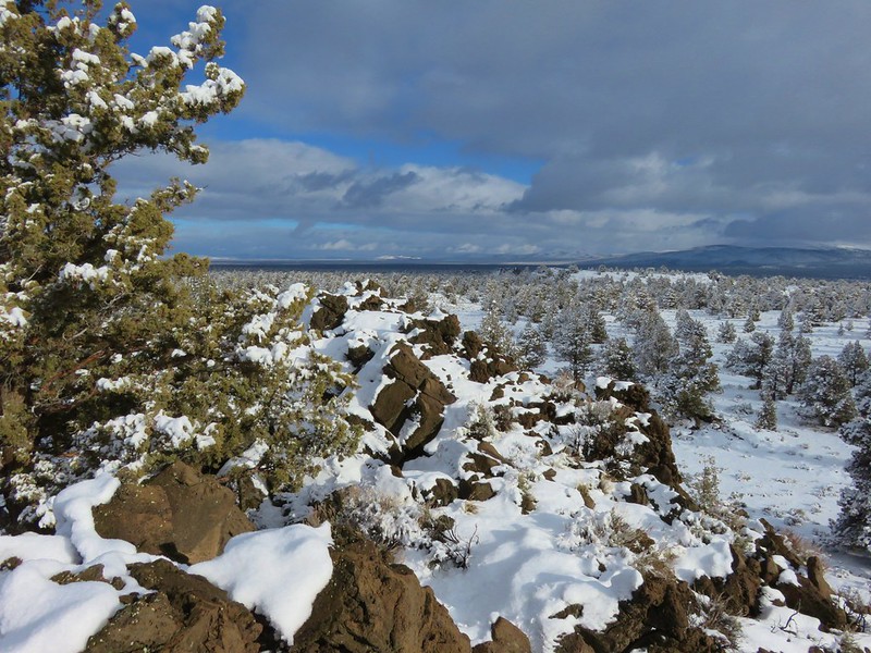
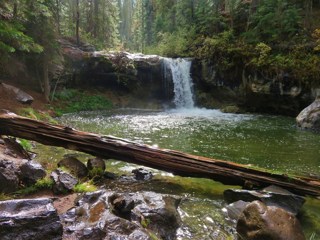
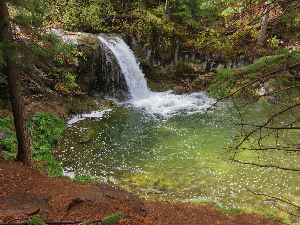
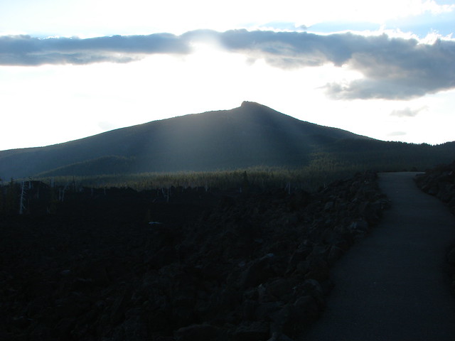
From Benson Lake we could see our next planned stop,Scott Mountain which appeared relatively snow free.
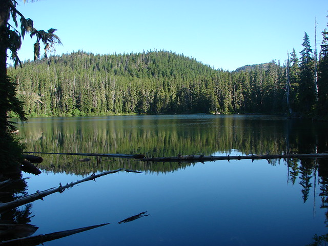
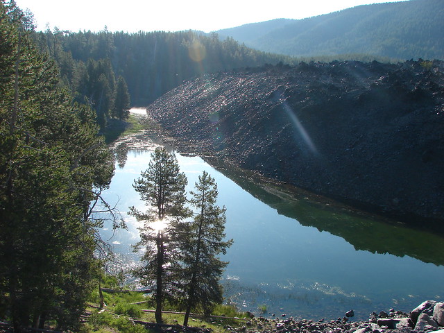
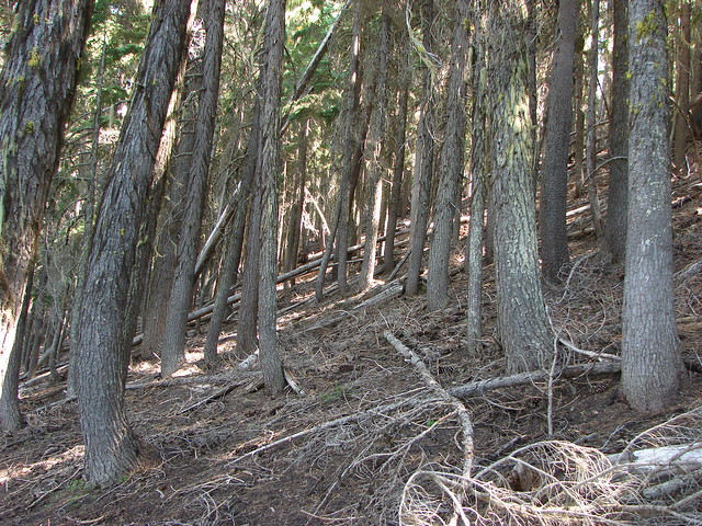
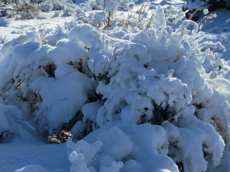
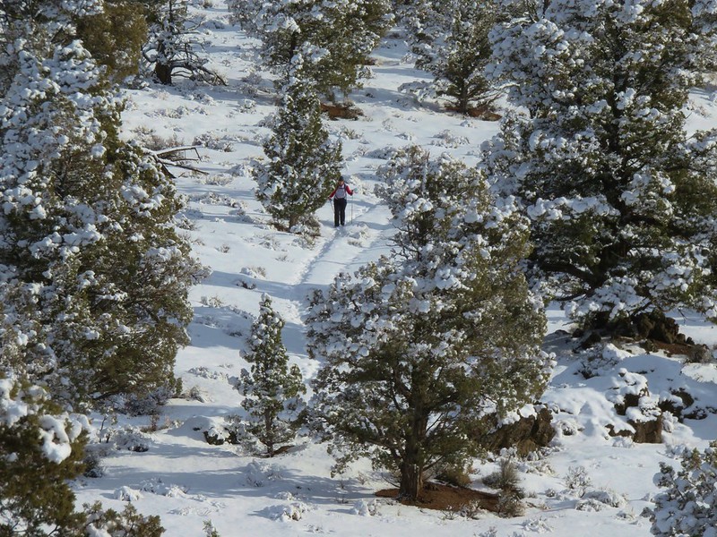
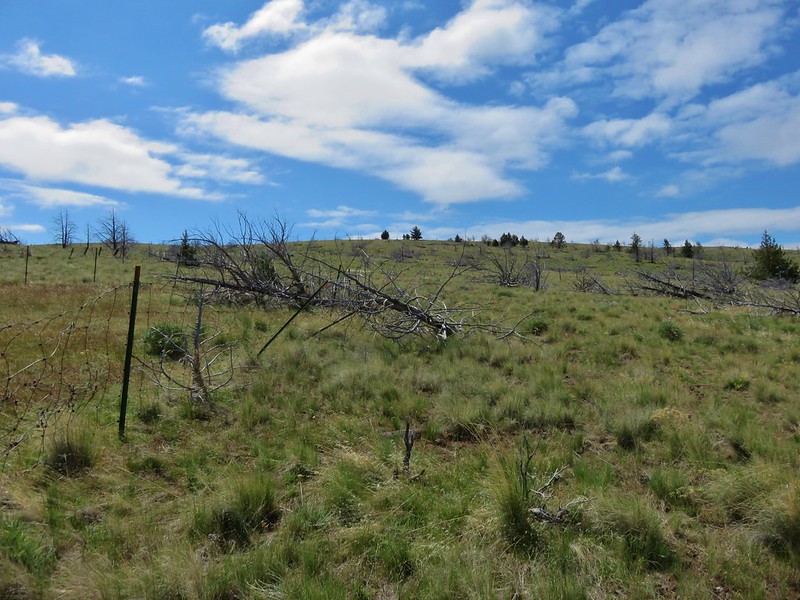
The trail conditions deteriorated quickly beyond Benson Lake as the mosquitoes were thick and relentless and the trail was covered in snow.
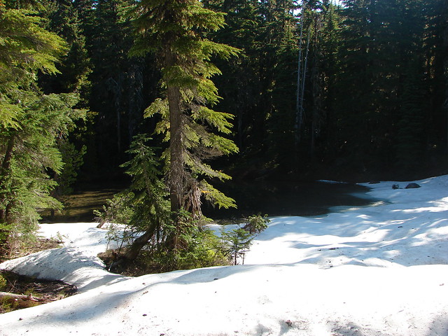

We were still quite inexperienced hikers with raw map skills, no GPS, and we hadn’t learned to look for blazes yet so we were relegated to following a lone set of footprints which worked until they disappeared. While we struggled to locate the trail Heather had a mosquito fly directly into her eye where it stuck. It remains the most disgusting hiking moment ever for us.
After extracting the kamikaze mosquito we surrendered and turned back while we knew we could still find the trail back.
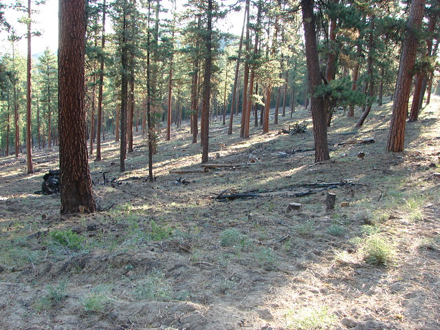
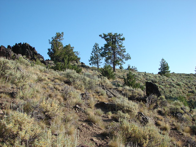
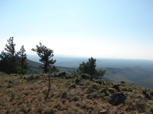
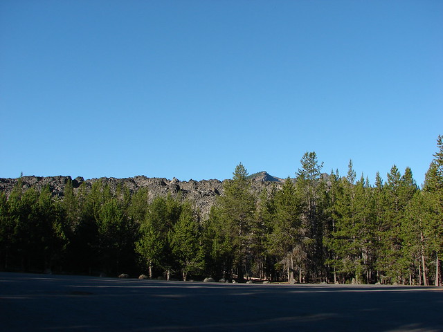
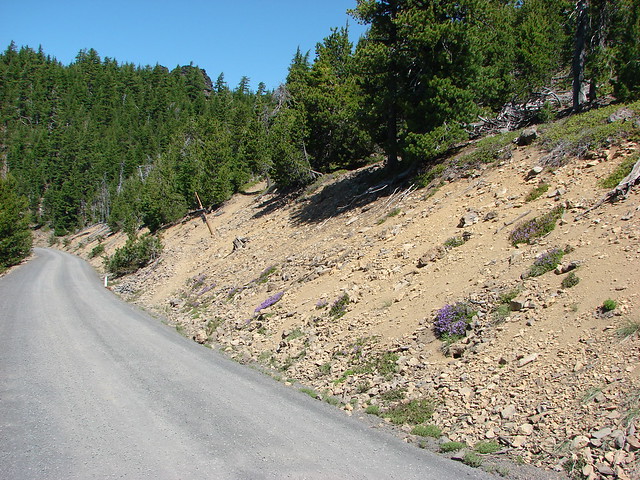
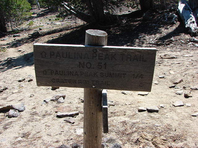
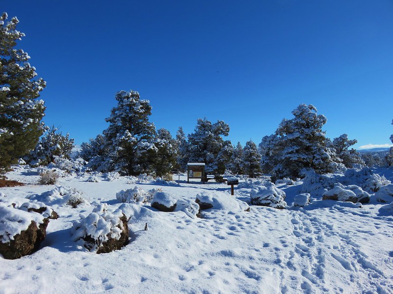
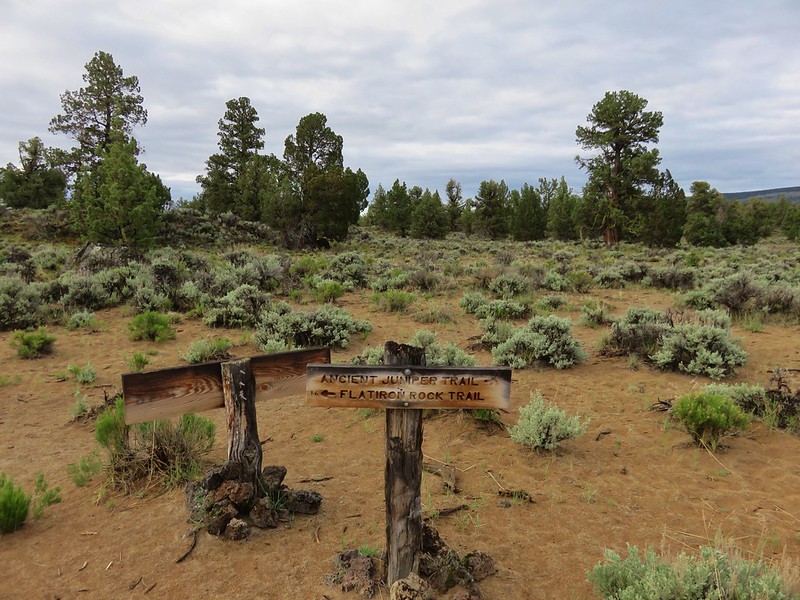
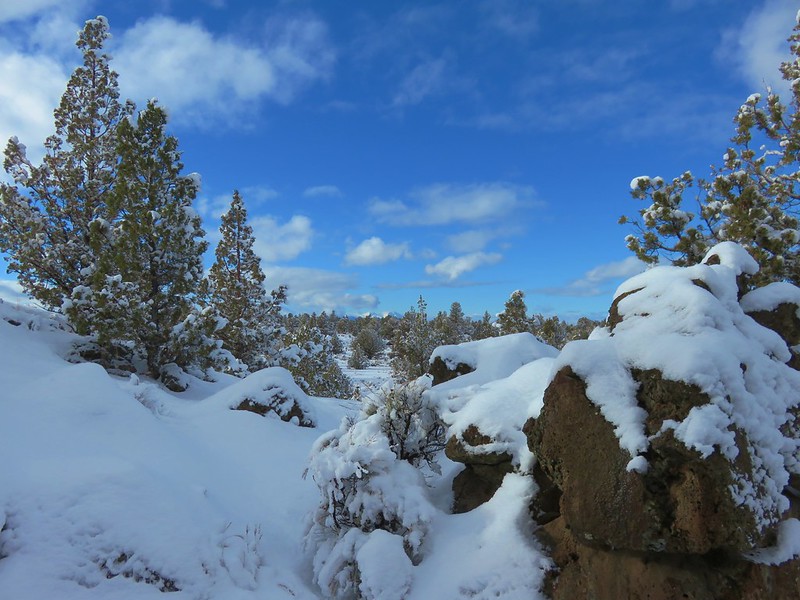
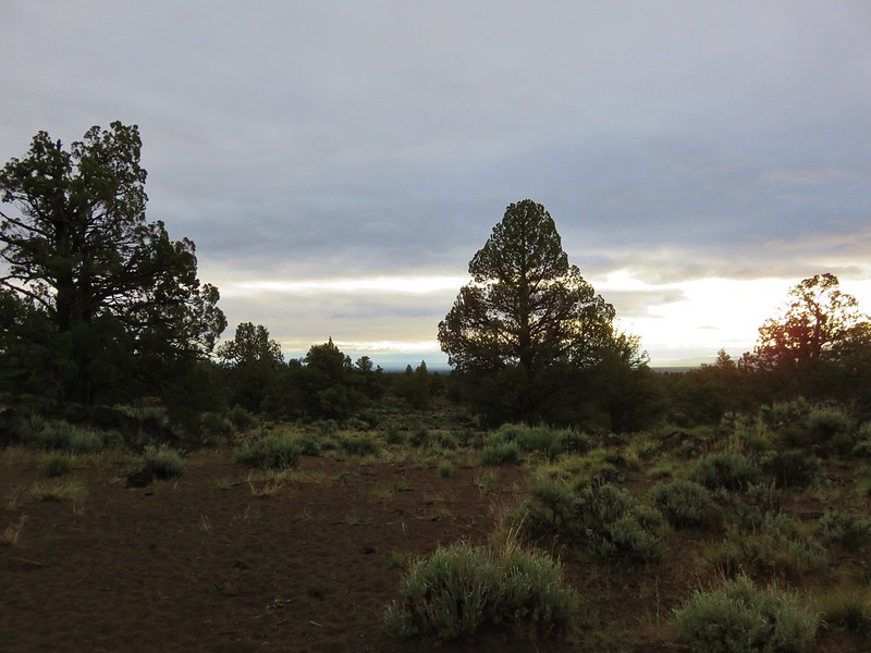
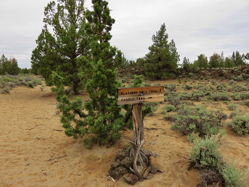
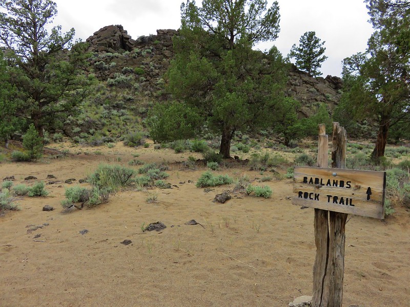
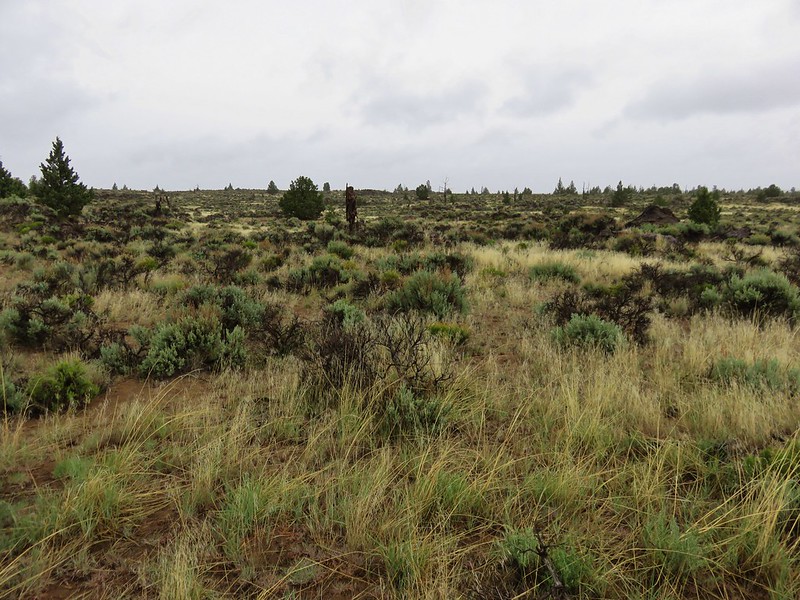
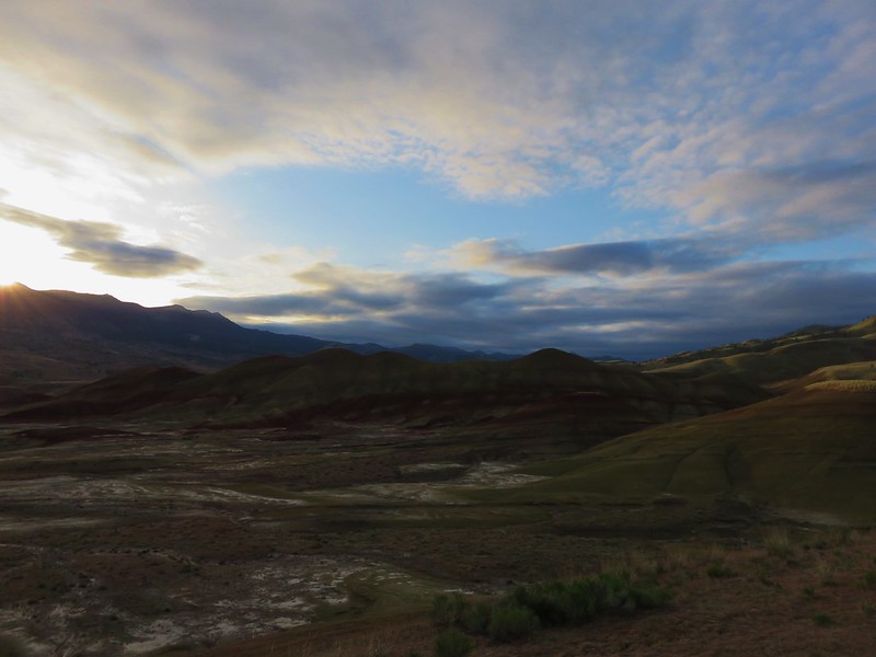
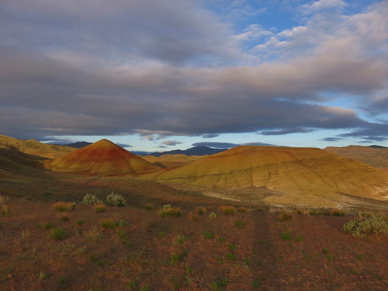
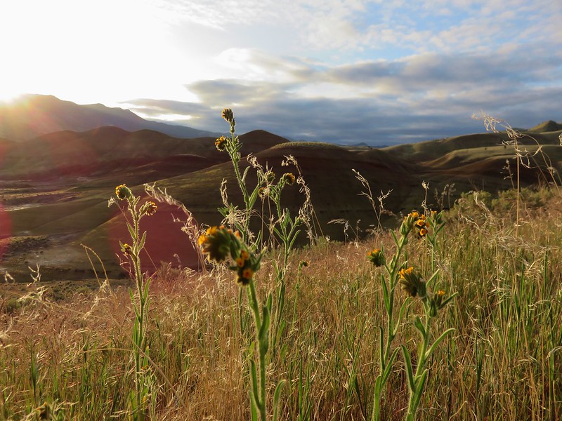
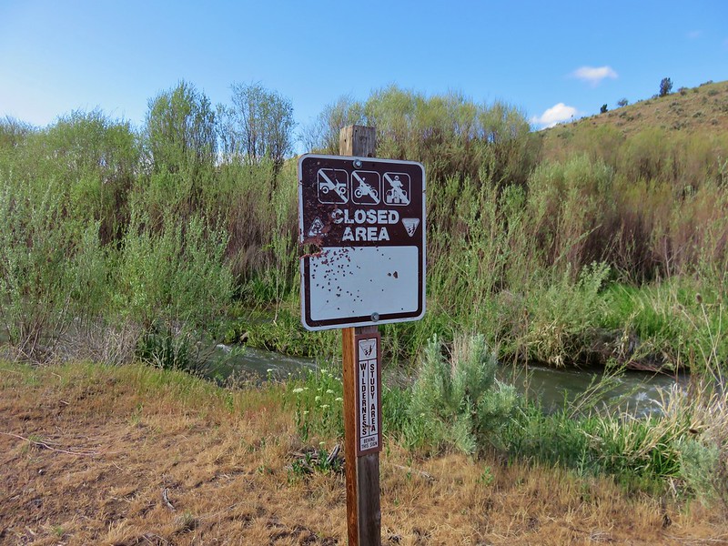
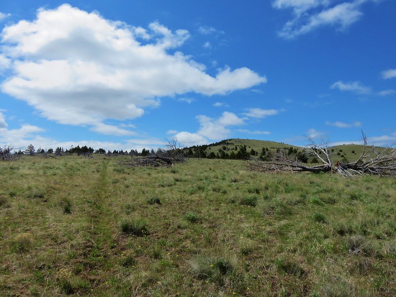
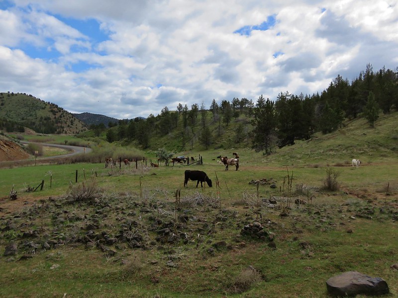
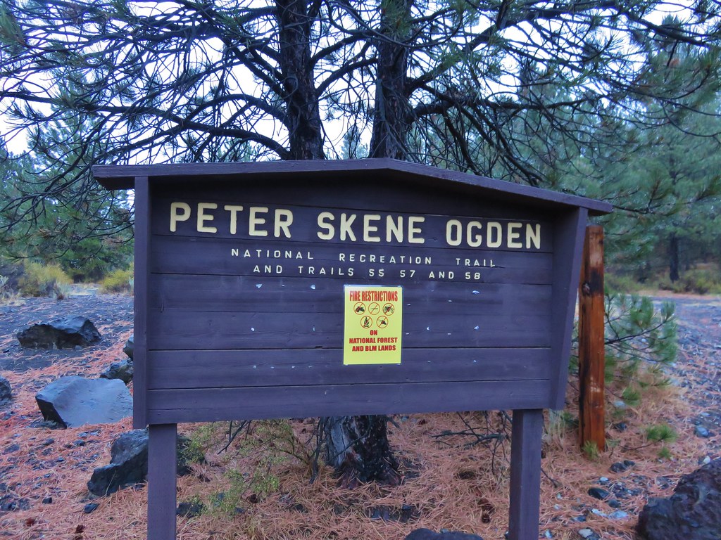
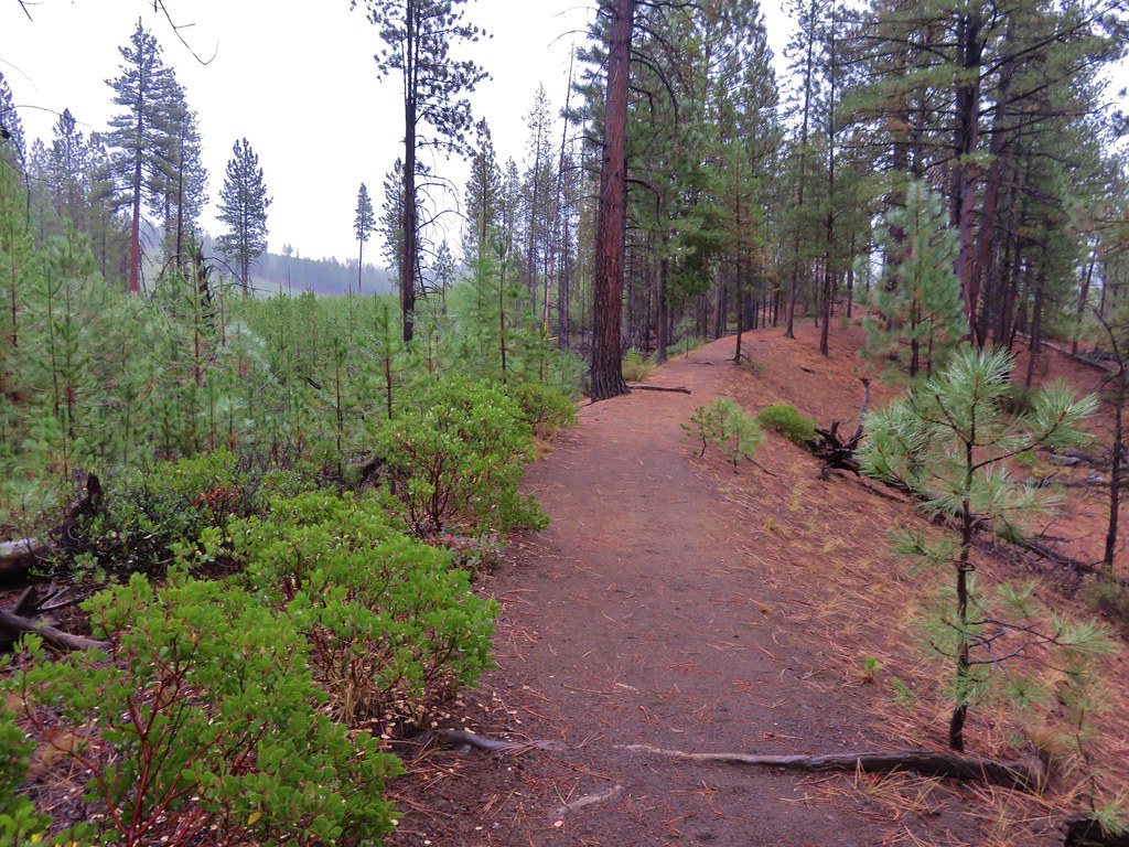
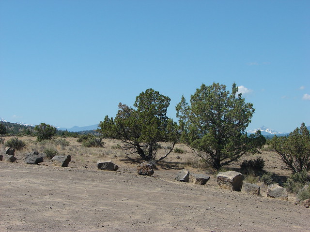
We had only hiked around 4 miles by the time we were driving back toward Sisters and began looking for another hike that we might be able to do. We landed on the Alder Springs trail which would be snow free being in the high desert and at an elevation of only 2600′. Even better the trailhead was less than 20 miles from Sisters.
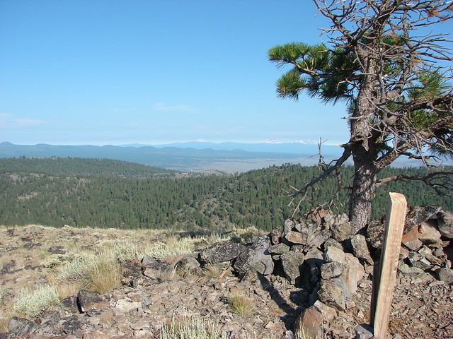
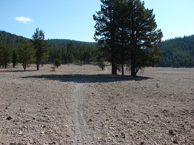
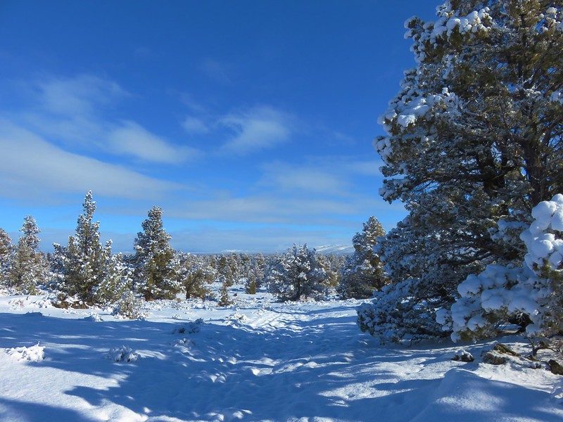
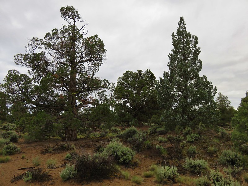
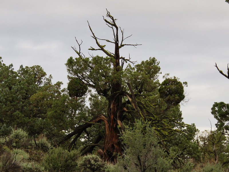
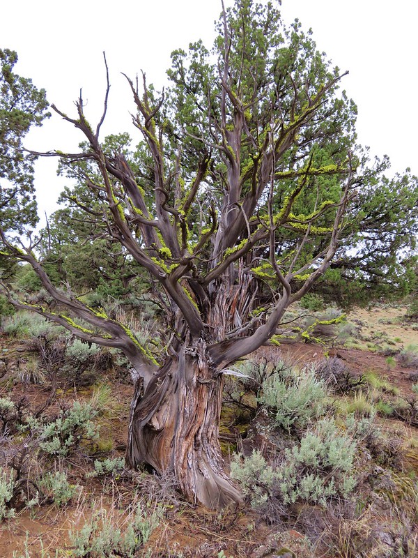
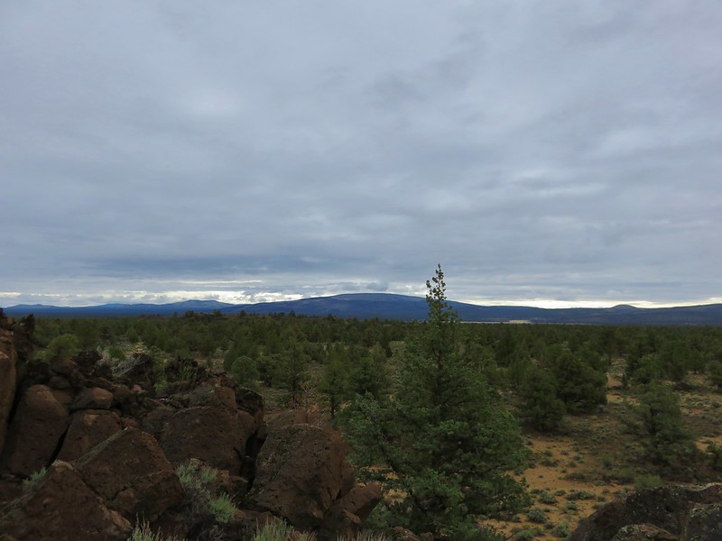
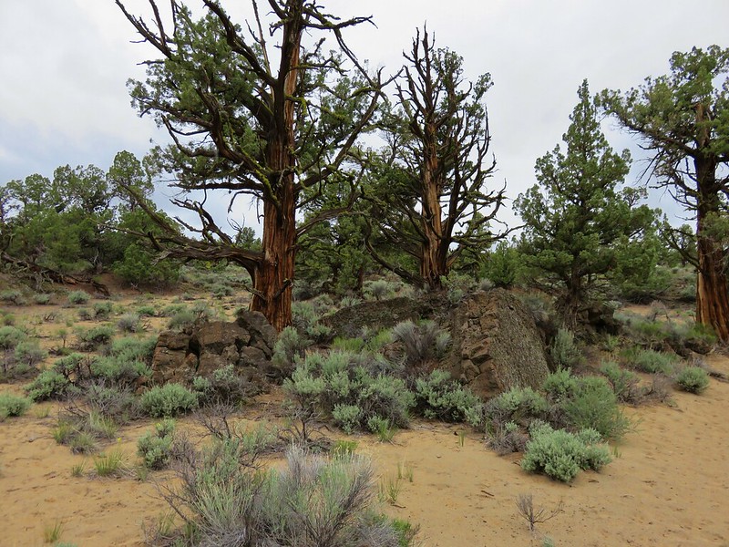
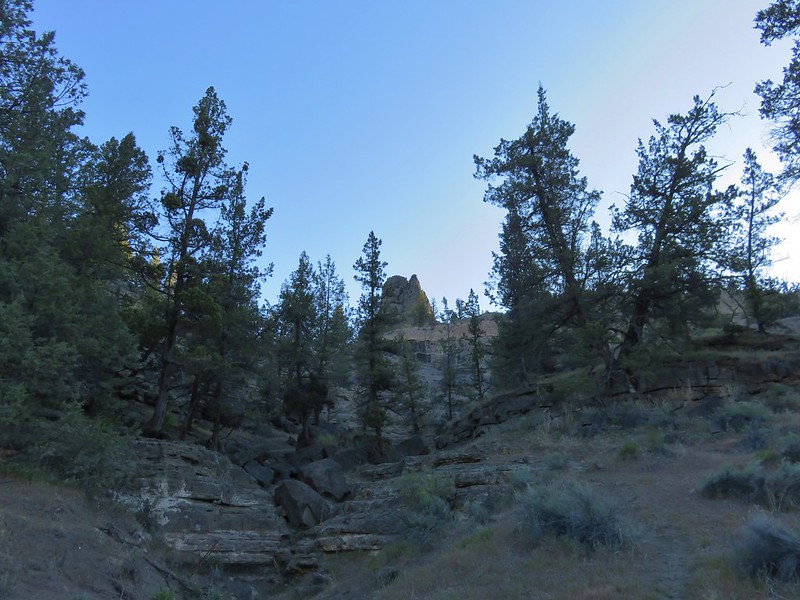
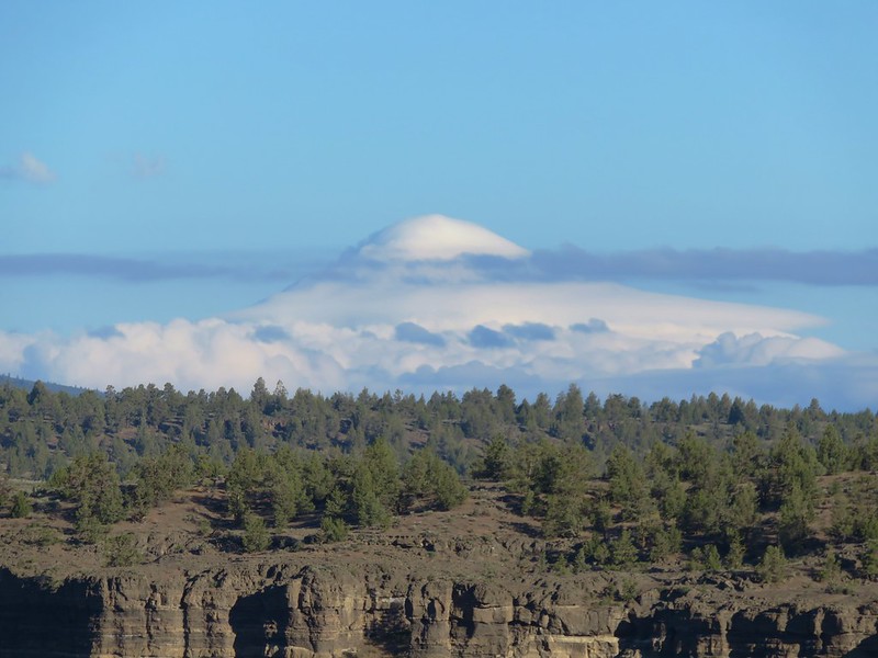
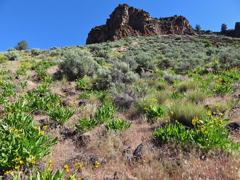
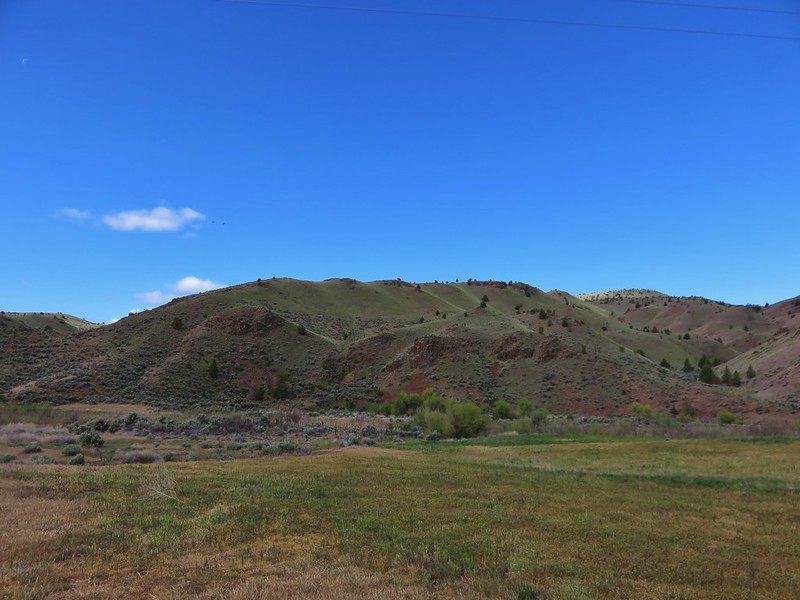
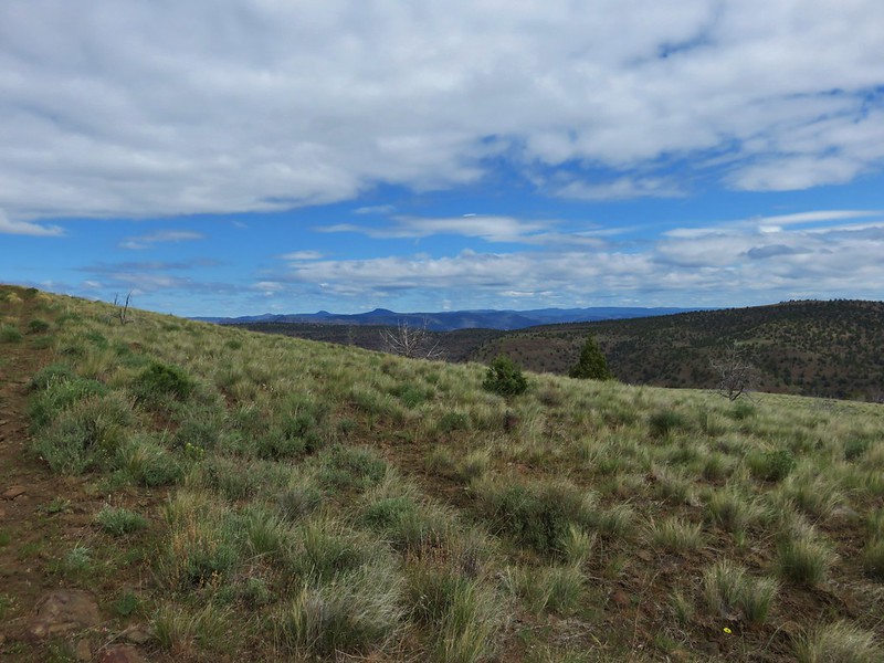
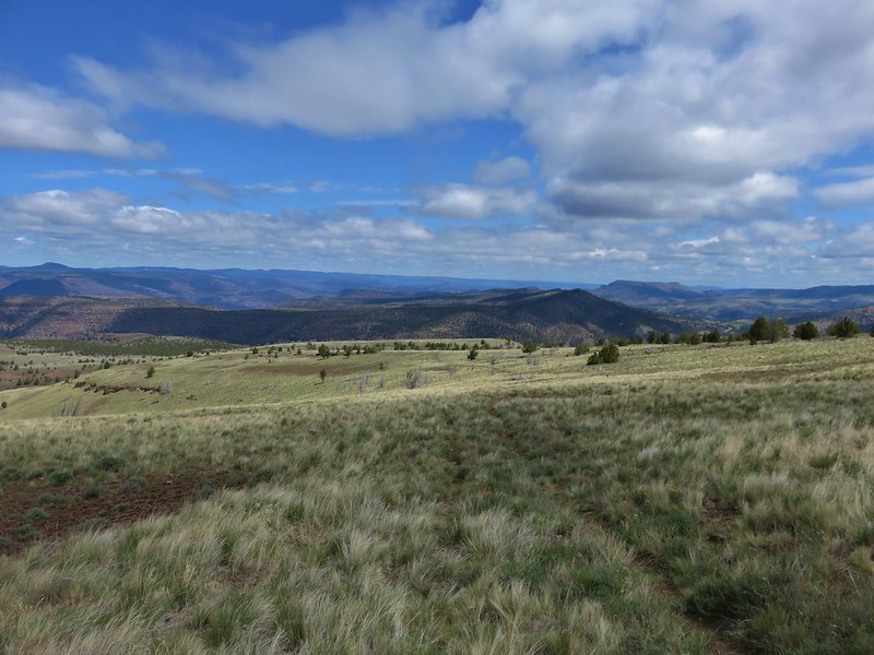
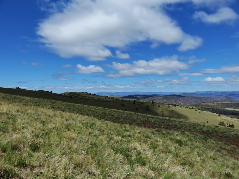
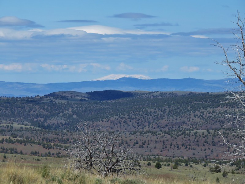
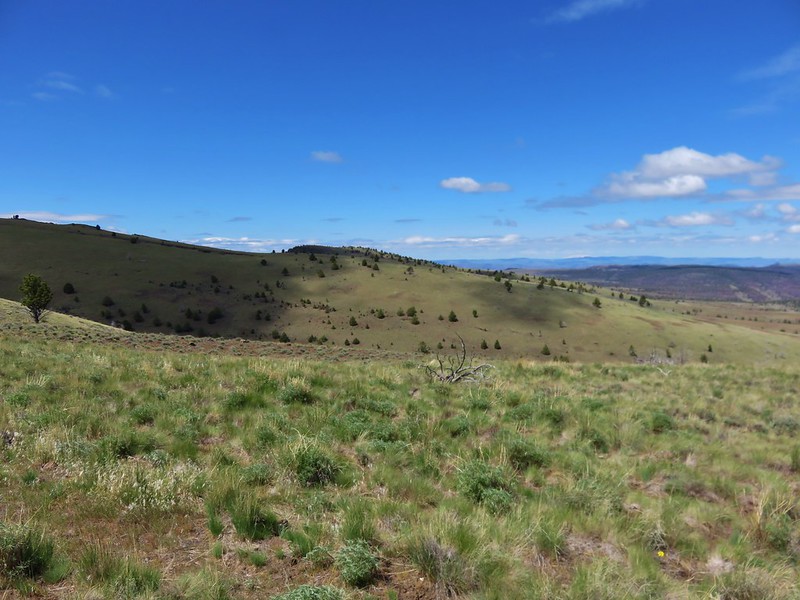
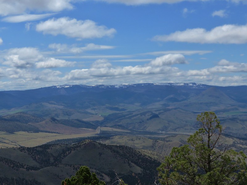
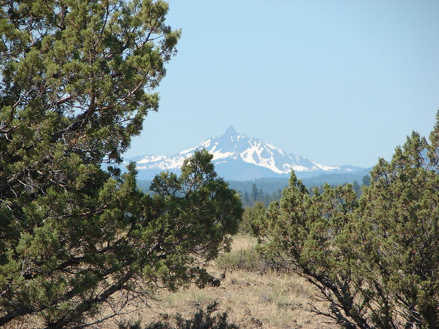
From the trailhead parking area Mt. Washington and the North Sister were visible. It was odd to think we’d just been forced by snow to turn back from a hike on the other side of those two mountains and now we were standing amid the sagebrush and juniper in the high desert. Not only was it a drastic change in scenery but it was also a lot warmer.
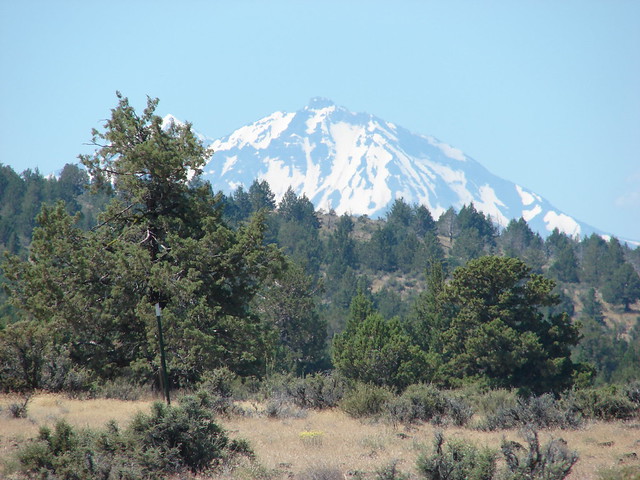
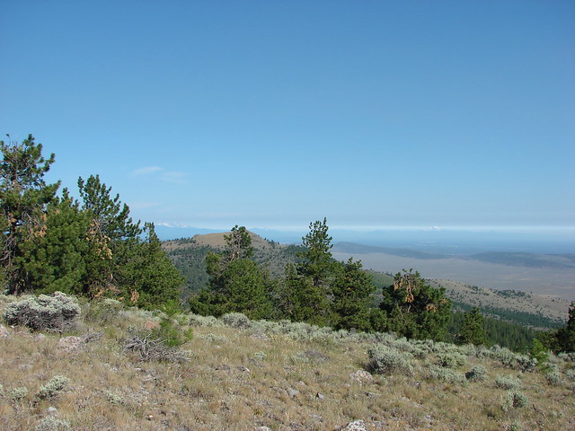
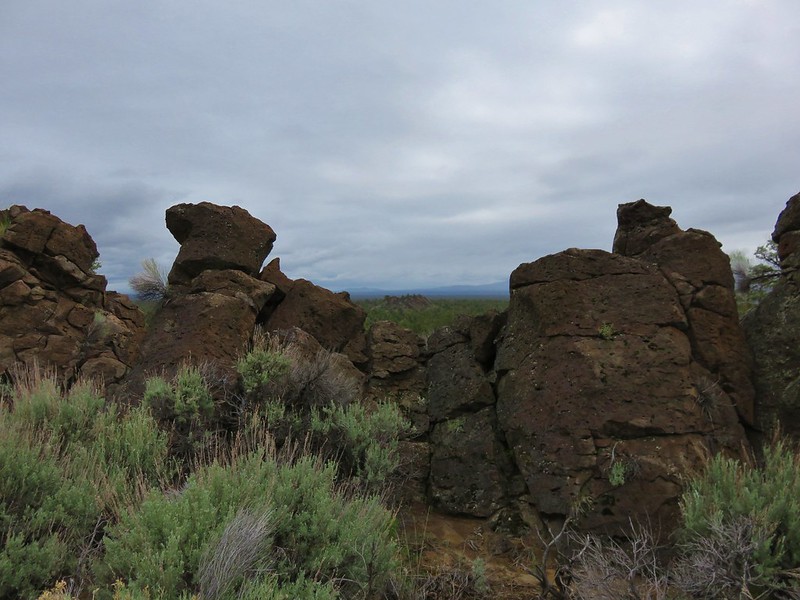
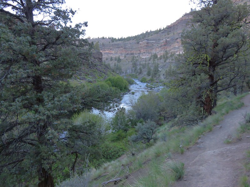
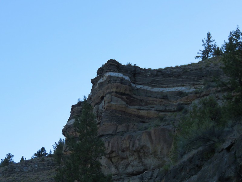
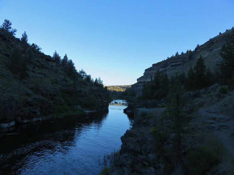
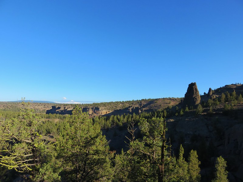
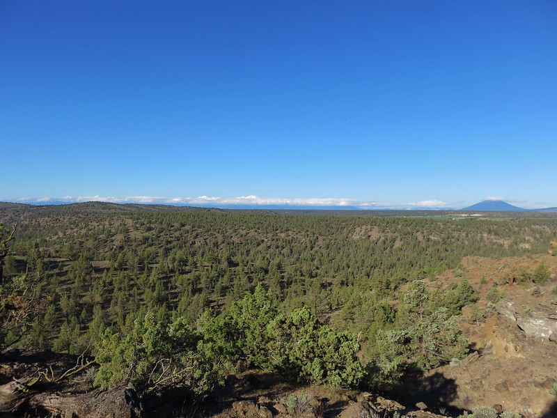
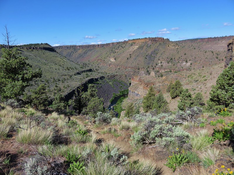
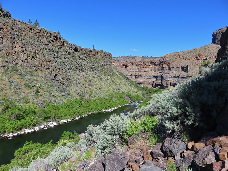
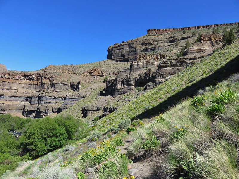
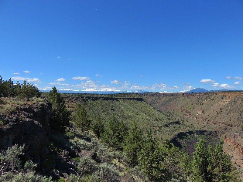
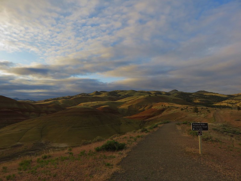
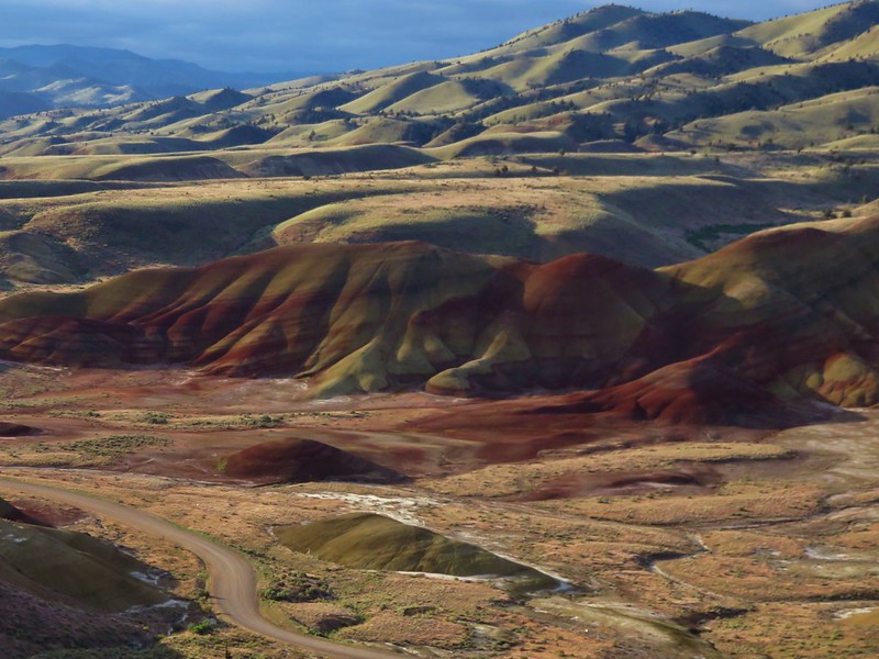
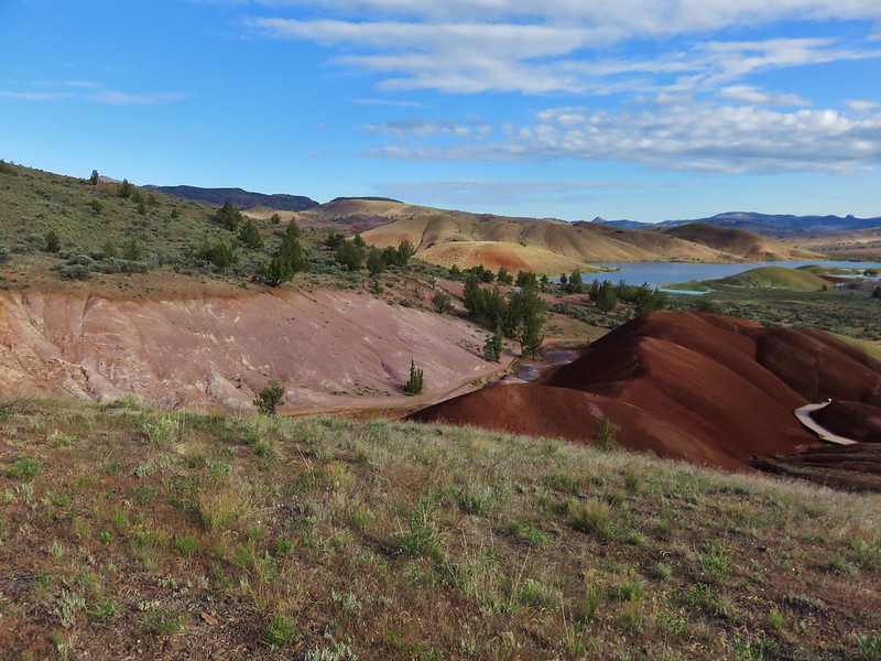
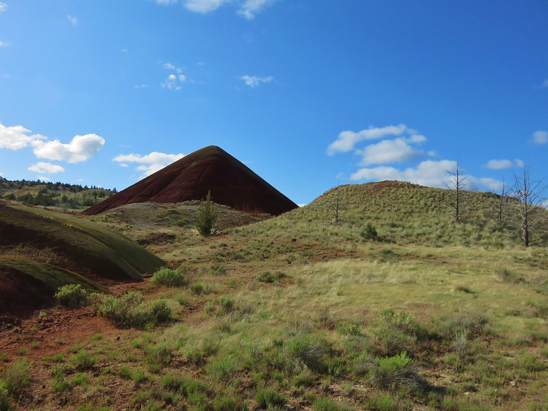
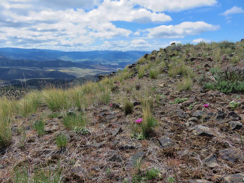
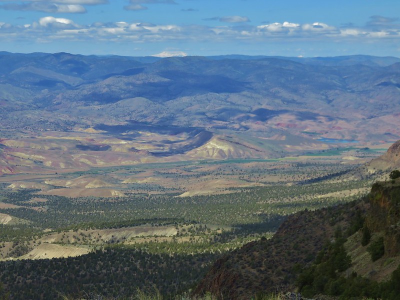
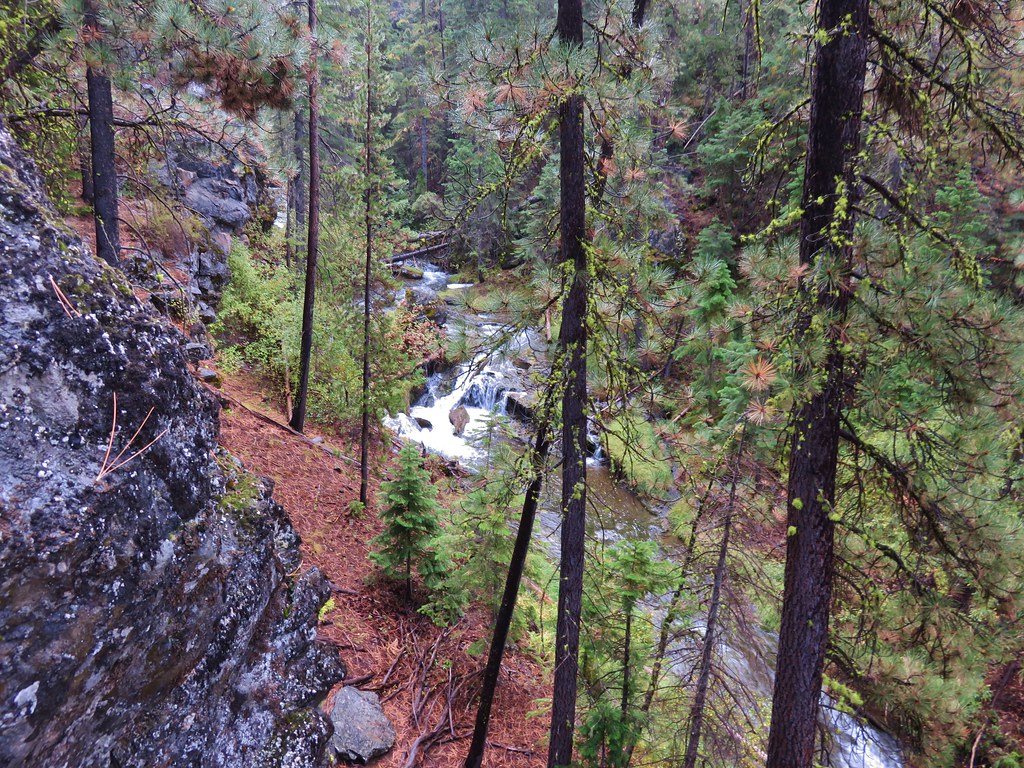
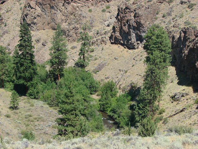
The view here also included a look down the Wychus Creek Canyon which is where the trail would be leading us.

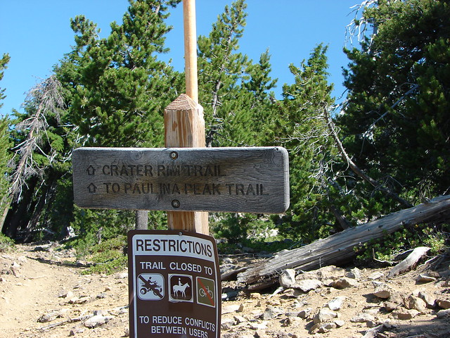
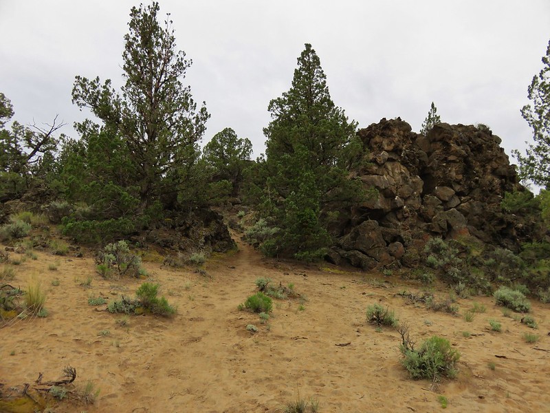
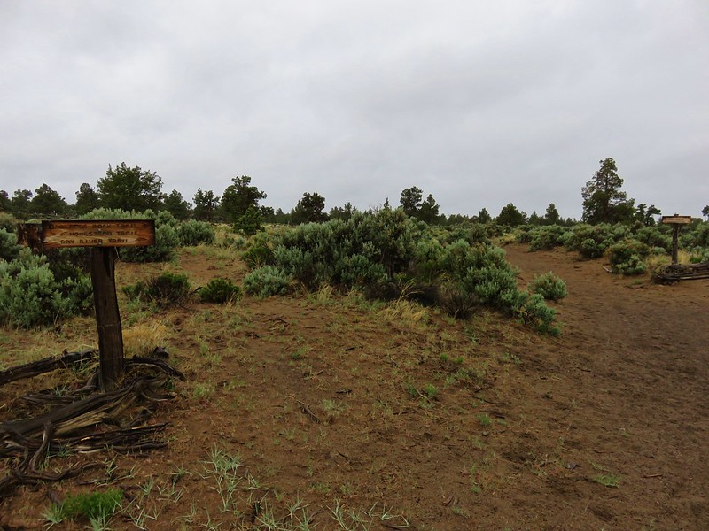
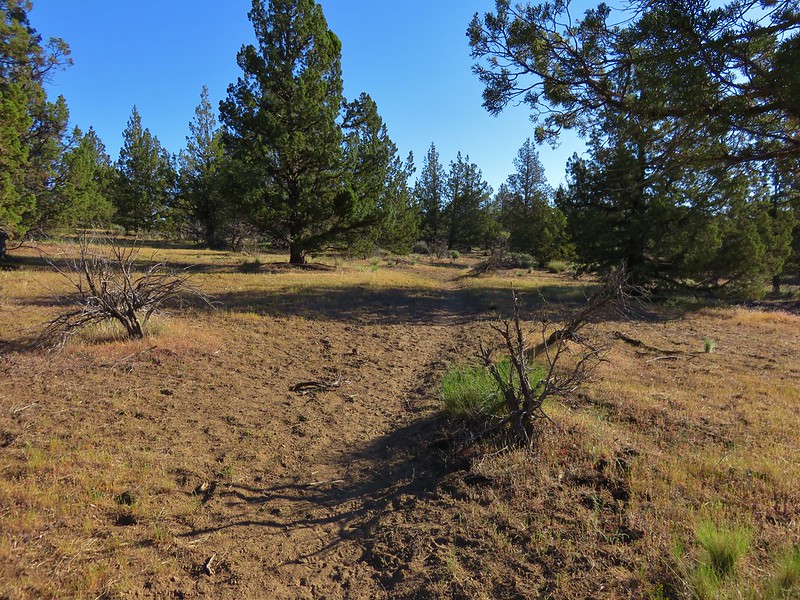
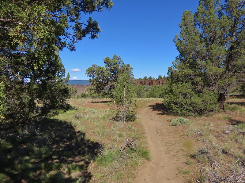
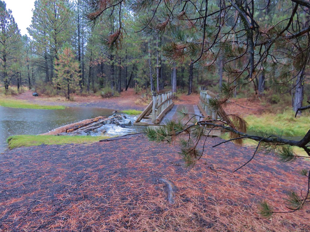
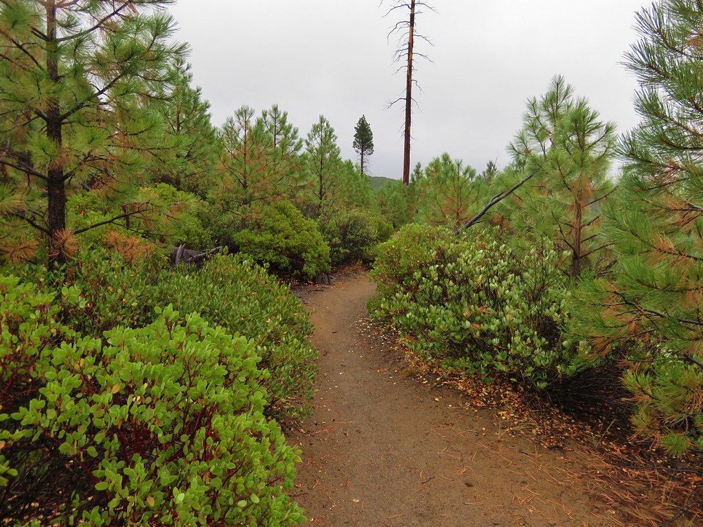
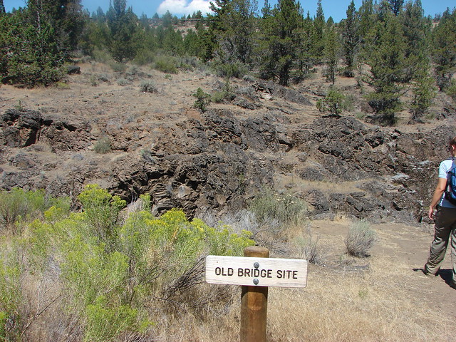
The Alder Springs Trail descended .2 miles to a fork where the Old Bridge Trail split to the left.
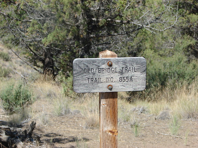
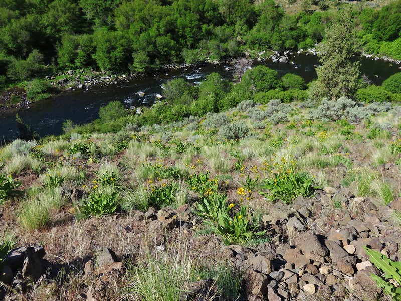
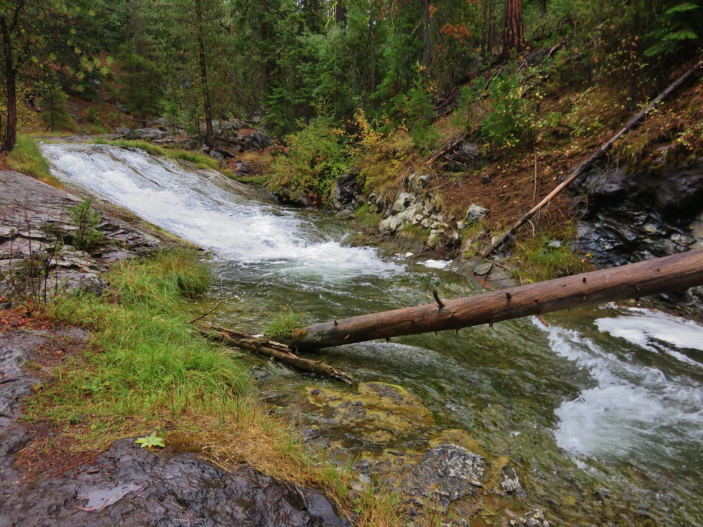
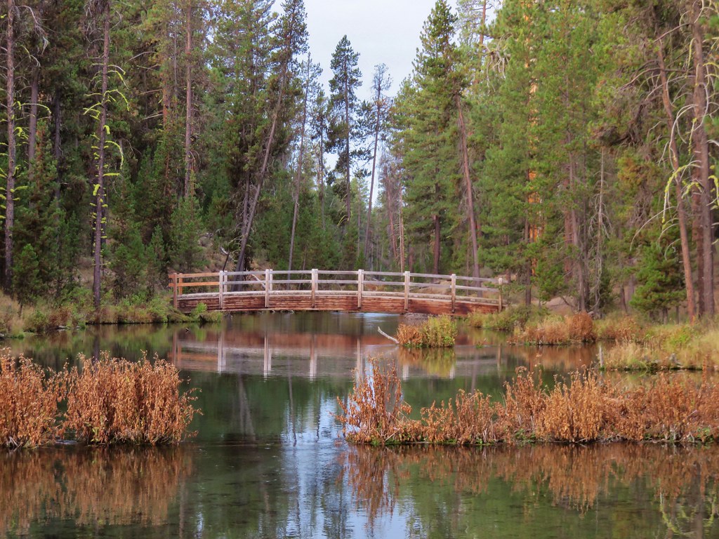
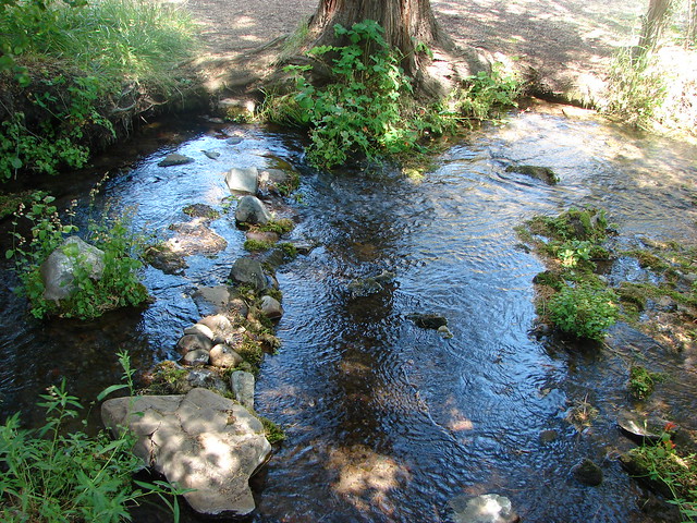
We took this .4 mile path down to the site of a former bridge and then down to the bank of Wychus Creek.
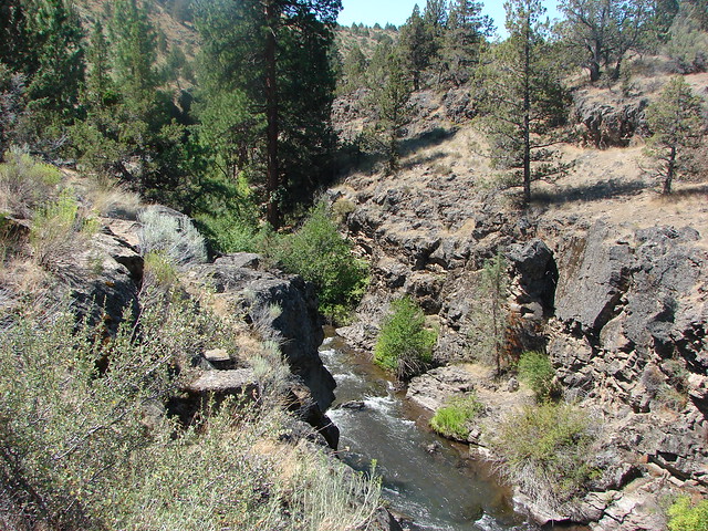
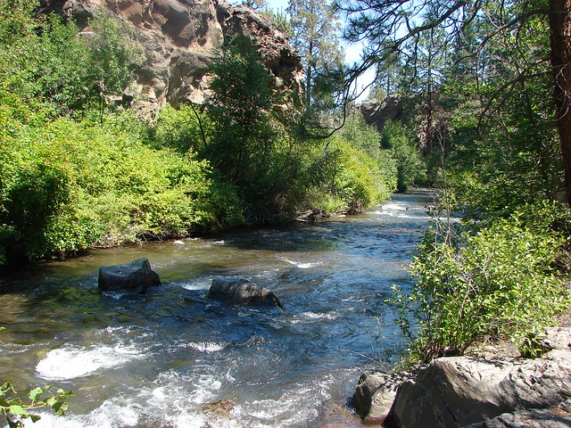
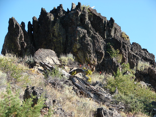
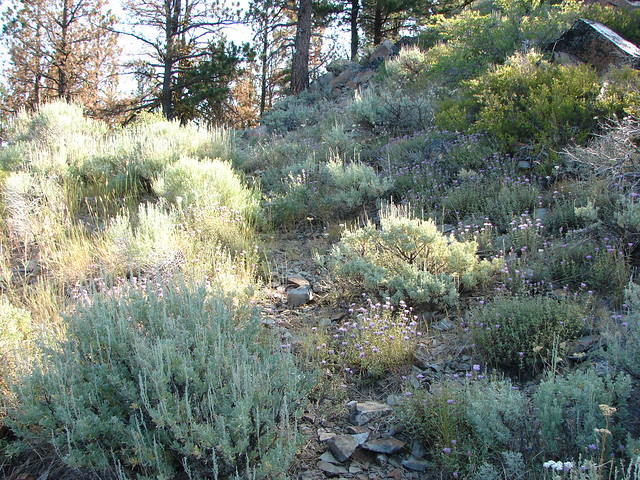
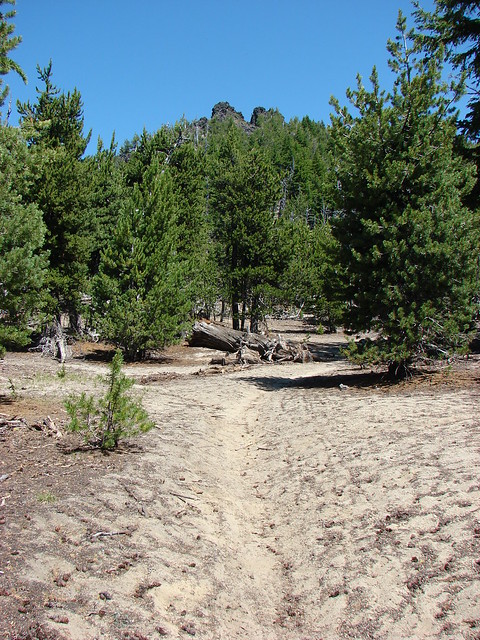
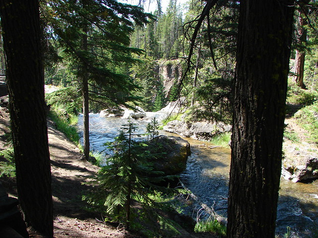
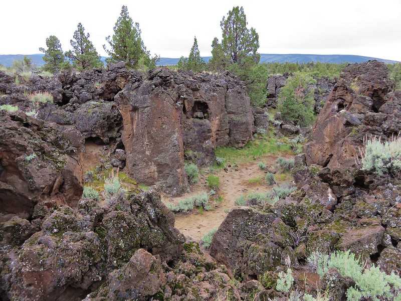
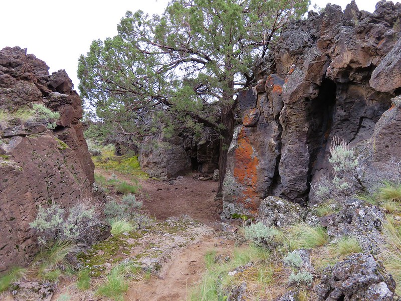
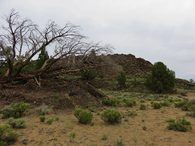
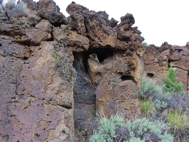
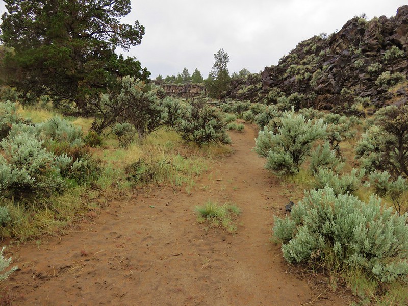
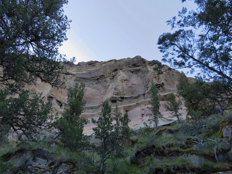
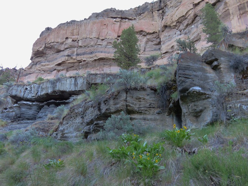
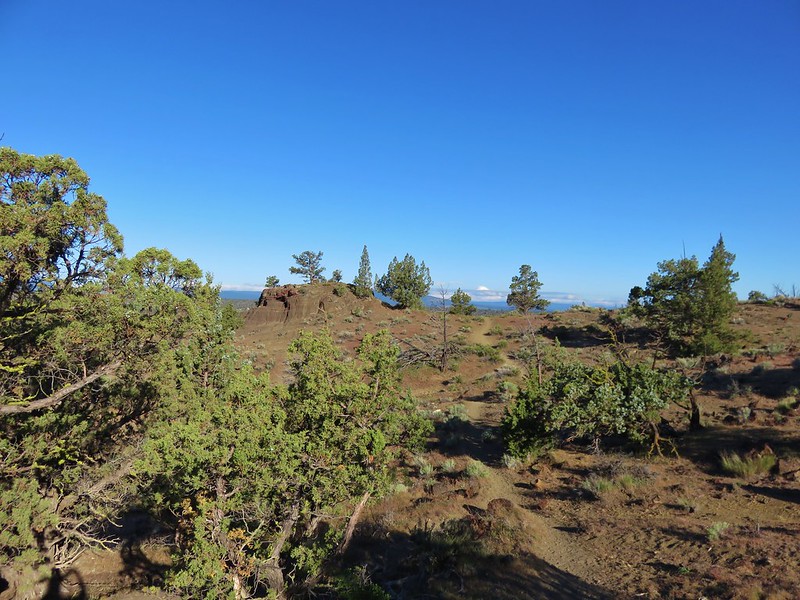
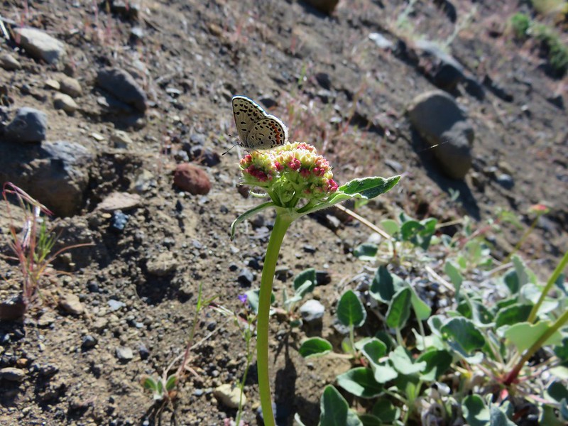
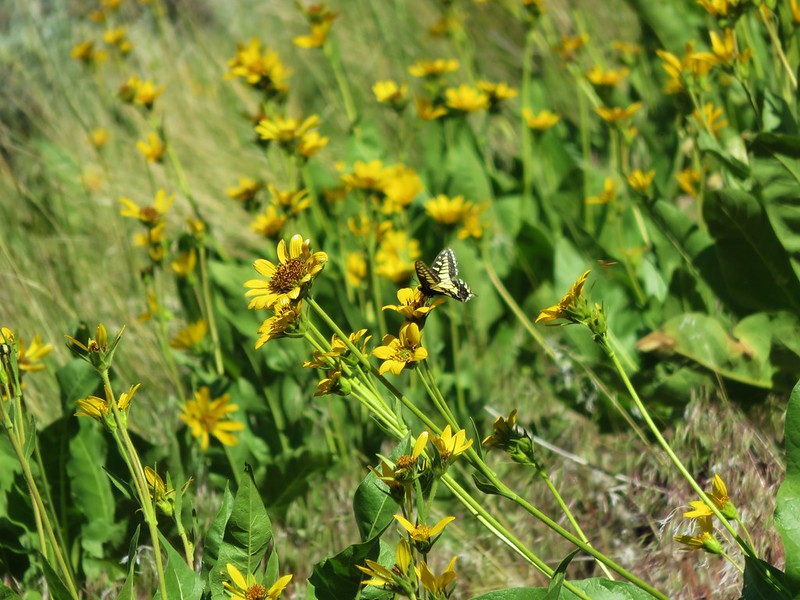
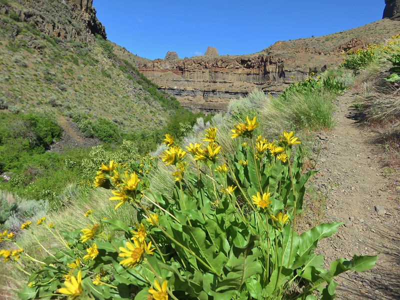
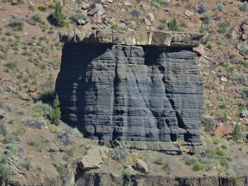
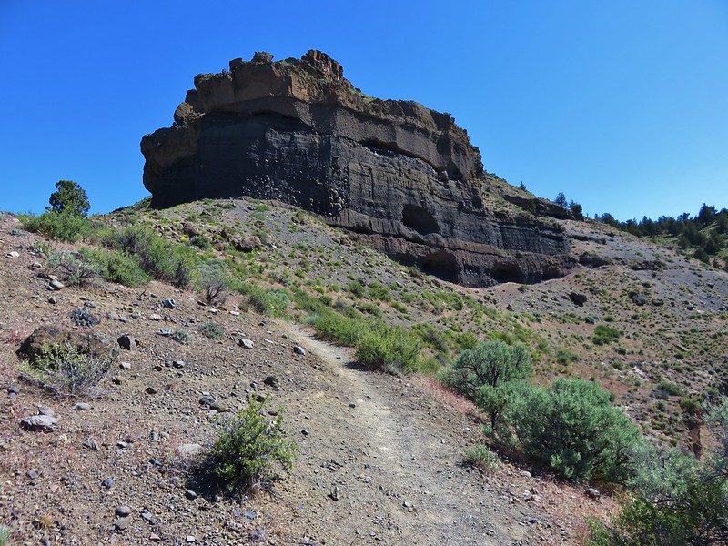
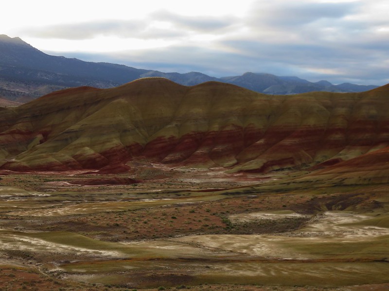
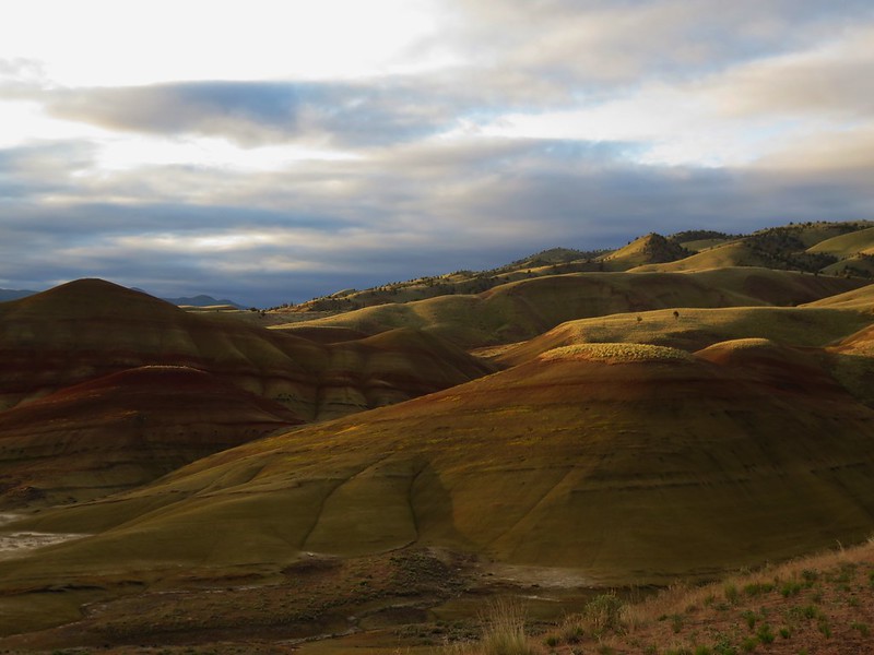
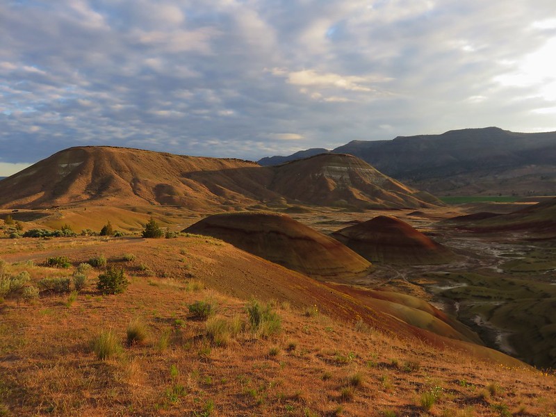
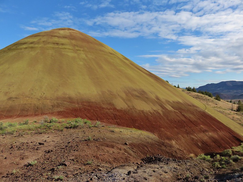
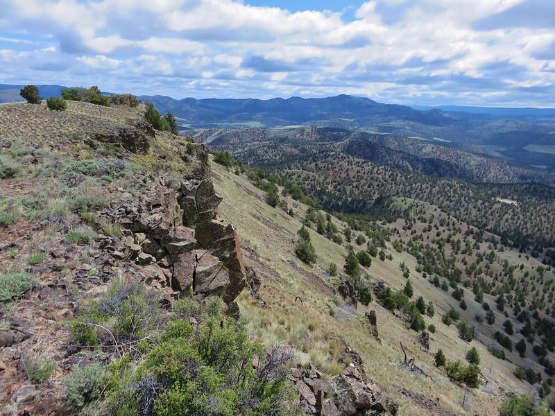
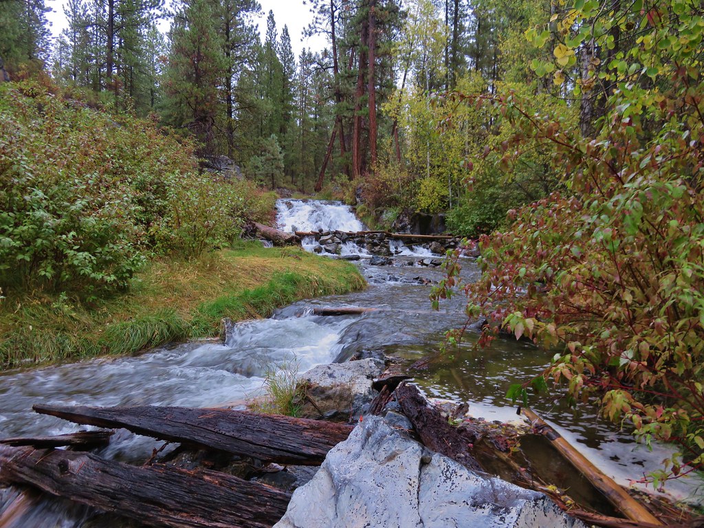
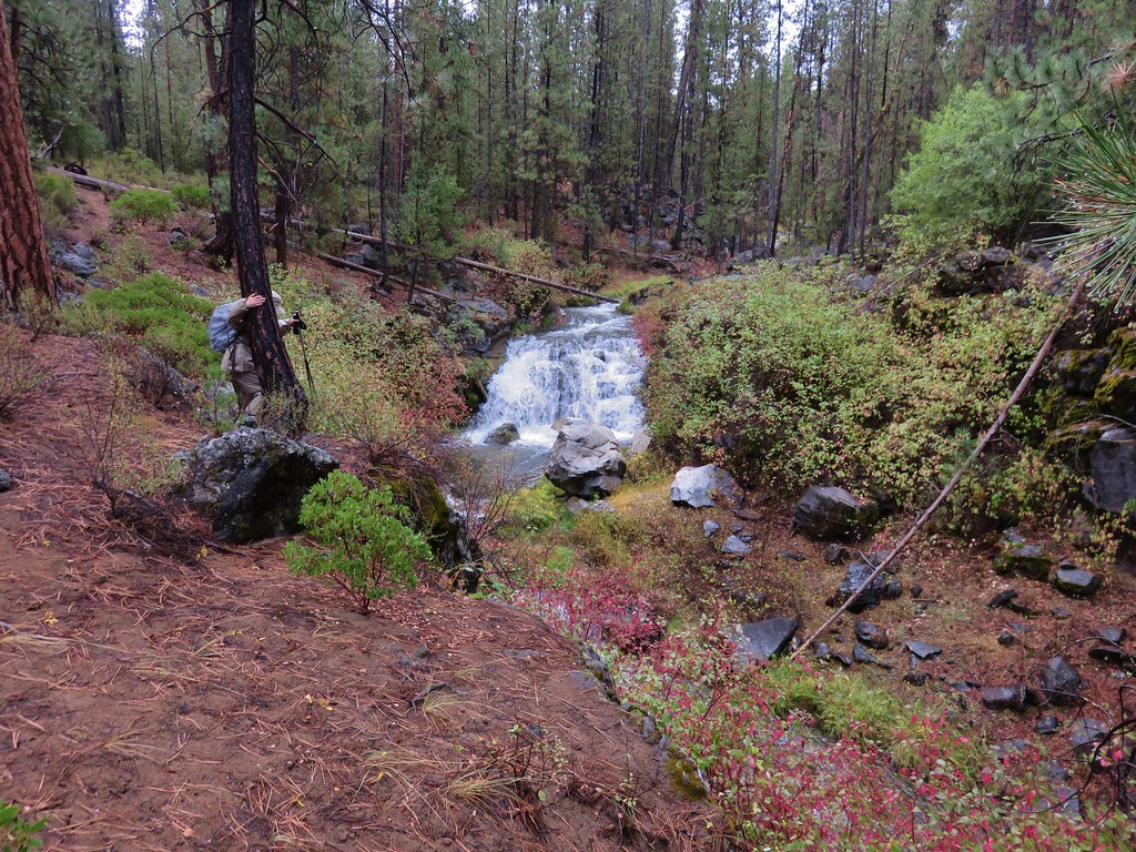
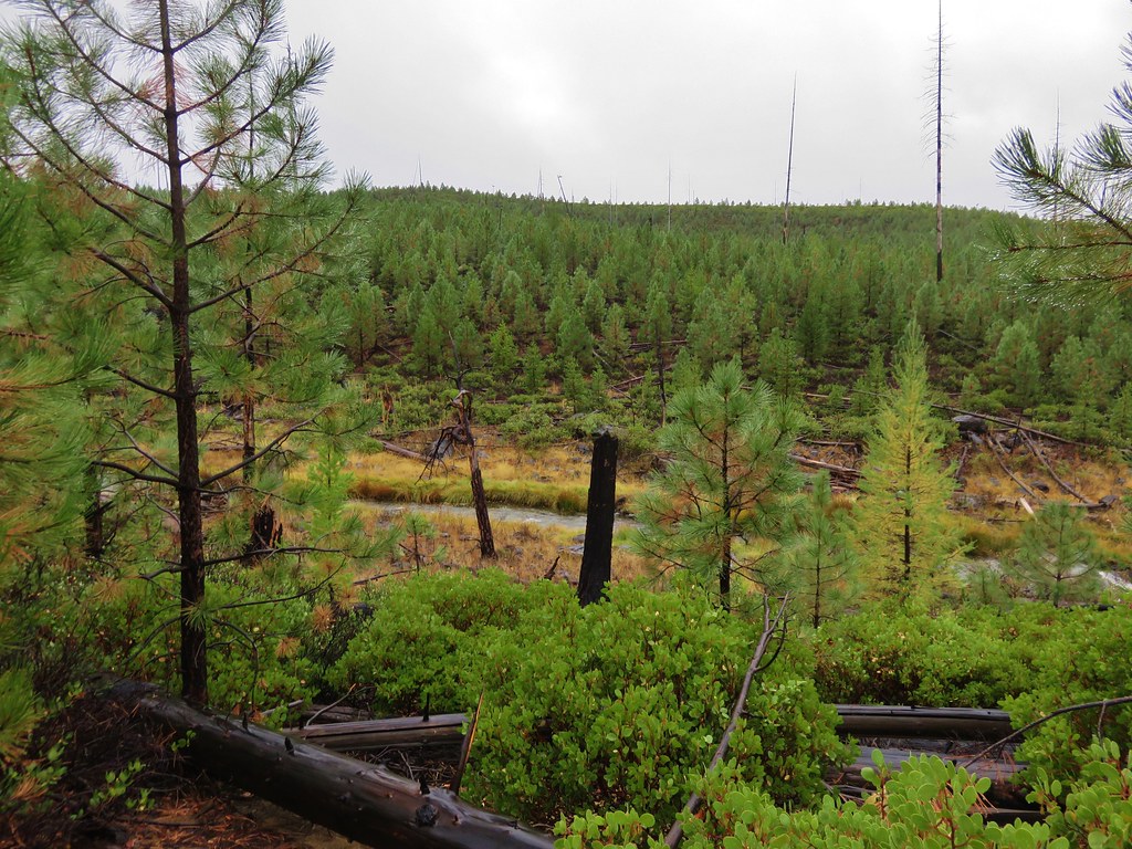
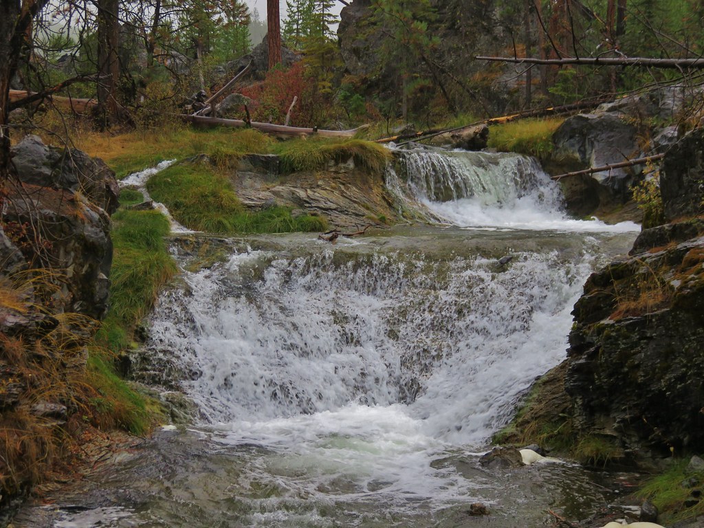
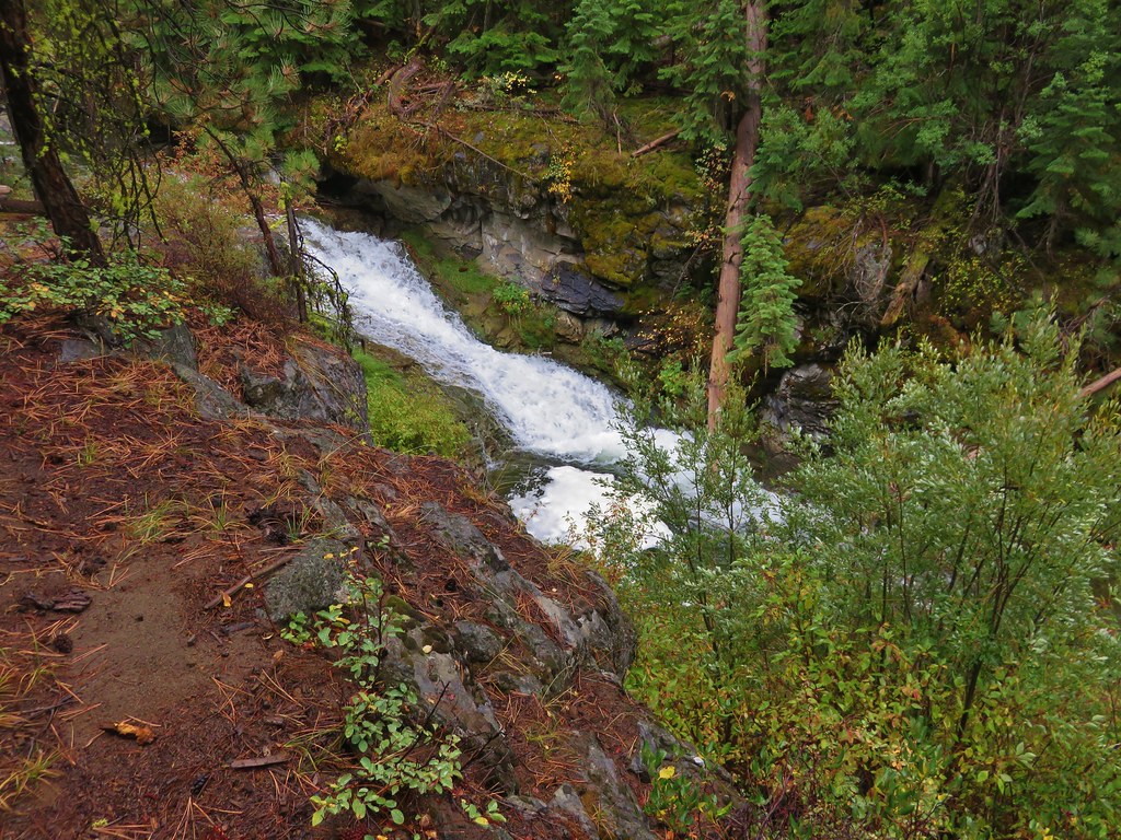
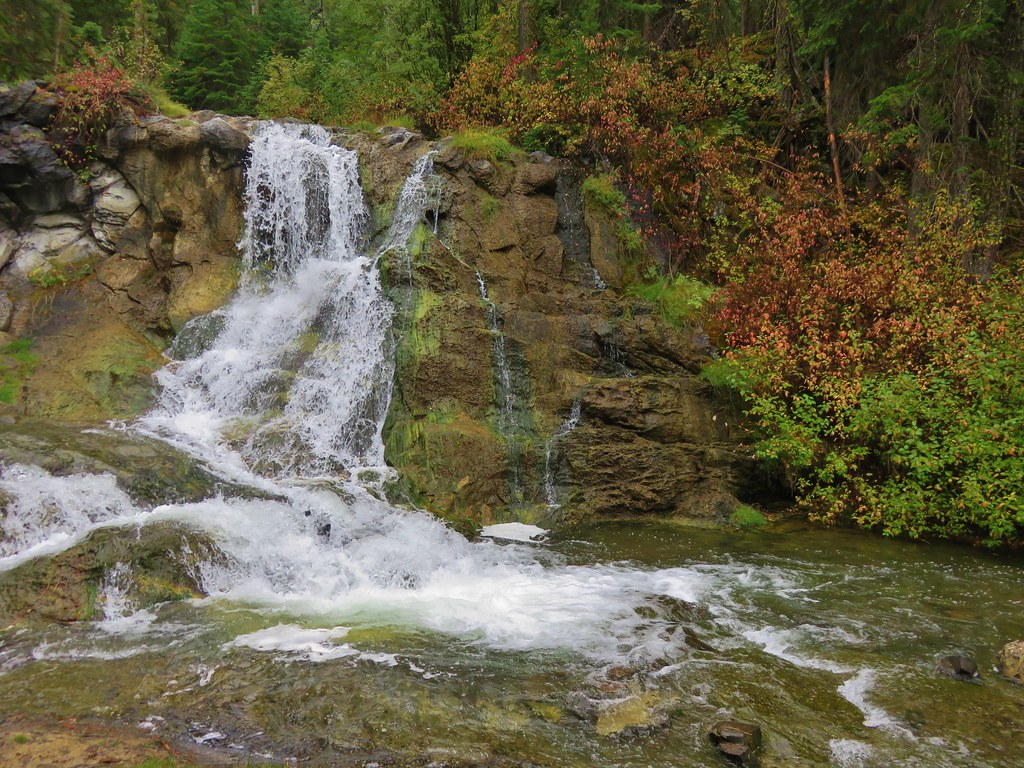
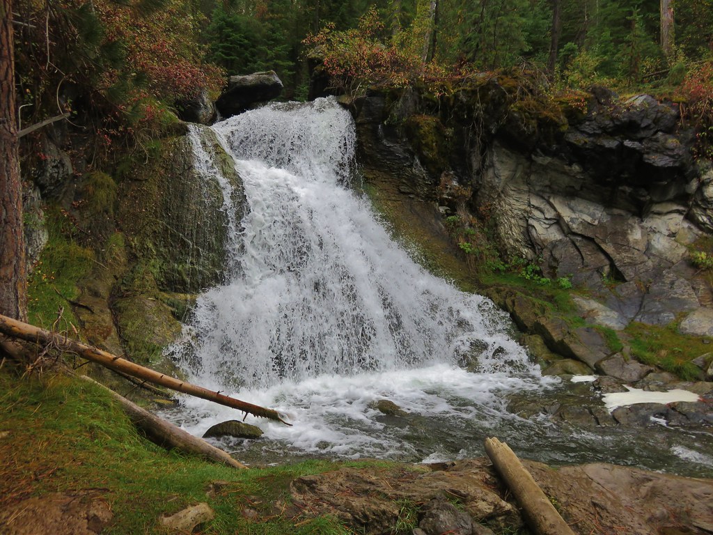
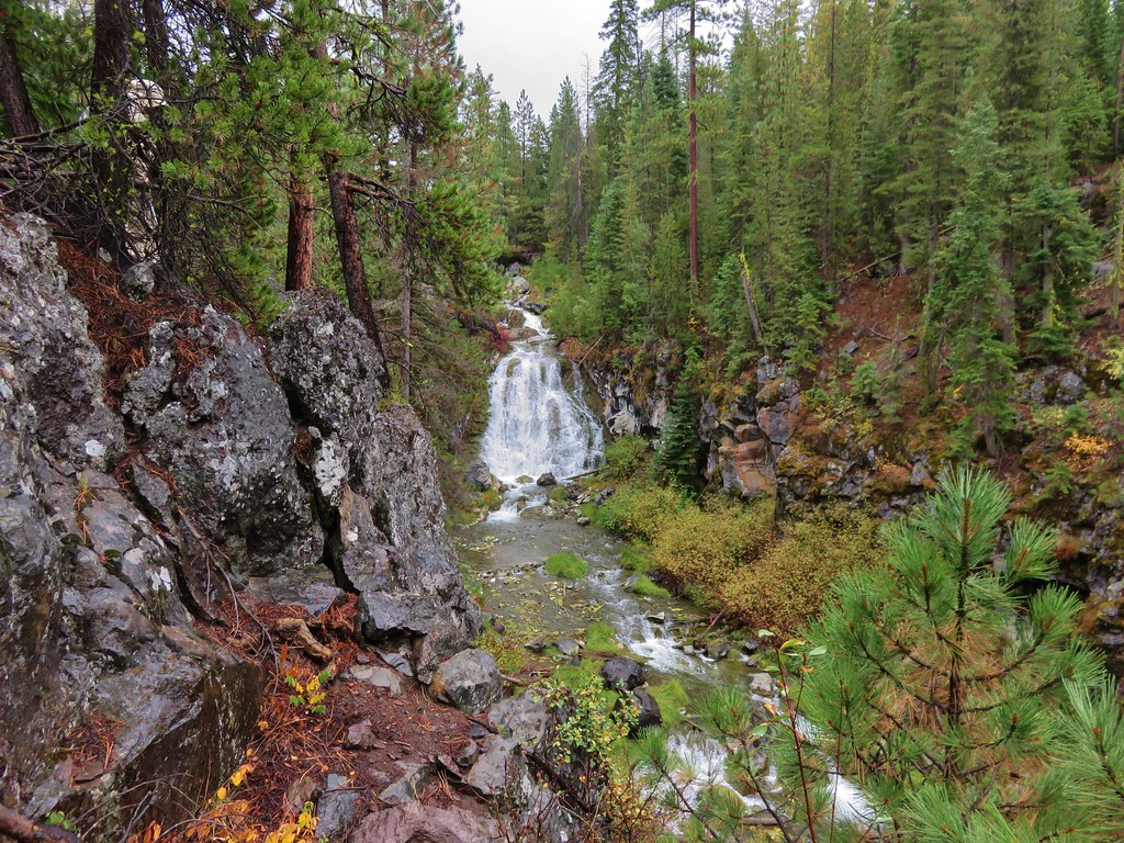
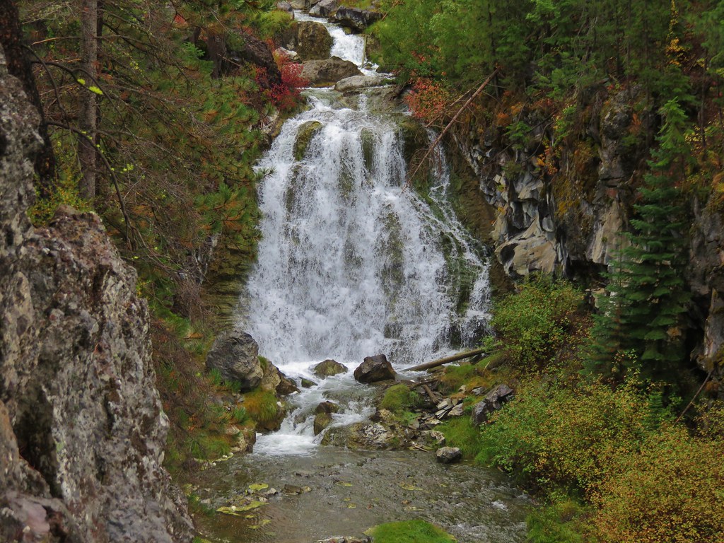
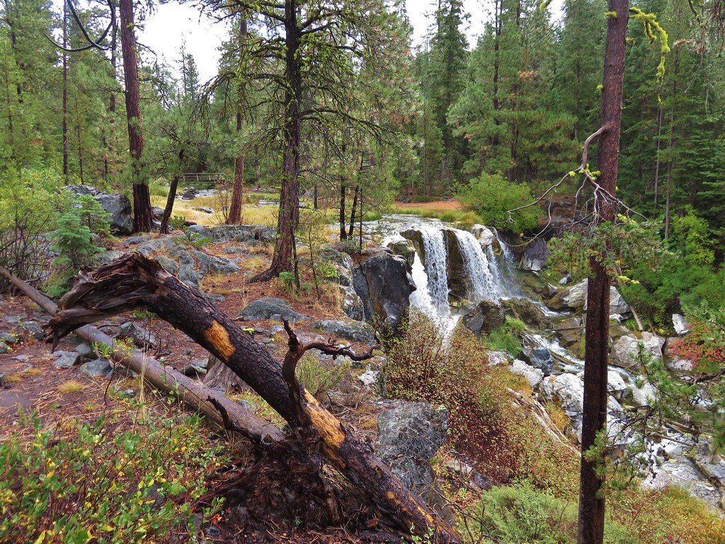
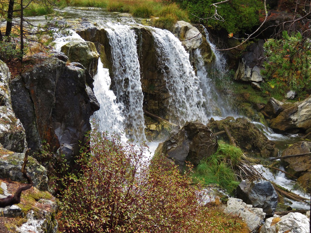
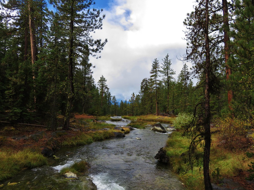
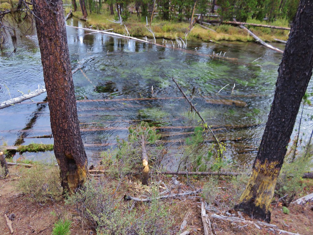
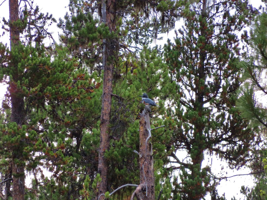
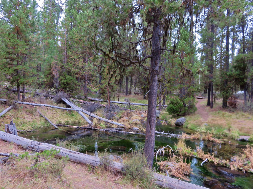
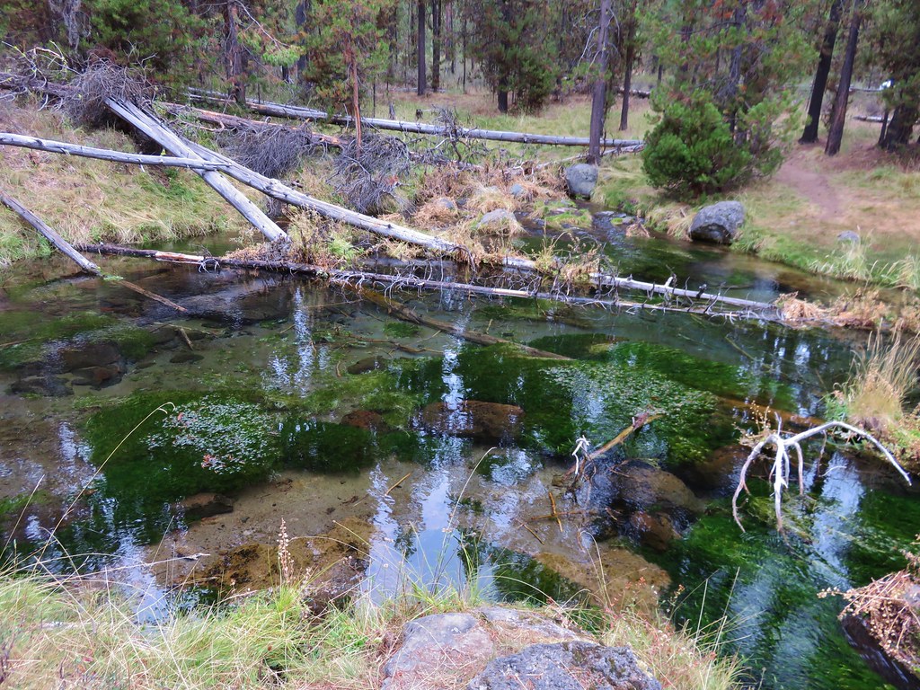
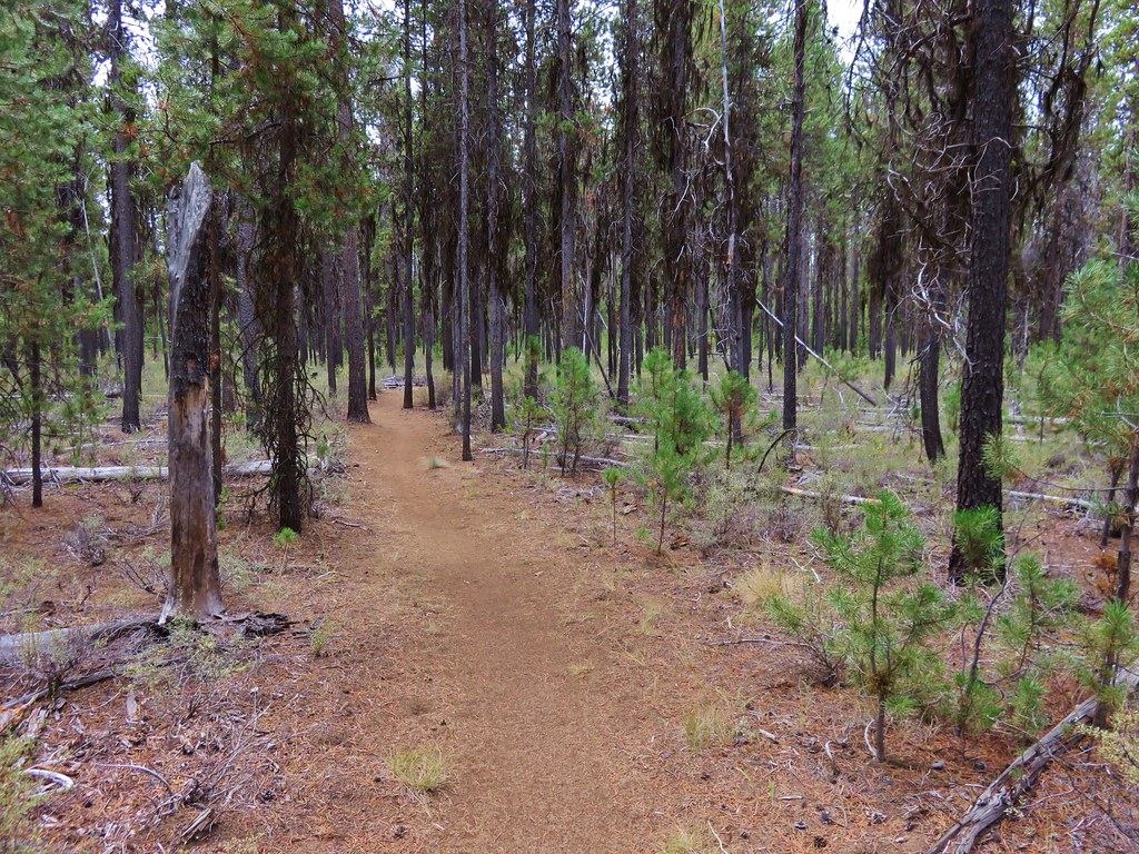
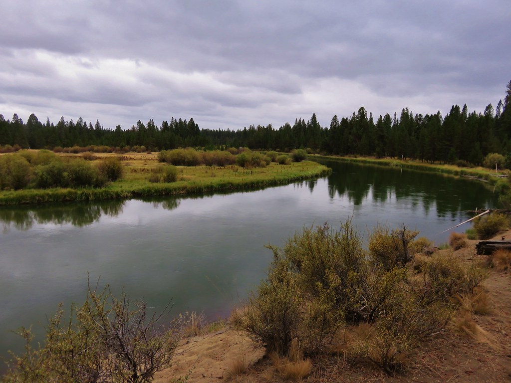
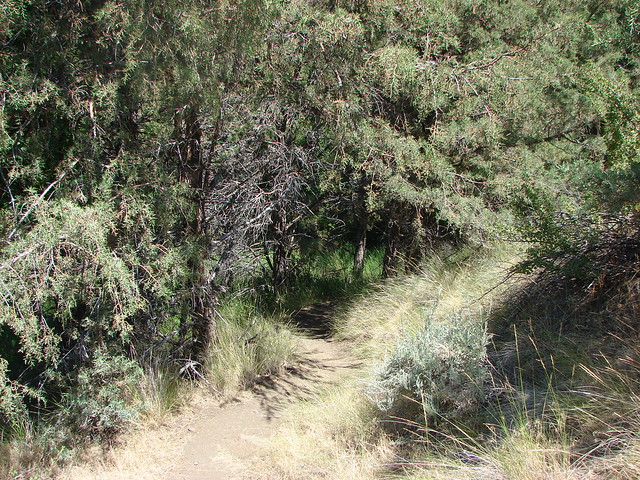
We then returned to the Alder Springs Trail and followed it 1.2 miles to Alder Springs. This section of trail provided some nice views of the canyon before descending to the creek.


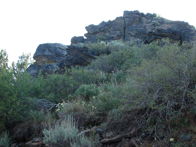
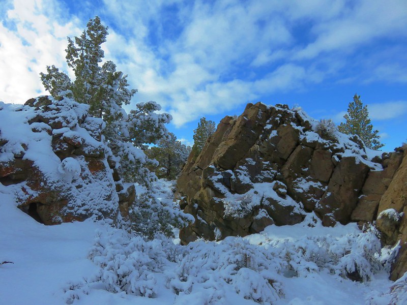
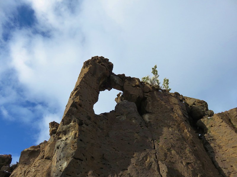
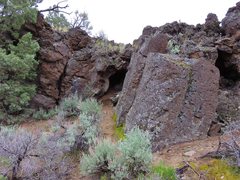
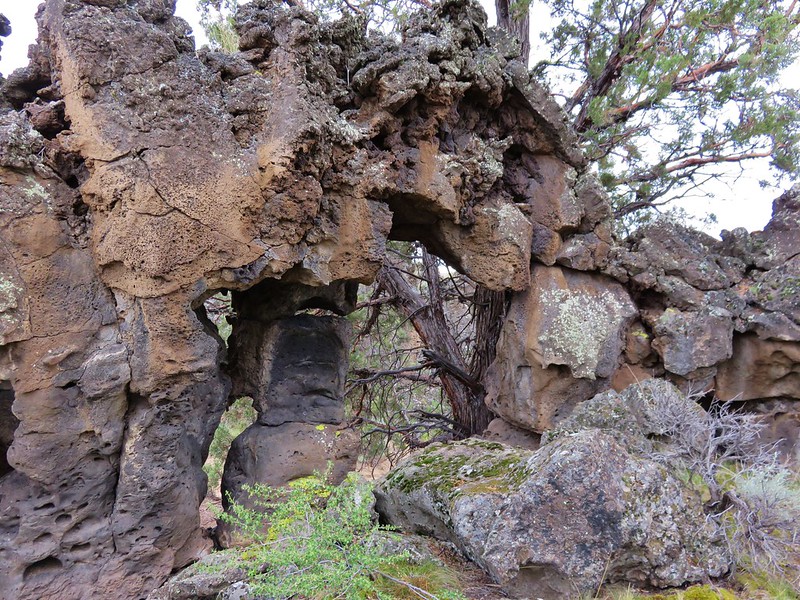
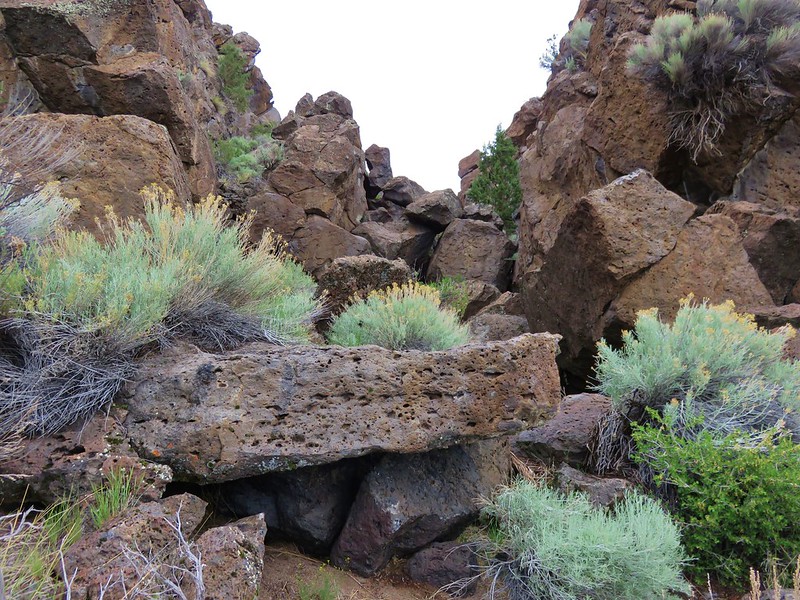
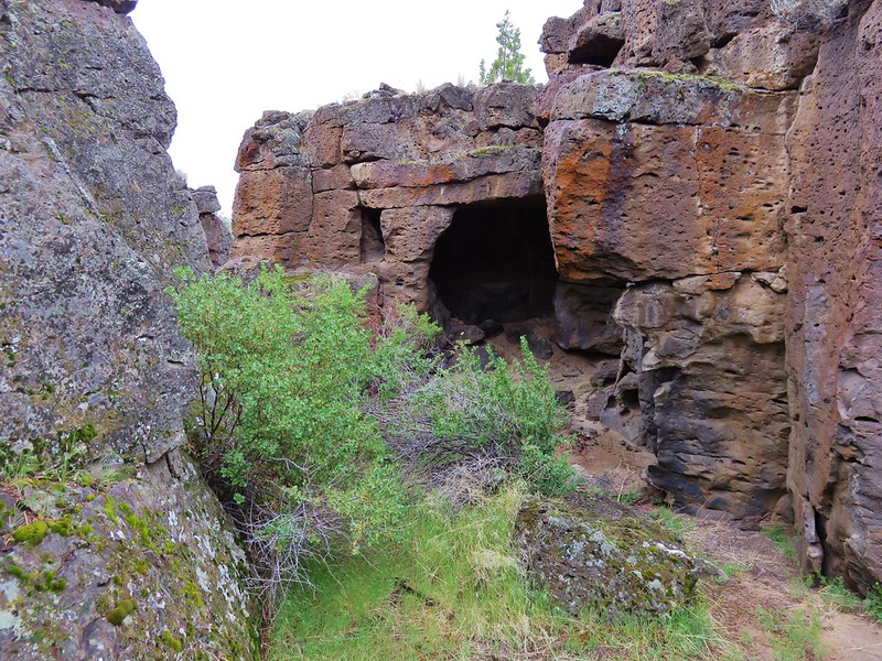
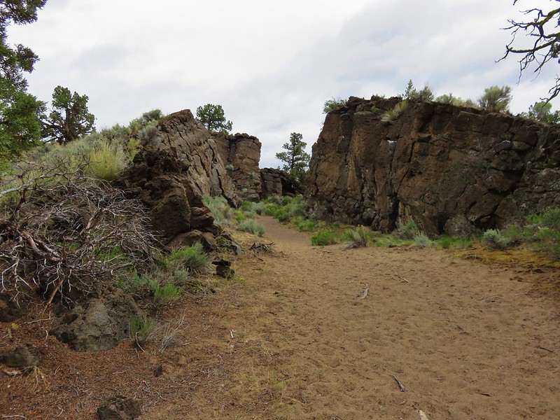
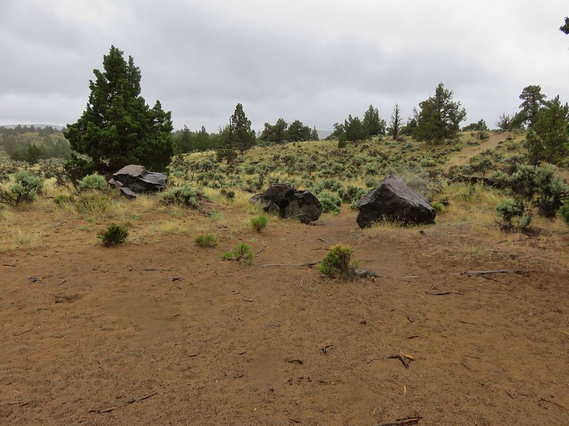
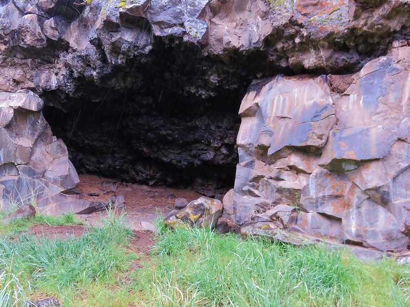
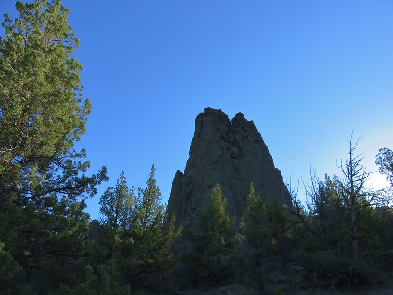
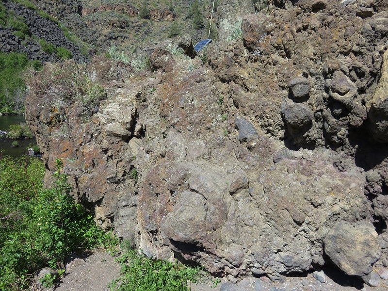
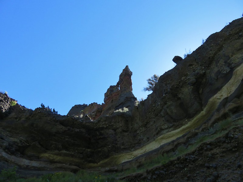
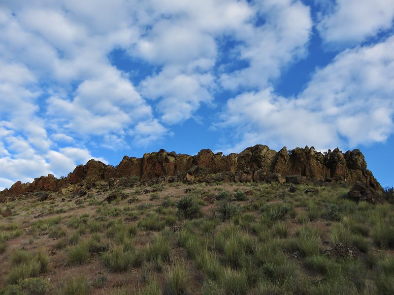
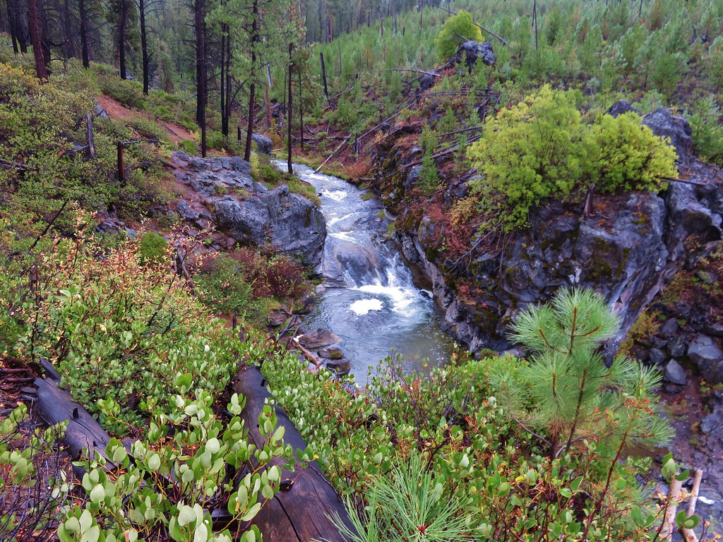
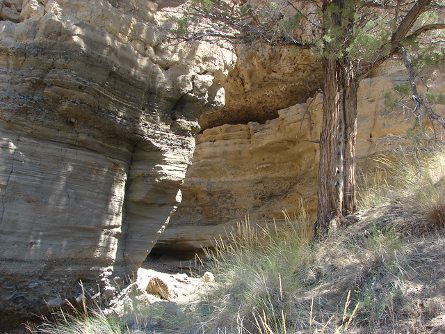
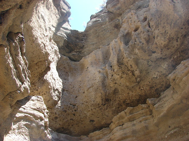
A short narrow slot in the canyon wall was a neat little detour along the way.
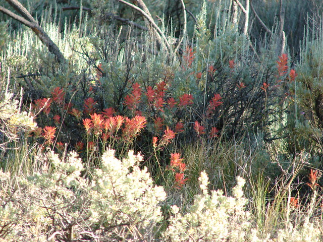
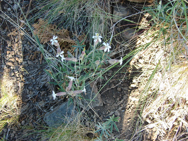
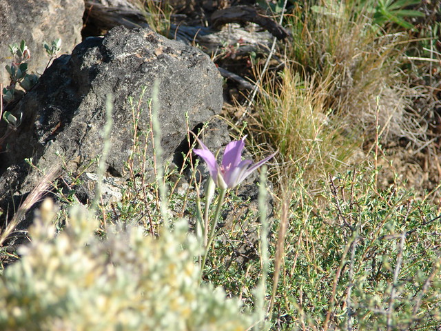
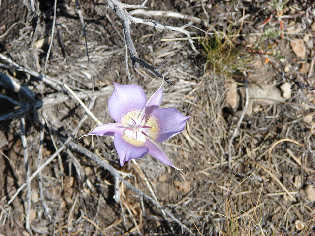
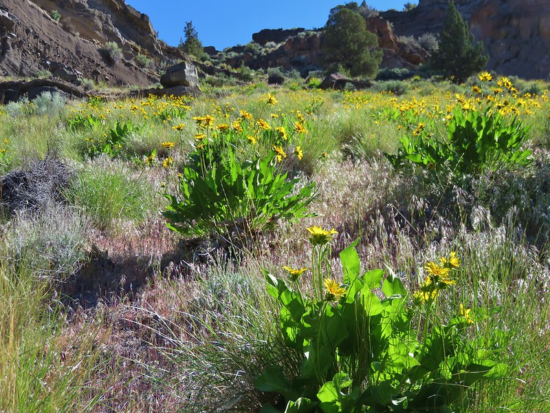
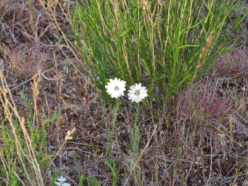
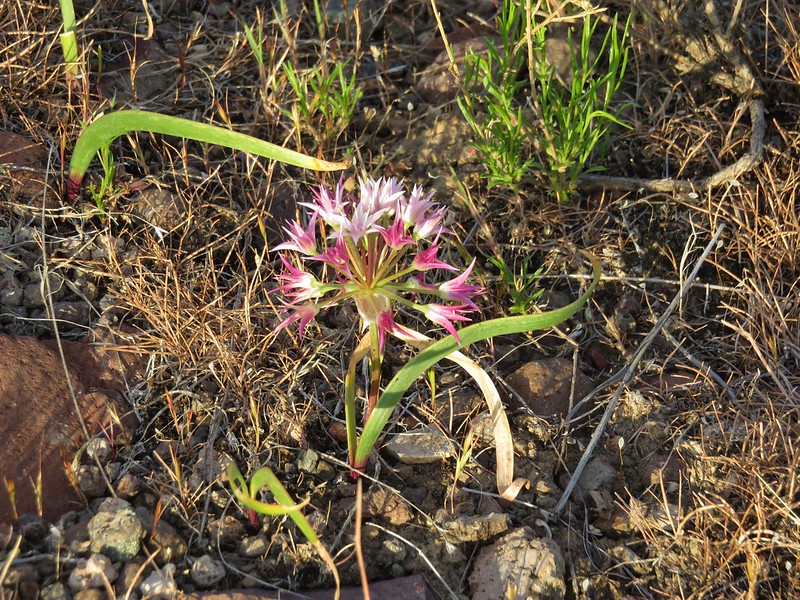
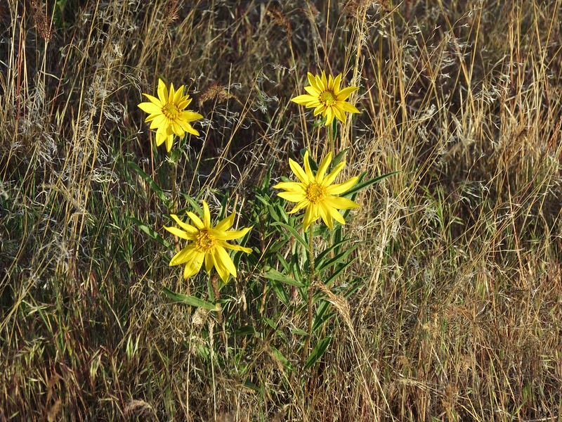
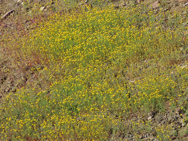
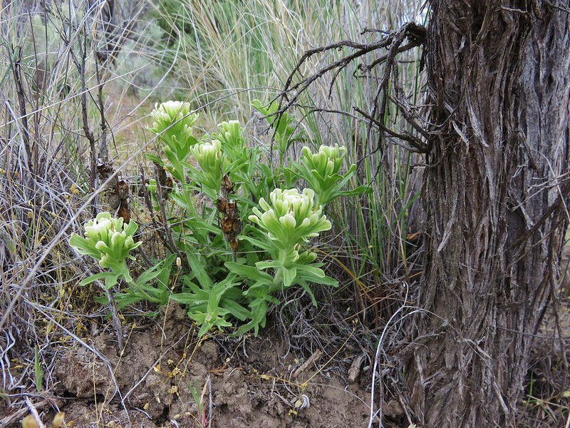
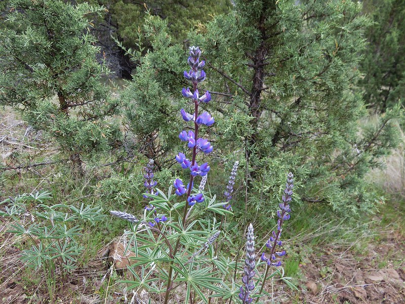
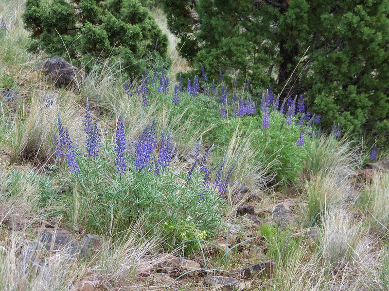
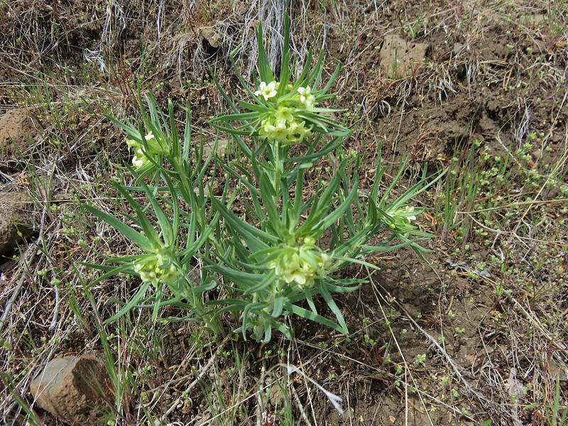
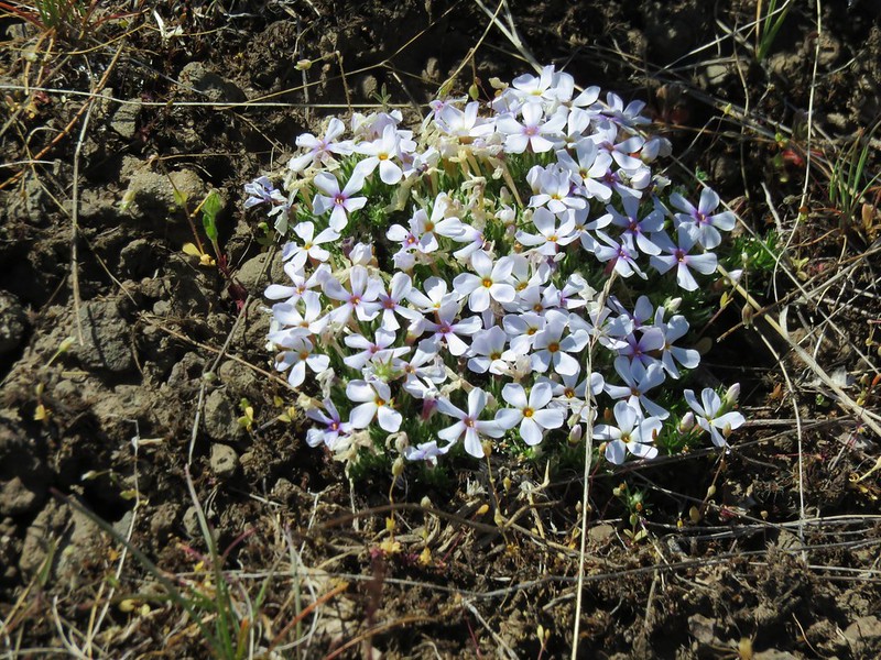
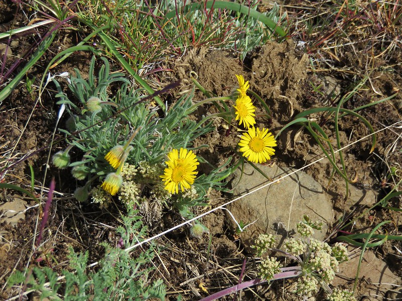
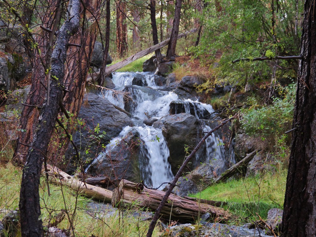
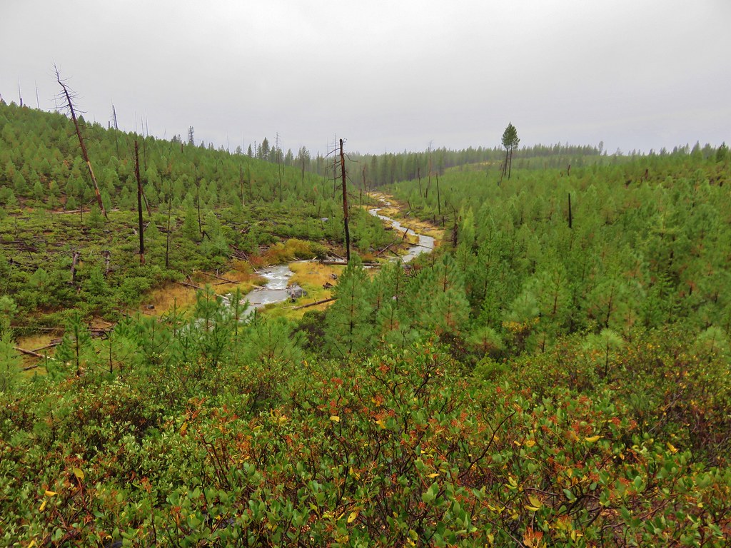
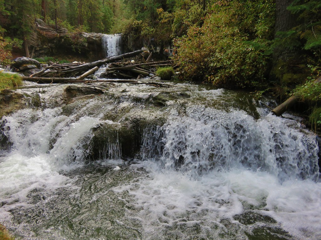
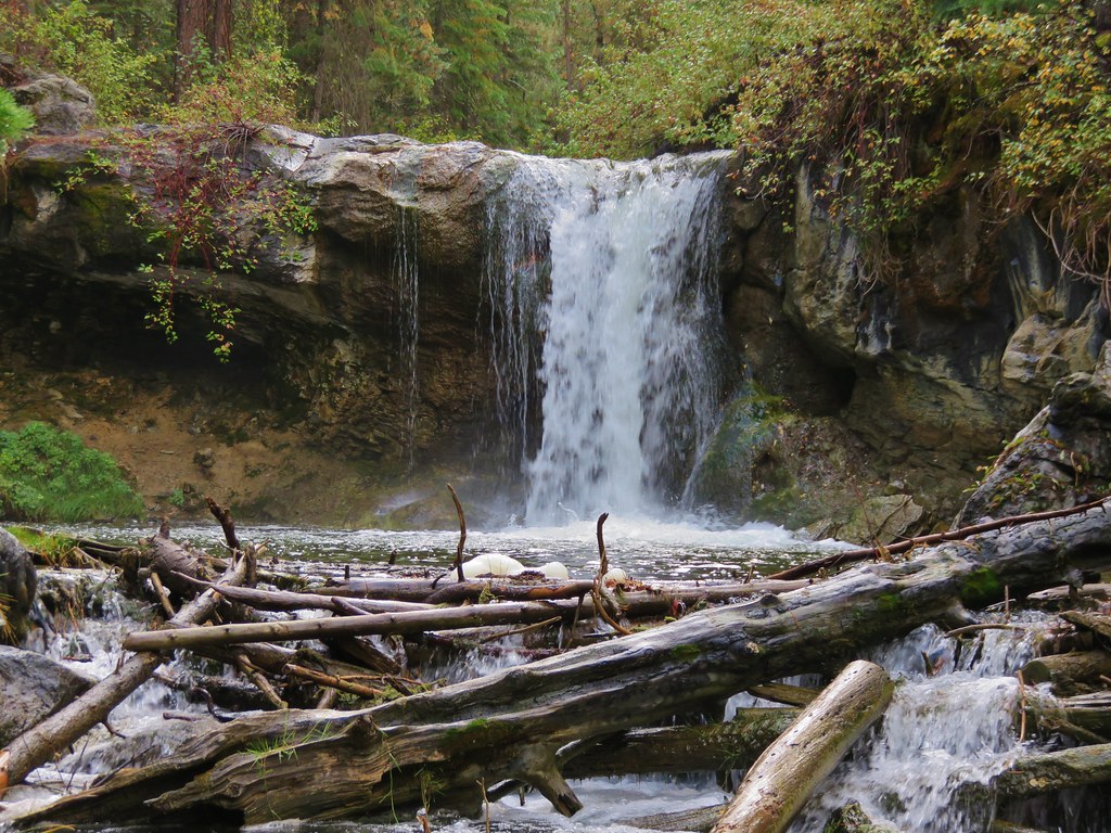
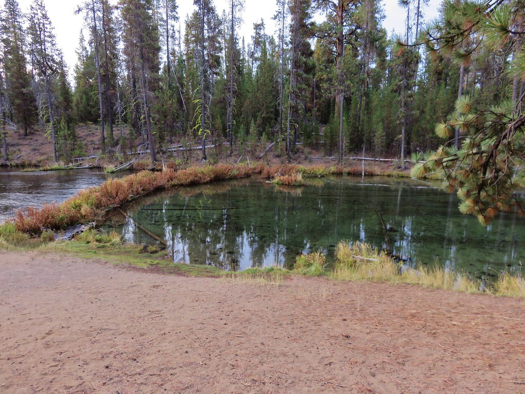
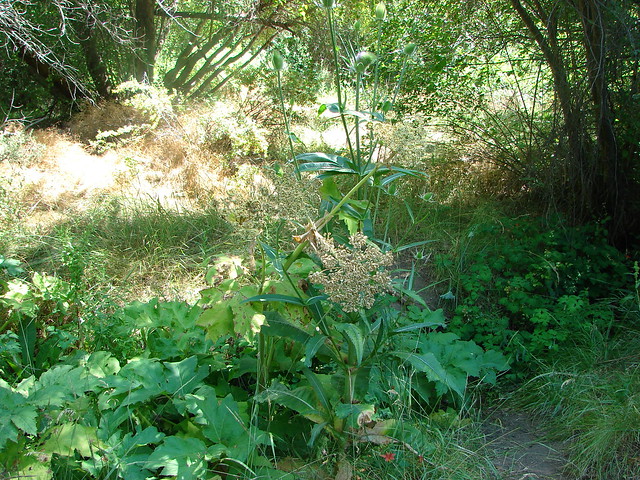
The scenery became a little greener as the trail dropped to creek level and neared Alder Springs.

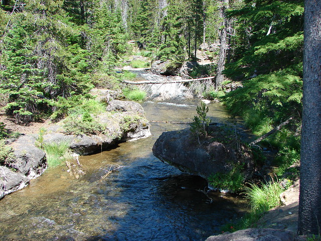
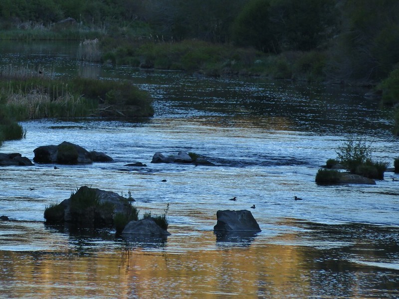
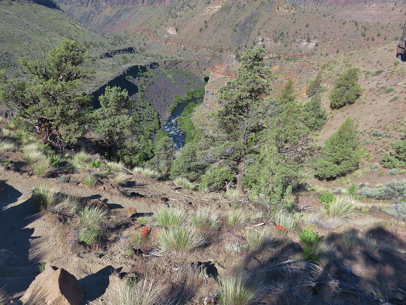
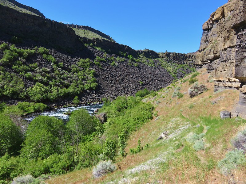
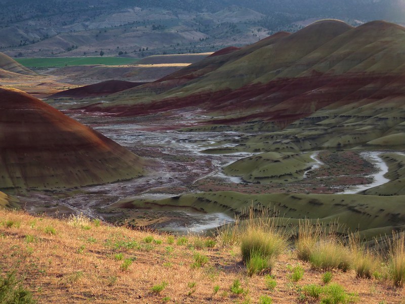
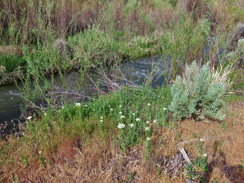
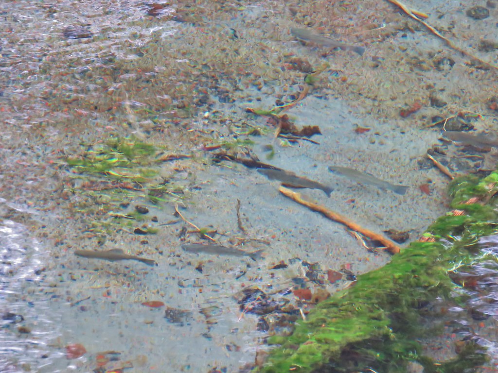
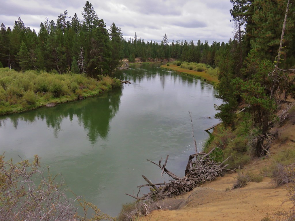
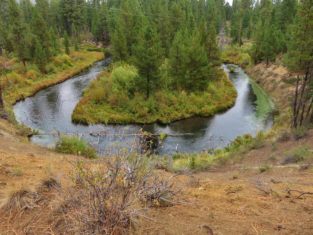
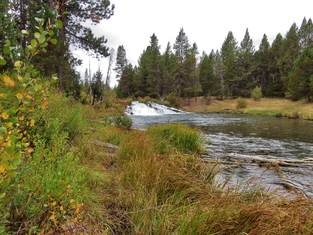
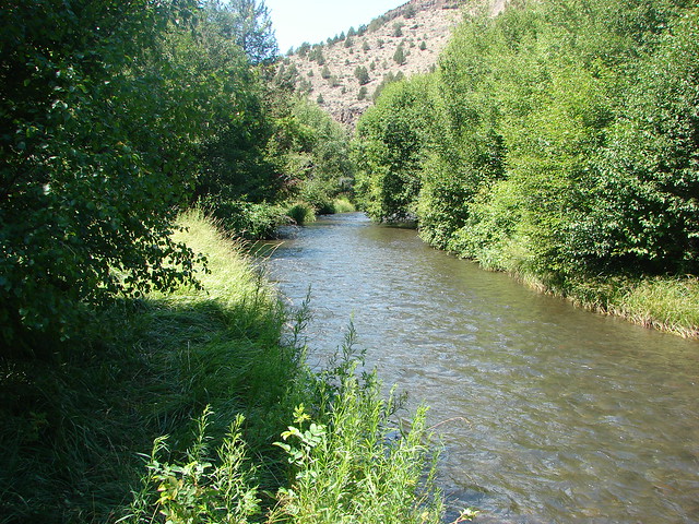
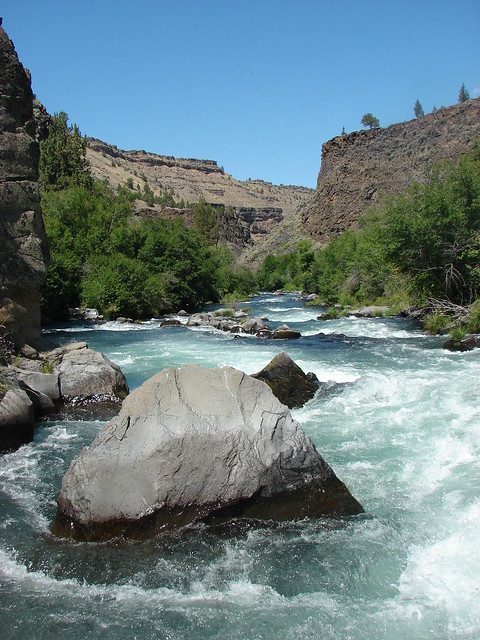
We faced a choice here, turn back or ford the creek and continue a little over a mile and a half to the Deschutes River at its confluence with Wychus Creek. It was too nice a day and the scenery was too good to turn back so we forded the shin deep creek. Downstream the creek seemed to flow right into the canyon wall.
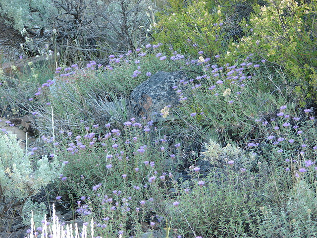
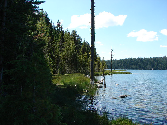
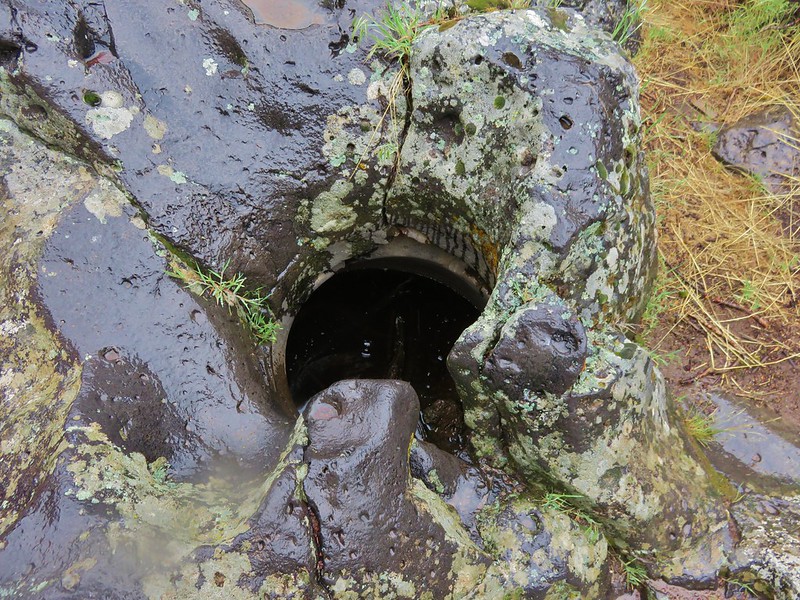
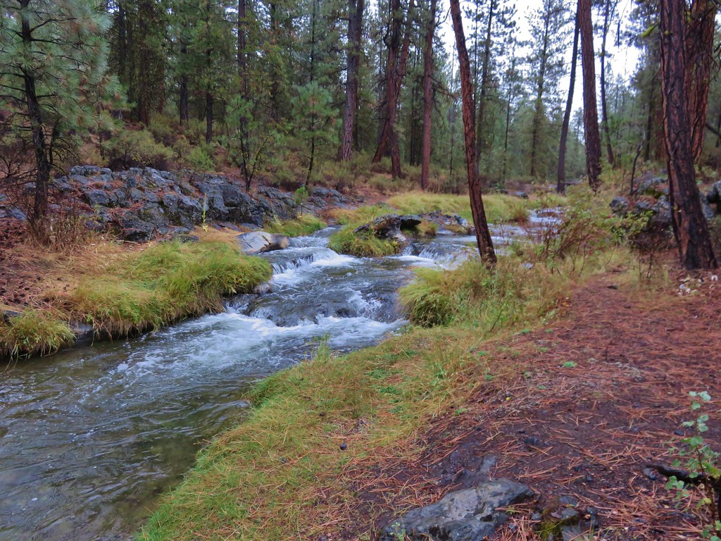
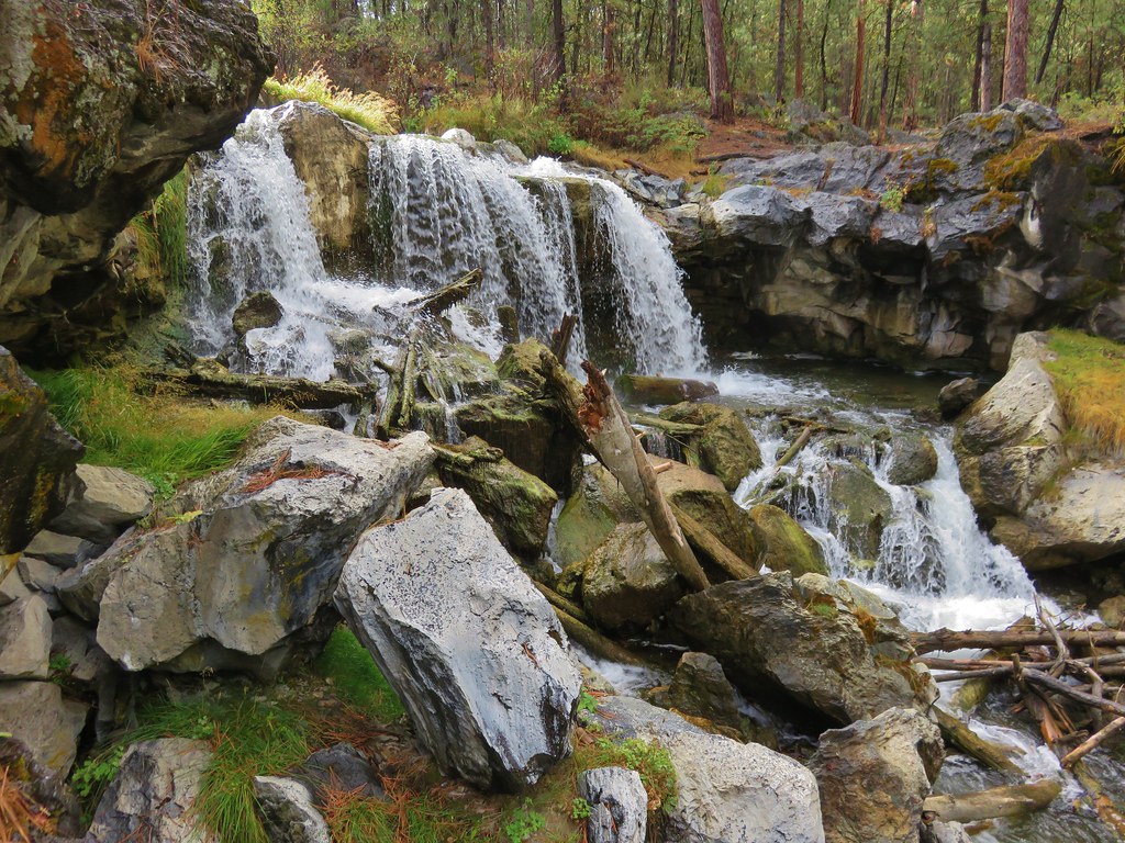
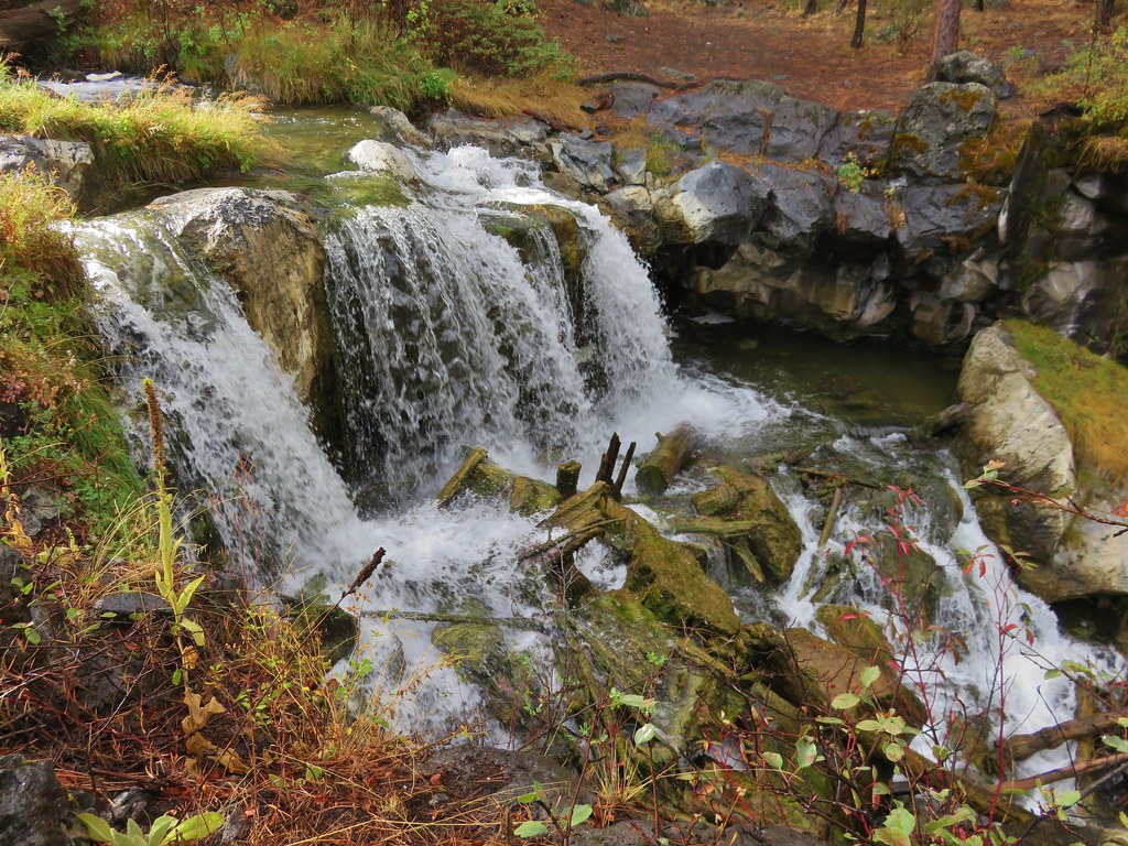
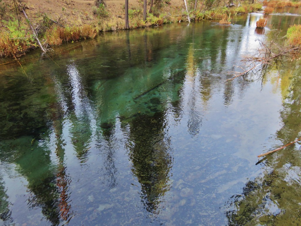
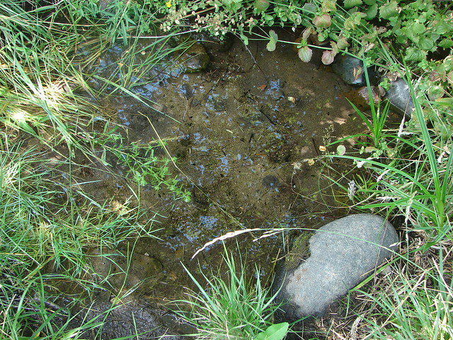
Springs bubbled up in several spots joining the waters of Wychus Creek along the far bank.
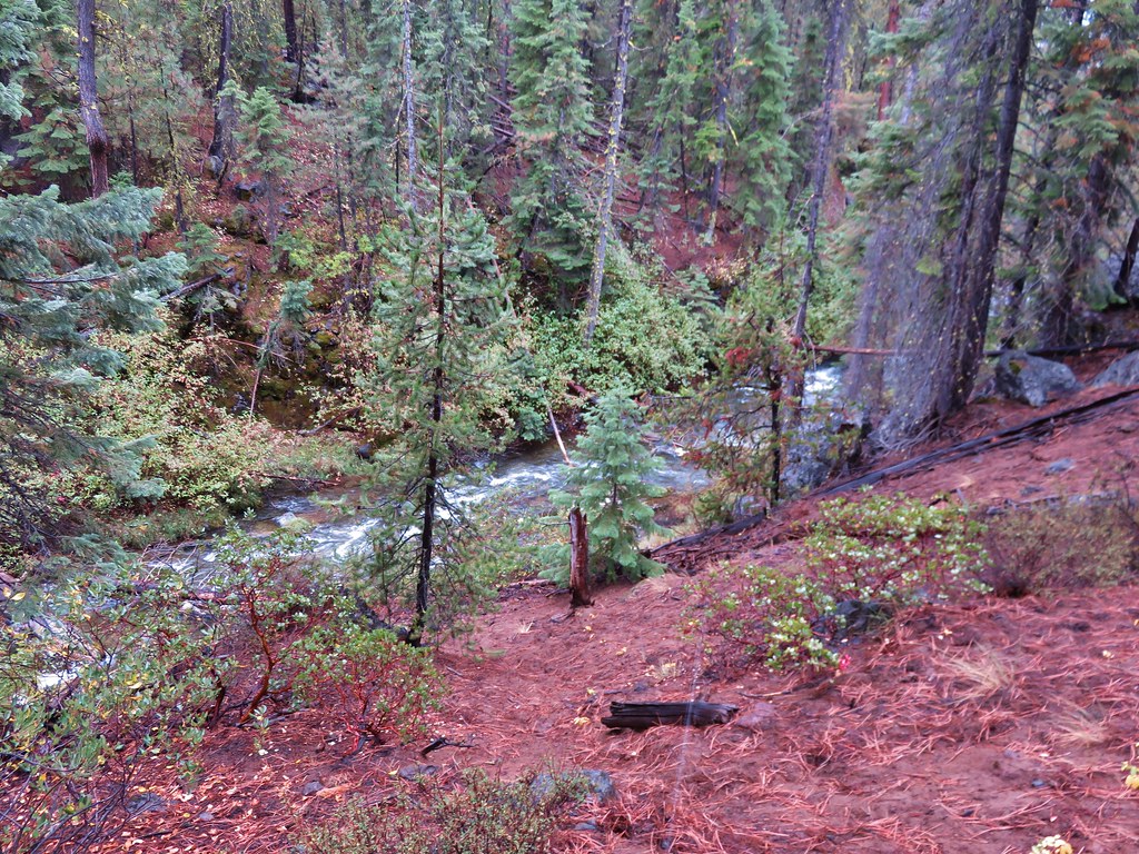
Beyond the springs the trail stuck fairly close to the creek as it met the canyon wall and turned north.

Soon we were once again traversing the hillside a bit above the creek due to the thick vegetation along the creeks banks.
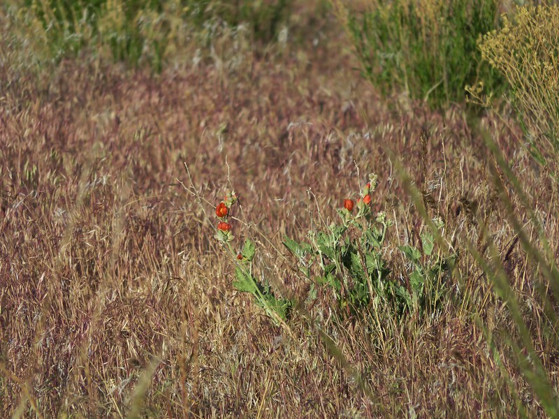
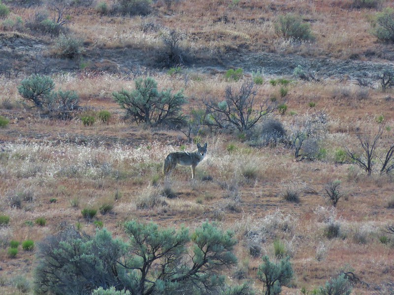
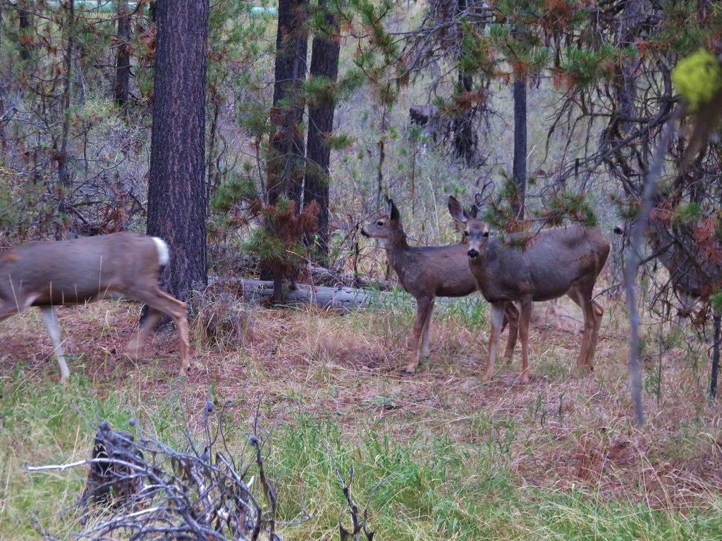
At one point the trail split with the right hand fork dropping down near to the creek in a thistle filled meadow. We took this path thinking it would be fun to be in the thistle and closer to the creek but as we made our way into the meadow the a distinctive sound of a rattle rose up.

We slowed up and realized that there were at least two maybe three alarms being raised from different sides. We proceeded slowly making plenty of noise ourselves keeping our trekking poles ahead to give any snakes plenty of time to leave the area. We never saw any but they made plenty of noise. On the way back we skipped the meadow and stayed on the path that passed higher up the hillside.
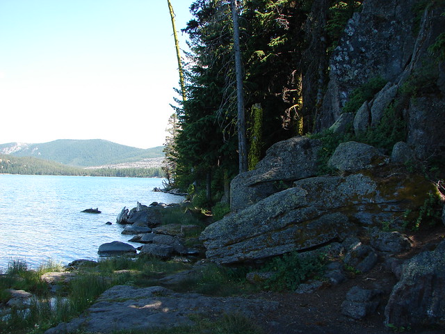
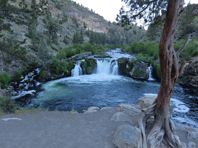
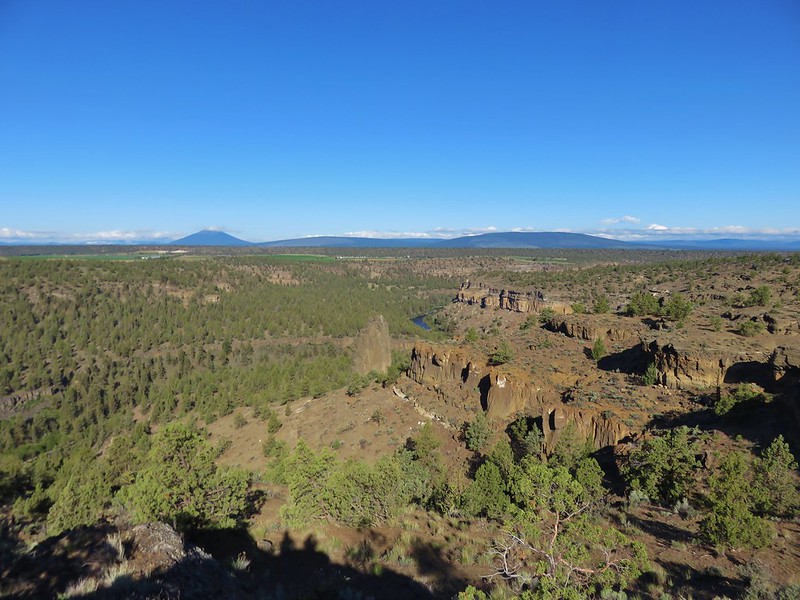
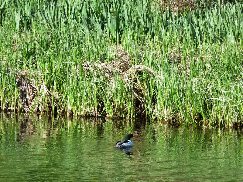
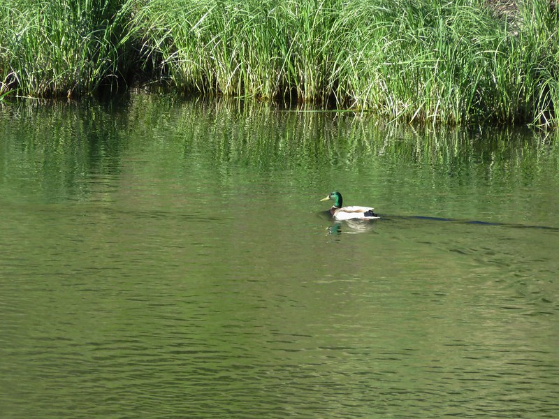
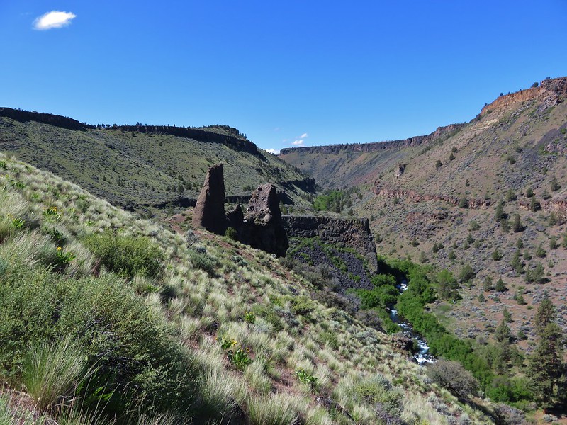
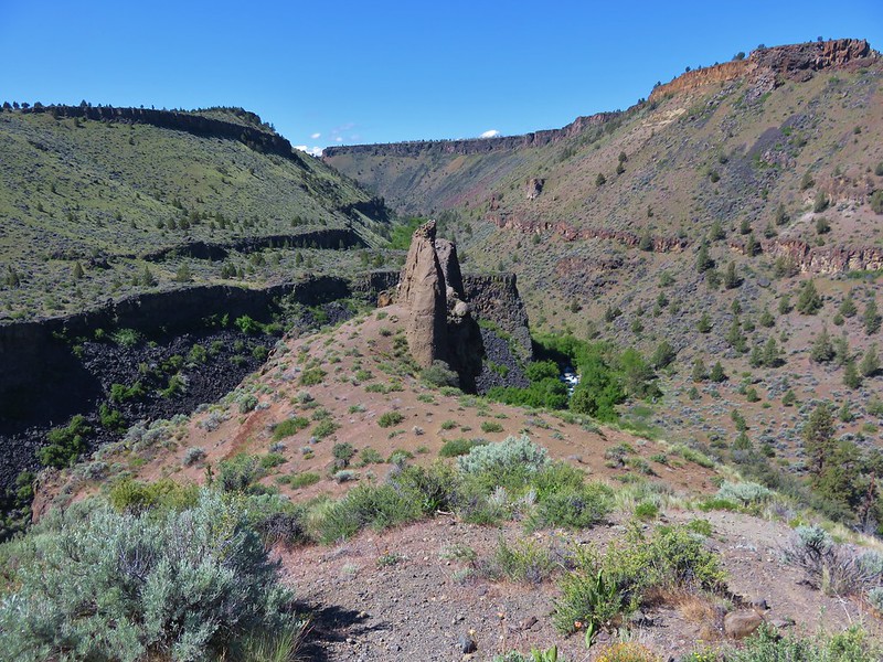
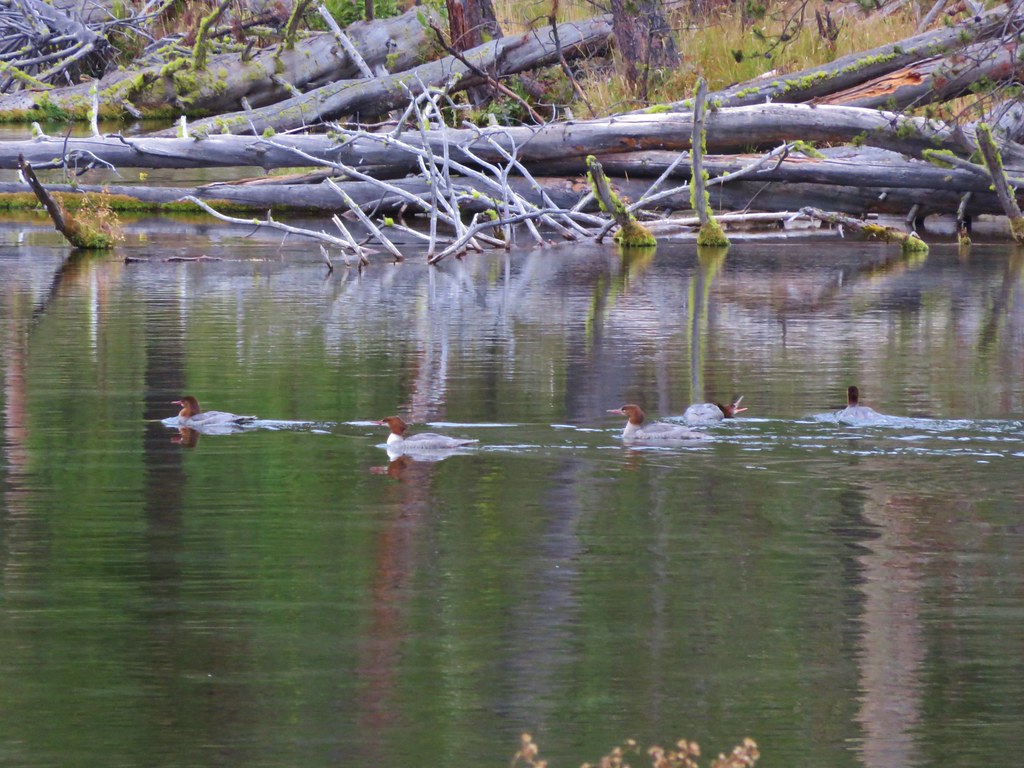
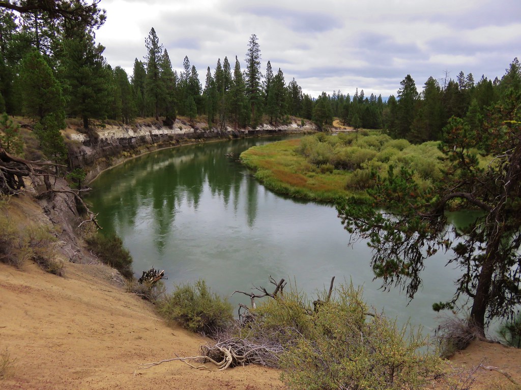
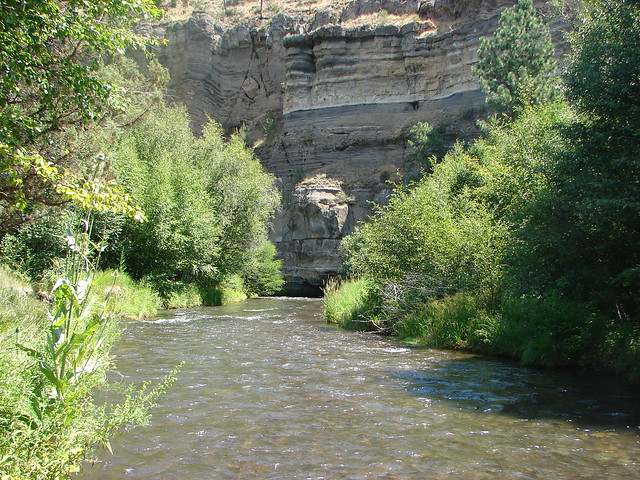
We continued on, now on high alert, to the confluence of the river and creek. On the far side of the water rose a spectacular striped rock fin.
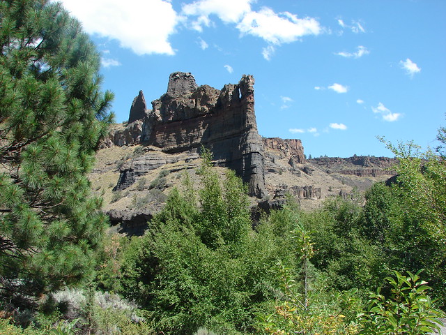
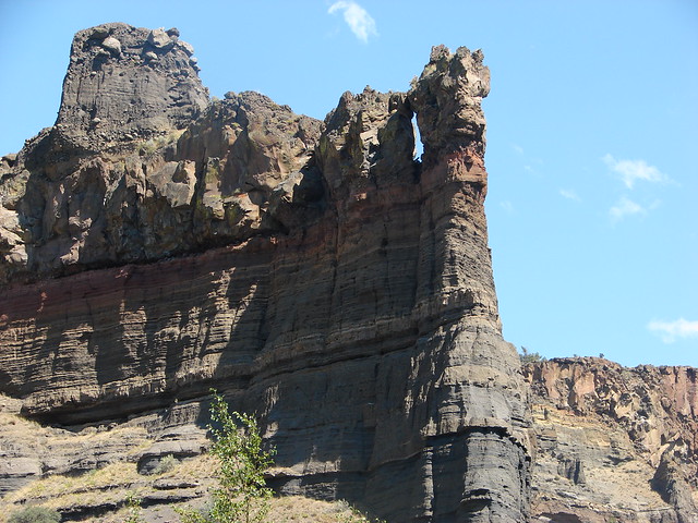
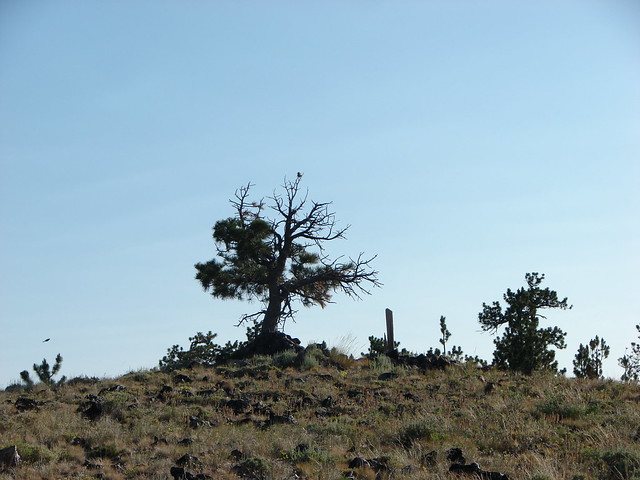
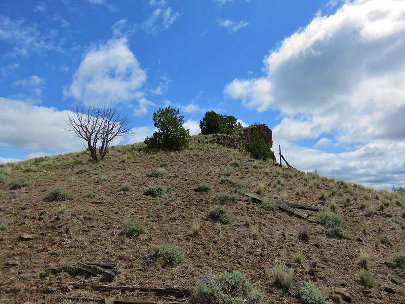
A sign on a ponderosa announced the end of the maintained trail.

A rock ledge along the Deschutes River provided a perfect lunch spot across from the fin where we could watch the river as it headed further down the canyon.


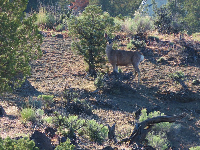
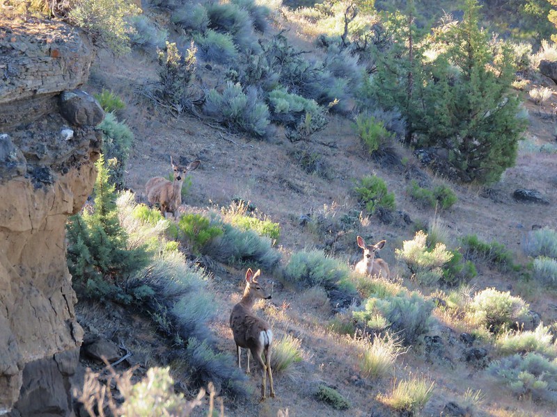
Having arrived at this spot from the Alder Springs Trailhead gave this spot a real feeling of remoteness. The fact that we hadn’t seen any other hikers since the parking area and having to ford the creek added to the sensation of solitude. In actuality the homes of Crooked River Ranch were not far away on the other side of the river and the Scout Camp Trail loops around the fin that seems so remote.
The Alder Springs Hike was a little over 6 miles round trip with about 650′ of elevation gain.
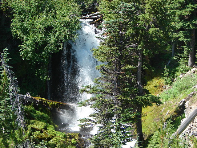
The experience at Benson Lake was a key motivating factor in our decision to make getting a GPS unit before the 2012 hiking season a top priority. It also reminded us that we needed to improve our map and navigational skills which we began to focus more on. Happy Trails!
Flickr: Benson Lake & Alder Springs