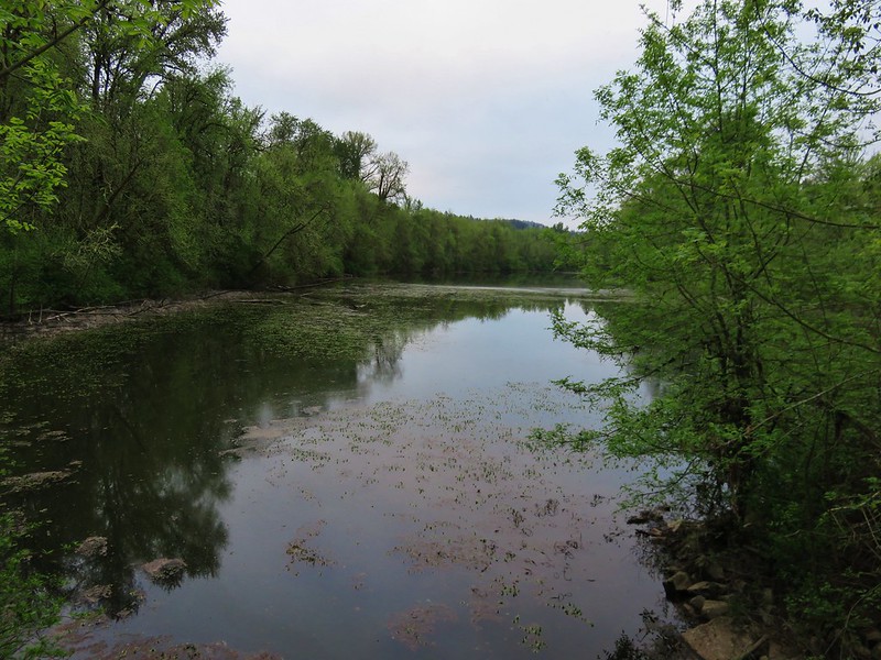
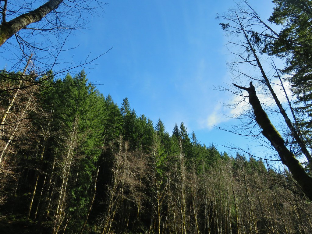
A cloudy forecast with a chance for showers and a weekday off during the school year provided the perfect combination to visit Henry Haag Lake. The man made lake is located in the eastern foothills of the Coastal Range near Forest Grove and would be our 92nd featured hike from Sullivan’s Oregon Coast & Coast Range guidebook. The lake tends to be crowded during the summer and on weekends from Spring to Fall. Additionally the trail around the lake reportedly gets very slick and muddy during the wet seasons so a mid-September visit seemed like a good time to minimize encountering those conditions.
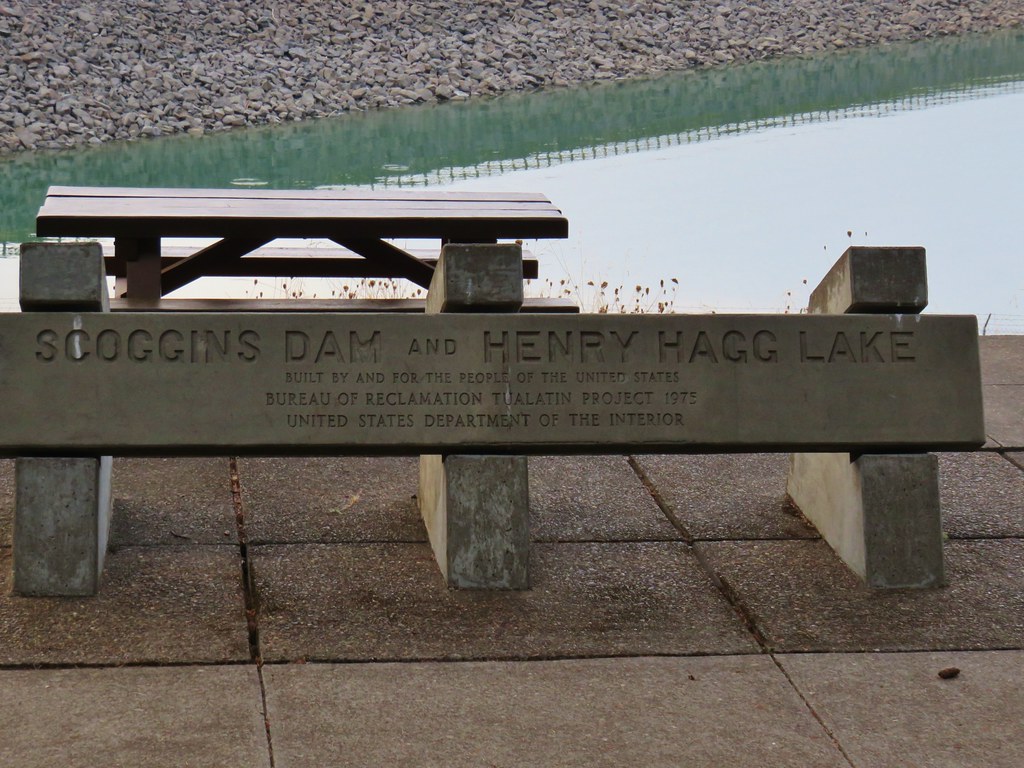
After paying the $7 day use fee for Scoggins Valley Park we drove across Scoggins Dam and parked at the Elks Picnic Area Trailhead.

There are several trailheads around the lake but we chose this one due to it being close to the park entrance and giving us an opportunity to start with the walk across the dam which we preferred to get out of the way early.
It was an overcast morning but it was free of precipitation as we began our dam walk.

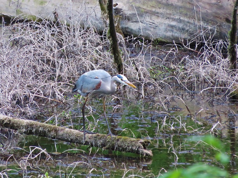
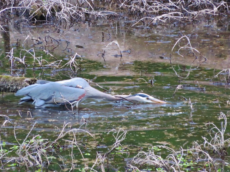
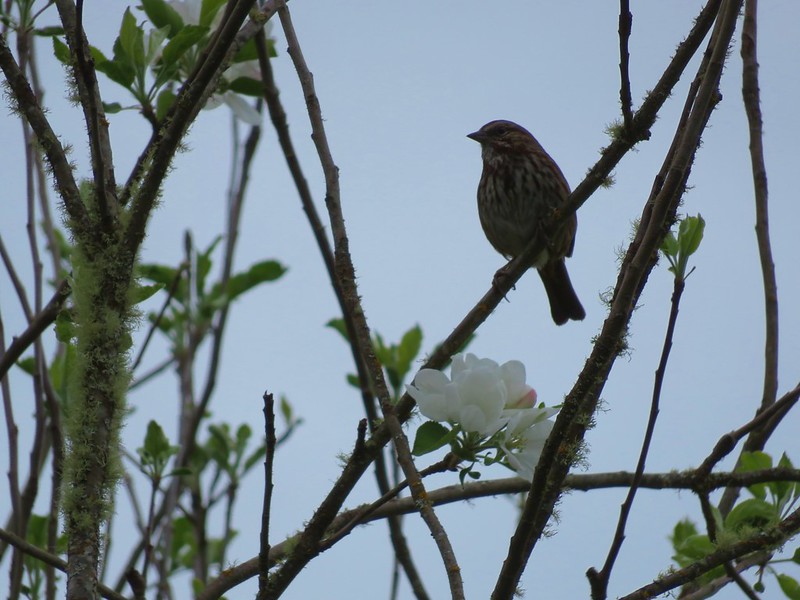
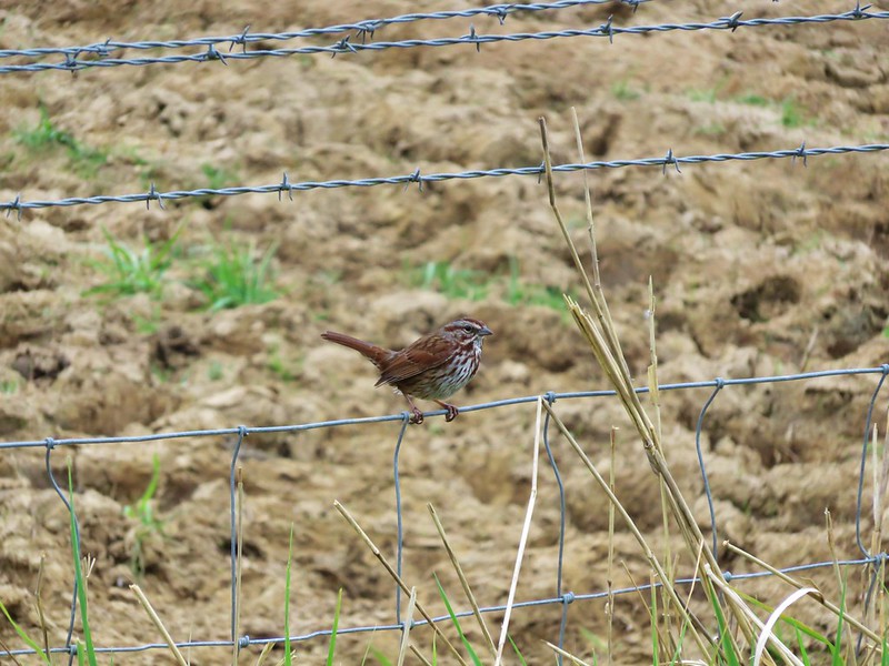
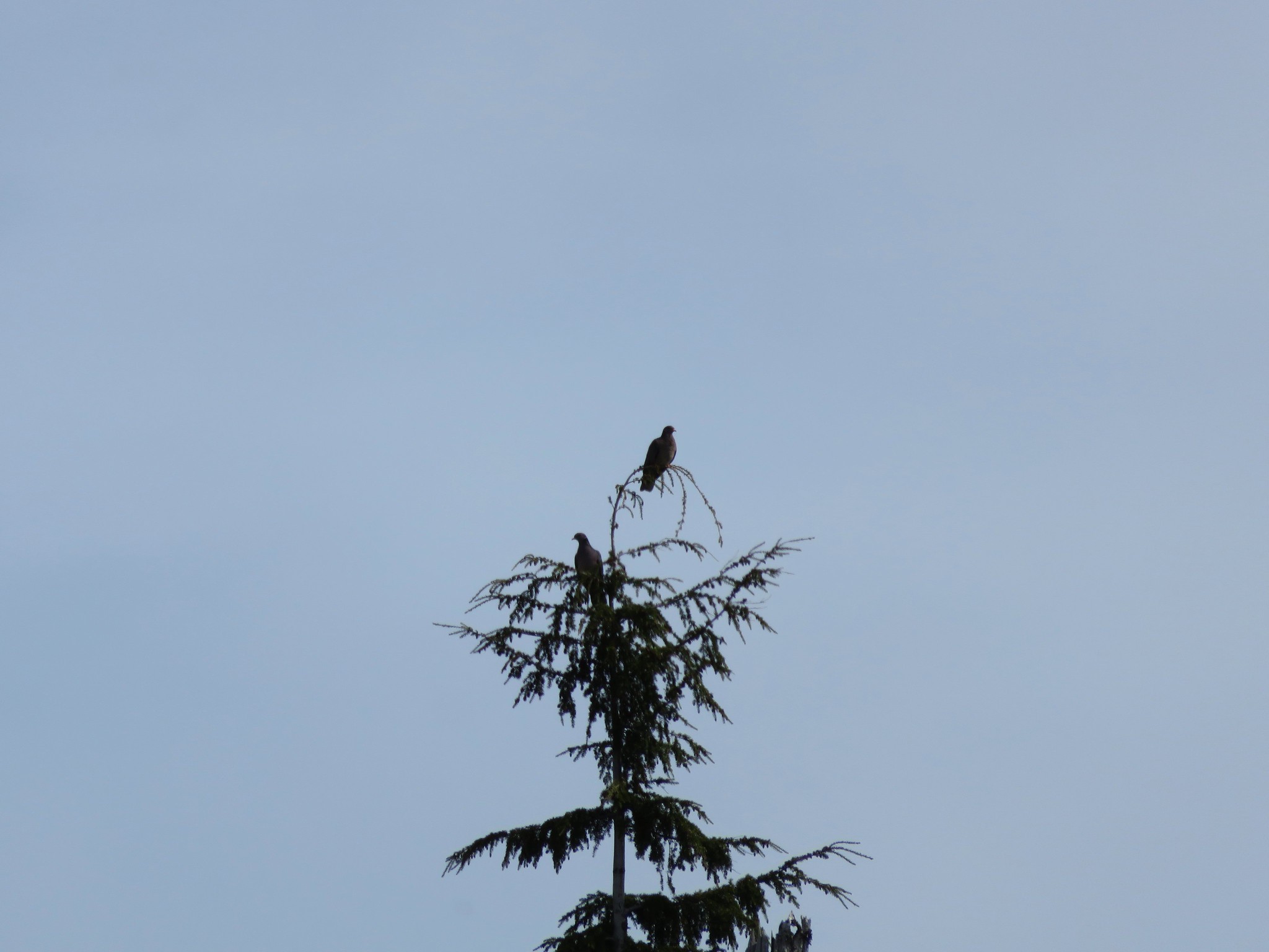
It turned out to be a fairly entertaining half mile as we were treated to several bird sightings including at least one osprey diving for fish, a kingfisher noisily flying around, and a great blue heron standing on the rocks.

 The osprey flying over the water (All my zoomed in tries were super blurry.)
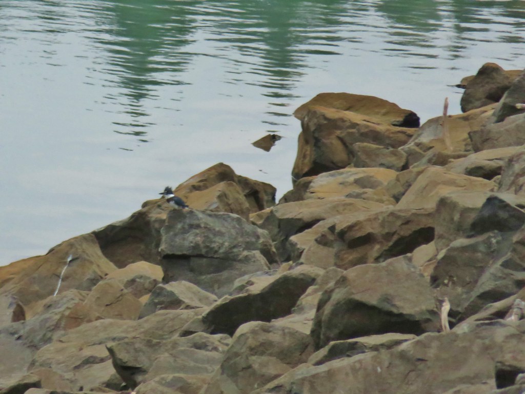 The kingfisher (also fairly blurry)
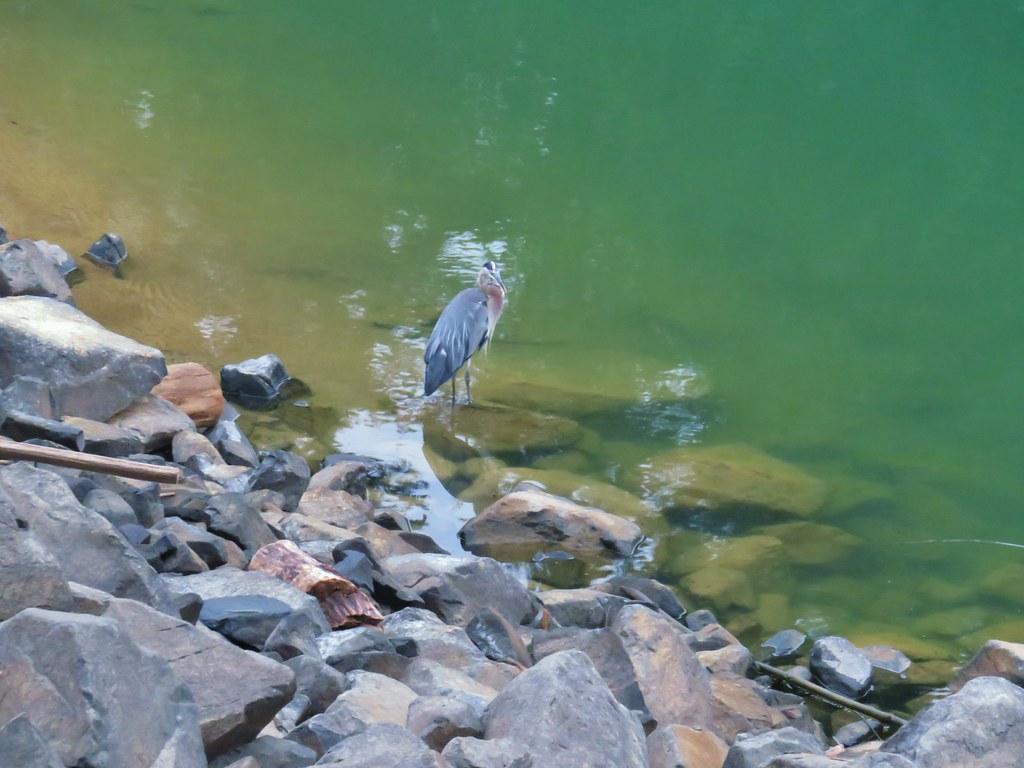 The heron
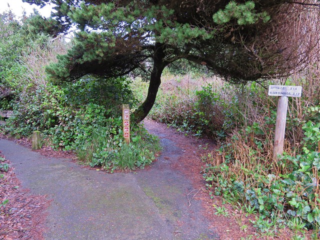
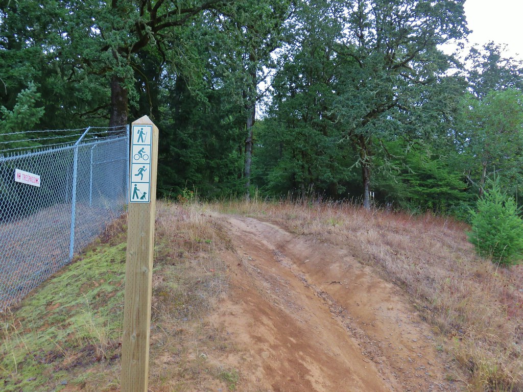
We had been following a path on the opposite side of the guardrail from the road but had to step over it to go around a fence at the end of the dam to reach a trail marked by a post.
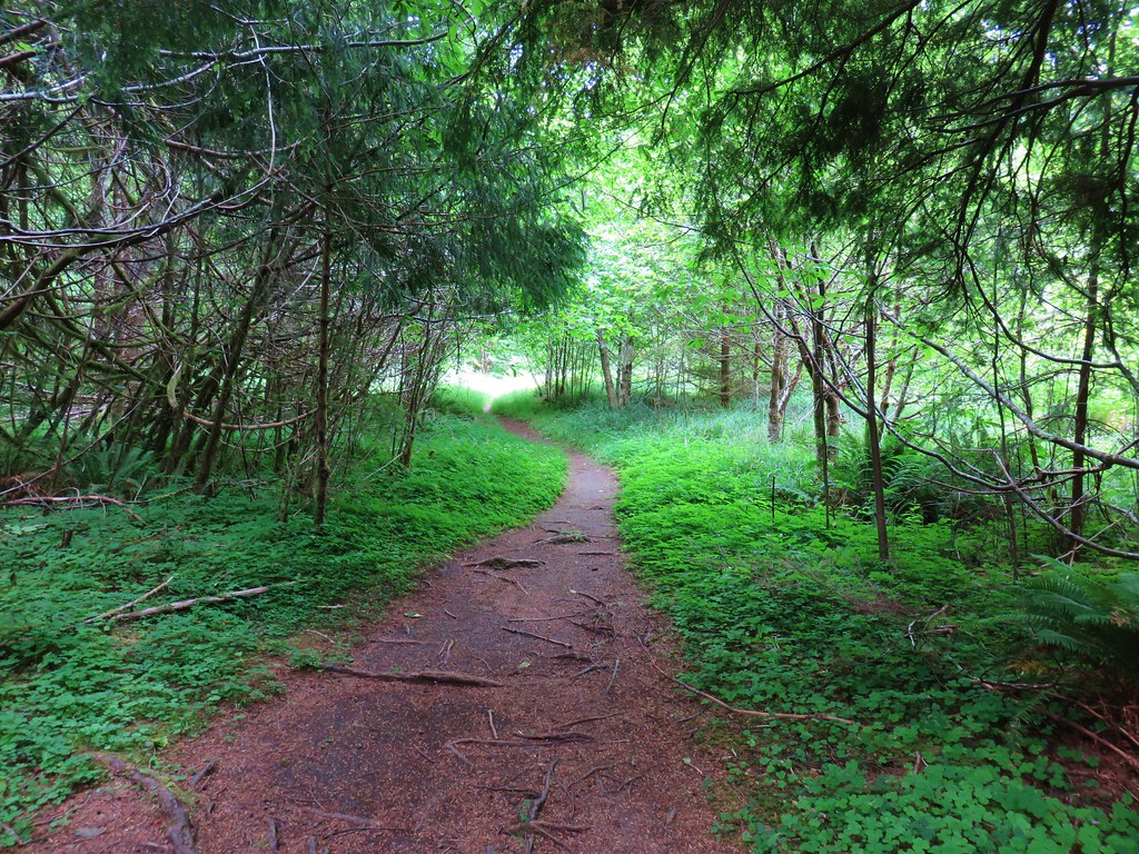
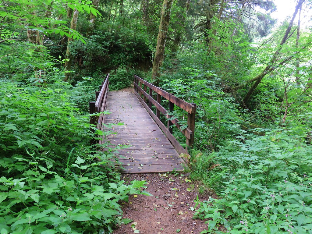
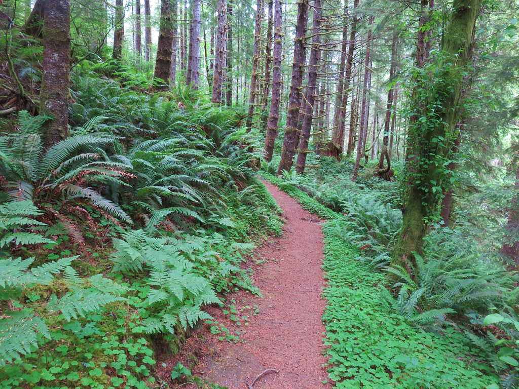
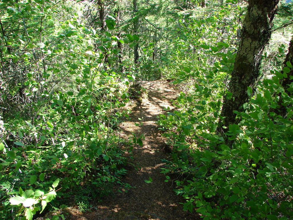
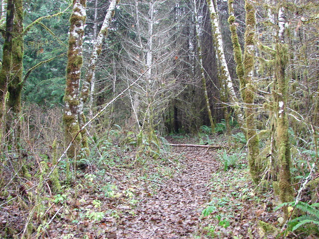
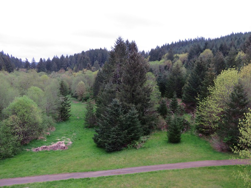
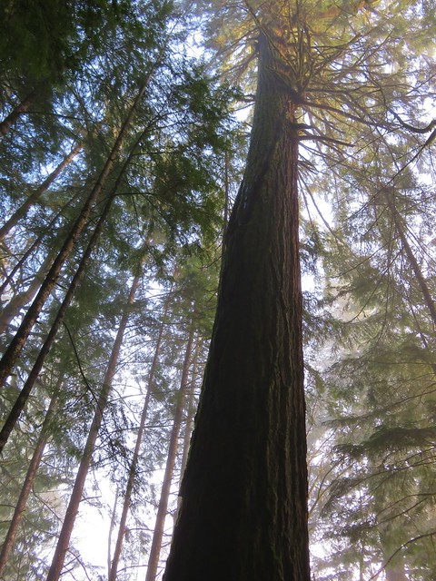
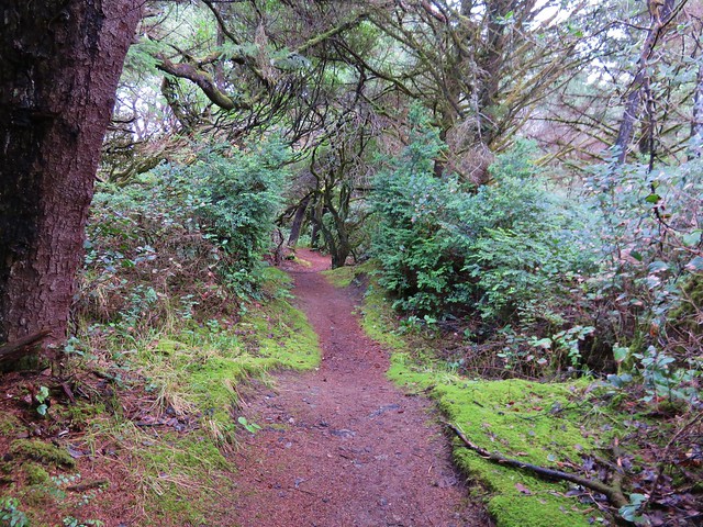
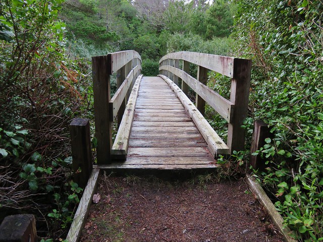
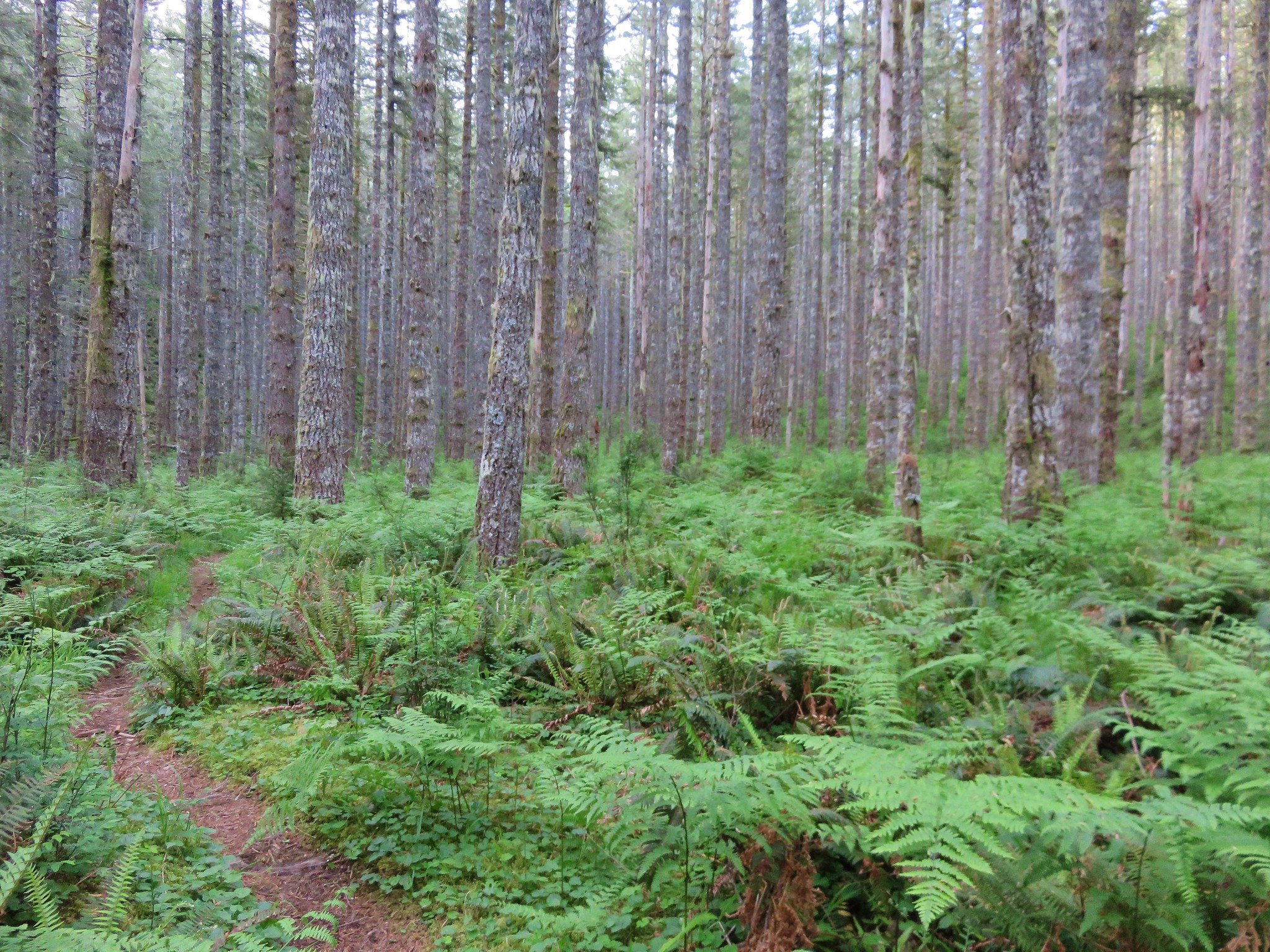
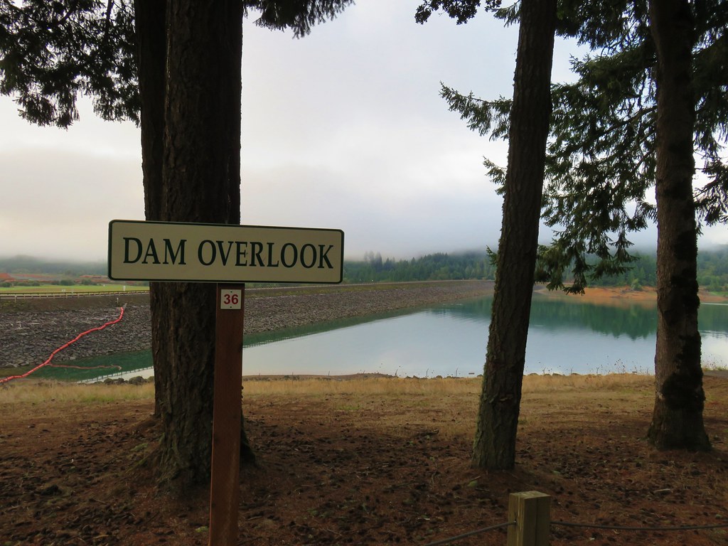
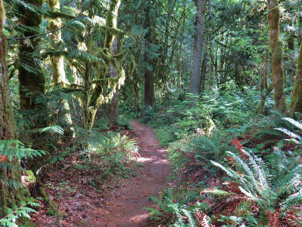
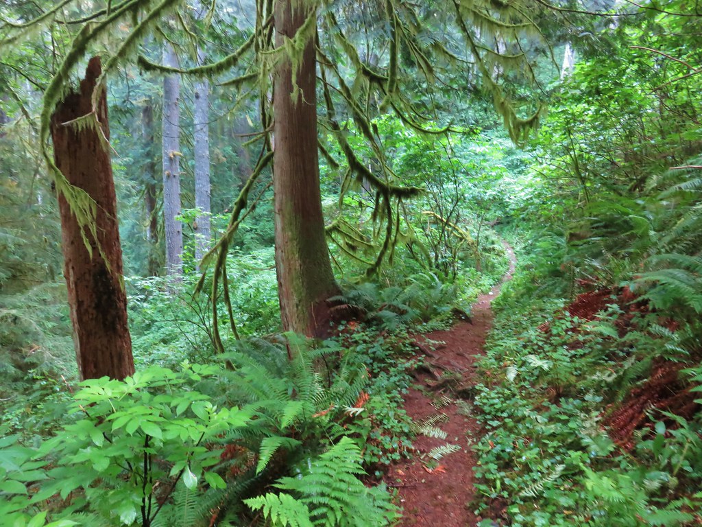
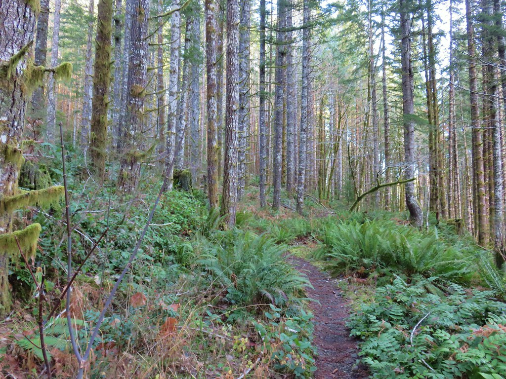
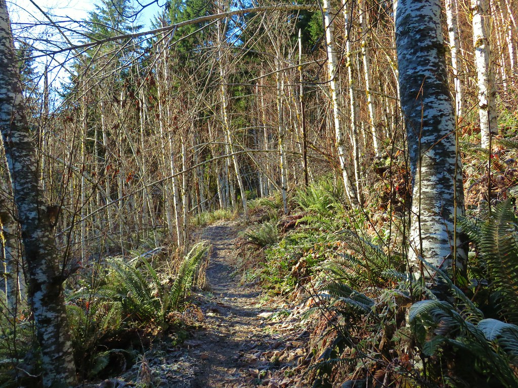
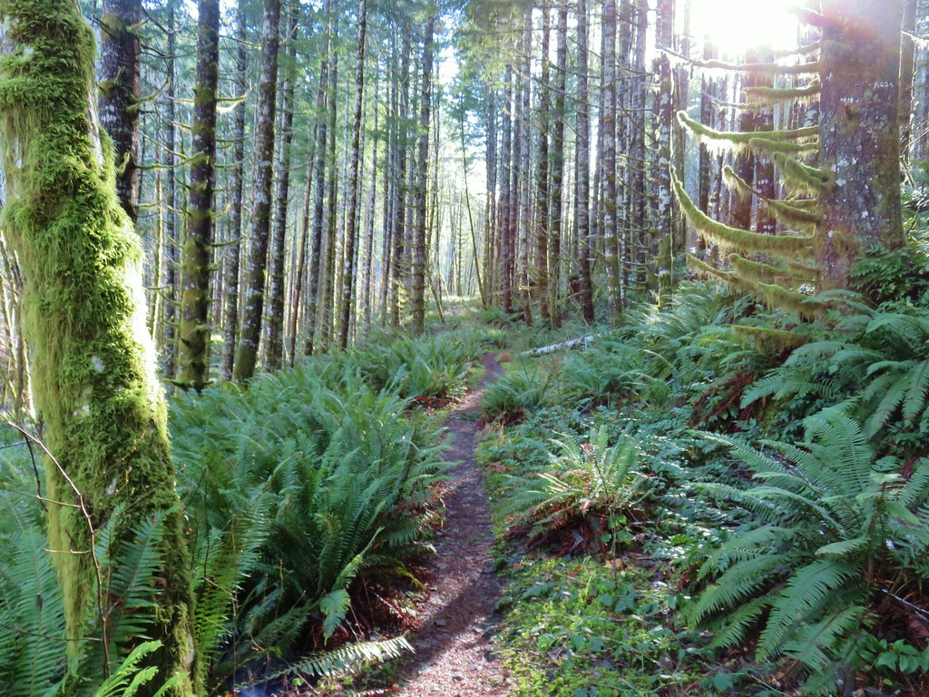
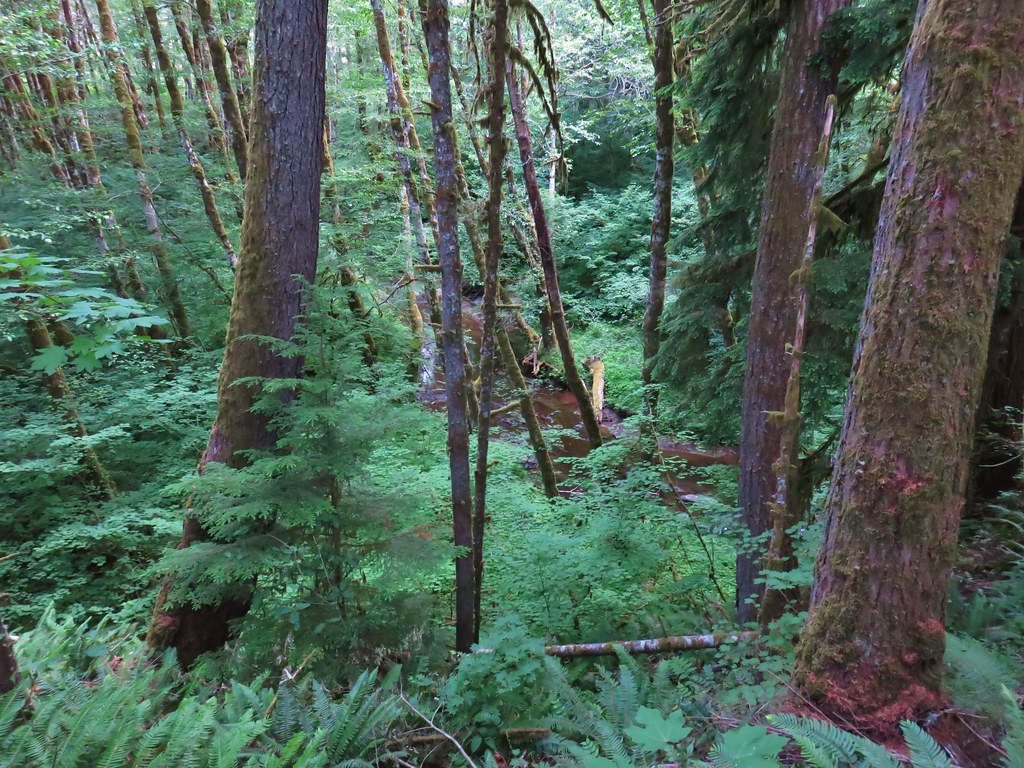
The trail around Haag Lake is broken up by several road walks and parking lot crossings, but when it was trail it was often surrounded by nice forest. For example beyond the dam the trail spent just over a tenth of a mile in the forest before popping out on a road to a boat ramp and the Dam Overlook.


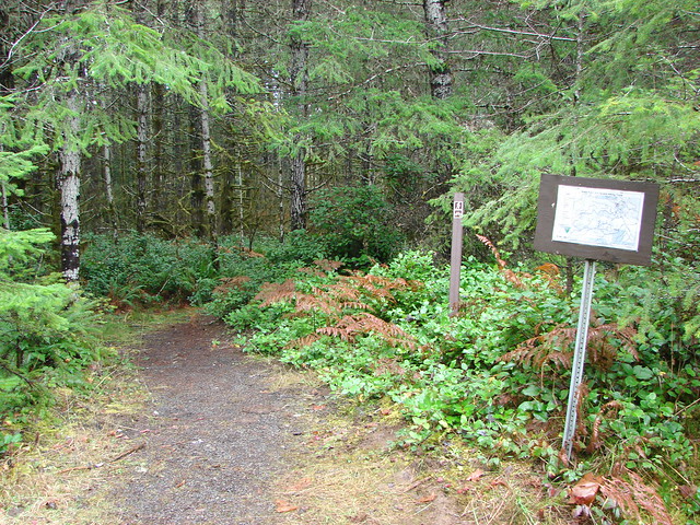
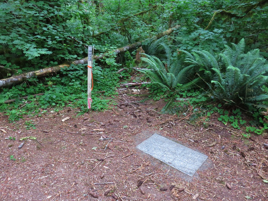
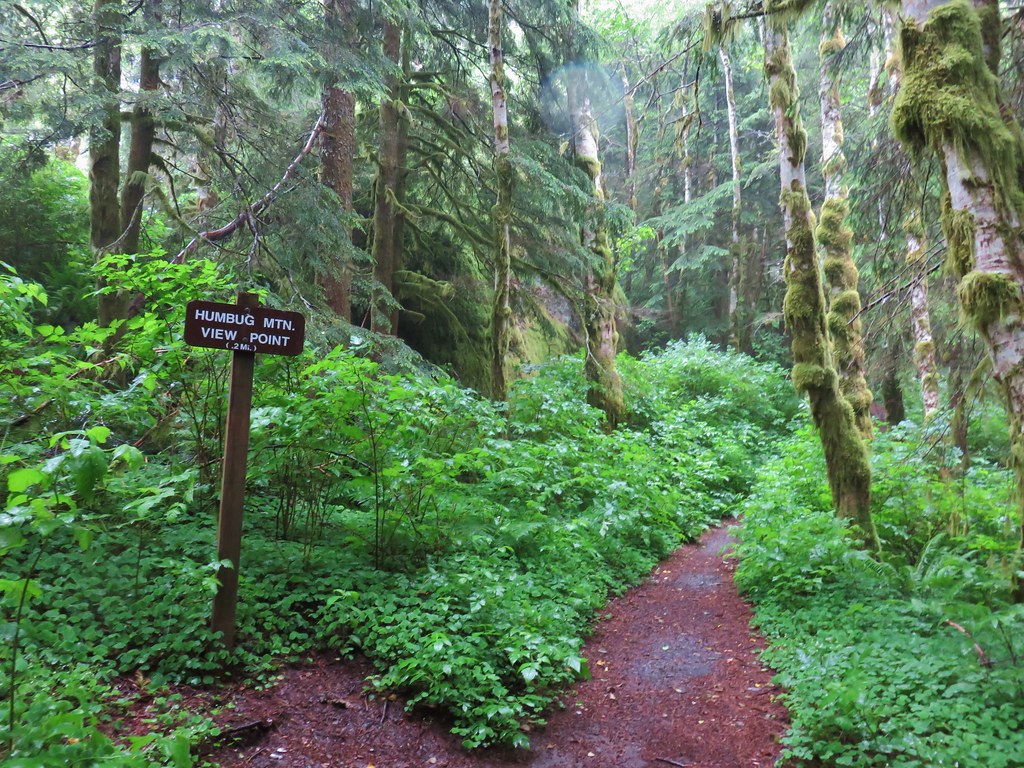
The trail resumed at another post (the signage was very good all the way around the lake as long you ignore all the unmarked side trails down to the lake shore.

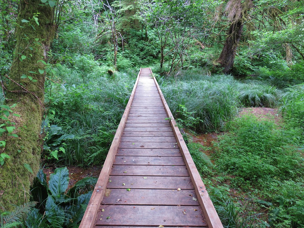
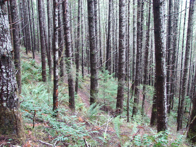
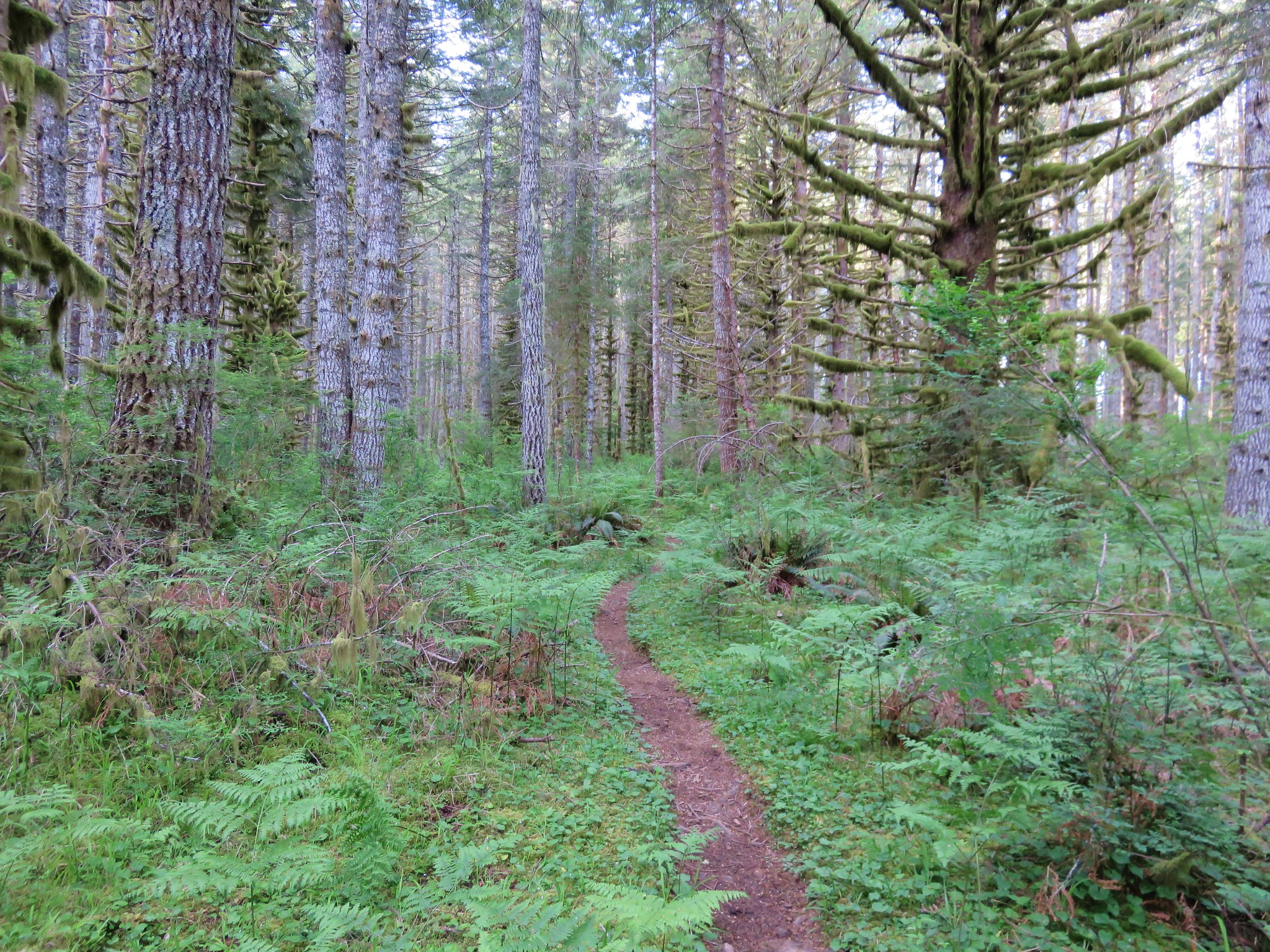
For the next 1.2 miles the trail stayed in the forest before arriving at the Eagle Point Recreation Area.


 One of the side trails heading down to the left to the lake.


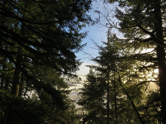
The cloud cover was breaking already breaking up as we arrived at Eagle Point.


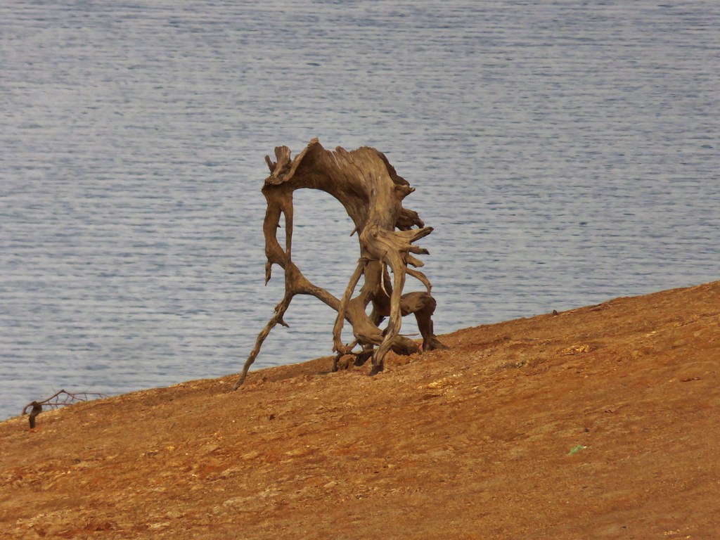
After passing by an alien snag we once again entered the forest.
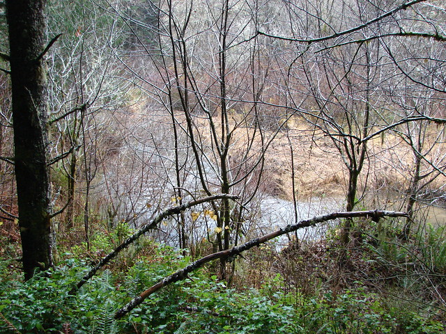
The trail bowed out and around an arm of the lake. It took a little over two miles to hike around this arm.

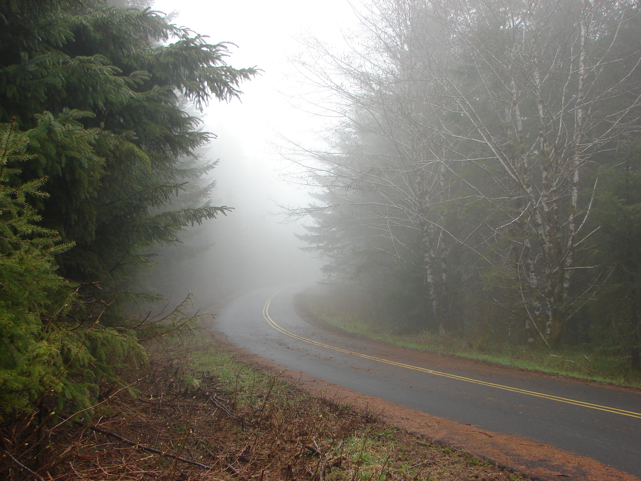
In the middle of the stretch was a brief stint on Scoggins Valley Road where a sign for Cedar Grove marked an abandoned section of trail.

The current trail was a few hundred feet further along the road.


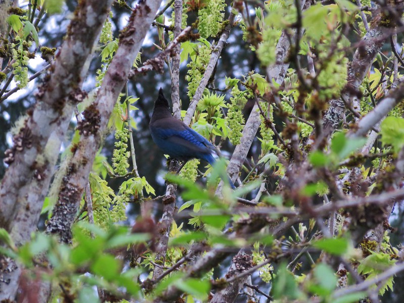
 Scrub jay


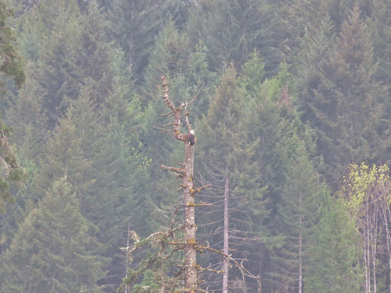
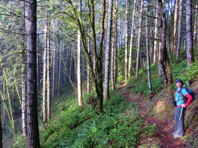
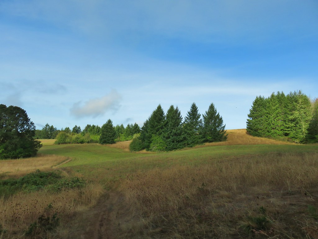
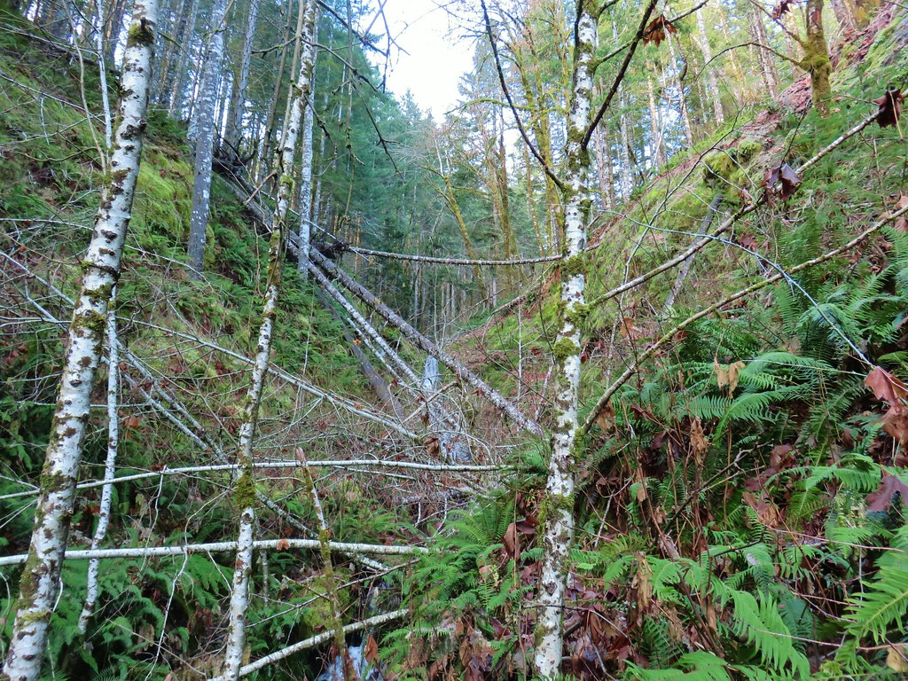
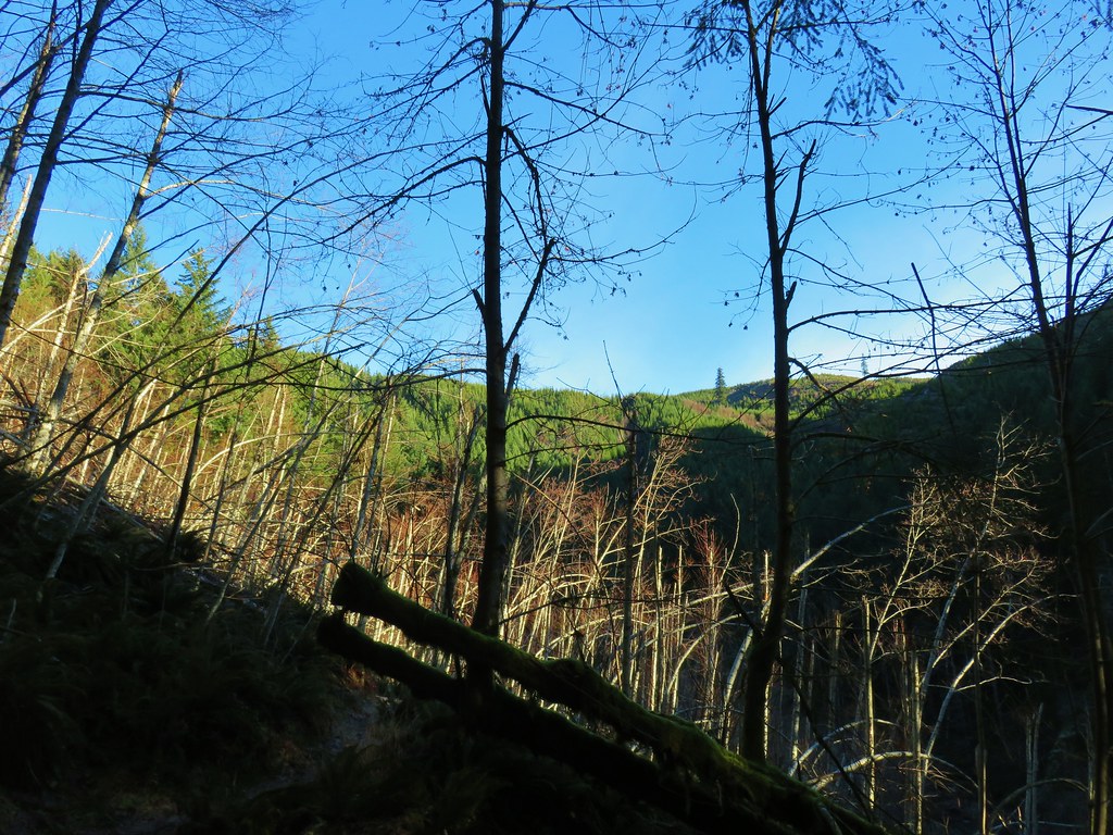
This pattern was repeated four more times over the next 7 miles around arms at Tanner, Wall, Scoggins, and Sain Creeks. The scenery changed consistently with signs of former farmland amid the creeks and stretches of forest.


 Spider in the forest.
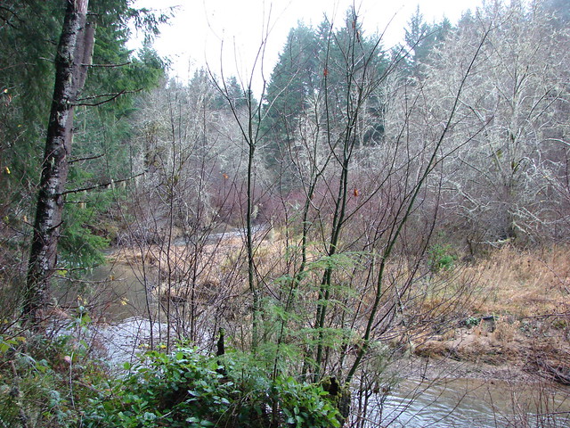
 Starting around the Tanner Creek arm.
 An egret and a heron.

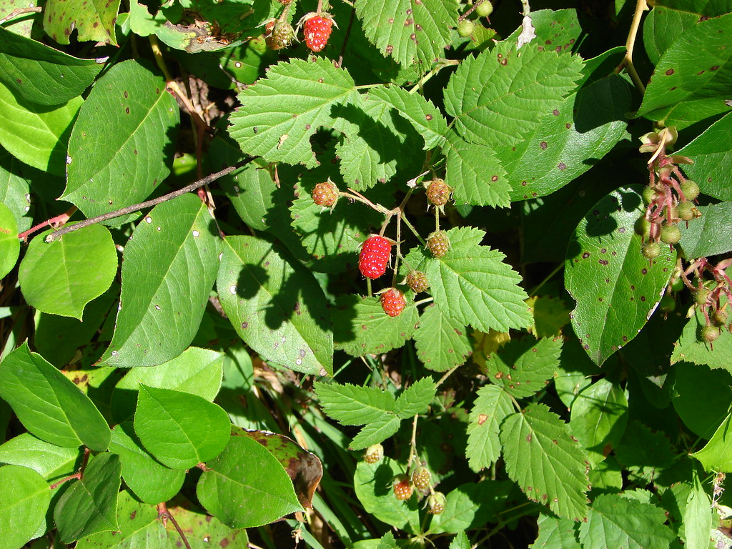
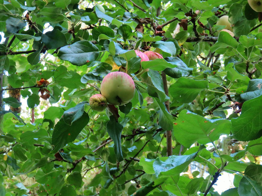 Apples


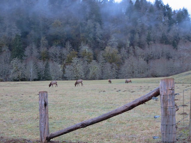
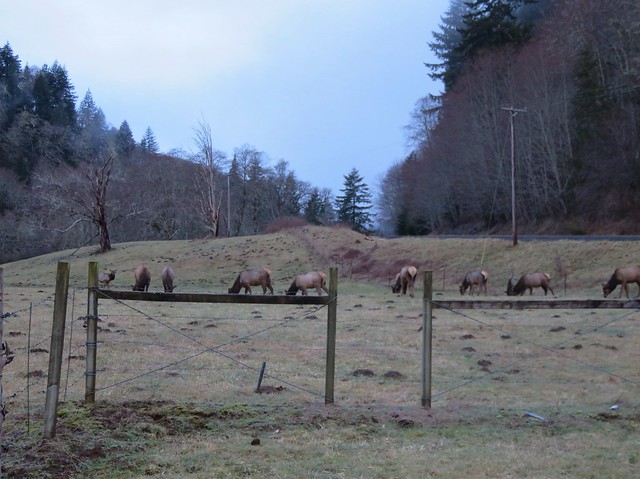
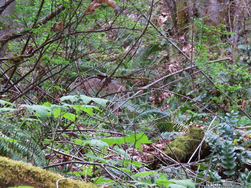
 Deer across Scoggins Valley Road


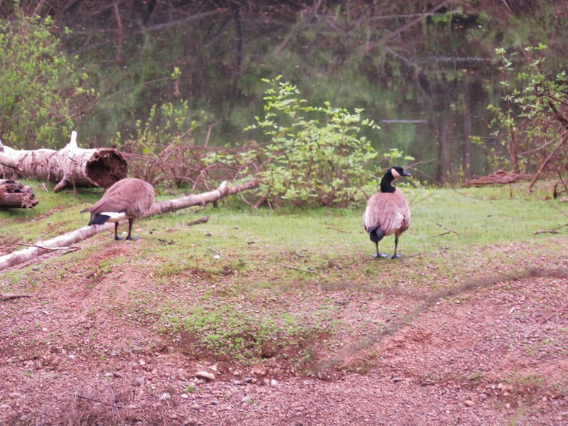
 Canada geese


 Herons and geese at Wall Creek.
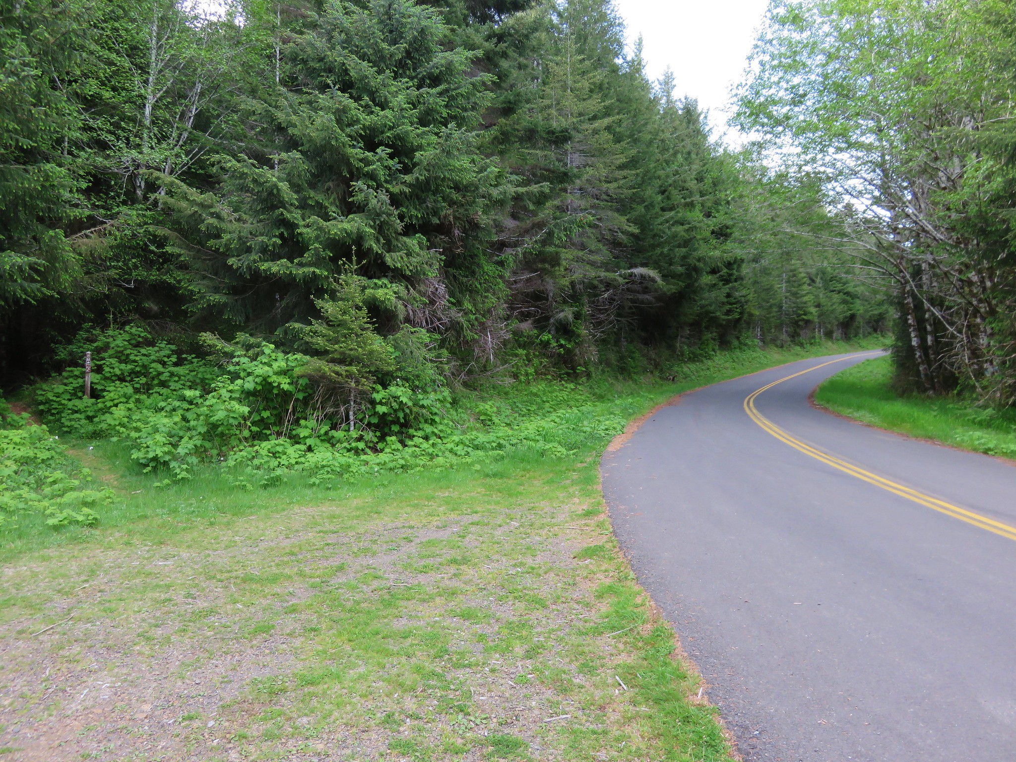
 Road walk over Scoggins Creek.
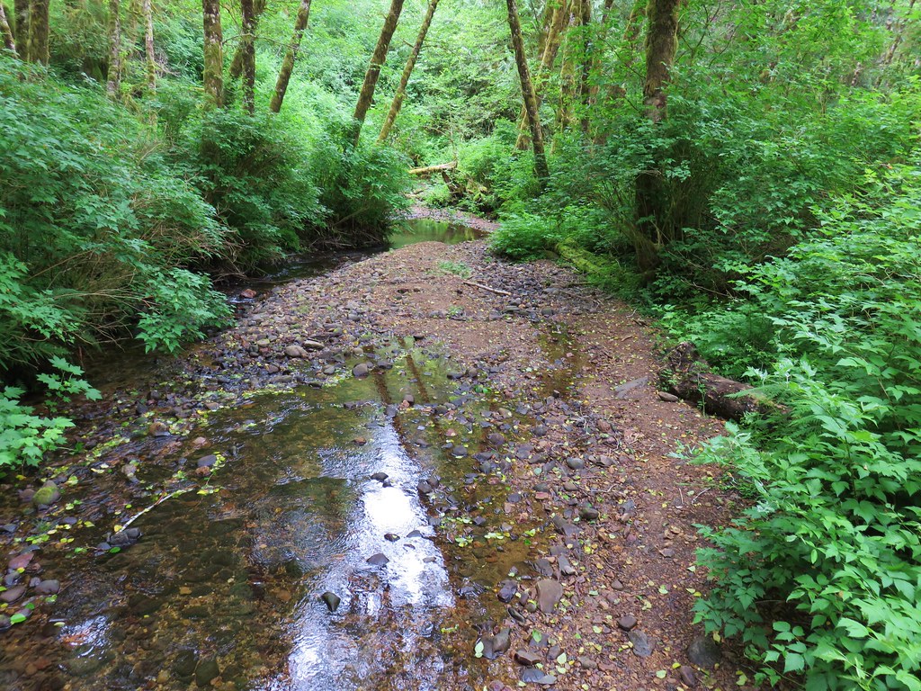
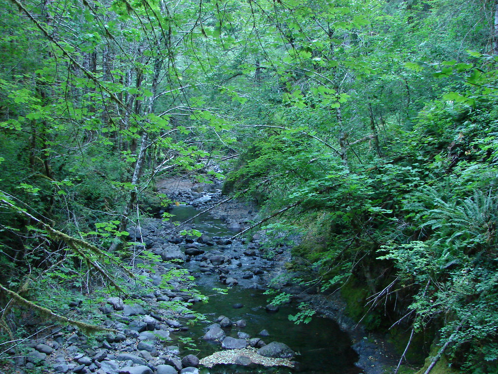
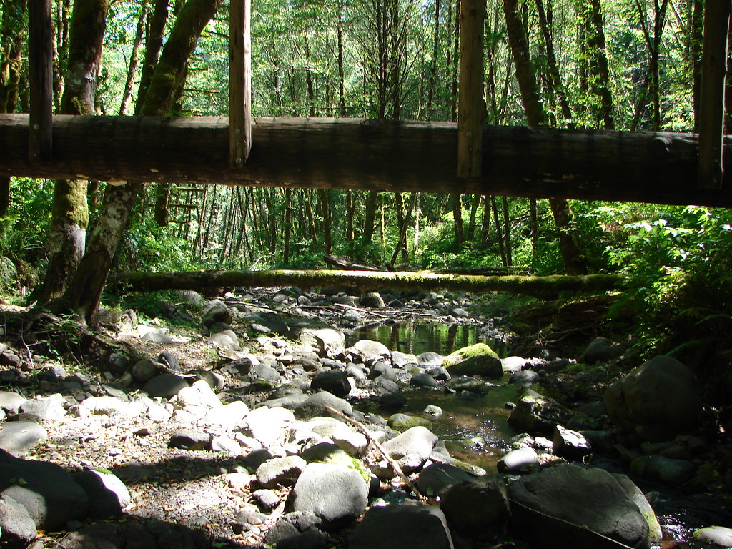
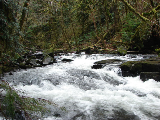
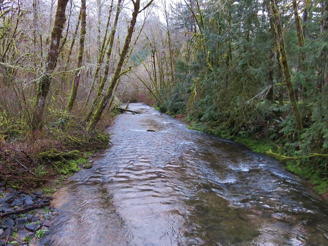
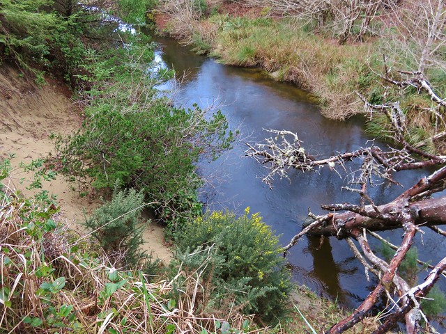
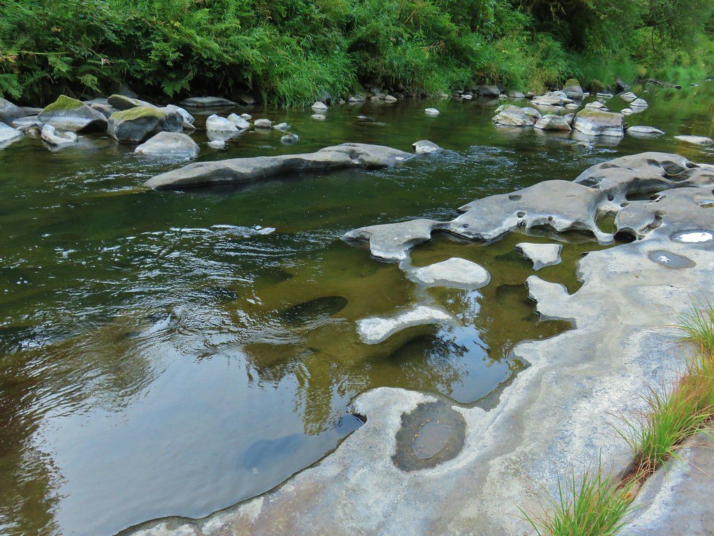
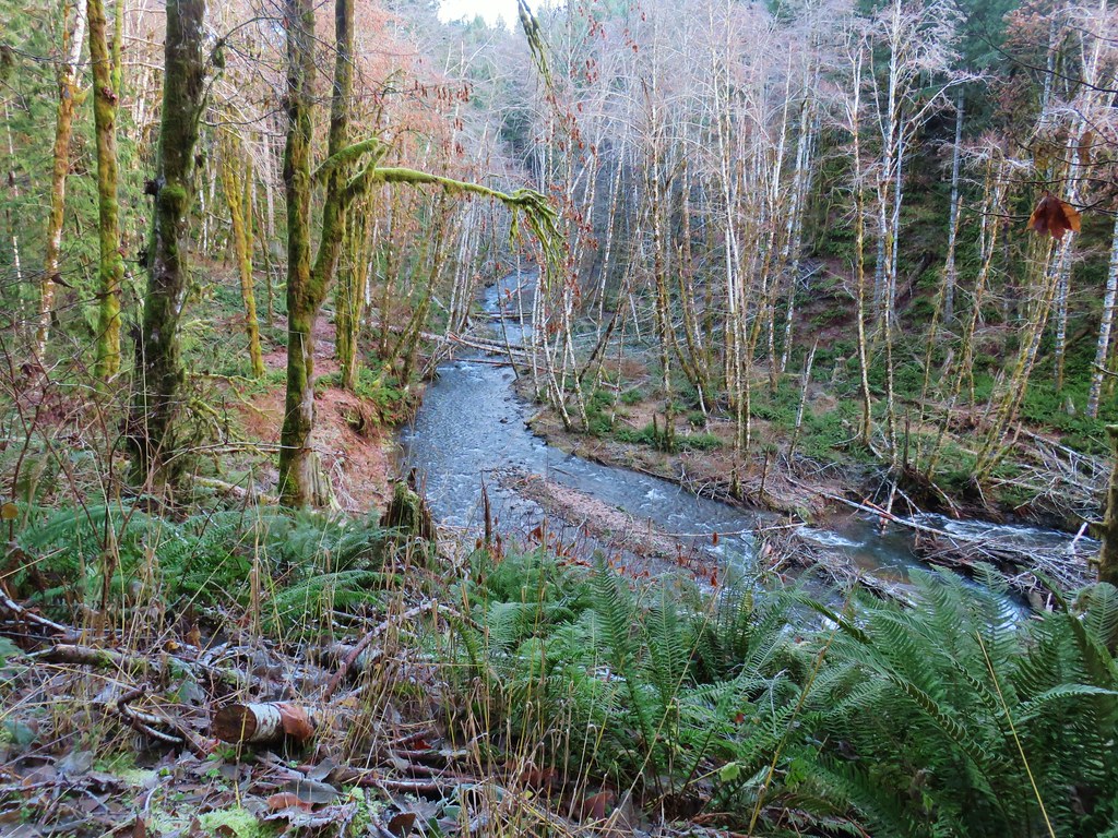
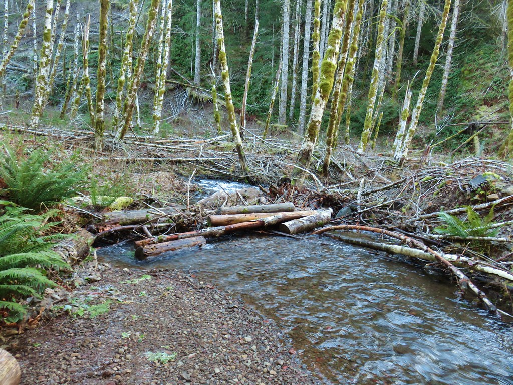
 Scoggins Creek
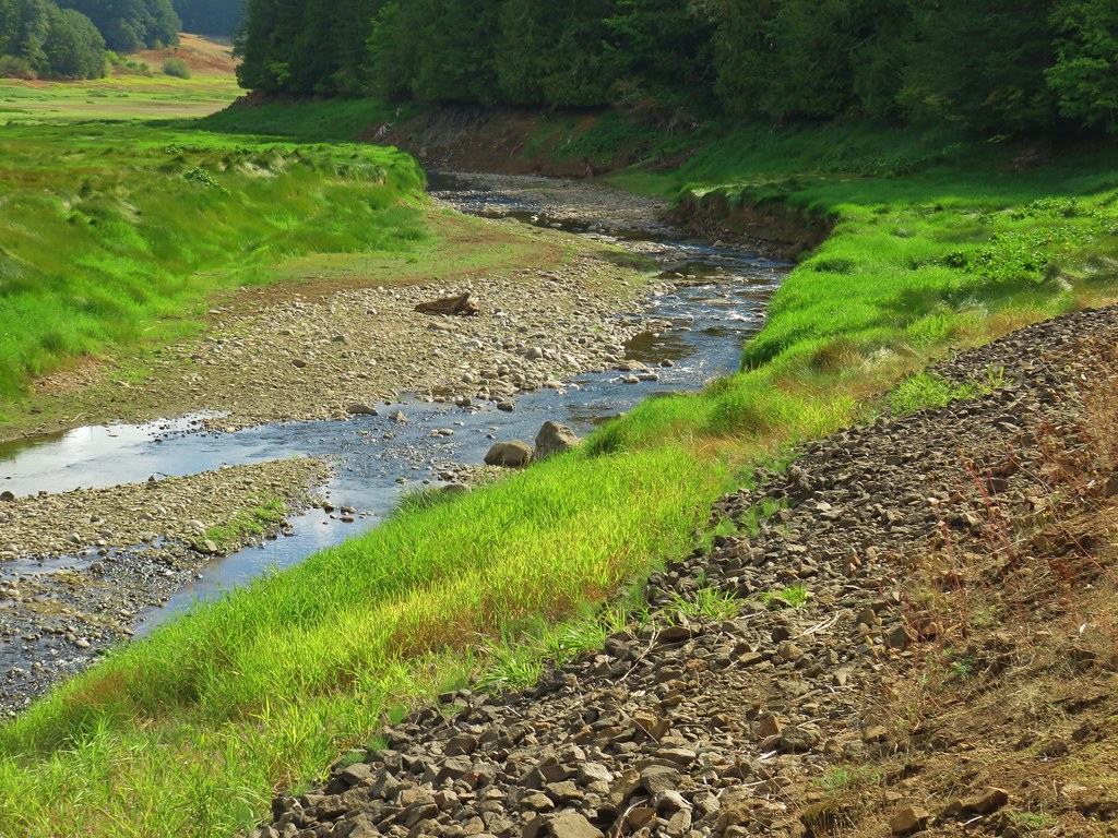 Scoggins Creek


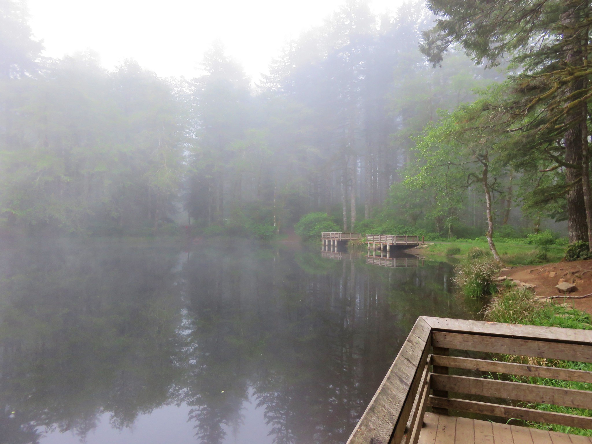
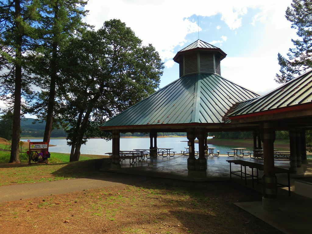
 Coming up to the fishing pier and Recreation Area C.
 Pacific University building.
 Sain Creek Recreation Area

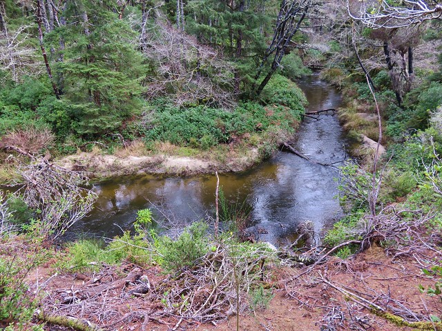
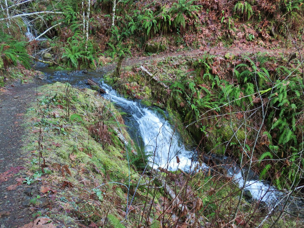
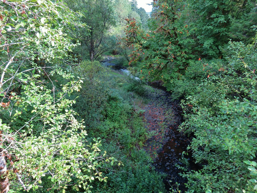 Sain Creek

After rounding the Sain Creek arm we entered the “dangerous” disc golf course.
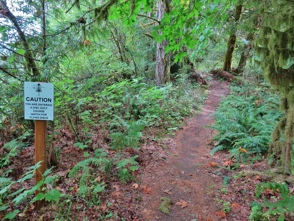
 One of the disc golf holes.
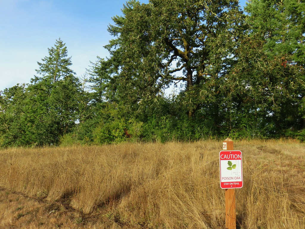
 Poison oak
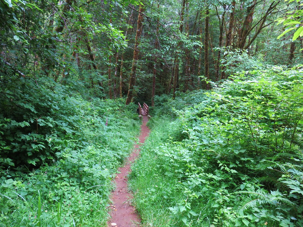
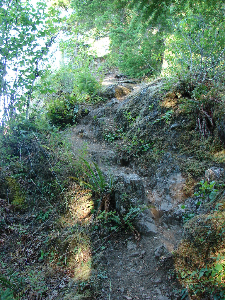
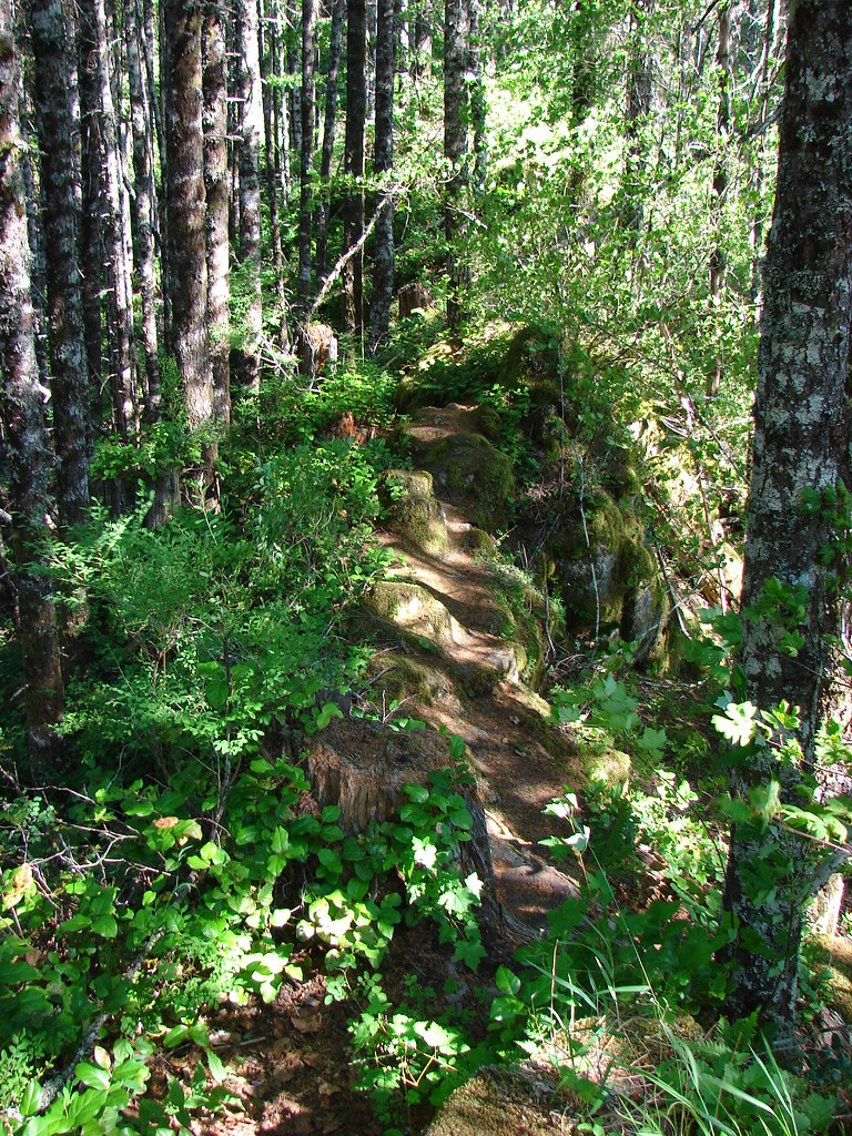
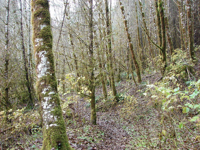
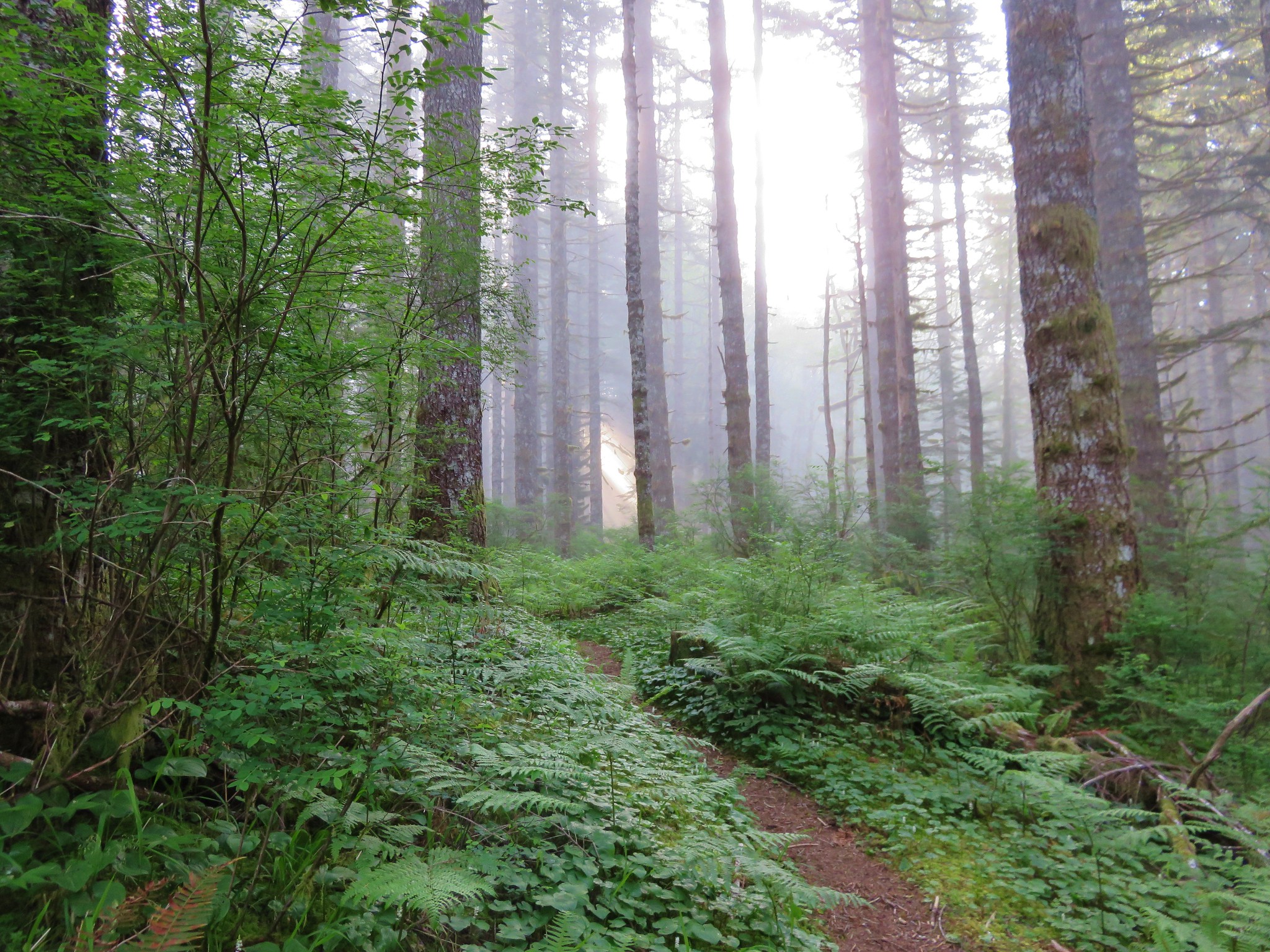
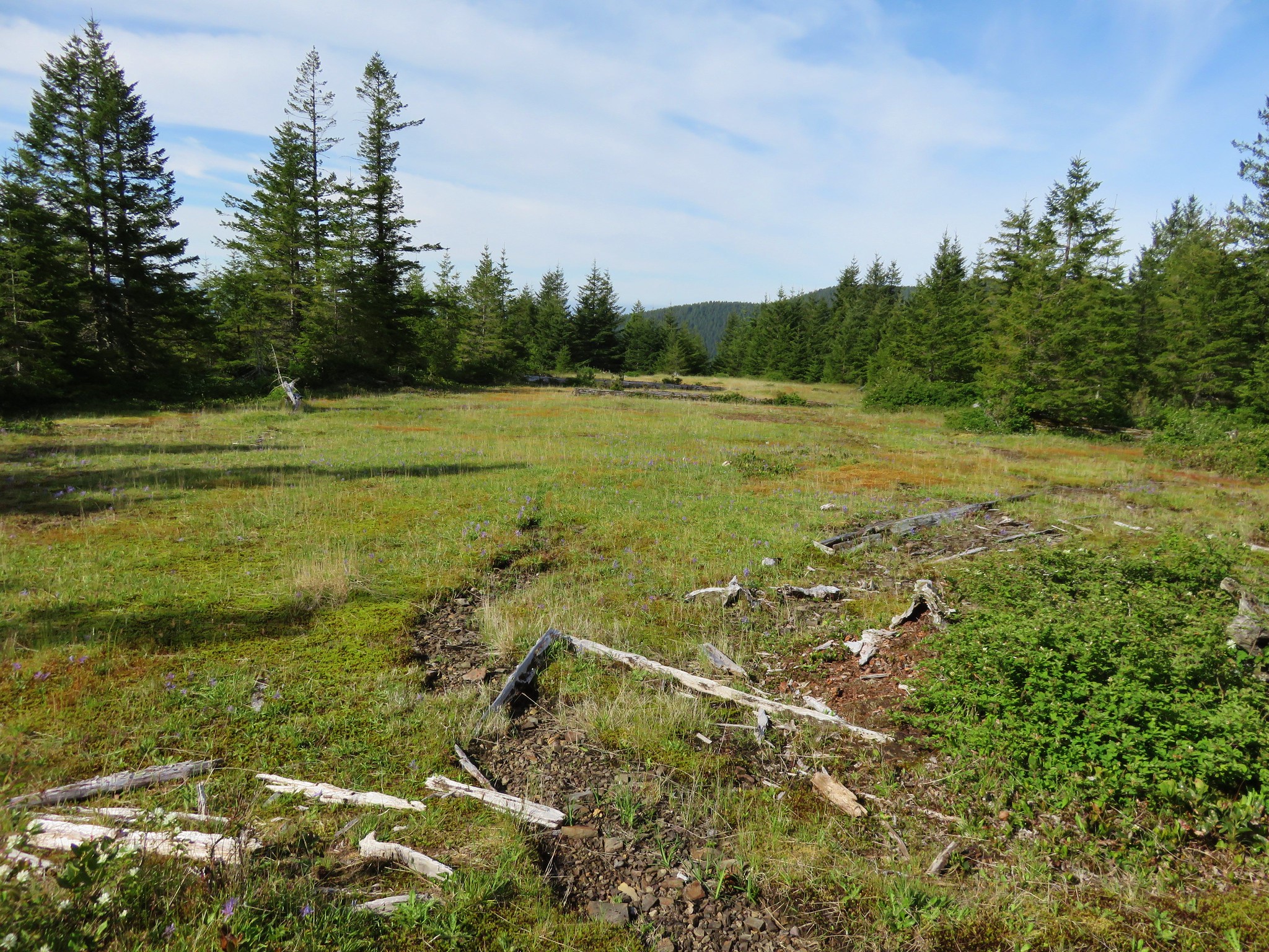
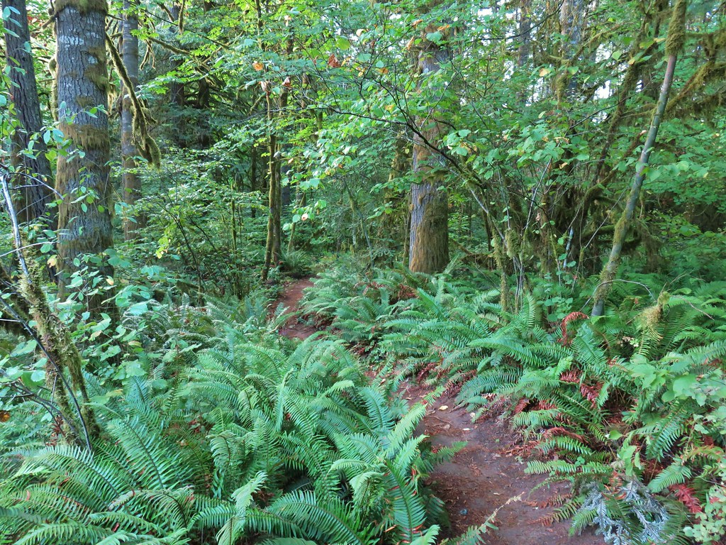
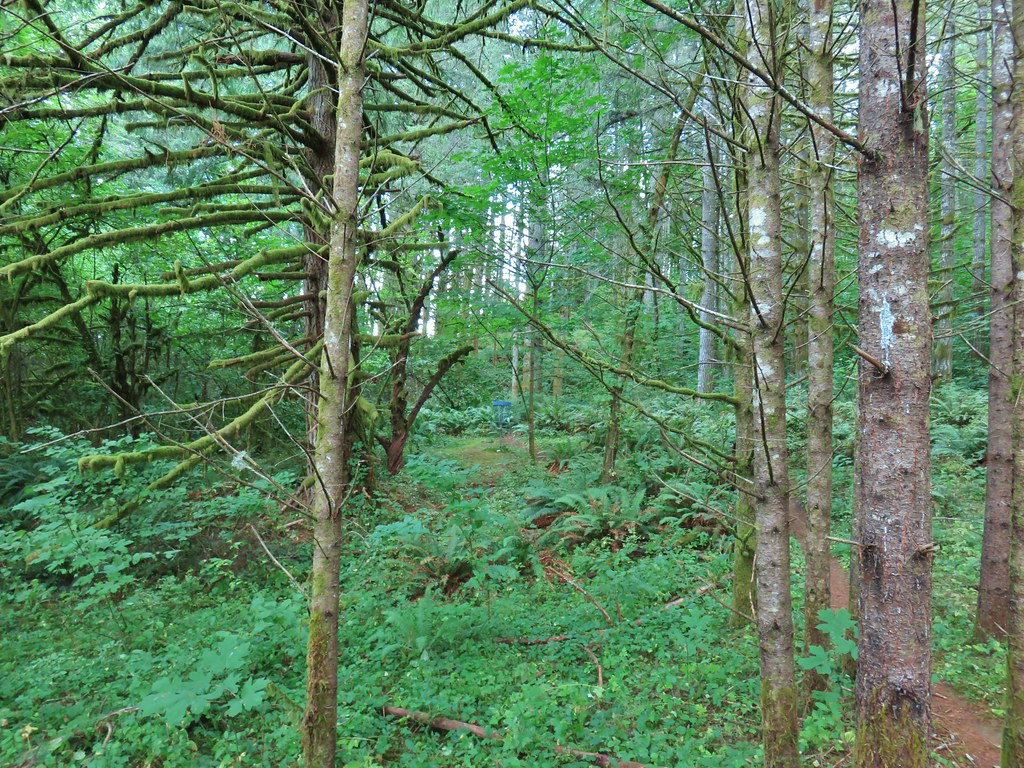
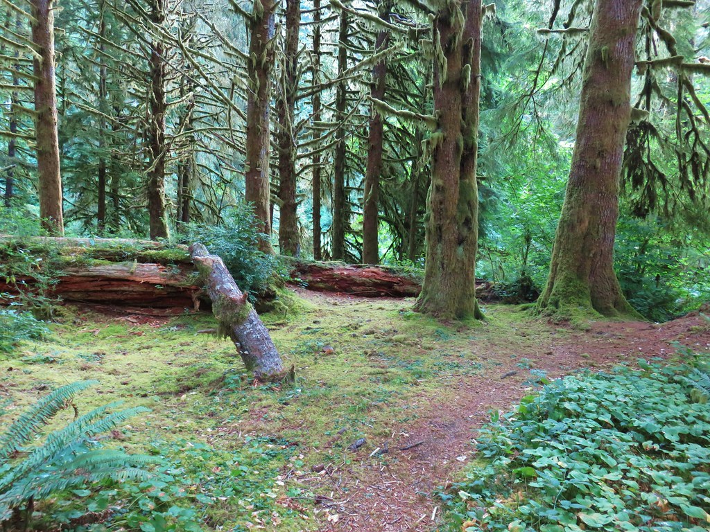
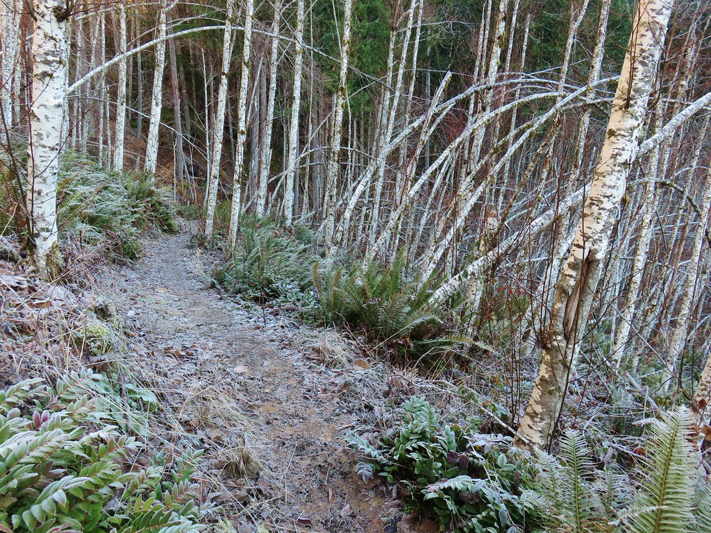
After passing a grassy hillside the trail entered the nicest section of forest of the day.


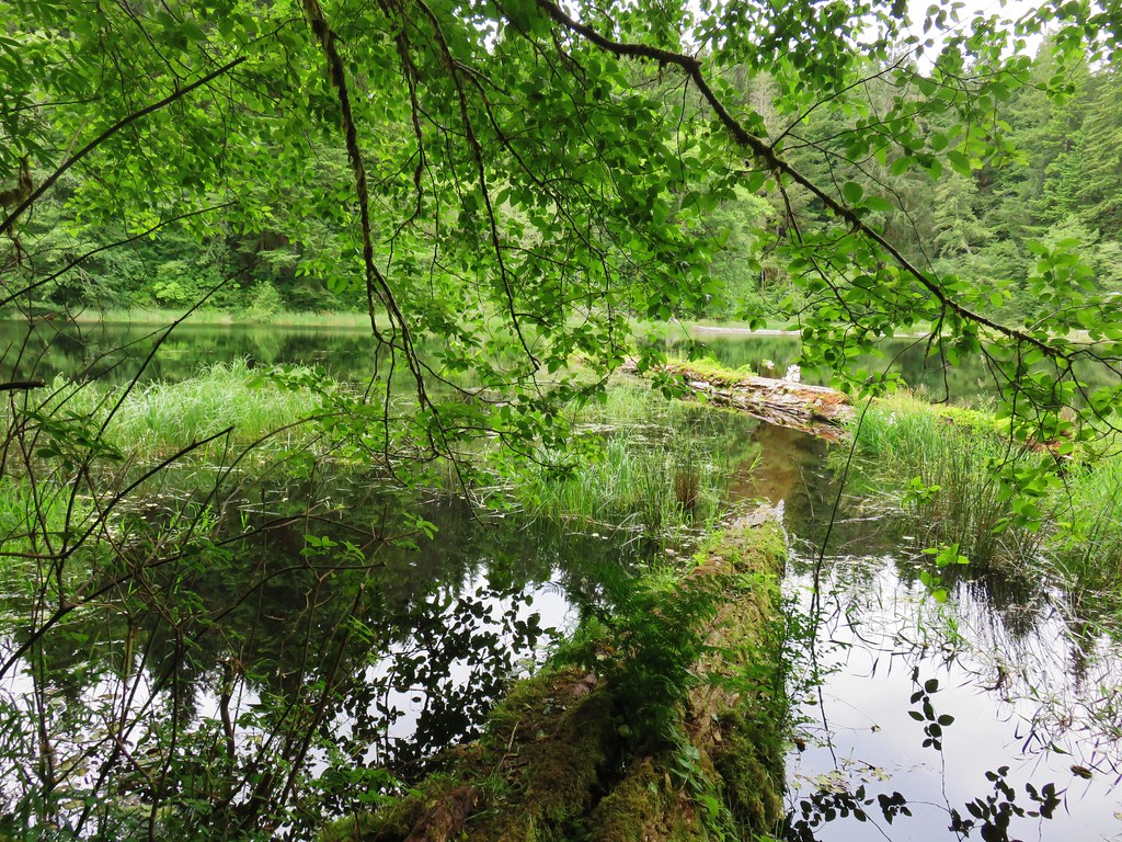
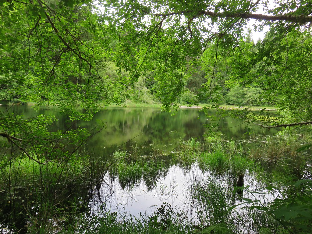
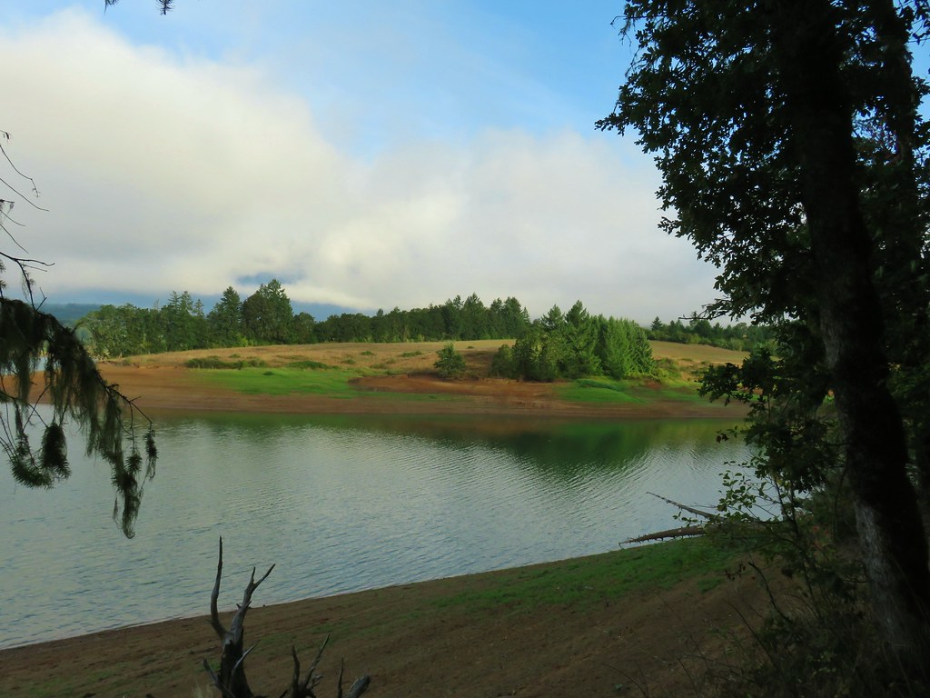
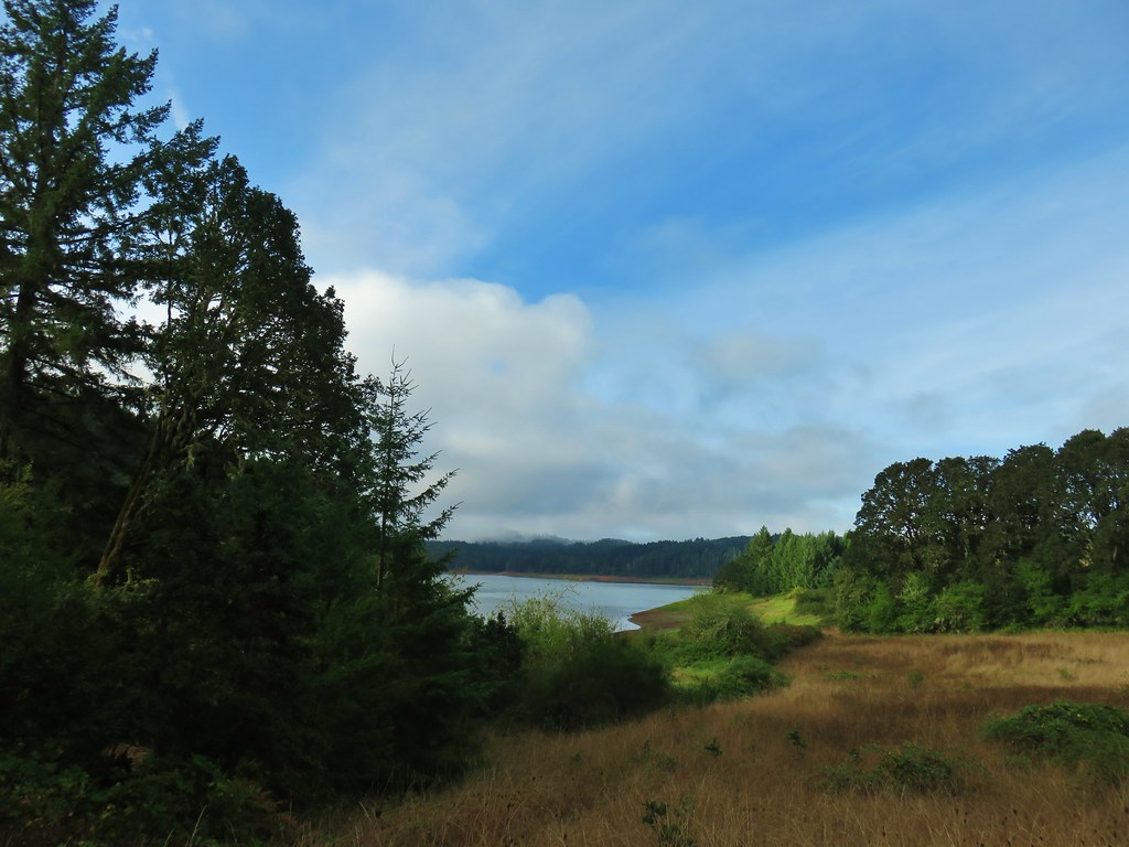
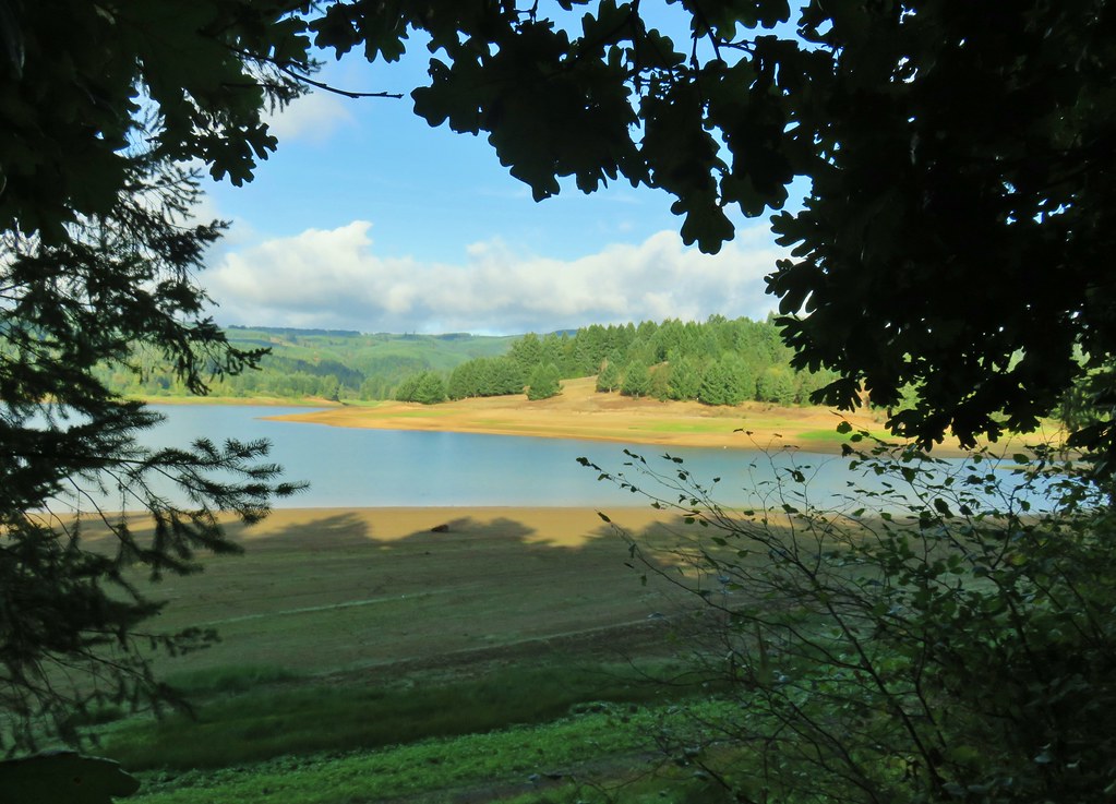
About a quarter mile from the Elks Picnic Area and our car we passed the Rainbow View parking area where we had one more good look at Henry Haag Lake before finishing with a road walk back to our car.


 Geese and seagulls on an island.
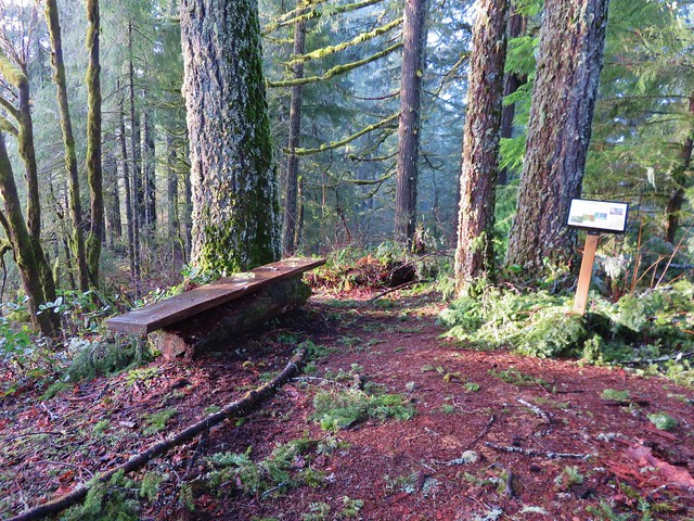
Road walks are always hard on the feet so when we were finally done with what our GPS said was a 14 mile loop ours were really sore. The hard pavement hadn’t been the only hard surface as the trail was often also very hard. The clay that can be so slick and muddy when wet also gets very hard and packed when it’s dry. Despite the sore feet (and what seemed like unending uphill climbs, although it was only about 500′ of total elevation gain) it did turn out to be a great time for the hike. We didn’t run into anyone else using the trail all day. There were a number of folks fishing, boating and hanging out at the parking areas but that was it. With the numerous parking areas it would be easy to break this up into shorter hikes over several trips.
Happy Trails!


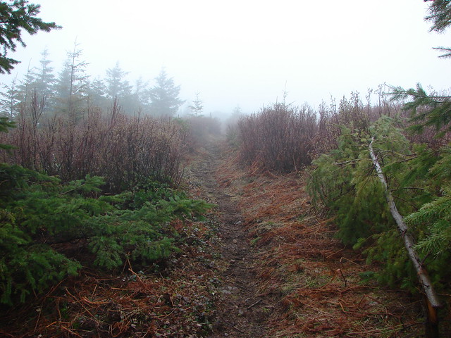
 Fern clippings in the trail showing some trimming had been done.
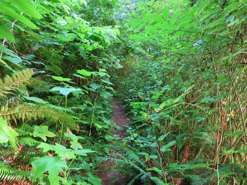 Whoever had done the brushing hadn’t made it down the whole trail.
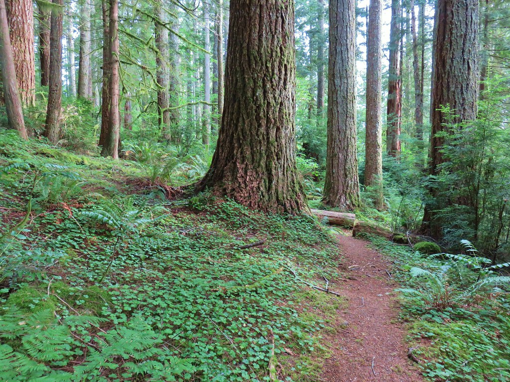
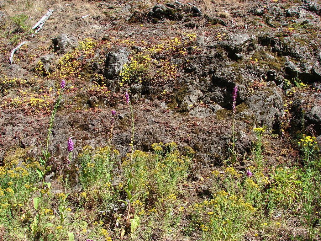
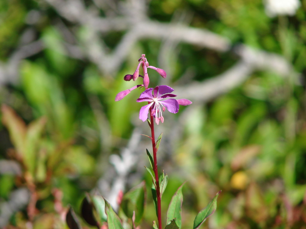
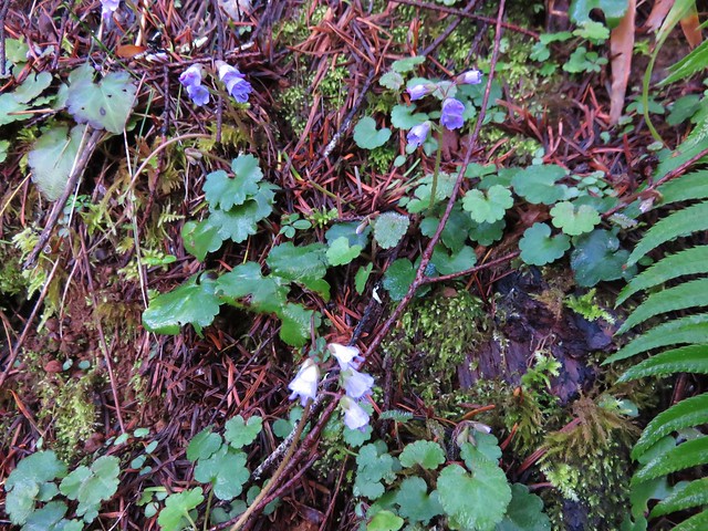
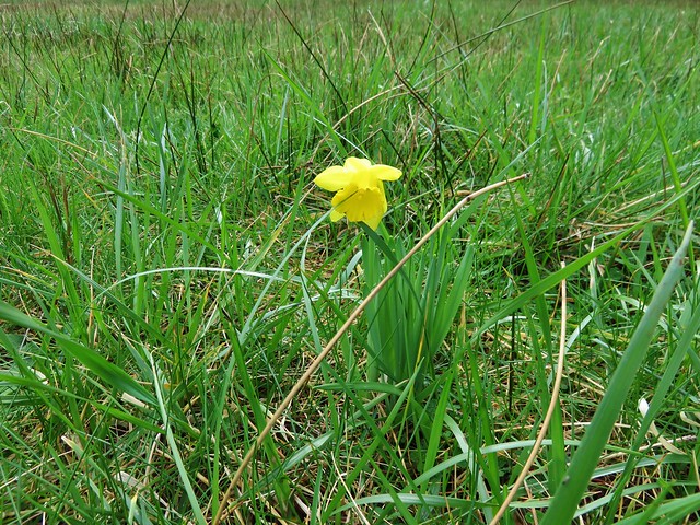
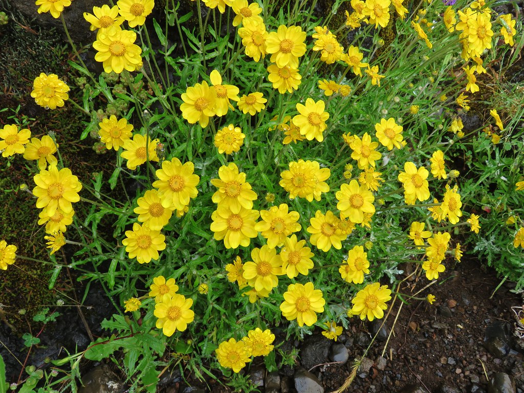
 There were a few monkey flowers scattered about.
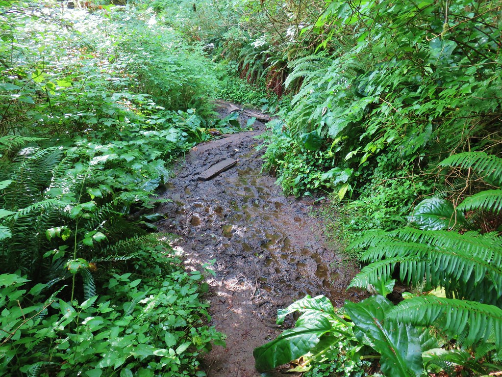


 >
>


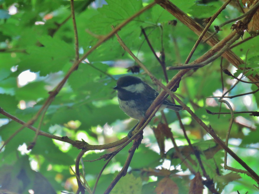 Chickadee
 Woodpecker
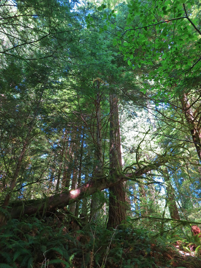


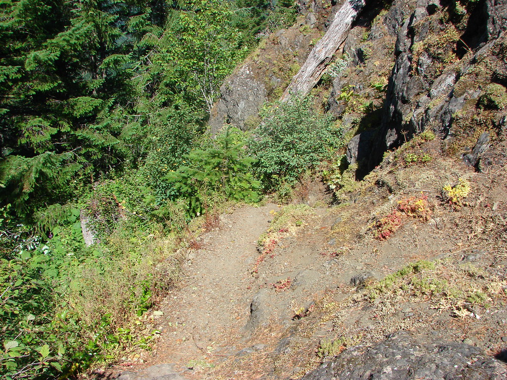
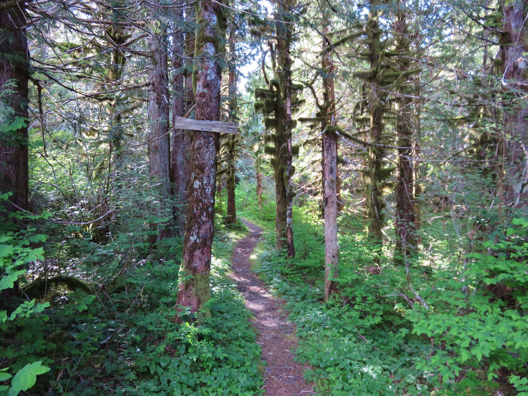
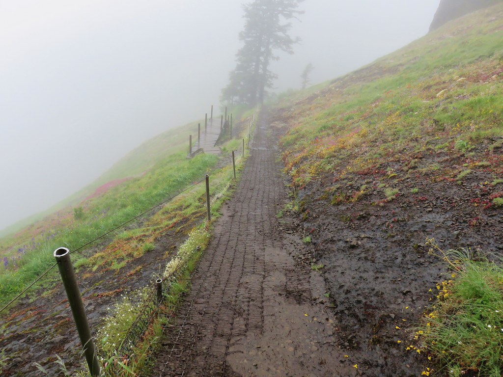
 The route we came up.
 A short section of railroad grade.
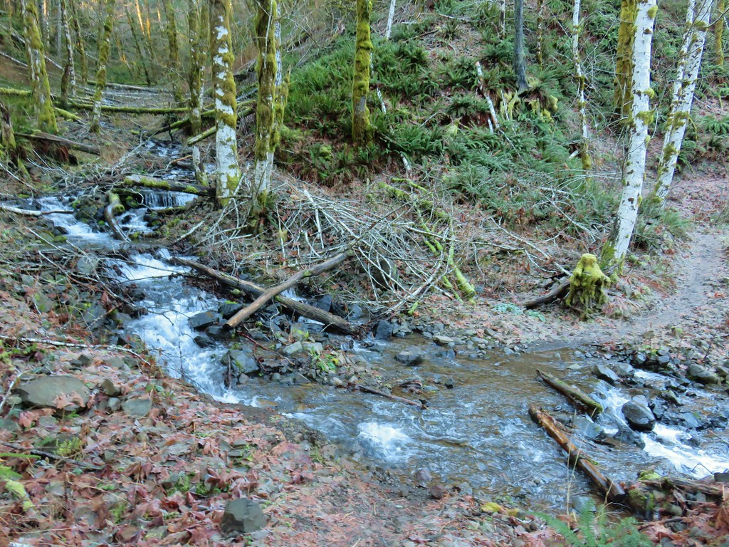
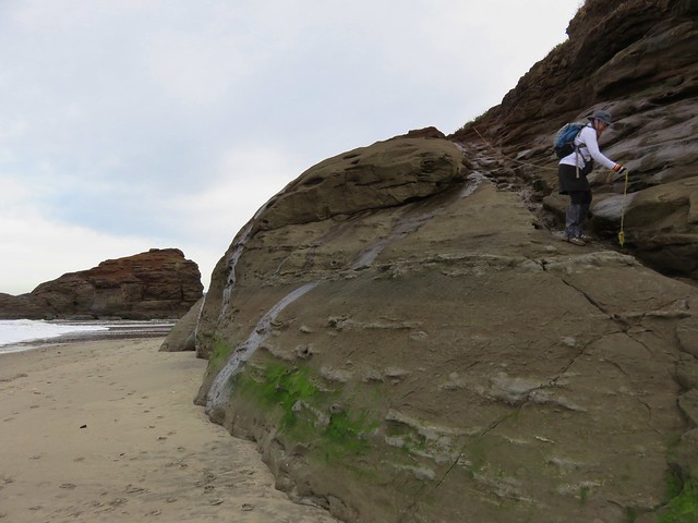
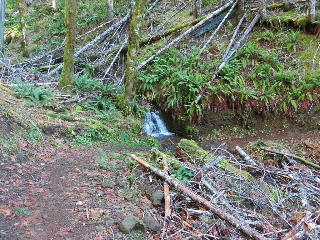
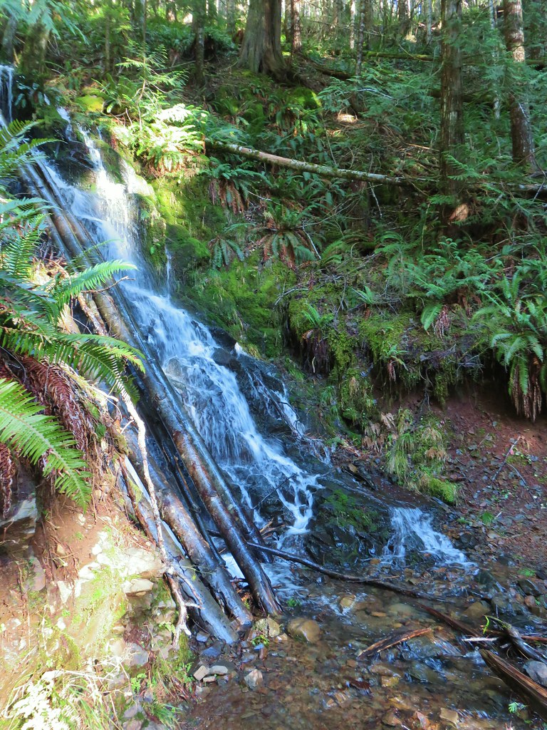
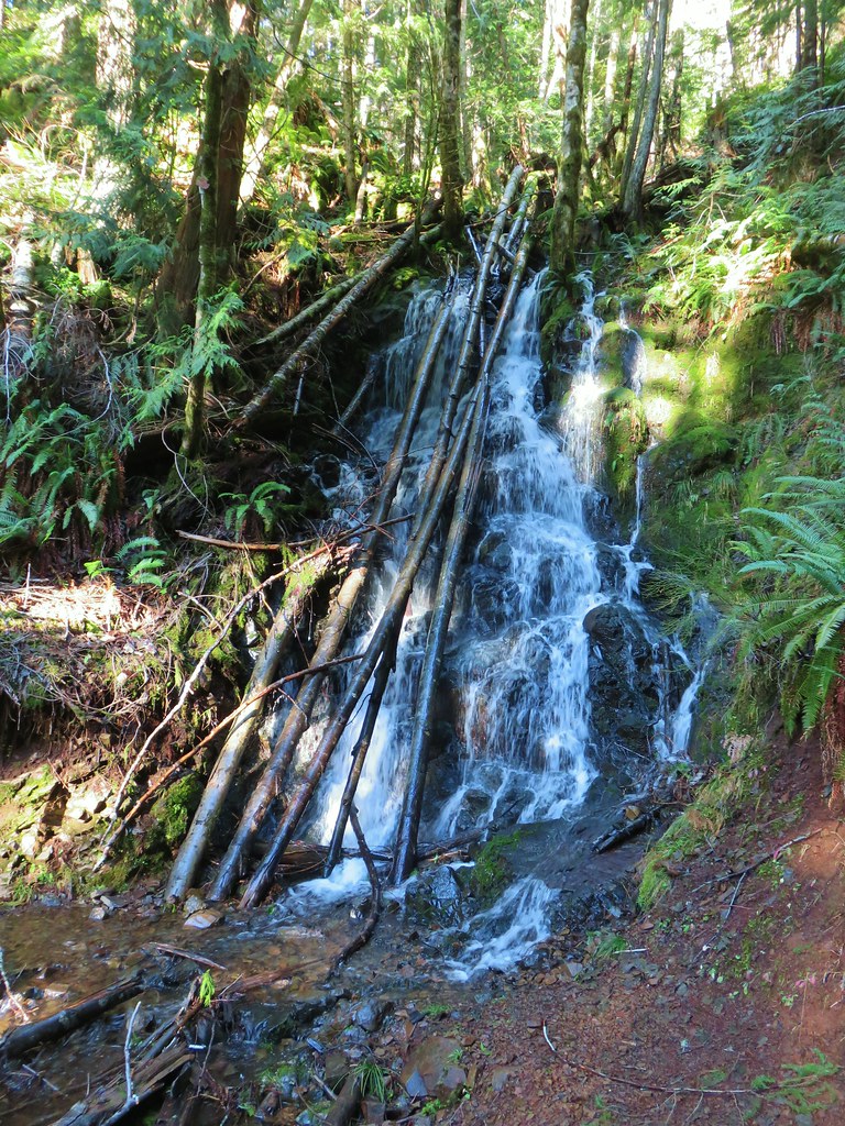
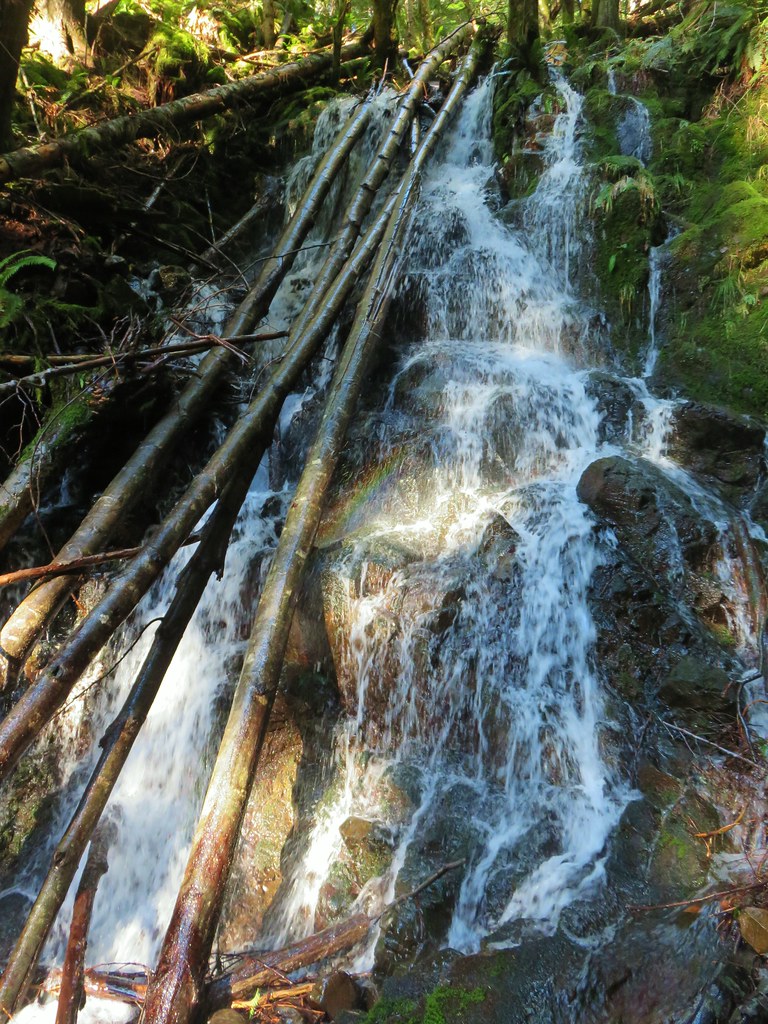
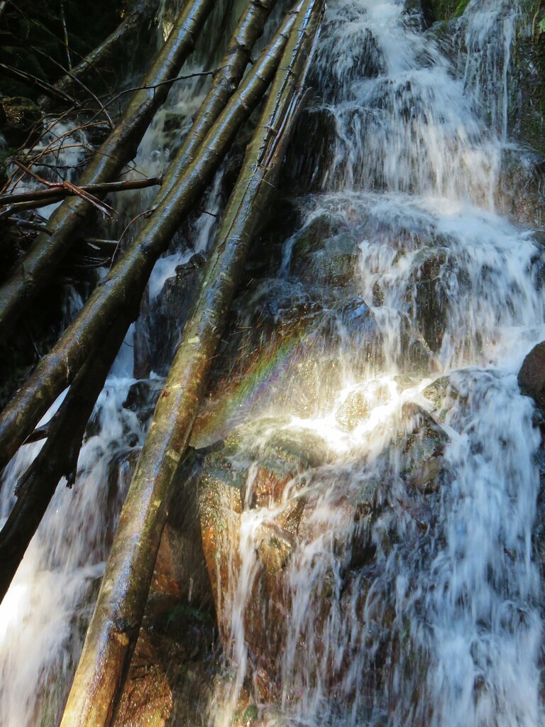
 The logs we came across.
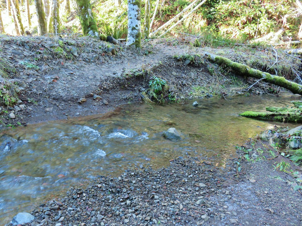 The rock after having crossed.
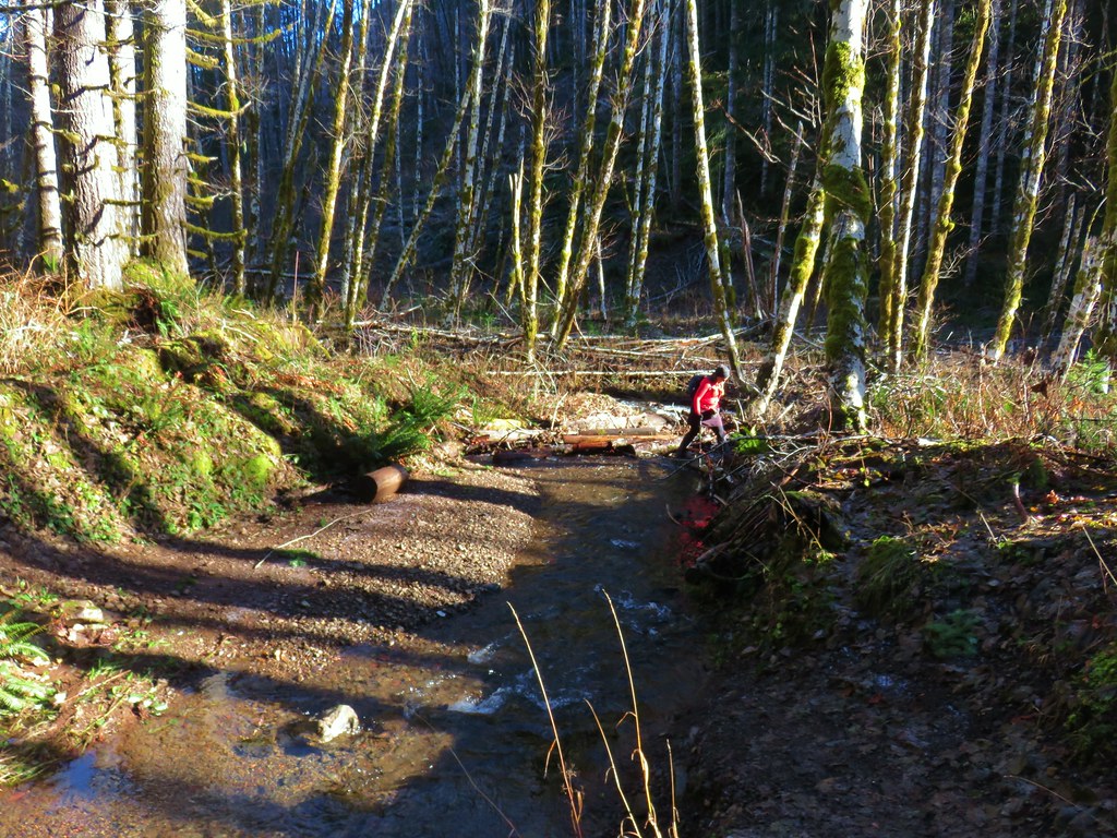 Heather finishing her crossing on the way back.
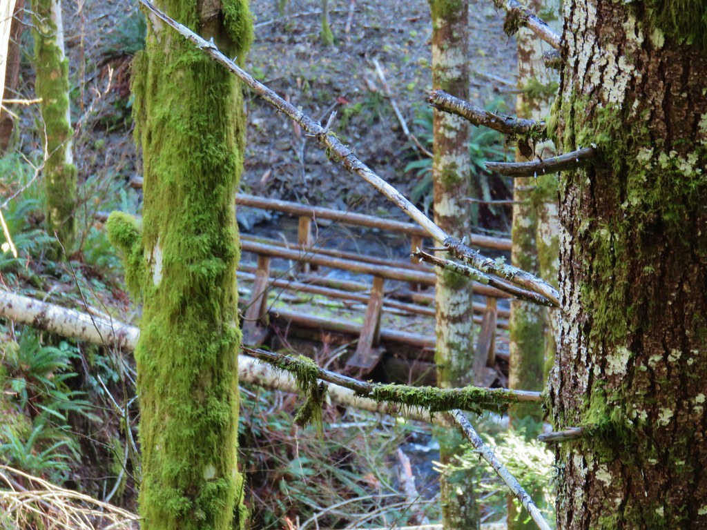


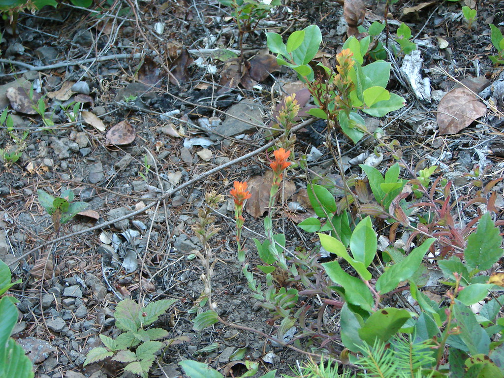
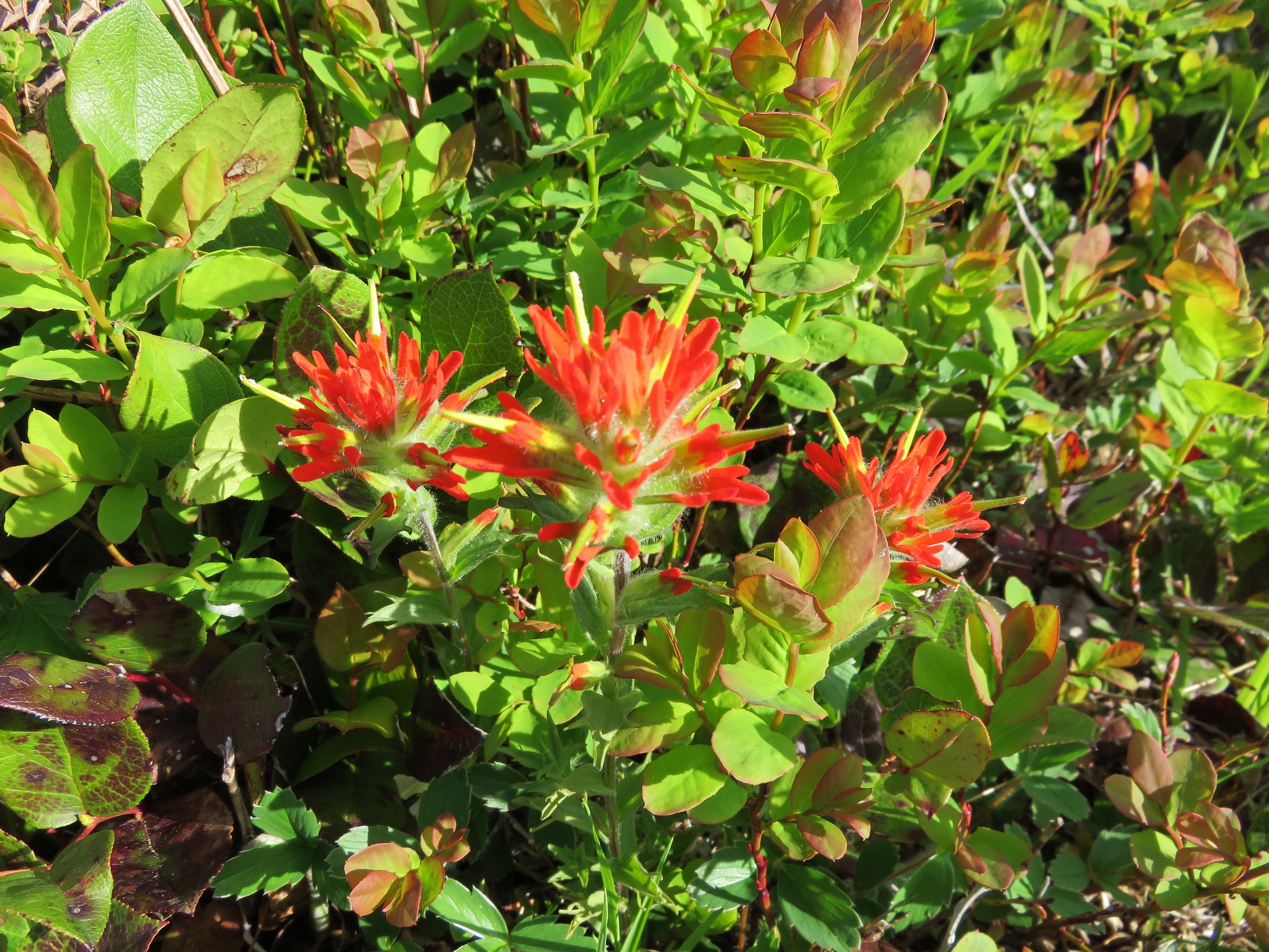
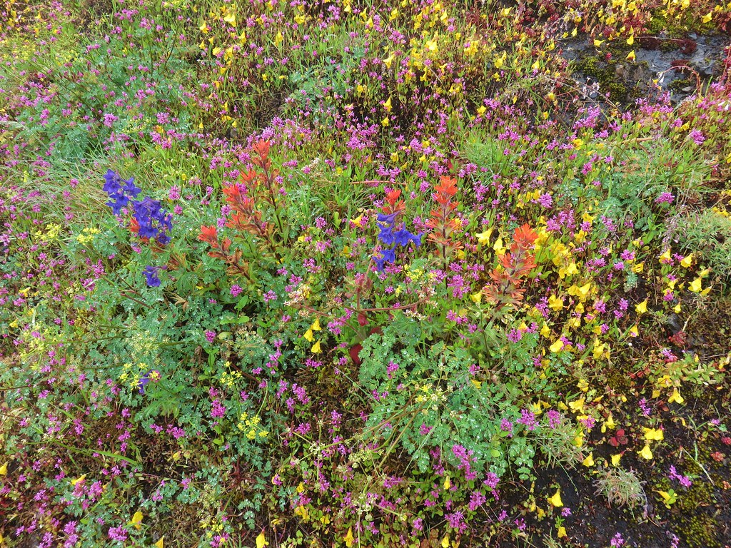
 Paintbrush
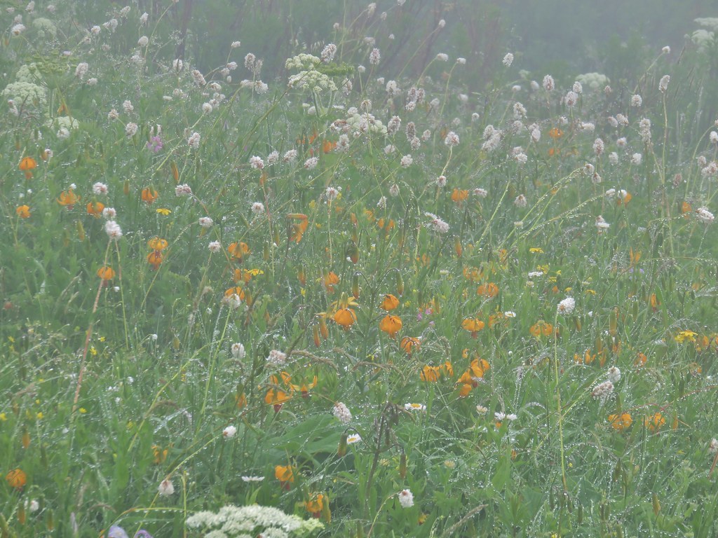
 Tiger lily
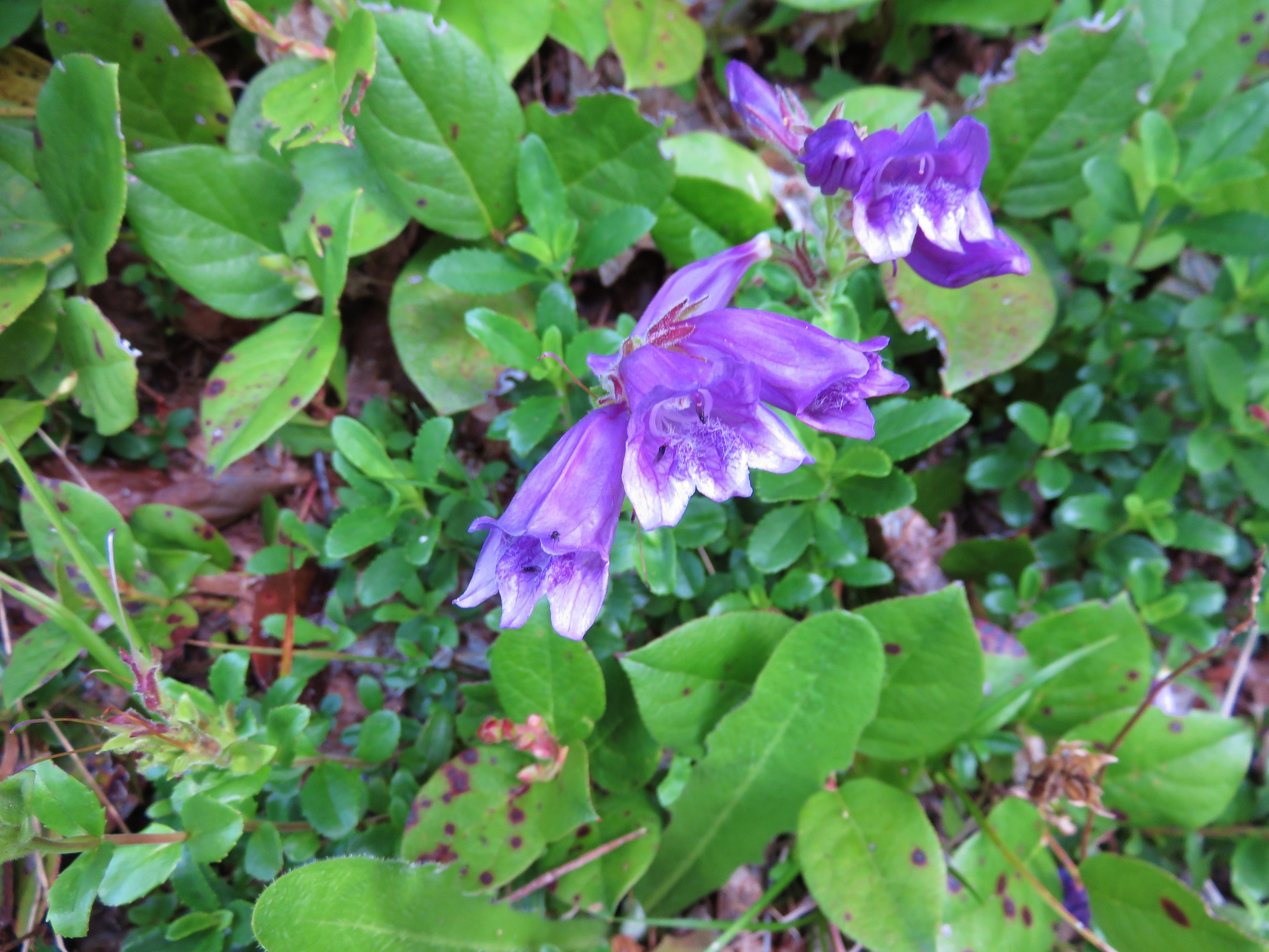
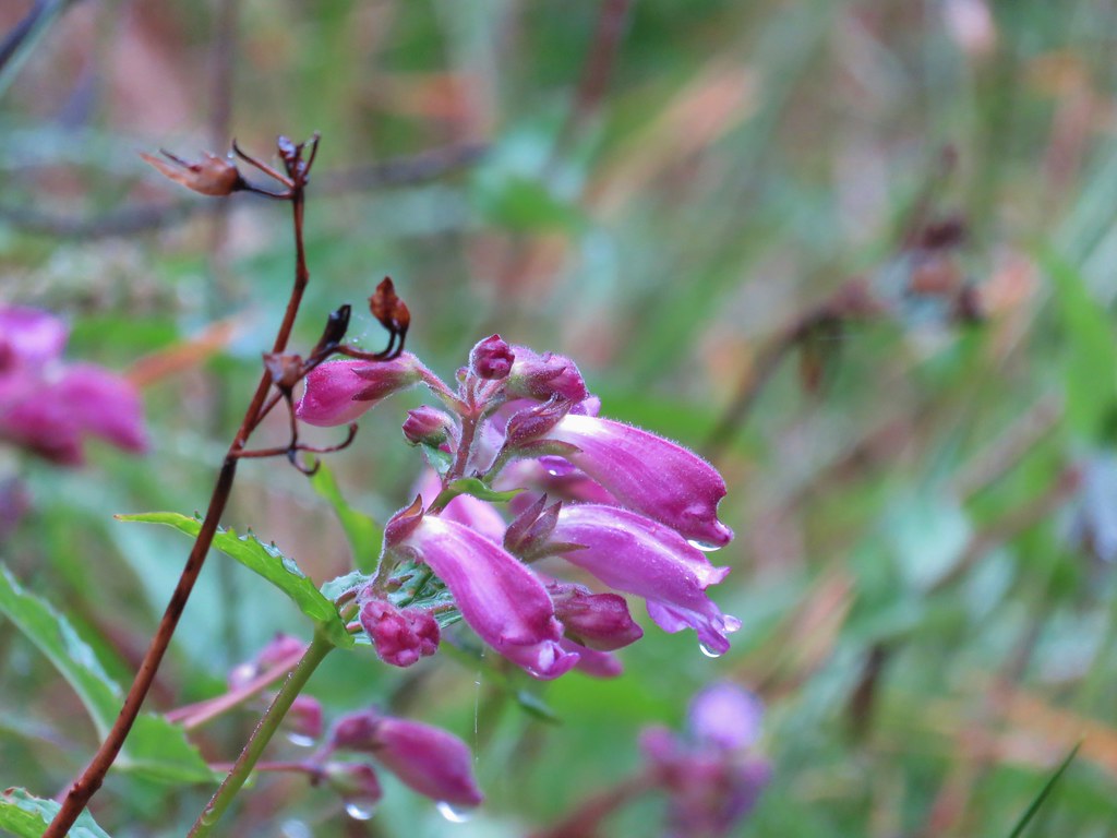 Penstemon
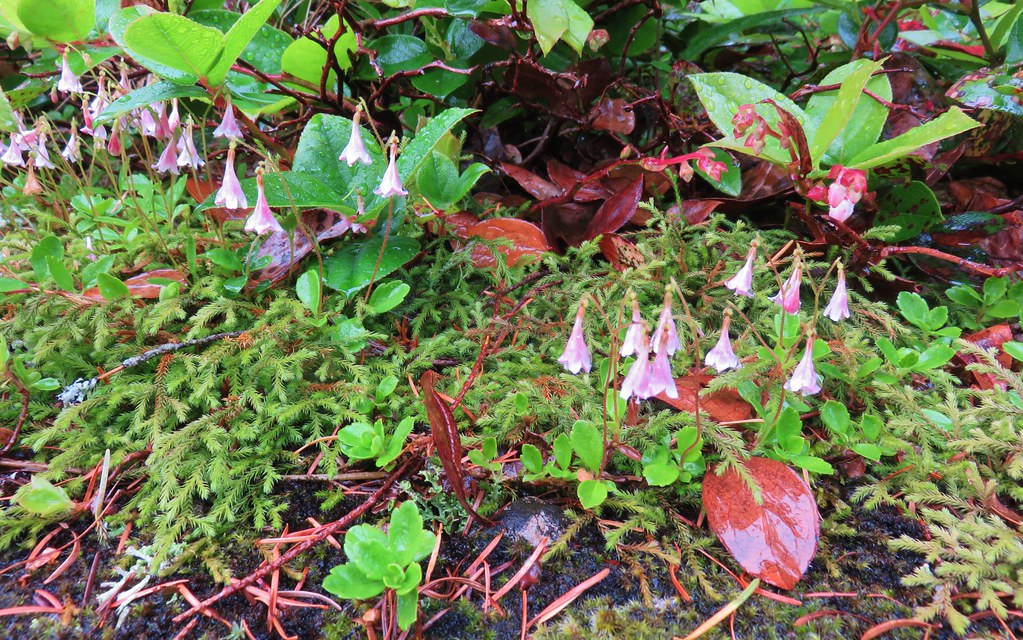 Twin flower
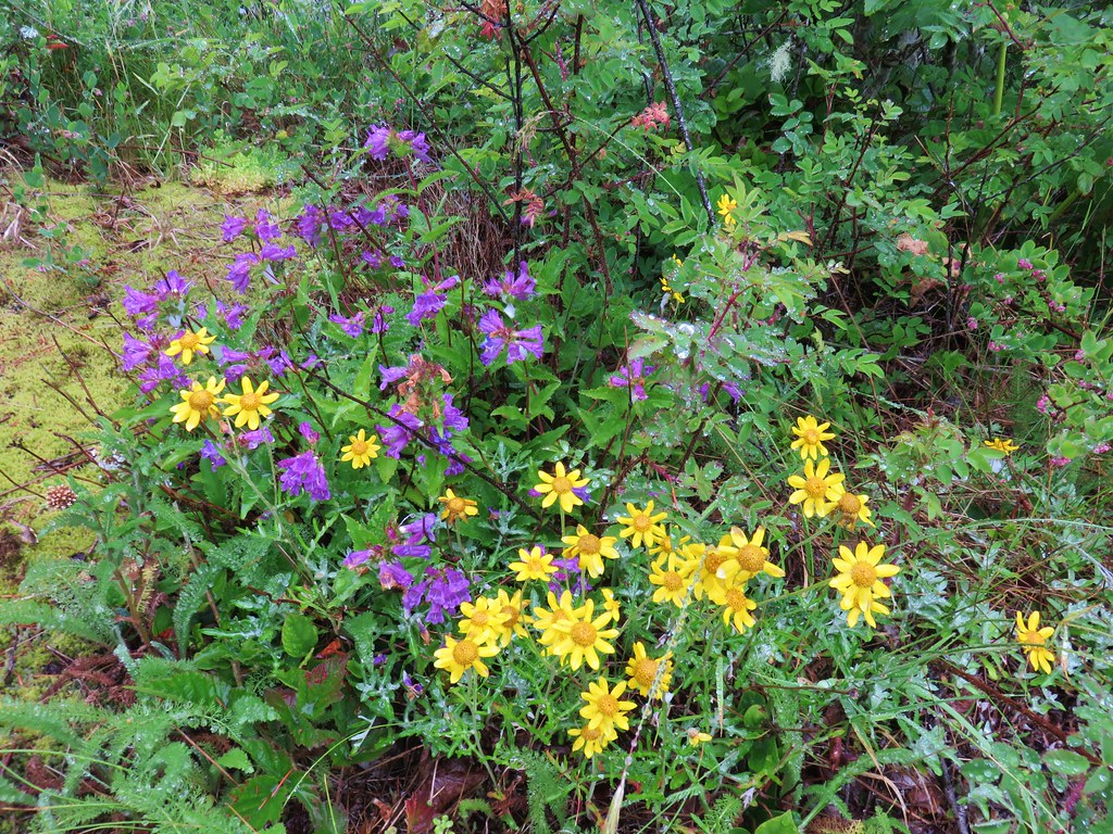
 Checkermallow
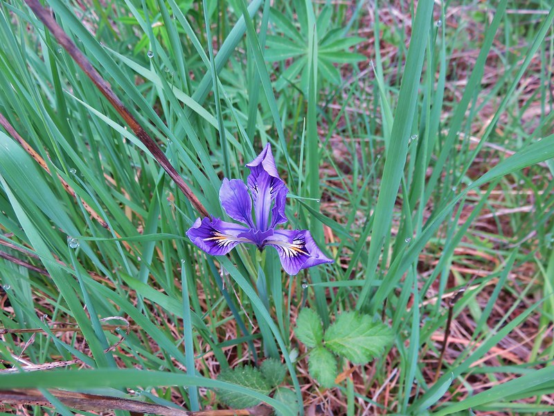
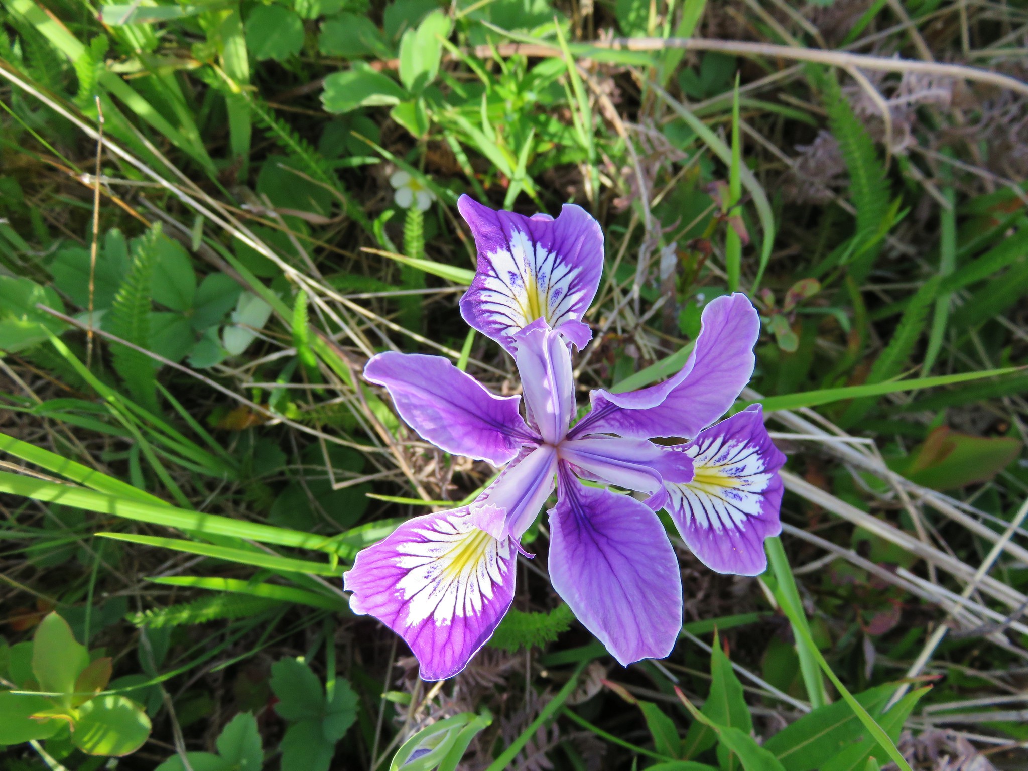
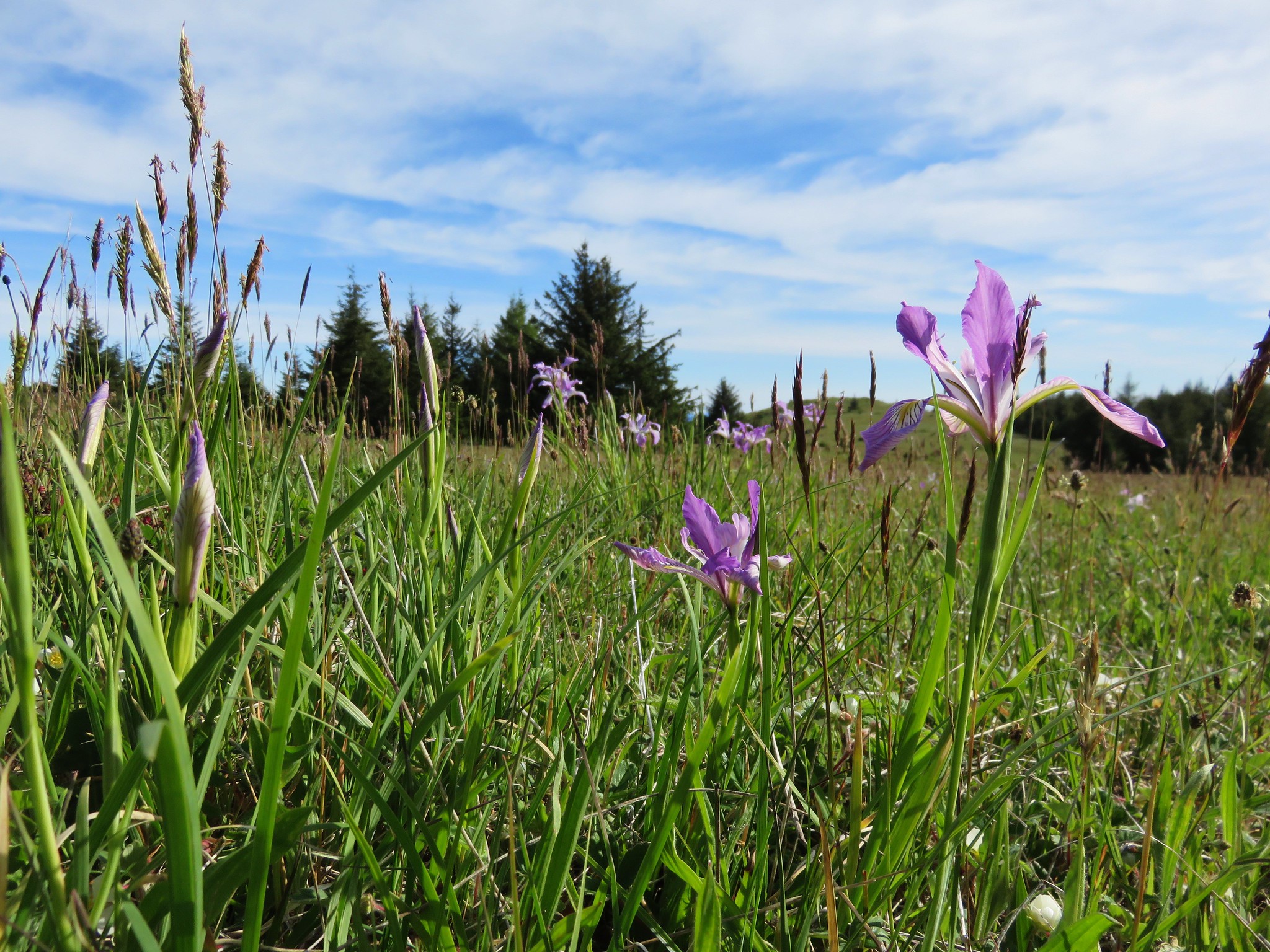
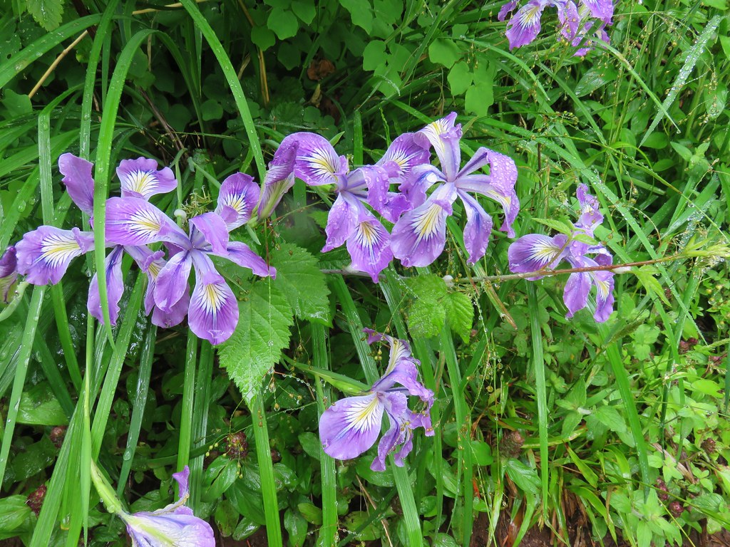 Wild iris
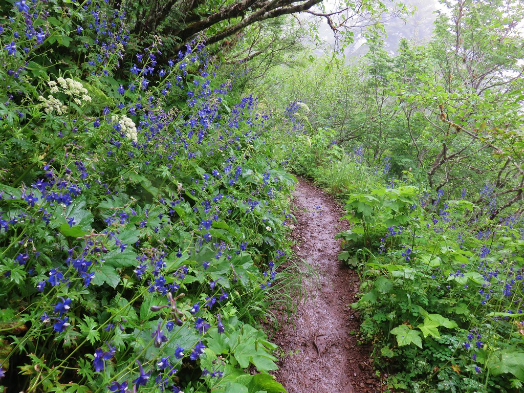
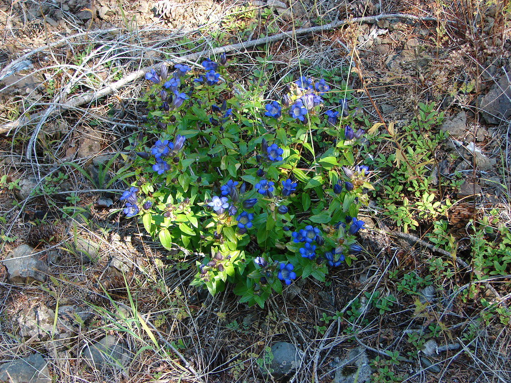
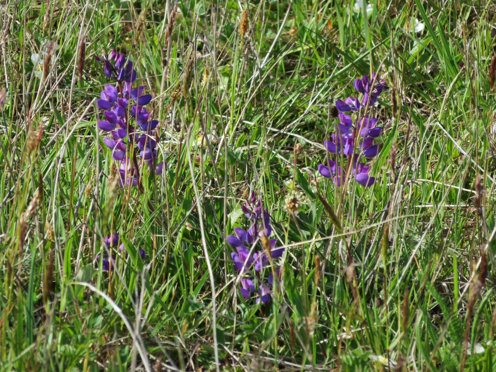
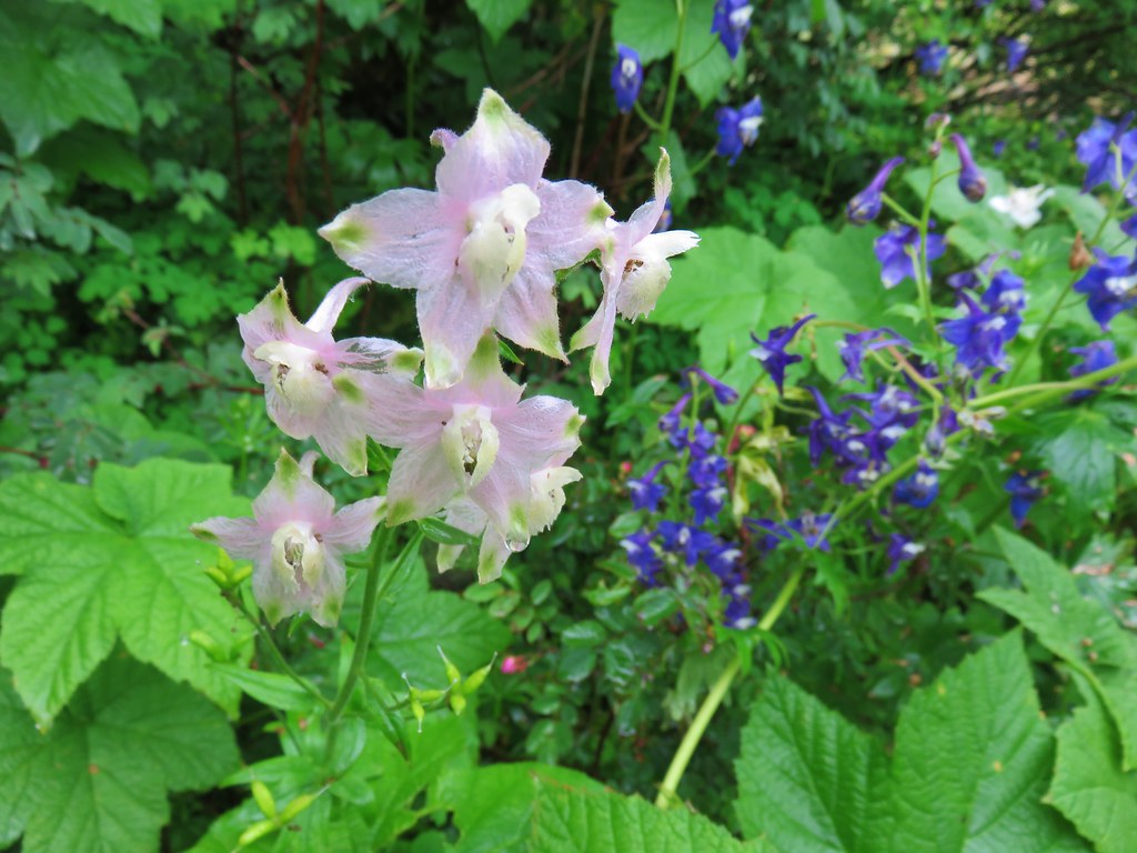 Larkspur
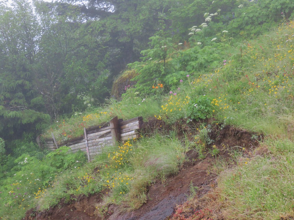
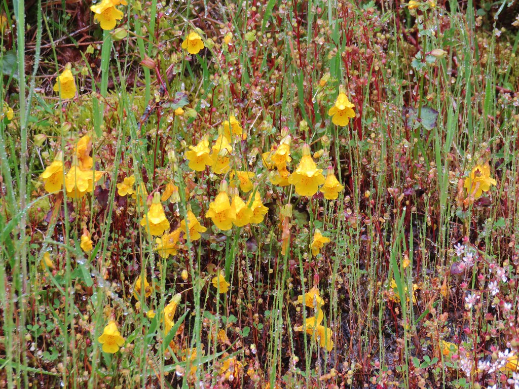 Monkeyflower
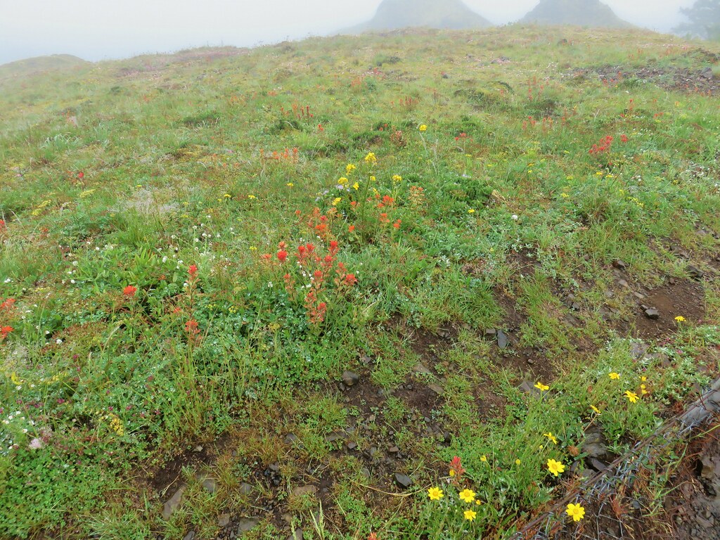
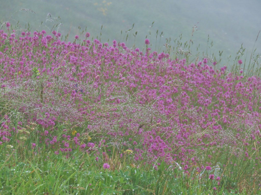 Plectritis
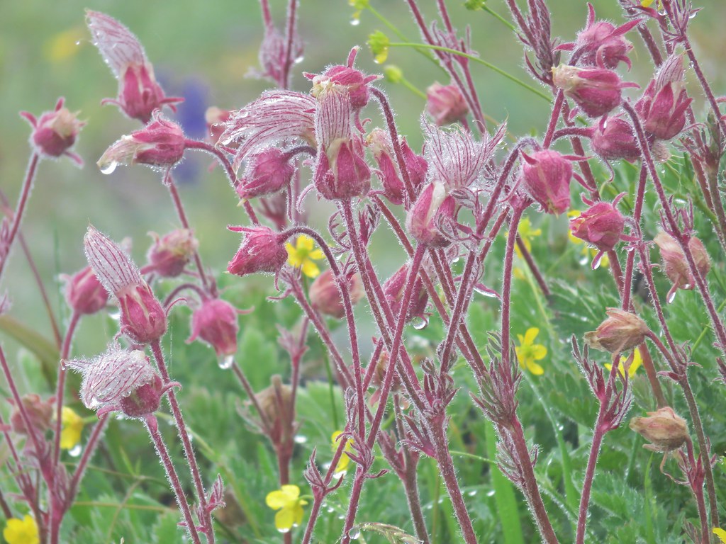 Old man’s whiskers
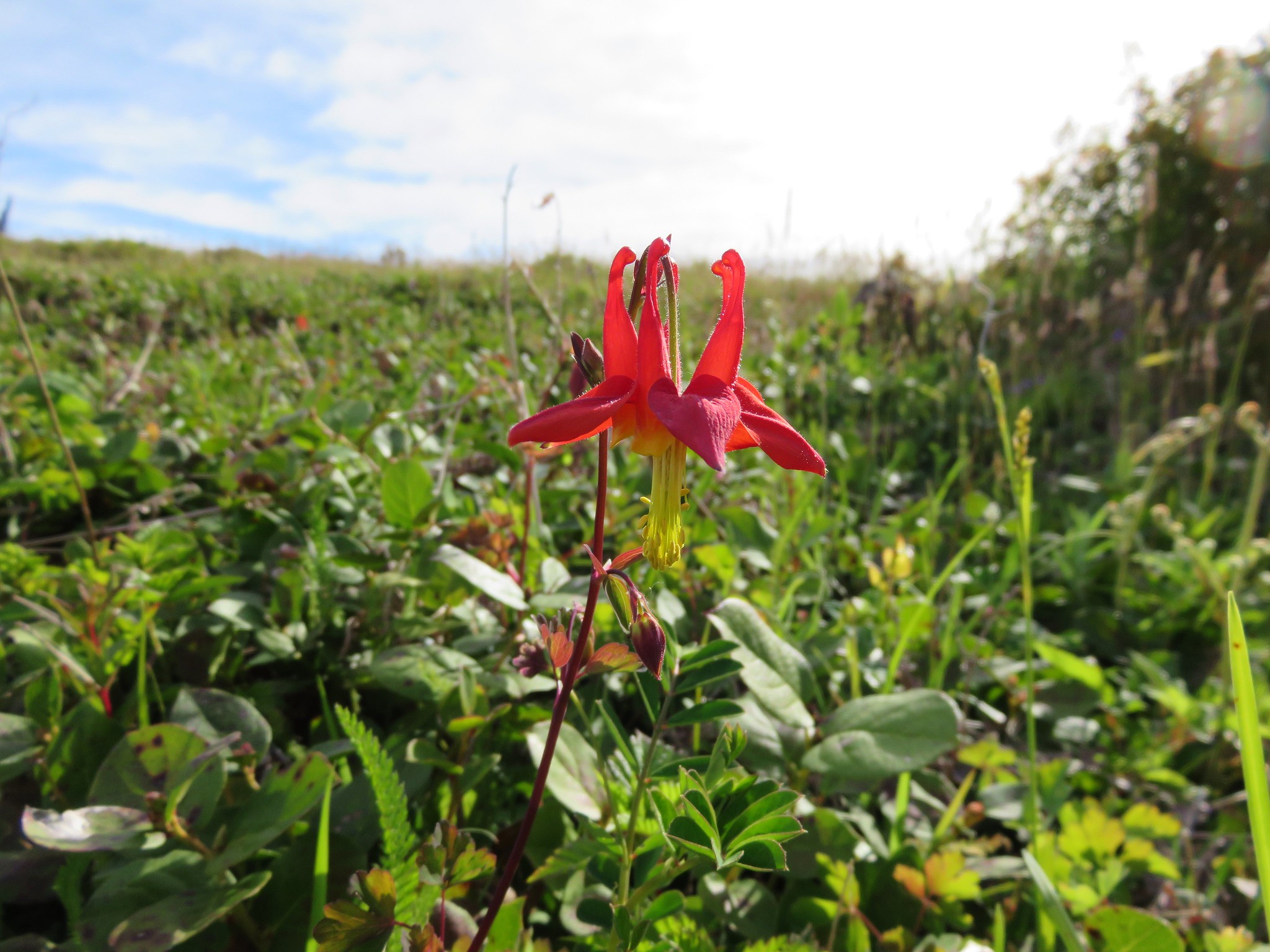
 Columbine
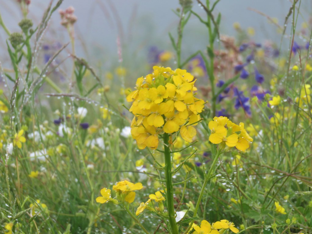 Wallflower
 Larkspur
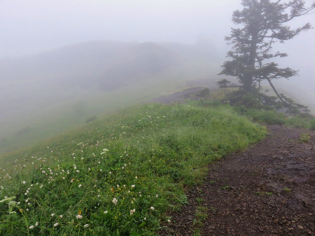
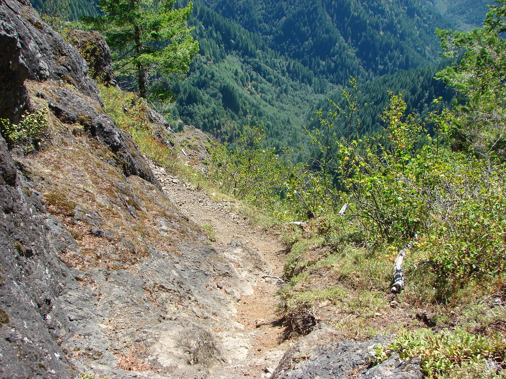
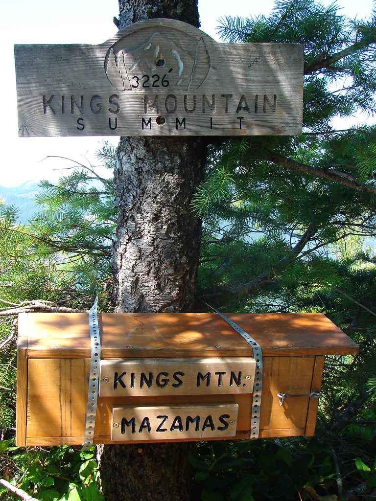
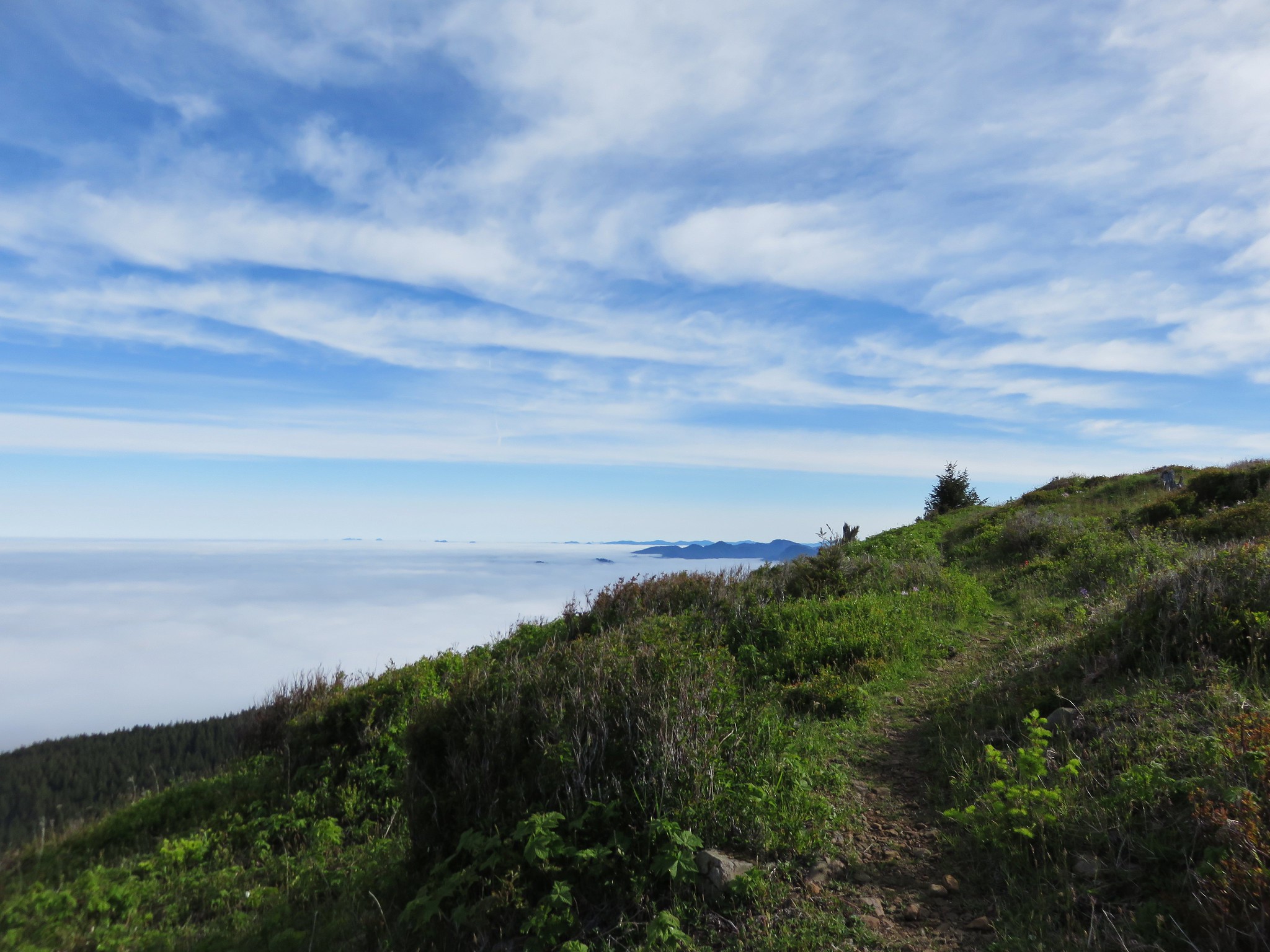
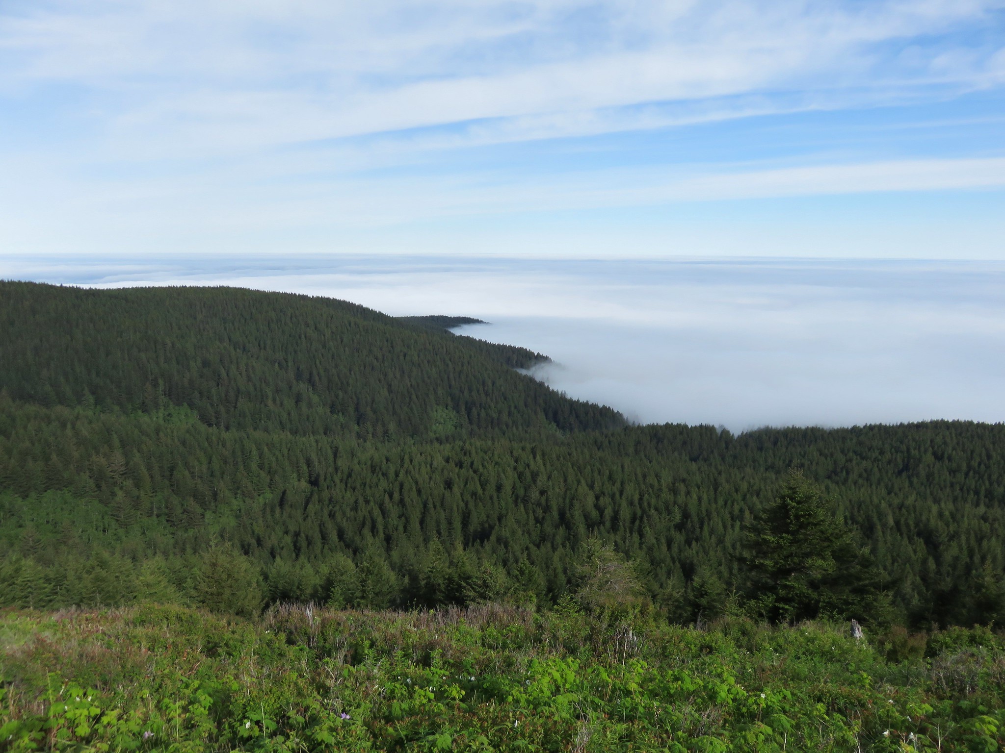
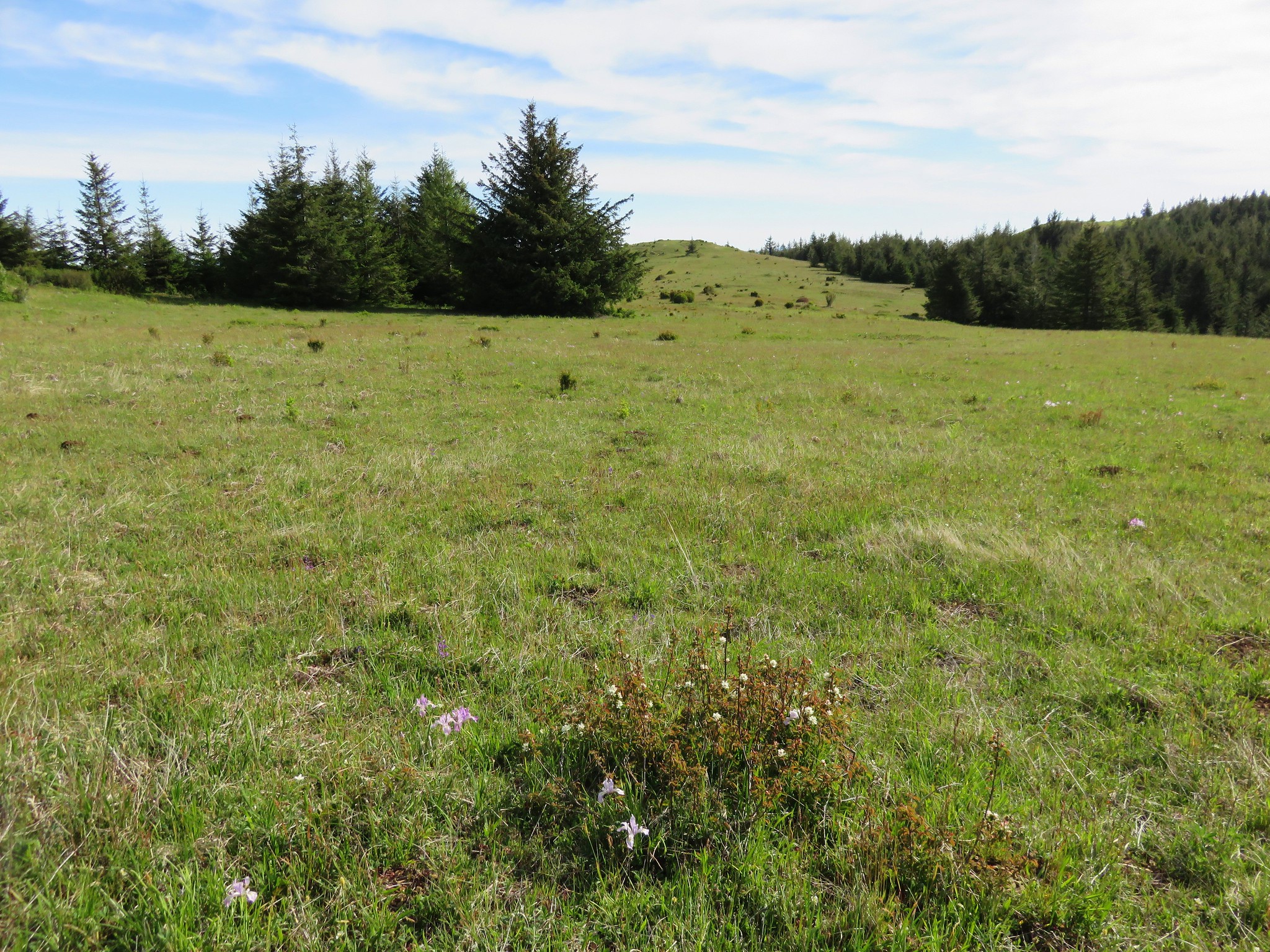
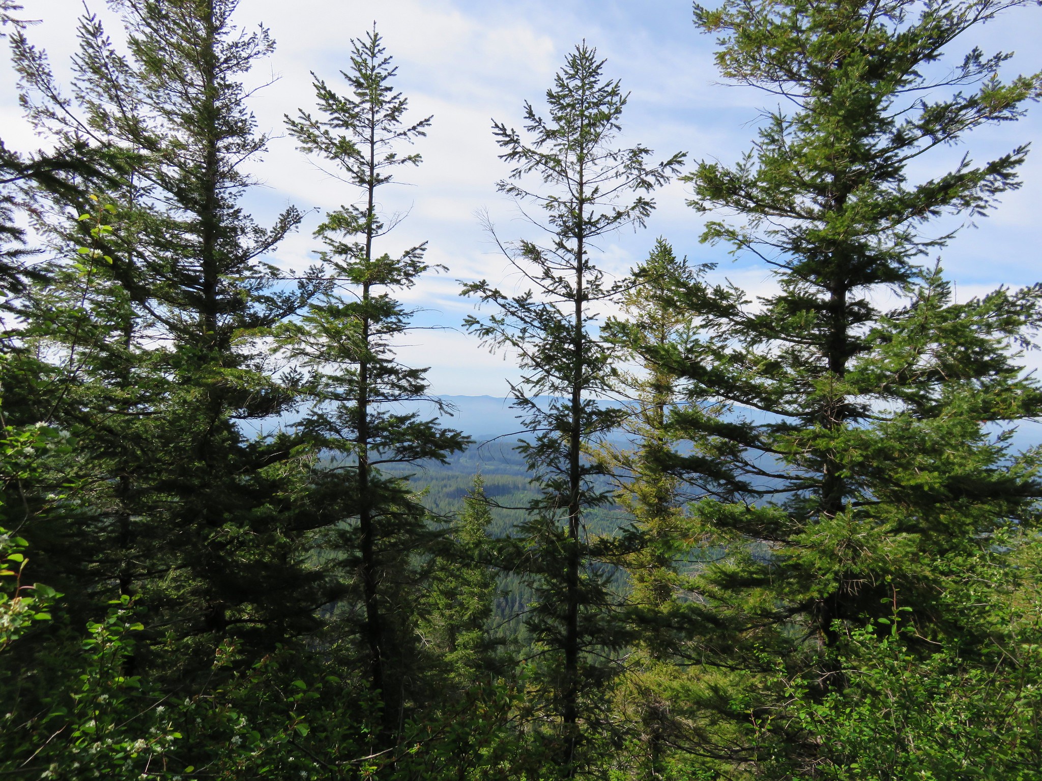
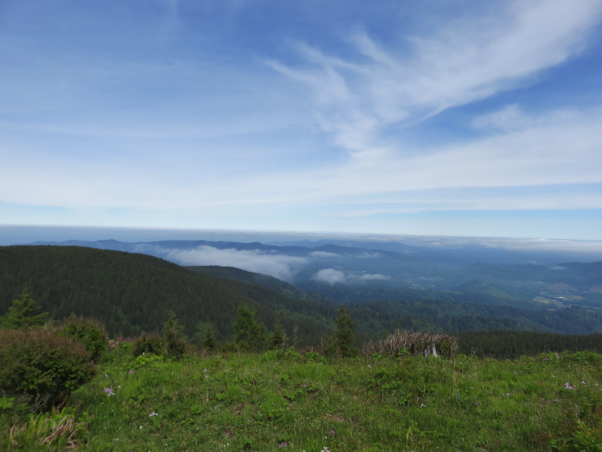
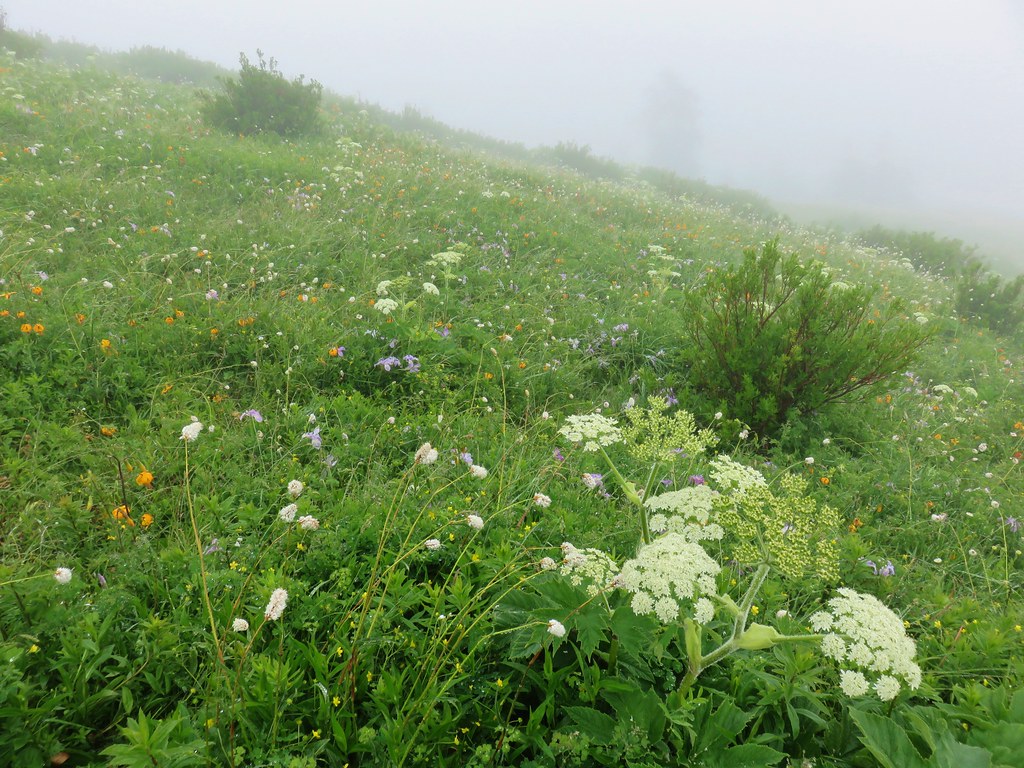
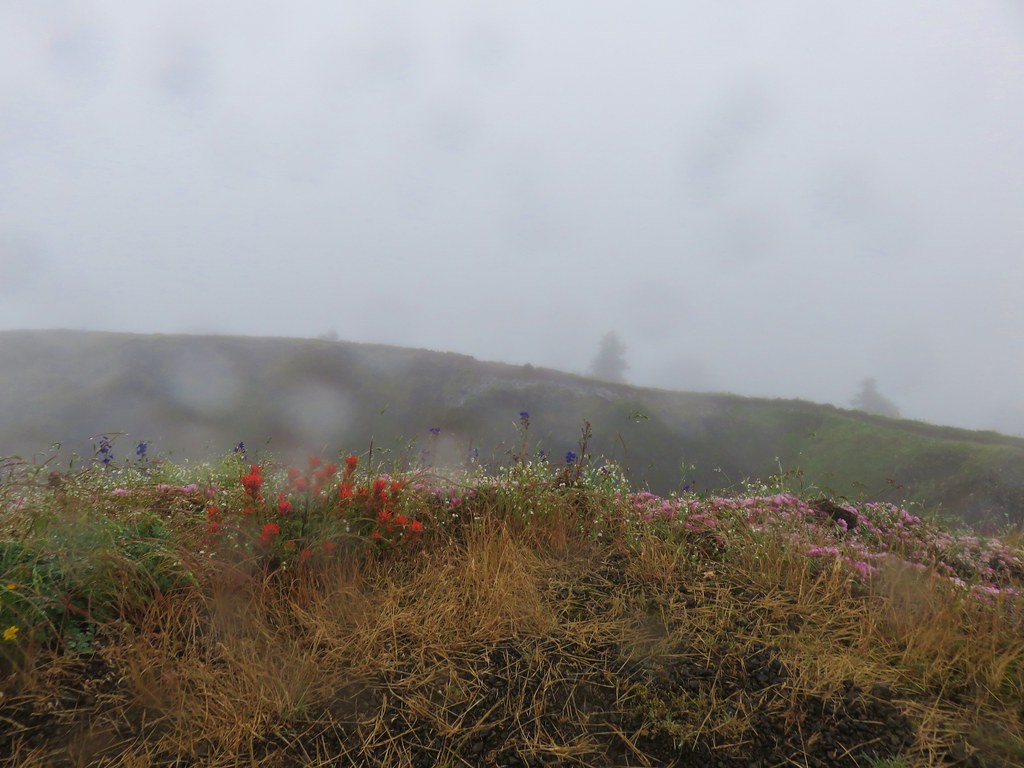 Summit view