
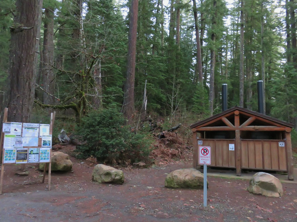
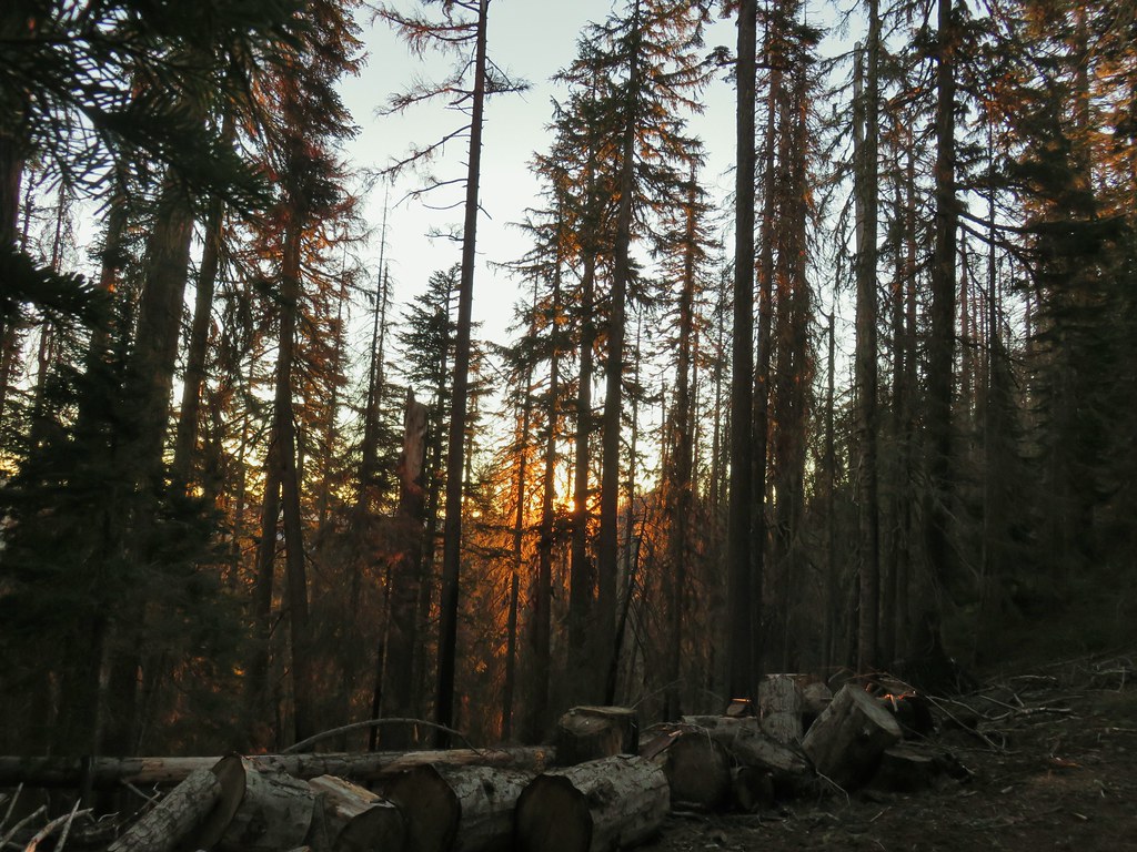
We’ve unfortunately entered fire season which means we are keeping a close eye on current and new fires as well as any associated closures. At the time of writing the Cedar Creek Fire has closed the Waldo Lake Wilderness, part of the Three Sisters Wilderness as well as some of the surrounding forest and other fires have closed part of the Diamond Peak Wilderness. We had reservations at the Ideyld Lodge for August 6th and luckily our planned hikes for the weekend were not impacted by any of the current wildfires so we left Salem a little before 5am and headed south on I-5.
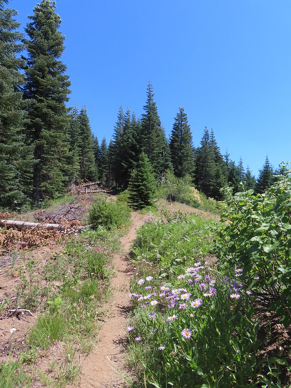
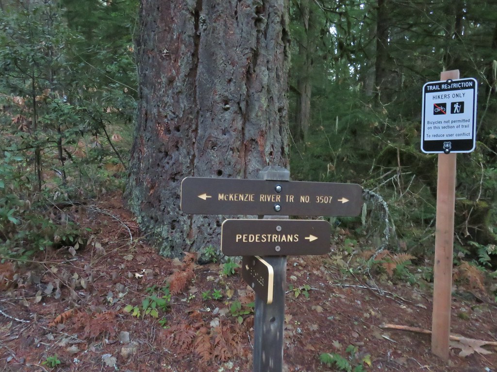
Like our earlier trips south this year we were continuing to work on checking off featured hikes from William L. Sullivan’s “100 Hikes/Travel Guide Southern Oregon & Northern California” guidebook (post). This time we planned on completing hike #3 – Little River Waterfalls (edition 4.2) as well as another waterfall from hike #2 – Fall Creek Falls. Due to those hikes combining for just 8 miles of hiking we had also planned to add Hemlock Lake (hike #103) onto Saturday’s outing. Sullivan’s Little River Waterfalls hike includes three stops to visit four waterfalls: Wolf Creek, Grotto, Yasko, and Hemlock Falls. The last two both starting from the Lake in the Woods Campground. The Hemlock Creek Trail also begins at this campground and climbs up to the Yellow Jacket Loop Trail which is the trail that Sullivan has you take for his Hemlock Lake hike. We planned on parking at the campground and taking all three of the trails and then time permitting stopping at Grotto Falls on our way to the lodge.
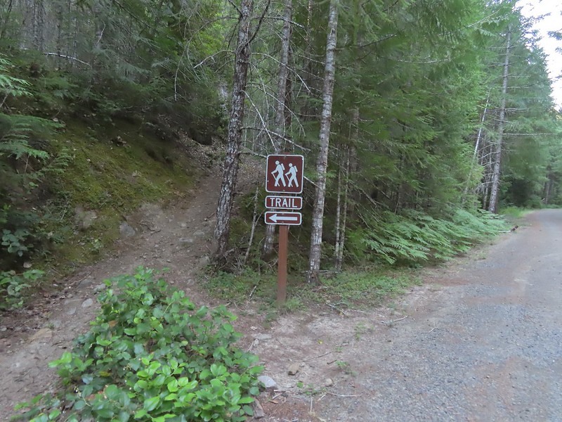
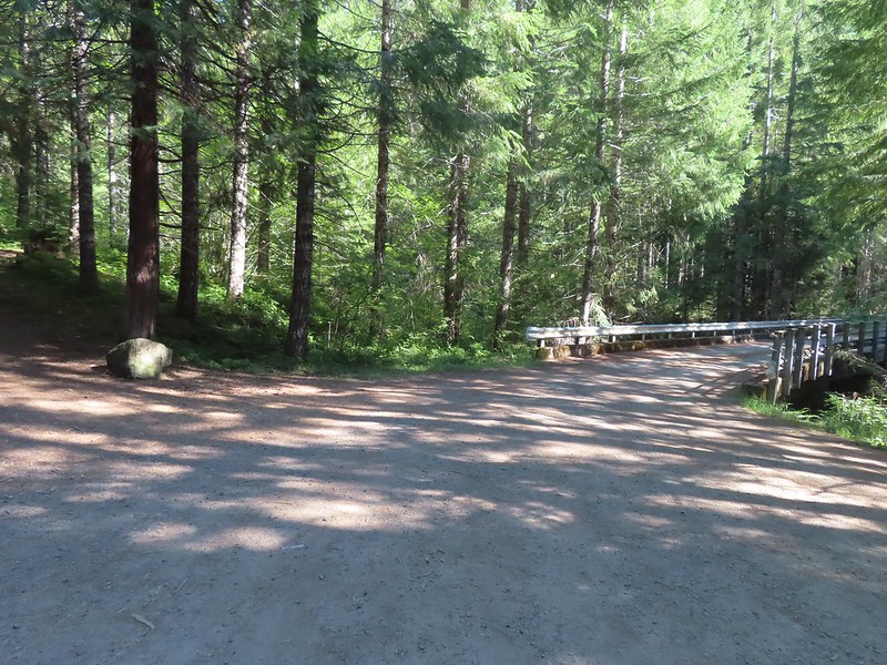
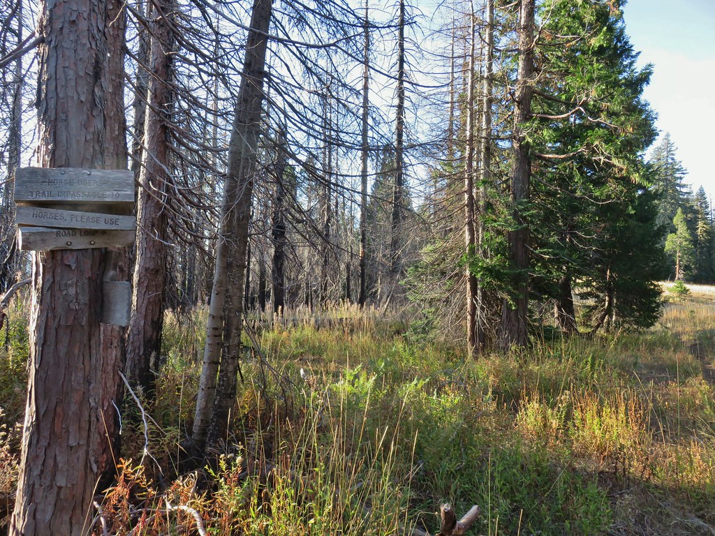
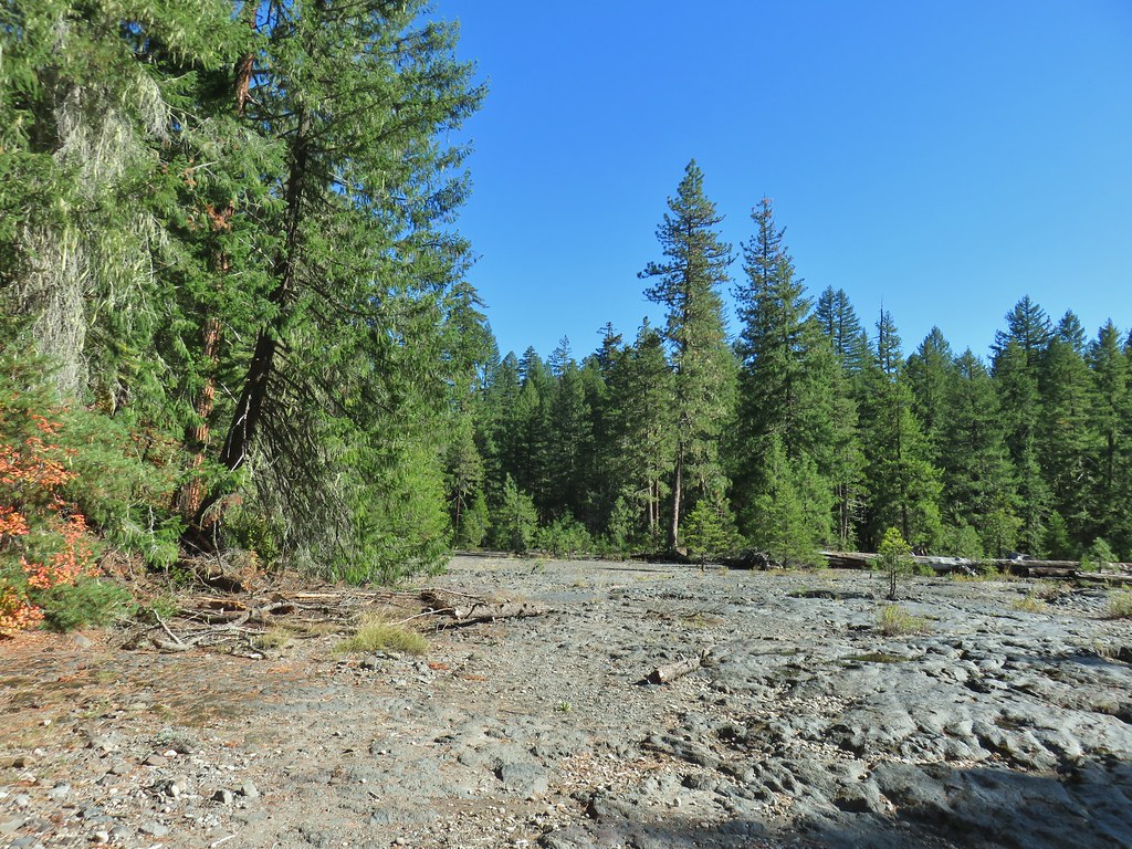
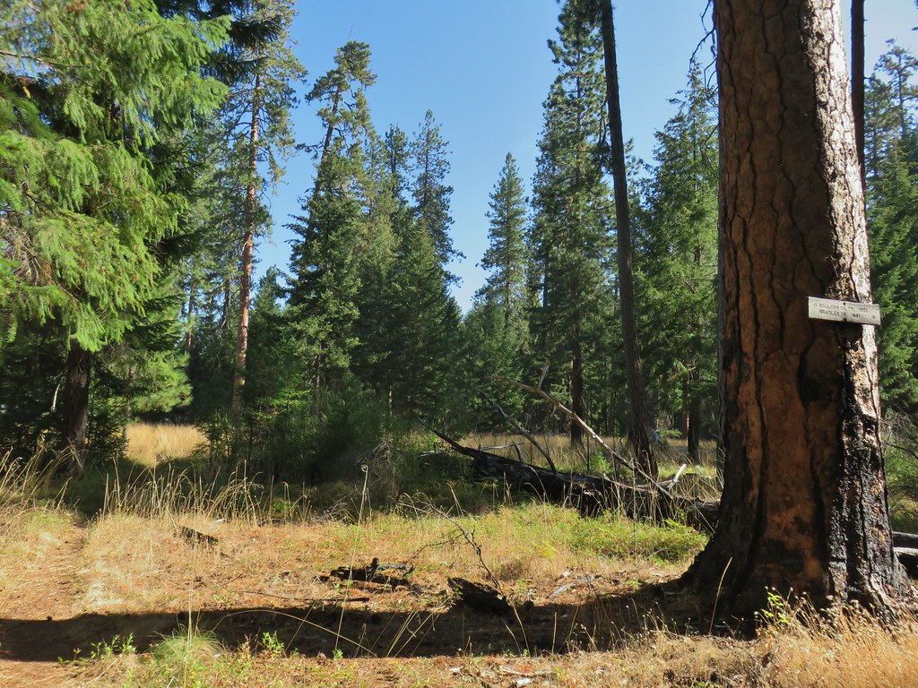
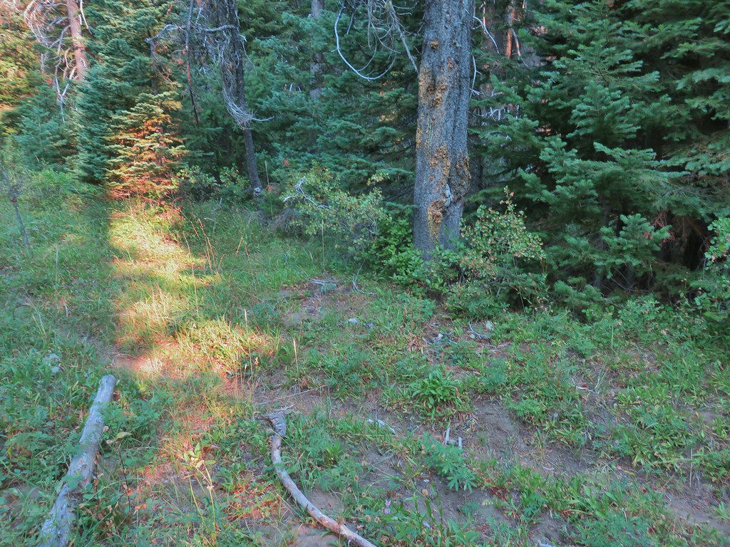
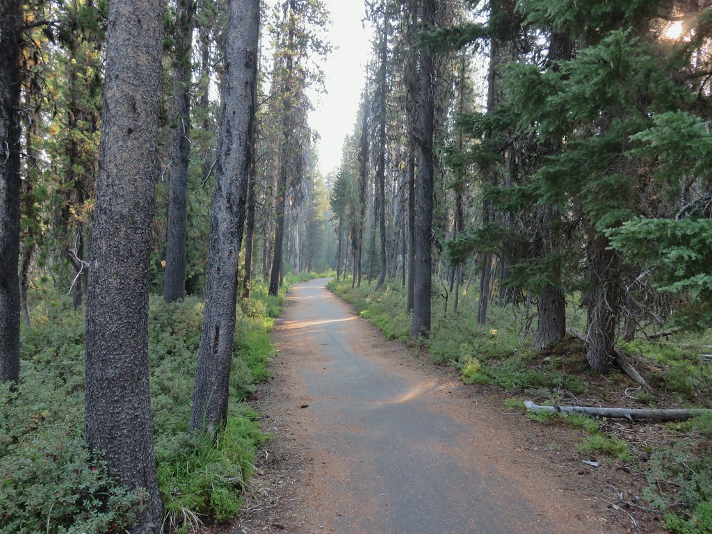
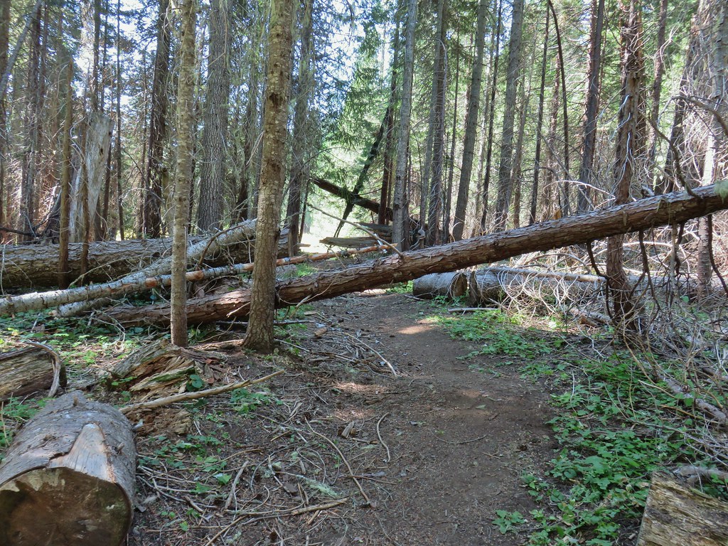
We arrived at the campground and couldn’t tell exactly where the day use area was (we missed the small sign) and wound up driving around the lake through the campground. Instead of trying to figure out where the day use area was (It was immediately to the right as you start counter-clockwise around the loop.) we exited the campground and turned right (east) on FR 27 for a tenth of a mile to FR 421 where we turned right for another tenth of a mile to a pull out where the Hemlock Creek Trail crossed the road.
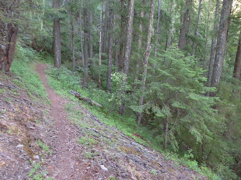
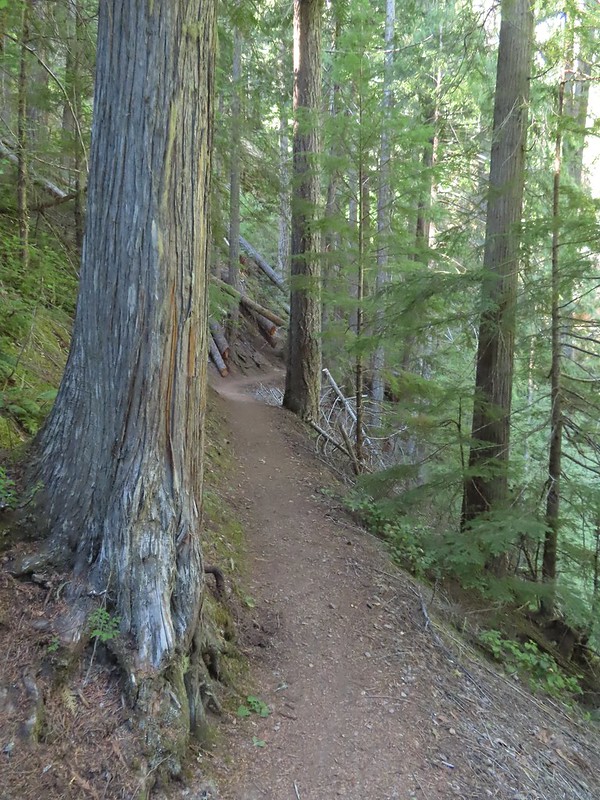
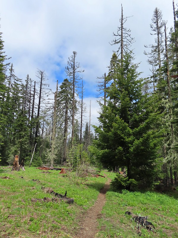
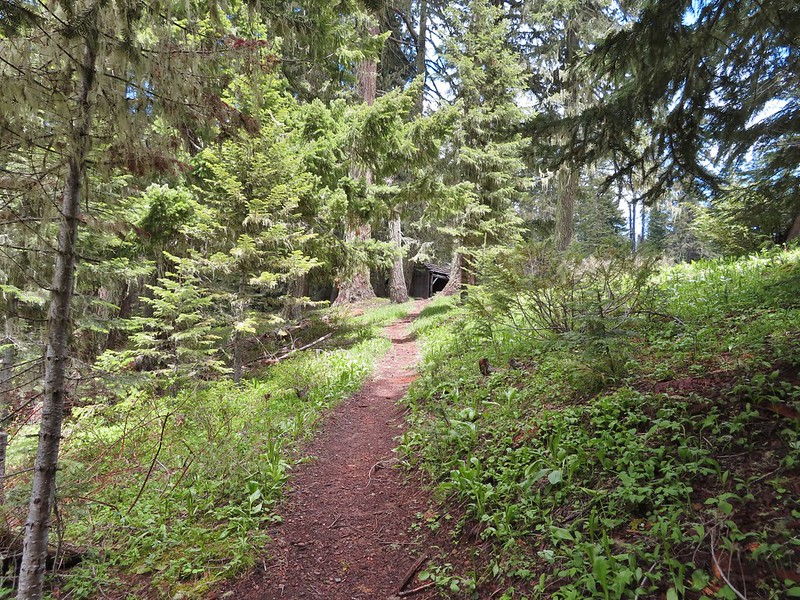
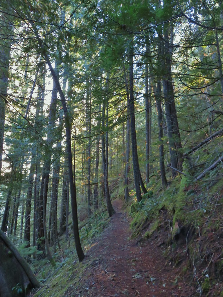
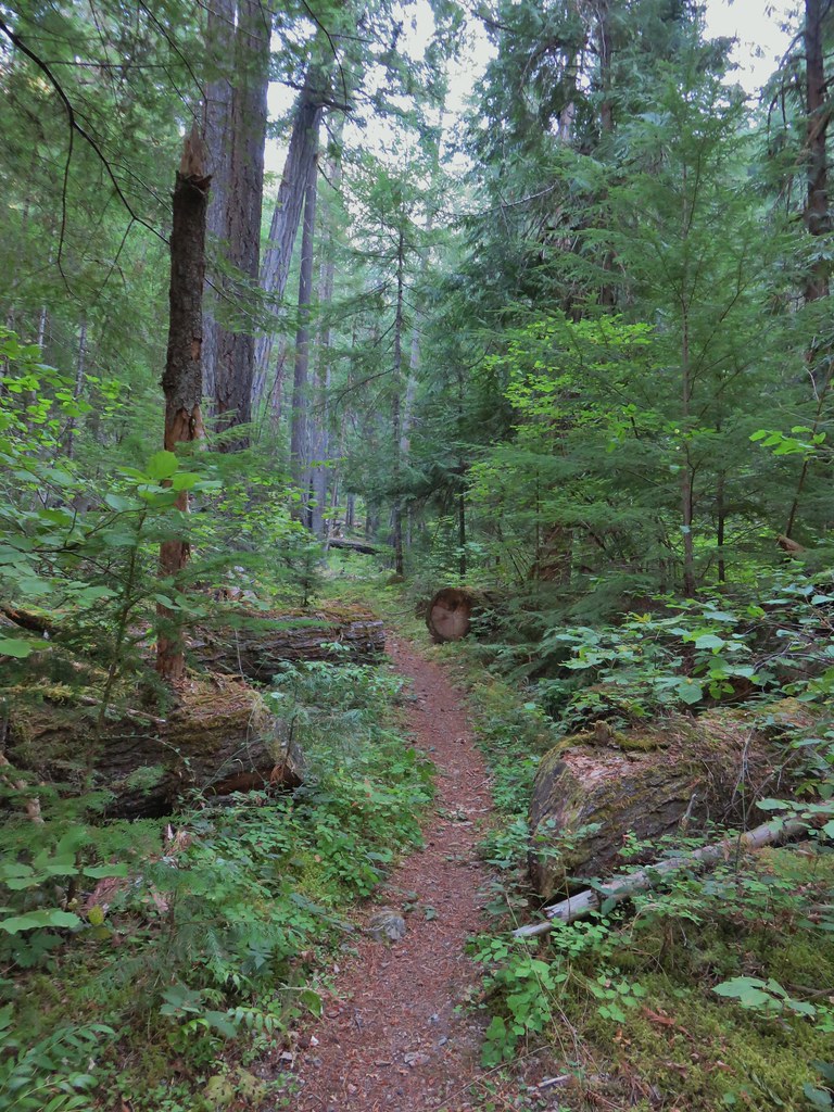
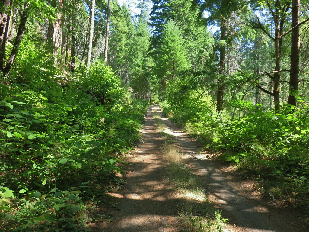
 Hemlock Creek Trail heading uphill toward Hemlock Lake.
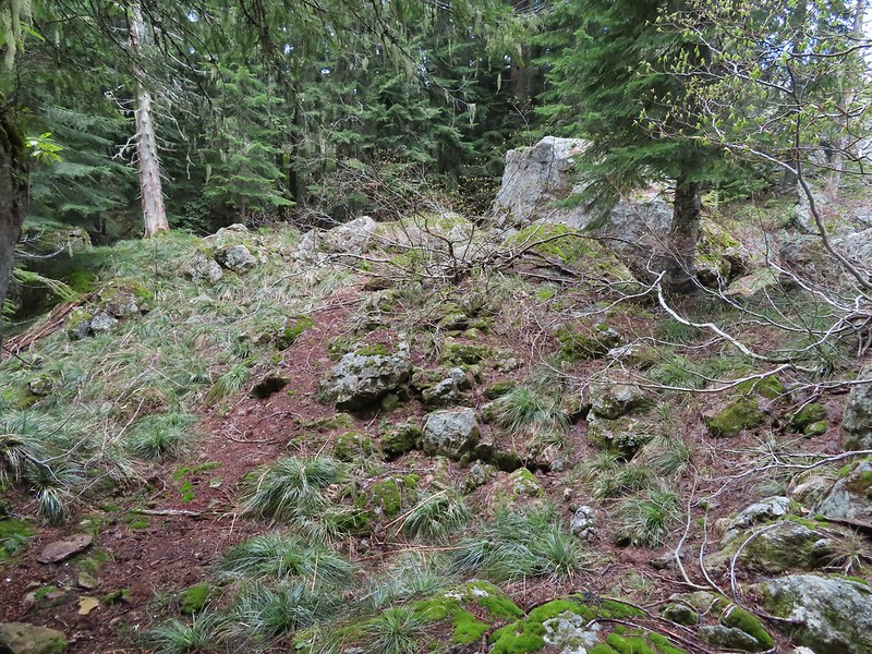
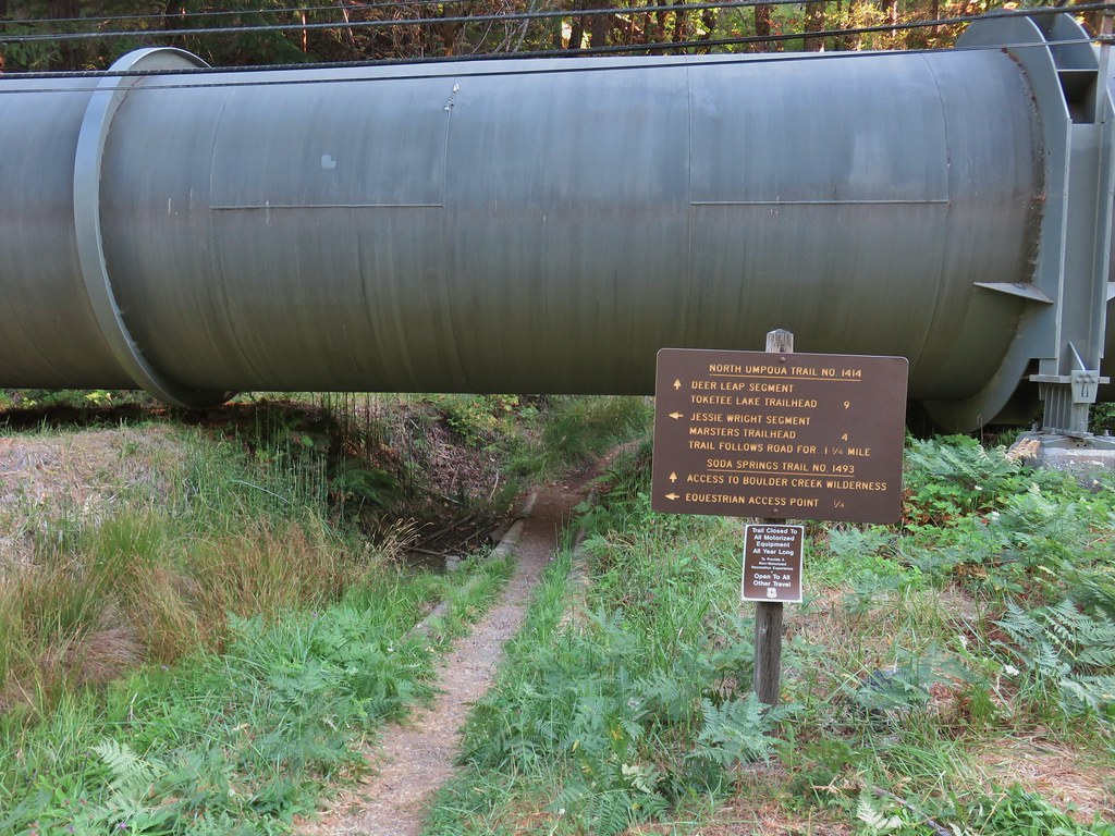
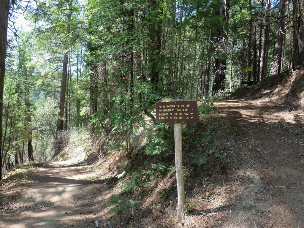
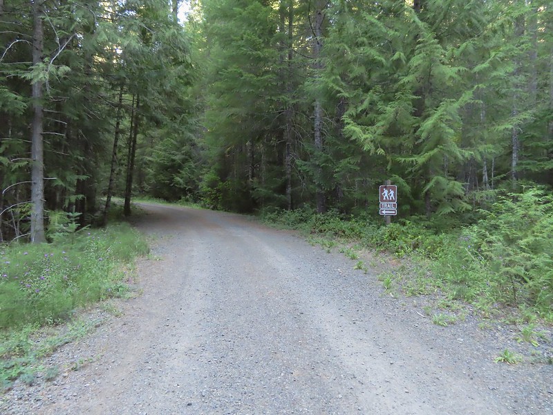 Trail sign for the Hemlock Creek Trail heading down to Lake in the Woods from FR 421.
We opted to do the two short trails to the waterfalls first hoping for less crowds (spoiler alert we saw no one) and hiked a tenth of a mile down to the campground round where we turned right.
 Hemlock Creek Trail at Lake in the Woods Campground.
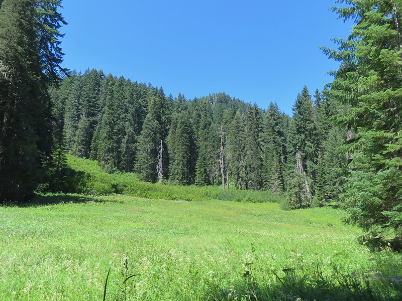
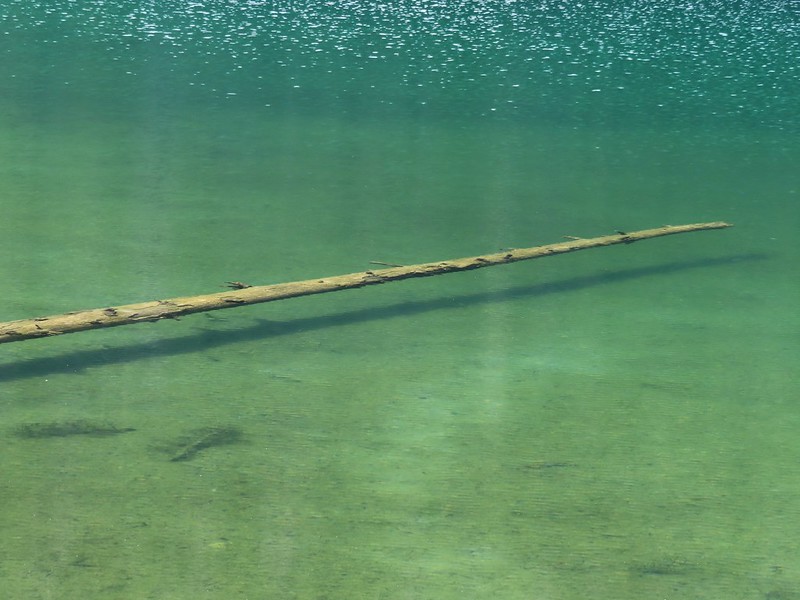
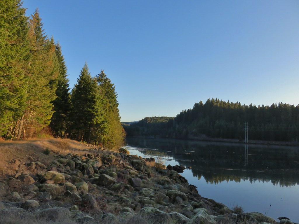
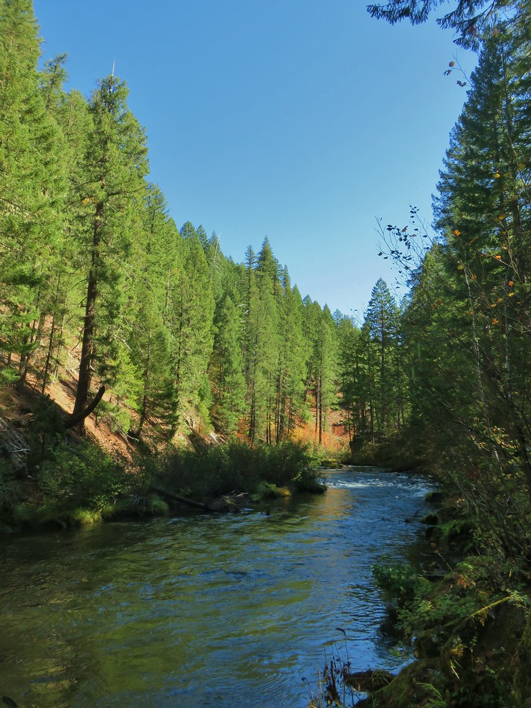
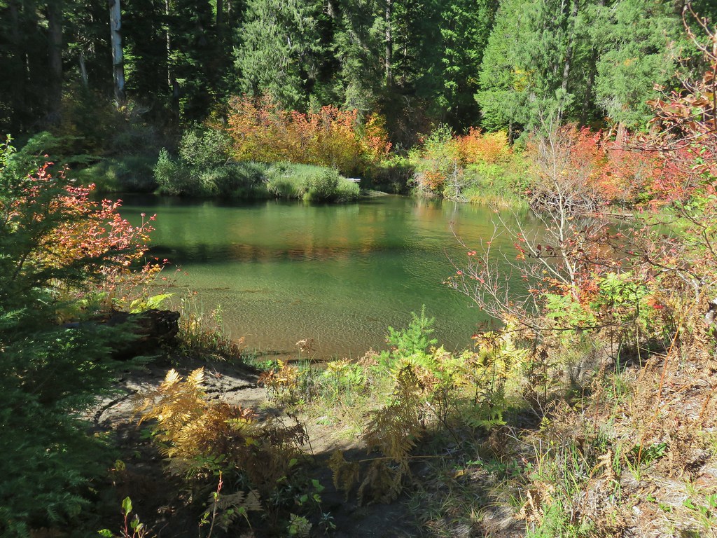
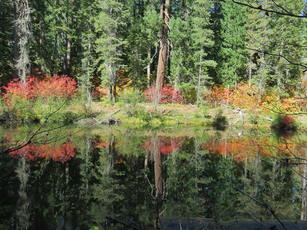
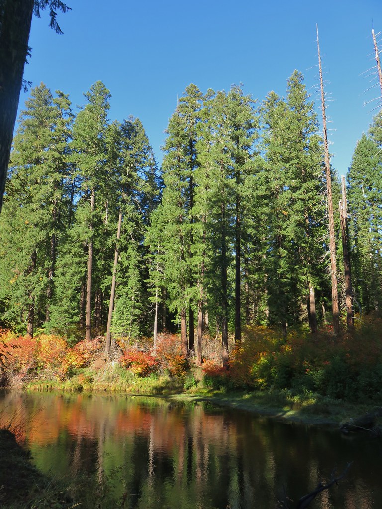
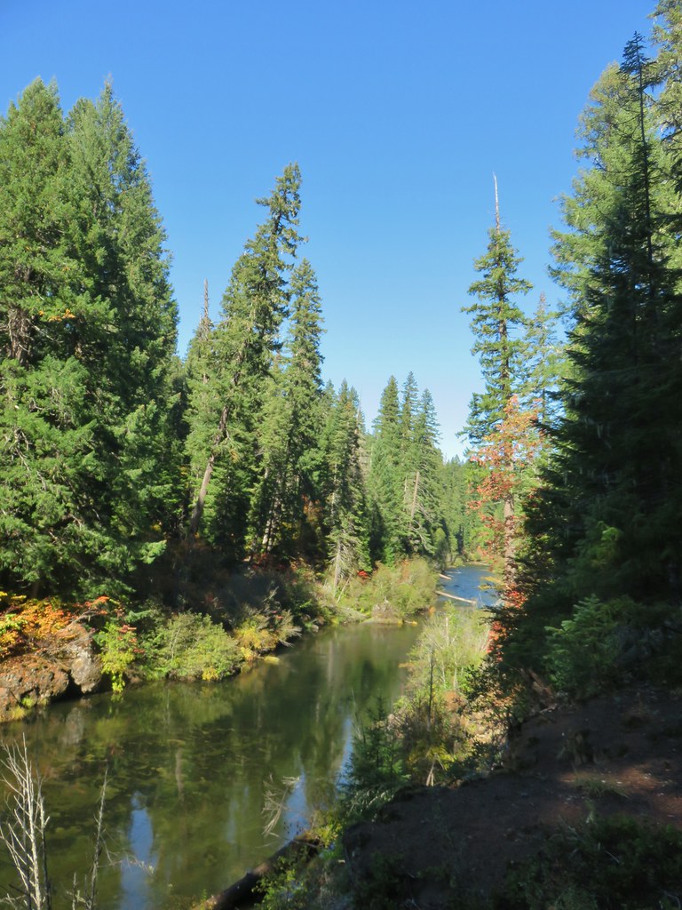
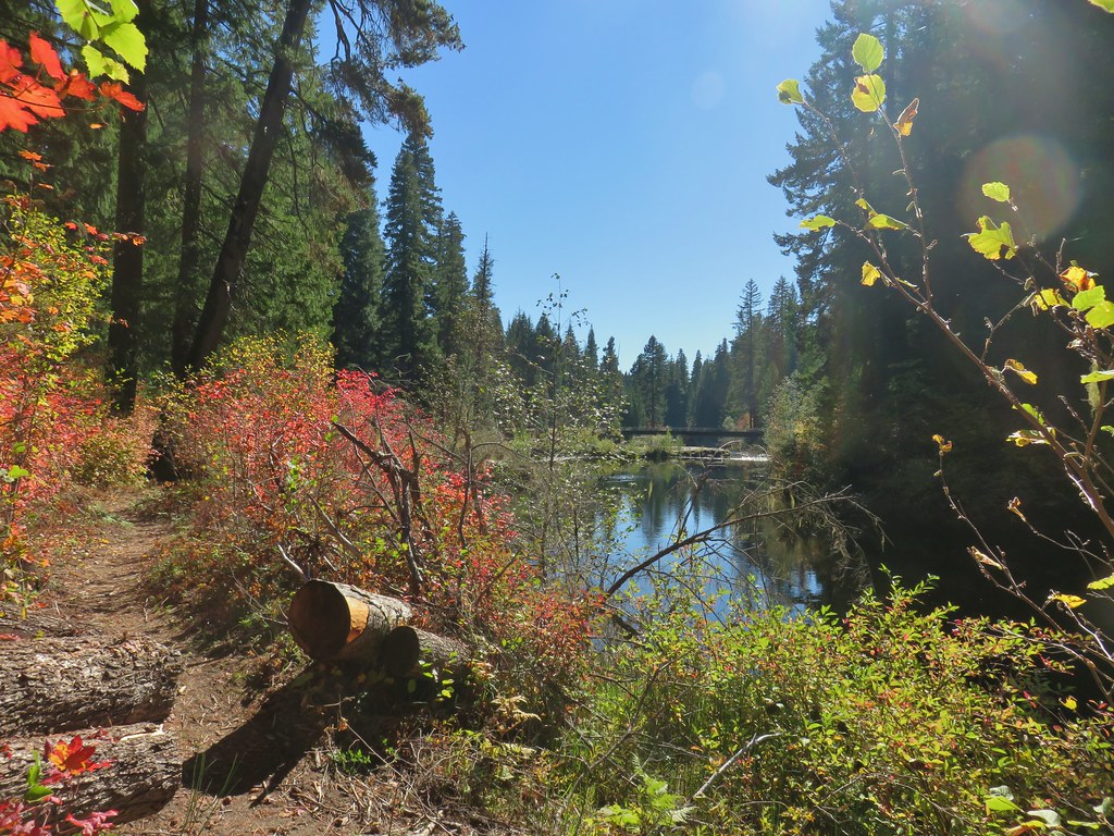
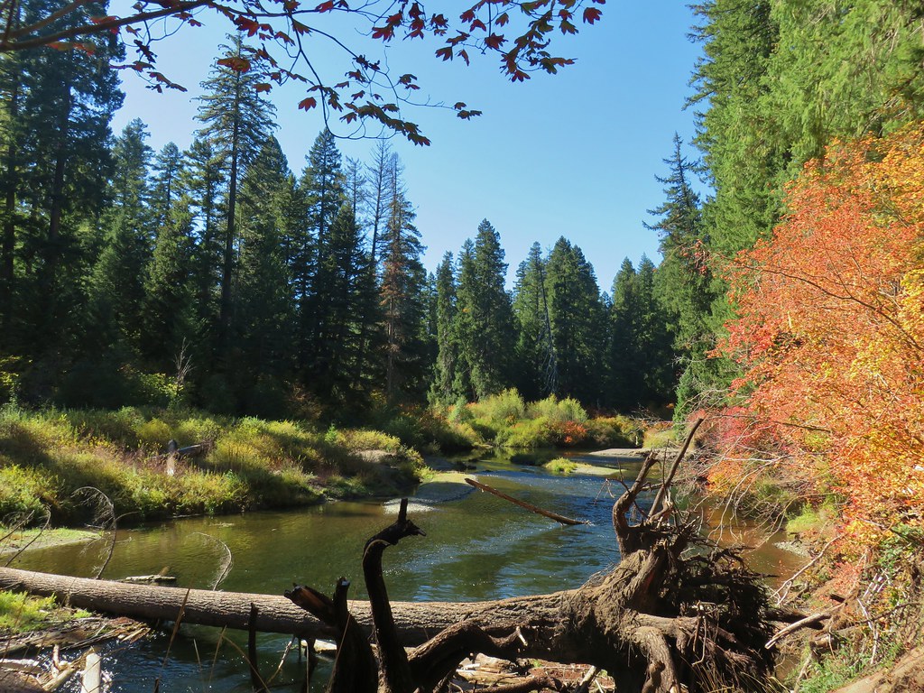
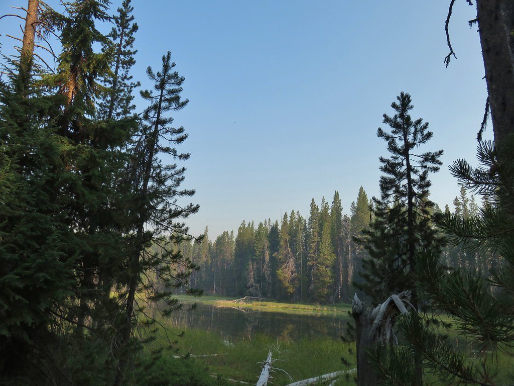
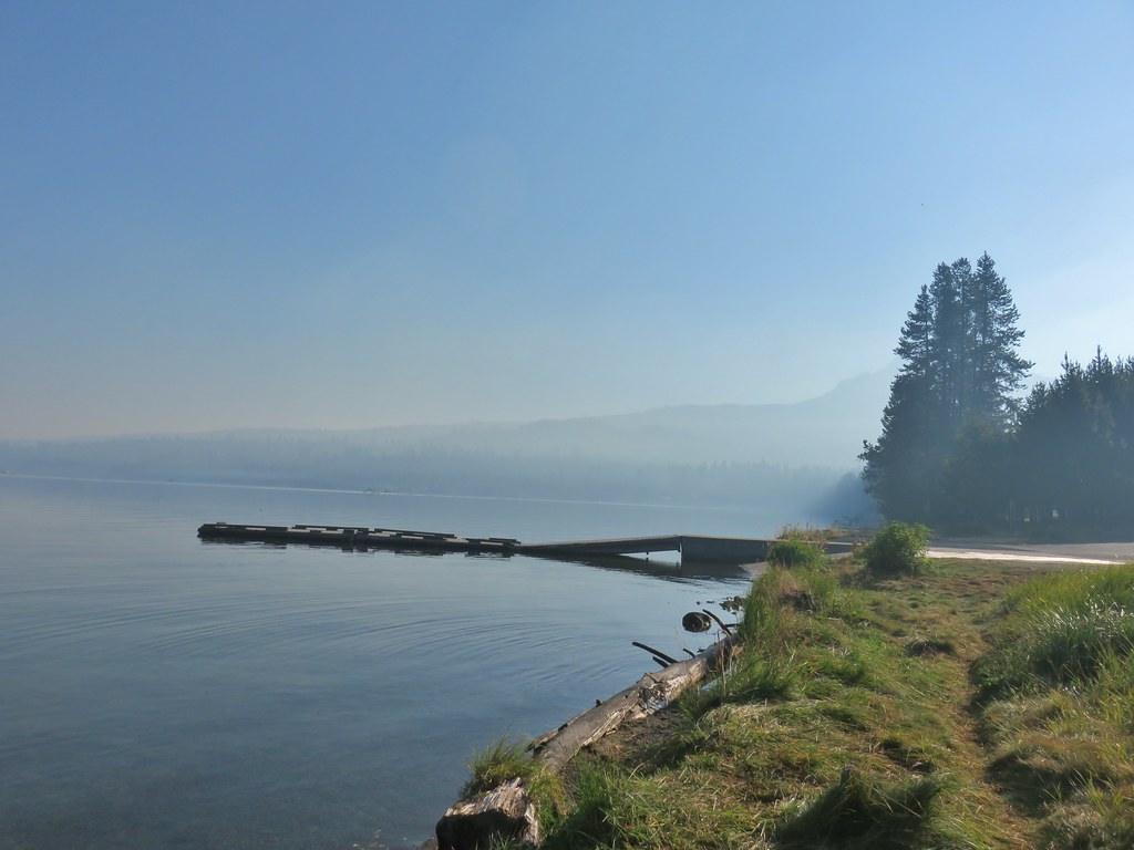
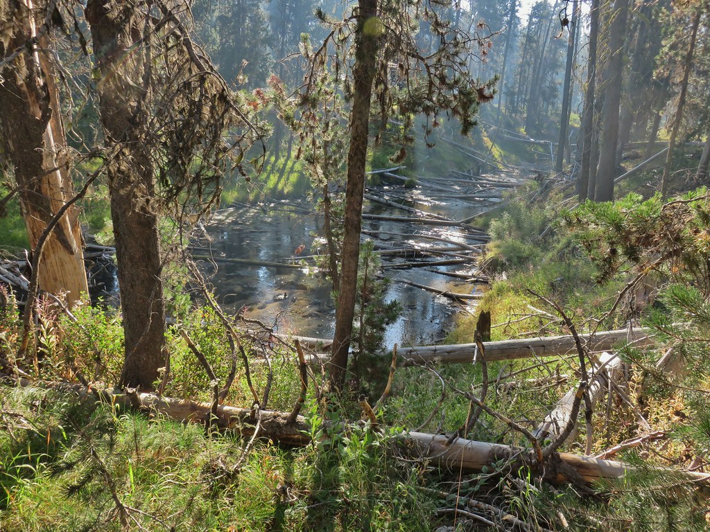
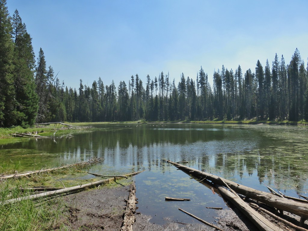
 Lake in the Woods (a 4 acre man made lake).
We exited the campground and crossed FR 27 to a hiker symbol marking the start of the Yasko Falls Trail.

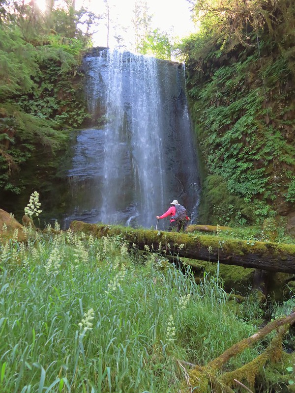
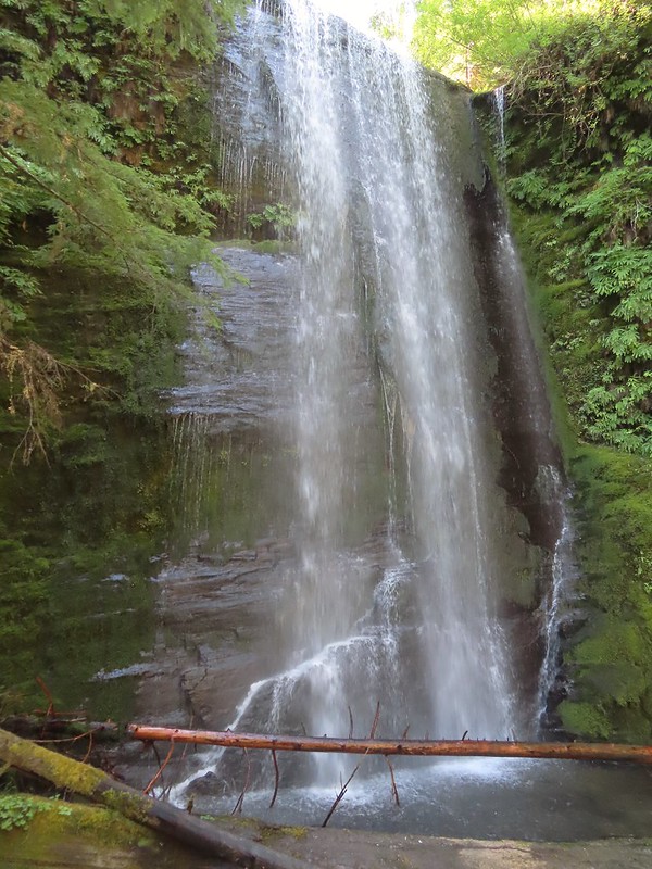
The trail led gradually down hill for three quarters of a mile to Yasko Falls.

 Ghost plant
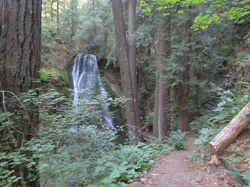
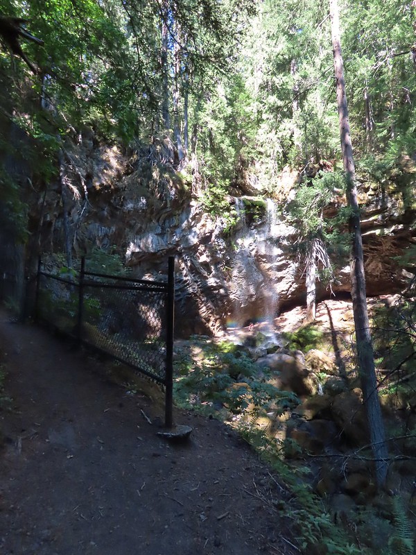
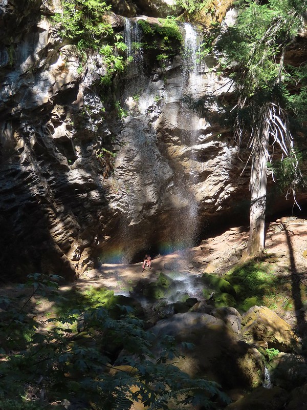
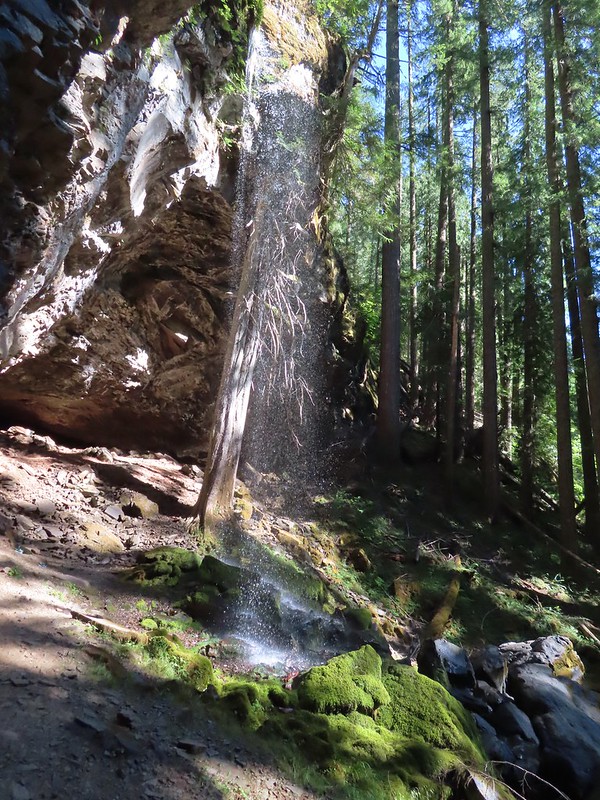
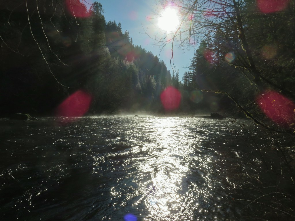
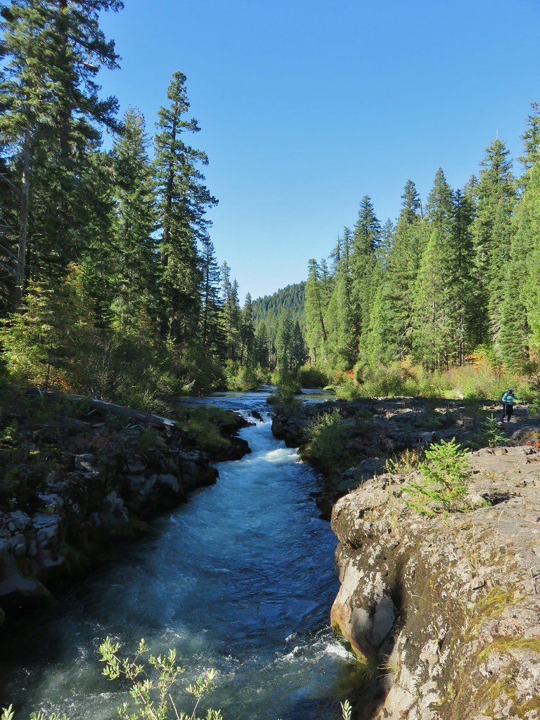
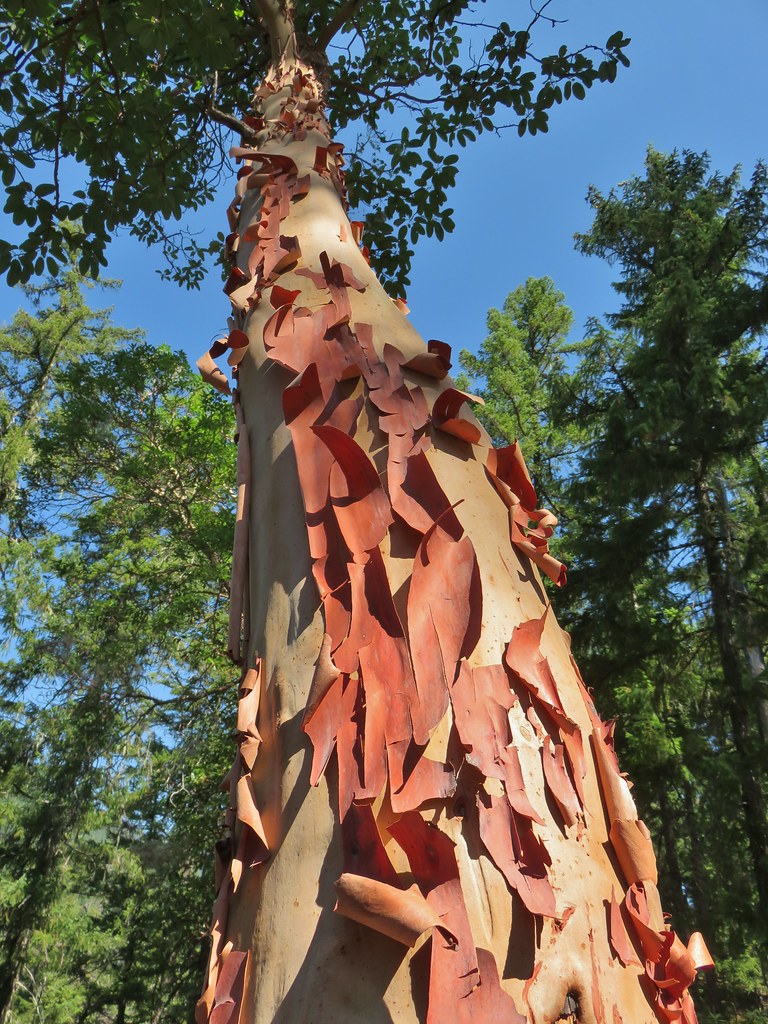
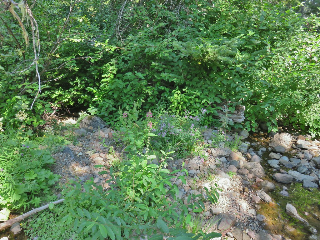
We had heard this particular waterfall was one that was best viewed when the water flow wasn’t too strong which is one reason that we’d chosen August for a waterfall trip. The other reason was mosquitos are reportedly bad here and fierce at Hemlock Lake earlier in the year, in particular July. The 50′ waterfall did not disappoint and we spent some time admiring the cascade before returning to the campground.
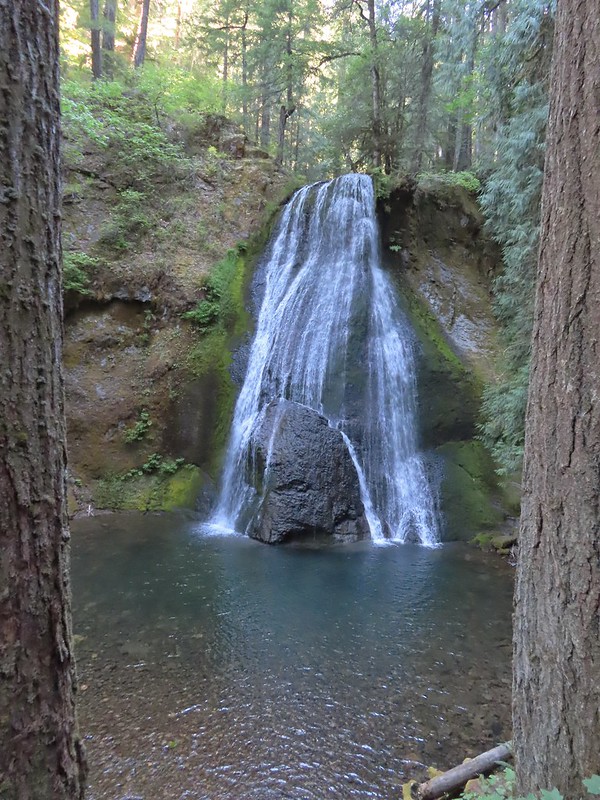
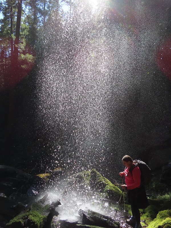
 A rare photo of me for scale.
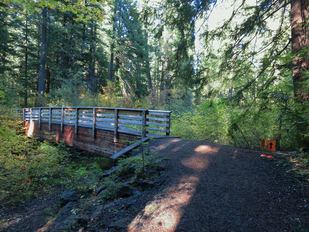
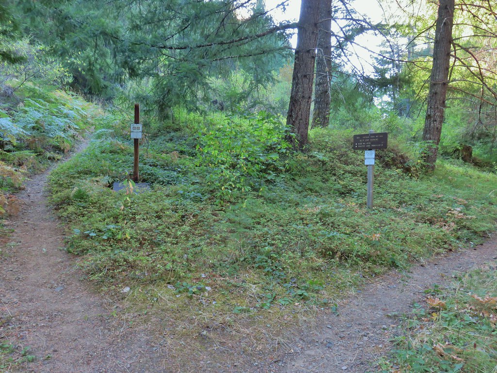
At the campground we turned right following the path we’d driven earlier and now spotting the day use sign.
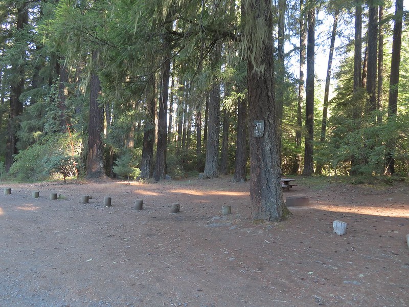 We mistook this for another campsite having not noticed the small sign on the tree.

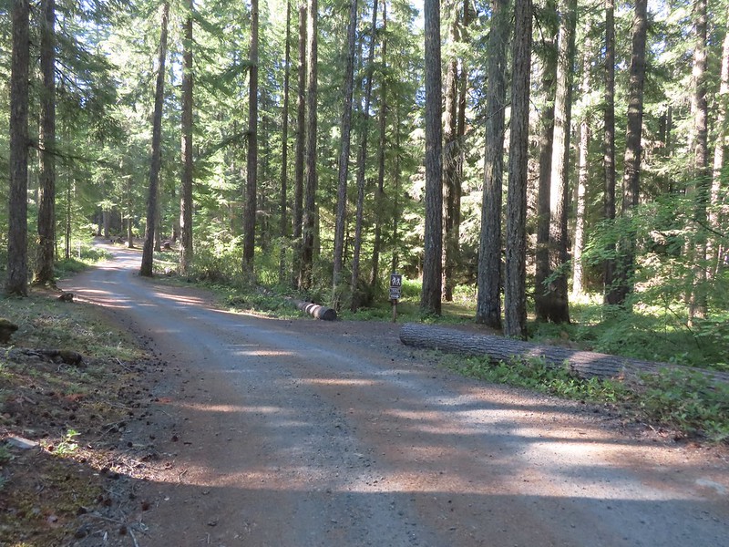
A tenth of a mile from the day use area we left the road and turned onto the Hemlock Falls Trail.
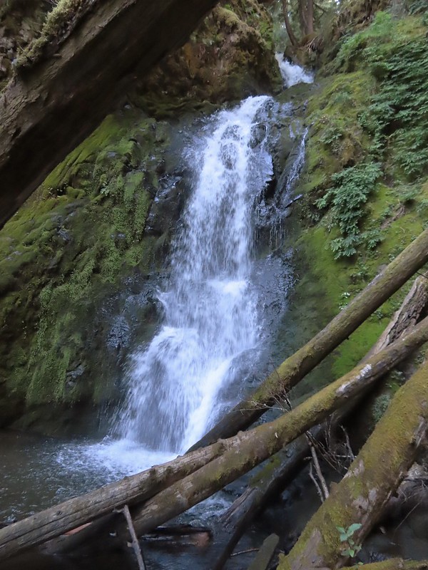
This half mile trail descended 300′ to Hemlock Falls.


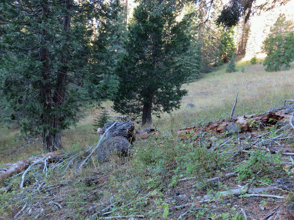
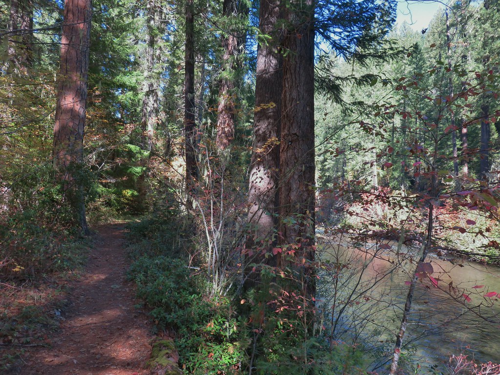
We again returned to the campground and completed the loop around Lake in the Woods then took the Hemlock Creek Trail back up to FR 421 and continued on uphill.
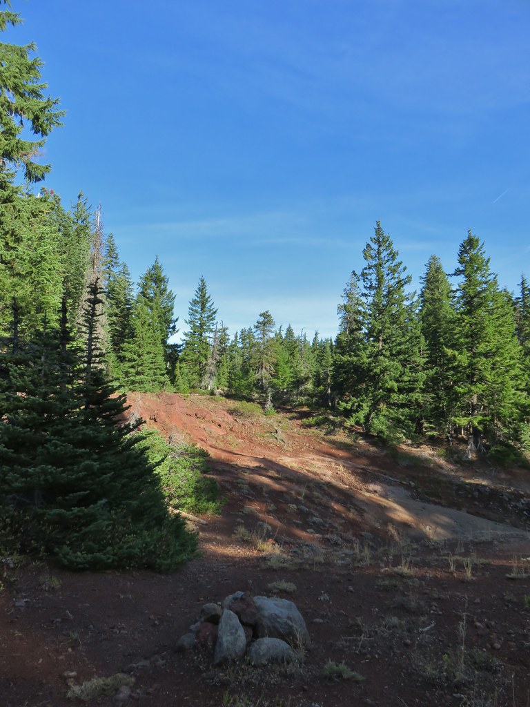
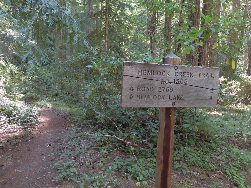 We both noticed that the sign said Hemlock Lake was 4 miles away. Sullivan’s map showed that it was 3 miles from Lake in the Woods to the Yellow Jacket Loop which raised the question was the hike going to be 2 miles longer than we’d expected or did the 4 miles include some of the Yellow Jacket Loop? Based on the mileage in Sullivan’s book I had come up with 16.6 miles so an extra two miles would be pushing us close to 19 (we always find reasons to wander).
 Sleepy bee
 Same mileage on the sign on the other side of FR 421. The fact that Road 2759 showed 2 miles when Sullivan had 1.5 on his map was a pretty good indicator that we were in for more than 16.6 miles.
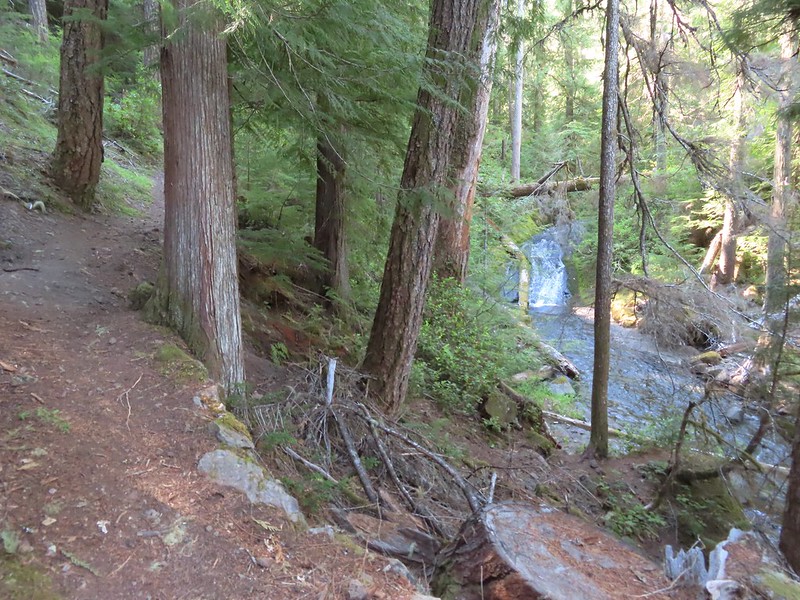
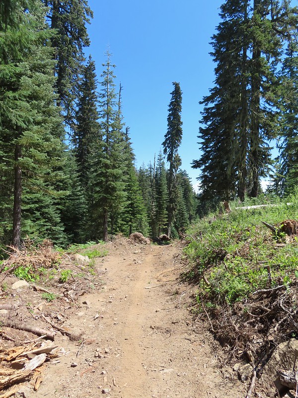
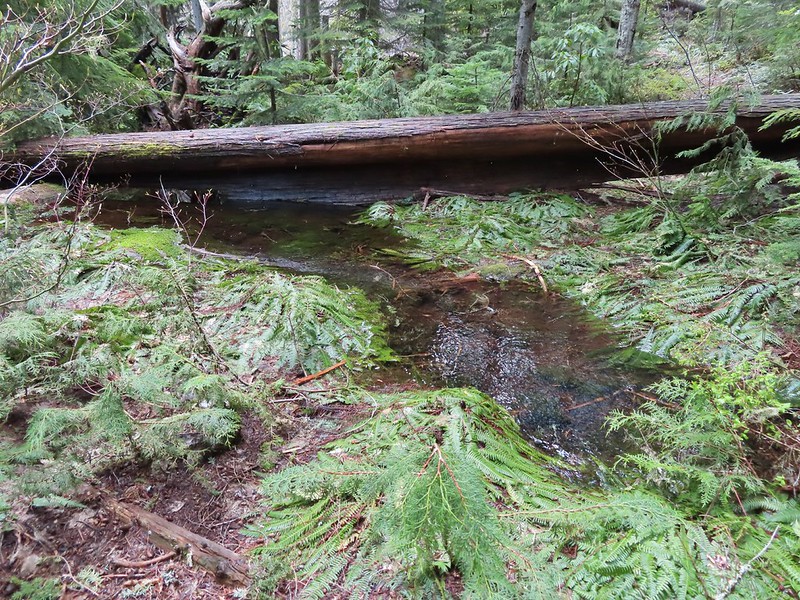
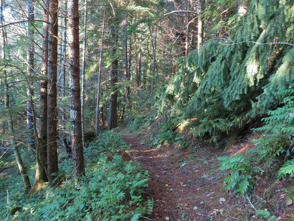
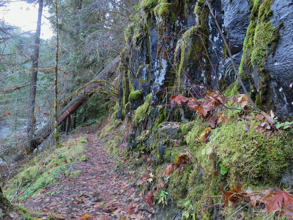
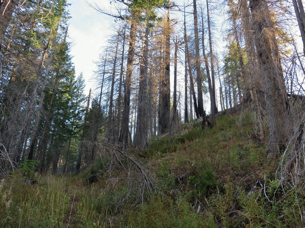
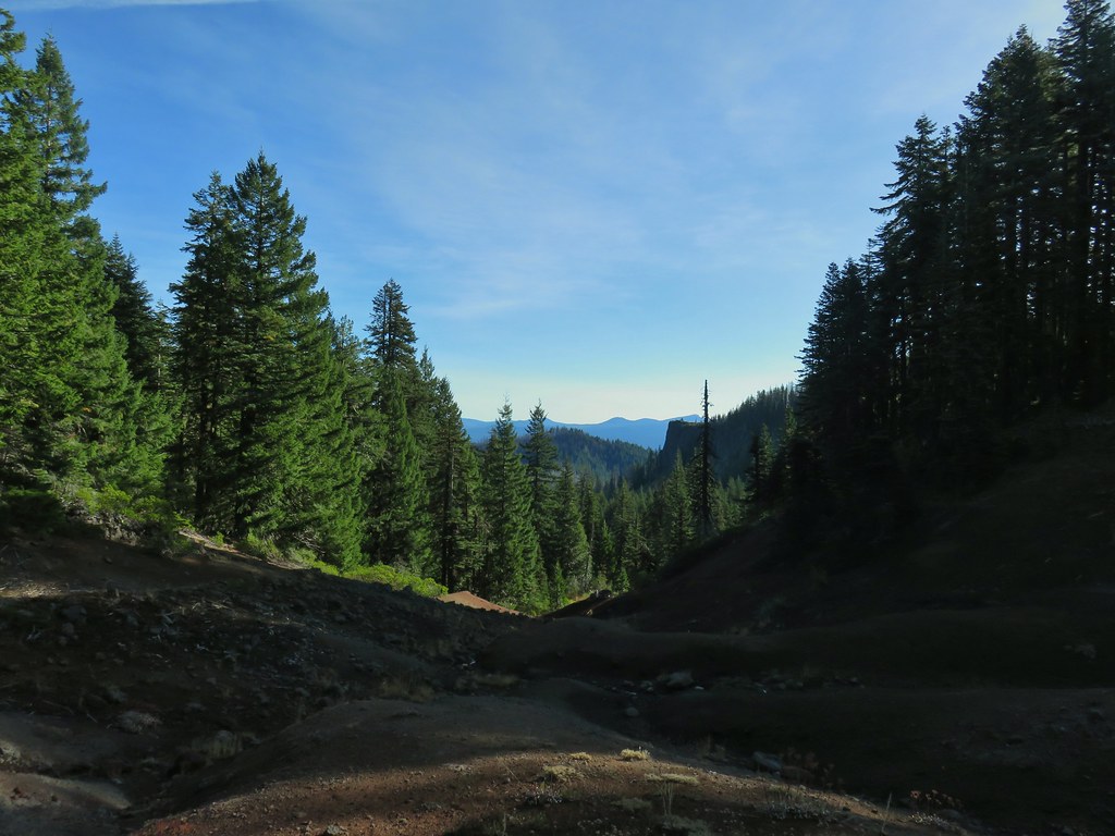
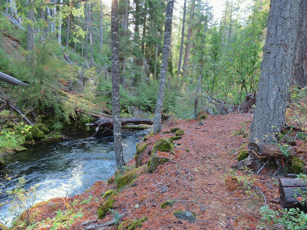
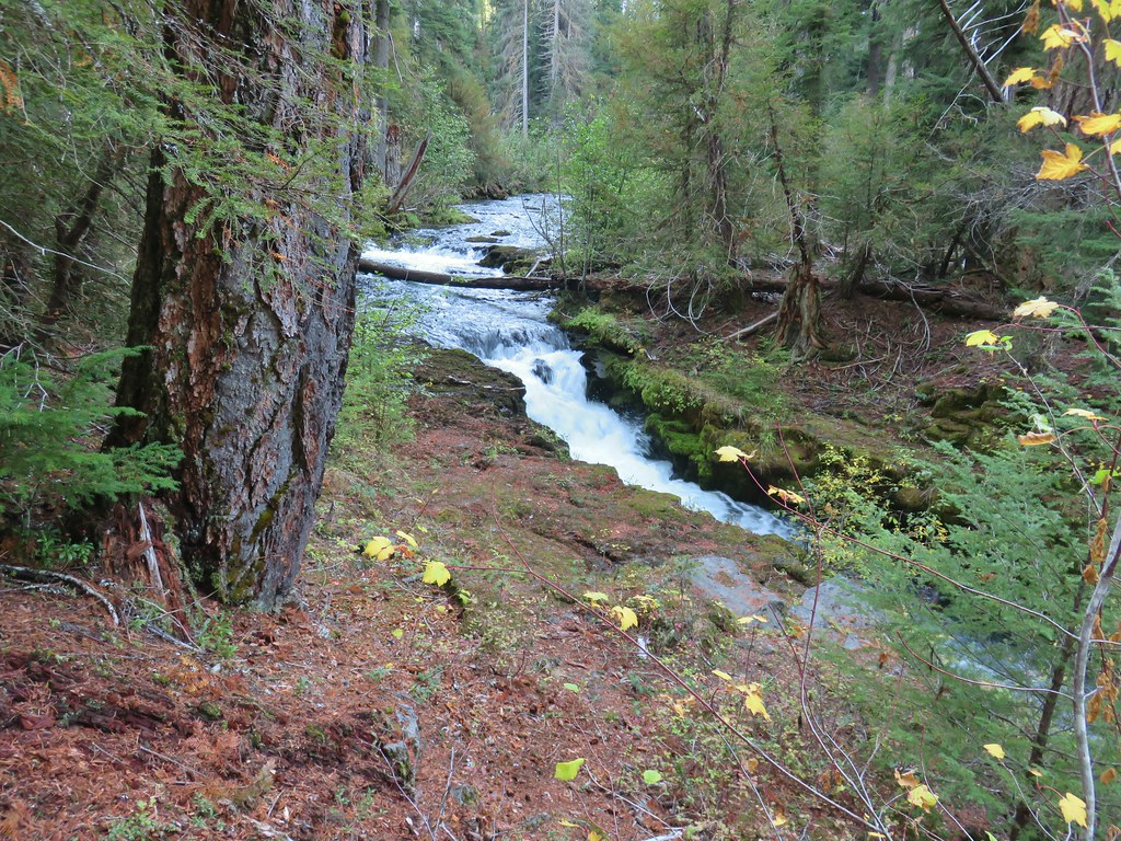
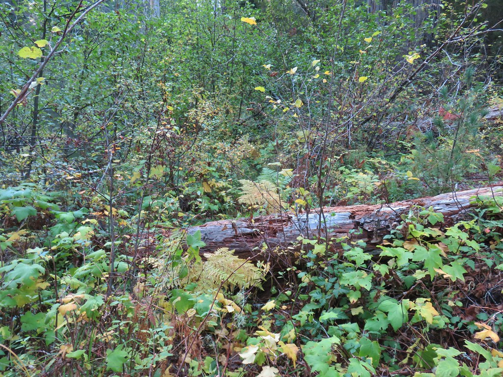
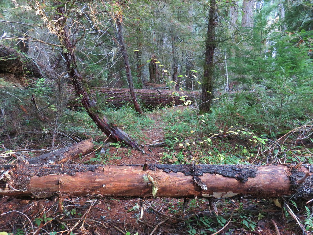
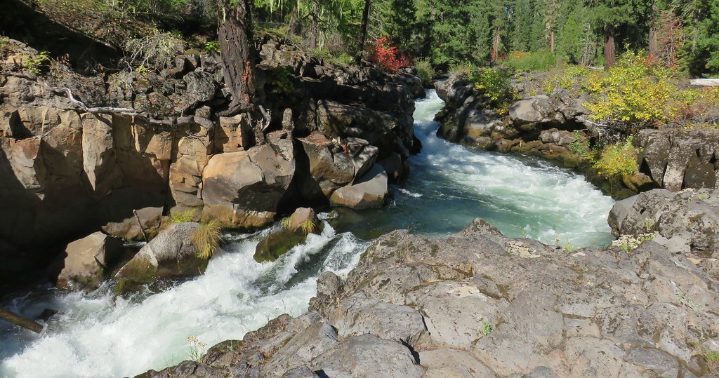
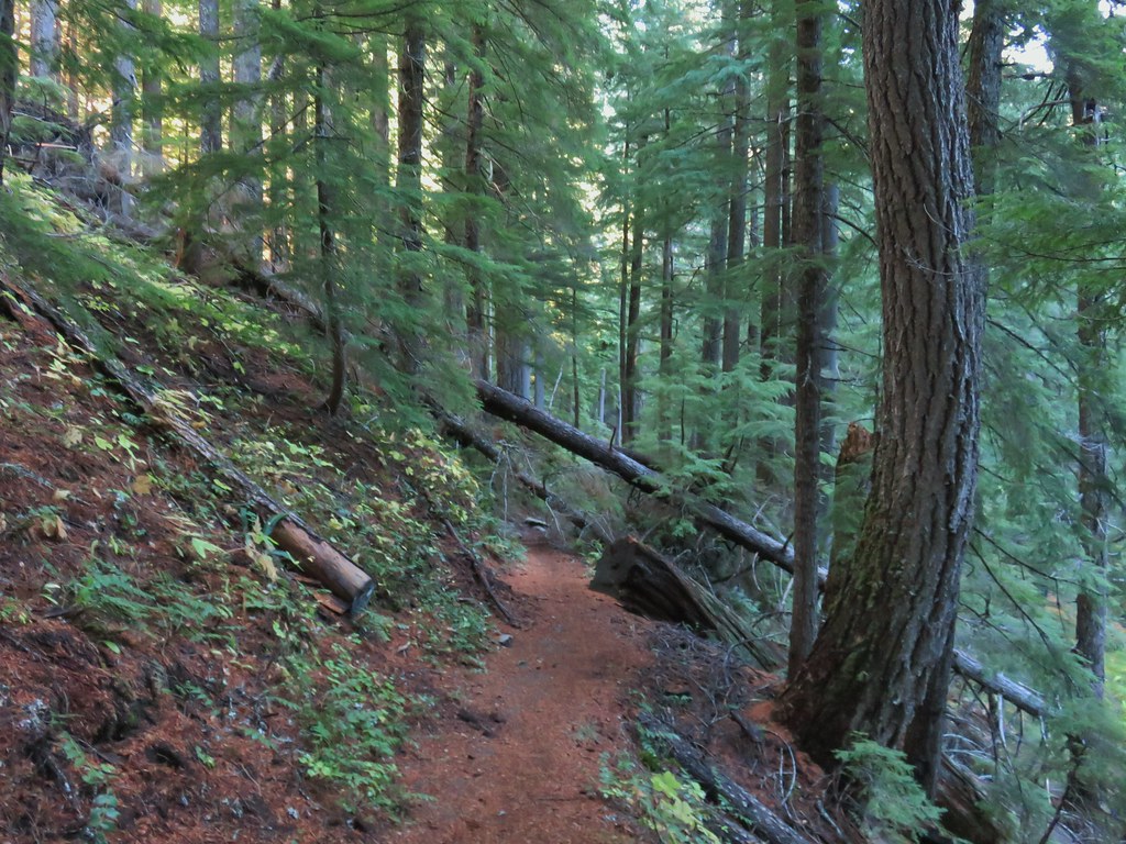
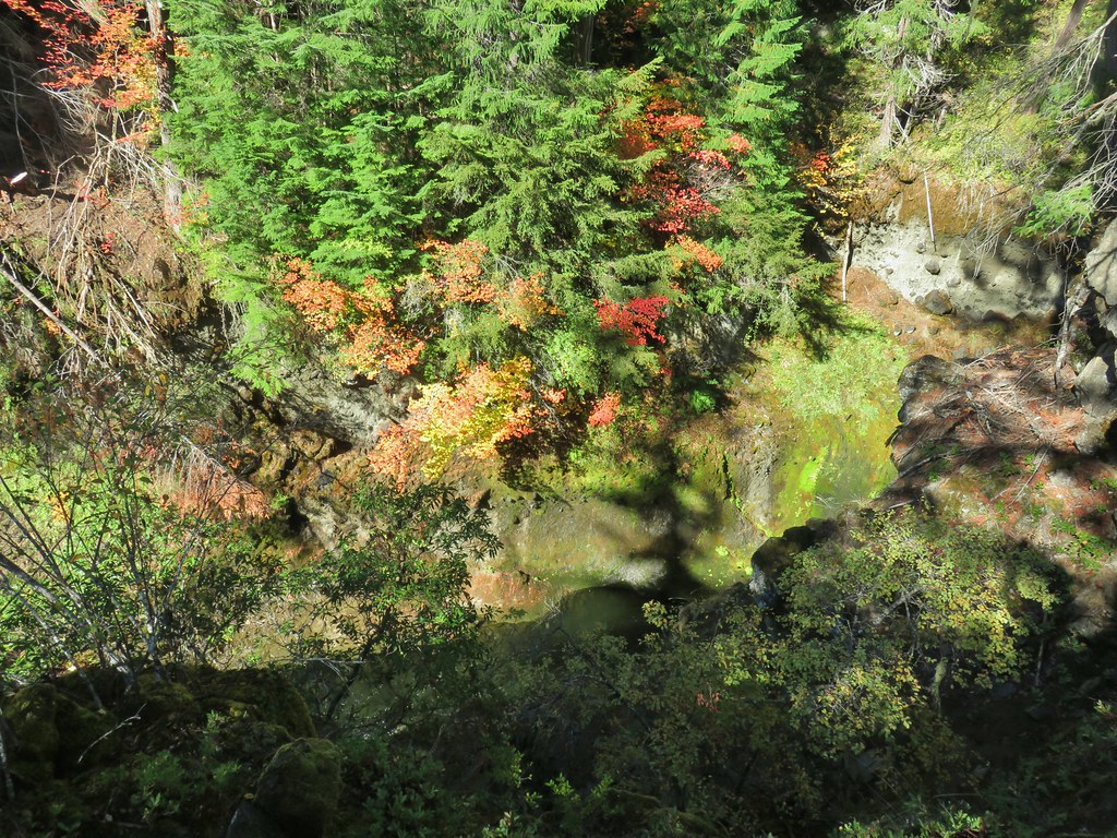
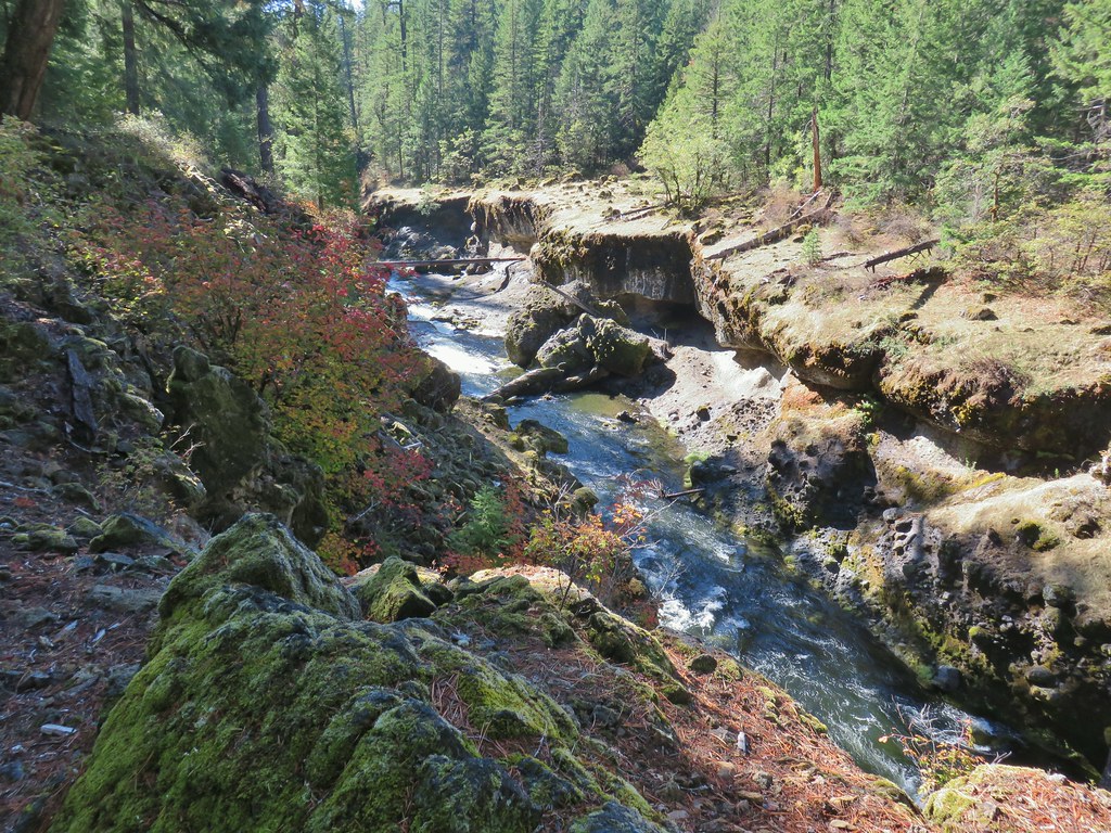
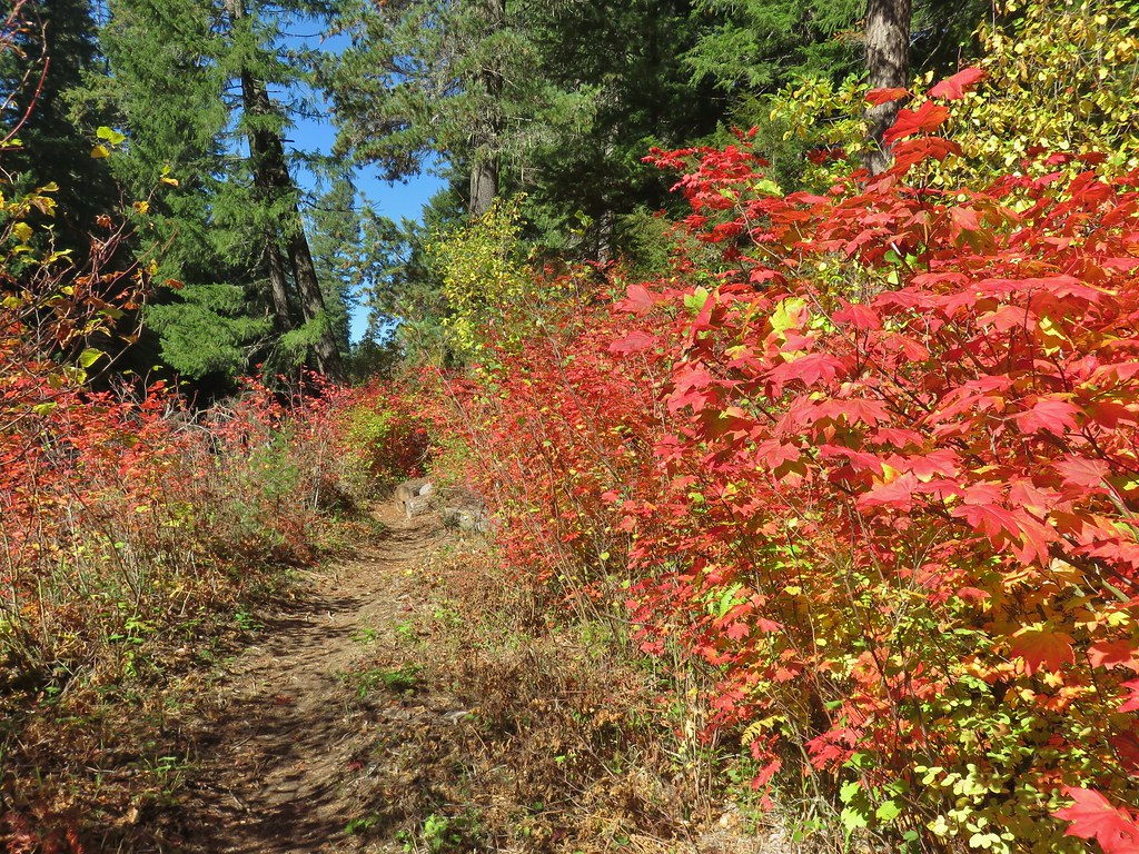
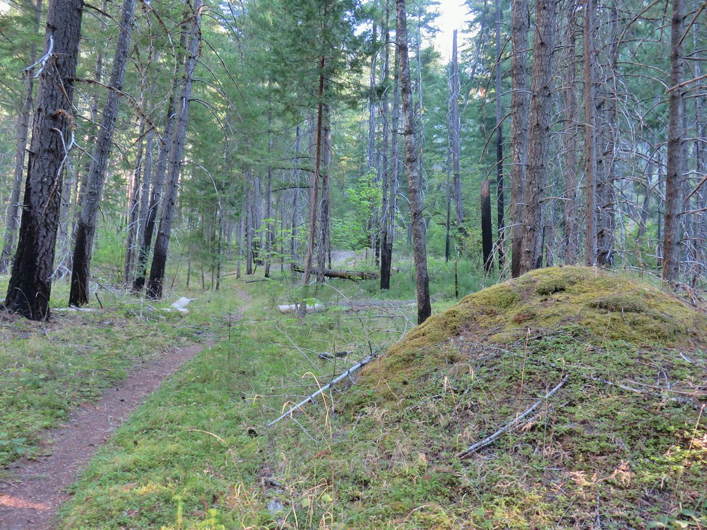
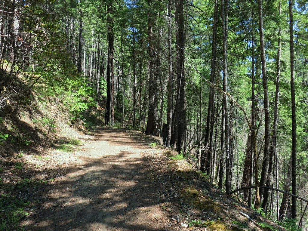
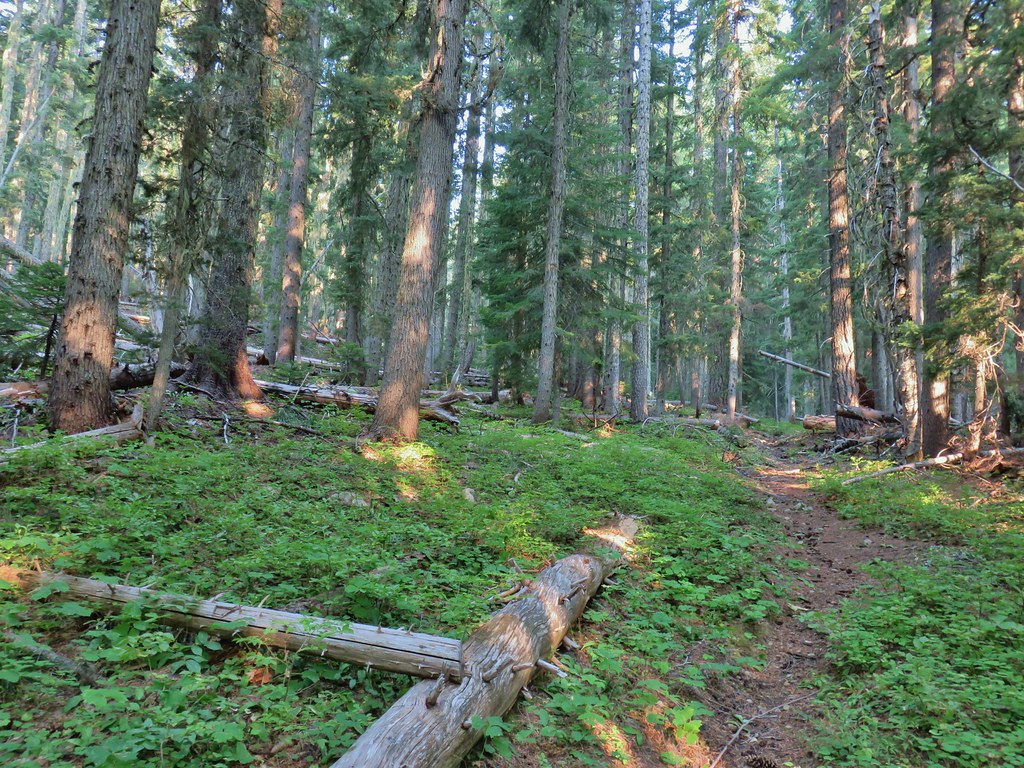
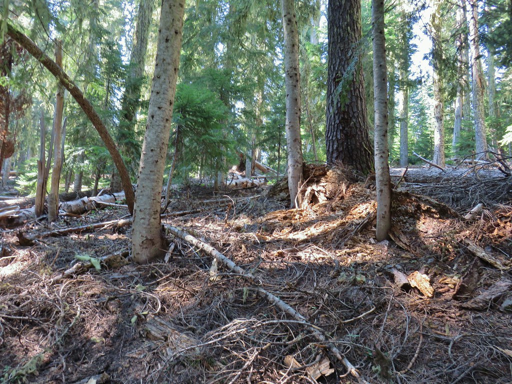
The Hemlock Creek Trail climbed at a reasonable grade through a nice forest and passed several waterfalls. While the falls were partly visible from the trail, use trails led steeply downhill to better views. Gluttons for punishment that we are we took advantage of these trails to visit the falls.
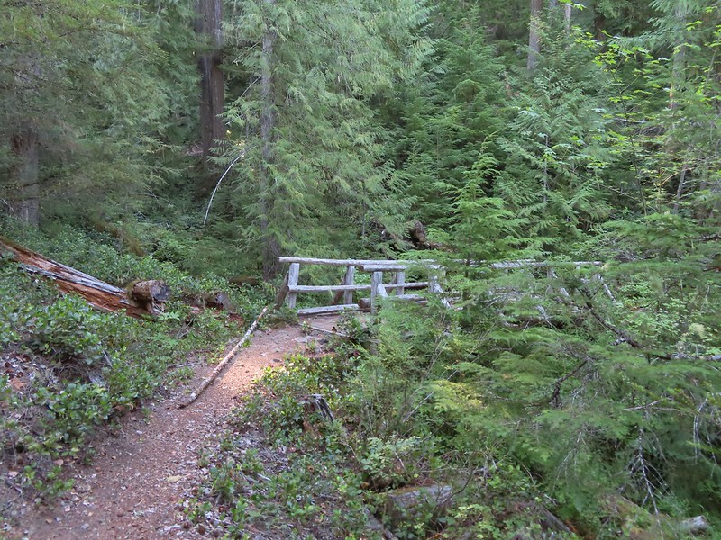
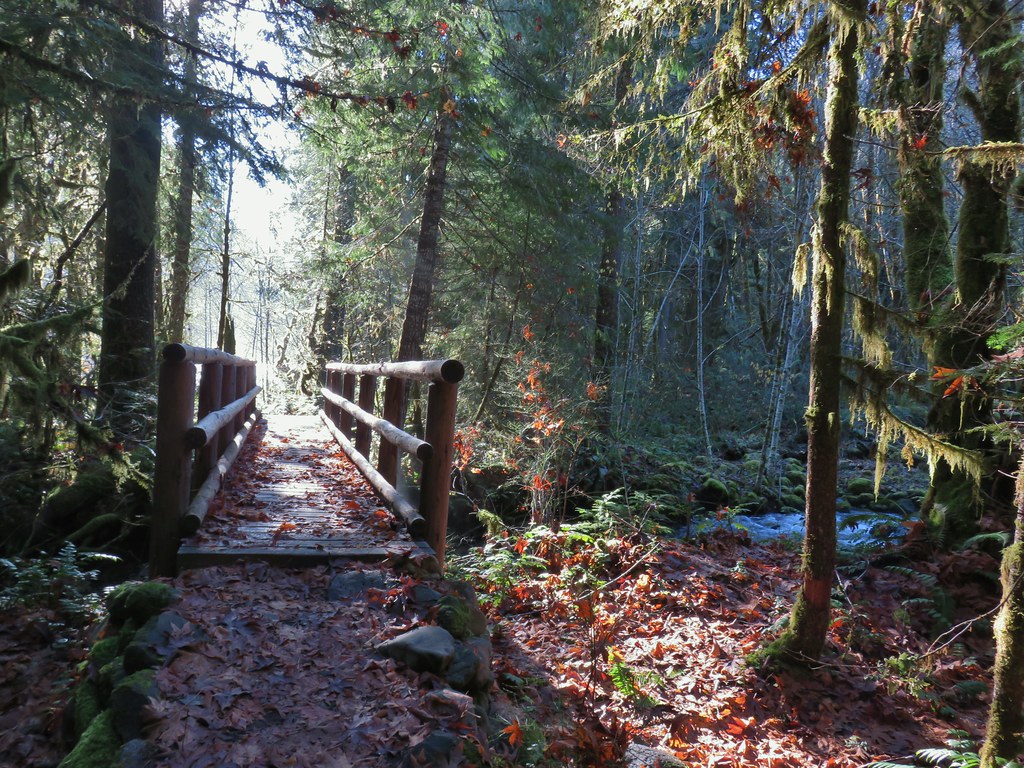
 Tributary Falls (unofficial name) was just below a footbridge approximately a half mile from FR 421.
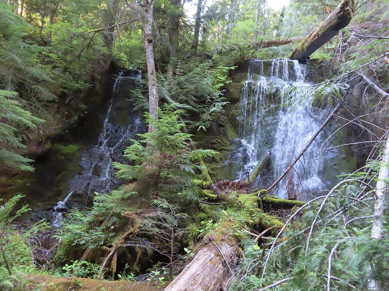
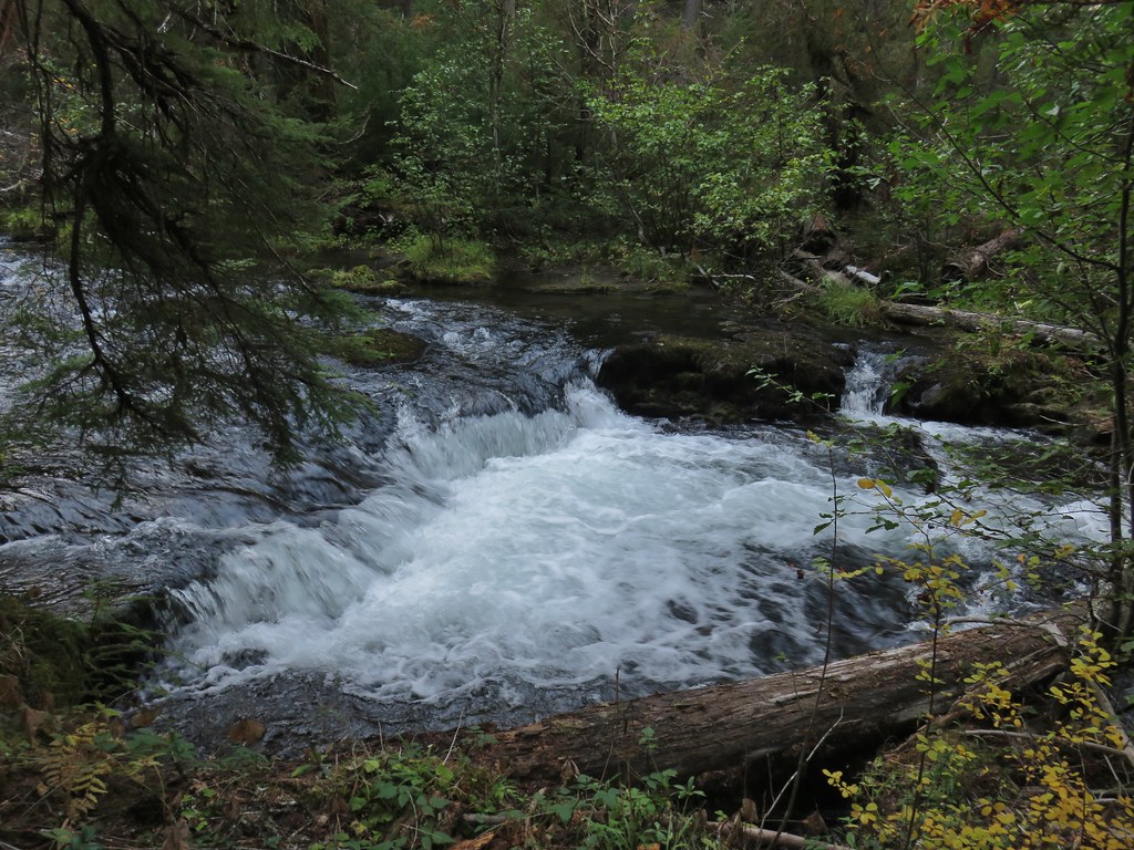
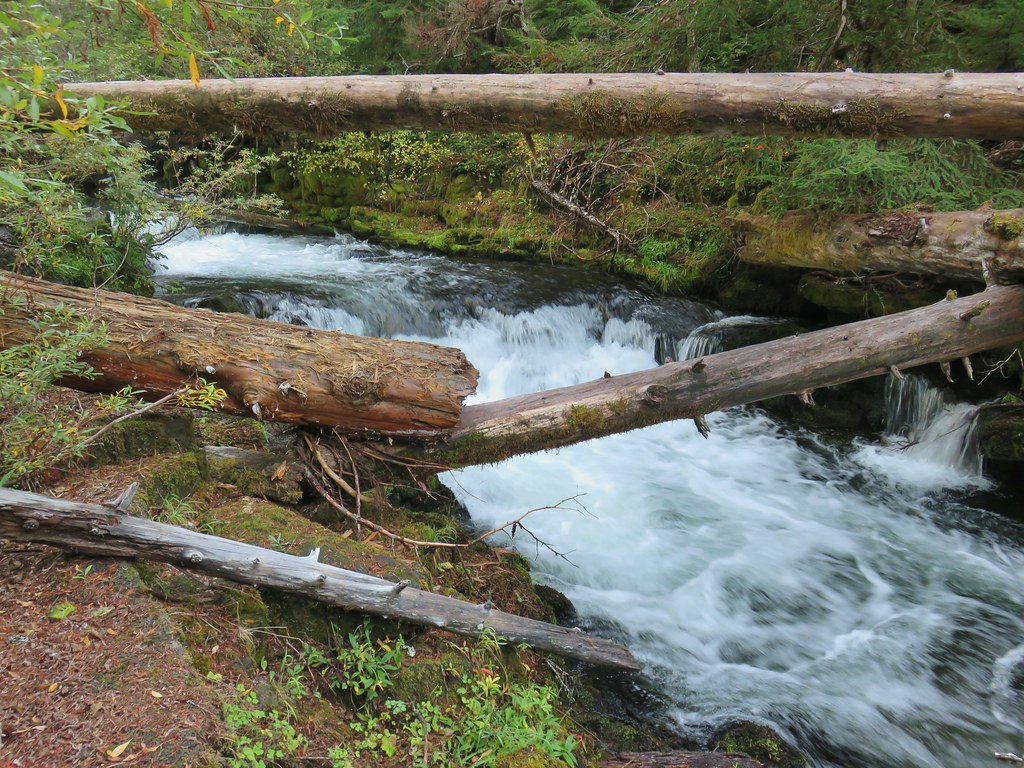
 Middle Hemlock Falls was just two tenths of a mile further along.
 Small cascade below Middle Hemlock Falls.
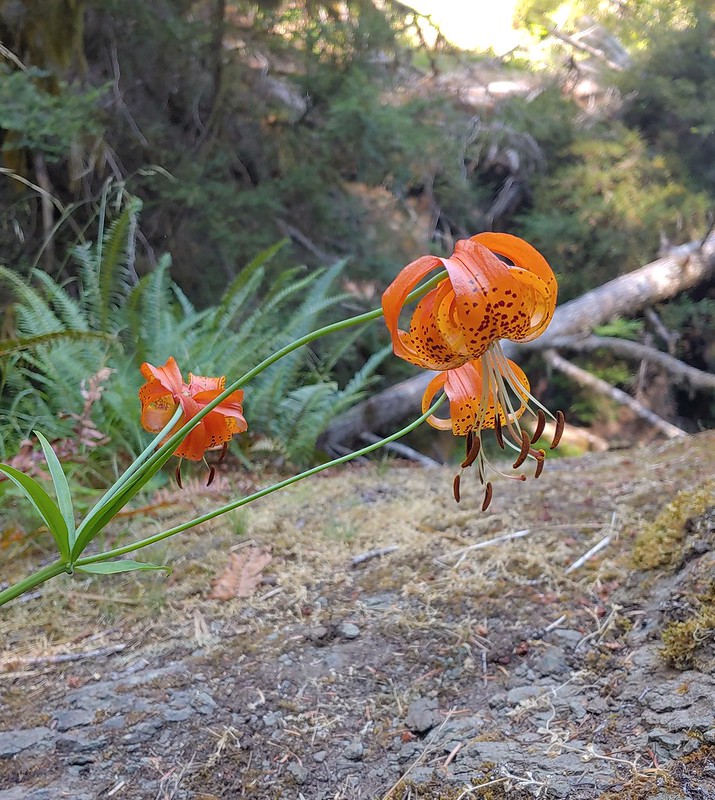
 Leopard lily
 Another drop with no way to get a view of the fall from above.
 Typical use trail.
 A small slide that was fully visible from the trail.
 Clover Falls was a quarter mile above Middle Hemlock Falls.
 Clover Falls
 More leopard lilies
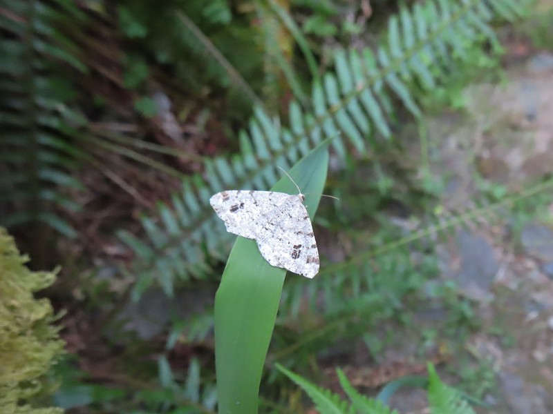 Moth hanging out around the falls.
 Use trail to Clover Falls.
 Heather coming up from the falls through a huckleberry bush that I may have been using for snacks.
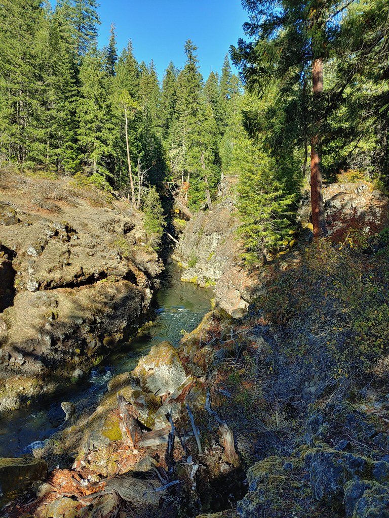
All of these falls were before the trail reached Road 2759. Beyond Clover Falls the hillside steepened and the trail veered away from the creek as it climbed via a series of switchbacks to the road crossing.
 Skunk cabbage leaves in a wet area.
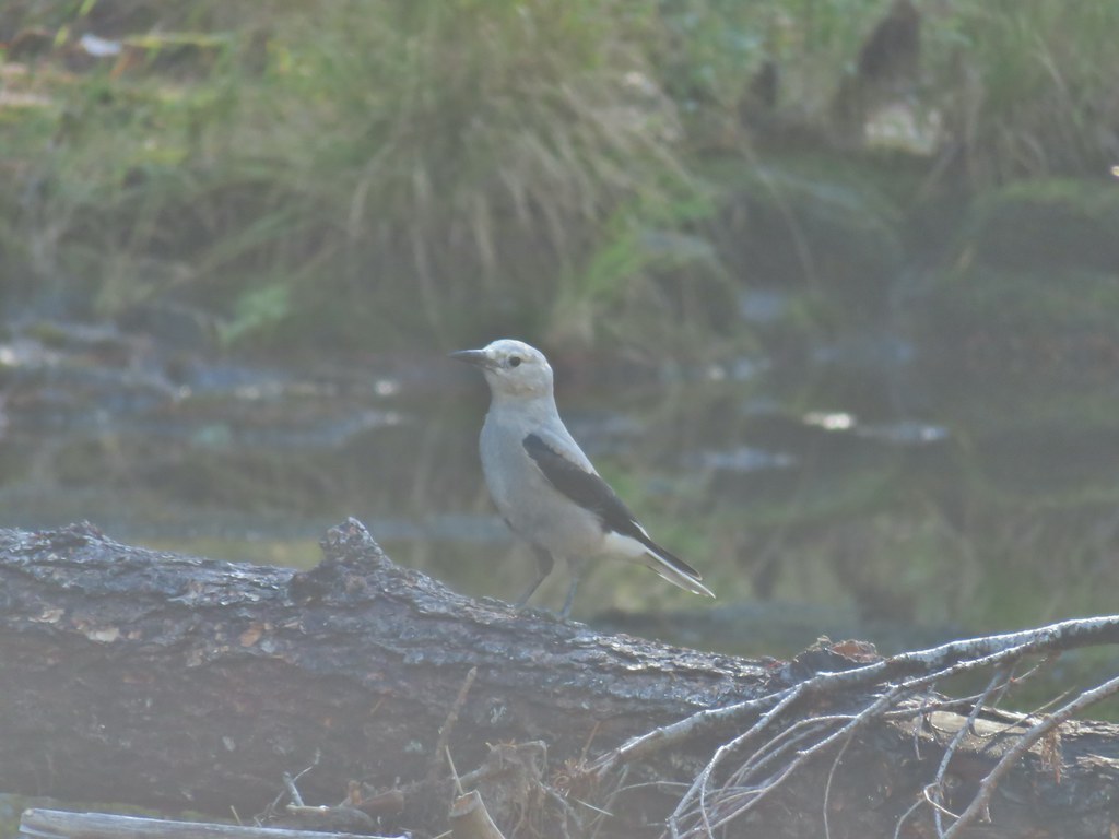
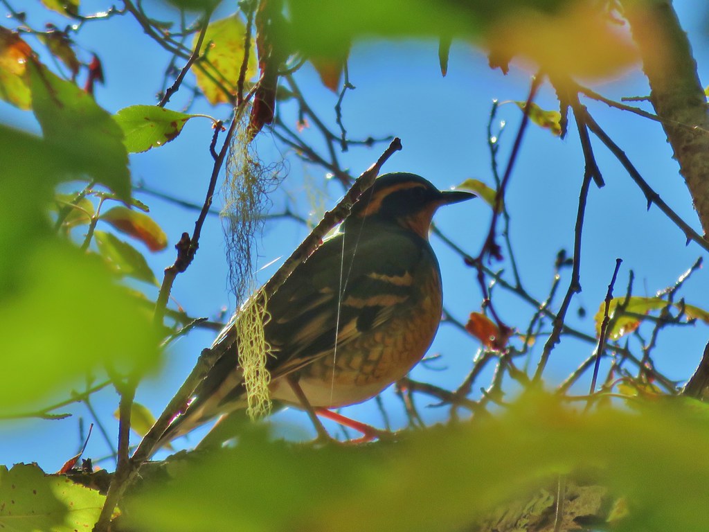
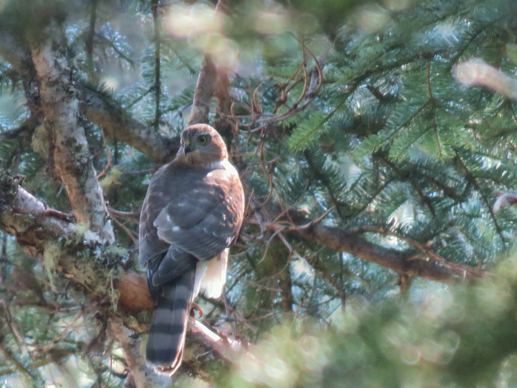
 Curious stellar’s jay.
 FR 2759.
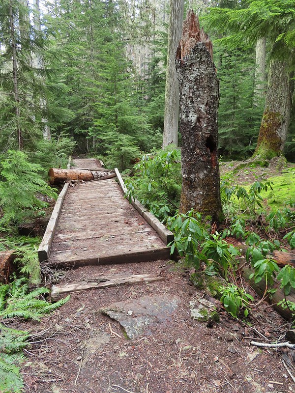
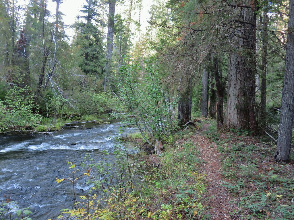
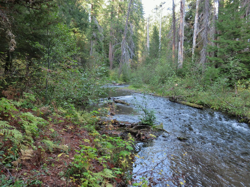
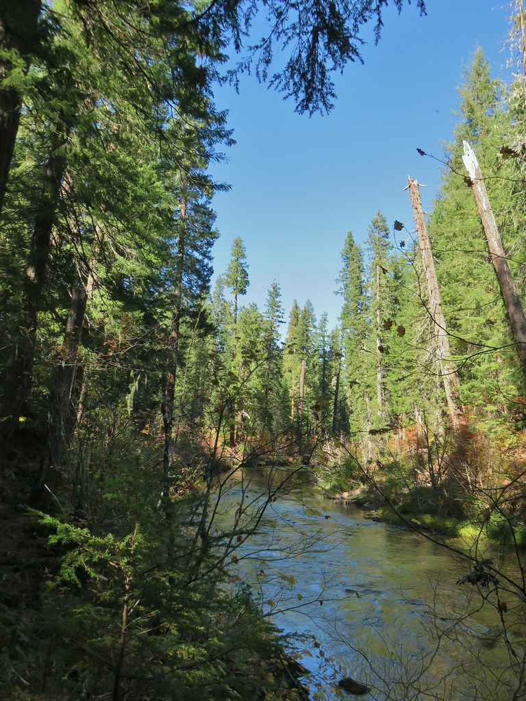
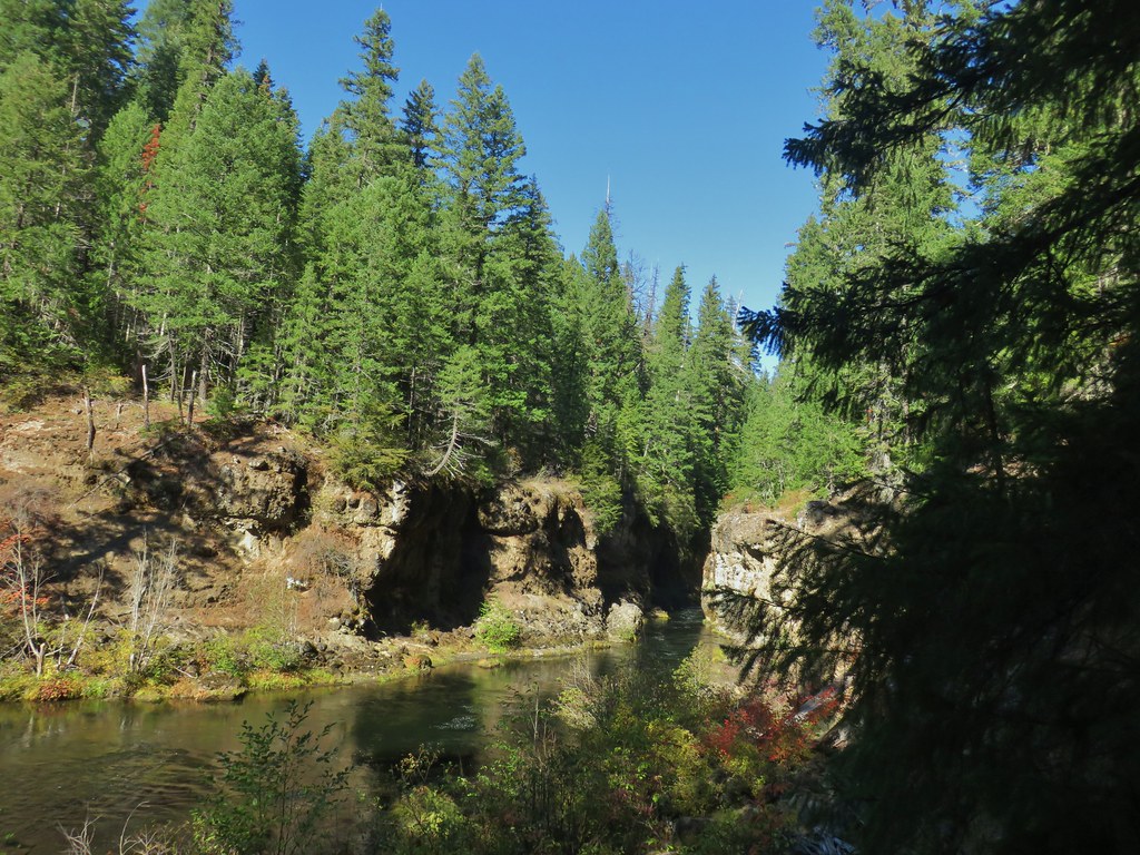
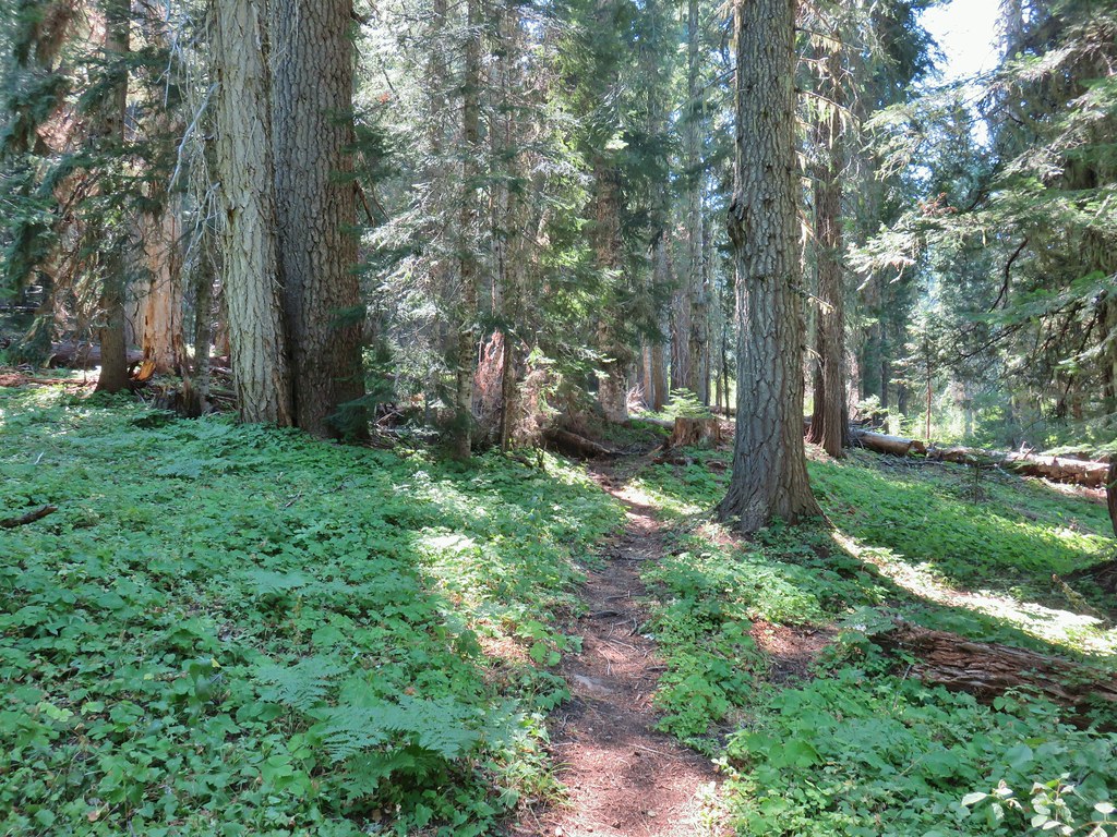
The trail leveled out quite a bit on the other side of the road crossing Hemlock Creek a couple of times on footbridges.
 Again with the 2 miles.

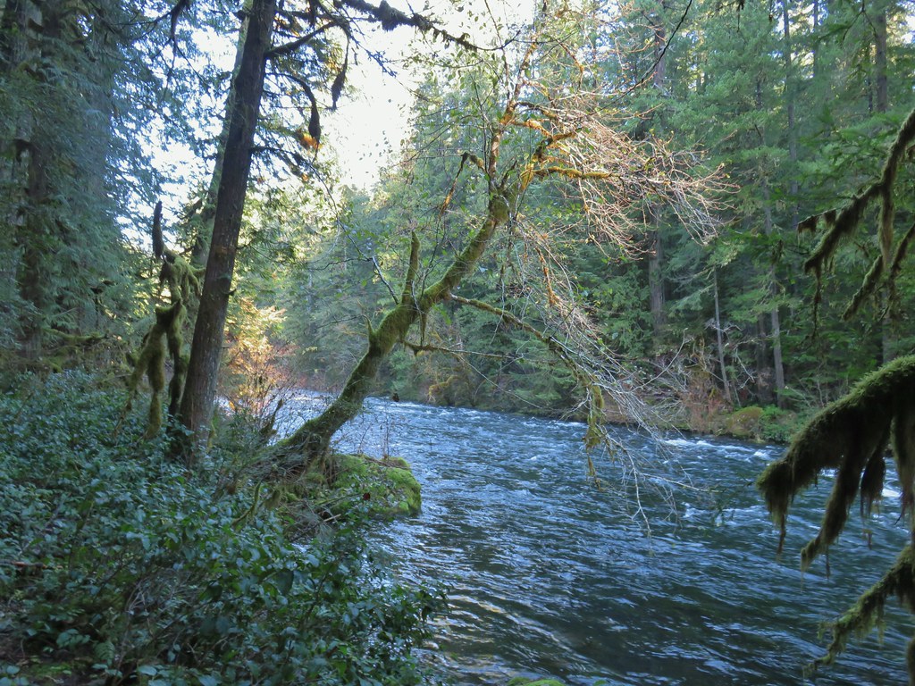
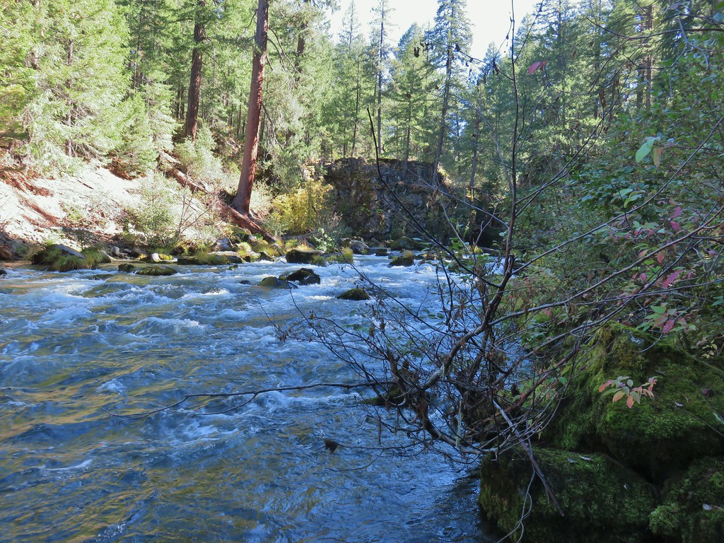
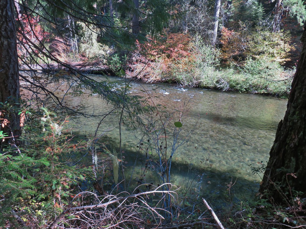
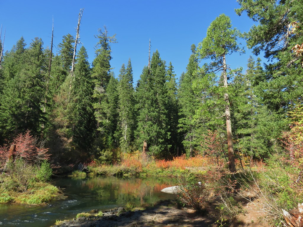
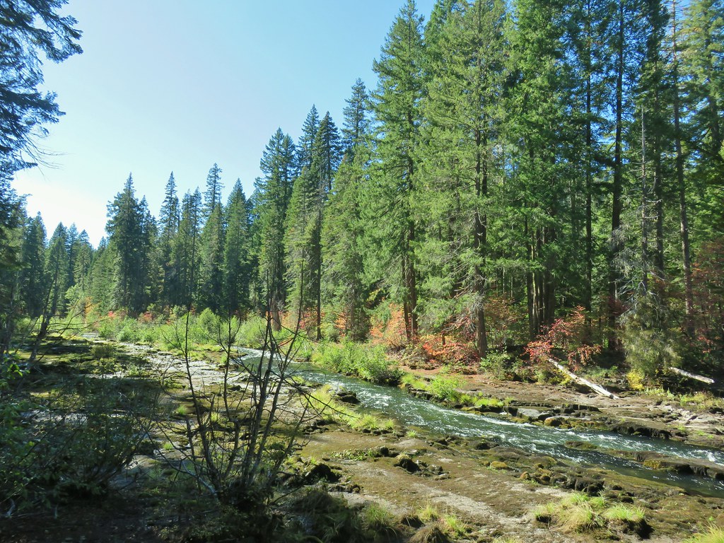
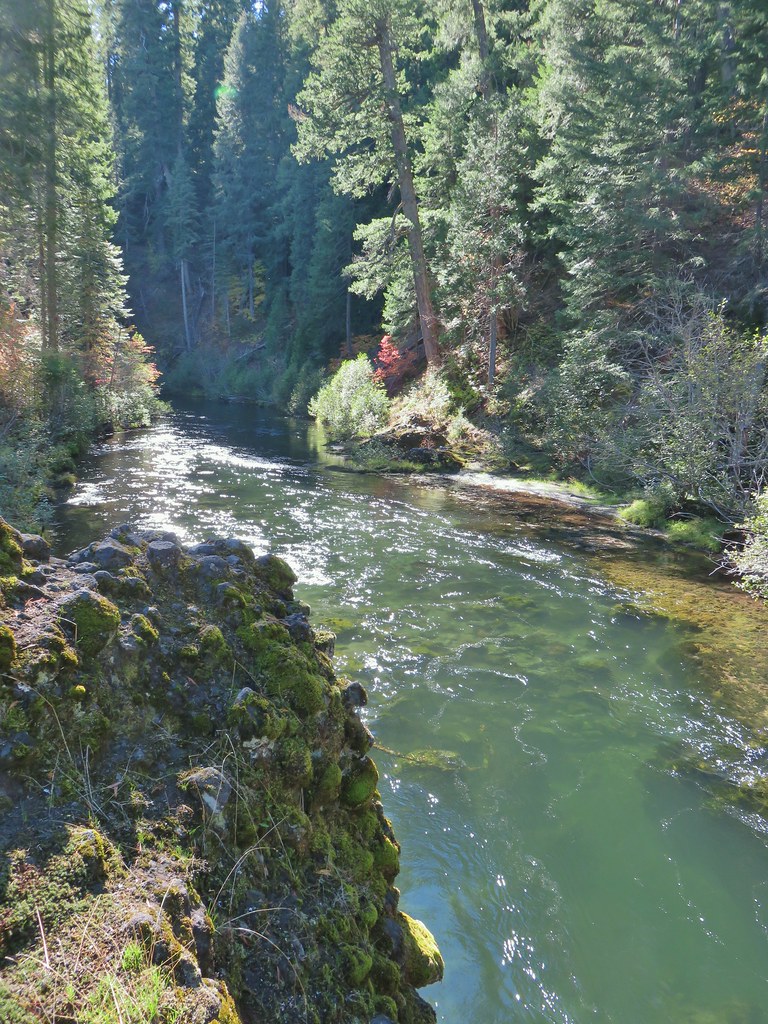
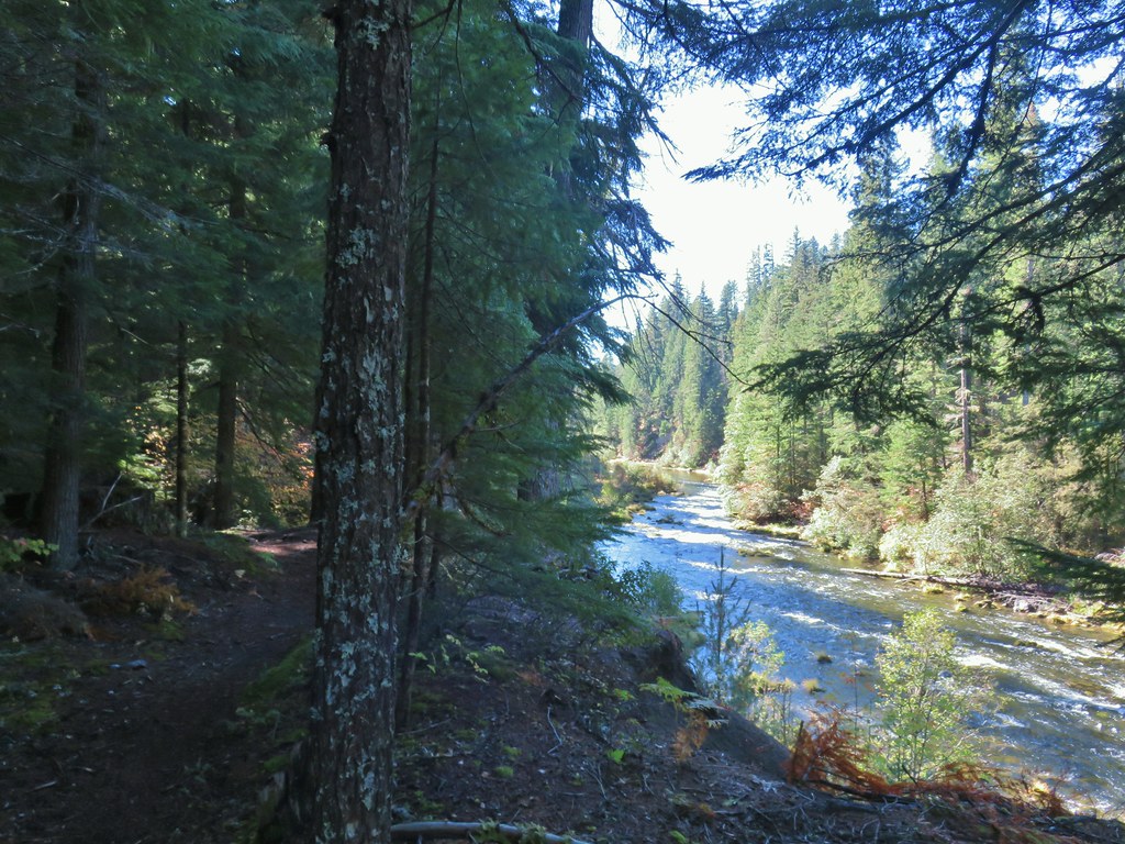
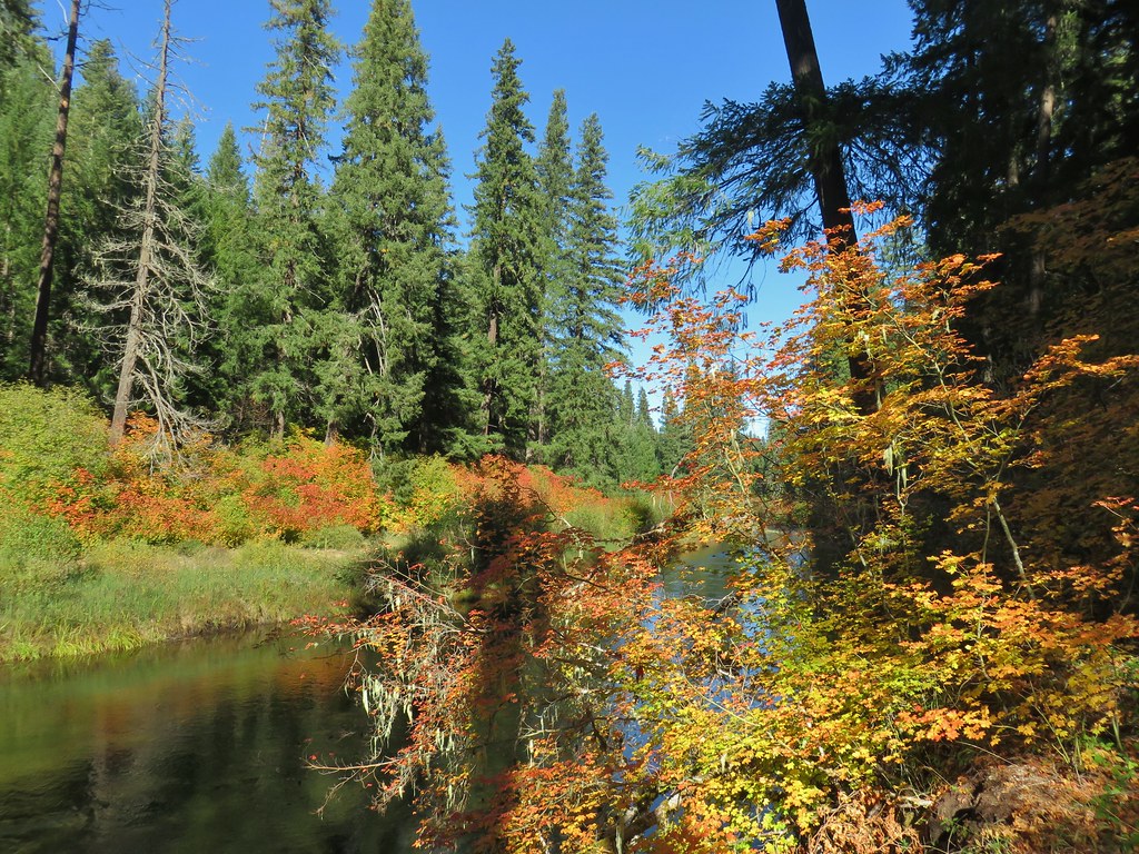
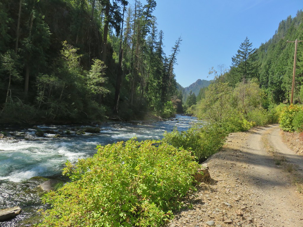
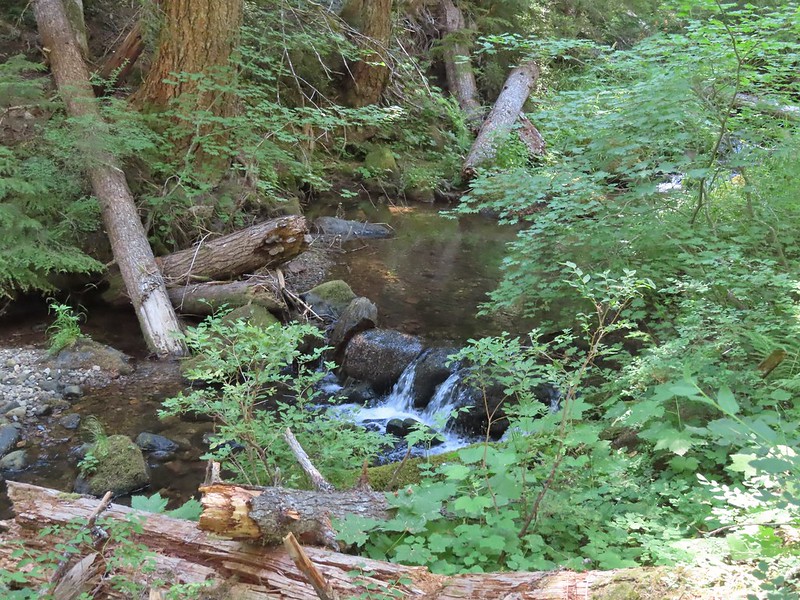 A much more reserved Hemlock Creek.

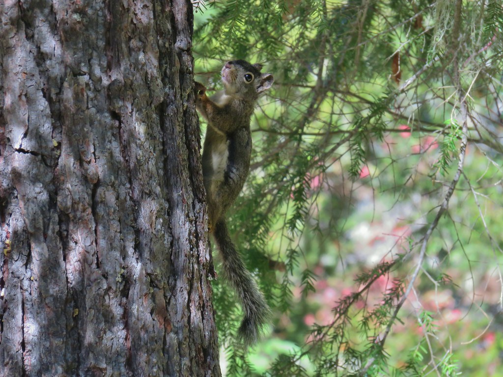
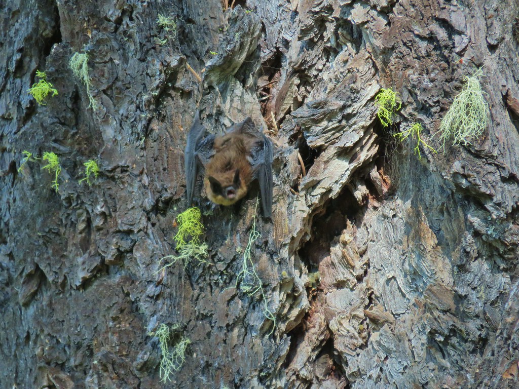
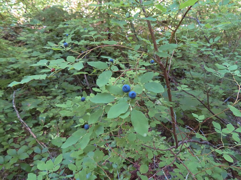 More snacks
 Frog
Frog
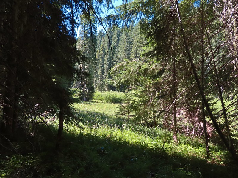
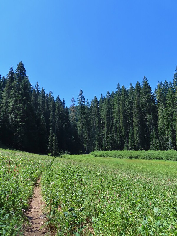
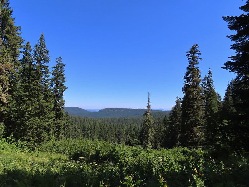
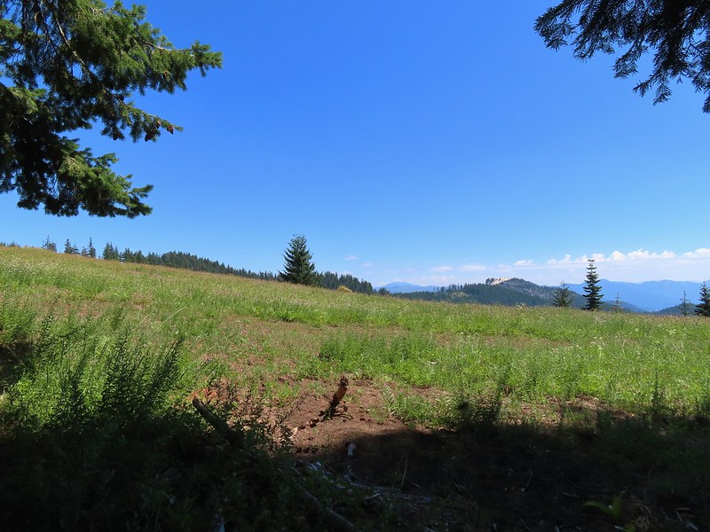
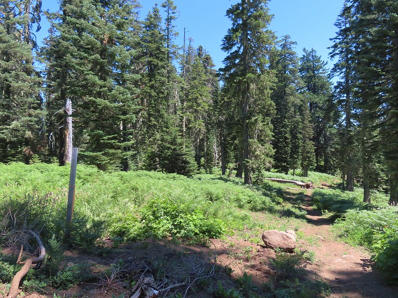
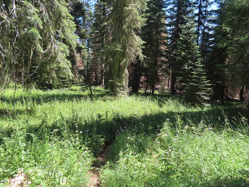
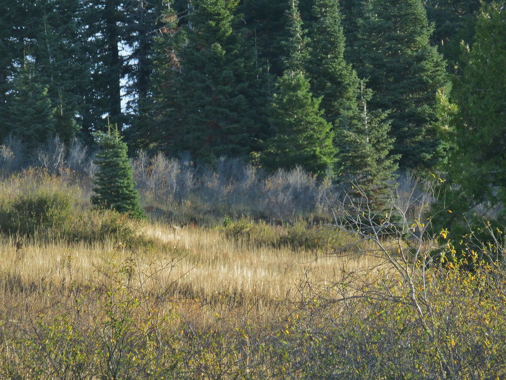
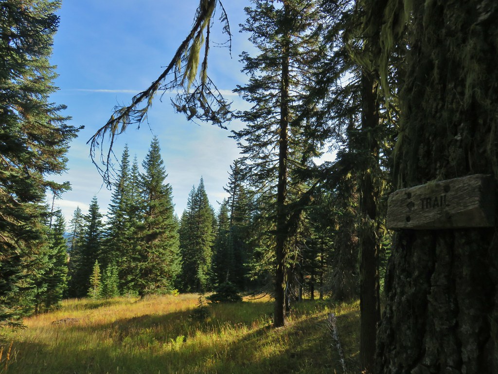
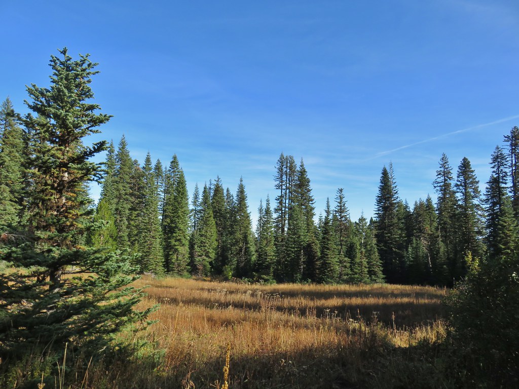
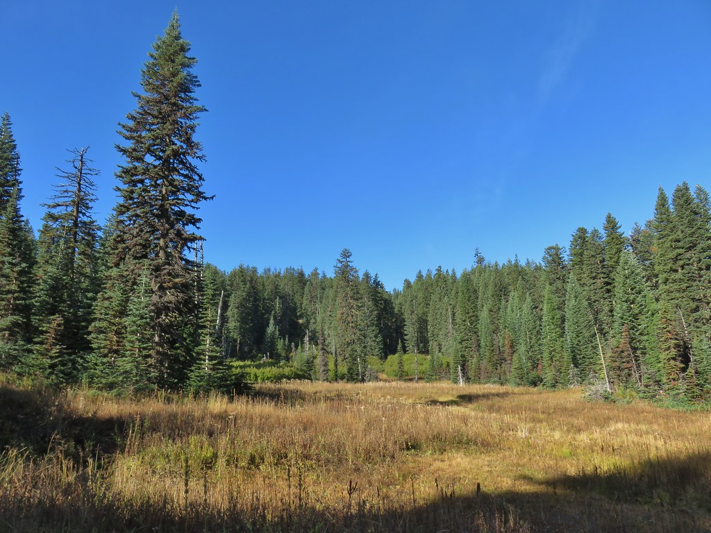
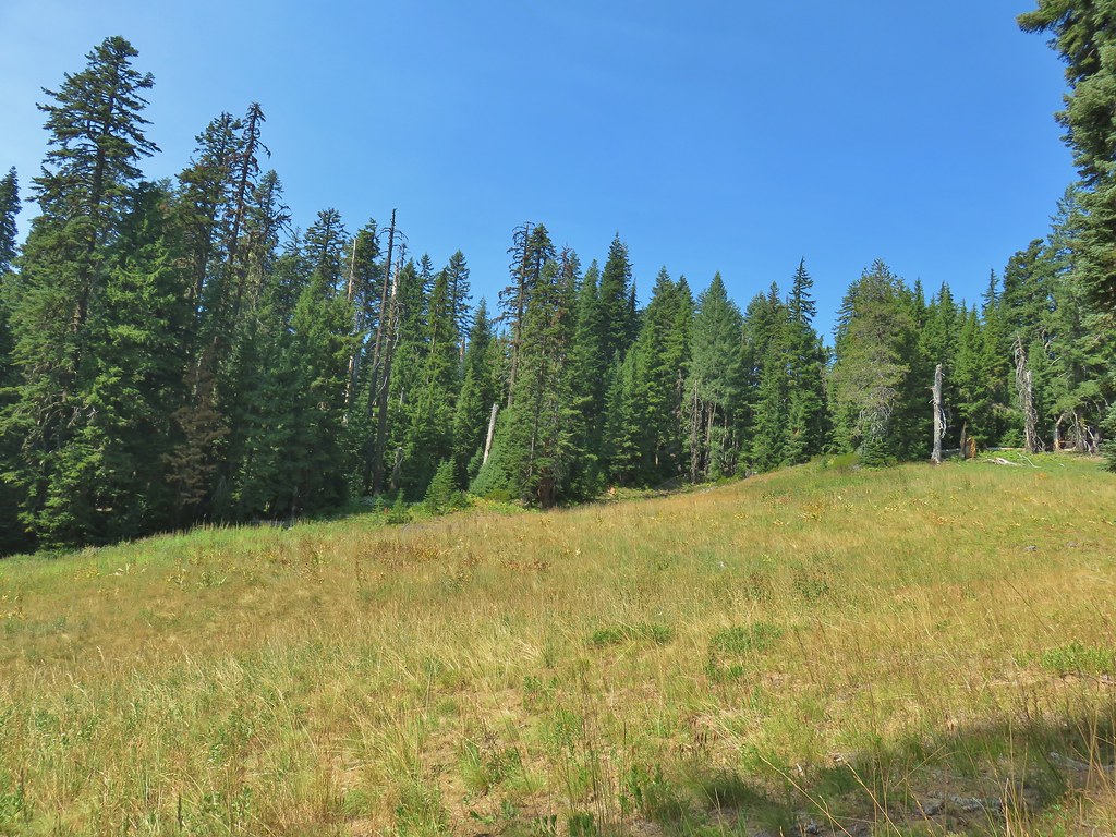
We started to encounter some open meadows as we neared the junction with the Yellow Jacket Loop Trail.
 Coneflower and paintbrush
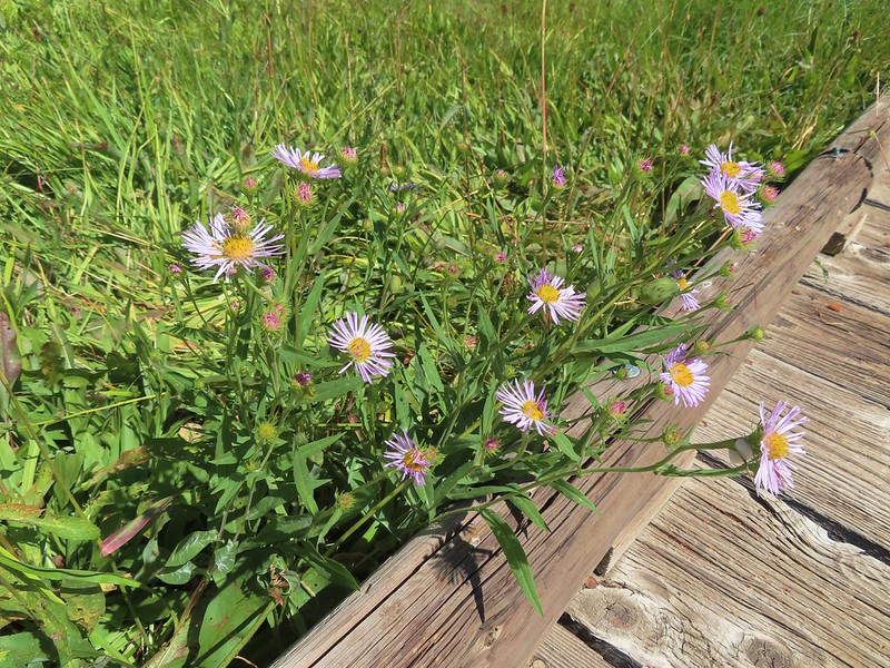
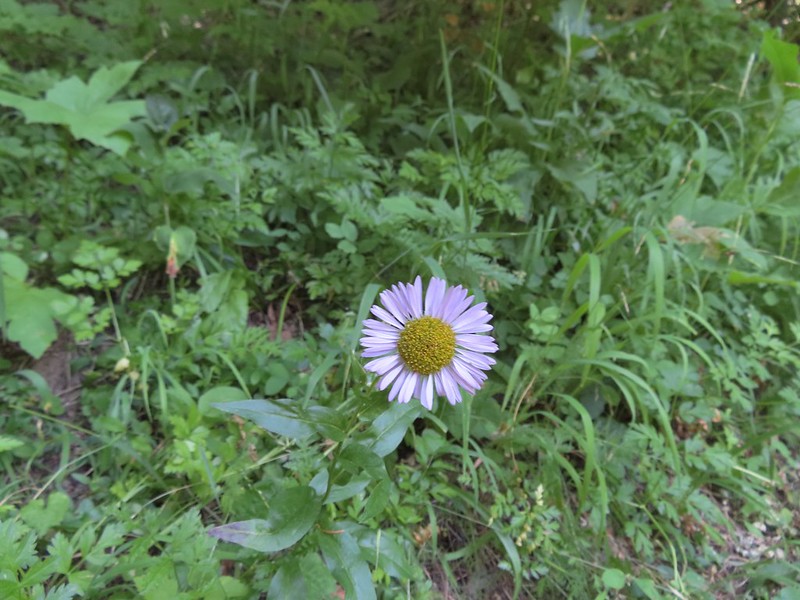 Fleabane

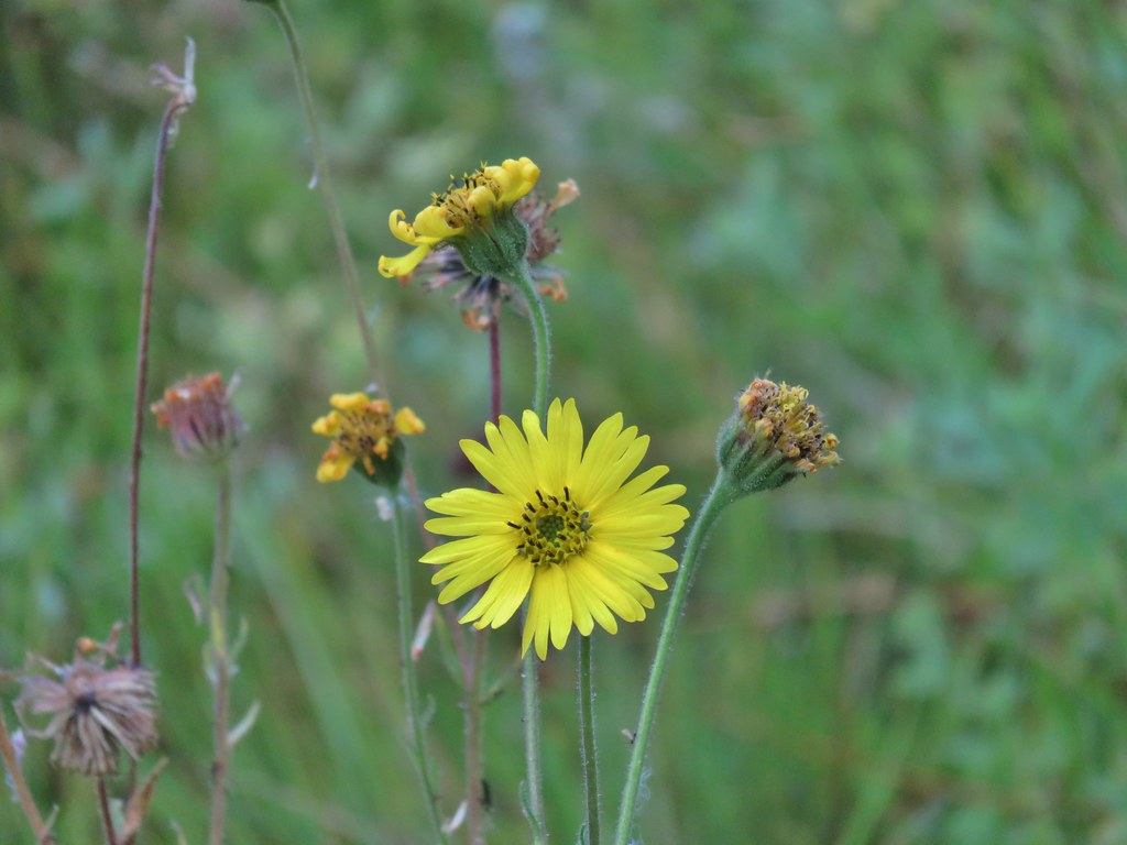
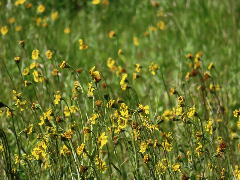 The wildflowers were already on the way out but on the positive side we didn’t have much trouble at all with mosquitos.
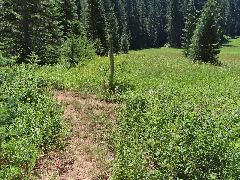
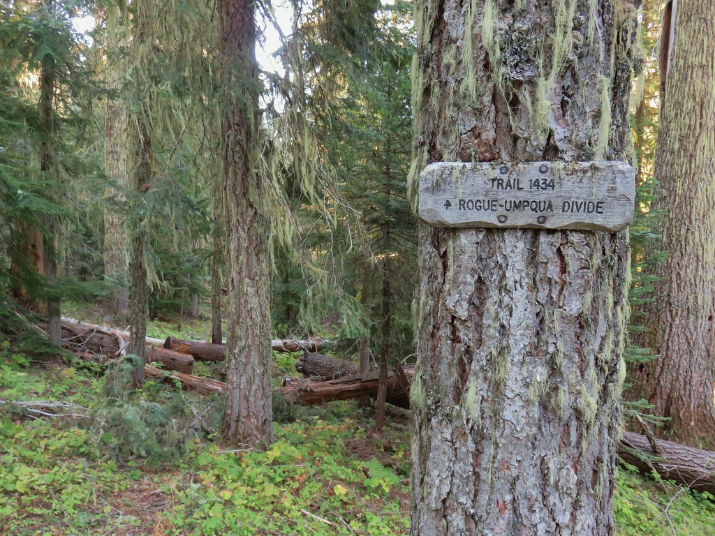
At the junction, which was only marked by a post we turned right.
 Hemlock Lake was to the left but Sullivan’s hike description called for doing the loop counter-clockwise. He typically has a reason for the direction he suggests so we’ve learned to stick with his recommendations.
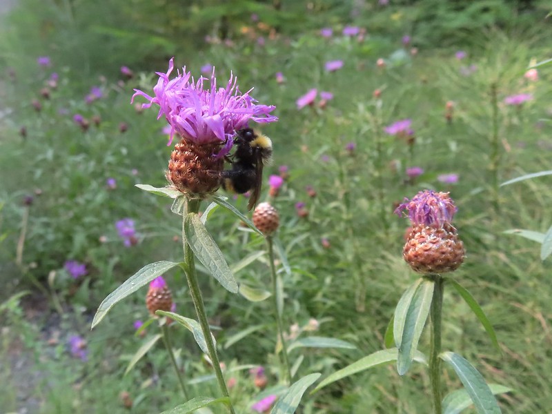
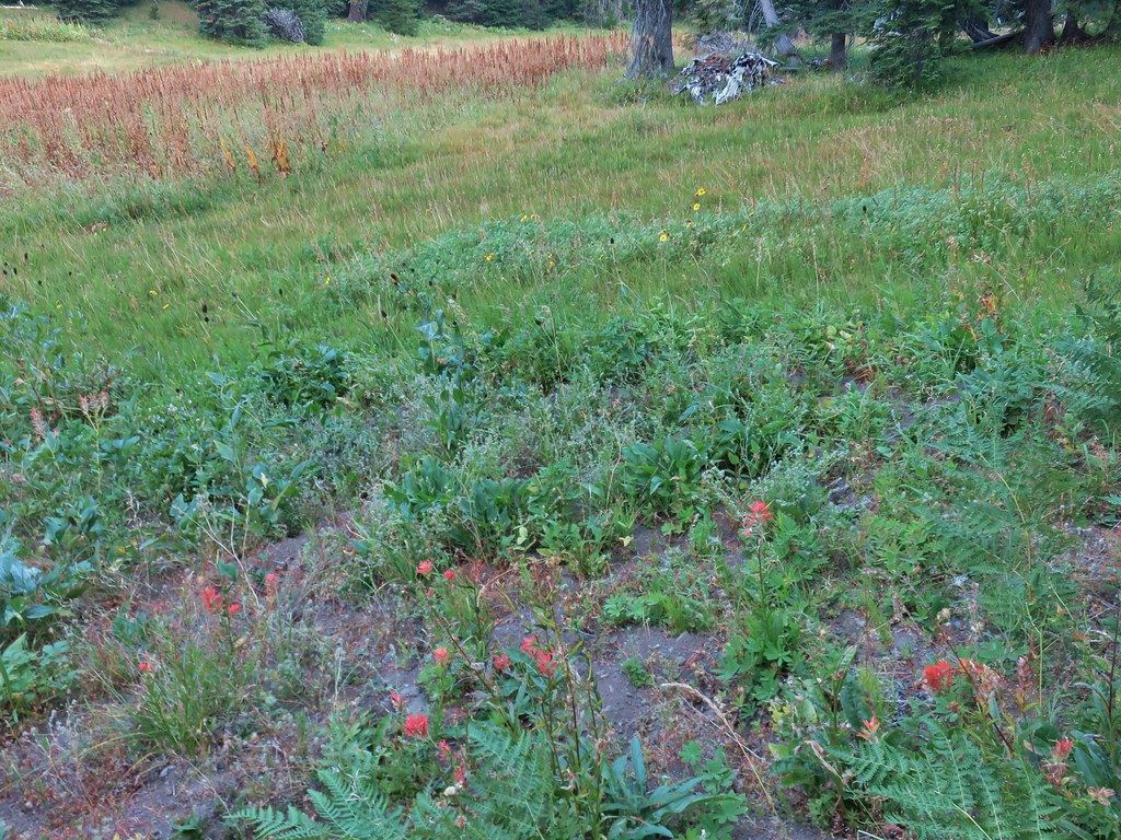
The trail passed through a couple of meadows where pollinators were busy visiting the remaining flowers.

 Busy bee
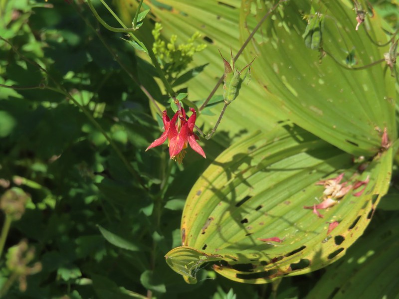 A lone columbine
 Dragonfly
 Mountain owl’s clover
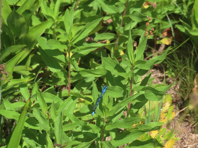 Damselfly
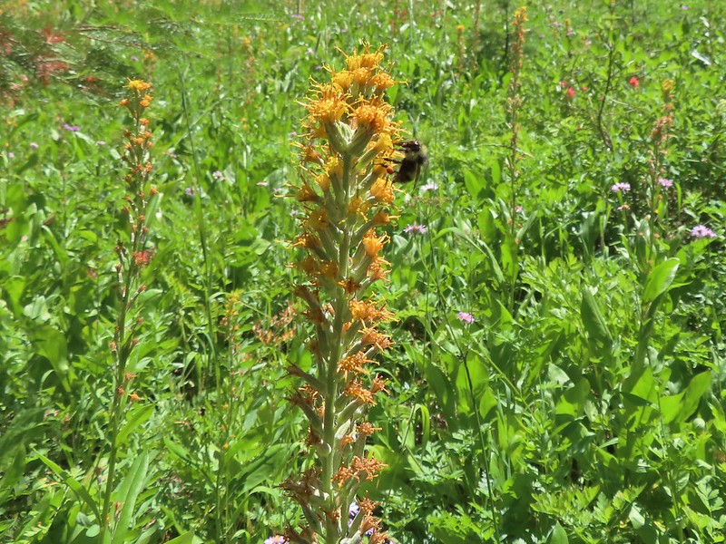 Bee on rainiera
 Butterfly on hyssop
 Oregon checkermallow
 Coneflower
 Fleabane and paintbrush
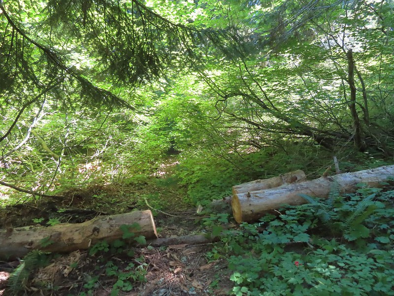
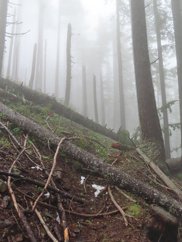
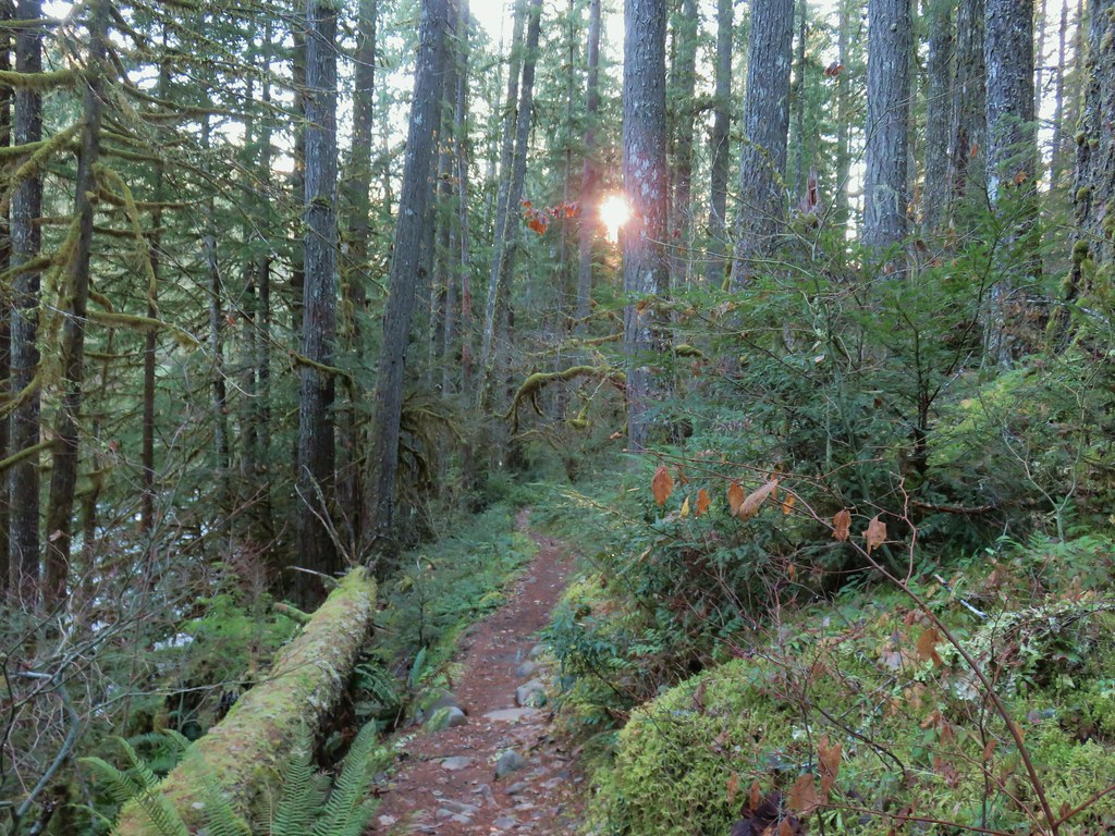
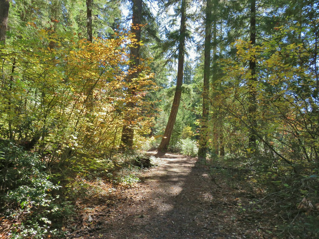
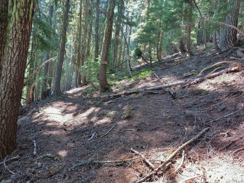
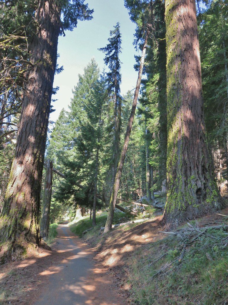
 Brief forested section.
 Hedgenettle
 Northern phlox
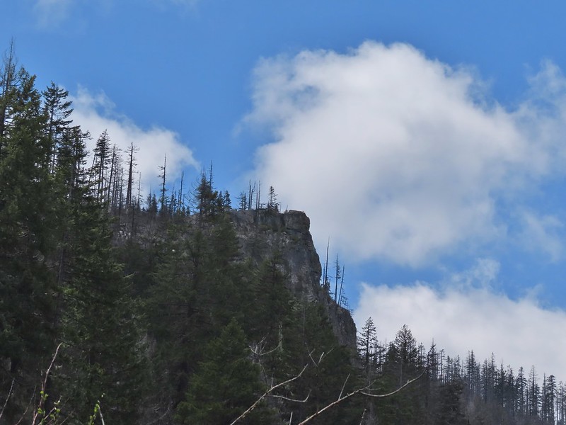
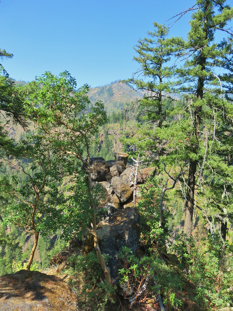
 Flat Rock beyond a meadow.
 Large boykina
From the junction it was a mile to the Flat Rock Trail where a three quarter mile detour led up to a viewpoint atop Flat Rock. Heather had been feeling a little “off” since a little before reaching the Yellow Jacket Loop so as we were climbing up from the meadows she decided to skip the out-and-back and instead would continue on the loop and I could catch up to her after visiting the viewpoint. I went on ahead and turned right at the signed junction.

After dropping a bit to a saddle the Flat Rock Trail leveled off which meant that the 500 plus foot climb that was needed to reach the top was all going to be packed into the last quarter mile or so.
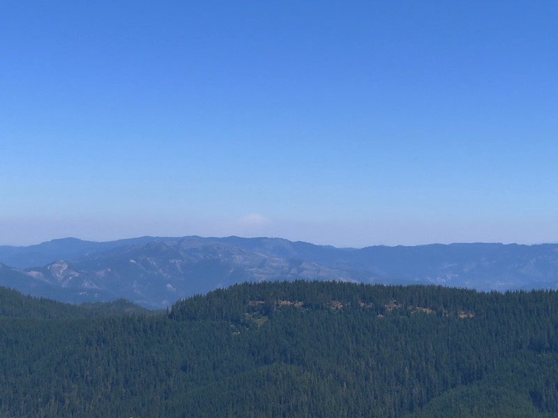
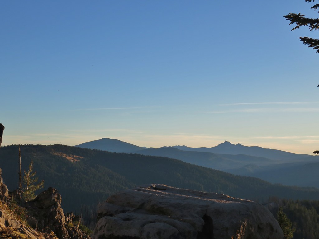
 There was an opening at the saddle where Diamond Peak (post) was visible through a bit of haze.
 The all too familiar Summer “smoke” filter on the mountains.
 The trail was a bit overgrown in places.
 Starting to climb.
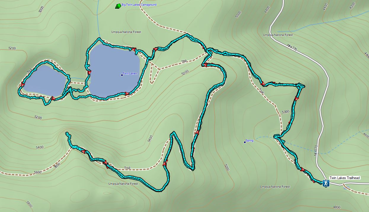
The climb was indeed fairly steep and it was probably a good thing Heather decided to skip it, although that decision had other repercussions. While the view from Flat Rock was pretty nice it wasn’t as nice as the view above nearby Twin Lakes had been when we visited in June (post).
 Heading out to the viewpoint.
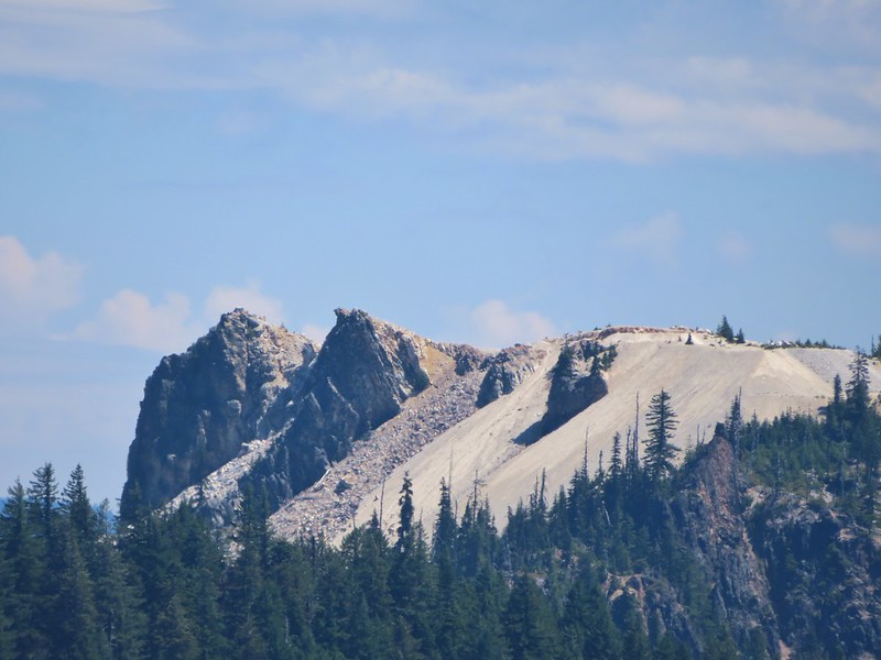
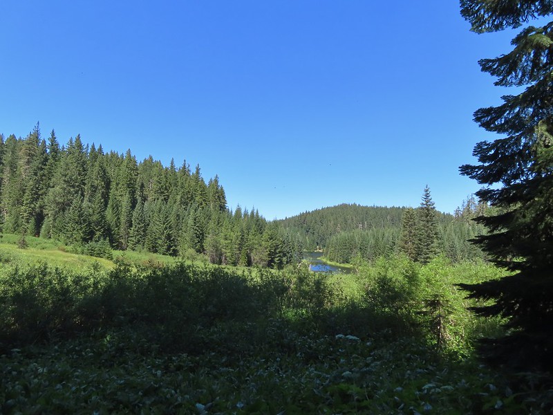
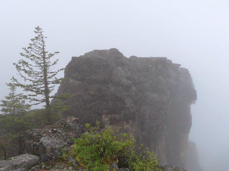
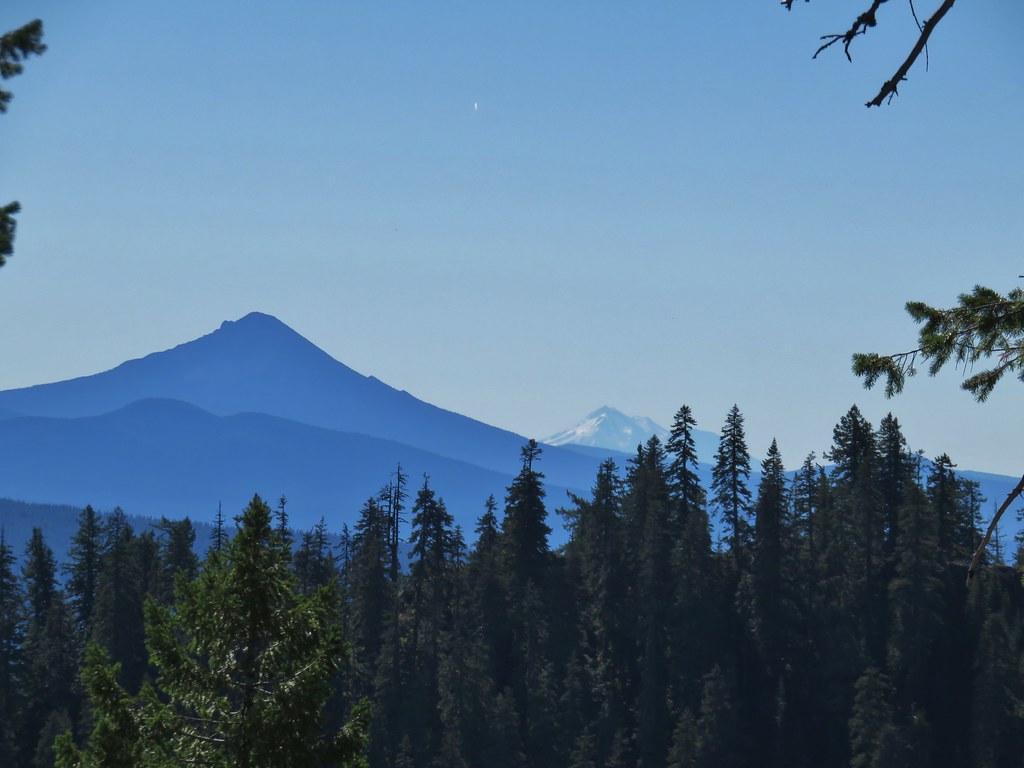
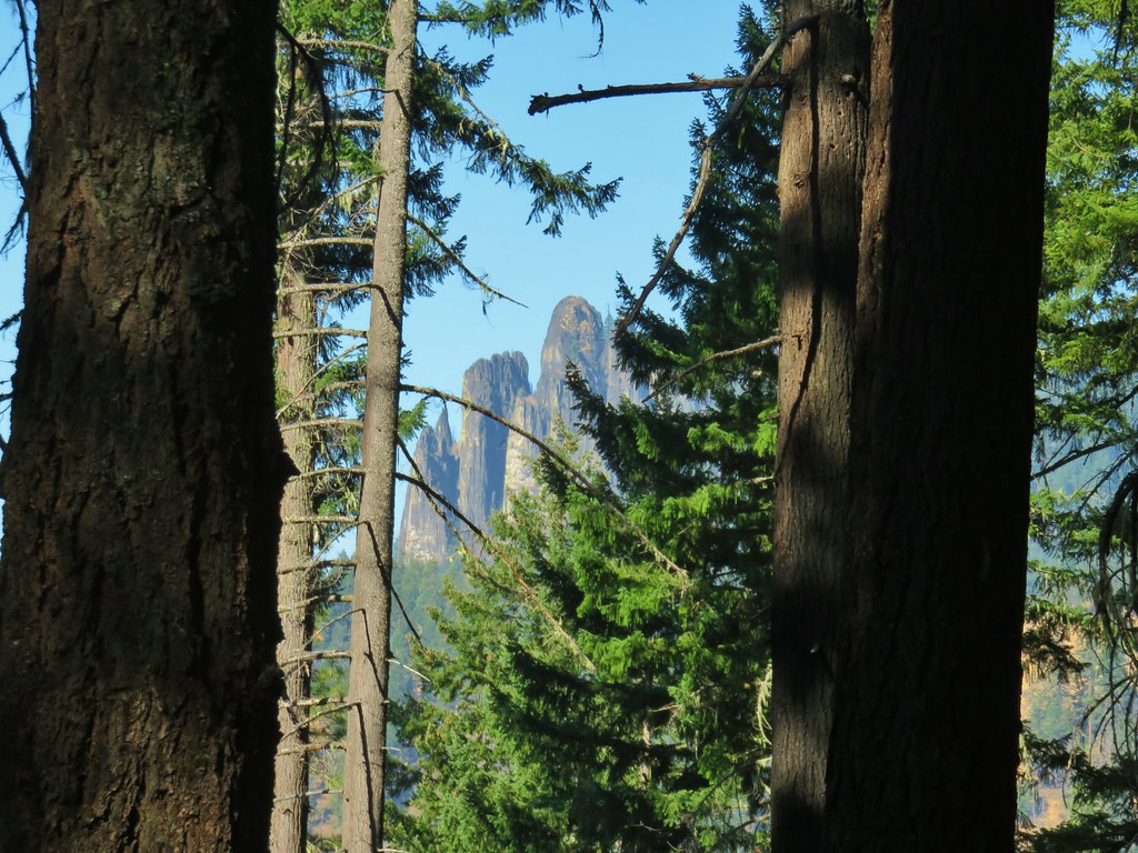
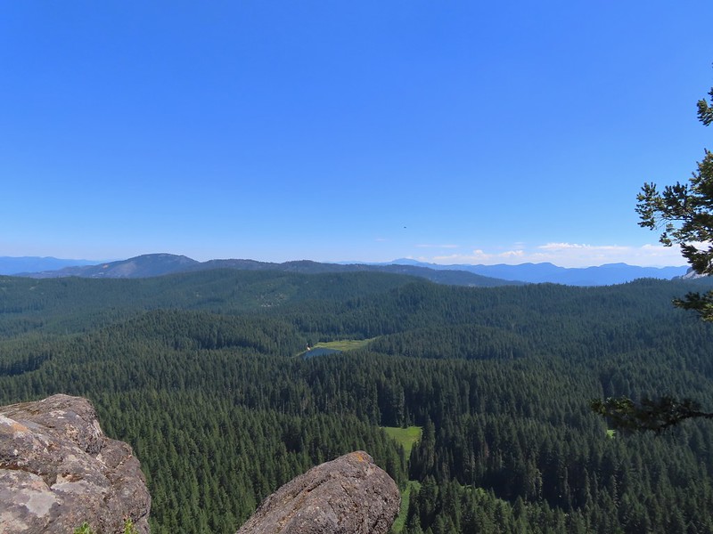 Hemlock Lake from Flat Rock with Mt. Bailey (post) and the spire of Mt. Thielsen (post) in the distance.
 Quartz Mountain in the foreground with Hillman Peak and The Watchman (Crater Lake Rim) in the distance.
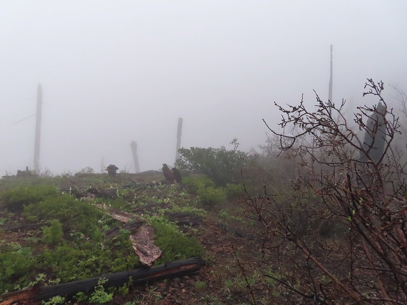
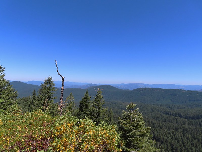 Diamond Peak in the distance to the right and the smoke plume from the Cedar Creek Fire center-right.
 Smoke from the Cedar Creek Fire 😦
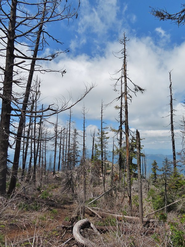
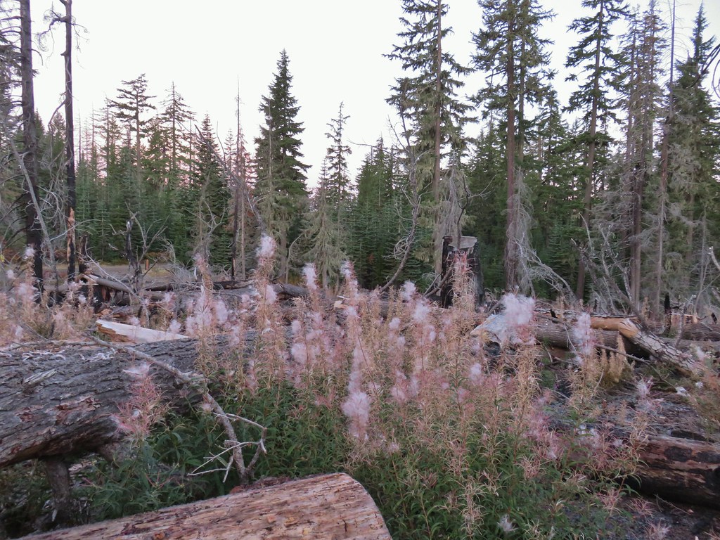
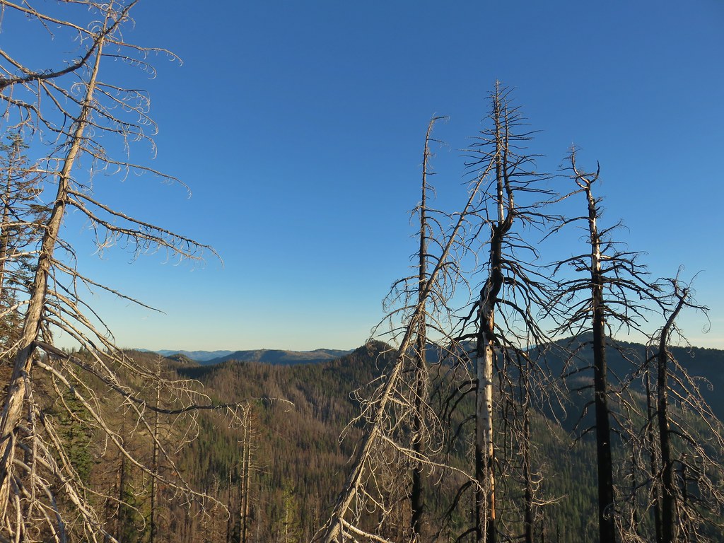
I returned to the Yellow Jacket Loop Trail and turned right and started to play catch-up with Heather. Beyond the Flat Rock Trail the loop passed through more meadows and some forest that had been impacted by the 2021 Smith Fire.

 Parnassian on hyssop
 Grand collomia

 Swallowtail on hyssop.

Just over three quarters of a mile from the Flat Rock Trail I came to a sign for the Cavitt Mountain Tie Trail which didn’t show up on the GPS map or on Sullivan’s map.

Heather had placed an arrow using sticks to show that she had turned left here sticking to the Yellow Jacket Loop and I followed. A tenth of a mile later the trail came to a viewpoint at an old roadbed.
 Mt. Bailey and Quartz Mountain.
 Quartz Mountain

If Sullivan’s map hadn’t indicated that the trail followed a roadbed for a short distance I might not have known that this had once been a road.
 Union Peak. To the left is Highrock Mountain and to the right of Highrock Mountain are the Rabbit Ears (post), a rock outcrop sticking up over a ridge.

 The end of the old road section.
 The only blooming lupine I saw all day.
I still hadn’t caught up with Heather when I came to a lone post which caused me to stop and ponder our decision to split up. I had realized we’d made the mistake of not setting a meet point where she would stop and wait for me, or I her if I somehow wound up in front of her. At this unsigned post the trail appeared to go straight but the maps showed the trail veering to the left. I looked for an arrow or even footprints to indicate which way Heather had gone. She also carries a GPS and had Sullivan’s map and hike description so I thought there was a good chance she went the right way, but it was a confusing enough junction that going straight wasn’t out of the question.
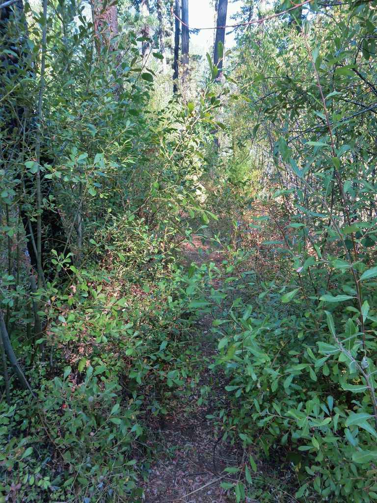
 The actual trail to the left was very overgrown here and hard to pick out at first glance.
The map showed FR 625 in the direction of the right hand fork and it also showed the trail nearly touching that road two time further along the ridge it was on so I decided that even if she had taken a wrong turn here she would hop back onto the trail at one of those other two points so I went left and kept my eyes out for her.
 The first convergence with FR 625.
 Signpost at the second meeting.
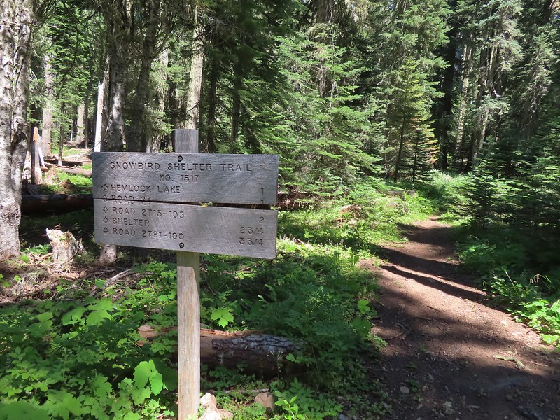
The further I went the more concerned I became because I knew she hadn’t been feeling great when we split up and I had been moving at a crisp pace and had expected to catch up to her by now. I talked myself into think she might have started feeling better and with the trail being more level and starting to go downhill she may have been moving faster than I’d expected and I wasn’t sure quite how long my detour up to Flat Rock had taken. I continued on passing a sign for the Snowbird Shelter Trail and coming to Dead Cow Lake where I optimistically thought she might be waiting.
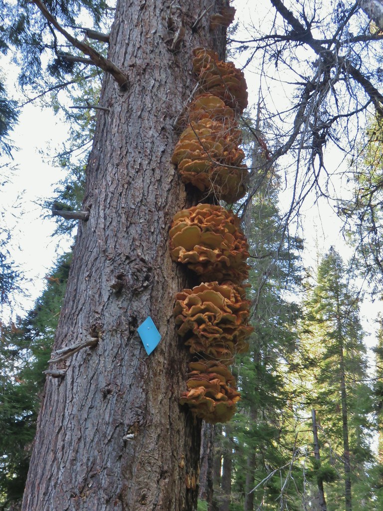
 There were a lot of different types of signs along the loop.

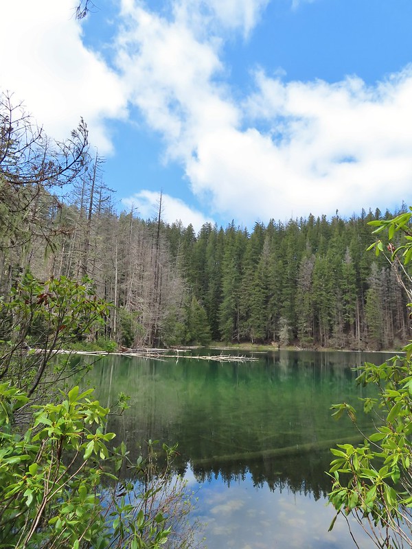
Dead Cow Lake turned out to be a bust, not only was Heather not there but the lake was more of a slime filled pool. At least from what could be seen from the trail, there wasn’t any visible way to the lake itself.

 Monkshood
It was a little under a mile from Dead Cow Lake to the next trail junction where I thought I might find her. This end of the loop was steeper than the other which made doing the loop counter-clockwise the better option.
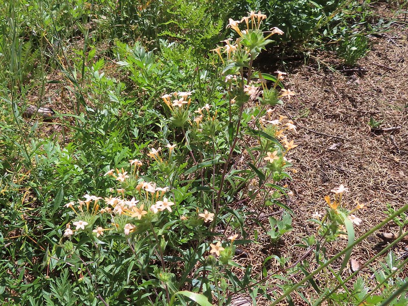
 I was moving rather quickly now and not stopping for much but I did pause for these sugar sticks.
When I didn’t find Heather at the next junction another possible scenario popped into my head. The right fork led 0.8 mile to a picnic area near the Hemlock Lake boat ramp and I suddenly wondered if Heather thought I had planned to loop around Hemlock Lake that way.
That hadn’t been the plan but now I couldn’t remember if we had really discussed that part. The left fork led back to the Hemlock Creek Trail in 0.7 miles and had been my intended route. I decided to go that way hoping that Heather hadn’t gone to the picnic area and was waiting there for me (if only we had agreed on a meet point).
 The trail never got very close to the lake.
I passed the day use parking area looking for any sign of Heather but didn’t see her and then didn’t find her at the junction with the Hemlock Creek Trail.
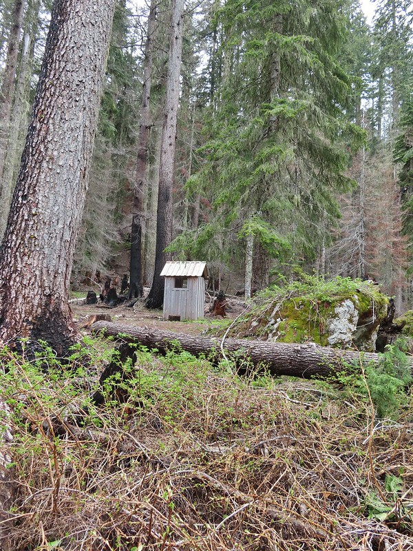
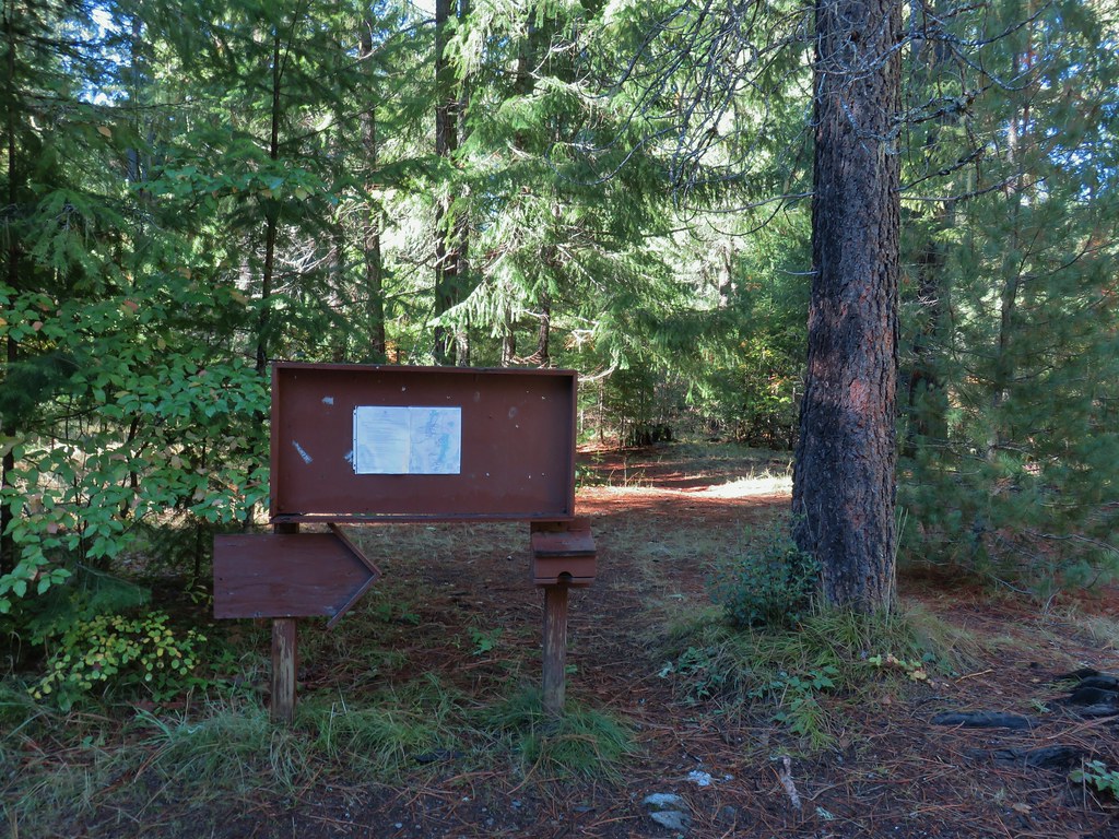
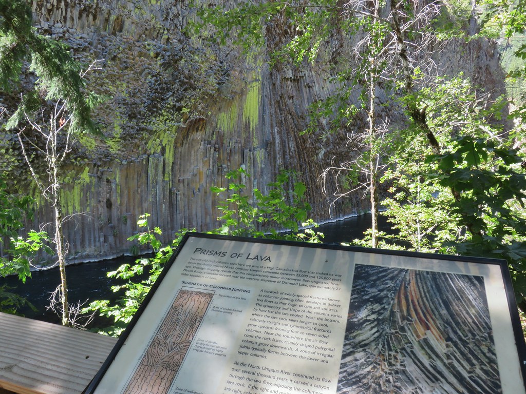
 Signboard at the Hemlock Lake Day Use Area.
 Loop complete, no Heather.
Again not having set a meeting spot meant that I didn’t know for sure if she was somehow still ahead of me or if she was at the picnic area or if I had somehow passed her without knowing it. I decided my only choice was to double time it down the Hemlock Creek Trail and if she wasn’t at the car I would leave a note and drive up to Hemlock Lake to search the picnic area and campground for her. I half jogged half double timed it down to FR 2759 and was pretty sure she wasn’t in front of me as I crossed that road. My suspicion was confirmed when I ran into a trail crew near Clover Falls and asked if they’d seen a woman go by. (These were the only other people I’d seen on trail all day.) That cinched it so I jogged the majority of the way down to the car. I wrote two notes letting her know that I was driving up to look for her and to stay there if she happened to come down behind me as I would come back if I didn’t find her at Hemlock Lake. I stuck the notes on a tree limb near the trail sign and under a rock in the fire pit near where we’d parked and drove up to the boat ramp. No one there had seen her so I drove through the campground to the day use parking area. As I stepped out of the car I spotted her coming up from the trailhead signboard where she had just left a note for me.
It turned out that she had indeed gone right at the unmarked post and gotten on FR 625. She realized her mistake pretty quickly and turned around but we’d timed it just right and I had passed her during that time. Fortunately she took several breaks thinking that there was a chance I might still be behind her so she was just getting ready to head down the Hemlock Creek Trail when I pulled up, prayers answered. The whole debacle was a good reminder of how important it is to make clear plans before splitting up.
Despite the anxious ending it had been a nice hike but it was too long, especially if you’re jogging a good portion of the final 3.5 miles. My hike wound up being 18.2 miles with over 3700′ of elevation gain. Heather’s was a bit shorter having skipped Flat Rock and the return trip on the Hemlock Creek Trail.

So how do you follow something like that up? With another hike of course. It was just after 4pm and since Grotto Falls was on the way and only about half a mile round trip we detoured to that trailhead. We were mostly motivated by the thought of not making the drive the next day so we could get home a little earlier.
There were two other cars at this trailhead and we set off behind a family with a couple of youngsters.
 The trailhead is right after crossing Emile Creek.
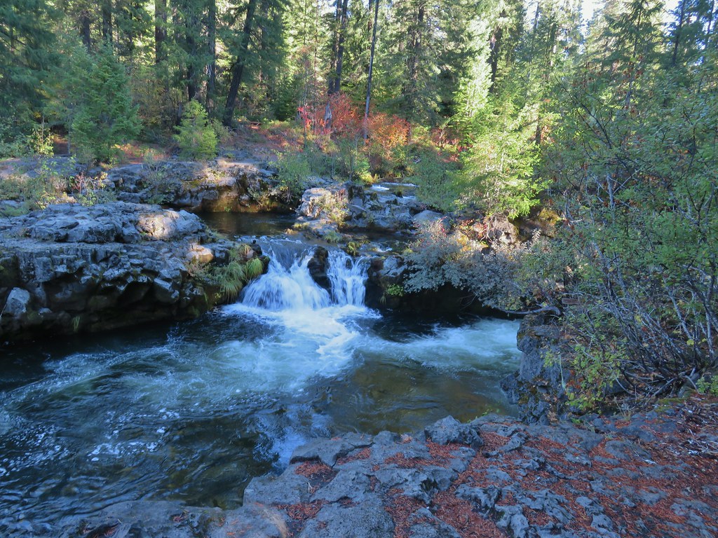
The setting for Grotto Falls was impressive. There wasn’t a lot of water flowing in the creek this time of year but there was enough and we were treated to a pair of small rainbows which added to the beauty.
The trail lead behind the falls giving us a chance to cool off in the water.


 Cave behind the falls.
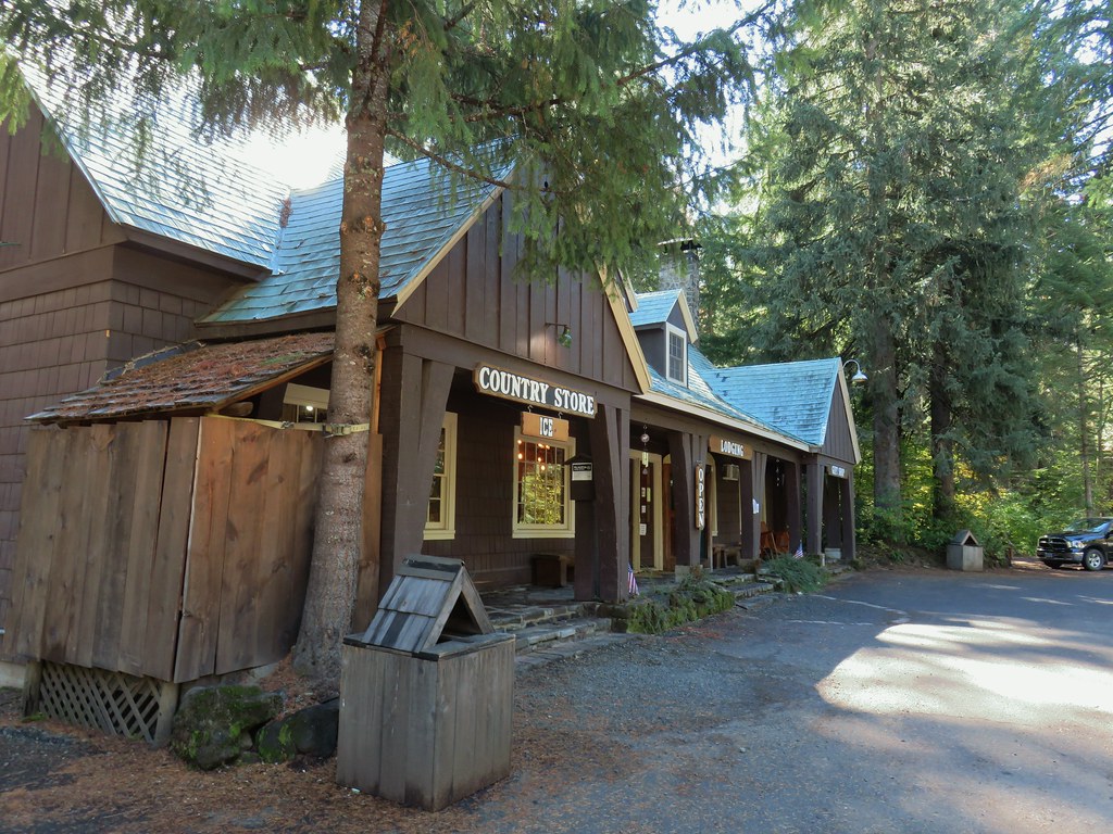
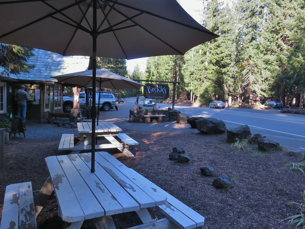
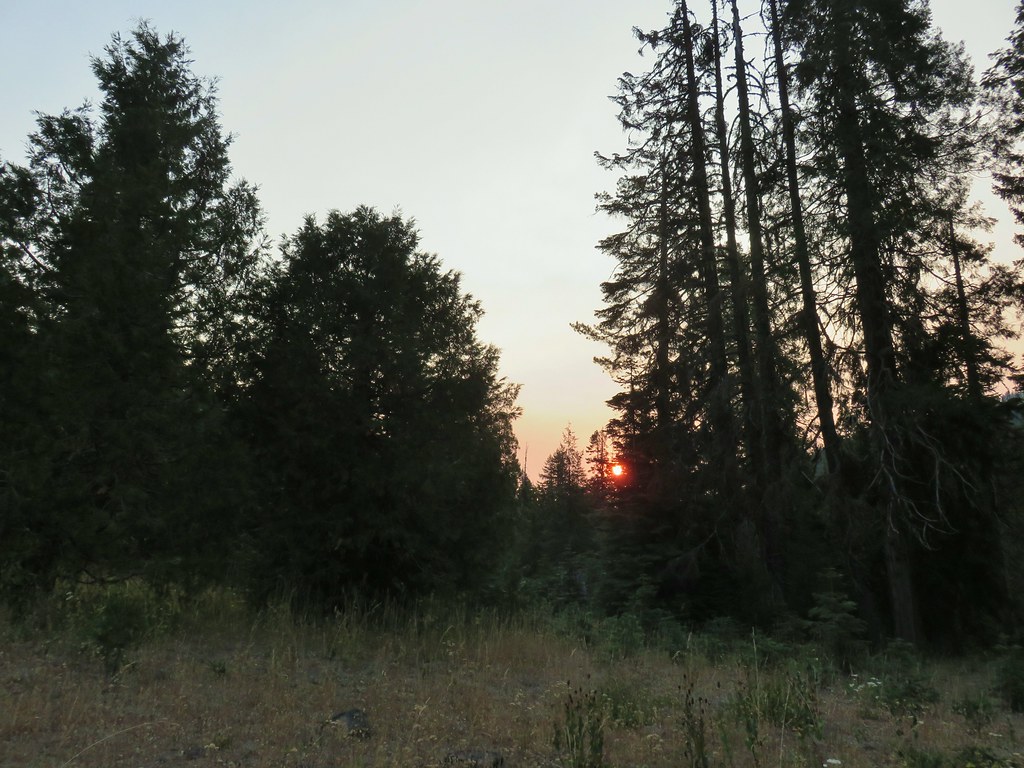
This was a perfect short hike to end the day on allowing us to relax a bit. We returned to the car and drove to the Idleyld Lodge and checked in. Then Heather ran across the street Idleyld Trading Post where she picked up some tasty post hike burritos. The historic lodge narrowly escaped the 2020 Archie Creek Fire and recently changed owners. It was obvious that the new owners had been putting a lot of work into the lodge and the room was quite comfy. What wasn’t were all the blisters on my feet, apparently jogging downhill at the end of an 18 mile hike isn’t something that they appreciated. In any event the day had ended on a high note. Happy Trails!

 We parked in a pullout just before this section.
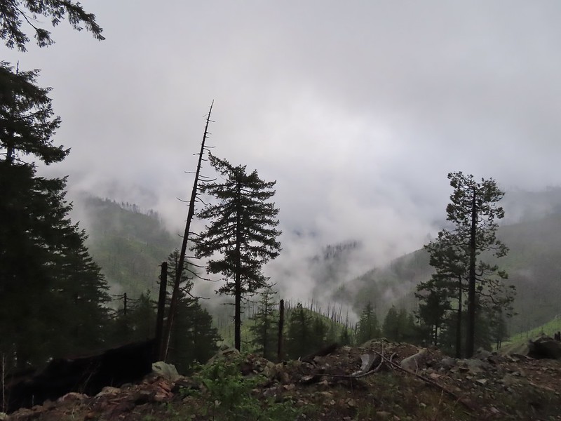 The Boulder Creek Wilderness (
 FR 104
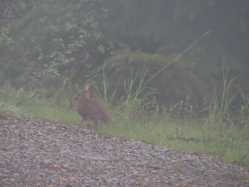 Rabbit on FR 100
 Lots of fawn lilies along the road and trails.
 Red flowering currant
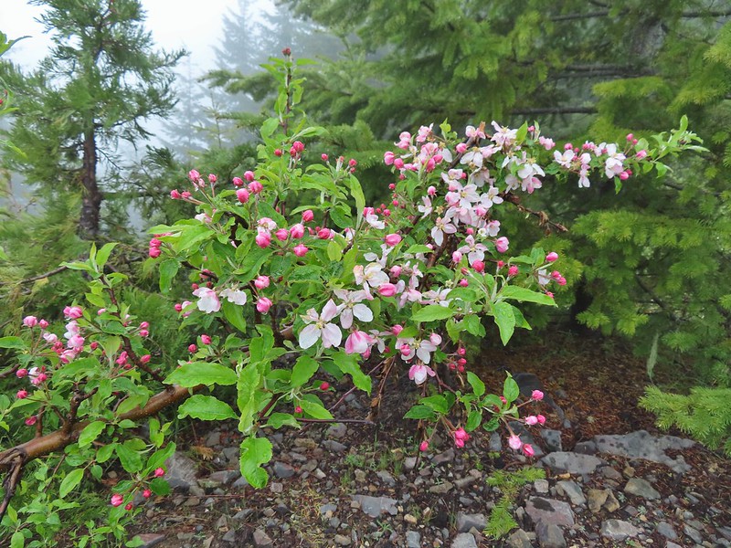 Is this an apple tree? Whatever it is it seemed very out of place.
 FR 105 on the left and FR 100 on the right.


 A cairn on the left.
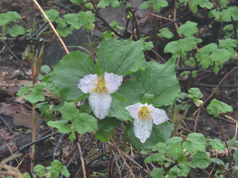 Damp trillium
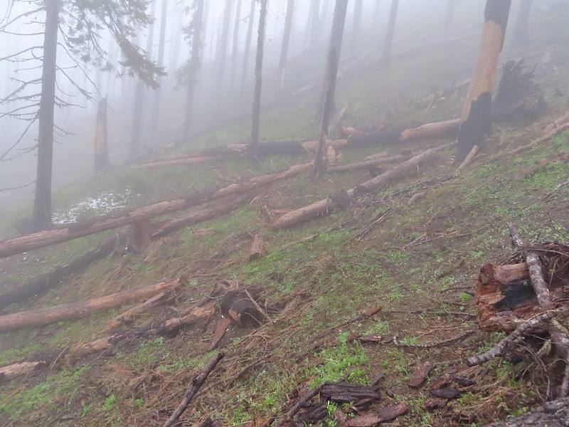 Downed trees across the trail near Illahee Spring.
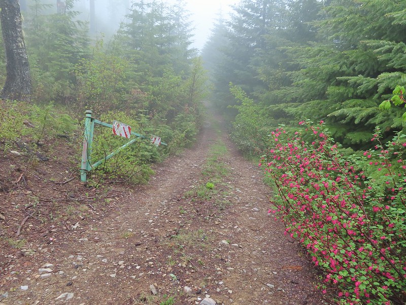
 Gooseberry
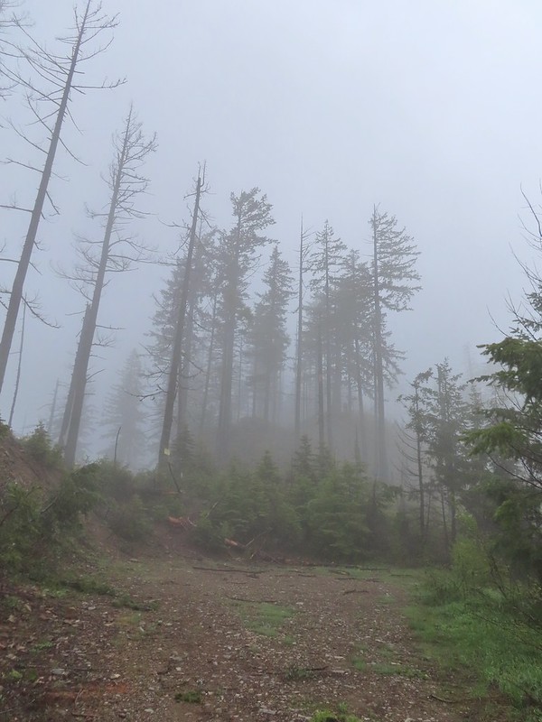

 The tread was a little faint but otherwise in good shape.
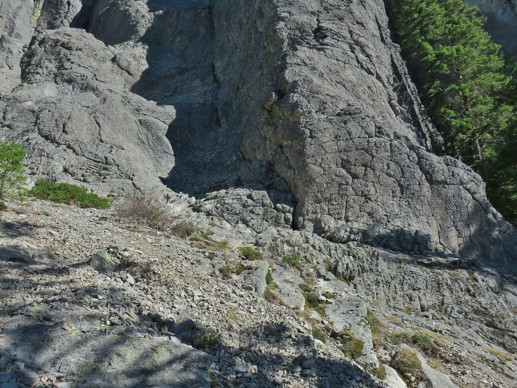
 Lots of cool rock outcrops along the trail.
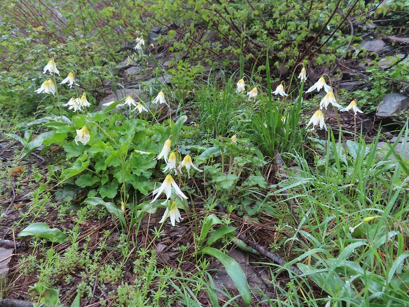 Fawn lilies
 Typical trail condition.
 Ragwort and blue-eyed Mary covered hillside.
 Blue-eyed Mary
 Ragwort
 Rocky hillside below the lookouts.
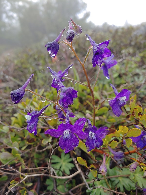 Larkspur
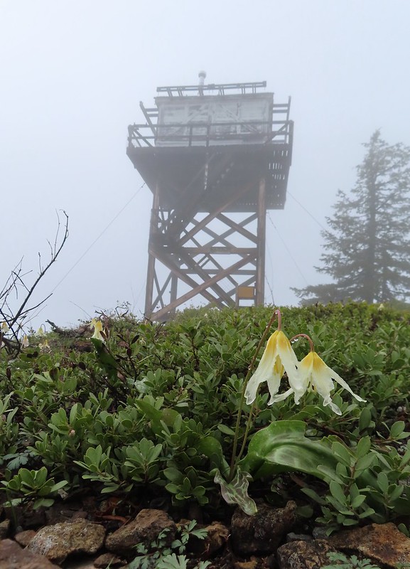
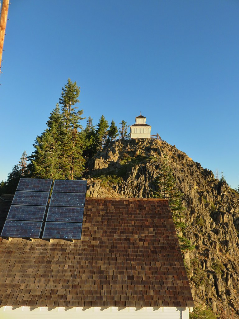
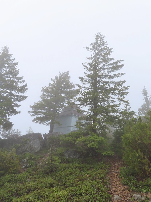 1925 Cupola style lookout.
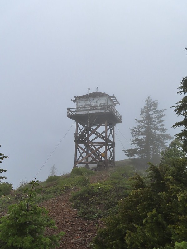 1956 L-4 tower lookout
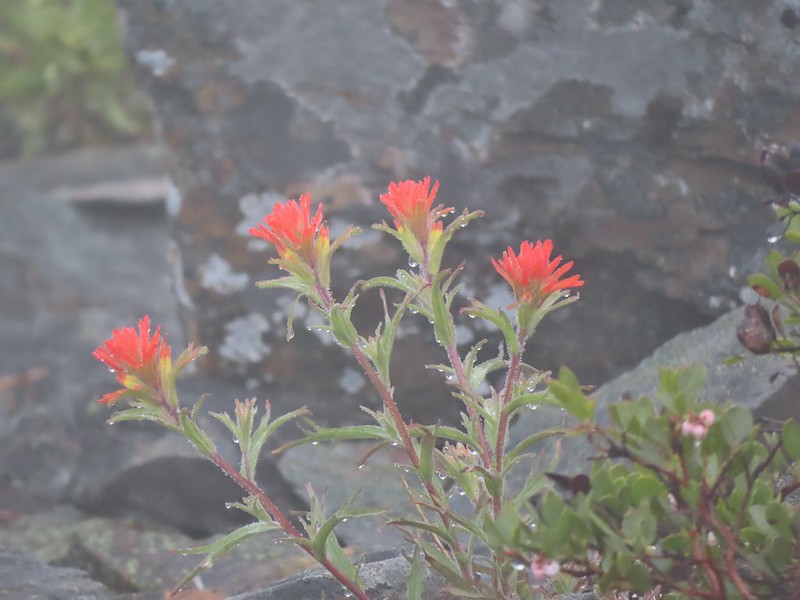 Paintbrush
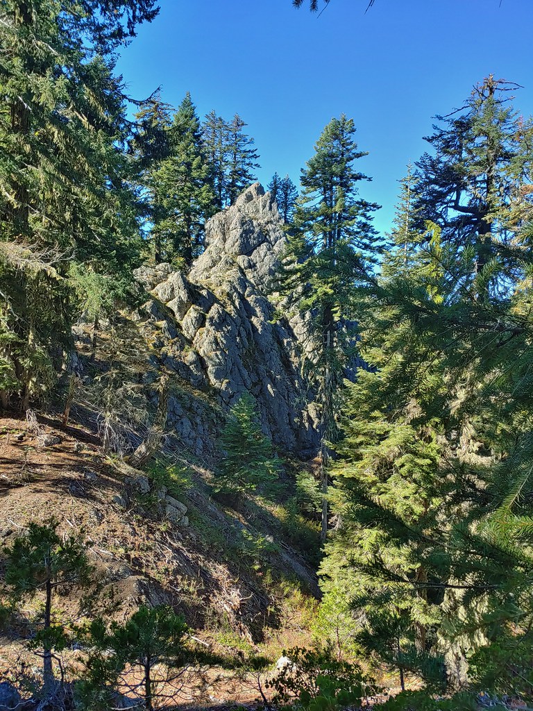
 Illahee Rock
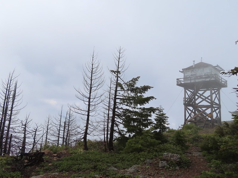 A sliver of hope for blue sky at some point.


 Back at the trailhead.
 On FR 100
 Wallflower
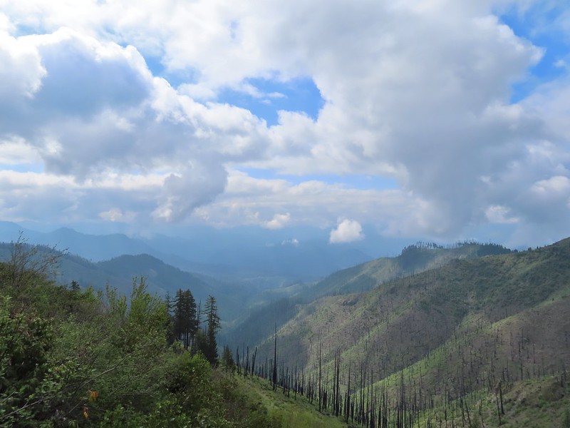 The Boulder Creek Wilderness

 Meadow along the trail.
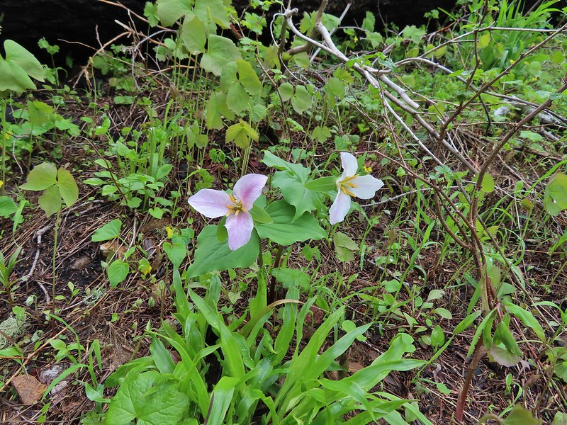 Trillum
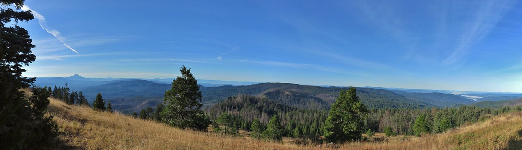
 Becoming sunny in action. From this viewpoint Diamond Peak, Mt. Thielsen, and Mt. Bailey are visible sans clouds.
 A carpet of blue-eyed Mary at the viewpoint.
 Illahee Rock was visible from the viewpoint despite the clouds.
 The lookout tower on Illahee Rock.
 Indian plum
 Hellbore starting to sprout in a meadow.
 Waterleaf
 Nearing the junction.
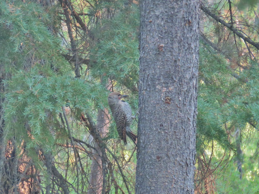
 Woodpecker
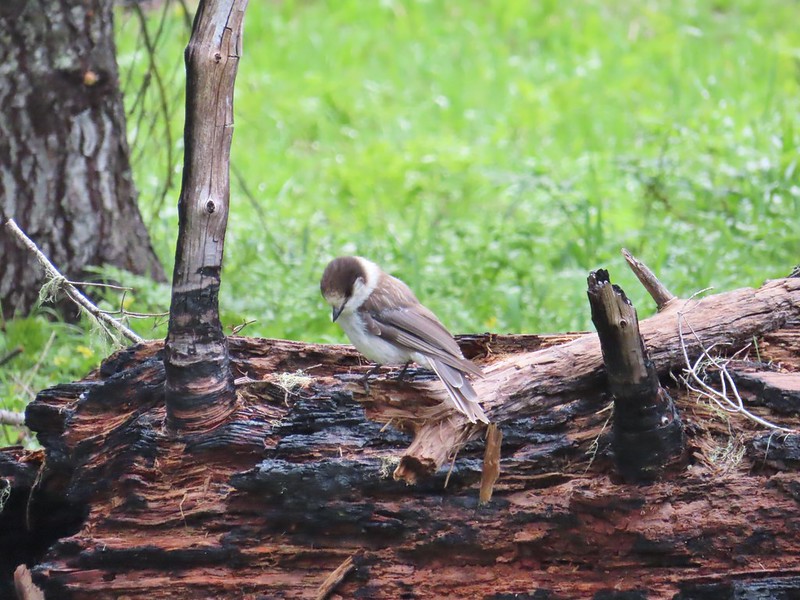 Gray jay
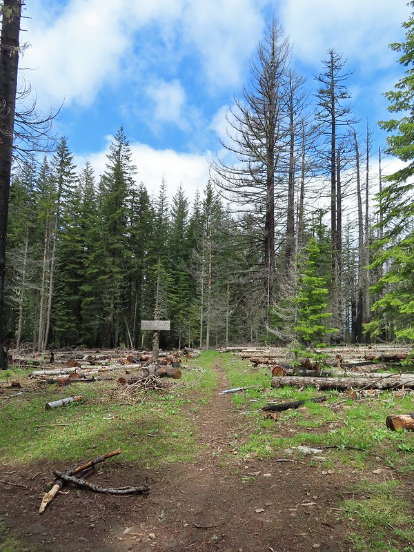 The second junction where we turned left.
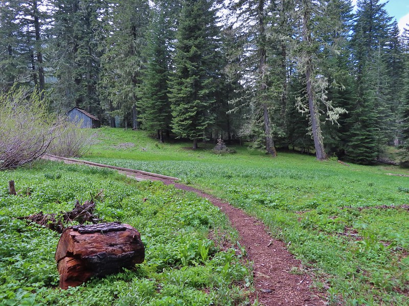


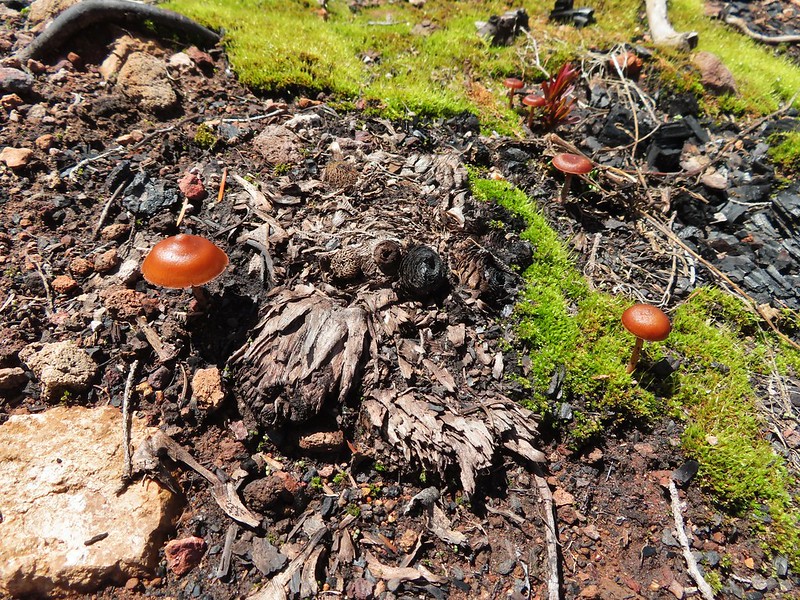
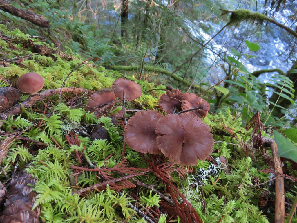
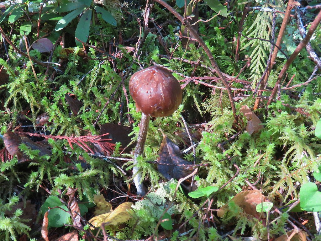
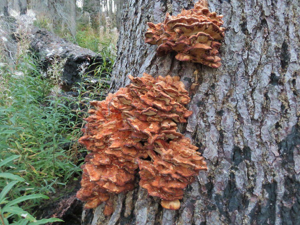
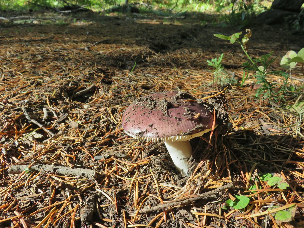
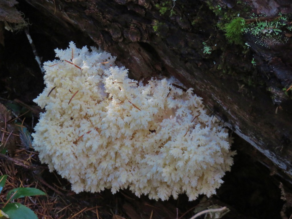
 Mushroom near the shelter.


 No fish but it was easy to see them when they were present.
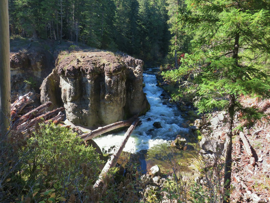
 This big rock added to the scenery.
 We couldn’t decide if that was an old bridge or dock in the water.
 Passing behind the big rock.
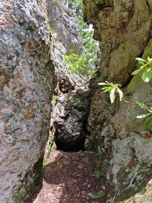 The rock turned out to be split.
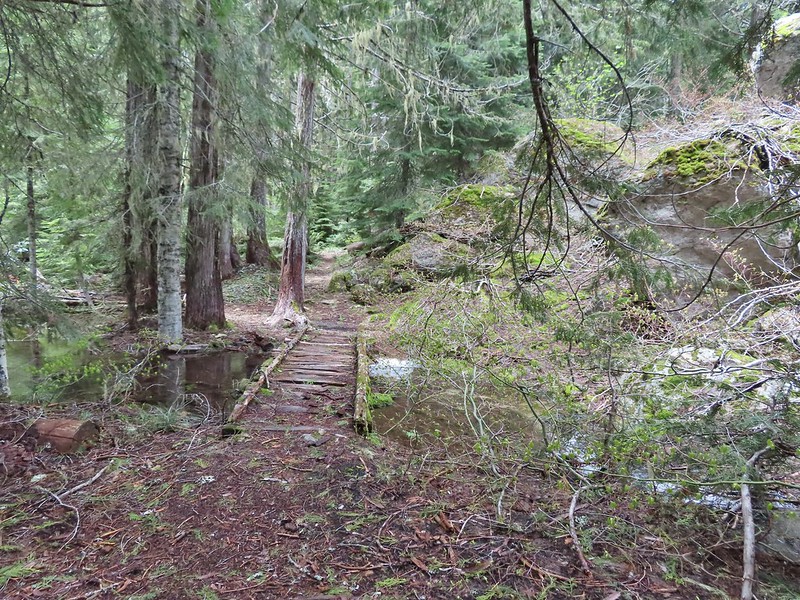
 There was a lot of water in the section between the two lakes. Fortunately there didn’t seem to be any mosquitos which was really surprising but in a good way.
 This looked like it could be a trail.
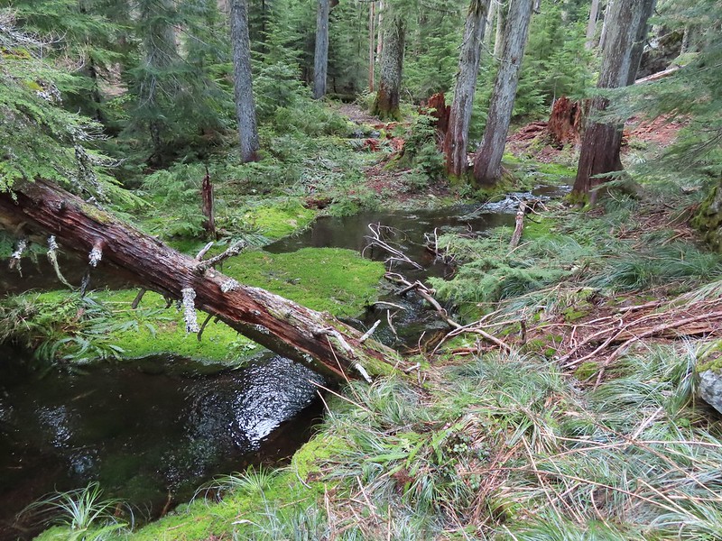 How were there not any mosquitos in here.
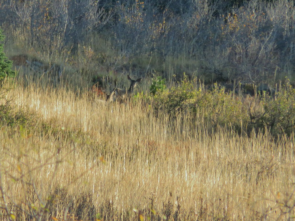
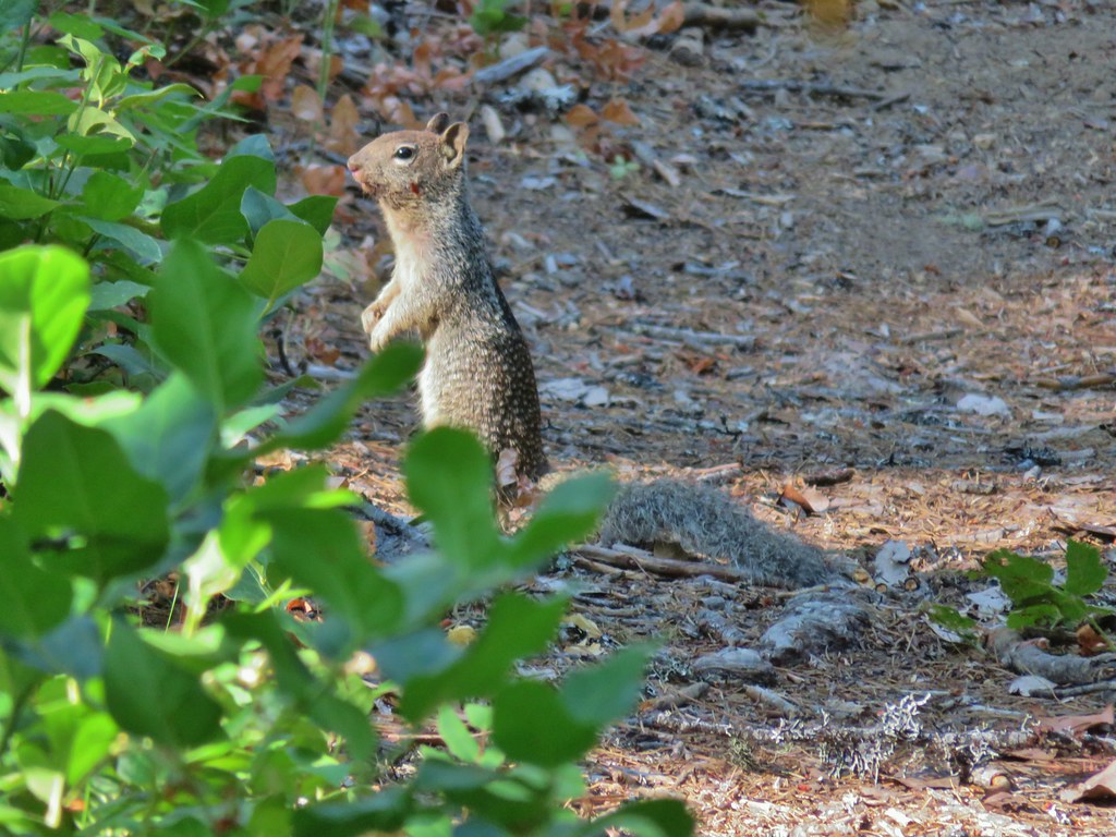
 A local wondering what we were up to.
 The outlet creek.
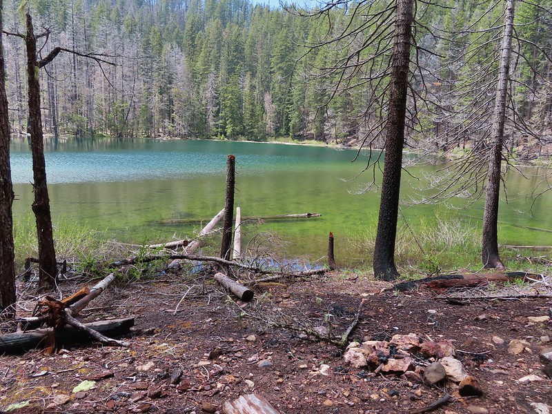
 Yellow-rumped warbler
 Red-breasted sapsucker
 Stellar’s jay


 This cracked us up, someone just nailed the planks into the tree that broke the bridge.
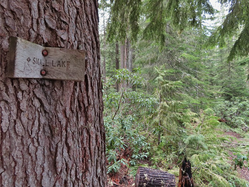 A small sign at the junction.

 Another meadow along the 1.1 mile section.
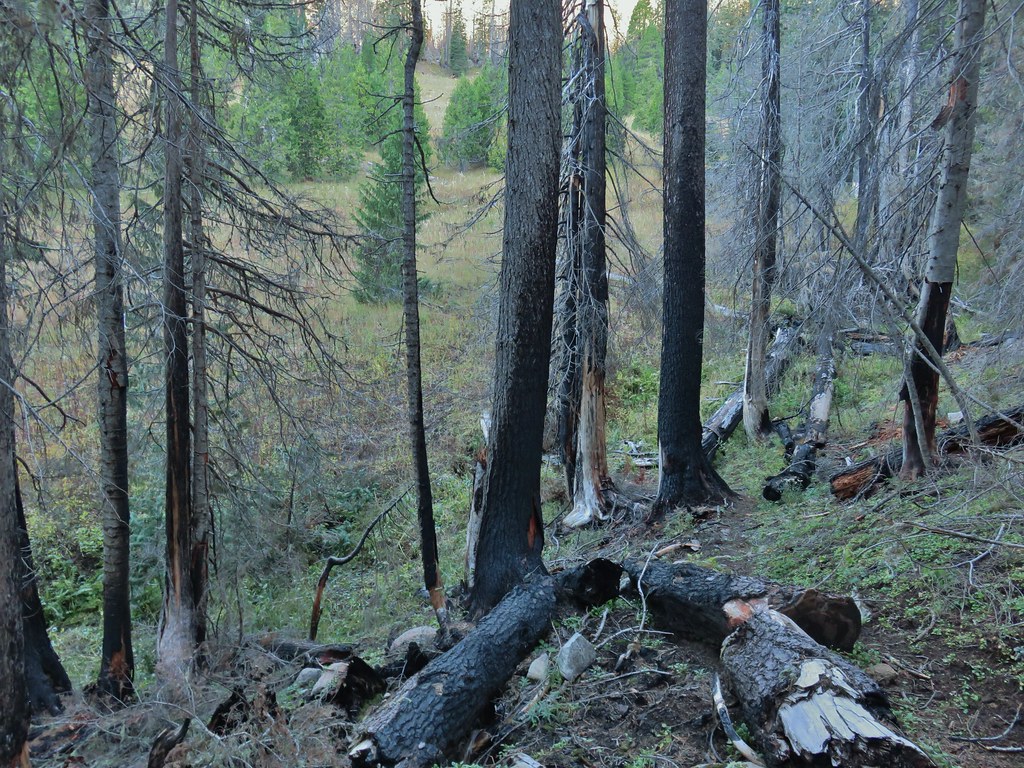
 The 2017 fire hit this section pretty hard.

 The larger lake.
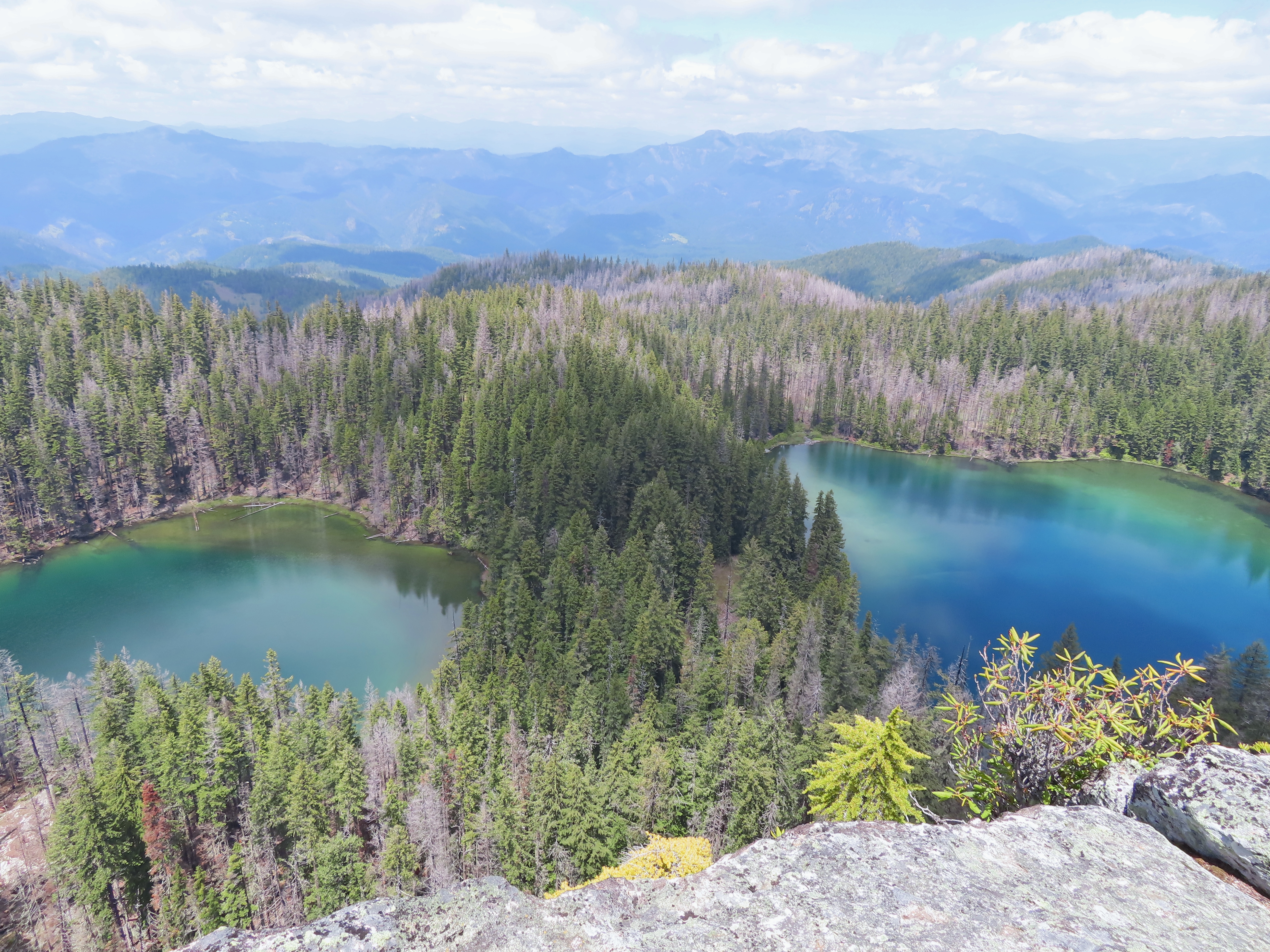
 The smaller lake.
 Illahee Rock from the viewpoint.
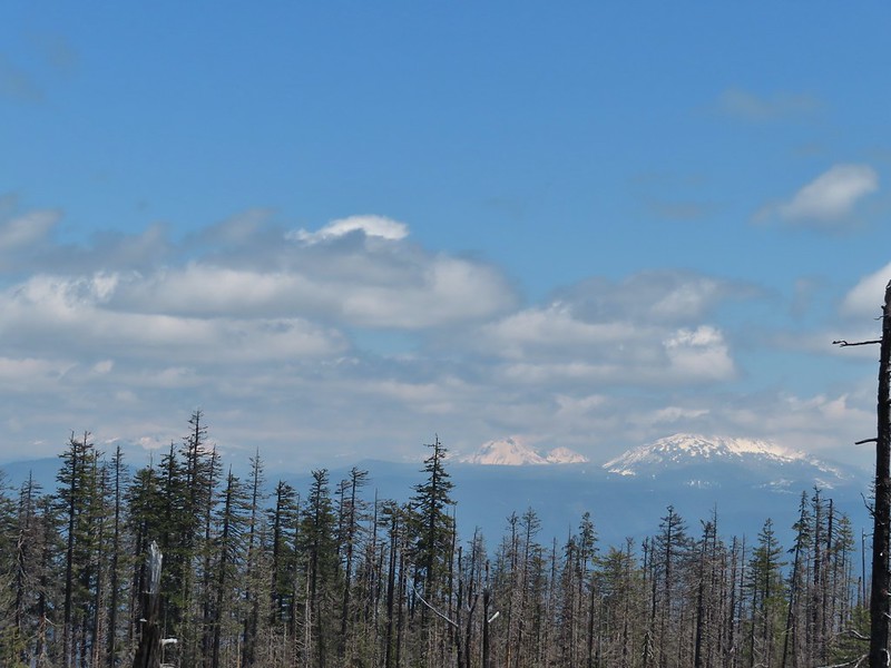 The lower flanks of Howlock Mountain, Mt. Thielsen (
 Bee on an anemone.
 Glacier lily
 Moth and a violet.
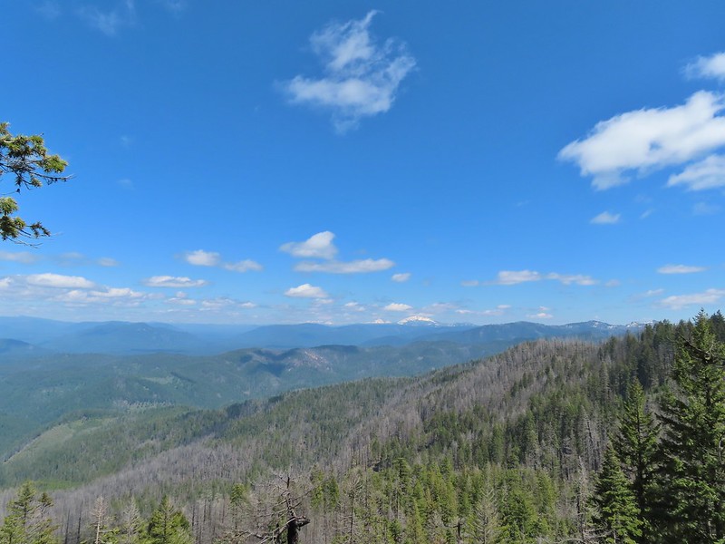
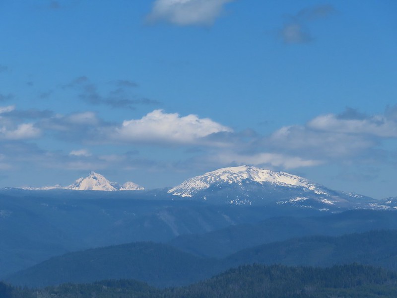 Mt. Thielsen and Mt. Bailey
 Black Rock on the right.
 Highrock Mountain
 Howlock Mountain
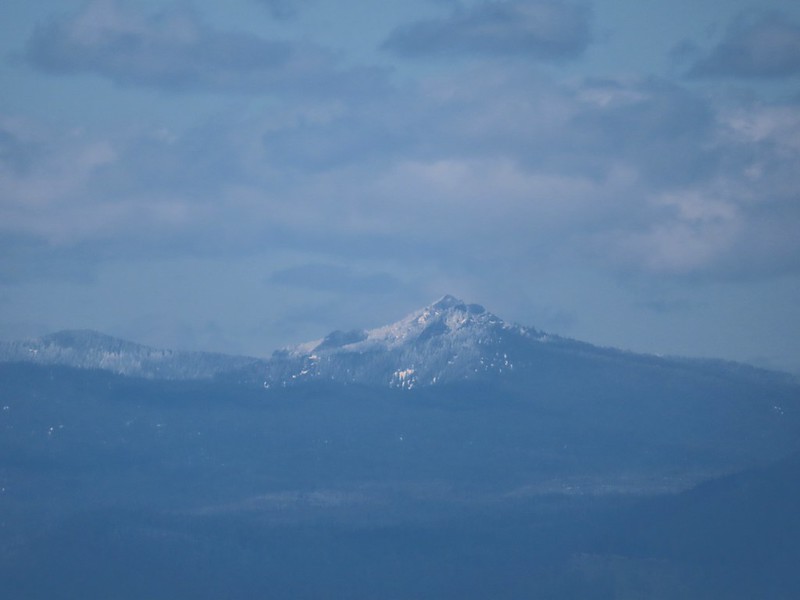 Cowhorn Mountain (
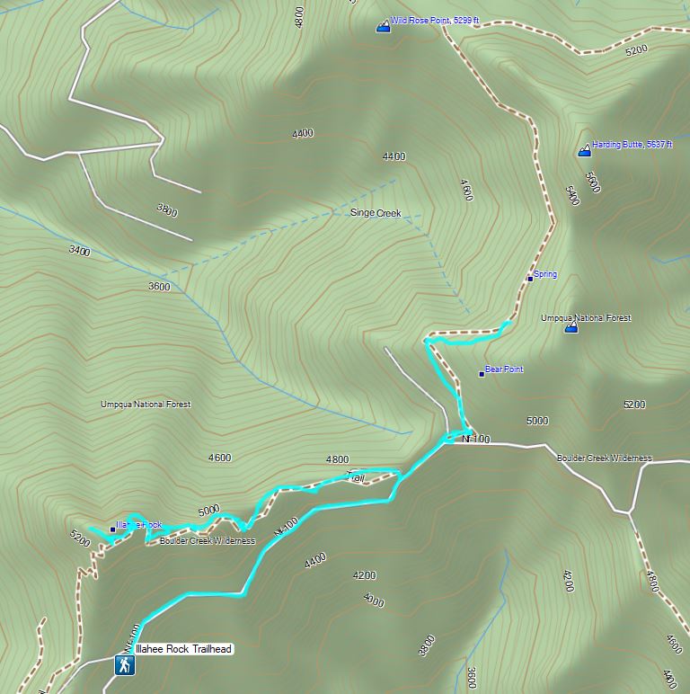


 Ivy disguising itself as a tree.
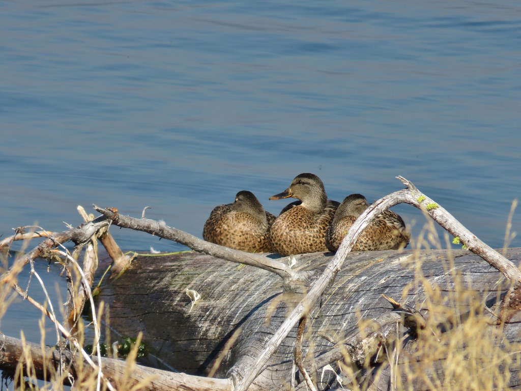
 Mallards and Christmas lights.
 Layng Road crossing. The lights on the signs were activated when sensors picked up something approaching.

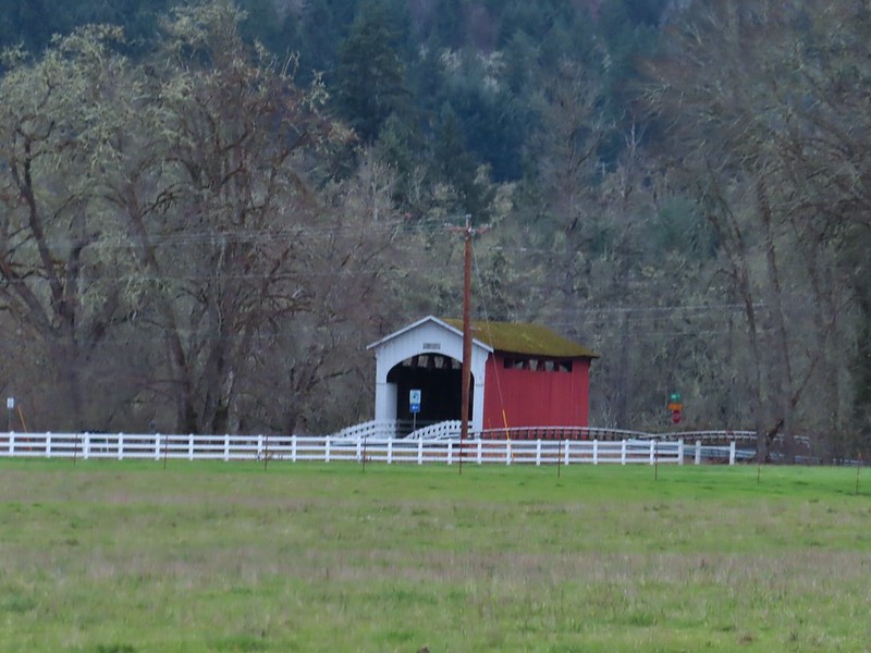 Currin Covered Bridge on Layng Road.
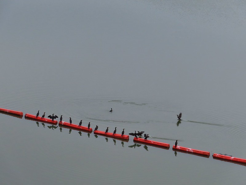
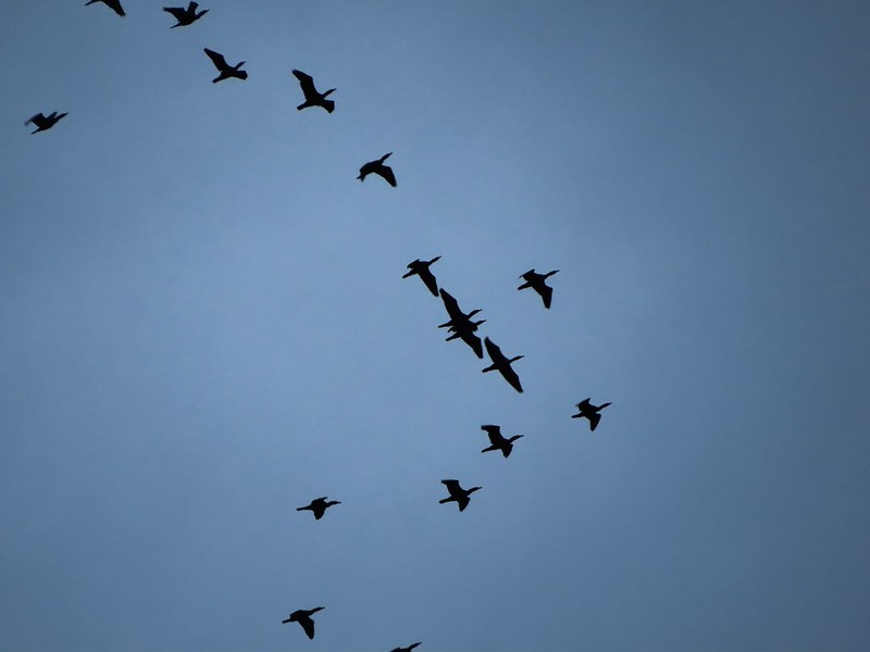 Cormorants flying overhead.
 Approaching the bridge over the Row River.
 Row River
 Lesser scaup. I would have liked a better picture but it was still early and not very light and the little guy was a ways away on the river.
 This was a new sign to us.
 Row River Road with some snowy hillsides in the distance.
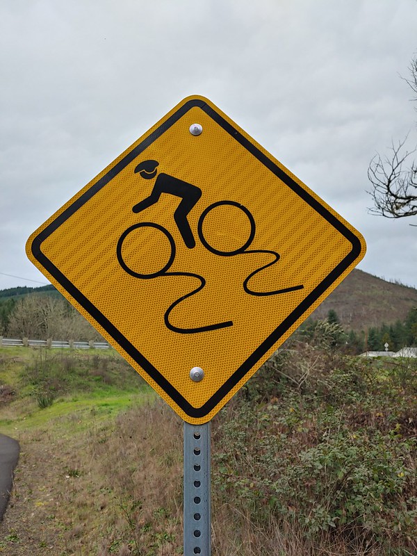
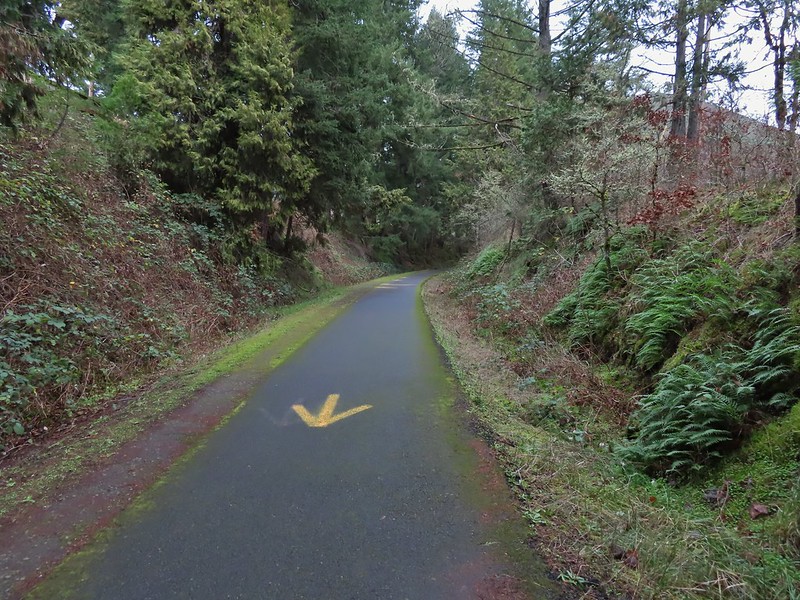 Arrows and other yellow markings identified bumps and holes in the trail for equestrian and bike users.
 Jelly fungus
 Hamblen Creek
 Turkeys in a field.
 Sign along a private driveway.
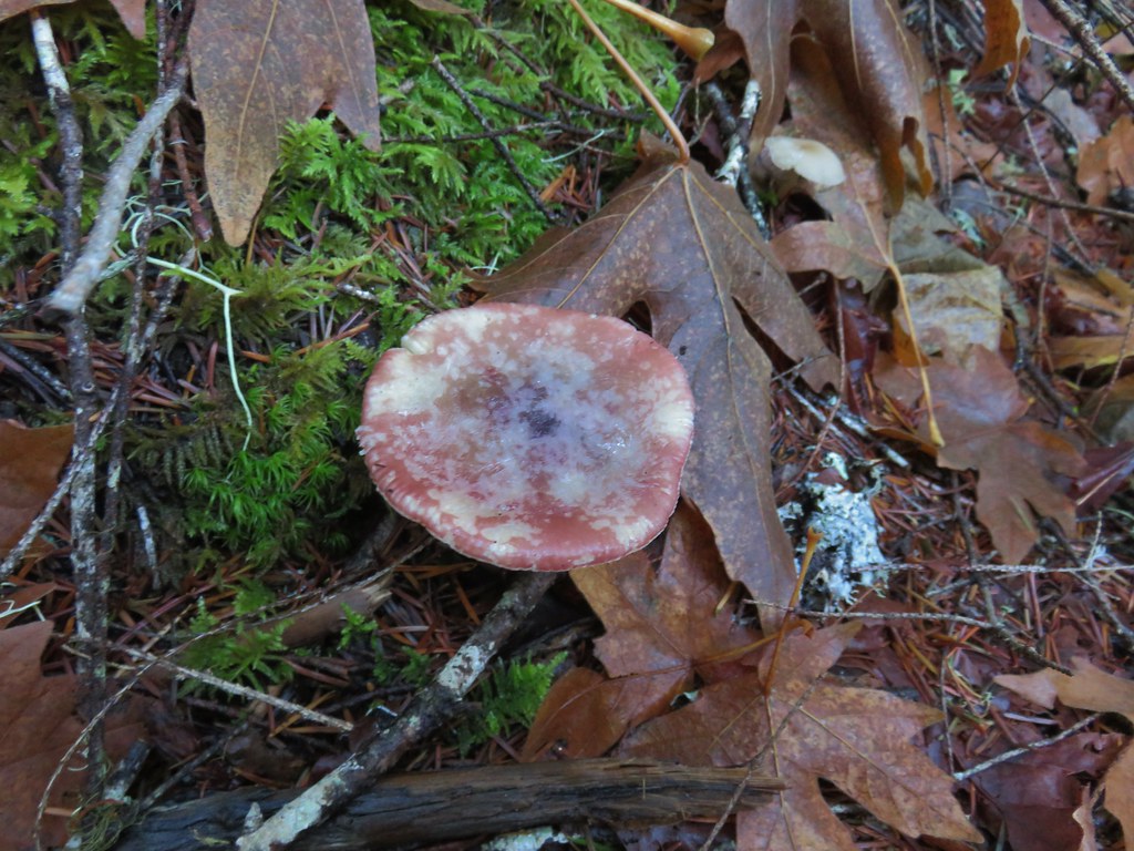
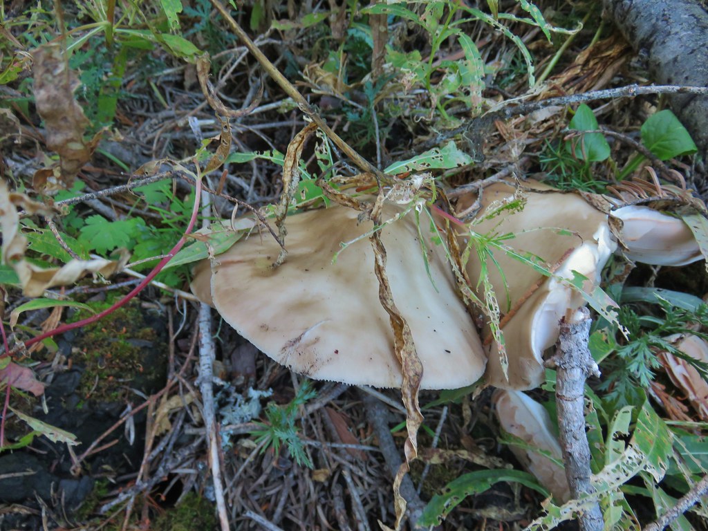
 Not very many mushrooms but these were good sized.

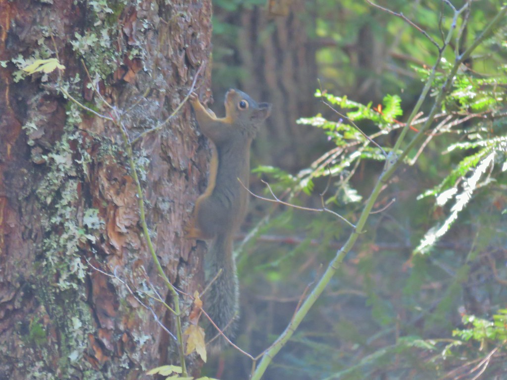
 Do squirrels jog?
 Madrone along the trail.
 Row River Road was overhead to the left along this rocky section.
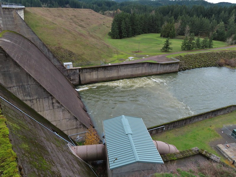
 Nearing a bench along the trail facing Dorena Lake Dam.
 Interpretive sign near the bench.

 Snow in the Calapooya Mountains.
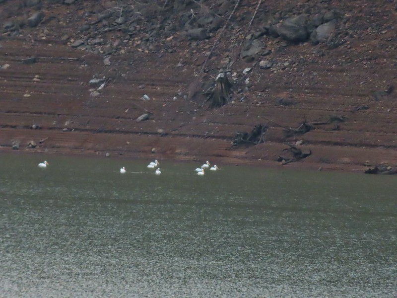 White pelicans on the other side of Dorena Lake.
 Still no rain despite the clouds.
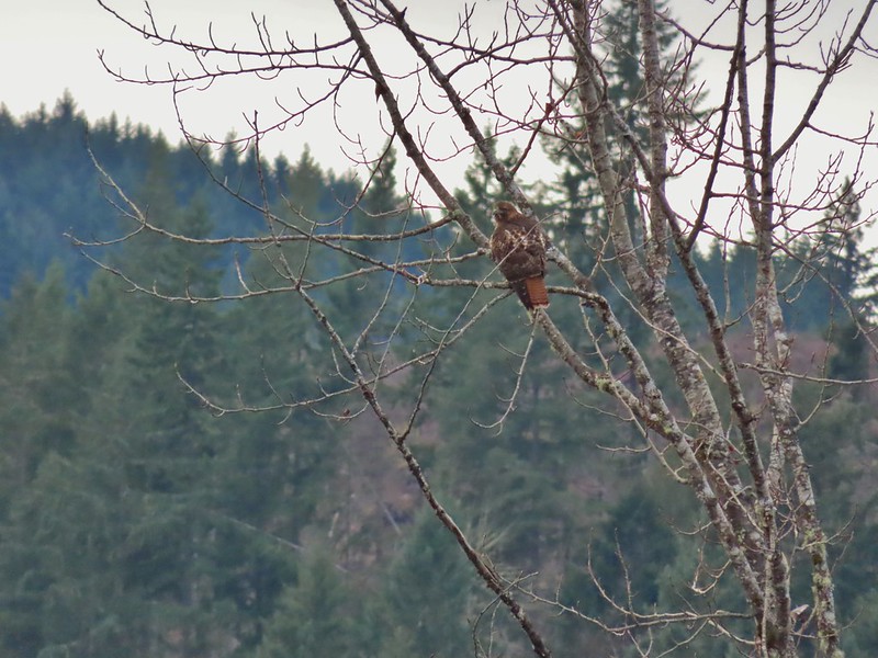 Red-tailed hawk


 A kingfisher and a great blue heron.
 Pelicans and other waterfowl on the move.
 Cerro Gordo from Row Point.
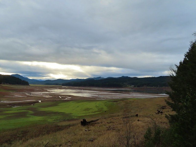 Not much water at all in the eastern end of the reservoir.
 A great blue heron on the far left with a bunch of white pelicans and cormorants.
 Actual sunlight hitting the dam.
 Spotted towhee
 Rat Creek Bridge
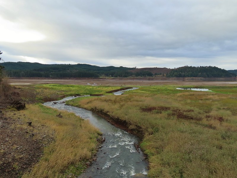 Rat Creek
 June 2020 from the Rat Creek Bridge.

 Gold tree in front of Cerro Gordo.
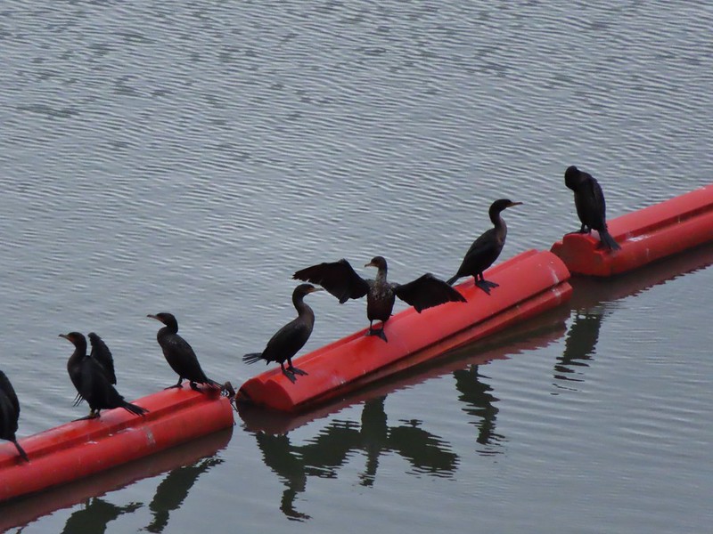
 The little hill to the left provides access to the north end of the dam.


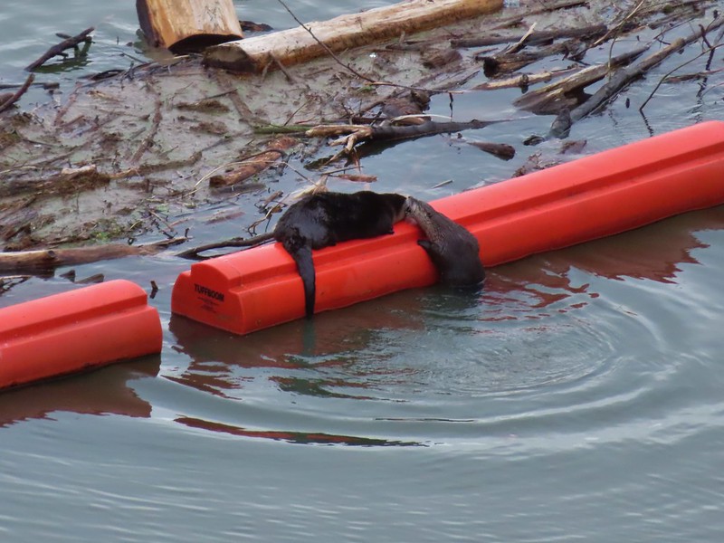
 Just drying out.
 Trying to play.
 No luck.
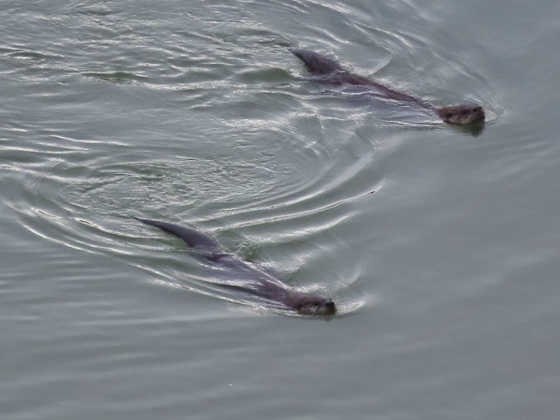

 Rabbit
 American wigeons
 Nature slowly reclaiming an old farm truck.
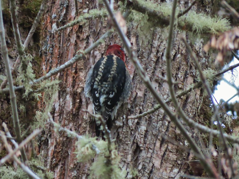 Red breasted sap sucker.
 Mosby Creek


 Forest road crossing.
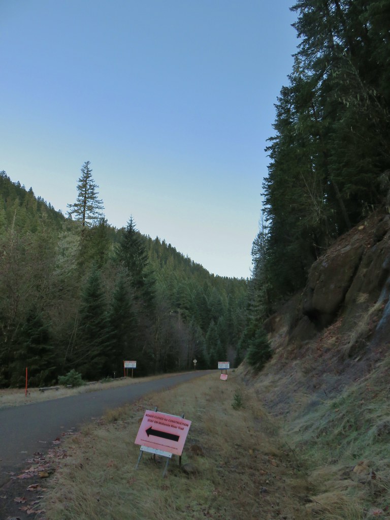


 The top of Three Fingered Jack is visible in the distance.
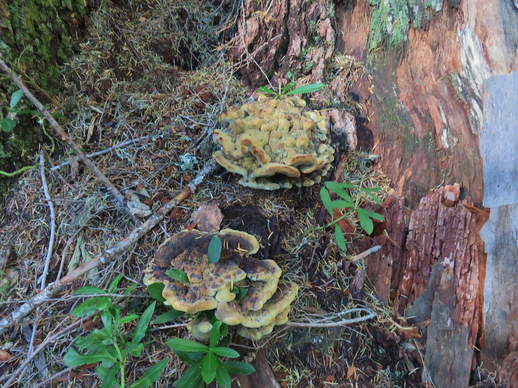
 Fall means mushrooms.


 Anderson Creek joining the McKenzie.
 Olallie Creek across from the trail.
 Turning up Deer Creek to reach the footbridge.
 Up river from Deer Creek Road.
 Deer Creek Hot Springs would be somewhere along the right hand side of the river.
 We had to go around this bridge due to frost and it being at an angle.

 Footbridge over Frissel Creek.
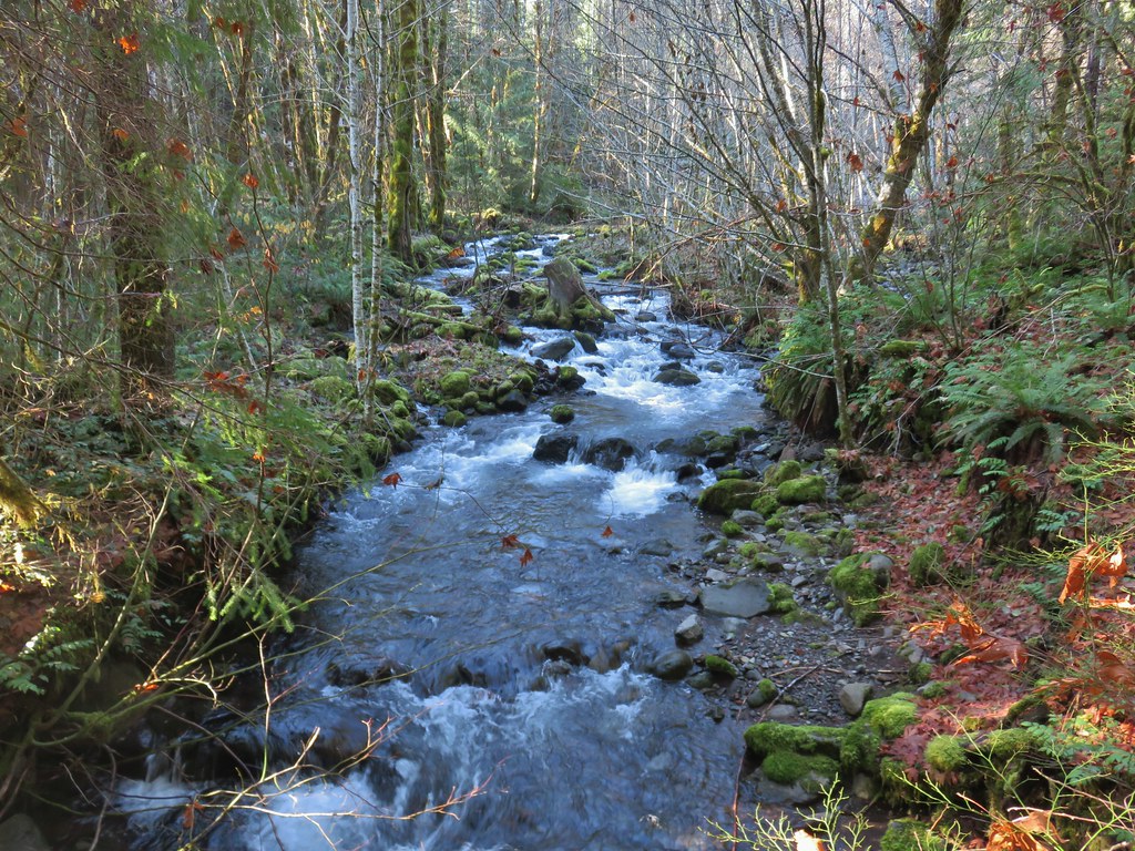
 Sun over the McKenzie River
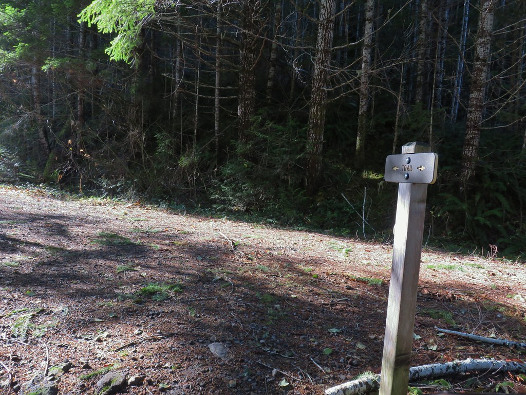 FR 610
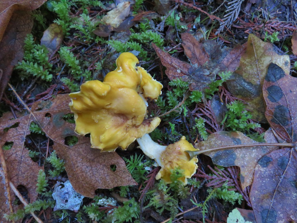

 We missed this sign for slough creek the first time by.
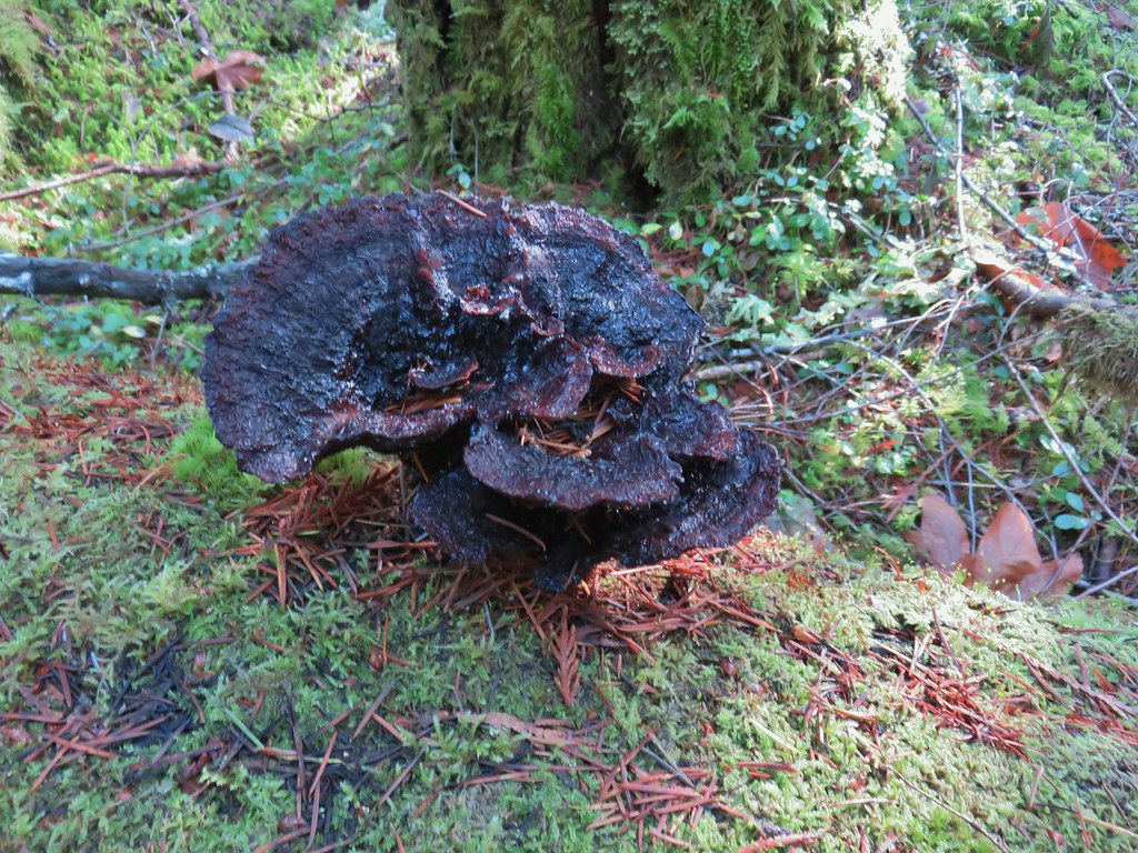

 Missed this survey marker too.
 We also completely missed this sign at Deer Creek.
 Still cold


 Without the use of the zoom on the camera they are hard to make out but the tops of the North and Middle Sister are visible over the hills.
 Union Peak and Mt. McLoughlin on our drive to the trailhead.
 The peaks of Crater Lake National Park
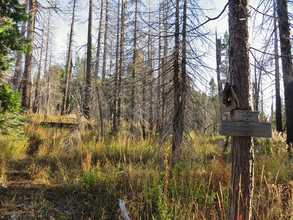
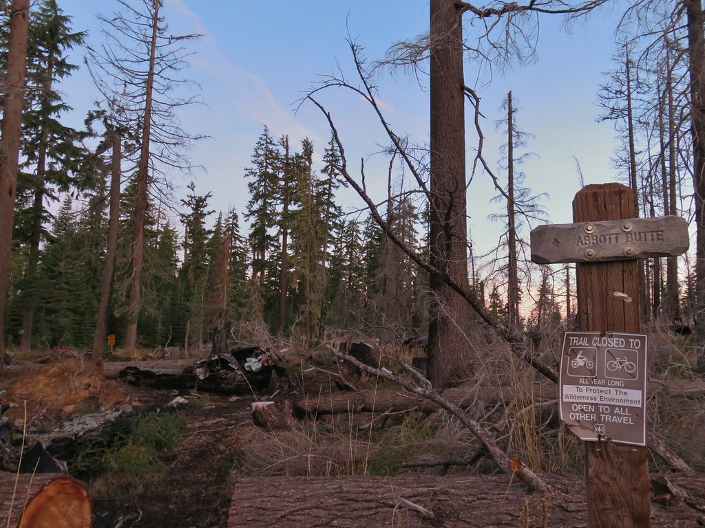 Abbott Butte Trailhead
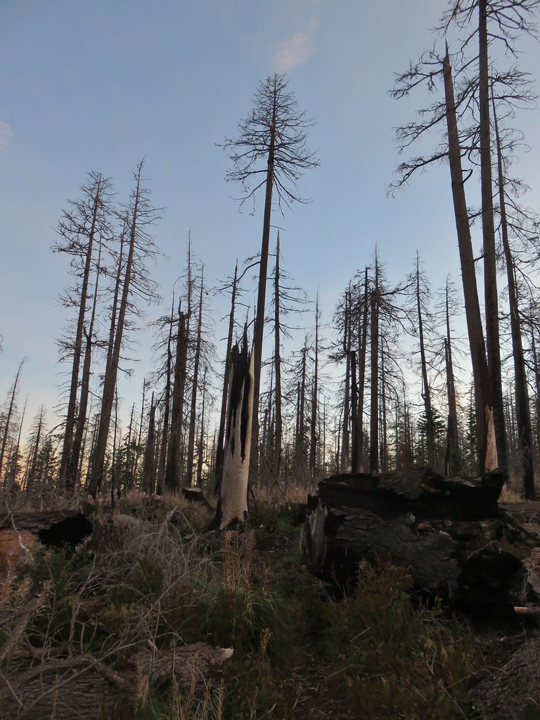
 Huckleberry bushes
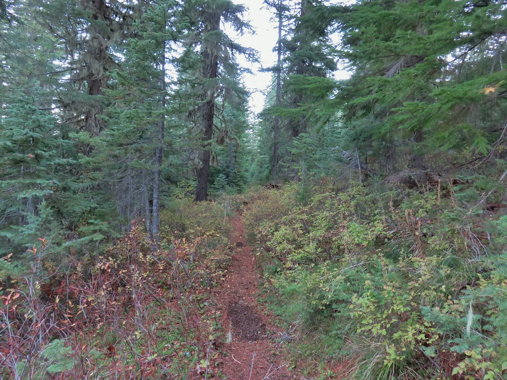 A section of green trees along the trail.
 Quartz Mountain
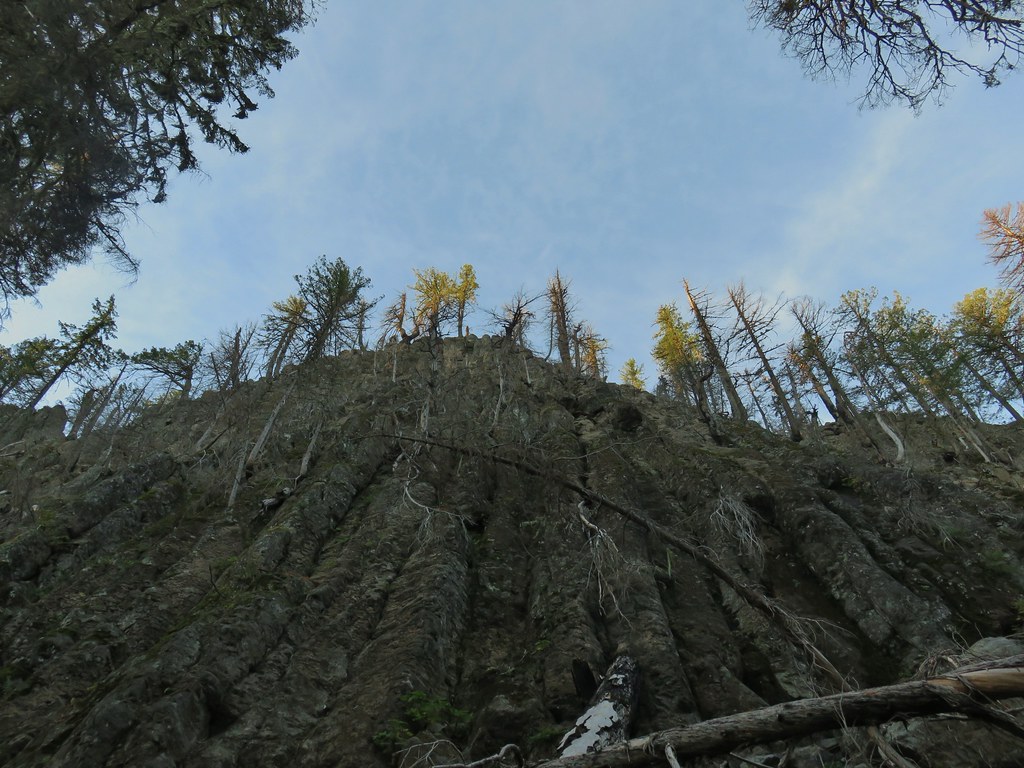 Passing below Quartz Mountain
 Abbott Butte from the trail.
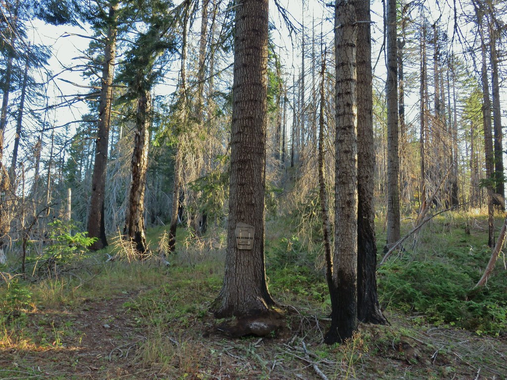
 On the roadbed
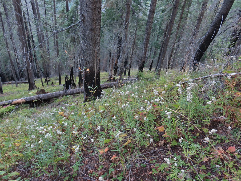 Pearly everlasting
 Sign indicating the non-existent trail is not suitable for horses.

 Mt. McLoughlin and Mt. Shasta and a whole lot of other peaks that I should know.
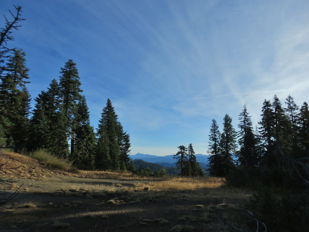 Mt. Thielsen
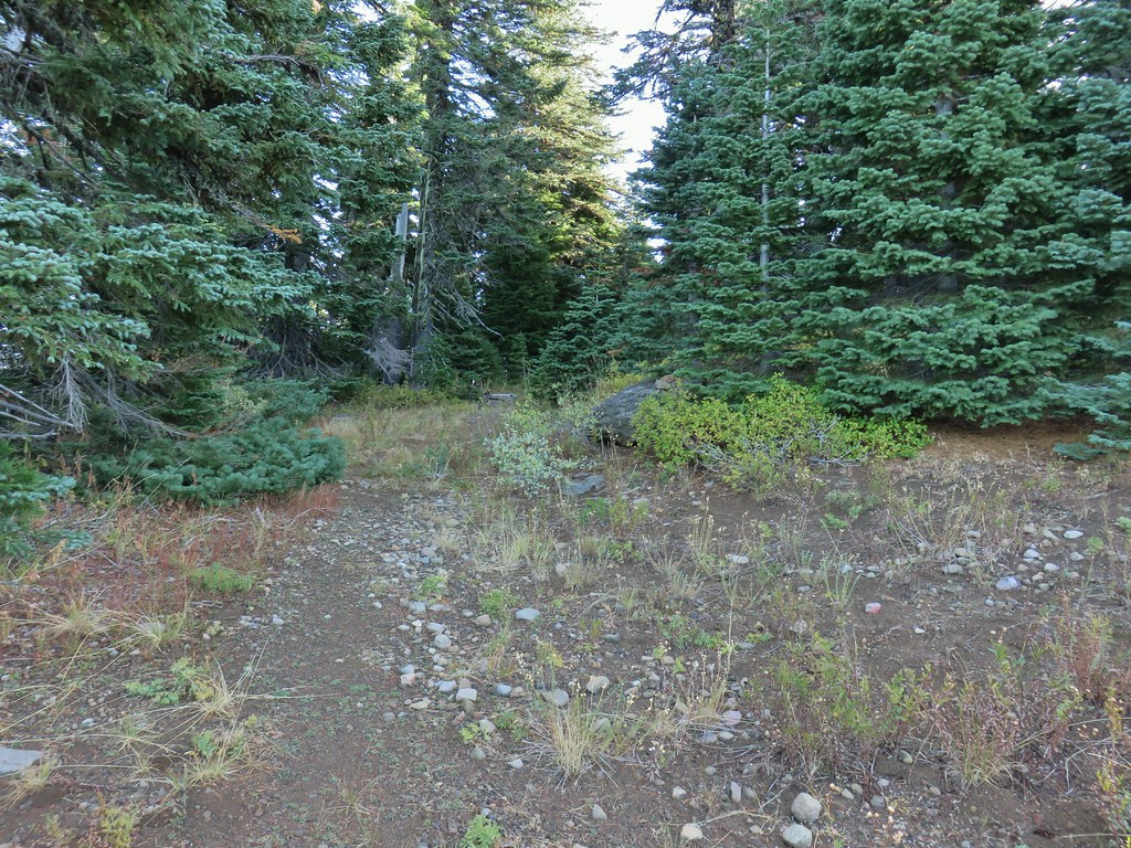 Nearing the summit.
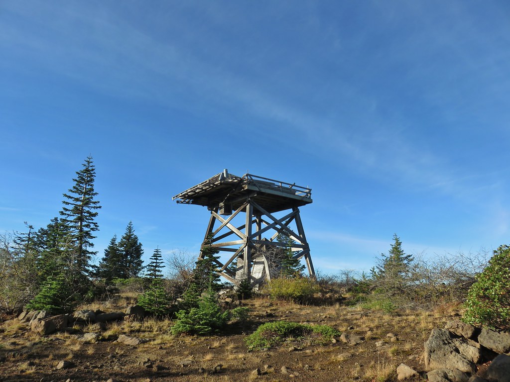 The old lookout on Abbott Butte
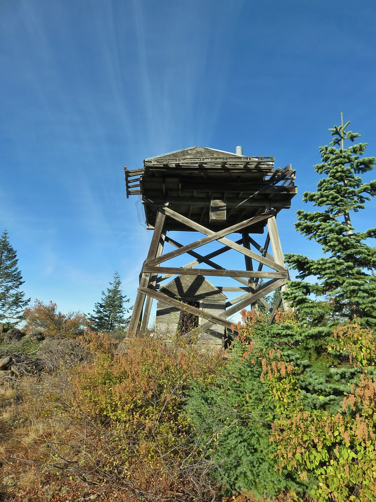
 The old outhouse?
 Mt. Thielsen and the peaks of Crater Lake.
 Flagging marking the route.
 A cairn along the tread ahead.
 This meadow is where we heard the voice.
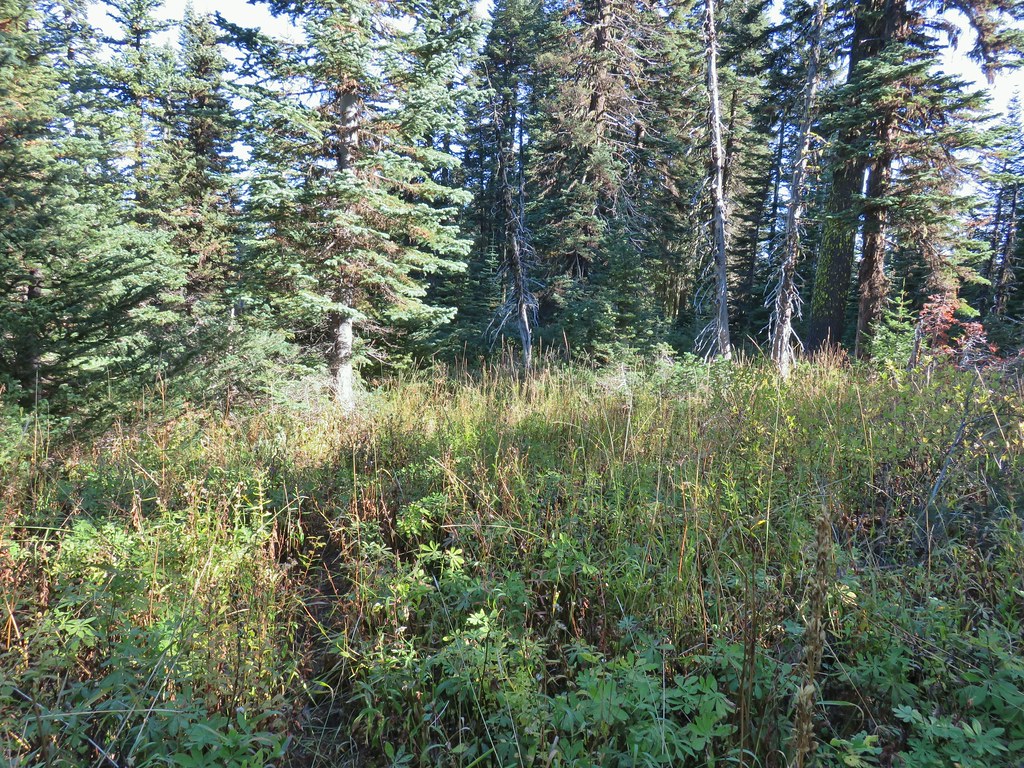
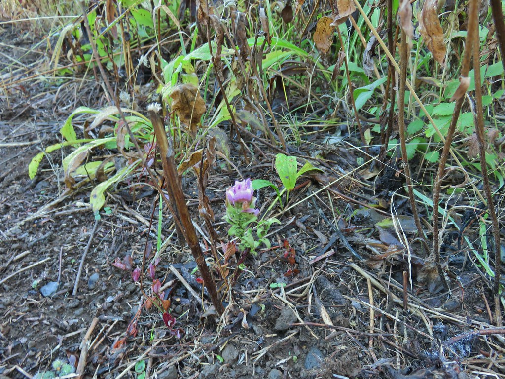
 Another late flower
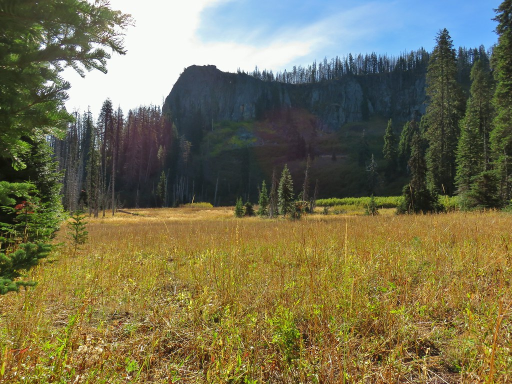
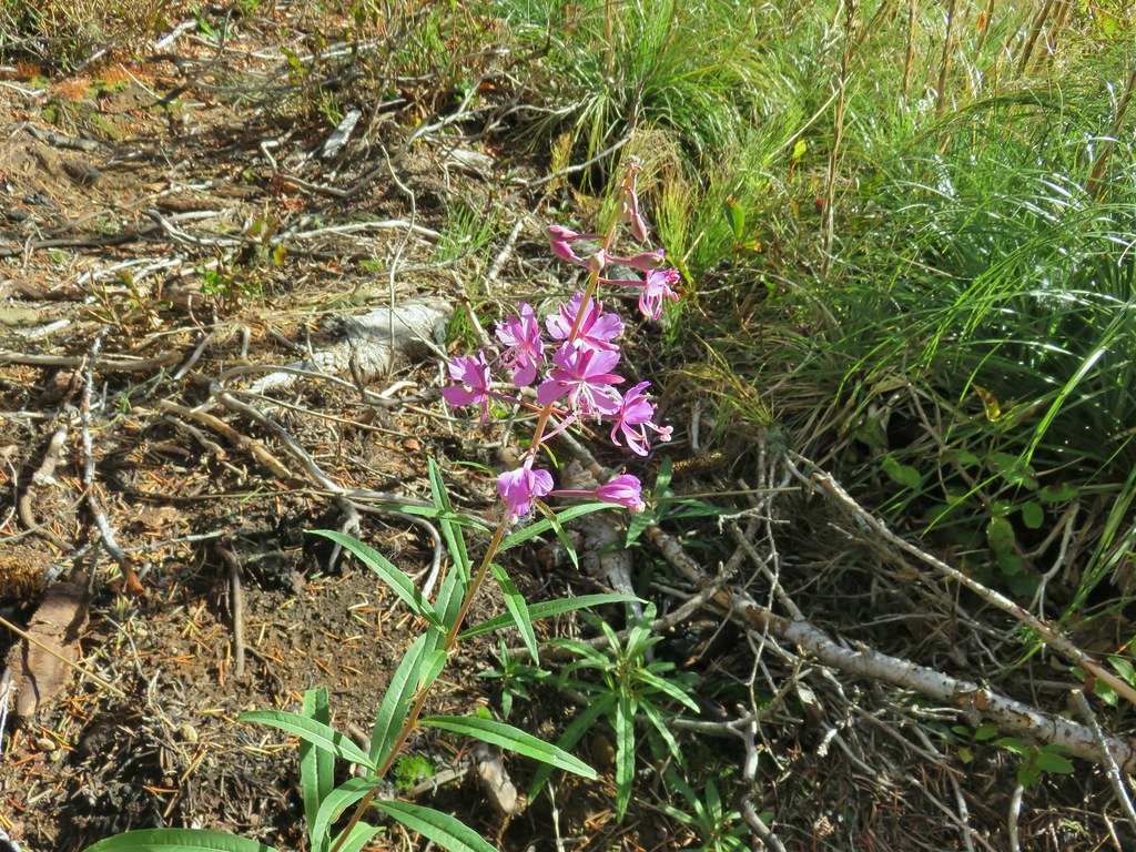 Fireweed that hadn’t gone to seed.
 An owl’s clover
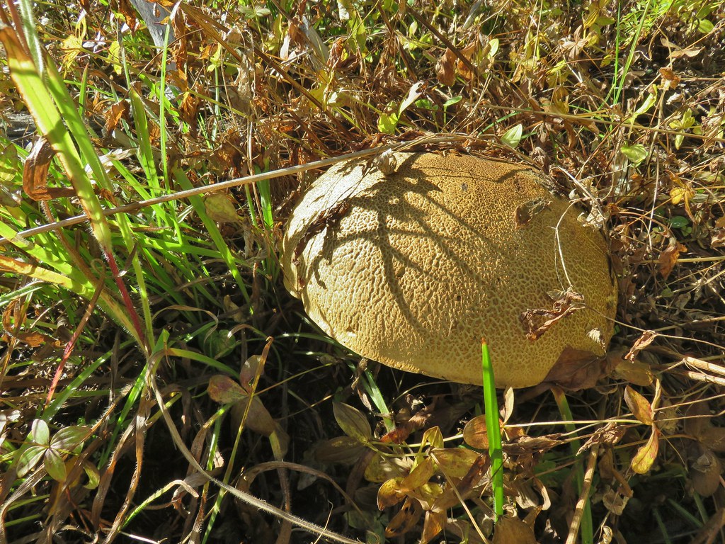 It’s hard to tell from the photo but this mushroom was big.


 The broken zoom function didn’t let me get a good shot but the ouzel is on a rock in the middle of the creek.
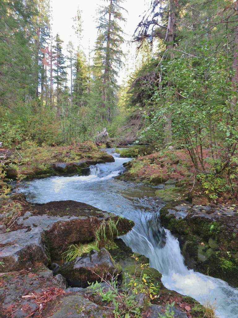
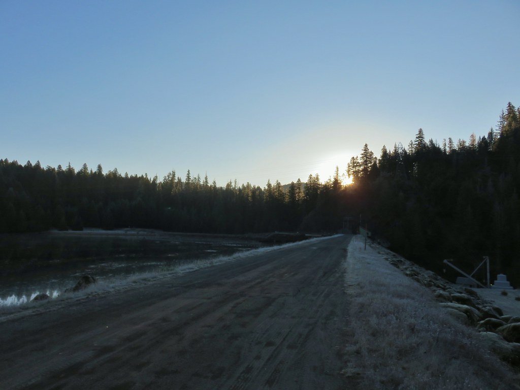
 Sunrise from the parking area.


 Mt. Bailey, Howlock Mountain, and Mt. Thielsen
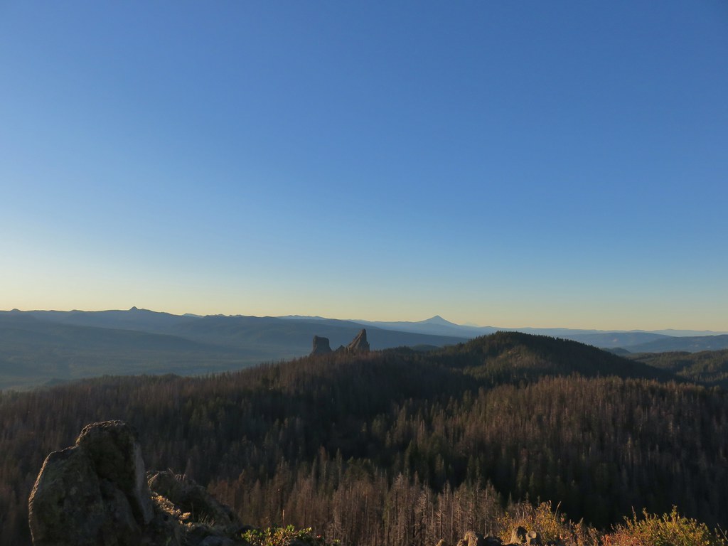 Arant Point, Union Peak, Goose Egg, Klamath Point, Lee Peak, Devils Peak, Pelican Butte, Lucifer Peak, Venus, Rabbit Ears, Mt. McLoughlin, and Mt. Shasta (among others).
 Mt. McLoughlin and Mt. Shasta
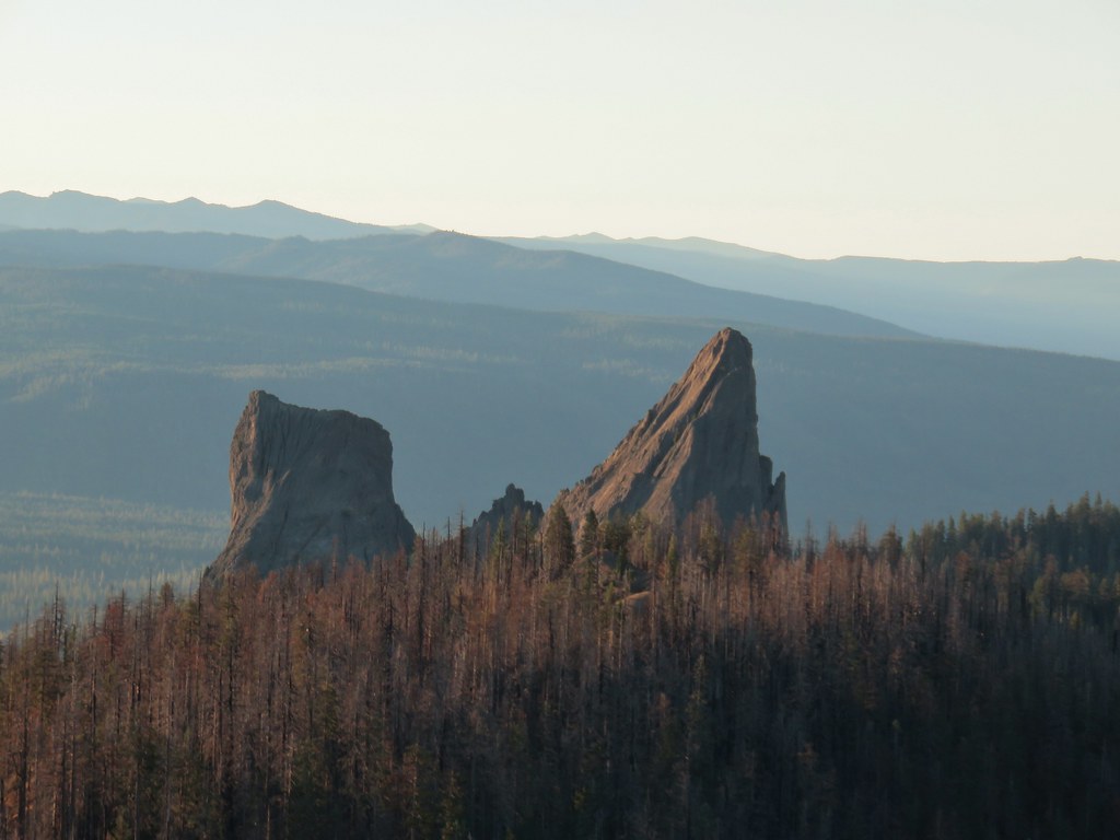 Rabbit Ears
 Sun over Crater Lake National Park
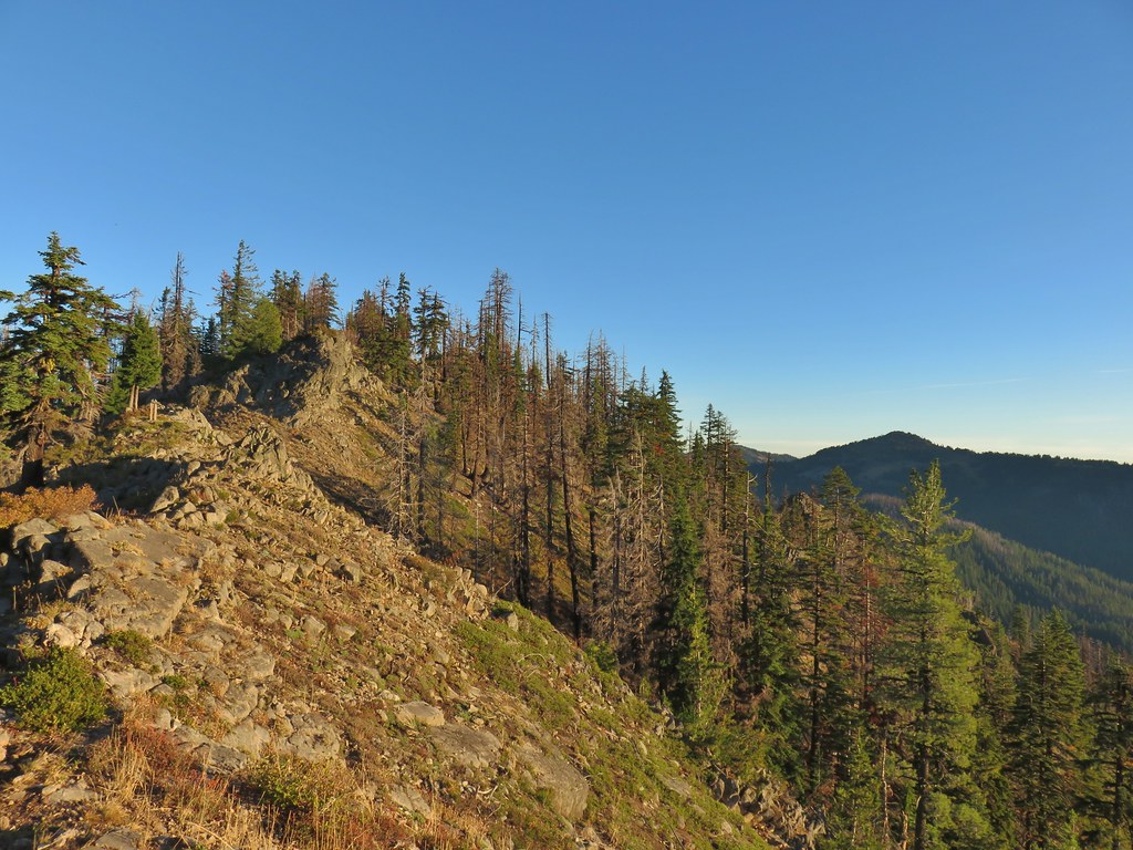

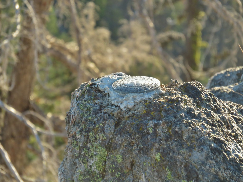 Survey marker at the summit.
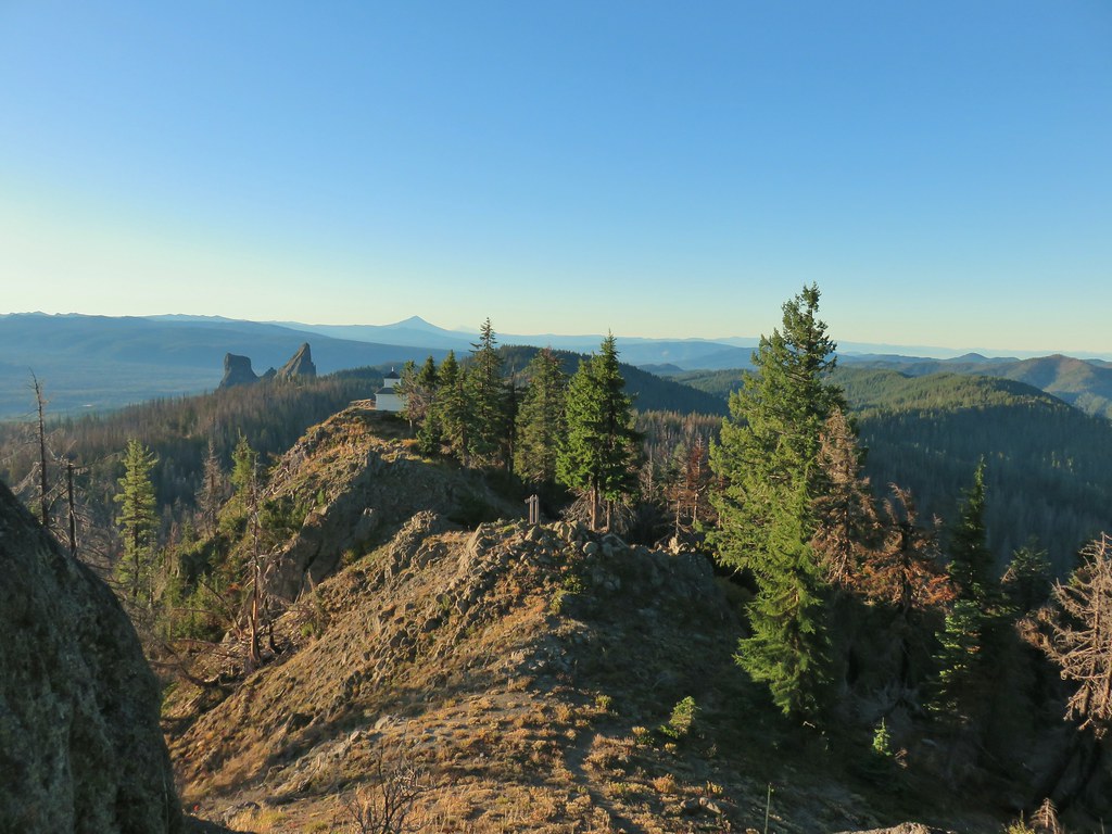 The sign, lookout, Rabbit Ears, Mt. McLoughlin, and Mt. Shasta coming back from the summit.
 Acker Divide Trail leaving FR 580.
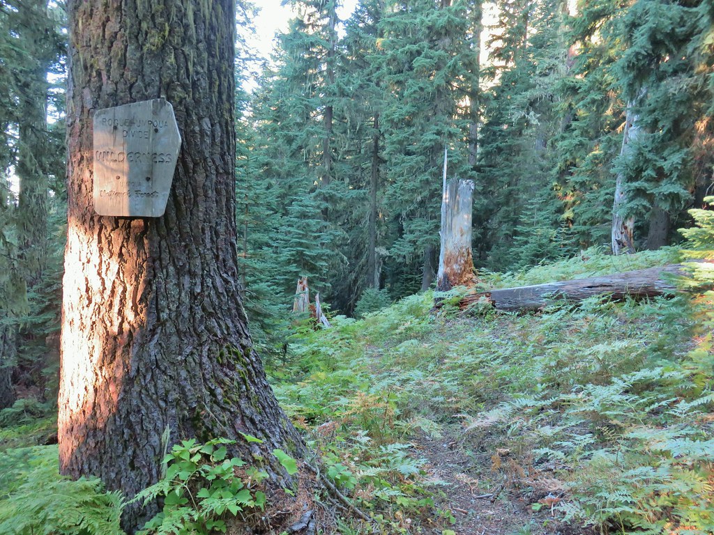

 Another cairn to the right of the tree ahead.
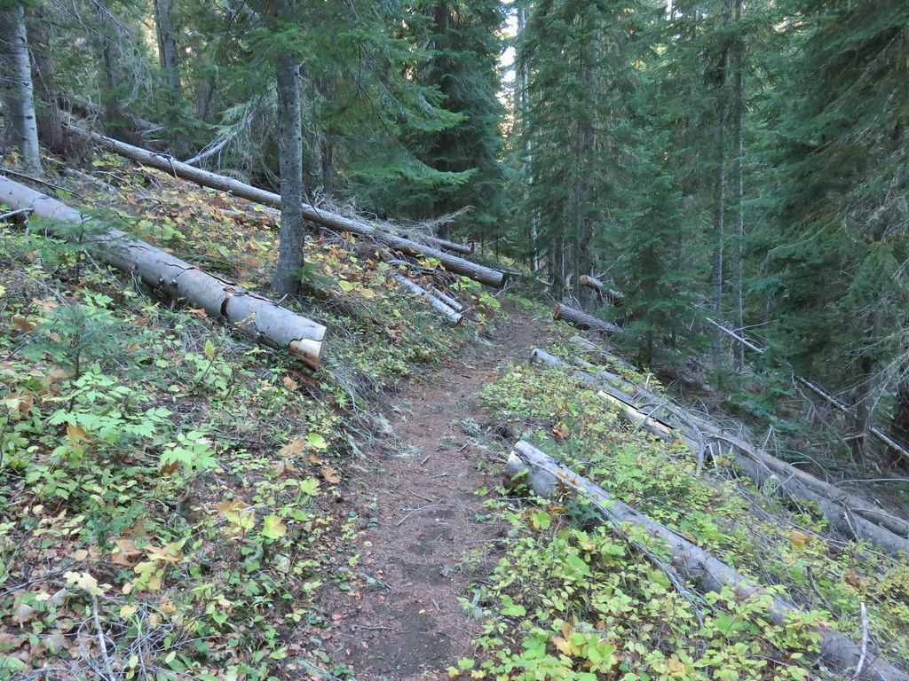

 A lonely flower along the Acker Divide Trail
 Mushroom near the meadow.
 Toad Meadow


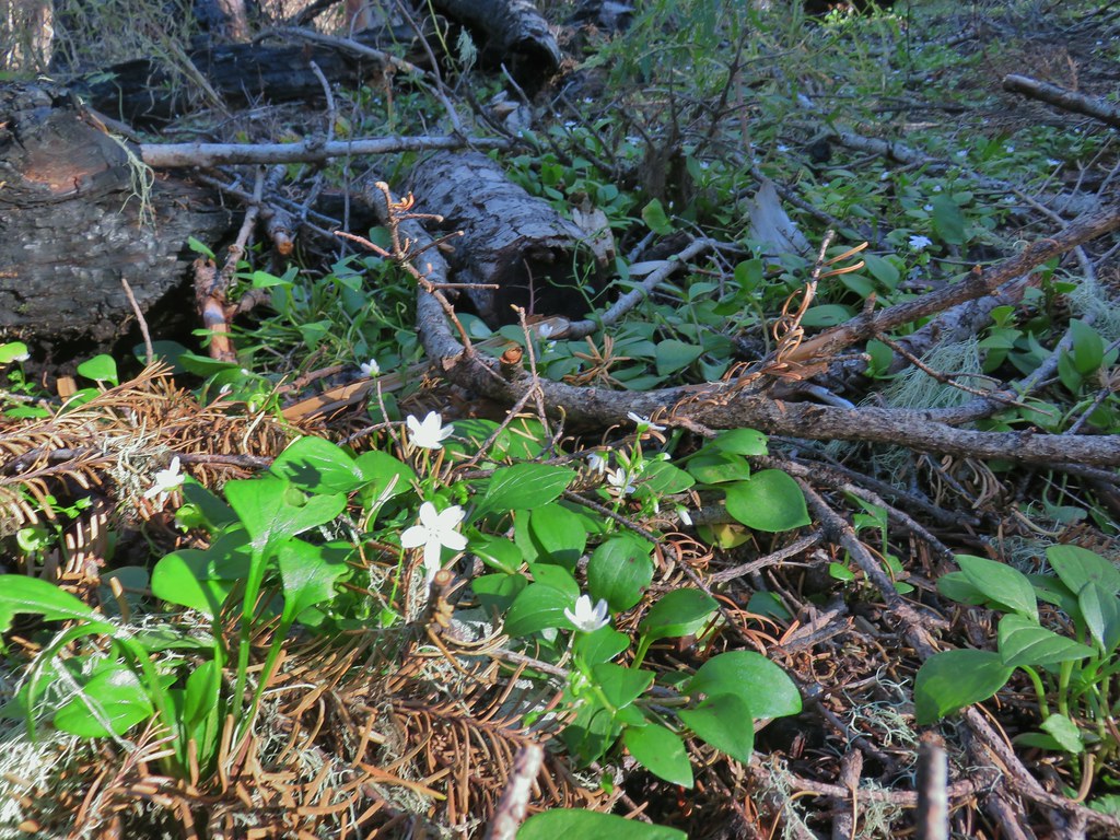
 Tis the time of year for Mushroom to replace flowers.
 Candyflower
 Pullout along FR 6515
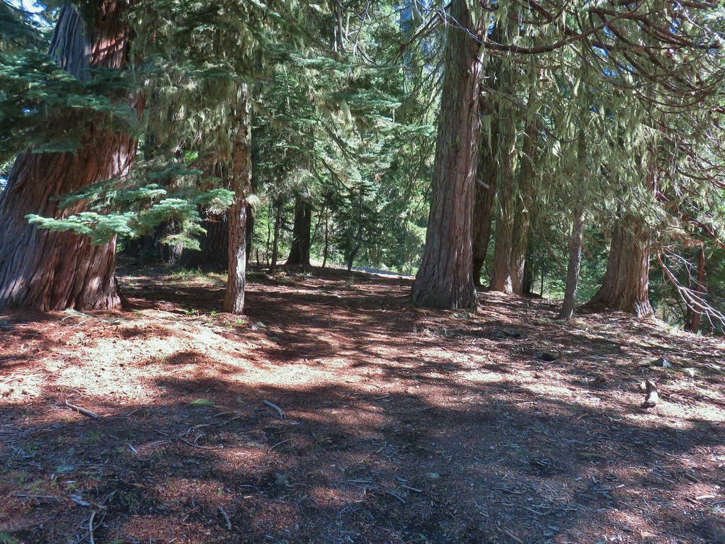 Trail to Rabbit Ears
 The split
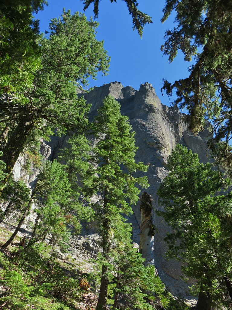


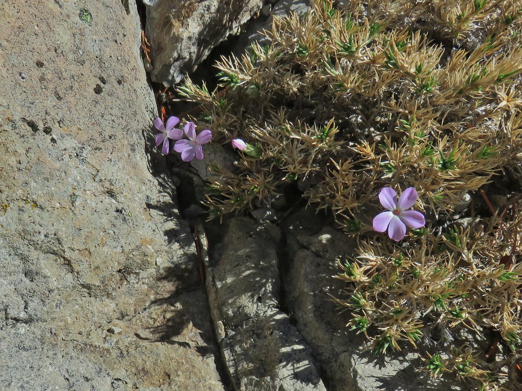 We were surprised to find these phlox blossoms still looking good.

 Smaller rock formation along the trail.
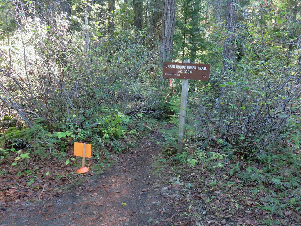
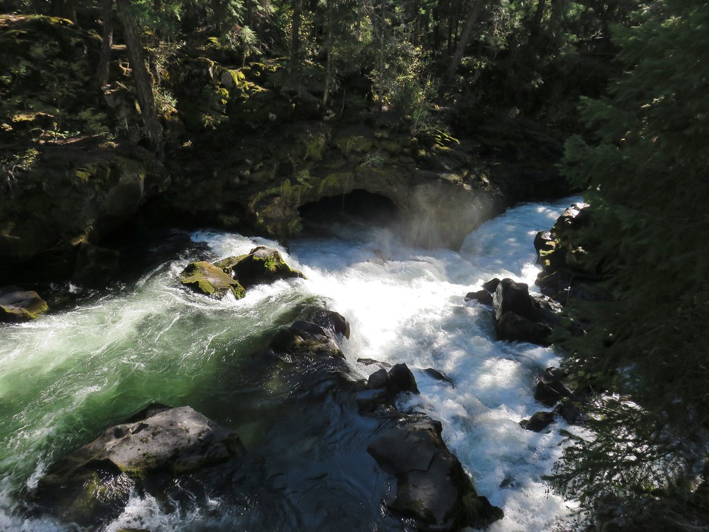
 The Ice Cream shop and to it’s right the sign for the trail to the Rogue Gorge Viewpoint.
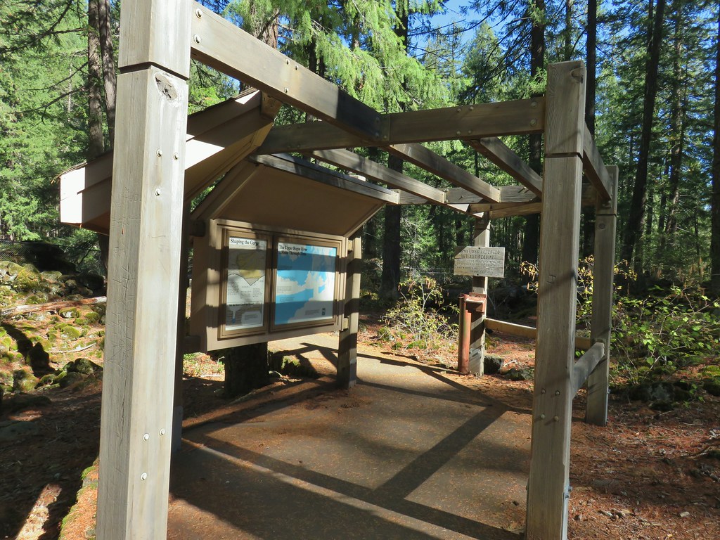 Interpretive signs at the parking area.
 Viewpoint 4
 Rogue River at viewpoint 4.
 Viewpoint 3
 View upriver from viewpoint 3.
 Downriver from viewpoint 3.
 Interpretative sign at the viewpoint.
 The lava tubes.
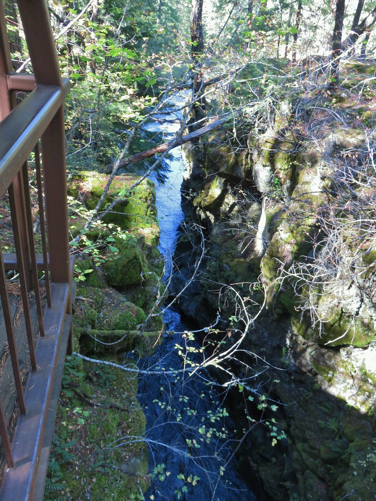 Viewpoint 2
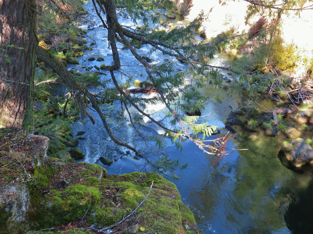 Viewpoint 1 above the end of the Rogue Gorge.


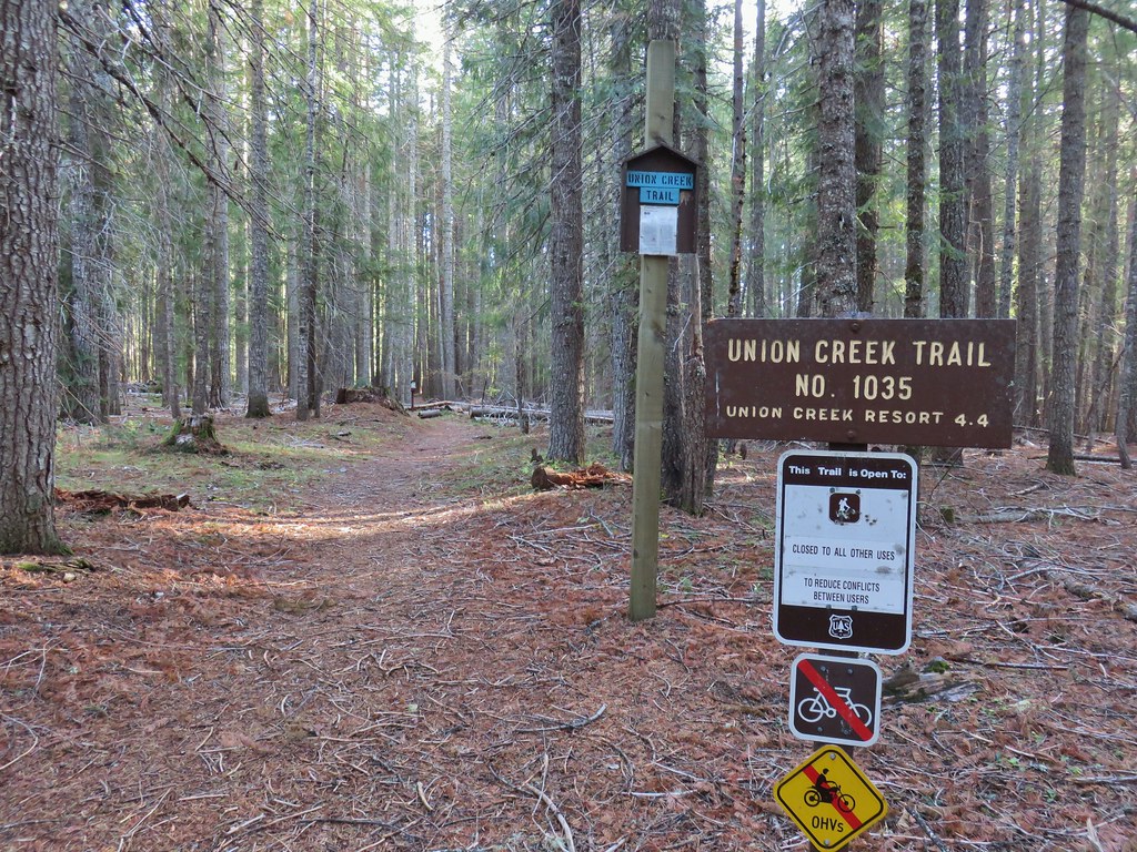
 Union Creek Campground
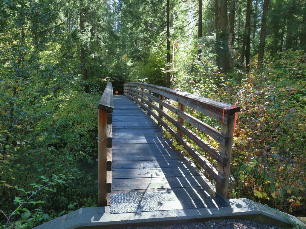 The orange sign and flagging was for a 50k being run the following day.
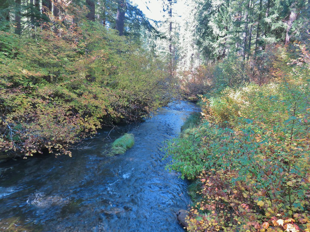 Union Creek


 A Clark’s nutcracker
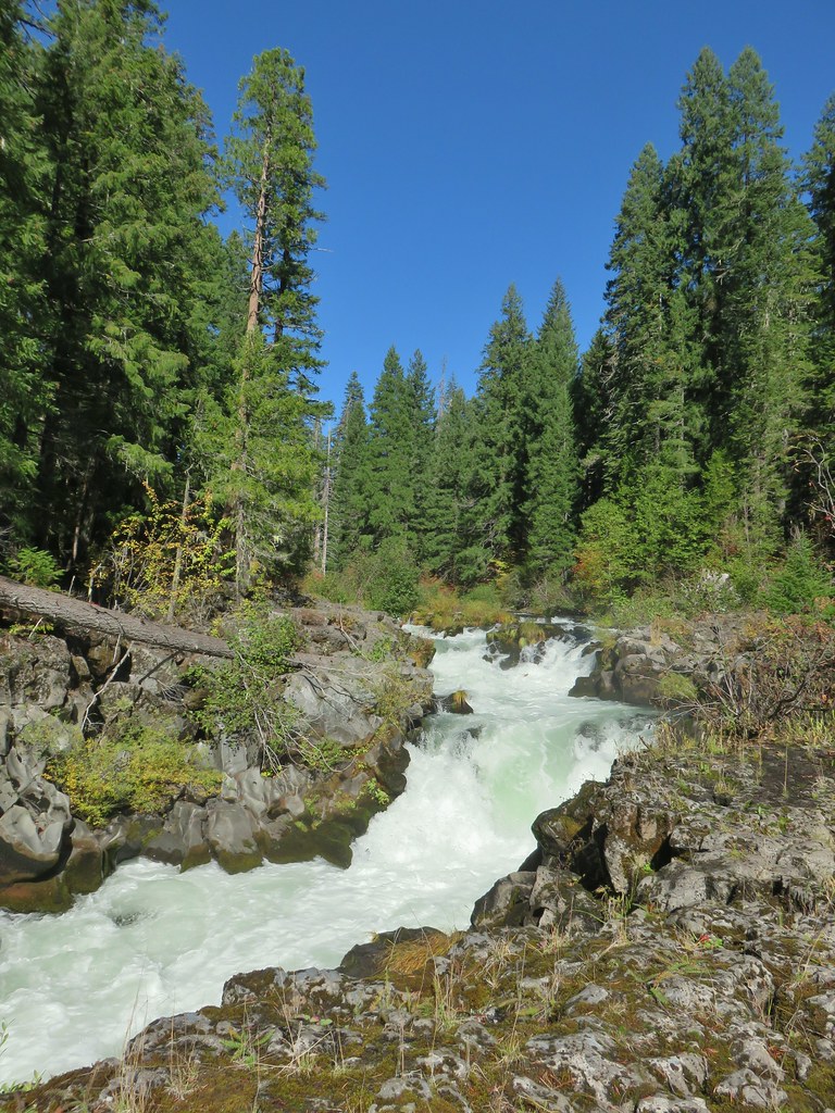
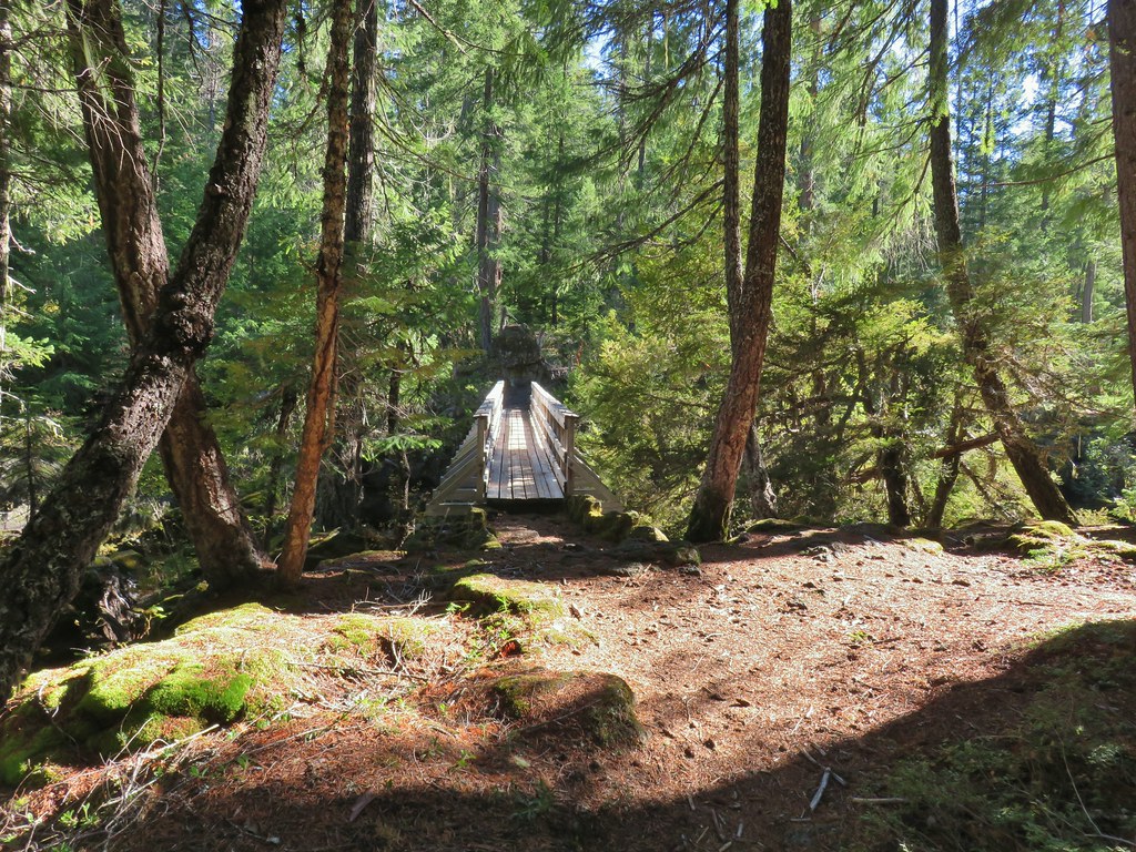
 The footbridge to the upper left.
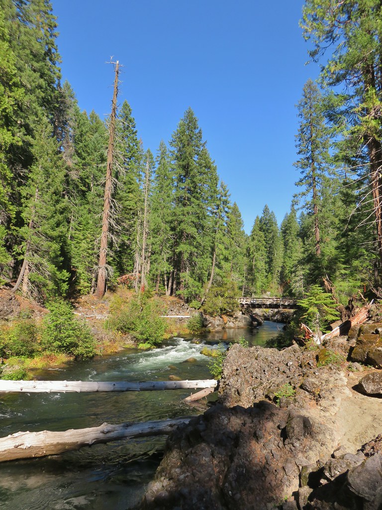
 Rogue River on the other side of the footbridge.


 The inlet


 There was just a little bit of blowdown to navigate on the way down.
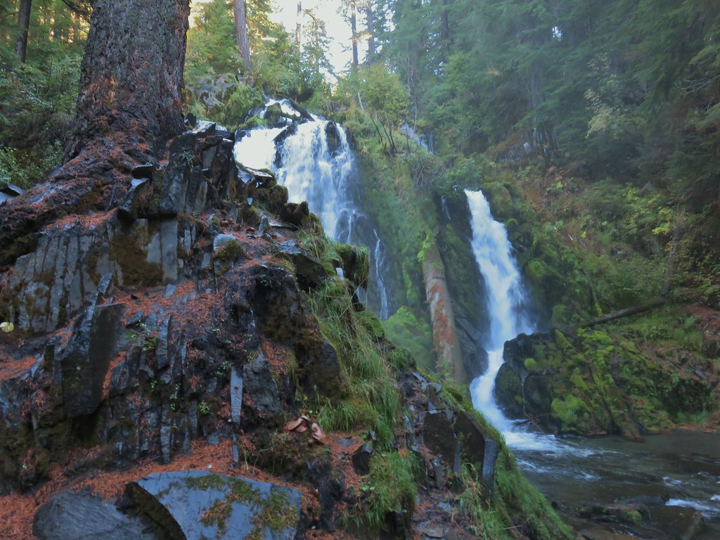 National Creek Falls
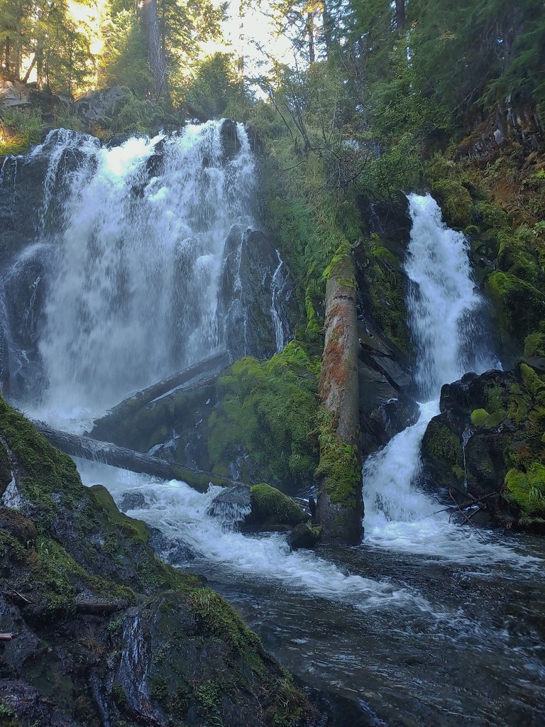
 Signboard at the pullout.


 Rogue River emerging from a channel.


 Rogue River emerging from Takelma Gorge.

 Ouzel
Ouzel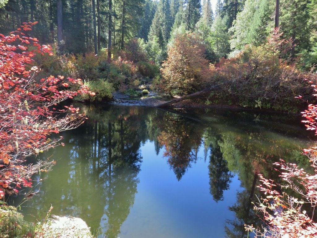
 River Bridge


 Buck Canyon Trail
 View from the Buck Canyon Trail
 Hummingbird Meadows Trail
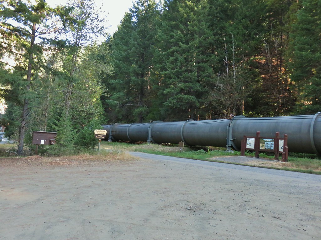


 Bradley Trail passing below some cliffs.
 A lot of the poison oak was turning color which made it easier to spot.
 Entering the 2017 fire scar.
 Lizard
 Bradley Trail arriving at Pine Bench.
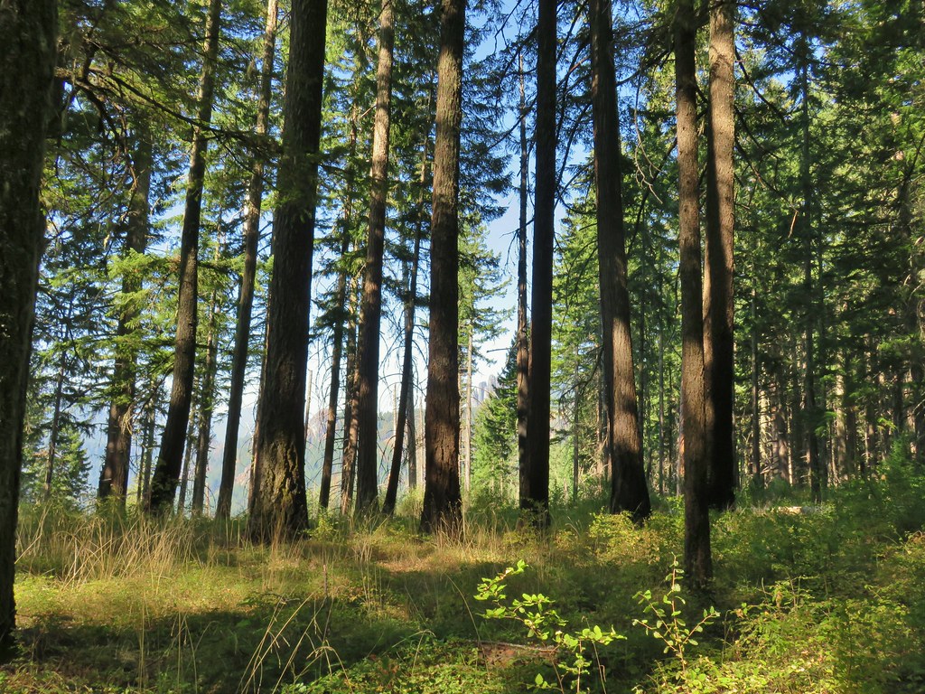
 Rock formation visible from the Bradley Trail.

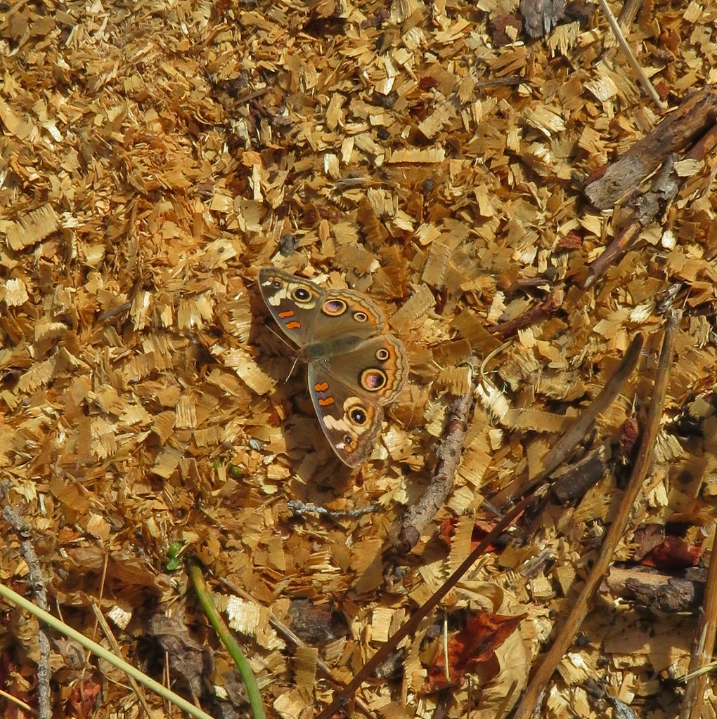
 Common wood nymph
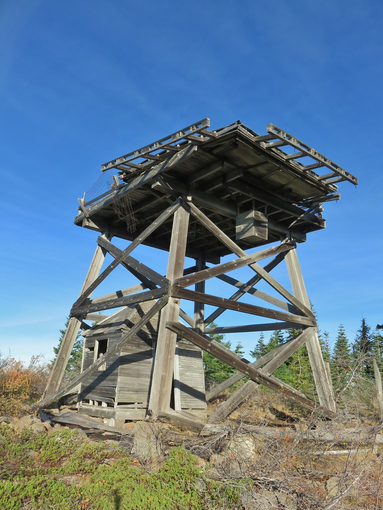
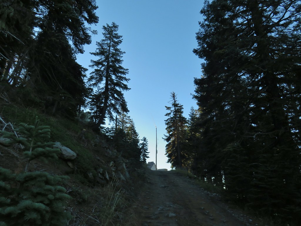
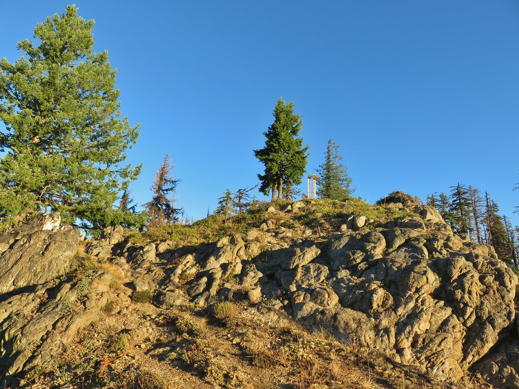
 Illahee Rock Lookout

 Spur trail to the left.
 Just over half a mile from the campsite we passed the very faint Perry Butte Trail.
 Trail maintenance and ripe blackberries.
 Looking up the Boulder Creek Valley
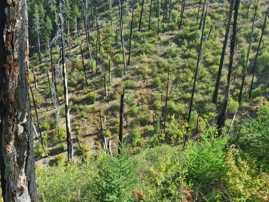 Looking down at the trail across a side drainage.
 Looking across the Boulder Creek valley.
 Small fall on Boulder Creek
 Final drop down to Boulder Creek.
 Boulder Creek
 The continuation of the Boulder Creek Trail on the far side of Boulder Creek which reportedly becomes even fainter and more wild.
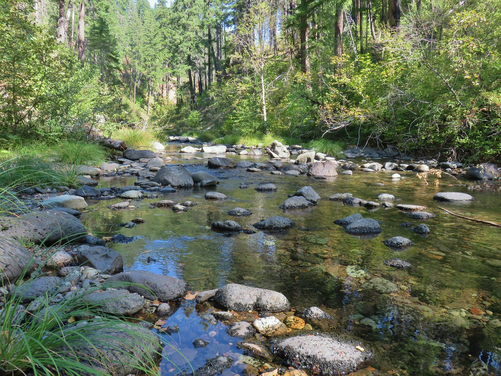


 Fern tree along the Boulder Creek Trail.
 This log was the trail.
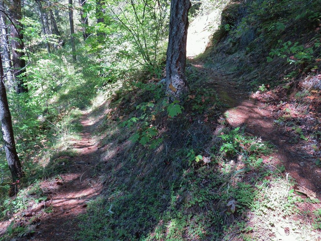 Another switchback with poison oak on all sides of the trail.


 Smokey skies turning the Sun red.


 Little trees surrounding a giant.
 A downed giant.

 Madia
Madia Paintbrush
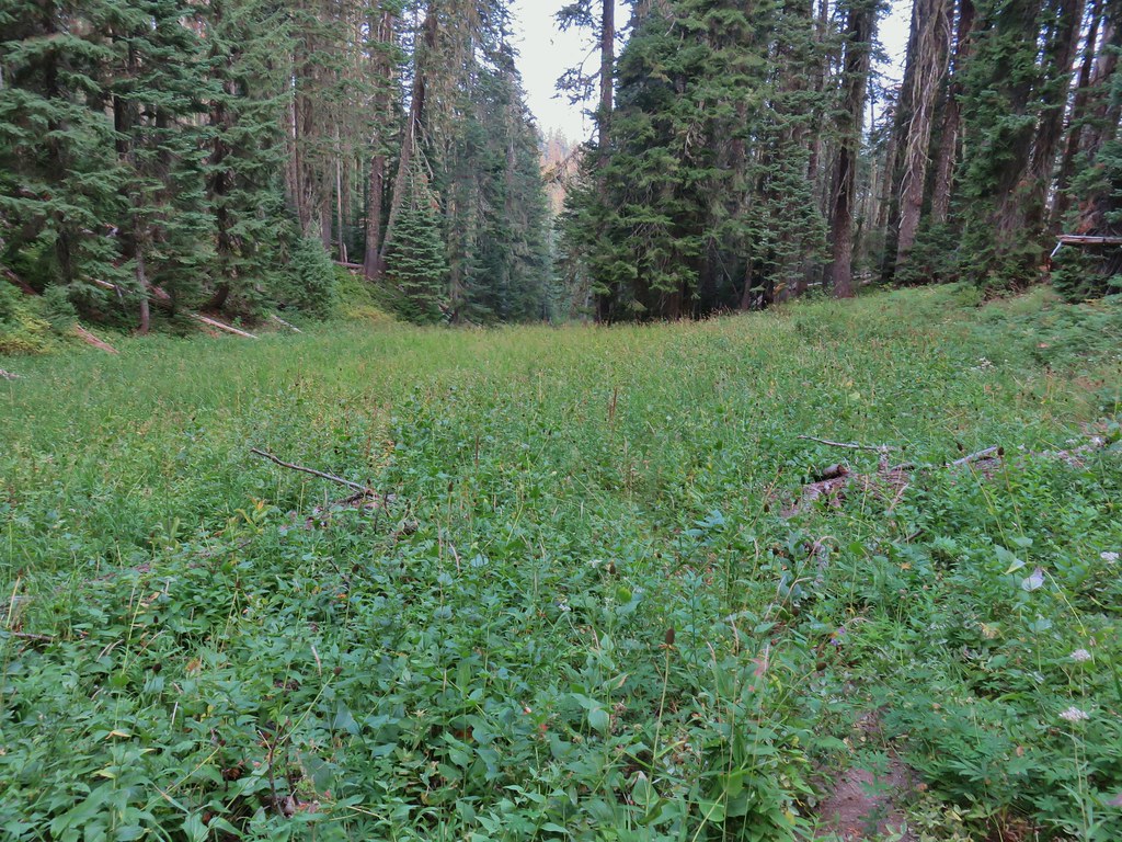


 Goldenrod and other flowers.
 Arnica?
 Columbine
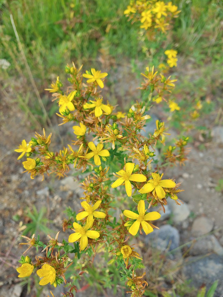 St. John’s wort
 Fleabane (or aster) and coneflower


 The trail sign on the left wasn’t particularly descriptive.
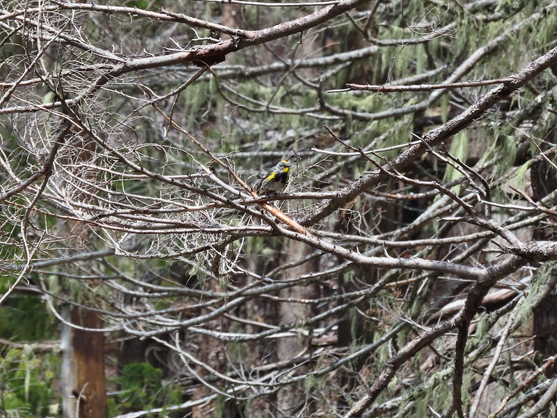
 The owl is in the center of the picture behind the branch with green needles.
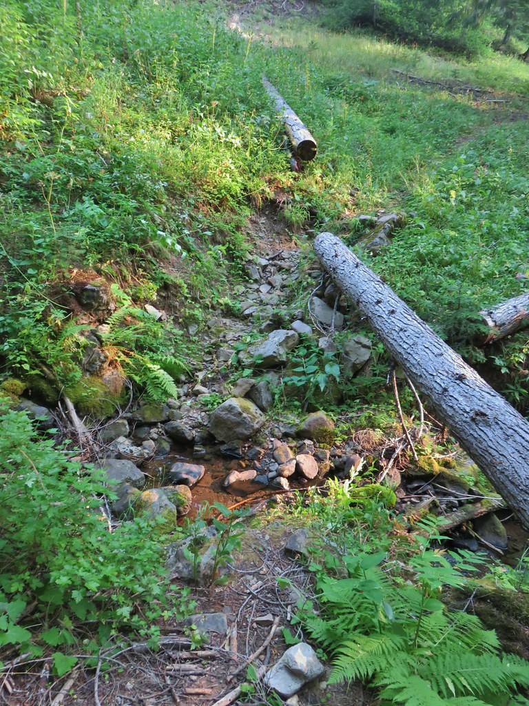 Small stream crossing
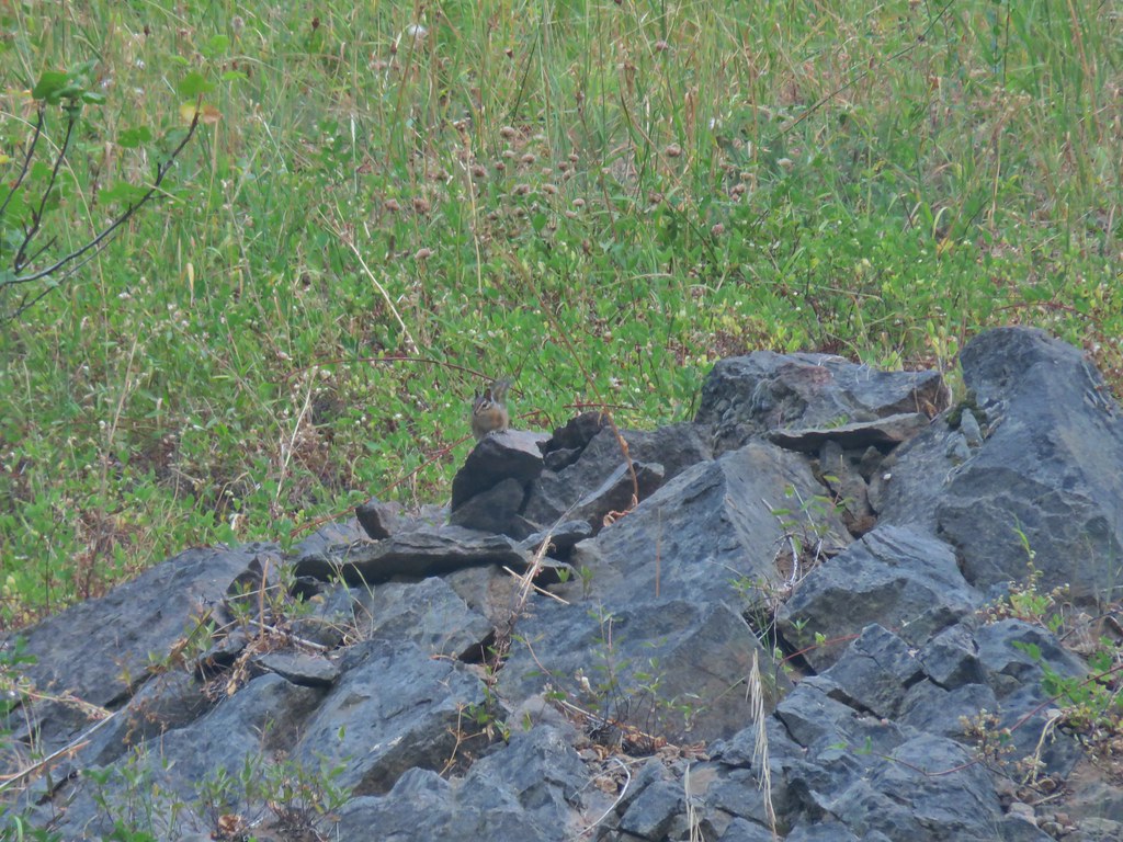 Chipmunk


 Windy Gap
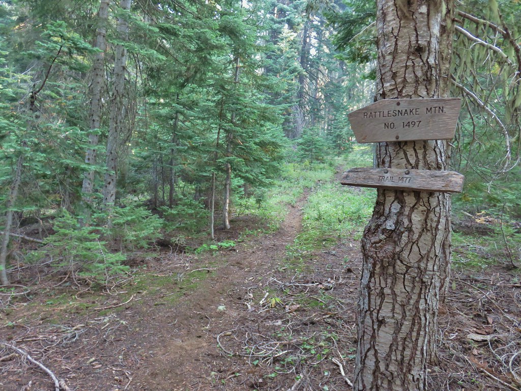


 Near the upper end of the 1.2 mile section we entered a burn scar with views of Mt. Bailey, Mt. Thielsen and Crater Lake.
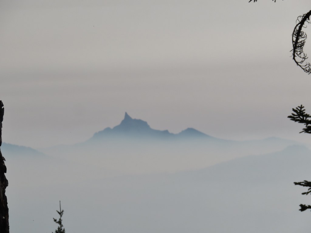 Mt. Thielsen
 High points along the rim of Crater Lake above the smoke.
 A bee photobomb with Mt. Bailey and Mt. Thielsen to it’s right.
 Flagging in the burn scar.
 Nuttall’s linanthus
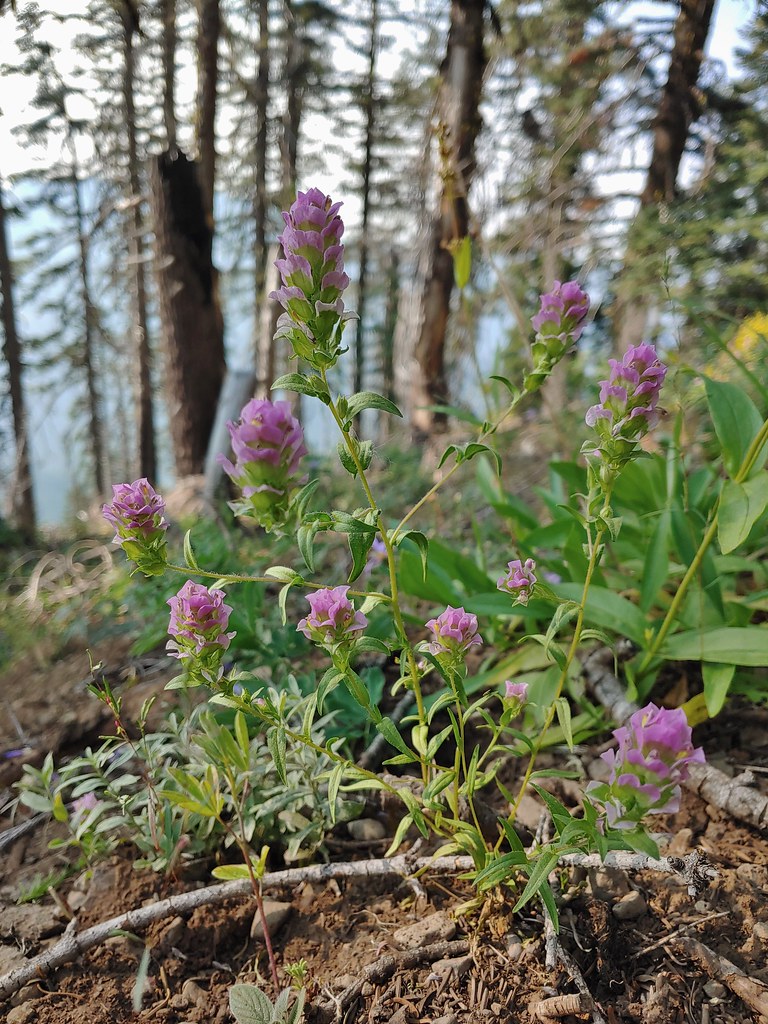 Owls clover
 Golden-mantled ground squirrel.
 The rock cairn.
 Nearing the summit.
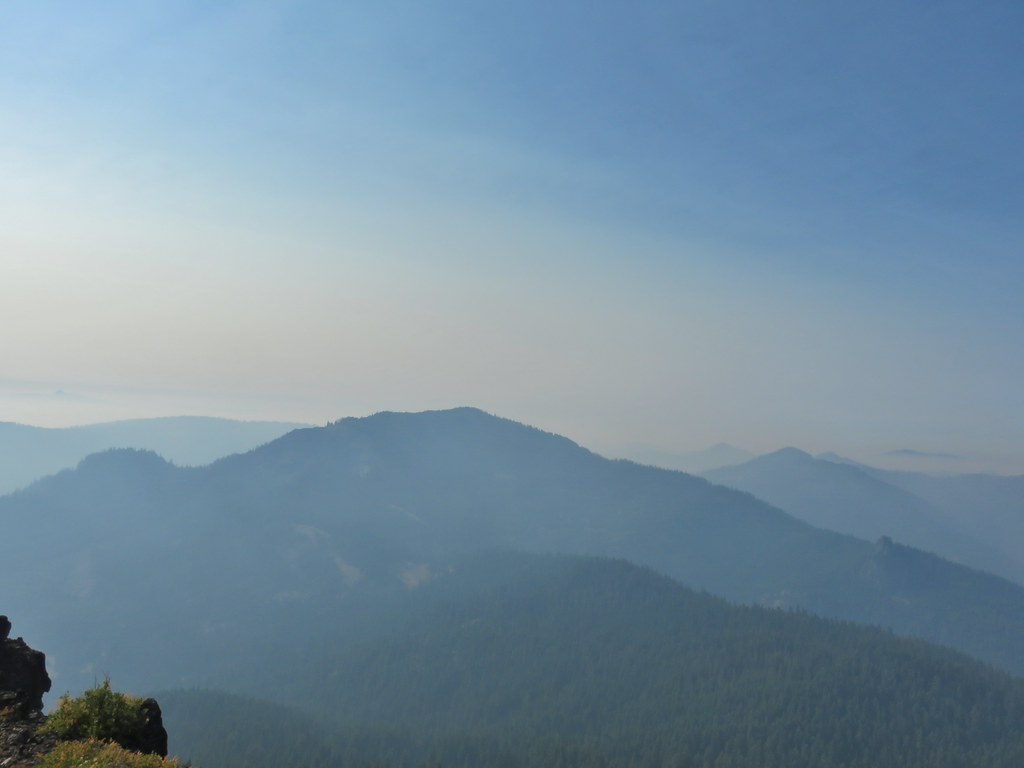
 Mt. McLoughlin
 Hillman Peak and The Watchman at Crater Lake
 Butterfly and bees.
 For some reason this cracked us up.
 Heather spotted this cricket on my shoulder (I always have some sort of insect on me for some reason).

 We’d lost the trail here and were just heading for the Castle Creek Trail.
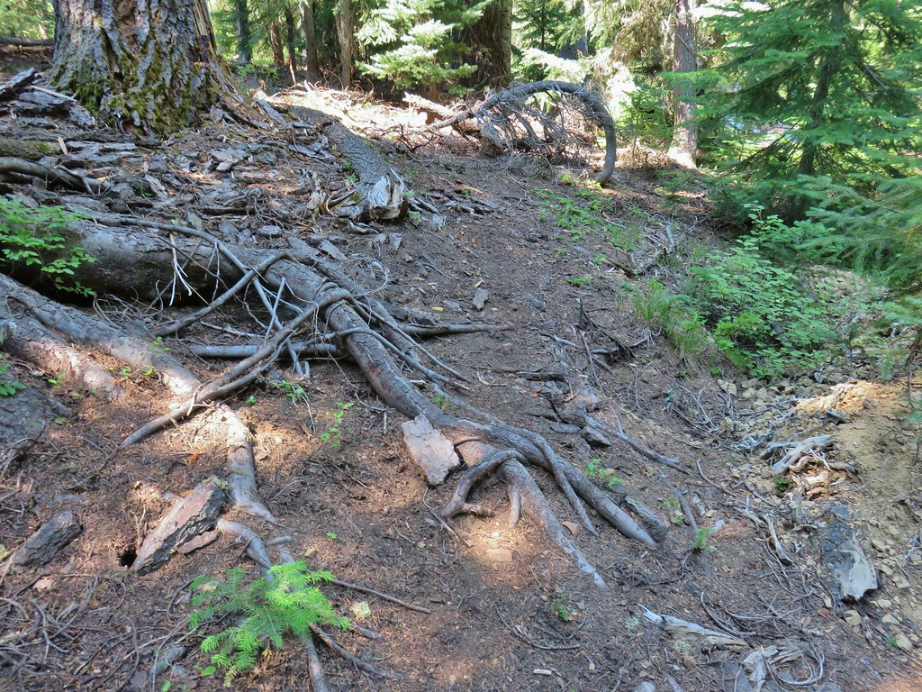 We came across this faint tread in the trees before reaching the Castle Creek Trail and started following it.
 Apparently it was the actual trail as it popped us out at a trail sign along the Castle Creek Trail.
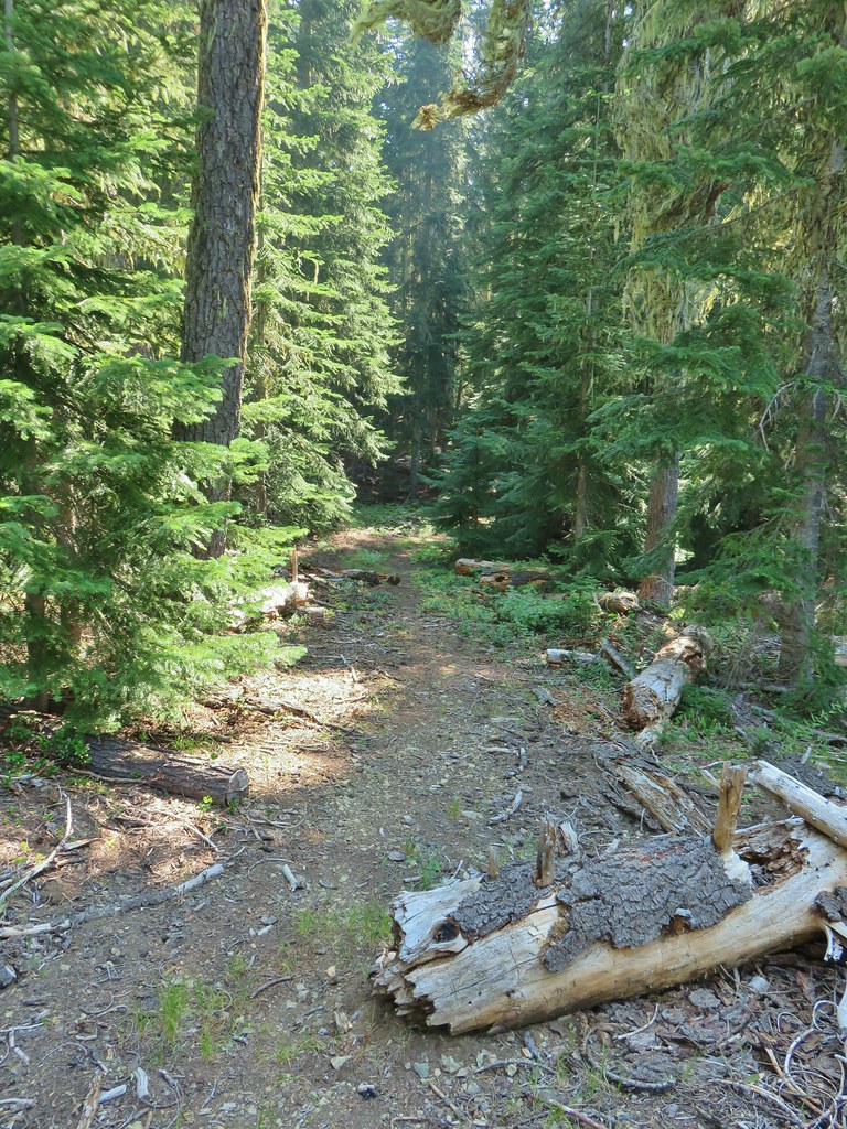

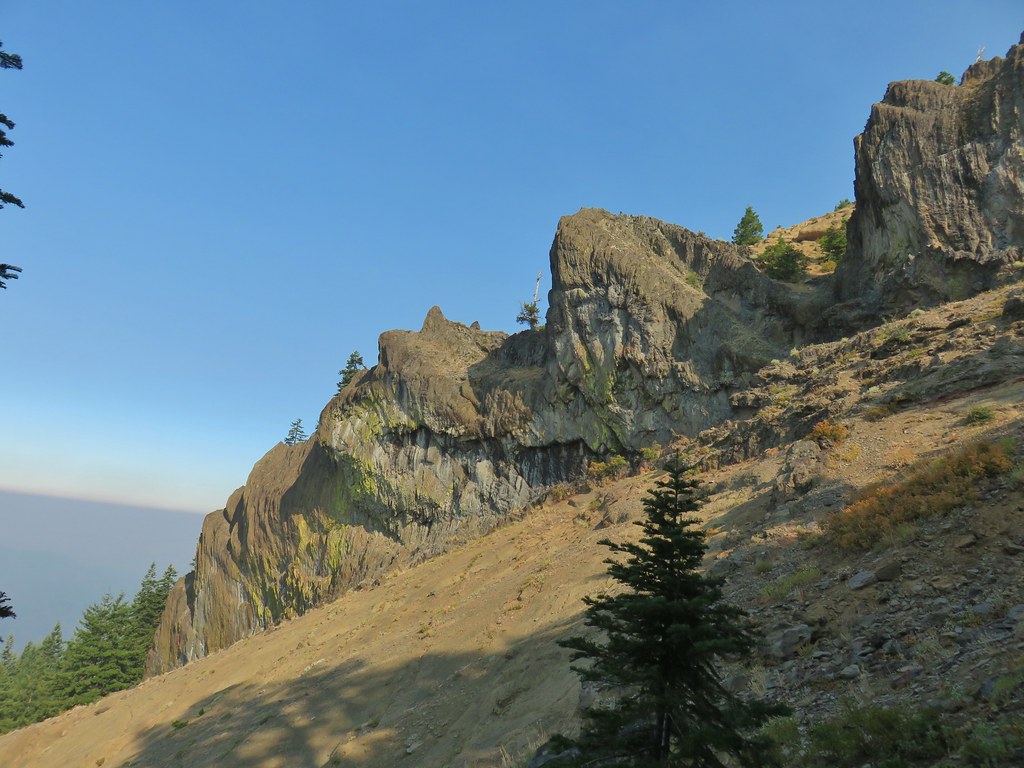
 Rattlesnake Mountain
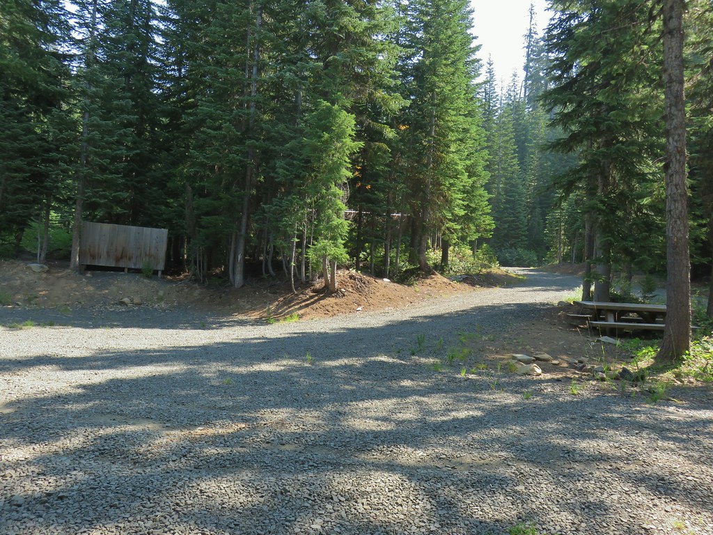 Happy Camp Trailhead
 Rattlesnake Mountain
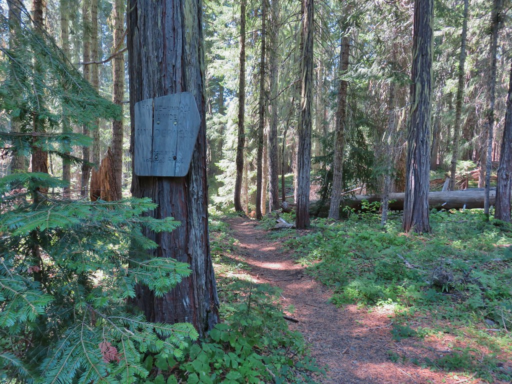
 Rogue-Umpqua Divide Trail
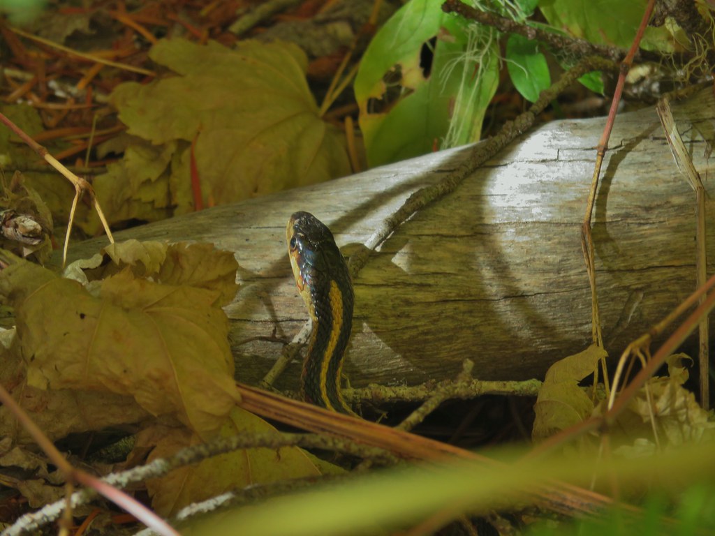
 Snake in Fish Creek
 Scarlet gilia
 Fish Creek
 Fish in Fish Creek
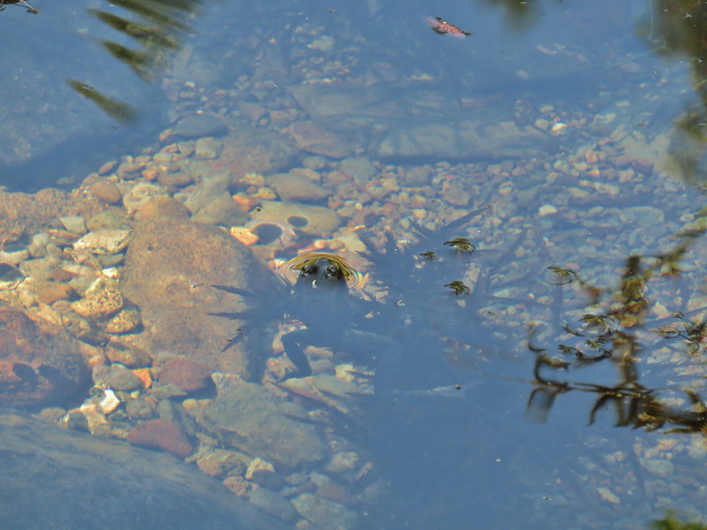 Frog in Fish Creek

 Monkshood
 This frog decided that under Heather’s pack was a nice spot to chill.
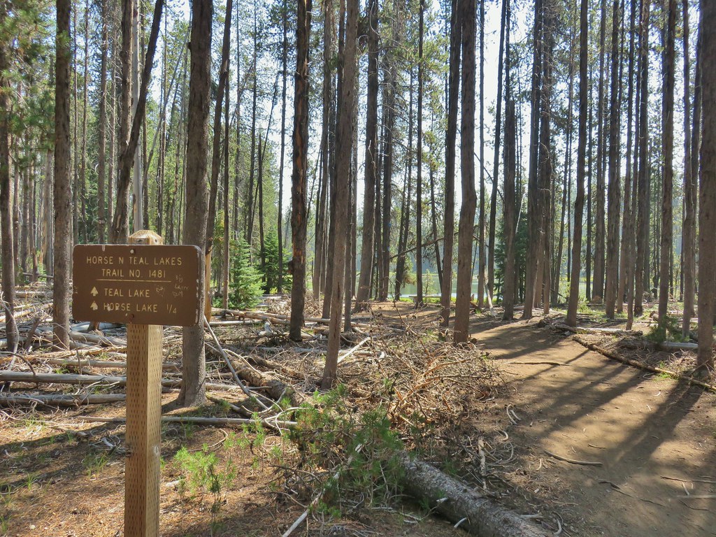
 Horse Lake
 Lesser yellowlegs
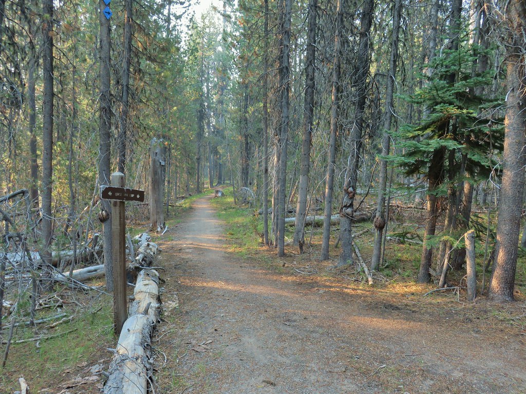


 Northern flicker

 Mt. Bailey beyond the meadow.
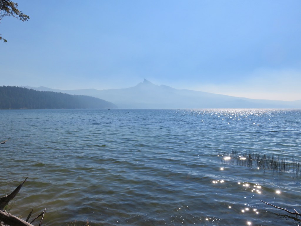
 Mt. Thielsen from the South Shore Picnic Area
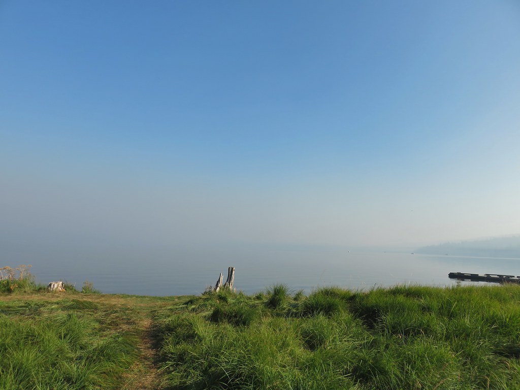 Diamond Lake underneath the smoke.
 Mt. Bailey
 Mt. Thielsen from the boat dock.
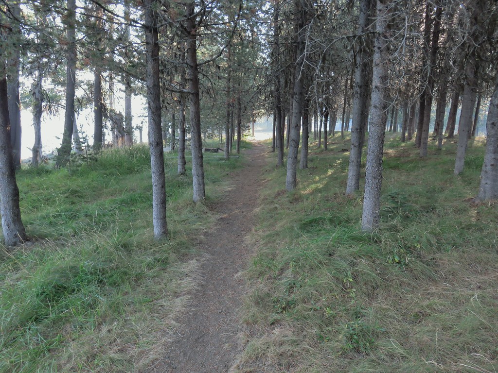 Picnic tables in the picnic area.
 Short Creek (it really is short)
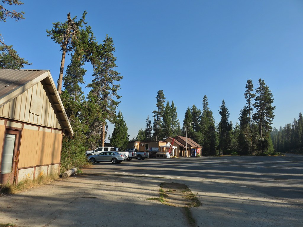 Resort buildings between the RV park and campground.
 Sign instructing users to follow painted bike symbols through the campground.
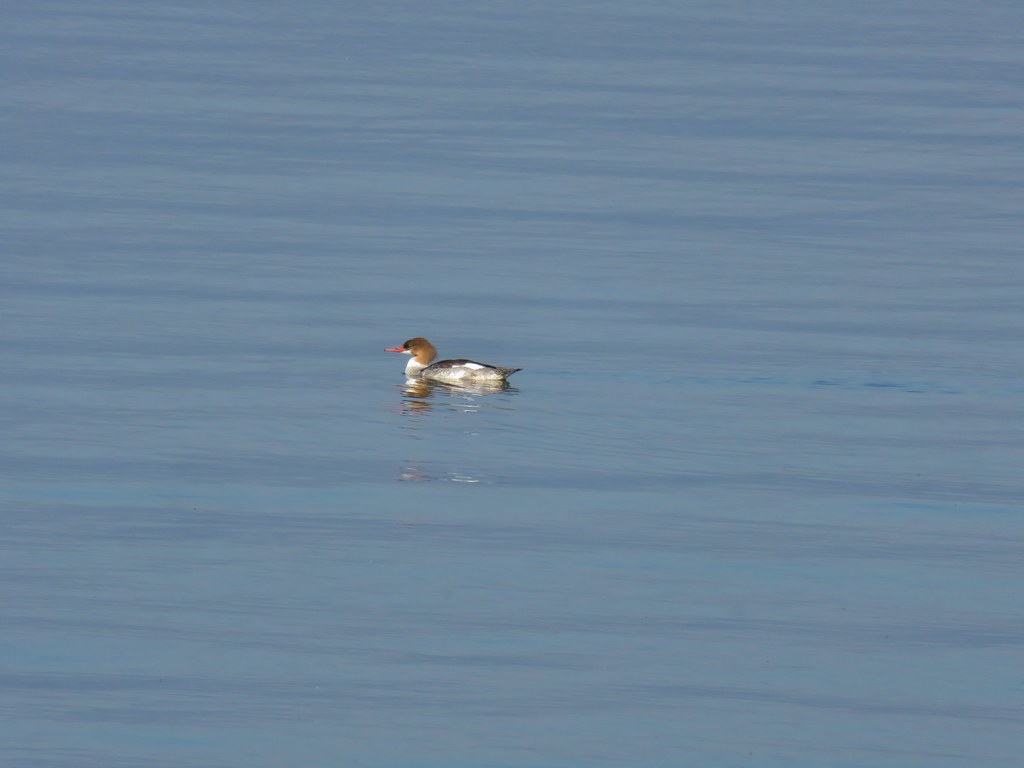 Common merganser
 Goldeneyes
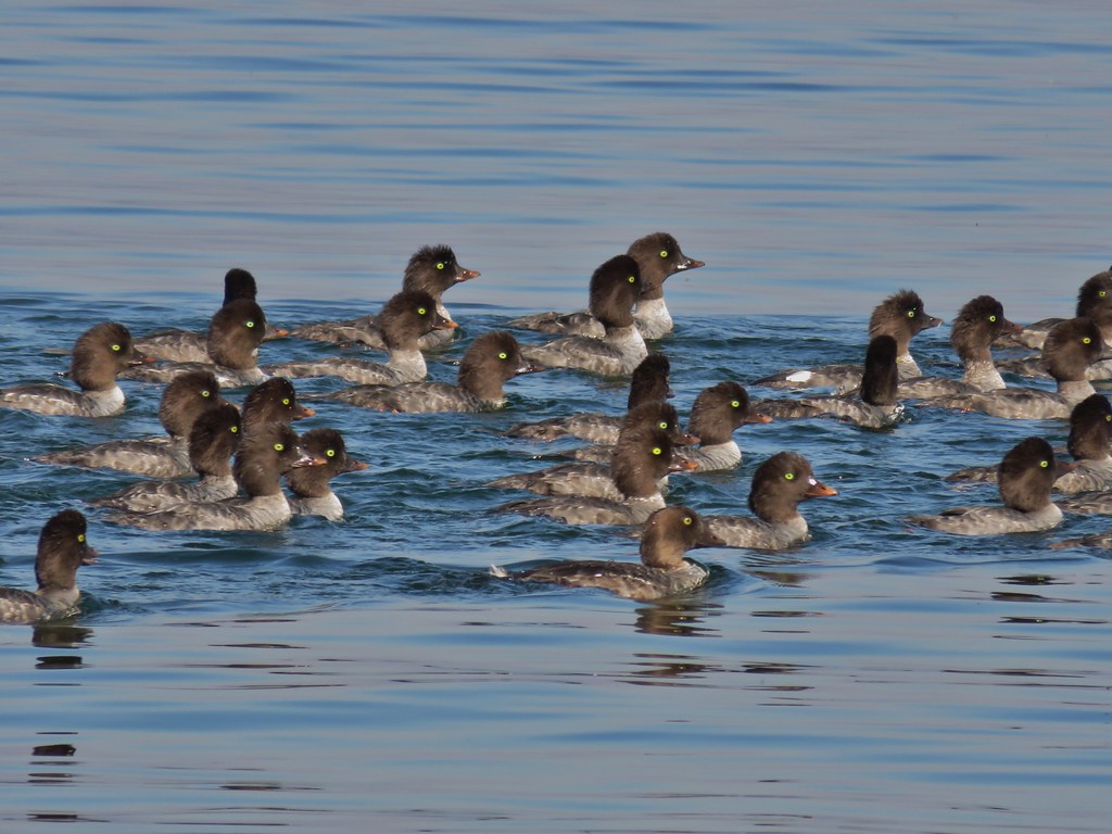

 Mt. Bailey again.
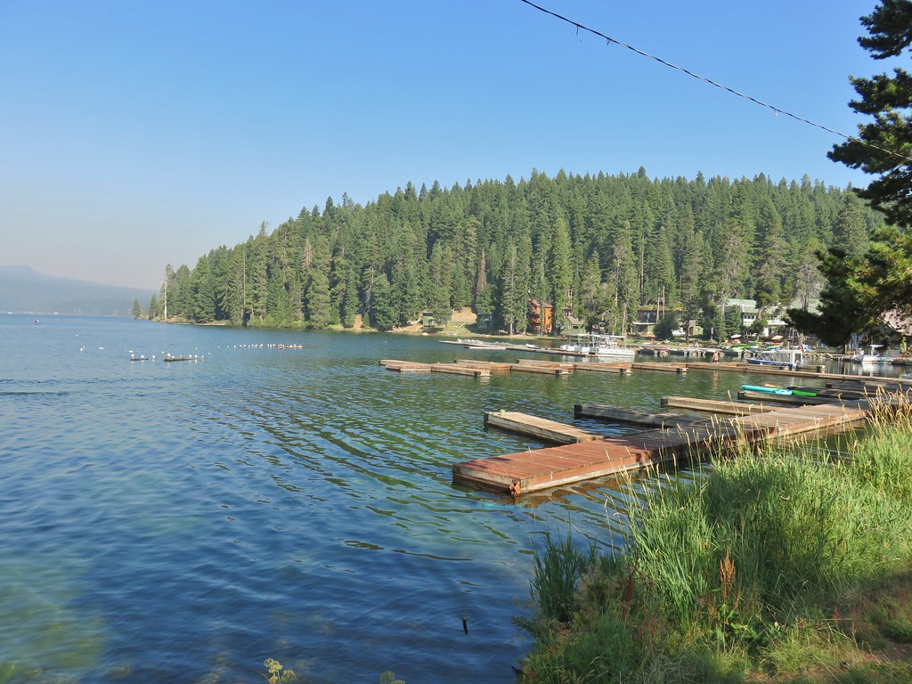 Arriving at the lodge area.
 Seagulls


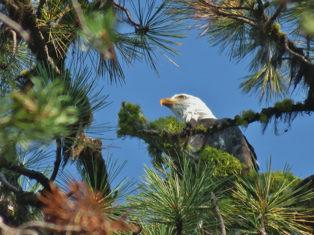 Bald eagle
 I’ve been spotted
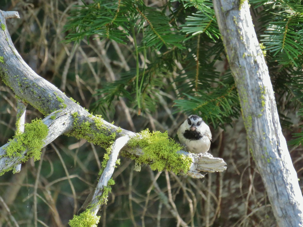 Chickadee with a seed or nut.
 Junco in some fireweed.
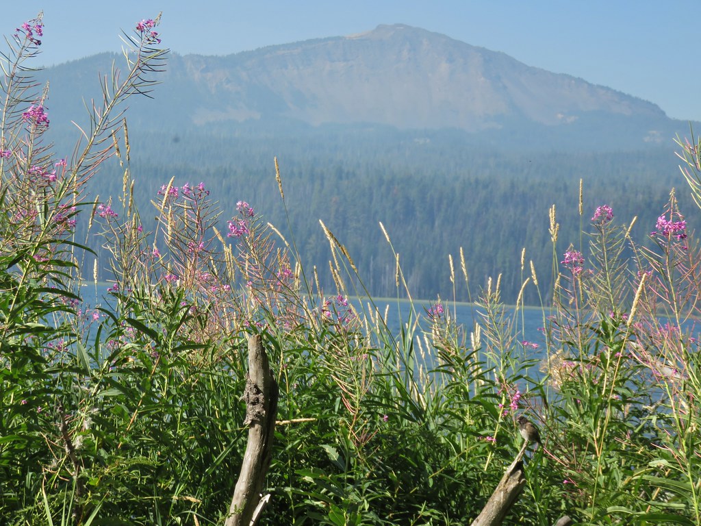 The junco with Mt. Bailey in the background.
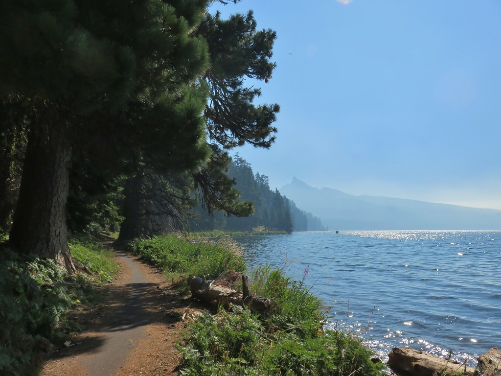 Looking back at Mt. Thielsen
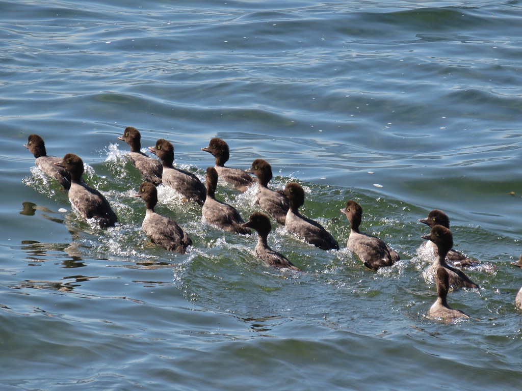 More goldeneyes
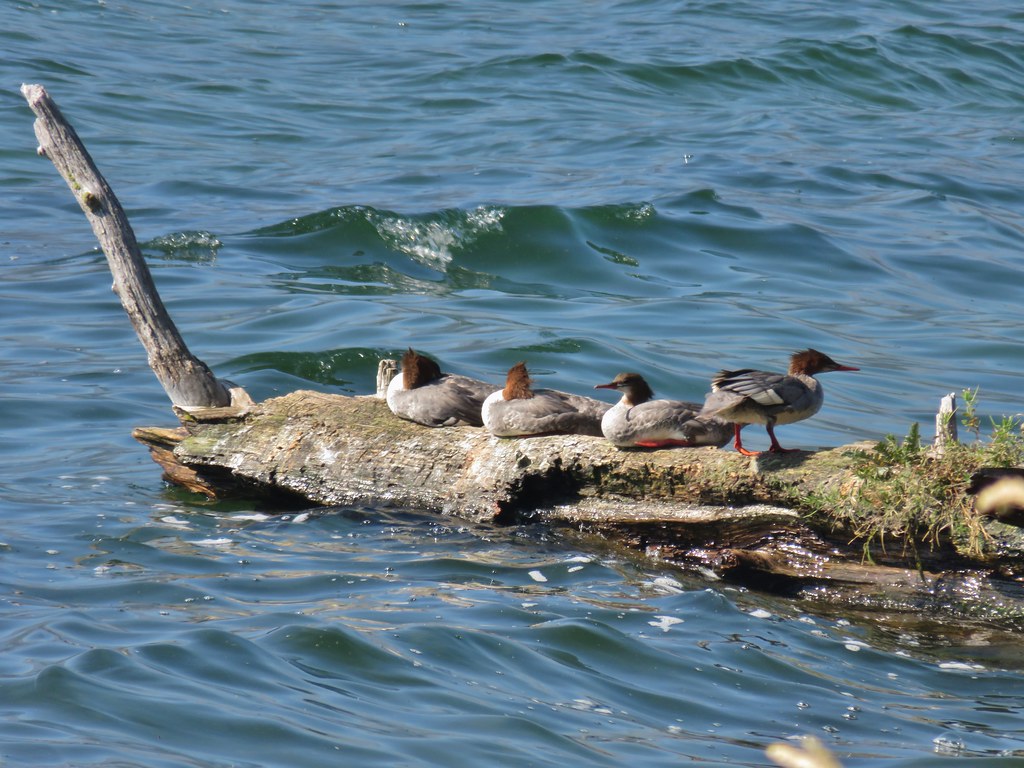 Mergansers


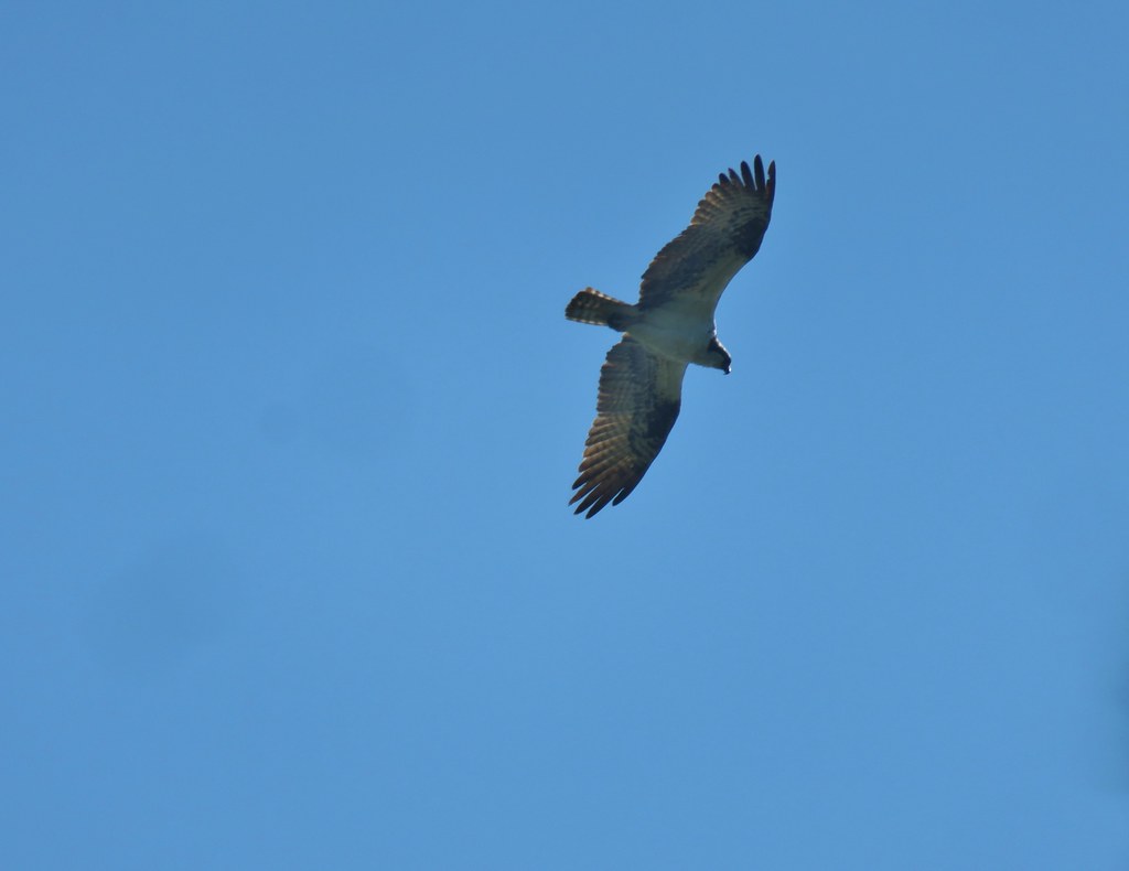 Osprey

 Cormorant
 Howlock Mountain to the left and Mt. Thielsen
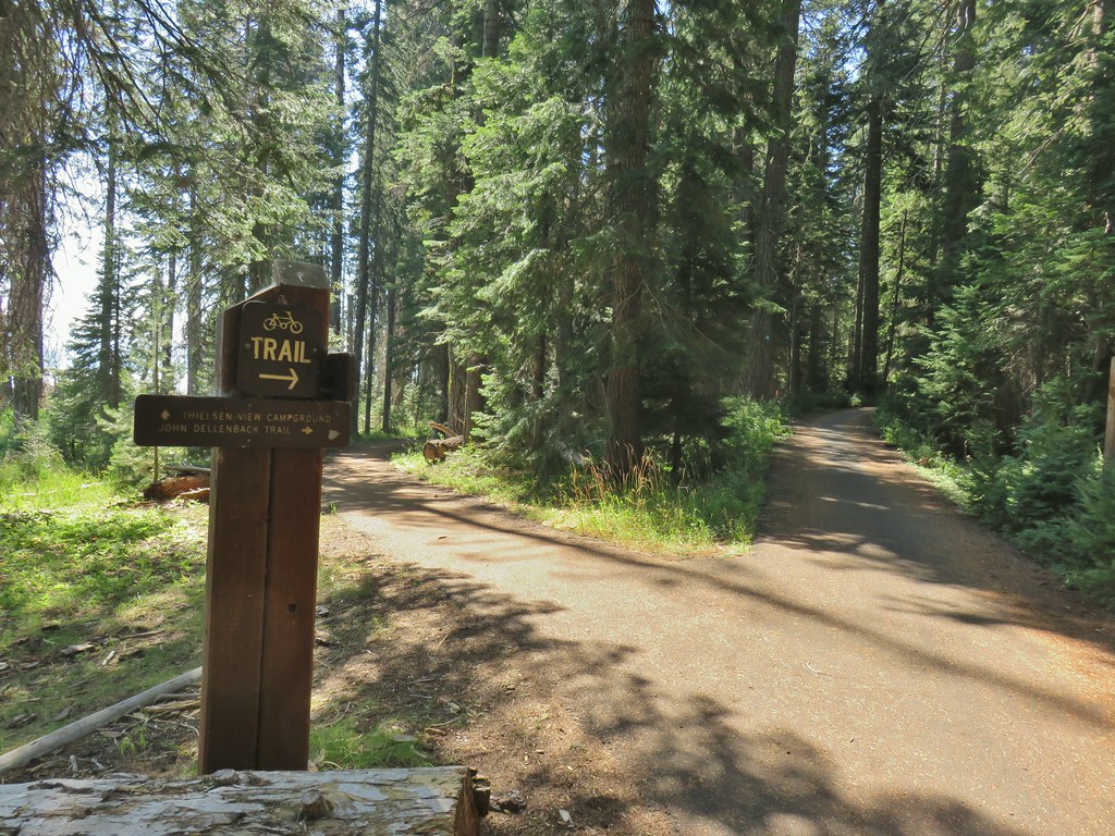


 Back on the lake side of FR 4795.


 Canada geese at Teal Lake.
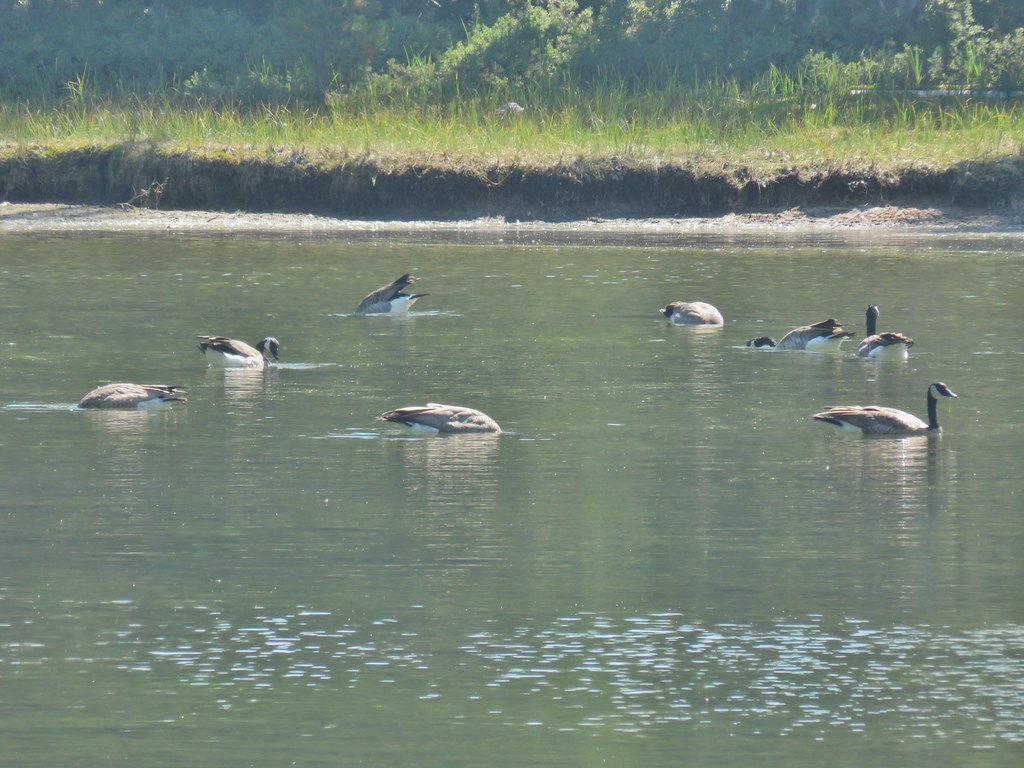


 hedgenettle and aster.
 Monkeyflower
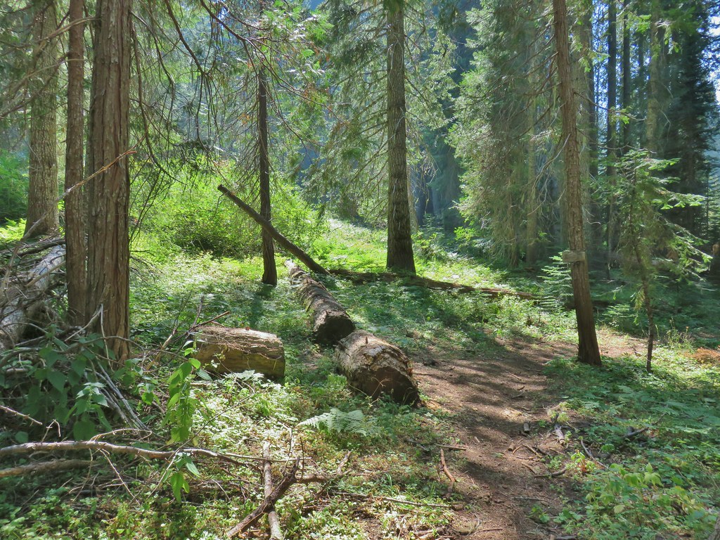


 Wiley Camp Trail on the right.
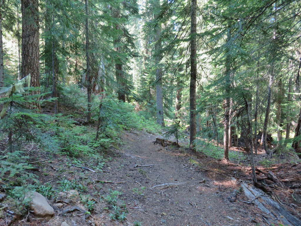

 Wiley Camp sign

 Grass of parnassus
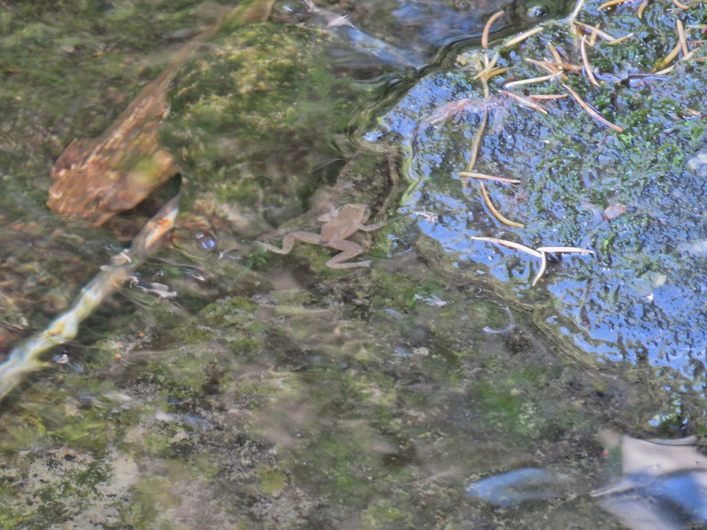 Frog
Frog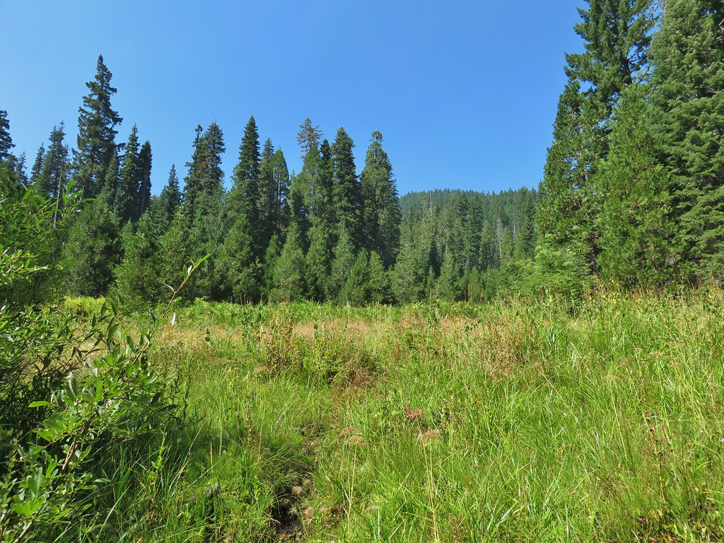 Trail leading up from the creek into the meadow.
 Big cedar at the edge of the meadow.
 Cairn and pink flagging (small tree to the right) marking the Wiley Camp Trail.
 Elder berry
 Twisted stalk

