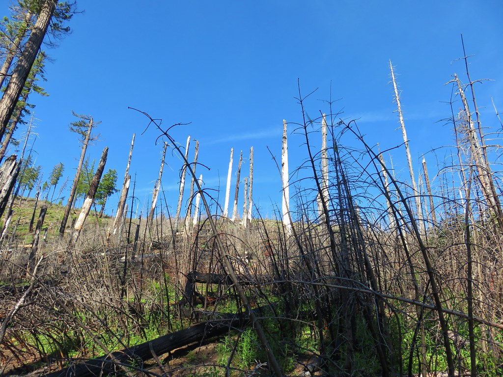
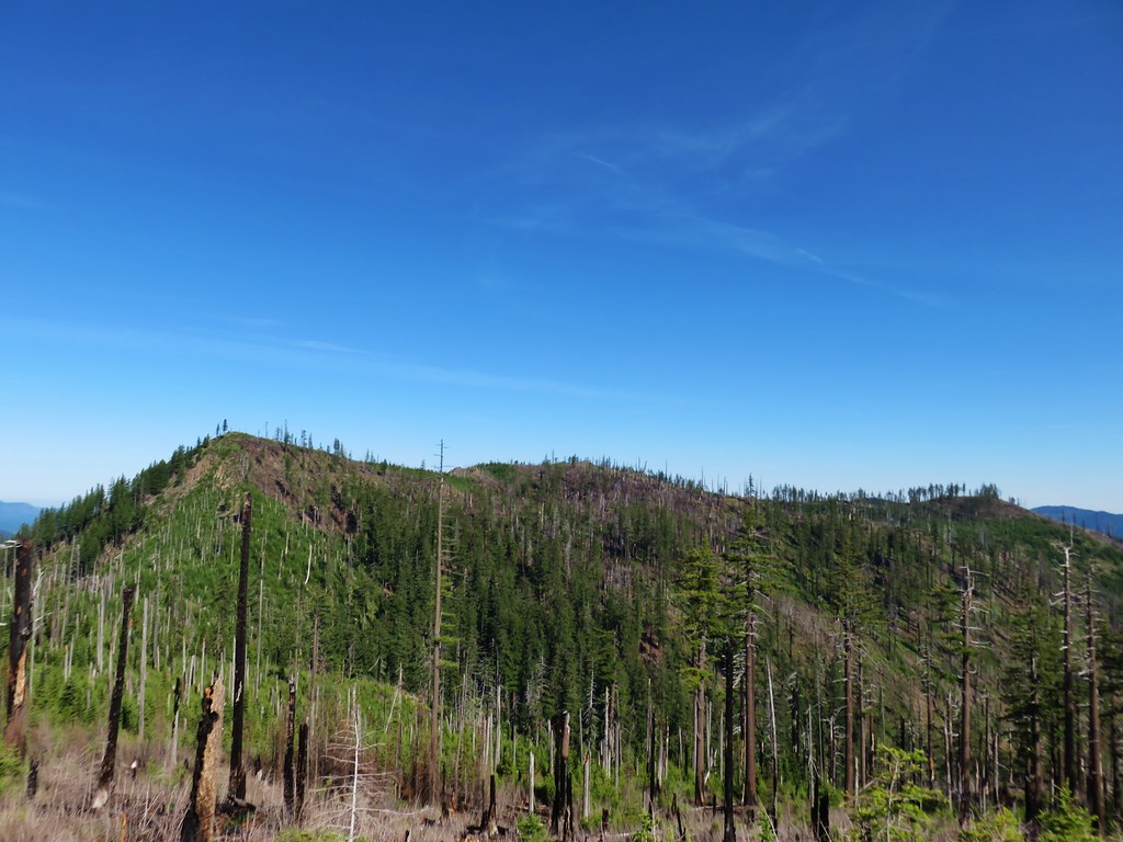
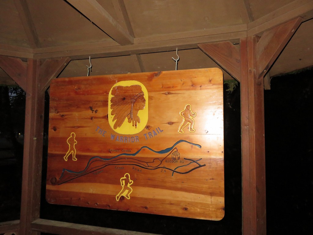
**Note the 2024 Sandstone Fire burned a portion of this hike.**
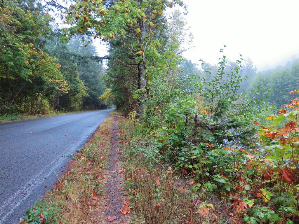
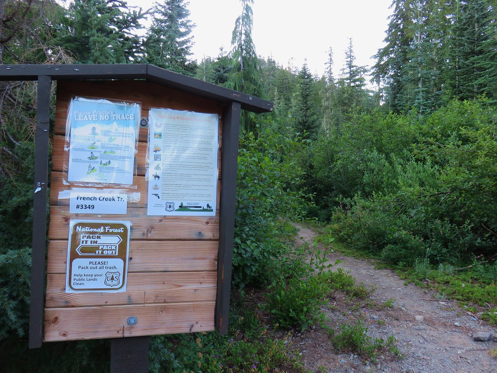
Sticking with our Matt Reeder inspired vacation, on Thursday we selected a hike featured in both his “101 Hikes in the Majestic Mount Jefferson Region” and “Off the Beaten Trail” second edition. In the latter he doesn’t describe the extended hike to Baty Butte. We started our hike at the Thunder Mountain Trailhead where, just as at the Pine Ridge Trailhead, we were greeted by mosquitoes.
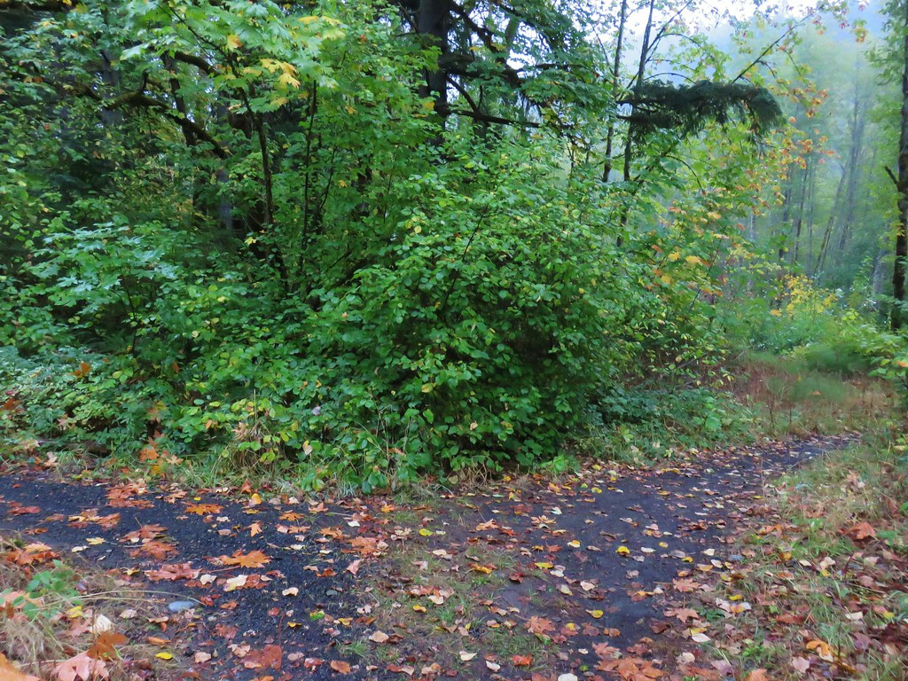
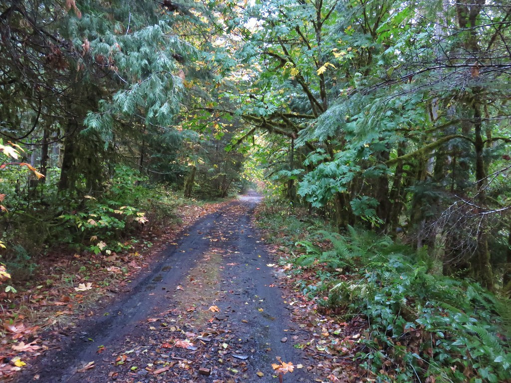
 Spur road leading to the trail from the pullout.
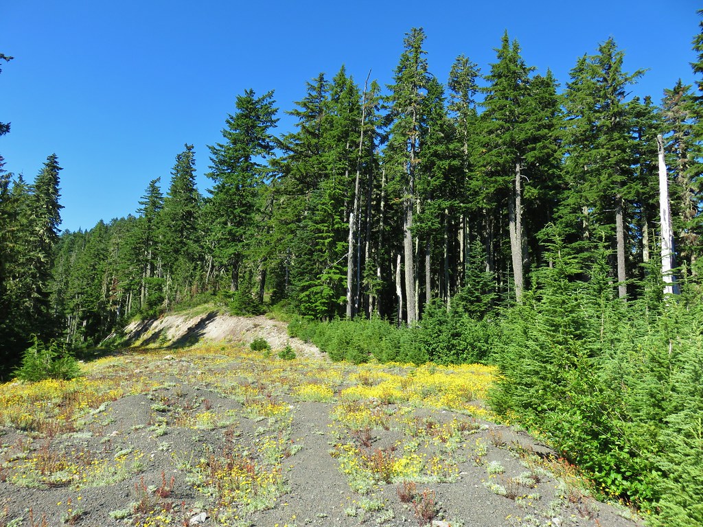
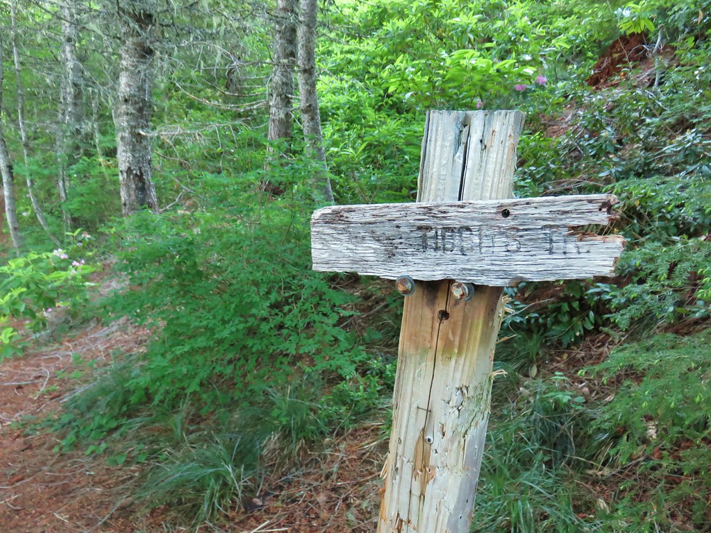
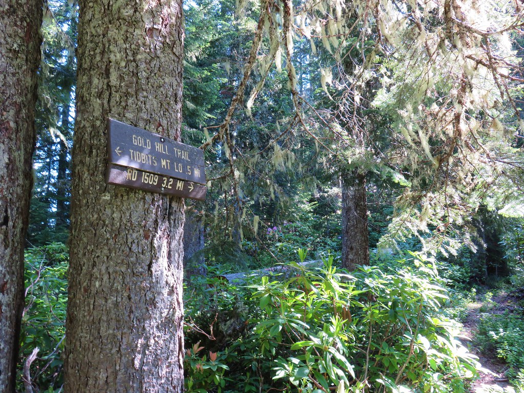
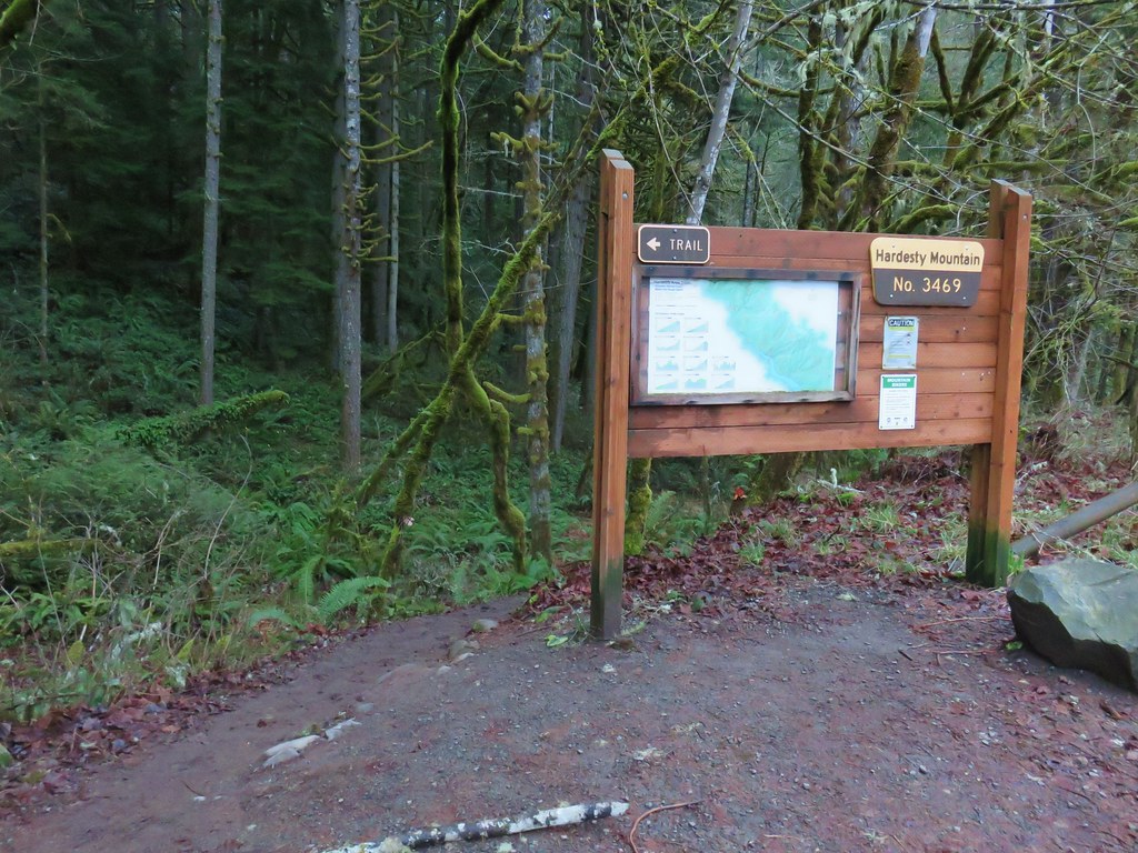
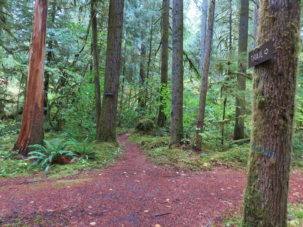
 Signage at the end of the closed spur.
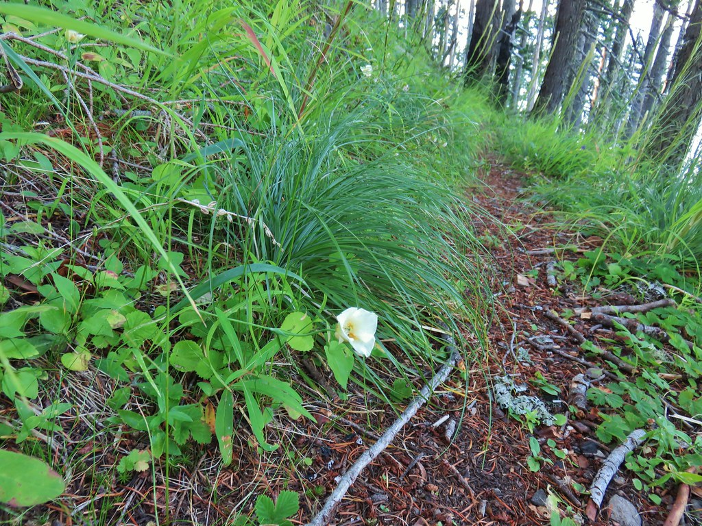
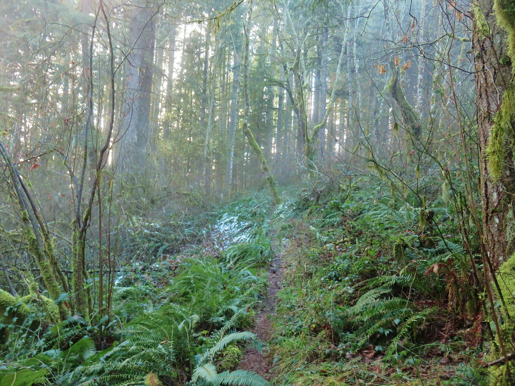
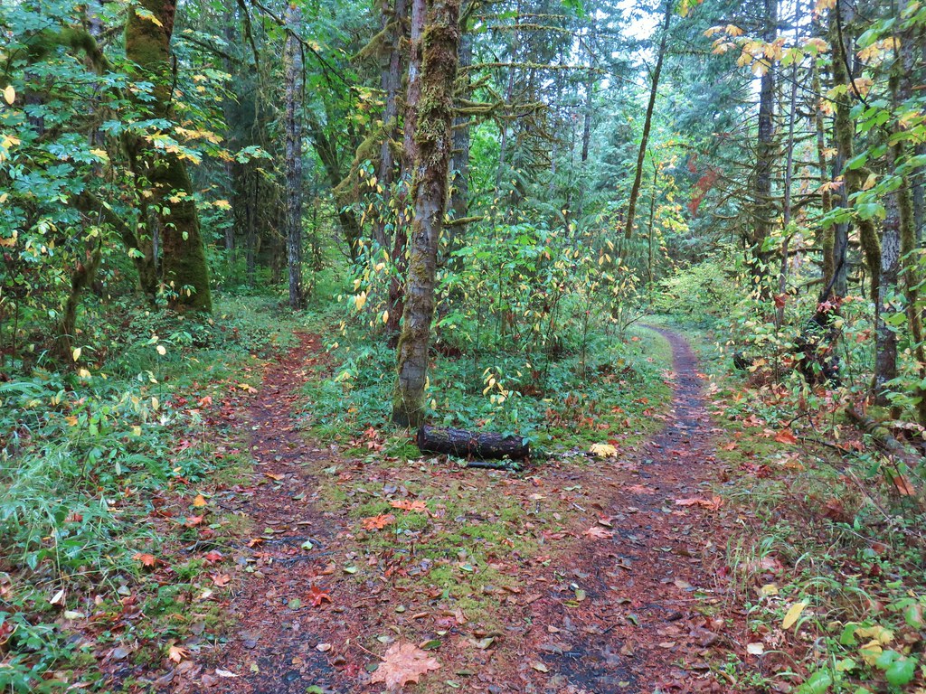
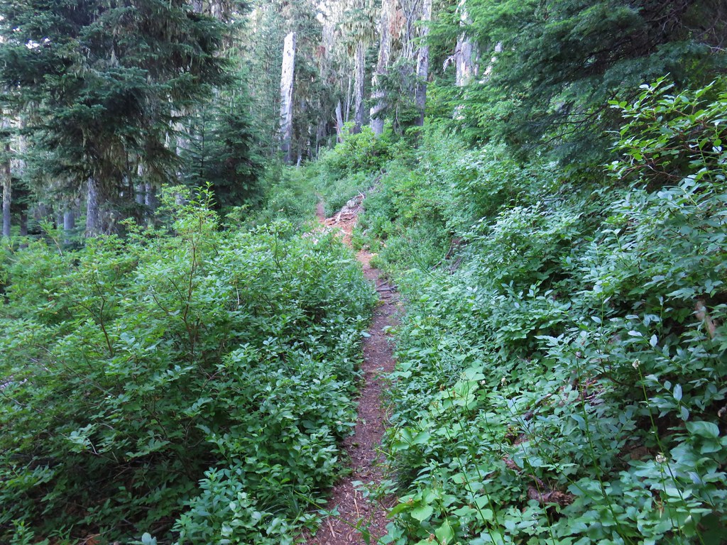
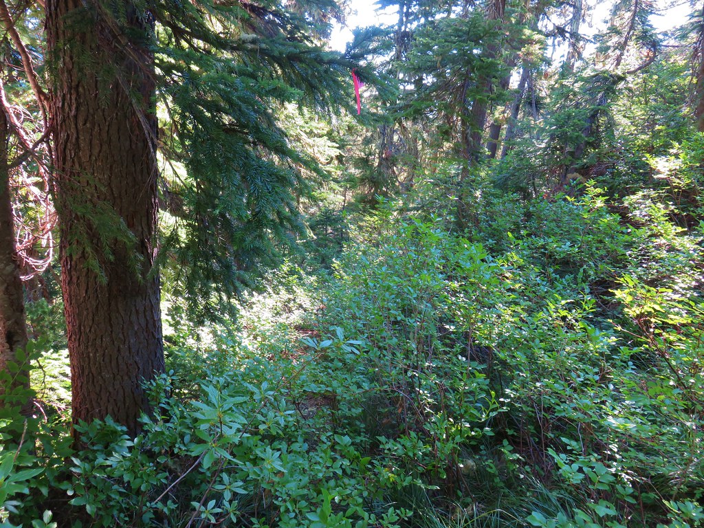
The trail began climbing almost immediately via a switchback that passed us through a thimbleberry and devil’s club covered hillside.
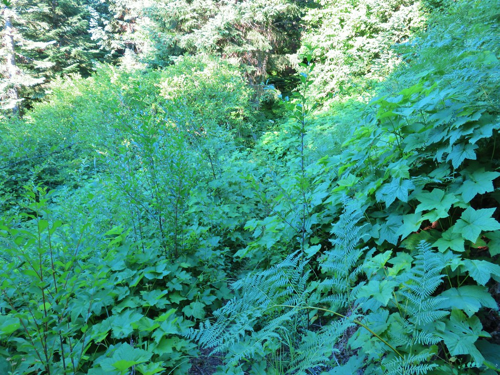 Thimbleberry crowding the trail.
 Devil’s club along the trail. We each had our hands brush against some and it doesn’t feel pleasant.
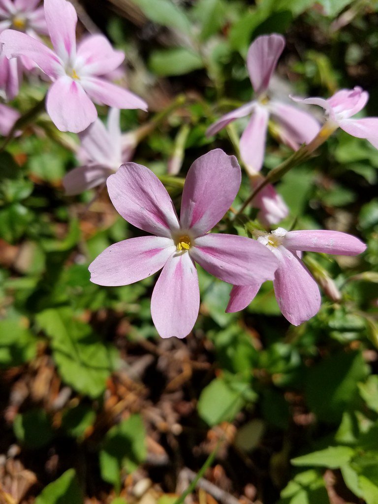
 Lupine and paintbrush in the thimbleberries as the trail enters the forest.
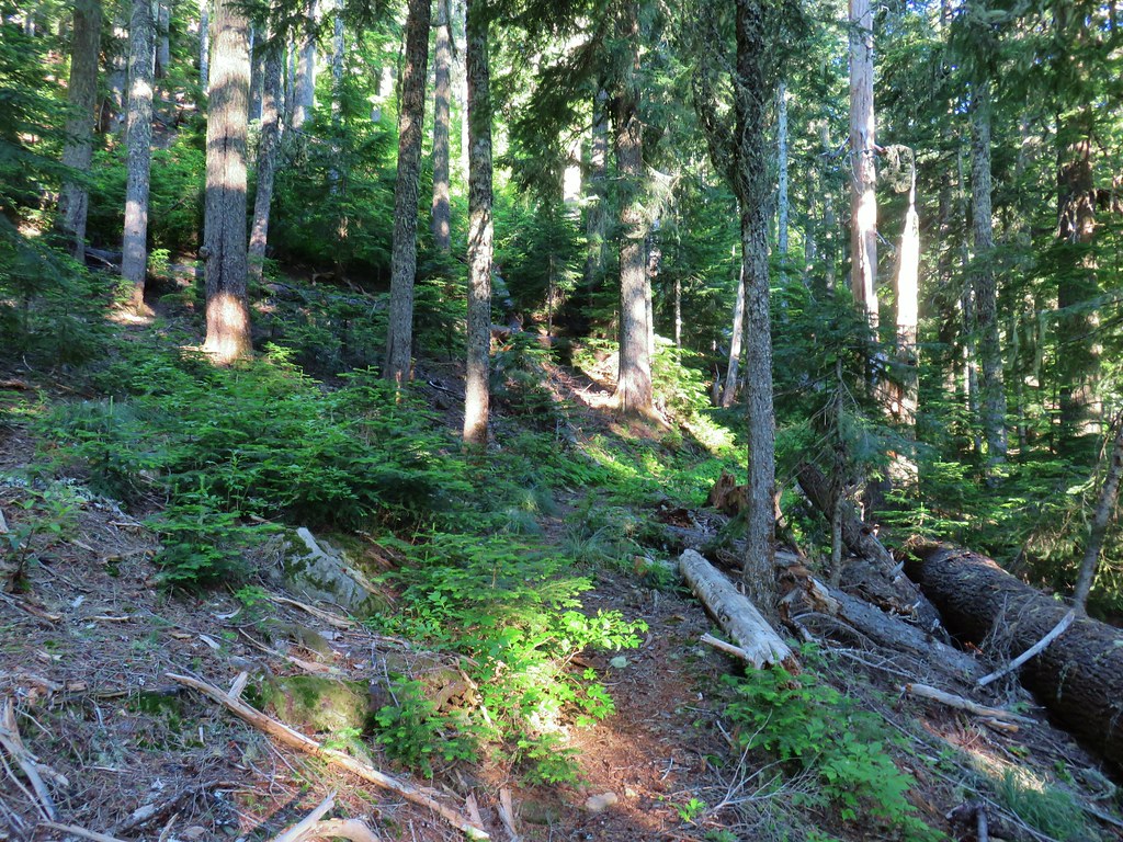
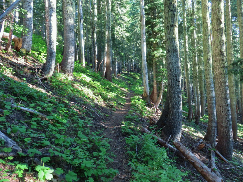
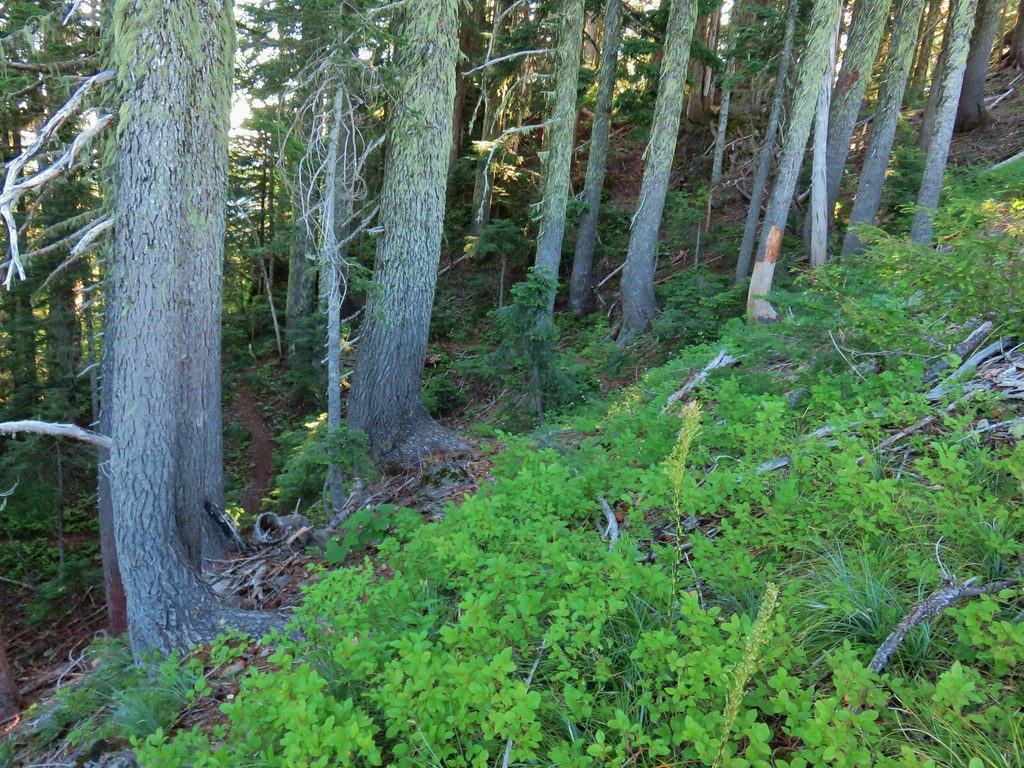
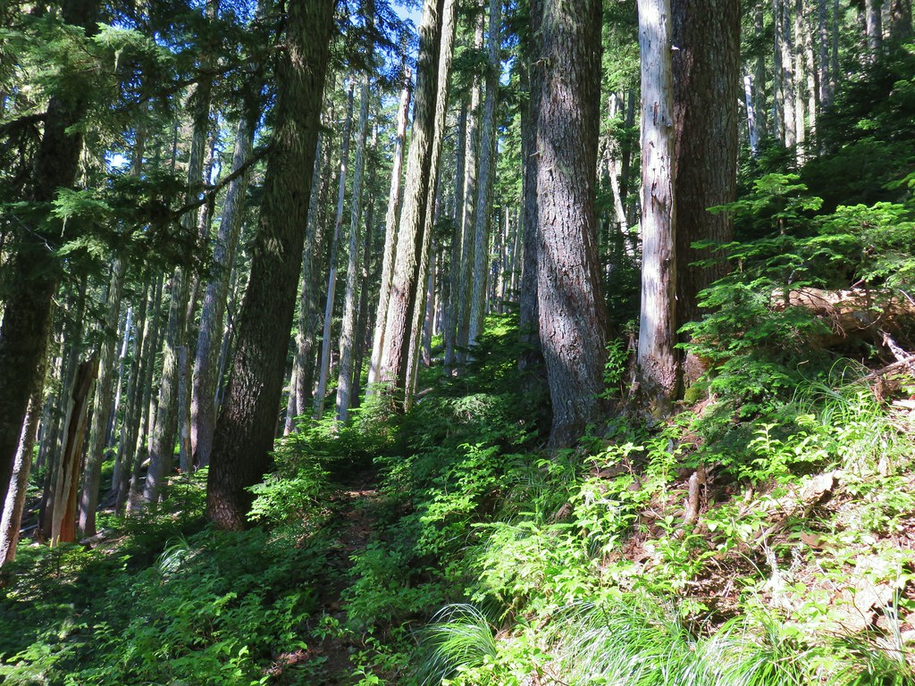
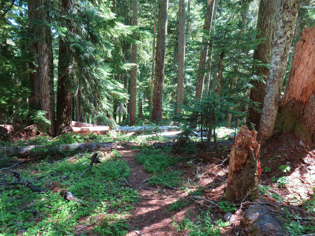
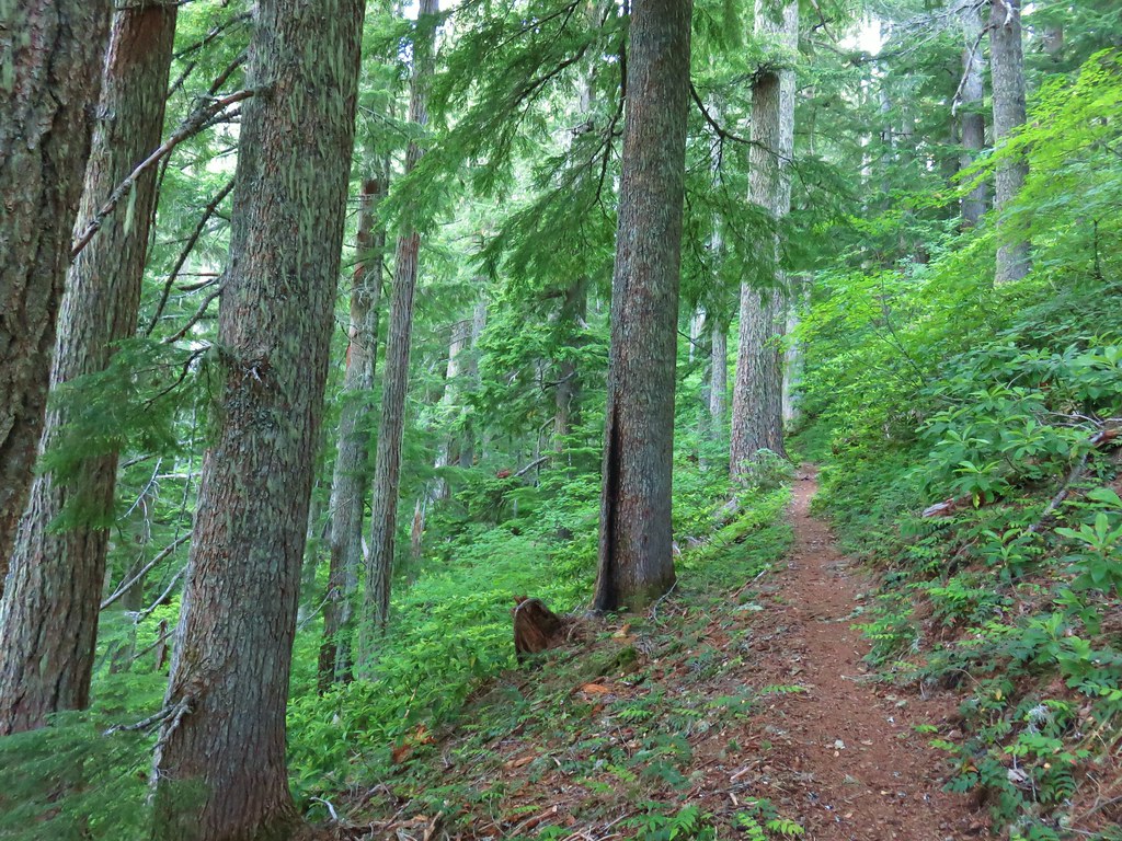
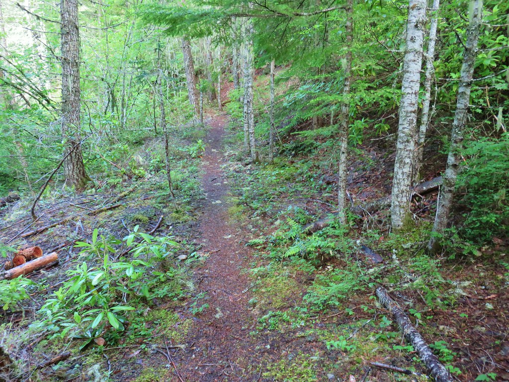
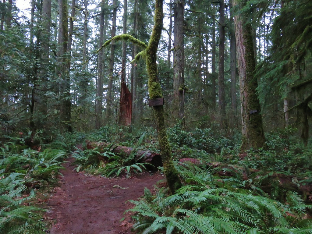
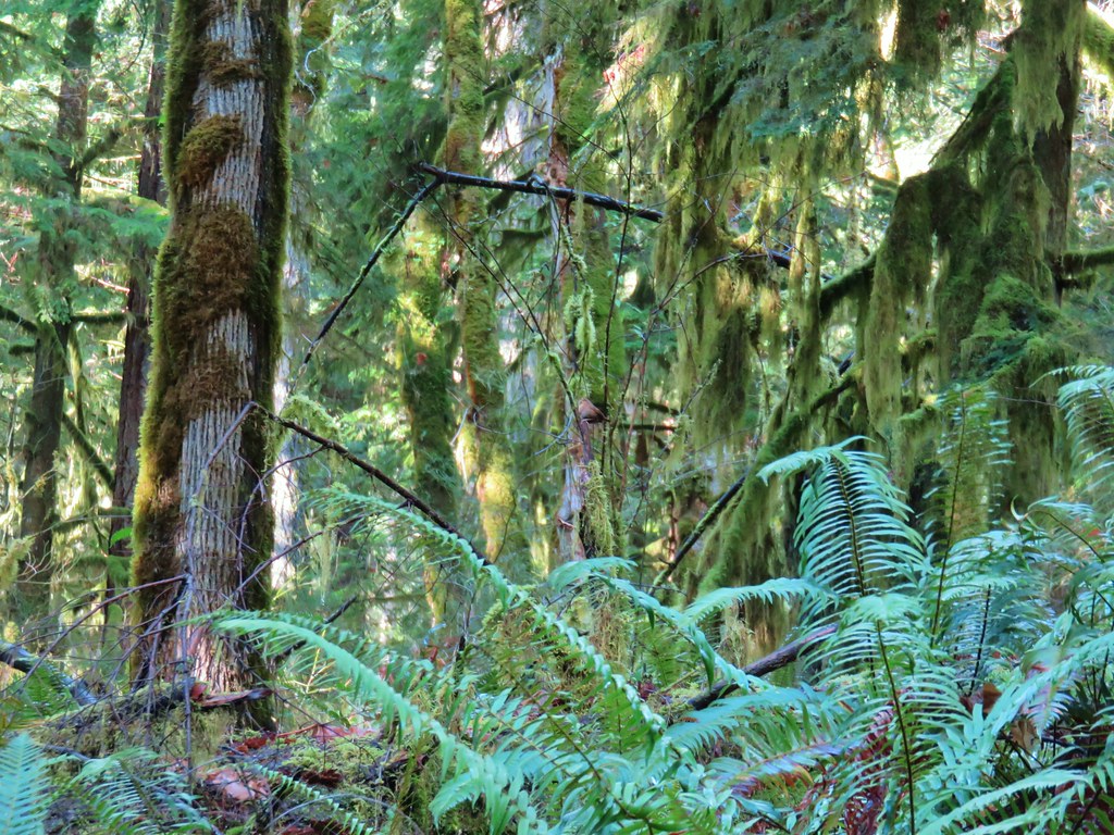
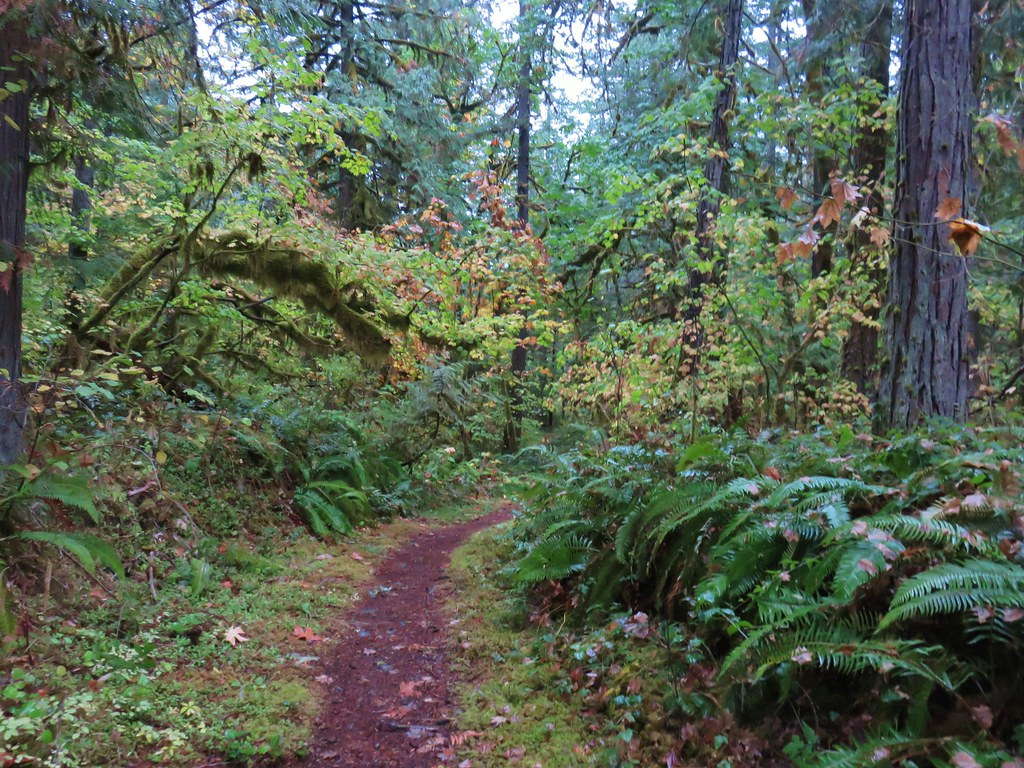
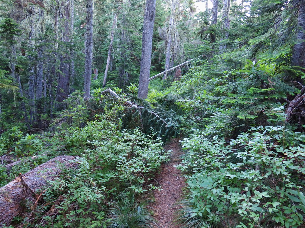
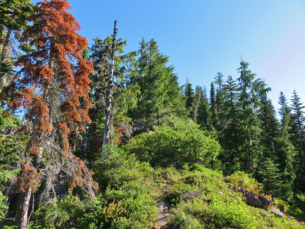
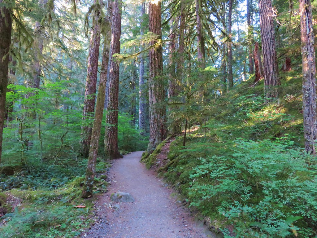
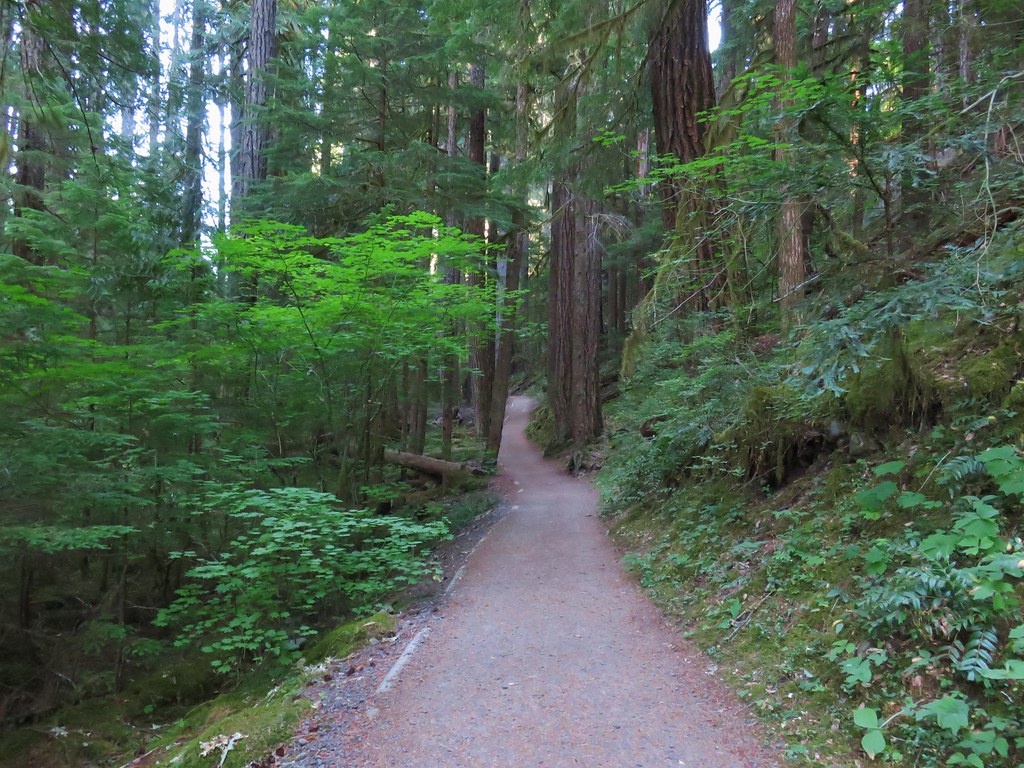
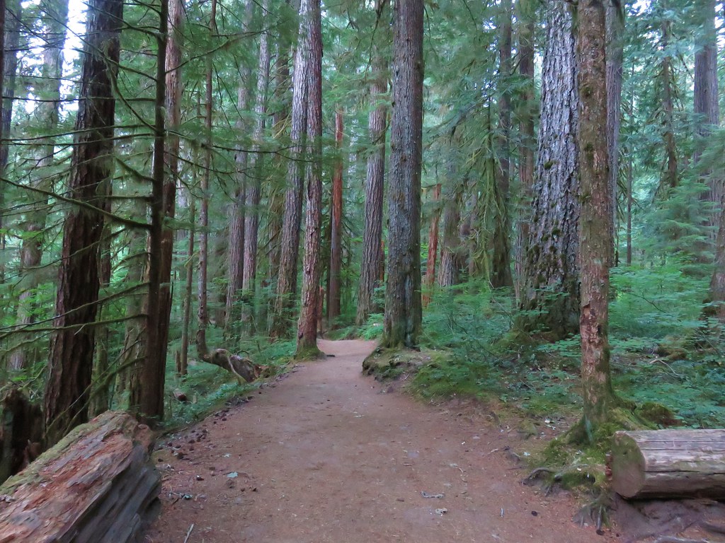
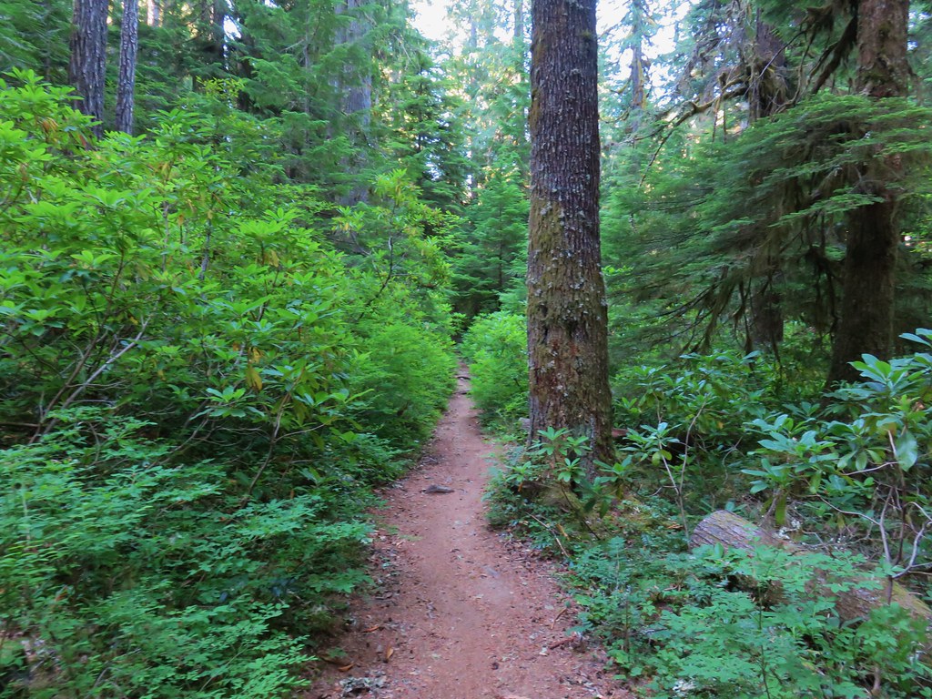
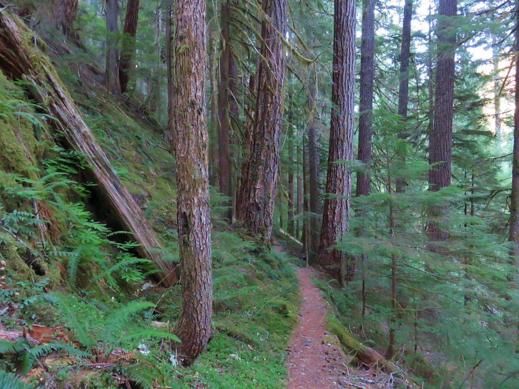
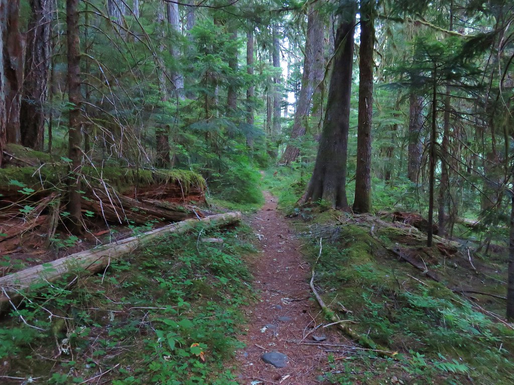
After the initial battle with the brush the trail entered the forest where some old growth was present and the trail much clearer.
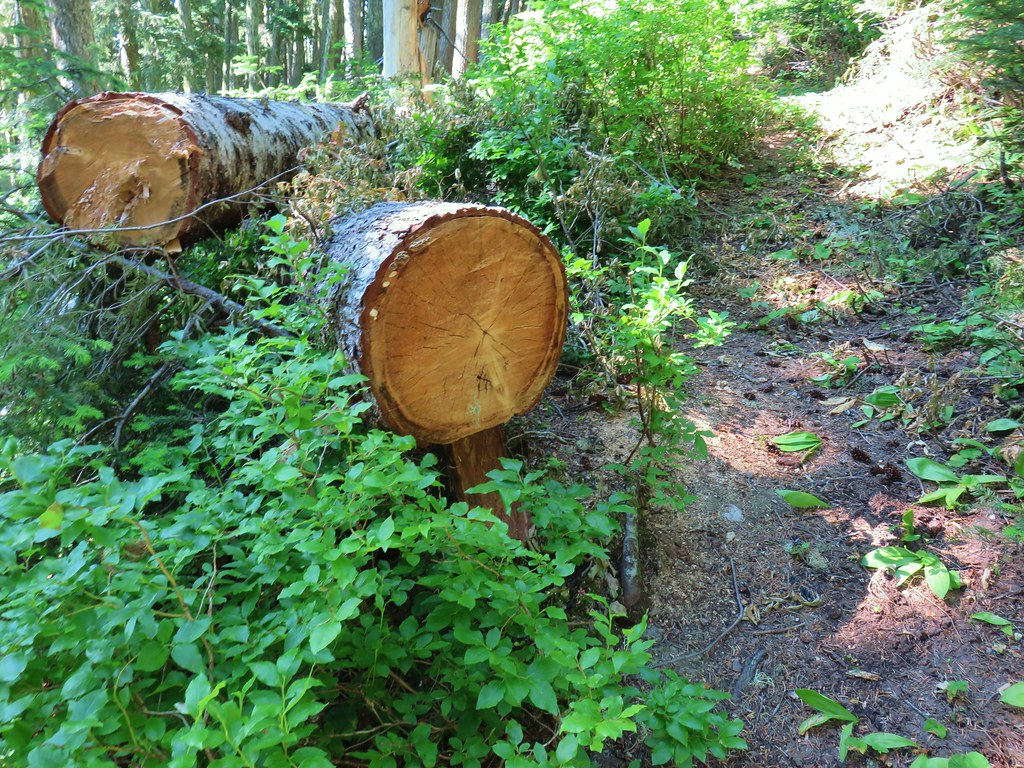
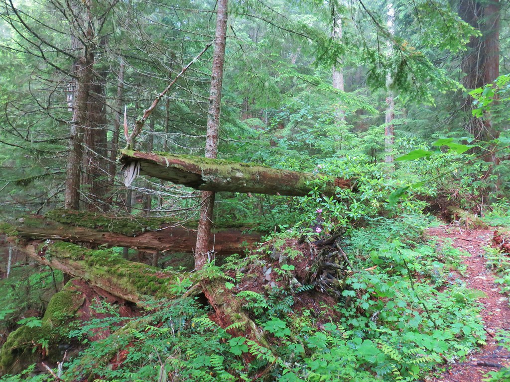
 It looked like these two trees fell out of the same hole but in different directions.
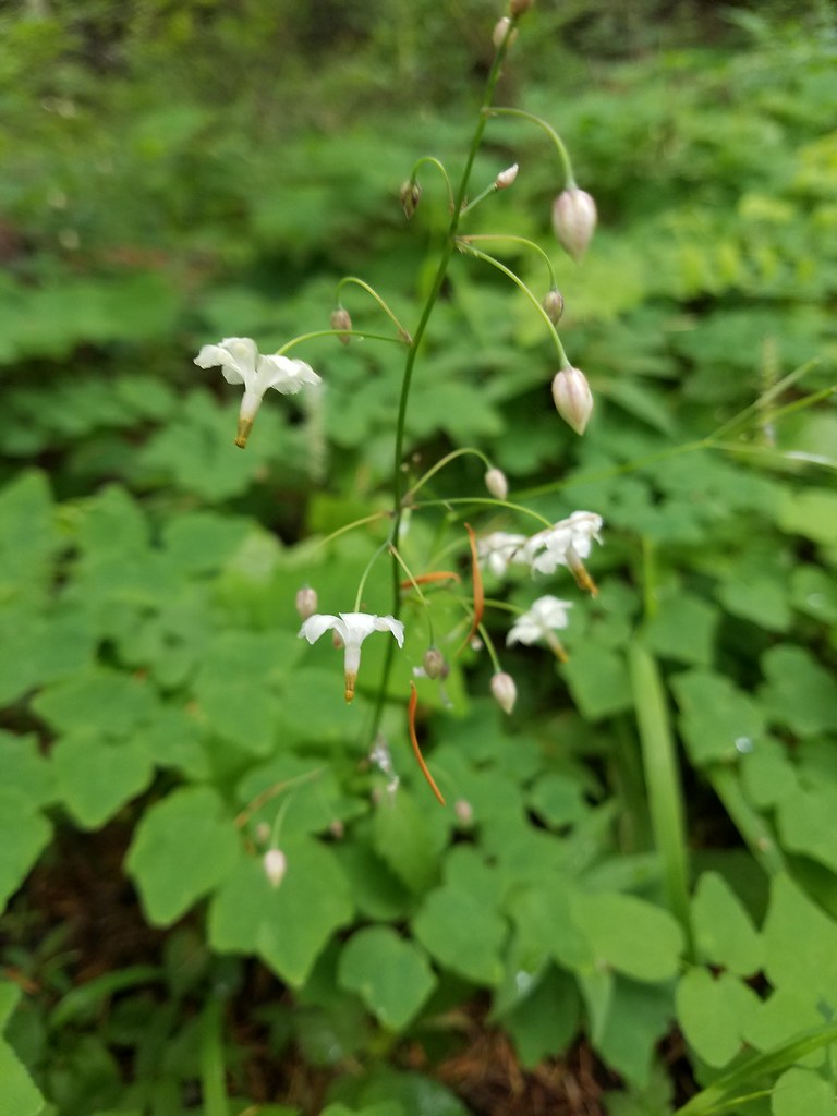
 Anemone and queen’s cup
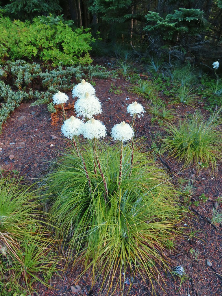
 Beargrass and huckleberry bushes.
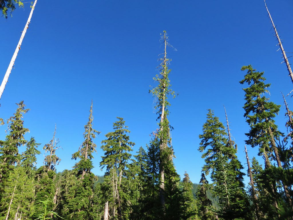
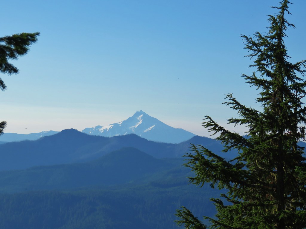
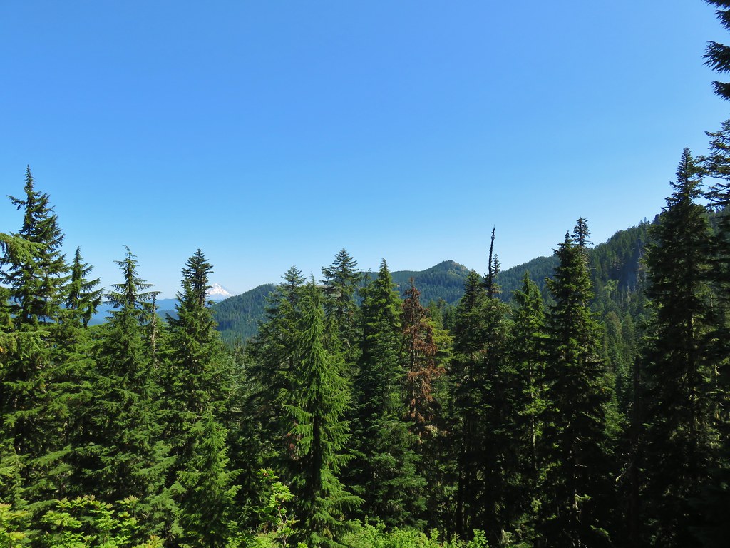
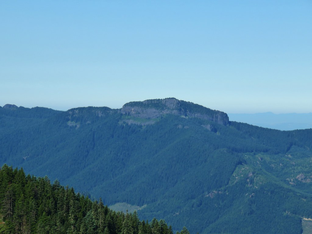
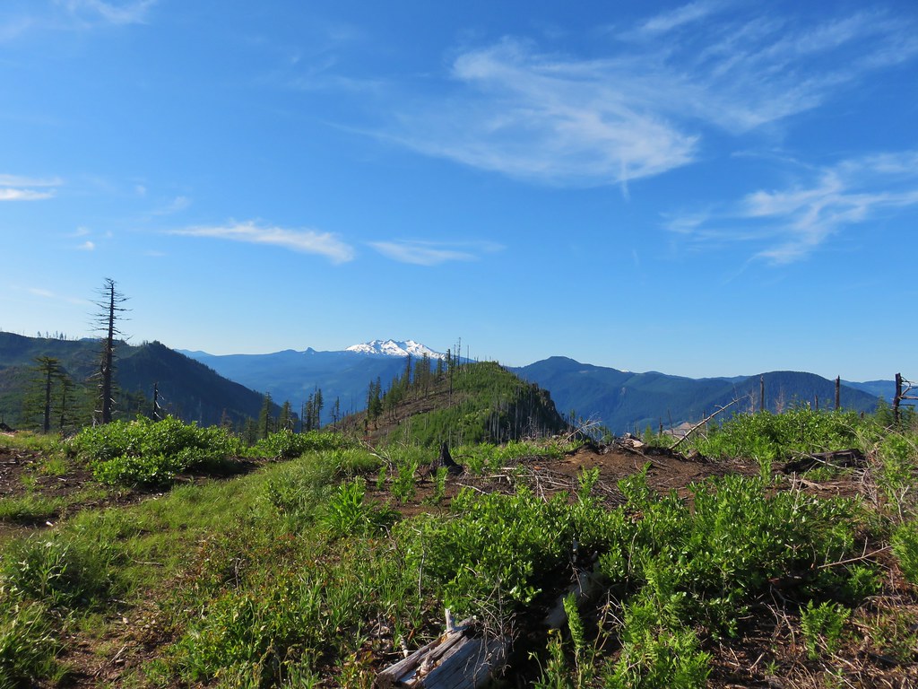
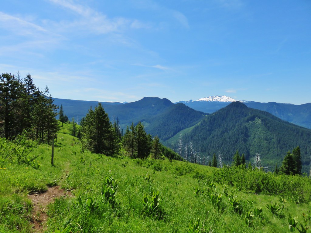
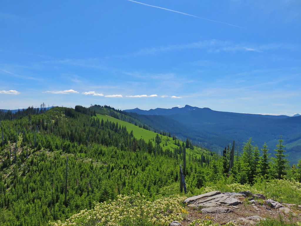
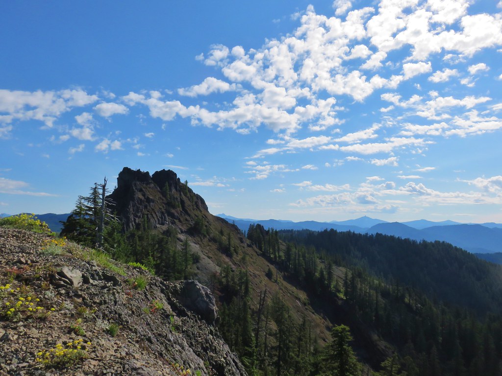
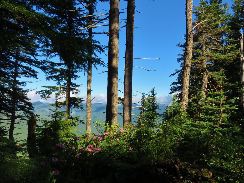
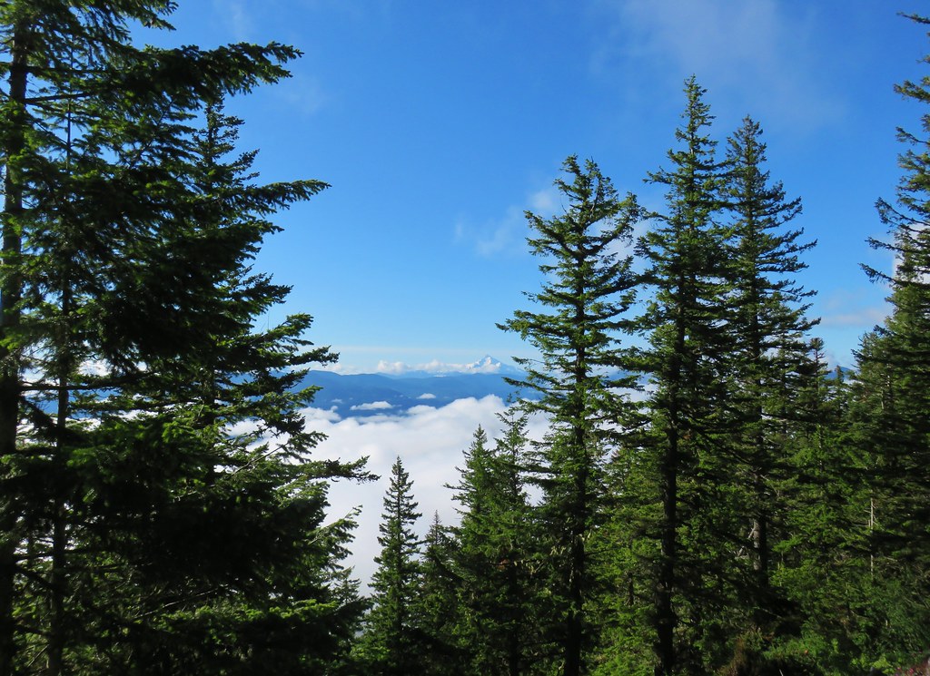
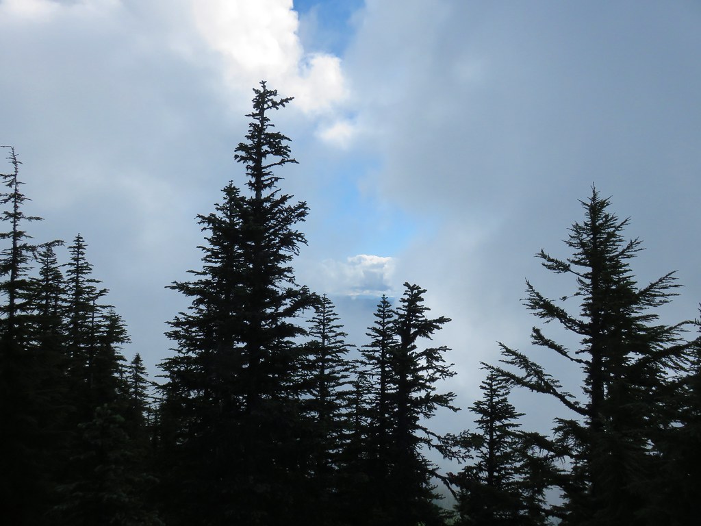
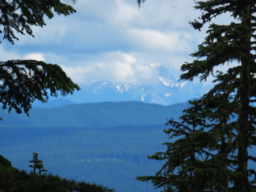
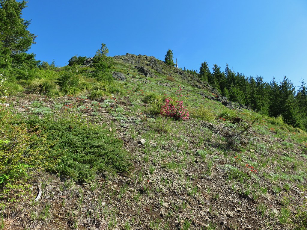
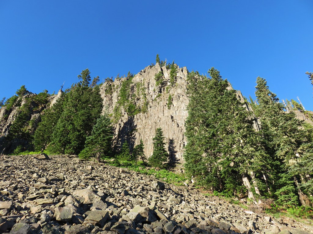
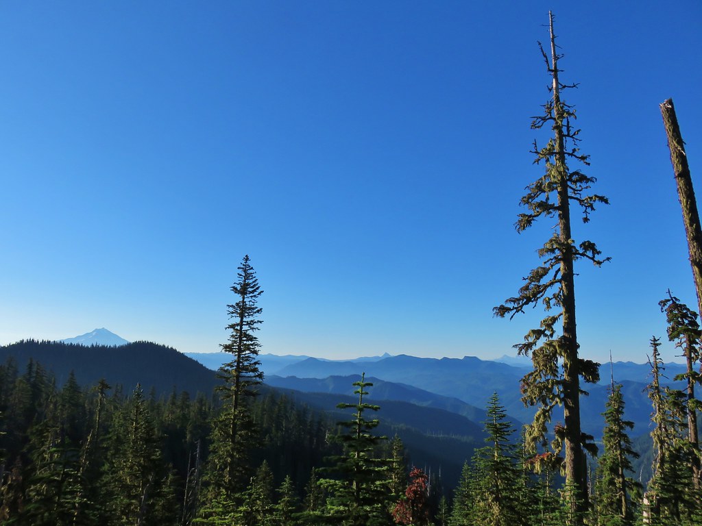
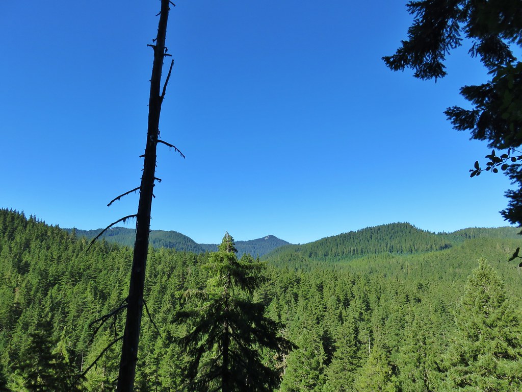
After climbing for a mile we reached a viewpoint at a switchback with a view of Mt. Jefferson.

 Schreiner Peak in front of Mt. Jefferson.
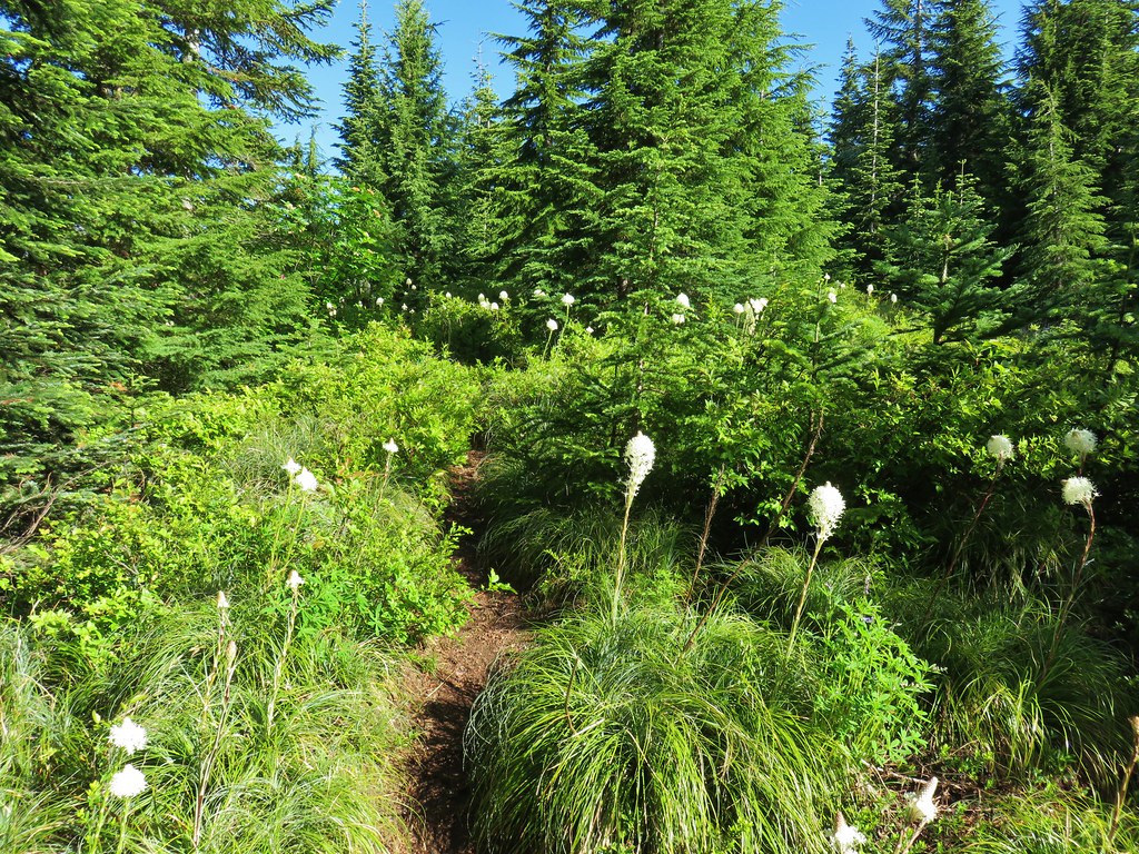
Another .2 miles of climbing along a wildflower dotted ridge brought us to a junction just below the summit of Thunder Mountain.

 Small sign on the tree marking the trail to Thunder Mountain’s summit.
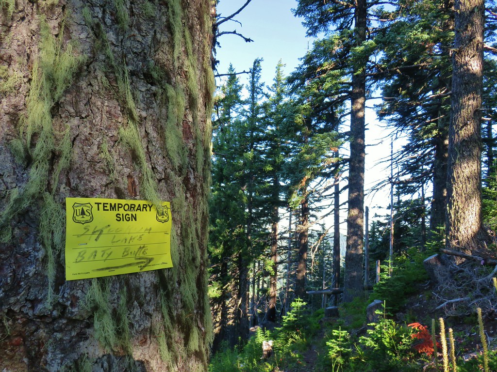
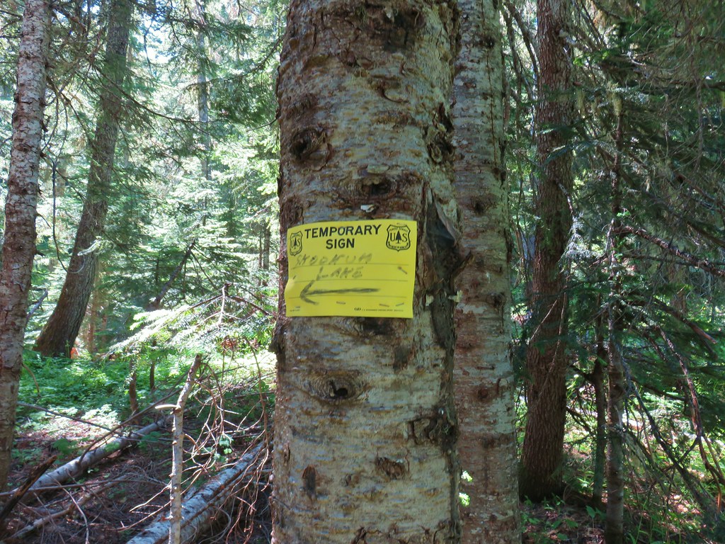
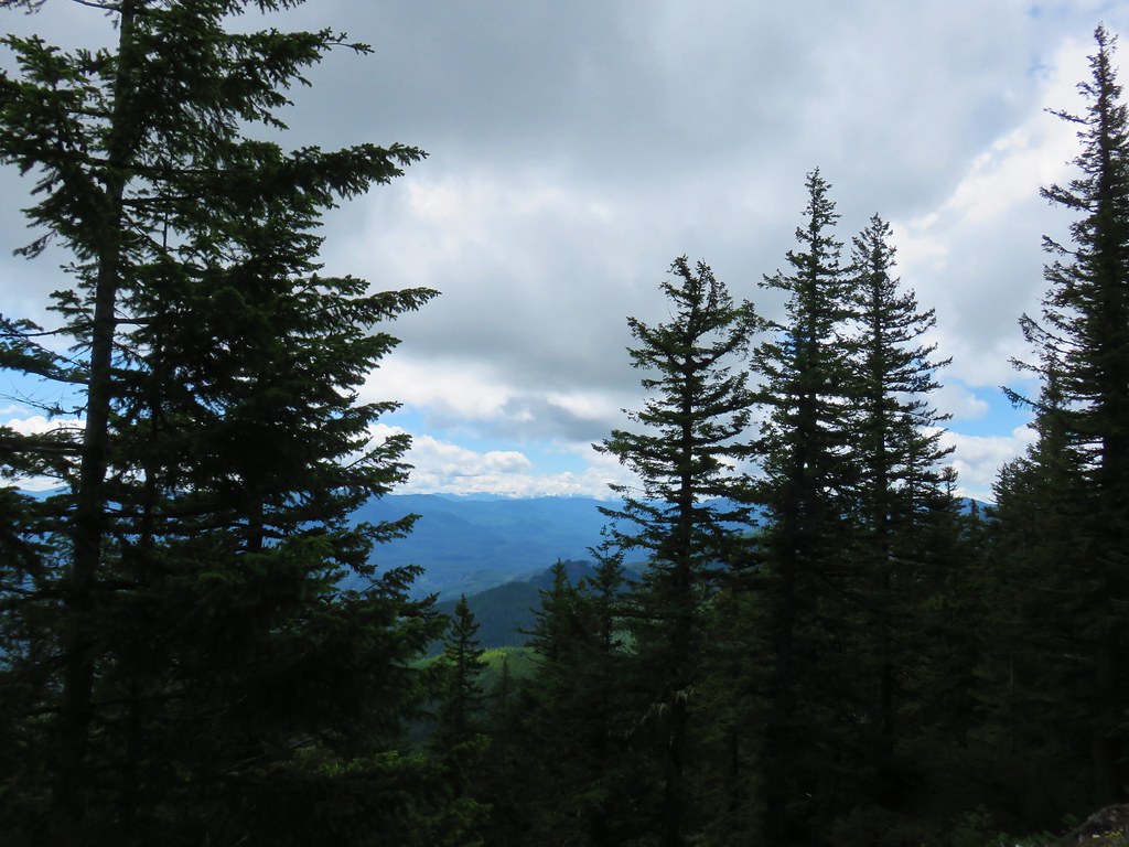
We decided to save Thunder Mountain for the return trip due to the position of the Sun and the presence of quite a bit of haze. We followed the pointers on a temporary sign for Skookum Lake and Baty Butte.
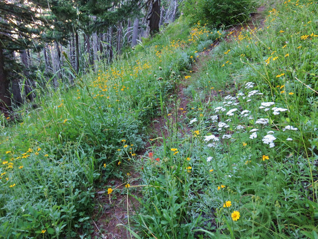
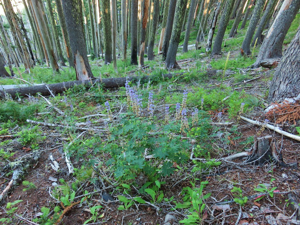
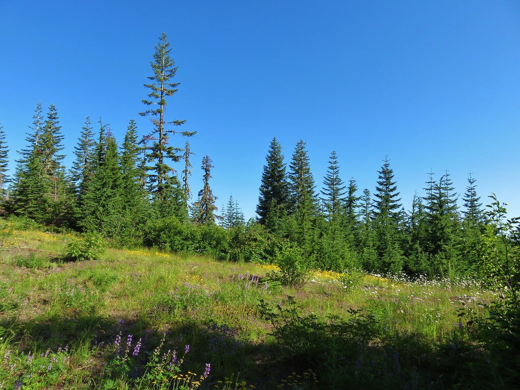
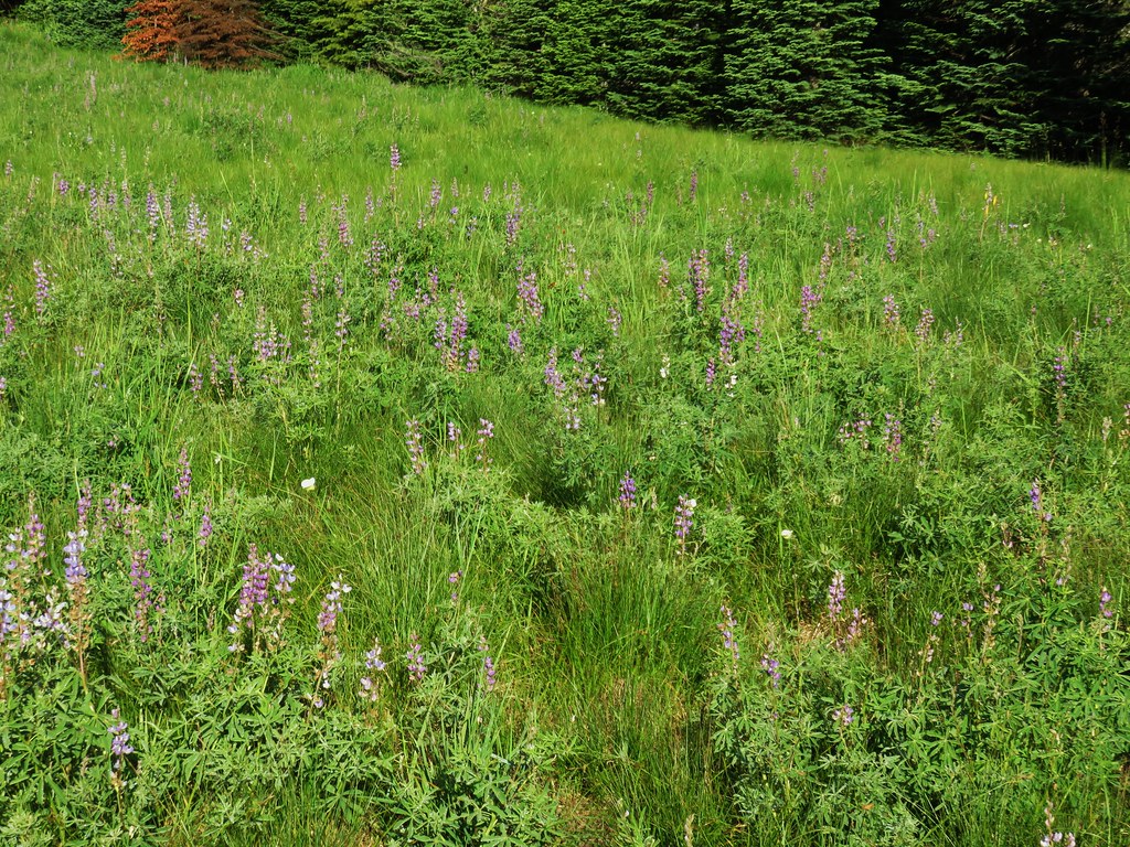
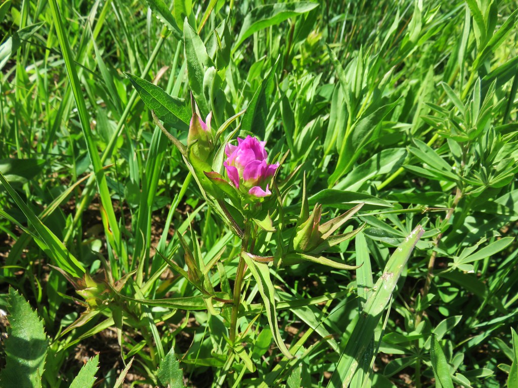
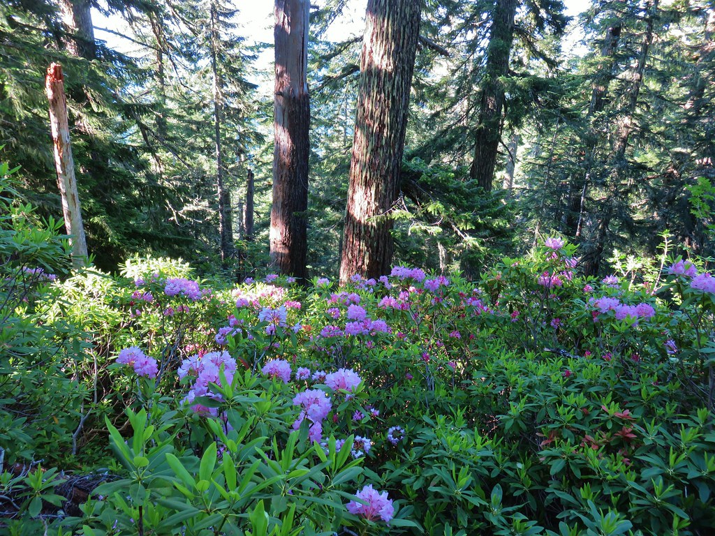
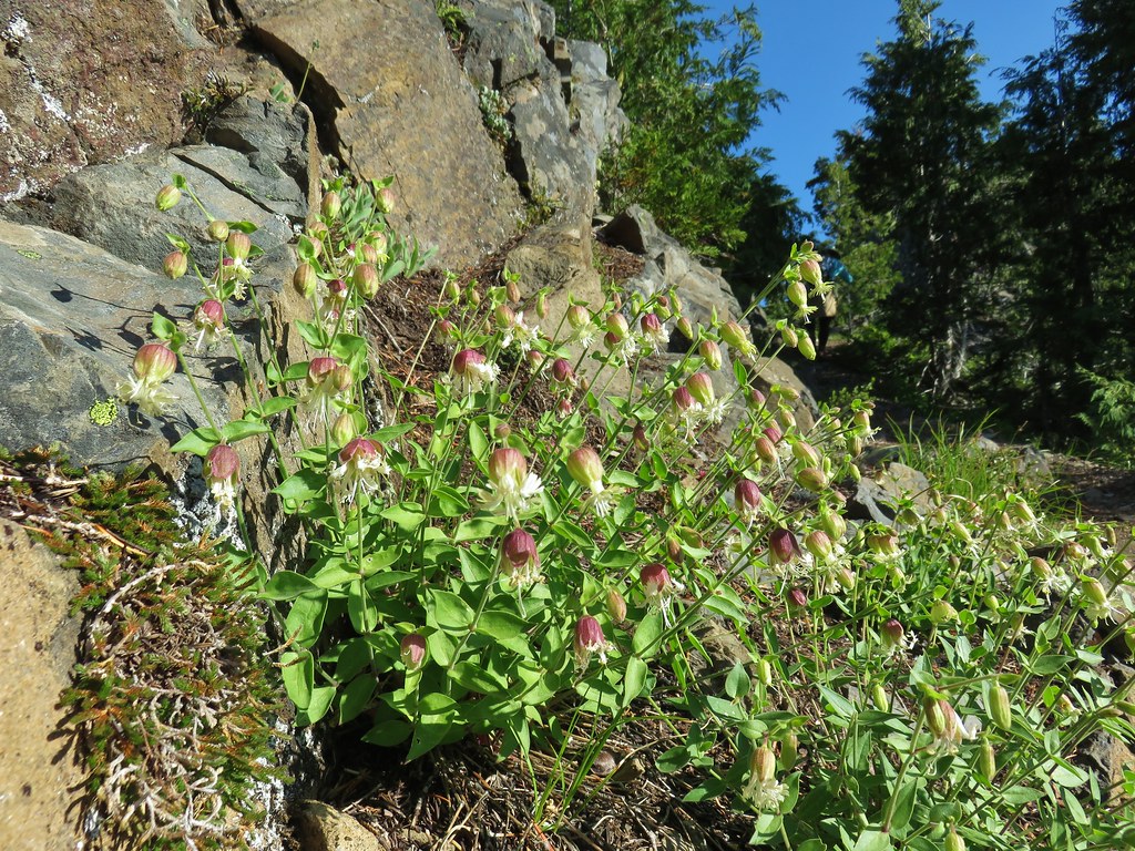
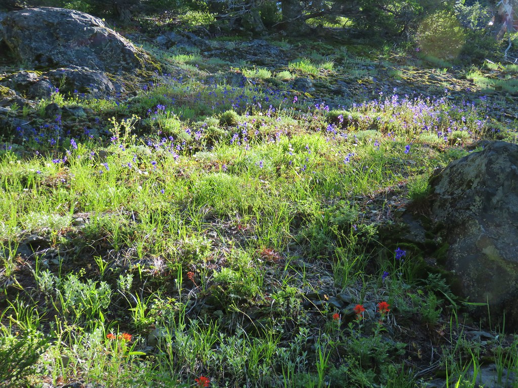
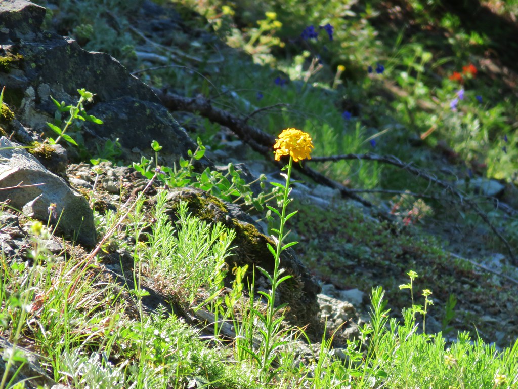
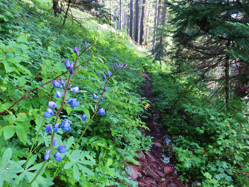
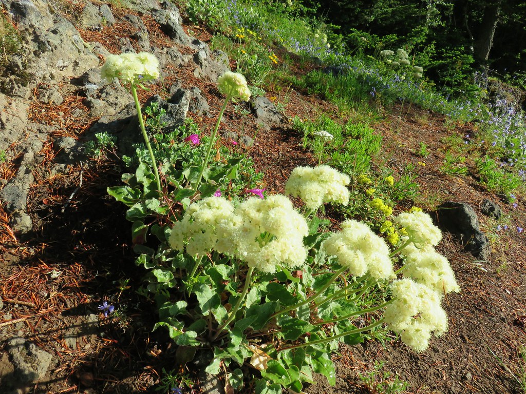
The Skookum Lake Trail began to descend along a steep hillside that looked to have had an excellent wildflower display just a week or two earlier. As it was there were still a decent number of flowers in bloom.
 Columbine
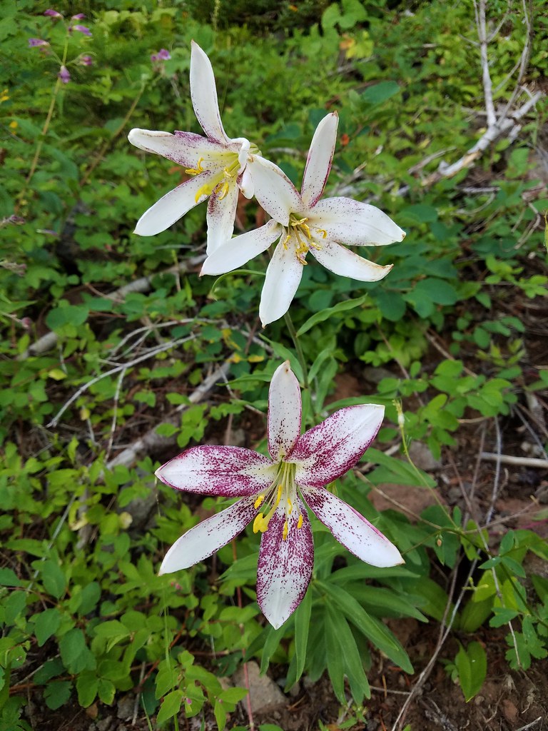
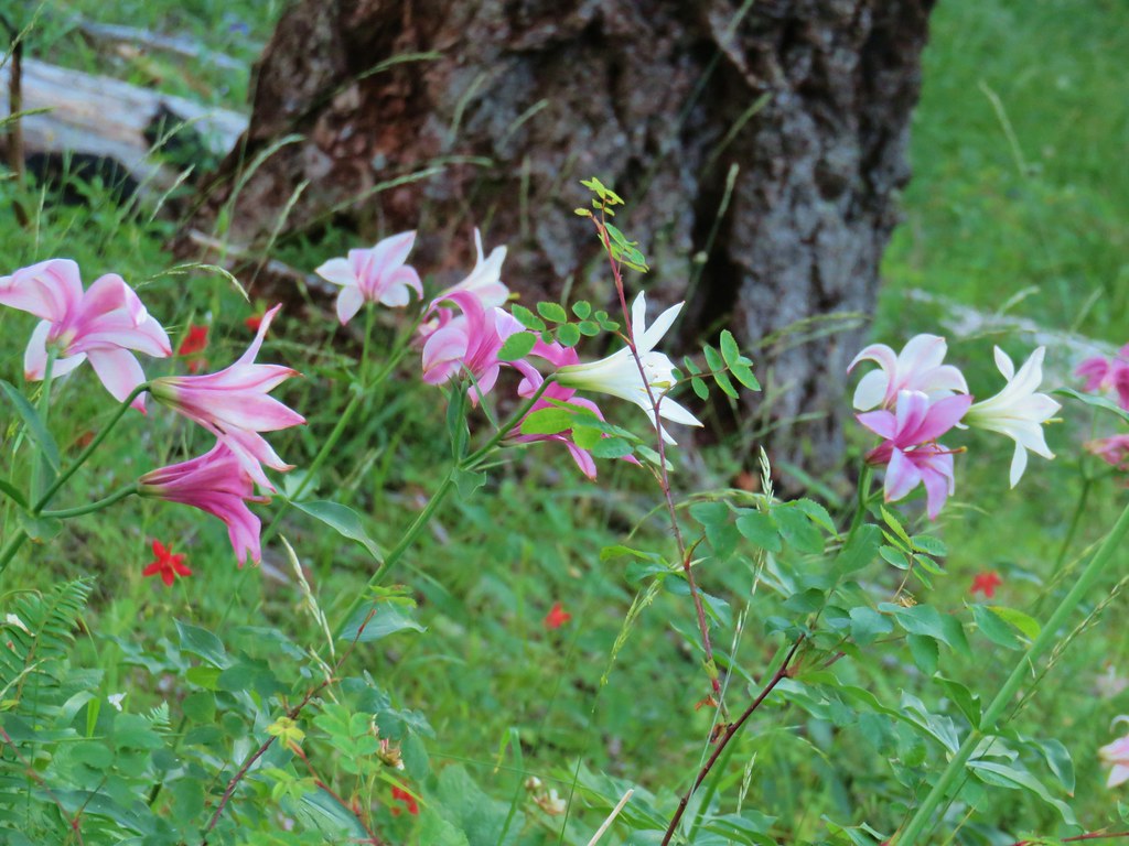 Washington lilies
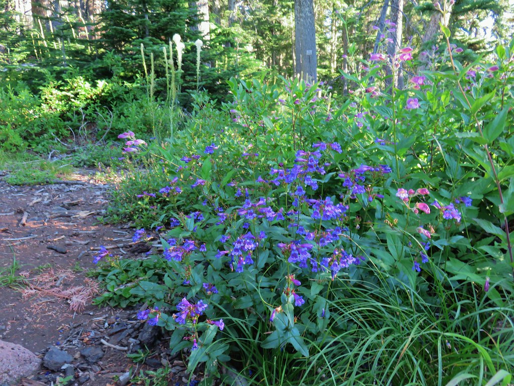
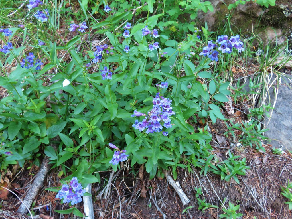 Penstemon
 Assorted flowers
 Washington lilies
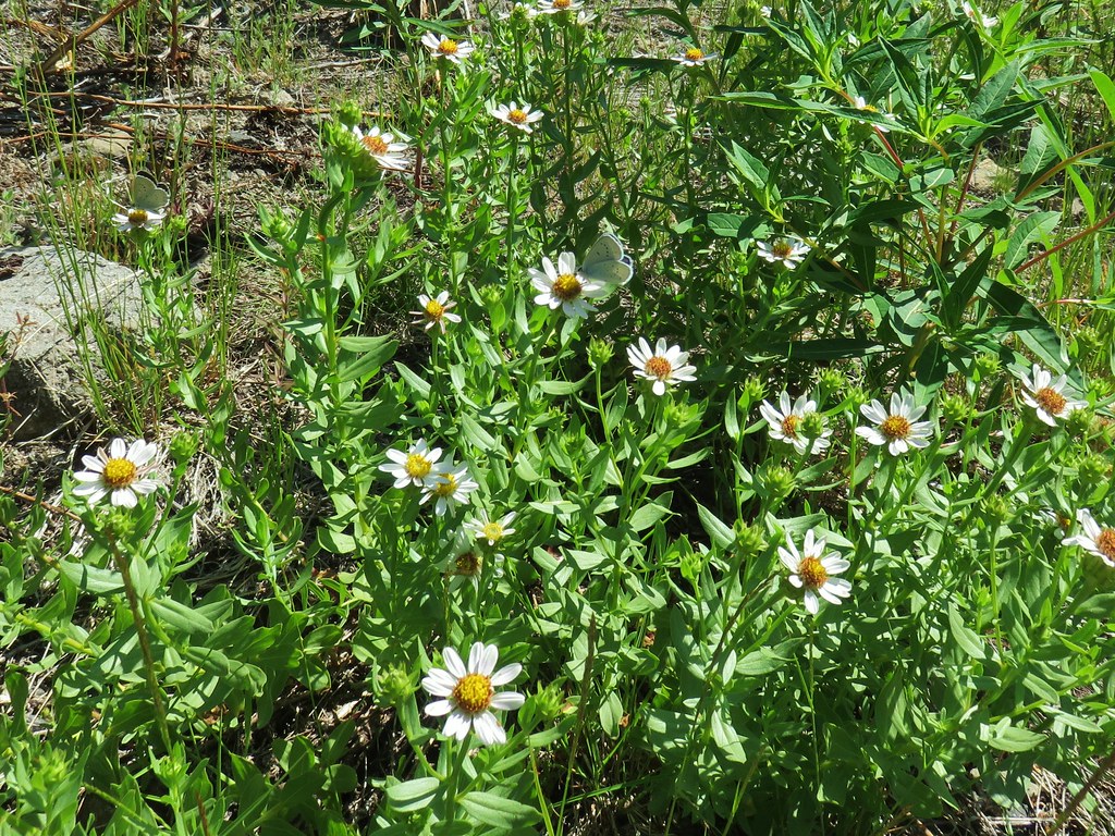
 Oregon sunshine
 Scouler’s bluebells
 Columbine and a couple different types of penstemon.
 Cat’s ear lily
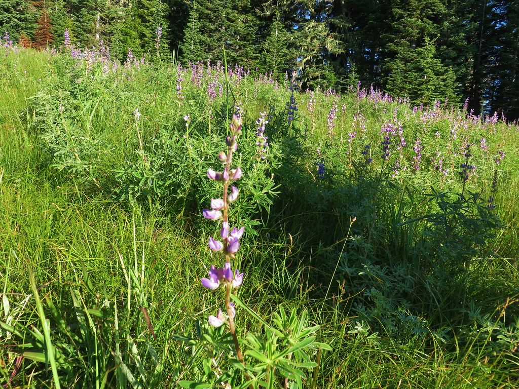
 Lupine
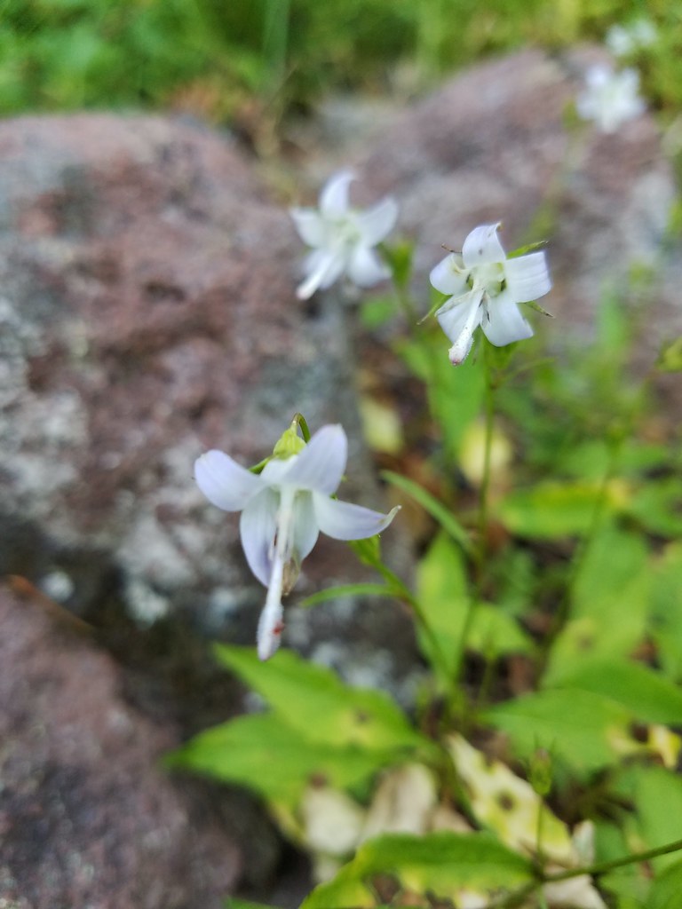
 Pyrola
The trail left the wildflowers as it made a horseshoe shaped turn into thicker trees.
 Skookum Lake Trail below coming out of the horseshoe turn.
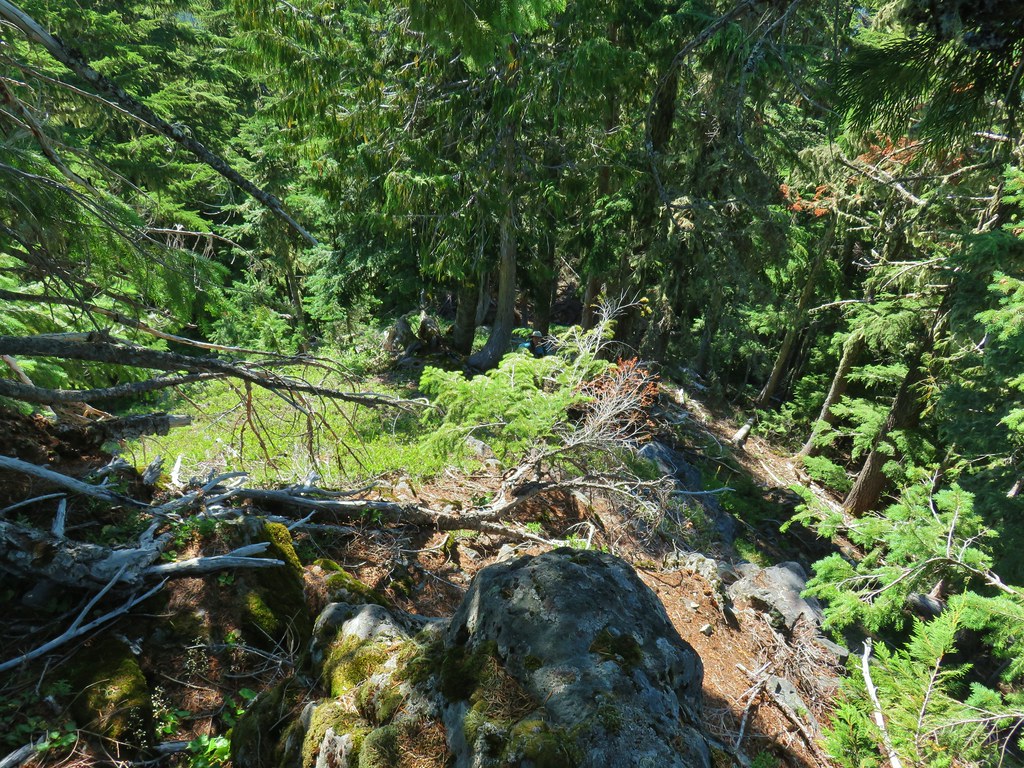
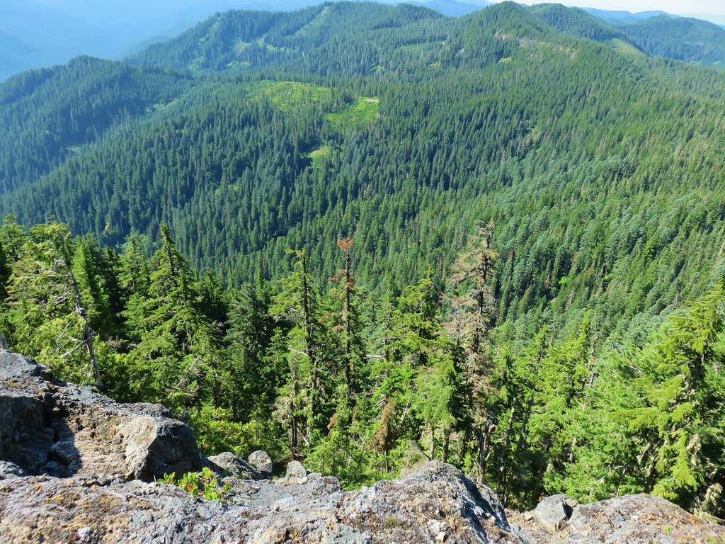
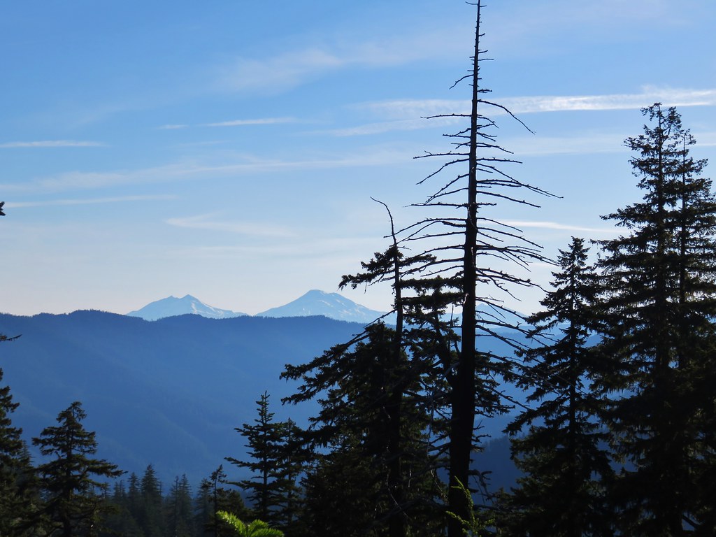
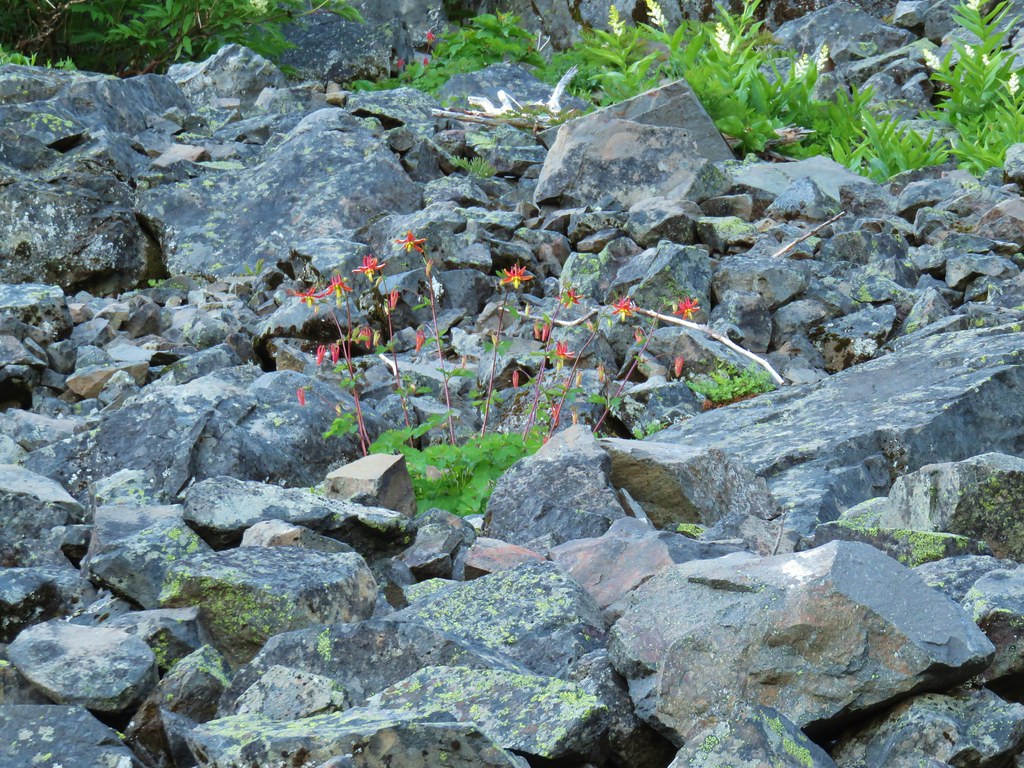
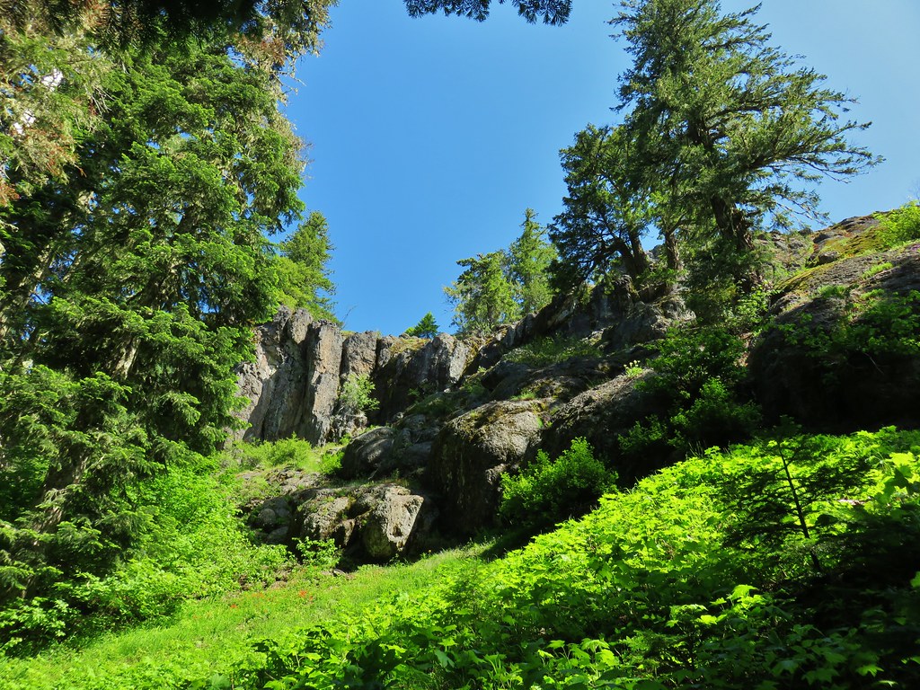
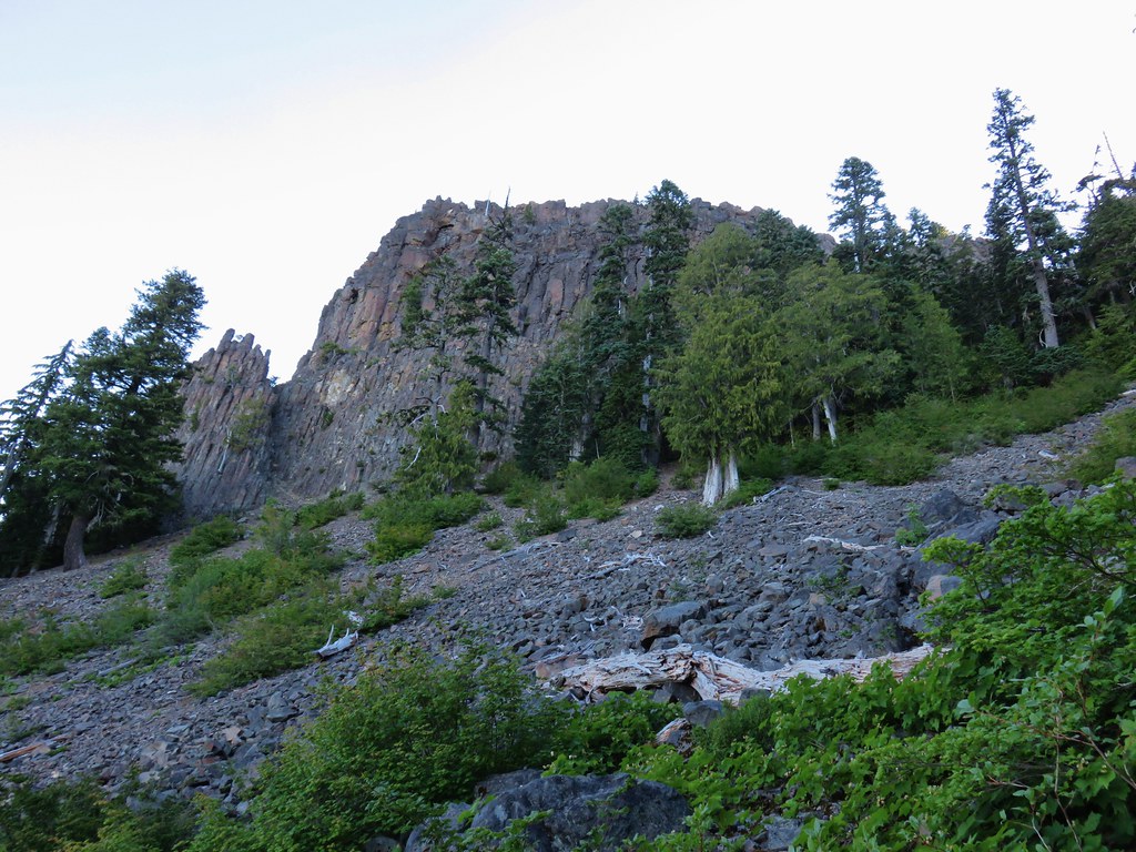
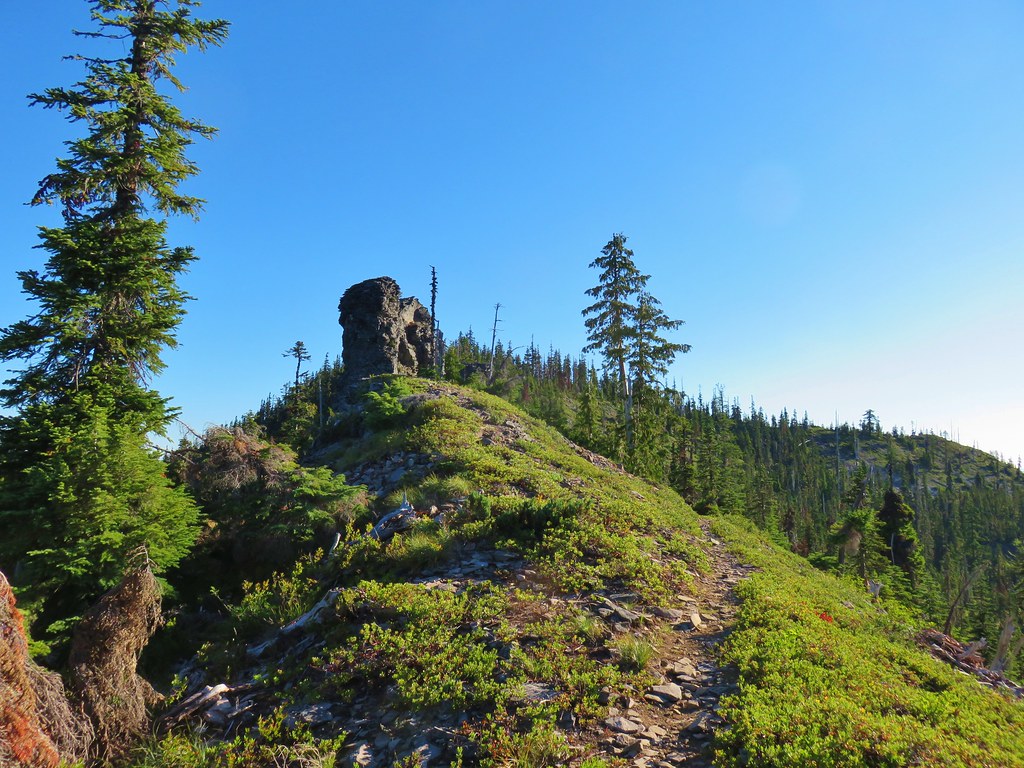
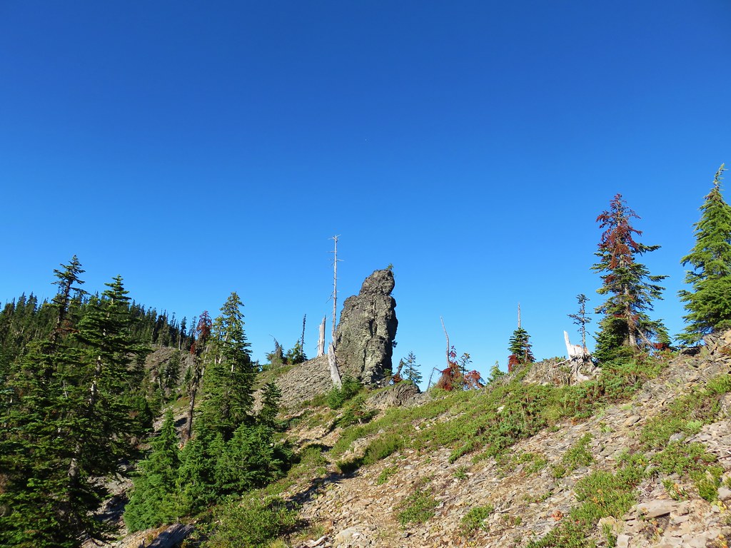
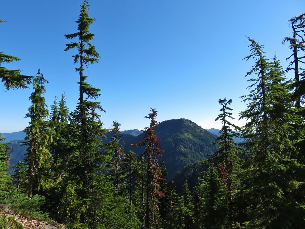
Approximately a mile from the Thunder Mountain junction we passed a rocky viewpoint where large basalt boulders were jumbled along the hillside.


We didn’t stop to check out the view until our way back by, but there was a decent view of Mt. Hood and through the trees we could make out Mt. Rainier.
 Mt. Hood
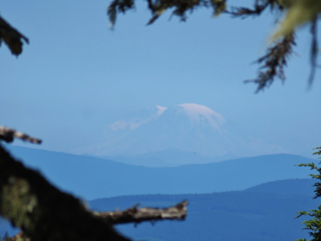 Mt. Rainier
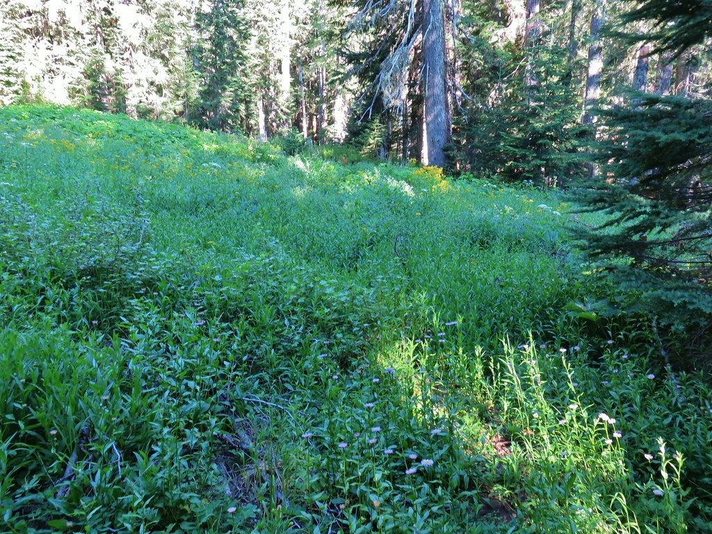
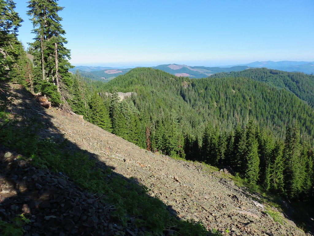
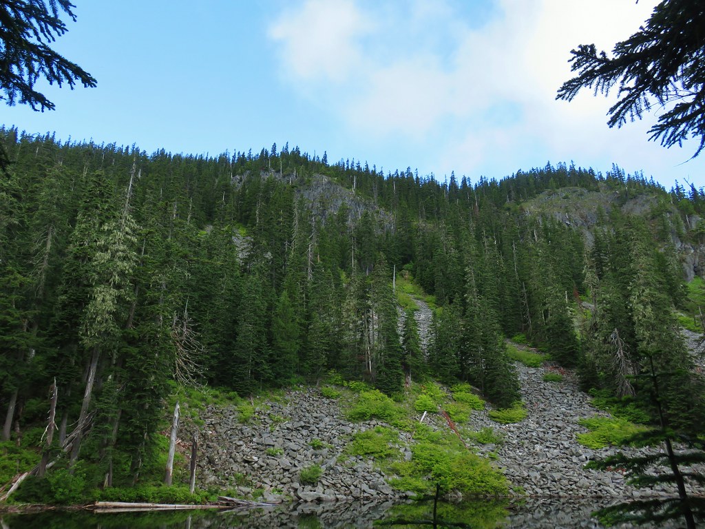
The trail descended another half mile beyond the rocks before leveling out along a meadow.
 The trail skirts a talus slope above the meadow.
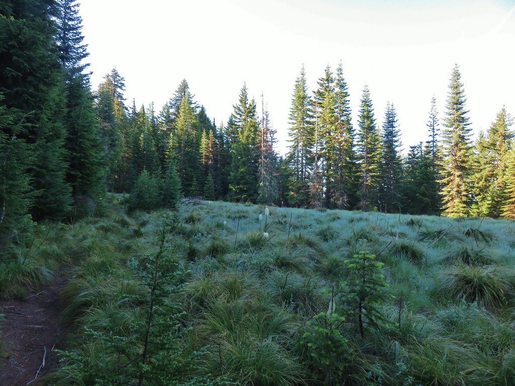
 Finally leveling out by the meadow after losing approximately 700′.
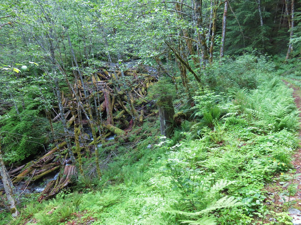
The meadow is also the site of the junction with the abandoned Baty Butte Trail which was marked by a sad little rock cairn and tattered flagging along with an easy to miss temporary sign.

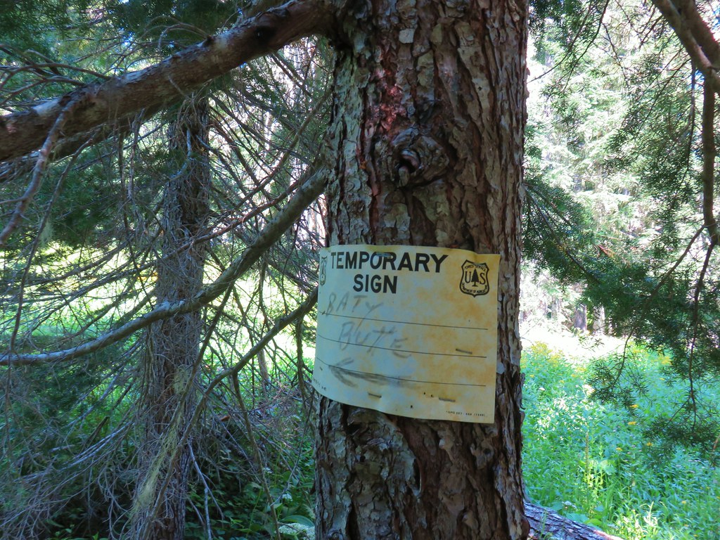 I missed the sign until we had come back and started down the Skookum Lake Trail.
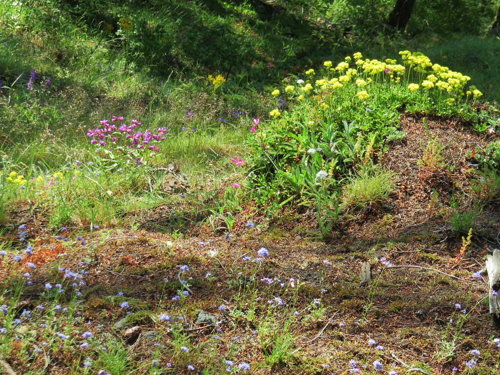
There were a few mosquitoes patrolling the meadow so we didn’t linger long but we did stick around long enough to notice several types of flowers still blooming.
 Tall bluebells
 The yellow might be a groundsel.
 Aster
Aster
The tread of the trail was difficult to make out but there was some flagging on the far side and a faint path to it.
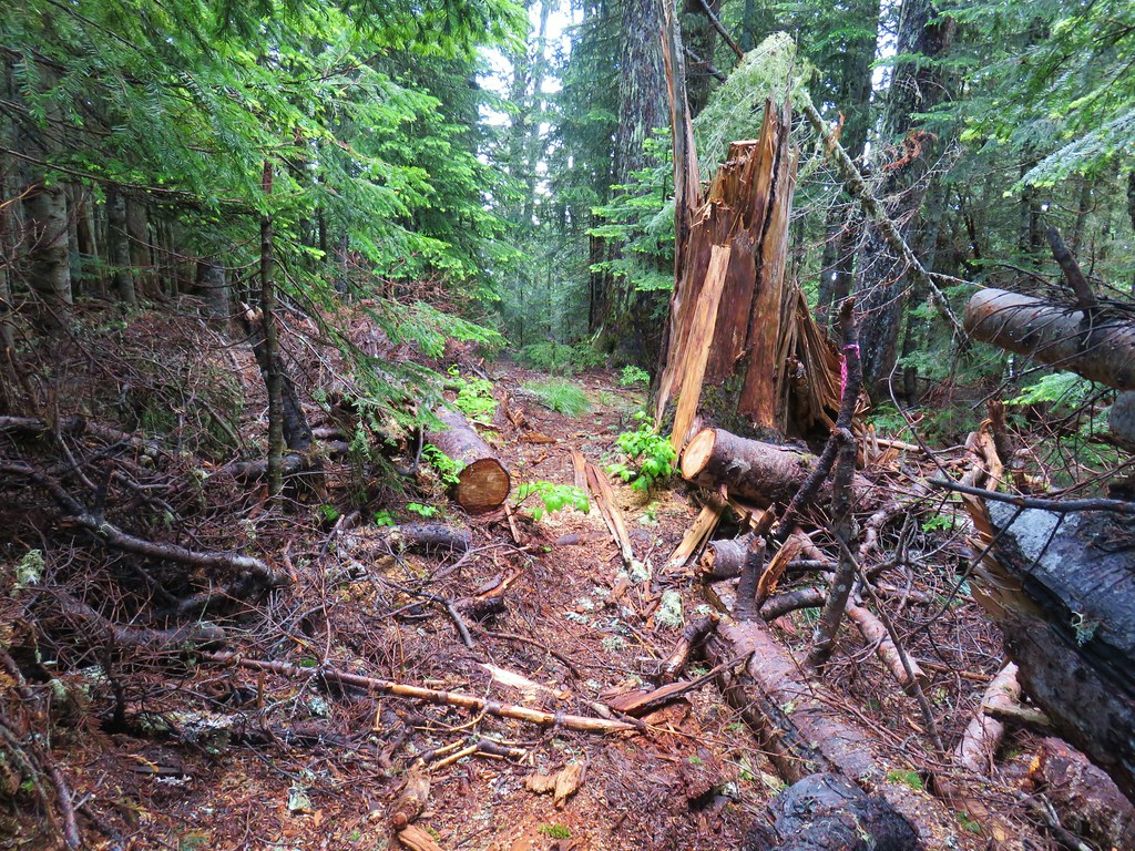
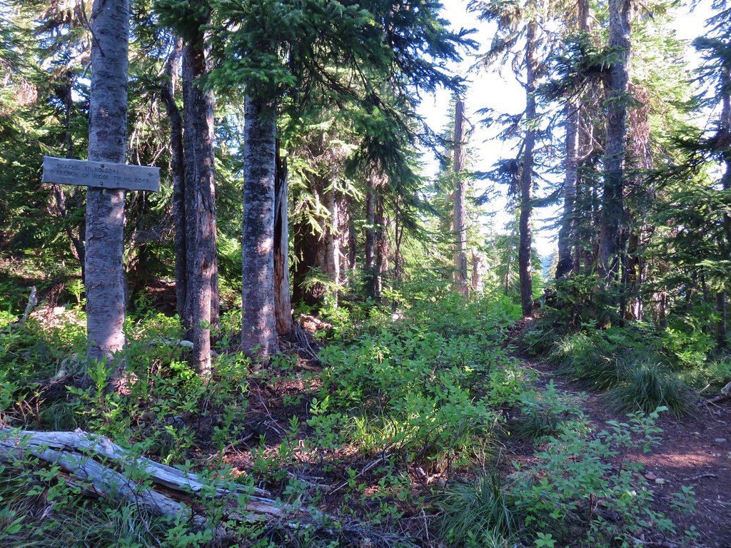
Beyond the meadow the trail became a bit more obvious as it passed through the trees. Occasional flagging assisted in keeping us on track.


The trail climbed a bit before arriving at an old roadbed .4 miles from the meadow.

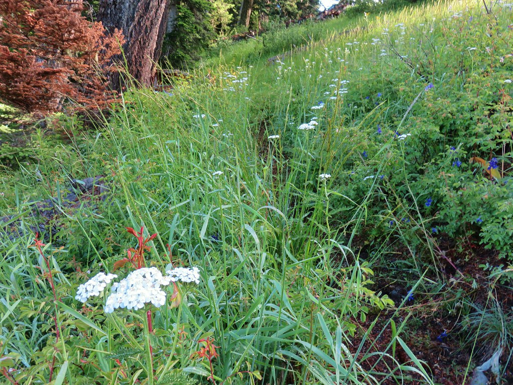
The road was a casualty of the 1996 storms that caused flooding in Oregon and washed out much of the Fish Creek road network. The roadbed is now more of a wildflower garden. We turned right onto the road following a faint path through the flowers.
Shortly after setting off on the road there was a nice view of Mt. Hood to the north.


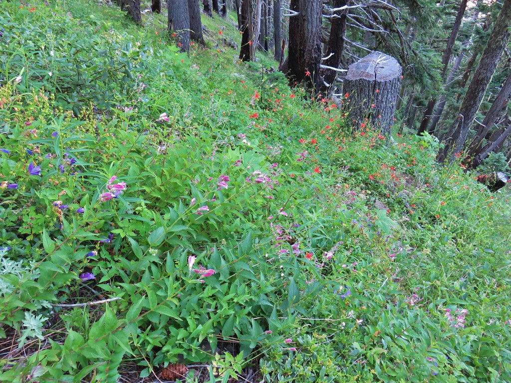
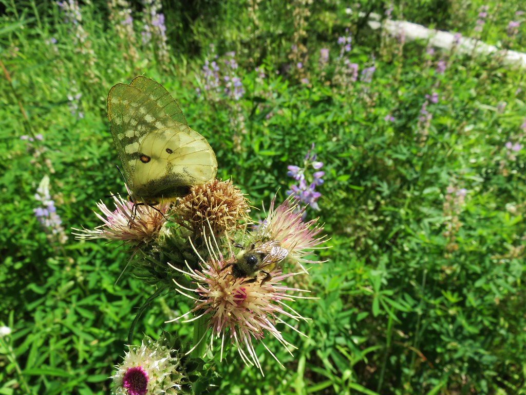
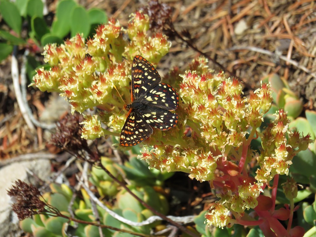
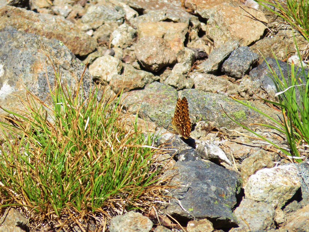
This was by far the most enjoyable stretch of old roadbed we’ve been on. The wildflowers were profuse and there were dozens of butterflies flying about. It was the tail end of the flowers but they were still very impressive.
 Paintbrush, penstemon and lupine


 Mostly past lupine


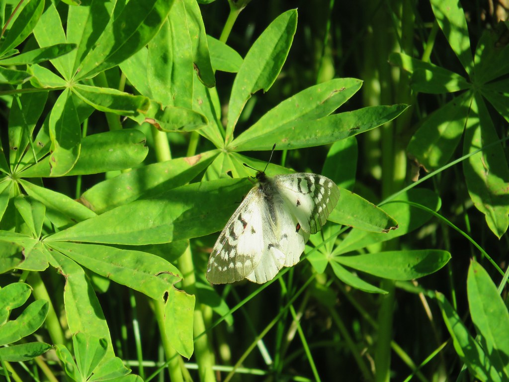
 Several butterflies on Oregon sunshine.

 Scarlet gilia
 Fireweed

At about the .4 mile mark another old road joined from the right which wasn’t a problem on the way to Baty Butte but it is worth noting because coming from the other direction it looked like it might be easy to continue straight on the wrong roadbed.
 Left is the wrong way on the return, the correct route is to the right through the brush.
 Flagging marking the correct path.
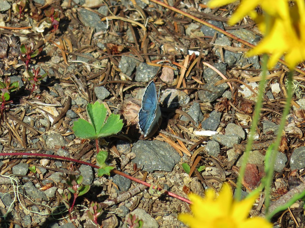
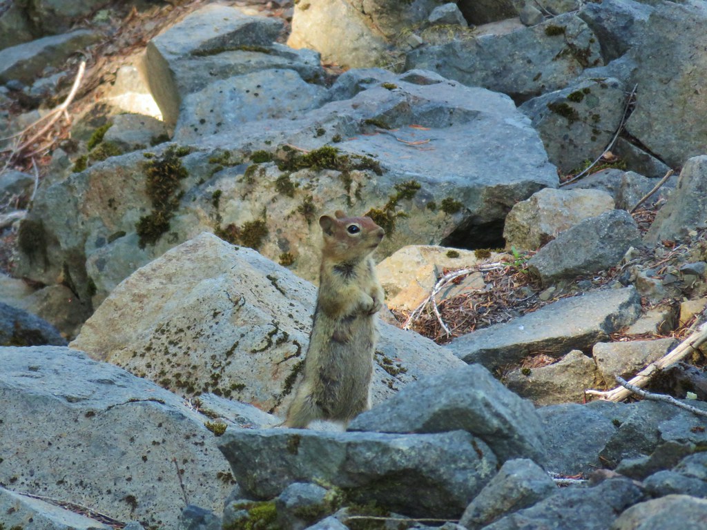
Near the three quarter mile mark on the road we passed some rock out crops and a talus slope where we spotted a pika and some golden-mantled ground squirrels.


Shortly after passing along a narrow ridge the road arrived at the base of Baty Butte.

The road continued around the butte to the left but the Baty Butte Trail headed uphill amid some small trees.
 Baty Butte Trail to the right.
The trail climbed around the side of the butte and showed some signs of recent trail maintenance.
After .4 miles on the trail, as it began to curve around a ridge, we turned uphill on a scramble trail.
 Baty Butte Trail starting to curve around the ridge.
 Scramble route up the ridge.
It was a steep quarter mile climb up the ridge which devolved into a narrow rocky spine toward the top.
 Looking down from the start of the spine.


It required the use of our hands to navigate this and we stopped at a wide (for the ridge) spot. From here it appeared that the number of trees increased to a point that would make continuing even more difficult.

From this viewpoint we had a view of Mt. Jefferson and the Three Sisters.

 Mt. Jefferson
 Three Fingered Jack, Mt. Washington, and the Three Sisters.
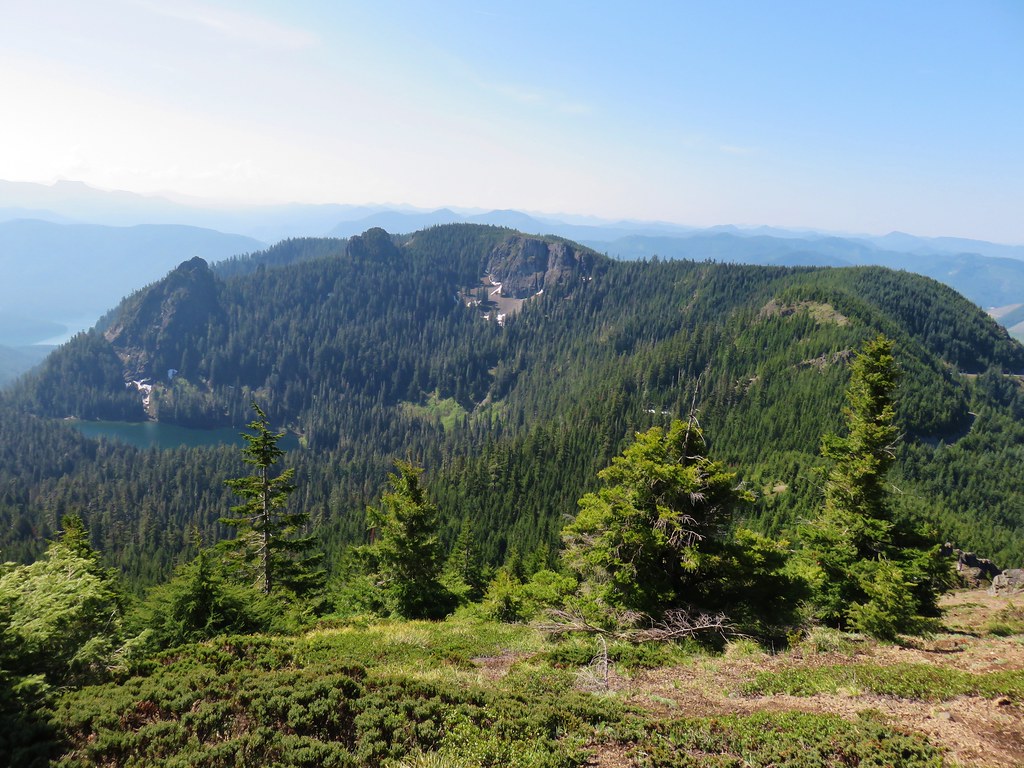
There was also an excellent view of Table Rock and Rooster Rock in the Table Rock Wilderness (post).

 Rooster Rock is the formation to the far left.
 Looking down from Baty Butte.
After a brief rest we headed back eager to see more of the butterflies and flowers along the road.


 Orange agoseris
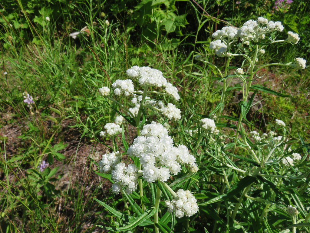 Pearly everlasting
 Penstemon
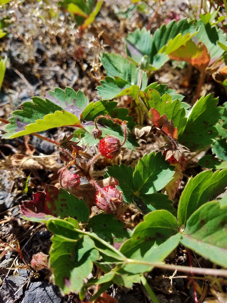
We also got to sample a few ripe strawberries.
The trail heading off of the road was easier to spot than it had been at the meadow.

Back through the meadow we went to the Skookum Lake Trail.
 Monkeyflower along the trail.
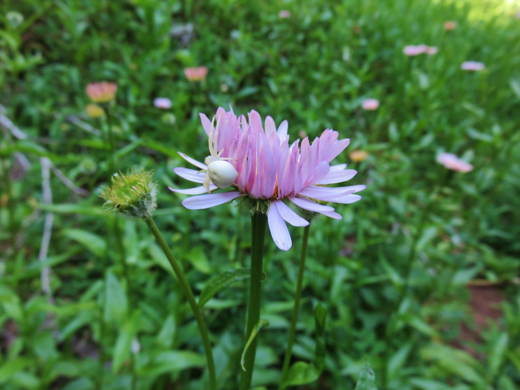 Crab spider on aster.
We turned left following the pointer for Skookum Lake.
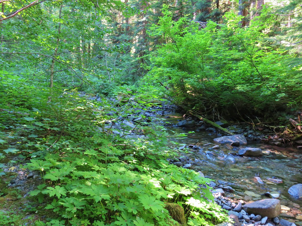
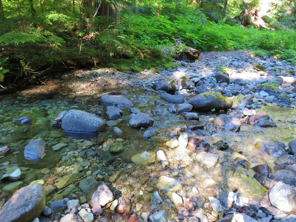
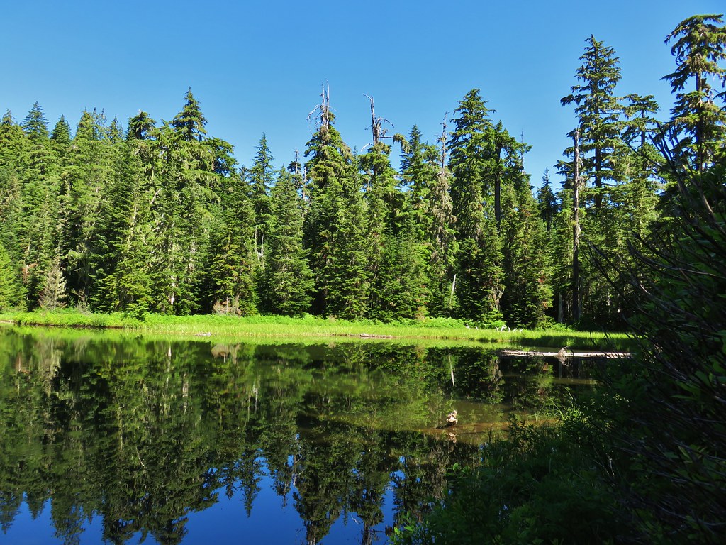
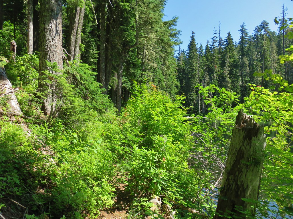
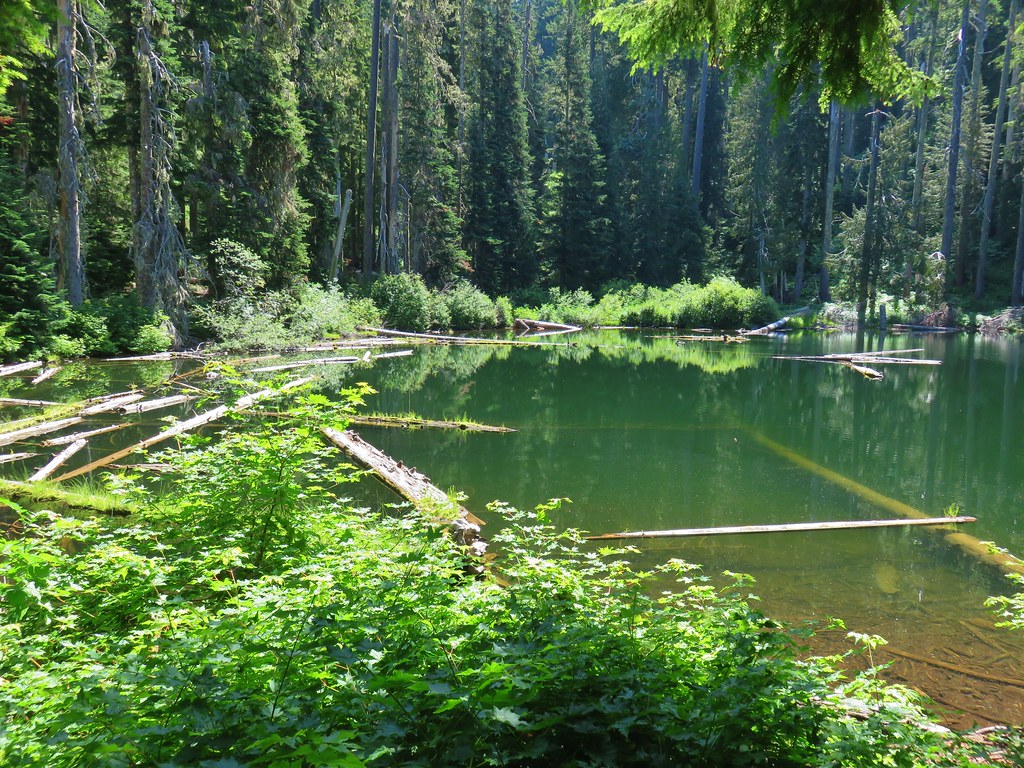
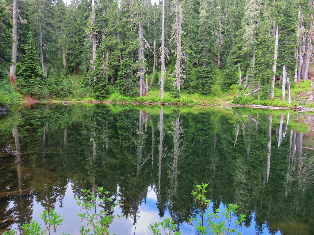
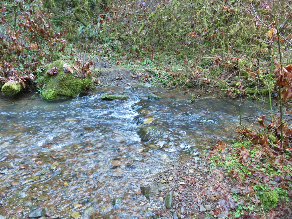
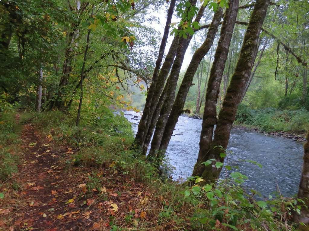
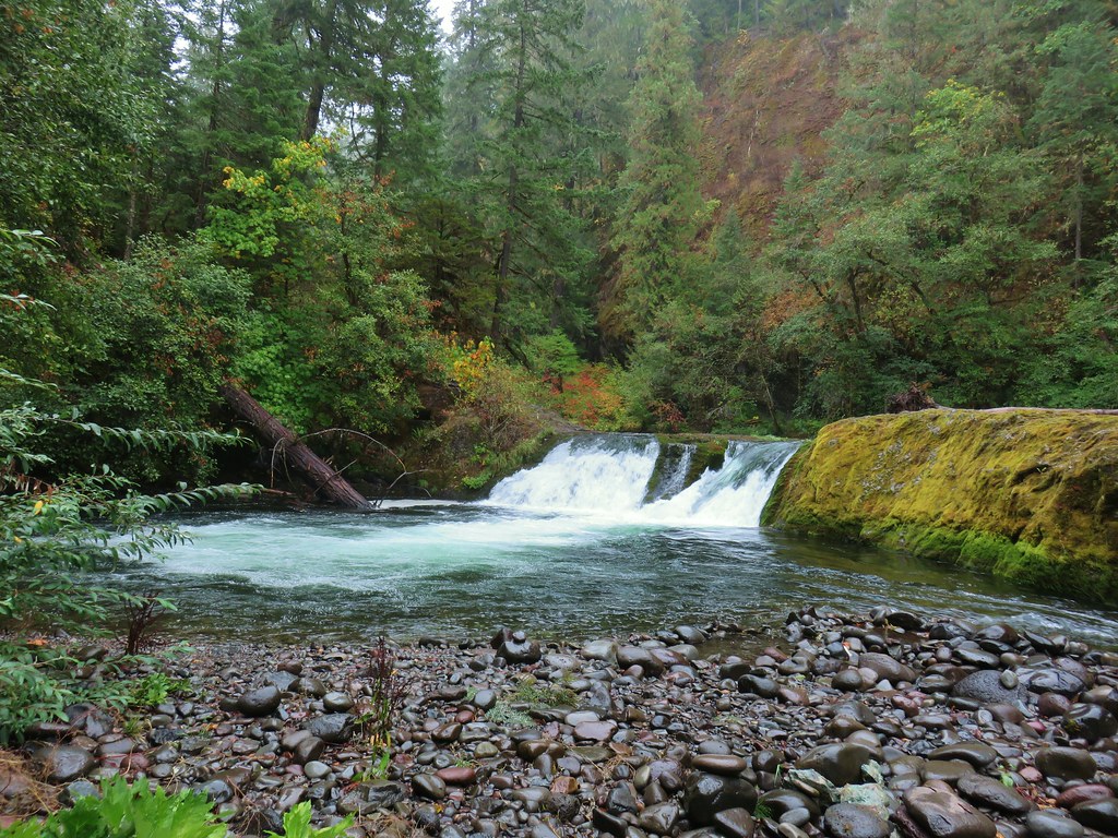
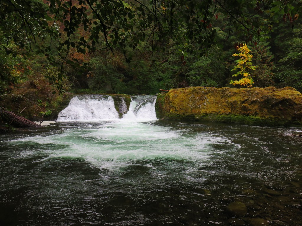
The Skookum Lake Trail descended for three tenths of a mile to Skookum Lake.
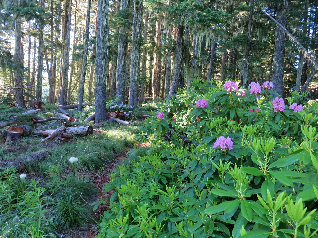
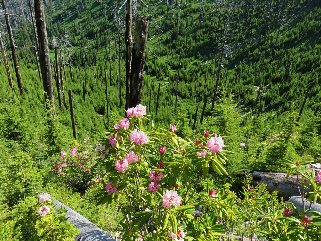
 Rhododendron along the Skookum Lake Trail.

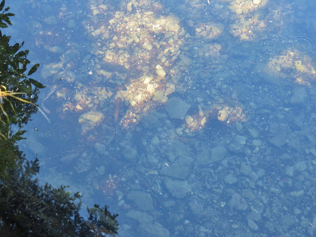
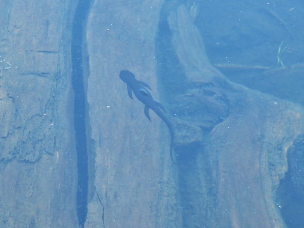
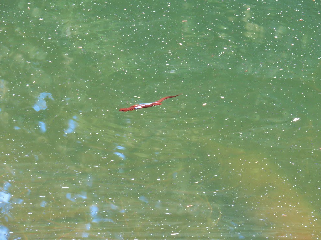
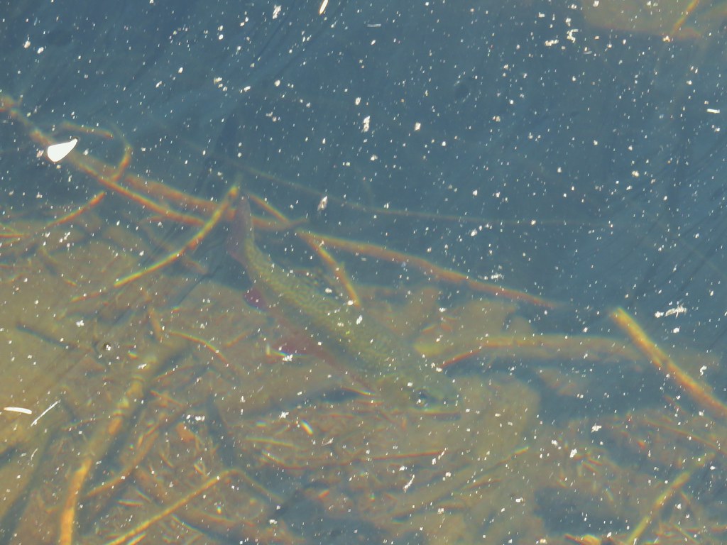
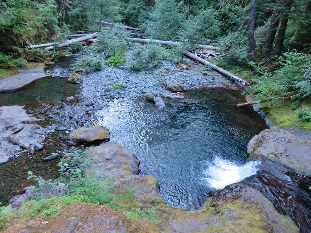
The little lake was full of activity with butterflies flying along the shore and rough skinned newts floating lazily in the water. Trout were also visible swimming in the shallows.
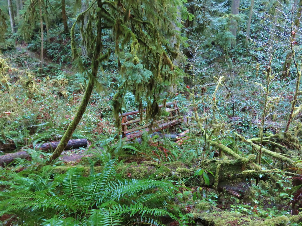
We followed the trail along the lake shore to the Skookum Lake Campground.

A forest road used to provide access to the primitive campground. It still sees some use though as the litter left in a bucket near the picnic table showed.

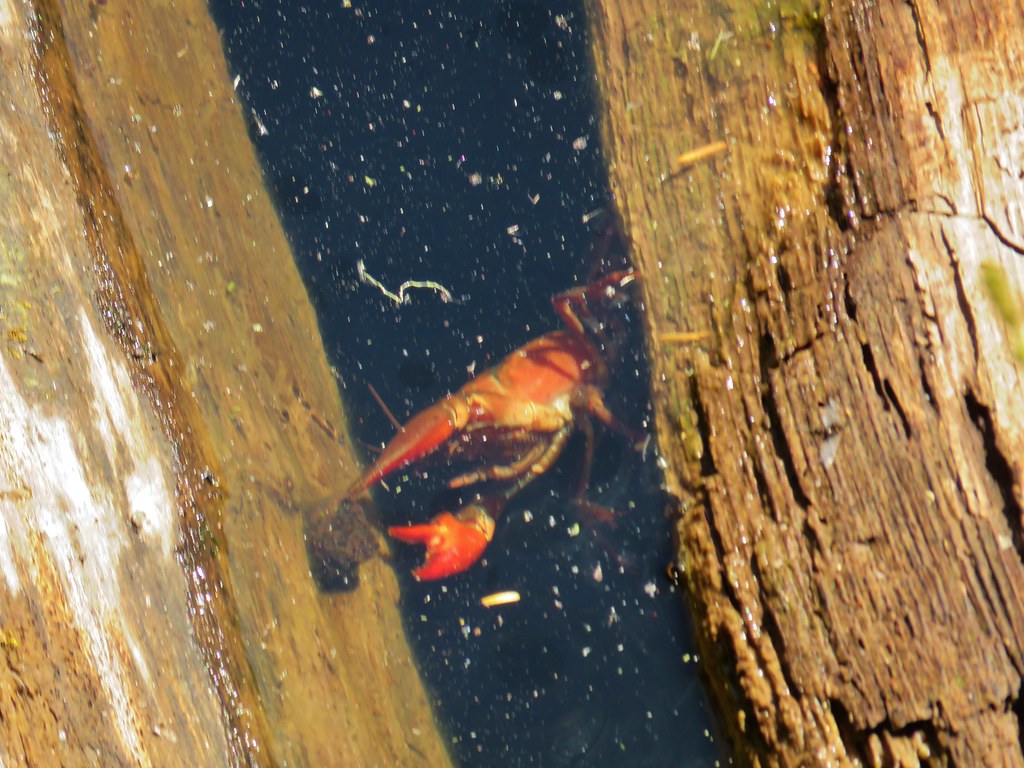
As we headed back along the lake Heather spotted a crawdad on a log.


After watching the crawdad for a bit we climbed back up to the junction with the Baty Butte Trail and then made the steep climb back up to the Thunder Mountain spur trail where we turend left.
 Small sign on a tree marking the trail to the summit of Thunder Mountain.
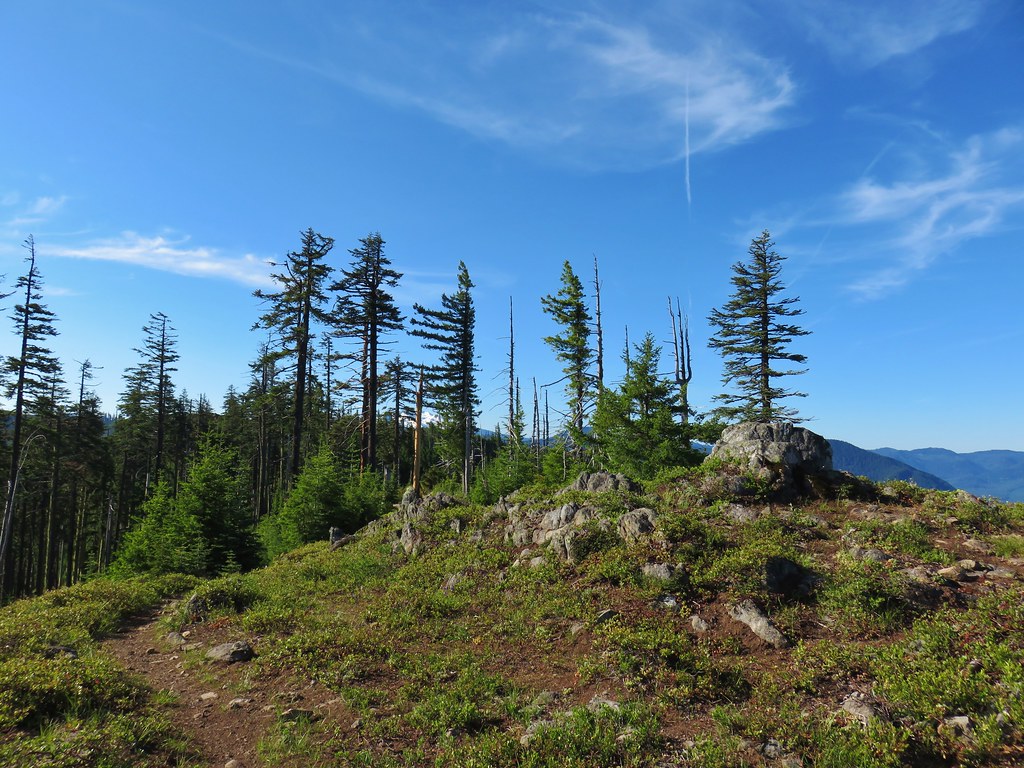
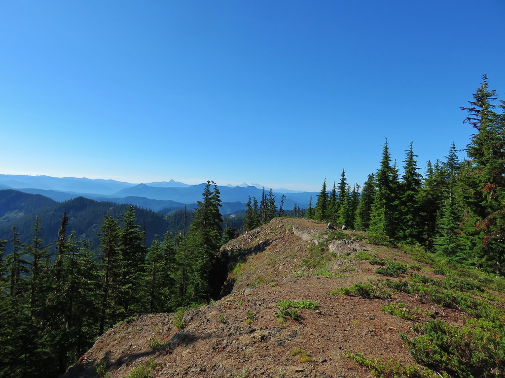
It was just a tenth of a mile climb to the site of the former lookout tower at the summit.


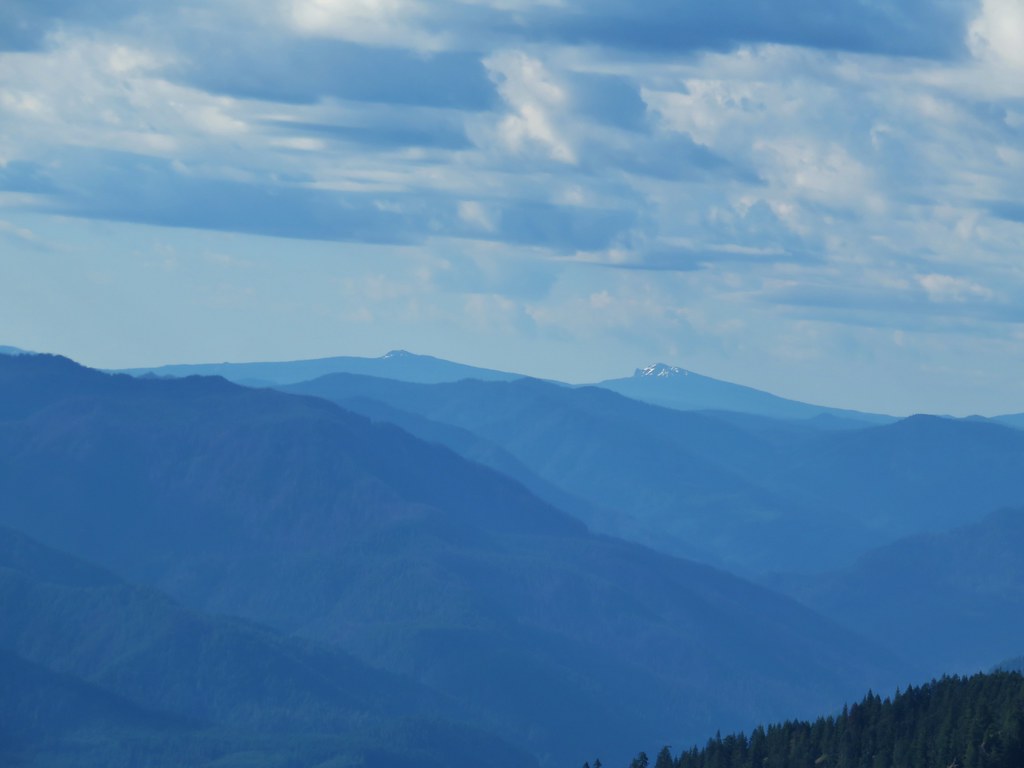
From the summit we could again see Mt. Jefferson but now we also had a view north to Mt. Hood, Mt. St. Helens, Mt. Rainier, and Mt. Adams.
 The view north.
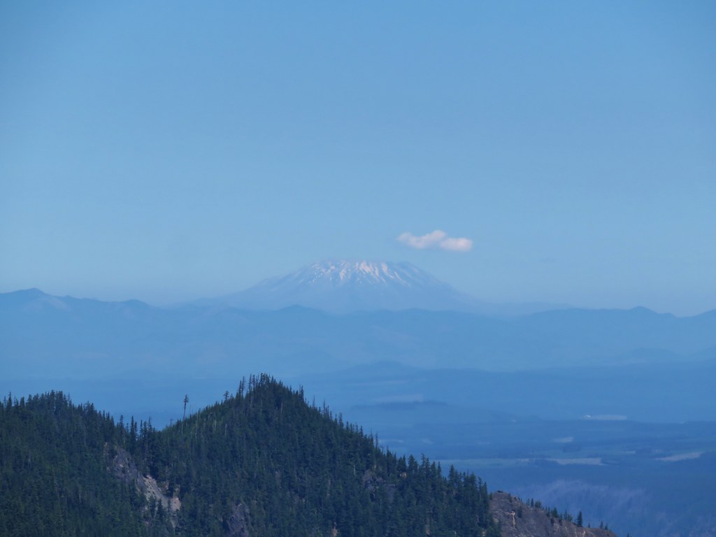 Mt. St. Helens
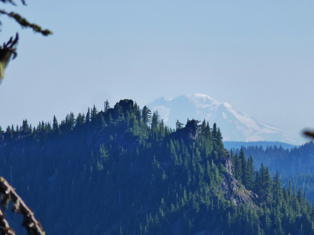
 Mt. Rainier and Mt. Adams beyond Fish Creek Mountain (post).
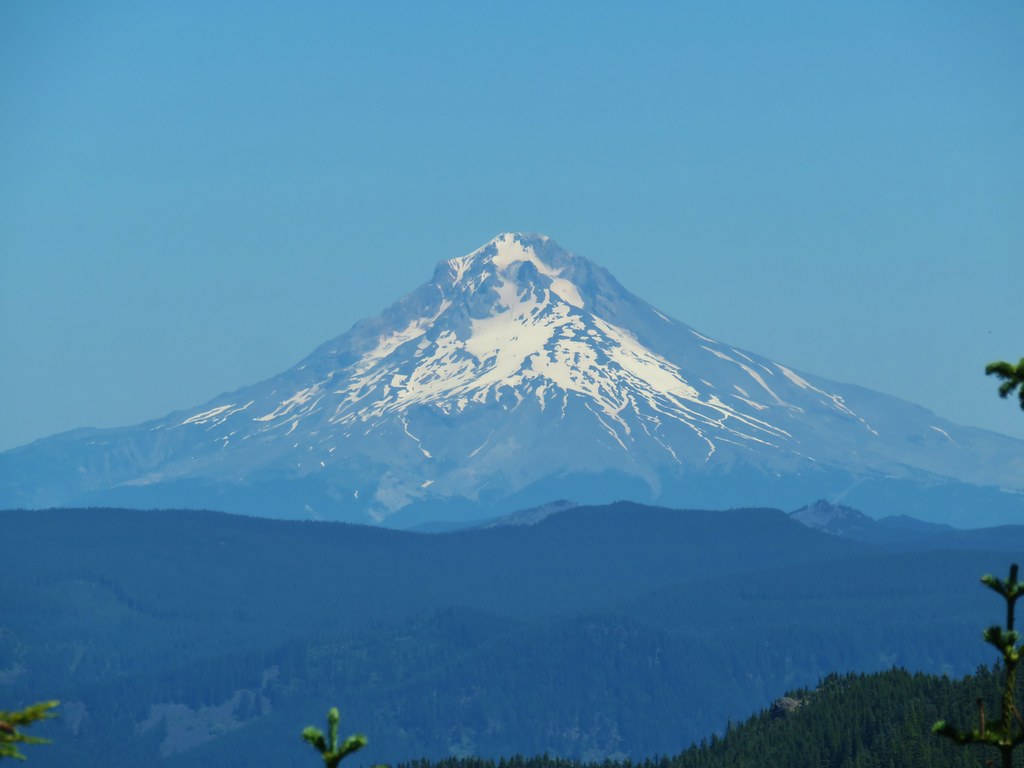 Mt. Hood
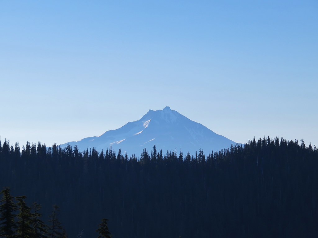
 Mt. Jefferson
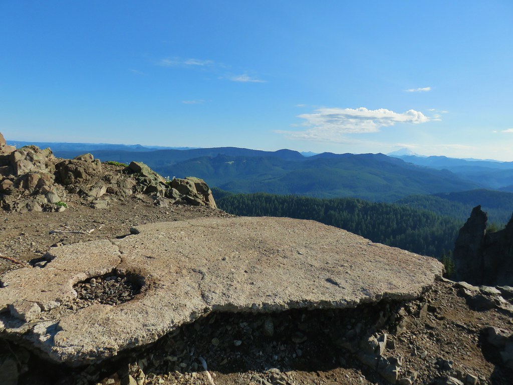
From the summit we headed back down to the car stopping at the lower viewpoint which had a better view of Mt. Jefferson.

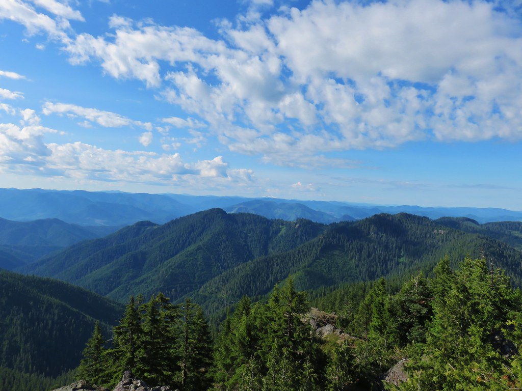
Shortly before reaching the brushy section we passed a group of backpackers headed up the trail, the only people we saw all day. This was a really nice hike with a variety of scenery. Even if the scramble up Baty Butte is a little too much for some with the exposure the road walk to the butte was well worth a visit during wildflower season. The hike came in at just over 10 miles with a little over 3000′ of elevation gain making it a bit of a challenge but nothing too crazy. Happy Trails!

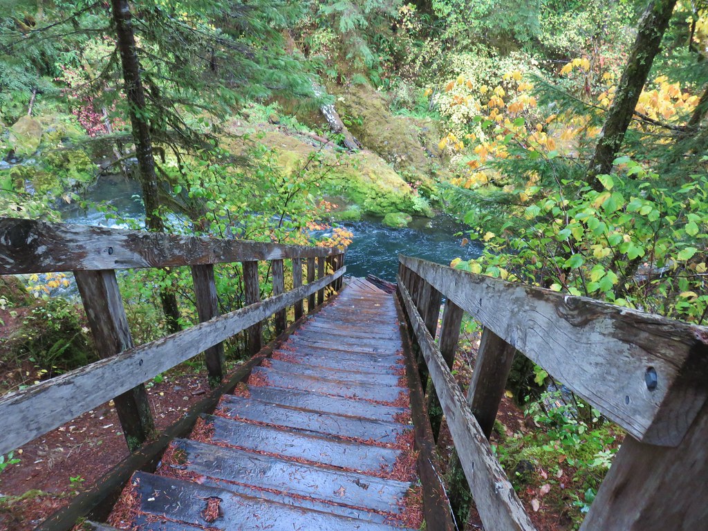
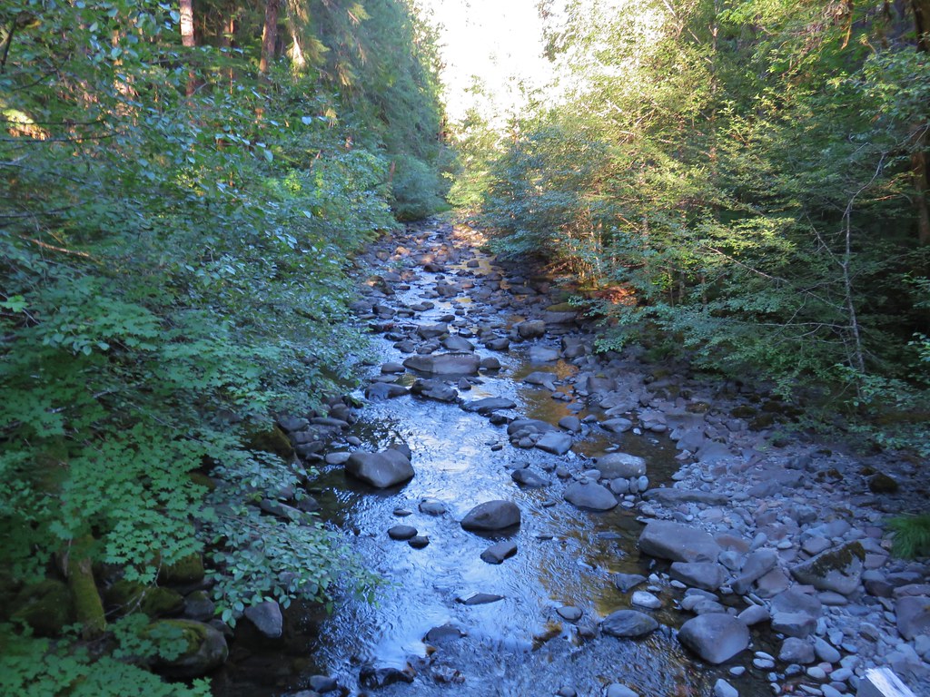
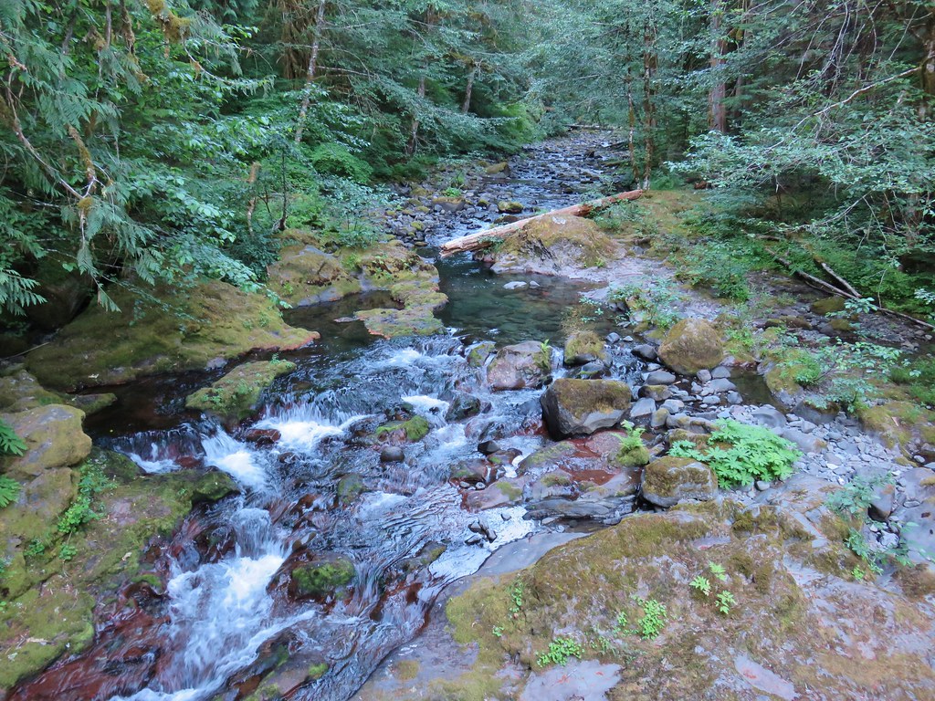
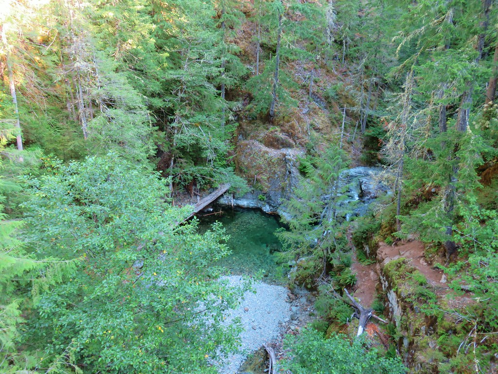 Gold Creek
 Fireweed along one of the half-bridges.
 Beetle on a half-bridge.
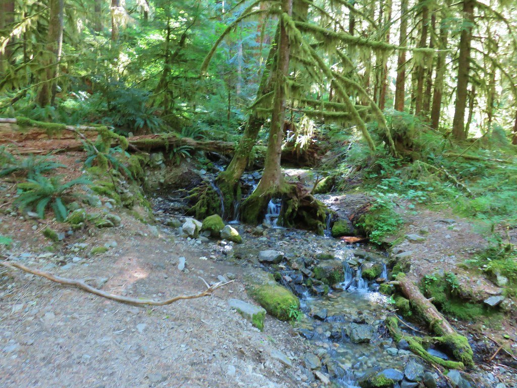 Creek in the forest.
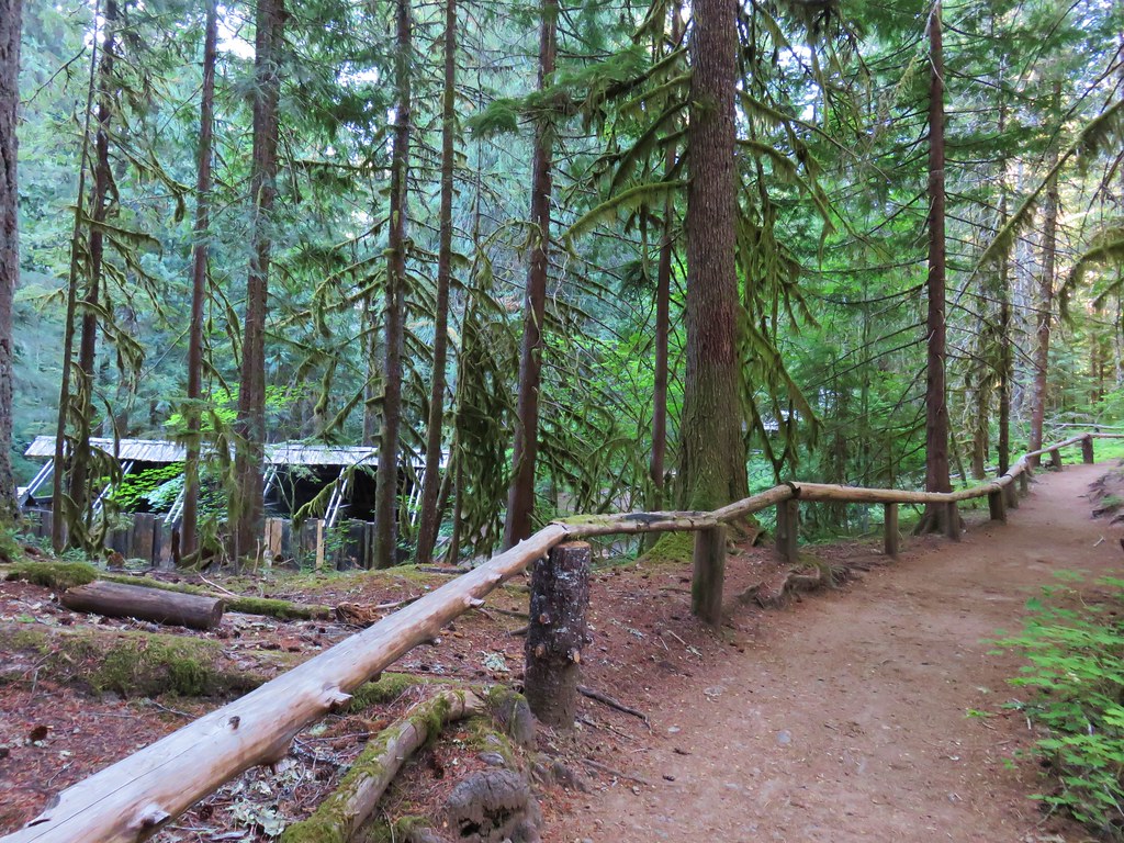
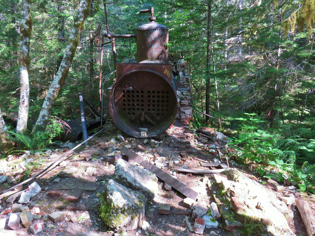 Boiler at the Merten Mill site.
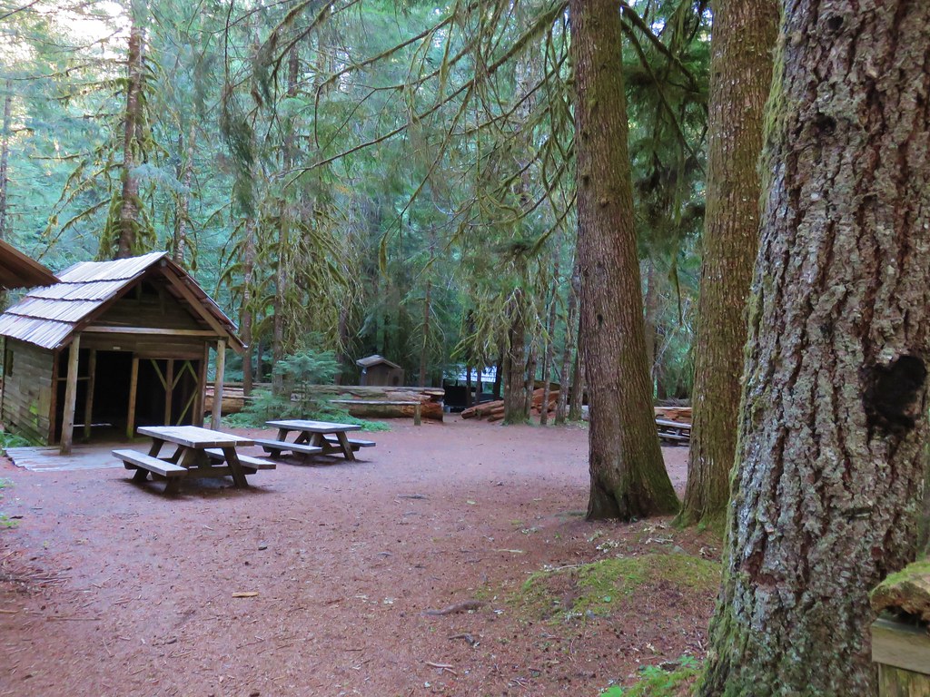
 Merten Mill in 2012
 Fish in the pool below the falls.
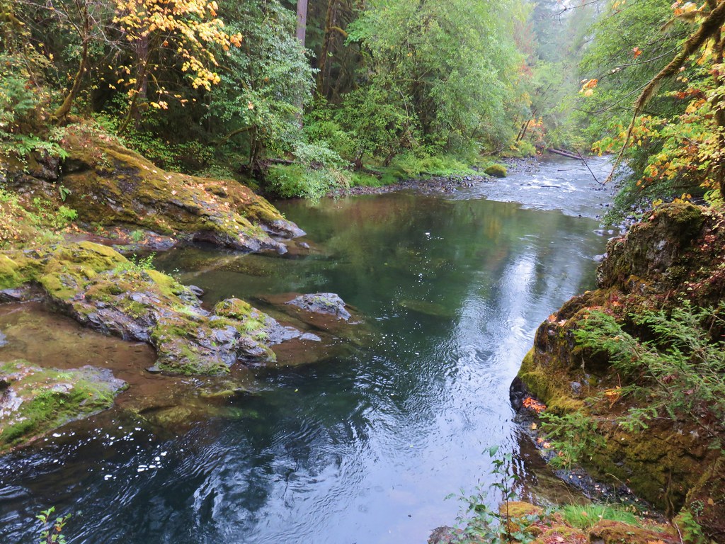
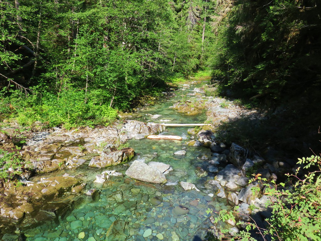 Little North Santiam River
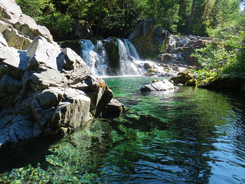 Sawmill Falls
 Ouzel
Ouzel


 Ridiculously clear water.
 Newt floating in a small pool.
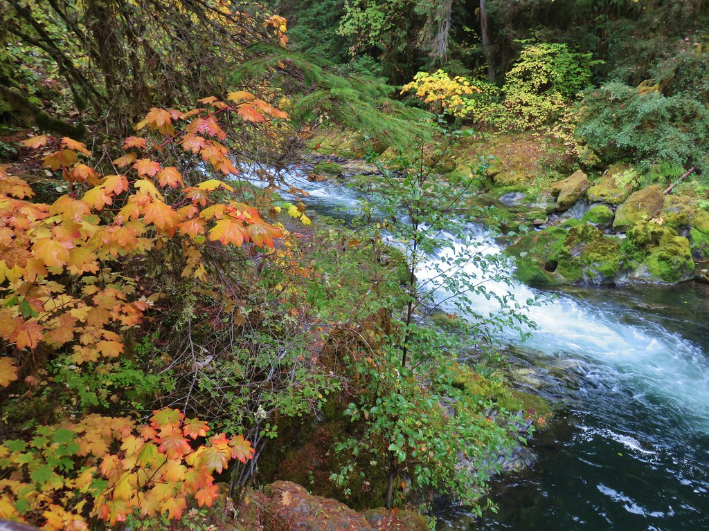
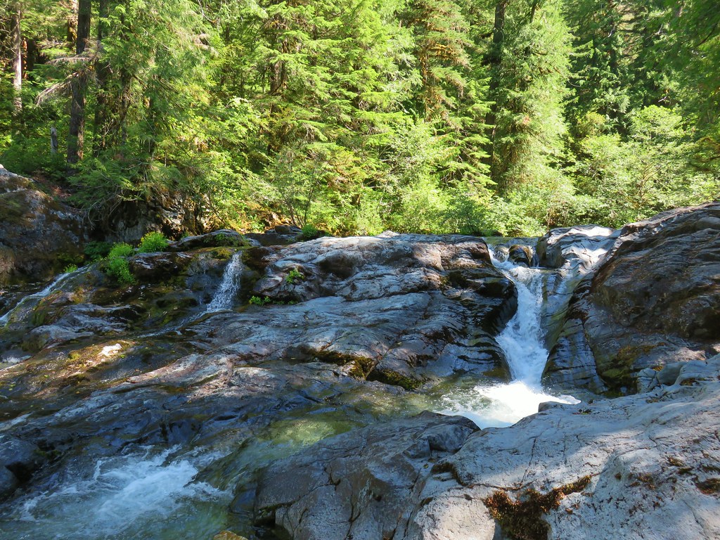 Cascade along the river.
 Red huckleberries
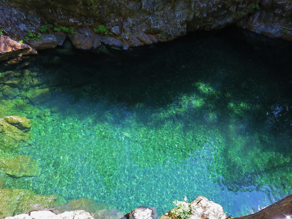


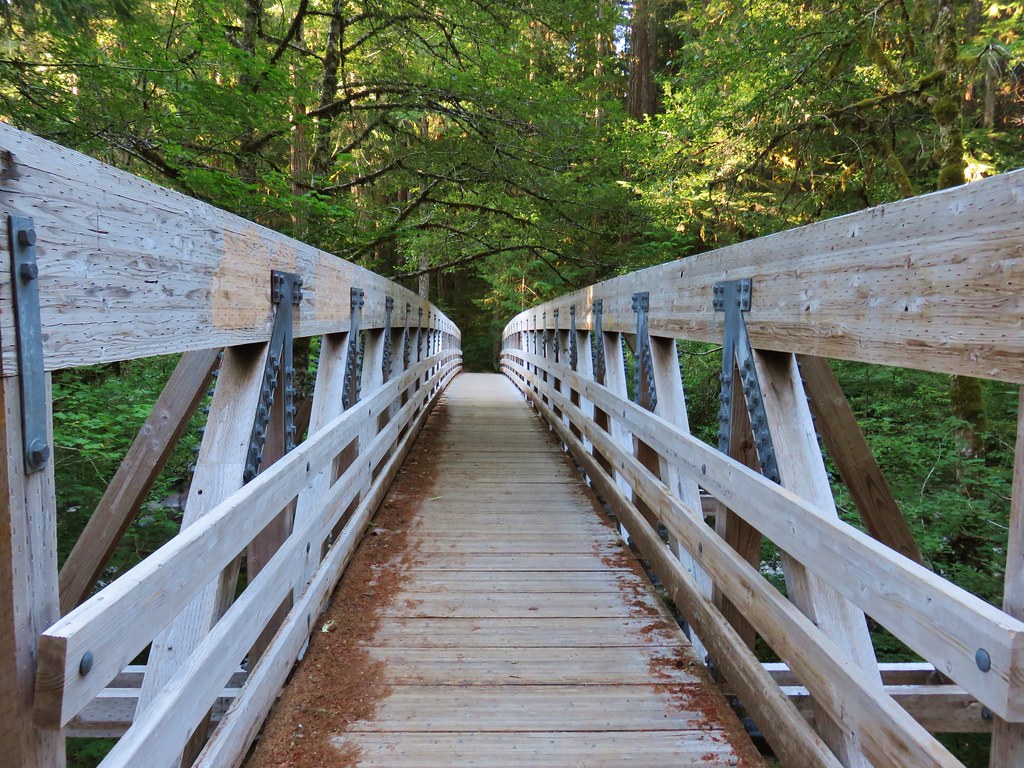
 Bridge over the river above Opal Pool
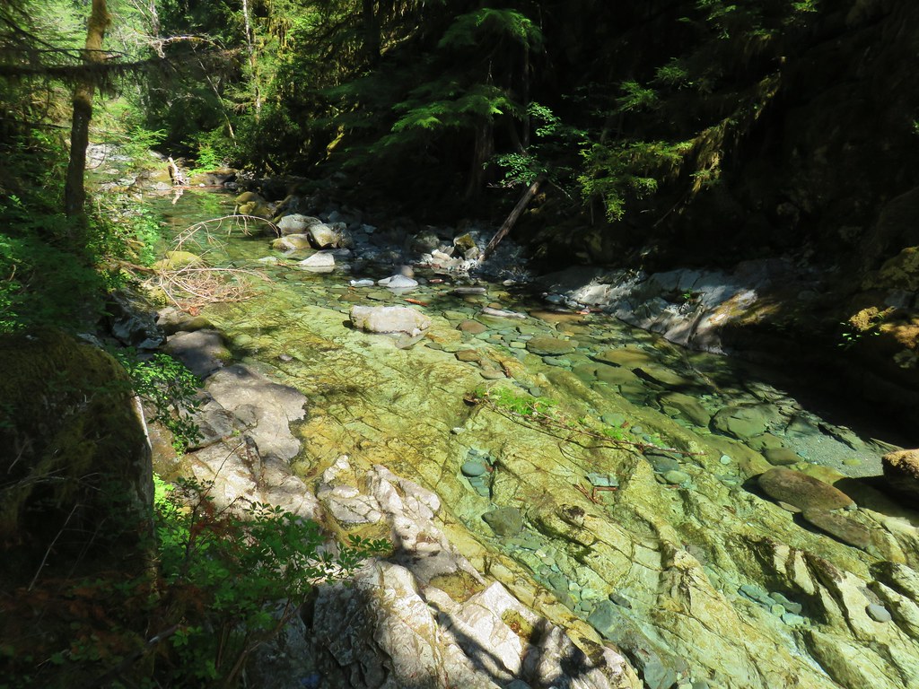 Little North Santiam River below Opal Pool
 Opal Pool Falls
 Cliff jumpers sitting down by the pool.
 Opal Pool Falls from the bridge.
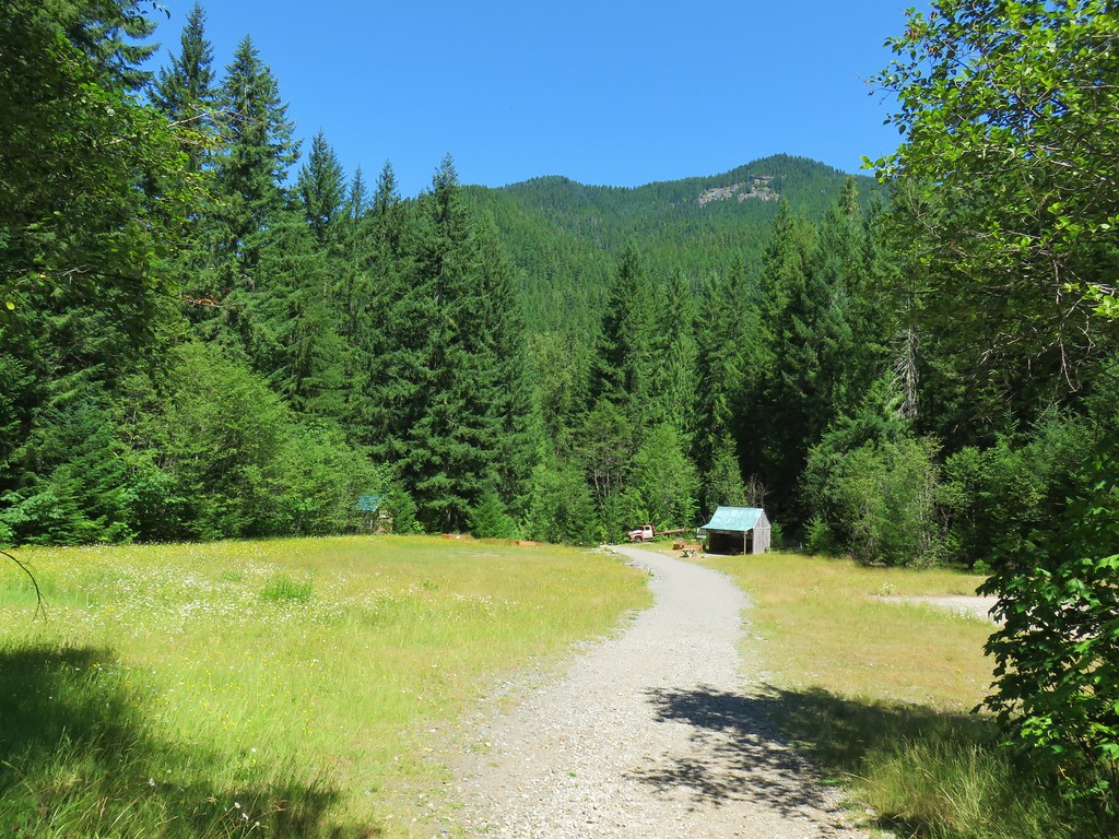
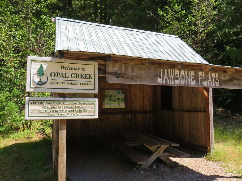
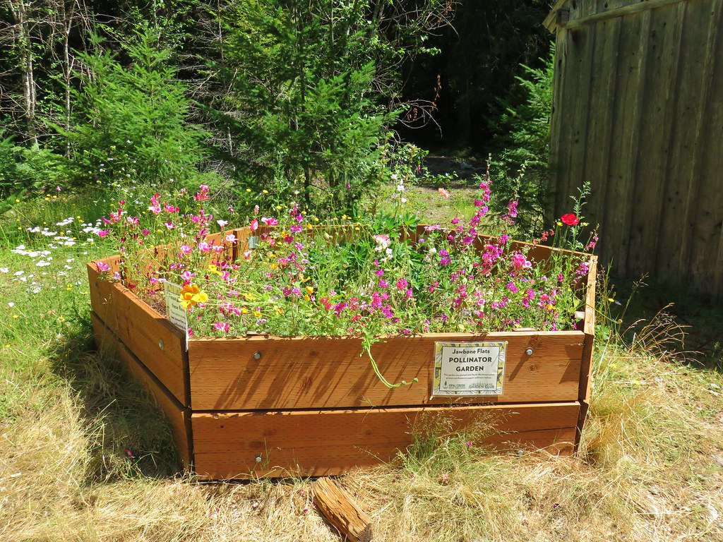


 Pelton Shed provides power to Jawbone Flats.
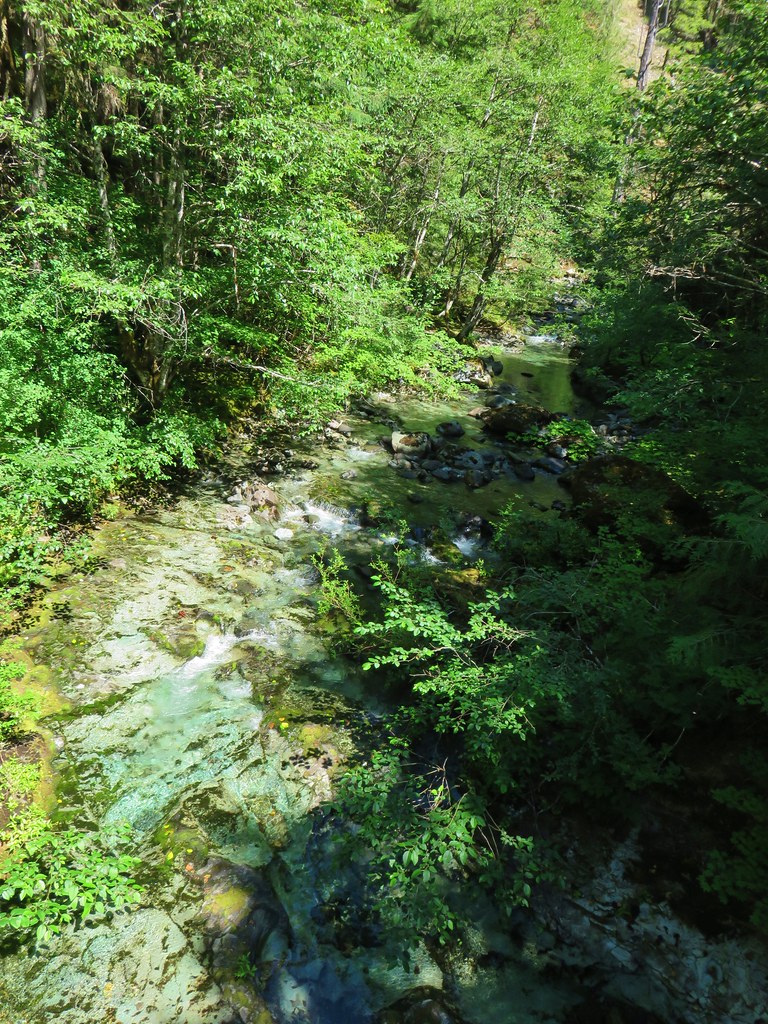

 One of the garter snakes.
 A millipede


 The only tiger lily that seemed to be open yet.
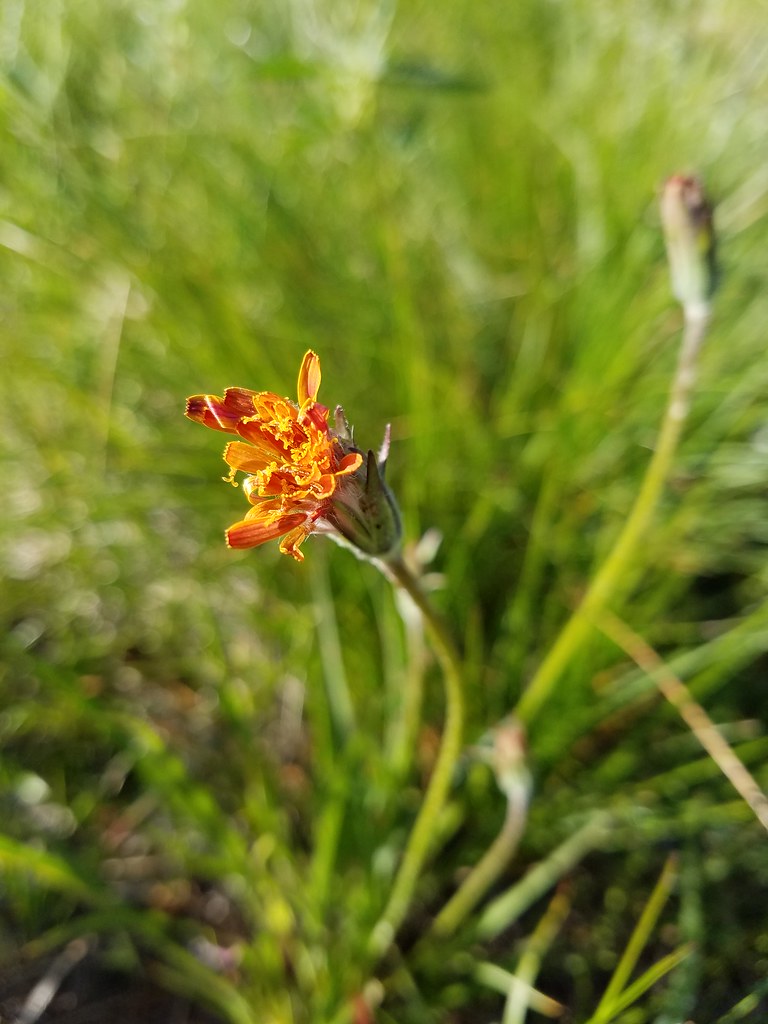 orange agoseris beginning to open.
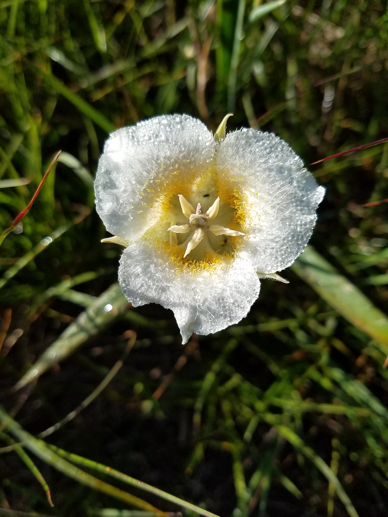 Cat’s ear lily
 Pussytoes


 The Three Sisters and Broken Top
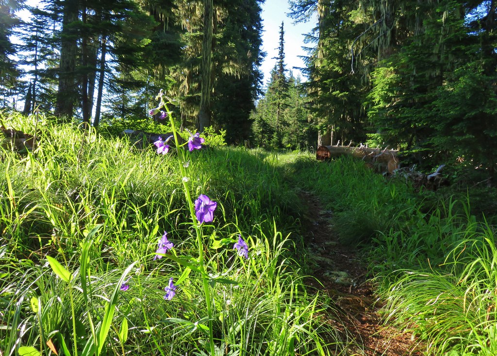 Larkspur along the trail.
 Bunchberry
 Anemone
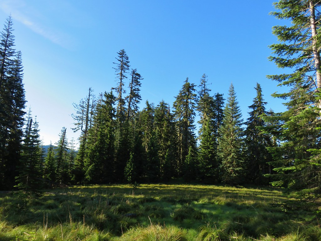 Another meadow
 The Three Sisters and Broken Top
 Queen’s cup
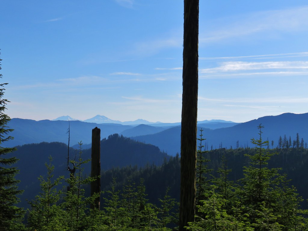 The Three Sisters, Broken Top, and a bit of Mt. Bachelor
 Rhododendron
 Another meadow full of not-in-bloom beargrass.
 View from the SW facing hillside.
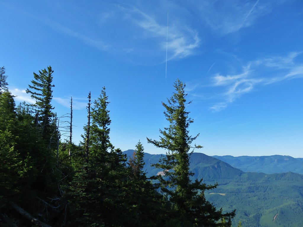 Looking SE

 Diamond Peak through the trees.
 Valerian in the saddle.


 Mt. Yoran, Diamond Peak, and Mt. Bailey
 Mt. Yoran and Diamond Peak
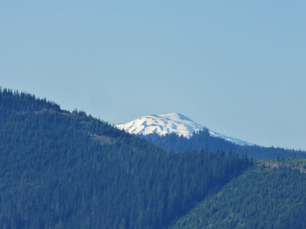 Mt. Bailey
 View to the NE (from the afternoon on the way back)
 The Husband, Three Sisters, Broken Top, and Ball Butte(from the afternoon on the way back)
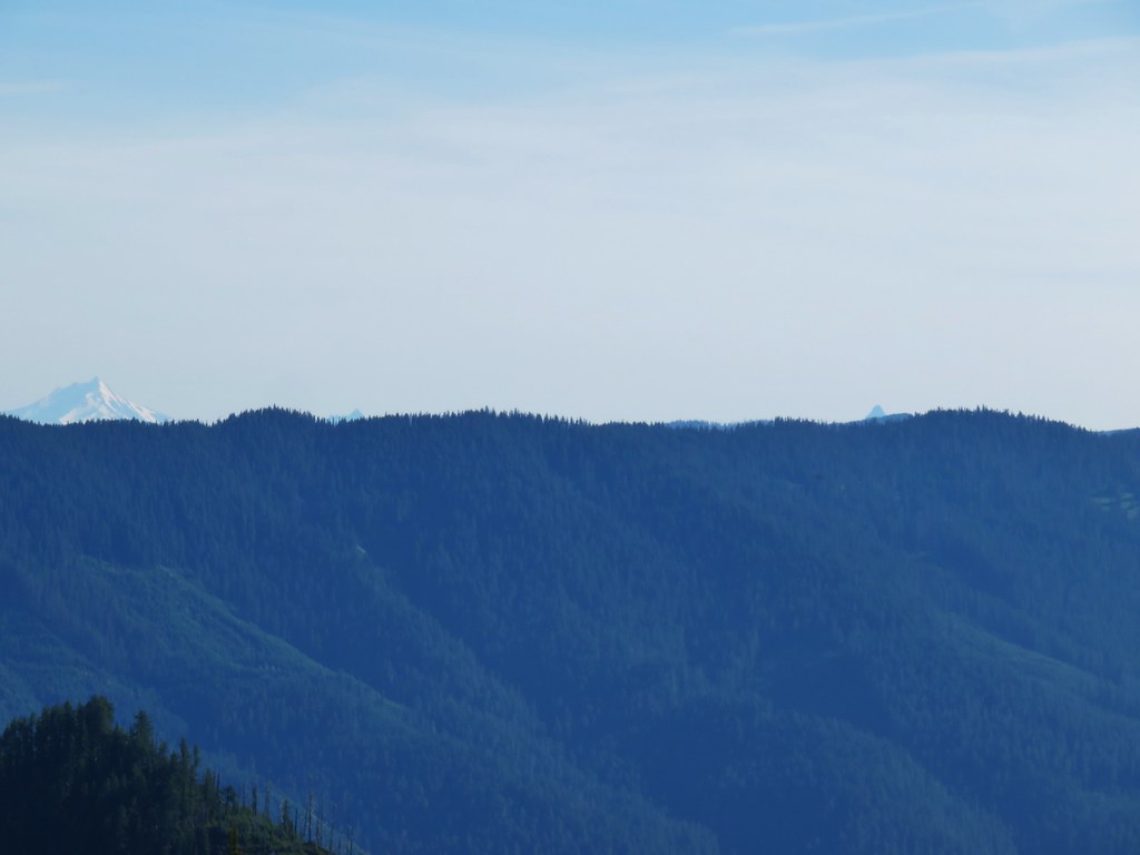 Mt. Jefferson and the tips of Three Fingered Jack and Mt. Washington


 Giant blue-eyed Mary
 Giant blue-eyed Mary
 Giant blue-eyed Mary and blue-head gilia
 Cat’s ear lily and blue-head gilia
 Coneflower
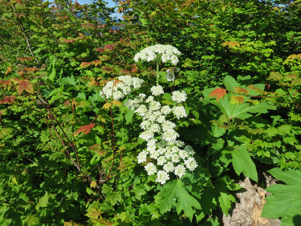 Cow parsnip
 Tall mountain bluebell
 More of the blue flowers
 Larkspur
 Jacob’s ladder
 An aster or fleabane
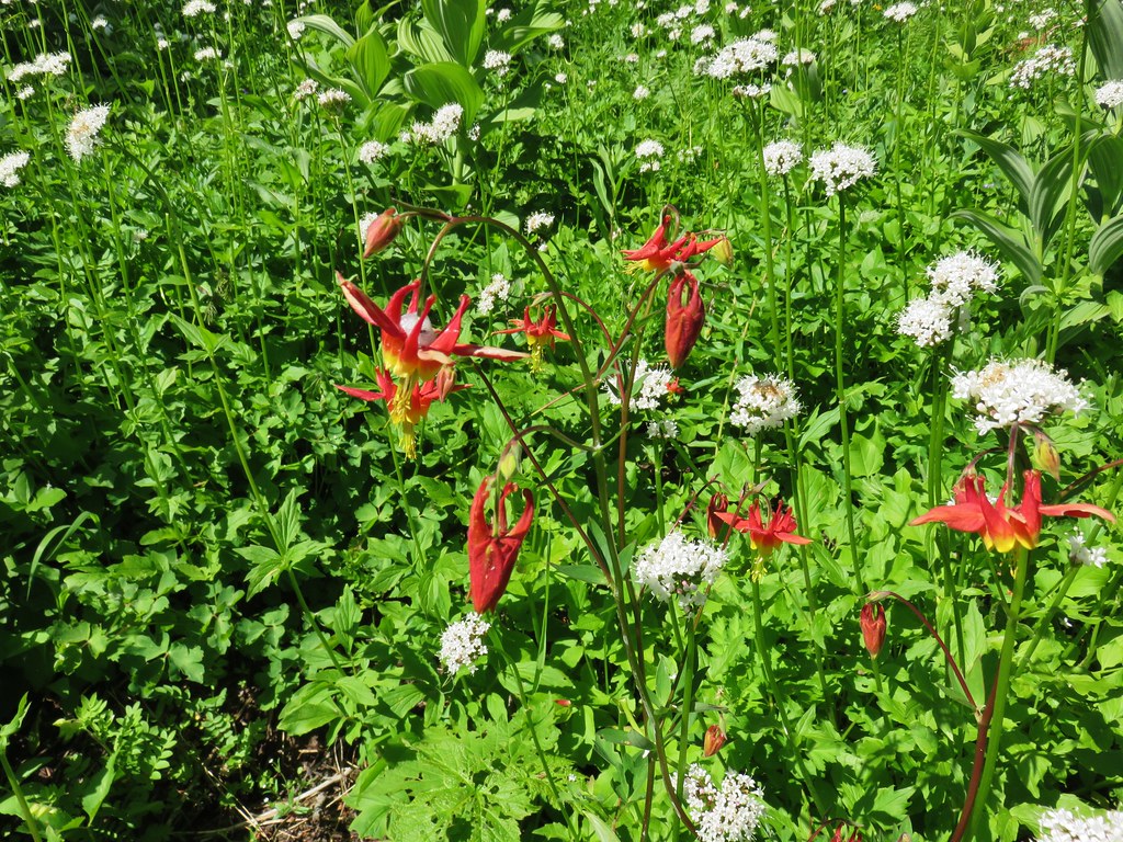 Columbine and valerian
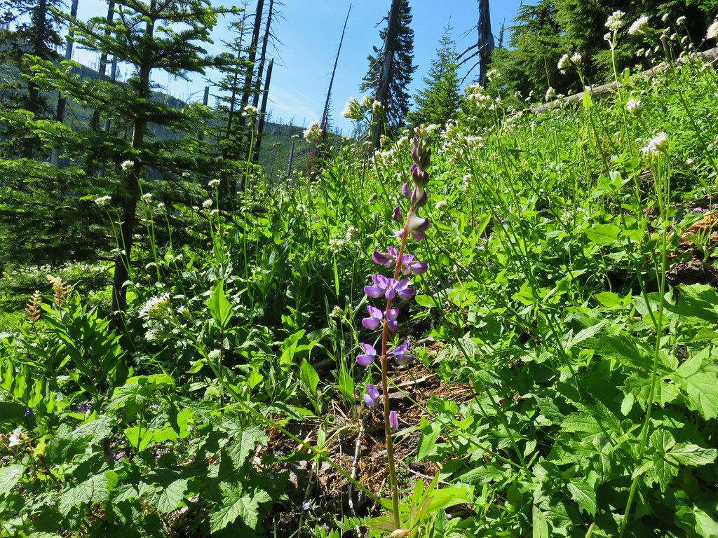 Lupine
 Not sure what type of flower this one is.
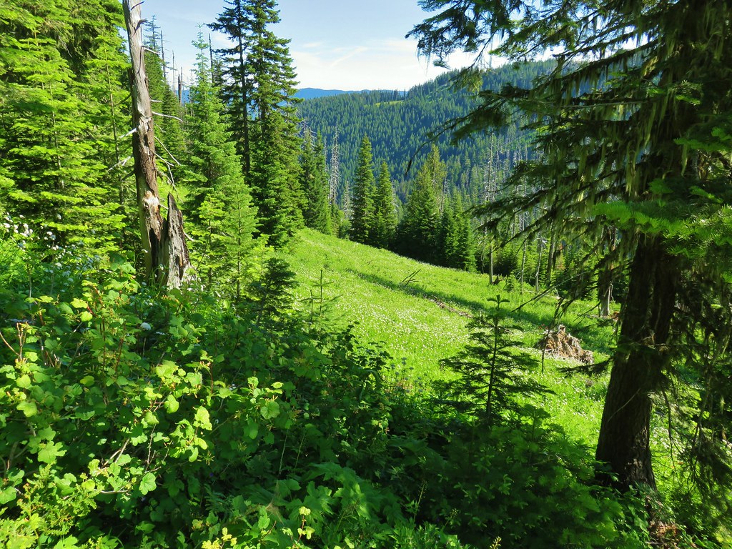 Valerian filled meadow below the trail.
 White yarrow, giant blue-eyed Mary, and tall mountain bluebells
 Looking back at our route so far.
 The trail coming around Kelsey Creek is visible on the hillside behind us.

 Fuji Mountain (left), flat topped Mt. David Douglass, Mt. Yoran (shorter thumb to the left of Diamond Peak), and Diamond Peak.
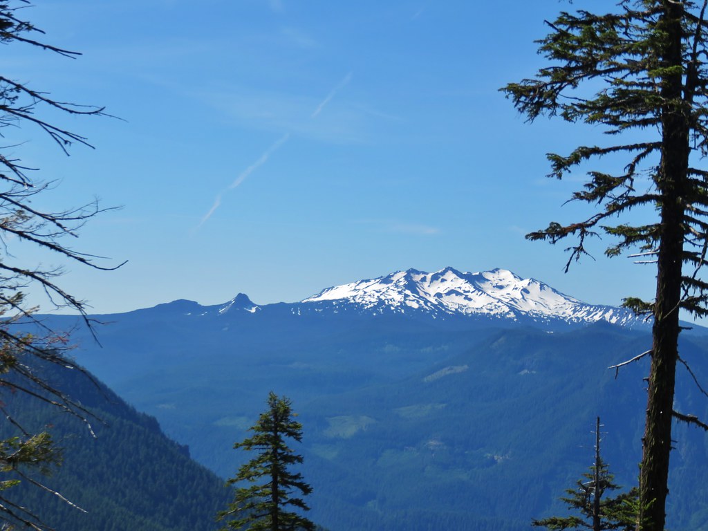 Mt. Yoran and Diamond Peak
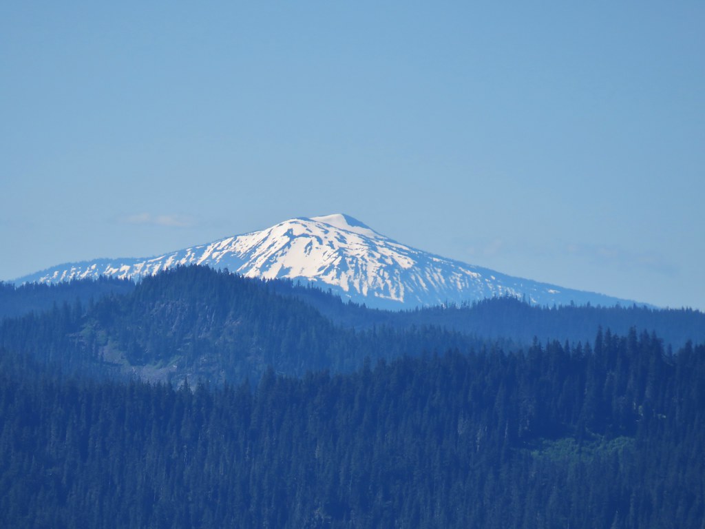 Mt. Bailey

 A few orange agoseris were scattered about.
 Scarlet gilia
 More scarlet gilia
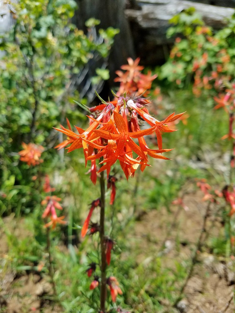 Skyrocket
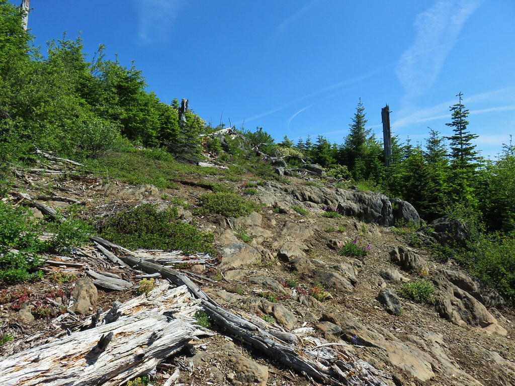

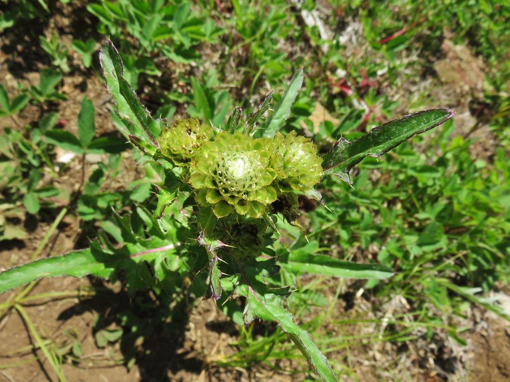 A thistle that was getting ready to bloom.
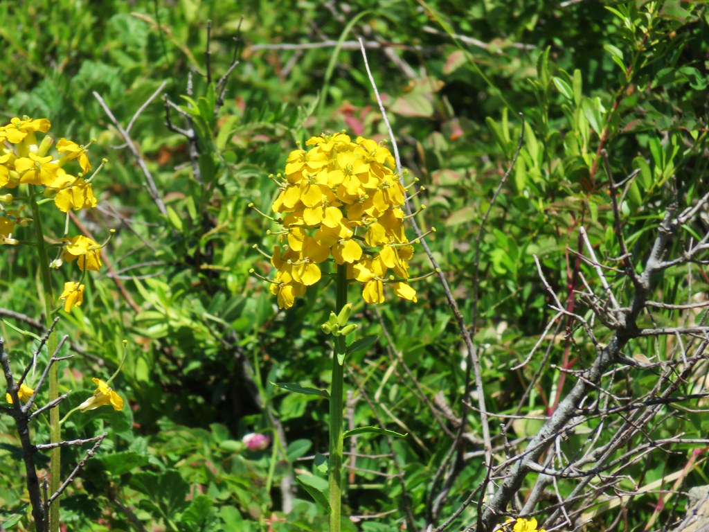 Wallflower


 Owl’s head clover
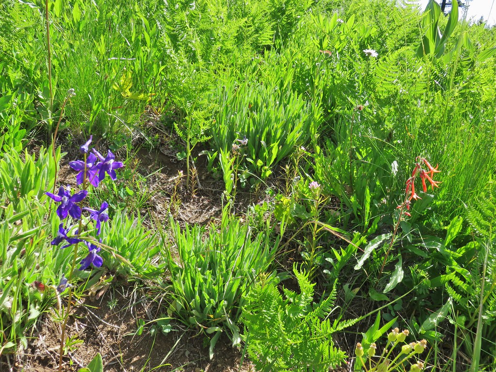 Larkspur, an owl’s head clover, and scarlet gilia
 Aster or fleabane and an orange agoseris
 Coneflower
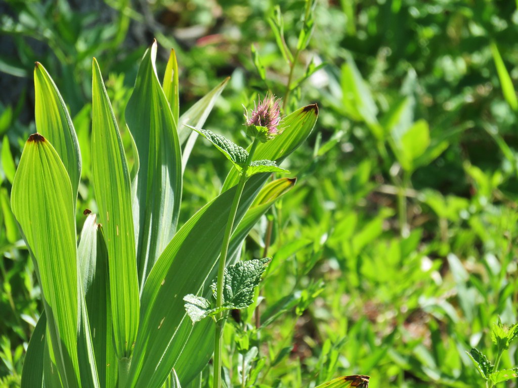 Hyssop
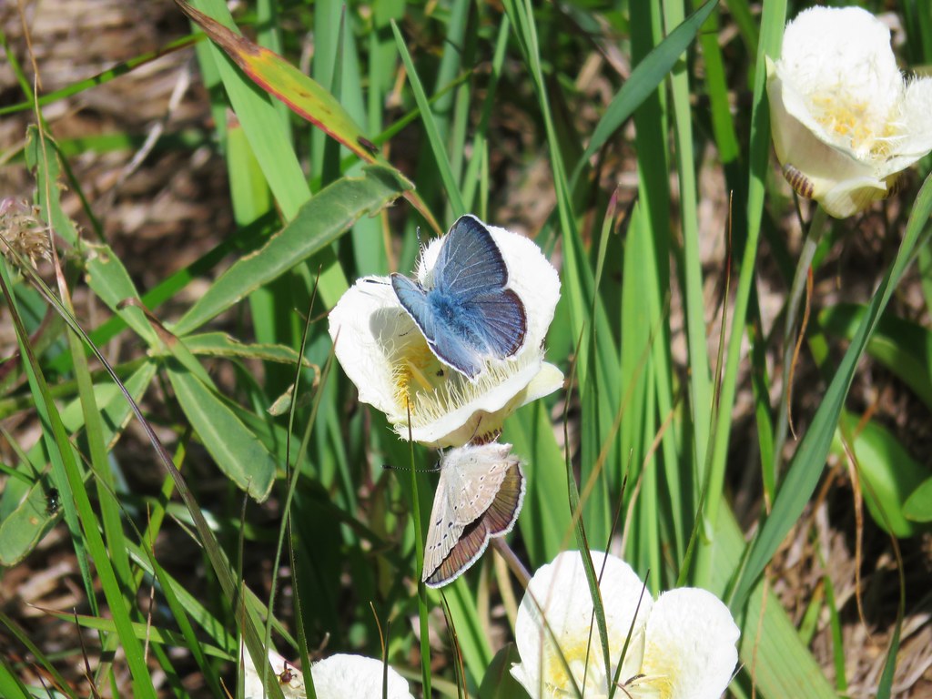 Butterflies on a cat’s ear lily

 Wait that’s not a butterfly.
 Fuji Mountain
 The post, with an orange top, is up and to the right in front of a tree.
 Heather at the rock outcrop.
 Big Bunchgrass Meadow and Fuji Mountain
 Diamond Peak
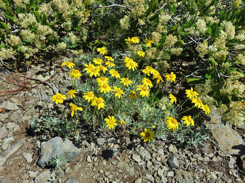

 Crab spider (probably waiting for that Washington lily to open)
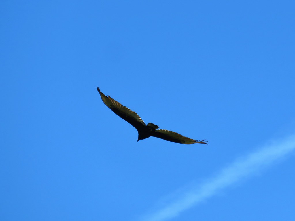 Turkey vulture
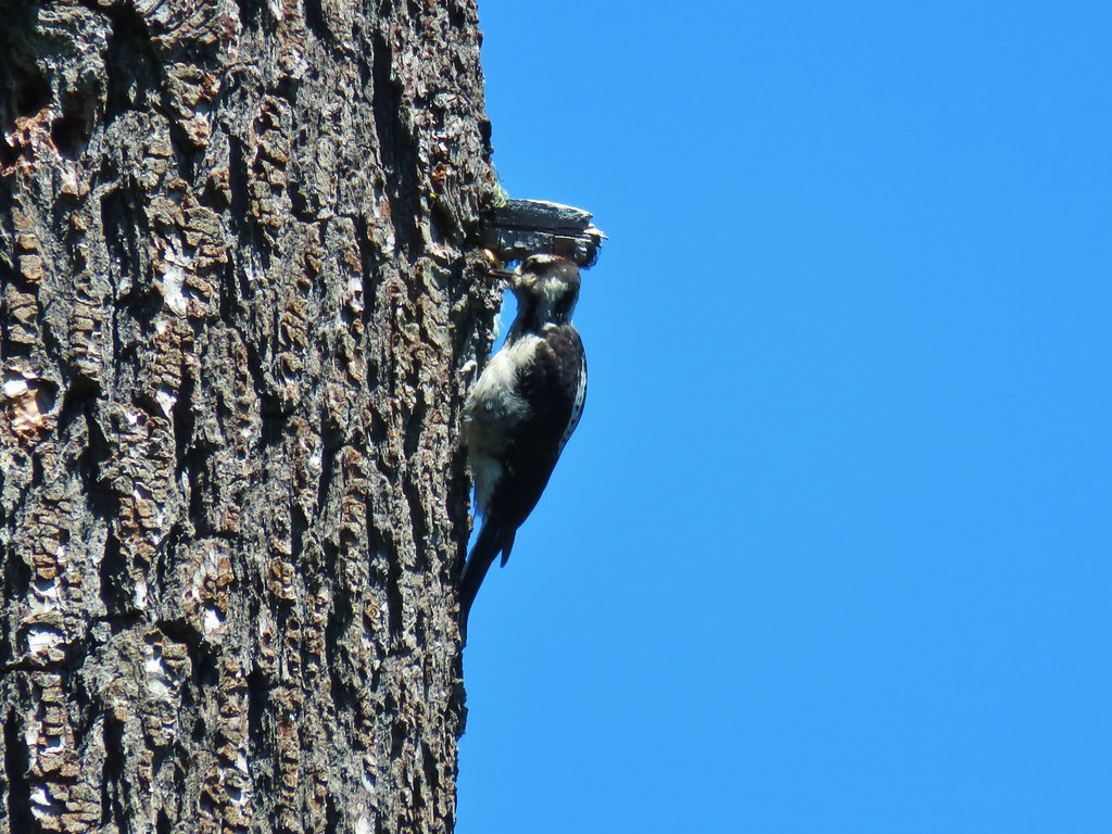
 Back in the valerian meadows
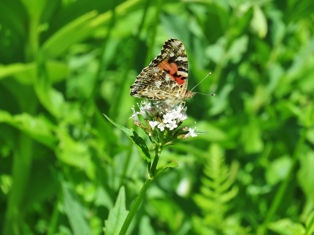


 Not sure what this is going to be either.
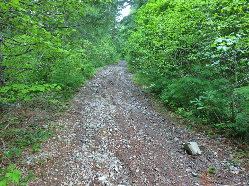
 FR 877 at FR 1509


 Penstemon
 Showy phlox
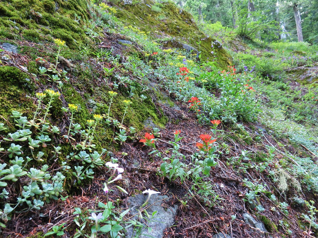 <script async src=”//embedr.flickr.com/assets/client-code.js” charset=”utf-8″Paintbrush and stonecrop
 Anemone
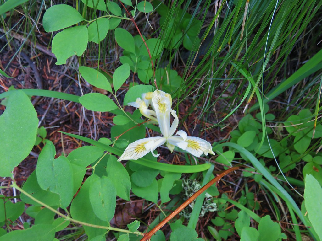 Iris
Iris Arnica


 Looking west toward the Green Mountain Lookout.
 Green Mountain Lookout
 Mt. Jefferson
 Three Fingered Jack
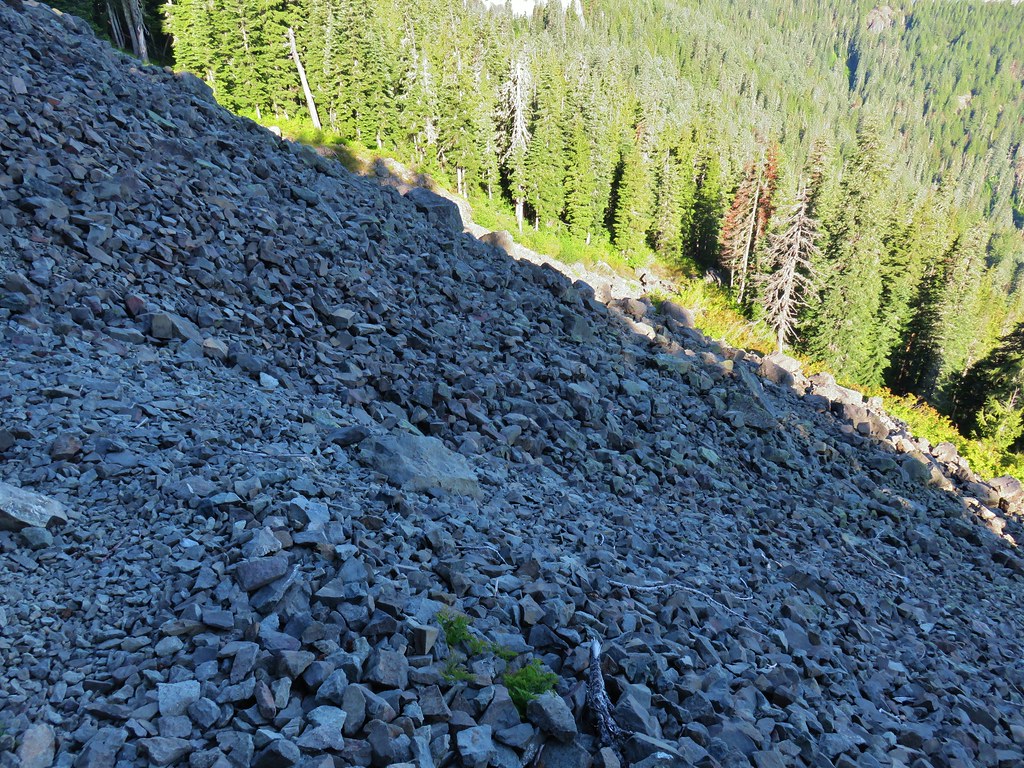 There is at least one pika in this picture.
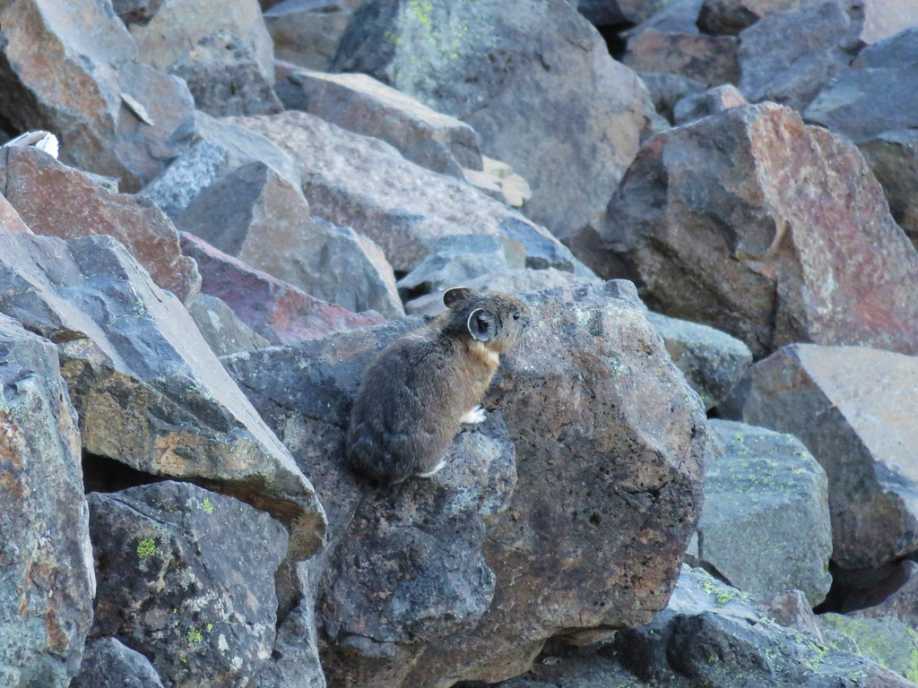
 There is another one in this picture.
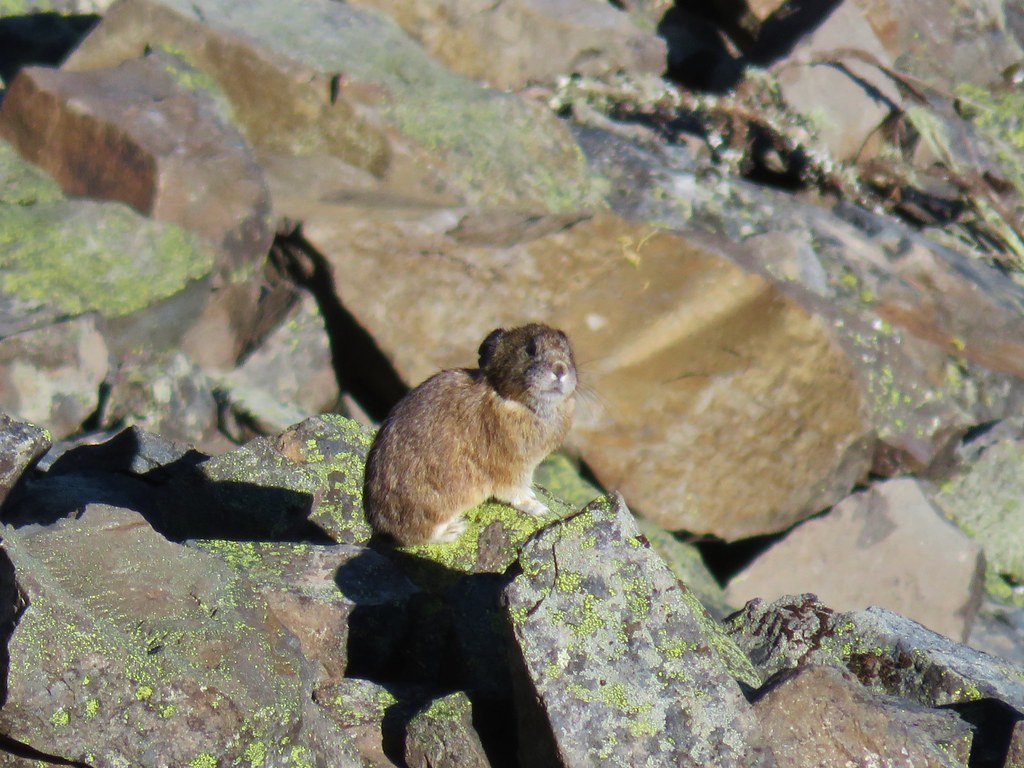


 Columbine and solomonseal in the talus slope.
 Last of the snow along the talus.

 Catchfly on the way up.
 Lookout remains below the summit.
 Foundation remains
 Wildflowers at the summit.
 NE we could see Mt. Hood, Mt. Jefferson, and Three Fingered Jack.
 Mt. Jefferson behind Iron Mountain and Cone Peak
 Three Fingered Jack
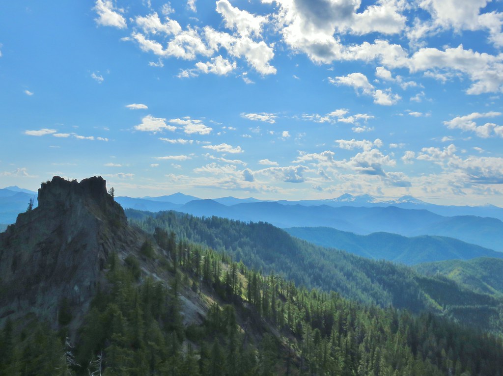
 Mt. Washington
 Three Sisters
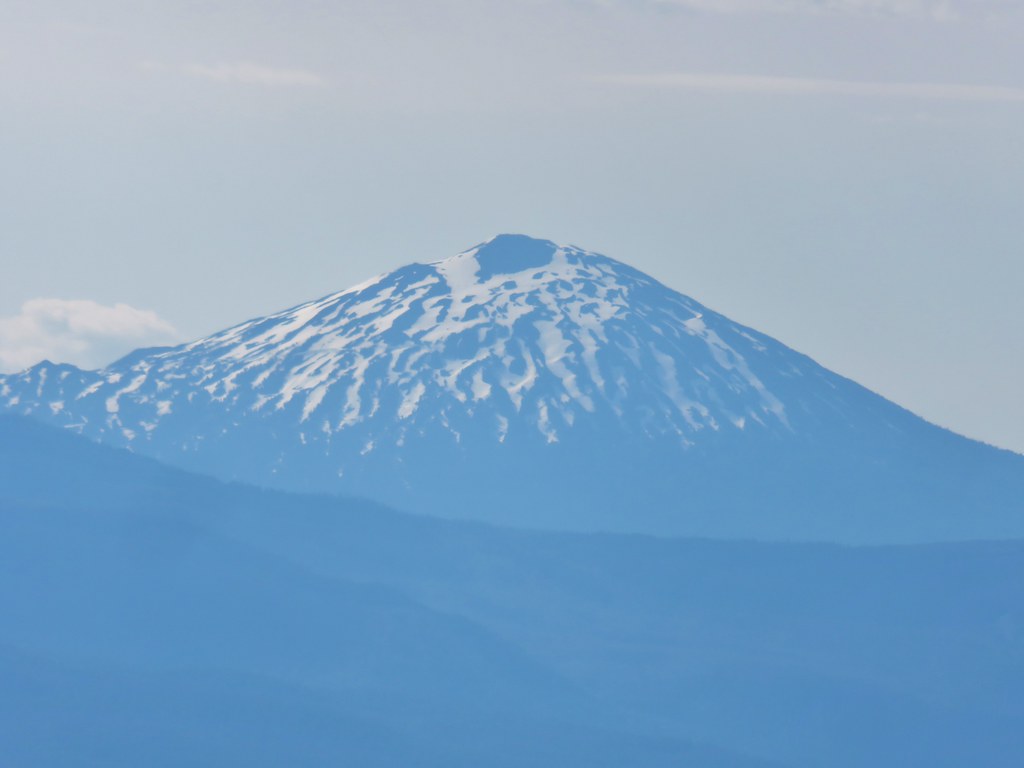 Mt. Bachelor
 Maiden Peak (
 Mt. Thielsen (
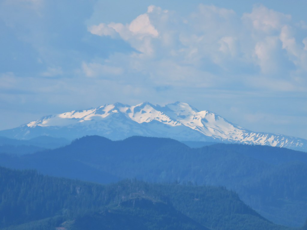 Diamond Peak
 Cat’s ear lilies
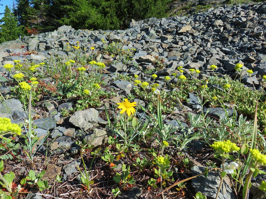 Oregon sunshine amid buckwheat
 Penstemon and paintbrush
 A fleabane or aster
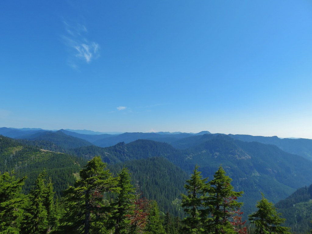
 Looking down from the lower viewpoint.
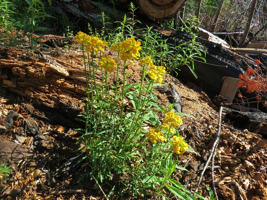
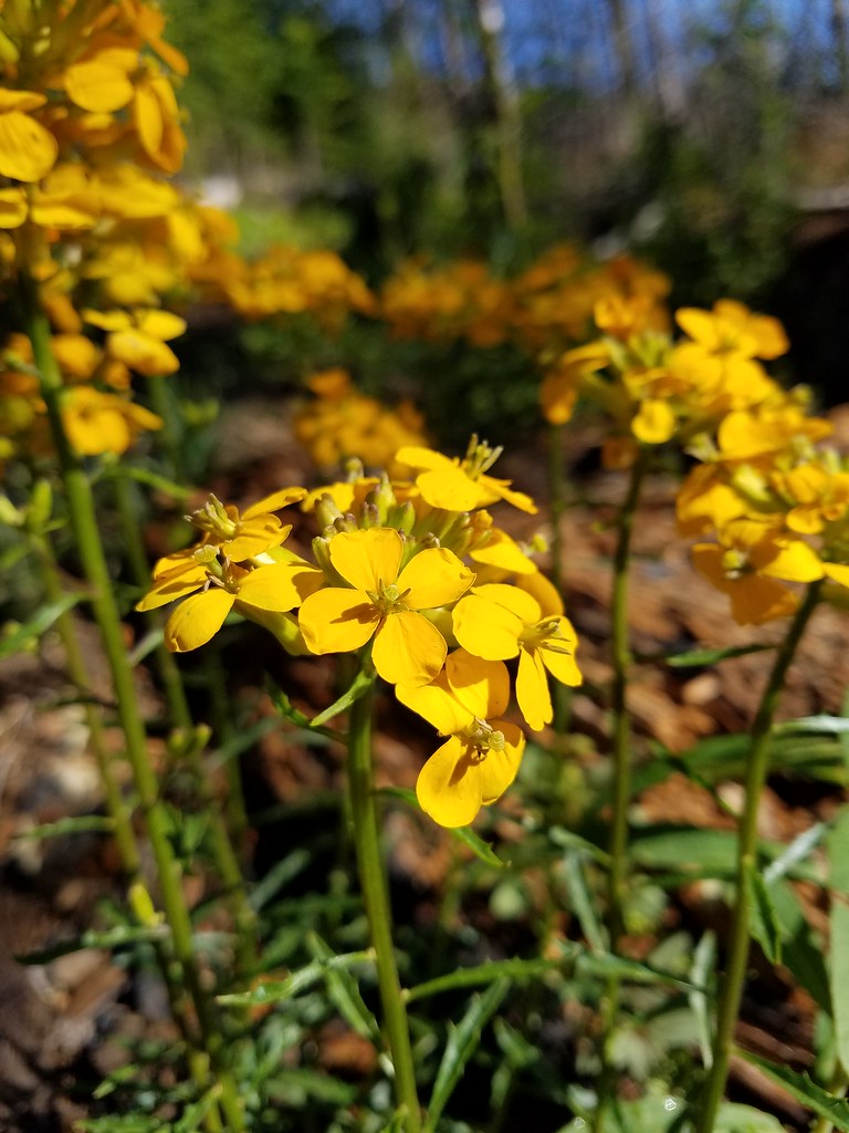
 Western wallflower
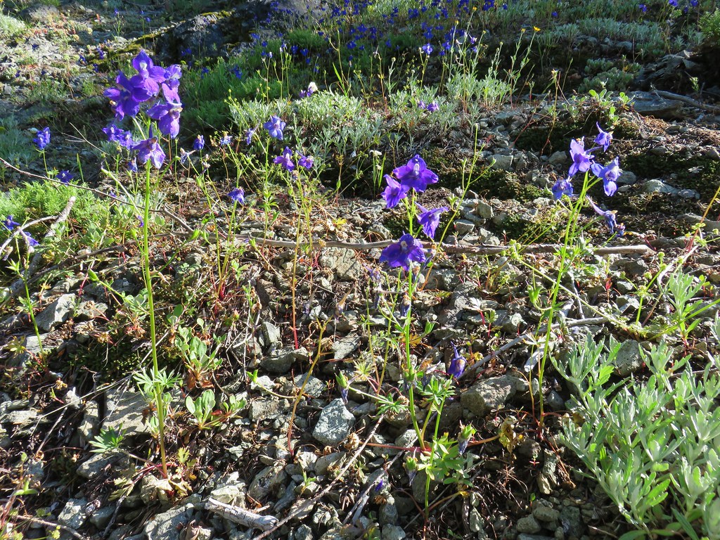 Larkspur
 Paintbrush
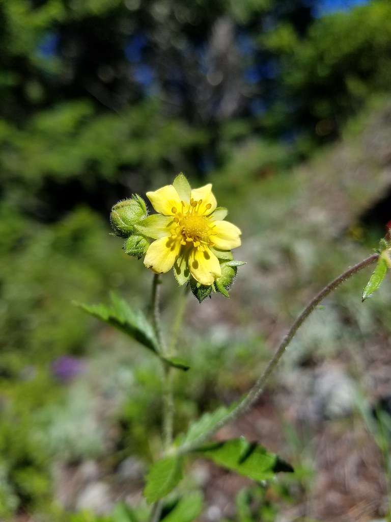 Cinquefoil
 Baneberry
 Current
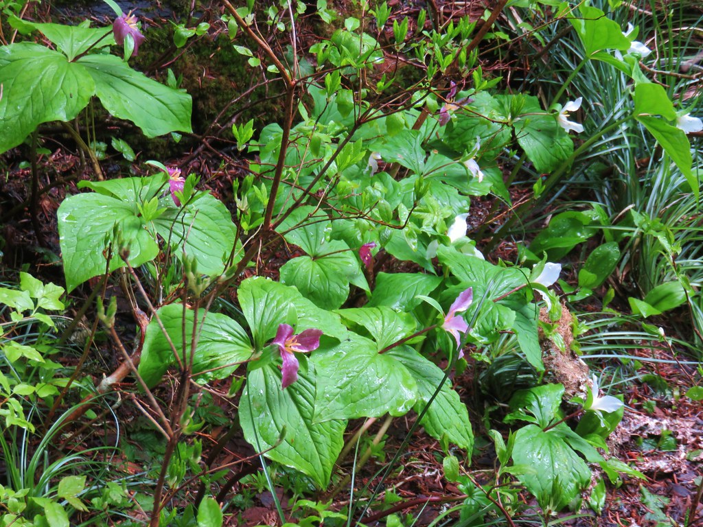
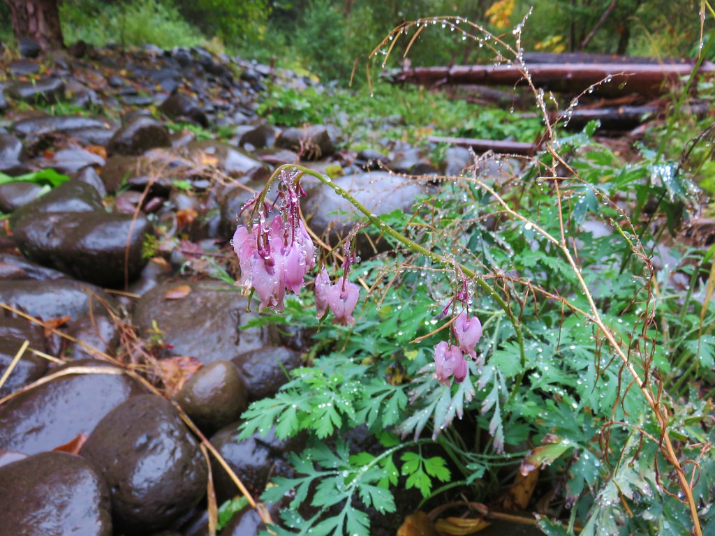
 Bleeding heart, trillium and wood violets
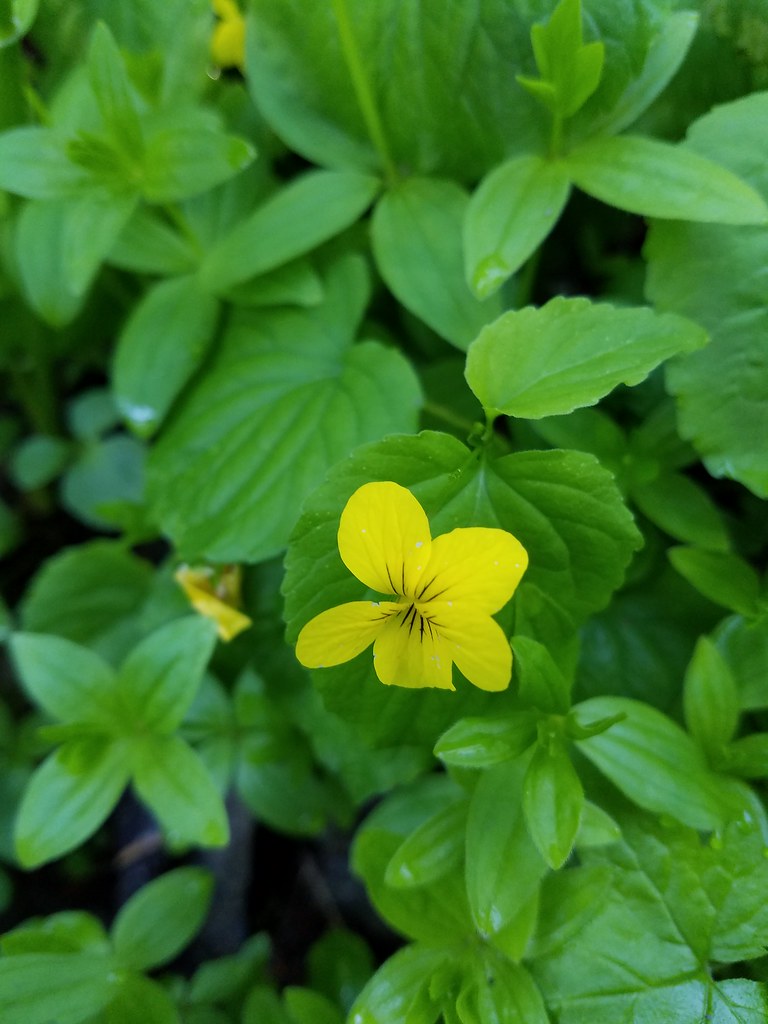 Wood violet


 North and Middle Sister


 Mt. Bachelor
 Showy phlox
 Washington lilies getting ready to bloom


 The Two Girls
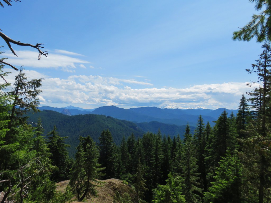 Mt. Washington and the Three Sisters
 Wolf Rock an Mt. Washington
 North Sister
 Middle Sister
 South Sister
 Mt. Jefferson had been overtaken by clouds but Iron Mountain and Cone Peak were still visible.
 Buckwheat and paintbrush
 Wallflower and cat’s ear lilies
 Penstemon and paintbrush
 Young tree growing out of an old trunk.
 Grouse


 Columbine along the decommissioned road.
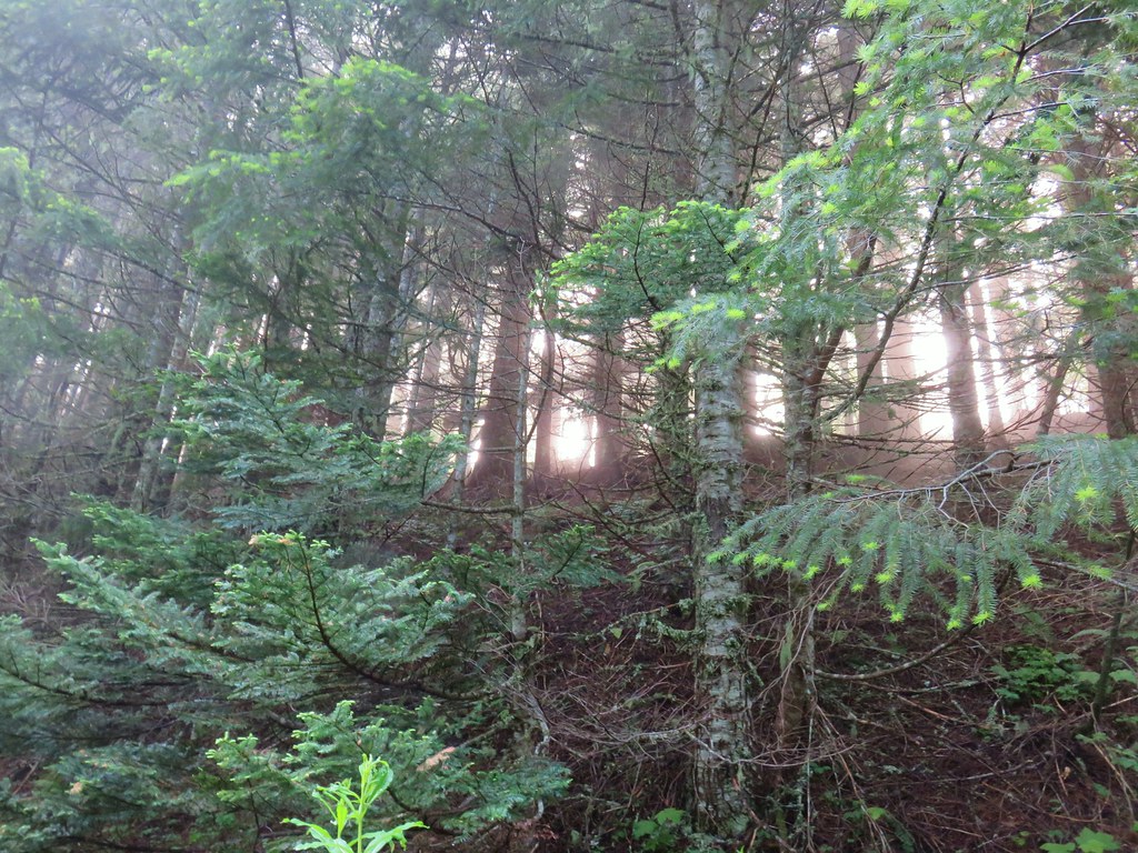


 Buckwheat
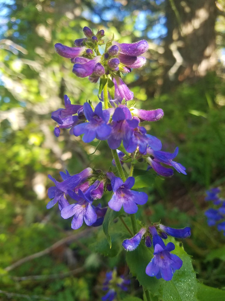 A penstemon
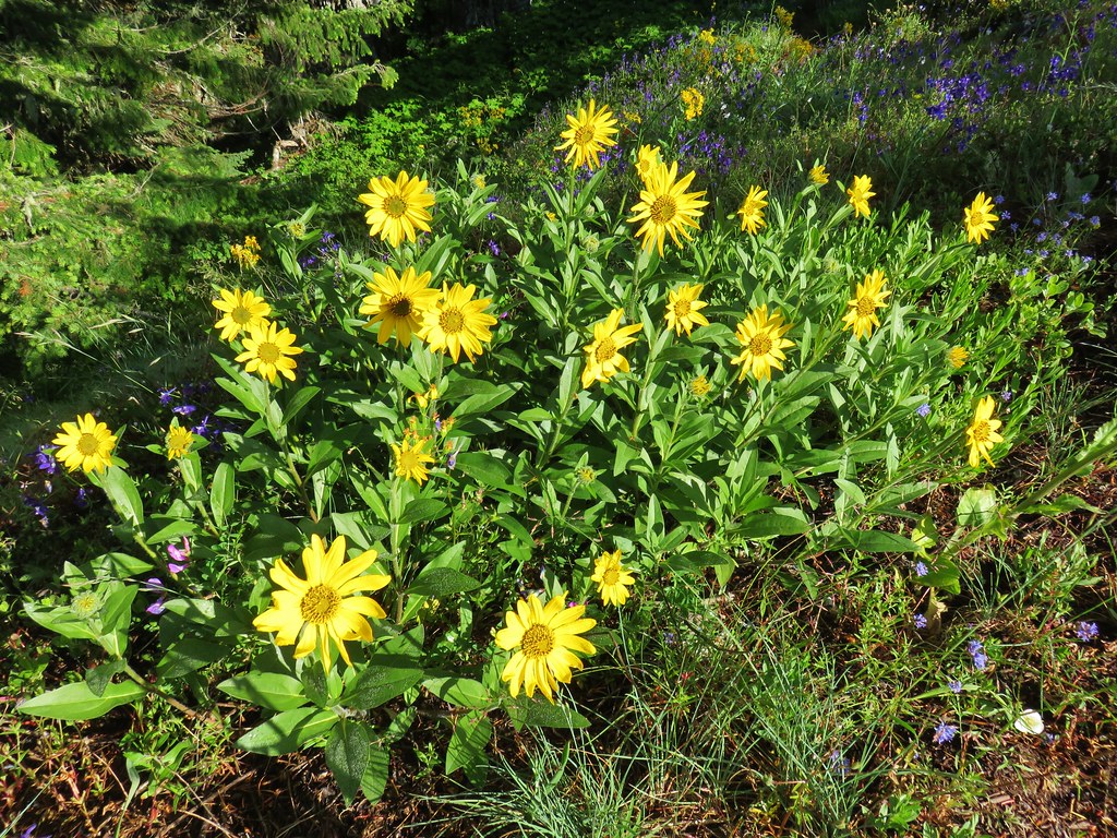 False sunflower
 A penstemon
 Oregon sunshine
 Lupine among others
 Cliff beardstounge
 Catchfly
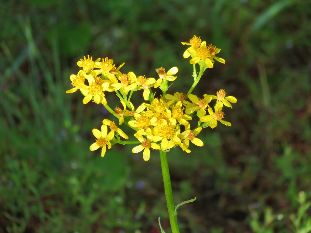 Groundsel
 blue head gilia
 Bleeding heart
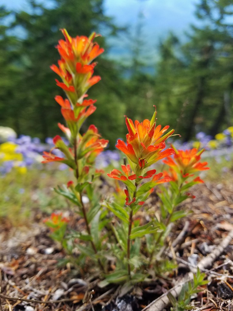 Paintbrush
 Woodland stars
 Larkspur and ballhead waterleaf
 Yarrow
 Valerian
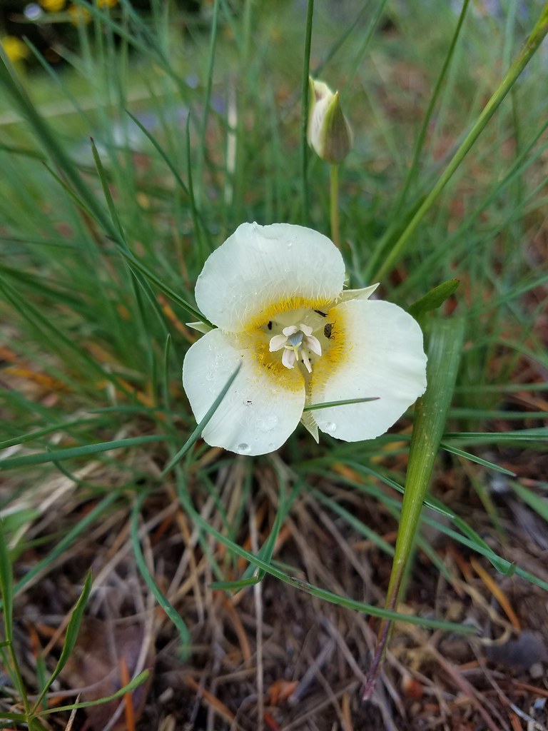 Cat’s ear lily
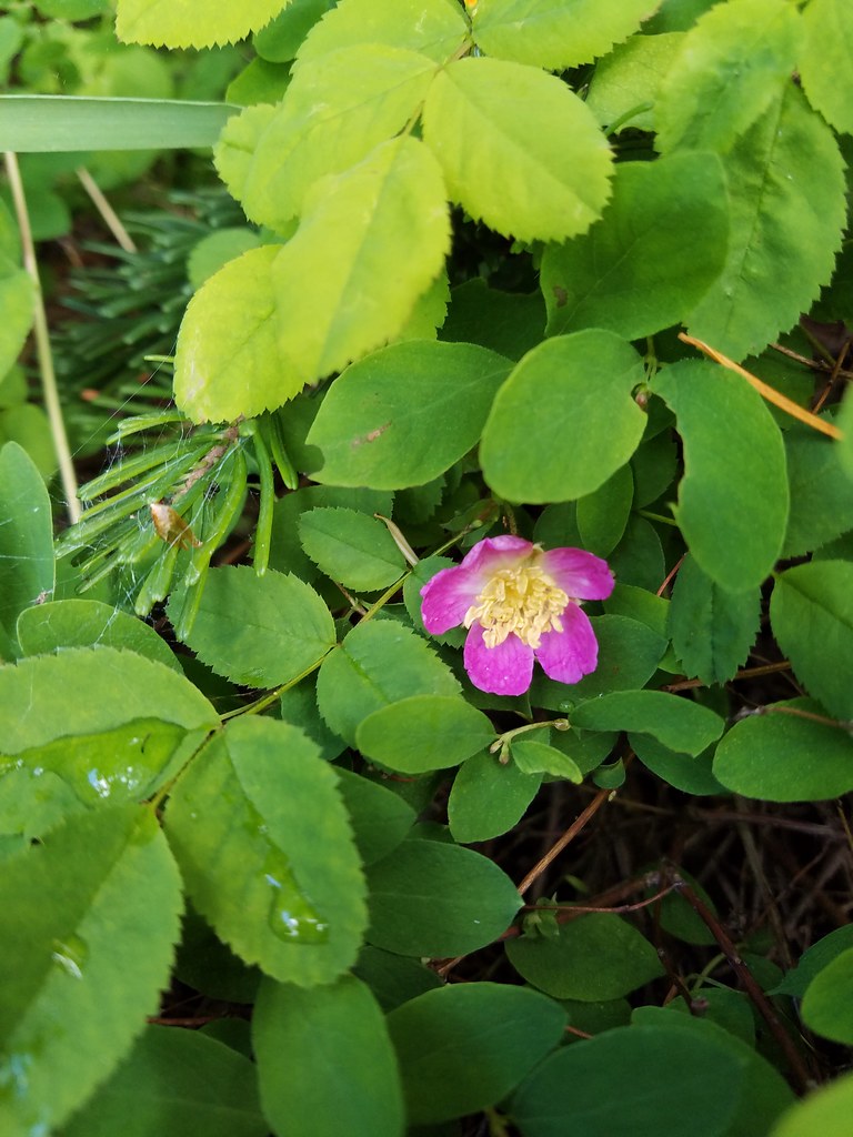 Wild rose
 Buckwheat in blue head gilia
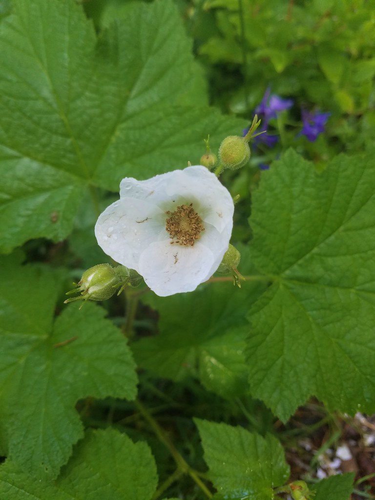 Thimbleberry
 Larkspur, leafy pea, and candy flower
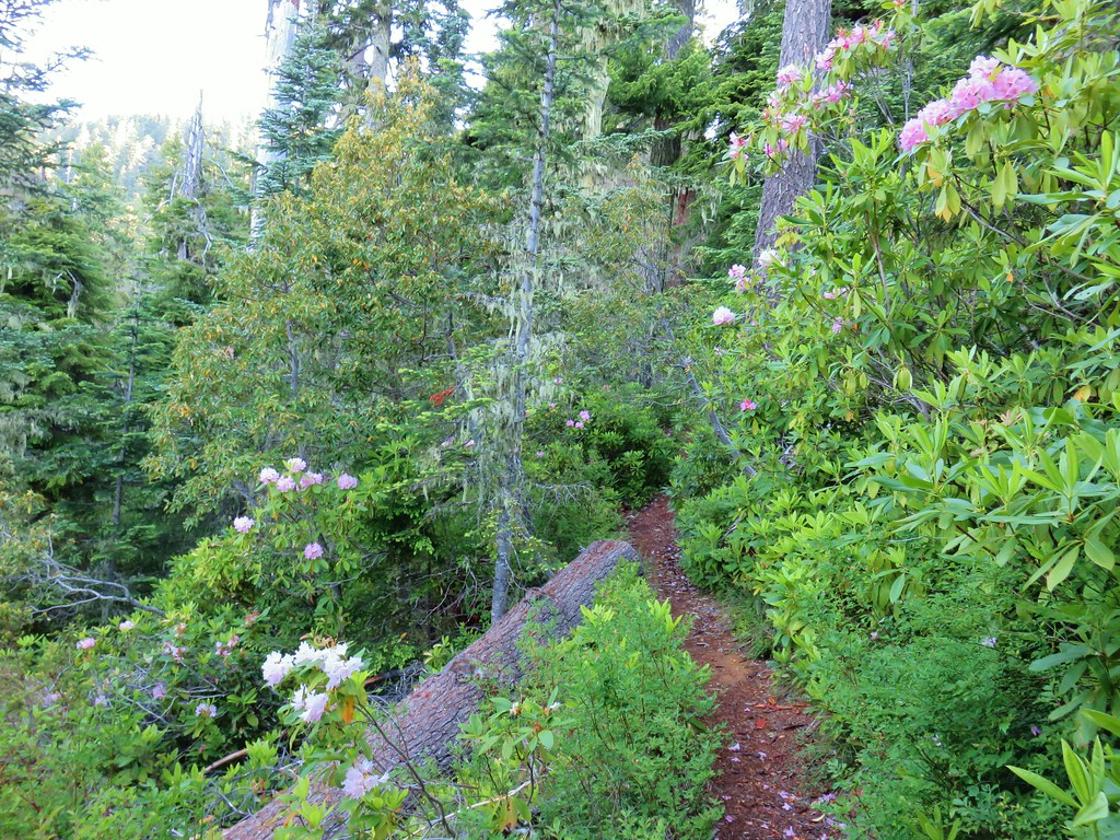
 Rhododendron (just around the corner from the outcrop)
 Star-flowered solomonseal
 Plumed solomonseal
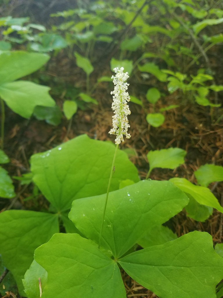 Vanilla leaf
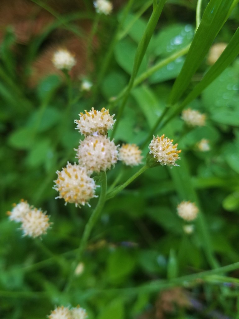 Pussytoes
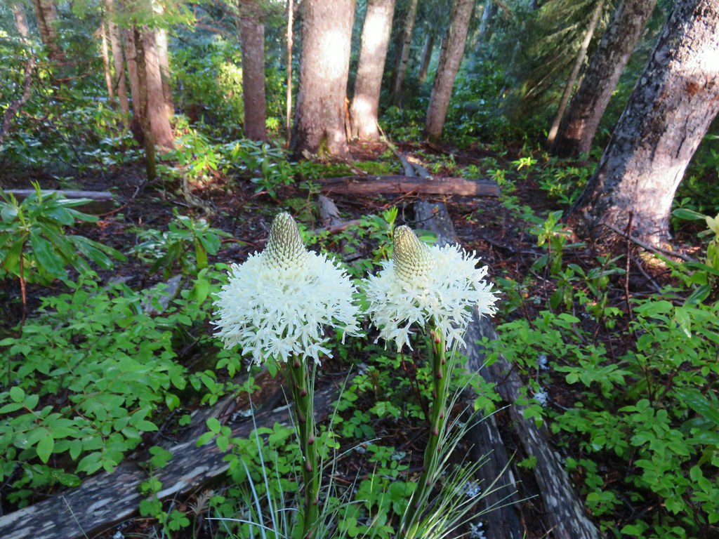 Beargrass
 Trail fork


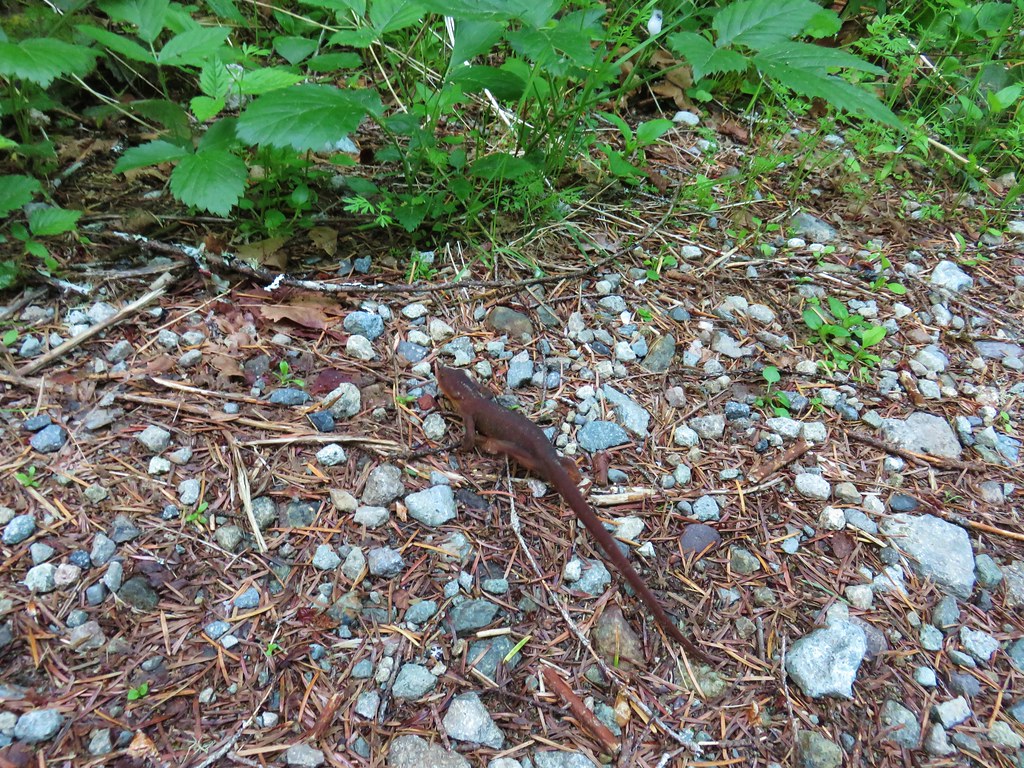
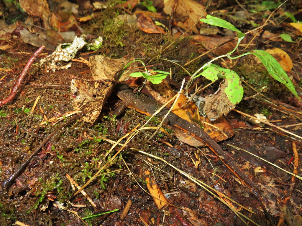
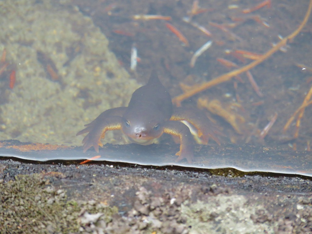 Curious newt
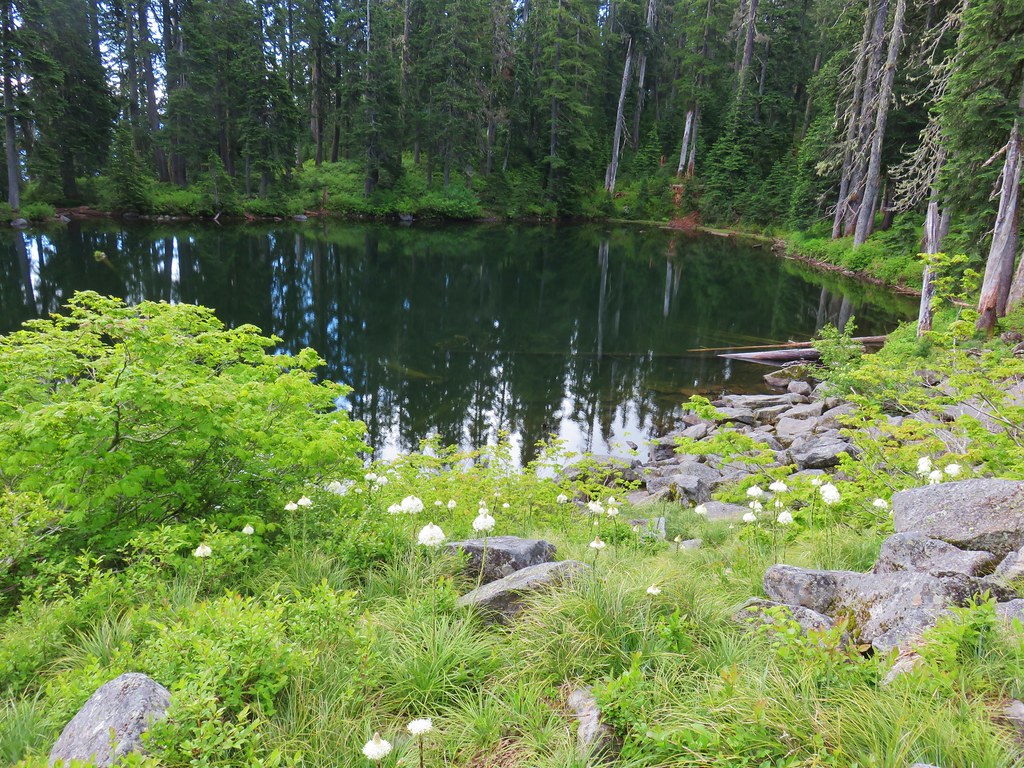
 Inside out flower
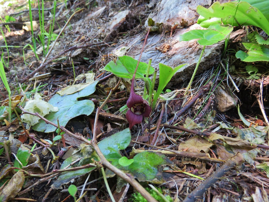
 Spotted coralroot
 Stripped coralroot
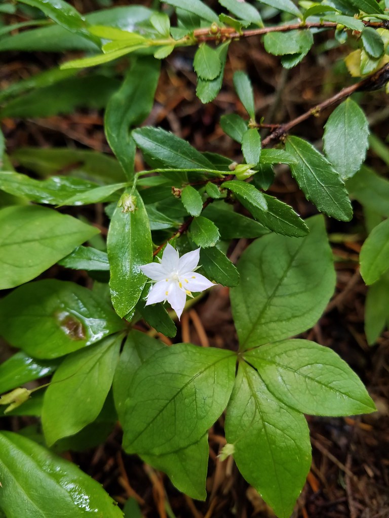 Starflower
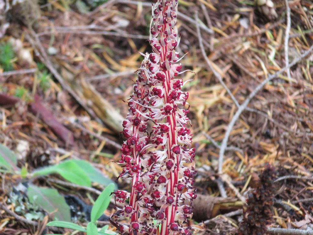 Candy sticks
 Wild strawberries


 Paintbrush above Sardine Creek
 Iris
Iris Rhododendron
 Candy flower


 Beargrass
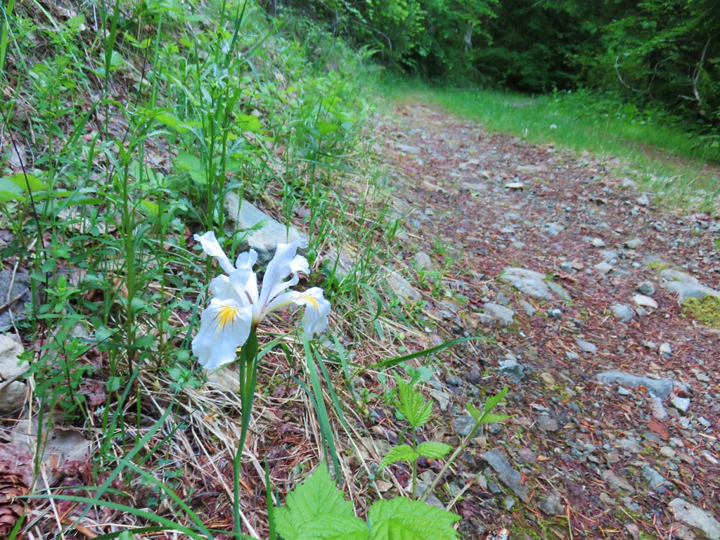 Iris
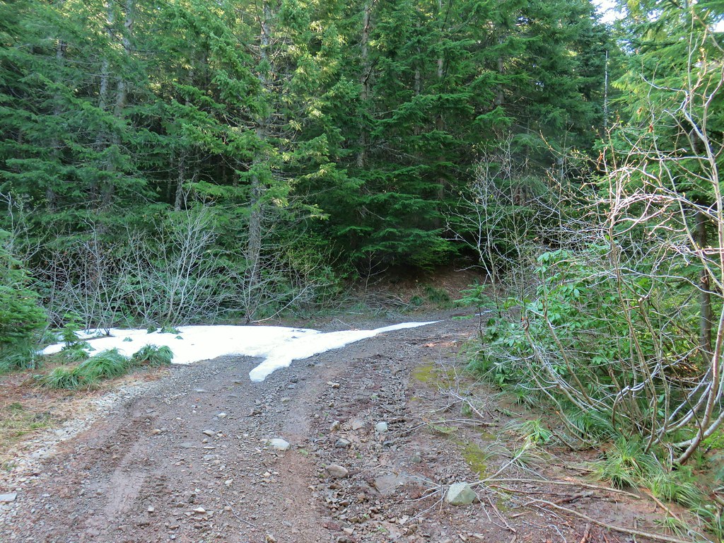
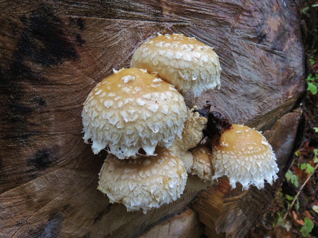
Iris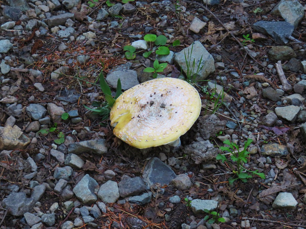 Mushroom in the middle of the road
 Valerian
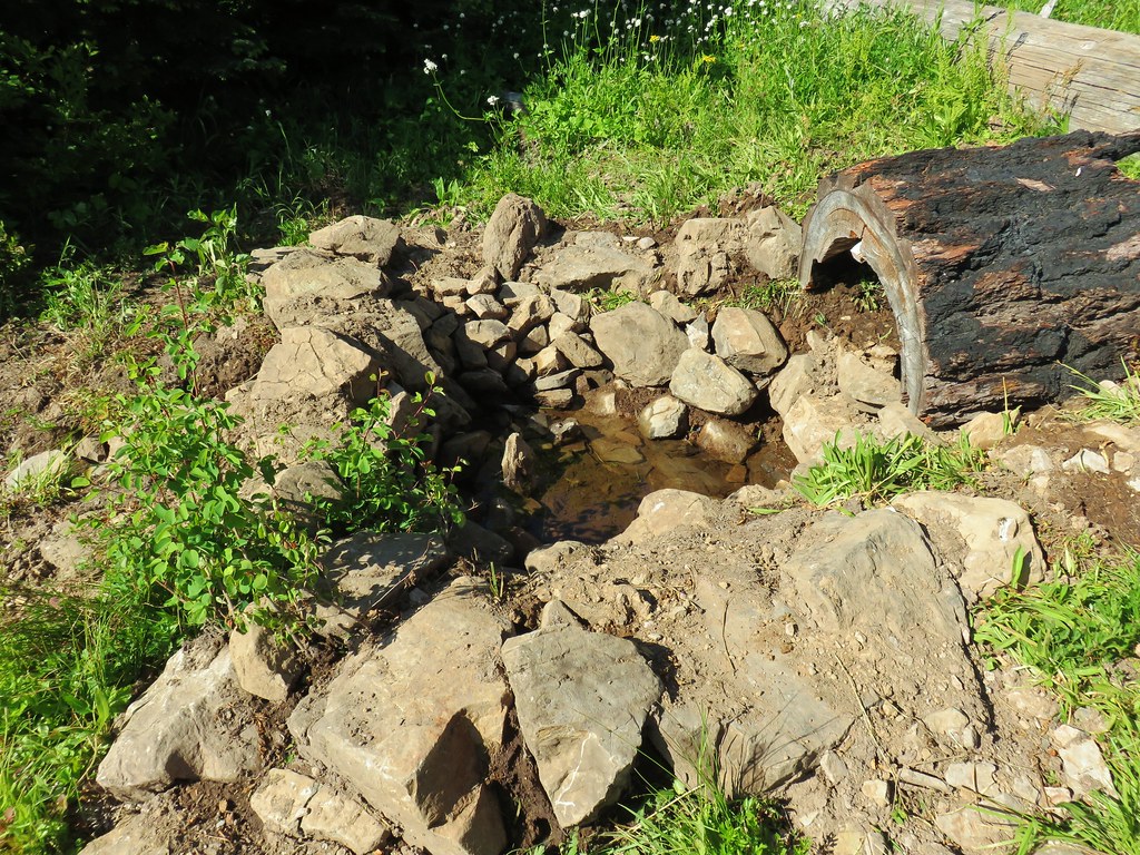
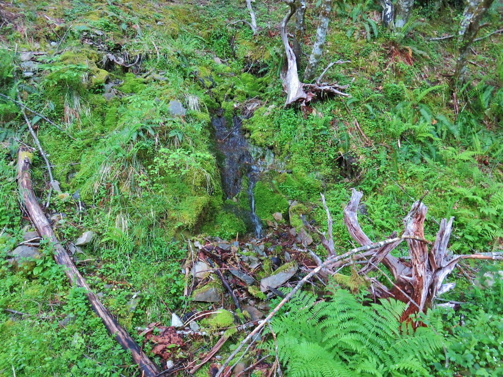 A hillside spring
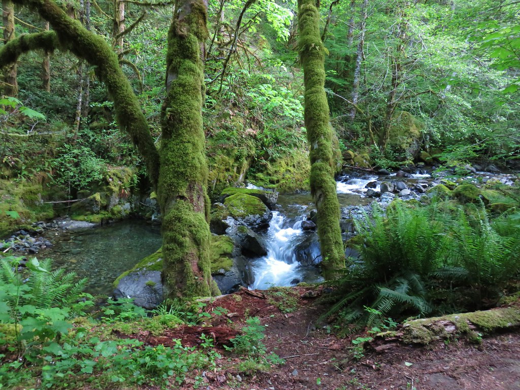


 Red flowering currant


 Mt. Hood with North Dicky Peak in front.
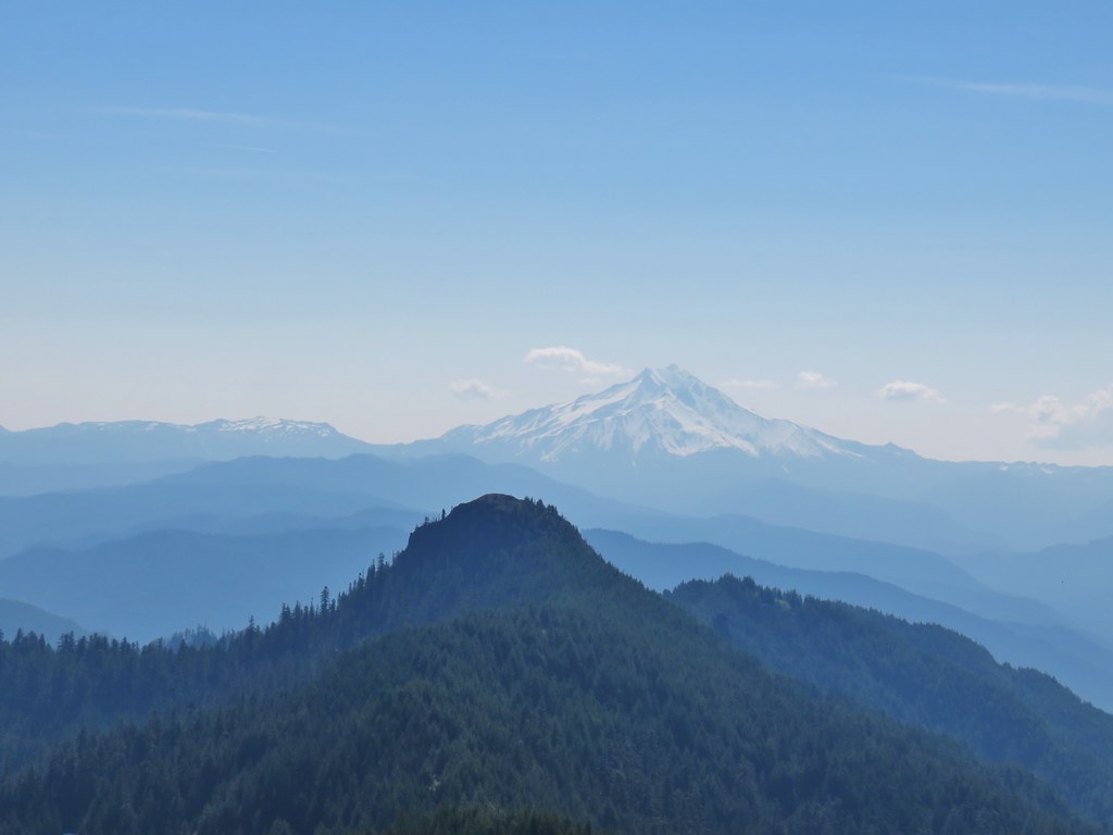


 Three Fingered Jack
 Mt. Washington and the Three Sisters
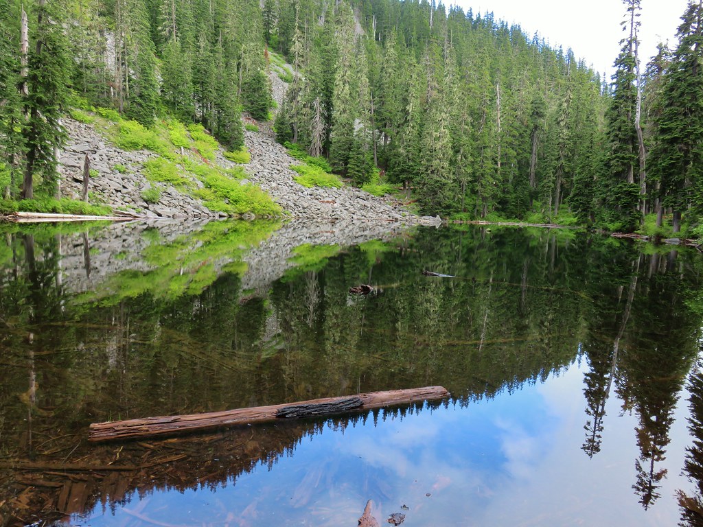
 Tumble Lake
 A saxifrage
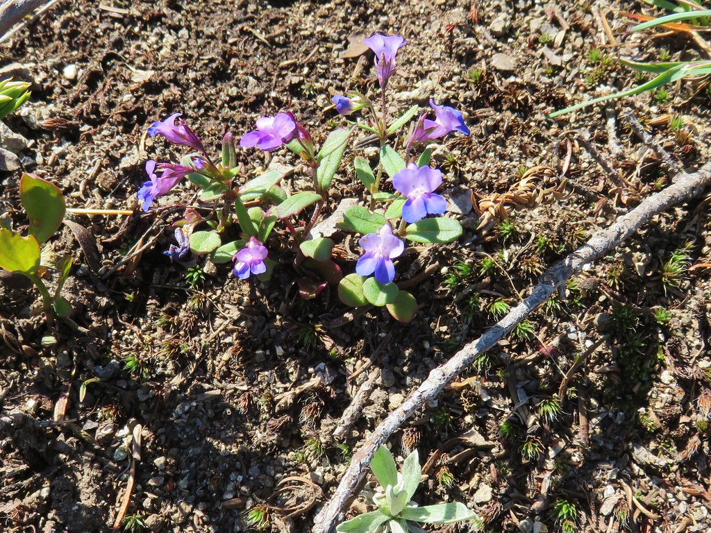 Blue-eyed mary
 Cats ears
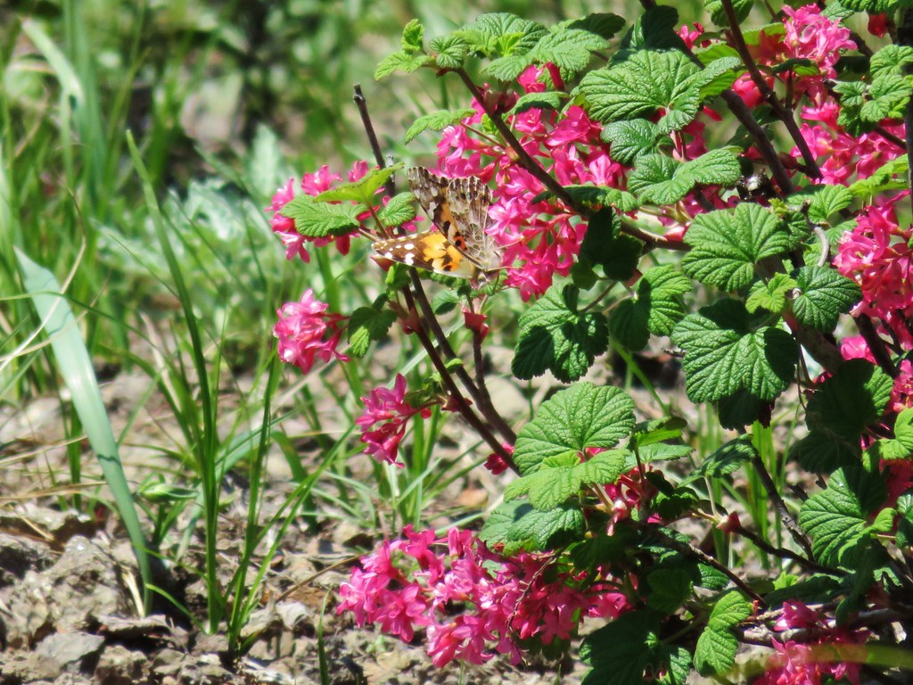 Butterfly on red flowering currant
 Rabbit
 Snake
Snake
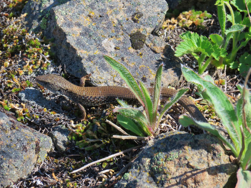
 Another northern alligator lizard
 These two long legged spiders got into a brawl when they met crossing the road.
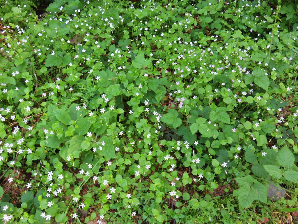
 Candy flower
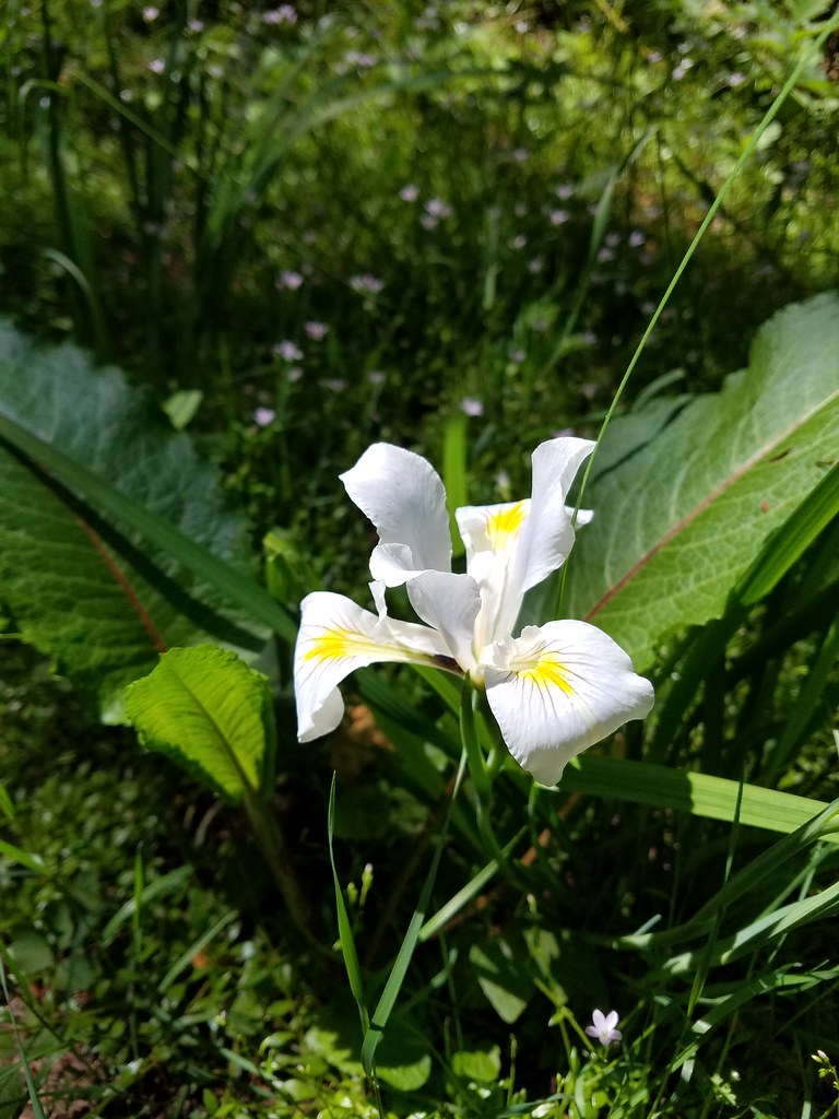 Iris
Iris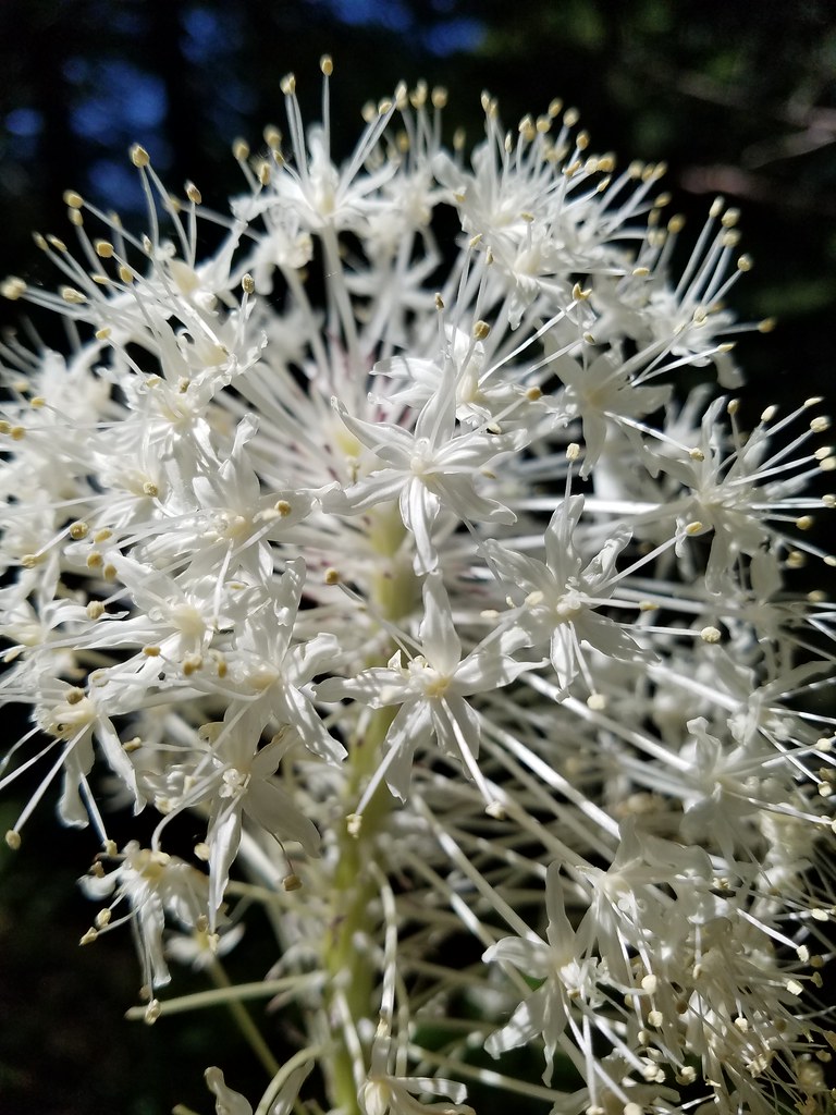 Beargrass
 Fringecup
 Monkeyflower
 Thimbleberry
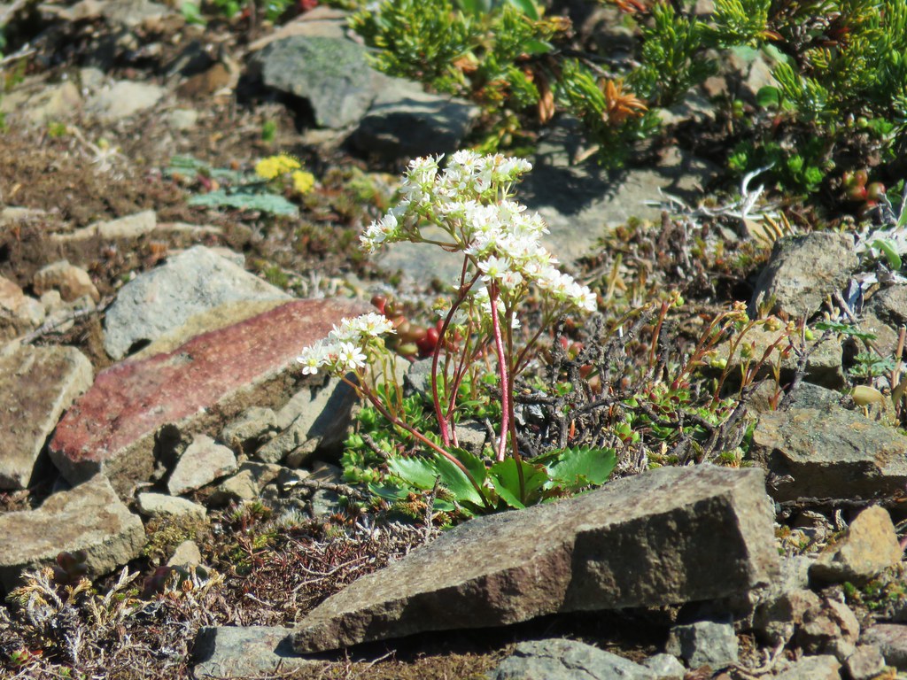
 Stonecrop
 Youth-on-age with an interesting insect
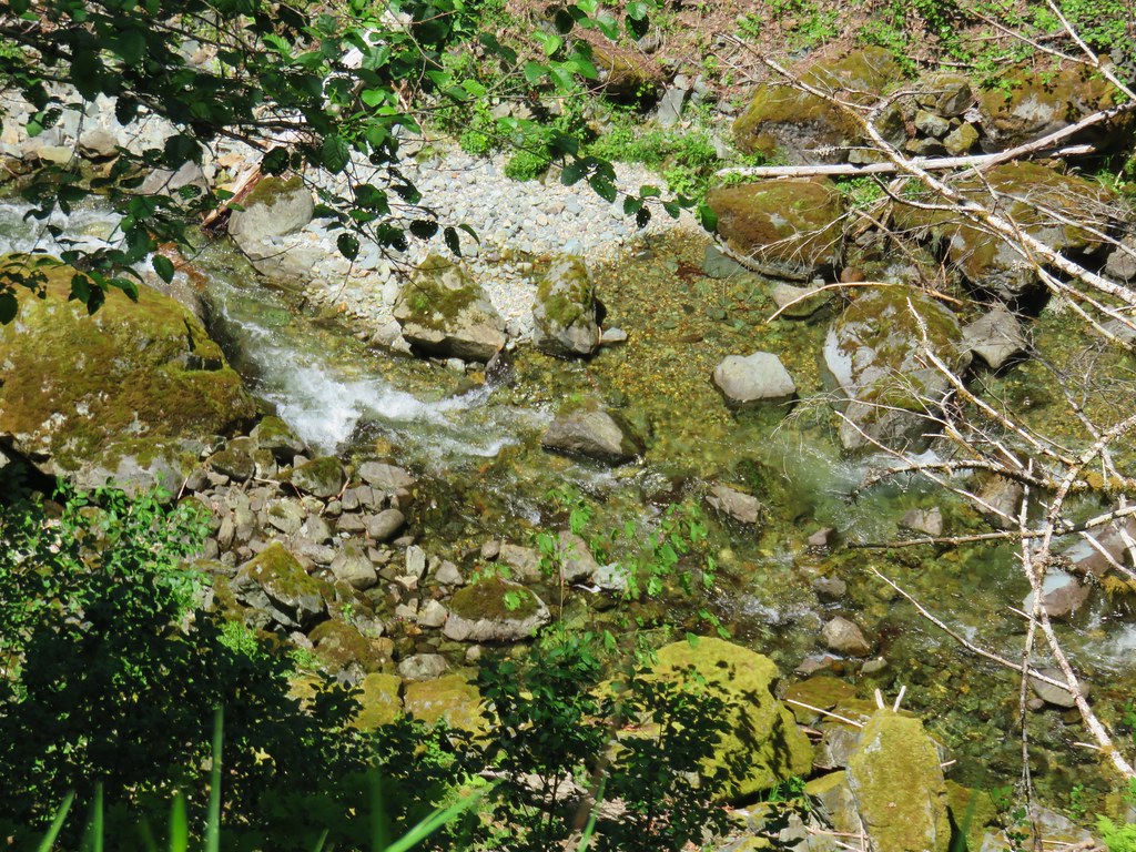


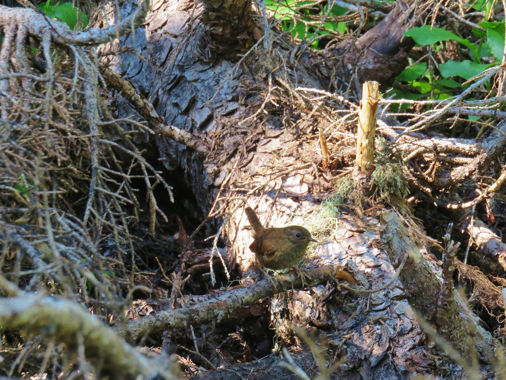
 Wren signing along the trail


 Washington lilies
 Penstemon
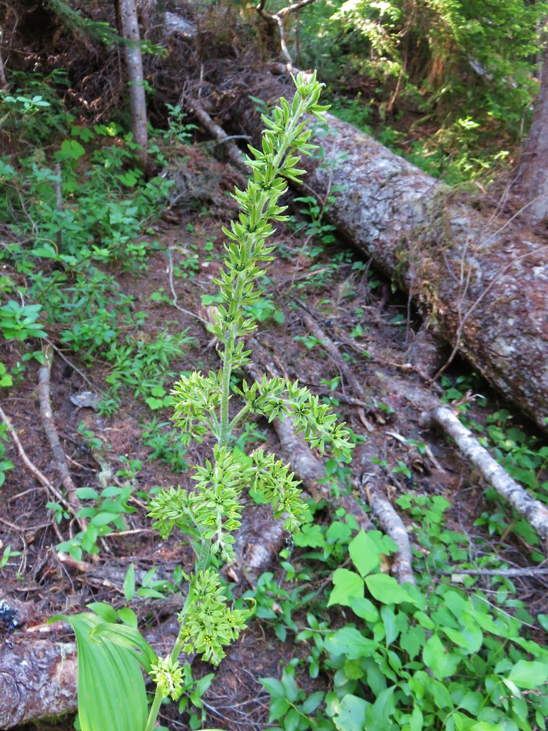 False hellebore
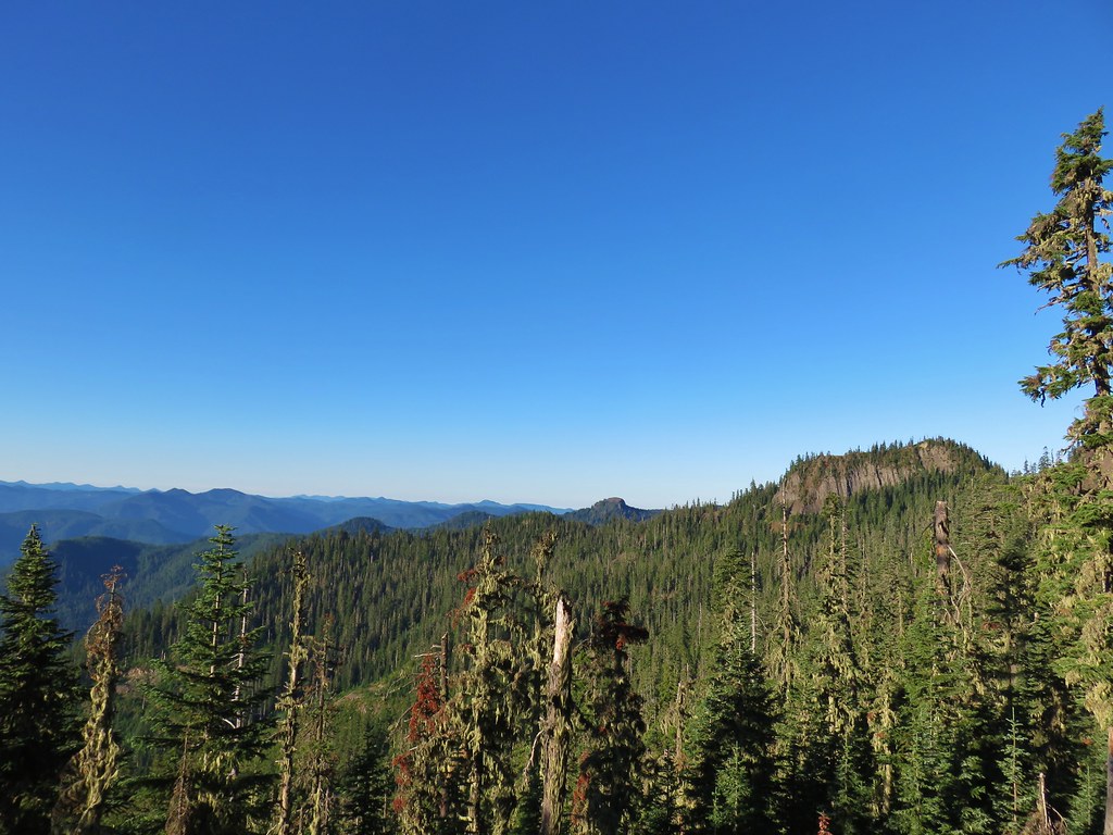
 Mt. Jefferson
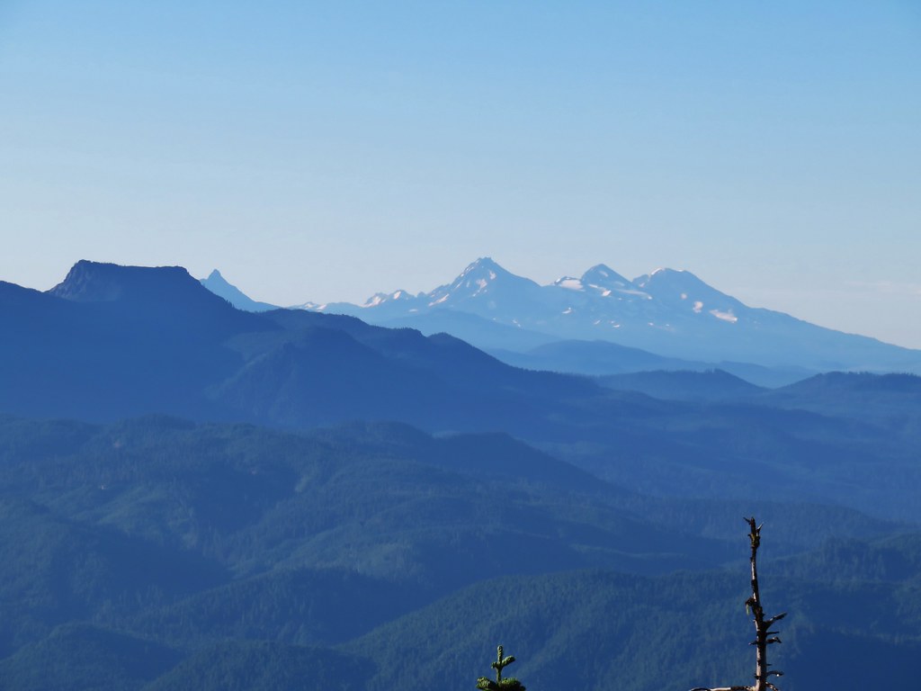 Mt. Washington, Broken Top and the Three Sisters with Coffin Mountain in the foreground.
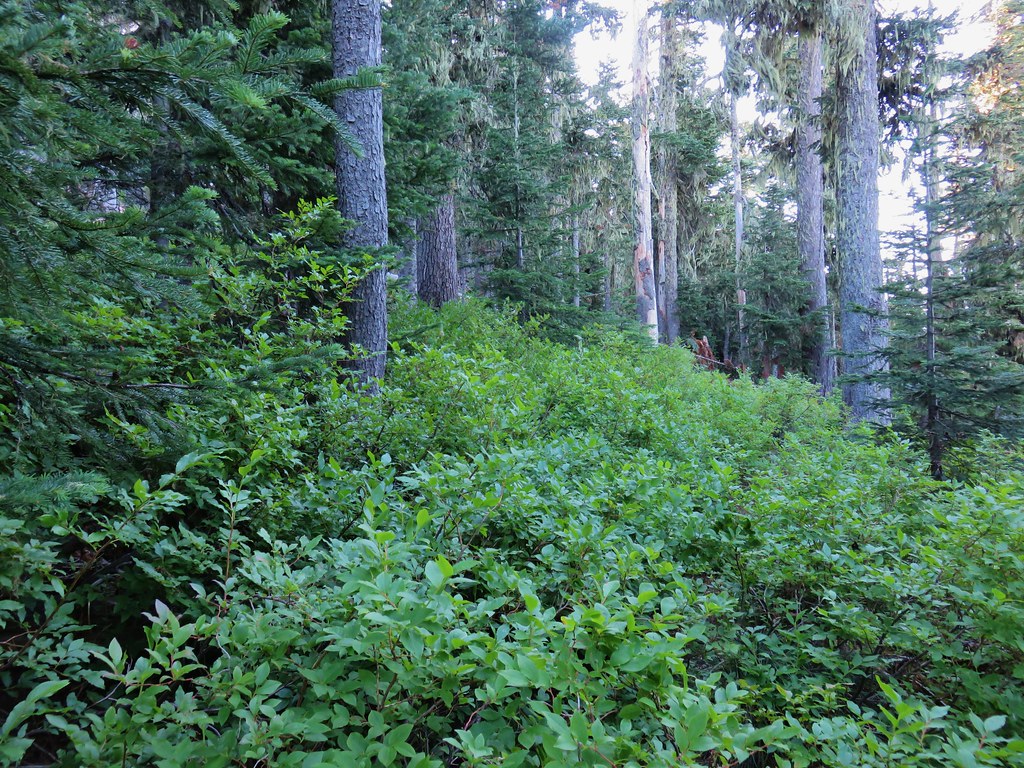

 Mt. Adams
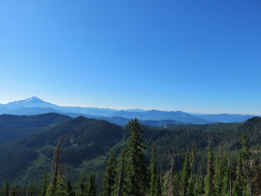
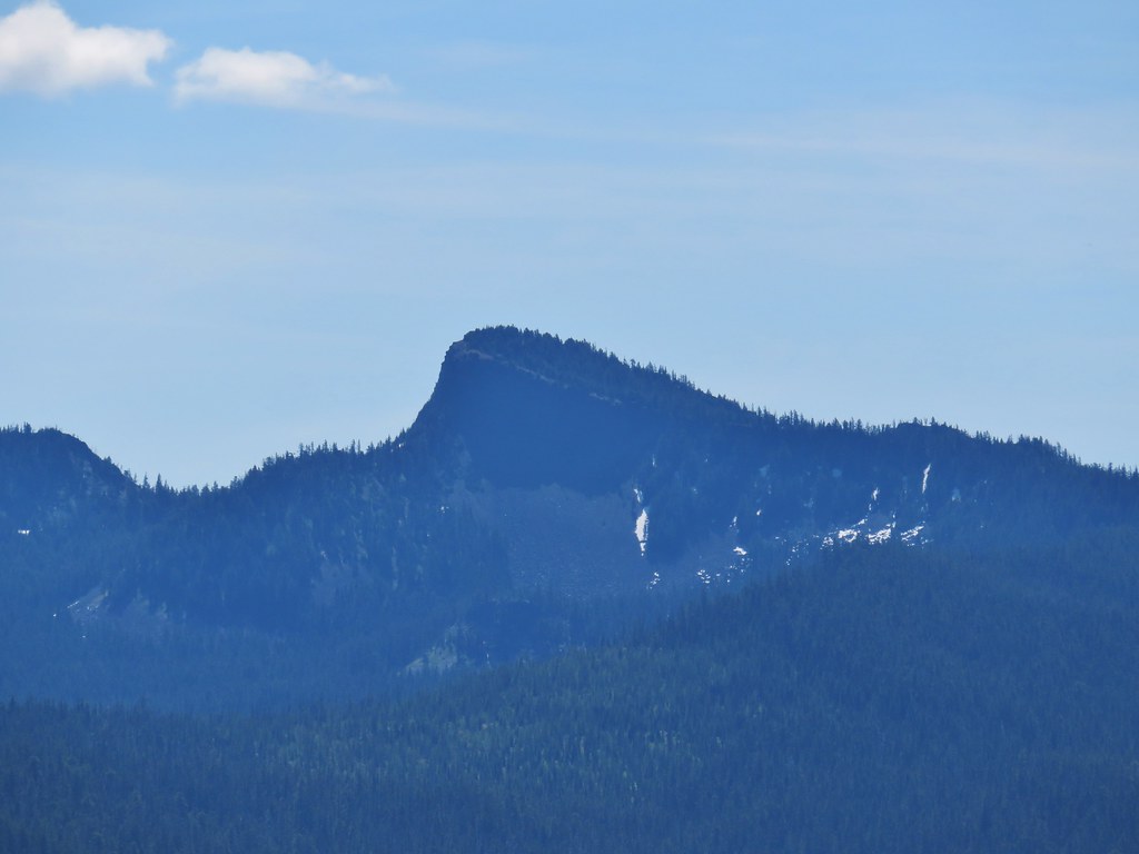
 Battle Ax Mountain
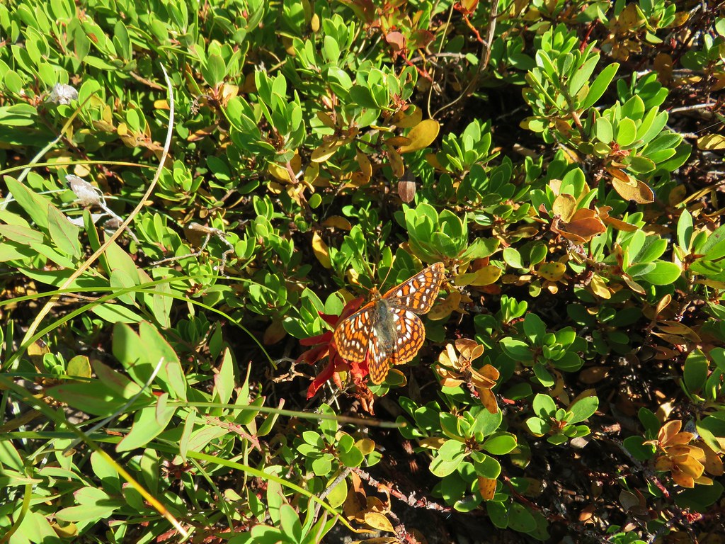


 Whetstone Mountain (
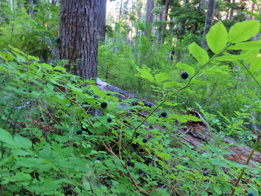 <
<