A left leg issue caused me to put hiking on hold for about a month. I was experiencing shifting discomfort and tightness from the piriformis down to the calf. It seemed to be a different location every day and after a couple of weeks the area around my knee was consistently feeling tight. X-rays and an exam showed the knee itself was in good shape structurally, so I’ve been referred to physical therapy. My first PT appointment isn’t until mid-April, but in the meantime the leg has been gradually improving and the orthopedist said I had no restrictions other than to not overdo it.
With that in mind we decided to see how my leg responded to hiking with a multi-stop outing of up to four short hikes in and around the Nehalem River Corridor. The short hikes would allow me to test my leg while allowing us to easily cut the day short if necessary.
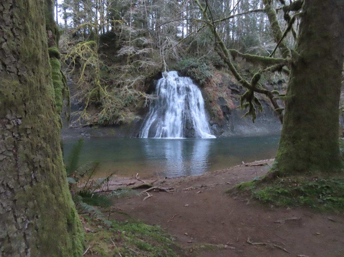
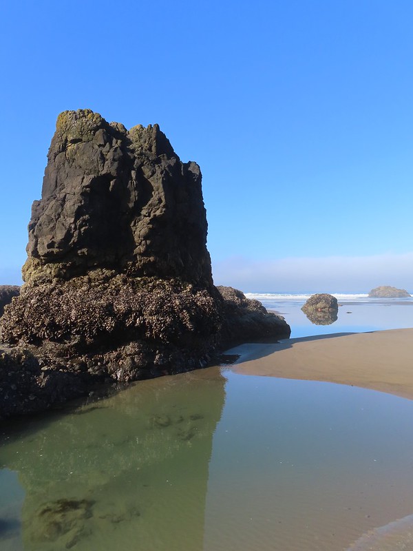
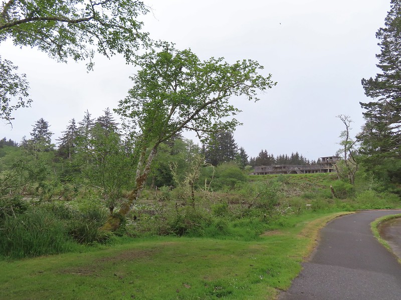
We started our morning with the shortest of the planned hikes, a visit to Umbrella Falls at the Nehalem Fish Hatchery. We had attempted to visit the waterfall in February of 2021 prior to our North Fork Nehalem River hike (post). The hatchery was closed to the public due to COVID restrictions and although walking through to the river would probably have been allowed, we opted to save it for another time. That time was now and we opted to park at the North Fork Nehalem County Park adjacent to the gate at the hatchery entrance which acts as parking for non-disabled anglers.


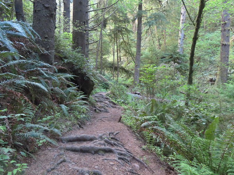
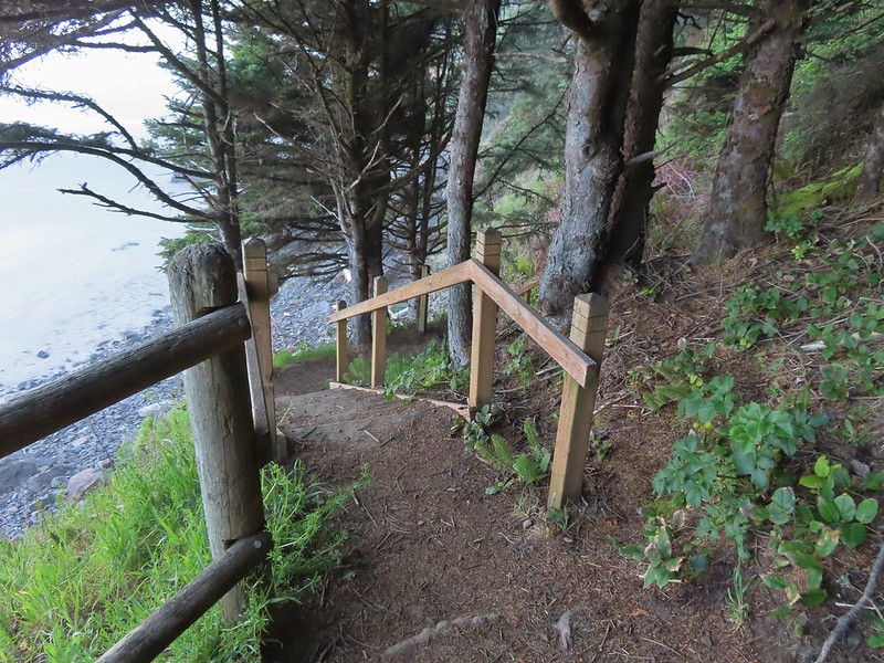
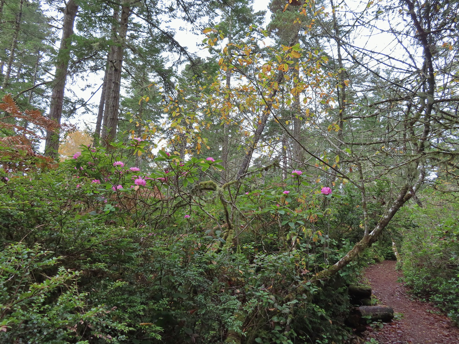
We walked down the entrance road stopping at the rearing ponds to look at some of the fish then continued to the western end of the hatchery to a sign for the Umbrella Falls Trail.


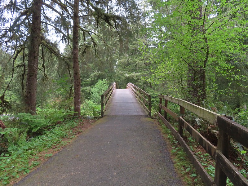
We followed the trail 250 yards to Umbrella Falls across the North Fork Nehalem River.


Violets

Umbrella Falls

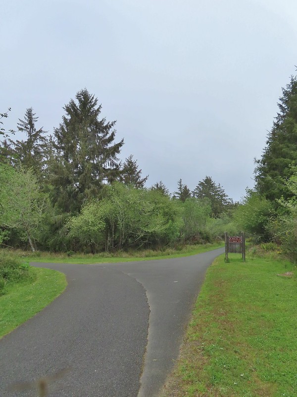
After visiting the falls, we continued on the short loop back to the hatchery and returned to the car.


Trillium

Coltsfoot

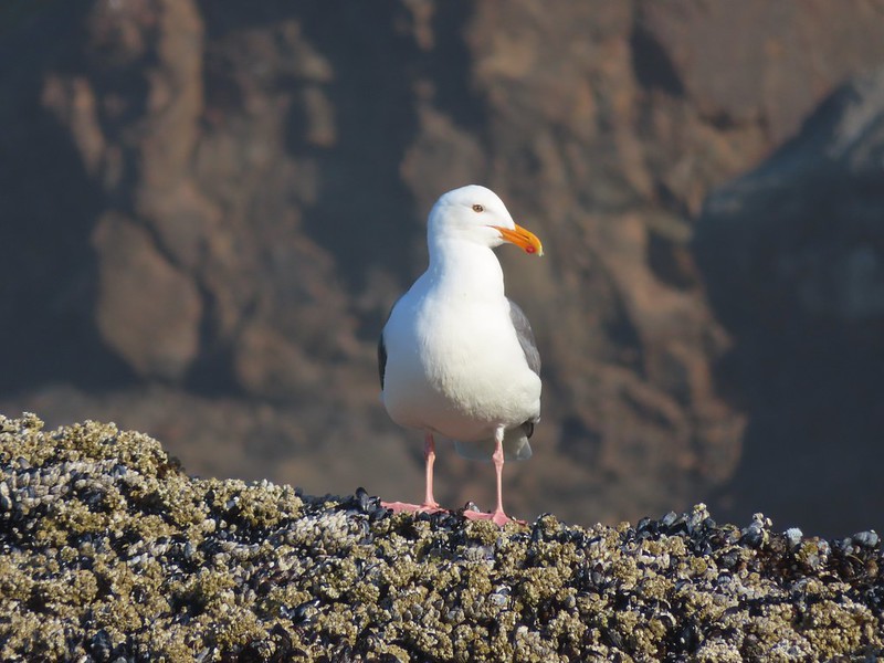
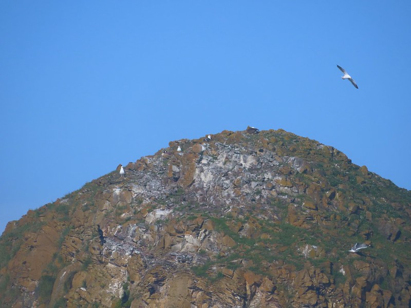
Bald eagle above the hatchery.
This stop was just over three-quarters of a mile. Umbrella Falls is a nice waterfall, and the fish hatchery added quite a bit to see.

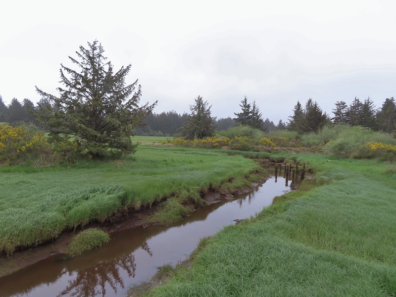
My leg felt great during the first stop, so we drove to our next stop at the Nehalem River Dike. There is limited parking along the shoulder of Tideland Road. There is room for a couple of cars at the location linked above. We wound up parking approximately 100 yards to the south along the shoulder to the road.


The gate at the trailhead in the Oregon Hikers Field Guide.
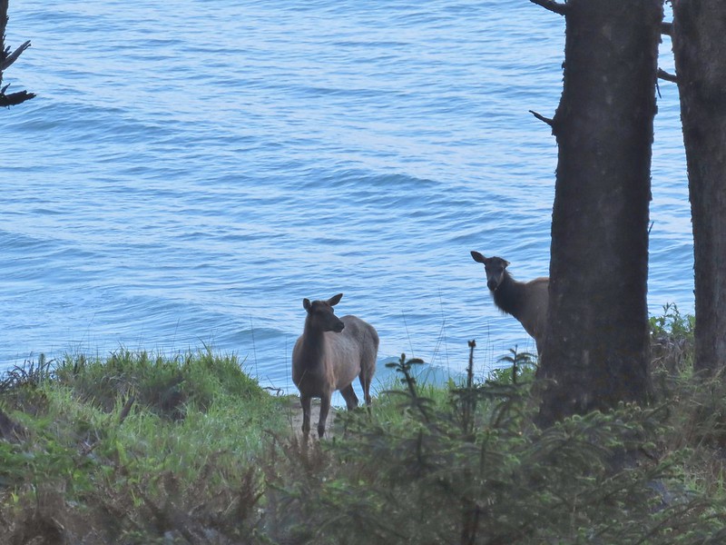
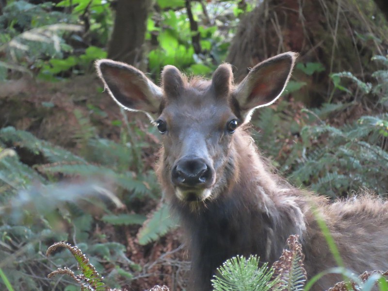
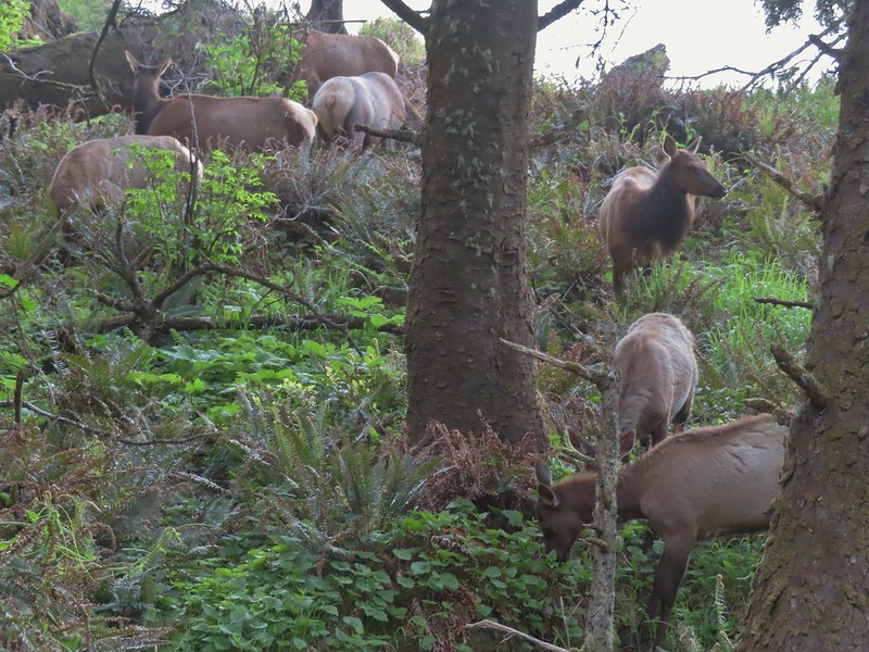
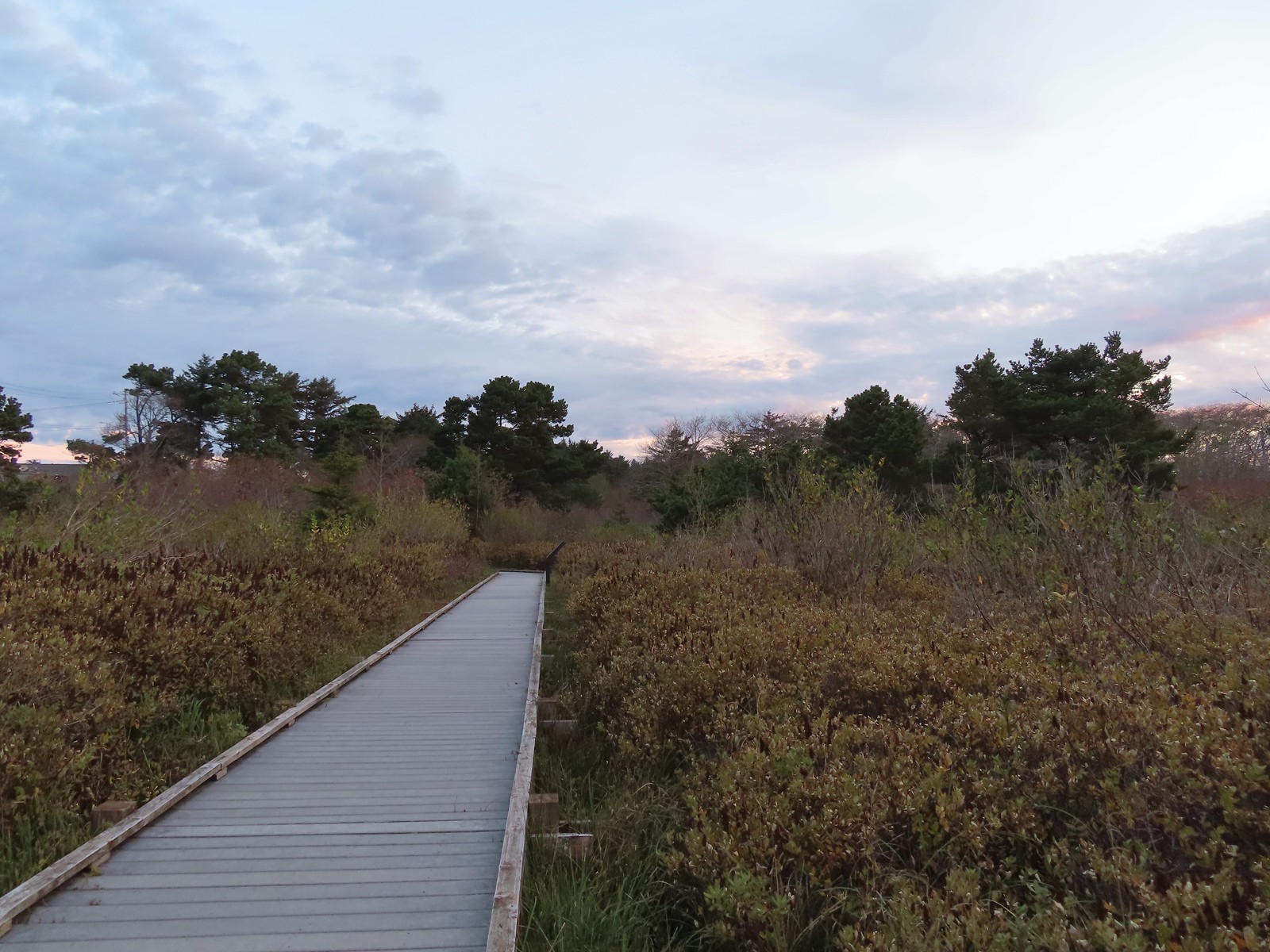
There is a three-quarter mile section of a grassy dike open to hiking. The dike travels between the Nehalem River and the Nehalem Bay wastewater ponds. The draw of the hike is wildlife viewing and we were not disappointed.


Swallows

One of a several great blue herons.

Red-winged blackbird

The city of Nehalem across the river.

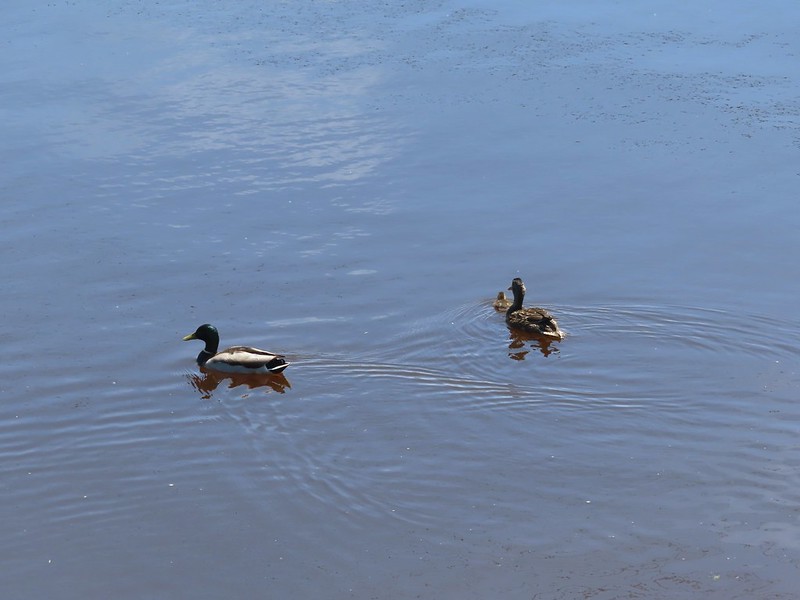
Mallards

Scaup

One of the wastewater ponds.

Seal

Common mergansers

Northern shovelers

Great blue heron

End of the dike trail.

Heading back.

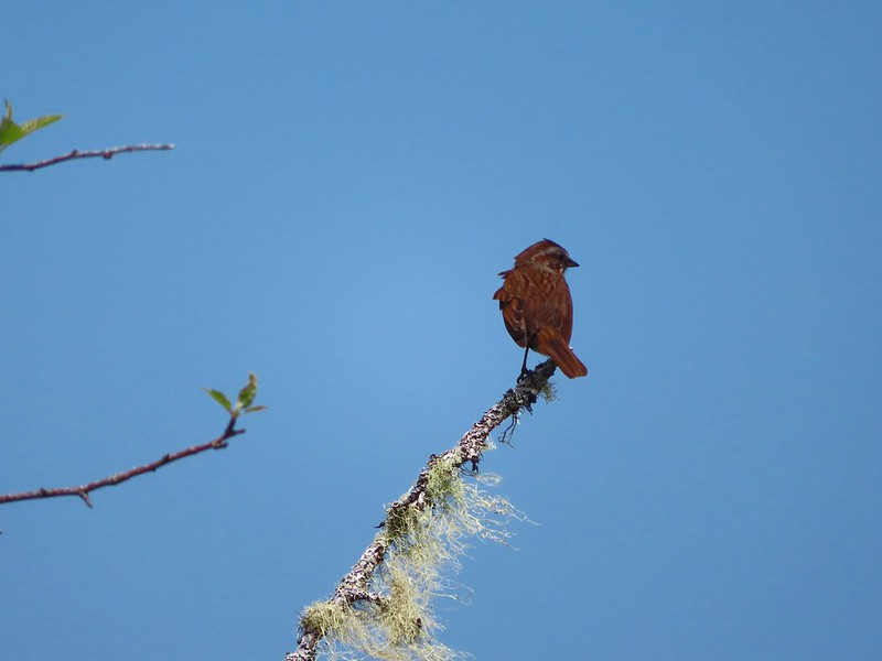
Sparrow

Bufflehead

Caterpillar

Bald eagle

Northern flicker

Cormorant
This hike was just over 1.75-miles with nice views and a lot of wildlife which made for an enjoyable hike.

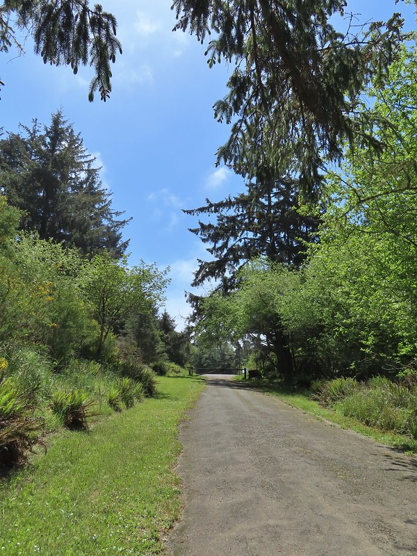
I was still feeling good so when we got back to the car we headed for our third planned stop at the Nehalem Falls Campground. With the campground still closed for the season we parked near the gate at the entrance road.

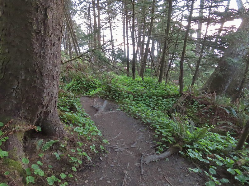
We walked down the entrance road a tenth of a mile to a sign for the “Hiking Trail”.

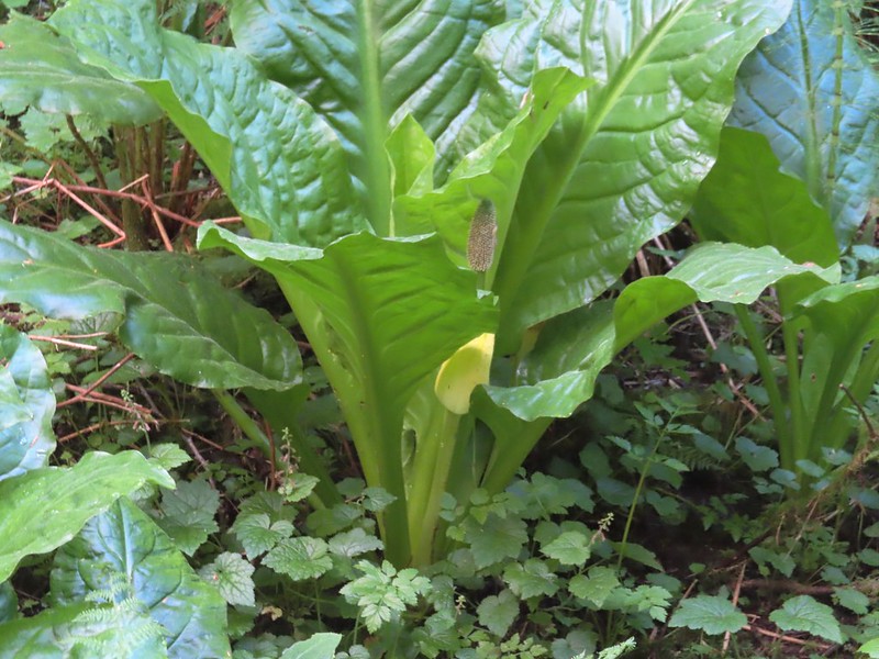
Skunk cabbage

Day use parking area

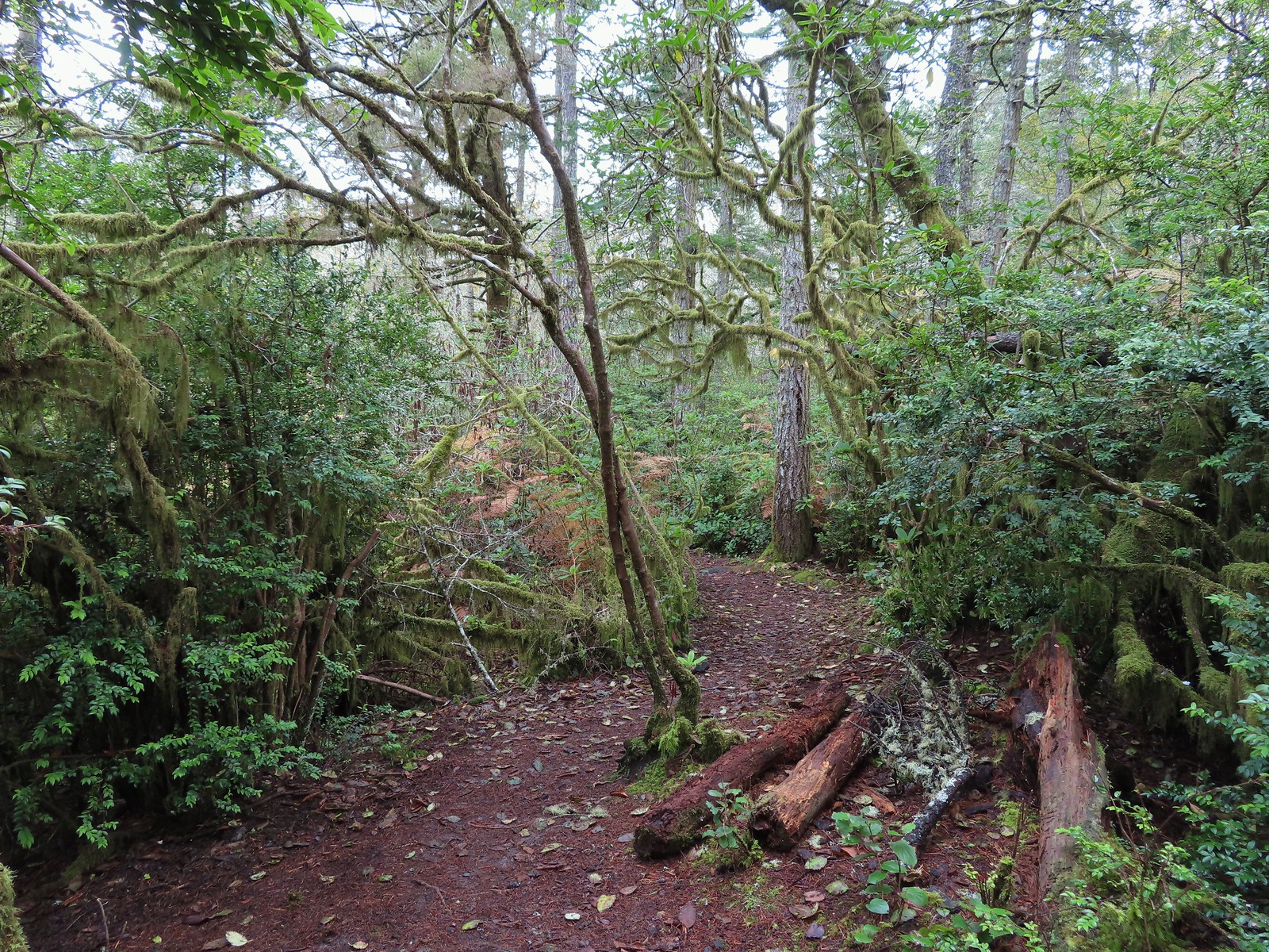
We headed down the trail which quickly drops near the river at Nehalem Falls. These falls are more of a rapid with the tallest drop being just 8′. Depending on the water volume the drop isn’t visible.

Violets


The fish ladder is visible to the far right. At times this too is underwater and not visible.

Pink fawn lilies
After visiting the falls, we continued on the hiking trail which loops around the campground in just under a mile.


Bleeding heart


Blackberry blossoms


Trillium

One of several benches along the loop.

Fall Creek

Chestnut-backed chickadee

Toothwort


There were a lot of trilliums along the trail.

The trail dropped us into the campground.
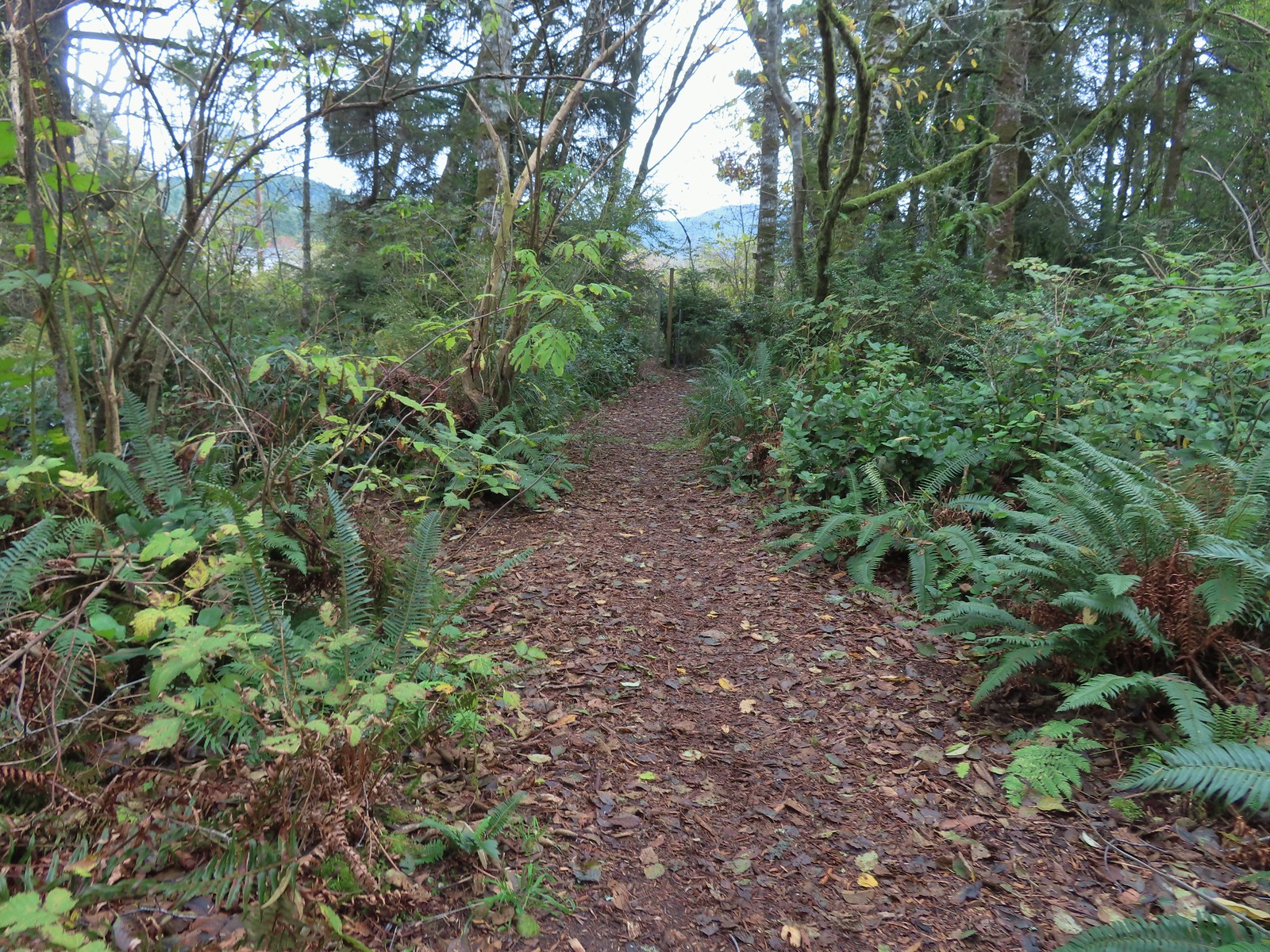
A short walk along the campground road led us back to the day use parking area to complete the loop then we walked back up to our car.

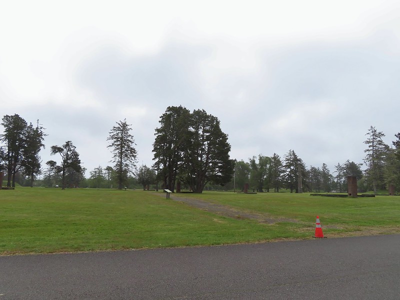
The final hike we had planned was located less than a mile from the Nehalem Falls Campground at Cougar Valley. In 2007 an Oregon Department of Parks and Recreation proposal included development of a 315-acre parcel of land located in Cougar Valley that had been purchased by the State in 2005. Local pushback on the proposal suspended that development and today the tract of land is open for day use only. The abandoned Lost Creek Road serves as what All Trails refers to as the Lost Creek Trail. This “trail” is not officially maintained, at least not frequently.
We parked at the gated roadbed and set off on a grassy track through blackberry bushes.


There were dozens of snails along the roadbed.

Maple meadow. The land had previously been the homestead of Cougar Bill and Cougar Marie, mountain line bounty hunters.


Lost Creek below Lost Creek Road.

Lost Creek

Salmonberry

One of two washed out areas along side creeks, possibly from flooding in February 2026.

Pacific wren


Mushroom


Rusted dozer blade
We made it almost a mile and a half before we began to encounter overgown conditions.

After picking our way through the first section we came to an even thicker mass of vegetation and decided to turn around. The old logging road had originally continued a couple more miles, and the roadbed had been accessible to at least the 1.75-mile mark where it crosses Lost Creek. Time has allowed nature to slowly reclaim the roadbed though.

Our turnaround point.
We headed back toward the car but took a short detour 0.4-miles before the trailhead down an old spur road that led to an old bridge over Lost Creek.

The old bridge from Lost Creek Road.

The spur road is on the right heading out Lost Creek Road. Since we were on the way back it was a left for us.

A very rough trail was cut through the blackberry bushes. We came away with quite a few scratches.

I didn’t trust the bridge enough to try stepping on it.

Lost Creek from the edge of the bridge.
After checking out the bridge we fought our way back up through the blackberries and returned to our car.

Our hike in Cougar Valley came in just under three miles and Nehalem Falls had been 1.1-miles.

One note is that we both did wind up with a tick on our long sleeves post hike. With the unusually warm, dry winter all reports indicate they are bad all over the State this year and this was the first time we’d picked any up in the Coast Range. It was a good reminder to always perform a tick check at the end of your hikes.
In all the four stops wound up being 6.6-miles with just 175′ of elevation gain. Here is a look at the relative location of our four stops.

My leg held up surprising well and as I am writing up this trip report the next day it’s still feeling good which is encouraging. Our plan is to take things easy and hopefully the physical therapist will be able to identify whatever the issue is and we’ll go from there. In the meantime, Happy Trails!


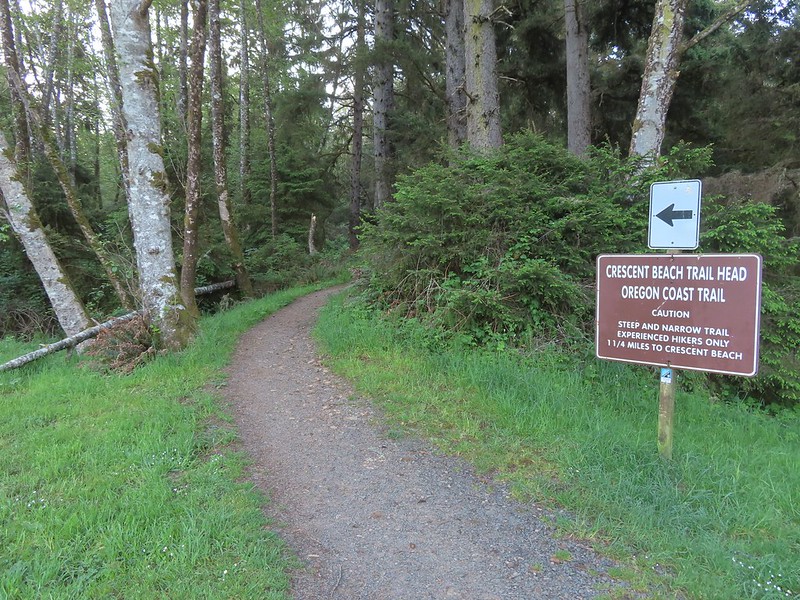
 I had arrived just after 6:30am so it was still a little dark as I set off.

 Please respect private landowners wishes when recreating to ensure that public access continues to be allowed.
 Looking back at the sunrise.

 Entering the clearcut.
 Bleeding heart
 The OCT is well marked.
 Woodpecker
 Back in the forest.
 Interpretive signs in the preserve.
 Bench at a viewpoint.
 Nehalem Bay (
 Salmonberry blossom
 Leaving the preserve.
 Violets and pink fawn lilies. These were the first pink fawn lilies I had seen, it seems that we hadn’t timed our coastal hikes right to catch their bloom in the past.


 Trillium
 Fringecup
 Toothwort


 I made use of this bench on the way back to take a break and do some stretching.
 View to the north.
 Tillamook Head (
 It was obvious that there had been some work done to try and shore up this section of trail.
 The view south from the viewpoint.
 Cape Meares (
 Cascade desert parsley near the summit.
 Looking up at the viewpoint from the OCT.
 Trillium
 This was the only obstacle that required any sort of maneuvering.
 There are some great trees along the upper section of the trail.
 Violets
 Recent trail work.
 Anemones and violets.
 Entering the storm damaged area.
 Angora Peak (
 Getting creative with the trail route.
 Out of the storm damage.
 Skunk cabbage
 Cape Falcon from the trail.
 Pink fawn lilies
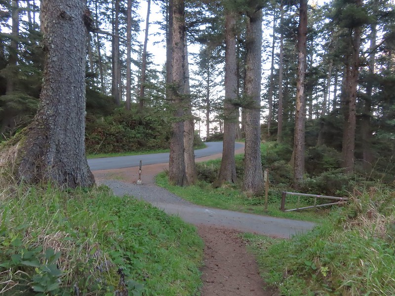
 Arriving at Highway 101 near the North Neahkahnie Mountain Trailhead.


 Snow queen
 He may have been moving faster than I was.
 There is nothing better than hearing wrens sing in the forest.
 More creative trail in the storm damaged area.
 Wood sorrel
 The view if you don’t scramble up the spine.
 Trillium with a touch of pink.
 Arriving at the packed trailhead.
 Leaving the crowds behind.
 Big patch of pink fawn lilies.
 Highway 101 from the powerline corridor.
 Margined white
 One of the more impressive trees in the preserve.
 Nearing the Highway 101 crossing. I arrived just as a long line of traffic was passing by but was able to safely cross shortly afterward.


 We started with this hike in part due to it being the first day of the final king tides, abnormally high tides, for the season. High tide for Smelt Sands was going to be 9:45am so we were hoping to see some of the wave action.
 It was just before 8am as we hiked the 804 Trail.
 We made a mistake and turned right on the paved path here, but we should have continued beyond the large signboard to a second path marked by a wooden post. You can see the small white and black to the left of the green signboard. We may have been distracted by “Free Coffee” being printed on the bottom of the green sign.
 This post is similar to the one along the 804 Trail where we should have turned right.


 Boardwalk over Mitchell Creek.
 Grandmother Spruce
 The upper end of the preserve trail.

 Mushrooms
 Approaching Starr Creek.
 Starr Creek
 The upper gate at the junction.
 Ya’Xaik Trail
 The right hand fork here is the trail leading down to the fire station that dog owners can use to make a loop. A local had warned us that this trail can be pretty slick. We went left to remain on the Ya’Xaik Trail.
 There was a little climbing involved before the trail headed down to Diversity Drive.


 The Ya’Xaik Trail at Diversity Drive.


 The Woodland Trail continues to the left while the right connects up to a road.


 A footbridge over the Red River below with a disc golf hole on the opposite ridge. We were able to use the OregonHikers Field Guide map to identify this connector trail as one we did not want to take. That map had many of the connector trails identified in red which helped keep our position located as well as keep us on the correct route.


 The old roadbed at the bottom of the switchbacks.
 Woodland Trail on the left and our next stop, the Lint Slough Trail, on the right.


 Memorial plaque
 There was a bypass uphill for this short flooded section.
 There were a number of bufflehead ducks, a pair of geese, and one noisy great blue heron at the slough. All of the wildlife seemed to be positioned as far away from the trail as possible.
 The great blue heron in a tree across the slough.
 This little group of buffleheads was the exception.
 I turned around at this bench due to not seeing an obvious continuation of the trail here. I had also lost Heather who had stayed up to avoid the flooded section and instead of returning to the trail I was on, on the other side of the flooded bench, stayed up on the higher path. That path began leading up uphill away from the actual trail without another way to get back to the correct path. She wound up backtracking and we met shortly after I had started back.
 The slough from my turn around point.
 Yarrow
 Bull thistle (non-native)
 Rose (probably non-native)


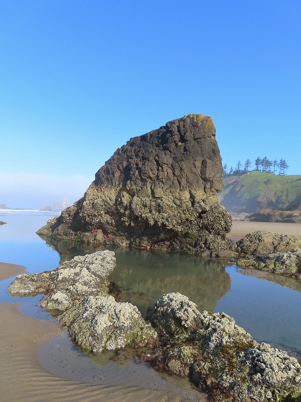
 Looking north along the beach.
 The view south.
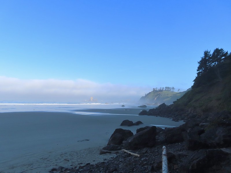
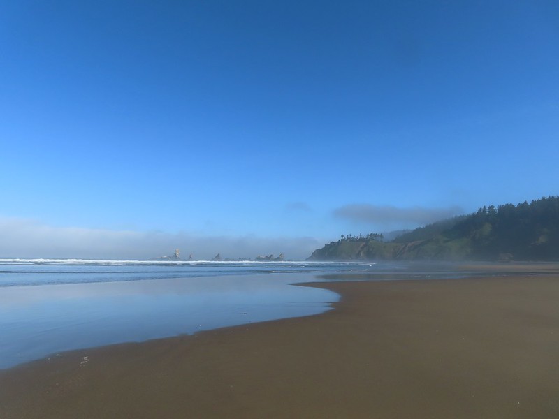
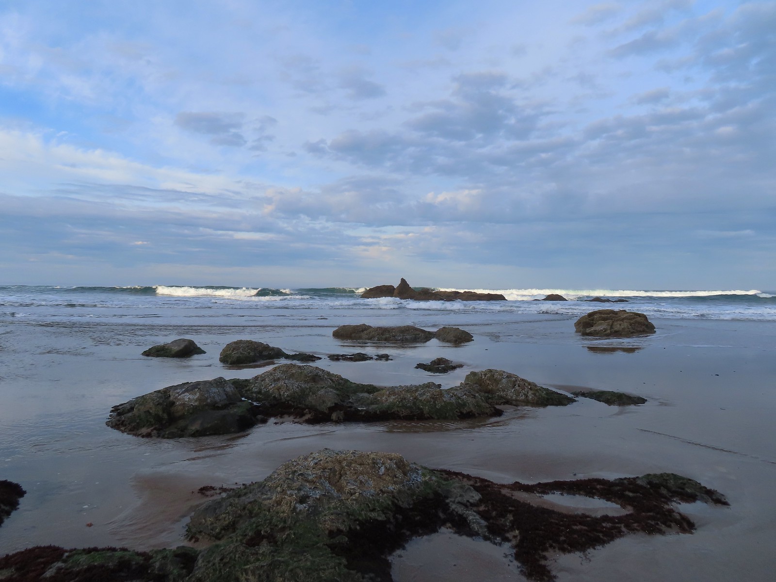
 The wet sand and debris from the high tide was up to the vegetation along much of the beach.
 We decided to turn back at the creek partly to avoid crossing it, but also because we had been walking into the wind. It wasn’t a particularly cold day, but the wind chill was almost making it uncomfortable.
 Seagull with a crab.
 Cape Perpetua (
 Buckley Creek
 We had to ford Buckley Creek which was only a couple of inches deep at most.
 Semipalmated plovers
 Western gull
 Heading back north.
 The path back up to the parking area at Driftwood Beach.


 Thimbleberry
 Coming up on the start of the boardwalk.
 Scouler’s corydalis at the base of the boardwalk.
 The boardwalk junction.

 The base of Cathedral Tree.
 One of two benches near the 300+ year old stika spruce.
 Cathedral Tree

 Beyond the boardwalk the trail was a bit rougher.
 Trail markers were present at times to help identify the correct route.
 Pacific waterleaf
 The Astoria Columnn.
 Megler Bridge


 Young’s River on the left and the Lewis & Clark River on the right
 The early bird.


 The spiral staircase.

 Young’s River
 Traffic on the Columbia River.
 Looking out toward the Pacific beyond Astoria.
 Deer in the grass below the Astoria Column.
 Heather below the column.


 This was a spur trail 0.2-miles from the column (0.6-mile from the trailhead) that also leads down to Irving Street and could be used for a loop if you don’t mind some street walking. We opted to pass and did the hike as an out-and-back.
 False lily-of-the valley
 The last trillium?
 Fringecup
 The start of the short trail to the falls.
 Interpretive signs near the start of the trail.
 The falls were noted during Lewis and Clark’s stay at nearby Fort Clatsop (
 This was a tough one to photograph due to the amount of spray being blown straight at us by the force of the water.
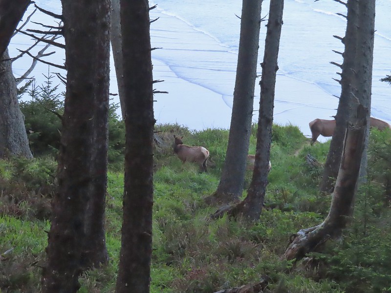
 We pulled over onto the shoulder of Hwy 202 to snap a picture of these bulls.

 Bleeding heart
 Fairybells
 Scouler’s corydalis


 I was joined by a pair of ouzels at the falls.
 Looking back at Heather on the other side of Fishhawk Creek.
 Me through the trees below the falls.
 Please note that you need a permit to park at the refuge.
 The trail begins near the restrooms.
 Ecola Park Road.
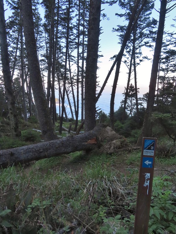
 Skunk cabbage
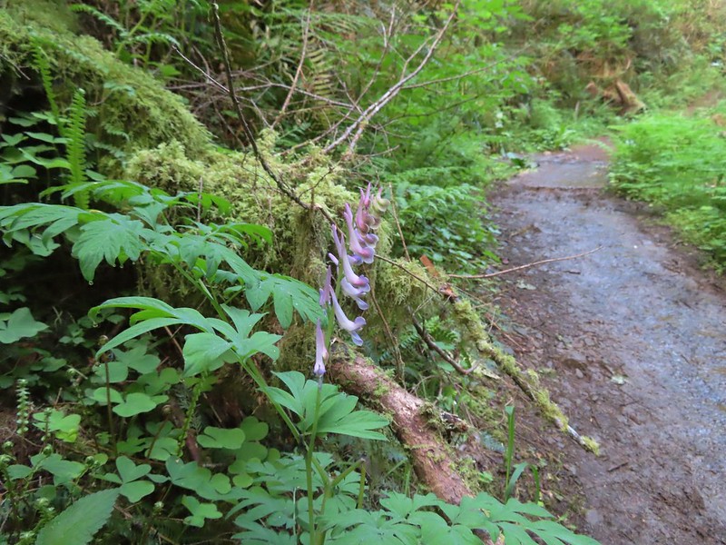 Scouler’s corydalis
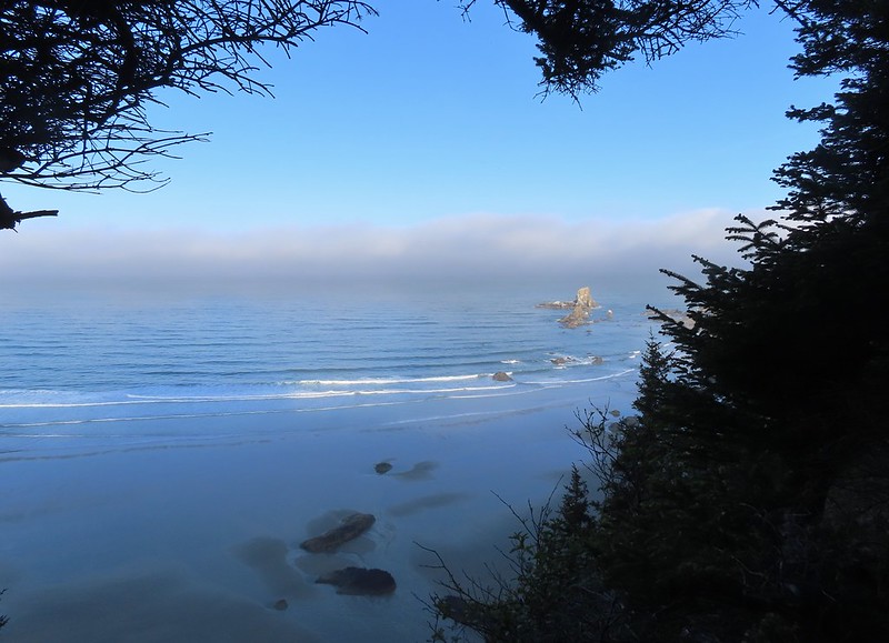 Window to the Pacific.

 Ecola Point
 Chapman Point and Bird Rocks
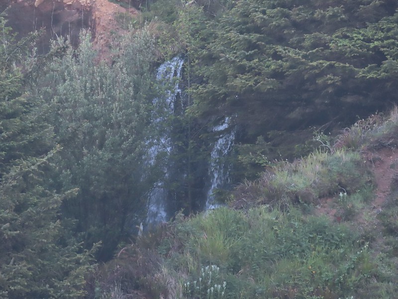 The upper falls.
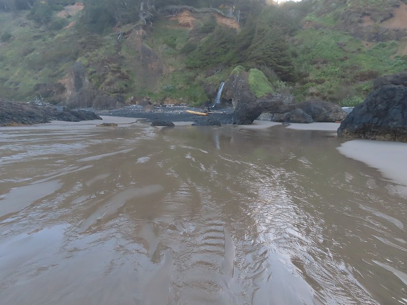 Waterfall Creek
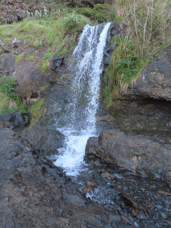 The lower falls.
 The tide pools from Waterfall Creek.
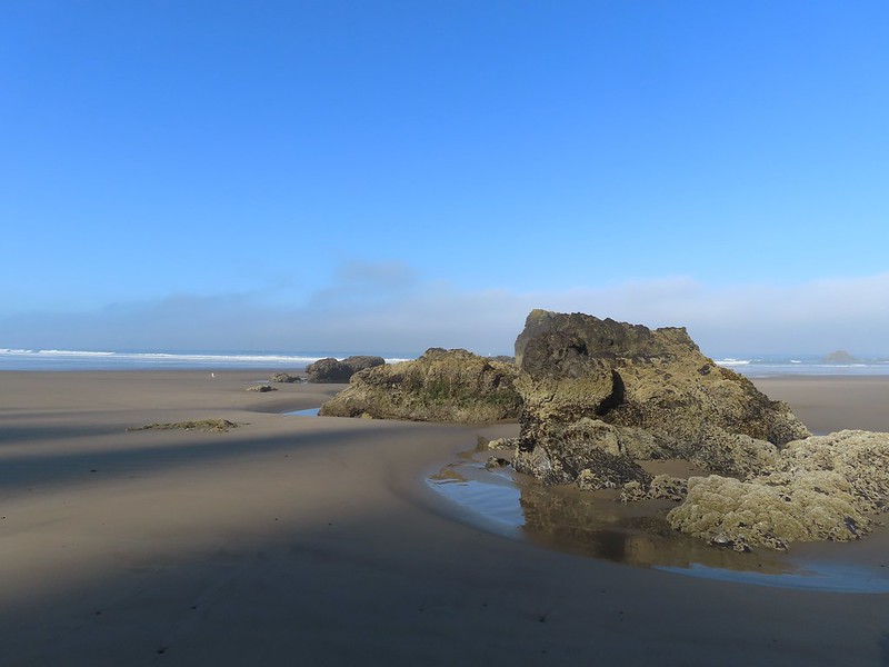


 We found Patrick from Spongebob!
 We were curious as to what forces carved out the backside of this rock.
 Chapman Point is only passable at certain low tides. On the far side is Cannon Beach (
 This cave through Chapman Point was flooded at the far end.
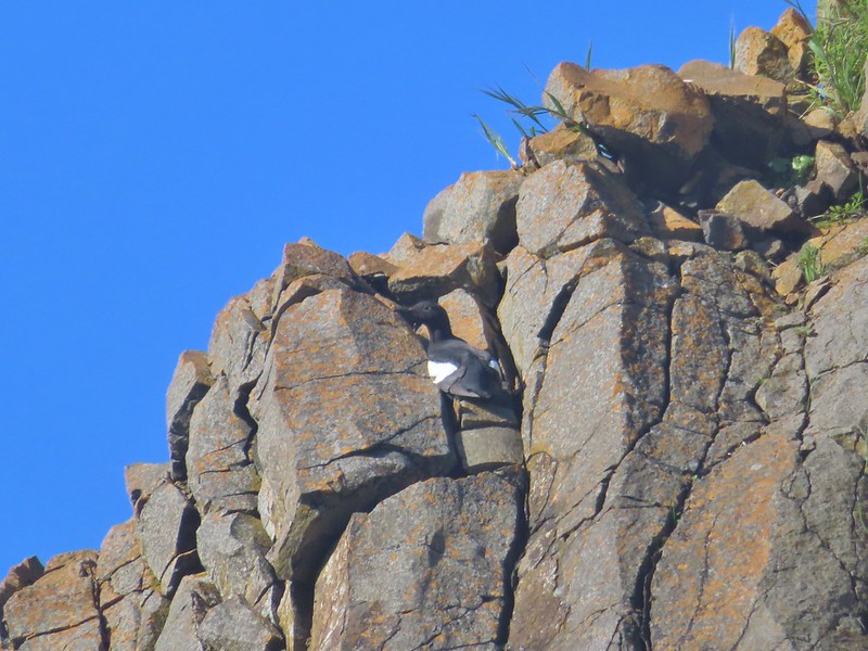 Pigeon guillemot
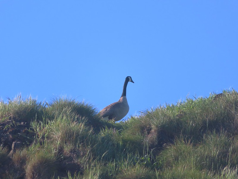 Goose
Goose

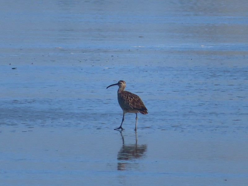 Whibrel
 Seaside bittercress
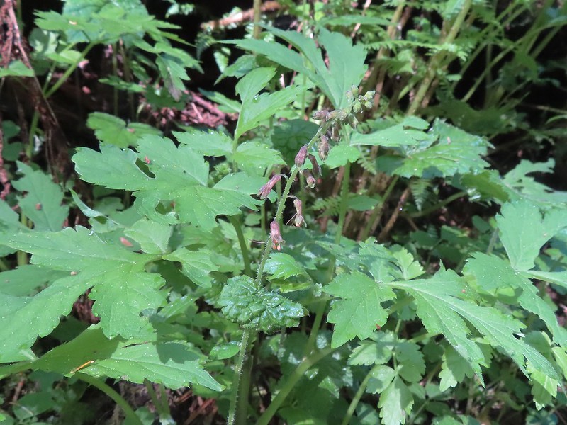 Youth-on-age
 Battery Russell from the lot.
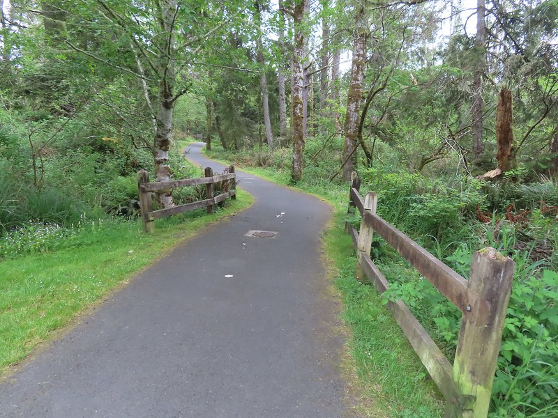

 The overpass
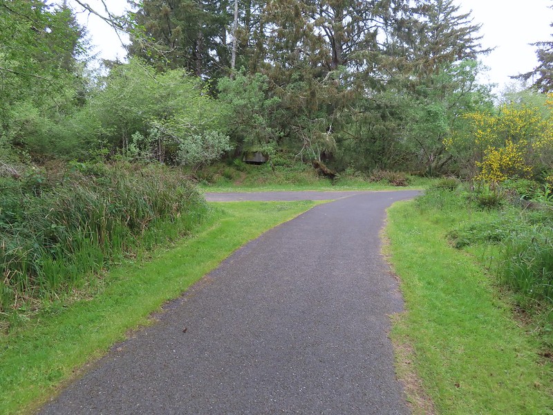


 Looking out toward Swash Lake from the bridge.
 The gate to the Historic Area is locked in the evening.
 Visitor’s center


 The guardhouse on the left.
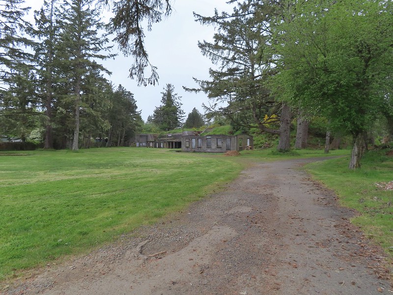 Battery Clark
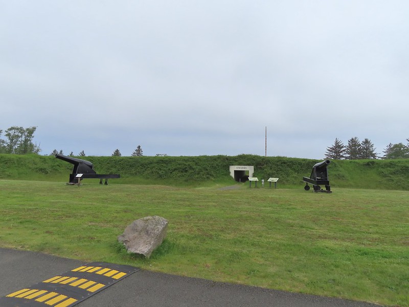
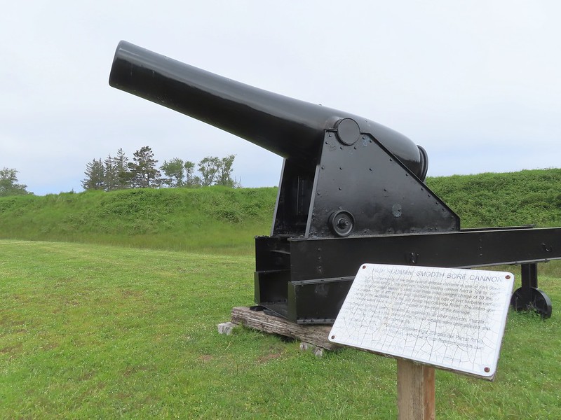


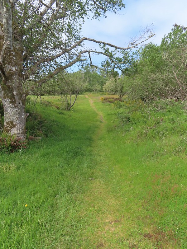
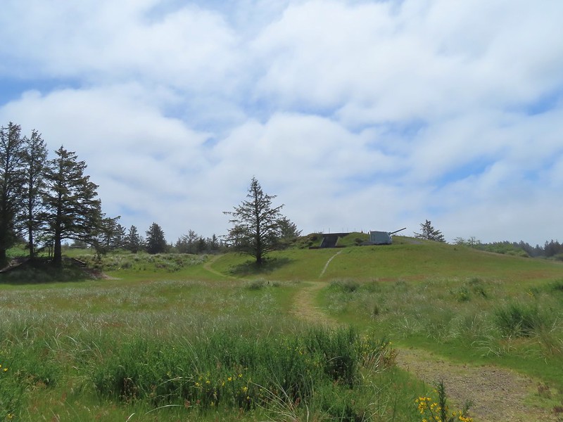
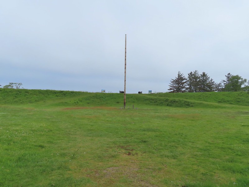 Fort Stevens Earth Works.
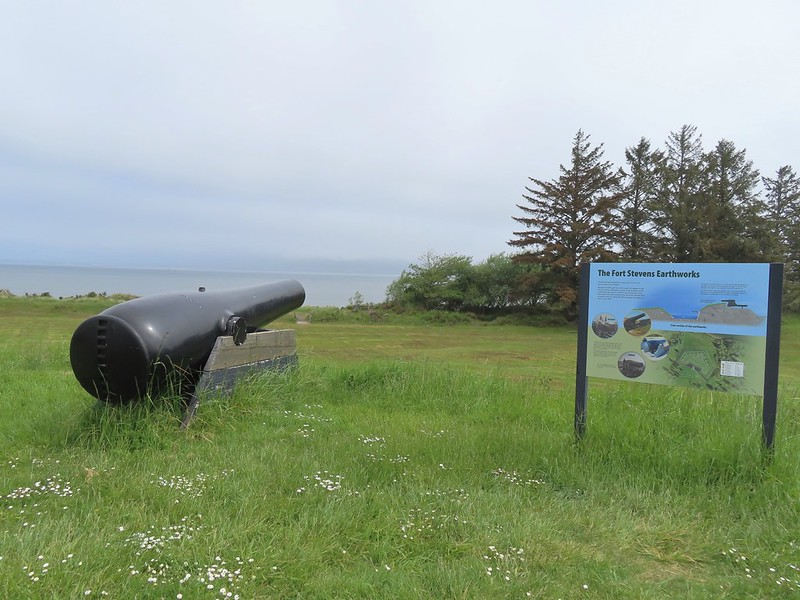
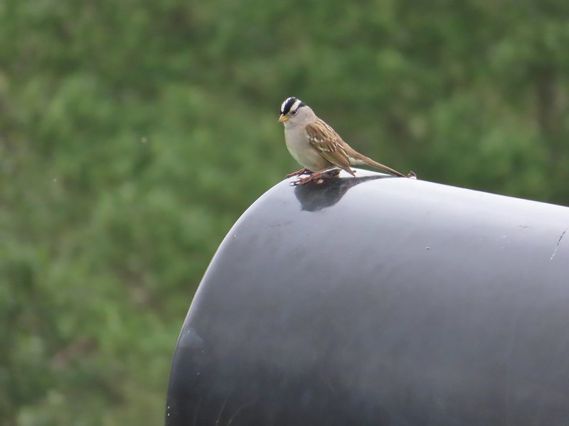 White-crowned sparrow
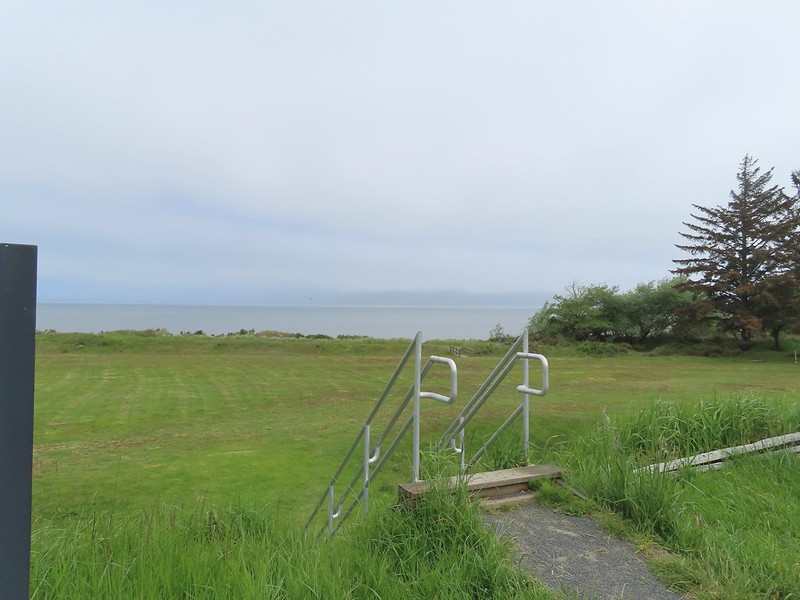 We cut across the grass below to the footbridge in the distance.
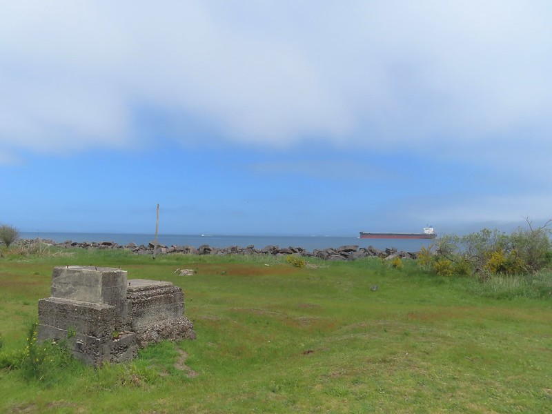
 Columbia River
 Looking west toward the Pacific.
 Battery Smur
 The roadbed coming in from the former barracks site.
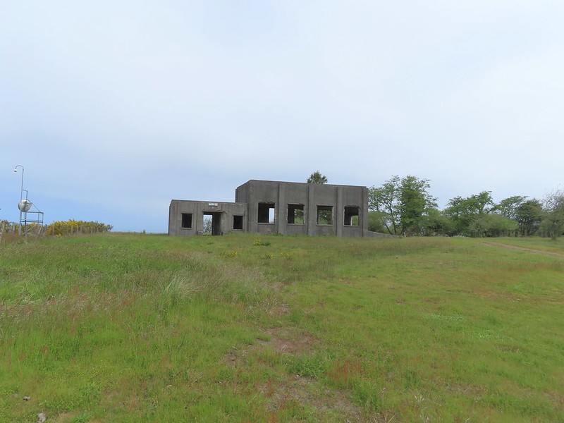 Mine Loading Building
 Searchlight Generator
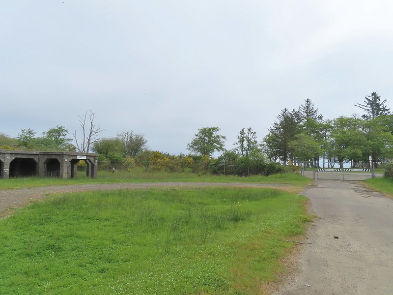
 Torpedo Loading Room


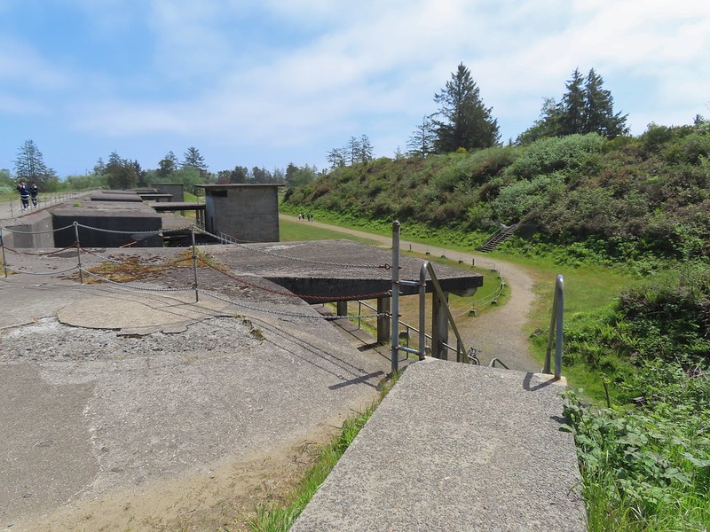
 Battery 245


 Sign for the Lil’ Oozlefinch Putting Course.
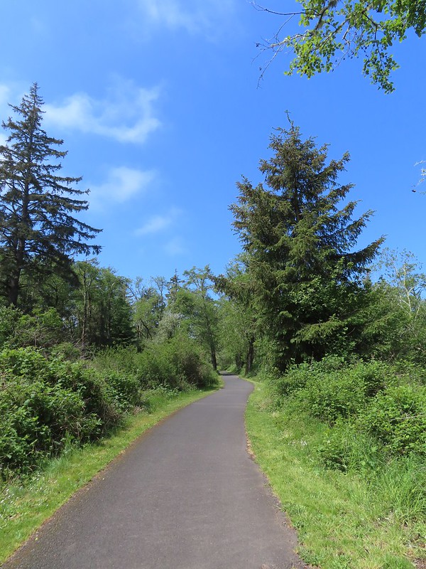
 Bald eagle
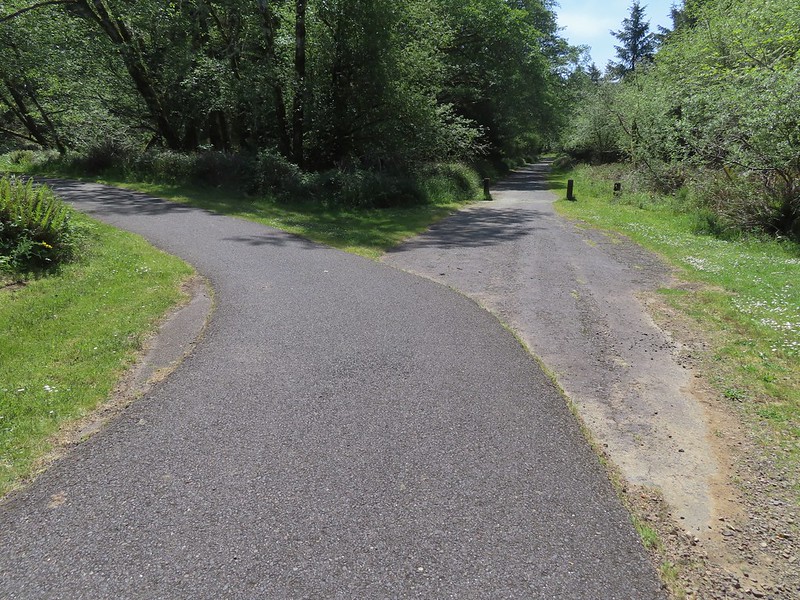
 Gate near Jetty Road.
 The parking lot at the park.
 Emerging from the underpass.
 Mallard family
 Sign at the park.
 Eighth Street Dam from the grassy track.
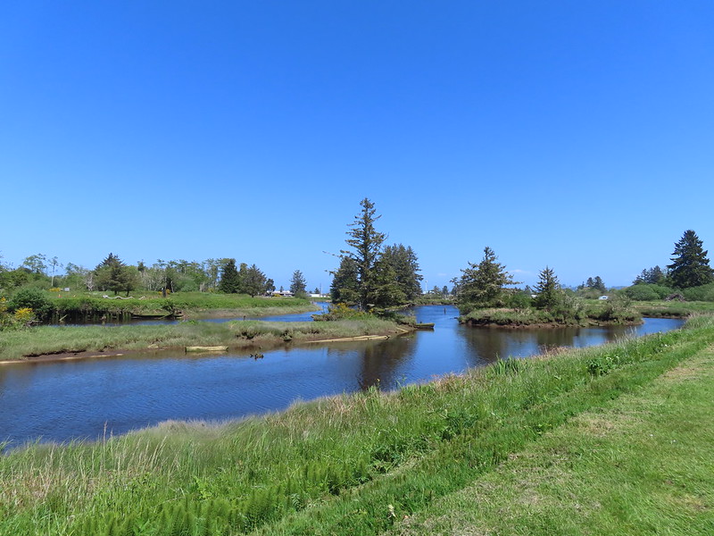
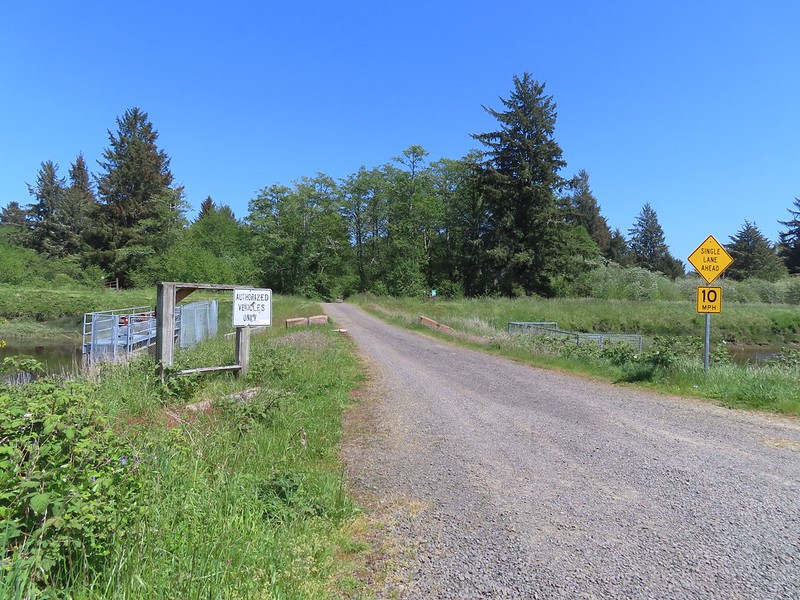
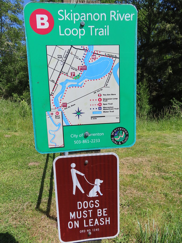 Until we saw this sign we’d been thinking that maybe the trail didn’t exist any longer. We were also questioning how the loop was supposed to get back across the river at the other end since the only bridge across the river there was Harbor Drive. Until seeing this we were thinking of turning around at the dam, but instead we decided that we’d do the loop with Heather getting a table at Nisa’s while I recrossed the river to retrieve the car.

 Not the clearest picture but I think this is a greater scaup based on the head shape. We’ve seen a number of lesser scaups, but this would be our first greater.
 Great blue heron
 Cormorant
 A brief paved section.
 Nisa’s Thai Kitchen across Harbor Drive.
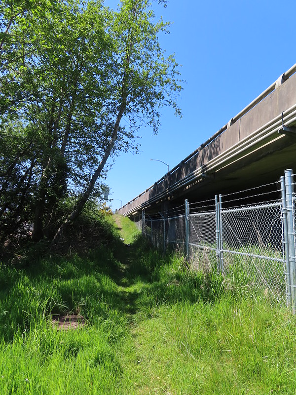 Looking back up the path from Harbor Drive.
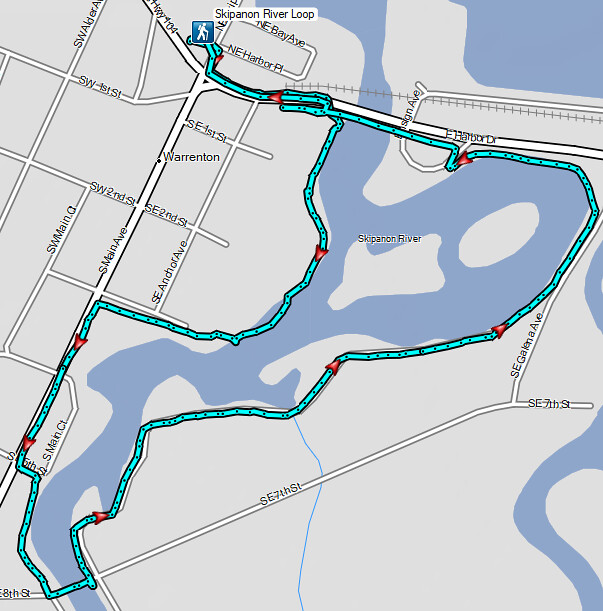

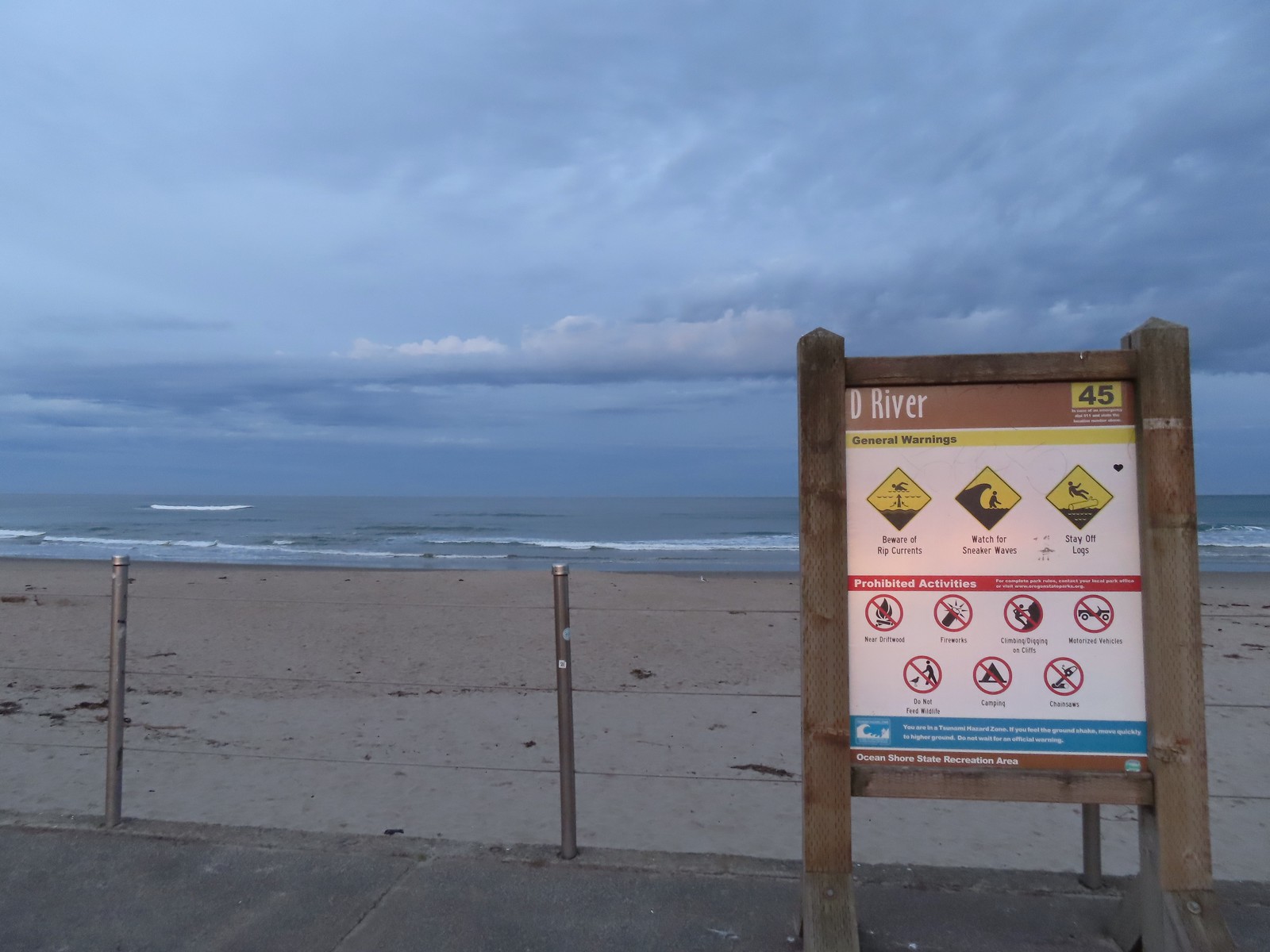
 The highway from the parking lot.
 The D River from the highway bridge. The river flows between Devil’s Lake and the Pacific Ocean and at high tide has a length of approximately 40 yards.
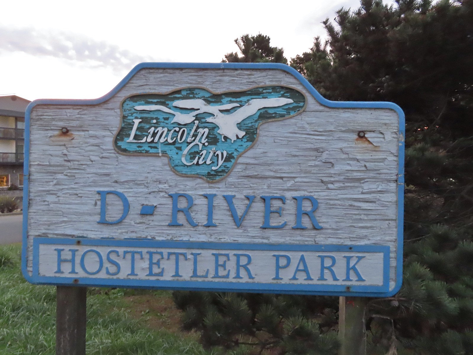
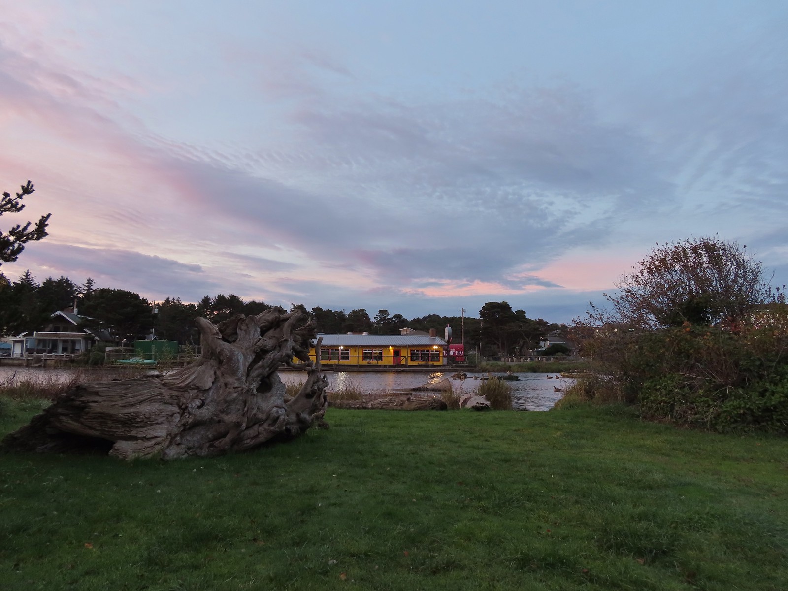 Hostetler Park.


 Several interpretive signs were located along the boardwalk.
 One of the interpretive signs.
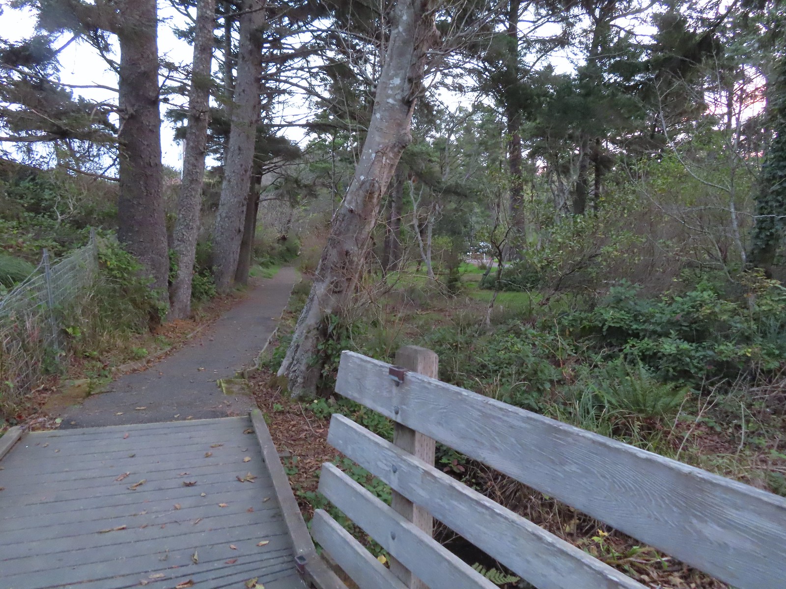 Nearing the campground.
 Orange cones, and a cat, at the far end of the path.
 Program area in the campground.
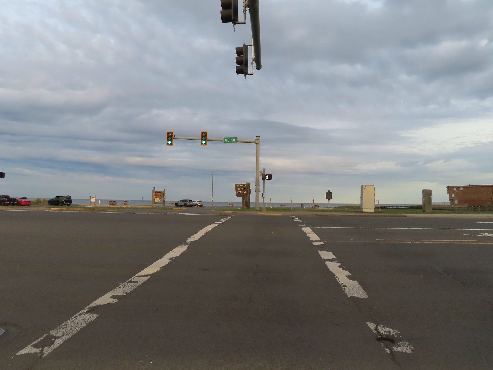
 View North from the beach.
 Cascade Head (
 Seagulls at the mouth of the D River.
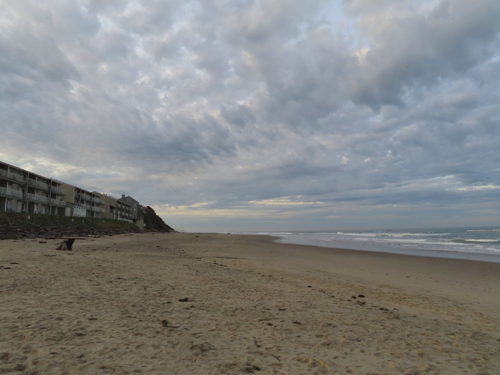


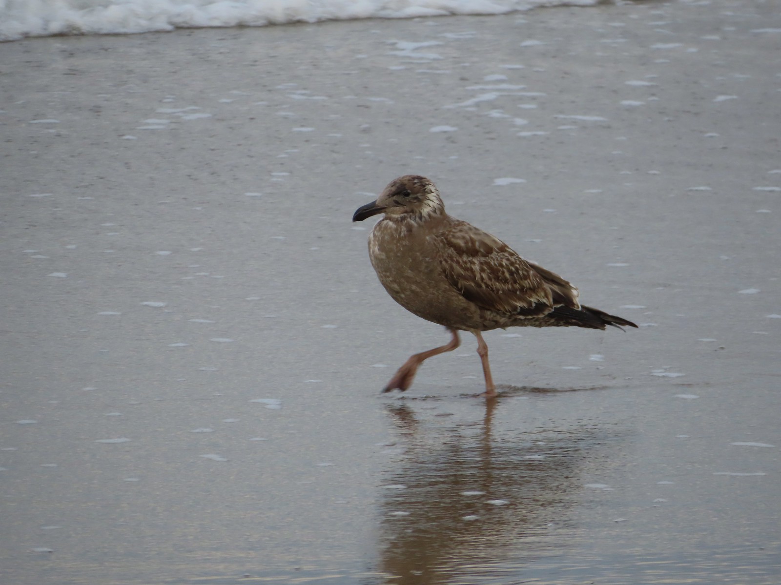 There were of course plenty of seagulls present.
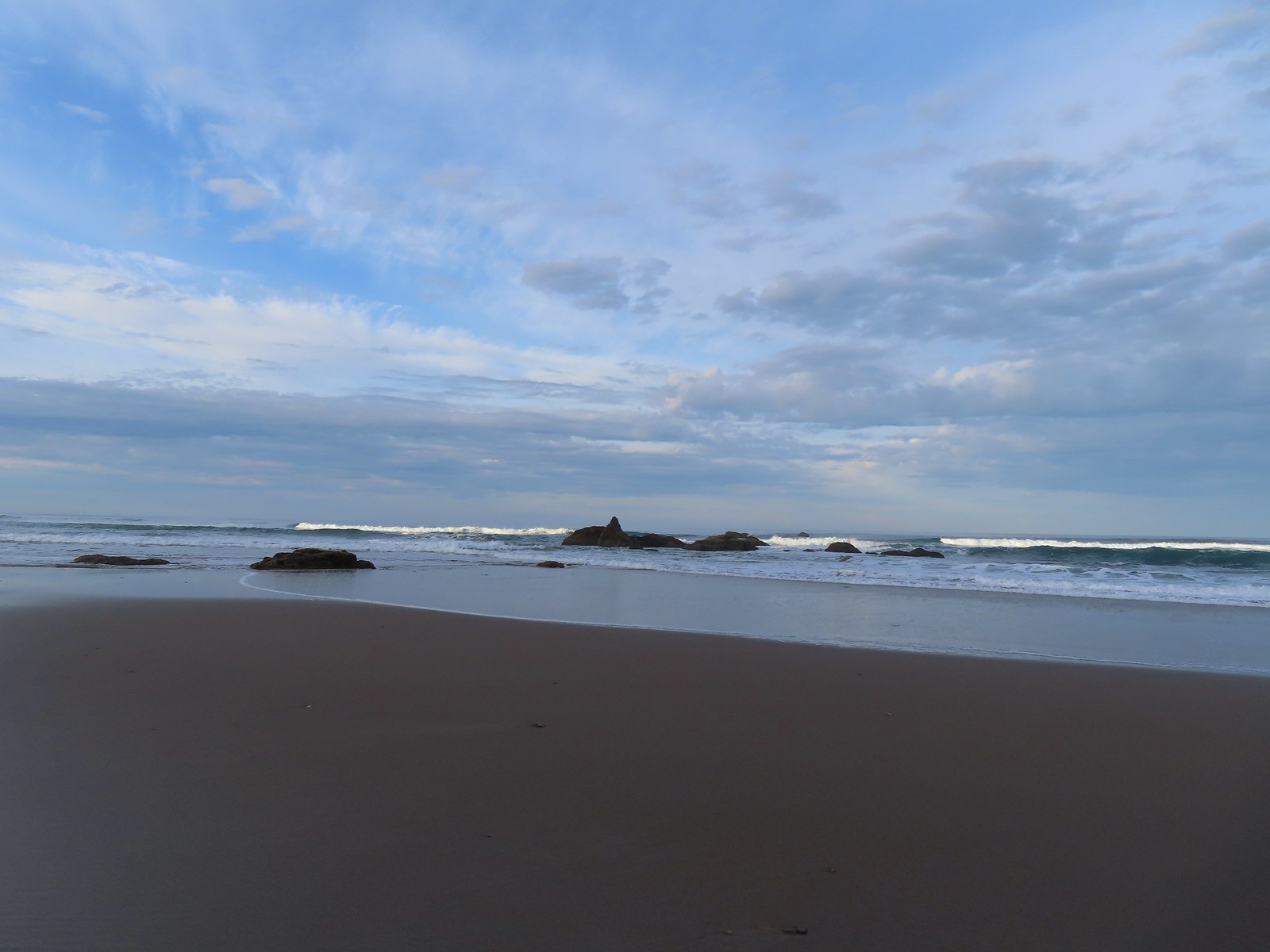 There weren’t very many ocean rocks along this stretch of beach.
 Surf scooters
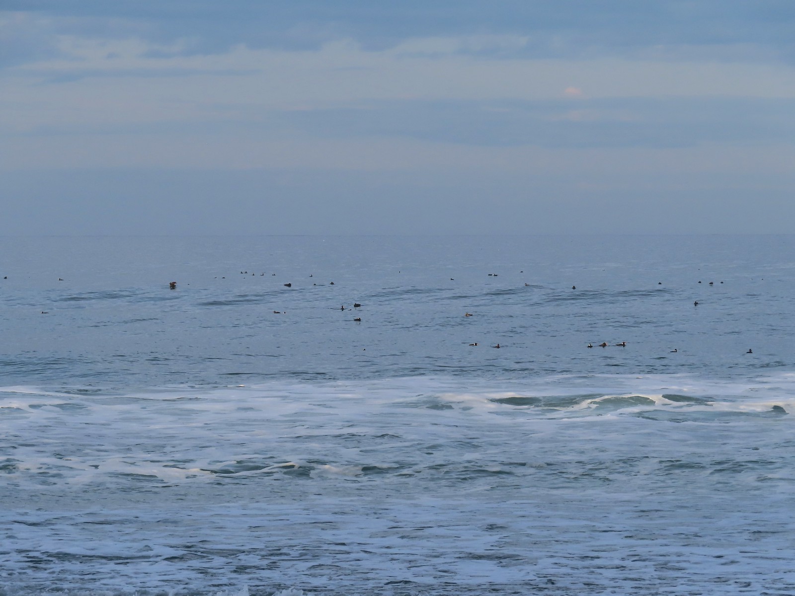
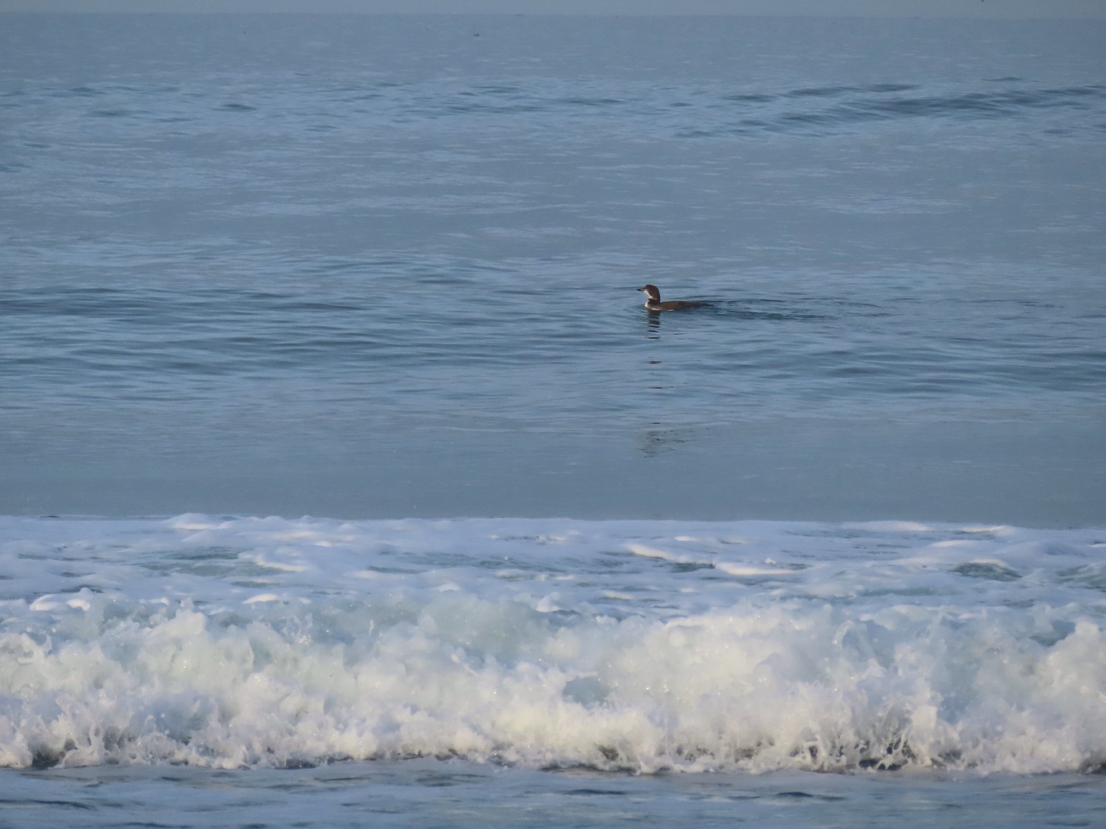 Loon, probably a common loon.
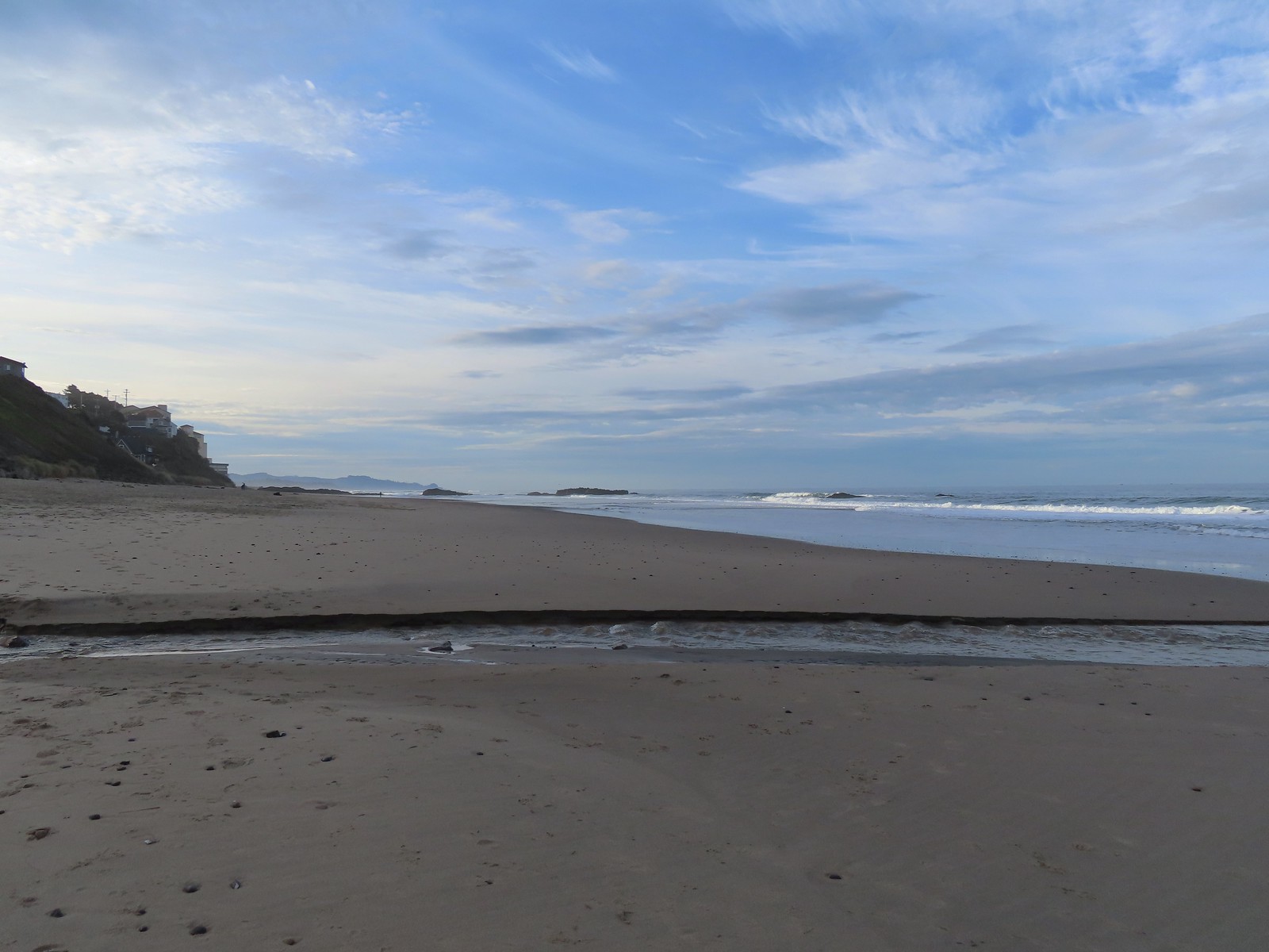 Baldy Creek
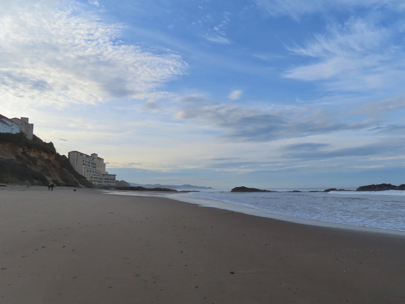 The inn on the left with the rocks extending into the Pacific.
 Cormorants and seagulls
 This was a big tree that we were able to walk under.
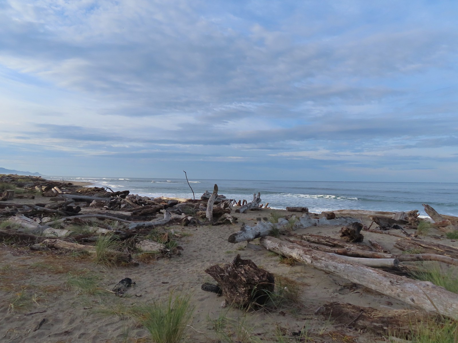
 Salishan Spit across the Siletz.
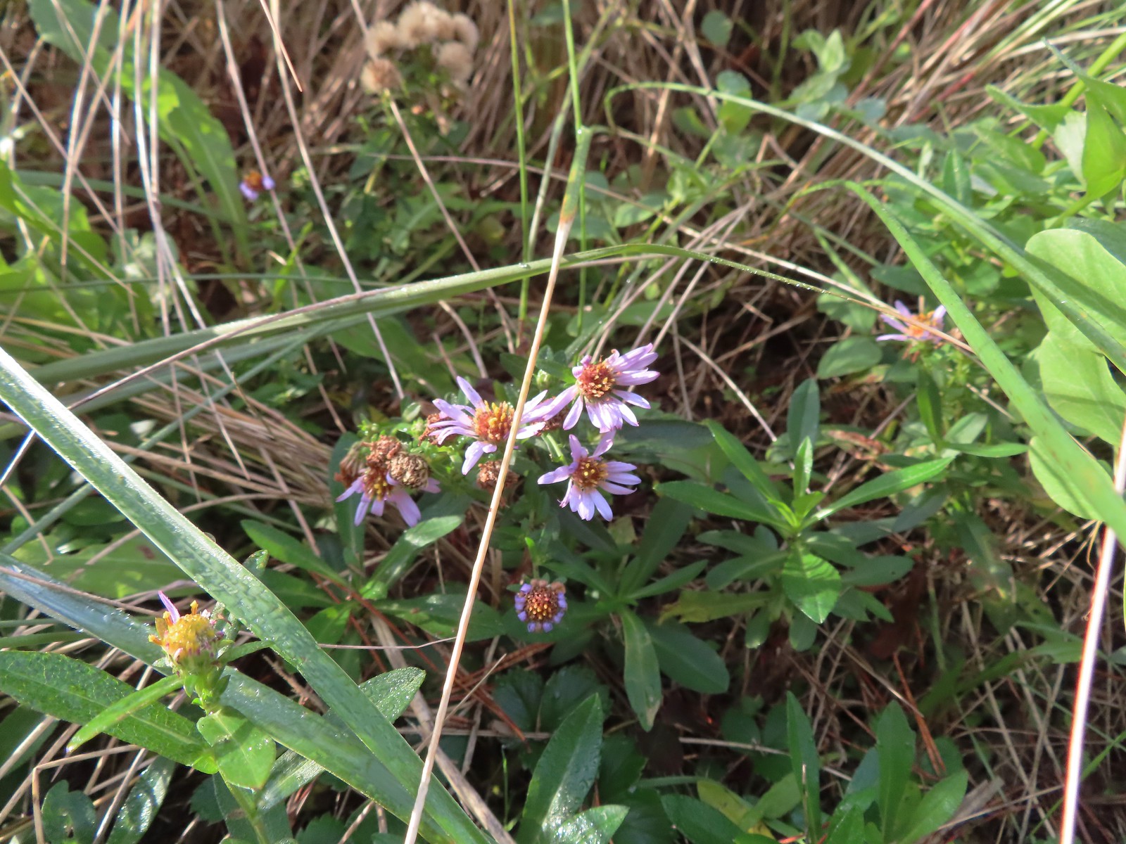 Asters on the beach.
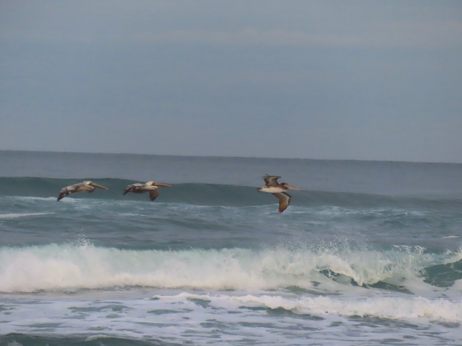
 Pelicans on the left and seals on the right at the end of Salishan Spit.
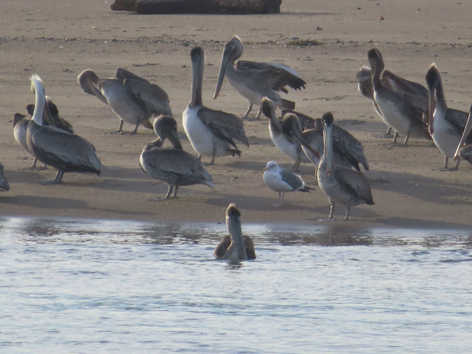 Pelicans and seagull
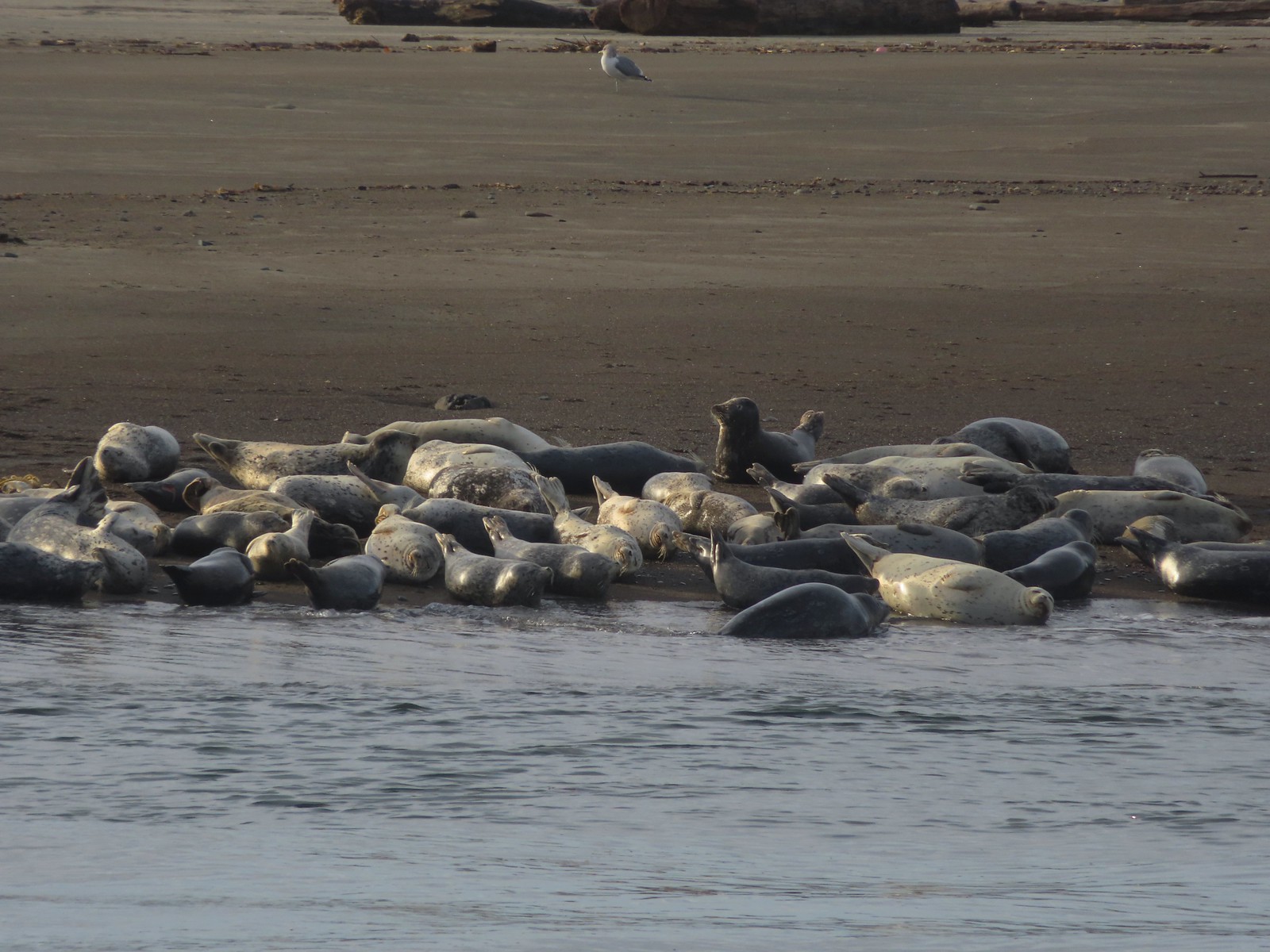 Seals and a seagull


 Drying off

 Pelican mouths are a sight to behold (righthand side).
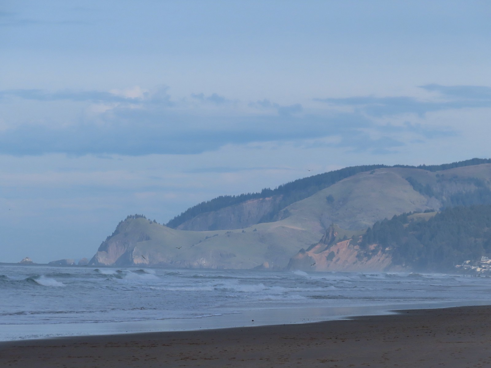 Cascade Head and God’s Thumb both in the sunlight now.
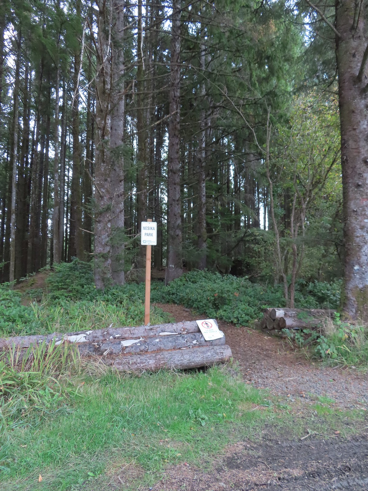

 The Story Circle
 Trail Challenge sign #8.
 The trail ends at SE 3rd St (no parking available).
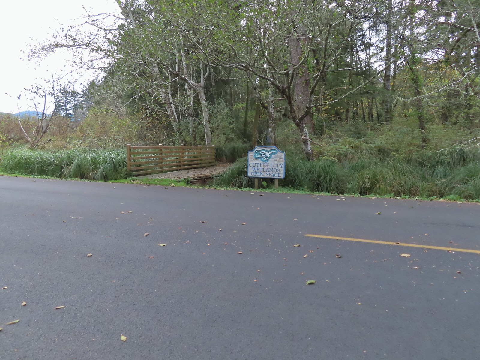

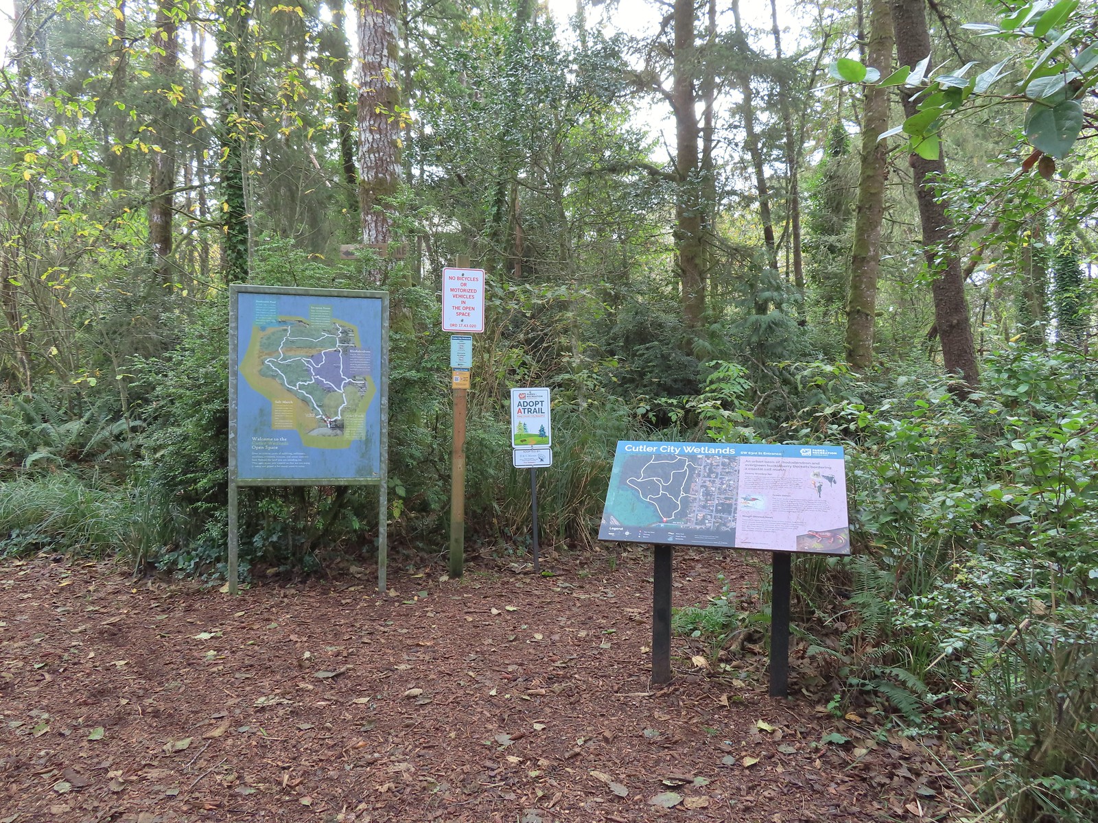
 While there are more trails to choose from here the total milage is just about 1.25 miles. We opted to loop around the outside with detours to the Salt Marsh Overlook and Pond’s Edge.
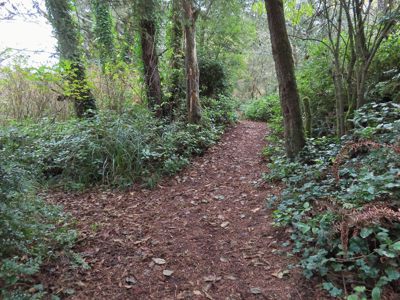 To the left is the very short spur to the Salt Marsh Overlook which was too overgrown to really see anything.
 Interpretive sign at the overlook.
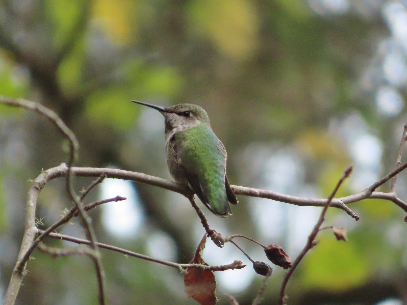 A noisy little hummer near the overlook.
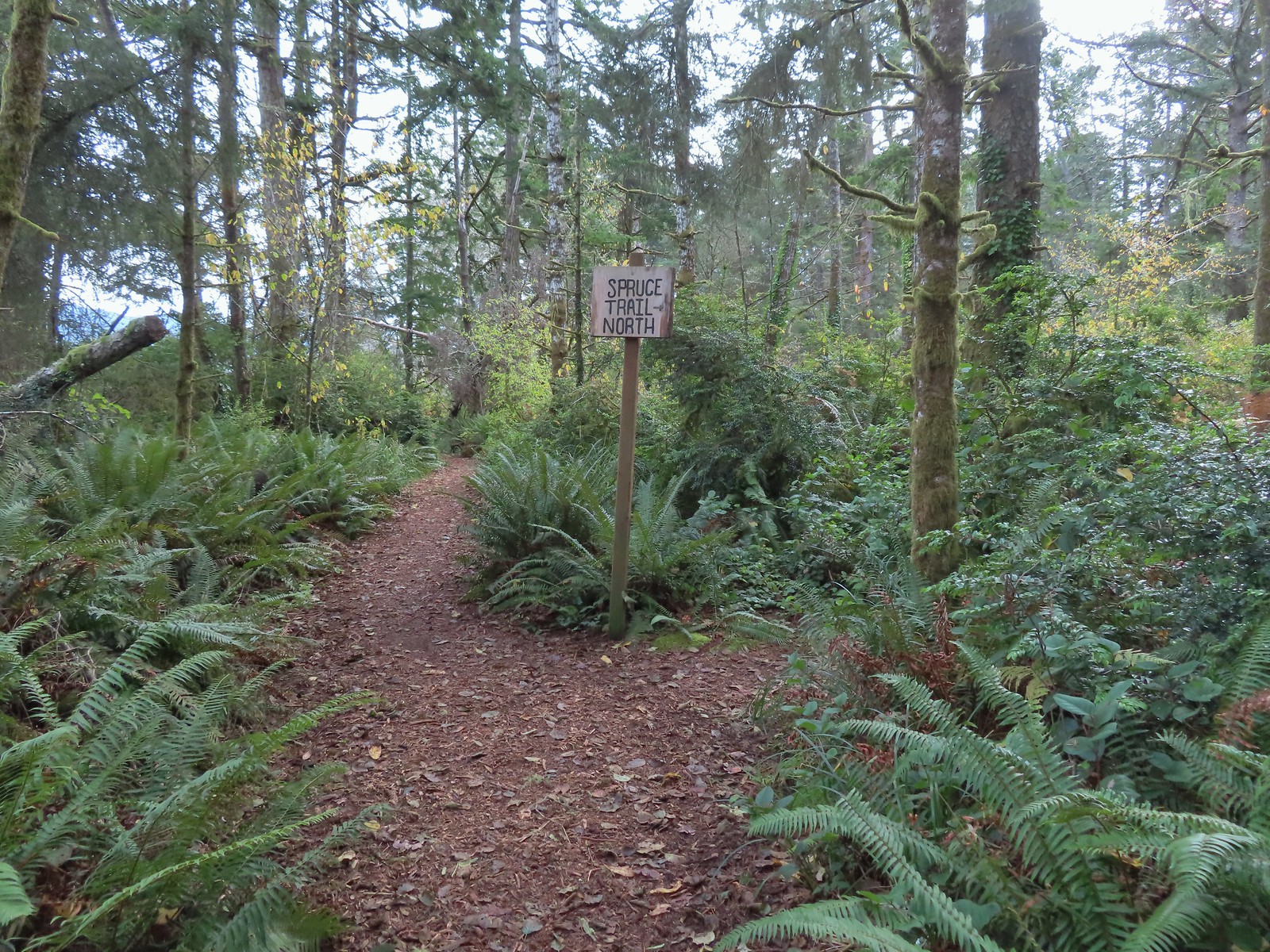 There was pretty good signage at the main trail junctions.

 Boardwalks helped cross the wet areas.
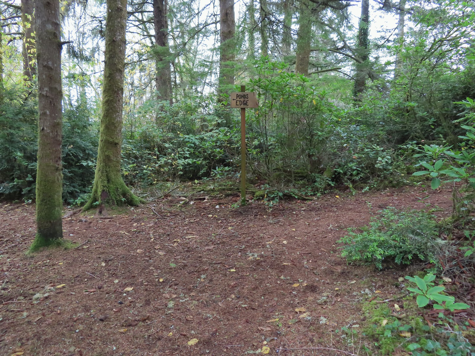 Pond’s Edge spur trail.
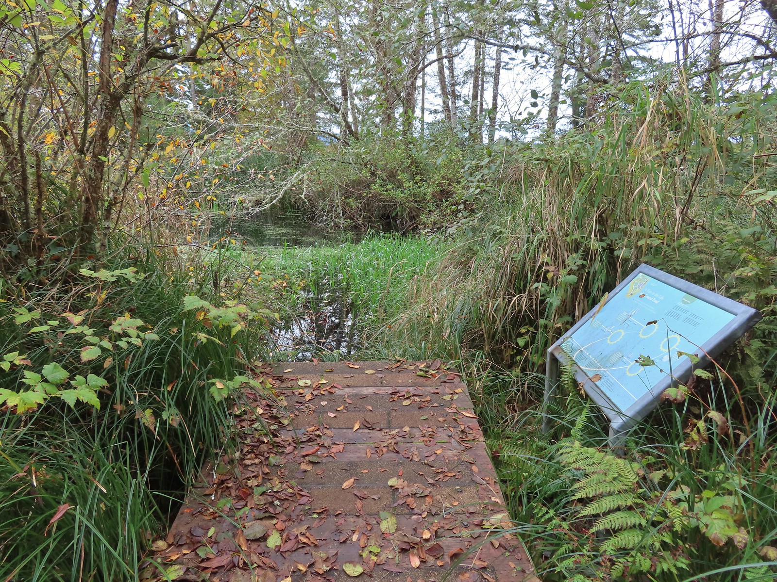 At the edge of the pond.
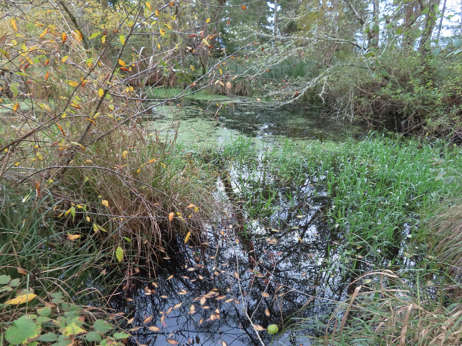
 We hadn’t expected to see any blooming rhododendrons.
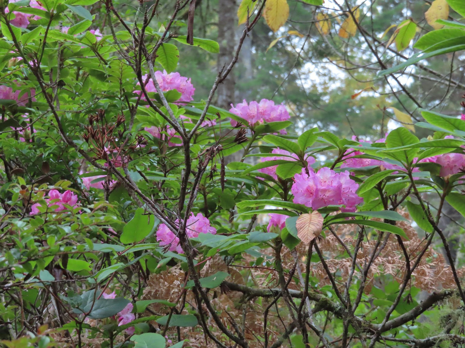
 Arriving at the signboards at the start of the loop.

 From left to right: Storm, Finely, and Shag Rocks.
 Cape Lookout (
 Maxwell Point
 View from beside Maxwell Point.
 The Tunnel was built in 1926.

 The Tunnel from Tunnel Beach.
 Three Arch Rocks from Tunnel Beach.
 The end of Tunnel Beach. At higher tide it’s not possible to get around the point here.
 Getting closer to the end of Tunnel Beach. This set of ocean rocks are part of the
  Bald eagle on top of one of the rocks.
 Seal
Seal Agate Beach
 Cape Lookout from Agate Beach.
 An assortment of sea birds.
 Maxwell Point and Cape Lookout
 Sun starting to hit the Three Arch Rocks.
 Sand dollar
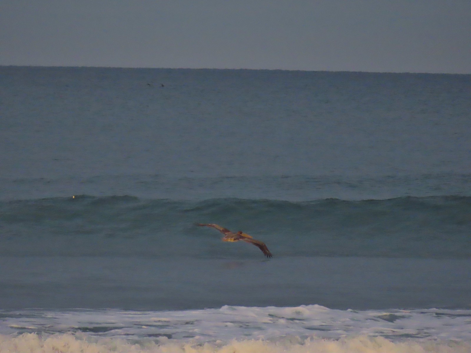
 Cormorants. There was a steady stream of flocks of birds heading south along the coastline.
 Footbridge over Fall Creek.
 Fall Creek
 Frosty leaves near Fall Creek.
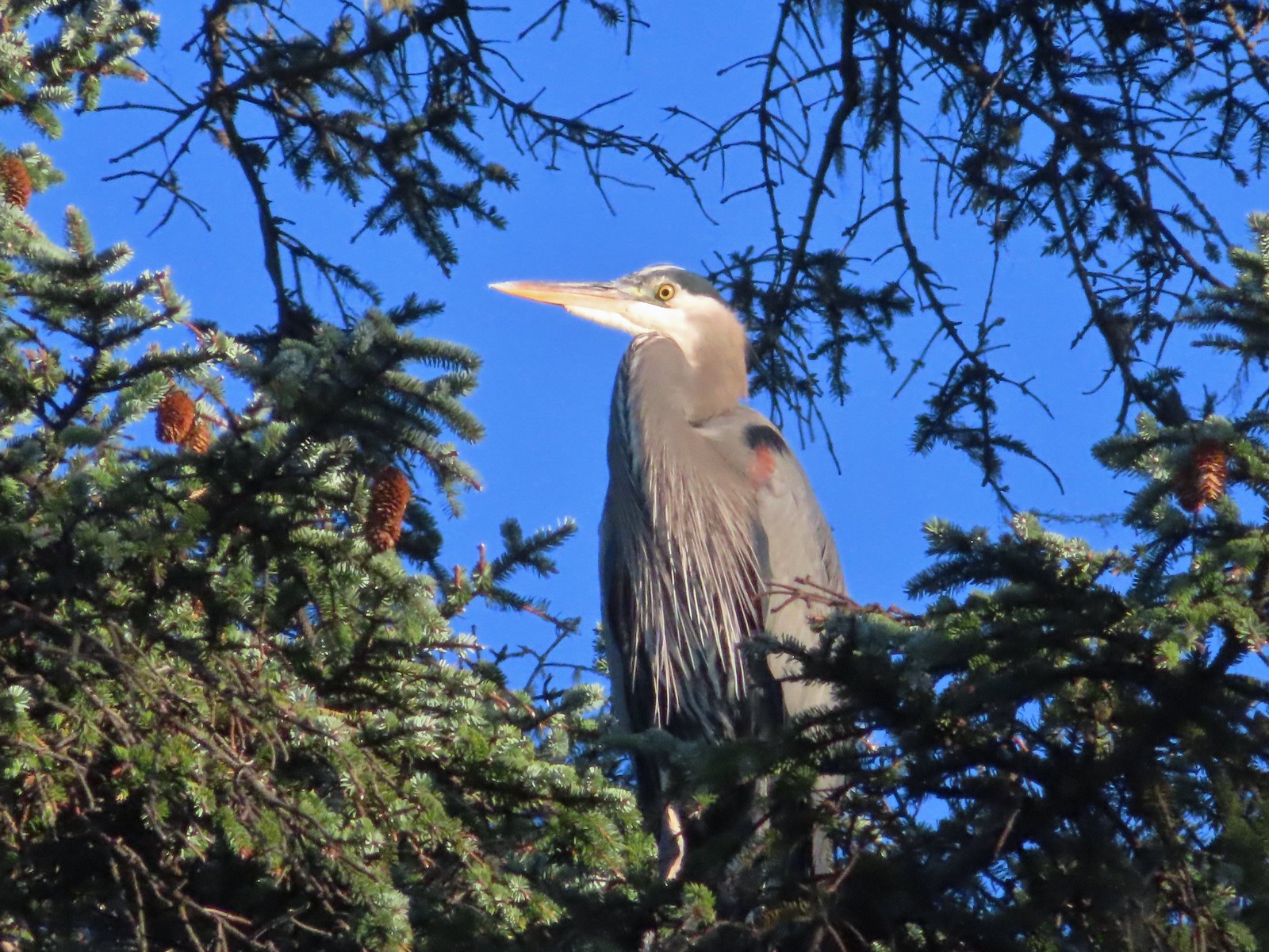 Great blue heron in a tree above Fall Creek.
 Happy Camp
 Hodgdon Creek
 Seagulls and common mergansers near Hodgdon Creek.
 Buffleheads
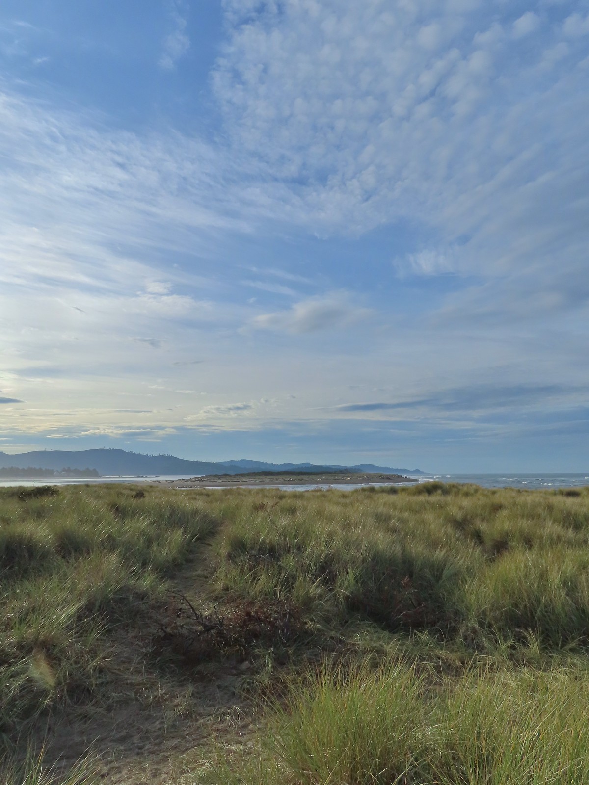
 Netarts Spit
 Happy Camp from our turn around point.
 Three Arch Rocks and Maxwell Point now in full Sun.


 The beach only extends a short distance to the South.
 The sea stack and Short Creek Spillway to the North.
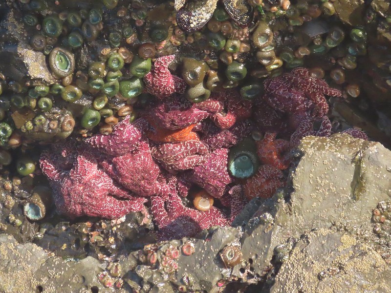
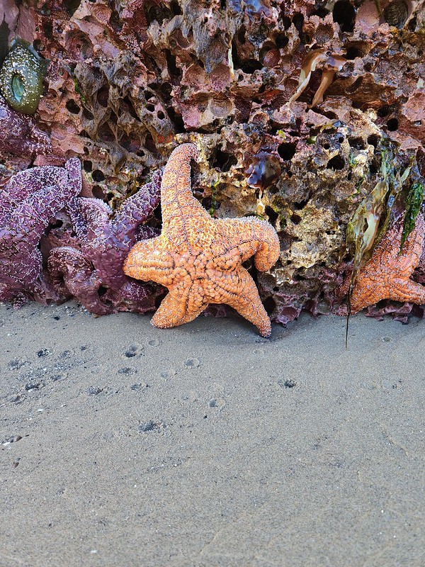
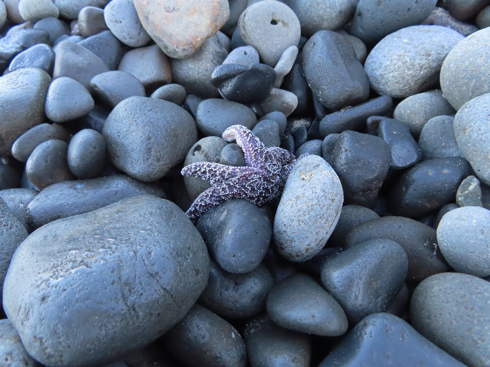 Starfish
 The sea stack
 Cape Meares (
 I didn’t notice the little waterfall along the cliffs below Cape Mears until I looked at the pictures.
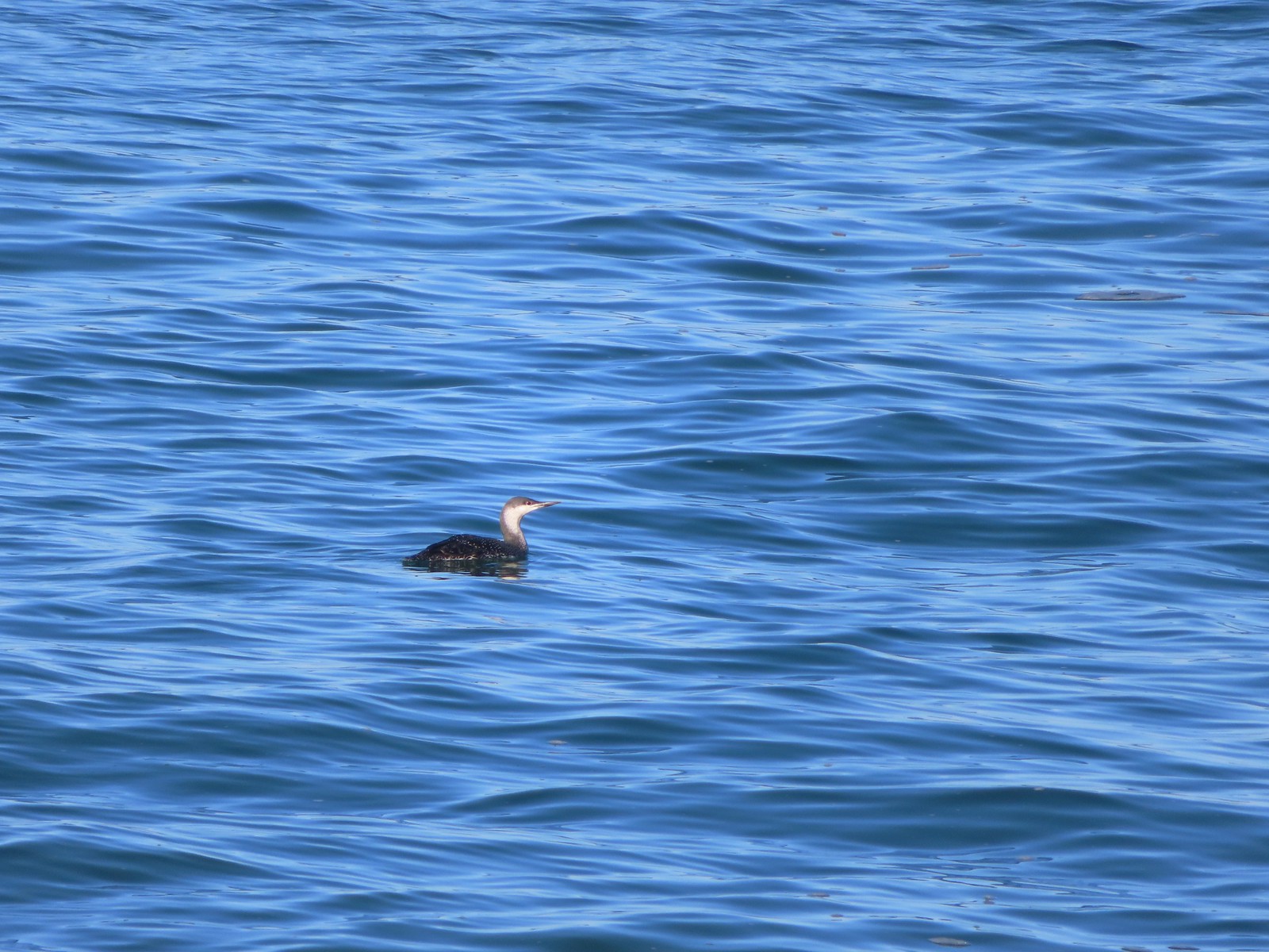 Red-throated loon

 The area ahead in the shade is where things started looking a little sketchy.


 Apparently there used to be a metal gate here instead of a the rope/chain.

 Bald eagles in the tree tops.
 Bald eagles
 This is where the dike/path turned South. Our best guess is that there has been additional wetland restoration since the entry in the field guide and some of the dikes that the guide route followed have been removed.
 We weren’t getting across that.
 Somewhere out that way, beyond the slough, was the Wilson River.
 Now heading East toward Sissek Road.
 At this point we had left Sissek Road which used to extend straight from Goodspeed Road where the signs and rope/chain is in this photo (ahead to the right at the 90-degree turn).


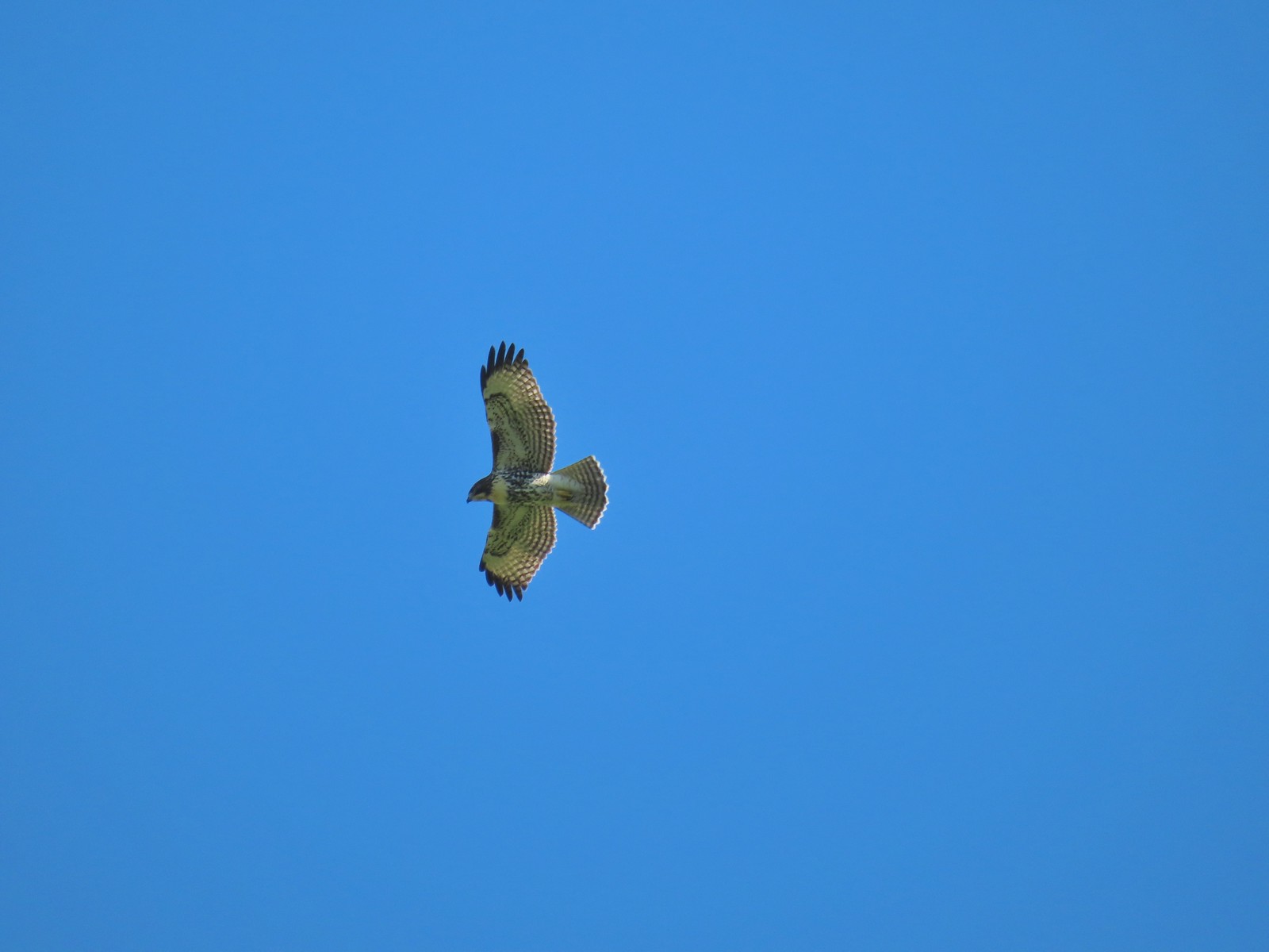 Hawk above Goodspeed Road.
 One path led down to Hall Slough ending in mud at it’s bank.
 A second path led north on what the GPS showed as a former road but it was too overgrown and flooded to make it far.


 Junction with the spur trail to the power line corridor.


 Footbridge and stairs leading back up to the picnic table.
