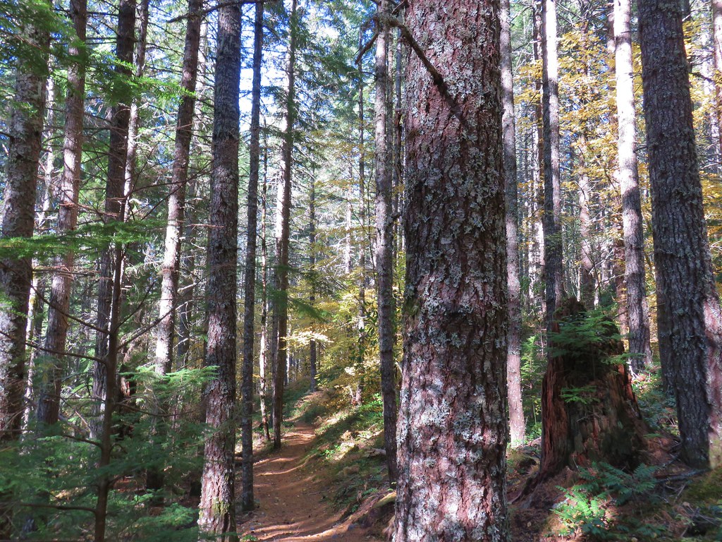
We didn’t waste any time starting on our 2018 list of hikes as we took advantage of favorable weather on New Year’s Day and headed for the Oregon Coast. Our plan for the day was to make three stops near Tillamook. First at Cape Meares State Scenic Viewpoint, then at Kilchis Point Reserve, and finally at Nehalem Bay State Park. As we neared Tillamook though it became apparent that we were a bit ahead of the Sun so we decided to swap the first and final stops to avoid sitting at the Cape Meares Trailhead waiting for light.
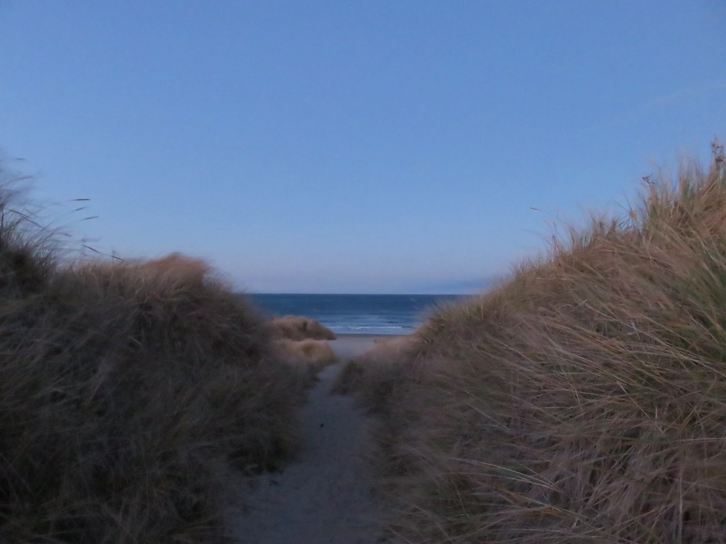
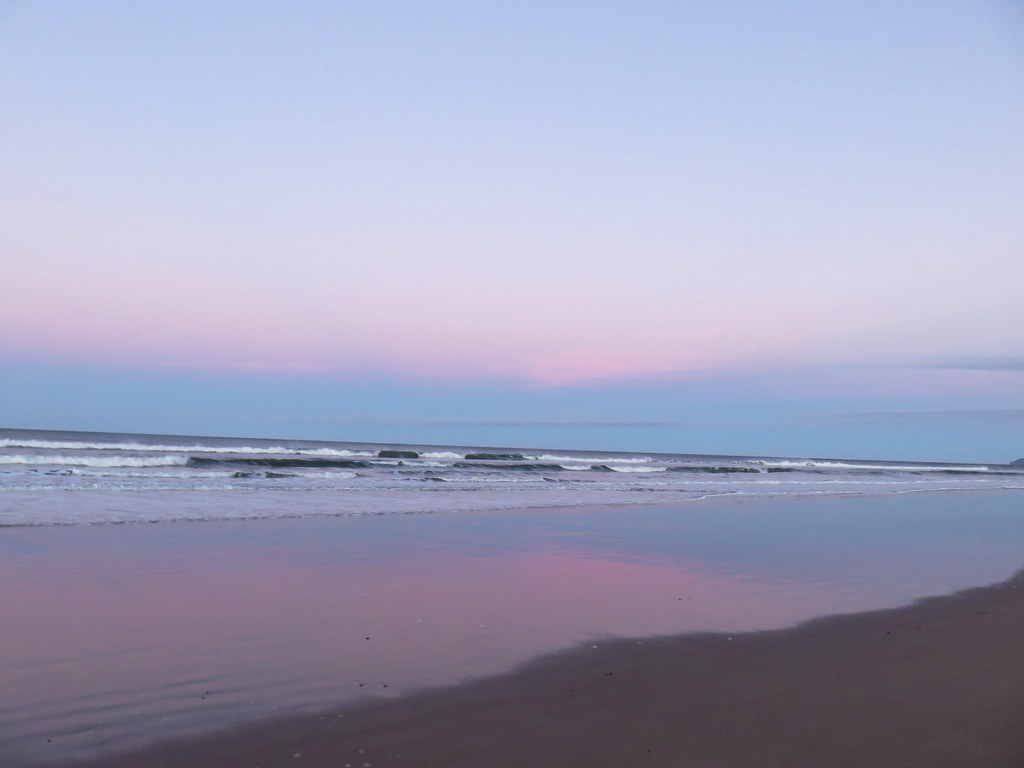
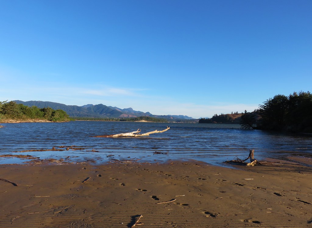
We drove north through Tillamook on Highway 101 to mile post 44 (one mile south of Manzanita) where we turned west at a sign for Nehalem Bay State Park. After paying the $5 day use fee we parked at the large day use area. We waited briefly for enough light to take a short path to the ocean.

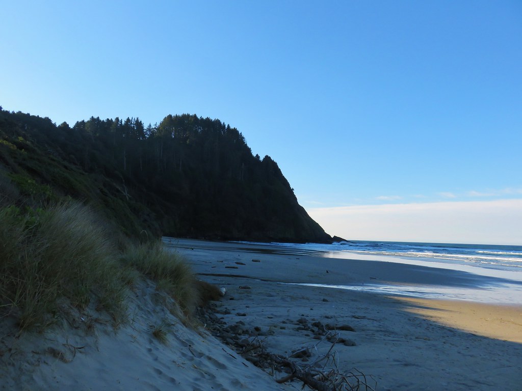
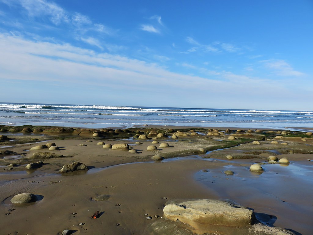
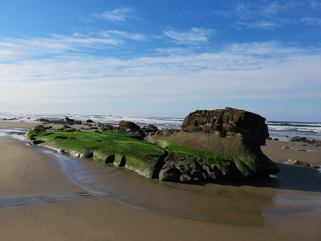
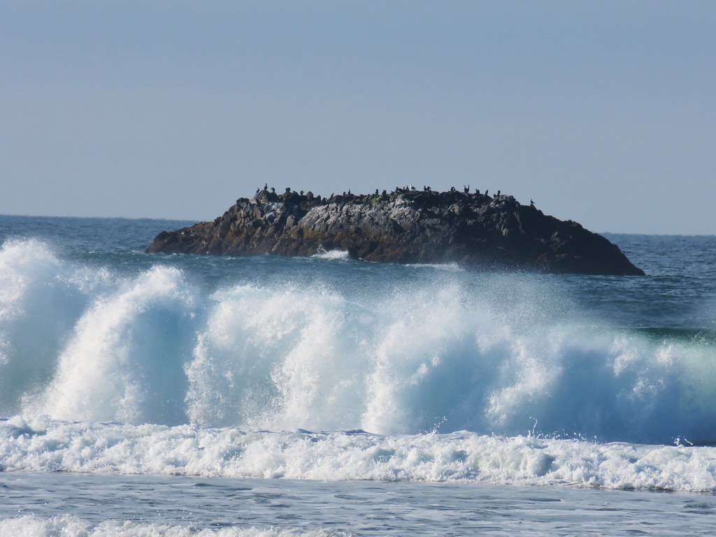
The view from the beach was a good one with some of our previous destinations visible to the north.
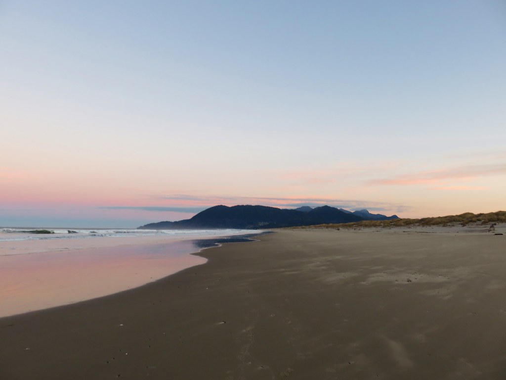
Neahaknie Mountain, Angora Peak, and Cape Falcon
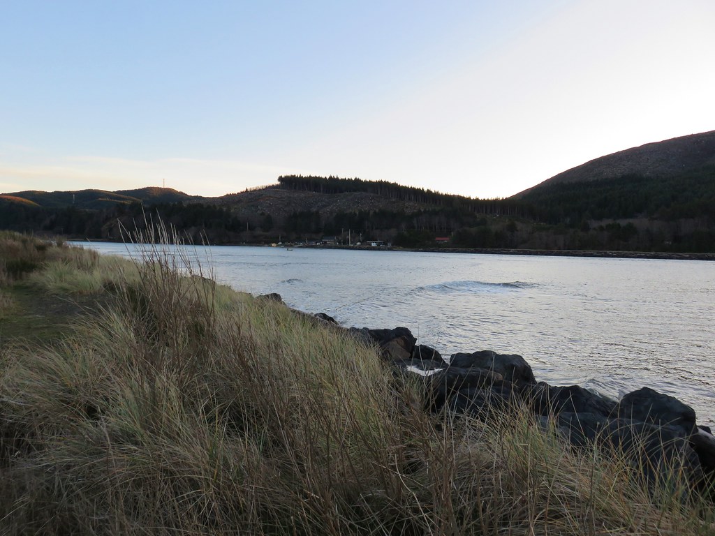
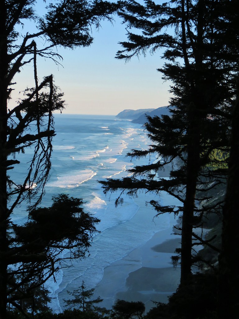
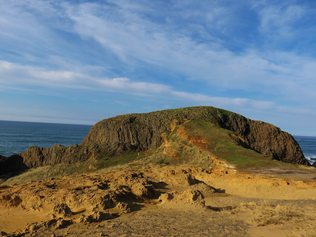
To the south our final destination of the day, Cape Meares, jutted out into the Pacific.
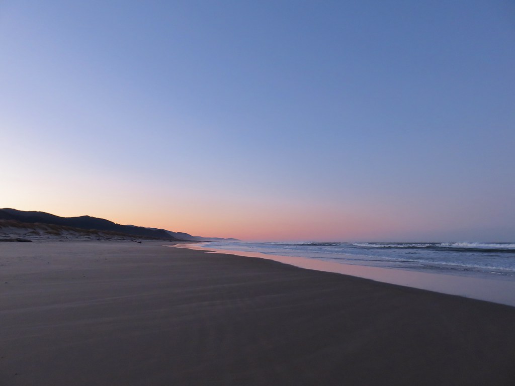
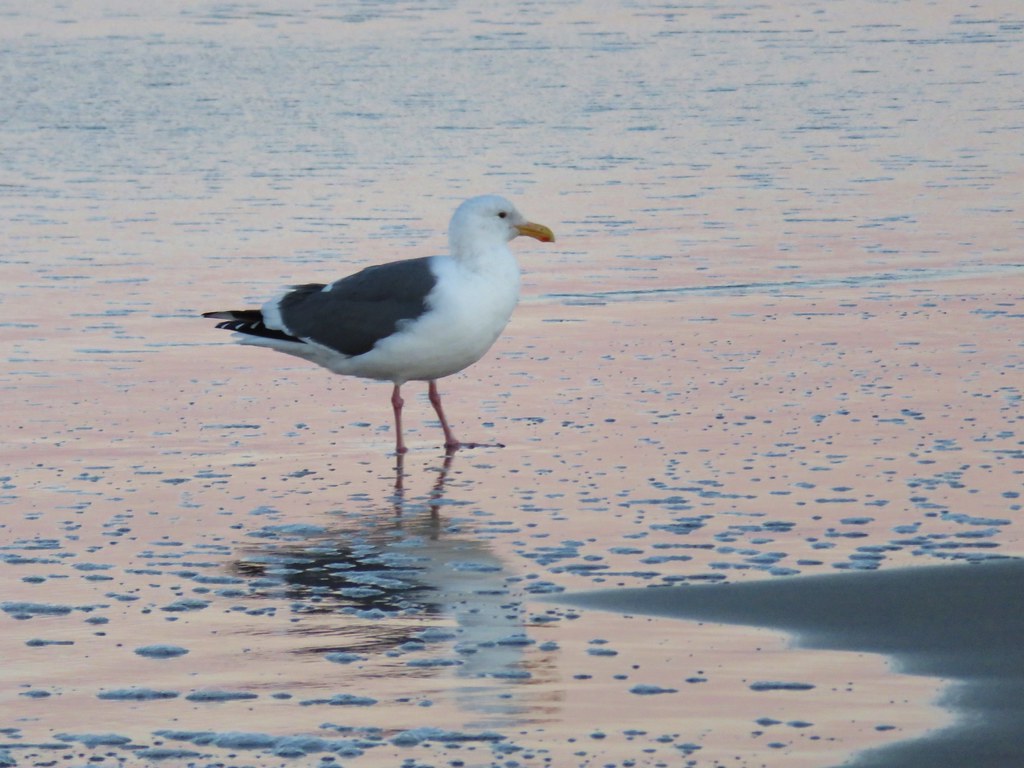
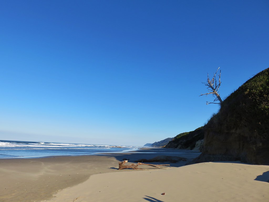
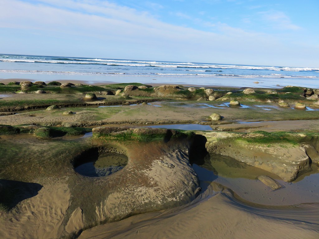
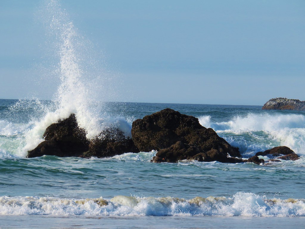
We walked south along the quite beach for 2.25 miles to the jetty at the end of the spit. We were joined by a lone jogger, some seagulls, and a curious seal.

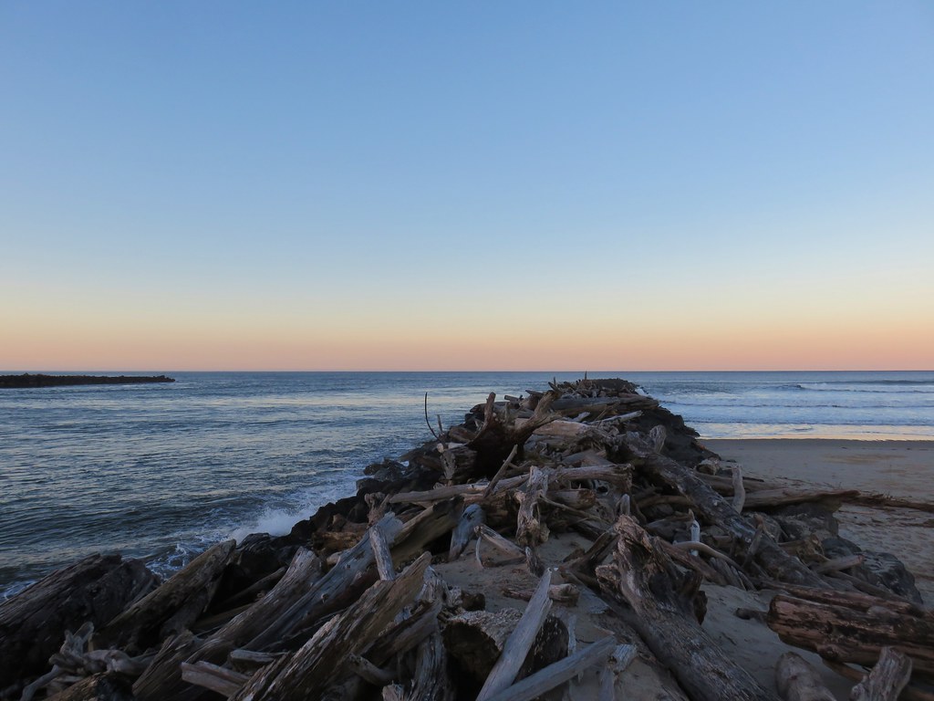
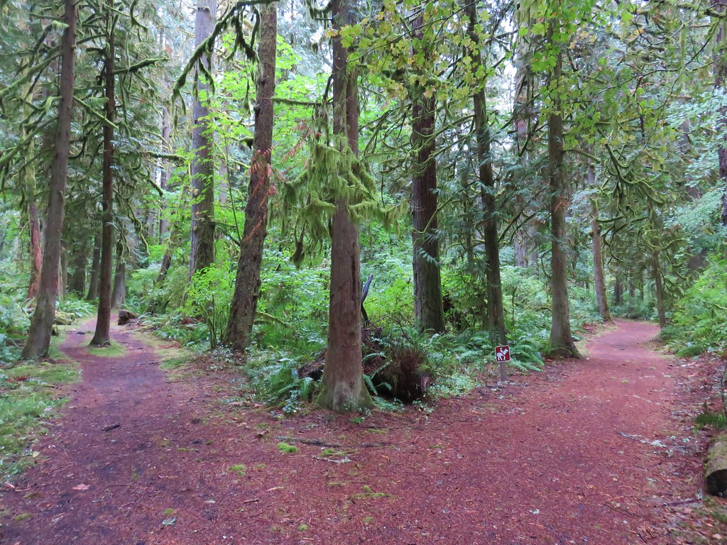
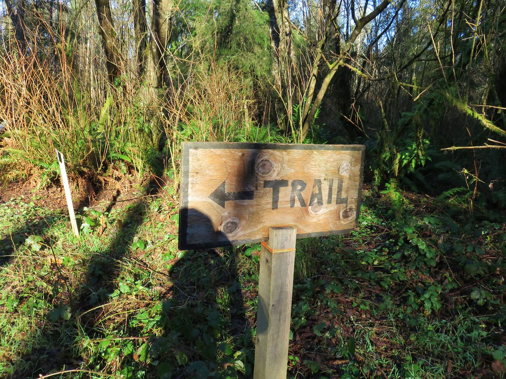
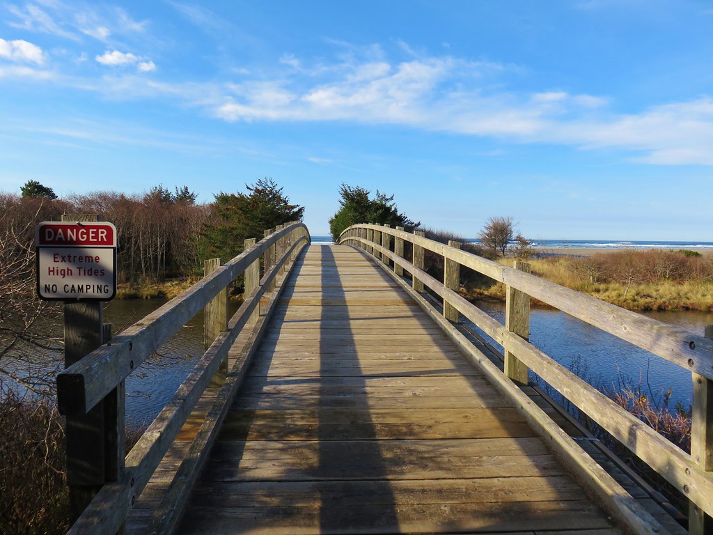
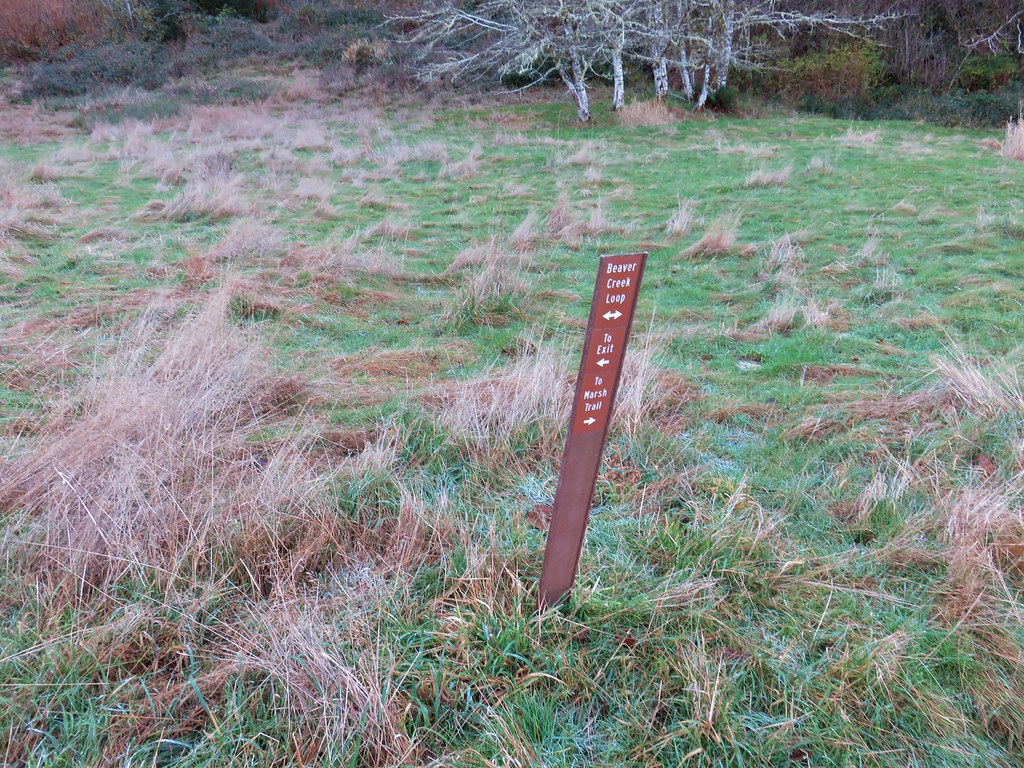
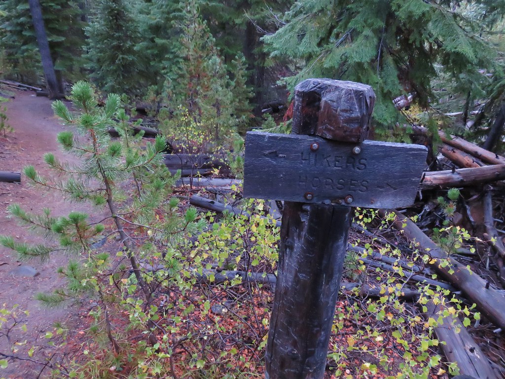
A mass of driftwood near the jetty forced us to backtrack a bit along the beach to a hiker sign where we turned inland.

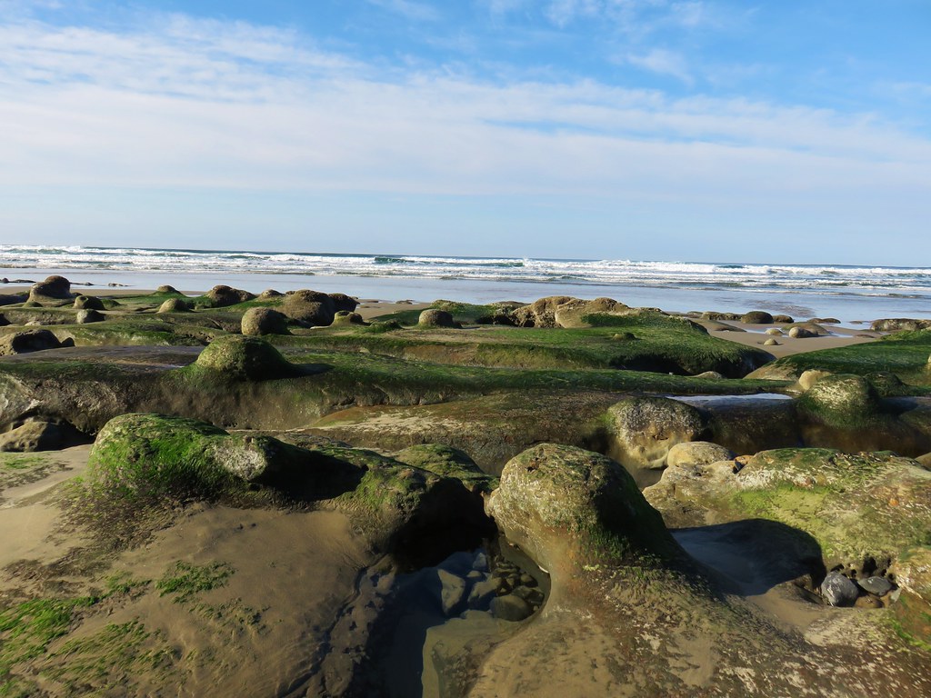
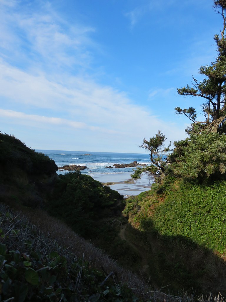
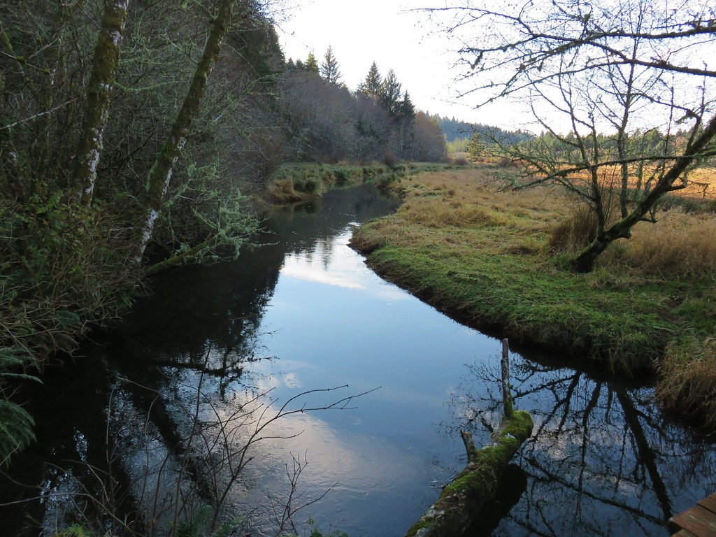
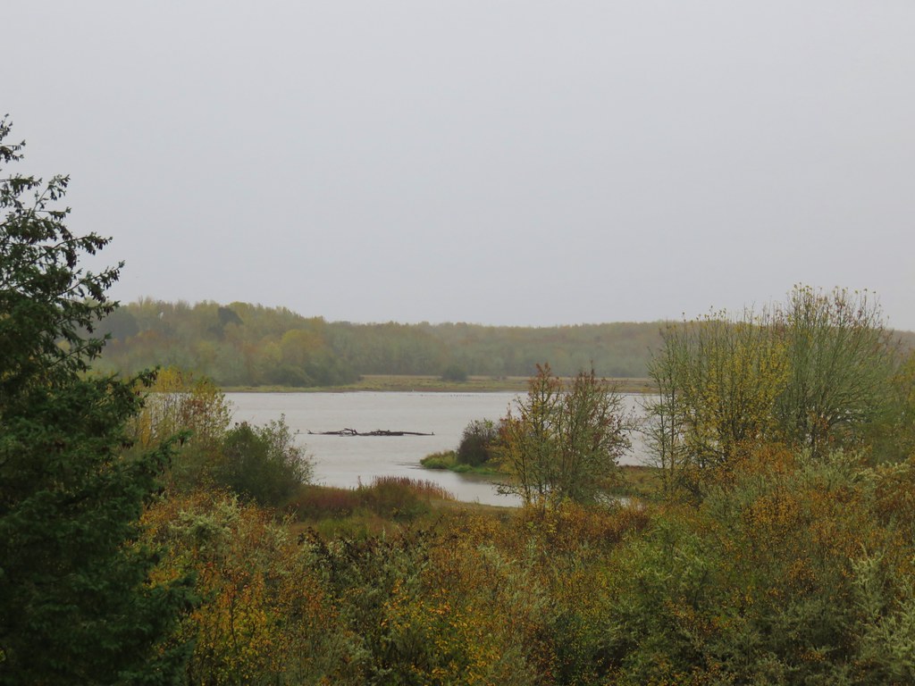
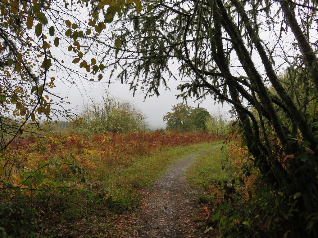
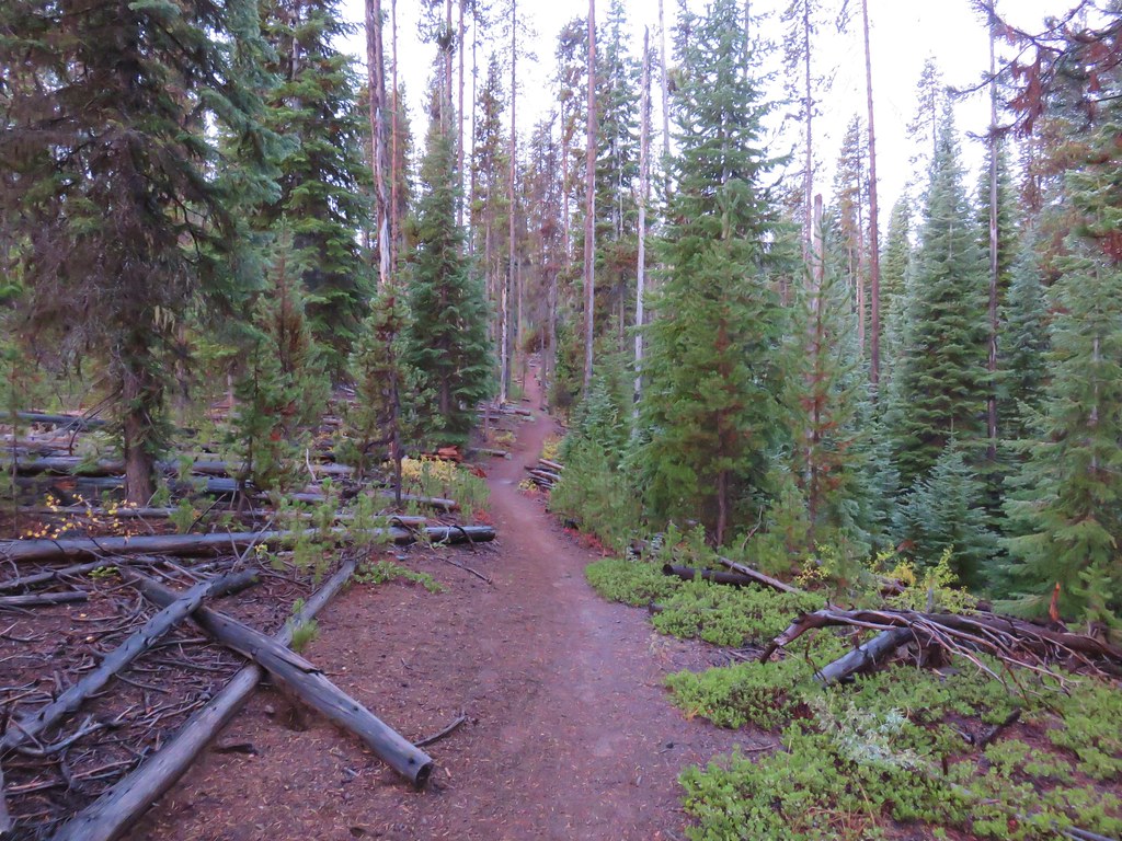
We crossed the spit to the bay and turned north along the water on a worn path.
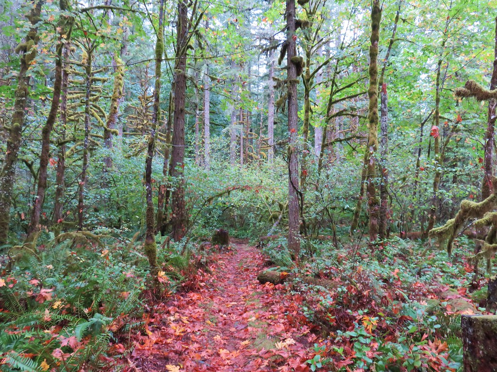
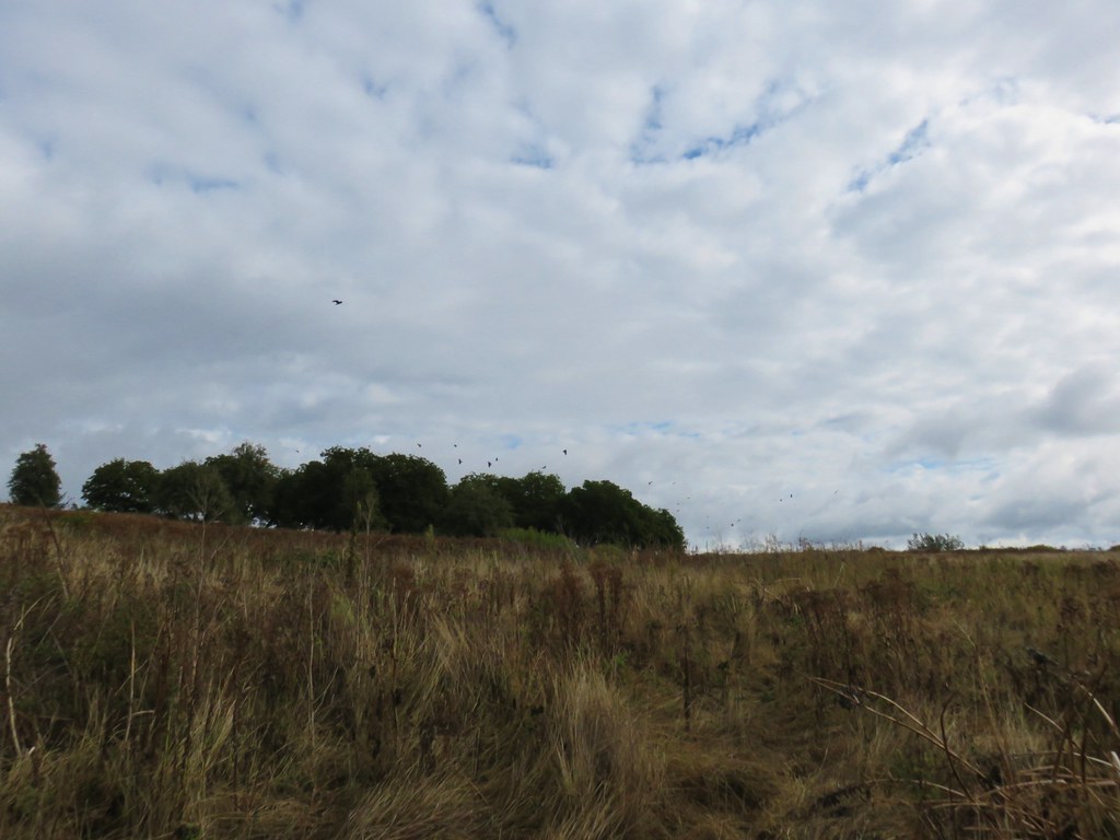
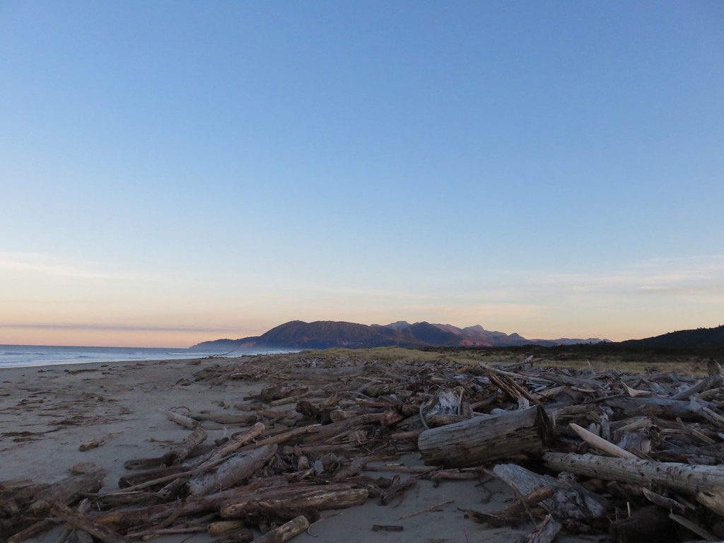
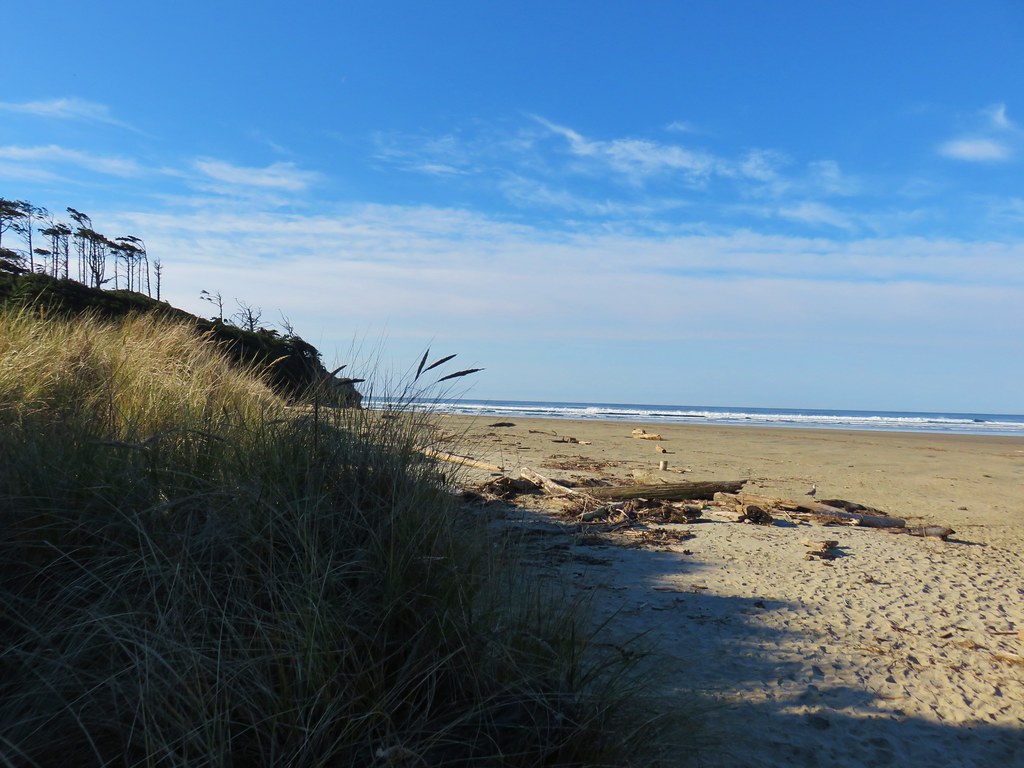
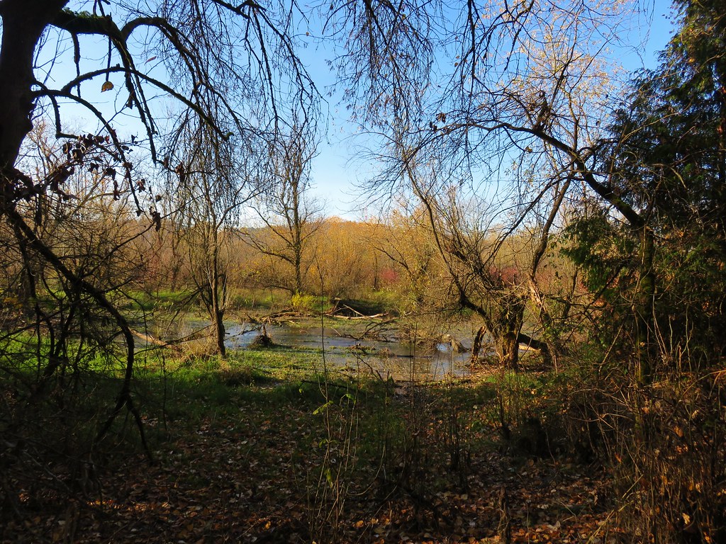
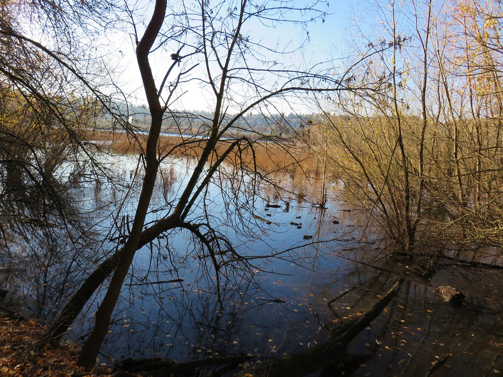
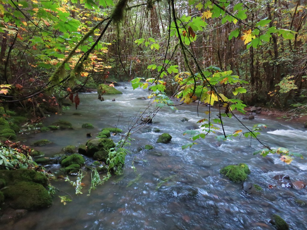
We were eventually able to get down onto the sandy Nehalem Beach which we walked along as far as we could before the high water forced us back up into the vegetation.
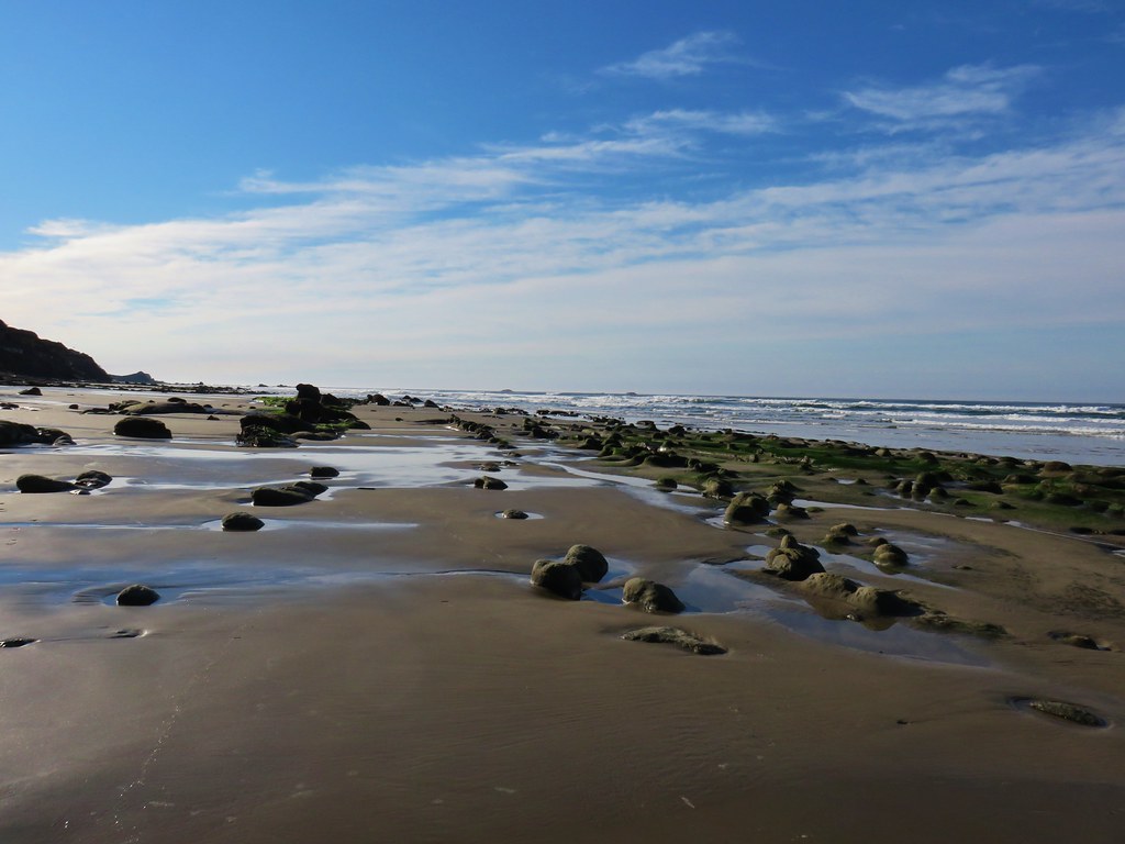
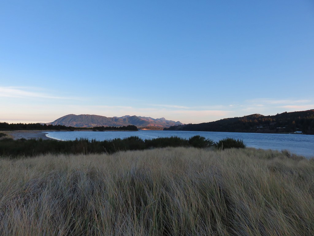 Nehalem Beach ahead
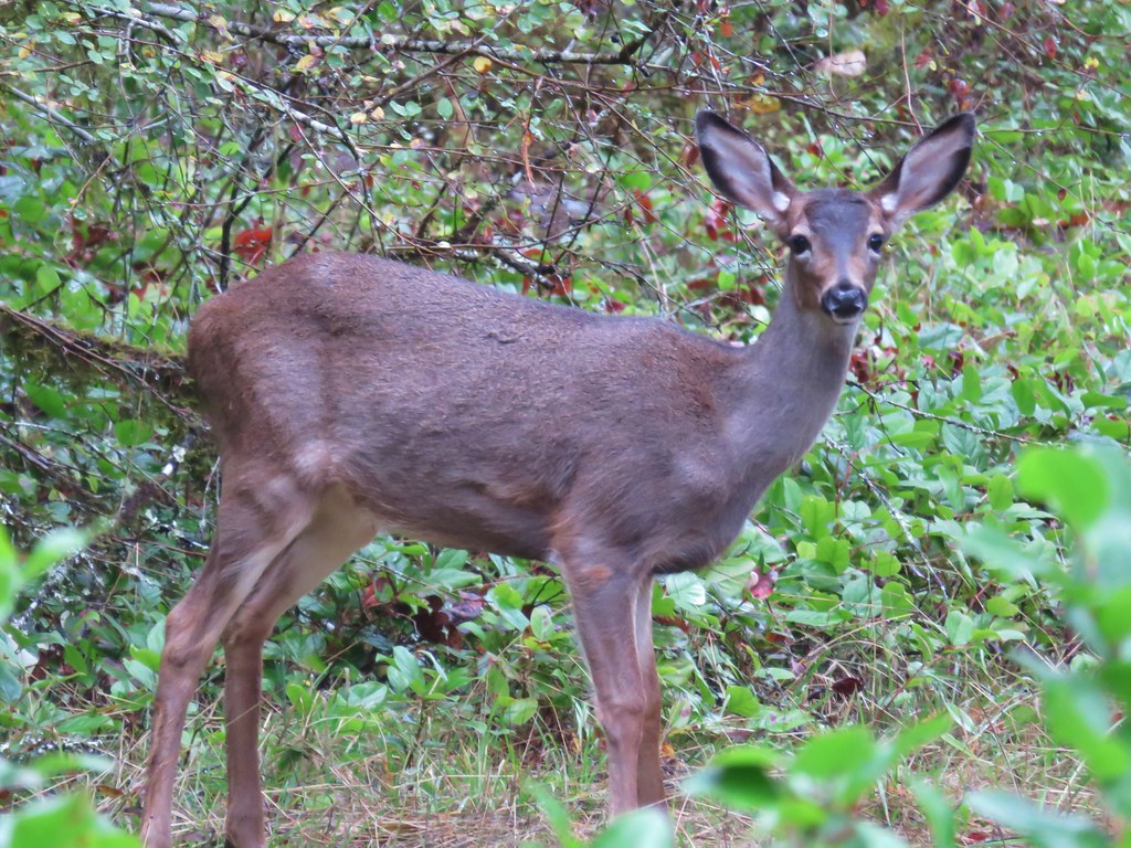
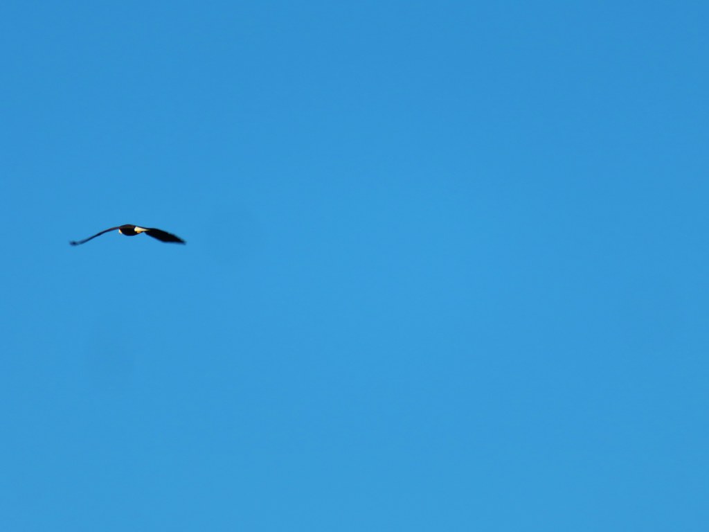
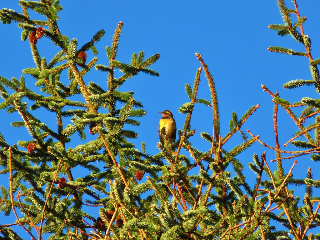
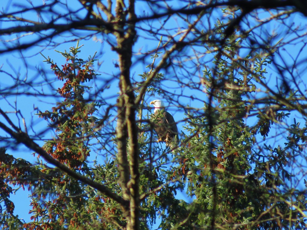
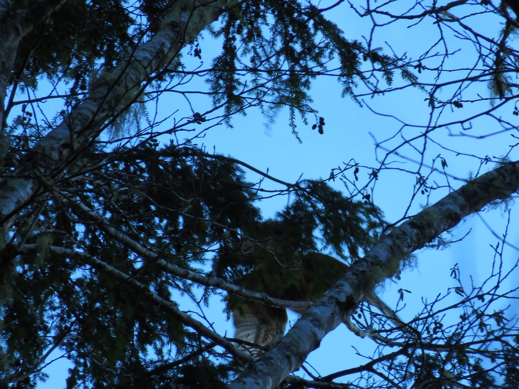
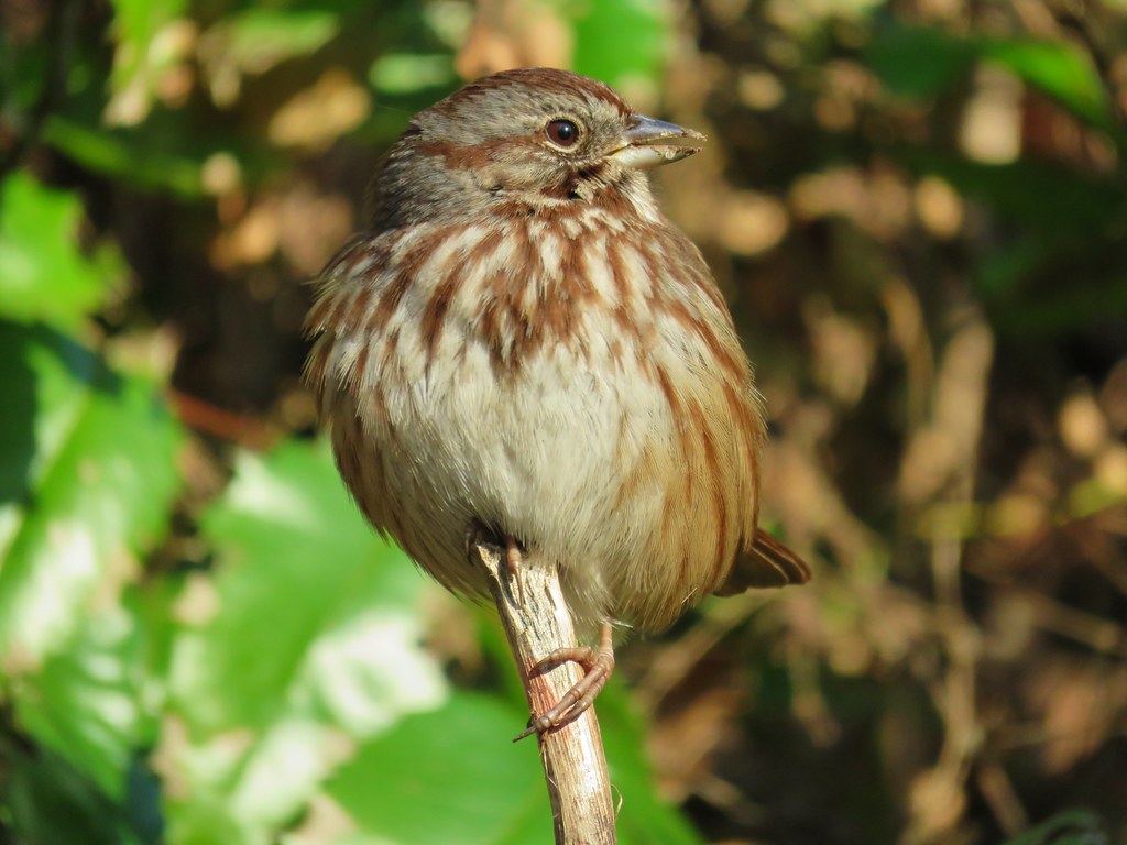
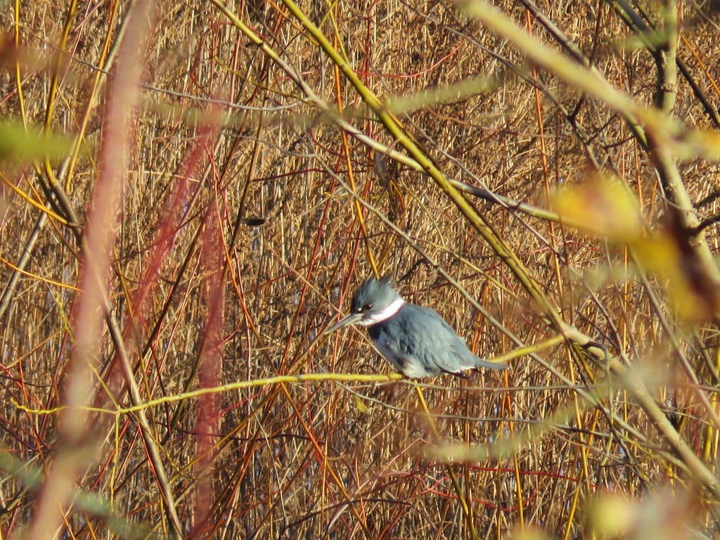
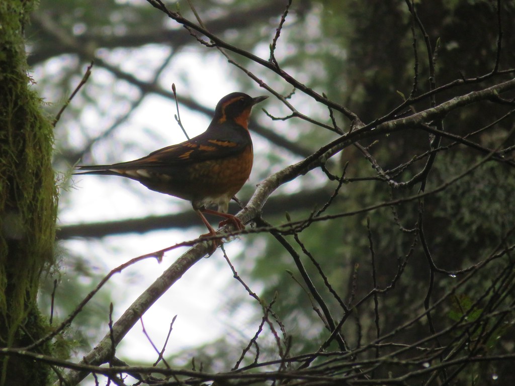
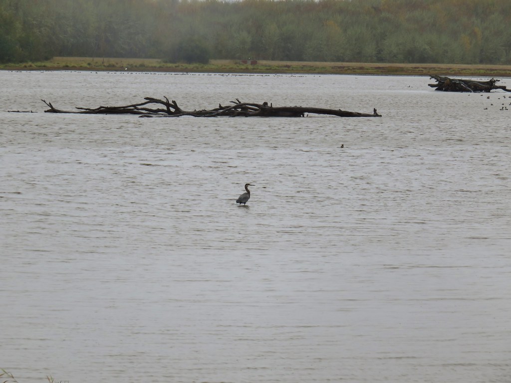
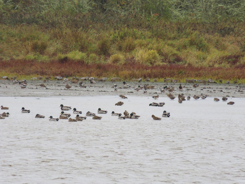
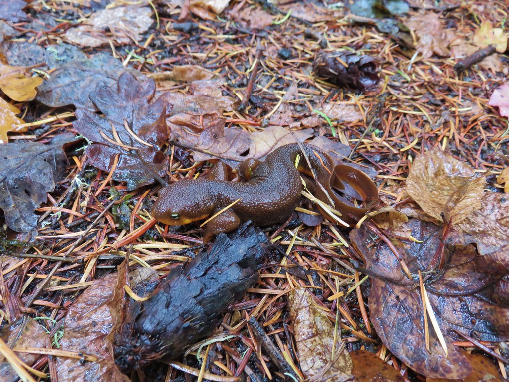
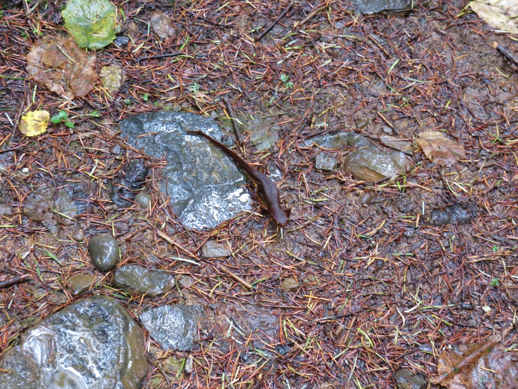
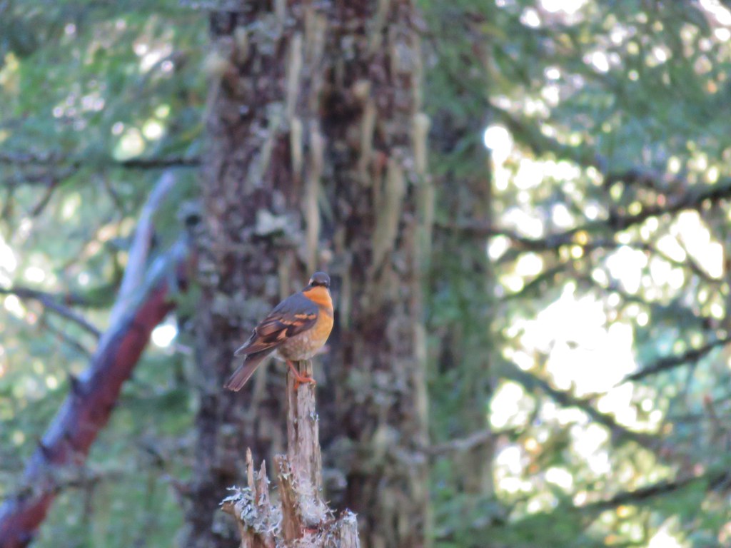
While we walked along the beach we spotted a bald eagle, more seals, and a varied thrush.

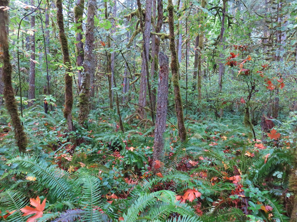
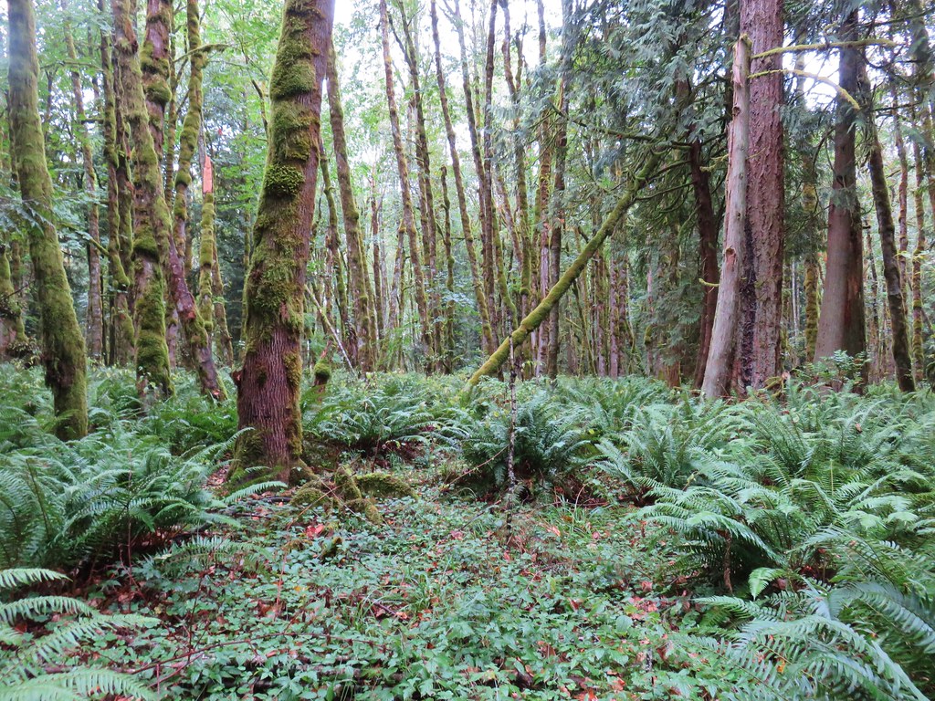
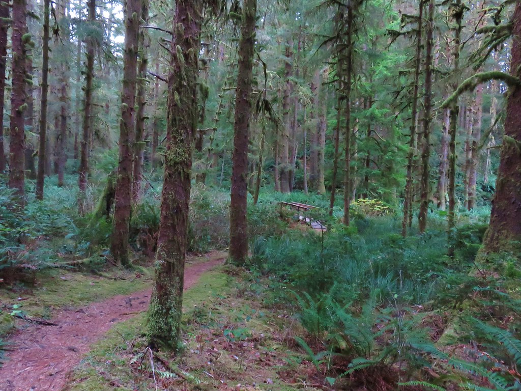
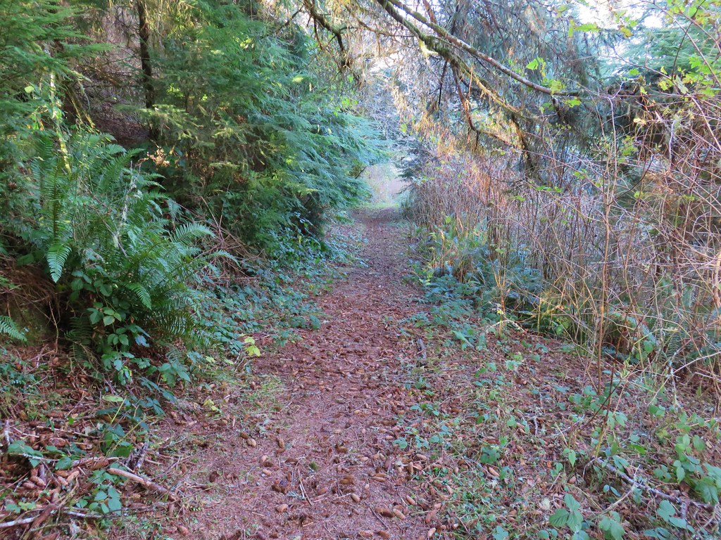
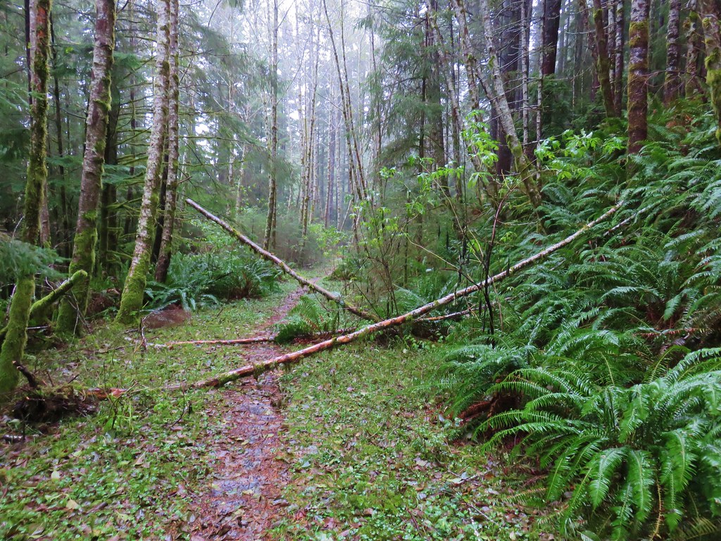
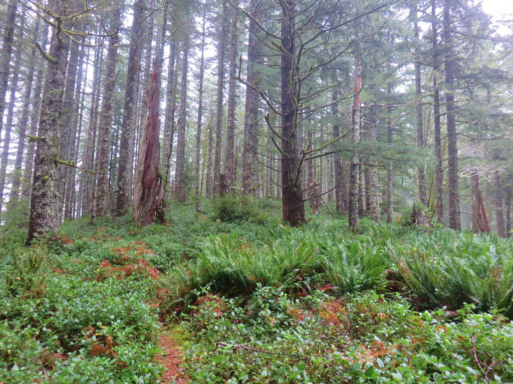
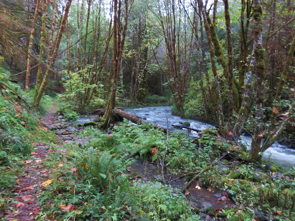
Ideally we would have been able to keep on the sand all the way back along the bay to the park’s boat ramp but since that wasn’t an option we turned inland on what appeared to be a well traveled trail. We were hoping it would lead us to the horse trail that our map showed running down the center of the spit but after a short distance the path we were following became flooded.
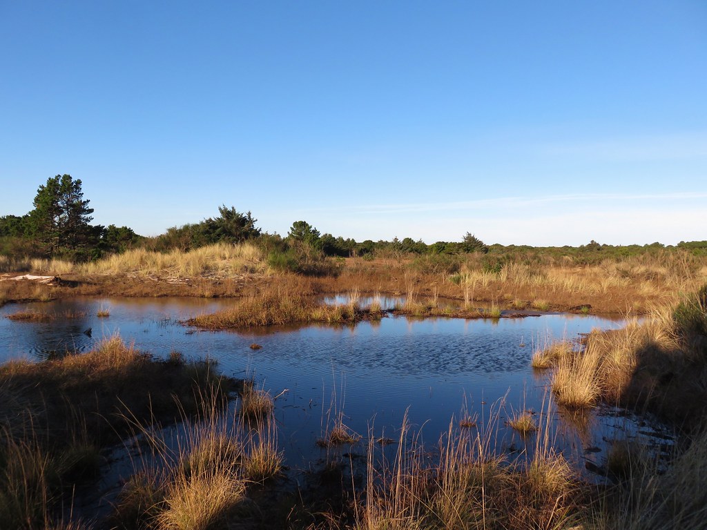
We were forced to attempt to follow a maze of game trails.
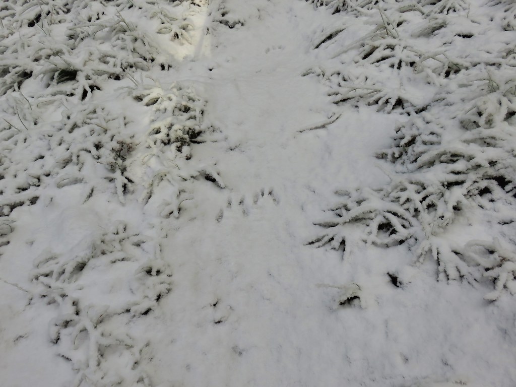
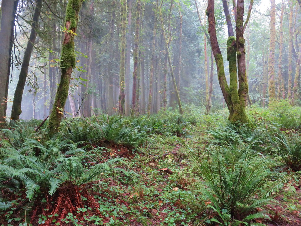
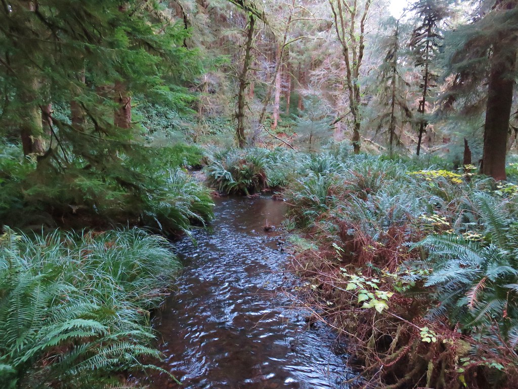
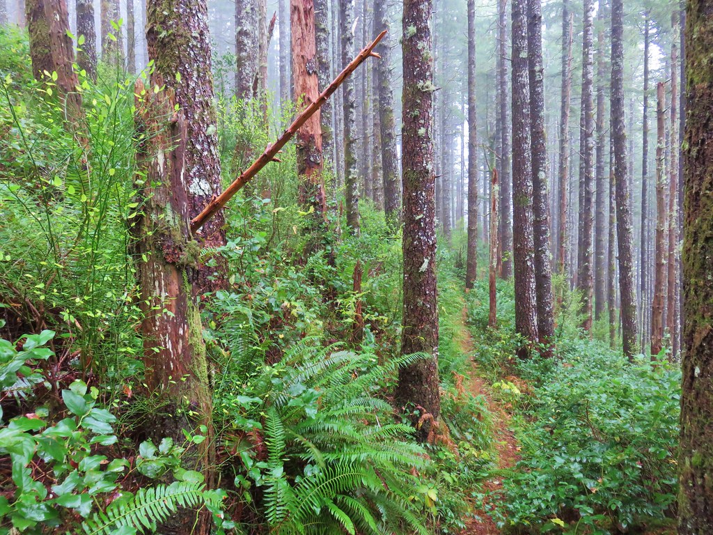
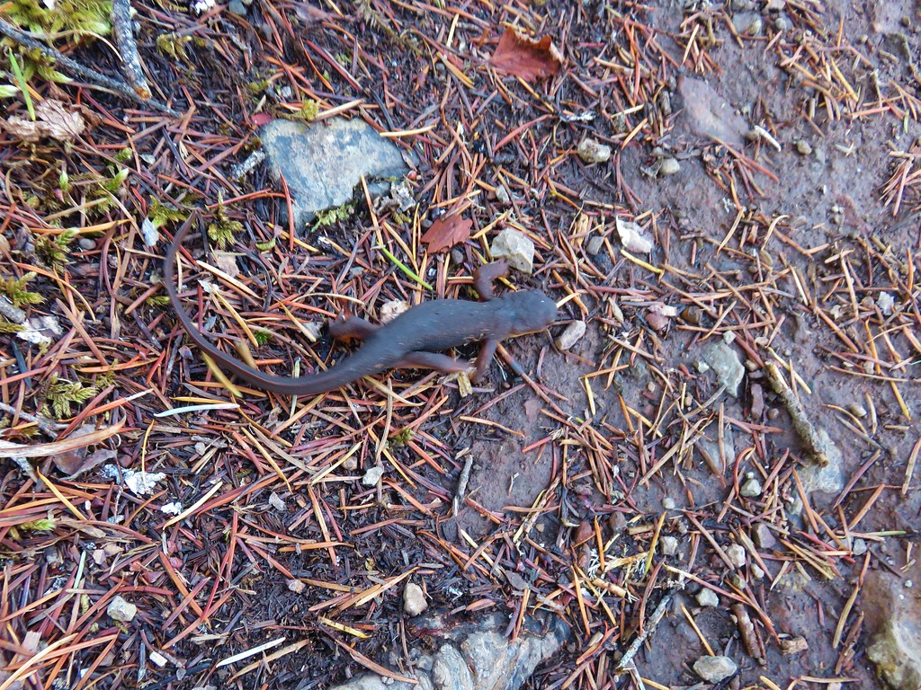
We could guess who was responsible for the confusion of trails by the elk sign we continually spotted. We lucked out at one point when we came to another flooded area at a narrow point where we were able to cross on driftwood. Had we tried sticking to the bay we would have run into a spot too wide to cross and wound up where we were anyway.

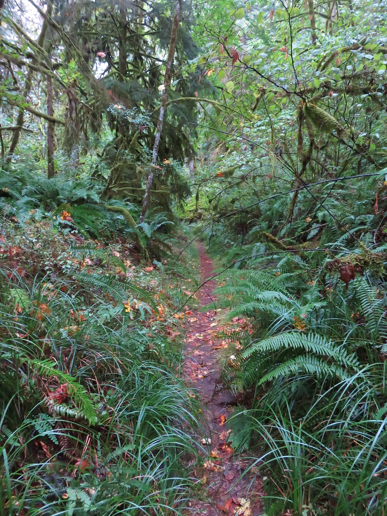
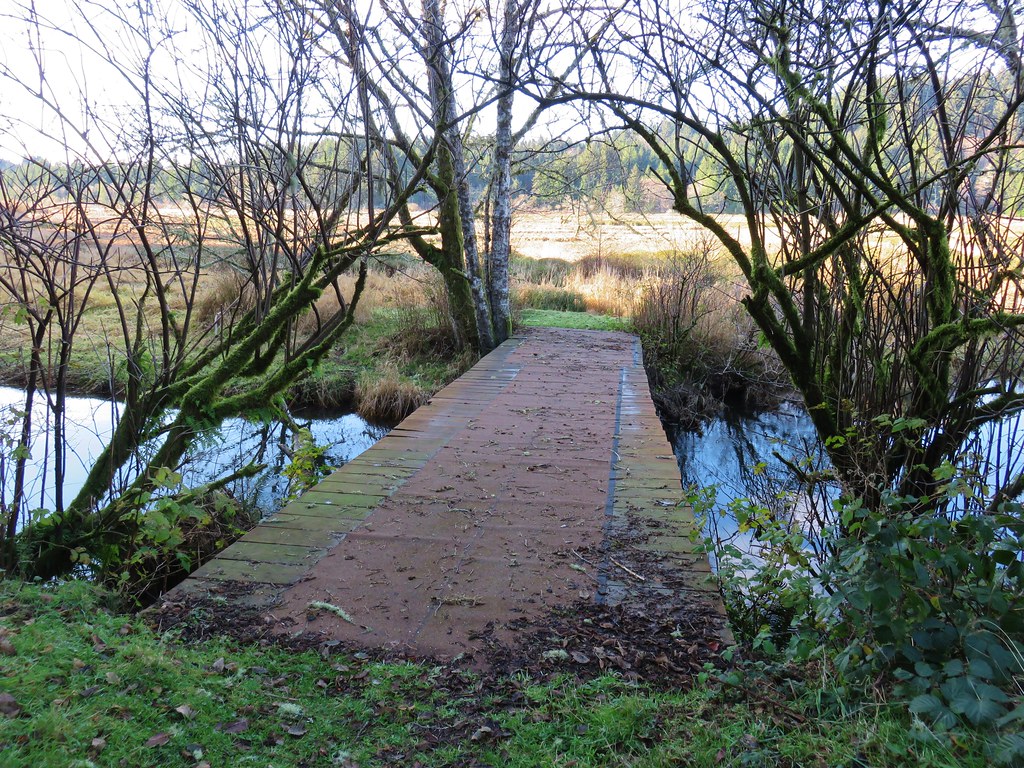
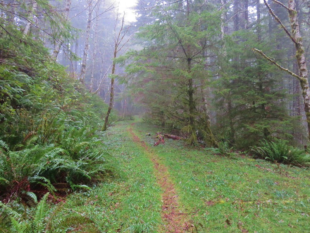
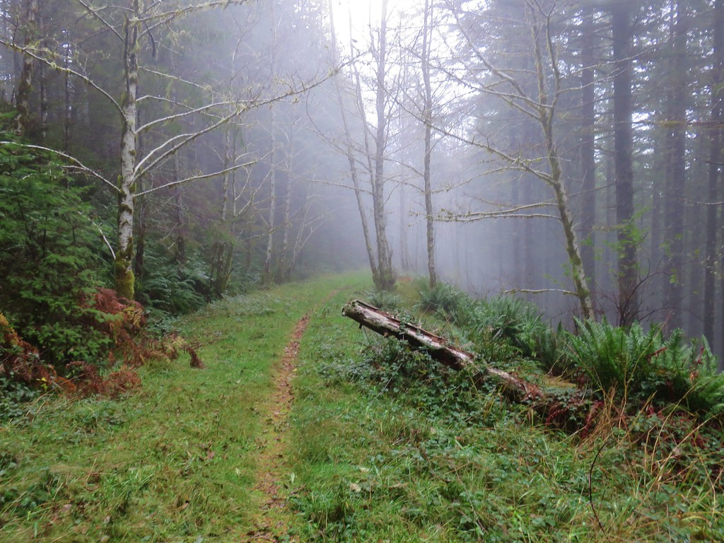
Shortly after crossing the water travel became easier as we were able to reach another sandy beach and then pick up a wider more traveled trail back to the horse trail not far from the day use parking lot.
Our guidebook and called this a 5.2 mile loop but the time we’d arrived back at the car we had squeezed 5.7 miles out of it due to backtracking because of the flooded trail.
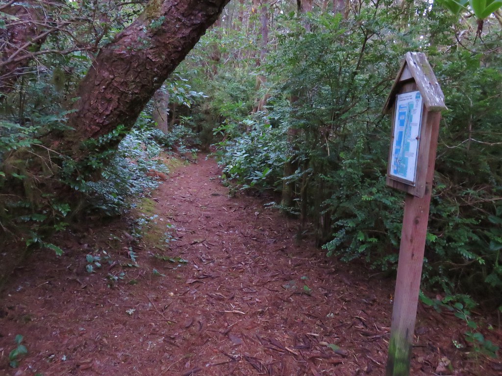
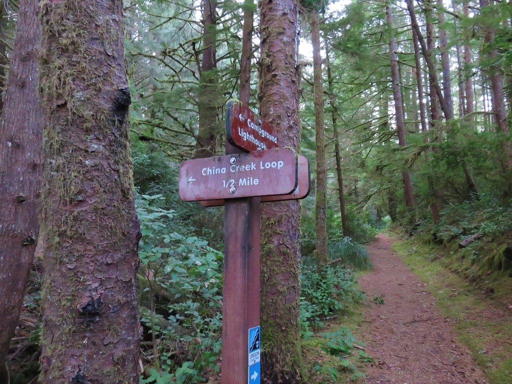
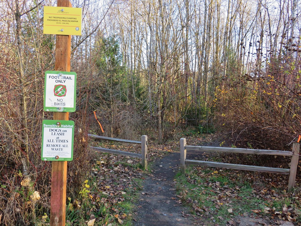
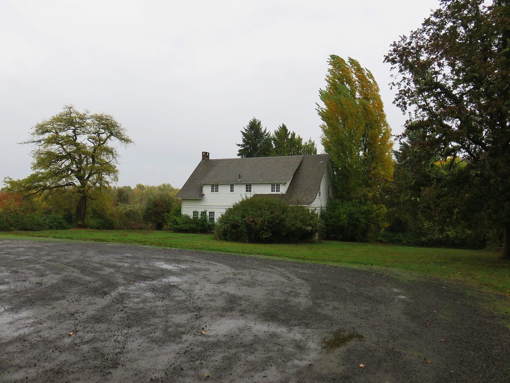
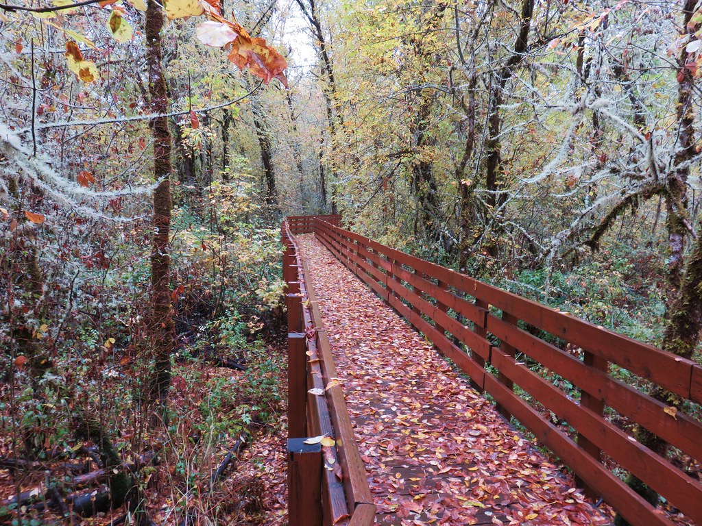
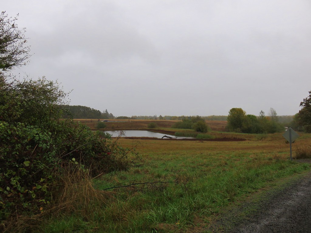
After returning to the highway we headed south to Bay City for our second stop of the morning – Kilchis Point Reserve. We turned towards Tillamook Bay on Warren Street near mile post 61 and followed pointers to the parking area on Spurce Street.
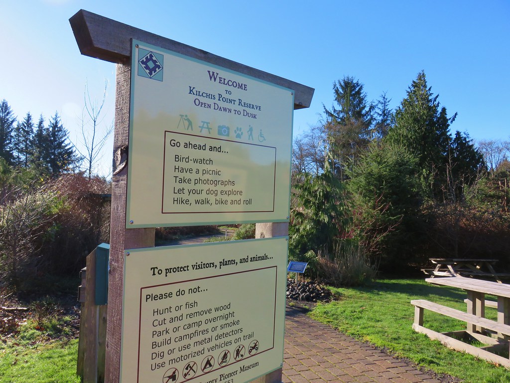
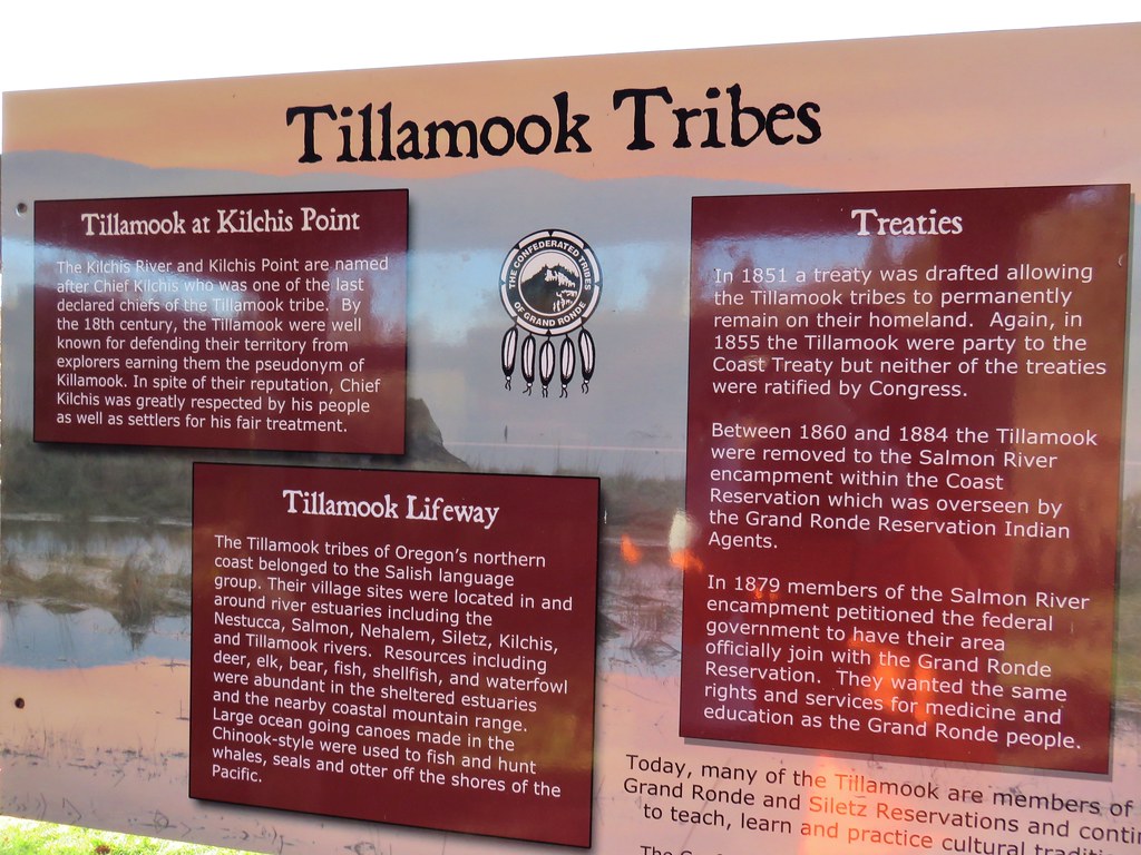
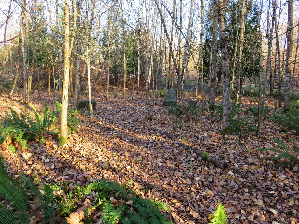
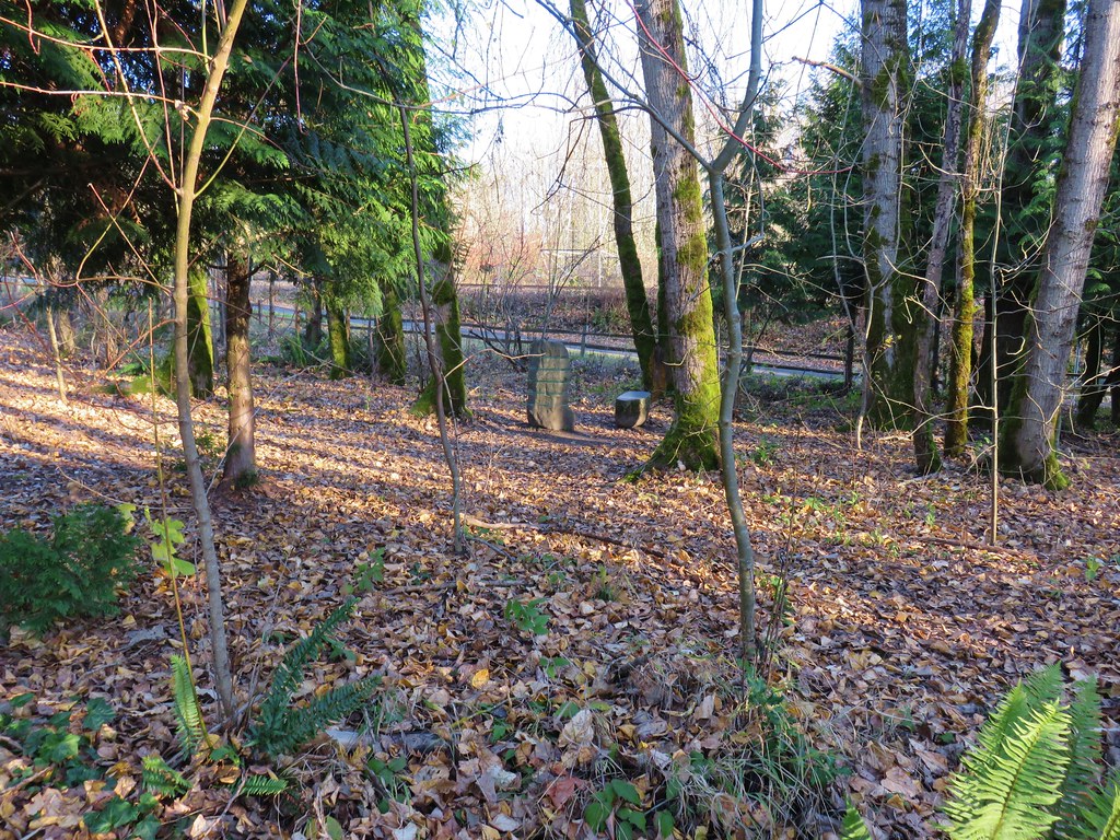
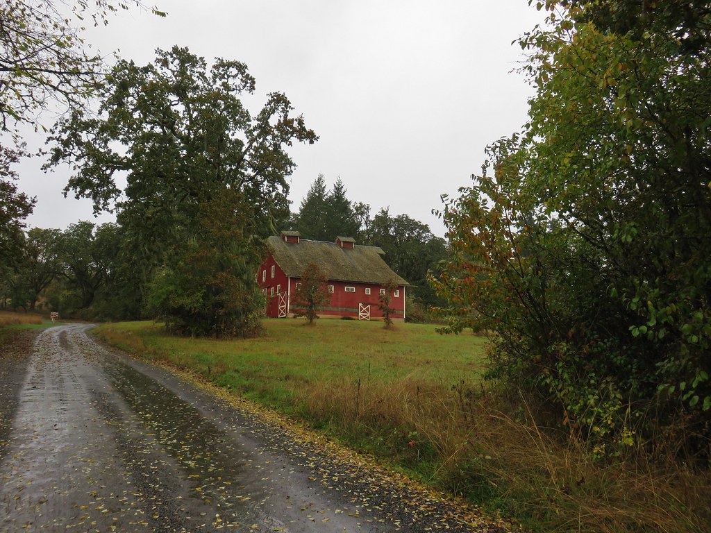
Kilchis Point is the site of one of the largest Native American villages along the Northern Oregon Coast. It is also the location where the Morning Star of Tillamook, first ship registered in the Oregon Territory, was built. The small park is very nice with plenty of amenities and a plethora of information posted throughout. It was a little chilly out so we didn’t stop to read all the signs this time but that just gives us a reason to stop again and check it out in the Spring or Summertime.
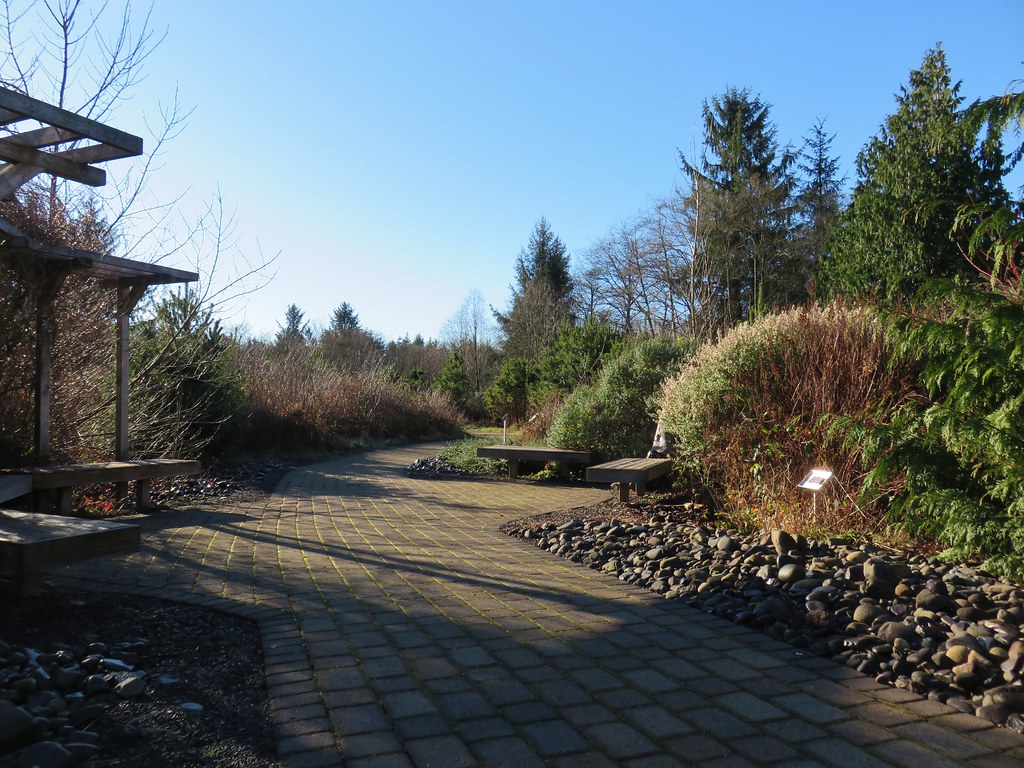

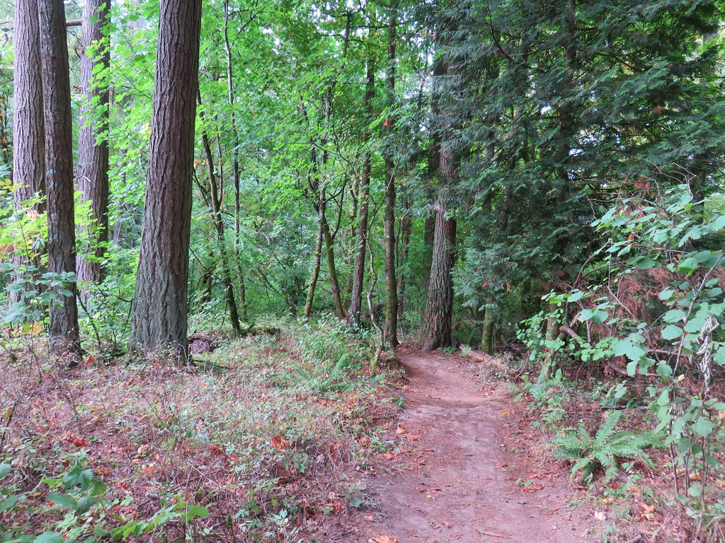
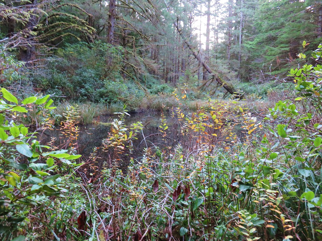
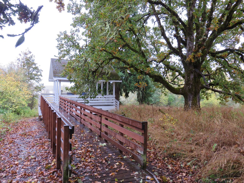
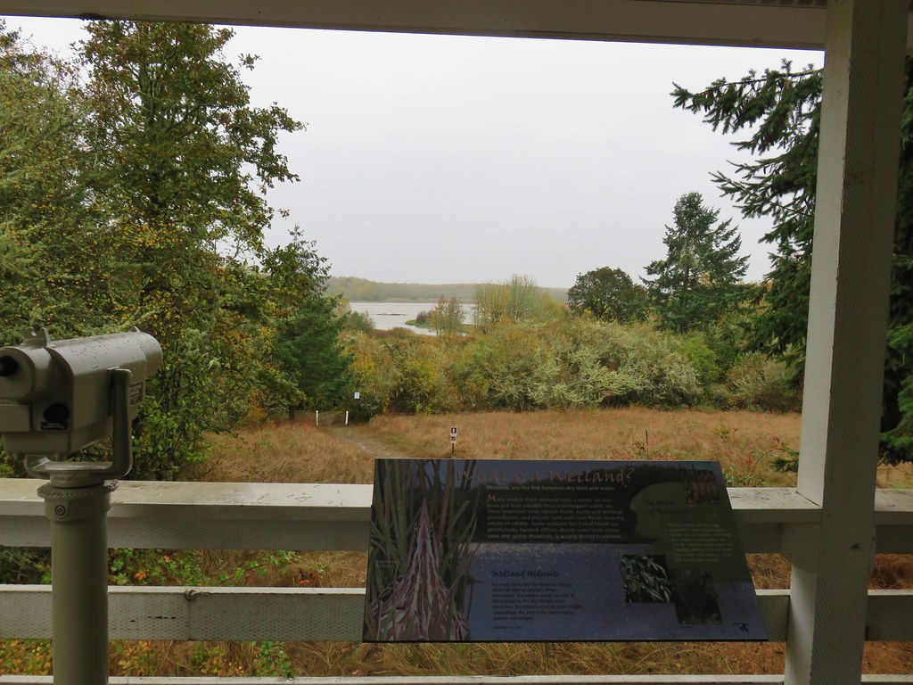
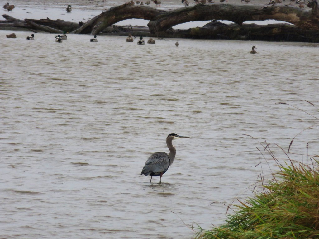
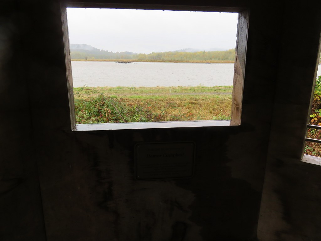
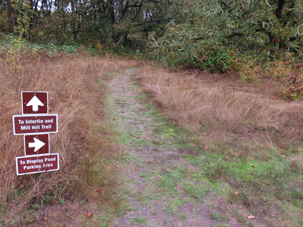
We followed the brick path from the parking area keeping right at junctions a total of 1.2 miles to a bird watching gazebo at Tillamook Bay.


We didn’t spot many animals (other than dogs) along the way but we did get to listen to a pair of bald eagles for a bit.
After a short break by the bay we returned to the parking area by following signs and staying right at trail junctions to complete two short loops.
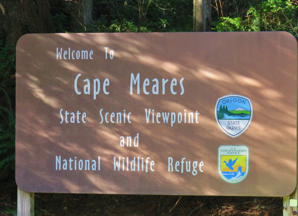
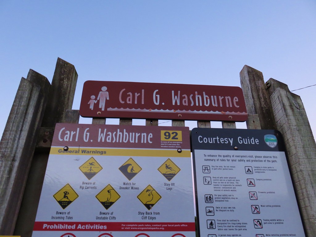
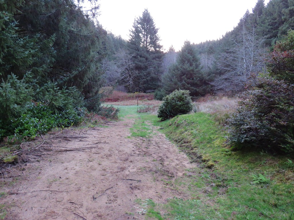
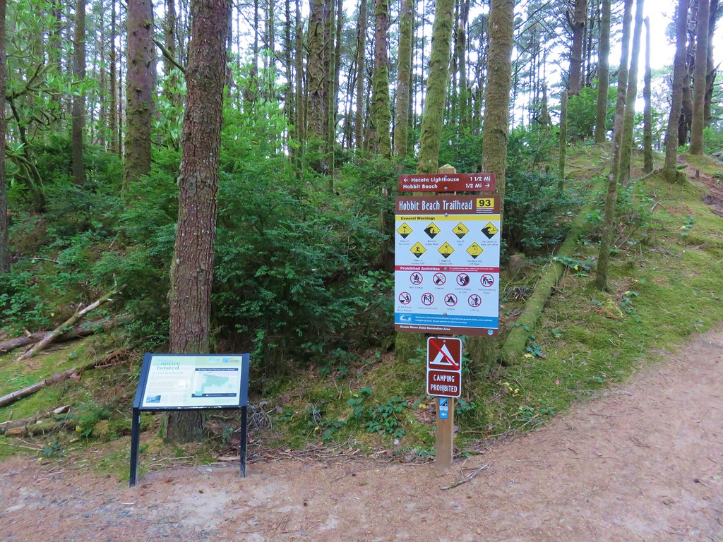
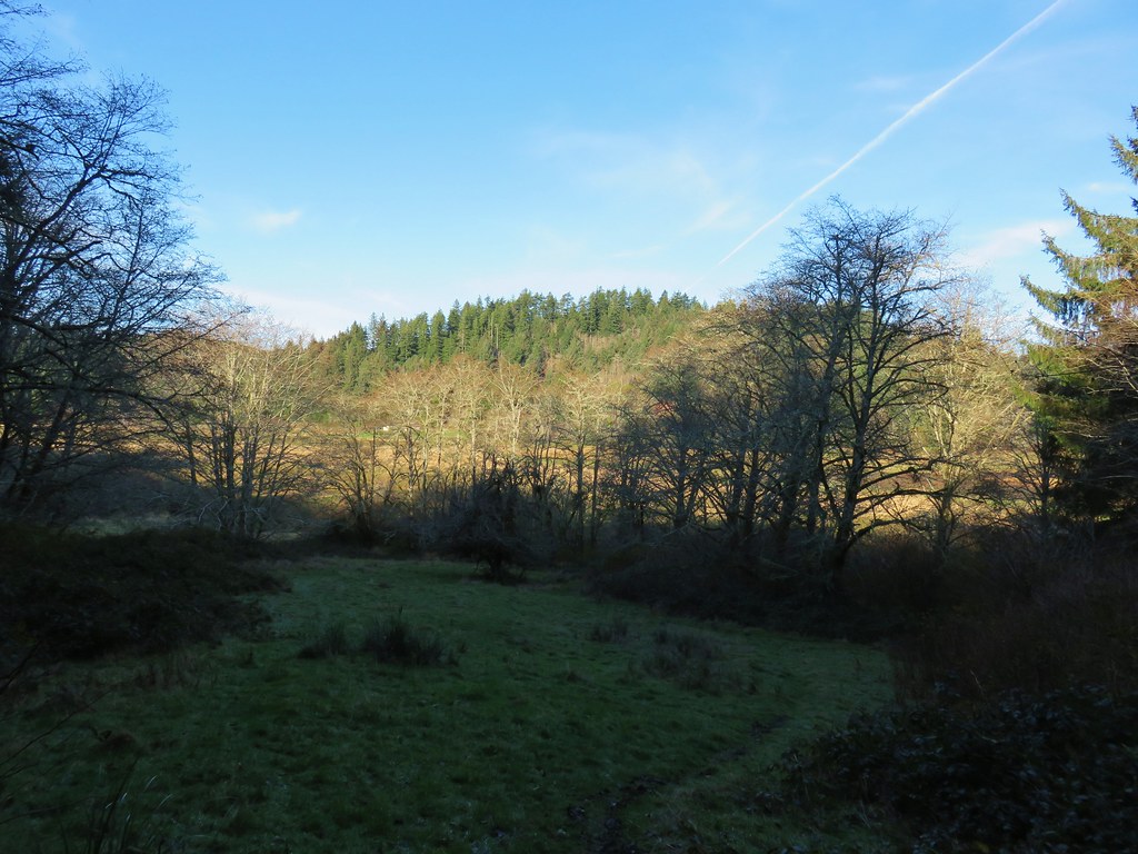
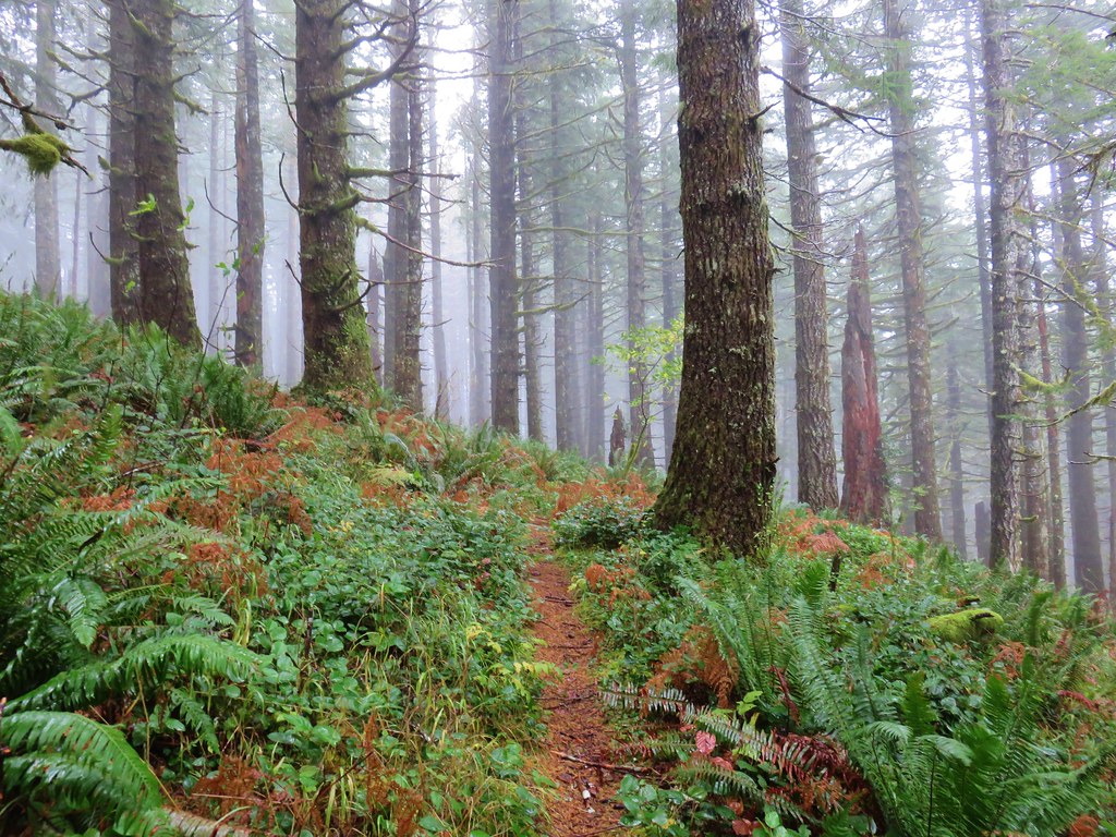
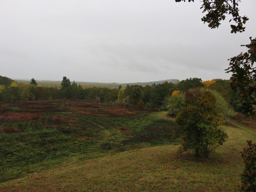
We then drove south to Tillamook and followed signs to Oceanside on Highway 131. From Oceanside we followed signs to Cape Meares State Scenic Viewpoint and parked at a trailhead parking area at the park entrance.
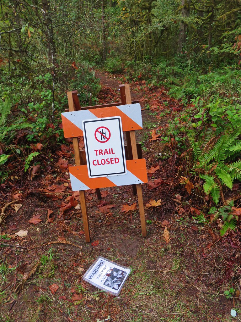
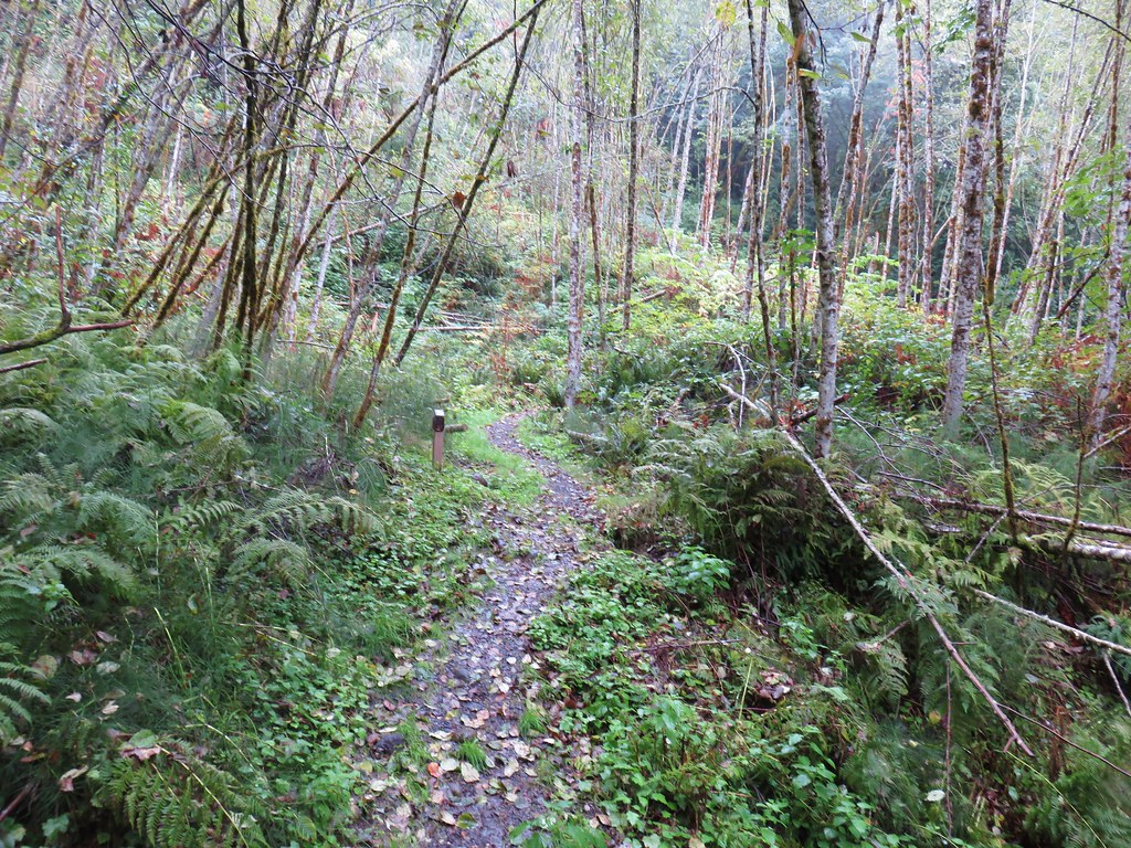
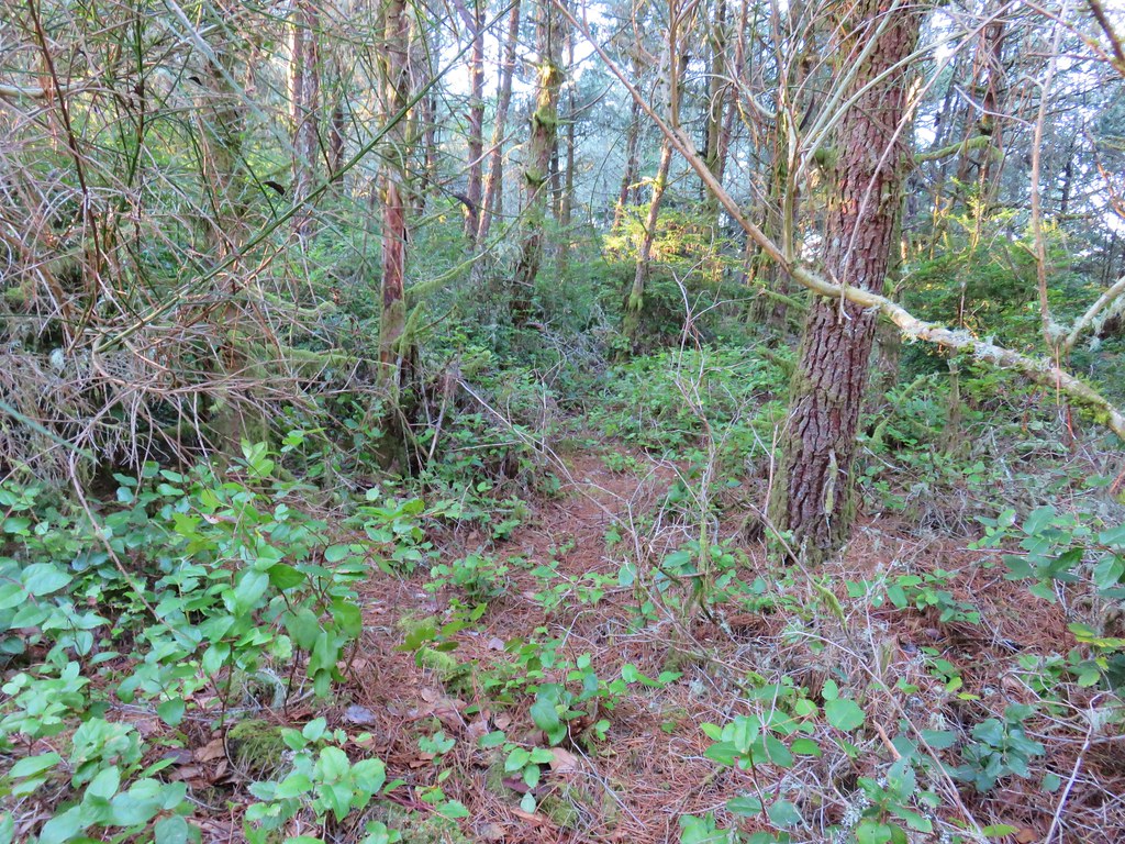
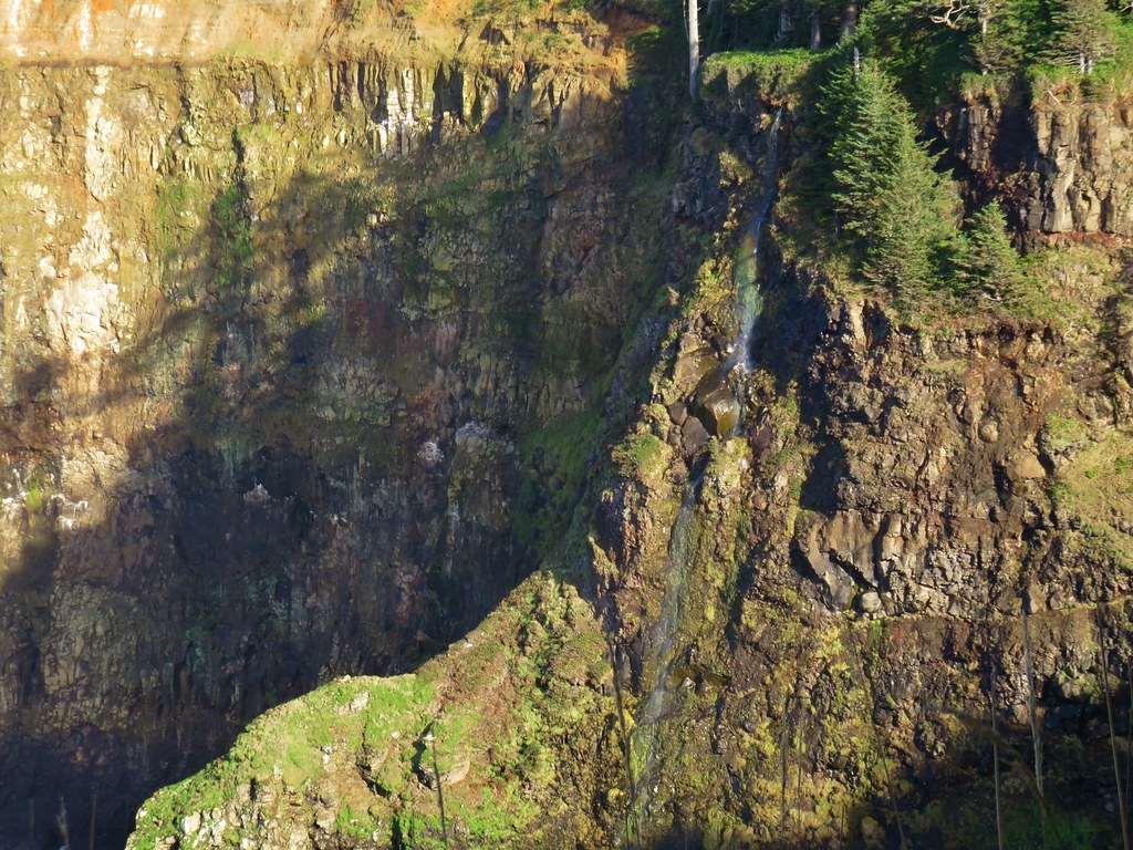
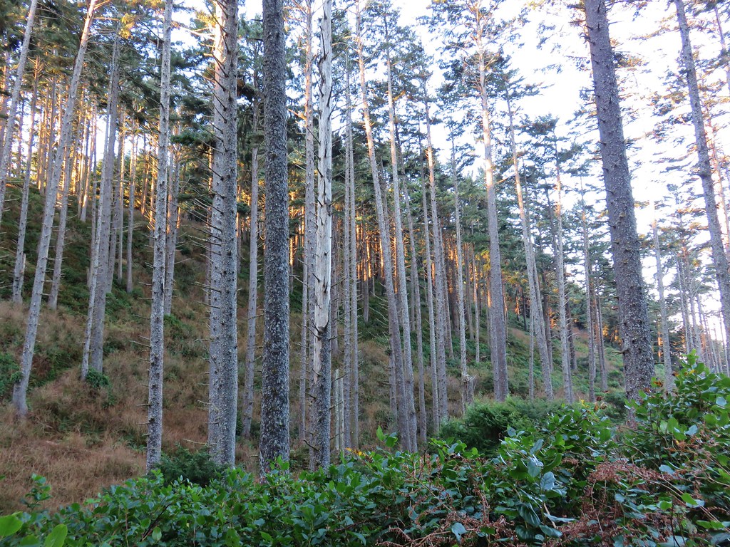
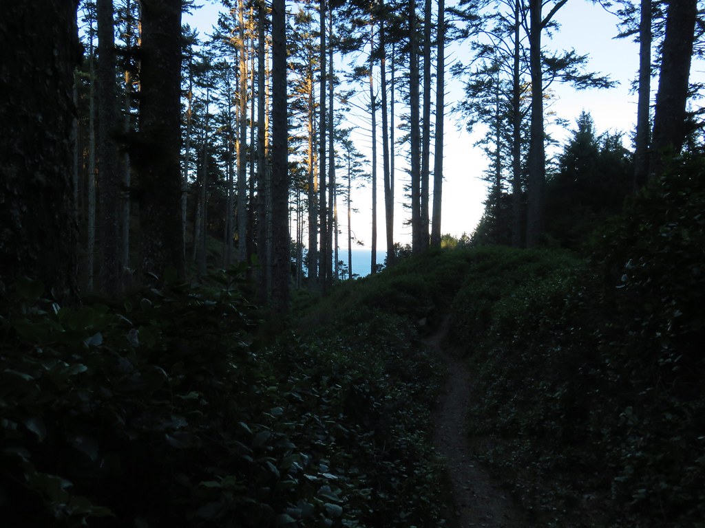
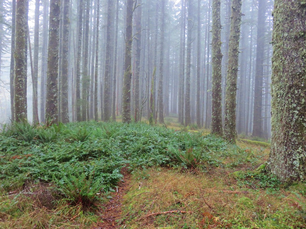
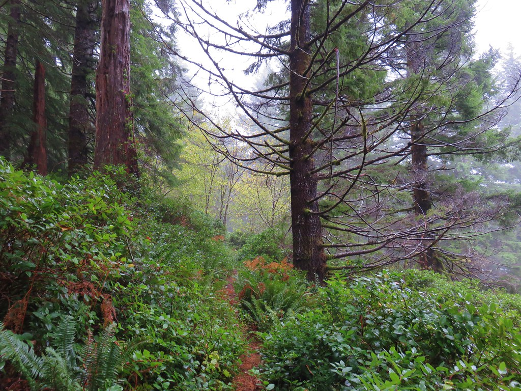
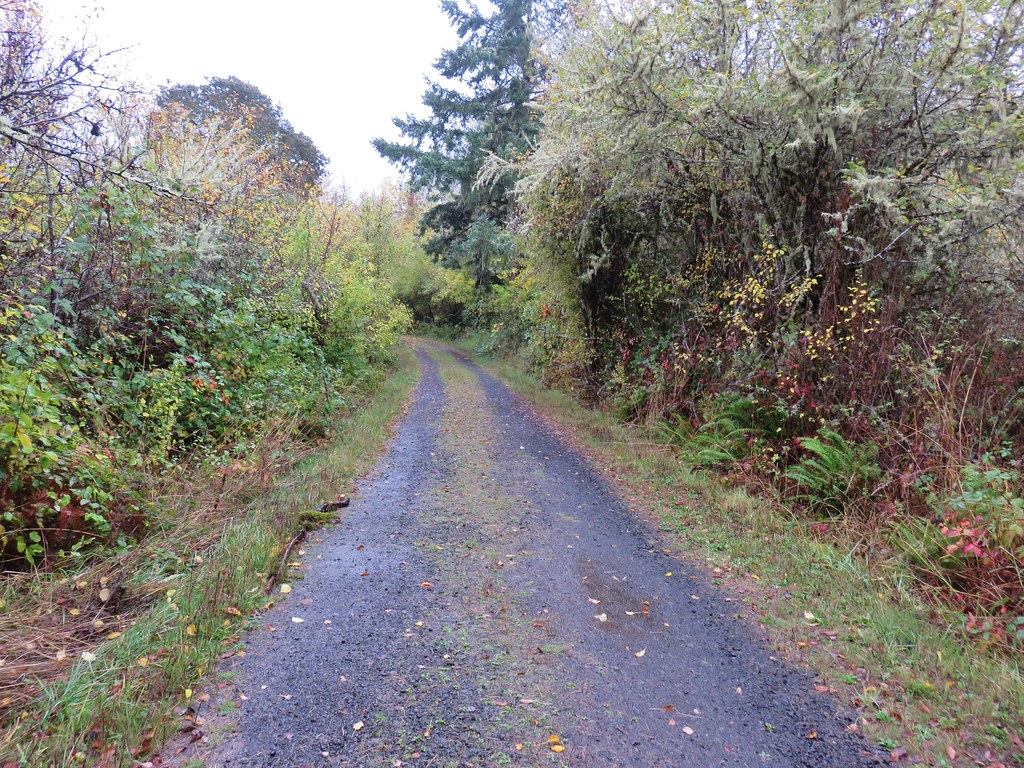
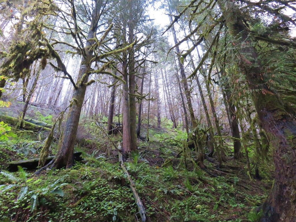
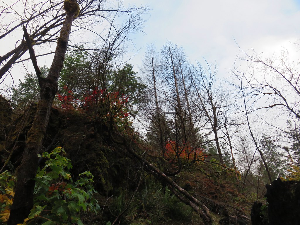
A mudslide in January of 2013 closed the Three Capes Scenic Loop beyond the park entrance. That slide continues to slowly shift the area and has affected a trail between the trailhead and the beach to the north of Cape Meares. We decided to head down this trail to see the conditions first hand.

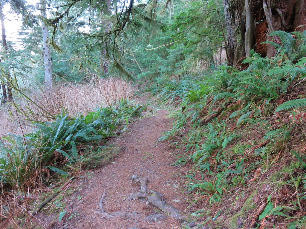
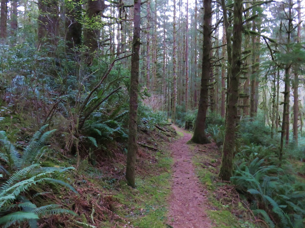
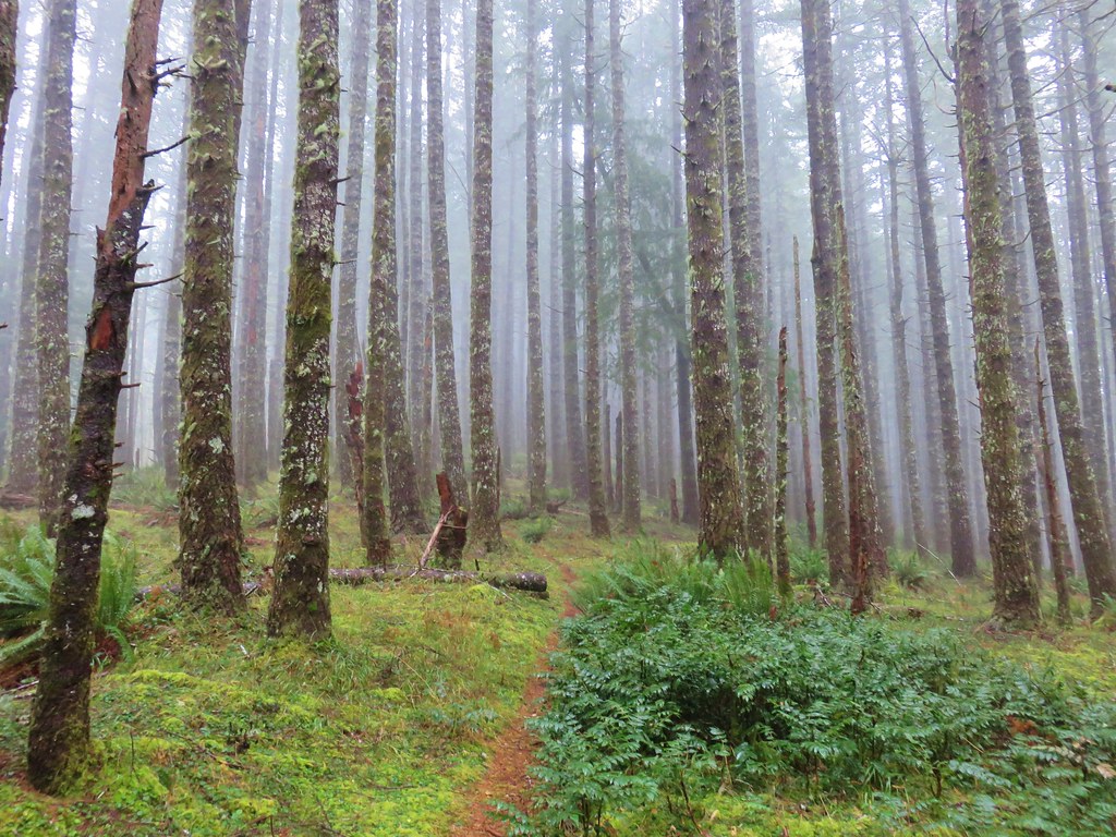
The upper portion of the trail was in reasonably good shape although there was a small tree that required ducking under.

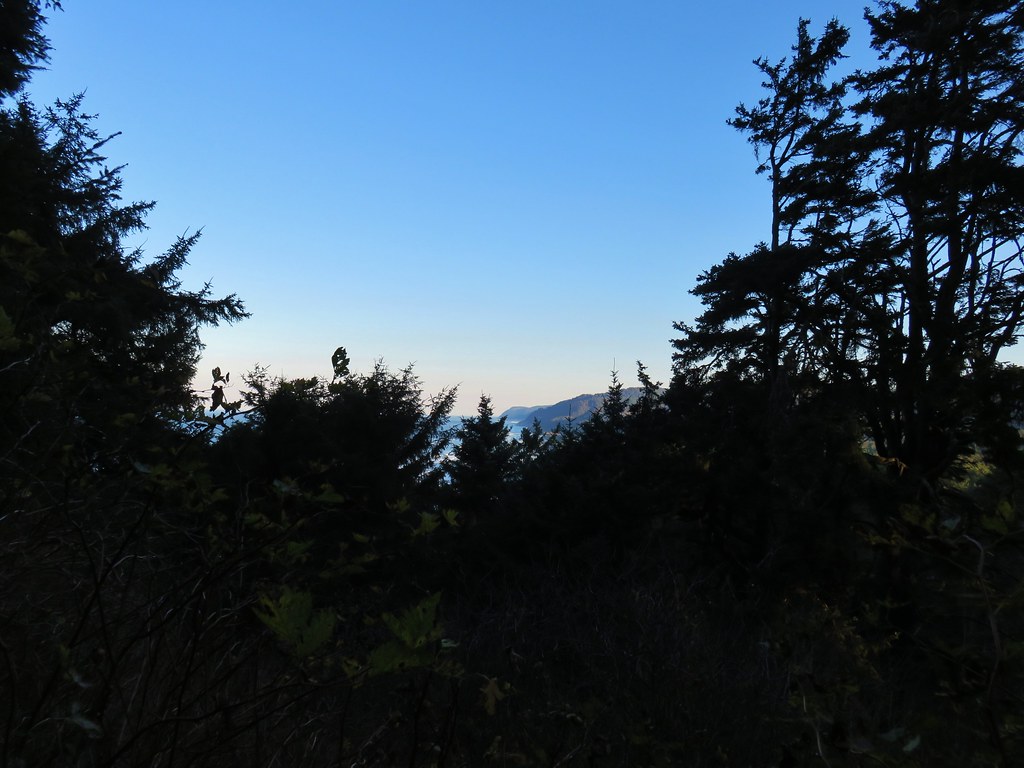
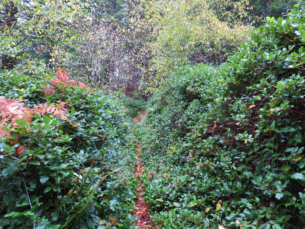
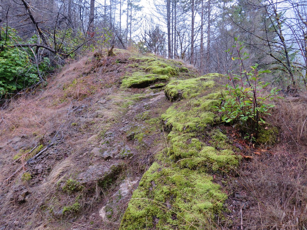
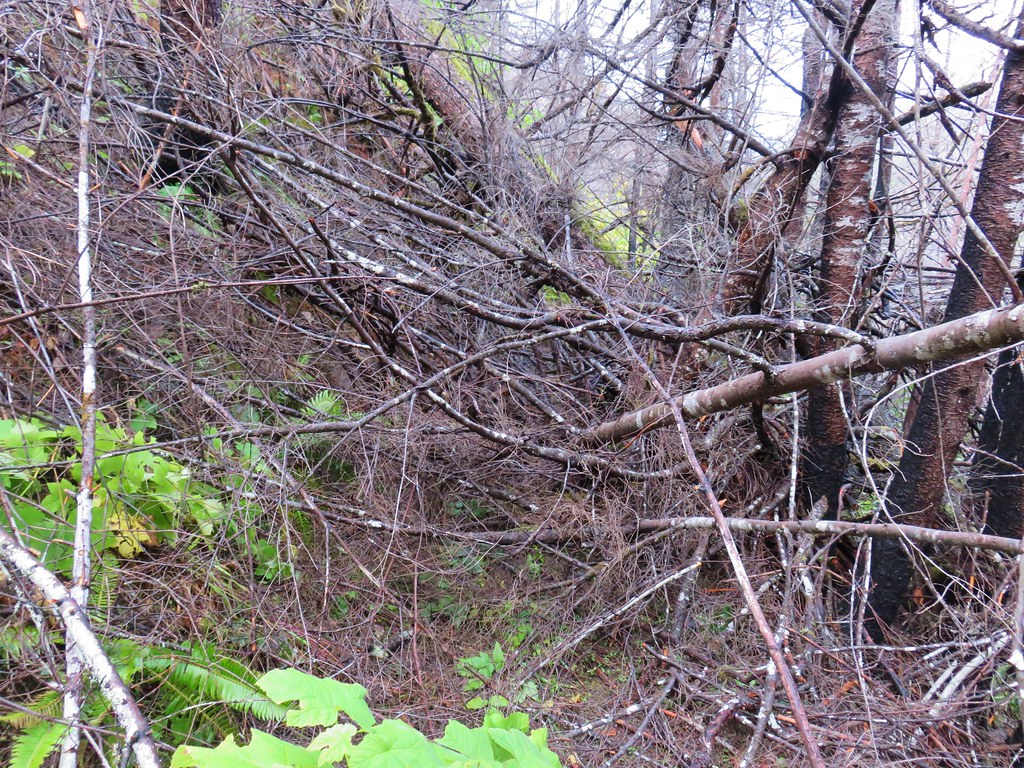
Shortly after passing a fairly nice view of another place we had previously hiked, Bayocean Spit, we came to a jumble of debris.

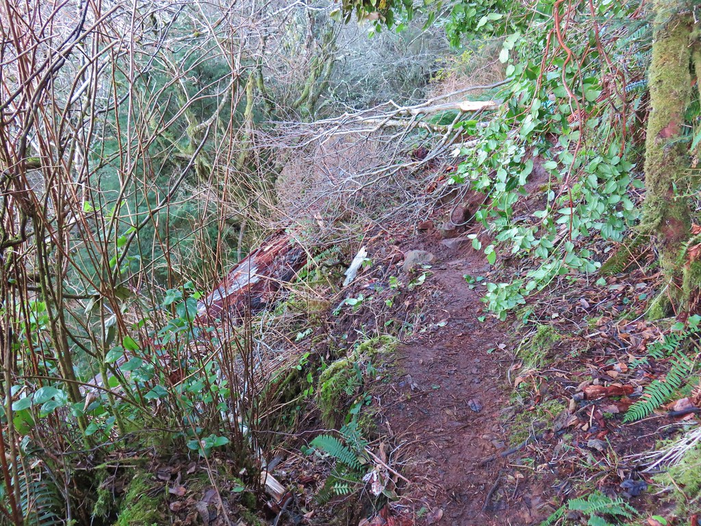
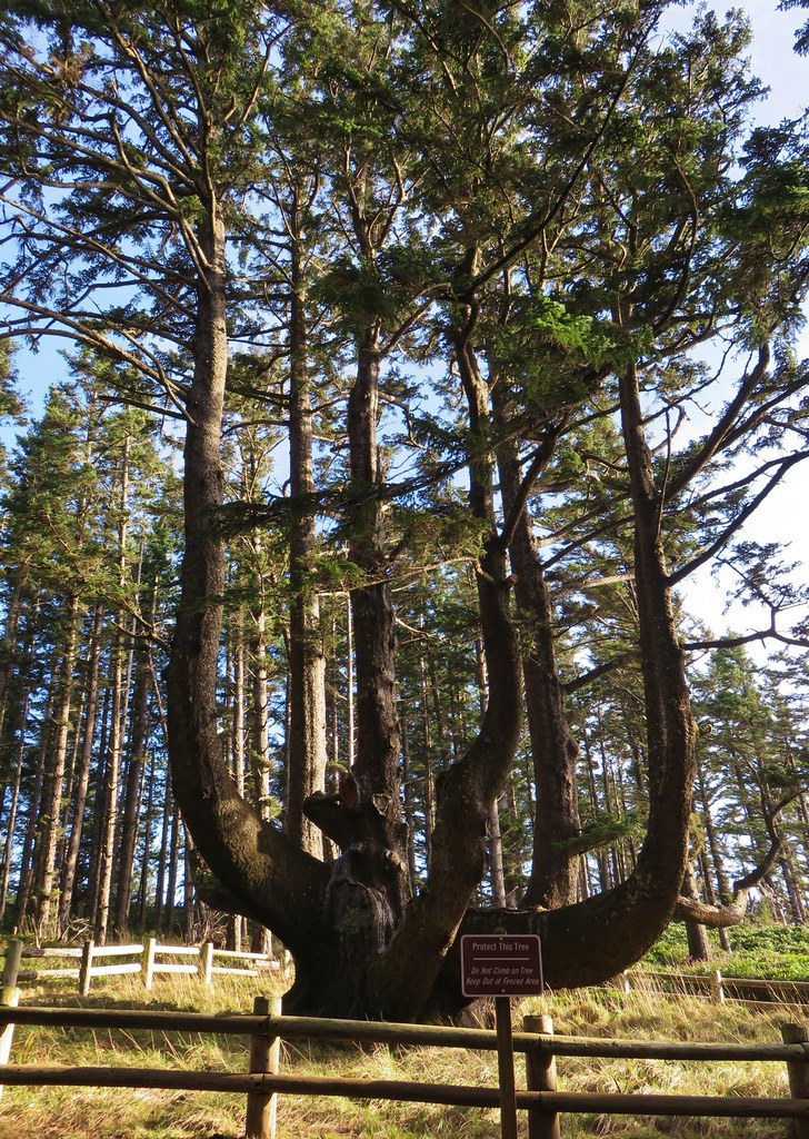
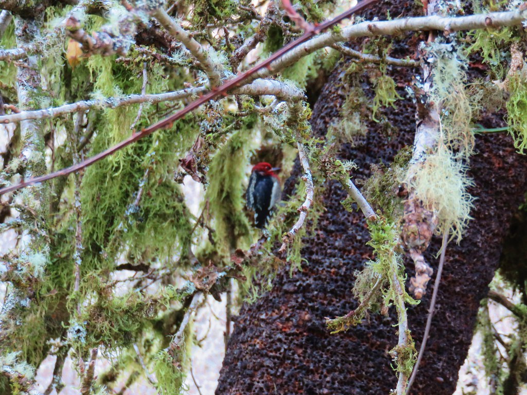
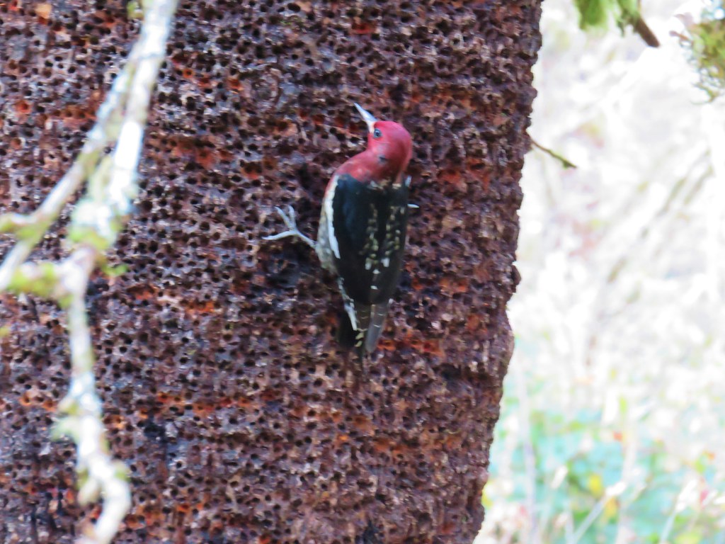
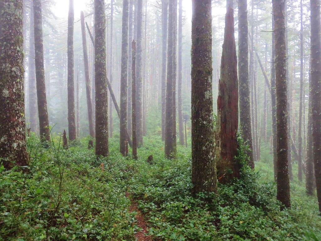
That was our turn around point,a little over half a mile from the trialhead. We headed back up to the trailhead and took the .2 mile Big Spruce Trail. The tree is estimated to be 750 to 800 years old and is the largest known Sitka spruce in Oregon.
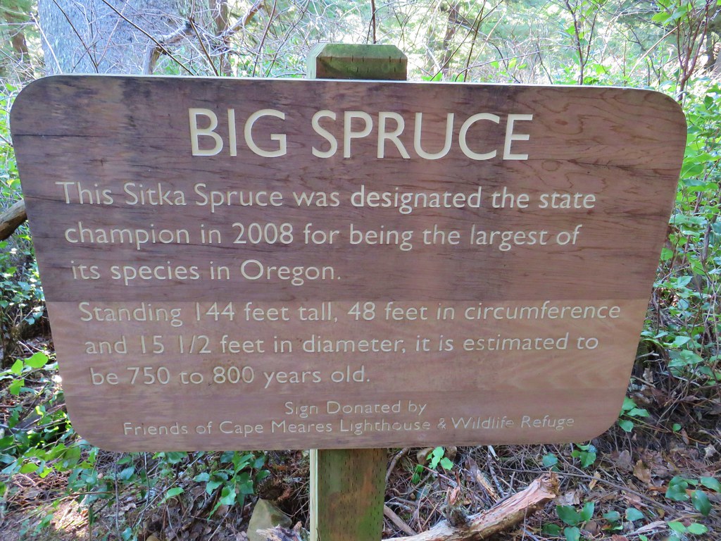
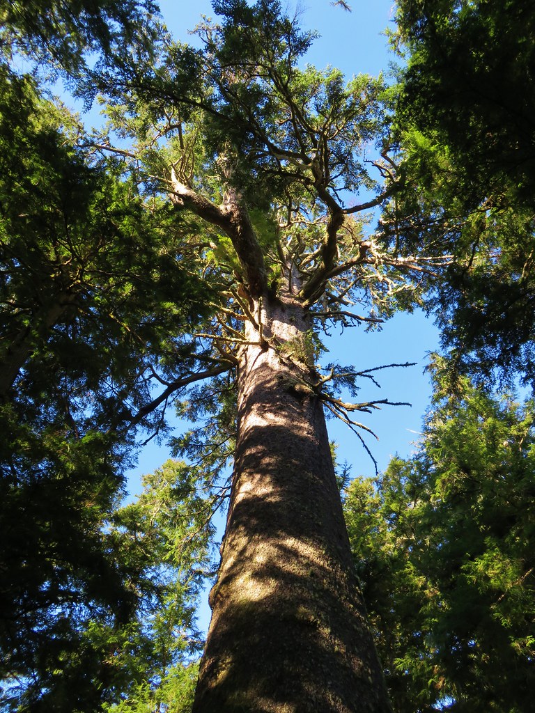
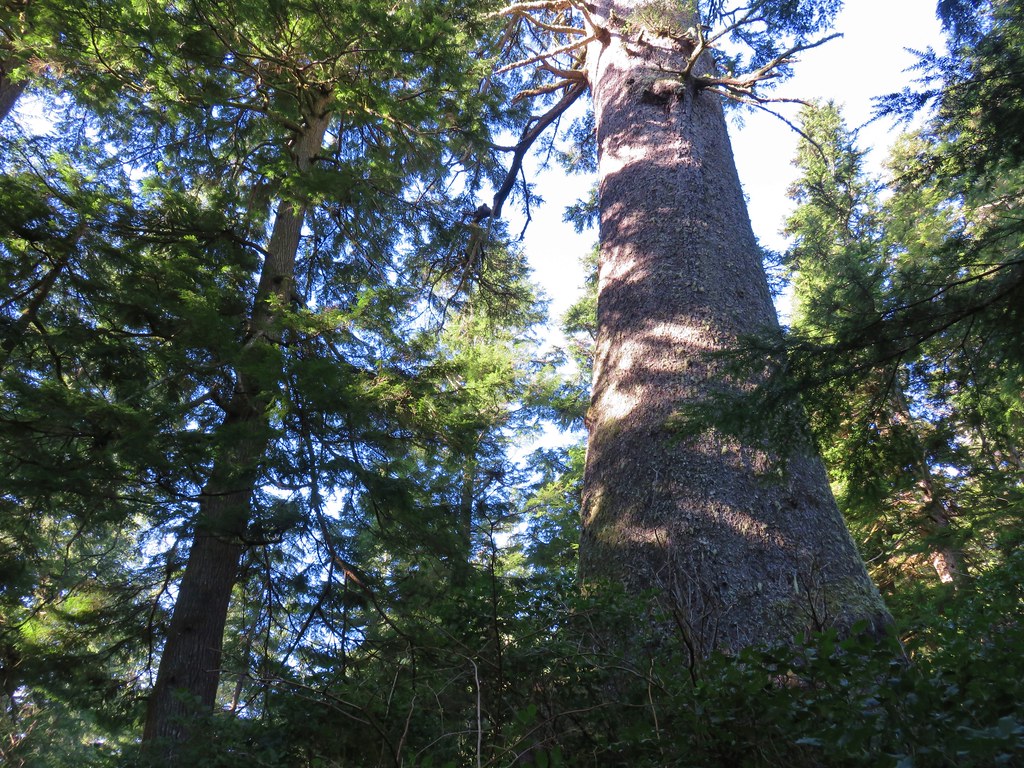
For a bit of perspective if the tree sprouted in 1217 it was there at the start of the fifth crusade.
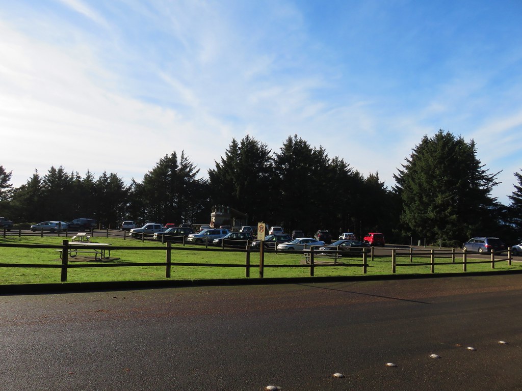
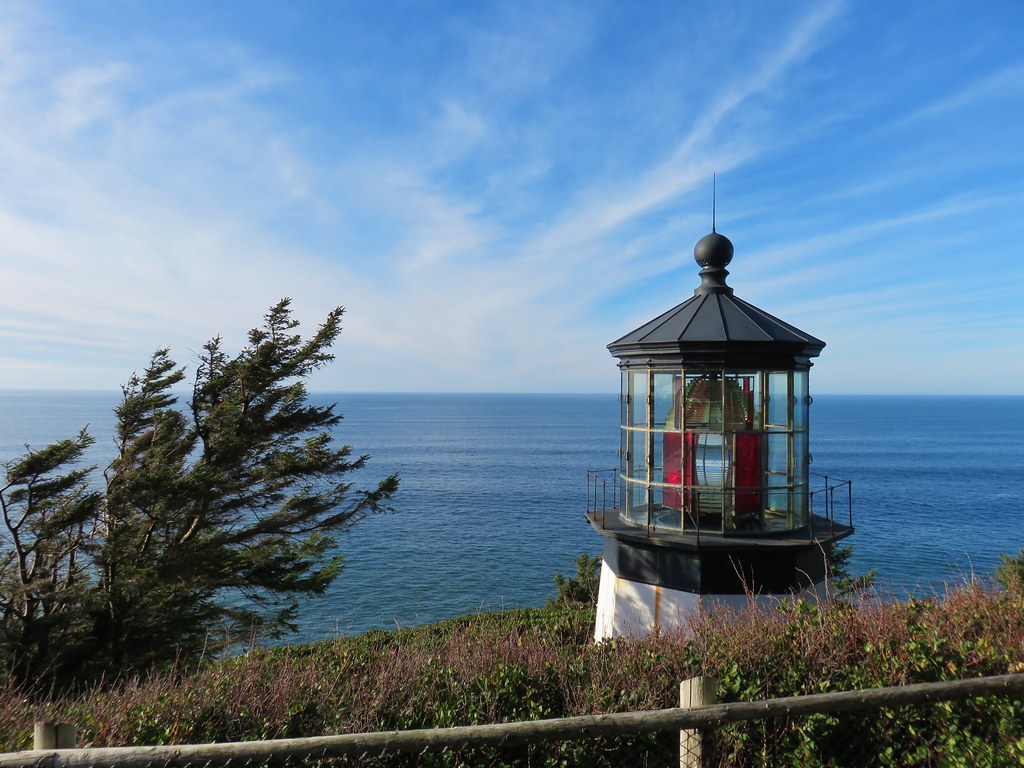
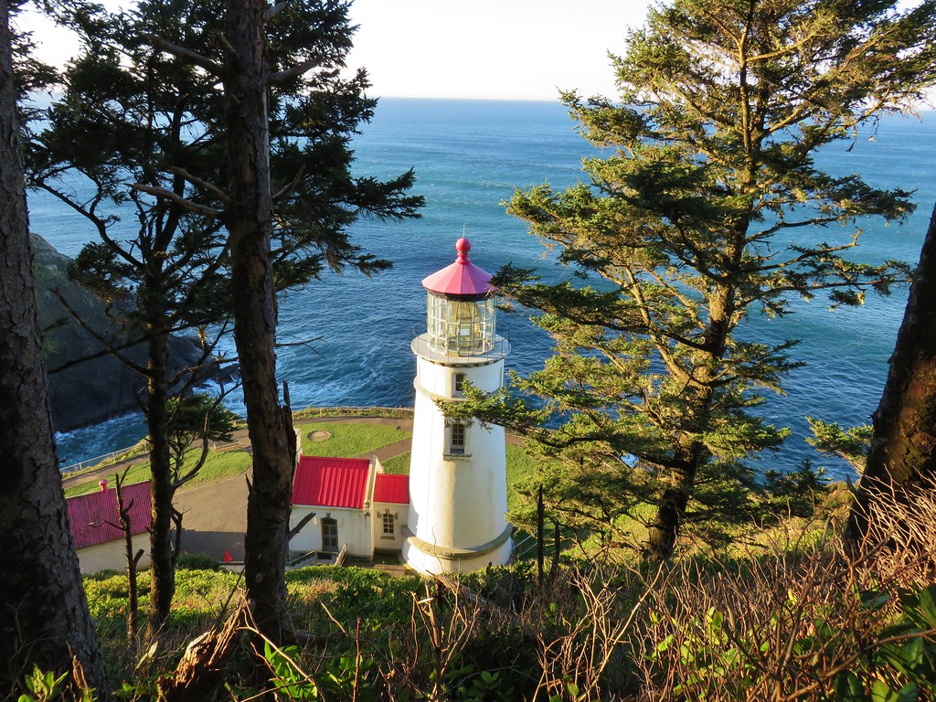
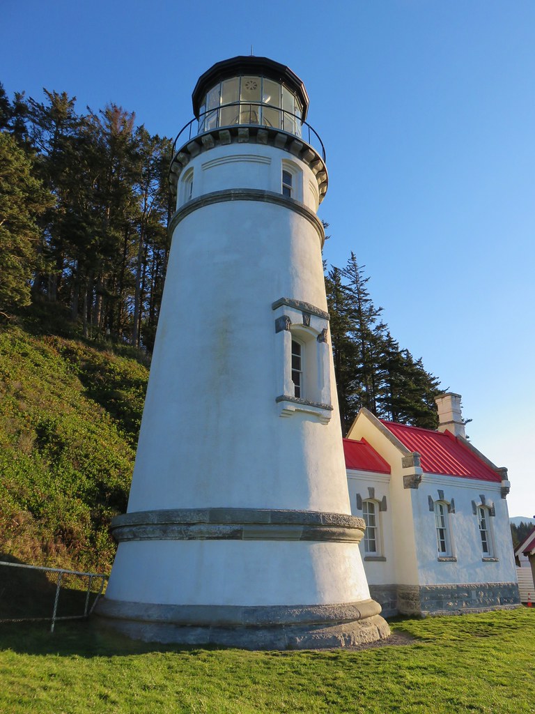
After visiting the old tree we road walked .6 miles along the entrance road to the crowded parking area for the Cape Meares Lighthouse.
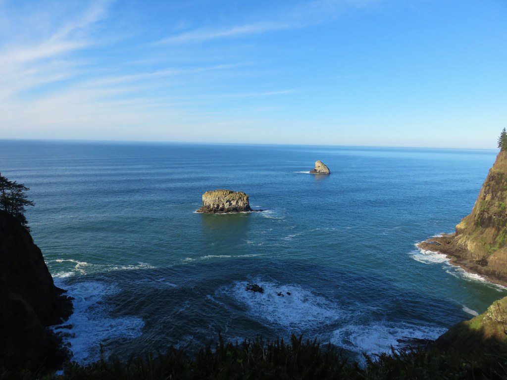
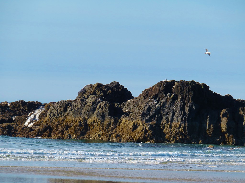
We stopped at a viewpoint platform overlooking Tower and Pillar Rocks to the north.
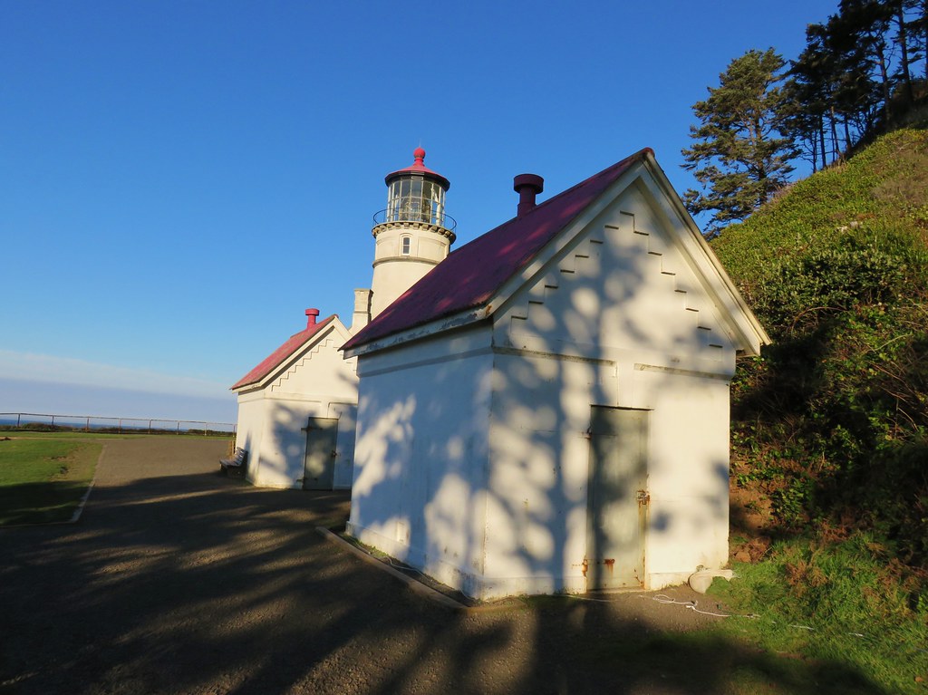
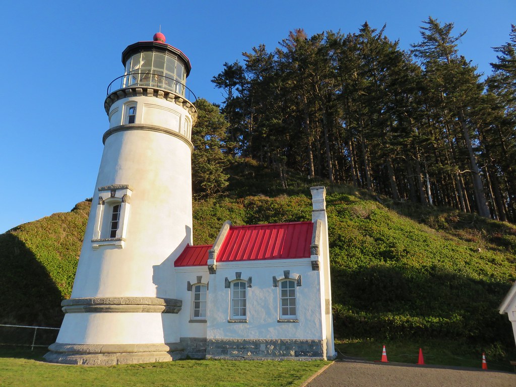
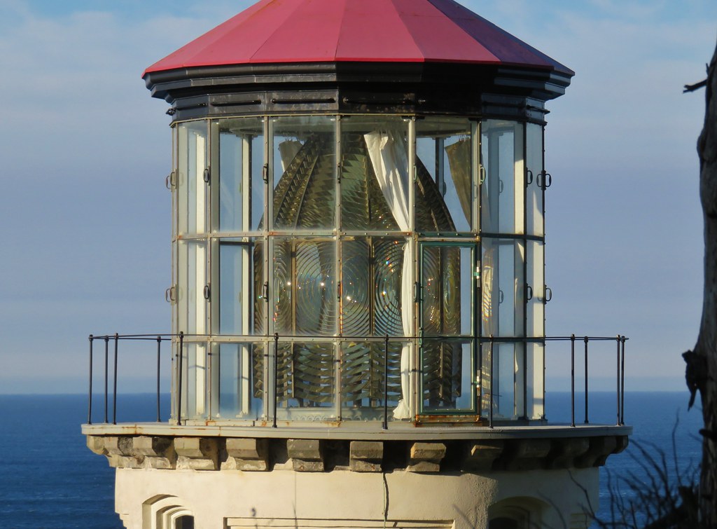
A .2 mile path led from the parking area past more viewpoints to the lighthouse.
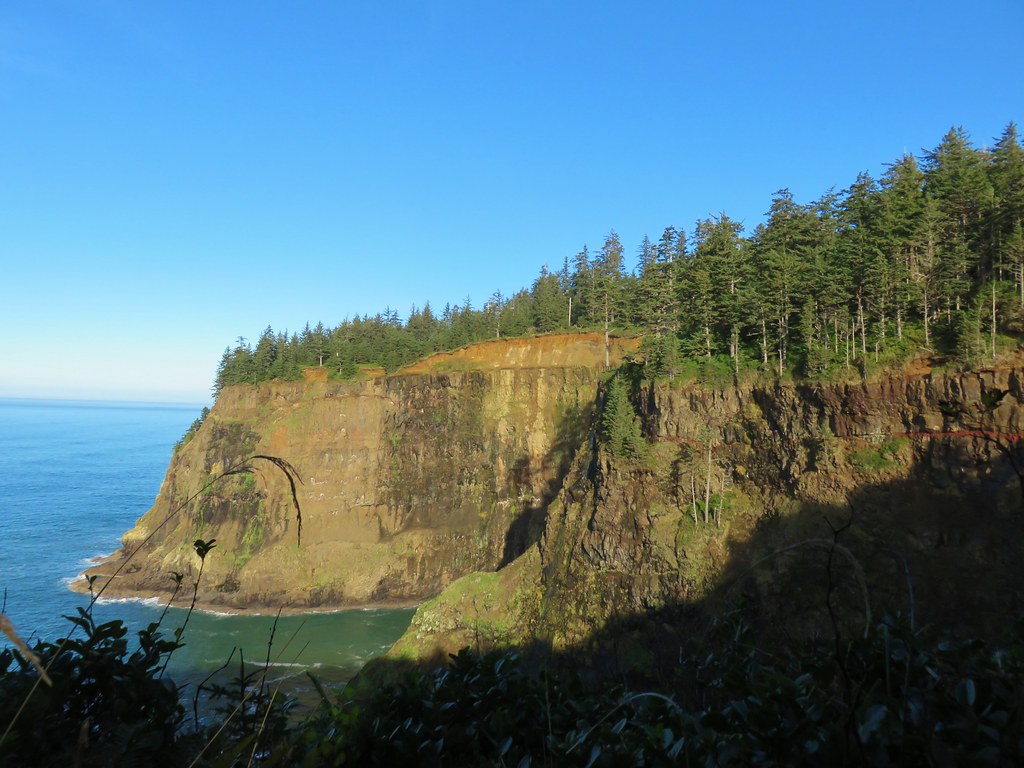
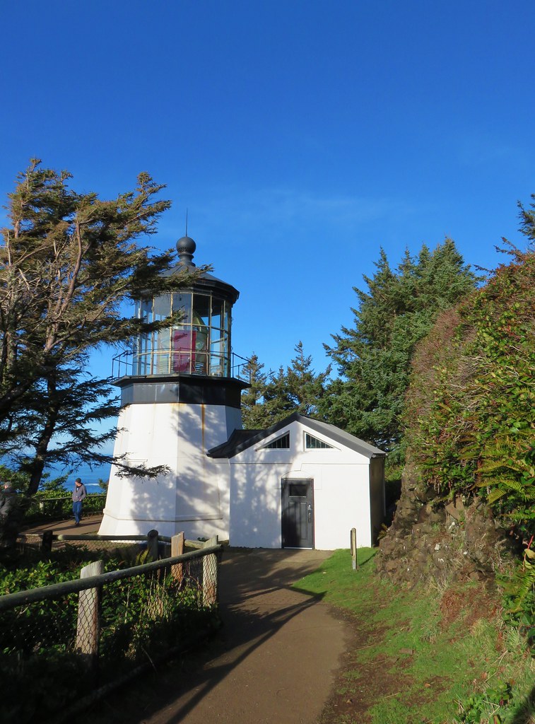
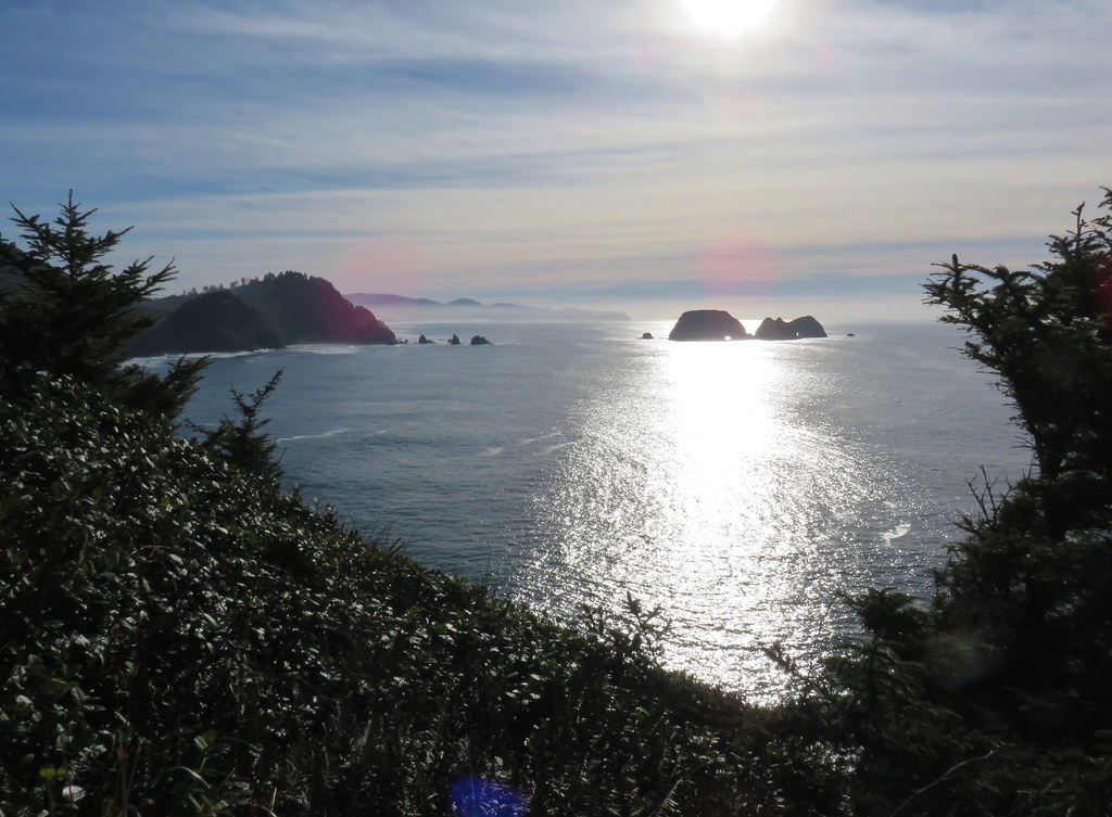
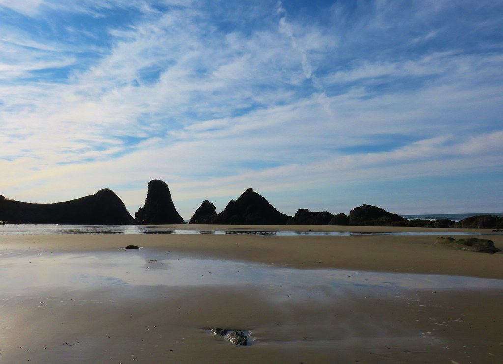
A second .2 mile path led back to the parking lot allowing for a short loop and providing views south to Cape Lookout and the Three Arch Rocks Wilderness, one of the two off-limits wilderness areas in Oregon.
After returning to the parking area we headed for the Octopus Tree which was just a tenth of a mile away.


Another Sitka spruce, this unique tree has no central trunk. Instead several limbs have grown vertically. After visiting this tree we walked back up the entrance road to our car and headed home, capping off our first outing of 2018. Happy Trails!


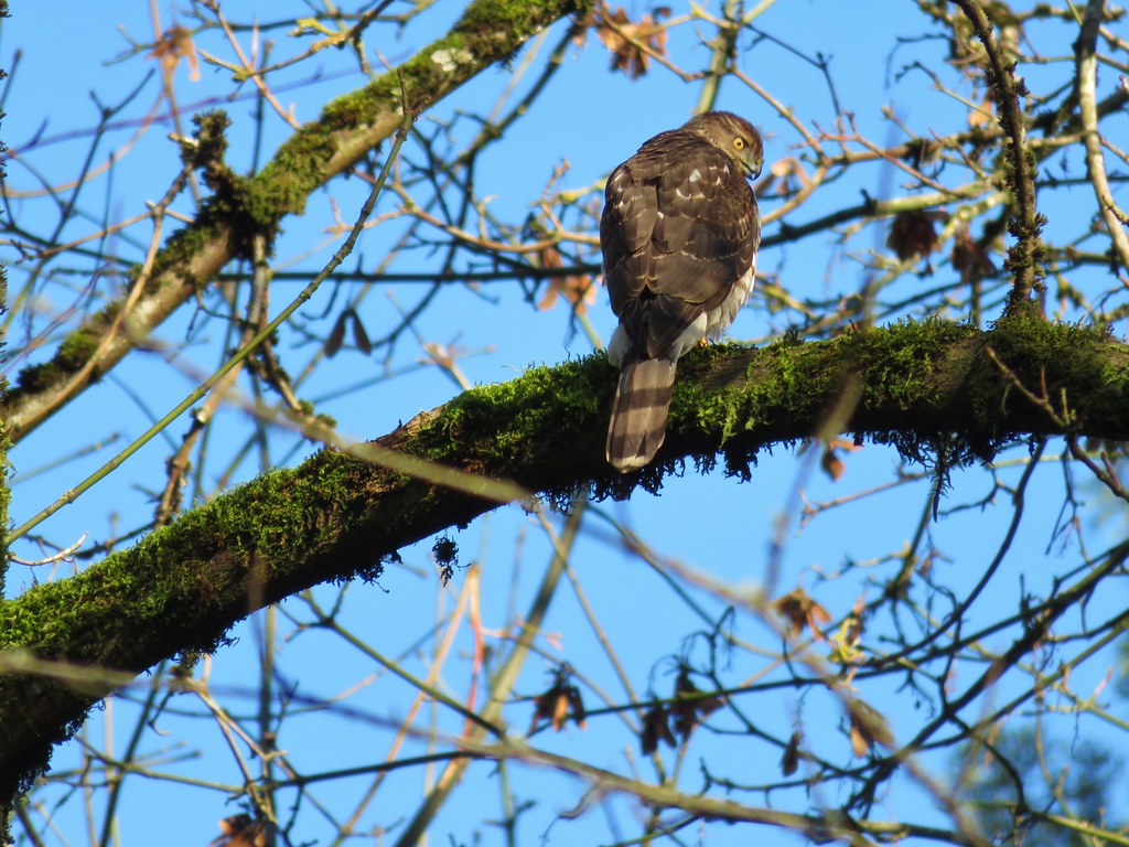
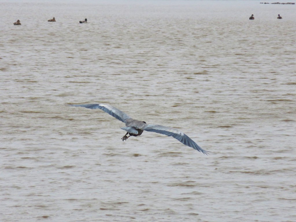
 Hawk flying off

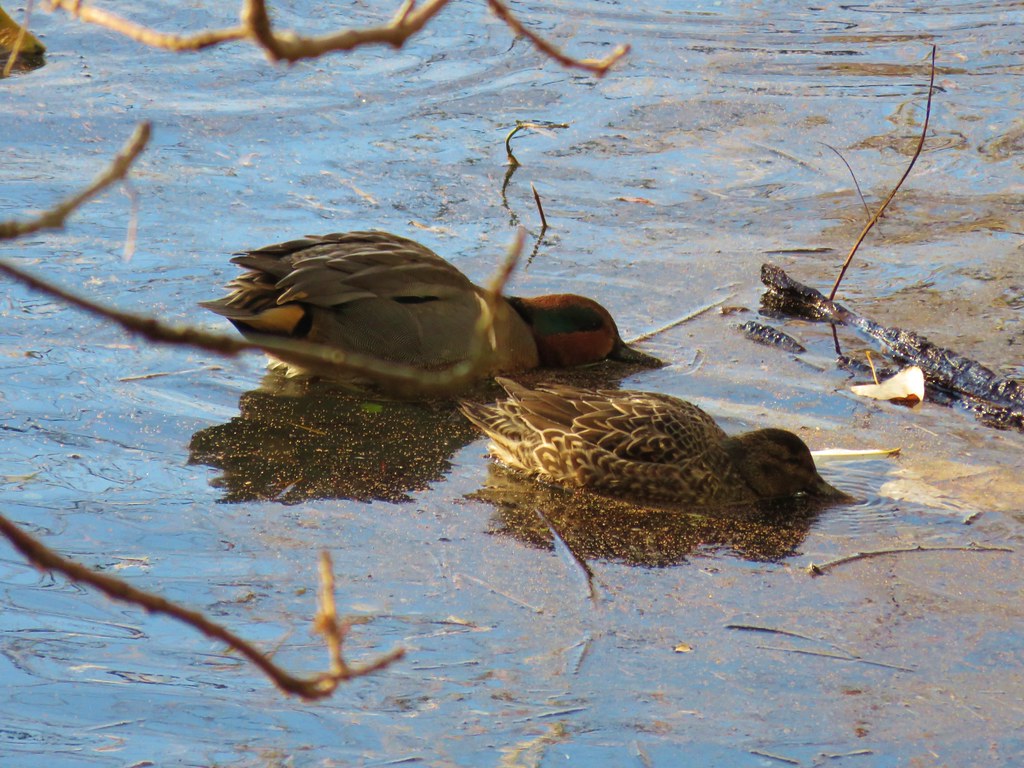 Green-winged teal
 Wood duck
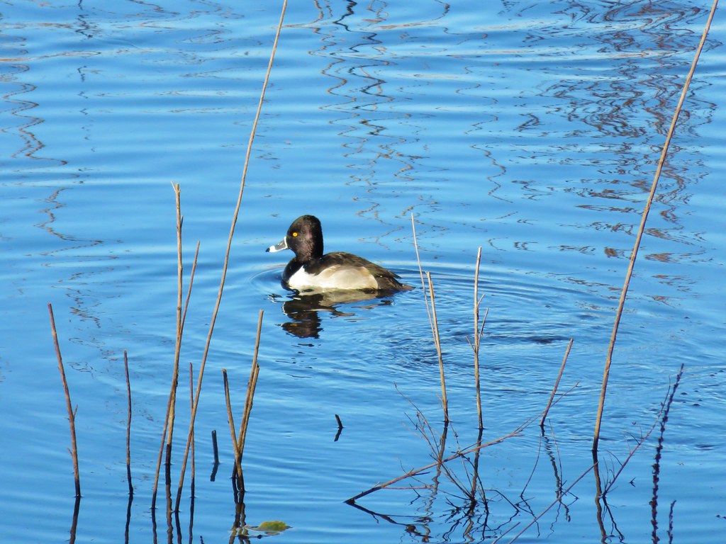 Ring necked duck?
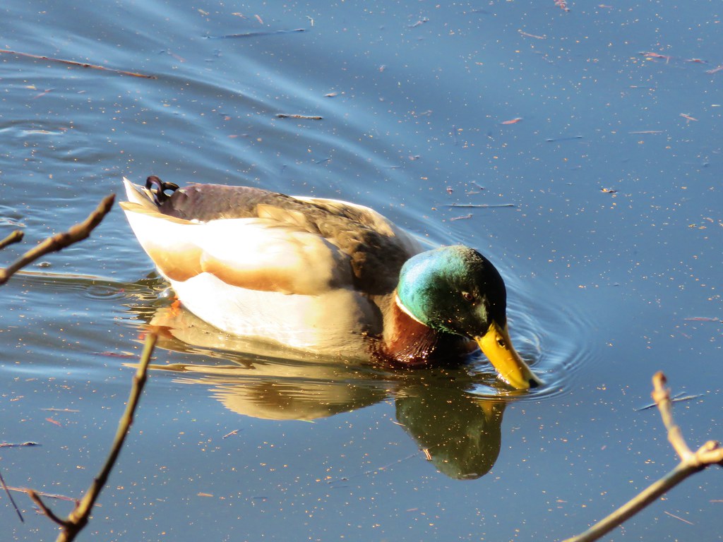 Mallard
 Not sure what kind of duck is in the upper left hand corner.


 Mt. Hood and Mirror Lake with Mt. Adams in the background
 From left to right: Mt. St. Helens, Mt. Rainier, and Mt. Adams.
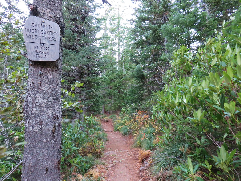
 Salmon-Huckleberry Wilderness
 Mt. Jefferson
 Olallie Butte, Mt. Jefferson, and the top of Three Fingered Jack
 The rest of Tom Dick and Harry Mt.
 Lookout Mountain and Gunsight Butte in the Badger Creek Wilderness east of Mt. Hood.


 Bald Hill
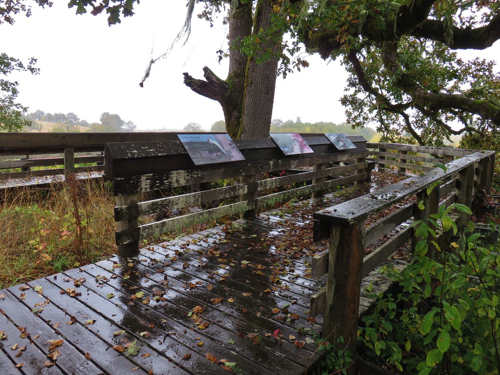


 Looking SW
 Hills Creek Reservoir (behind the tree)
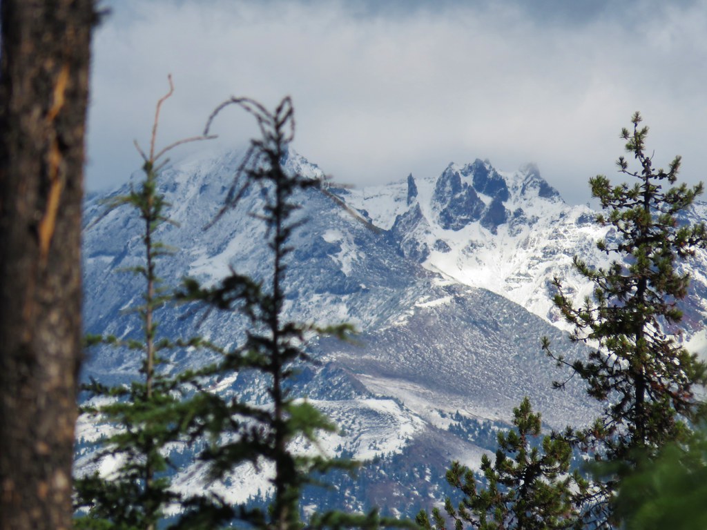
 Mount Yoran and Diamond Peak


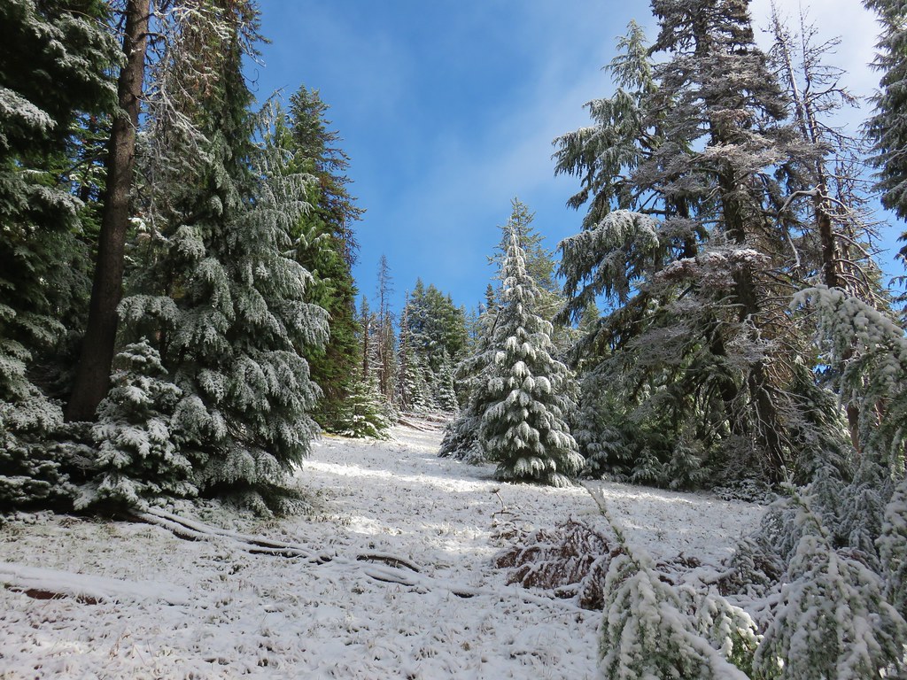
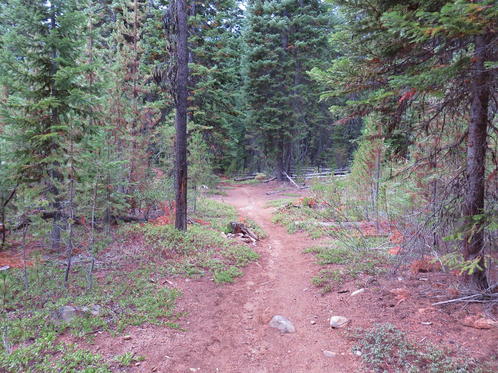
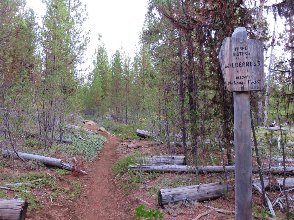
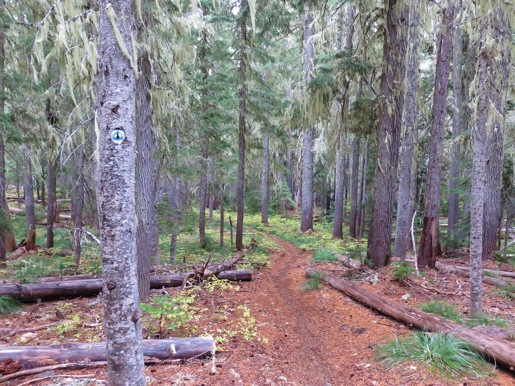
 Entering the Three Sisters Wilderness