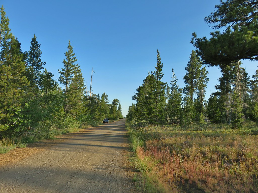
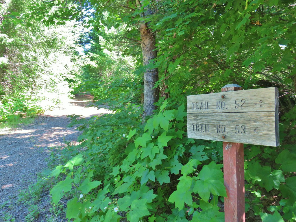
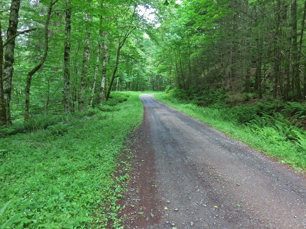
We knew which hikes we wanted to do during our stay in Lakeview but the order of the hikes was up in the air due to the chance of some mid-week thunderstorms. Our hikes were somewhat spread out which allowed us to keep an eye on the forecasts for each one and attempt to optimize our experience. Based on what we had seen Sunday night after arriving in Lakeview we decided to make Crooked Creek our outing for Monday. This was the closest hike to Lakeview so it gave us a bit of a break on driving too.
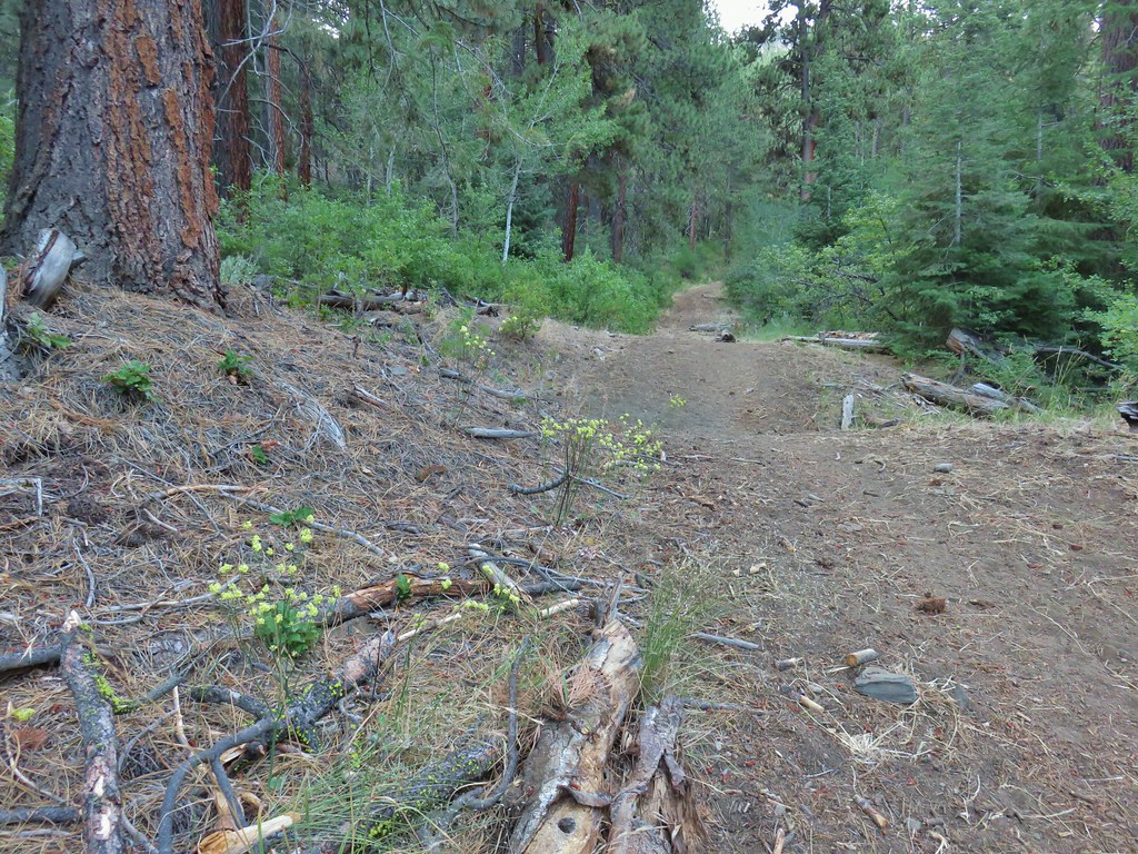
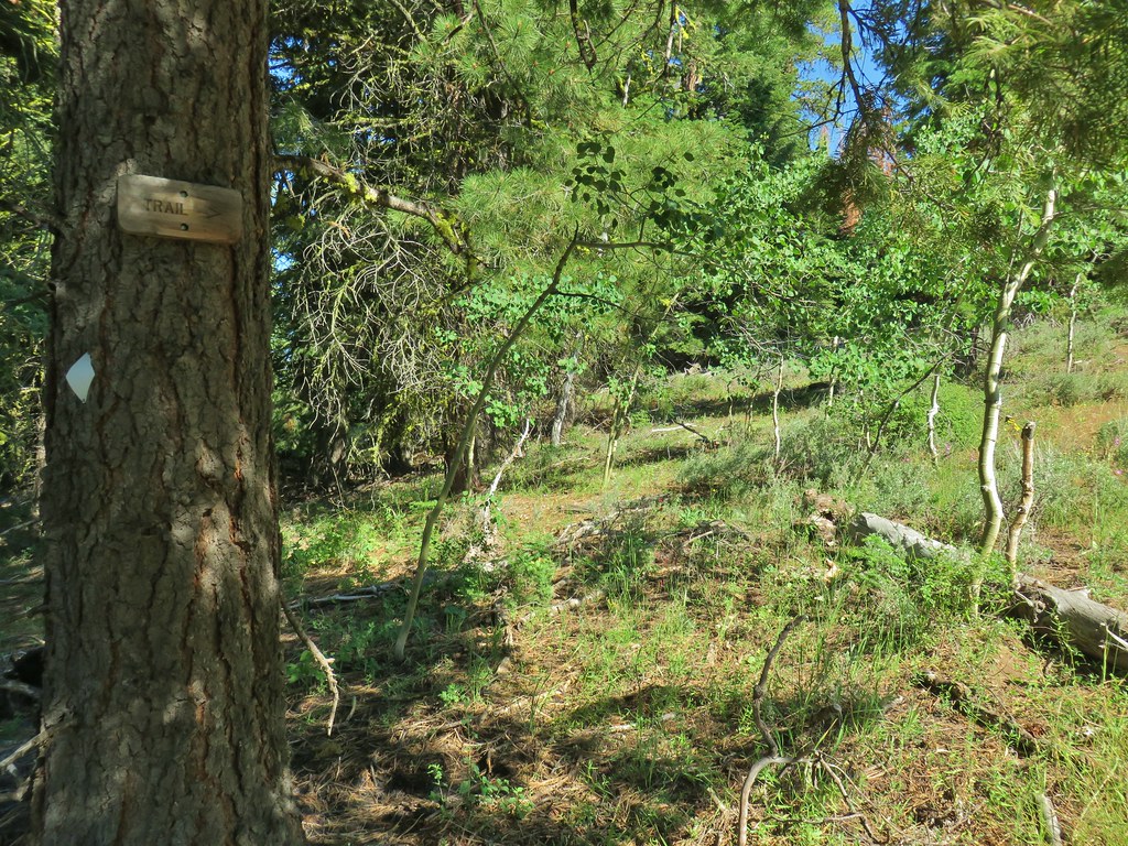
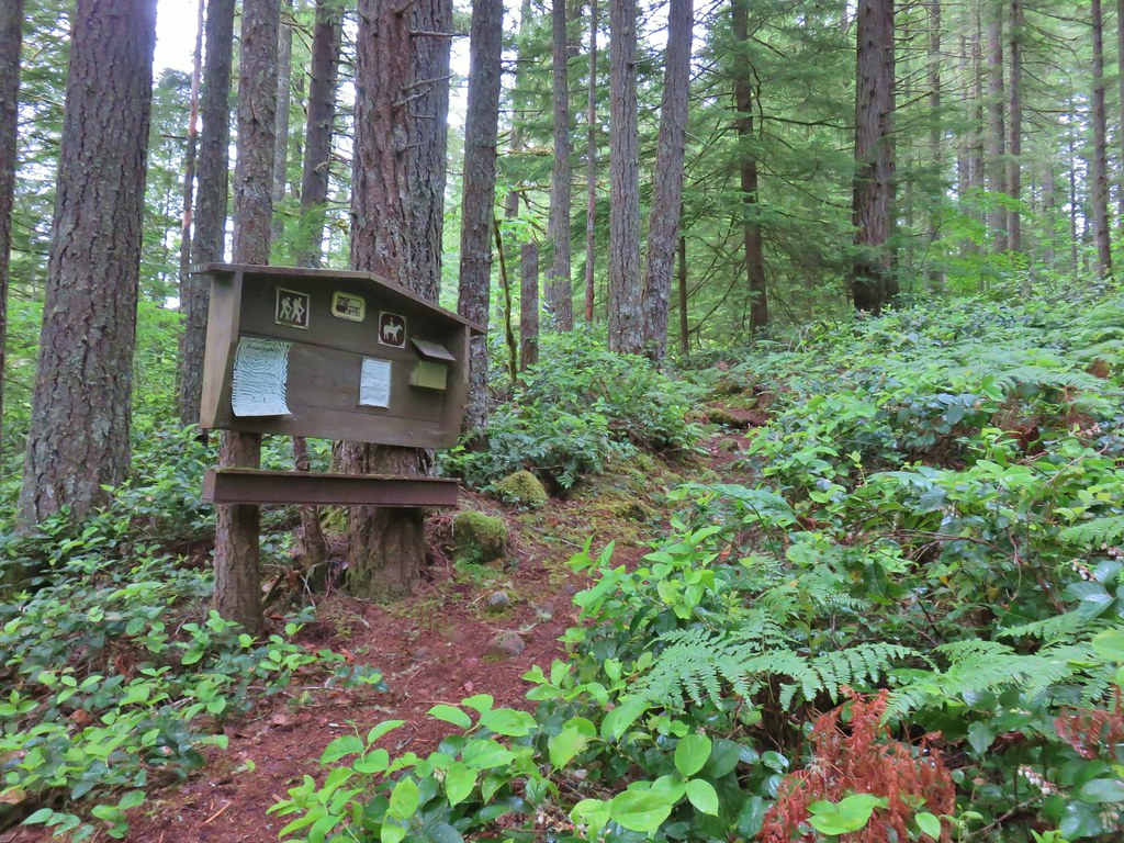
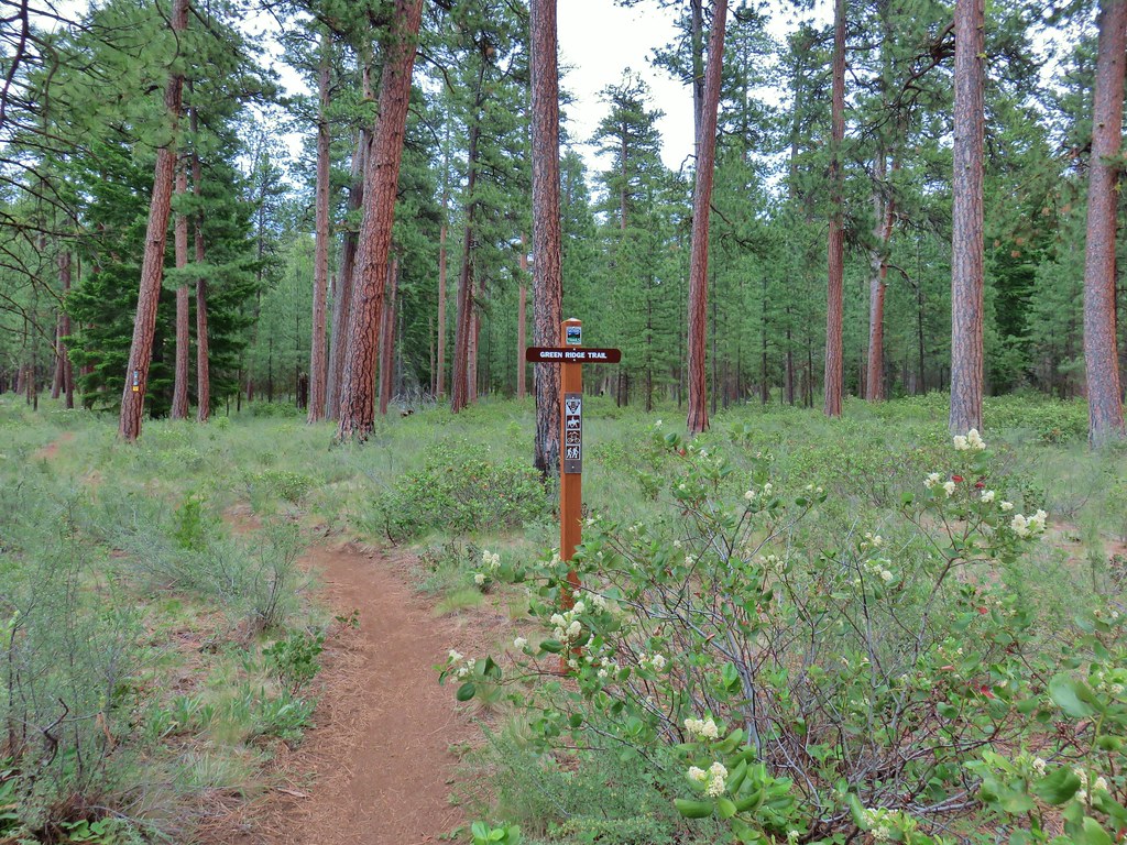
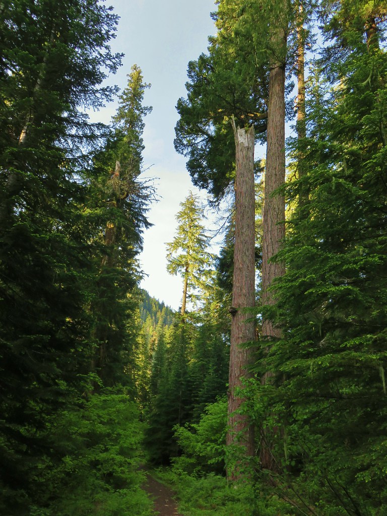
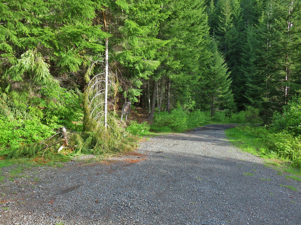
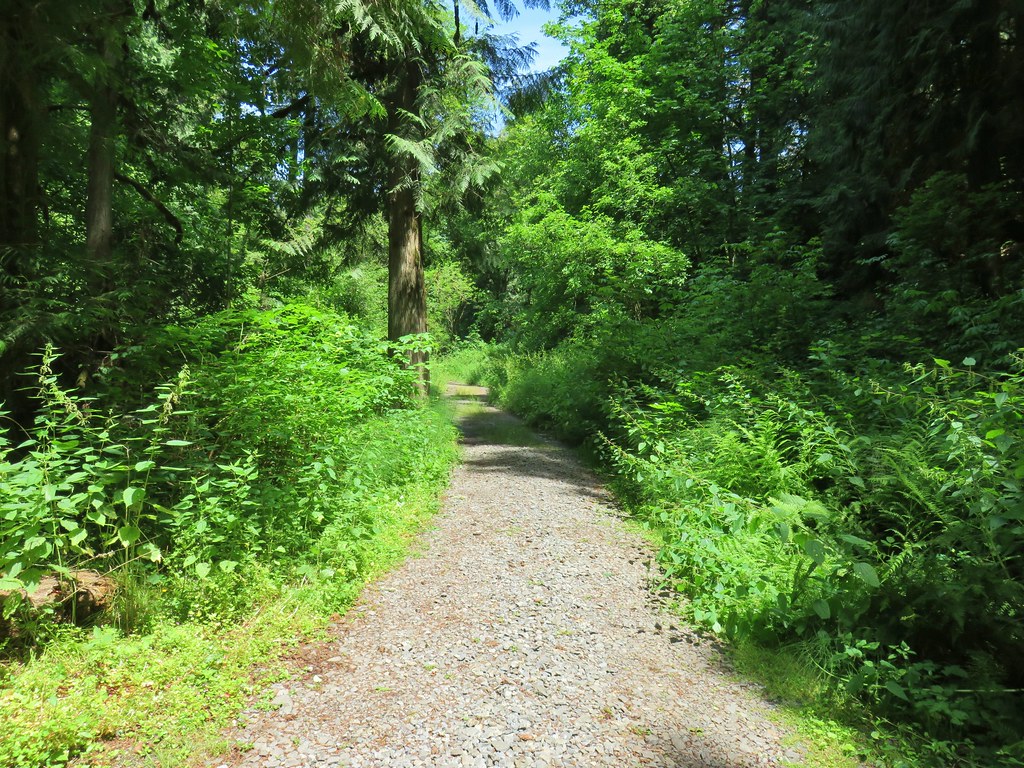
For the hike we started at the Mill Trailhead.

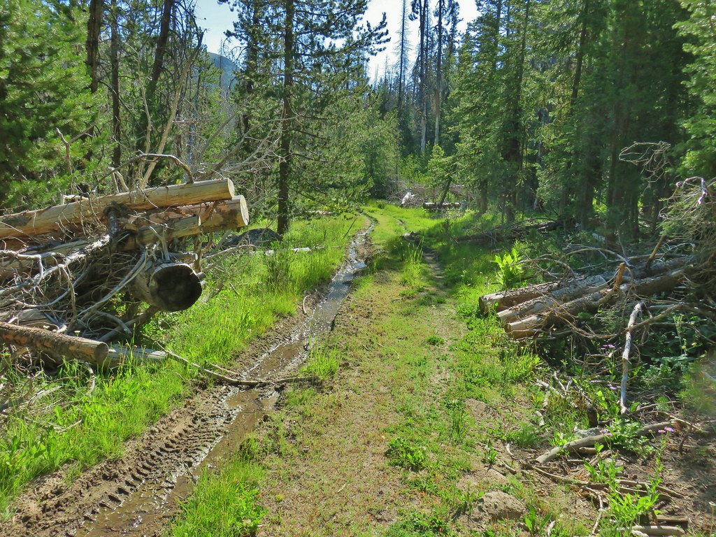
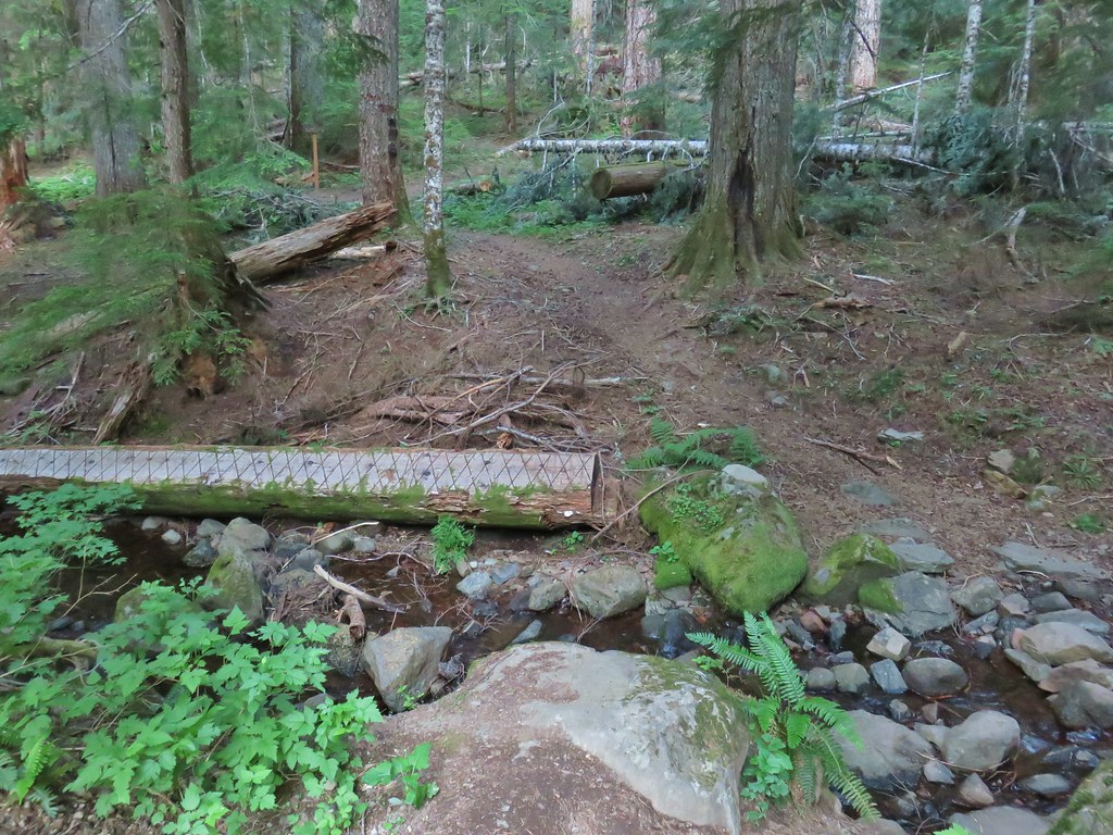
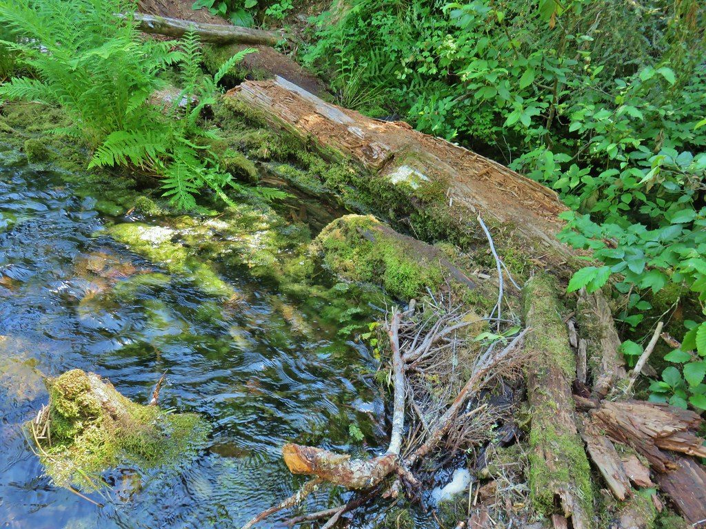
Like our previous hike at Winter Ridge this hike followed the Fremont National Recreation Trail. We had expected to have to find some rocks or a downed tree to get across Crooked Creek at the trailhead. The trailhead used to be another 2.5 miles further along the road but floods washed it out. We were happy to find a footbridge in place across the creek.

Beyond this initial crossing the map in our guidebook showed the trail following the old roadbed on the left side of the creek to the original trailhead so we were surprised when we came to a second crossing just .2 miles from the trailhead.
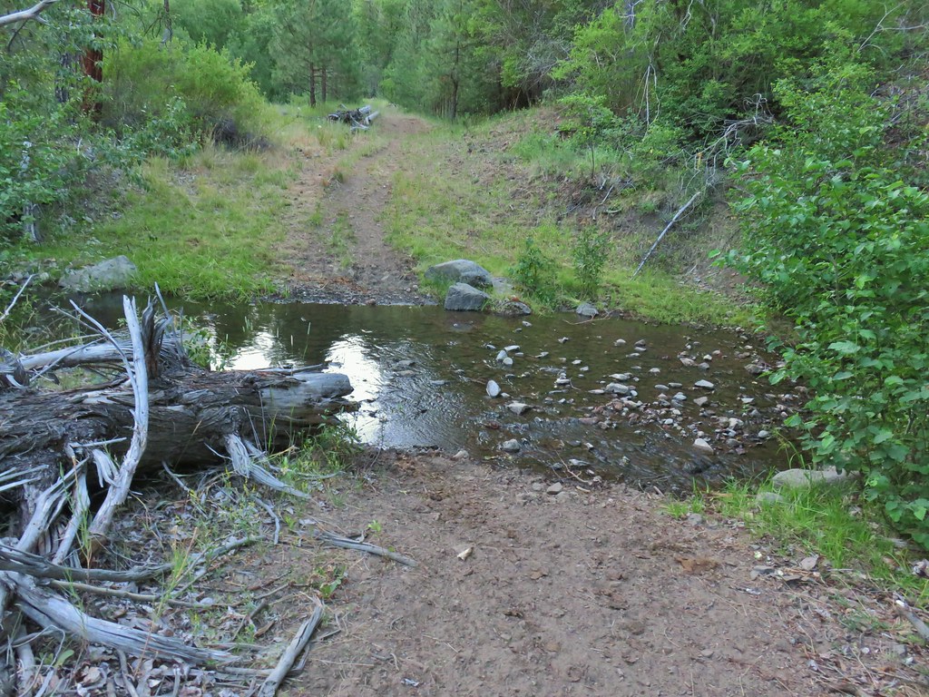
In another .2 miles we were once again forced to find rocks to hop across the creek on.
Once we had made it across the creek again we noticed a trail joining on the left.
 The trail joining the road after the 3rd creek crossing (picture is from the afternoon).
As it turned out we had walked past a side trail to the left just before reaching the second creek crossing without noticing it. We discovered this when we followed the trail on the way back to the trailhead.
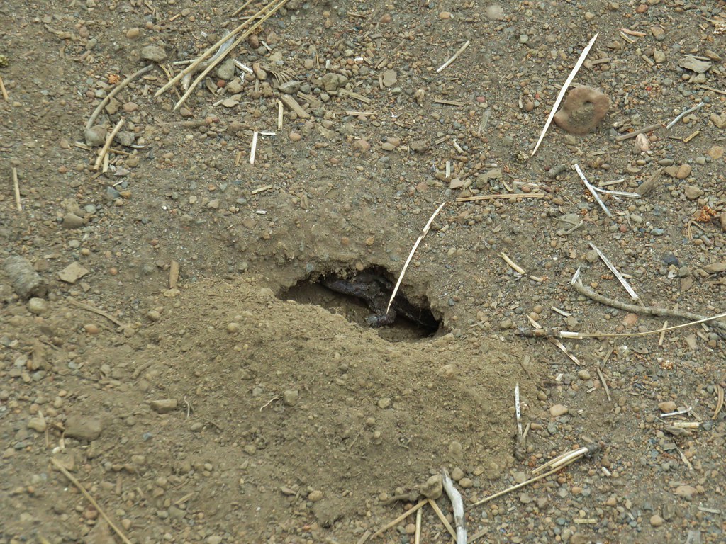
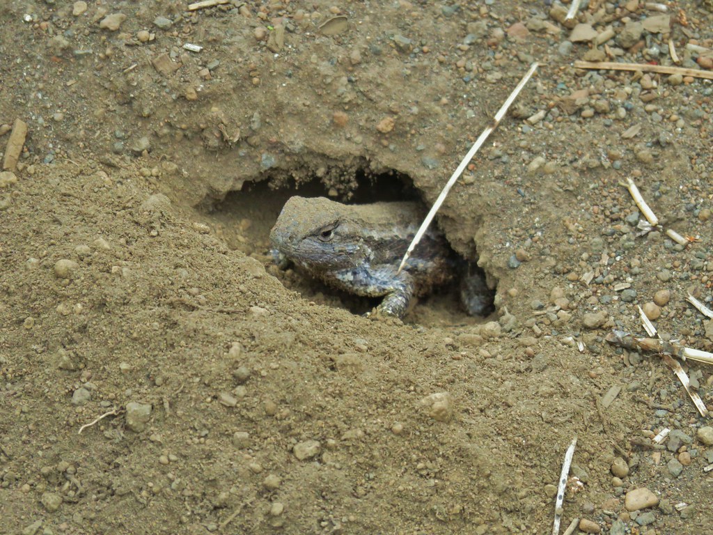
 Downed post marking the trail to avoid the creek crossings.
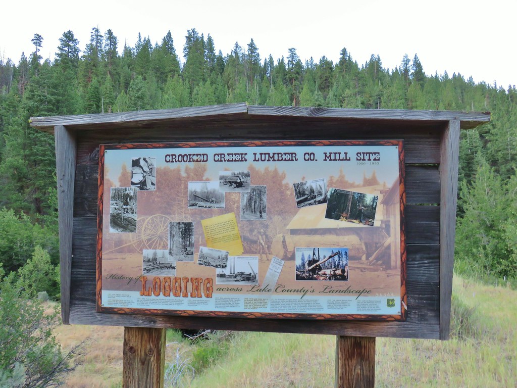
We continued on the road arriving in another .2 miles at a large sign announcing the site of a former sawmill.

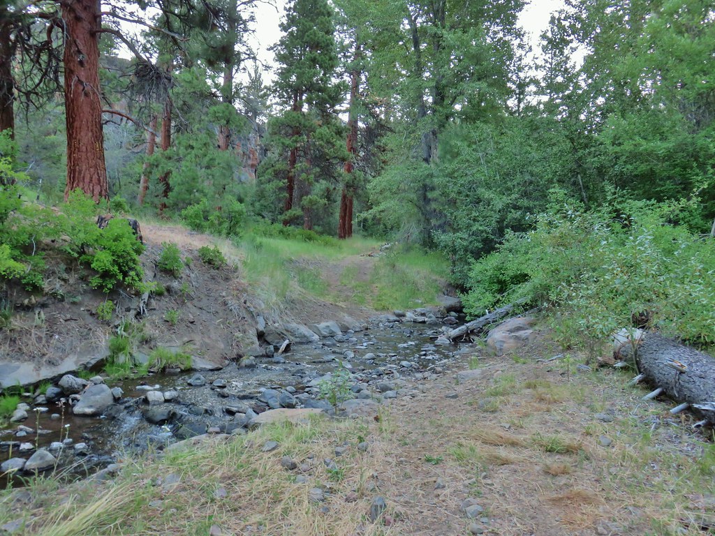
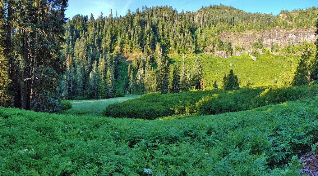
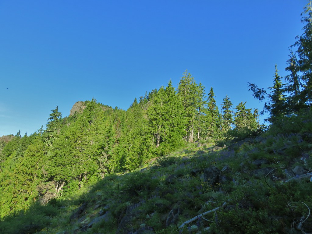
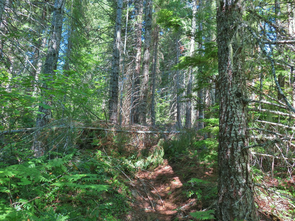
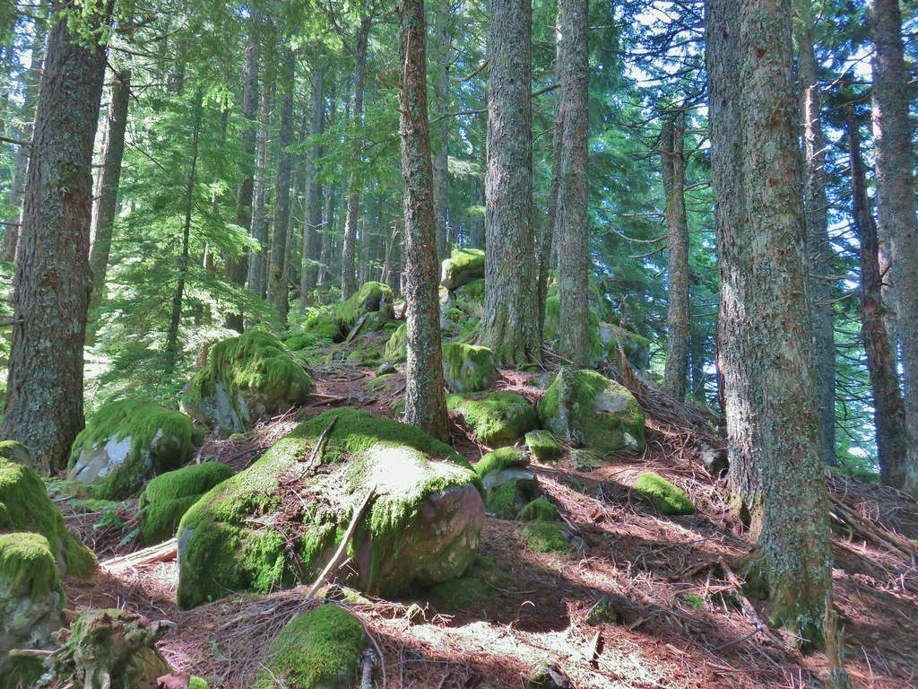
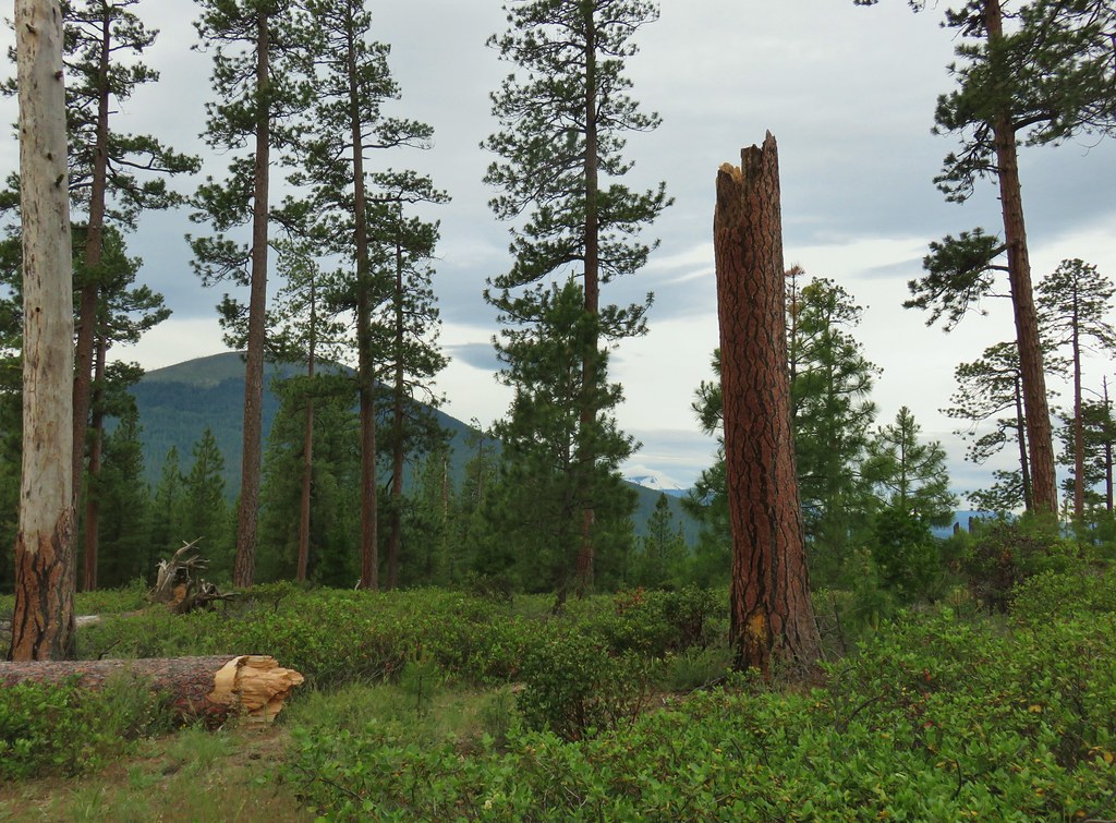
We continued on noting the vast stark difference in the trees and vegetation on either side of Crooked Creek. The hills on the north side of the creek were mostly juniper trees and sagebrush while pine and fir trees grew on the south side.
 A short stretch where both sides looked similar.
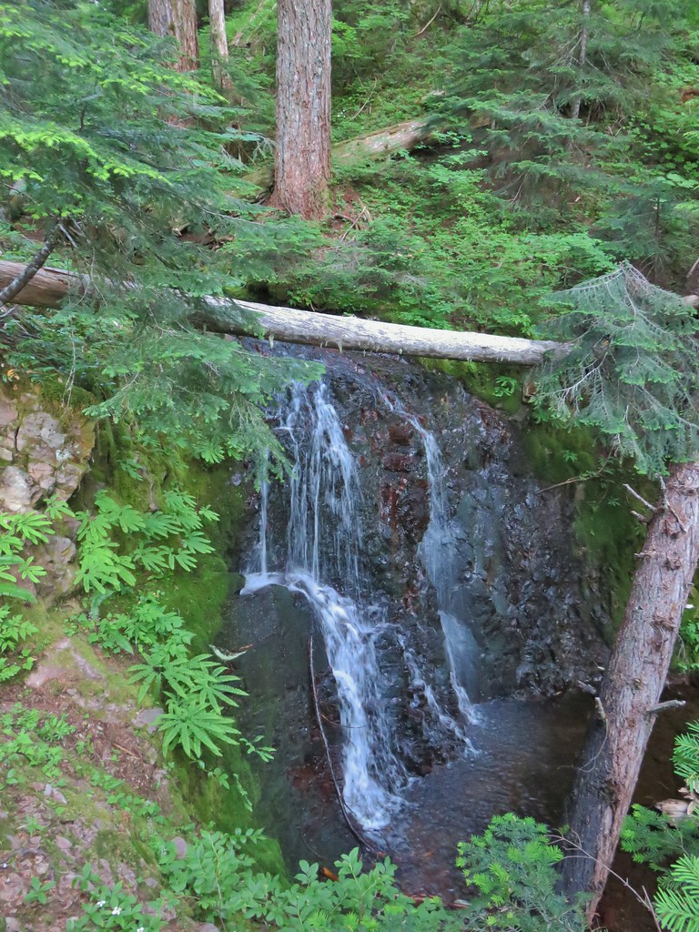
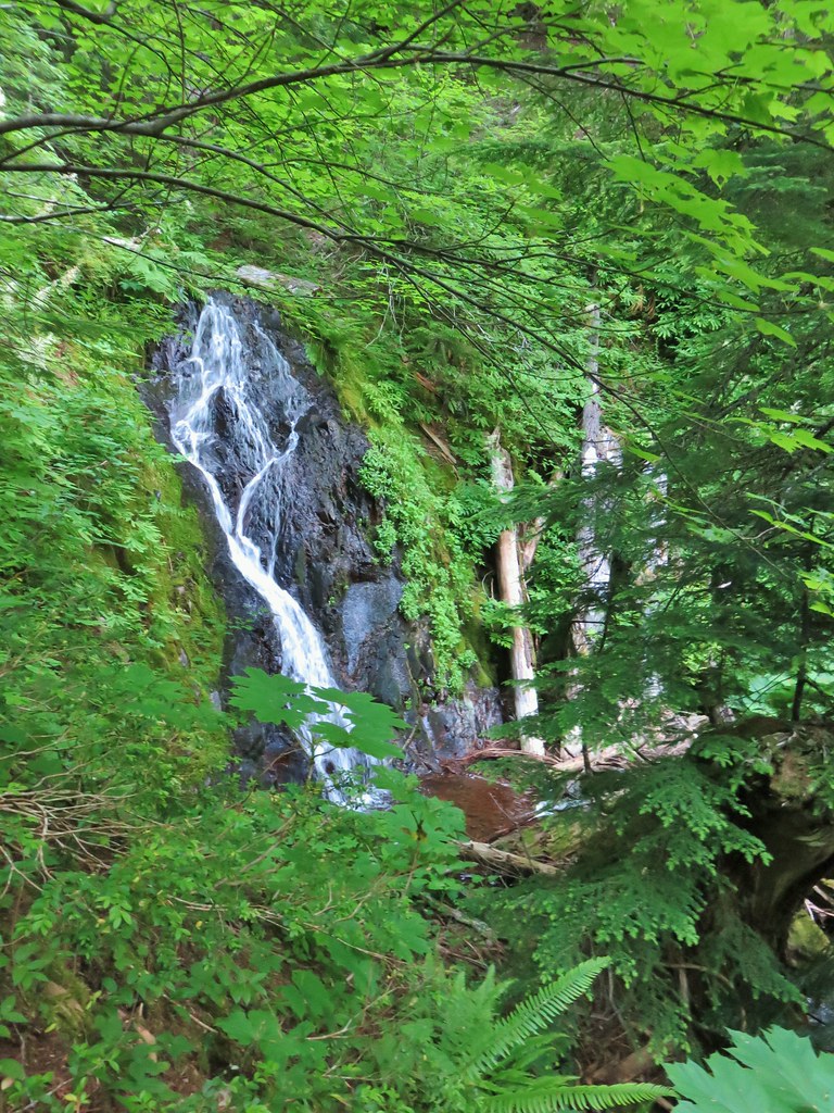
 Dry waterfall
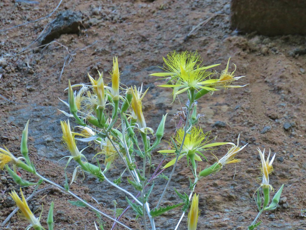 Smooth stemmed blazing star
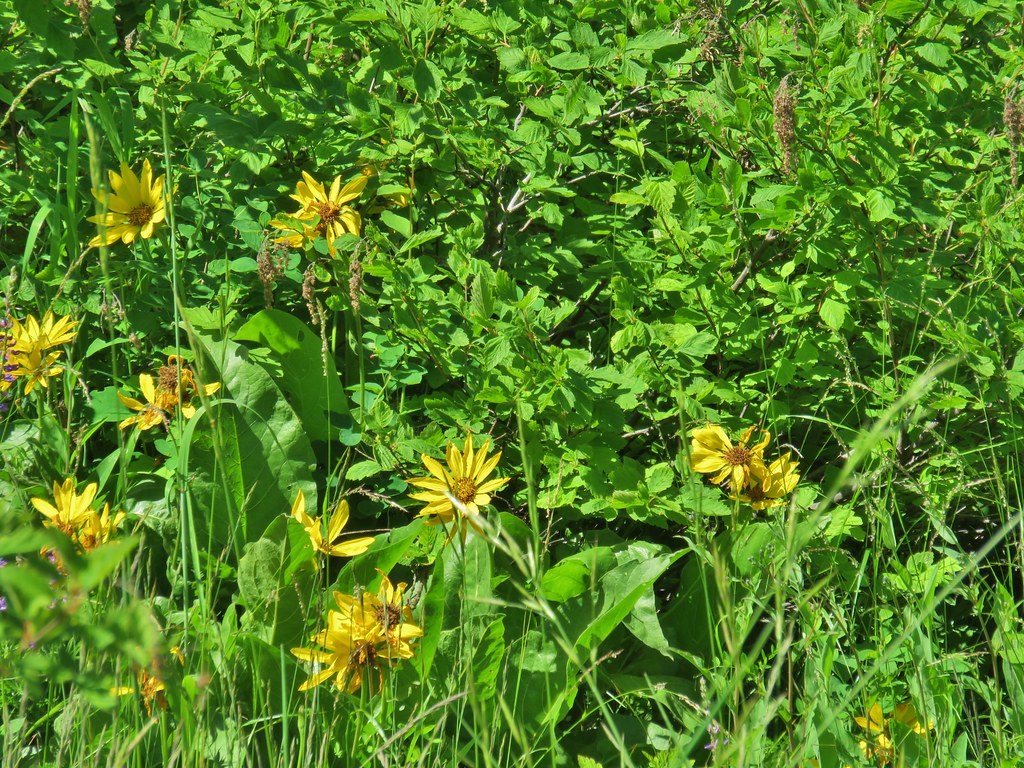
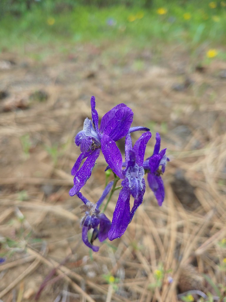
As we gained some elevation we started seeing more wildflowers.
 Oregon sunshine
 Fireweed
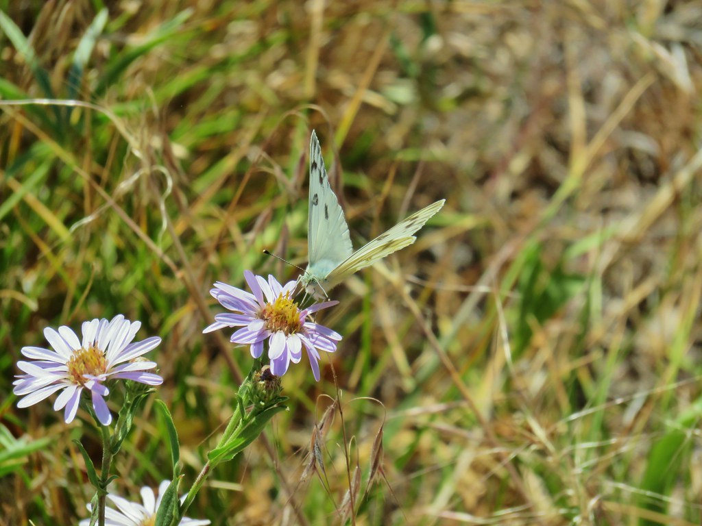
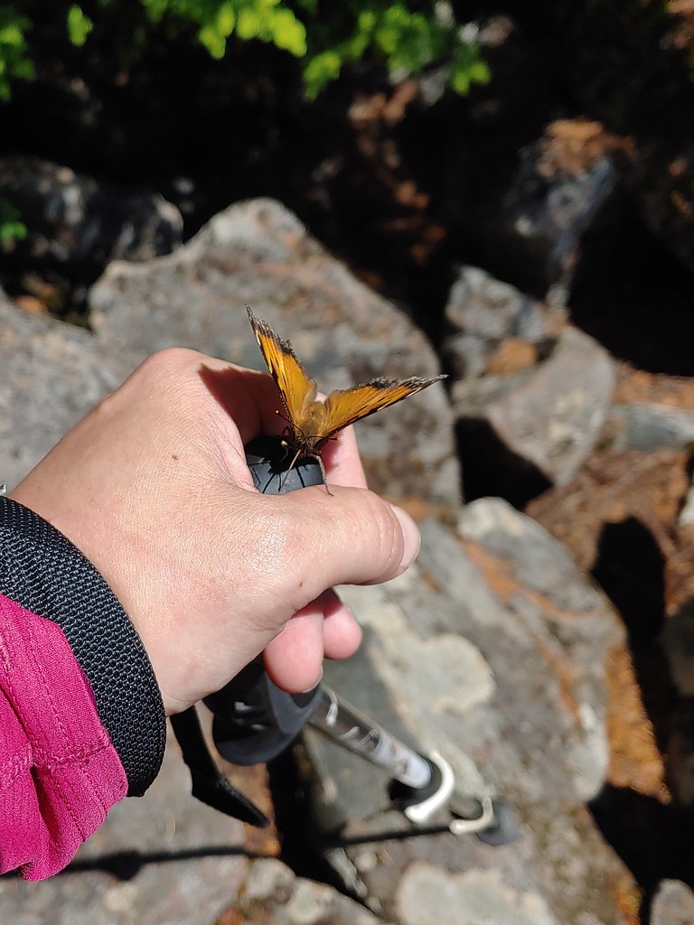
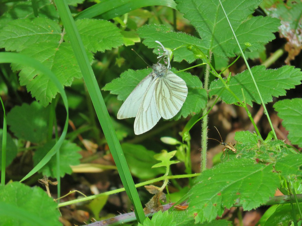
 Butterfly sleeping on yarrow
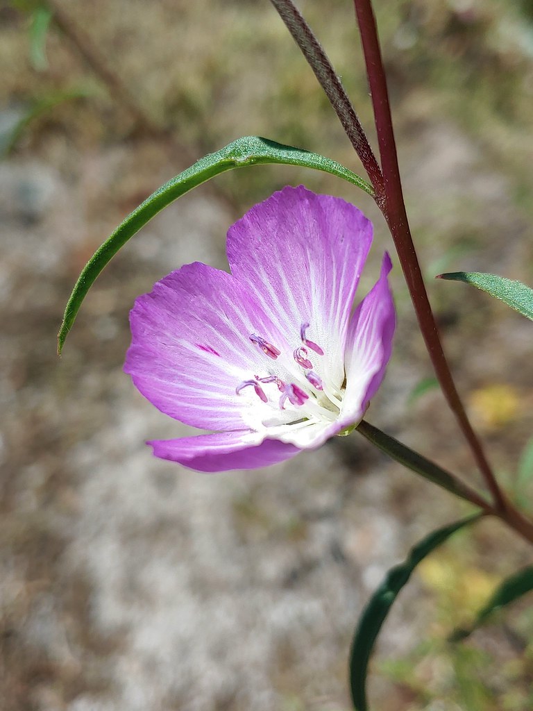
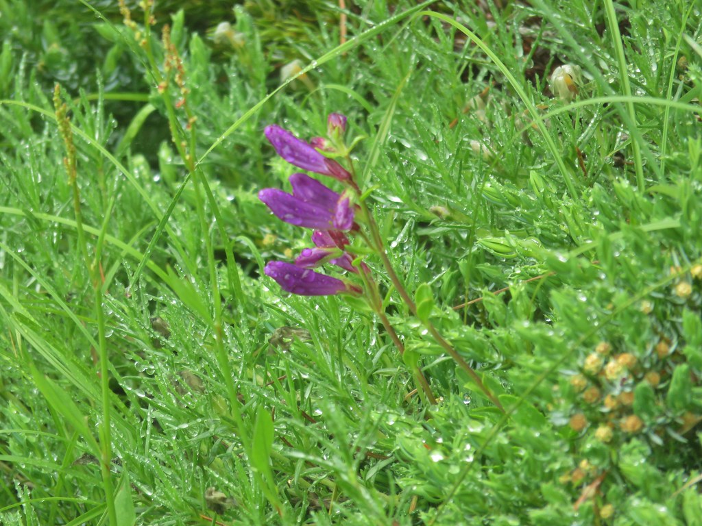
 Sticky purple geranium
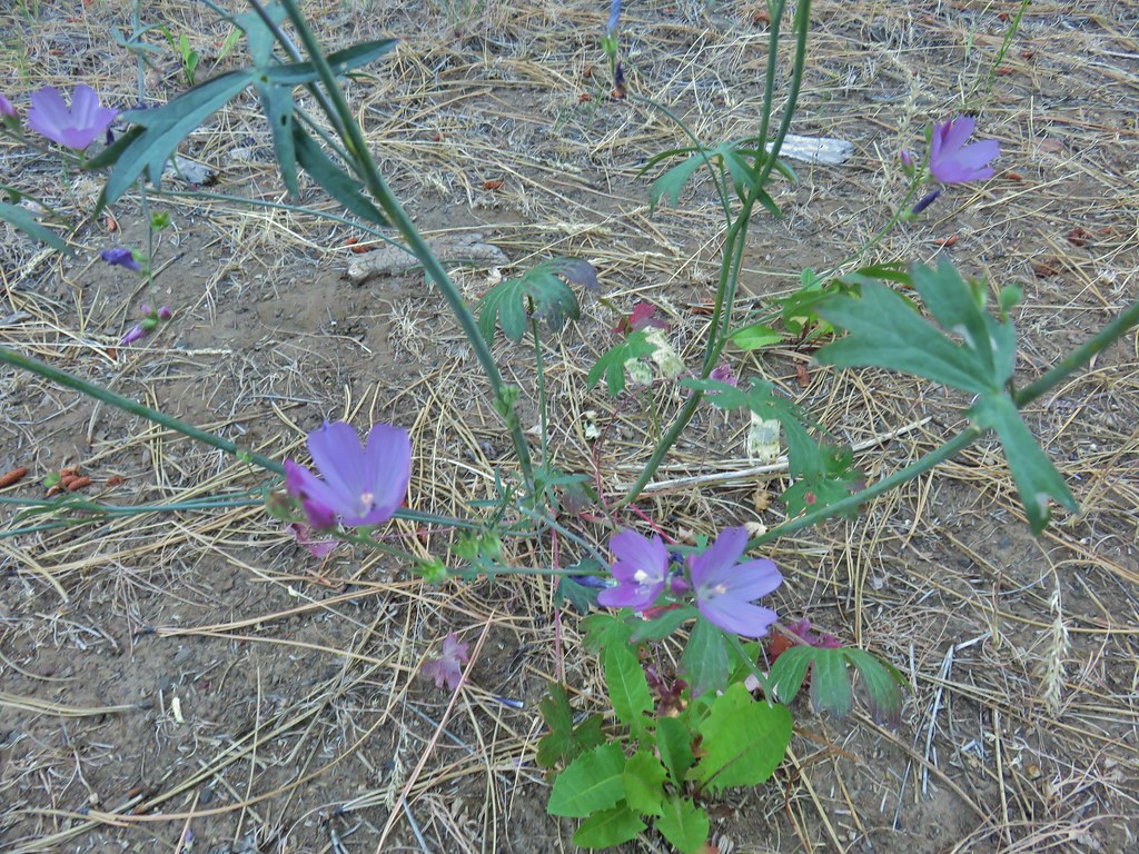 A mallow
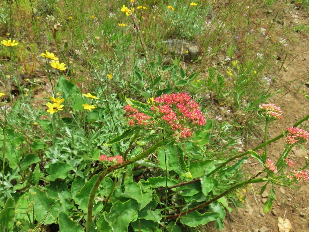
 Balsamroot
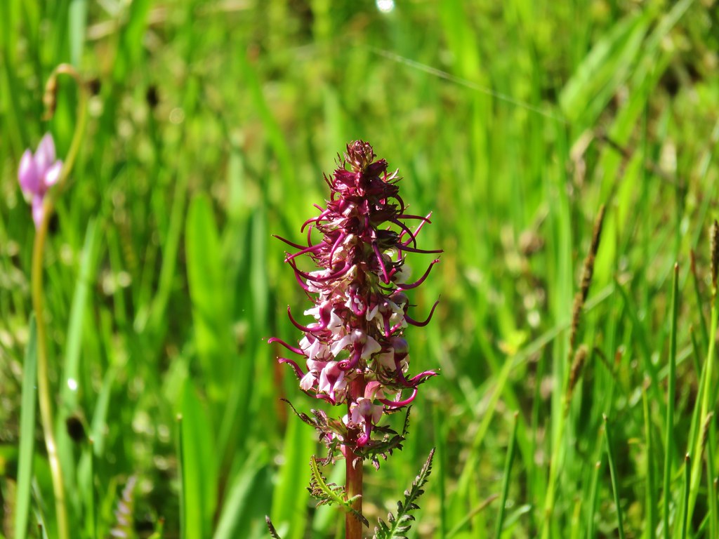
 Rough eyelashweed
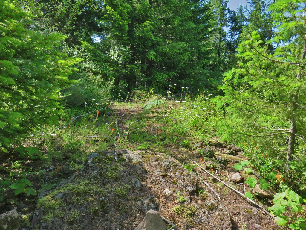
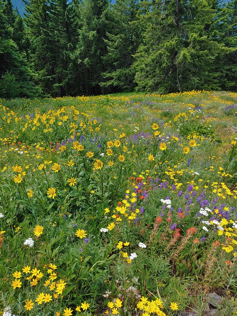
 Various wildflowers along the road bed.
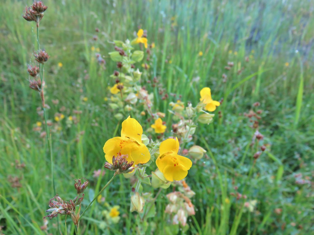 Monkeyflower
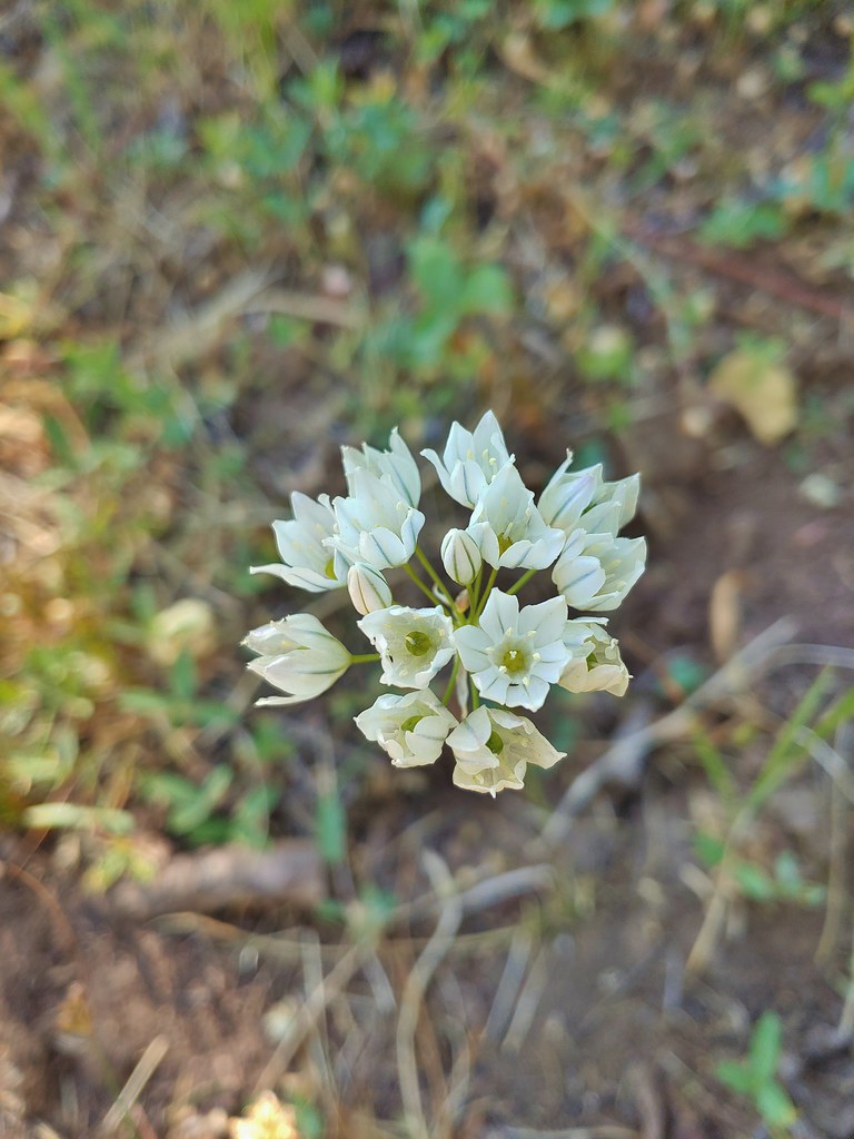
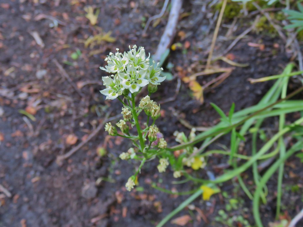
 White triteleia
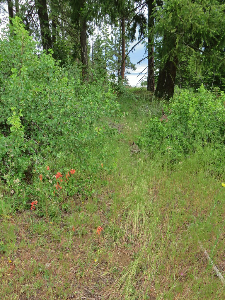
Things got a bit confusing again when we arrived at the old trailhead. Our guidebook showed the Fremont Trail beginning here on the left side of Crooked Creek but the only thing that looked at all like a trail was this.

We tried following it and wound up next to a pile of tree clippings from what appeared to be recent thinning operations.

We did some searching along the hillside above the creek thinking that we might have missed the trail heading further up the hillside.
 Piles from thinning while we were searching for the trail.
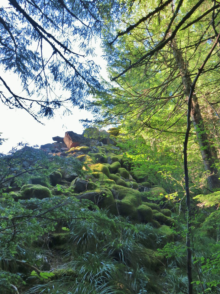
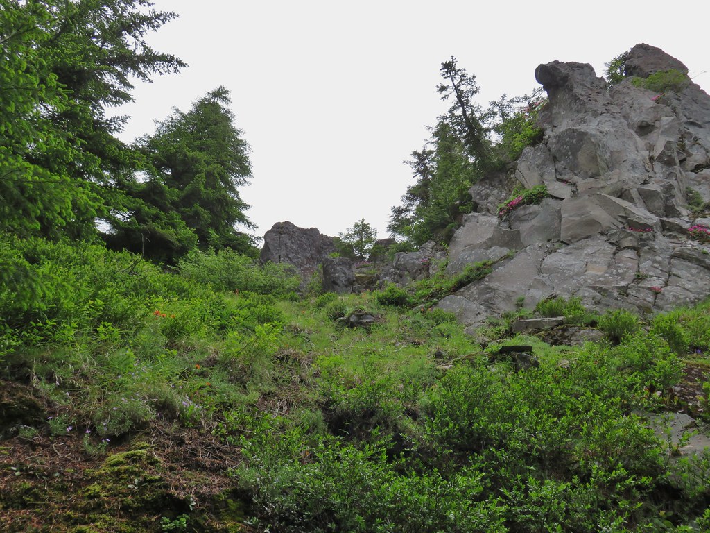
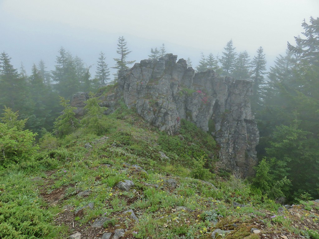
After almost a quarter mile along the hillside we found the trail coming steeply uphill from Crooked Creek. To add to the confusion here there were National Recreation Trail markers on a number of trees in the area, some of which were no where near the trail.
 Marker on a juniper heading away from Crooked Creek.
 Markers on seemingly random trees.
In any event we had found the trail again. On our return trip we would follow the trail down to Crooked Creek which we crossed to reach a road bed. We then turned right on that roadbed, crossed Big Cove Creek and then Crooked Creek again to arrive at the old trailhead.
 Big Cove Creek crossing.
 Crooked Creek crossing near the old trailhead.
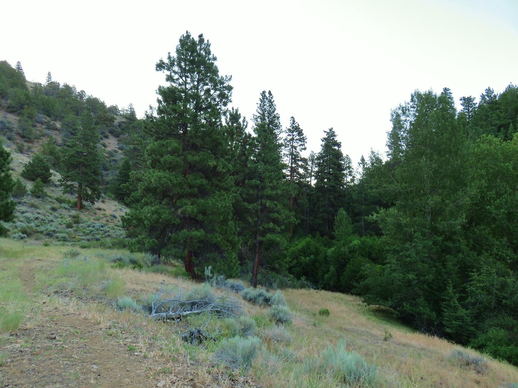
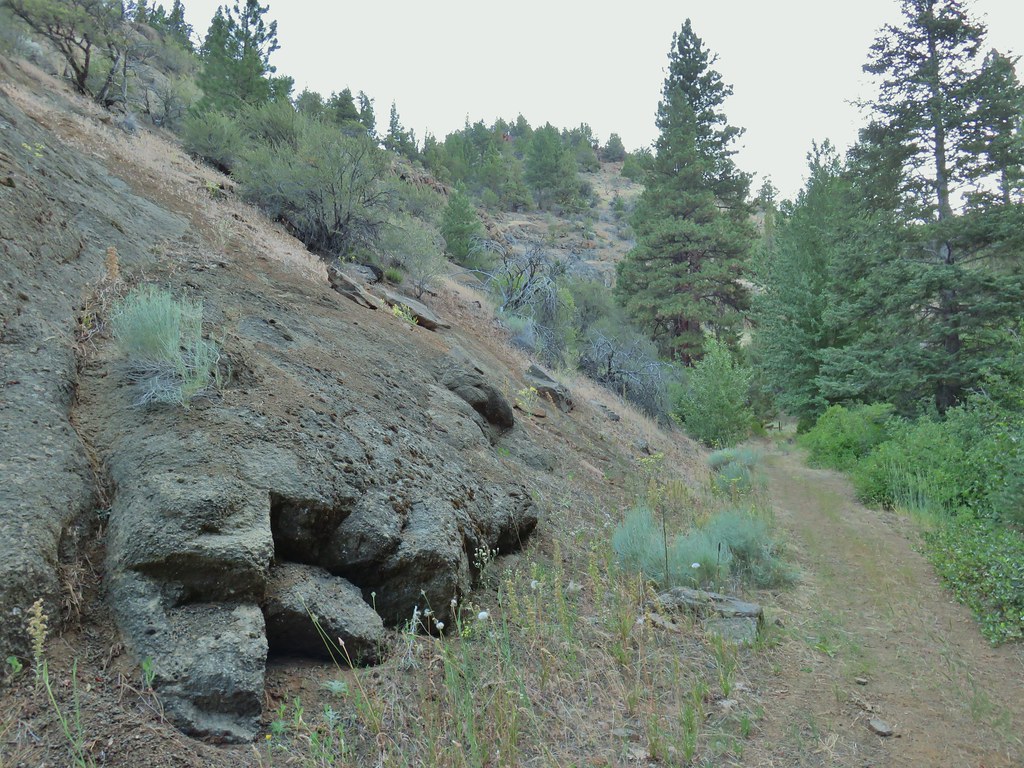
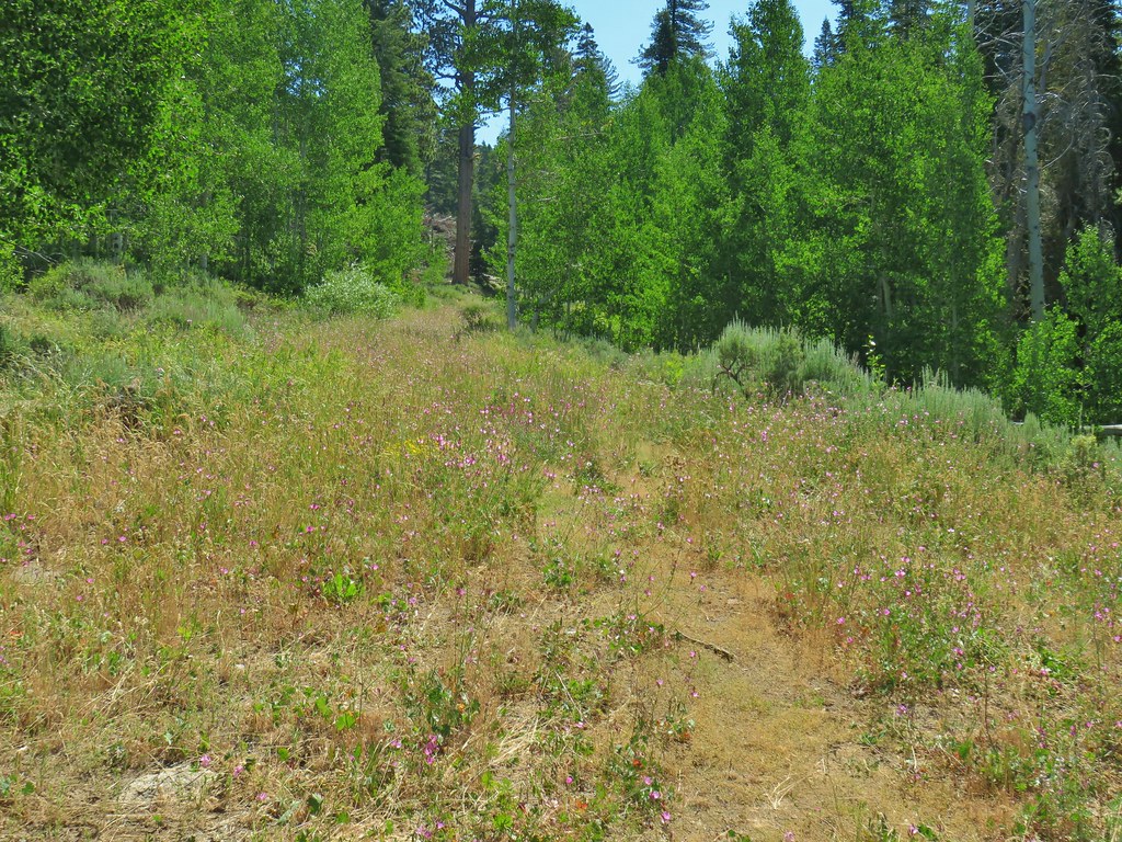
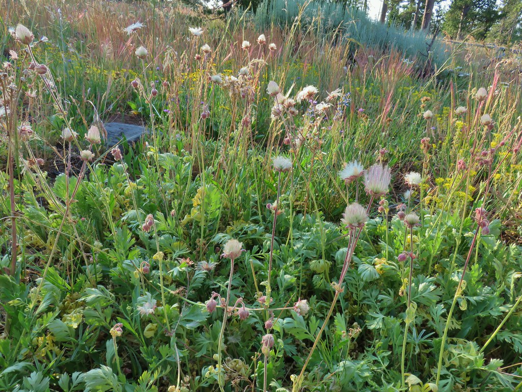
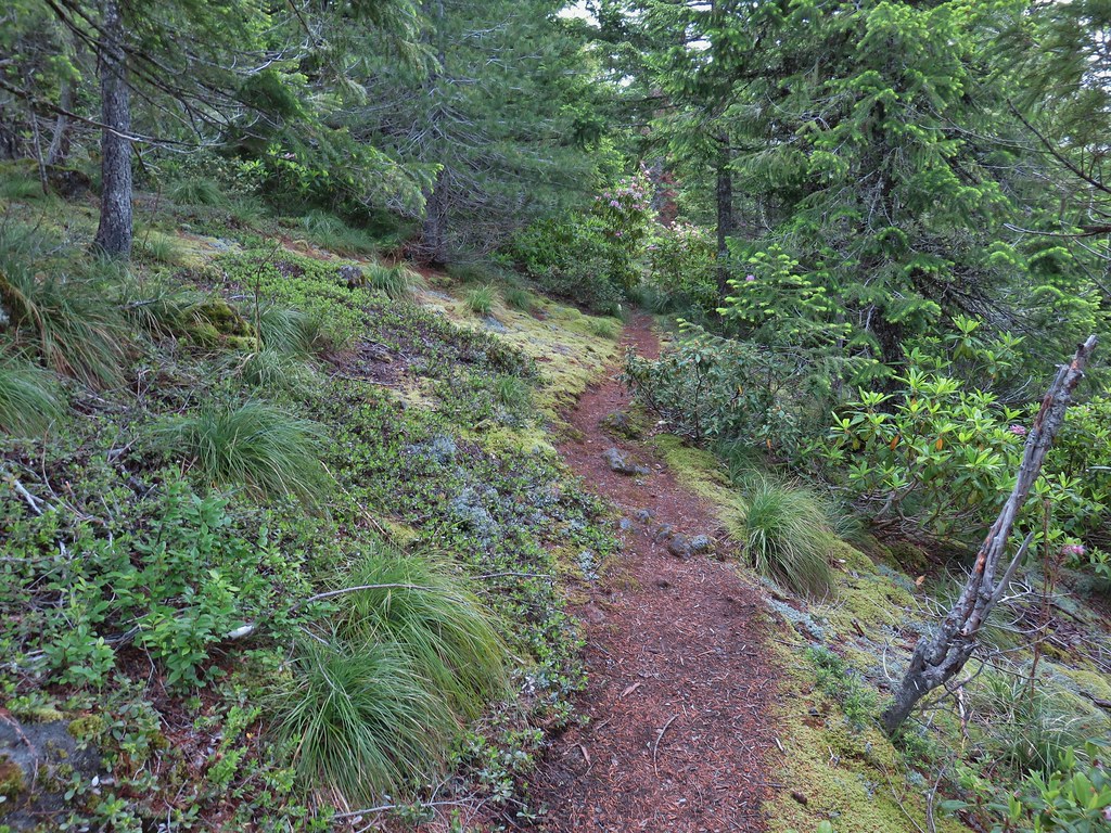
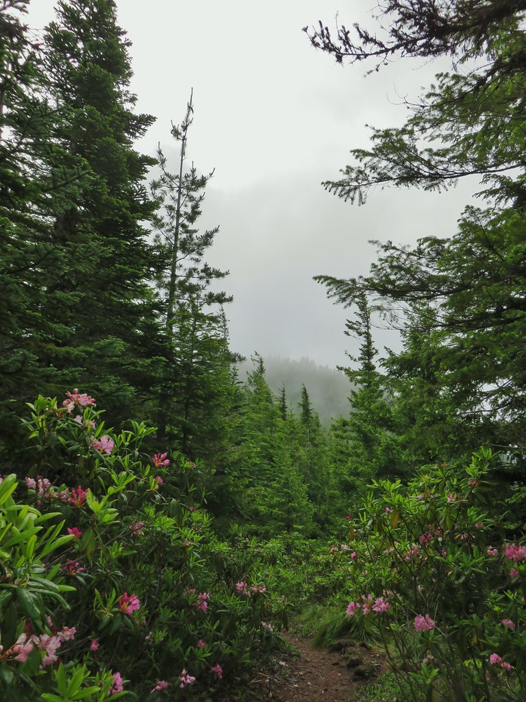
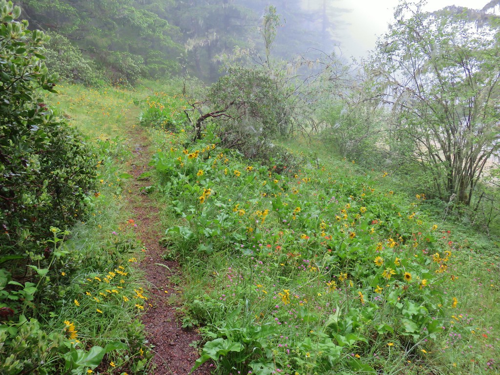
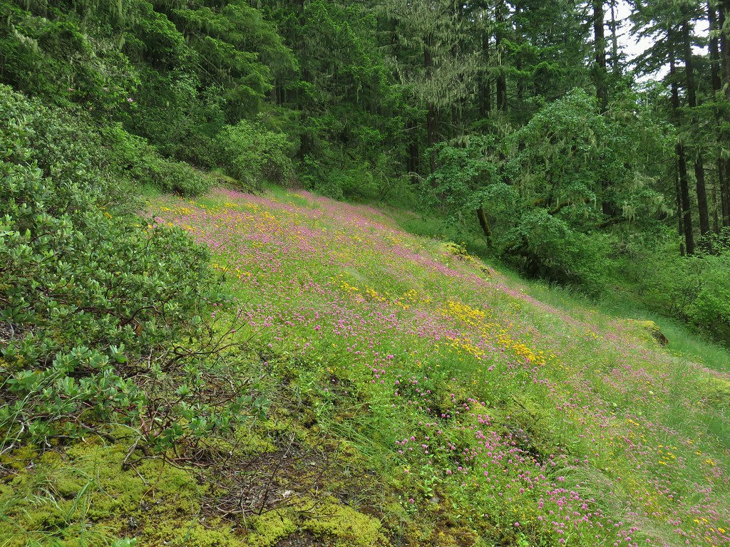
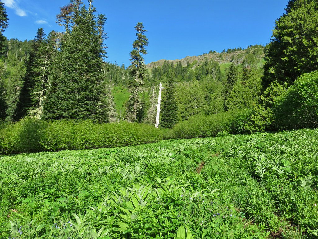
The Fremont Trail passed through a series of open hillsides which were pretty dry at first but became greener as we climbed up the canyon.

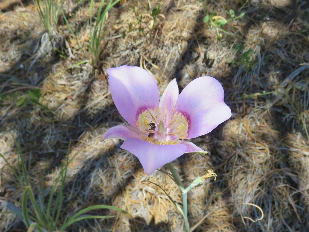
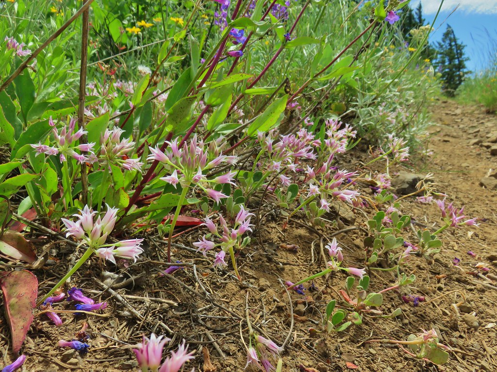
 Sagebrush mariposa lily

 Checker mallows
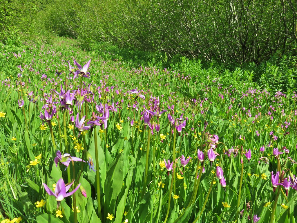
 A wetter meadow
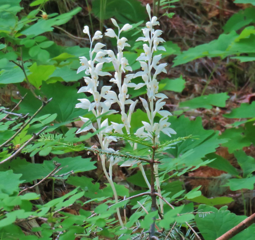
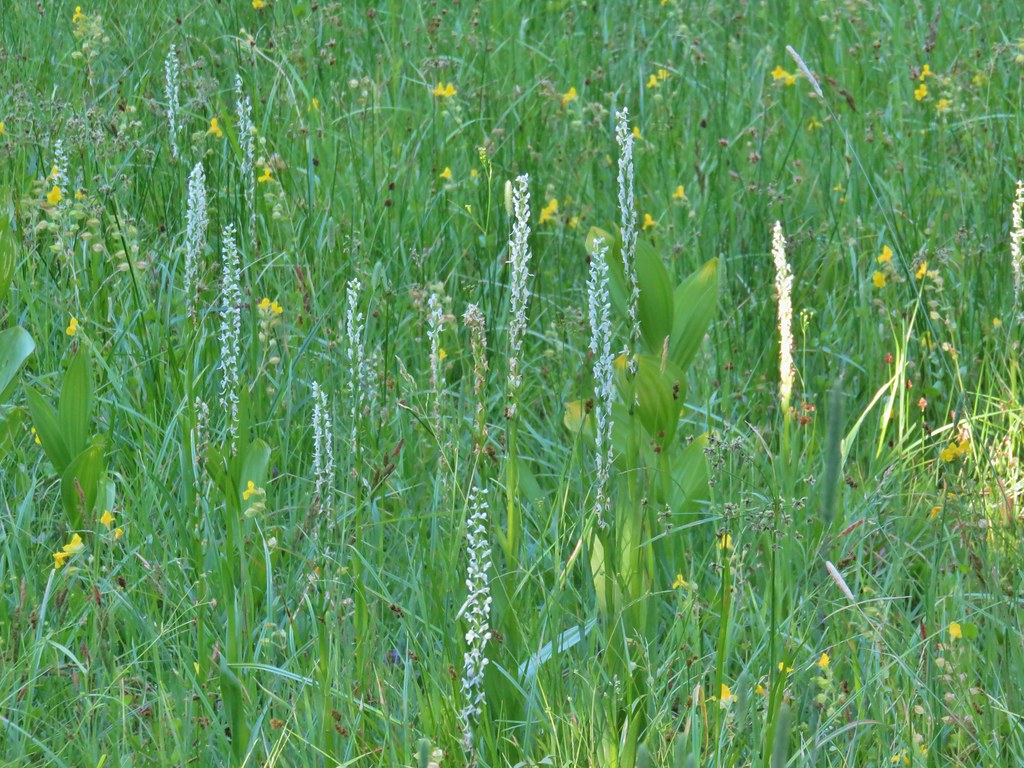 Bog orchids
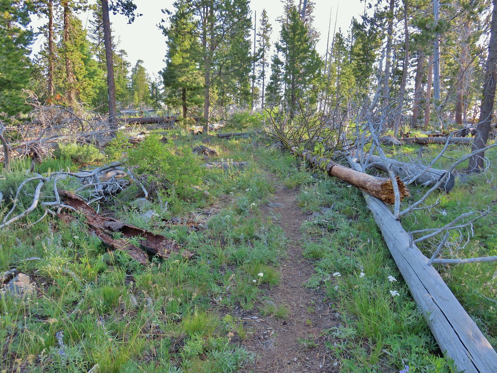
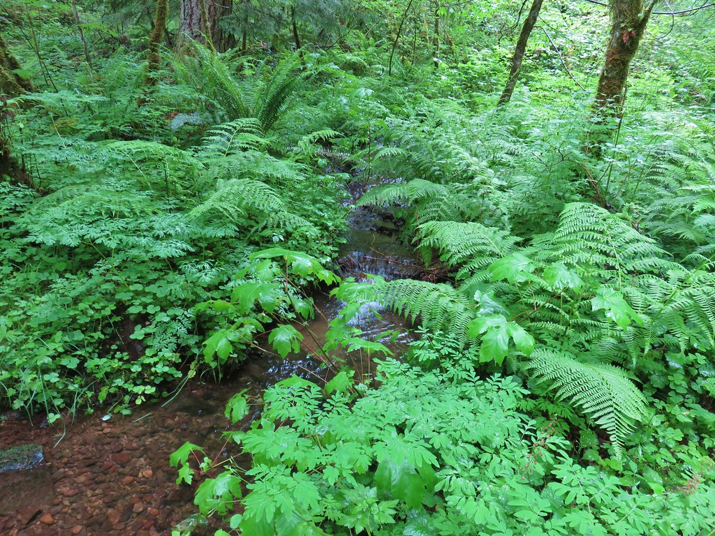
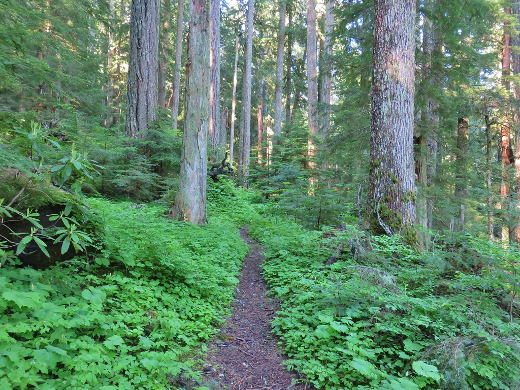
The trail also spent some time in the forest finally leaving the juniper and sagebrush behind.


 Blurry doe through the trees.
Just over 5 miles along we reached an easy crossing of the North Fork Crooked Creek.

The trail then rounded a ridge end and followed the South Fork Crooked Creek for .6 miles before crossing it just below a series of meadows.


 White water buttercups
The trail skirted the meadows for the next mile and a half which would have been nice if not for the mosquitoes that the meadows were home to. They weren’t anywhere near the worst we’ve seen but we couldn’t stop for long. We eventually were forced to break out the spray but not before Heather had collected a good number of bites (I think I only got one, they like her WAY better).

Just under a mile along this stretch the trail crossed an old road bed that functions as the Crane Mountain Trail (and a mosquito hatching ground).

We did stop for a moment at a second crossing of the creek to admire some pink monkeyflower.


At the end of the meadows we arrived at FR 3615 and the South Fork Crooked Creek Trailhead
 FR 3615
 The trailhead.
 Trailhead host
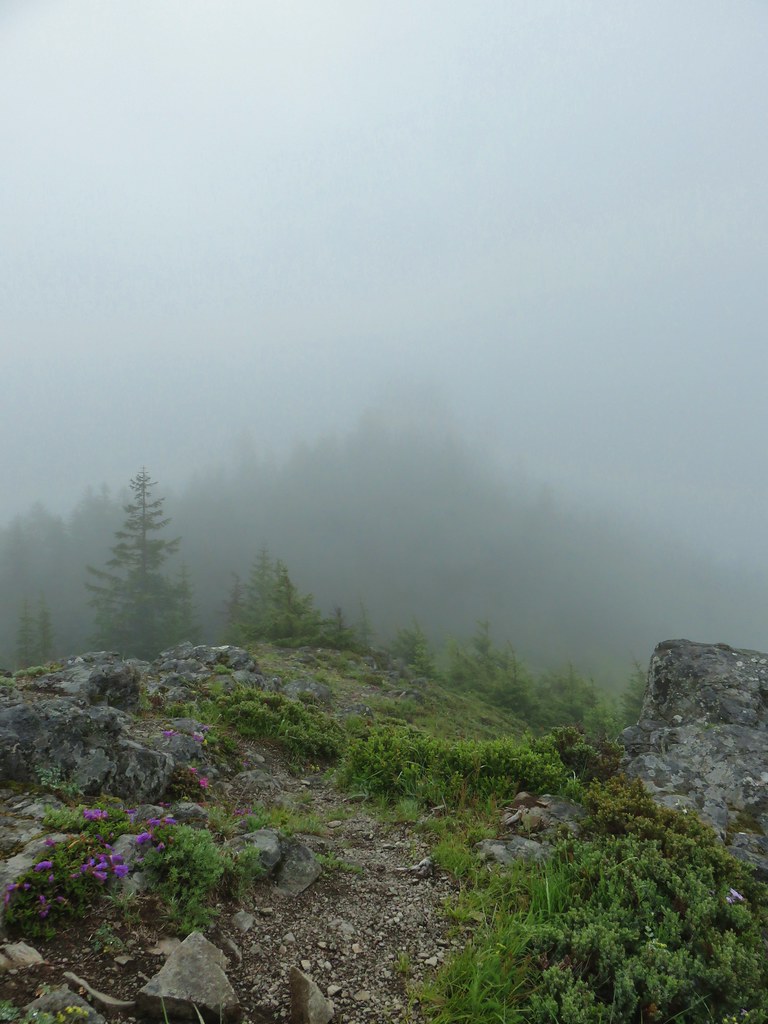
We stopped at the trailhead to decide our next course of action. It was already warm and a break sounded good, but there wasn’t really a spot for one at the trailhead. Heading back down the trail meant going through the mosquito gauntlet again and taking a break along that stretch was out. A third option was to continue uphill .7 miles from the trailhead following a roadbed to Fence Pass at an elevation of 7440′. Sullivan described it as a sagebrush covered hillside with some of the best views of the Drake Peak area. We figured that there wouldn’t be any mosquitoes up there so we headed up a dirt road arriving at a split that wasn’t shown on the guidebook map.

After consulting our Garmins we discovered that the checkermallow covered roadbed to the right ended shortly near a spring feeding the South Fork Crooked Creek.
We turned left to stay on the correct roadbed which headed steeply uphill past the continuation of the Fremont Trail.
 Fremont Trail on the left.
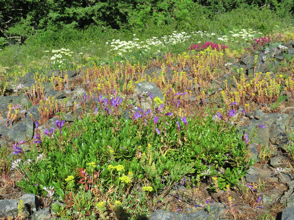
The road headed for Twelvemile Peak before veering to the south of that peak to the pass. The hillside was mostly sagebrush as described with a fair number of wildflowers mixed in.

 Oregon sunshine
 Grand collomia
 Yarrow
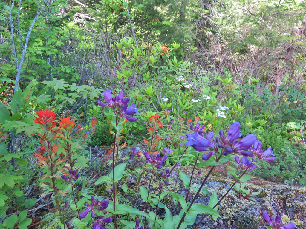
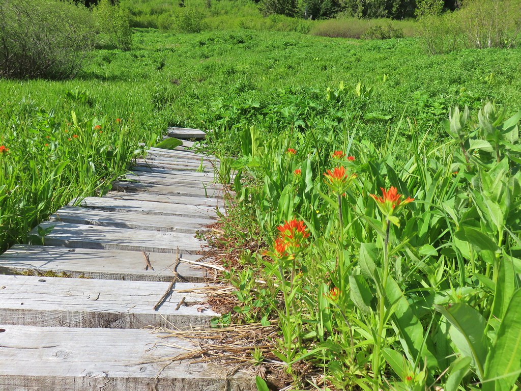
 A paintbrush
 Checkermallow and paintbrush
 What had been a Brown’s peony
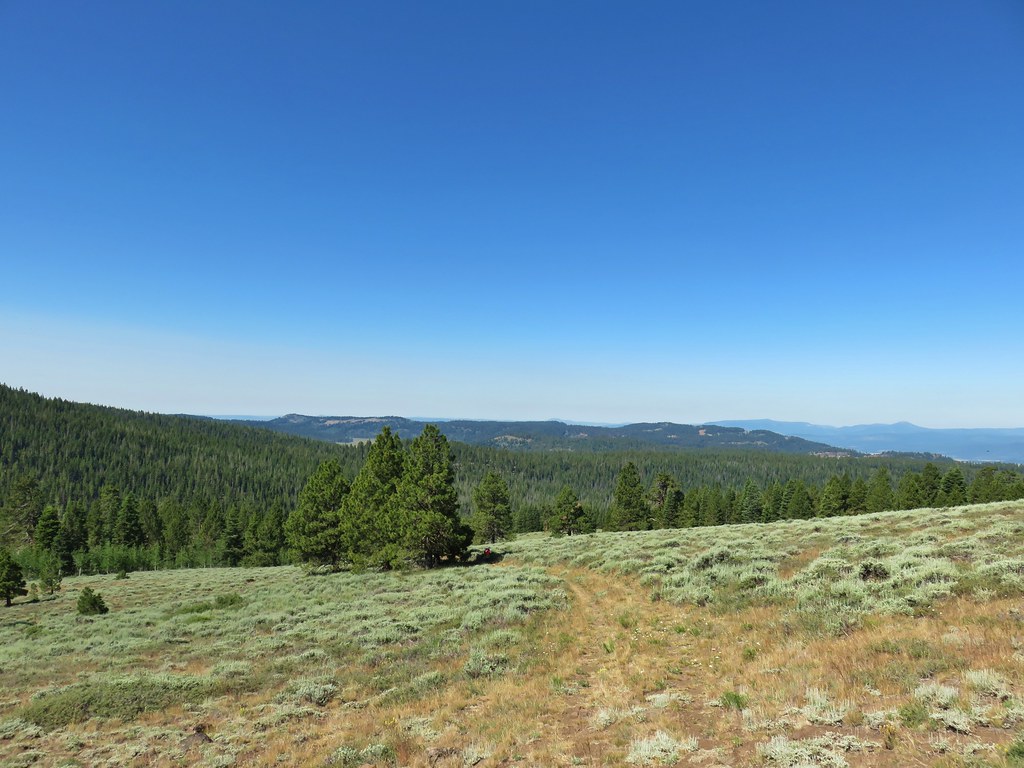
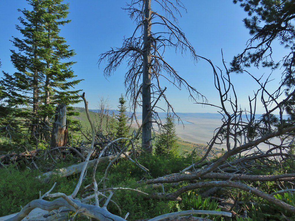
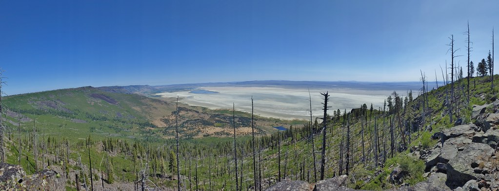
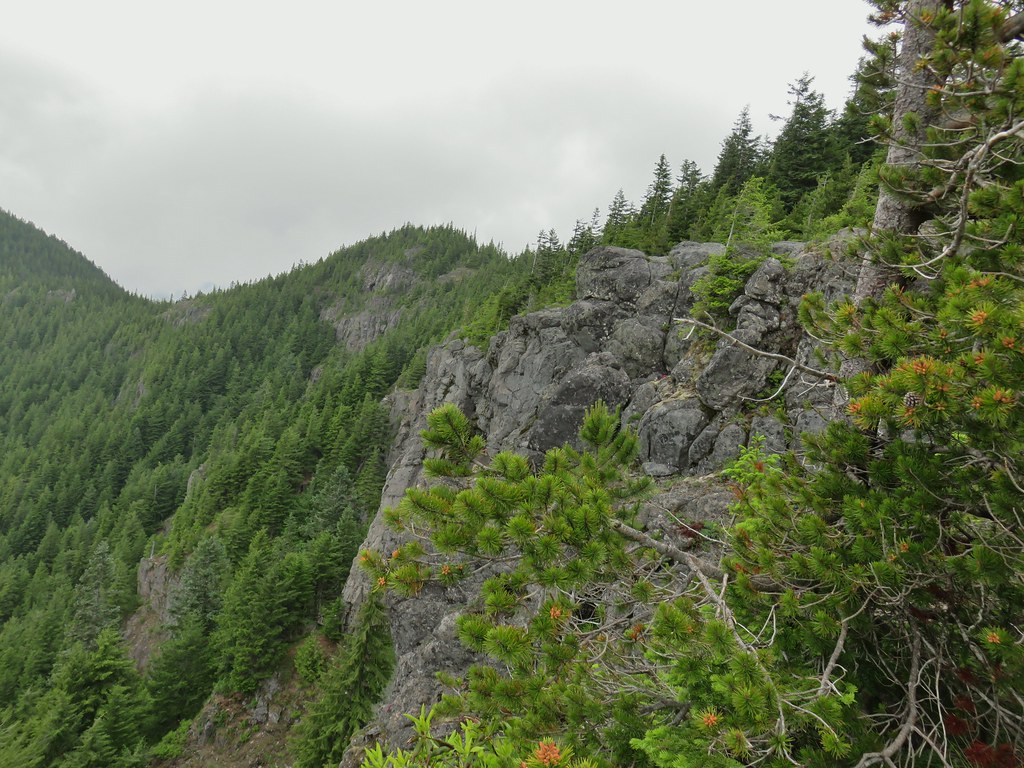
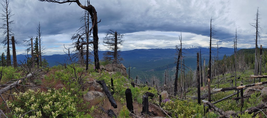
The views were also as described with Twelvemile Peak on our left (north), Light Peak and Drake Peak on our right and our route up behind us. We made it to Fence Pass where a gentle breeze helped cool us off and the lack of mosquitoes allowed us to take a nice break.

 Light Peak from Fence Pass
 Drake Peak and Light Peak
 The Drake Peak Lookout which is on Light Peak
 Twelvemile Peak
 Looking back over our route up.
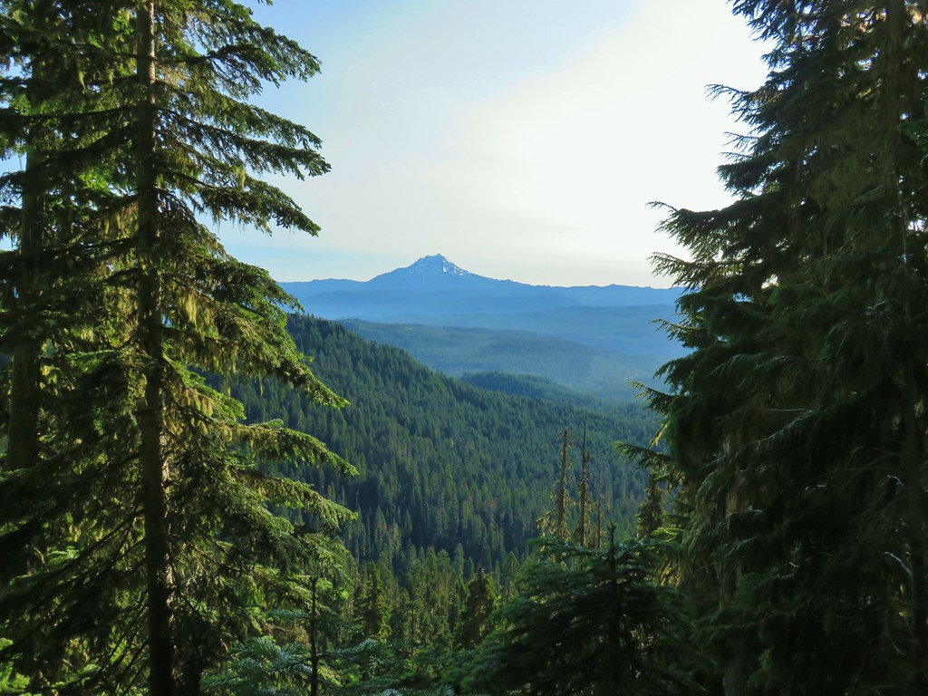
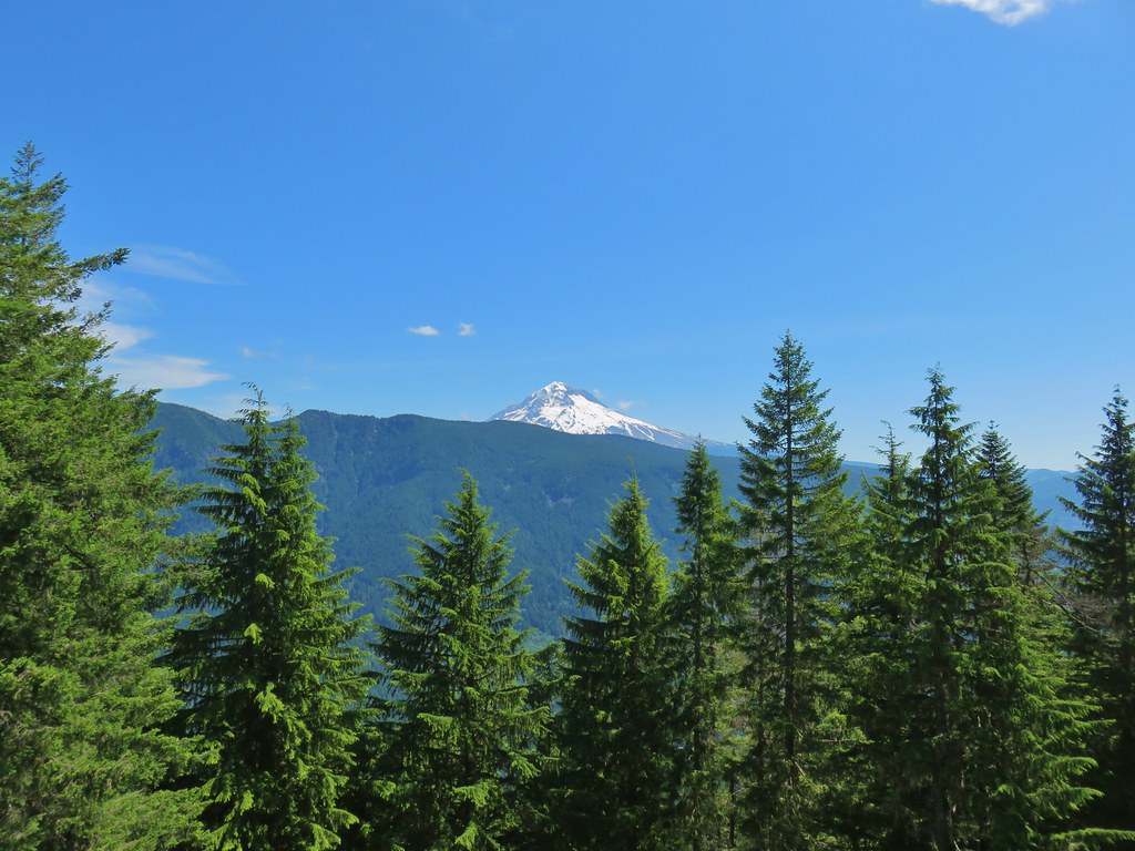
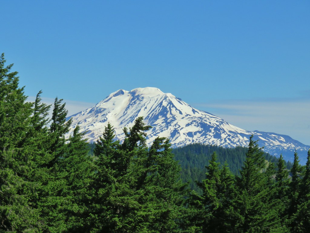
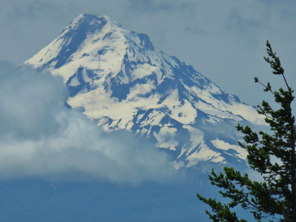
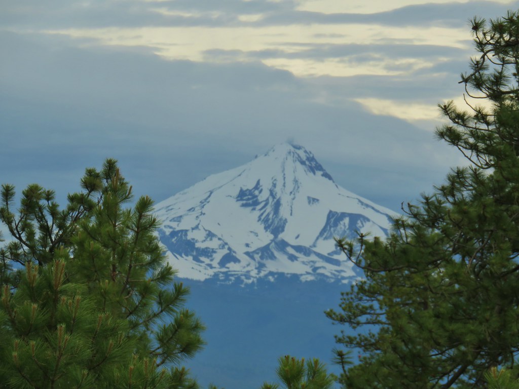
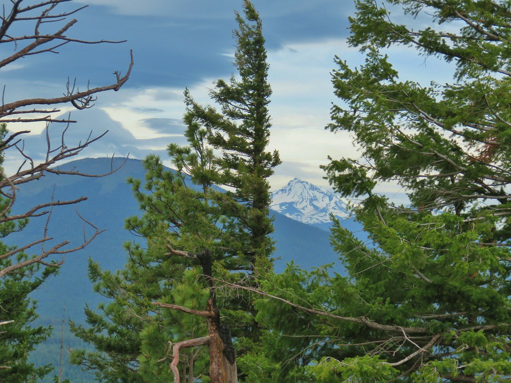
 Mt. Shasta off to the SW
 Hart Mountain to the SE.
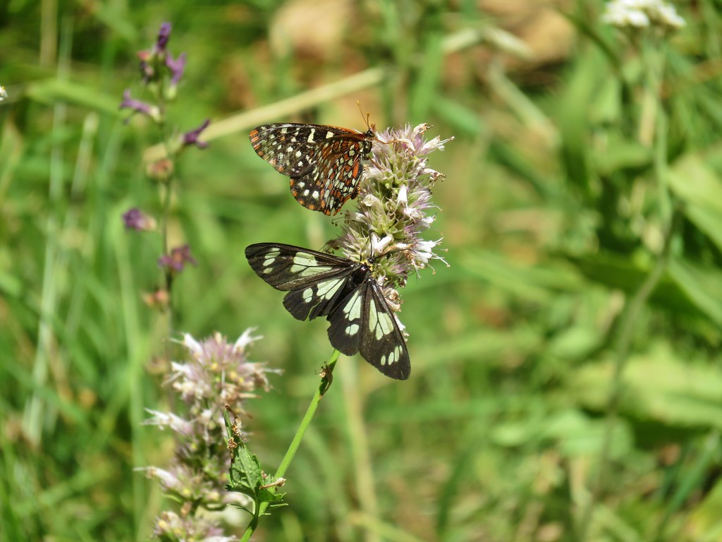
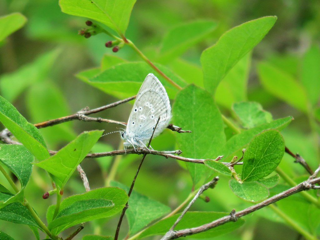
After a nice break we headed back. The mosquitoes weren’t as noticeable on the return trip but the butterflies (and police car moths) were. In addition the sagebrush mariposa lilies had opened up allowing us to see them better.


It was another 90+ degree day back at the trailhead and after 15.5 miles and a little over 2500′ of elevation gain it didn’t feel all that great, but the hike had been enjoyable. We headed back to Lakeview and checked the weather again to see what had changed. Based on the ever shifting forecasts we decided to tweak our plans a bit which turned out to be for the best in the long run. For Tuesday we decided to do Flook Lake and Hart Mountain Hot Springs to Warner Peak with an option to also do Petroglyph Lake if the road was open. If it was closed as we suspected we would do that one with DeGarmo Canyon later in the week. Happy Trails!
Flickr: Crooked Creek


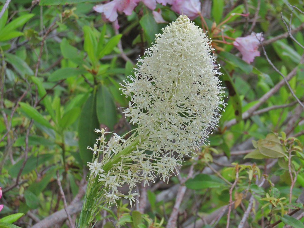
 Prairie smoke (old man’s whiskers)
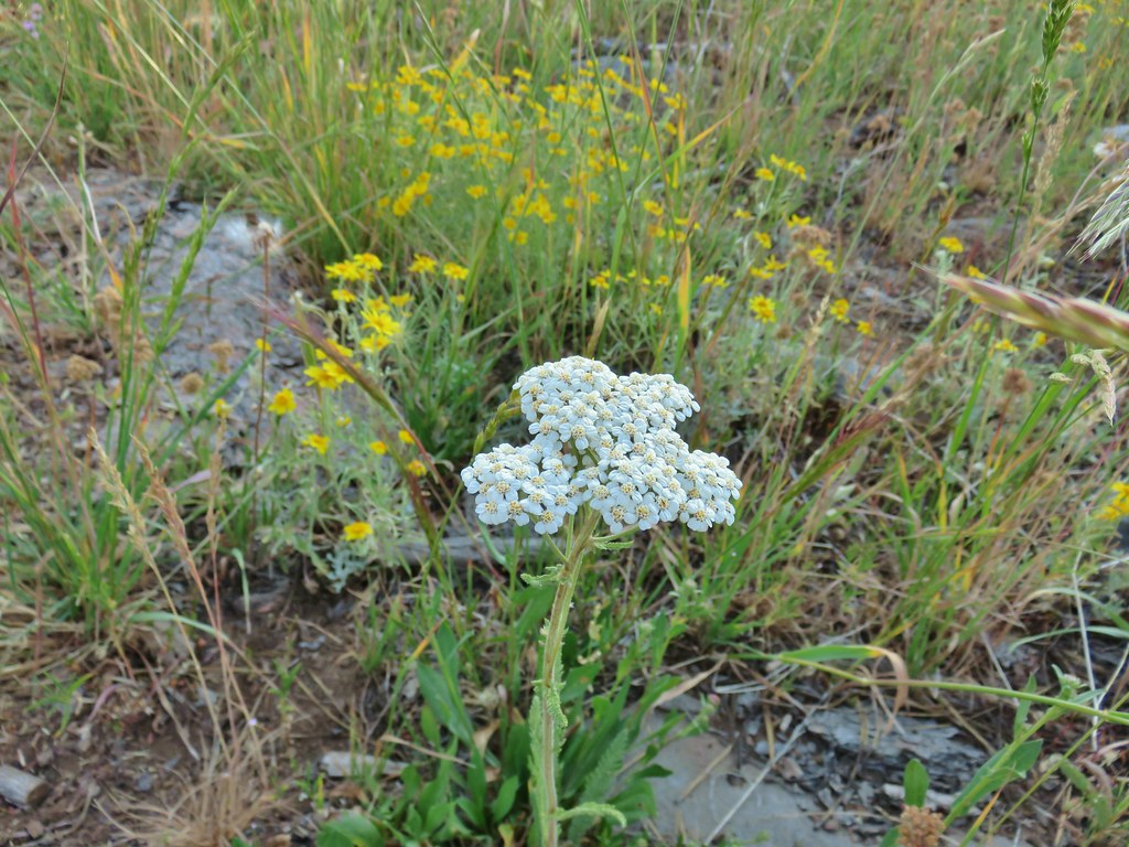 Yarrow and Oregon sunshine
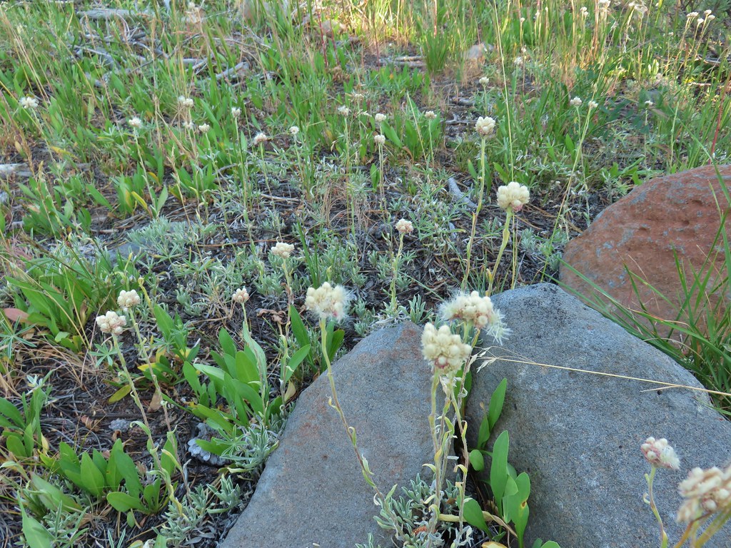 Pussytoes starting to go to seed.
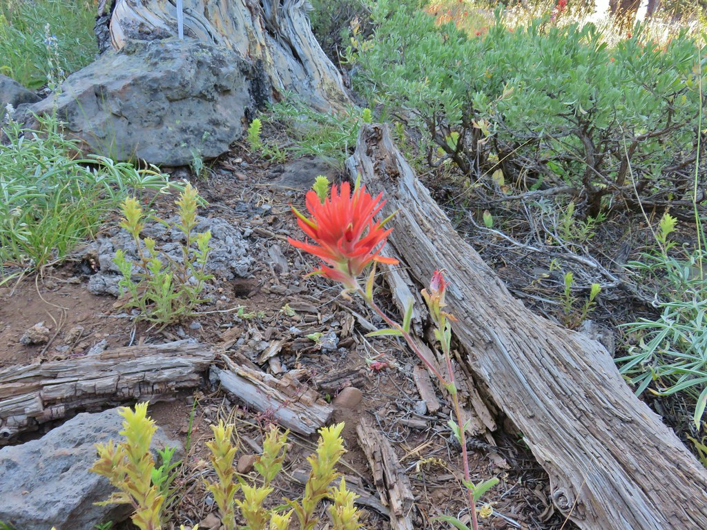 Paintbrushes
 Scarlet gilia
 Lupine
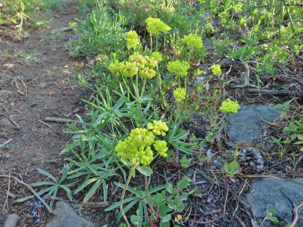 Buckwheat
 Orange agoseris
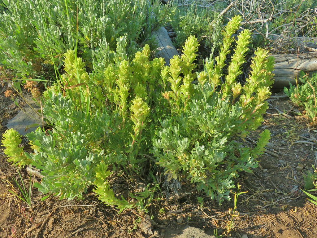 Paintbrush
 Sticky purple geranium
 Sticky sandwort
 Nuttall’s linanthus
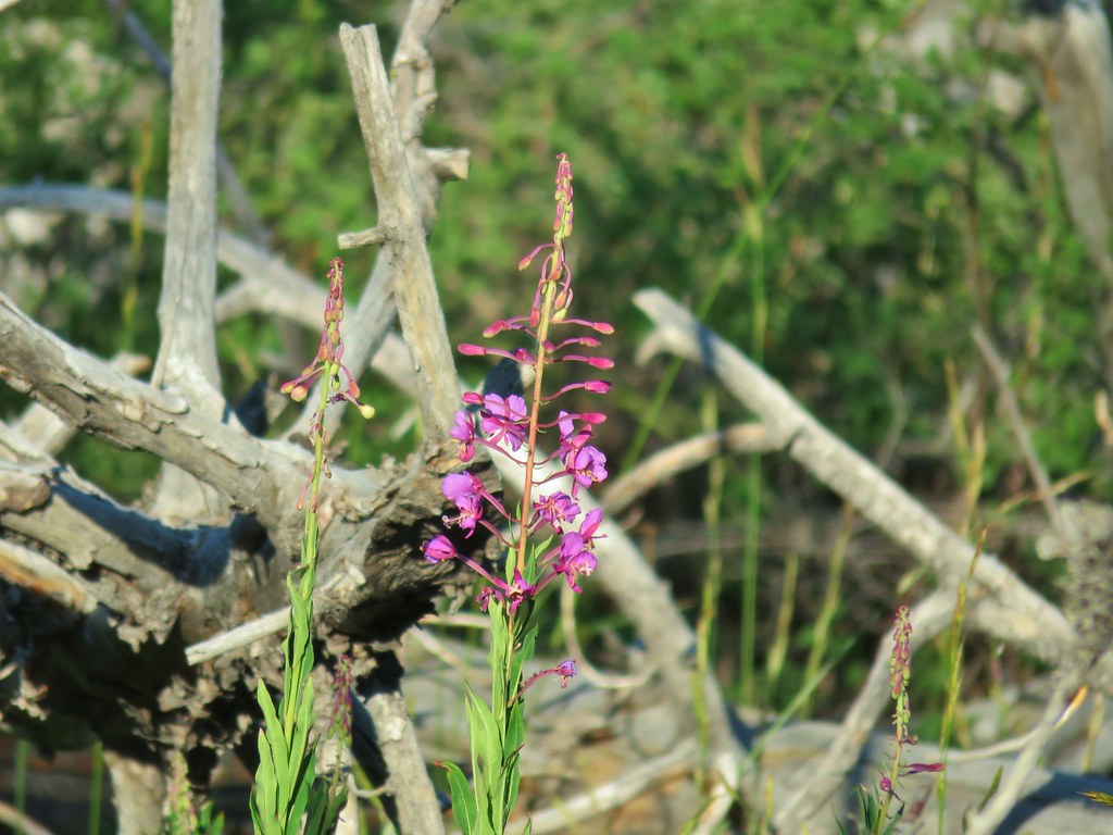 Fireweed
 Hyssop
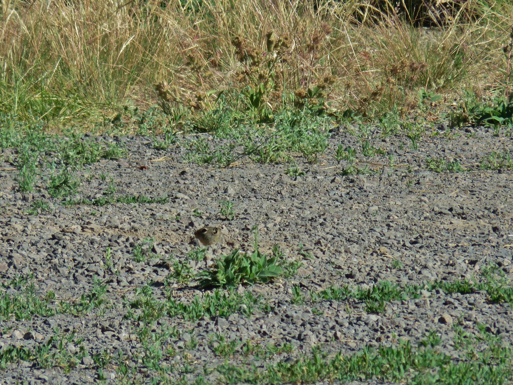
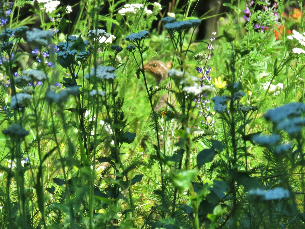
 Golden mantled ground squirrel also enjoying the views.

 Looking down at Summer Lake
 FR 29 coming up the hillside to the right.
 Woodpecker
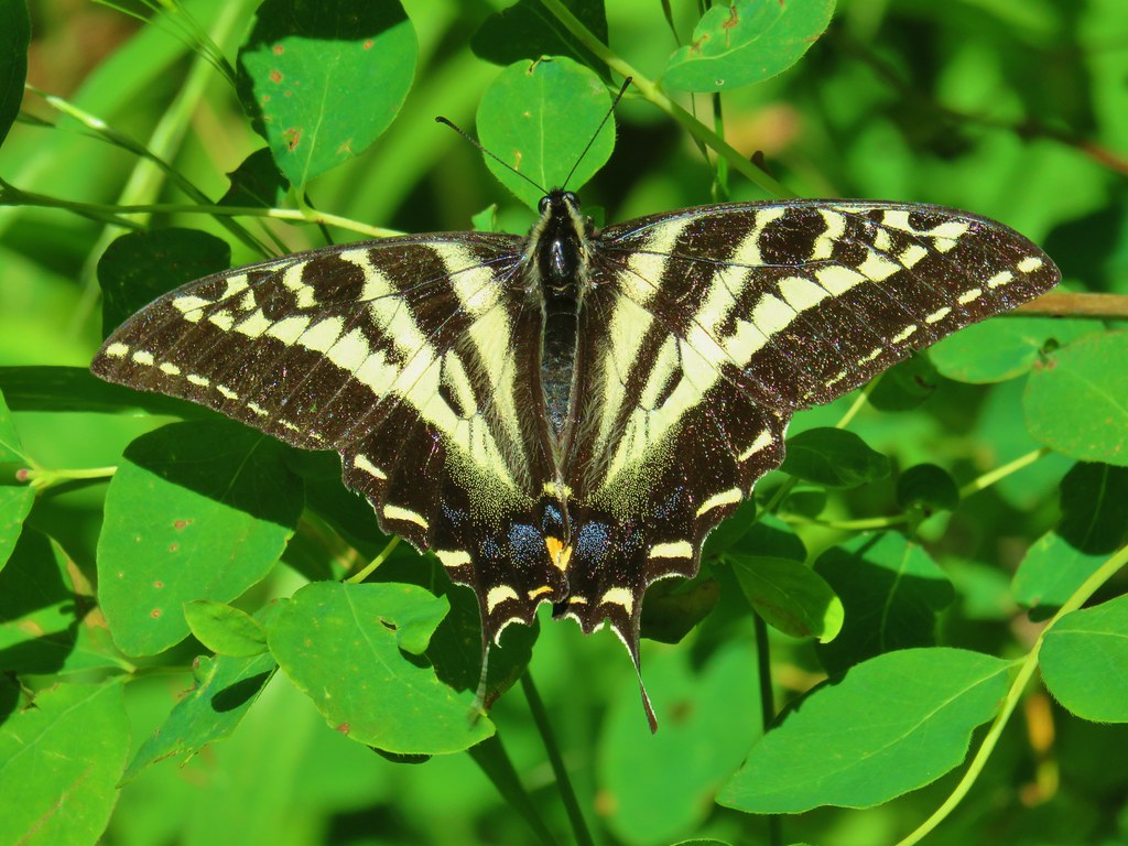
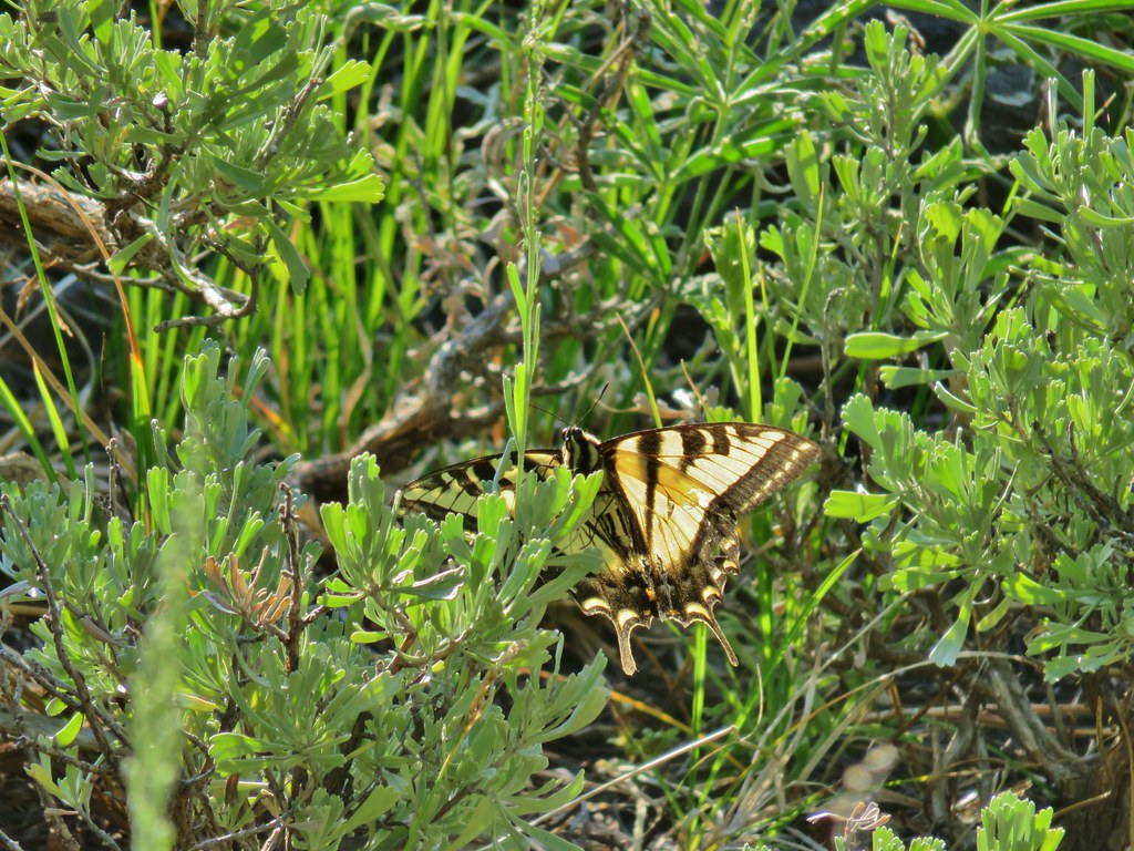 Swallowtail
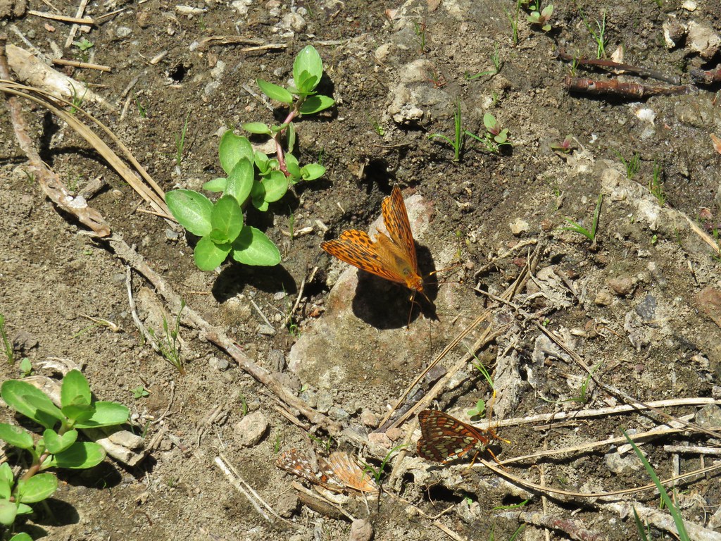
 Fritillary butterfly
 Passing through a grove of quaking aspen.
 California corn lily
 California corn lily
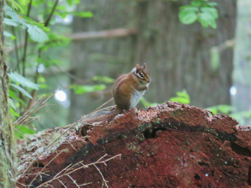
 Chipmunk
 More cows at the horse camp.


 Brewer’s blackbird

 White triteleia
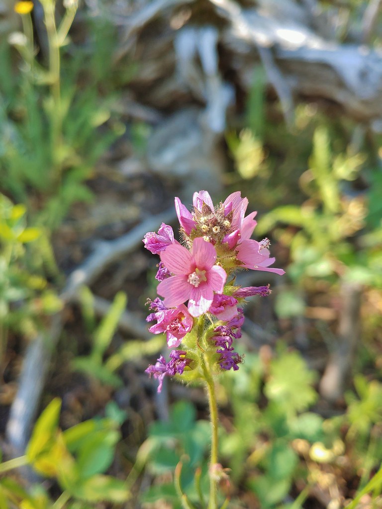 A checkermallow
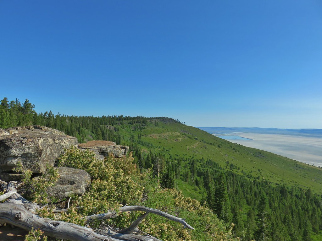 A view north along the ridge.
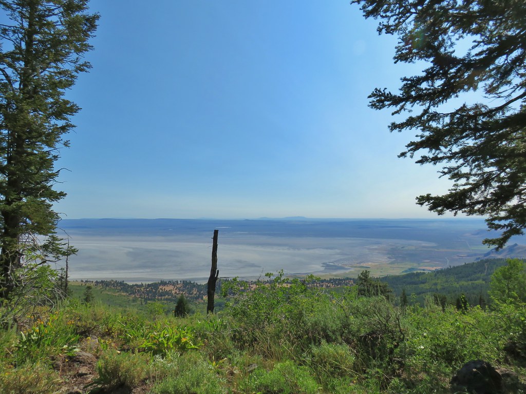 Looking NE from Winter Ridge.
 Grand collomia
 Hummingbird
 Rosy pussytoes
 Scouler’s woollyweed (maybe)
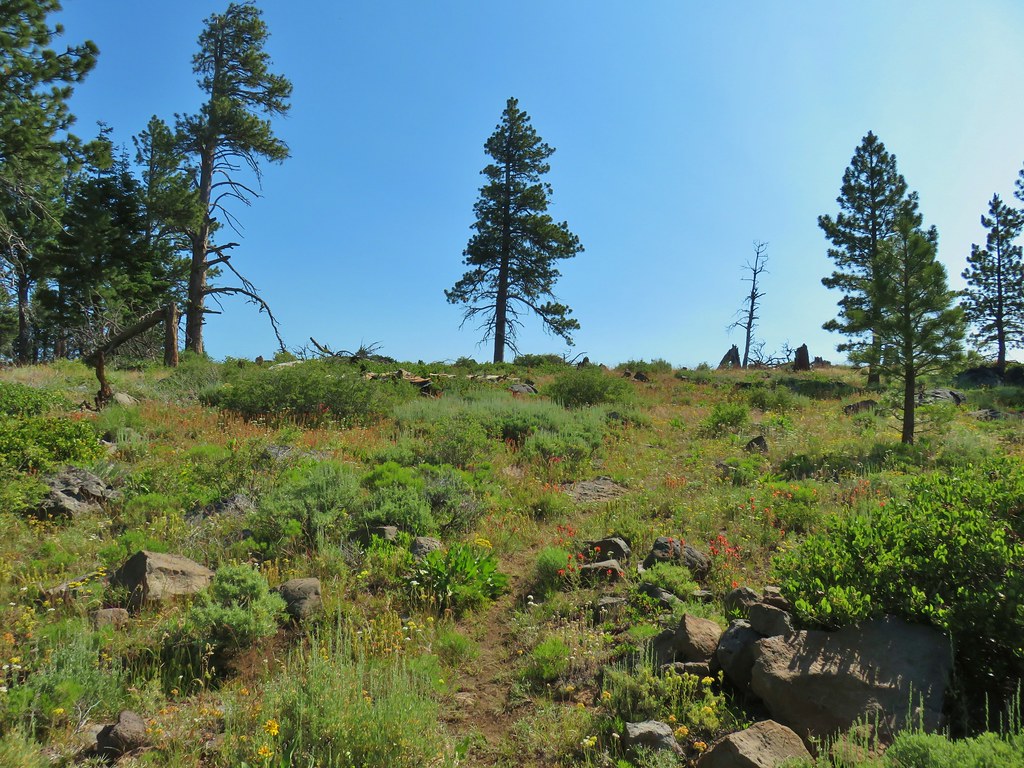 Wildflowers along the Fremont Trail
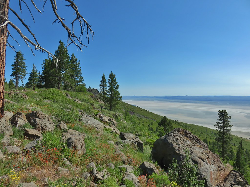 Another viewpoint
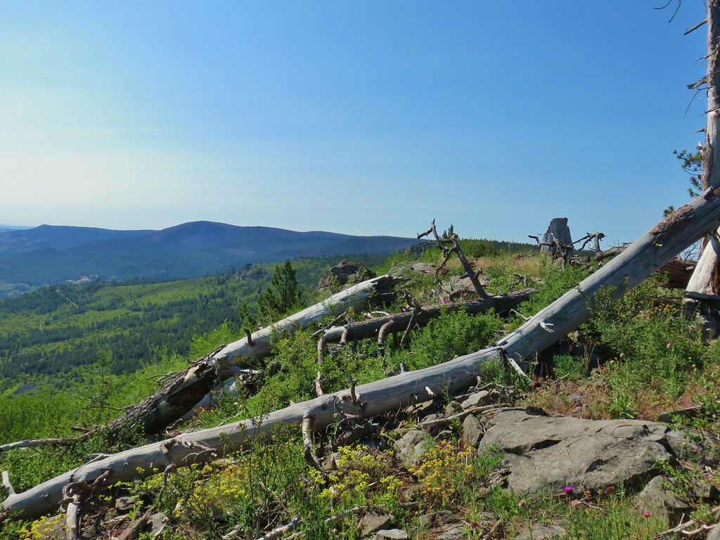 Looking south along the ridge.
 More musk thistles.
 Fremont Trail along Winter Ridge.
 Buck watching us through the trees.
 The buck heading off.
 Western tanager near the junction.
 Snowbrush along the trail.
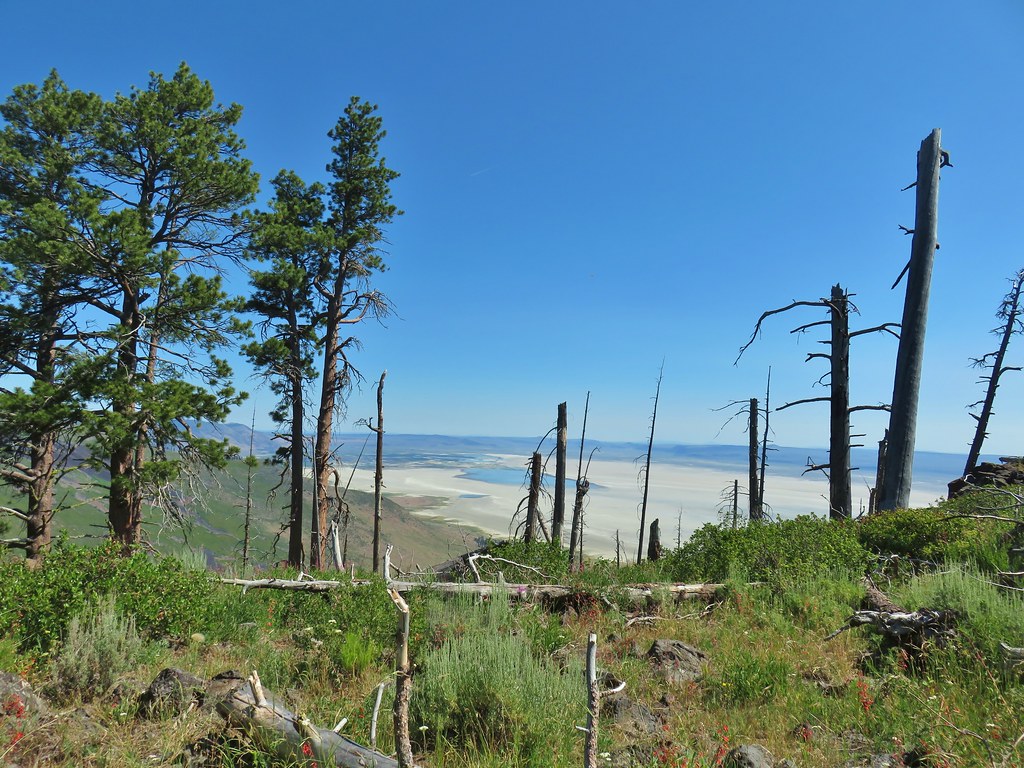 Where we wound up along the rim of the ridge.
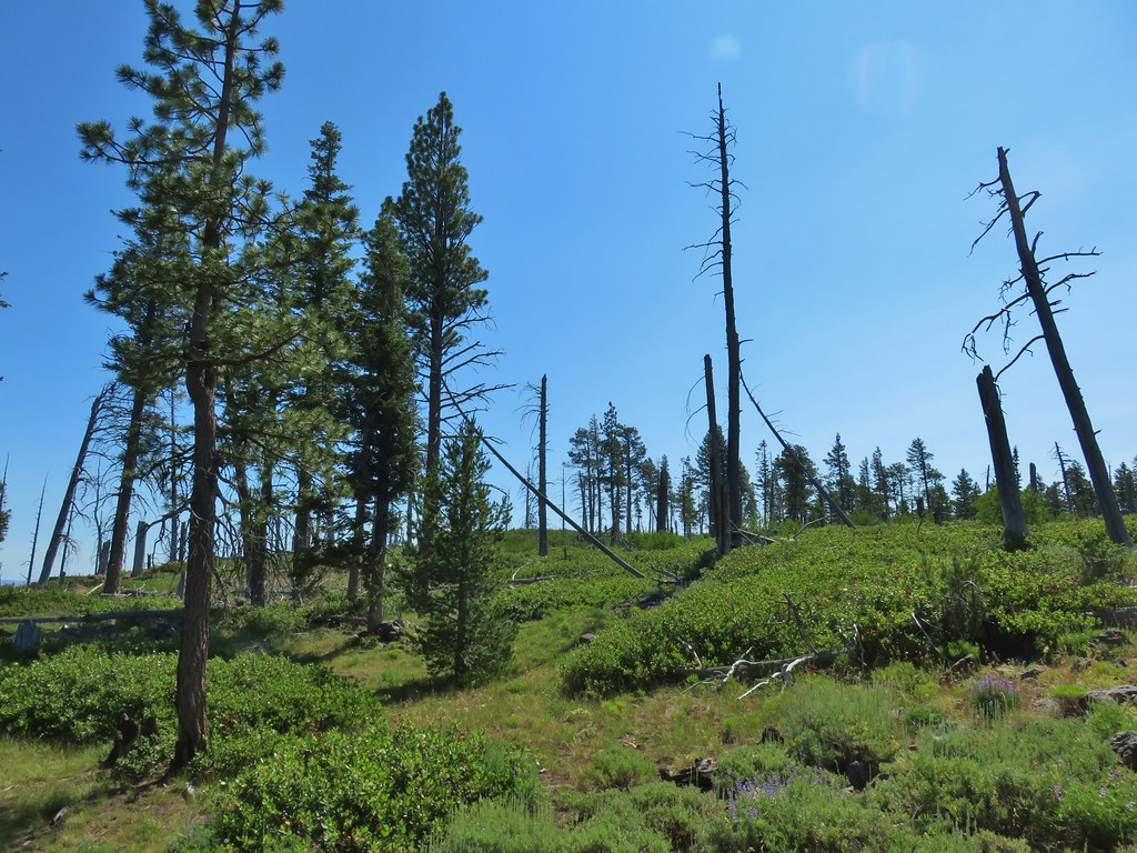 Looking up toward the viewpoint.
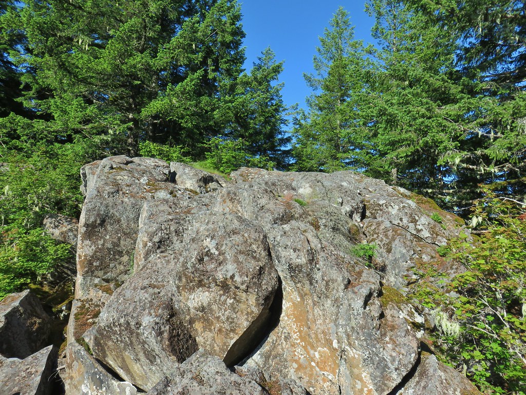
 I made it to this rock outcrop which wasn’t the viewpoint I was looking for.
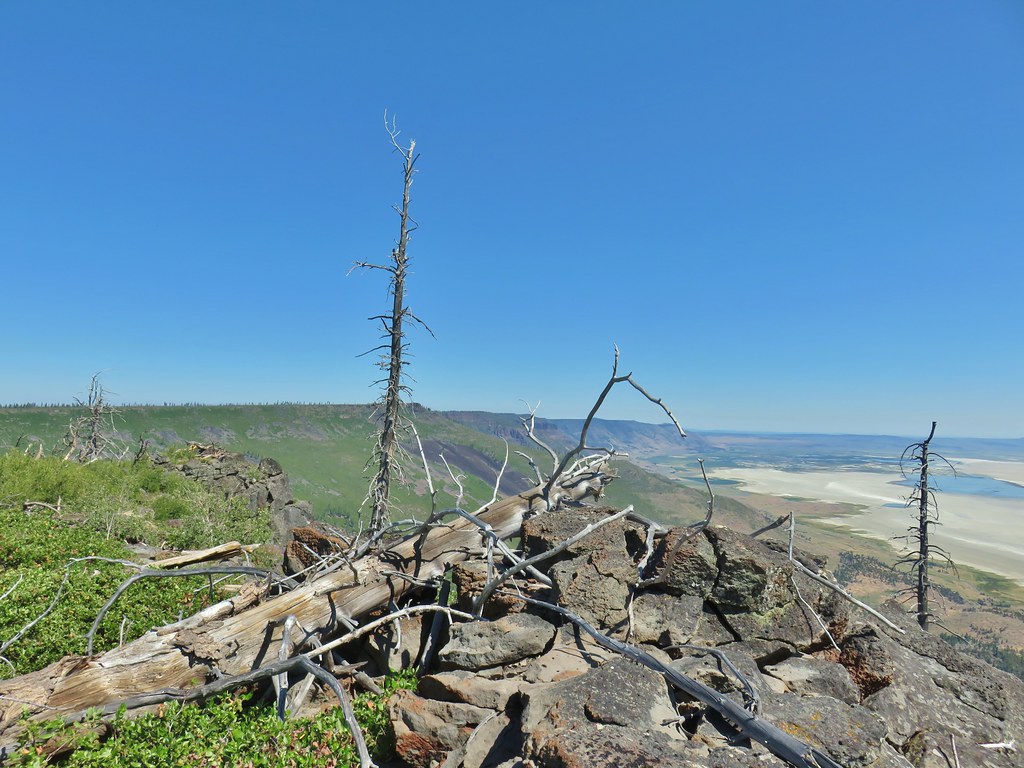 A second rocky viewpoint (with the first down the ridge a bit), still not the viewpoint I was looking for.
 Looking up the ridge from the second rock outcrop. The number of snags and thicker snowbrush caused me to abandon the ridge here and follow the line that Heather was taking just a bit in from the rim.
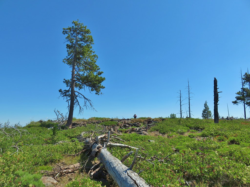
 Looking north across the landslide to Summer Lake.
 Looking south
 Balsamroot near the viewpoint.


 Becker’s white on subalpine fleabane.
 Slender cinquefoil


 Coneflower
 Death camas


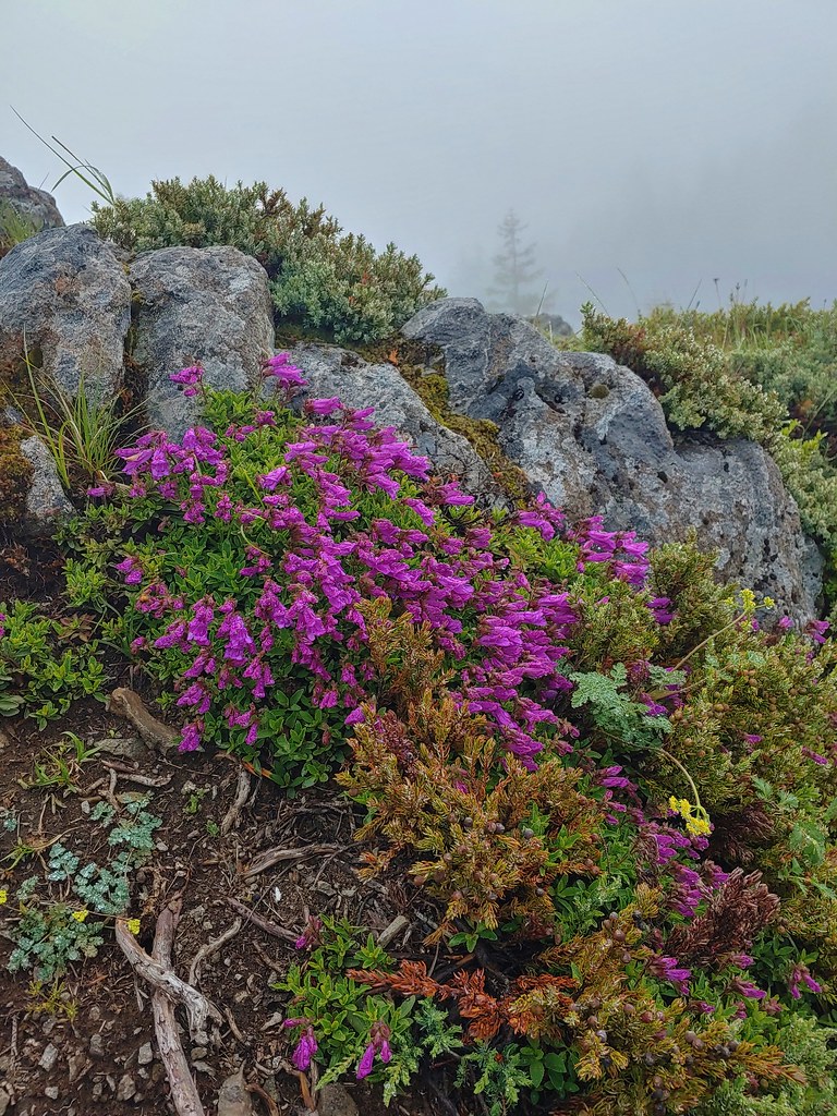
 Penstemon
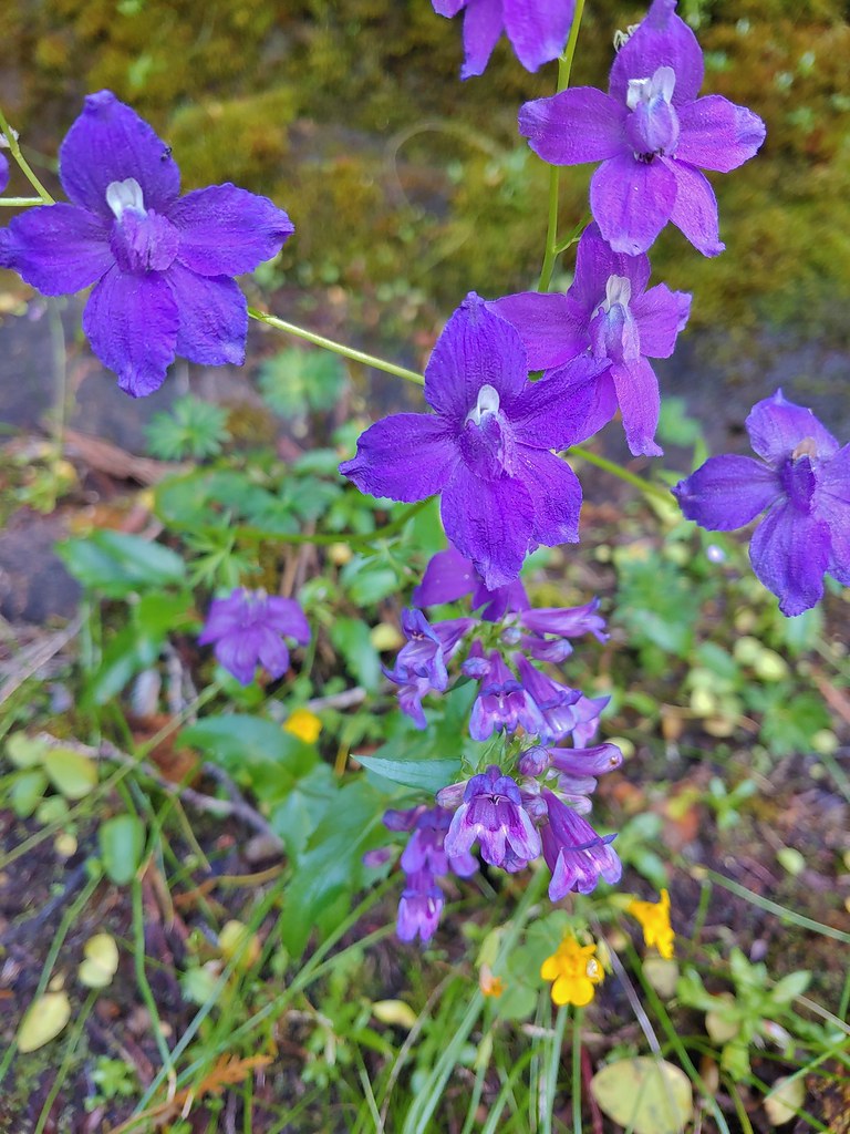 Larkspur and penstemon

 Middle Pyramid from the ridge.
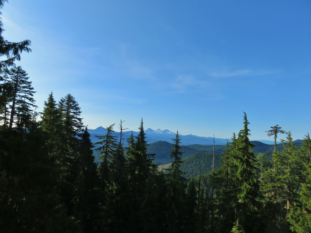 Mt. Washington and the Three Sisters

 Mt. Jefferson
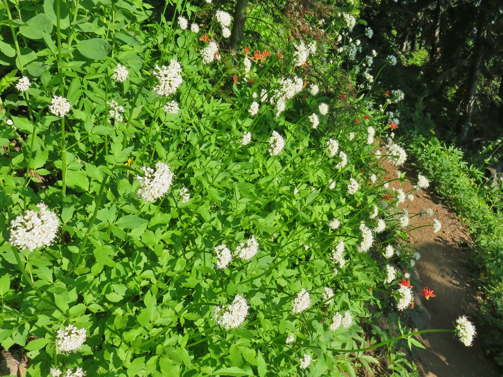 Valerian and columbine
 Mountain bluebells

 Looking up toward the summit from the saddle.
 Mt. Washington and the Three Sisters
 South Pyramid with snowy Diamond Peak to the left in the distance.
 A faint Mt. Adams to the left of Mt. Hood
 Meadow from the summit.
 North Pyramid
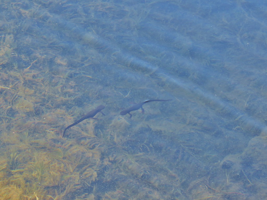 Rough skinned newts


 Crab spider on prince’s pine
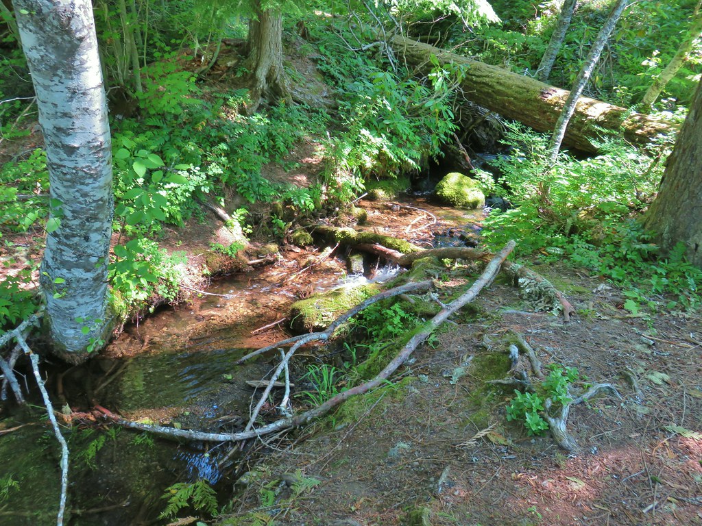 The trail used to continue on the other side of the inlet creek.

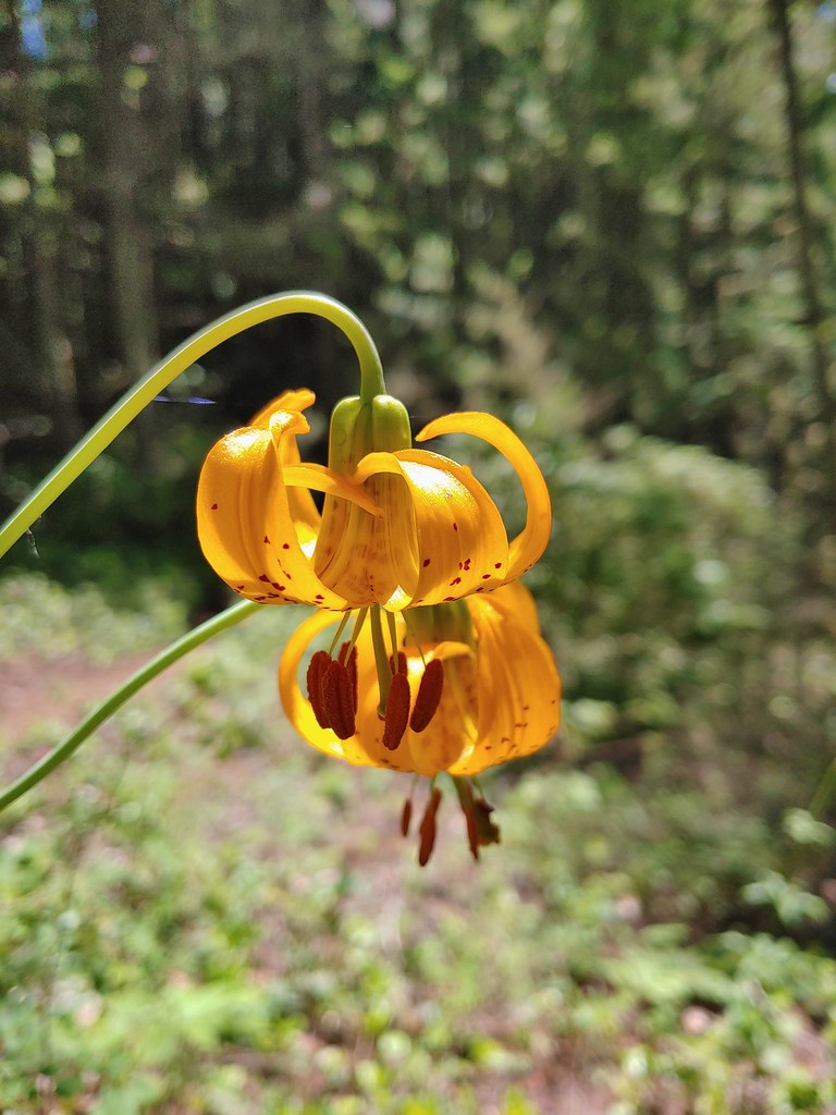
 Washington lilies
 Crossing on the outlet creek.
 Marsh at the outlet creek.
 Bog orchid
 The North Pyramid from Daly Lake
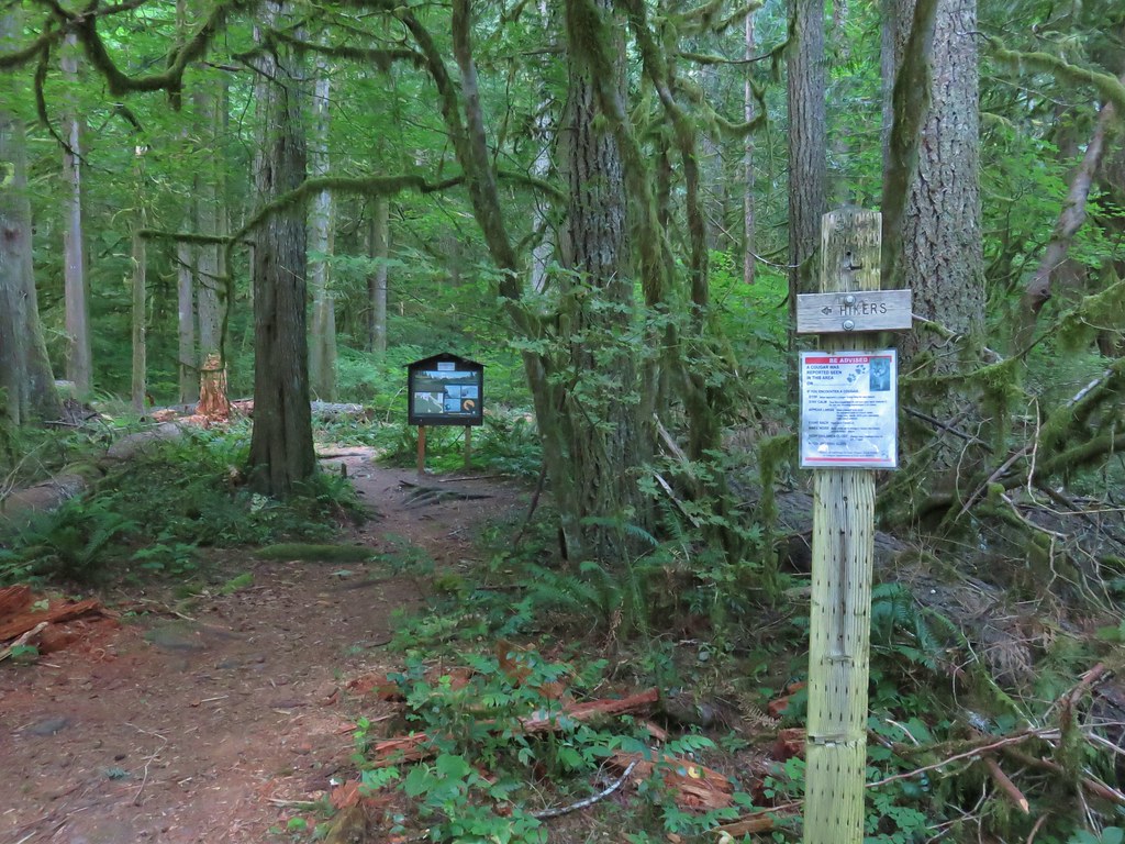


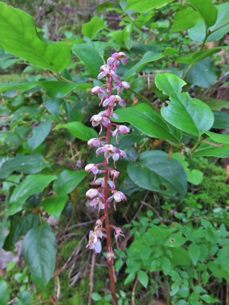 Pink pyrola
 Switchback below a rock outcrop.
 Looking down the hillside from the trail.
 Trail dropping to a saddle.
 Looking south across the Salmon River valley. The Bonanza Trail (
 Beardstongue (penstemon)
 Washington lily
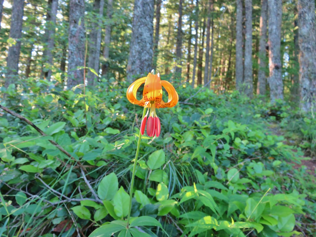 Tiger lily
 Penstemon
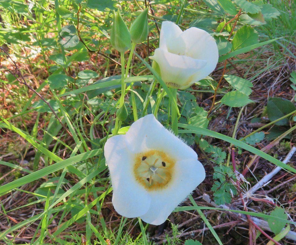 Sub-alpine mariposa lily (cat’s ear lily)
 Yarrow
 Starting the steep climb.
 Coming up to the cliffs.
 Cliffs along the trail.
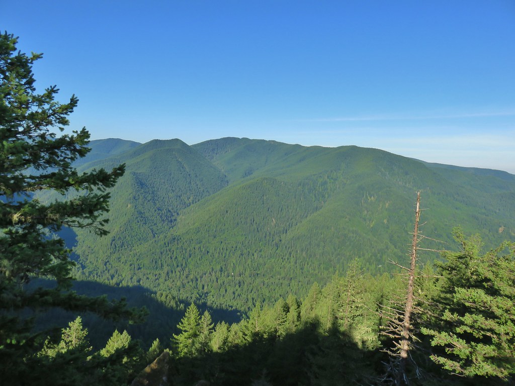 Huckleberry Mountain
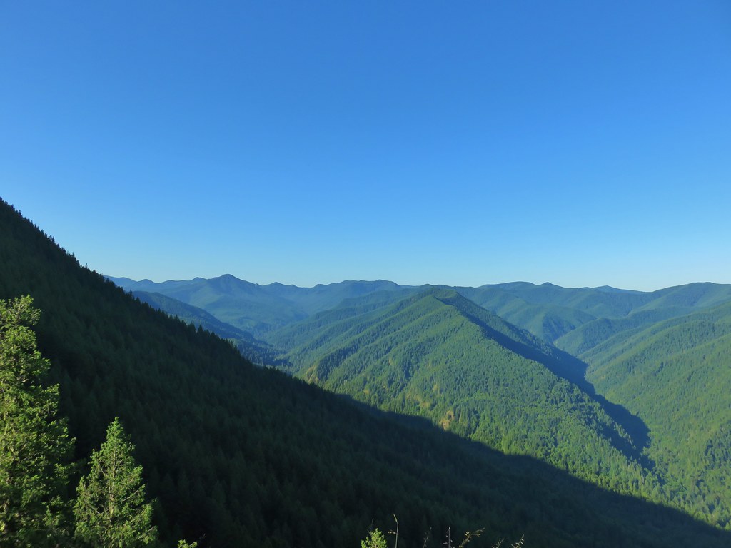 Salmon Butte (
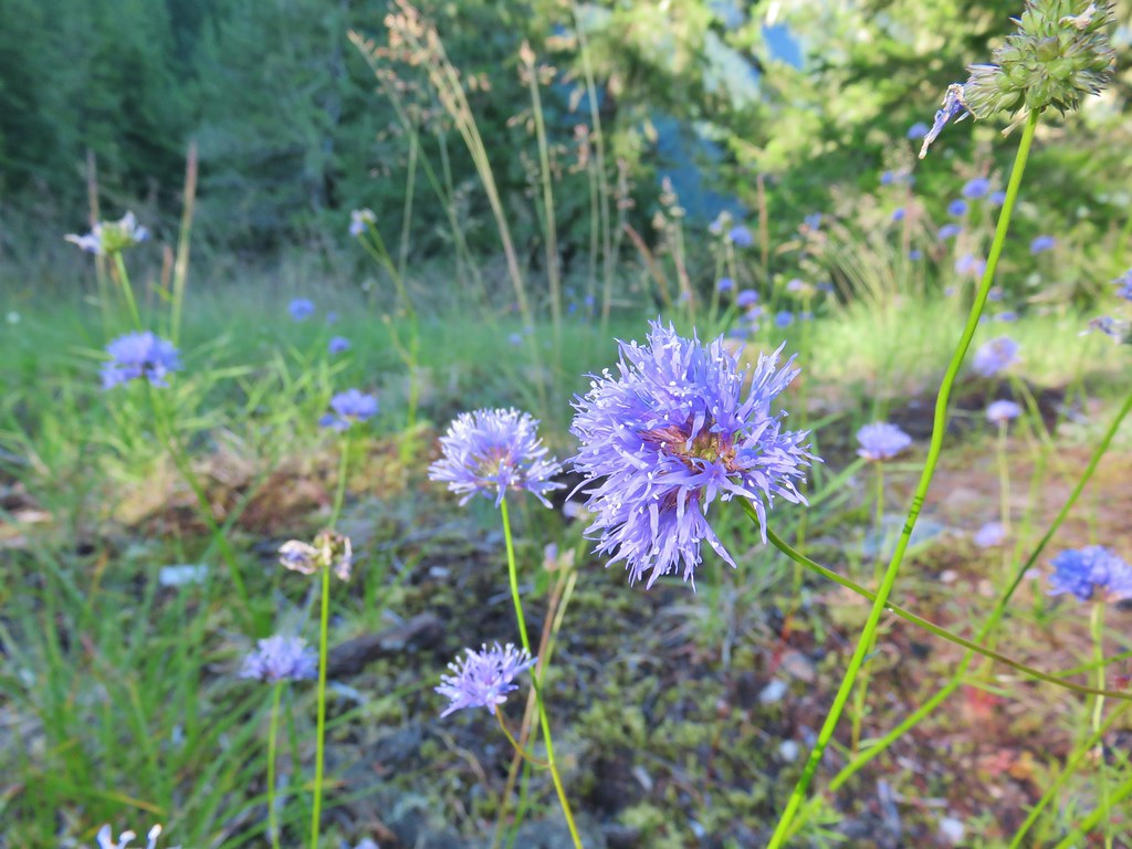 Blue-head gilia
 Blue-eyed Mary
 Oregon sunshine, blue-head gilia, penstemon and yarrow.
 Trail dropping toward the forest.
 Trail starting to climb again.
 Sign for the viewpoint.
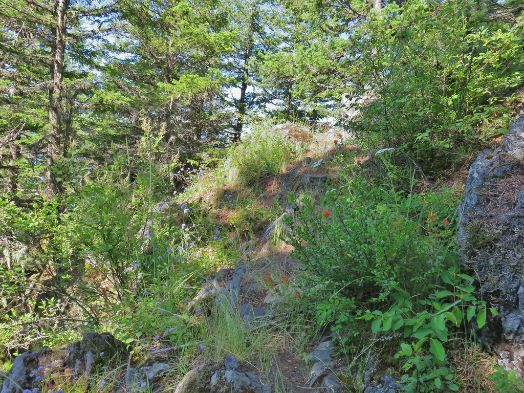
 The top of the rocks.
 Washed out view of Mt. Hood

 Pinesap
 Pinedrop
 Pacific coralroot
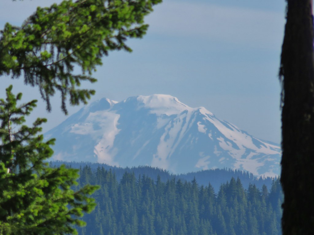


 Passing a rock outcrop on narrower tread.
 Paintbrush
 Rocky spine
 Columbine
 Climbing up the Hunchback Trail.
 Heather coming up the trail.
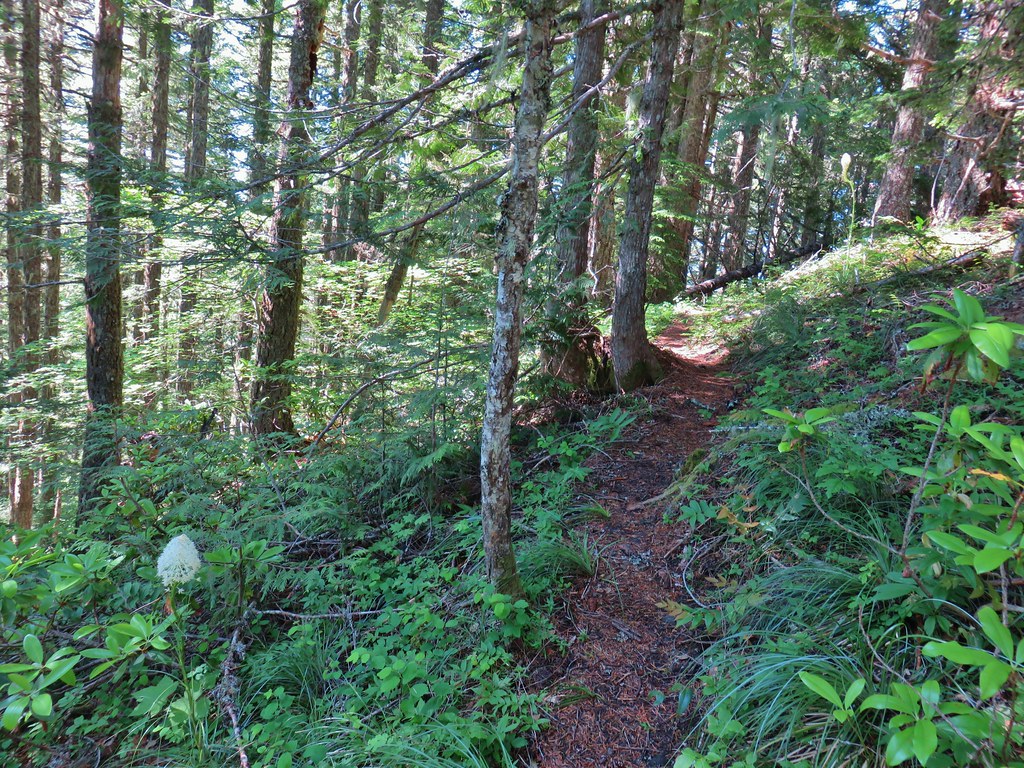 Beargrass near the 4000′ elevation.
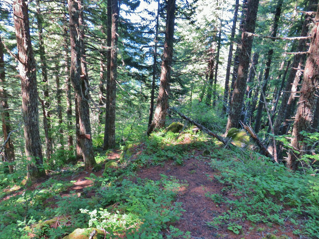 Heading down to the viewpoint sign.
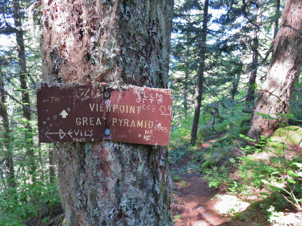 Side trail to the Great Pyramid.


 The cliffs of West Zigzag Mountain to the left of Mt. Hood where we’d been the week before (
 We weren’t entirely alone as Heather was visited by a butterfly.
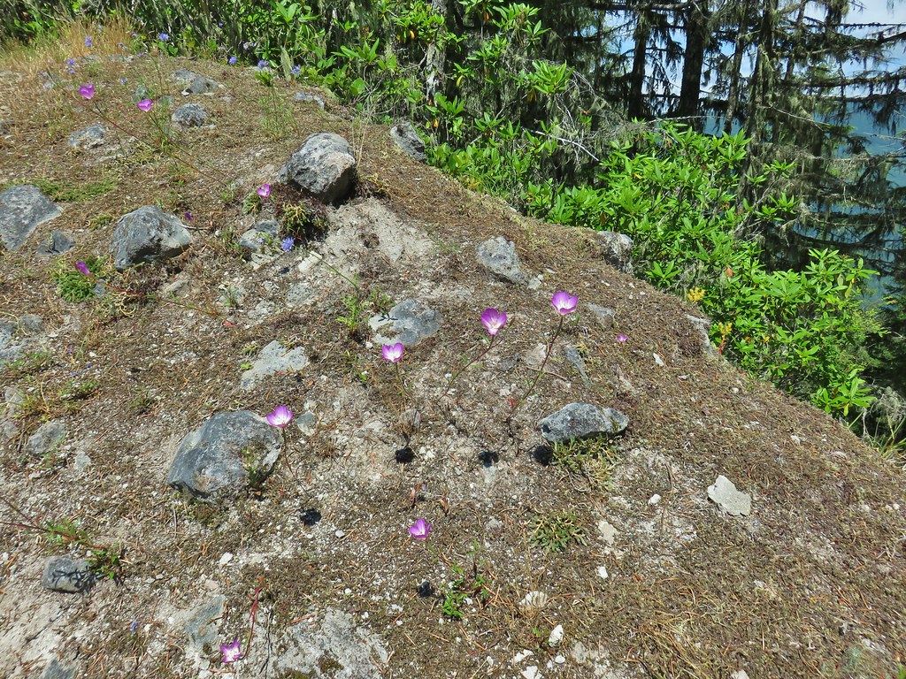
 Looking down into the Salmon River valley
 Looking west toward Highway 26
 Blue-head gilia
 Penstemon
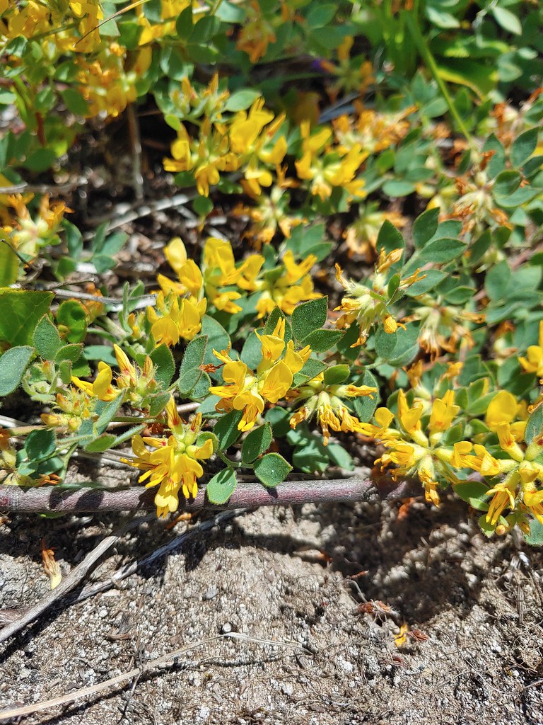
 Tiger lilies
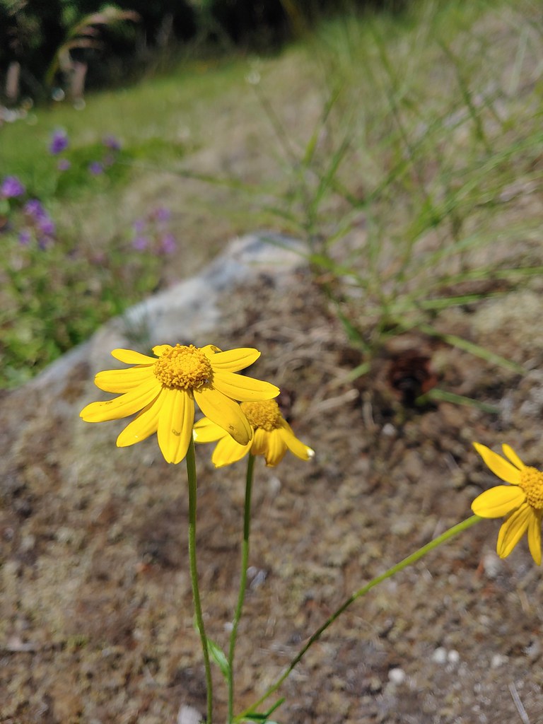 Oregon sunshine
 Cat’s ear lilies
 Parking area is just a wide spot in the road.
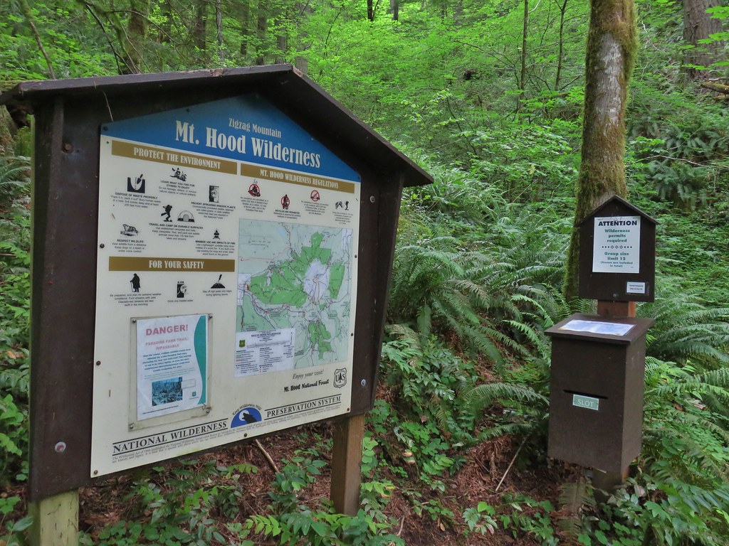
 Zigzag Mountain Trail entering the Mt. Hood Wilderness.
 Washington lilies
 Tiger lilies
 Self-heal
 Salal
Salal Candy sticks
 Queen’s cup and bunchberry
 Anemone


 Beargrass
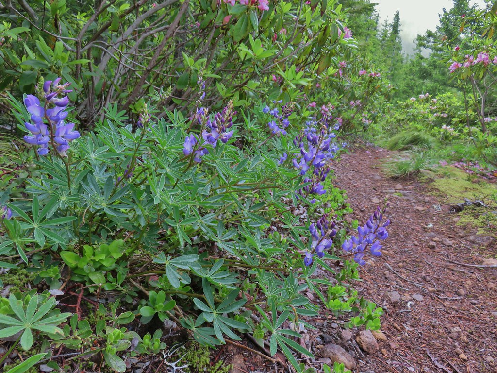 Lupine
 Trillium along the north facing side of the ridge.
 Mushroom
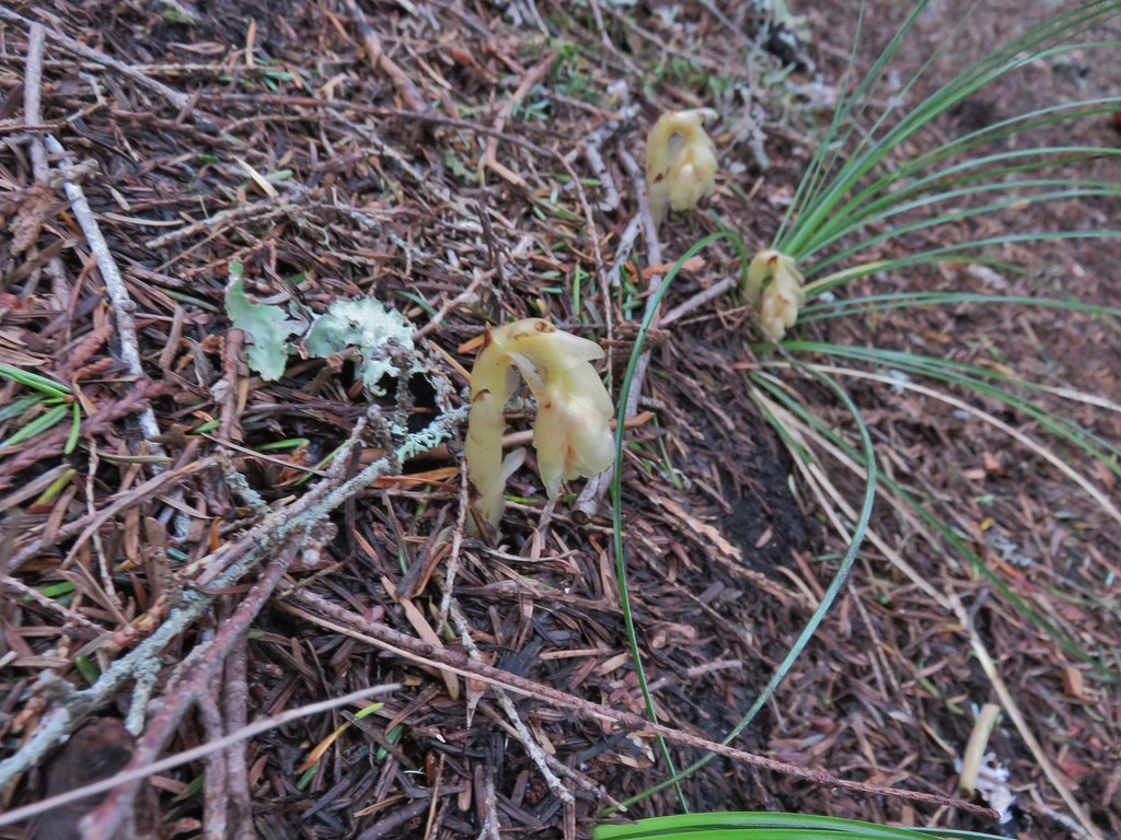 Pinesap
 Passing a rock outcrop.
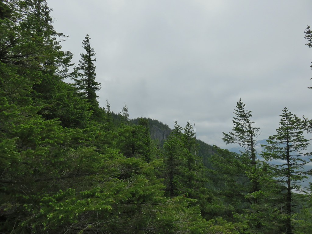 West Zigzag Mountain from the trail.
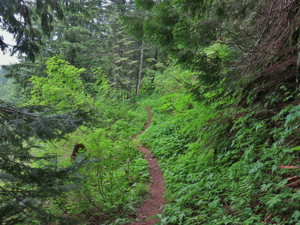 Back to the north facing side.
 Now on the south facing side.
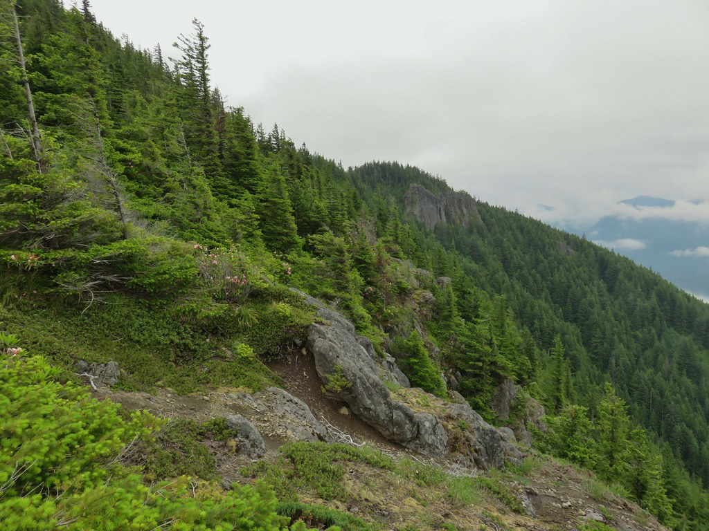

 Sub-alpine mariposa lily at the viewpoint.
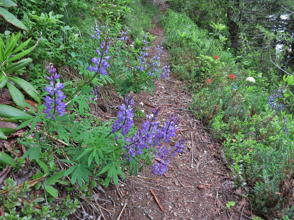 Lupine and paintbrush
 Beargrass and rhododendron
 Huckleberry
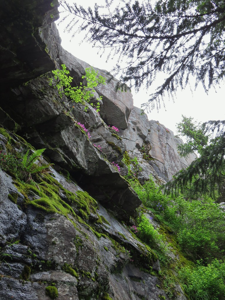 Cliff beardtongue
 Larkspur
 Phlox
Phlox More cliff beardtongue
 Penstemon
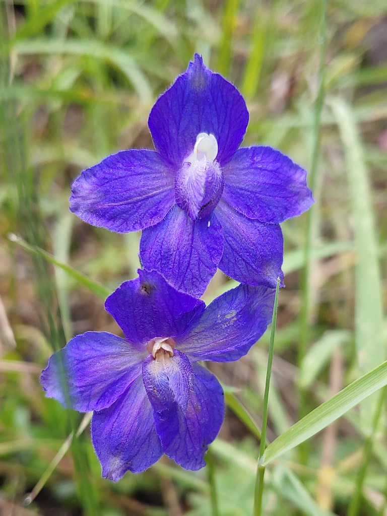 Larkspur
 On the ridge just before reaching the lookout site.


 Former lookout site in the tress to the left.

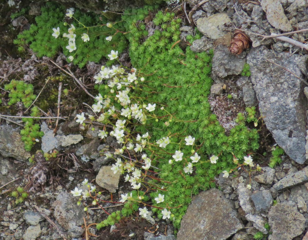 Tufted saxifrage
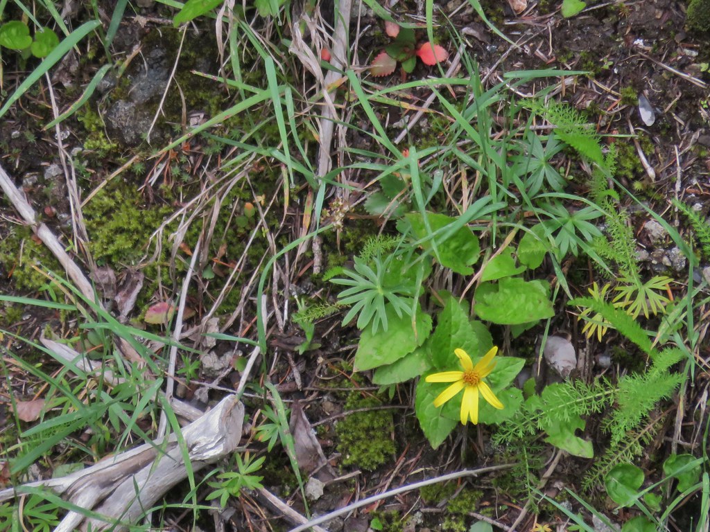 Arnica
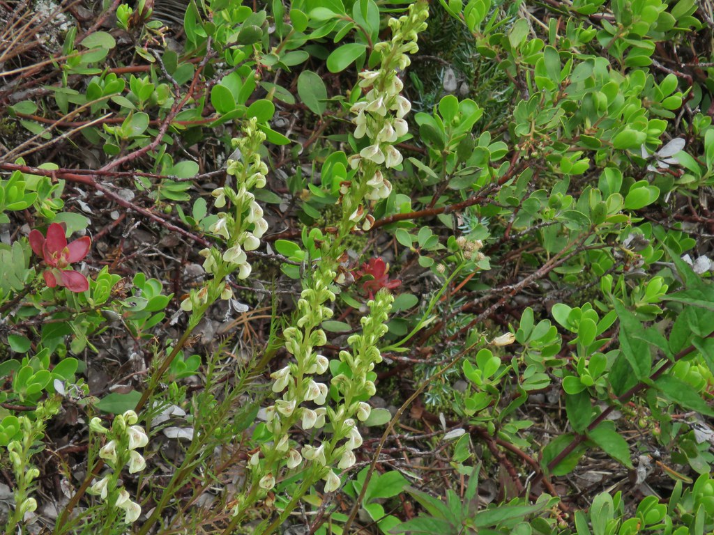 Lousewort
 Some of the rocks in Castle Canyon
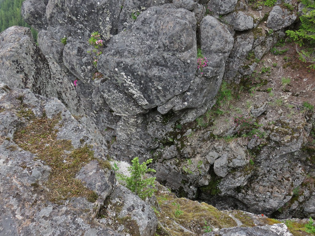
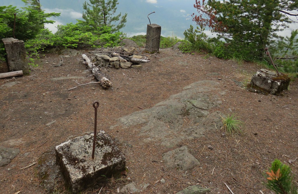
 View of the outcrop from the lookout site.
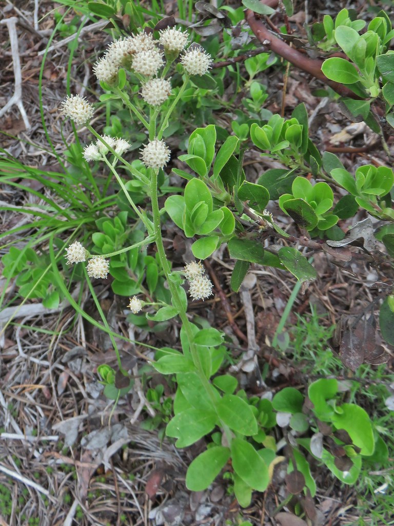 Raceme pussytoes
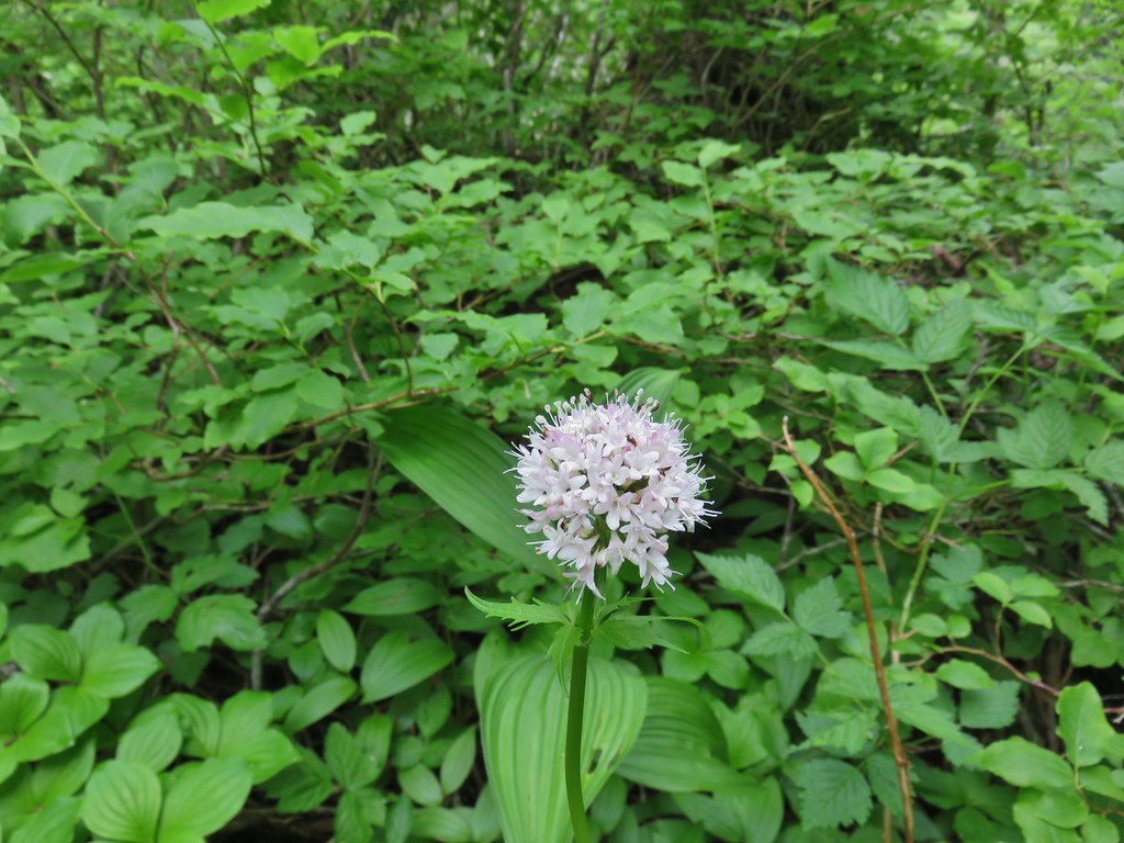 Valerian
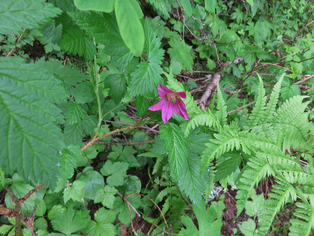 Salmonberry
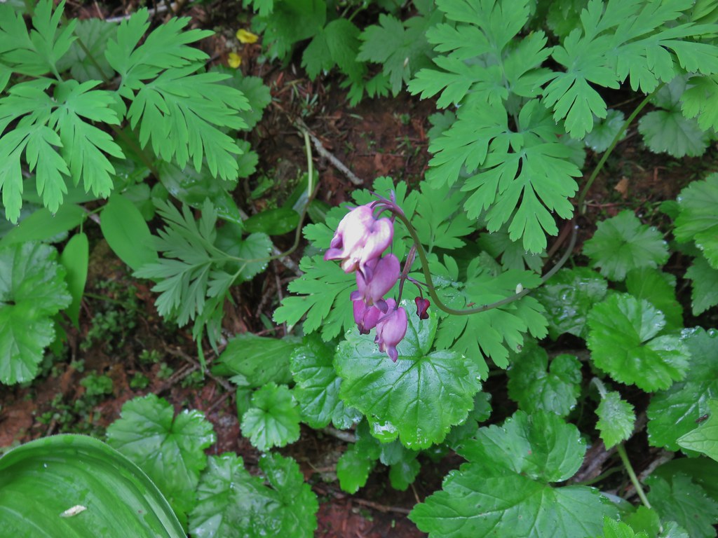 Bleeding heart
 Violet
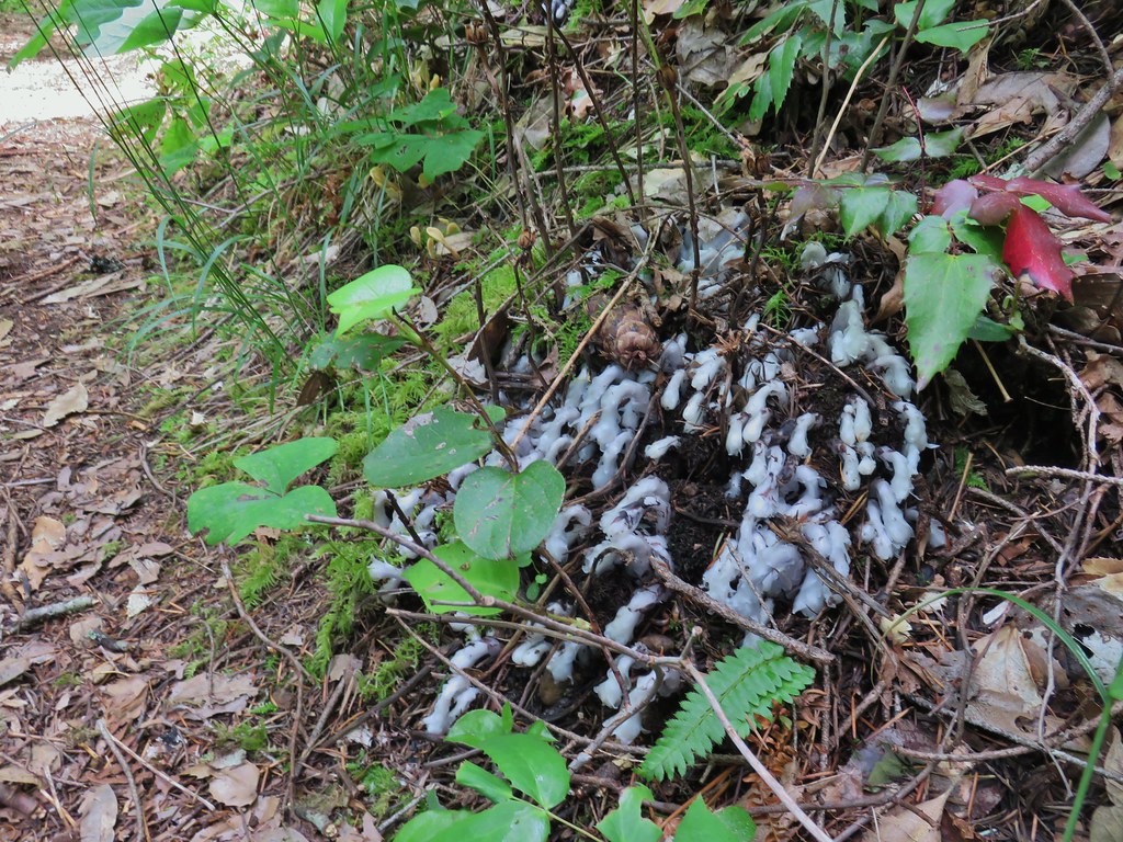 Monotropa uniflora aka ghost plant


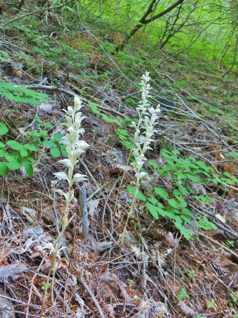
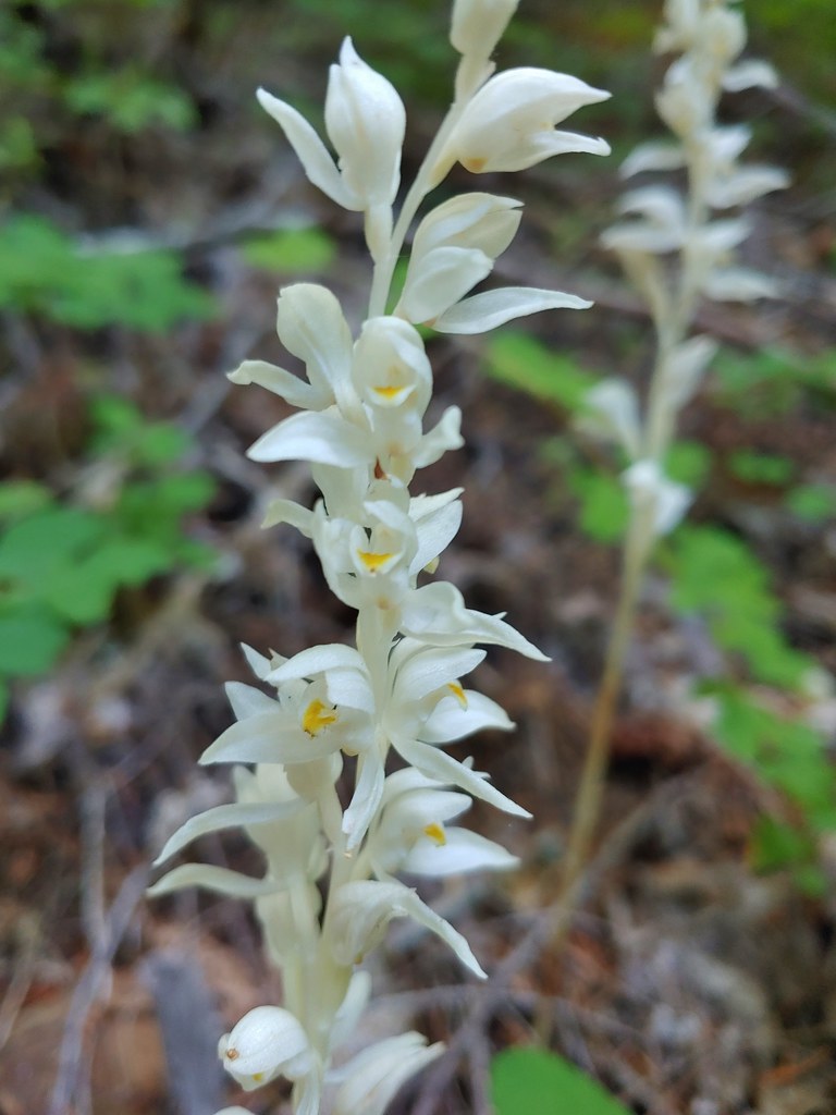
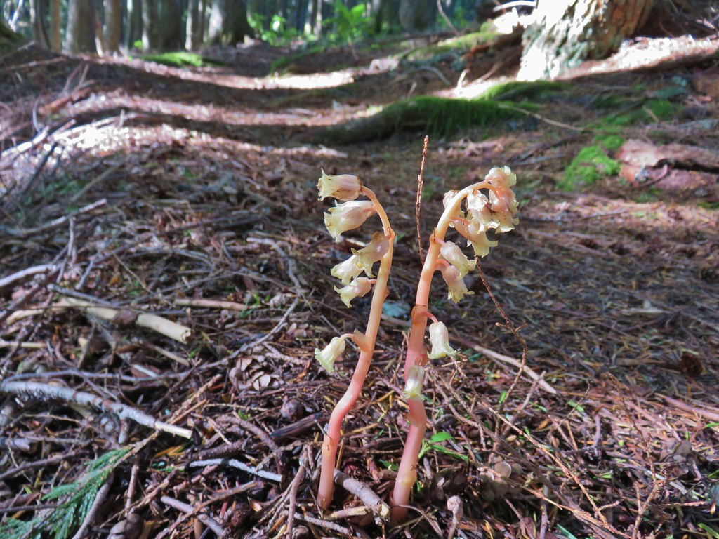
 One of the phantom orchids to the right of the trail.
 A rare level section of trail.
 There were thimbleberry bushes along the roads/trails all day long.
 Bumble bee working on some clover.
 Penstemon
 A few wildflowers.
 Yarrow
 Popcorn flower and strawberry plants.
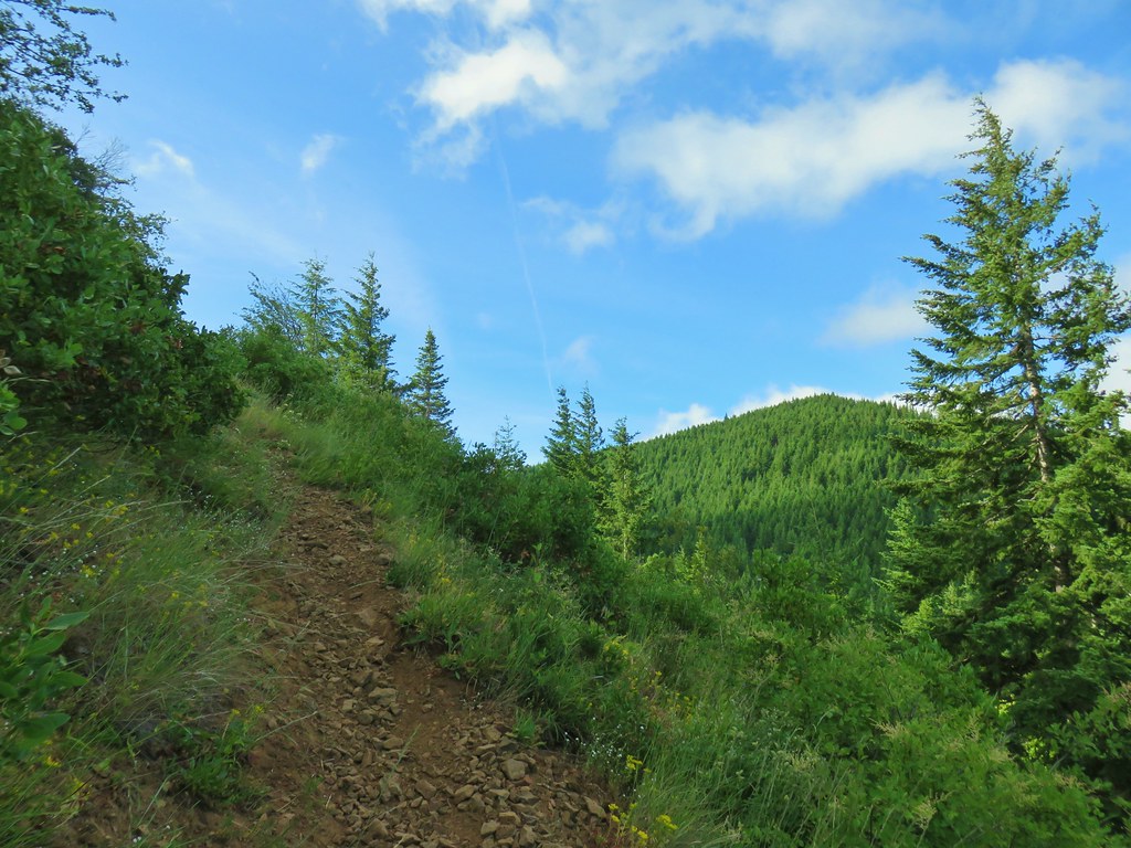 Timberhead Mountain
 Little Huckleberry Mountain
 Nightblooming false bindweed
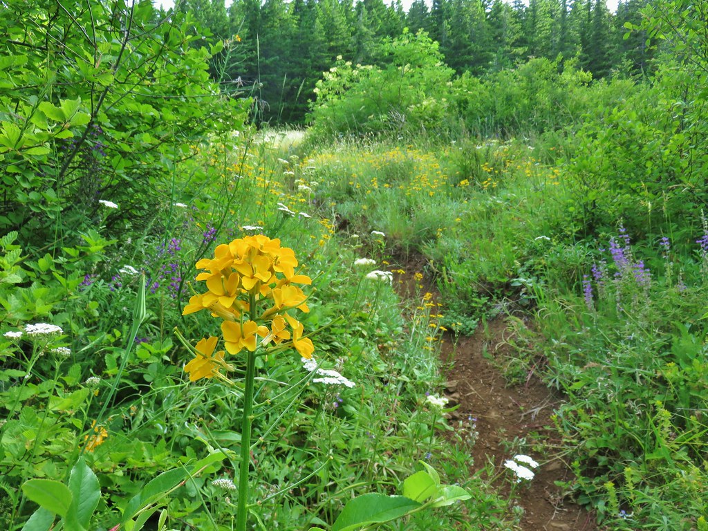 Wallflower
 Tall buckwheat
 Closer look at the tall buckwheat.
 Oregon sunshine
 Yarrow, lupine and penstemon
 Many of the signs along the route were no longer in the ground so it was important to make sure they really were pointing in the correct directions.
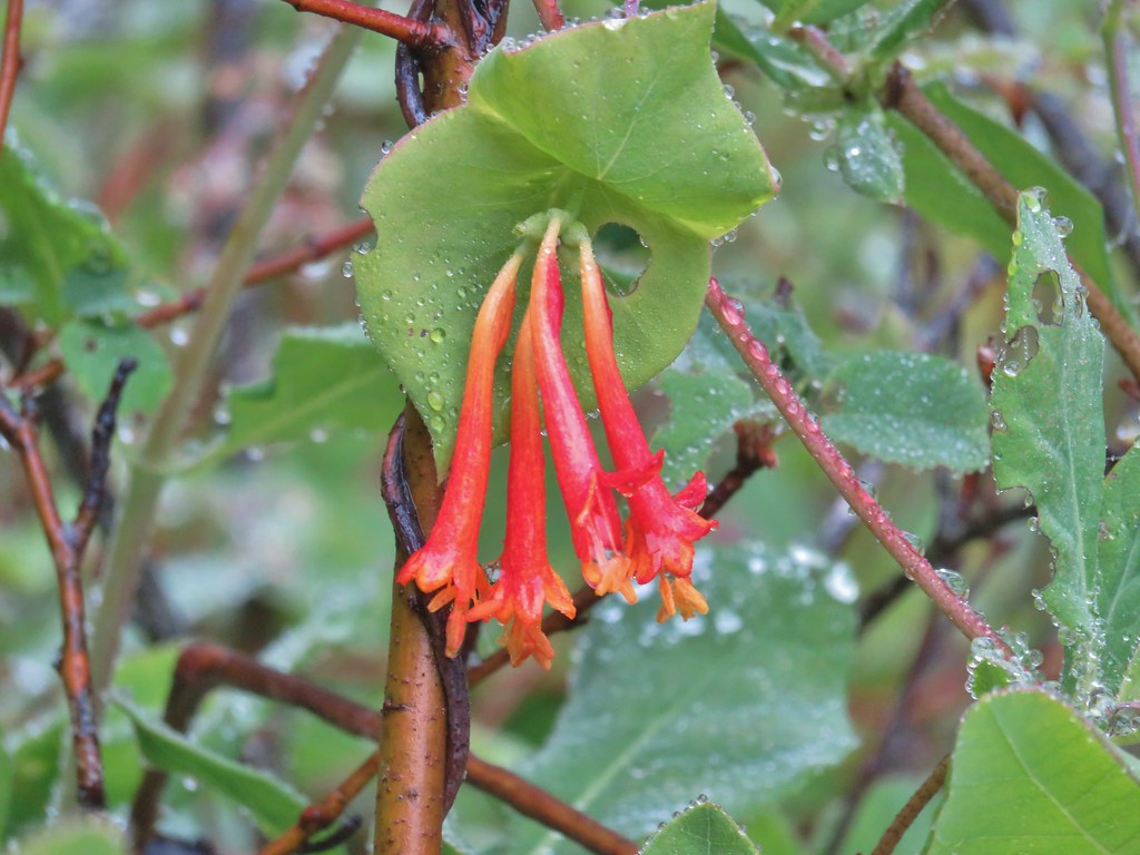
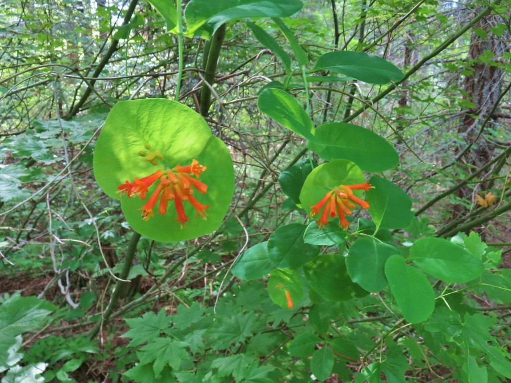 Honeysuckle

 A few trees that were spared.
 Bunchberry
 Footbridge over Buck Creek.
 Salsify
 Streambank globemallow
 Silverleaf phacelia
 Logging road crossing.
 Starting the descent.
 Entering the meadow.
 Pollinator on wallflower
 Bee heading for some penstemon.
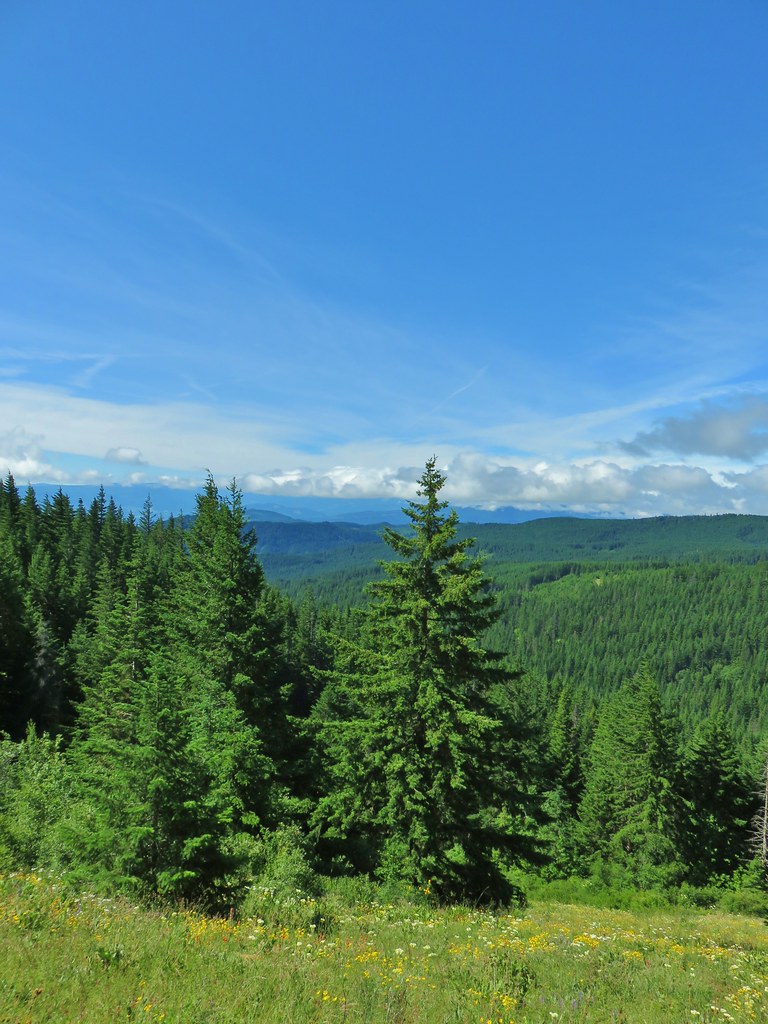 Clouds to the south.
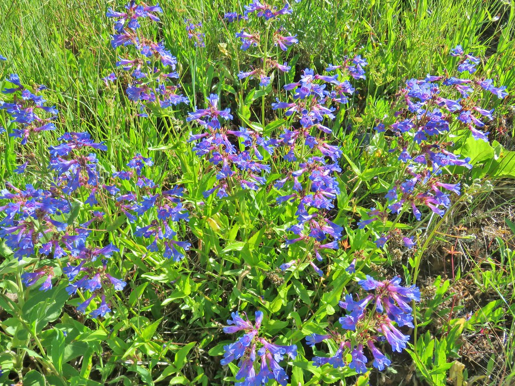 Penstemon

 Lots of Oregon sunshine again.
 Taper tip onions
 Warning for mountain bikers going down the trail.
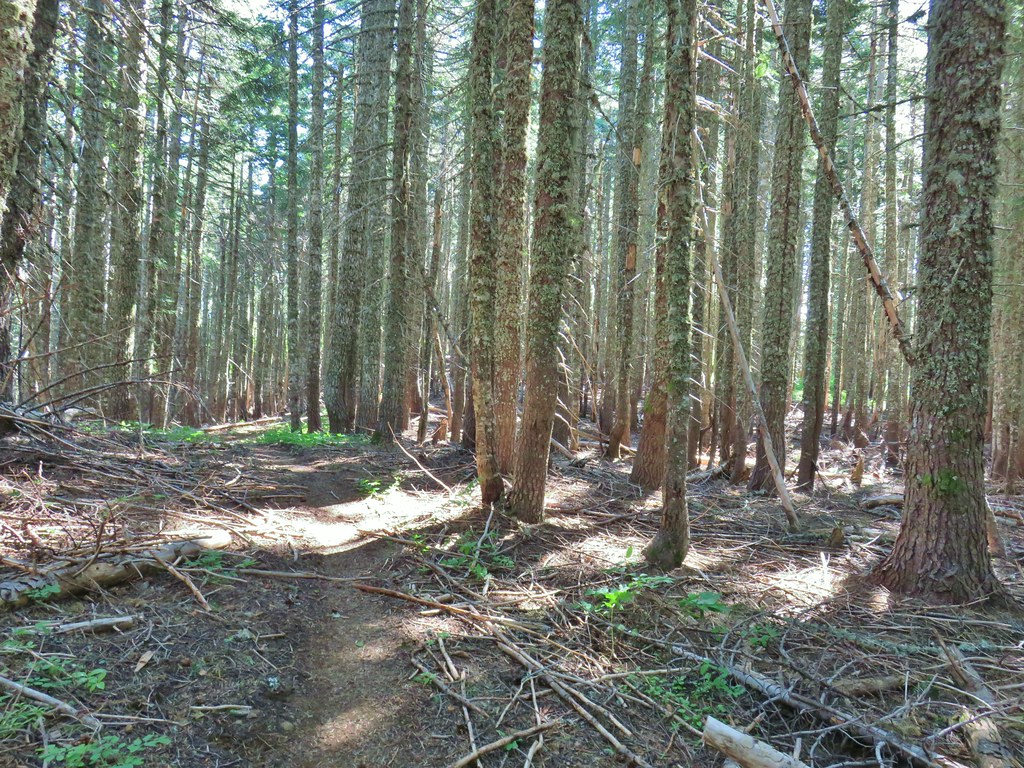


 Balsamroot
 Ladybug on a flower.
 Cat’s ear lily
 Lupine
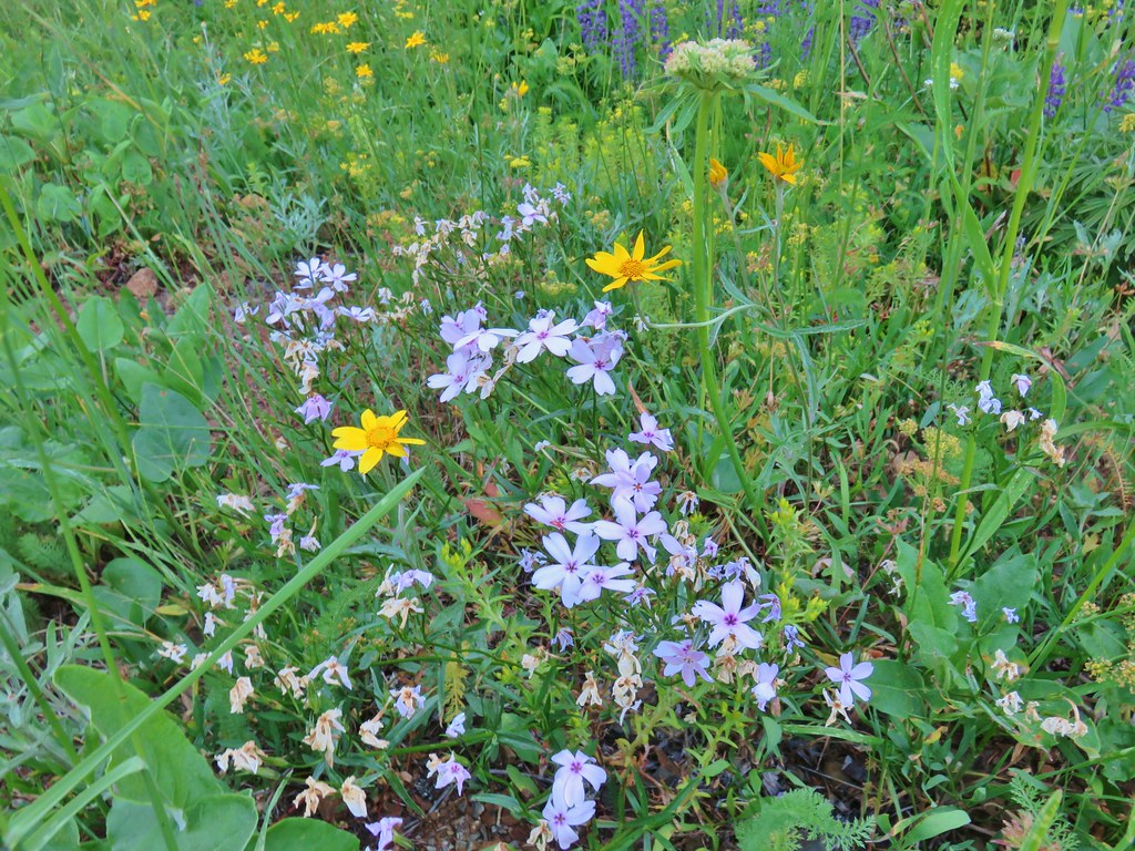 Phlox and Oregon sunshine
 Buckwheat
 Paintbrush
 Sunflowers
 Grouse in the flowers.
 Columbine
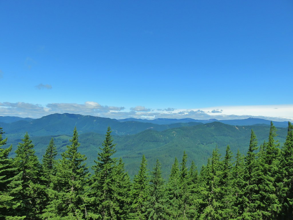 Little Huckleberry Mountain to the left and Lemi Rock to the right.
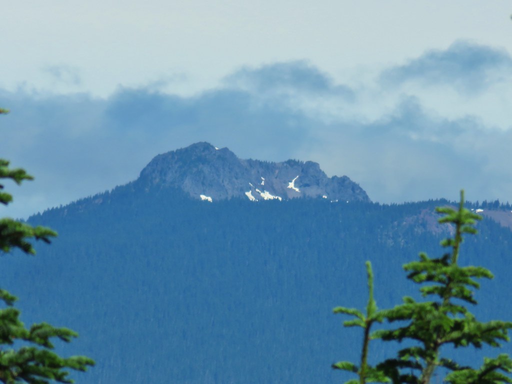 Lemi Rock in the Indian Heaven Wilderness
 Looking SE into Eastern Oregon.


 Starting the drop.
 There were huge amounts of Arnica in the forest.
 Monte Cristo from the trail as we dropped….further, and further.
 FR 1840-100.
 Shiny beetles

 A “switchback” turning directly uphill.
 Sunflowers at the edge of the meadow.
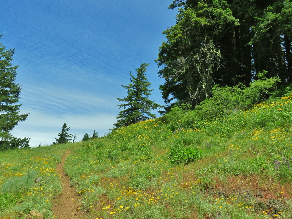 Approaching the meadow.
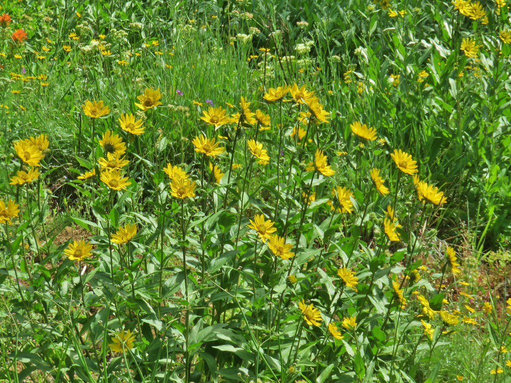 Sunflowers
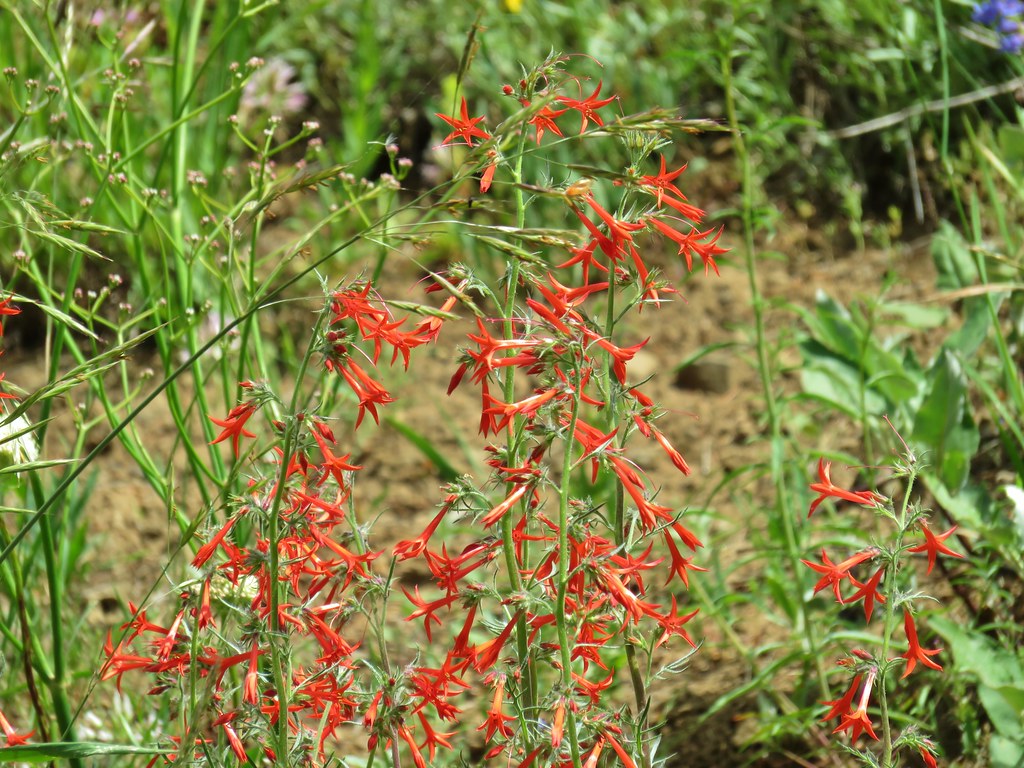 Scarlet gilia


 Pussytoes
 White-stemmed frasera
 Phlox
Phlox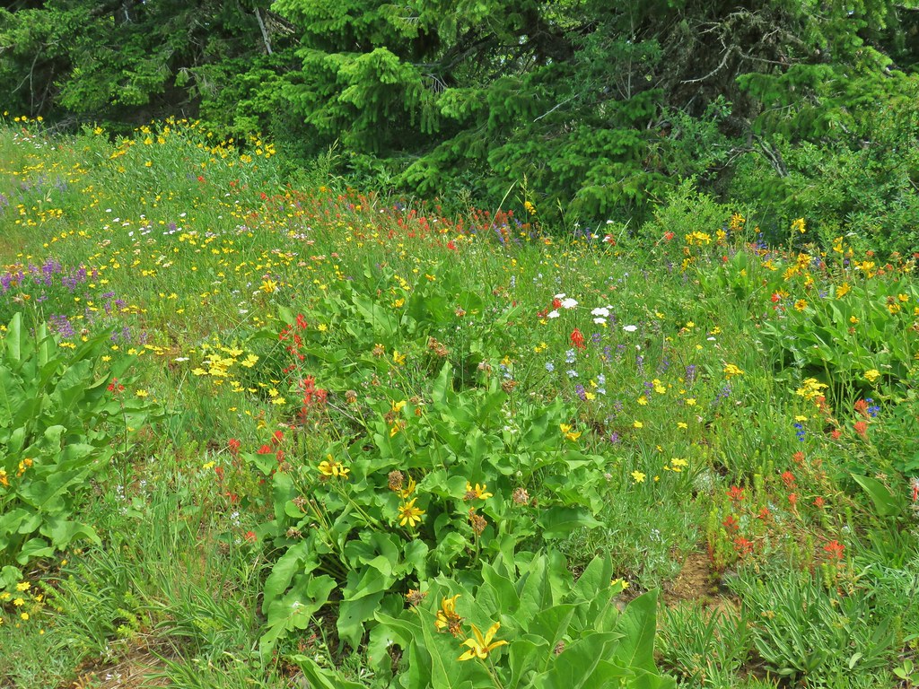
 Taper tip onions
 White-stemmed frasera
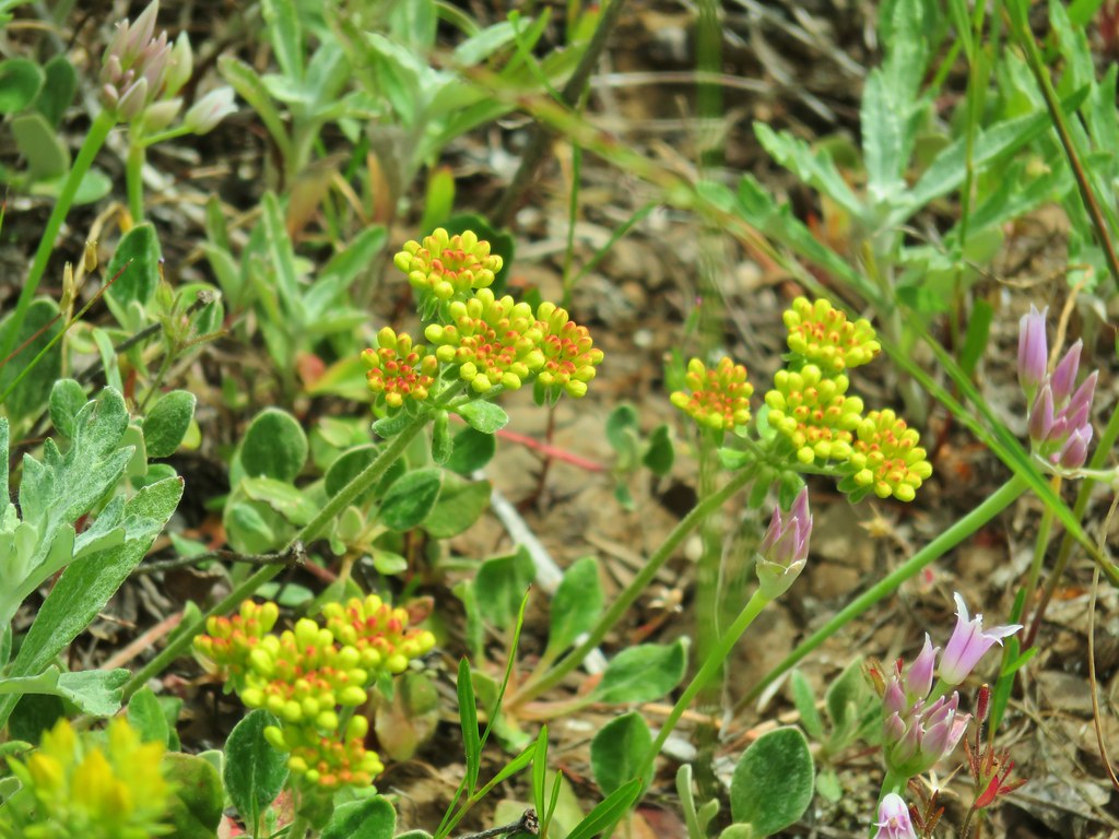
 Wallflower and paintbrush
 A white lupine
 Paintbrush and phlox
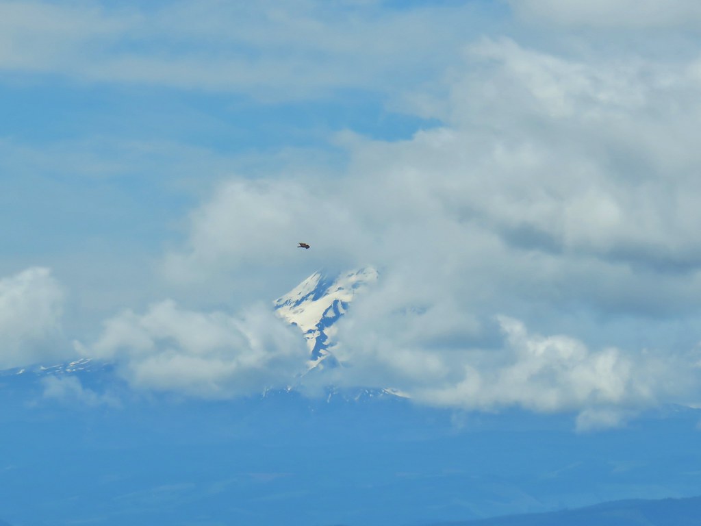

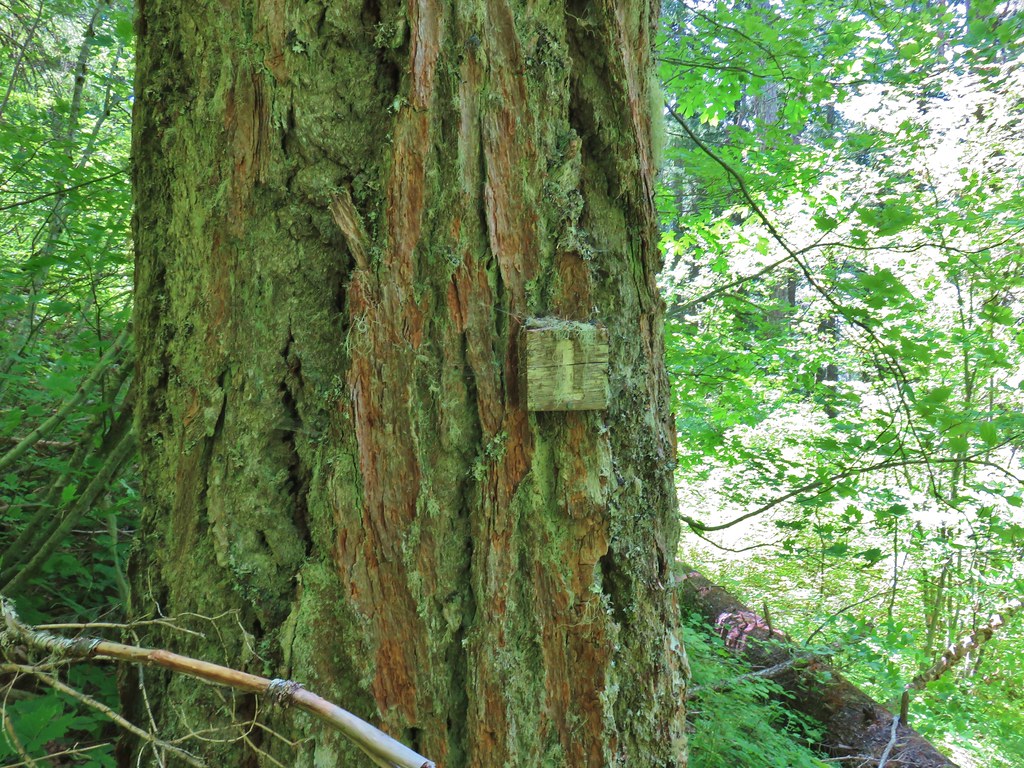 Presumably letting you know that you’re a mile from the road. (It could also be that this tree is “Number 1”.)
 Twinflower in the forest.
 Our first blooming prince’s pine of the year.
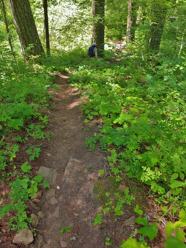 Not nearly the steepest section.
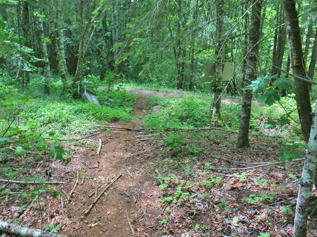 FR 18 finally!
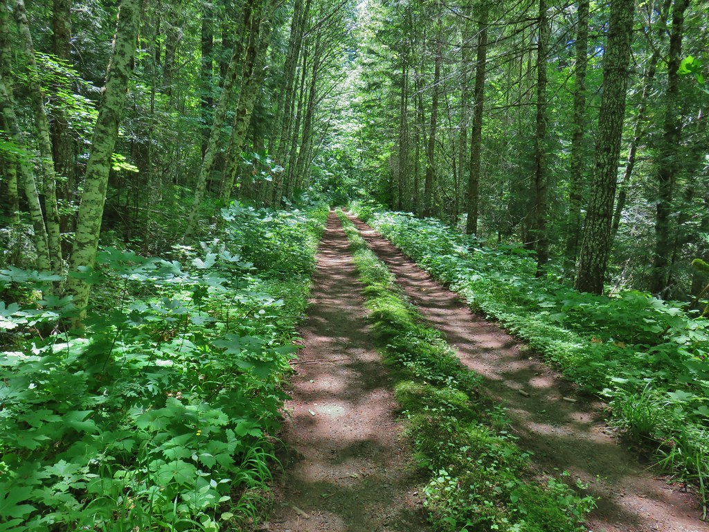


 A second signboard just up the trail from the trailhead.
 Wet leaves around an iris.

 Rhododendron
 Coralroot
 The small wildflower meadow.
 Paintbrush, Oregon sunshine, and plectritis
 Sub-alpine mariposa lily
 Death camas
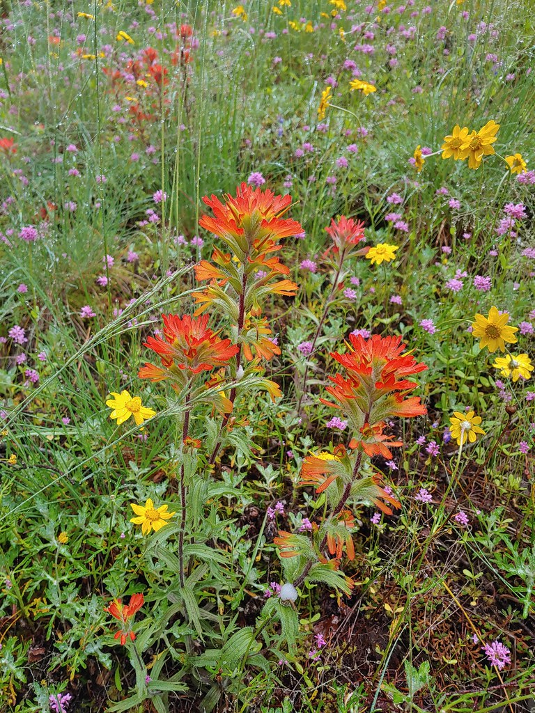 Paintbrush
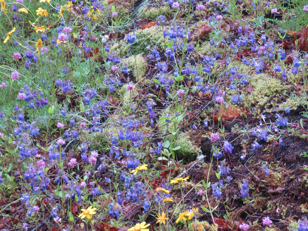 Blue-eyed Mary
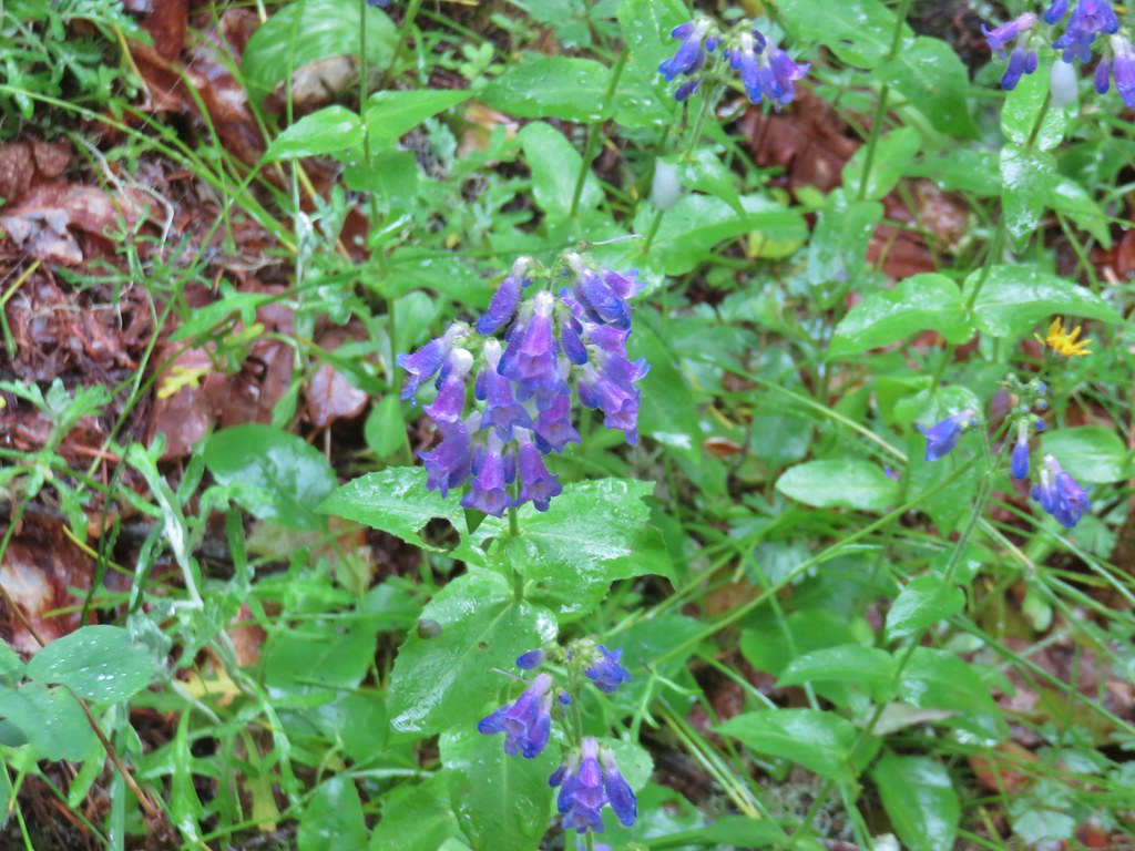 A penstemon
 Balsamroot at the edge of the meadow.
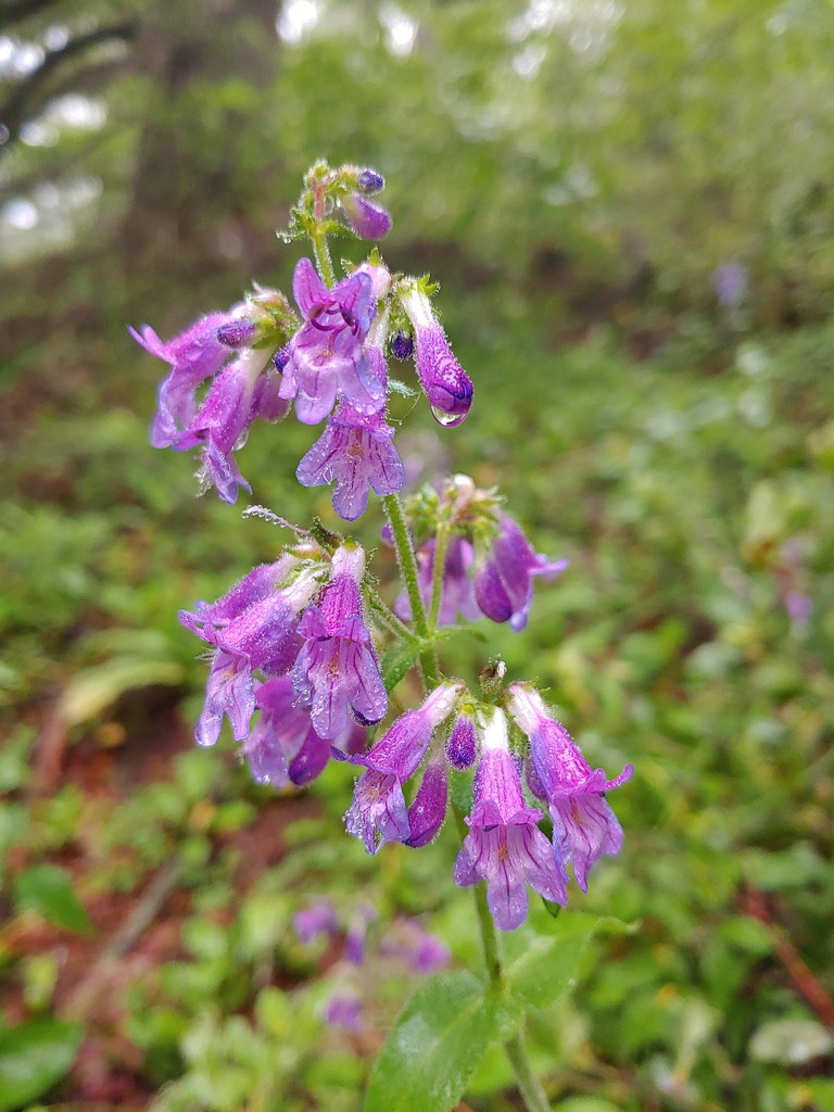 Penstemon
 Larger meadow
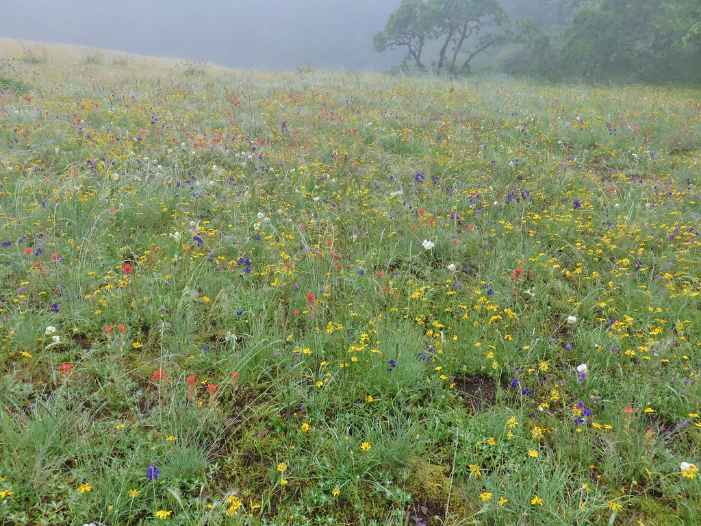
 Honeysuckle
 Larkspur amid the paintbrush and Oregon sunshine
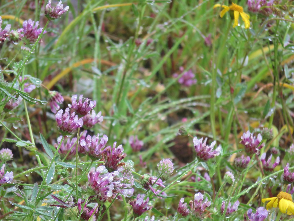 Tomcat clover
 Possibly a milk-vetch or some sort of vetch.
 Image Creek Trail and the High Ridge Trail.
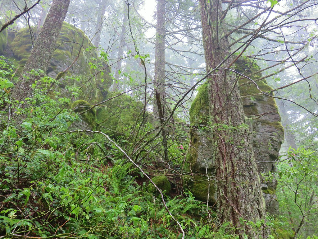 One of the sets of rocks along the way.
 In the middle of one of the climbs.
 The trail leveling off a bit.
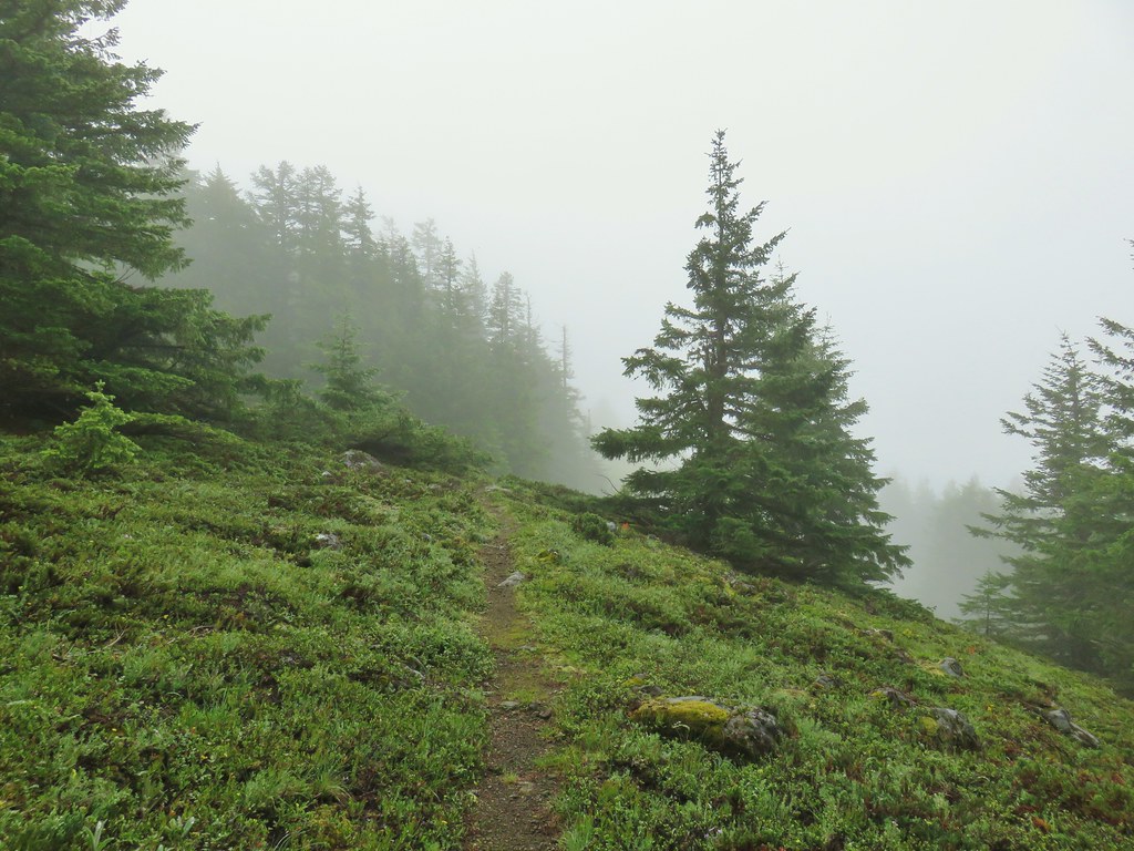
 Oregon sunshine
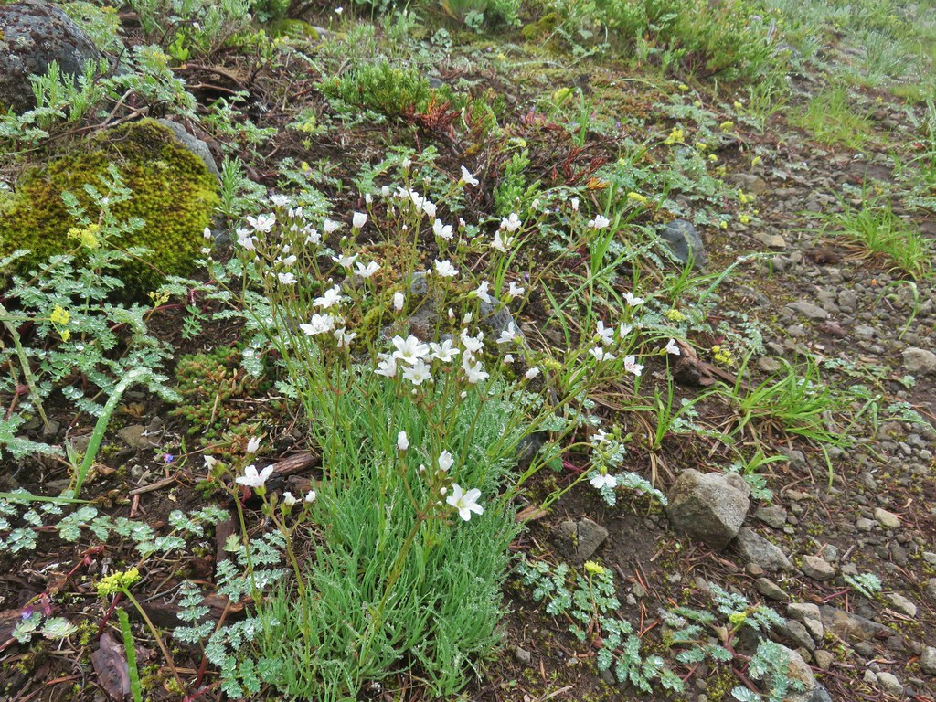 Mountain sandwort
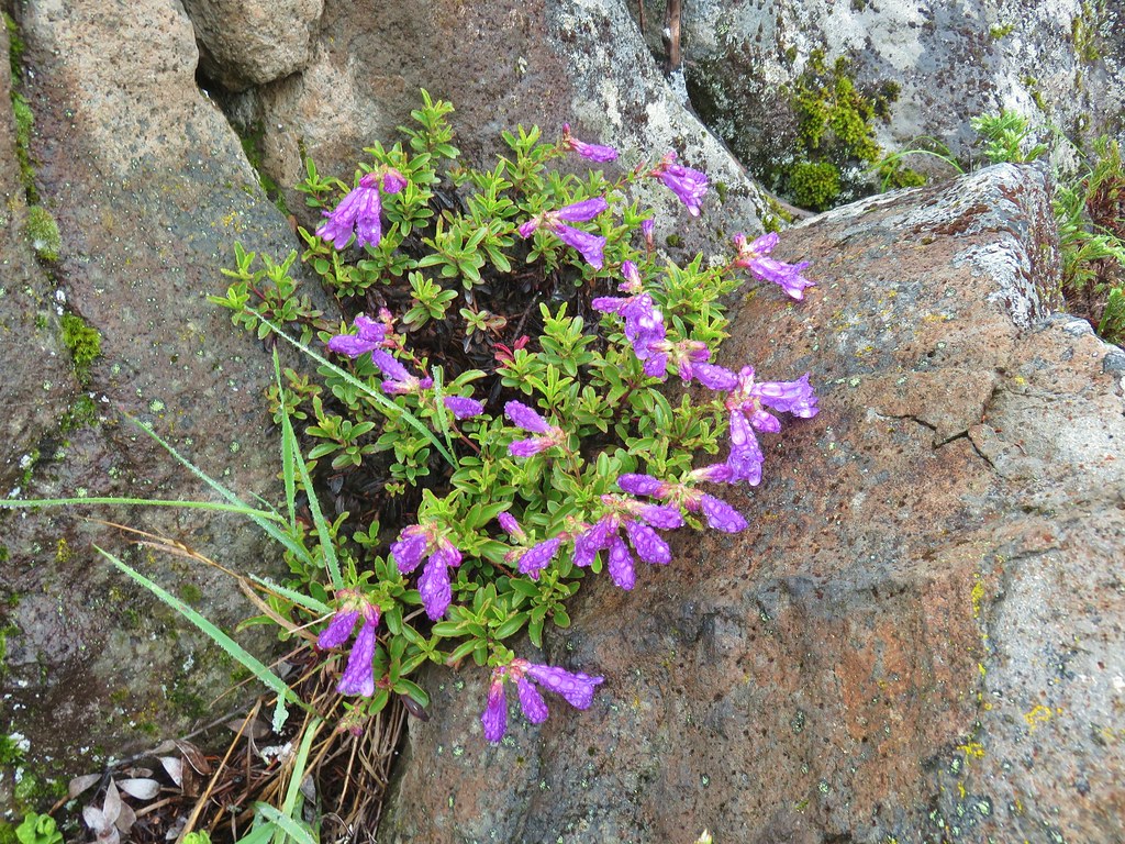 Penstemon
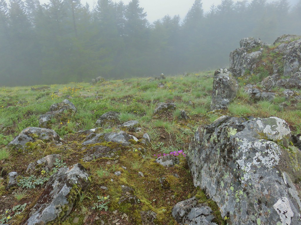
 Olympic onion
 Back in the trees.
 Fawn lilies
 The next little meadow.
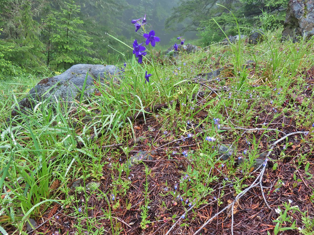 Larkspur and blue-eyed Mary
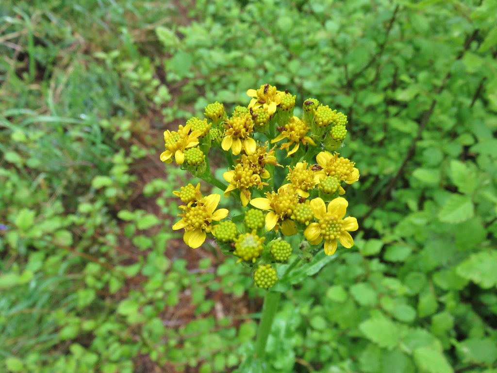 Groundsel
 Trees again.
 Another meadow
 Phlox
Phlox Phlox
Phlox Chickweed
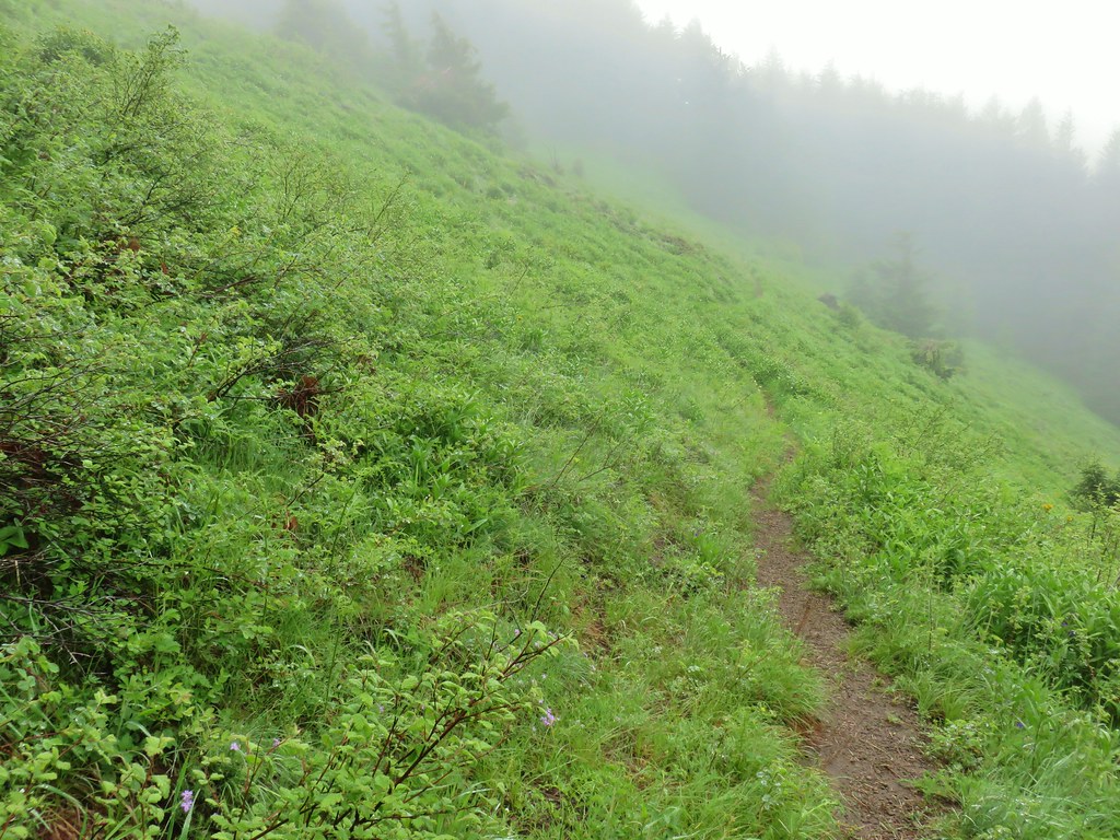

 Larkspur
 Lupine
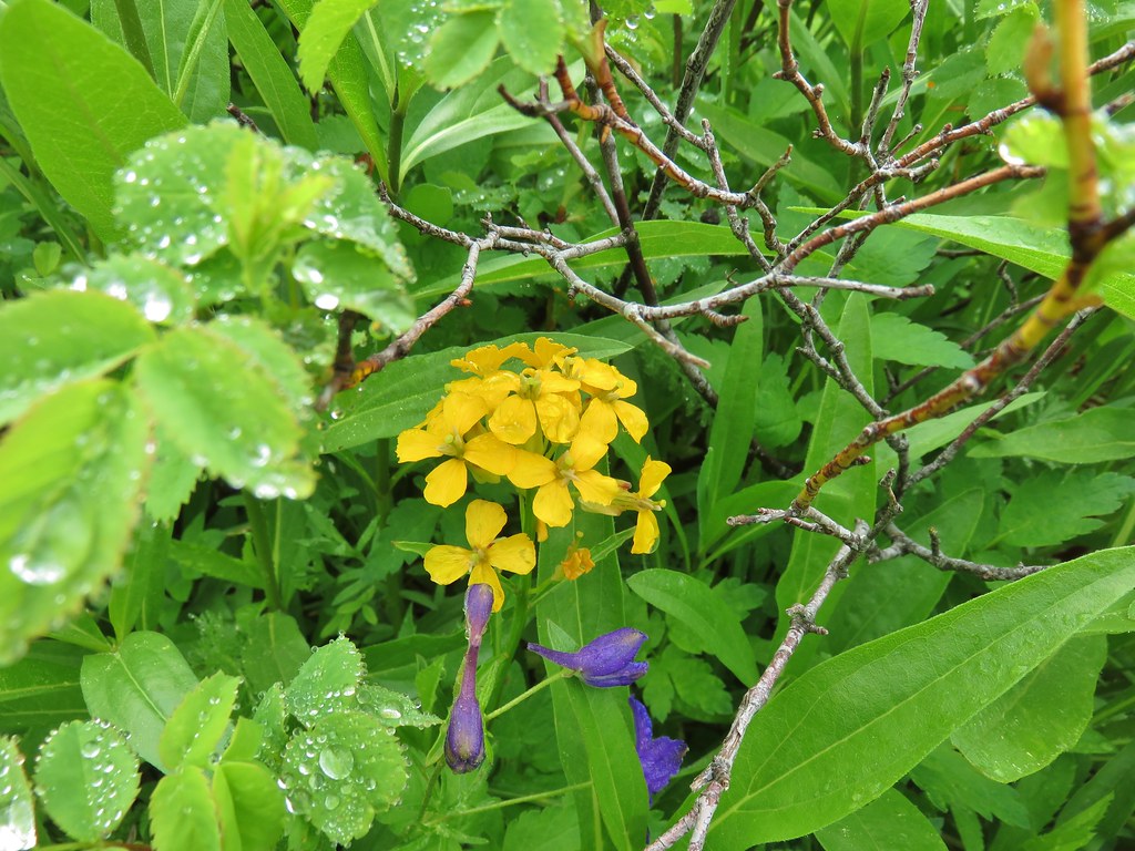 Wallflower
 Paintbrush
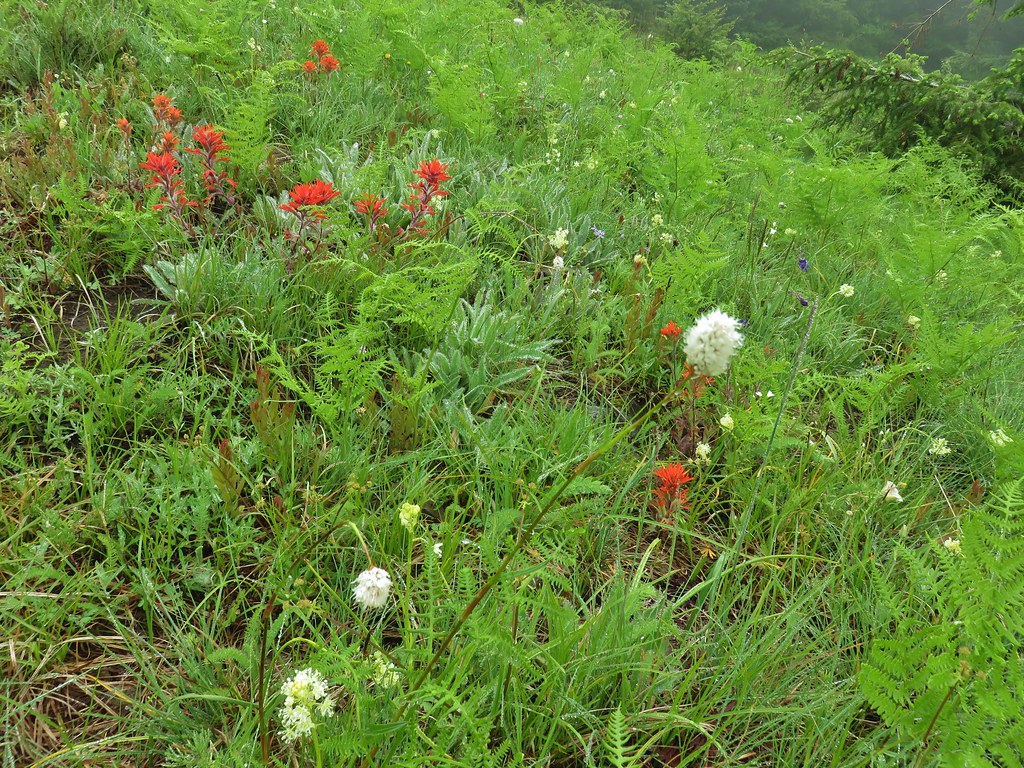 Bistort
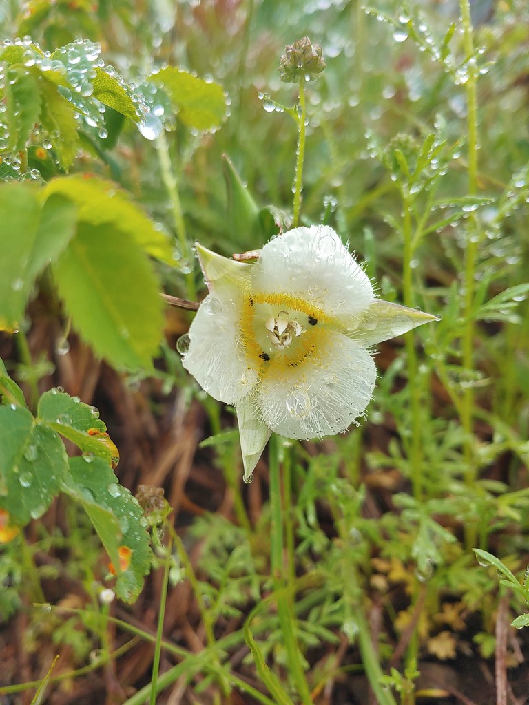 Sub-alpine mariposa lily


 For comparison.
 Sticky cinquefoil
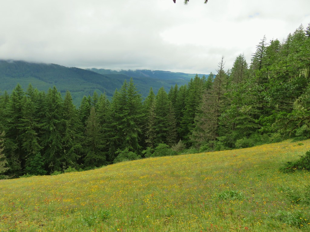


 Plectritis and Oregon sunshine
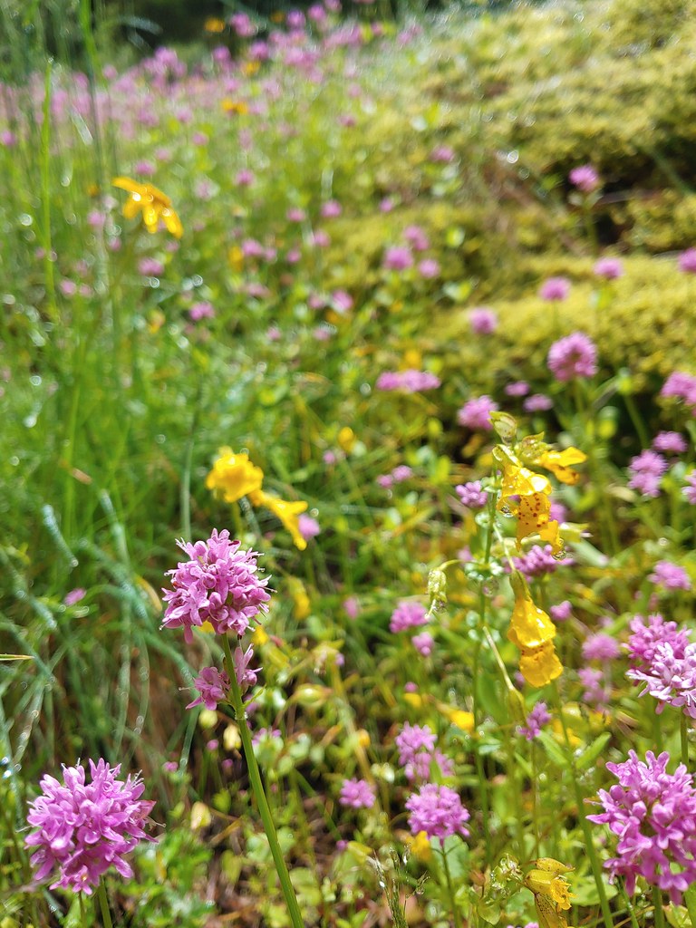 A monkeyflower by some plectritis.

 Iris along the trail.

 I didn’t see the beetle until I was uploading this photo.
 Where’s the western tanager.


 Paintbrush
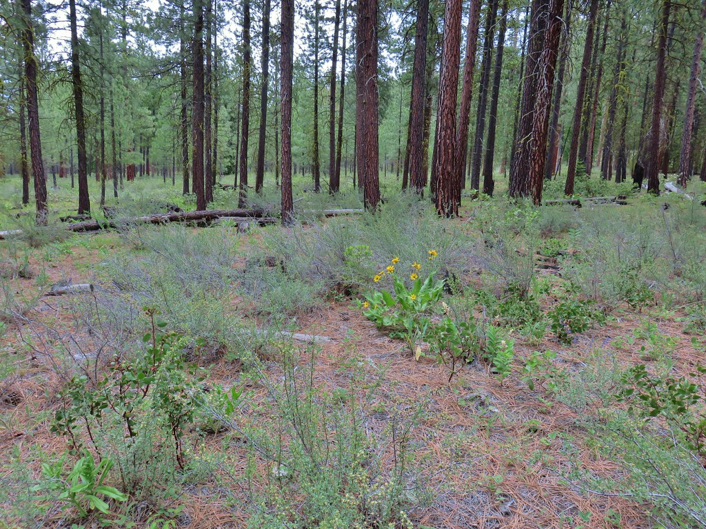 Balsamroot
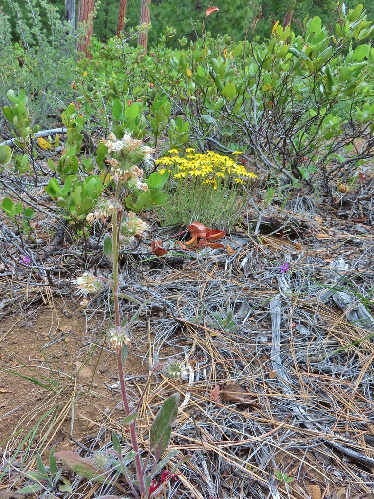 A phacelia, Oregon sunshine, and a little pink diamond clarkia.
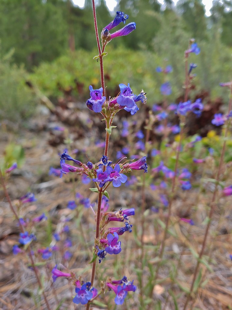 A penstemon
 Washington lily
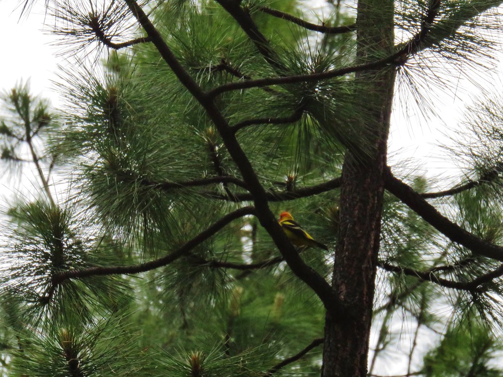 I couldn’t get a good shot of this western tanager but he was really colorful.
 Buckwheat
 Bird with breakfast
 Three Fingered Jack
 Pinedrops


 South Cinder Peak (
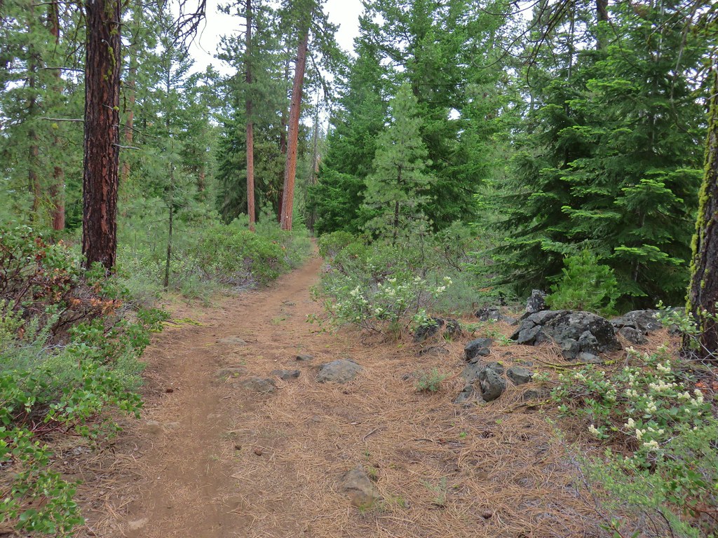


 Lupine
 Columbine
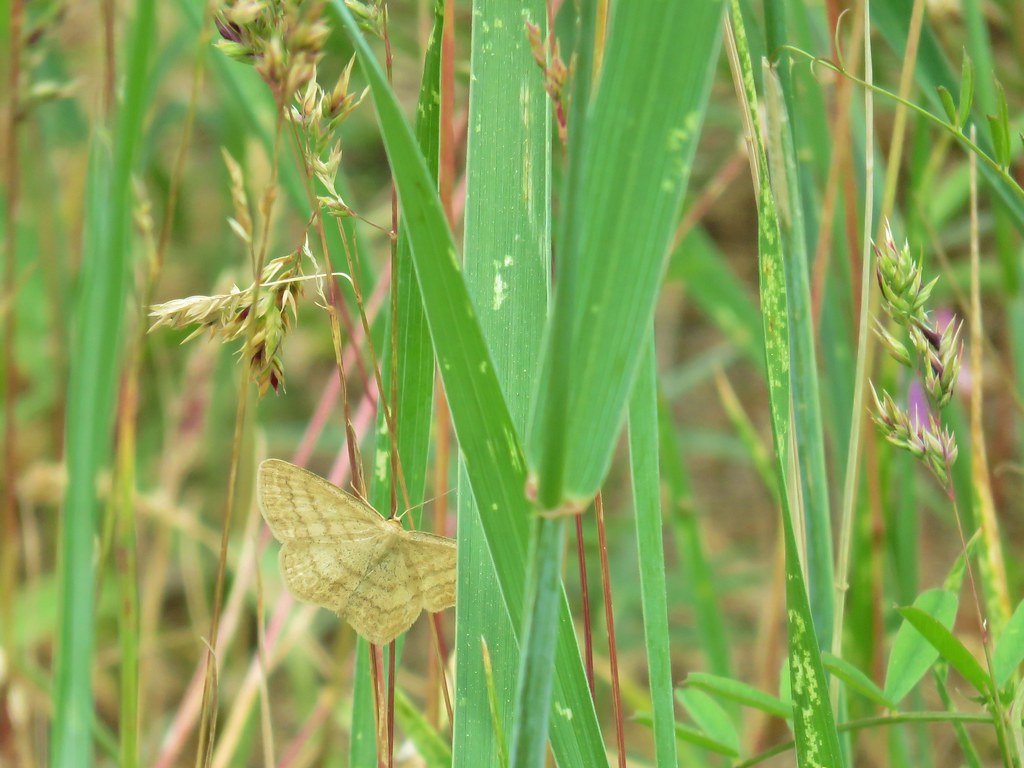 A moth but not a Pandora moth. 🙂
 Sticky cinquefoil
 Salsify
 Tortoiseshell butterfly
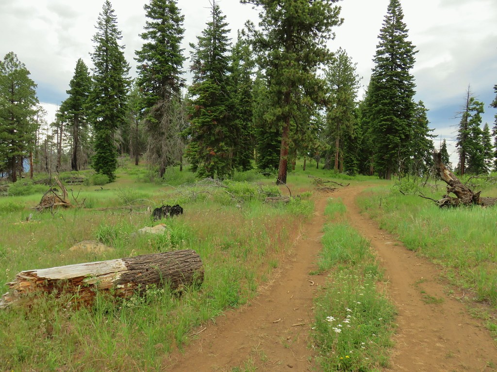

 Black Butte and the North Sister
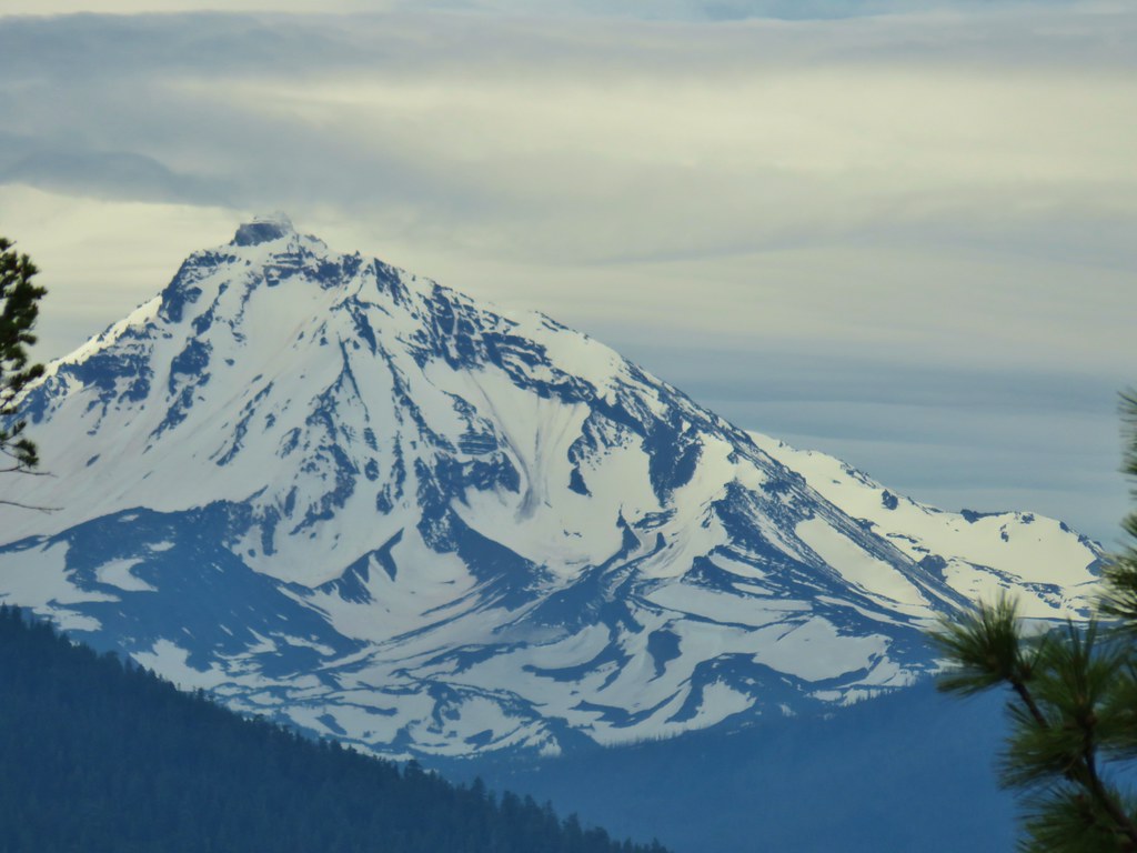 North Sister
 Three Fingered Jack
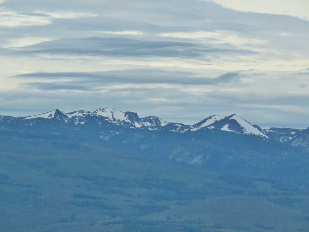 North Cinder Peak and Forked Butte (
 Mt. Jefferson
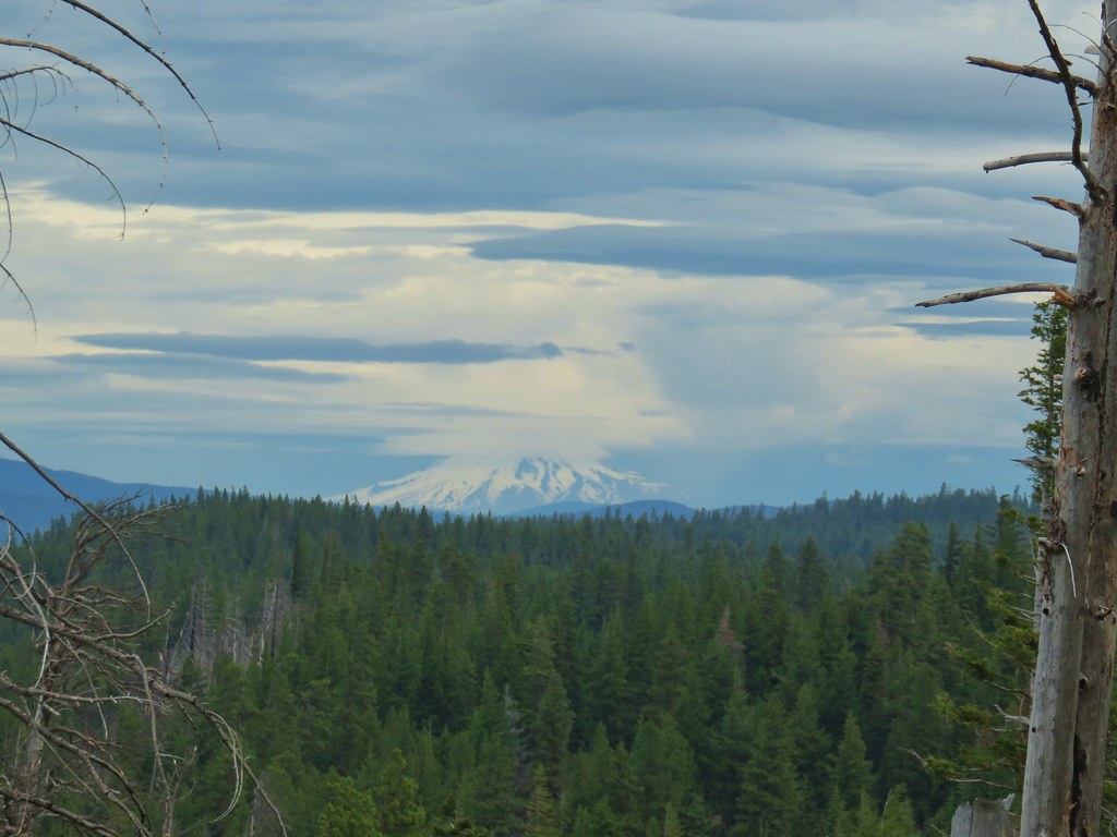 Mt. Hood

 Buckwheat in the center.
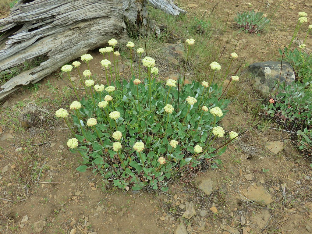

 Balsamroot near the trees.


 A sliver of blue sky over Black Butte and Mt. Washington.
 Mt. Washington
 Three Fingered Jack with some blue sky.


 The wheelchair friendly path.
 The hiker path.
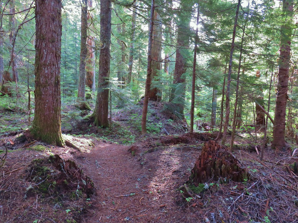 The hiker trail.
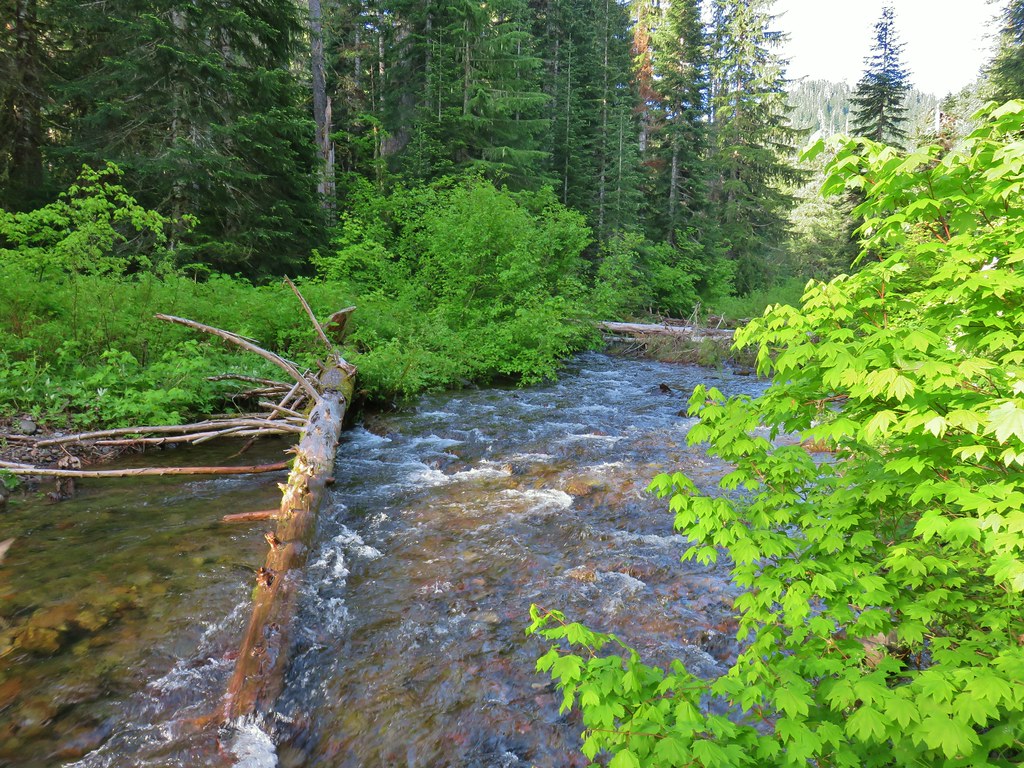
 Western meadowrue
 Mushrooms on a log.
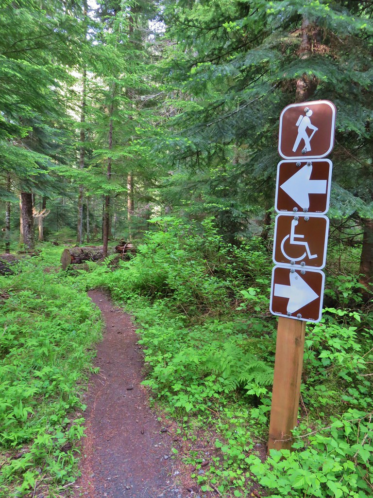
 Echo Basin Trail at FR 055.
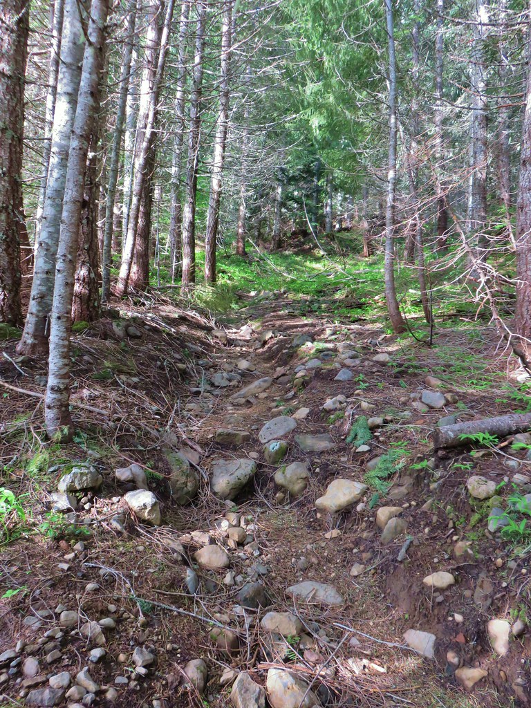 Rocky start to the trail.
 Trillium
 More trillium along the meadow.
 Swallowtail on salmonberry blossoms.
 Start of the loop.
 Orange tip butterfly
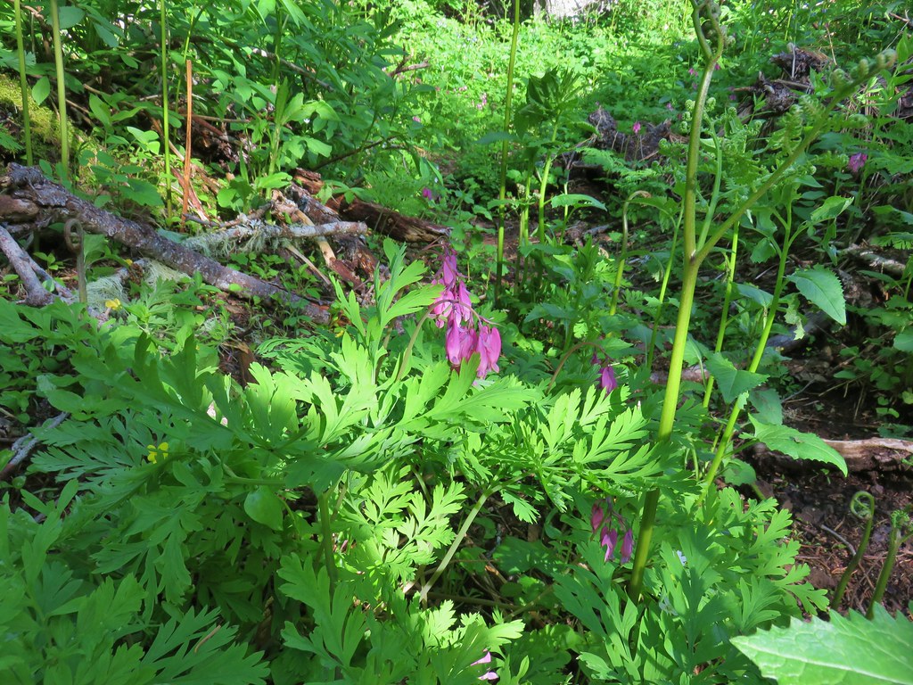 Bleeding heart
 Violets
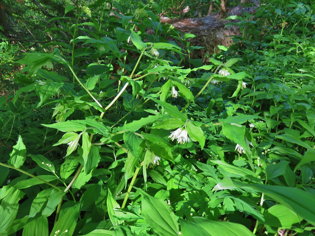 Fairybells
 Royal Jacob’s ladder
 Western meadowrue
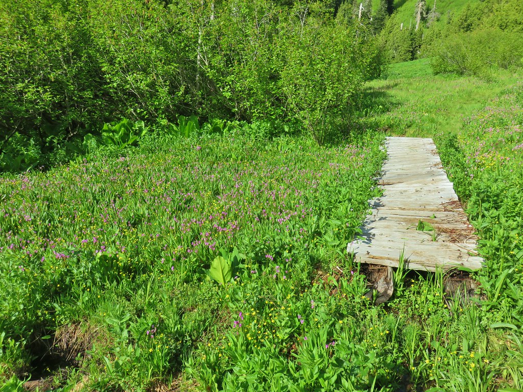


 Paintbrush
 Frog
Frog Looking back at the route through the meadow.
 The trailhead off of FR 2672.

 Iris
Iris Beargrass
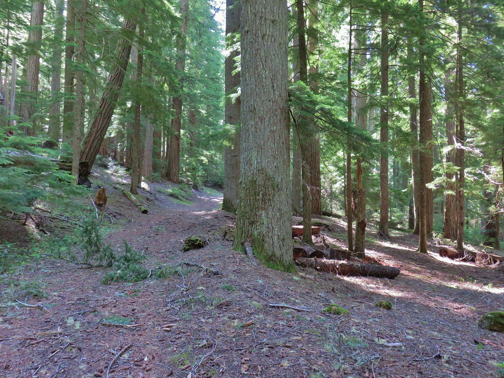 Santiam Wagon Road
 Bunchberry
 Musk monkeyflower
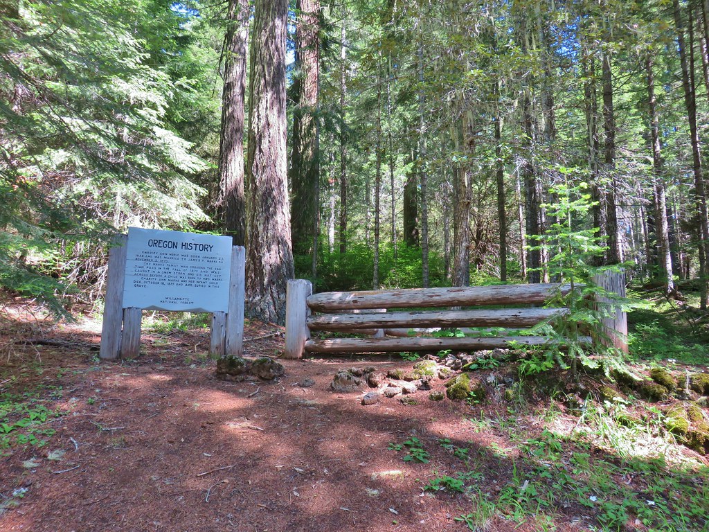

 Hall House
 Commissary Cabin
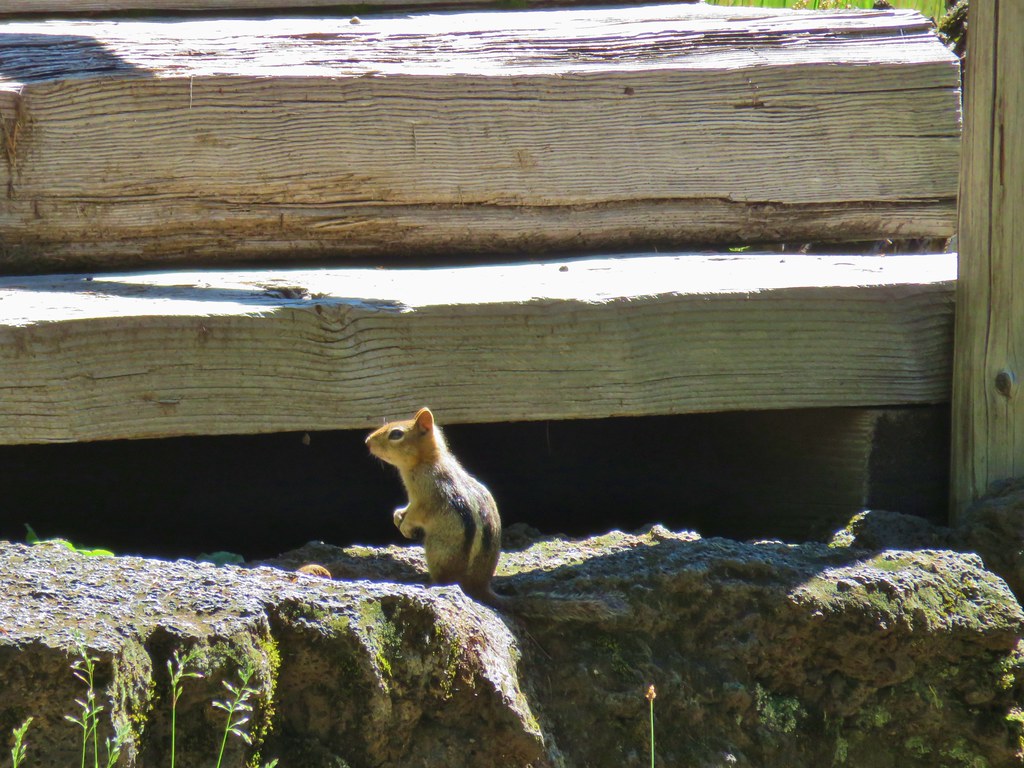 Commissary Cabin innkeeper?
 More from the remount station
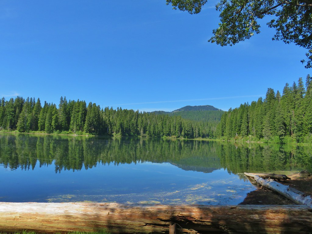 Browder Ridge (
 Interpretive signs for the remount station.


 Bunchberry
 Salmonberry
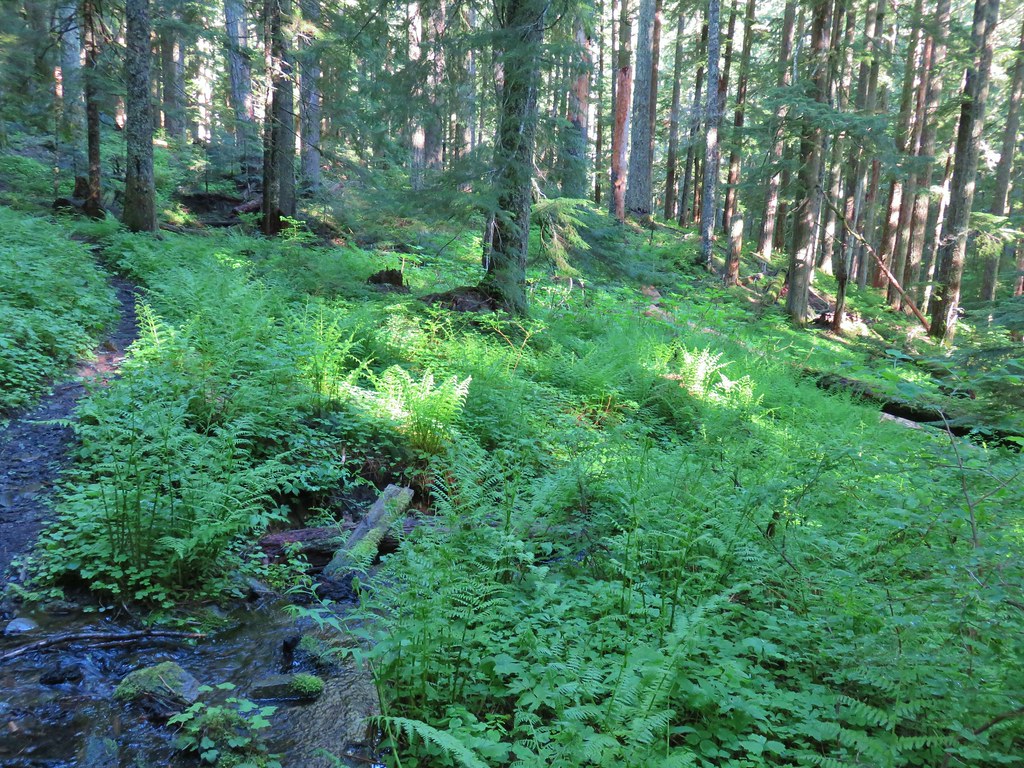 First little stream crossing.
 Another stream crossing, this one with skunk cabbage.
 Memaloose Creek crossing.
 Memaloose Creek above the crossing.
 Skunk cabbage, shooting stars, and marsh marigolds across the lake.


 Typical obstacles for the trail.
 Trillium
 Mt. Rainier, Mt. Adams (with Goat Rocks the snowy patch just to the left), and Mt. Hood
 Mt. Rainier
 Goat Rocks to the left with Mt. Adams
 Mt. St. Helens
 Mt. Hood
 Mt. Jefferson, Three Fingered Jack, Broken Top, Mt. Washington, and the Three Sisters.
 Mt. Jefferson
 Three Fingered Jack
 Broken Top, Mt. Washington, and the Three Sisters


 Red elderberries
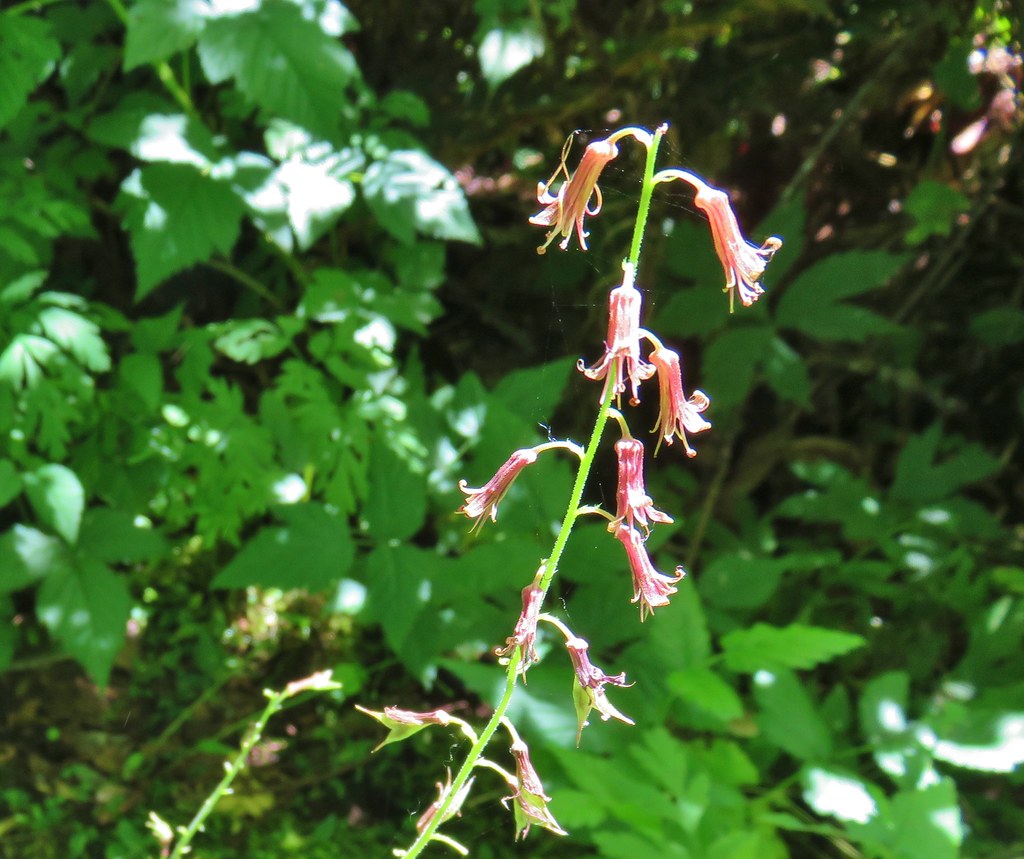 Youth-on-age
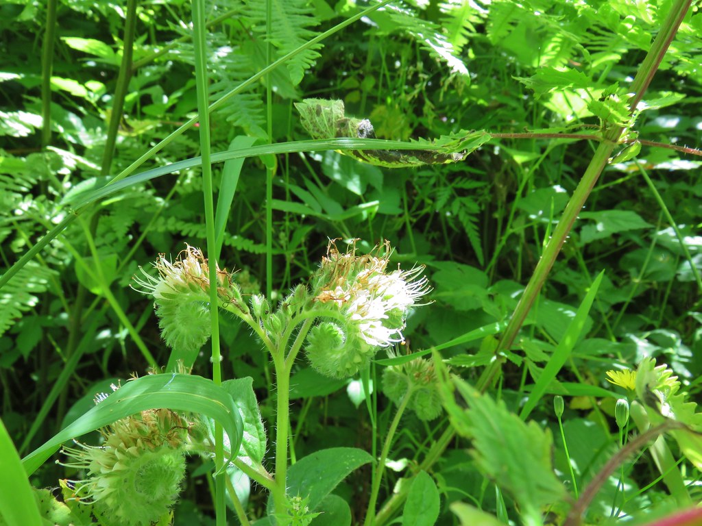 A phacelia
 Hedgenettle
 Tiger lily
 Fringecup


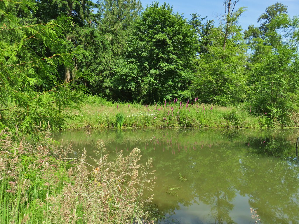
 Dragonfly near the pond.


