After a successful first hike and nice visit with Heather’s parents on the first day of our vacation we left Bend early Sunday morning and headed for Sumpter. To reach Sumpter from Bend we’d need to drive through Prineville and take Highway 26 through the Ochoco Mountains (where the Desolation Fire was burning) and John Day to Highway 7 at Austin Junction then follow that highway 25.2 miles to the Sumpter Valley Highway.
To break up the over 200 mile drive we planned a couple of short hikes along the way starting with Blue Basin in the Sheep Rock Unit of the John Day Fossil Beds National Monument.
This was our third visit to the monument having previously hiked in the Painted Hills and Clarno Units.
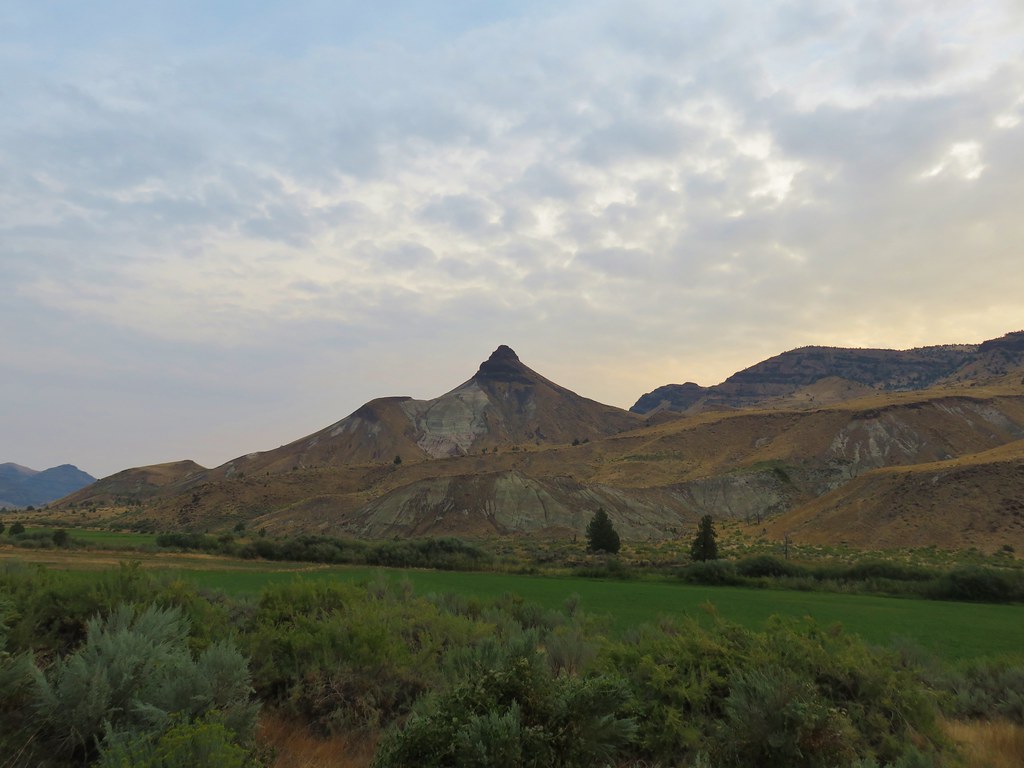
The Sheep Rock Unit is located approximately 30 miles east of Mitchell, OR. To reach the Blue Basin Trialhead we turned north on Highway 19 towards the Thomas Condon Visitors Center. It was too early for the center to be open but we stopped along the way to take in the view of Sheep Rock.
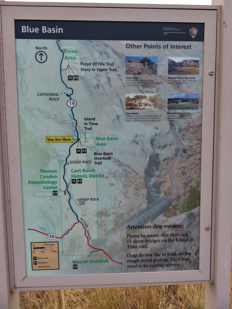
After 5 miles on Highway 19 we turned left into the parking area for the Blue Basin Area.
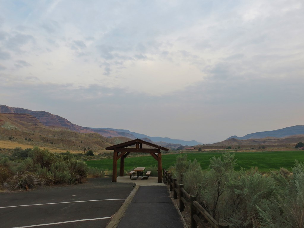
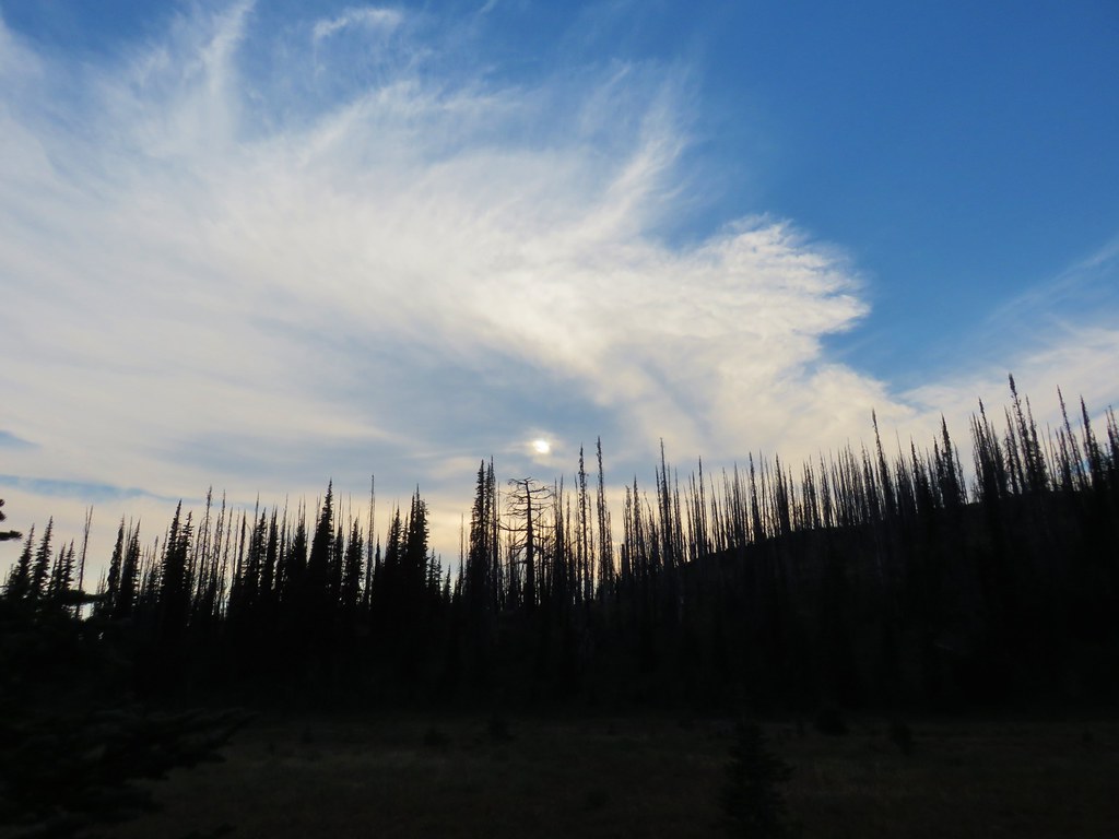
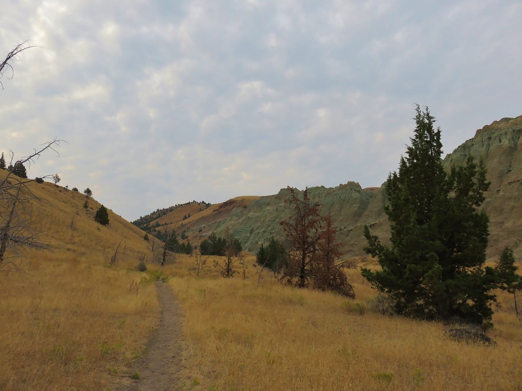
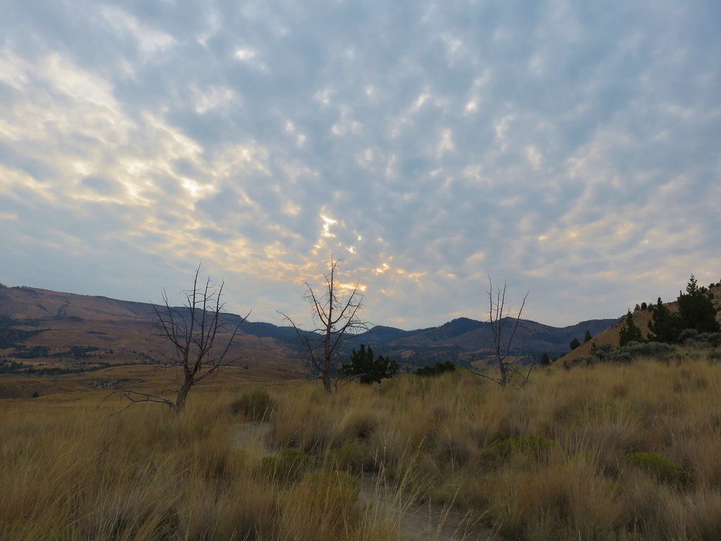
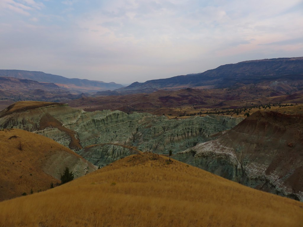
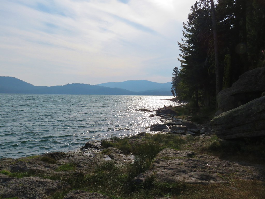
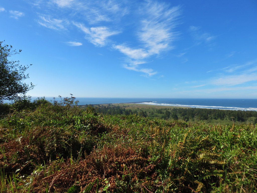
It was a beautiful morning with a few clouds in the sky providing for some dramatic views right off the bat.
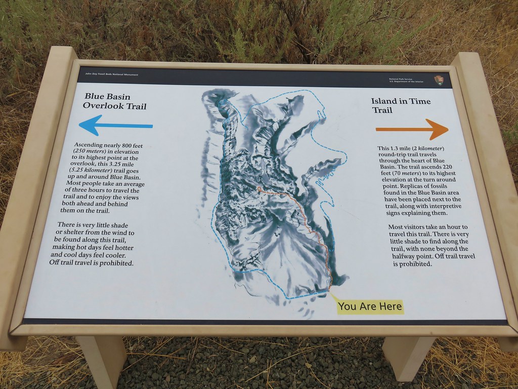
We chose to start our hike with the Blue Basin Overlook Trail.
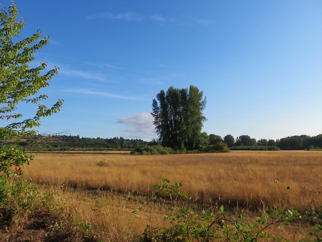
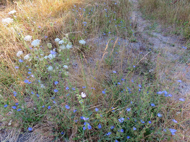
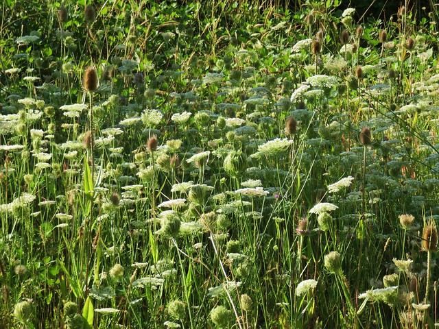
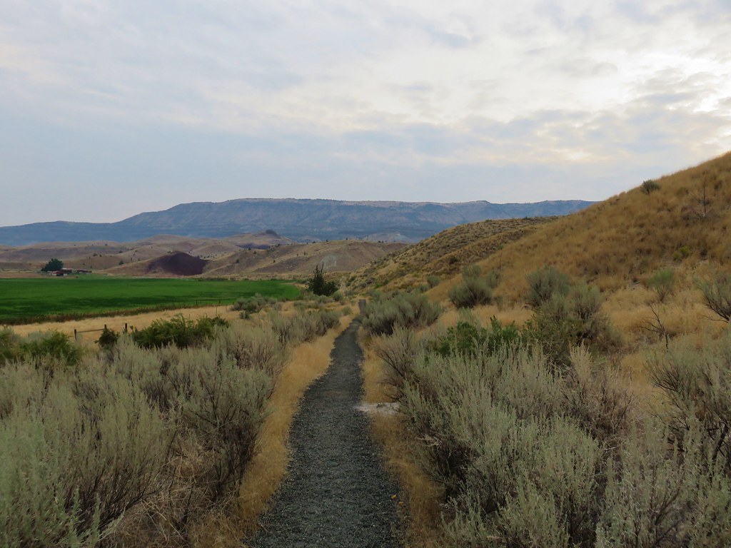
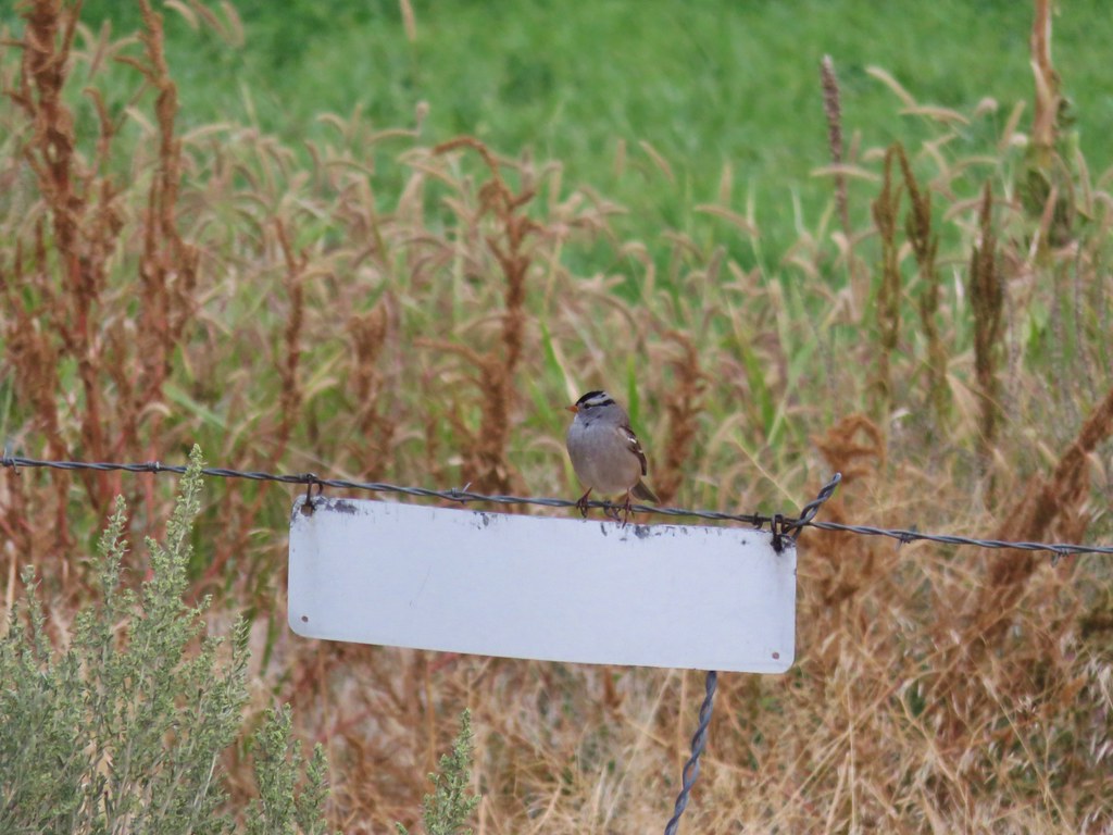
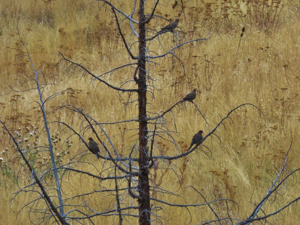
The path passed alongside a field where songbirds were happily enjoying their morning.
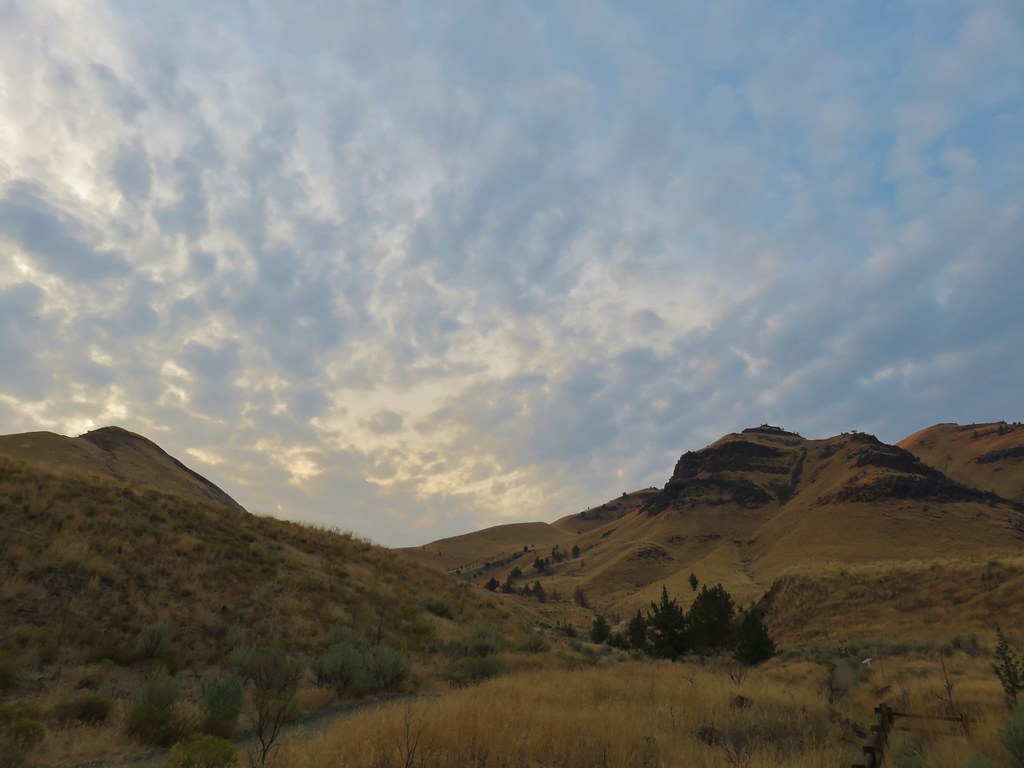
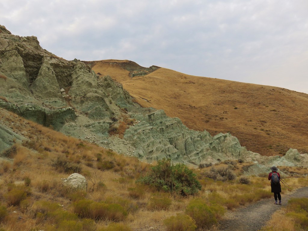
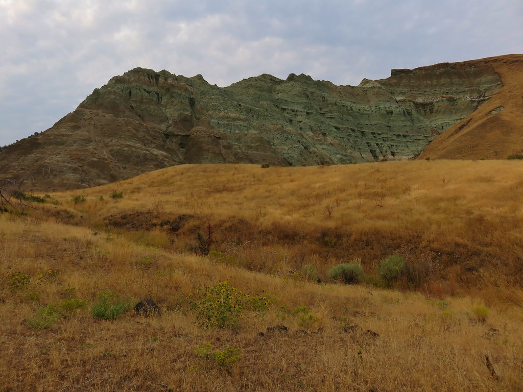
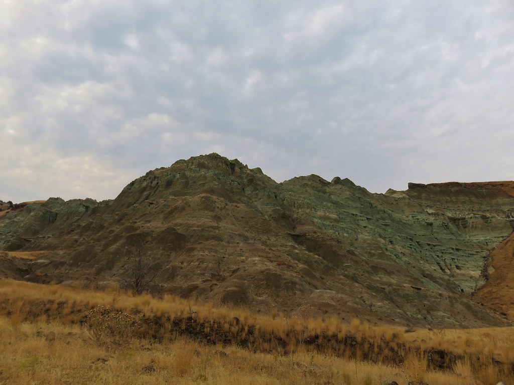
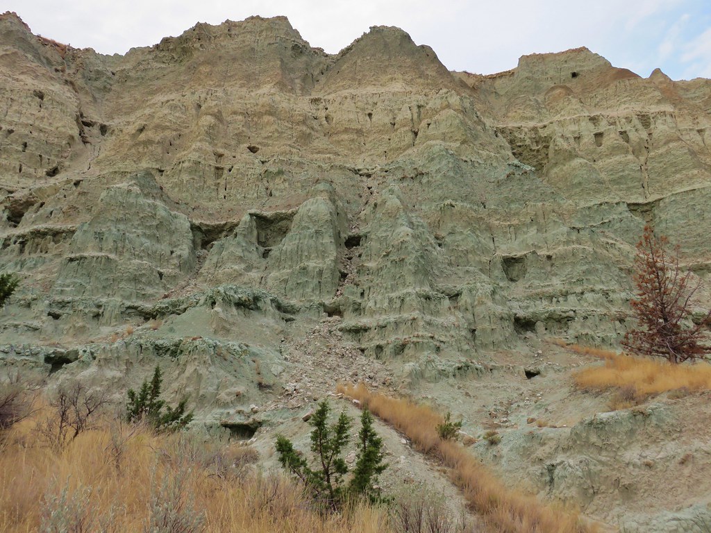
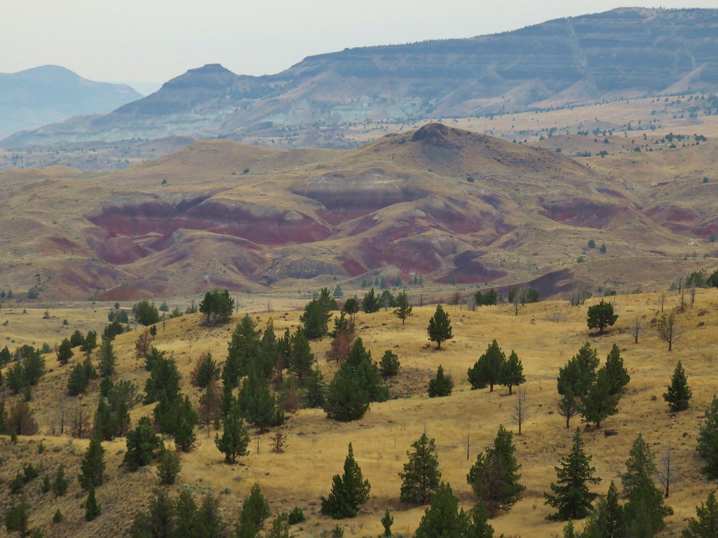
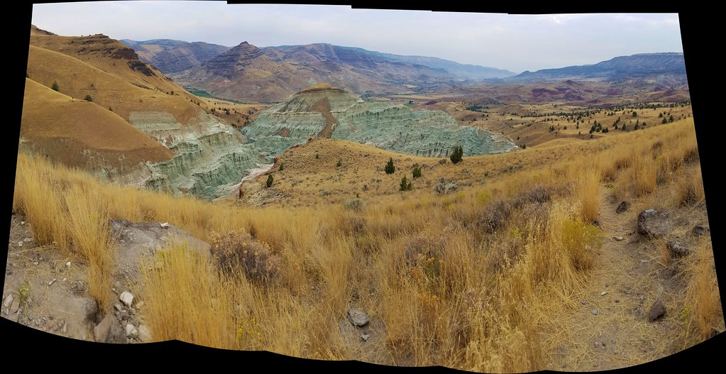
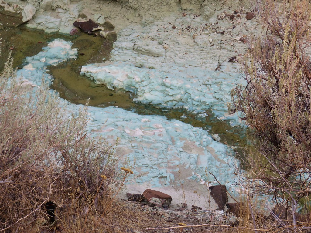
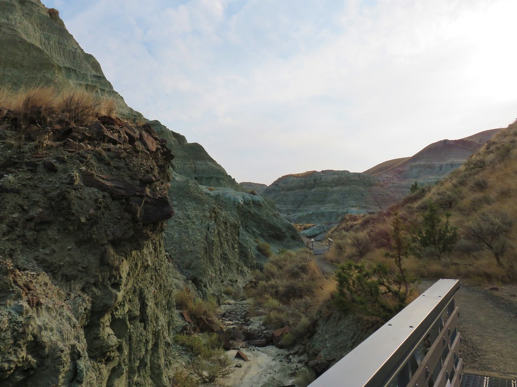
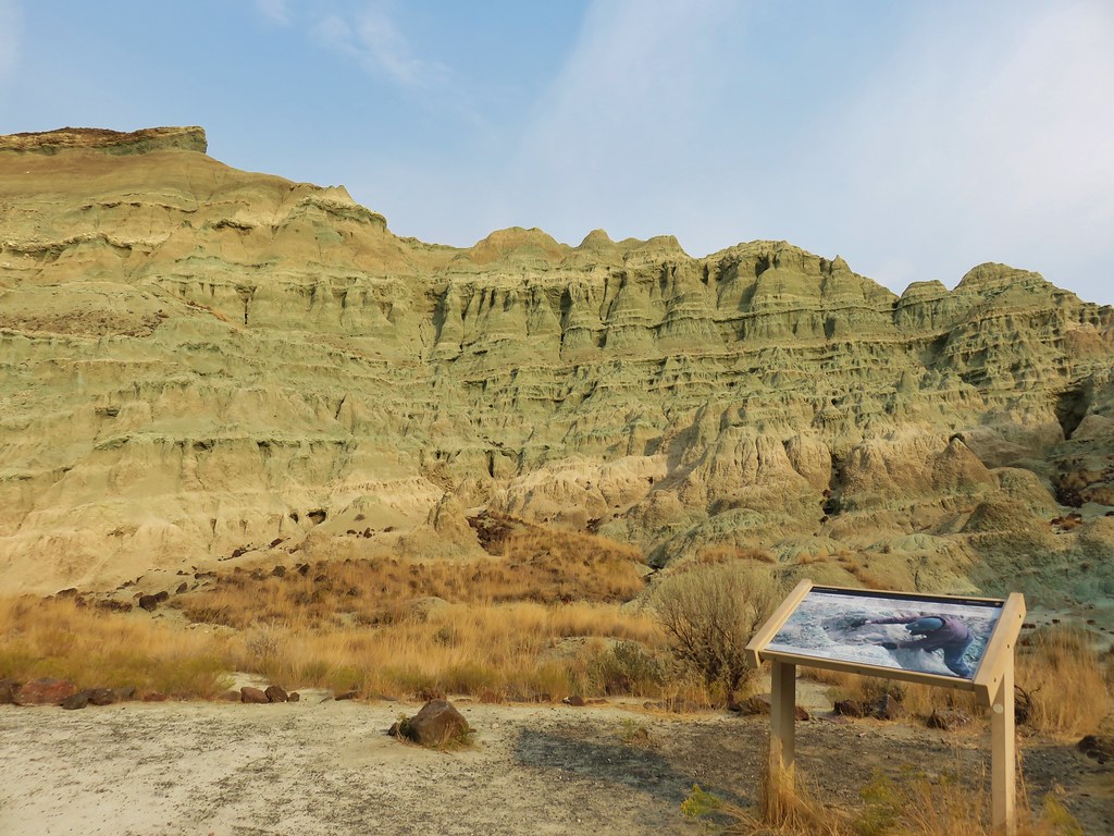
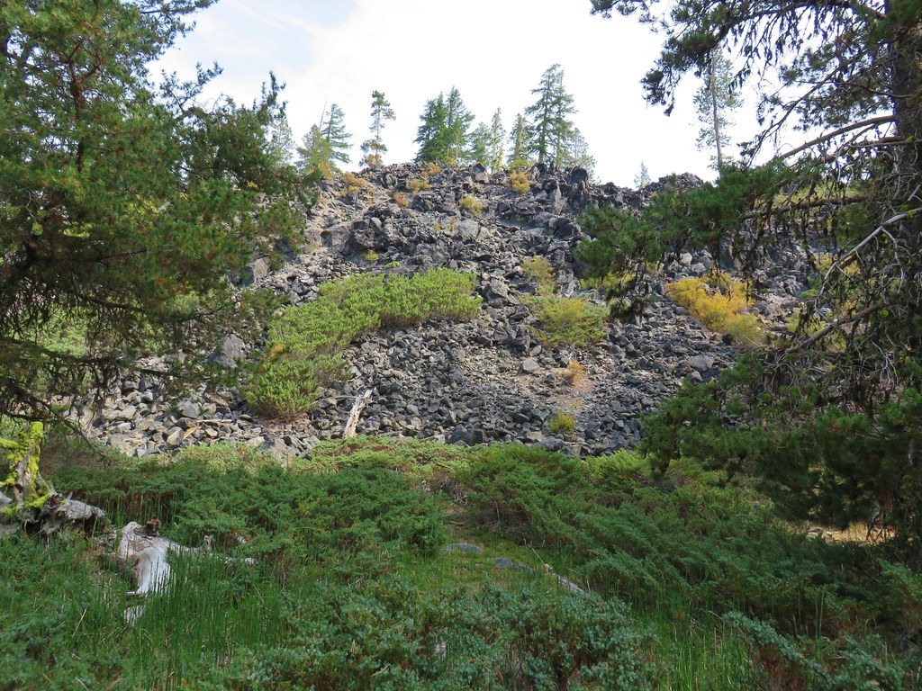
It wasn’t long before we got our first good look at the exposed volcanic ash that gave the area its name.
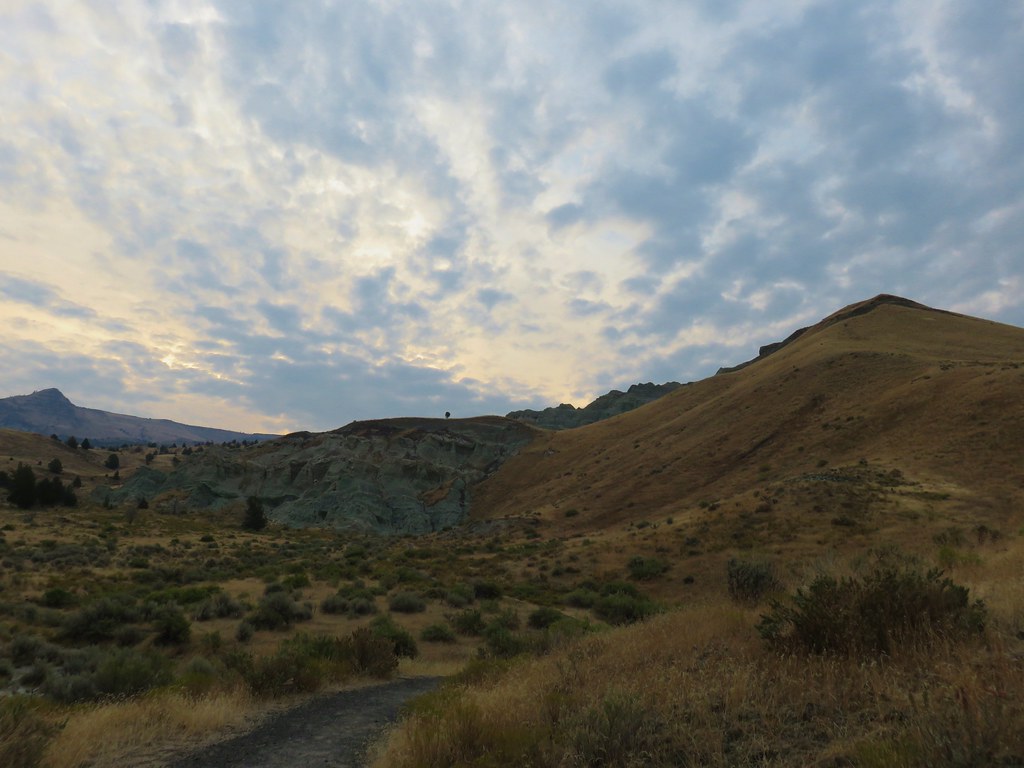
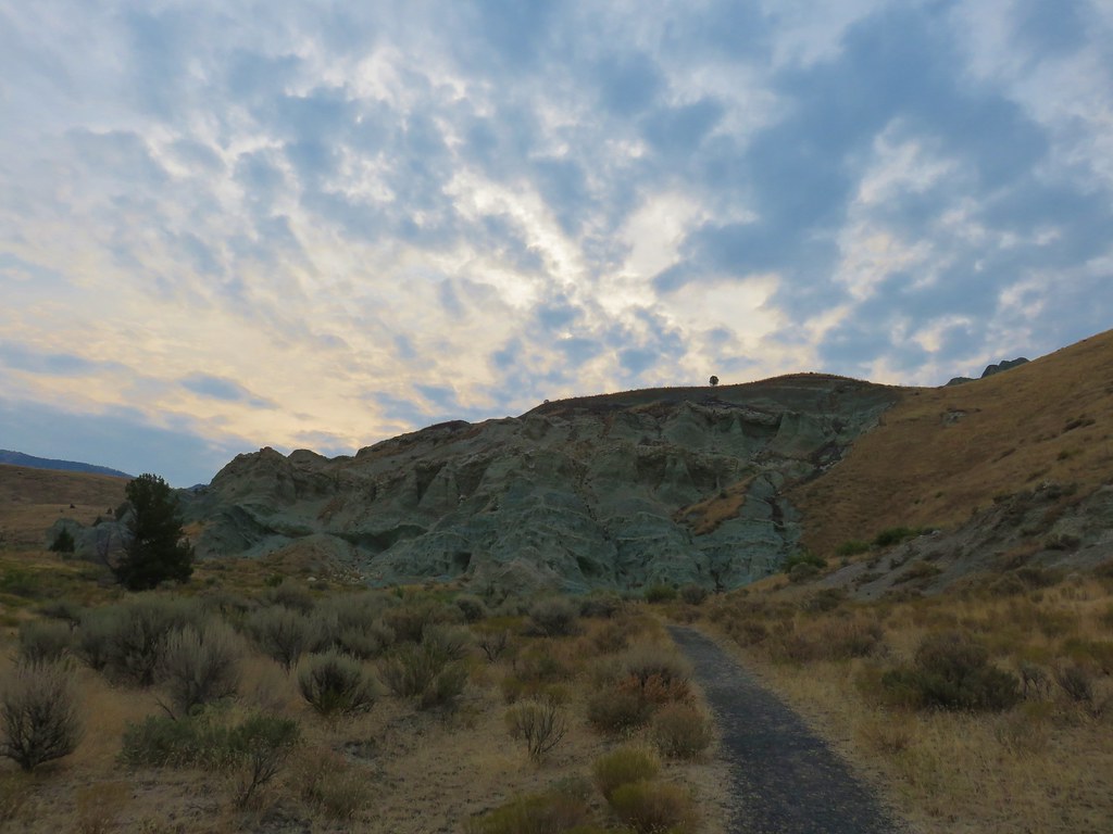
In the morning light the ash appeared more green than blue. The contrast between the ash and the golden grasses on the hillsides was beautiful.
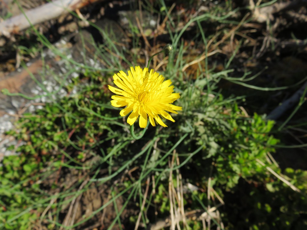
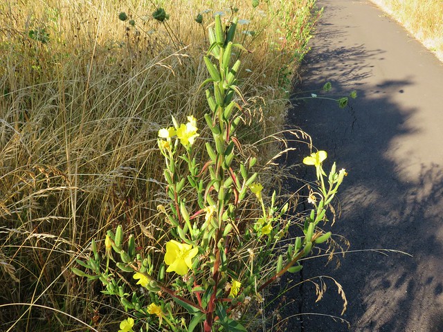
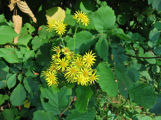
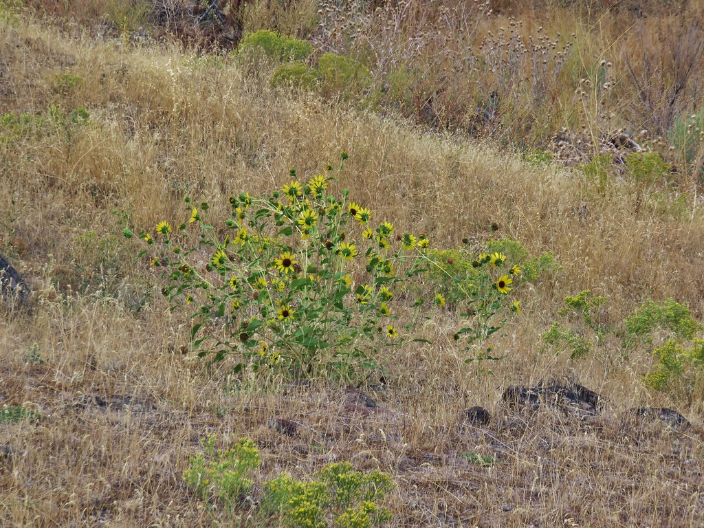
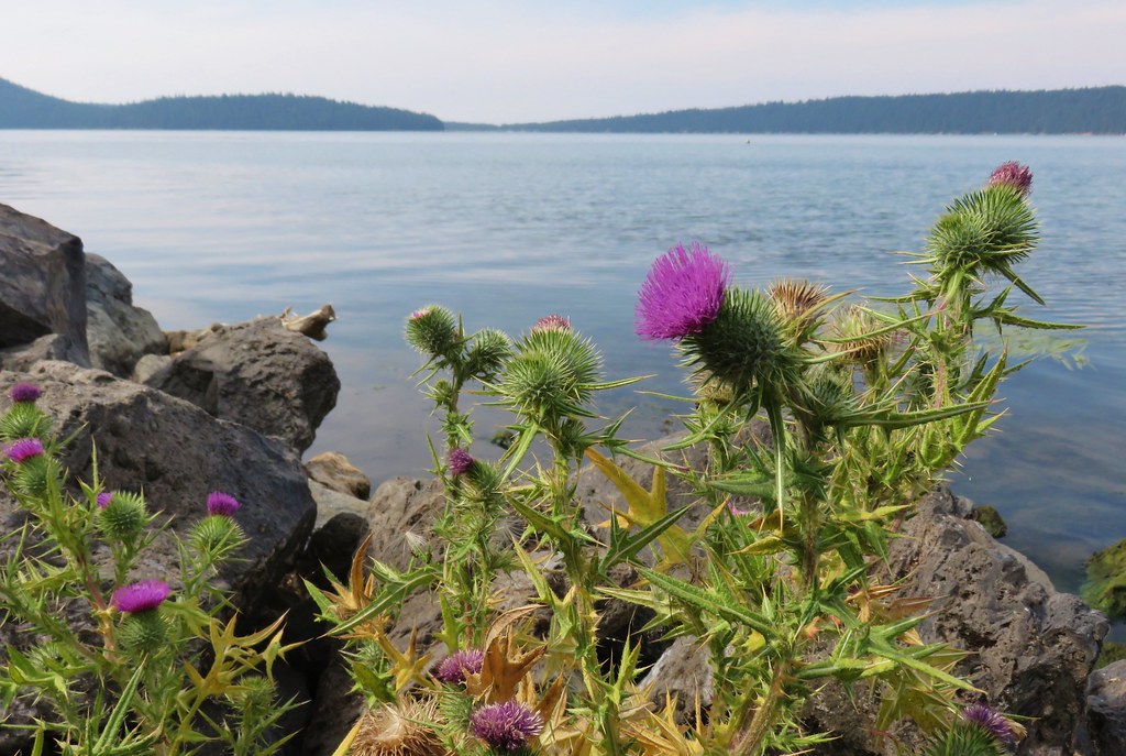
We were a bit surprised to see some yellow flowers still blooming as we wrapped around another scenic outcrop of ash.
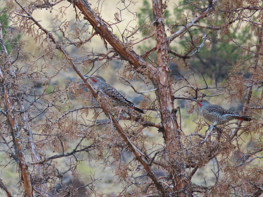
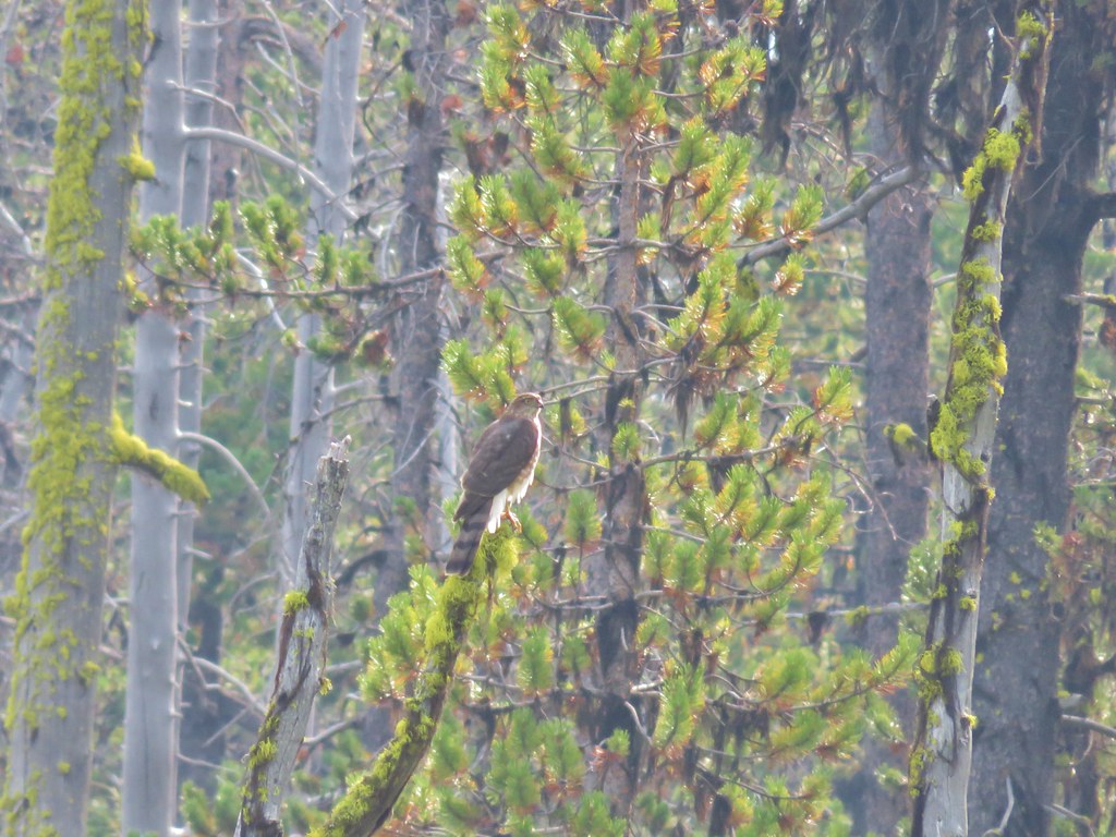
The trees were filled with birds as the trail climbed toward the rim.
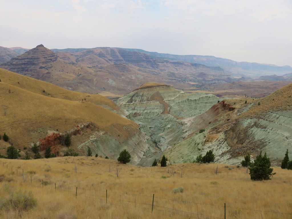
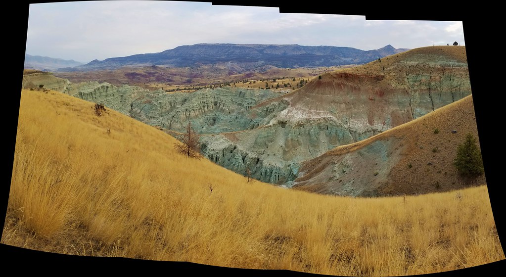
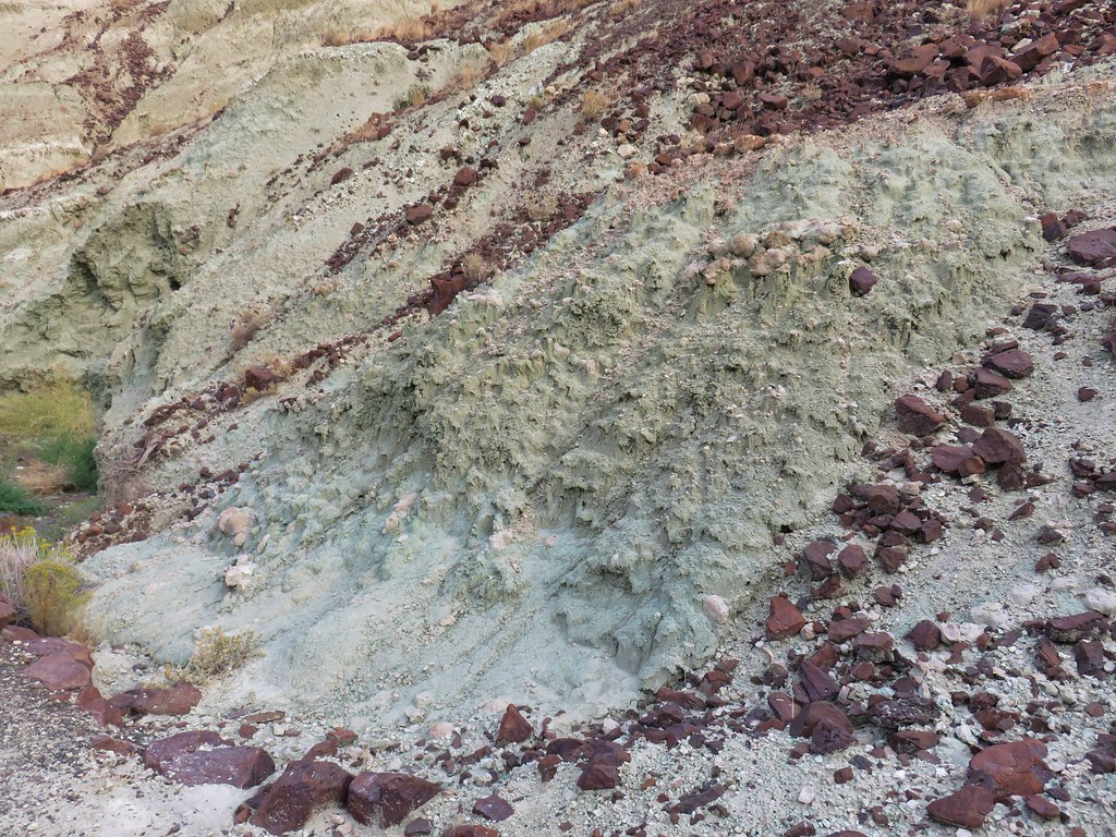
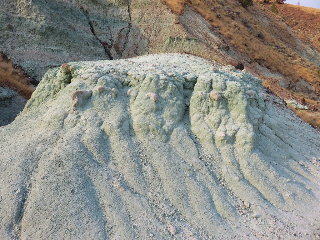
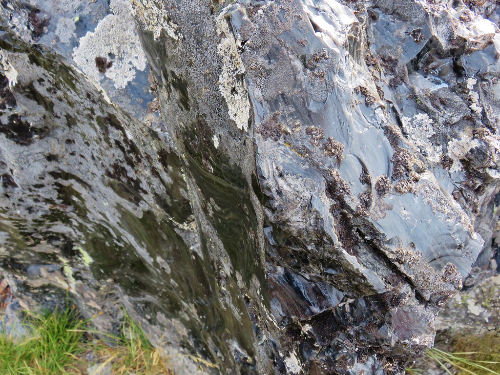
The trail climbed gradually for the most part for the first 1.2 miles and we were captivated by the formations created by the ash.
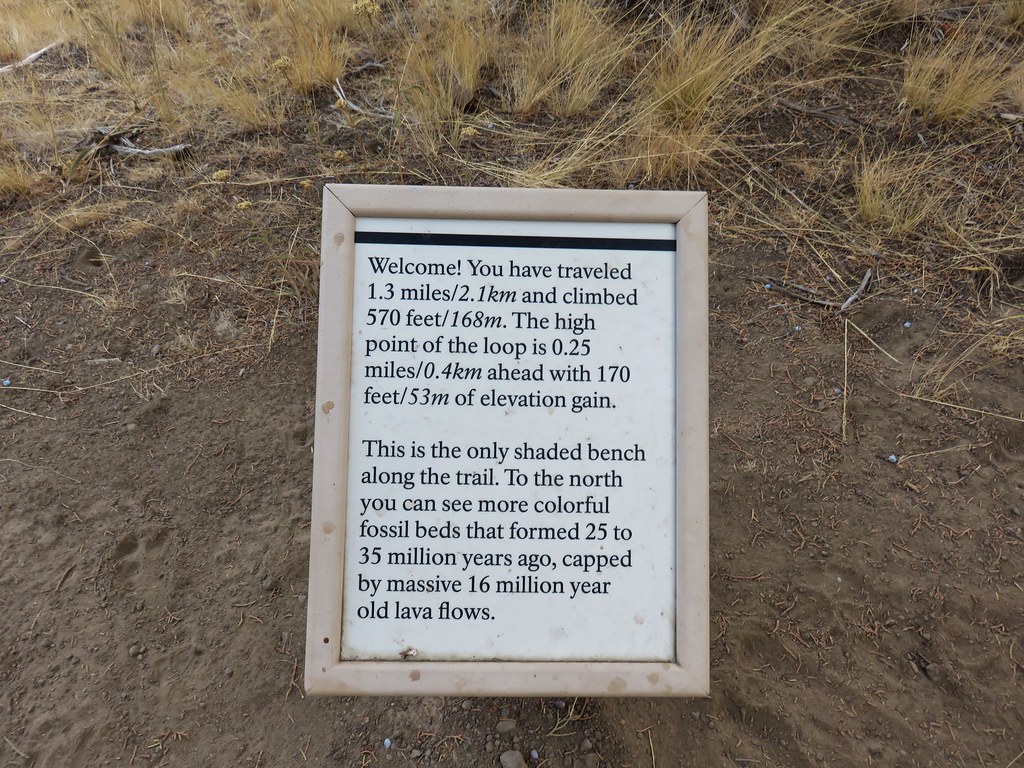
The trail then began to climb in earnest passing a bench with an encouraging sign along the way.

We were thankful that it was a cool morning as we couldn’t imagine attempting the hike on a hot summer day.
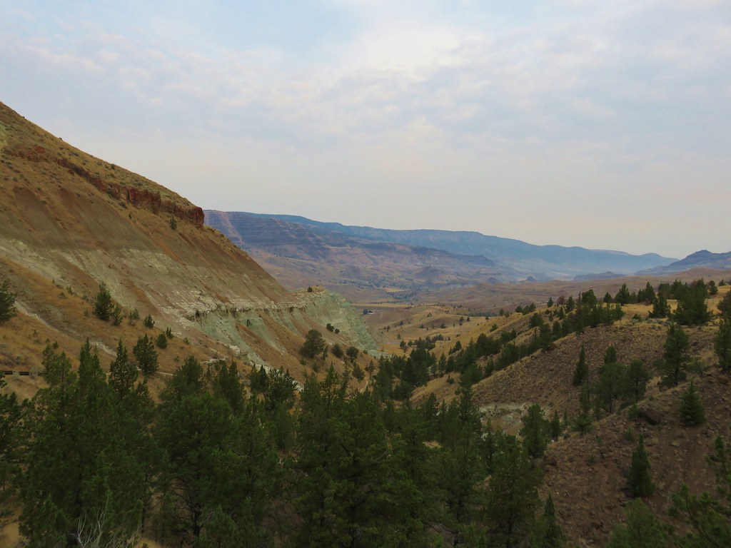
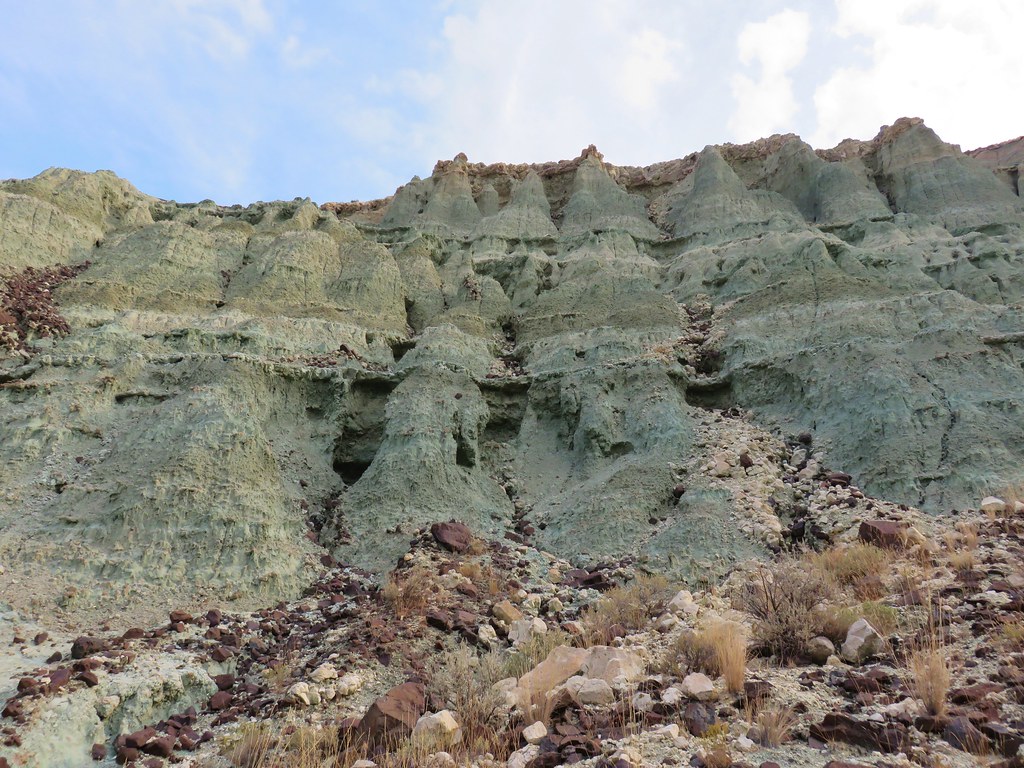
The trail became somewhat level once it reached the rim where the views were breathtaking.
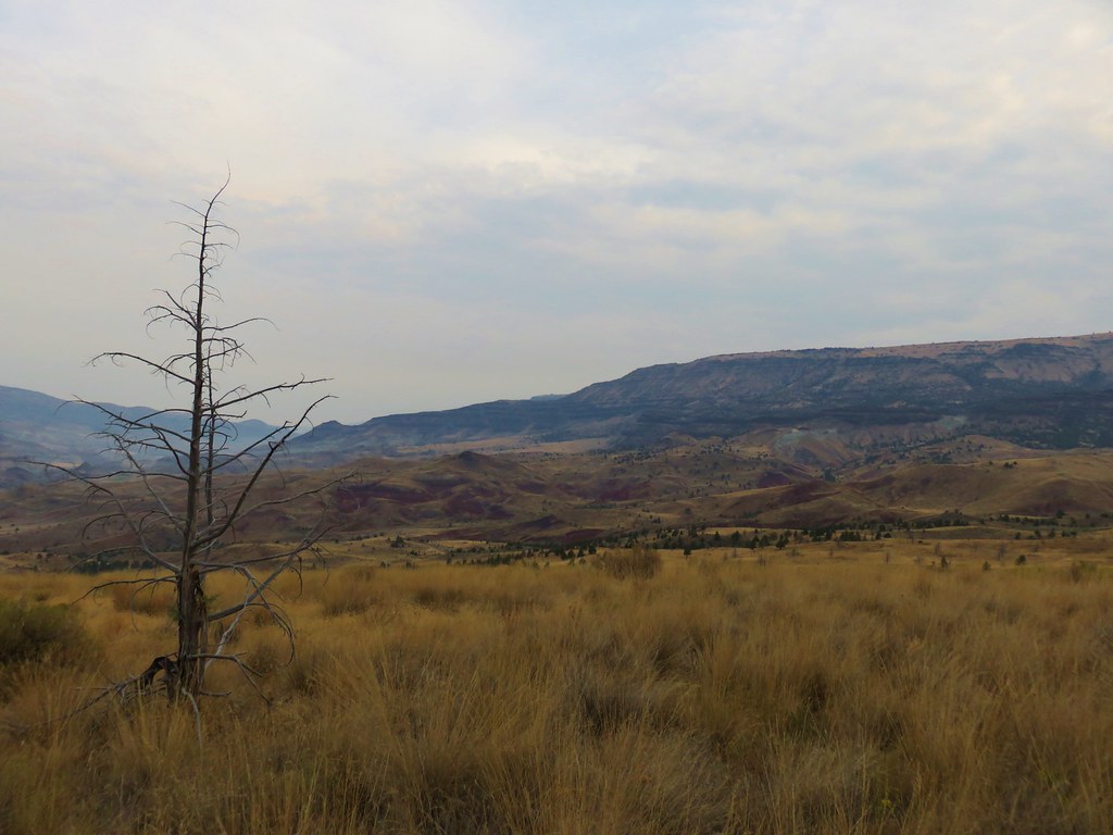
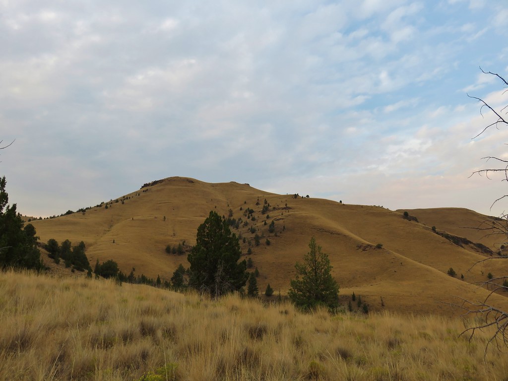
A short spur trail led to a bench at the overlook which had even more impressive views.

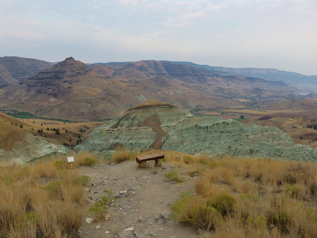
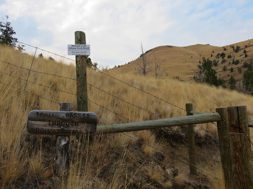
After attempting to comprehend what we were seeing we continued on the loop which passes through some private land on the way to more spectacular views before descending to a bench at a trail junction.

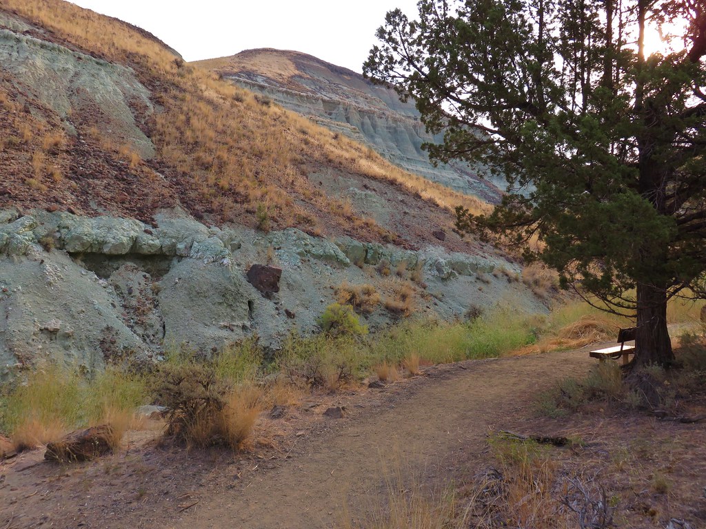
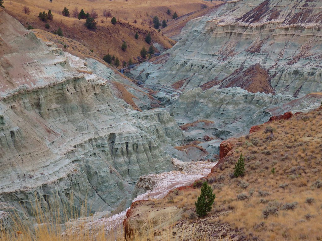
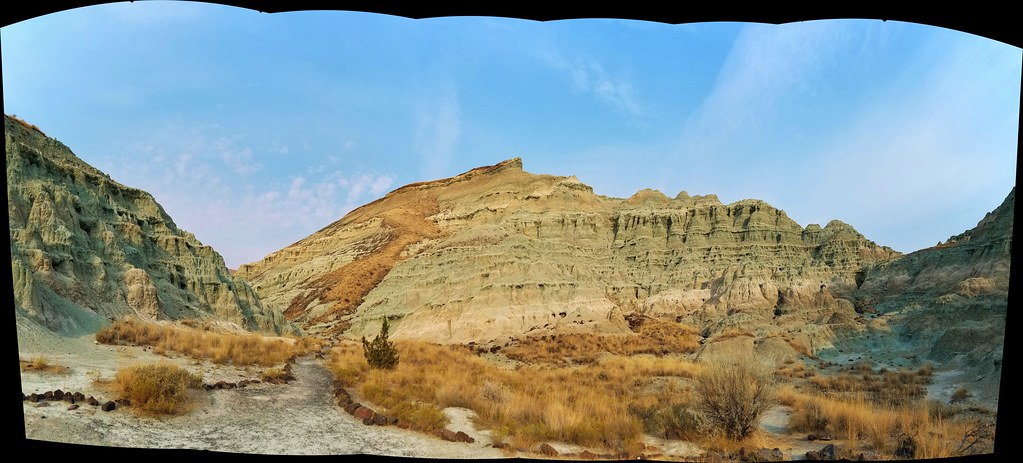
Here we turned right on the Island of Time Trail which led into the heart of Blue Basin.
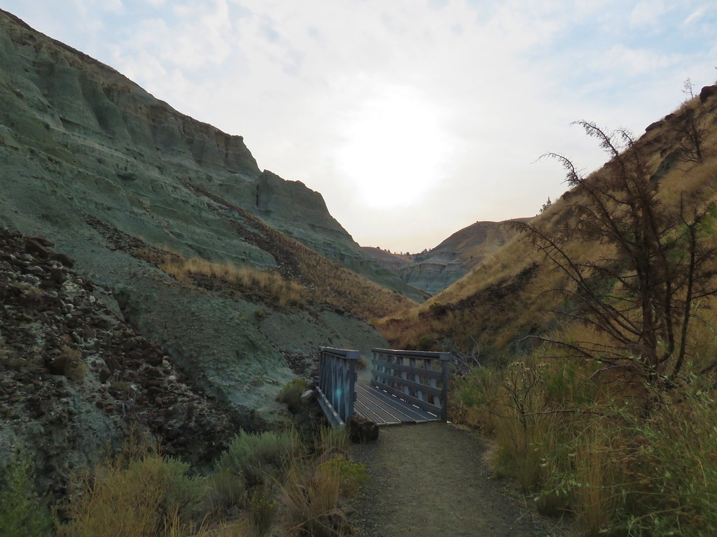
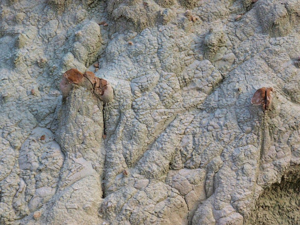
It was only .4 miles to the end of this trail but the scenery seemed endless. The various colors and textures were remarkable and numerous informative interpretive signs sat along the path.

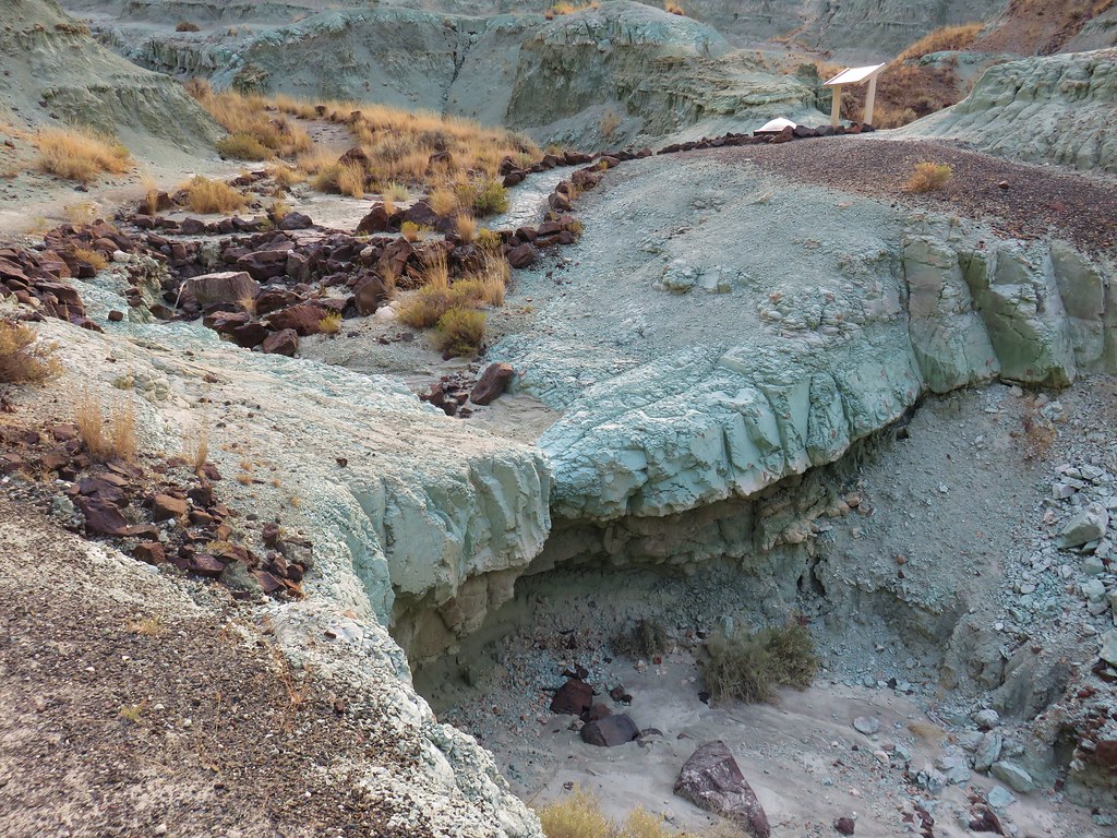
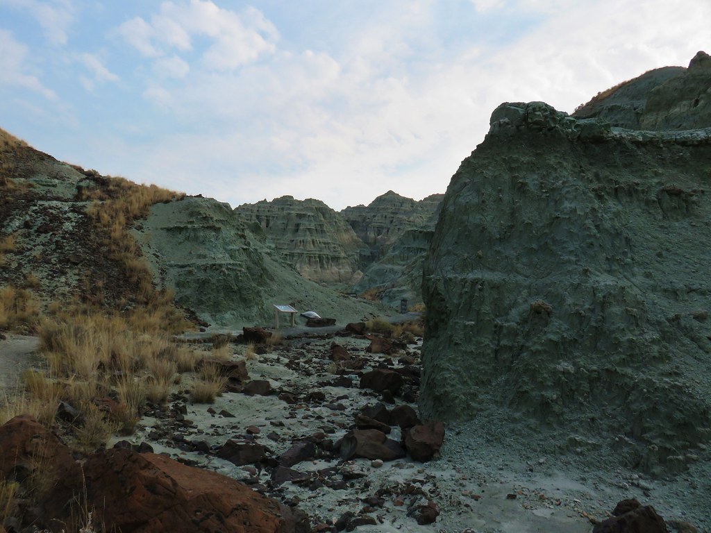
We sat at a bench at the end of the trail soaking in the view on what was a perfectly peaceful morning.

All of the hikes in the John Day Fossil Beds National Monument had been enjoyable but this 4.2 mile hike was by far the most impressive to us.
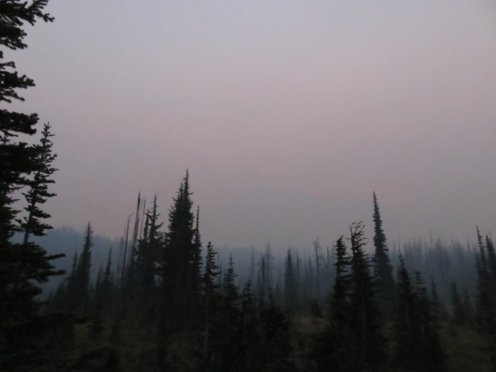
After returning to our car we drove back to Highway 26 and continued east. The air was once again hazy due to wildfire smoke making it hard for us to see much of the Strawberry Mountains as we passed by. After 66 miles we turned left onto Highway 7 for 1.1 miles then left again on Middle Fork Lane for .4 miles to Bates State Park.
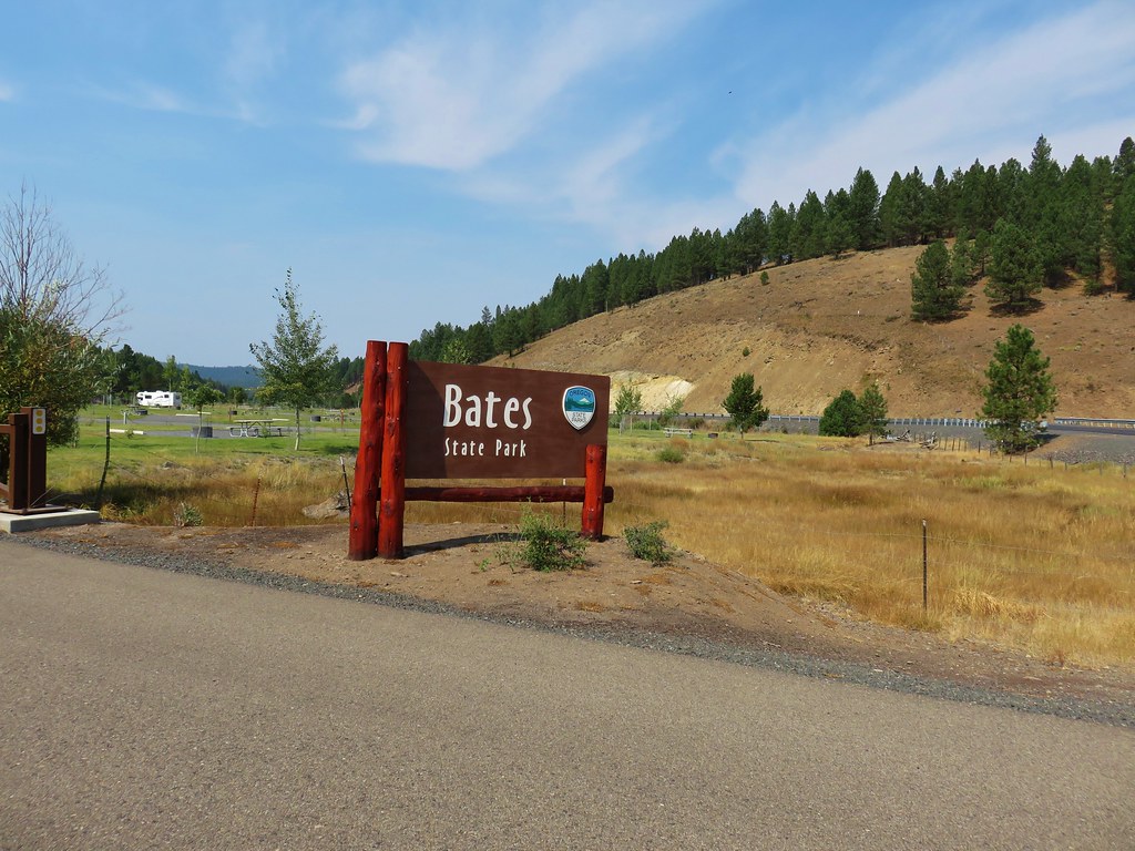
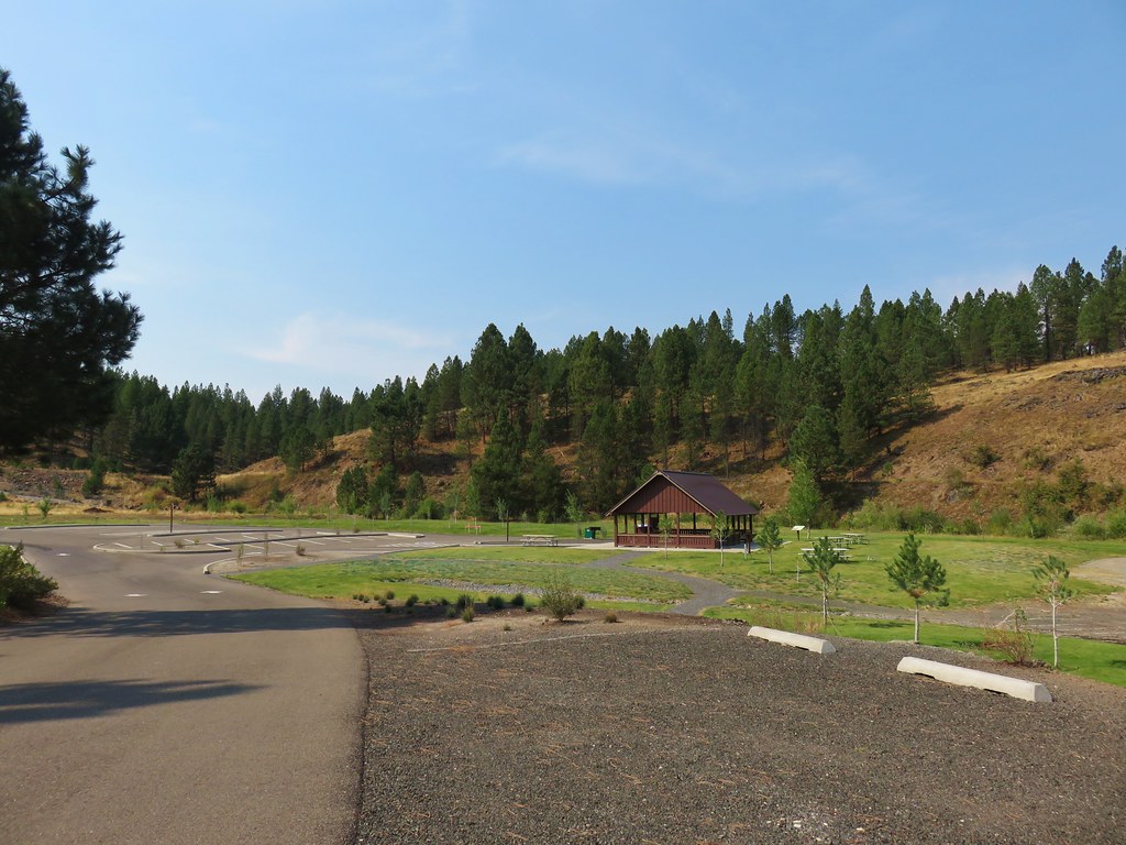
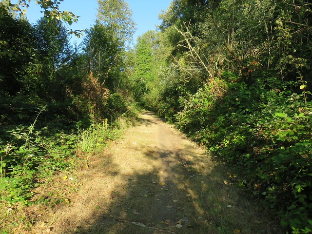
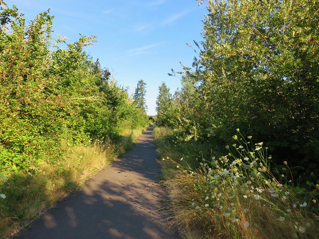
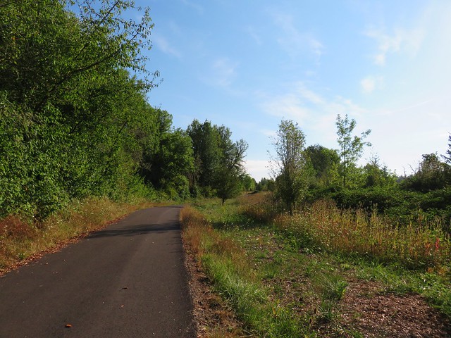
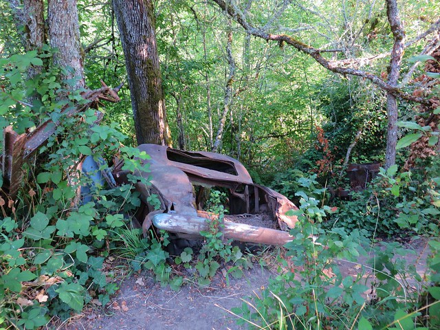
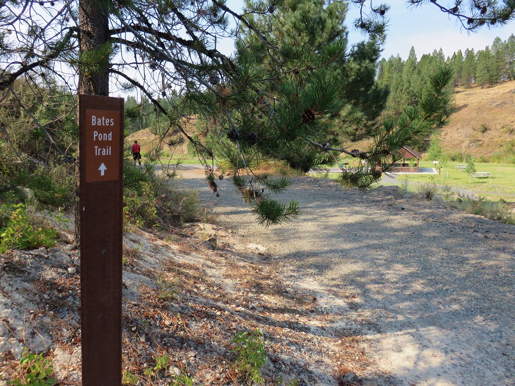
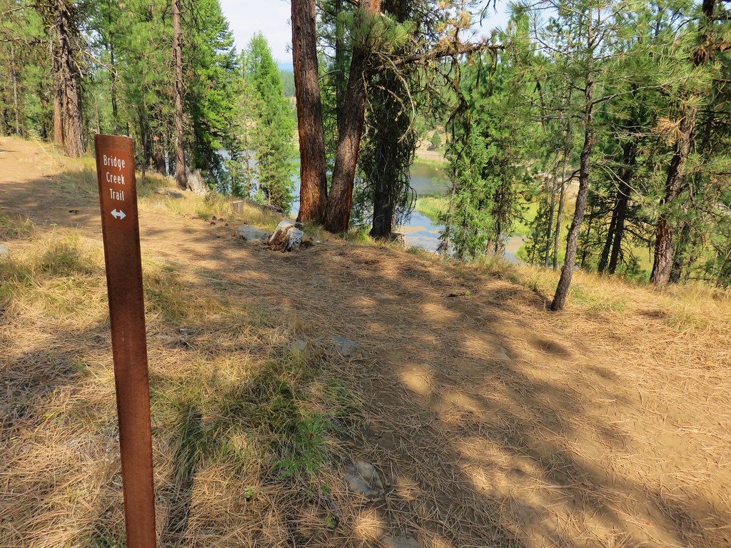
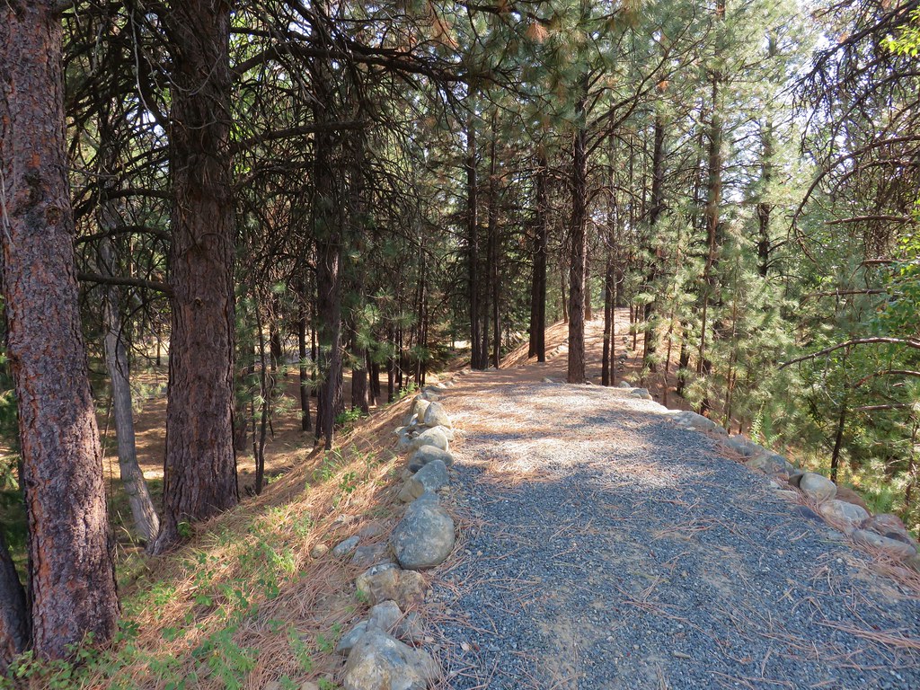
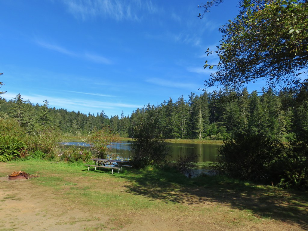
The park is located at the site of a former company lumber town. Bates Pond is all that is left from the town now. Several trails at the park gave us the opportunity to explore the area on a 2.6 mile hike starting on the Pond Trail which began on a road bed marked by a metal post.
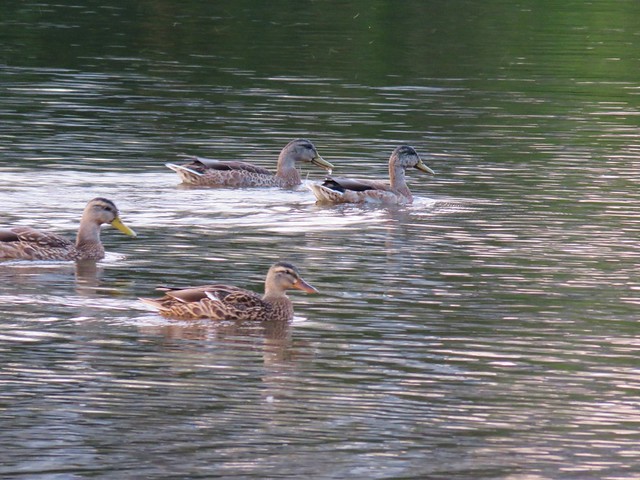
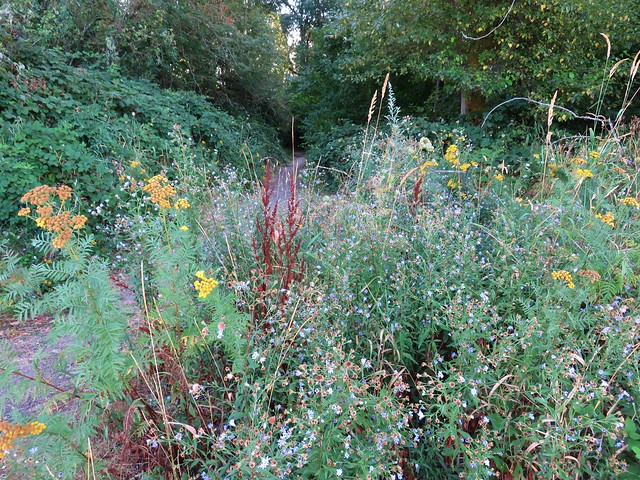
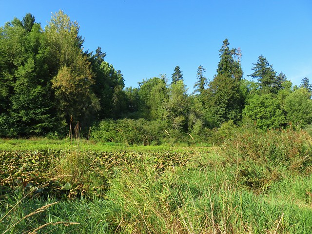
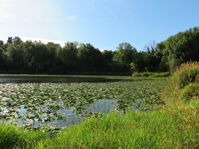
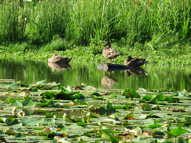
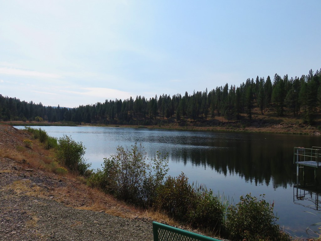
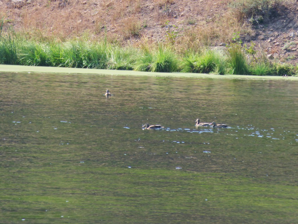
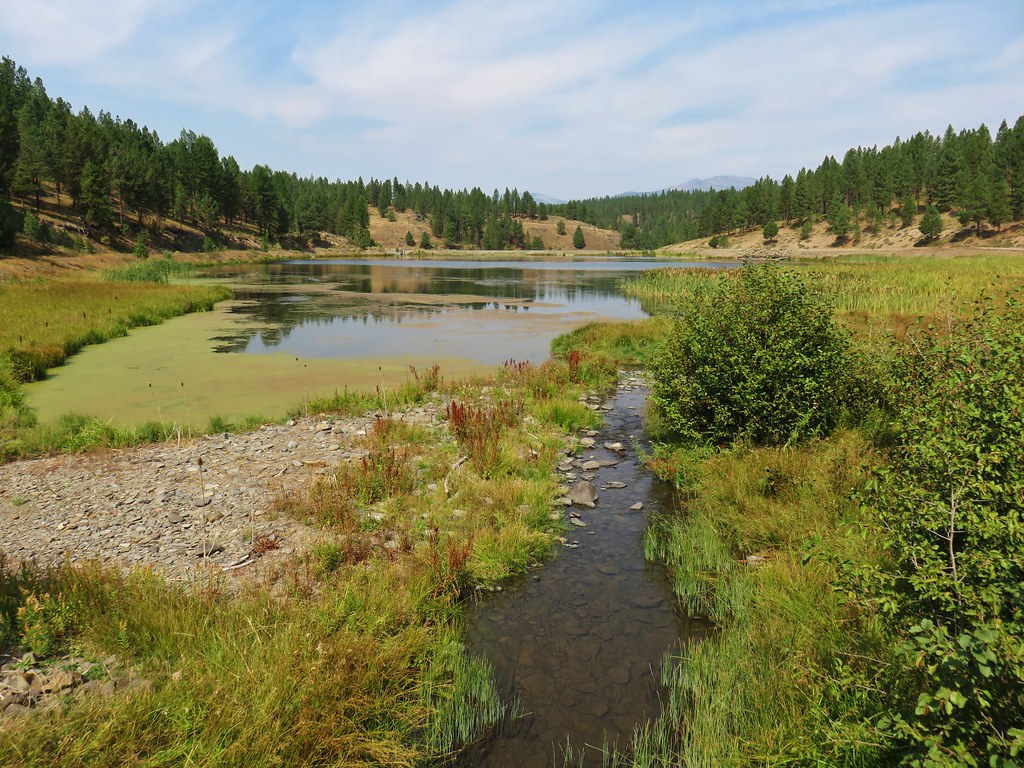
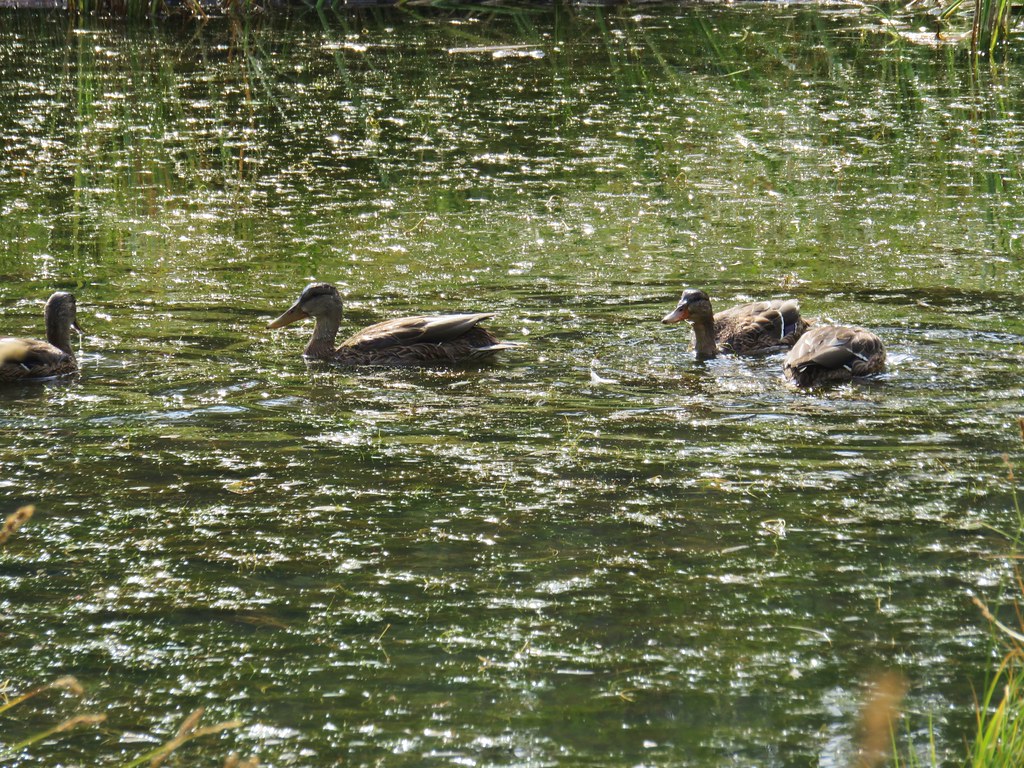
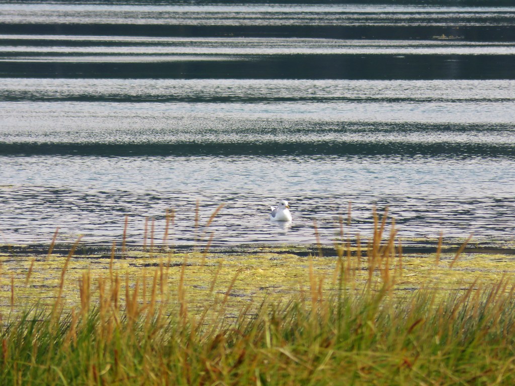
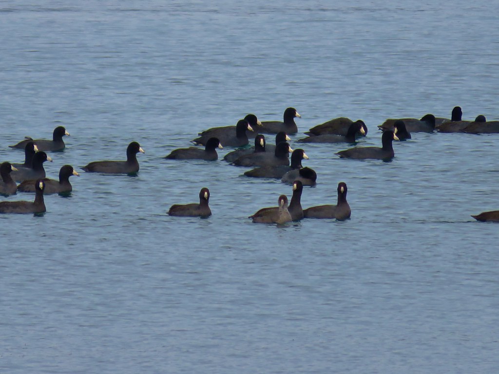
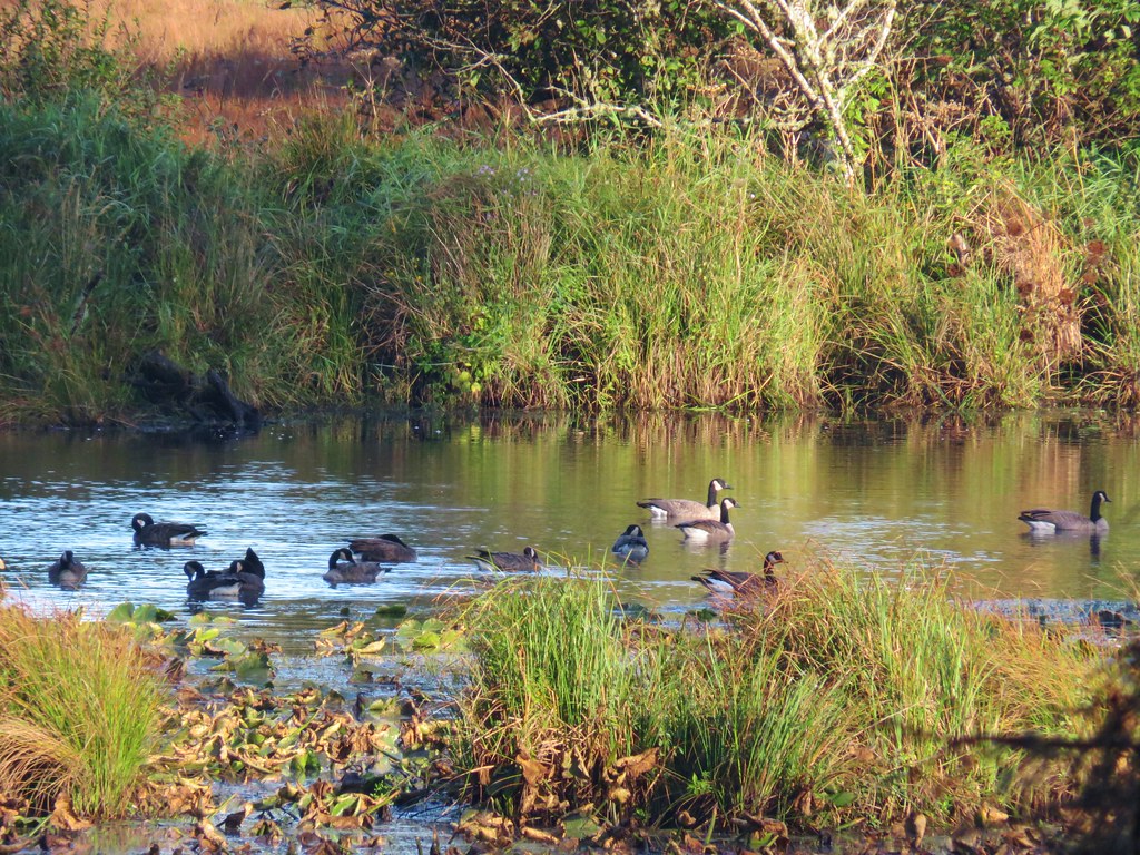
The trail followed the road along Bates Pond where numerous ducks paddled about.


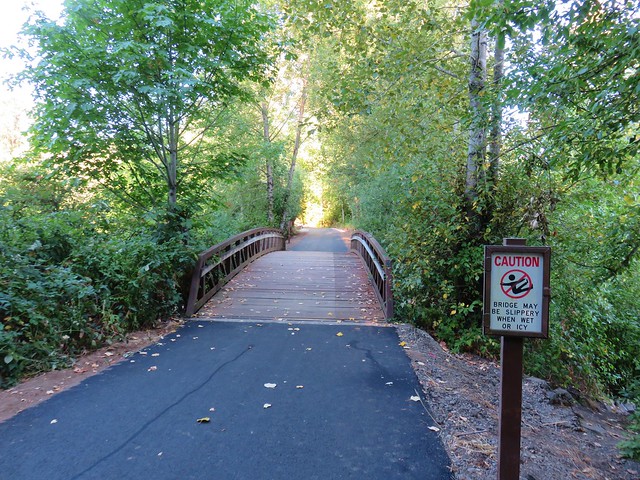
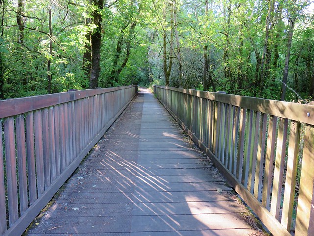
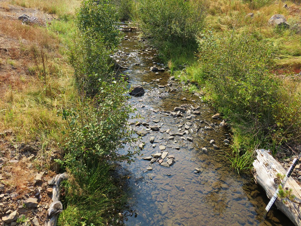
We crossed Bridge Creek on a footbridge at the far end of the pond and continued around the pond.
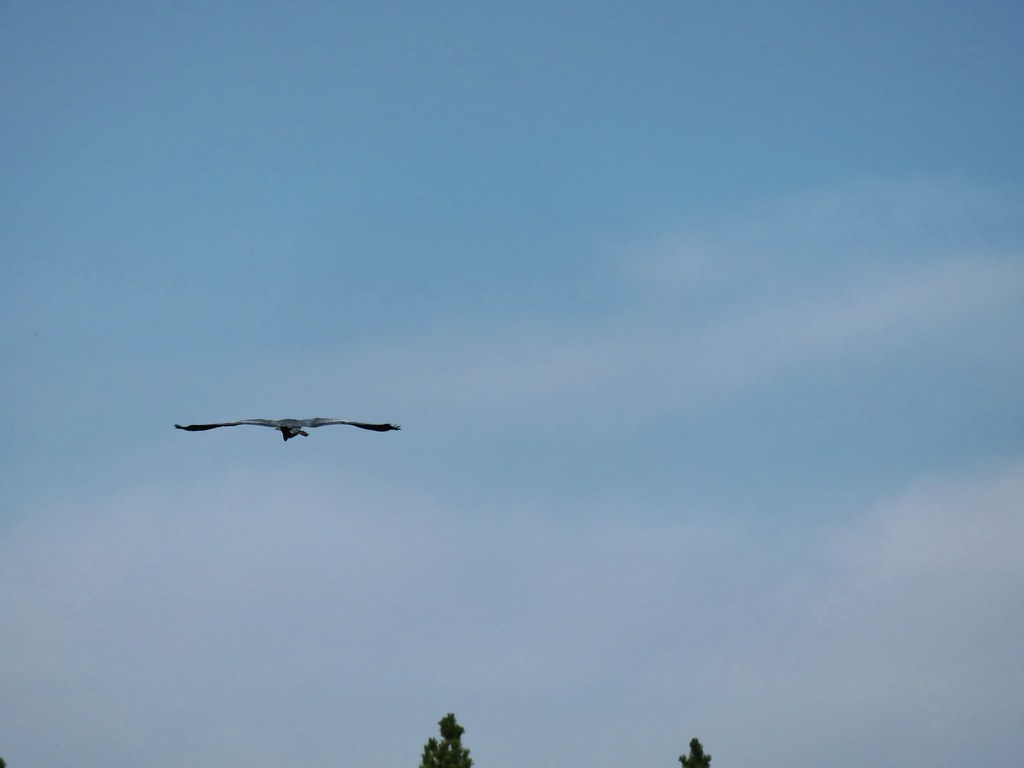
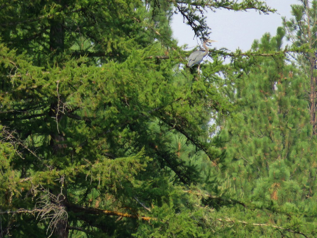
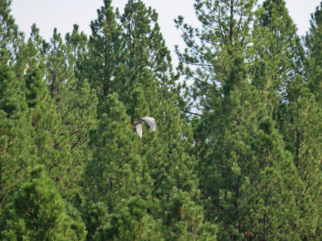
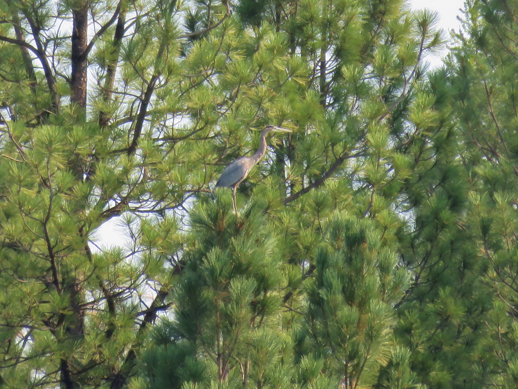
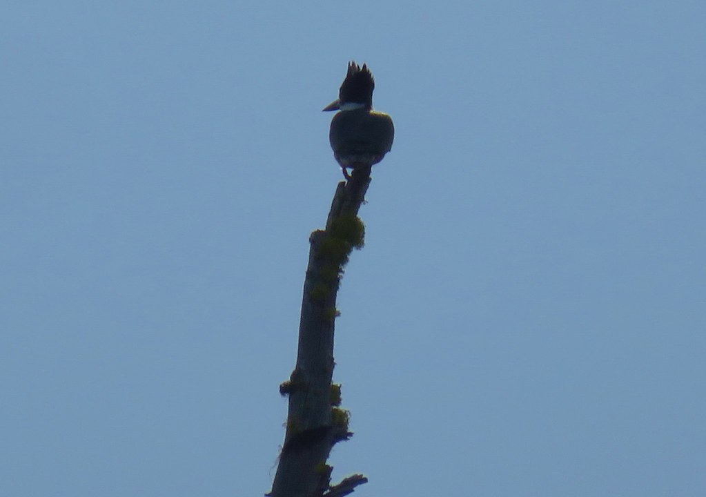
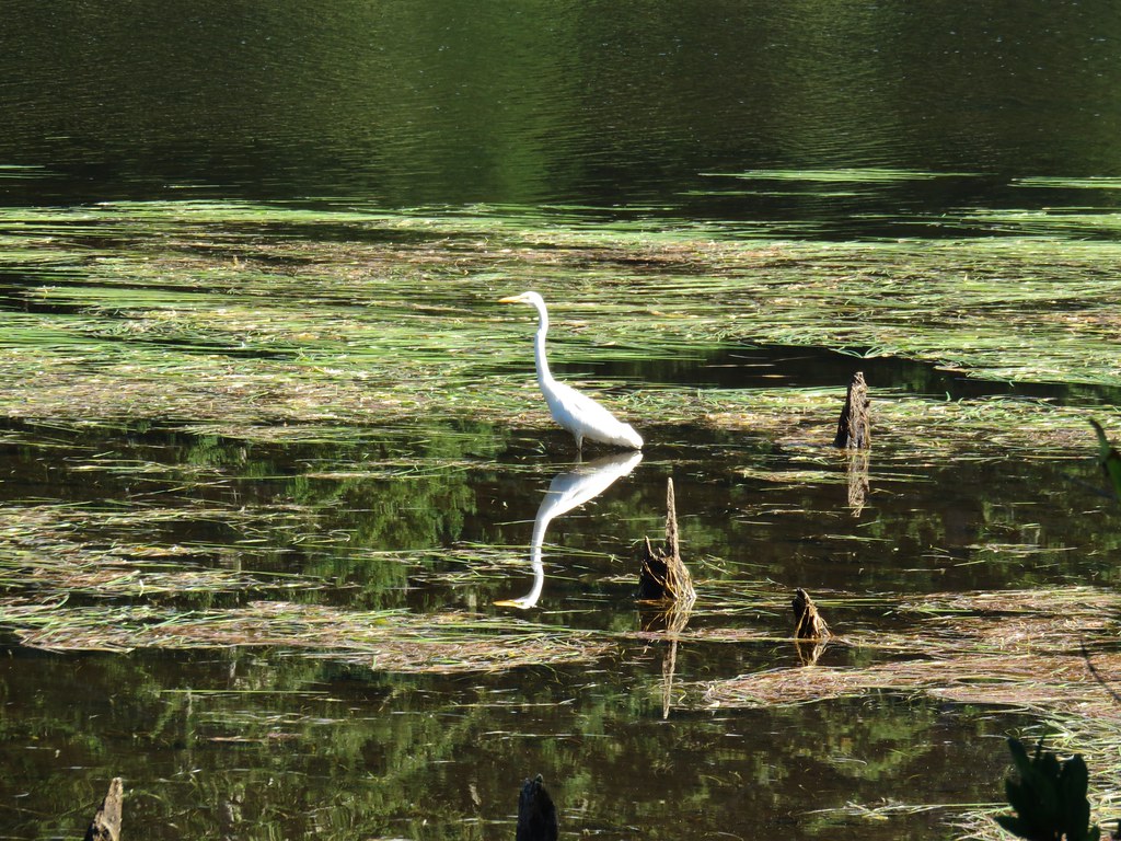
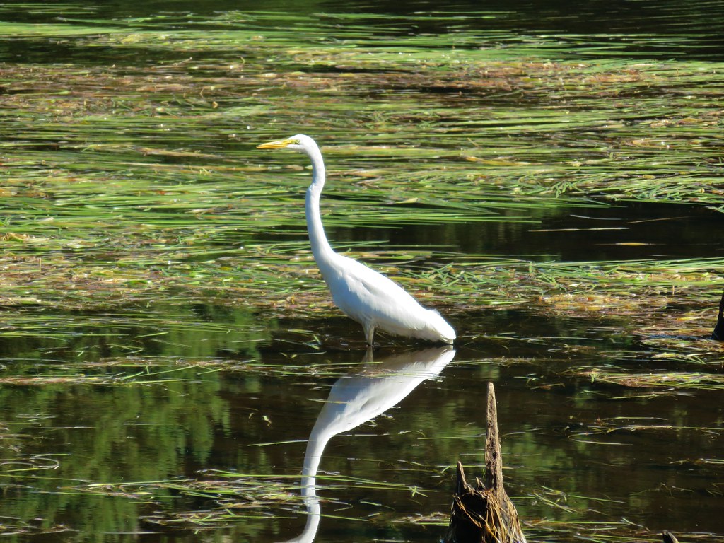
We startled a heron that flew ahead of us into a tree before taking off again across the pond to another tree.
When the Bates Pond Trail ended at the Bridge Creek Trail we stayed straight following Bridge Creek and ignoring side trails and the nosy residents.
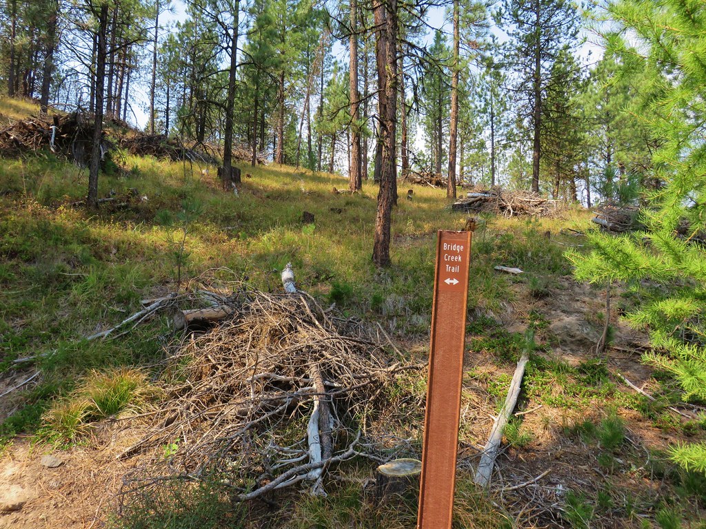


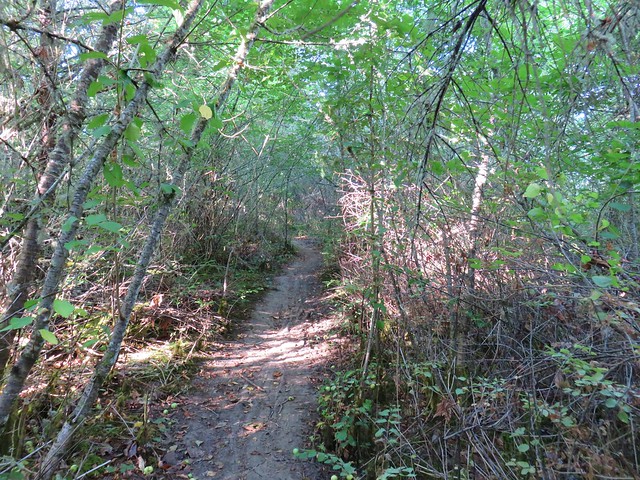
Just before arriving at a gate we turned uphill to the left onto the Meadow Trail.
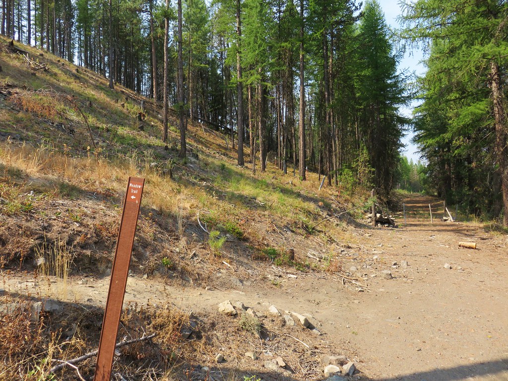
After a short climb the trail leveled off then came to an end at the Dixie Trail where we stayed right.

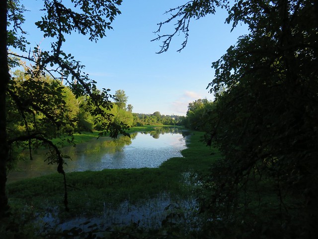
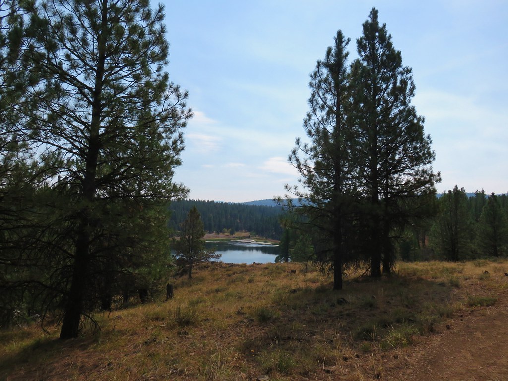
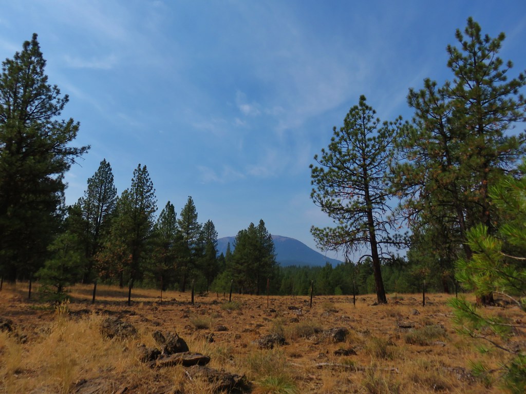
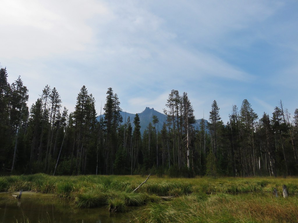
From this trail there was a view of the pond and to some buttes to the east.
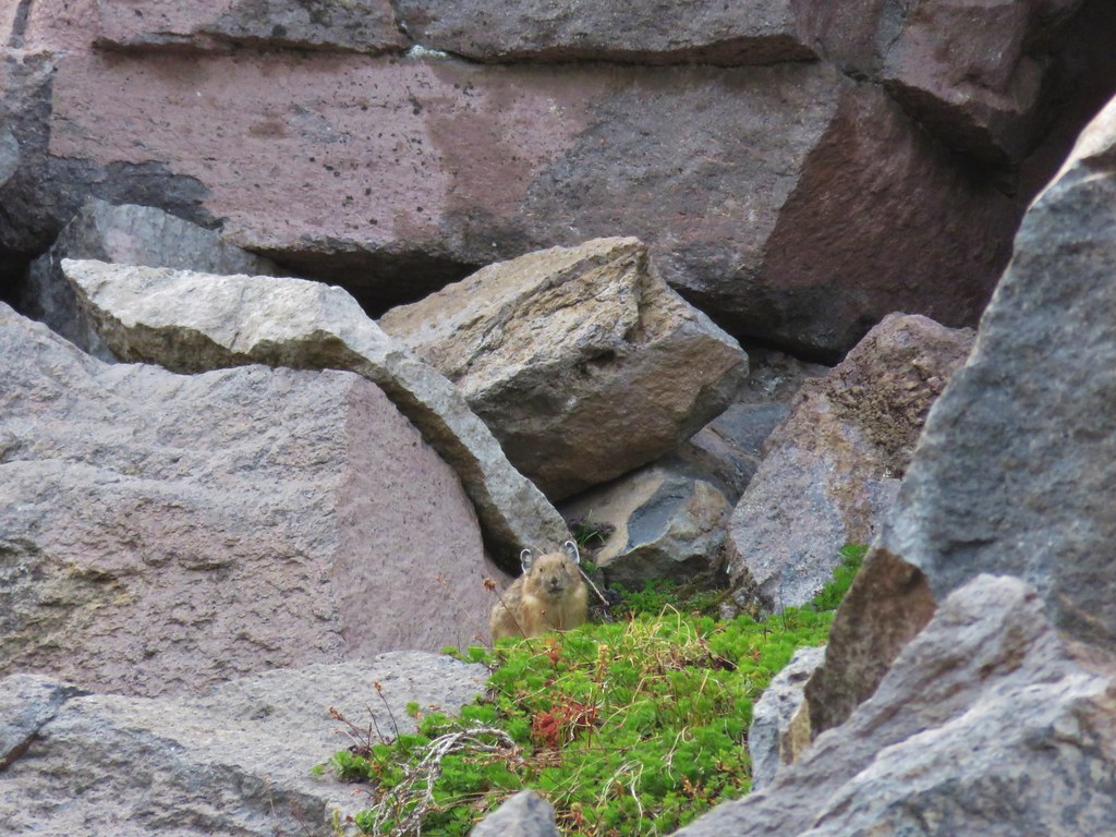
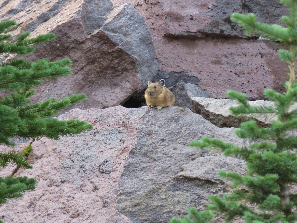
Along the way we met one of the cutest ground squirrel we’d ever seen.

The Dixie Trail descended to the Bridge Creek Trail near the footbridge at the end of the pond and we simply followed the Bates Pond Trail back to our car.
It was only a quarter after twelve when we’d finished and our check-in time was 2:30 in Sumpter which was only about a half an hour away. We still had one short hike left in Sumpter which would be good for about an hour which would have leave us a little early. We solved that issue by turning the wrong way (left) when leaving Bates. We only realized our mistake after driving over 16 miles which should have brought us to the ghost town of Whitney but didn’t.
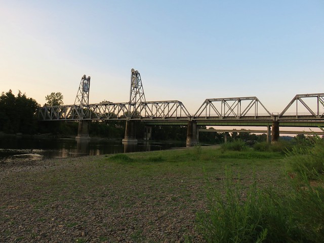
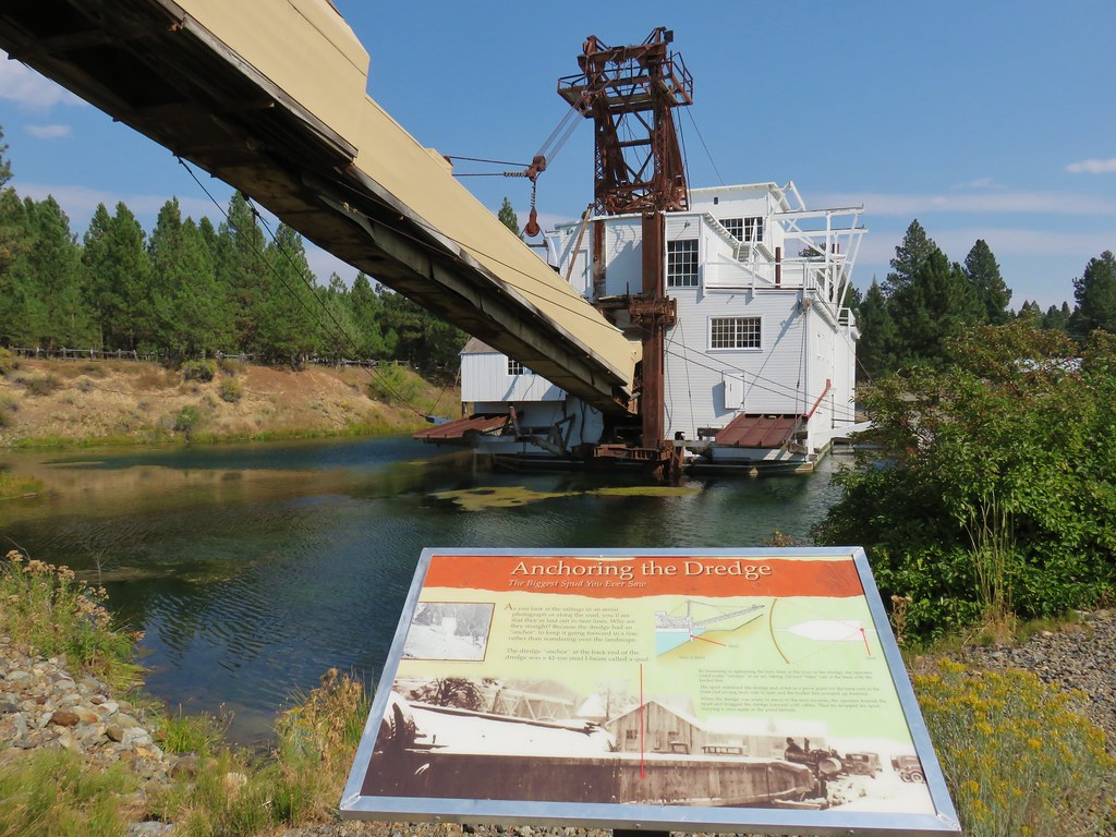
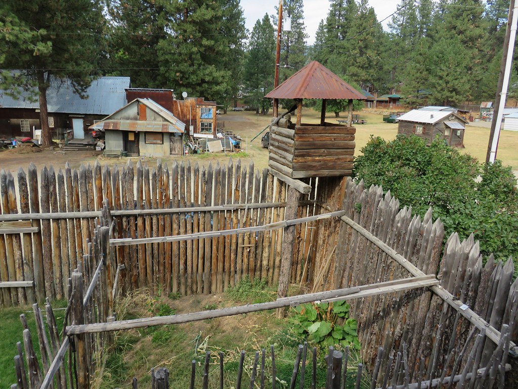
After correcting our mistake we drove back to Highway 7 and headed east for 25 miles to a sign for Sumpter where we turned left for 3 miles. We turned left into the Sumpter Valley Dredge State Heritage Area.
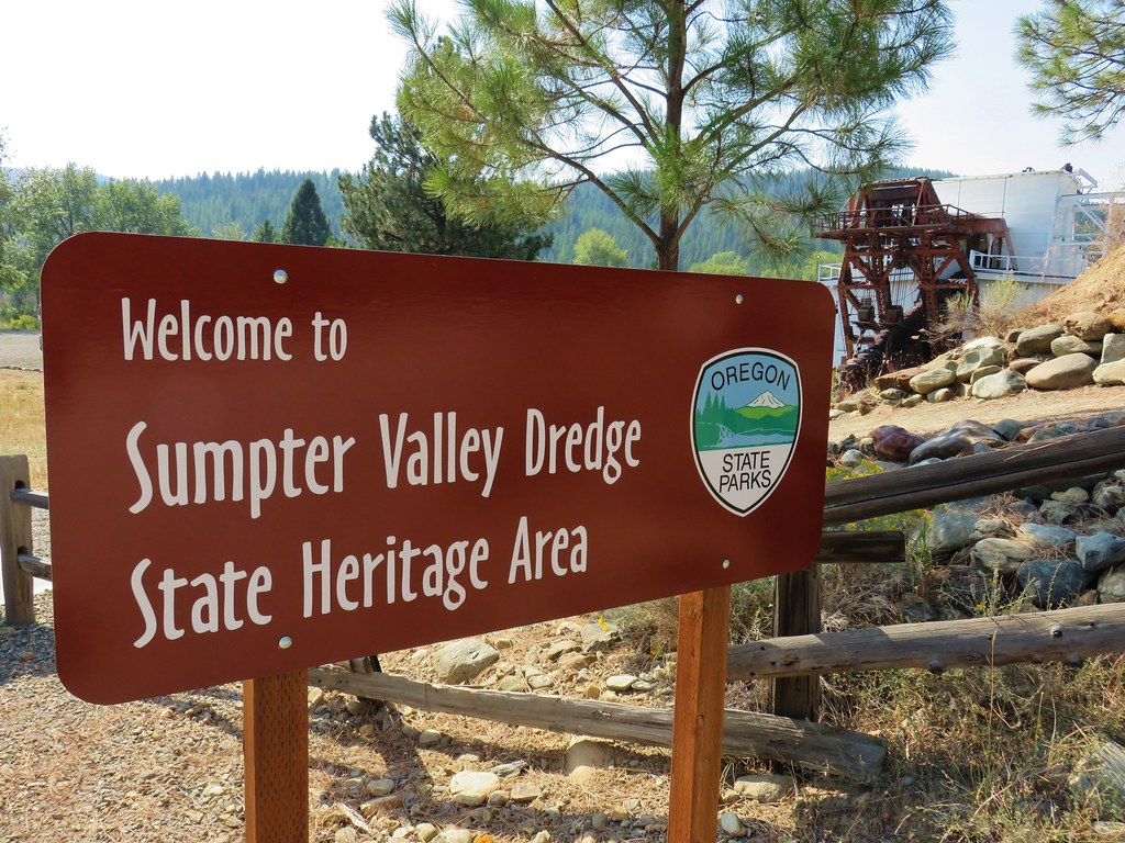
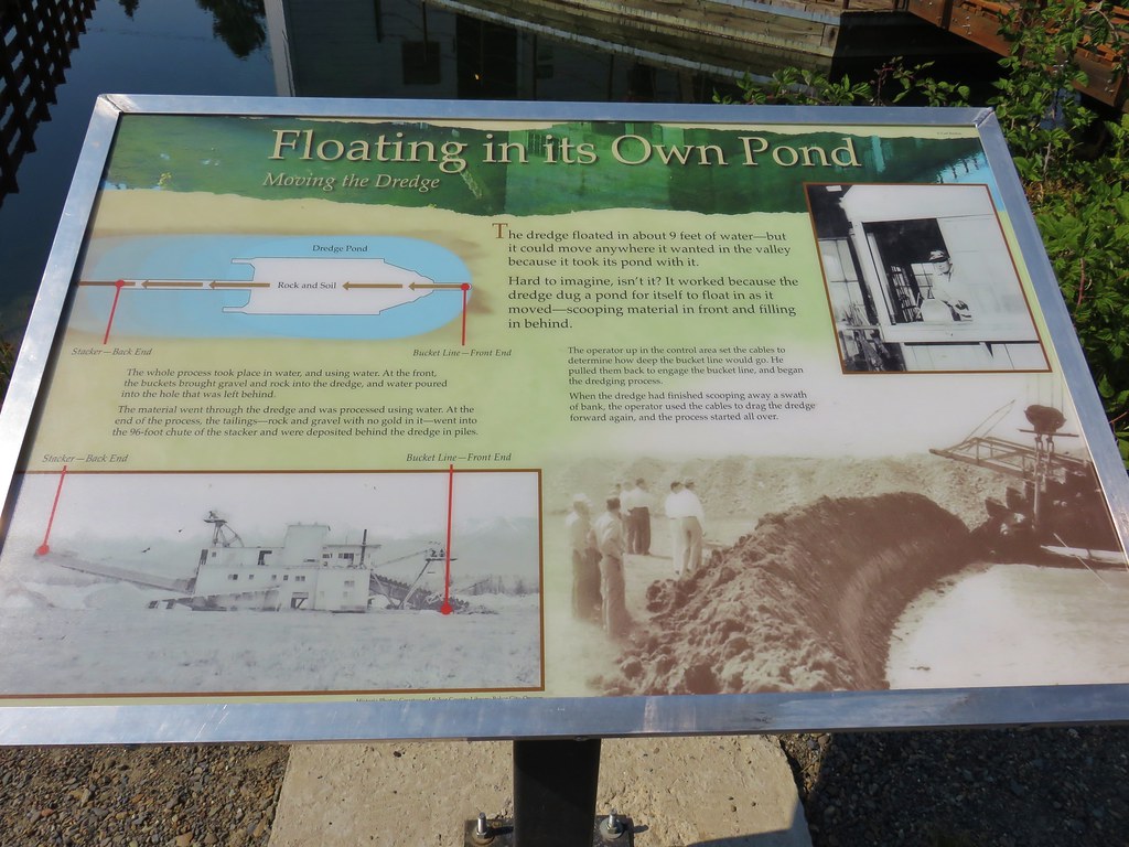
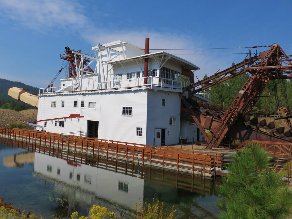
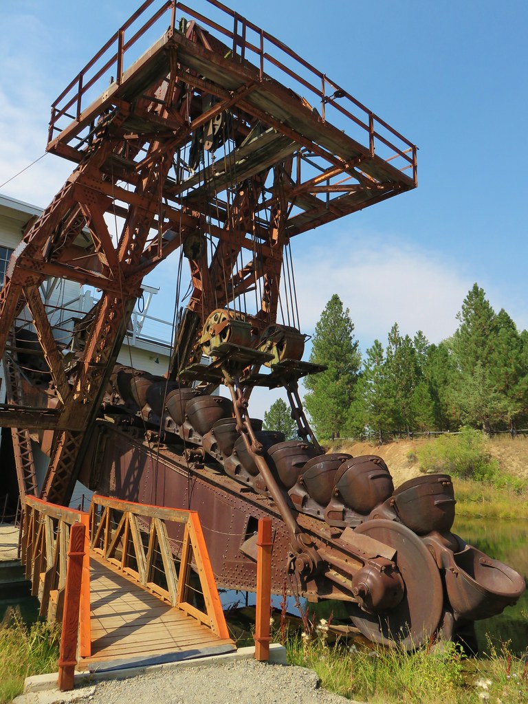
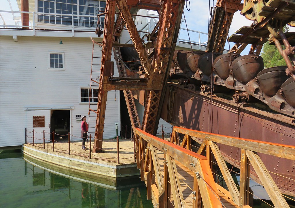
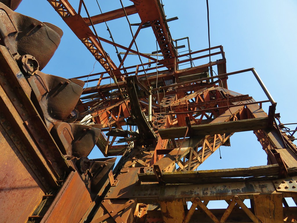
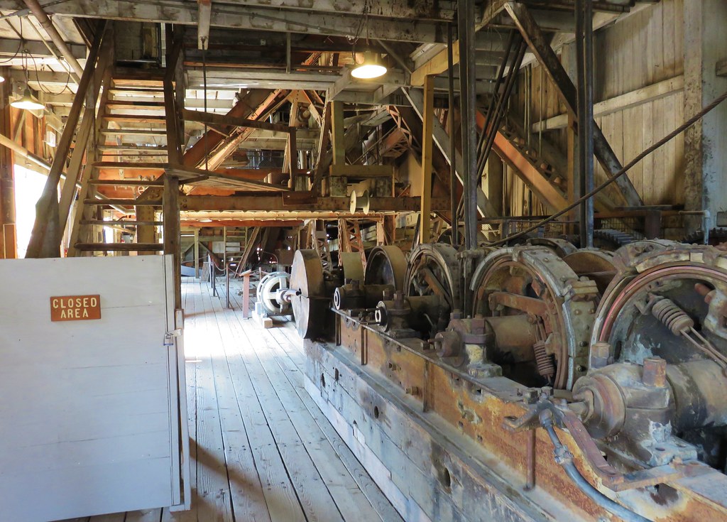
Here a 1240-ton dredge used to scoop up river gravel and filter out gold dust sits amid tailings left in its wake. The site is also home to the Sumpter Valley Railroad which hauled timber to Bates and Prairie City. We parked near the visitors center by the dredge.

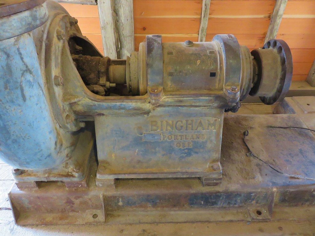
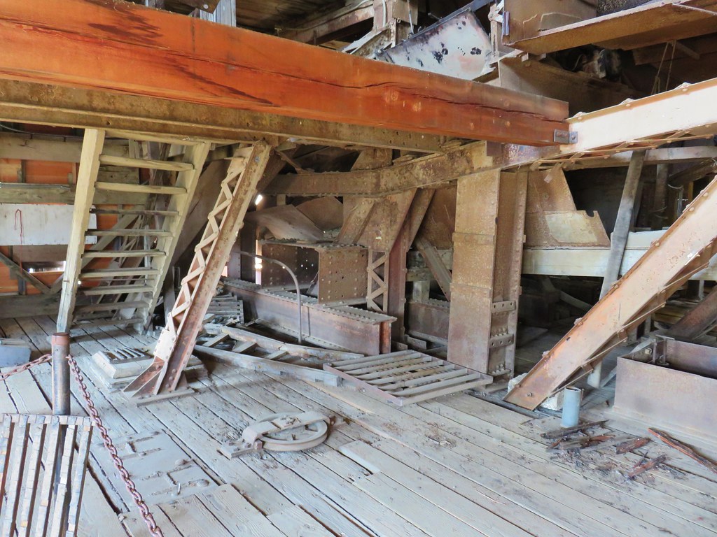
We started our visit by exploring the dredge.
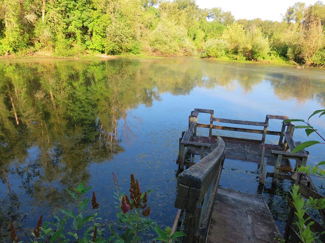
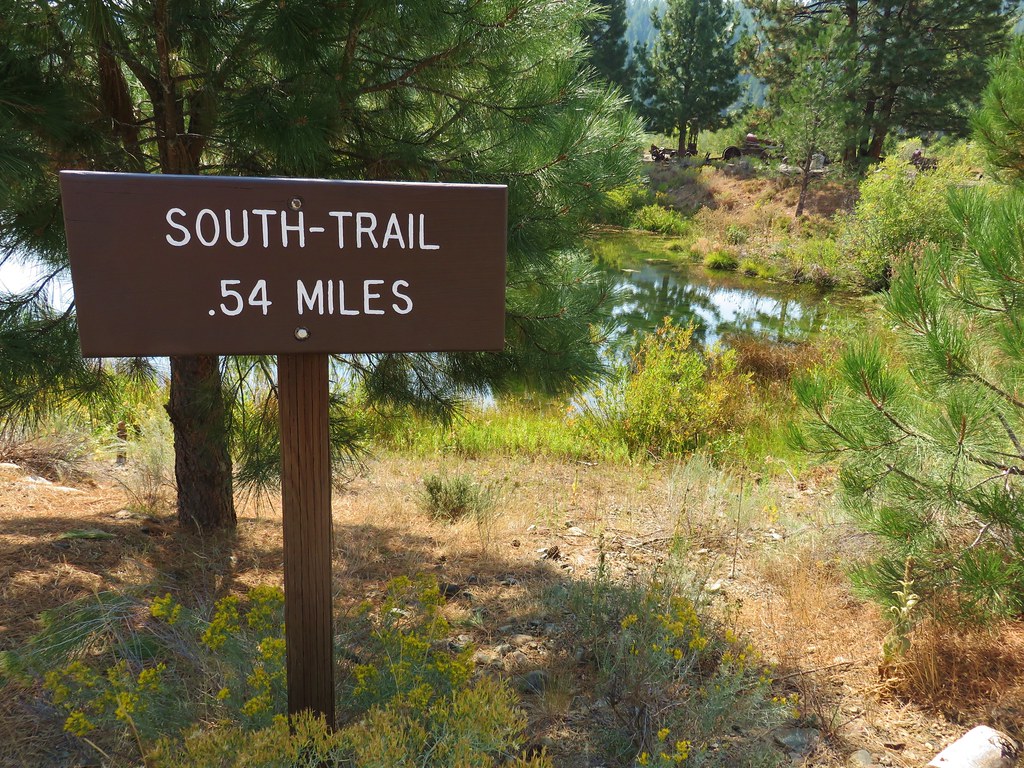
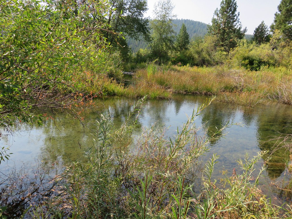
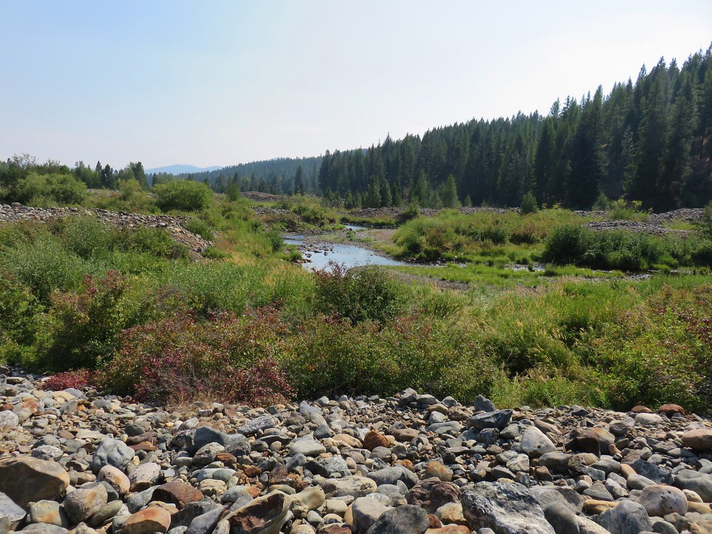
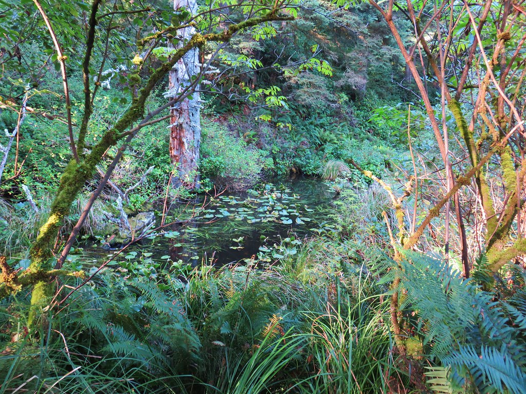
Next we took the South Trail for .4 miles through ponds amid the tailings to the Powder River.

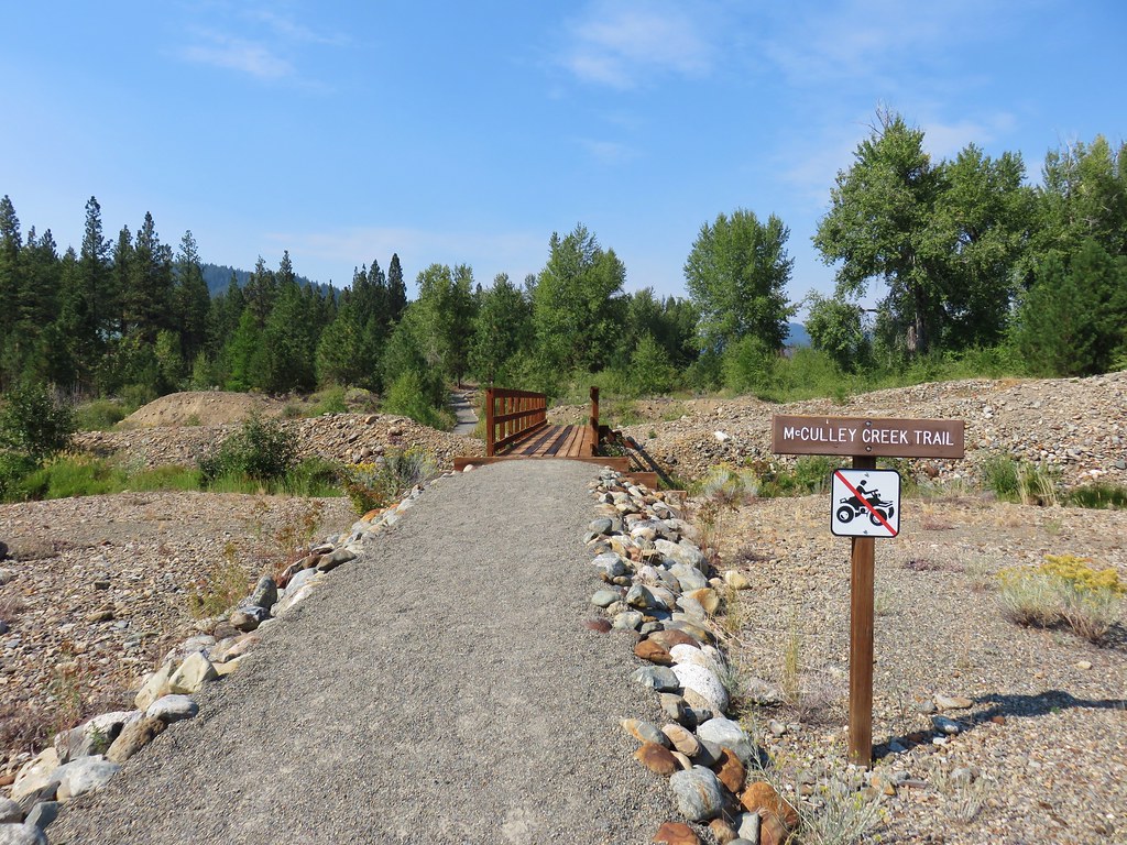
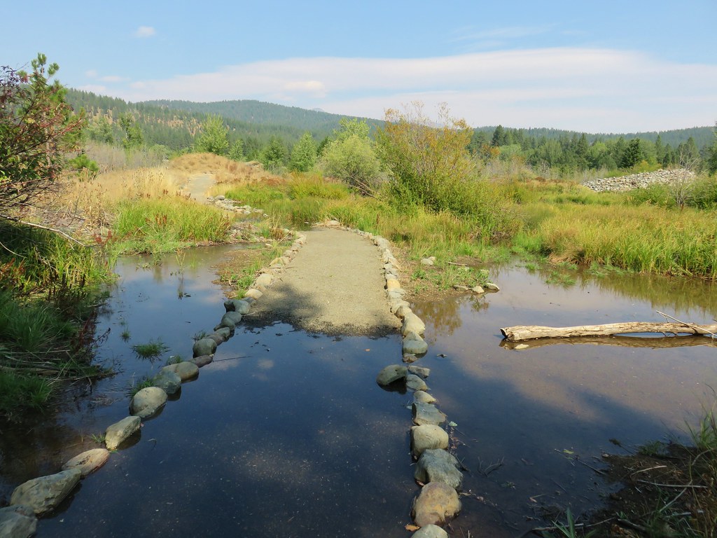
We turned left onto the .3 mile McCulley Creek Trail which was flooded near its end by some nifty beaver work.

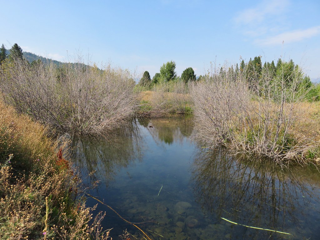
We returned to the South Trail and finished the loop which ended at a machinery yard near the dredge.

We walked left around the dredge and picked up the North Trail which traveled along Cracker Creek.

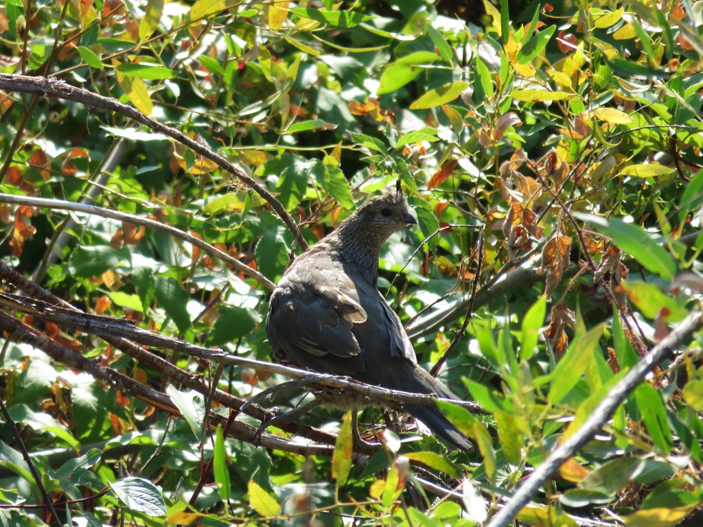
We had been hoping to see a beaver but knew the chances of that during the day were slim so we settled for a quail.
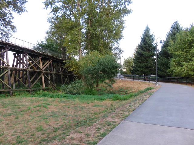
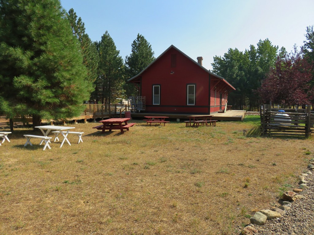
We turned left at a Ridge Trail sign and followed this path to the Railroad Station.

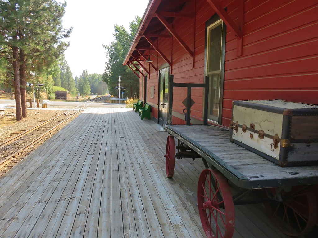
From the station we crossed the parks entrance road and took the Walking Trail back to the dredge.

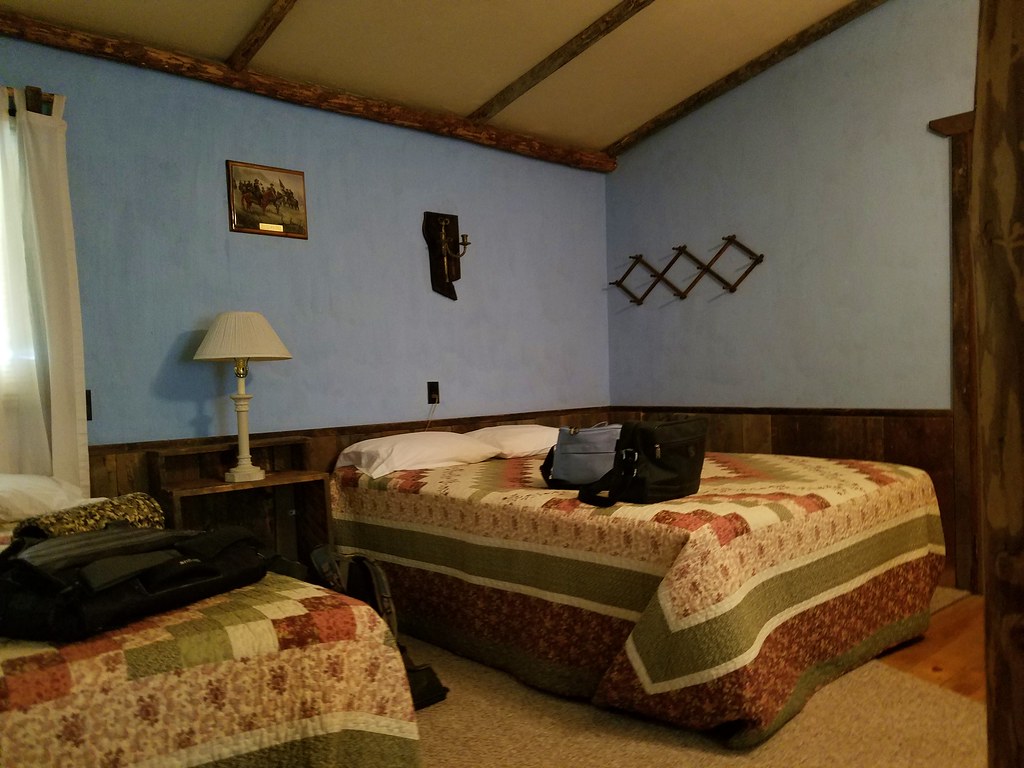
As it turned out our motel was right across the street from the park. We had originally planned to stay at the Granite Lodge in Granite but that establishment appeared to be for sale from what we could tell, so Heather started looking for a place in Sumpter. There were a couple of choices but we picked the Sumpter Stockade due to the themed rooms looking fun. It turned out that this motel had just changed owners and the previous owners hadn’t stayed open past Labor Day. We thoroughly enjoyed our stay there and the new owners were great!
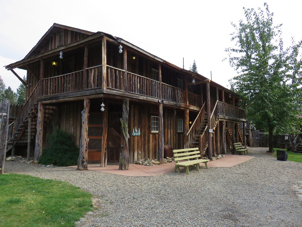

We were given the Civil War Room.
After dropping off our stuff we decided to try out a hand dipped corn dog stand we’d seen on the next block. That turned out to be a great decision as both the corn dogs and cheese sticks from Cajun Concessions were excellent! It was a satisfying end to another great day of hiking.
It looked like things were going to start getting interesting the next day as the system from the Gulf of Alaska was supposed to begin arriving overnight and temperatures would start dropping around 11am on Monday with the snow level dropping as low as 5000′. We went to bed knowing there was a good chance we’d be hiking in snow by the end of the following day. Happy Trails!
Flickr: Blue Basin, Bates, and Sumpter


 Jockey Cap


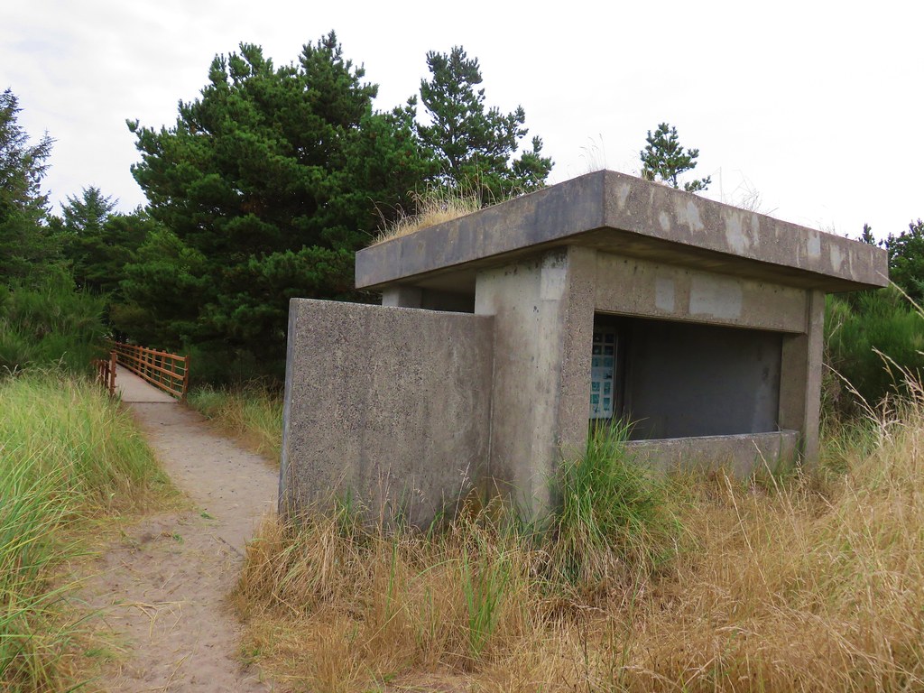
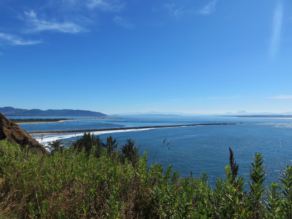
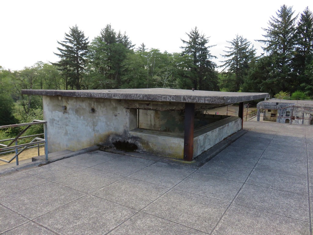
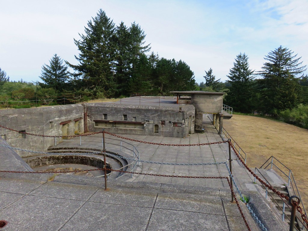
 view from the bunker.


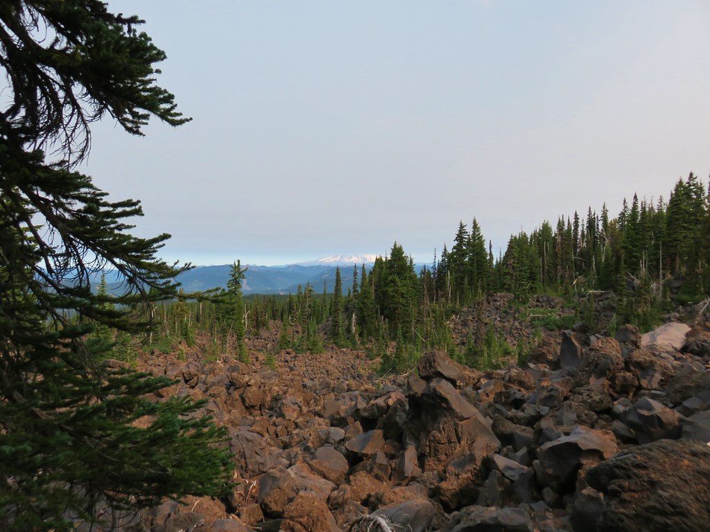
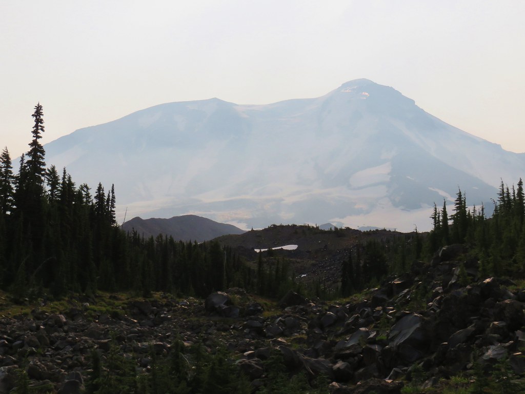
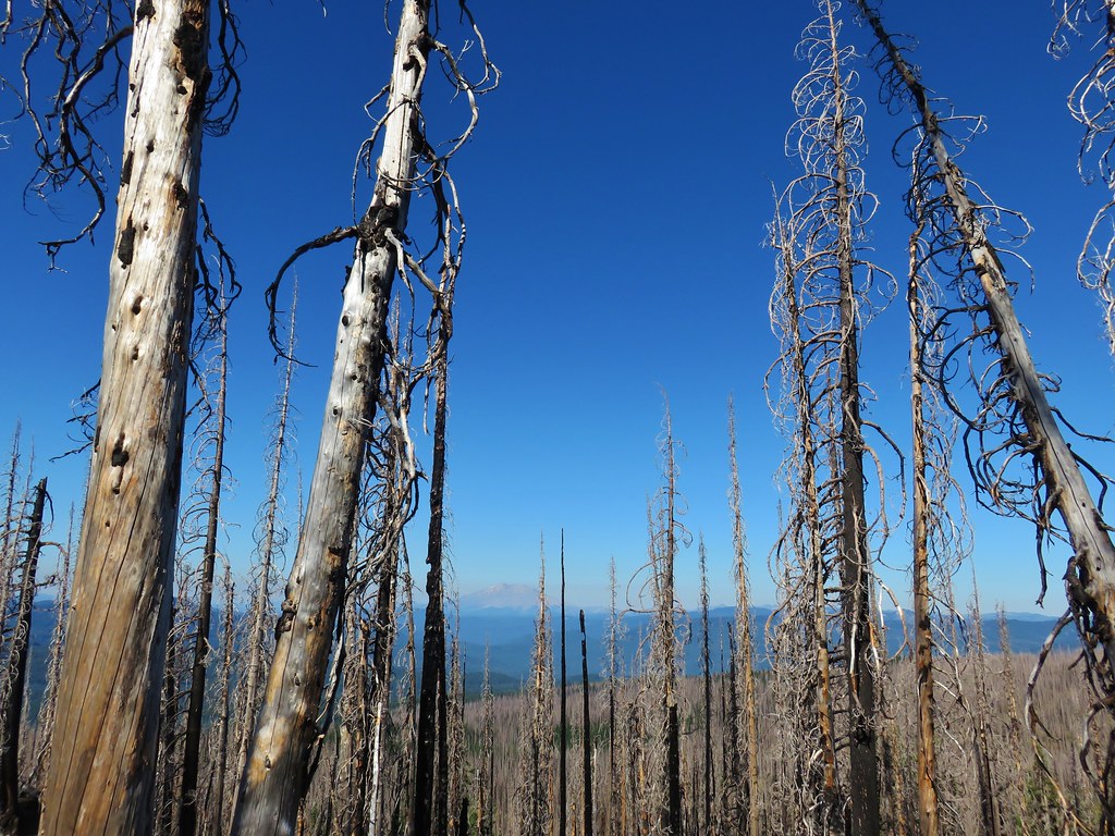
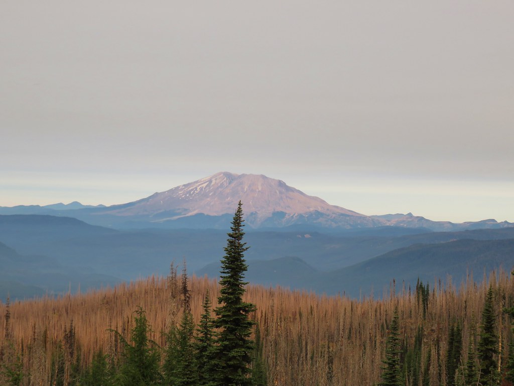 Mt. St. Helens
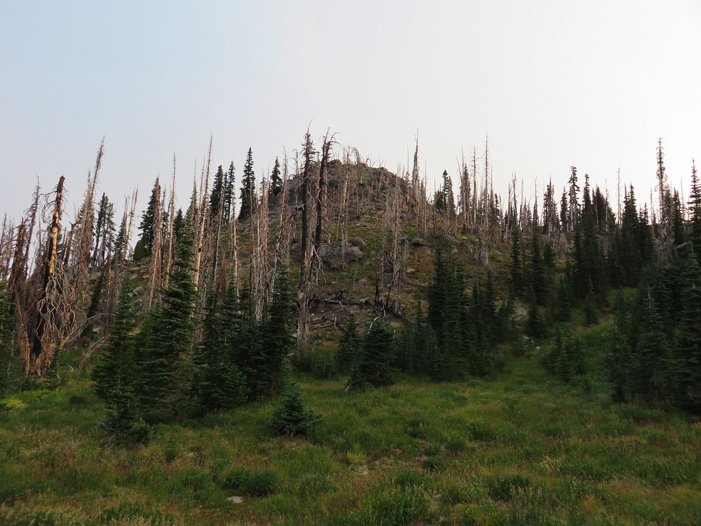
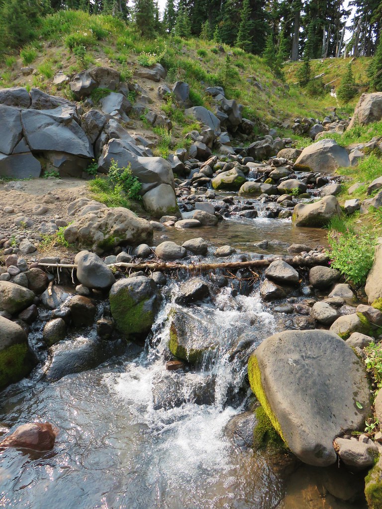
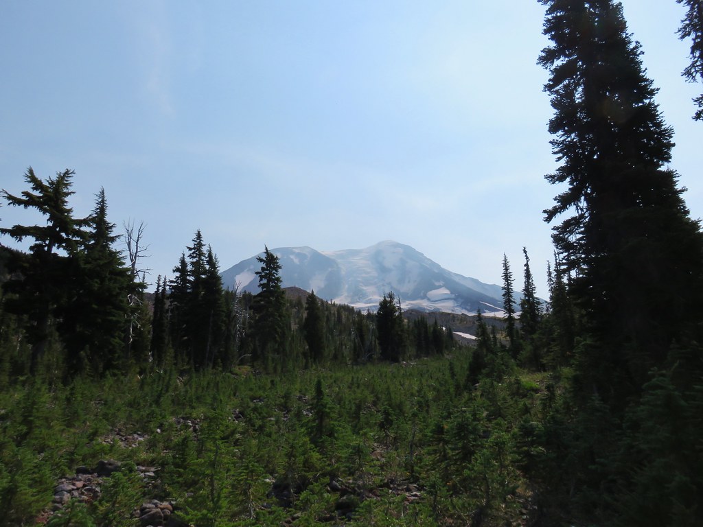
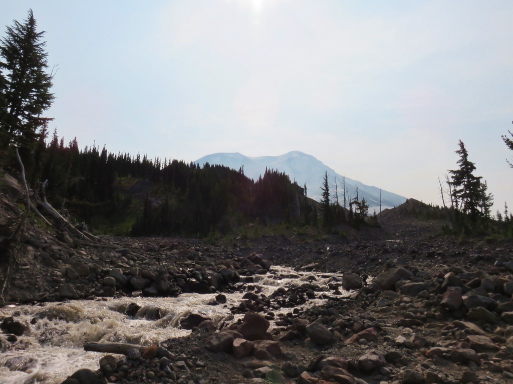
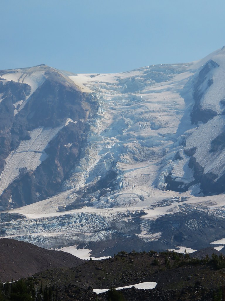
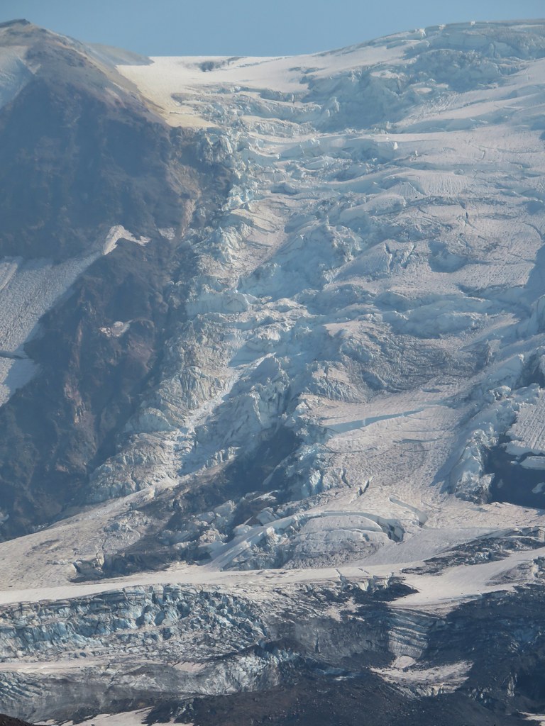
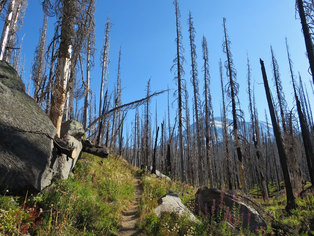
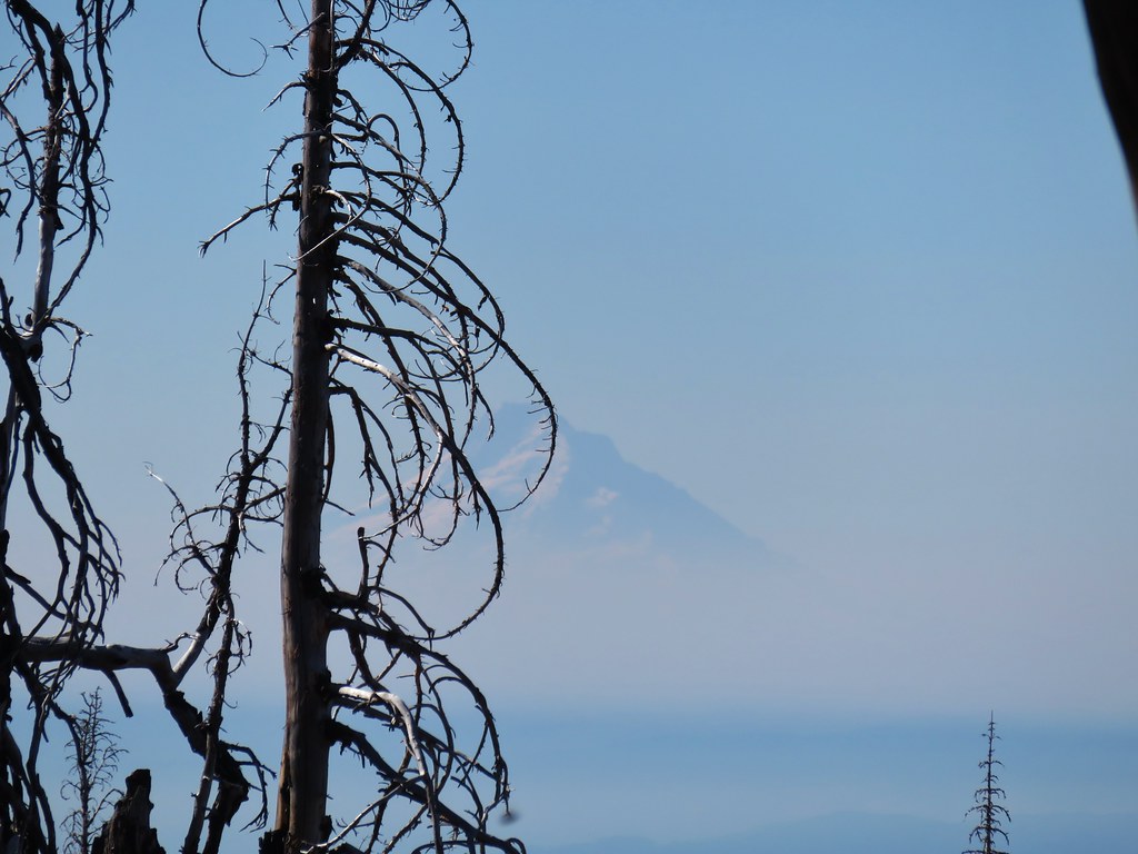
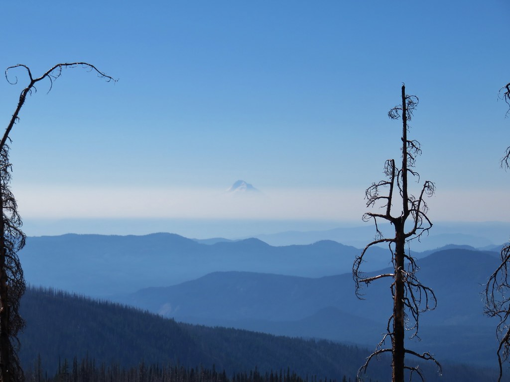
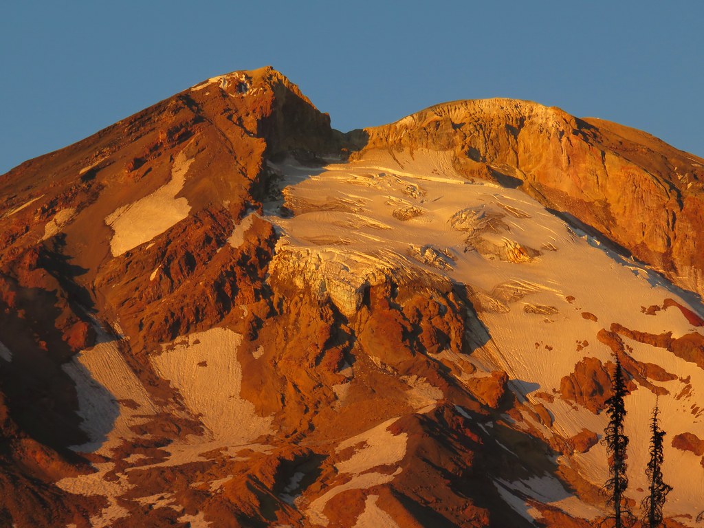
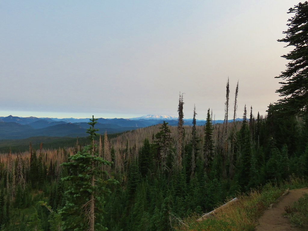 The bottom of Mt. Rainier
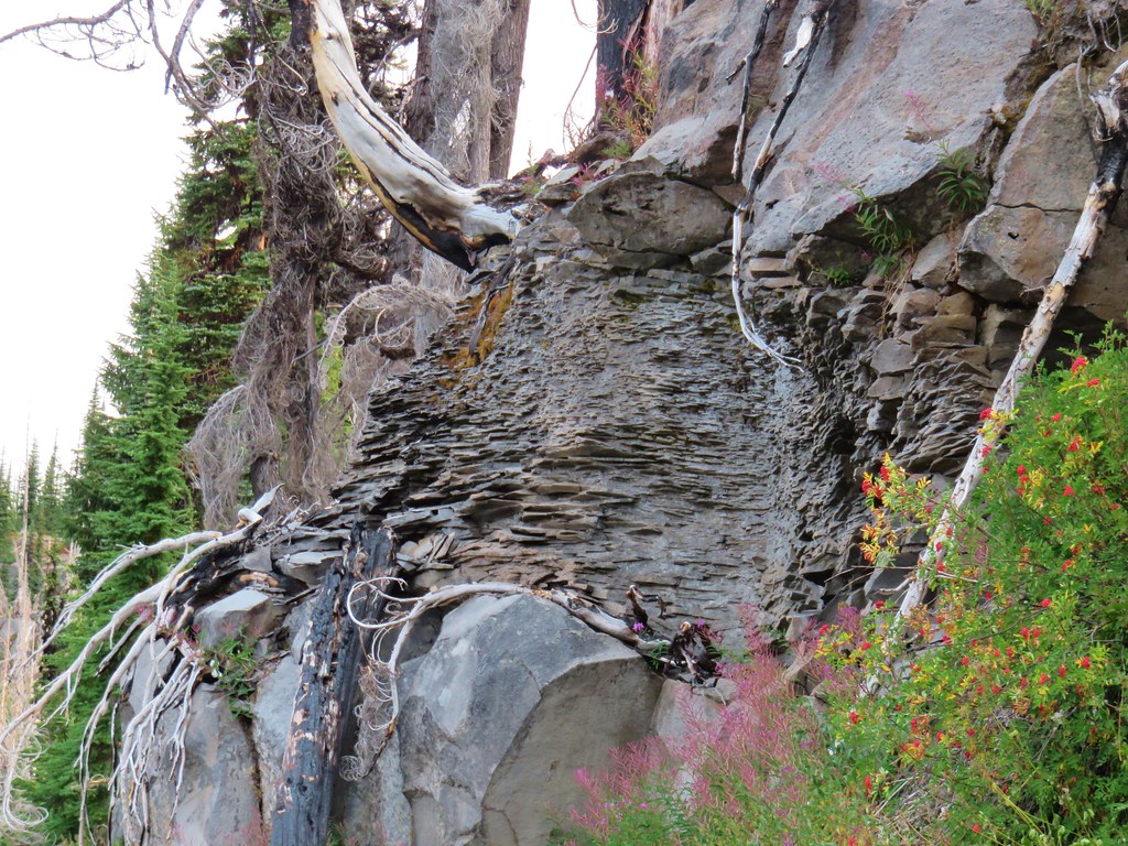
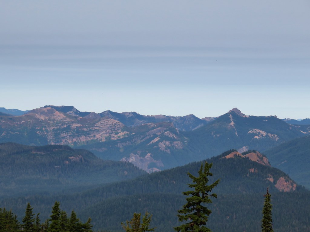
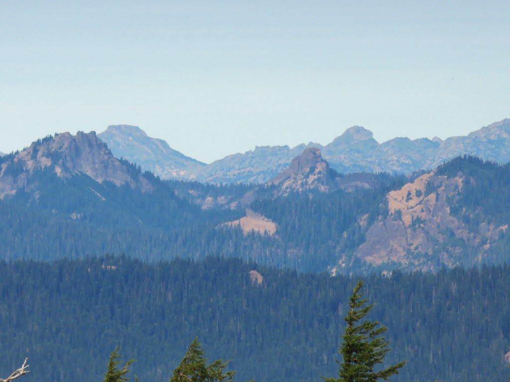
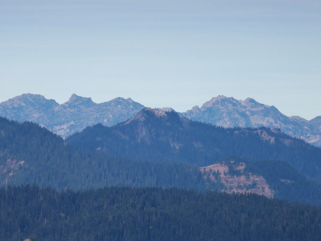
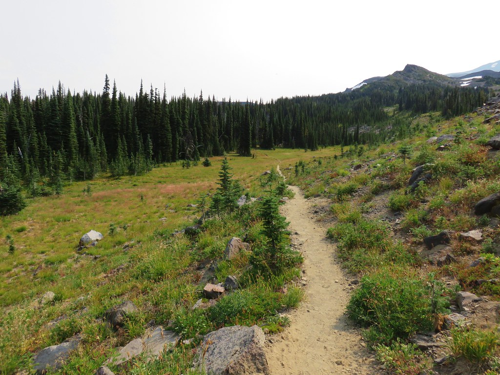
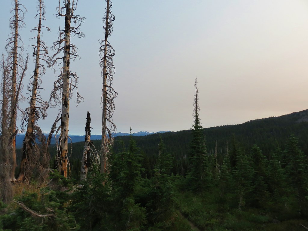 Goat Rocks
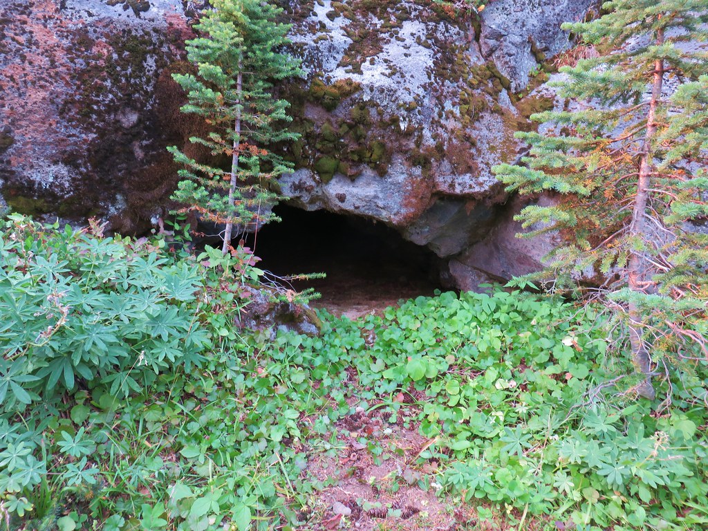 Small cave along the PCT