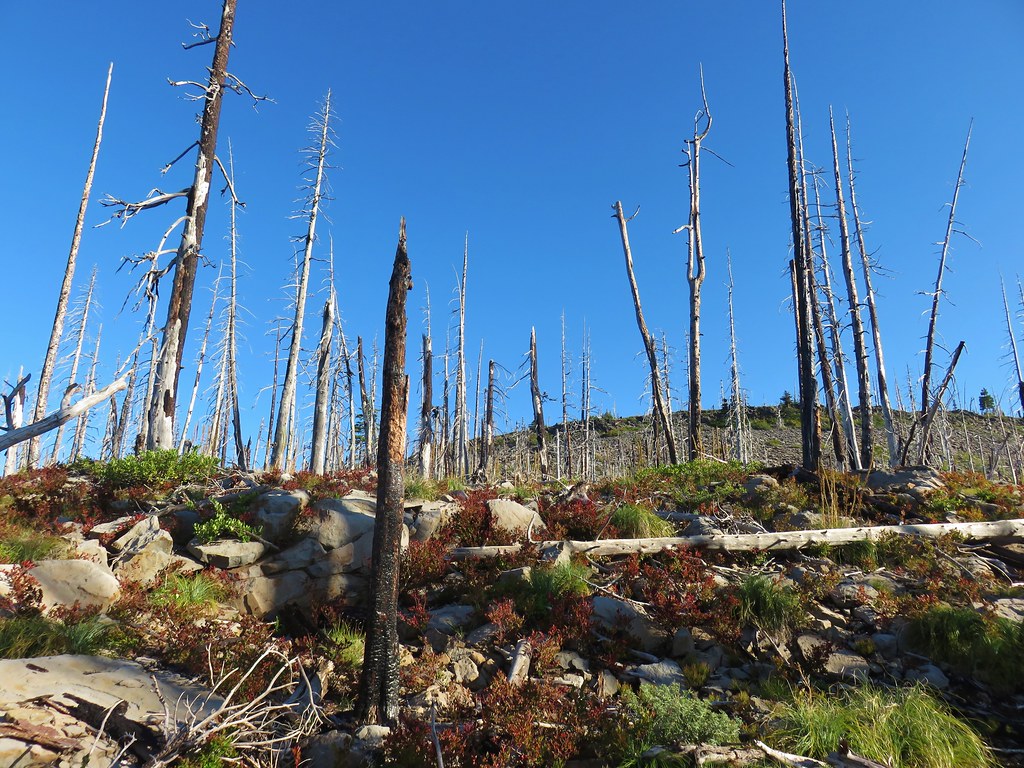
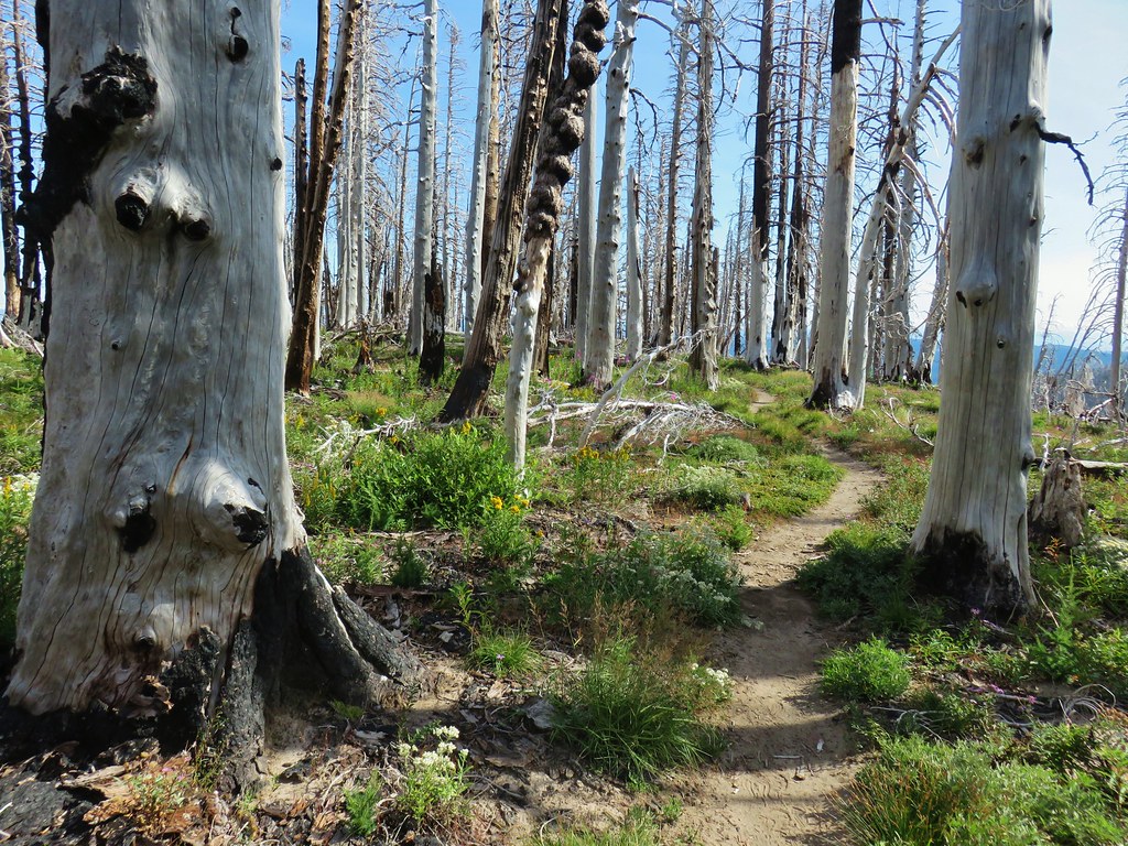
**Note a portions of these hikes burned in the 2022 Cedar Creek Fire.**
As we continue to move closer to our goal of completing all of the featured hikes in William L. Sullivan’s 100 Hikes series of guidebooks (post) we have begun narrowing down the specific editions to base our progress off of. (For various reasons the featured hikes are a little different with each edition.) For the central cascades region we have decided to focus on the 4th edition from 2012. A few of the remaining featured hikes from that book are not part of the 100 hikes in the 5th edition as was the case with Lillian Falls.
It’s not always evident why Sullivan removes a hike from featured status and moves it to the back of his book (or removes it all together), but we thought it might have something to do with what he describes as “dangerous” potholes on the road to the trailhead. I checked with the Middle Fork Ranger District on the status of the road and the ranger there indicated that the road was fine for a high clearance vehicle but needed to be driven carefully. That sounded reasonable enough to us so we headed for the Black Creek Trailhead for the second hike of our long Labor Day Weekend.
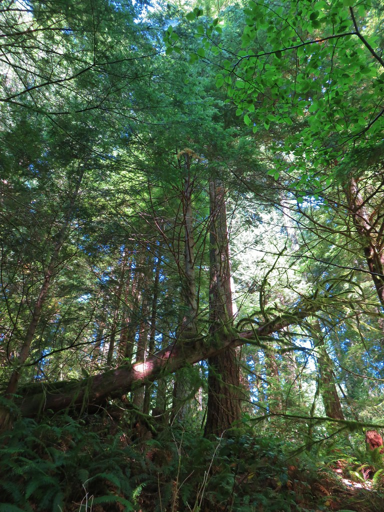
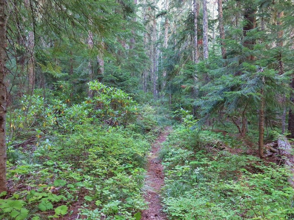
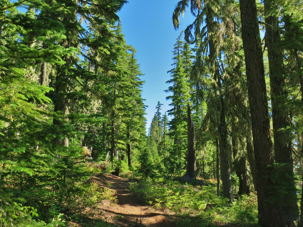
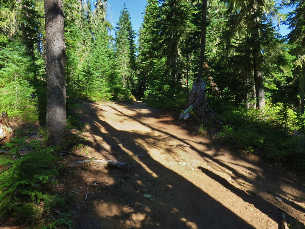
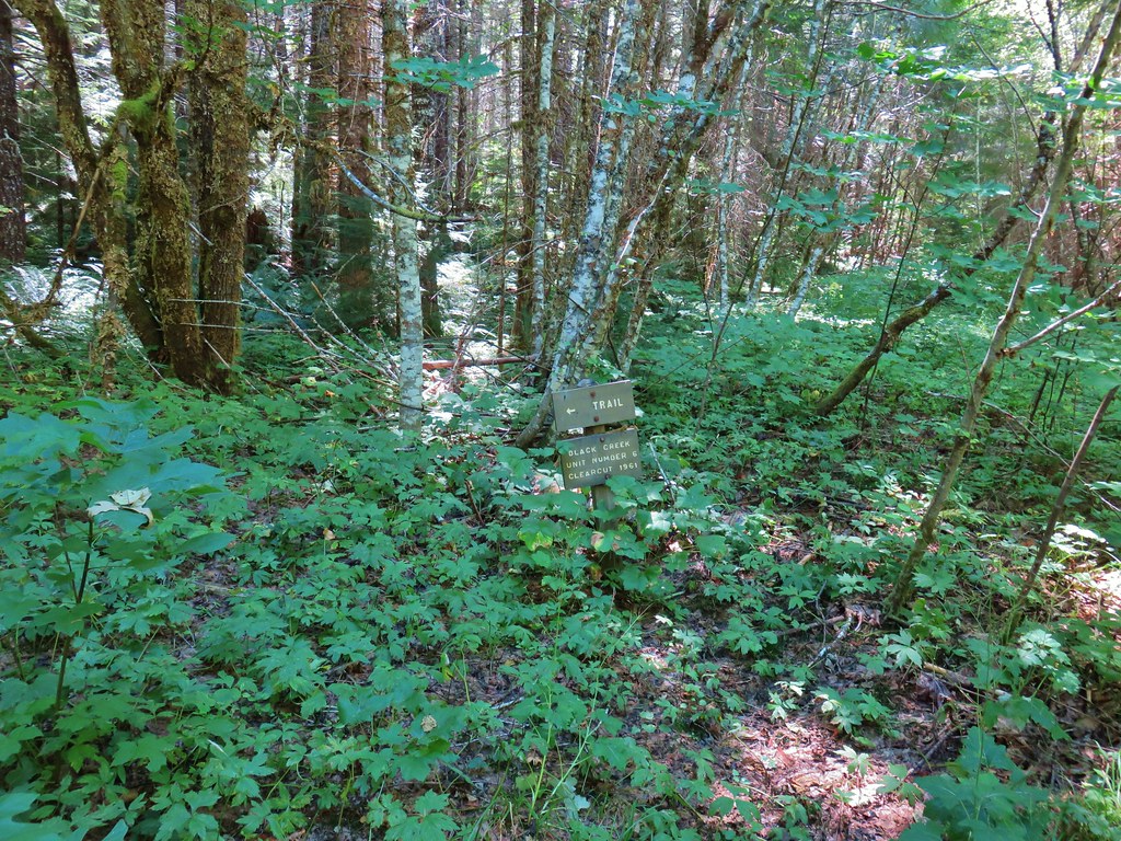
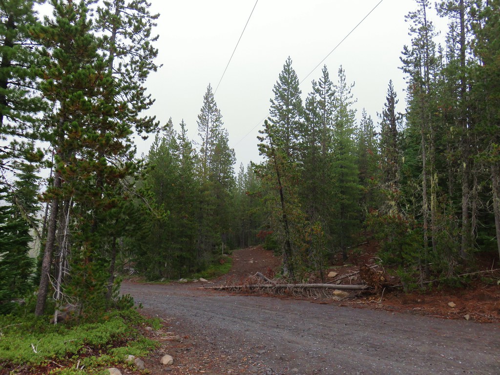
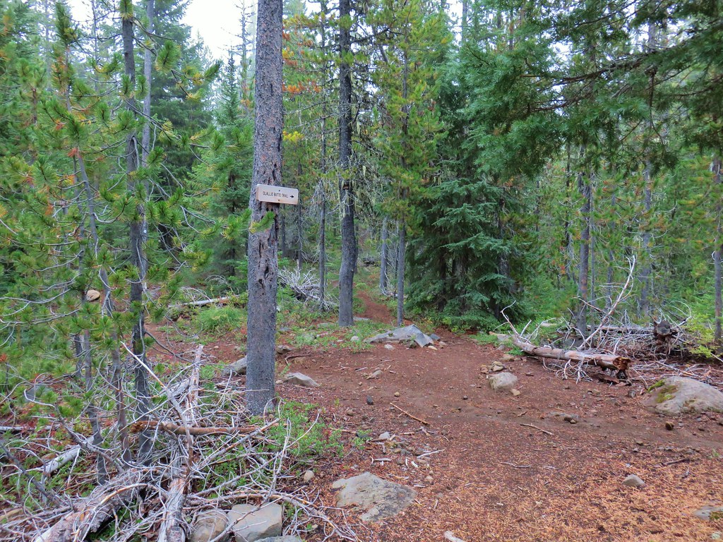
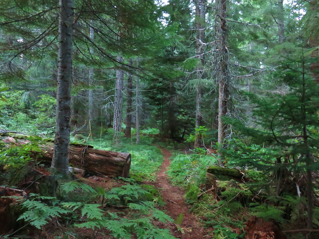
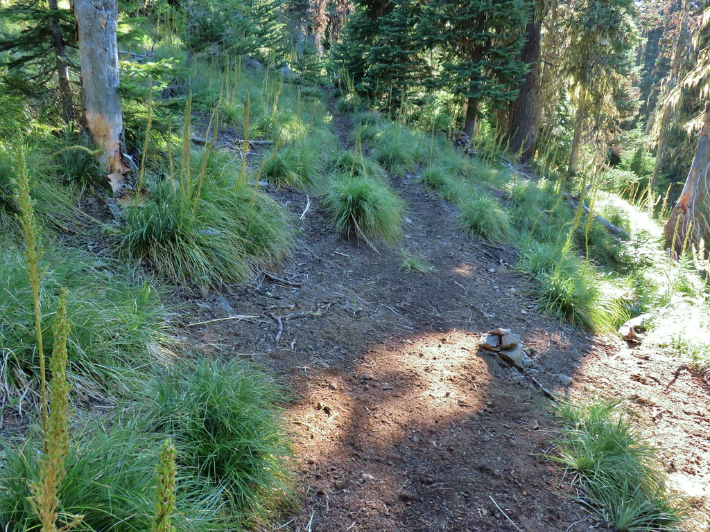
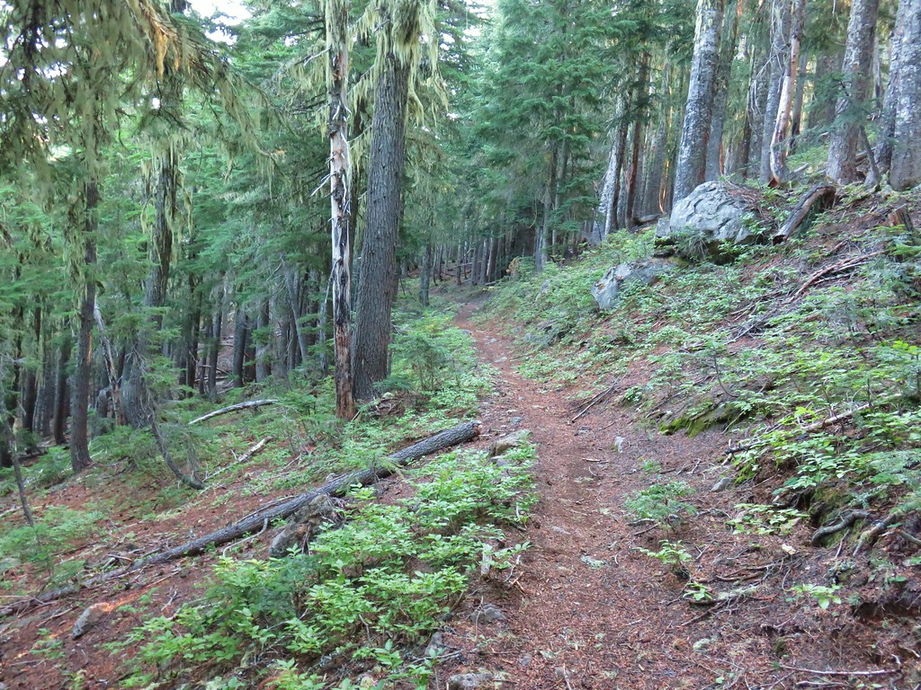
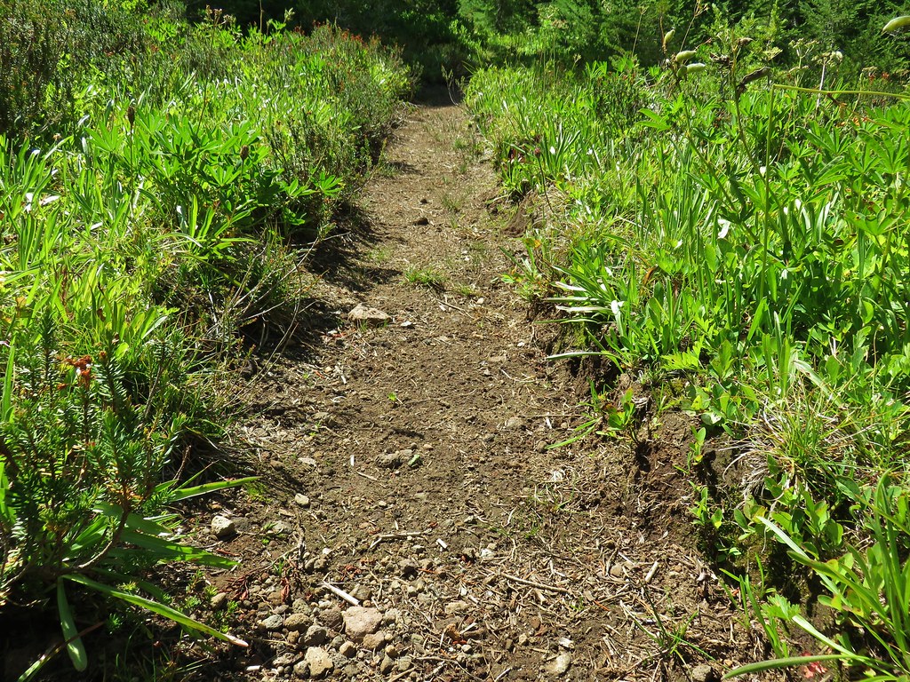
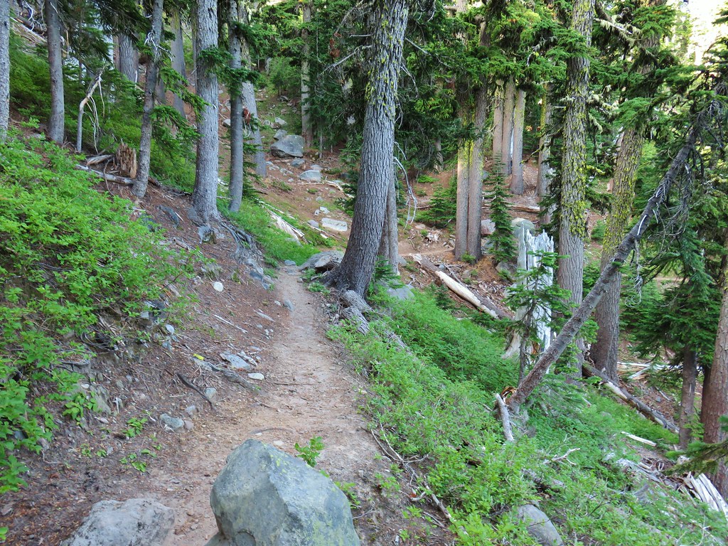
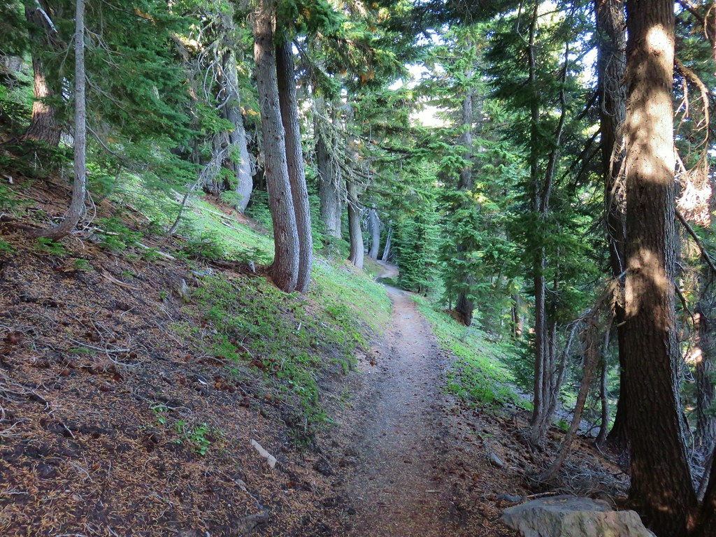
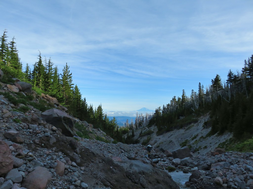
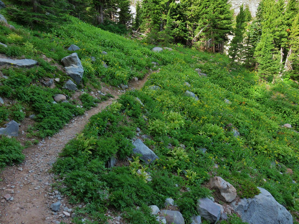
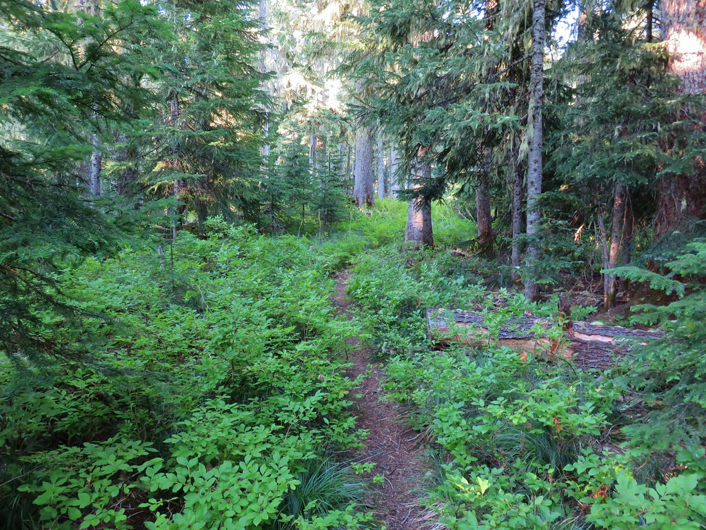
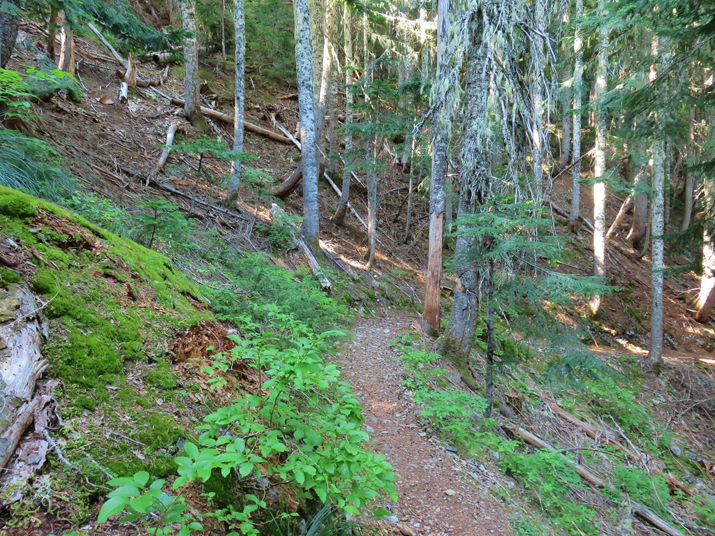
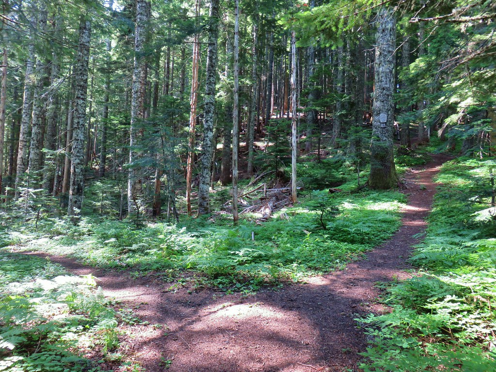
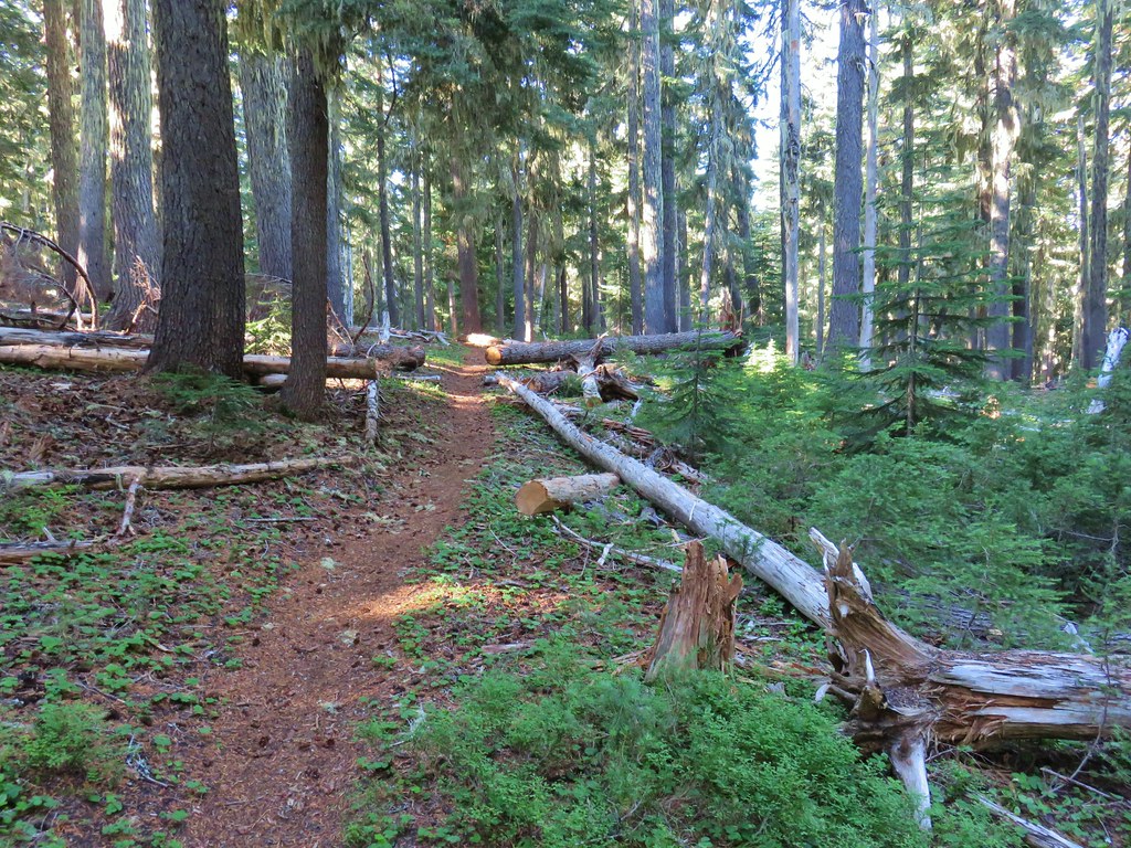
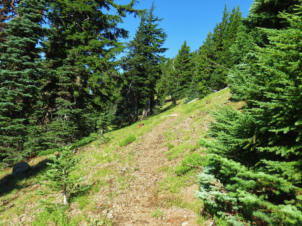
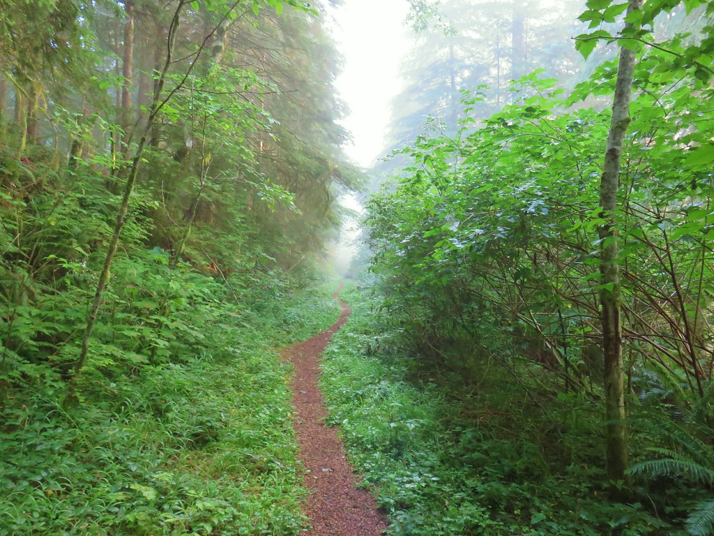
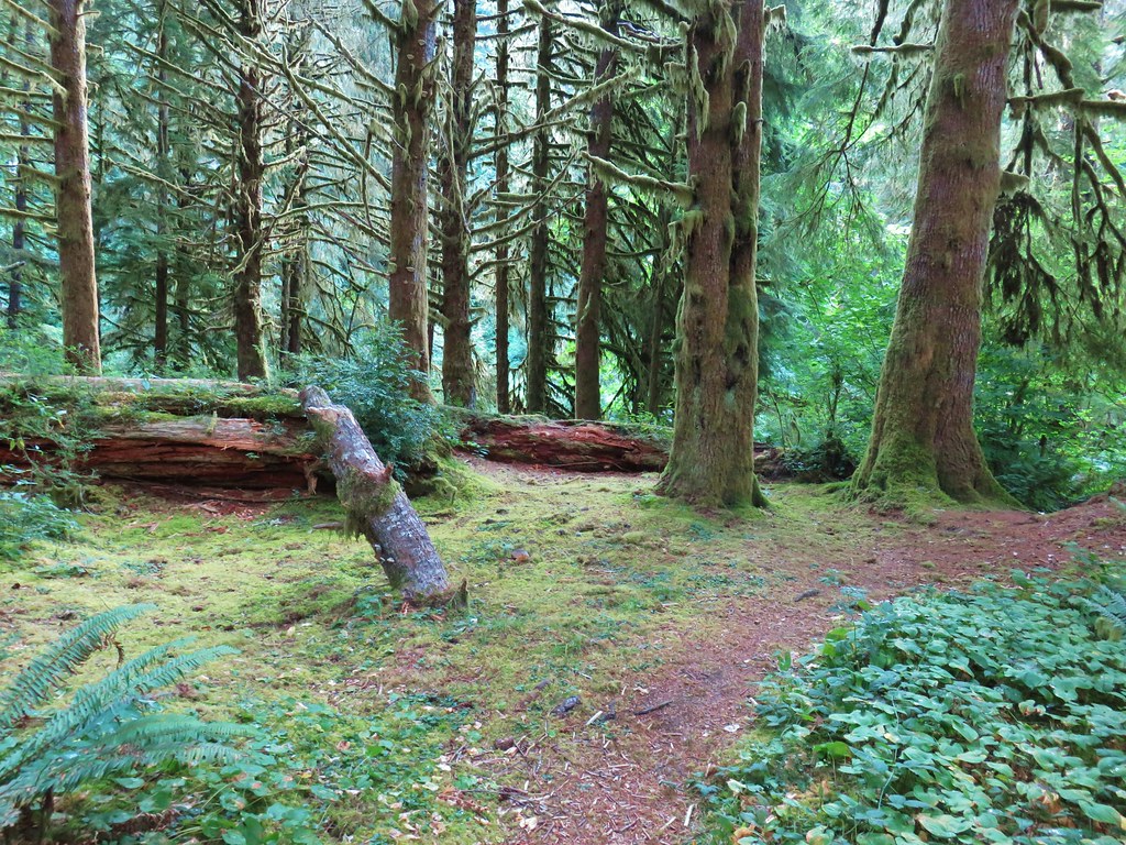
We had planned on stopping at the short Joe Goodards Grove Trail first as it is located 1.6 miles before the Black Creek Trailhead on FR 2421 but we missed the unsigned turn (we saw the road but didn’t realize it was the one we wanted) and by the time we realized it we decided it was just going to be easier to do the longer hike first then end the day with the nature trail. We parked at the end of FR 2421 and took the unsigned Black Creek Trail into a second growth forest.


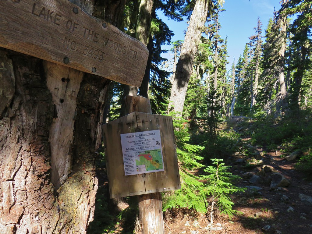
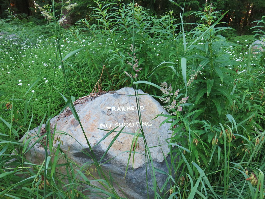
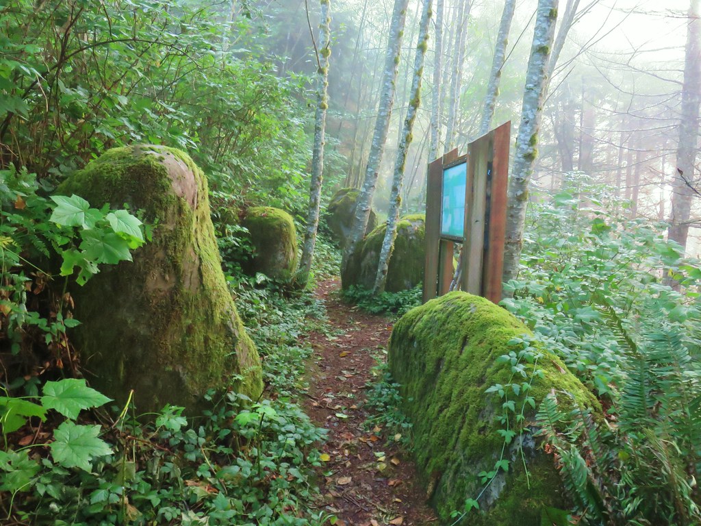
Less than a quarter mile from the trailhead we arrived at a signboard where we filled out a wilderness permit.

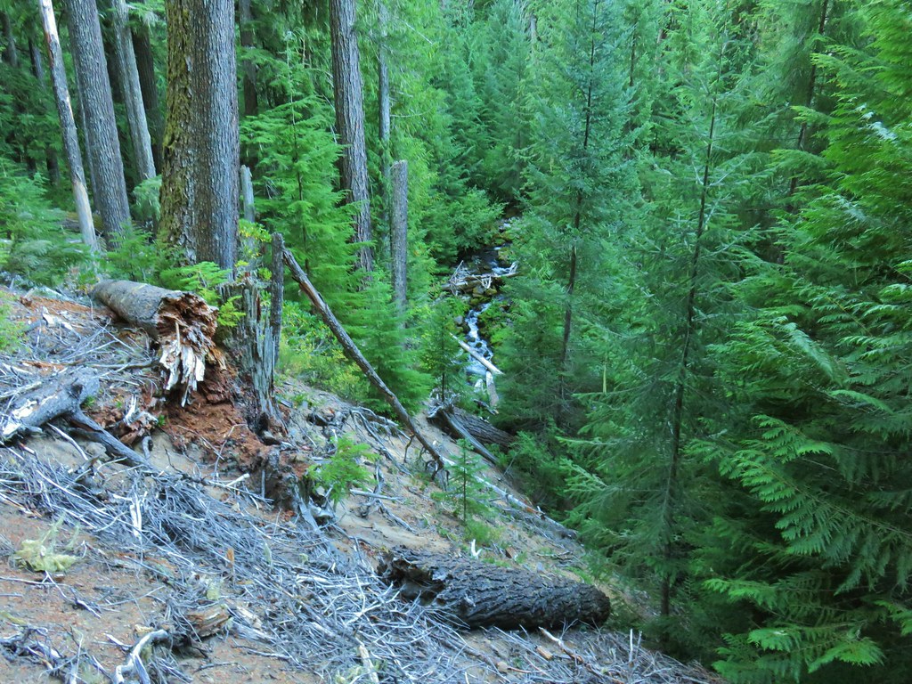
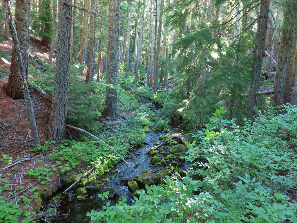
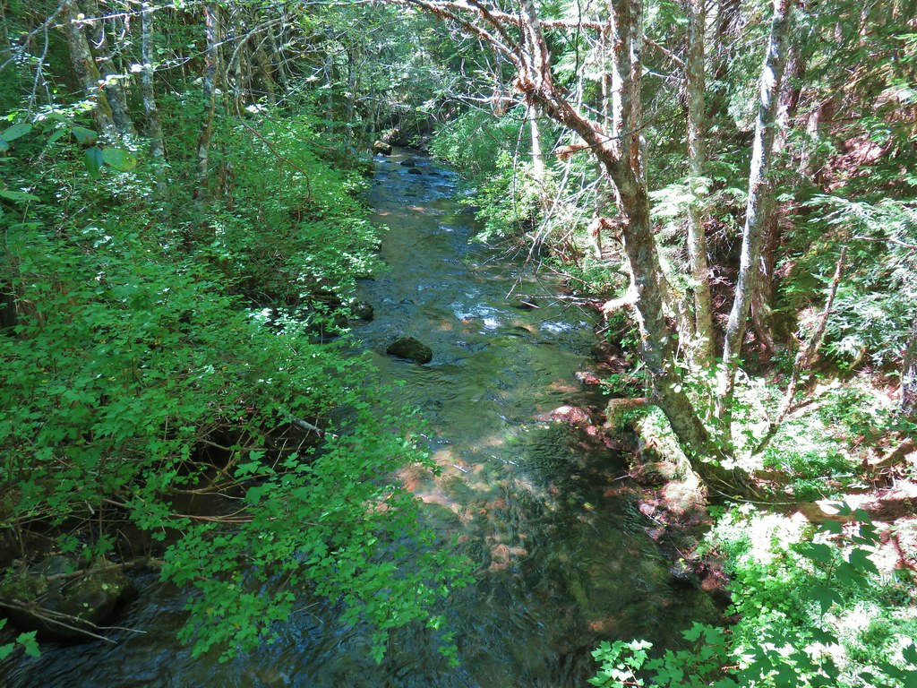
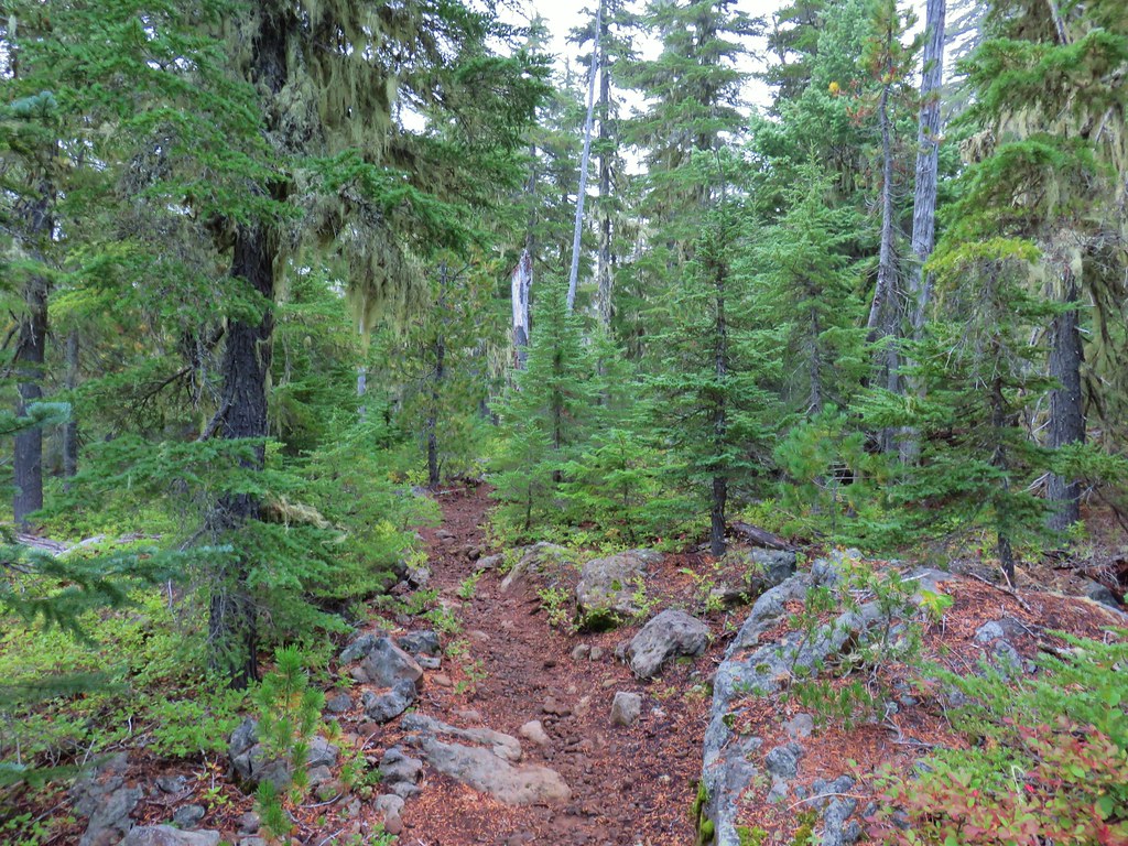
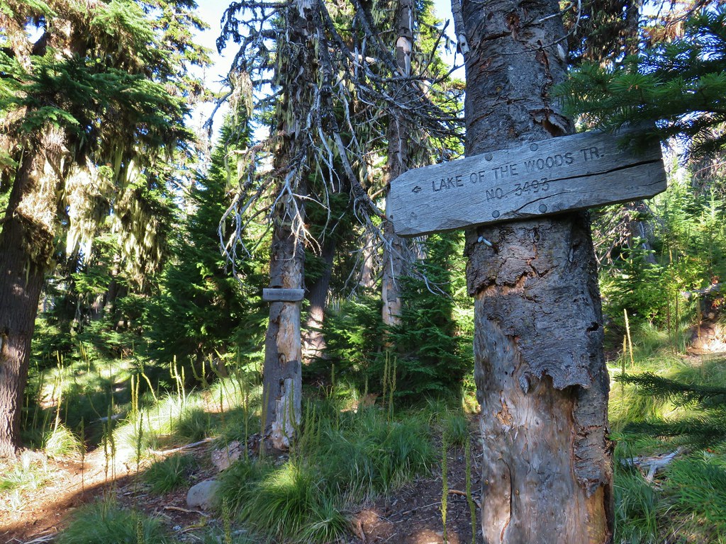
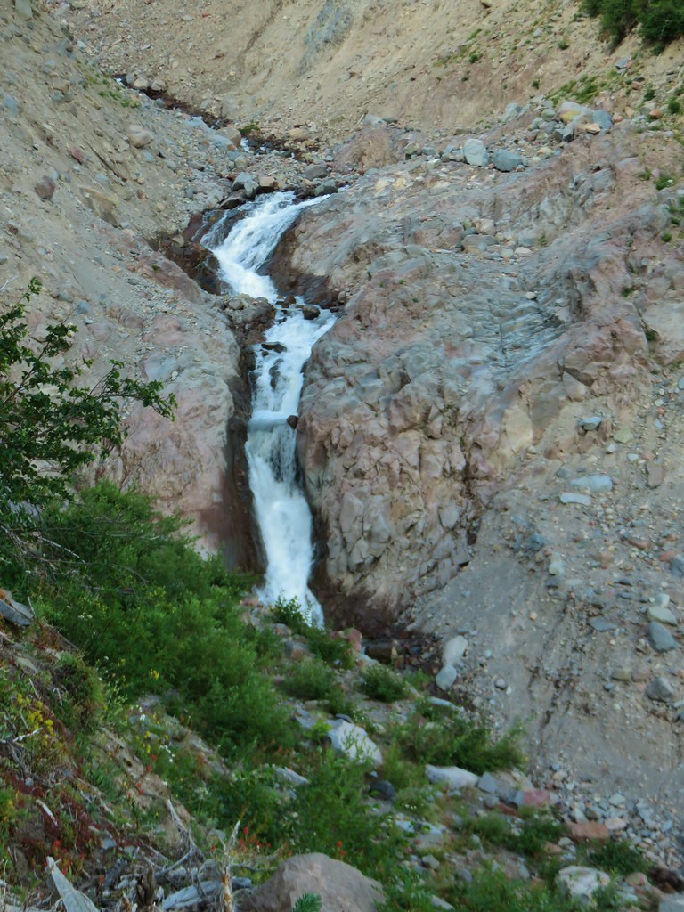
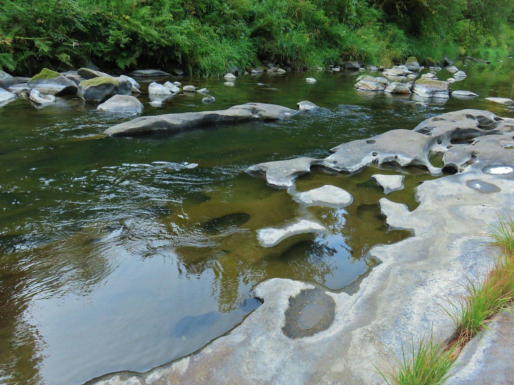
Just beyond the signboard we crossed a small stream and entered the Waldo Lake Wilderness
 Looking back at the stream.
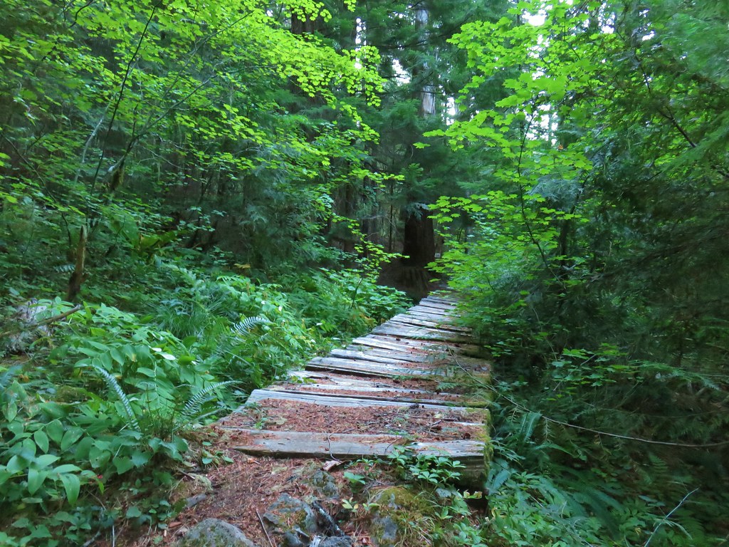
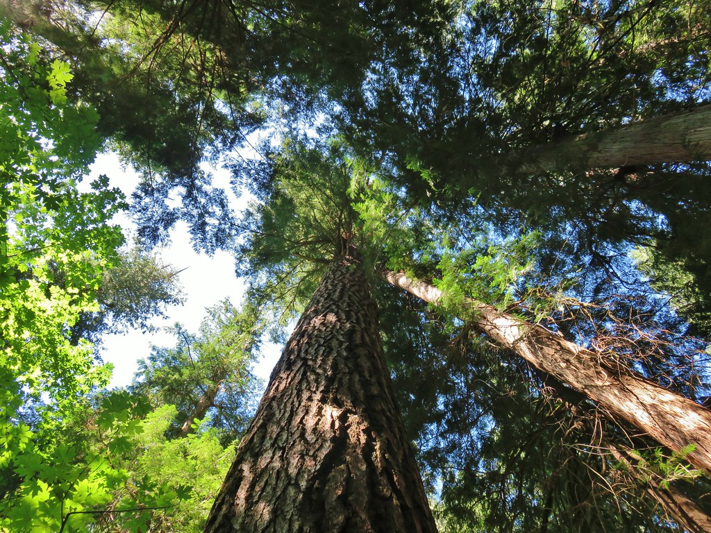
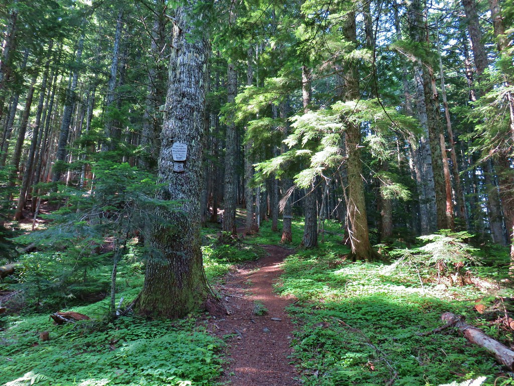
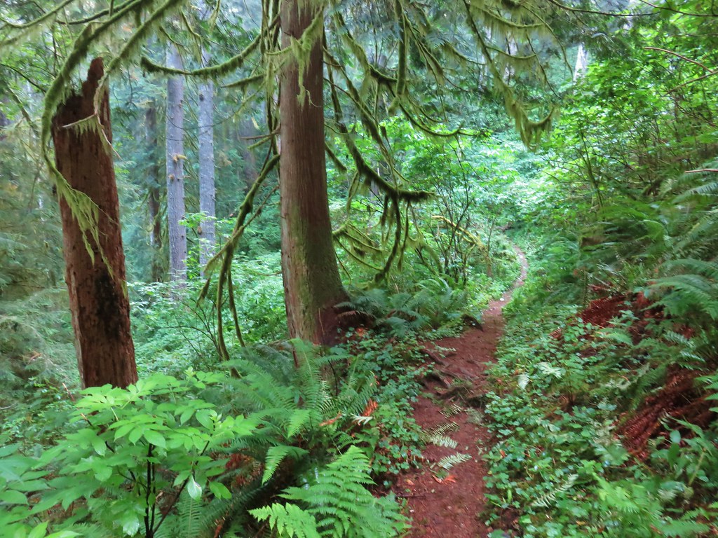
A few old footbridges remained as we passed through old growth above Black Creek.
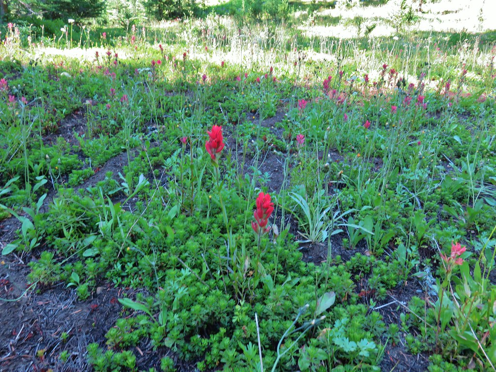
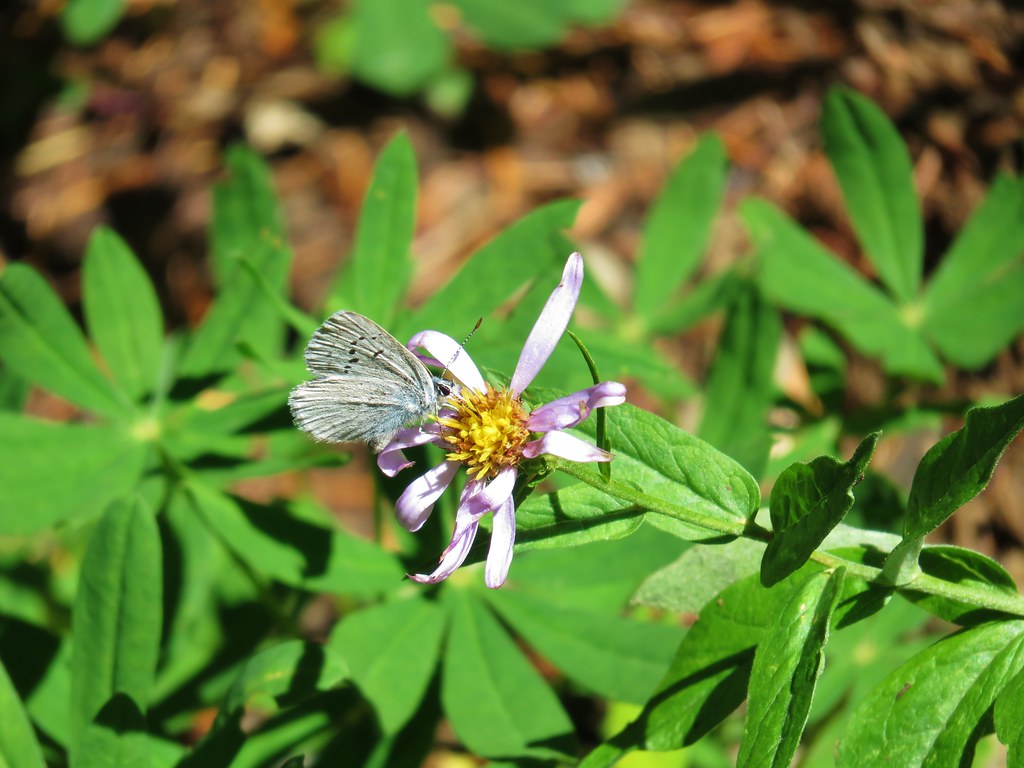
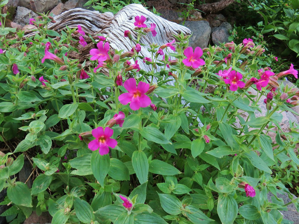
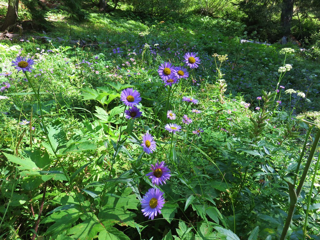
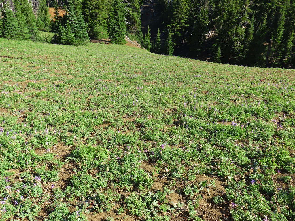
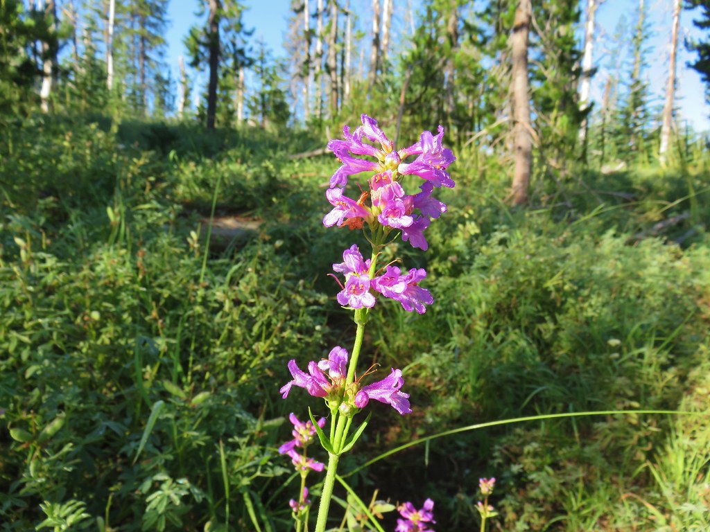
 Not many flowers left but this one reminded us of fireworks.
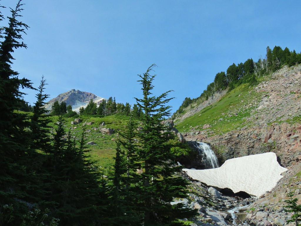
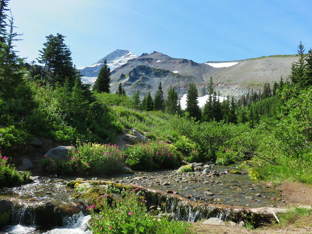
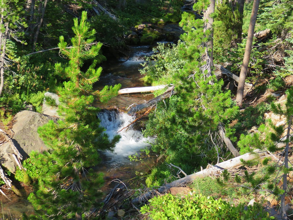
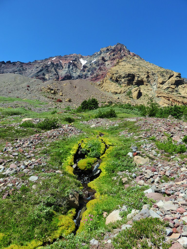
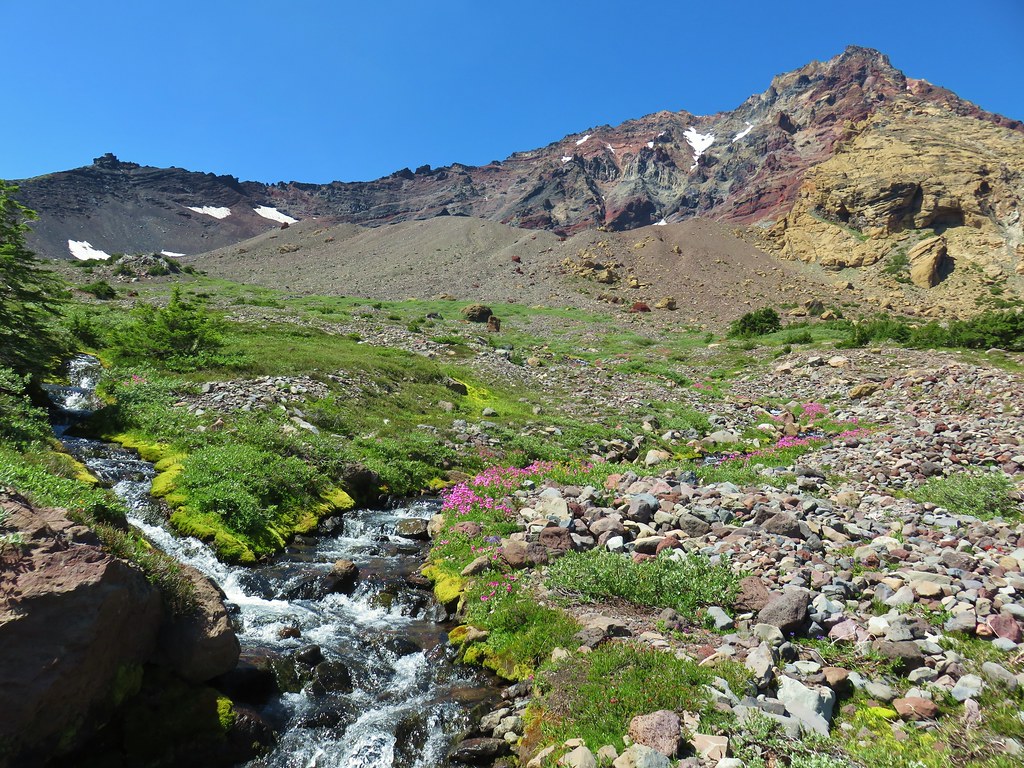
The trail climbed gradually for just over a mile to a switchback along Nettie Creek where we could hear the roar of Lillian Falls just upstream.
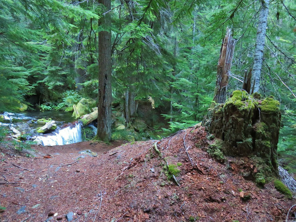 Nettie Creek at the switchback.
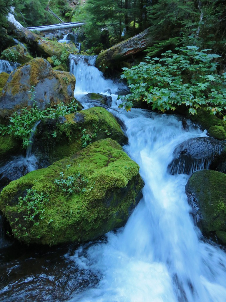
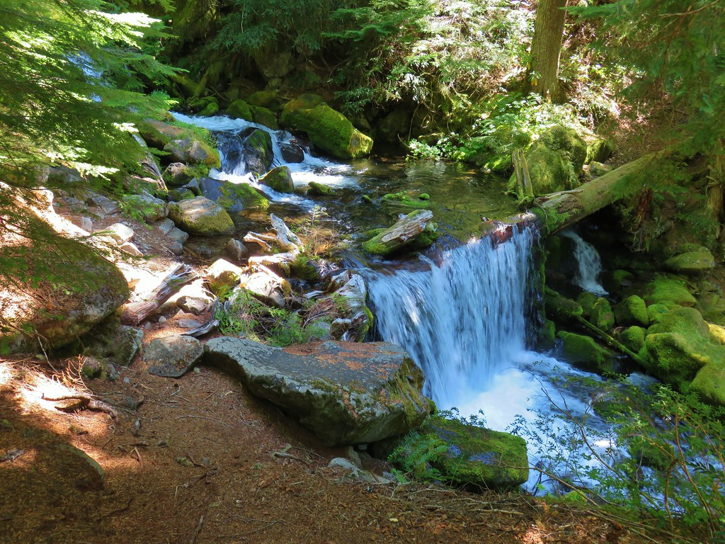
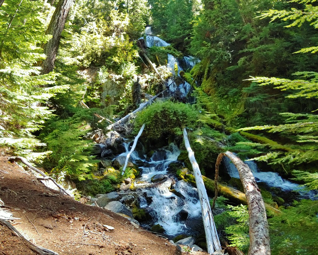
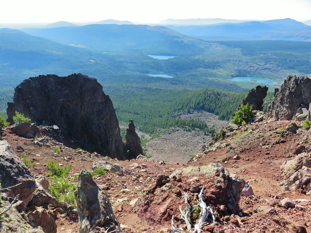
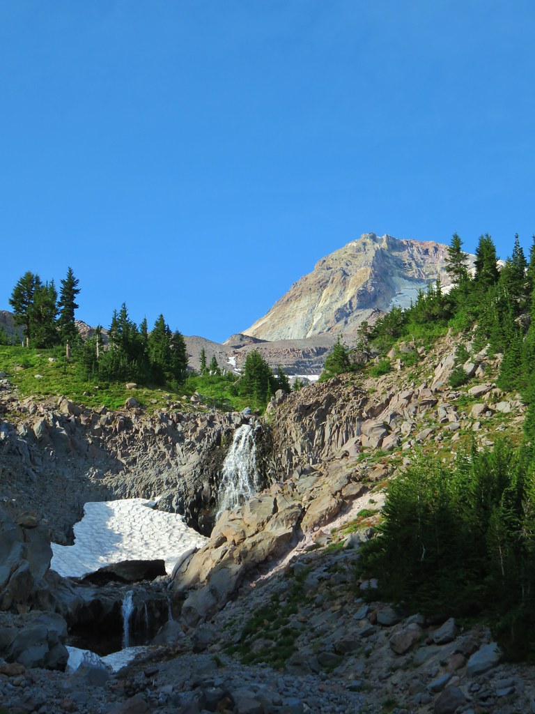
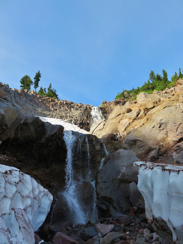
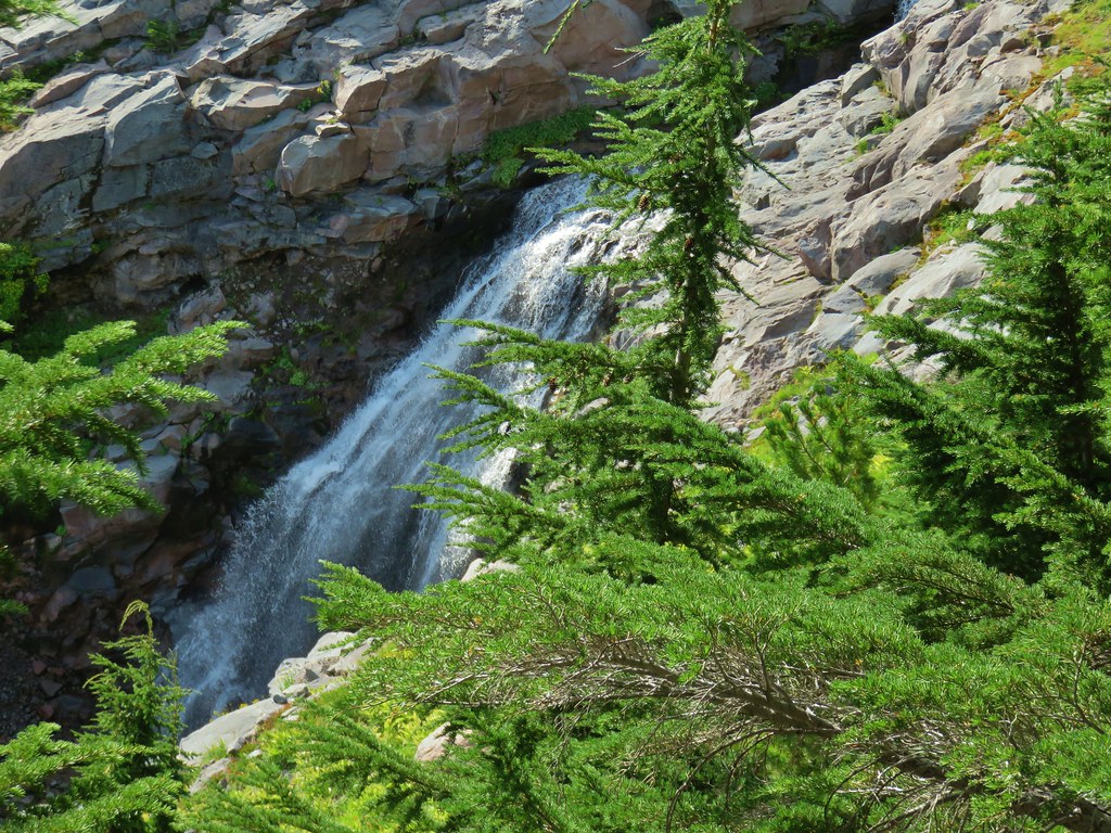
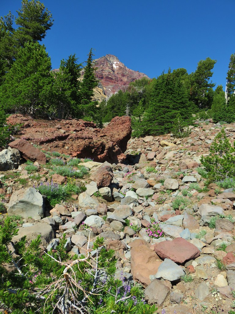
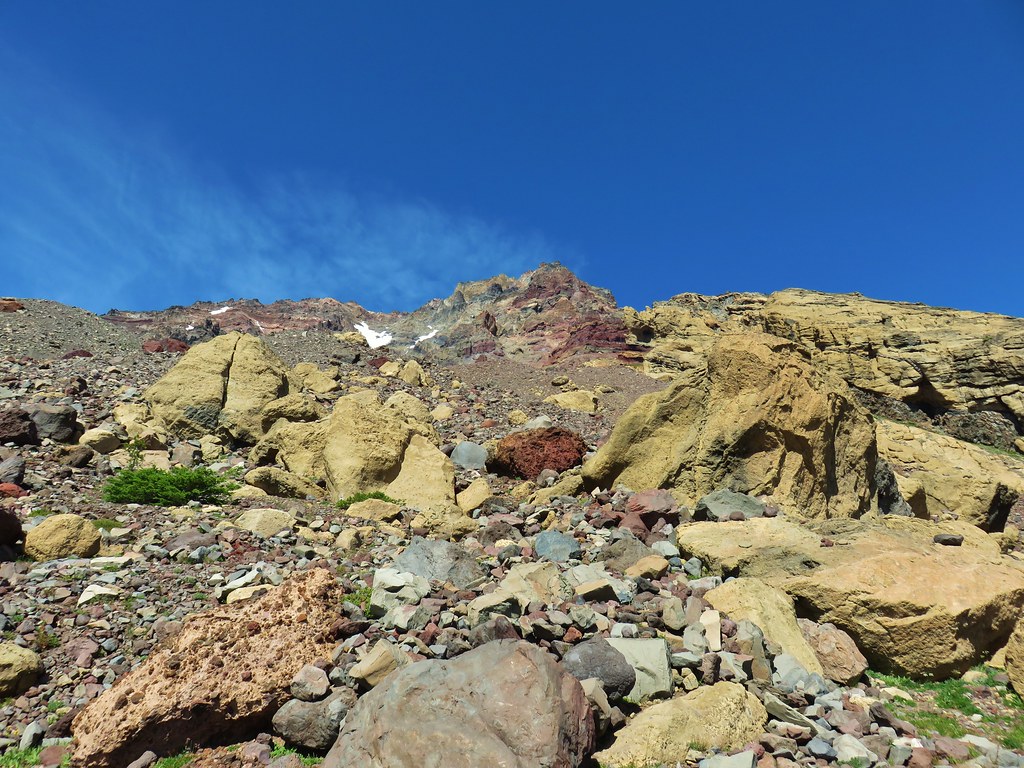
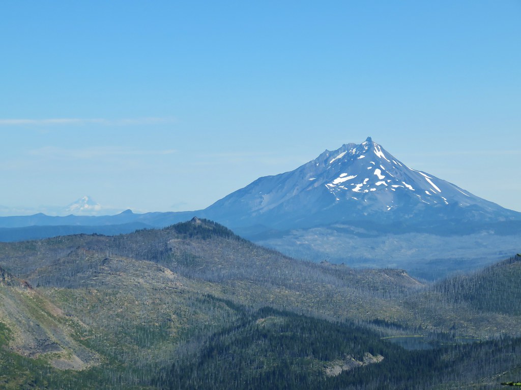
We honestly weren’t expecting much from the falls which was described as a 150′ series of cascades. The drops visible from the switchback were nice enough and about what we had expected to see.

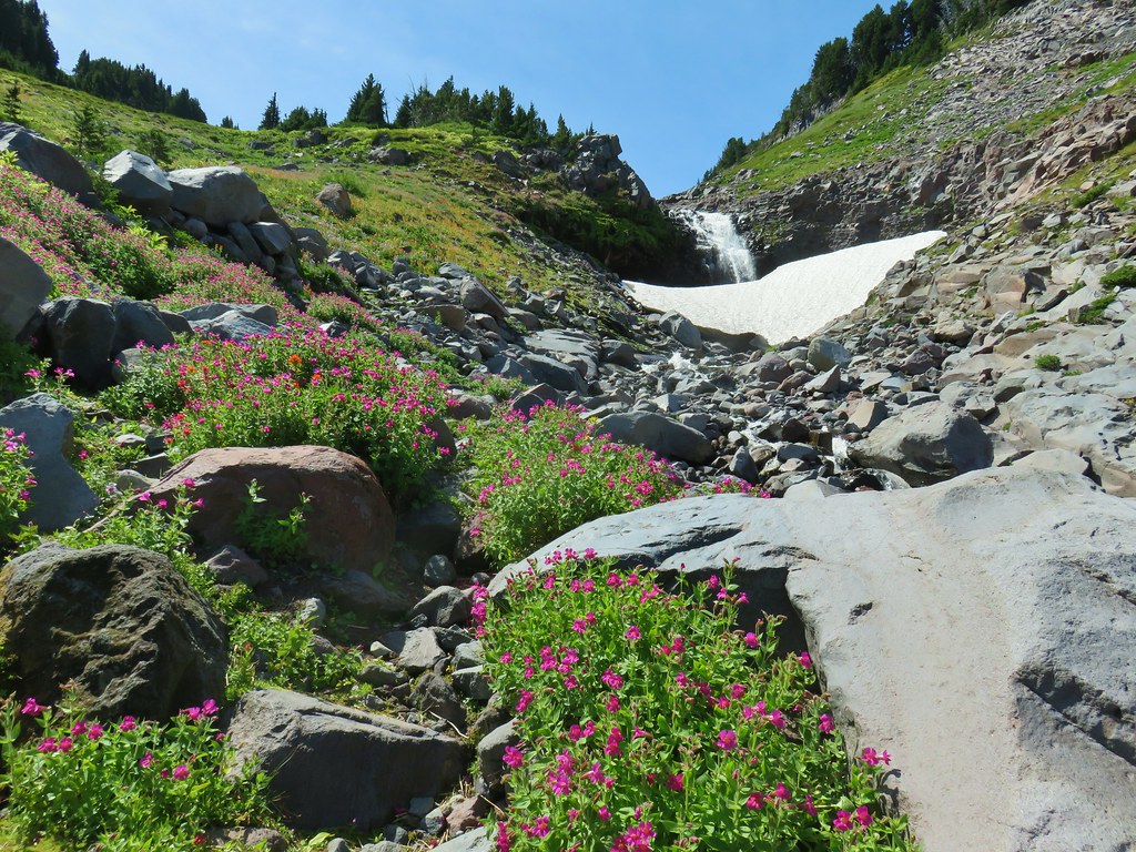
Working our way up alongside the cascades though revealed a much more impressive sight than we were prepared for.


Lillian Falls was a worthy goal on its own, but at just over 2.5 miles round trip it was too short of a hike to justify the nearly 5 1/2 hours of driving to get to the trailhead and back so after thoroughly enjoying the falls we continued up the Black Creek Trail.

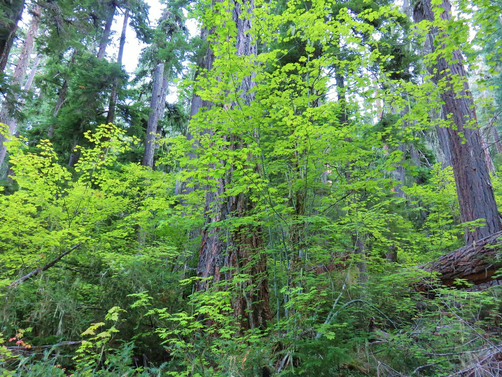
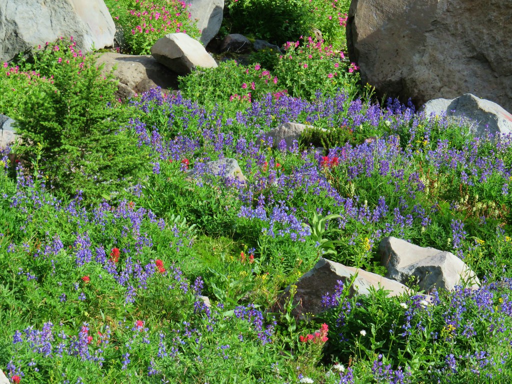
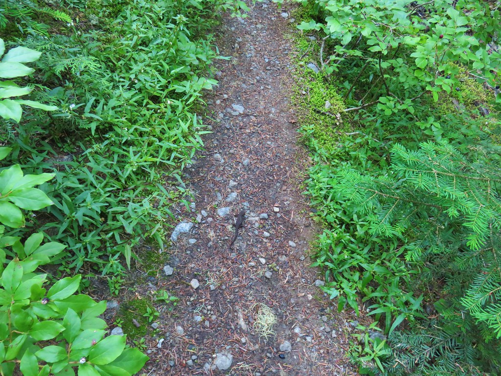
The trail veered away from Black Creek as it began a relatively steep climb up a a ridge along Nettie Creek. We leveled out a bit .7 miles from Lillian Falls passing through a section of forest with rhododendrons.

We crossed Nettie Creek on stones .4 miles later.
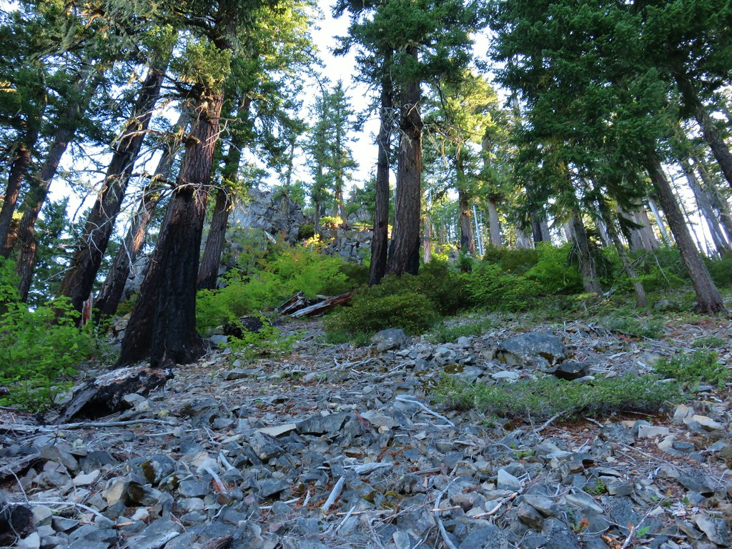
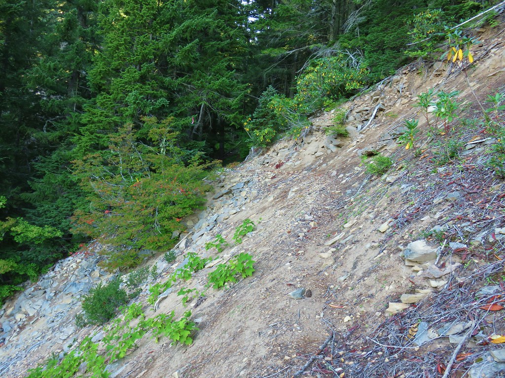
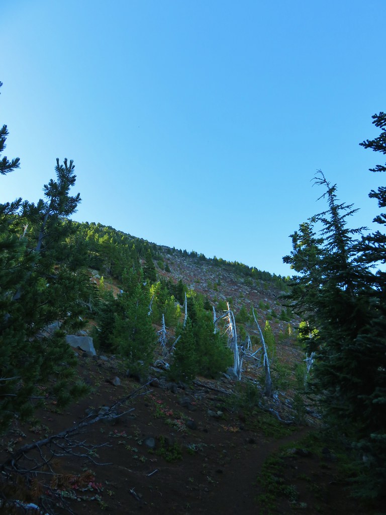
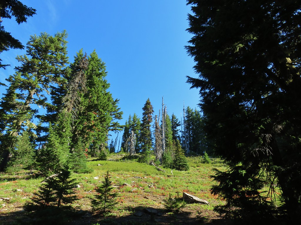
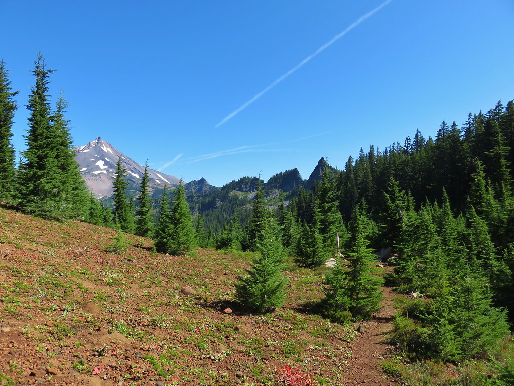
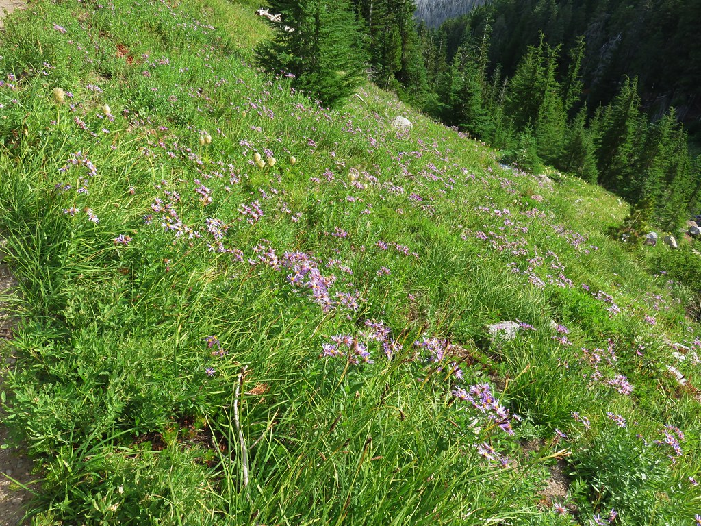
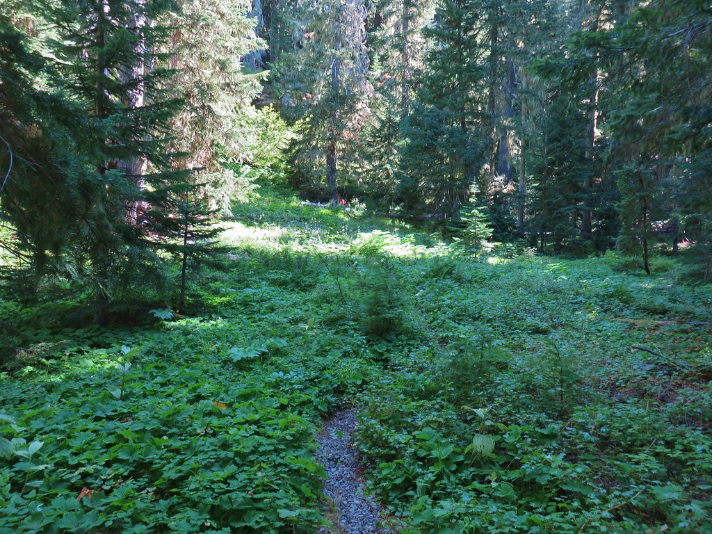
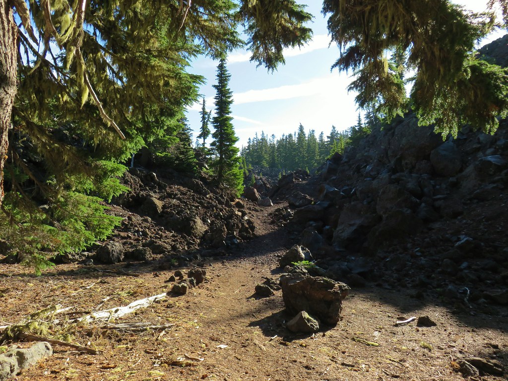
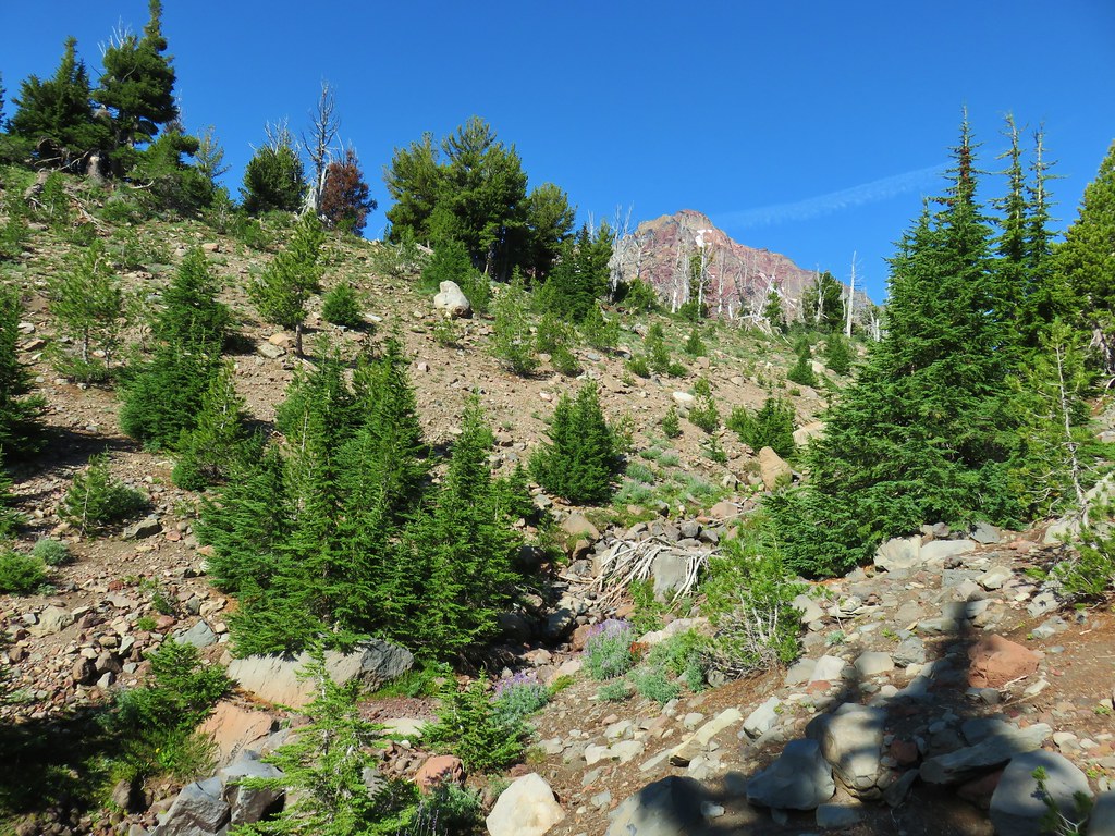
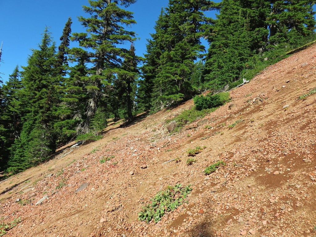
The trail continued its fairly level grade as it passed through more forest before arriving at a rocky hillside where it turned north and began to climb again.
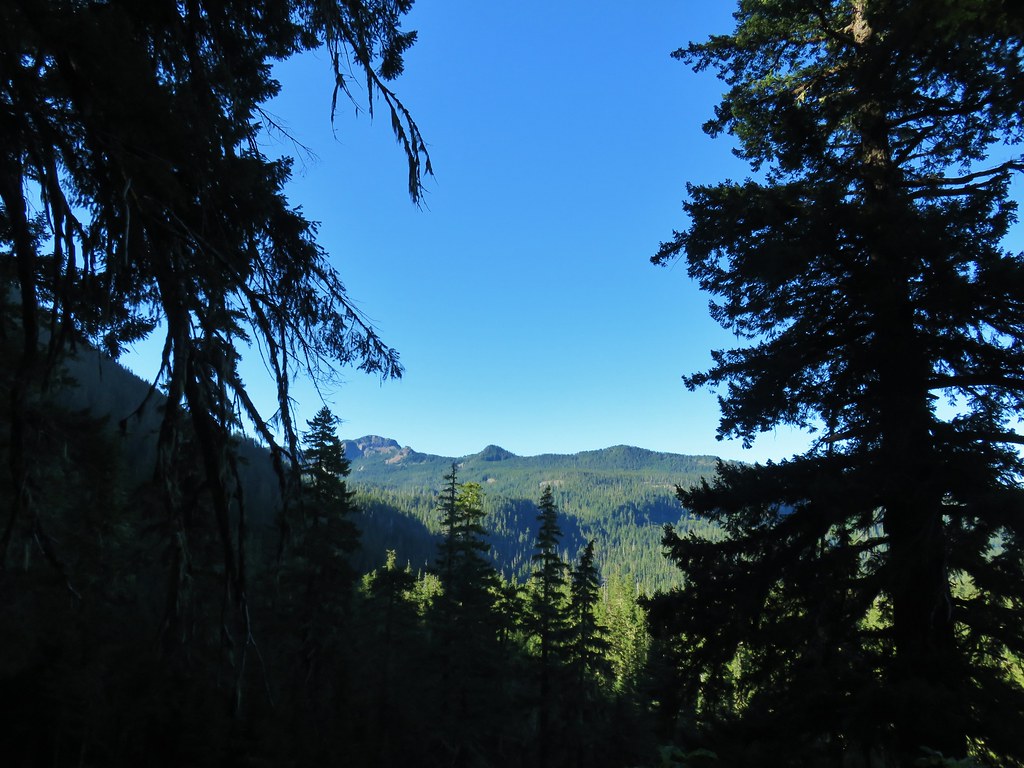
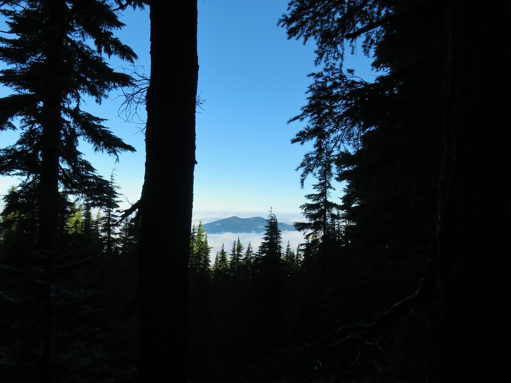
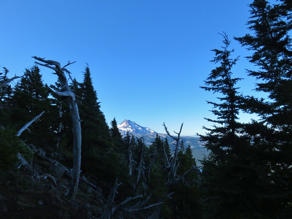
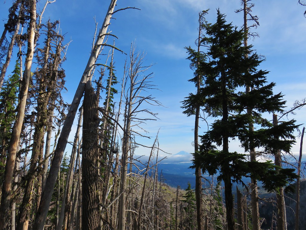
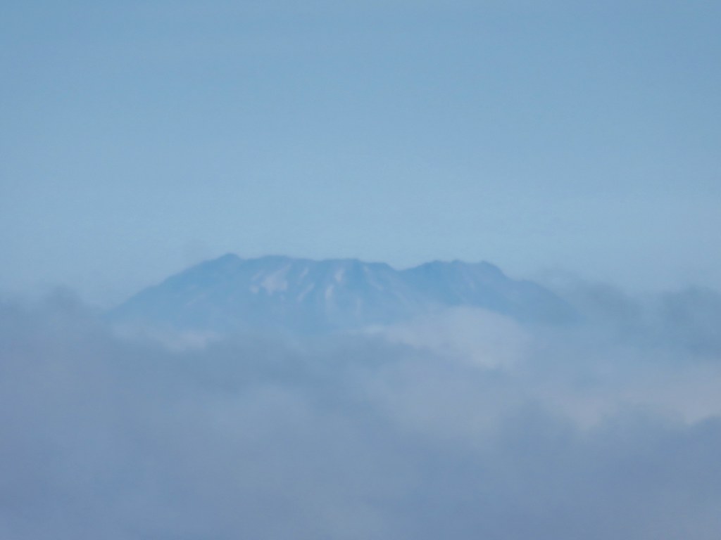
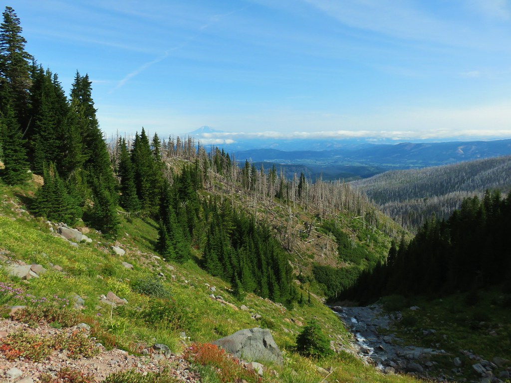
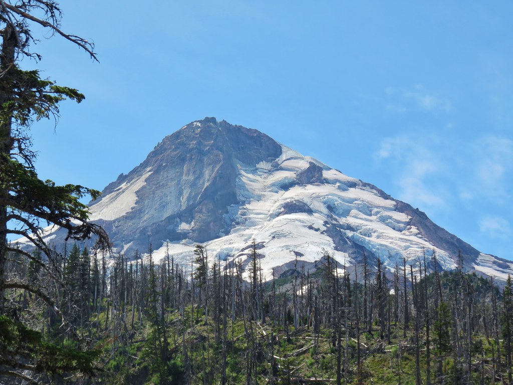
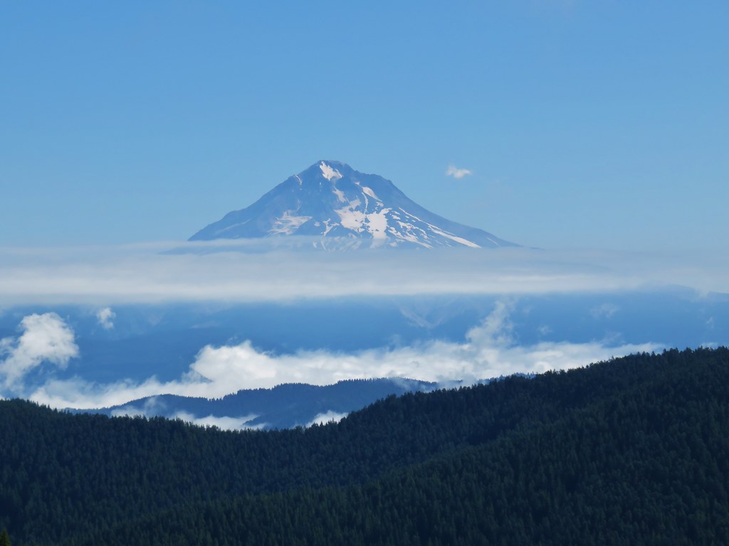
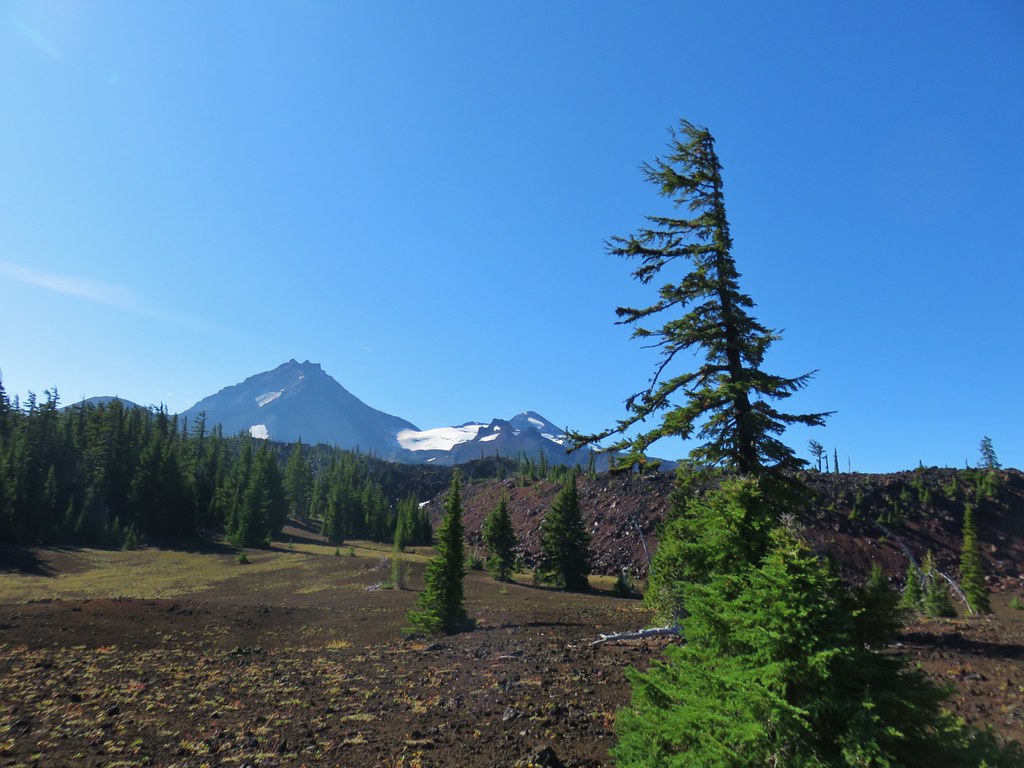
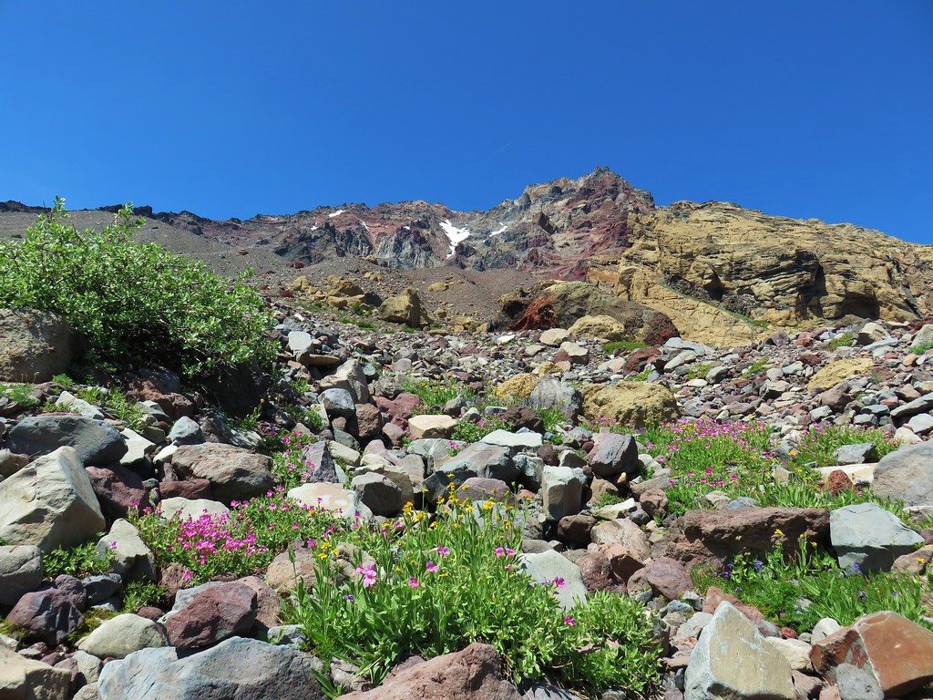
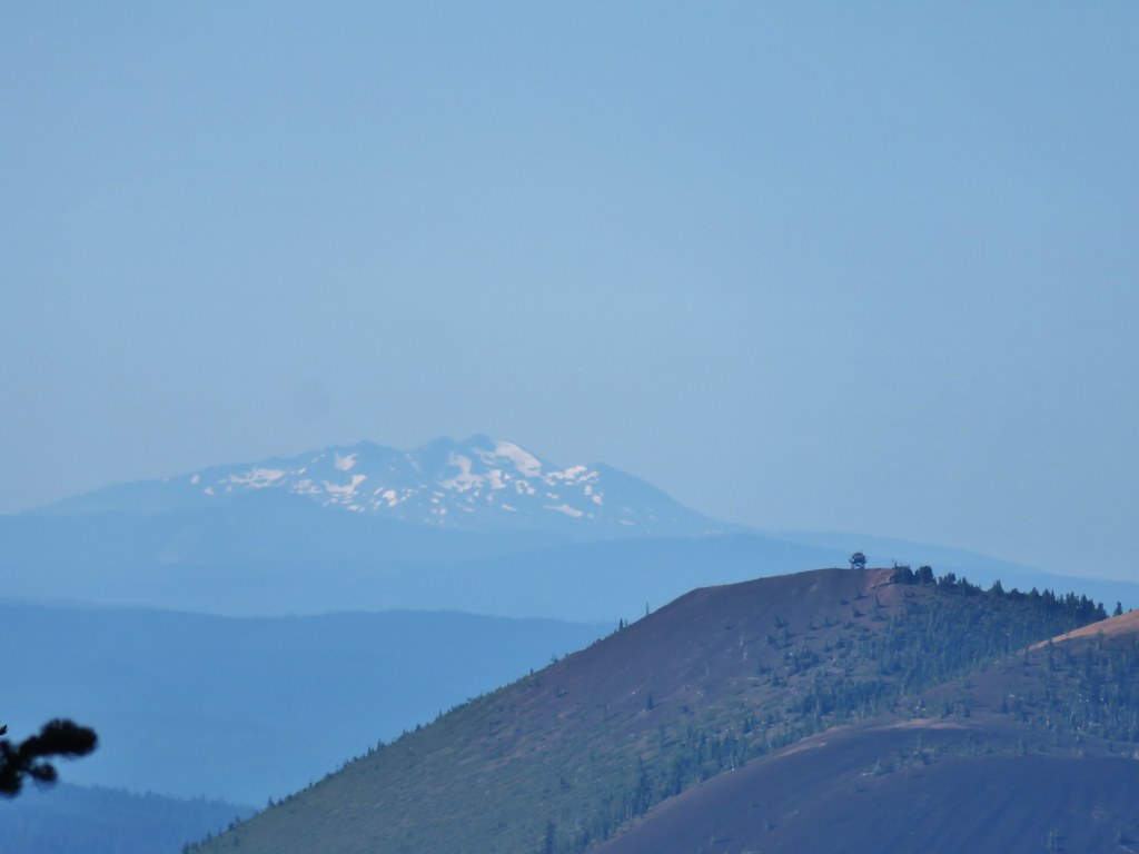
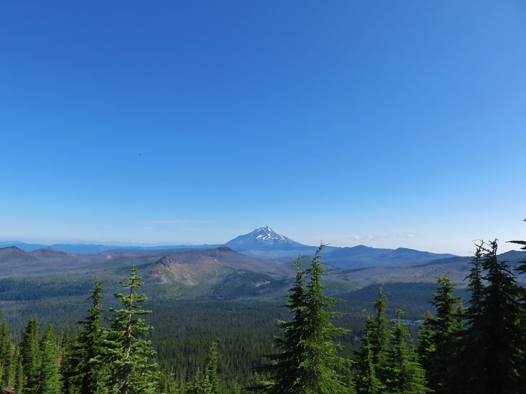
The open hillside provided a view west and to a lesser extant south to Fuji Mountain (post).
 SW view
 Looking south
 Fuji Mountain
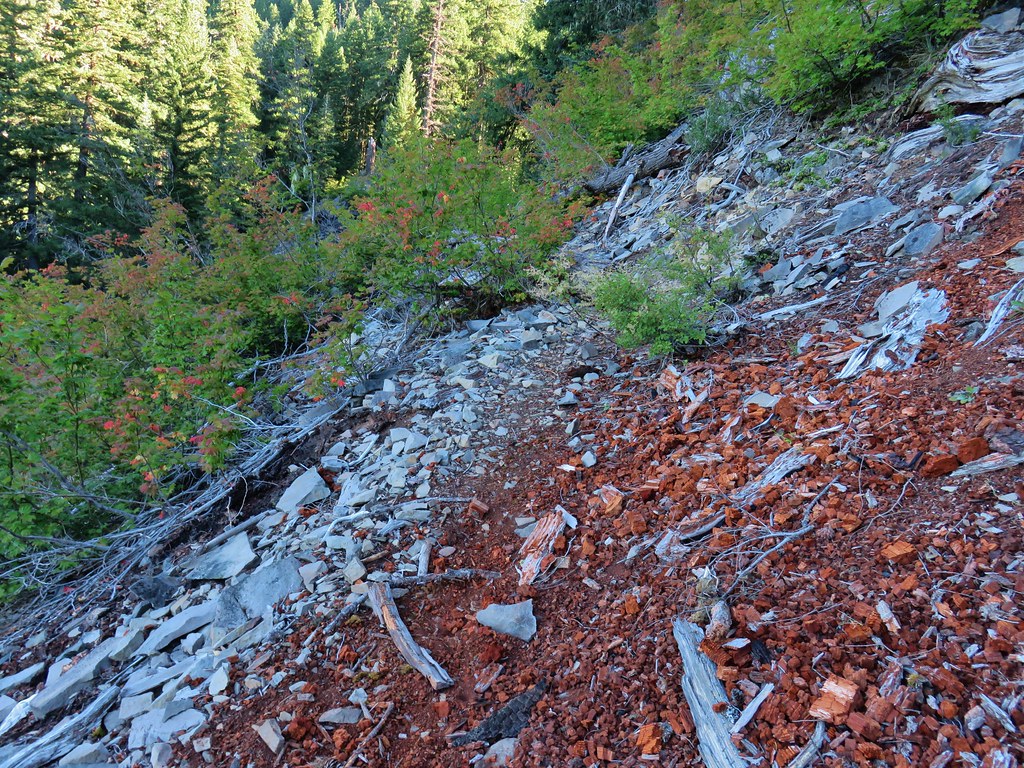
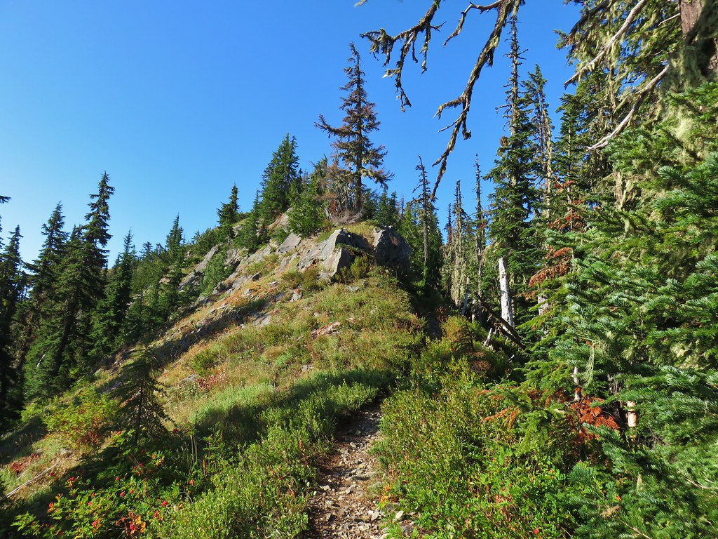
Just before reentering the forest there was a short section of narrow tread where the hillside appeared to be slide prone.
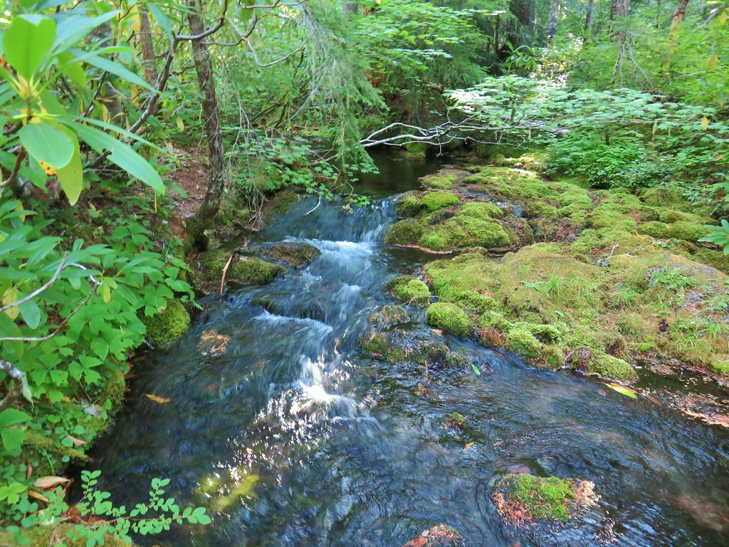
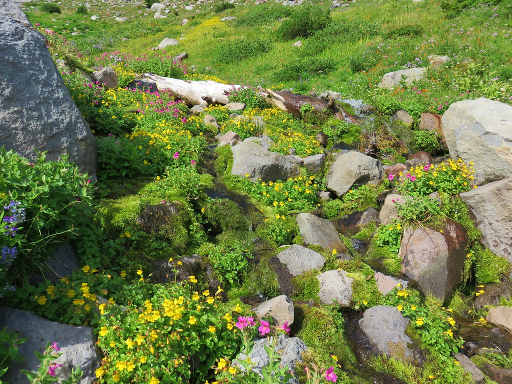
There had been a dry creek bed below the trail but as we reached the trees we began to hear running water, faintly at first, but then suddenly there was a full creek in front of us flowing through the forest.
 Klovdahl Creek
After briefly leaving the creek to pass around a small hill the trail crossed Klovdahl Creek.

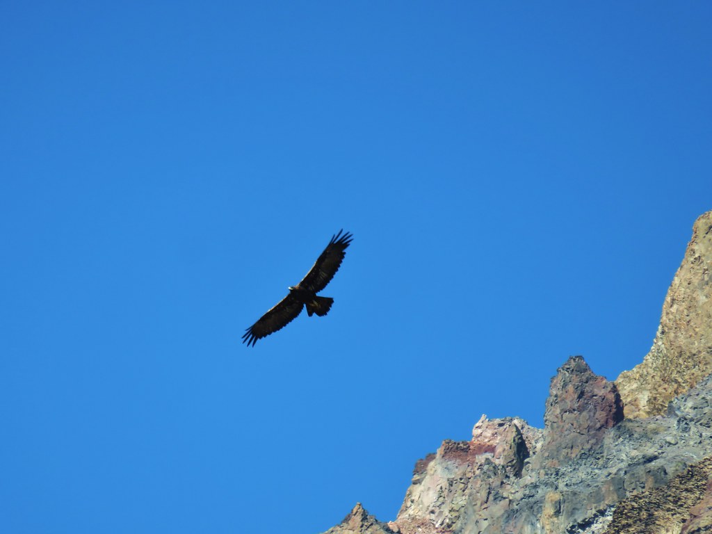
A fairly steep quarter mile climb followed as the trail gained 275′ via a series of switchbacks. The trail then leveled out a bit again. Instead of rhododendron this section was full of huckleberry bushes and a sooty grouse.
 Grouse on the Black Creek Trail.
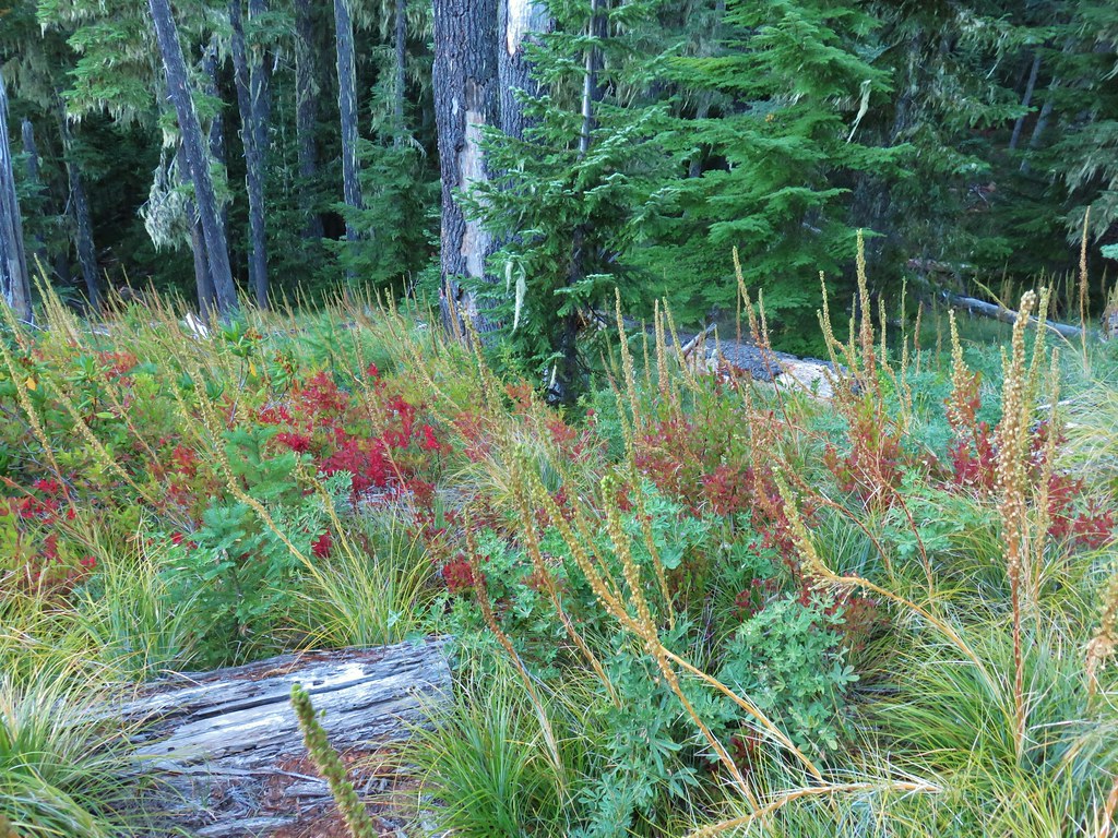
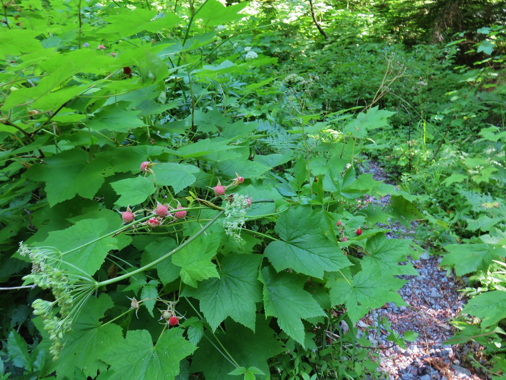
 Huckleberry bushes along the trail.
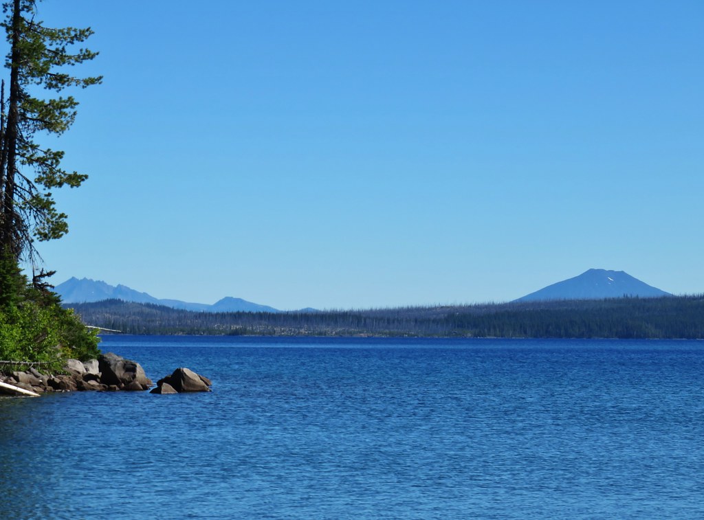
We kept waiting to reach a purported downhill to Waldo Lake which finally arrived about a hundred yards before arriving at a junction with the Jim Weaver Trail which loops around the lake.
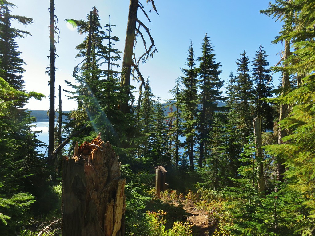 Heading down to the Waldo Lake Trail (Jim Weaver Trail)
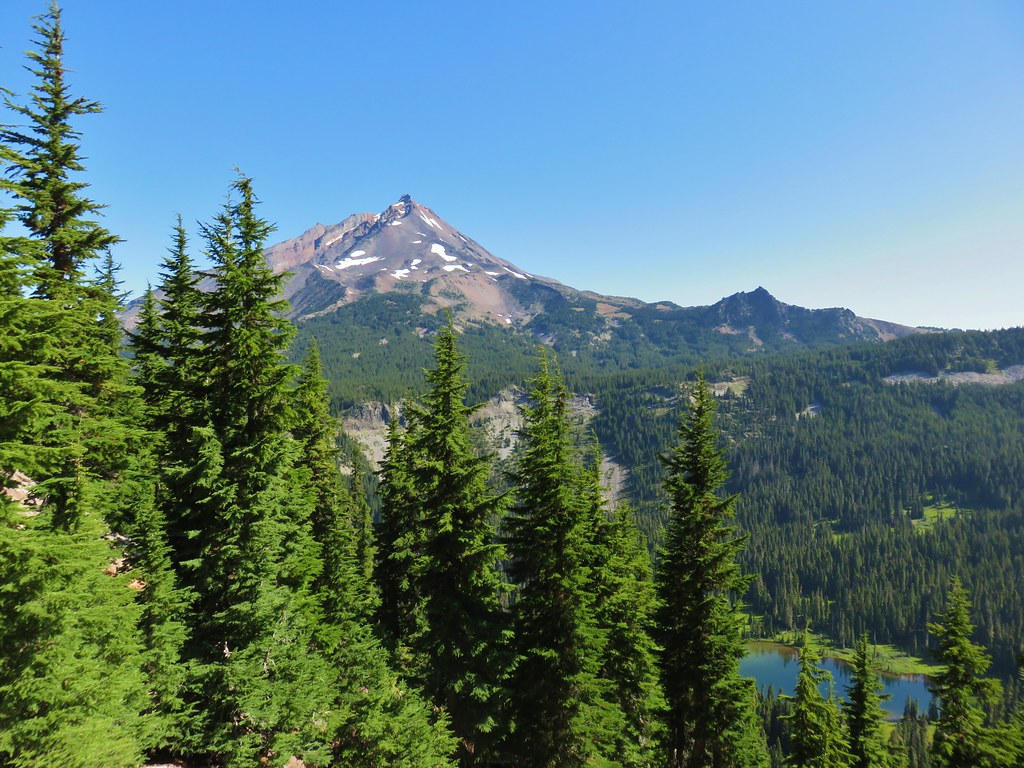
Across the lake we could see the distinct summit of Maiden Peak (post).

To the right along the shore of Klovdahl Bay the remains of an attempted diversion tunnel for hydroelectric power and irrigation.
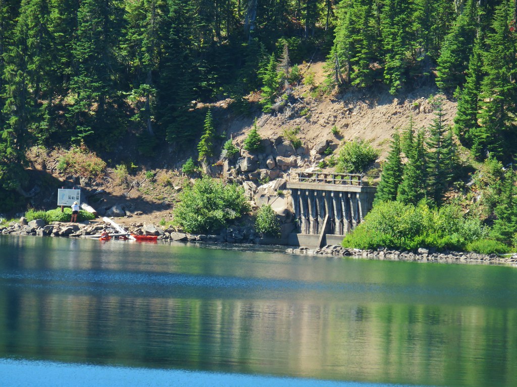
We considered hiking the half mile to visit see the tunnel up close but opted instead to turn left and head north along the lake to visit Green Lake. Green Lake is part of a 5th edition featured hike that also includes Elbow Lake. We had visited Elbow Lake in 2013 as part of our Waldo Mountain hike. (post)
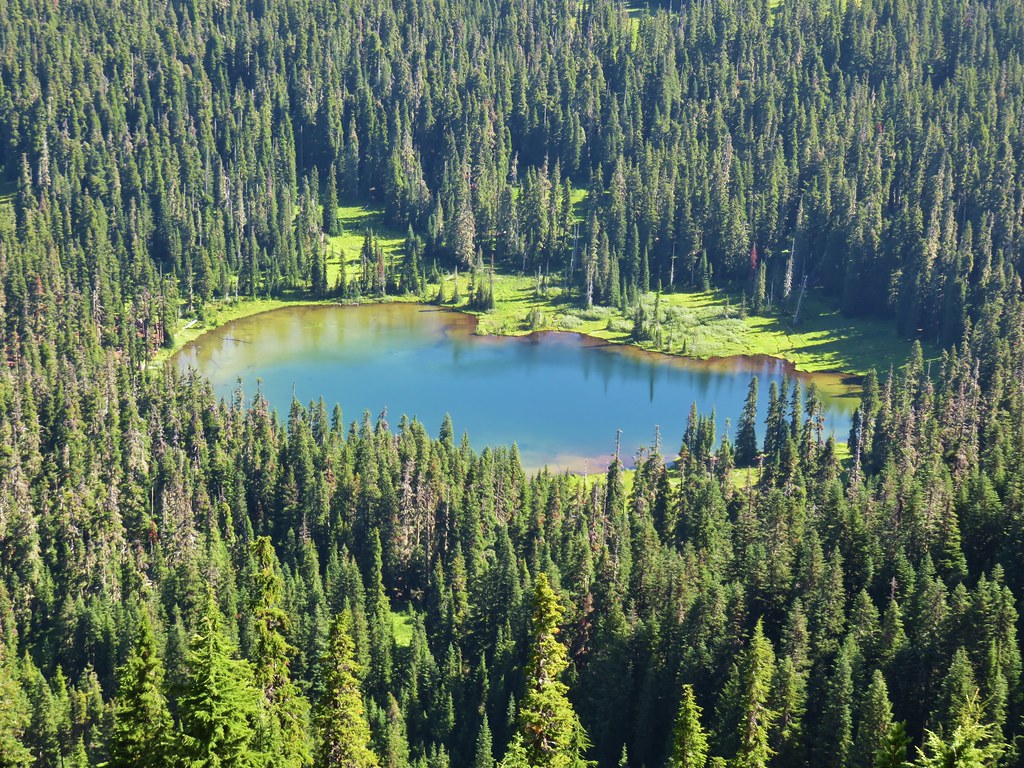
The trail climbed a bit in this direction as it veered away from Waldo Lake to pass several much smaller, unnamed lakes.

 First lake on the left.
 Second lake on the left.
 A third lake on the left that was set back in the trees.
 First lake on the right.
 Ducks at the lake on the right.
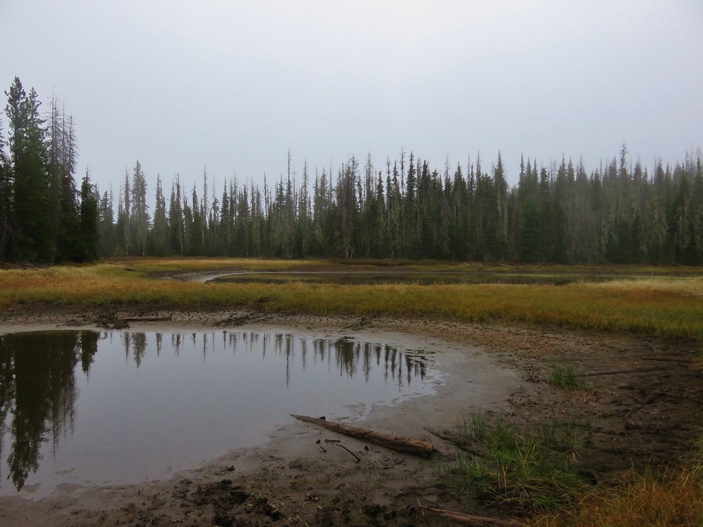
 Dry pond on the right.
After 1.9 miles on the Waldo Lake Trail we came to a junction with the Koch Mountain Trail where we turned right at a pointer for Green and Waldo Lakes.
 Wide trail junction.

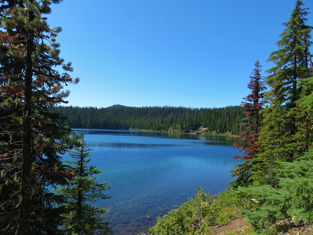
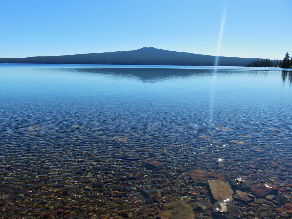
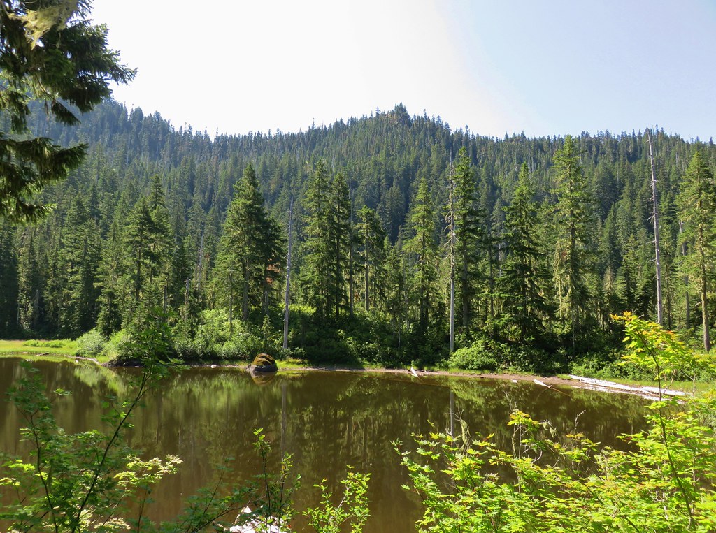
We passed by Green Lake opting to visit the shore of Waldo Lake first and followed this trail downhill a third of a mile to it’s end at the lake.
 Dry creek bed along the way.
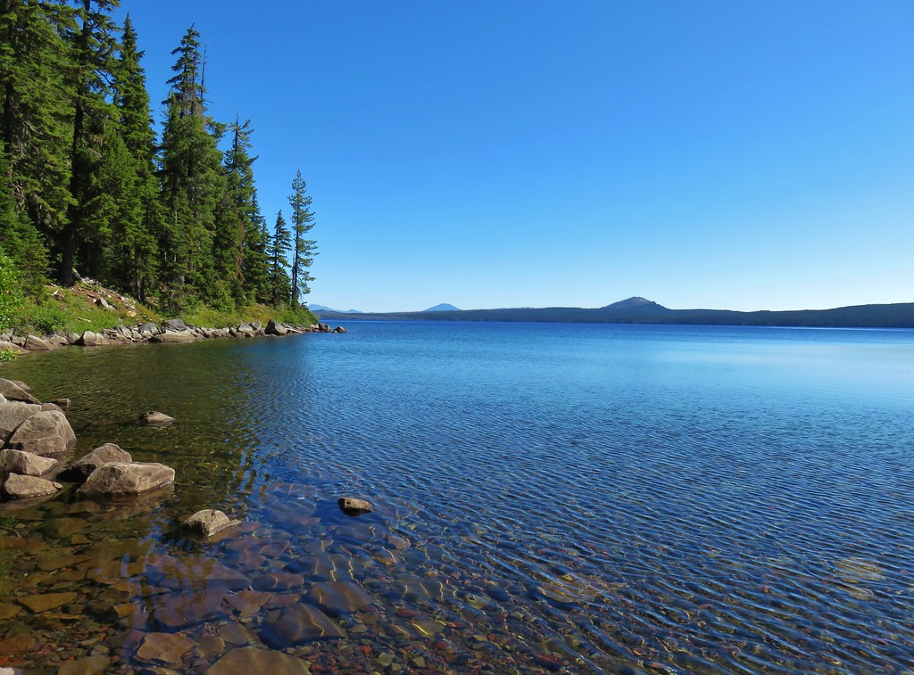
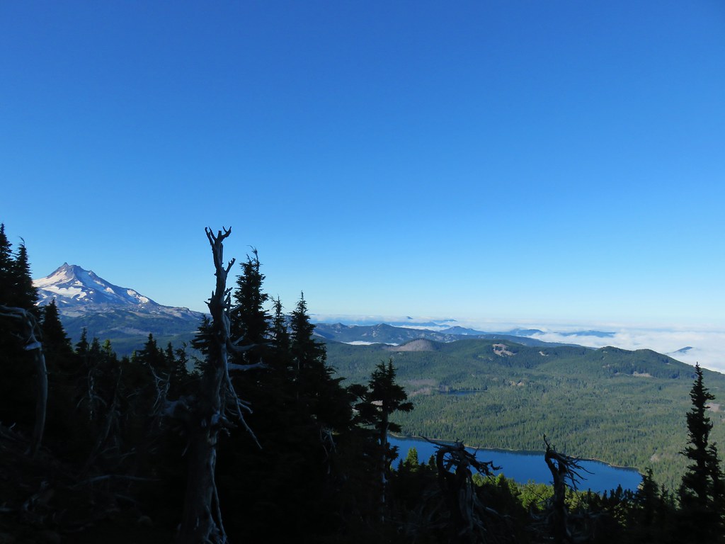
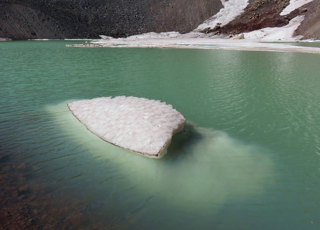
We sat on the rocky shoreline here for a bit enjoying the view of Broken Top and Mt. Bachelor.
Across the lake to the east were The Twins, a peak that we hope to hike later this year.
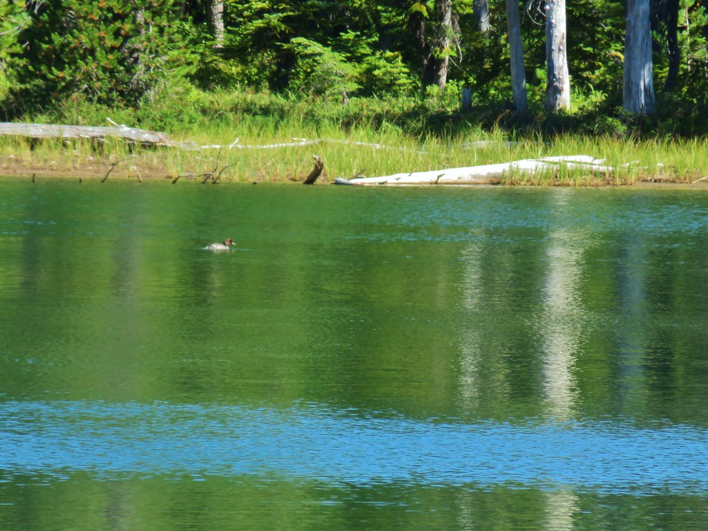
After the break we headed back up to the Waldo Lake Trail but first detoured to visit Green Lake which was a few hundred feet off the main trail to the north.
It was a nice little lake, enough so that it warranted a second short break.

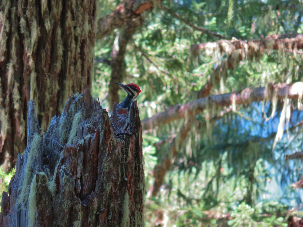
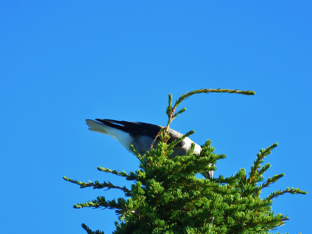
It was close to 11am when we left Green Lake and headed back along the Waldo Lake Trail. There was a marked increase in traffic on the trail now, but after turning onto the Black Creek Trail again we didn’t see another person, but we did get a chance to watch a pileated woodpecker for a bit.


We stopped again at Lillian Falls which was now receiving more light.
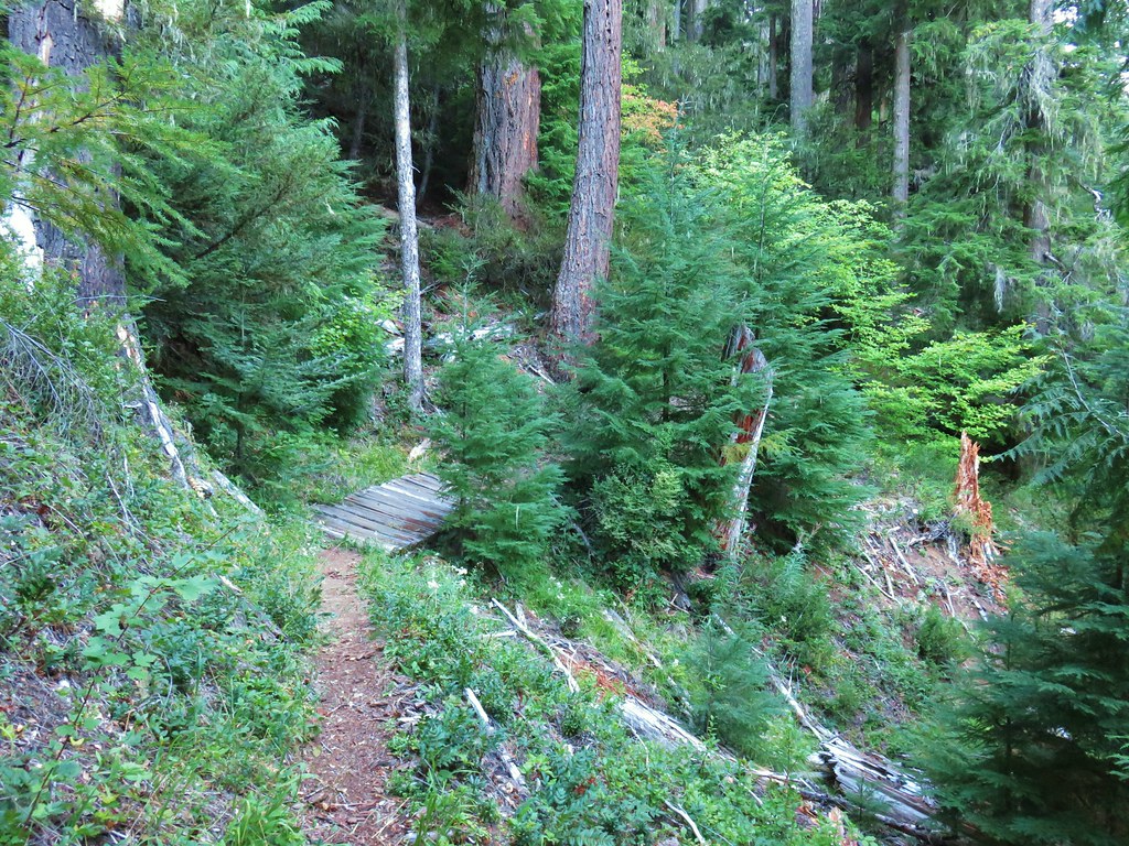
We then returned to our car and drove back along FR 2421 the 1.6 miles to the unsigned road (now on the left). We parked at its end after a tenth of a mile and took an unsigned path to a nice footbridge over Black Creek.
 Unsigned start of the nature trail.

 Black Creek
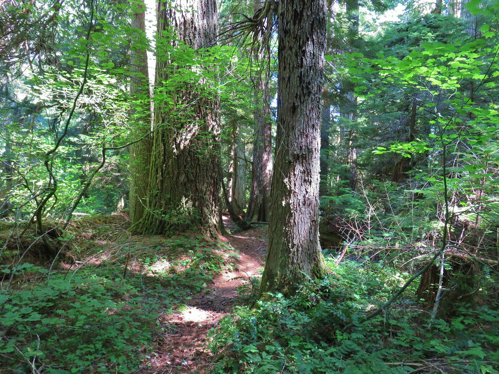
Once across the creek the trail passes briefly through a former clearcut before arriving at a sign announcing the Joe Goddard’s Nature Trail.

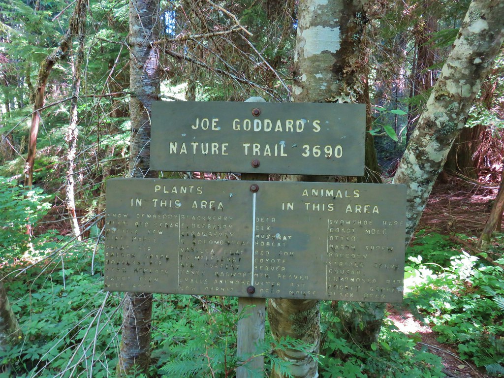
Just beyond the sign the trail split marking the start of the loop.

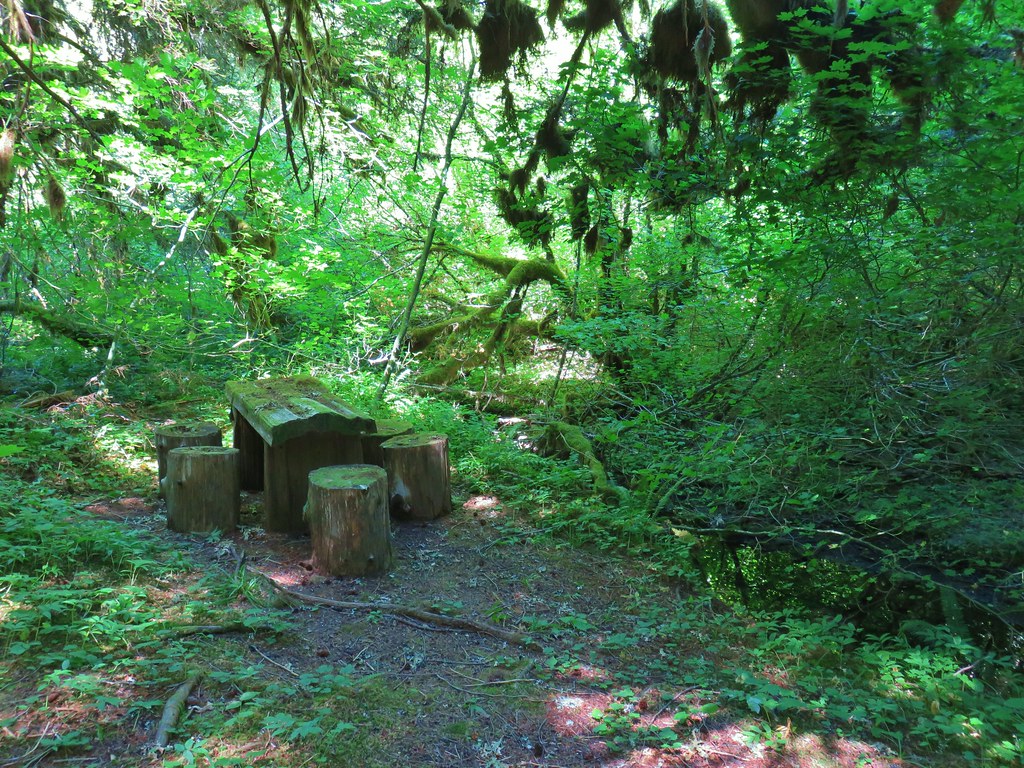
We went left here but in hindsight it might have been a little better to go right based on the direction the signs along the trail were facing. In any case after taking the left fork we quickly came to another fork where a footbridge crossed Louisie Creek near a picnic table.


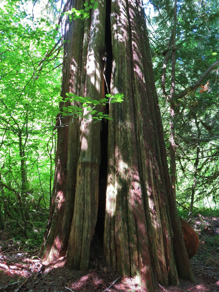
We crossed the bridge and followed a path past an impressive old growth cedar.

The path appeared to end back at Black Creek although there were some faint trails in the area. This was a bit confusing because the trail that was shown on our Garmin maps appeared to be in this same area, but we knew that the location of trails on maps isn’t always correct so we crossed back over Louise Creek and continued on the clearer trail which crossed a dry creek bed.

The creek bed was followed by a large old growth Douglas Fir that a sign put at 217′ tall and over 118 inches in diameter.

Even though our GPS track was not matching up at all with the trail shown on the device the signage along the route we were following told us we were on the right path. We continued on the loop and came to a log that had been cut for the trail and subsequently marked with Joe Goddard’s birthday and the year “1776”. A little online research revealed that this tree dated back to the year 1340.


It was an interesting little loop (.5 miles total from the parking area) and well worth the stop.
 Another picnic table.
 Another big Doug fir.

We ended the day having covered 13 miles, 12.5 for Lillian Falls and Waldo Lake and the half mile at Joe Goddard’s Grove. We were a bit surprised that the only people we saw were along Waldo Lake given how nice the falls were, but perhaps their out of the way location and potholed road keeps them a bit less visited. The only negative on the day was Heather getting stung by a yellow jacket at Lillian Falls. Those things are just mean. Happy Trails!

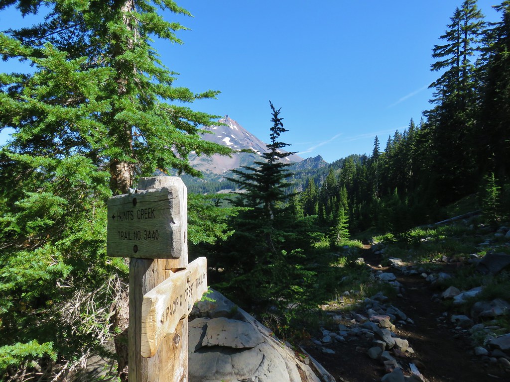
 Trail sign with the PCT heading north behind it.


 Sisi Butte
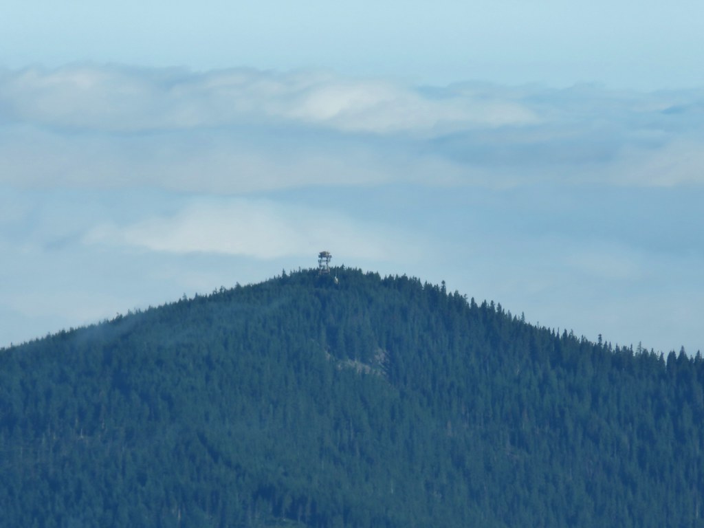 Lookout tower on Sisi Butte
 Mt. Hood


 Olallie Lake
 Monon Lake just beyond Olallie Lake (Timber Lake is the smaller lake in the trees to the west.
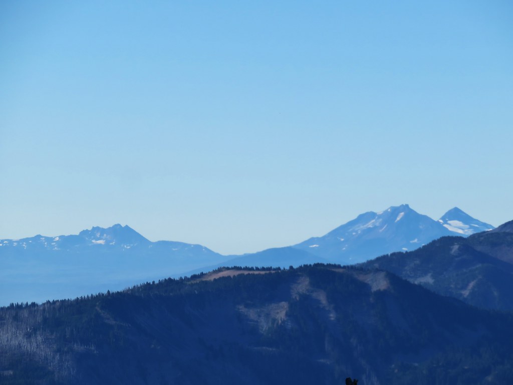 Broken Top and The Three Sisters
 Dinah-mo Peak and Bear Point (
 Bear Point
 Lookout tower remains

 Starting from the left – Trout Lake with Boulder Lake beyond, Island Lake, Dark Lake, Long Lake. The three smaller lakes are Lake Mary (closest), Lake Marie (middle), and Lake Alice (furthest). Lake Hazel is the small lake up and to the right of those three. All of these lakes are part of the Warm Springs Reservation and off-limits unless a permit to visit has been obtained.
 Monon, Olallie, and Timber Lakes in the Mt. Hood National Forest to the west.
 Mt. Jefferson


 Mt. St. Helens as a dark spot on the horizon.
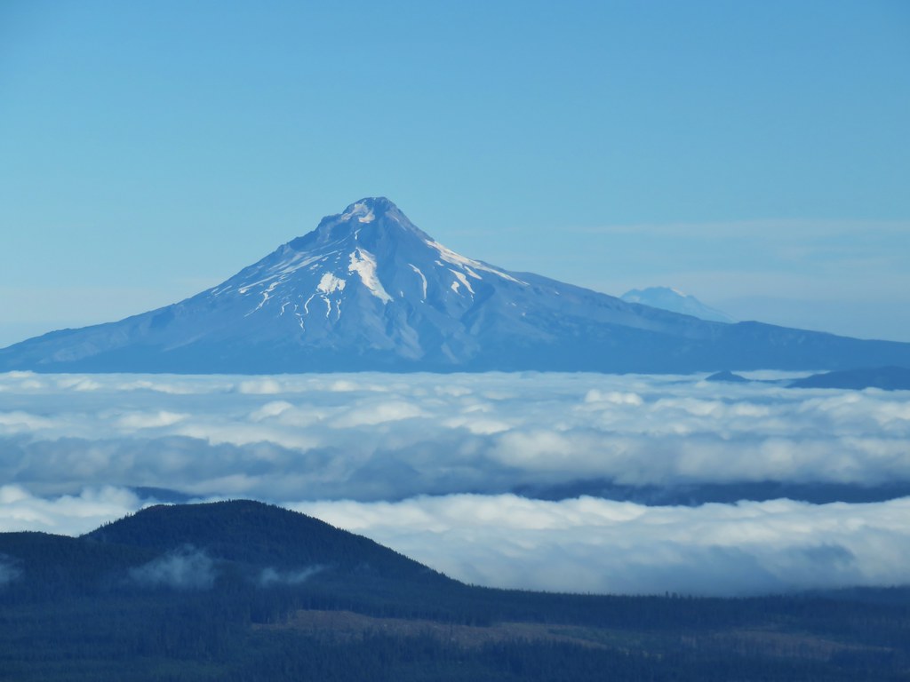 Mt. Adams beyond Mt. Hood
 Mt. Jefferson from the lookout site.
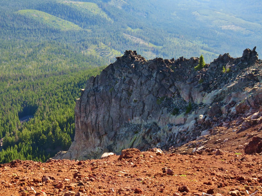


 Huckleberry bushes and beargrass in the clear-cut.
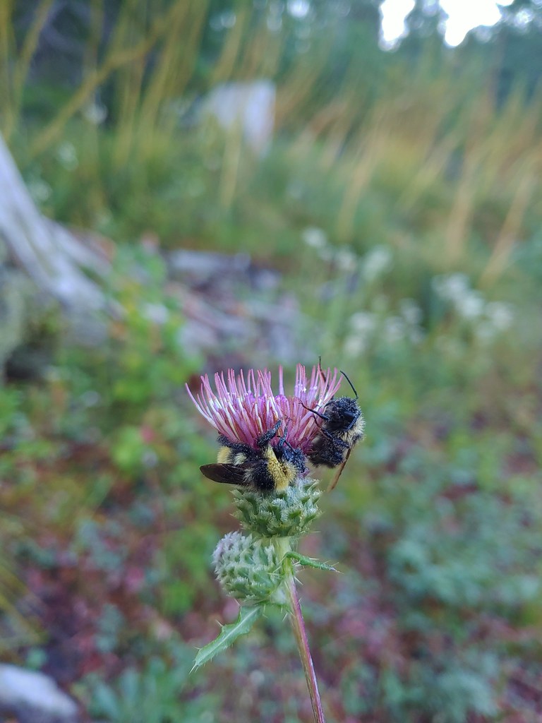 Sleeping bees on some thistle.
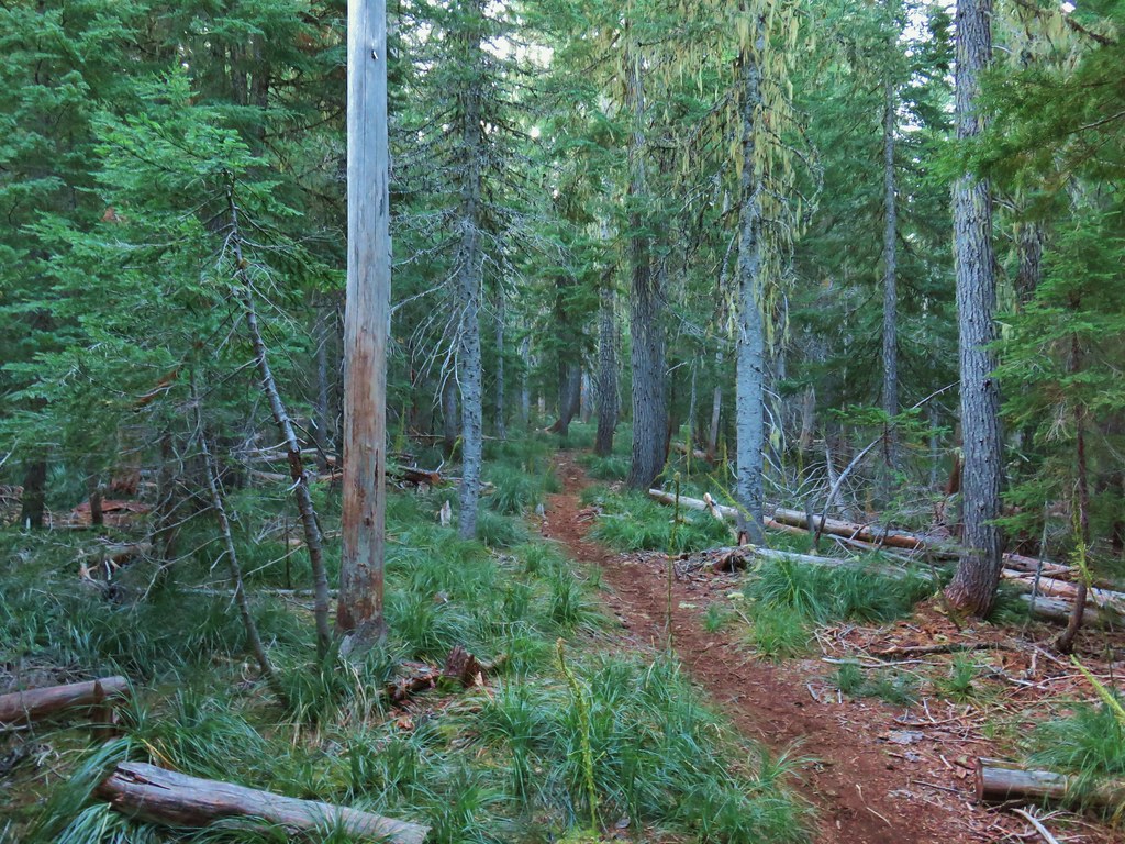

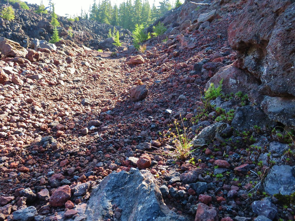
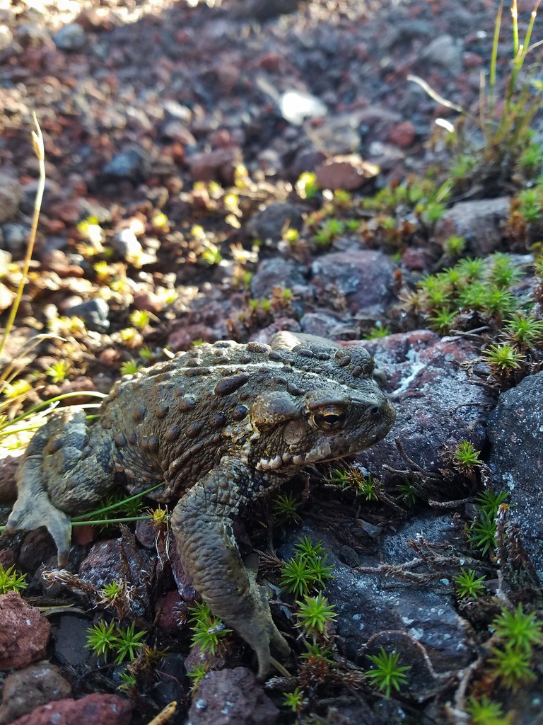
 The bees on the thistle may have been asleep but a western toad was out and about.
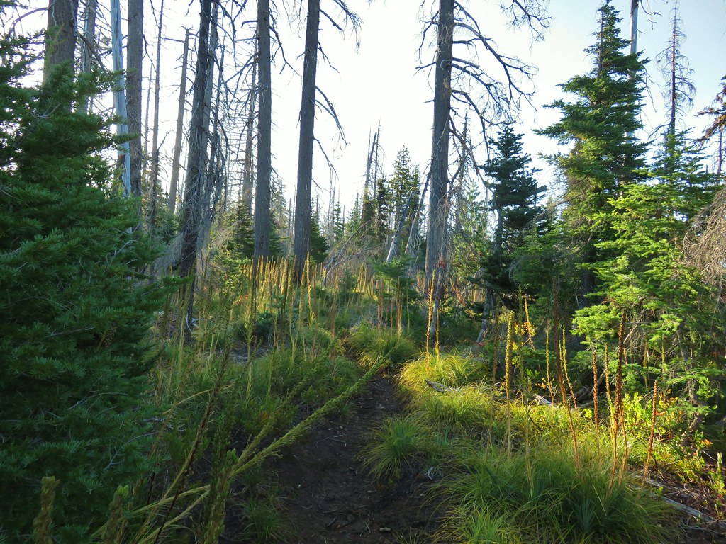
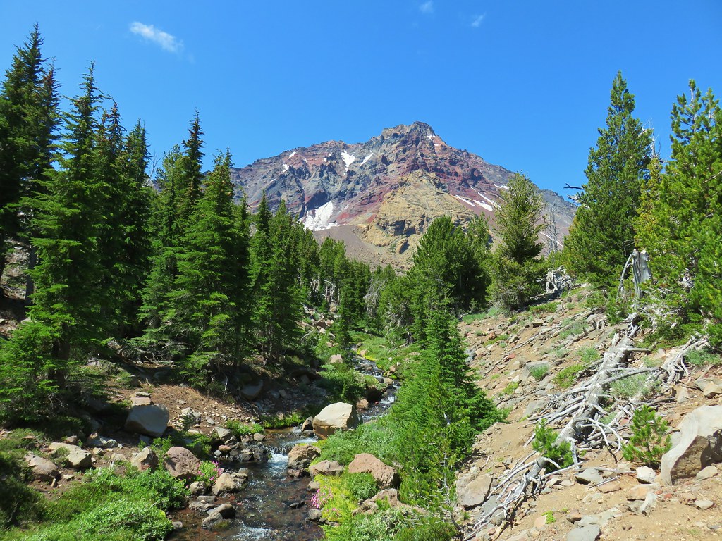
 Mt. Jefferson through the burned trees.
 Back in the green.
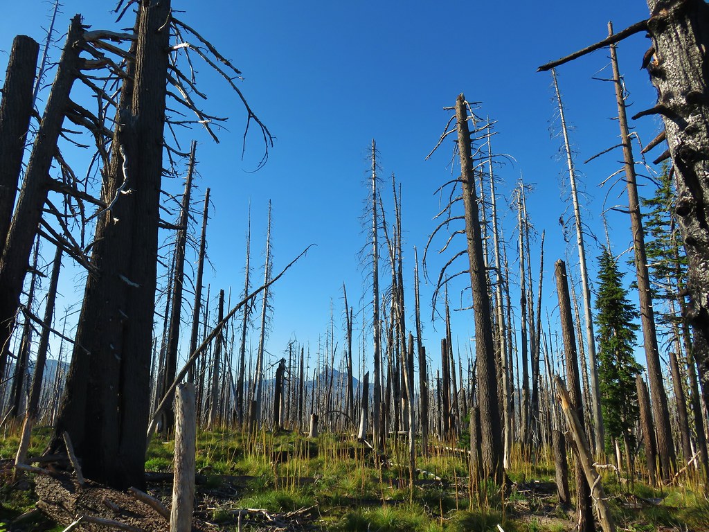 Three Fingered Jack through the burned trees.
 Aster
Aster Pearly everlasting
 Fireweed
 Three Fingered Jack
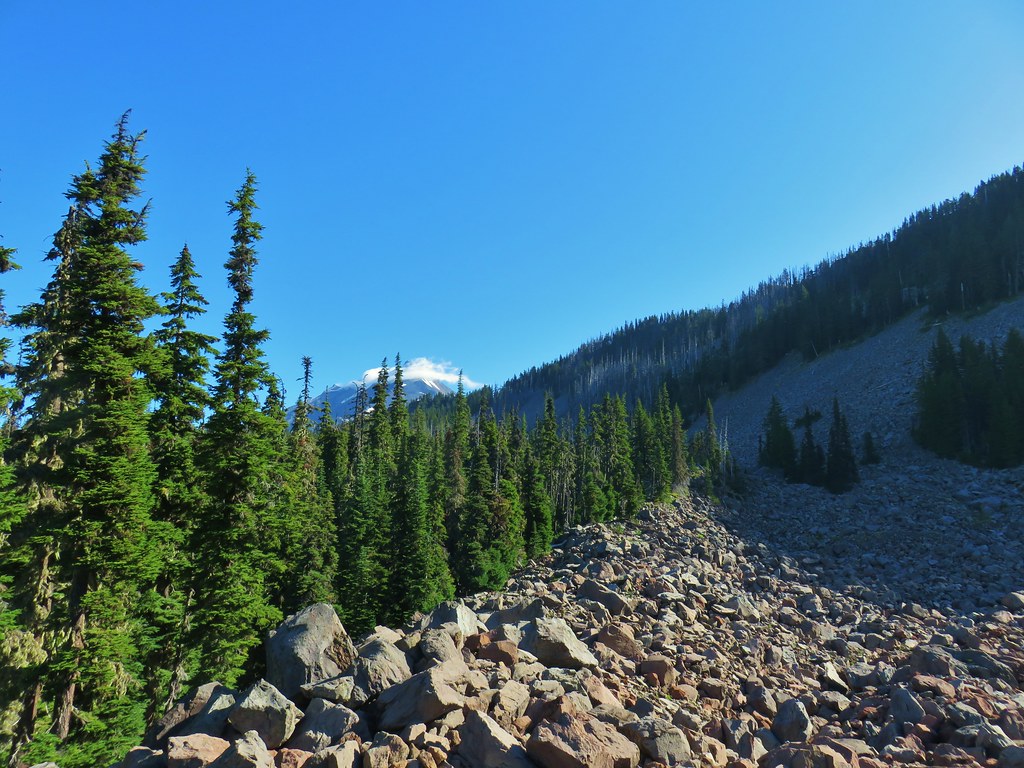
 The rock covered rise.
 South Cinder Peak (
 Still passing the rocks.
 The low saddle.
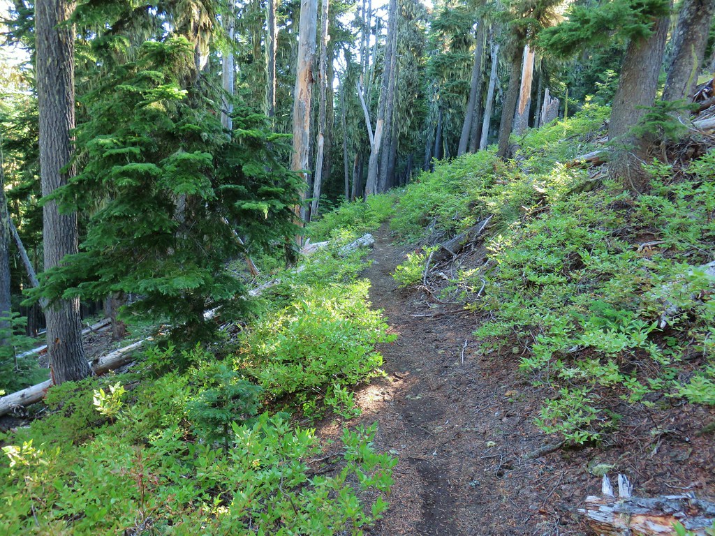
 Coffin and Bachelor Mountains (


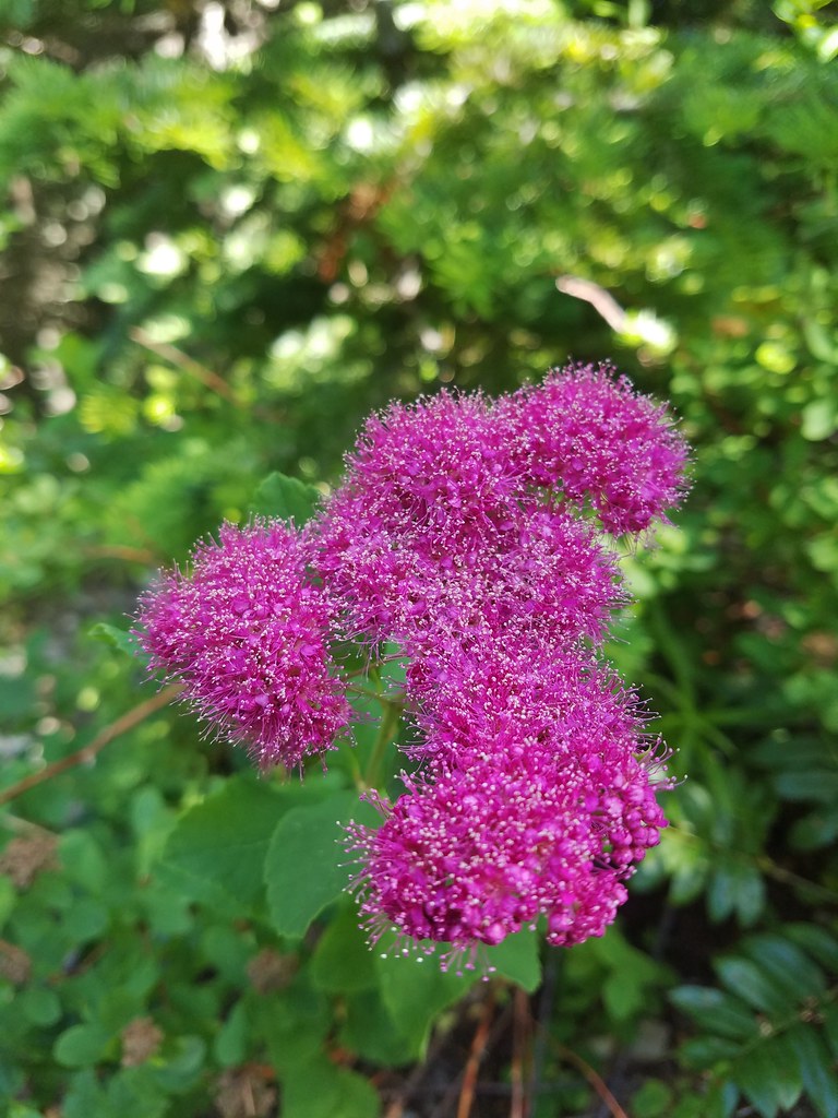
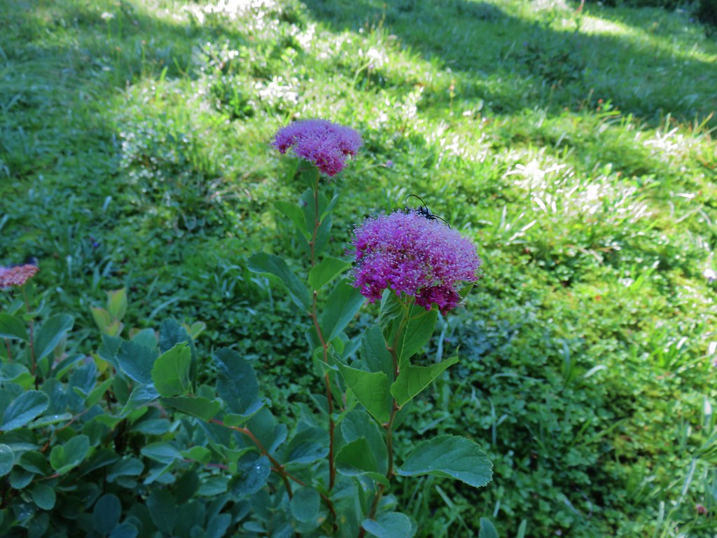 Spirea with a beetle.
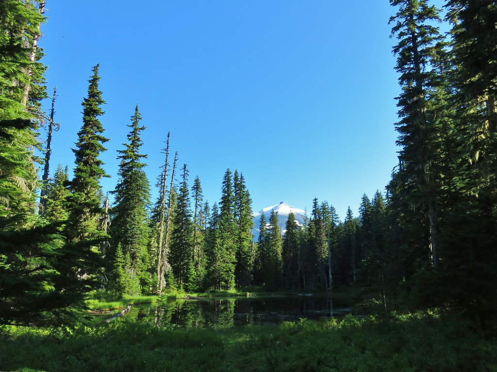 Unnamed lake with Mt. Jefferson (and those pesky clouds).
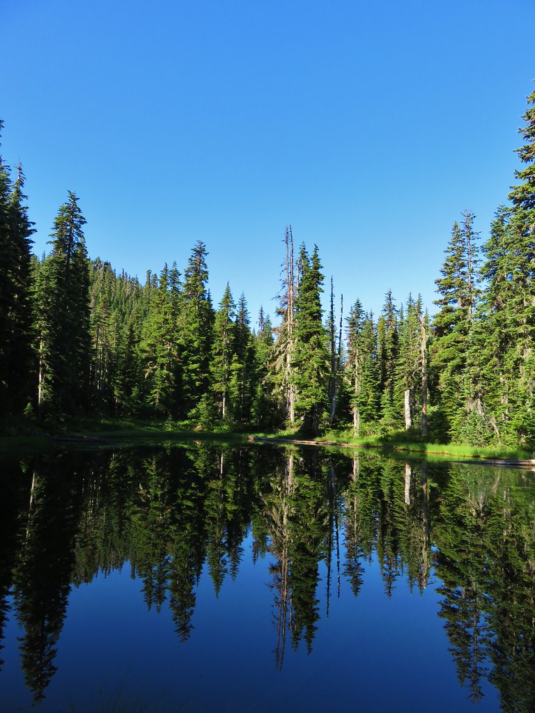 From the opposite side of the lake.


 Looking south over the rock field.
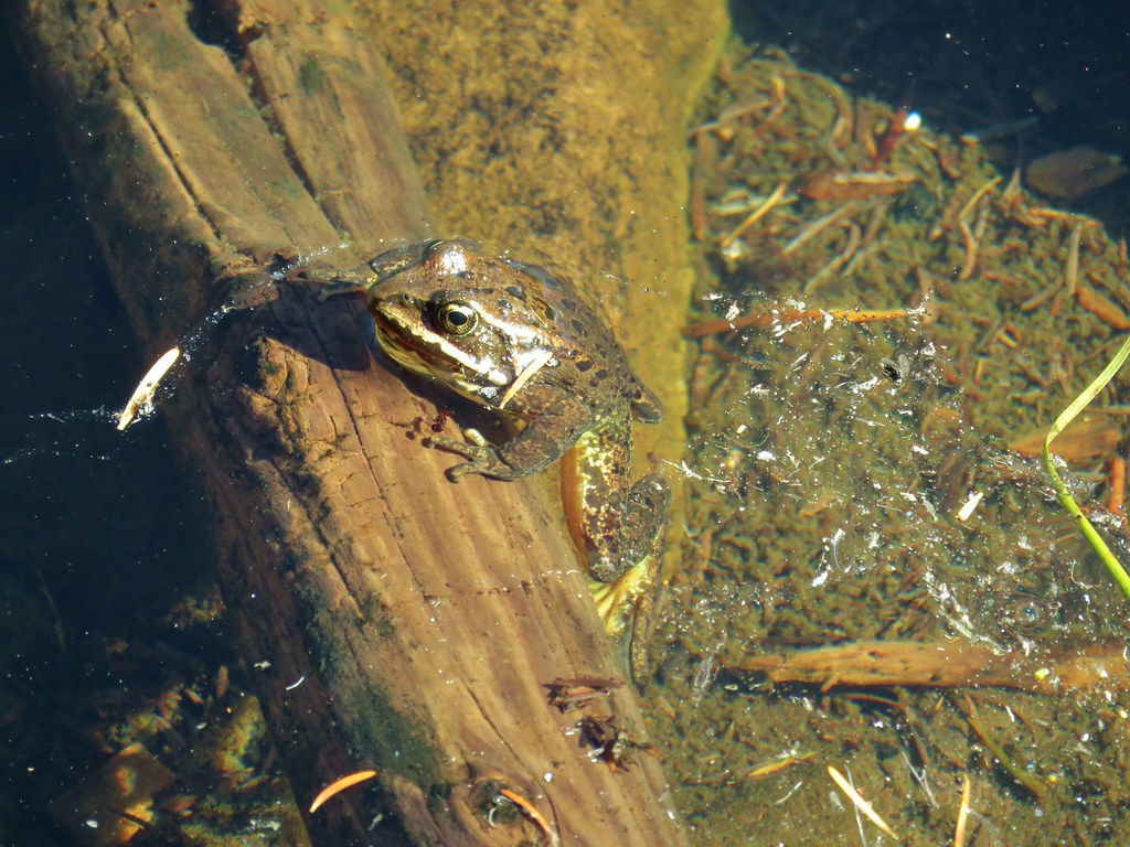
 One of the frogs.
 Frog in the trail.


 Apparently the trail was rerouted at some point because we could see tread that we never used.
 The Three Pyramids beyond Bingham Ridge.


 (the clouds had finally vanished)
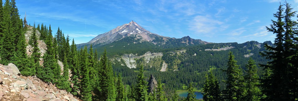
 Hanks Lake
 Hunts Lake
 Rock fin above Hunts Cove.
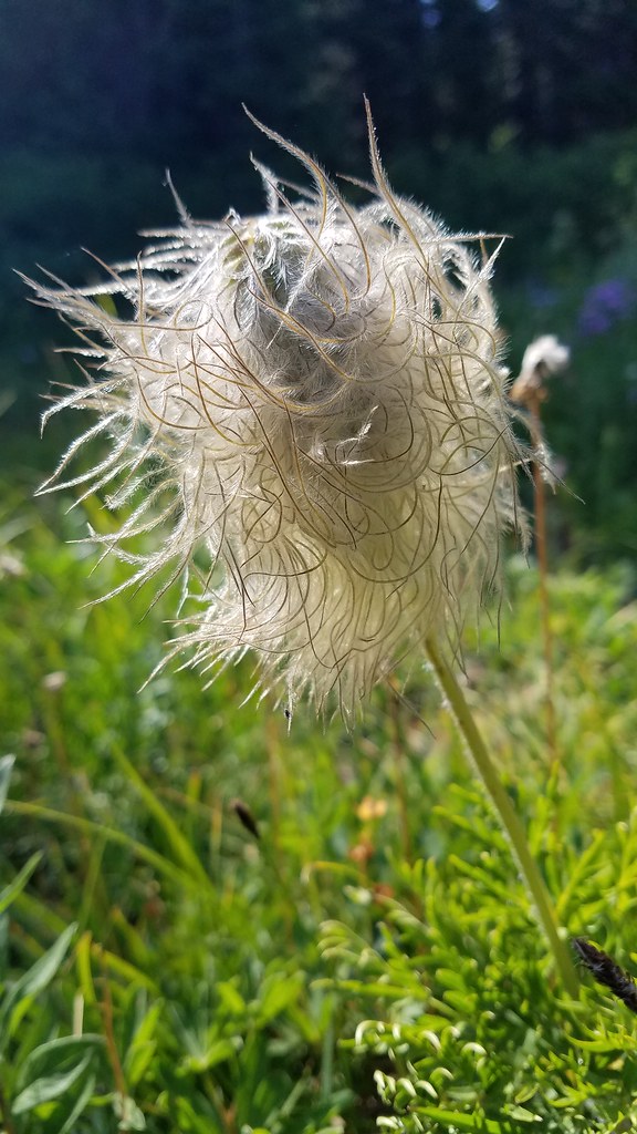
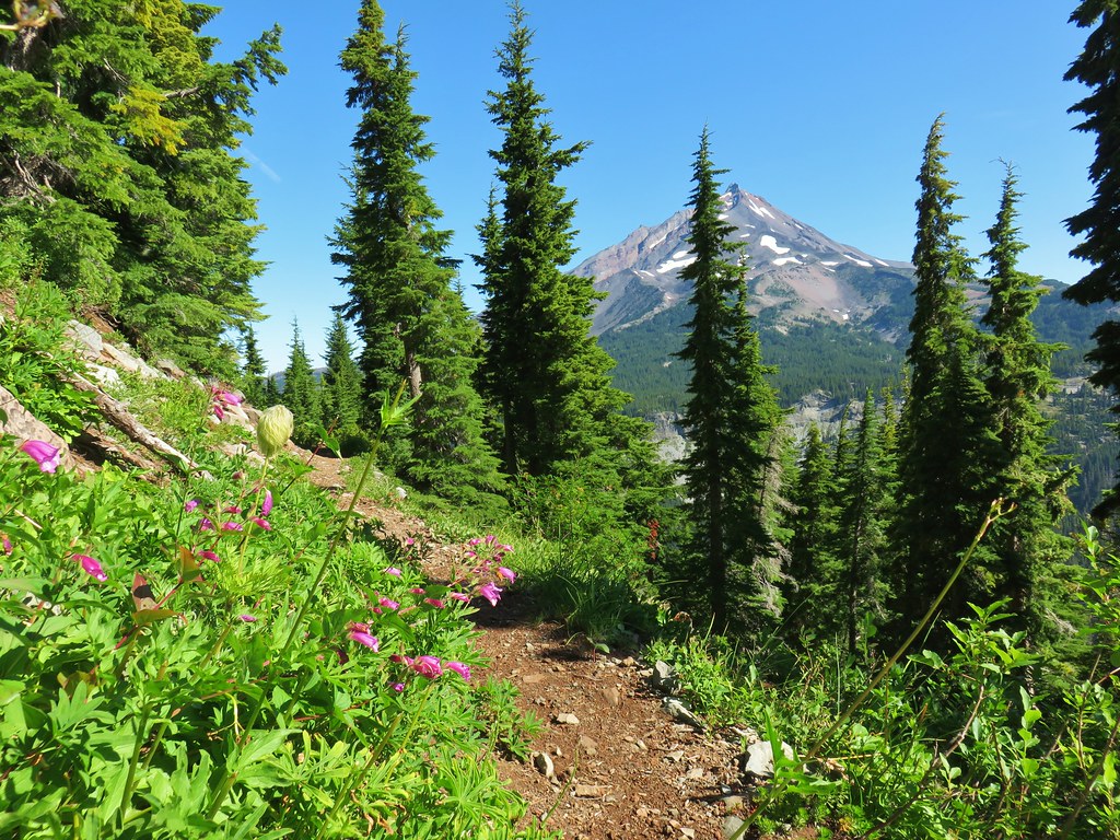 Penstemon and a western pasque flower.
 Western pasque flower seed heads.
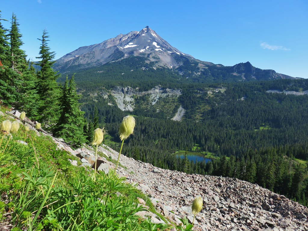
 Hippie-on-a-stick

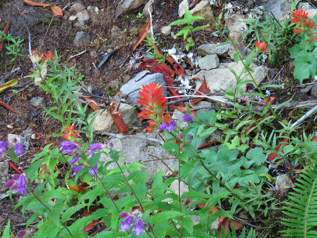
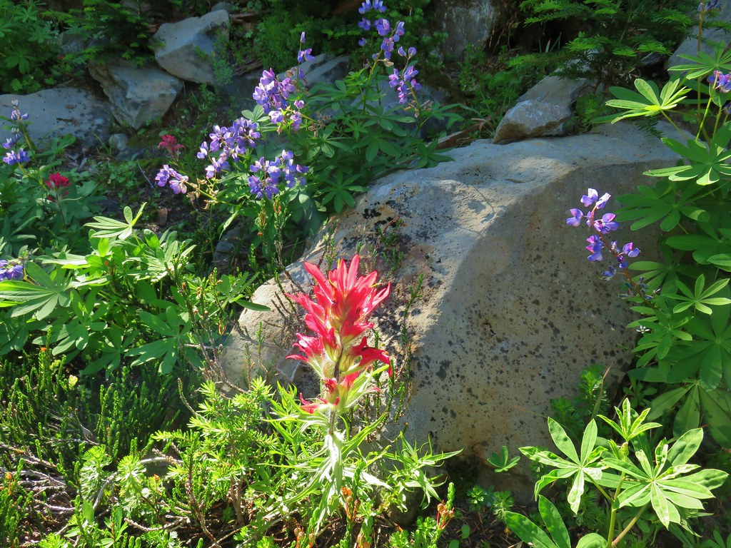 Paintbrush and lupine
 Patridge foot
 Mt. Jefferson, Goat Peak (behind the tree) and the Cathedral Rocks.
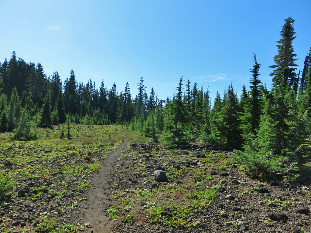
 South Cinder Peak
 The Three Sisters
 Three Fingered Jack
 Paintbrush in a meadow behind the butte.
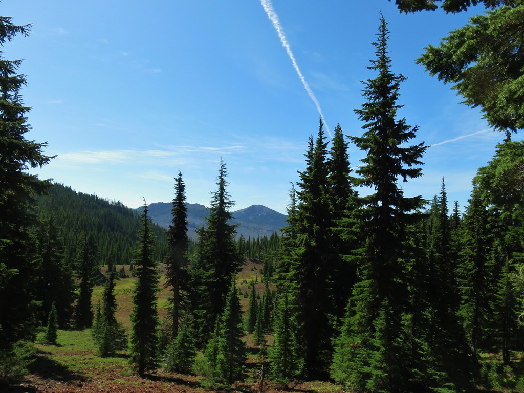 South Cinder Peak
 Three Fingered Jack

 Mostly past lupine
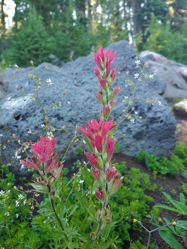 Paintbrush
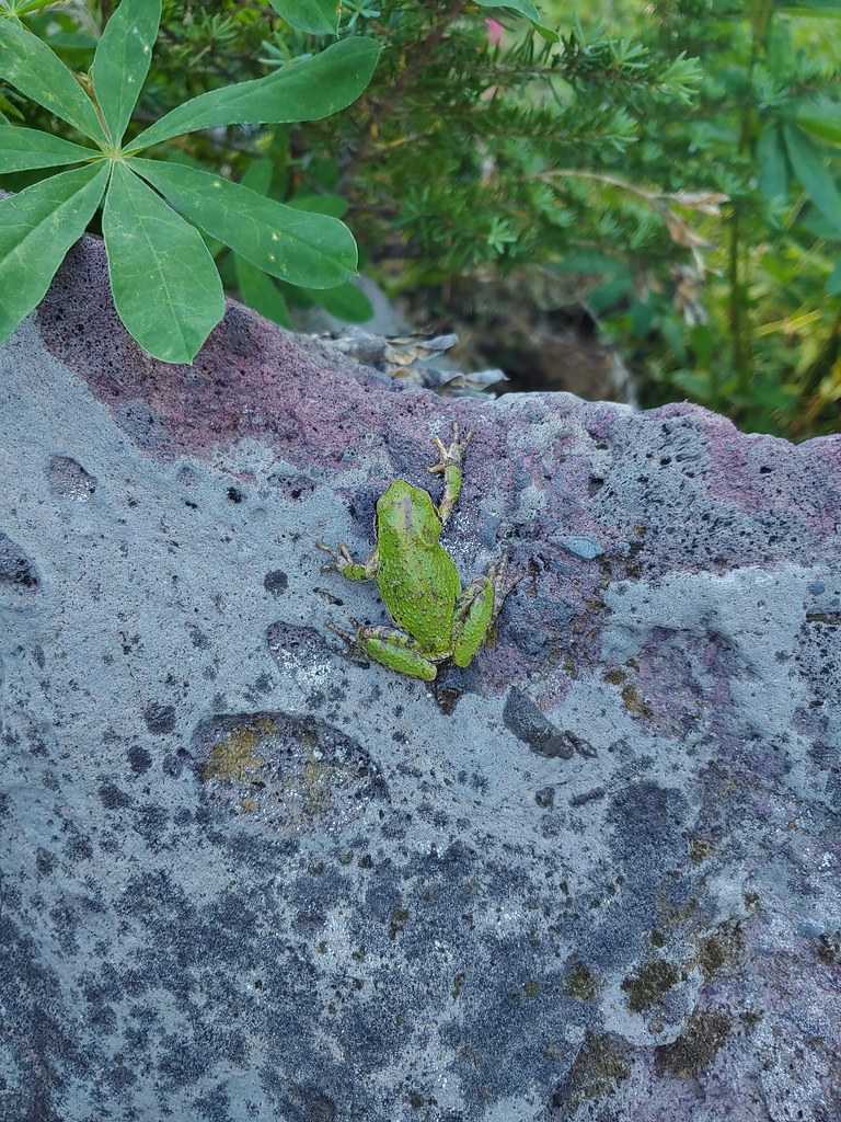
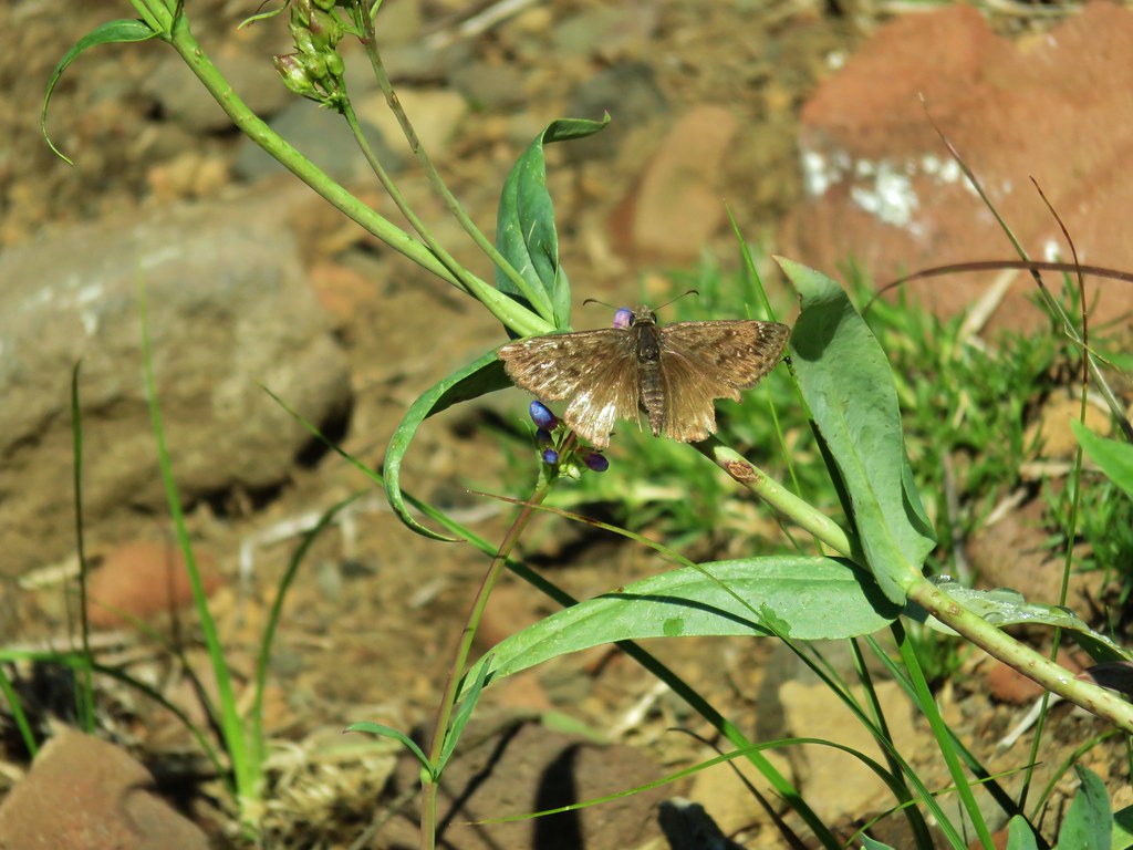
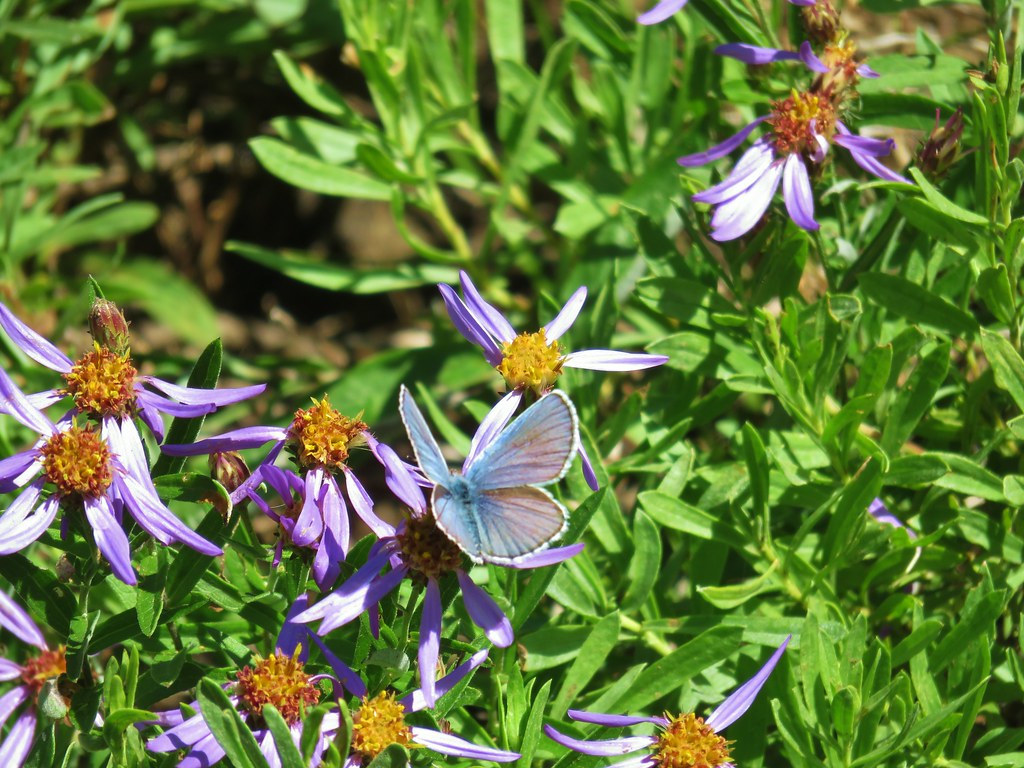
 Butterfly on an aster.
 Never seen one of these looks so clean and smooth, it almost looked fake.
 We don’t know if this was just a stunted wallflower or something we’d never seen before.
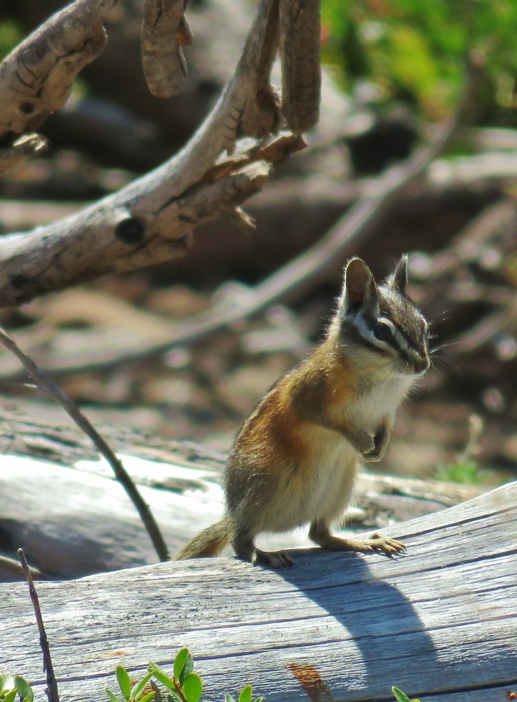


 Mt. Adams ahead above the clouds.
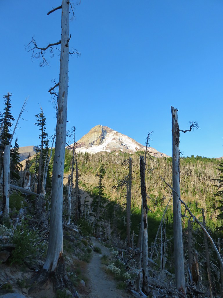 Mt. Hood


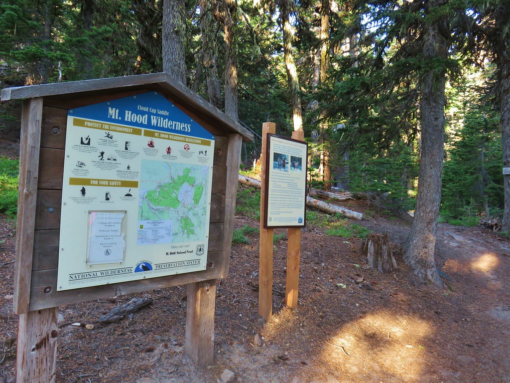
 We entered the Mt. Hood Wilderness on the way up.

 Mt. Adams
 Mt. Rainier peaking over the clouds to the left of Mt. Adams.
 Mt. Hood
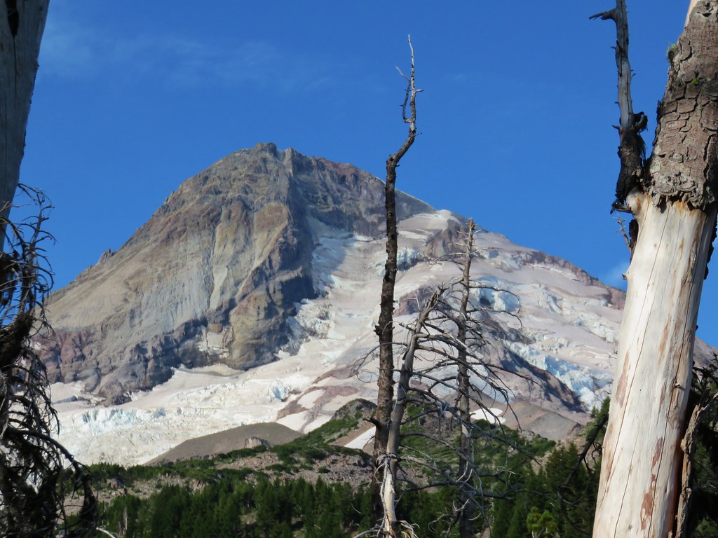
 Penstemon
 Monkeyflower
 Jacob’s ladder
 Western Pasque flower
 Paintbrush
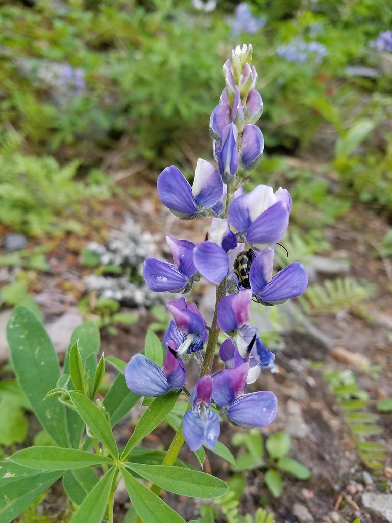 Lupine with a beetle.
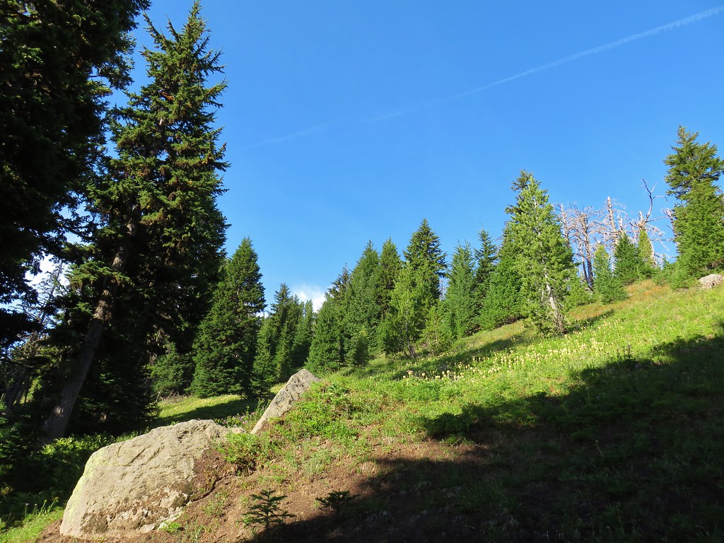


 Mt. Adams from Compass Creek.
 Wildflowers along Compass Creek.
 Monkeyflower and paintbrush
 Hummingbird near Compass Creek.


 Lupine, paintbrush and monkeyflower.


 Mt. Adams (again) from Compass Creek.
 Waterfall on Compass Creek below the Timberline Trail.
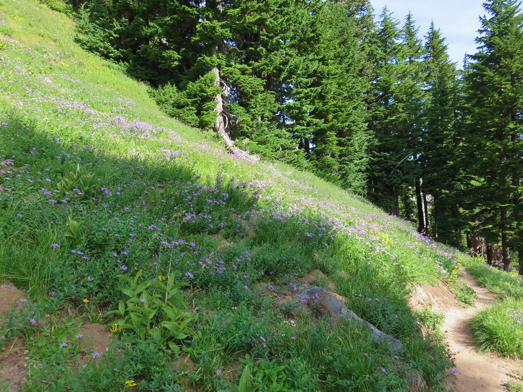


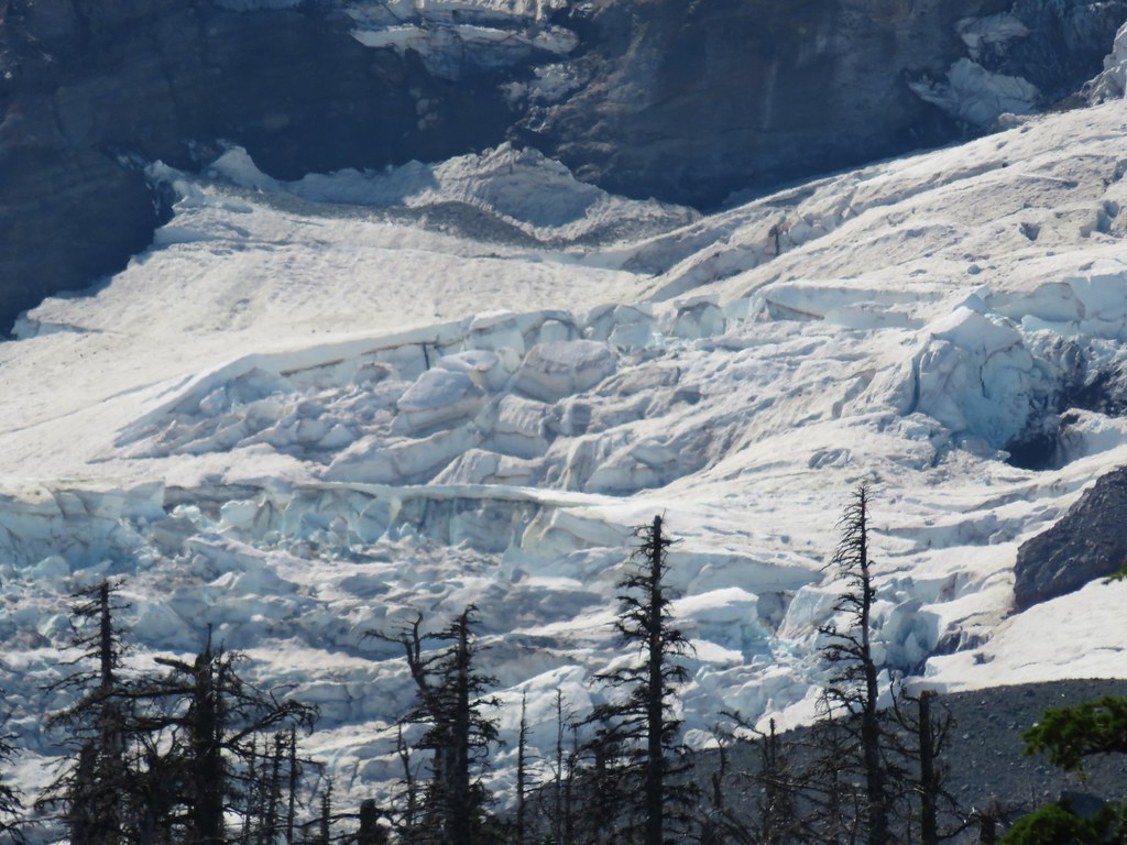
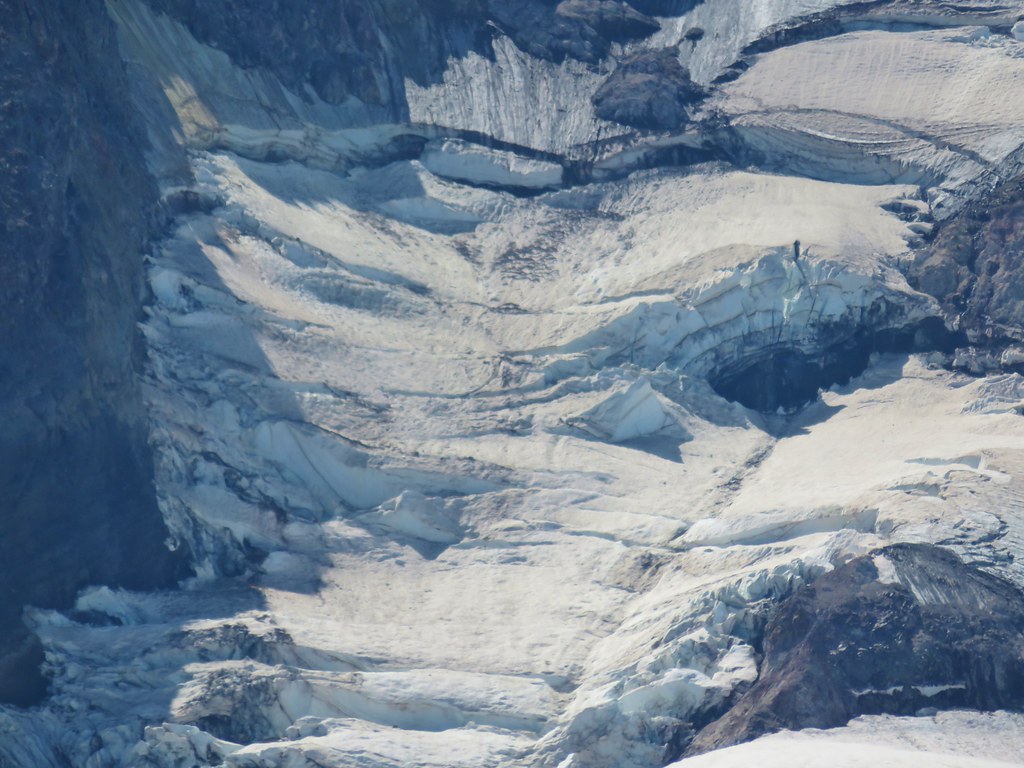
 Coe Glacier
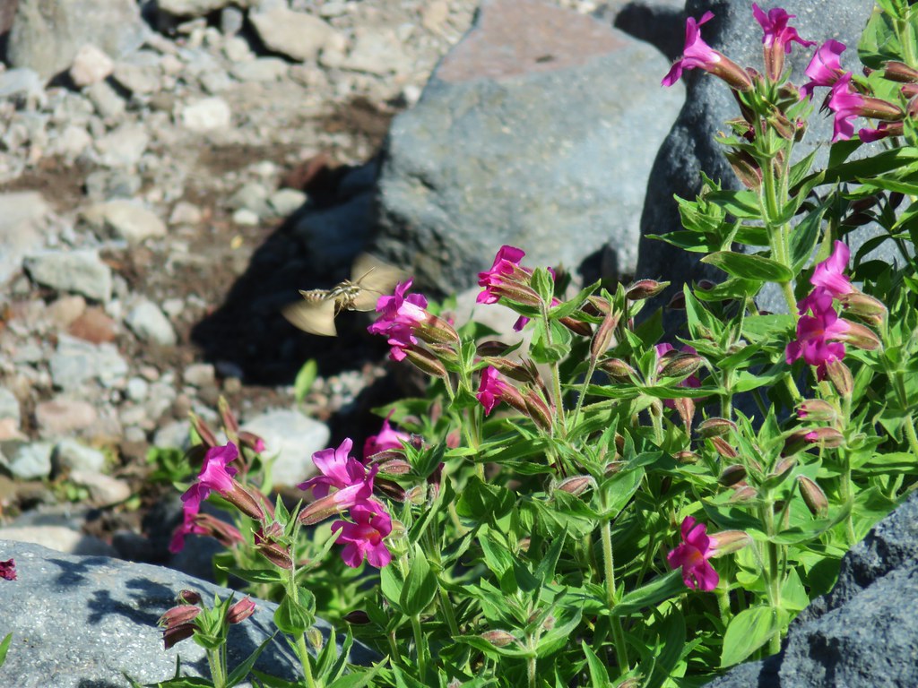


 Mt. Hood
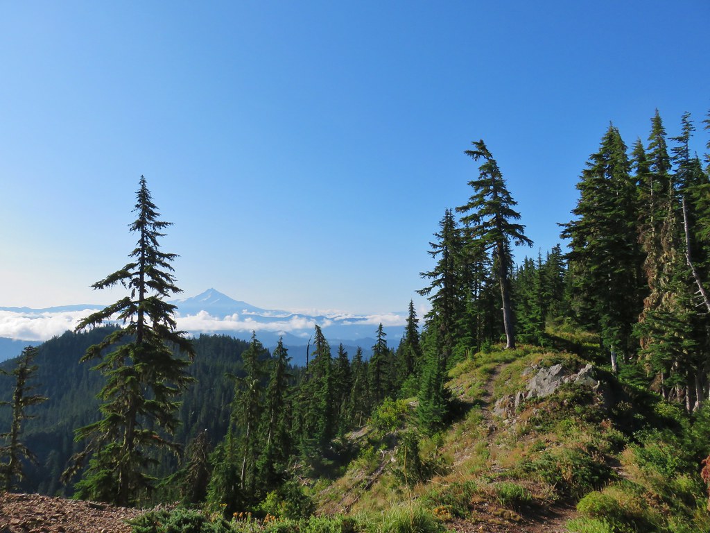 Mt. Jefferson


 Three Fingered Jack
 Mt. Washington and the Three Sisters


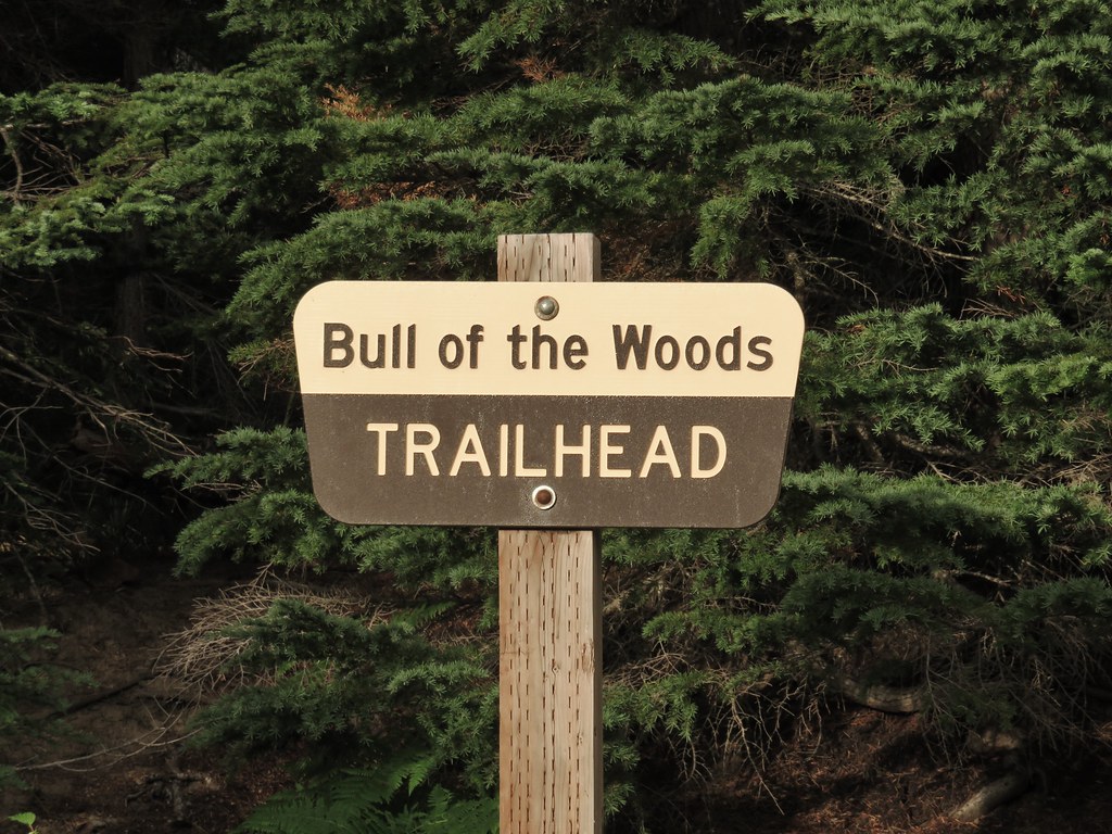
 Bull of the Woods Trail ending at the Mother Lode Trail.


 First look at Pansy Lake.
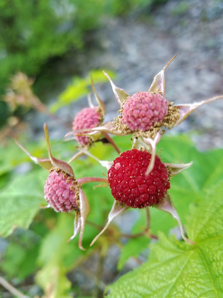


 Wildcat Mountain (


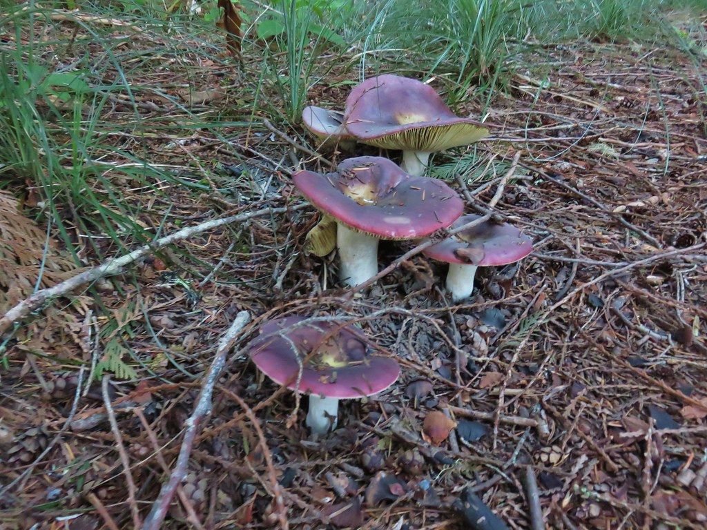
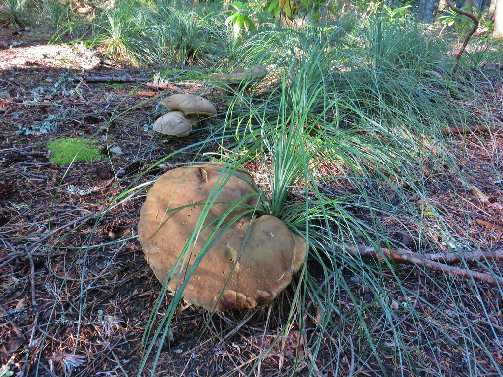
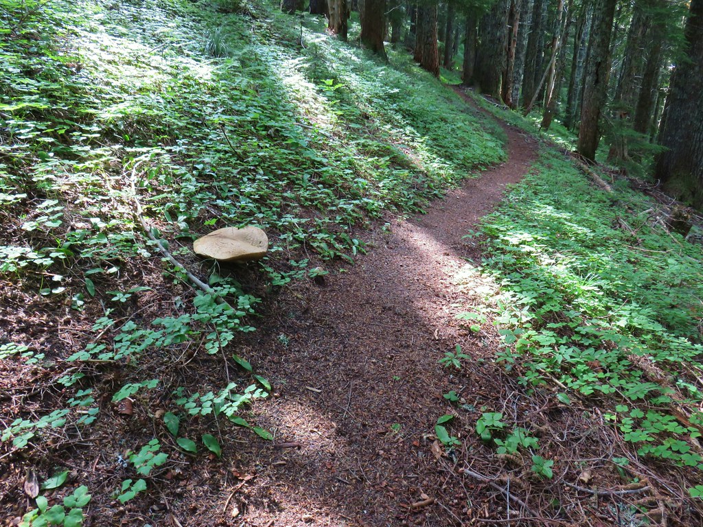 Huge mushroom along the downhill.
 Fanton Trail coming up from the right.


 Three Fingered Jack and the Three Sisters even further south.
 Looking west into the cloud covered Willamette Valley.
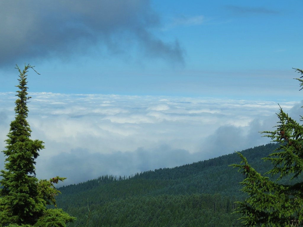
 Stairs to the former lookout.
 Mt. Hood from the former lookout site.


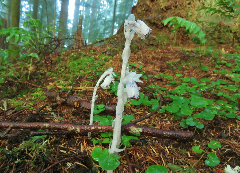
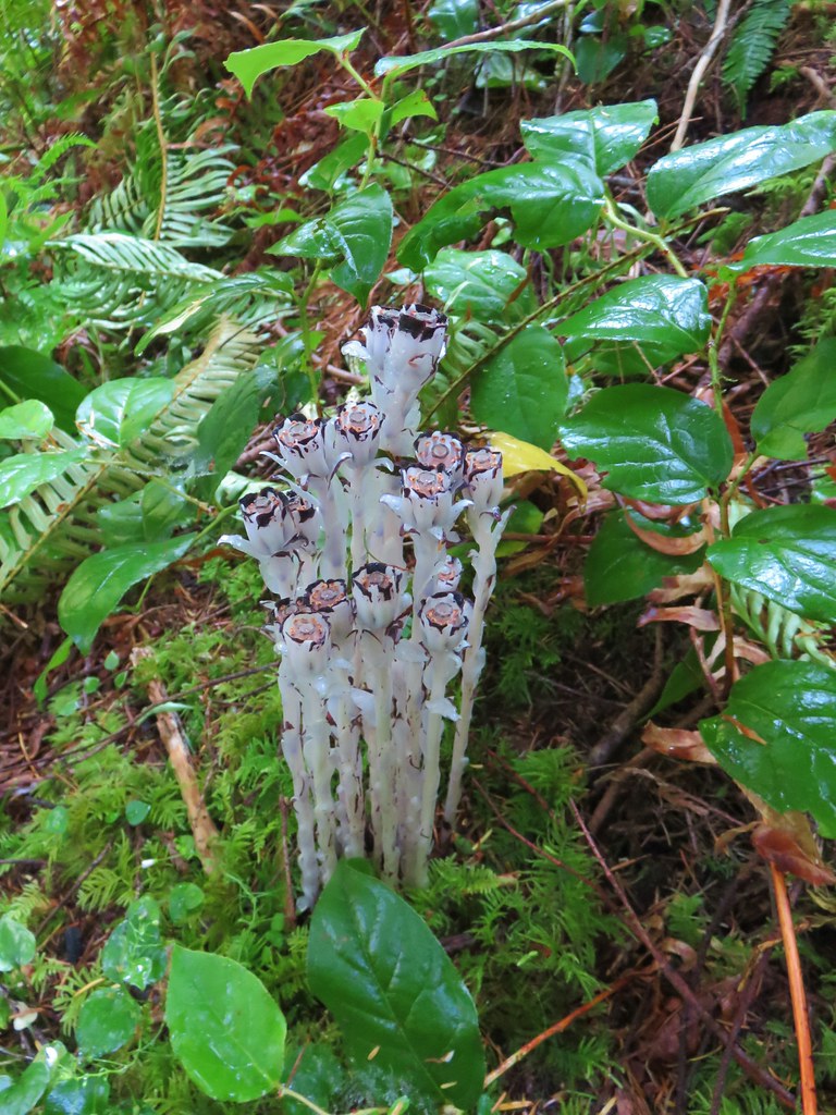
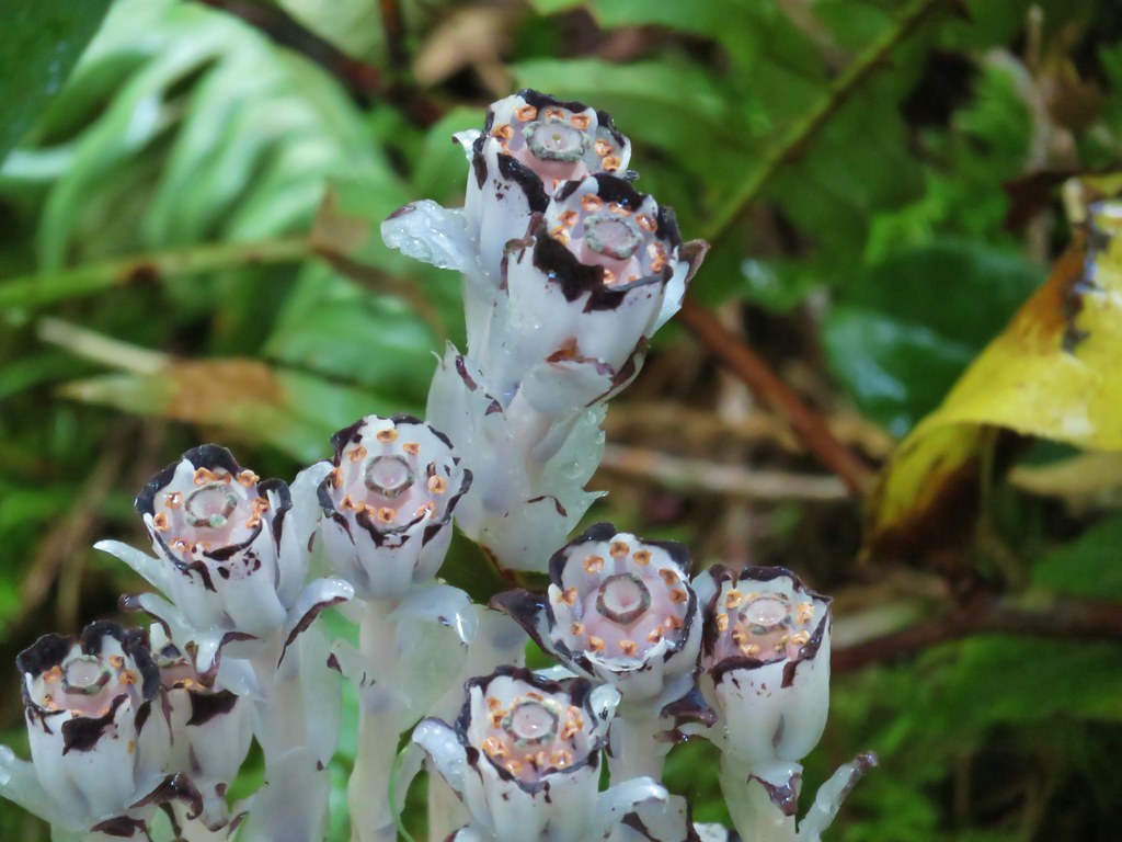
 Pinesap
 A very blurry deer spotted through the trees.


 North Sister
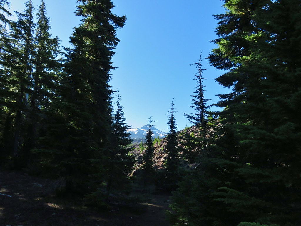 Middle Sister
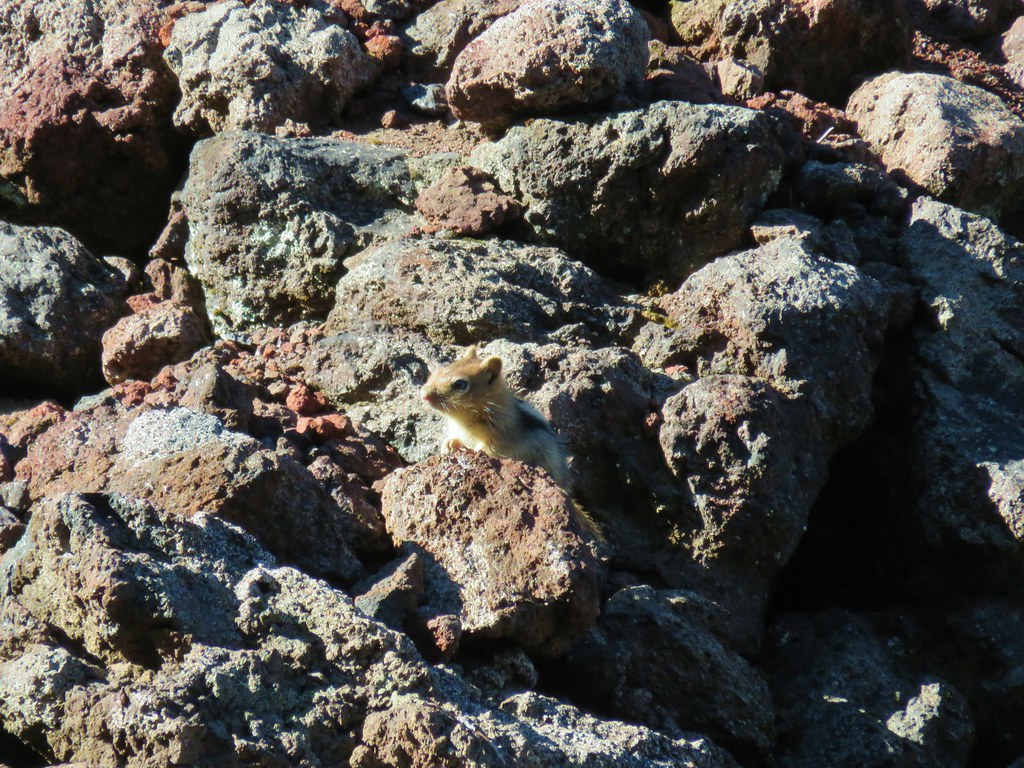 More spies watching us.
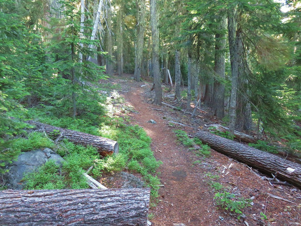


 North and Middle Sister behind the Little Brother.
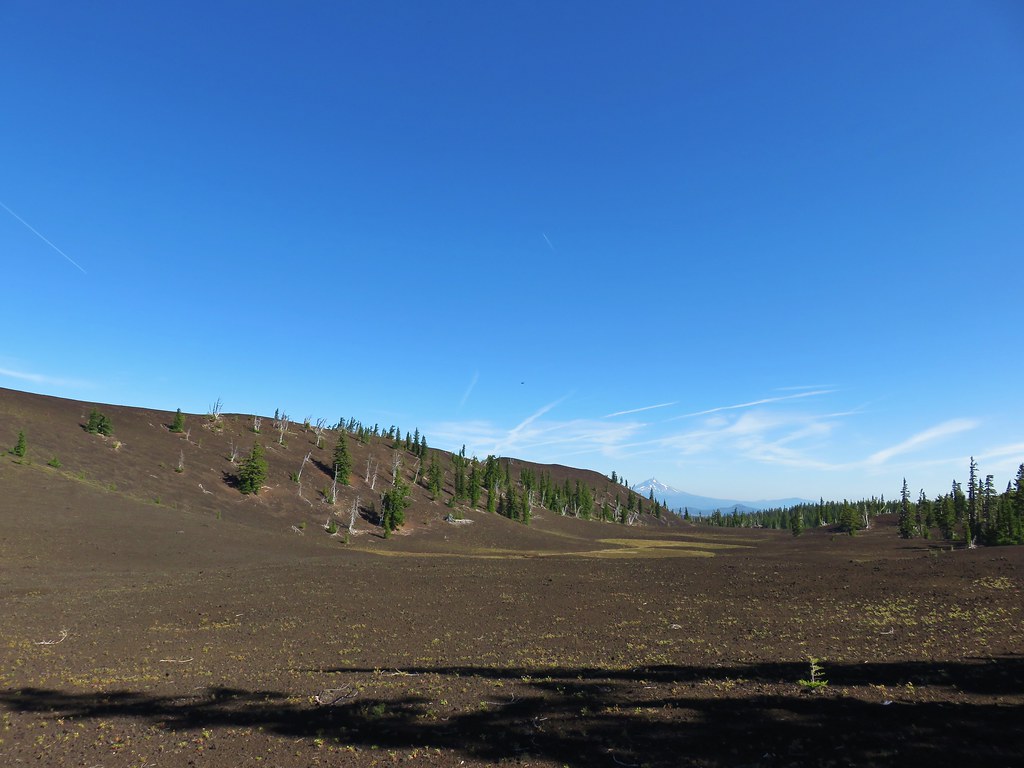 Mt. Jefferson beyond Four-In-One Cone
 Mt. Hood over the right shoulder of Mt. Jefferson.
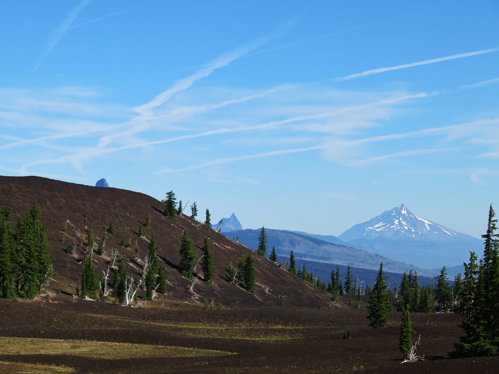 Mt. Washington’s spire behind the cone with Three Fingered Jack and Mt. Jefferson.

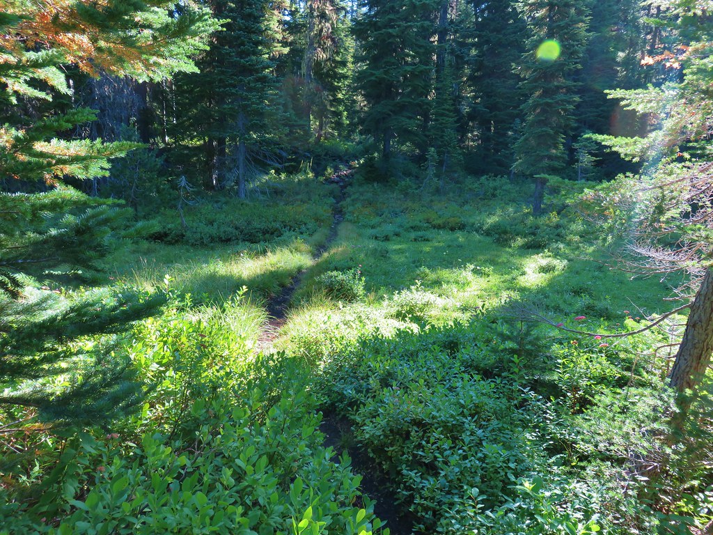
 Scott Meadow


 North Sister, Middle Sisters behind Little Brother and The Husband.
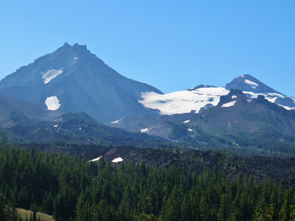 North Sister with Collier Cone in front and South Sister behind Little Brother.
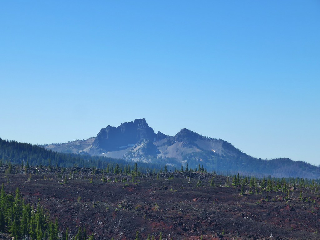 The Husband
 Scott Mountain (
 One of the craters.
 Mt. Washington, Three Fingered Jack, Mt. Jefferson, Mt. Hood, and Black Crater (
 Looking back south.
 Belknap Crater (
 Mt. Washington beyond Little Belknap Crater with Three Fingered Jack behind.
 Mt. Jefferson and Mt. Hood
 Middle and North Sister
 Dry bed of Pole Creek.
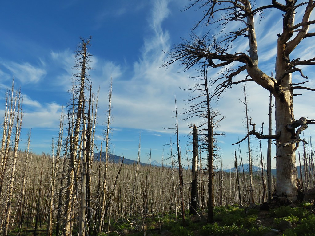 Black Crater, Mt. Jefferson, and Black Butte to the north.
 Entering the Three Sisters Wilderness.
 A few survivors amid the snags.
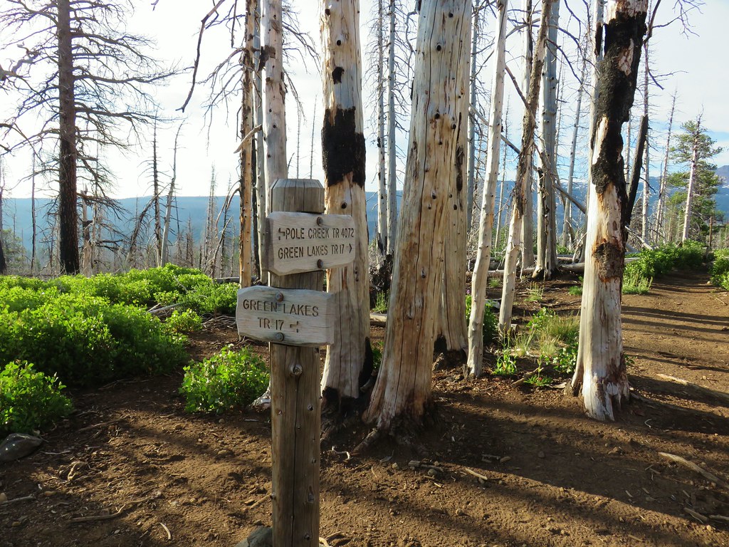 Green Lakes Trail junction.
 Broken Top and the South Sister
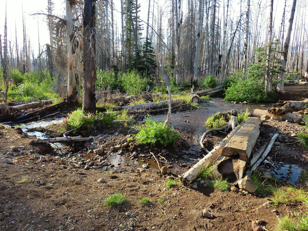
 Monkeyflower along Soap Creek
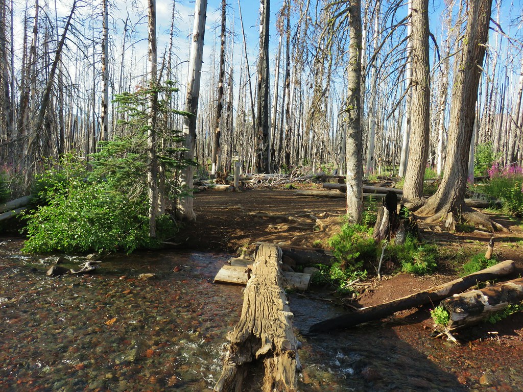
 Soap Creek
 View of the North Sister that would not have been there pre-fire.
 Soap Creek and the Middle and North Sister
 Monkshood
 Might be a trail in there, might not.
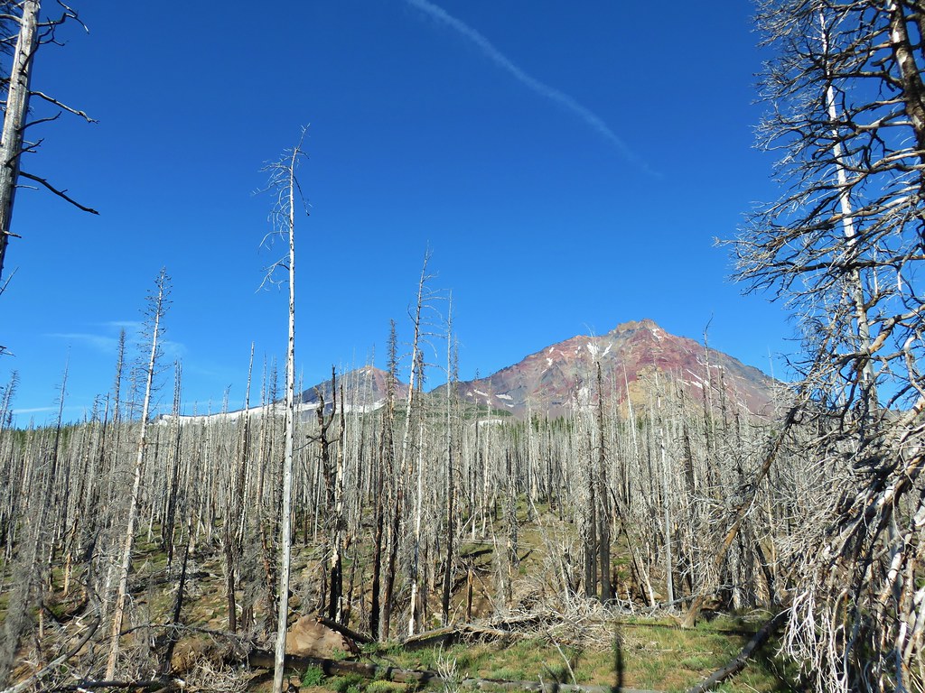 Decent look at the yellow bulge on North Sister.
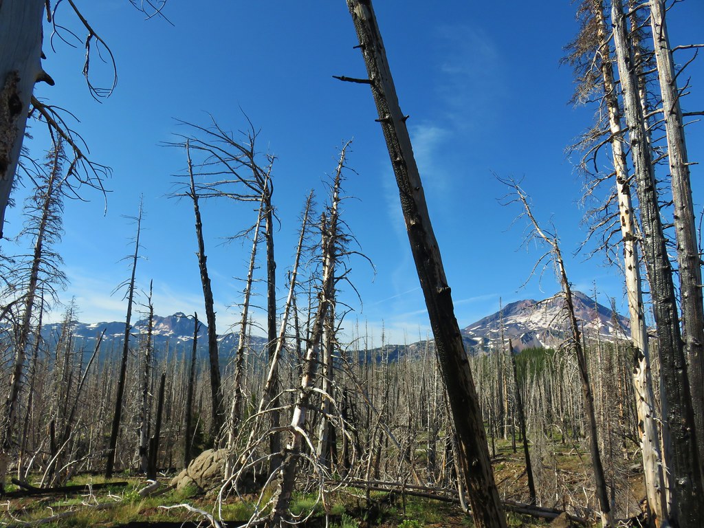 Broken Top and South Sister
 Soap Creek
 Meadow where there was no discernible trail apparent.
 Typical cross country obstacles.
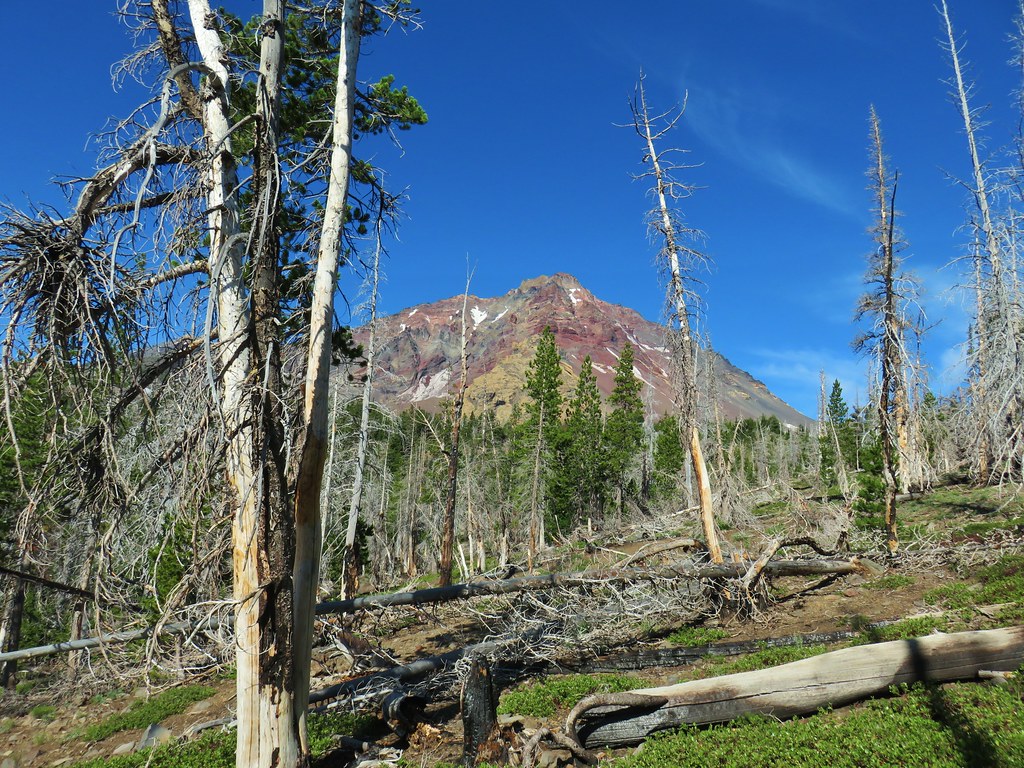
 Dry creekbed.
 Elephants head
 The moraine to the left of the bulge.
 A clump of Monkeyflower
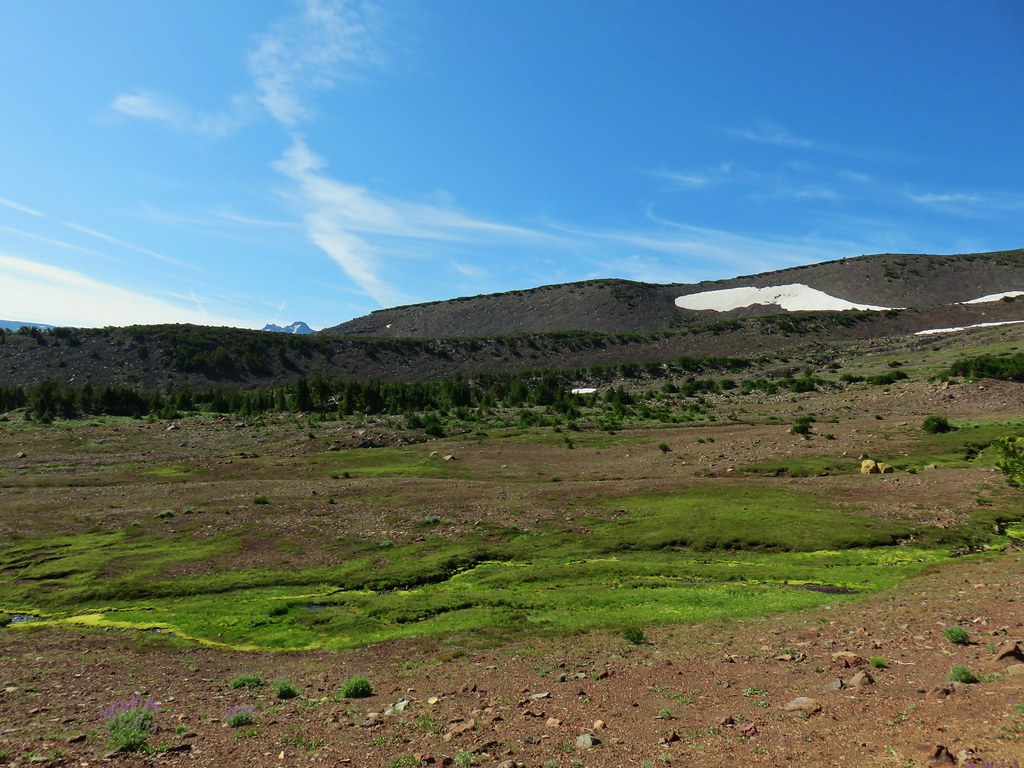

 Penstemon
 Our shady spot.
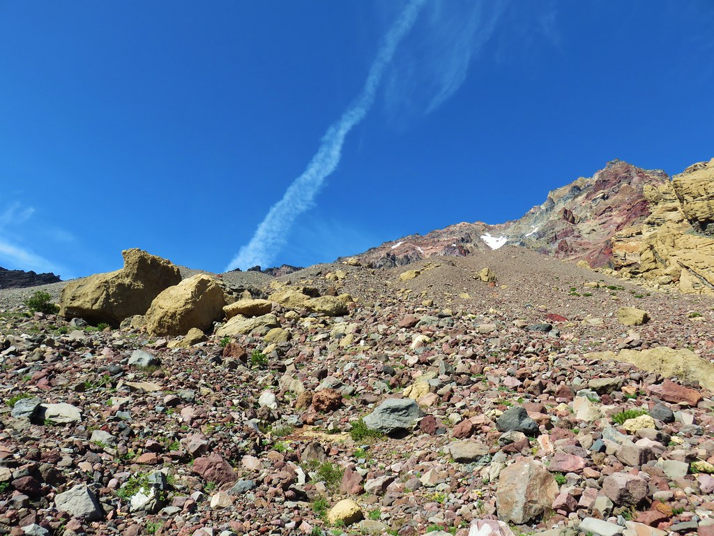
 Paintbrush growing on the moraine.
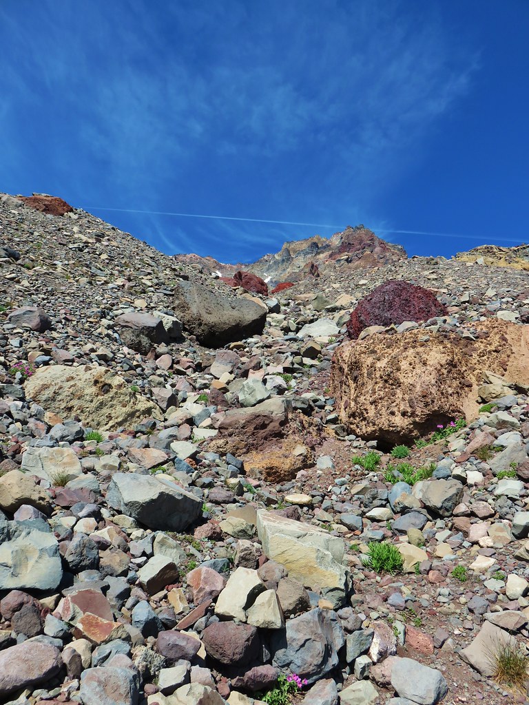
 More flowers amid the rocks.


 The yellow bulge, Mt. Hood, Black Crater and Black Butte to the north.
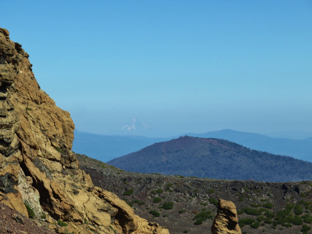 Mt. Hood
 Broken Top to the north.
 The rim above Thayer Lake.
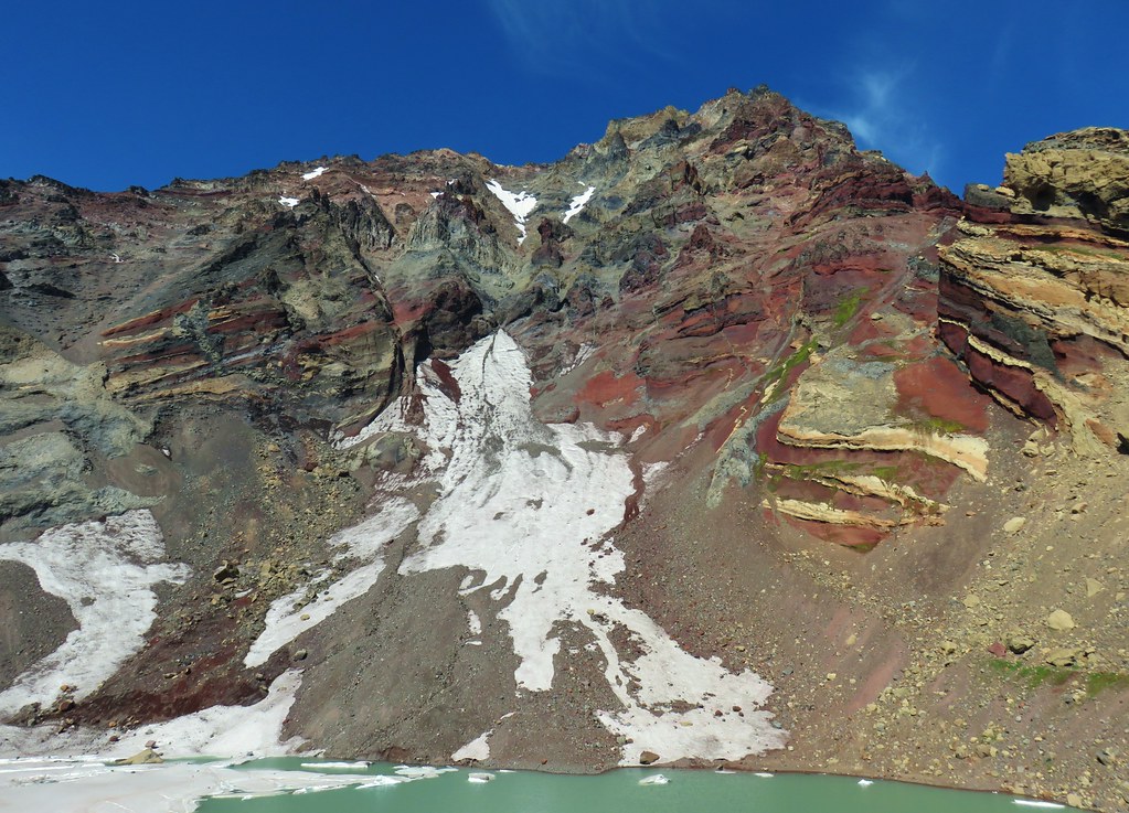 North Sister and the Thayer Glacier
 Heather near some large boulders in the lake.
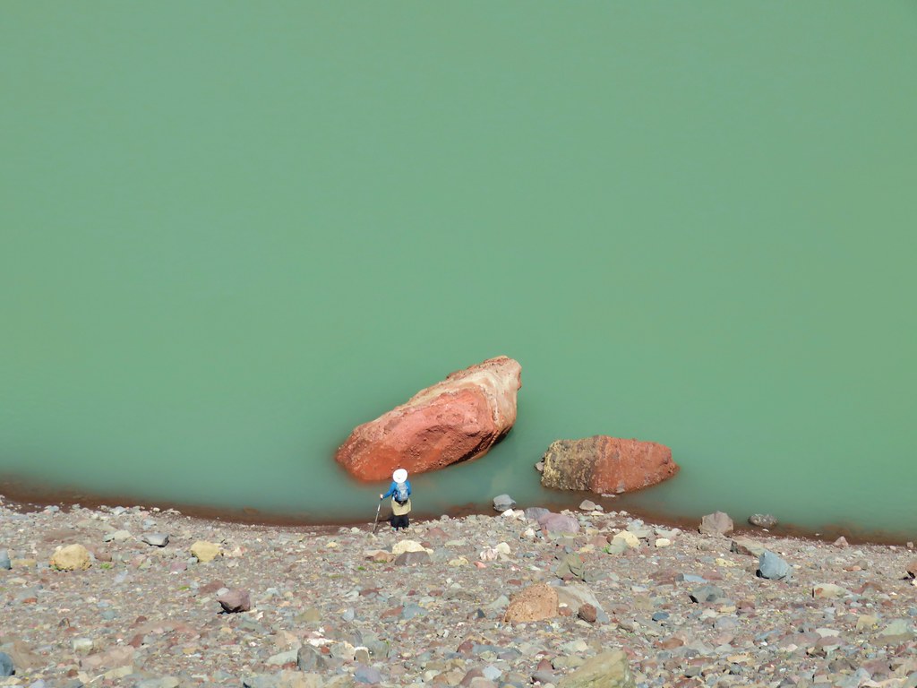


 Starting to get too narrow and the topographic map showed it getting more so further downstream.
 Climbing out of the gully.
 Broken Top and South Sister from the ridge.


 The wilderness sign in 2015.

 2015
2015
 2015
2015

 2015
2015
 Penstemon
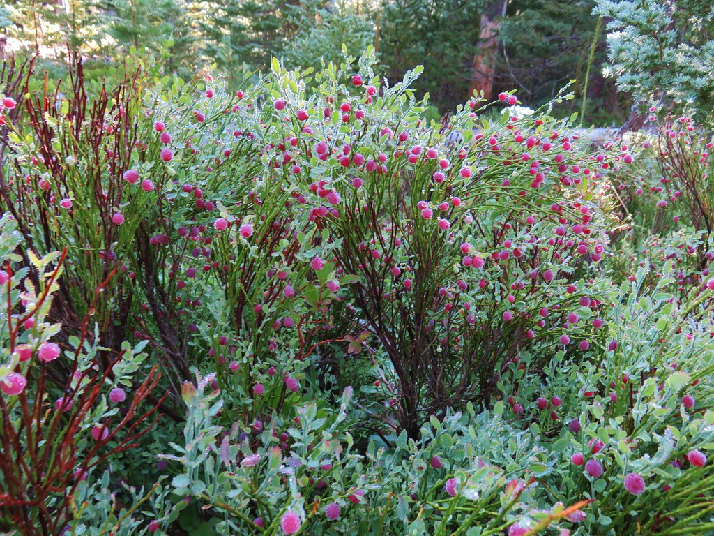
 Lousewort
 Scarlet gilia
 A couple of short (and late) beargrass plumes.

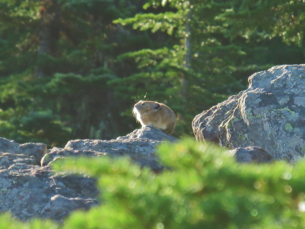
 This looked like prime pika habitat to us.


 Hogg Rock (near left), flat topped Hayrick Butte next to Hoodoo Butte, Mt. Washington with Broken Top behind left and the Three Sisters behind right.
 Mt. Hood in the distance to the left of Mt. Jefferson.

 Mt. Jefferson and Three Fingered Jack with Santiam Lake in the forest below.
 The view south.
 Broken Top, Mt. Washington, and the Three Sisters with Hayrick Butte in the forefront.
 Santiam Lake
 Duffy Lake (
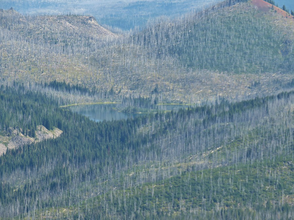 Mowich Lake
 Paintbrush in the crater.


 Pika
Pika Golden-mantled ground squirrel in the same rocky area as the pika.


 Fern clippings in the trail showing some trimming had been done.
 Whoever had done the brushing hadn’t made it down the whole trail.
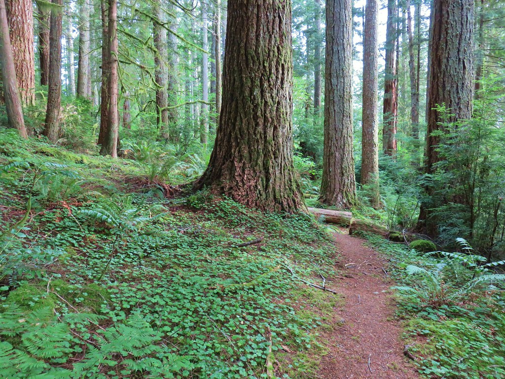
 There were a few monkey flowers scattered about.
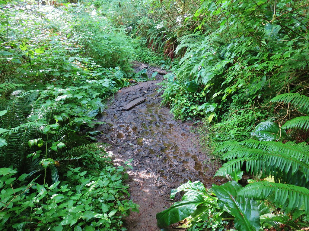


 >
>


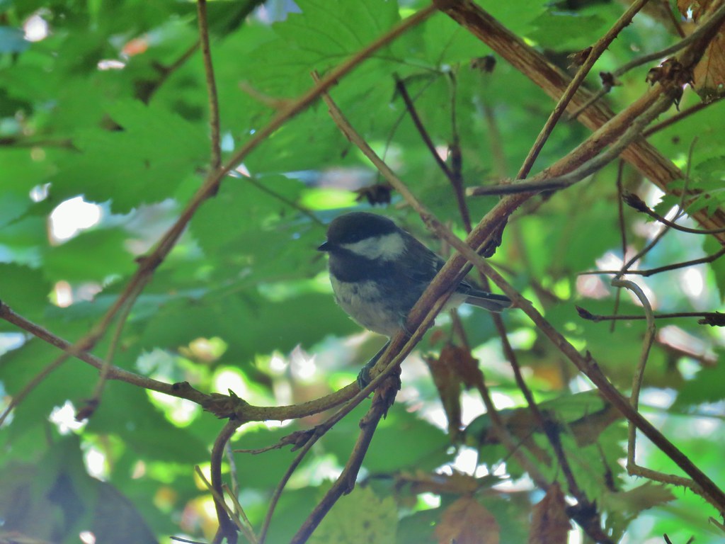 Chickadee
 Woodpecker